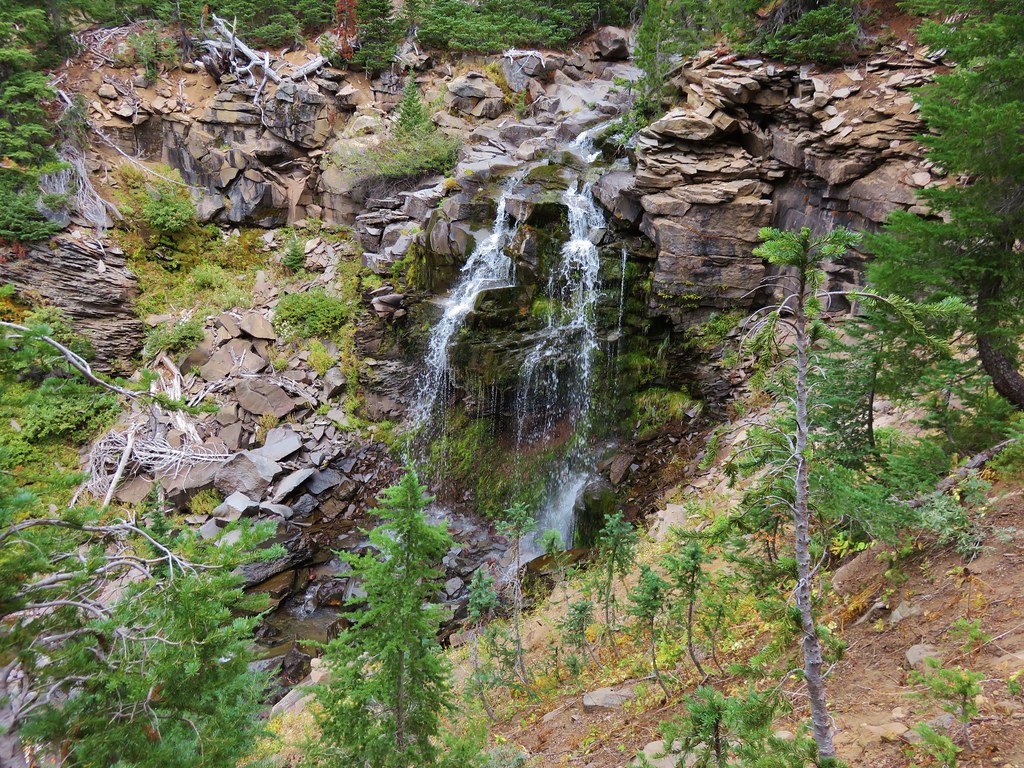
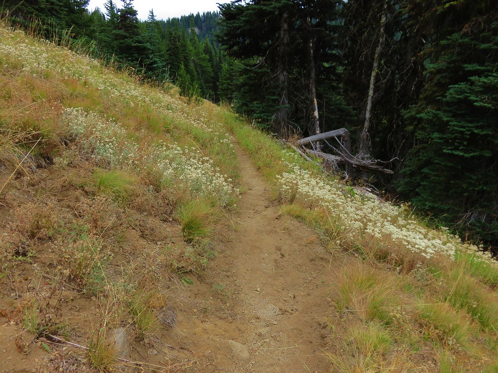
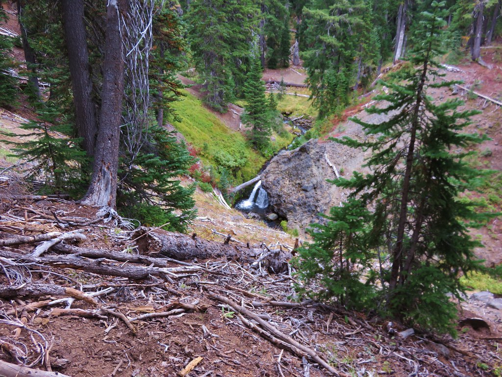
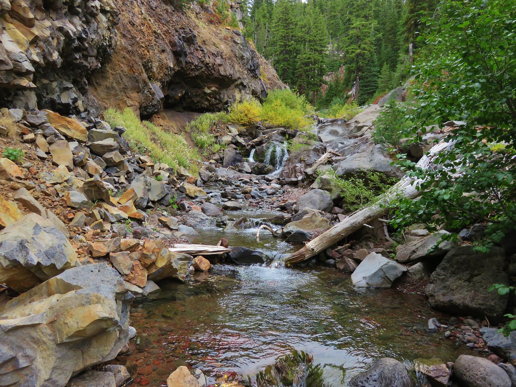
In our last post we wrote about our ambitious (possibly overly so) goal of completing 500 “featured” hikes in William L. Sullivan’s guidebooks. The topic of this post is another one of our goals, visiting all 45 of Oregon’s accessible designated wilderness areas (Three Arch Rocks and Oregon Islands are off limits to all visitors). This goal should be quite a bit easier to accomplish given the much smaller number of needed hikes and the fact that the wilderness areas aren’t changing every few years. (There is legislation pending that would create the Devil’s Staircase Wilderness in the coast range between Reedsport and Eugene.)
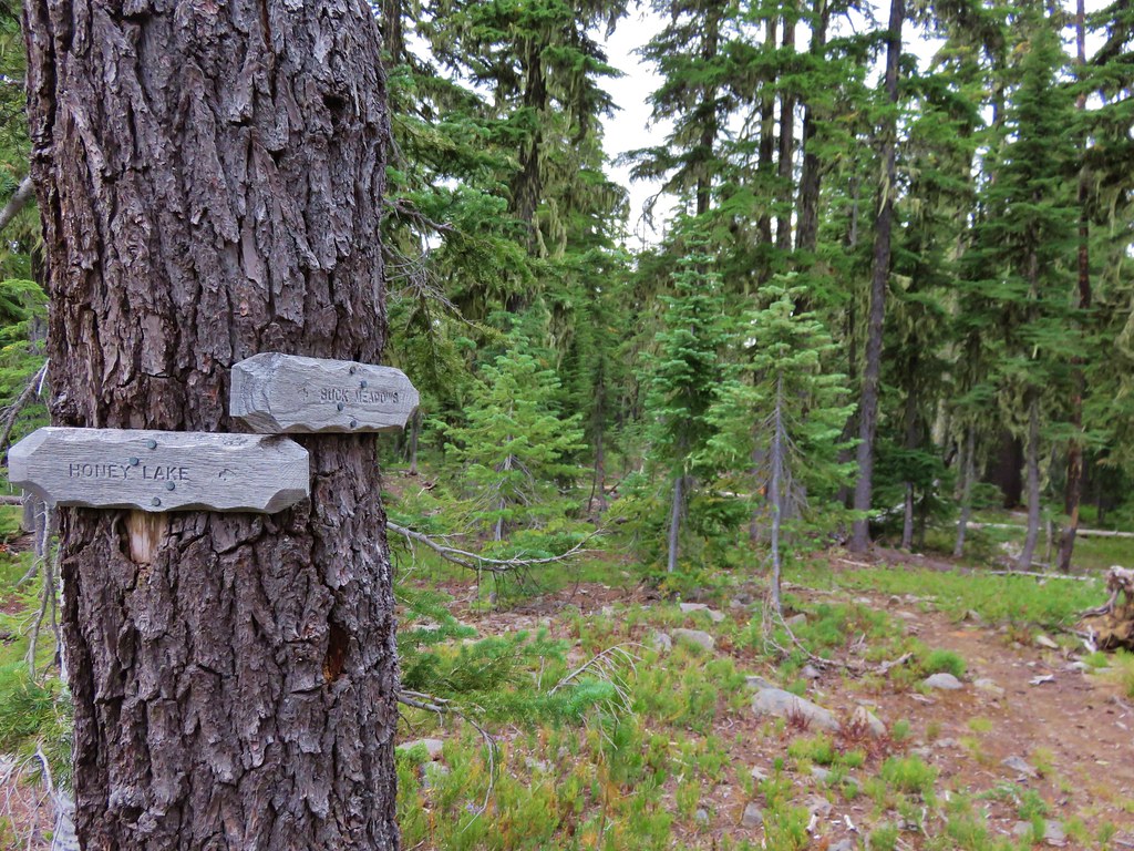
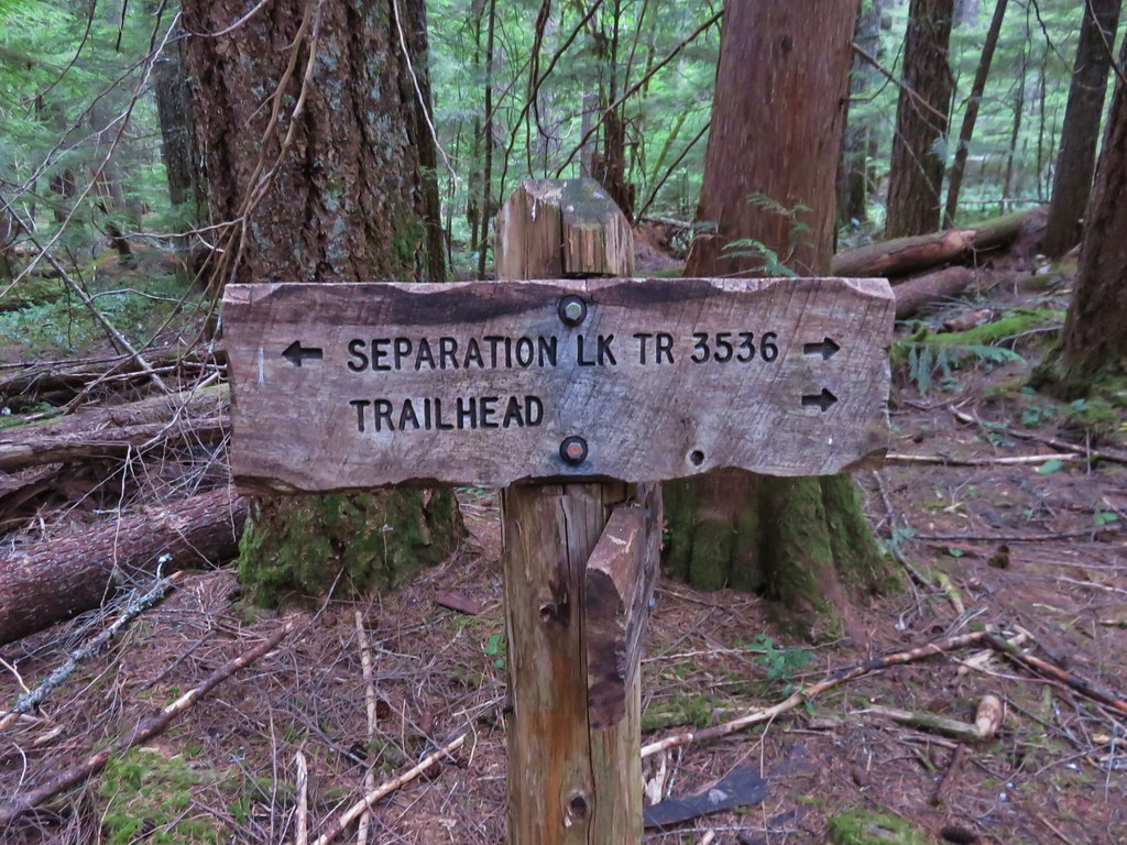
The inspiration for this goal came from a fellow hiker and blogger over at Boots on the Trail. This smaller goal fit well into our 500 featured hikes goal too as thirty nine of the wilderness areas are destinations of at least one of the featured hikes. The remaining six: Copper-Salmon, Lower White River, Rock Creek, Cummins Creek, Bridge Creek, and Grassy Knob were still included in the books but as additional hikes in the back. Between the hike descriptions in the guidebooks and Boots on the Trail’s trip reports we’ve had plenty of information to work with.
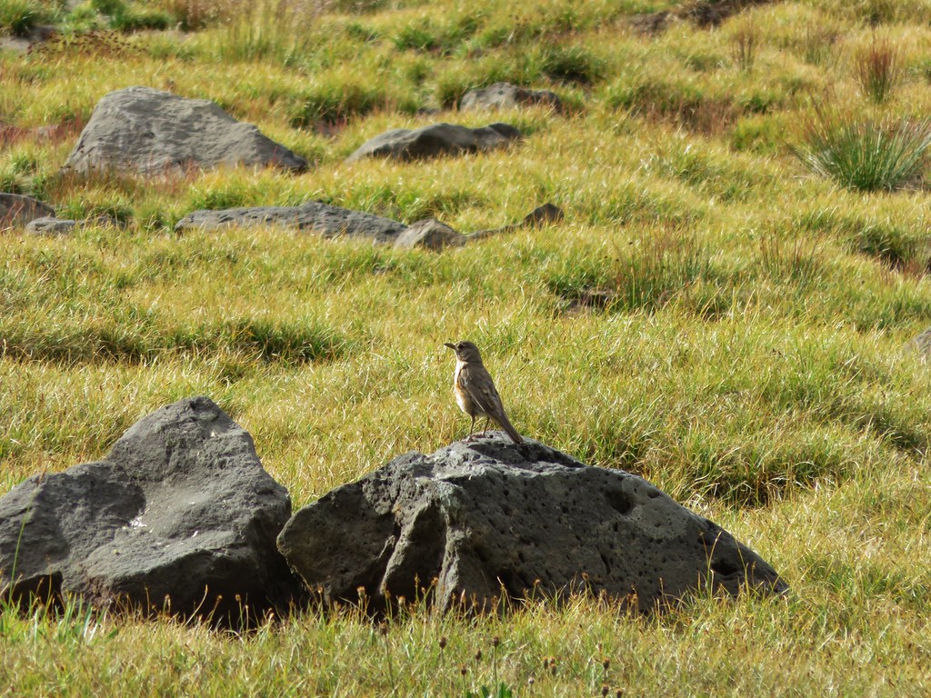
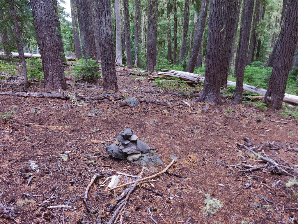
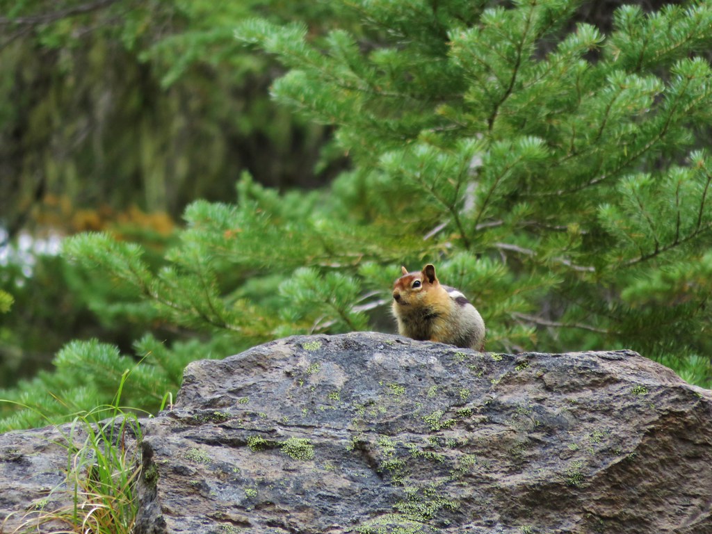
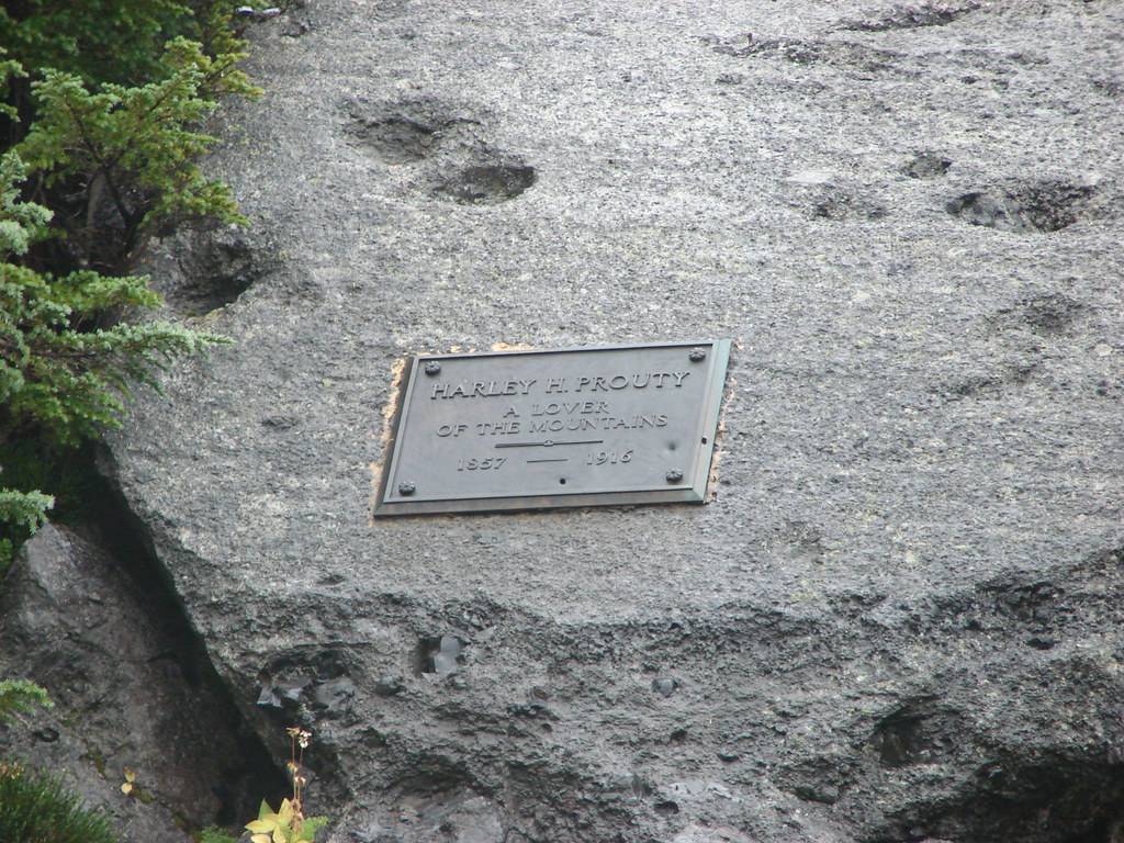
This was an appealing goal too. Wilderness areas are dear to our hearts and home to many of our favorite places. These areas are the least affected by humans and we feel best reflect God’s work as Creator. To me they are akin to a museum showcasing His finest artistry. Just as we would in a museum we admire and enjoy the wilderness but we do our best not to affect it meaning adhering whenever possible to Leave No Trace principles.
We have made pretty good progress on this goal so far and as of 12/31/18 we had visited 38 of the 45 accessible areas (and seen the other two from the beach). We’re currently on track to have visited them all by the end of 2020.
Below is a chronological list of the wilderness areas we’ve been to (or seen) as well as any subsequent year(s) we’ve visited with some links to selected trip reports.
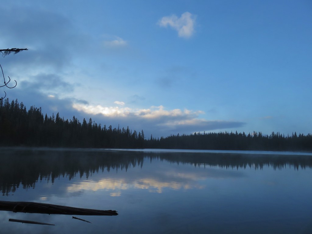
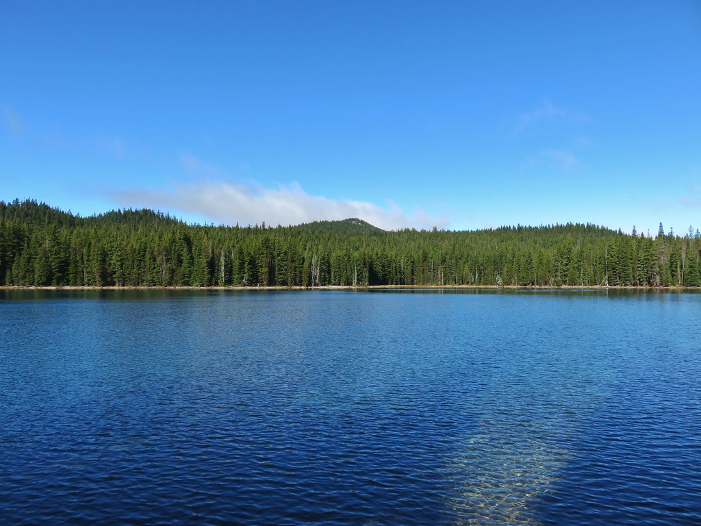
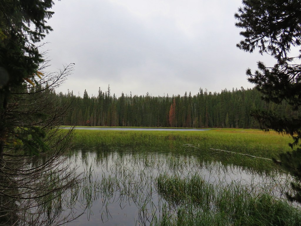
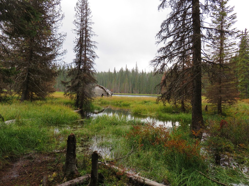
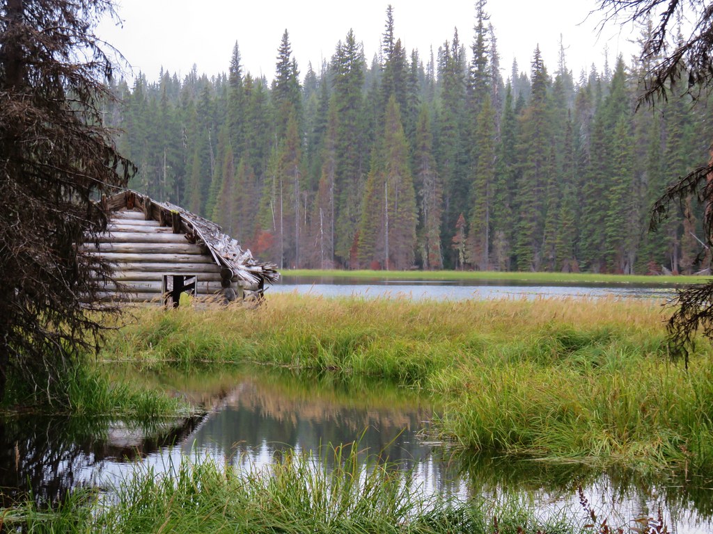
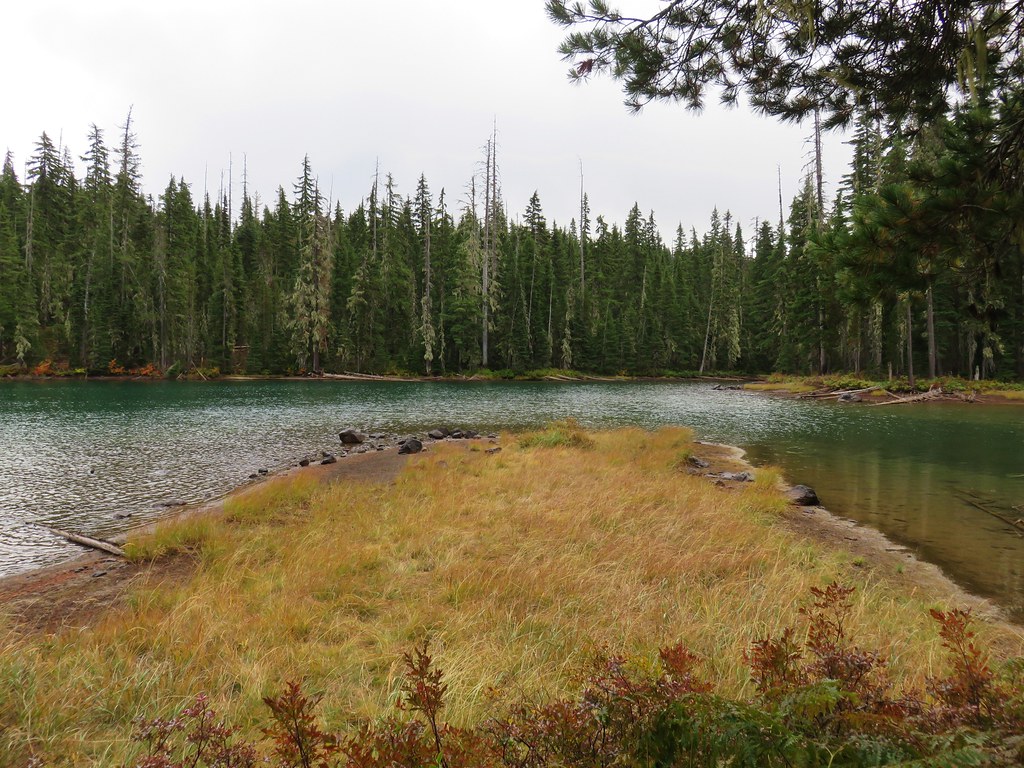
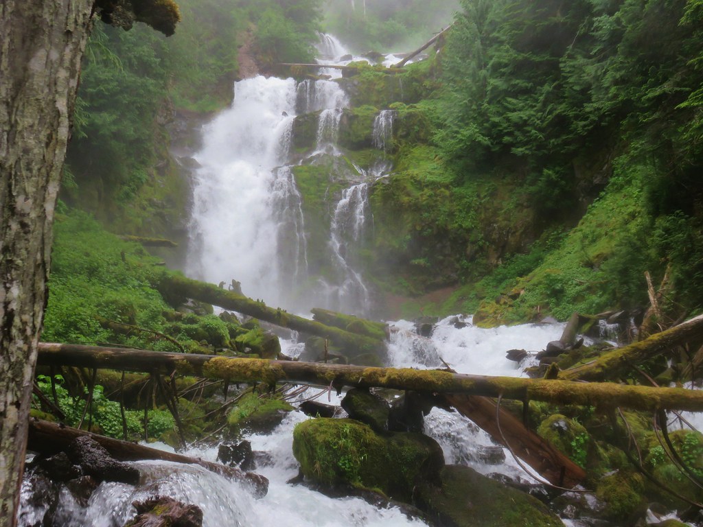
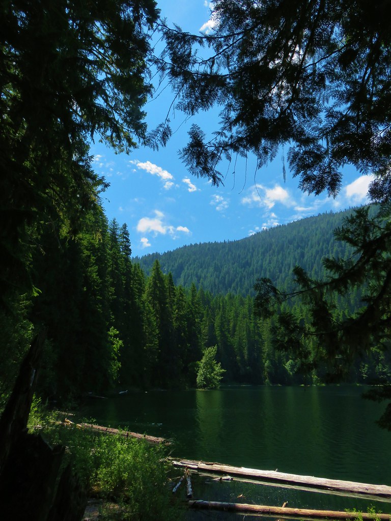
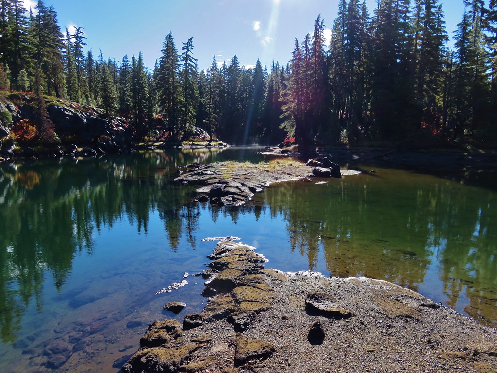
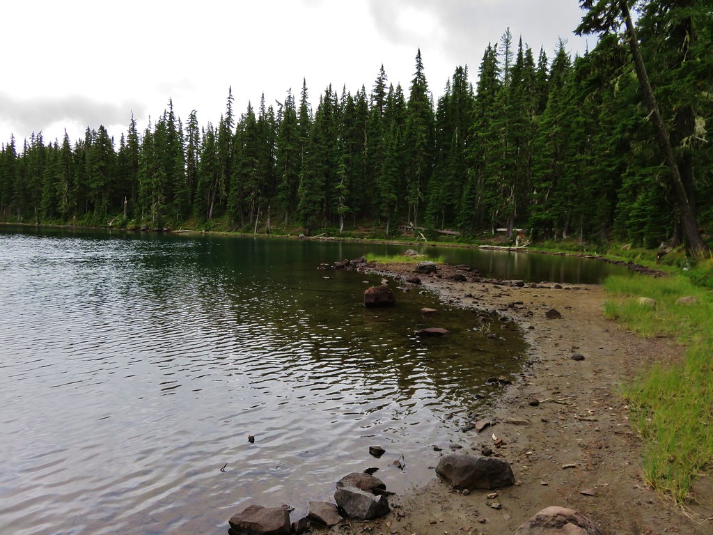
Opal Creek – 2009, 10, 11, 12, 14, 18
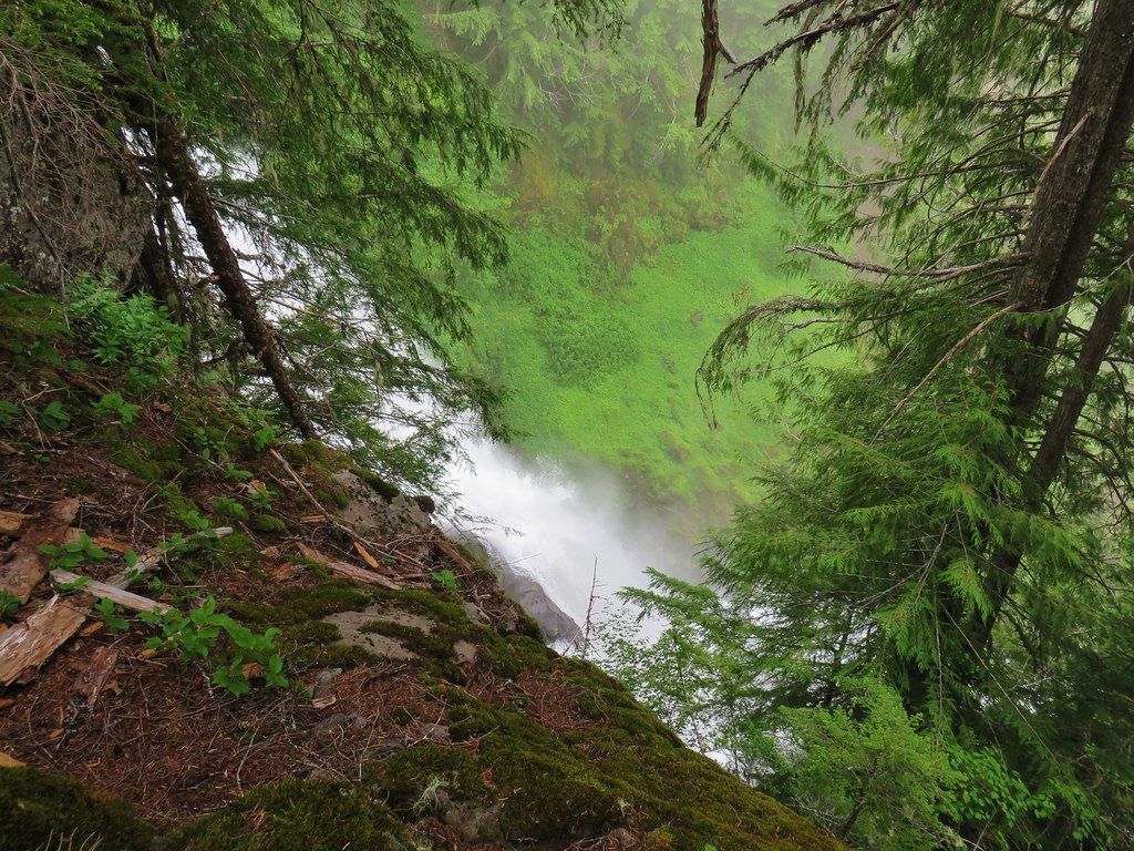
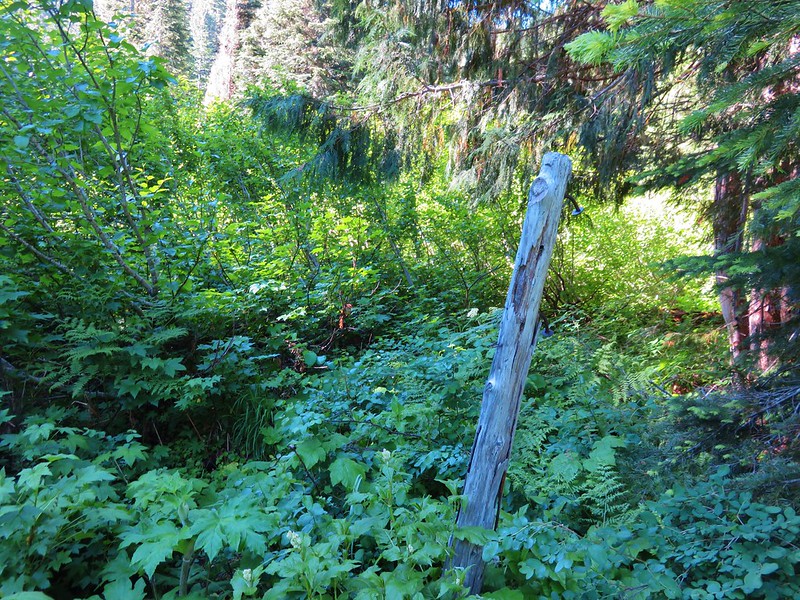
 Battle Ax Creek – 2014
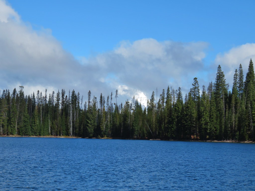
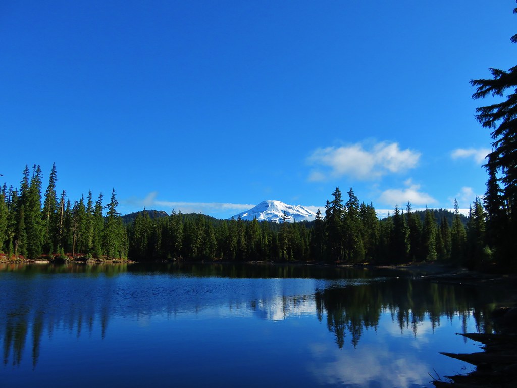
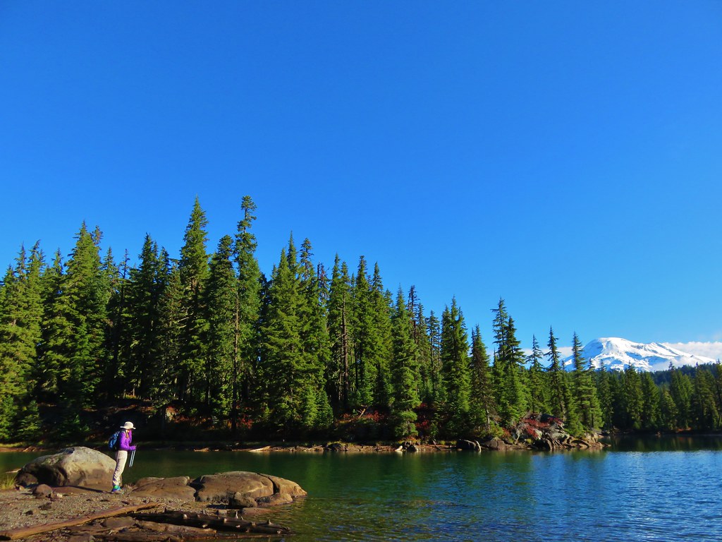
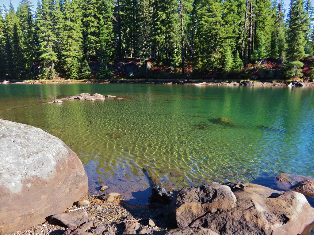
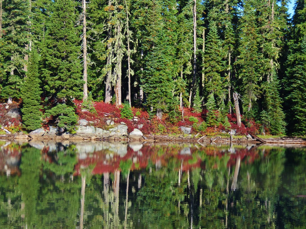
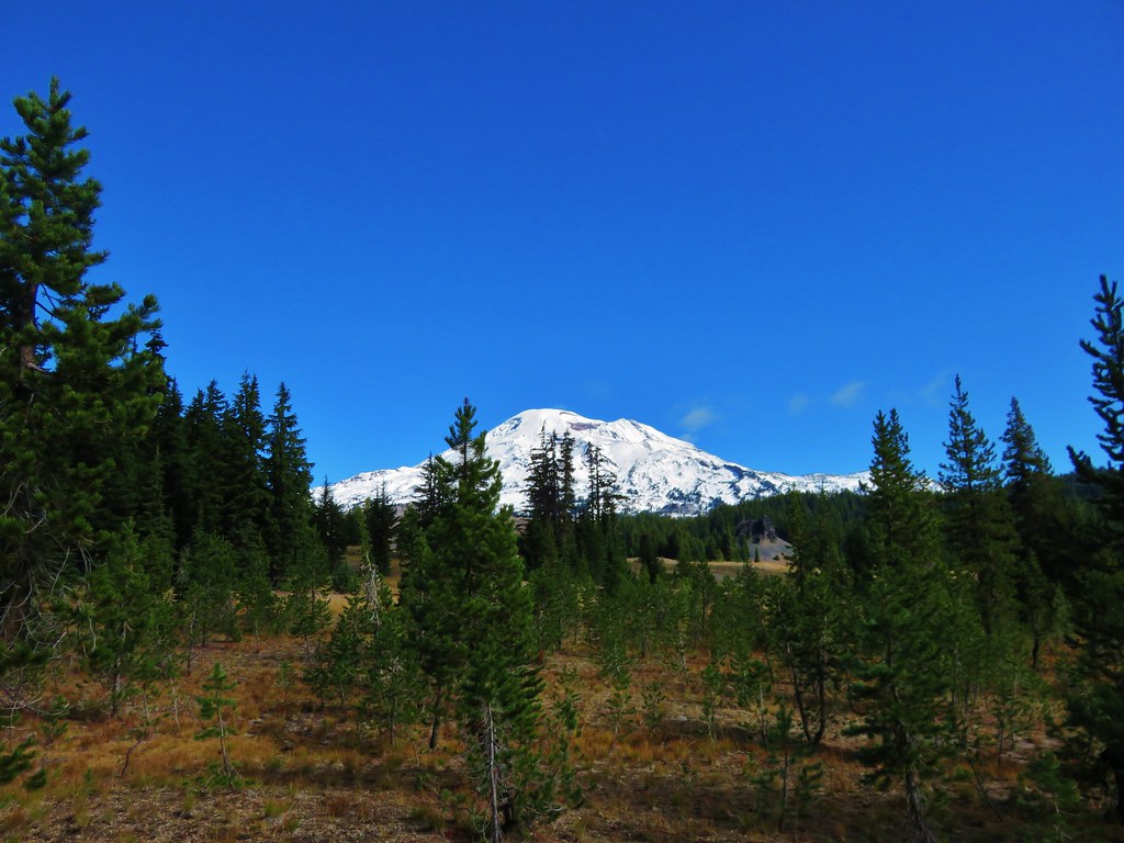
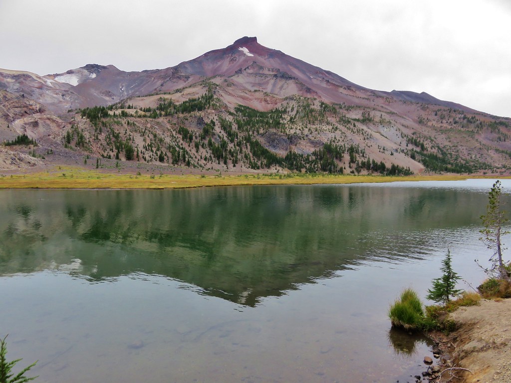
Mt. Jefferson – 2010, 11, 12, 13, 14, 15, 16, 18
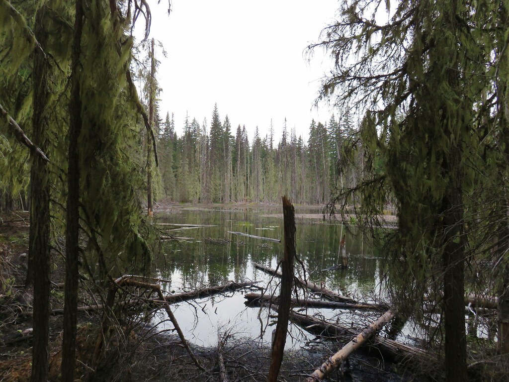
 Mt. Jefferson from Russell Lake – 2016
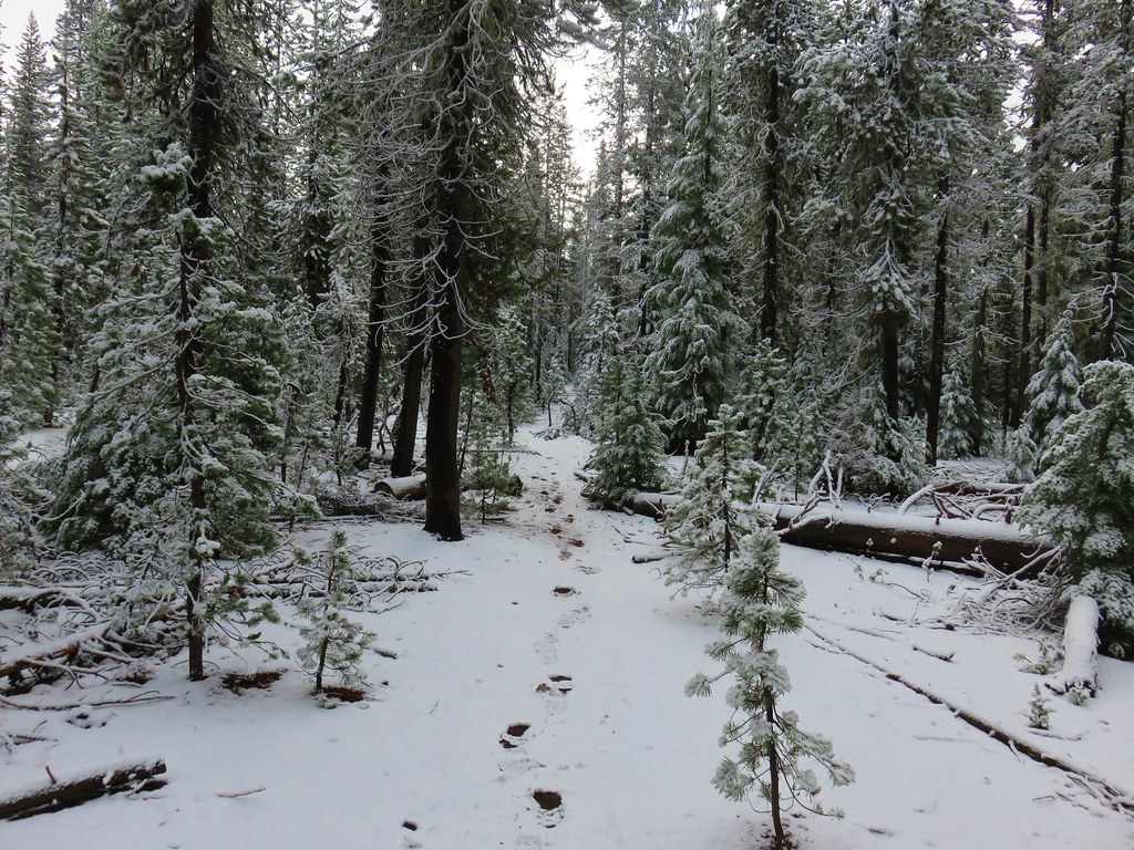
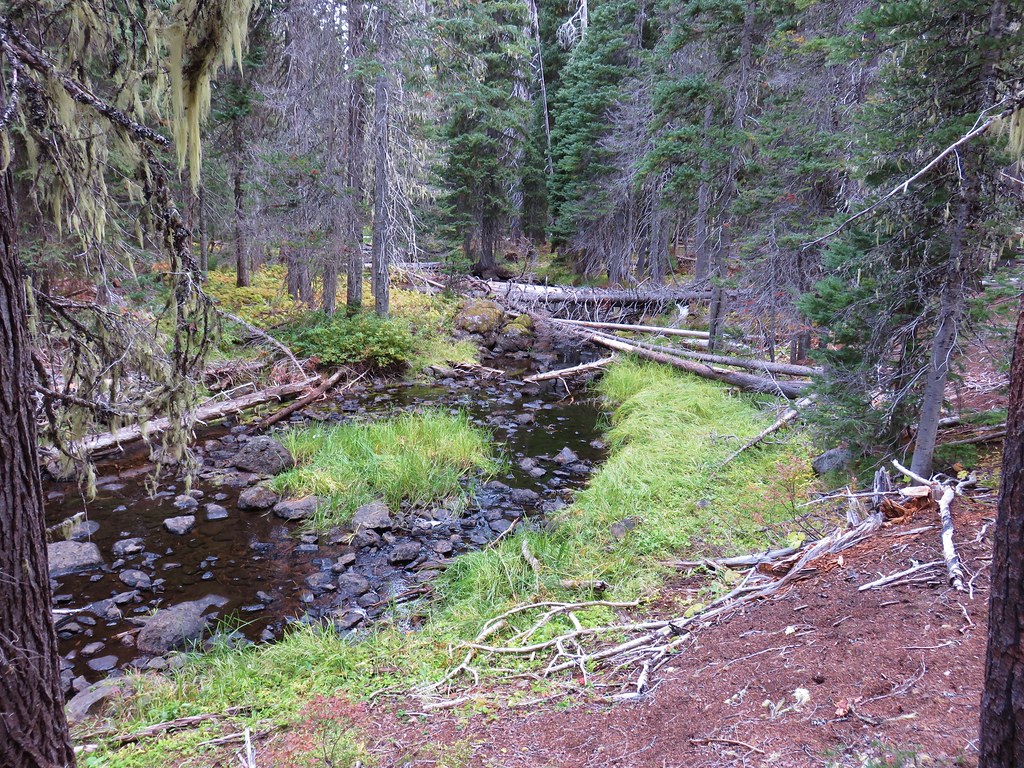
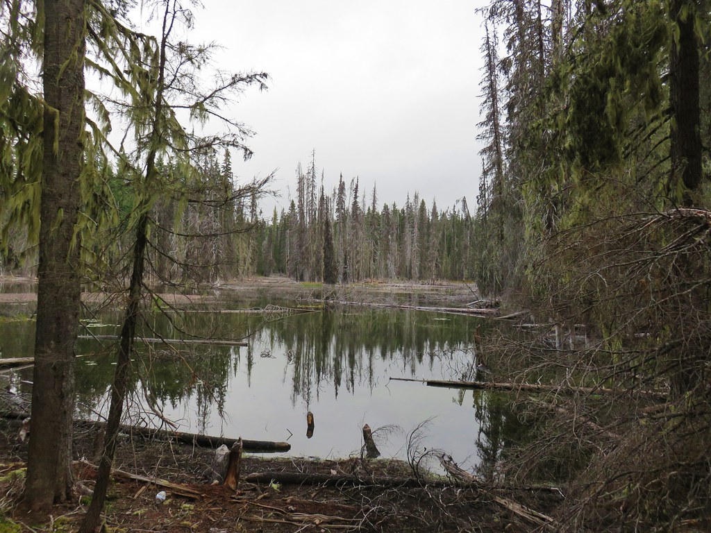
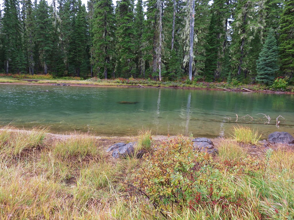
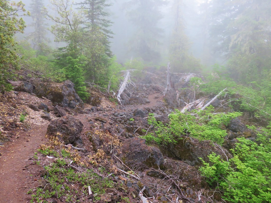
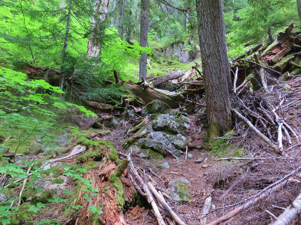
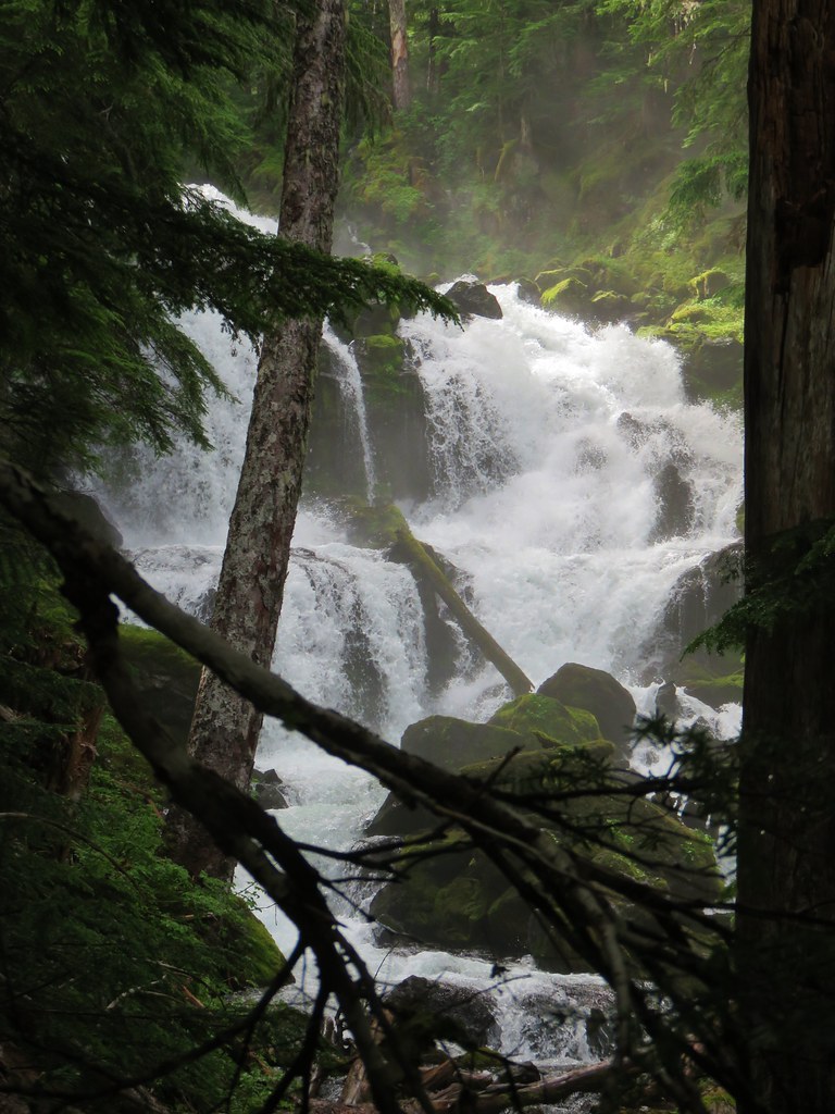
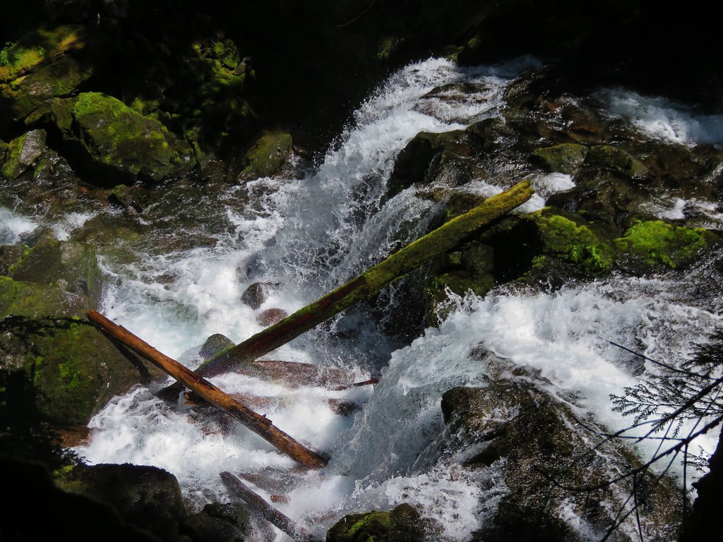
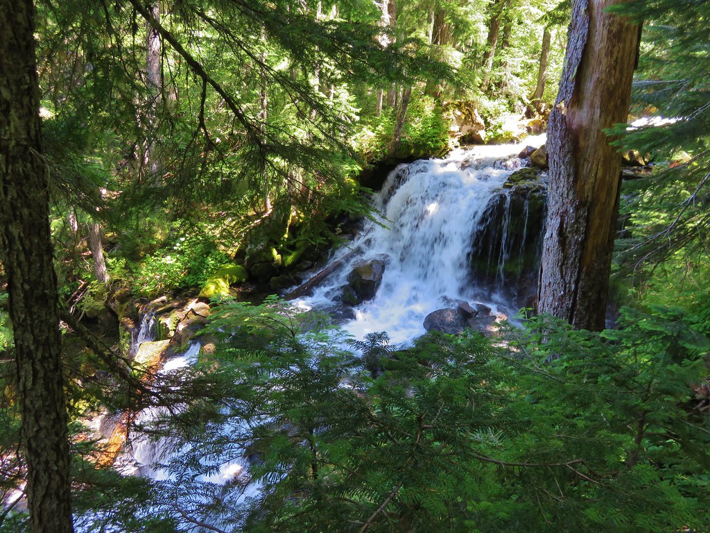
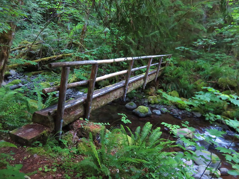
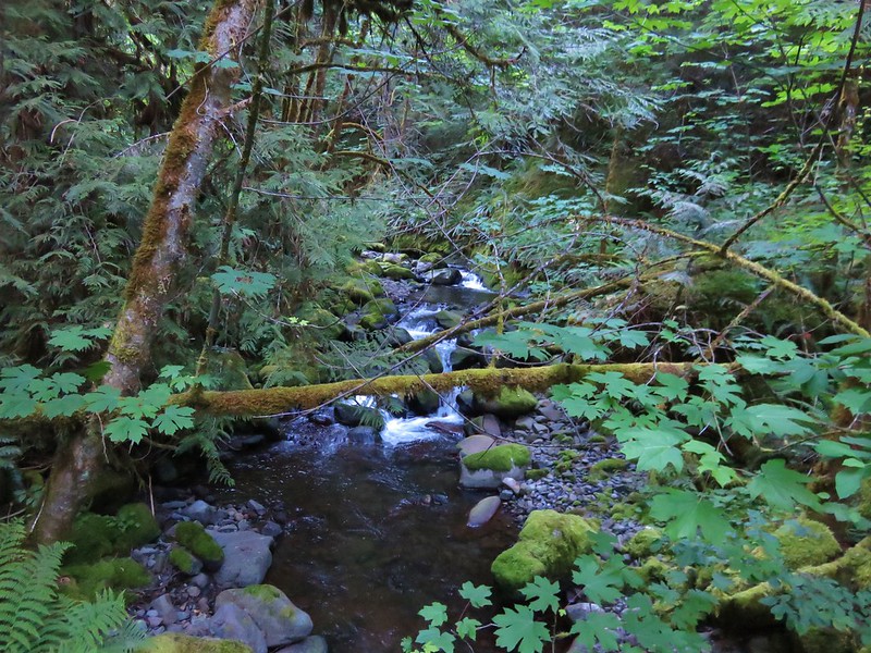
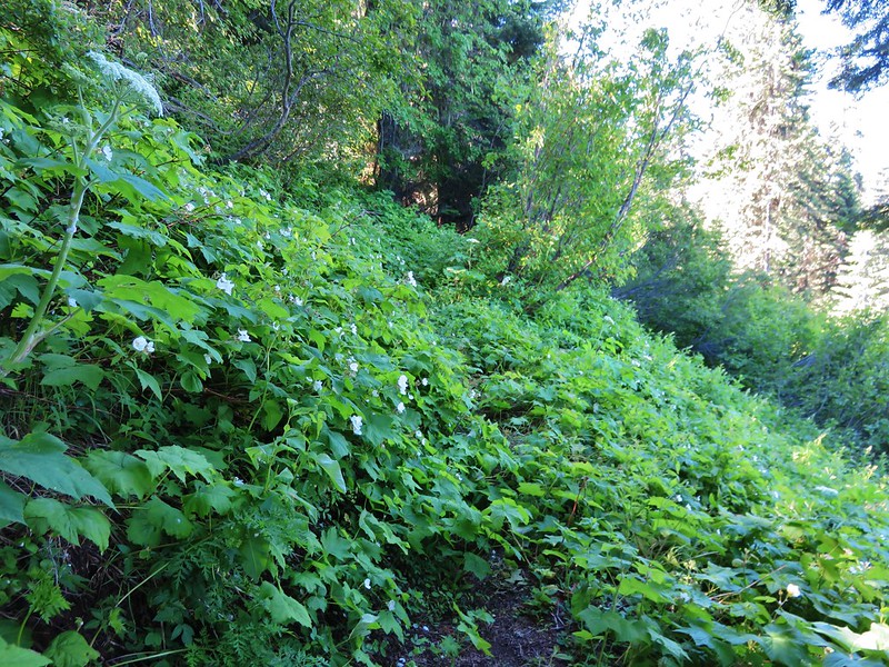
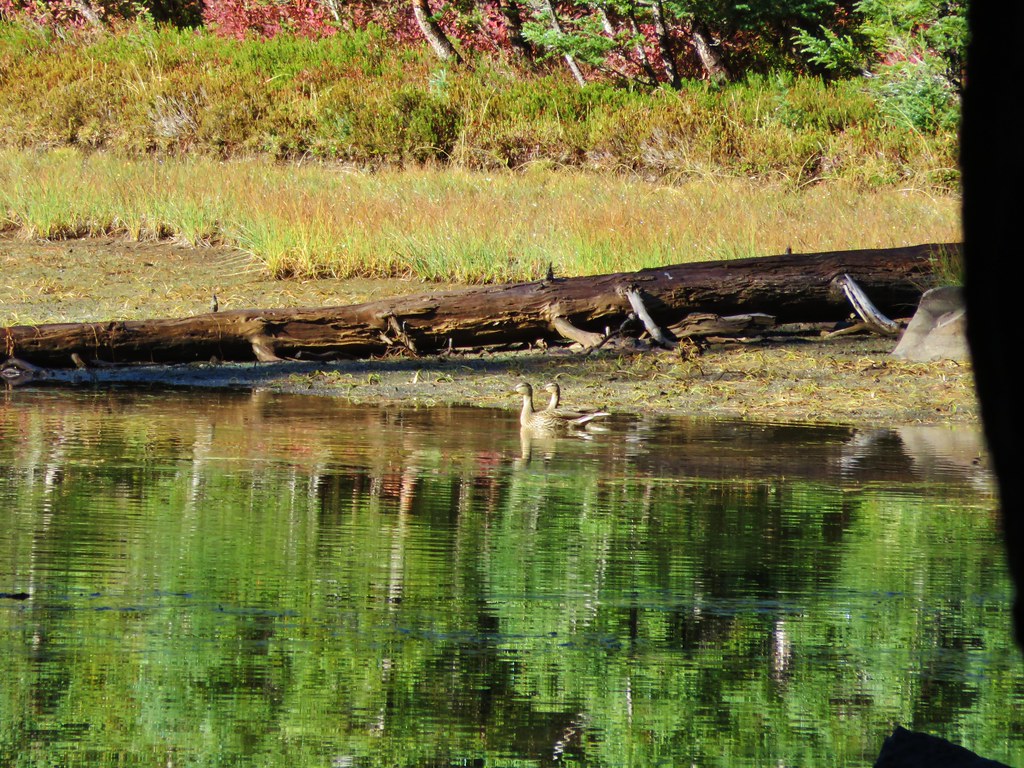
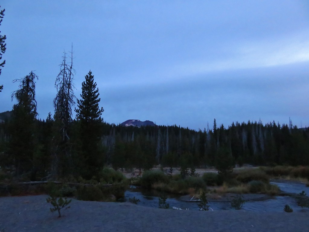
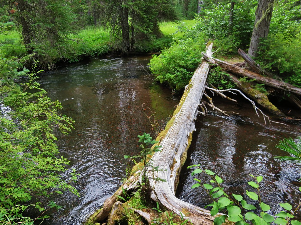
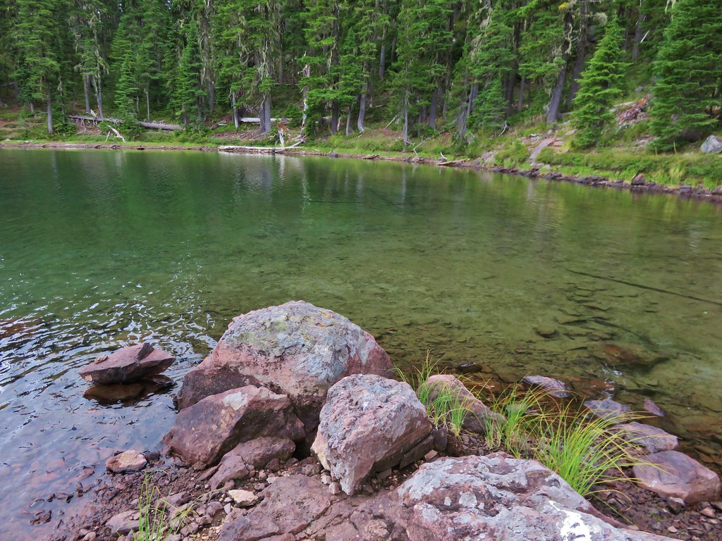
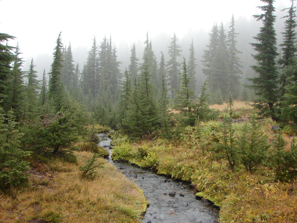
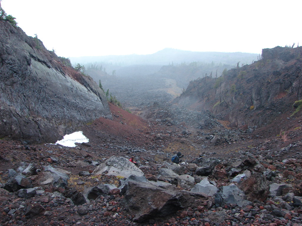
Drift Creek – 2010
 Drift Creek – 2010
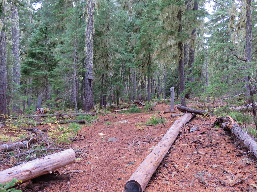
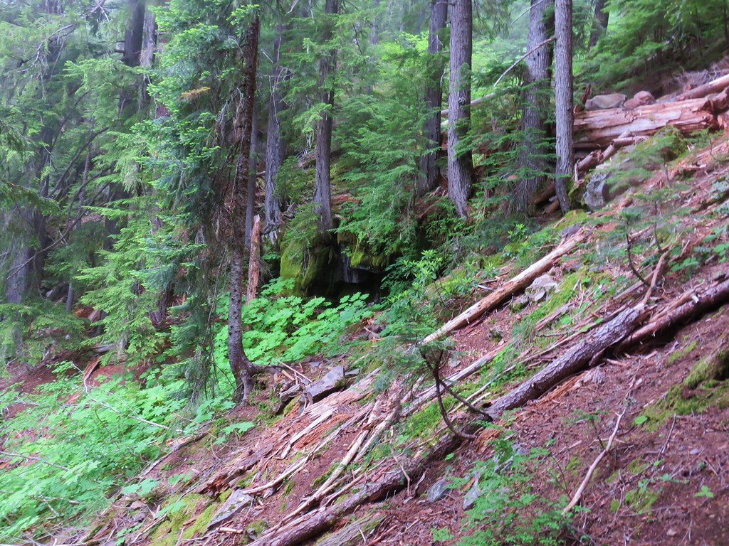
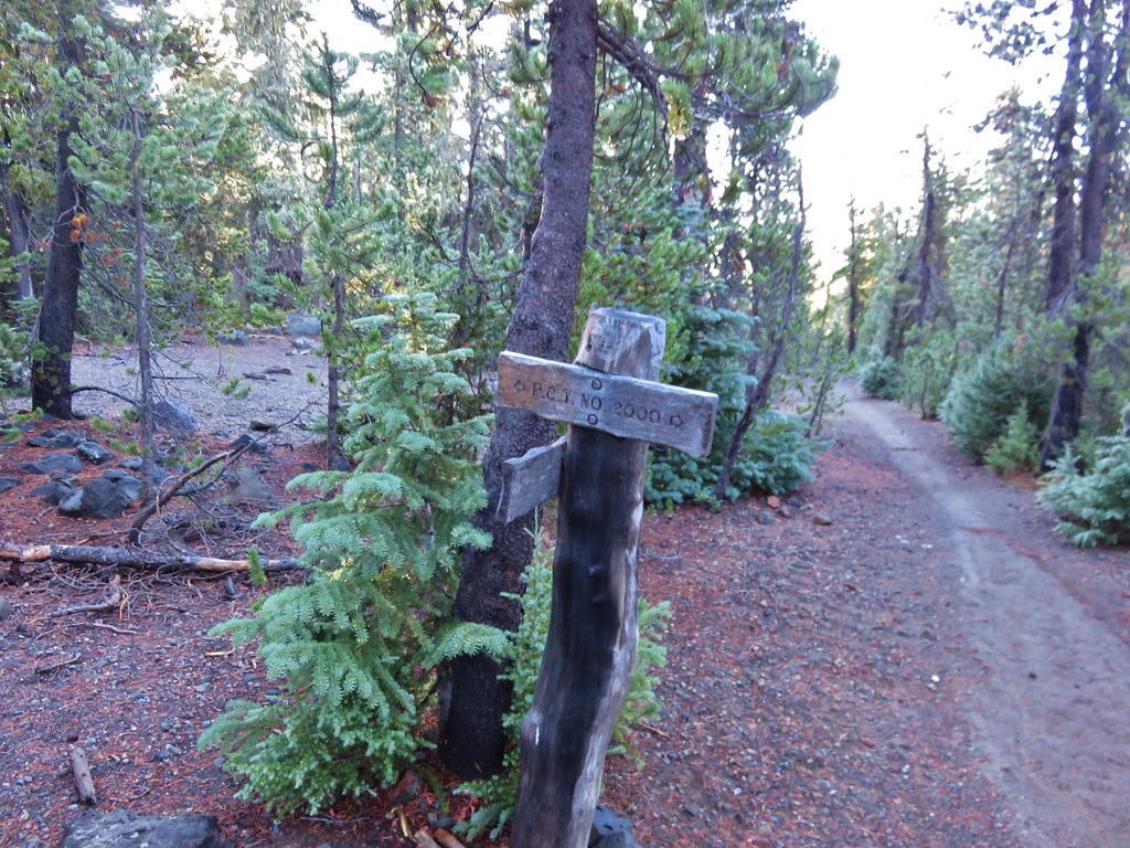
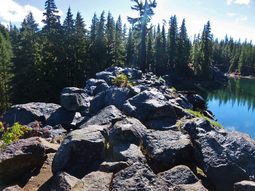
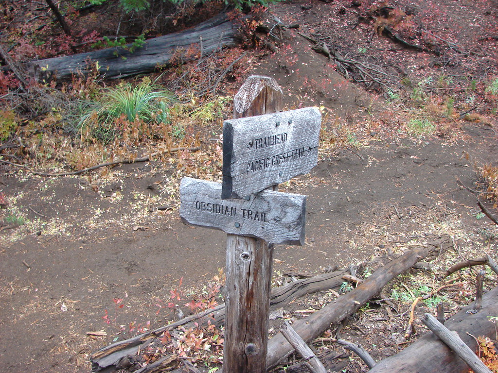
Mt. Washington – 2011, 12, 14, 15, 16, 17
 Mt. Washington from the Pacific Crest Trail – 2015
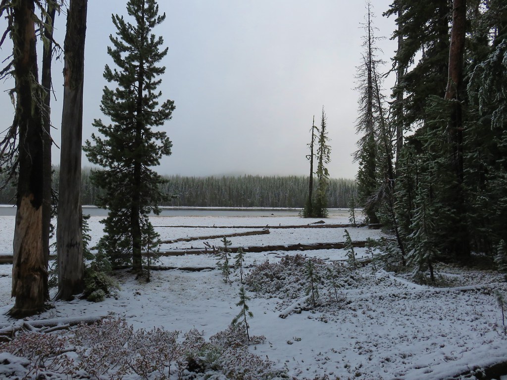
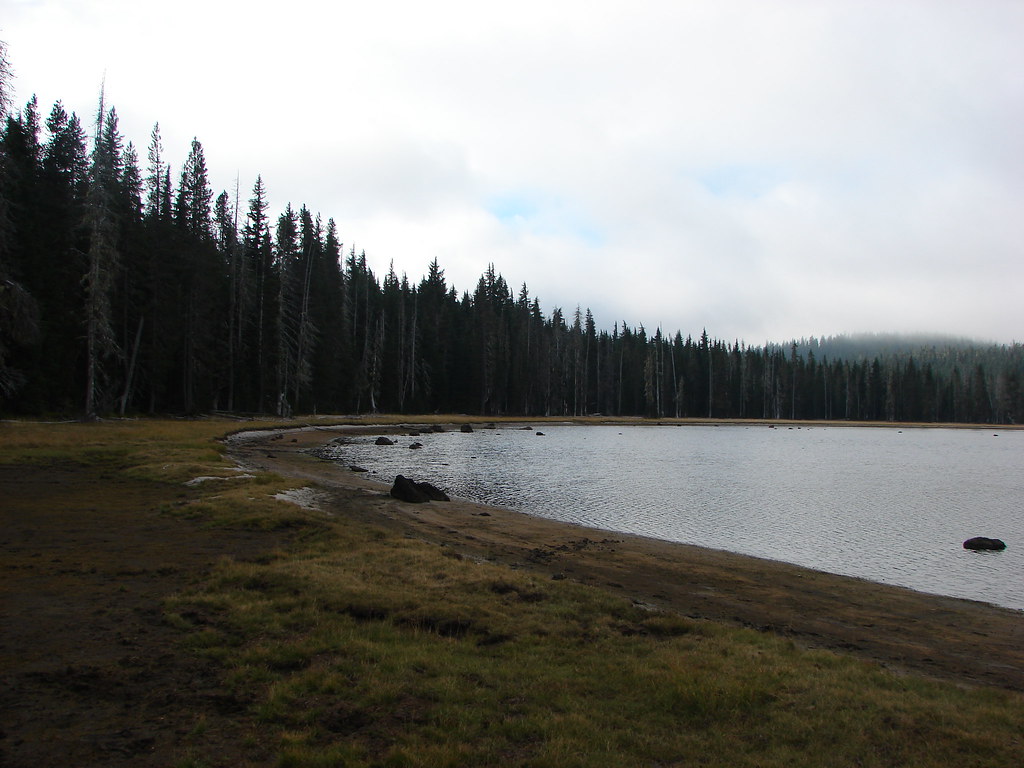
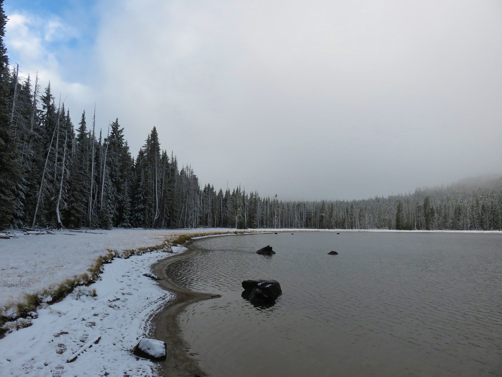
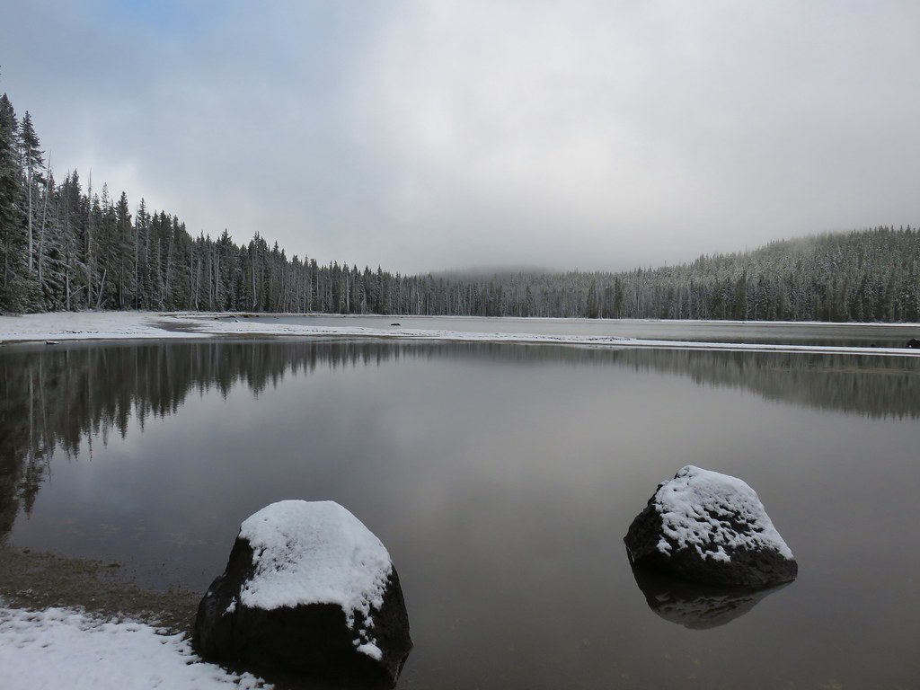
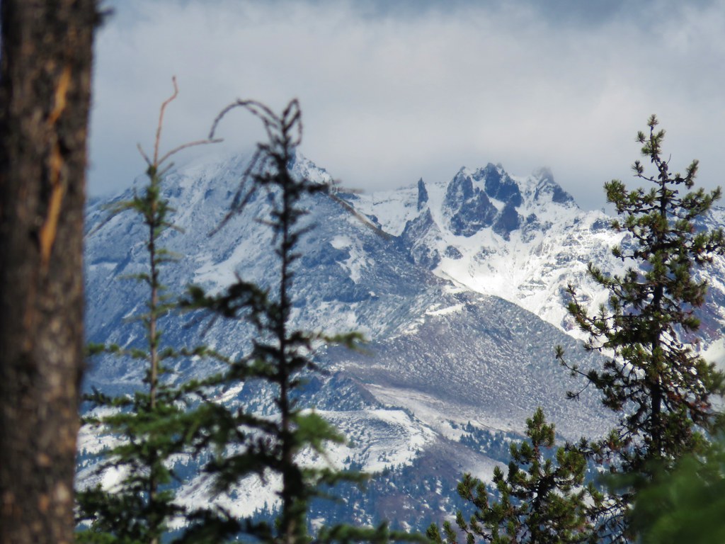
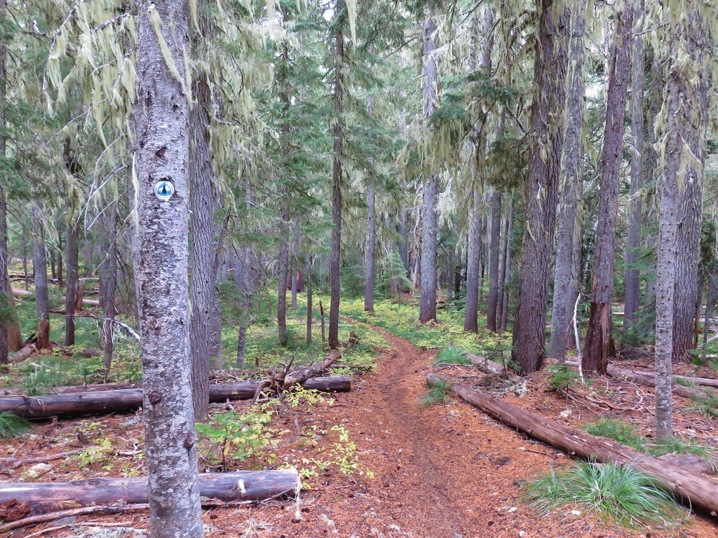
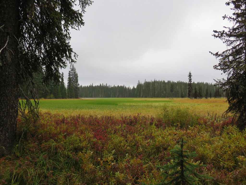
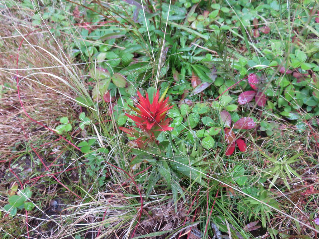
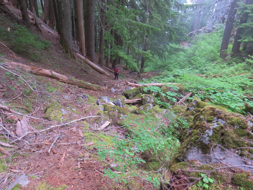
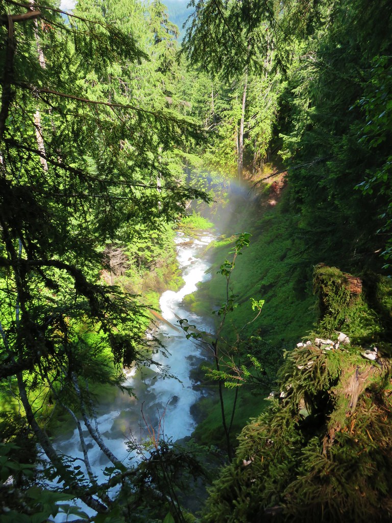
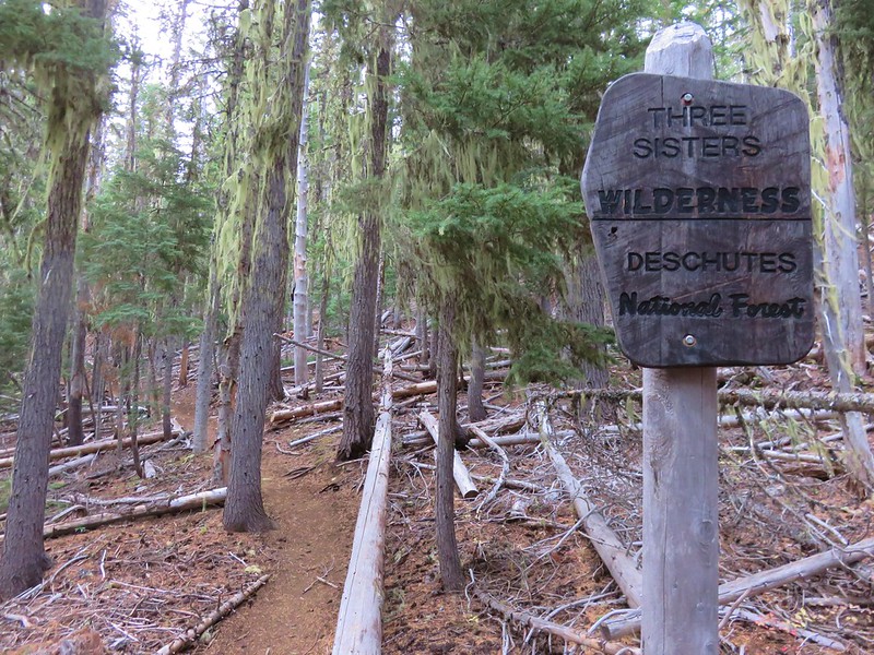
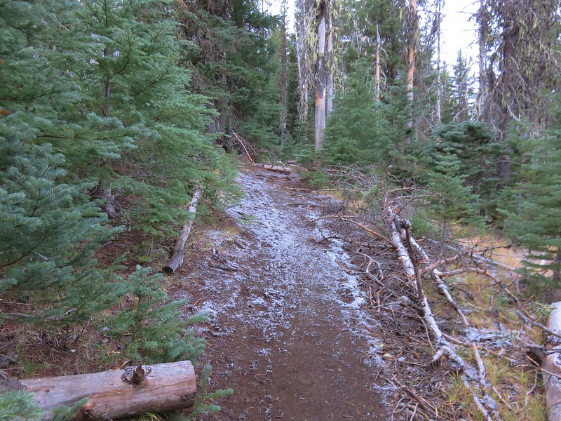
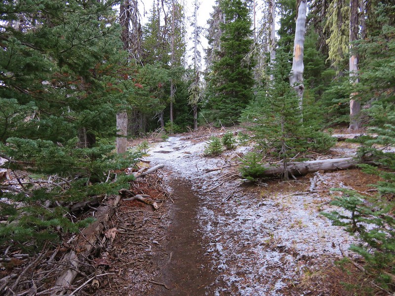
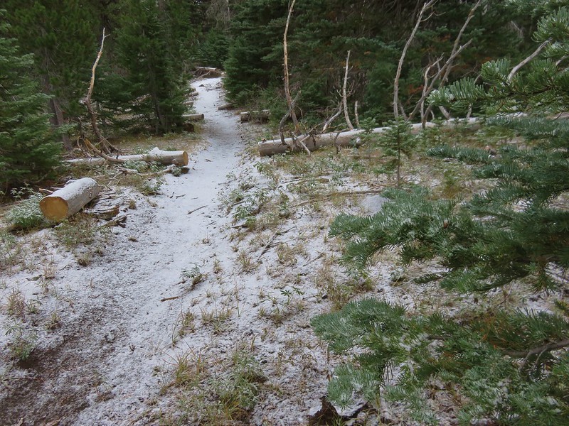
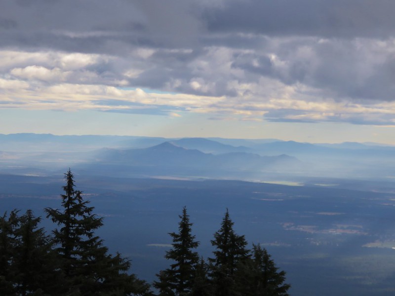
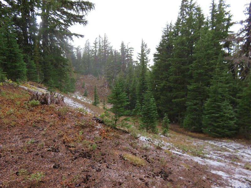
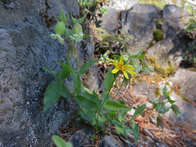
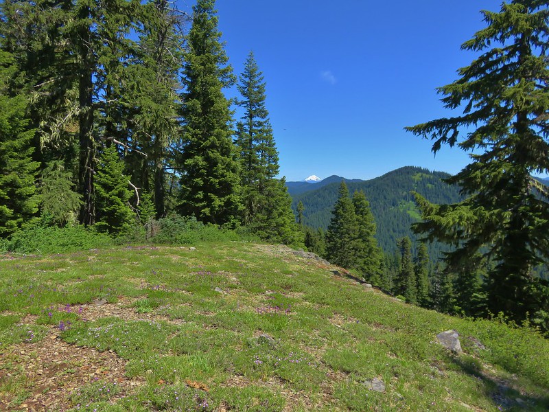
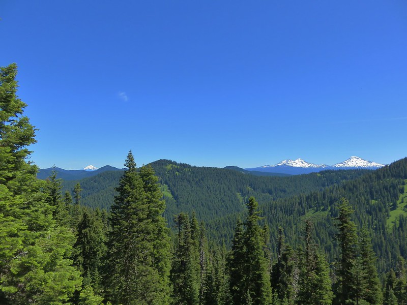
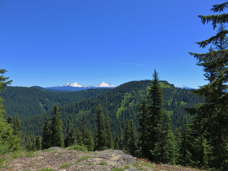
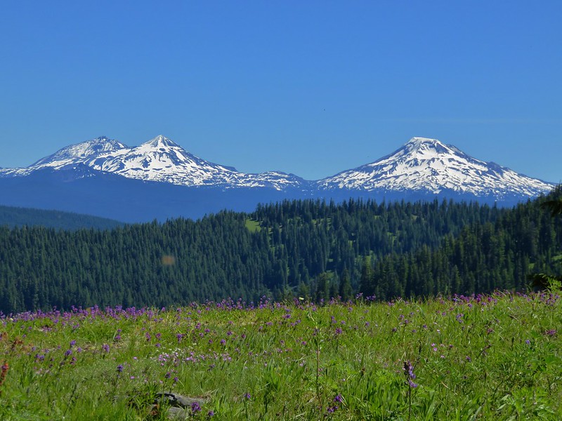
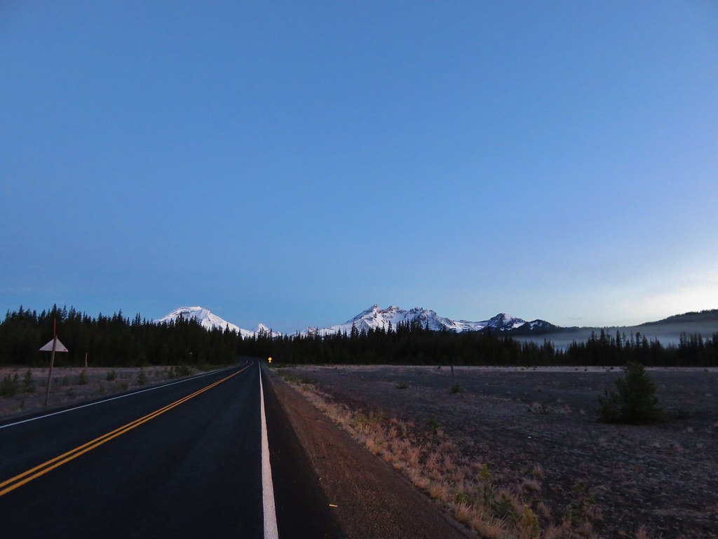
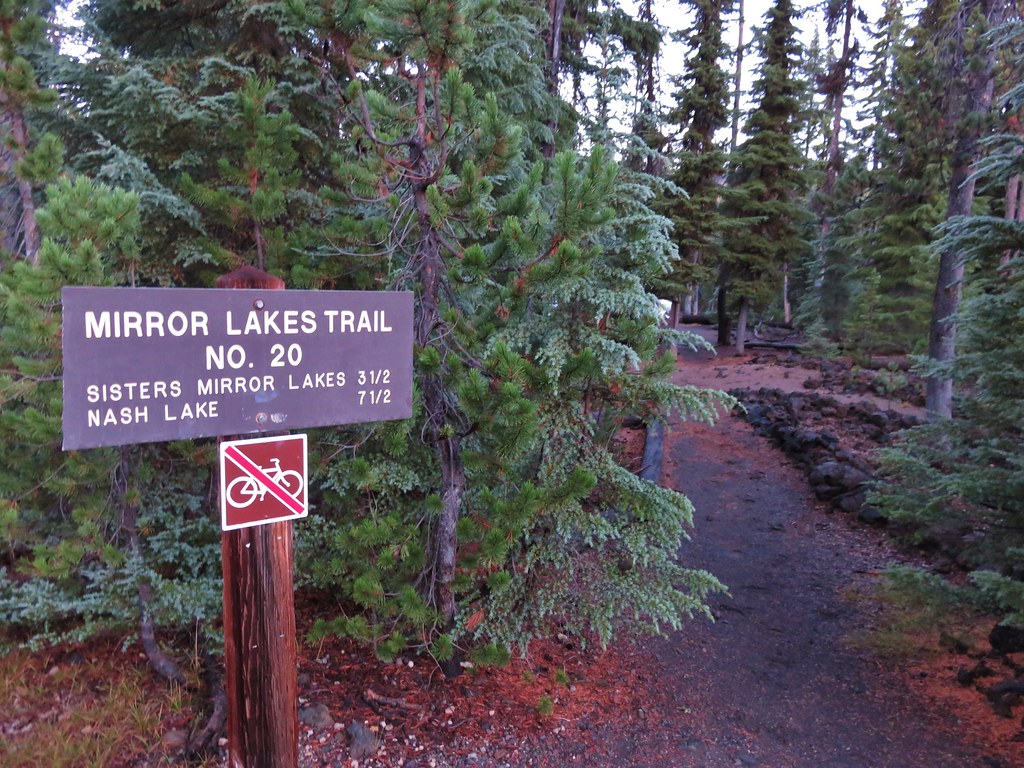
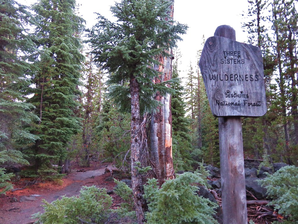
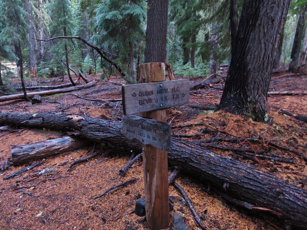
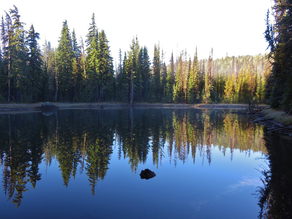
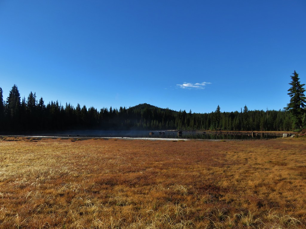
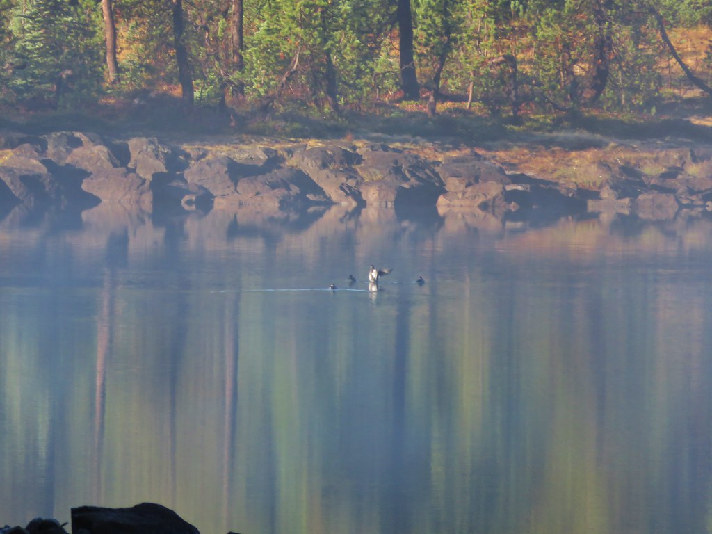
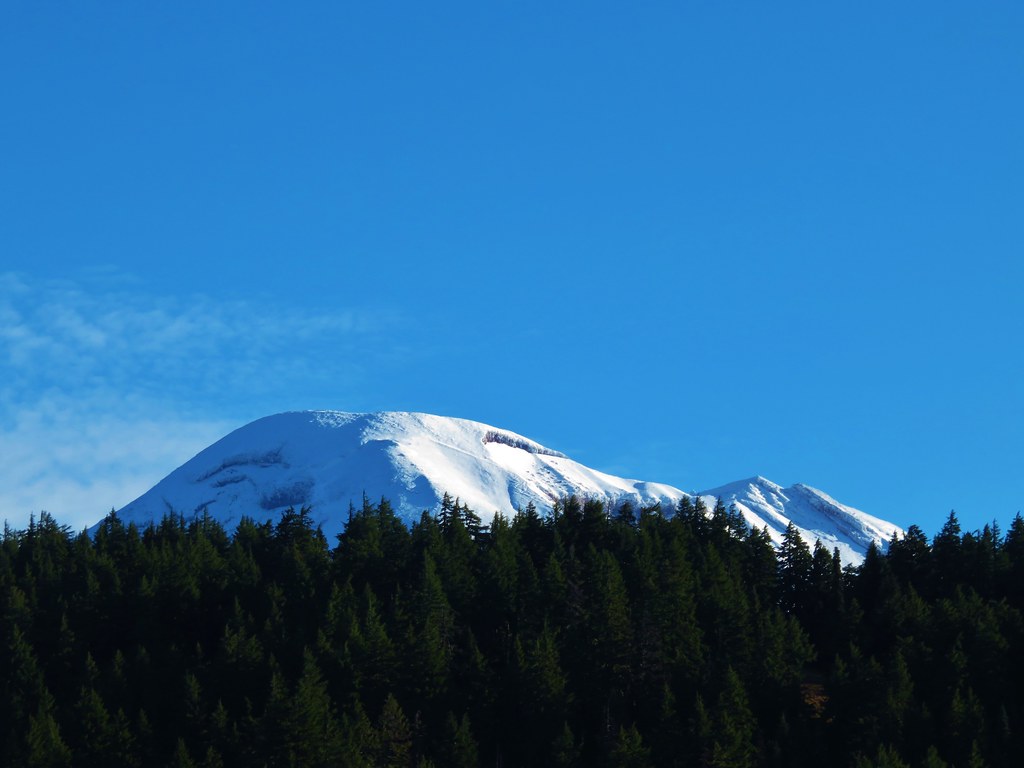
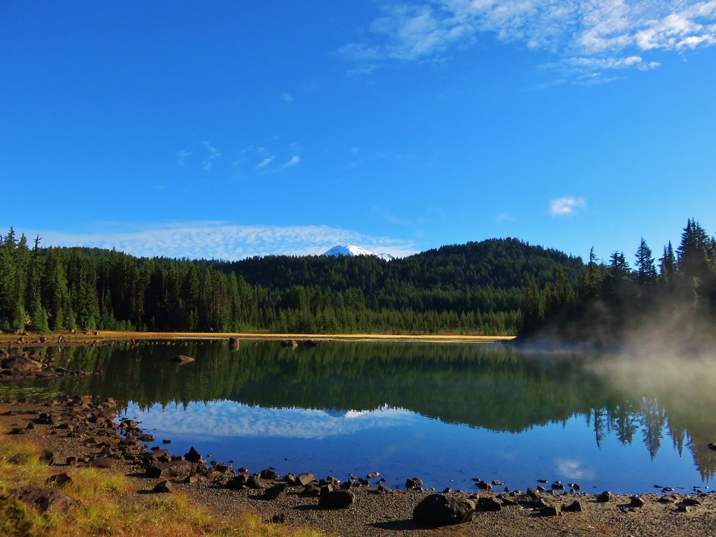
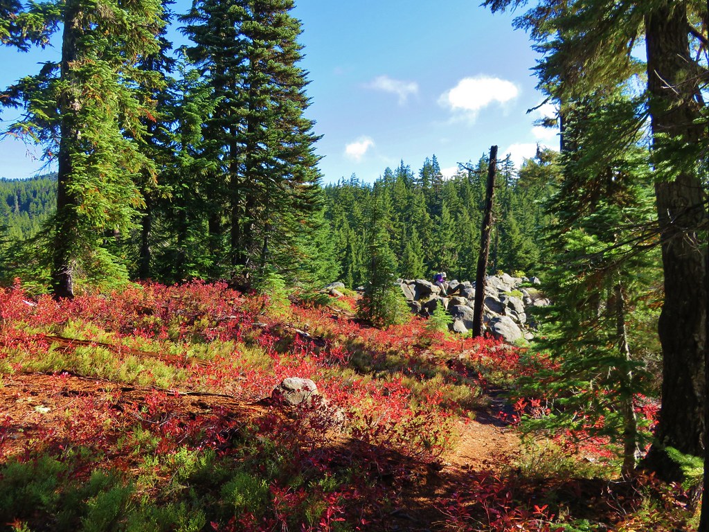
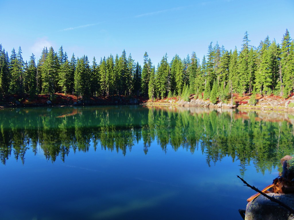
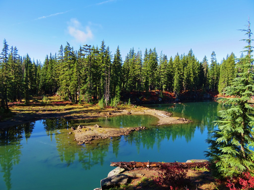
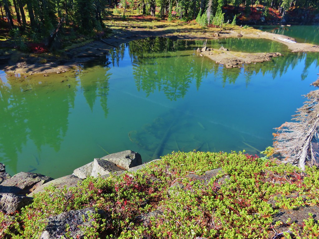
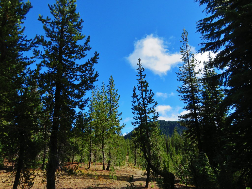
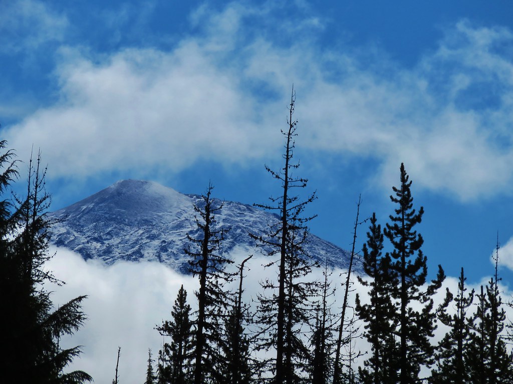
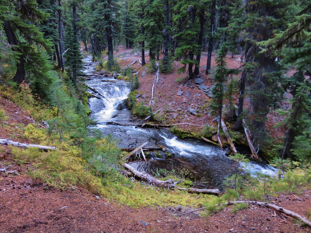
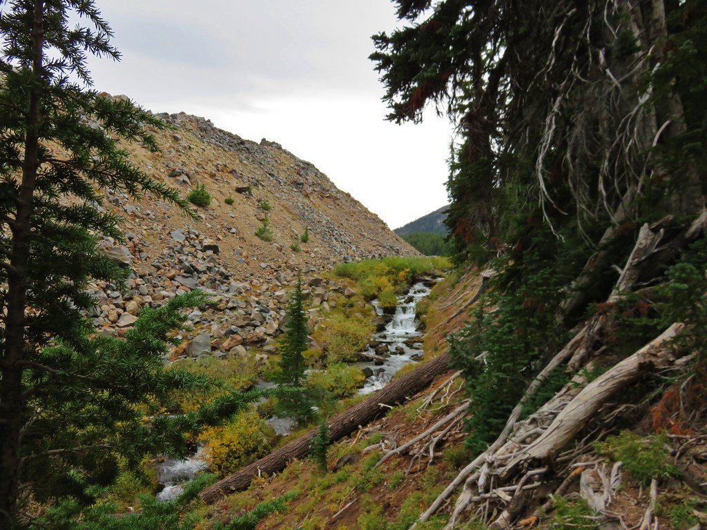
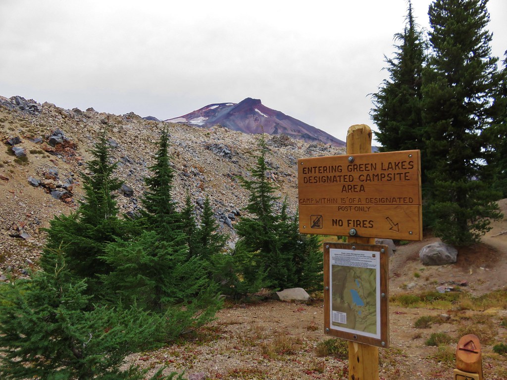
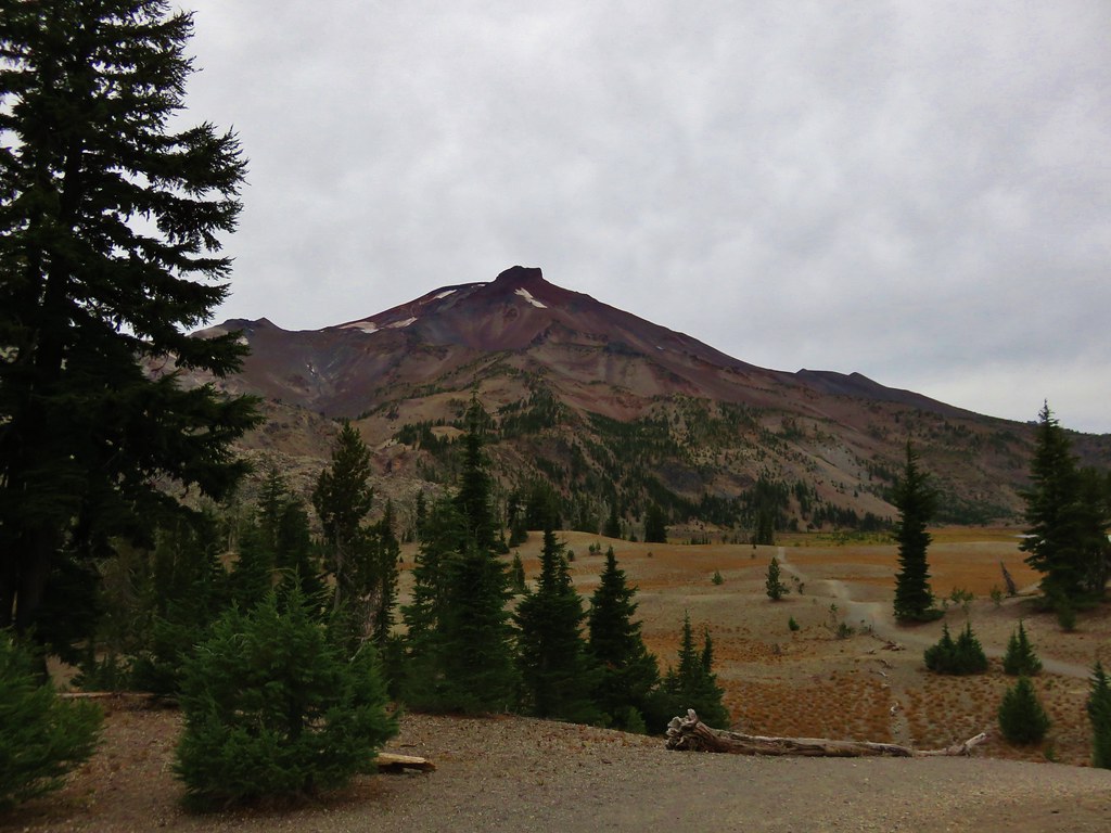
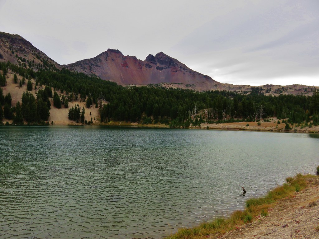
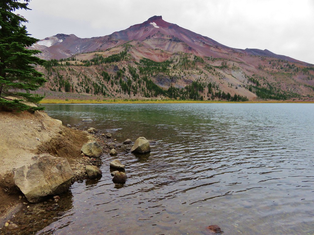
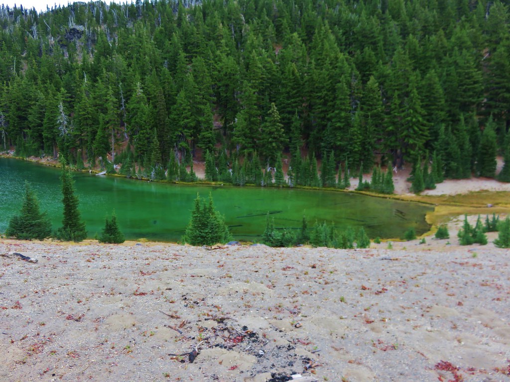
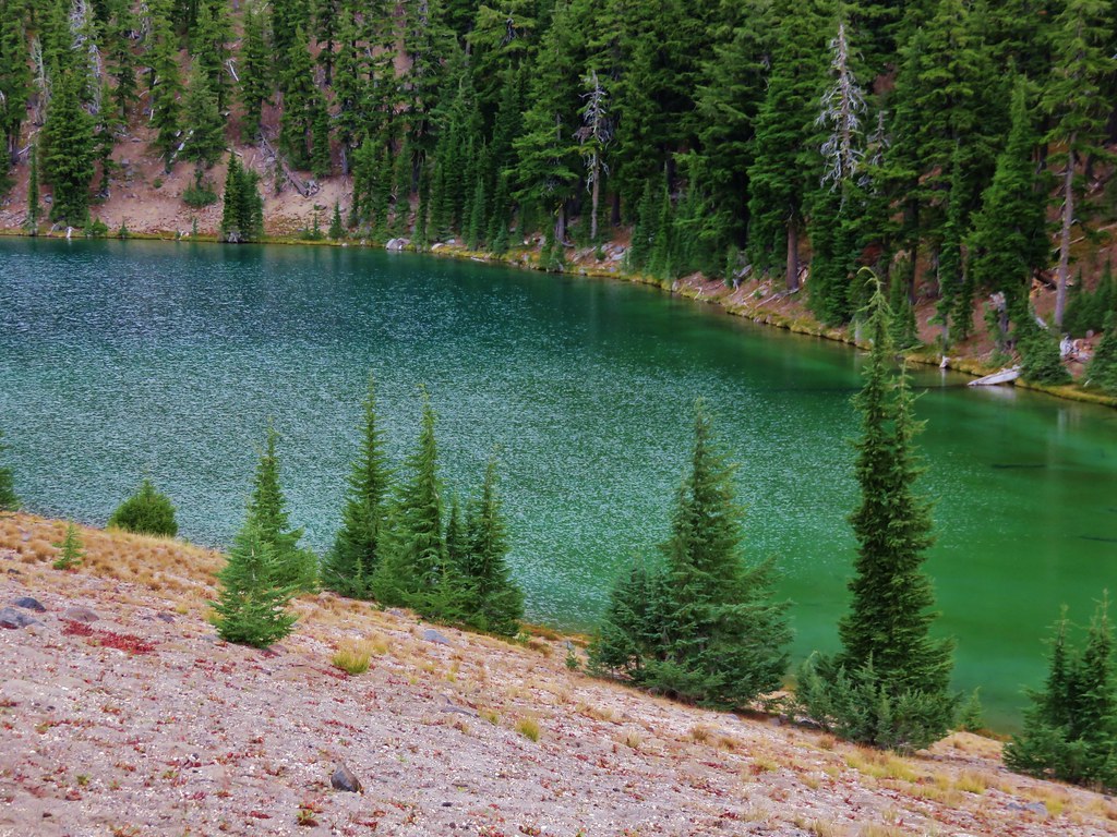
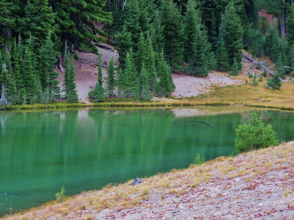
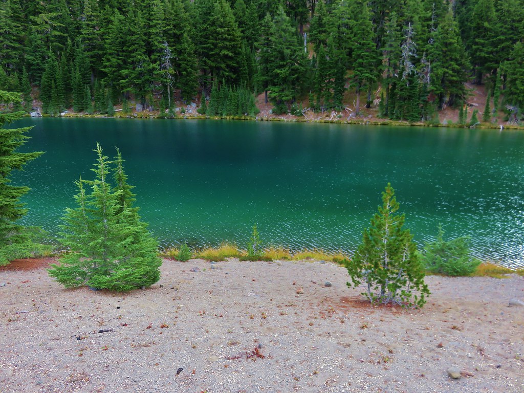
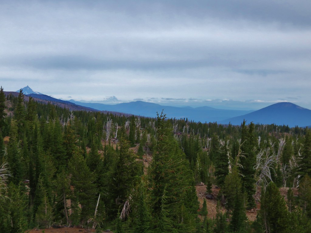
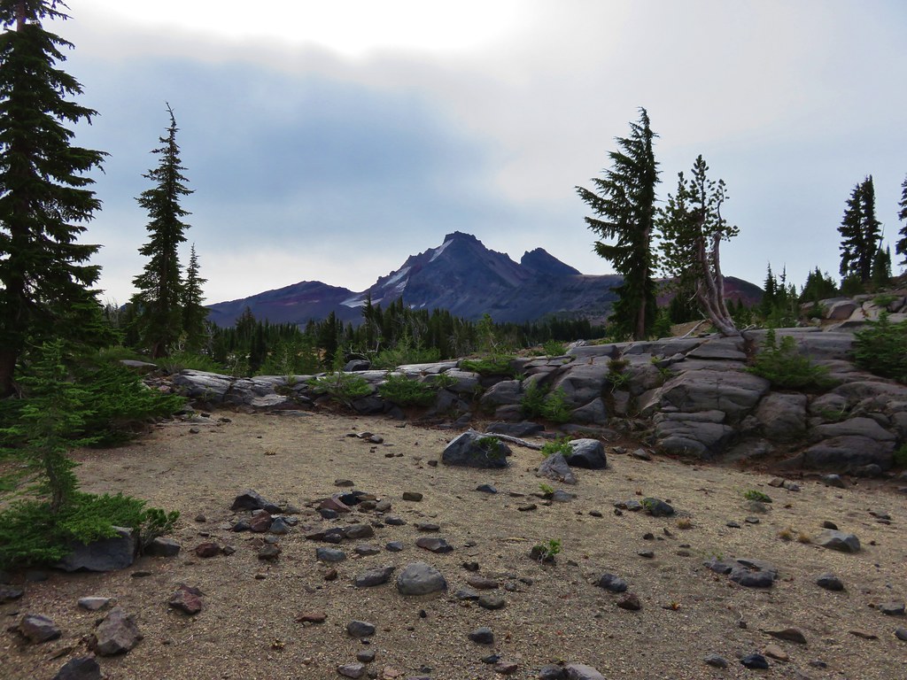
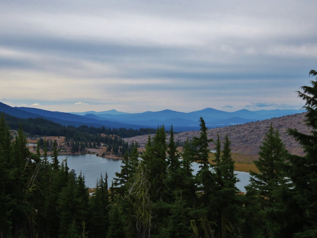
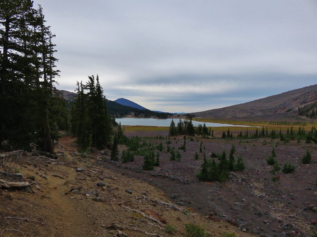
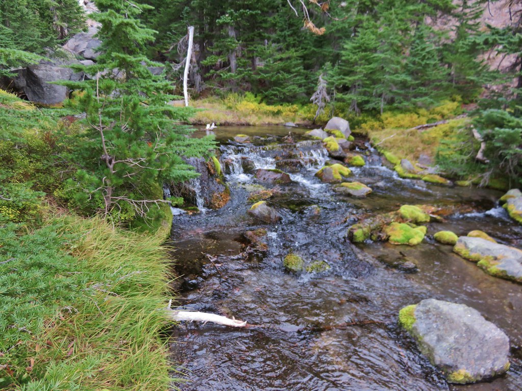
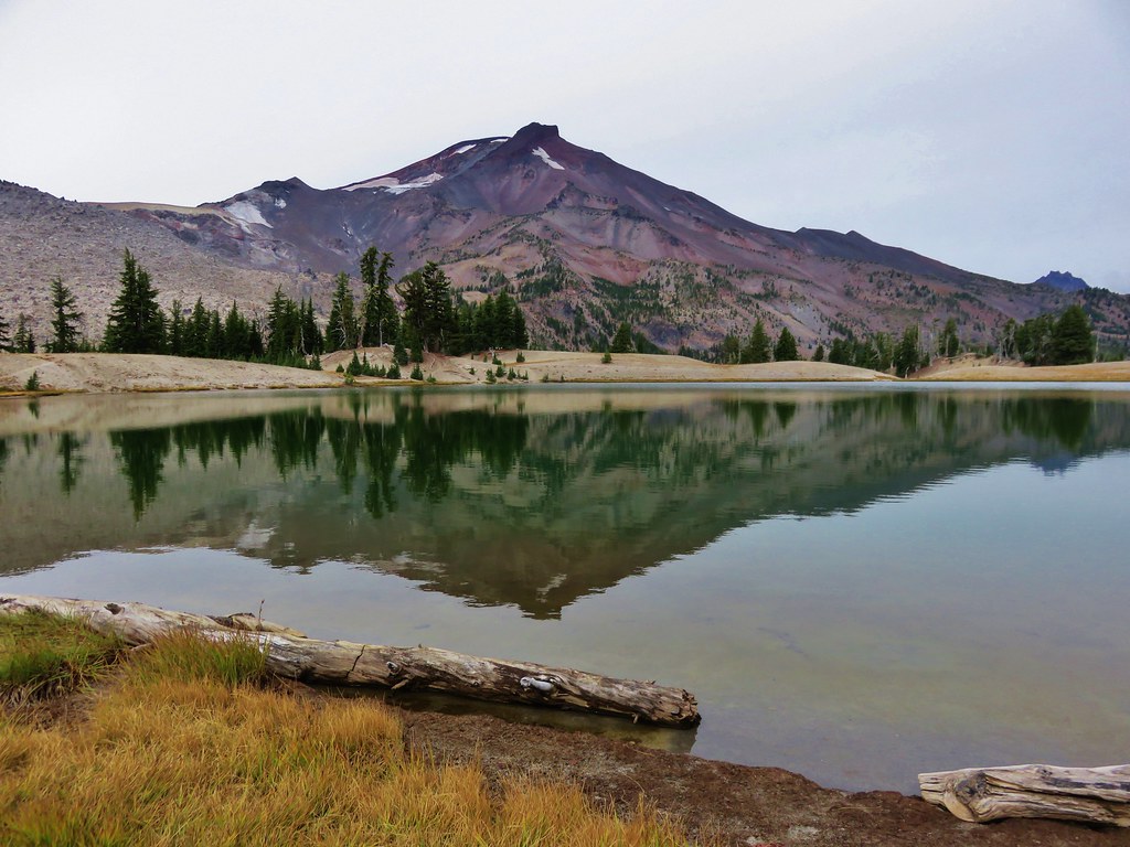
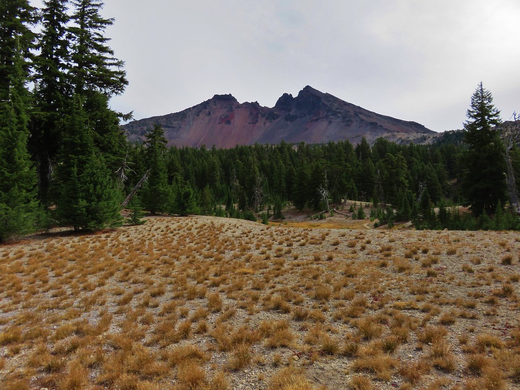
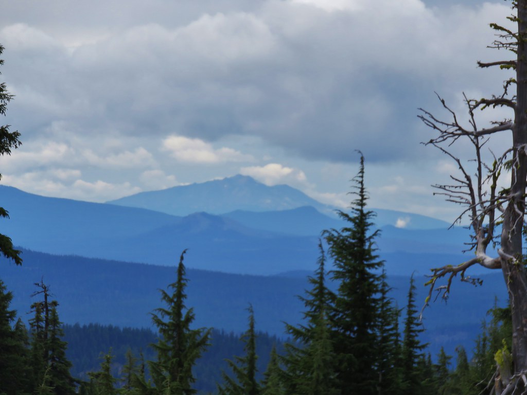
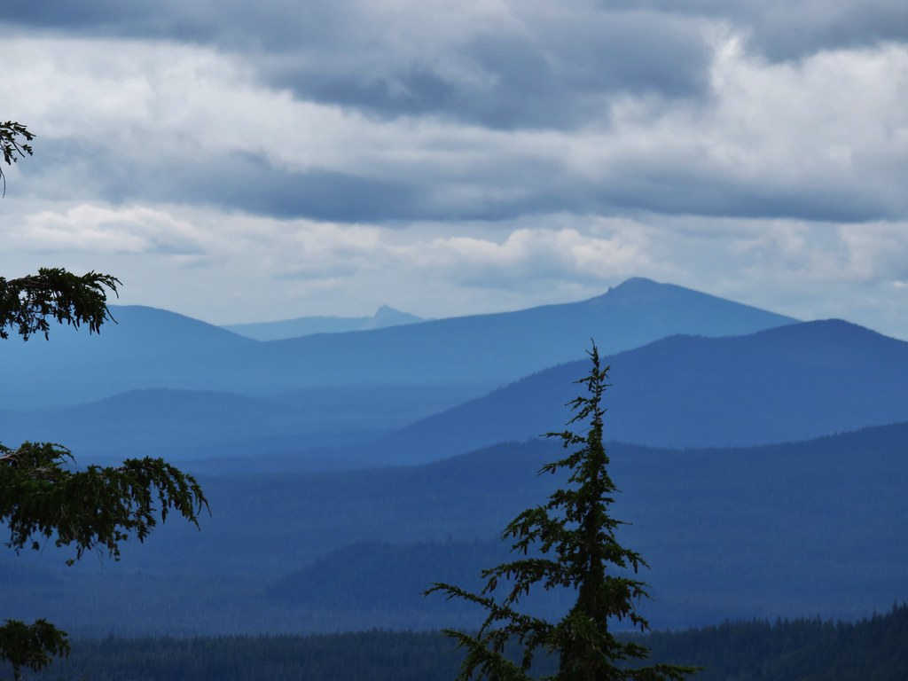
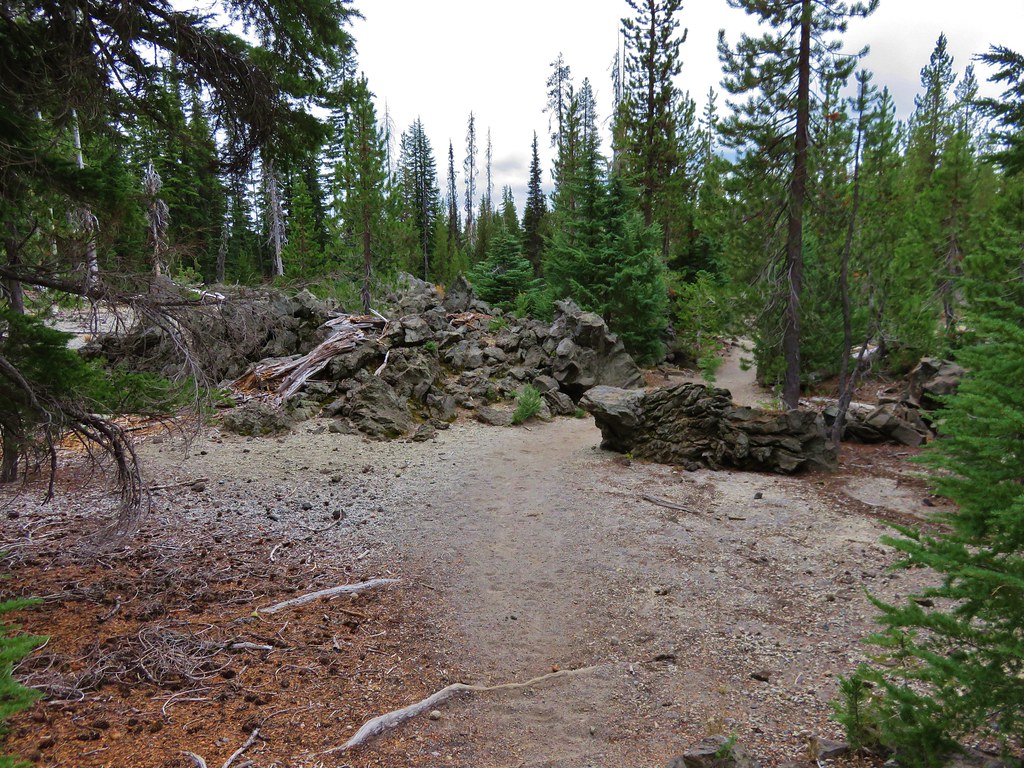
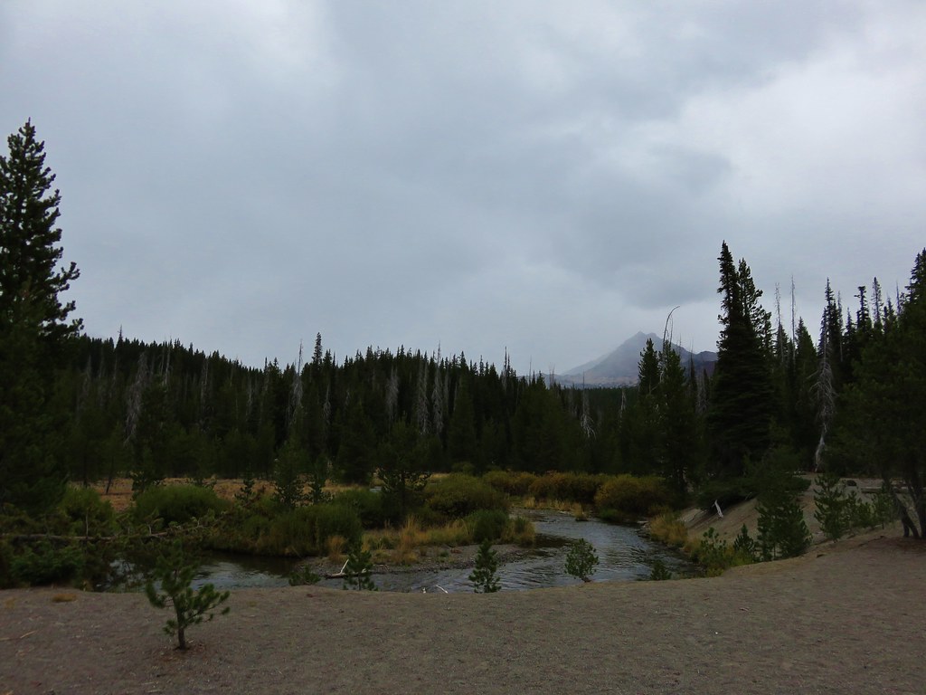
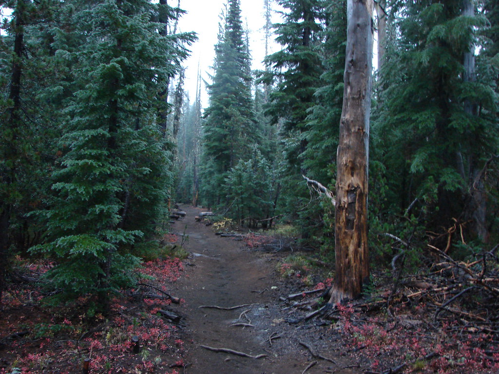
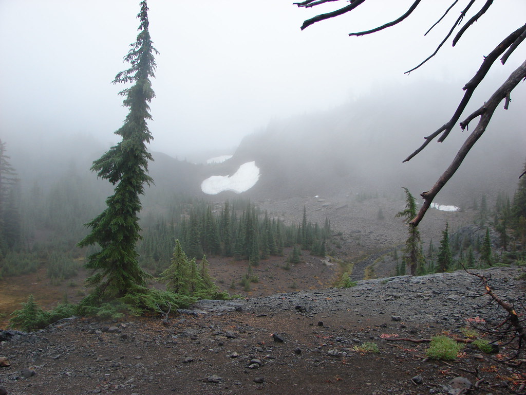
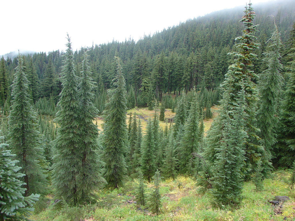
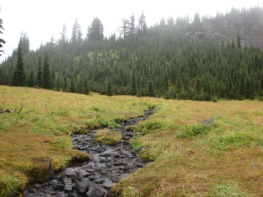
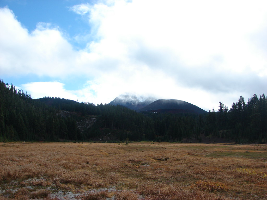
Three Sisters – 2011, 12, 13, 14, 15, 16, 17
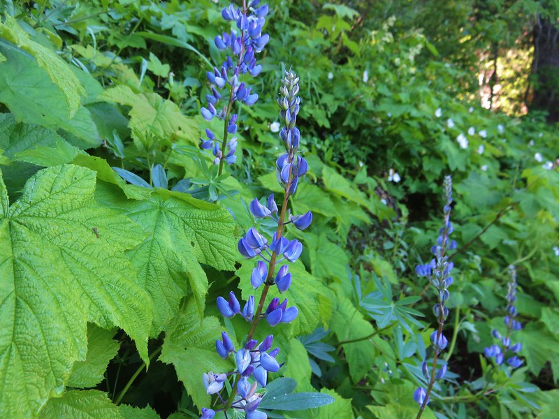
 The Three Sisters – 2014
Three Arch Rocks – 2011, 18
 Three Arch Rocks from Cape Meares – 2018
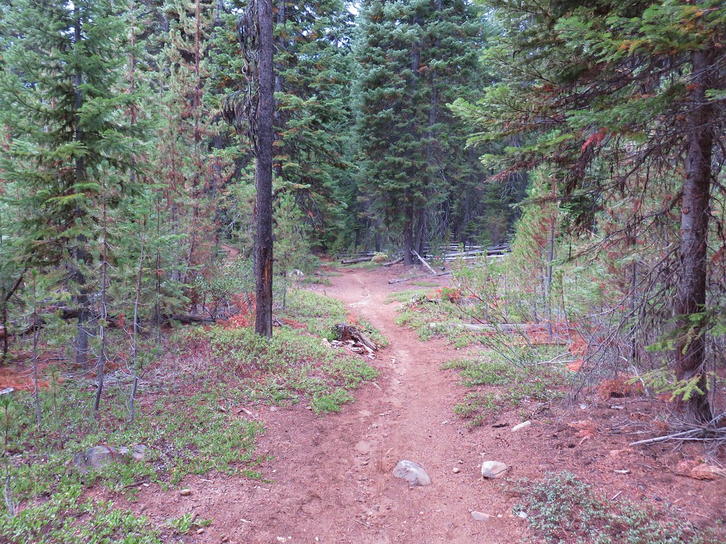
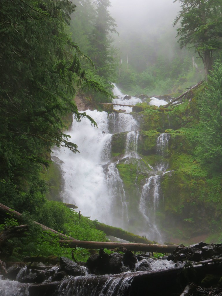
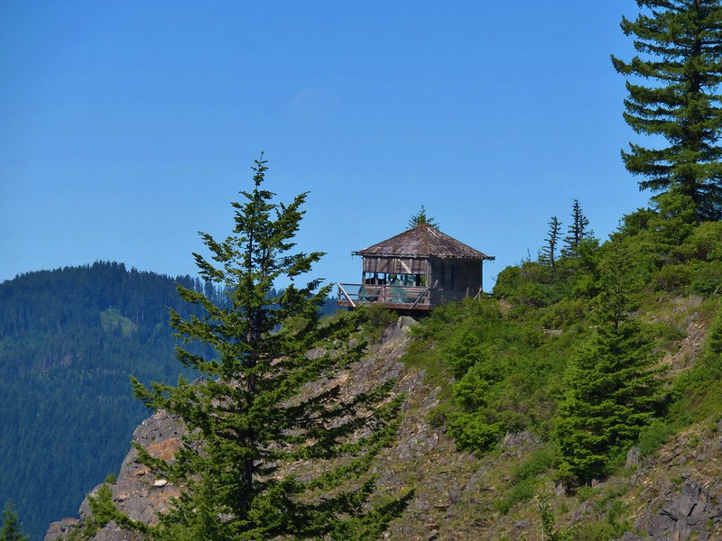
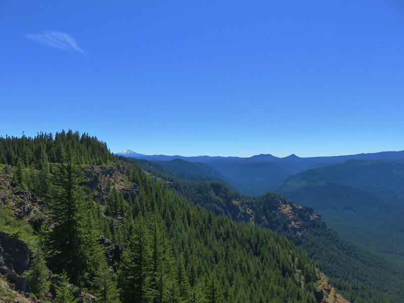
Mark O. Hatfield – 2012, 14, 15, 16
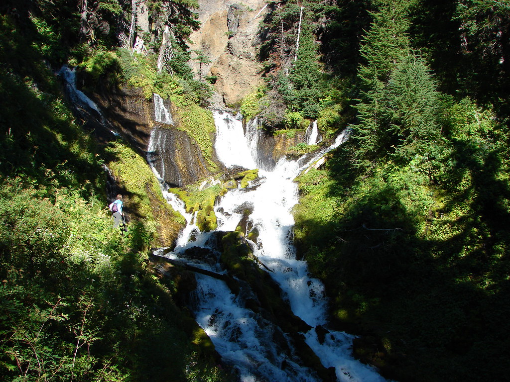
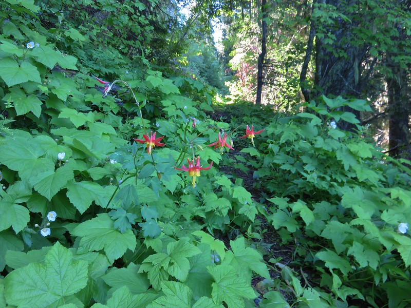
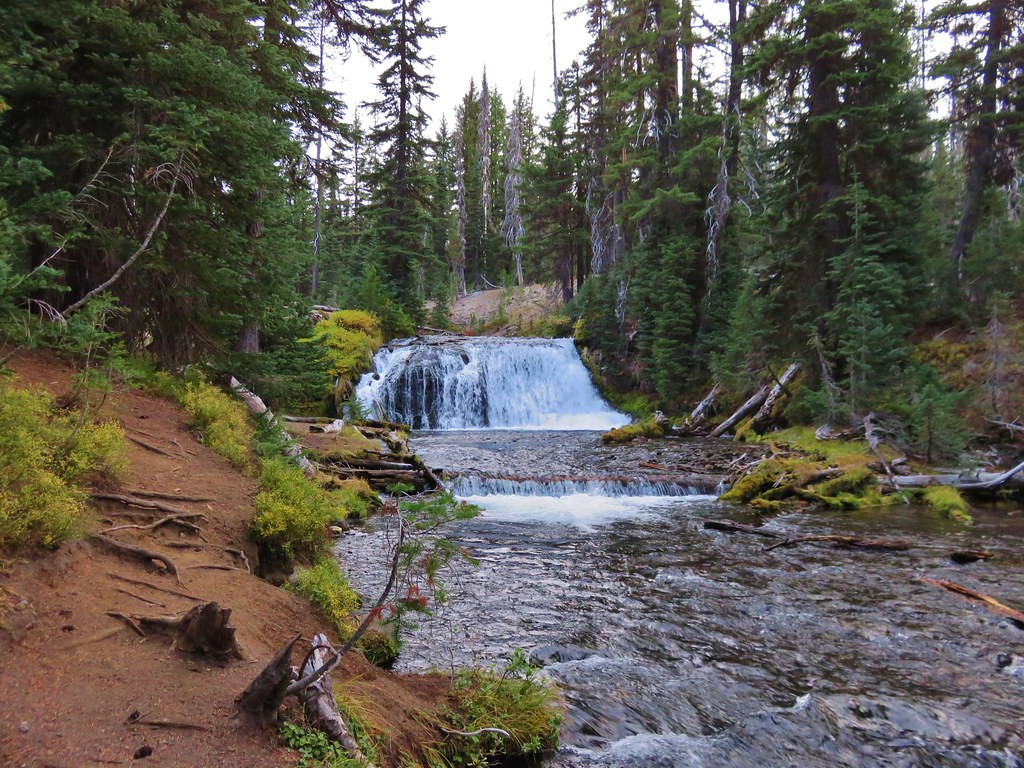
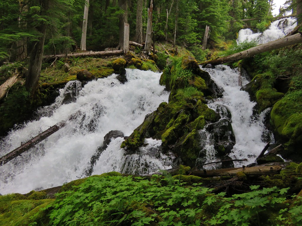
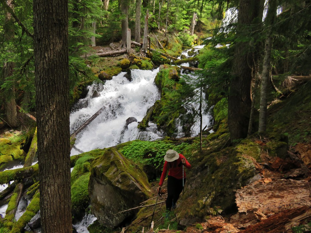
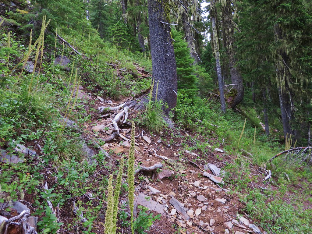
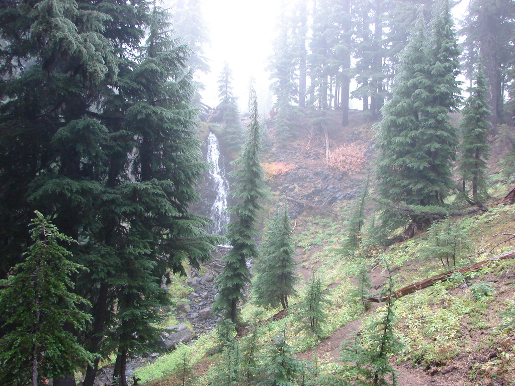
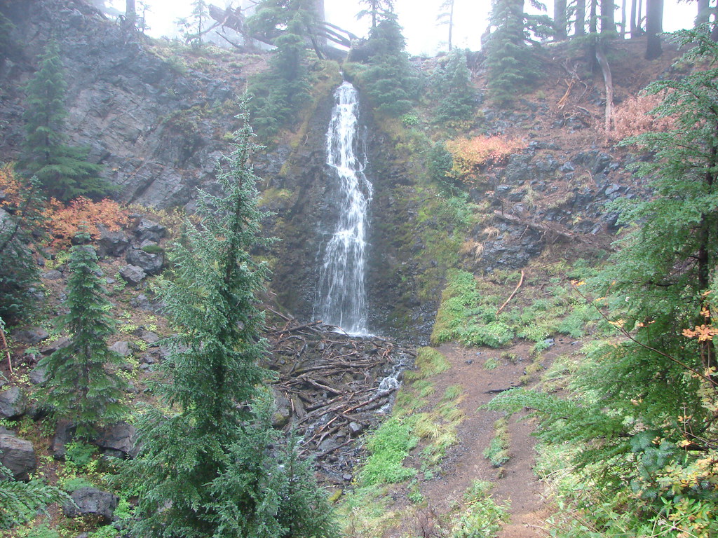
 Triple Falls – 2012
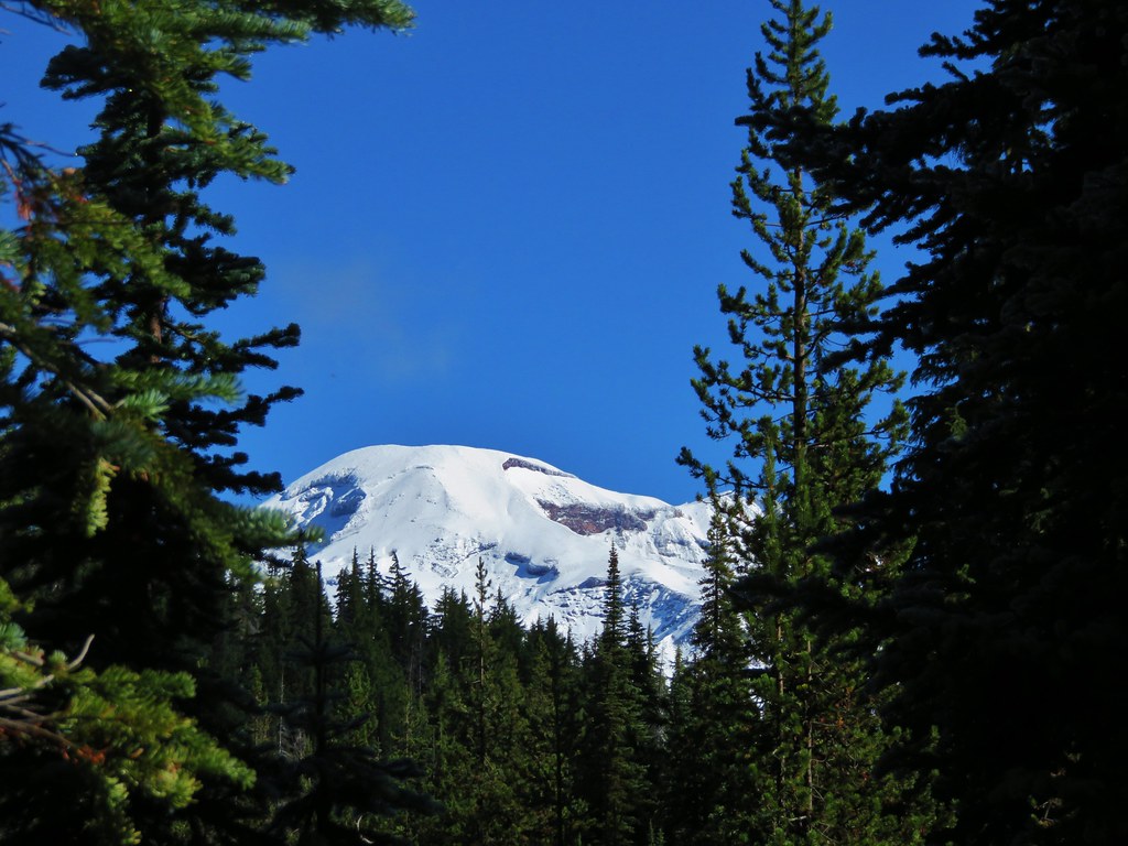
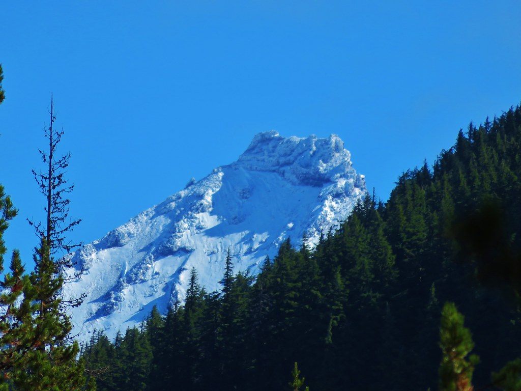
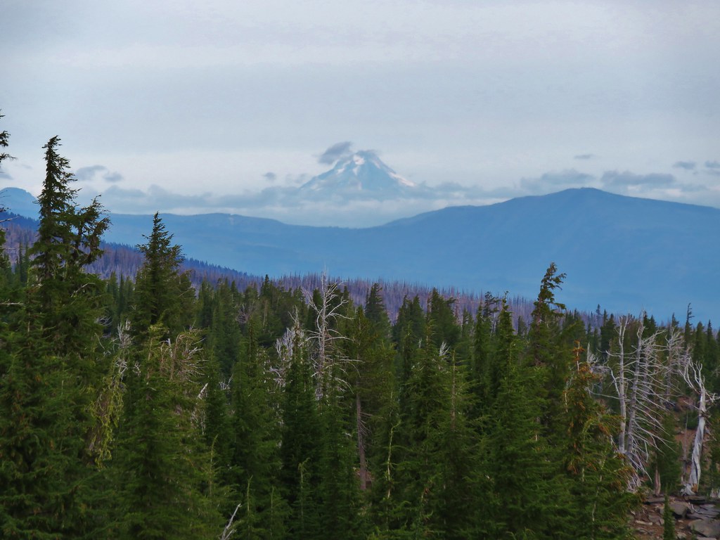
Mt. Hood – 2012, 13, 14, 15, 16, 17
 Mt. Hood – 2015
Oregon Islands – 2012, 13, 14, 15, 16, 17, 18
 Bandon Islands – 2018
Mill Creek – 2012
 Twin Pillars – 2011
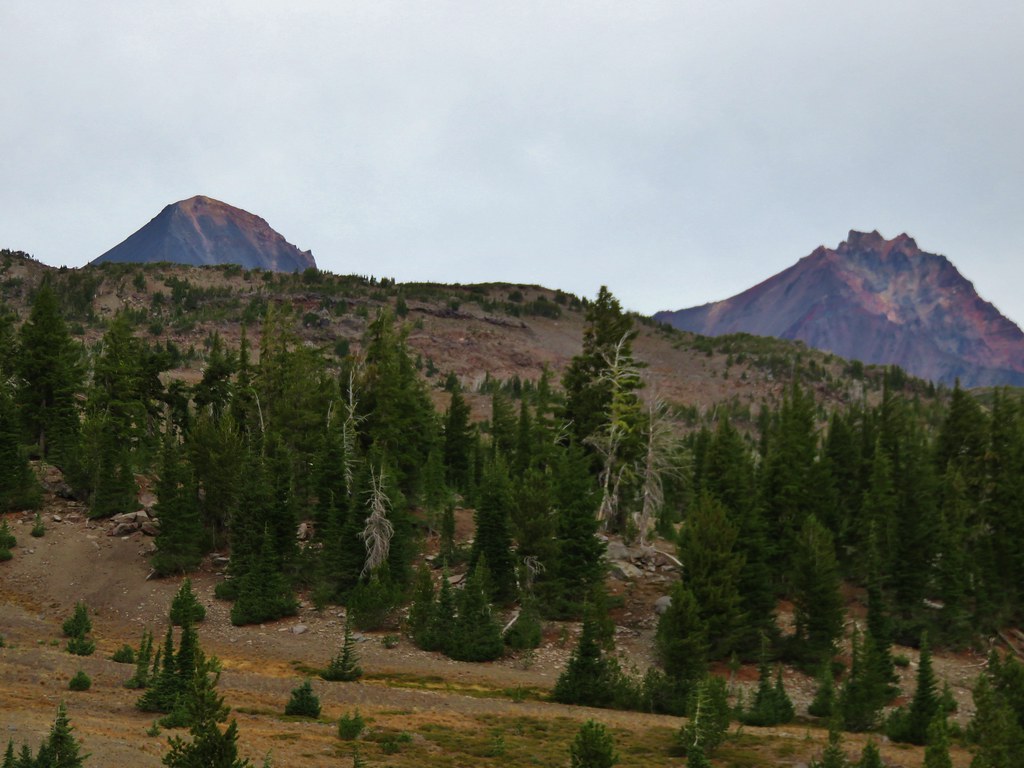
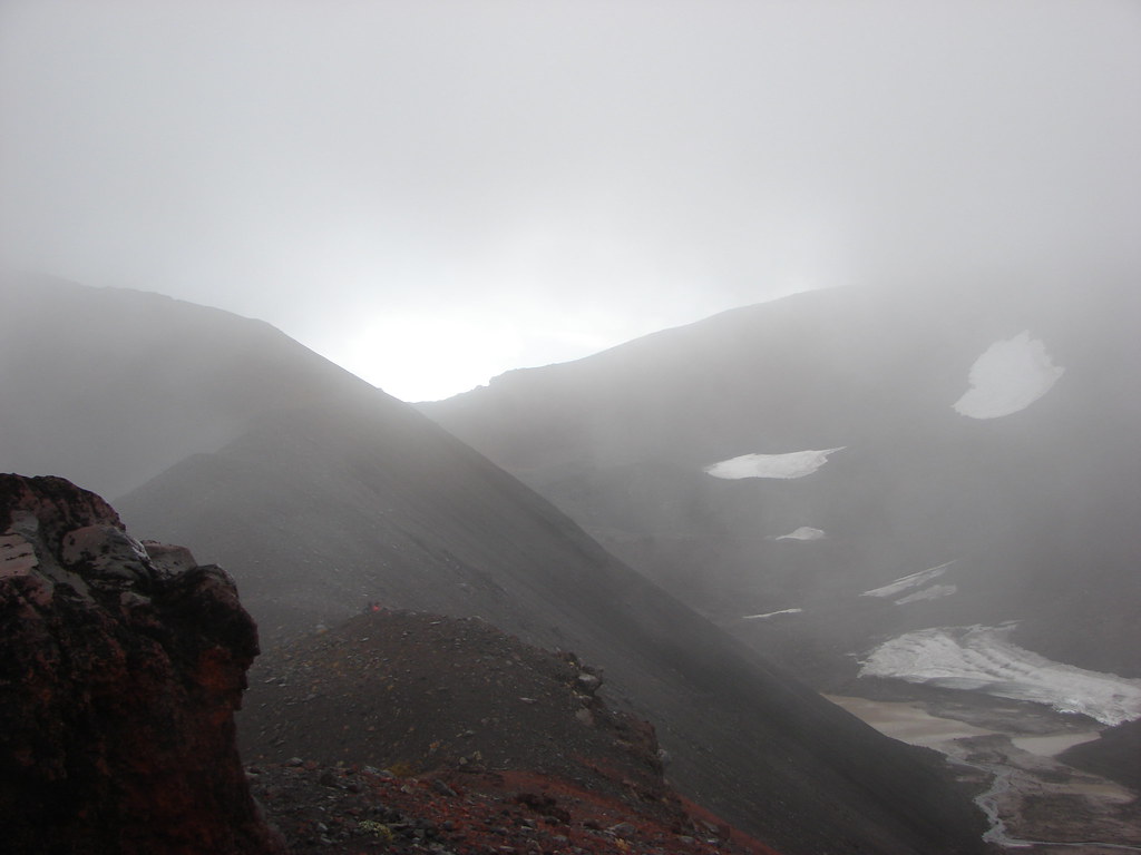
 Howlock Mountain and Mt. Thielsen – 2014
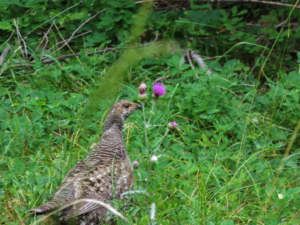
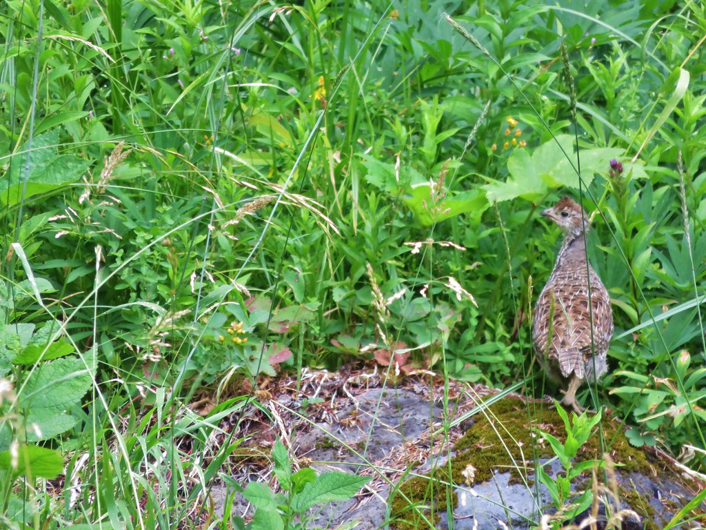
Table Rock – 2012, 15
 Table Rock – 2015
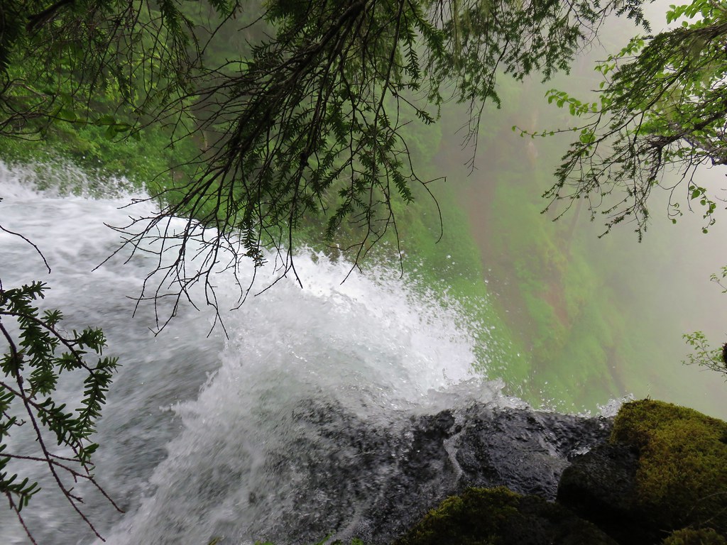
Salmon-Huckleberry – 2013, 14, 15, 17, 18
 Frustration Falls – 2018
 Trapper Creek – 2014
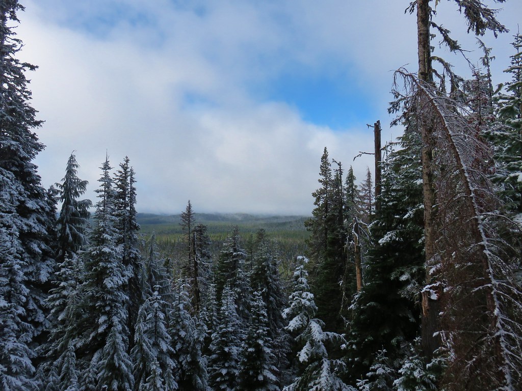
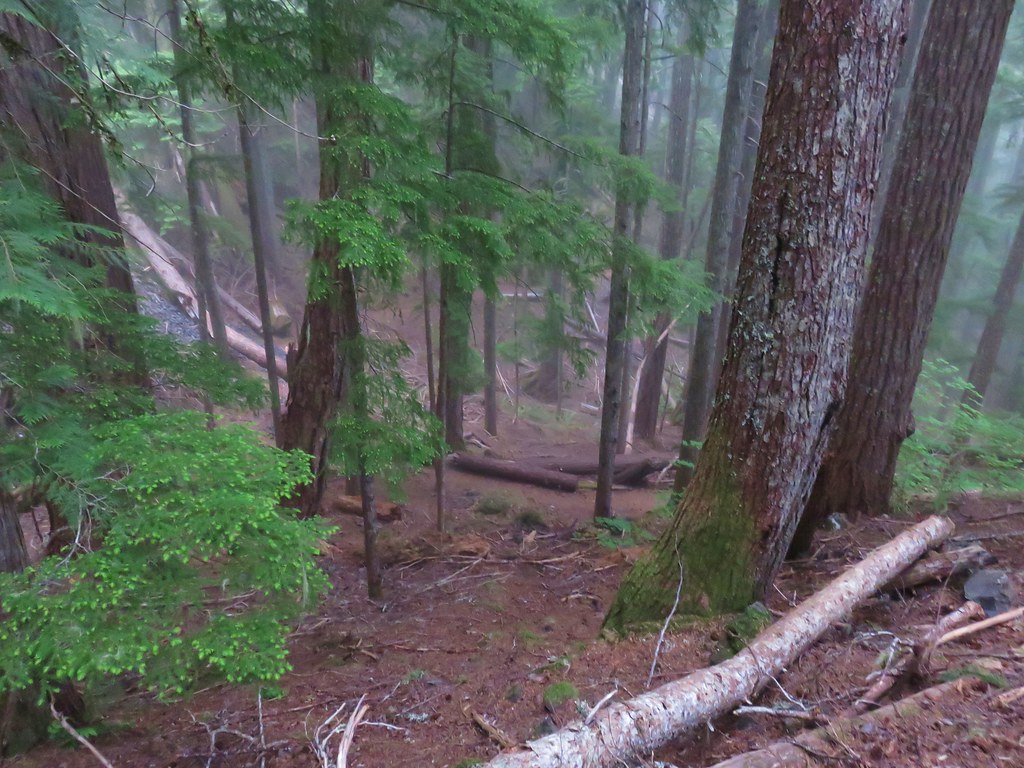
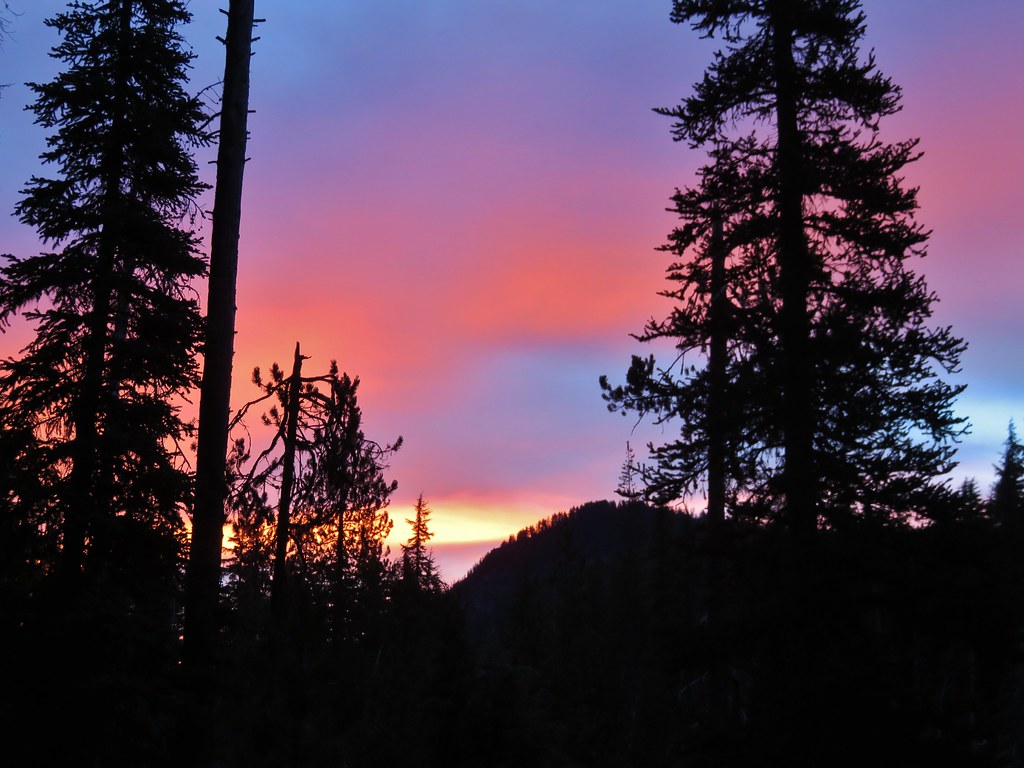
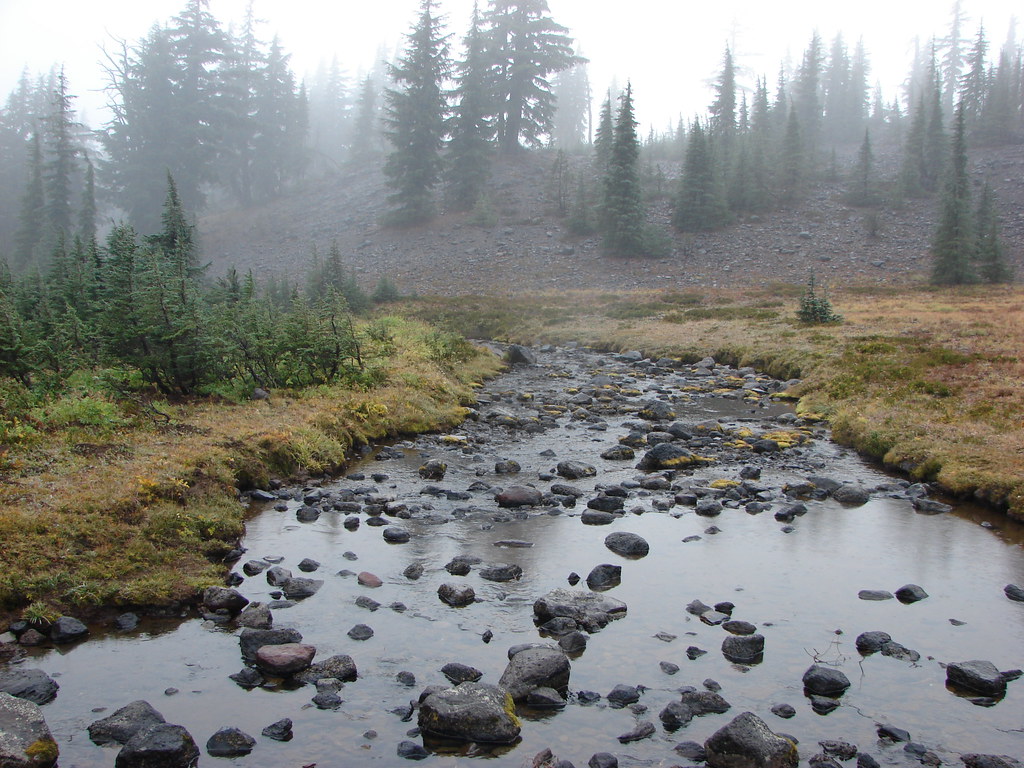
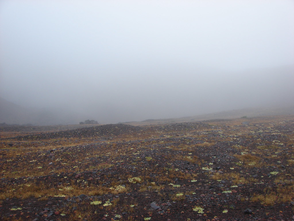
 View from Fuji Mountain – 2013
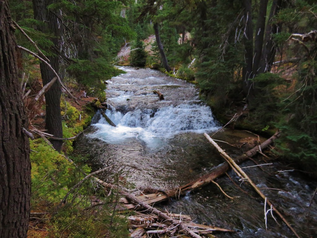
Roaring River – 2013
 Serene Lake – 2013
Badger Creek – 2014
 Badger Creek Wilderness – 2014
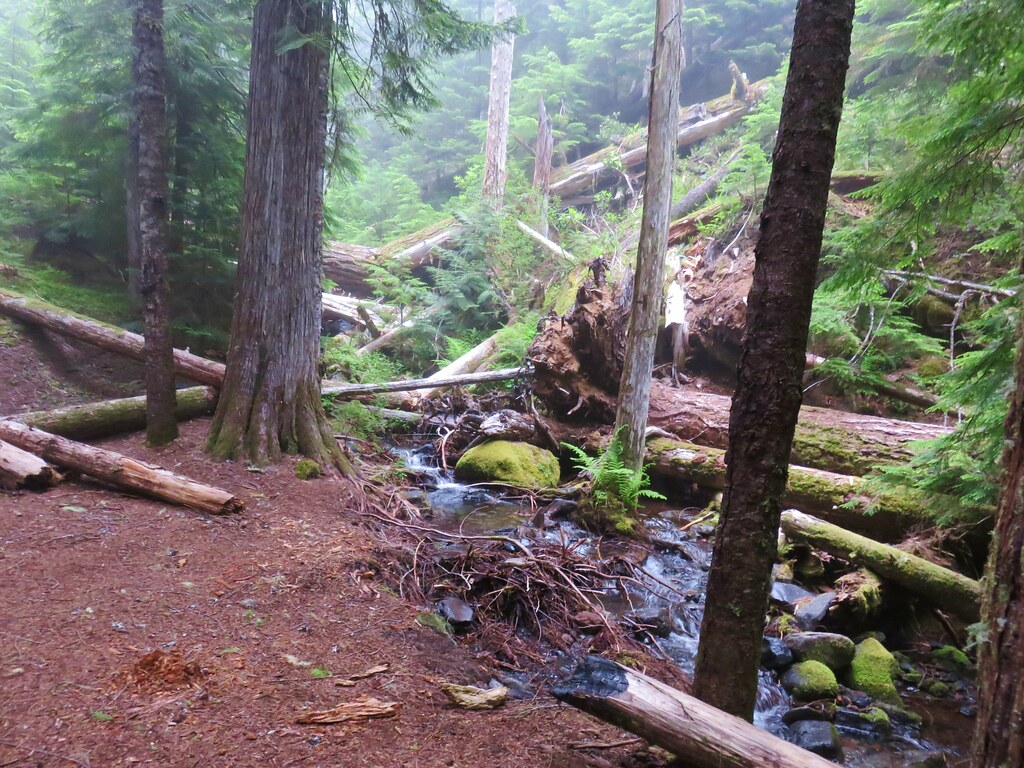
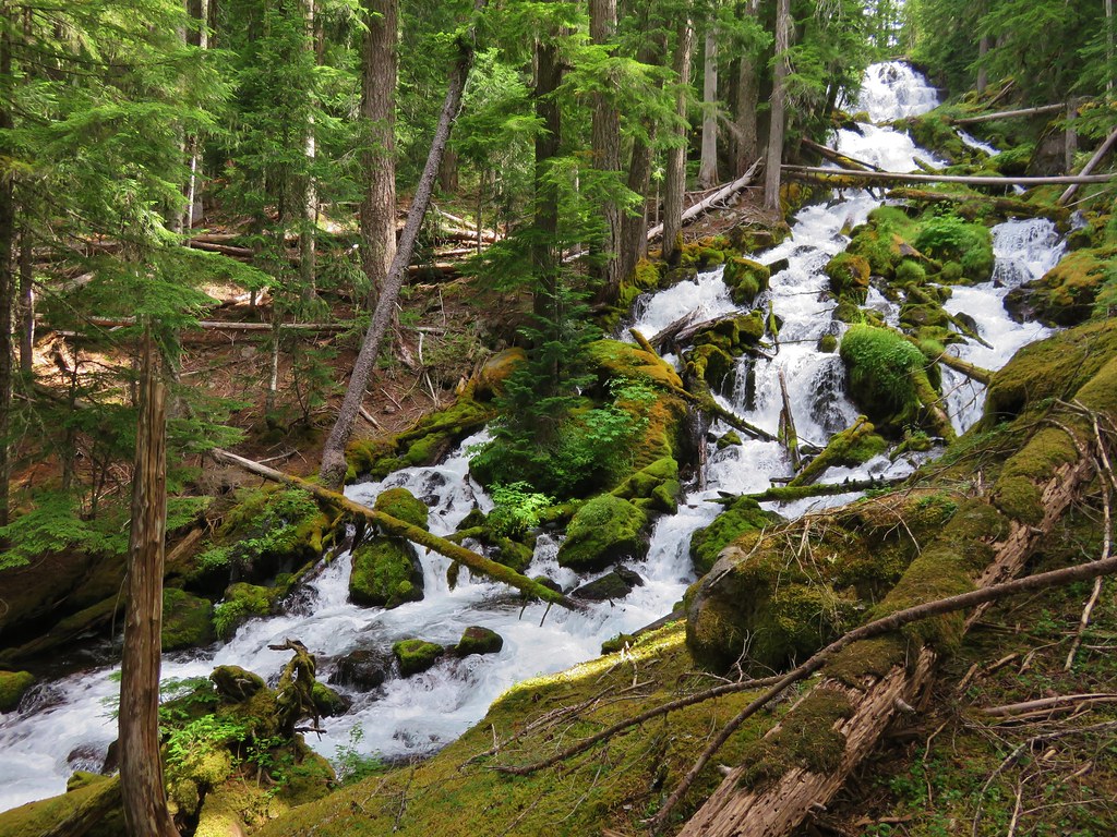
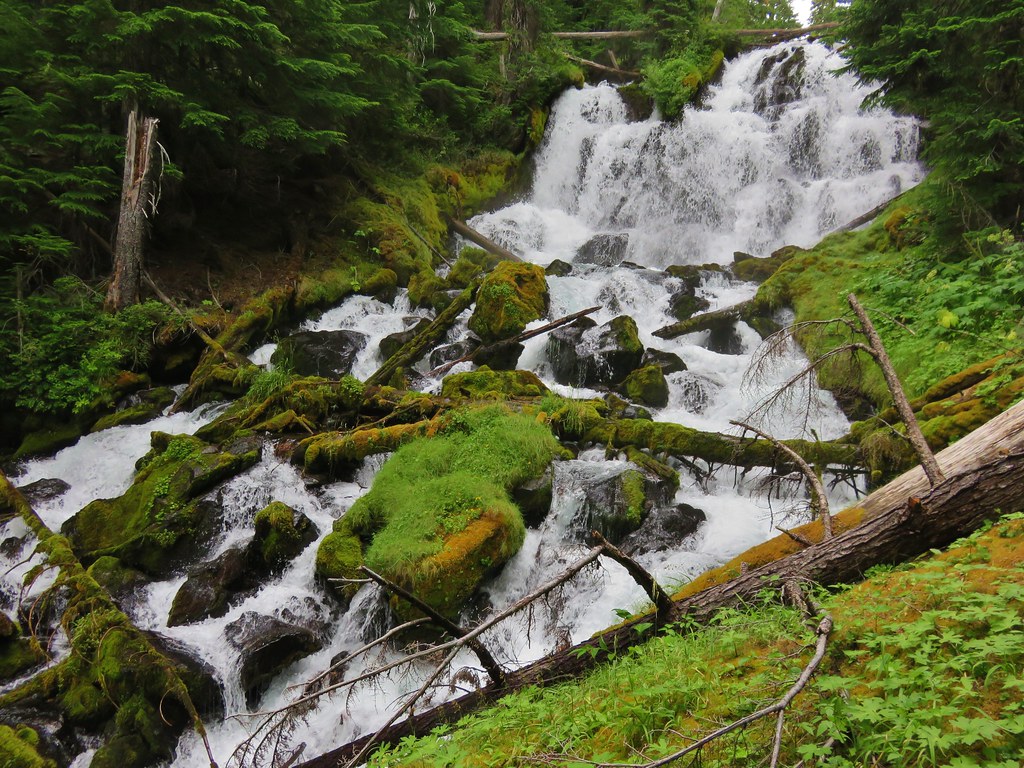
Middle Santiam – 2014
 Donaca Lake – 2014
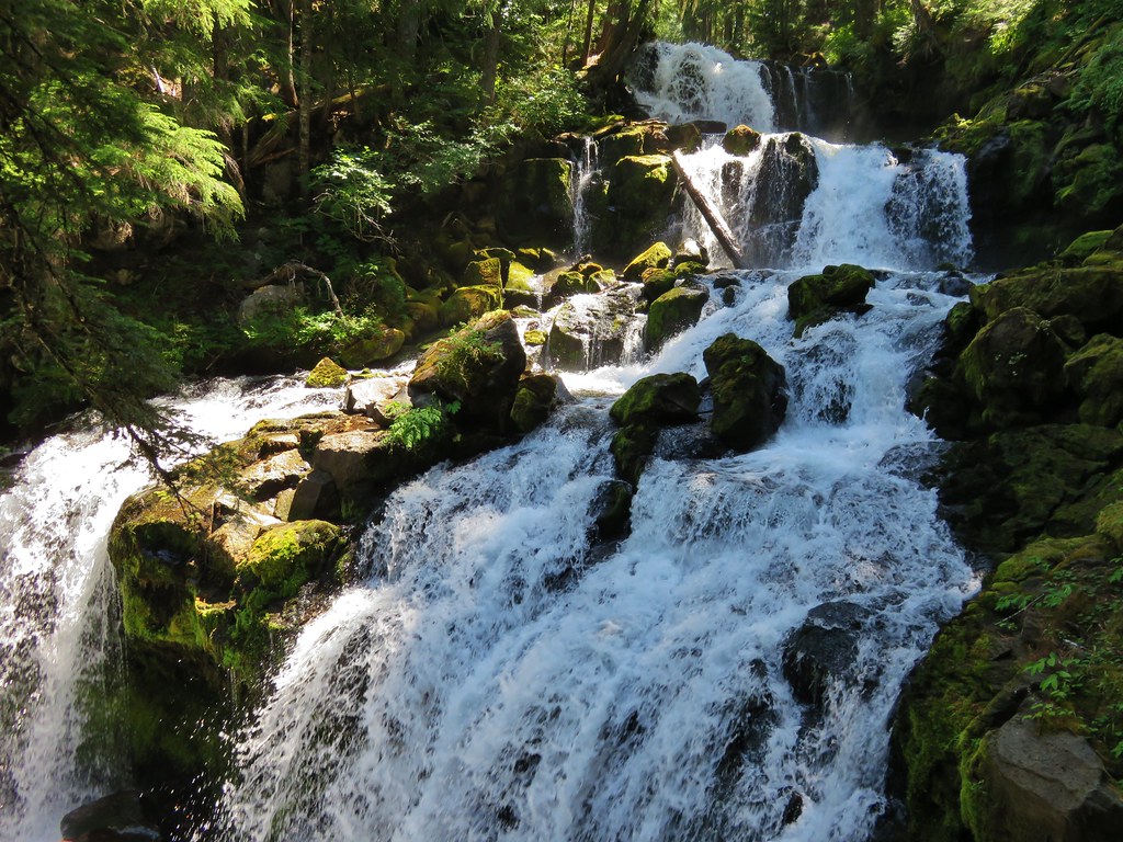
Bull of the Woods – 2014, 15, 18
 Emerald Pool – 2018
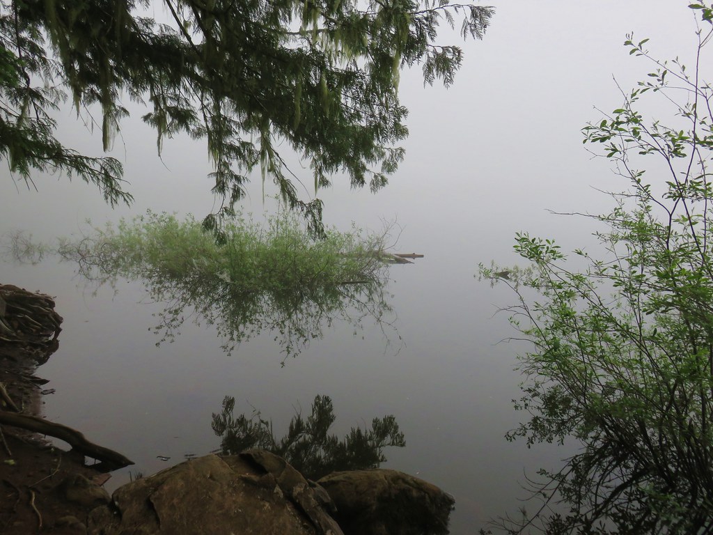
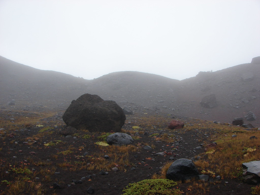
 View from Boccard Point – 2015
Red Buttes – 2015
 Red Buttes – 2015
Oregon Badlands – 2016
 Oregon Badlands Wilderness – 2016
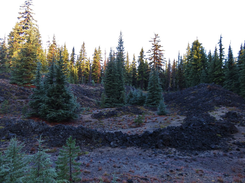
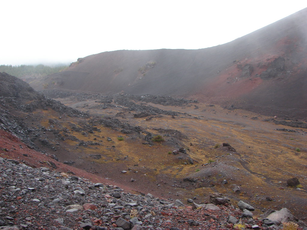
Kalmiopsis – 2016
 Vulcan Lake – 2016
Menagerie – 2016
 Rooster Rock – 2016
Eagle Cap – 2016
 Glacier Lake – 2016
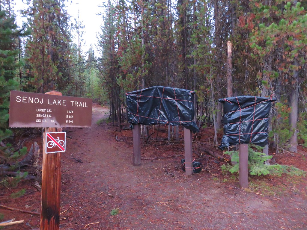
Mountain Lakes – 2016
 View from Aspen Butte – 2016
Sky Lakes – 2016
 Mt. McLoughlin from Freye Lake – 2016
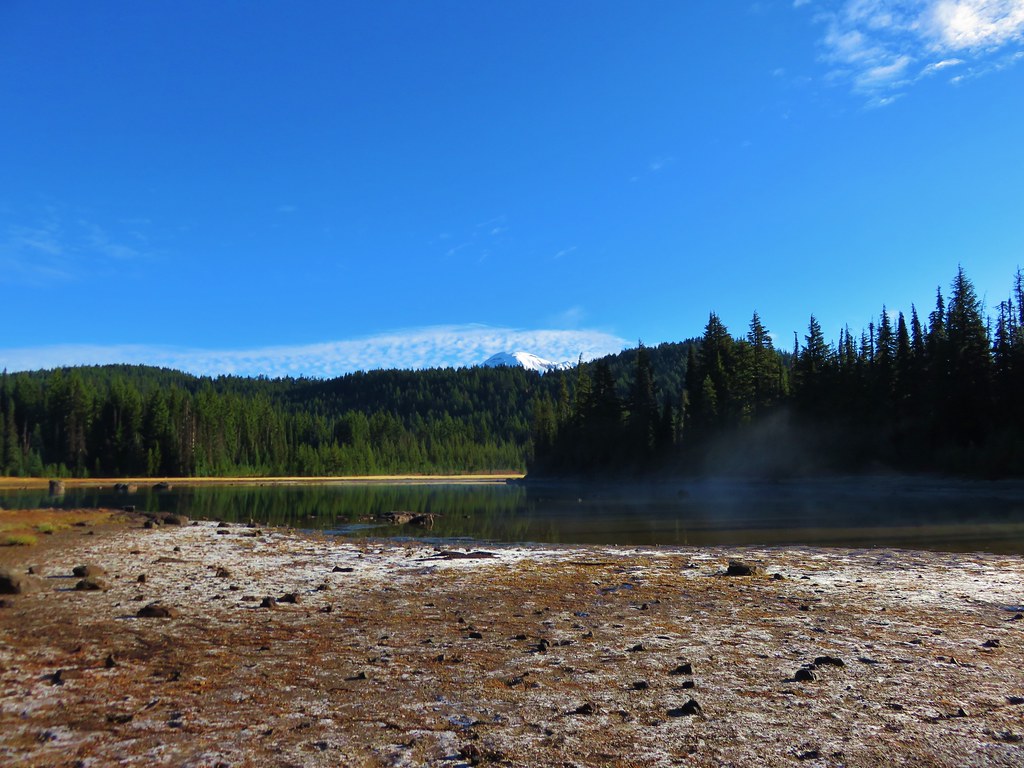
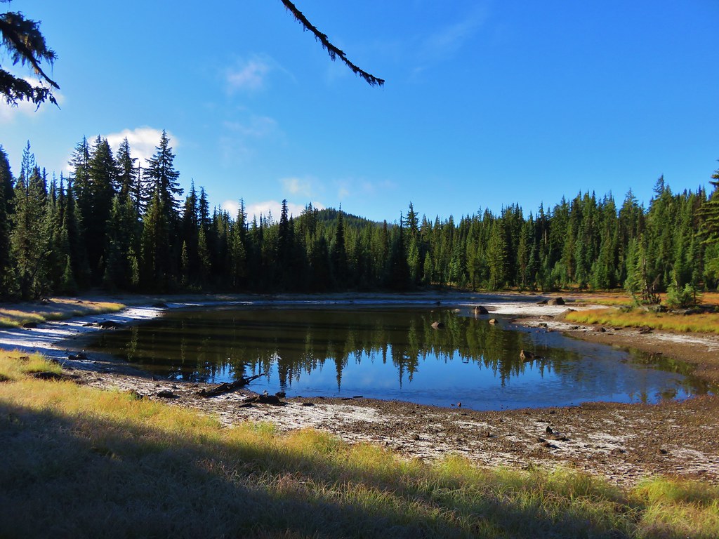
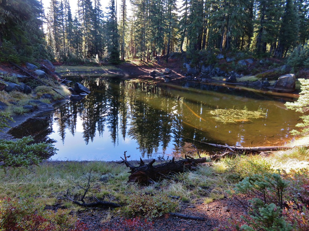
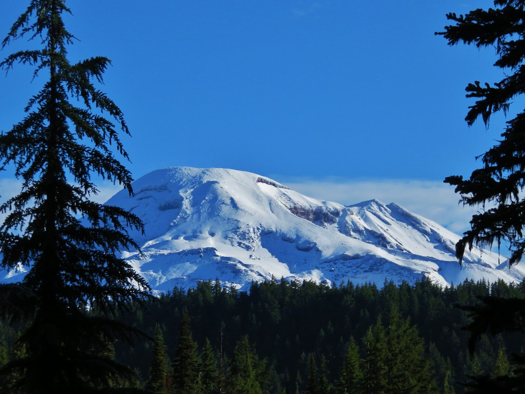
Lower White River – 2016
 White River – 2016
Rock Creek – 2017
 Rock Creek – 2017
Spring Basin – 2017
 Hedgehog Cactus – 2017
Bridge Creek – 2017
 Bridge Creek Wilderness – 2017
Wild-Rogue – 2017
 Hanging Rock – 2017
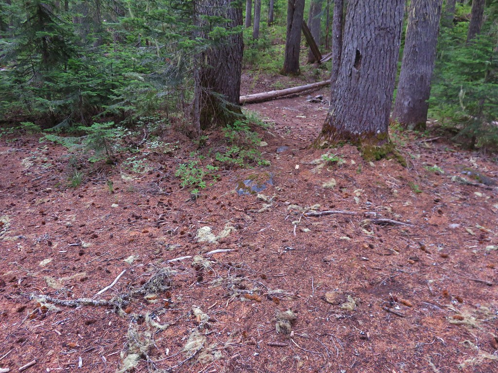
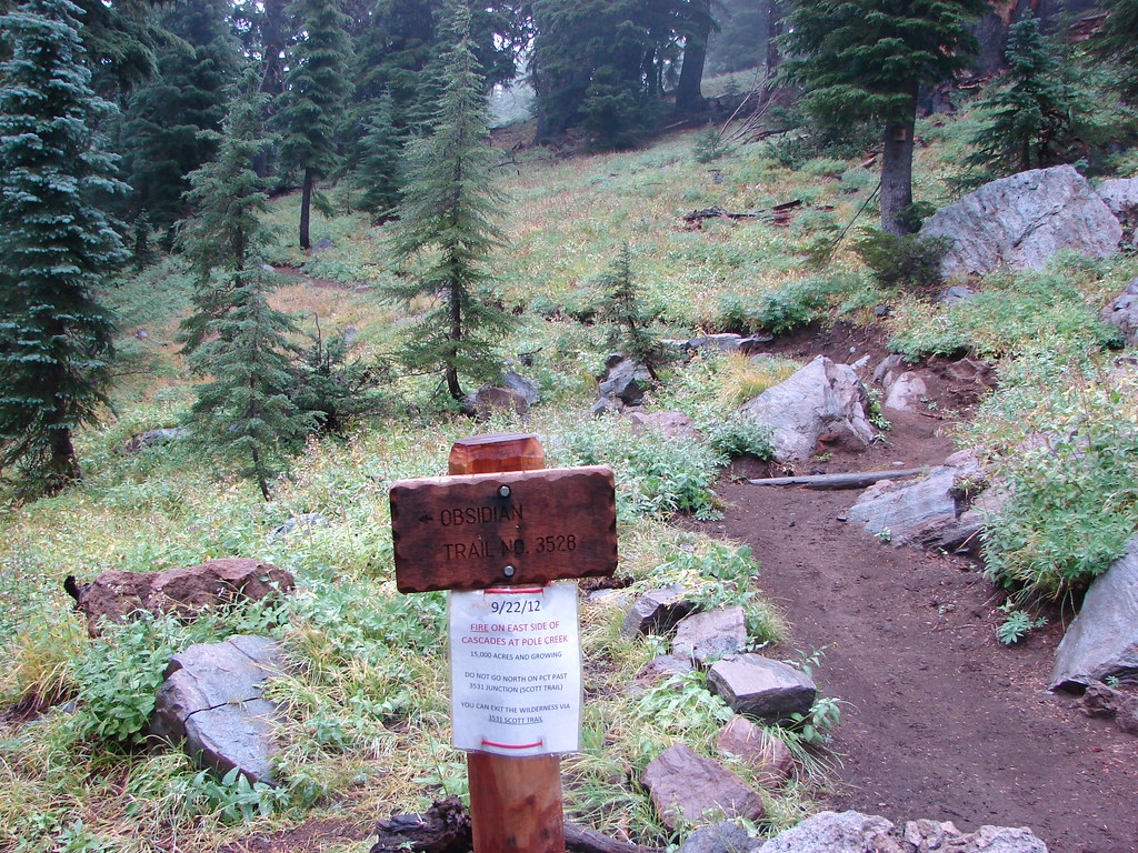
Grassy Knob – 2017
 View from Grassy Knob – 2017
Clackamas – 2017
 Big Bottom – 2017
North Fork John Day – 2017, 18
 Baldy Lake – 2017
Cummins Creek – 2017
 Cummins Ridge Trail – 2017
Rogue-Umpqua Divide – 2018
 Hummingbird Meadows – 2018
Steens Mountain – 2018
 View along the Pine Creek Trail – 2018
Strawberry Mountain – 2018
 Slide Lake – 2018
Copper-Salmon – 2018
 Barklow Mountain Trail – 2018
The remaining areas and year of our planned visit looks like this:
2019 – Hells Canyon, North Fork Umatilla, Wenaha-Tucannon
2020 – Boulder Creek, Black Canyon, Monument Rock, Gearhart Mountain
If the Devil’s Staircase is added in the meantime we will do our best to work that in (it is currently on our list of hikes but not until 2023. For more information on Oregon’s wilderness areas visit Wilderness.net here.
Happy Trails!

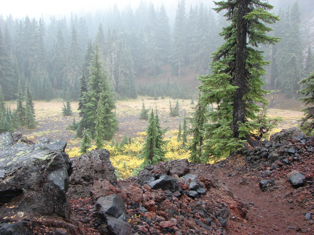
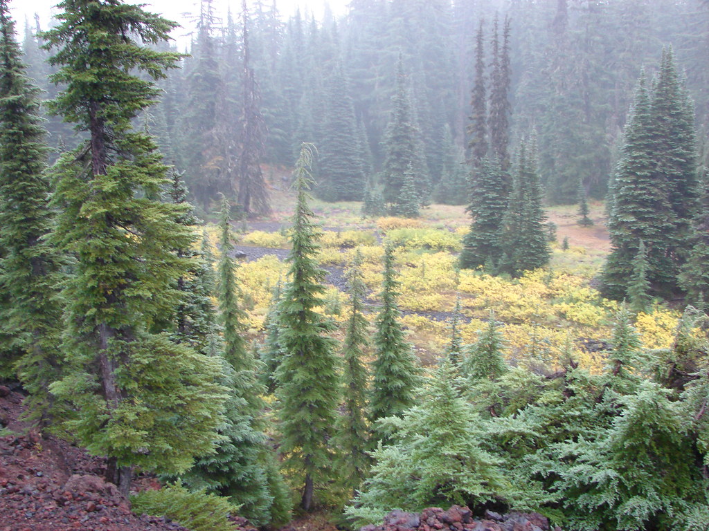

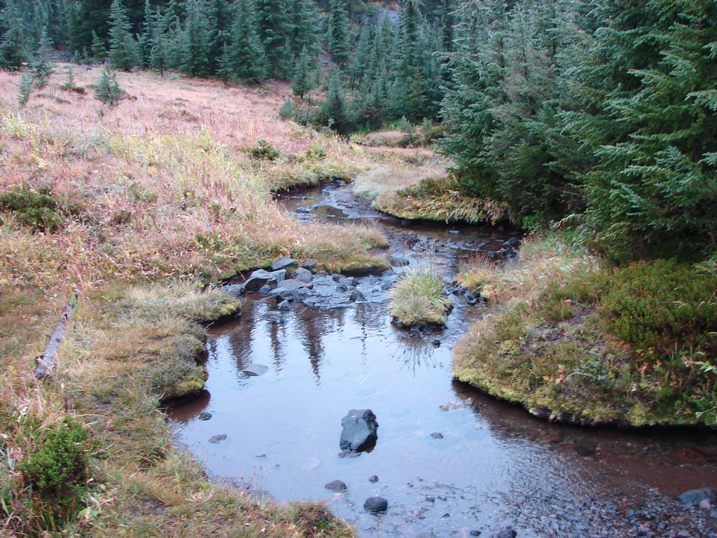
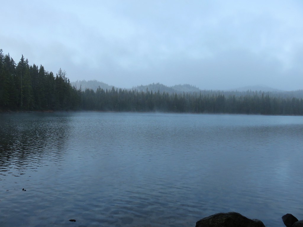
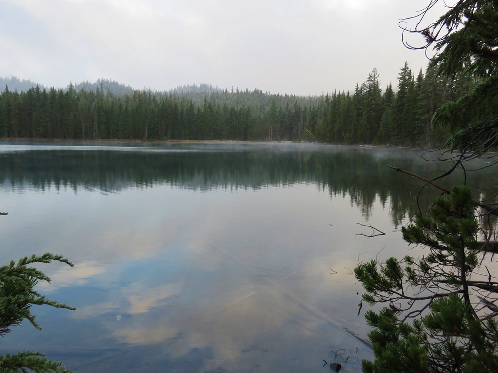
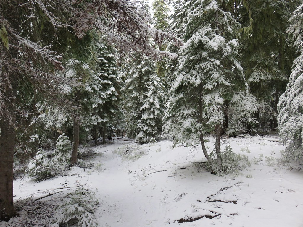
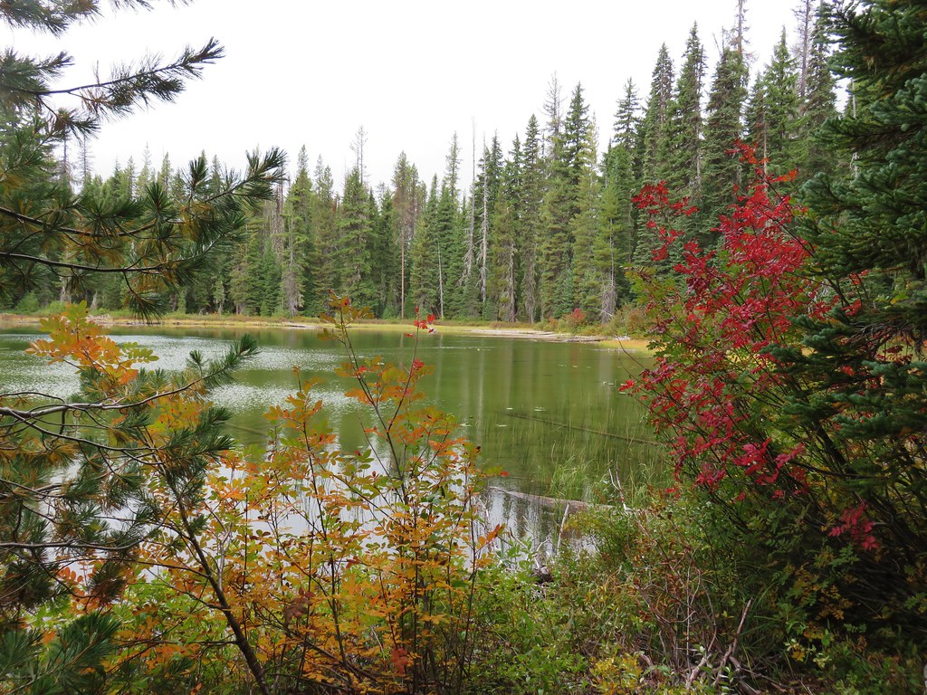
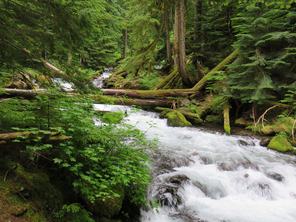
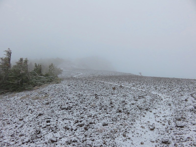
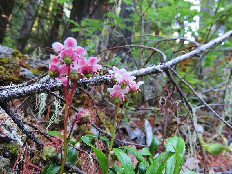
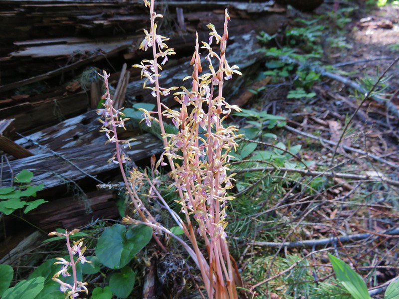
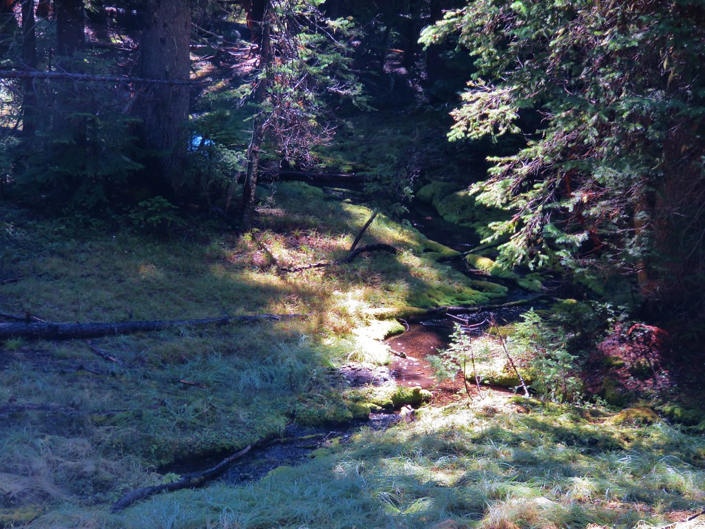
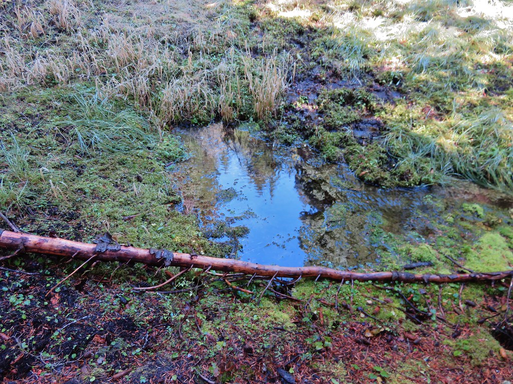
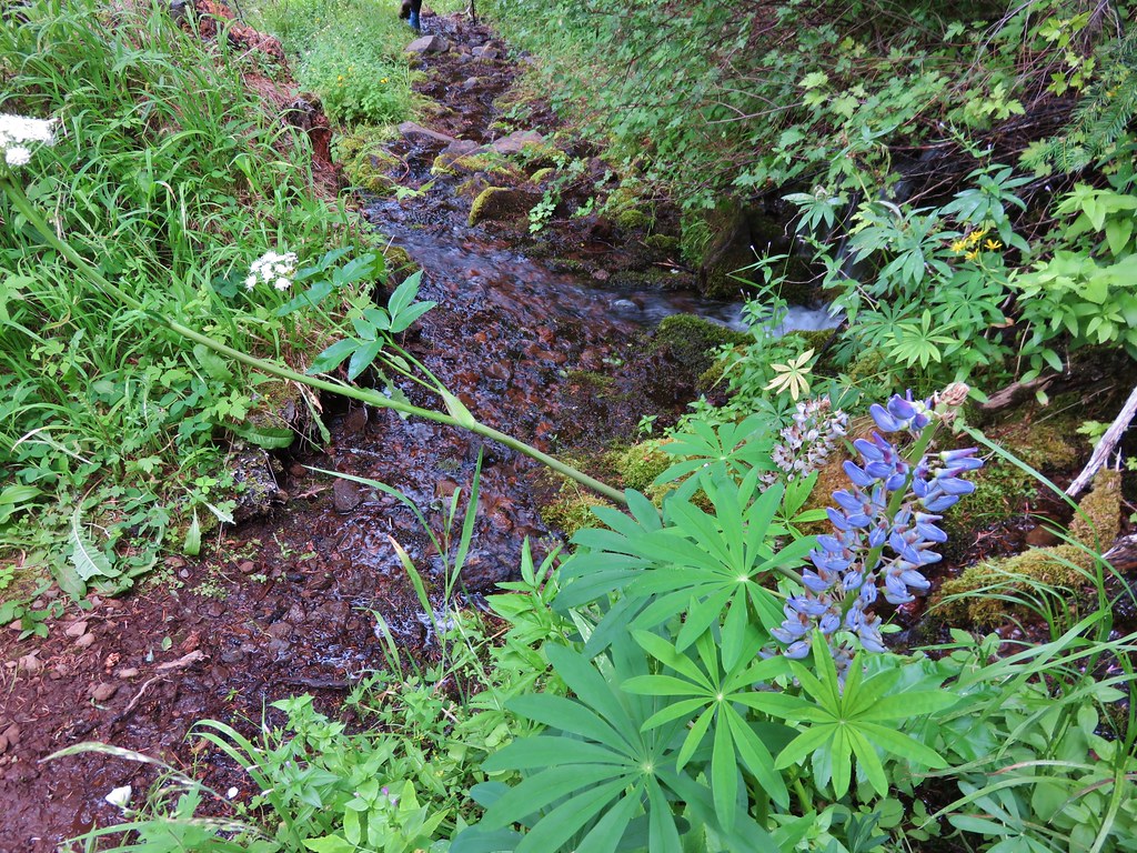
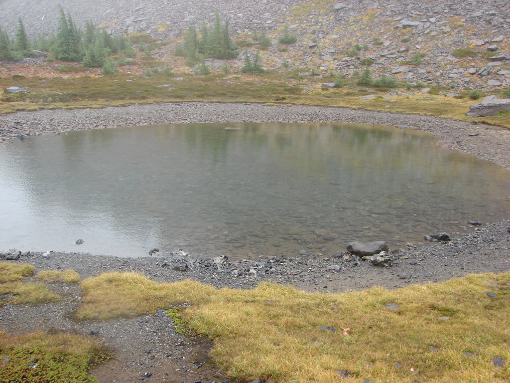
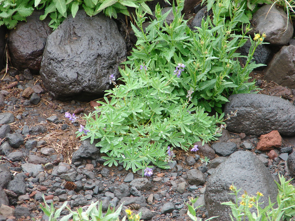
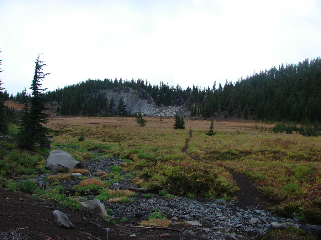
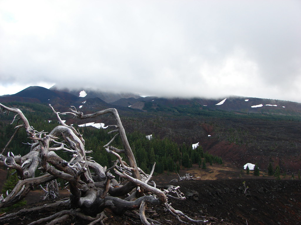
 Sister Spring
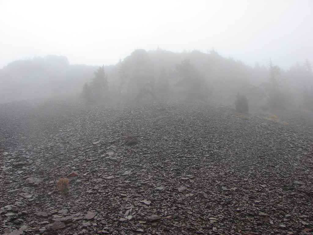
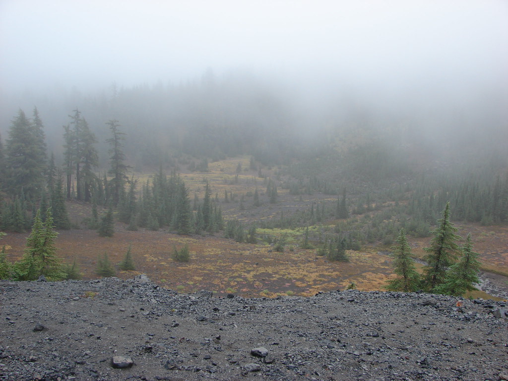
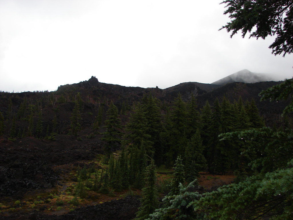
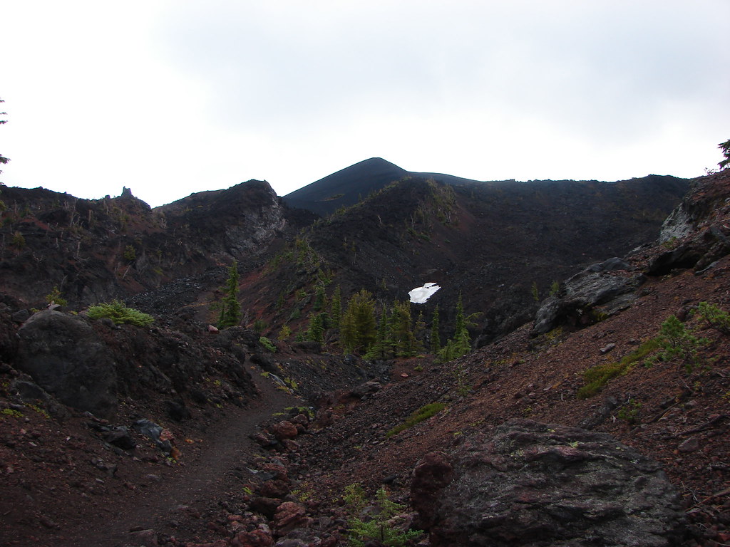
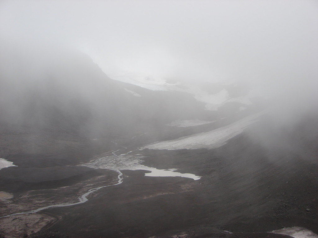
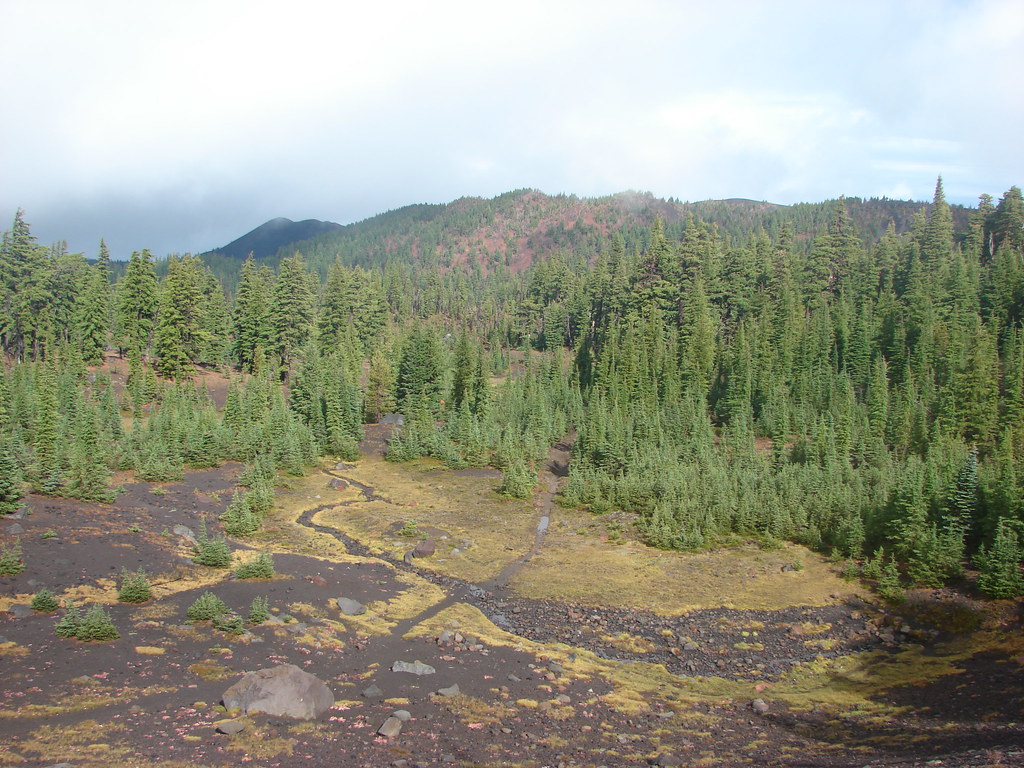
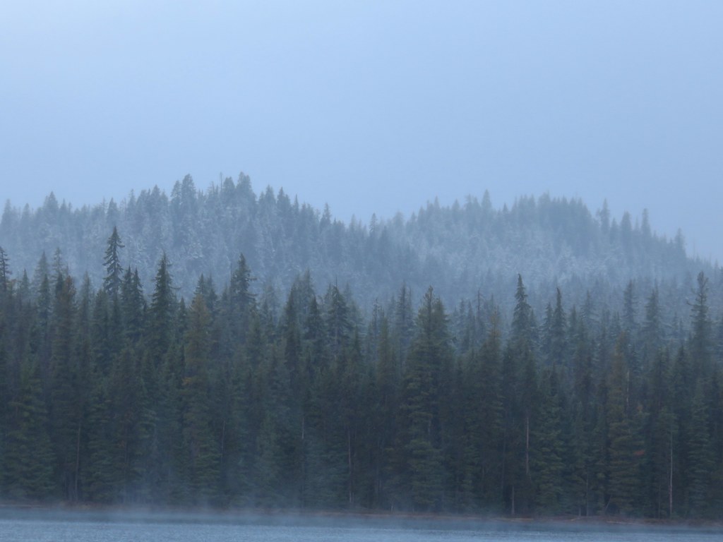
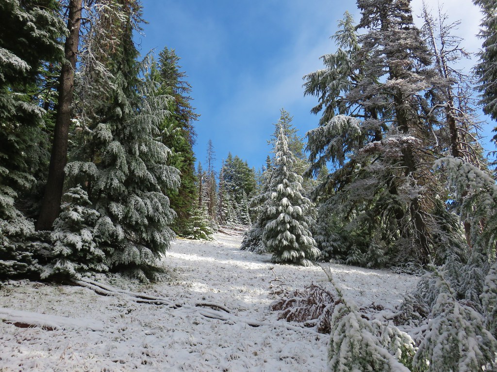
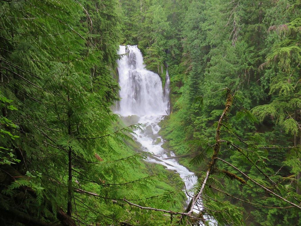
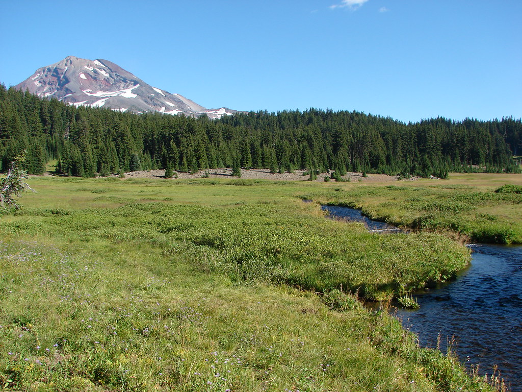
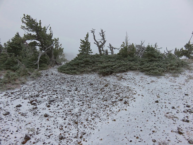
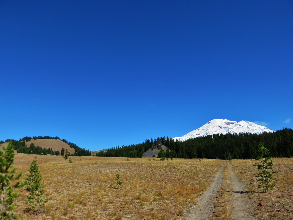
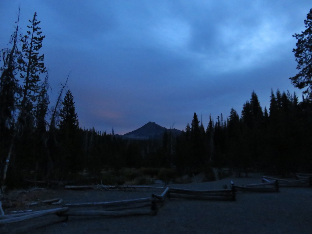
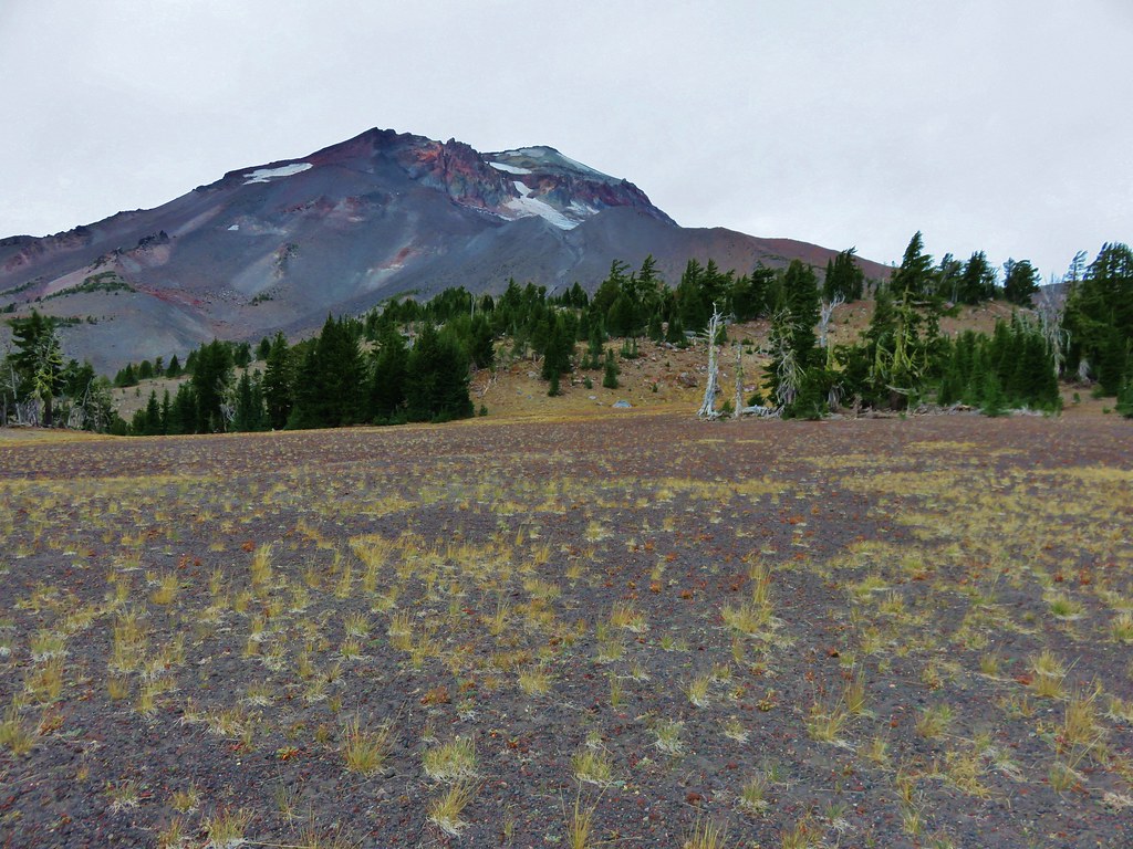
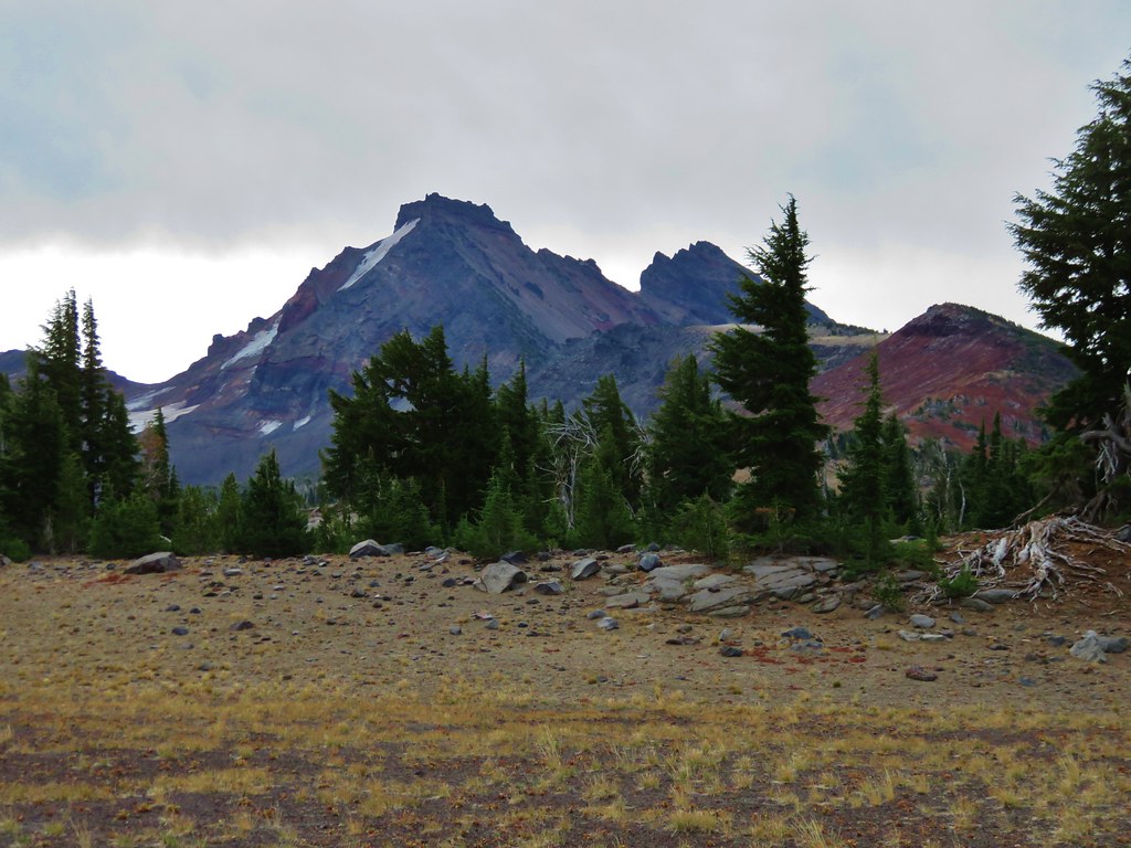
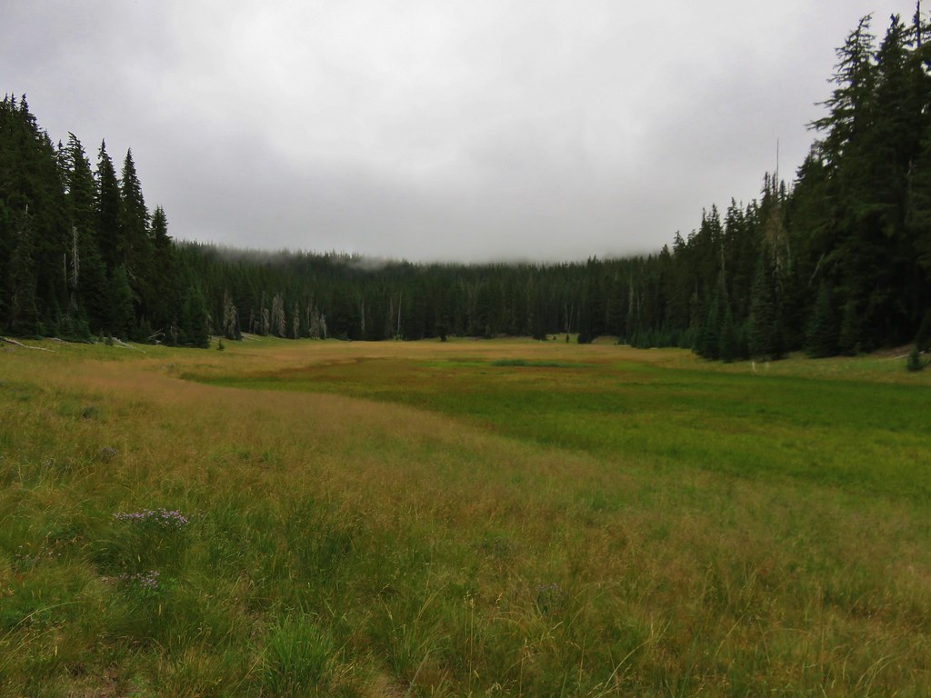
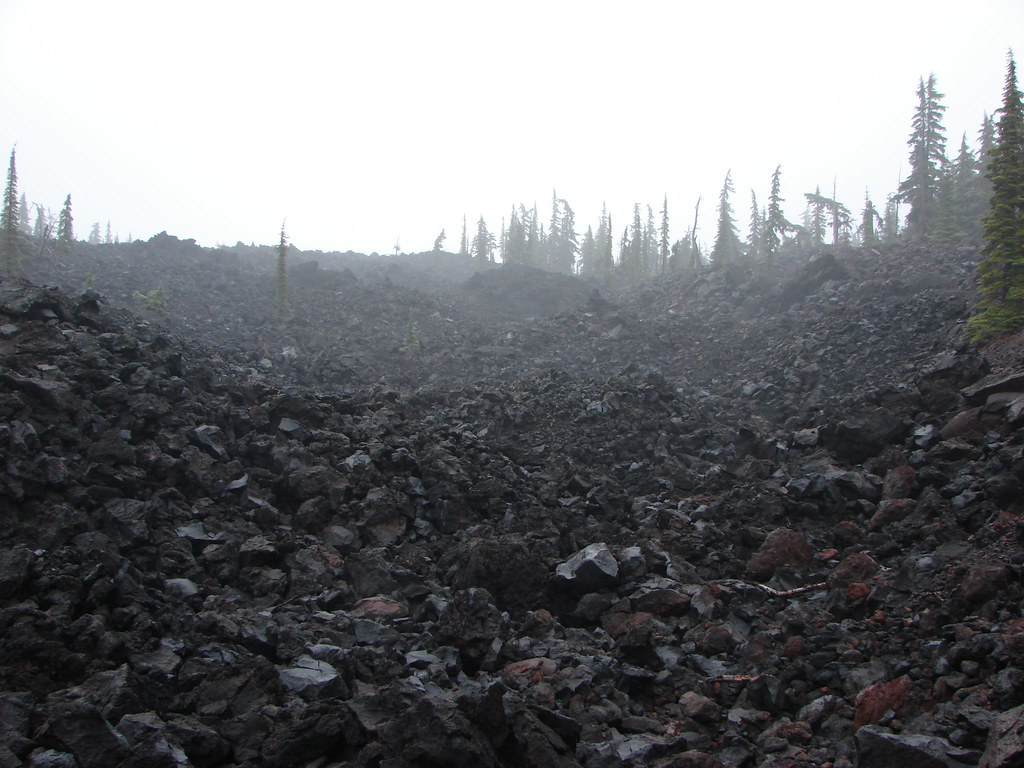
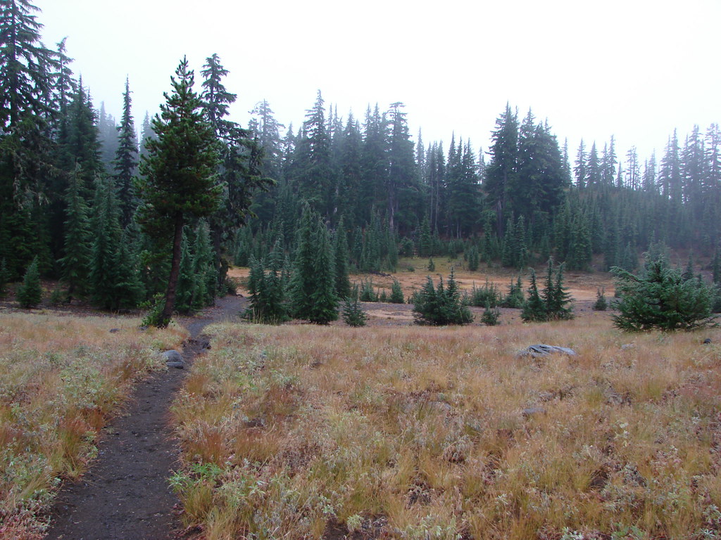
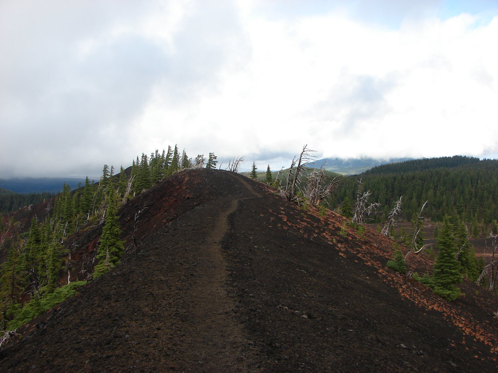
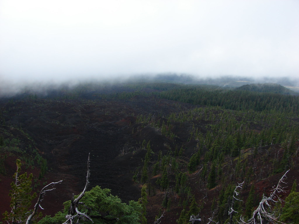
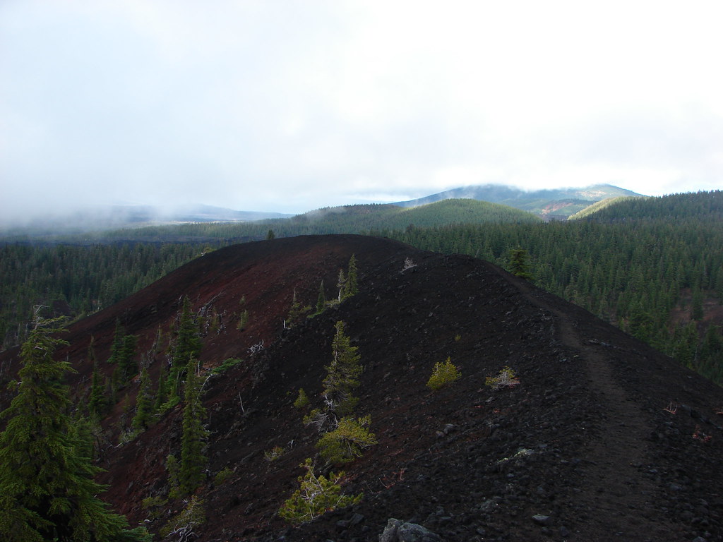
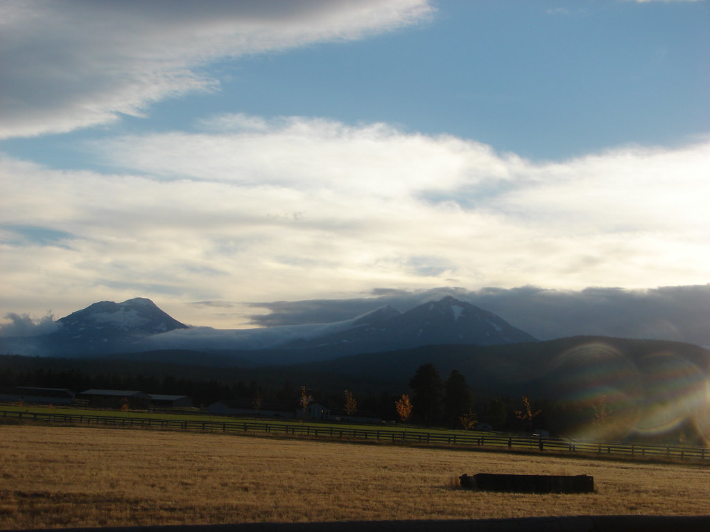
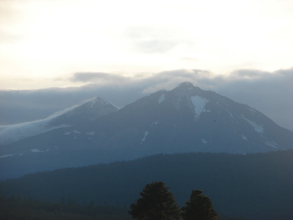
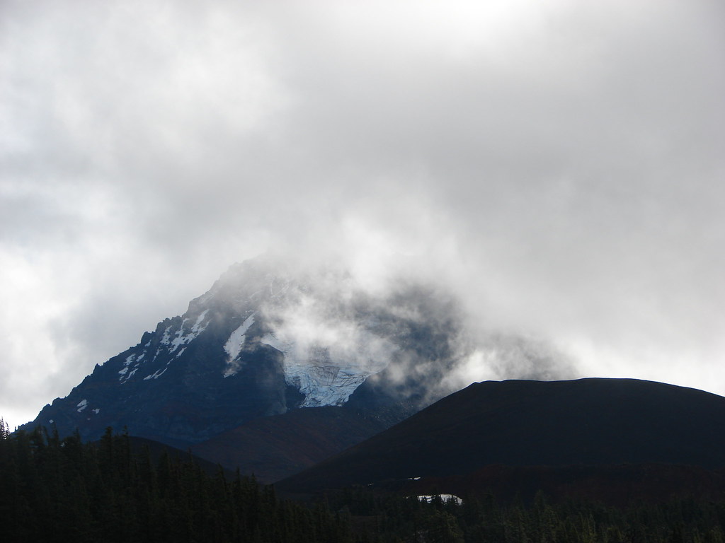 North Sister and the Collier Cone
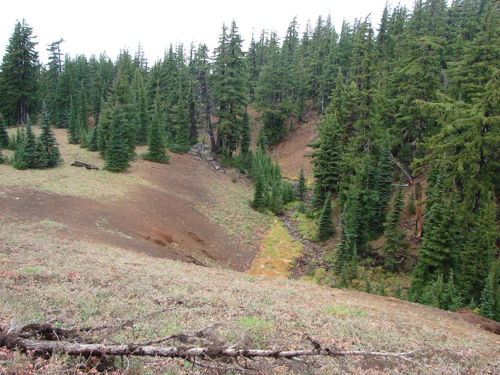
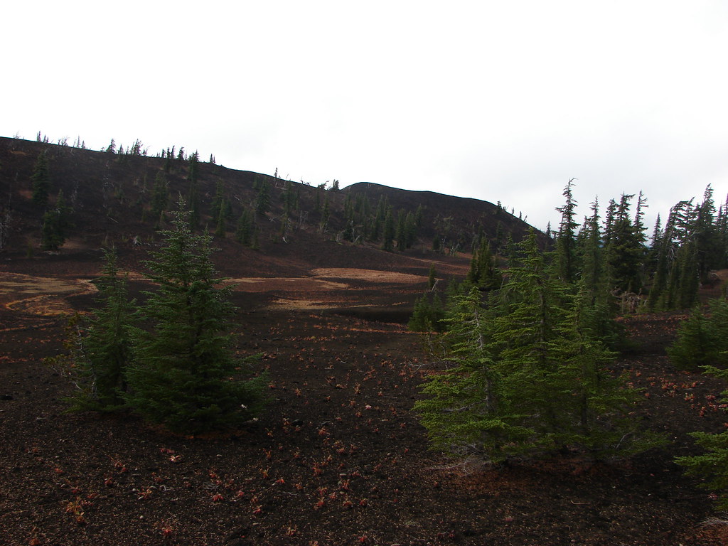
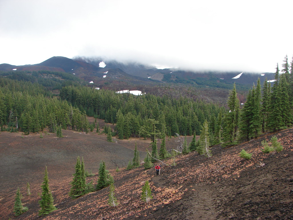
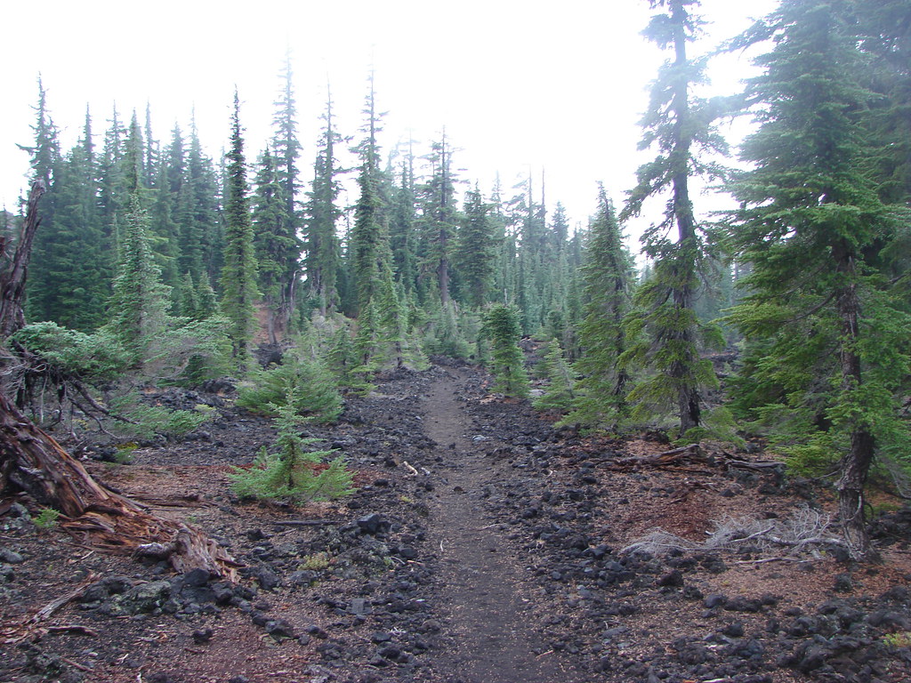
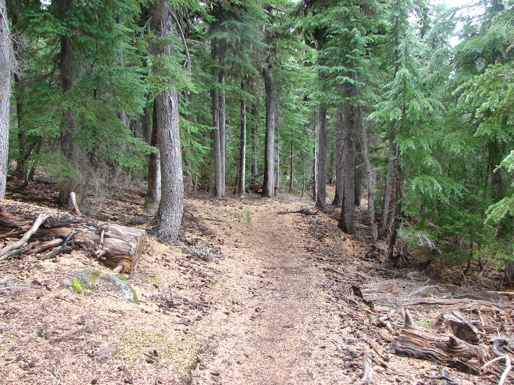
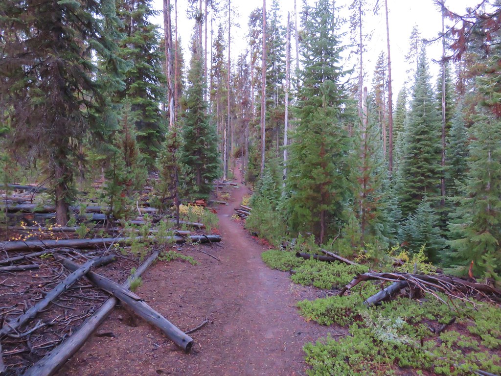
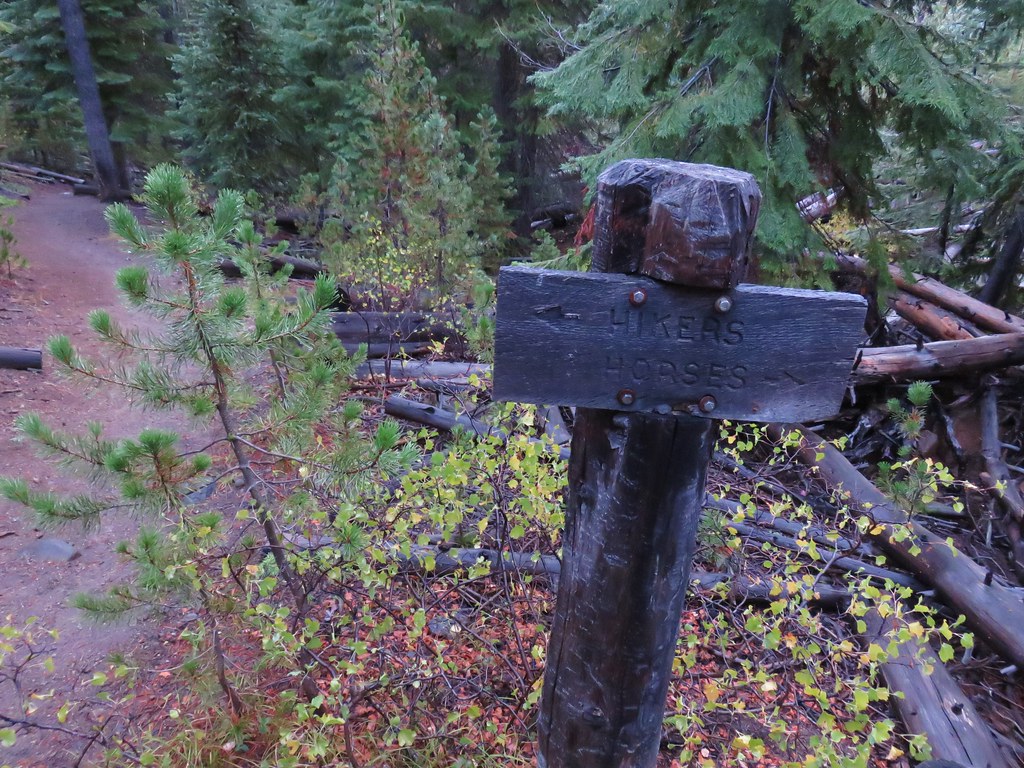
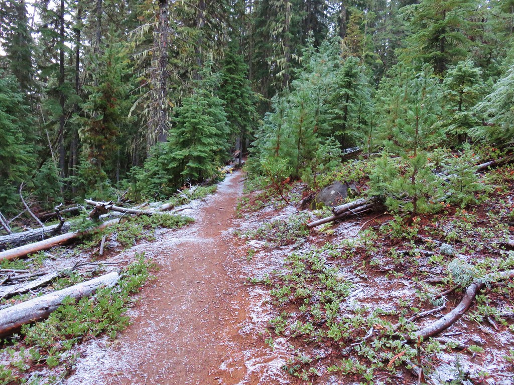
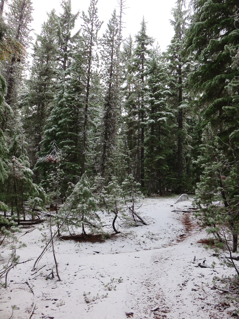
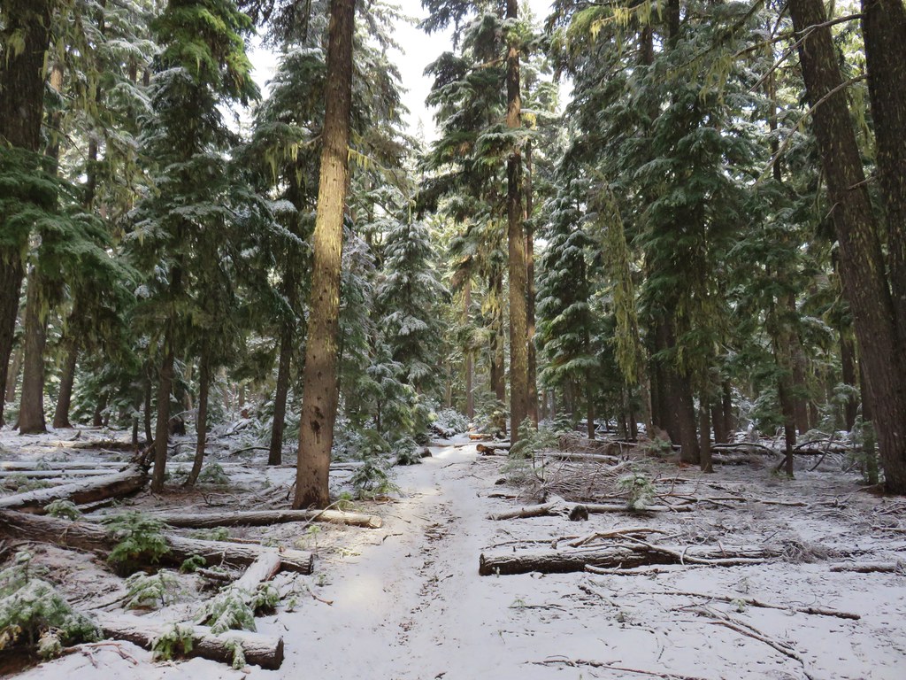
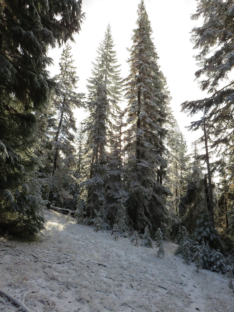
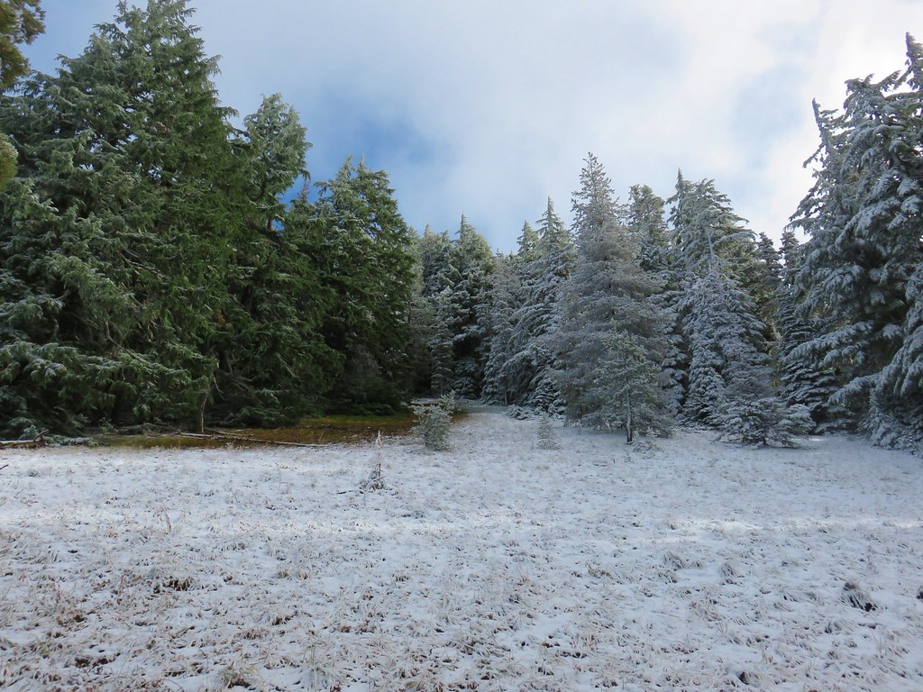
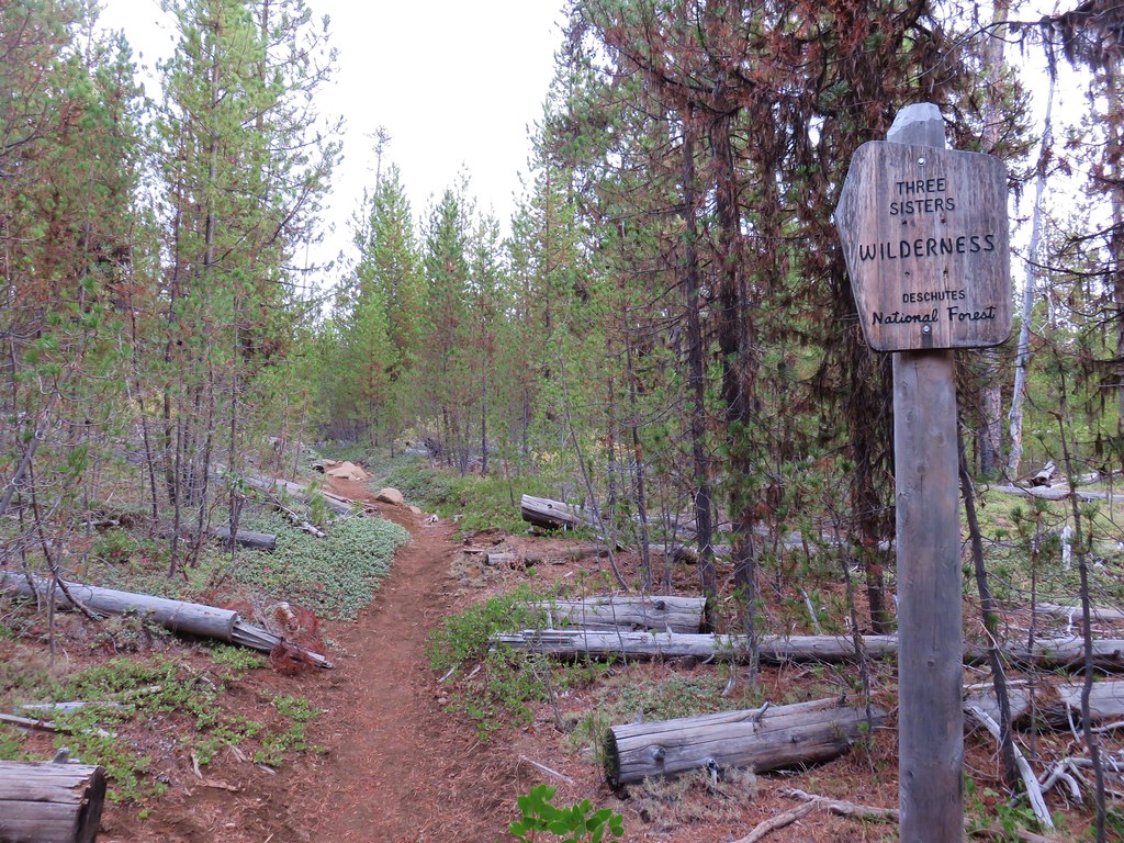
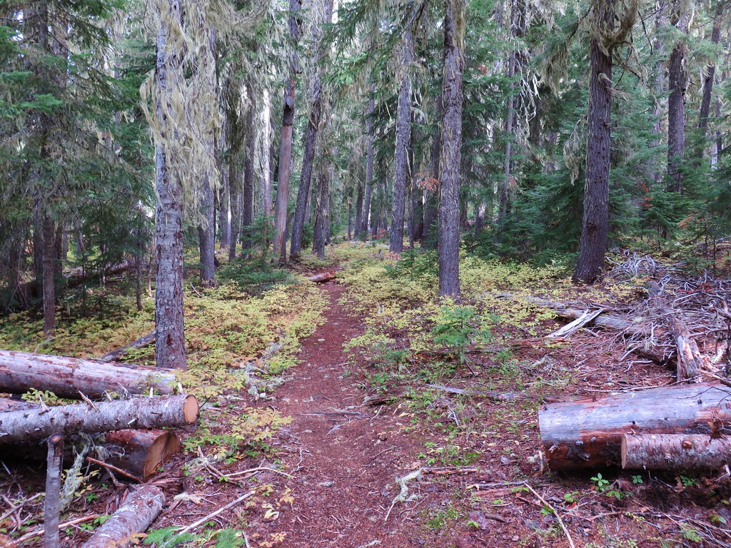
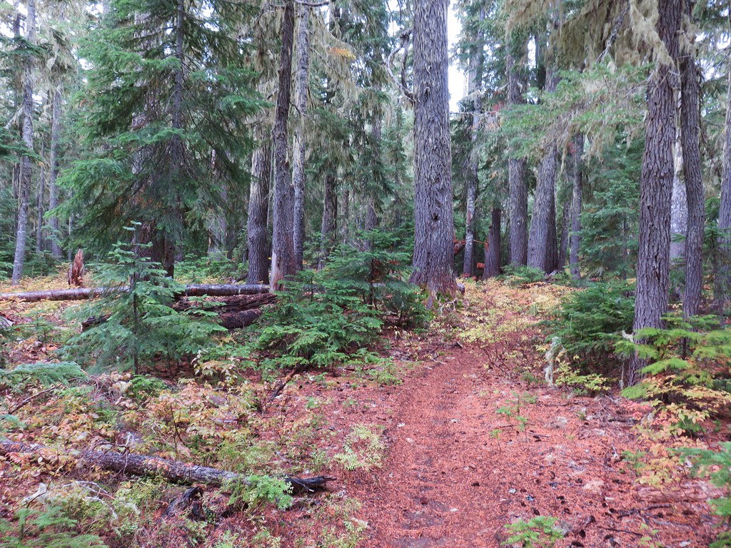
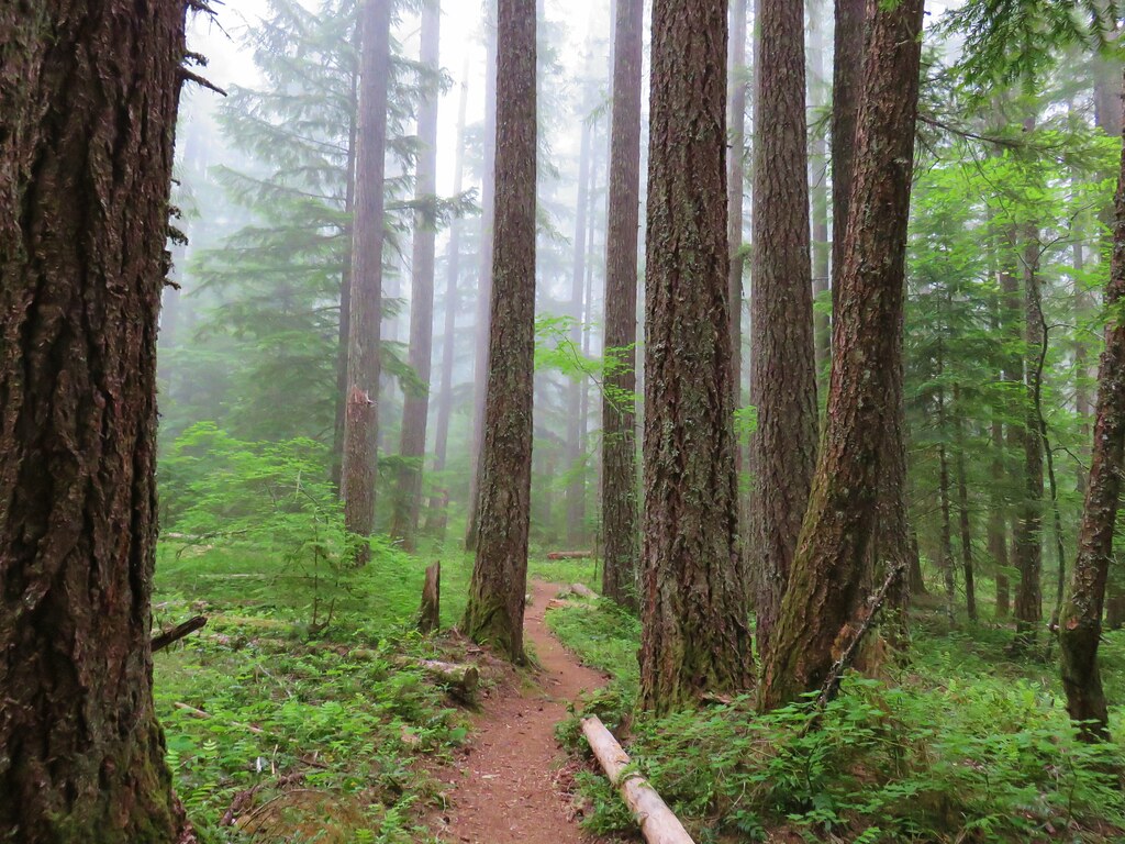
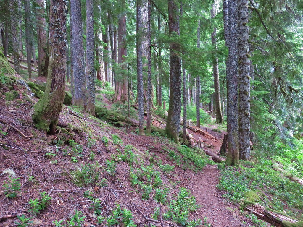
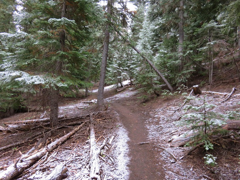
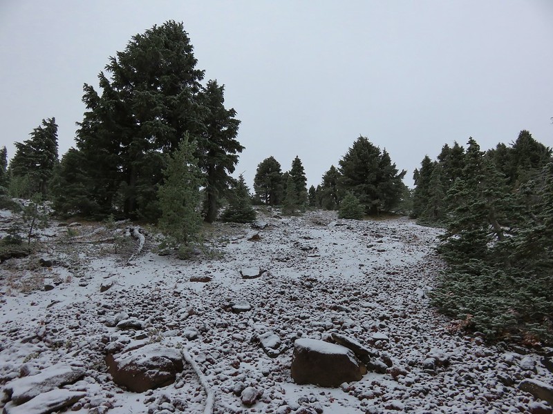
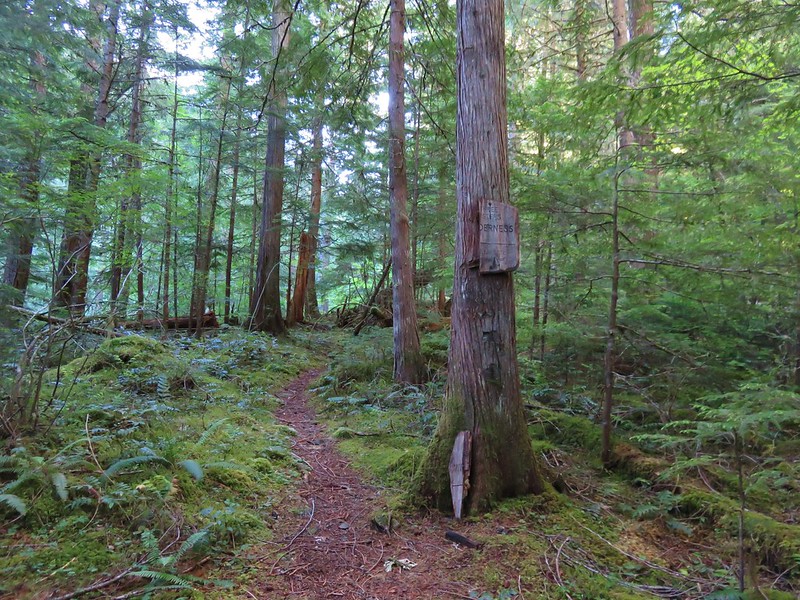
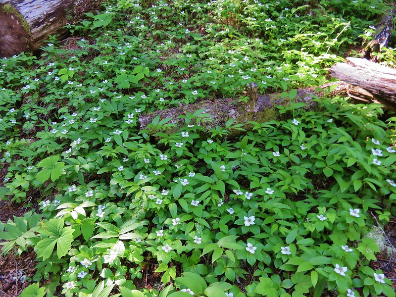
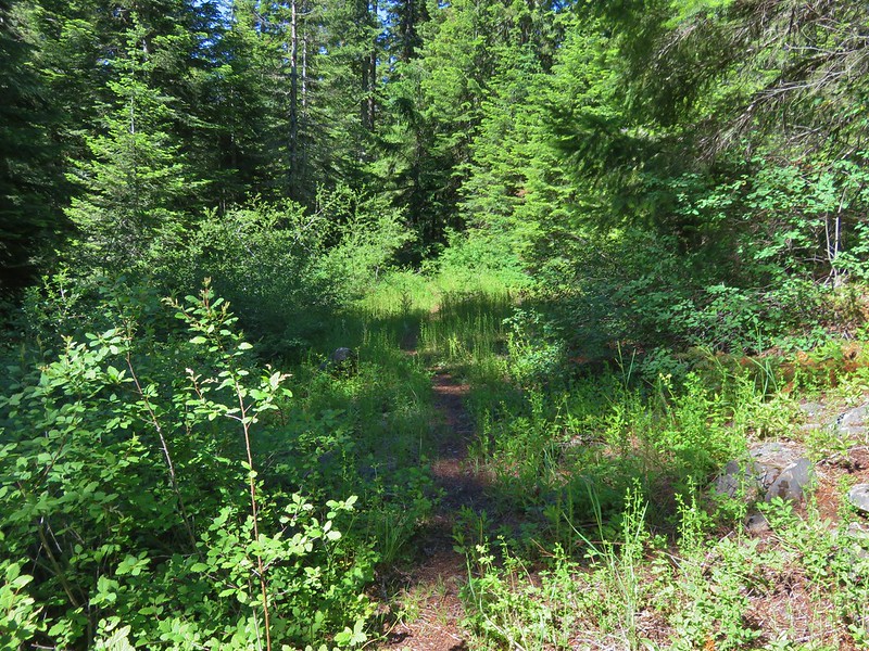
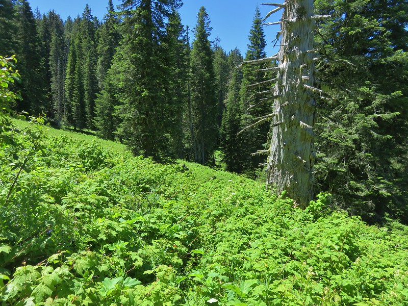
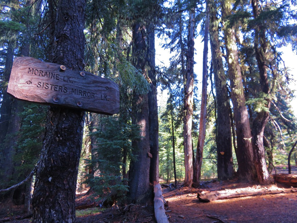
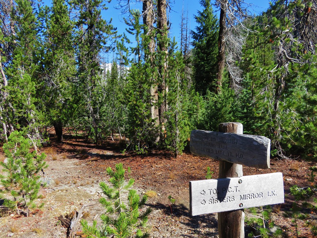
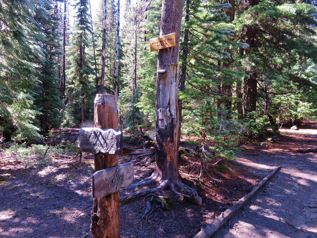
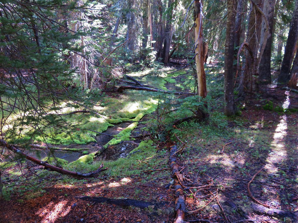
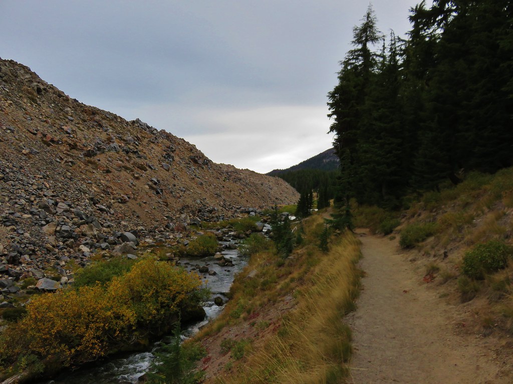
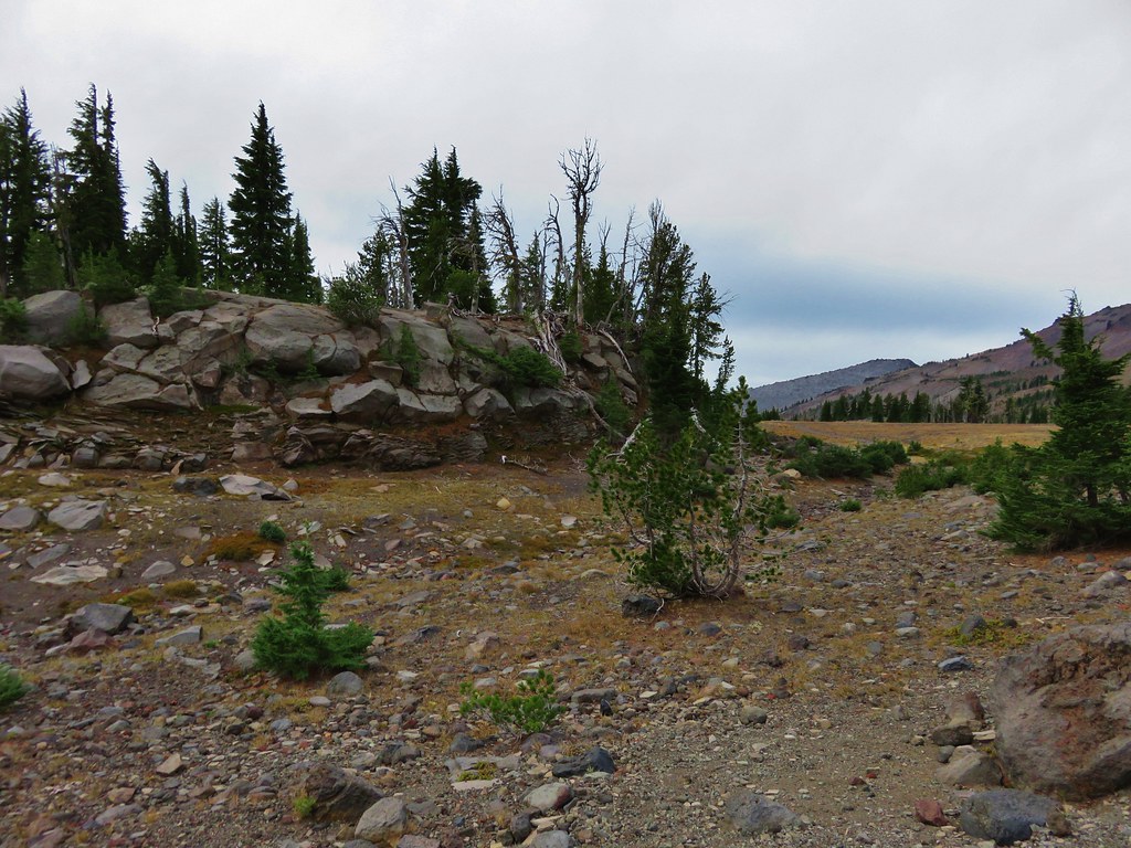
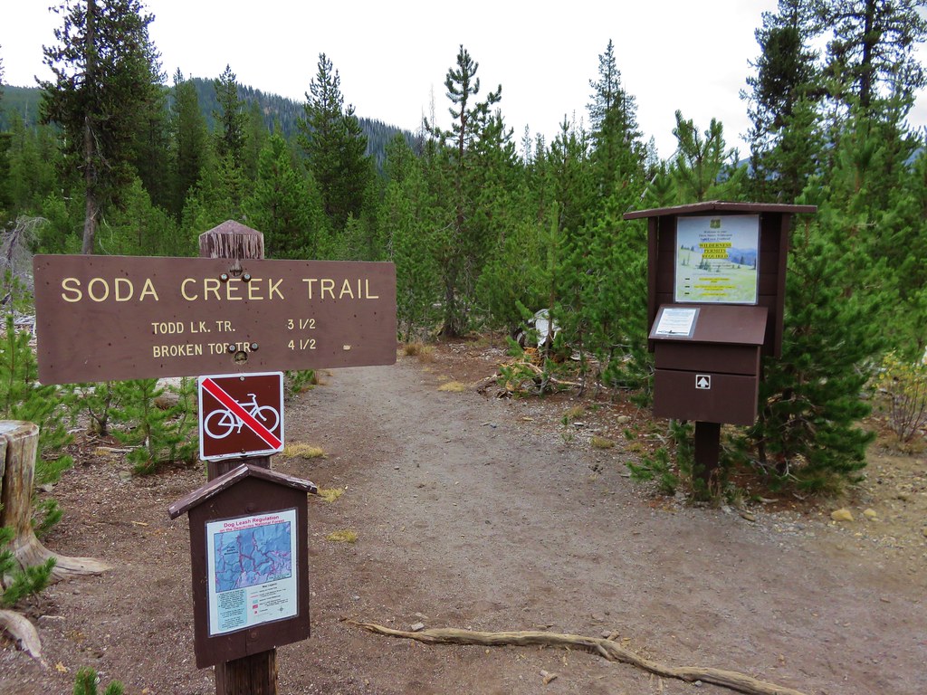
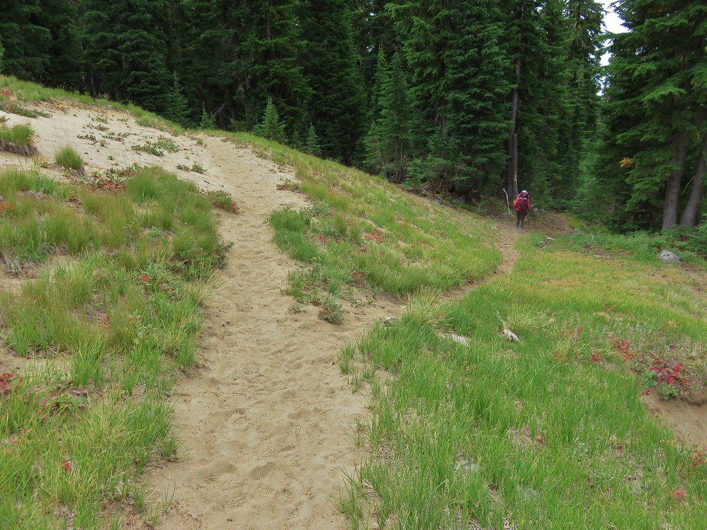
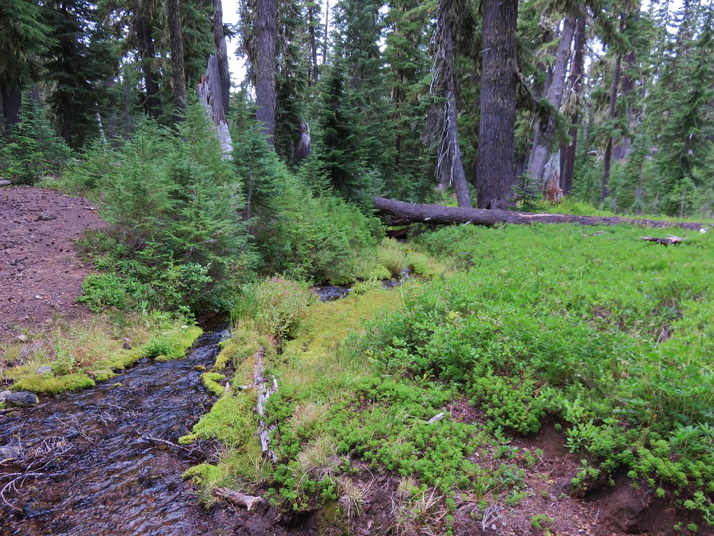
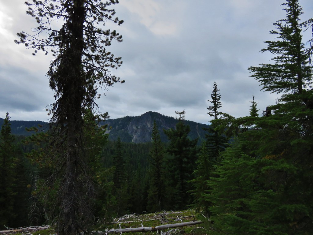
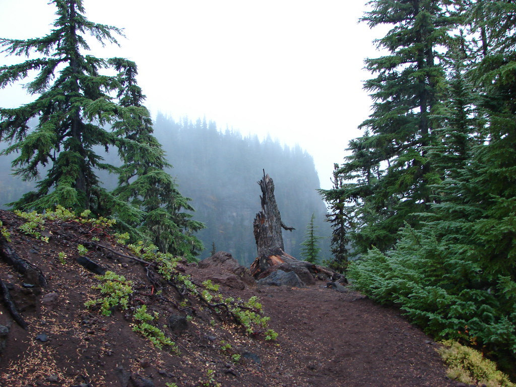
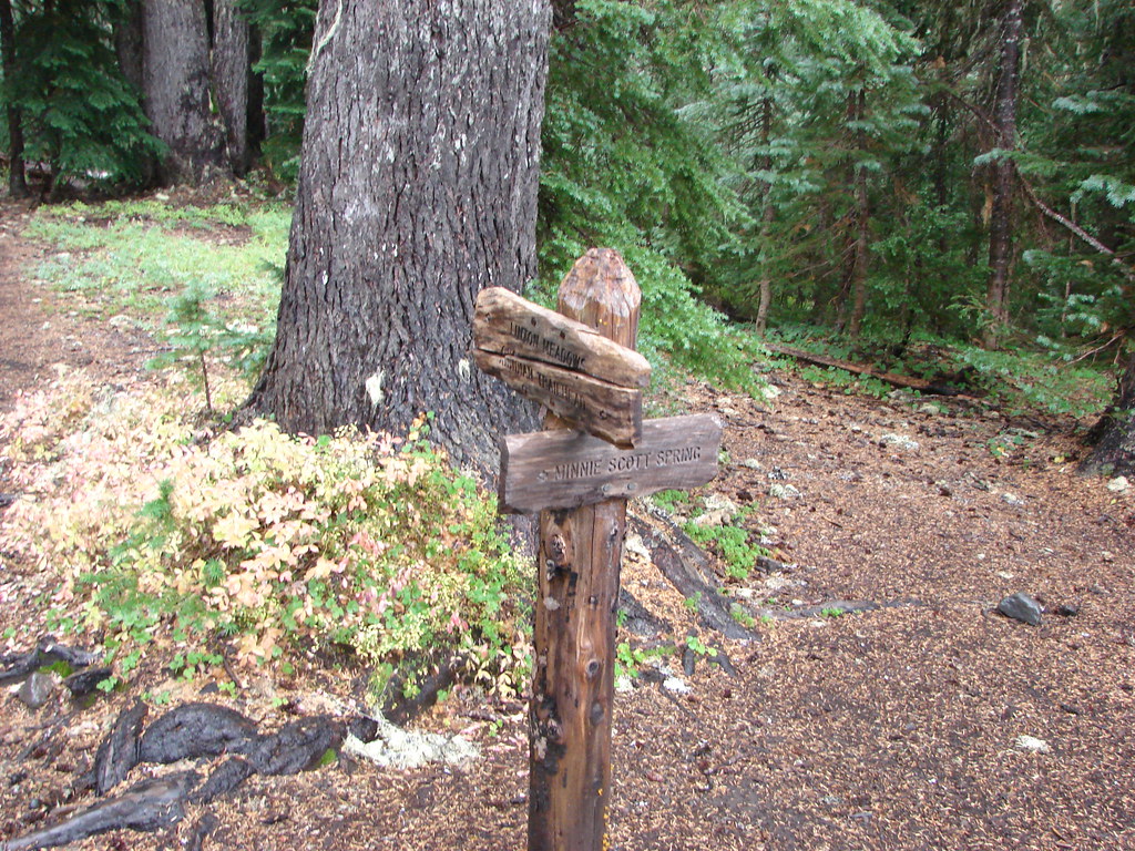
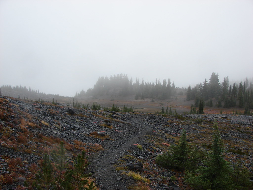
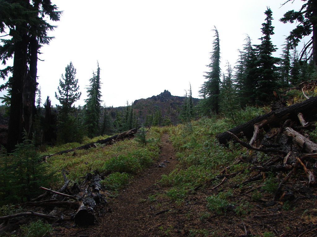
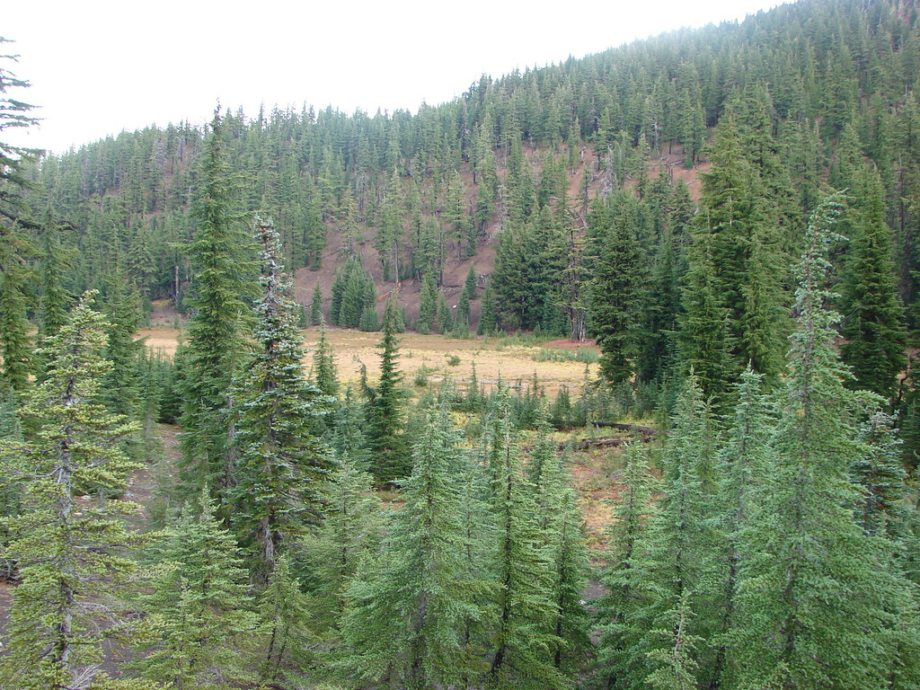
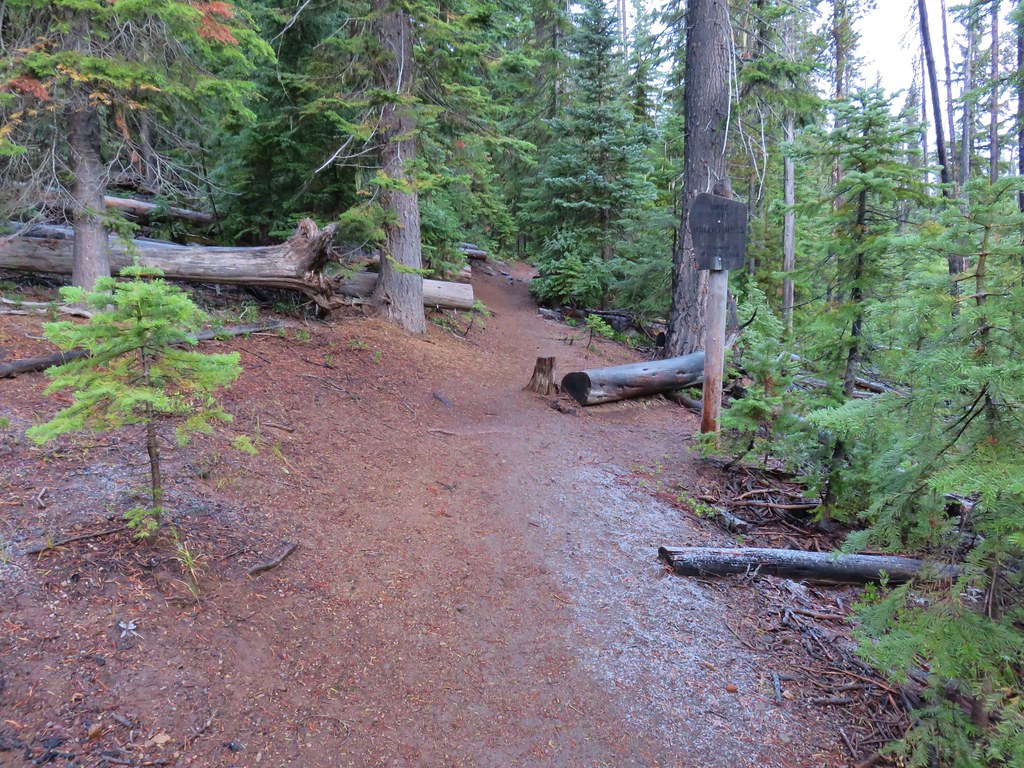 Entering the Three Sisters Wilderness