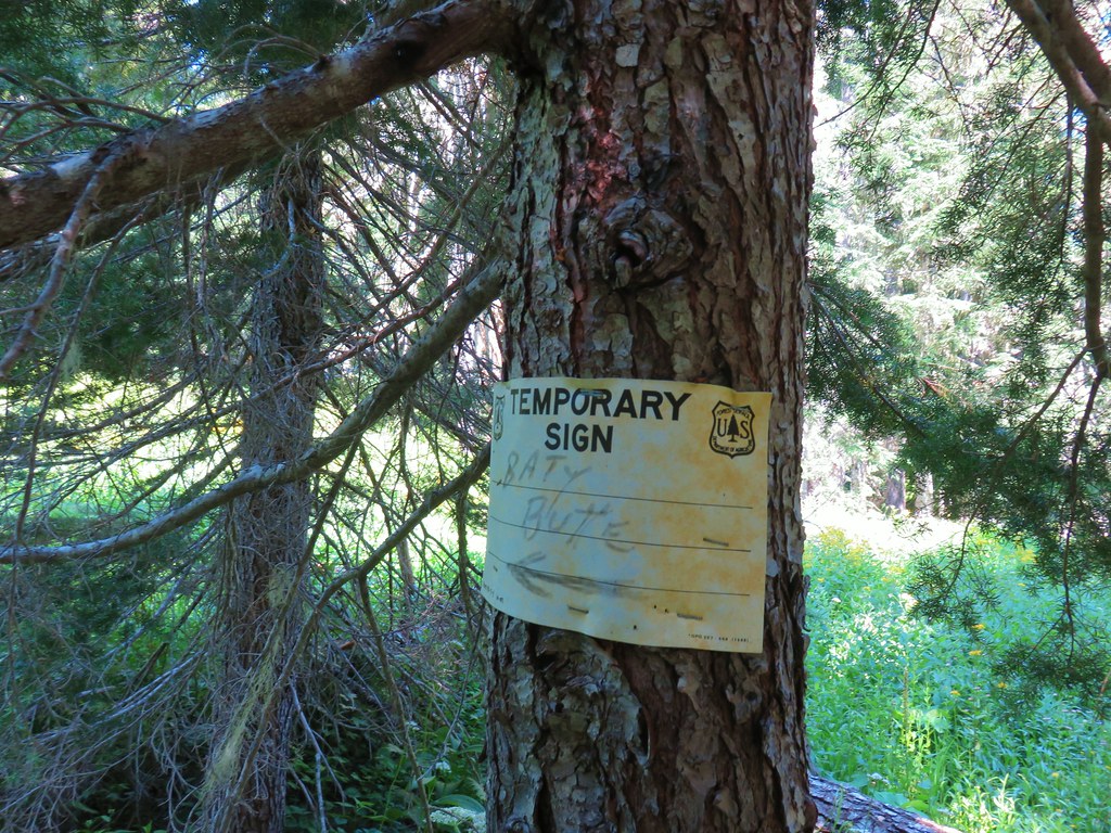
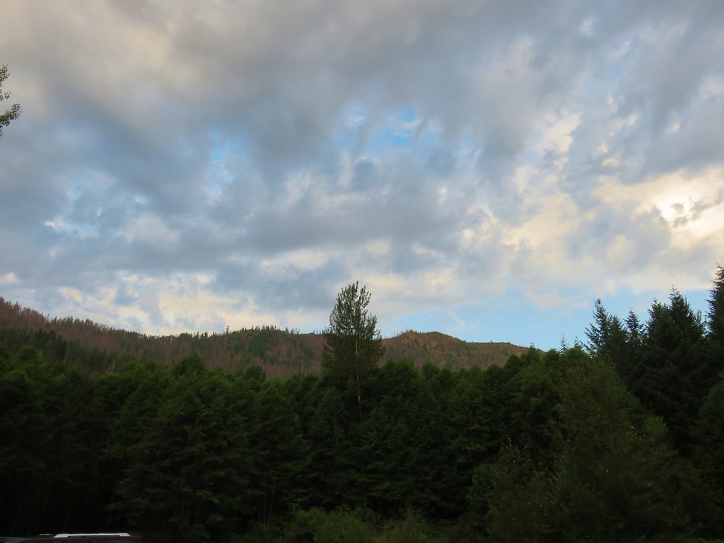
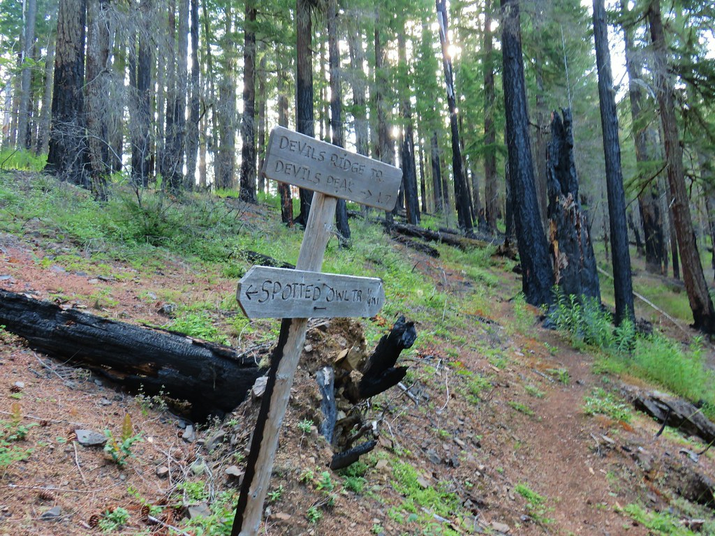
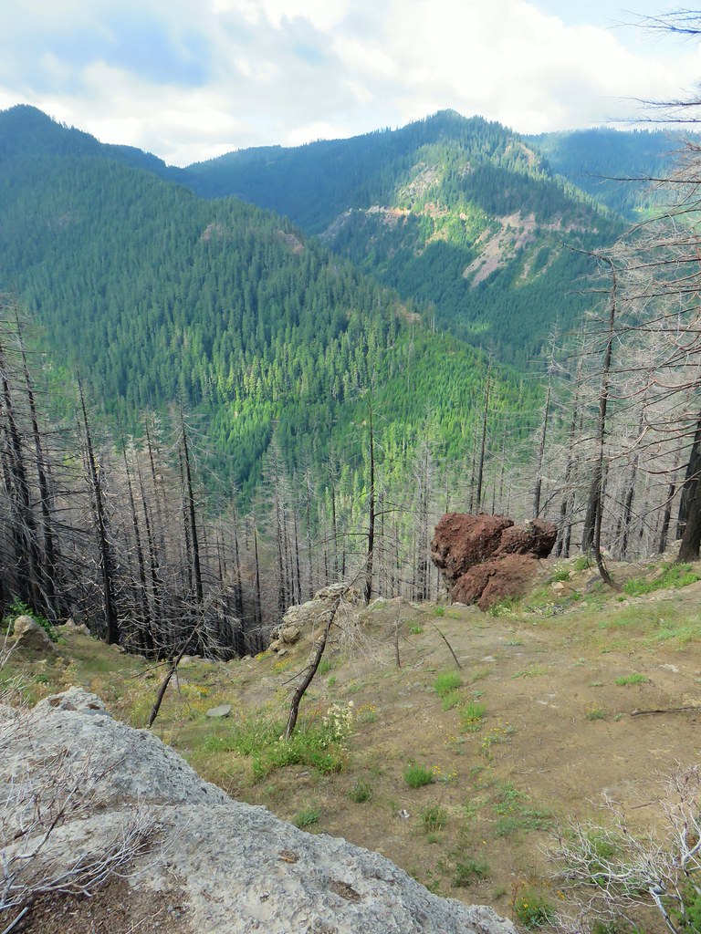
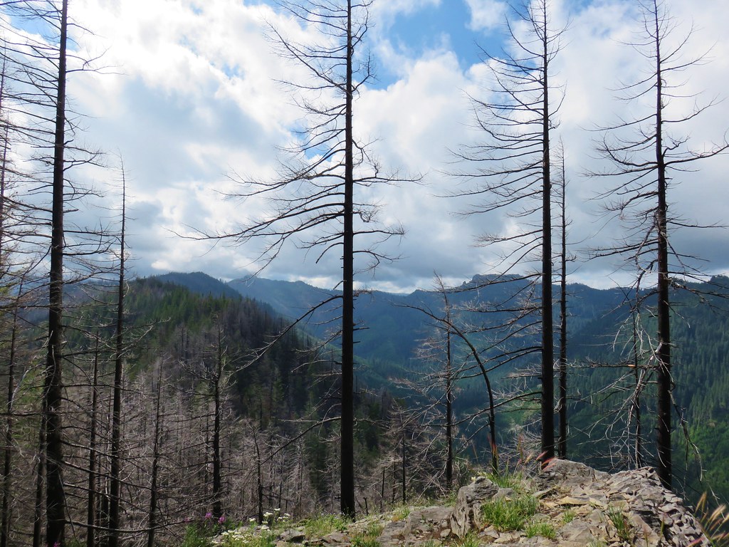
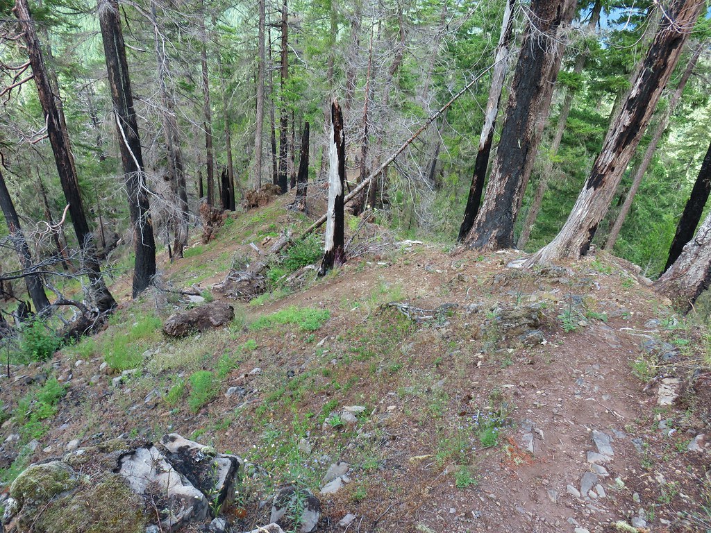
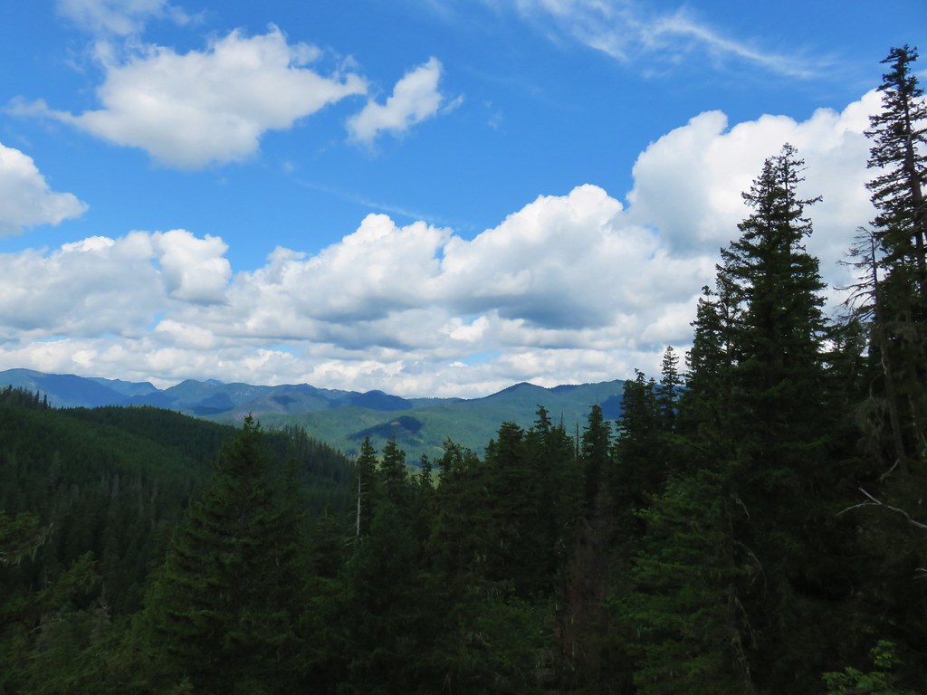
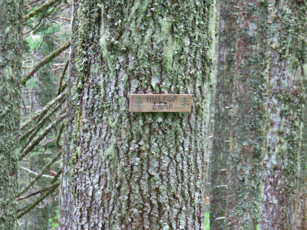
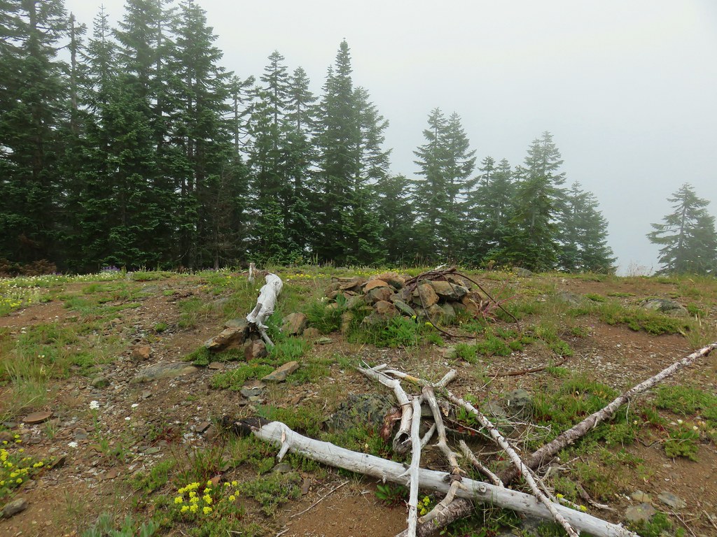
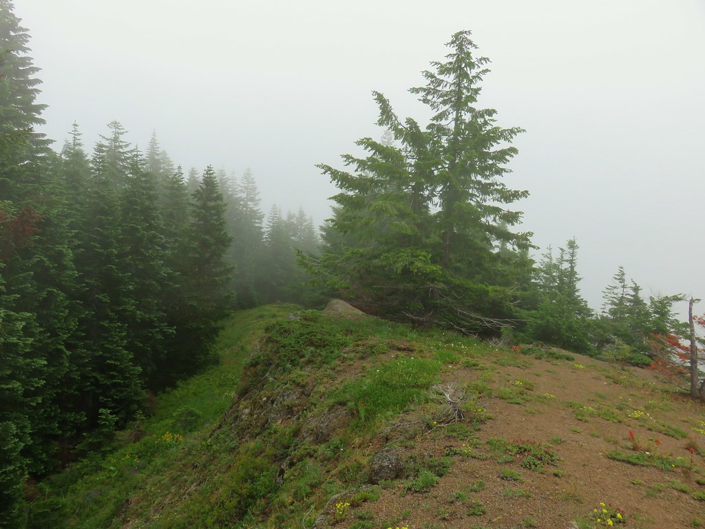
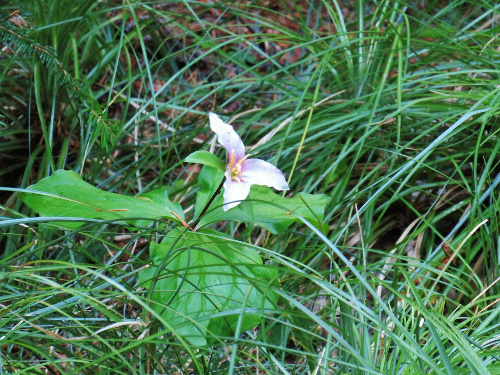
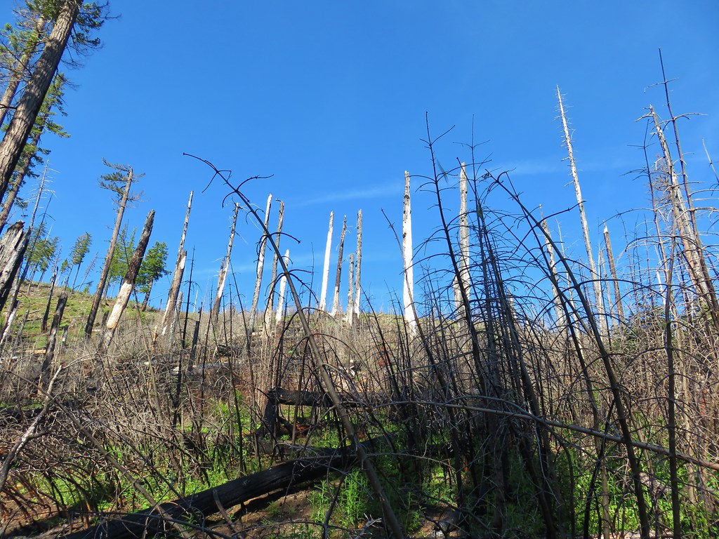
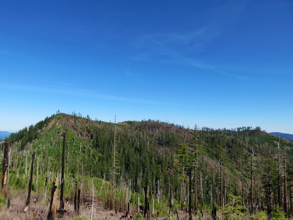
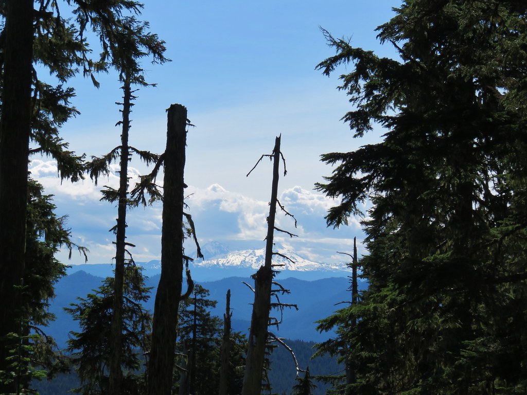
**Note the area around Little Boulder Lake burned in the 2023 Boulder Fire.**
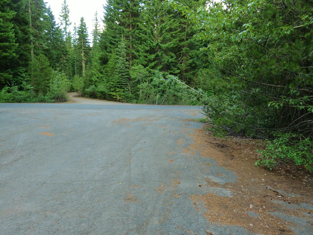
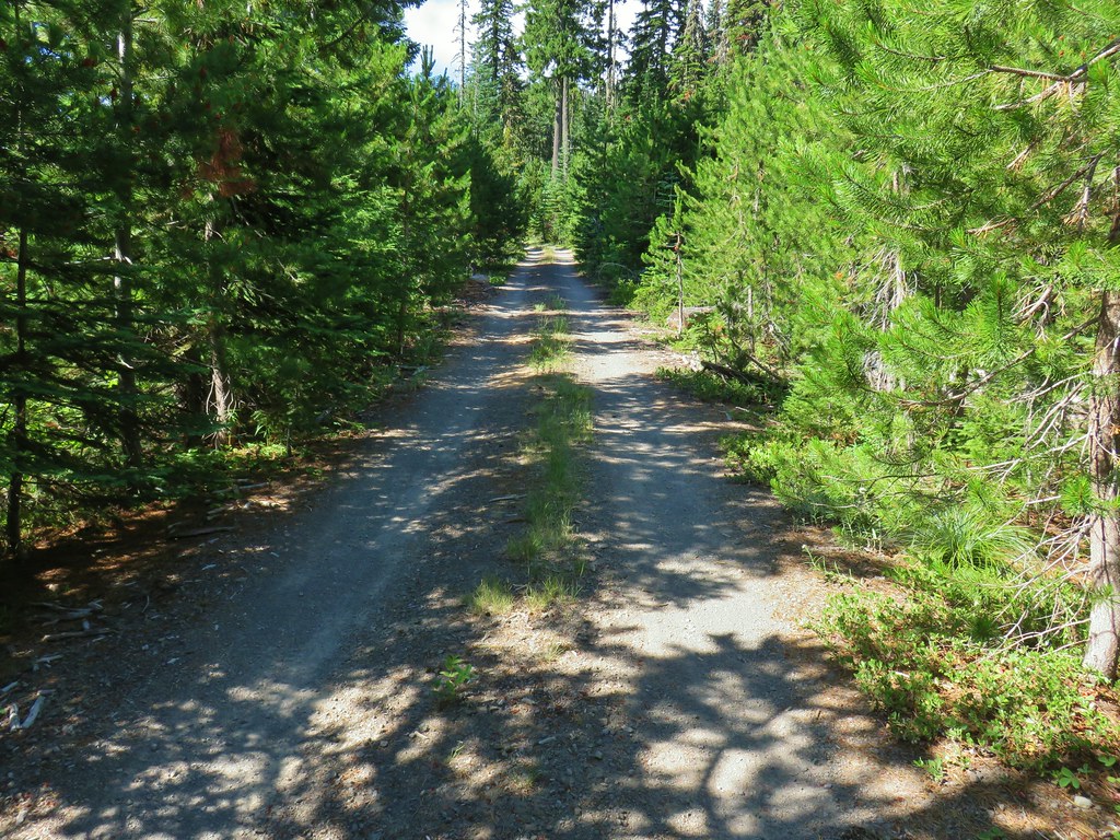
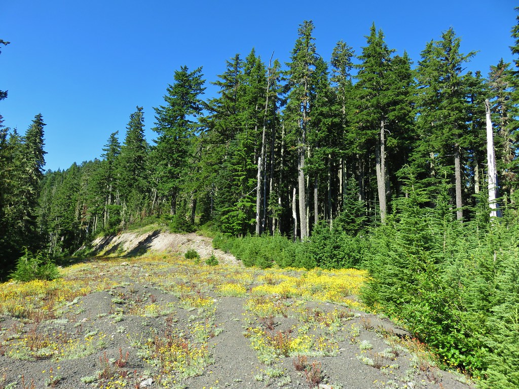
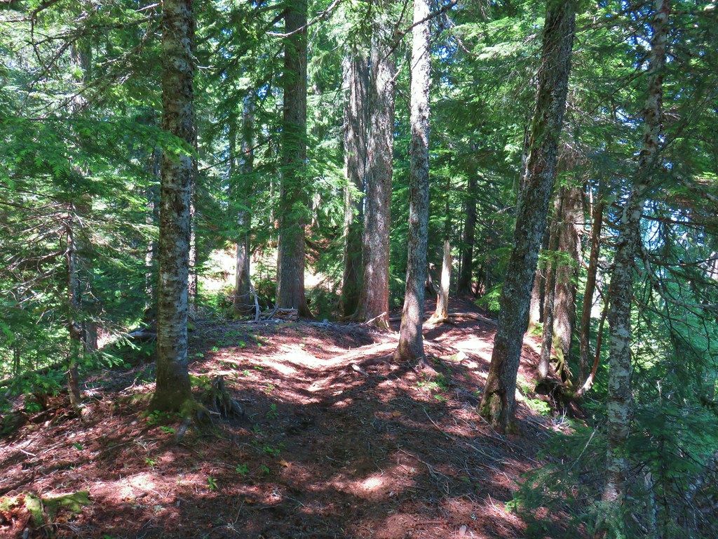
For the final hike of our vacation we again used one of Matt Reeder’s hikes as inspiration. We based this hike off of his Boulder Lake and Bonney Butte description (Hike #31 in “Off the Beaten Trail”). The starting point for Reeder’s 8.8 mile hike is the Boulder Lake Trailhead but for us that would mean a 3+ hour drive. A little research on Oregonhikers.org though gave us the idea to start at the Wamic Road Trailhead (okay it’s more of a pullout along the road than an actual trailhead) located along Forest Road 48 (Wamic Road) 6.5 miles from Highway 35. Starting here would take approximately 45 minutes off the drive time each way but it added over 4 miles and 1600′ of elevation gain to the hike.
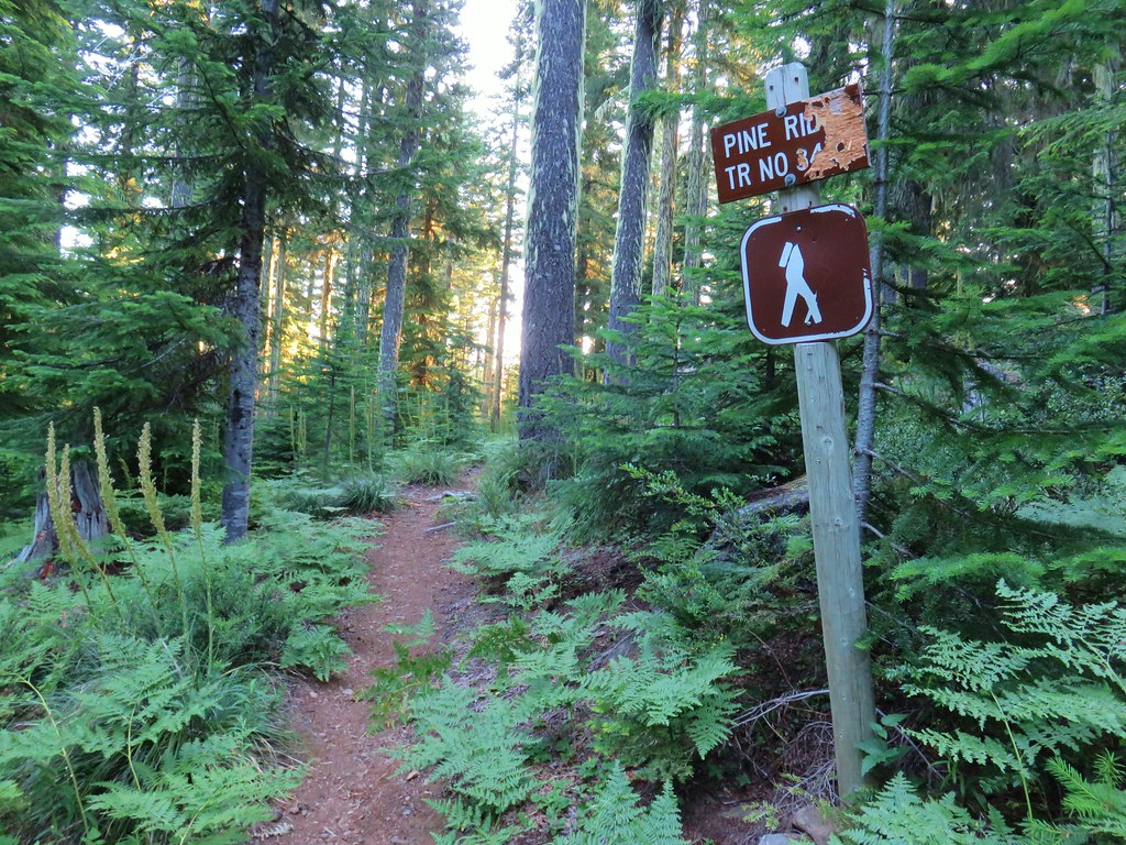
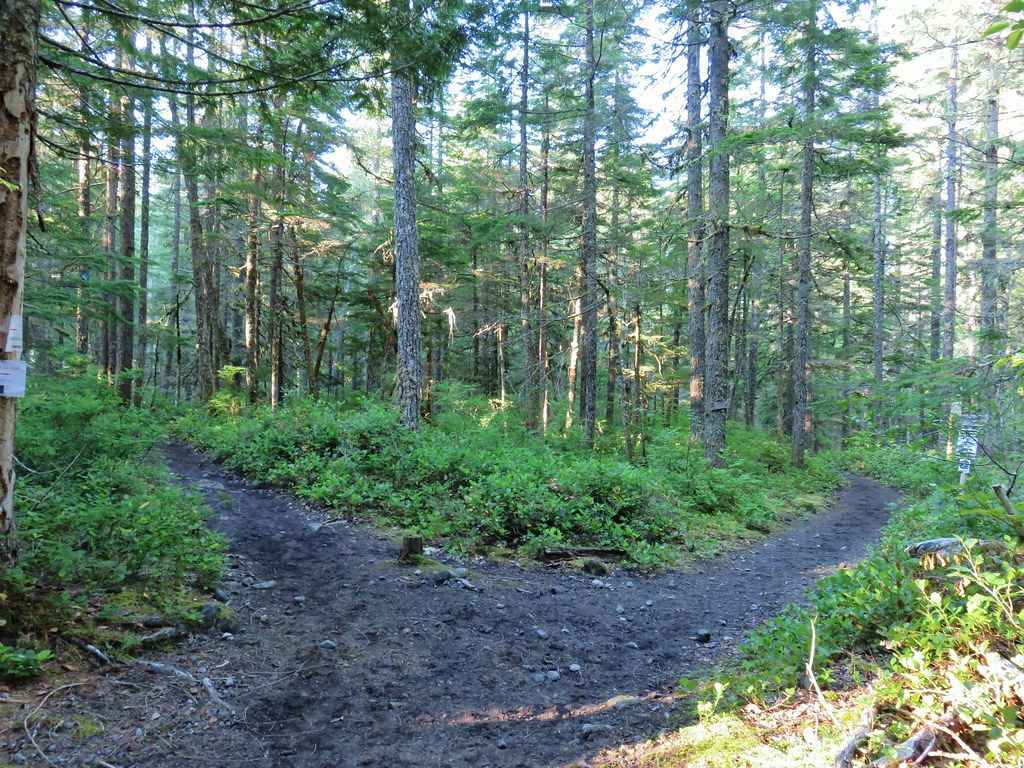
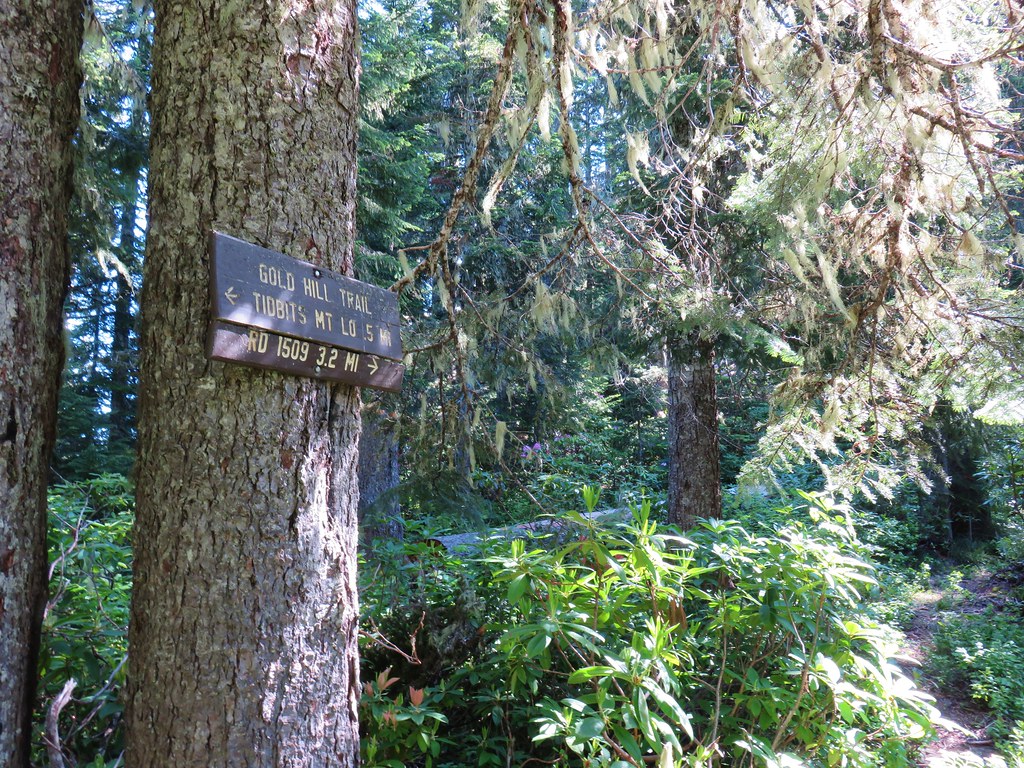
Even though we were watching for the Bonney Meadows Trail we only spotted it as we passed by so we had to turn around and go back. We had been scanning the shoulder for the trail and missed a big white X in the road marking the spot.

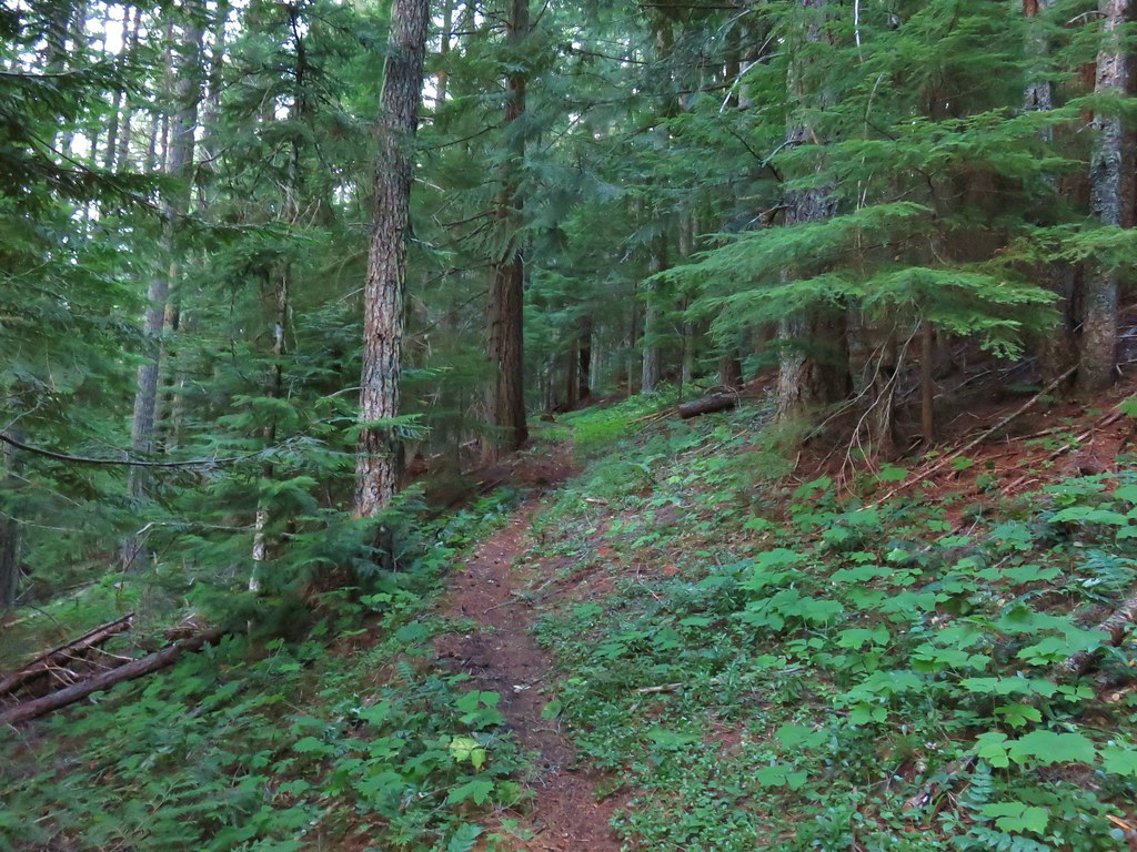
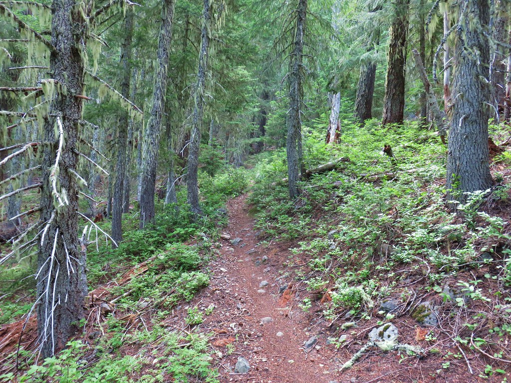
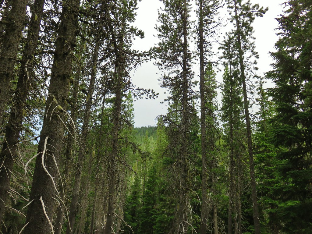
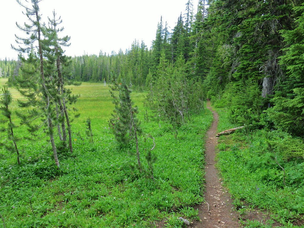
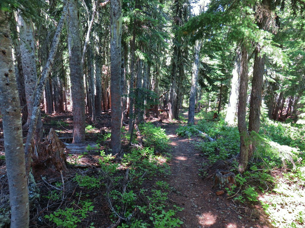
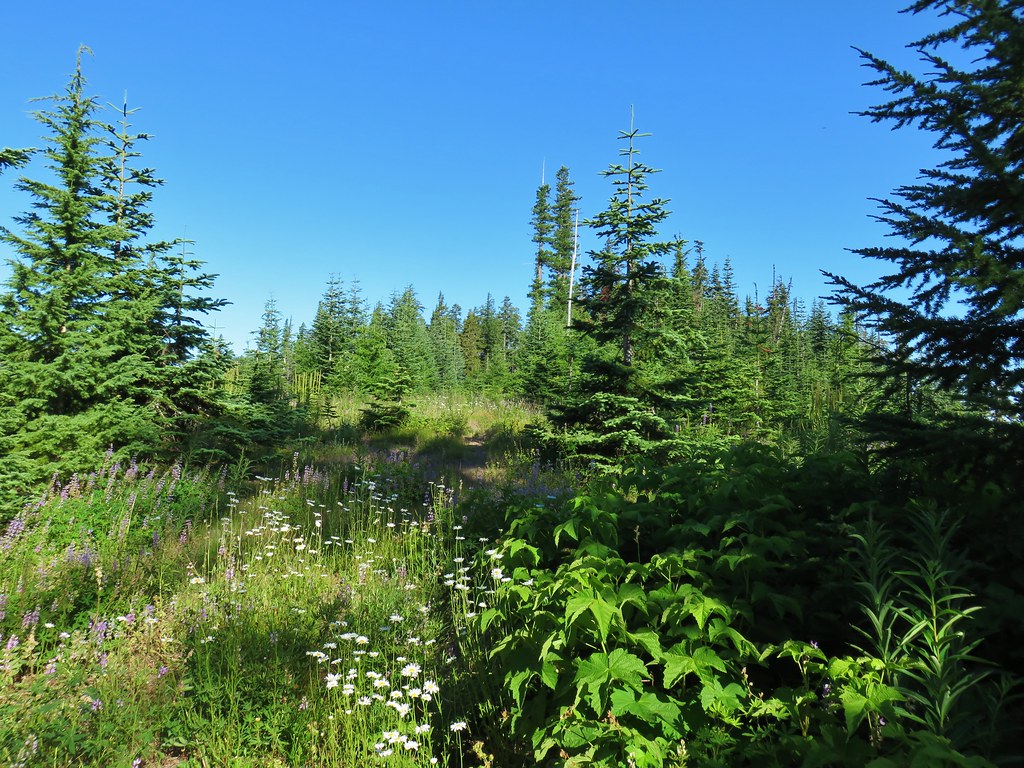
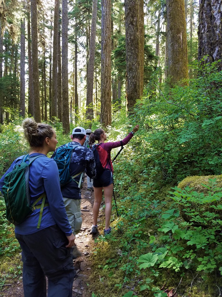
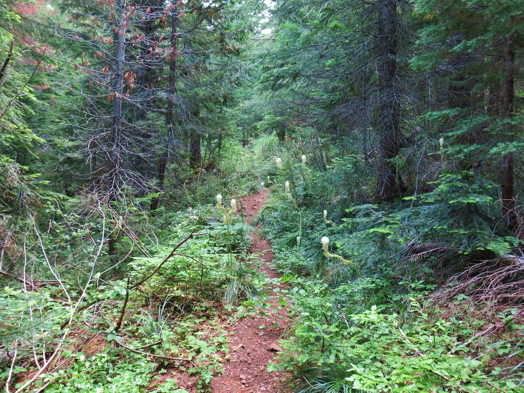
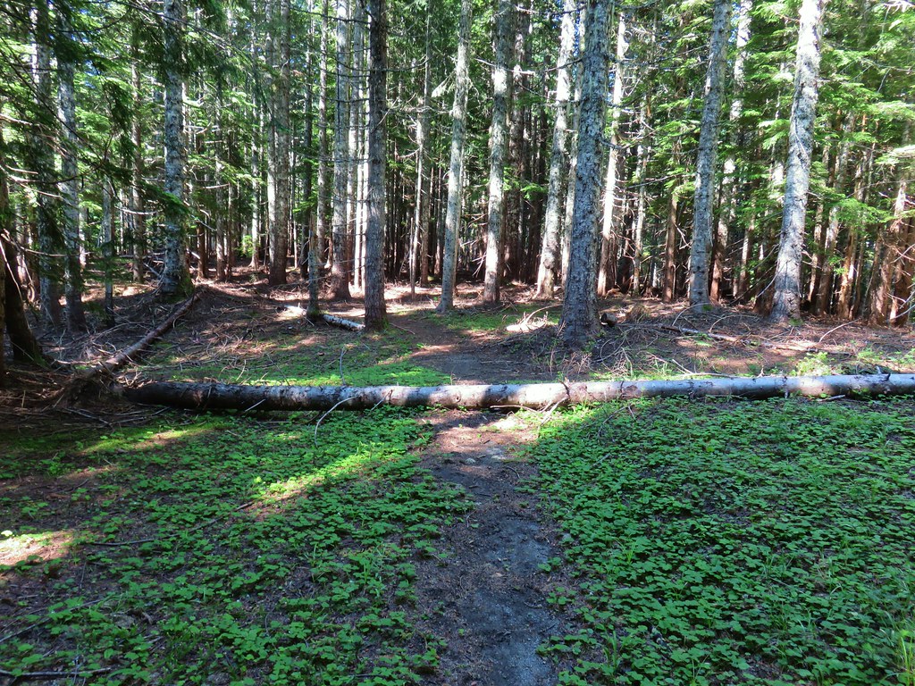
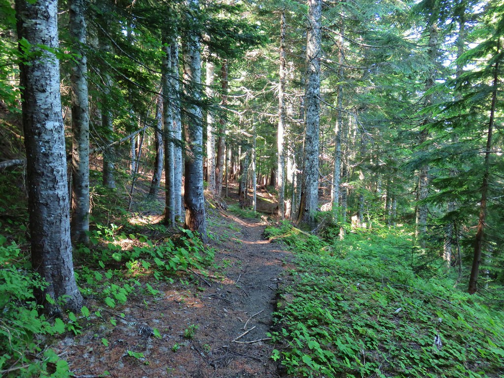
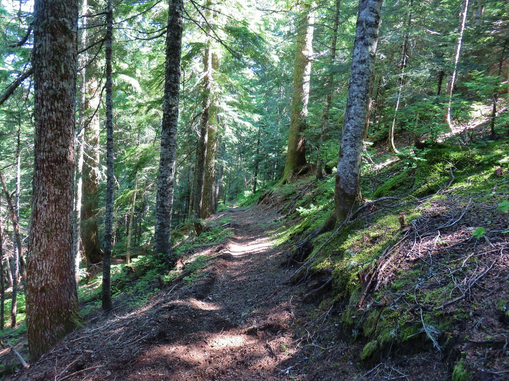
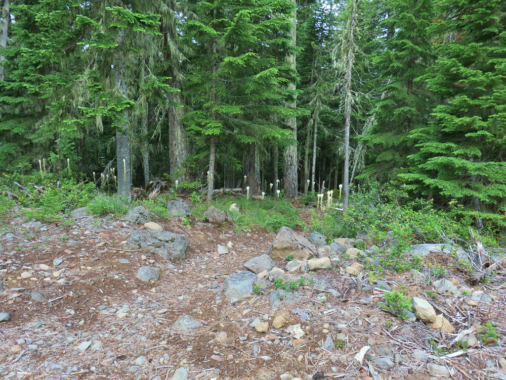
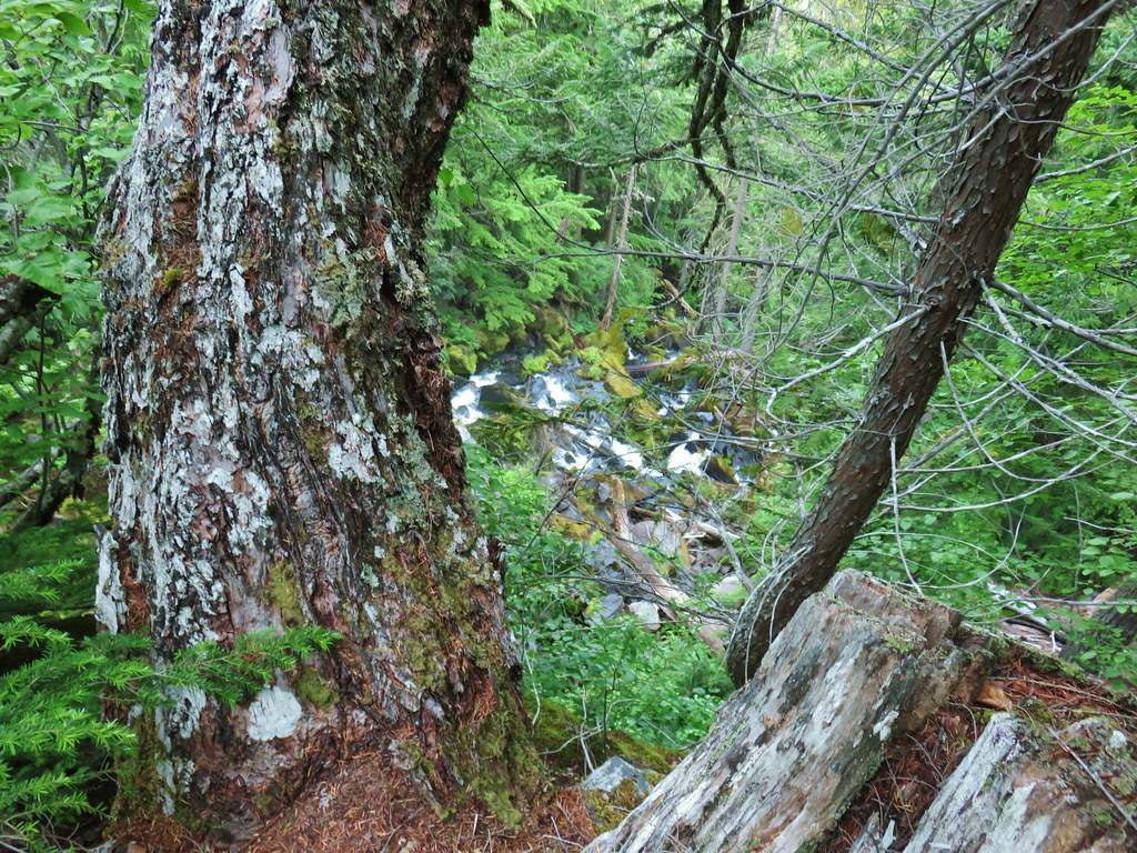
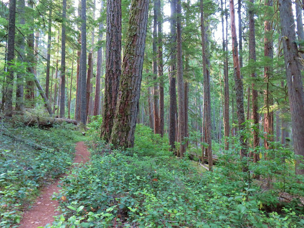
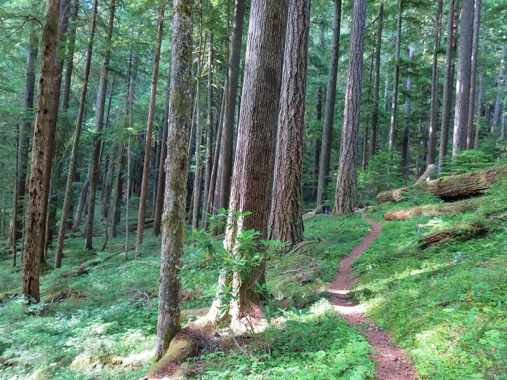
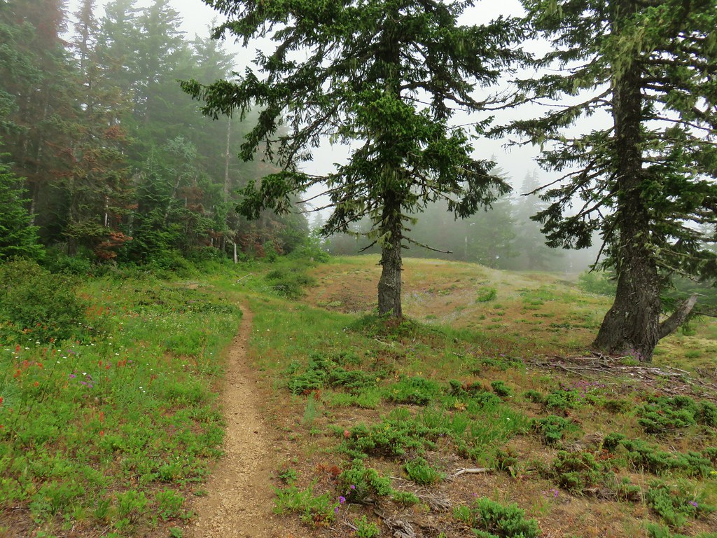
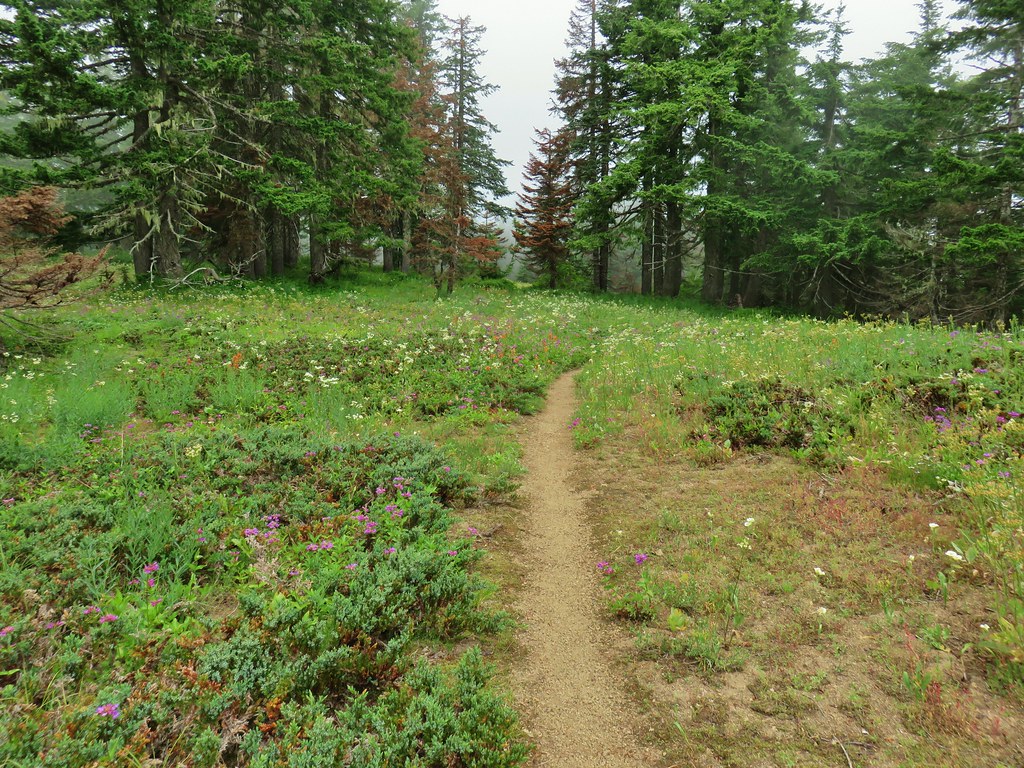
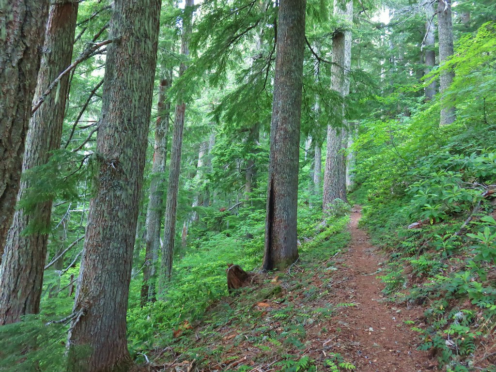
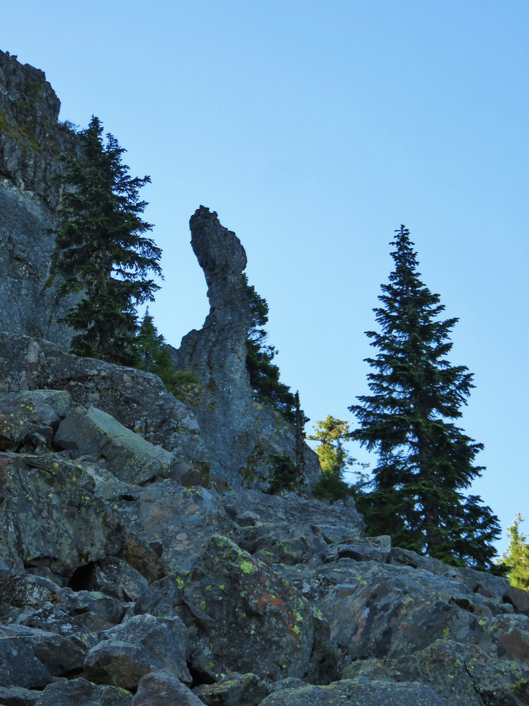
The Bonney Meadows Trail climbed from the start angling up the hillside as it passed through a nice mixed forest. The climb was constant but never particularly steep.

Approximately a half mile from Wamic Road the trail arrived at FR 4890 which it followed to the left for a short distance to a wide intersection.

The trail resumed a short distance up a spur road to the left at the intersection.
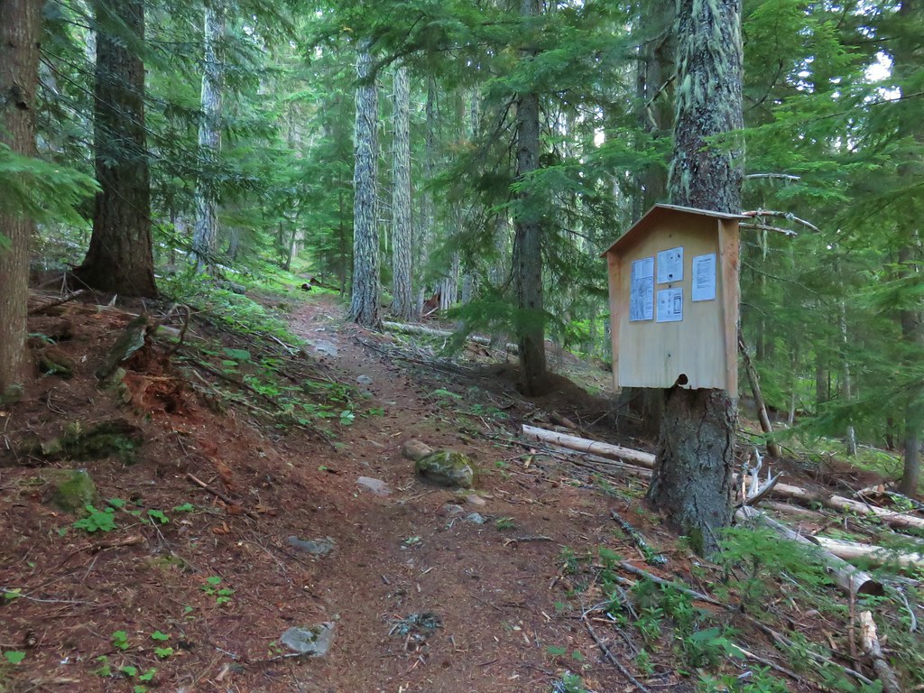
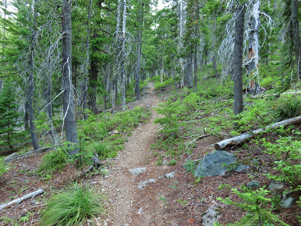
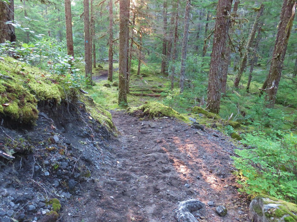
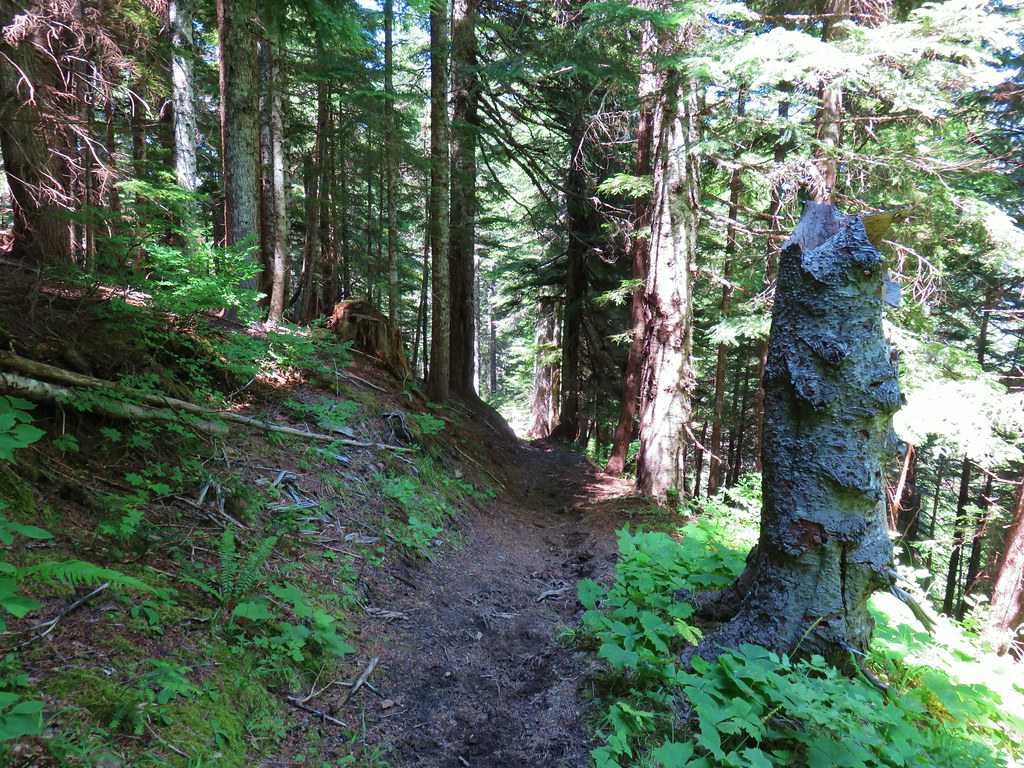
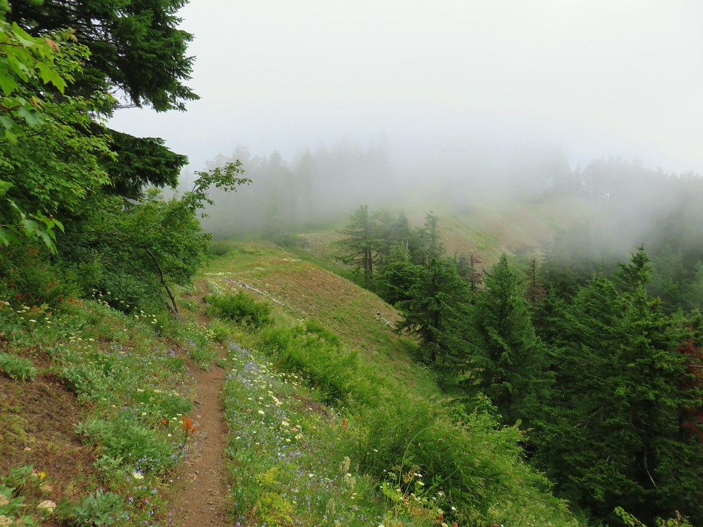
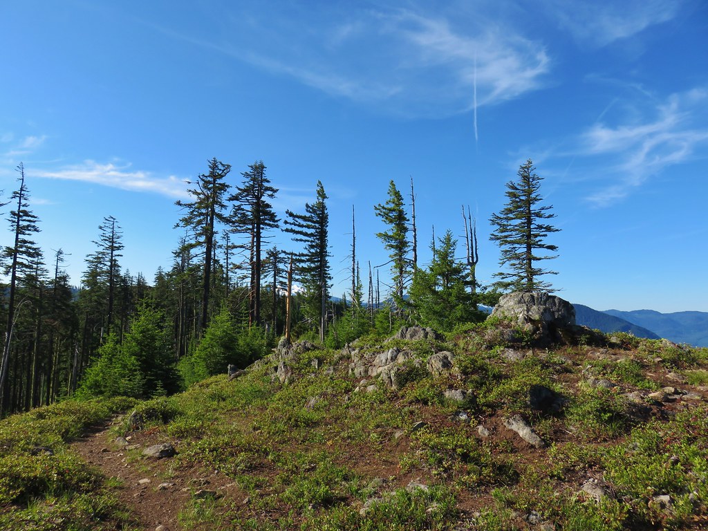
Shortly after passing a signboard near the road we entered the Badger Creek Wilderness.

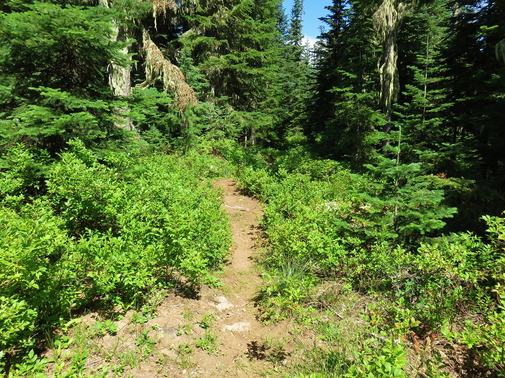
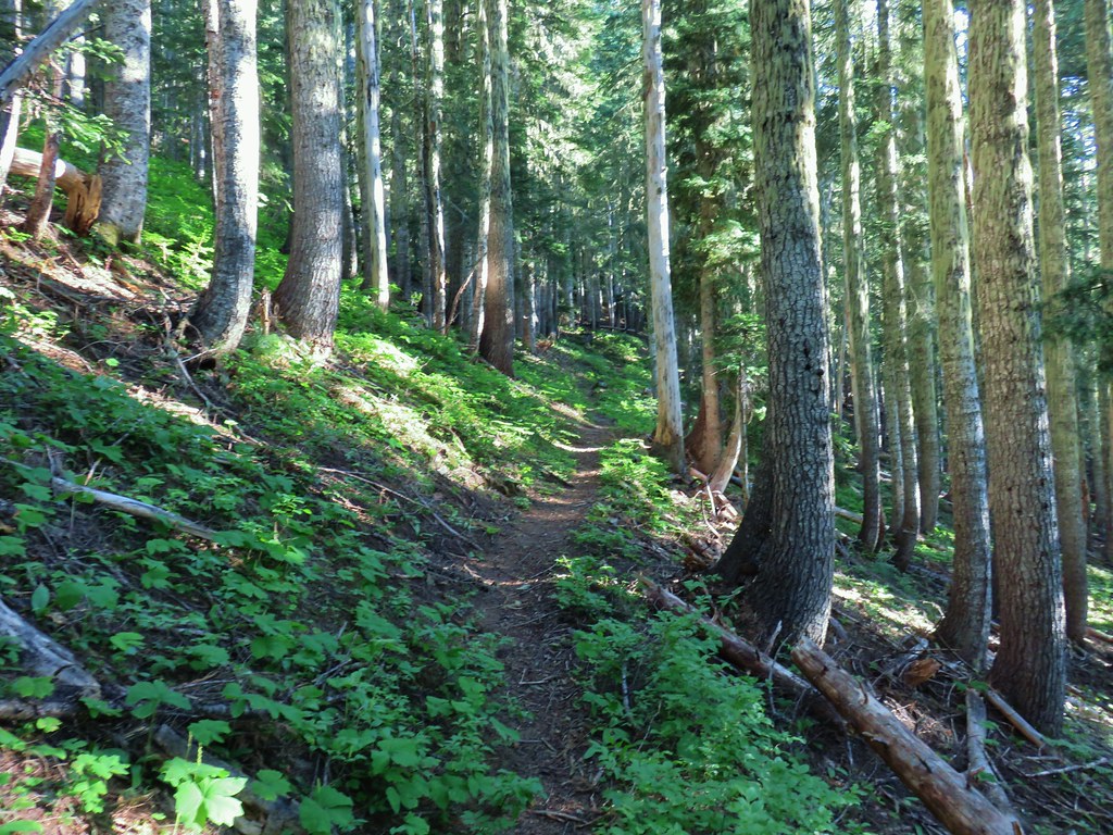
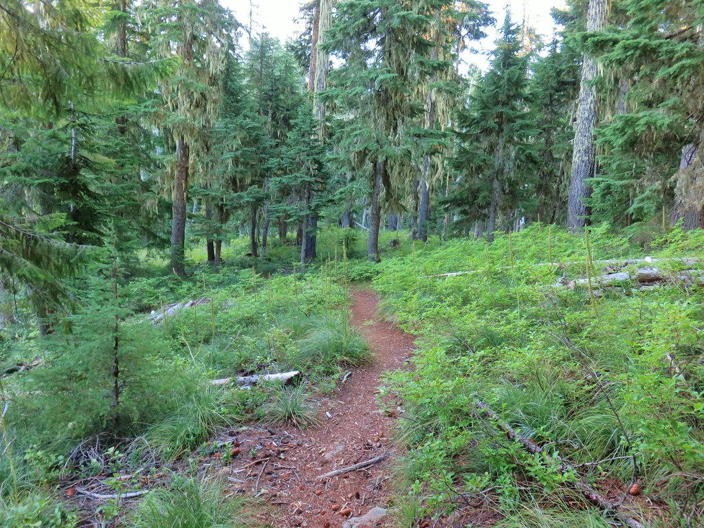
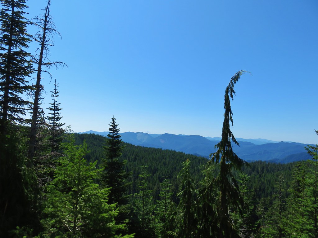
The forest changed subtly as we gained elevation.

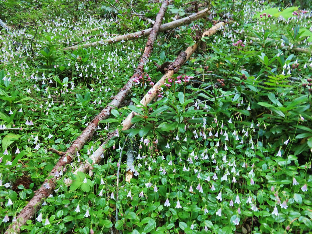 Twin flower and prince’s pine
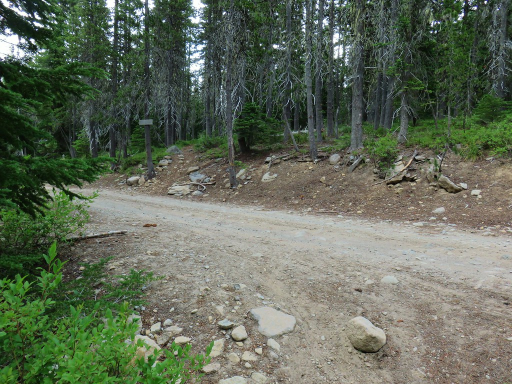
After approximately 2 1/4 miles we left the wilderness and arrived at Bonney Meadows Road.
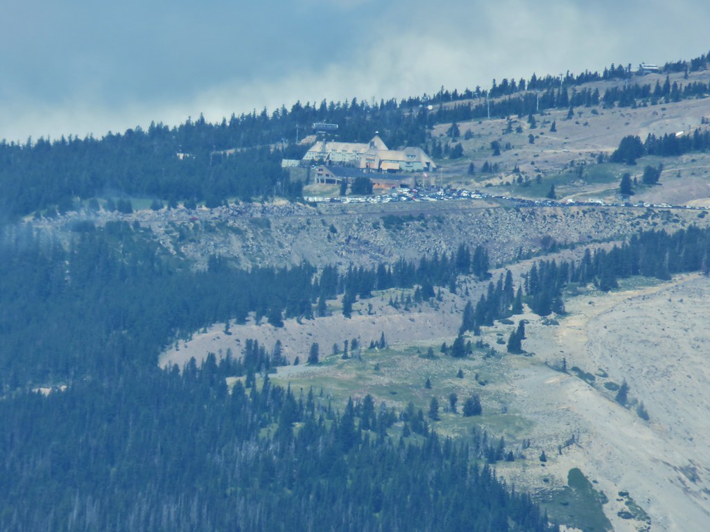
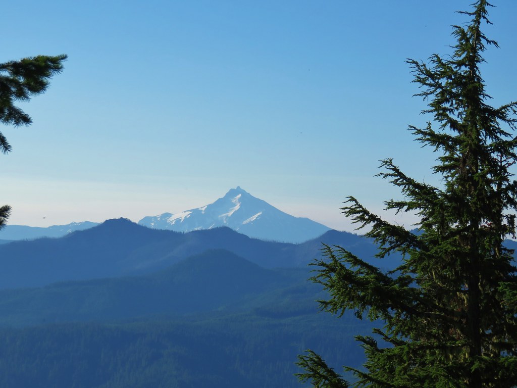
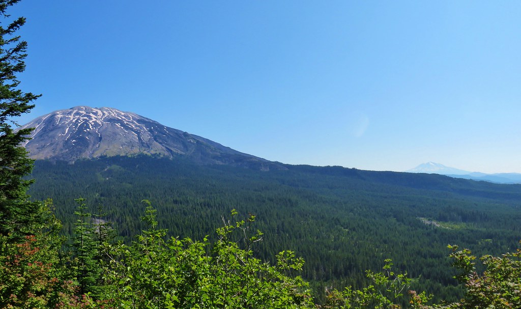
We faced a choice here. We could have turned left and walked up the road a little over half a mile to the gated road up Bonney Butte or we could continue on the Bonney Meadows Trail and visit the Boulder Lakes before heading up Bonney Butte later in the day. We’d had a fairly clear view of Mt. Hood from Highway 35 at the White River Bridge, but it was overcast in that direction now so we opted to try for Bonney Butte later. We crossed the road and continued on the trail.
 Overcast skies over Bonney Butte

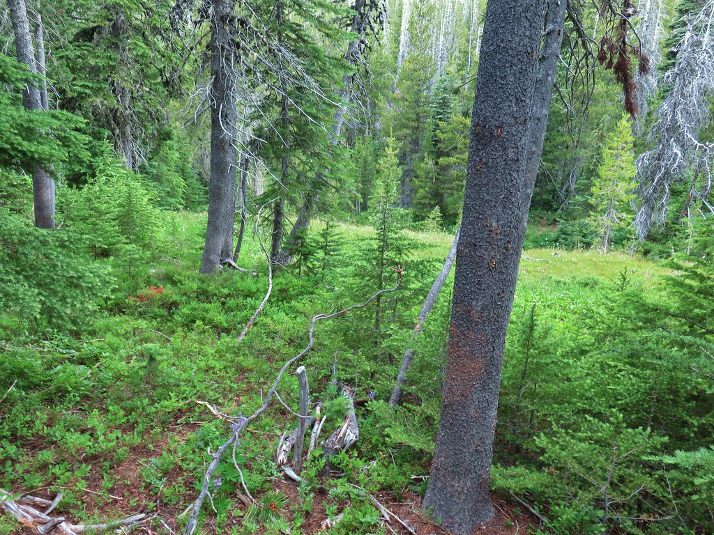
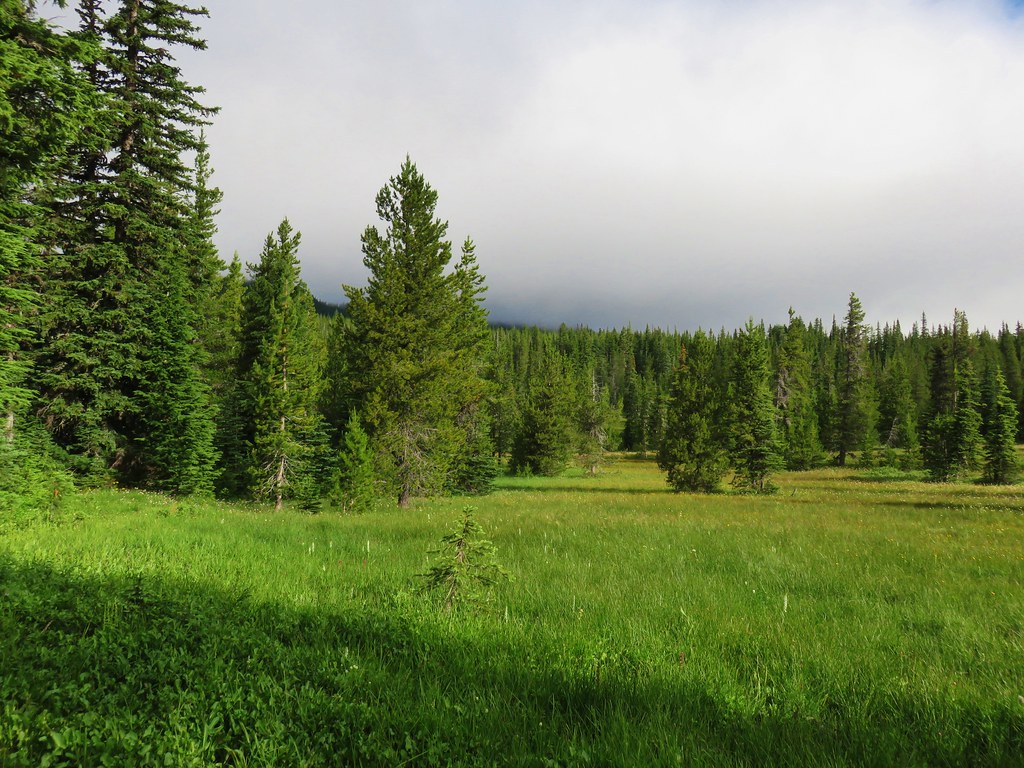
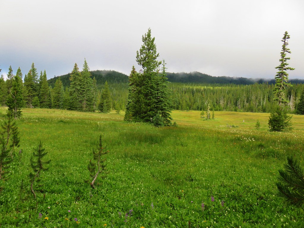
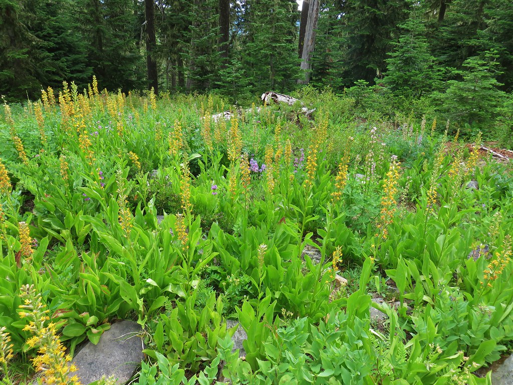
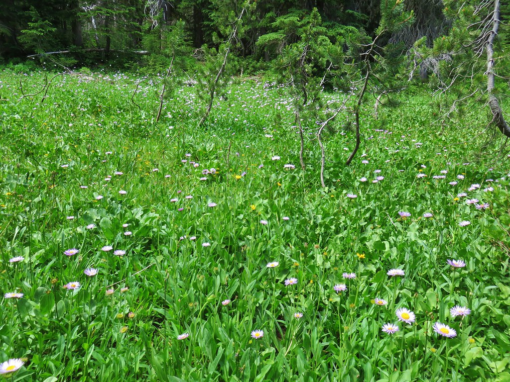
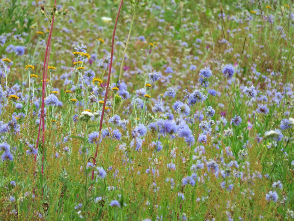
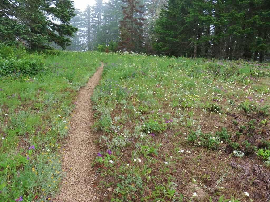
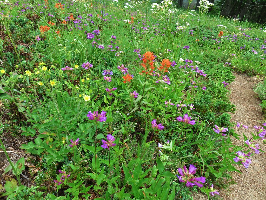
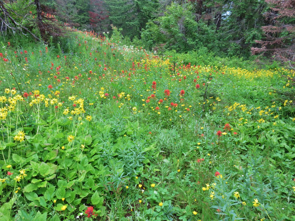
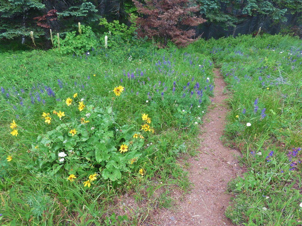
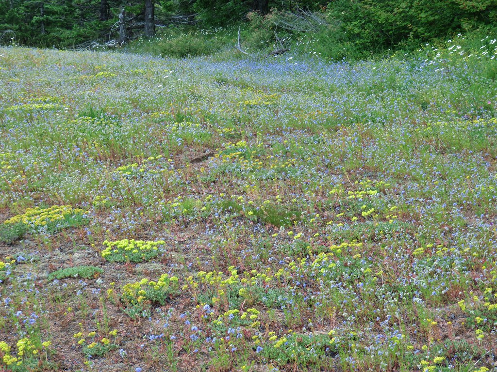
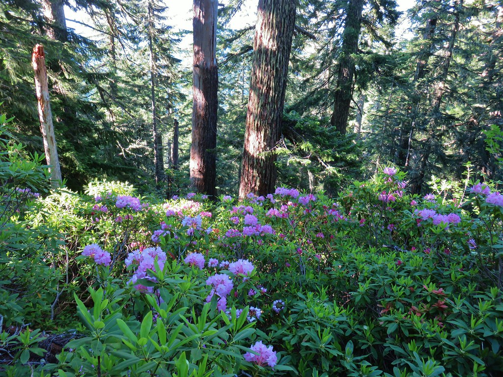
The Bonney Meadows Trail began to pass along the outskirts of Bonney Meadows.
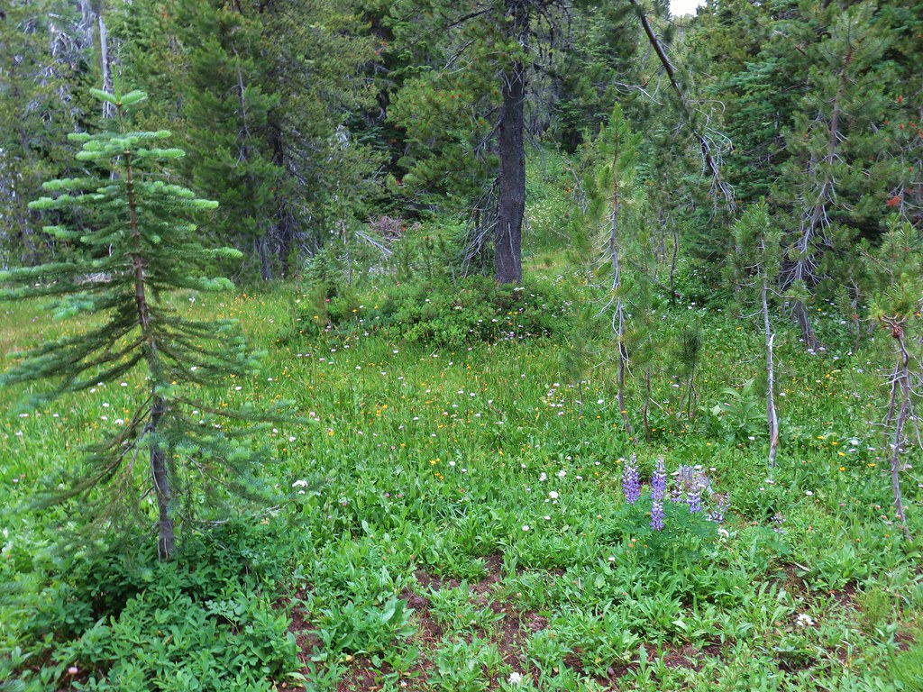
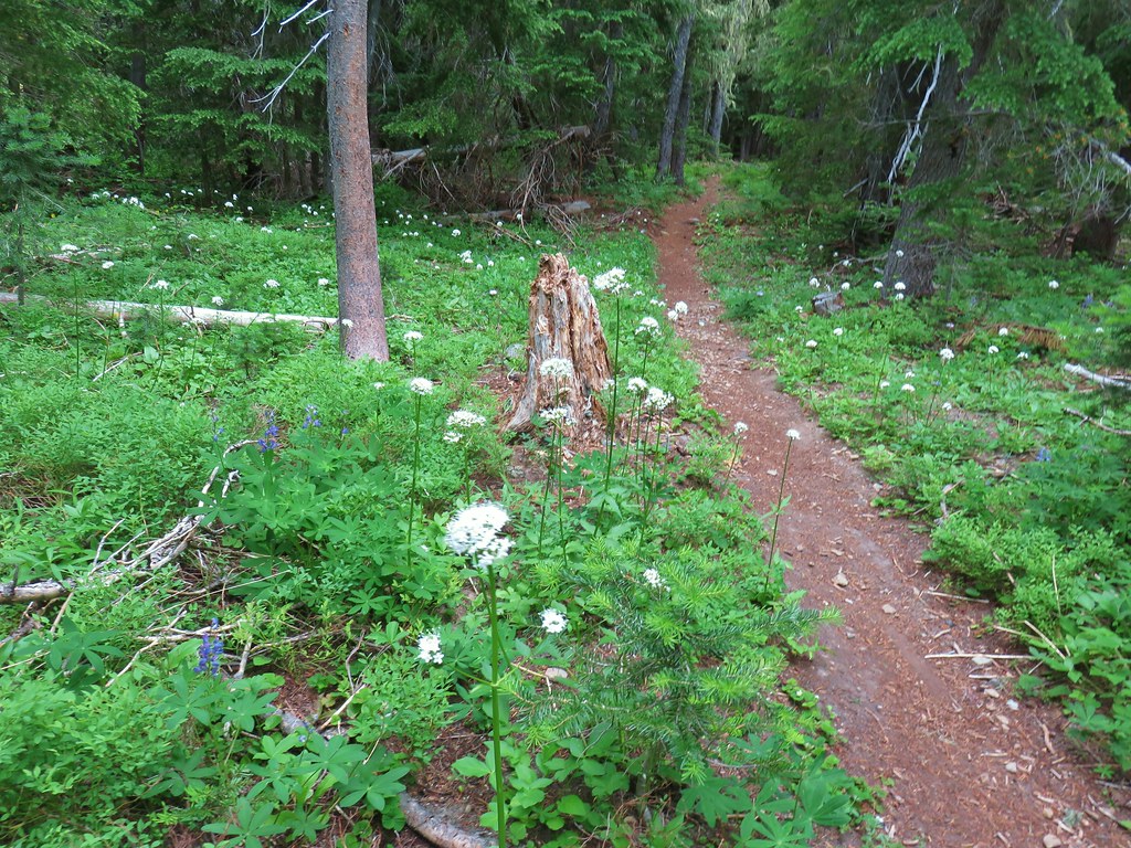
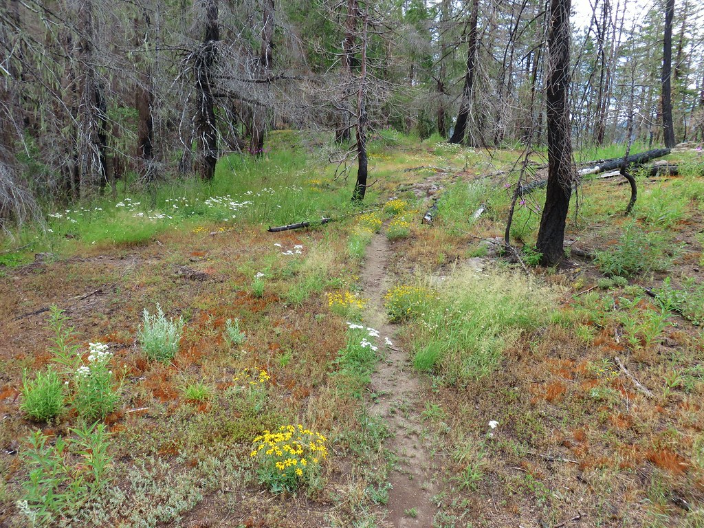
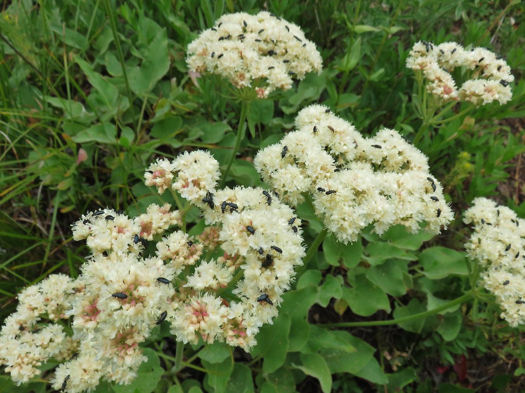
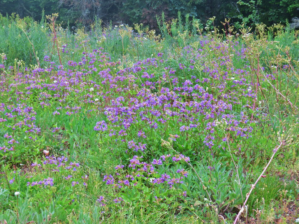
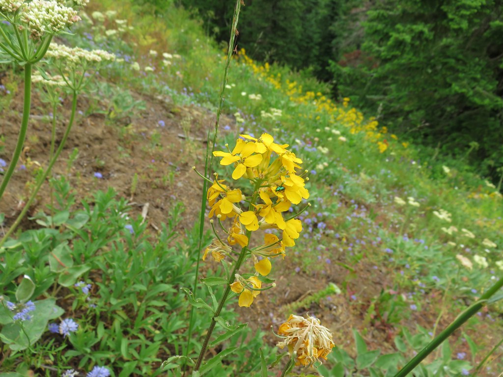
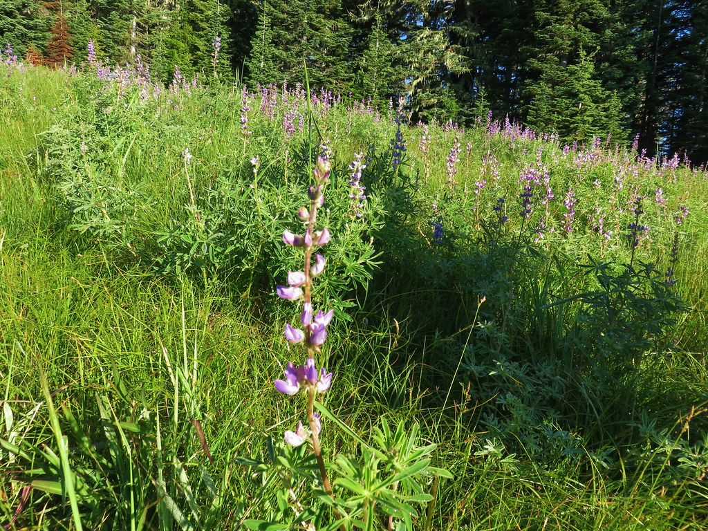
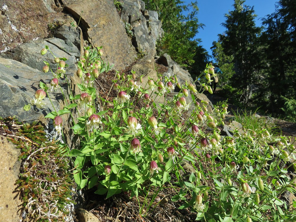
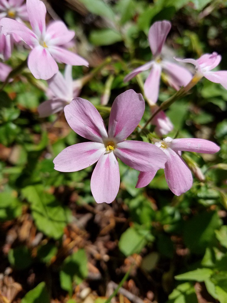
It was past prime for the flowers but there was still a decent number to be seen.


 Mountain chickadee
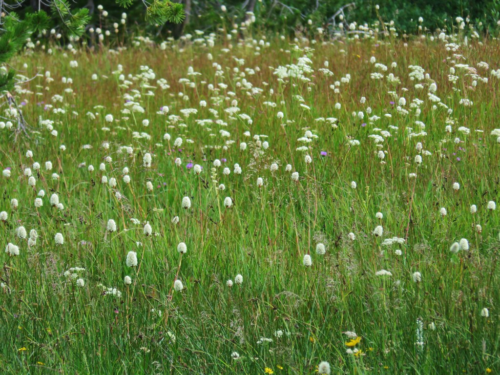
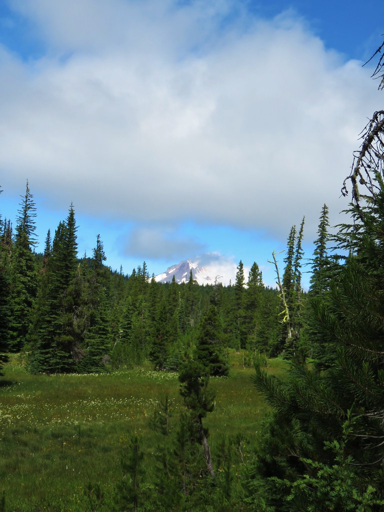
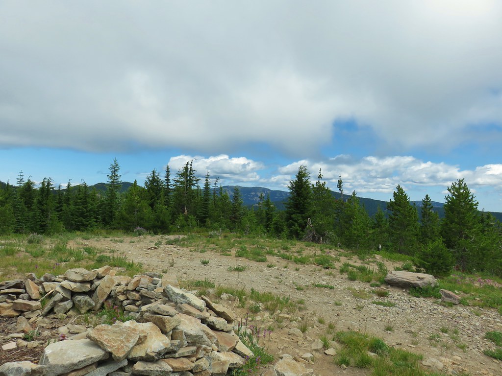
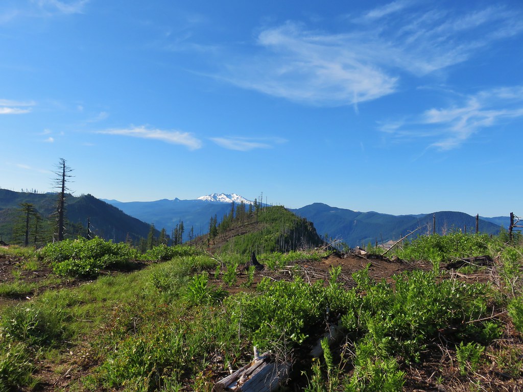
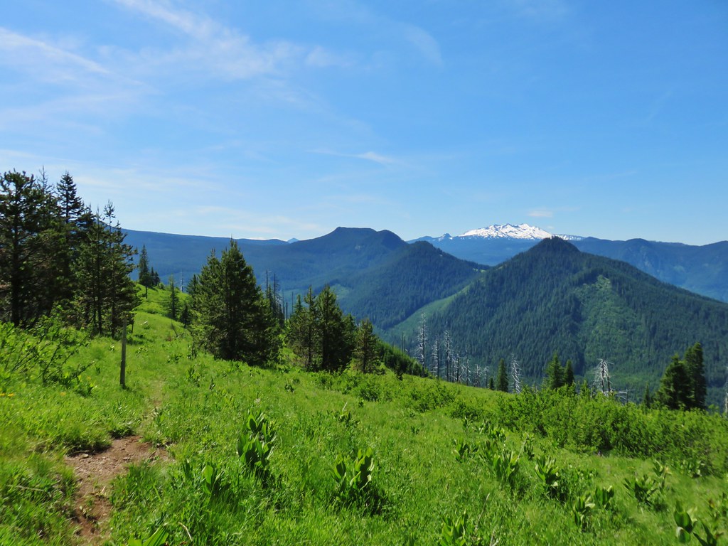
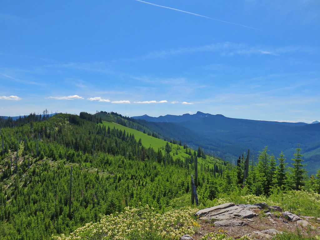
The meadows were bigger than we had expected and on a clearer day we would have been looking across them at the top of Mt. Hood.
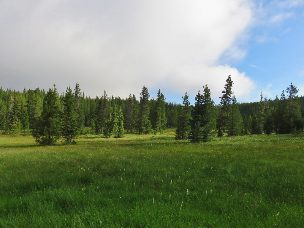
As it was we settled for looking at the different flowers still in bloom.
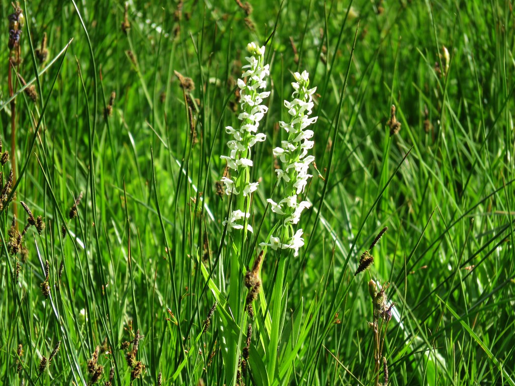 Bog orchids
 Shooting star
 Elephants head
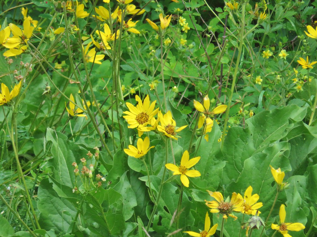
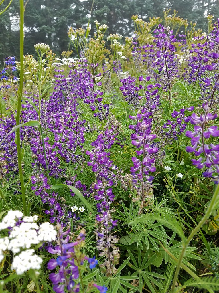
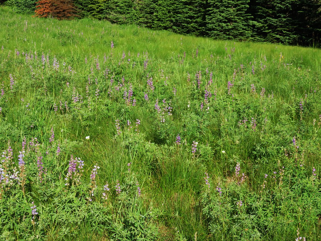
 Lupine
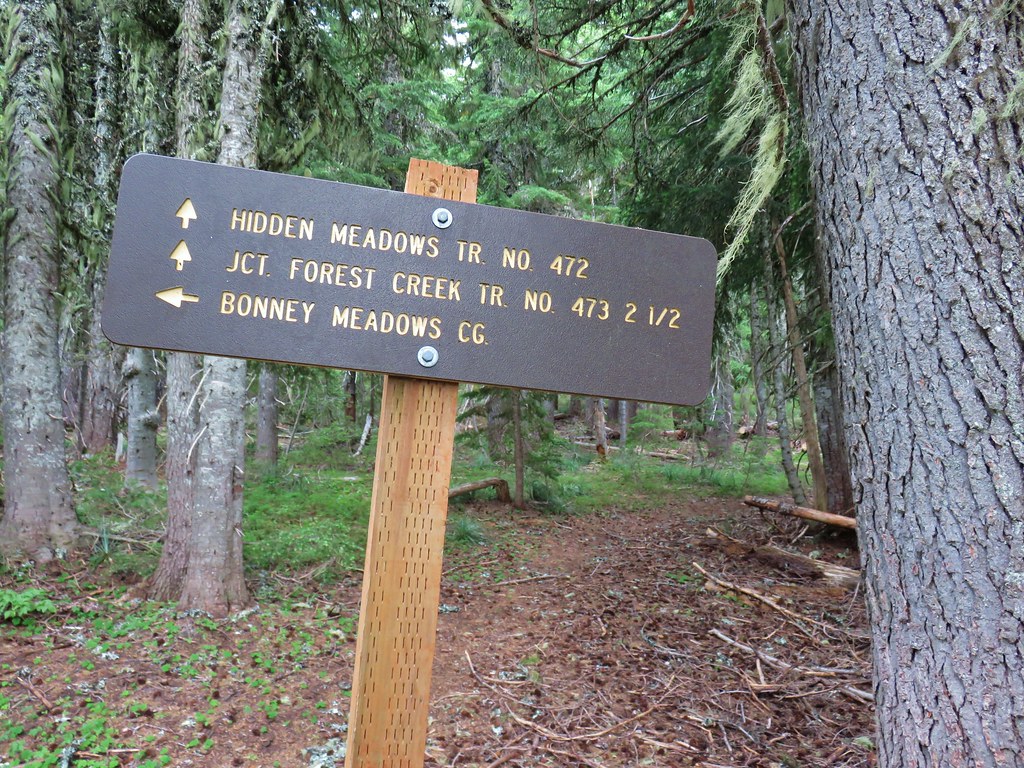
We ignored the Hidden Meadows Trail which left to the right a quarter mile from the road crossing.
Just beyond that junction we passed a small pond as we continued our way around the Bonney Meadows.

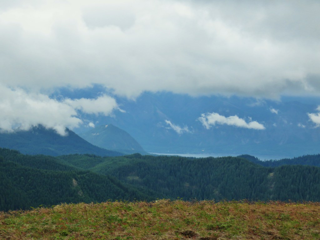
 Clouds dropping down after passing over Bonney Butte, it looked like we’d made a good choice.

A half mile from the Hidden Meadows Trail junction we arrived at a second junction, this time with the Forest Creek Trail. This would be our return route from the Boulder Lakes but the trail also forms a loop with the Hidden Meadows Trail.

 Mt. Hood should be straight ahead.
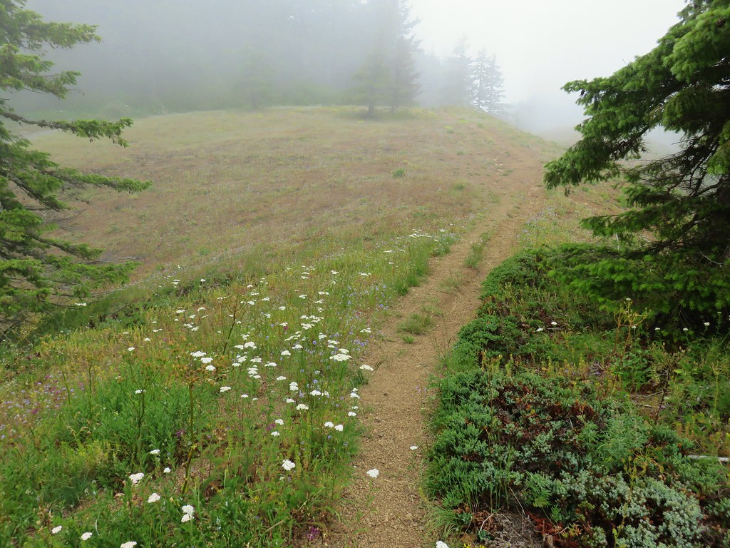
We continued on the Bonney Meadows Trail for another eighth of a mile to a third junction. Here we turned right onto the Boulder Lakes Trail.

After a short stint passing by more meadow the Boulder Lake Trail dove downhill.

 Mock orange


There had been a decent number of small birds around the meadows but as we headed down this forested hillside we started seeing dozens of little birds flying every which way. A couple of times they zoomed right by our heads, possibly plucking insects out of the air. We noticed several different types but getting any of the little guys to sit still long enough for pictures was a challenge.
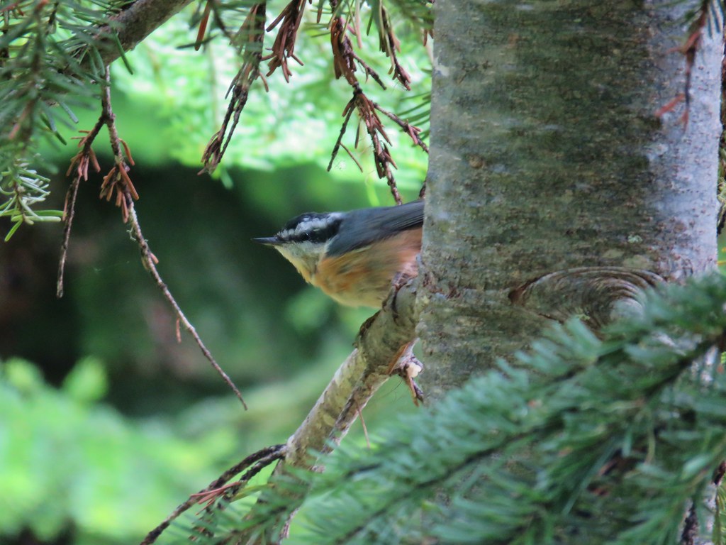
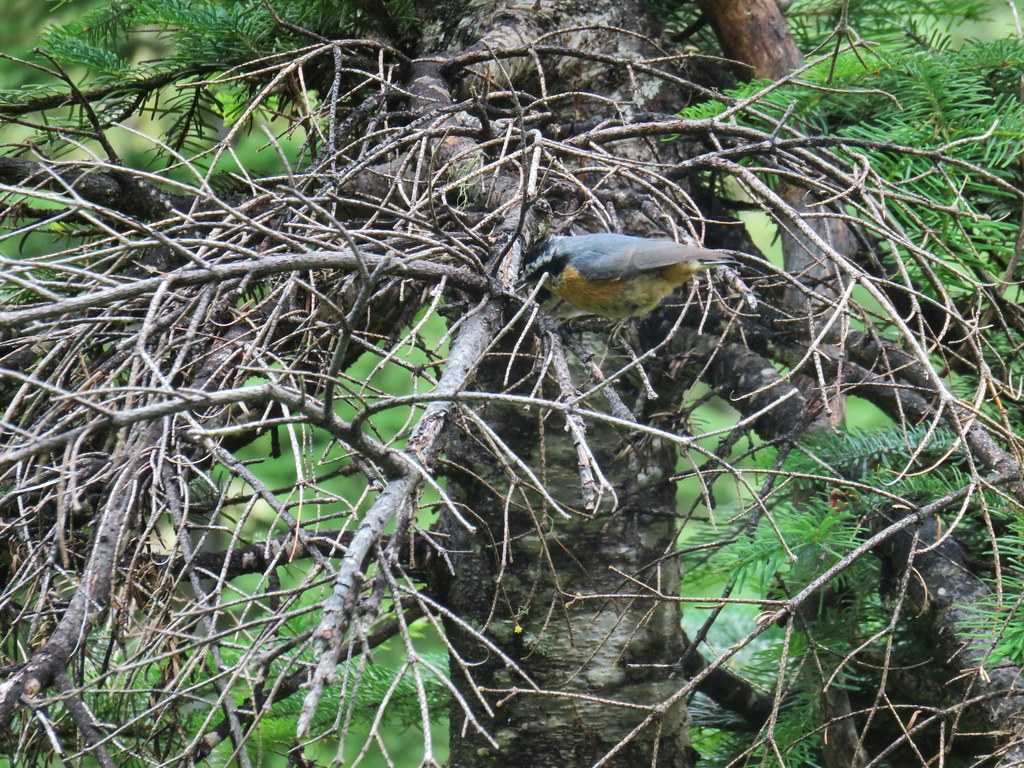
 Red-breasted nuthatch
 Another nuthatch
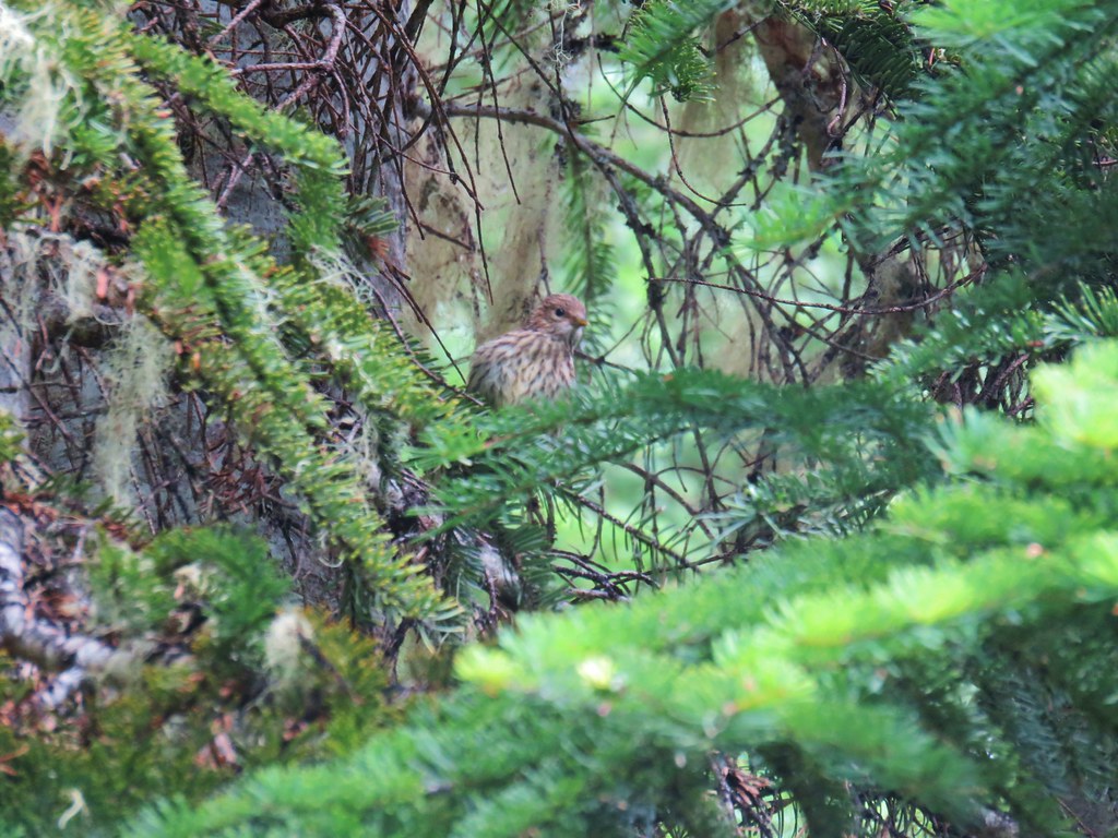 Sparrow
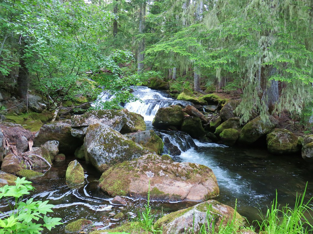
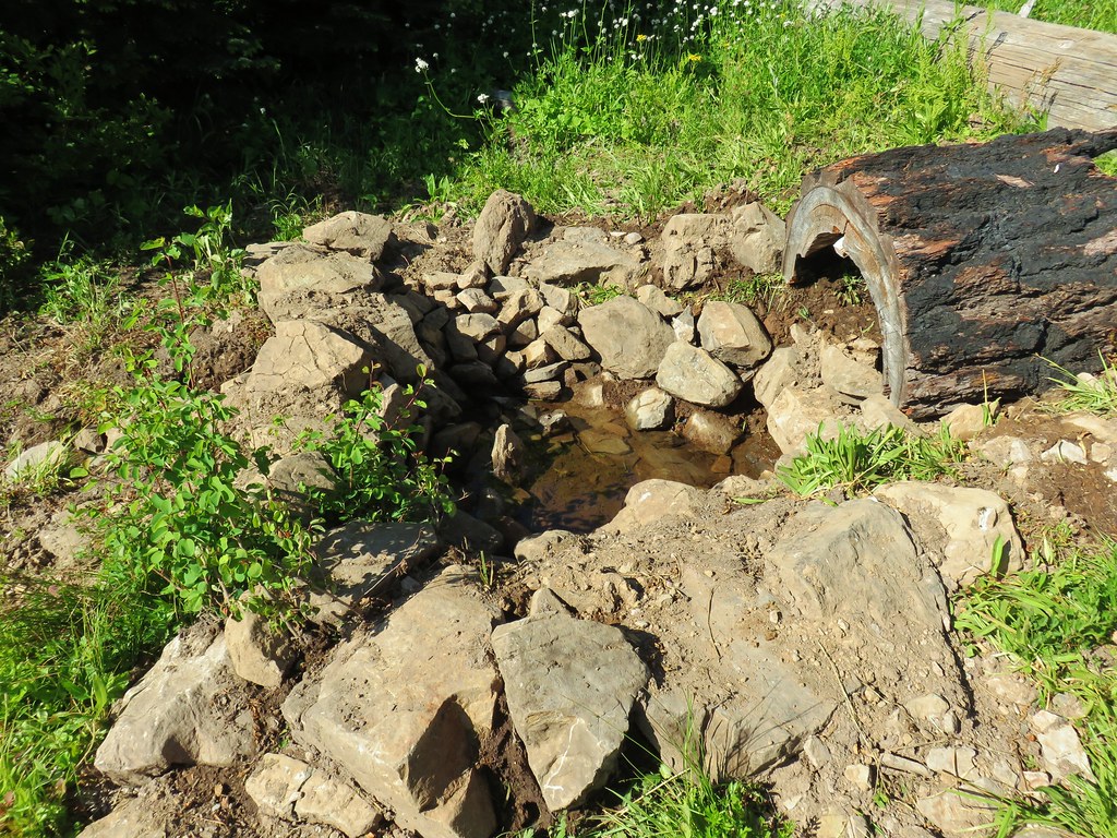
After .4 miles on the Boulder Lake Trail we came to a switchback where the trail turned SE and leveled out a bit near a spring.

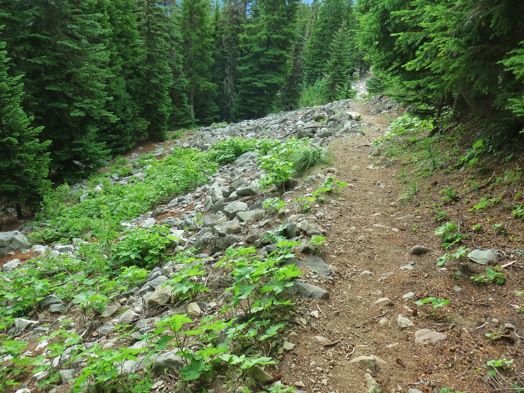
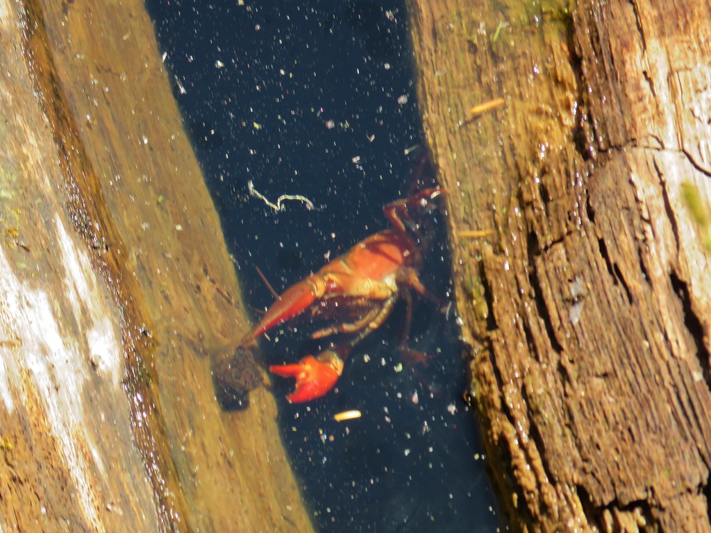
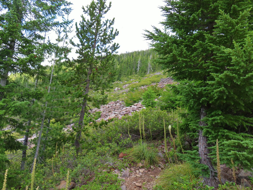
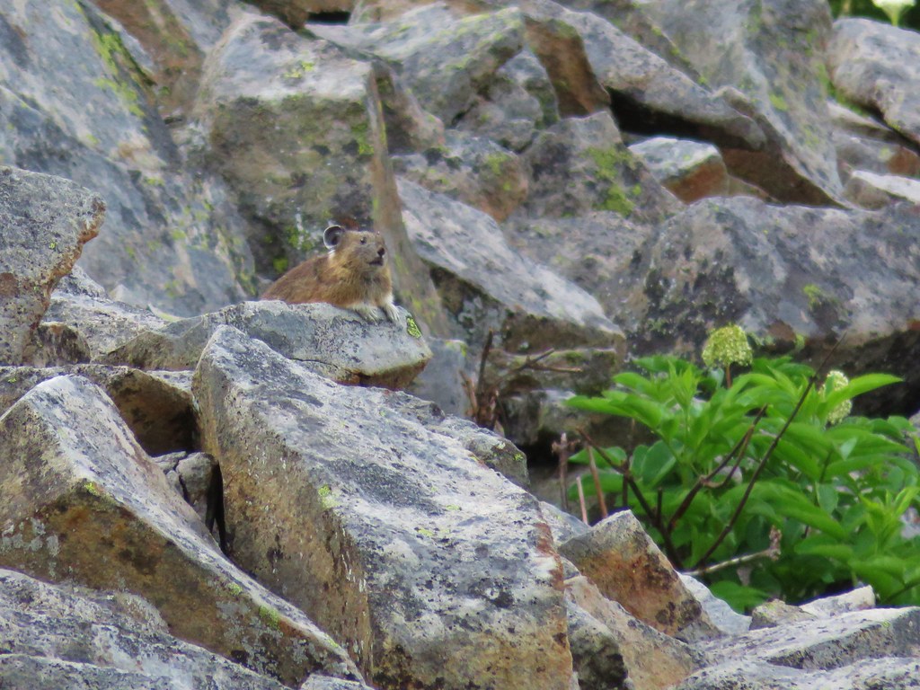
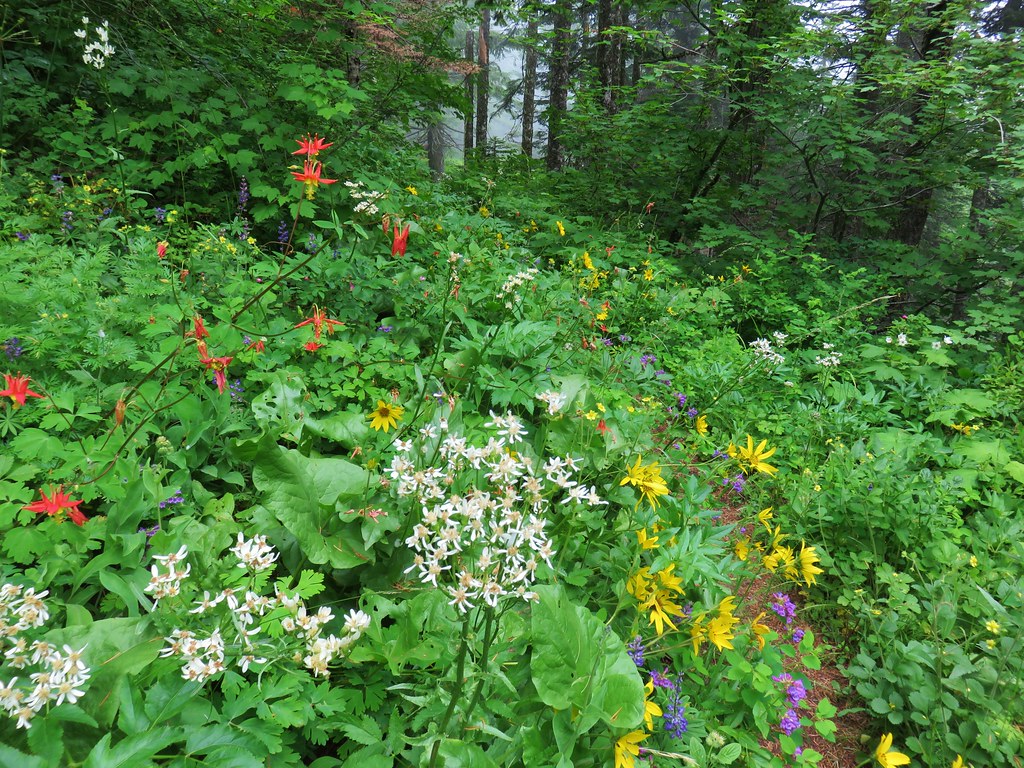
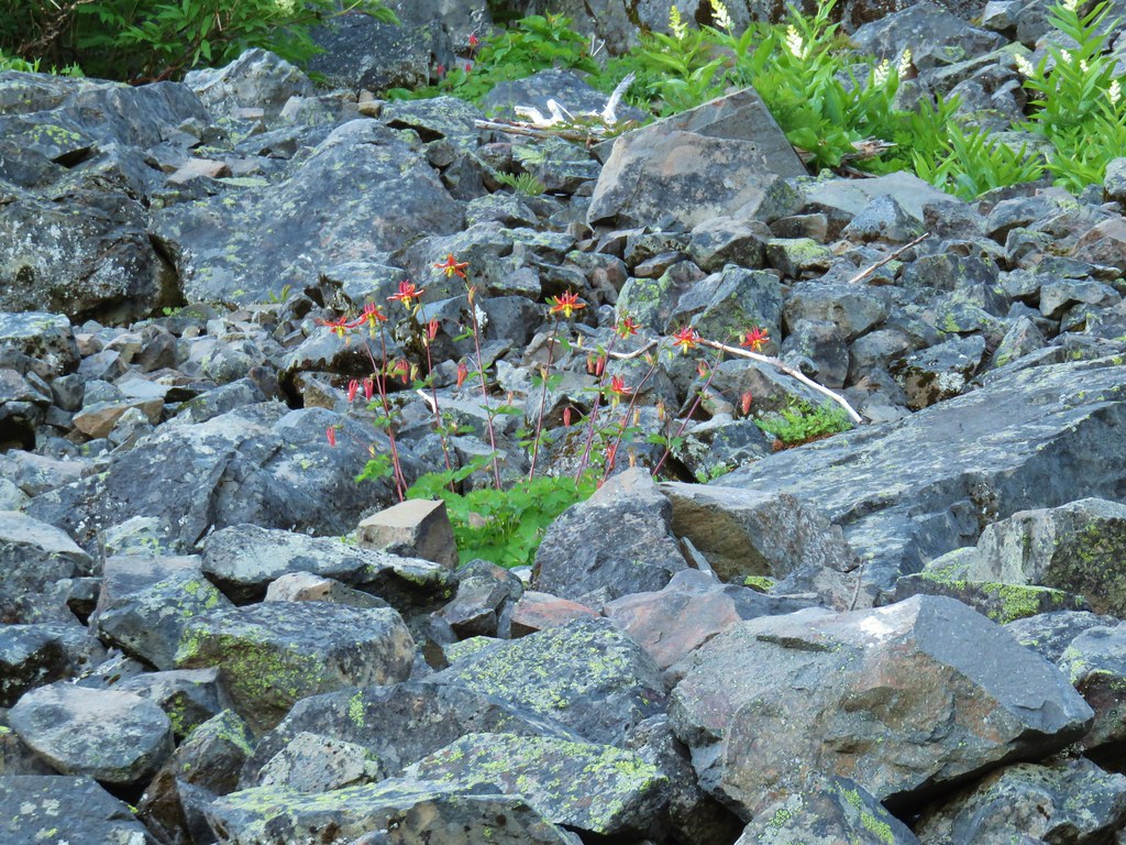
Beyond the spring the trail passed a series of talus fields where we spotted pikas, golden-mantled ground squirrels, chipmunks, and more birds.
 First pika
 Second pika
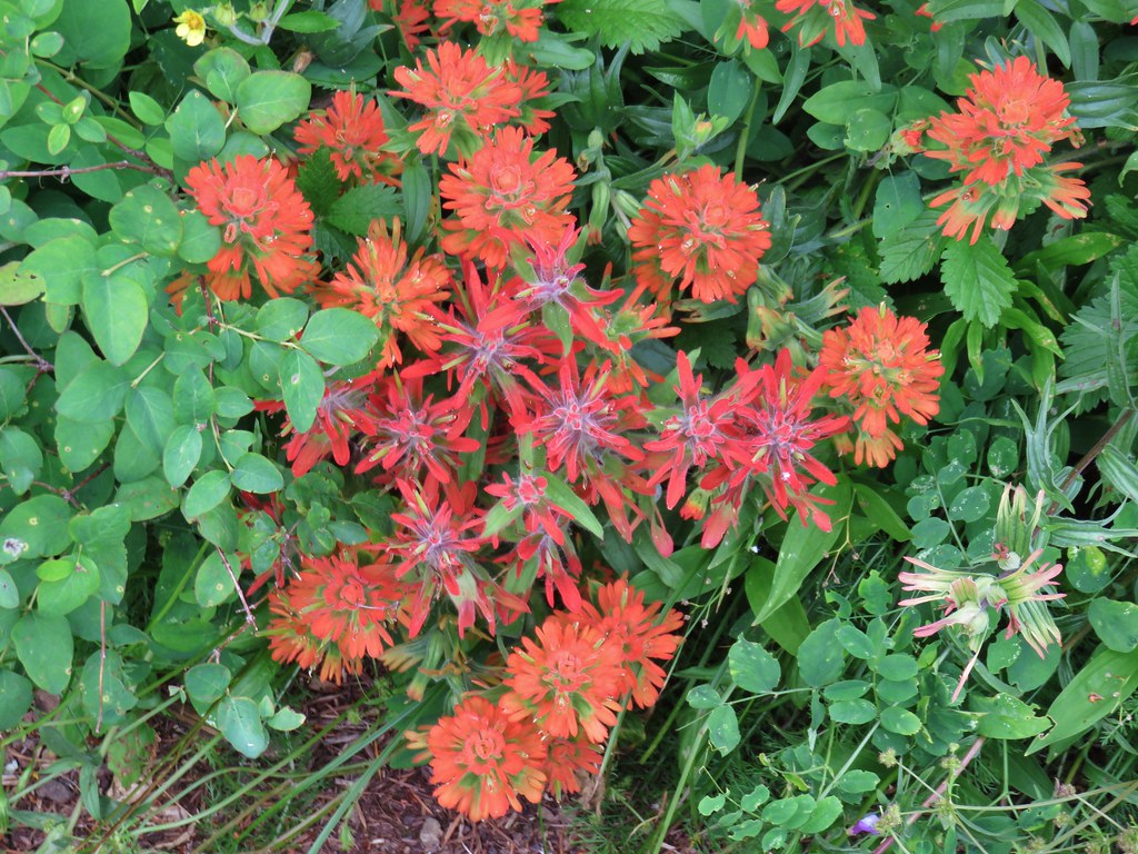
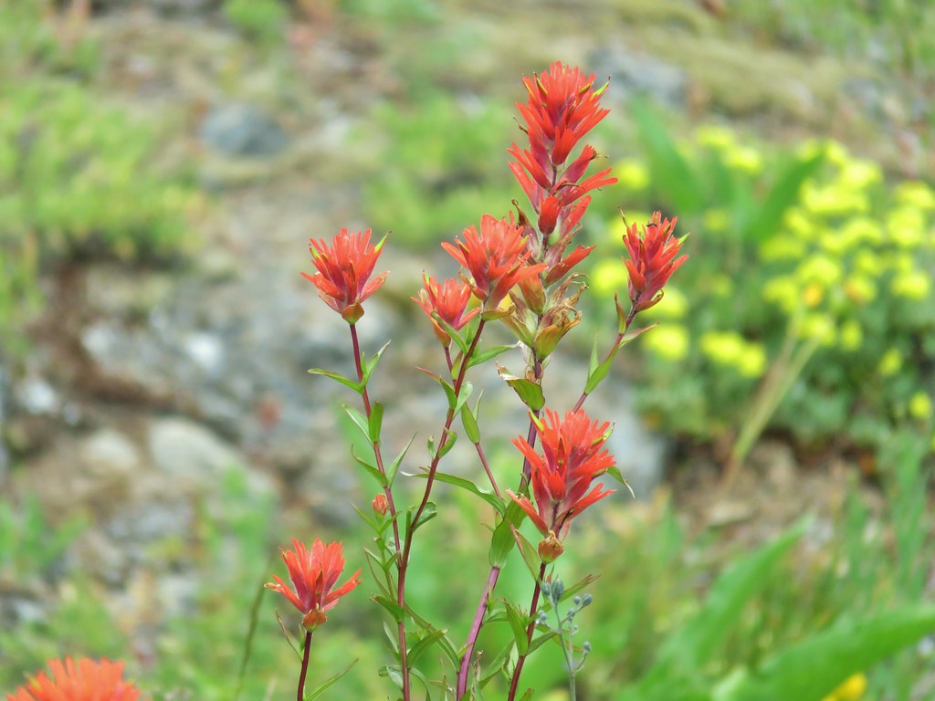
 Paintbrush

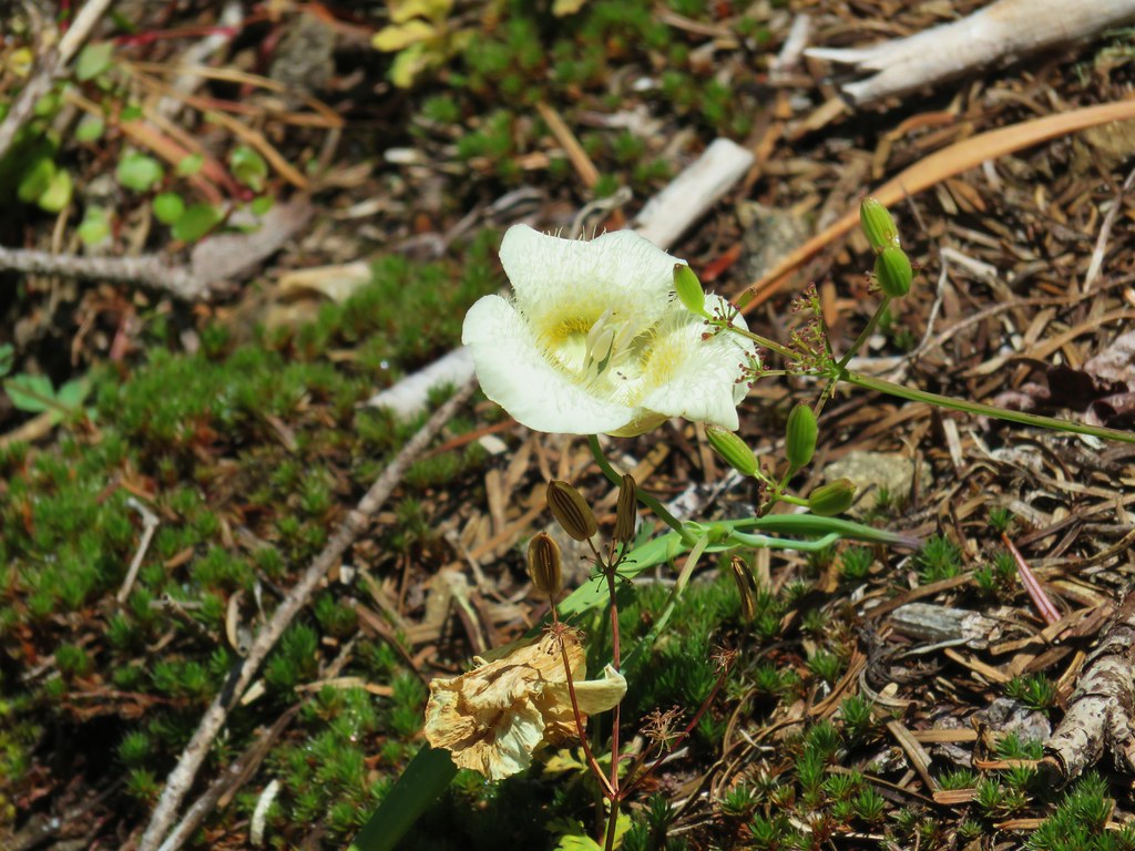
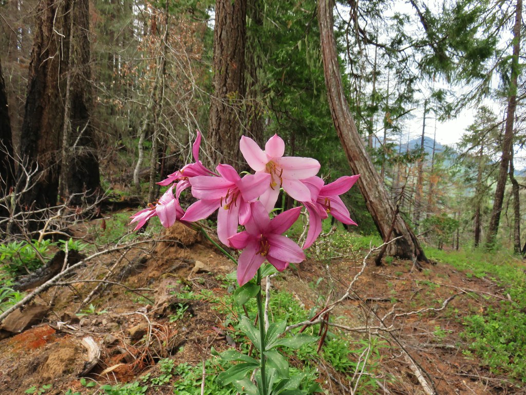
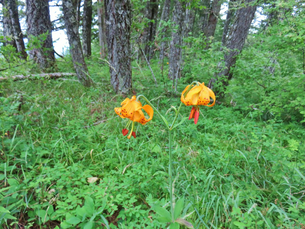
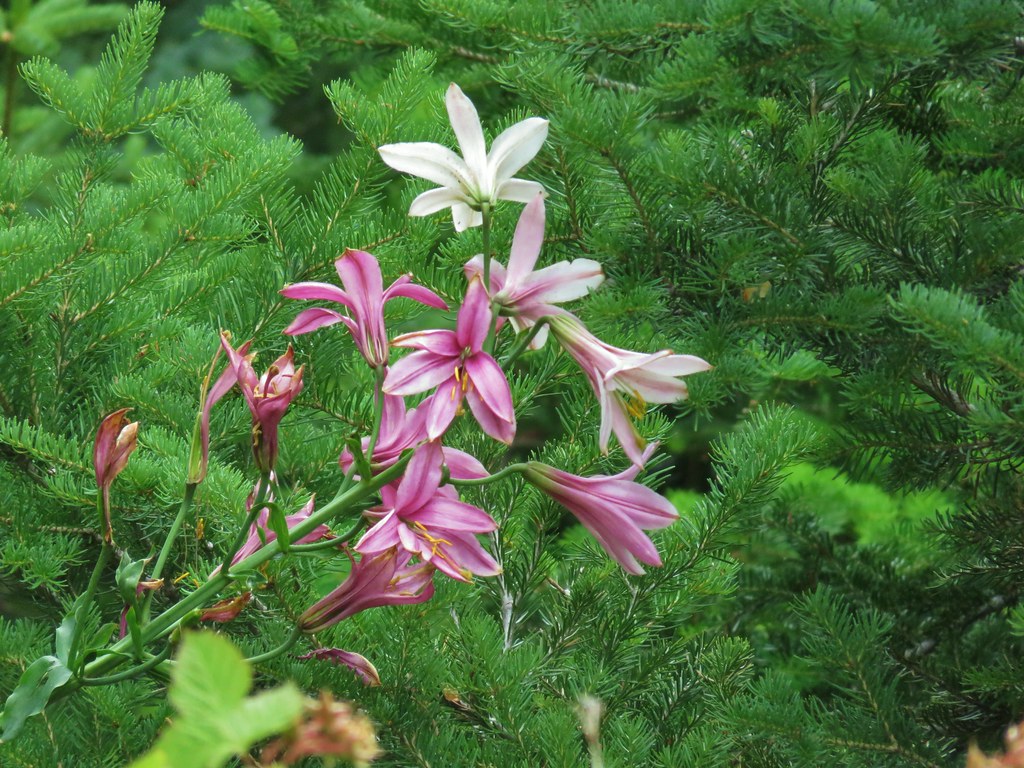 Washington lily
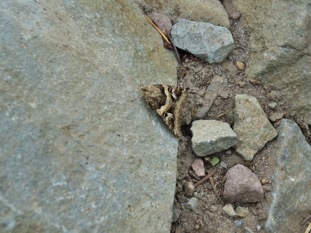 Moth
Moth
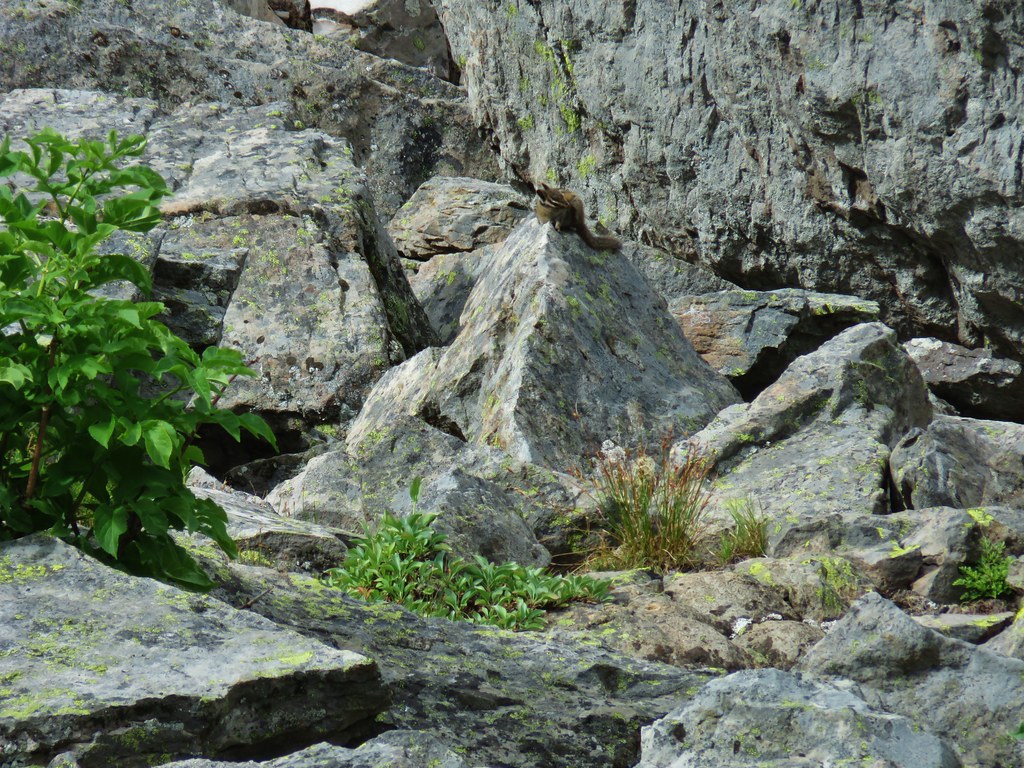
 Golden-mantled ground squirrel
 Chipmunk
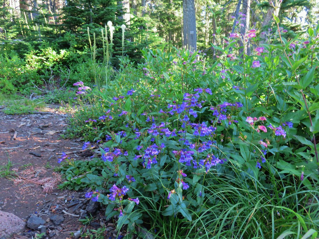
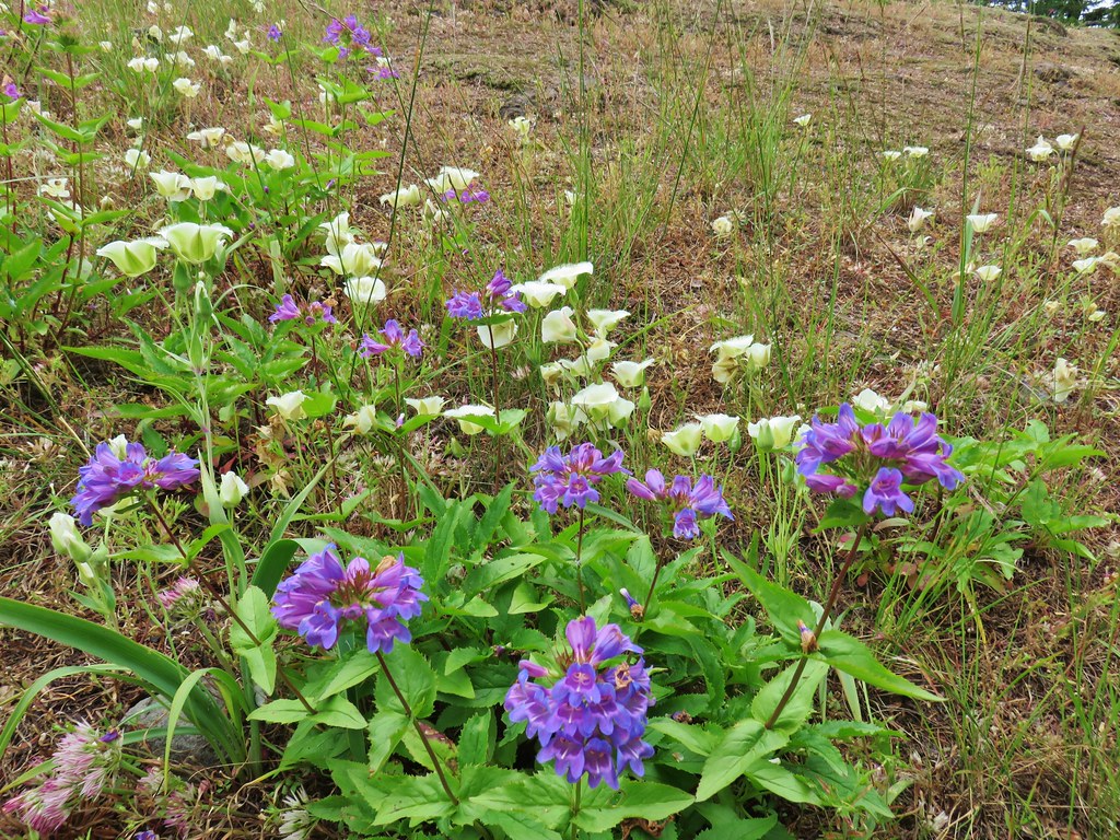
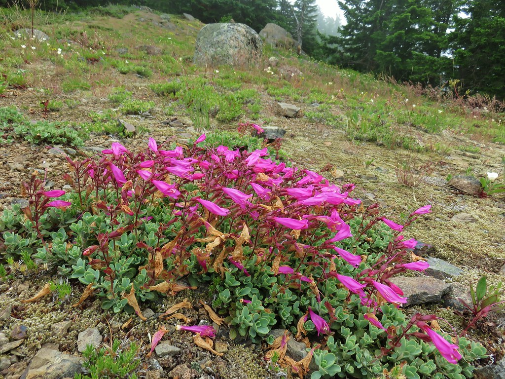
 Penstemon
 Tall bluebells
 Rainiera
 Nuthatch

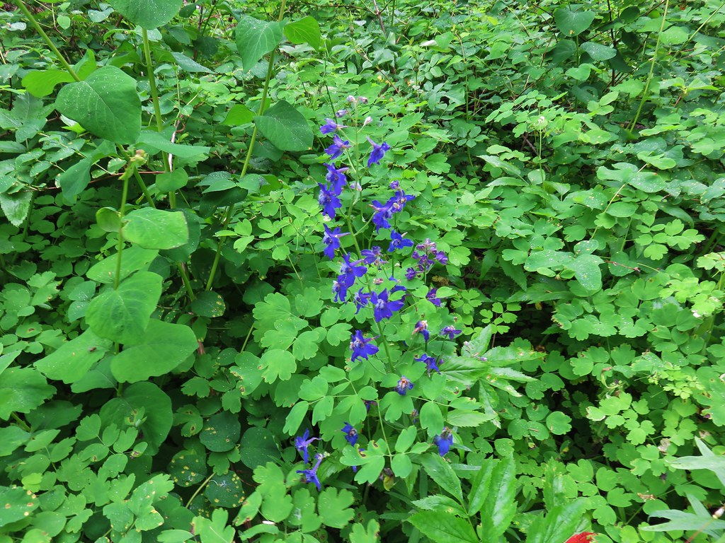
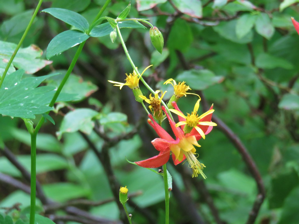 Columbine
 Gray jay
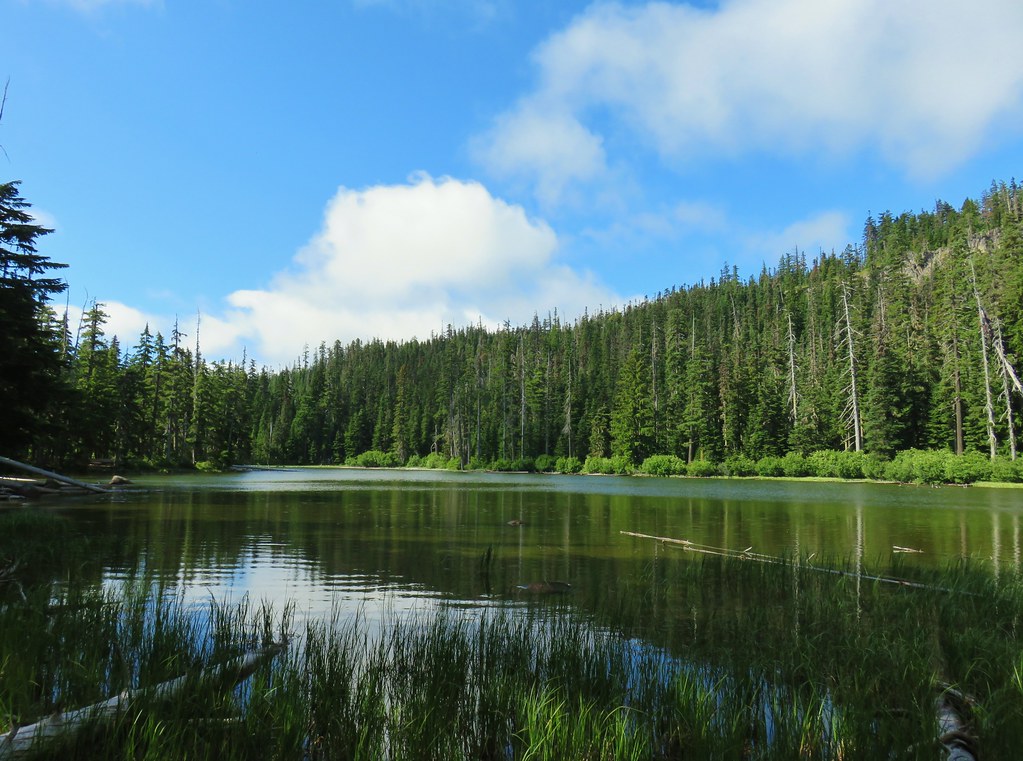
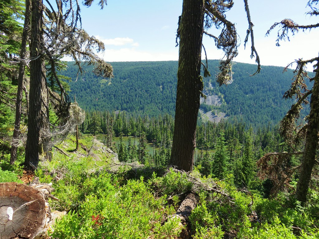
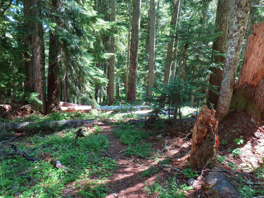
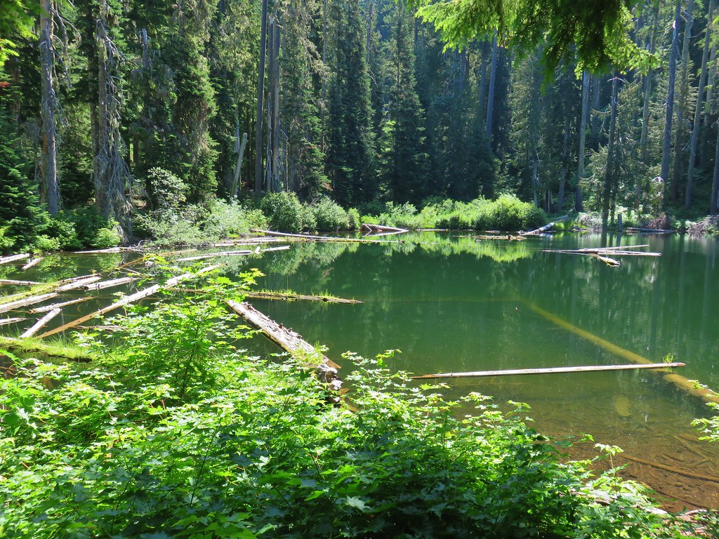
After passing by Kane Spring (off trail to the NE) near the 1.5 mile mark the trail dropped down for a quarter mile to Boulder Lake.


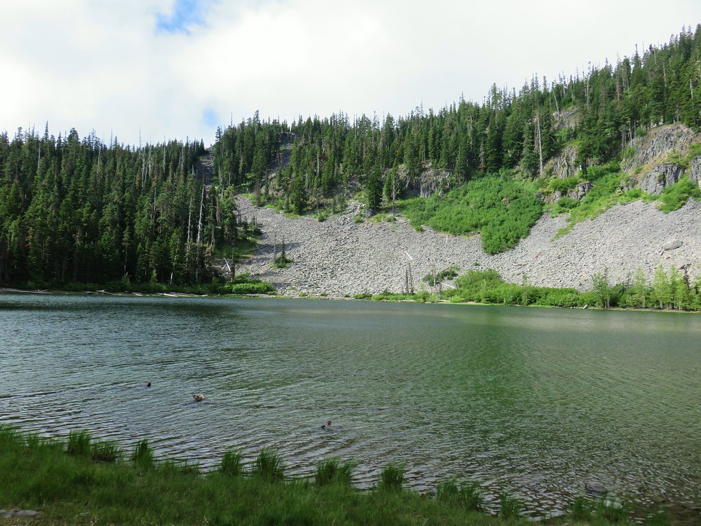

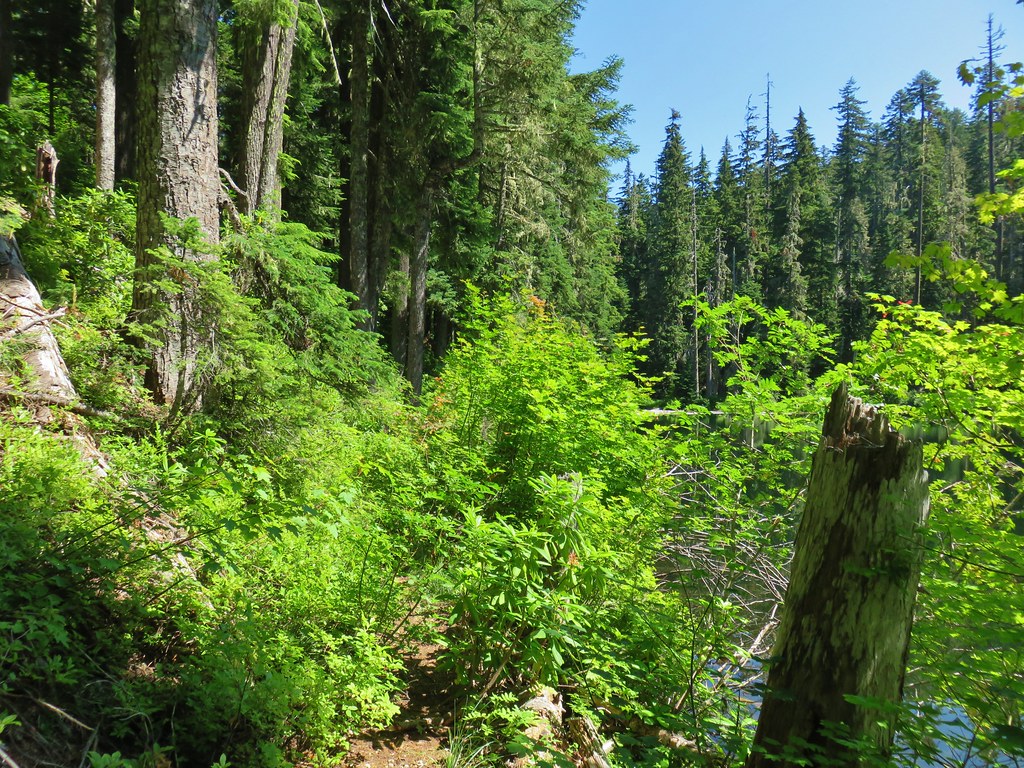
There were a couple of groups camping at the lake but also some vacant spots. We walked along the lake shore trail checking out a couple of the empty camp sites before arriving at a junction with the trail coming from the Boulder Lake Trailhead on Forest Road 4880.

We took a short detour and followed this trail a tenth of a mile to check out Spinning Lake.

 Spinning Lake
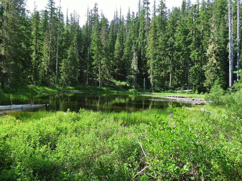
After taking a quick look at the little lake we hiked back up to Boulder Lake and turned left following a point for the Little Boulder Lake Trail.

This trail made a short climb and then descent over a ridge before arriving at Little Boulder Lake in half a mile.


The trail ended at Little Boulder Lake but several short paths led to a road to the SE of the lake.
After sitting by the lake we hiked to the road and turned right.
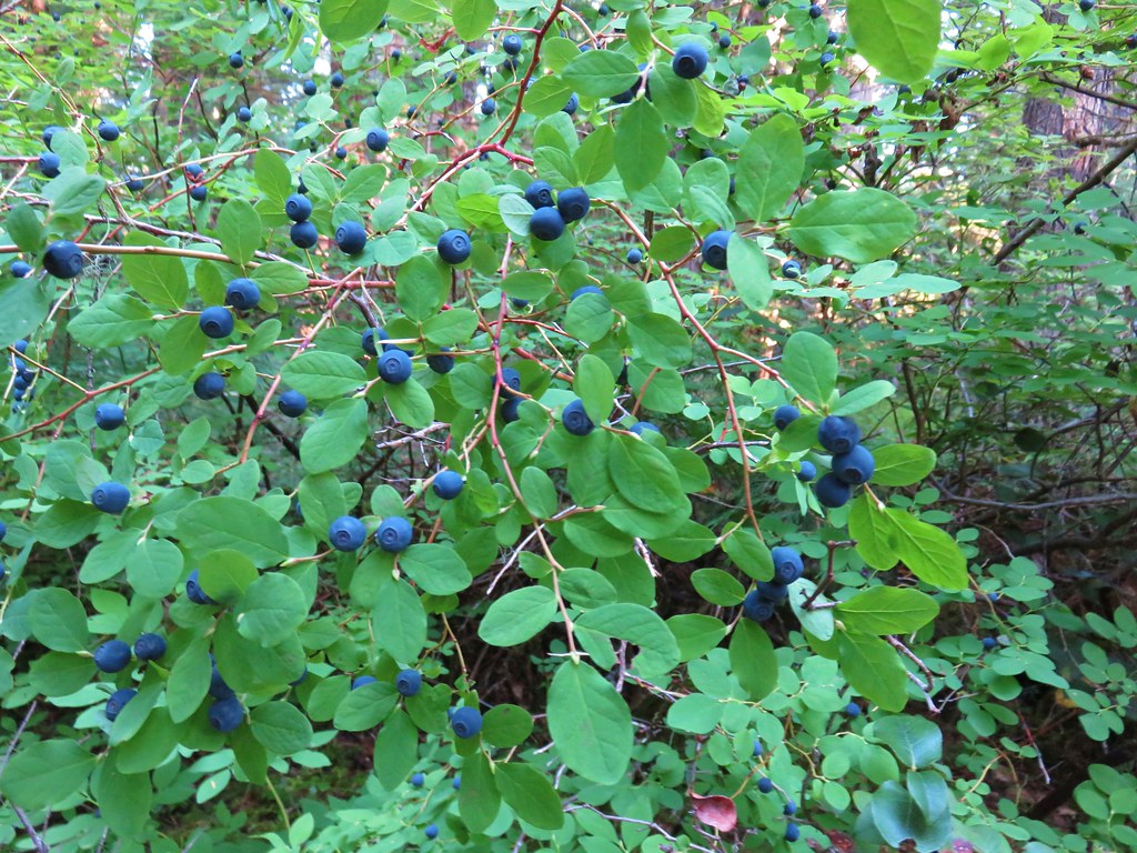
The road gradually climbed for a little over three quarters of a mile to a ridge top where the Forest Creek Trail crossed over. We turned right onto the trail which passed though some old clear cuts where huckleberries were ripening. We passed a couple of berry pickers not far from the road in fact.


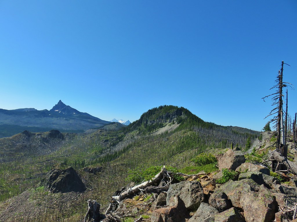
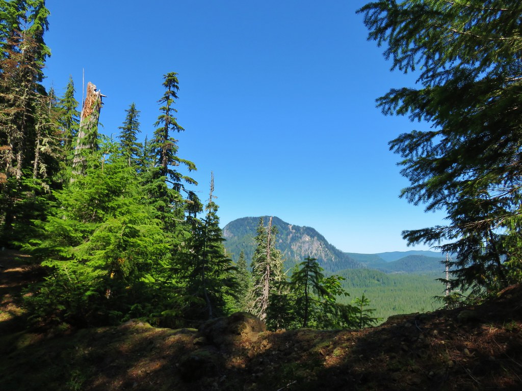
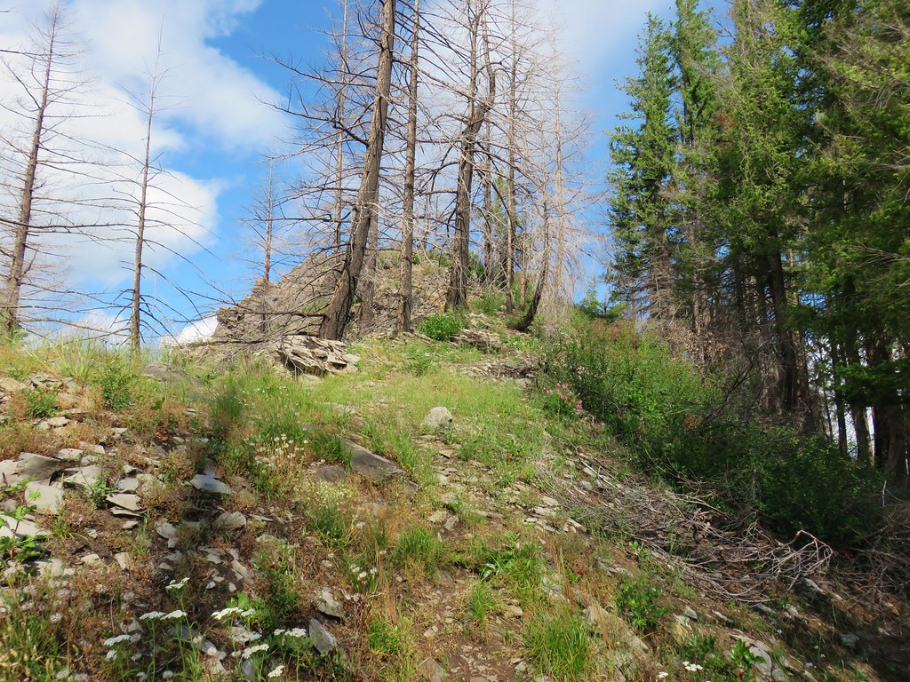
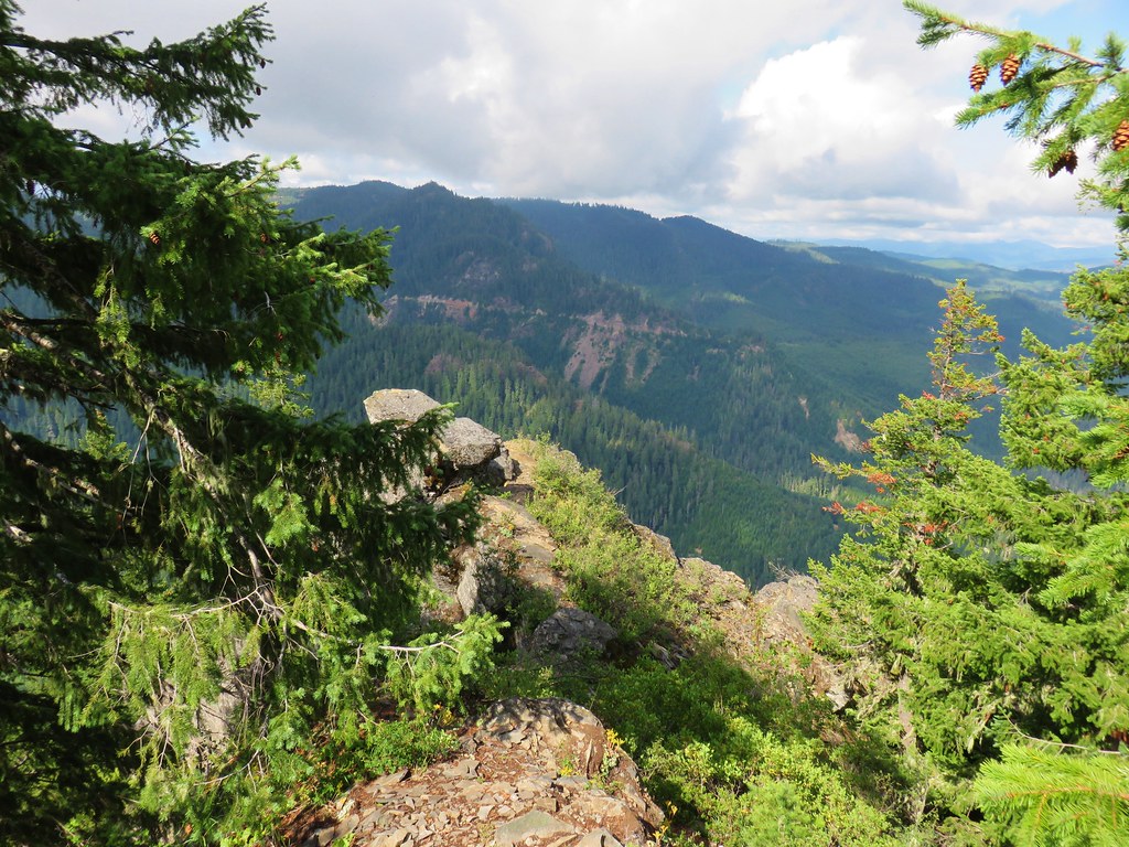
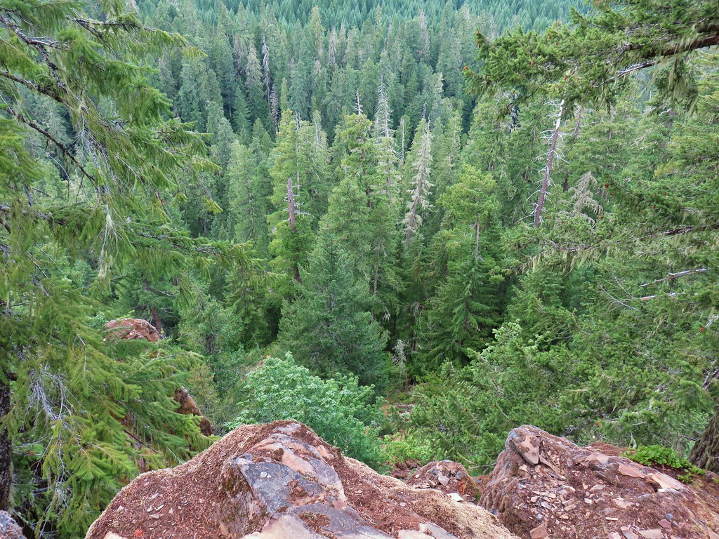
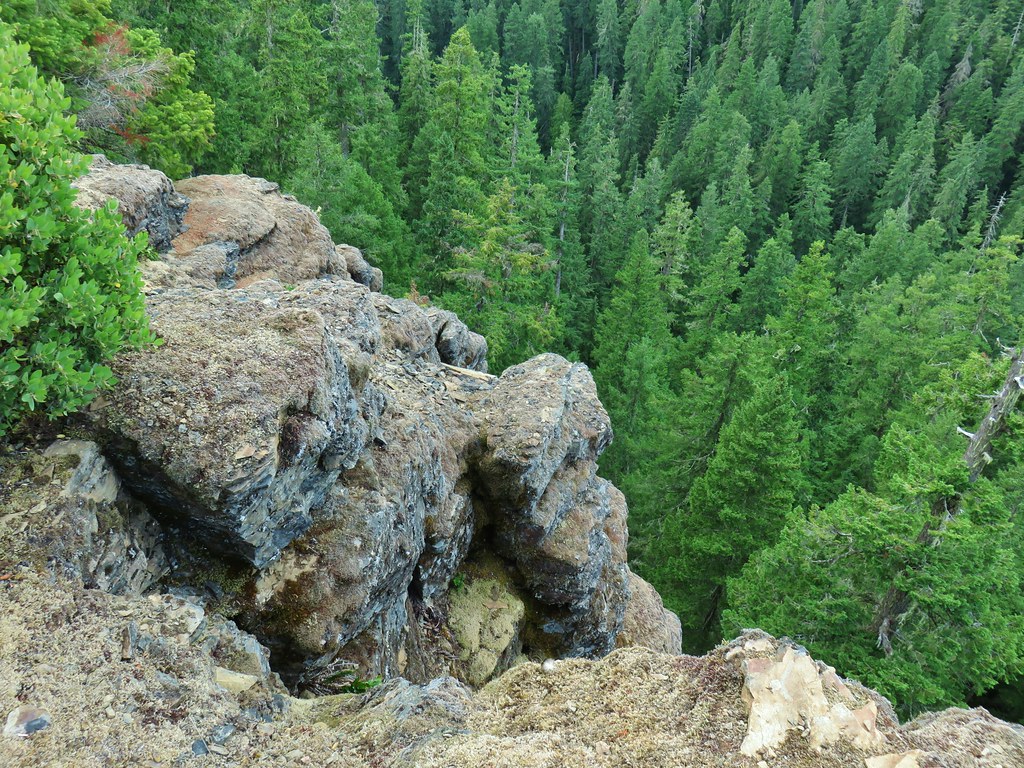
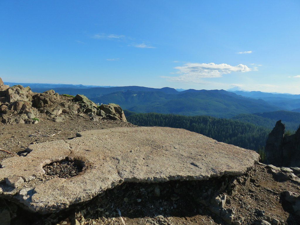
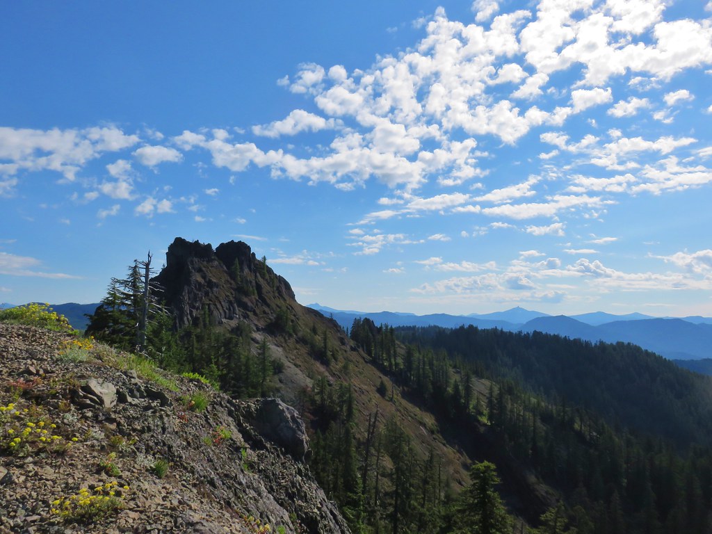
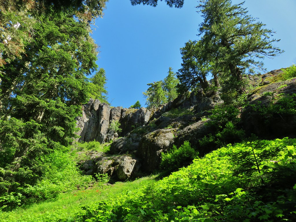
We climbed along the ridge for almost a mile before coming to a cliff top viewpoint above Little Boulder Lake.

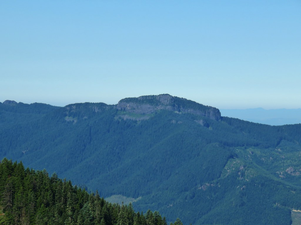
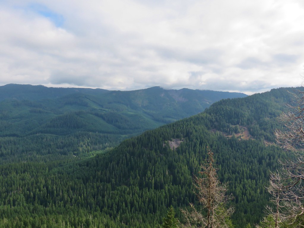
The trail continued its gradual climb beyond the viewpoint on its way to Echo Point, the high point of the trail. A little over 1.25 miles from the Little Boulder Lake viewpoint a short off-trail jaunt led us to a view of Boulder Lake.

We arrived at Echo Point in another .2 miles.

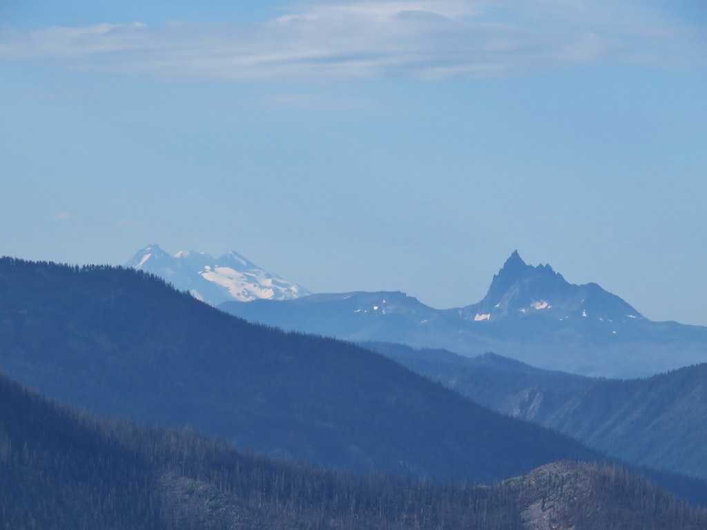
 Gunsight Butte, Lookout Mountain, and Badger Butte.
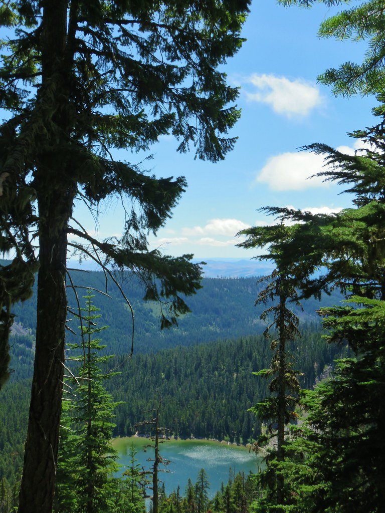
 Boulder Lake from Echo Point
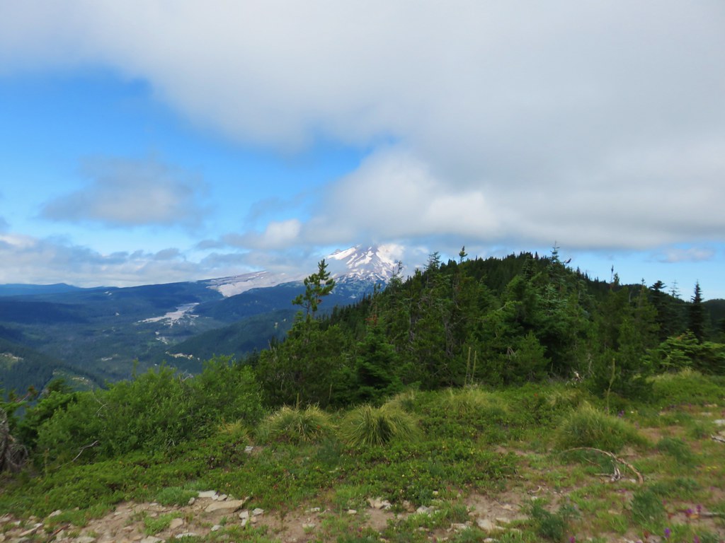
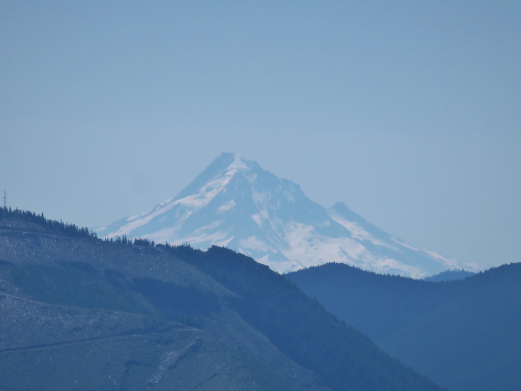
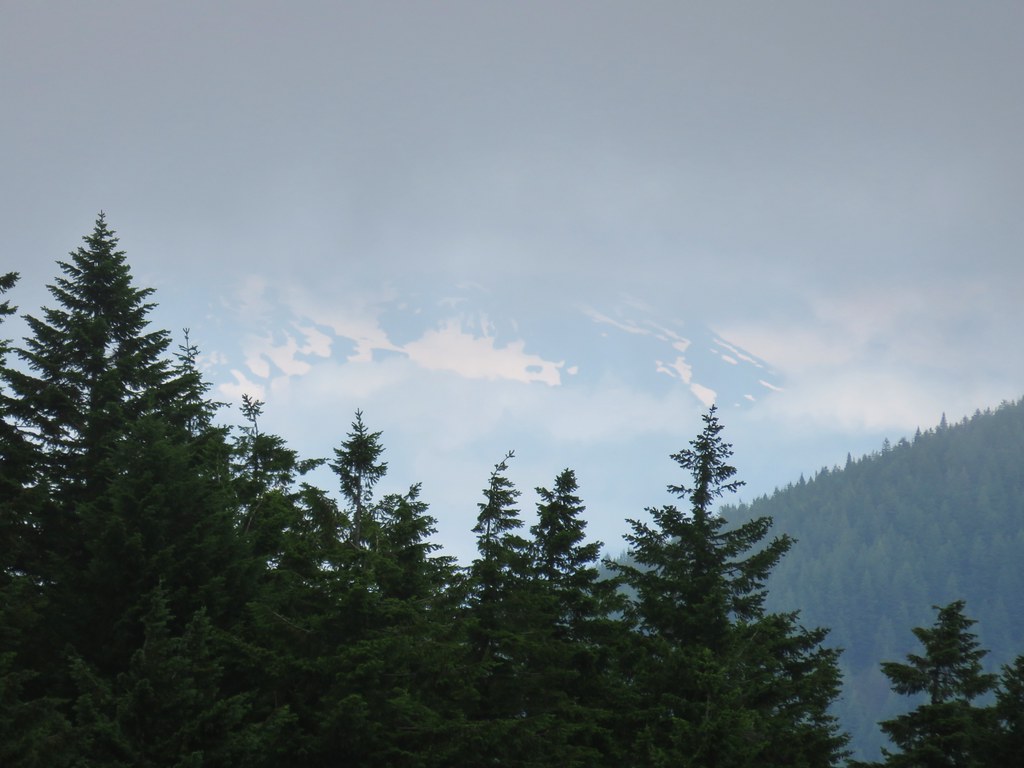
After taking a break at Echo Point we began the .3 mile descent down to the Bonney Meadows Trail where we discovered Mt. Hood making a bit of an appearance.
We took that as an encouraging sign for Bonney Butte and turned right on the Bonney Meadows Trail retracing the eighth of a mile to the Boulder Lake Trail junction. This time we turned left toward the Bonney Meadows Campground.

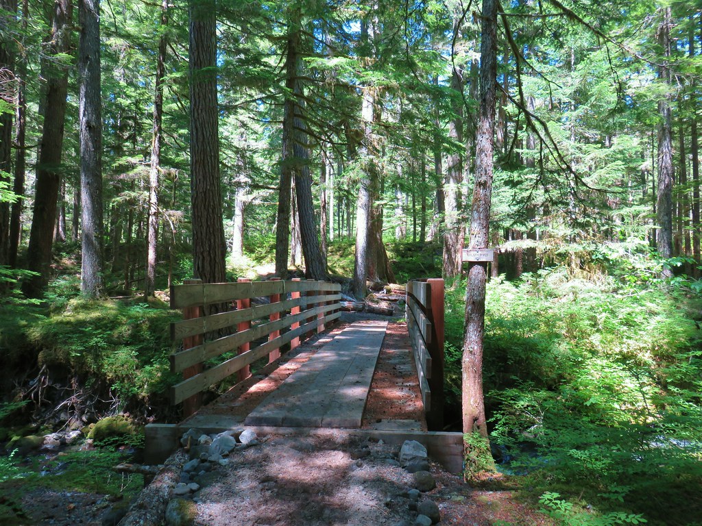
The trail crossed Bonney Creek before arriving at the campground.

We turned right at the campground and followed the entrance road to Bonney Meadows Road where we turned right.


We followed this rocky road for .3 miles to the gated road up Bonney Butte where we turned left.


We hiked up this very rock road a half mile gaining 250′ to the summit of Bonney Butte.


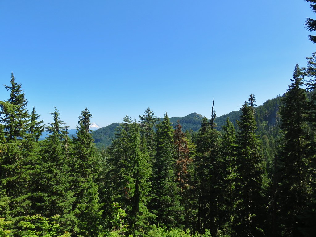
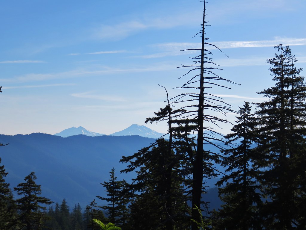
Just prior to the summit was a viewpoint where it appeared that there were fewer clouds to the south. Mt. Jefferson was partially hidden but Broken Top and the Three Sisters looked to be under mostly blue skies.

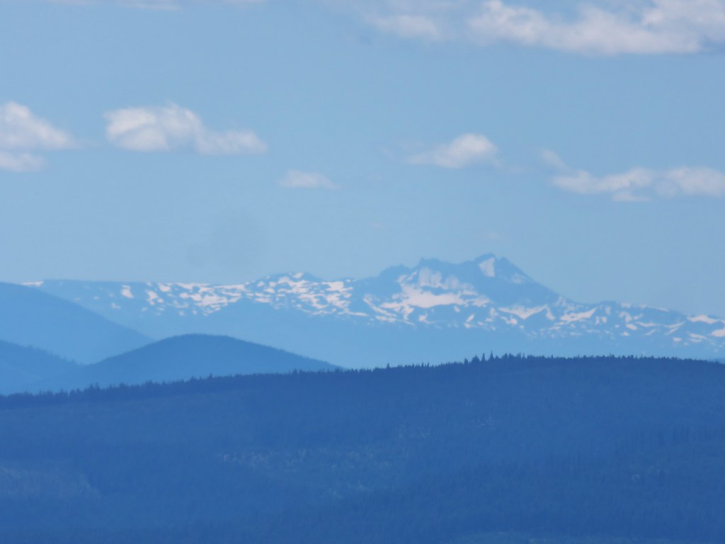 Broken Top
 Broken Top, The Three Sisters, and Mt. Jefferson
Upon arriving at the summit we found a stubborn cloud between us and Mt. Hood.

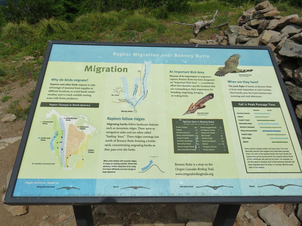
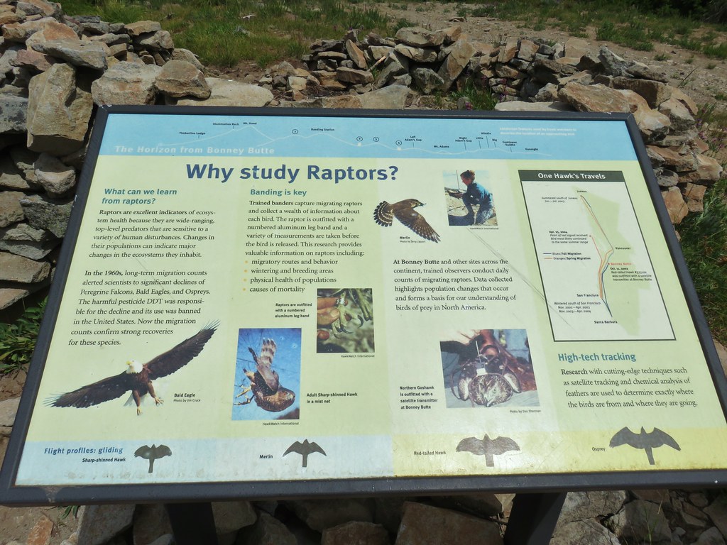
Plaques at the summit recount the history of the Bonney Butte fire lookout as well as telling about raptor migrations. Hawkwatch International volunteers perform raptor counts here from late Summer into Fall.


We spent some time reading the plaques and hoping that the clouds would miraculously part long enough to get a clear view of the mountain but it wasn’t to be.
 Highway 35 bridge over the White River
 Timberline Lodge
 Close but no cigar.
 Turkey vulture
 There’s the summit for a second.
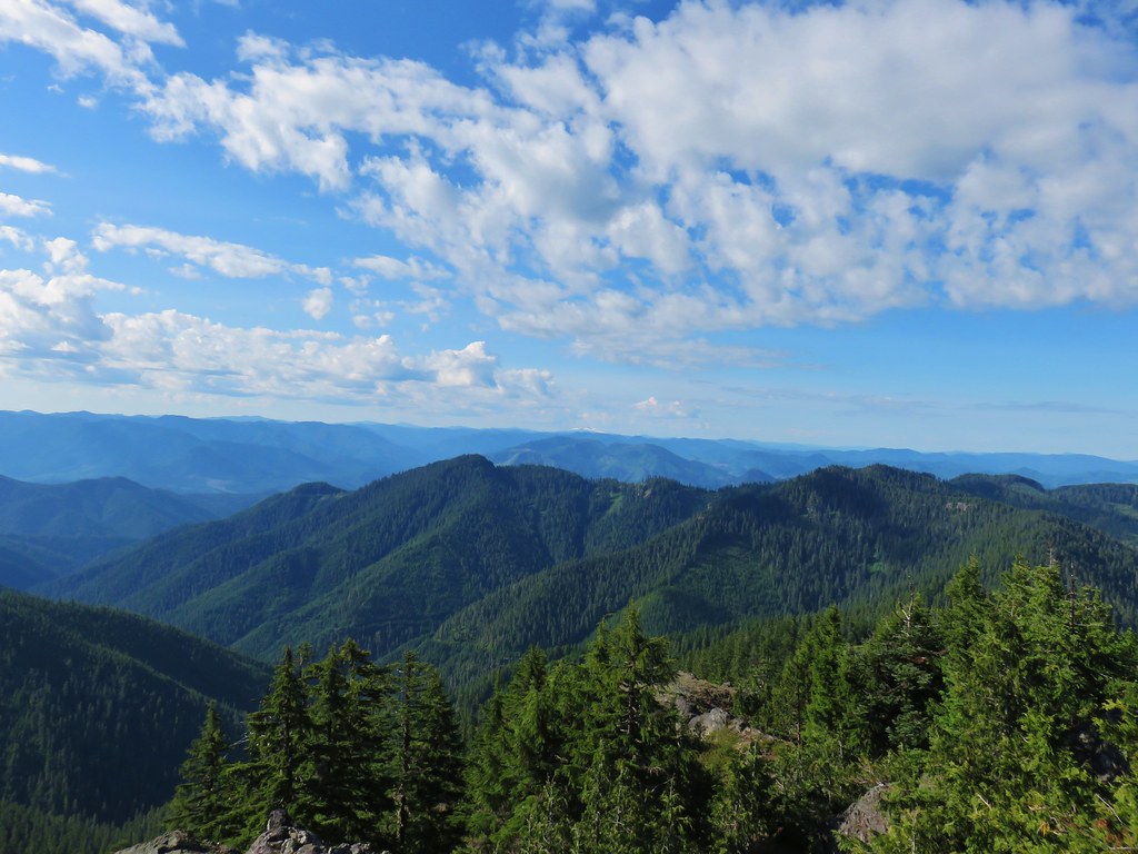
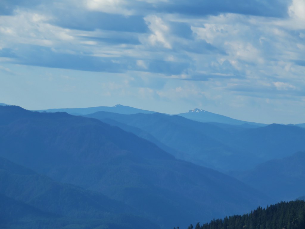
The view was better to the north where the peaks of the Badger Creek Wilderness were cloud free.
 Lookout Mountain (post) in the center.
We finally called it when it became apparent that the clouds were not going to relent and headed back down to Bonney Meadows Road.

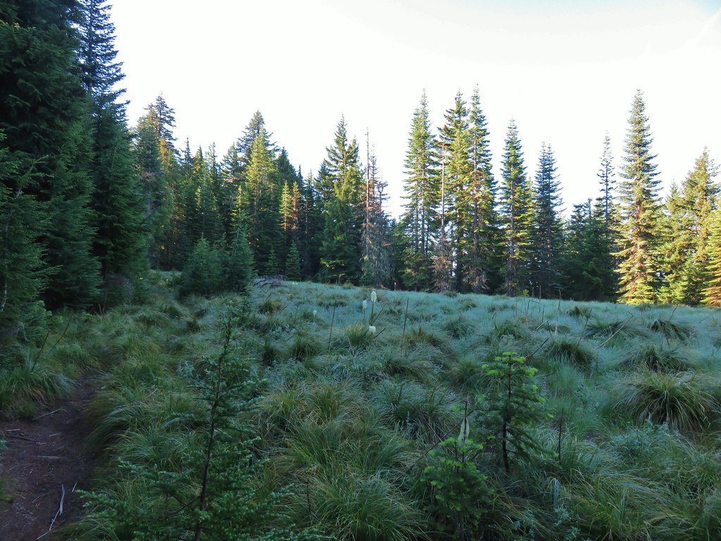
 Bonney Meadows
We walked back along the road past the campground entrance for .2 miles. Just after crossing Bonney Creek we came to the Bonney Meadows Trail where we had come up to the road that morning.
 Bonney Creek
 Approaching the Bonney Meadows Trail
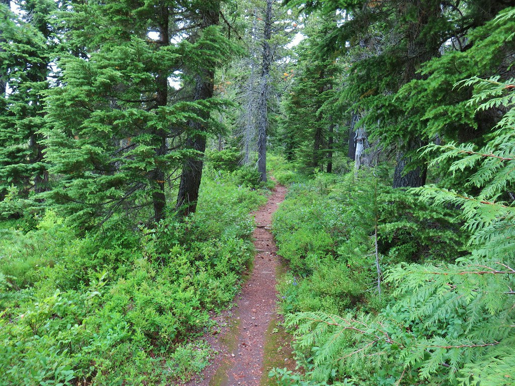
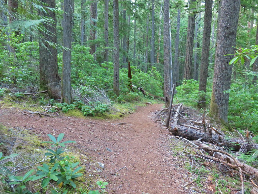
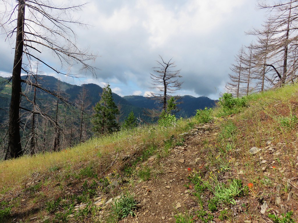
We turned downhill and headed back to Wamic Road. After reentering the Badger Creek Wilderness there were a couple of negatives. First fresh mountain bike tracks had been made in the trail cutting into the sides in some places. Mountain bike are not allowed in designated wilderness areas so this was disappointing. The other bummer was the steady sound of gunfire that was coming from the spur road near the junction where the Bonney Meadows Trail shortly follwed FR 4890. Despite ending on a bit of a downer the majority of the hike was excellent and we were already planning a return trip, possibly during the raptor count some year.
Starting at Wamic Road the hike wound up being 14.3 miles according to the GPS and gained between 3000 and 3500′. Going in the direction we had on the loop past the Boulder Lakes kept the steepest setions of trail as downhills which helped make the hike feel a little less challanging than the numbers sound. It was a good bookend to our vacation. Happy Trails!
Flickr: Bonney Meadows and Boulder Lakes
 Spur road leading to the trail from the pullout.
 Signage at the end of the closed spur.
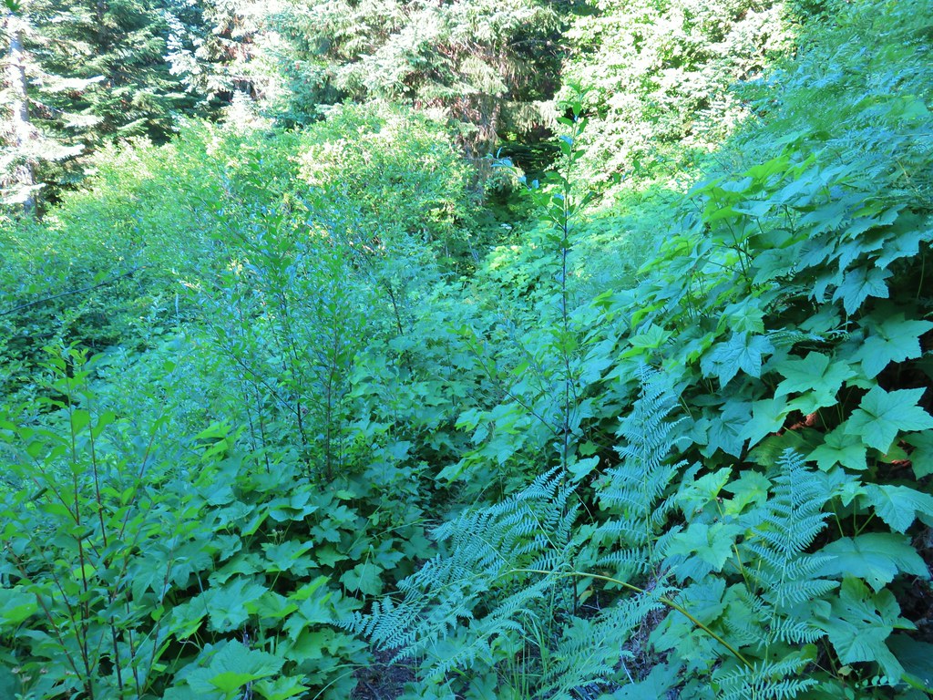 Thimbleberry crowding the trail.
 Devil’s club along the trail. We each had our hands brush against some and it doesn’t feel pleasant.
 Lupine and paintbrush in the thimbleberries as the trail enters the forest.
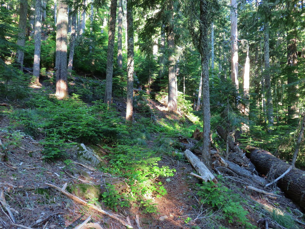
 It looked like these two trees fell out of the same hole but in different directions.
 Anemone and queen’s cup
 Beargrass and huckleberry bushes.
 Schreiner Peak in front of Mt. Jefferson.
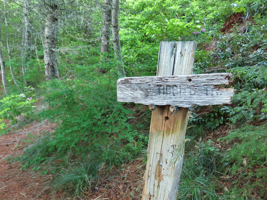
 Small sign on the tree marking the trail to Thunder Mountain’s summit.
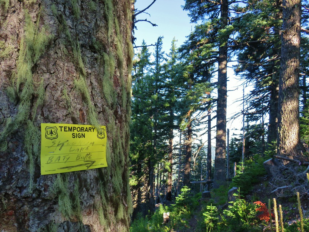
 Columbine
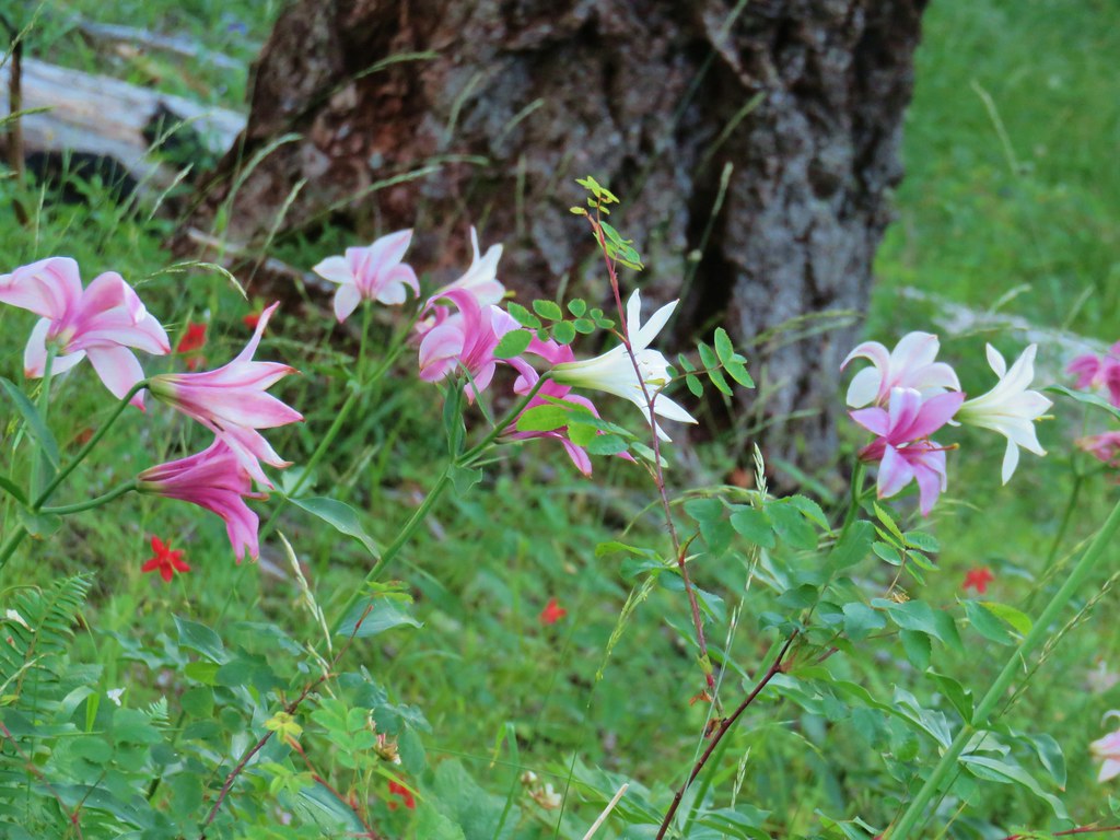 Washington lilies
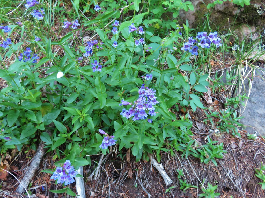 Penstemon
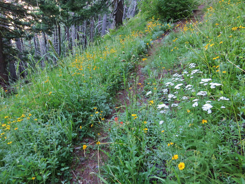 Assorted flowers
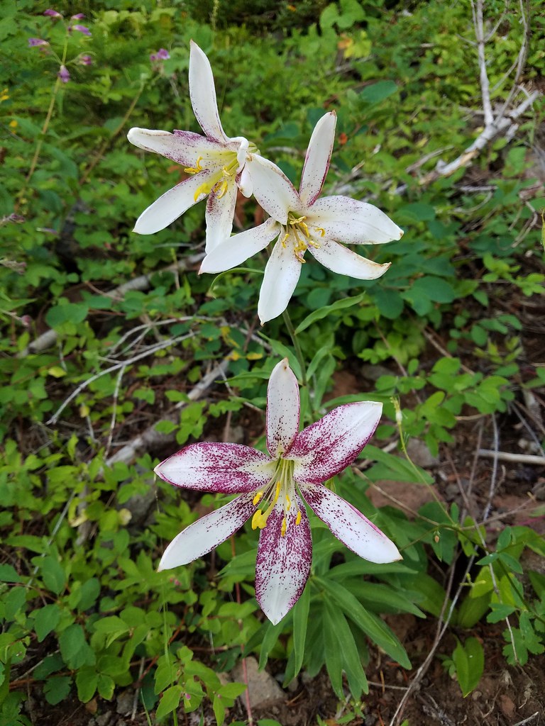 Washington lilies
 Oregon sunshine
 Scouler’s bluebells
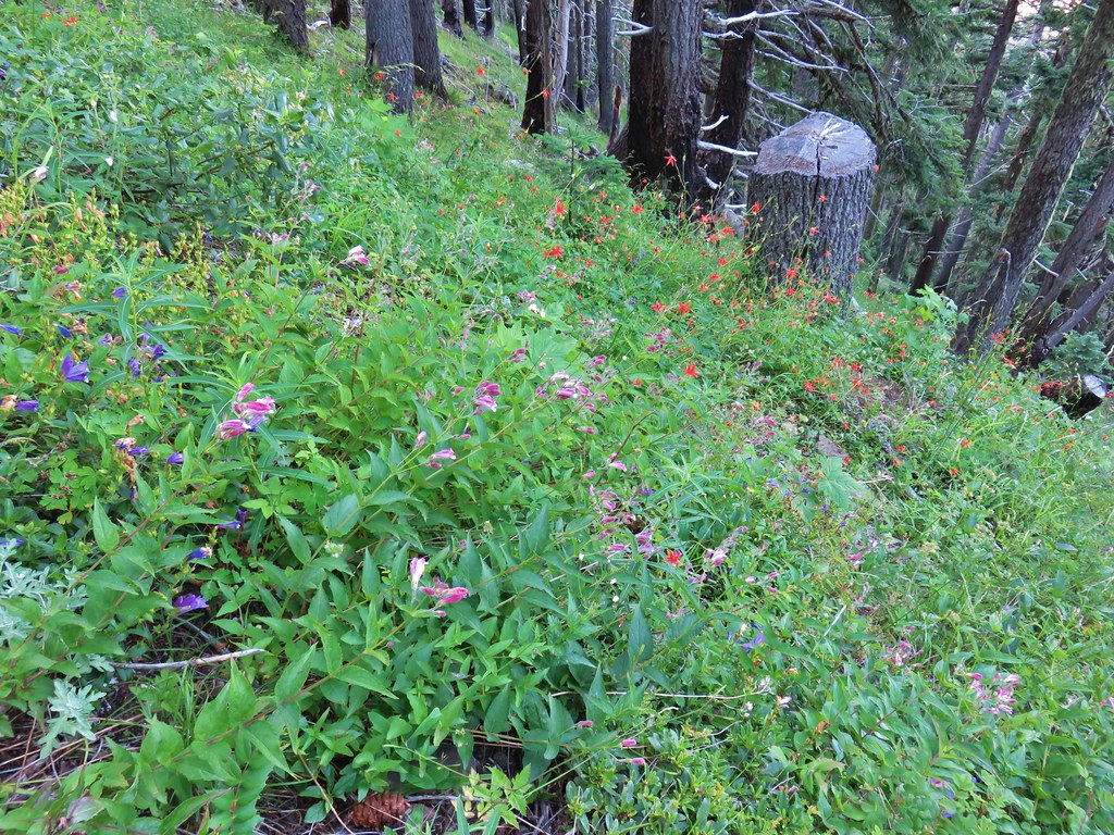 Columbine and a couple different types of penstemon.
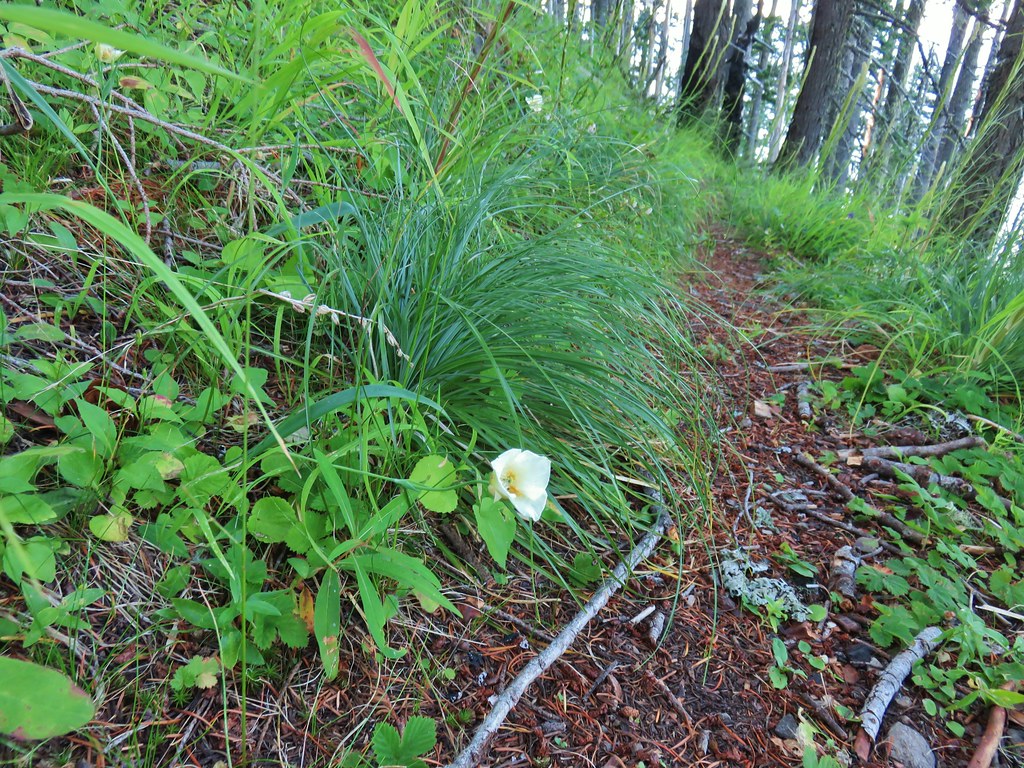 Cat’s ear lily
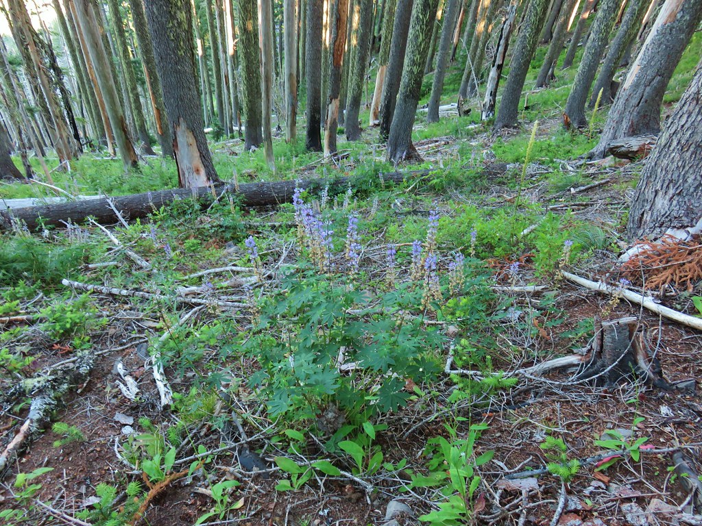 Lupine
 Pyrola
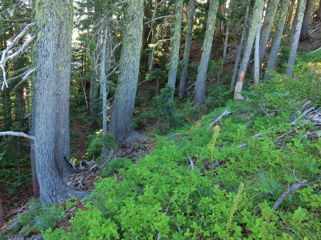 Skookum Lake Trail below coming out of the horseshoe turn.

 Mt. Hood
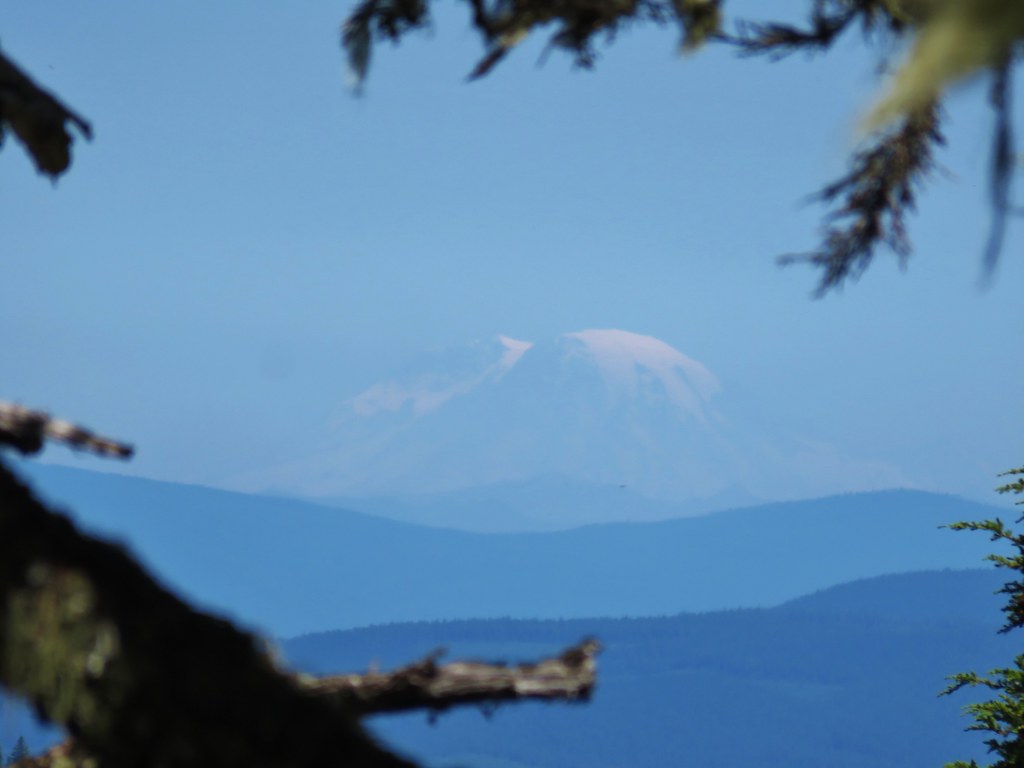 Mt. Rainier
 The trail skirts a talus slope above the meadow.
 Finally leveling out by the meadow after losing approximately 700′.
 I missed the sign until we had come back and started down the Skookum Lake Trail.
 Tall bluebells
 The yellow might be a groundsel.
 Aster
Aster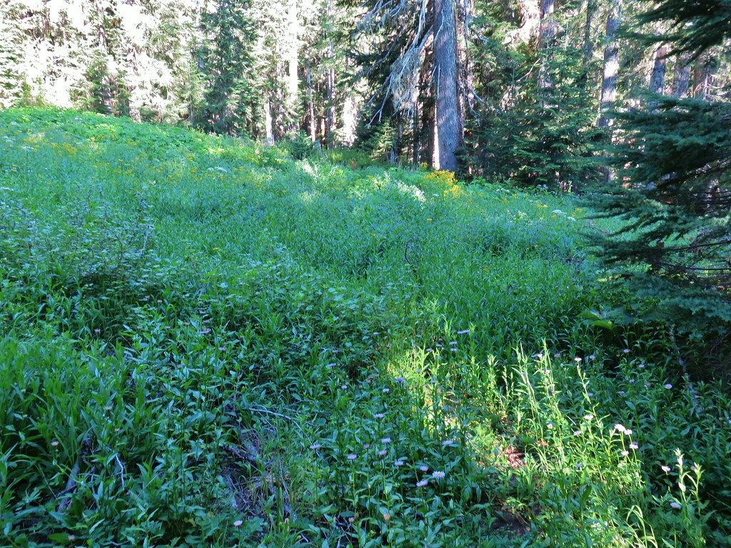


 Paintbrush, penstemon and lupine

 Mostly past lupine

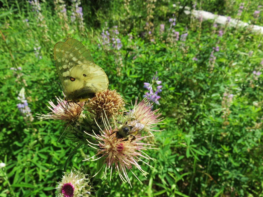
 Several butterflies on Oregon sunshine.
 Scarlet gilia
 Fireweed

 Left is the wrong way on the return, the correct route is to the right through the brush.
 Flagging marking the correct path.


 Baty Butte Trail to the right.
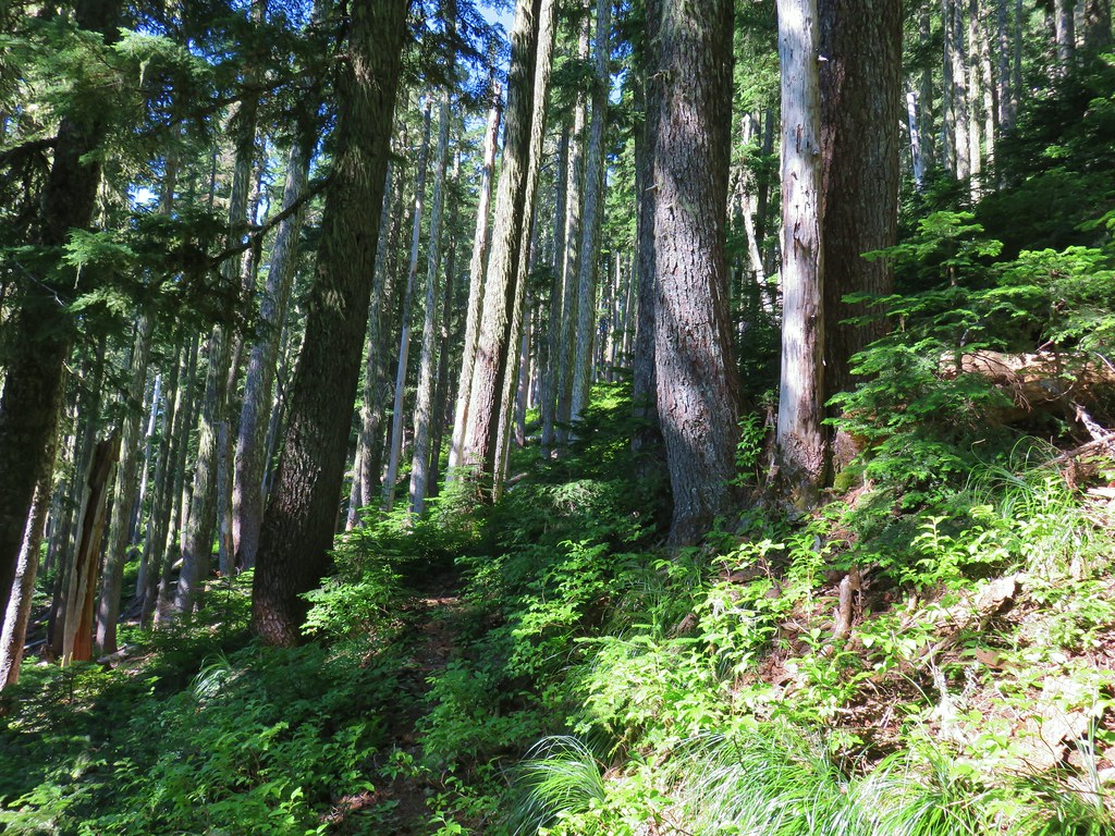
 Baty Butte Trail starting to curve around the ridge.
 Scramble route up the ridge.
 Looking down from the start of the spine.


 Mt. Jefferson
 Three Fingered Jack, Mt. Washington, and the Three Sisters.
 Rooster Rock is the formation to the far left.
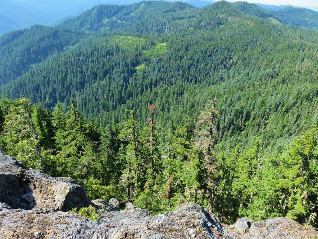 Looking down from Baty Butte.

 Orange agoseris
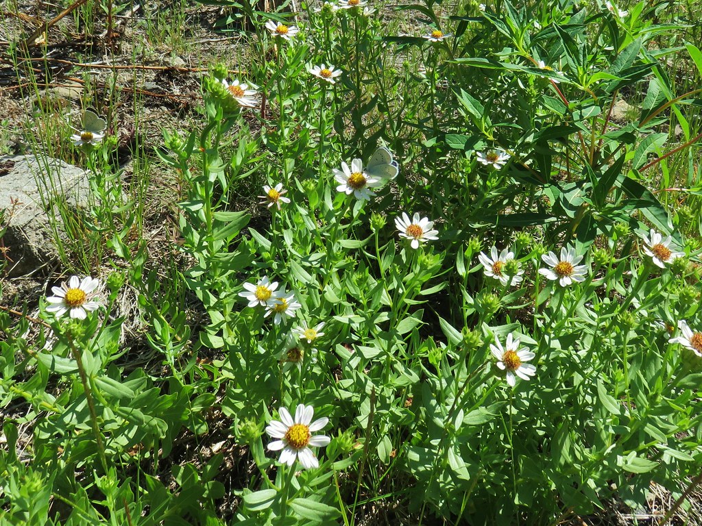
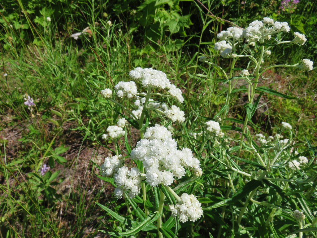 Pearly everlasting
 Penstemon

 Monkeyflower along the trail.
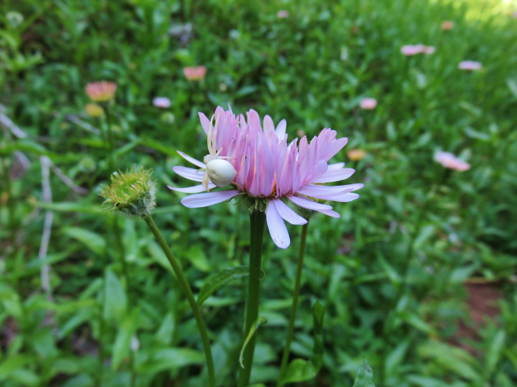 Crab spider on aster.
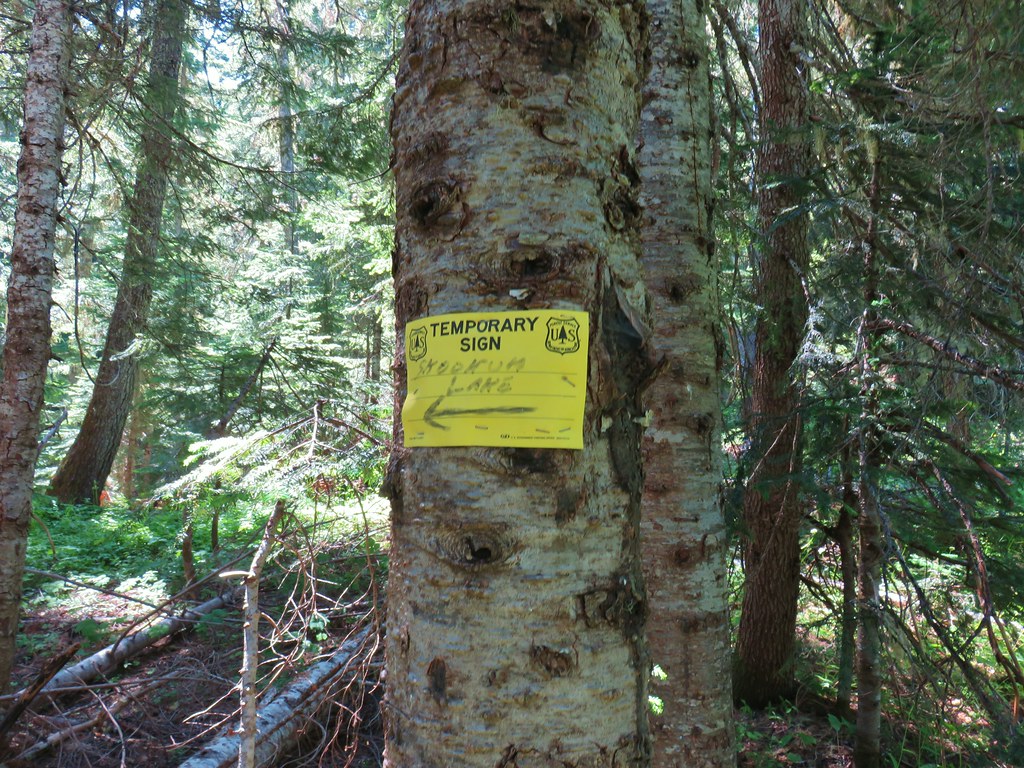
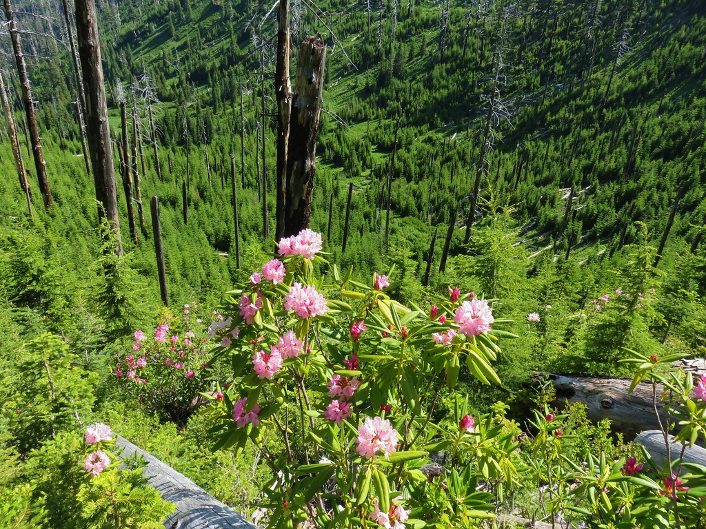
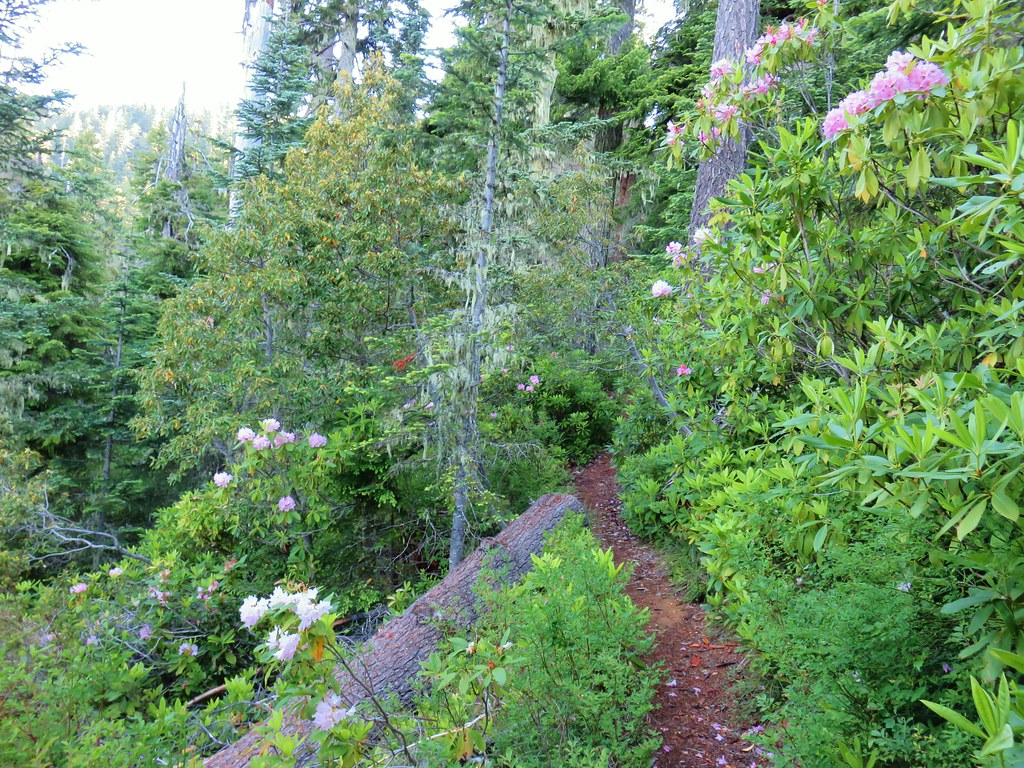
 Rhododendron along the Skookum Lake Trail.


 Small sign on a tree marking the trail to the summit of Thunder Mountain.

 The view north.
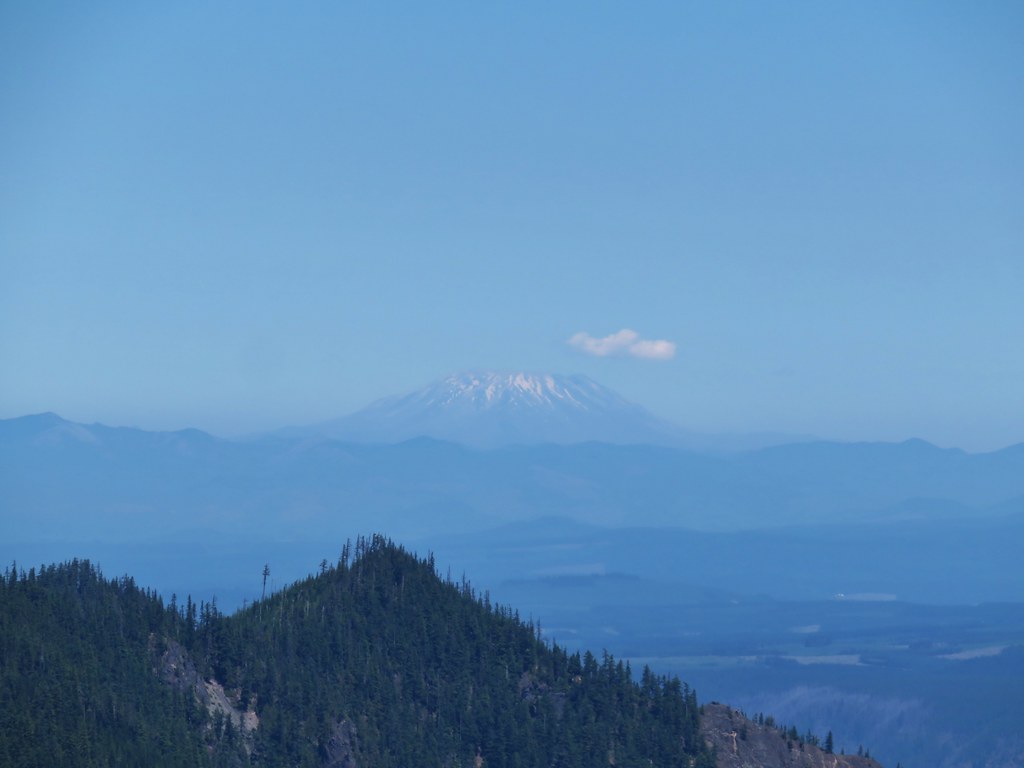 Mt. St. Helens
 Mt. Rainier and Mt. Adams beyond Fish Creek Mountain (
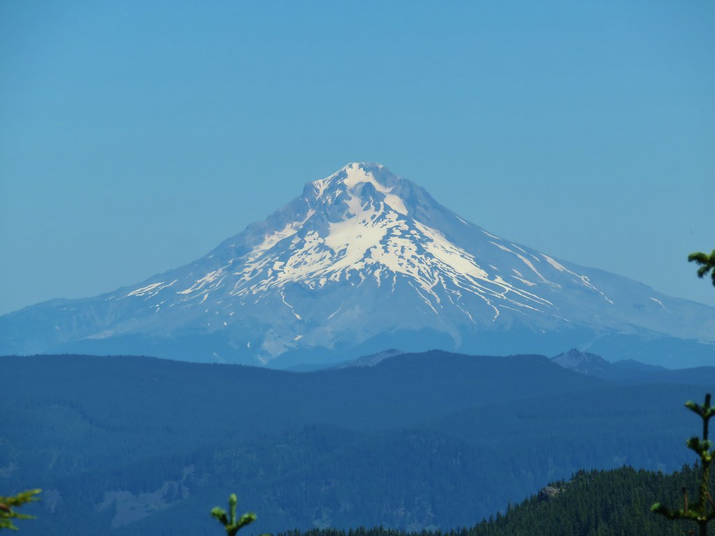 Mt. Hood
 Mt. Jefferson


 Turpentine Peak
 Washington lily
 Unburned forest
 Mt. Jefferson from the Pine Ridge Trail.
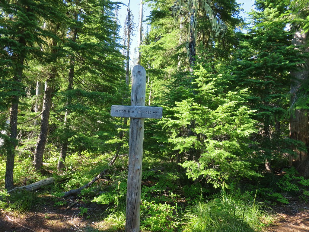
 Mt. Jefferson and Marion Lake (
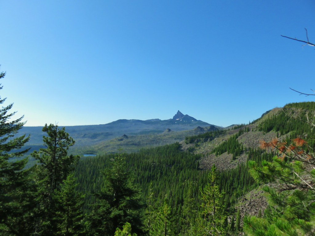 Three Fingered Jack
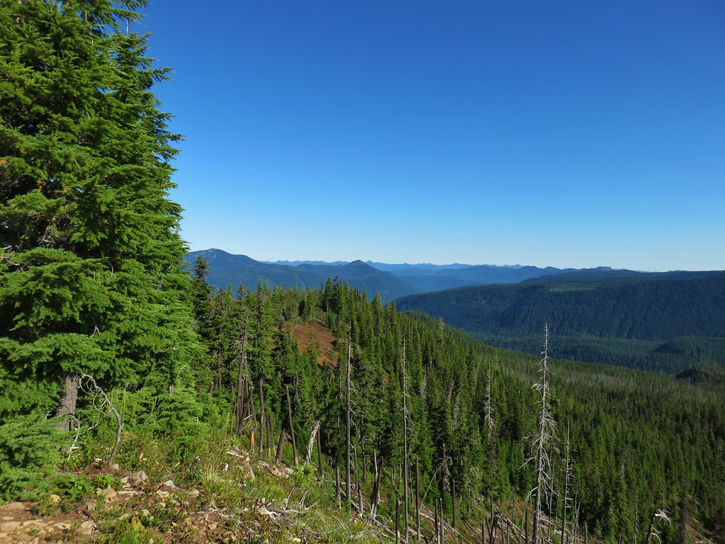 The cinder viewpoint from Marion Mountain.

 Three Fingered Jack
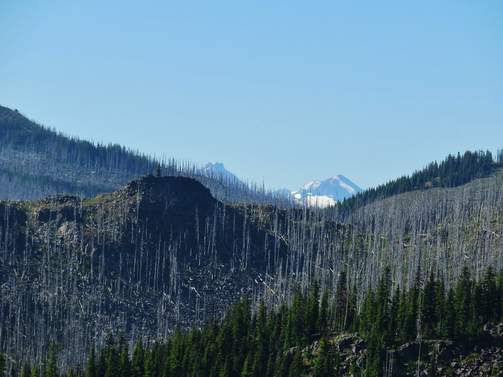 Tops of the Three Sisters.
 Coffin Mountain (
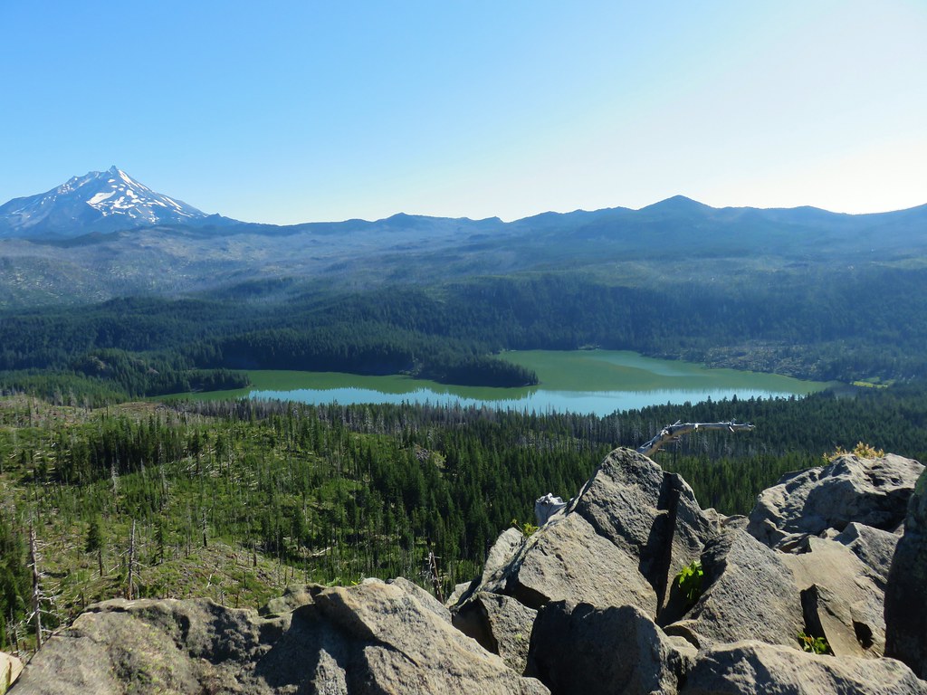 South Cinder Peak is the high point along the ridge.

 The saddle that we didn’t want to drop down to.
 Three Fingered Jack with the Three Sisters and Mt. Washington in the gap.
 The Three Sisters and Mt. Washington beyond Red Butte (
 Jenny and Melis Lake
 Marion Mountain at the end of the ridge.
 Bear Point (
 Turpentine Peak along the ridge.
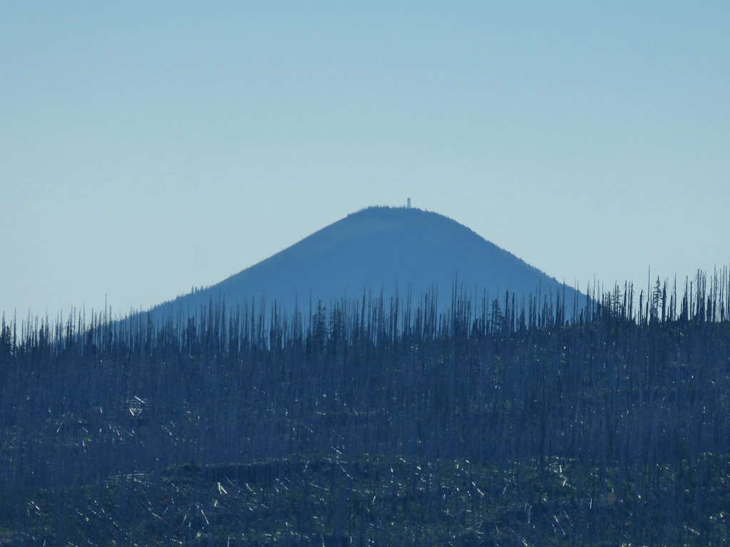 Black Butte (
 Stonecrop
 Prince’s Pine
 Penstemon
 Washington lily


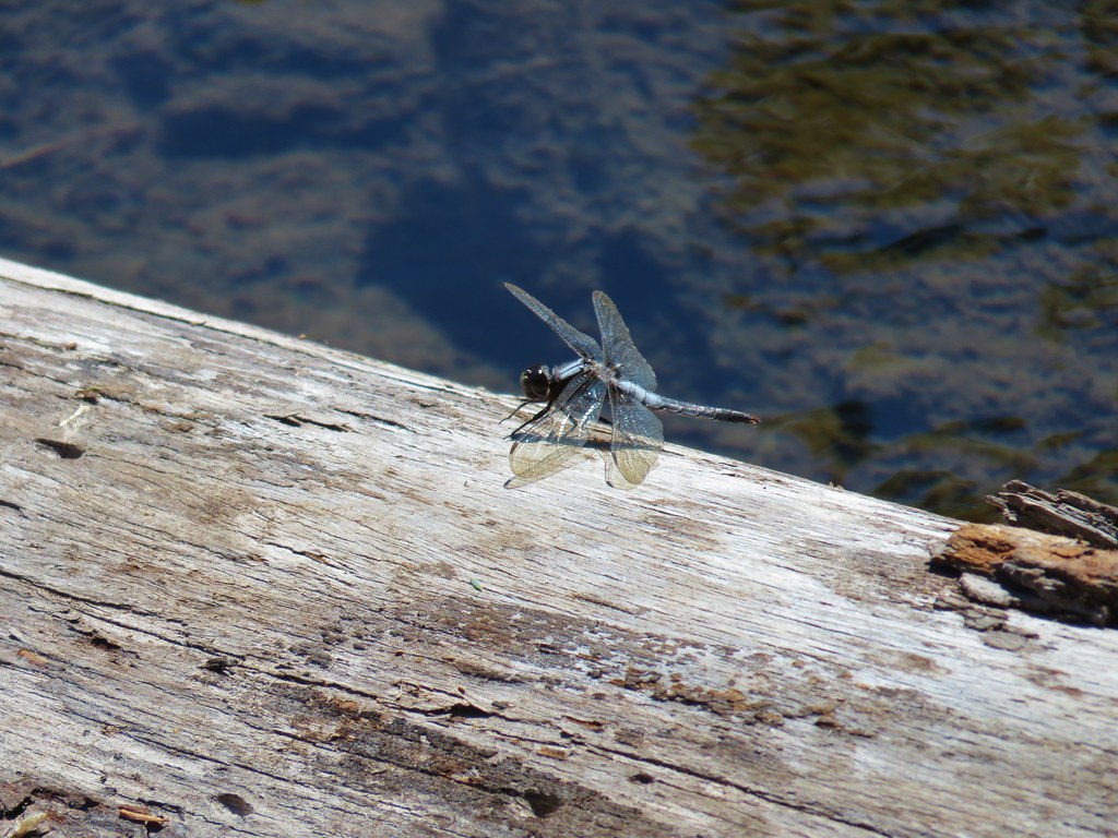 Dragon fly


 Gold Creek
 Fireweed along one of the half-bridges.
 Beetle on a half-bridge.
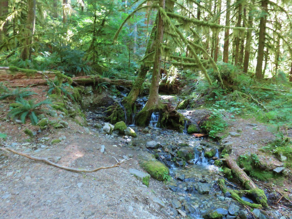 Creek in the forest.
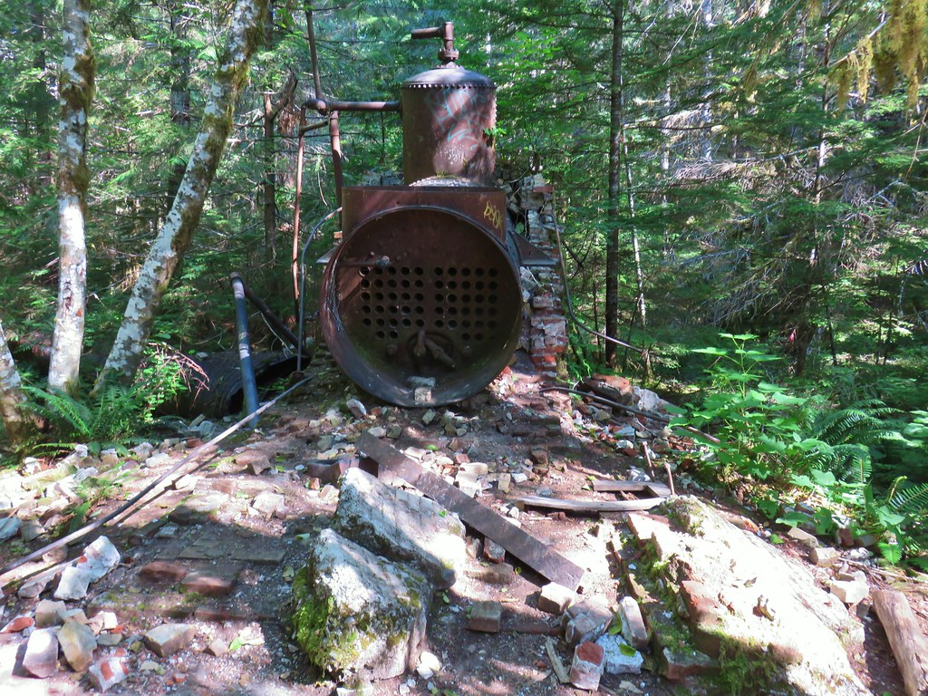 Boiler at the Merten Mill site.
 Merten Mill in 2012
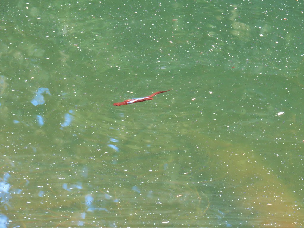
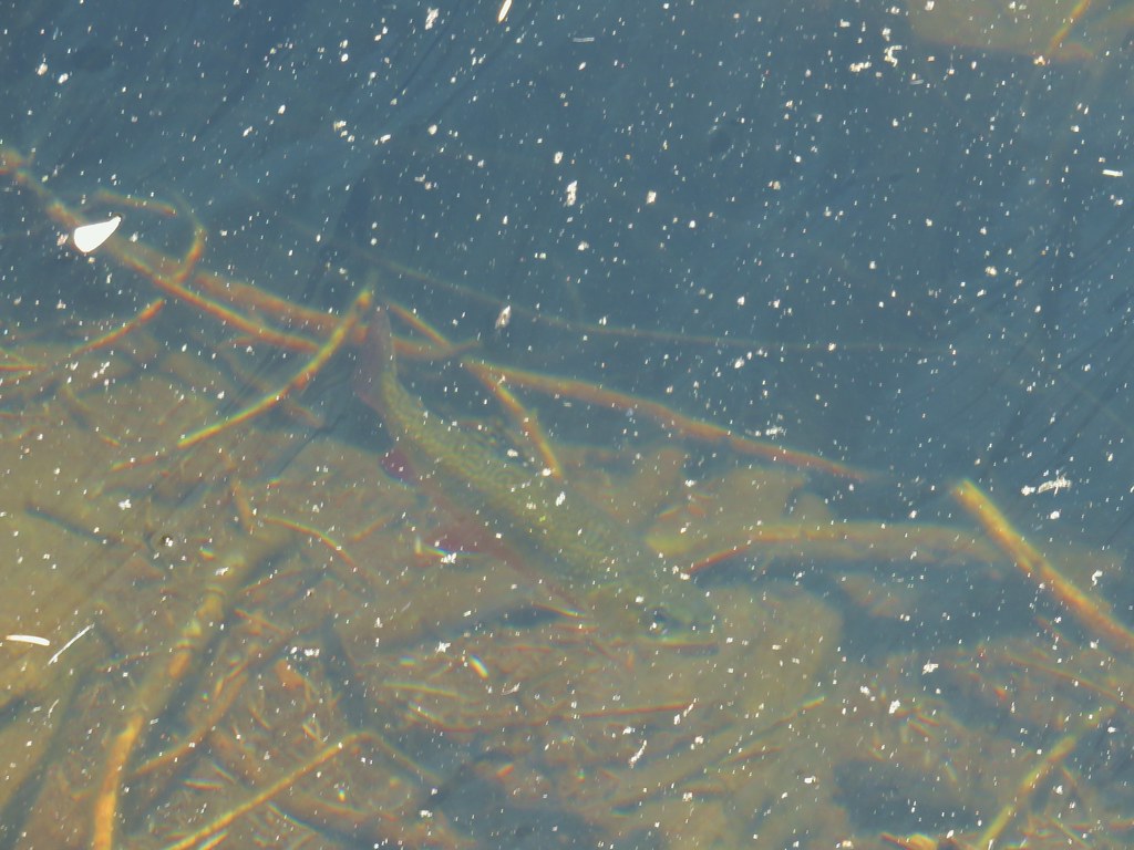
 Fish in the pool below the falls.
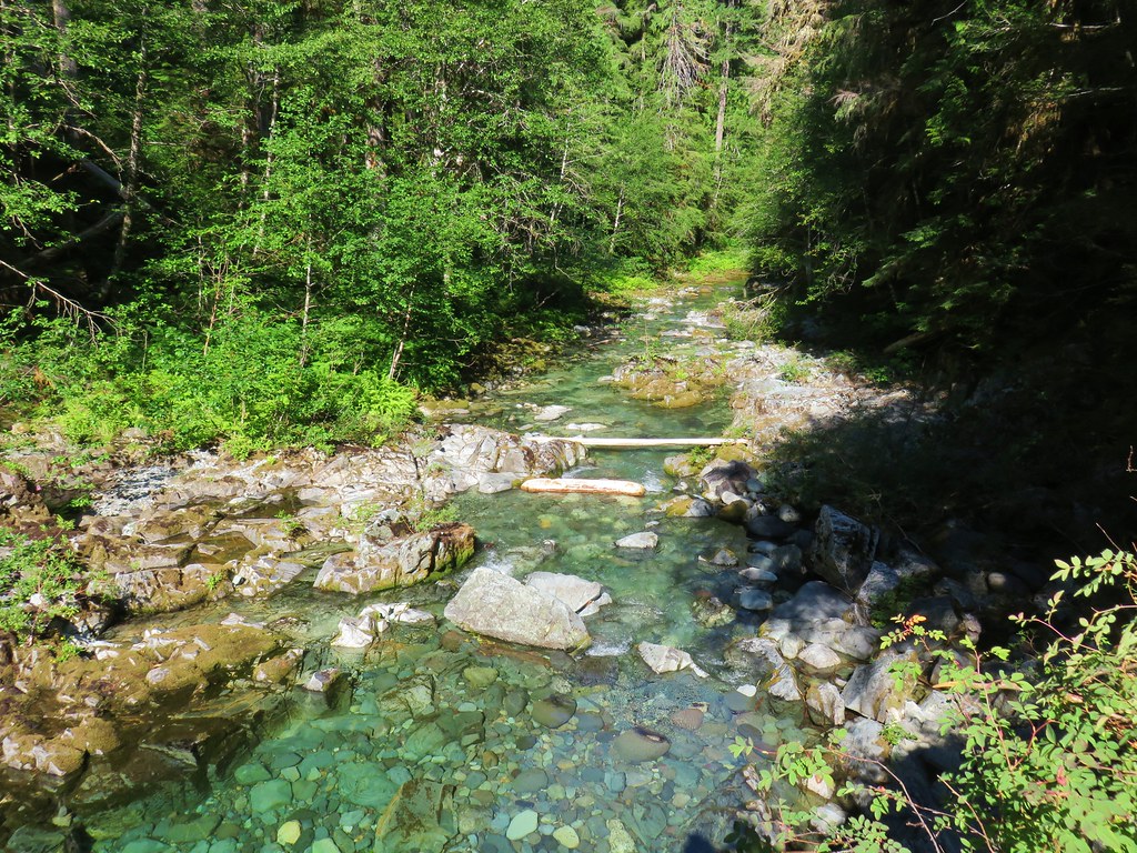 Little North Santiam River
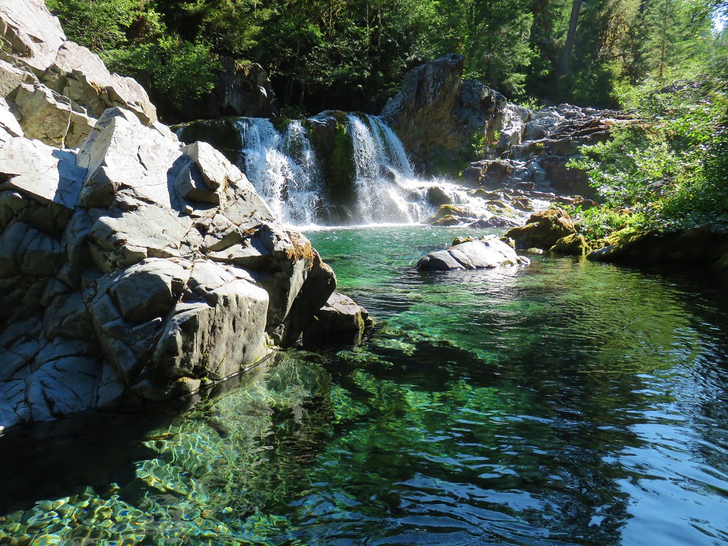 Sawmill Falls
 Ouzel
Ouzel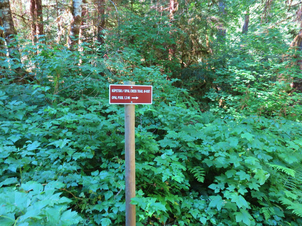


 Ridiculously clear water.
 Newt floating in a small pool.
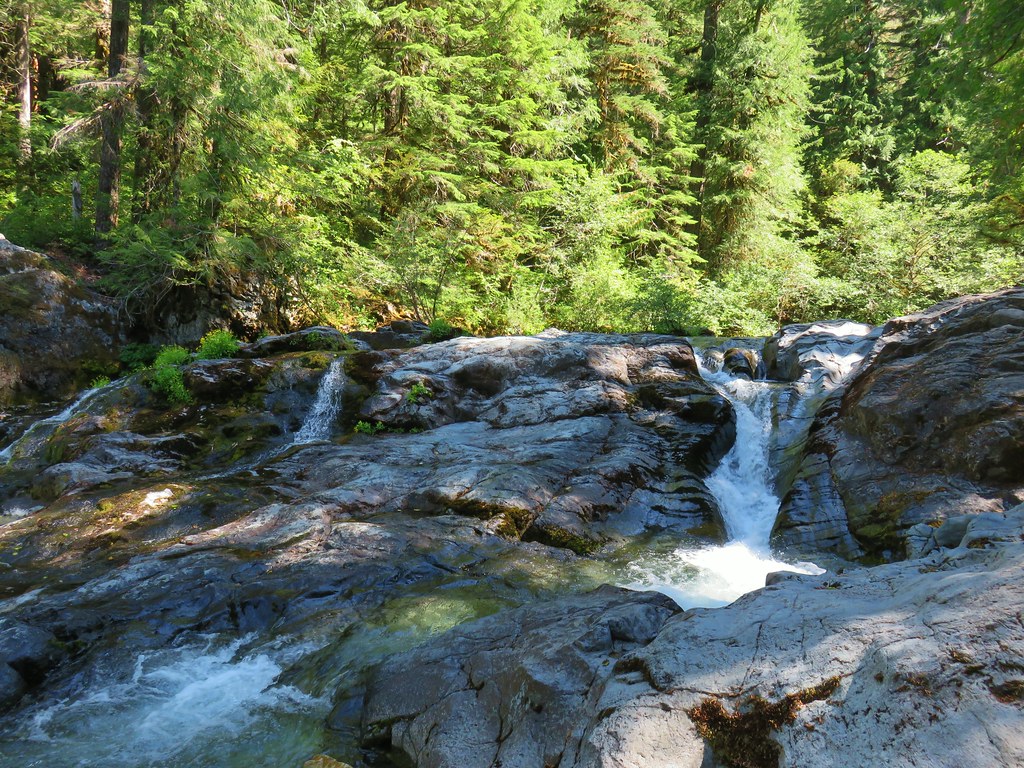 Cascade along the river.
 Red huckleberries
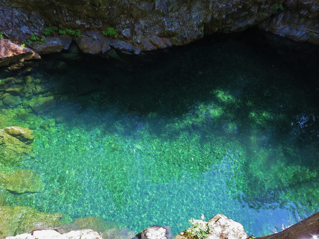


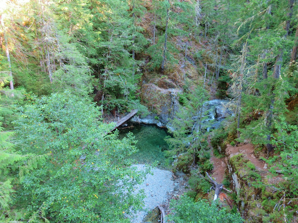
 Bridge over the river above Opal Pool
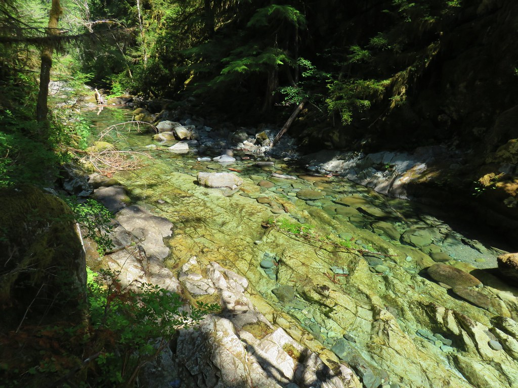 Little North Santiam River below Opal Pool
 Opal Pool Falls
 Cliff jumpers sitting down by the pool.
 Opal Pool Falls from the bridge.
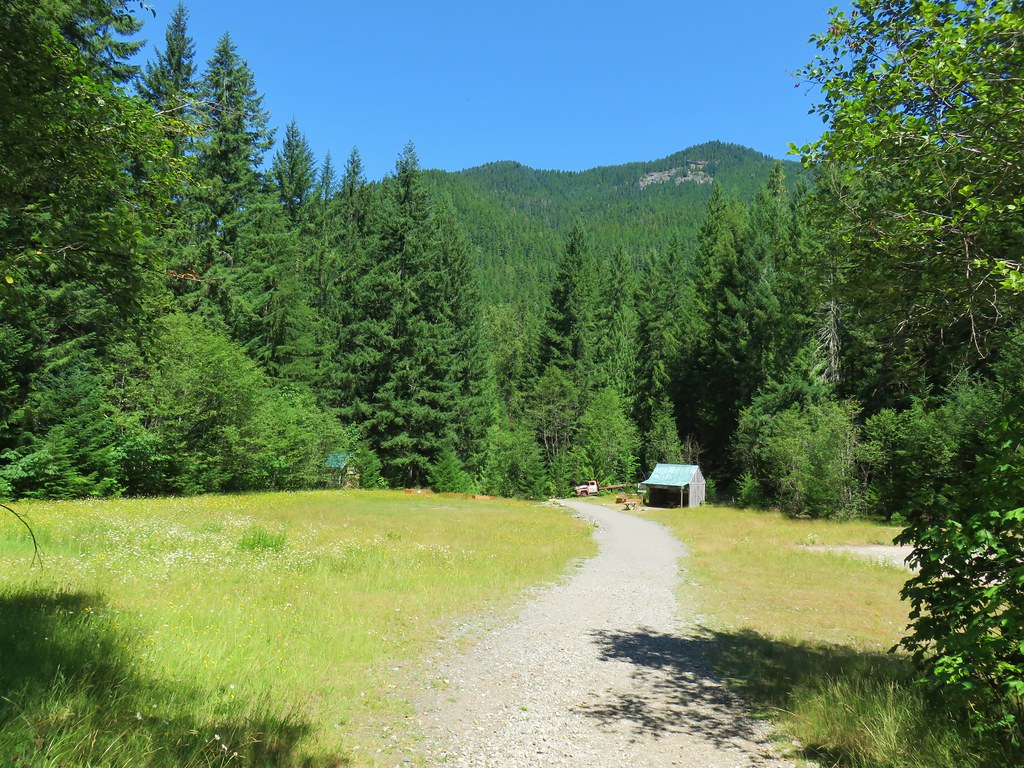
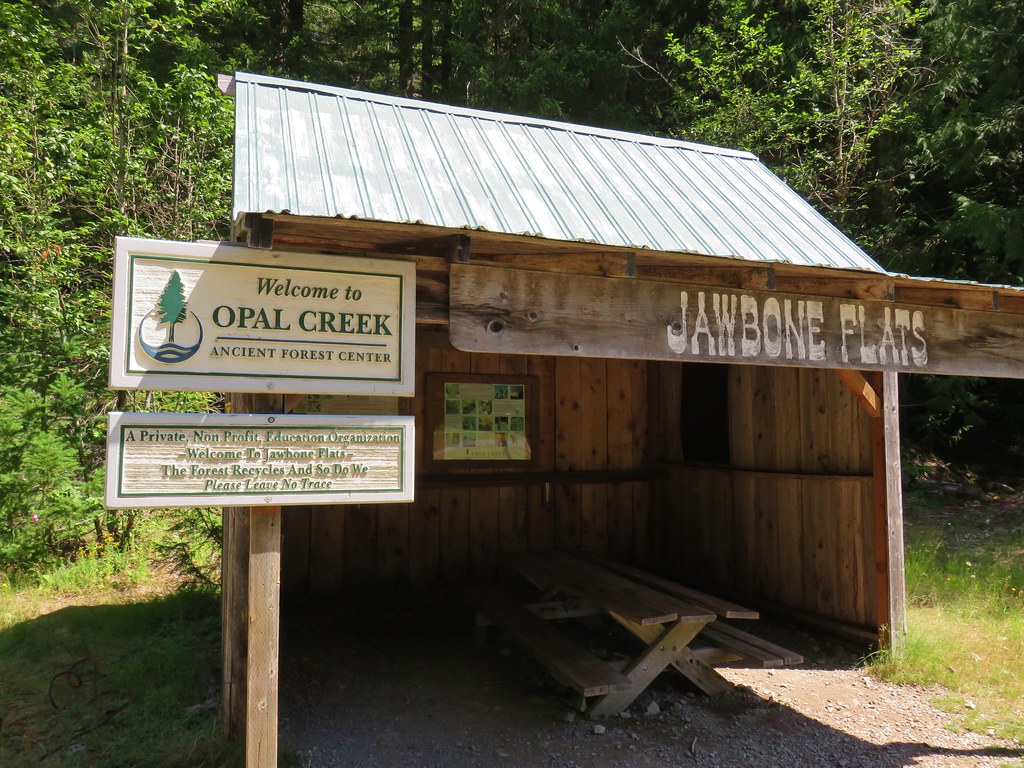


 Pelton Shed provides power to Jawbone Flats.
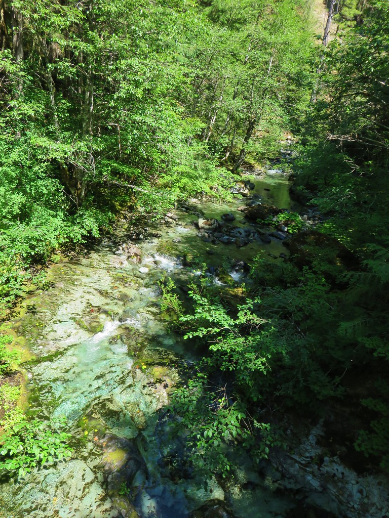

 One of the garter snakes.
 A millipede
 Lots of spent beargrass along the trail.

 Thimbleberry bushes near the spring.
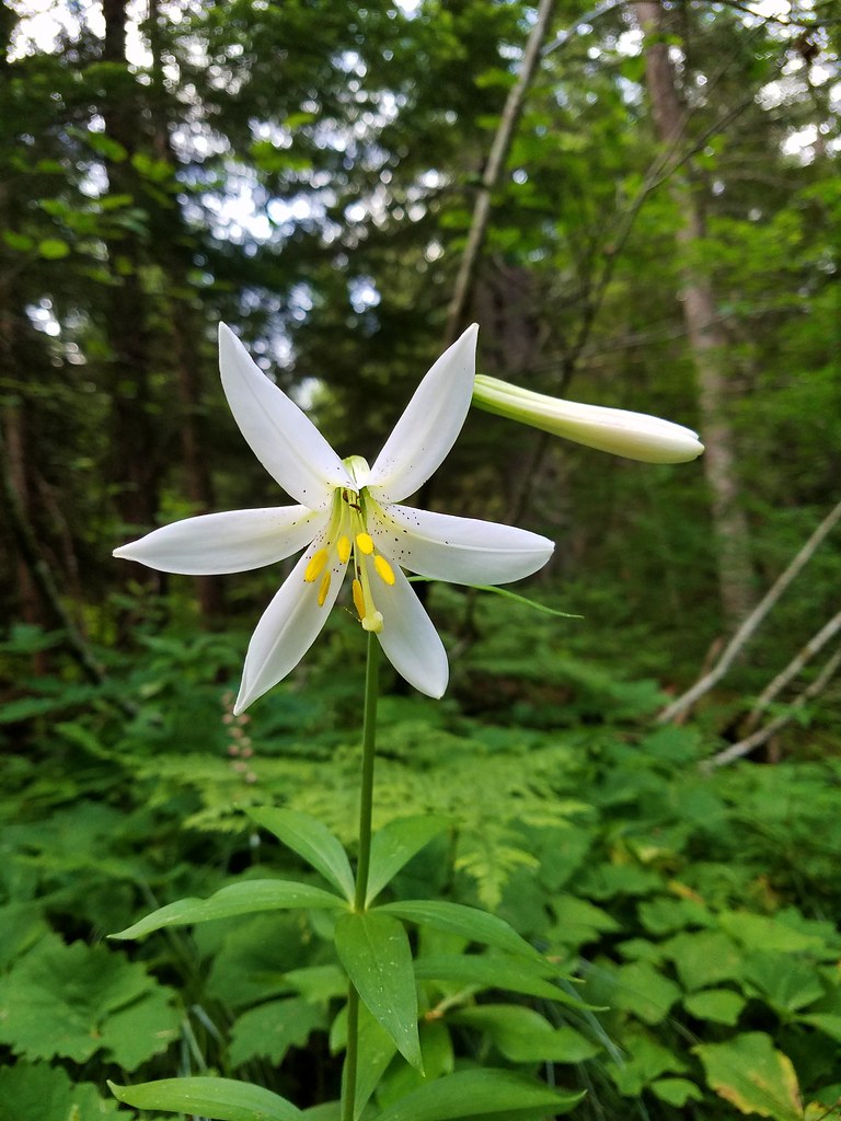 Washington lily
 Spring near the trail.

 Spotted the first pika of the day at this switchback (it’s on one of the red rocks)
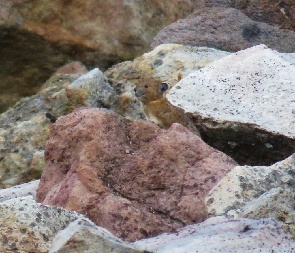


 The Three Pyramids, Bachelor Mountain, and Coffin Mountain in the distance with Triangulation Peak in a cloud shadow along the near ridge to the right.
 Mt. Jefferson with Three Fingered Jack now fully visible.
 Three Fingered Jack
 Grouse in the brush to the left of the trail.
 Grouse
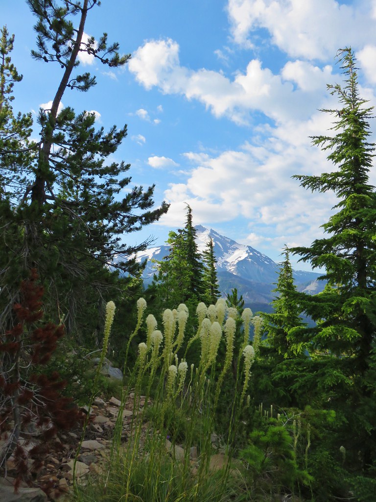


 Almost to the top.
 Bear Point summit.
 The Three Sisters and Three Fingered Jack
 Mt.Jefferson
 Park Ridge (
 Bear Lake, Dinah-Mo Peak, and Park Ridge
 Triangulation Peak and Devils Peak
 Boca Cave below Triangulation Peak (
 Devils Peak (high point to the right of the ridge), which we had just hiked to a couple of weeks earlier (
 Mt. Hood and Olallie Butte (The Breitenbush Cascades are also out there amid the trees.)
 Mt. Hood with Slideout and Mildred Lakes in the forest below.
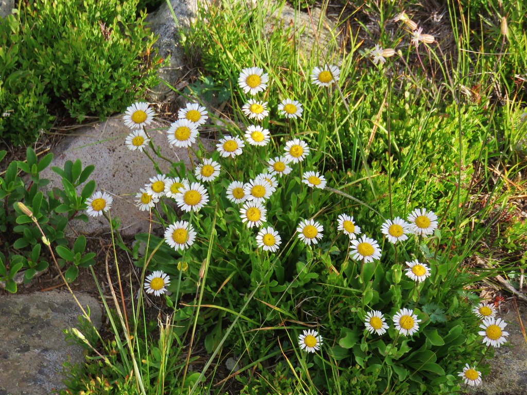 Fleabane
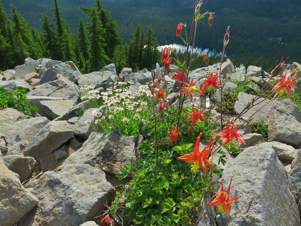 Columbine and fleabane with Bear Lake in the background.
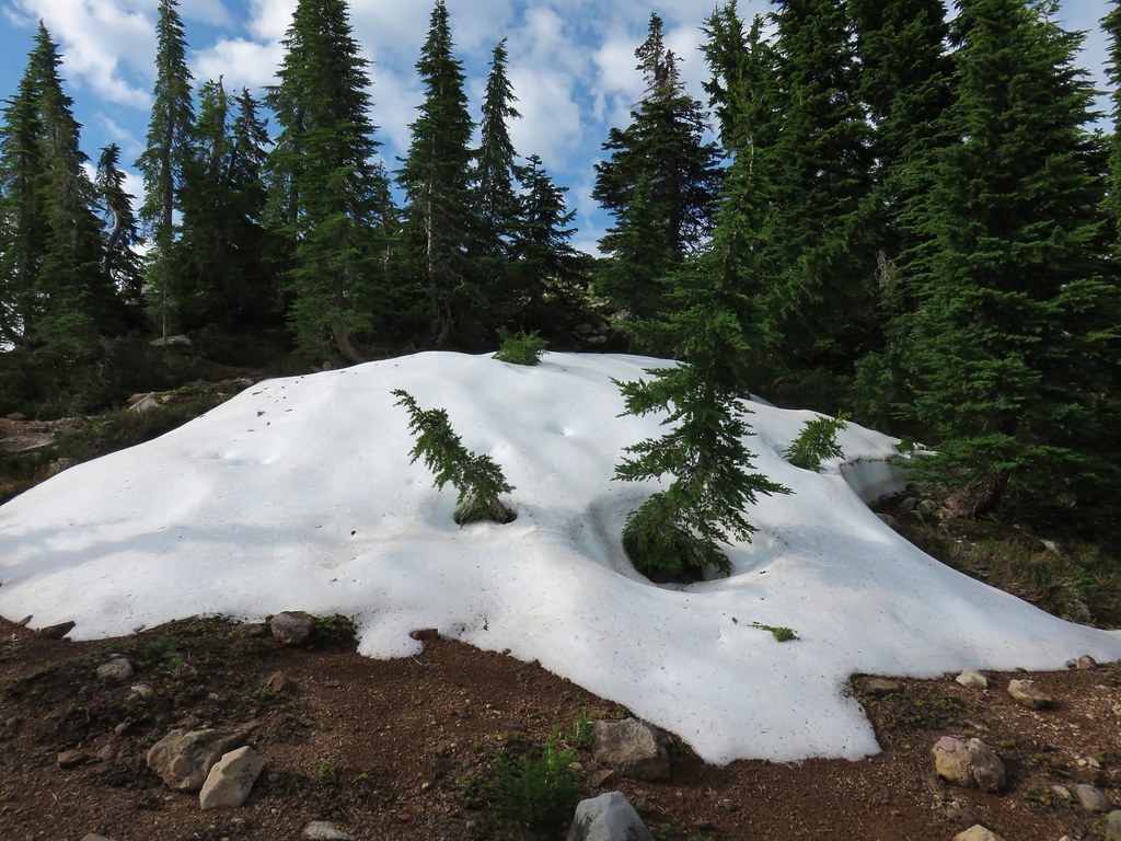 Snow patch near the summit.
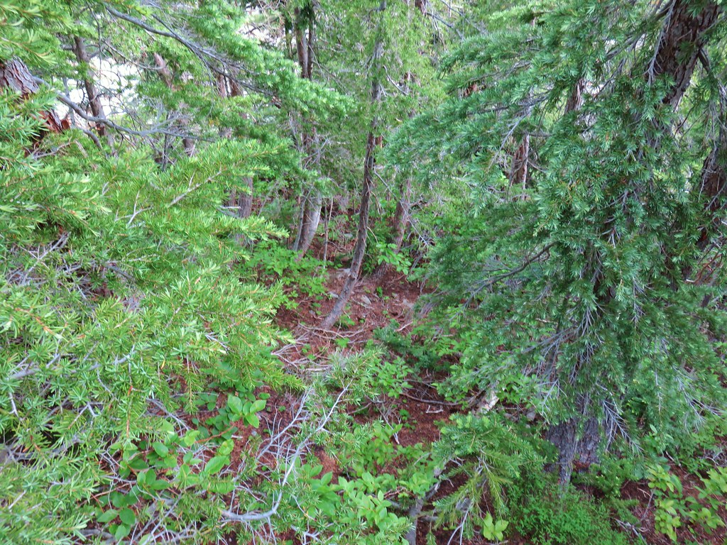 Typical terrain, it’s hard to tell here but this was a steep hillside.
 There were tons of these butterflies around.
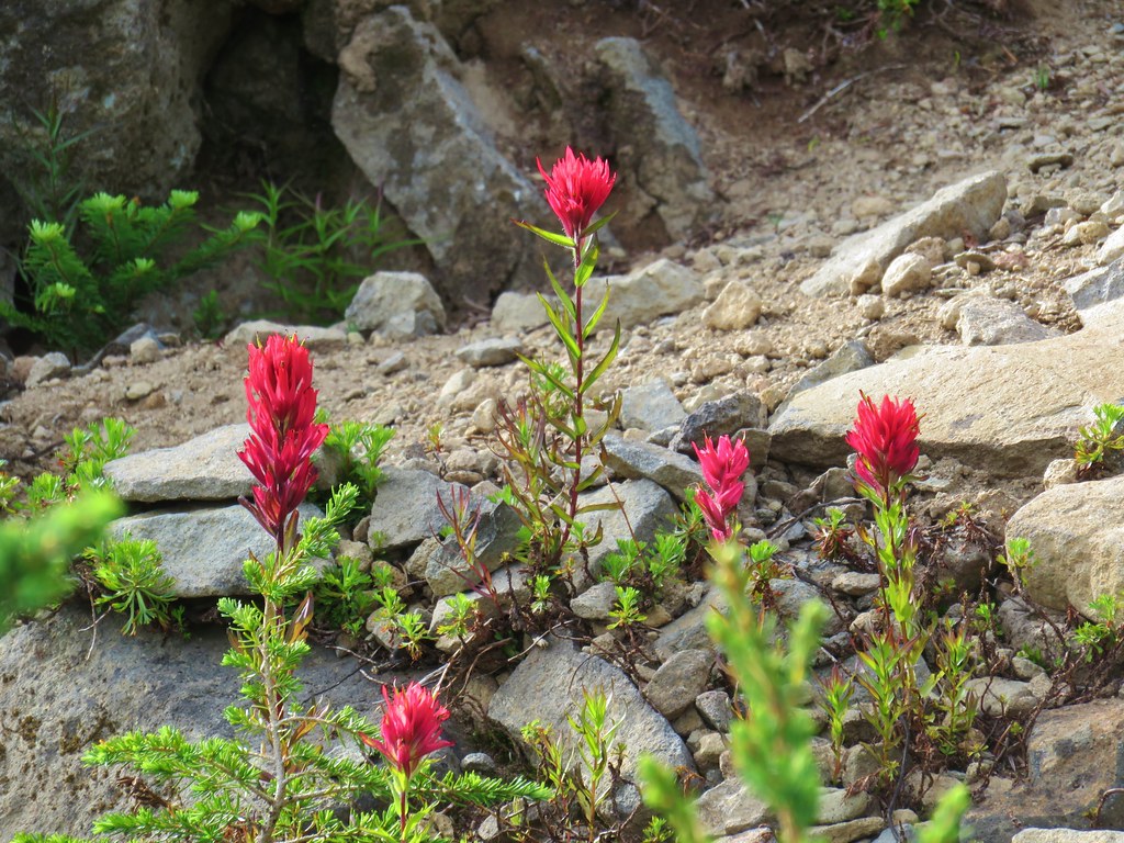 Paintnbrush
 Crossing a talus slope.
 More typical conditions.
 Pond near the lake.
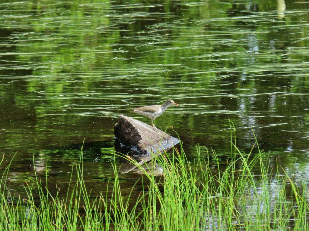 Bird at the pond.
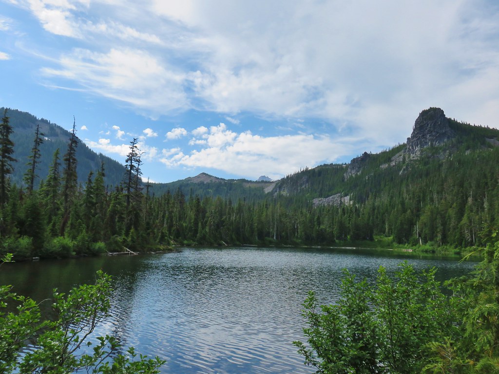 The lake
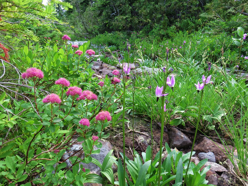 Spirea and shooting stars
 Crab spider with a bee
 The lake
 Aster
Aster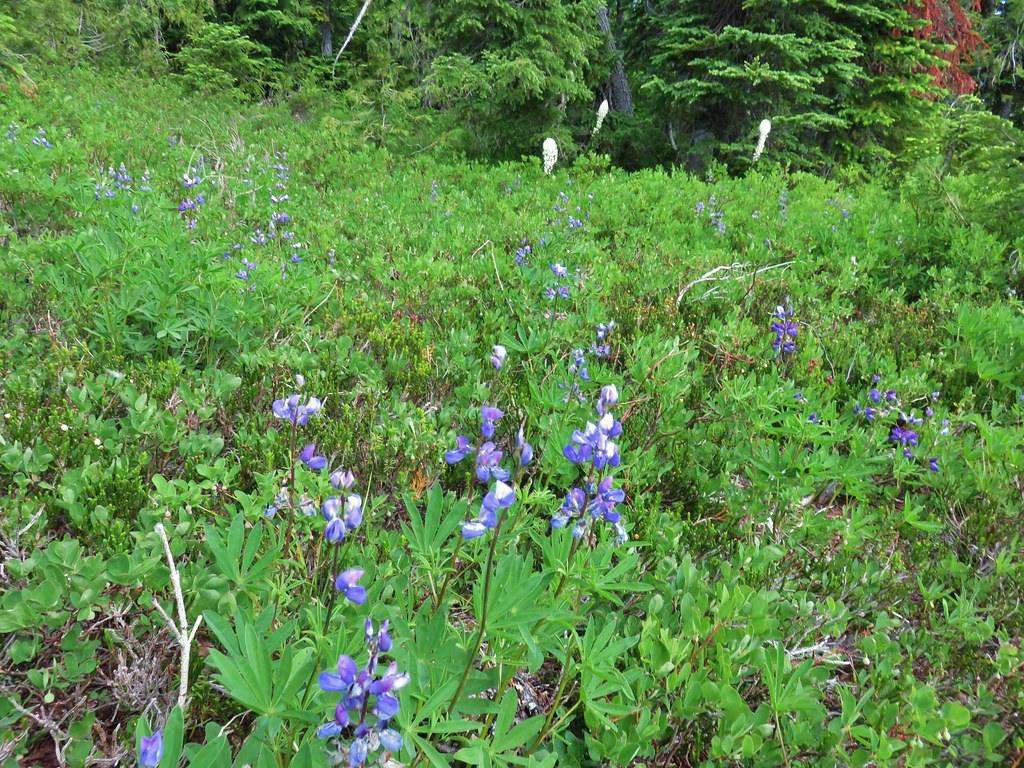 Lupine and beargrass


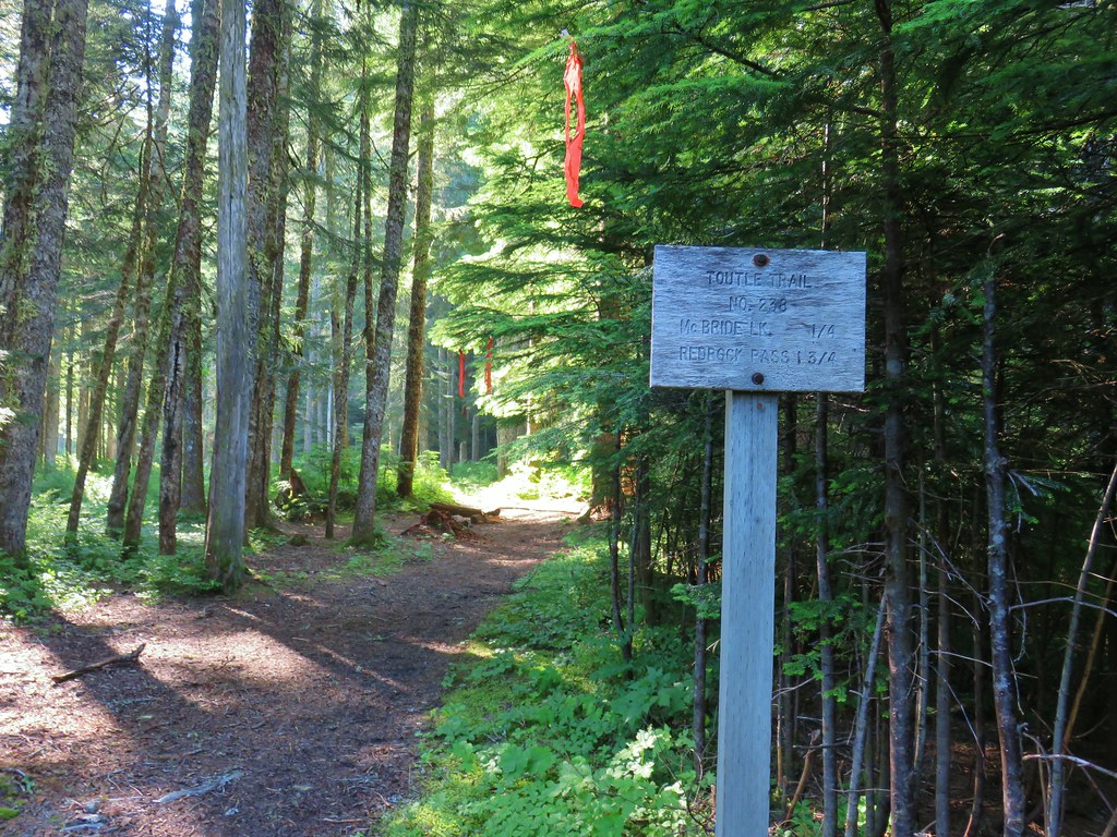
 Toutle Trail
 Candy sticks


 Pinesap
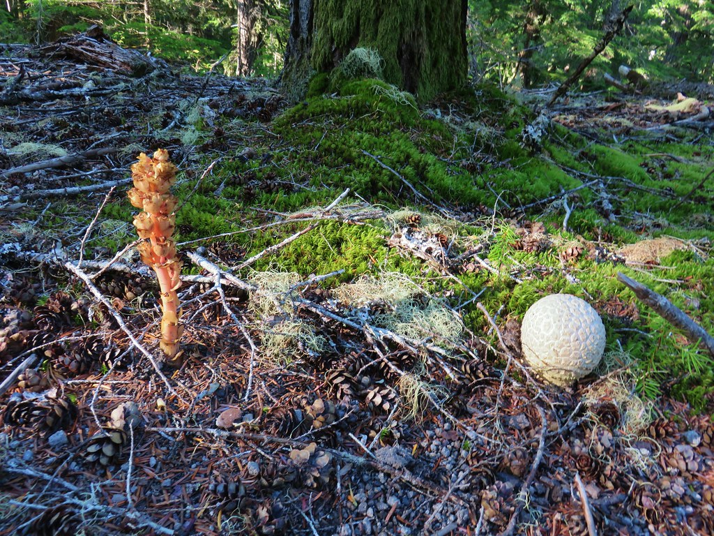 Pinesap and a puffball
 Lousewort
 Twin Flower


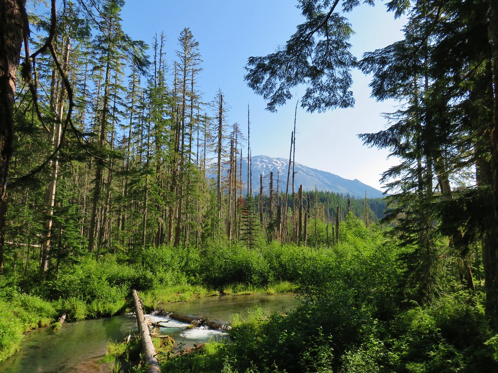

 Mt. St. Helens beyond the remnants of McBride Lake.

 Cars parked at Red Rock Pass
 Cinnamon Trail on the left and Toutle Trail on the right from the unsigned junction.


 Fungus on a stump.

 The butte ahead (we didn’t want to have to climb that.)
 Trail wrapping around the south side of the butte.
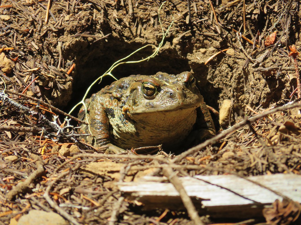
 Toad near the saddle.
 Mt. St. Helens from the saddle.
 Goat Mountain
 Mt. St. Helens and Mt. Adams
 Another frog.
 Crossing #1
 Crossing #2
 Crossing #3


 old road crossing.
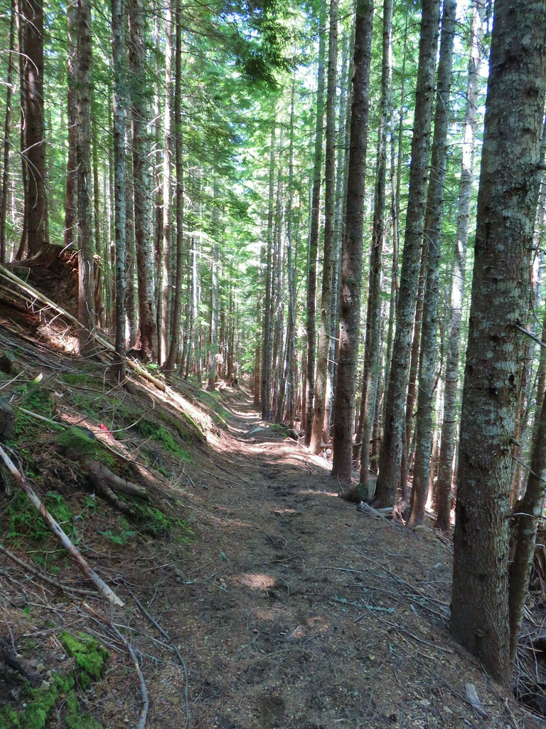
 Dropping to FR 8022(8122).
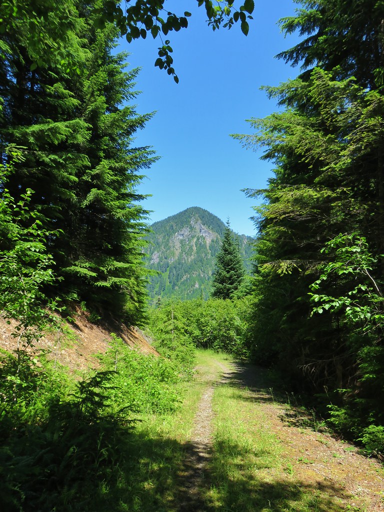 Goat Mountain from the roadbed.
 Goat Mountain and Mt. St. Helens
 Ripening berries
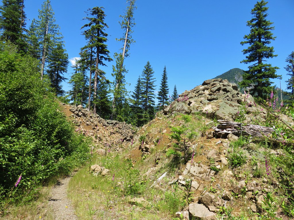 Rock slide along the roadbed.
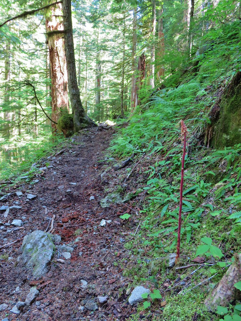
 Pinedrop
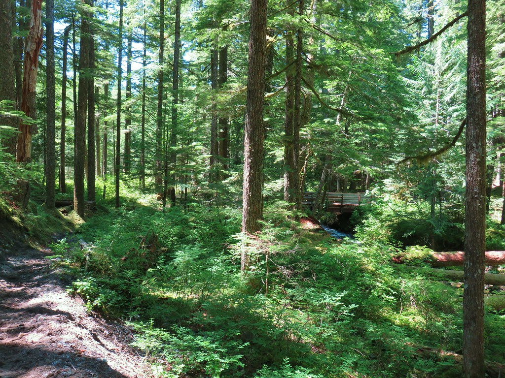


 The river below the second tier.


 A clump of fireweed.
 Scouler’s bluebells
 Diamond clarkia
 Cat’s ear lily
 yarrow
 Pearly everlasting
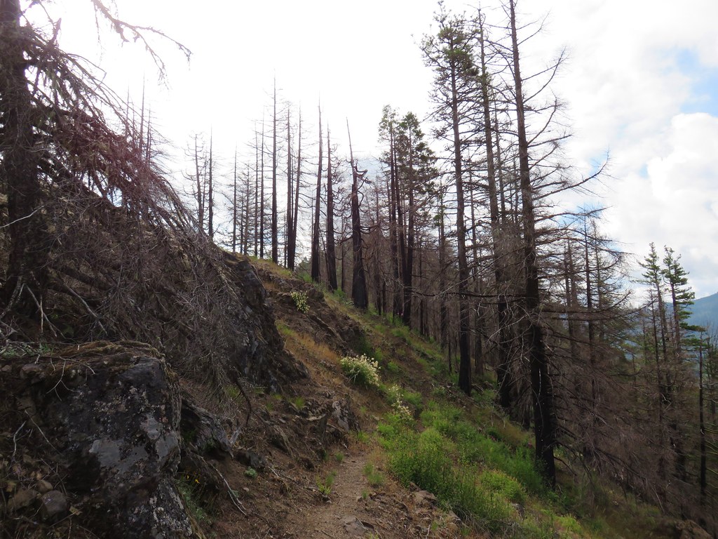


 Another Washington lily

 Devil’s Peak ahead
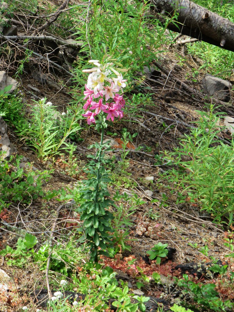


 A typical steep section.
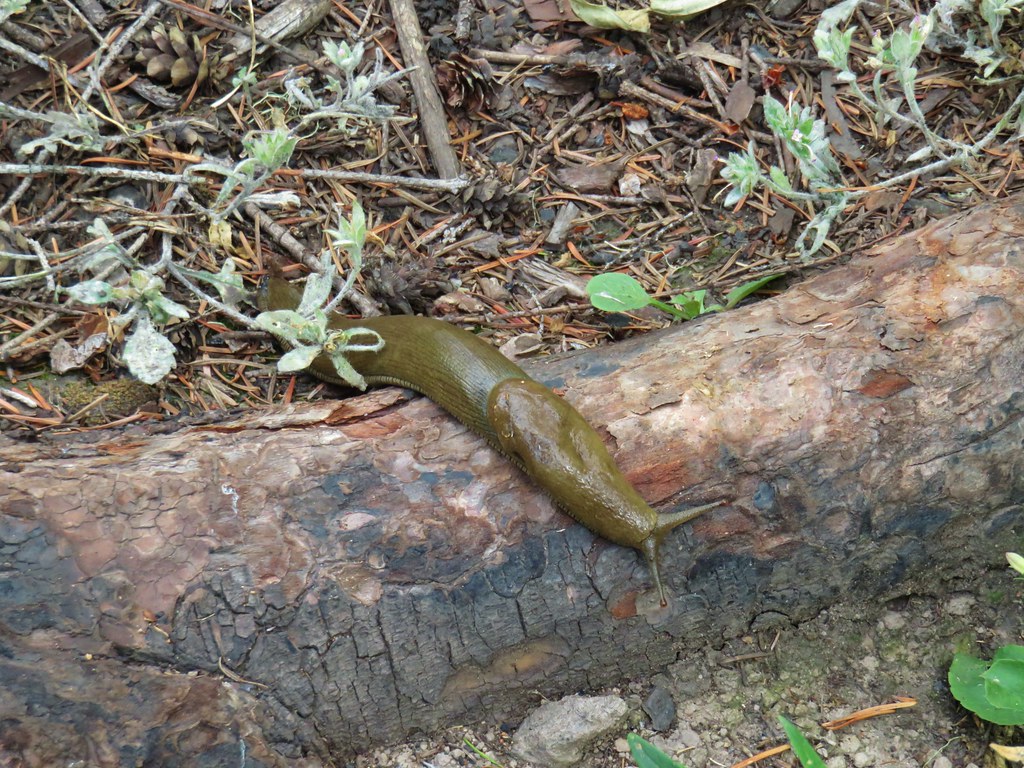


 Looking back up from the bottom.
 Still dropping but much more gradually.
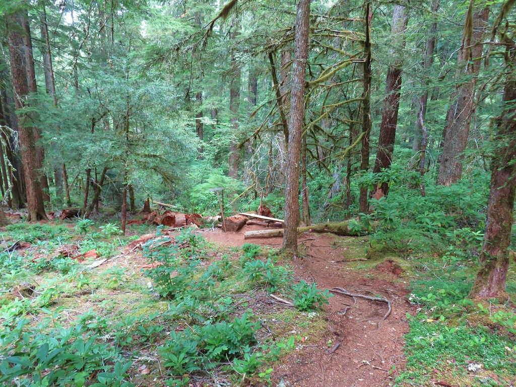


 Arrow leaf buckwheat
 Blue-head gilia, stonecrop, wild onion, and arrow leaf buckwheat
 Farewell-to-spring waiting for the Sun (just like us)
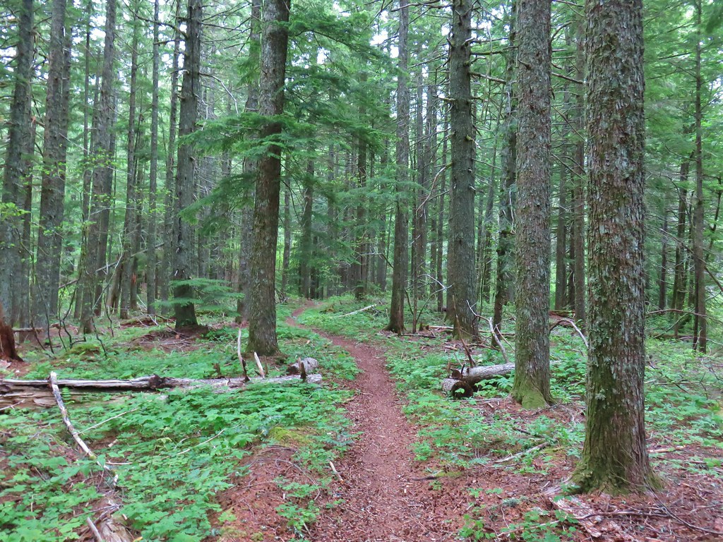
 Tiger lily
 Twin flower
 Penstemon
 Lupine
 Arnica?
 Patinbrush and penstemon
 Columbine
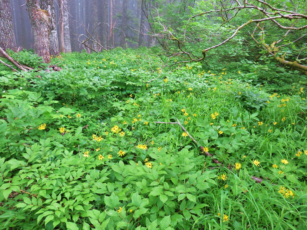 Lots of arnica
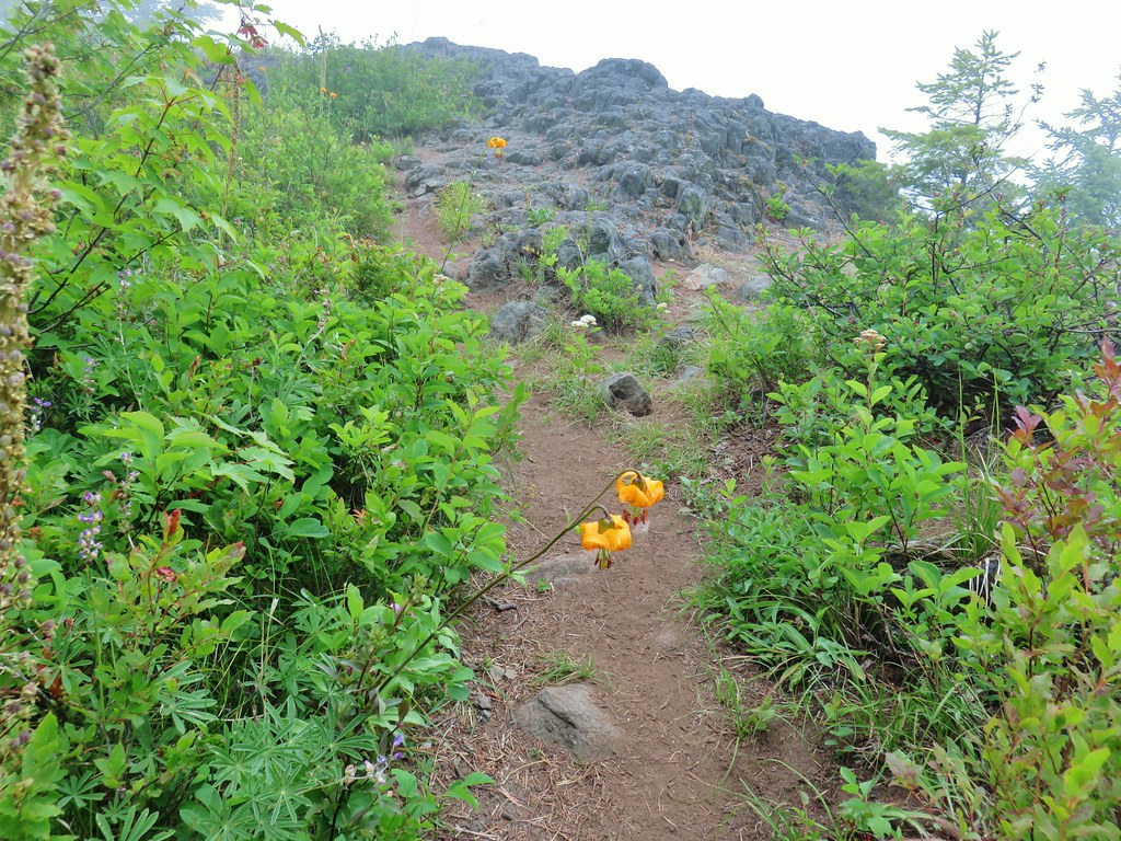 First viewpoint approximately 1 mile in.
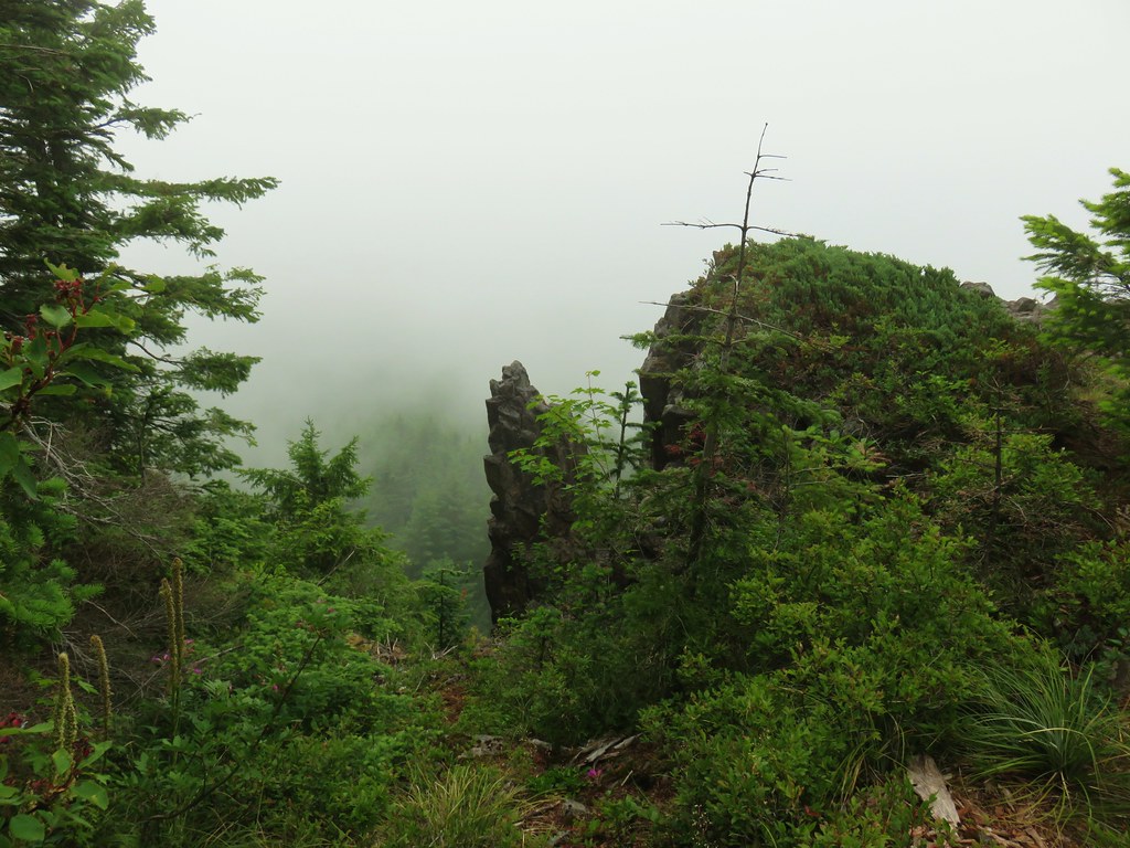 First viewpoint
 Second viewpoint, about 1.5 miles in. The hillside was covered in cat’s ear lilies.
 Penstemon and cat’s ears
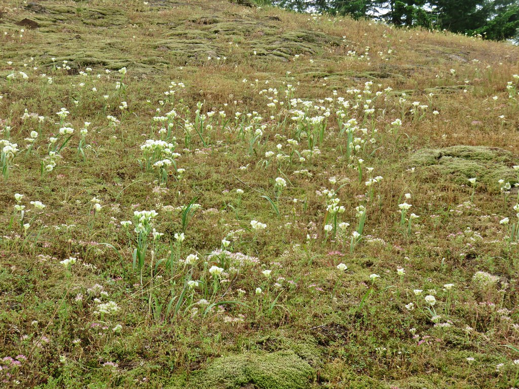 Cat’s ears and wild onion

 Two kinds of paintbrush
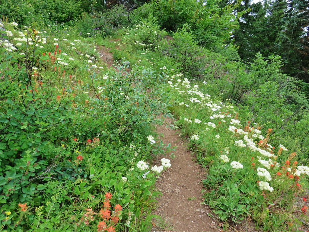
 Onion
Onion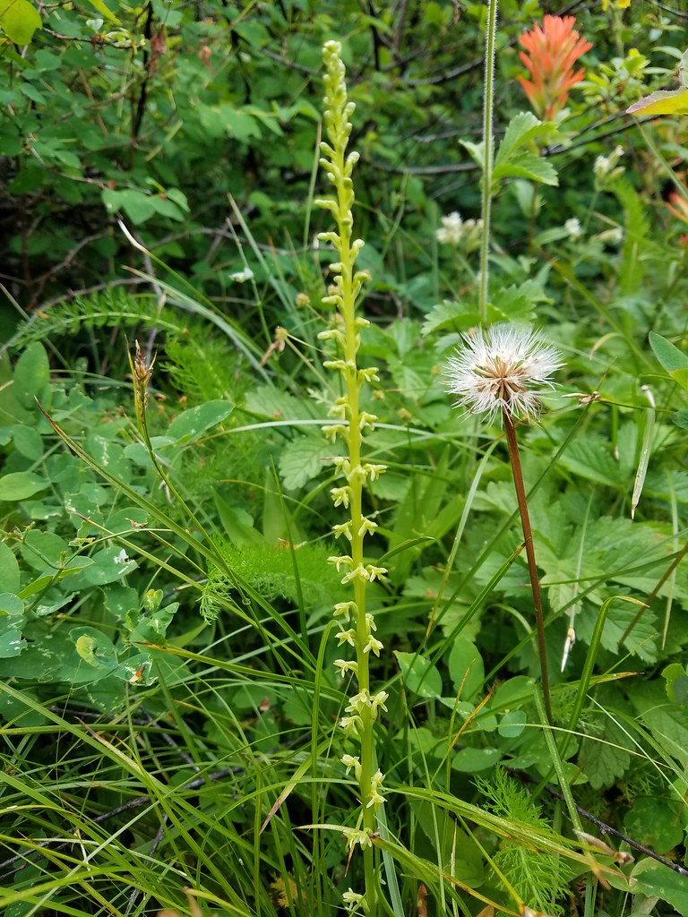 Looks to be some sort of orchid
 Blue-head gilia and an unknown yellow flower.
 Arrow leaf buckwheat and blue-head gilia
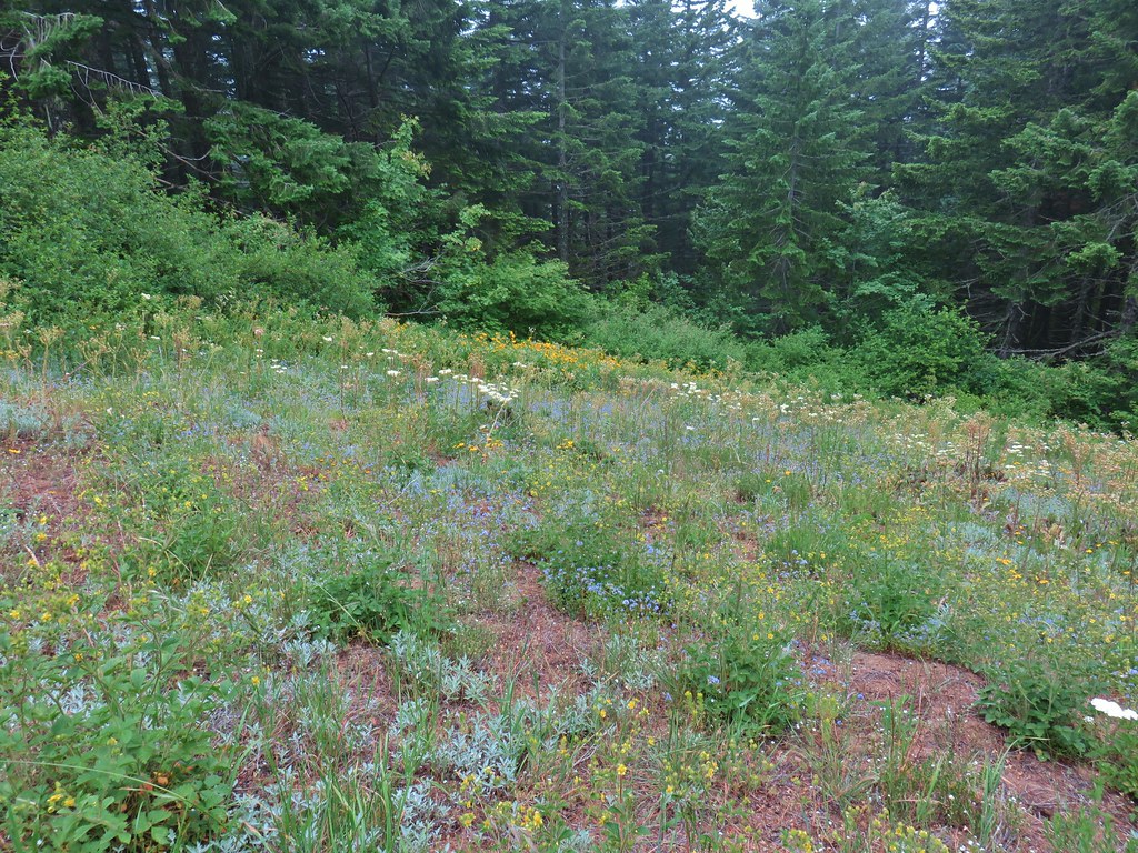 A bunch of flowers
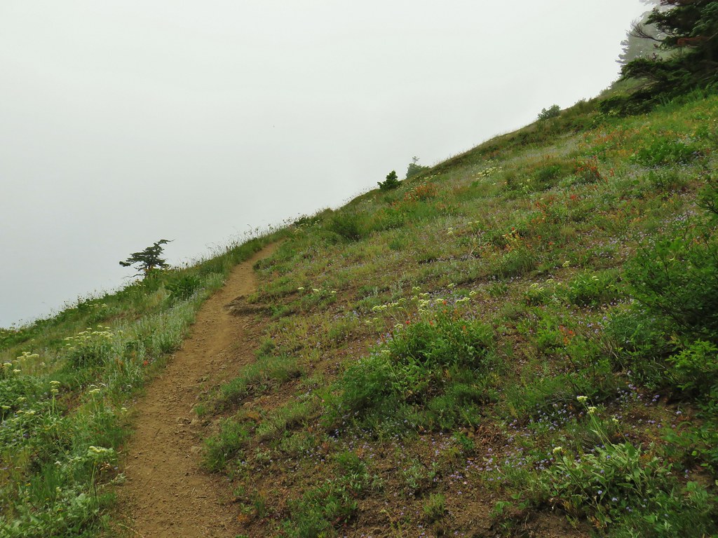 Starting up Grassy Knoll
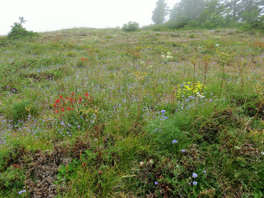

 Balsamroot
 Catchfly


 A little better view down for a moment.

 Larkspur
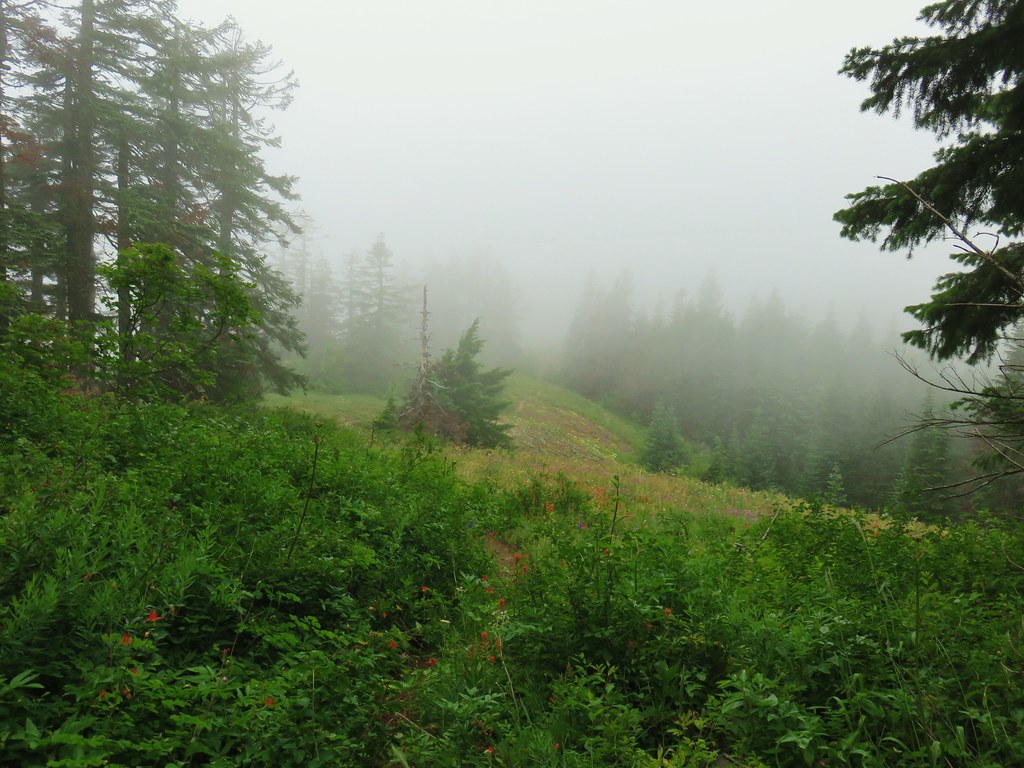


 Phlox and a cat’s ear lily
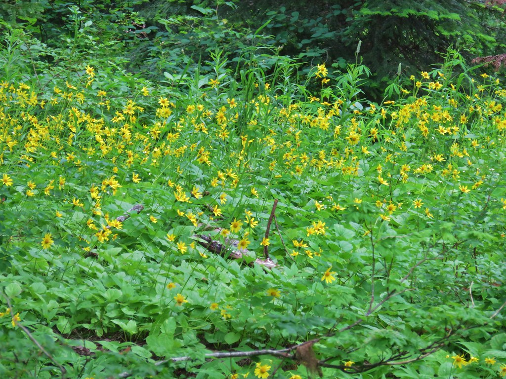


 Another type of penstemon
 Beargrass


 Not sure what this is either, it’s the first time we recall seeing it.
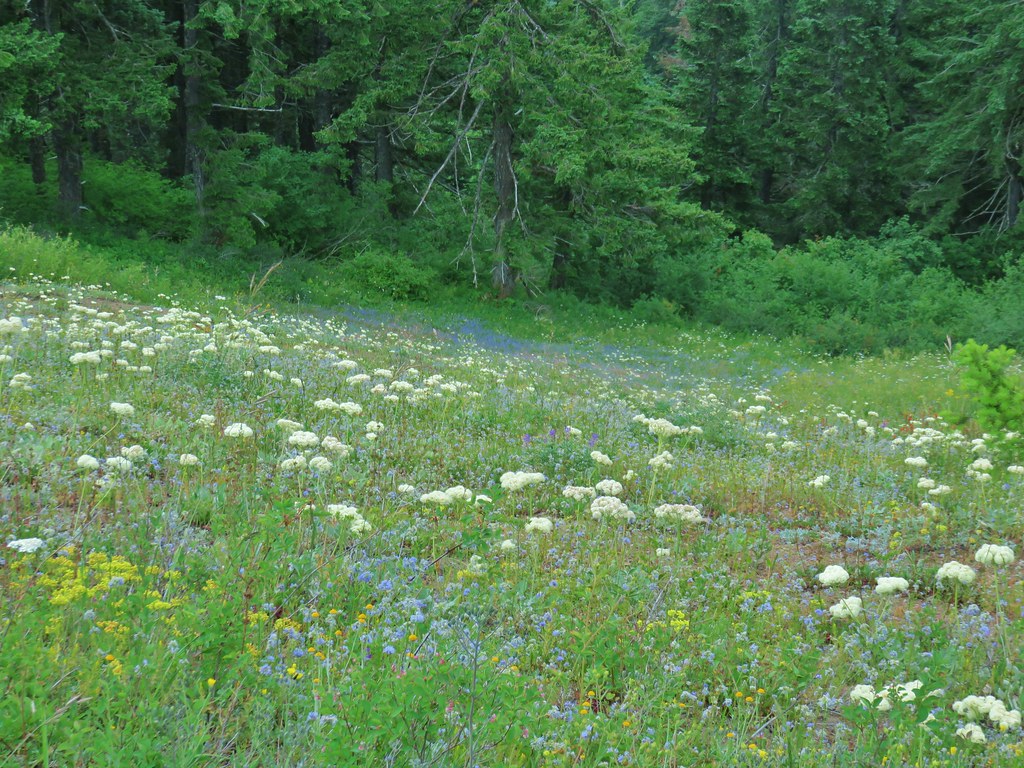


 Snowy flank of Mt. Adams through the clouds.


 Wind Mountain and the Columbia River
 Little Huckleberry Mountain and Big Lava Bed
 A bit of Mt. Adams again.


 The only tiger lily that seemed to be open yet.
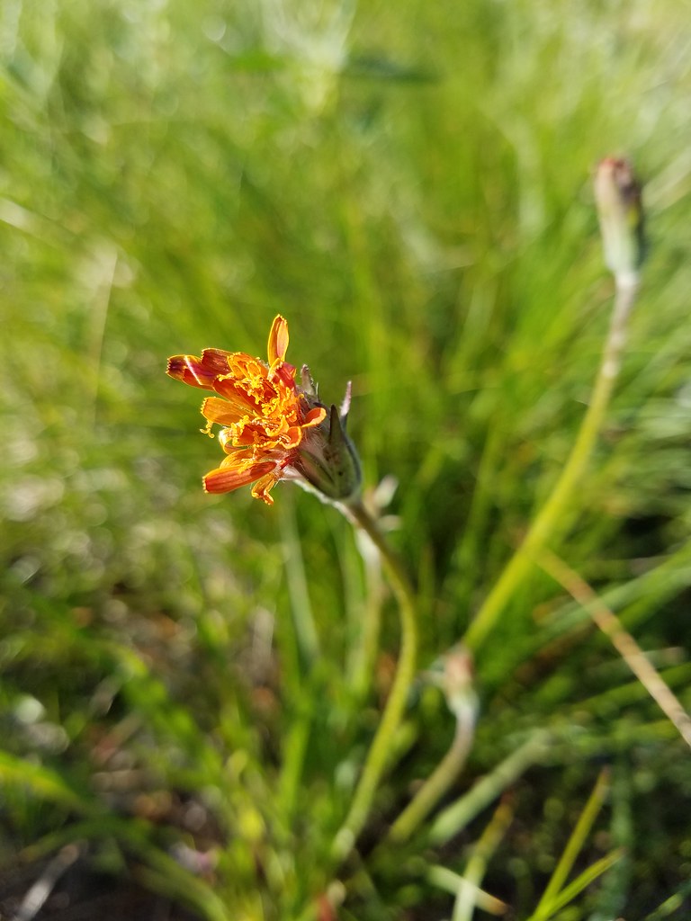 orange agoseris beginning to open.
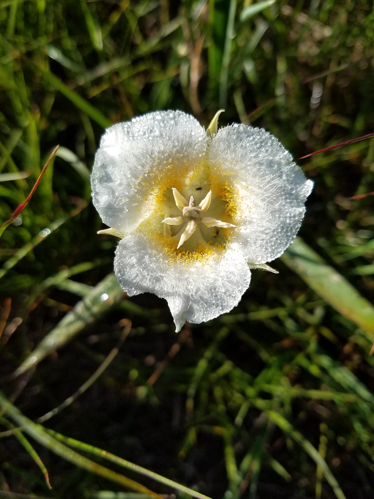 Cat’s ear lily
 Pussytoes


 The Three Sisters and Broken Top
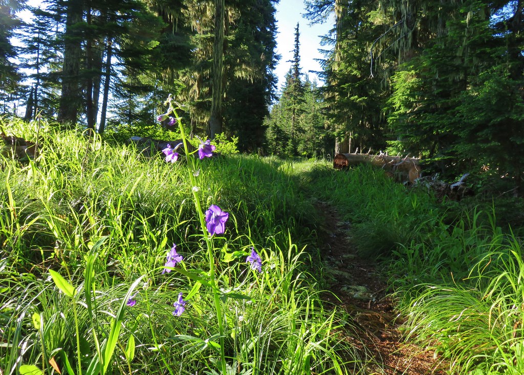 Larkspur along the trail.
 Bunchberry
 Anemone
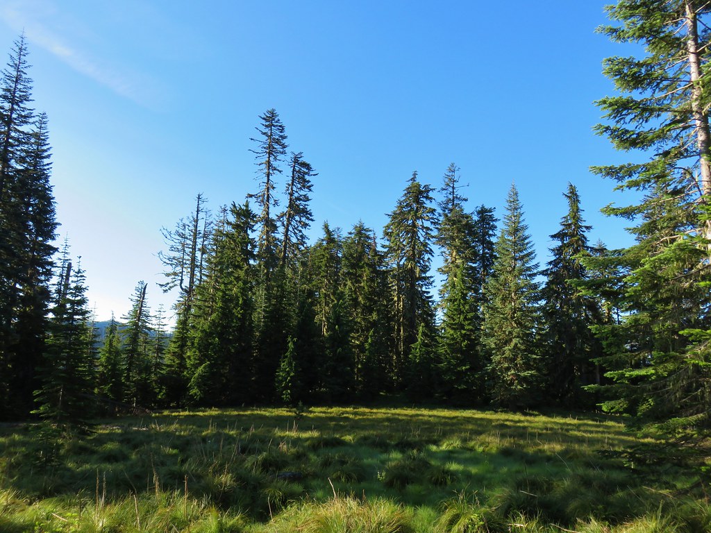 Another meadow
 The Three Sisters and Broken Top
 Queen’s cup
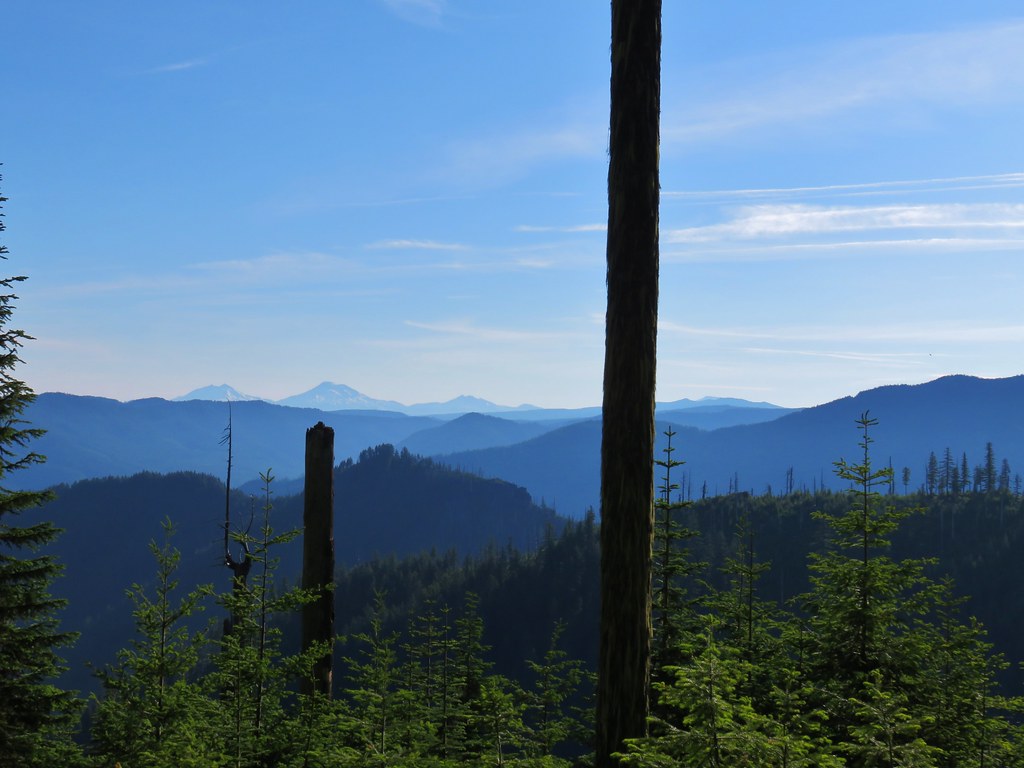 The Three Sisters, Broken Top, and a bit of Mt. Bachelor
 Rhododendron
 Another meadow full of not-in-bloom beargrass.
 View from the SW facing hillside.
 Looking SE

 Diamond Peak through the trees.
 Valerian in the saddle.


 Mt. Yoran, Diamond Peak, and Mt. Bailey
 Mt. Yoran and Diamond Peak
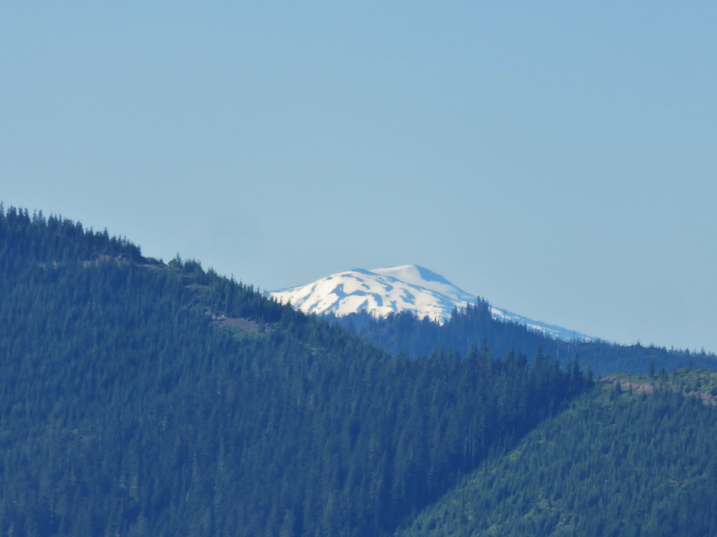 Mt. Bailey
 View to the NE (from the afternoon on the way back)
 The Husband, Three Sisters, Broken Top, and Ball Butte(from the afternoon on the way back)
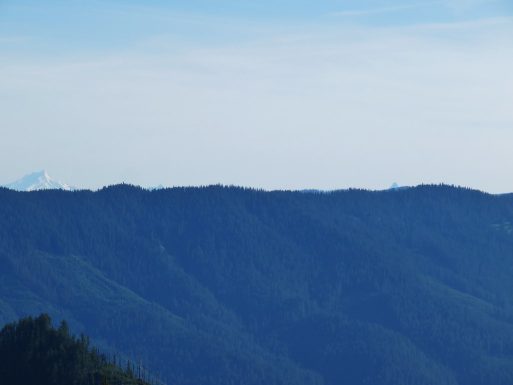 Mt. Jefferson and the tips of Three Fingered Jack and Mt. Washington


 Giant blue-eyed Mary
 Giant blue-eyed Mary
 Giant blue-eyed Mary and blue-head gilia
 Cat’s ear lily and blue-head gilia
 Coneflower
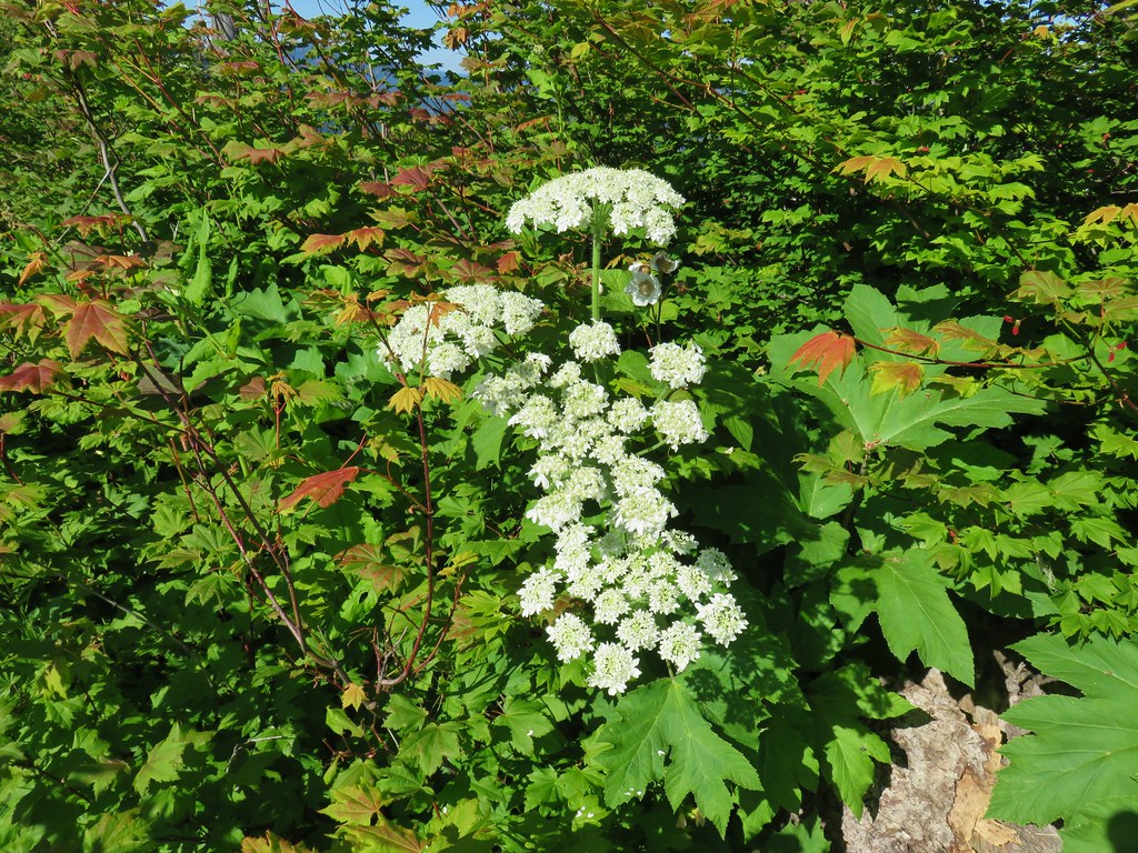 Cow parsnip
 Tall mountain bluebell
 More of the blue flowers
 Larkspur
 Jacob’s ladder
 An aster or fleabane
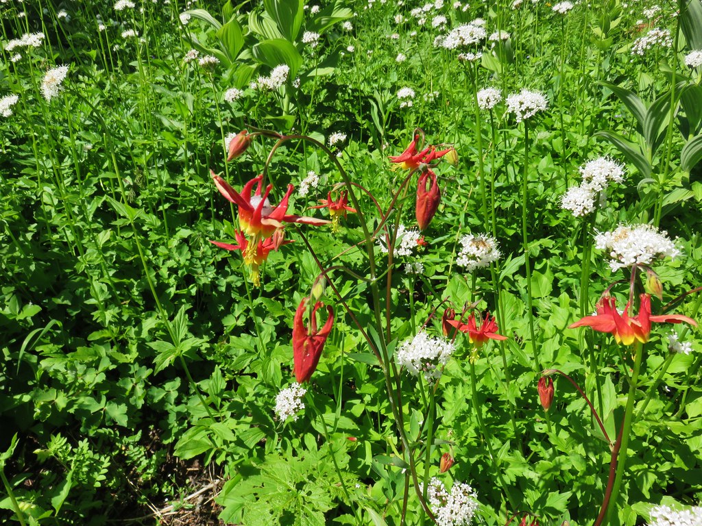 Columbine and valerian
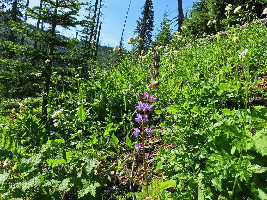 Lupine
 Not sure what type of flower this one is.
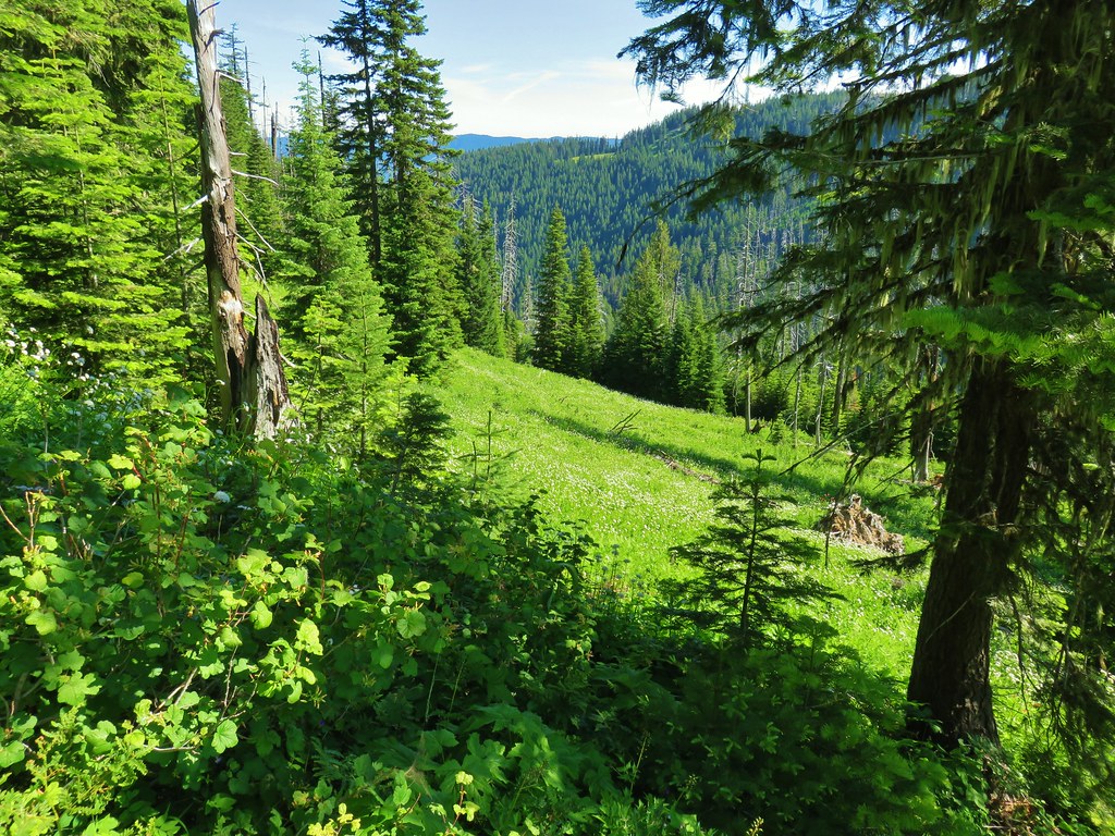 Valerian filled meadow below the trail.
 White yarrow, giant blue-eyed Mary, and tall mountain bluebells
 Looking back at our route so far.
 The trail coming around Kelsey Creek is visible on the hillside behind us.

 Fuji Mountain (left), flat topped Mt. David Douglass, Mt. Yoran (shorter thumb to the left of Diamond Peak), and Diamond Peak.
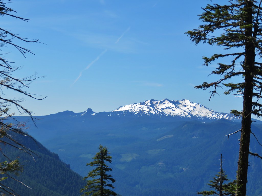 Mt. Yoran and Diamond Peak
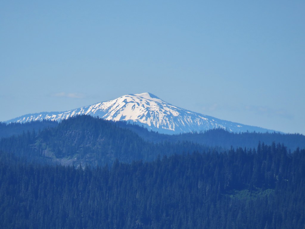 Mt. Bailey

 A few orange agoseris were scattered about.
 Scarlet gilia
 More scarlet gilia
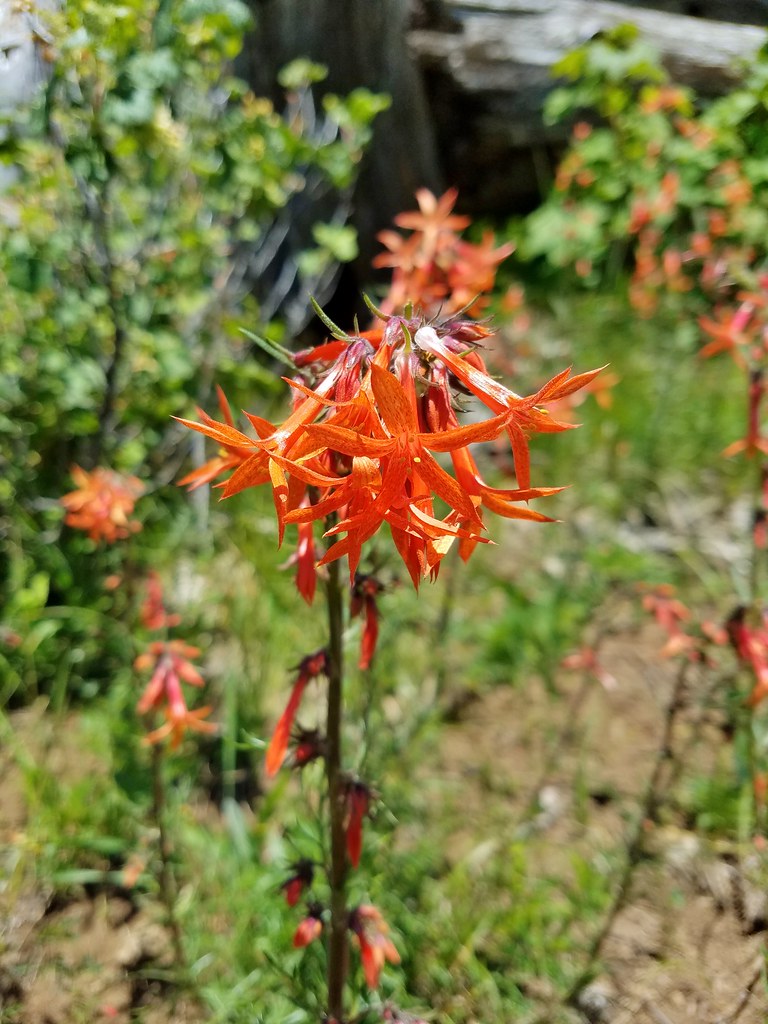 Skyrocket
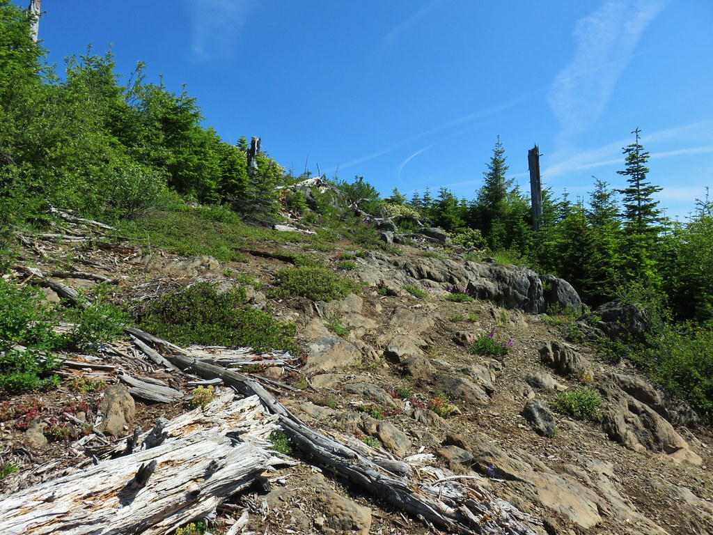

 A thistle that was getting ready to bloom.
 Wallflower
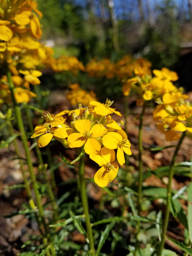


 Owl’s head clover
 Larkspur, an owl’s head clover, and scarlet gilia
 Aster or fleabane and an orange agoseris
 Coneflower
 Hyssop
 Butterflies on a cat’s ear lily

 Wait that’s not a butterfly.
 Fuji Mountain
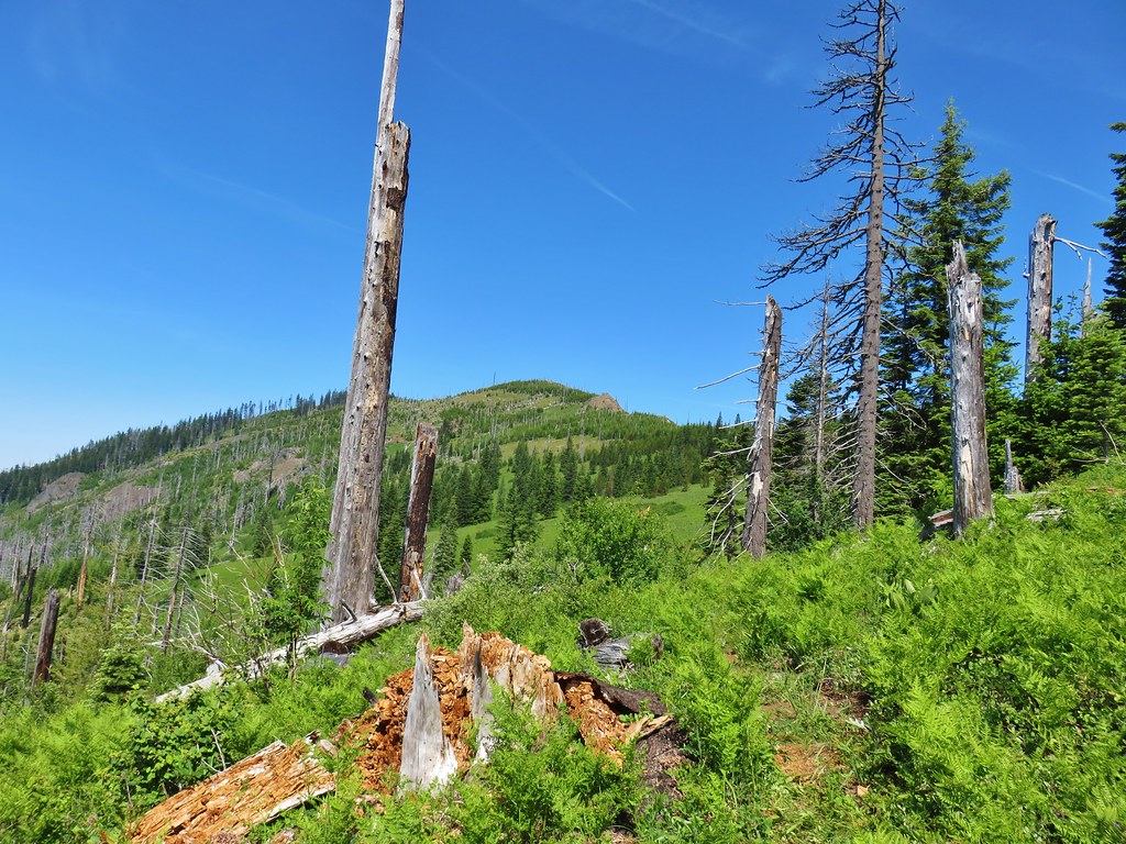
 The post, with an orange top, is up and to the right in front of a tree.
 Heather at the rock outcrop.
 Big Bunchgrass Meadow and Fuji Mountain
 Diamond Peak
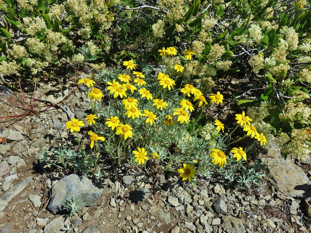

 Crab spider (probably waiting for that Washington lily to open)
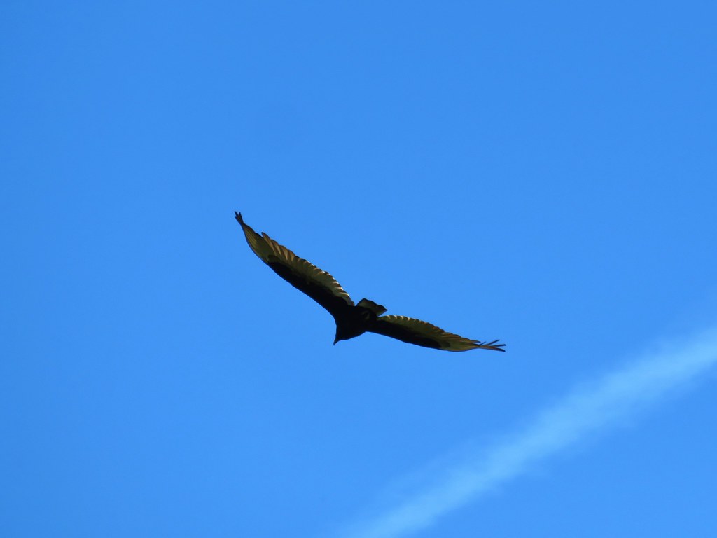 Turkey vulture
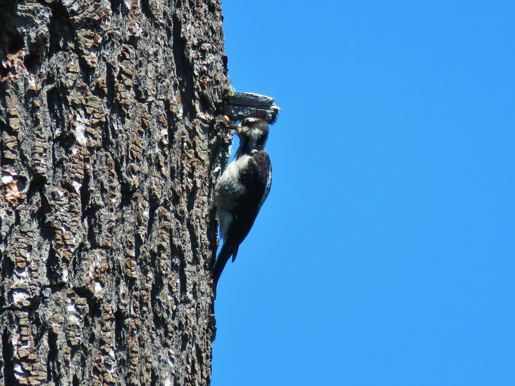
 Back in the valerian meadows
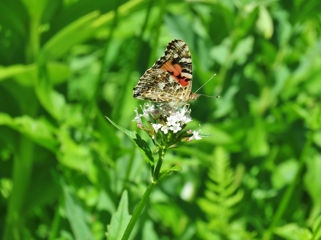


 Not sure what this is going to be either.
 FR 877 at FR 1509


 Penstemon
 Showy phlox
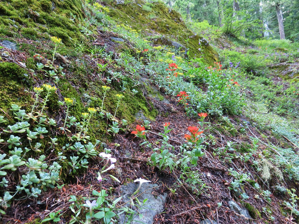 <script async src=”//embedr.flickr.com/assets/client-code.js” charset=”utf-8″Paintbrush and stonecrop
 Anemone
 Iris
Iris Arnica


 Looking west toward the Green Mountain Lookout.
 Green Mountain Lookout
 Mt. Jefferson
 Three Fingered Jack
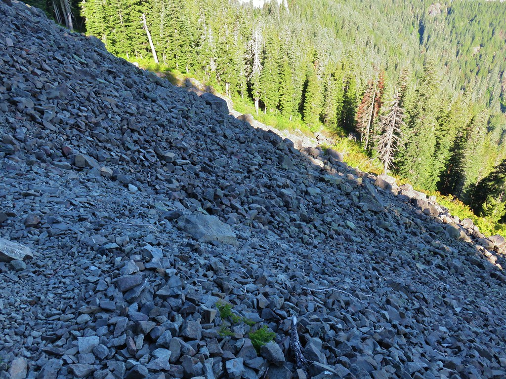 There is at least one pika in this picture.
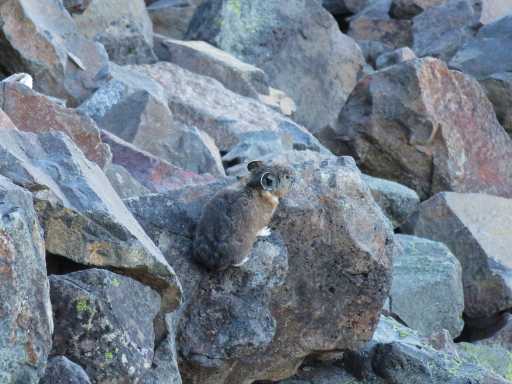
 There is another one in this picture.
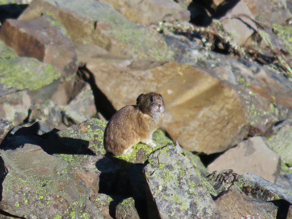


 Columbine and solomonseal in the talus slope.
 Last of the snow along the talus.

 Catchfly on the way up.
 Lookout remains below the summit.
 Foundation remains
 Wildflowers at the summit.
 NE we could see Mt. Hood, Mt. Jefferson, and Three Fingered Jack.
 Mt. Jefferson behind Iron Mountain and Cone Peak
 Three Fingered Jack
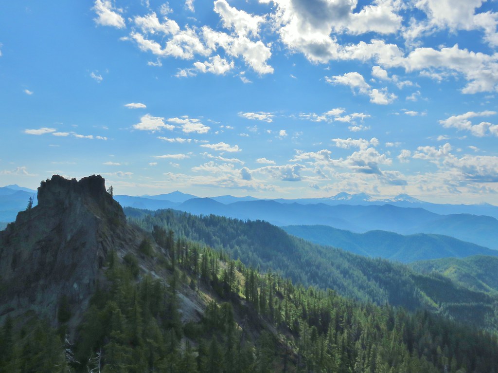
 Mt. Washington
 Three Sisters
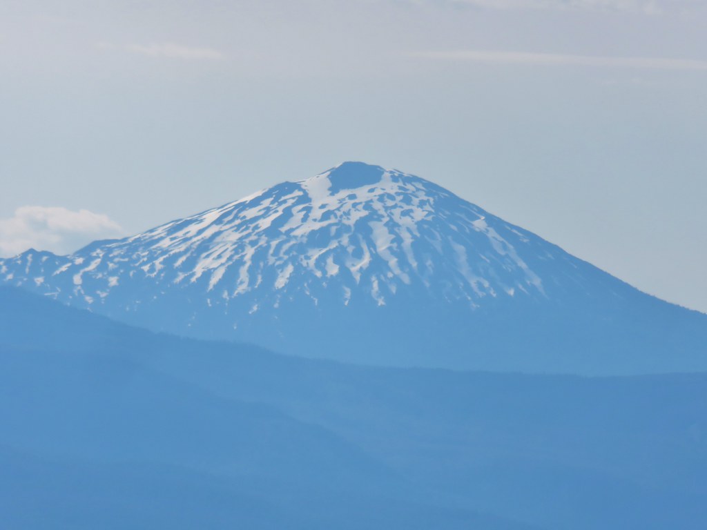 Mt. Bachelor
 Maiden Peak (
 Mt. Thielsen (
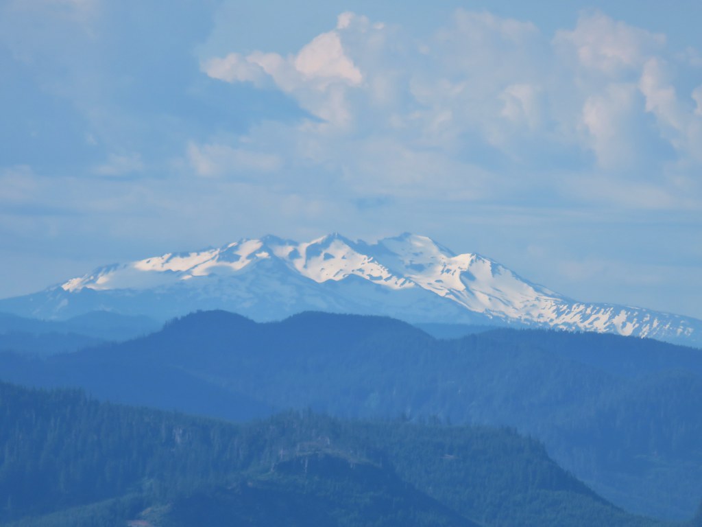 Diamond Peak
 Cat’s ear lilies
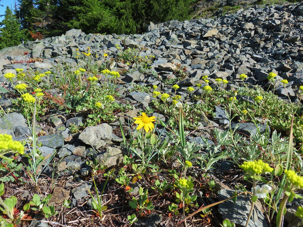 Oregon sunshine amid buckwheat
 Penstemon and paintbrush
 A fleabane or aster
 Looking down from the lower viewpoint.
 Western wallflower
 Larkspur
 Paintbrush
 Cinquefoil
 Baneberry
 Current
 Bleeding heart, trillium and wood violets
 Wood violet


 North and Middle Sister


 Mt. Bachelor
 Showy phlox
 Washington lilies getting ready to bloom


 The Two Girls
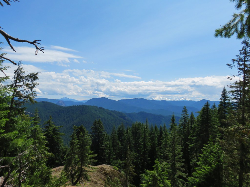 Mt. Washington and the Three Sisters
 Wolf Rock an Mt. Washington
 North Sister
 Middle Sister
 South Sister
 Mt. Jefferson had been overtaken by clouds but Iron Mountain and Cone Peak were still visible.
 Buckwheat and paintbrush
 Wallflower and cat’s ear lilies
 Penstemon and paintbrush
 Young tree growing out of an old trunk.
 Grouse