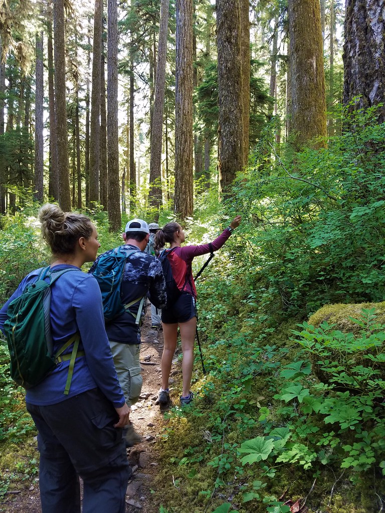
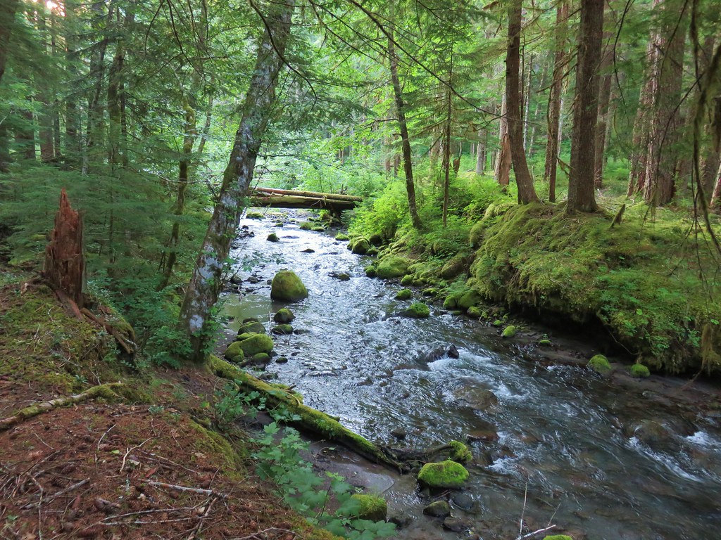
The third hike of our vacation was another repeat (this time only partially) of a viewless outing. In 2012 we had embarked on “the hike that shall not be named” (post) It was an ambitious hike that went wrong in a couple of ways. First I misunderstood the guidebook and turned a 15 mile loop into an 18.6 trudge and second the persistent low cloud layer denied us of virtually any views. Our plan to hike to Four-In-One Cone would cover part of that hike.
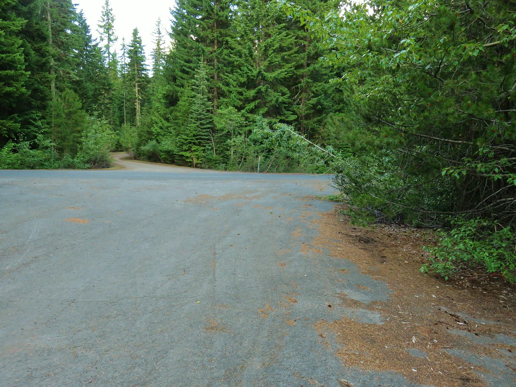
We chose the Four-In-One Cone portion of that hike for two reasons. First Four-In-One Cone is a really cool volcanic feature and second much of the remainder of that loop passes through the Obsidian Limited Entry Area for which we didn’t have a permit nor were any available. We started the hike at the Scott Trailhead located along Highway 242 (17 miles from Highway 126 or 20.3 miles from Highway 20).

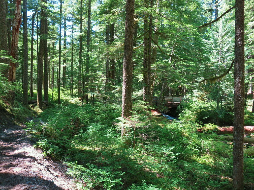
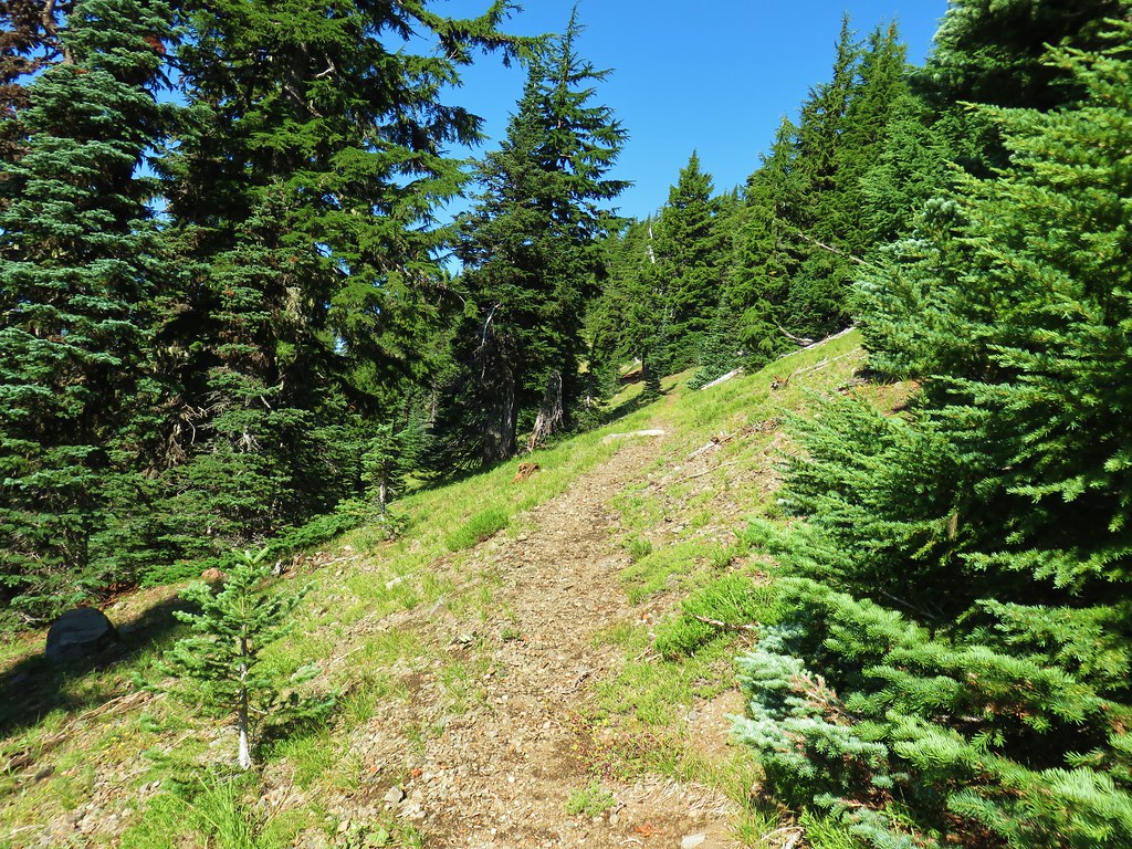
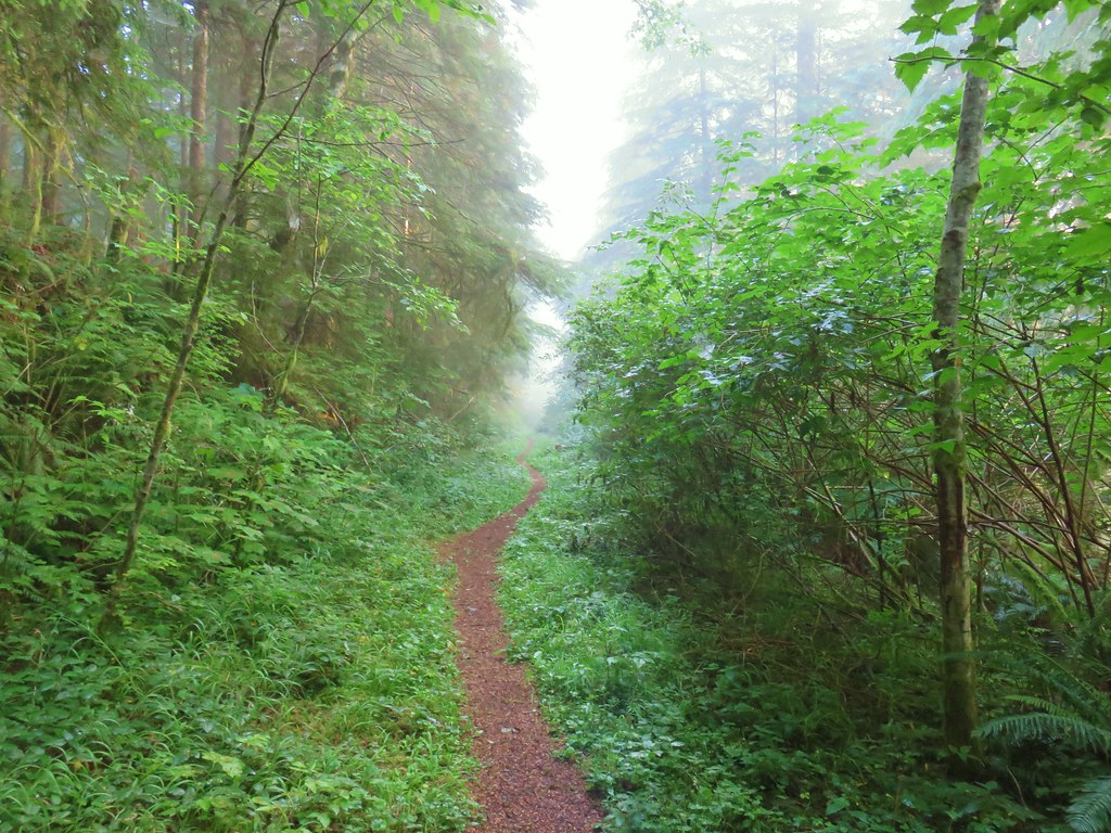
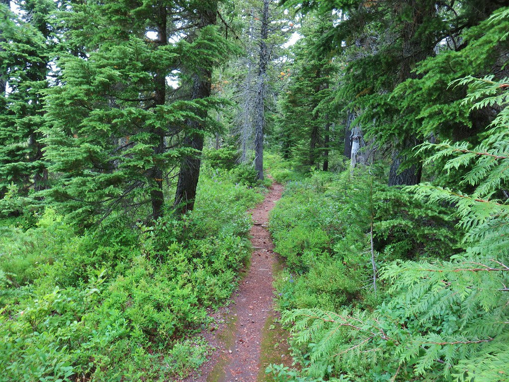
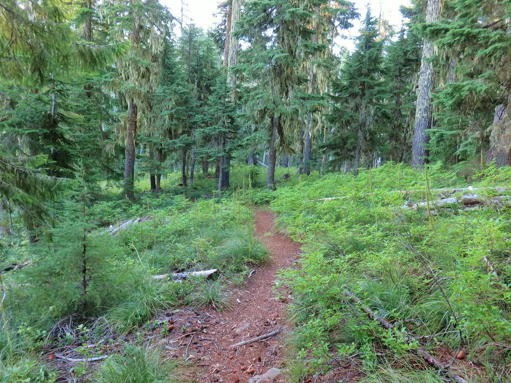
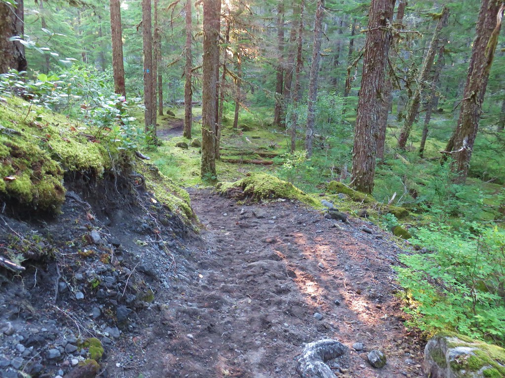
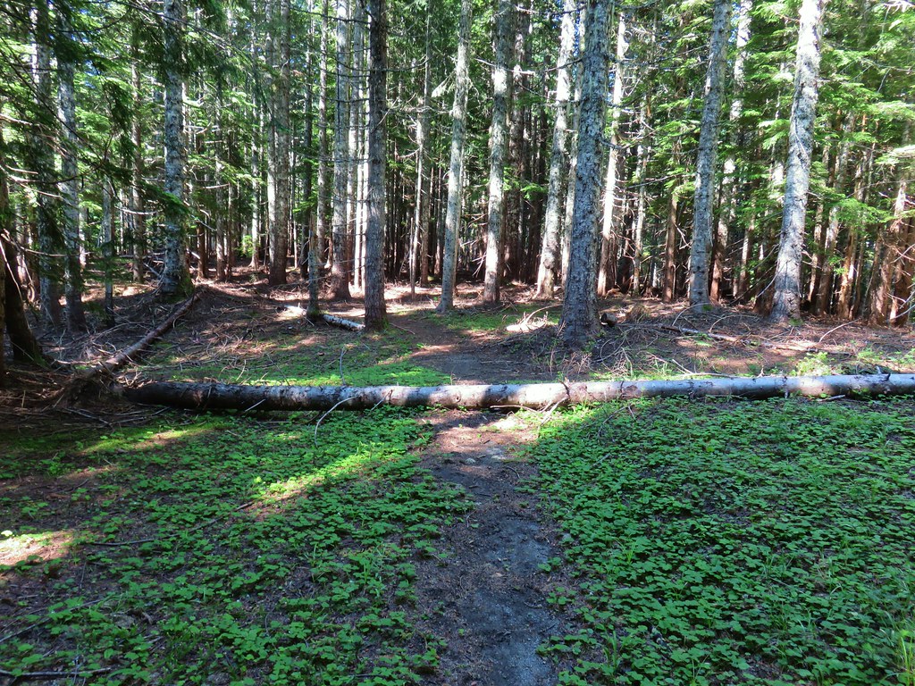
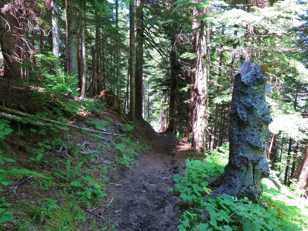
The Scott Trail briefly follows along the highway before crossing it and entering the Three Sisters Wilderness.


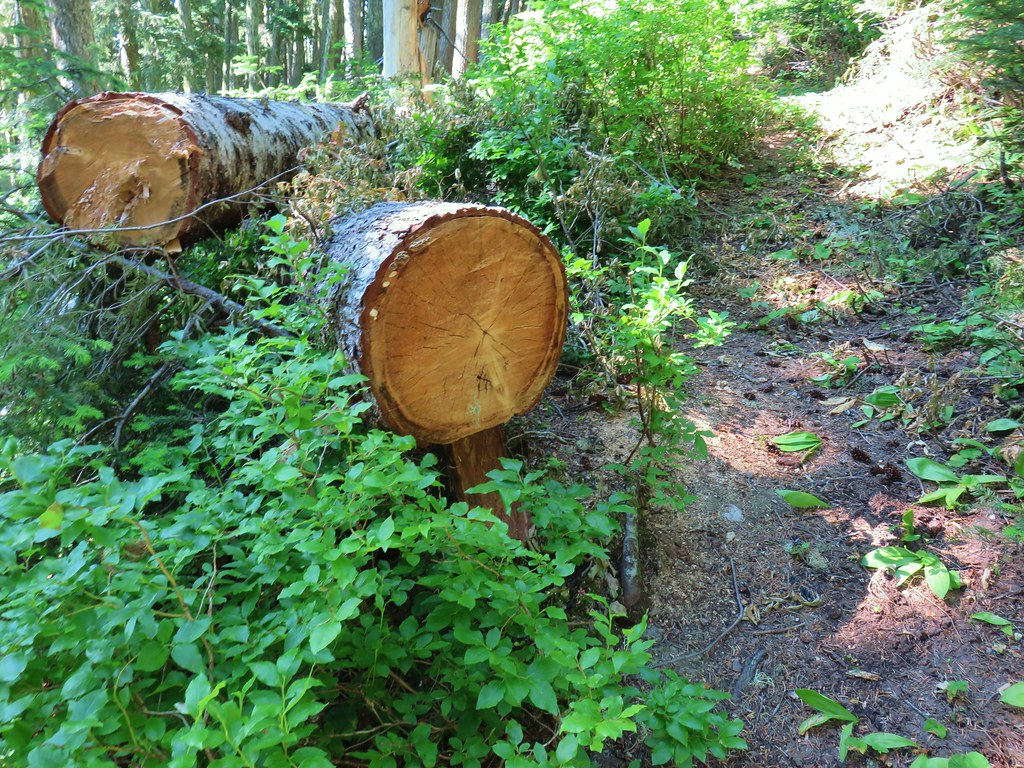
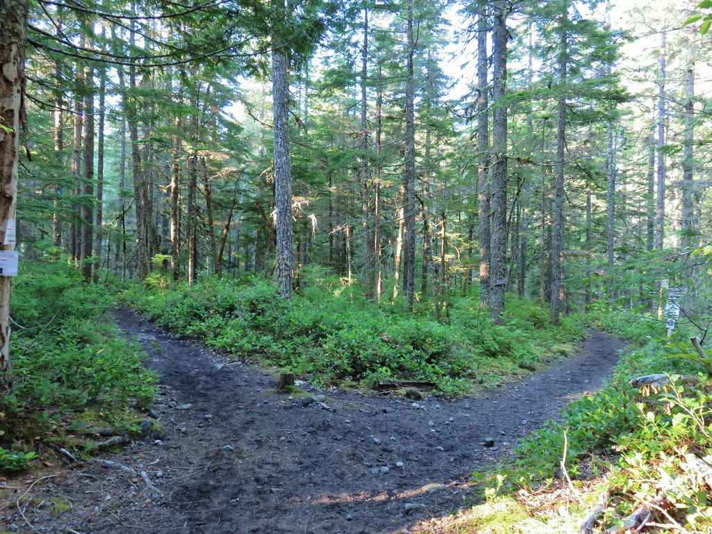
A third of a mile from trailhead we came to a somewhat familiar junction.

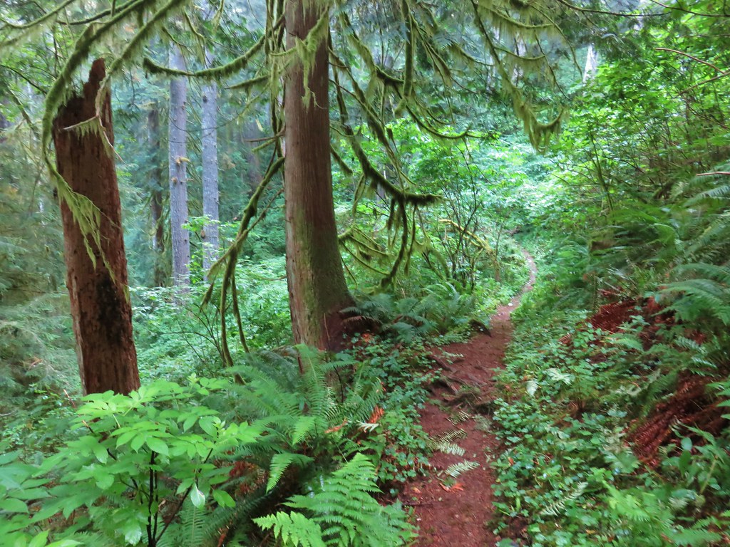
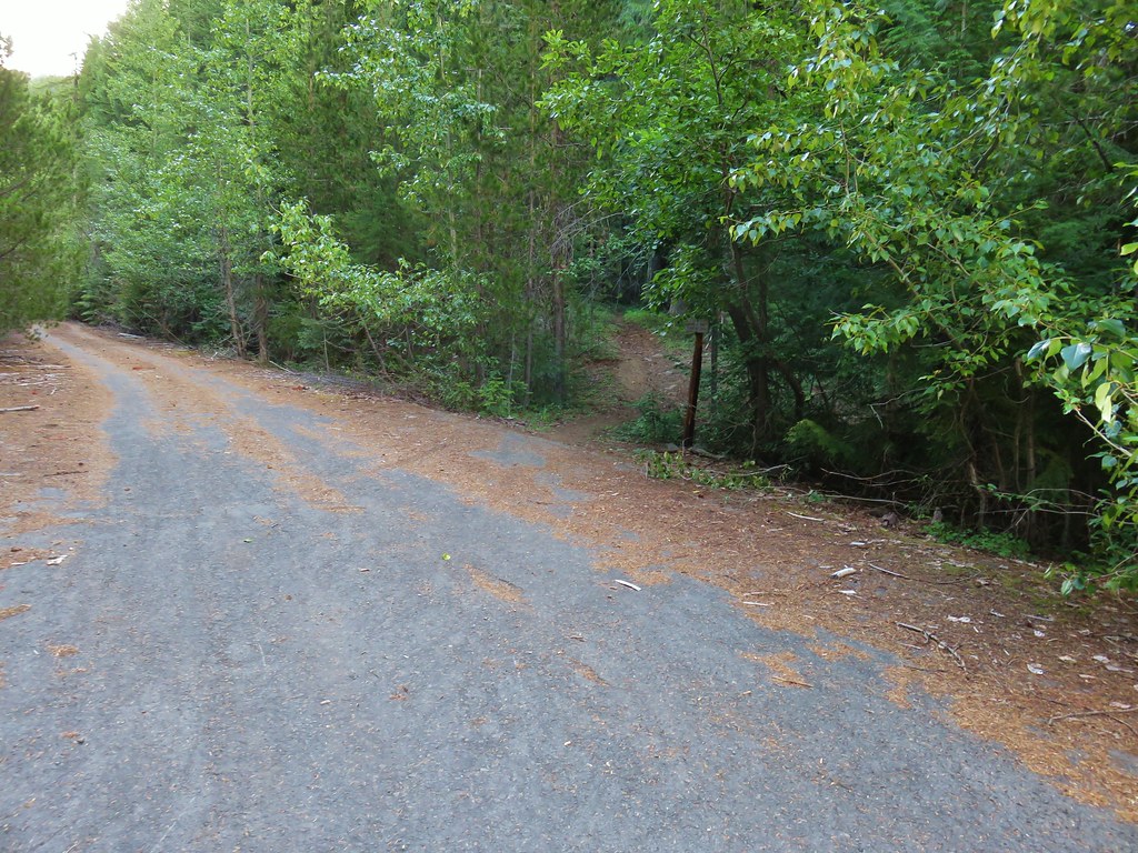
Neither of us quite remembered it looking like it did now (for one thing the trail sign was missing) but the right hand fork led to the Obsidian Trailhead and had marked the final .6 miles of THAT hike. We forked left and began to climb via several switchbacks which we had no recollection of. We also passed a viewpoint at one of the switchbacks.
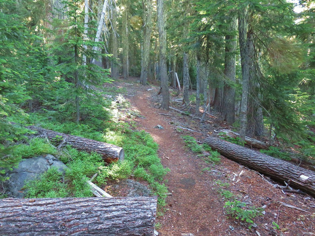
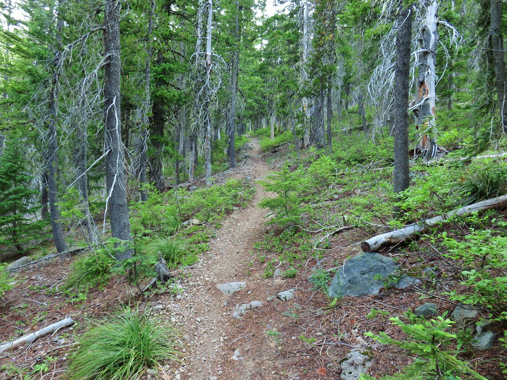
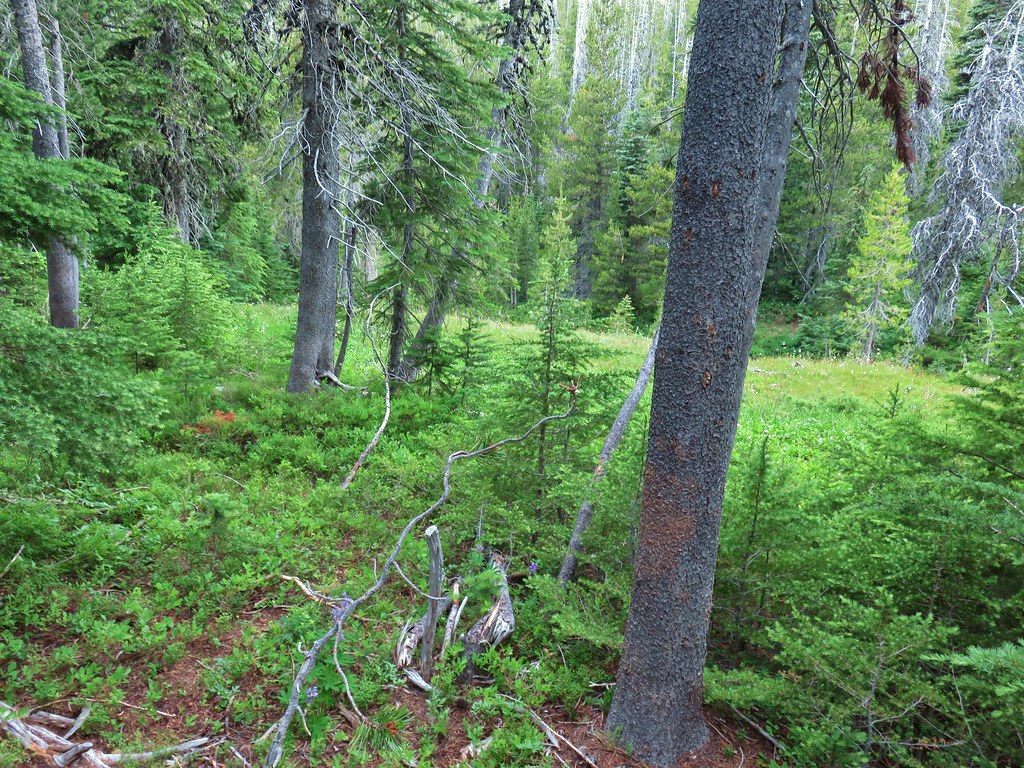
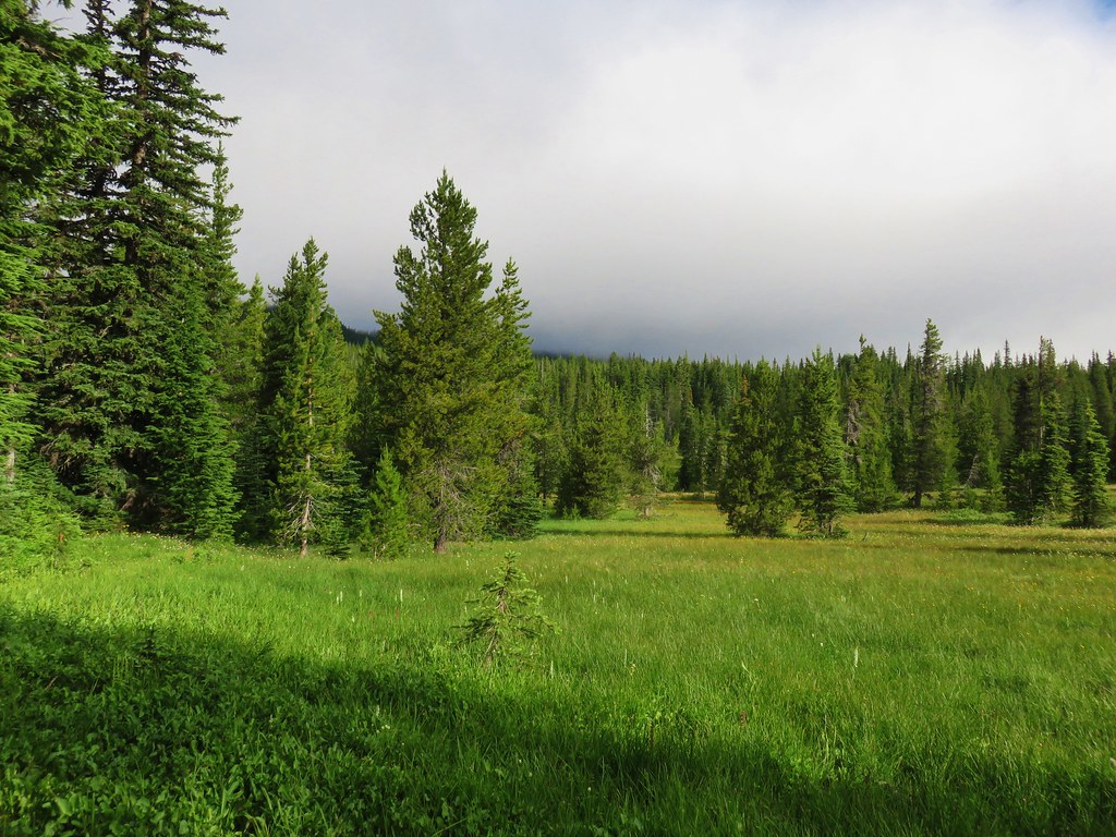
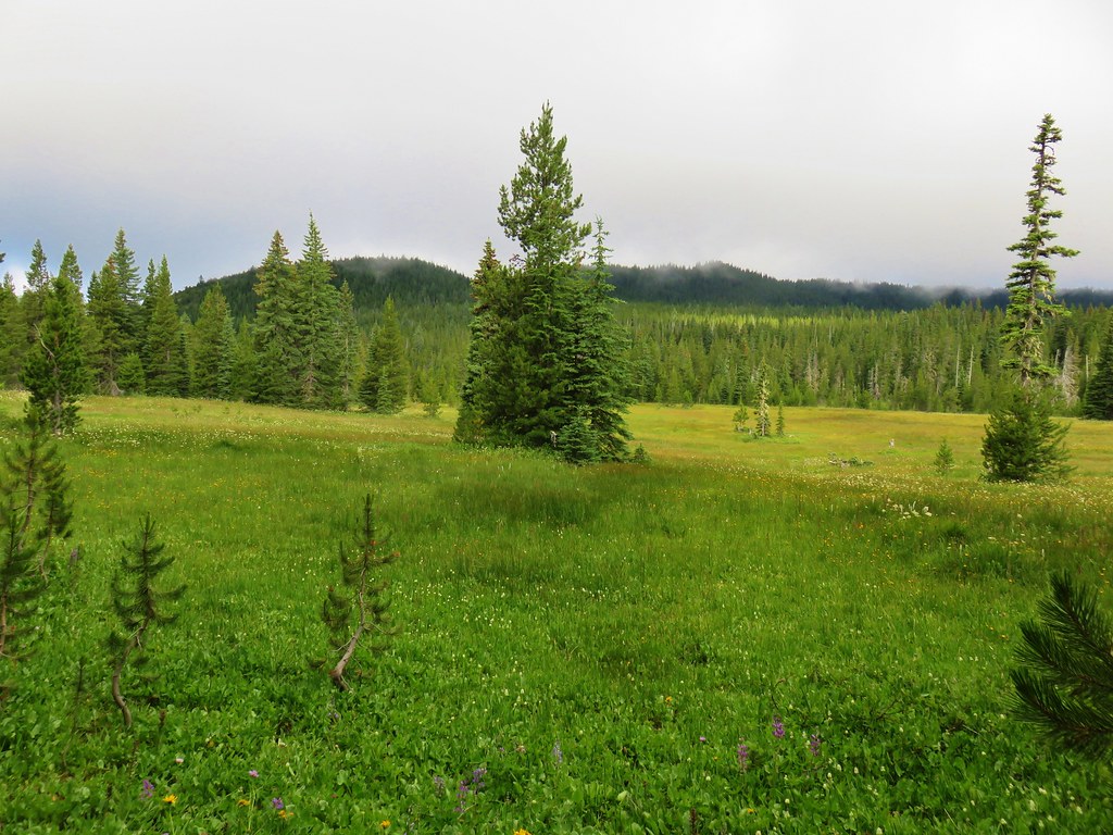
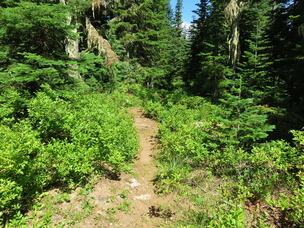
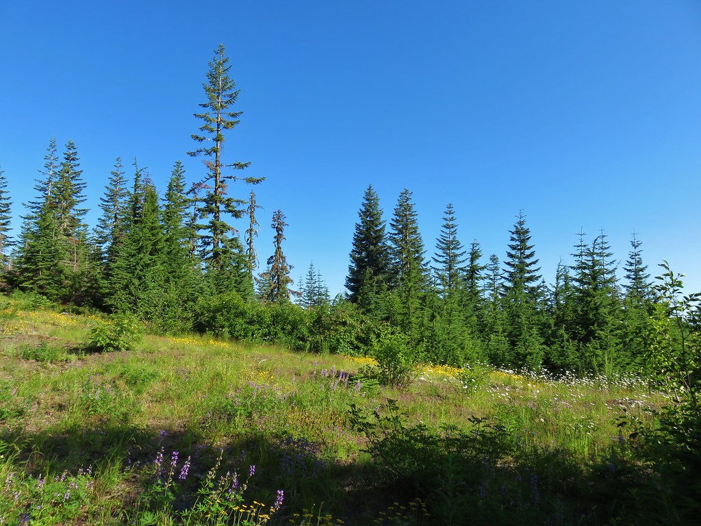
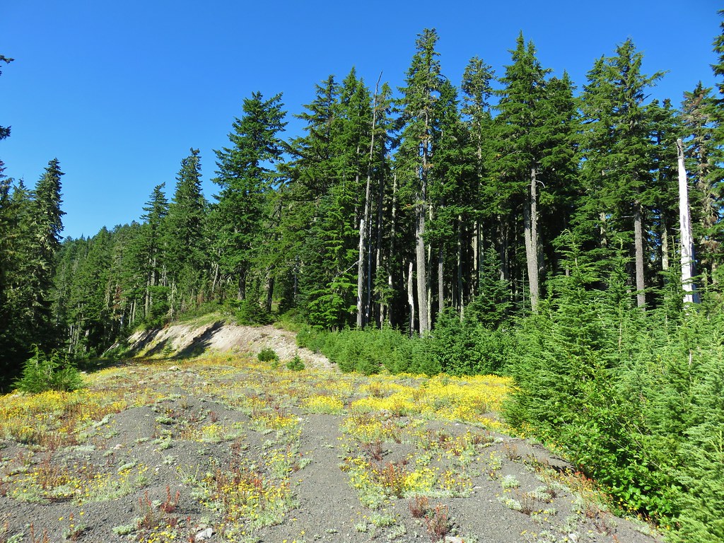
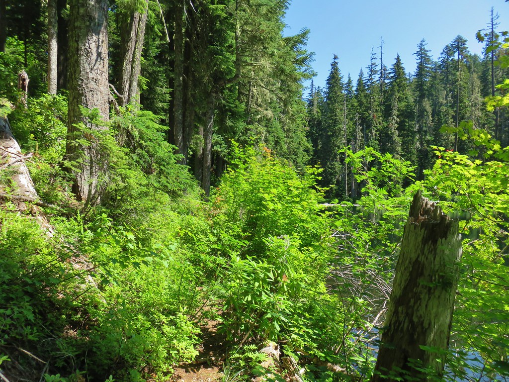
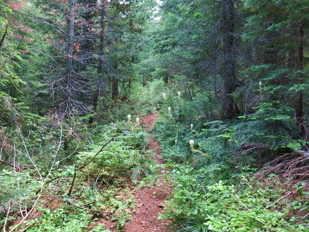
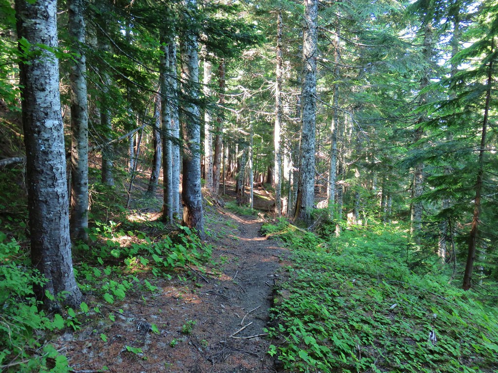
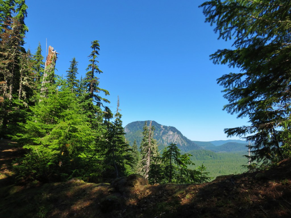
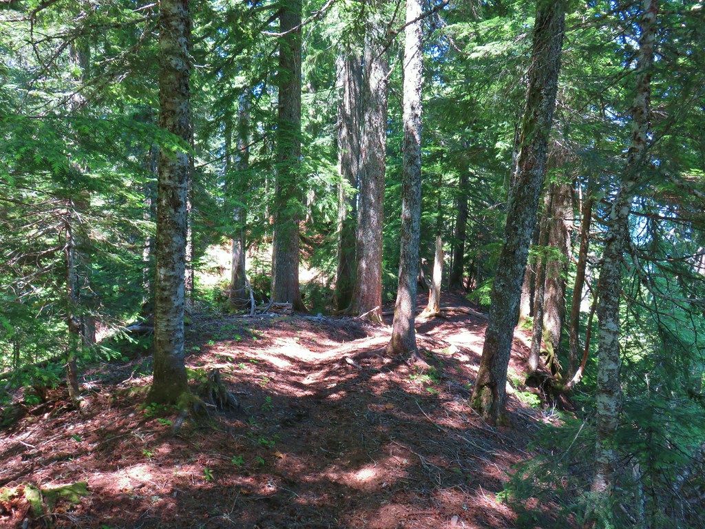
After the viewpoint the trail continued to climb but more gradually as it passed through a mixed forest.

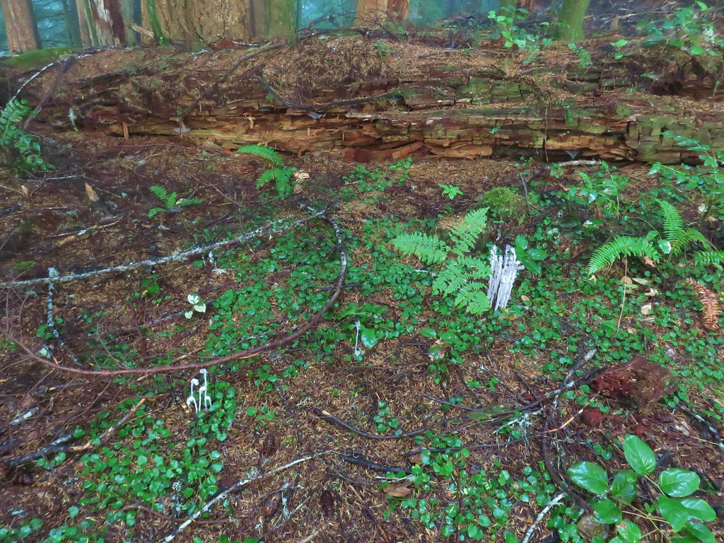
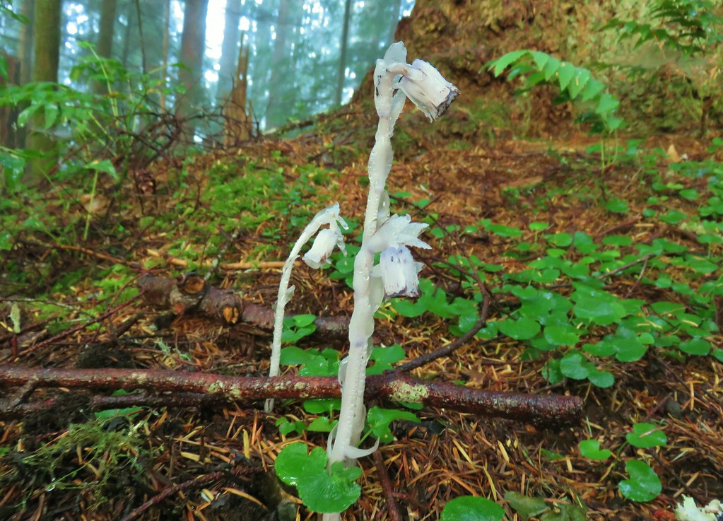
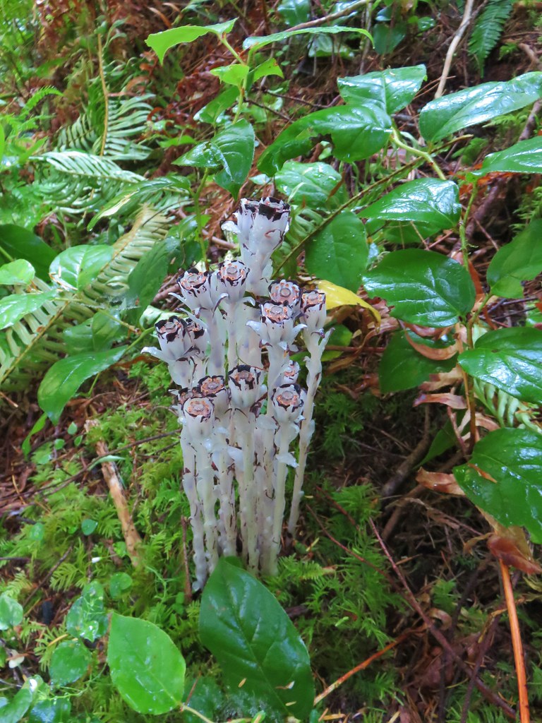
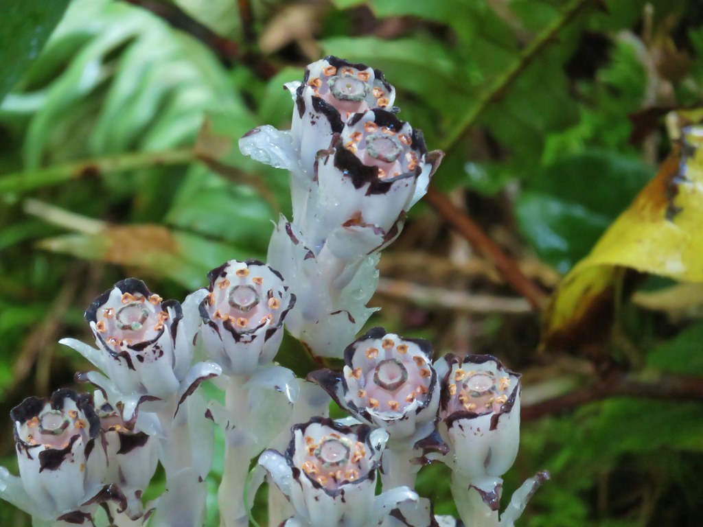
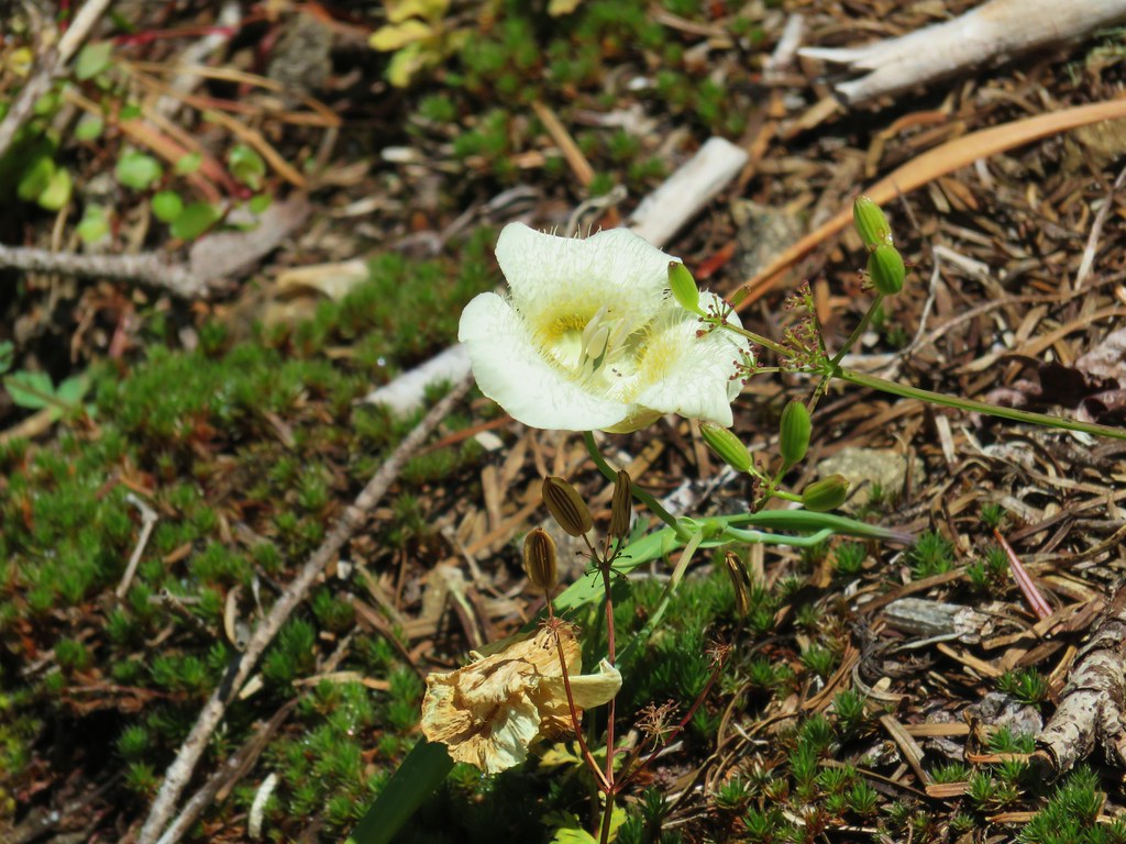
 Pinesap

 A very blurry deer spotted through the trees.


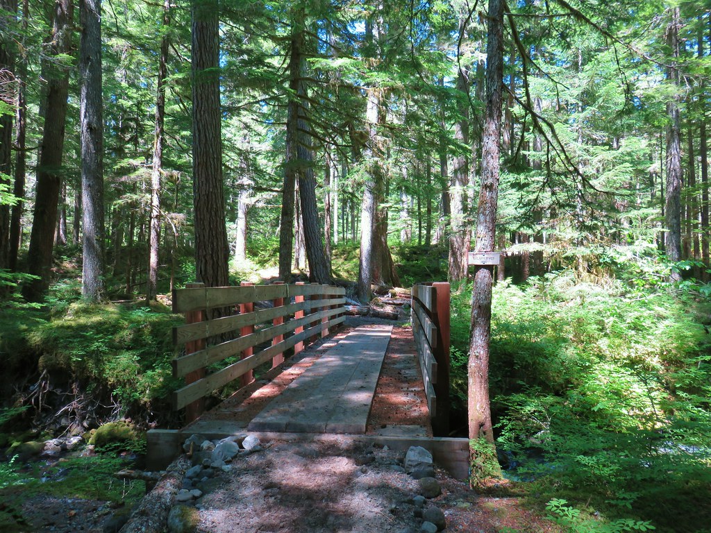
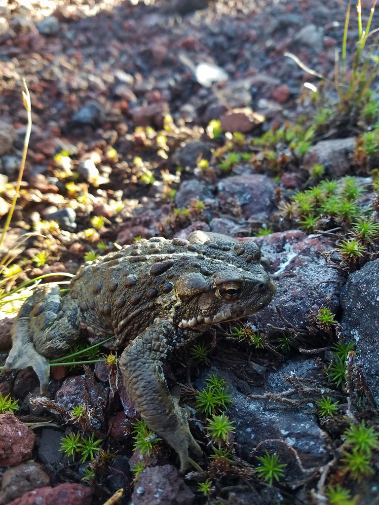
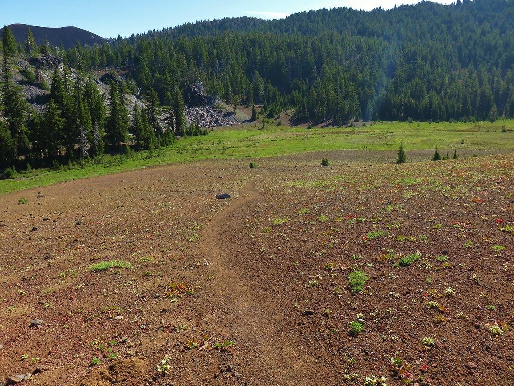
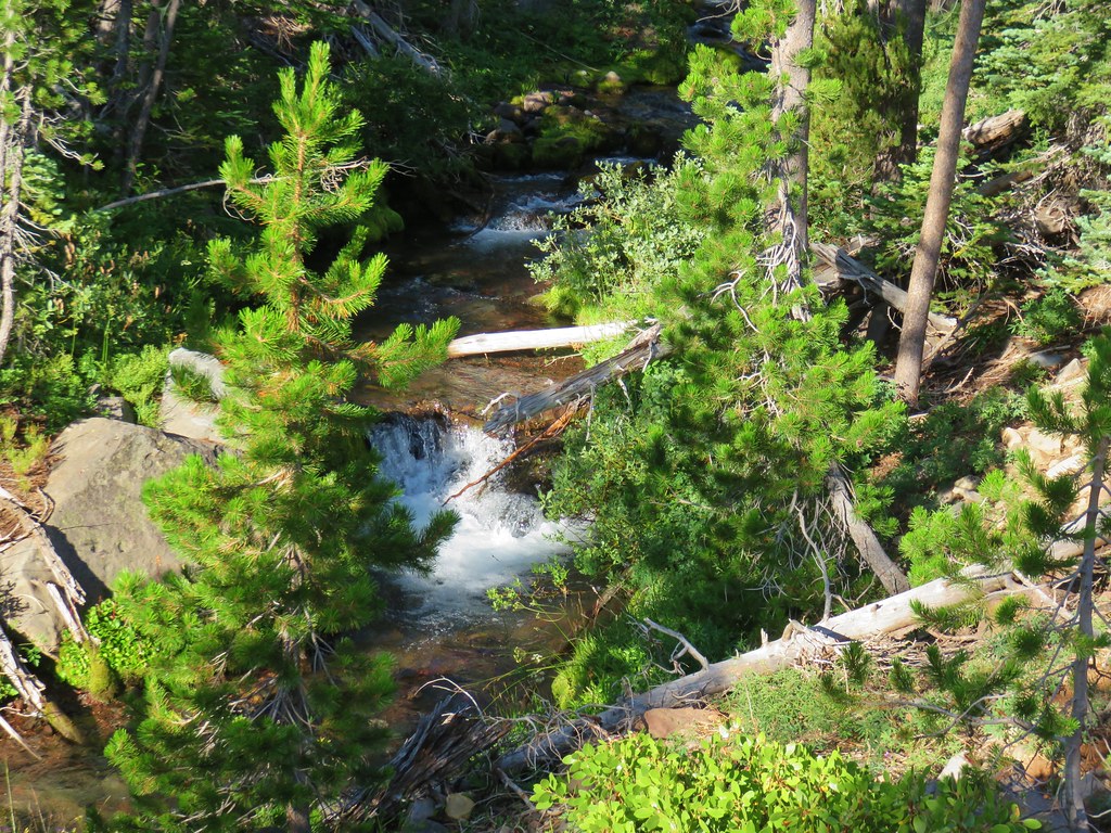
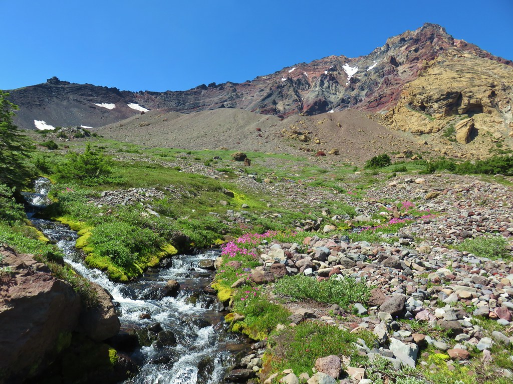
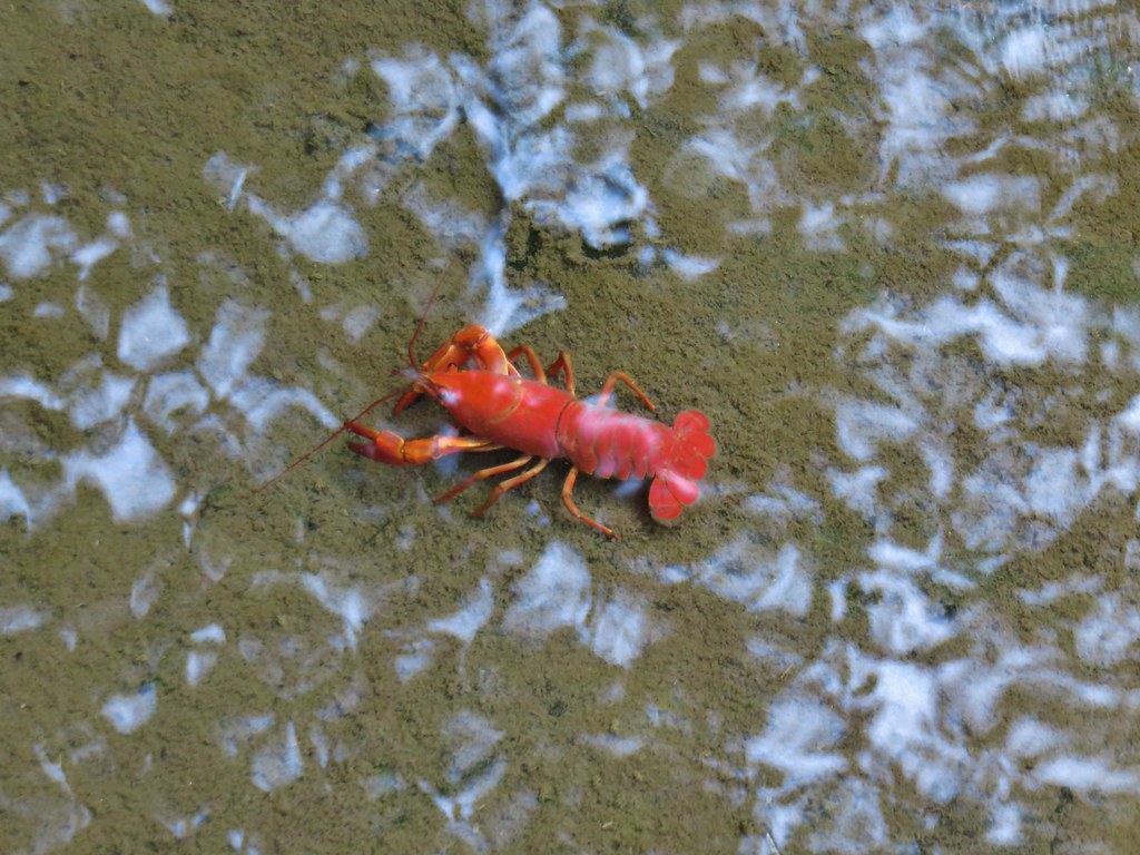
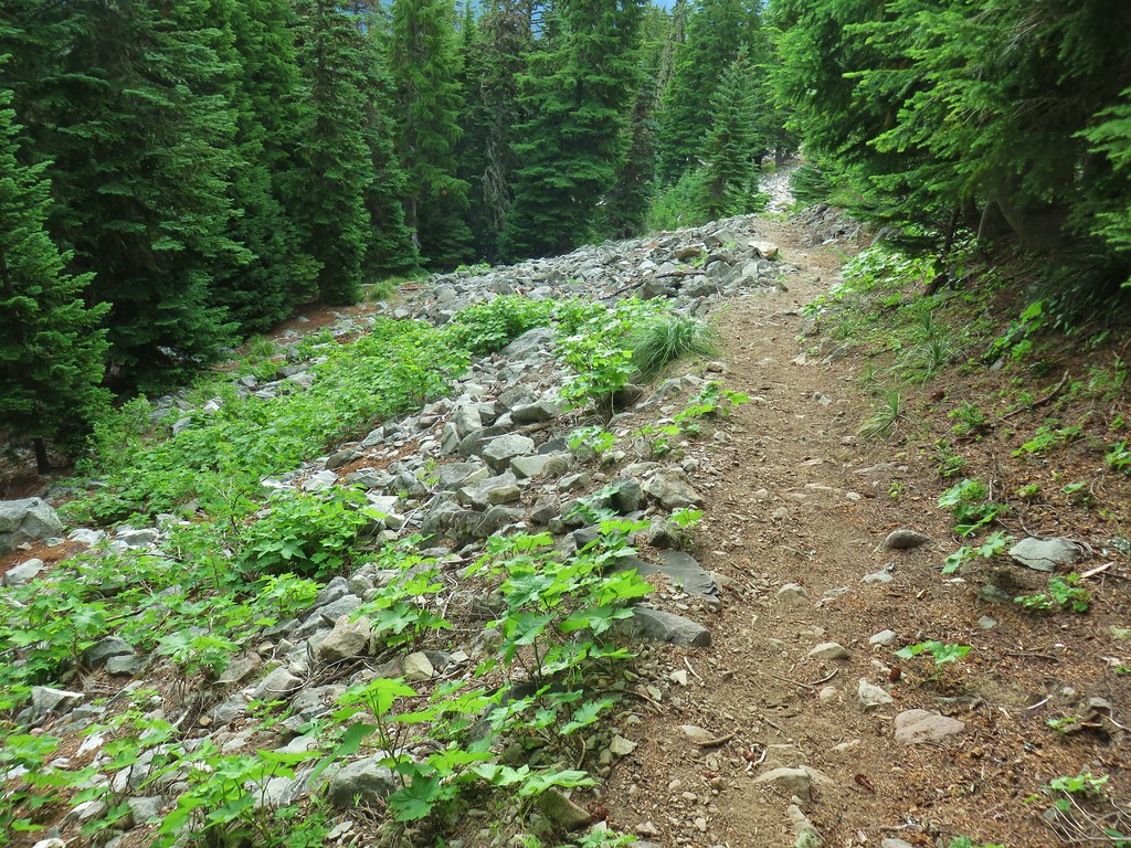
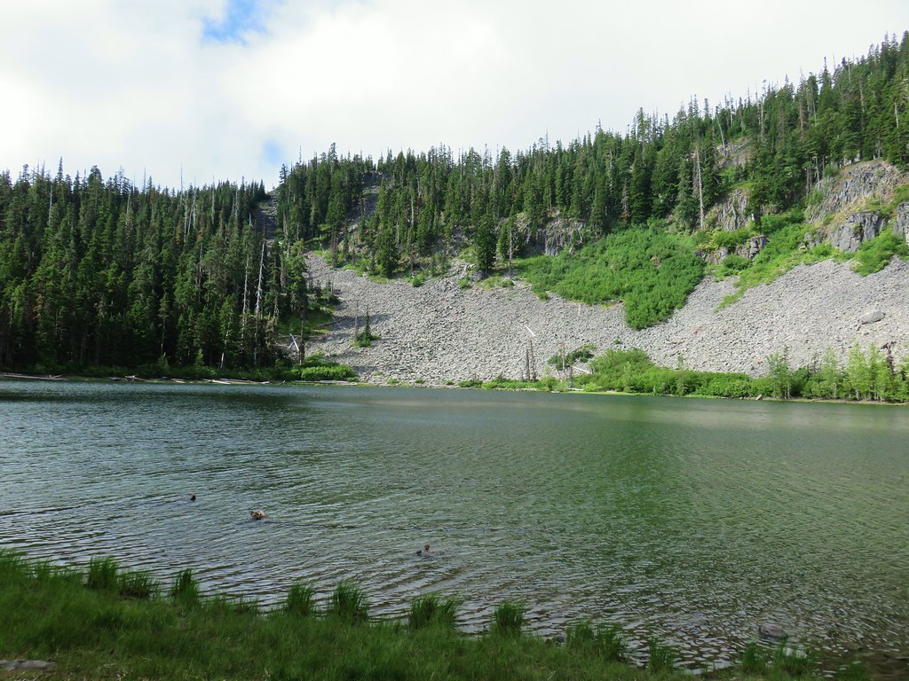
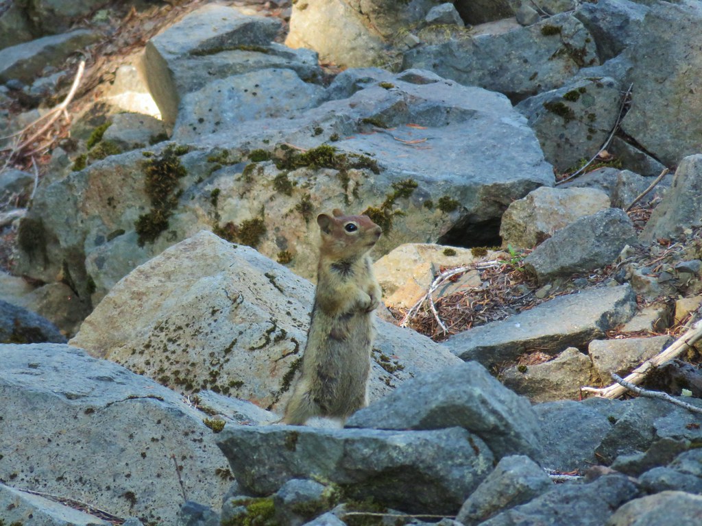
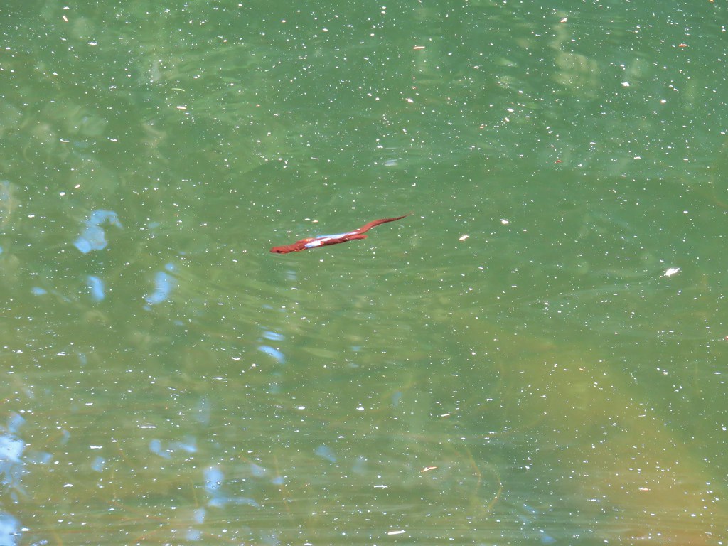
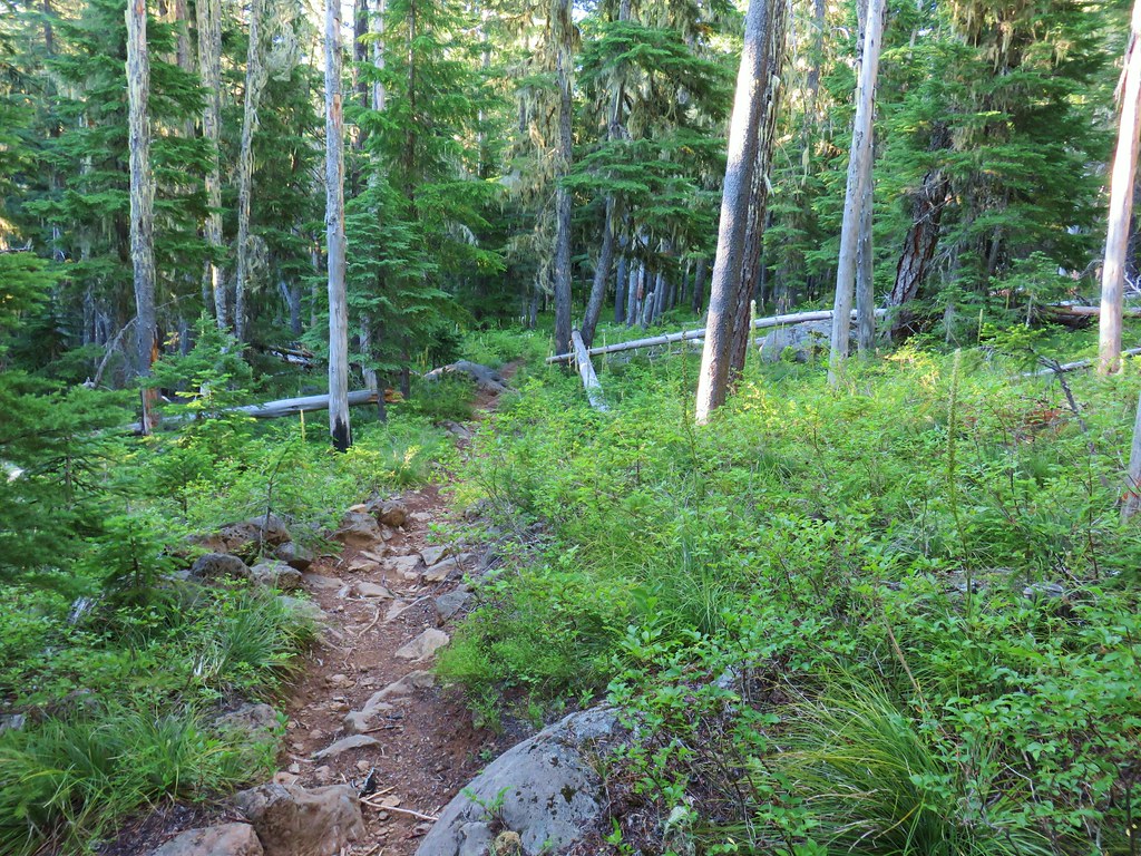
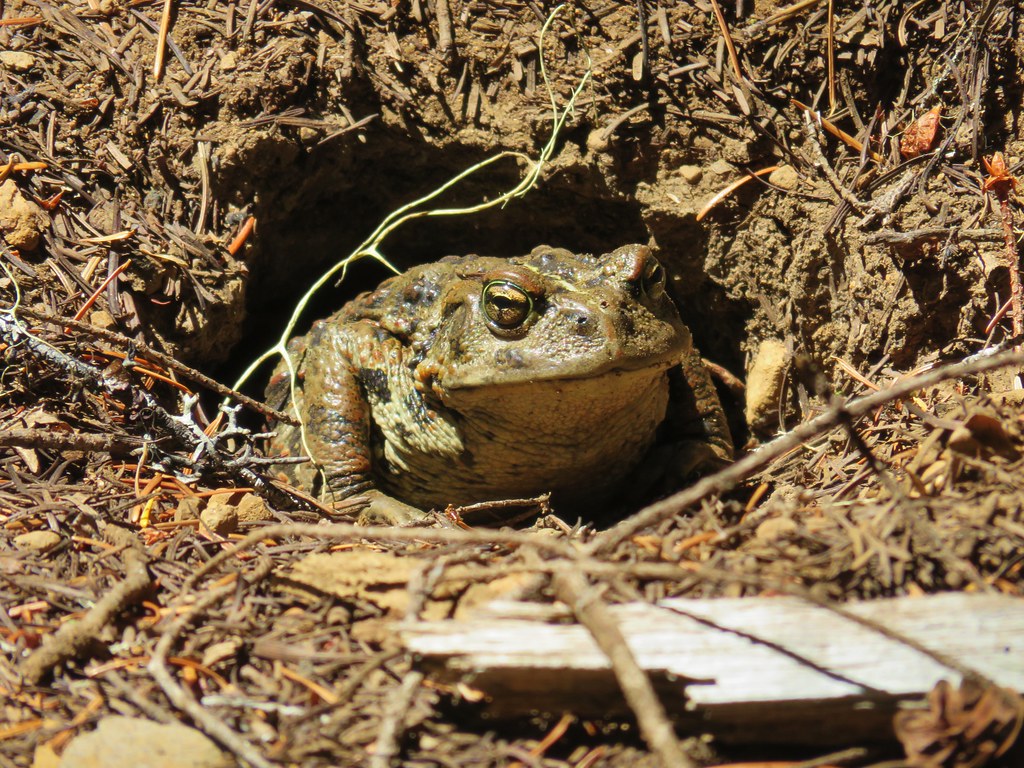
Three miles from the trailhead we arrived at the first of two short lava flow crossings. A large western toad was in the trail here and there was also a squirrel nearby which seemed like a suspicious combination.
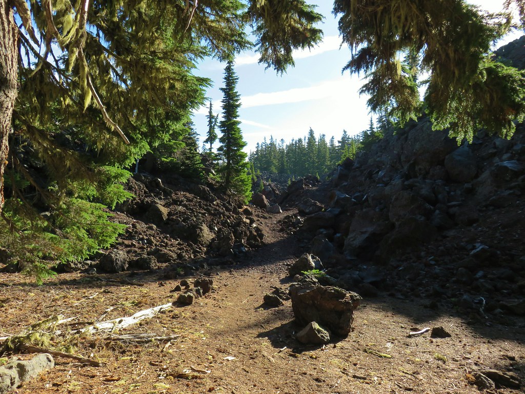
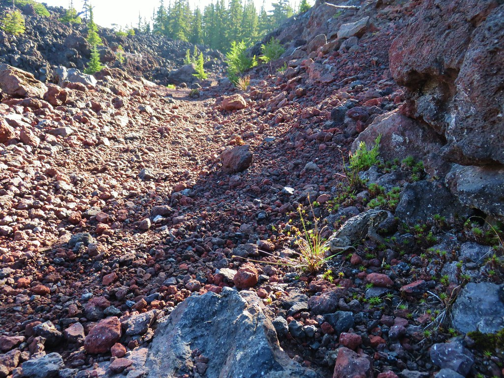

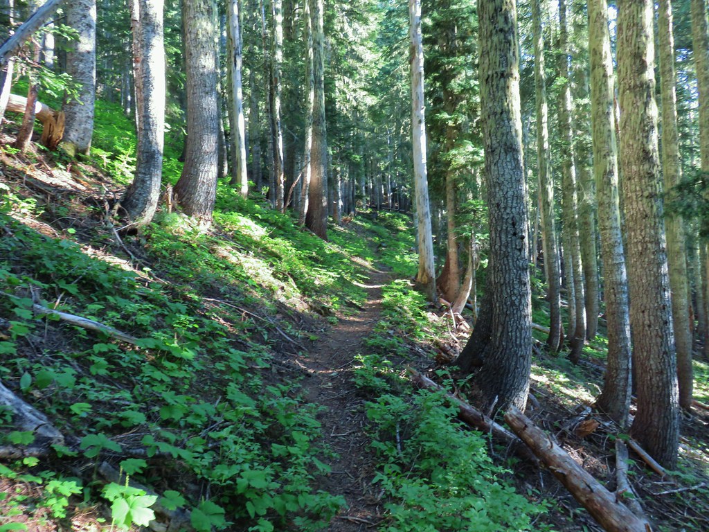
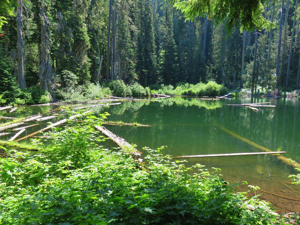
The lava crossings are separated by an island of forest that escaped the flow.

 North Sister
 Middle Sister
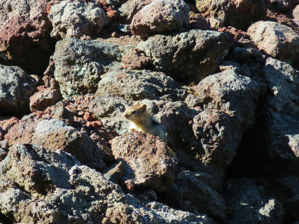 More spies watching us.
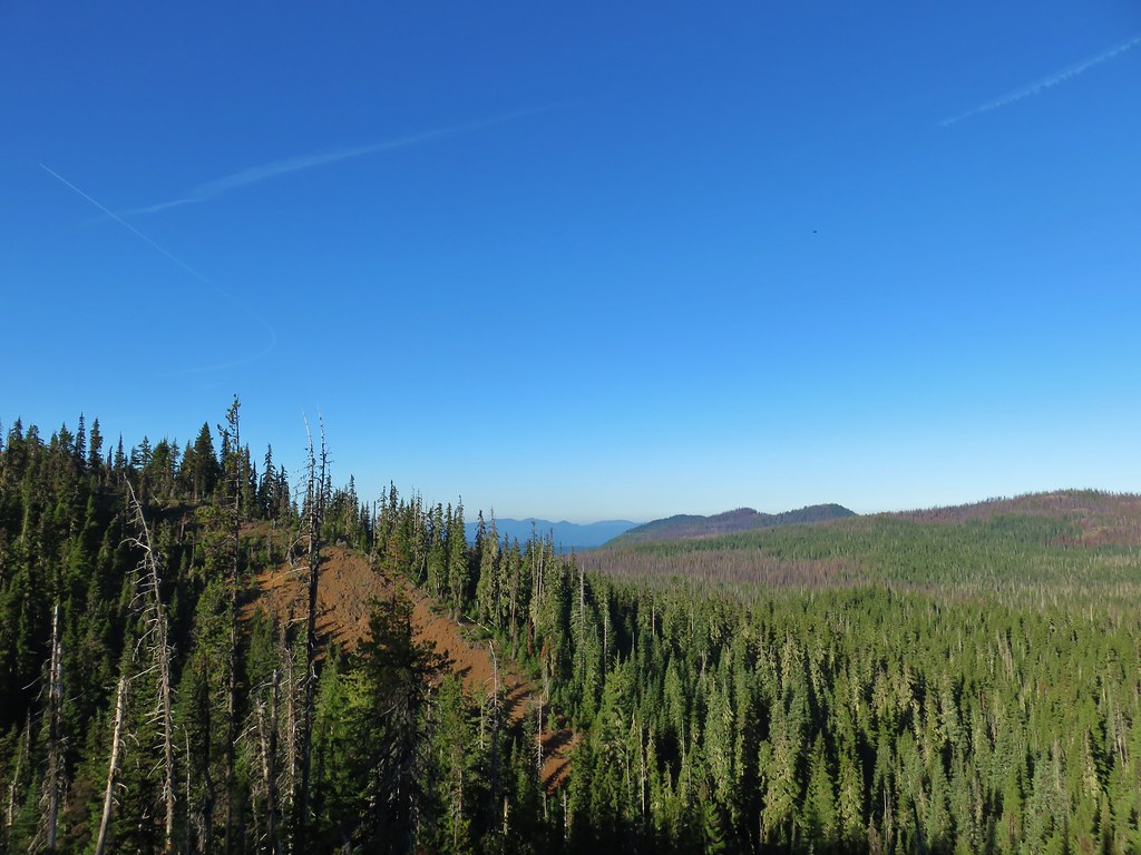
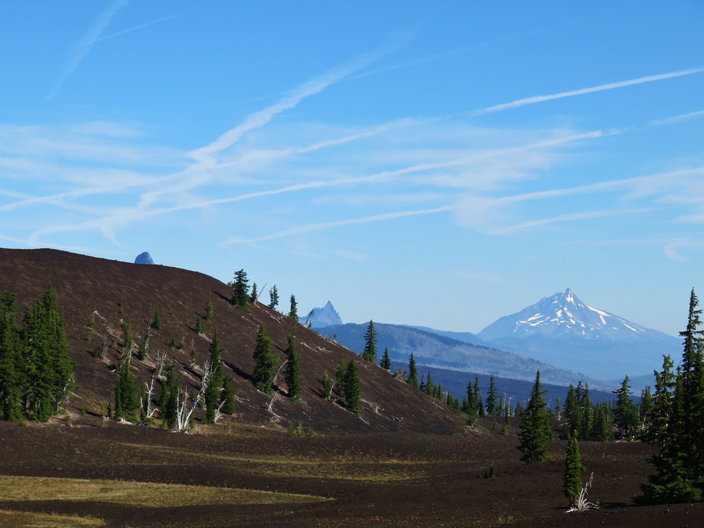
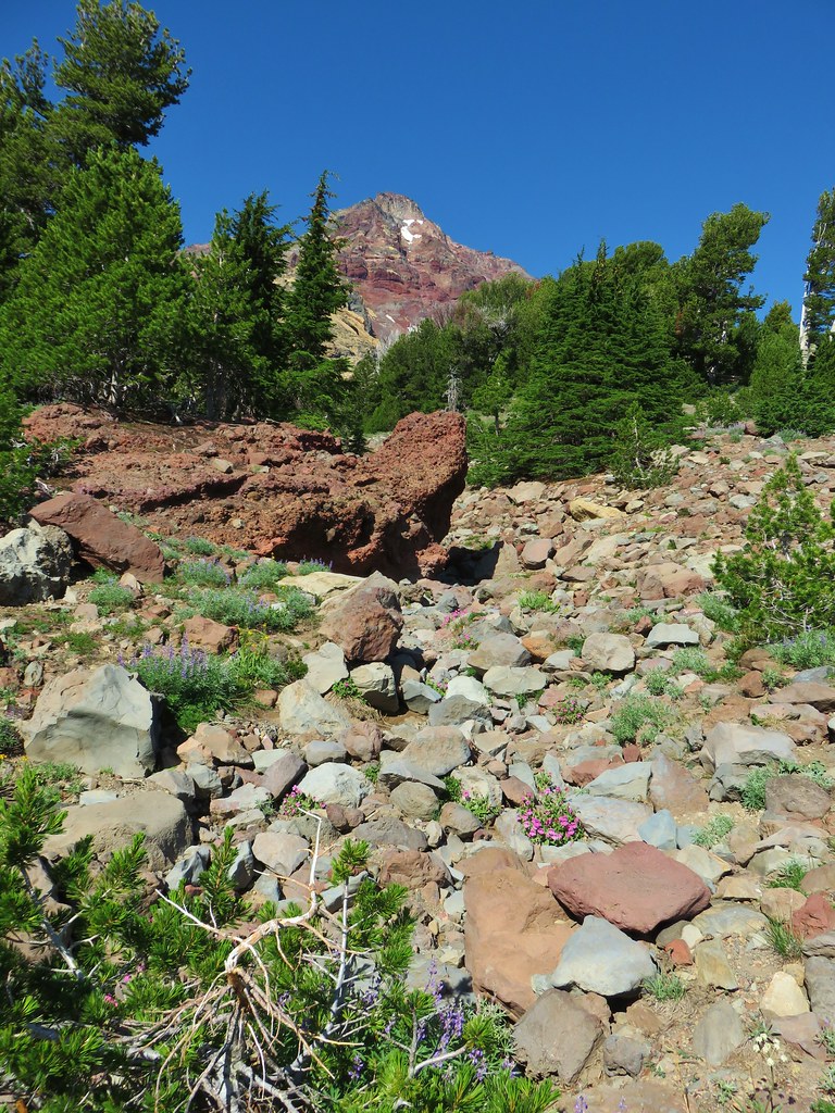
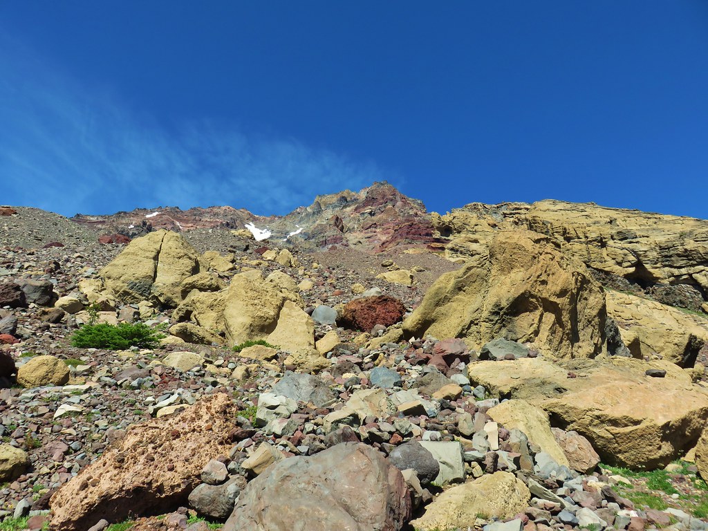
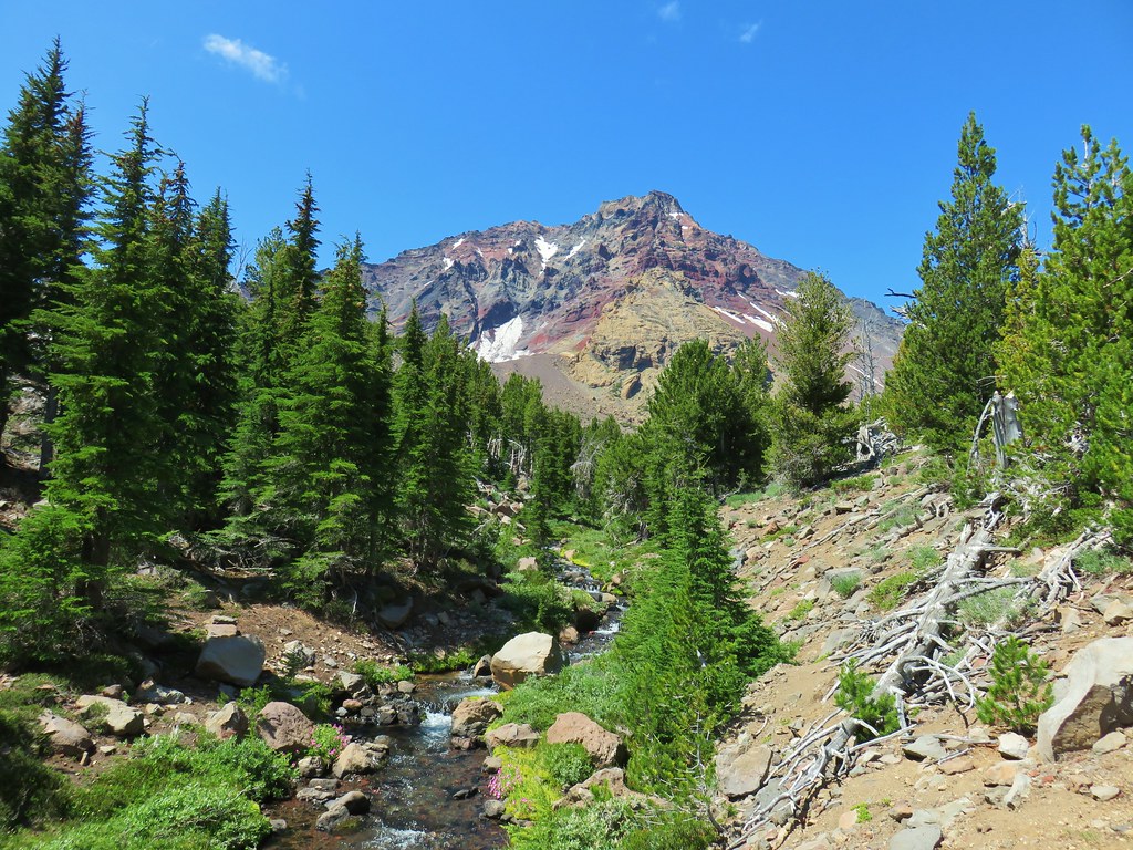
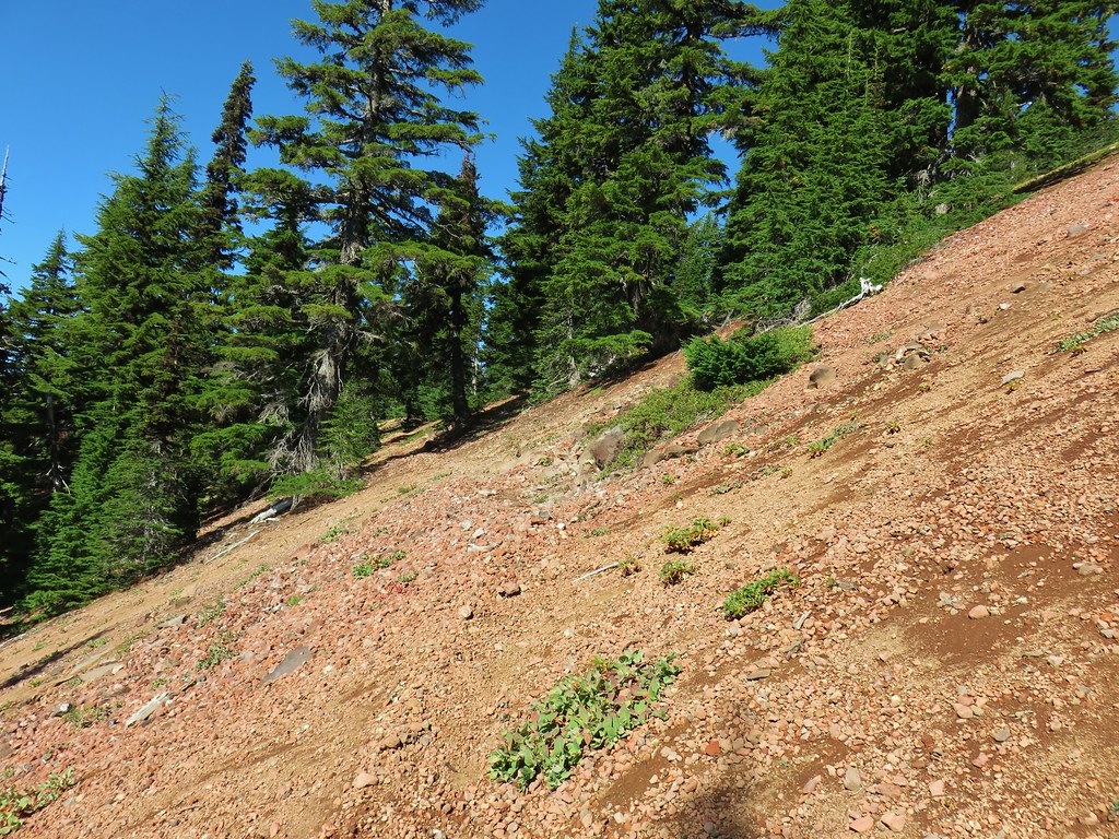
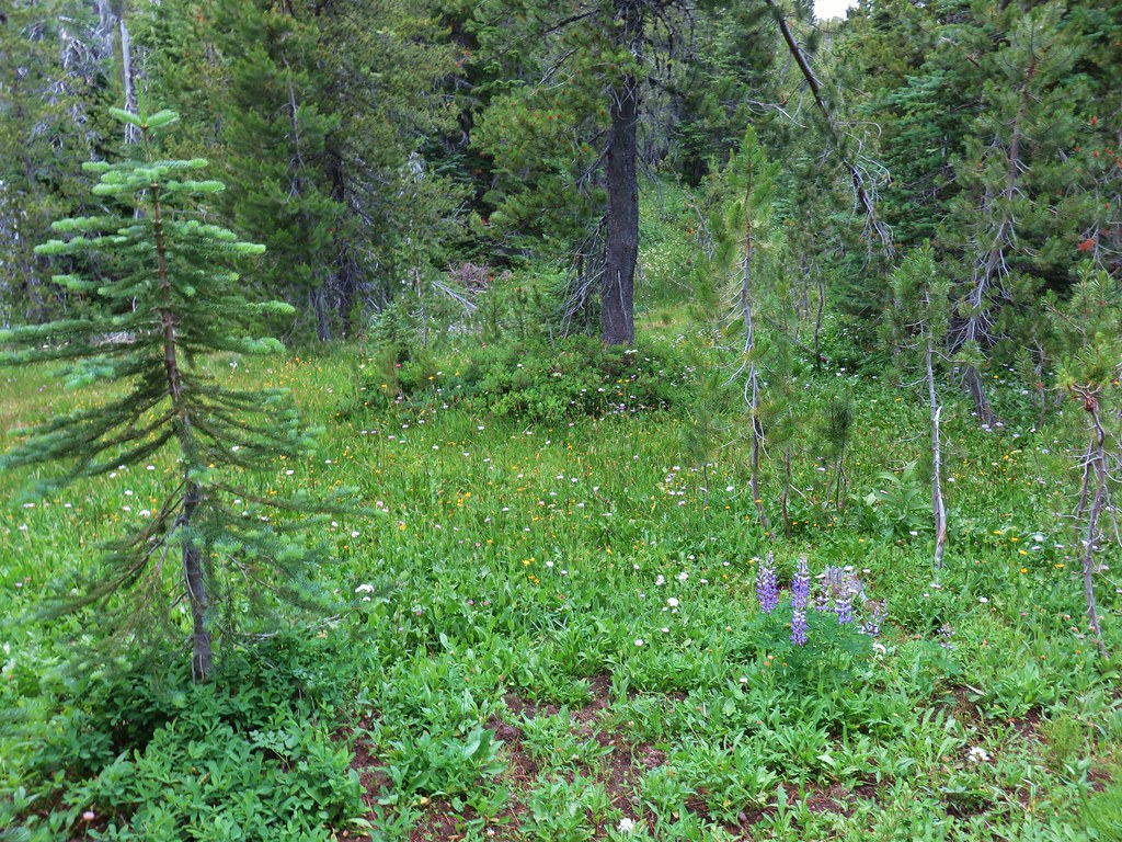
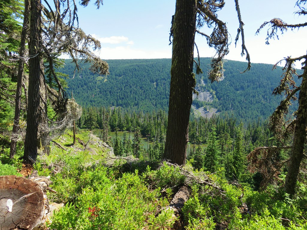
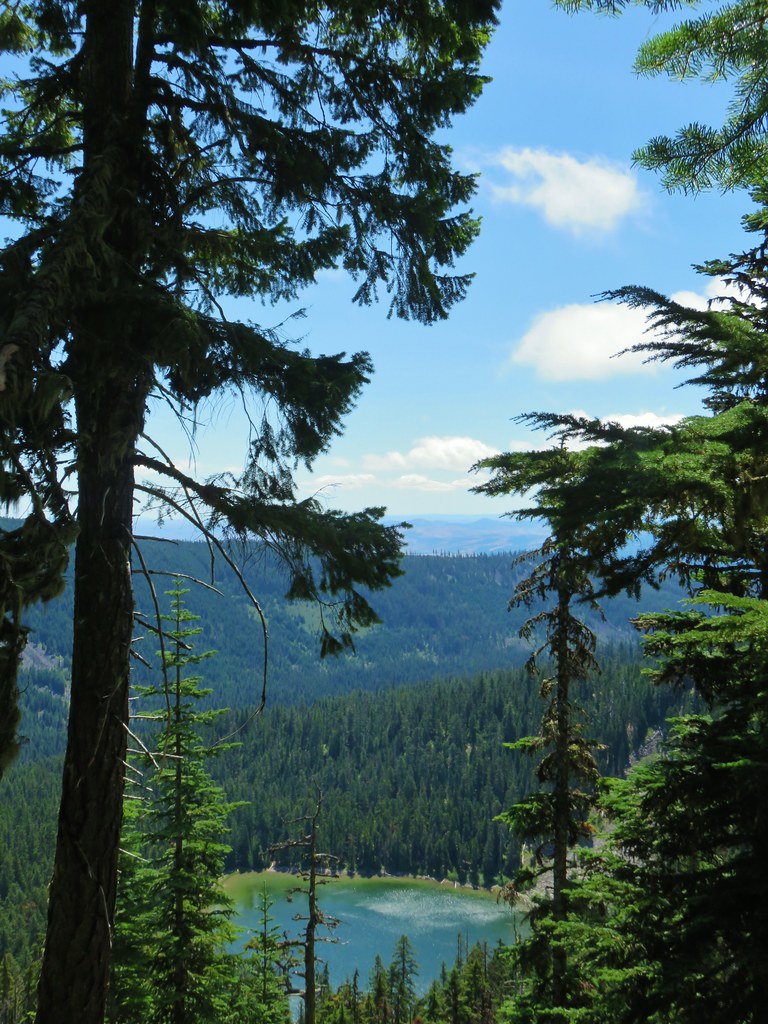
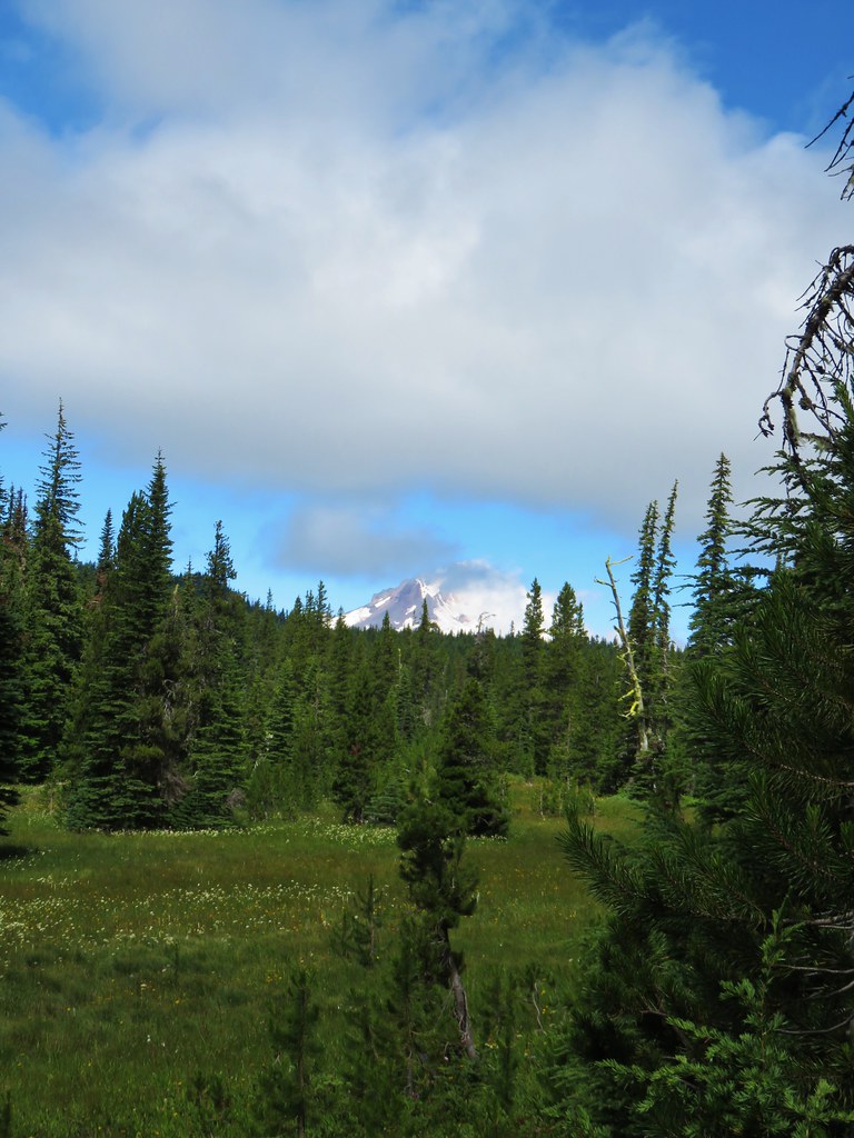
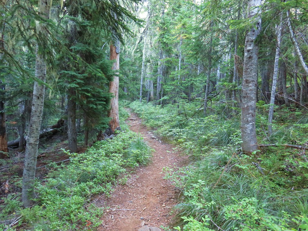
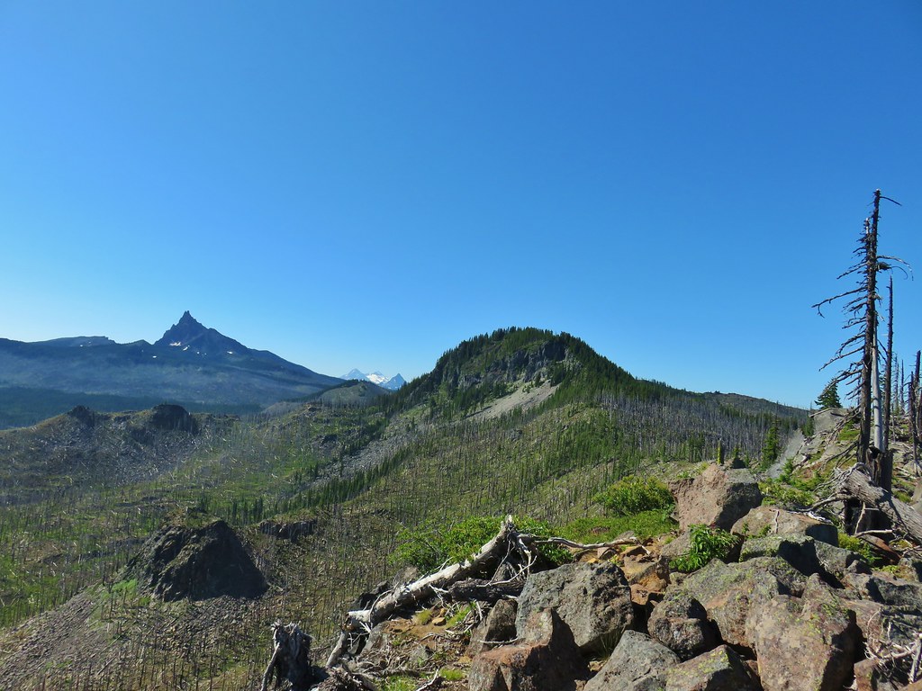
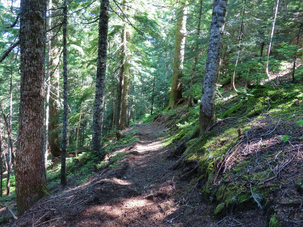
Beyond the second lava crossing we spent a little time back in the forest before once again entering a volcanic landscape as we came around the south side of Four-In-One Cone.


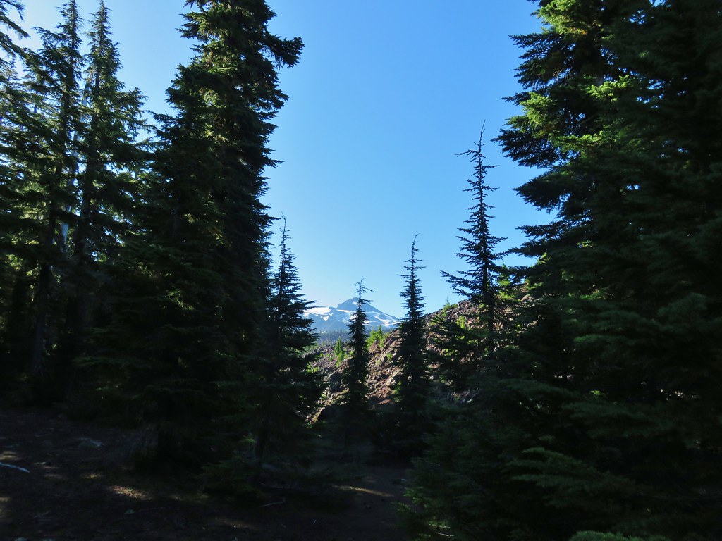
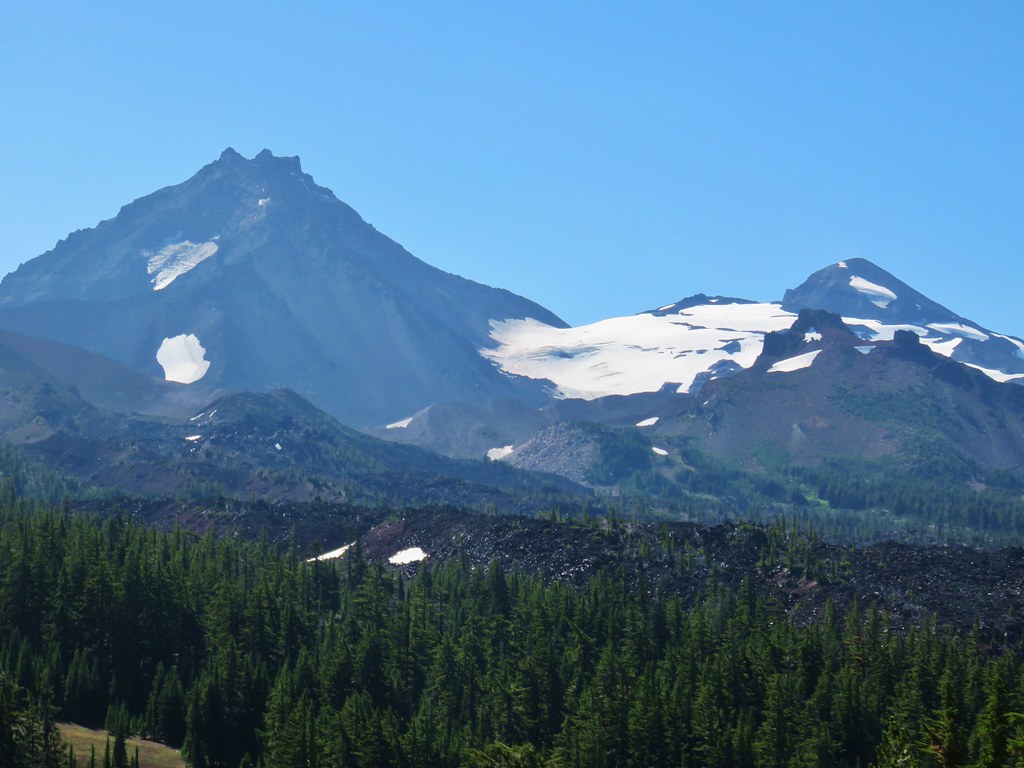
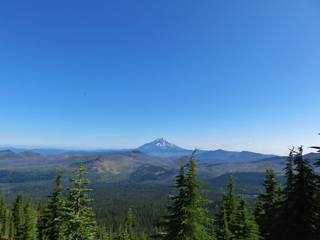
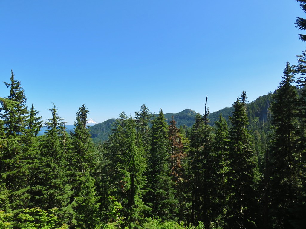
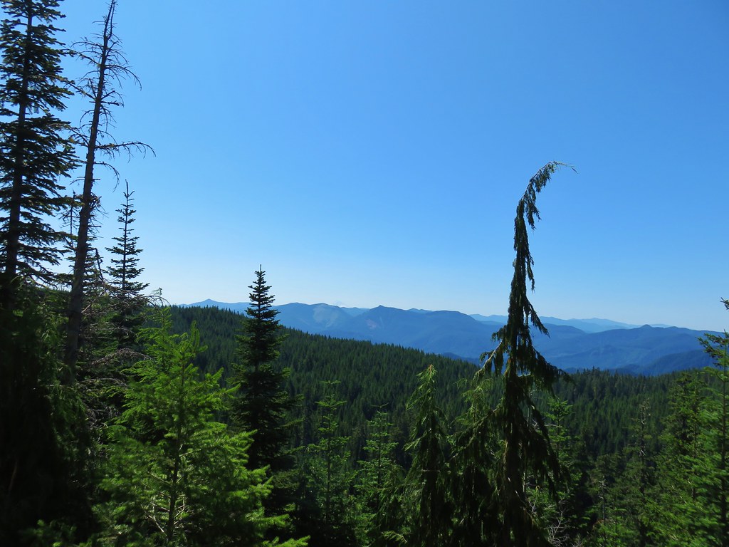
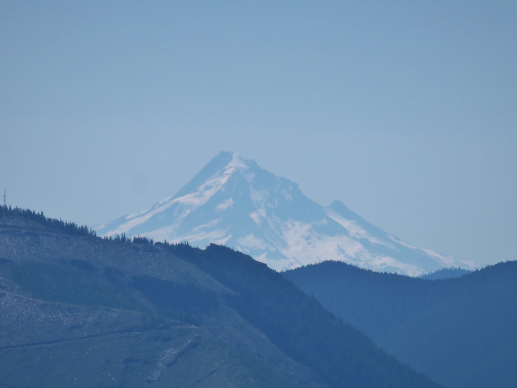
Unlike our previous visit the Cascade Mountains were visible.
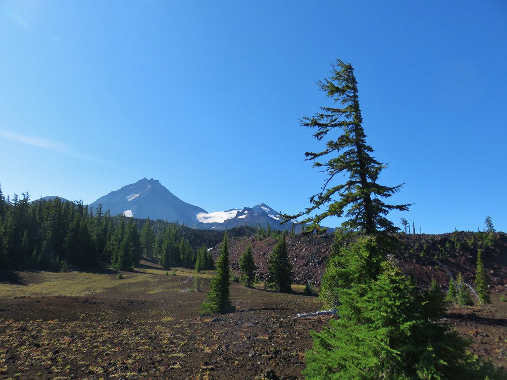 North and Middle Sister behind the Little Brother.
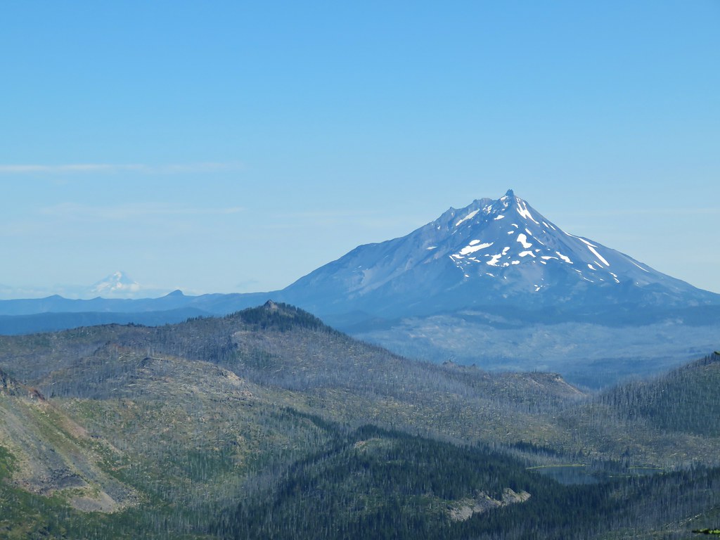
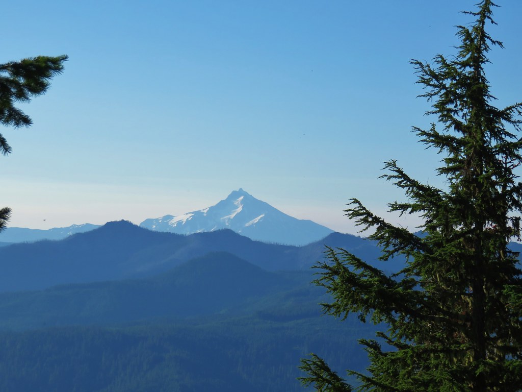
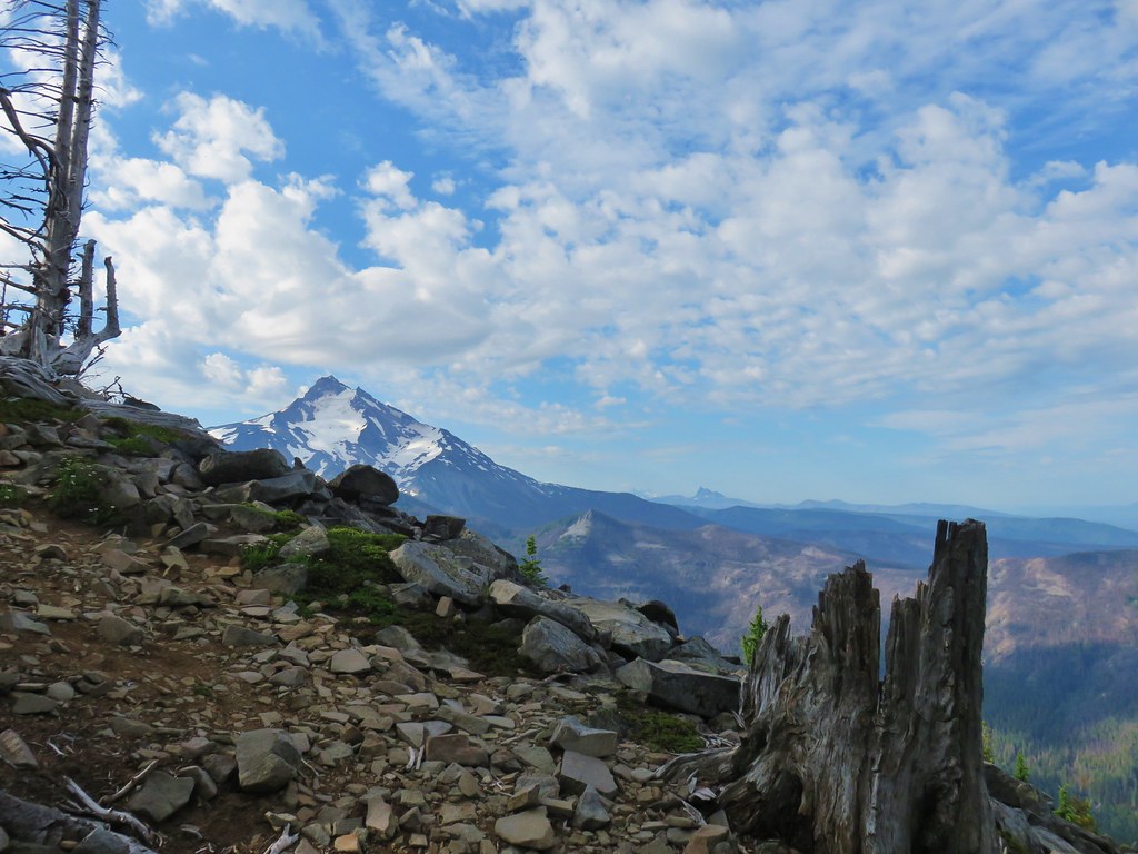
 Mt. Jefferson beyond Four-In-One Cone
 Mt. Hood over the right shoulder of Mt. Jefferson.
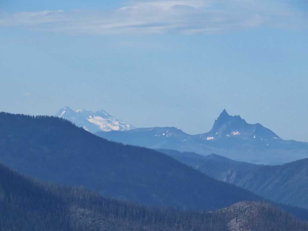
 Mt. Washington’s spire behind the cone with Three Fingered Jack and Mt. Jefferson.
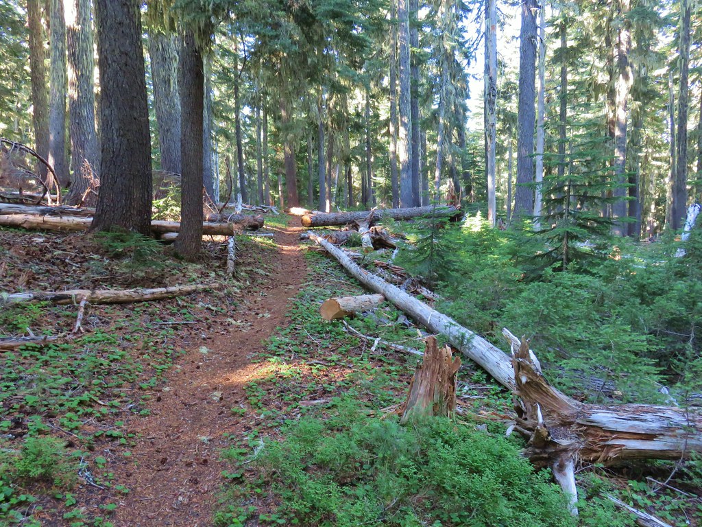
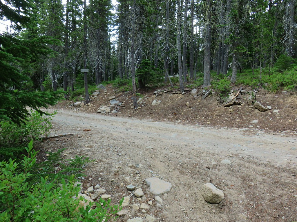
The route up Four-In-One Cone is just under 1.5 miles from the first lava crossing and is marked by a signpost.

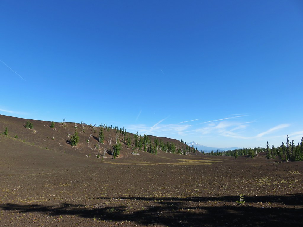
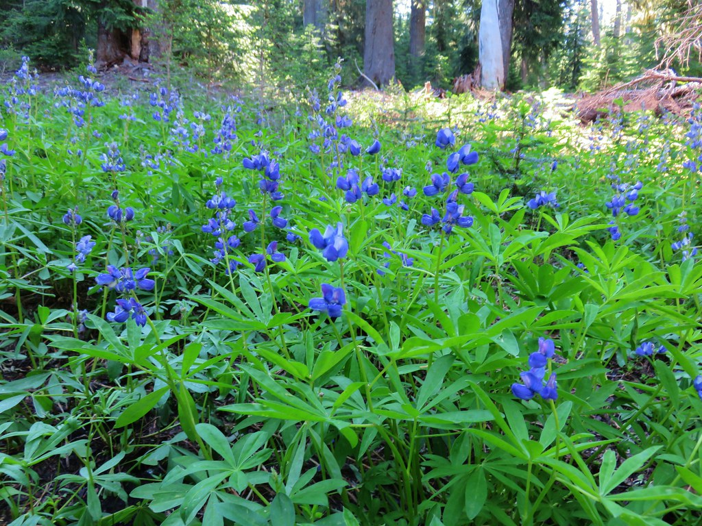
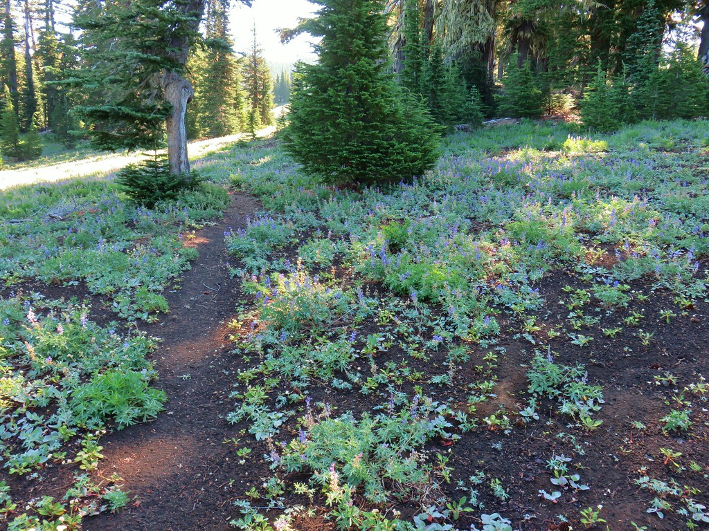
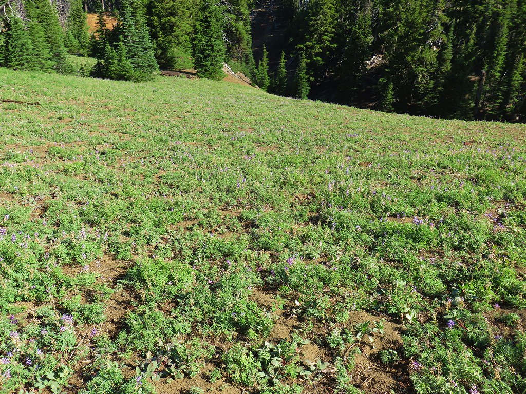
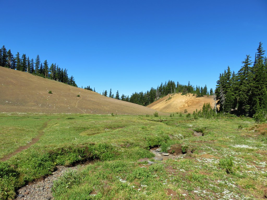
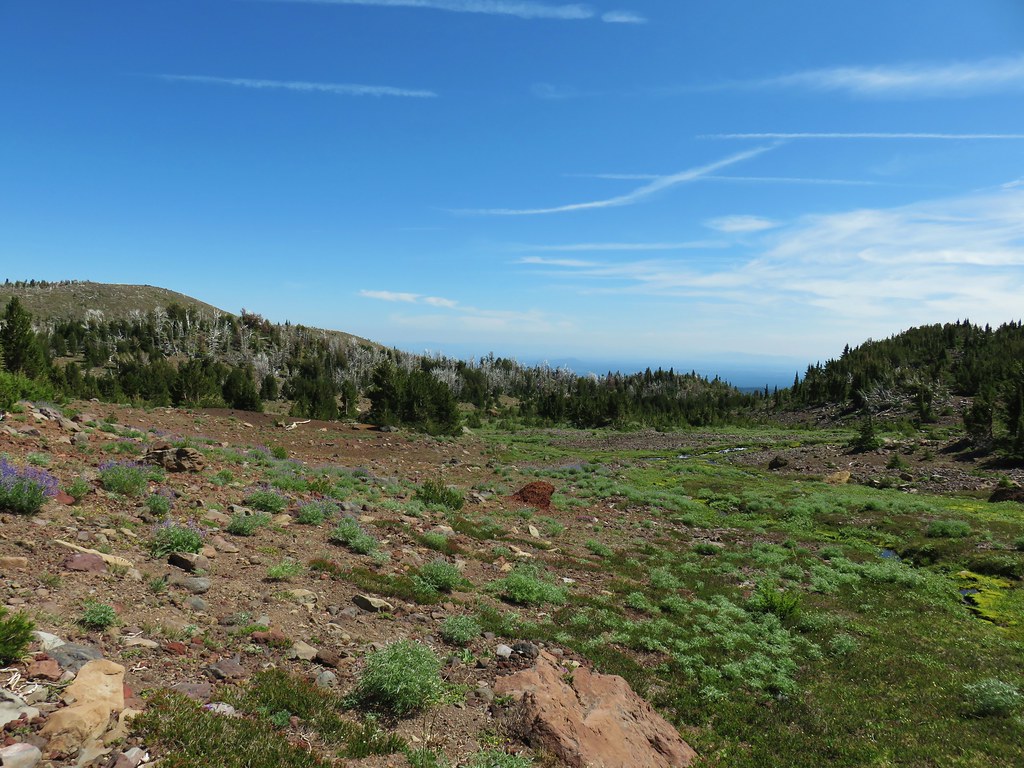
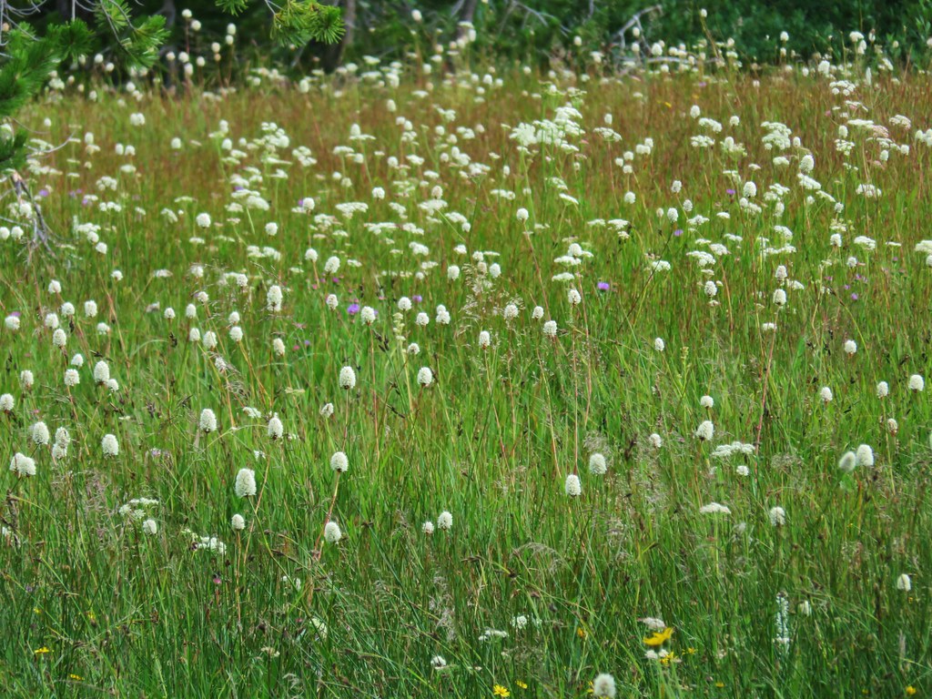
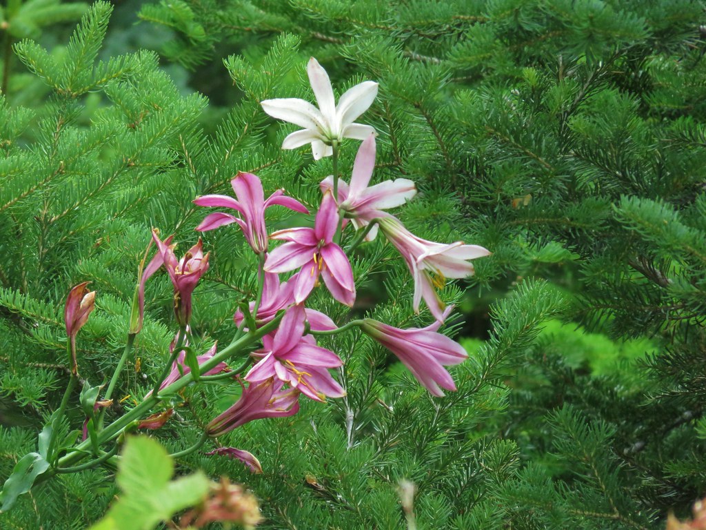
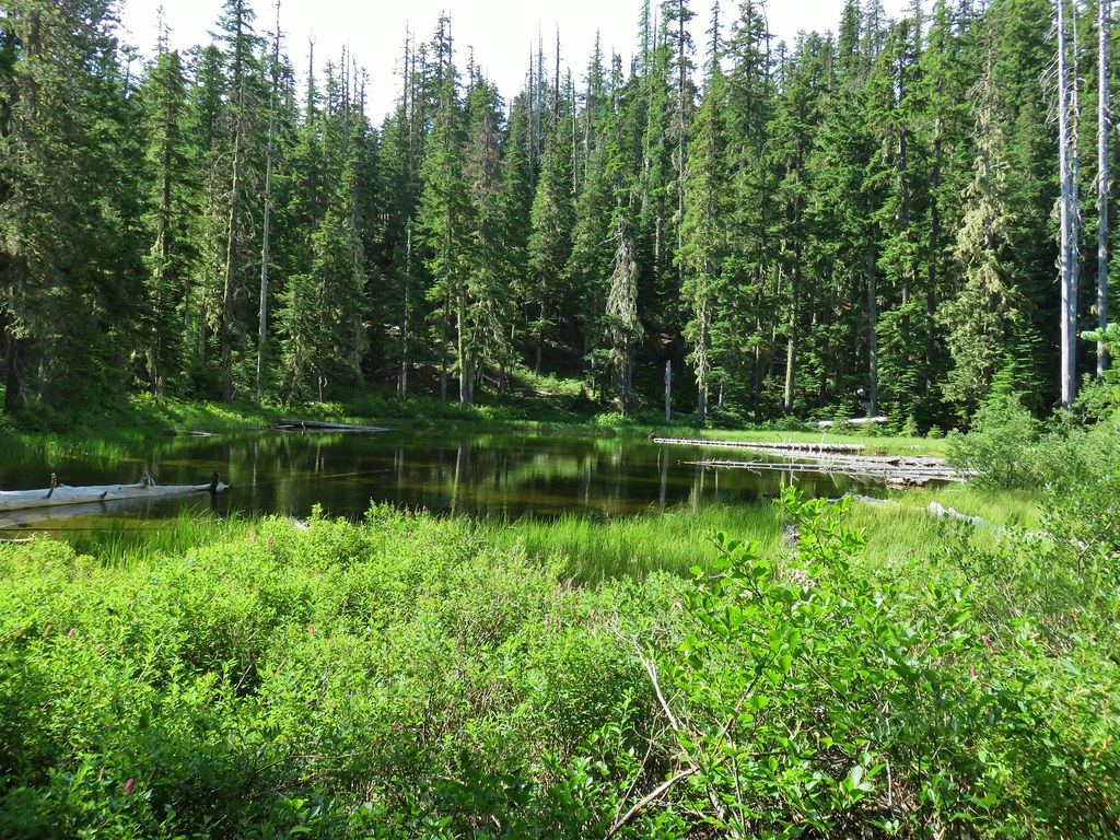
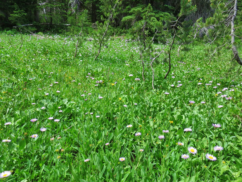
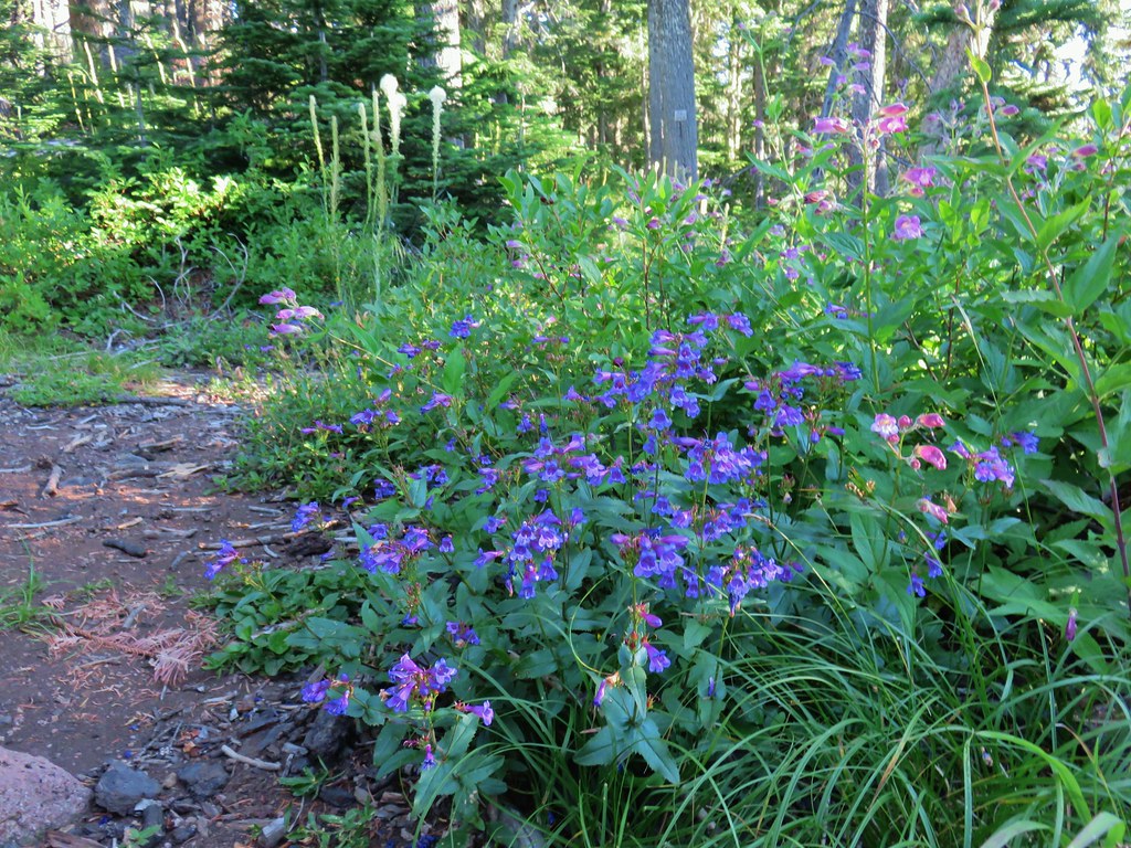
Before going up the cone we decided to continue another .8 miles to the Pacific Crest Trail in Scott Meadow. We had of course been to that junction during our loop in 2012 but we’d also visited it in 2013 from the north on the PCT from South Matthieu Lake (post). Lupine is said to bloom profusely from mid-July through August but we hadn’t seen much in 2013 (2012 was late September) so we thought we’d give it another try. Prior to reaching Scott Meadow we did pass a couple of hillsides with a decent amount of lupine but I don’t know that we considered it profuse

 Scott Meadow
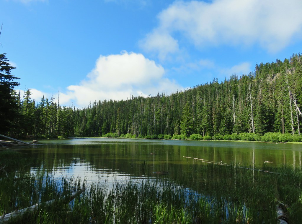
There wasn’t any lupine at all around the PCT junction but the view of Little Brother next to the North and Middle Sisters is nice.

After a short break and pointing a group of trail runners toward Opie Dilldock along the PCT we turned around and headed back for Four-In-One Cone.

Four-In-One Cone is just that, four cinder cones which erupted at different times but are joined together creating a .4 mile long ridge.

To the SE the North and Middle Sister are closer than the Cascades to the NW the position of the Sun made the view of the further peaks a little clearer.
 North Sister, Middle Sisters behind Little Brother and The Husband.
 North Sister with Collier Cone in front and South Sister behind Little Brother.
 The Husband
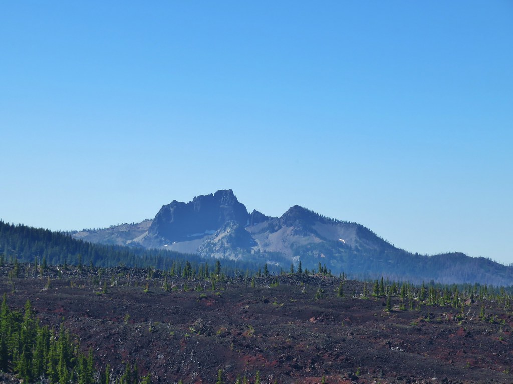
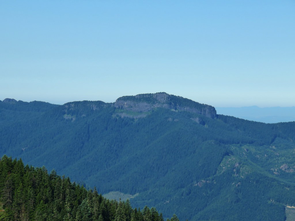
 Scott Mountain (post) beyond the lava flows of Four-In-One Cone.
 One of the craters.
After visiting the southern end of the cones we made our way to the northern end.
 Mt. Washington, Three Fingered Jack, Mt. Jefferson, Mt. Hood, and Black Crater (post)
 Looking back south.
 Belknap Crater (post)
 Mt. Washington beyond Little Belknap Crater with Three Fingered Jack behind.
 Mt. Jefferson and Mt. Hood
After fully exploring the cones we returned the way we’d come capping off a 12.3 mile, 1750′ elevation gain hike. We were happy to have finally gotten to see what we’d missed back in 2012. Happy Trails!
Flickr: Four-In-One Cone

 Middle and North Sister
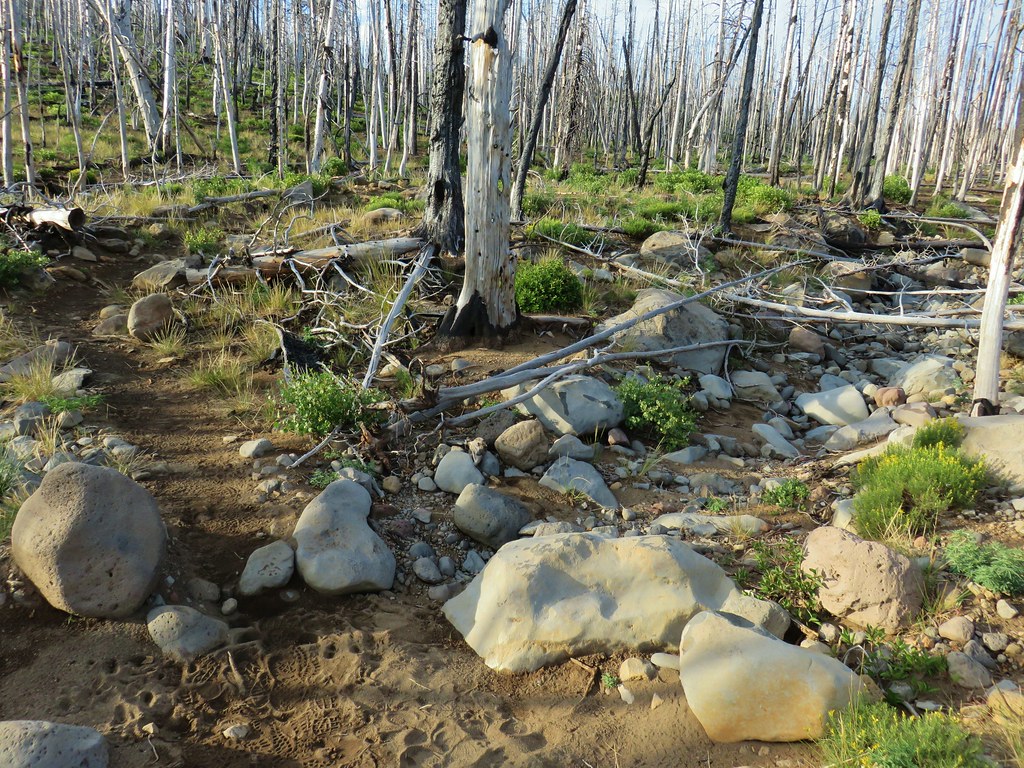 Dry bed of Pole Creek.
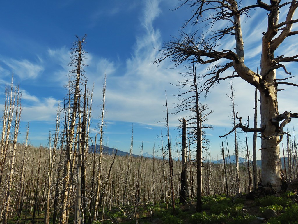 Black Crater, Mt. Jefferson, and Black Butte to the north.
 Entering the Three Sisters Wilderness.
 A few survivors amid the snags.
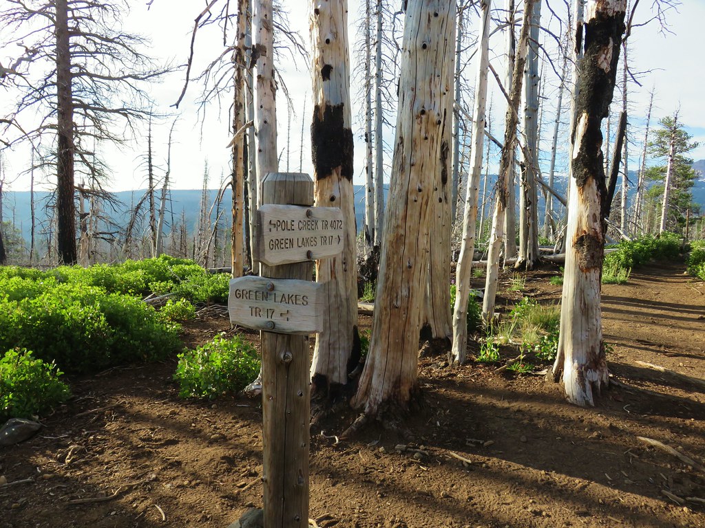 Green Lakes Trail junction.
 Broken Top and the South Sister
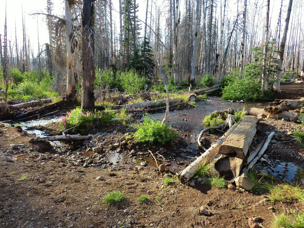
 Monkeyflower along Soap Creek
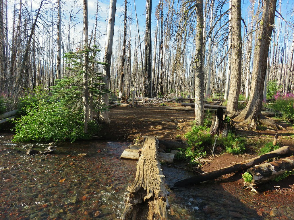
 Soap Creek
 View of the North Sister that would not have been there pre-fire.
 Soap Creek and the Middle and North Sister
 Monkshood
 Might be a trail in there, might not.
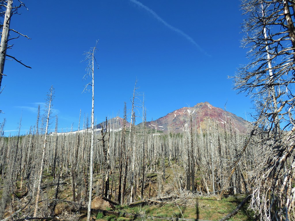 Decent look at the yellow bulge on North Sister.
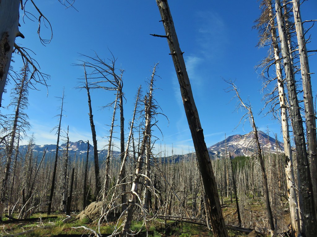 Broken Top and South Sister
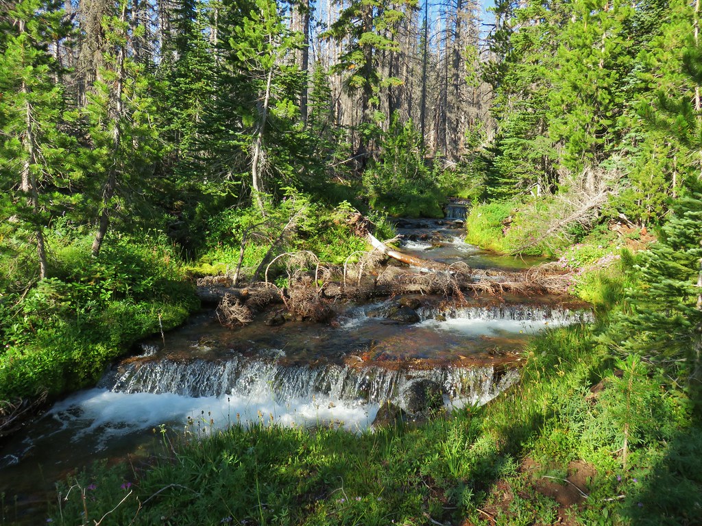 Soap Creek
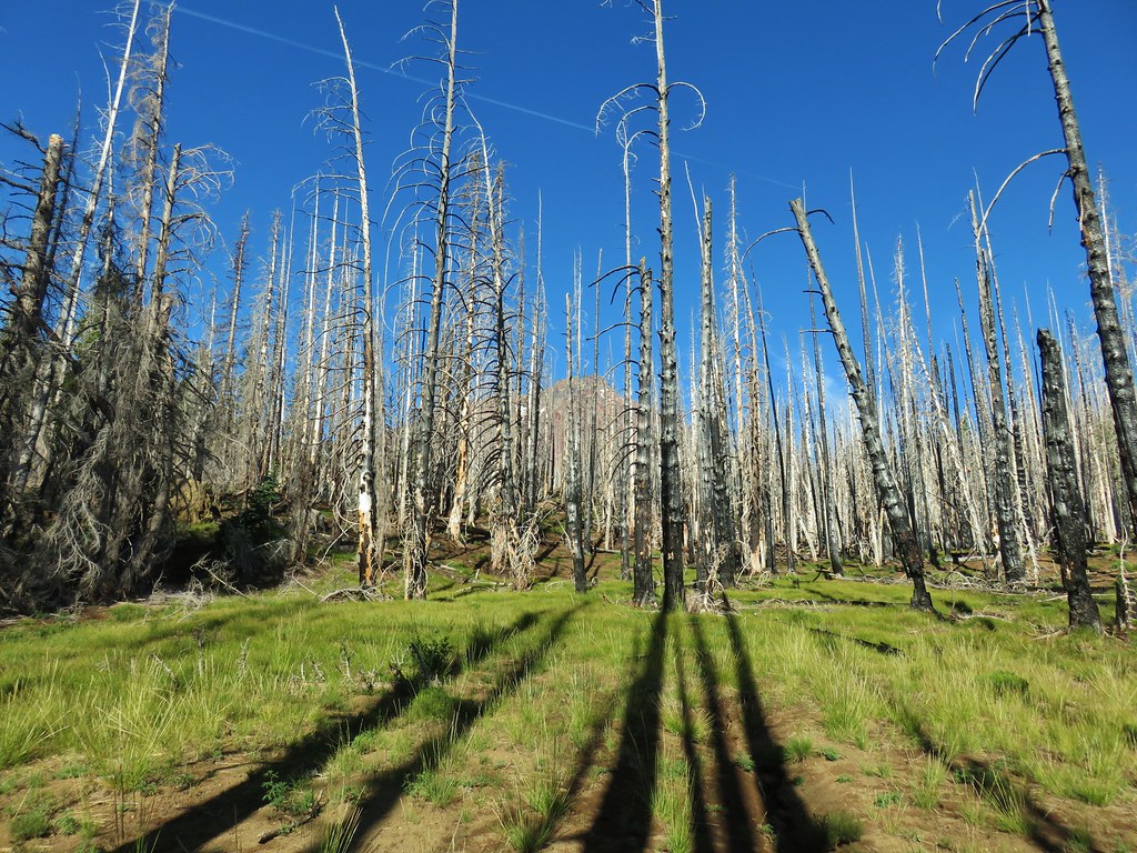 Meadow where there was no discernible trail apparent.
 Typical cross country obstacles.
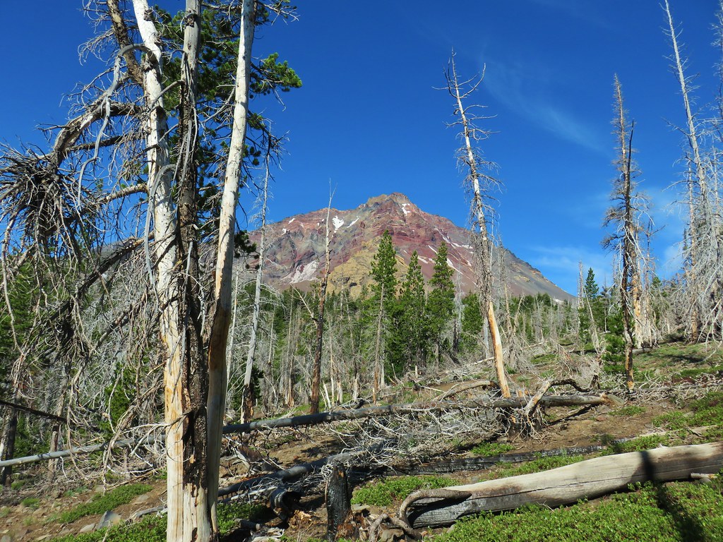
 Dry creekbed.
 Elephants head
 The moraine to the left of the bulge.
 A clump of Monkeyflower
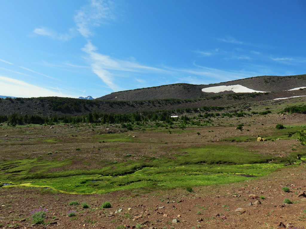

 Penstemon
 Our shady spot.
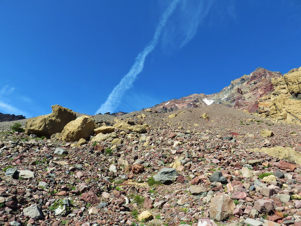
 Paintbrush growing on the moraine.
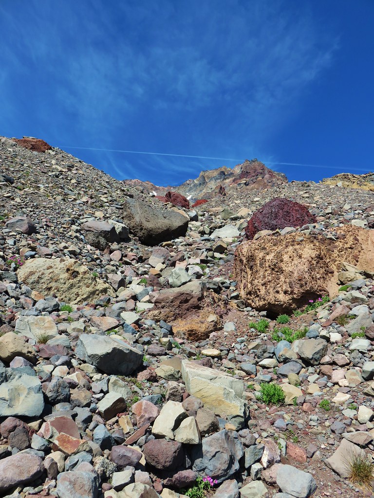
 More flowers amid the rocks.


 The yellow bulge, Mt. Hood, Black Crater and Black Butte to the north.
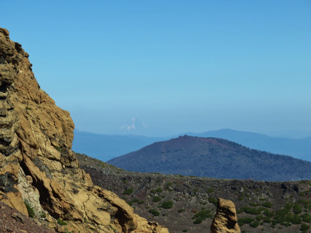 Mt. Hood
 Broken Top to the north.
 The rim above Thayer Lake.
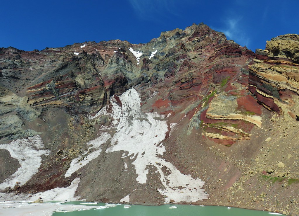 North Sister and the Thayer Glacier
 Heather near some large boulders in the lake.


 Starting to get too narrow and the topographic map showed it getting more so further downstream.
 Climbing out of the gully.
 Broken Top and South Sister from the ridge.


 The wilderness sign in 2015.

 2015
2015
 2015
2015

 2015
2015
 Penstemon
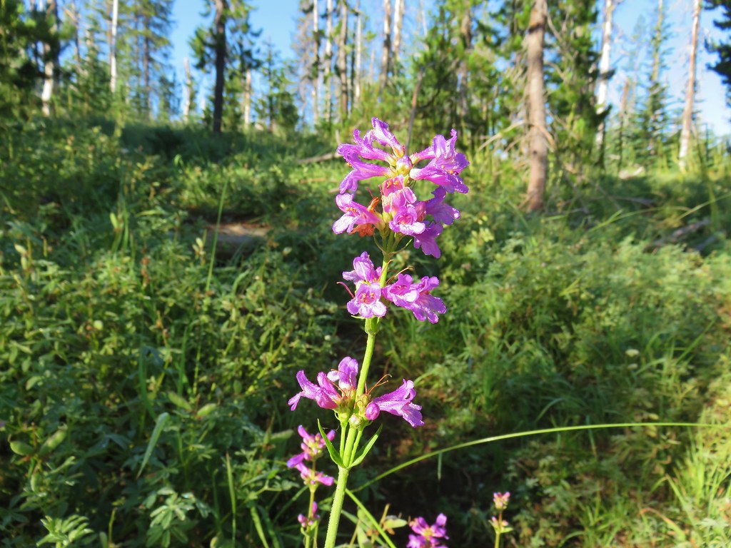
 Lousewort
 Scarlet gilia
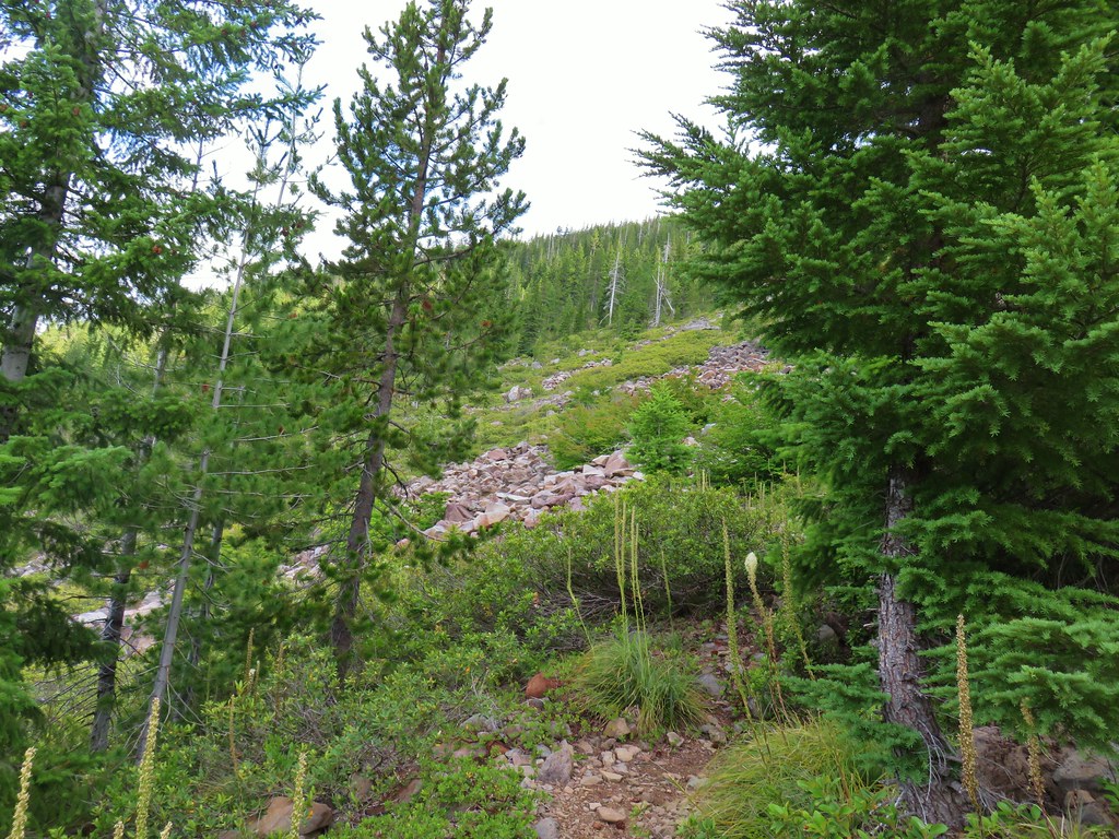
 A couple of short (and late) beargrass plumes.

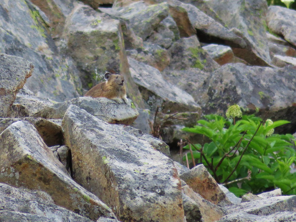
 This looked like prime pika habitat to us.


 Hogg Rock (near left), flat topped Hayrick Butte next to Hoodoo Butte, Mt. Washington with Broken Top behind left and the Three Sisters behind right.
 Mt. Hood in the distance to the left of Mt. Jefferson.

 Mt. Jefferson and Three Fingered Jack with Santiam Lake in the forest below.
 The view south.
 Broken Top, Mt. Washington, and the Three Sisters with Hayrick Butte in the forefront.
 Santiam Lake
 Duffy Lake (
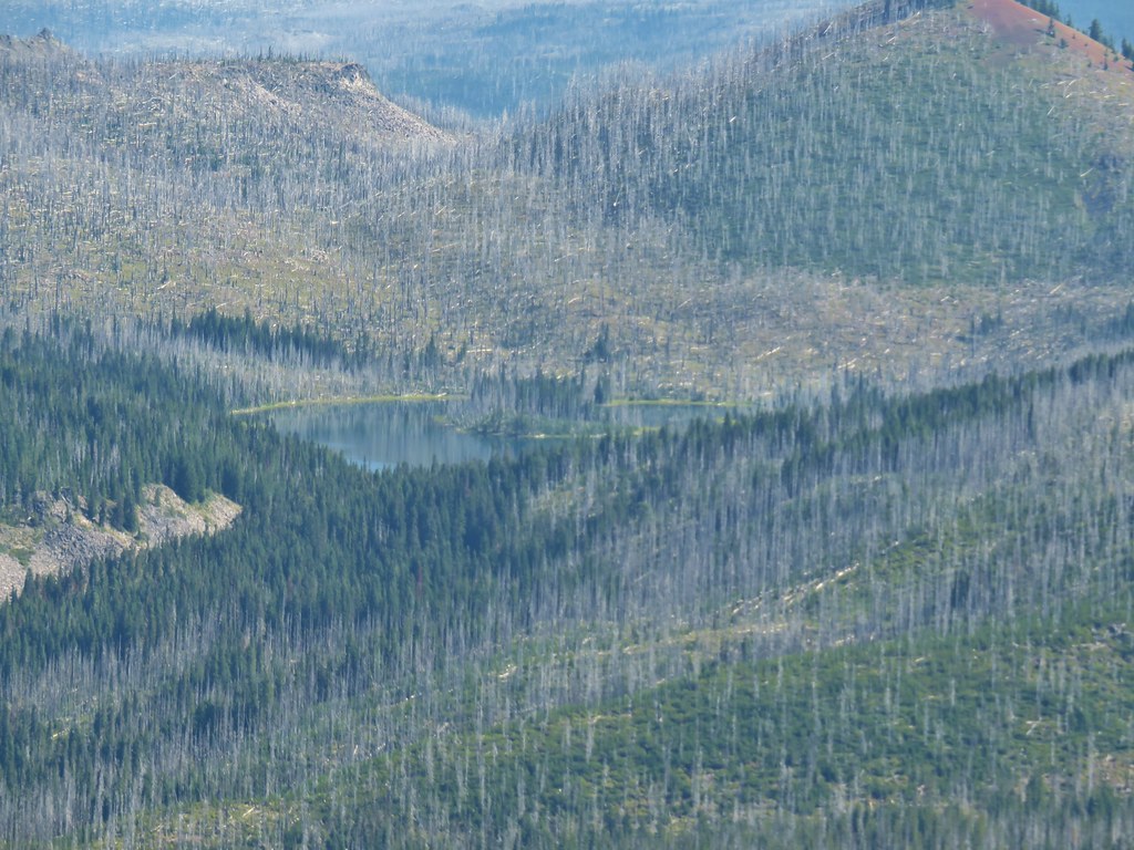 Mowich Lake
 Paintbrush in the crater.


 Pika
Pika Golden-mantled ground squirrel in the same rocky area as the pika.


 Fern clippings in the trail showing some trimming had been done.
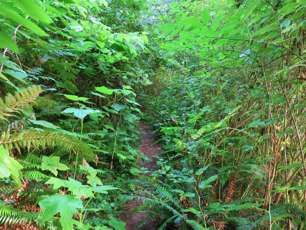 Whoever had done the brushing hadn’t made it down the whole trail.
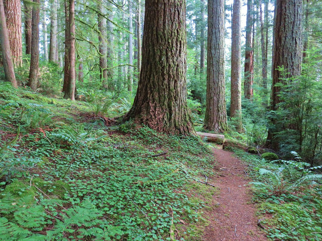
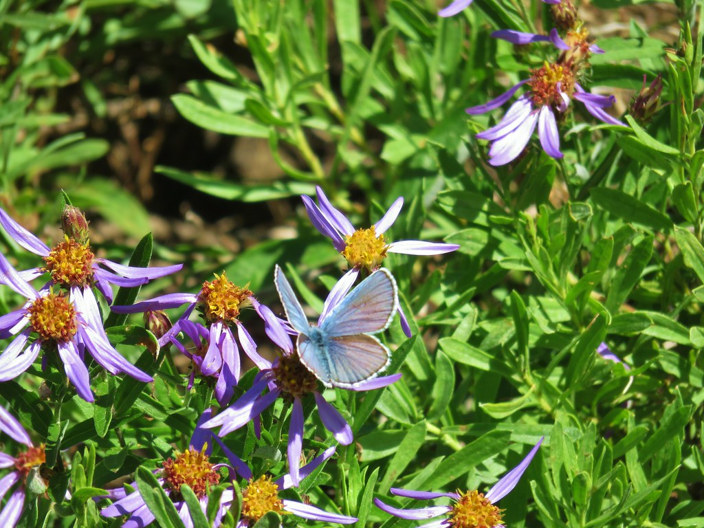
 There were a few monkey flowers scattered about.
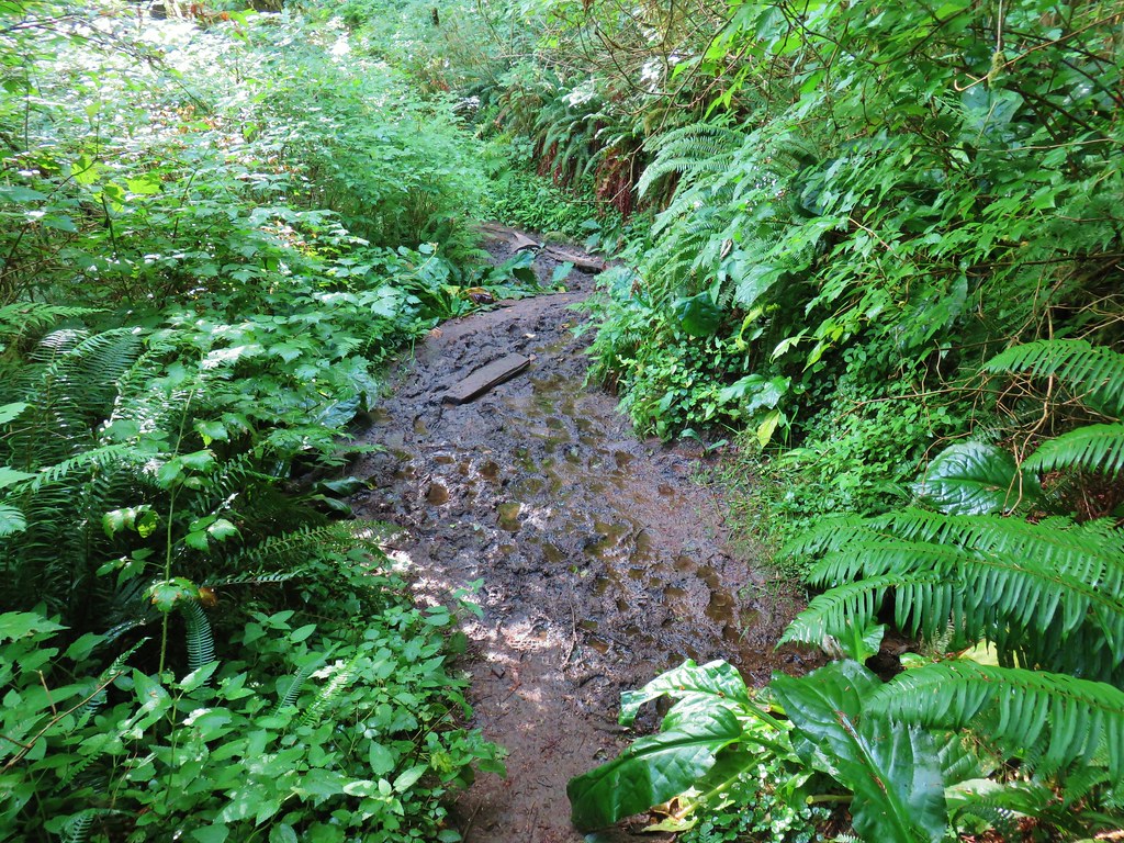


 >
>


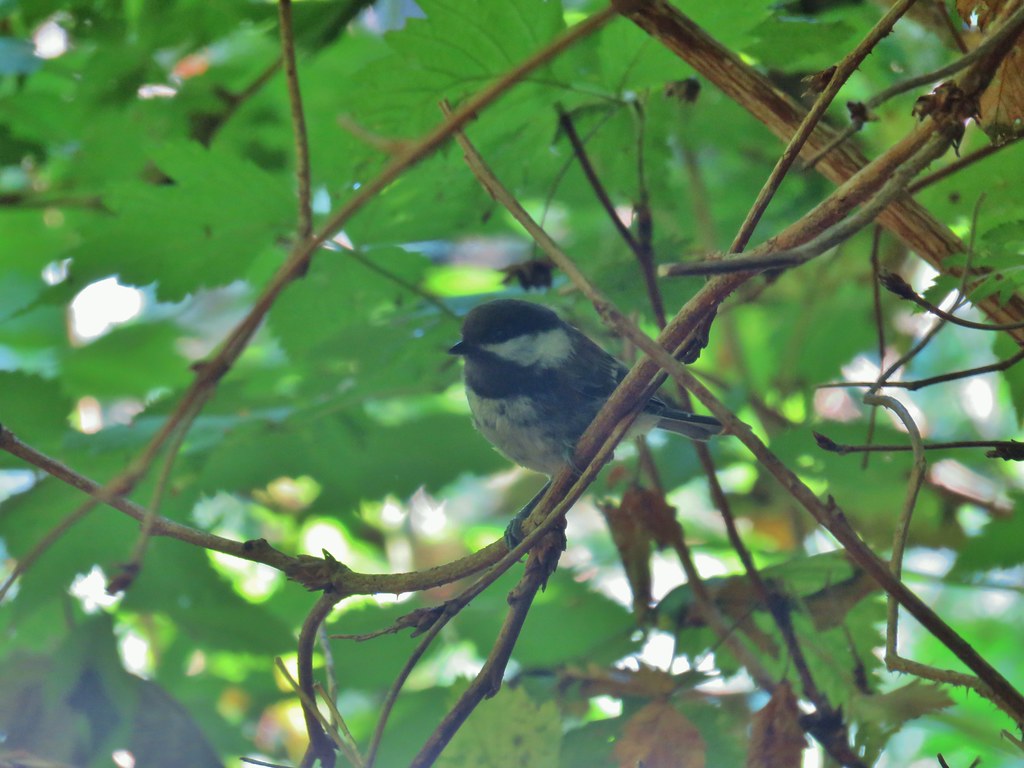 Chickadee
 Woodpecker


 Twin flower and prince’s pine
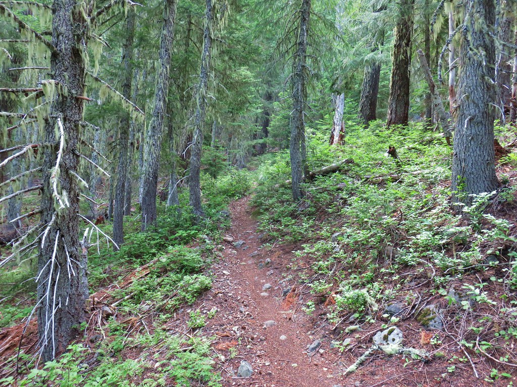
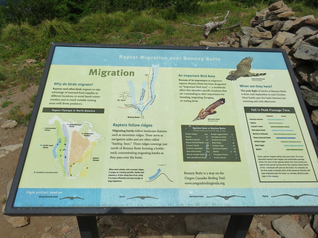
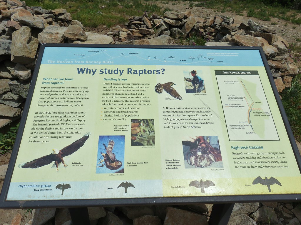
 Overcast skies over Bonney Butte


 Mountain chickadee
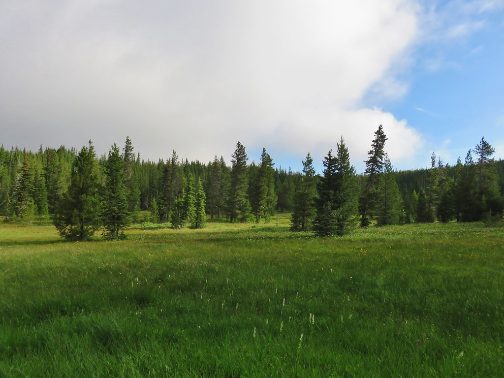
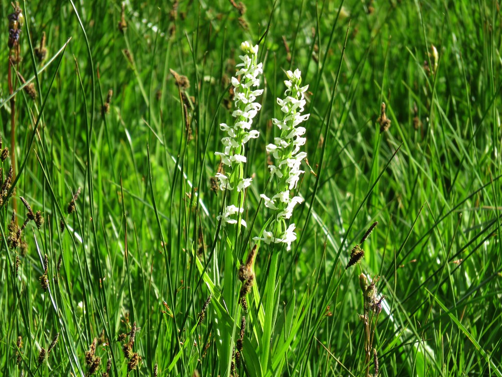 Bog orchids
 Shooting star
 Elephants head
 Lupine
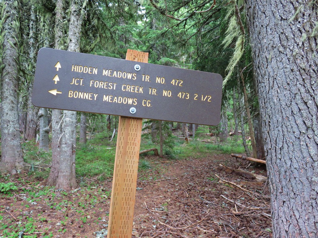

 Clouds dropping down after passing over Bonney Butte, it looked like we’d made a good choice.

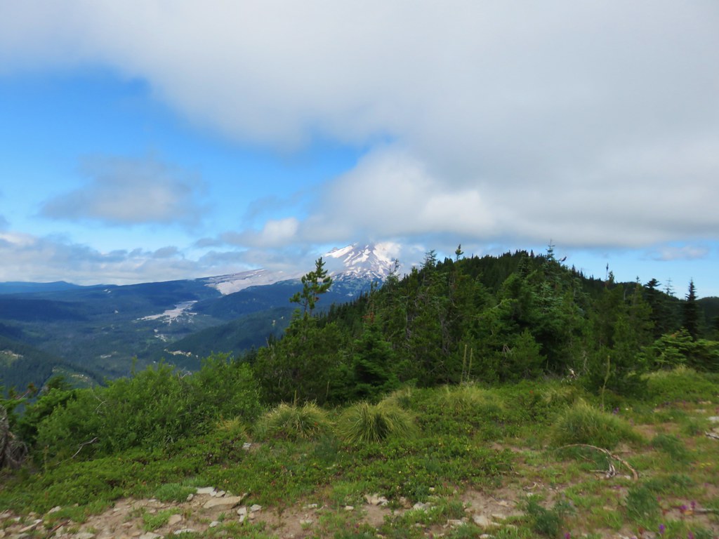
 Mt. Hood should be straight ahead.


 Mock orange

 Red-breasted nuthatch
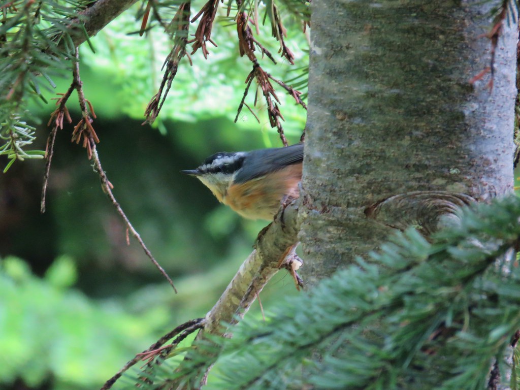 Another nuthatch
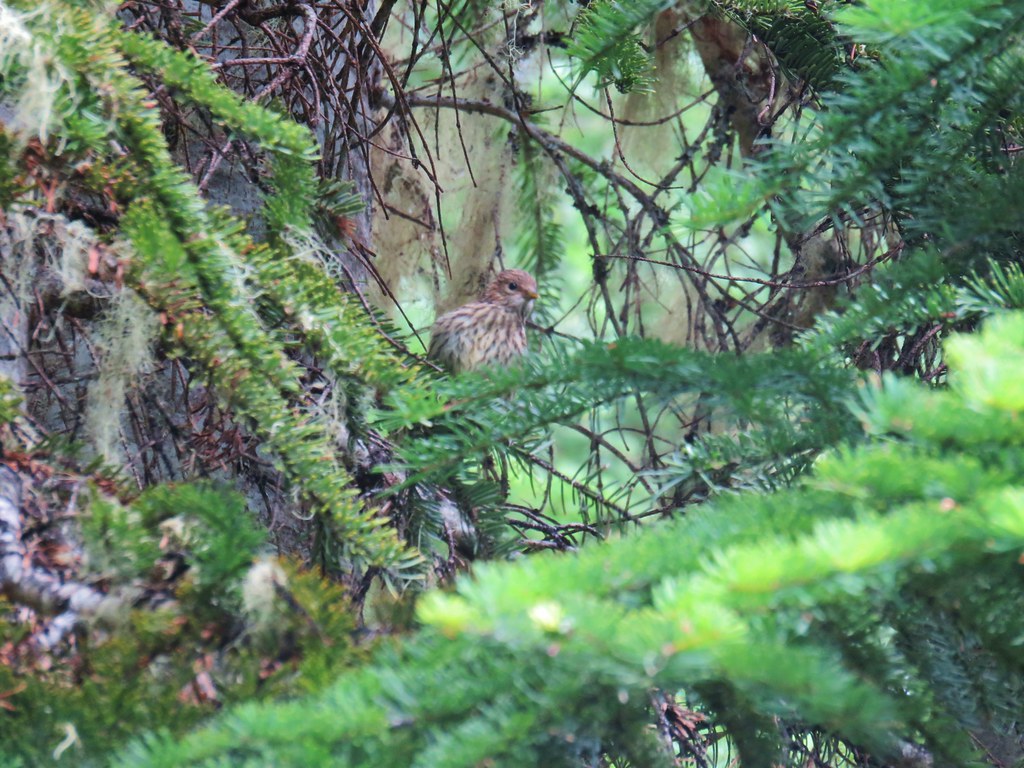 Sparrow
 First pika
 Second pika
 Paintbrush
 Washington lily
 Moth
Moth Golden-mantled ground squirrel
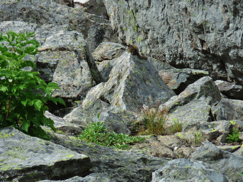 Chipmunk
 Penstemon
 Tall bluebells
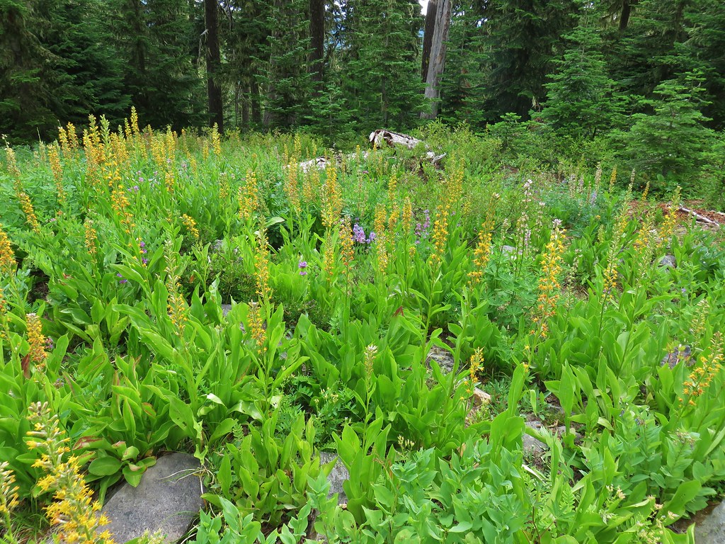 Rainiera
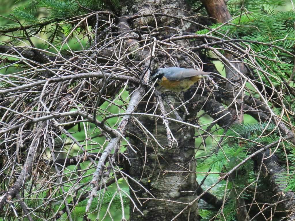 Nuthatch
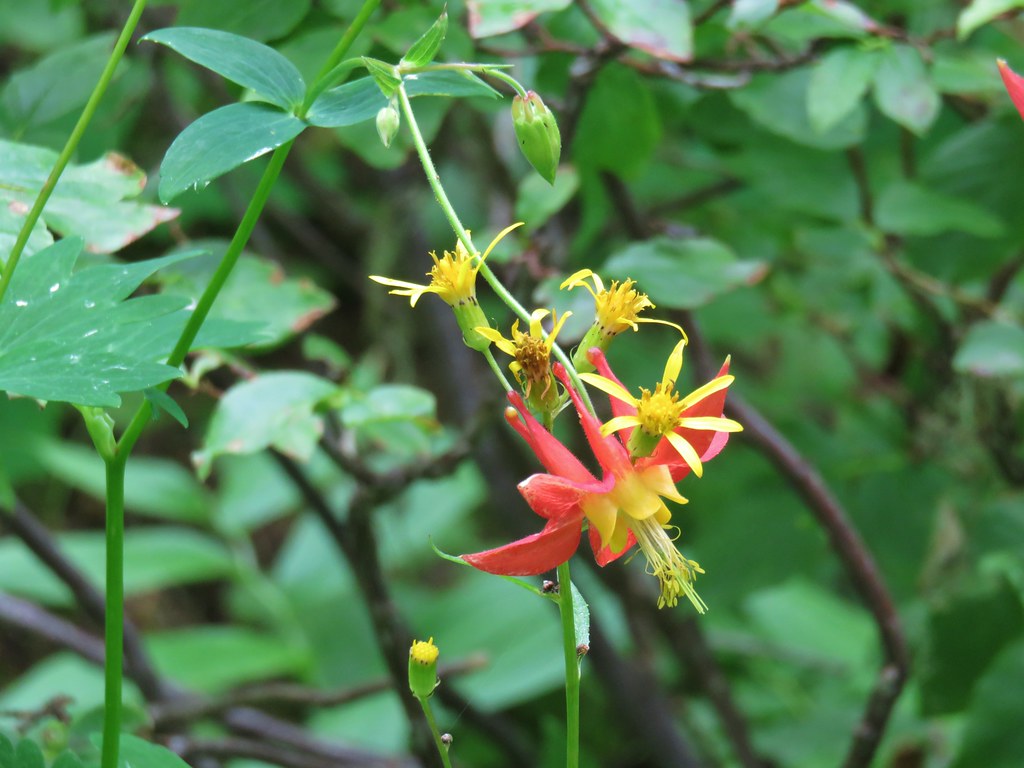 Columbine
 Gray jay


 Spinning Lake


 Gunsight Butte, Lookout Mountain, and Badger Butte.
 Boulder Lake from Echo Point
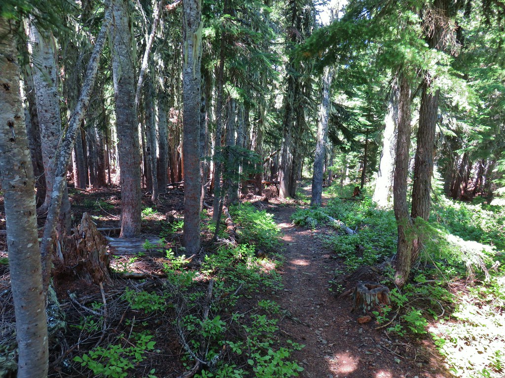


 Broken Top
 Broken Top, The Three Sisters, and Mt. Jefferson


 Highway 35 bridge over the White River
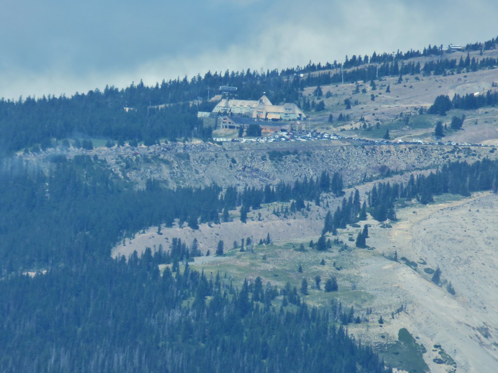 Timberline Lodge
 Close but no cigar.
 Turkey vulture
 There’s the summit for a second.
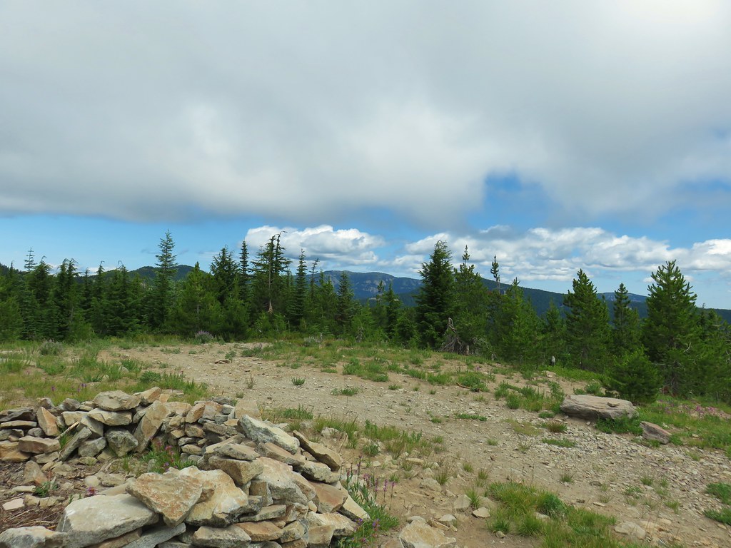 Lookout Mountain (
 Bonney Meadows
 Bonney Creek
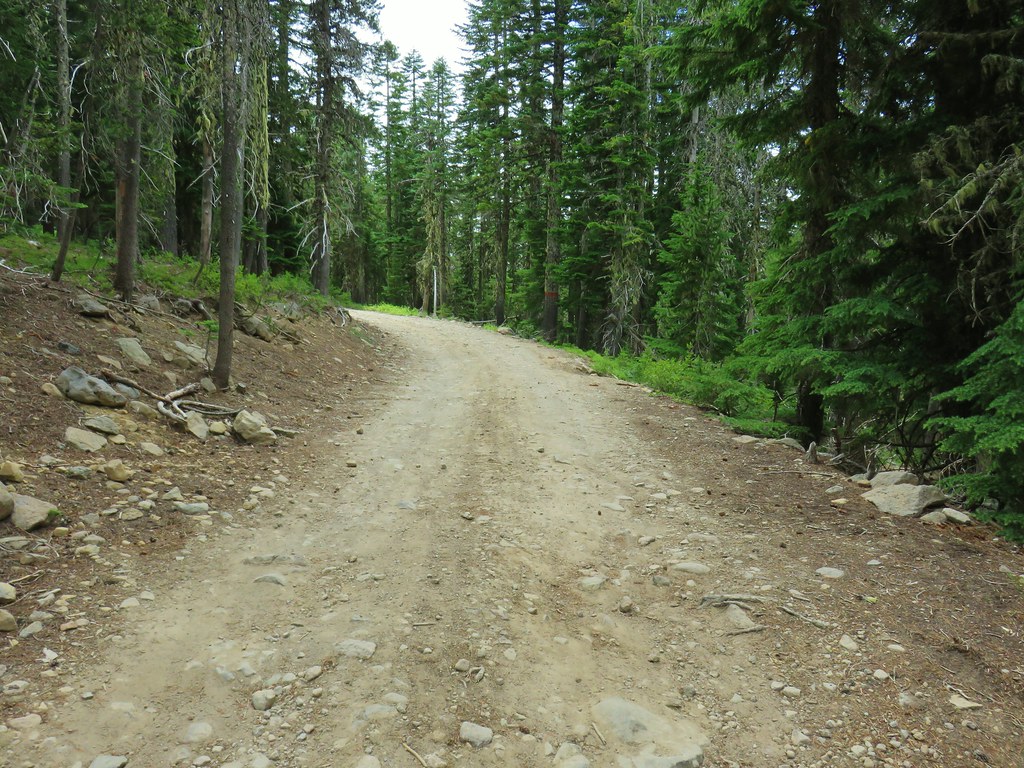 Approaching the Bonney Meadows Trail
 Spur road leading to the trail from the pullout.
 Signage at the end of the closed spur.
 Thimbleberry crowding the trail.
 Devil’s club along the trail. We each had our hands brush against some and it doesn’t feel pleasant.
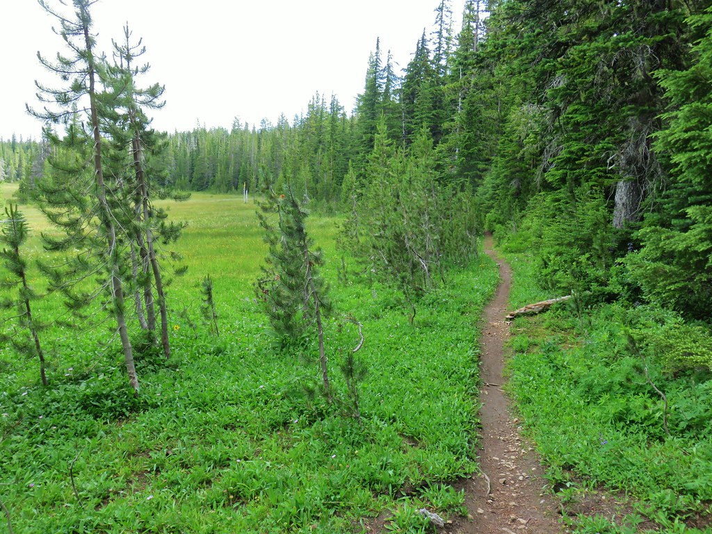
 Lupine and paintbrush in the thimbleberries as the trail enters the forest.
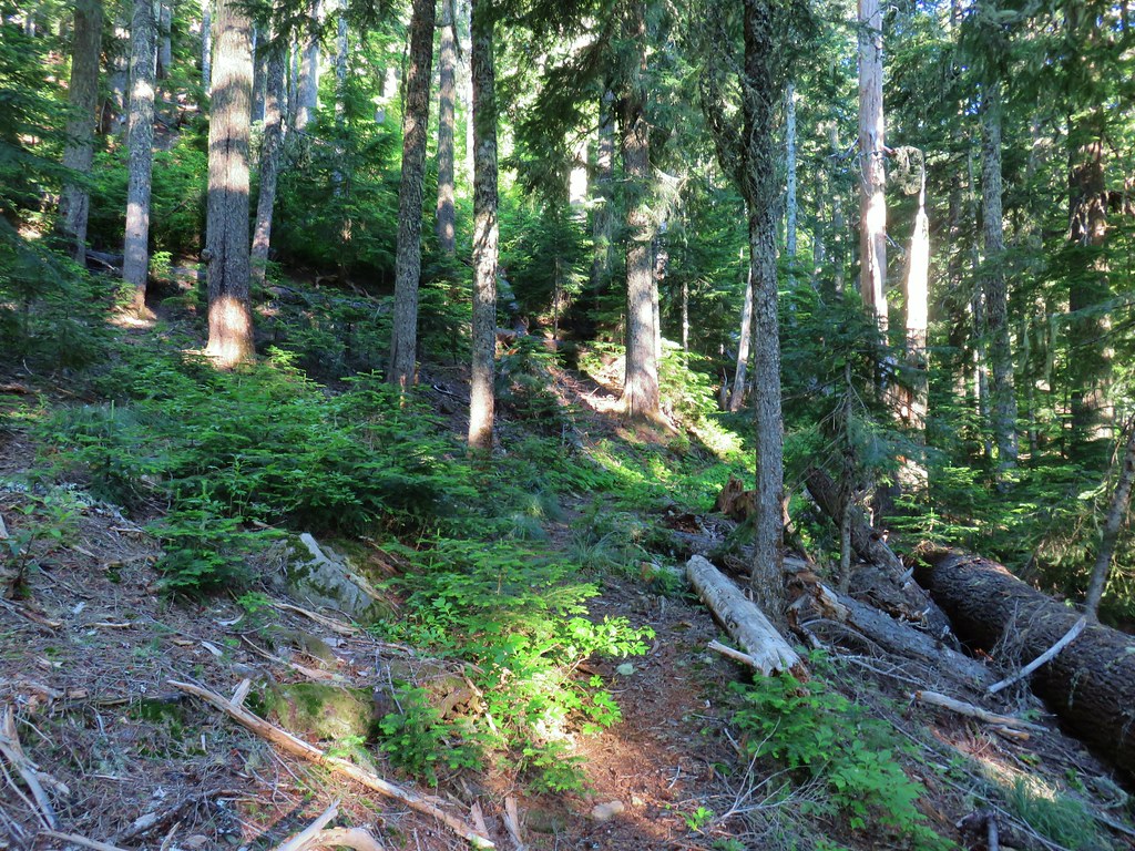
 It looked like these two trees fell out of the same hole but in different directions.
 Anemone and queen’s cup
 Beargrass and huckleberry bushes.
 Schreiner Peak in front of Mt. Jefferson.
 Small sign on the tree marking the trail to Thunder Mountain’s summit.
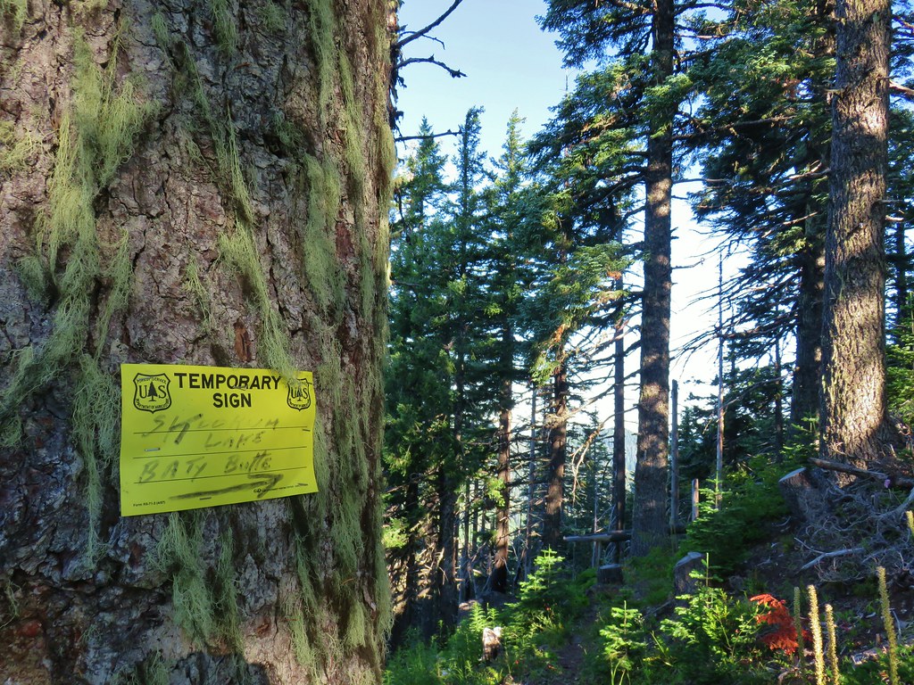
 Columbine
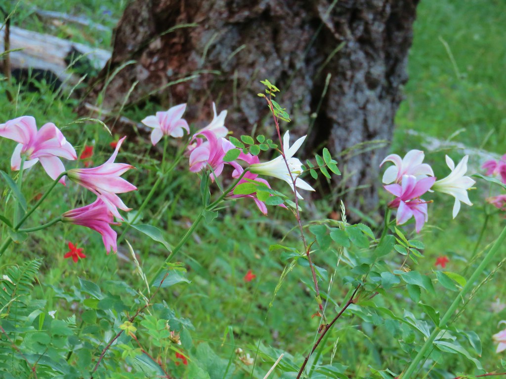 Washington lilies
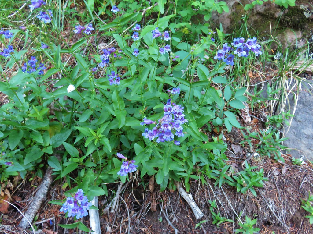 Penstemon
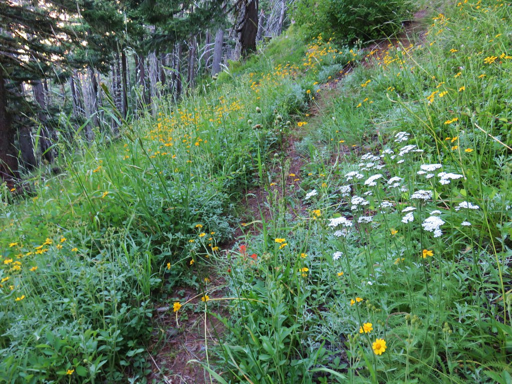 Assorted flowers
 Washington lilies
 Oregon sunshine
 Scouler’s bluebells
 Columbine and a couple different types of penstemon.
 Cat’s ear lily
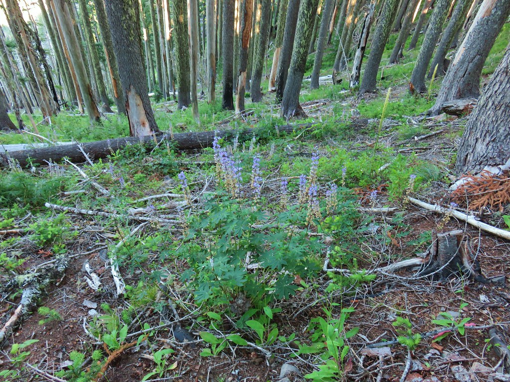 Lupine
 Pyrola
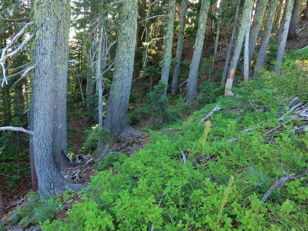 Skookum Lake Trail below coming out of the horseshoe turn.

 Mt. Hood
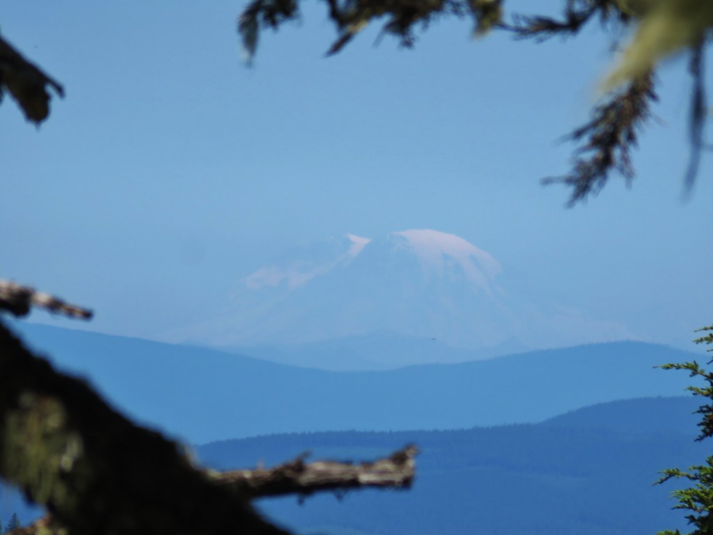 Mt. Rainier
 The trail skirts a talus slope above the meadow.
 Finally leveling out by the meadow after losing approximately 700′.
 I missed the sign until we had come back and started down the Skookum Lake Trail.
 Tall bluebells
 The yellow might be a groundsel.
 Aster
Aster


 Paintbrush, penstemon and lupine

 Mostly past lupine

 Several butterflies on Oregon sunshine.
 Scarlet gilia
 Fireweed

 Left is the wrong way on the return, the correct route is to the right through the brush.
 Flagging marking the correct path.


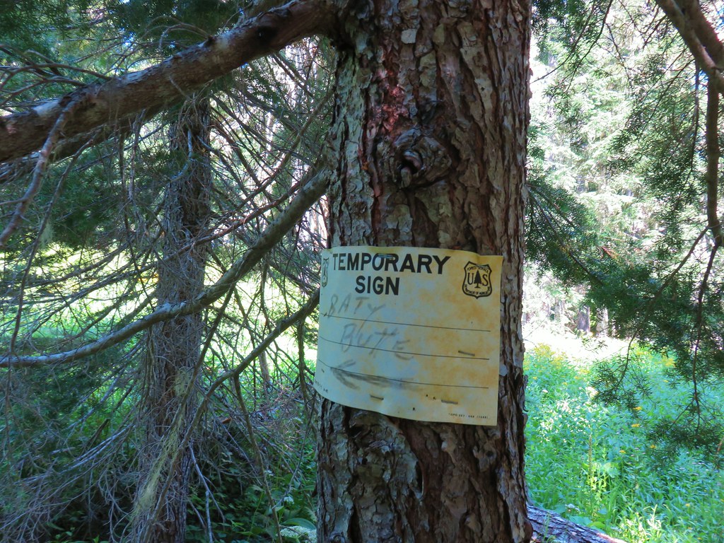
 Baty Butte Trail to the right.
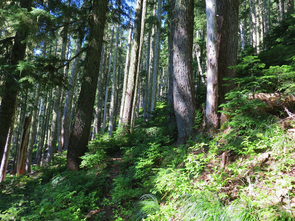
 Baty Butte Trail starting to curve around the ridge.
 Scramble route up the ridge.
 Looking down from the start of the spine.


 Mt. Jefferson
 Three Fingered Jack, Mt. Washington, and the Three Sisters.
 Rooster Rock is the formation to the far left.
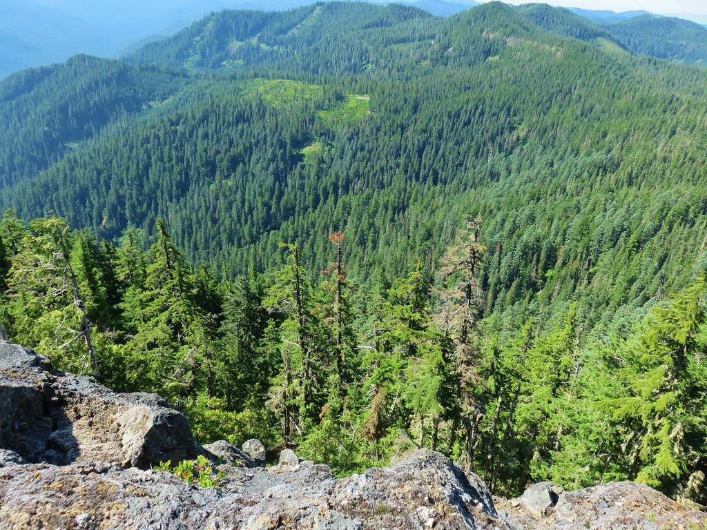 Looking down from Baty Butte.

 Orange agoseris
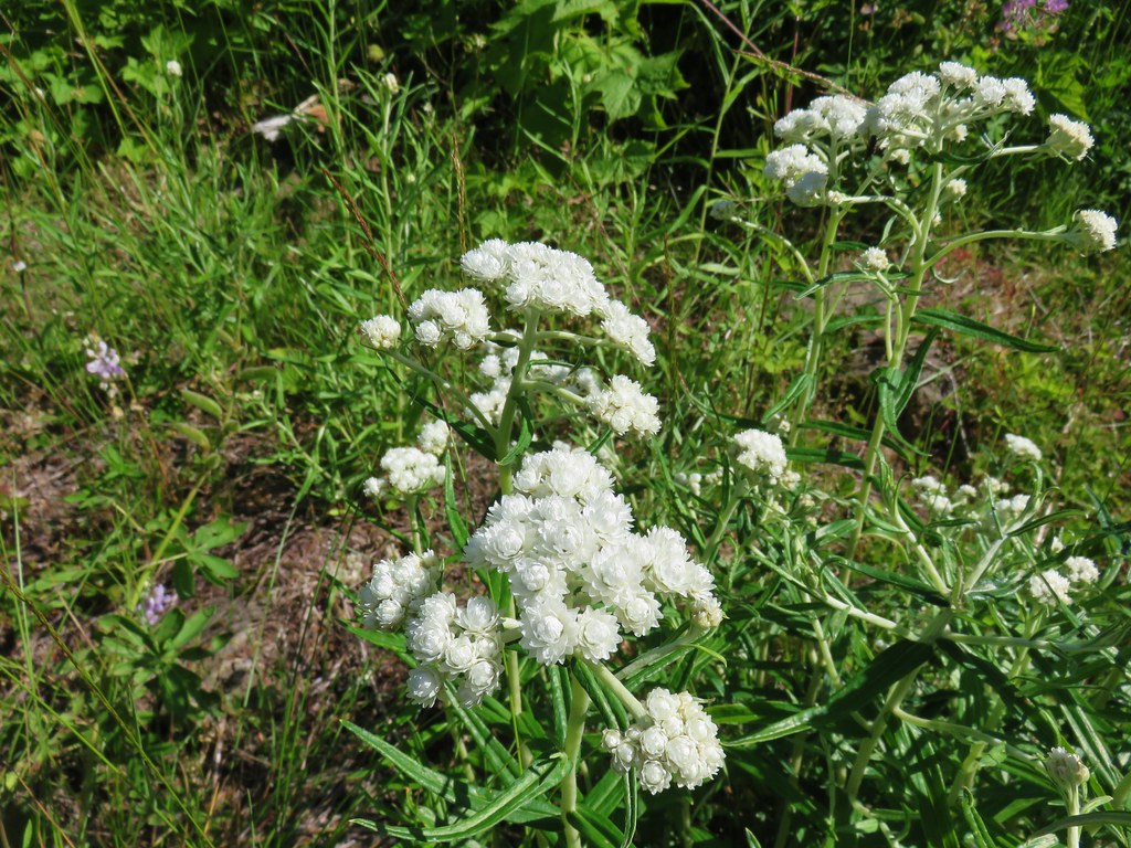 Pearly everlasting
 Penstemon

 Monkeyflower along the trail.
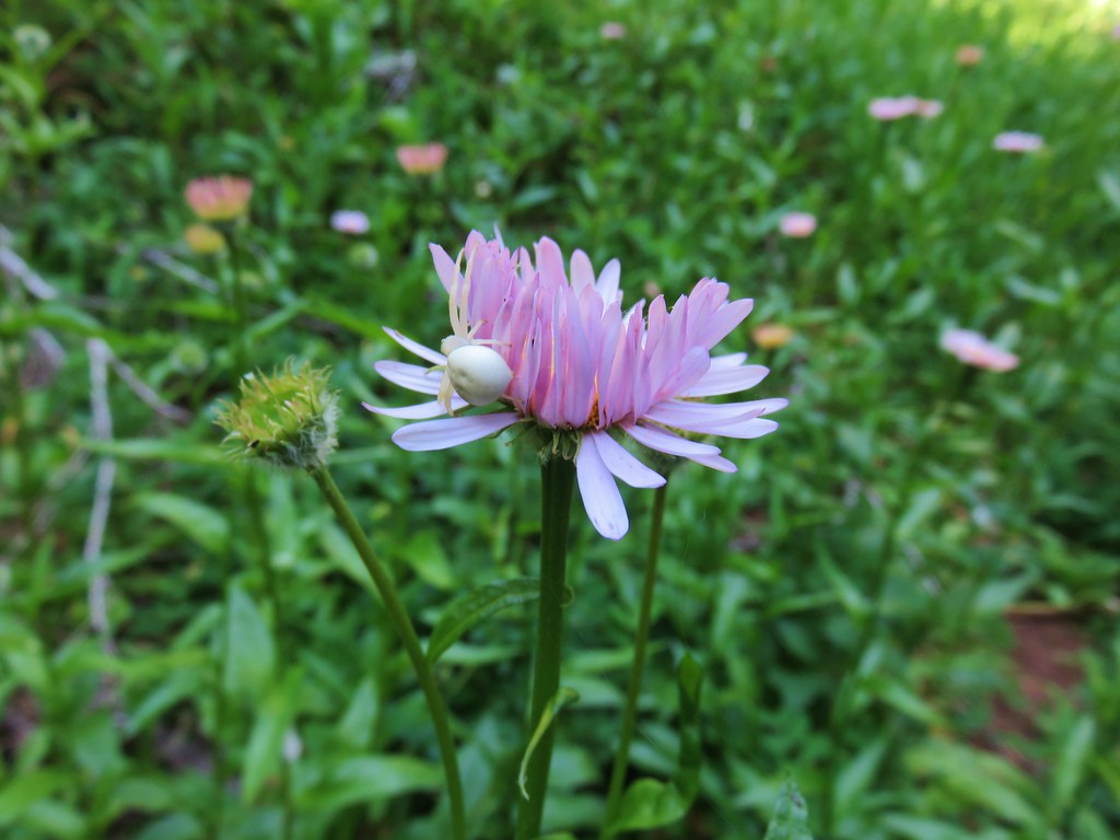 Crab spider on aster.
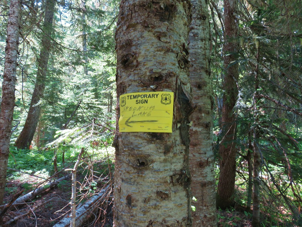
 Rhododendron along the Skookum Lake Trail.


 Small sign on a tree marking the trail to the summit of Thunder Mountain.

 The view north.
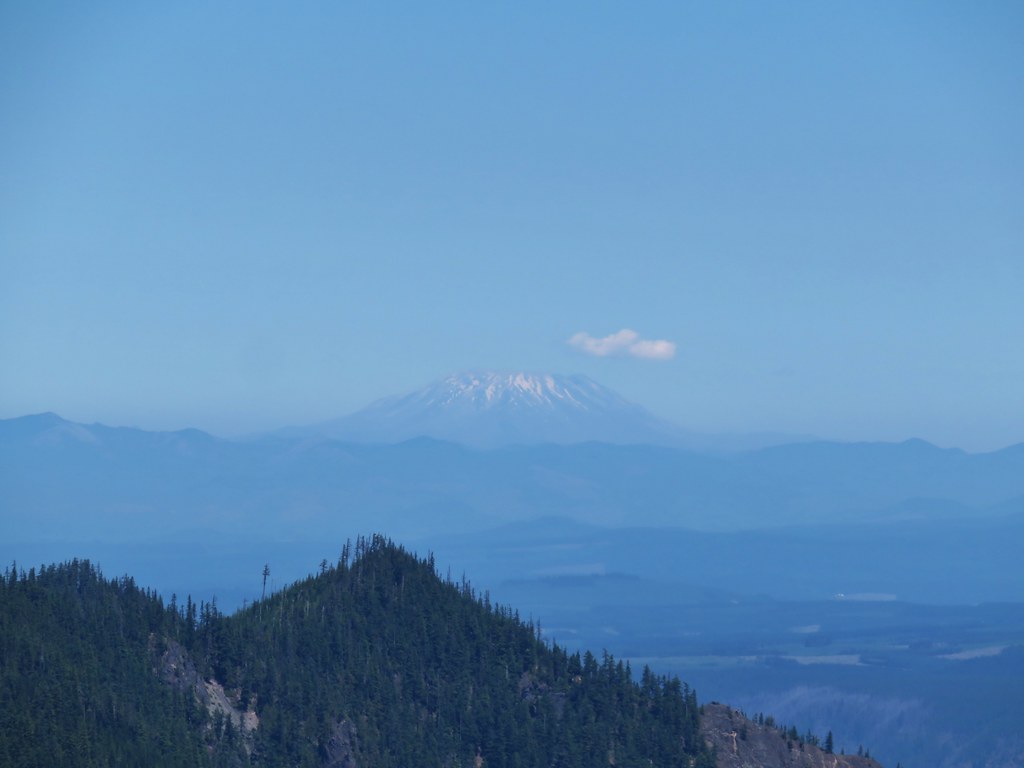 Mt. St. Helens
 Mt. Rainier and Mt. Adams beyond Fish Creek Mountain (
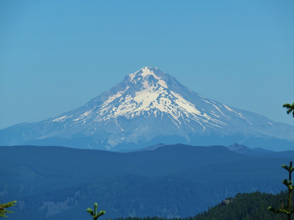 Mt. Hood
 Mt. Jefferson


 Turpentine Peak
 Washington lily
 Unburned forest
 Mt. Jefferson from the Pine Ridge Trail.
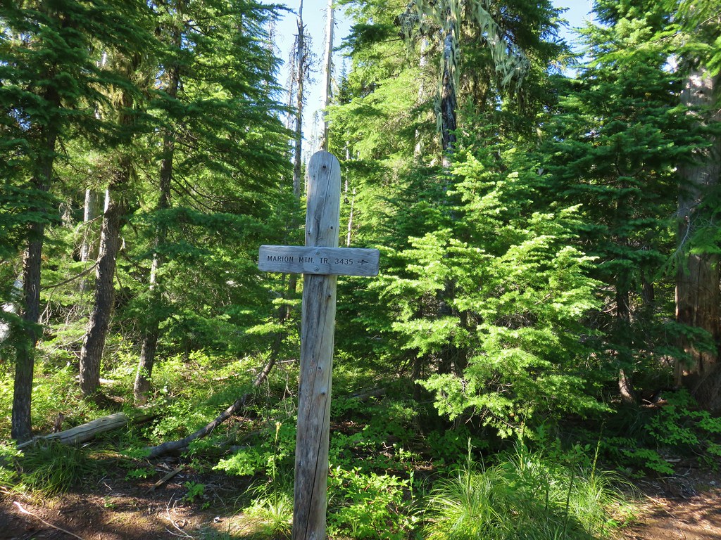
 Mt. Jefferson and Marion Lake (
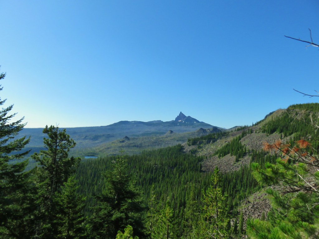 Three Fingered Jack
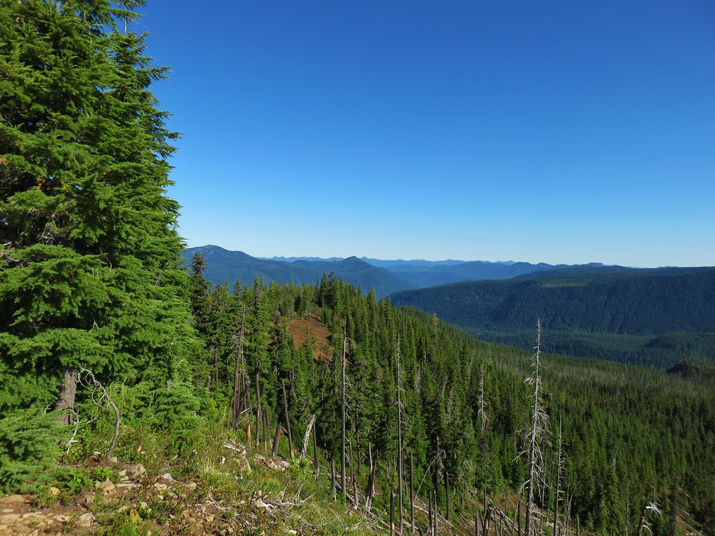 The cinder viewpoint from Marion Mountain.

 Three Fingered Jack
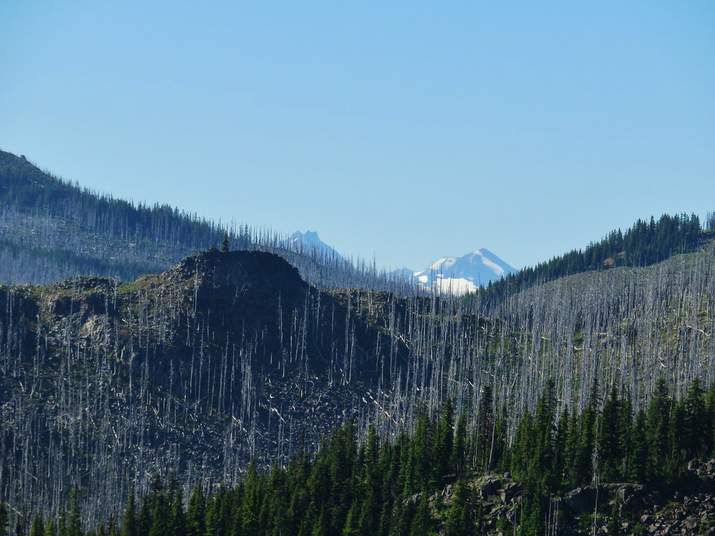 Tops of the Three Sisters.
 Coffin Mountain (
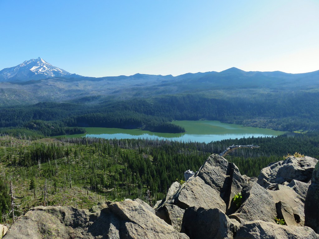 South Cinder Peak is the high point along the ridge.

 The saddle that we didn’t want to drop down to.
 Three Fingered Jack with the Three Sisters and Mt. Washington in the gap.
 The Three Sisters and Mt. Washington beyond Red Butte (
 Jenny and Melis Lake
 Marion Mountain at the end of the ridge.
 Bear Point (
 Turpentine Peak along the ridge.
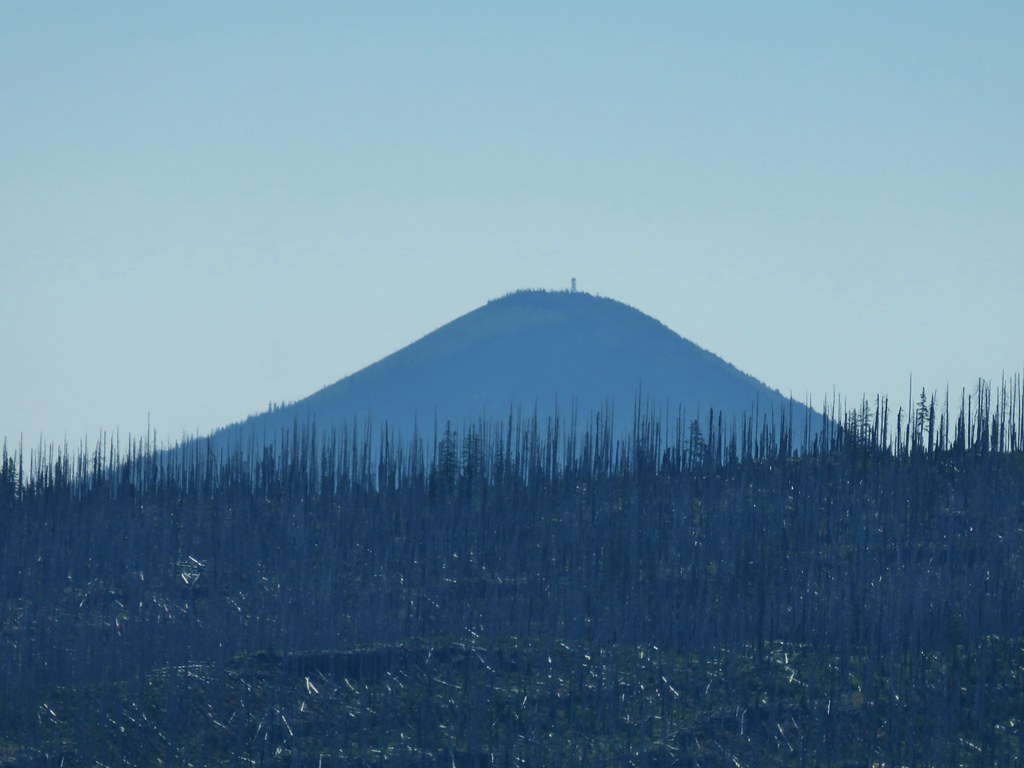 Black Butte (
 Stonecrop
 Prince’s Pine
 Penstemon
 Washington lily


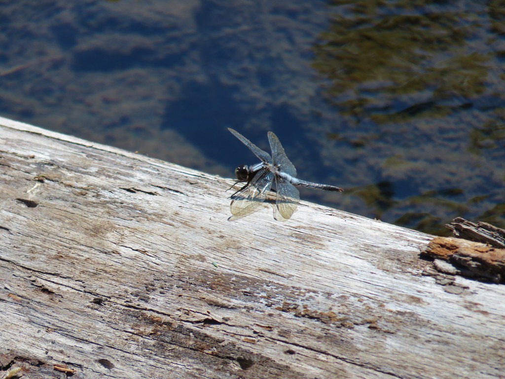 Dragon fly


 Gold Creek
 Fireweed along one of the half-bridges.
 Beetle on a half-bridge.
 Creek in the forest.
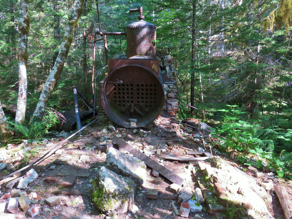 Boiler at the Merten Mill site.
 Merten Mill in 2012
 Fish in the pool below the falls.
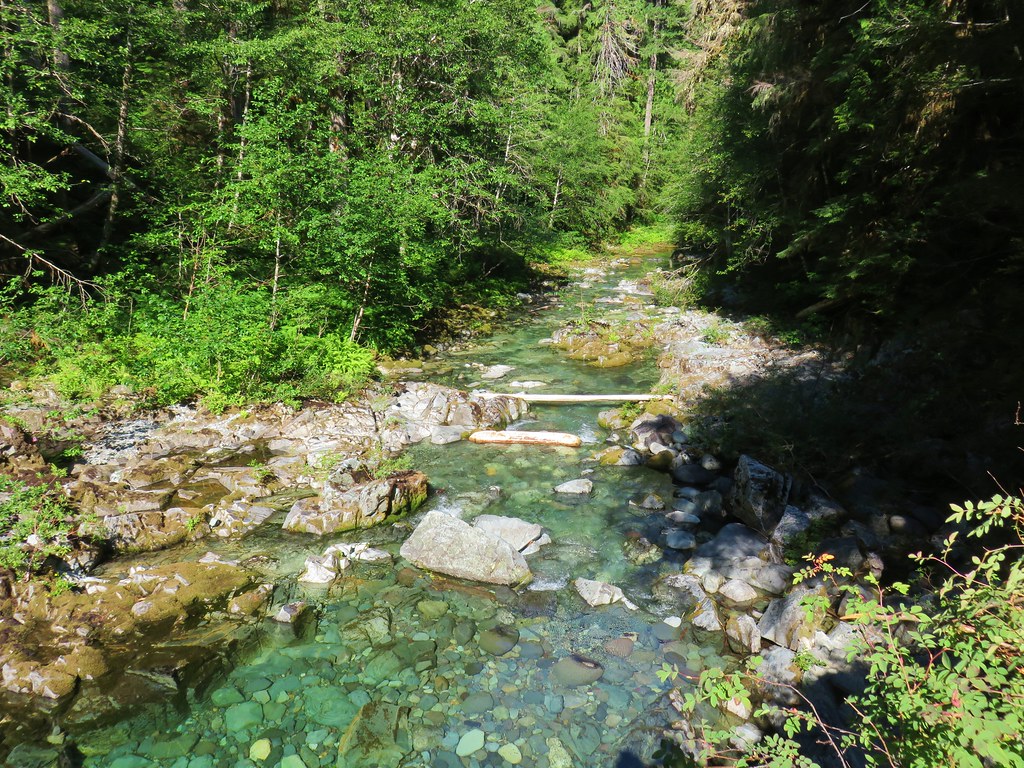 Little North Santiam River
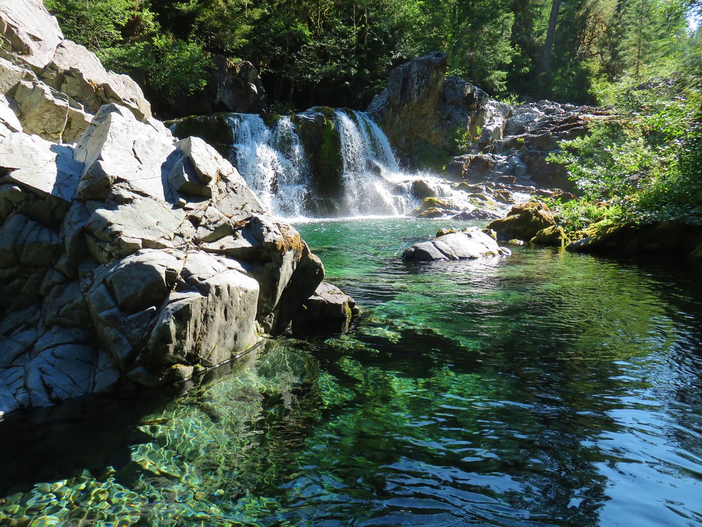 Sawmill Falls
 Ouzel
Ouzel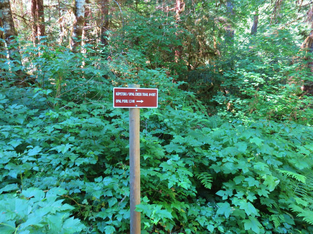


 Ridiculously clear water.
 Newt floating in a small pool.
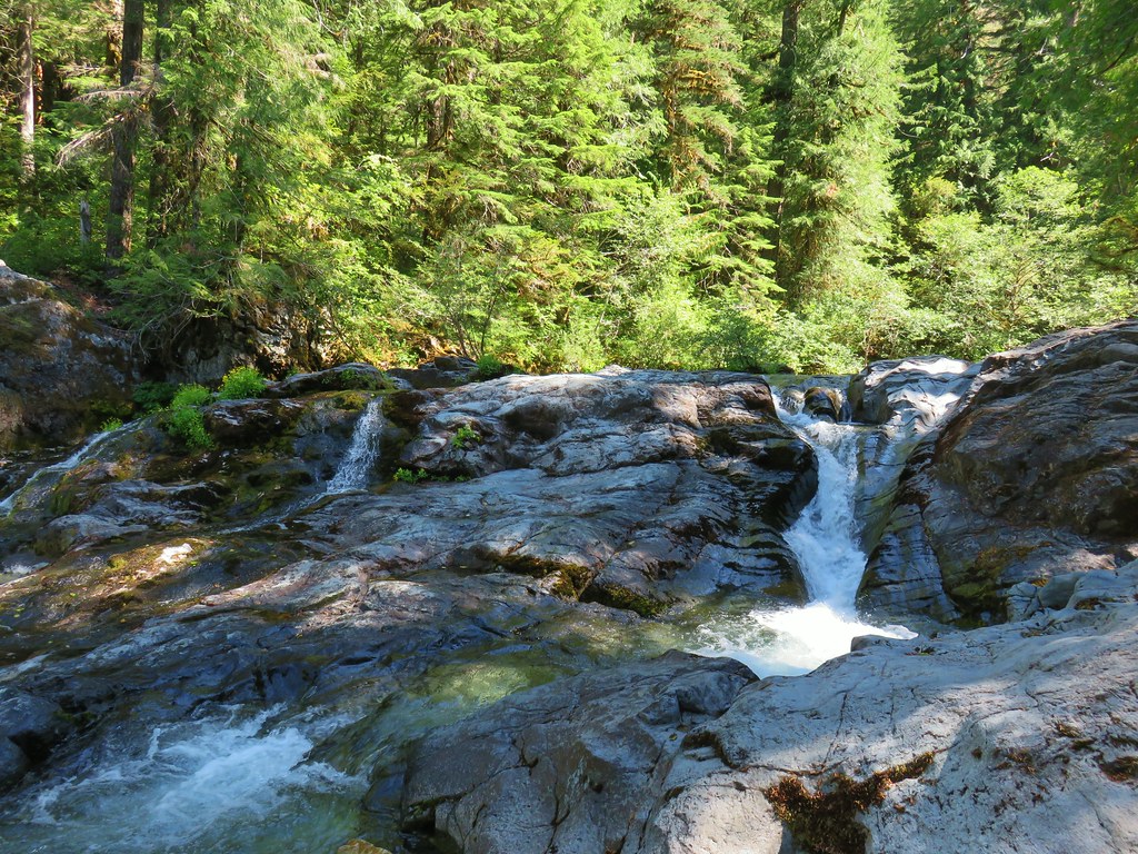 Cascade along the river.
 Red huckleberries
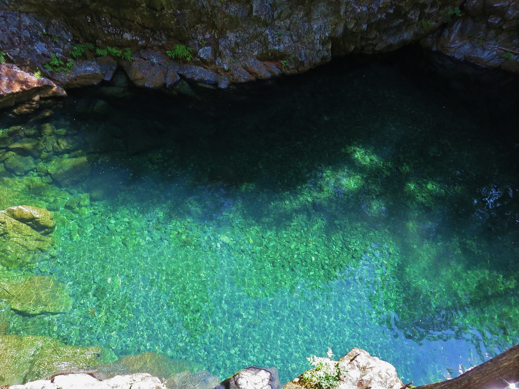


 Bridge over the river above Opal Pool
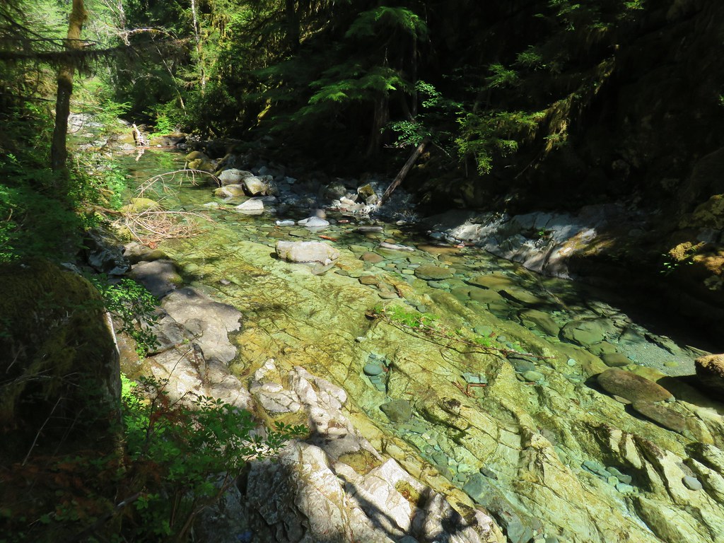 Little North Santiam River below Opal Pool
 Opal Pool Falls
 Cliff jumpers sitting down by the pool.
 Opal Pool Falls from the bridge.
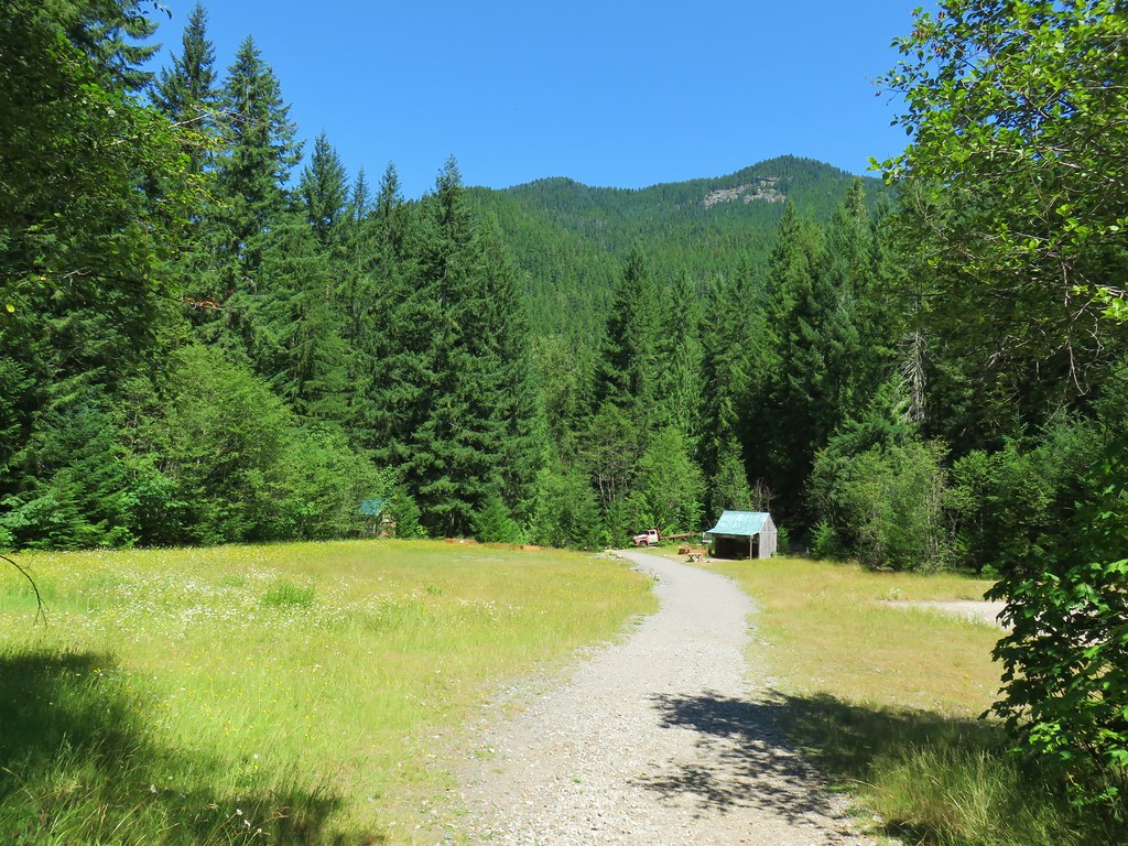
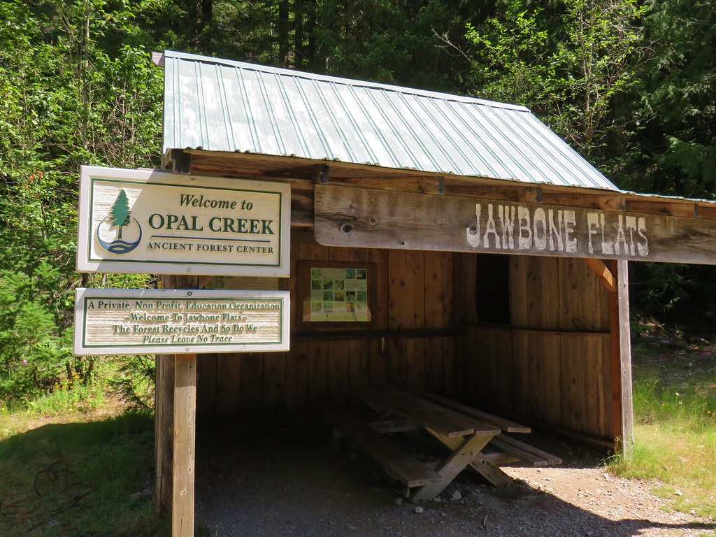


 Pelton Shed provides power to Jawbone Flats.
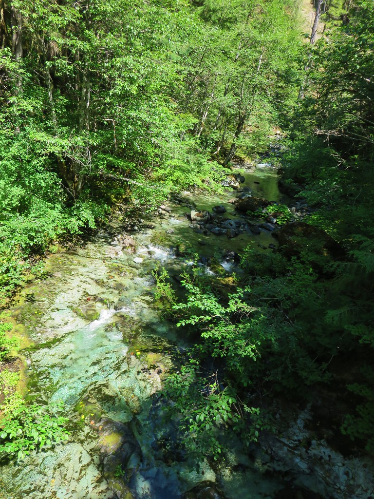

 One of the garter snakes.
 A millipede
 Lots of spent beargrass along the trail.

 Thimbleberry bushes near the spring.
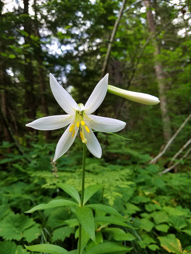 Washington lily
 Spring near the trail.

 Spotted the first pika of the day at this switchback (it’s on one of the red rocks)
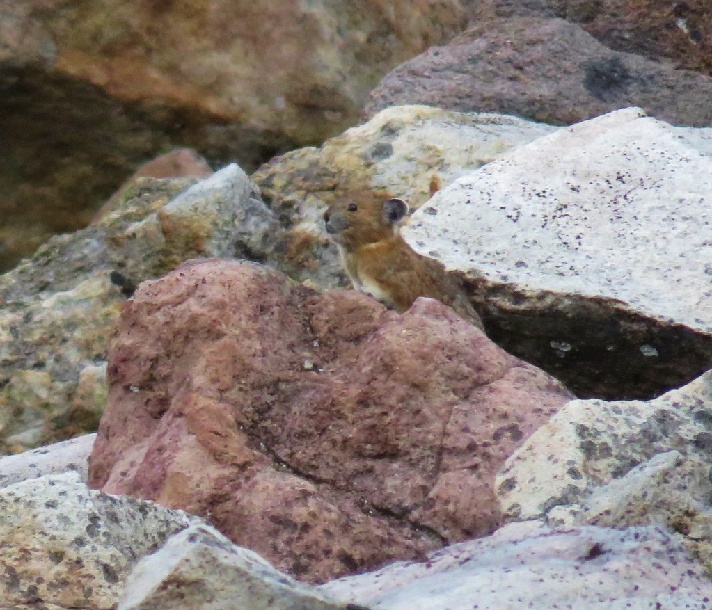


 The Three Pyramids, Bachelor Mountain, and Coffin Mountain in the distance with Triangulation Peak in a cloud shadow along the near ridge to the right.
 Mt. Jefferson with Three Fingered Jack now fully visible.
 Three Fingered Jack
 Grouse in the brush to the left of the trail.
 Grouse
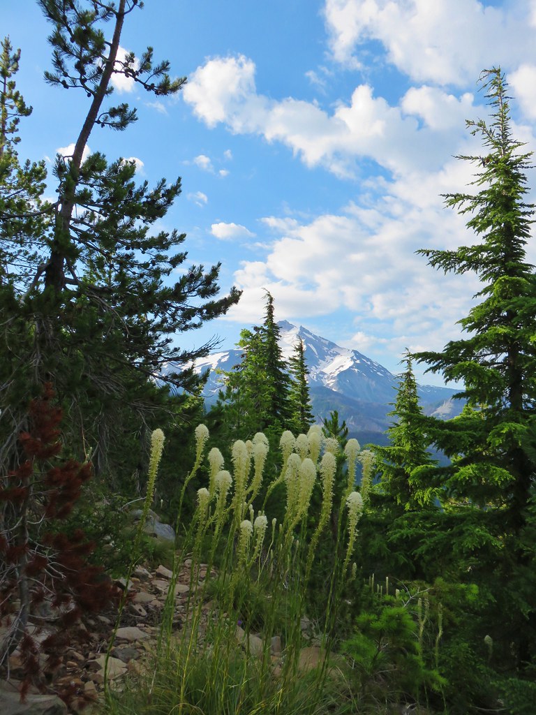


 Almost to the top.
 Bear Point summit.
 The Three Sisters and Three Fingered Jack
 Mt.Jefferson
 Park Ridge (
 Bear Lake, Dinah-Mo Peak, and Park Ridge
 Triangulation Peak and Devils Peak
 Boca Cave below Triangulation Peak (
 Devils Peak (high point to the right of the ridge), which we had just hiked to a couple of weeks earlier (
 Mt. Hood and Olallie Butte (The Breitenbush Cascades are also out there amid the trees.)
 Mt. Hood with Slideout and Mildred Lakes in the forest below.
 Fleabane
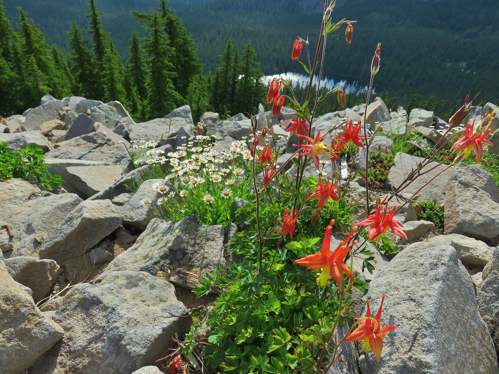 Columbine and fleabane with Bear Lake in the background.
 Snow patch near the summit.
 Typical terrain, it’s hard to tell here but this was a steep hillside.
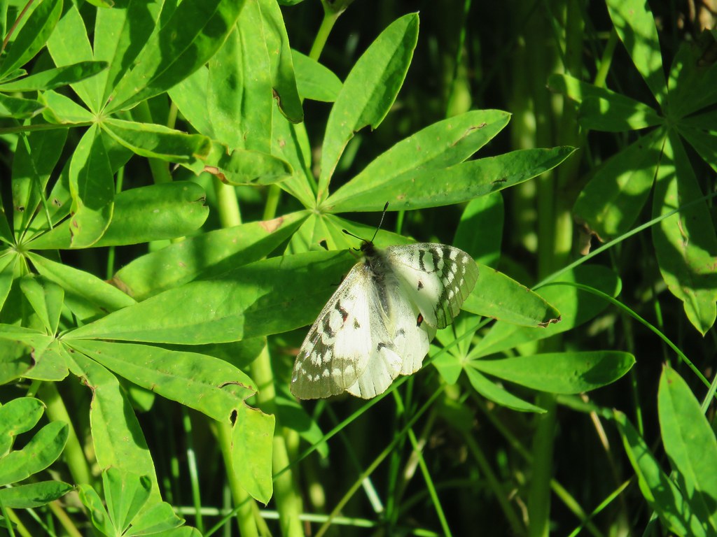
 There were tons of these butterflies around.
 Paintnbrush
 Crossing a talus slope.
 More typical conditions.
 Pond near the lake.
 Bird at the pond.
 The lake
 Spirea and shooting stars
 Crab spider with a bee
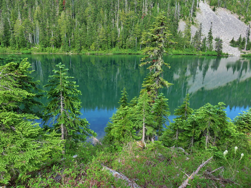 The lake
 Aster
Aster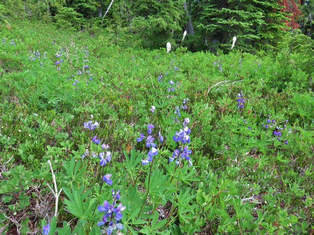 Lupine and beargrass


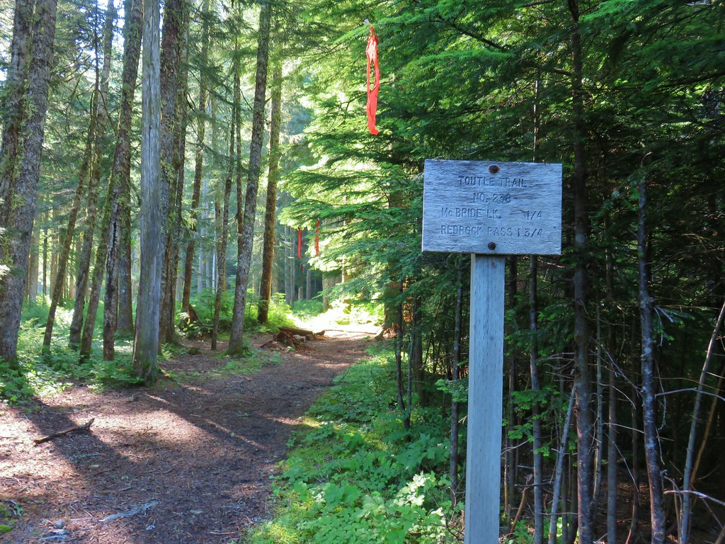
 Toutle Trail
 Candy sticks


 Pinesap
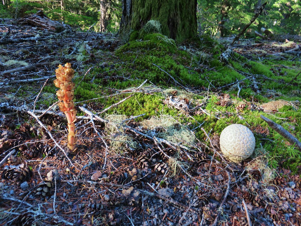 Pinesap and a puffball
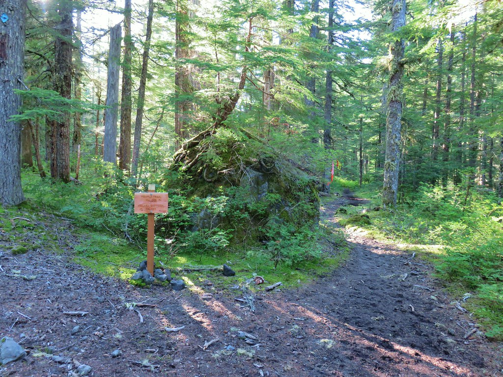
 Lousewort
 Twin Flower


 Mt. St. Helens beyond the remnants of McBride Lake.

 Cars parked at Red Rock Pass
 Cinnamon Trail on the left and Toutle Trail on the right from the unsigned junction.


 Fungus on a stump.

 The butte ahead (we didn’t want to have to climb that.)
 Trail wrapping around the south side of the butte.
 Toad near the saddle.
 Mt. St. Helens from the saddle.
 Goat Mountain
 Mt. St. Helens and Mt. Adams
 Another frog.
 Crossing #1
 Crossing #2
 Crossing #3


 old road crossing.
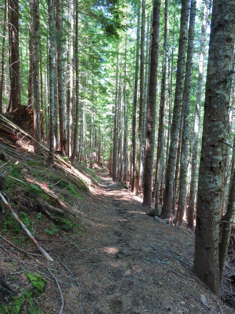
 Dropping to FR 8022(8122).
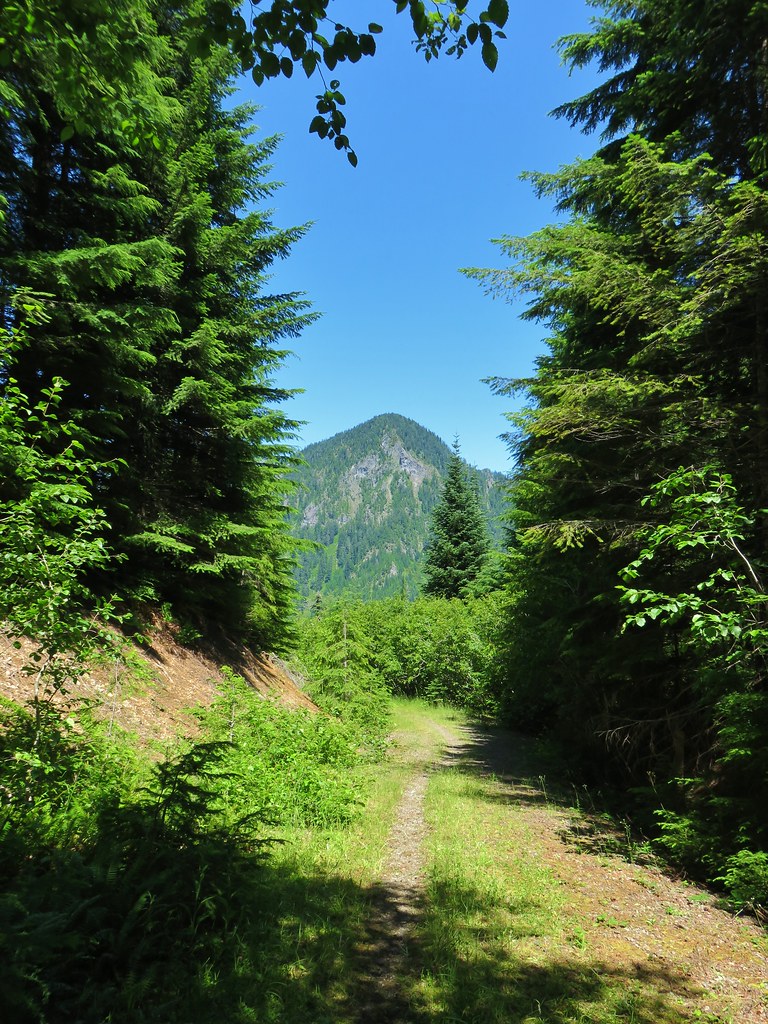 Goat Mountain from the roadbed.
 Goat Mountain and Mt. St. Helens
 Ripening berries
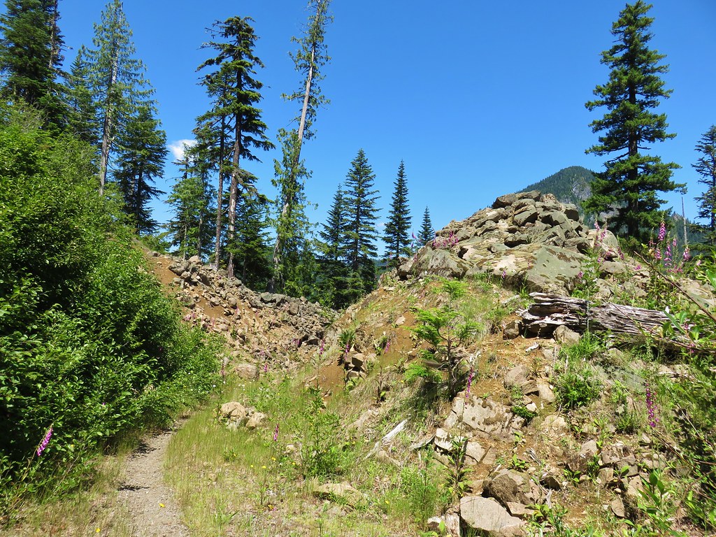 Rock slide along the roadbed.
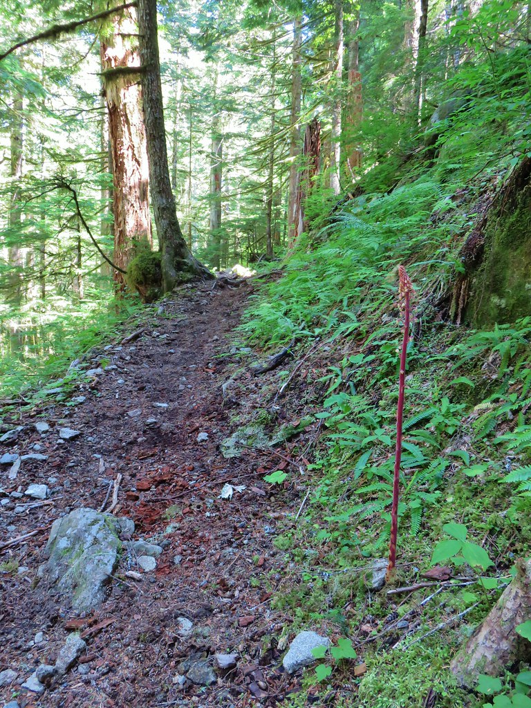
 Pinedrop