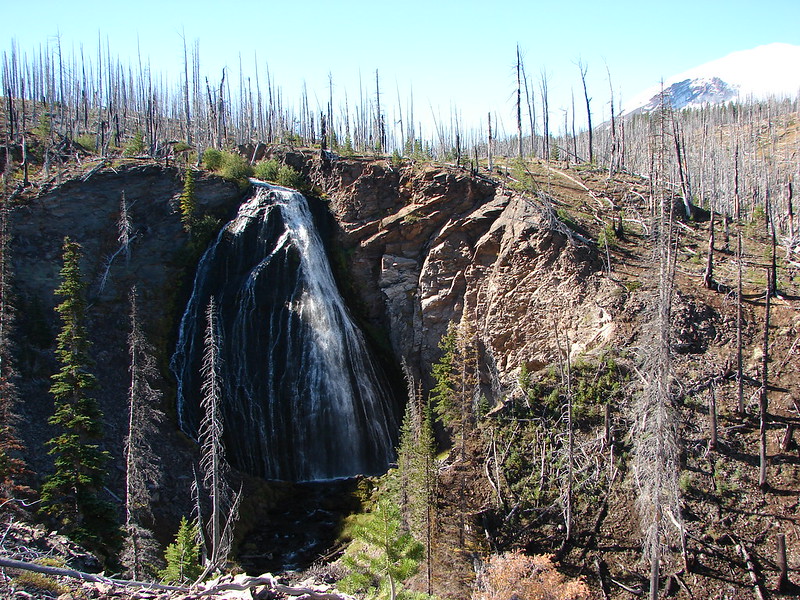
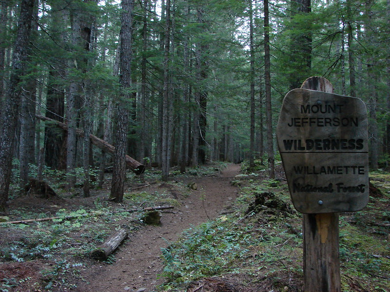
**Note the 2017 Eagle Creek Fire burned a portion of this hike.**
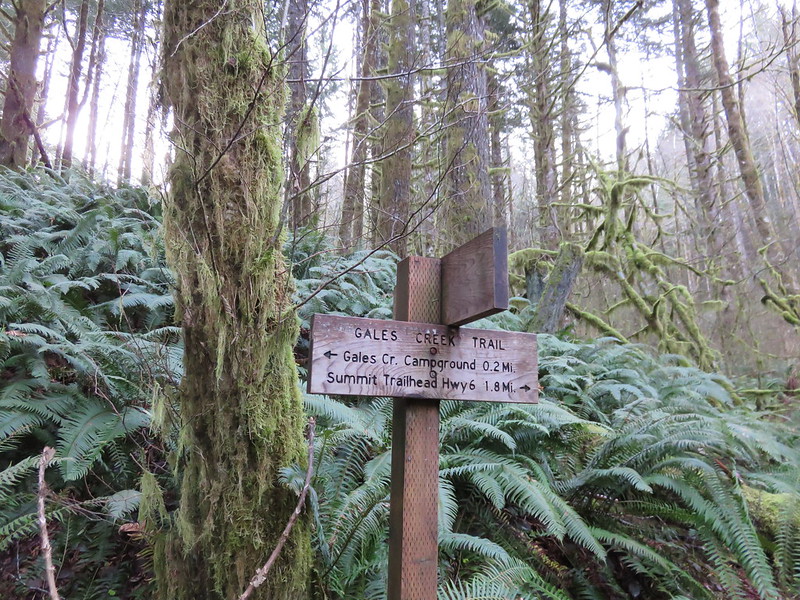
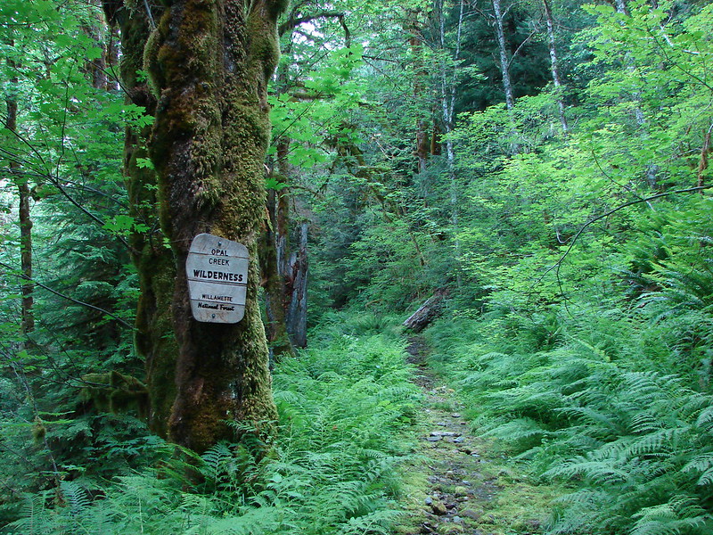
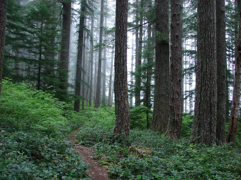
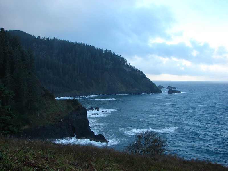
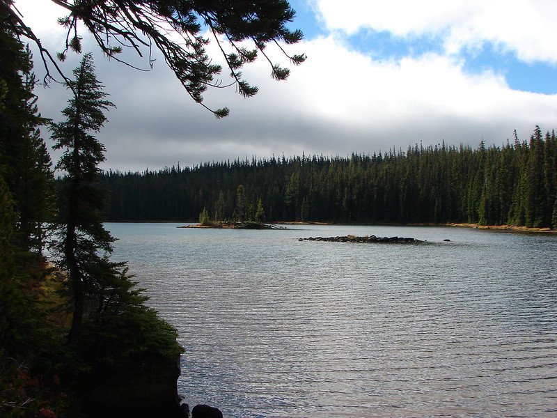
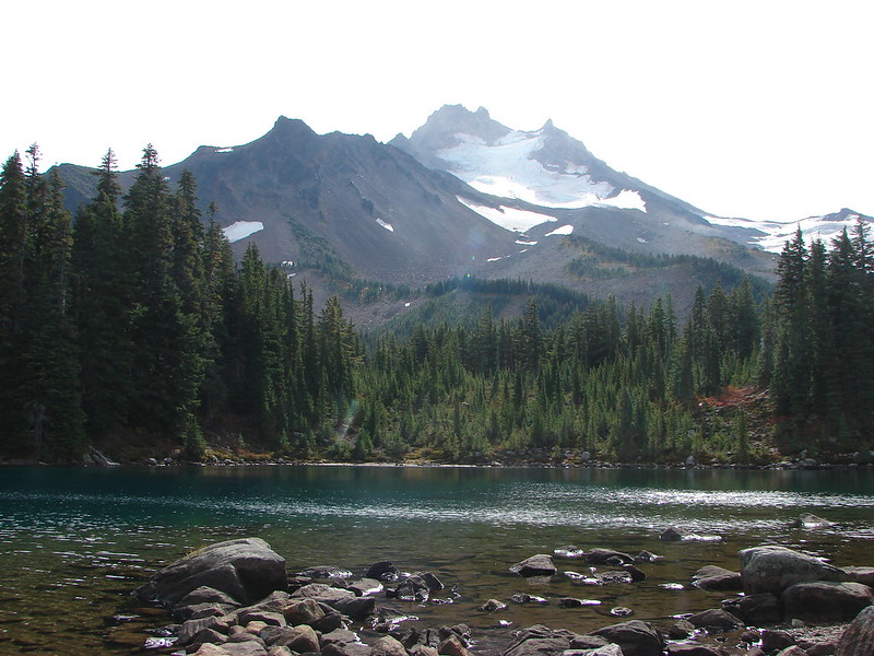
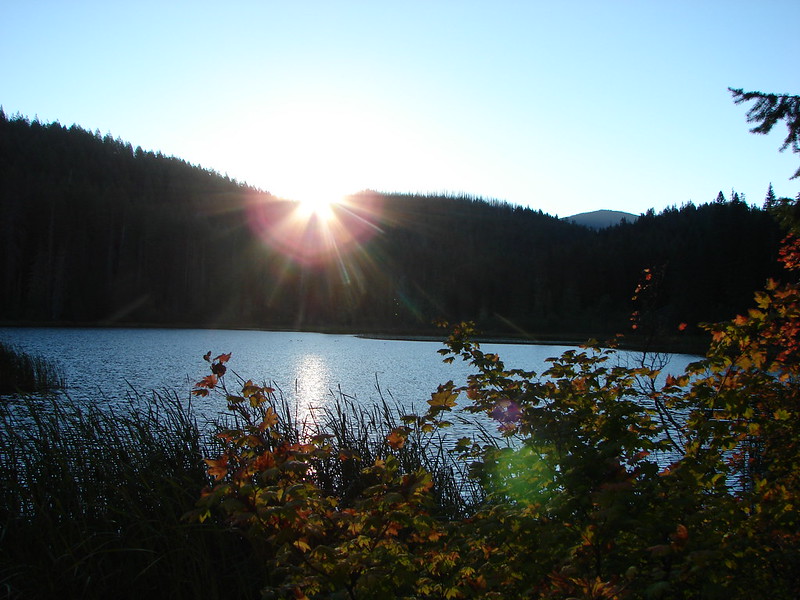
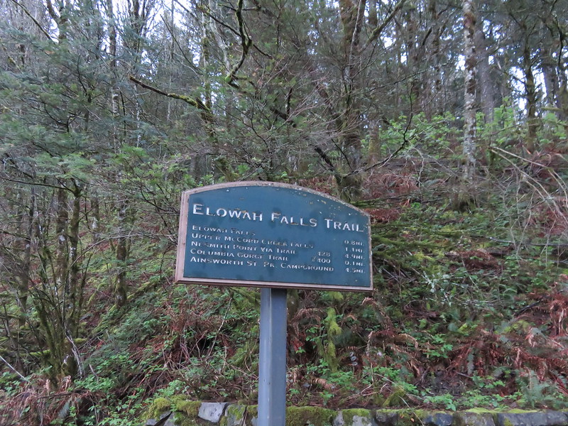
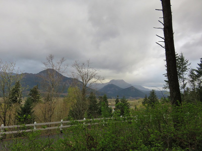
The Columbia Gorge is famous for its many waterfalls, three of which we visited on our most recent hike. The numerous trails and trailheads in the gorge offer plenty of options for hikers. Some of the waterfalls can be seen at the parking areas and others can be visited on hikes less than 5 miles total. Our plan was to combine two of these shorter waterfall hikes by connecting them using the Gorge Trail #400 which follows Interstate 84 for 35 miles from the Angles Rest Trailhead in the west to the Wyeth Trail #441 in the east. Starting at the Elowah Falls Trailhead we could hike a 3.1mi section of Trail 400 from the base of Elowah Falls to the Wahclella Falls Trailhead.
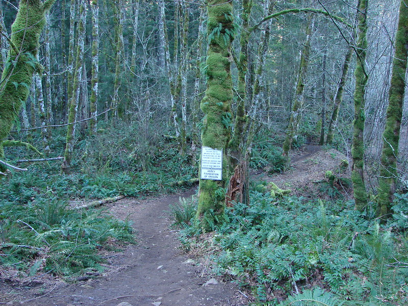
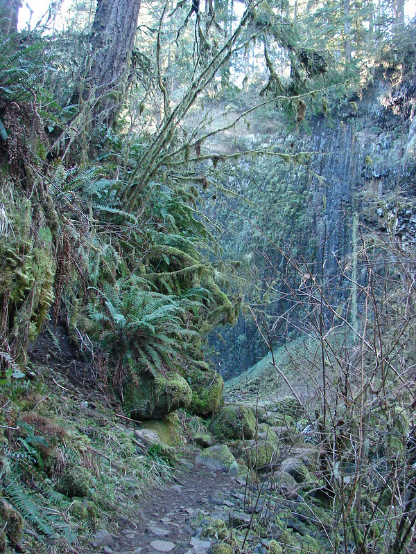
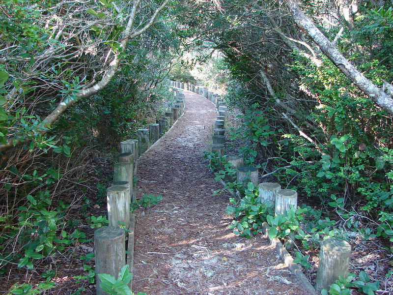
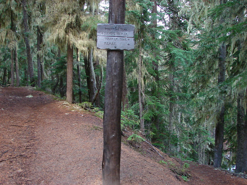
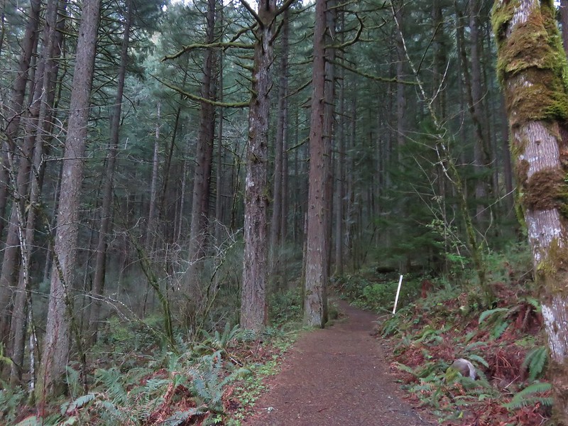
We headed up the trail to a junction with the Gorge Trail and turned left toward Elowah Falls.
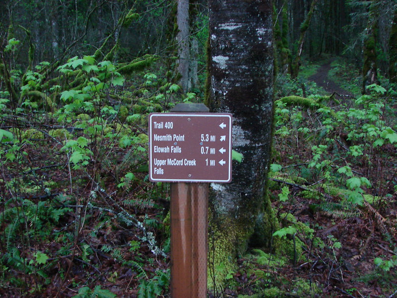
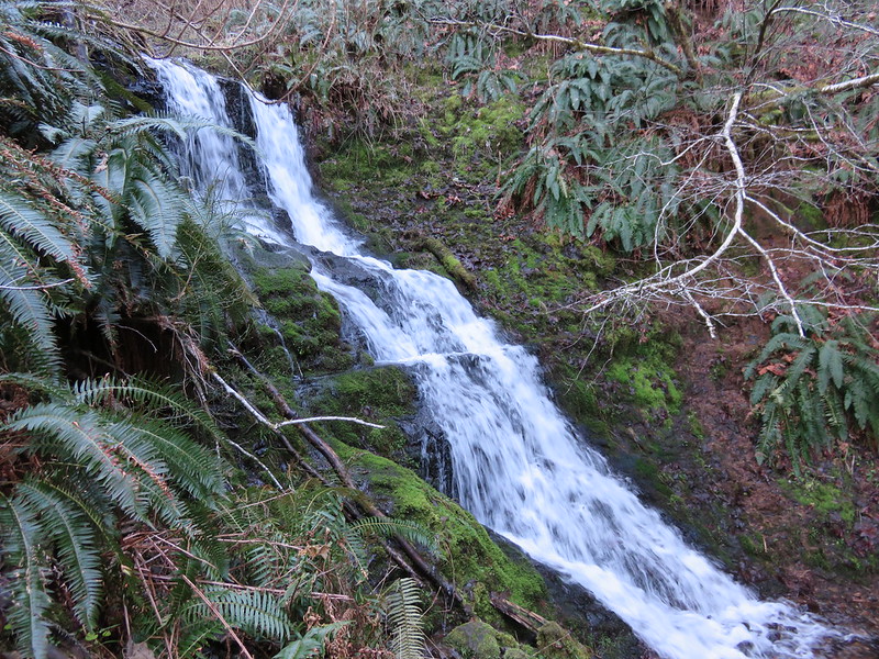
In another .3 miles we came to a second junction where a right hand fork heads up to Upper McCord Creek Falls.
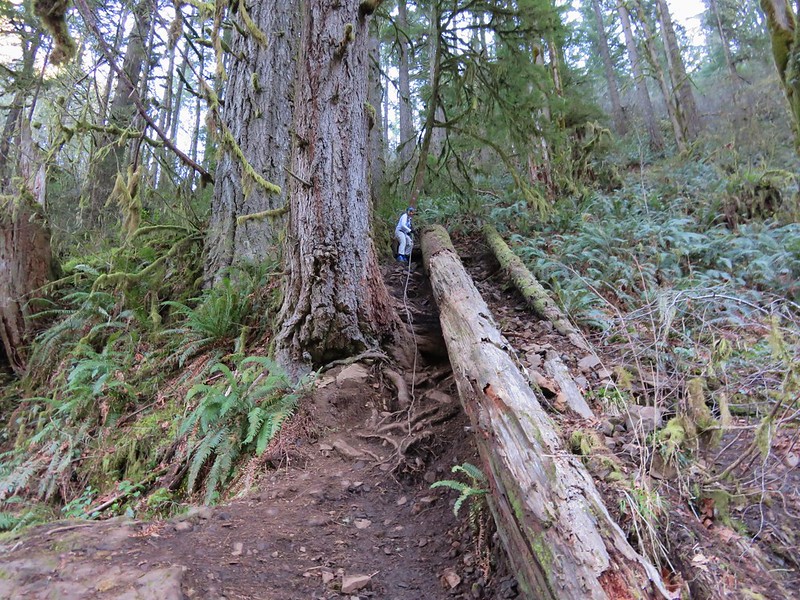
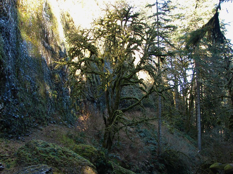
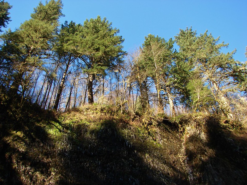
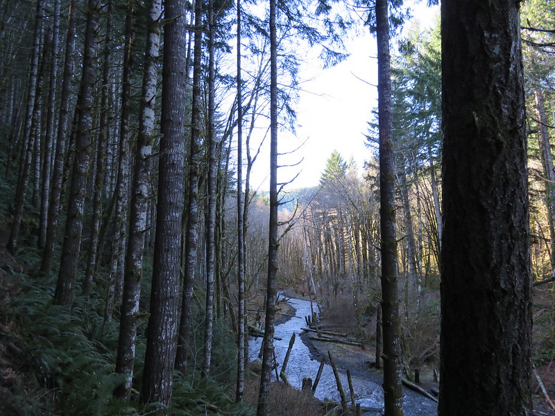
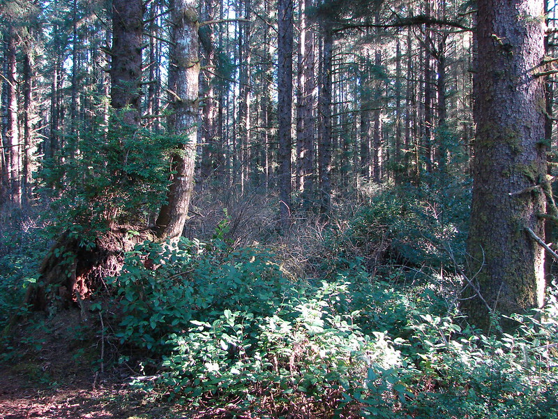
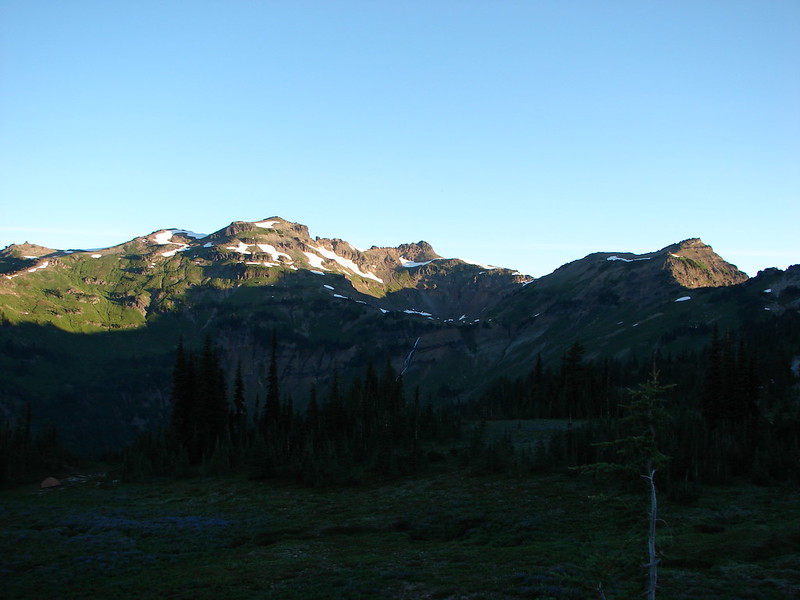
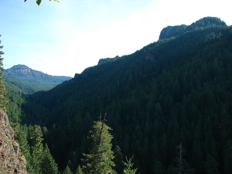
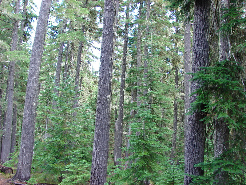
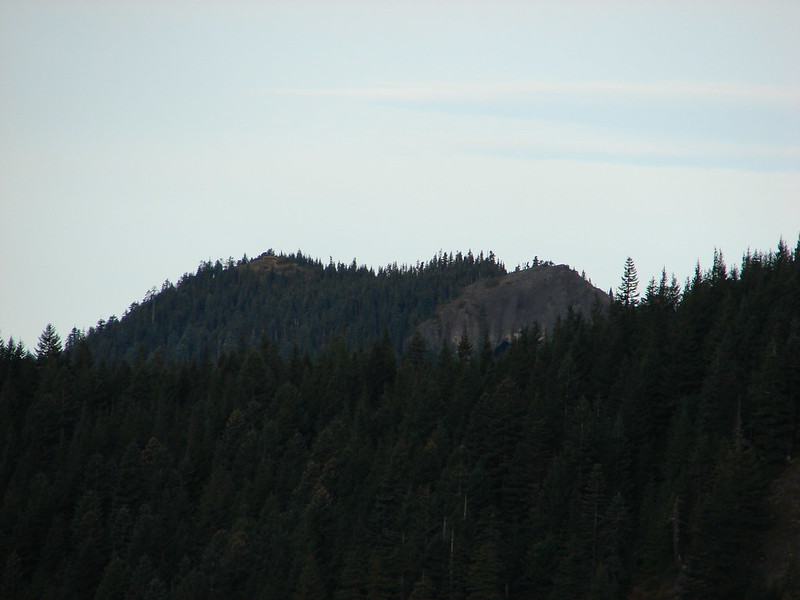
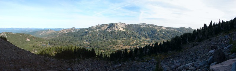
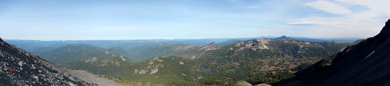
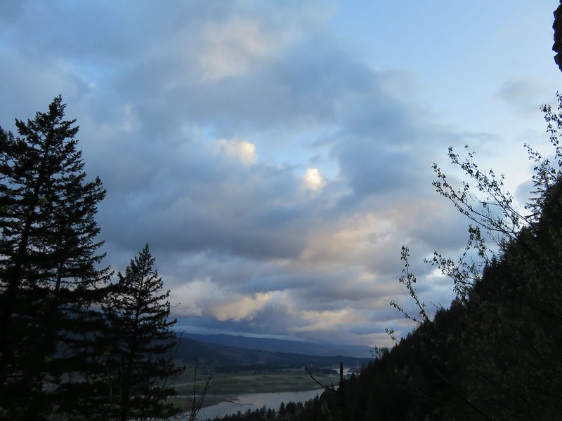
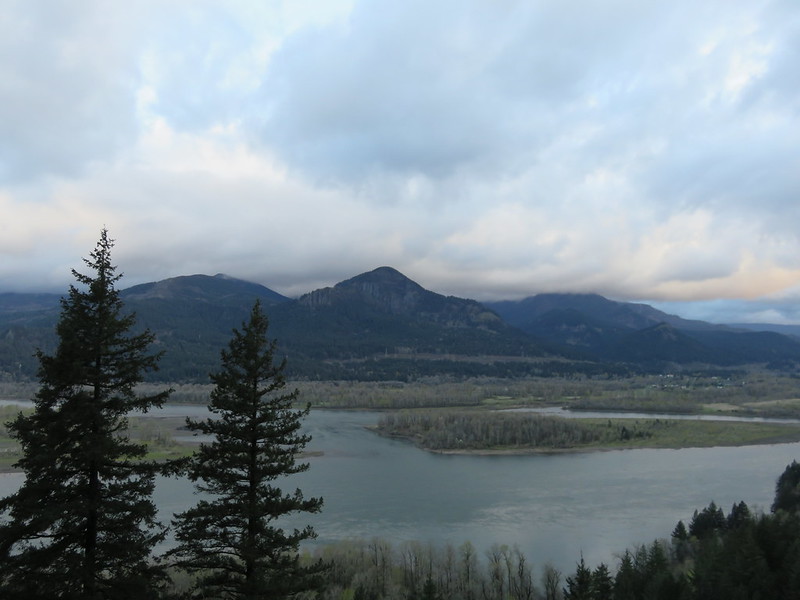
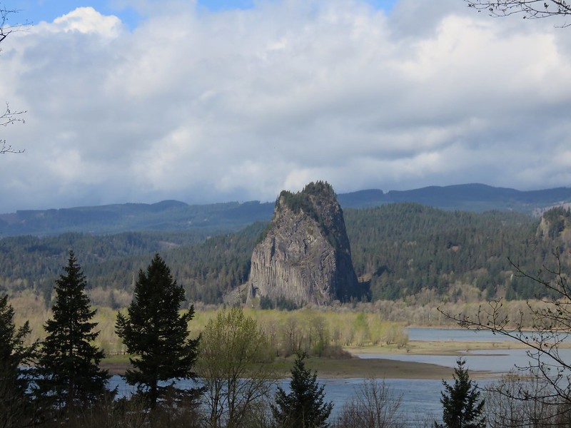
We headed toward Upper McCord Falls climbing through a forest before views opened up across the Columbia River to Hamilton Mountain.
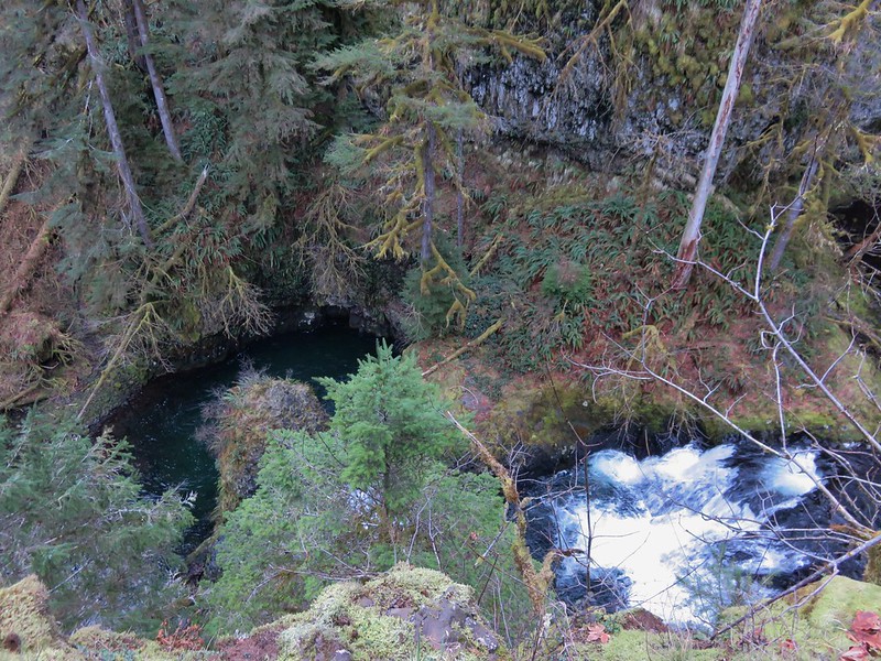
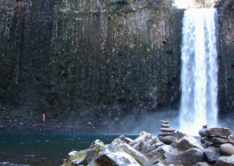
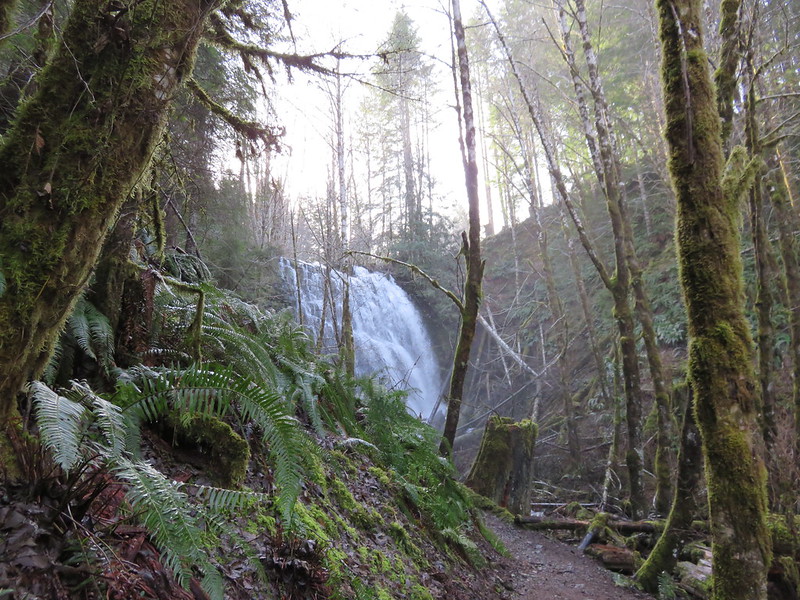
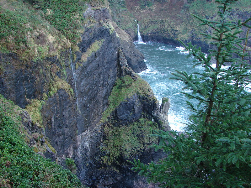
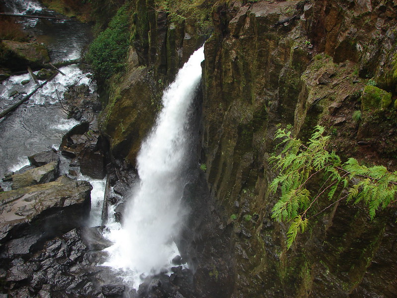
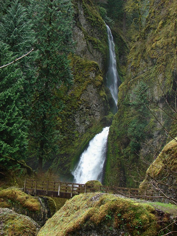
We got our first glimpse of Elowah Falls below us as we rounded a ridge end.
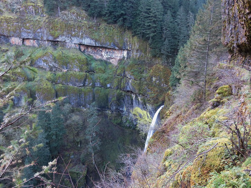
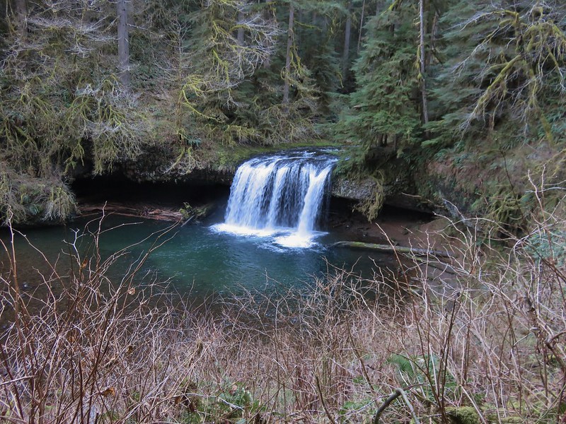
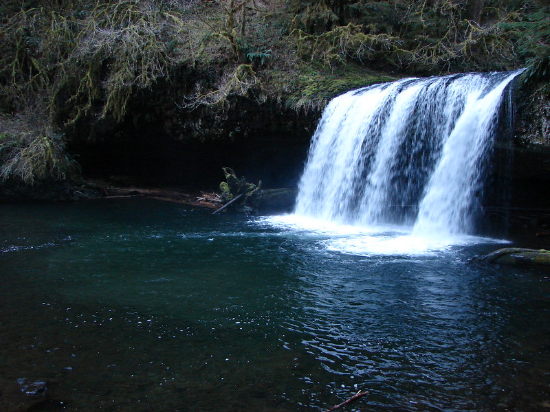
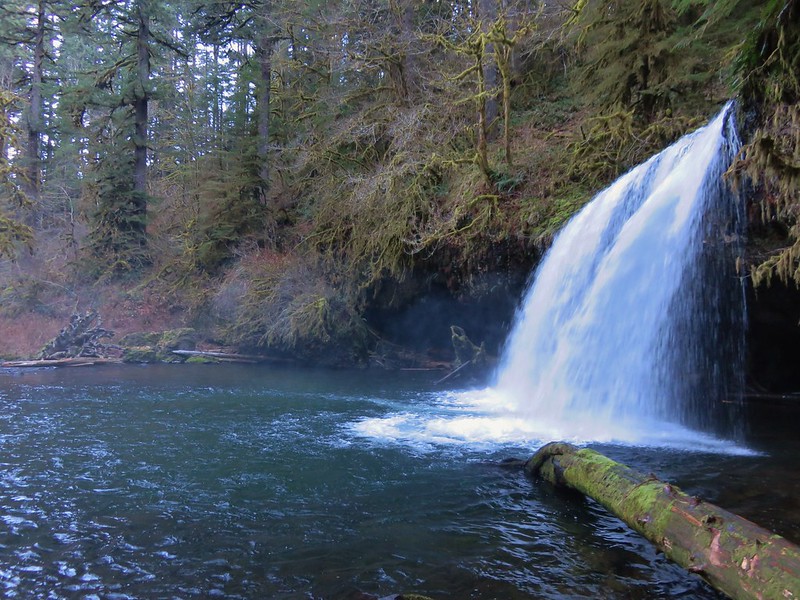
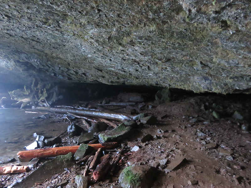
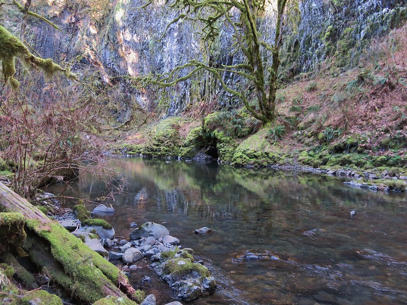
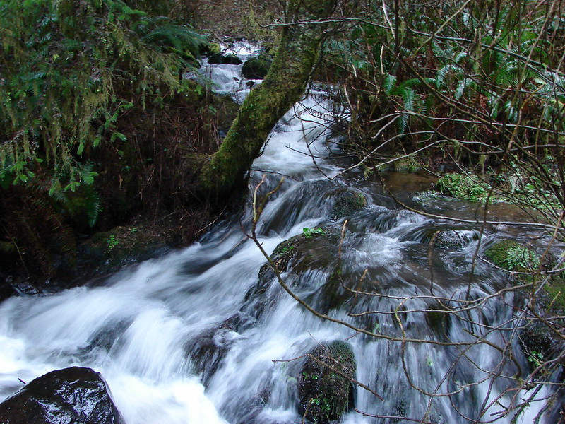
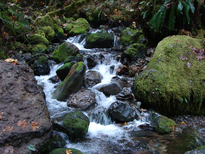
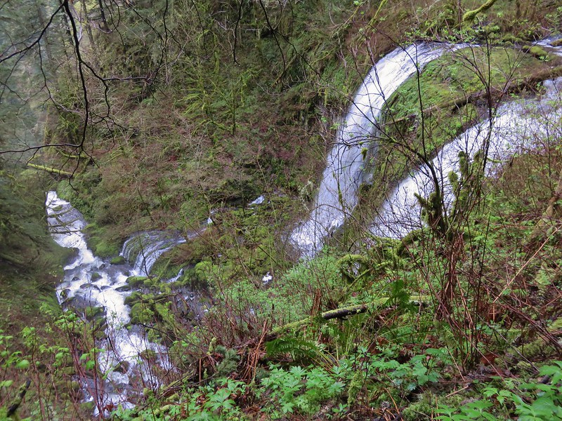
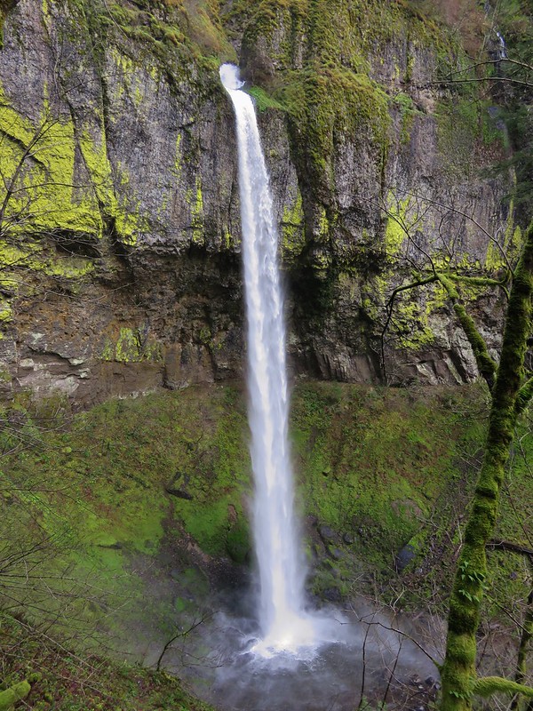
The path leads to McCord Creek just above Elowah Falls then follows the creek a short distance to Upper McCord Falls.
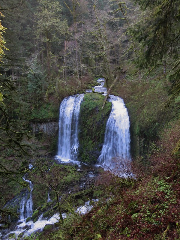
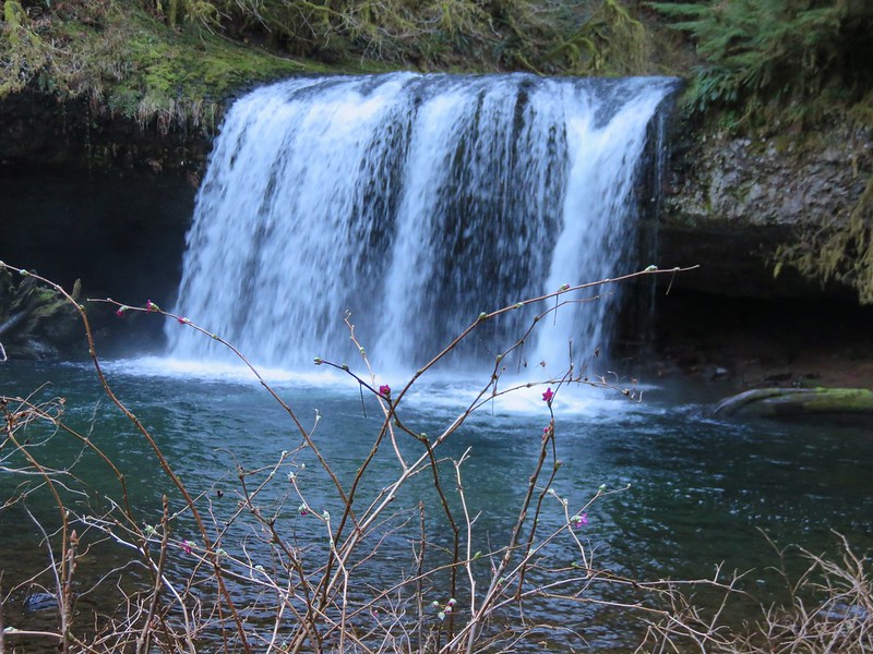
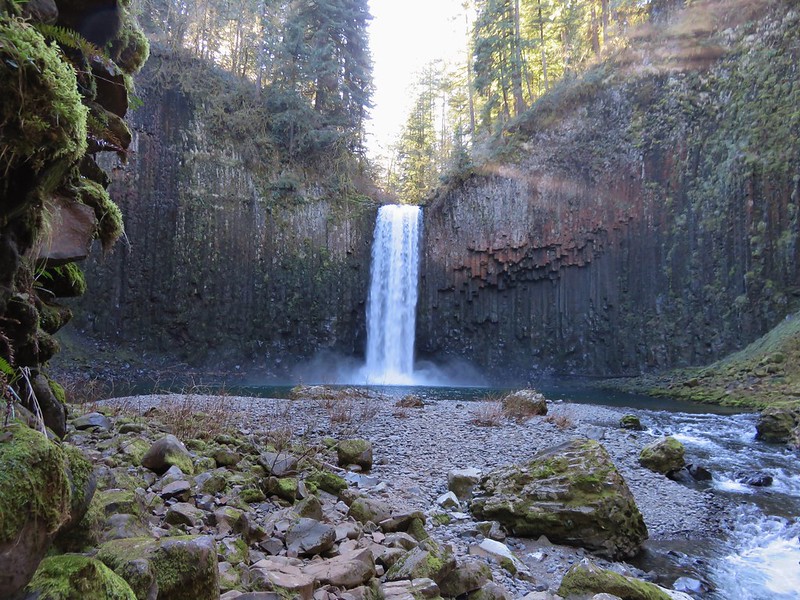
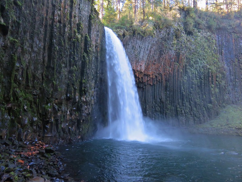
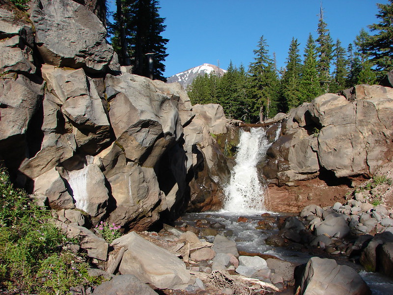
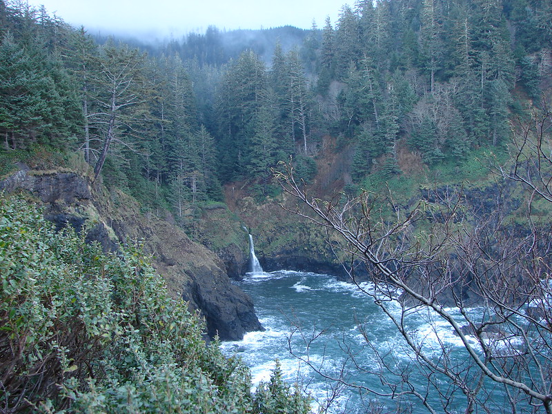
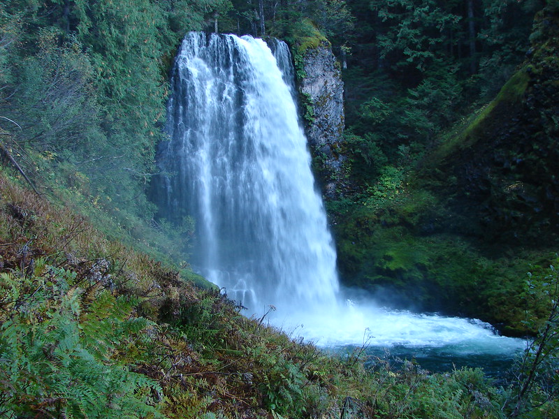
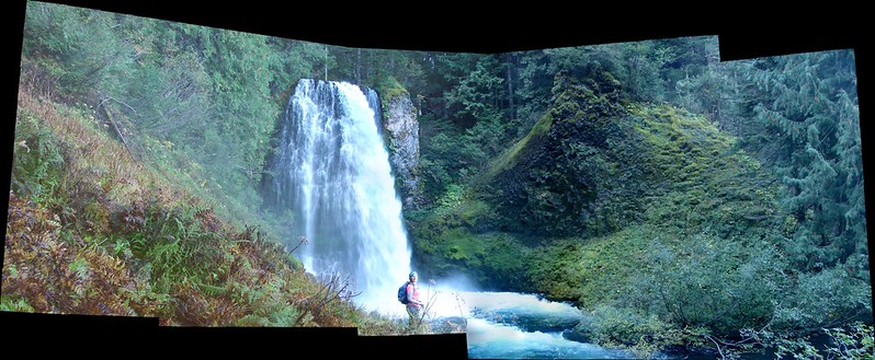
The creek turns at a right angle at the base of this twin fall then flows over the canyon lip forming Elowah Falls.
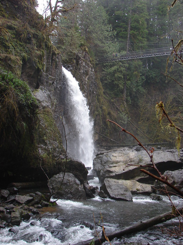
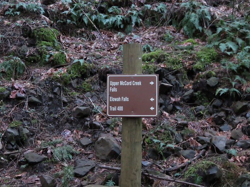
After visiting this fall we returned to the Gorge Trail and made our way to the base of Elowah Falls.
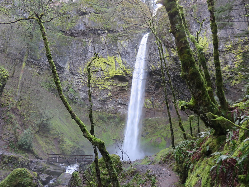
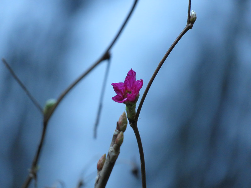
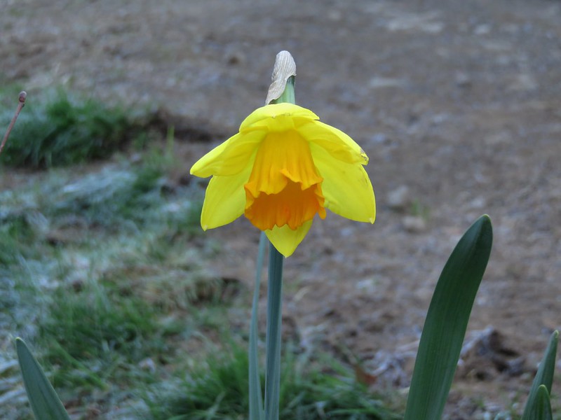
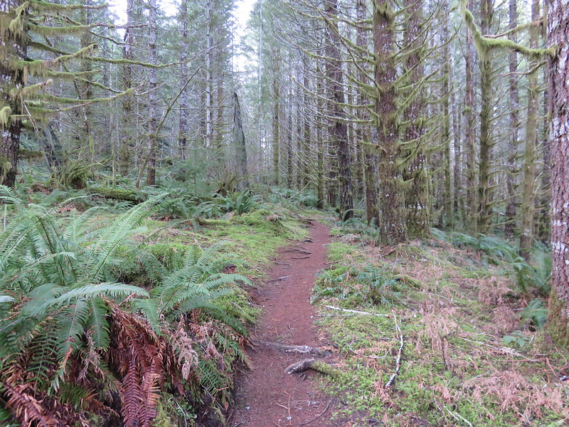
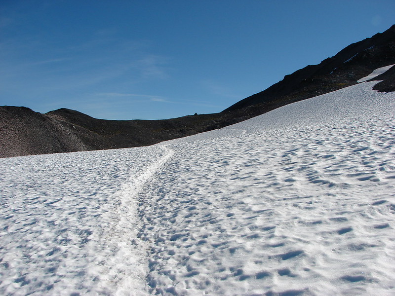
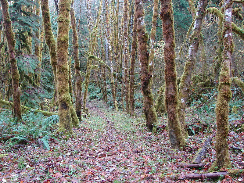
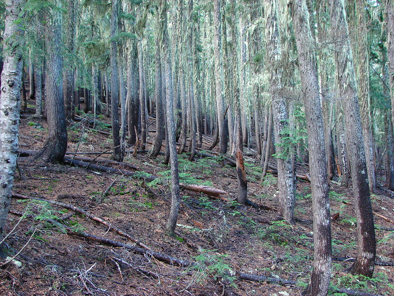
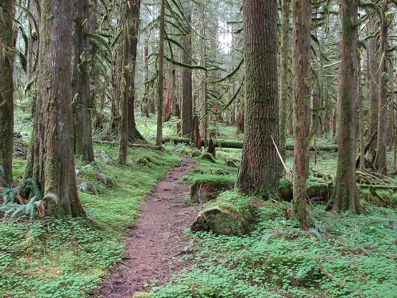
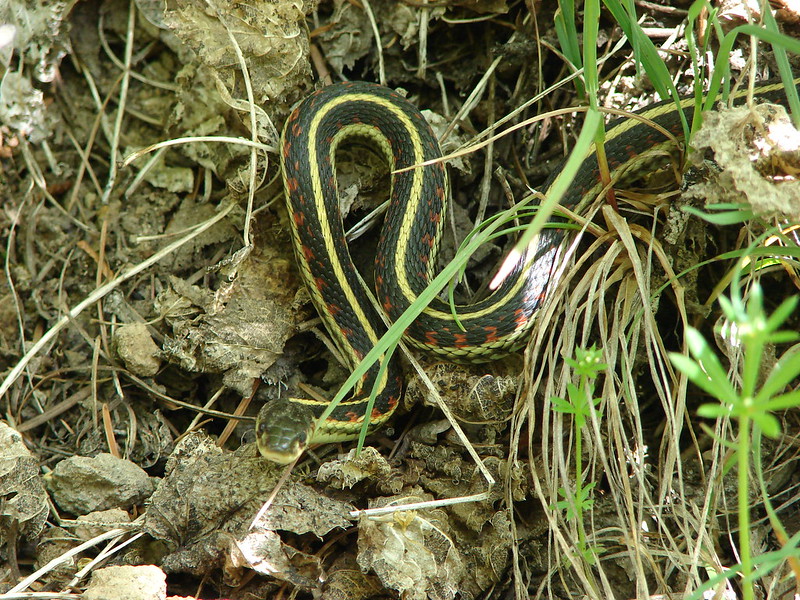
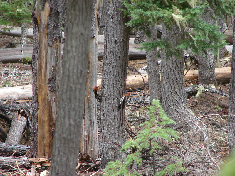
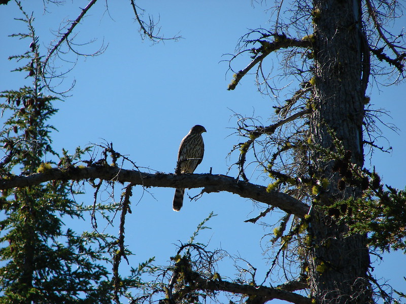
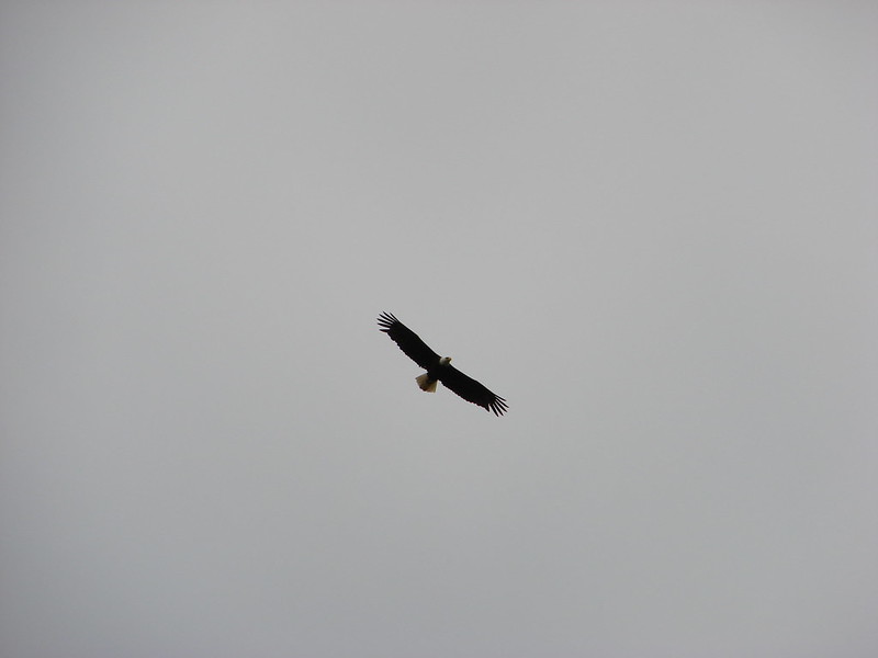
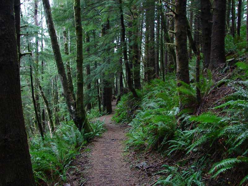
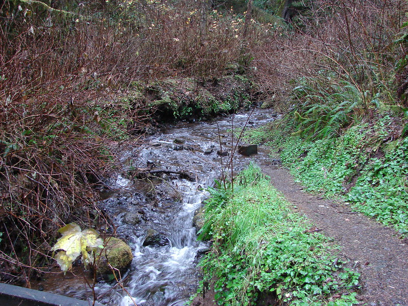
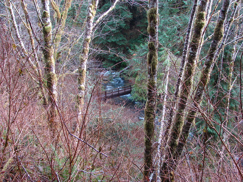
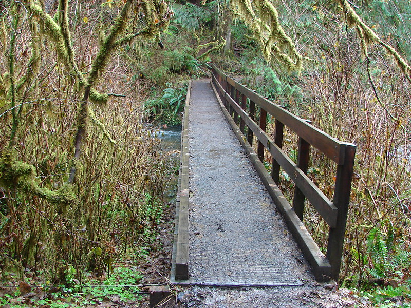
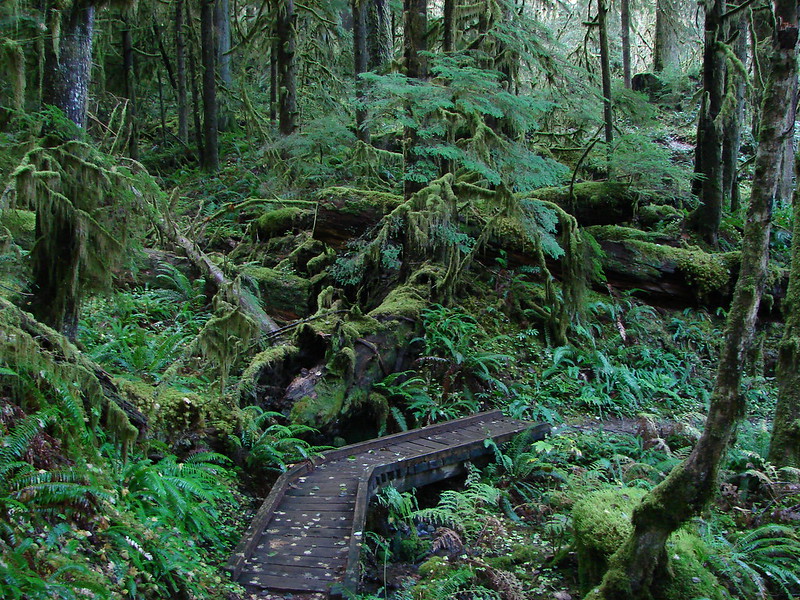
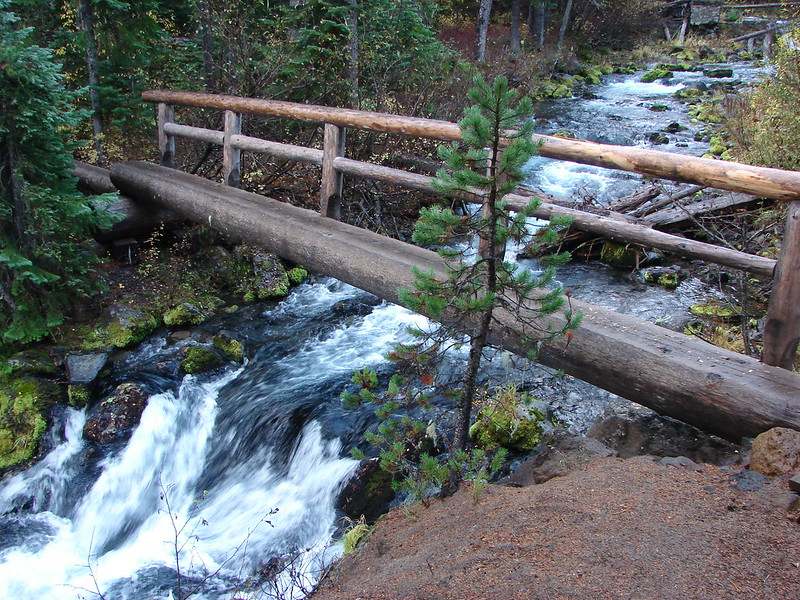
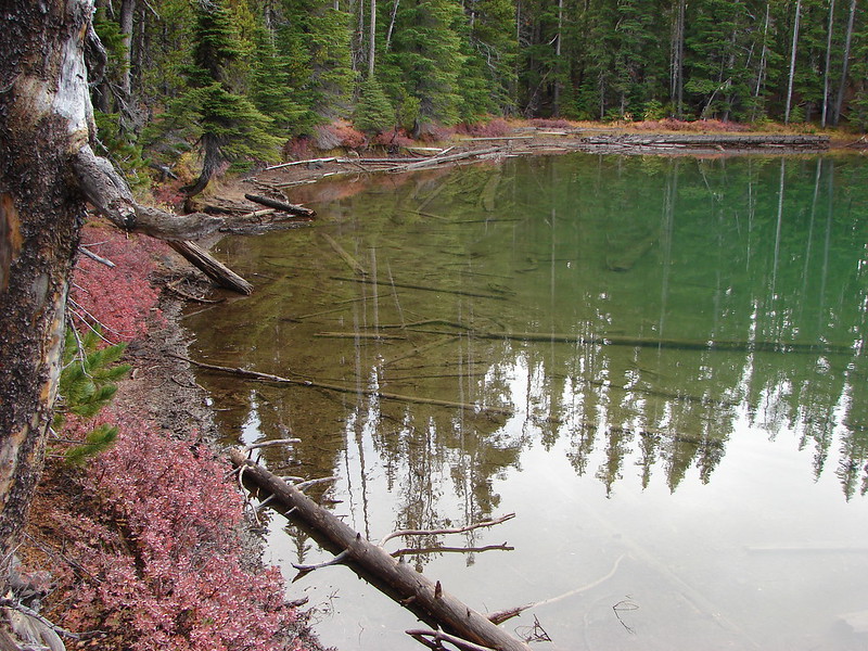
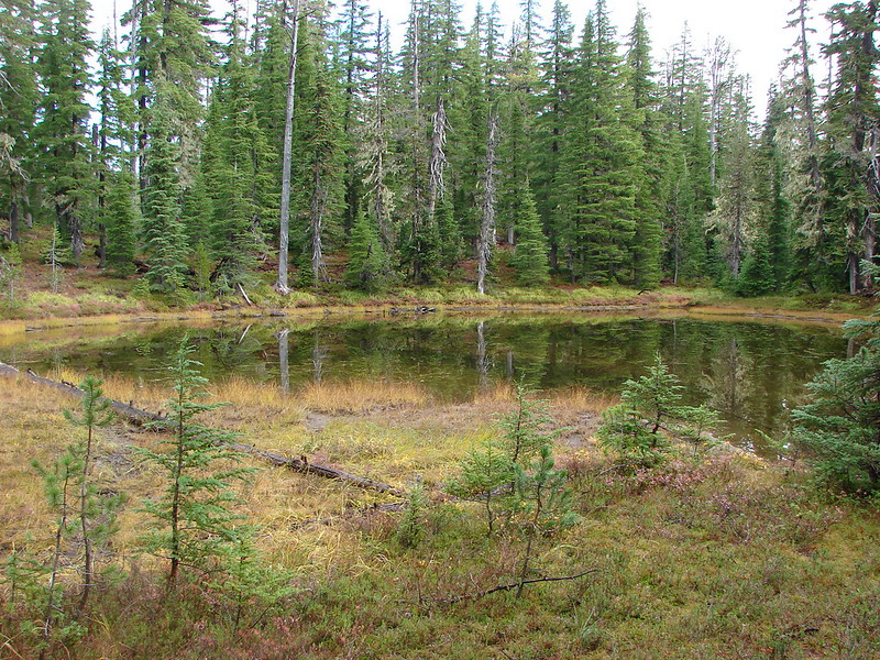
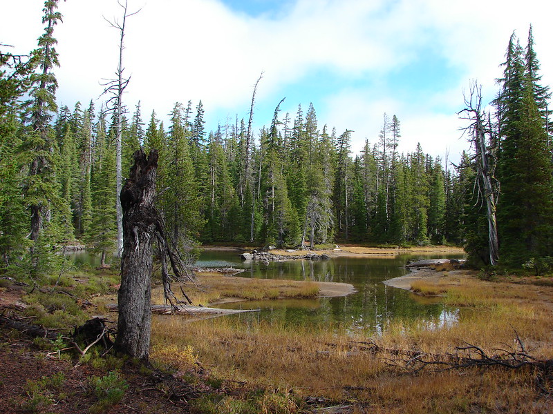
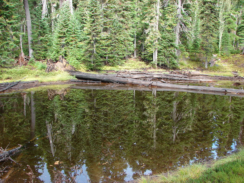
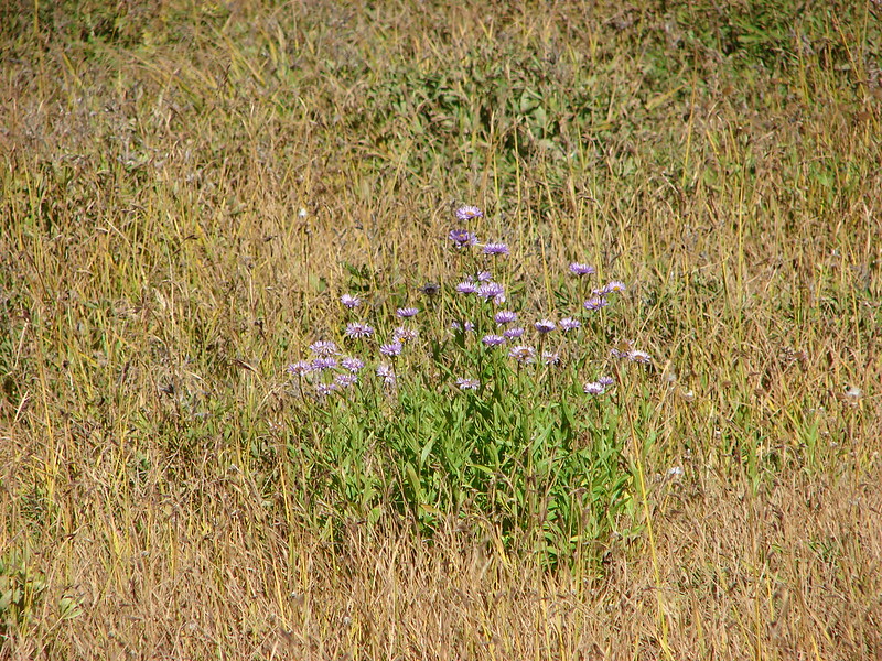
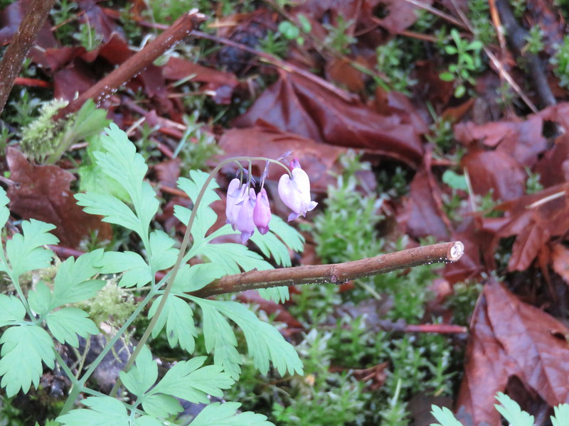
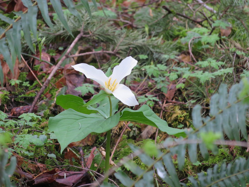
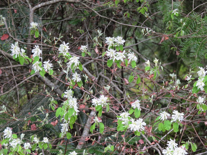
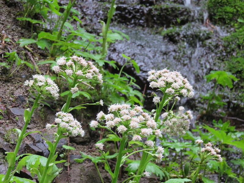
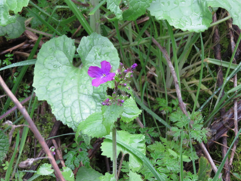
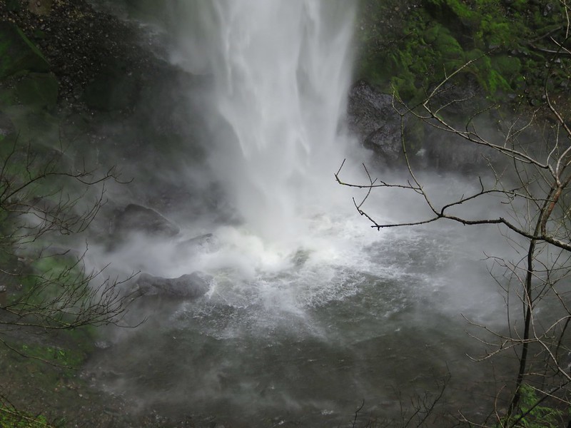
The bridge across McCord Creek is close enough to the base of the falls that the spray really soaked us as we passed by. Once across we continued on Trail 400 and headed toward our next waterfall trail. Because the Gorge Trail follows both I84 and the Historic Highway 30 traffic noise was constant on the trail, but it didn’t bother us much as we enjoyed the views and various spring flowers that we spotted.

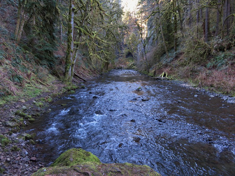
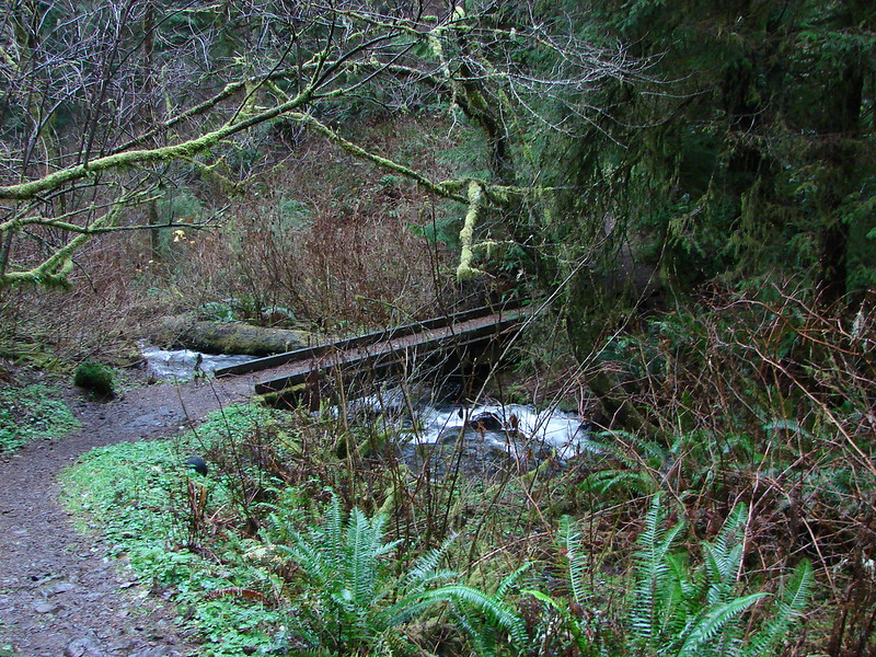
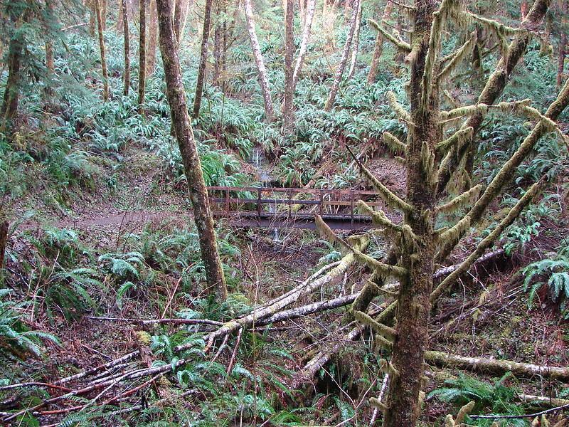
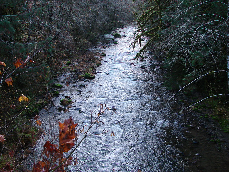
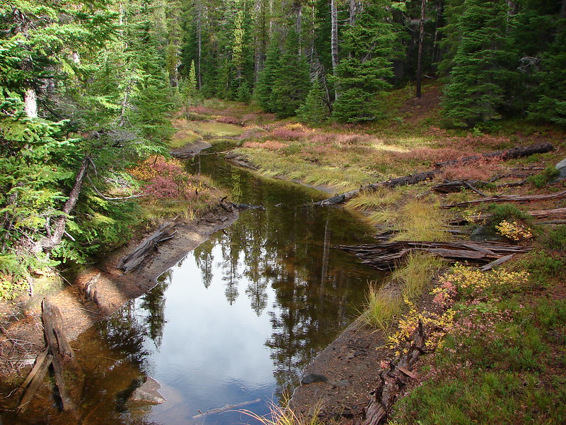
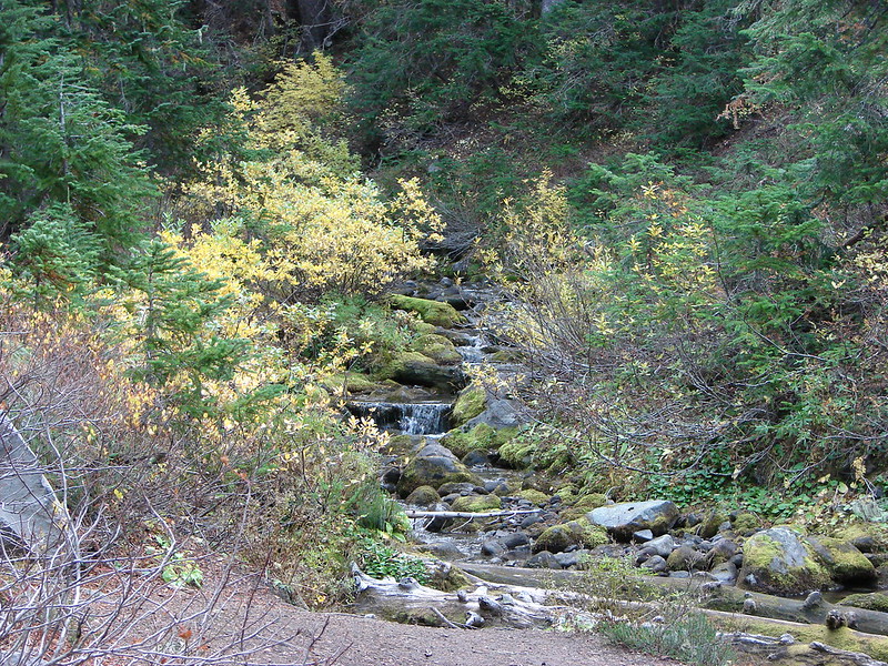
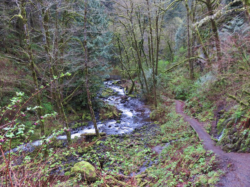
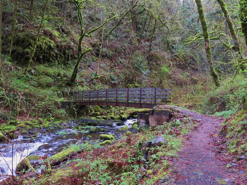
Midway through the 3.1 mile stretch the trail crossed Moffett Creek on a footbridge.
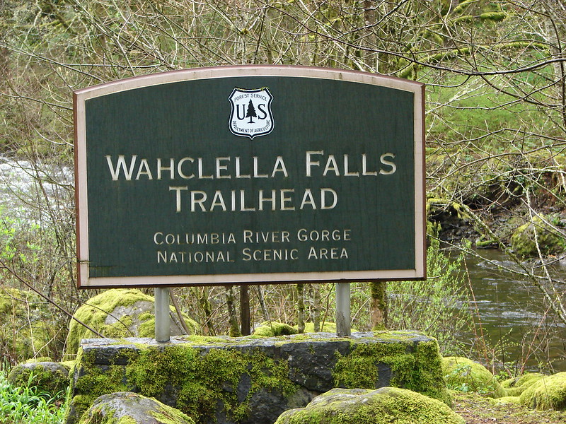
It rained off and on while we were on the Gorge Trail but the weather began to clear as we arrived at the Wahclella Falls Trailhead along Tanner Creek.
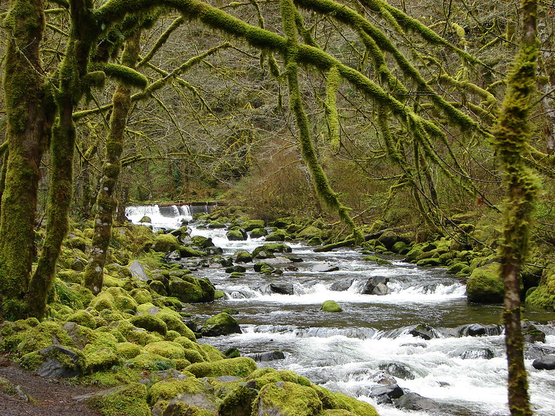
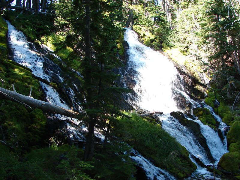
The Wahclella Falls trail follows Tanner Creek for a mile to Wahclella Falls, but before reaching that waterfall it first passes Munra Falls. The trail is actually so close to Munra Falls you can touch it from the footbridge as you pass by. What you can’t do is get the whole thing in a picture due to how close you are.
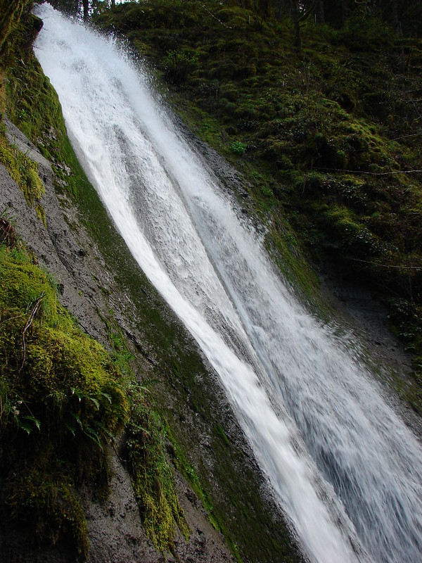

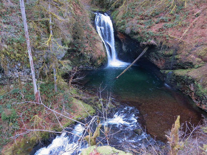
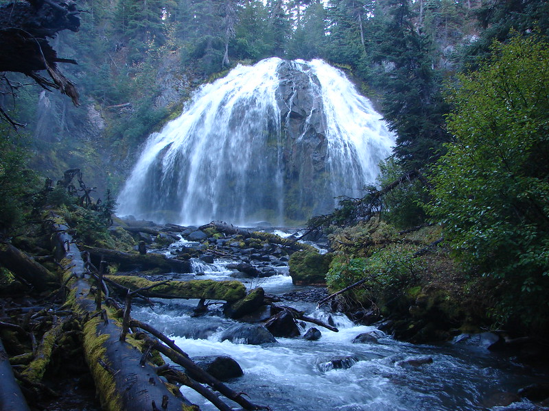
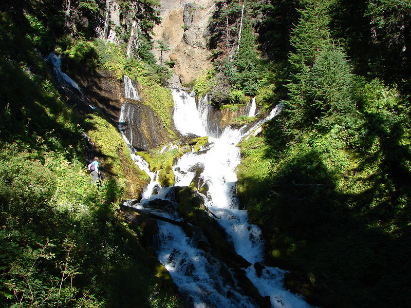
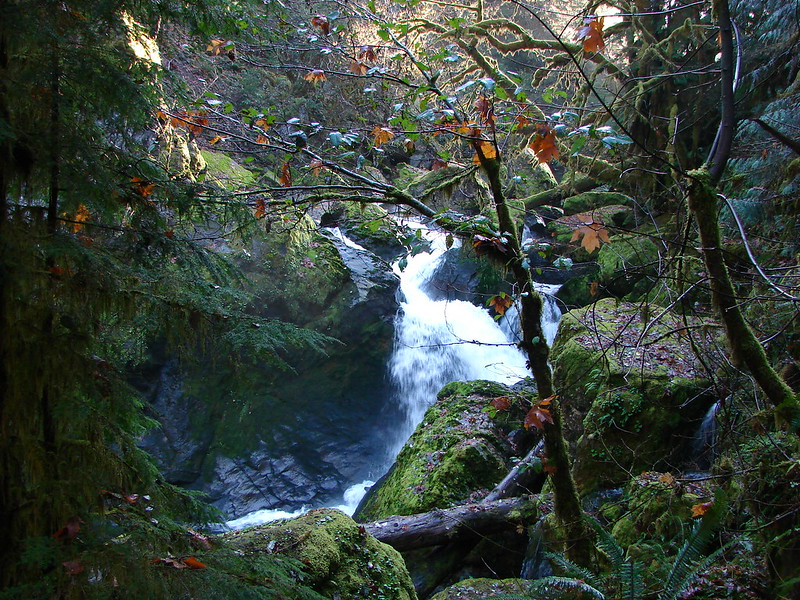
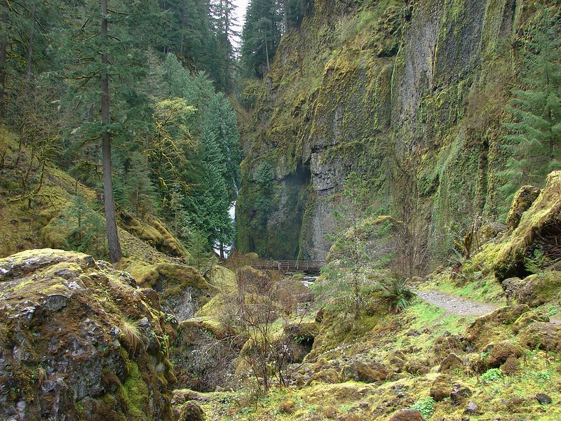
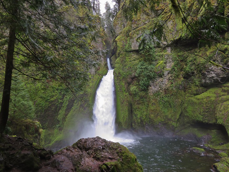
Near Wahclella Falls the trail splits creating a loop that passes near the base of the falls. We opted to do the loop counter-clockwise which would lead us first to a lower viewpoint of the falls then up to a higher view before completing the loop. From this direction the first glimpse of the falls revealed two sections to the falls. An upper section on the left-hand side of the canyon then a lower section falling into the splash pool.
As we made our way across Tanner Creek and began to climb to the higher views we noticed a third section of falls located directly above the lower section.
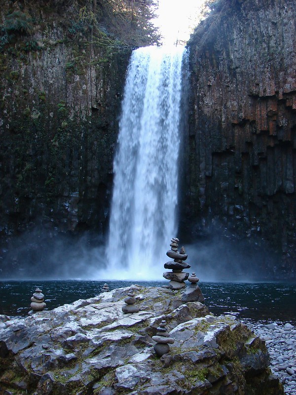
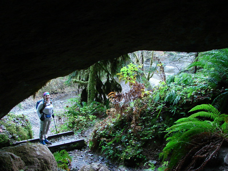
One of the perks of having set off early was we were able to spend time at each of the falls alone, but more people began arriving as we completed our loop and headed back. When we arrived back at Elowah Falls there were quite a few folks milling about. I detoured up an unmarked side trail to a former viewpoint above Elowah Falls to get a couple of final pictures.
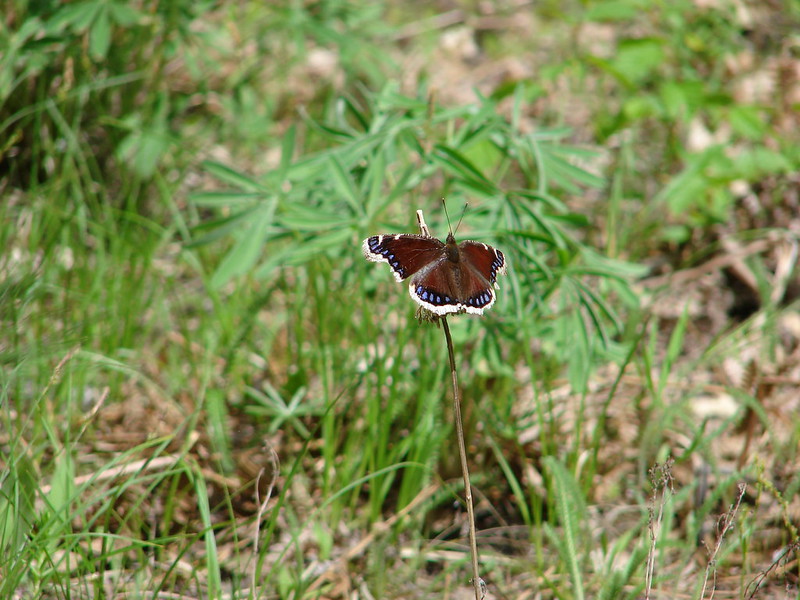
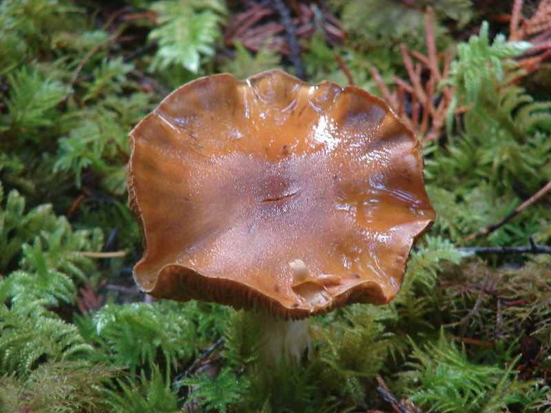
One of the neat things about the gorge waterfalls is how different they are. All four of the waterfalls we saw on this hike were unique in their own way making each one that much more memorable. Happy Trails!
flickr:https://www.flickr.com/photos/9319235@N02/sets/72157651027769877/