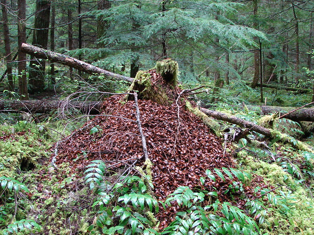
**Note the 2017 Eagle Creek Fire burned a portion of this hike.**
This year we are redoing several hikes for one reason or another. The first of our redo’s was Eagle Creek in the Columbia Gorge. We had attempted this hike back in October of 2012 but we weren’t able to get to the final two falls due to the trail being closed because of a forest fire. Being Fall the water flow was also very low so the falls we did see were nowhere near their peaks. Having learned from our timing issue I put this one in the middle of our first week of vacation in order to catch the falls at a good flow and to hopefully avoid the crowds that visit the gorge trails on the weekend.
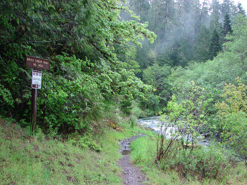
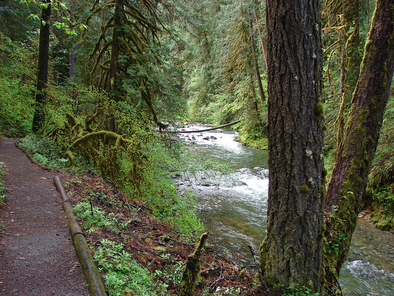
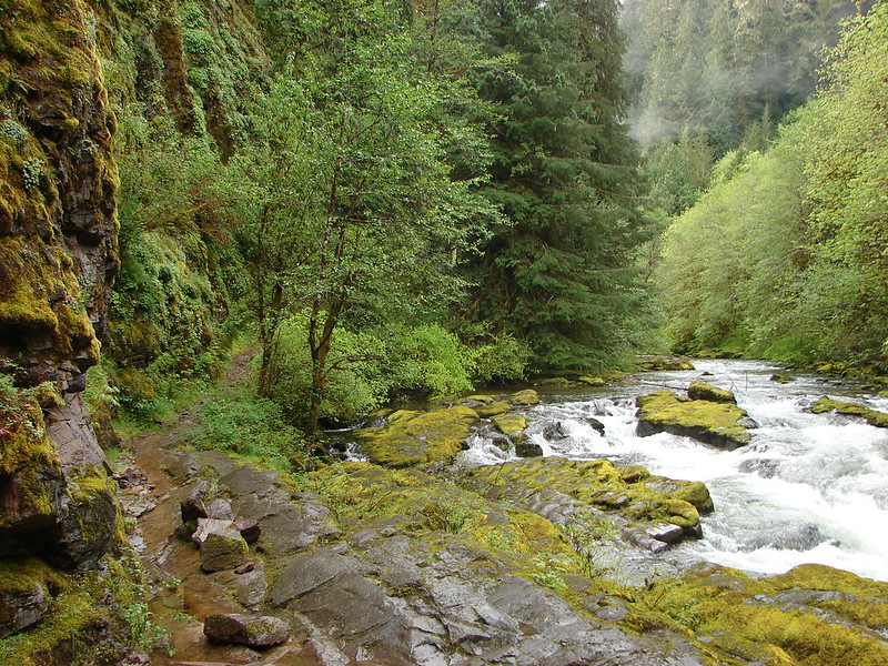
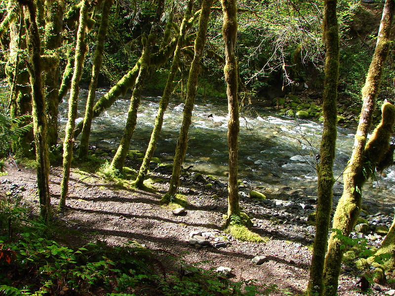
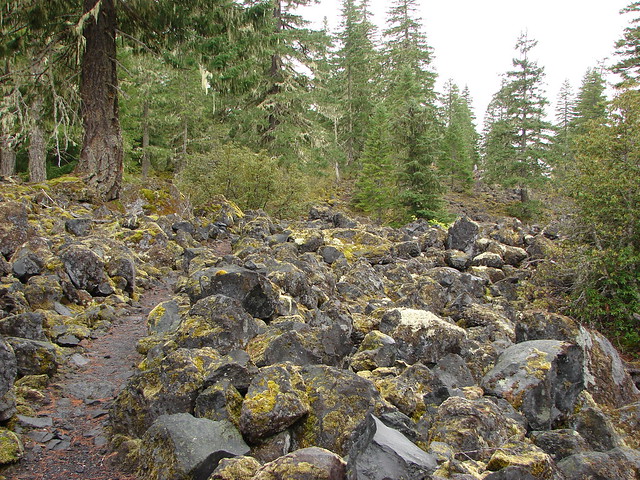
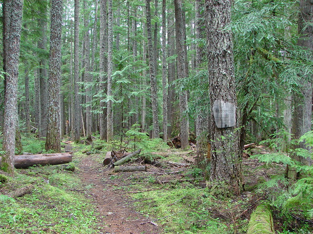
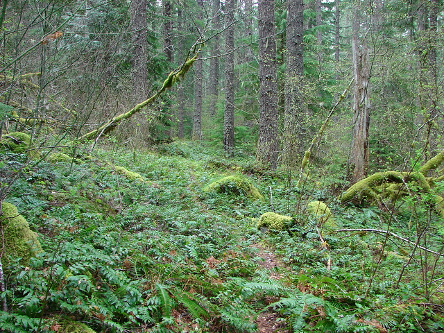
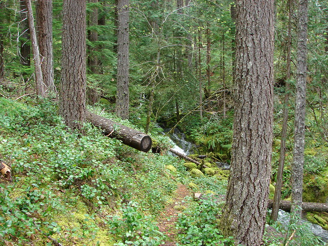
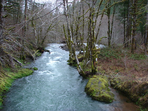
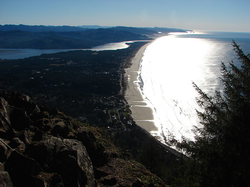
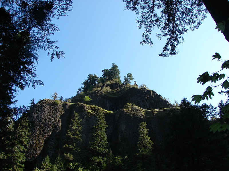
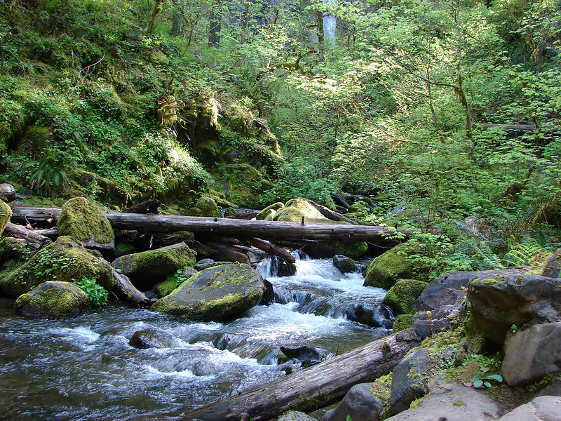
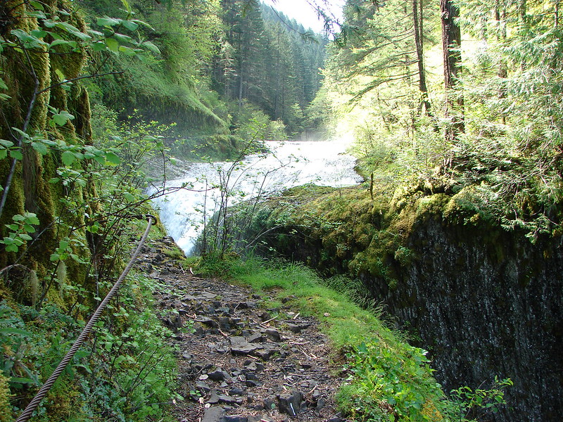
We arrived at the trailhead at 6:30am and set off on the trail. Portions of the trial had to be blasted out of the side of the cliffs when it was constructed making for some dramatic views.

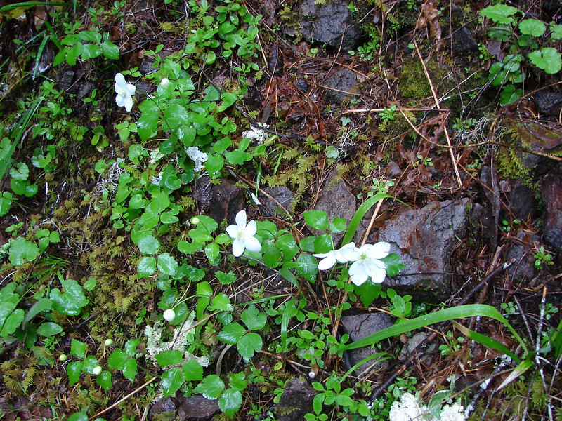
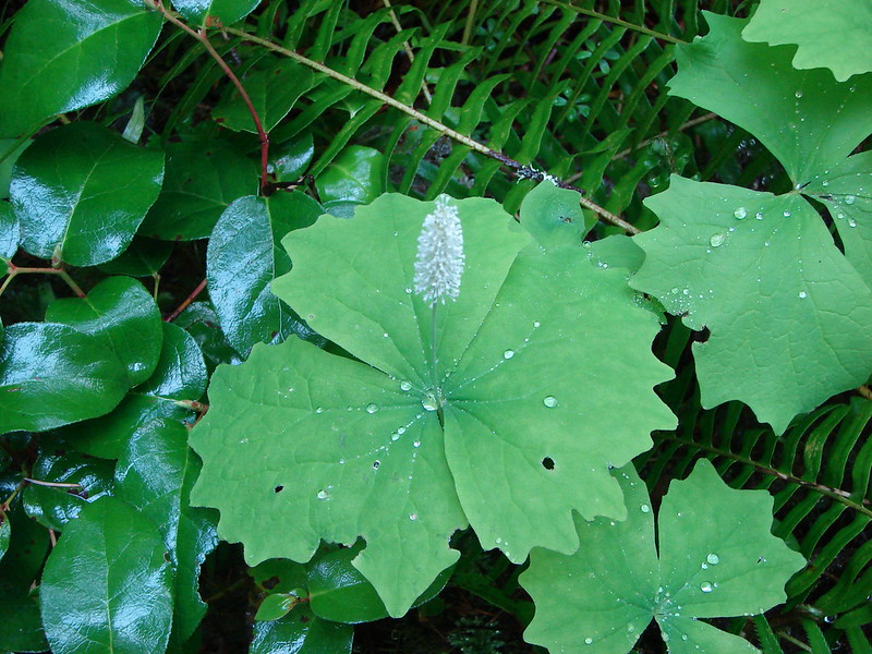
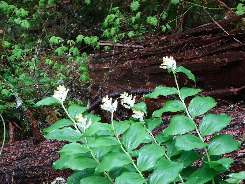
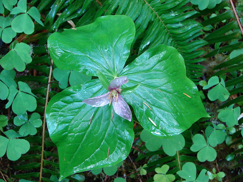
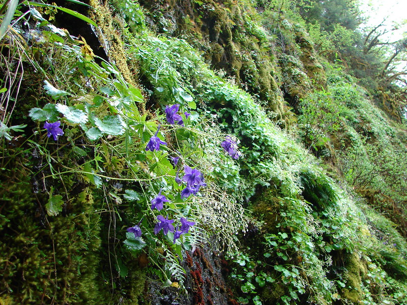
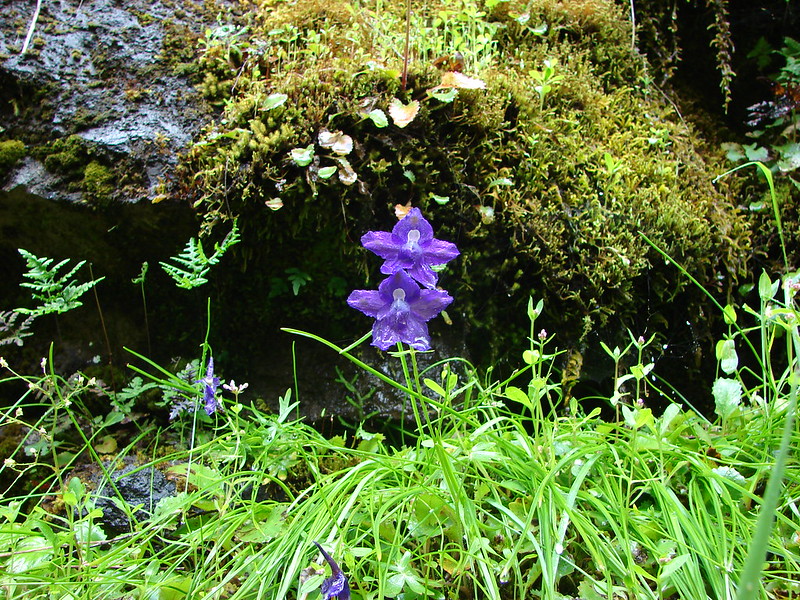
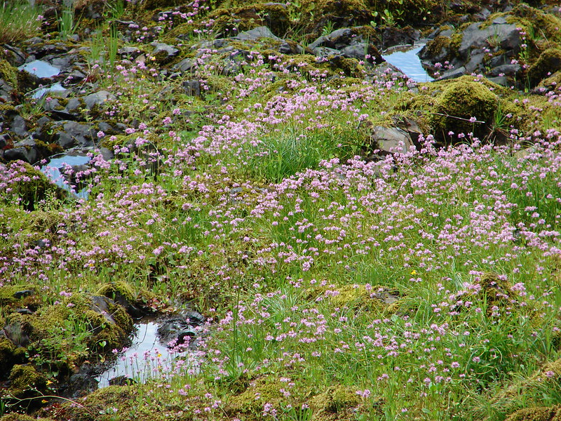
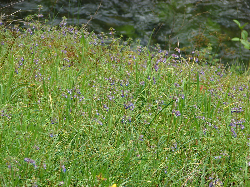
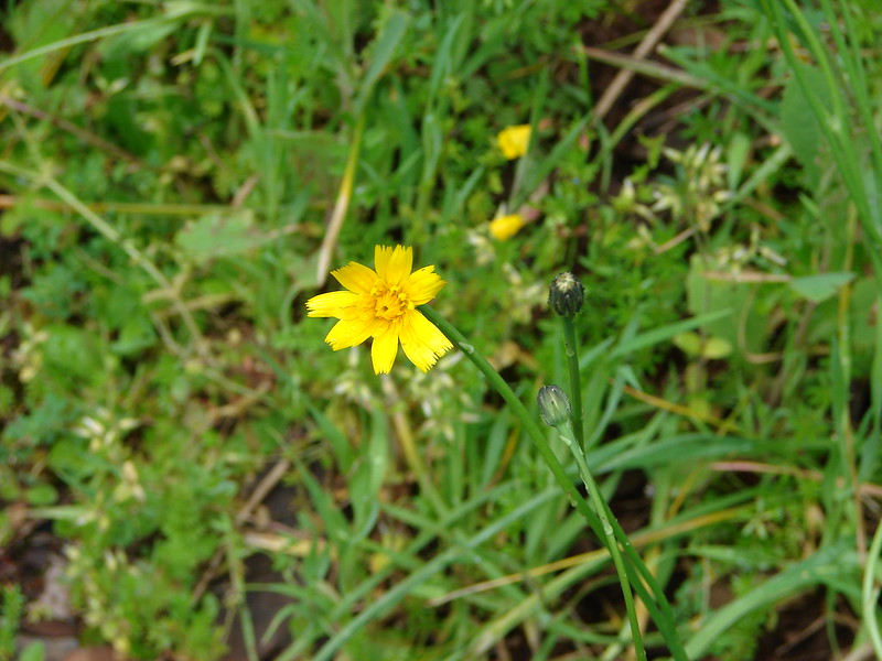
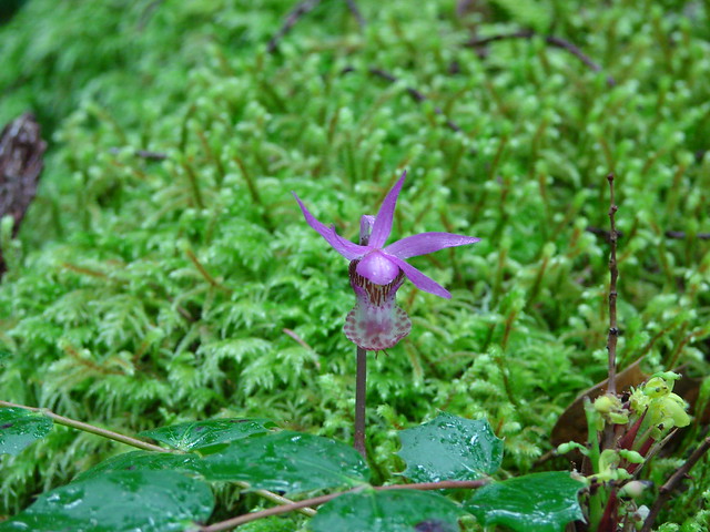
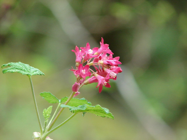
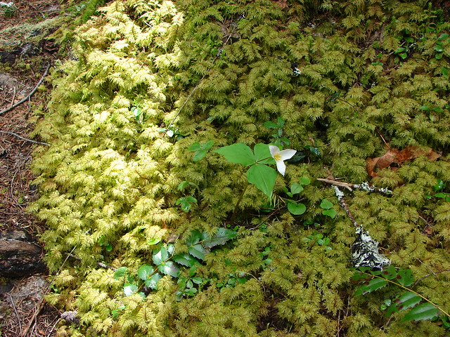
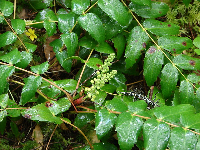
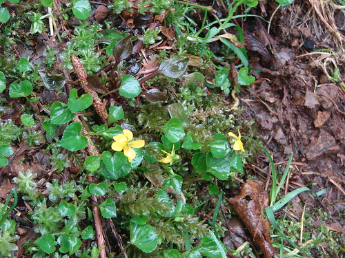
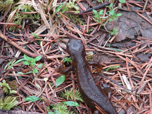
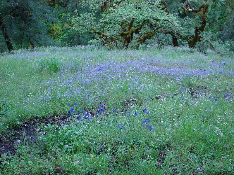
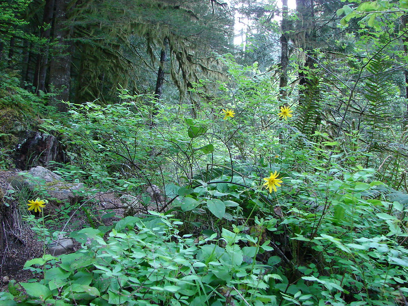
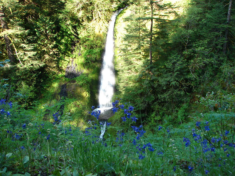
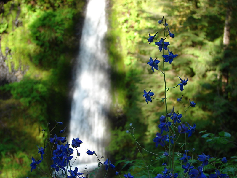
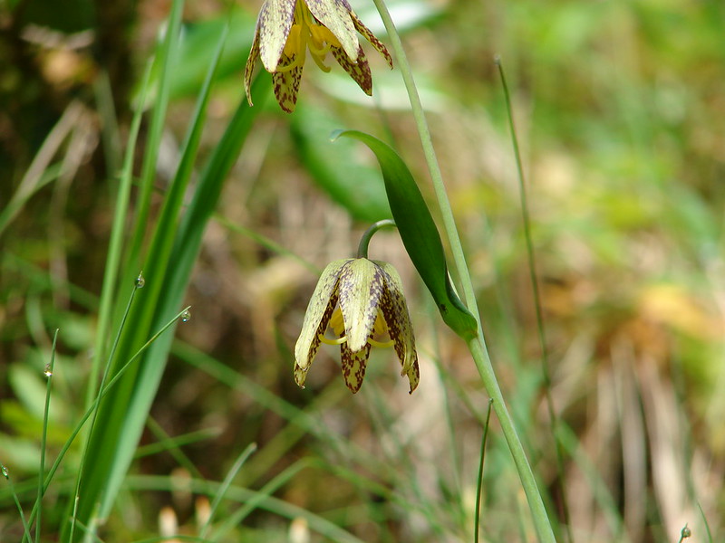
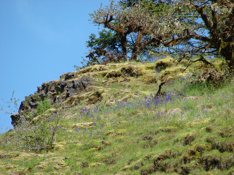
One immediate difference from our previous trip was the presence of many wildflowers. Plectritis, larkspur, and giant blue eyed mary lined the trail. In some open places and shooting star could be seen near seepage.
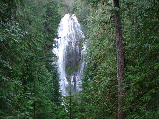
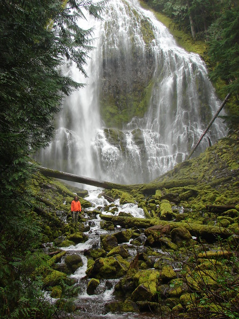
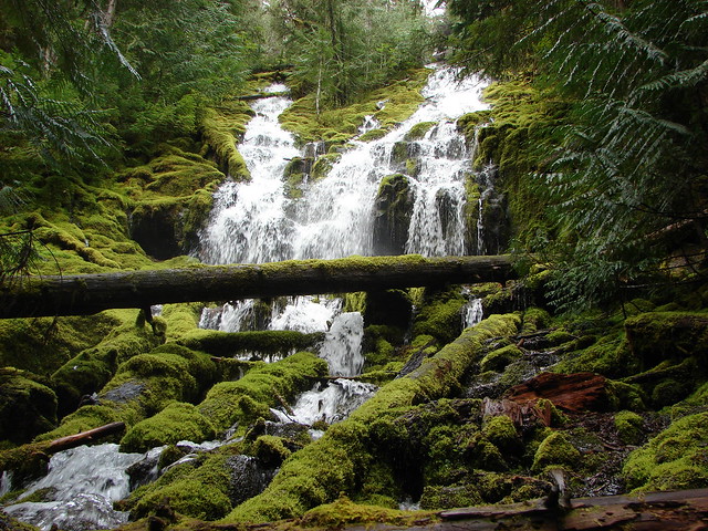
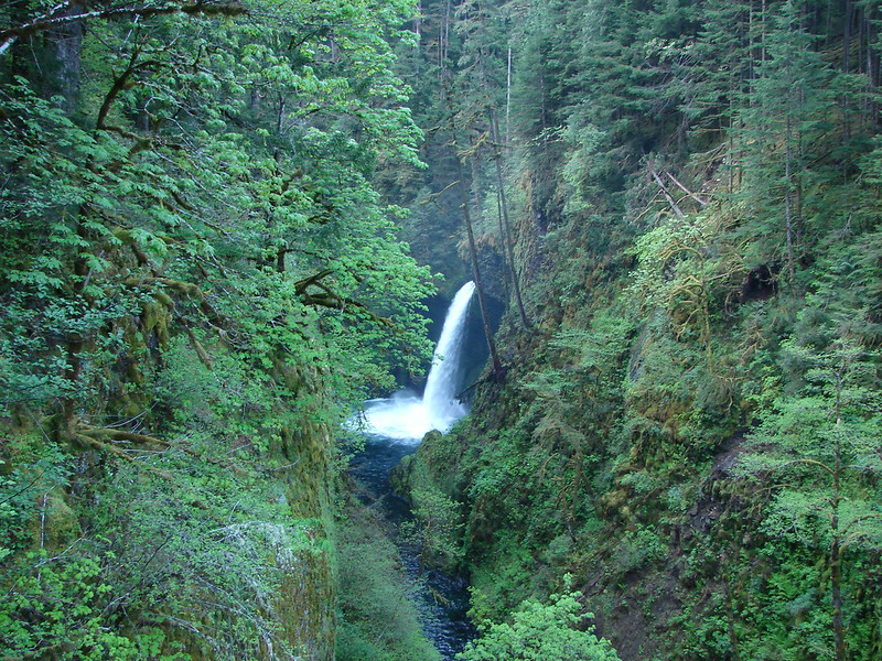
The first big fall can be seen after 1.5 miles via a viewpoint looking up Eagle Creek to Metlako Falls.
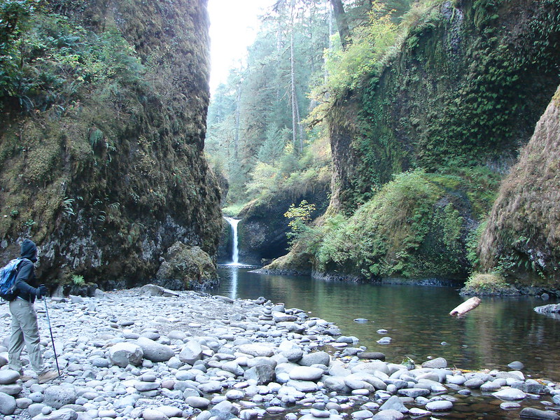
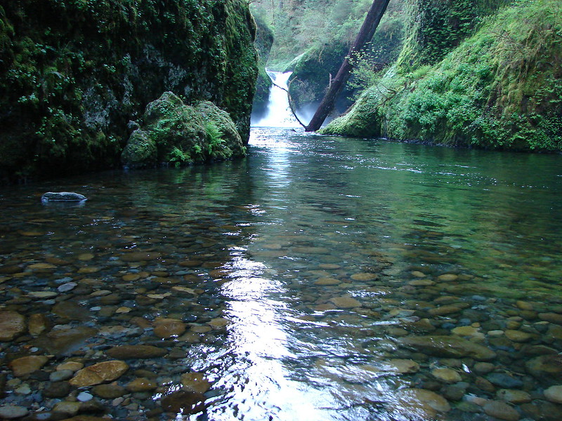
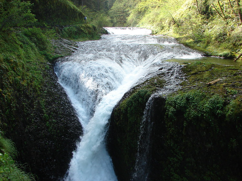
Shortly after leaving the viewpoint a set of signs announce the .5mi side trail down to Punchbowl Falls. The difference from our last visit was immediately noticeable when we reached Lower Punchbowl Falls.
Oct. 2012
May 2014
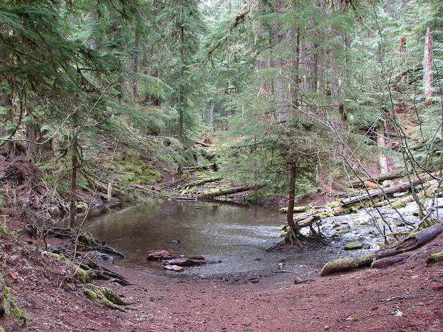
Even more noticeable was the creek level below Punchbowl Falls. In October we would walk on dry rocks far enough out to get a nice view of Punchbowl Falls, but now the only way to see the falls from below was to wade out into the creek.
Oct. 2012
May 2014
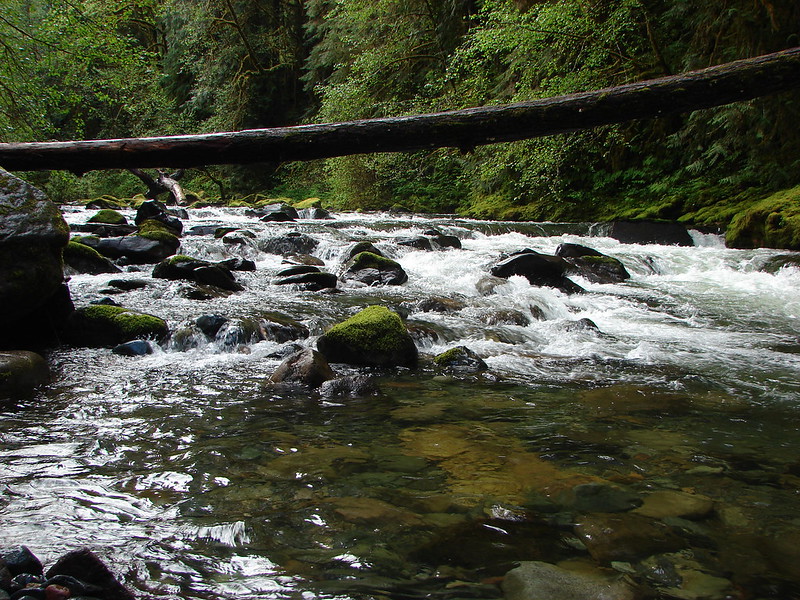
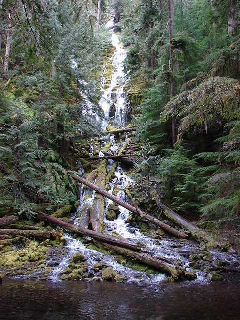
Another difference was the tree that had fallen down into the pool below Punchbowl Falls which happened sometime this past Winter.
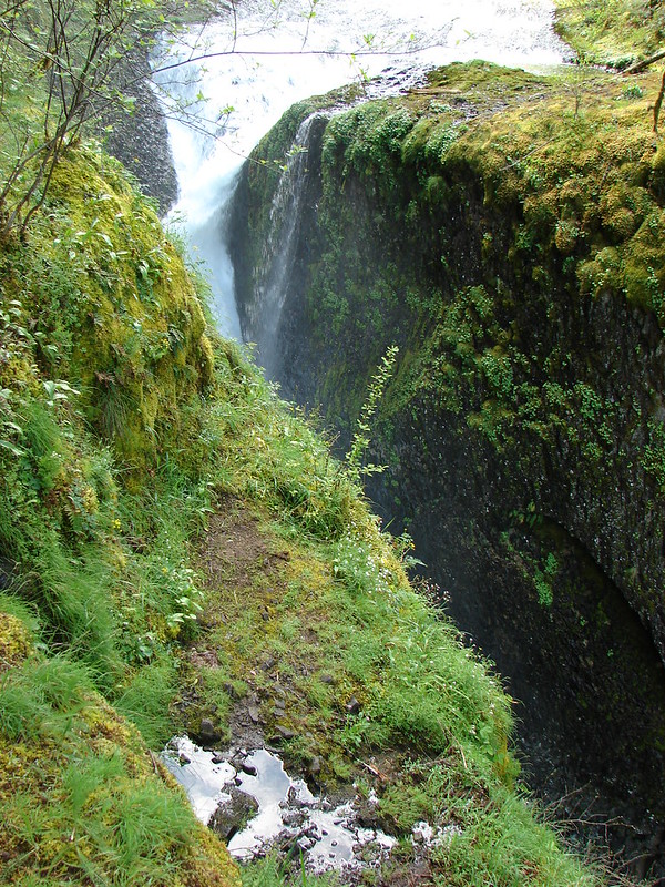
The main trail then travels above Punchbowl Falls where a partly obscured view looks down into the bowl.
Some arnica was blooming here.
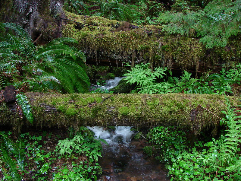
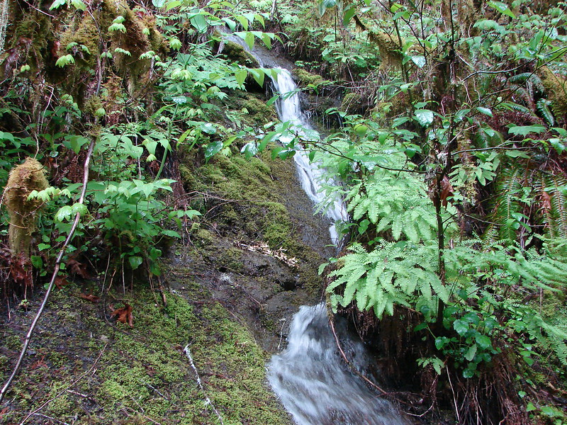
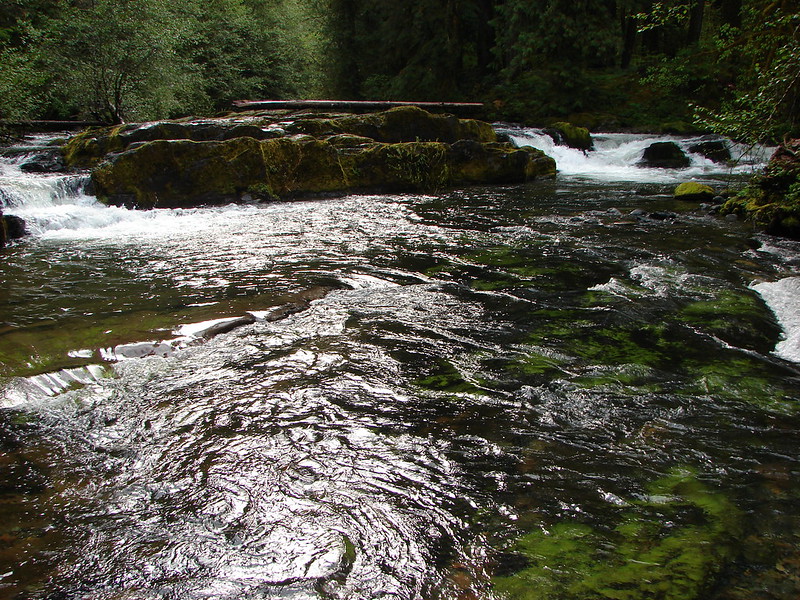
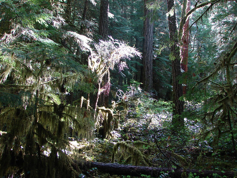
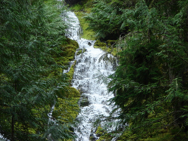
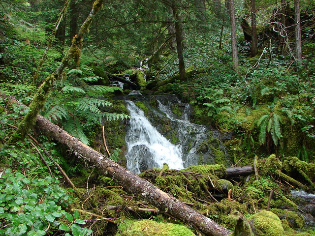
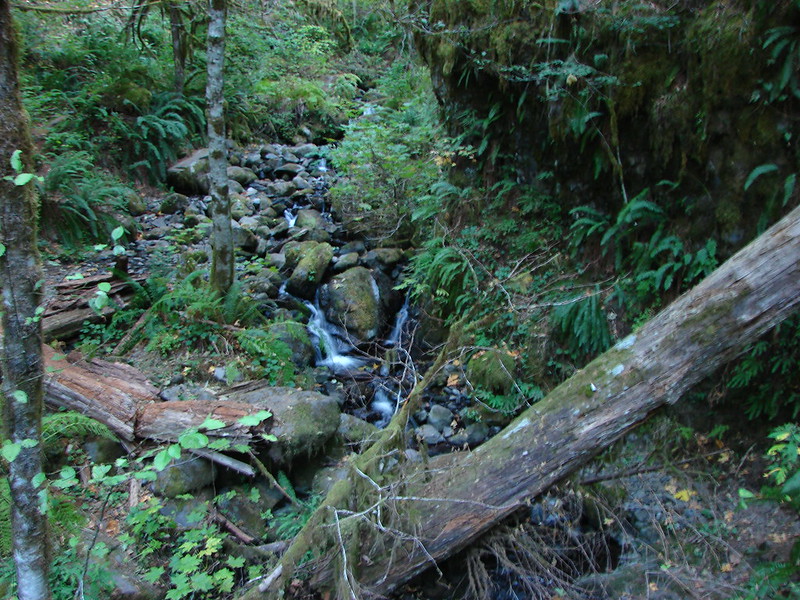
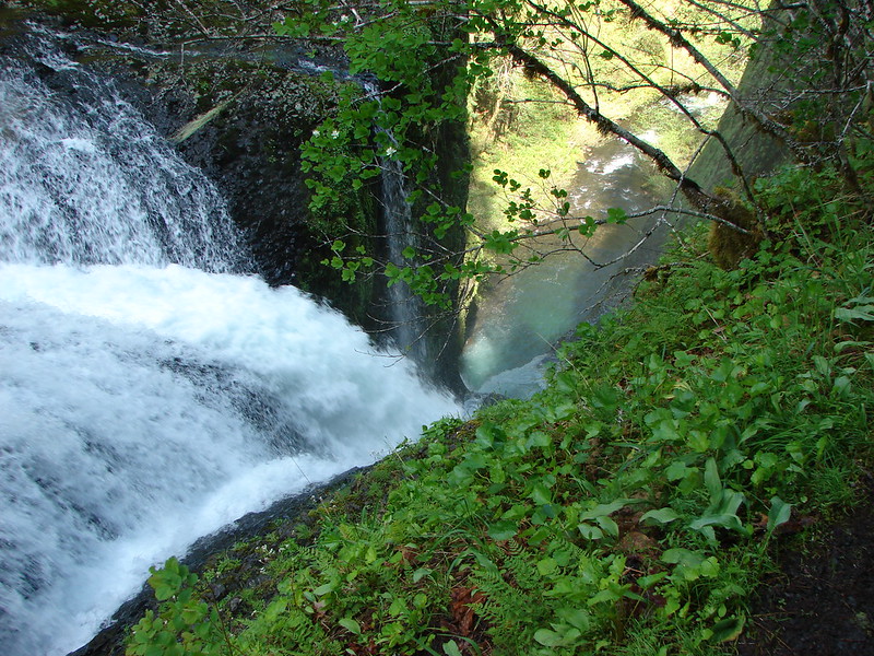
The trail crosses many side streams that are flowing into Eagle Creek from the canyon walls. These were much pretty this time as well.
Oct. 2012
May 2014

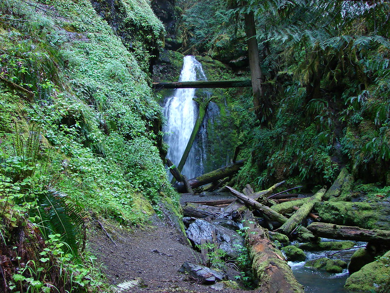
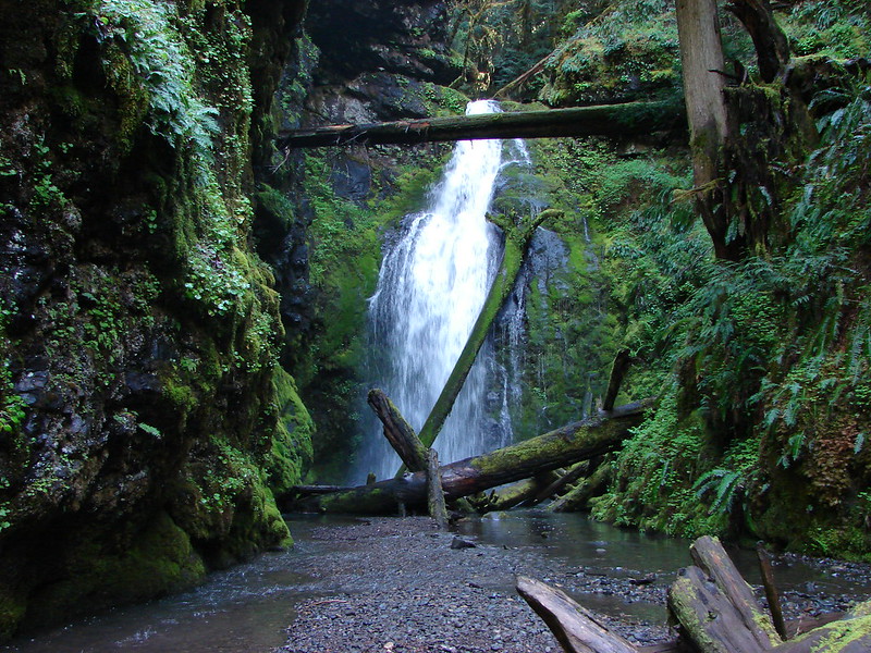
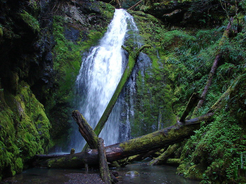
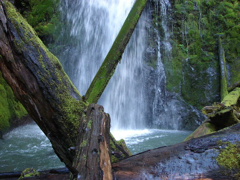
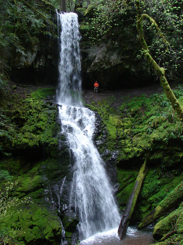
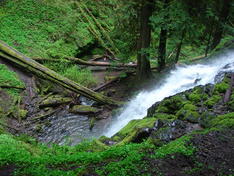
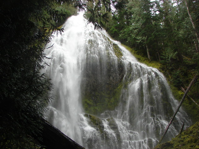
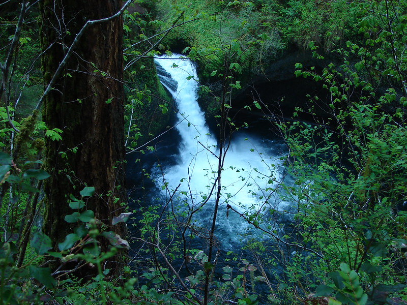
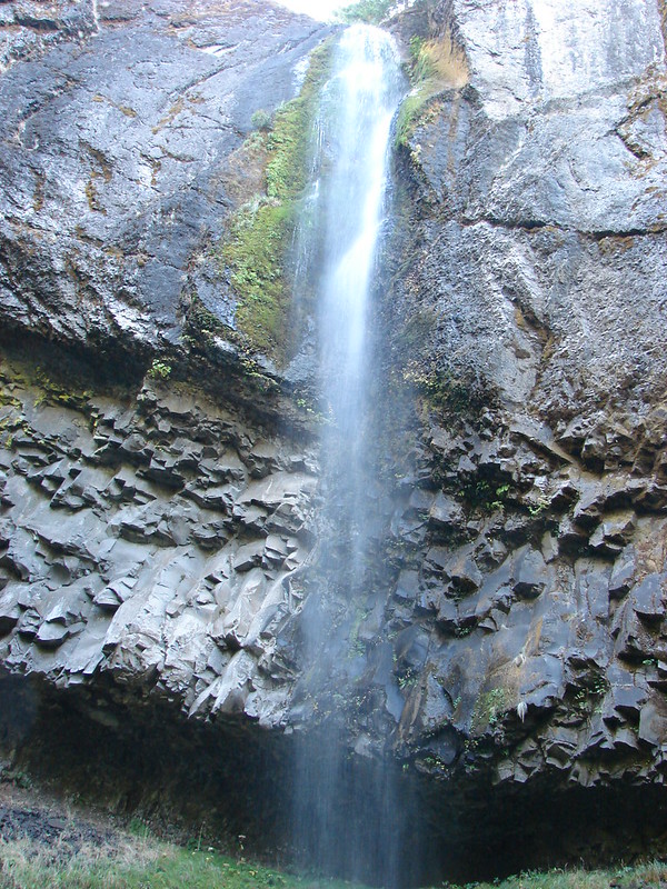
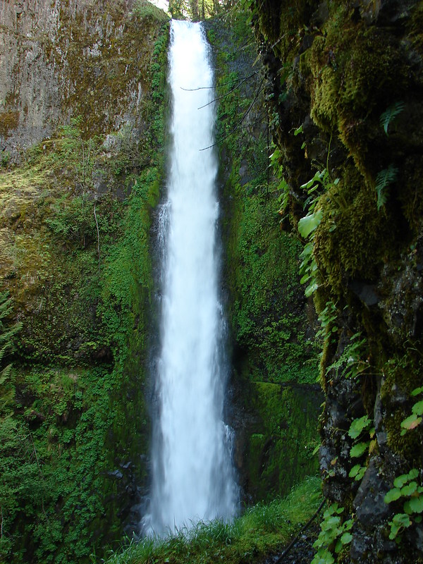
The next major falls along the trail is Loowit Falls. This was the most disappointing of the falls in 2012.
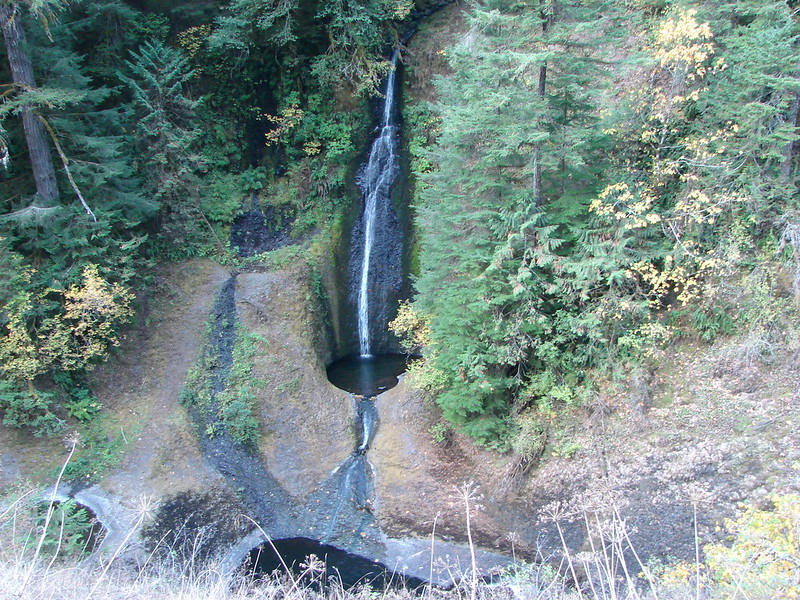
That was not the case this time. Not only were the falls much fuller but a lovely patch of Larkspur lined the trail at the viewpoint.
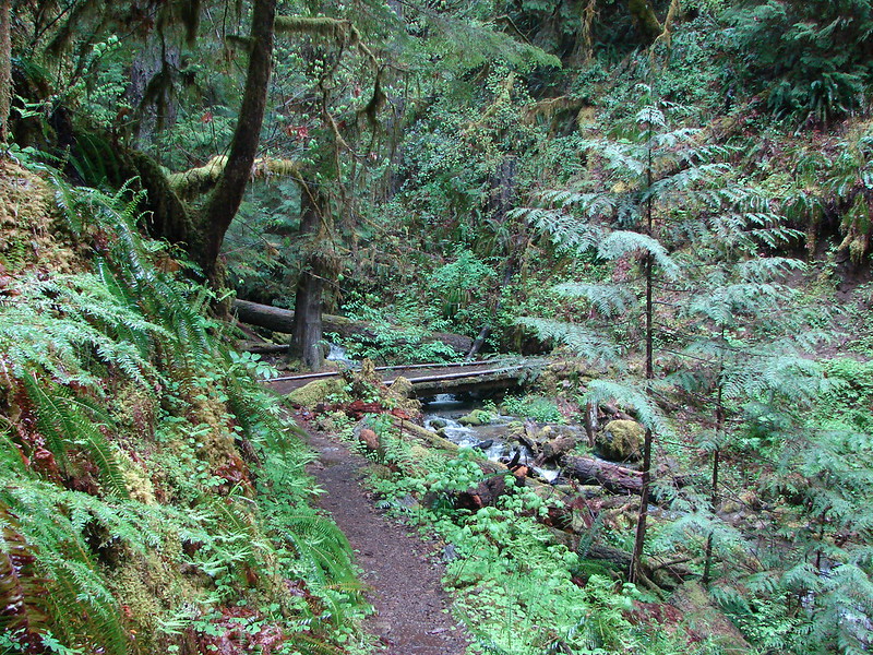
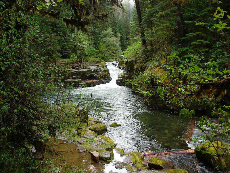
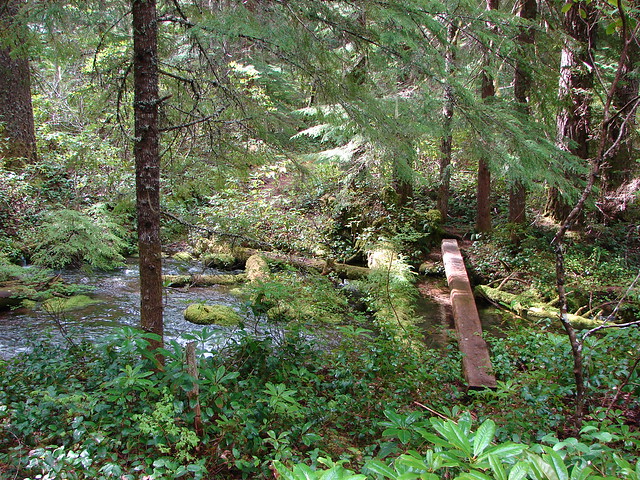
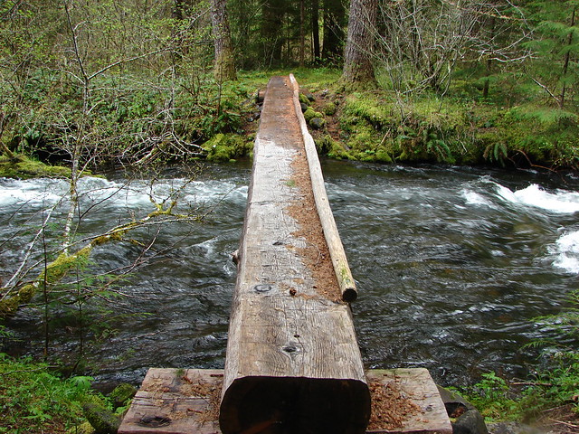
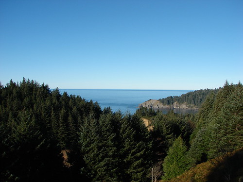
The next marker is High Bridge at the 3.3 mile mark where the trail crosses over Eagle Creek on a foot bridge. Scenic views abound here too and not just down at the creek.
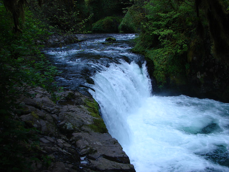
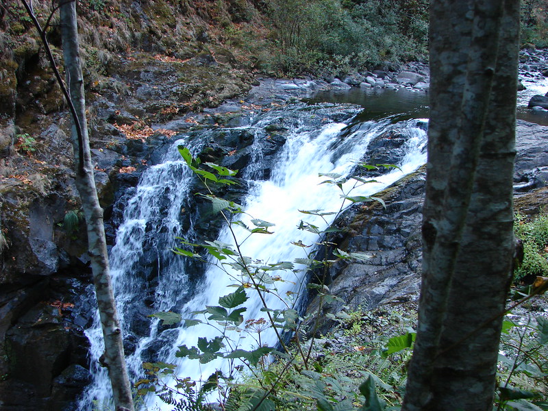
Next up is Skoonichuck Falls. This one is hard to get a good view of as it requires a little scrambling down to a little ledge above the creek. In 2012 I didn’t go down to the better viewpoint but I made it down this time.
Oct. 2012
May 2014
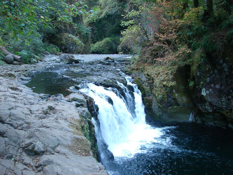
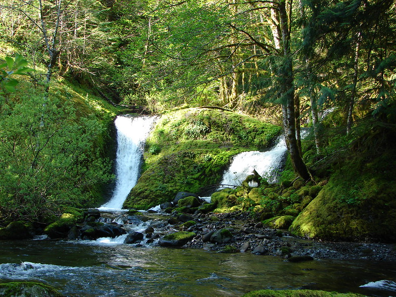
The trail crosses back over the creek at 4 and a half mile bridge. On our previous trip we’d had lunch shortly after crossing this bridge below Tenas Falls. In 2012 we didn’t realize these were a named falls, it was just a scenic place for a break. We found our way back down to the spot this time to see the difference.
Oct 2012

May 2014
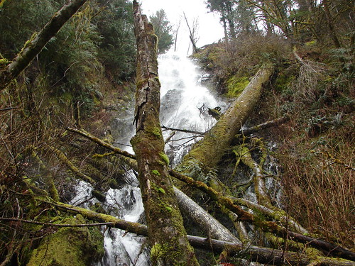
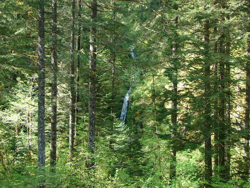
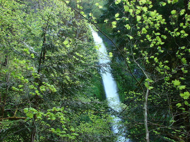
Continuing on the trail it enters the Mark O. Hatfield Wilderness in the Mt. Hood National Forest. Not long after entering the wilderness the trail crosses Wy’East Creek where you can see the top of another waterfall back in the forest a bit.
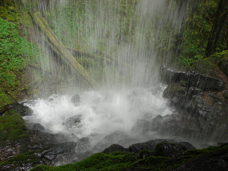
There is a primitive trail that leads back to the falls. It requires a lot of climbing over, under and around debris but eventually you arrive at the base of the falls where a decent trail leads behind them. There was another drastic difference in Wy’East Falls.
Oct. 2012
May 2014
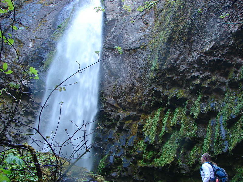
I hadn’t bothered to go behind the falls the last time but this time I couldn’t pass up the curtain of water.

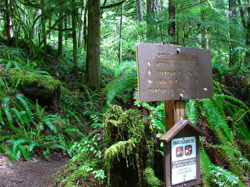
Our previous trip had ended shortly after leaving Wy’East Falls at a trail junction with the Eagle Benson Trail where there was a posted notice of the trail closure.

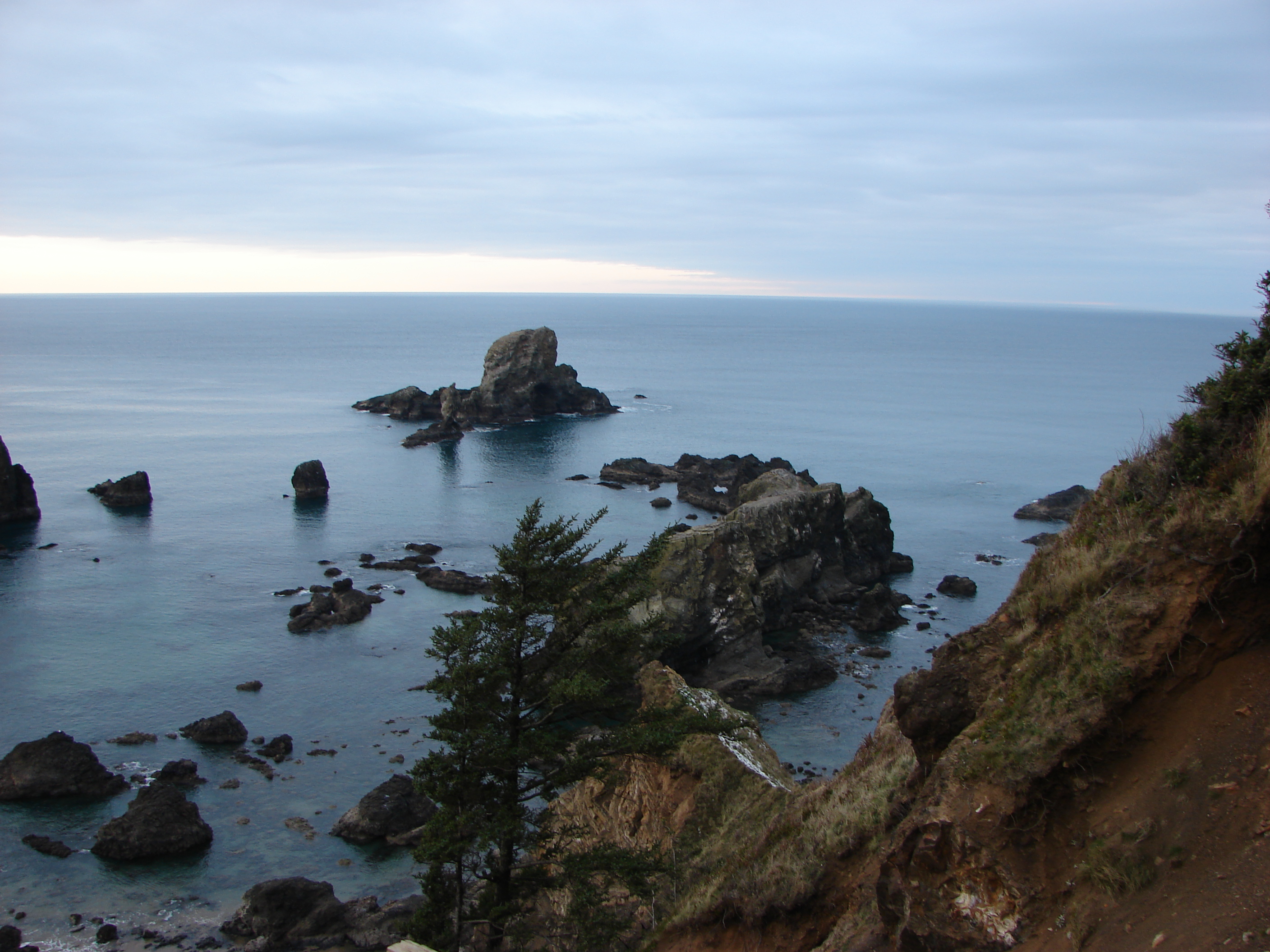
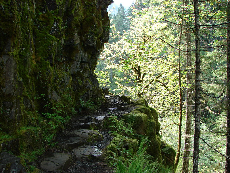
This time we were able to continue on passing more wildflowers, distant falls, and cliff edged trail.
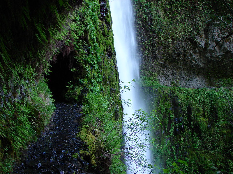
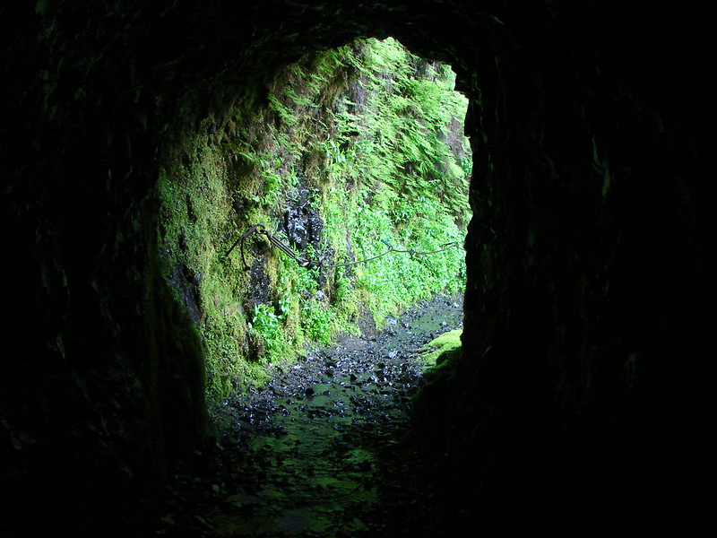
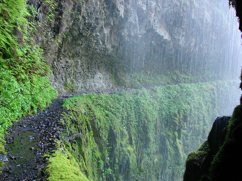
Near the 6 mile mark we got our first glimpse of Tunnel Falls.
Tunnel Falls got it’s name from the tunnel that was blasted out of the rock in order to pass the trail behind and the falls and continue on up Eagle Creek.
Leaving Tunnel Falls the trail is at it’s most dizzying. Sometimes called the vertical mile the trail traverses along the cliff to the next and final big fall – Twister Falls.

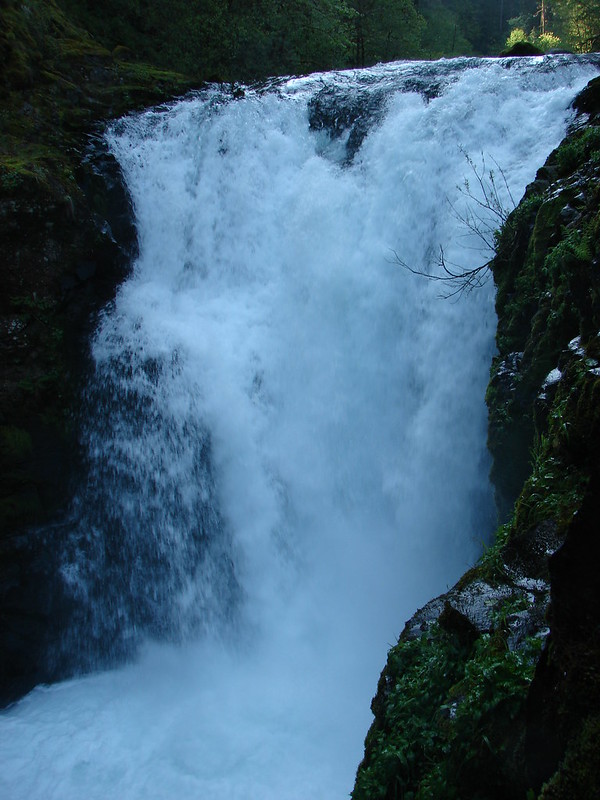
Twister Falls was really interesting but also very difficult to get a good view of. The best view is from a little ledge just below the trail.
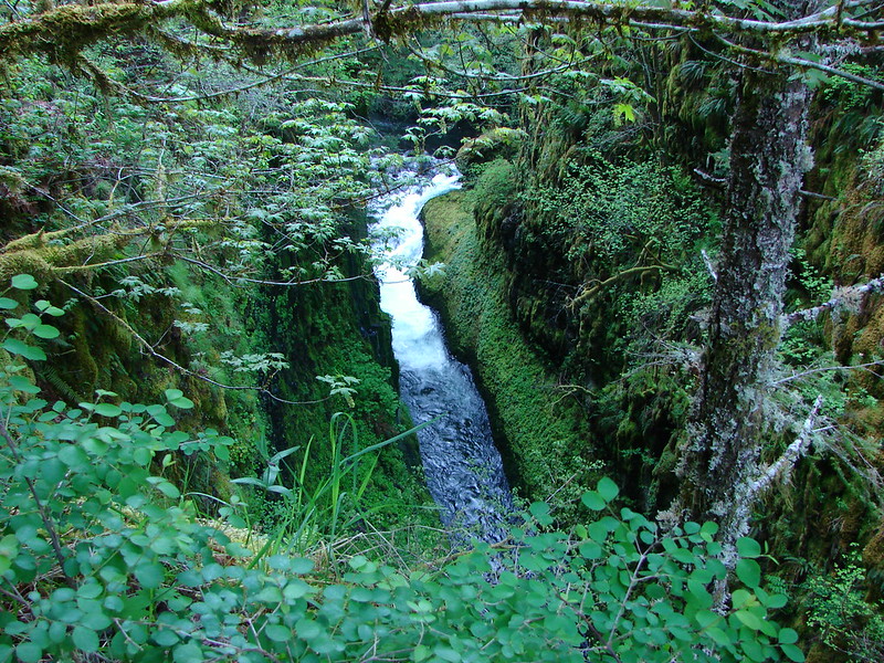
Looking down the chasm gives you an idea of the complexity of this fall.
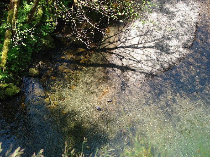
Above Twister Falls the trail levels out but is extremely rocky and somewhat slick for a bit. Heather had gotten ahead of me and was focused on something in the creek as I approached.

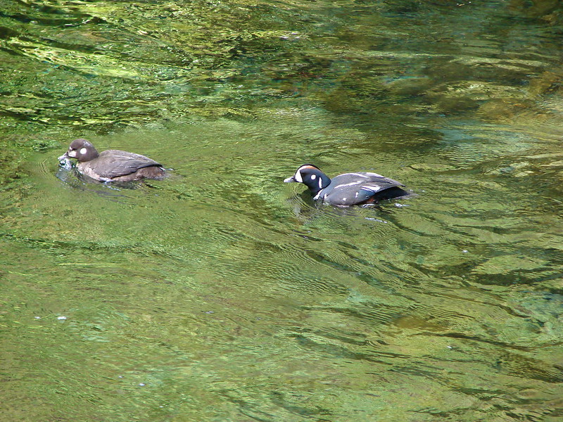
It turned out to be a pair of Harlequin Ducks who were paddling around a pool diving for food.
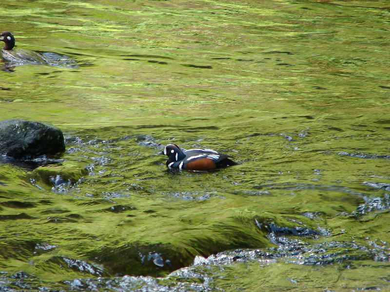
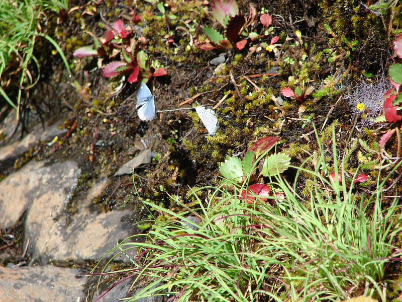
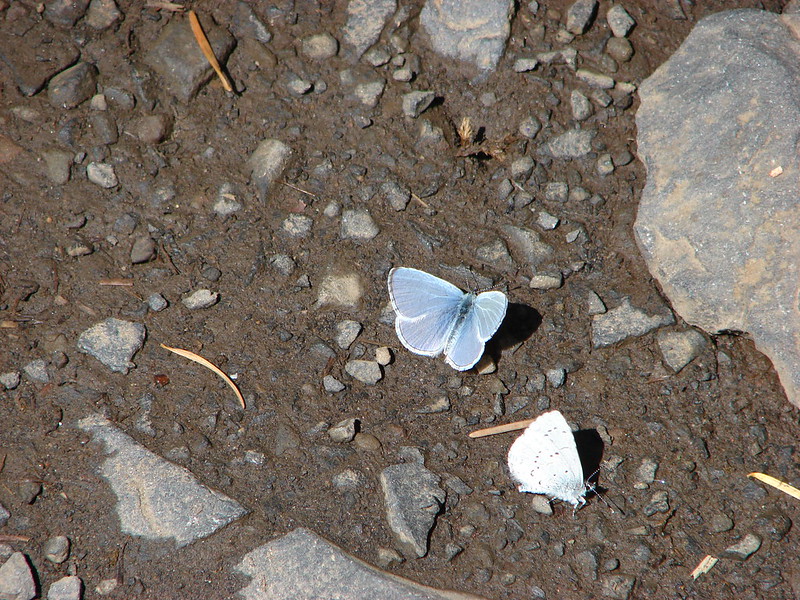
After hanging out with the ducks for a bit we started on our return trip. The sun was shining and the butterflies had come out.

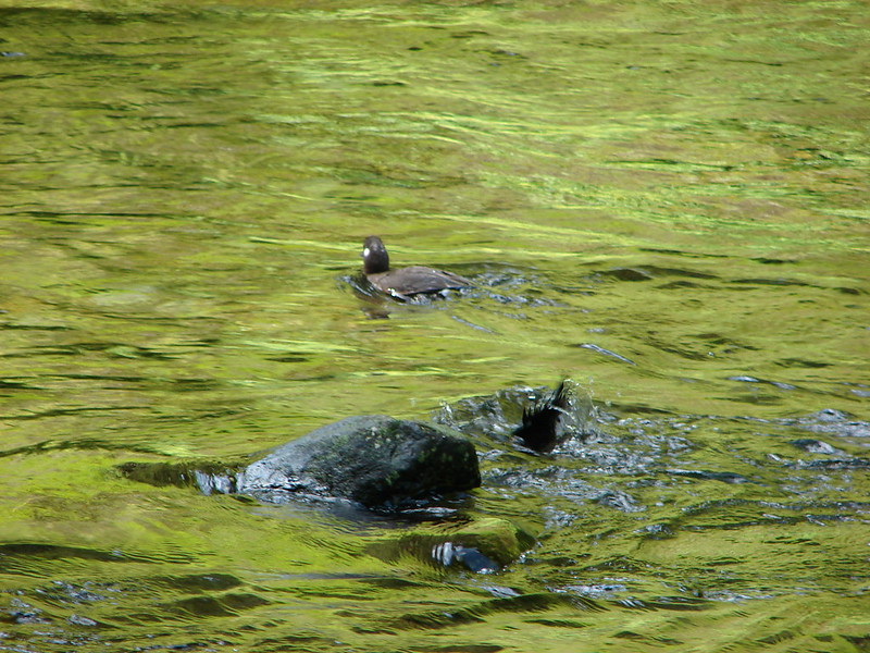
When we got back to Loowit Falls I stopped to take a couple more pictures with the different lighting when Heather notice a pair of ducks in the creek below. It was another (or the same?) pair of Harlequin Ducks.

It was a lot of fun to go back and redo this hike at such a different time of year. Being able to compare the changes that the seasons bring and to also finally reach Tunnel & Twister Falls made this a very satisfying hike. No matter what the season – Happy Trails!
flickr: https://www.flickr.com/photos/9319235@N02/sets/72157644572170635
facebook: https://www.facebook.com/deryl.yunck/media_set?set=a.10203943516615461.1073741874.1448521051&type=3