Categories
Hiking Middle Santiam Old Cascades Oregon Trip report

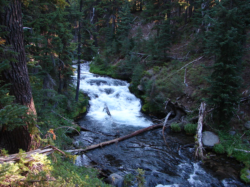
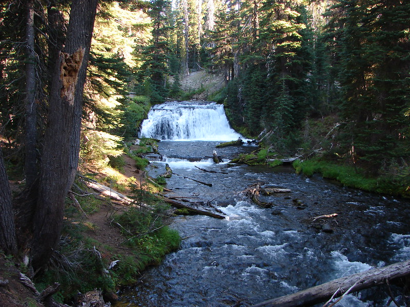
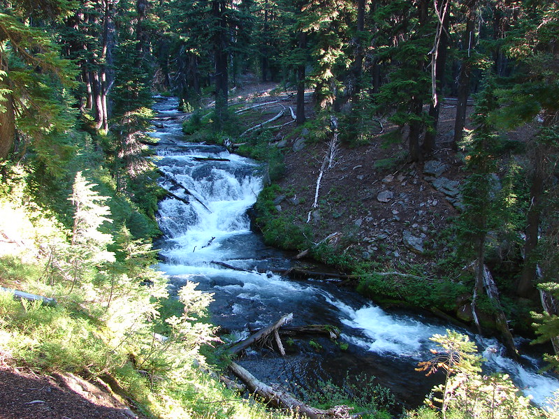
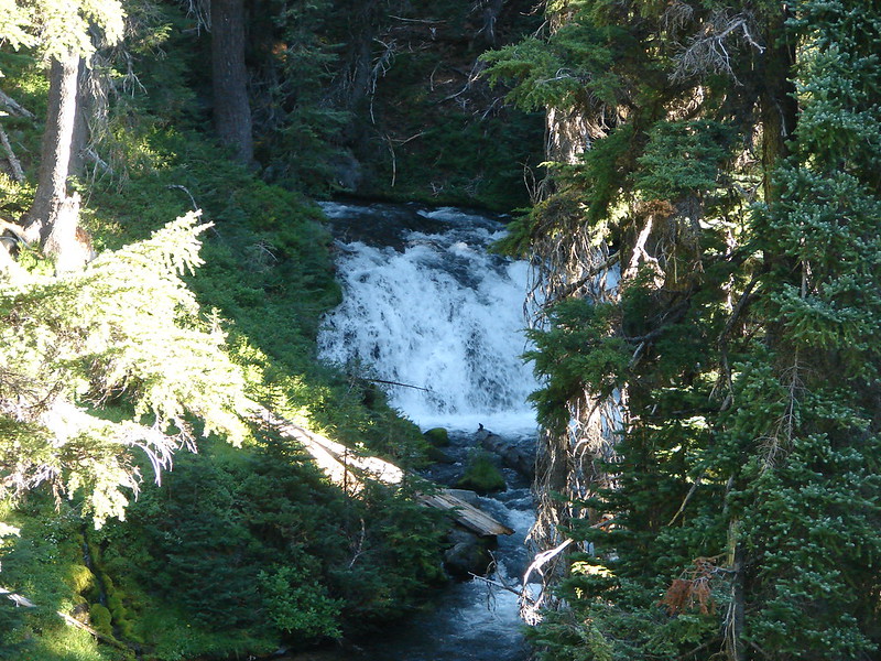
McDowell Creek Falls

It seems like it has been forever since our last post. We’ve been busy training for our marathon and also dealing with some overdue Winter weather. We had originally planned on hiking along the Salmon River near Zig Zag, OR but wound up changing our minds and decided on a much shorter, closer hike. The state had gotten a lot of snow during the prior weekend and then snow level rose to around 7000′ causing much of that snow to melt. We’ve also had a good amount of rain in addition to the snow melt so many of the rivers and creeks swelled with all the additional water. We felt too fatigued from our training for a 12+ mile hike but we still wanted to get out and do something so we chose McDowell Creek Falls in hopes that the extra water would mean extra good falls.

McDowell Creek County Park is located about 15 miles from Lebanon, OR along McDowell Creek. An approximately 2 mile loop passes several falls crossing the creek a number of times on footbridges. We parked at the west end of the park and set off across the creek on a bridge just up stream from Lower McDowell Creek Falls.
DSC02761

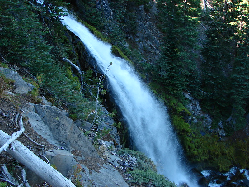
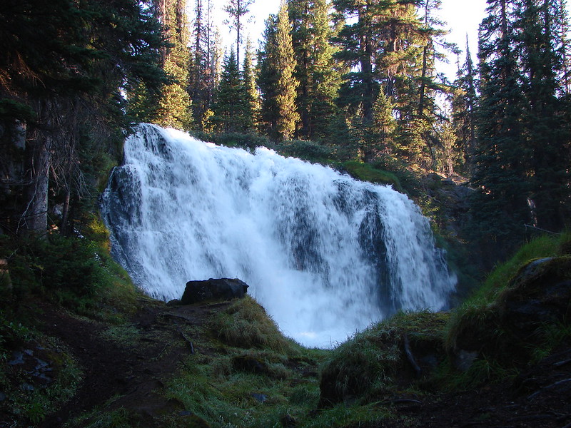
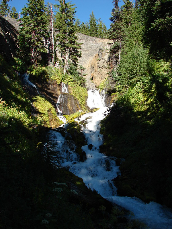
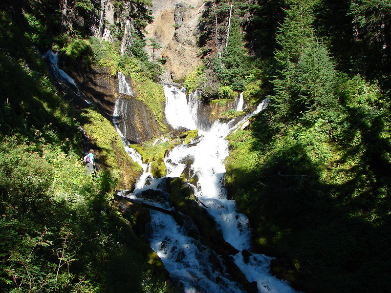
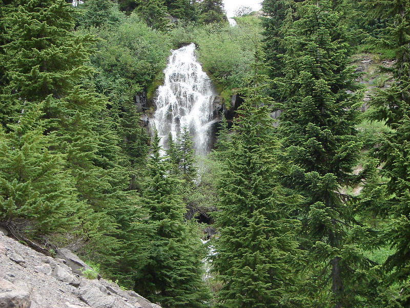
Just .2 miles from the trailhead we came to the start of the loop and also the first view of Royal Terrace Falls which is actually not on McDowell Creek but a side stream that feeds into the creek. The falls were roaring with all the extra water and were really spectacular.
Royal Terrace Falls
Turning left on the loop we crossed the stream below the falls where a bench offers a great front row view of the falls.
Royal Terrace Falls

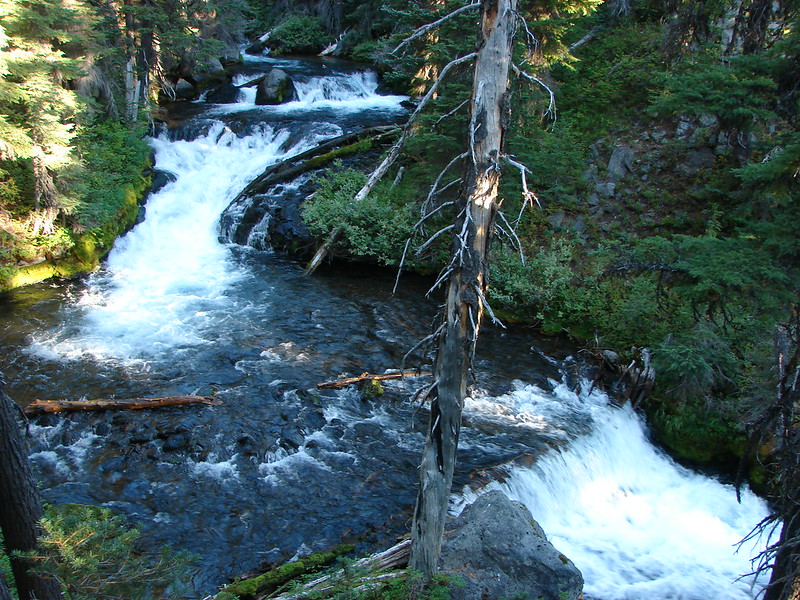
The storms that had brought the rain and snow had downed a lot of trees and limbs but this portion of trail had been cleared already. A fairly level .4 miles brought us to Crystal Falls above Crystal Pool. The water flow was so strong that Crystal Pool was not identifiable, but Crystal Falls was putting on a good show.
Crystal Falls

Beyond Crystal Falls .2 we came to a pretty impressive footbridge across the creek.
DSC02802
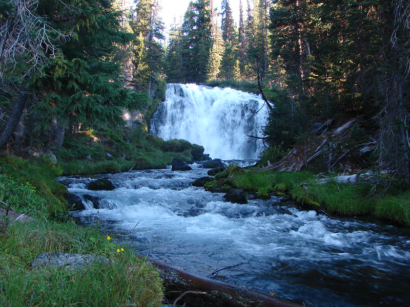
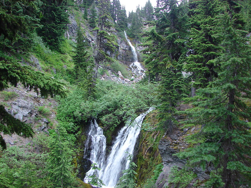
As we approached the bridge Majestic Falls came into view around a bend in the creek.
Majestic Falls
Majestic Falls

Stairs led up to the top of the falls where an observation deck is located. A downed tree had smashed the railing and was blocking the deck entrance but it appeared the deck itself was okay. The trail then came to the eastern parking lot and continued on the far side. Unlike the earlier section of trail this portion had not been cleared yet of the storm debris. We picked our way over, under, and around several messy sections before reaching the stream above Royal Terrace Falls. Another footbridge brought us across the stream and directly above the falls.
DSC02819

A series of stone steps led to the trail junction and the end of the loop, but first I decided to check out a narrow trail that looked to lead to the “terrace” of Royal Terrace Falls. Wary of the wet conditions I carefully made my way along the trail and to the base of the upper section of the falls.
Royal Terrace Falls (Upper portion)

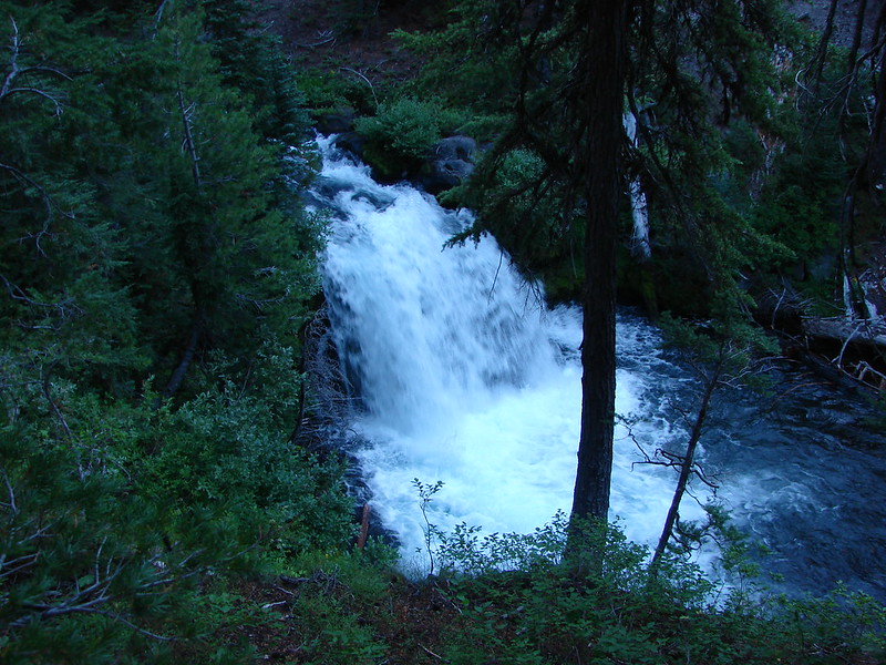
After completing the loop we had one more fall to check out. We returned to the parking area and picked our way down stream through some more blow down and found a good view of Lower McDowell Creek Falls.
Lower McDowell Creek Falls
The tree hanging out in front of the falls looked to have fallen during the storm, but the green moss made for a nice contrast to the white water of the falls in the background.
We couldn’t have picked a better day to visit these falls. Not only were they flowing full force but we had mostly dry conditions and even saw the Sun once or twice.

This coming weekend we’ll be taking a route finding and navigation class put on by the local outdoors group The Chemeketans. We’re looking forward to getting more comfortable with our map & compass skills as we are hoping to do a little more off trail exploration this year. The best way to enjoy the trails is to stay safe on them and this should help keep us that way. Until next time – Happy Trails!

photos: Flickr http://www.flickr.com/photos/9319235@N02/sets/72157641077965535/
facebook https://www.facebook.com/media/set/?set=a.10203367105045532.1073741868.1448521051&type=1

Categories
Hiking Northern Coast Oregon Oregon Coast Trip report

Neahkahnie Mountain

Happy New Year! A favorable weather forecast encouraged us to kick off our 2014 hiking year a bit sooner than planned. Just as we had done last year we turned to the Oregon Coast to get things started. While most of the country was dealing with frigid temperatures we were off to Oswald West State Park where a Sun filled day and 50 degree temperatures awaited.

For Heather and I this was our second visit to the park. In June 2012 we hiked out and around Cape Falcon where wild flowers and dramatic views were plentiful. (Pictures from that hike can be seen here: http://www.flickr.com/photos/9319235@N02/sets/72157632953462404/ ) For this trip we were set to explore the southern end of the park and follow the Oregon Coast Trail (OCT) up to the summit of 1631′ Neahkahnie Mountain.
Neahkahnie Mountain from Cape Falcon in 2012
Smugglers Cove

We parked in the large beach access parking area on the east side of Highway 101 where the Short Sand Beach trail begins. This was the same trail we had started on for our previous visit, but after a couple of hundred yards we turned left onto the Old Growth trail. Two tenths of a mile on that trail brought us to a trail junction with restrooms where we forked left on the .1 mile Cedar Crossing trail. This path ended at Necarney Creek where it intersected the .3 mile Necarney Creek trail. (As you can tell there are a lot of short trails in the area.)

At the Necarney Creek trail we had an option. According to the park brochure/trail map if we turned left we would find the .4 mile Necarney Falls trail. I had read a trip report from 2012 that indicated there was some bushwhacking involved in reaching the waterfall but the trail was still shown on the online map so left we went. Soon the Necarney Creek trail bent away from the creek which was where we had expected to find the falls trail, but there were no trail signs and we quickly reached the end of the creek trail at a small parking area. After re checking the park map and verifying the location of the supposed trail we returned to the bend to see if we could find it. There was a faint unmarked path leading toward the creek into the underbrush at the bend which we decided must have been what was left of the trail. It was less than .5 miles to the falls so we decided to make an attempt at reaching them and headed into the brush.

The former trail was virtually gone save for a few short sections here and there. We kept as close to the creek as possible as we made our way under the highway and up the narrow canyon. There were several slides and plenty of downed trees to pick our way around. After crossing a small side stream the canyon narrowed even more and we were forced down to the creek bed. Luckily the water level was low enough that we were able to stay dry by rock hopping until we reached Necarney Falls. The reward was worth the efforts.
Necarney Falls

We retraced our steps (as best as we could) and returned to the maintained trails where we followed the Necarney Creek trail to a foot bridge which crossed the creek and led to the Elk Flats trail.
Suspension bridge over Necarney Creek
We took a quick trip down to Short Sand Beach before for a photo-op before setting off on the Elk Flats trail.
Smugglers Cove
We then followed the 1.3 mile Elk Flats trail through the park passing several nice ocean views before entering a meadow near the Devils Cauldron overlook.
Meadow along the Elk Flats Trail

After taking in the view from the overlook we climbed east through the meadow to yet another small parking area along Hwy 101. Across the highway was the North Neahkahnie Mountain trail. Both the Neahkahnie Mountain and Elk Flats trail are part of the OCT which extends 360 miles from the Washington border to California. Less than 100 miles of the OCT are actual trail though, with the majority of rest of the miles being on beaches and the remainder on the shoulder of Highway 101.

After crossing the highway we quickly began climbing, needing to gain 1200′ in 2 miles of trail. The first section of the trail led up through an open meadow via a series of switchbacks. We guessed the meadow would be full of flowers in Spring and early Summer, but for this hike we were content with the views which extended from Cape Falcon in the north to Cape Mears and Cape Lookout to the south.
Looking up the meadow:
Meadow along the North Neahkahnie Mountain Trail
Cape Falcon from the meadow:
Cape Falcon from the North Neahkahnie Mountain Trail

At the top of the meadow the trail entered an old growth forest where it remained until we were just below the rocky summit. The view from the summit was excellent and the clear skies and lack of a significant breeze made it a perfect spot for lunch.
Entering the forest:
North Neahkahnie Mountain Trail
Summit view:
Nehalem Bay, The Pacific Ocean, Cape Mears, and Cape Lookout
Lunch:
Lunch on Neahkahnie Mountian

After lunch we returned they way we had come (minus the side trip to Necarney Falls 🙂 ). We decided to make one final stop though before leaving the coast. Dominique had not been with us in October when we hiked at Cape Kiwanda in Pacific City, so he had not had the experience of dining at the Pelican Pub. This was as close as our hiking schedule would bring us to Pacific City this year so we took a short detour and stopped in for an early dinner. The food was a good as we’d remembered and we were fortunate enough to be there as the Sun set over the Pacific which was a perfect way to end the first hike of the new year. Happy Trails!

<img src="DSC02702” alt=”” />

The rest of the photos on flickr: http://www.flickr.com/photos/9319235@N02/sets/72157639463787314/ or Facebook: https://www.facebook.com/media/set/?set=a.10203069673009917.1073741867.1448521051&type=1

Categories
Hiking Northern Coast Oregon Oregon Coast Trip report

Tillamook Head

**On April 17th, 2026, the Clatsop Loop Trail, west section (south of Hikers’ Camp and north of Indian Beach) was closed due to an active landslide until further notice. **

We recently wrapped up our 2013 hikes. We started on the Oregon Coast at Cape Perpetua in February and ended 140 miles to the north at Tillamook Head. Undaunted by some recent snow and cold weather (lows in the teens) we were determined to complete our final scheduled hike. The forecast for Seaside was for clear skies and a balmy 36 degrees and highway 26 over the coast looked passable so we bundled up and set off. We were looking forward to the possibility of seeing some snow at the coast since it is a rarity here in Oregon.

We chose to begin our hike at Ecola State Park on the Cannon Beach side of Tillamook Head. This meant paying a $5 fee to park which we could have avoided by parking at the Seaside end, but better views and a less steep start to the hike were worth the expense. We were the lone car in the large picnic parking area at 8am and had the views all to ourselves.

View south from the Ecola Picnic Area

From the picnic area we headed north toward Indian Beach stopping occasionally to take in the views of Sea Lion Rock and the old lighthouse on Tillamook Rock.

Sea Lion Rock
Sea Lion Rock
Tillamook Rock
Tillamook Rock

When we arrived at Indian Beach we found some very interesting ice formation in addition to the superb views.
044

053

066

068

In addition to the ice there were a couple of small tide pools to check out.
082

From Indian Beach we continued north taking the Clatsop Loop Trail, part of which William Clark traveled in 1806 with a party in search of a stranded whale. The forest here is still home to some of the same Sitka Spruce trees that he and his group passed by which was a neat thing to think about. The loop trail turns back at Hikers Camp where you can visit the nearby remains of a WWII radar installation.

Hikers Camp
Hikers Camp
WWII radar installation

We kept heading north from Hikers Camp heading toward the summit of Tillamook Head, a whopping 1130′ above sea level :). We passed over the summit and went just a bit further until the trail began to really descend toward Seaside. We decided we didn’t want to have to climb all the way back up so we called it good and head back to Hikers Camp to complete the loop trail. It had started to snow, more like small white pellets, and the clear skies promised by the weather.com had never materialized. We passed more ocean views and various types of vegetation as we headed back to Indian Beach.

114

135

We had only seen one other group of people so far and that was a family that came down to Indian Beach briefly when we were there, but upon arriving back at the beach we discovered it had been populated by some brave surfers.

142

149

It wasn’t until we had left Indian Beach and were almost back to the picnic area though before we ran into any traffic on the trail.
171

She was moving too fast for the camera but it was fun to watch her come up the hillside and then dash off into the forest.

The number of cars in the parking lot had swollen to three (including ours) when we got back to the picnic area at about 3pm. Despite the completely incorrect weather forecast it had been a great hike and a perfect way to end for 2013. Happy Trails!

173

Photos on facebook: https://www.facebook.com/deryl.yunck/media_set?set=a.10202865376982644.1073741866.1448521051&type=3
Flickr: http://www.flickr.com/photos/9319235@N02/sets/72157638495394186/

Categories
Hiking Oakridge Area Old Cascades Oregon Trip report

Goodman Creek to Eagles Rest

500 miles! Heather and I reached that hiking milestone for 2013 this past weekend. We hadn’t started out with that accomplishment in mind but as the year progressed added hikes and added distances (What’s down that trail?) made it a reachable goal. It’s amazing to us to think that all that hiking isn’t even 1/5 of what it would take to complete the entire 2,650 miles of the Pacific Crest Trail. Even so it was a nice feeling to hit that mark before the year was over.

On to the hike that put us over the top. We headed back down to the Eugene area for another creek hike. We had hiked both Larison and Fall Creek in the same area back in March, and this time we had our sights set on Goodman Creek in the Willamette National Forest. This trail offered a chance to climb up Eagles Rest to a viewpoint overlooking the Lost Creek Valley. We woke up to some pretty heavy morning fog and weren’t sure what we would find at the trail head, but shortly after leaving Eugene on Highway 58 we rose above the fog to a nice bright morning. The Goodman Creek Trail actually starts on the Hardesty Mountain Trail near milepost 21 on Hwy 58.

The trail set off in an old growth forest full of moss and mushrooms and soon split with the left fork heading up to Hardesty Mt. and the right fork to Goodman Creek.

005

The trail slowly climbed at a distance from Goodman Creek for 2 miles where a small creek joined the main branch of Goodman Creek. Just before the confluence there was a side trail at the back of a campsite leading down to the small creek and a pair of scenic small falls.

022

034

After visiting the falls we crossed Goodman Creek on a log footbridge and continued another 2.2 miles to another trail head on Goodman Creek Rd.

Goodman Creek Crossing
Trail leading to a log crossing on a branch of Goodman Creek

From the road the trail then continued to climb through the forest to the Ash Swale Shelter. We saw several rough skinned newts in this section. The shelter was in good shape and offered a nice spot to sit and have a bite to eat.

Approaching the shelter
View from the Ash Swale Shelter

From the shelter it was another mile to the former lookout site atop Eagles Rest. The trail crossed paved Eagles Rest Road just .3mi from the shelter. The forest changed dramatically after crossing the road. Until then the forest had been damp and full of moss, ferns, and various mushrooms and fungus. On this side of the road the forest was much drier and the undergrowth more sparse. Sunlight began filtering through the trees and soon we reached a viewpoint overlooking the Lost Creek Valley.

108

109

We continued up the trail to the better viewpoint atop Eagles Rest. Here we could see Hardesty Mountain and Mount June to the east (A hike we had done at the beginning of June). To the west the valley still appeared to be fogged in. There were several burns taking place in what looked to be clear cut areas in the valley leaving a bit of a haze but it remained a decent view.

Hardesty Mountain and Mount June (from left to right)
Valley clouds
Valley clouds
Lost Creek Valley
Lost Creek Valley

We hadn’t seen any people all day and the forest had been full of peace and quiet up until the target shooting began down in the valley. With that we decided it was time to head back down the trail and make our back to the car. The forest had brightened as the Sun passed overhead making the forest colors even more striking.

139

140

The trail was in good condition and well used although we didn’t run into very many people until the final two miles. Given it’s low elevation (starting @ 1000′ and topping out @ 3024′) and easy trail head access this hike is an option much of the year making it a good choice for late fall or early spring.

Our other goal for the year was to do at least one hike a month (January was lost due to our passing the flu around) so we’re hoping to get out at least once more this year. Until then Happy Trails.

Facbook Photos: https://www.facebook.com/media/set/?set=a.10202612354697245.1073741864.1448521051&type=3
Flickr: http://www.flickr.com/photos/9319235@N02/sets/72157637535657125/

Categories
Bend/Redmond Central Oregon Hiking Oregon Trip report

Black Butte

For the final hike of our vacation we decided to say farewell to the mountains for the year. Black Butte provided us the opportunity to get one last good view of the Cascades and a nice bit of elevation gain to boot. We had been checking the weather forecast as often as possible to see if it would be worth the effort and when we went to bed the night before our hike the forecast was for clear sunny skies all day long. They were wrong. lol

My first inkling that something was amiss was when I was loading the car in the morning and there were no stars visible in the sky. As we began our drive to the trailhead occasional sprinkles of rain were falling, but we were committed now and figured that it was early and maybe the clear skies were just a little late.

We arrived at the lower Black Butte Trailhead under cloudy skies but at least there was no rain. The trail set off through pine trees and a carpet of orange ferns.
198
We caught several glimpses of Black Butte on the lower portion of the trail and at least it was cloud free (it had not been on the drive earlier).

Black Butte from the lower trail

The lower portion of the trail passed through a variety of forest types. The ever changing makeup of the trees and plants was very interesting.
208

Cedars
Cedars

213

215

There would have been some mountain views on a clearer day along this portion as well but on this day all we could make out was the snow line at the base of Mt. Washington and Three Fingered Jack. We were still hoping that the cloud cover would burn off by the time we reached the summit so we continued to climb to the upper trailhead.

From the upper trailhead we climbed out of the forest to the more exposed upper slopes of Black Butte. Here the view was virtually unobstructed by trees but the clouds were a different story. There was a thick layer of clouds above our heads but low enough to hide the taller Cascade Peaks. Below us were smaller patches of clouds passing by and sometimes over us.

Mt. Washington
Mt. Washington
Looking down past the clouds

As the trail wound up and around the butte we got our first good look at the lookout tower. We also noticed that the summit appeared to be a bit snowy or at least frosty.
242

We had been overly warm as we climbed so far and had taken most of our layers off but as we entered the “white” zone we were met with much colder air. As we worked our way around the north side of the butte a slight breeze brought even colder air to us and kept this side of the butte wintry white.
264

272

283

To the north we could see the edge of the upper cloud layer as sunlight reflected off the lower clouds.
271
To the NE we spotted the top of a snowy mountain against blue sky – Mt. Hood!

Mt. Hood
Mt. Hood

Further around we found ourselves staring at the base of Mt. Jefferson. The view was strangely reminiscent of the view we’d had on Double Peaks on the opposite side of the mountain just 3 days earlier with clouds covering the upper 2/3rds of the mountain and blue sky apparently above and behind the mountain.

Mt. Jefferson hidden again

At the summit the snow/ice created some interesting scenes.
286

287

288

We explored the area on top of the butte where the lookout tower is not the only structure. A 1924 cupola that was the former lookout and a log cabin where the lookout staff lives were also present.

1924 cupola
1924 cupola

302

Signs on the summit listed the mountain peaks that would be visible on a clear day from Broken Top to the south to Mt. Adams to the north. We were mostly left with our imaginations. 🙂 Looking out over the log cabin we could see a good portion of Three Fingered Jack and some of Mt. Jefferson.

Three Fingered Jack
Three Fingered Jack

We hung around for a little over half an hour hoping that the clouds would break up but the lower clouds just kept coming up from behind us and the upper clouds didn’t seem to be budging. Just as we started to leave though we noticed the upper layer was breaking up to the north and there seemed to be some breaking up near Mt. Jefferson. We turned around and headed back toward the cabin but the low clouds were rising up just in front of us so we again headed back down. I kept looking back though hoping for something when we finally got a little break and the summit of Mt. Jefferson made an appearance over a ribbon of clouds.

Mt. Jefferson
Mt. Jefferson

As the upper clouds retreated south we suddenly had blue sky above us and the frosty coating quickly melted from the trees and plants.
As we came around to the south side of the butte Mt. Washington was a bit more visible.

Mt. Washington
Mt. Washington


The upper layer of clouds retreating south

Just as quickly as the blue sky had appeared one of the larger low clouds enveloped the side of Black Butte and we were once again without a view.

When we got down past the upper trailhead we finally got back out of the cloud and could once again see out to where the mountains would be. Even though the upper layer of clouds had mostly retreated the lower clouds were quickly replacing it and many of them clung to the taller peaks. We did manage to get a good view of several small peaks and buttes though.

Belknap Crater and Little Belknap
Black Crater
Black Crater
Hayrick Butte & Hoodoo

We even got a brief glimpse of North Sisters summit.
363

This time on the lower trail we spotted a decent amount of wildlife including chipmunks, douglas squirrels, golden-mantled squirrels, and various birds. Some were more willing to have their pictures taken than others.
351

368

369

376

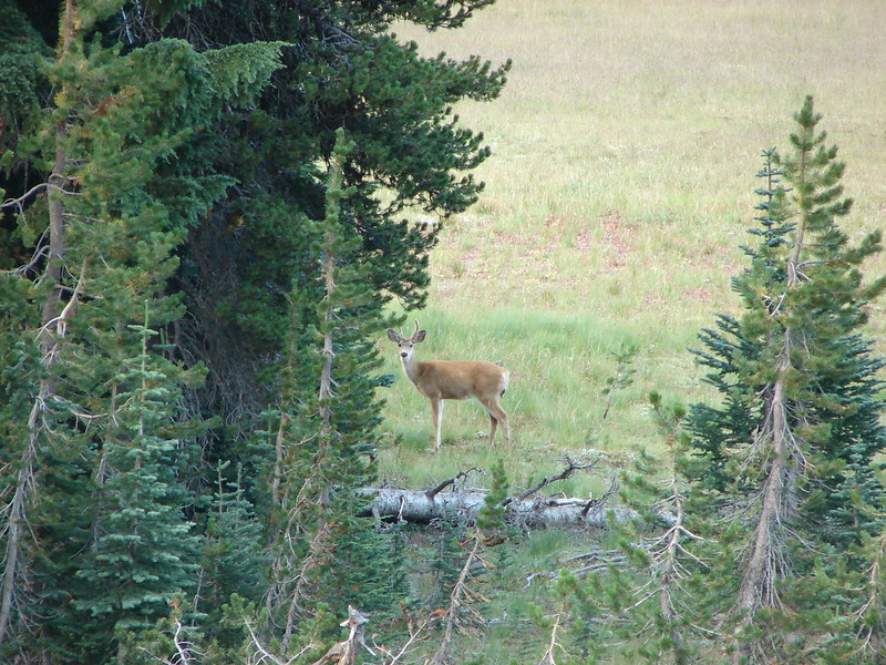
We were supposed to meet my parents at the trailhead at 2:00 so they could drop off Dominique (who had chosen not to accompany us on the hike). A series of mishaps led to a bit of an adventure but while we were waiting a group of deer came by the parking area.
384

We eventually met up with my parents and reclaimed Nique and headed home. With that the bulk of our 2013 hikes were behind us. We’ll hopefully get out a couple more times this year, but our activities have now shifted to running for the next several months. It’s the beginning of our race season and we are all starting to train for a 15 mile trail run in a couple of months. Happy Trails.

Facebook photos:https://www.facebook.com/deryl.yunck/media_set?set=a.10202390873000341.1073741863.1448521051&type=1
Flickr: http://www.flickr.com/photos/9319235@N02/sets/72157636523907403/

Categories
Bend/Redmond Central Oregon Hiking Oregon Trip report

Central Deschutes River

We headed over to Central Oregon for the last part of our vacation to visit our families and get a couple more hikes in on the east side of the Cascades. Originally we had planned on combining two hikes in one day for our first hike. Tipsoo Peak in the Mt. Thielsen Wilderness followed by Mount Scott on the rim of Crater Lake. We had to abandon those plans for good when the Government Shutdown closed Crater Lake so we turned to a standby hike along the Deschutes River between Trout Creek Campground and Mecca Flats.

With a trail head at each end of this 7.6 mile segment it allowed us to set up a shuttle with Deryl’s parents where they would start at Mecca Flats with Nique while we started at the Trout Creek Campground. The idea was we would do the whole trail both ways while the went from their car to ours, then we would drive them back to Mecca Flats to pick up their vehicle. With the plan set Heather and I headed to Trout Creek and set off along the Deschutes through the rivers canyon.
007

The trail follows an old railroad grade along the river surrounded by the scenic canyon walls. The river cut a colorful ribbon through the sagebrush desert. We spotted a heron standing on the river bank apparently watching for small fish.

Heron
Heron
Splashes of color in the sagebrush

We spotted quite a few birds along the way as well as some deer making their way up the canyon side.

Pair of ducks on the river

060

Deer near the top of the canyon
Kingfisher near Mecca Flats
Finch
Finch
Hidden heron on the rocks
Merganser
Merganser

There was also still a number of flowers in bloom along the river.
085

094

099

102

104

166

193

We met Dominique and my parents on the trail earlier than we had expected. They were moving a lot faster than they thought they would be. They gave us some info on what to expect on the trail ahead including to be watching for Scorpion Rock on the Warm Springs Reservation side of the river and a waterfall on our side of the river near a small creek.

Waterfall from an irrigation pipe way in the distance
Grassy creekside
Grassy creekside
Scorpion Rock
Scorpion Rock

Heather and I eventually made it to Mecca Flats where I accused my parents of hitching a boat ride with some of the many fishermen we’d seen. It was the only explanation of how they managed to make it that far that fast ;). We turned around at Mecca Flats and headed back toward our car and my family. Along the way we noticed a scenic red tree growing in the midst of a rock slide and several rock climbers high on the canyon cliffs.

The view from Mecca Flats
Red tree
Red tree
Rock climbers on the canyon cliffs

It was a nice relaxing hike and a good time of year for it since the area is known for rattlesnakes in warmer weather. It was also nice to do a hike in the sagebrush landscape of Central Oregon. Ironically enough we were almost due east of our previous hike on the Red Lake Trail in the Mt. Hood National Forest and less than 50 miles as the crow flies. What a difference location and elevation makes. Happy Trails!

Facebook photos: https://www.facebook.com/deryl.yunck/media_set?set=a.10202388684345626.1073741862.1448521051&type=1
Flickr: http://www.flickr.com/photos/9319235@N02/sets/72157636480343143/

Categories
High Cascades Hiking Mt. Jefferson Area Oregon Trip report

Red Lake Trail

**Note the 2020 Lionshead Fire burned the area covered by this hike.**

I am a bit behind on our trip reports but that’s because we were busy getting a few more hikes in on our final week of vacation. After our hike on the coast at Pacific City we headed back toward the mountains on Thursday. We had been debating on whether or not to attempt the hike we had planned due to the early snow that had been falling in the Cascades. The planned hike had us starting on the west end of the Red Lake Trail, climbing Potato Butte, continuing on to Top Lake, and then making a small loop past Cigar Lake where we would attempt to climb Double Peaks before returning to the Red Lake Trail and our car.

It was a nice morning as we set off and there were some good Fall colors on display. We climbed for a mile and a half before reaching the trails namesake – Red Lake.
017

Water on the Red Lake Trail
Red Lake
Red Lake

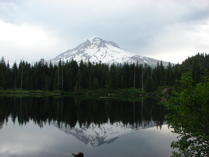
After passing Red Lake the trail then visits three more lakes in the next 1.3 miles. Avrill Lake was up first with a great reflection of Olallie Butte and Twin Peaks.
059

Next up was Wall Lake where we got our first good glimpse of Potato Butte.
072

Finally we came to Sheep Lake where a pair of ducks paddled beneath the reflection of Double Peaks.
086

We took a trail on the eastern end of Sheep Lake that led up to Potato Butte. There were several swollen ponds along this trail and in places standing water obscured the path. We wound up losing the trail at the base of the butte and decided to scramble to the top and hope to pick up the correct trail at the summit.

One of the many swollen ponds along the Potato Butte Trail

We arrived at the summit and easily picked up the official trail. We had a fairly good view of Mt. Hood despite the presence of some clouds and a great view of Olallie Butte.

Mt. Hood from Potato Butte
Olallie Butte from Potato Butte

On the way down on the real trail we got a good look toward Mt. Jefferson which was hiding in the clouds and at Double Peaks. At 5280′ Potato Butte had only small amounts of scattered snow but Double Peaks was clearly snow-covered at its height of 5998′.

Looking toward Mt. Jefferson from Potato Butte
Twin Peaks on the left and Double Peaks on the right from Potato Butte

When we got to the base of the butte we saw the reason for our having lost the trail on the way up. One of the ponds had enveloped the actual trail making it impossible to see. We made our way around the edge of the pond and back to the Red Lake Trail and continued east toward the Pacific Crest Trail which we would use for part of our small loop to Cigar Lake.

The trail passed Fork Lake and several other unnamed ponds/lakes as it slowly climbed toward the PCT. We also began encountering more and more snow as we went.

Pond below Twin Peaks
Increasing amounts of snow

The snow made it possible to see a variety of animal tracks showing us just how many different species that we never see walk these same trails. At the PCT junction we continued on the Red Lake Trail heading down now to Top Lake.

Some of the tracks in the snow
Top Lake
Top Lake
Fall on the shore of Top Lake

At Top Lake we left the Red Lake Trail and skirted the overflowing lake to its south end and climbed back up to the PCT near Cigar Lake.

Double Peaks from Cigar Lake

There was a good amount of snow at Cigar Lake but we decided to see how far up Double Peaks we could make it. We found the marker for the trail easily enough, but between the snow and the extra water around Cigar Lake we were having a hard time determining just where the trail actually was. Luckily for us a deer had left us a set of tracks that we were able to follow that led us across and around the edge of Cigar Lake and to the continuation of the Double Peaks Trail which was just barely identifiable by a slight indentation in the snow.

Snow and water near Cigar Lake
Double Peaks Trail
Double Peaks Trail

Once we found the trail it was like walking through a winter wonderland. The snow was anywhere from a half-inch deep to mid-shin. The snow-covered trees looked ready for Christmas making this one of the most enjoyable stretches of hikes we’d had.

Heather on the Double Peaks Trail
Christmas Trees in October

The trail was fairly steep and we almost lost it near the top when it veered up between some boulders but we managed to follow it all the way to the summit.

The base of Mt. Jefferson from Double Peaks
Evidence of wind and ice
Potato Butte from Double Peaks
Olallie Butte
Olallie Butte
Timber, Olallie, Long, and Monon Lake from Double Peaks

We didn’t get the view of Mt. Jefferson we’d hoped for but the snow more than made up for that. As we started down Double Peaks the day began to warm up and the snow was melting quickly. We did a lot of sliding down the slushy trail before reaching the PCT again and heading back to the Red Lake Trail. We returned the way we’d come only now we had some blue skies and sunlight as we passed the lakes and arrived back at our car. Happy Trails!

Sunlight mushroom
Sunlight mushroom
Twin Peaks from Sheep Lake in the afternoon

Facebook photos: https://www.facebook.com/deryl.yunck/media_set?set=a.10202367670300288.1073741861.1448521051&type=3
Flickr: http://www.flickr.com/photos/9319235@N02/sets/72157636413874236/

Categories
Central Coast Hiking Oregon Oregon Coast Trip report

Pacific City

It had been several months since we’d taken a hike along the Oregon Coast so for a change of pace we headed to Pacific City to check out Cape Kiwanda and Bob Straub State Park. We parked at the lot for Cape Kiwanda near the Dory Boat Launch and started our hike by heading over to the cape. Haystack Rock rose from the ocean just beyond the cape while seagulls patrolled the beach.
012

After a little exploration on Cape Kiwanda we retraced our steps and headed out to the tide pools next to the cape. The tide was out far enough to reveal several starfish and anemones.
038
We then headed south along the beach toward the Nestucca Spit and Bob Straub State Park. Vehicles are allowed on certain parts of this beach but only a couple came down and none stayed long. Several flocks of seagulls were gathered along the beach as well as a handful of other ocean birds.

Seagulls on the beach

Sandpipers
Sandpipers
Pelicans
Pelicans

When we reached the end of the spit we turned along Nestucca Bay to make a loop around the spit through Bob Straub State Park. More birds awaited us in the bay including some ducks and a heron.

Heron
Heron

Ducks
Ducks

We also saw many clam shells and a couple of nearly complete crabs. We enjoyed watching the seagulls pick up the clams, fly them into the air, and then drop them.

Seagull with a clam
Seagull with a clam

Clam shell
Clam shell
Crab
Crab

We originally missed the trail that would take us from the bay shore across the spit to a forested trail network. When we reached an impassable estuary we turned around and located the correct path. We found a surprisingly dense and scenic forest waiting for us in the middle of the spit. Moss covered the ground and many trees while bright colored mushrooms dotted the green carpet. A few flowers remained in bloom even as many of the leaves showed their fall colors.
168

169

178

There was a confusion of trails in the forest and absolutely no signs indicating where any of them went or which was the correct one to reach the park. We eventually found ourselves in a meadow along the Nestucca River. The trail we were on went down to a nice little beach along the river where it promptly ended. We turned back around and took a different path only to wind up arriving at the same meadow from a different direction. At that point we had already been on a couple of overgrown paths and I was getting a little irritated at the lack of signs. It was time for drastic measures so we turned to the gps and struck off on a faint game trail in the direction of the park. This worked out fairly well as we wound up popping out of a thicket of scotch broom on an old road less than 50 yards from the parks entrance road.

Scotch Broom where we emerged onto the old road

We walked to the parks parking lot and then followed a short trail back to the beach and headed back toward Cape Kiwanda. One the way back we encountered the largest flock of seagulls we’d seen all day. They took to the air as we passed by making for a scene straight out of the movie The Birds. As I was busy taking pictures I realized I was a sitting duck and should probably move before I was hit by a seagull bomb.
214

224
Despite the constant presence of gray clouds we had only had a couple of short bouts of rain until now. We escaped the seagulls only to be met with a sudden uptick in wind followed by a heavy sideways blowing rain. The rain let up just before we reached the Dory Boat Launch and our car where we dried off a bit and then walked across the parking lot to the Pelican Pub & Brewery for some lunch. http://www.yourlittlebeachtown.com/pelican
The food was great and the view out to Cape Kiwanda and Haystack Rock made for a perfect end to an interesting beach hike.
Happy Trails.

Facebook photos: https://www.facebook.com/deryl.yunck/media_set?set=a.10202353684630655.1073741860.1448521051&type=3
Flickr: http://www.flickr.com/photos/9319235@N02/sets/72157636339936434/

Categories
High Cascades Hiking Oregon Trip report Waldo Lake Area

Fuji Mountain

**Note a portion of this hike burned in the 2022 Cedar Creek Fire.**

After a (well timed) scheduled week off we were back on the trails this past weekend. A highly unusual storm had rolled through as September gave way to October. Not only had this storm brought record amounts of precipitation but some of that precipitation fell as snow as low as 4000′. The hike we had planned, Fuji Mountain, topped out at 7144′ so we weren’t sure if it was going to be doable but some warmer weather moved in and we decided to give it a go. If we managed to make it up to the summit we knew the views should be great, and worst case scenario we could just choose a different lower trail in the area.

Fuji Mountain is located in the Waldo Lake Wilderness near Highway 58. A pair of trail heads lead to the summit. From the SW a 1.5 mile option starts on road 5883 making for a nice short hike. We chose to start from road 5897 (Waldo Lake road) to lengthen the hike a bit and visit some of the areas many lakes.

The trail begins just below 5000′ and started out snow free, but that didn’t last for long. We quickly began seeing snow along the trail and then on the trail itself. We followed a single set of hikers prints as we climbed up toward the first of the lakes.
006
They weren’t the only set of prints in the snow. 🙂

Black bear print
Black bear print

It wasn’t long before there was more snow covered trail than not but the snow wasn’t very deep, only on occasion measuring 6″. The trail climbed for about a mile then gently rolled along a plateau dotted with ponds and lakes for another 2.5 miles. Many of these were at least partly frozen making for some pretty scenery.

Half frozen pond
Half frozen pond
Mushrooms under ice
Mushrooms under ice
Birthday Lake
Birthday Lake
Reflections on Birthday Lake

Shortly after crossing the South Waldo Trail the Fuji Mountain Trail began climbing again. In another mile we met up with the trail coming from road 5883 and began the final 1.2 mile climb to the summit. Here there were more hiker tracks in the snow but we only saw one other couple who were on their way down after spending the night on the summit.

As we climbed we began to have views of snowy Diamond Peak and Mt. Thielsen to the south, but these views paled in comparison to what awaited at the summit. When we arrived at the summit a 360 degree view awaited with Waldo Lake and a string of snowy peaks to the north and more mountains to the south. To the east lay Wickiup Reservoir and Odell Lake with distant Paulina Peak and nearby Maiden Peak in between. To the west were the foothills leading to the Willamette Valley.

Waldo Lake and the Cascades
Cowhorn Mountain, Mt. Thielsen, Hillman Peak and Diamond Peak
Looking west along the summit ridge of Fuji Mountain

It was a beautiful day at the summit, sunny and warm with no wind. We took our time eating lunch and enjoying the tranquility before heading back down. On the way out Heather and I decided to take a brief side trip along the South Waldo Trail to the Island Lakes. It was around half a mile to Lower Island Lake with it’s green water and tiny rock island. Just up and across the trail from Lower Island Lake was Upper Island Lake which also had a small rocky island.

Lower Island Lake's island
Lower Island Lake’s island
Lower Island Lake
Lower Island Lake
Upper Island Lake
Upper Island Lake

The warm weather made the return trip pretty slushy as the snow was melting fairly quickly. When we arrived back at the half frozen pond the scene had changed quite a bit.

The no longer half frozen pond

We all really enjoyed being able to take a hike through the snow and it made for a nice change of pace. I don’t know if the early snow is a sign of things to come or just a fluke but it was enjoyable. Happy Trails!

Facebook phots:https://www.facebook.com/deryl.yunck/media_set?set=a.10202338061520087.1073741859.1448521051&type=1
Flickr:http://www.flickr.com/photos/9319235@N02/sets/72157636271711054/

Categories
Clackamas Hiking Old Cascades Oregon Trip report

Shellrock, Serene, and the Rock Lakes

We headed out on the first day of Autumn for our first post Summer hike and boy did Fall arrive in full force. We headed to the Roaring River Wilderness to check out several lakes on a loop hike. There was a possible view of Mt. Hood and several Washington snow peaks, but it was obvious from the forecast that any views were unlikely. The Roaring River Wilderness is part of the Mt. Hood National Forest and one we had yet to visit. We began our hike at the Shellrock Lake trail head under cloudy skies and a light mist.

After donning our rain gear for the first time in months we decided to do a “warm up” hike to Hideaway Lake in the opposite direction of our planned hike. The trail to Hideaway Lake started on the opposite side of the road from the Shellrock Lake trail. A short .5 miles path brought us to the lake which we then circled on a 1 mile loop. After completing the loop we returned to the parking area and set off toward Shellrock Lake.

The Shellrock Lake trail quickly entered the Roaring River Wilderness and just a short while later we arrived at Shellrock Lake. Fog drifted over the water at this peaceful lake which had plenty of campsites but no campers.

Shellrock Lake
Shellrock Lake

We passed by the lake and began climbing at a sign for the Frazier Turnaround. This portion of the trail was fairly steep and rocky and also full of rough skinned newts. After 1.3 miles of climbing we arrived at Frazier Turnaround where we could have parked if we’d been willing to try the terrible access road.

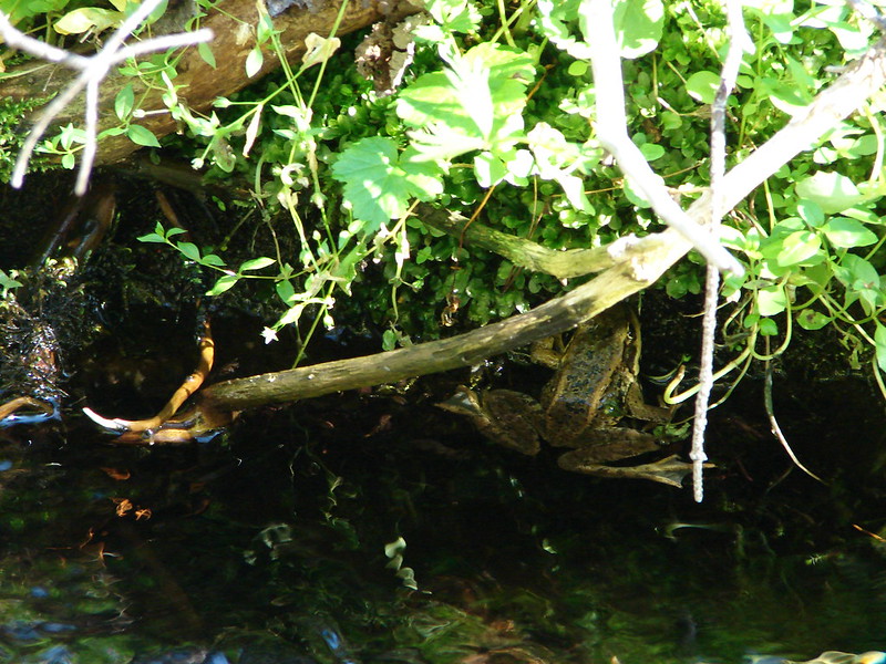
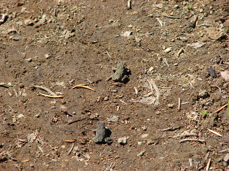
From Frazier Turnaround the loop portion of our hike started. We followed a sign pointing to Serene and the Rock Lakes. Our first destination was Middle Rock Lake. We took the quarter mile path to the lake where we spotted numerous crawdads and a frog.

Crawdads in Middle Rock Lake
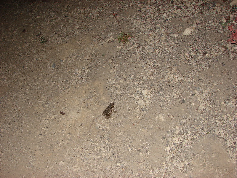
Frog in Middle Rock Lake

The trail continued along Middle Rock Lake and was supposed to take us to Upper Rock Lake. We ran into a little bit of an issue as we attempted to follow this portion of the trail when it appeared to veer away from the lake. We followed this faint path uphill where it was becoming increasingly overgrown until it finally disappeared at several fallen trees. Thinking the trees had blocked the path we worked our way around them and picked up what appeared to be the continuation of the faint path which quickly ended below a rock slide with no lake in sight. It was time to break out the Garmin (again) which revealed that we were too far to the right of Upper Rock Lake so we set off cross country through the wet brush. We passed a pair of scenic lily pad ponds before finally reaching Upper Rock Lake and finding a good trail leading to it’s shore.

Pond near Upper Rock Lake
Upper Rock Lake
Upper Rock Lake

We followed the good trail down and discovered the source of our confusion. A tree had fallen along the shore of Middle Rock Lake which had hidden the trail and obscured the view of the single pink flagging that indicated the correct path. We had turned right at the uprooted base of this tree on the only visible path to us at the time.

We had one more of the Rock Lakes to visit, Lower Rock Lake, which was on the other side of the loop trail so we returned the way we came and went down to visit this last one. There wasn’t much to see there, just a nice little forest lake so we quickly returned to the Serene Lake trail and continued our loop. The trail had dropped down to the Rock Lakes but now we were climbing up through a nice forest. After several switchbacks the trail leveled out and arrived at Serene Lake. This was the deepest lake of the day and was surrounded by rocky slopes and forest. Clouds drifted up over the hillsides surrounding the lake while we had a snack on it’s shore.

Serene Lake
Serene Lake

We left Serene Lake and headed for our last point of interest, Cache Meadow. The trail continued to climb as we continued on until finally leveling off on a plateau above Serene Lake. Here would have been the mountain views with Serene Lake below but the weather had not cooperated and only Serene Lake was barely visible below.

Serene Lake from the viewpoint

The rain began to pick up as we approached Cache Meadow. The meadow was larger than I had expected and the remains of a vast display of flowers covered the ground. Now only a few aster held some lingering petals. A small unnamed lake filled one end of the meadow but we didn’t explore much due to the increasing rain.

Cache Meadow
Cache Meadow

The next four plus miles was through the rain as we completed the loop back to Frazier Turnaround and then descended back to Shellrock Lake. The rain did let up as we left the wilderness area long enough for us to change into dry clothing before driving home. The only thing missing was a cup of hot chocolate 🙂 Happy Trails

Facebook photos: https://www.facebook.com/deryl.yunck/media_set?set=a.10202227553437454.1073741858.1448521051&type=1
Flickr: http://www.flickr.com/photos/9319235@N02/sets/72157635784902576/