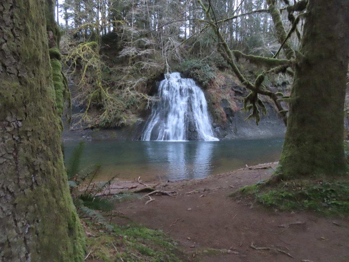
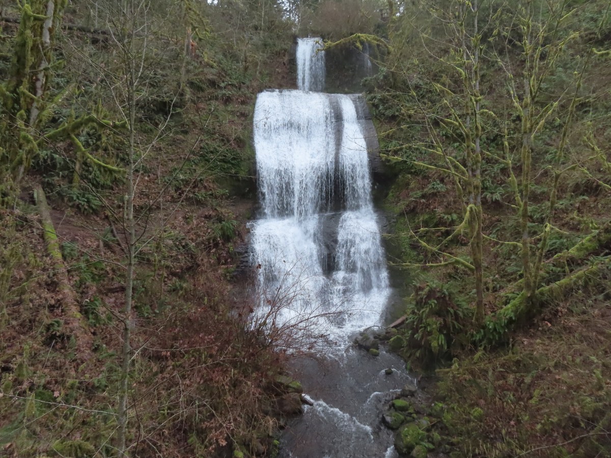
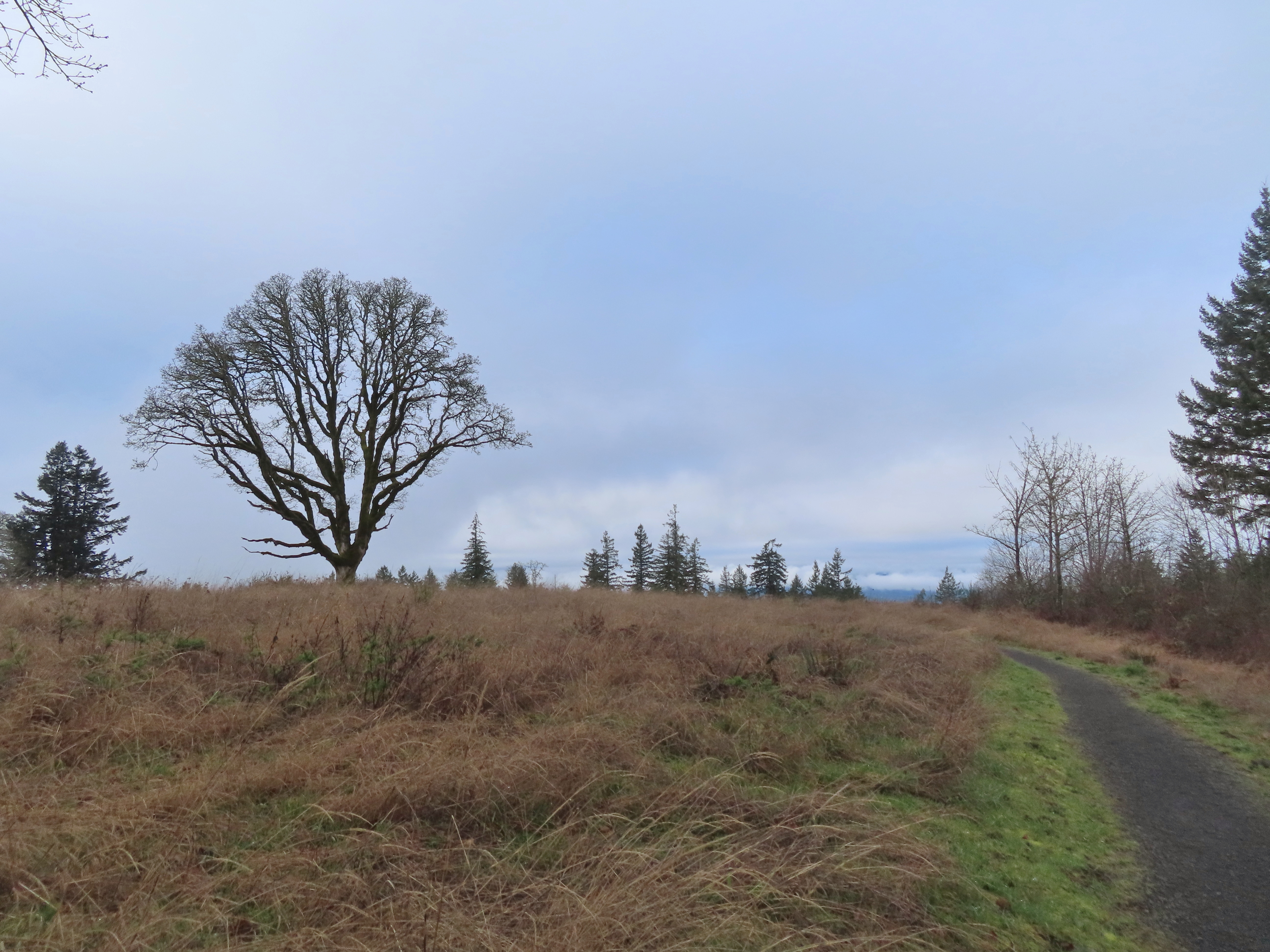
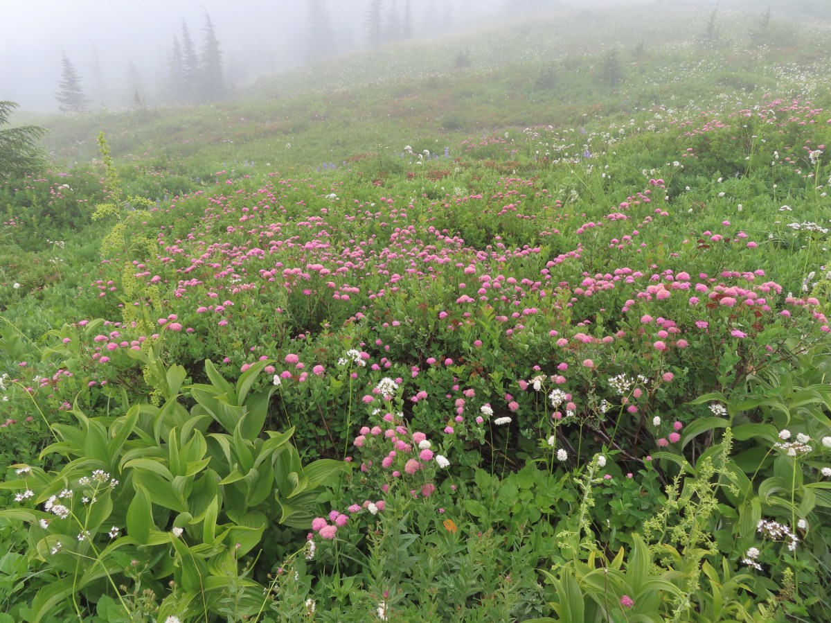
In 2018 we began a tradition of posting a collection of the variety of flowers that we encountered during that year’s hikes. In 2024 we decided to split the gallery into two posts due to the large number of different flowers we were seeing each year. We aren’t botanists and have to rely heavily on online resources, primarily Wildflowersearch.org along with what we’ve learned over our years of hiking. With that in mind here are some (but not all) of the flowers we saw during our Winter and Spring hikes in 2025. Please note that any IDs provided are best guesses and any corrections or additional IDs are greatly appreciated.
The honor of being the first wildflower we photographed in 2025 belongs to this yarrow along Lint Slough on 01/11/2025.


Evergreen violets – Viola sempervirens – Santiam State Forest, 01/20/2025.

Snow Queen – Eagle Fern Park, 03/08/2025.

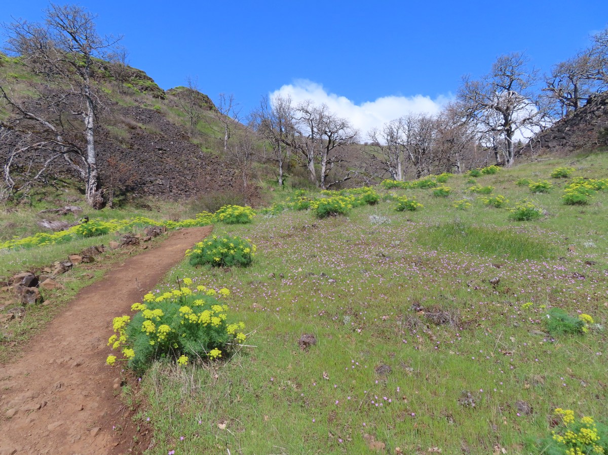
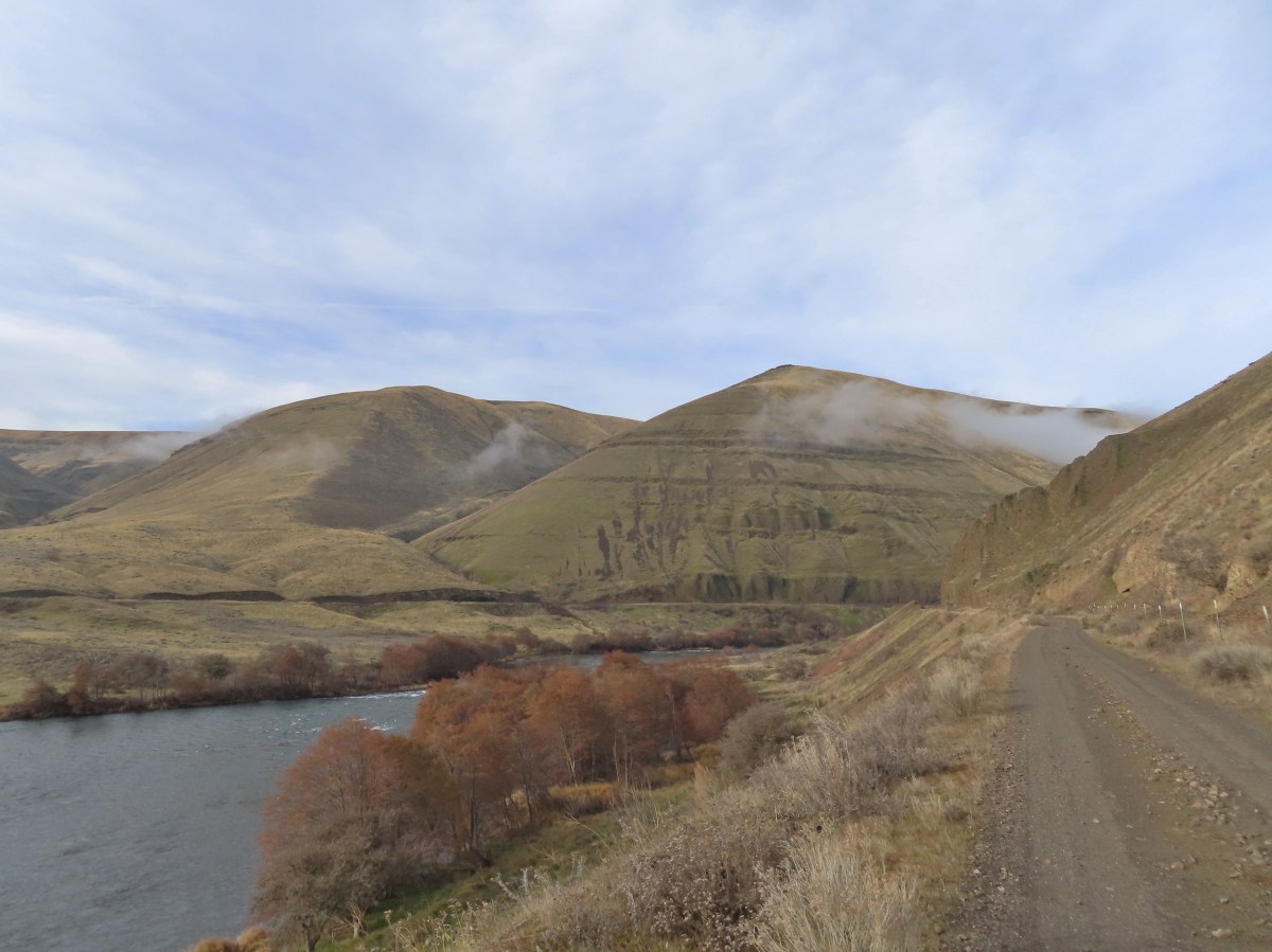
Death camas – Catherine Creek Recreation Area, 03/29/2025.

Dutchman’s breeches- Catherine Creek Recreation Area, 03/29/2025.

Pungent desert parsley- Catherine Creek Recreation Area, 03/29/2025.

Columbia desert parsley- Catherine Creek Recreation Area, 03/29/2025.

Blue-eyed Mary- Catherine Creek Recreation Area, 03/29/2025.

Glacier lily – Catherine Creek Recreation Area, 03/29/2025.

Toothwort- Catherine Creek Recreation Area, 03/29/2025.

Coastal manroot- Catherine Creek Recreation Area, 03/29/2025.

Yellow bell lily- Catherine Creek Recreation Area, 03/29/2025.

Grass widow- Catherine Creek Recreation Area, 03/29/2025.

Daffodils- Catherine Creek Recreation Area, 03/29/2025.

Gold stars- Catherine Creek Recreation Area, 03/29/2025.

Woolly-pod milkvetch- Catherine Creek Recreation Area, 03/29/2025.

Miniature lupine, redstem storksbill, and a popcorn flower- Catherine Creek Recreation Area, 03/29/2025.

Fiddleneck- Catherine Creek Recreation Area, 03/29/2025.

Poet’s shooting star- Catherine Creek Recreation Area, 03/29/2025.

Naked broomrape- Catherine Creek Recreation Area, 03/29/2025.

Saxifrage- Catherine Creek Recreation Area, 03/29/2025.

Tomcat clover- Catherine Creek Recreation Area, 03/29/2025.

Bigleaf maple- Catherine Creek Recreation Area, 03/29/2025.

Pacific hound’s tongue- Catherine Creek Recreation Area, 03/29/2025.

Sagebrush false dandelion- Catherine Creek Recreation Area, 03/29/2025.

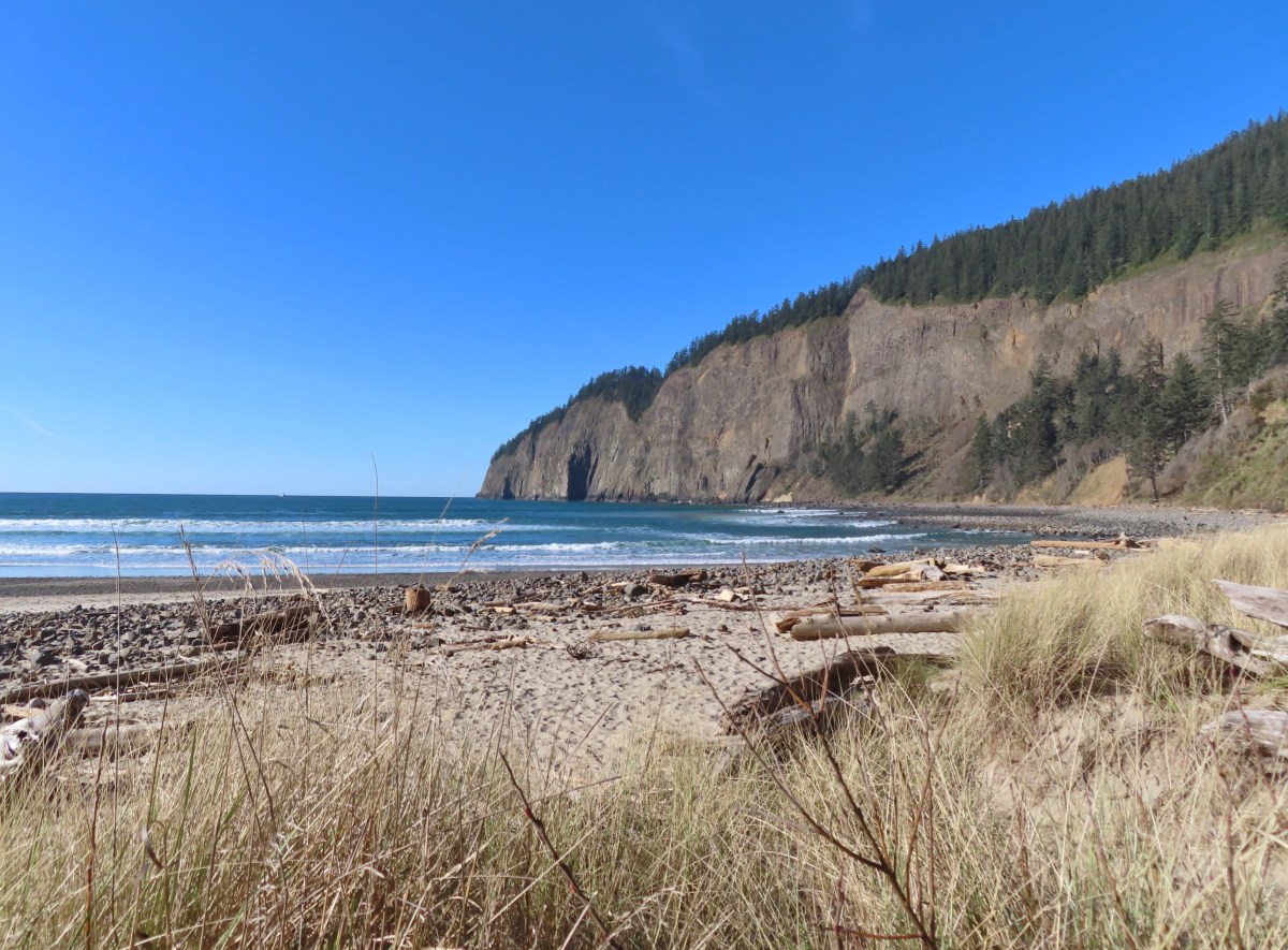
Salmonberry – Oswald West State Park, 04/05/2025.

Skunk cabbage – Oswald West State Park, 04/05/2025.

Pink fawn lilies – Oswald West State Park, 04/05/2025.

Wood sorrel – Oswald West State Park, 04/05/2025.

Trillium – Oswald West State Park, 04/05/2025.

Pioneer? violets – Oswald West State Park, 04/05/2025.

Sweet coltsfoot – Tillamook State Forest, 04/12/2025.

Indian plum – Tillamook State Forest, 04/12/2025.

???? – Thurston Hill Natural Area, 04/19/2025.

White wakerobin – Thurston Hill Natural Area, 04/19/2025.

Largeleaf sandwort – Thurston Hill Natural Area, 04/19/2025.

Red-flowering currant – Thurston Hill Natural Area, 04/19/2025.

Fairy lanterns – Thurston Hill Natural Area, 04/19/2025.

Oregon grape – Thurston Hill Natural Area, 04/19/2025.

Fairy slippers – Thurston Hill Natural Area, 04/19/2025.

Small Solomon’s seal – Thurston Hill Natural Area, 04/19/2025.

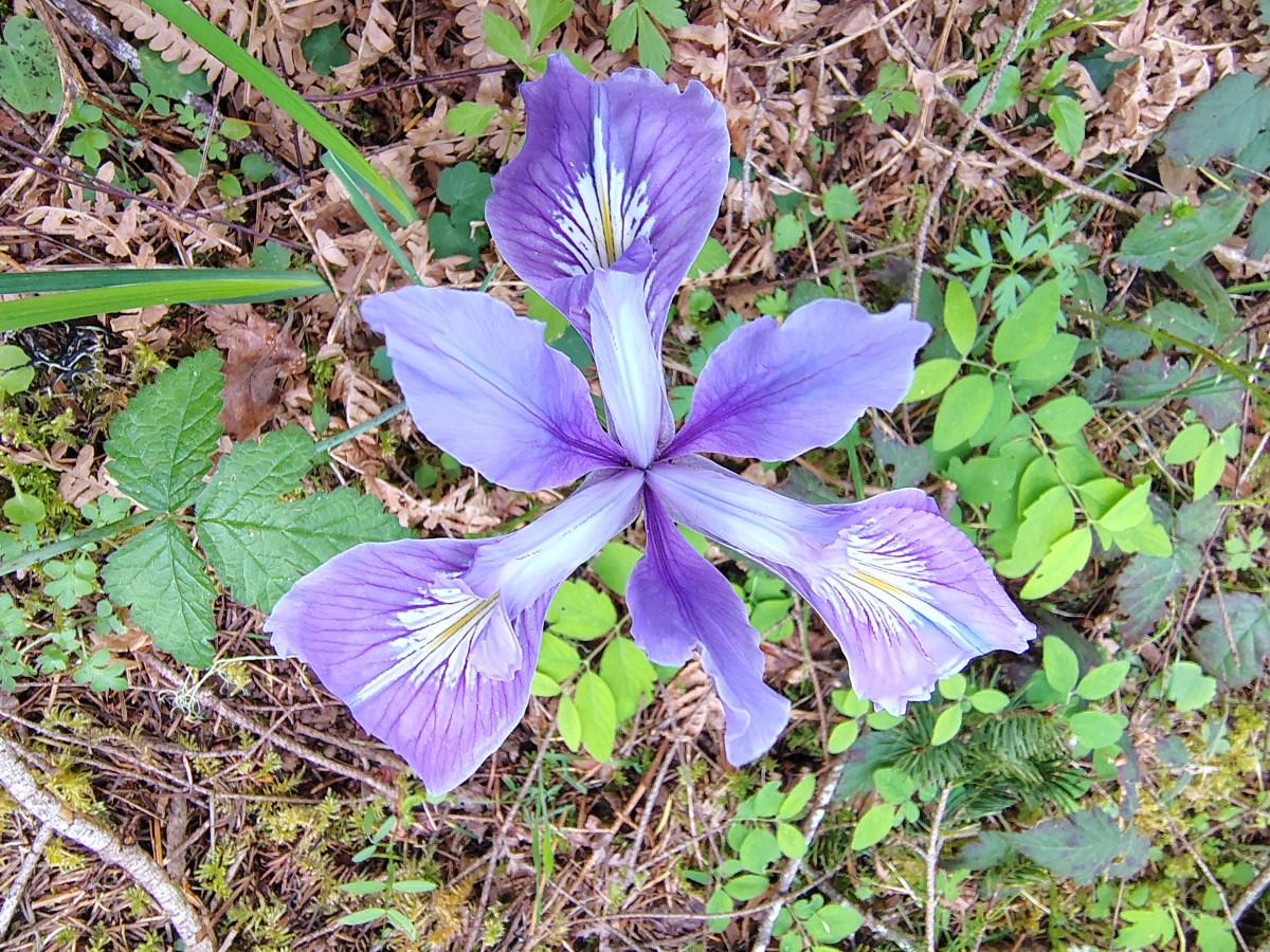
Tough leaf iris – Thurston Hill Natural Area, 04/19/2025.

Vetch – Thurston Hill Natural Area, 04/19/2025.

Strawberry – Thurston Hill Natural Area, 04/19/2025.

Henderson’s shooting star – Thurston Hill Natural Area, 04/19/2025.

Baby blue eyes – Thurston Hill Natural Area, 04/19/2025.

Woodland star – Thurston Hill Natural Area, 04/19/2025.

Dogwood – Thurston Hill Natural Area, 04/19/2025.

Fawn lily – Thurston Hill Natural Area, 04/19/2025.

Biscuitroot – Thurston Hill Natural Area, 04/19/2025.

Striped coralroot – Thurston Hill Natural Area, 04/19/2025.

Wild ginger – Thurston Hill Natural Area, 04/19/2025.

Apple? – Thurston Hill Natural Area, 04/19/2025.

Starflower – Thurston Hill Natural Area, 04/19/2025.

Fairy bells – Thurston Hill Natural Area, 04/19/2025.

Western buttercup – Thurston Hill Natural Area, 04/19/2025.

Columbian larkspur – Jasper Recreation Site, 04/19/2025.

Western meadowrue – Jasper Recreation Site, 04/19/2025.

Purple deadnettle – Jasper Recreation Site, 04/19/2025.

????(guessing it is invasive) – Jasper Recreation Site, 04/19/2025.

Elderberry – Elijah Bristow State Park, 04/19/2025.

Thimbleberry – Fanno Creek Trail, 04/26/25.

Camas – E.E. Wilson Wildlife Area, 04/27/2025.

Largeleaf avens – Ankeny National Wildlife Refuge, 04/28/2025.

Blackberry – Ankeny National Wildlife Refuge, 04/28/2025.

Plectritis – Basket Slough National Wildlife Refuge, 04/29/2025.

Lilac – Basket Slough National Wildlife Refuge, 04/29/2025.

Meadow checker-mallow – Basket Slough National Wildlife Refuge, 04/29/2025.

Grass pea – Basket Slough National Wildlife Refuge, 04/29/2025.

Rose checker-mallow – Basket Slough National Wildlife Refuge, 04/29/2025.

Tolmie’s mariposa lily – Basket Slough National Wildlife Refuge, 04/29/2025.

Golden paintbrush – William L. Finley National Wildlife Refuge, 04/30/2025.

Serviceberry – William L. Finley National Wildlife Refuge, 04/30/2025.

Pacific waterleaf – William L. Finley National Wildlife Refuge, 04/30/2025.

Checker lily – William L. Finley National Wildlife Refuge, 04/30/2025.

Spotted coralroot – William L. Finley National Wildlife Refuge, 04/30/2025.

Plumed Solomon’s seal – William L. Finley National Wildlife Refuge, 04/30/2025.

Inside-out flower – Tualatin River National Wildlife Refuge, 05/01/2025.

Non-native flower – Jackson Bottom Wetlands, 05/01/2025.

Rose – Jackson Bottom Wetlands, 05/01/2025.

Fringecup – Fernhill Wetlands, 05/02/2025.

Ash – Fernhill Wetlands, 05/02/2025.

Vine maple – Fernhill Wetlands, 05/02/2025.

Azalea – Fernhill Wetlands, 05/02/2025.

Pale flax – Fern Ridge Wildlife Area, 05/03/2025.

Ivy-leaved toadflax (non-native) – Beaver Falls, 05/11/2025.

Scouler’s corydalis – Clatsop State Forest, 05/11/2025.

Seaside bittercress – Clatsop State Forest, 05/11/2025.

Youth-on-age – Clatsop State Forest, 05/11/2025.

Coastal monkeyflower – Clatsop State Forest, 05/11/2025.

Littleleaf miners-lettuce – Clatsop State Forest, 05/11/2025.

Violet (not sure which one) – Hoh Rain Forest, Olympic National Park, 05/12/2025.

Vanilla leaf – Hoh Rain Forest, Olympic National Park, 05/12/2025.

Violet (not sure which one) – Hoh Rain Forest, Olympic National Park, 05/12/2025.

Candyflower – Hoh Rain Forest, Olympic National Park, 05/12/2025.

Best guess is some sort of rockcress – Hoh Rain Forest, Olympic National Park, 05/12/2025.

Forget-me-nots (non-native) – Lake Crescent, Olympic National Park, 05/13/2025.

Common whipplea – Lake Crescent, Olympic National Park, 05/13/2025

Harsh? Indian paintbrush – Lake Crescent, Olympic National Park, 05/13/2025

Beach pea – Lake Crescent, Olympic National Park, 05/13/2025

Small-flowered alumroot – Lake Crescent, Olympic National Park, 05/13/2025

Common cryptantha? – Lake Crescent, Olympic National Park, 05/13/2025

Madrone – Lake Crescent, Olympic National Park, 05/13/2025

Wallflower – Lake Crescent, Olympic National Park, 05/13/2025

Saxifrage (possibly Saxifraga bronchialis) – Lake Crescent, Olympic National Park, 05/13/2025

Field chickweed – Lake Crescent, Olympic National Park, 05/13/2025

Broadleaf stonecrop – Lake Crescent, Olympic National Park, 05/13/2025

Variable-leaf collomia – Lake Crescent, Olympic National Park, 05/13/2025

Bid deervetch – Rialto Beach, Olympic National Park, 05/14/2025.

Bunchberry – Ozette Triangle, Olympic National Park, 05/15/2025.

Bog laurel – Ozette Triangle, Olympic National Park, 05/15/2025.

Salal – Ozette Triangle, Olympic National Park, 05/15/2025.

Evergreen huckleberry – Ozette Triangle, Olympic National Park, 05/15/2025.

Groudncone – Ozette Triangle, Olympic National Park, 05/15/2025.

Arrowleaf buckwheat – Mt. Hood National Forest, 05/24/2025.

Wooly-head clover – Mt. Hood National Forest, 05/24/2025.

Groundsel – Mt. Hood National Forest, 05/24/2025.

Oregon sunshine – Mt. Hood National Forest, 05/24/2025.

Spurred lupine – Mt. Hood National Forest, 05/24/2025.

Rayless arnica – Mt. Hood National Forest, 05/24/2025.

Salisfy (non-native) – Mt. Hood National Forest, 05/24/2025.

American vetch – Mt. Hood National Forest, 05/24/2025.

Oregon anemones – Mt. Hood National Forest, 05/24/2025.

Sulphur-flower buckwheat – Mt. Hood National Forest, 05/24/2025.

Threadleaf phacelia – Mt. Hood National Forest, 05/24/2025.

Bitterbrush – Mt. Hood National Forest, 05/24/2025.

Manzanita – Mt. Hood National Forest, 05/24/2025.

Finetooth beardtongue (Penstemon subserratus) – Mt. Hood National Forest, 05/24/2025.

Raceme pussytoes – Mt. Hood National Forest, 05/24/2025.

Heartleaf arnica – Mt. Hood National Forest, 05/24/2025.

Prairie smoke – Mt. Hood National Forest, 05/24/2025.

Slender clarkia – Mt. Hood National Forest, 05/24/2025.

Desert yellow fleabane and threadleaf? fleabane – Criterion Tract, 05/25/2025.

Varileaf phacelia – Criterion Tract, 05/25/2025.

Lemon-scented madia – Criterion Tract, 05/25/2025.

Velvet lupine? – Criterion Tract, 05/25/2025.

Carey’s balsamroot – Criterion Tract, 05/25/2025.

Douglas’ wild buckwheat – Criterion Tract, 05/25/2025.

Rough eyelashweed – Criterion Tract, 05/25/2025.

Hawksbeard – Criterion Tract, 05/25/2025.

A lomatium – Criterion Tract, 05/25/2025.

A milkvetch – Criterion Tract, 05/25/2025.

Tapertip onion – Criterion Tract, 05/25/2025.

Allumroot – Criterion Tract, 05/25/2025.

Cusick’s sunflower – Criterion Tract, 05/25/2025.

Mock orange – Criterion Tract, 05/25/2025.

Ocean spray – Criterion Tract, 05/25/2025.

Cut-leaf thelypody – Criterion Tract, 05/25/2025.

Bindweed (Nightblooming or Chapparel) – Criterion Tract, 05/25/2025.

Mahala mat – Mt. Hood National Forest, 05/26/2025.

I think this is a sandwort, possibly mountain (Eremogone capillaris) – Mt. Hood National Forest, 05/26/2025.

Silvercrown – Mt. Hood National Forest, 05/26/2025.

Elkhorn clarkia – Mt. Hood National Forest, 05/26/2025.

Bastard toadflax – Mt. Hood National Forest, 05/26/2025.

Common monkeyflower – Wildwood Falls County Park, 05/31/2025.

Annual honesty (non-native) – Wildwood Falls County Park, 05/31/2025.

Sticky cinquefoil? – Umpqua National Forest, 05/31/2025.

Columbia windflower (Anemonastrum deltoideum) – Umpqua National Forest, 05/31/2025.

Pacific coralroot – Umpqua National Forest, 05/31/2025.

Rhododendron – Umpqua National Forest, 05/31/2025.

Northwestern twayblade – Umpqua National Forest, 05/31/2025.

Yellowleaf Iris – Umpqua National Forest, 05/31/2025.

Trailing blackberry – Roger’s Peak, 06/07/2025.

A thistle – Roger’s Peak, 06/07/2025.

Rosy bird’s-foot trefoil – Roger’s Peak, 06/07/2025.

False lily-of-the-valley – Roger’s Peak, 06/07/2025.

Clover – Roger’s Peak, 06/07/2025.

Stink currant – Roger’s Peak, 06/07/2025.

California figwort – Roger’s Peak, 06/07/2025.

Self-heal – Roger’s Peak, 06/07/2025.

A mustard? – Roger’s Peak, 06/07/2025.

Slender phlox – Roger’s Peak, 06/07/2025.

Cardwell’s penstemon – Roger’s Peak, 06/07/2025.

Thyme-leaved speedwell (Veronica serpyllifolia)? – Roger’s Peak, 06/07/2025.

Cascade desert parsley – Roger’s Peak, 06/07/2025.

Broadleaf arnica – Roger’s Peak, 06/07/2025.

Red sandspurry – Roger’s Peak, 06/07/2025.

Rosy pussytoes – Mt. Hood National Forest, 06/14/2025.

Honeysuckle – Mt. Hood National Forest, 06/14/2025.

White-stemmed frasera – Mt. Hood National Forest, 06/14/2025.

Diamond clarkia – Mt. Hood National Forest, 06/14/2025.

Nevada deervetch – Mt. Hood National Forest, 06/14/2025.

Grand collomia – Mt. Hood National Forest, 06/14/2025.

Snowbrush – Mt. Hood National Forest, 06/14/2025.

Tall mountain bluebells – Mt. Hood National Forest, 06/14/2025.

Large-flower triteleia – Mt. Hood National Forest, 06/14/2025.

Creamy stonecrop – Mt. Hood National Forest, 06/14/2025.

Twinflower – Mt. Hood National Forest, 06/14/2025.

Orange jewelweed (non-native) – Champoeg State Park, 06/19/2025.

Bittwersweet nightshade (non-native) – Champoeg State Park, 06/19/2025.

Possibly celery leaf lovage (Ligusticum apiifolium)? – Champoeg State Park, 06/19/2025.

Moth mullein (non-native) – Champoeg State Park, 06/19/2025.

Daisies (non-native) – Champoeg State Park, 06/19/2025.

Lavender (non-native) – Champoeg State Park, 06/19/2025.

Everlasting pea (non-native) – Champoeg State Park, 06/19/2025.

A phacelia, possibly shade phacelia (Phacelia nemoralis) – Champoeg State Park, 06/19/2025.
That takes us through the end of Spring. We saw many of the flowers in this post in the summer and autumn months as well, but we won’t include them again. Along those lines there were flowers that will be in part 2 that we saw earlier in the year but didn’t have decent pictures of those specimens leaving them out of part 1. Happy flower lined trails!


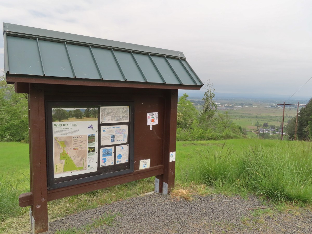


 The trail on the east (right) end.
 The trail on the west (left) end and the restrooms.