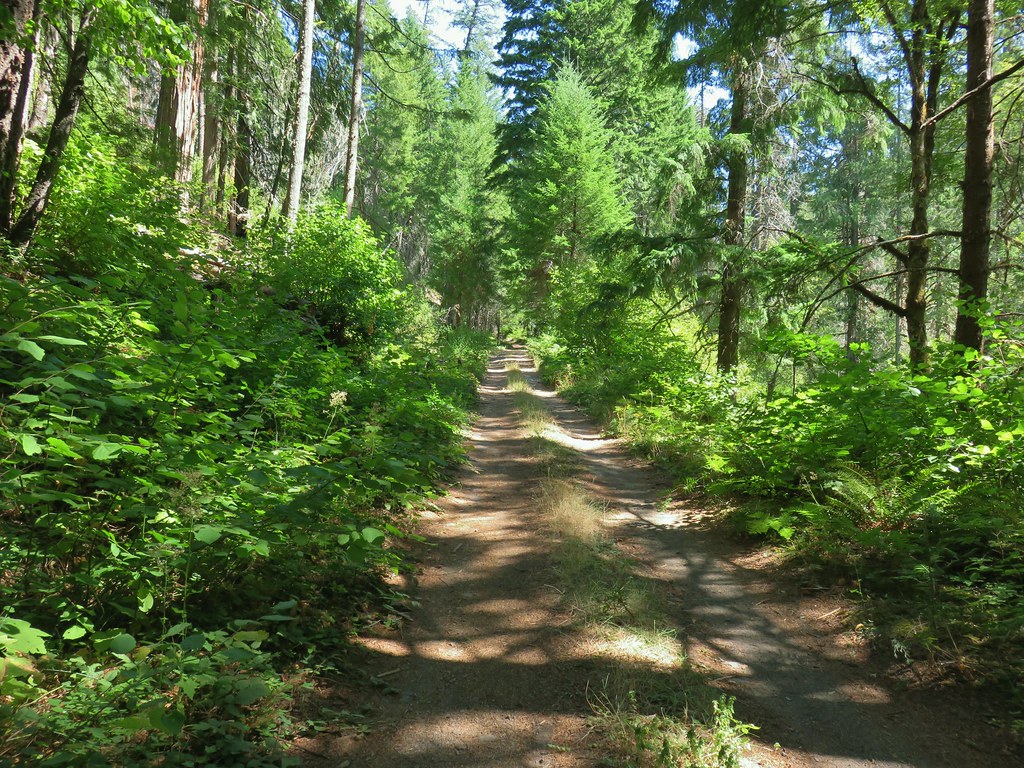
A wet weather system arrived with the weekend dropping some much need rain over the wildfires in Oregon and depositing a decent amount of new snow on the Cascades. This was great news and one of the few times that we were more than happy that our original plan was forced to change due to weather. We were going to be in Bend to celebrate the 75th birthday of Heather’s Dad which provided us an opportunity to hike in the rain shadow of the Cascades before heading home Sunday morning. It was a nice celebration and a rare event for all our calendars to align and be together.
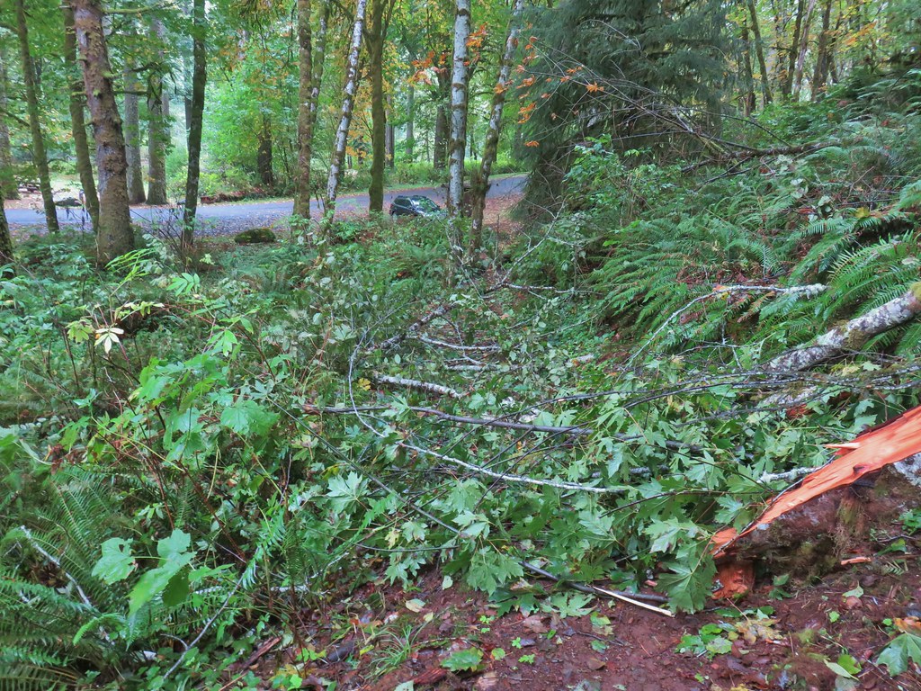
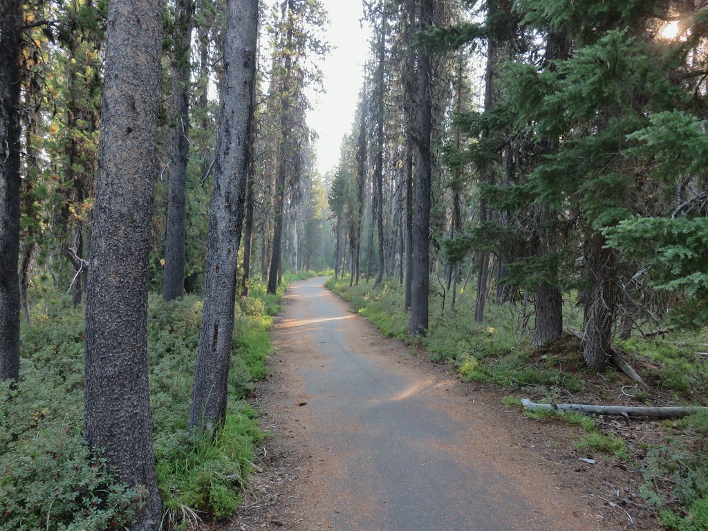
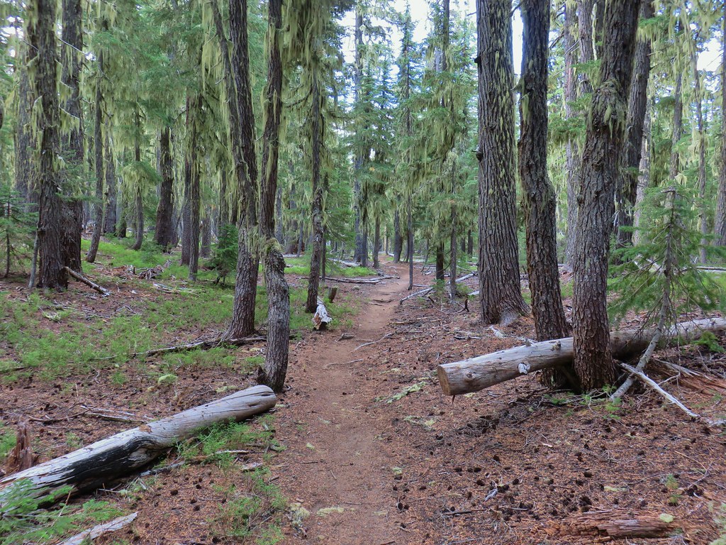
Having finished all 100 featured hikes (post) in William L. Sullivan’s “100 Hikes/Travel Guide Central Oregon Cascades” (4th edition) we turned to his 5th edition of the book and decided to check out Wildcat Canyon (Hike #36). Wildcat Canyon is part of the Bureau of Land Management’s Maston Trail System, a 4,000 acre mixed use network of trails for hikers, bikers, and equestrians. It also happens to be located in my old stomping grounds near Tumalo, OR. The Maston Trailhead (see previous link) is less than 10 driving miles from the my parent’s old house between Bend and Redmond and just over 5 miles from my former elementary school. Way back then the Maston Trail System didn’t exist but I had spent time exploring the Deschutes River Canyon near that area, closer to Eagle Crest Resort, so I was excited to check the trail system out.
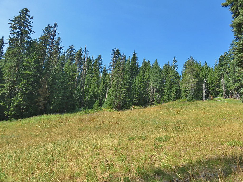
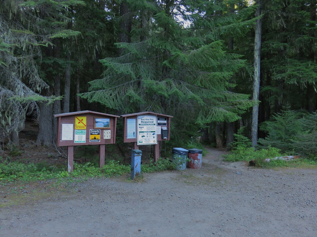
We were the second car at the Maston Trailhead that morning.

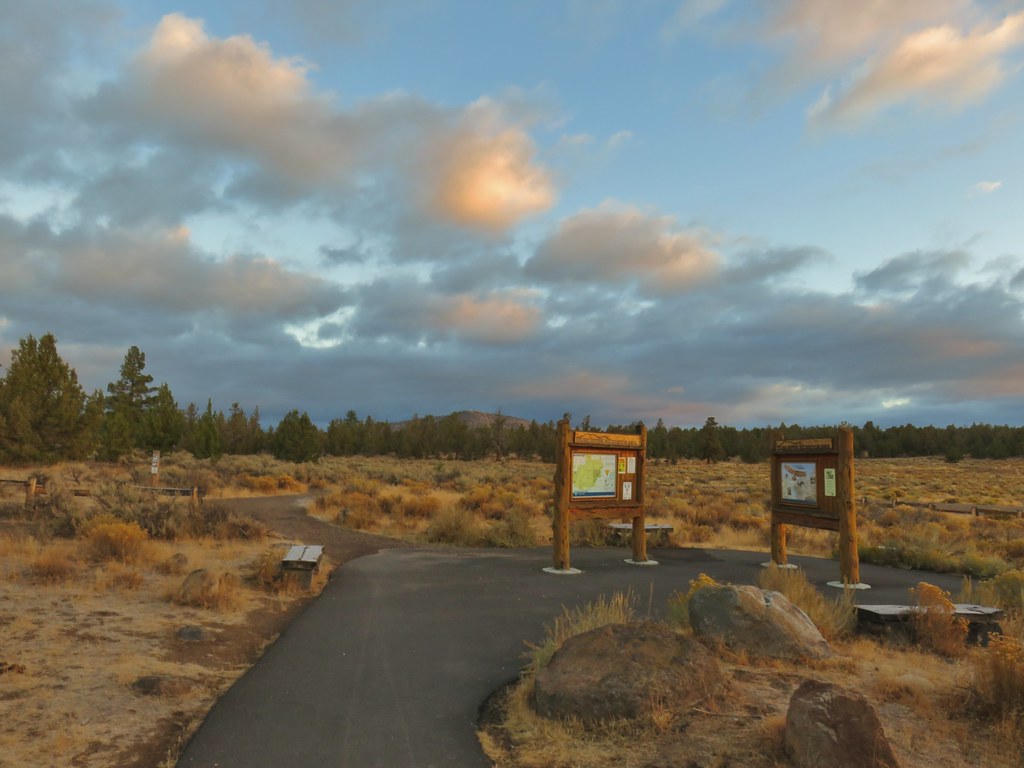 Cline Buttes from the Maston Trailhead.
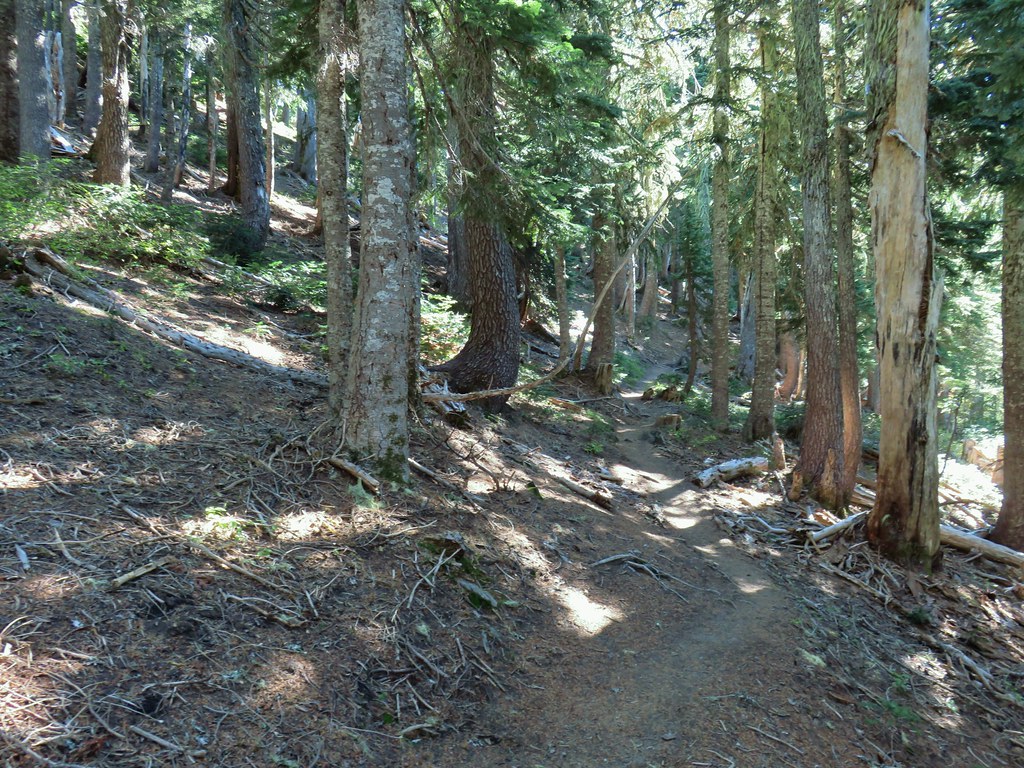
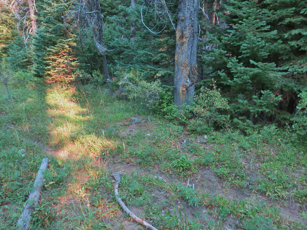
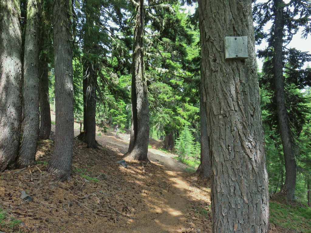
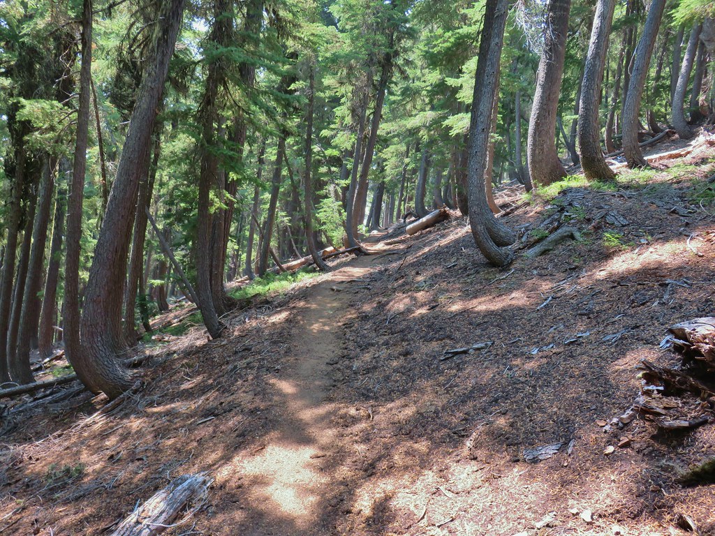
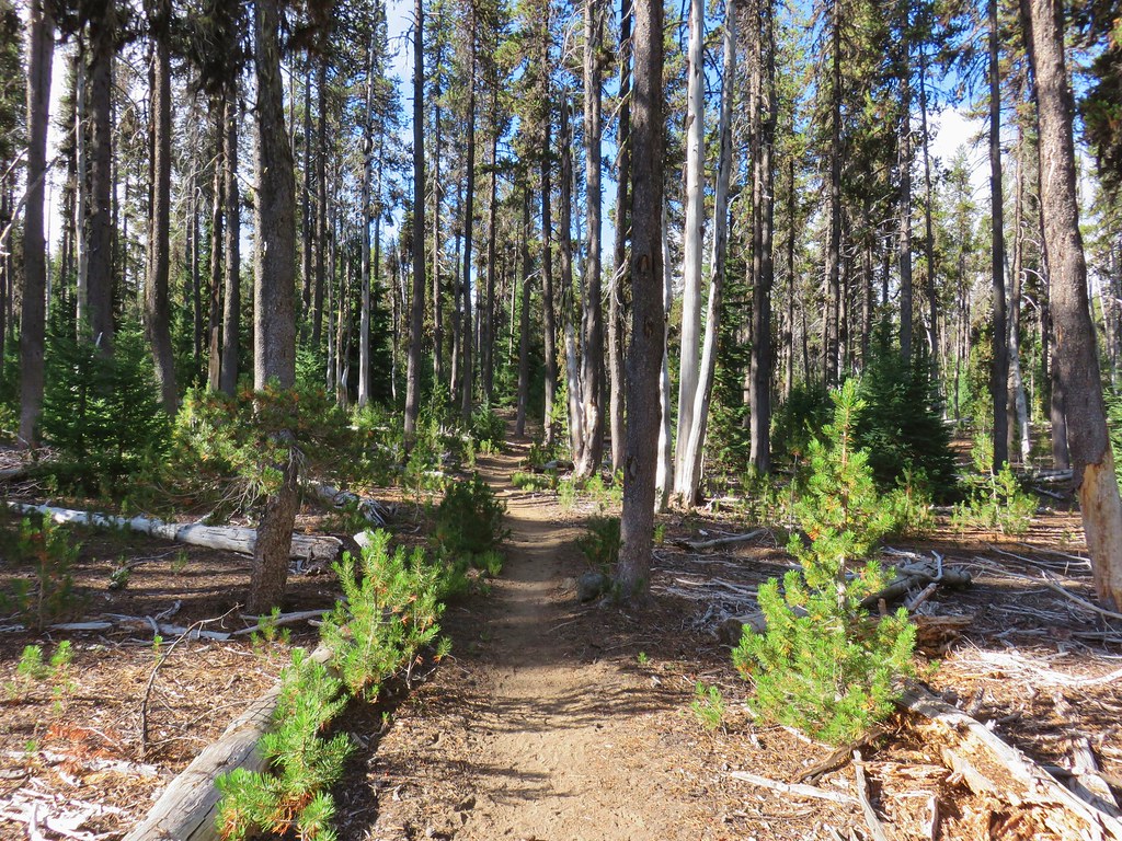
It was a crisp morning with a bit of frost on the ground, the kind of morning that reminded me of a high school job I had moving irrigation pipes at a nearby farm. We set off through the equestrian parking area and passed through an open fence by a trail map.

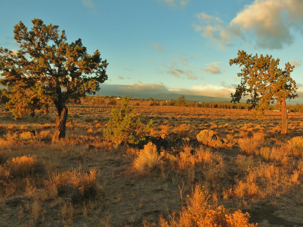
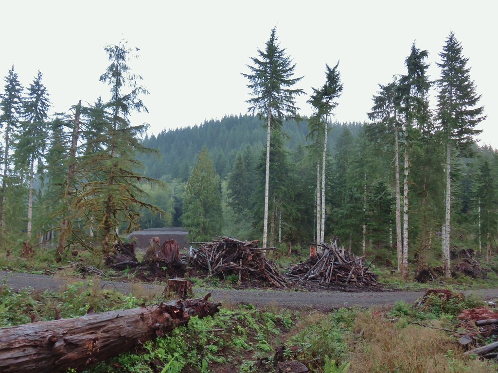
This was the Settlement Trail (an equestrian/hiker only trail), named for the settlers who had cleared the land and began constructing farms in the early 1900’s in preparation of the arrival of irrigation water. The water never came and by the 1930’s the farms had been abandoned.
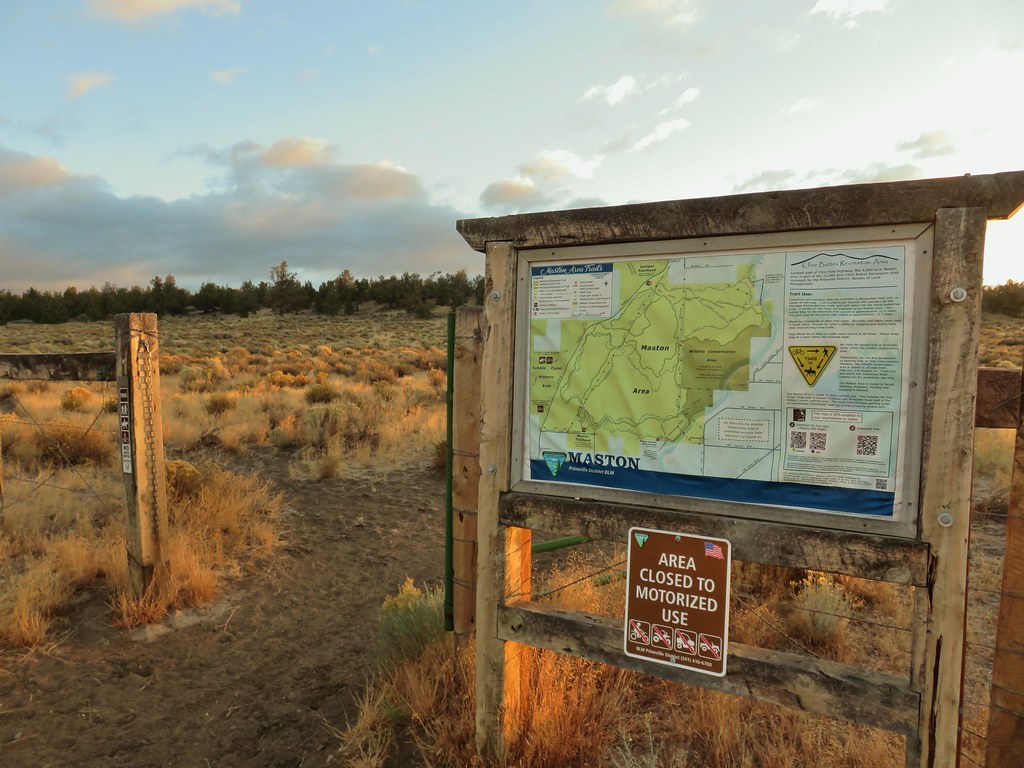
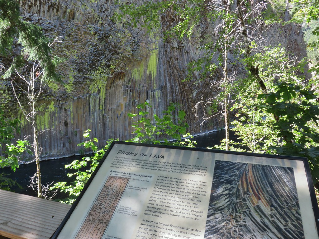
 Interpretive sign at the Maston Trailhead telling the story of the settlers.
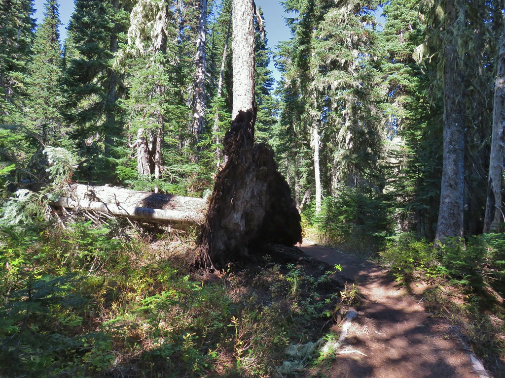
 Stone foundation of one of the abandoned buildings along the Settlement Trail.
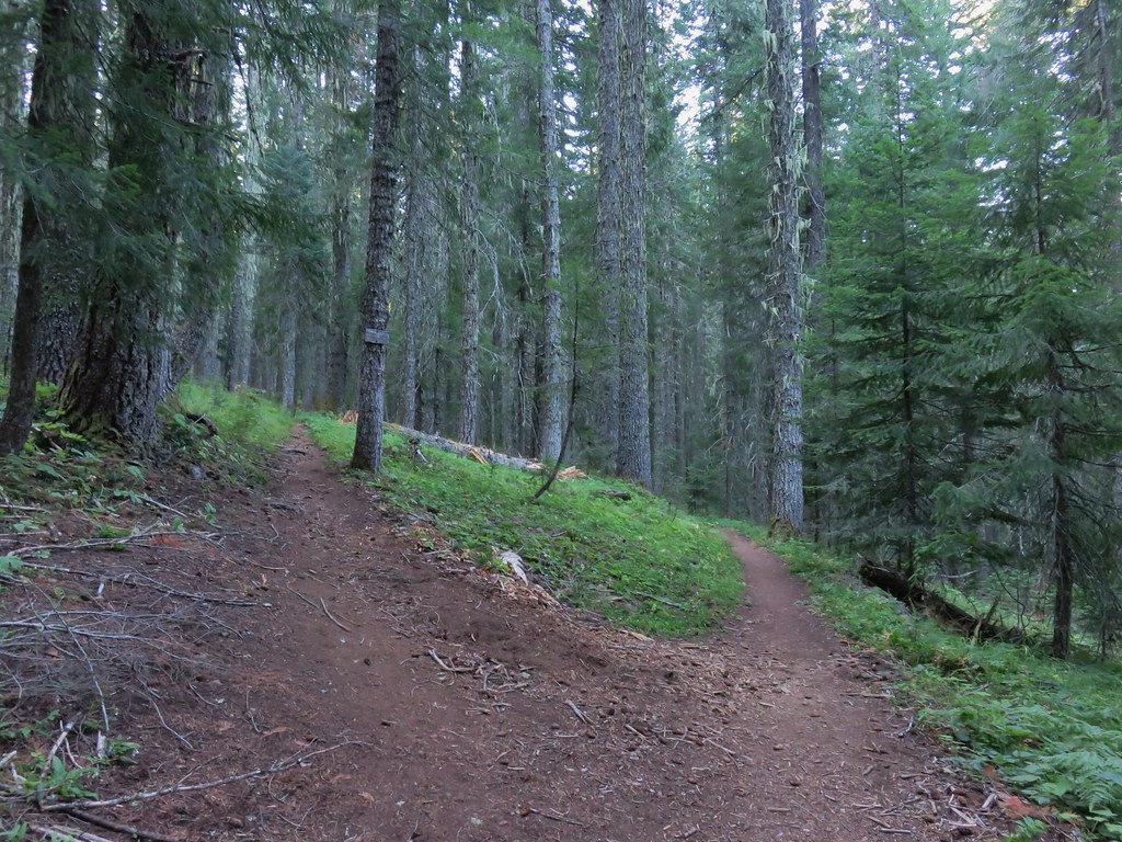
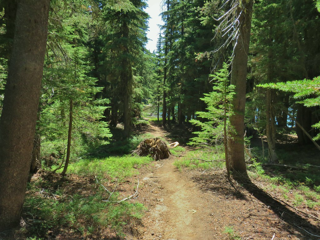
We followed the Settlement Trail by staying right at junctions for the first 1.5 miles.

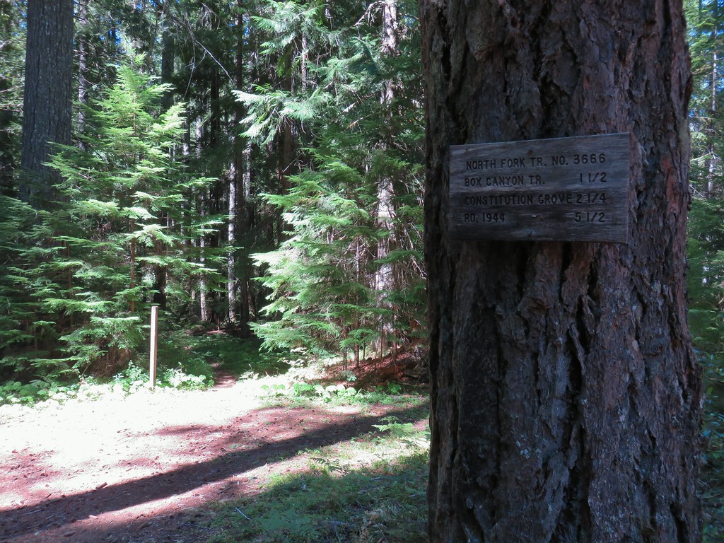
 Typical sign at a junction. Not all of the junctions had signs and not all of the signs identified which trail/junction it was so having a copy of the trail system map is a really good idea.
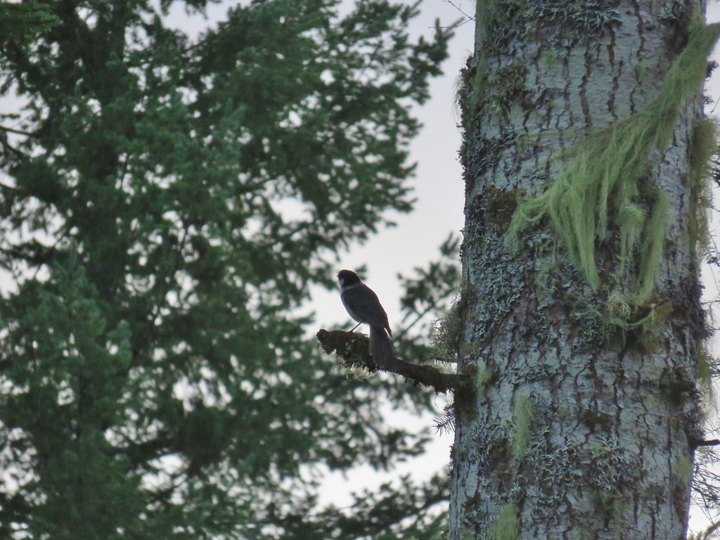
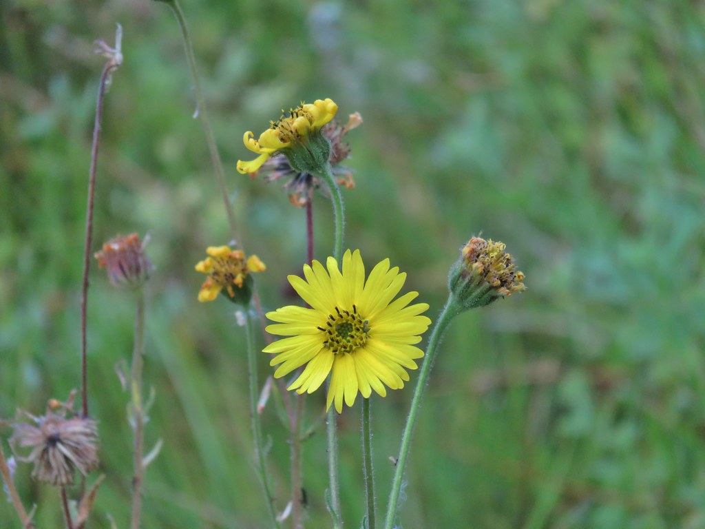
There were a lot of different birds about but most wouldn’t stay still long enough for a picture and those that did perched at the top of junipers distant enough to make identifying them even with a 30x zoom a bit difficult.
 This one may be a sparrow of some sort, it was signing quite a bit.
 Possibly another sparrow or a finch or something else.
 Maybe a bluebird?
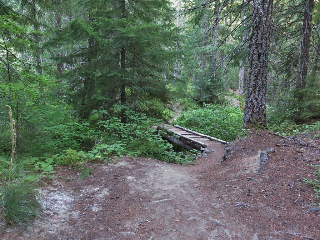
We took a wrong turn at a junction just over a half mile from the trailhead. We had been expecting to see the Wildcat Canyon Trailhead to our right which our guidebook indicated we should go down to, so when we spotted a signboard along a road less then a tenth of a mile to our right we headed for it. When we got to the little pullout at the road we double checked the map and realized that we had turned right too early so we turned around and returned to the junction. We turned right again and continued on the Settlement Trail another quarter of a mile to the actual Wildcat Canyon Trailhead.
 Wildcat Canyon Trailhead off to the right.
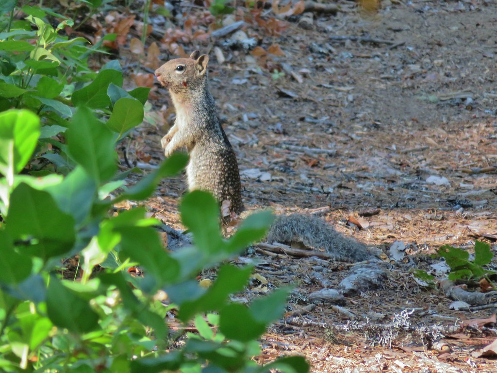
We spotted the only non-bird wildlife of the day near this trailhead when a rabbit raced out of the sagebrush and paused briefly on the other side of a juniper.
 I managed to snap one photo and of course the camera focused on said juniper instead of the rabbit beyond.
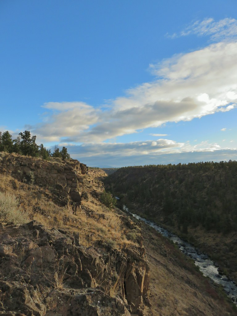
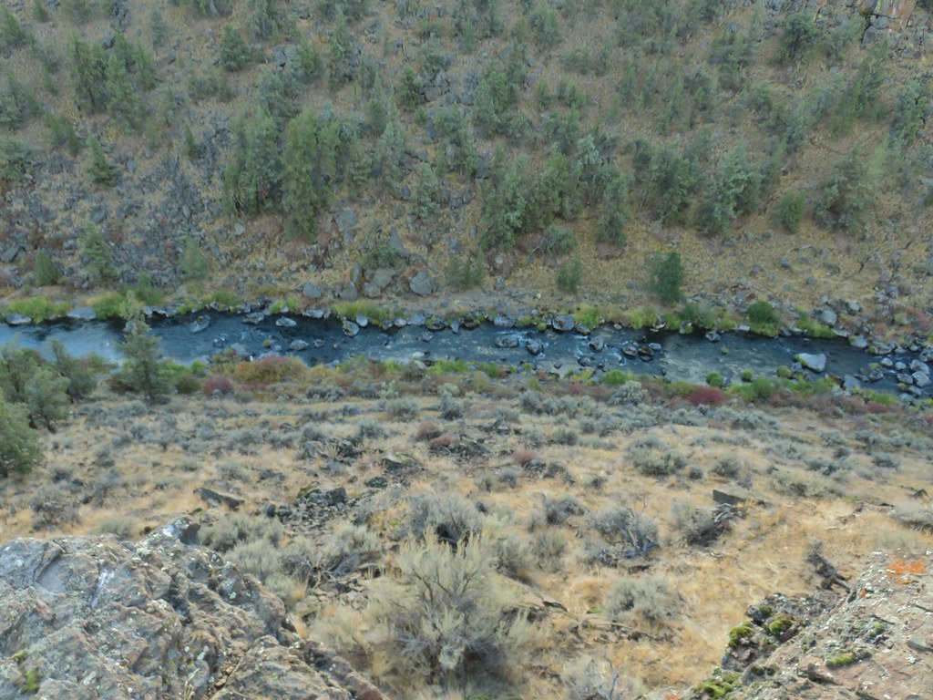
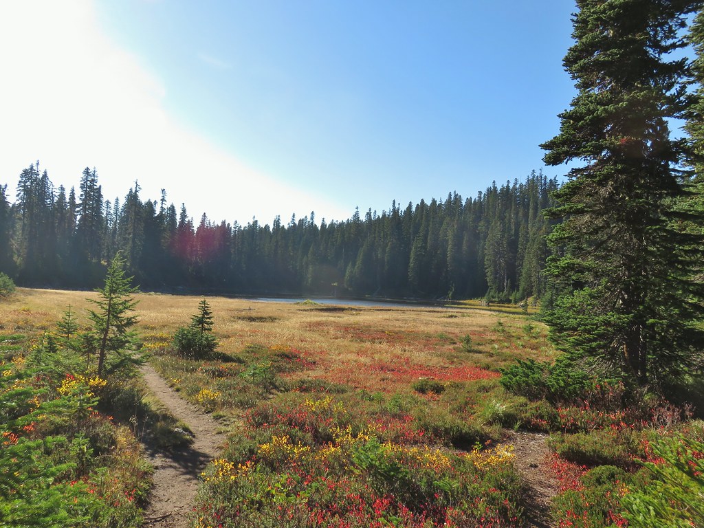
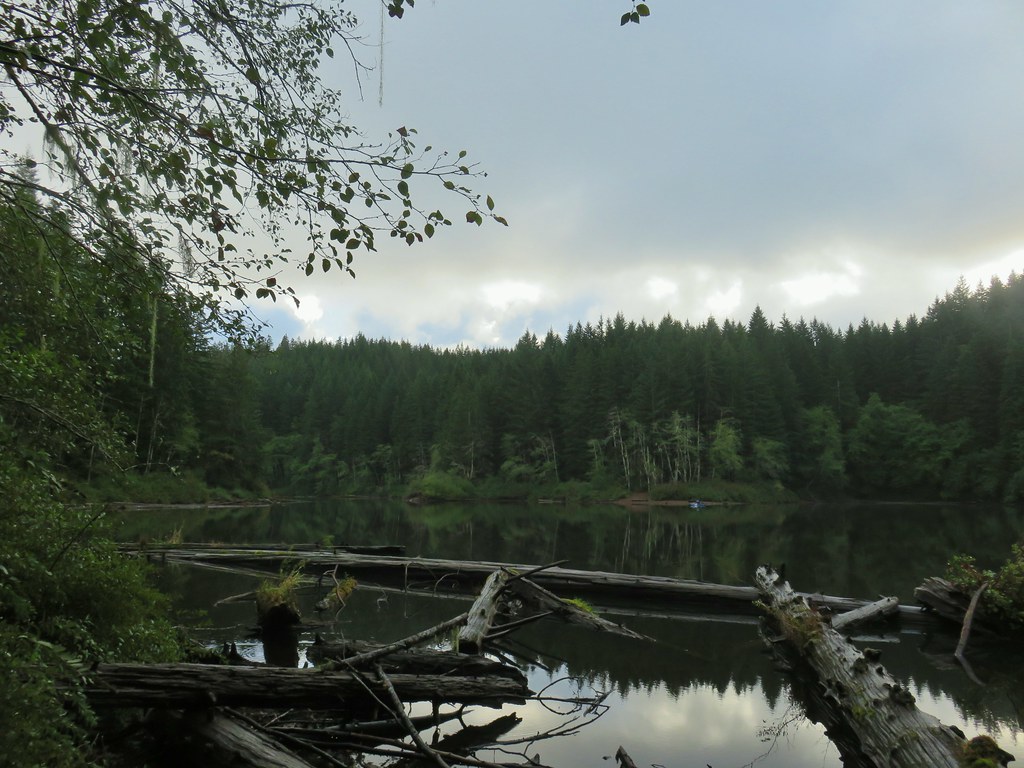
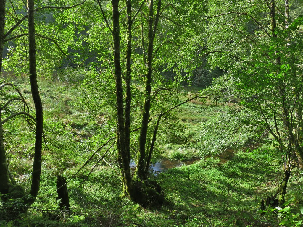
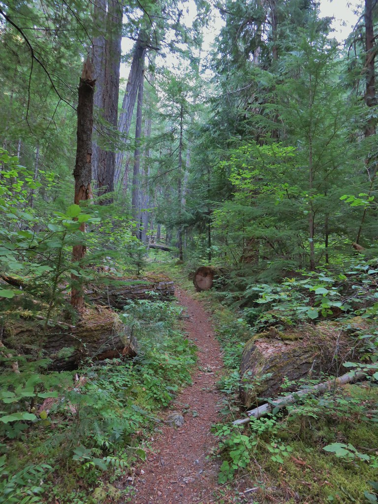
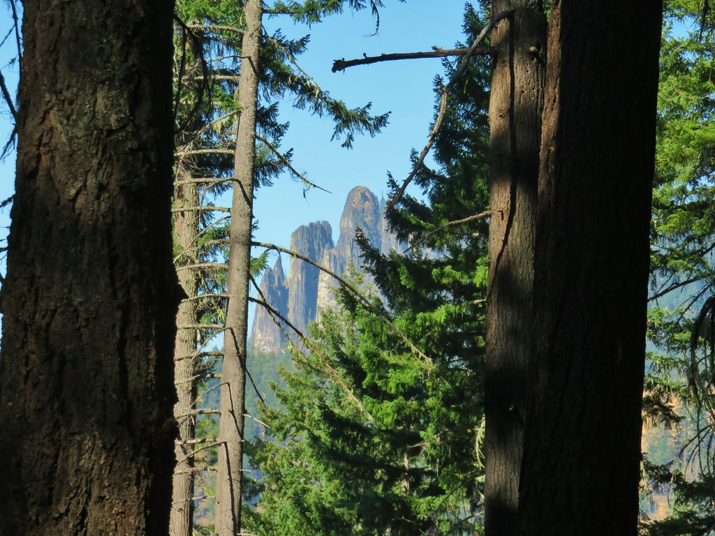
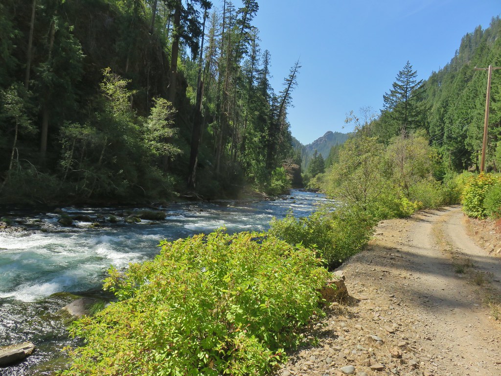
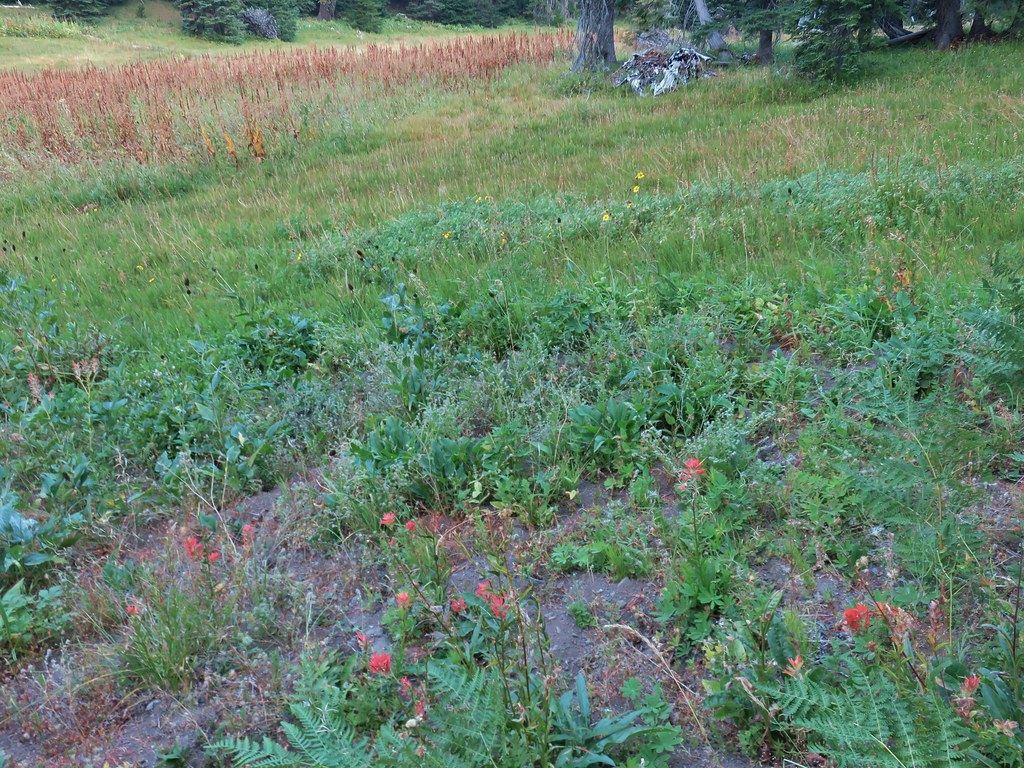
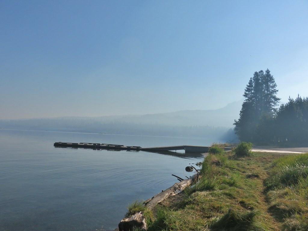
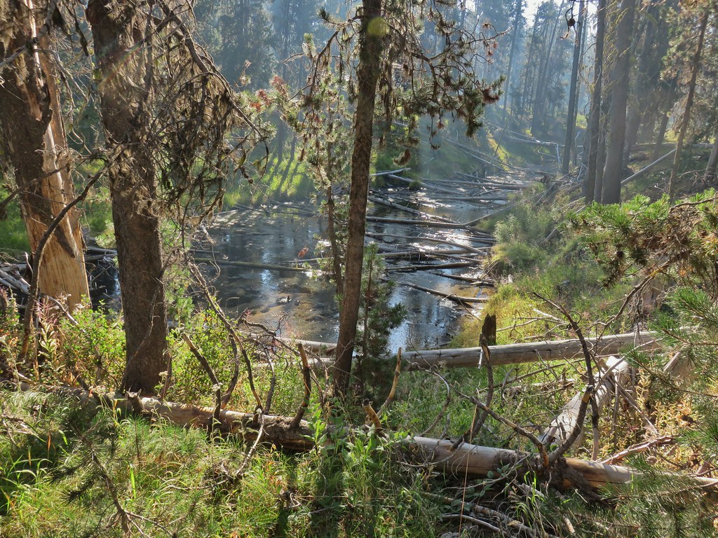
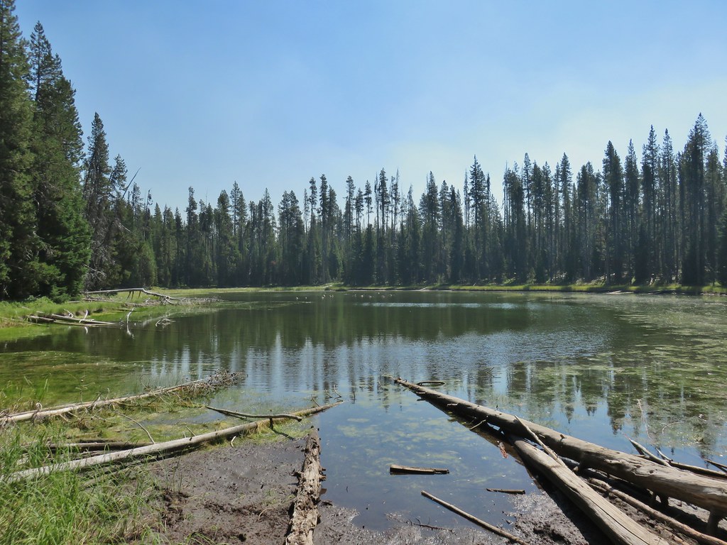
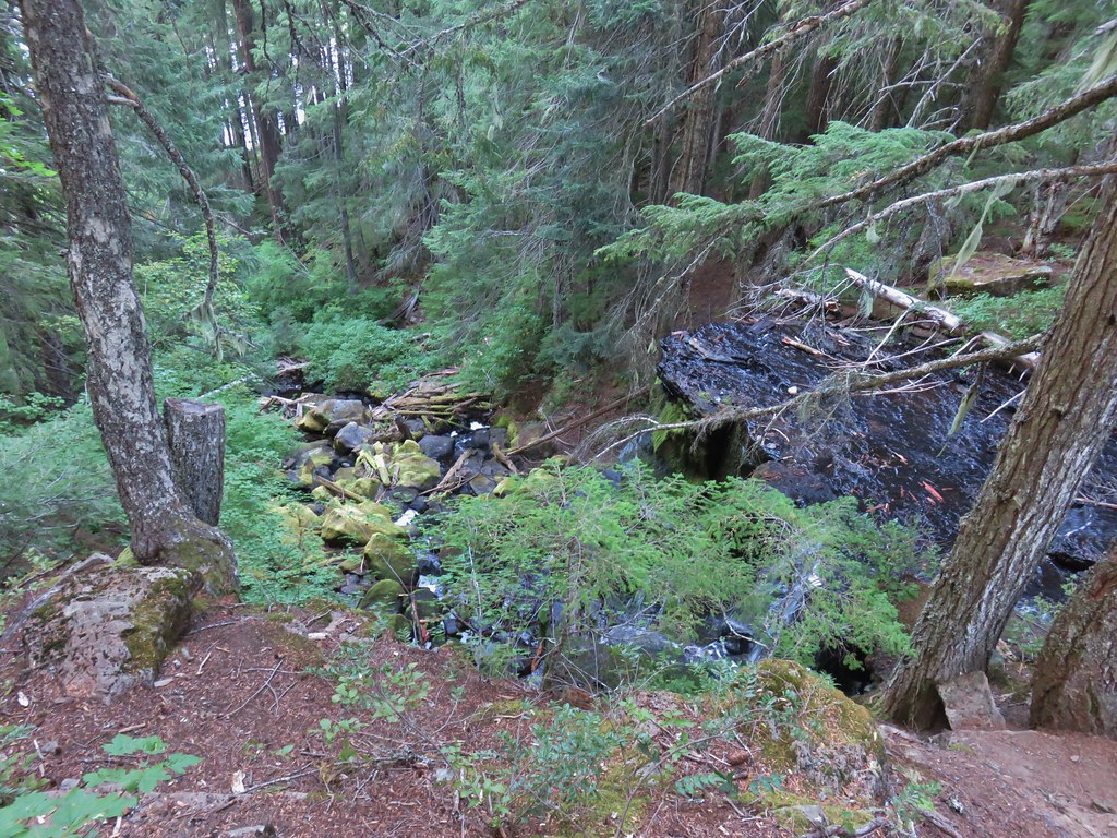
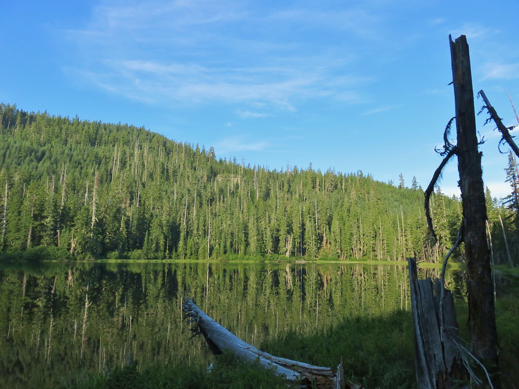
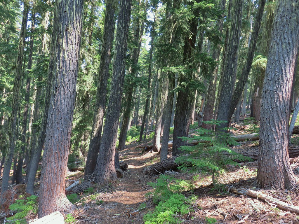
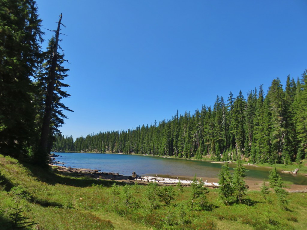
We stayed straight at the trailhead on the Settlement Trail which was now almost directly next to the Rockbar Trail (a mountain bike trail). The Settlement Trail quickly arrived on the basalt cliffs above the Deschutes River Canyon.
 Wildcat Canyon on the right joining the Deschutes River Canyon
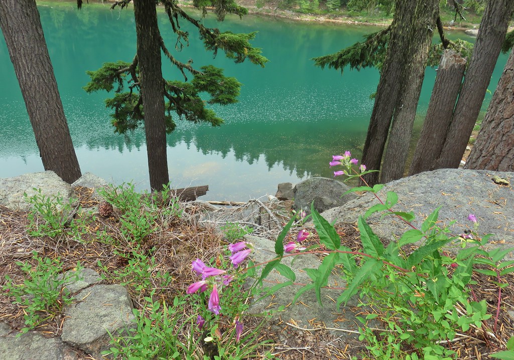
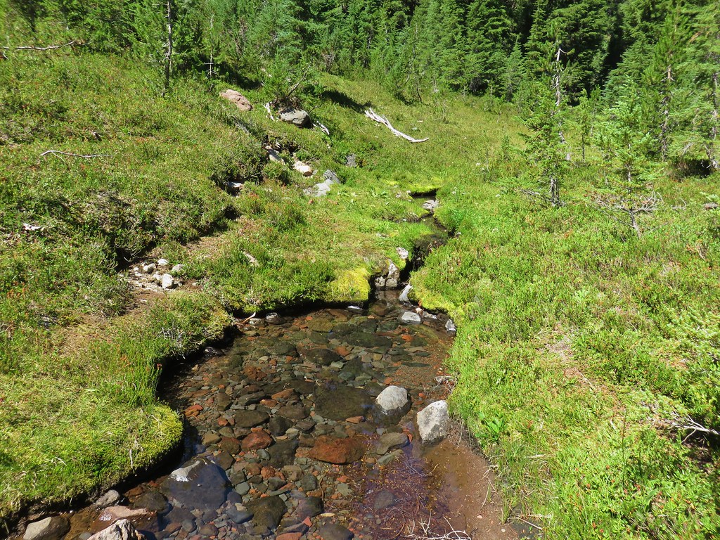
 The Deschutes River near where the canyons meet.
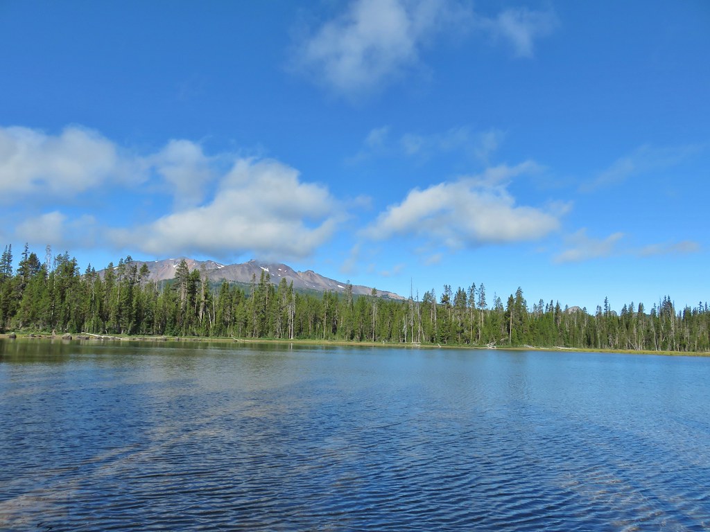
 Grizzly Mountain in the distance beyond the Deschutes River.
The trail turned north along the canyon rim which we followed for half a mile, switching to the Rockbar Trail when the equestrian trail crossed over it.
 Another of several viewpoints along the rim.
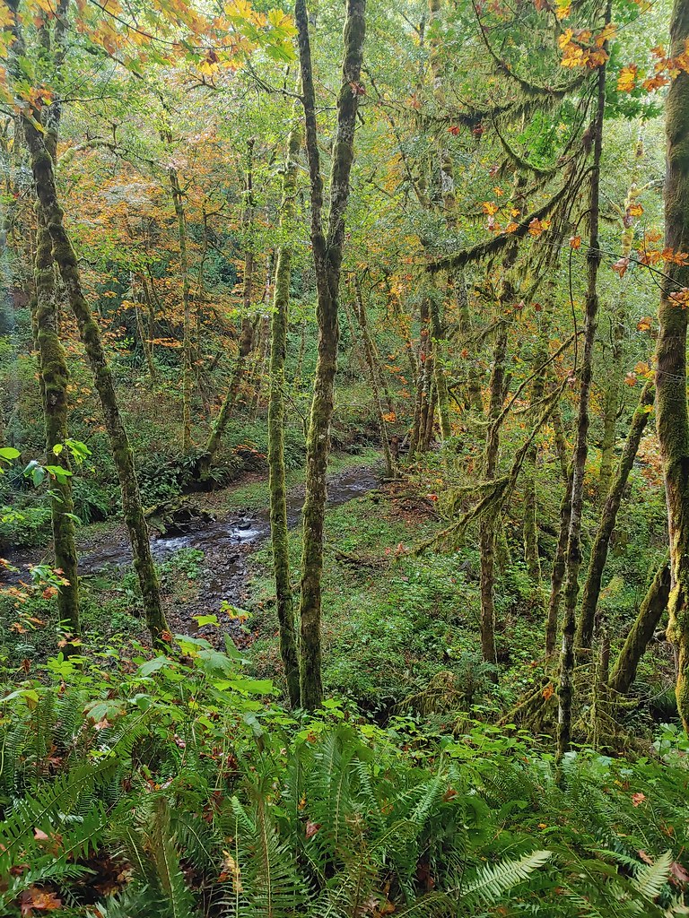
 Some Fall color along the Deschutes River.
 Rock dove
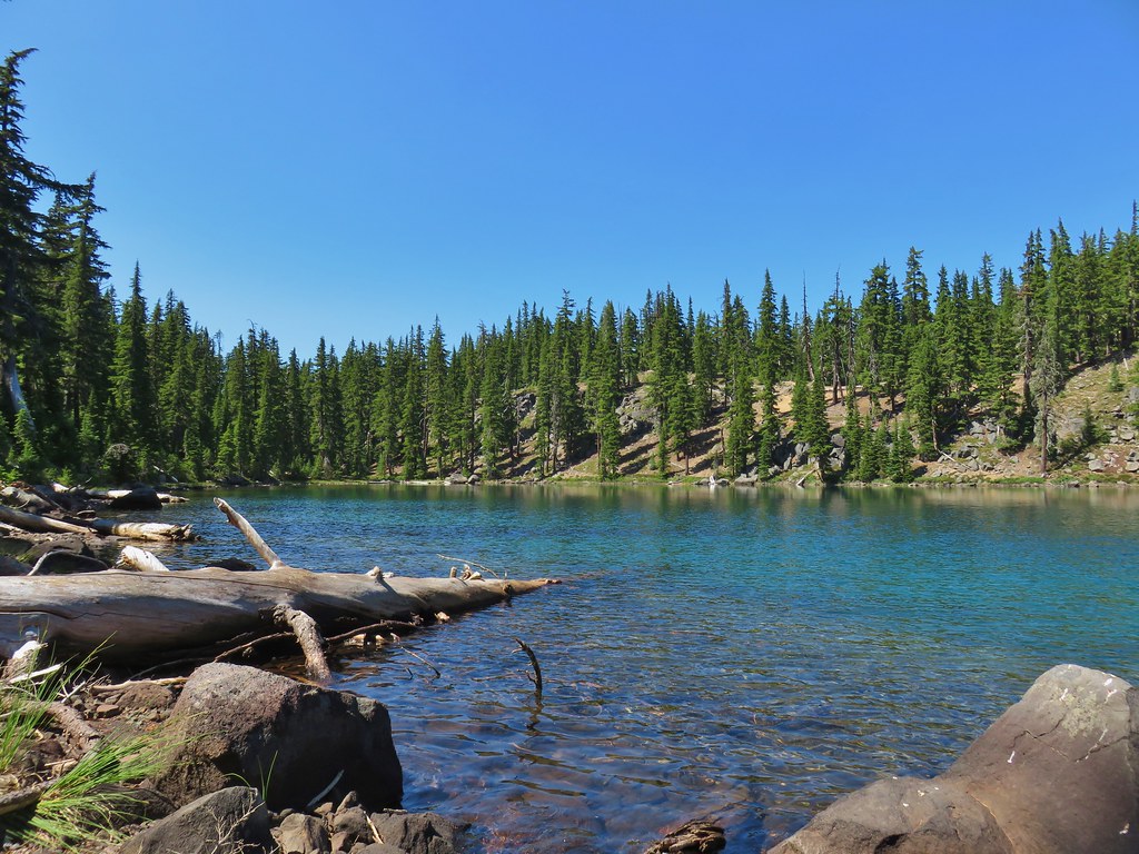
 A viewpoint along the Rockbar Trail.
 Looking south up the river canyon.
 A calm pool along the Deschutes.
 I could see this one, a Stellar’s jay.
Shortly after the Rockbar Trail turned away from the canyon it crossed a private road.
 Coming up to the road.
We followed Sullivan’s instructions and jogged left 100′ picking up the equestrian trail again.

We turned uphill on the equestrian trail to a junction with the Headgate Trail, another mountain bike trail, in just 100 yards.

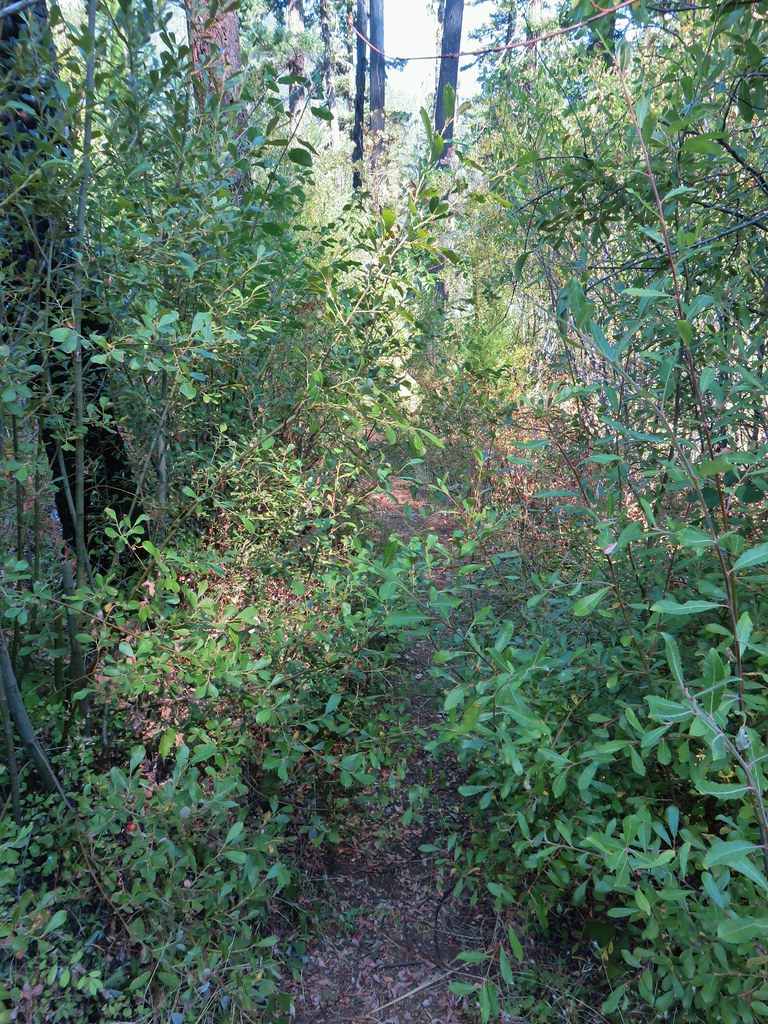
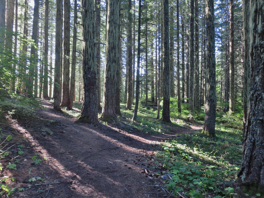
We turned left following this single track through the juniper and sagebrush for approximately 2 miles ignoring side trails along the way.

 This was Junction 2 (one of the junctions with an identifying sign). We stayed right on the Headgate Trail here.
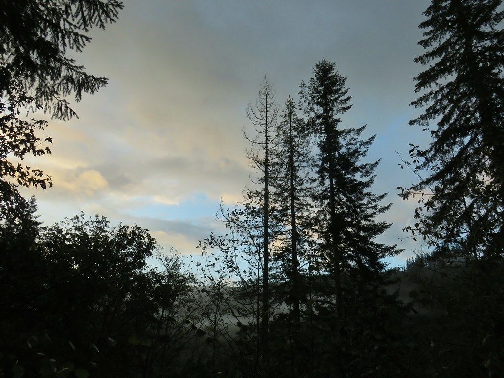
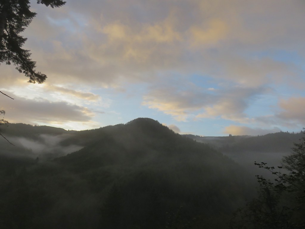
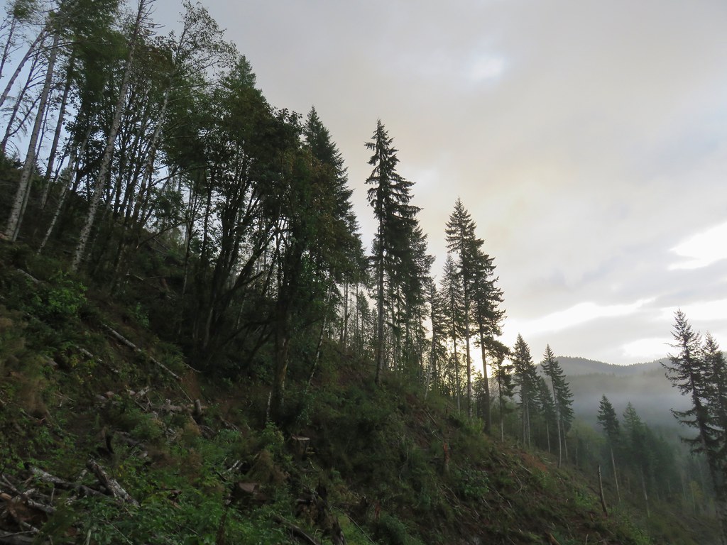
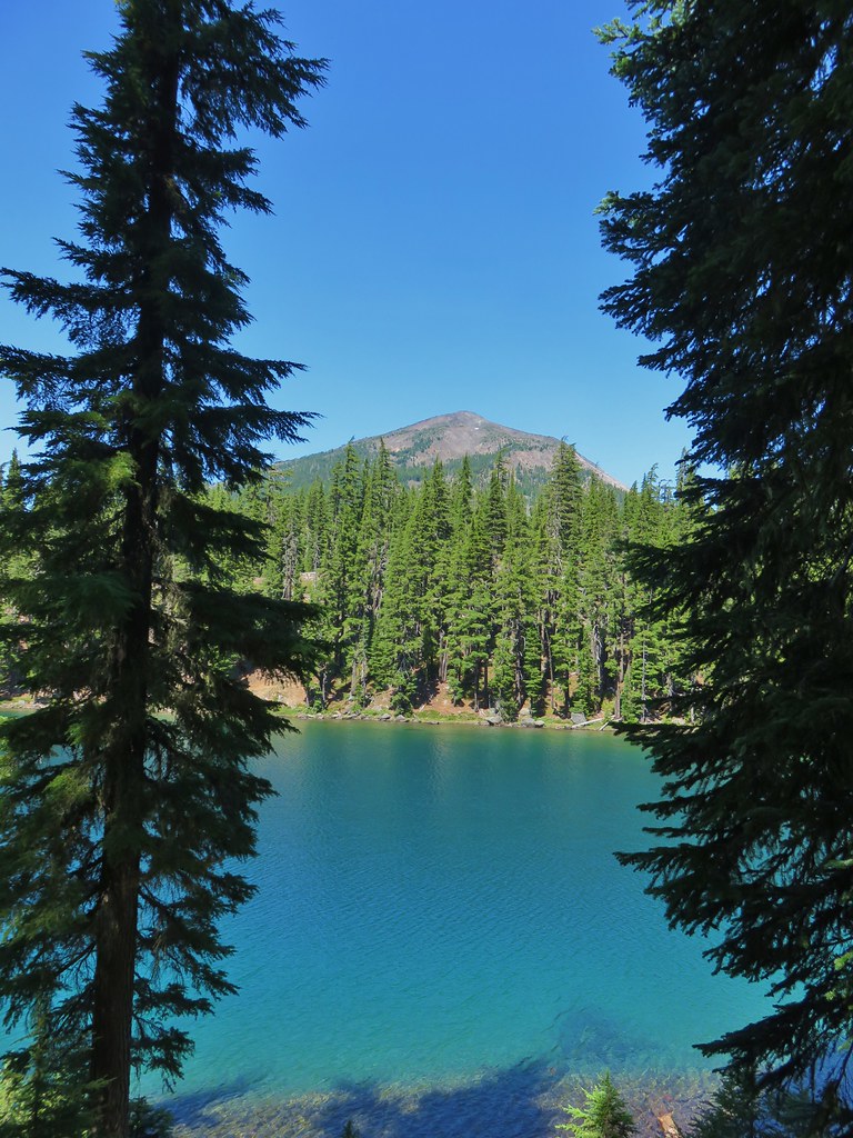
At a slightly higher elevation than the Settlement Trail the Headgate Trail would have provided a fairly nice view of the Cascades but on this day they were mostly shrouded in clouds although we could see fresh snow on Tam McArthur Rim (post) and on the lowest portion of the South and North Sisters.
 Tam McArthur Rim is left center with South Sister in the center and North Sister to the right center.
We turned down what we believe on the map to be the Maston Tie Trail (it was unmarked) and followed it for a quarter of mile back to the beginning of the Settlement Trail at the Maston Trailhead.
 Heather and Dominique on the Maston Trail.
 Coming up on the Settlement Trail.
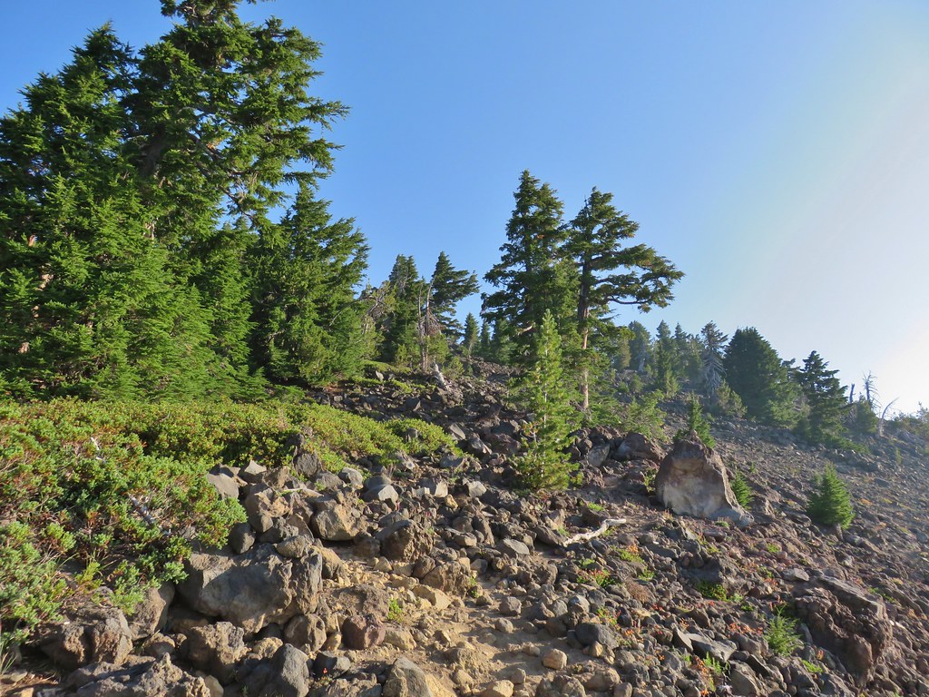
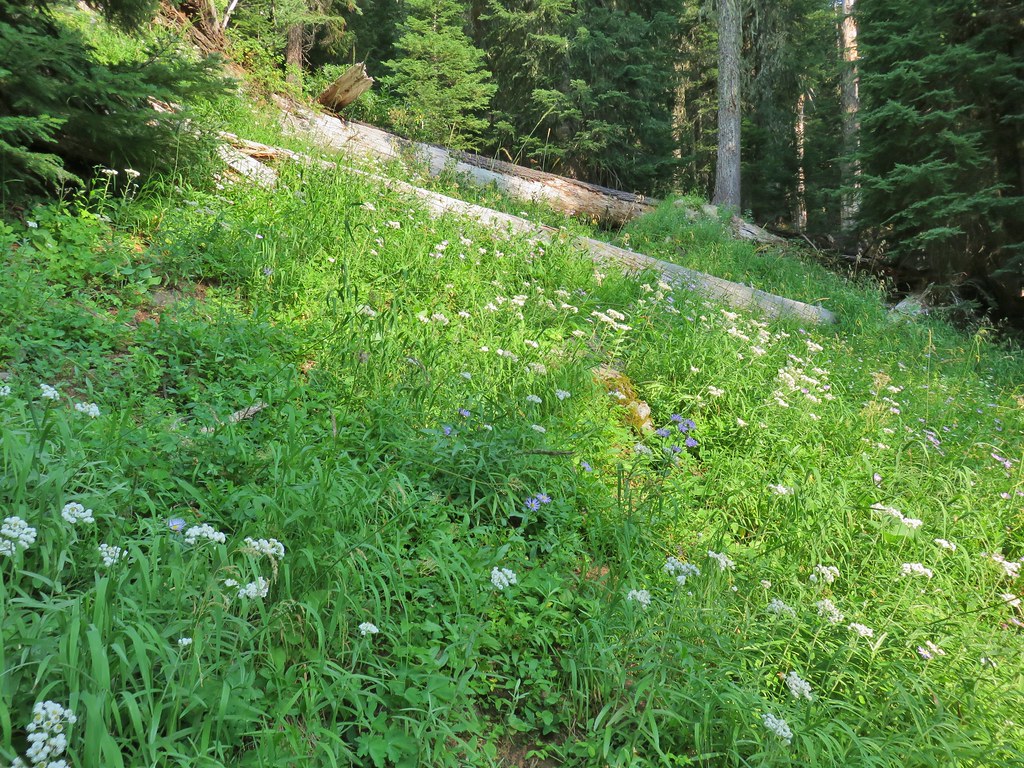
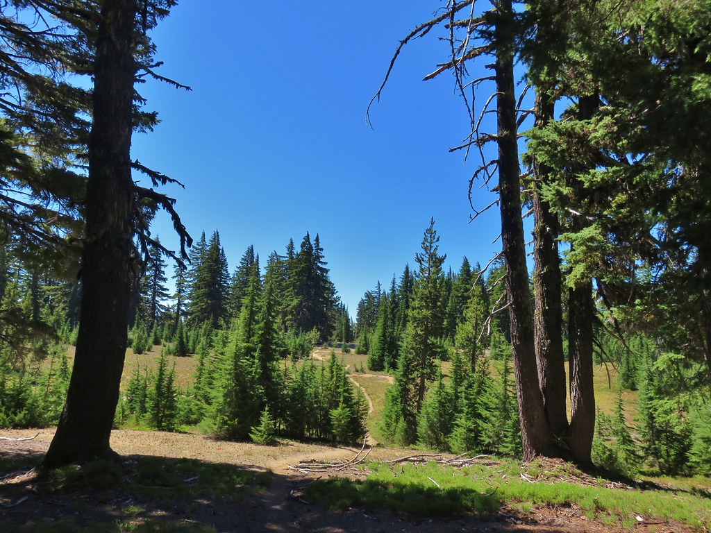
This wound up being a nice loop, just under 5 miles, with minimal elevation gain (200′ or so). The network of trails provides options for both shorter and longer loops too with multiple starting points available. We hope to come back again in the Spring some year to check out more of the area and see what it looks like during a different season. Until then this was a great introduction to the area. Happy Trails!
Flickr: Wildcat Canyon


 Still some fireweed blooming in the fire scar.
 East Crater beyond a pond.
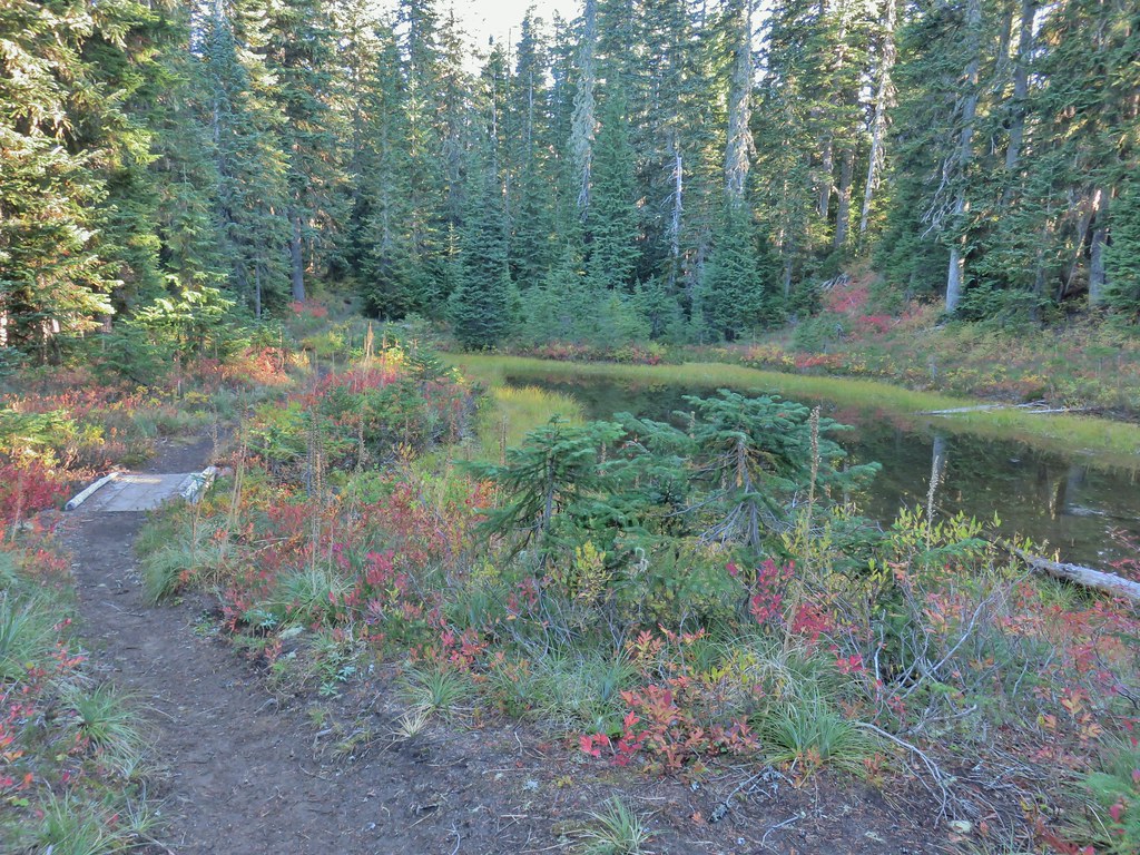
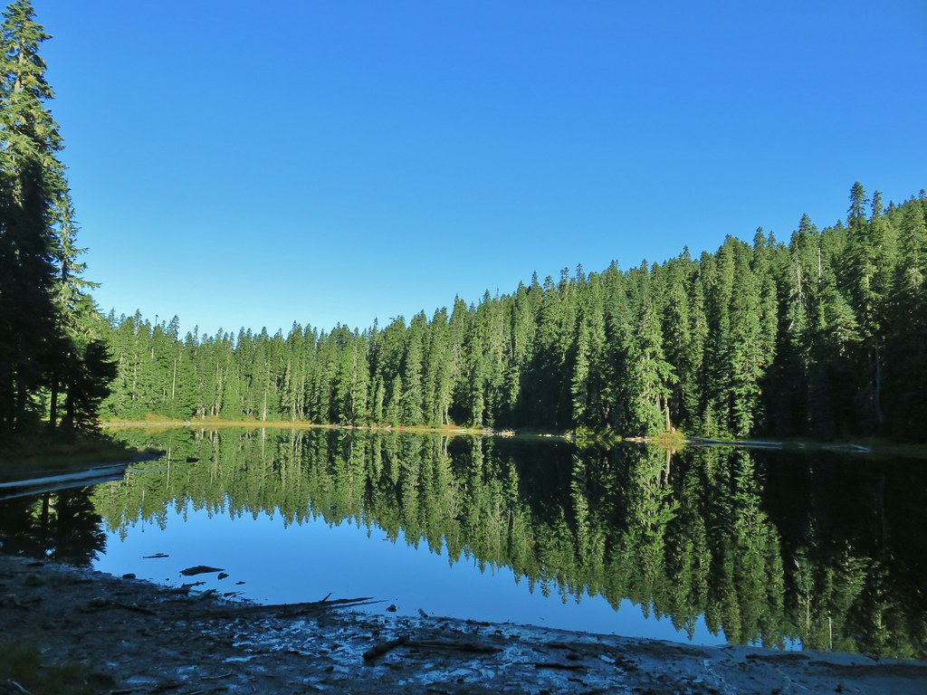
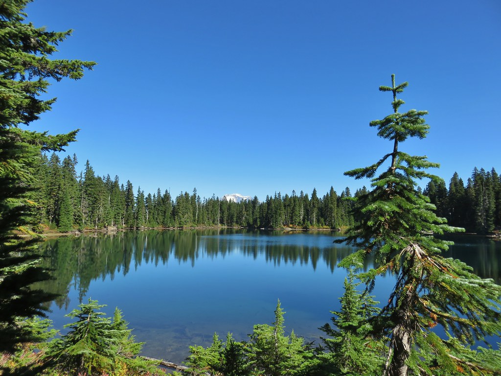
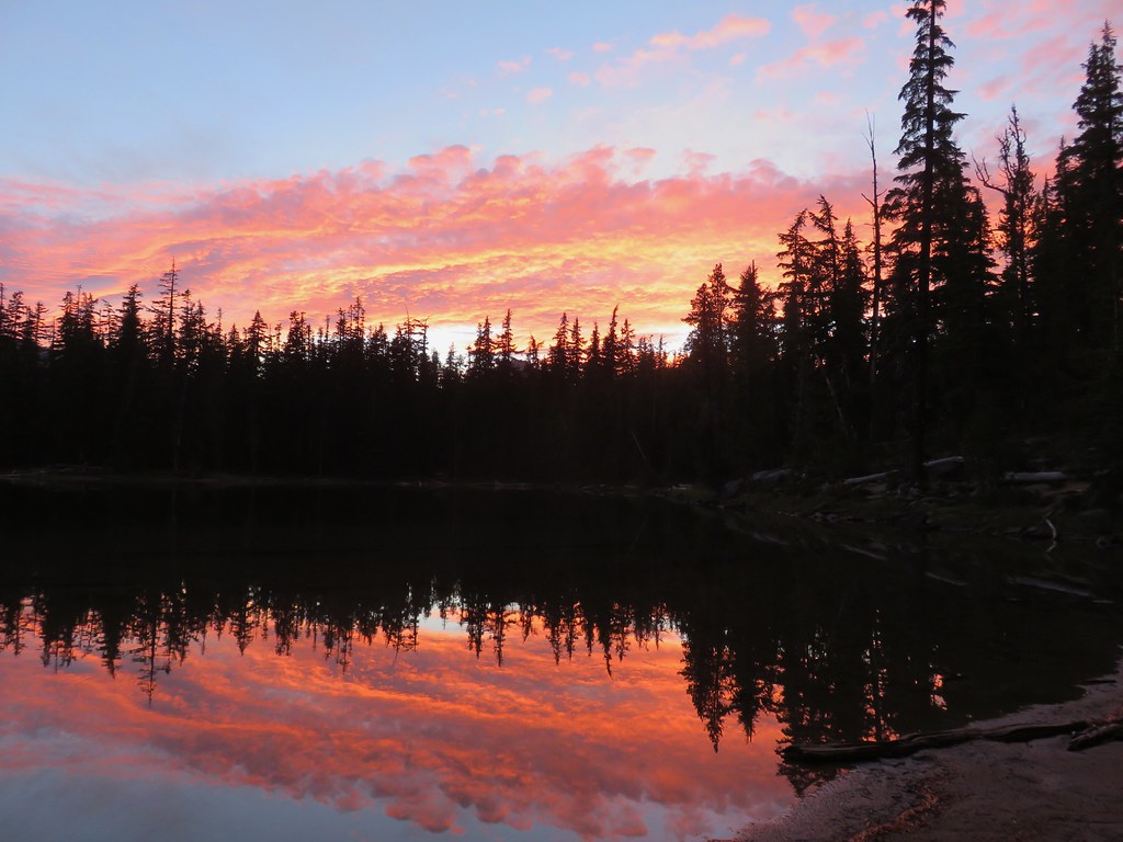
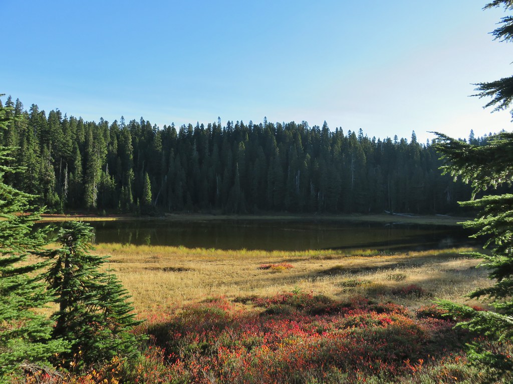 Junction Lake
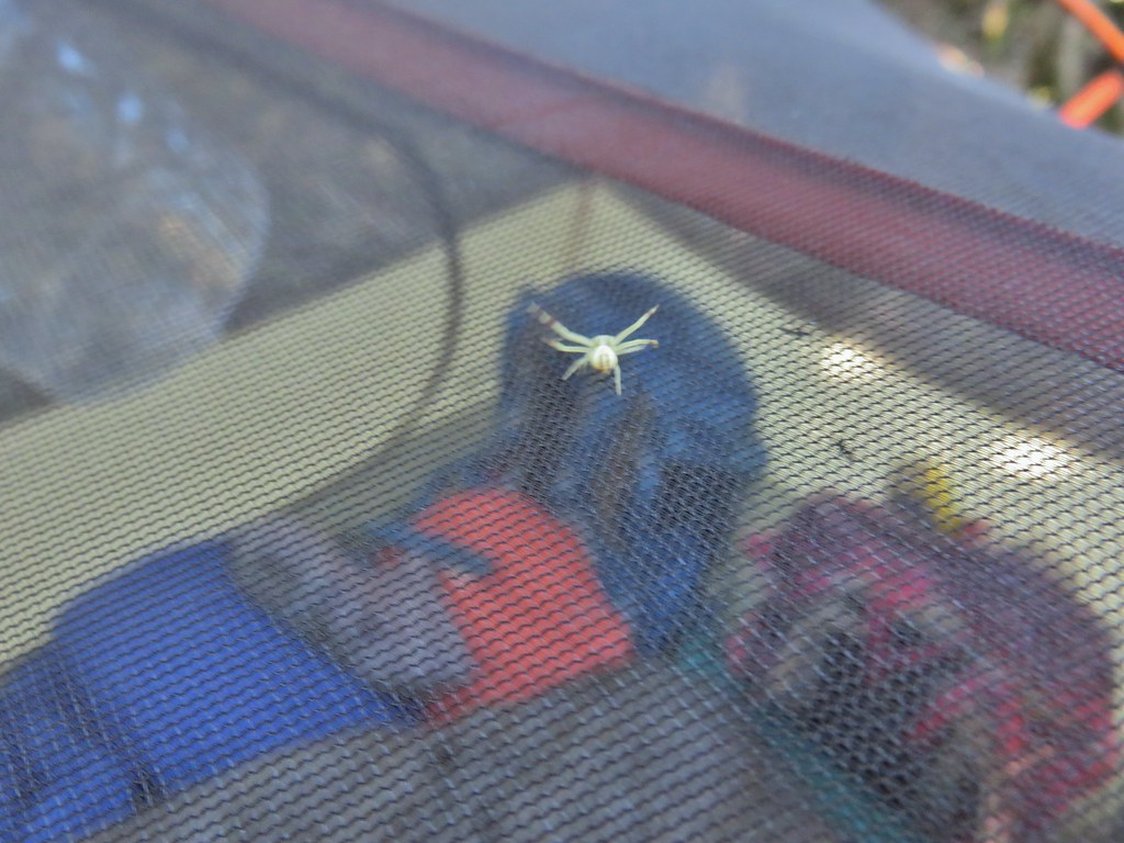 This crab spider offered to watch our tent for us while we were away.
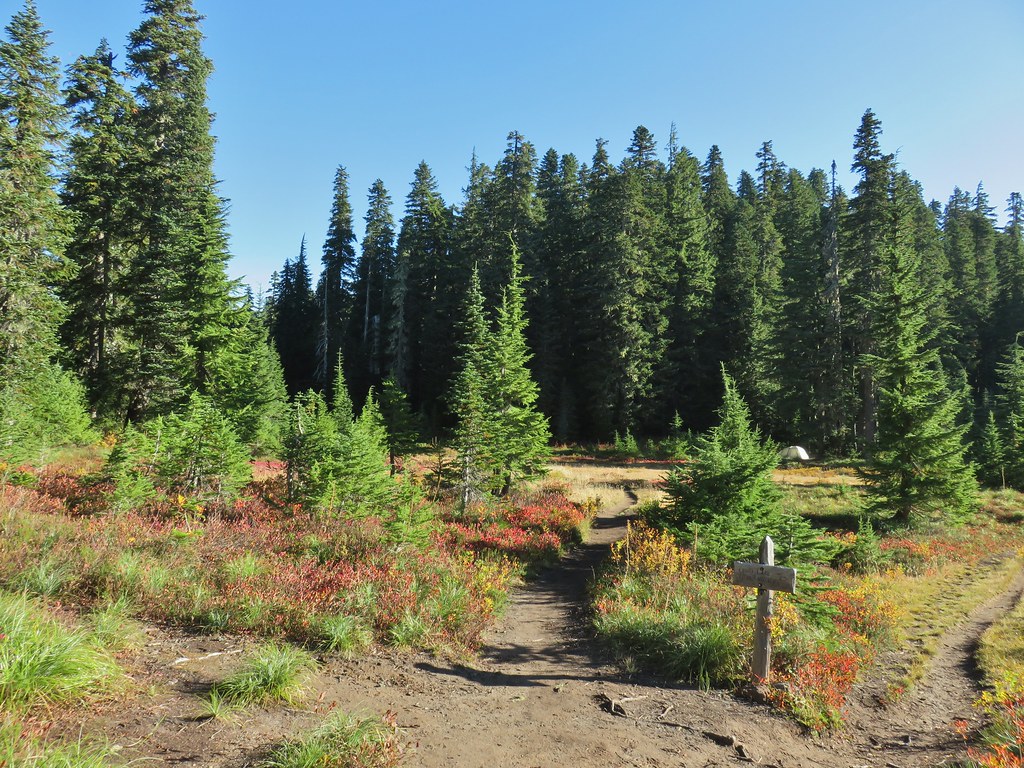


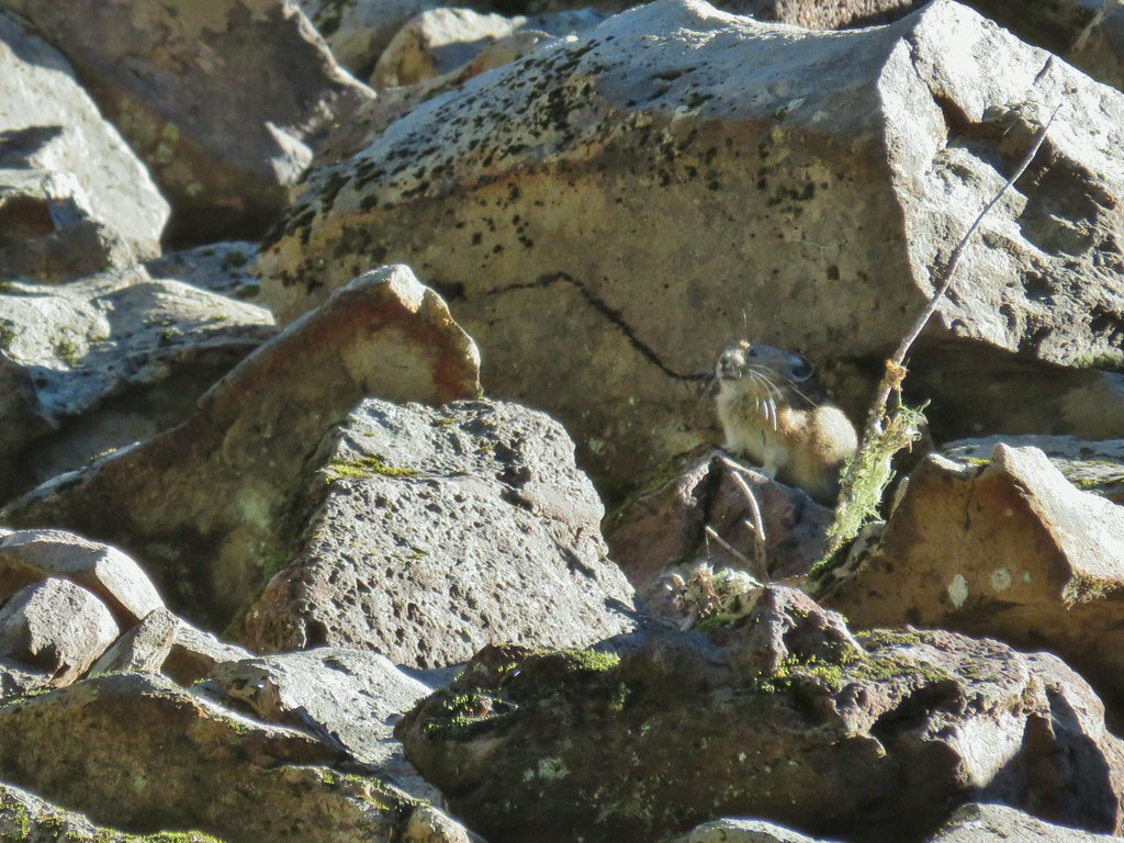
 Placid Lake Trail on the left.
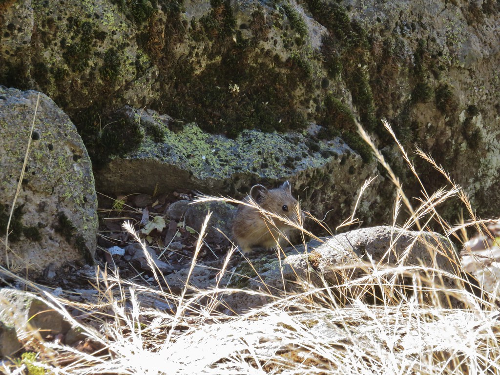
 No pikas in these rocks, that we saw.
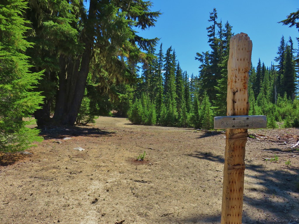
 PCT at the 4-way junction.
 Cultus Creek Trail heading uphill to the right.

 Goat Rocks with Mt. Adams hiding behind trees.
 Mt. Rainier behind Sawtooth Mountain (and Steamboat Mountain to the right)
 Mt. Rainier
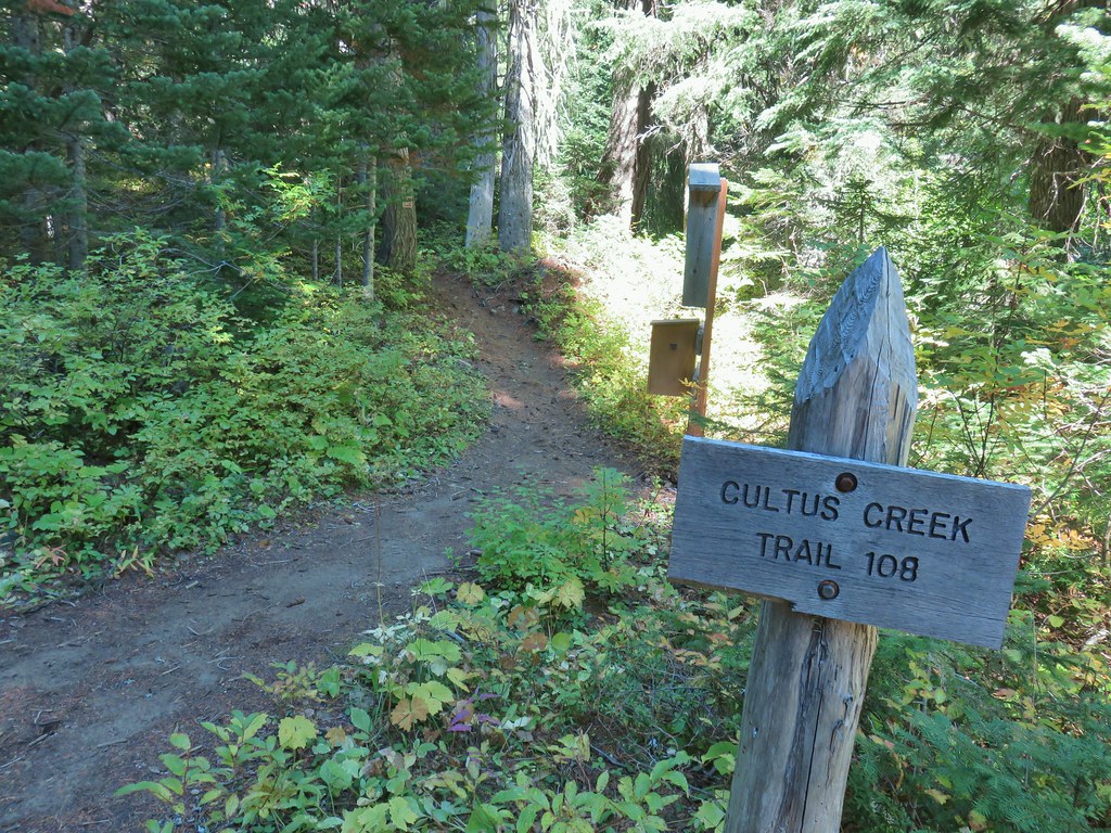


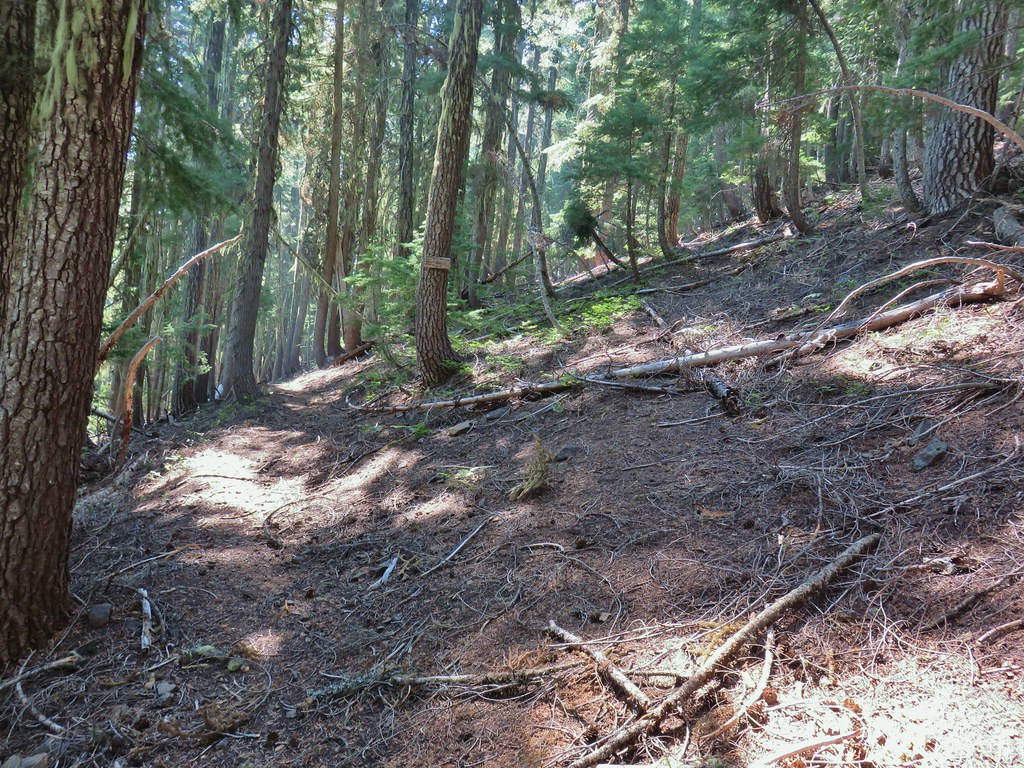
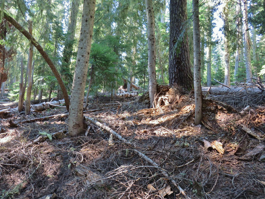
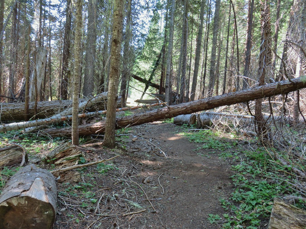
 The Labor Day wind storm had knocked a number of trees down but the trails we took had mostly been cleared already.

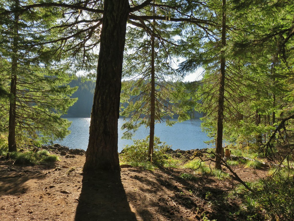
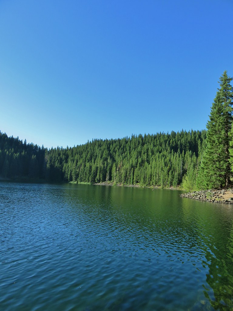
 Cultus Lake from the Deep Lake Trail.
 Lemi Rock beyond Cultus Lake
 Cultus Lake from the Lemi Trail.

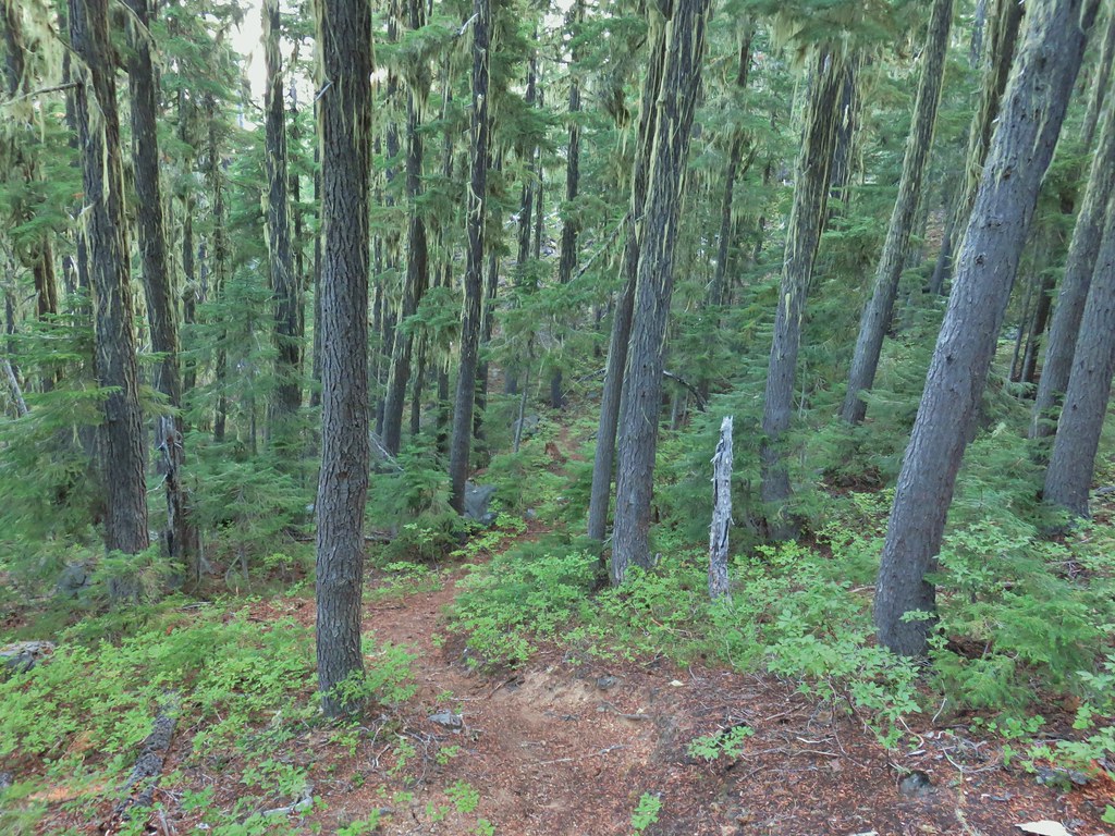
 The climb was up a forested hillside.
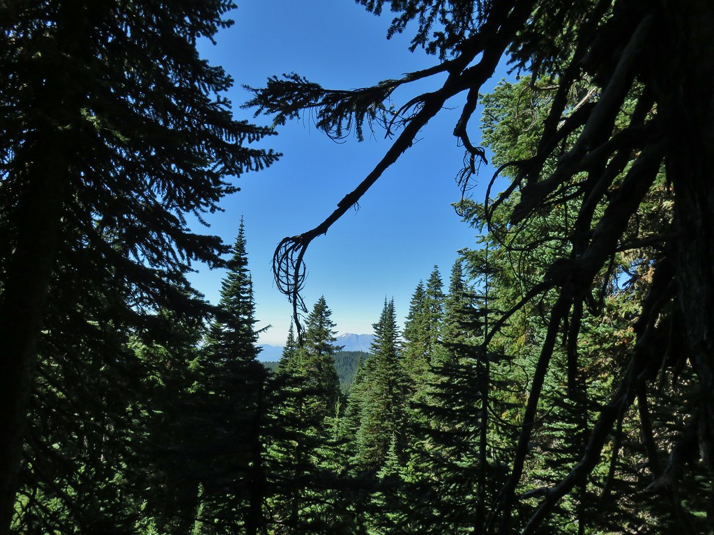 Mt. St. Helens

 Mt. Adams as we approached the viewpoint.
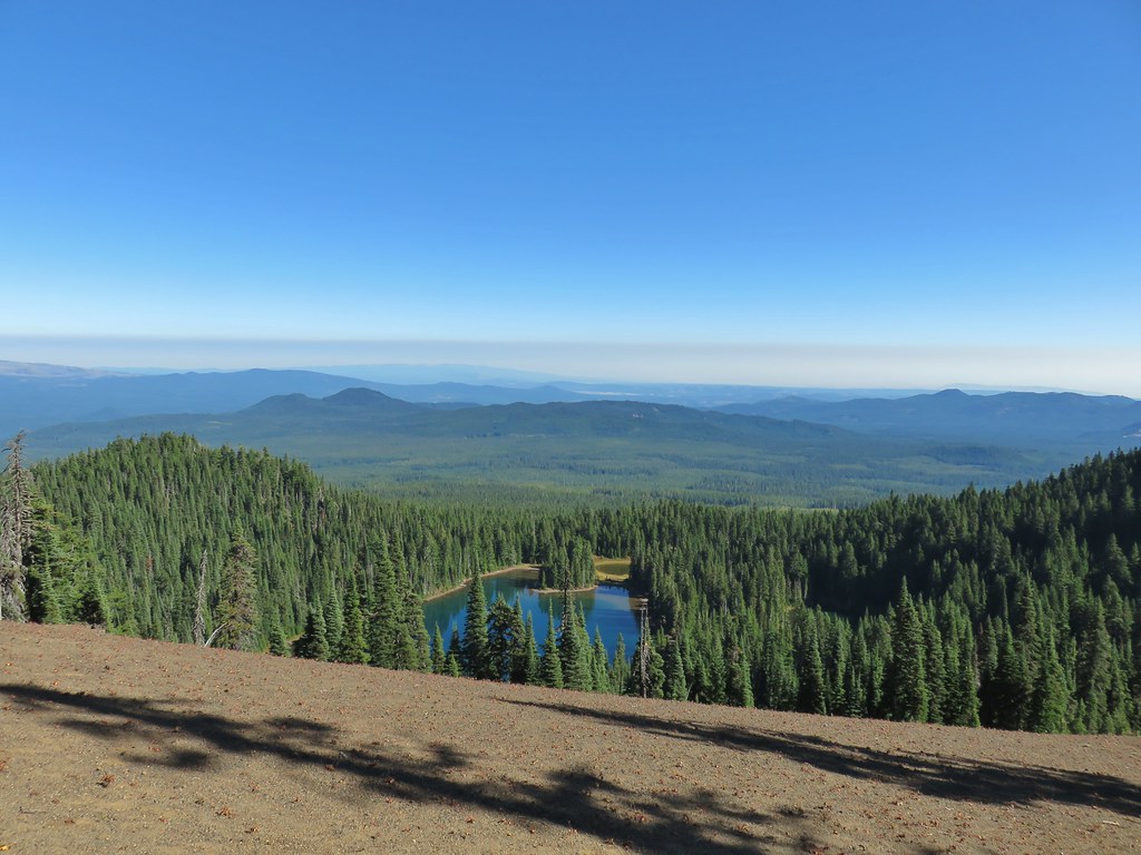 Lake Wapiki
 Mt. Hood


 Lemi Lake
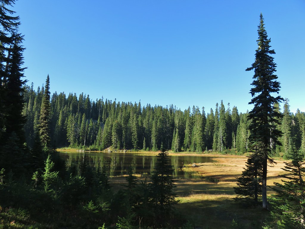


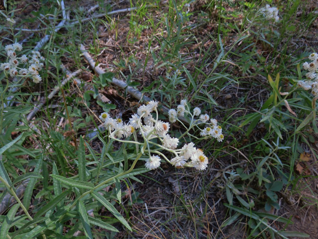
 Pearly everlasting
 Lemi Rock from the Lemi Lake Trail.

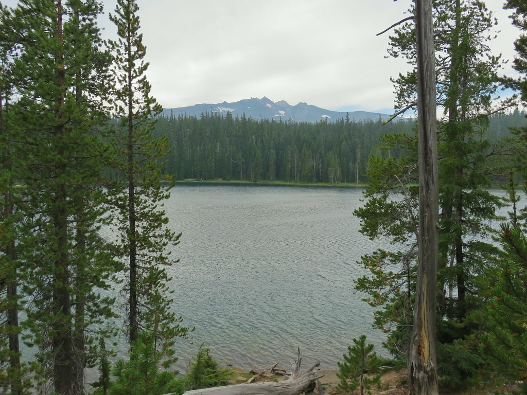
 Junction Lake
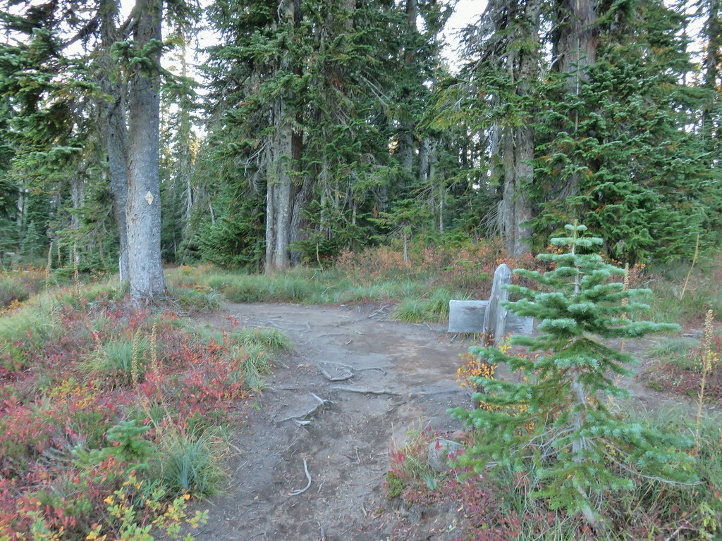 Back to the PCT.
 Junction Lake from the PCT/Lemi Lake Trail junction.


 The open gate and Lost Lake Road from a logging road.


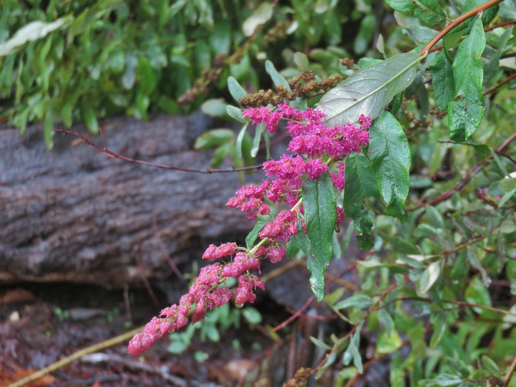 Hardhack
 Spruce Run Creek Trail on the left.

 Leaving the logged area.
 Rough skinned newt near Spruce Run Lake.
 One of many damp spider webs in the meadow.
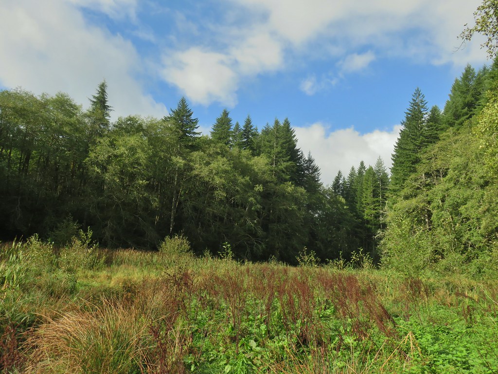 The meadow from the bank of Spruce Run Creek
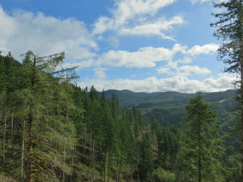
 Bleeding heart
 Scouler’s bluebell
 A little butterfly


 Fall means mushrooms start replacing wildflowers.
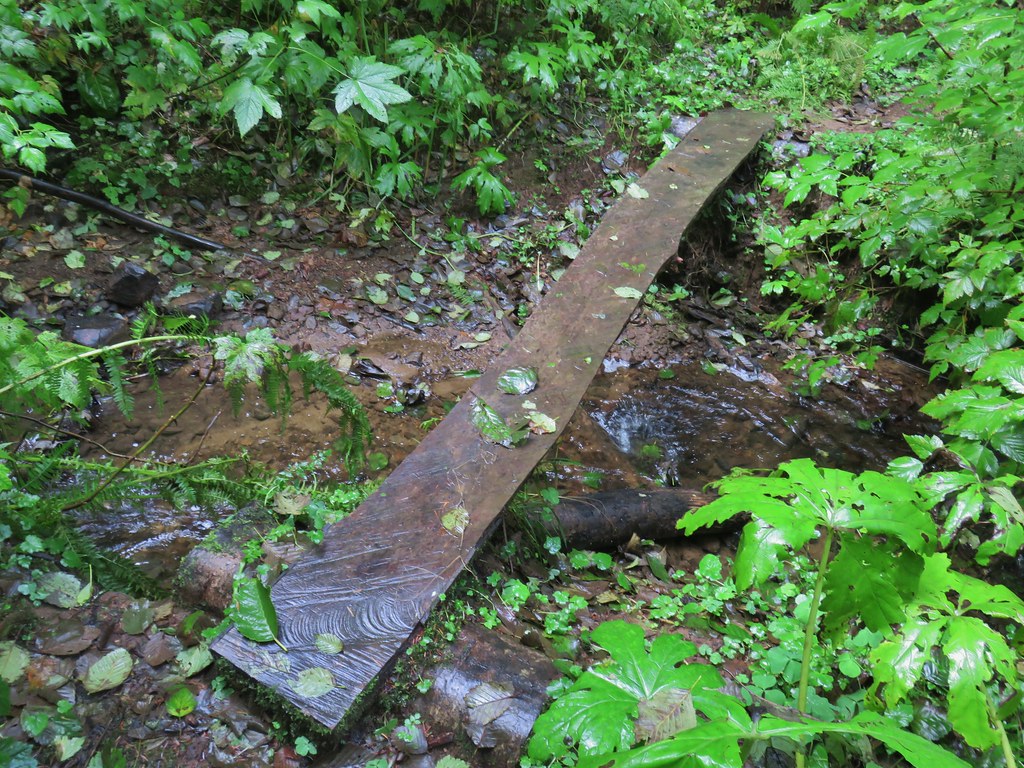
 August Fire Road

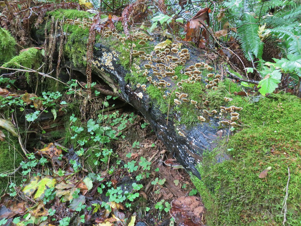
 Snail near Bloom Lake.
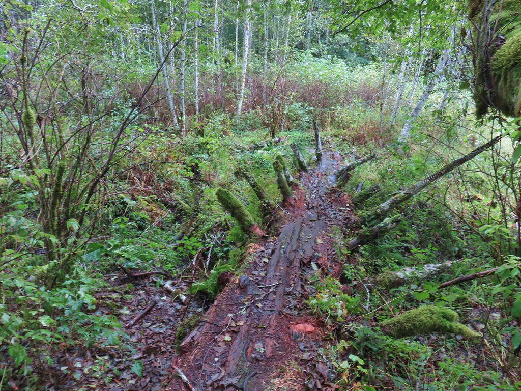
 Mushrooms
 More mushrooms
 Buck Canyon Trail
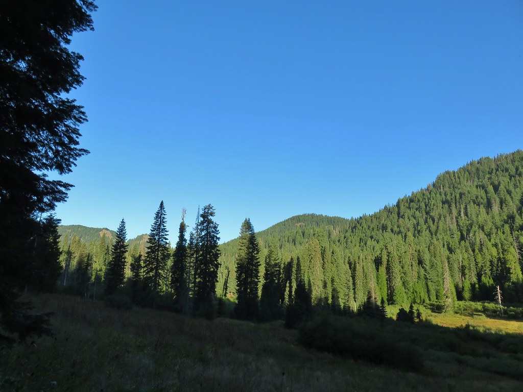 View from the Buck Canyon Trail
 Hummingbird Meadows Trail
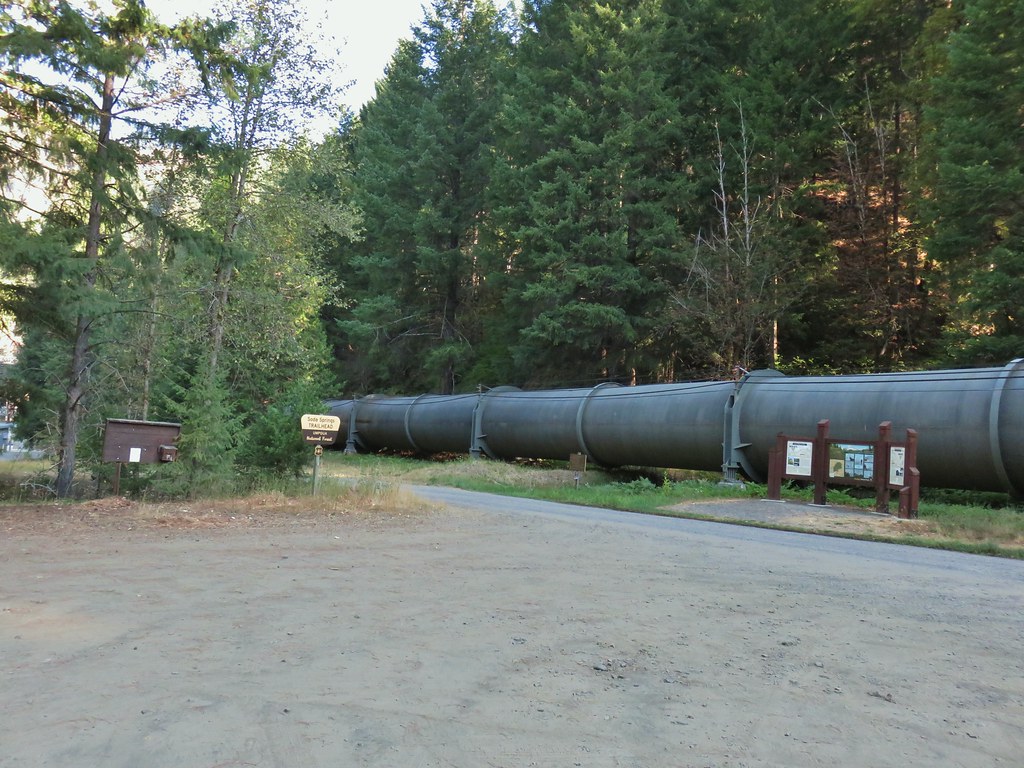


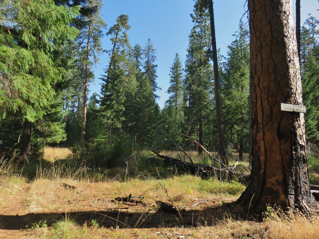
 Bradley Trail passing below some cliffs.
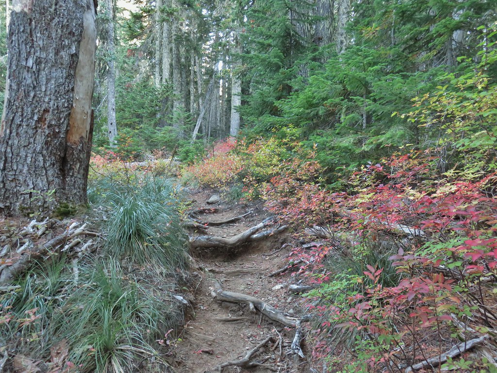
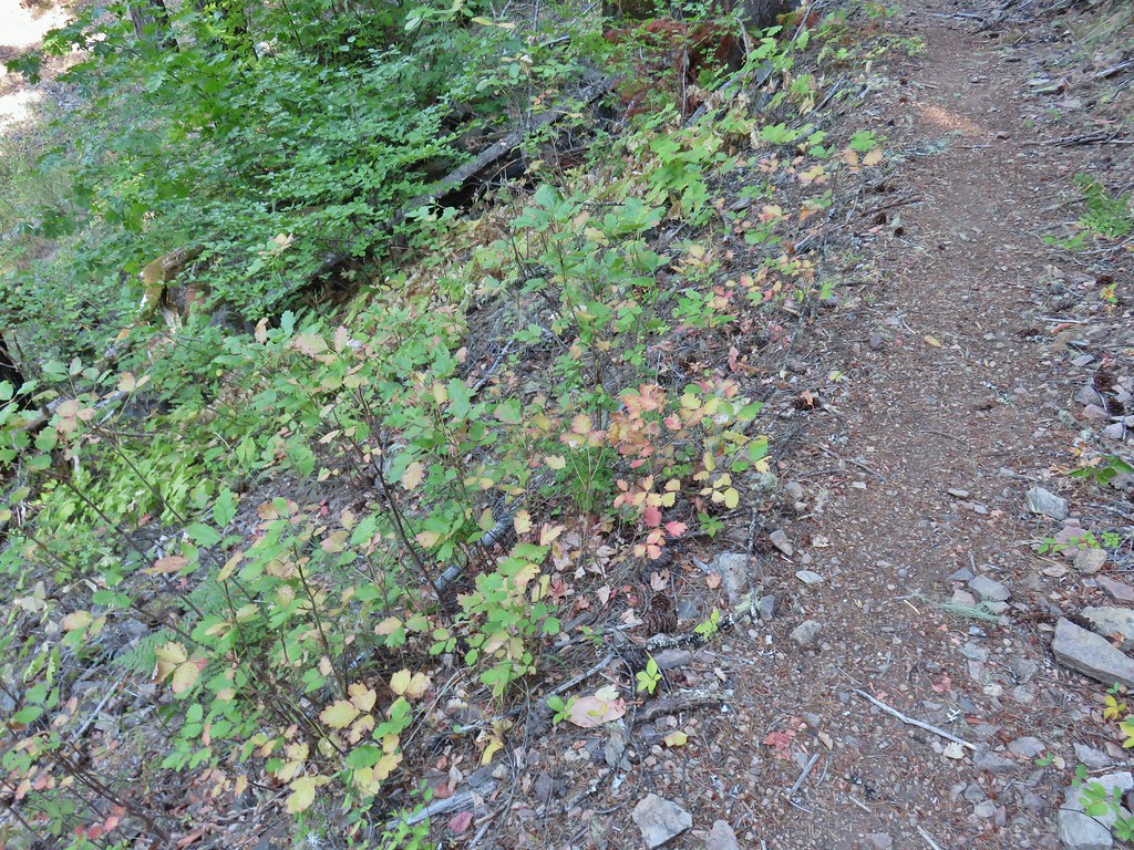 A lot of the poison oak was turning color which made it easier to spot.
 Entering the 2017 fire scar.
 Lizard
 Bradley Trail arriving at Pine Bench.
 Rock formation visible from the Bradley Trail.

 Common wood nymph
 Illahee Rock Lookout

 Spur trail to the left.
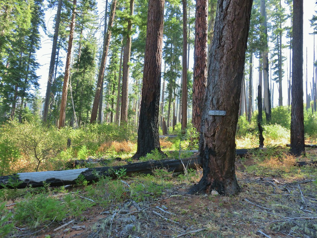 Just over half a mile from the campsite we passed the very faint Perry Butte Trail.
 Trail maintenance and ripe blackberries.
 Looking up the Boulder Creek Valley
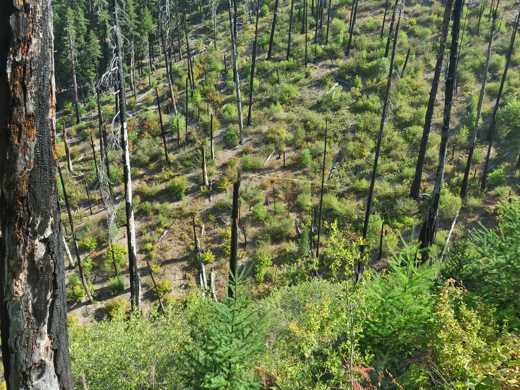 Looking down at the trail across a side drainage.
 Looking across the Boulder Creek valley.
 Small fall on Boulder Creek
 Final drop down to Boulder Creek.
 Boulder Creek
 The continuation of the Boulder Creek Trail on the far side of Boulder Creek which reportedly becomes even fainter and more wild.
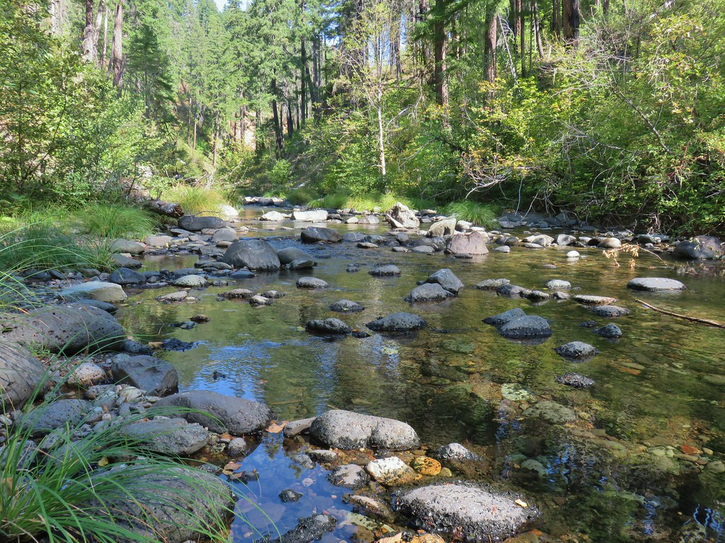


 Fern tree along the Boulder Creek Trail.
 This log was the trail.
 Another switchback with poison oak on all sides of the trail.


 Smokey skies turning the Sun red.


 Little trees surrounding a giant.
 A downed giant.

 Madia
Madia Paintbrush


 Goldenrod and other flowers.
 Arnica?
 Columbine
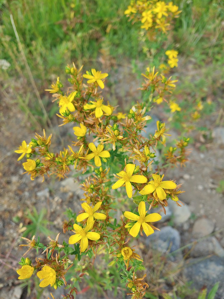 St. John’s wort
 Fleabane (or aster) and coneflower


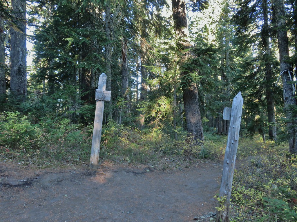
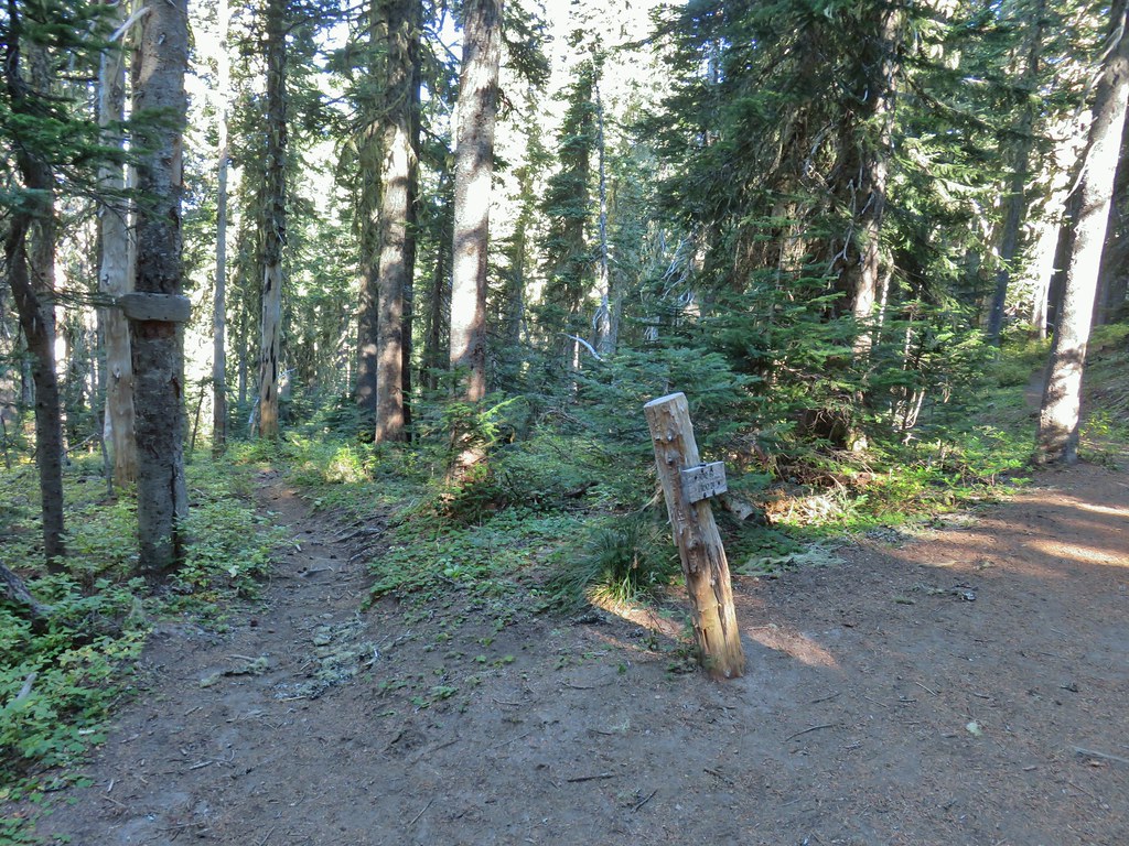
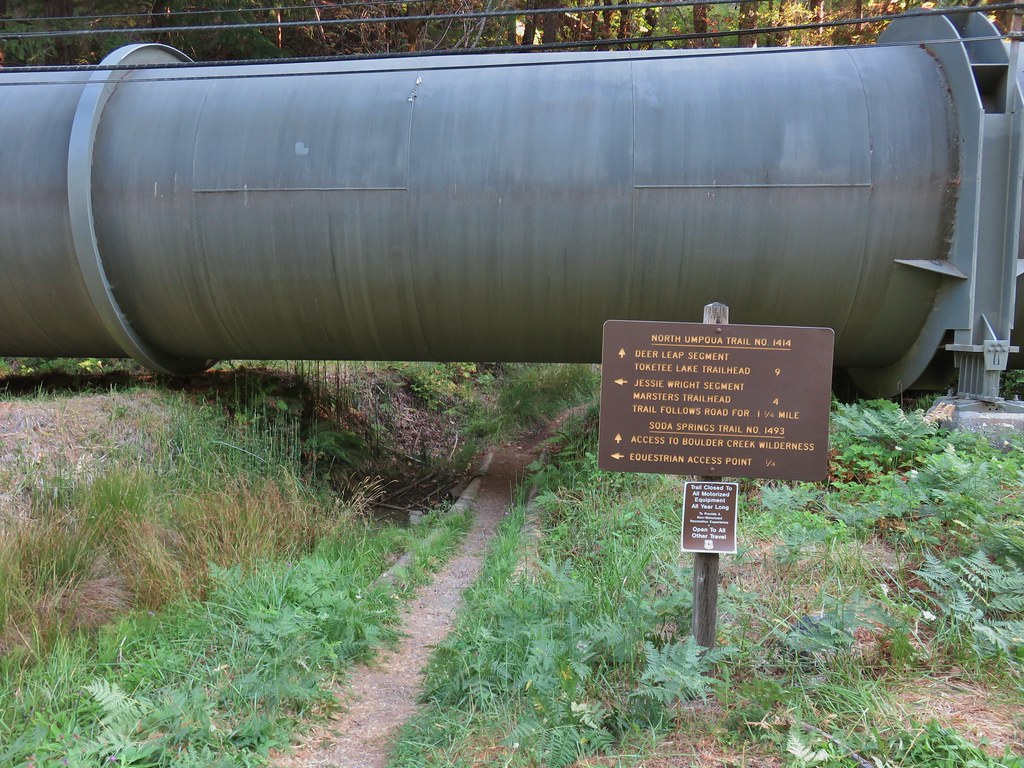
 The trail sign on the left wasn’t particularly descriptive.
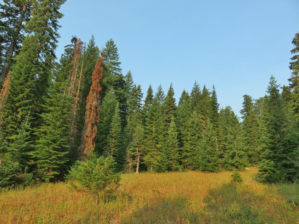
 The owl is in the center of the picture behind the branch with green needles.
 Small stream crossing
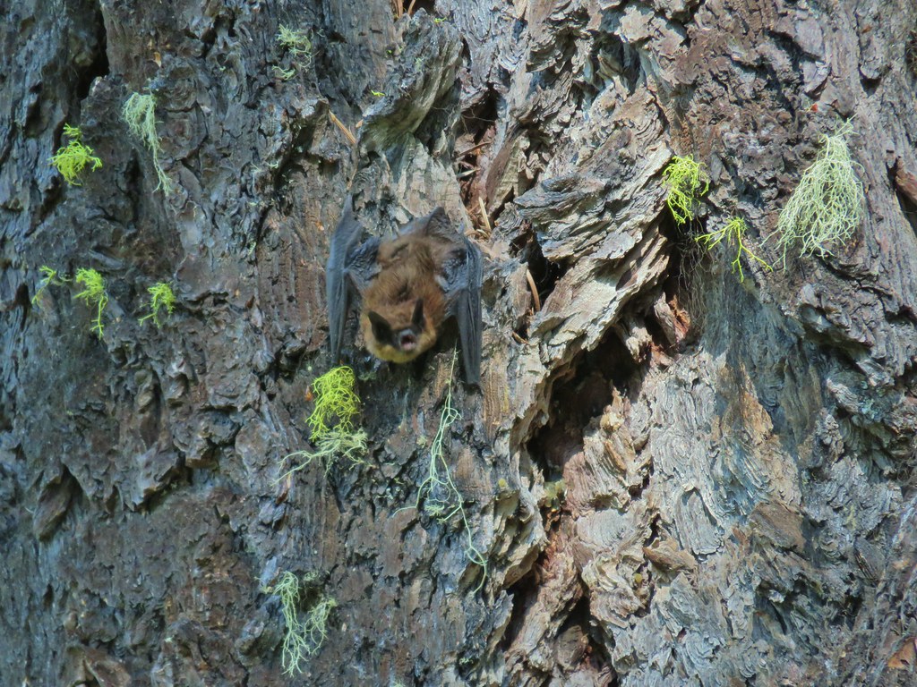
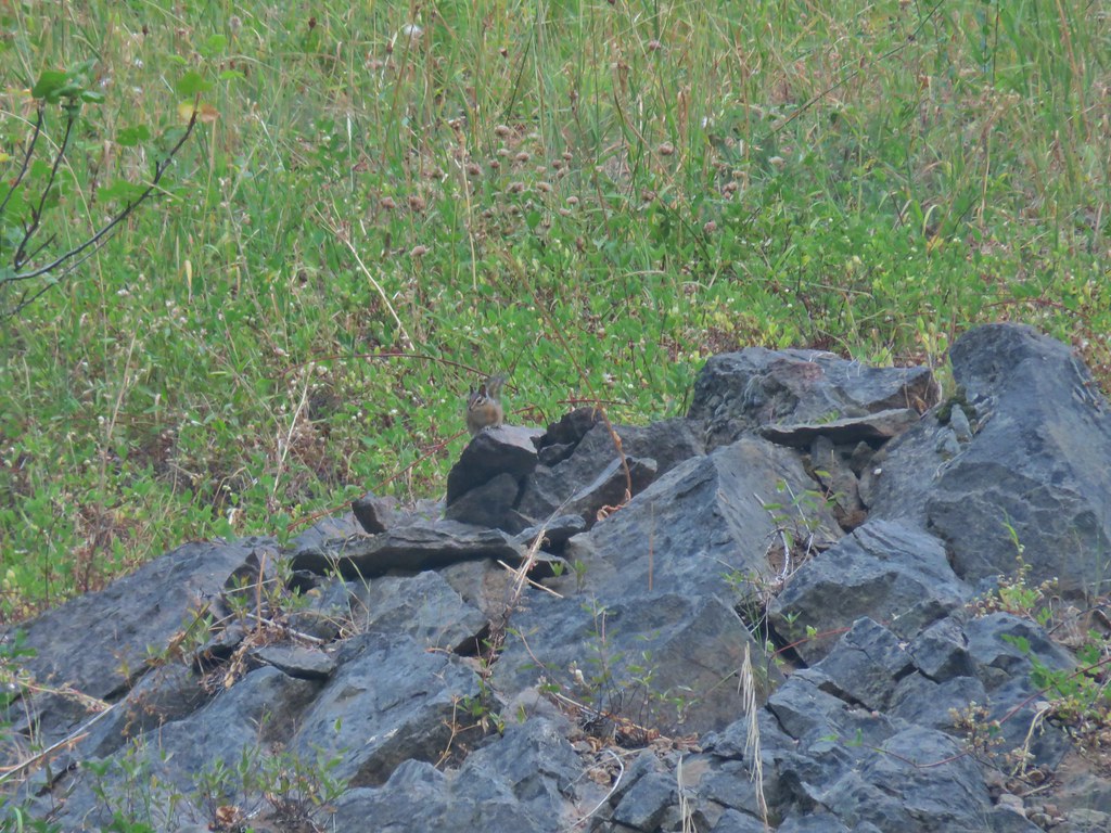 Chipmunk


 Windy Gap
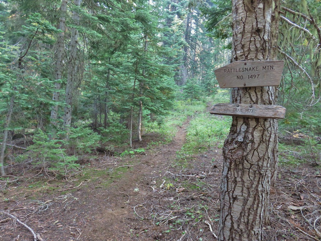


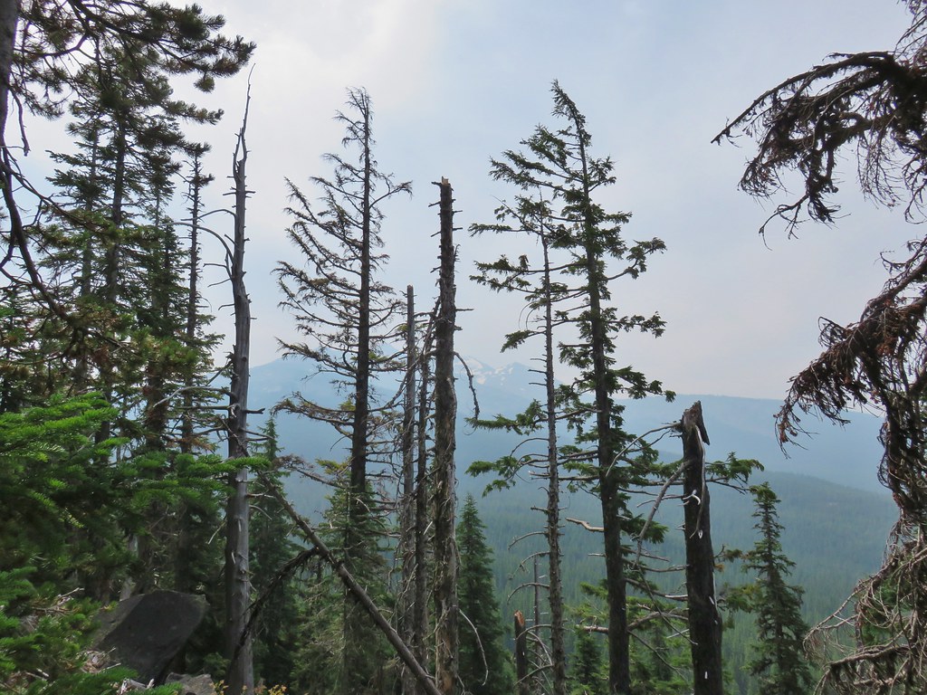
 Near the upper end of the 1.2 mile section we entered a burn scar with views of Mt. Bailey, Mt. Thielsen and Crater Lake.
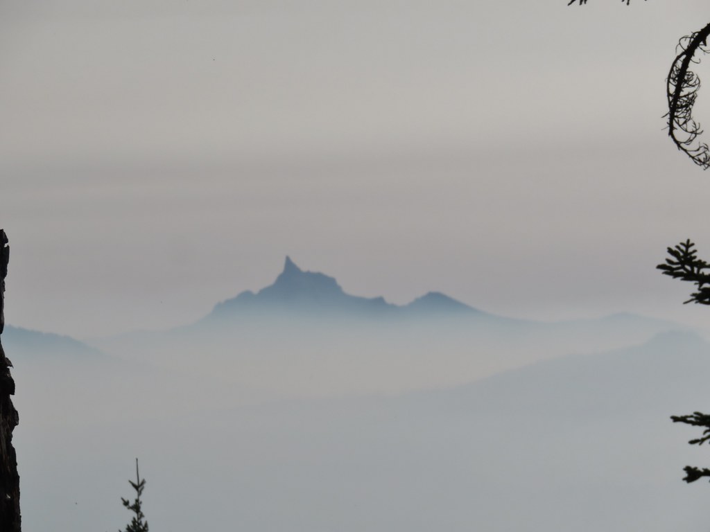 Mt. Thielsen
 High points along the rim of Crater Lake above the smoke.
 A bee photobomb with Mt. Bailey and Mt. Thielsen to it’s right.
 Flagging in the burn scar.
 Nuttall’s linanthus
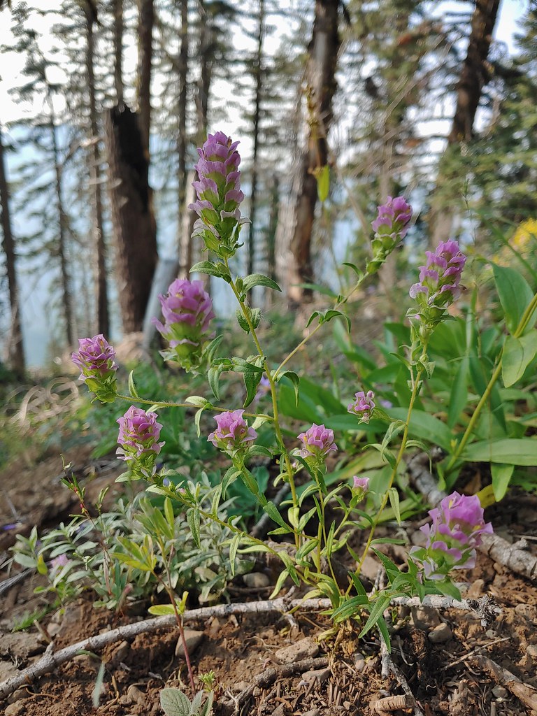 Owls clover
 Golden-mantled ground squirrel.
 The rock cairn.
 Nearing the summit.
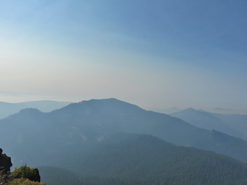
 Mt. McLoughlin
 Hillman Peak and The Watchman at Crater Lake
 Butterfly and bees.
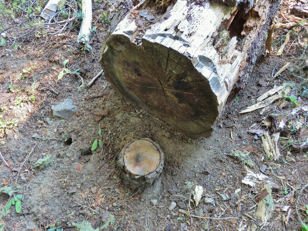 For some reason this cracked us up.
 Heather spotted this cricket on my shoulder (I always have some sort of insect on me for some reason).

 We’d lost the trail here and were just heading for the Castle Creek Trail.
 We came across this faint tread in the trees before reaching the Castle Creek Trail and started following it.
 Apparently it was the actual trail as it popped us out at a trail sign along the Castle Creek Trail.
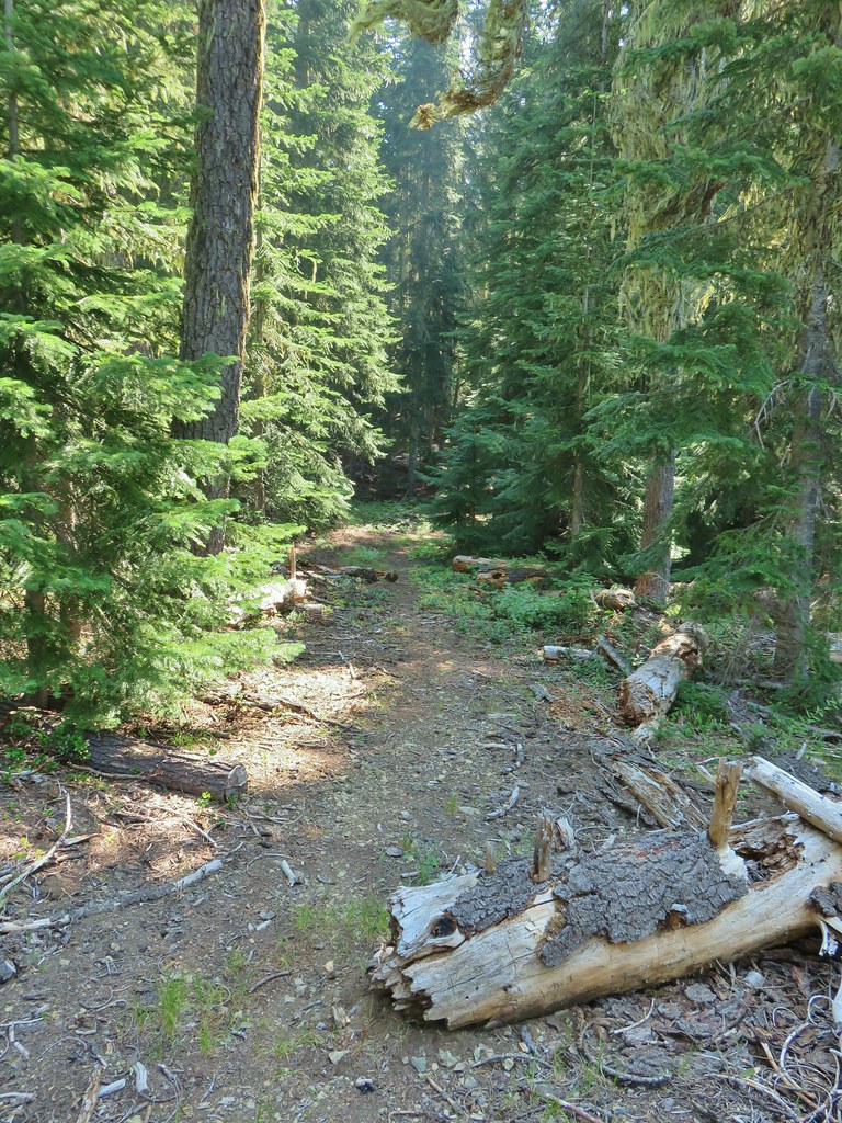

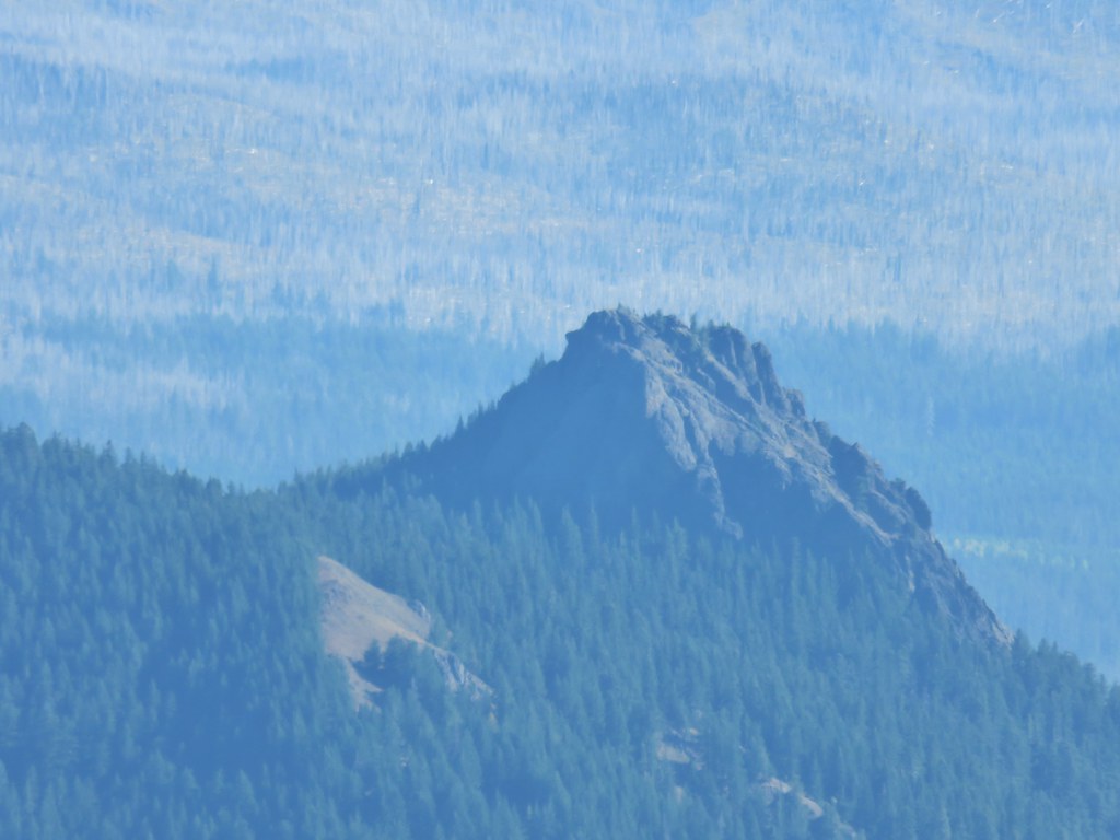
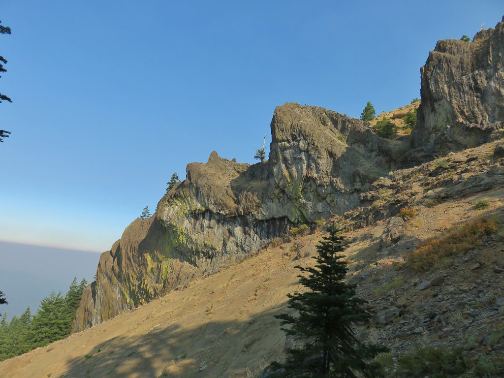
 Rattlesnake Mountain
 Happy Camp Trailhead
 Rattlesnake Mountain
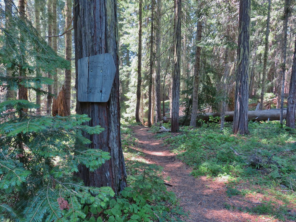
 Rogue-Umpqua Divide Trail
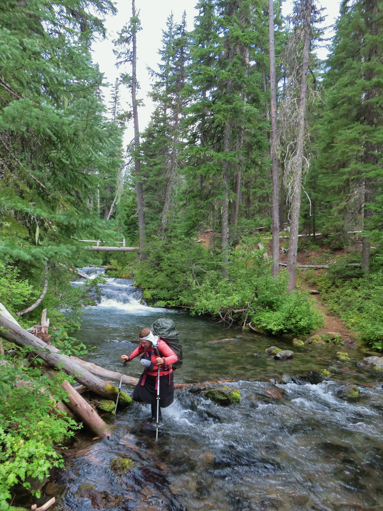
 Snake in Fish Creek
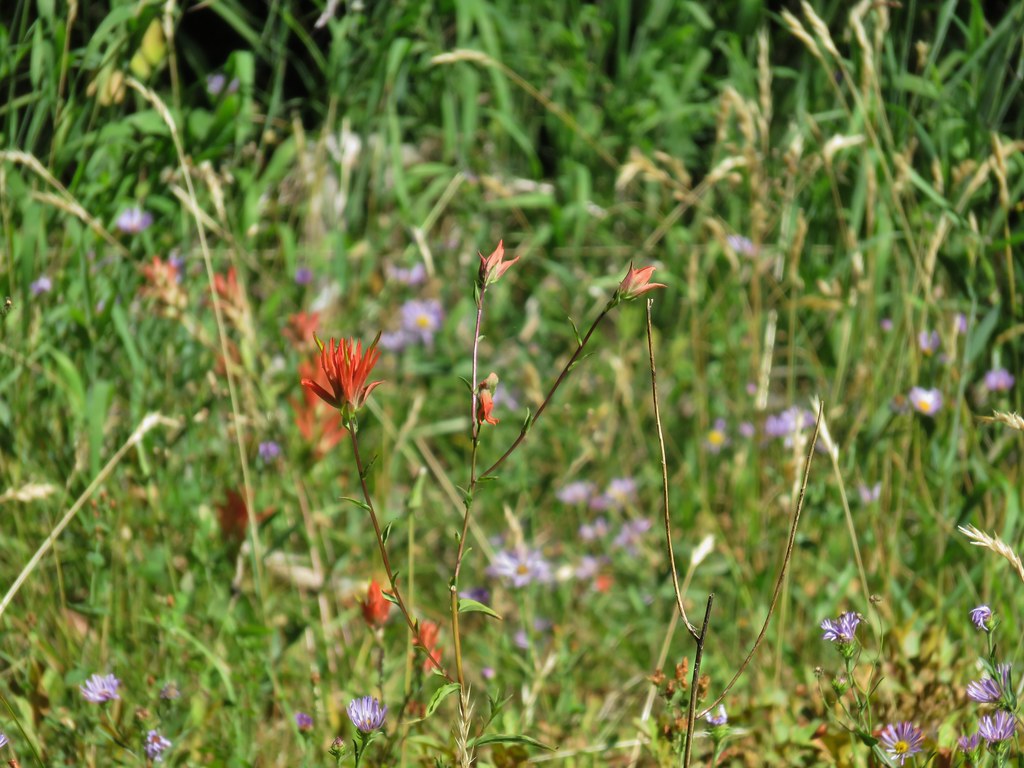
 Scarlet gilia
 Fish Creek
 Fish in Fish Creek
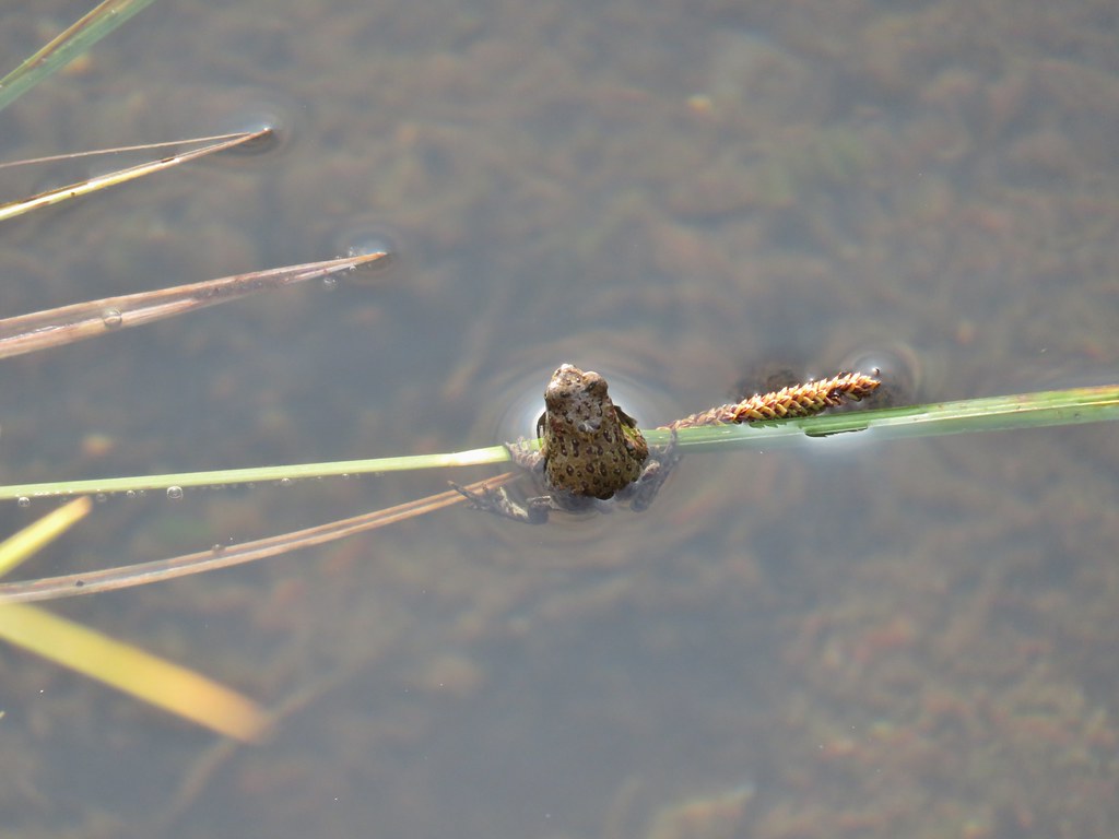
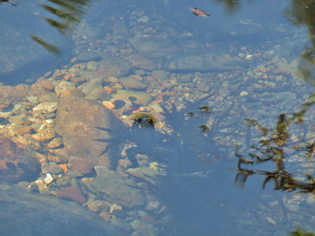 Frog in Fish Creek

 Monkshood
 This frog decided that under Heather’s pack was a nice spot to chill.
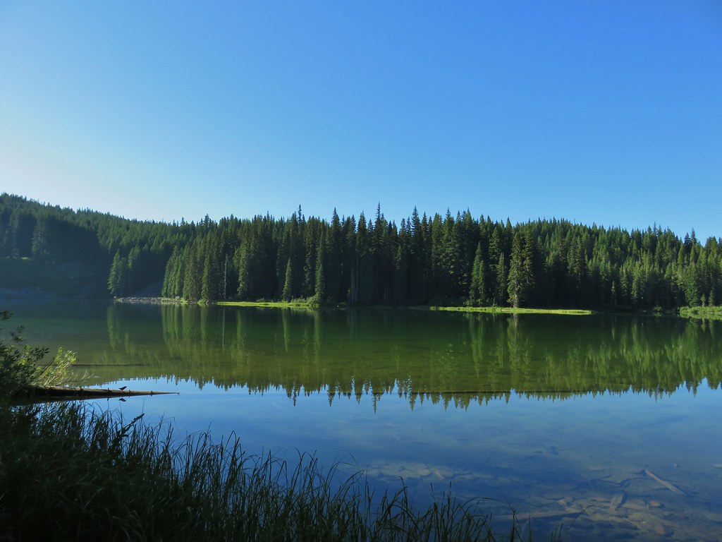
 Horse Lake
 Lesser yellowlegs
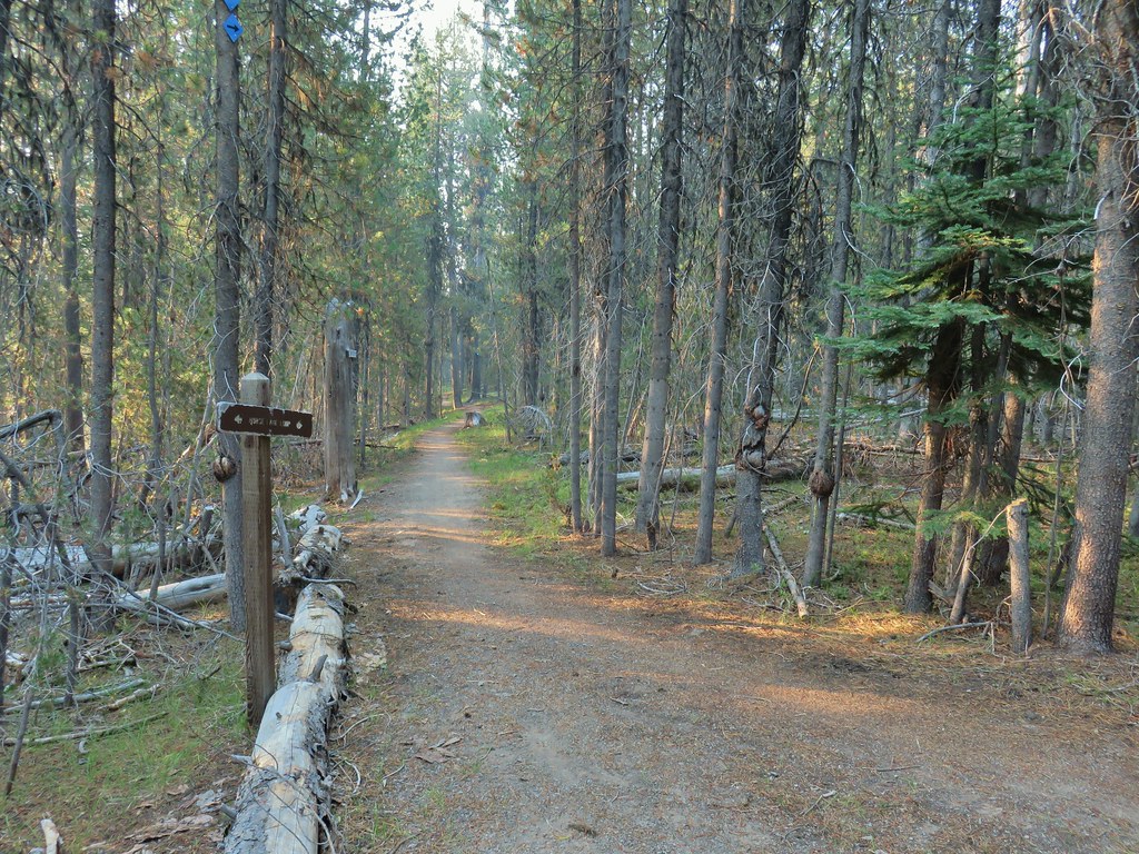


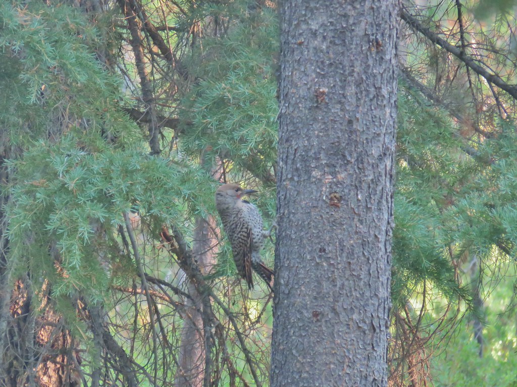 Northern flicker

 Mt. Bailey beyond the meadow.
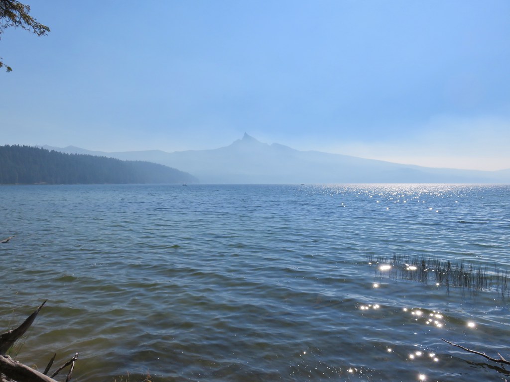
 Mt. Thielsen from the South Shore Picnic Area
 Diamond Lake underneath the smoke.
 Mt. Bailey
 Mt. Thielsen from the boat dock.
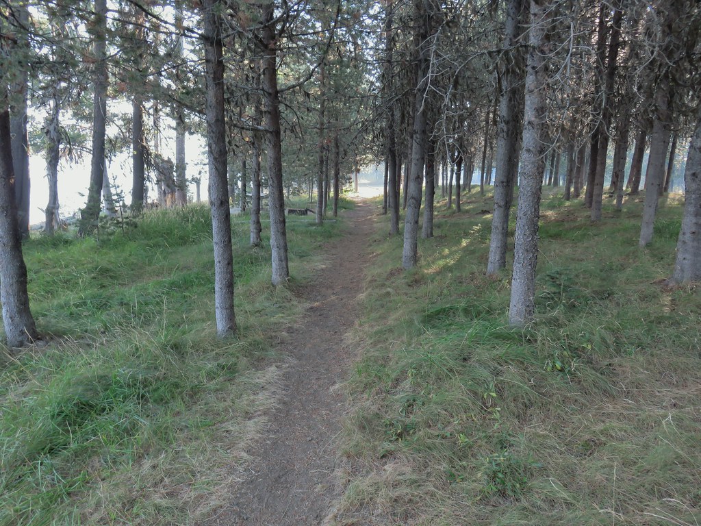 Picnic tables in the picnic area.
 Short Creek (it really is short)
 Resort buildings between the RV park and campground.
 Sign instructing users to follow painted bike symbols through the campground.
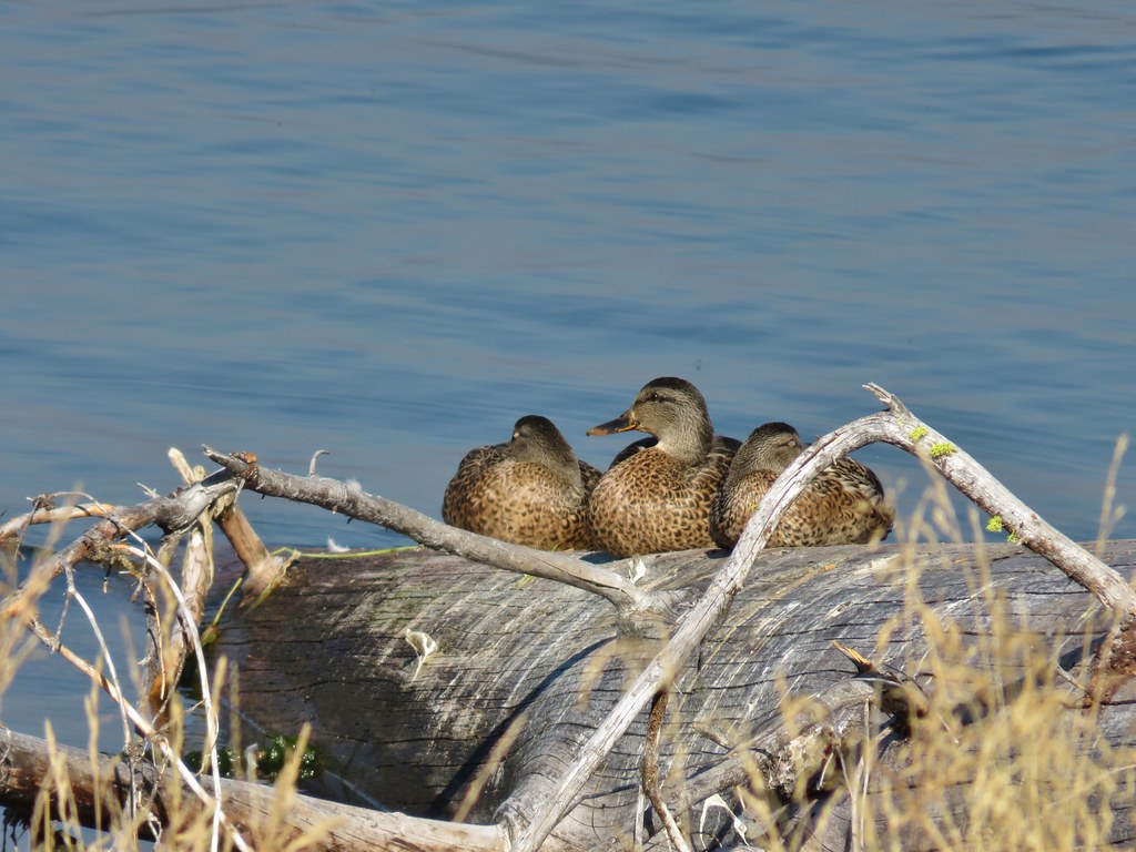
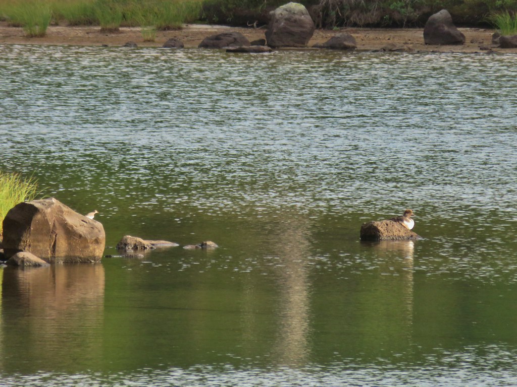
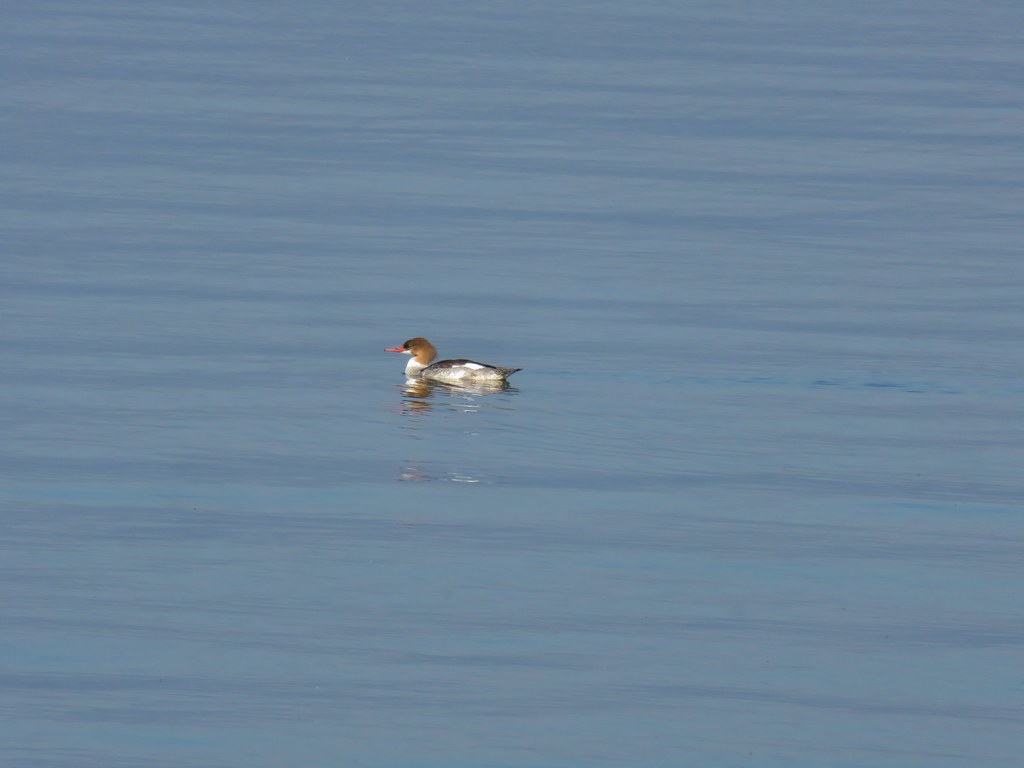 Common merganser
 Goldeneyes
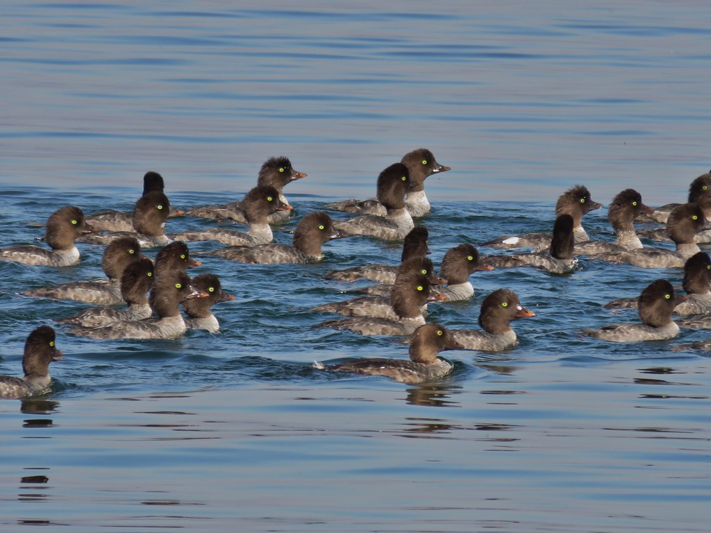

 Mt. Bailey again.
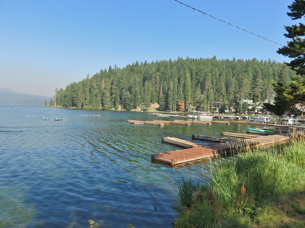 Arriving at the lodge area.
 Seagulls


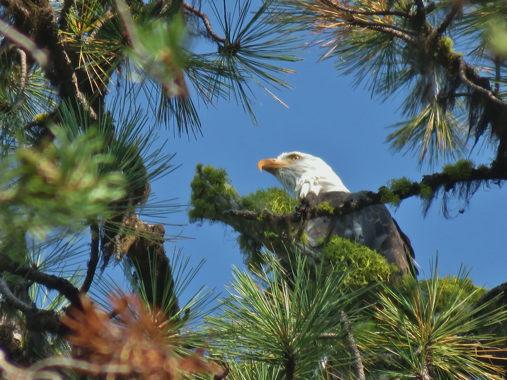 Bald eagle
 I’ve been spotted
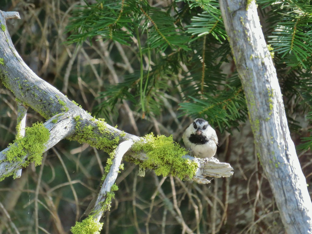 Chickadee with a seed or nut.
 Junco in some fireweed.
 The junco with Mt. Bailey in the background.
 Looking back at Mt. Thielsen
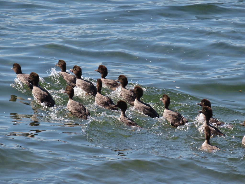 More goldeneyes
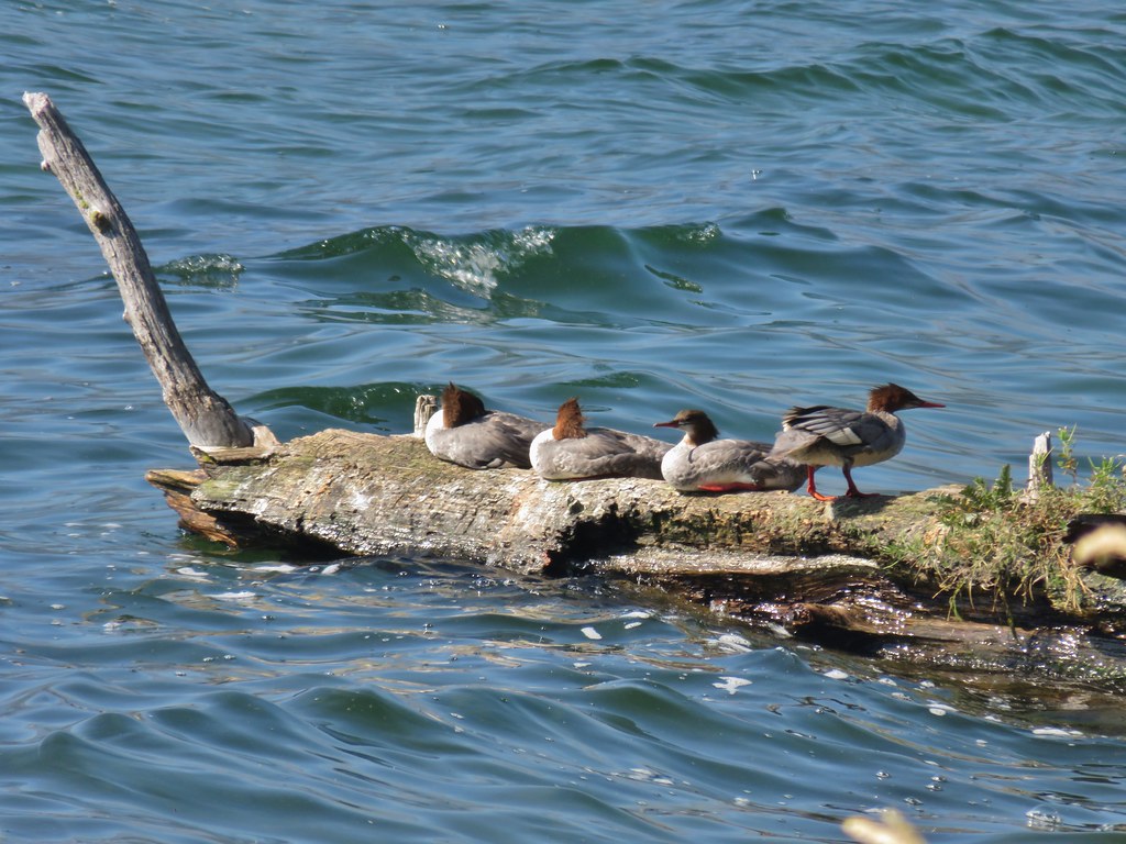 Mergansers


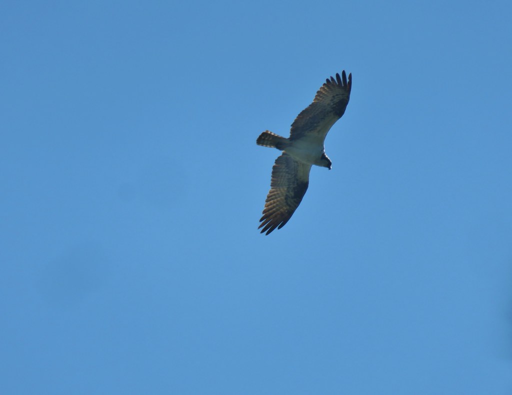 Osprey
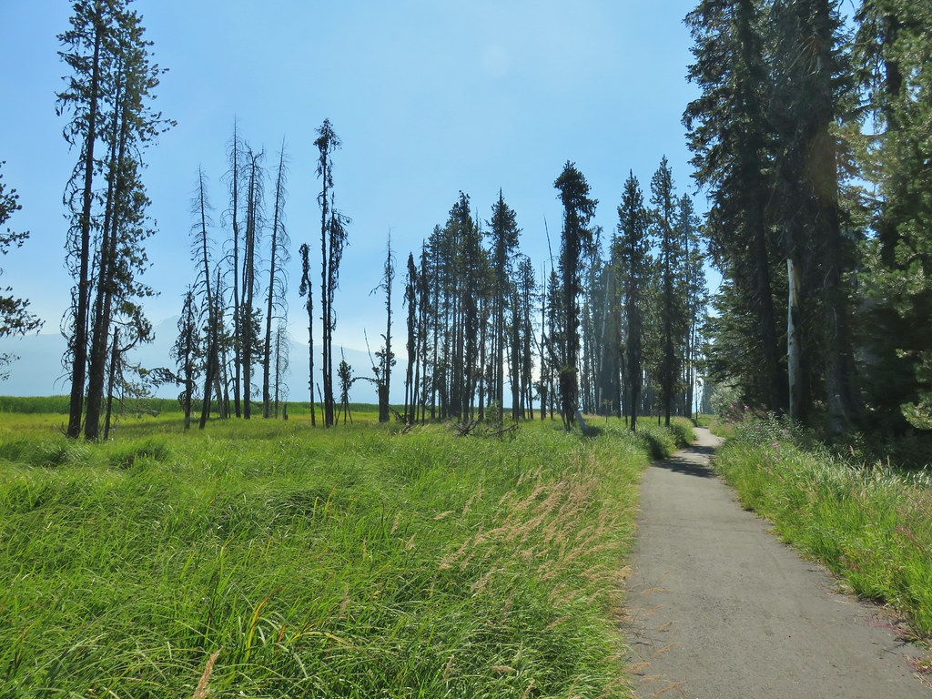

 Cormorant
 Howlock Mountain to the left and Mt. Thielsen
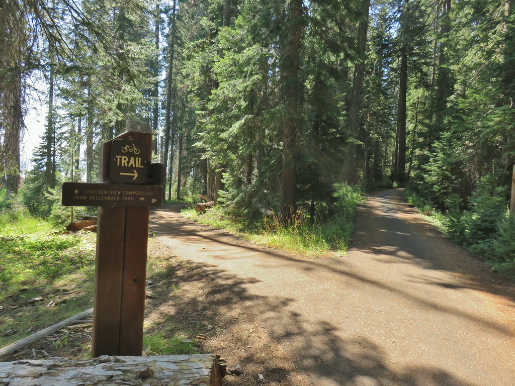


 Back on the lake side of FR 4795.


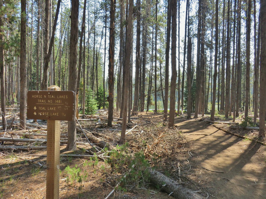
 Canada geese at Teal Lake.


 hedgenettle and aster.
 Monkeyflower
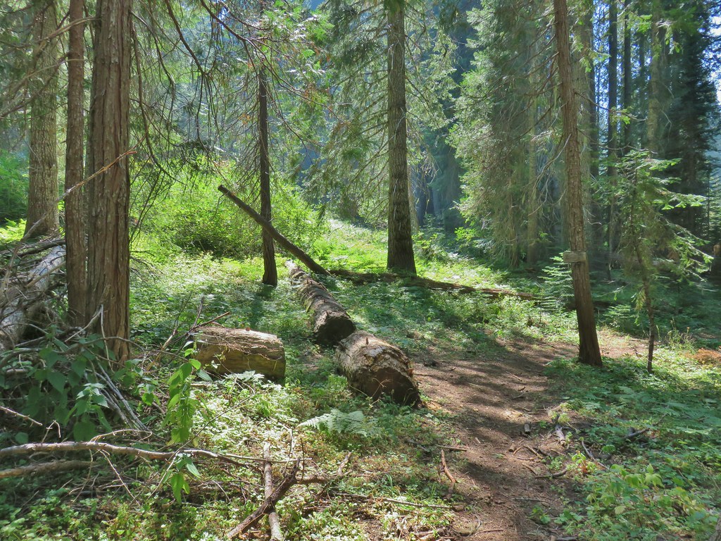


 Wiley Camp Trail on the right.

 Wiley Camp sign
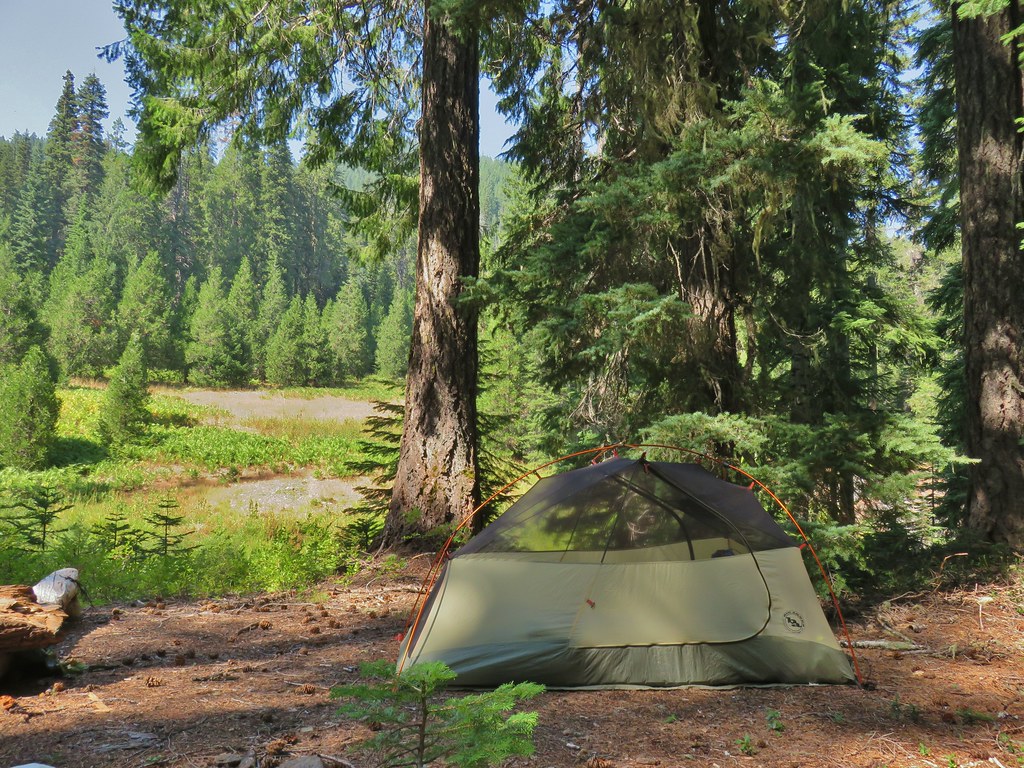

 Grass of parnassus
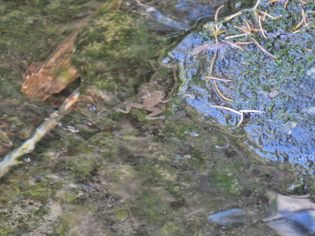 Frog
Frog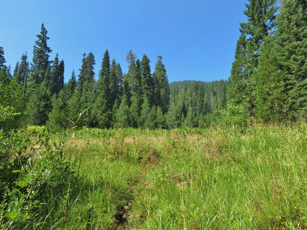 Trail leading up from the creek into the meadow.
 Big cedar at the edge of the meadow.
 Cairn and pink flagging (small tree to the right) marking the Wiley Camp Trail.
 Elder berry
 Twisted stalk


 Lower Erma Bell Lake from the climb.
 Above the falls.
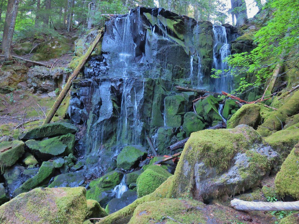

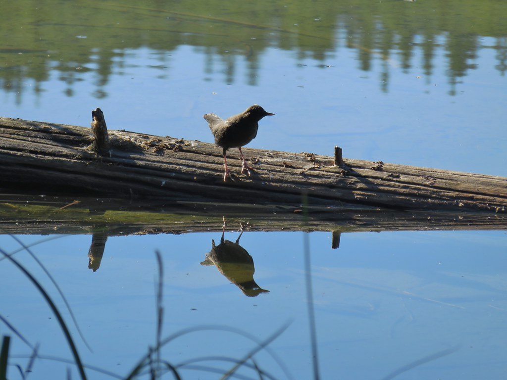 Ouzel
Ouzel Ducks
Ducks Pond along the trail.
 Spur trail on the right to Upper Erma Bell Lakes.
 Paintbrush and aster along the lake shore.
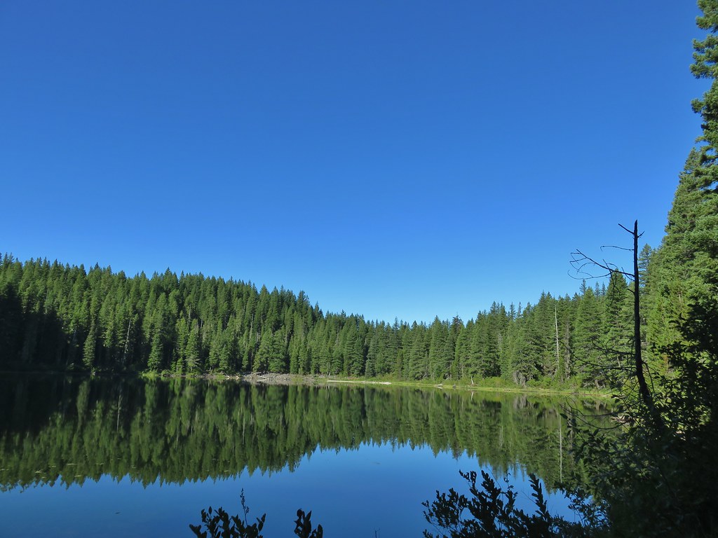 Upper Erma Bell Lake
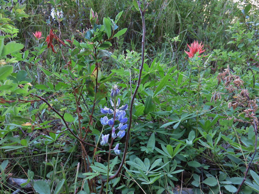 Lupine and paintrbush
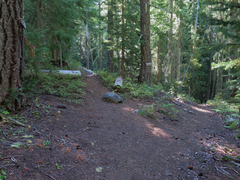 Judy Lake Trail on the right.
 Williams Lake Trail joining from the right.
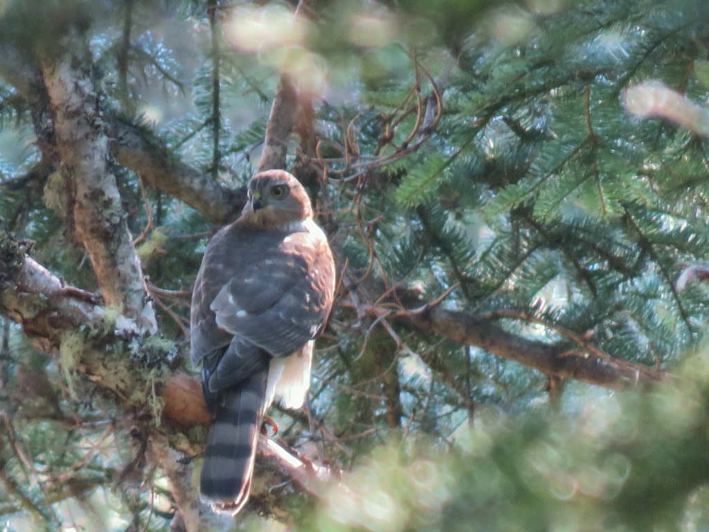
 Grouse giving us the what for from a tree.
 Williams Lake
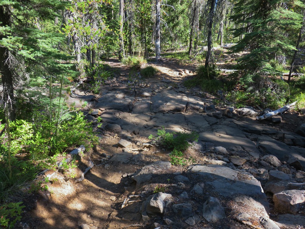 Dry creek bed near Williams Lake.

 Pearly everlasting
 Fleabane
 Prince’s pine
 Mushroom
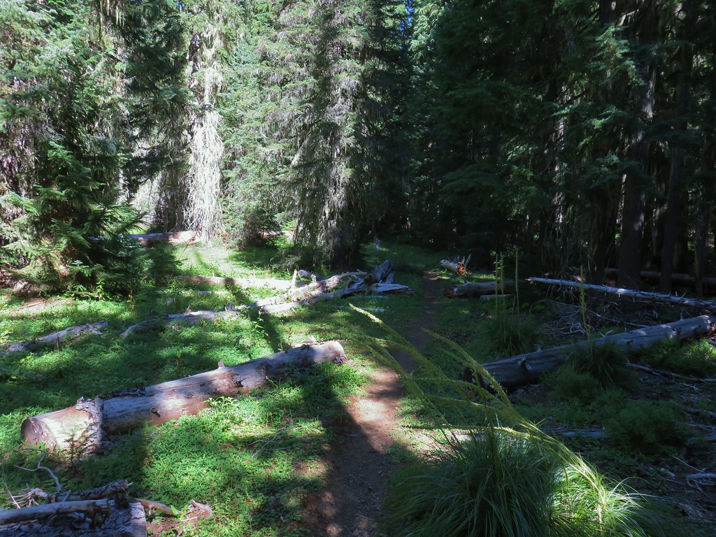
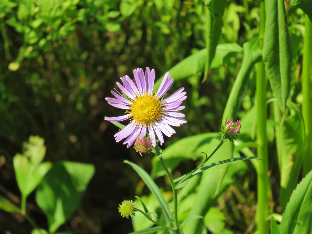
 Aster
Aster
 Coneflower
 Paintbrush
 Paintbrush

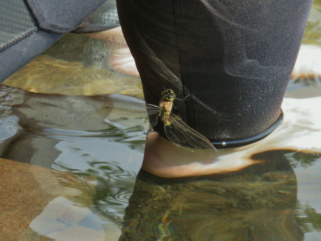
 Curious dragonfly
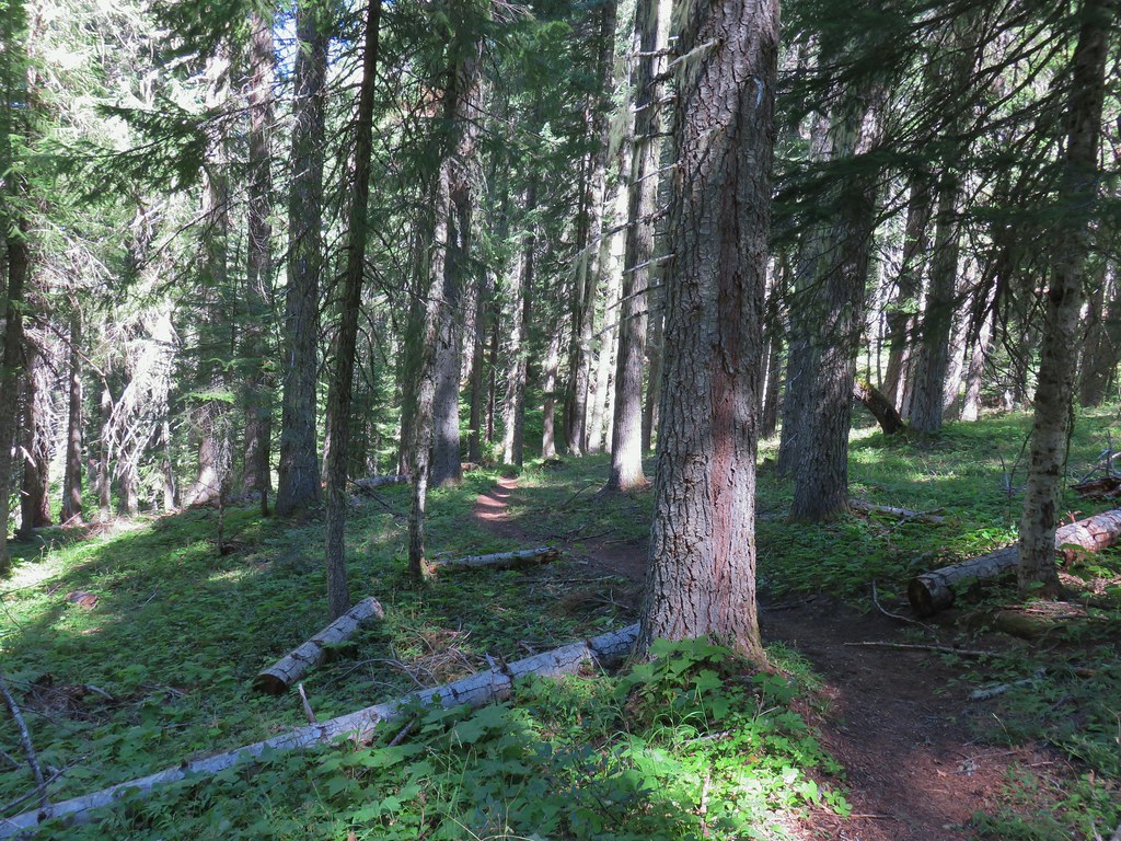


 Ghost Pipe aka Indian Pipe


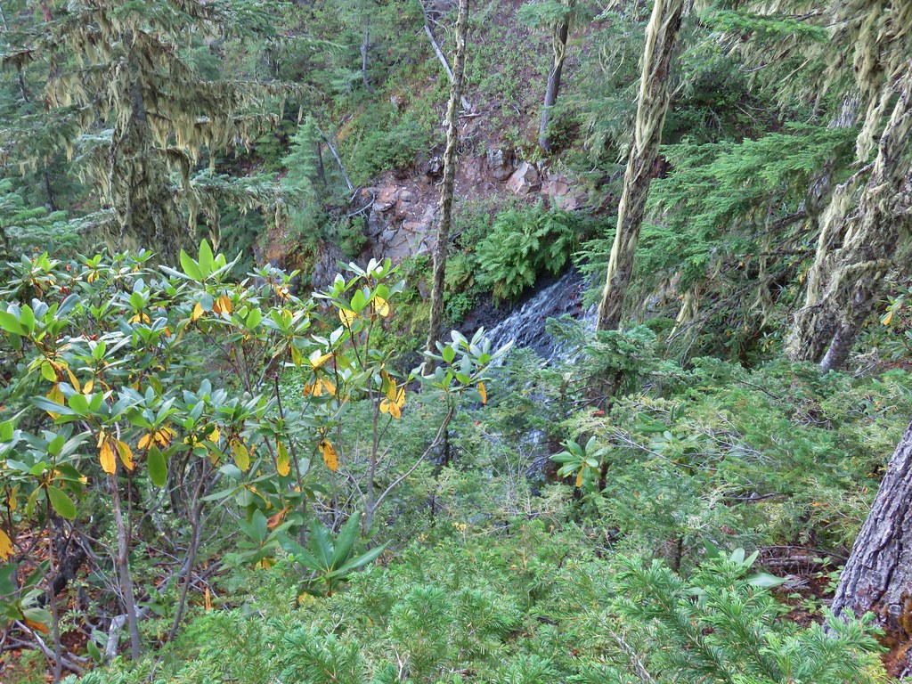
 Arriving at Cedar Bog.
 One of a couple dry channels.
 North Fork Middle Fork
 Flagging on a downed tree marking the continuation of the Shale Ridge Trail.
 North Fork Middle Fork at Cedar Bog
 Orange flagging on the far side of the river.
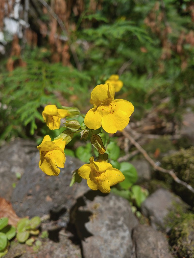 Monkeyflower at Cedar Bog
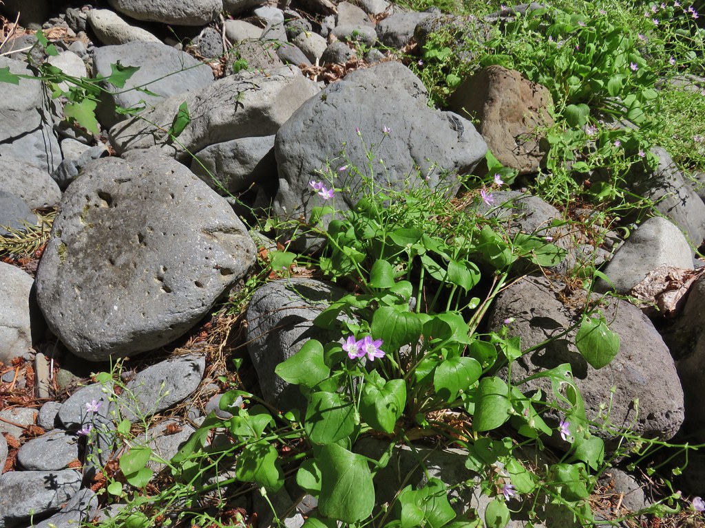 Candy flower
 Some blue sky again.
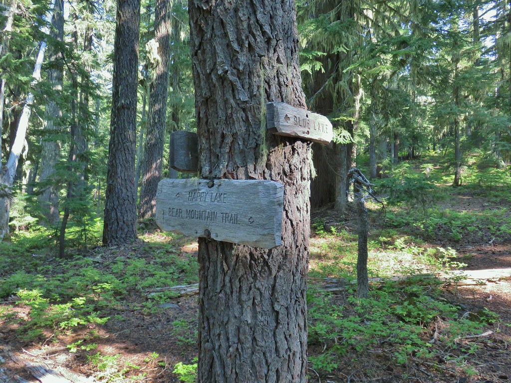
 Happy Lake Trail junction.
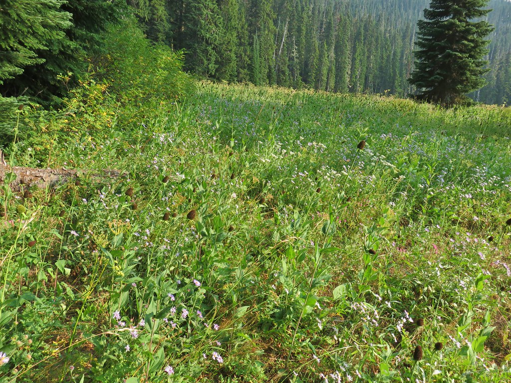
 Just a small part of the meadow.
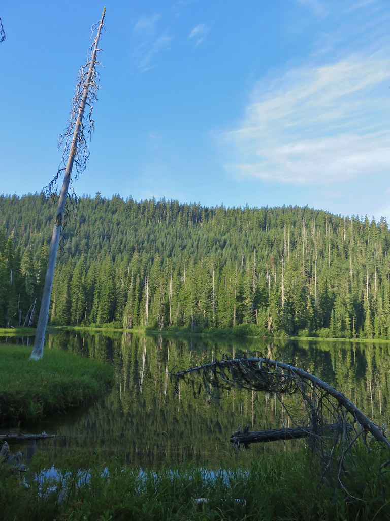


 We think this was Bear Creek. Other than the outlet of Happy Creek no other creek beds had flowing water on this side of the mountain.
 Diamond Peak from the trail.
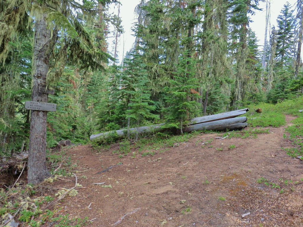


 One of several damp meadows.
 The creeks were still dry though.
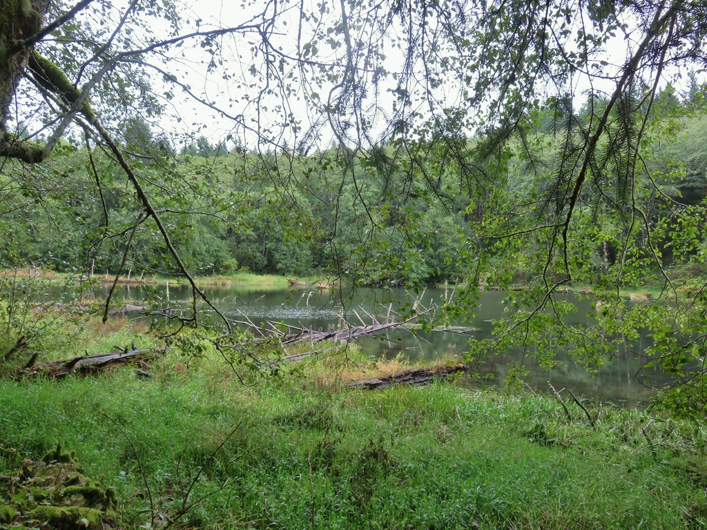
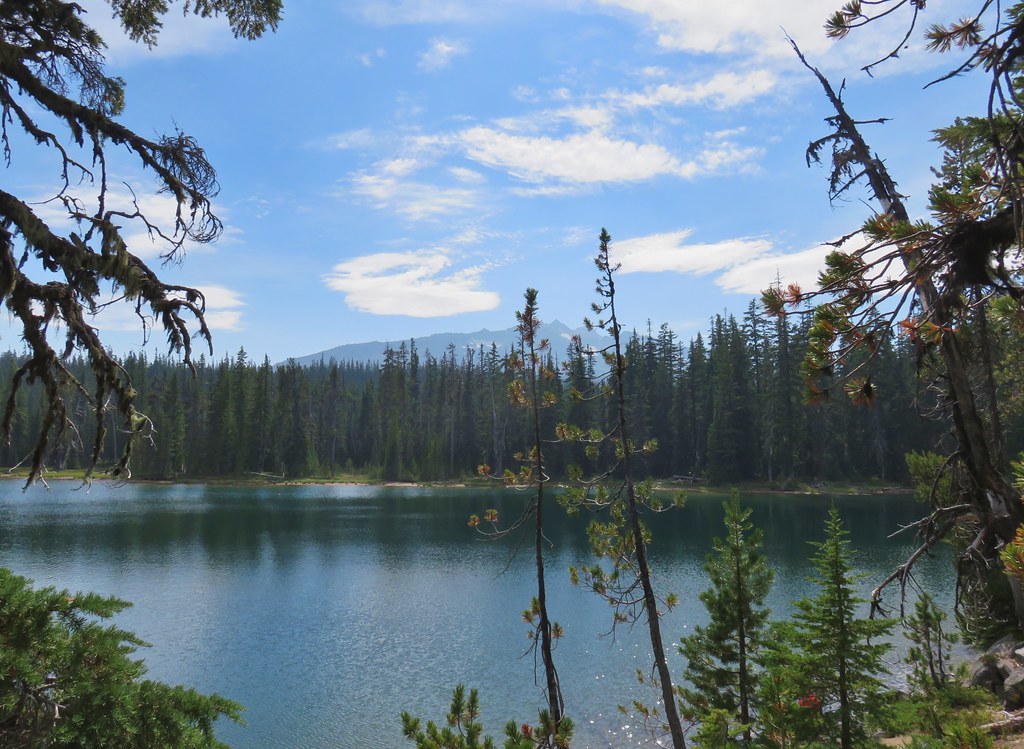
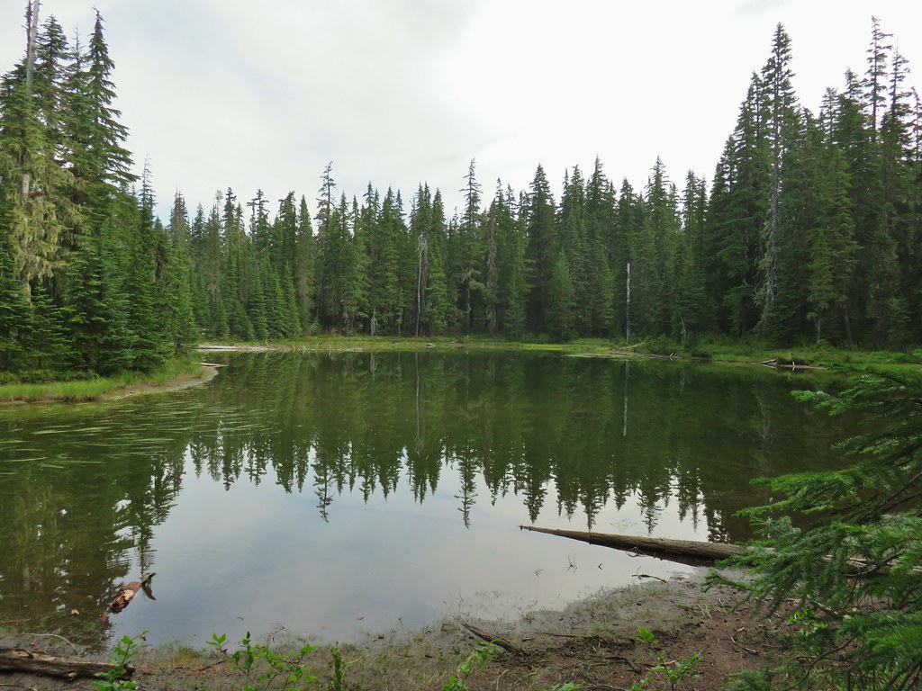 An unnamed lake.
 Small unnamed lake just before Notch Lake.
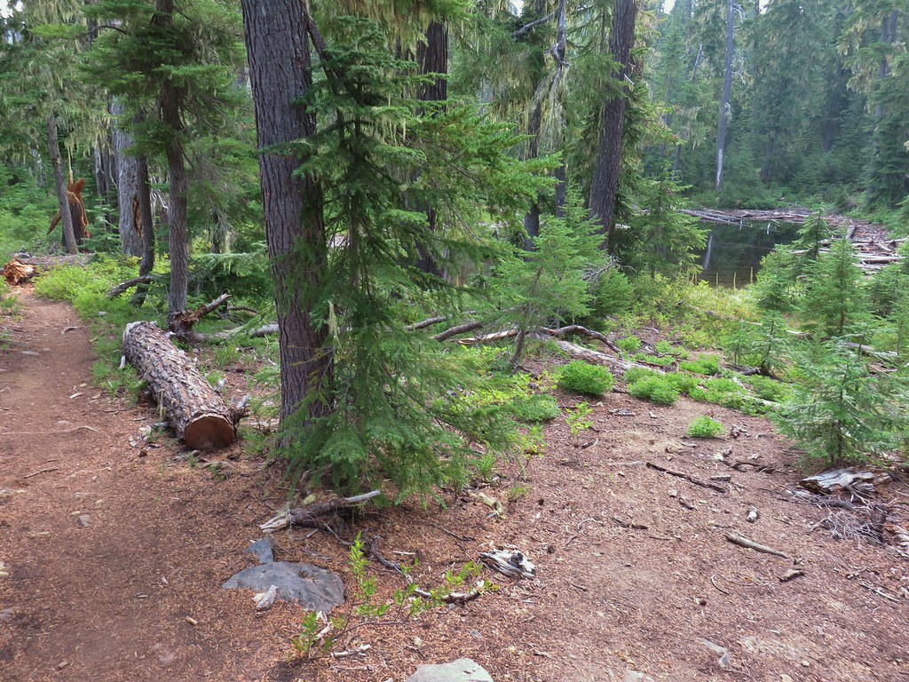 Another little lake/pond near Notch Lake.
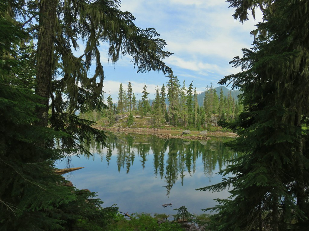 Notch Lake

 Beargrass

 Diamond Peak from the trail; the smoke was back.
 Textured mushroom
 On the ridge.
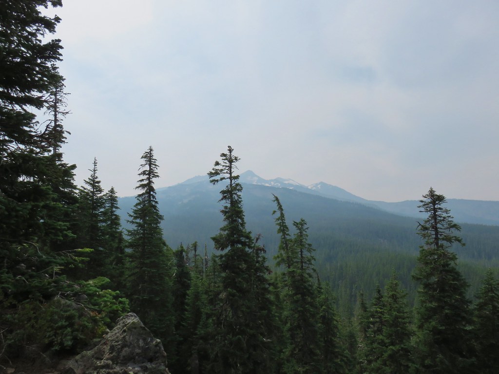 Diamond Peak
 Lousewort
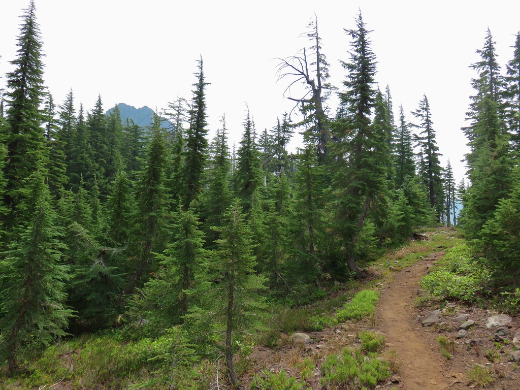 Mt. Yoran from the trail.
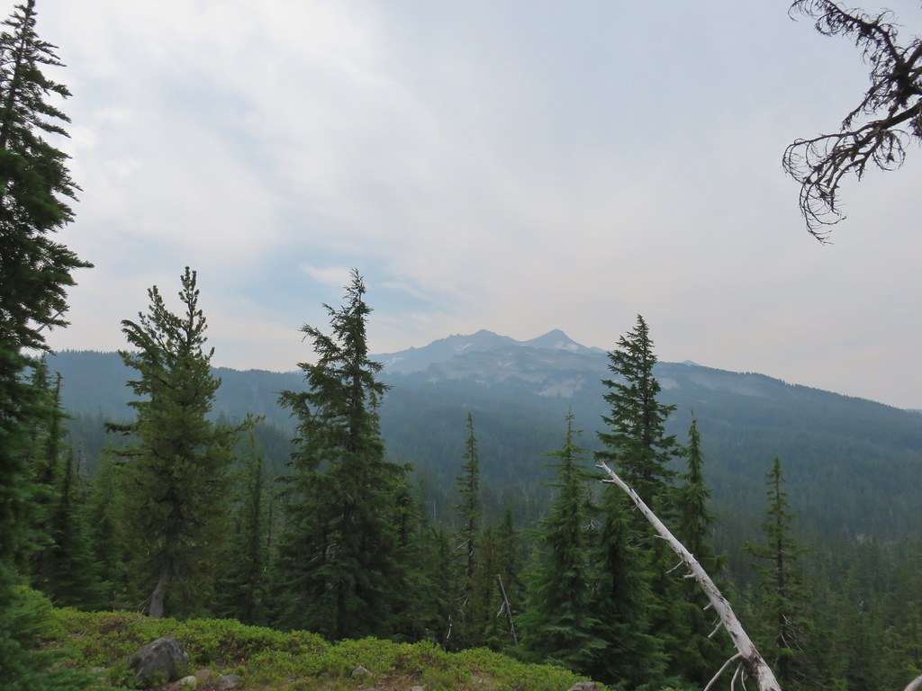 Diamond Peak again.
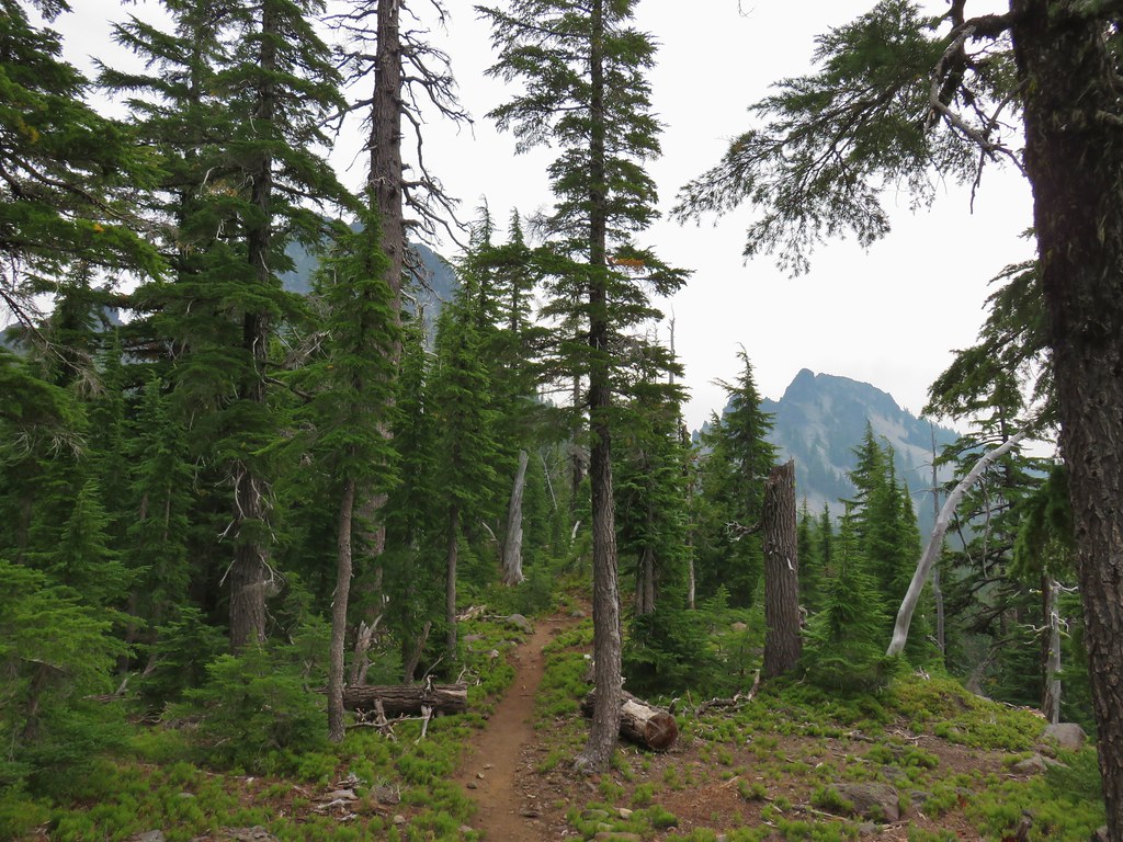 Mt. Yoran on the left and the divide on the right.
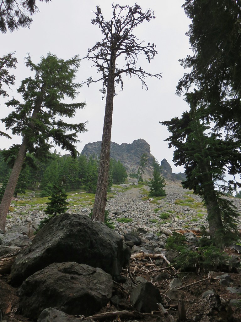 Passing under Mt. Yoran.
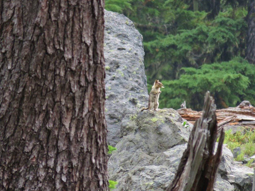 Please tell me that’s a seed and not that the ground squirrels have taken up smoking.
 Divide Lake
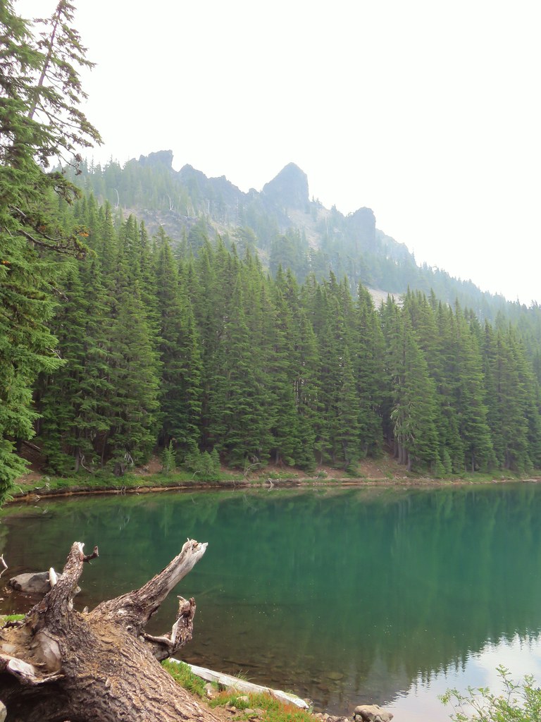

 Blue sky making a comeback.
 Diamond Peak from Divide Lake
 Climbers trail to Mt. Yoran.
 Thank goodness it was a seed.
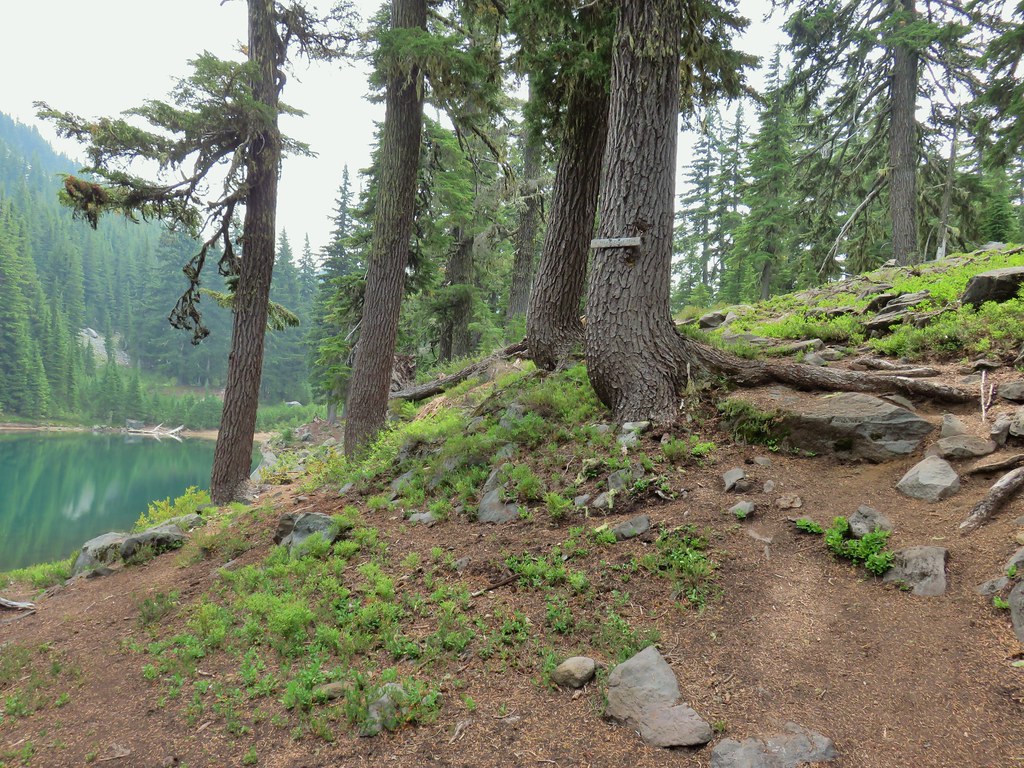
 Beardtongue
 Mt. Yoran from Divide Lake
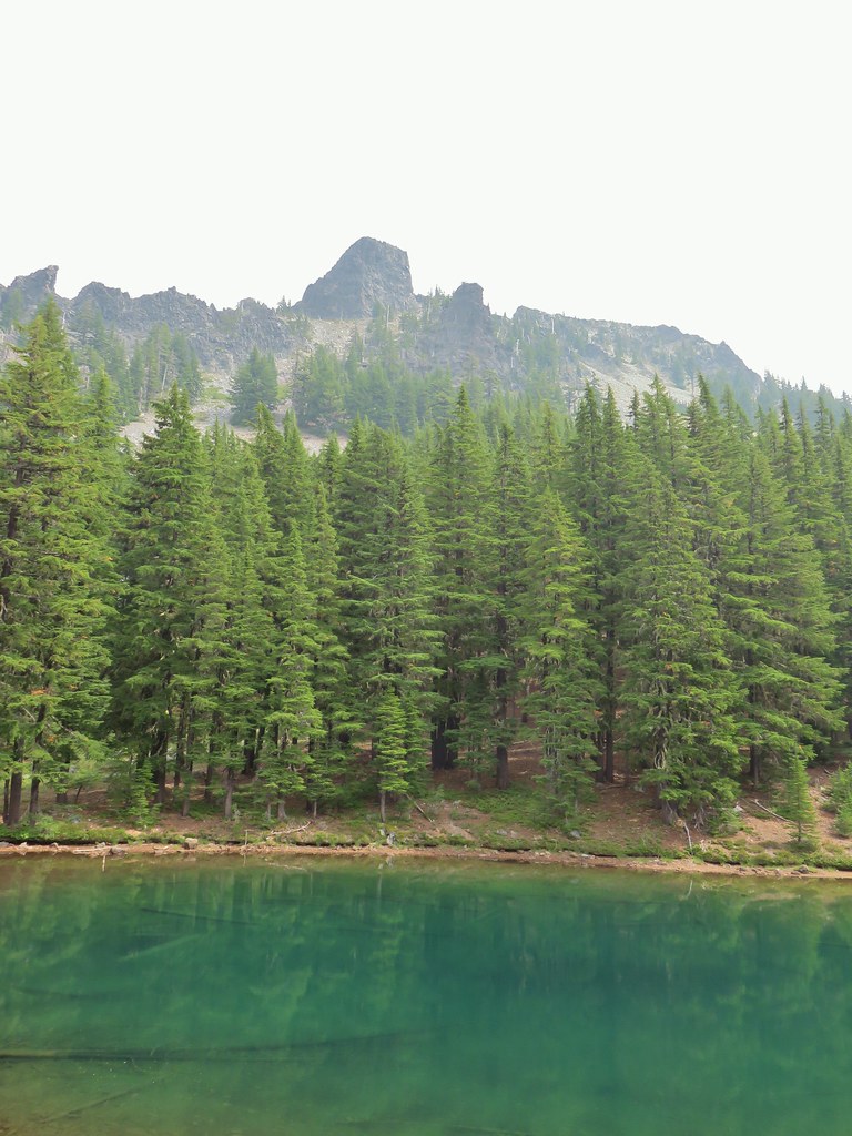
 One of the unnamed lakes.
 Starting up to the divide.
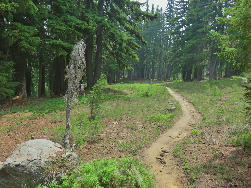
 PCT
PCT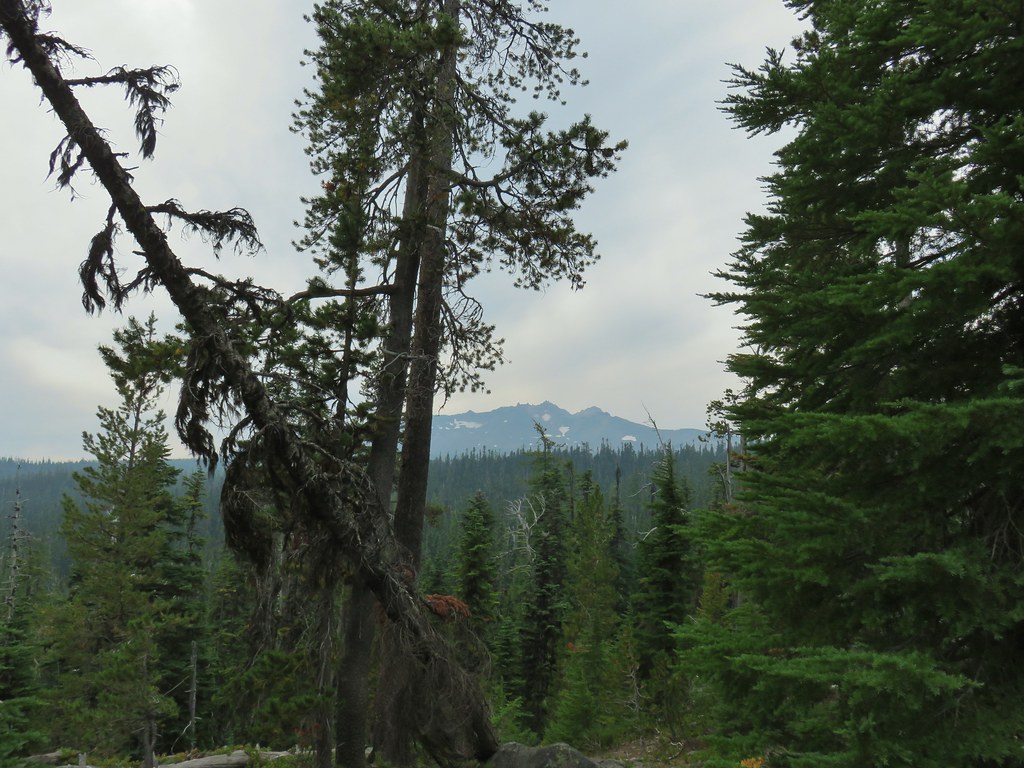 Diamond Peak from the PCT.
 Lakeview Mountain
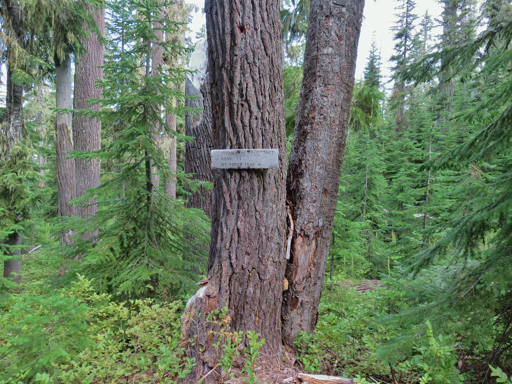
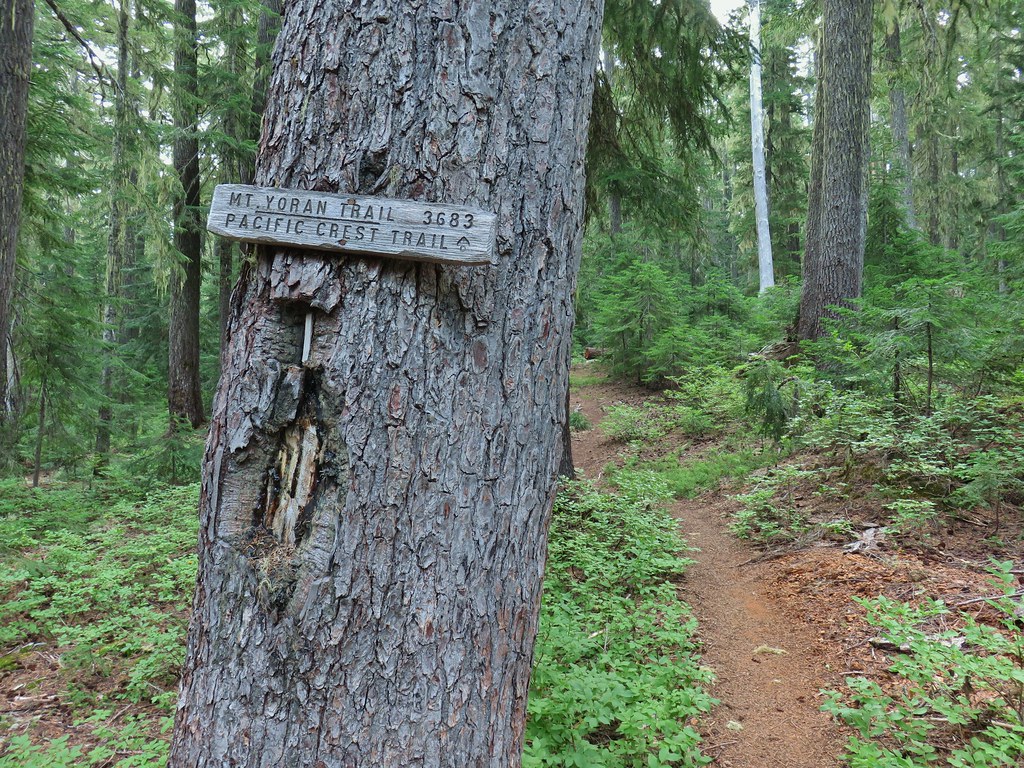
 New looking sign at the newly extended Yoran Lake Trail.
 Huge tree mushroom at the junction.
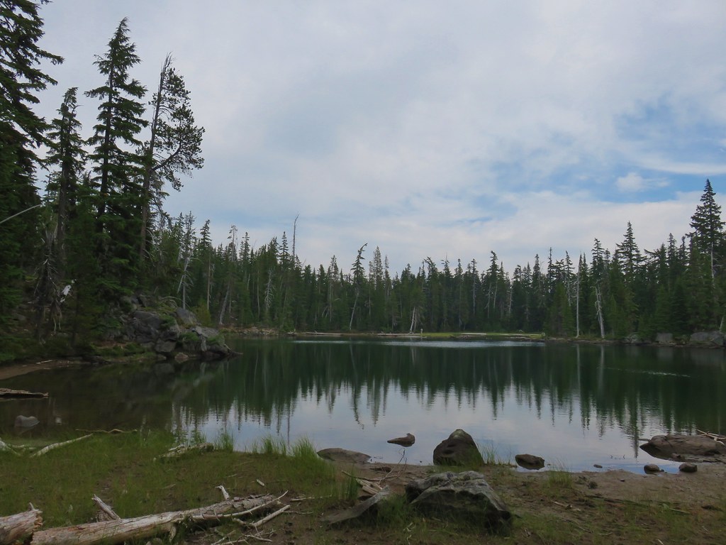
 Diamond Peak from Yoran Lake.
 Dry creek bed (this feeds Trapper Creek).
 Right hand fork to Karen Lake.
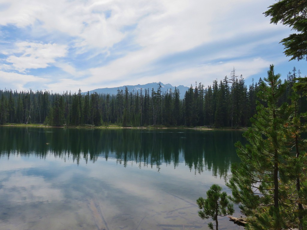
 Dragon fly visit.
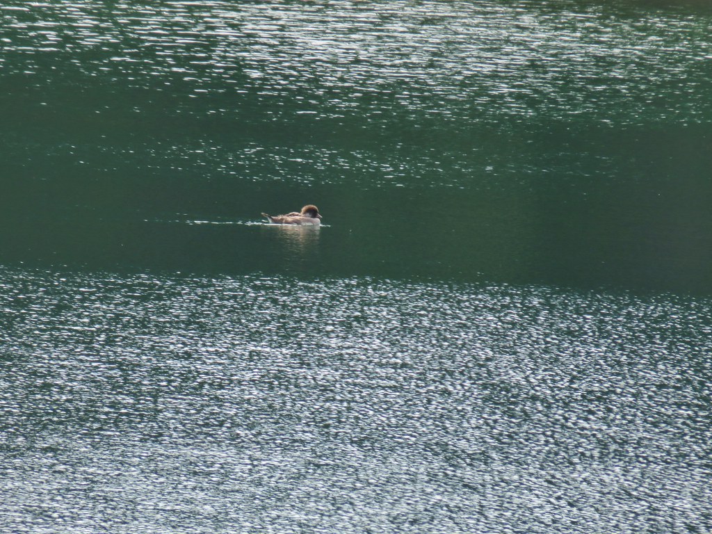
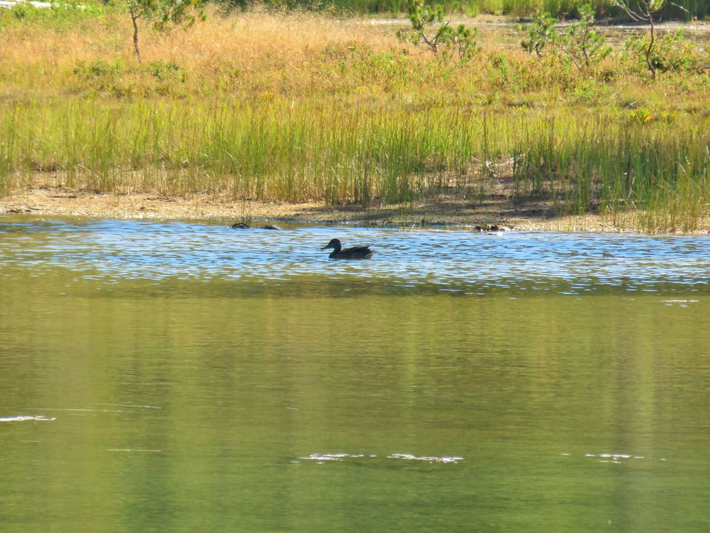
 A little bird joining the duck on the rocks.
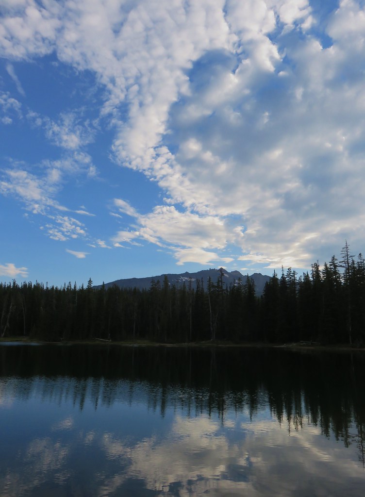
 Is this a tadpole? We first thought it was a newt then a fish but it’s got feet.
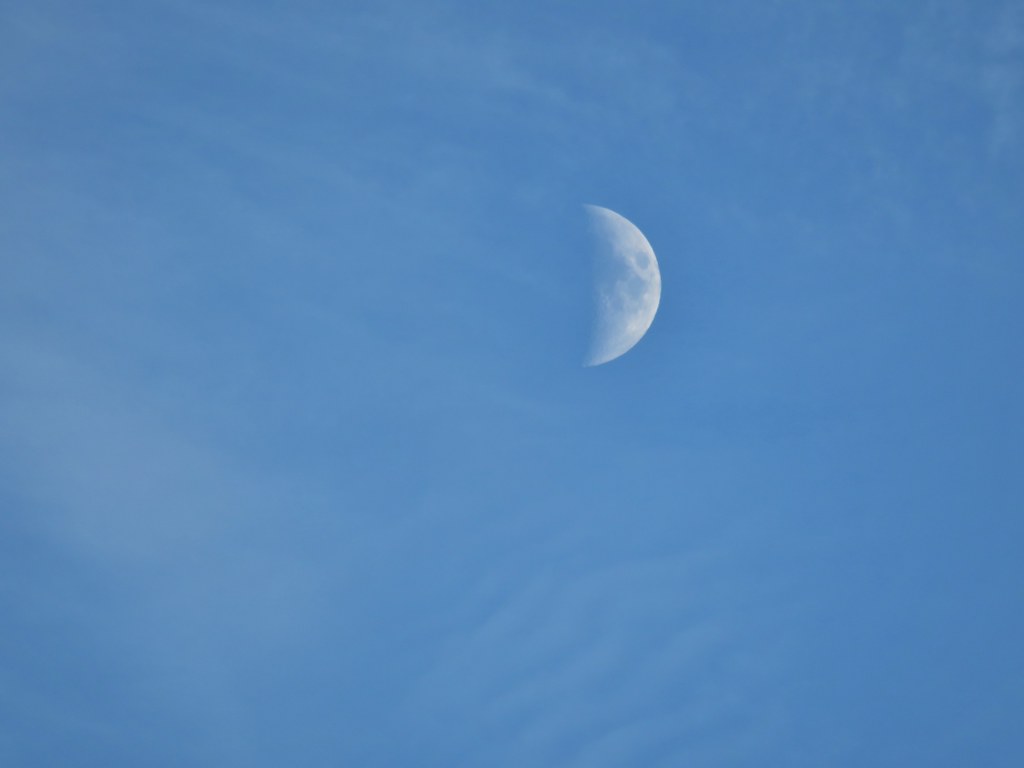 The moon was really showing up well over the mountain.
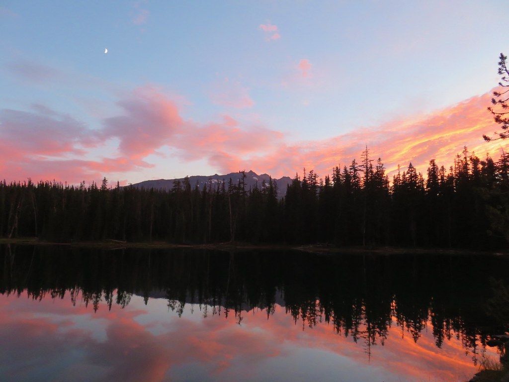


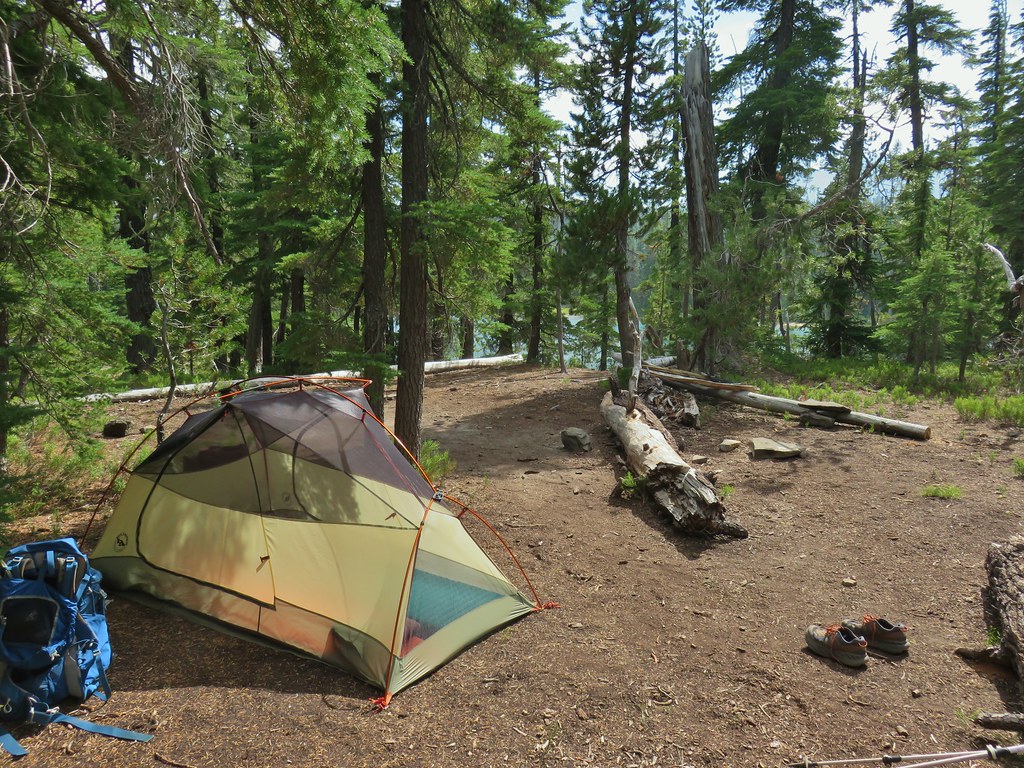
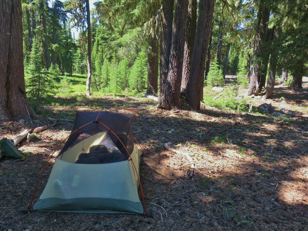
 Rainfly deployed
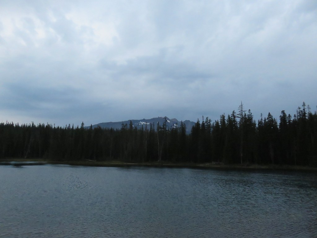
 Another light shower passing over as we were leaving.
 Some funny looking beargrass along the trail.


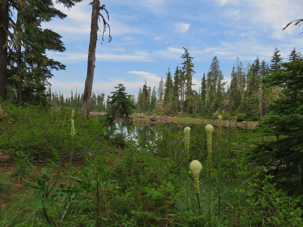
 The lake doesn’t show a name on the map but West Bay Creek flows out of it (of course it too was dry at this time of year).


 Diamond Peak in the morning.
 The viewpoint from below on the PCT.
 Summit Lake and a lot of smoke.
 The north flank and route up Diamond Peak.
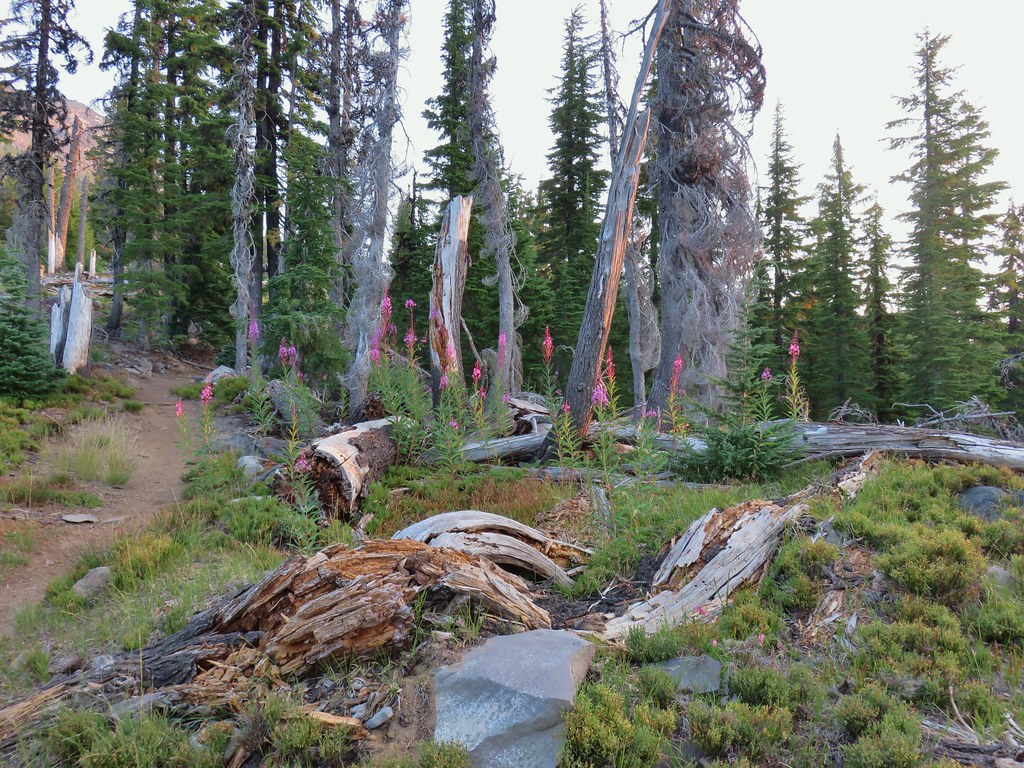
 Fireweed catching the morning sunlight.
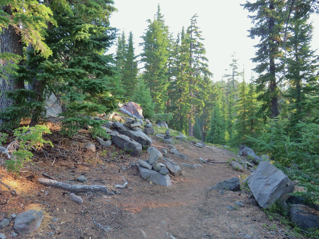 Cairns on the left side of the trail marking the route.
 Chipmunk inspecting some bleeding heart.
 Summit Lake and the route up through the trees.
 Here come the rocks.
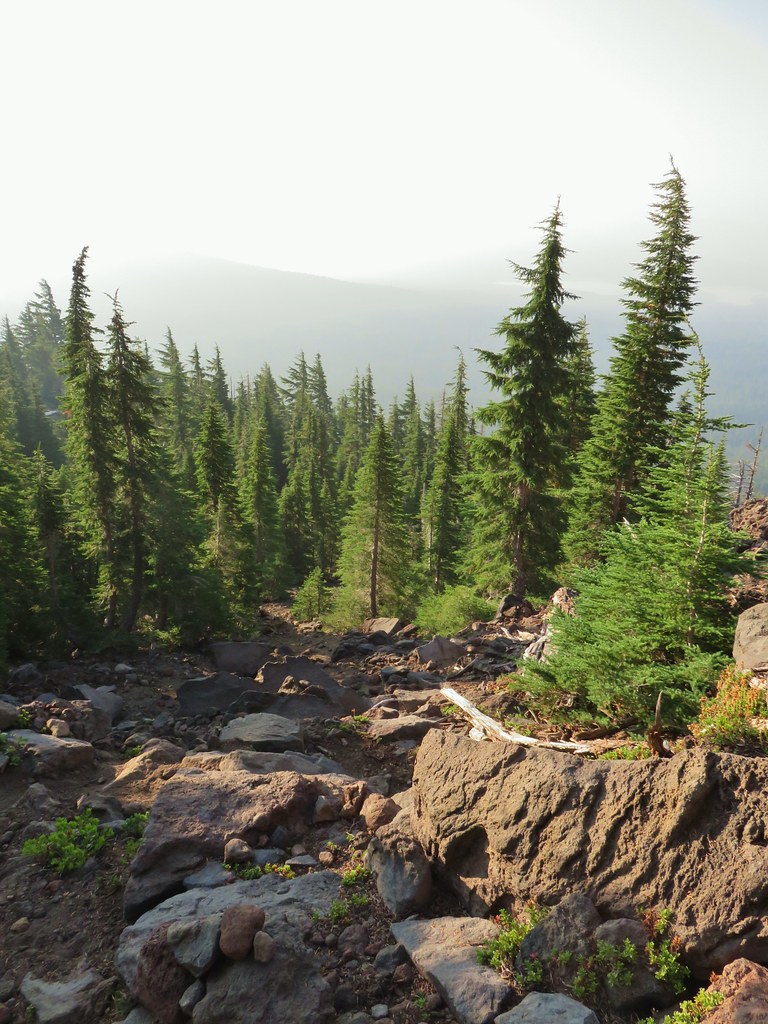
 Cairn on top of the big rock on the right.
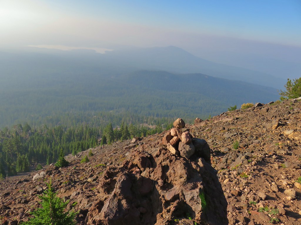 A carin and paint on a rock along the route and some pink flagging on the tree down to the left.
 Looking up at the false summit.
 Paintbrush
 Buckwheat
 Patches of penstemon.
 Seed heads of Drummond’s anemone
 Dark smoke to the SW
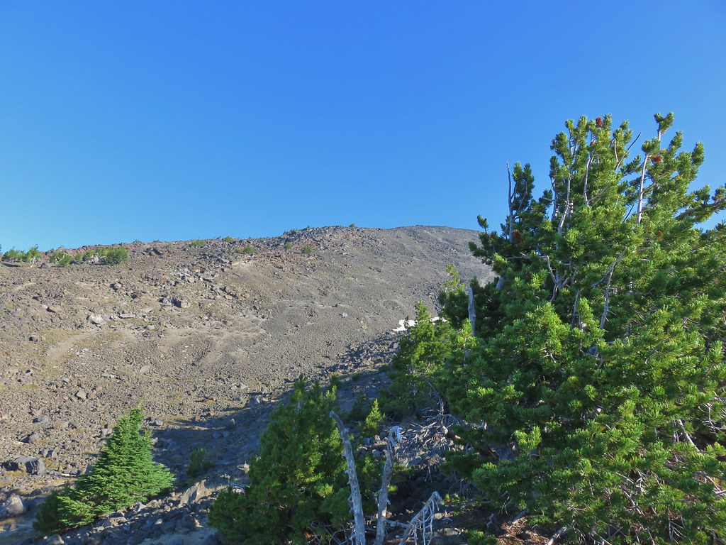 A snow patch below the false summit.
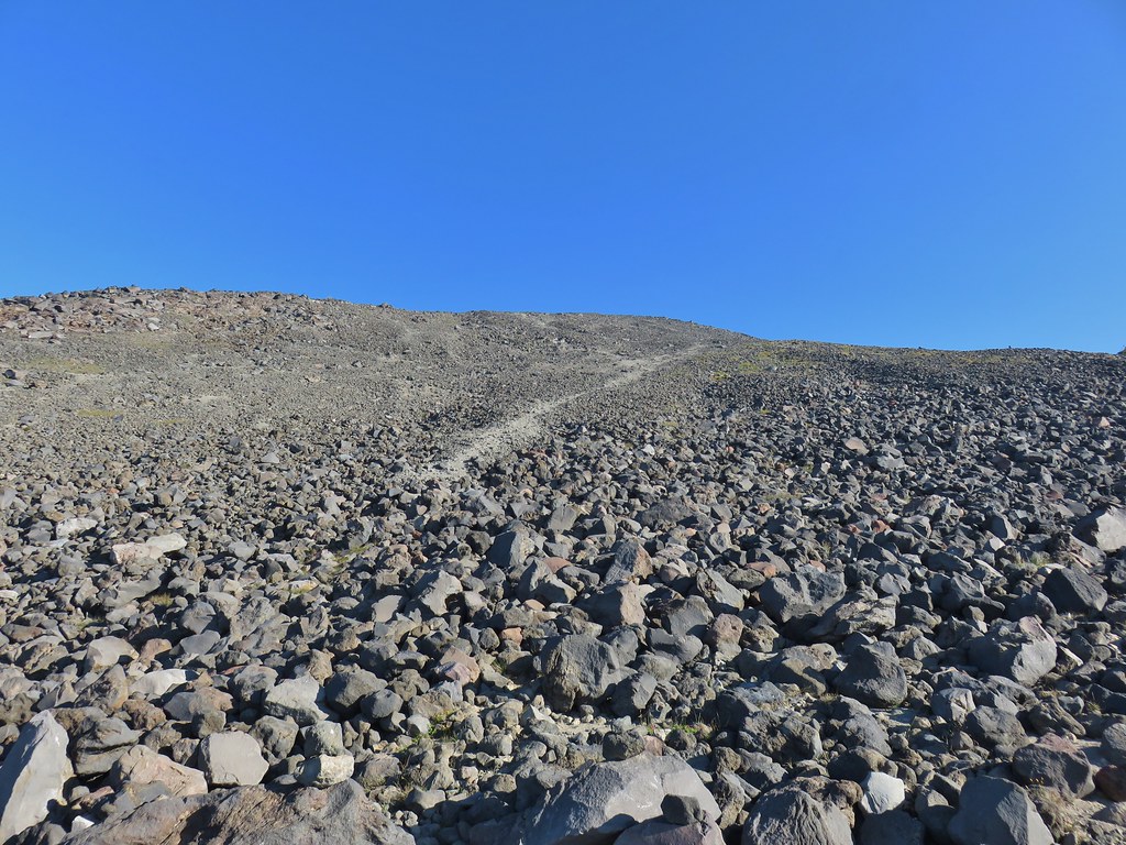 Final pitch to the false summit, still pretty blue.

 Looking west to a wall of smoke.
 Smoke to the east.
 Smoke to the NE too.
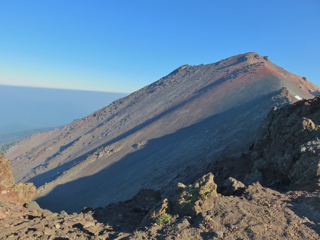 NW also equals smoke.
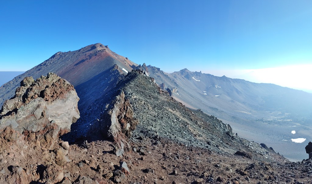 Smoke starting to drift in from the east.
 One of several Clark’s nutcrackers.
 Buckwheat
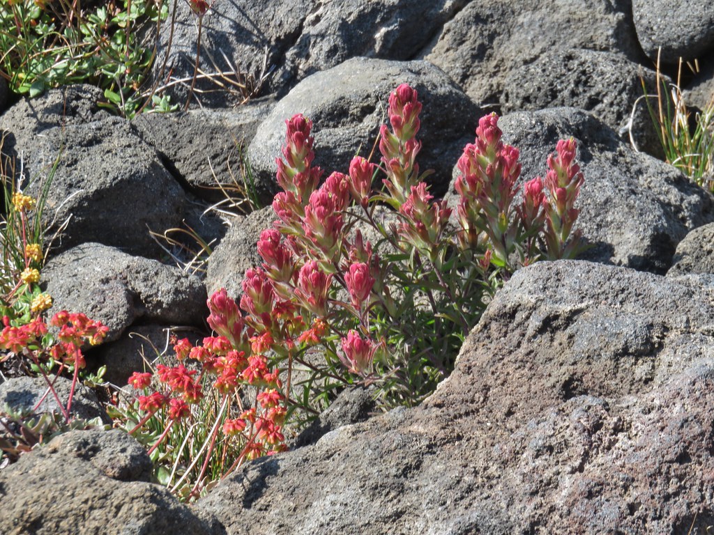 Paintbrush
 Penstemon
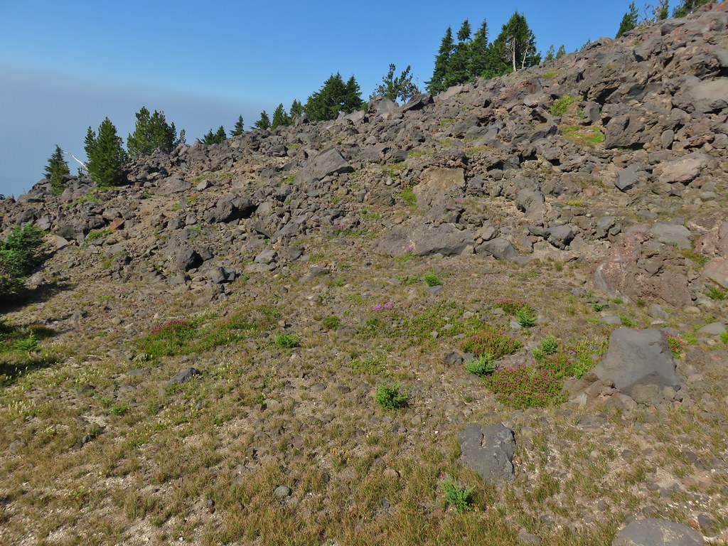 Basin with a number of flowers.
 Mountain heather
 Partridge foot
 Another paintbrush
 A little smoke in the trees.
 Slightly smokier Rockpile Lake.
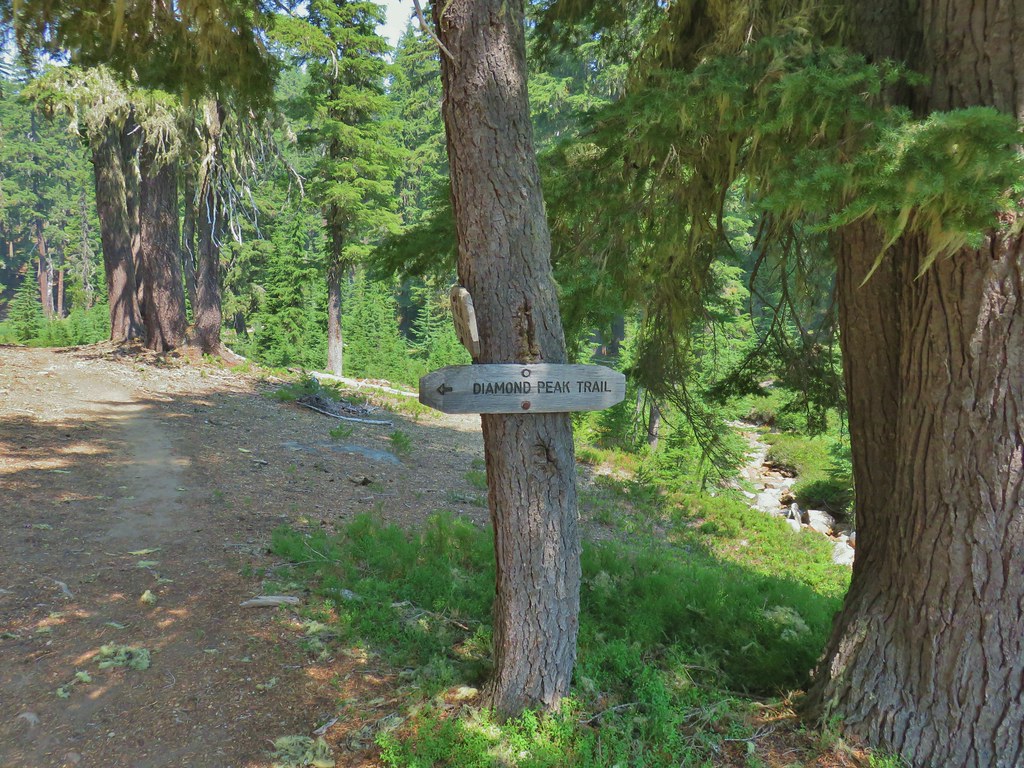

 Summit Lake out there in the smoke.


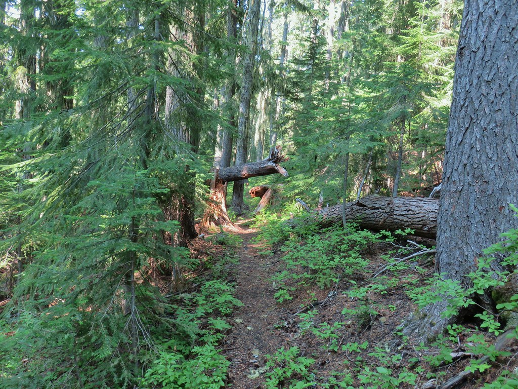
 One of the uphill sections.
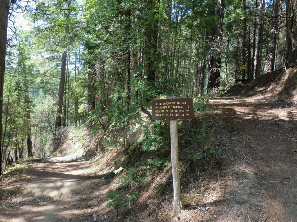
 Note again that the sign is letting you know what is in the different directions but not identifying the trail name.
 Typical obstacle for this stretch.


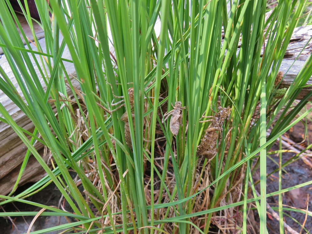 Lots of insect husks on the plants along the lake.
 Fleabane
 Bear Mountain Trail junction.
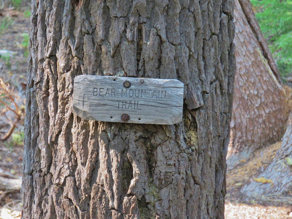 Look a named trail!

 Starting to drop off the ridge.
 Arnica
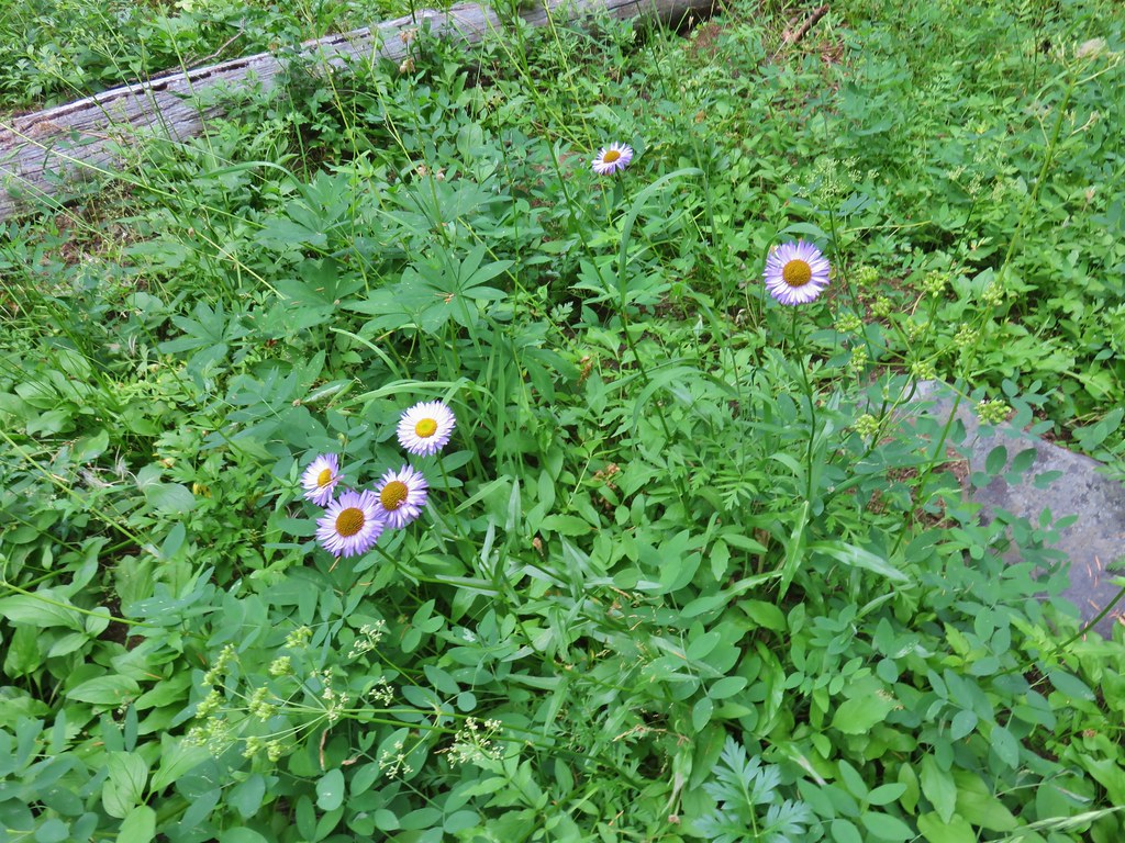 Fleabane
 Pearly everlasting and fringed grass of parnassus
 Aster and fringed grass of parnassus
 Scouler’s bluebells


 Lots of coneflower
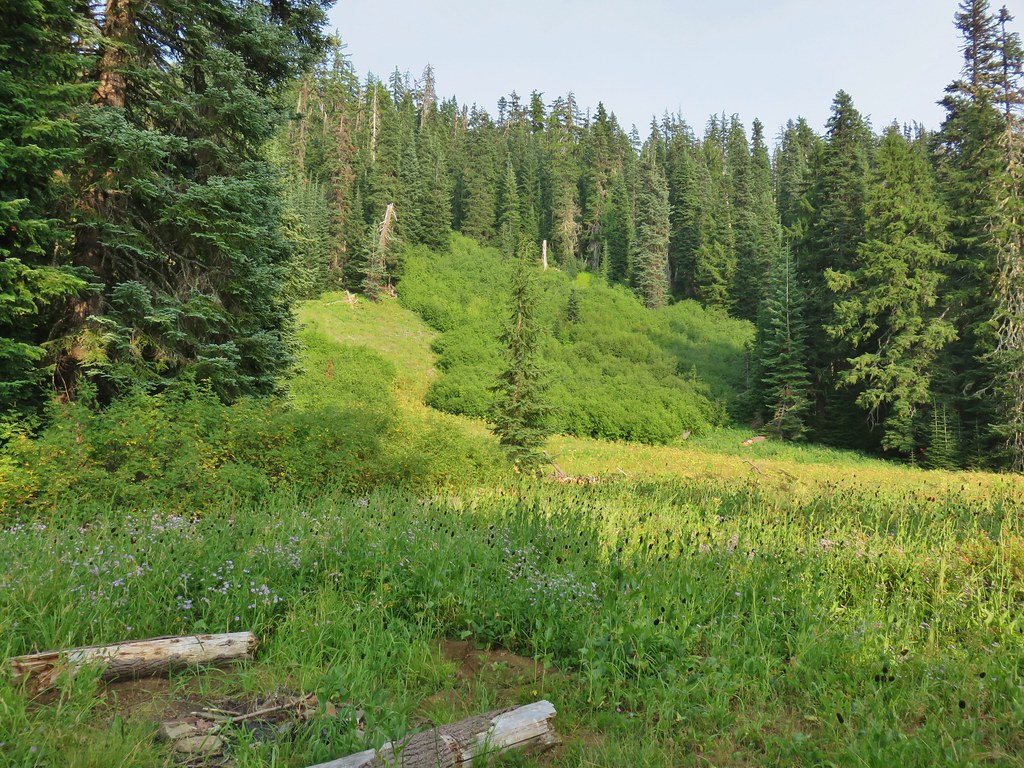
 Fireweed and coneflower
 Owl’s clover
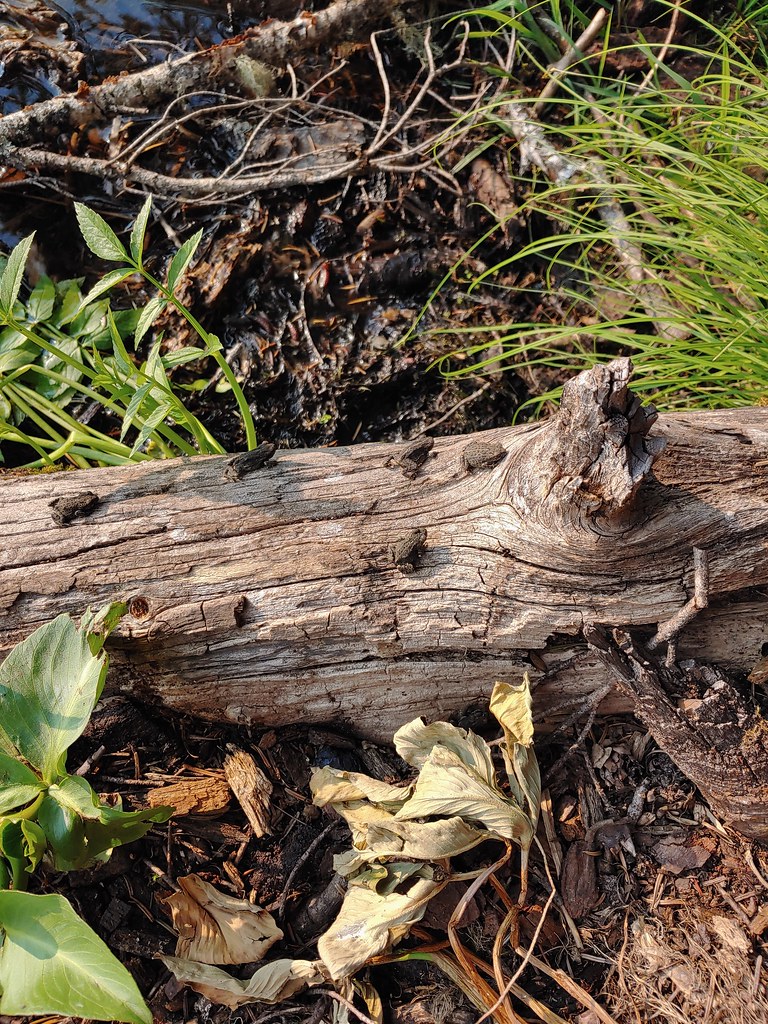

 Dragon fly and a bunch of frogs
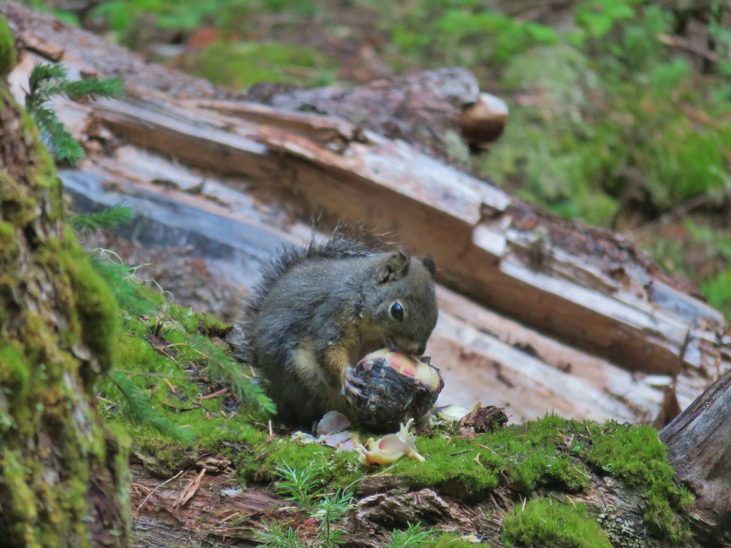
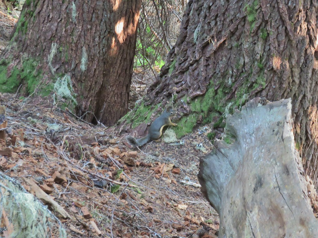 Chatty squirrel


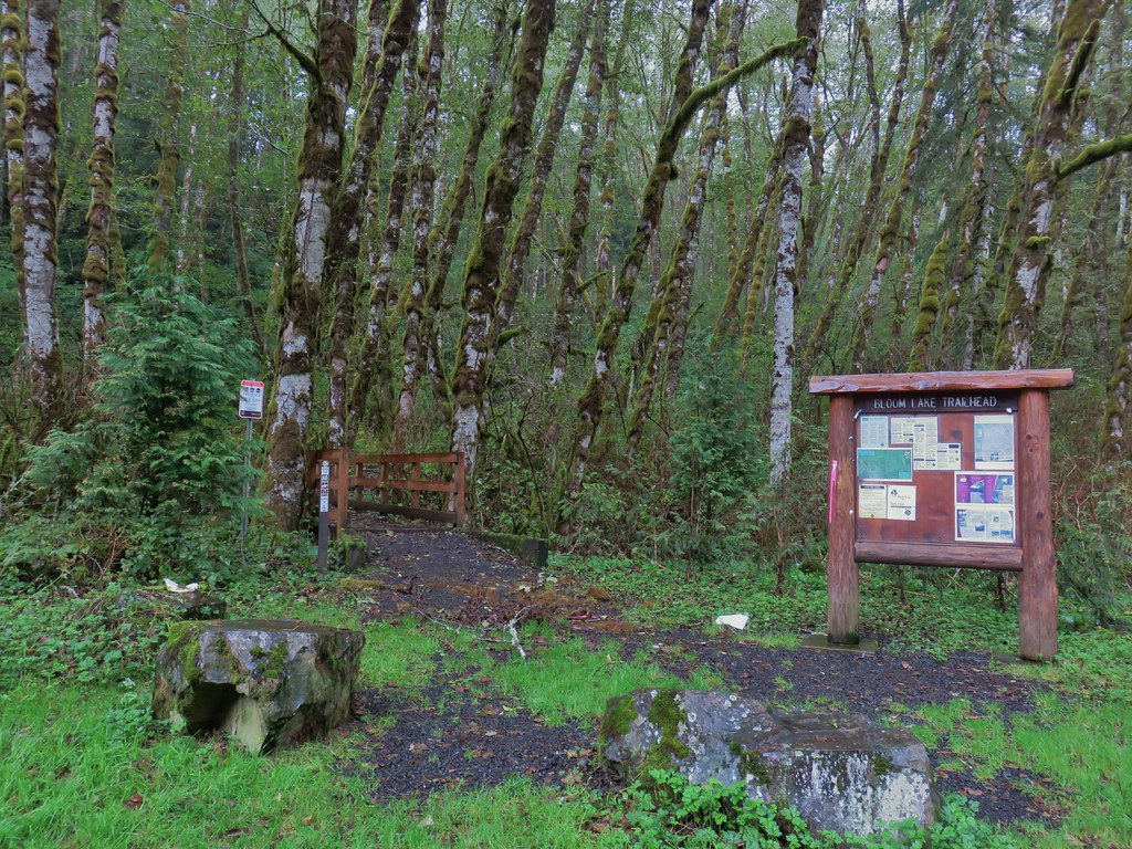
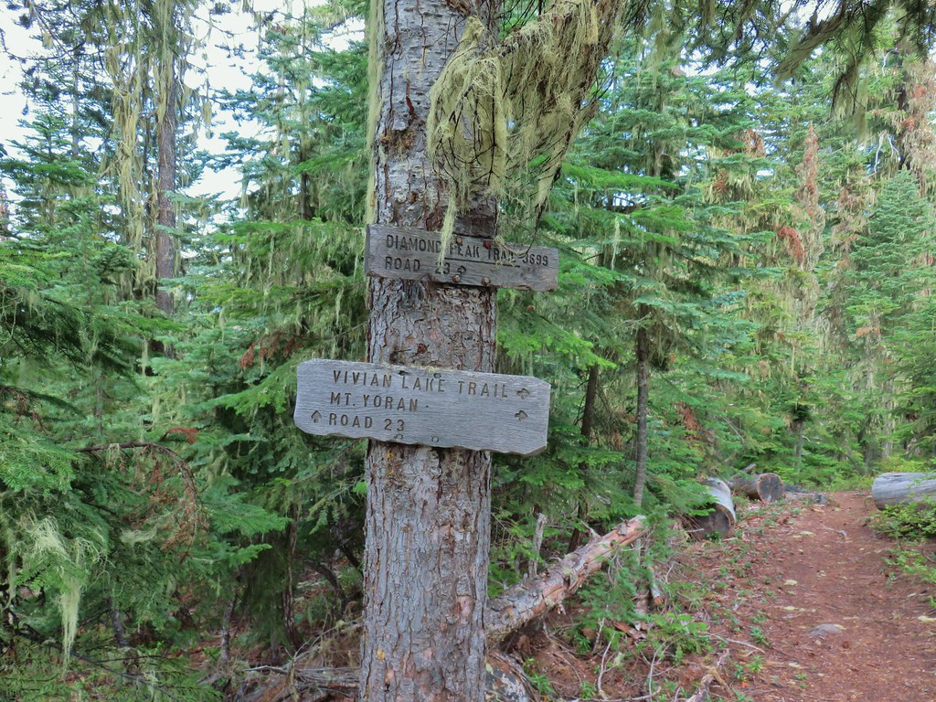
 The writing on the sign made us chuckle, it says “If you need a map you should stay home”. All kidding aside you should always carry a map and refer to it as often as necessary.
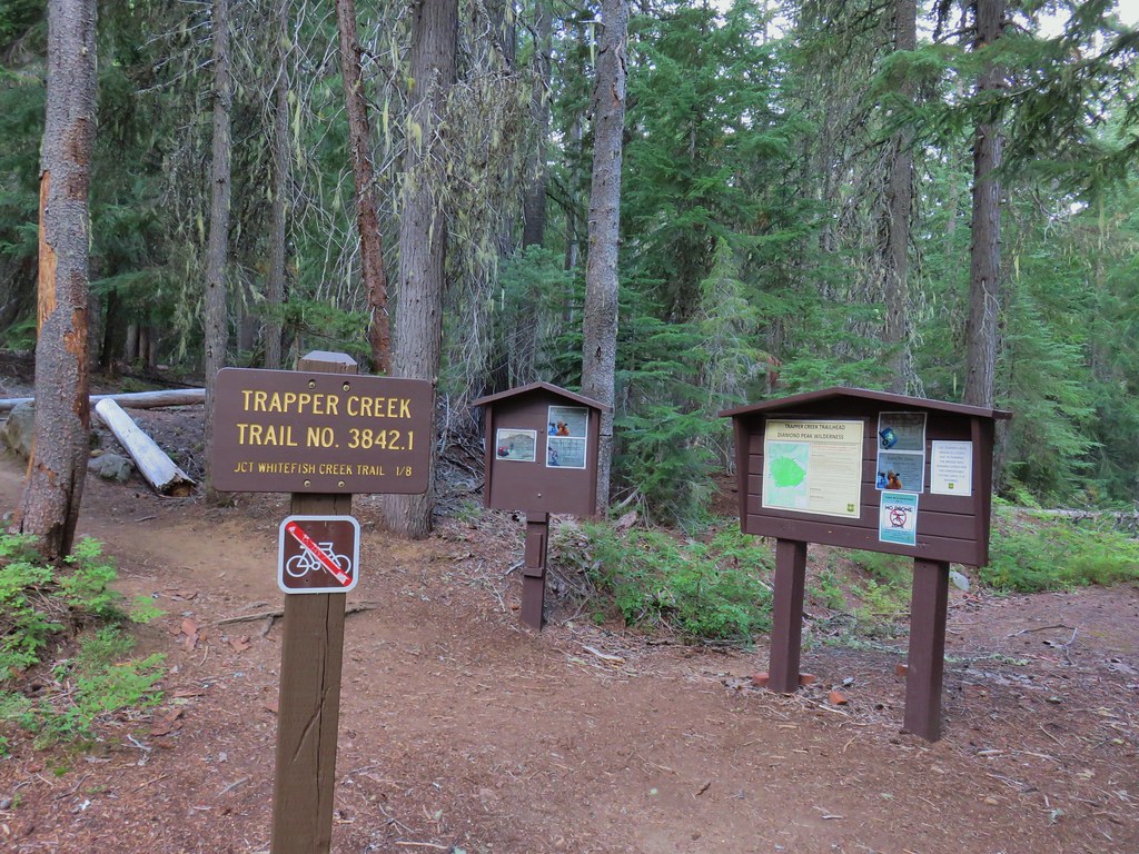


 Breakfast time.
 Unnamed lake along the Whitefish Trail
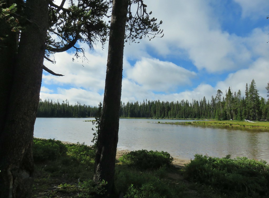 Arriving at Diamond View Lake
 Diamond Peak with Mt. Yoran to the right.
 Sharing our break spot with a butterfly
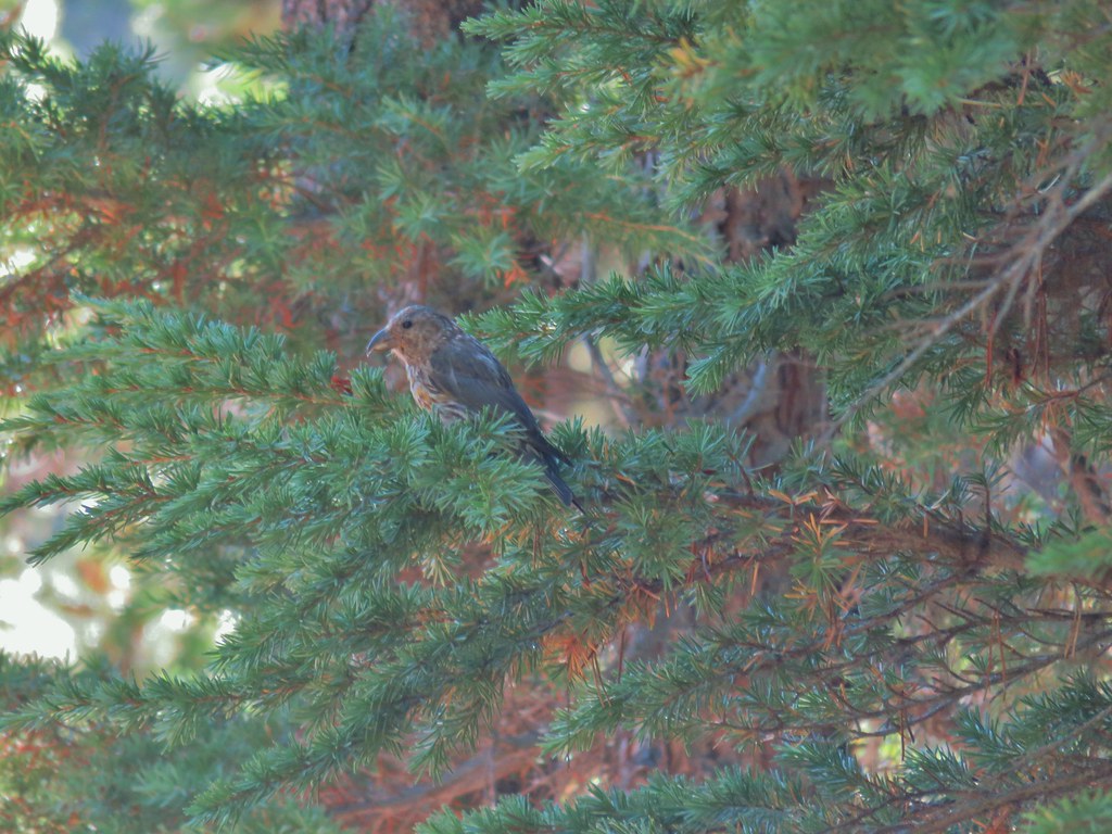 Crossbill near Diamond View Lake

 Mile marker?
 A lone lupine
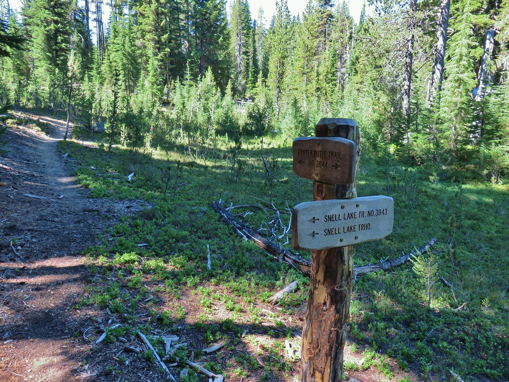 Nice looking sign for the Snell Lake Trail.
 It didn’t look like the Snell Lake Trail sees much use, at least at this end.
 The heather was all done blooming but there was a lot of dried blossoms.

 The summit of Diamond Peak.
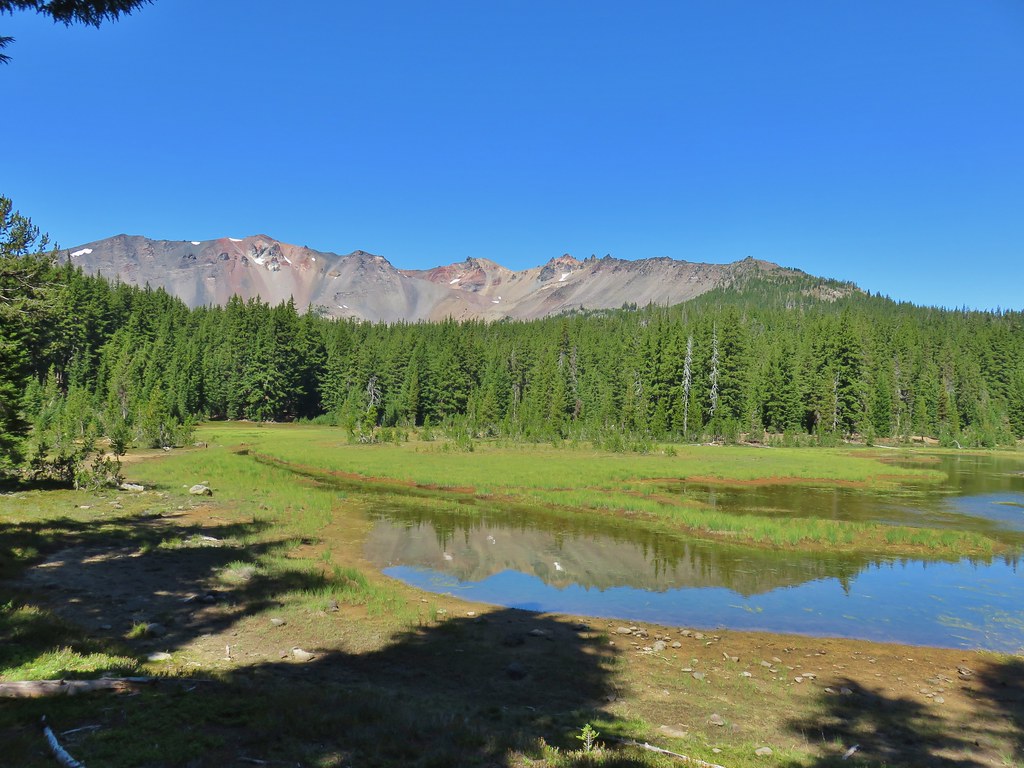


 Diamond Peak from the Rockpile Trail
 Rockpile Lake

 Hikers on the trail to the right coming down from the false summit.
 Dragon fly
