Our recent hike at the Mollala River Recreation Area almost didn’t happen. Three days prior an ingrown toenail suddenly was making every step I took painful. By the next night I had managed to remove a bit of the nail but it was still pretty tender. Luckily the next morning one of Heather’s running buddies mentioned using floss to get under the nail and help alleviate the pressure. I gave that a try and it worked wonderfully.
I was ready to give it a try, then I checked the weather for the following day. One hundred percent chance of rain, breezy with gusts up to 30mph, and a chance of a thunderstorm after 8am. The rest of the weekend didn’t look much better so we momentarily considered skipping this weeks hike but instead we decided to at least make an attempt
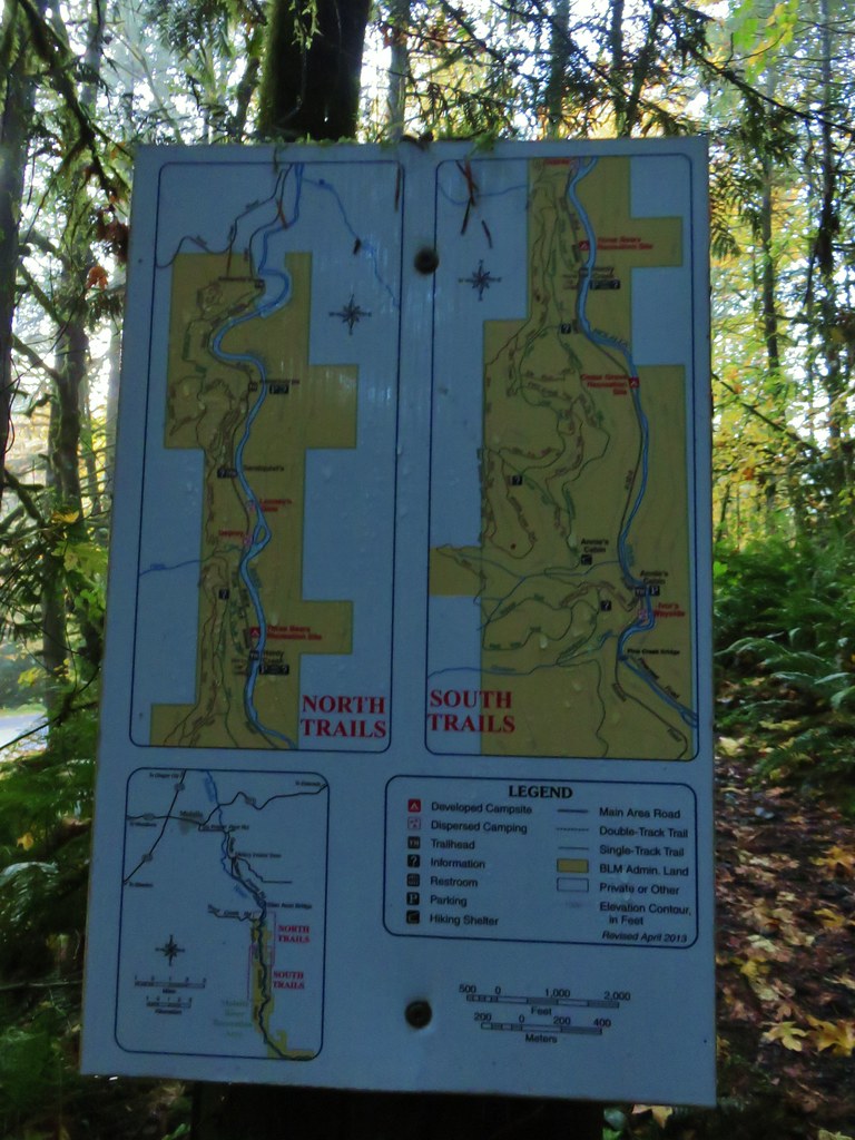
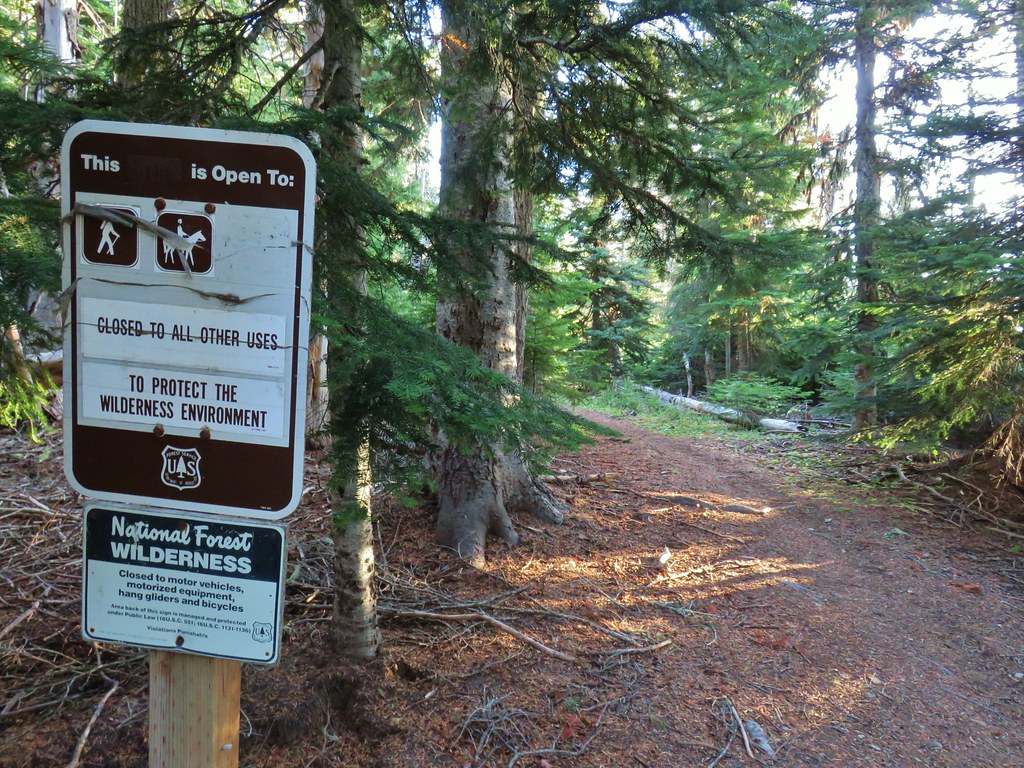
The Mollala River Recreation Area is managed by the Bureau of Land Management (BLM). The area contains over 20 miles of trails open to hikers (all year), equestrians (May 16th – Oct. 14th), and mountain bikes (single track May 16th – Oct. 14th and all year for non-singletrack). We had waited for the seasonal closures to minimize the chances of running into other users and a wet, windy day would likely further reduce the number of people out.
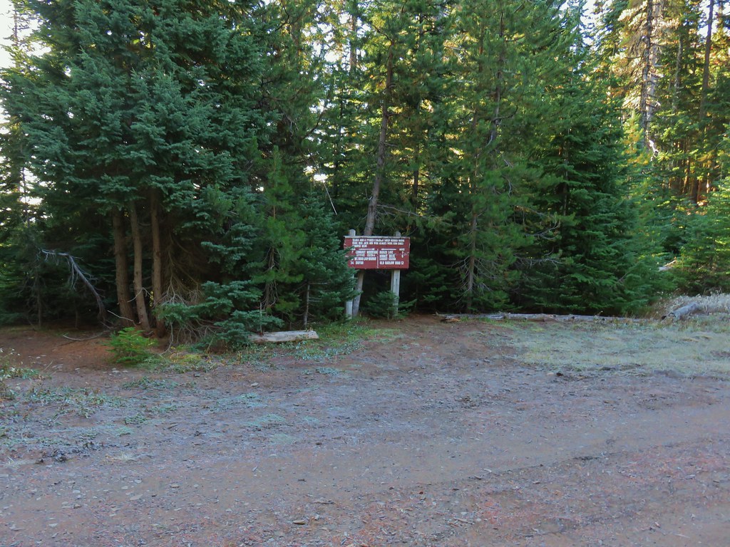
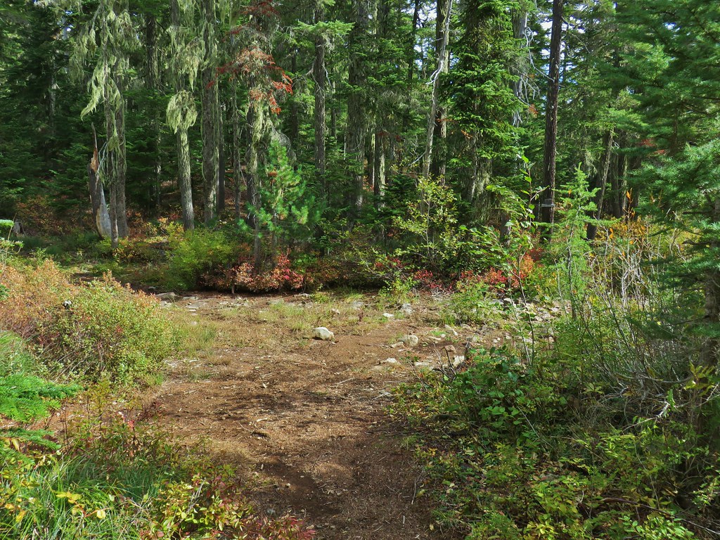
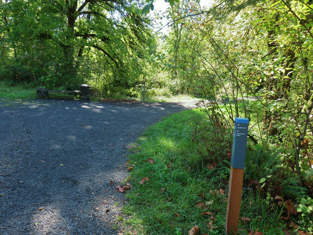
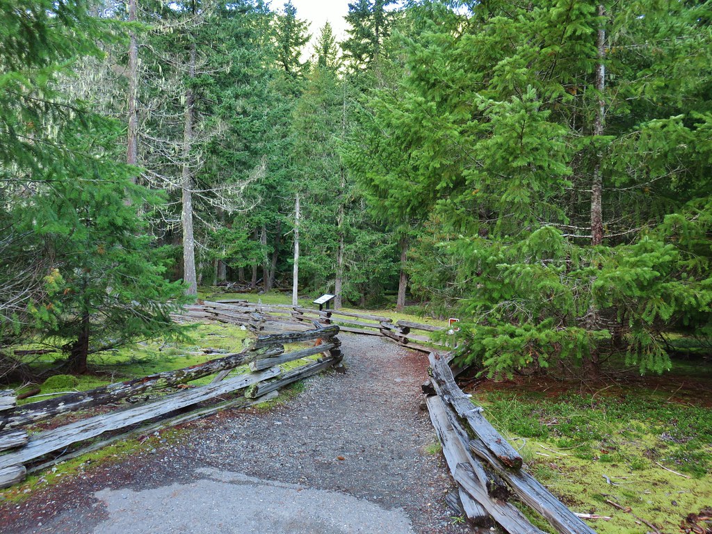
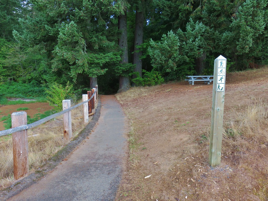
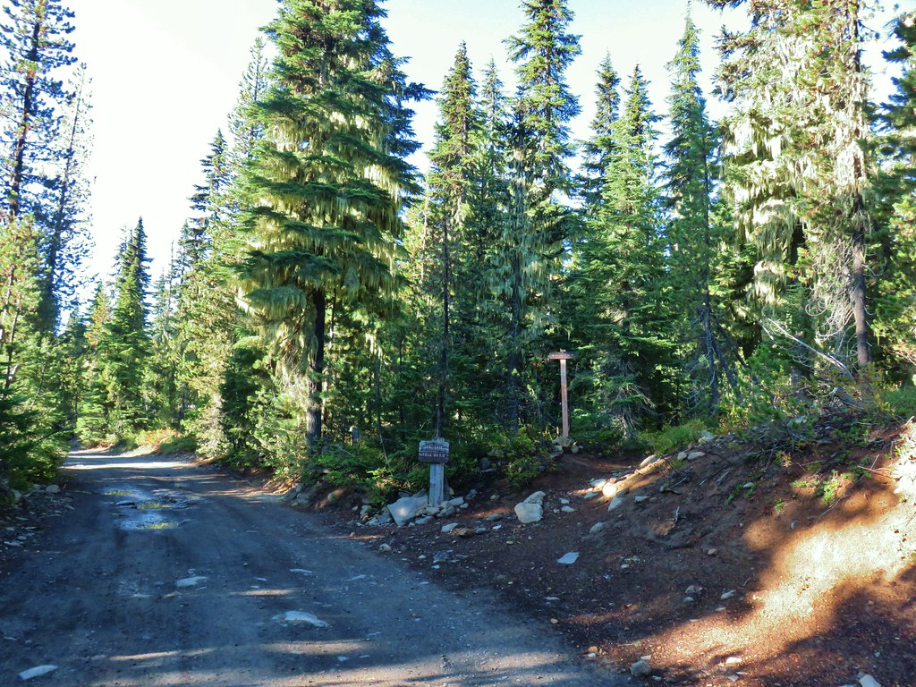
There are multiple potential trailheads and we chose to start our day at Amanda’s Trailhead

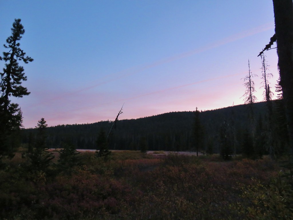
It had been raining in Salem when we left but at the trailhead we were spared, at least for the time being.
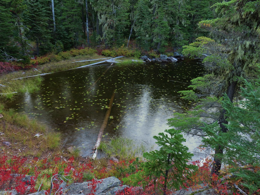
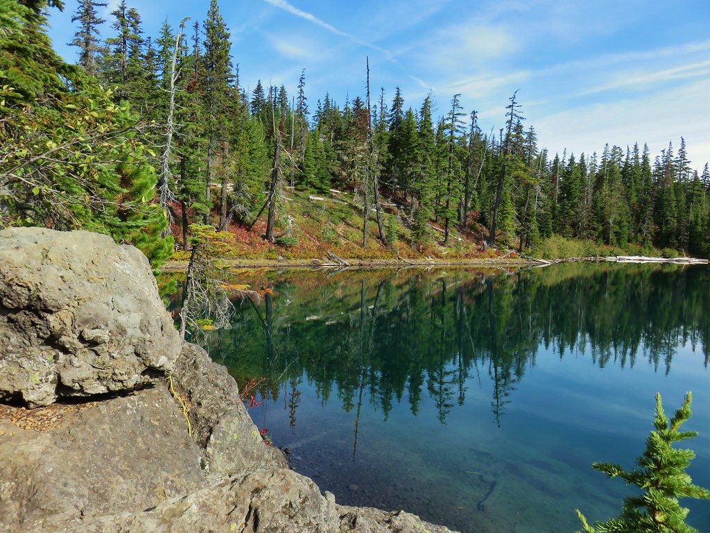
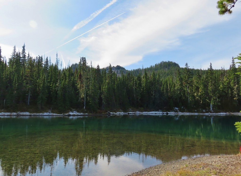
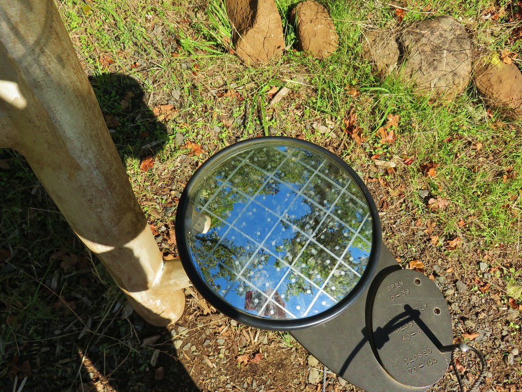
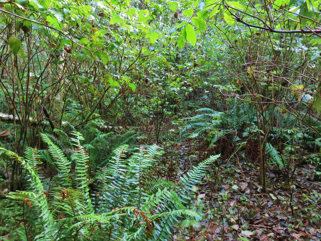
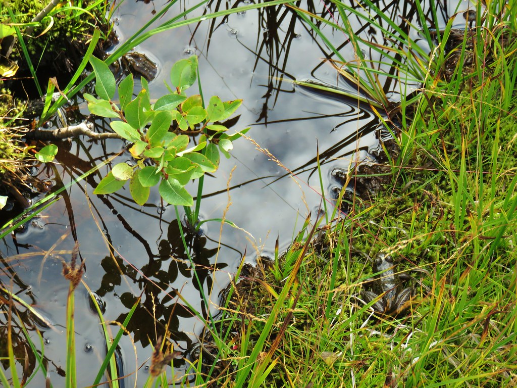
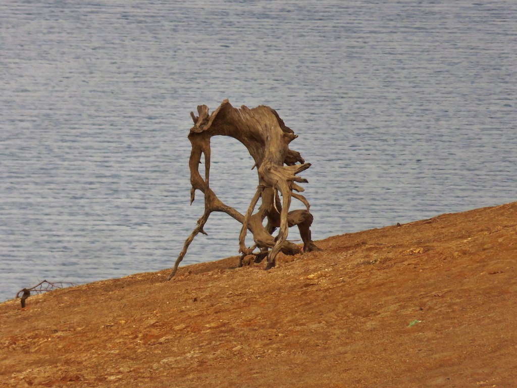
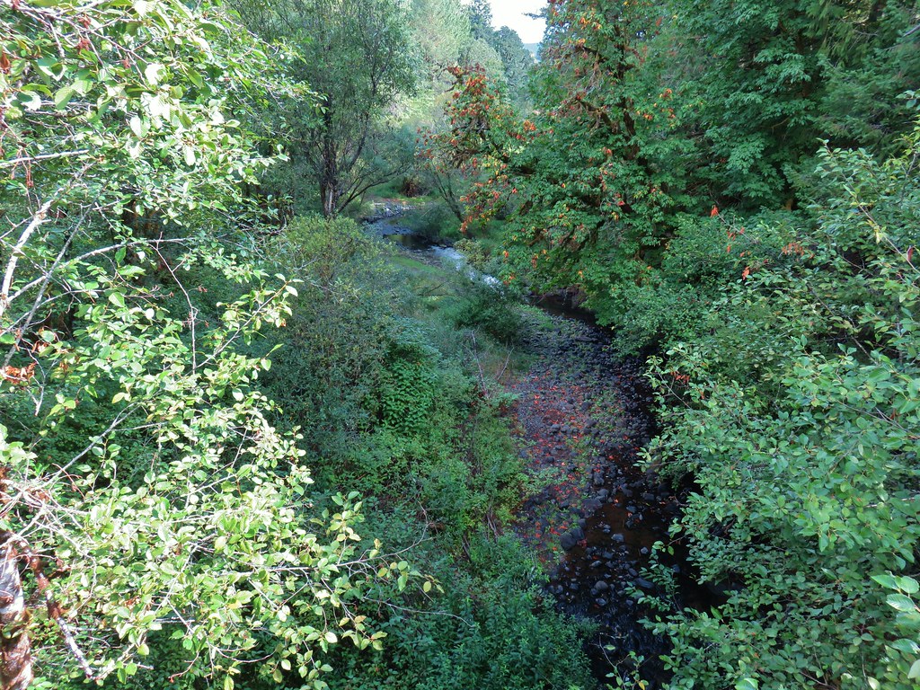
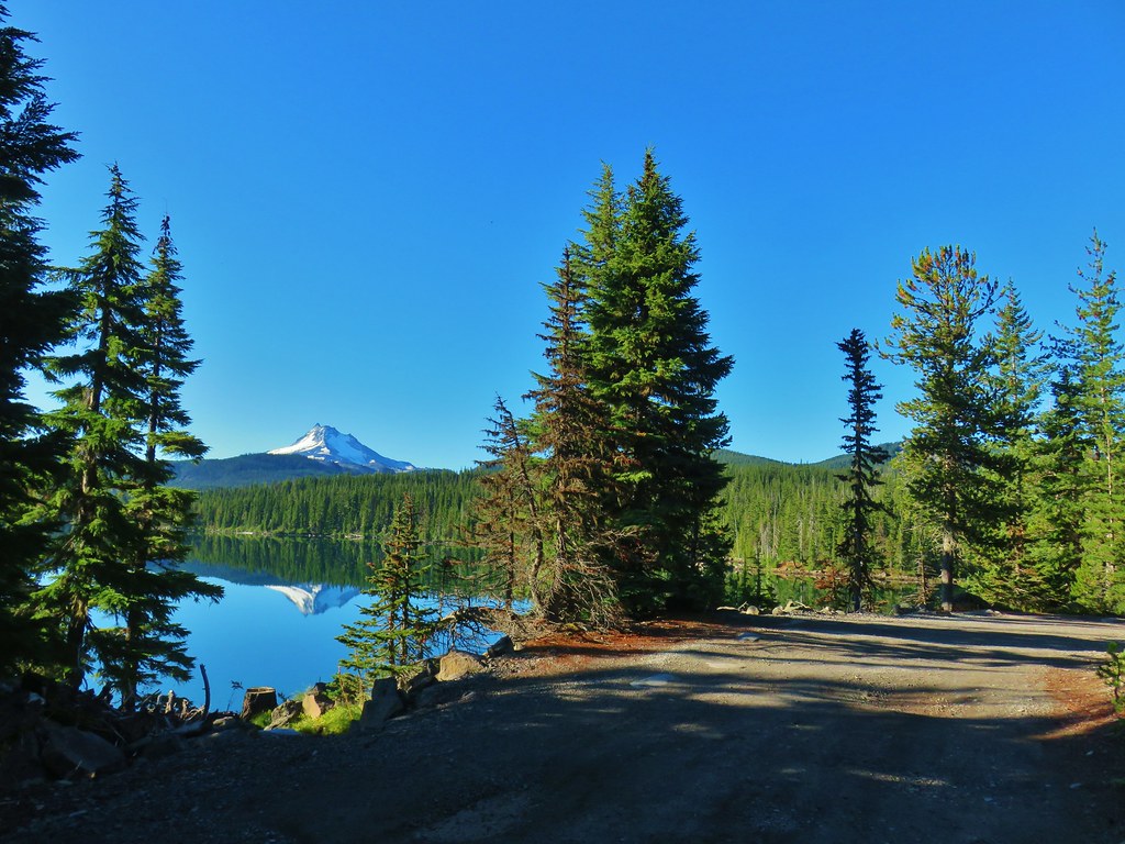
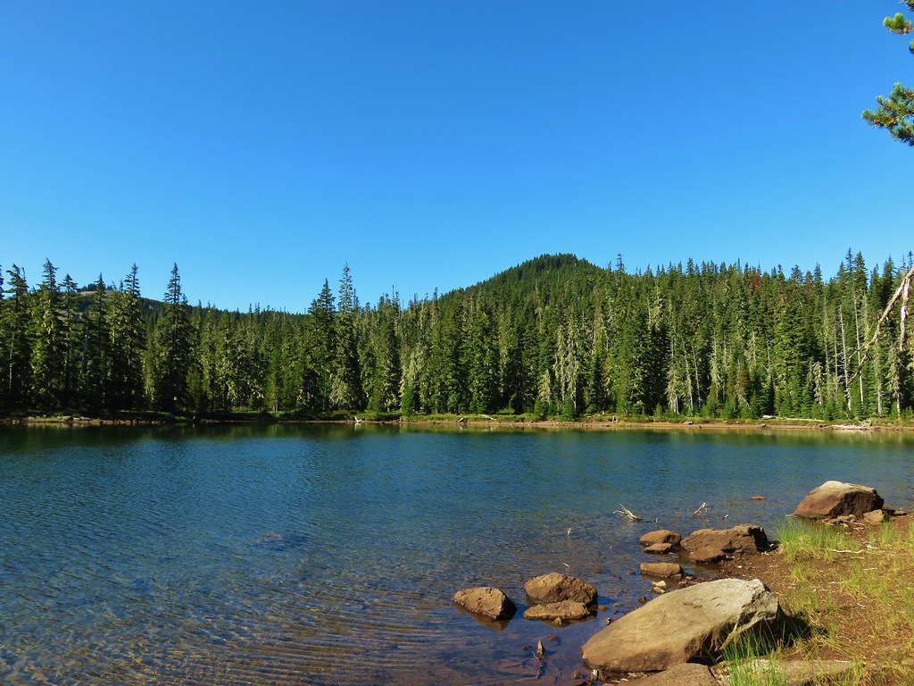
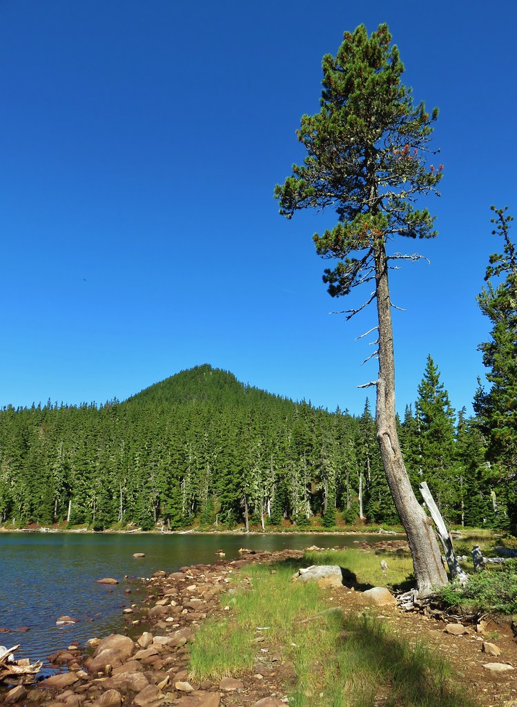
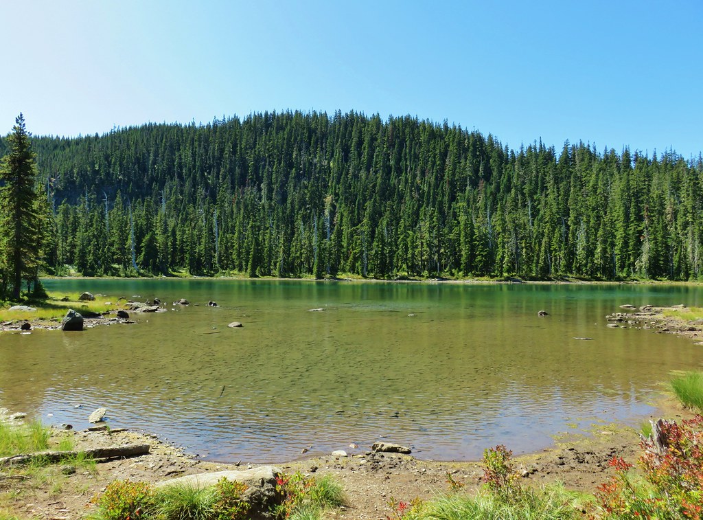
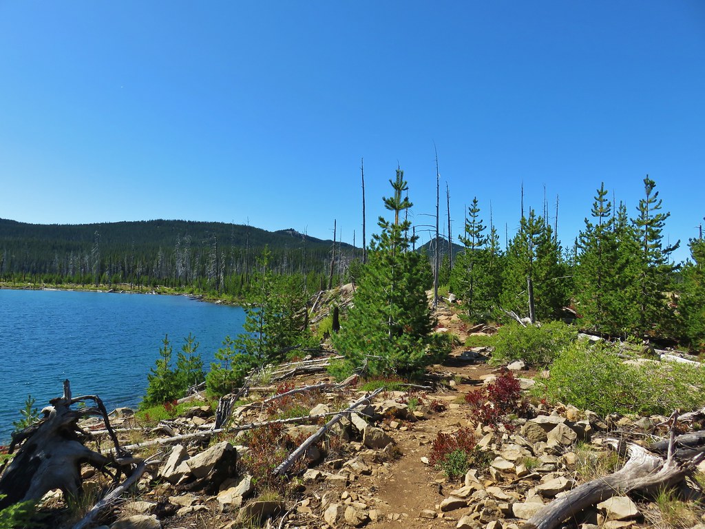
One thing that the trails in this area don’t do is visit the Mollala River so before we set off I crossed Upper Mollala Road to get a peak of the river through the trees.

After checking out the river we started up Amanda’s Trail.

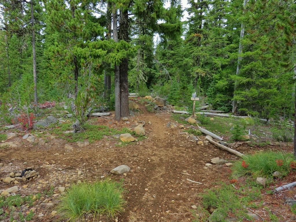
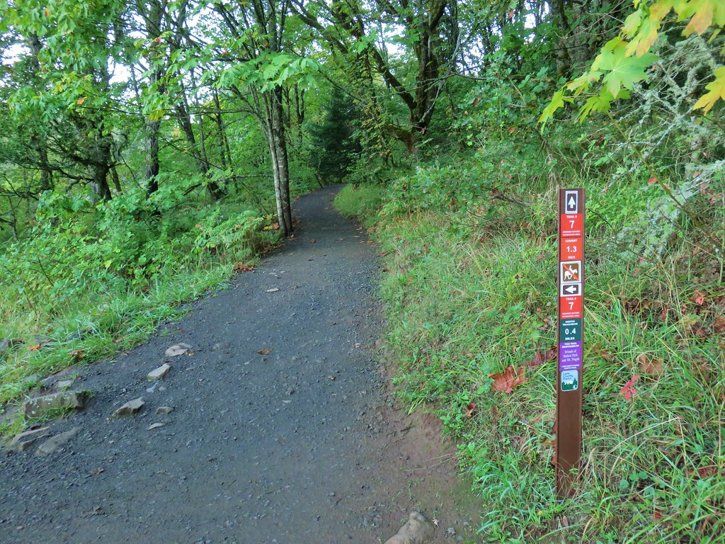
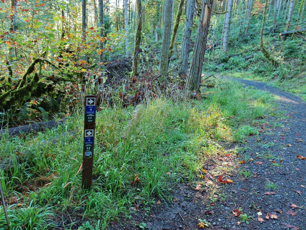
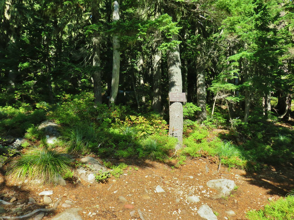
We stopped at a trail map (we had also downloaded the maps to our phones) to discuss our planned route. There were a number of options with many of the trails looping and intersecting each other so having a map is a good idea (it’s always a good idea). Our plan was to take Amanda’s Trail to Looney’s Trail then turn up the Rim Trail and follow it to Bobcat Road. From Bobcat Road we’d follow the Huckleberry Trail back to Looney’s Trail. Finally instead of just retracing our steps back we would turn off Lonney’s Trail at Clifford’s Crossing Trail and take that trail to Mark’s Trail which would then lead us back to Amanda’s Trail for the final leg back to the trailhead. This was an 11.5 mile route with over 1500′ of elevation gain.
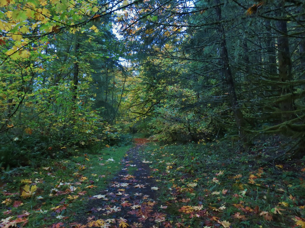
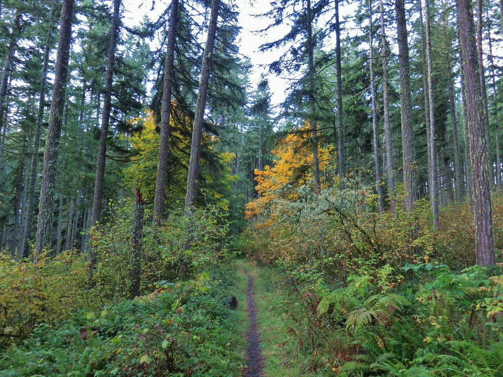
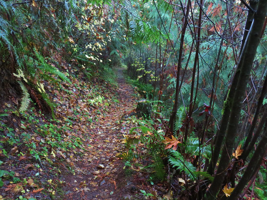
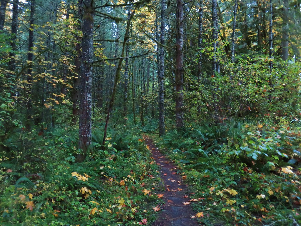
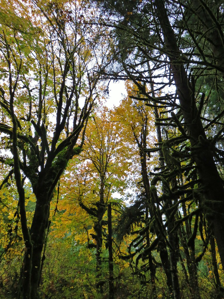
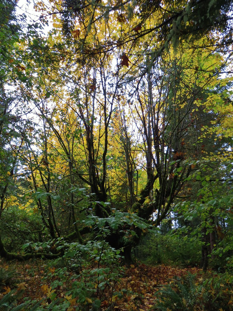
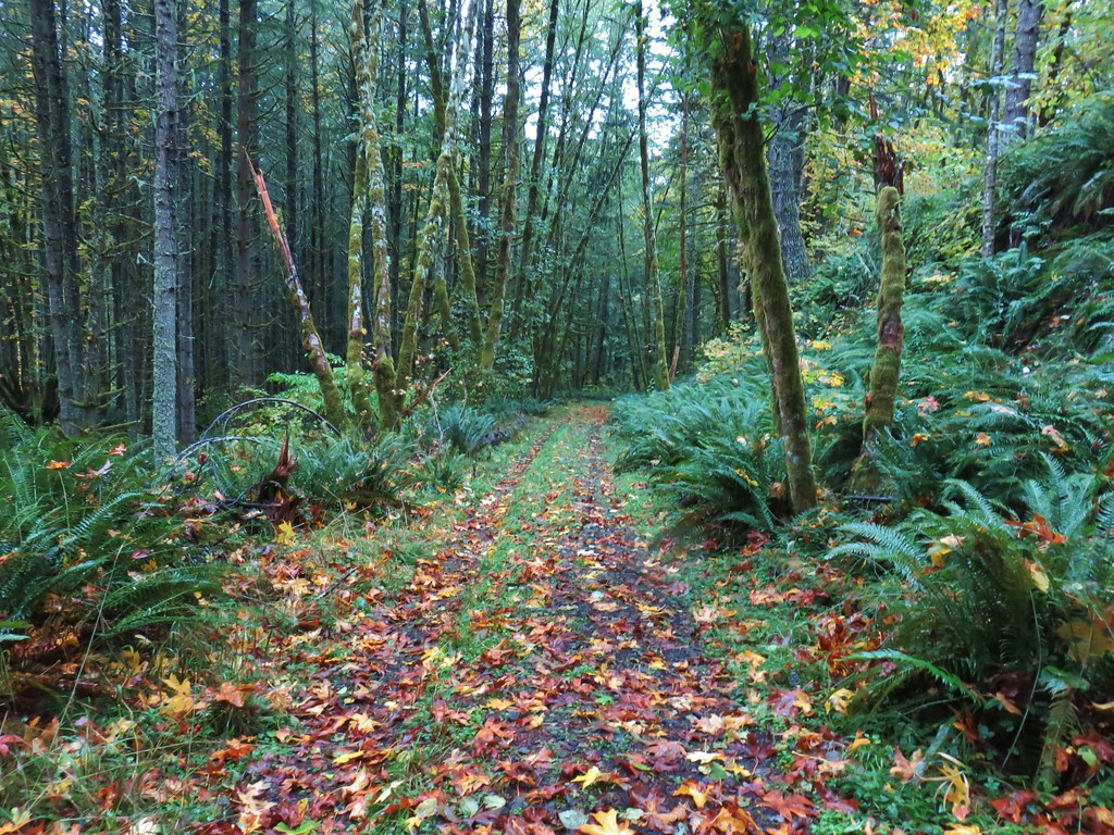
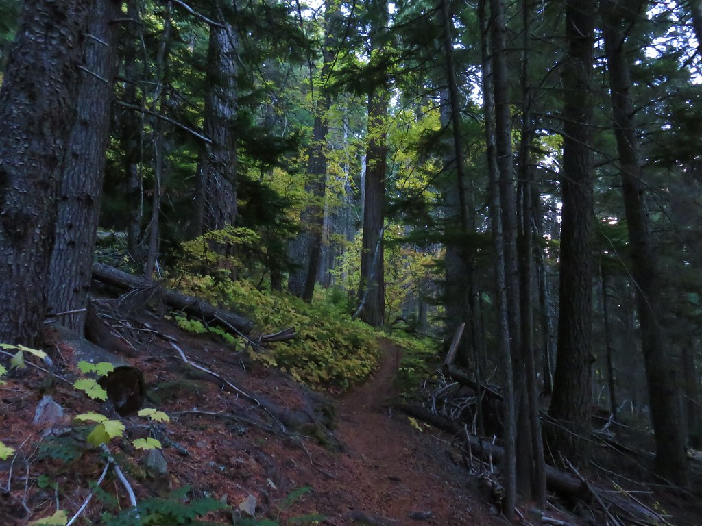
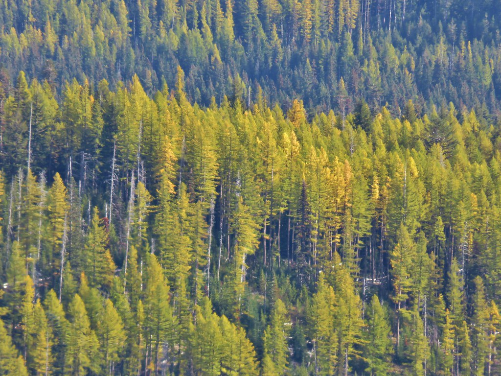
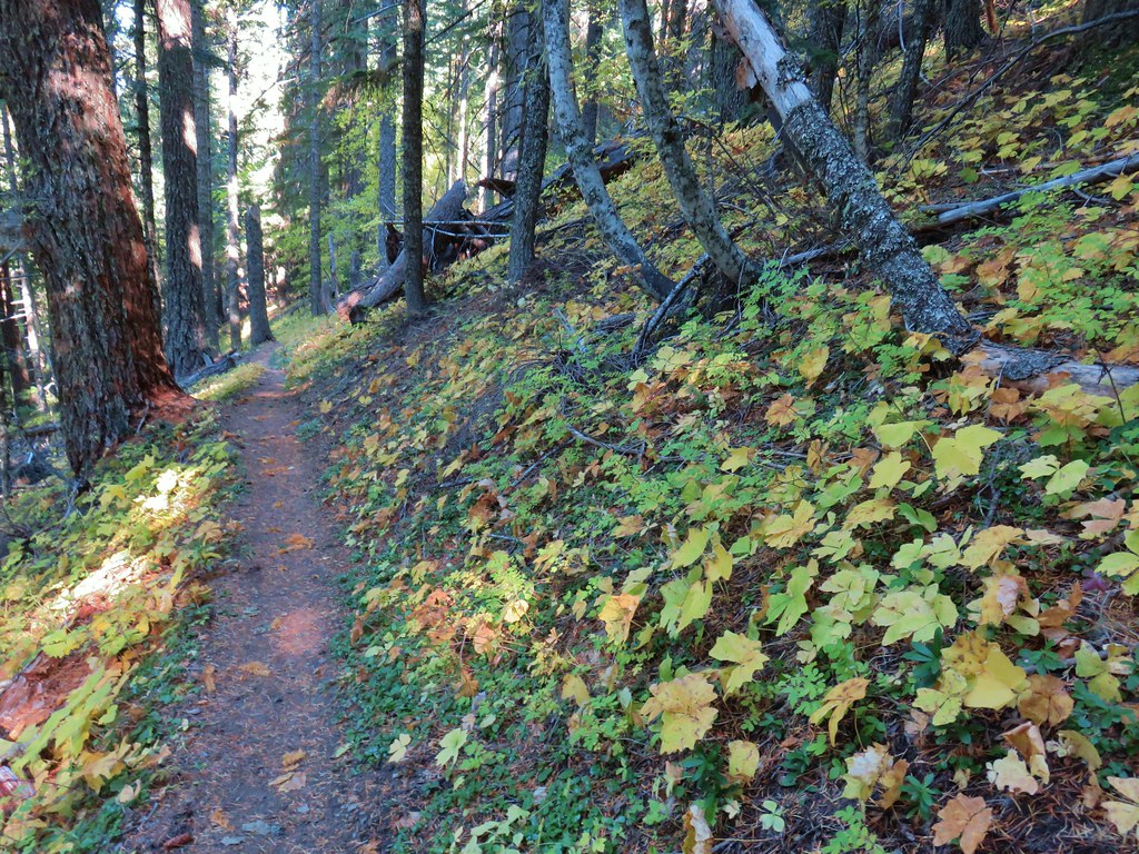
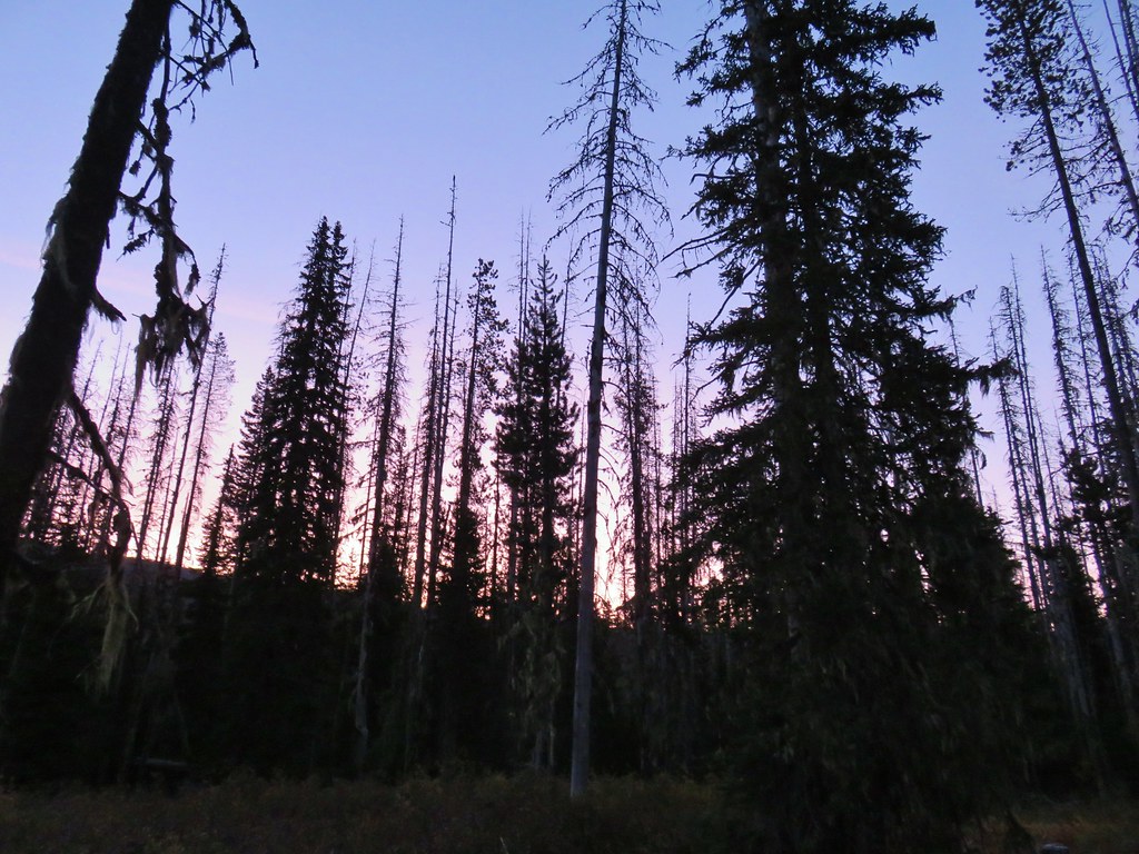
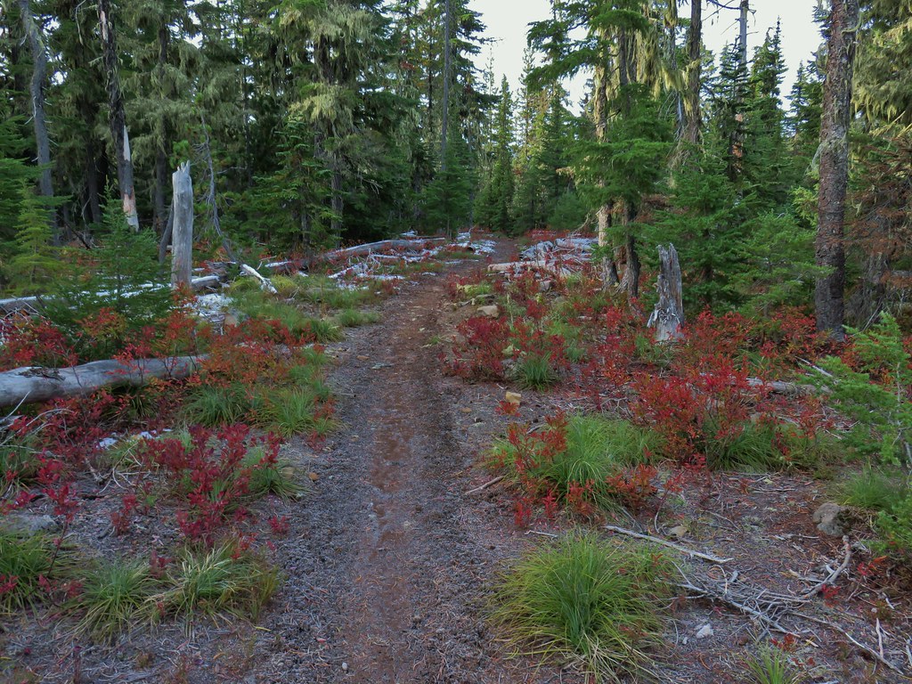
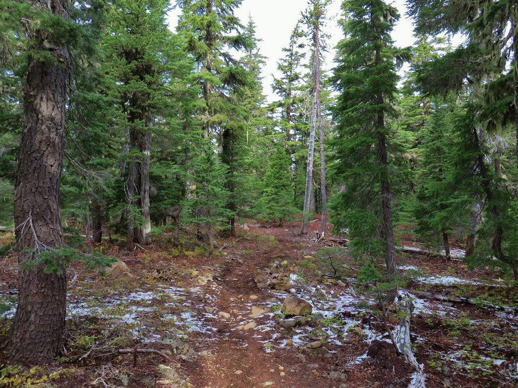
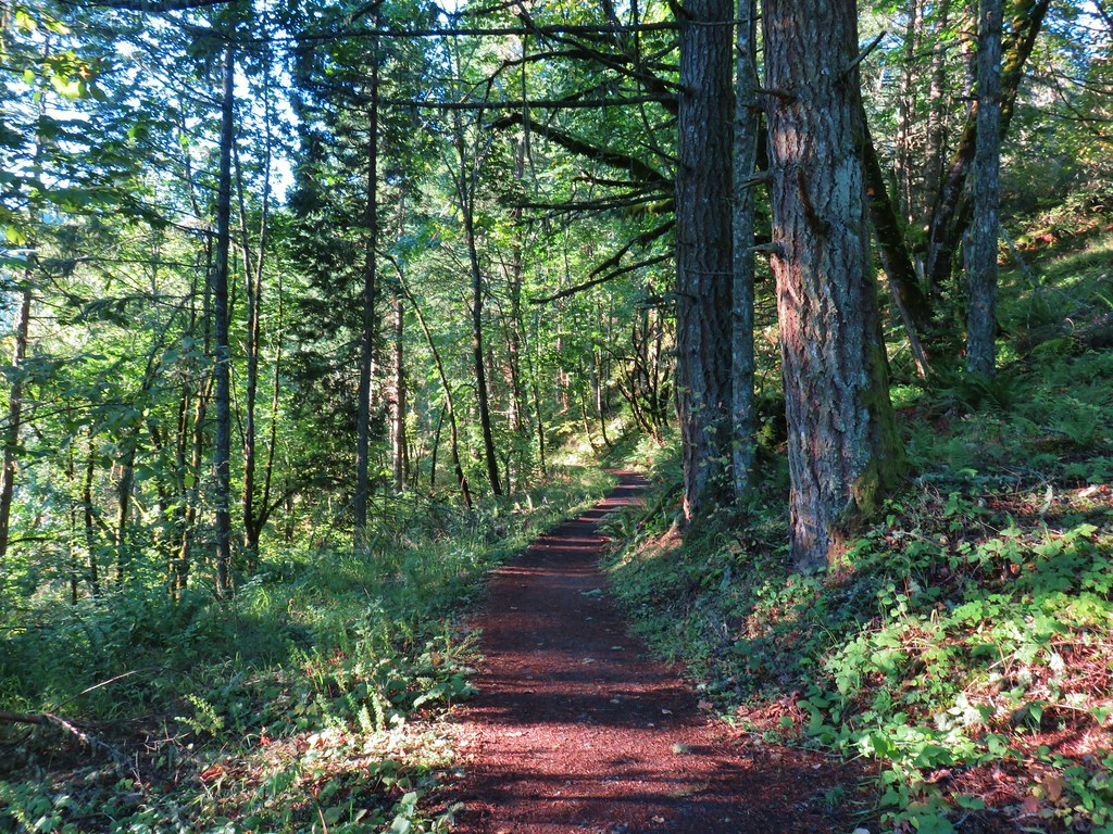
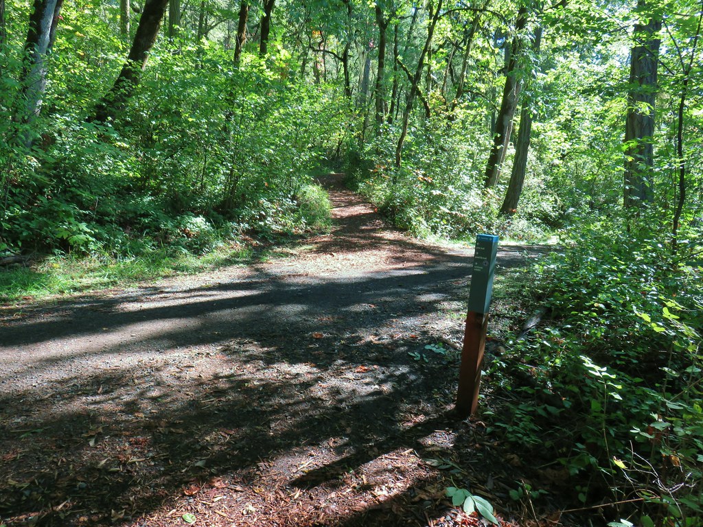
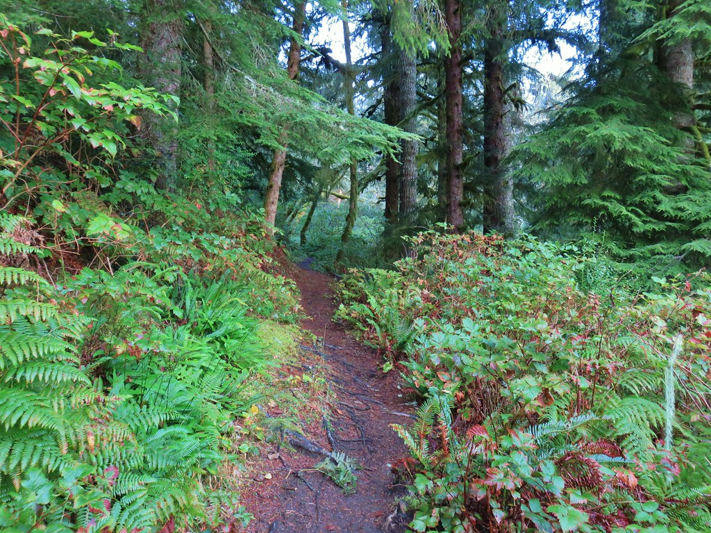
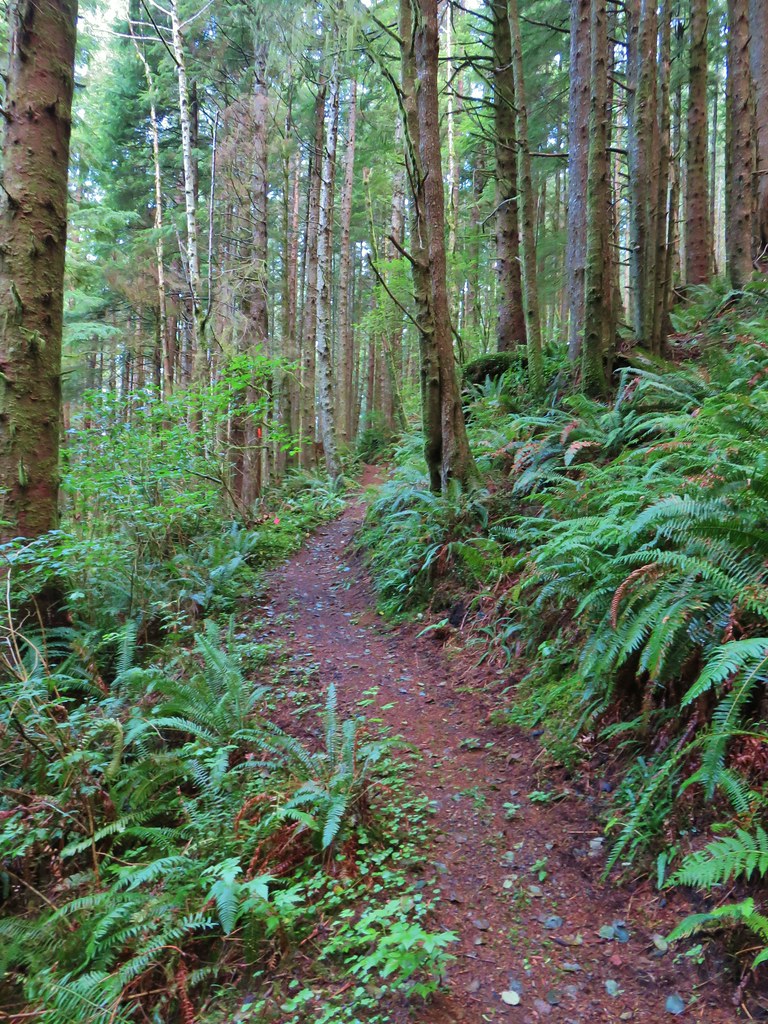
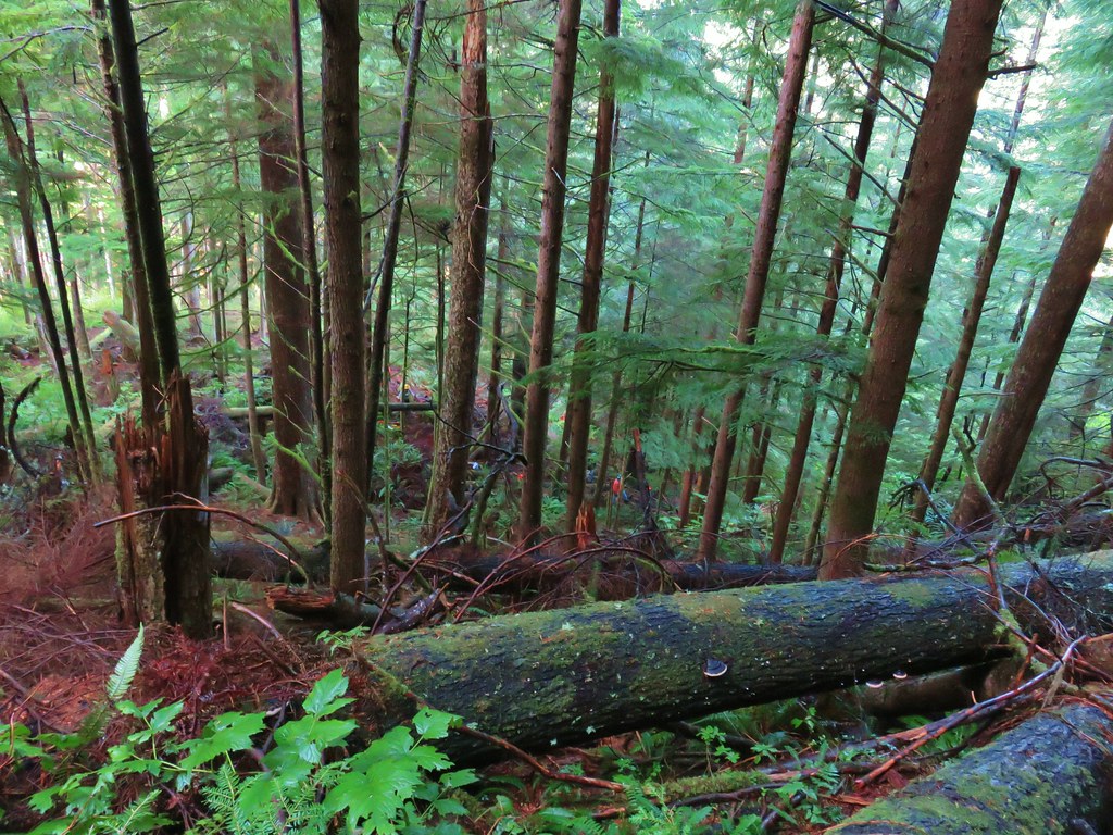
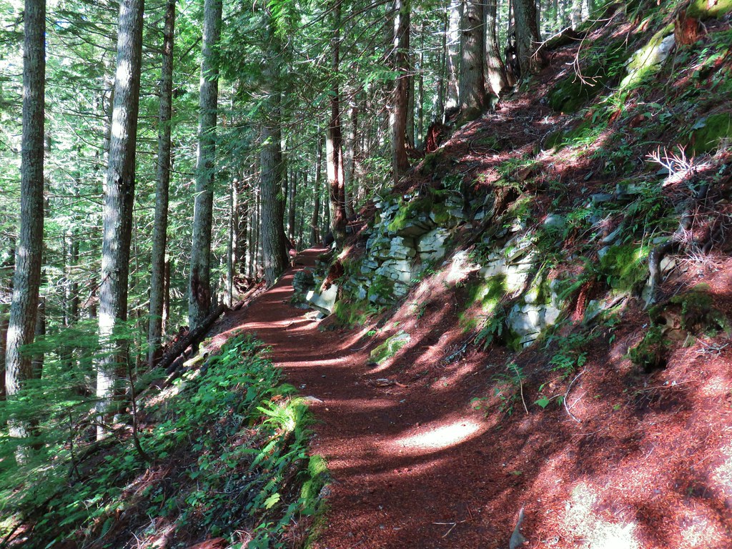
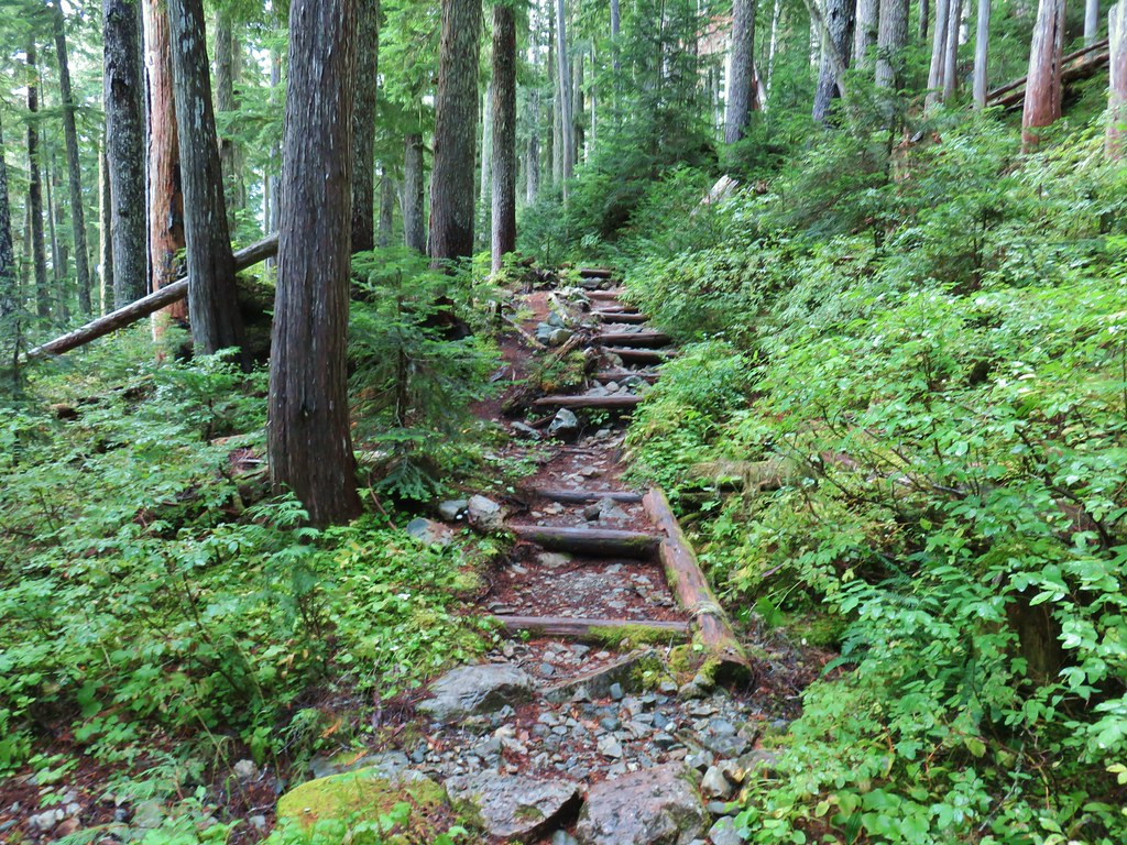
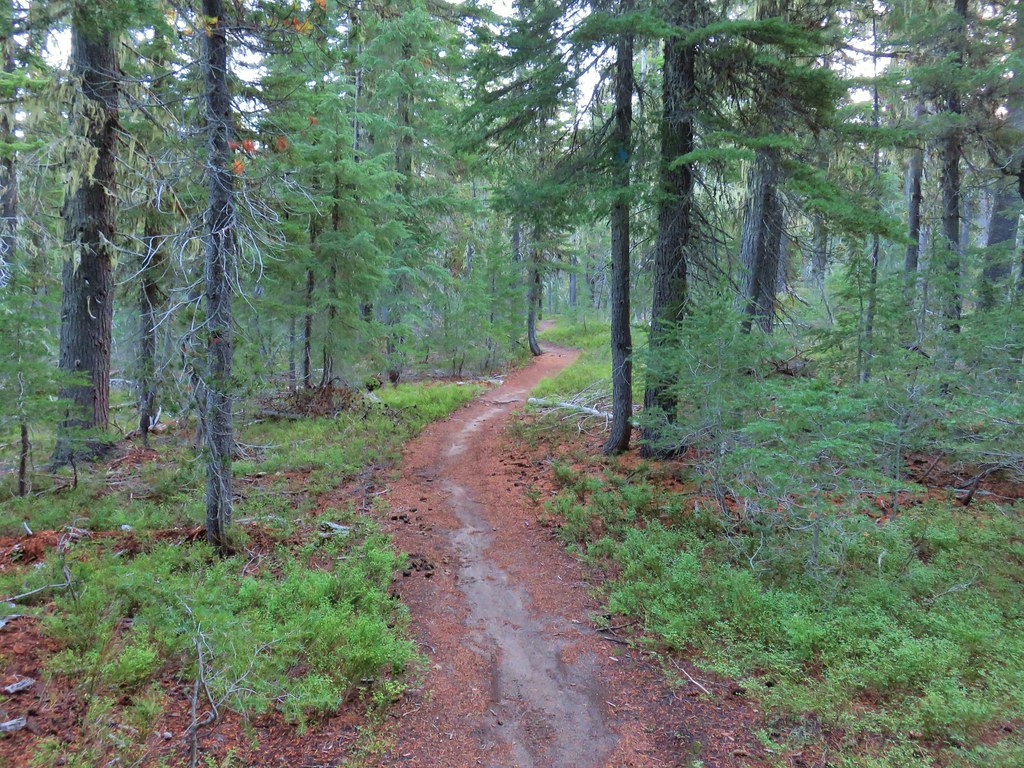
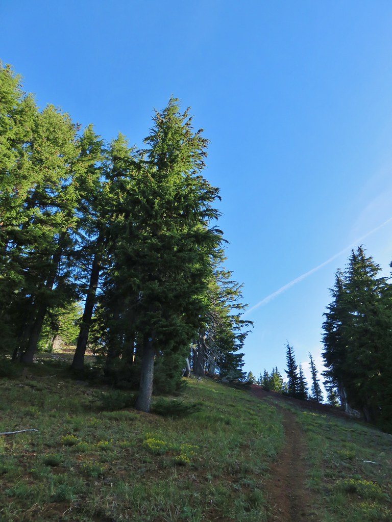
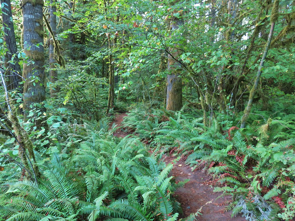
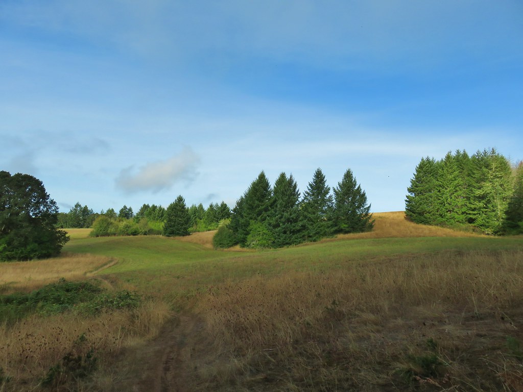
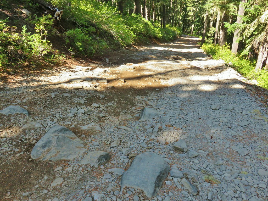
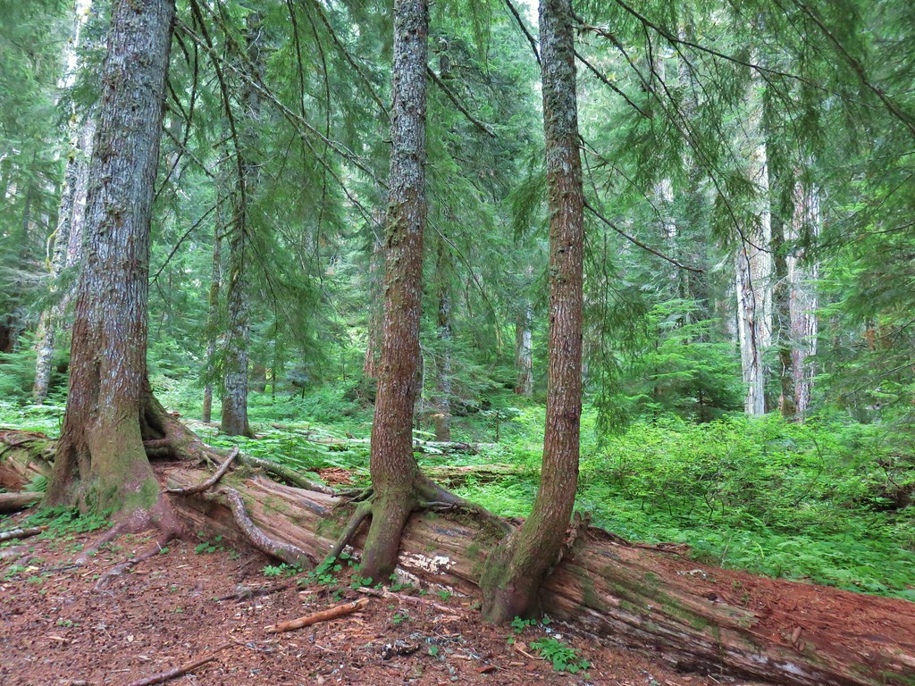
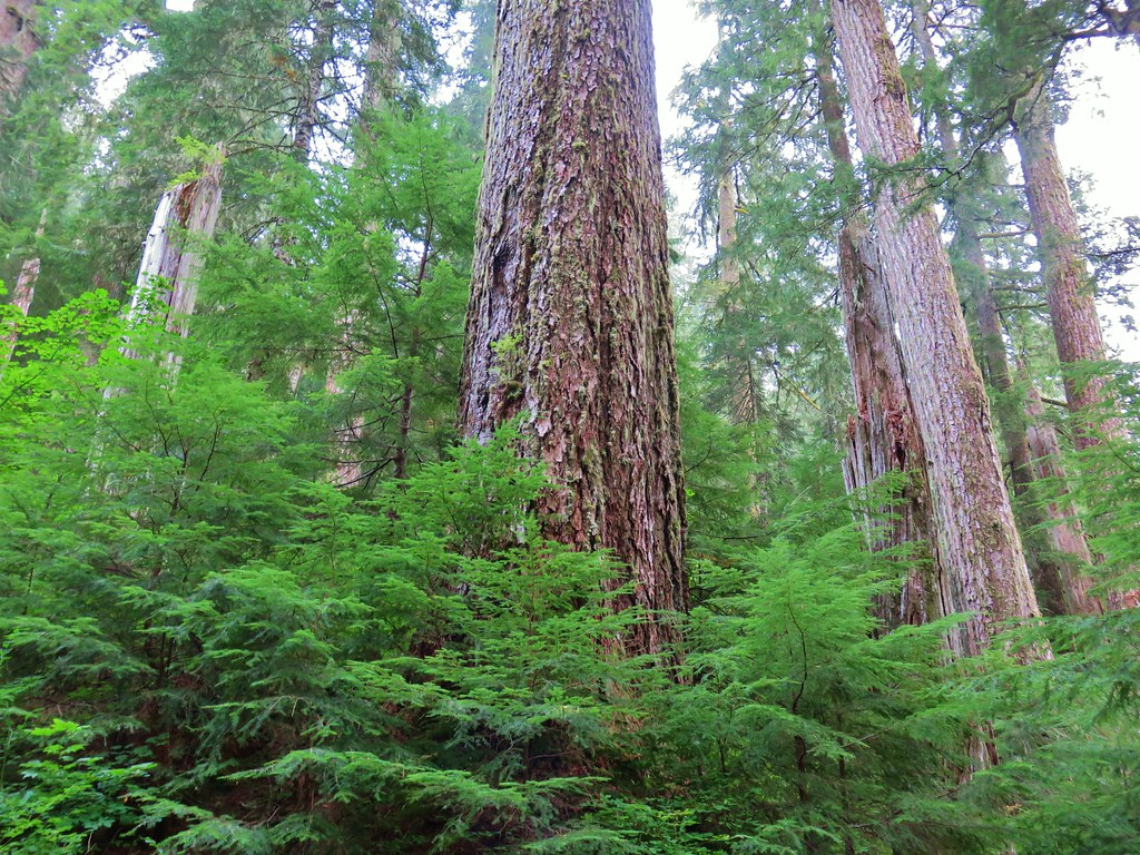
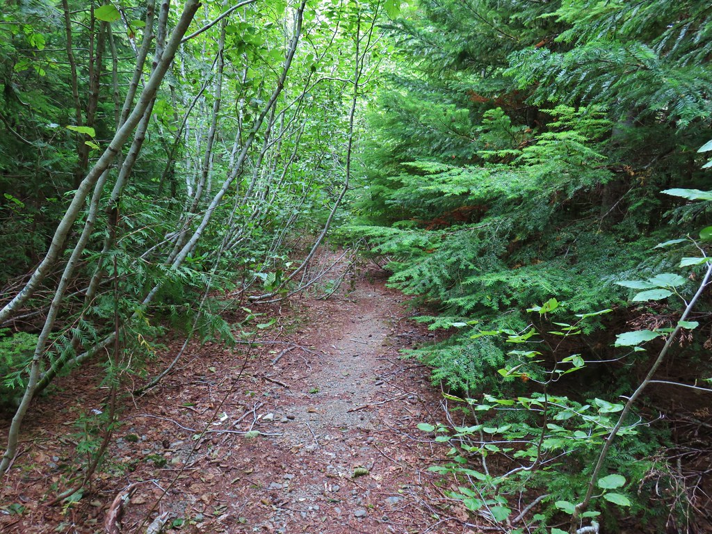
We followed Amanda’s Trail for 1.5 miles to Looney’s Trail ignoring the marked side trails along the way. This stretch of trail followed an old roadbed through second growth forest. Yellow and golden leaves were mixed with the green conifers.

 Leapfrog Loop
 Mark’s Trail (our return route)

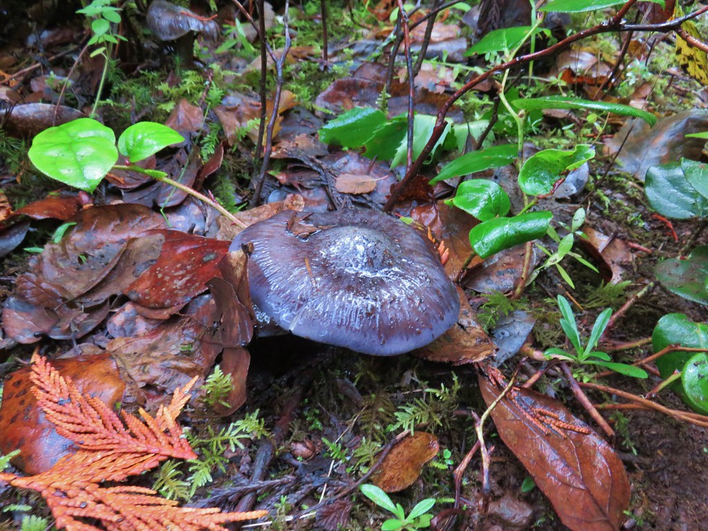
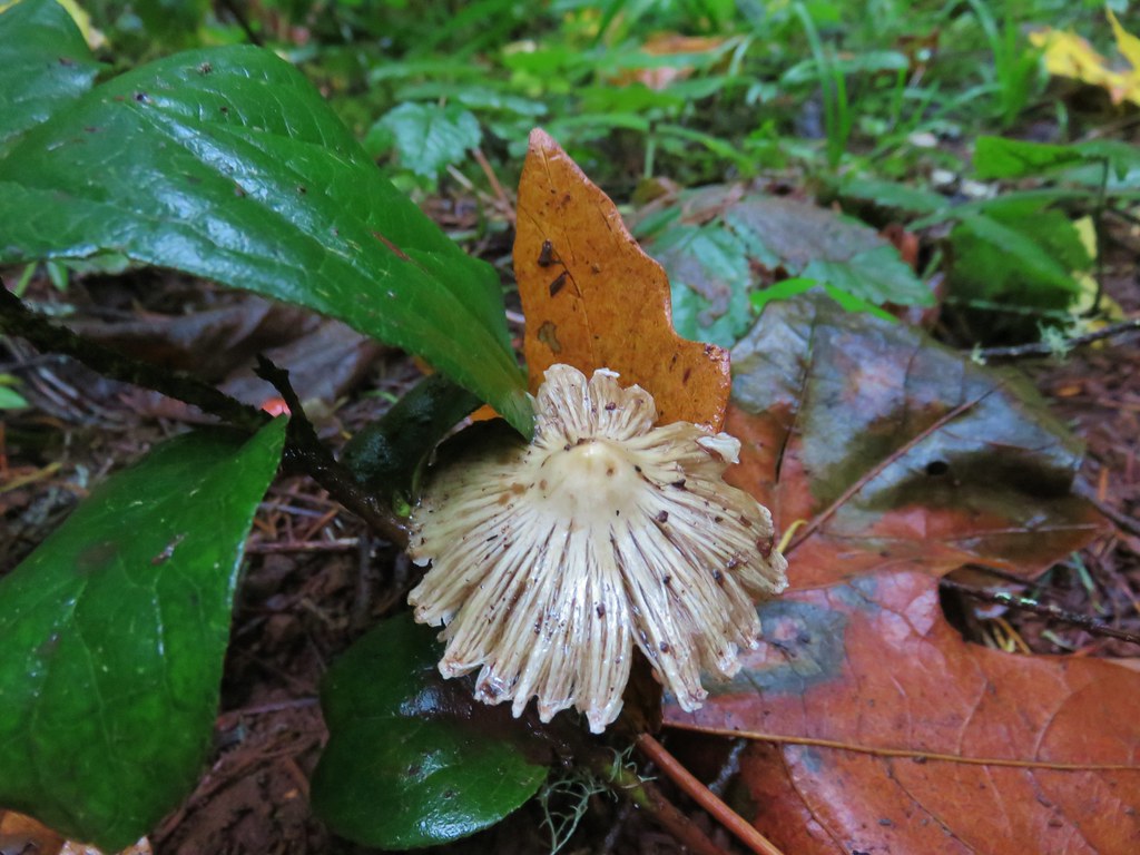
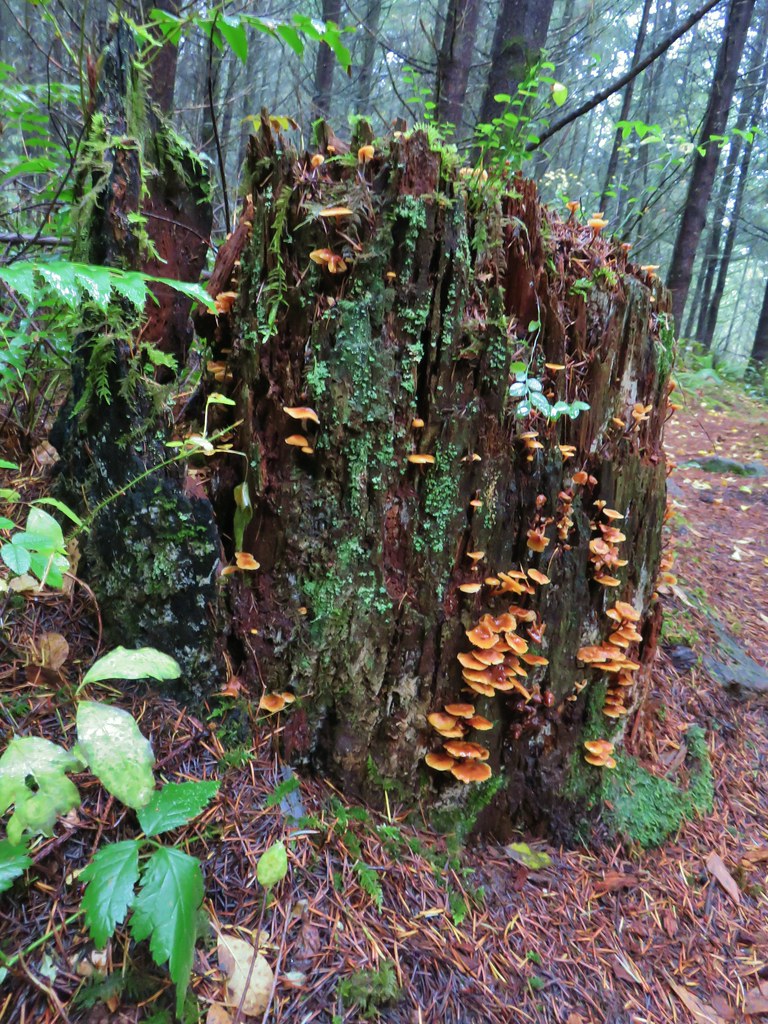
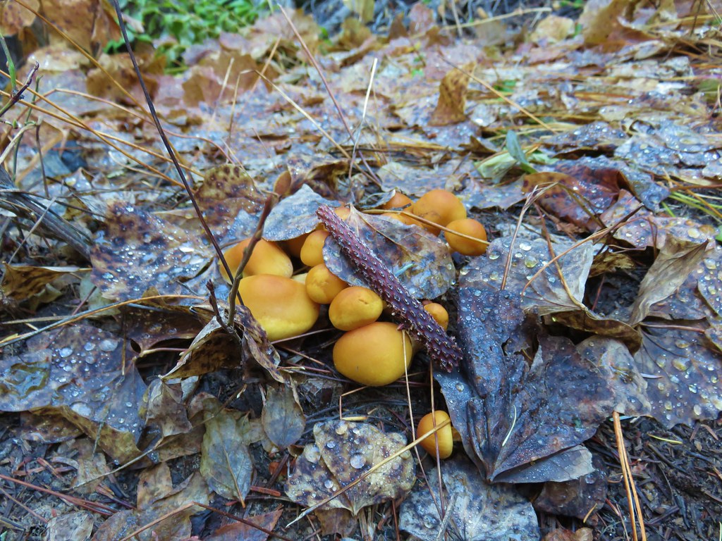
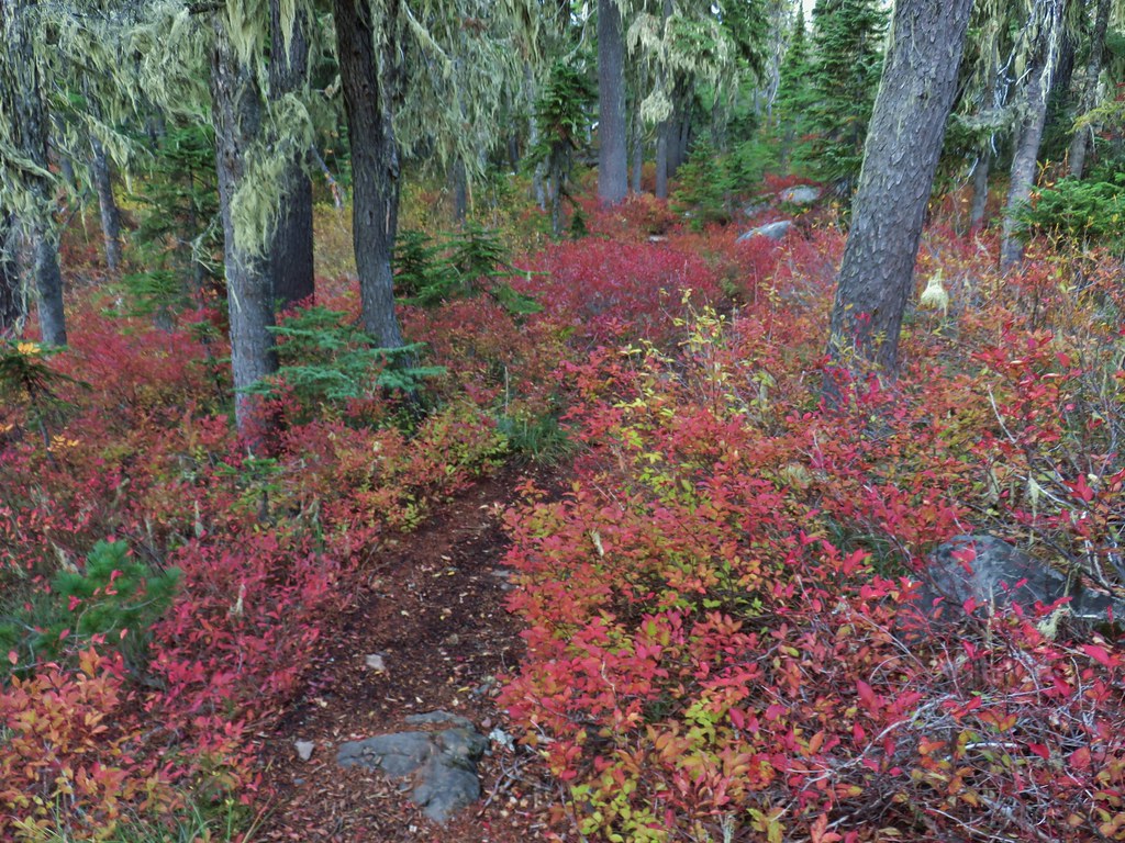
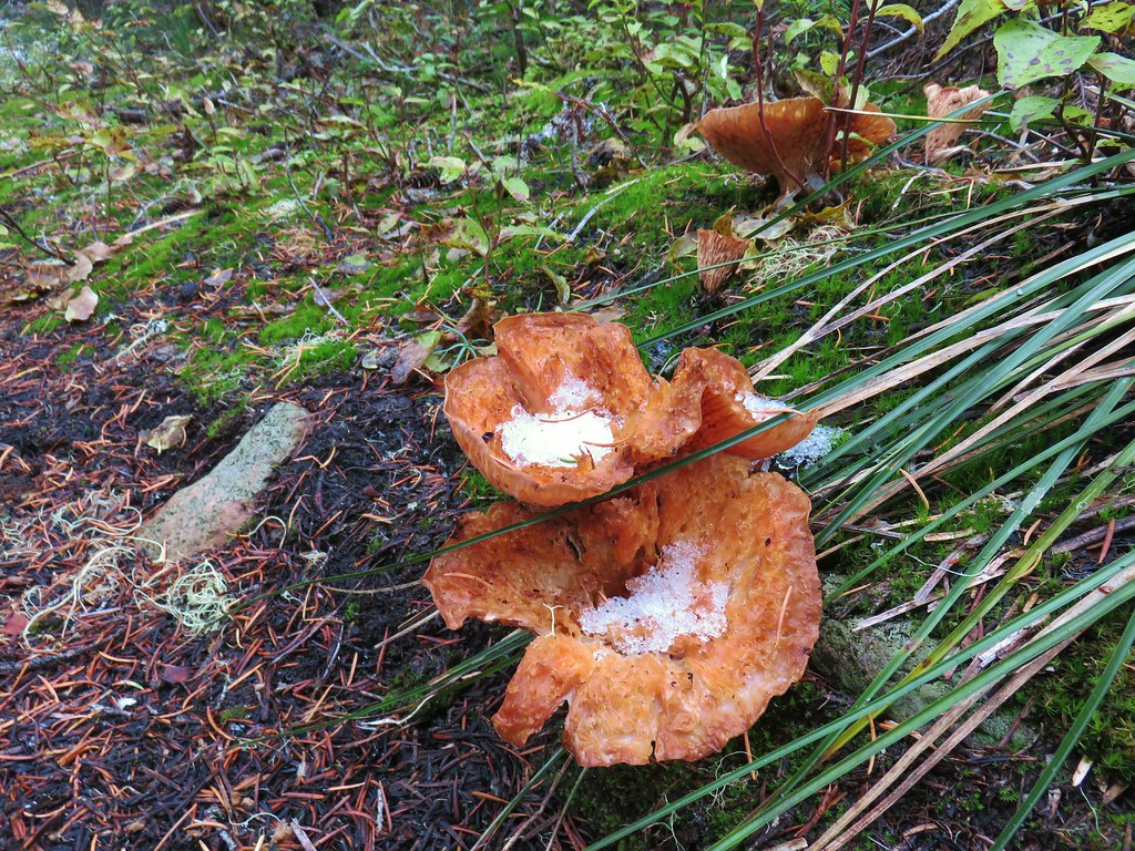
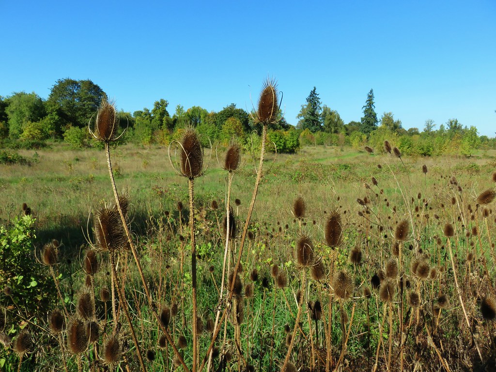
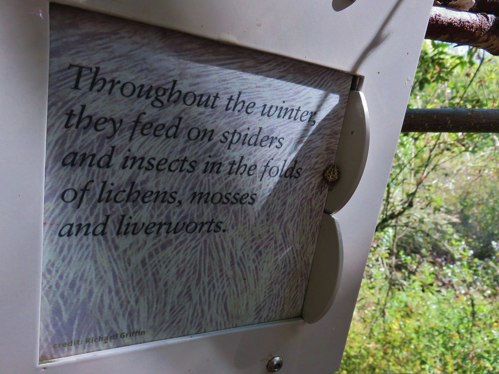
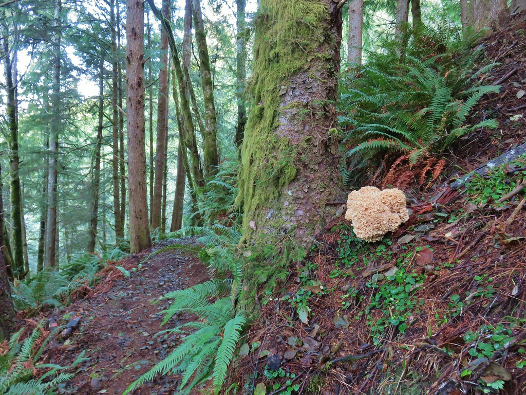
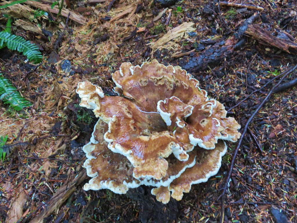
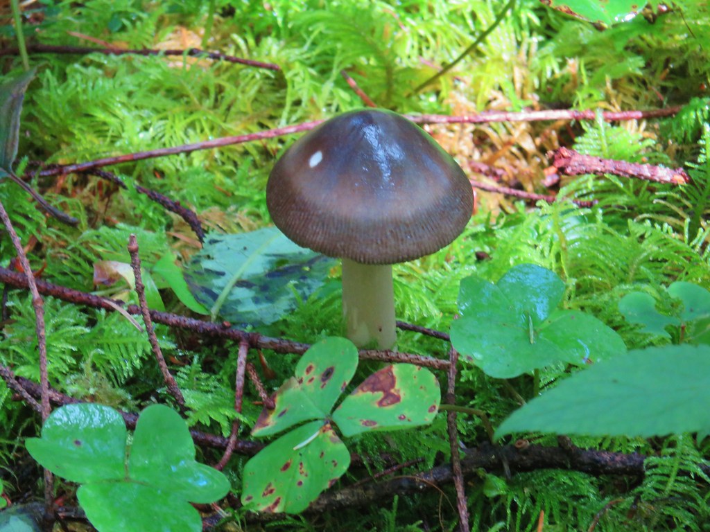
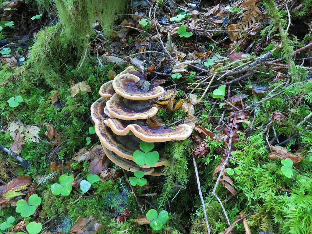
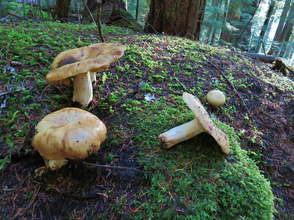
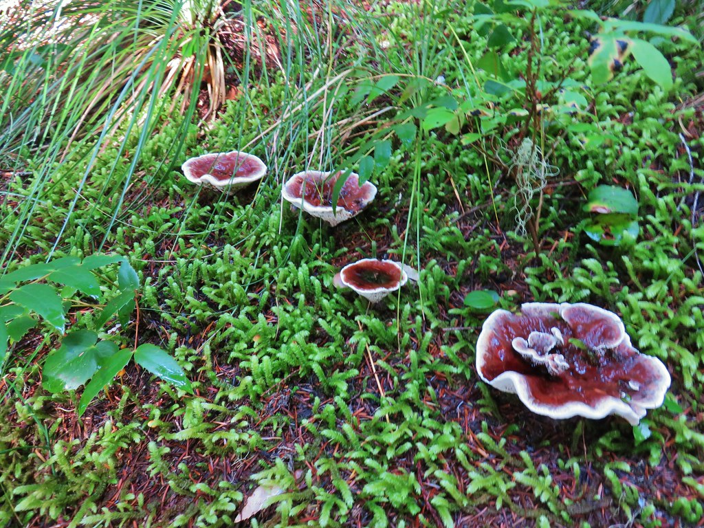
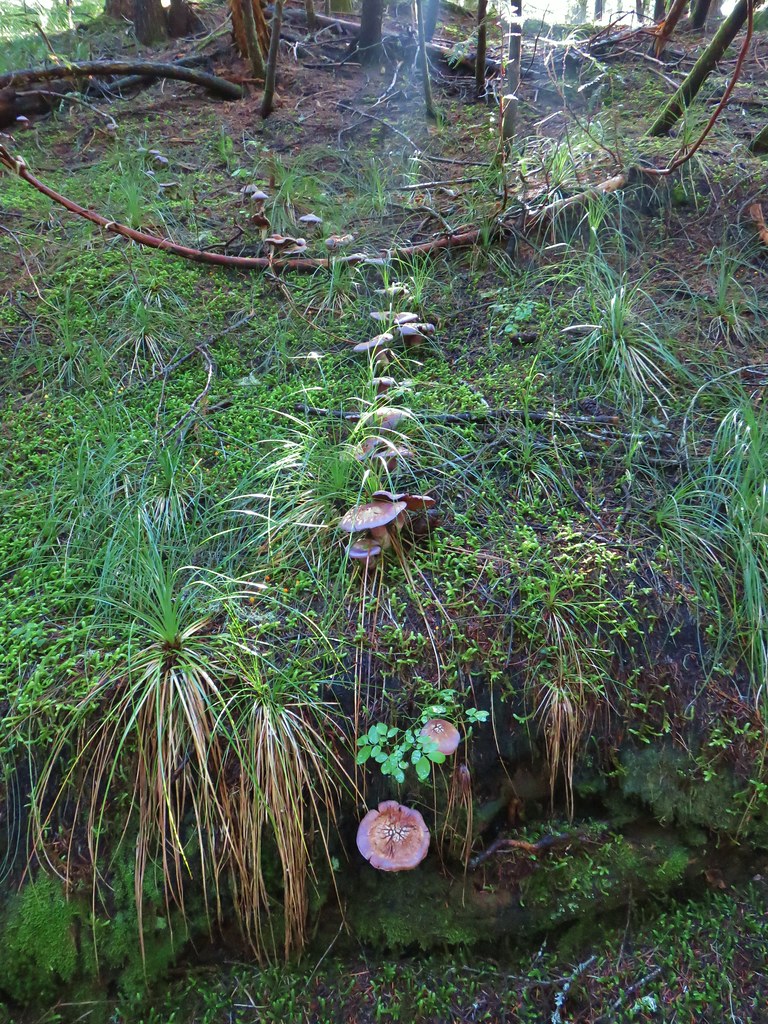
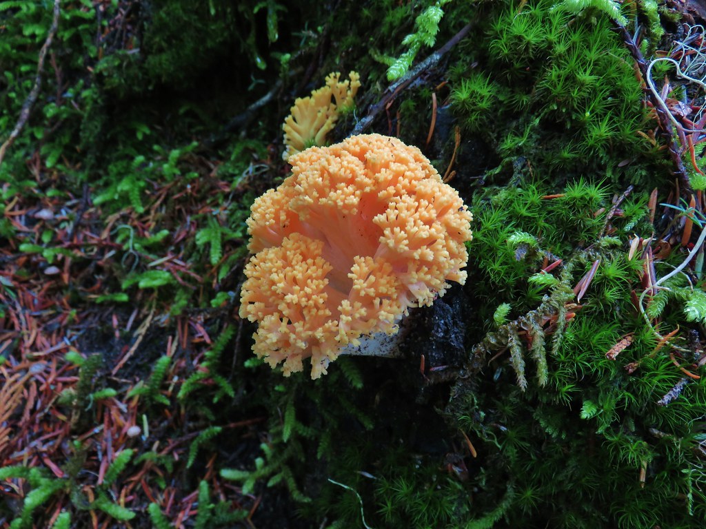
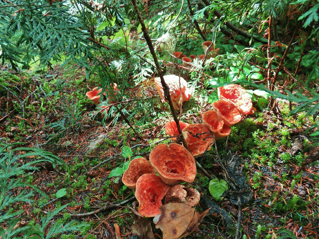
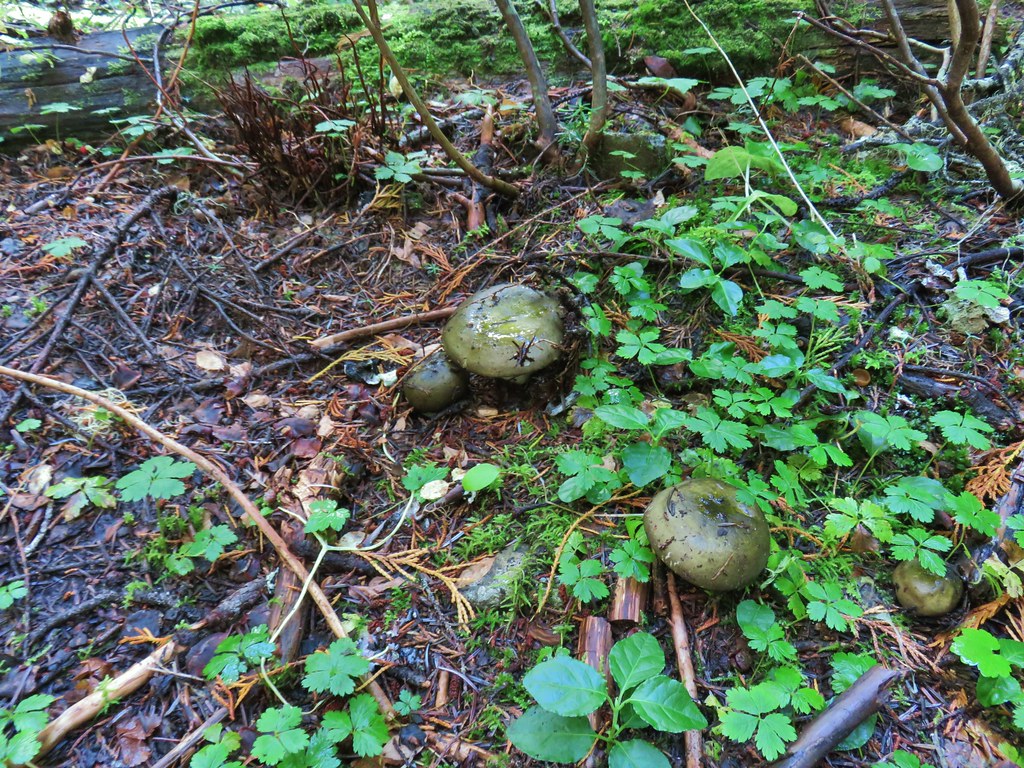
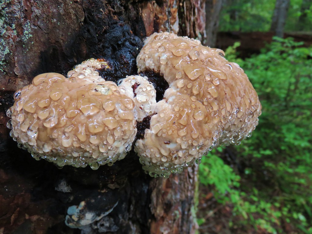
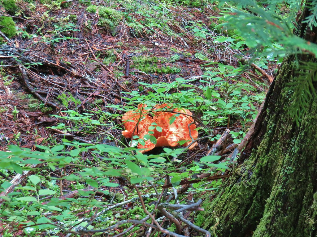
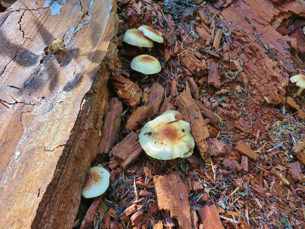
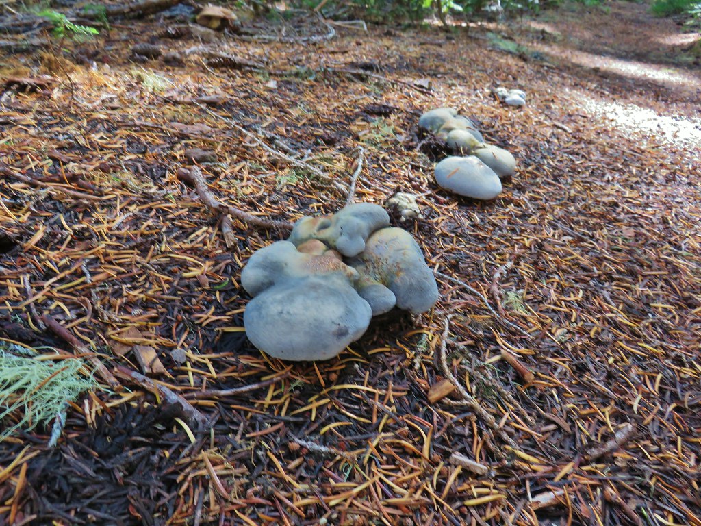
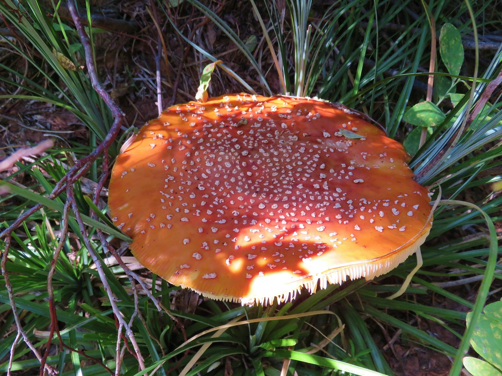
In addition to the Fall colors there were plenty of mushrooms along the trail.


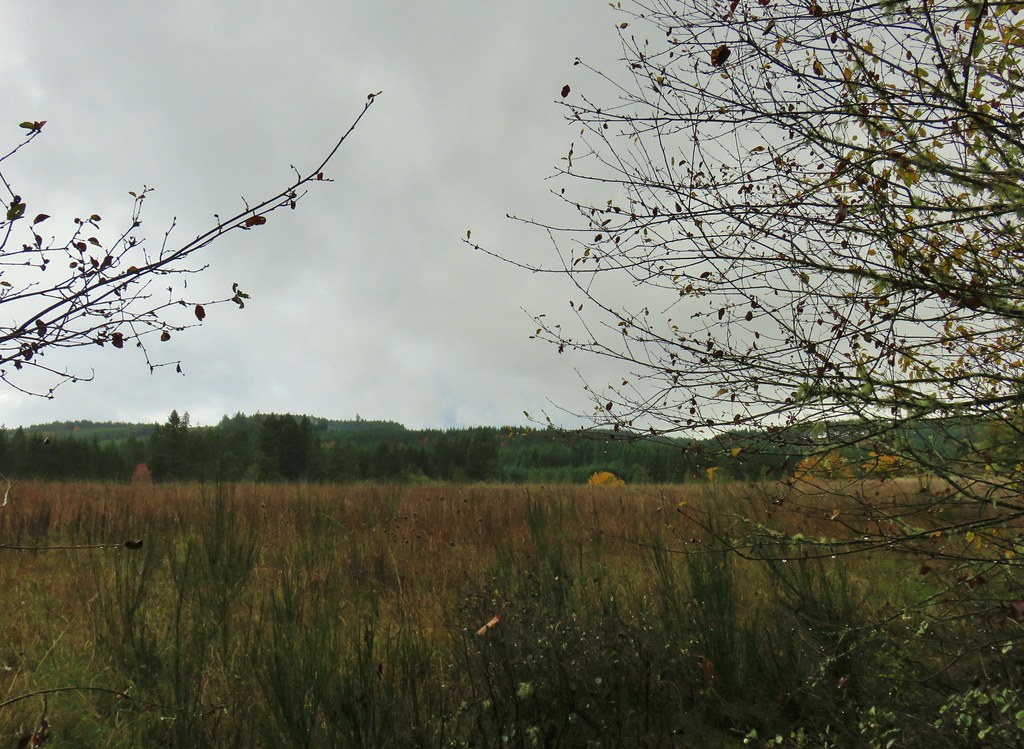
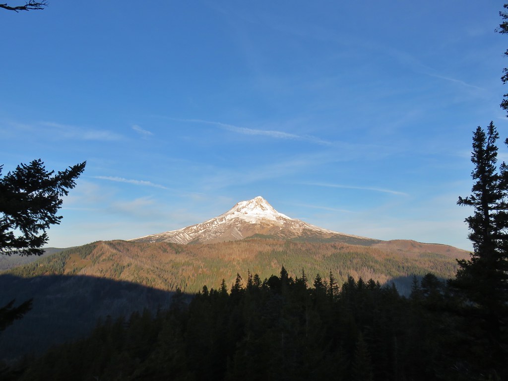
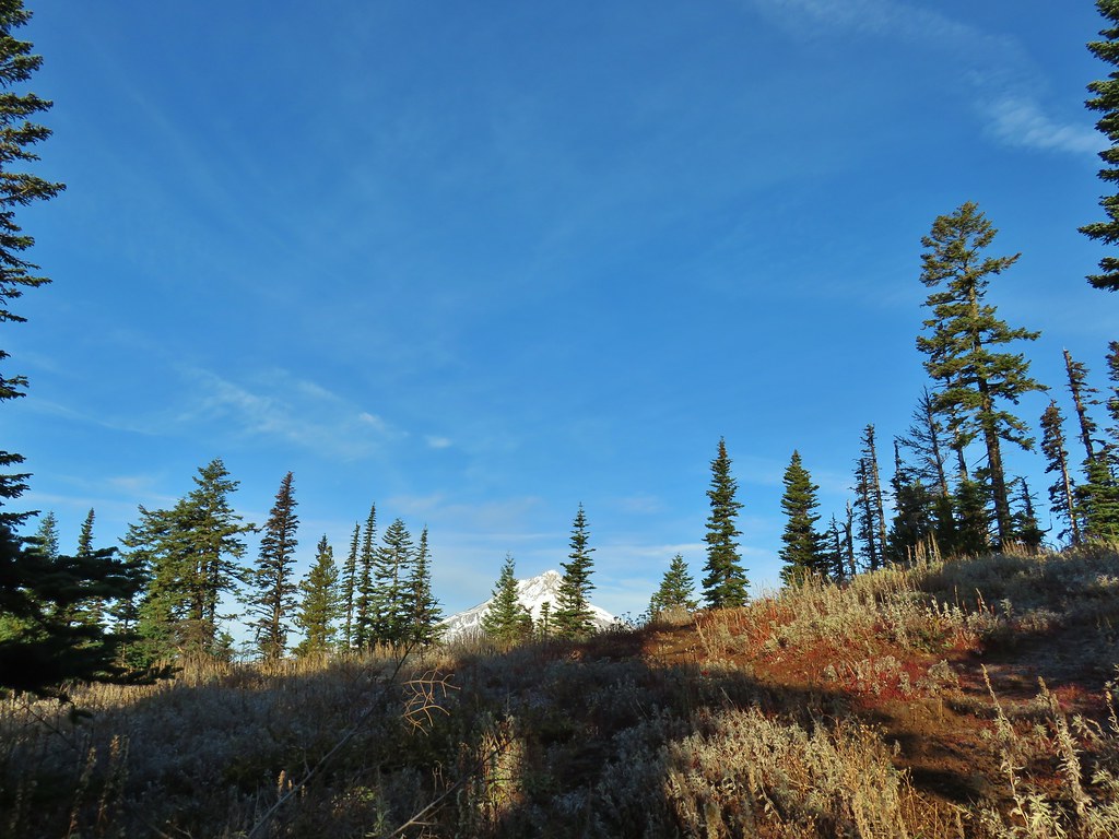
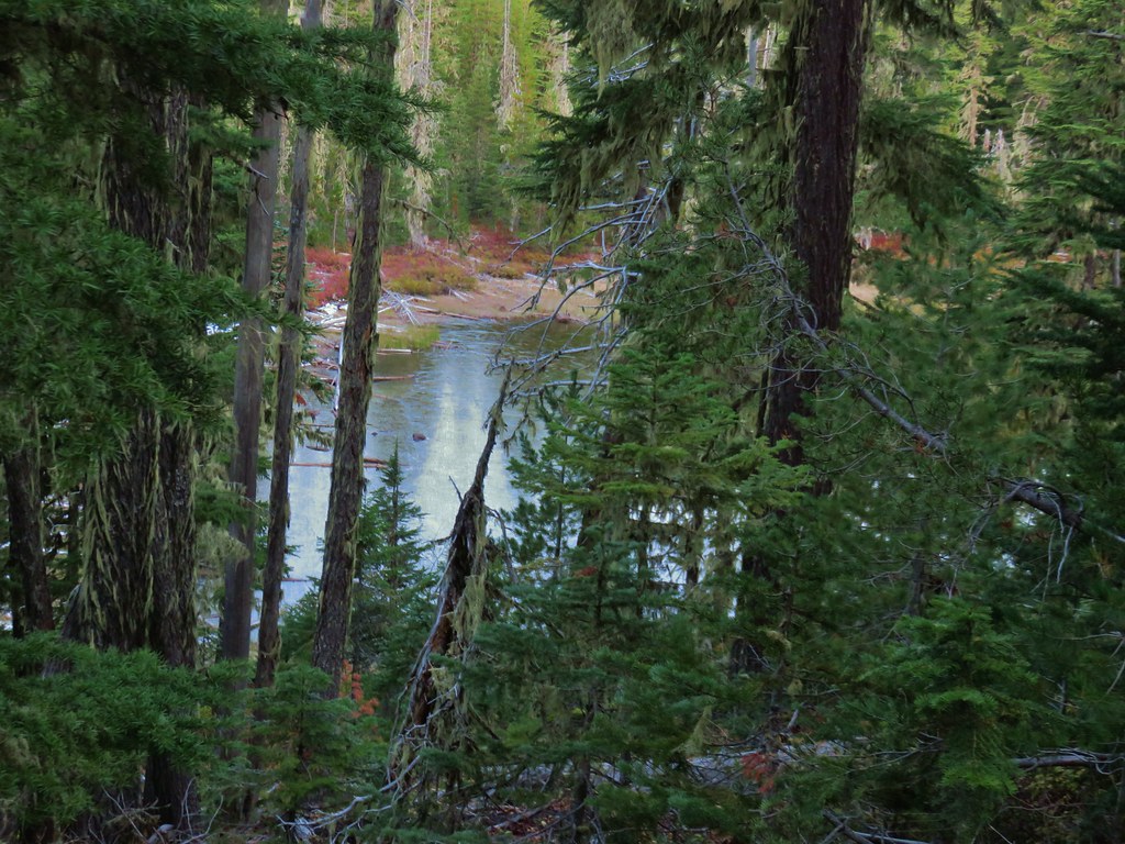
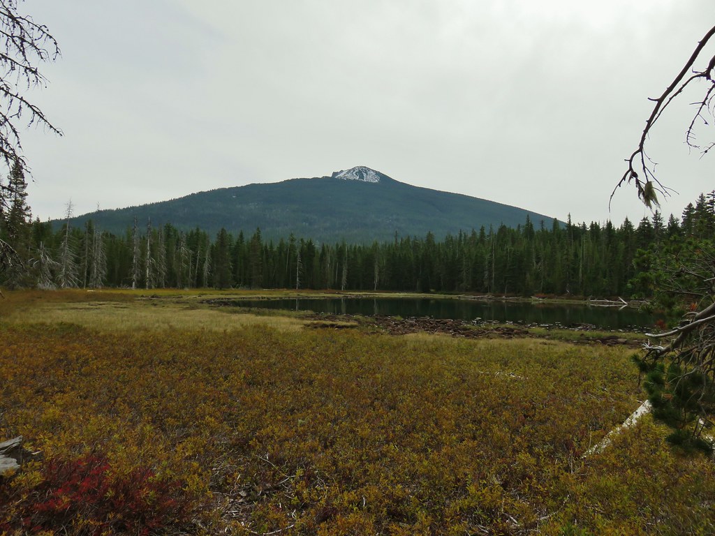
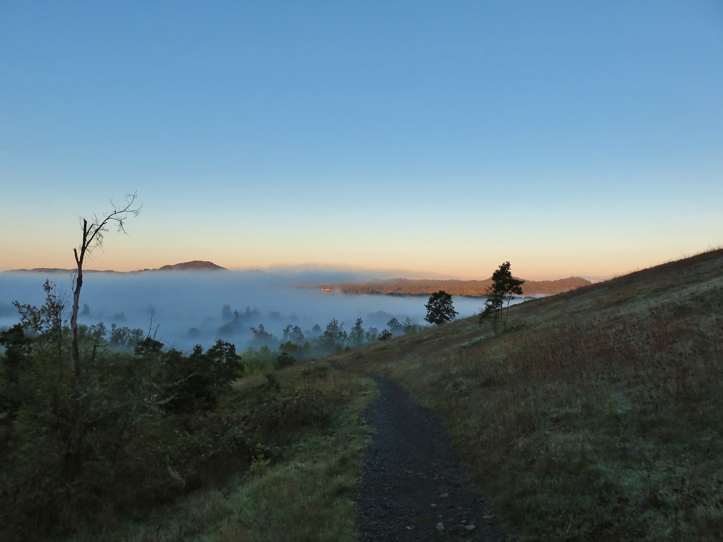
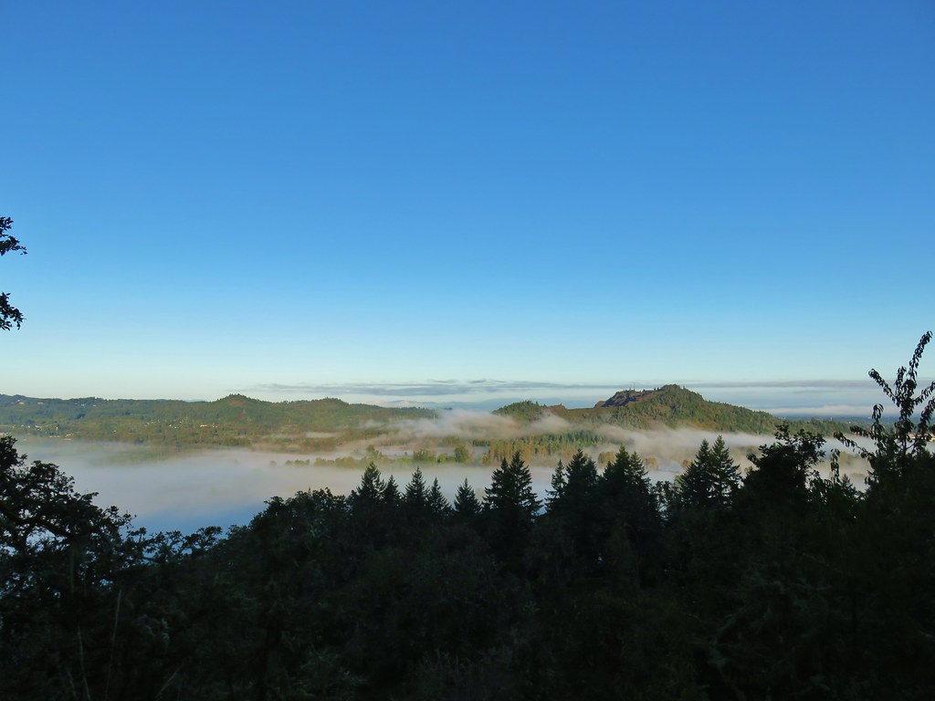
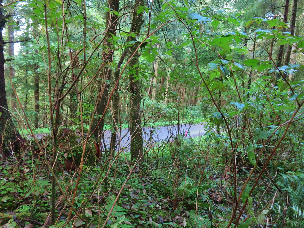
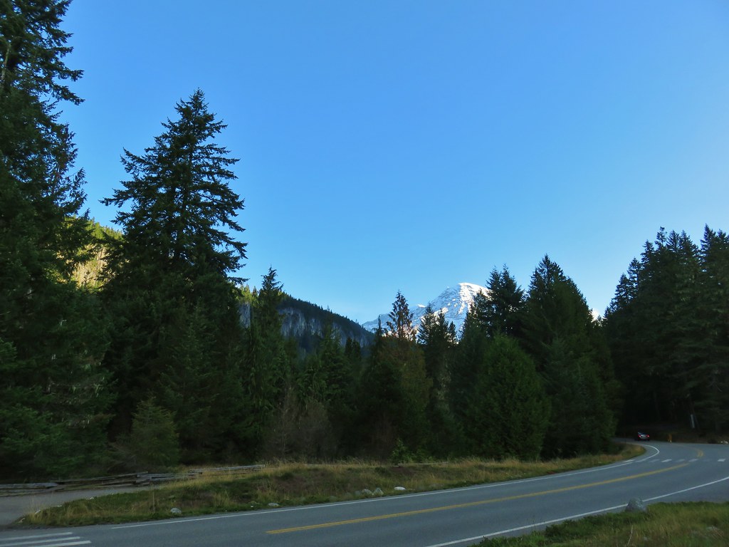
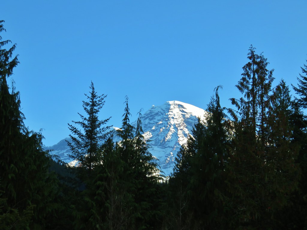
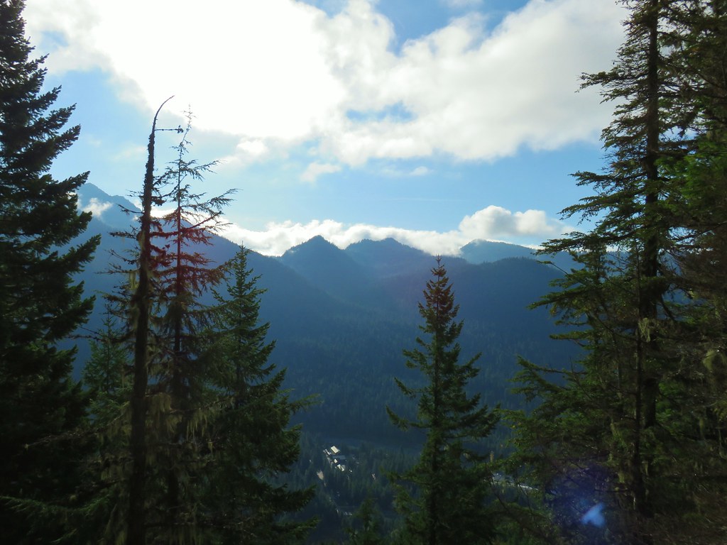
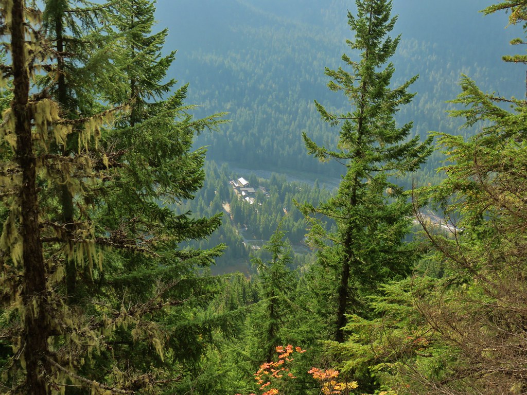
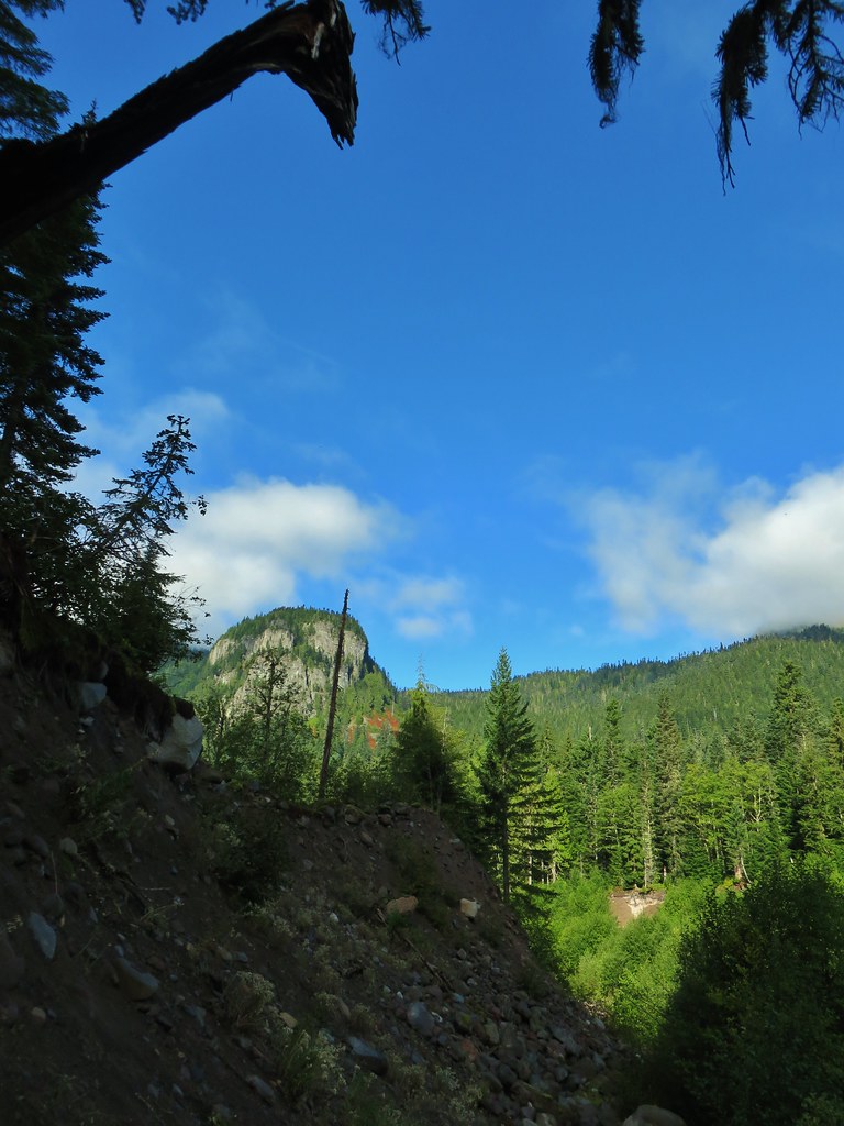
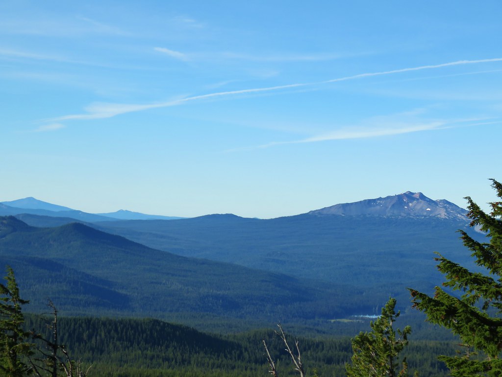
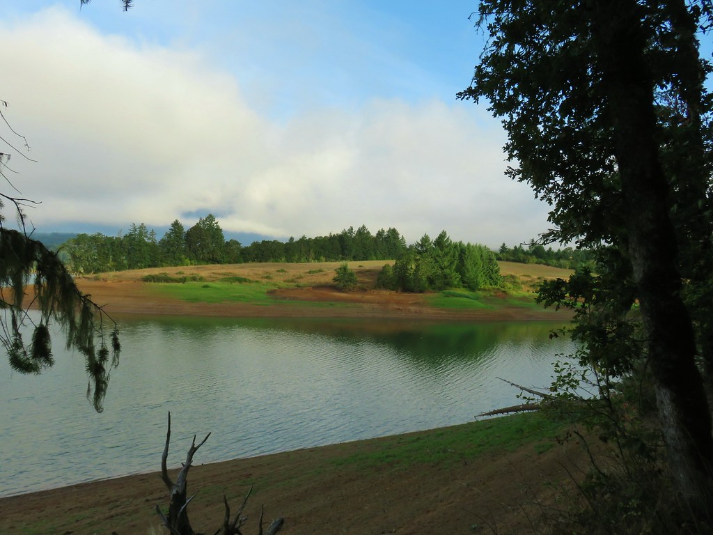
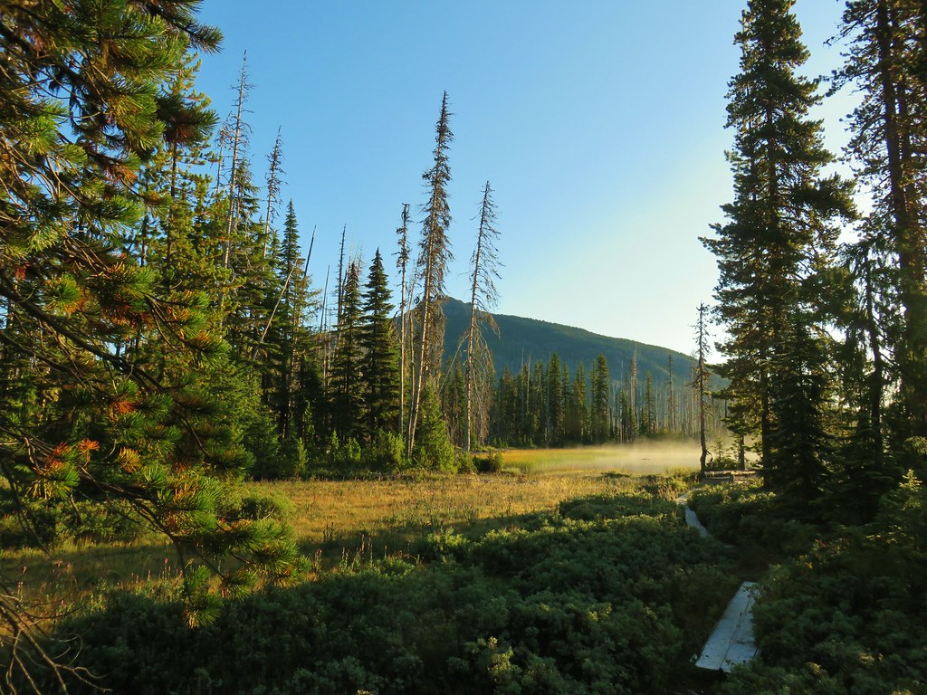
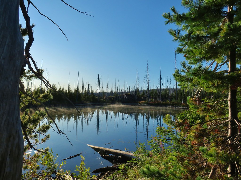
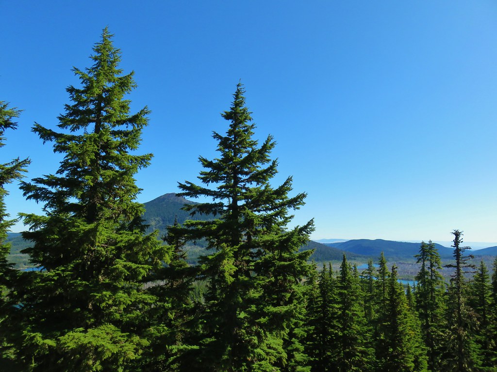
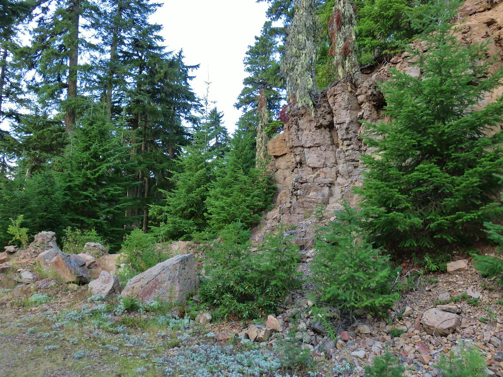
This section also had the only view of the day across the Mollala River Valley.


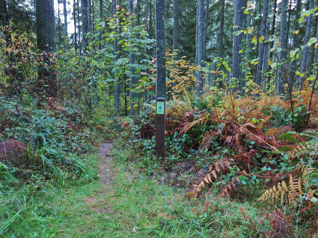
Amanda’s Trail simply turned into Looney’s Trail at a sign at the end of the 1.5 miles.

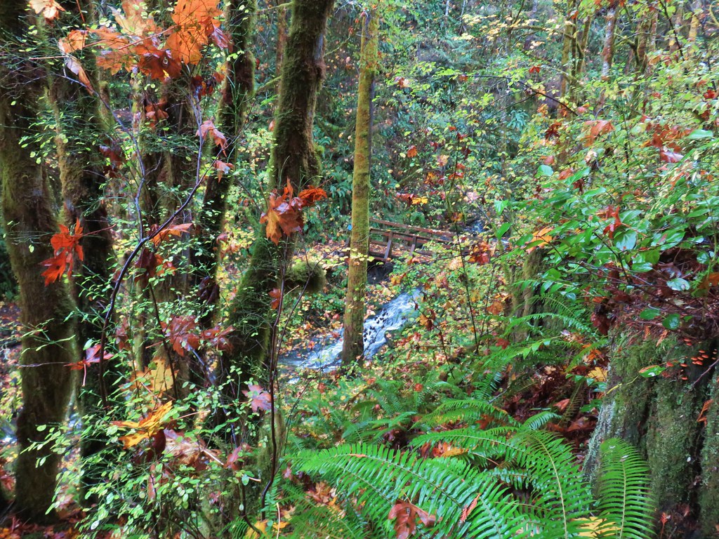
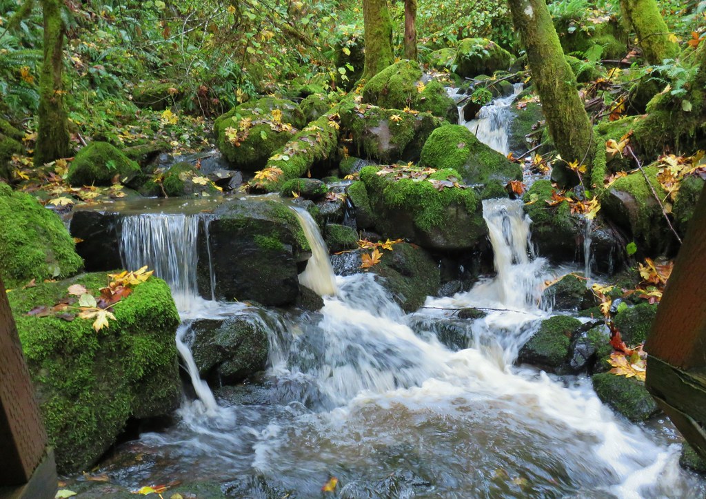
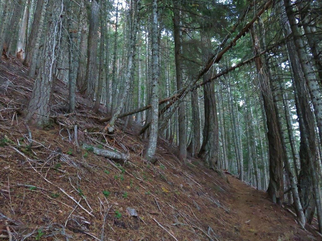
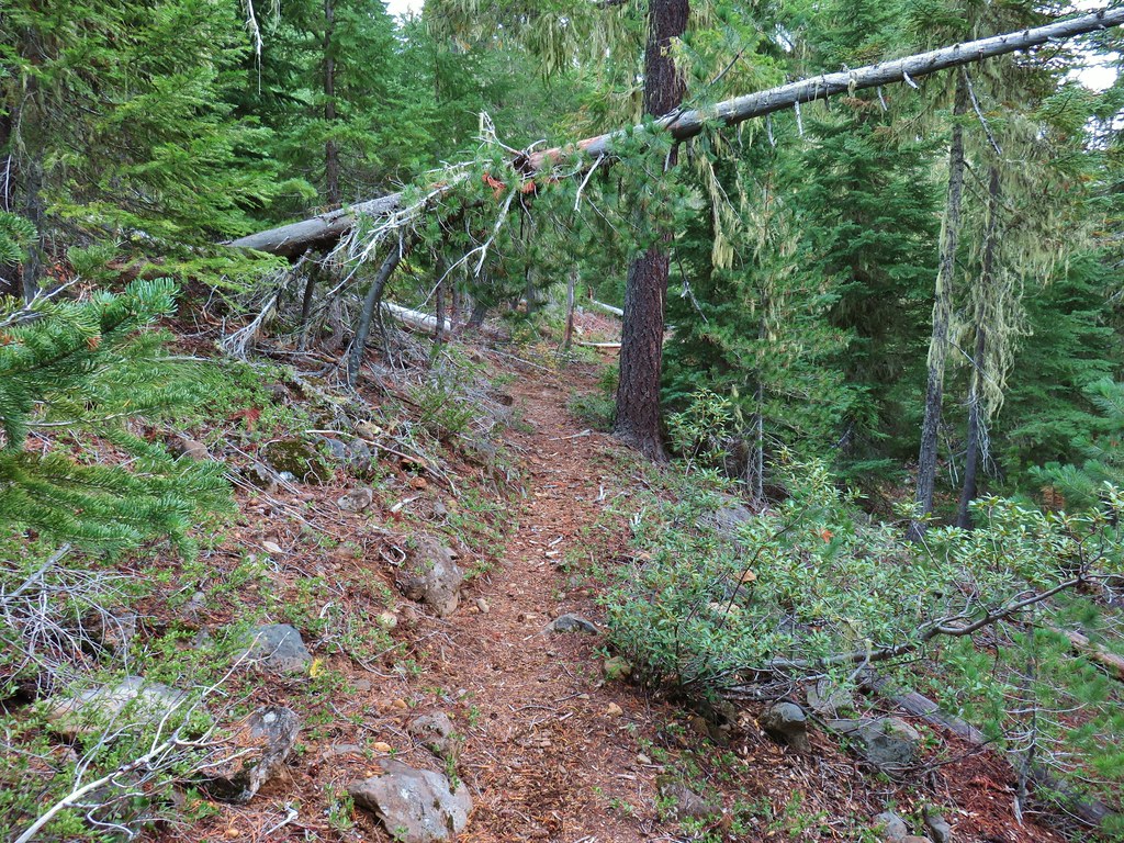
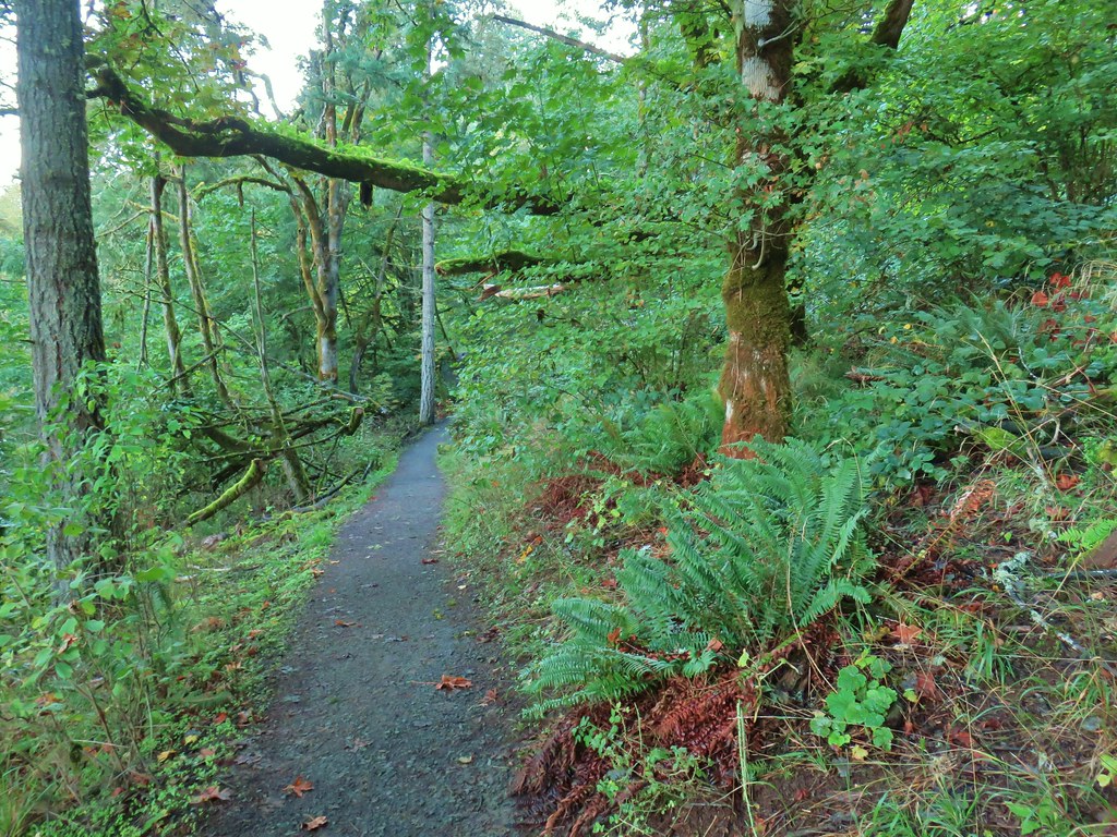
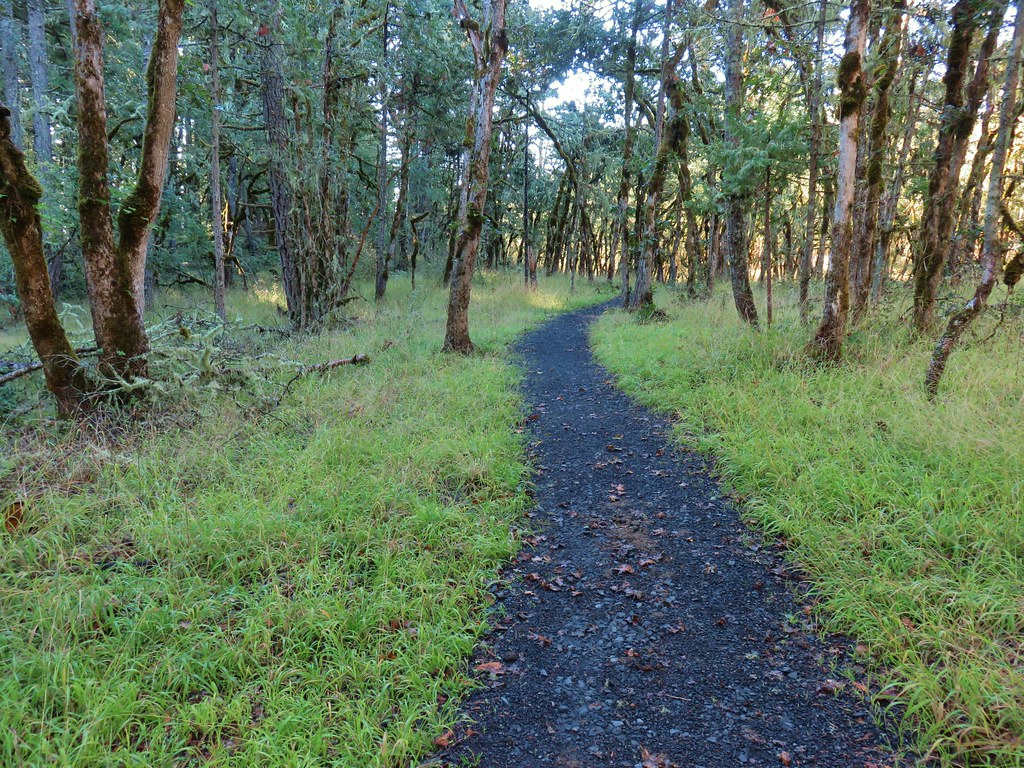
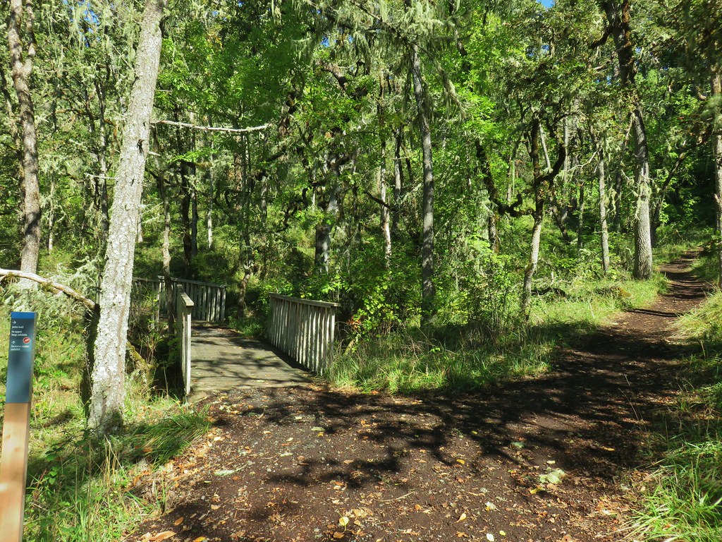
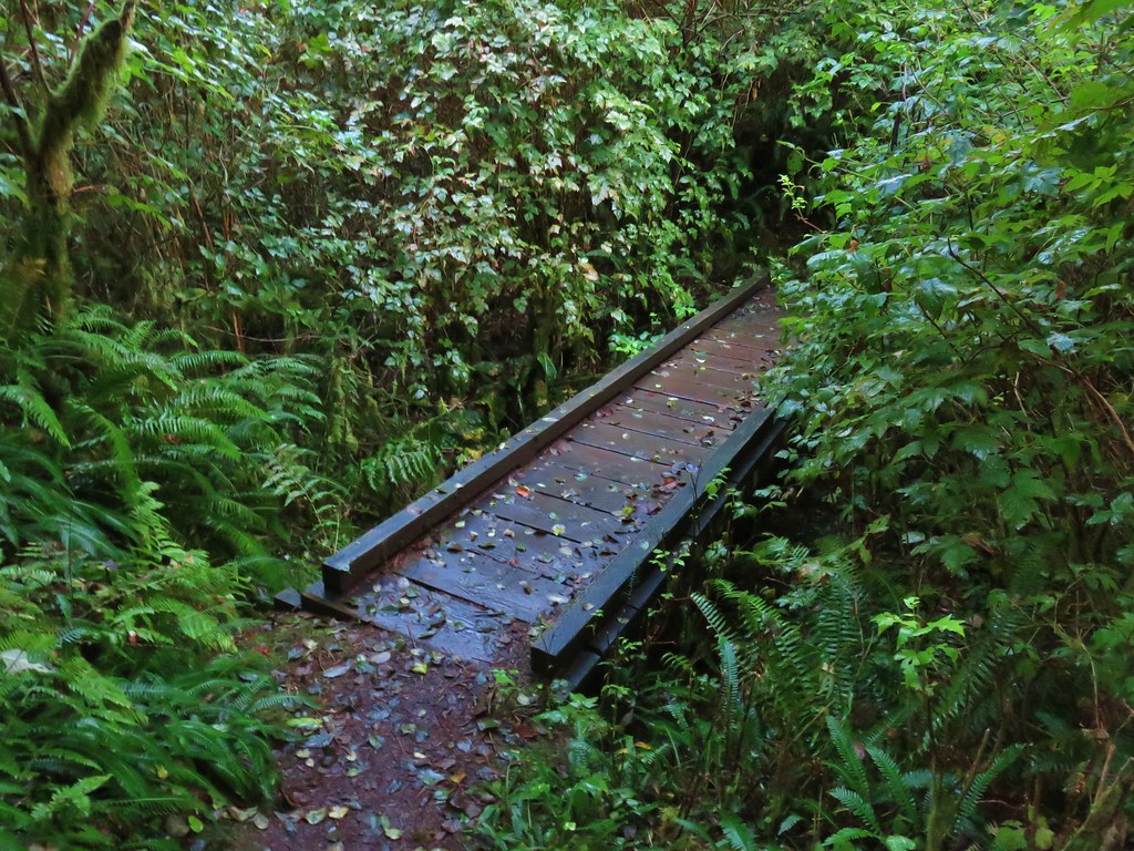
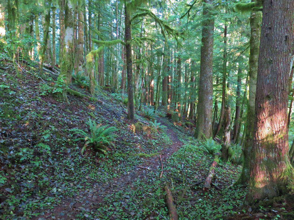
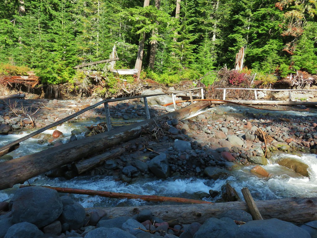
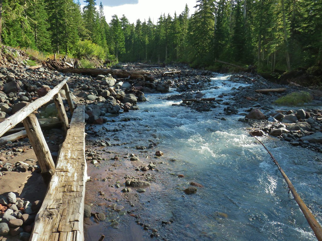
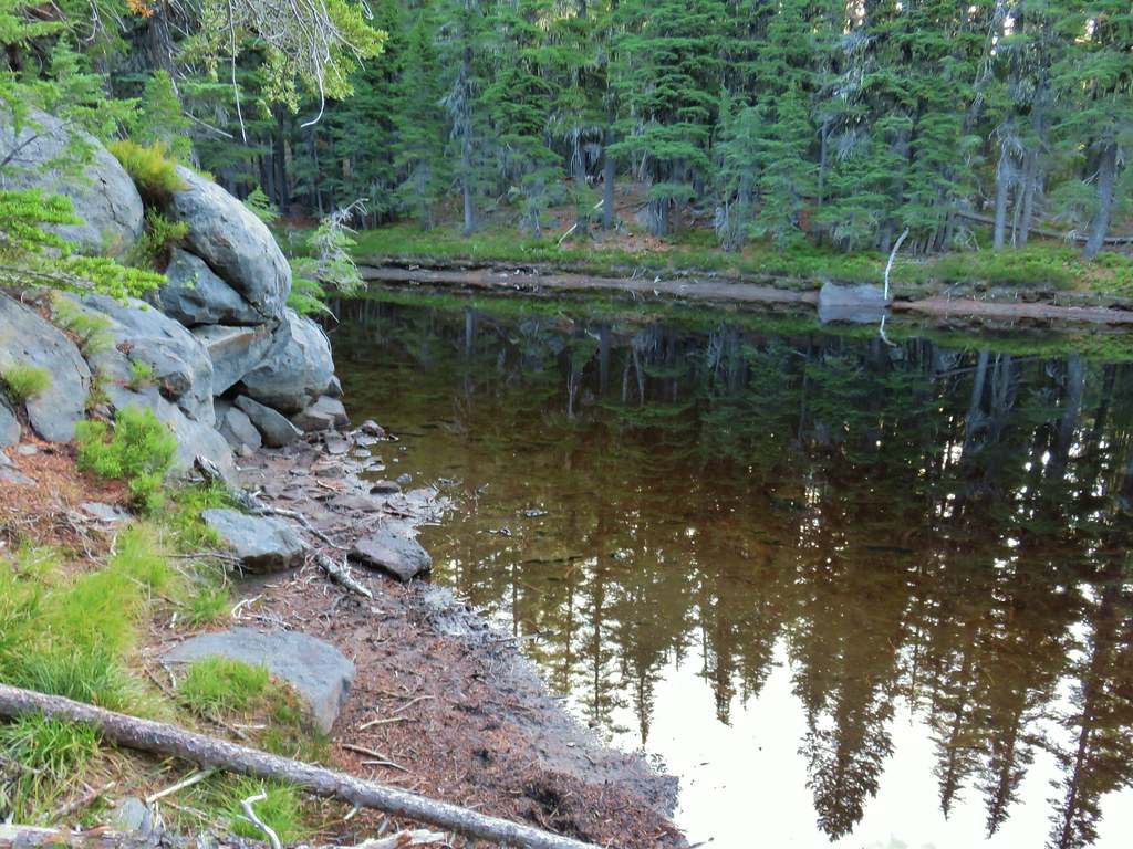
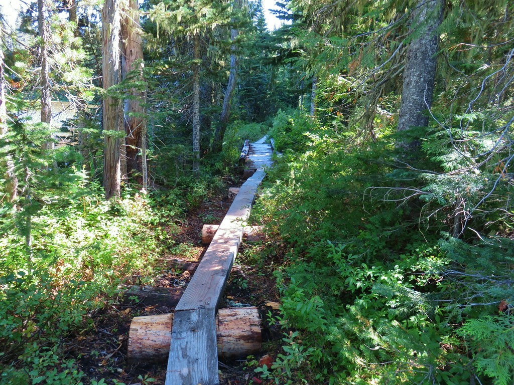
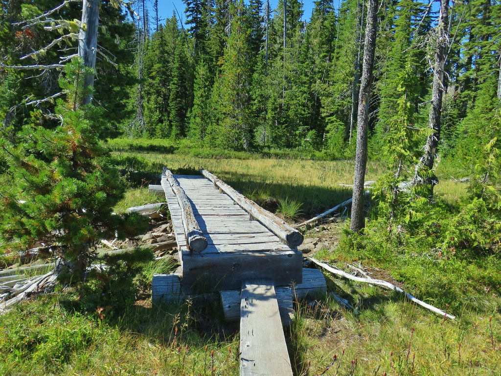
The mile long Looney’s Trail descended via a series of switchbacks to a bridge over scenic Hardy Creek, then climbed a bit before arriving at a junction with the Huckleberry and Rim Trails.


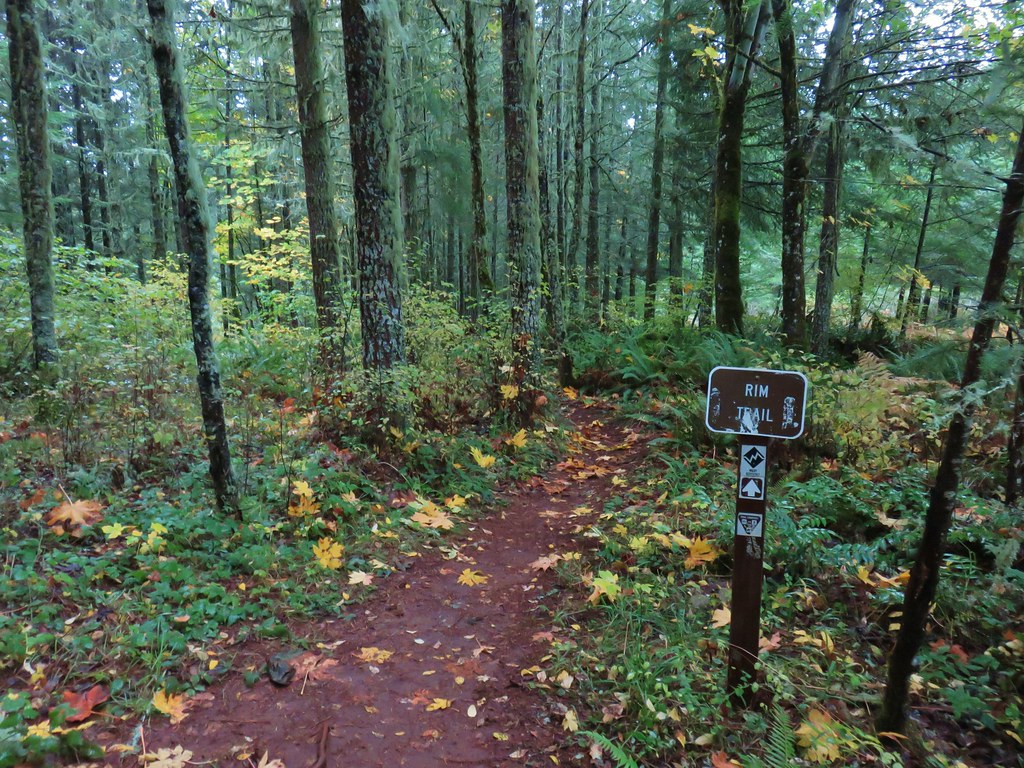
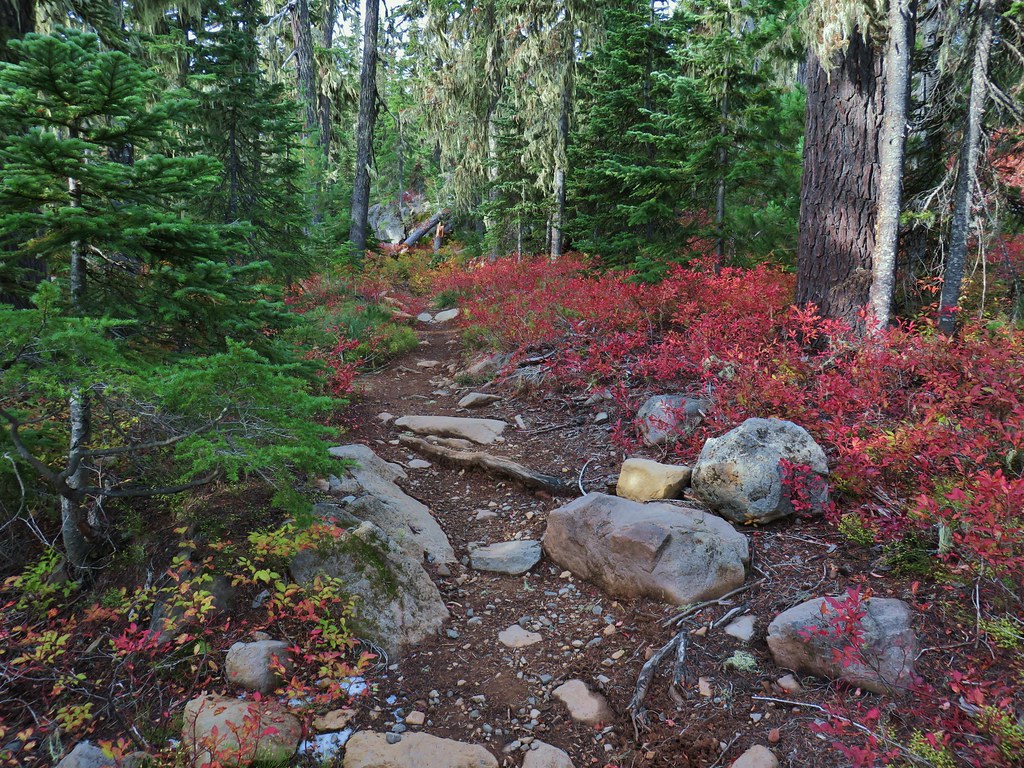
 Rim Trail
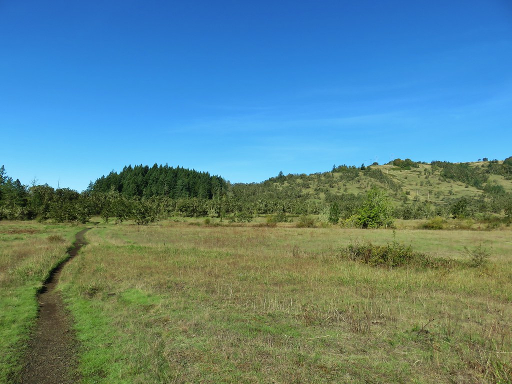
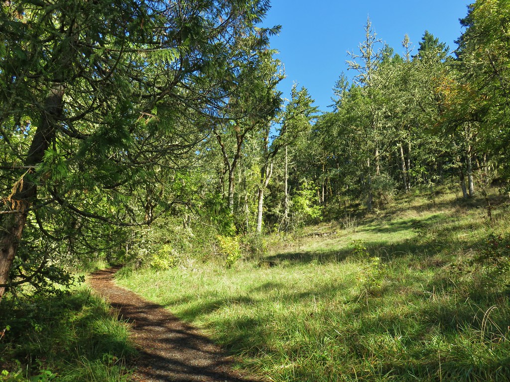
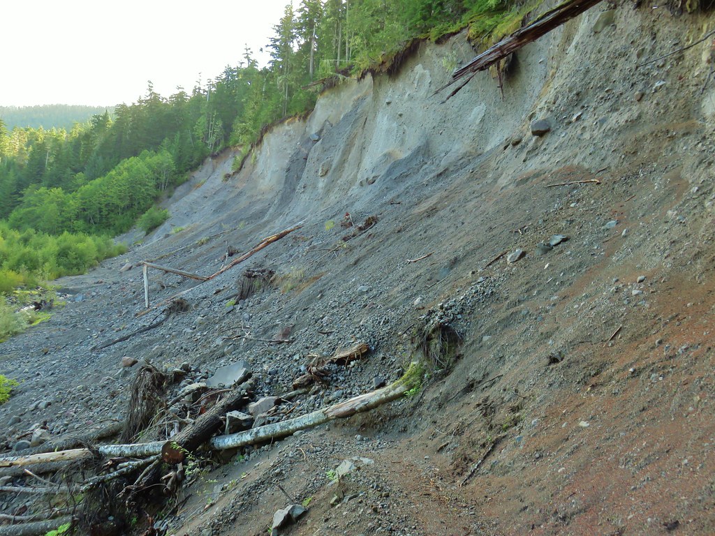
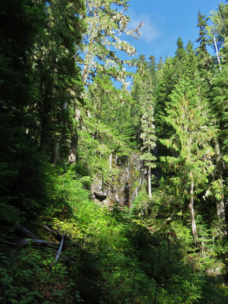
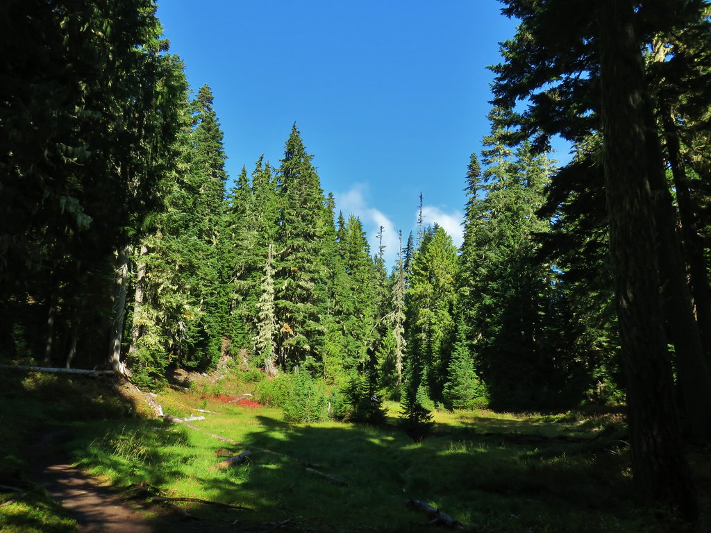
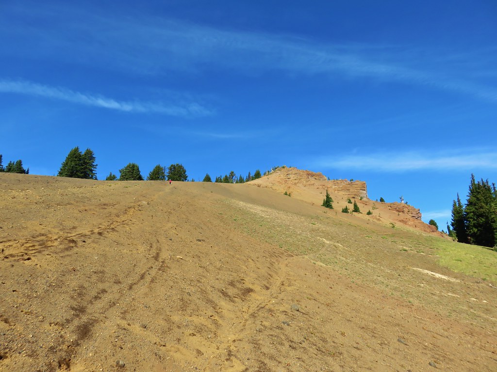
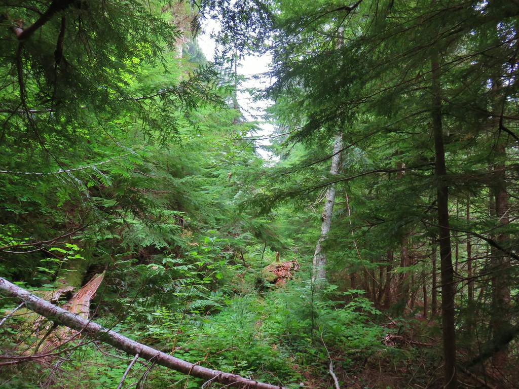
We followed the Rim Trail for approximately 3 miles. The trail gained over 600′ following old roadbeds at times. The trail skirted a farm and a clearcut along the way.


 <
<


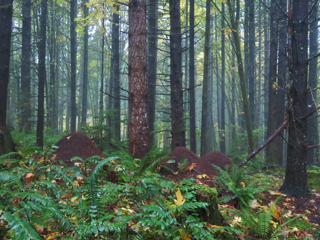 Huge anthills could be seen throughout the hike.
 Skirting the clear cut.

There were a number of trail junctions but the signage was good and we just kept following pointers for the Rim Trail.


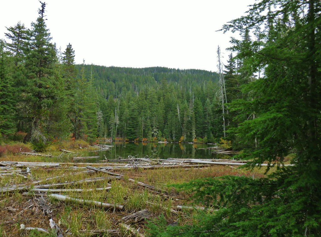
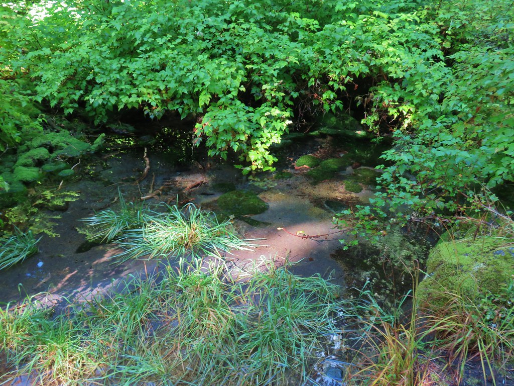
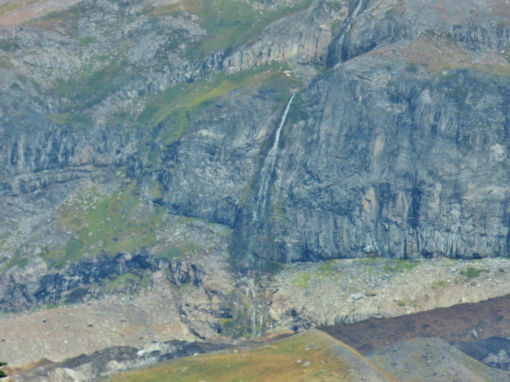
 Unnamed creek.
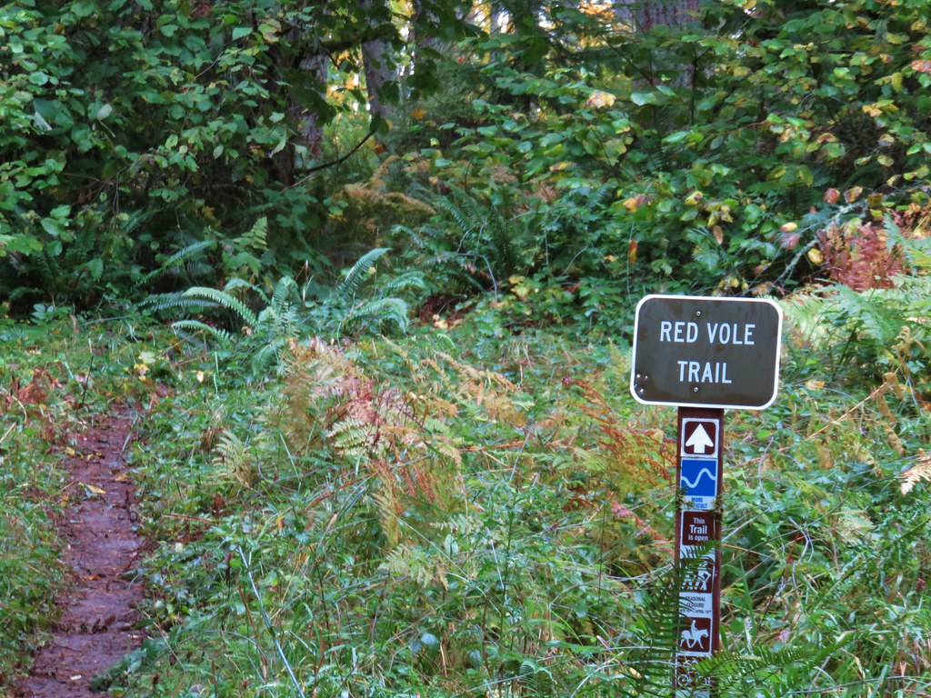
The Rim Trail ended at a fork with the Red Vole Trail to the right and Bobcat Road to the left. In the second edition of “Off the Beaten Trail” Matt Reeder mentions preferring Bobcat Road over the Red Vole Trail so we went left.

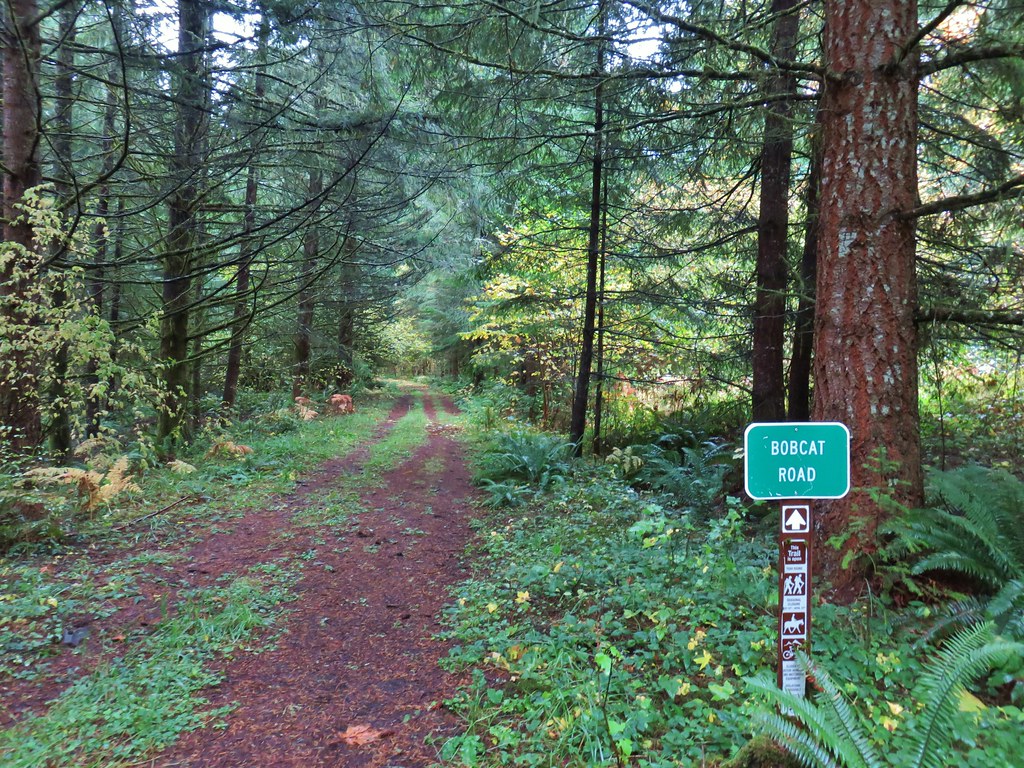
We followed Bobcat Road downhill for a little over three quarters of a mile where we met the Huckleberry Trail (another roadbed).
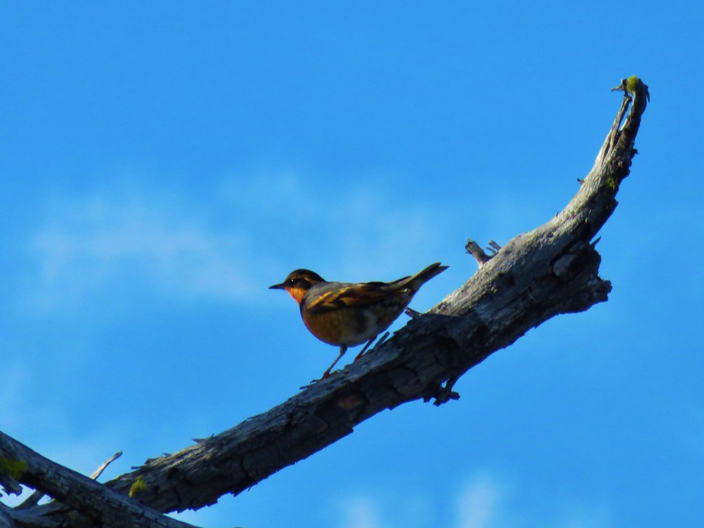
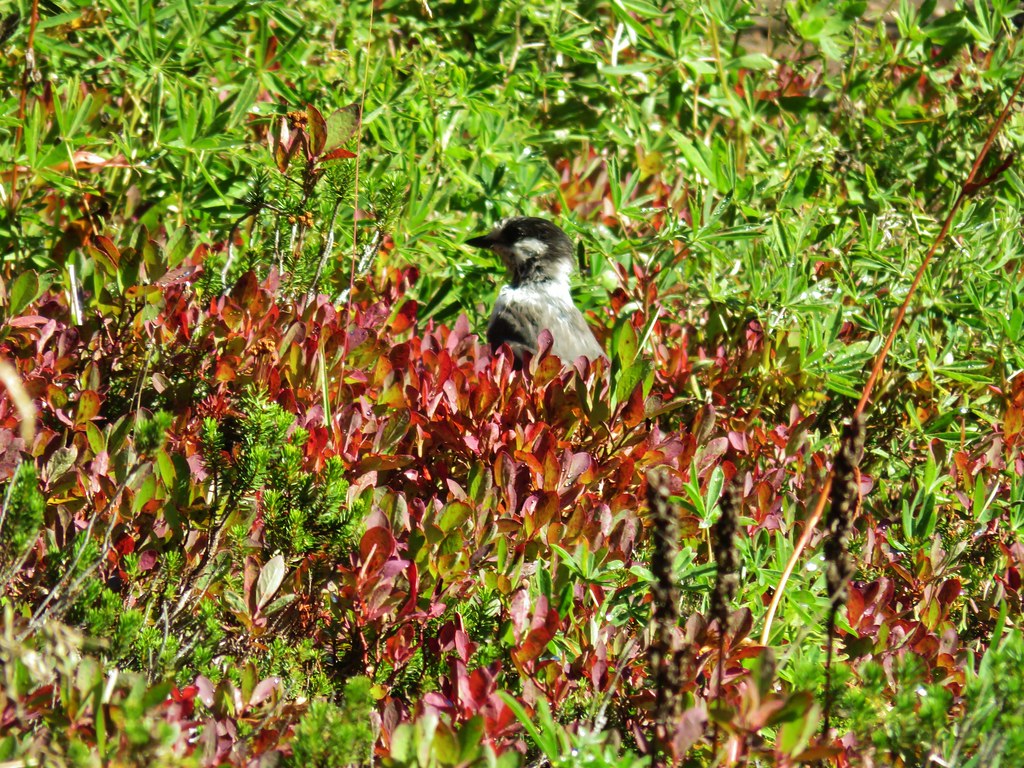
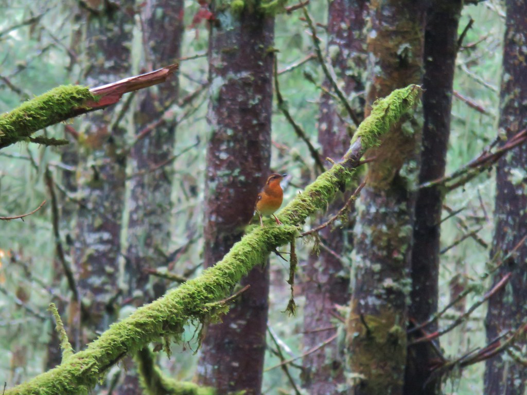 Varied thrush
We turned left onto the Huckleberry Trail which forked left uphill after 100 yards.

 One of the few unsigned junctions we came to.
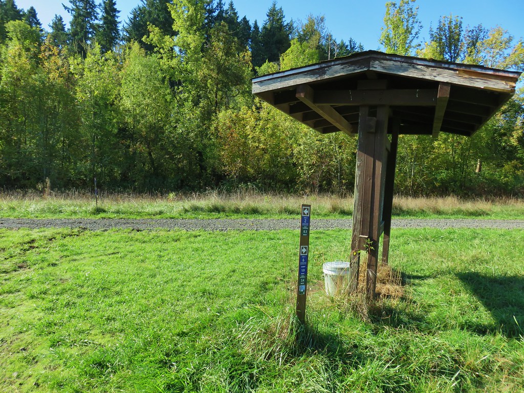
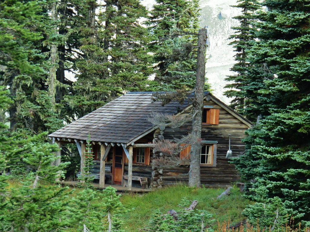
The trail was fairly level as it contoured along the hillside arriving at Annie’s Cabin, a still functioning shelter, after .6 miles.


Up until this point the weather had held up very well. Aside from a couple of very brief periods of sprinkles it hadn’t rained and the wind was mostly non-existent. That ended shortly after leaving the cabin when the clouds opened up and a heavy rain shower passed overhead.
 Huckleberry Trail just before the shower.
 Near the tail end of the shower.
Luckily the rain didn’t last long and we were back to mostly cloudy skies with a few sun breaks.

 The Hardy Creek Trail coming up from the Hardy Creek Trailhead on the right.
Two miles from Annie’s Cabin we arrived back at the Rim-Looney’s-Huckleberry Trails junction where we went straight onto Looney’s Trail.

We recrossed Hardy Creek and followed Looney’s Trail until we arrived at a junction with Clifford’s Crossing Trail a total of .8 miles from the Huckleberry Trail.

We turned right onto Clifford’s Crossing Trail. Our reasoning was simply to see some different trail rather than simply retracing our steps. This half mile trail descended fairly steeply only to immediately regain some of that elevation before making a more gradual descent to it’s end at Mark’s Trail.
 Going down.

 Going back up.


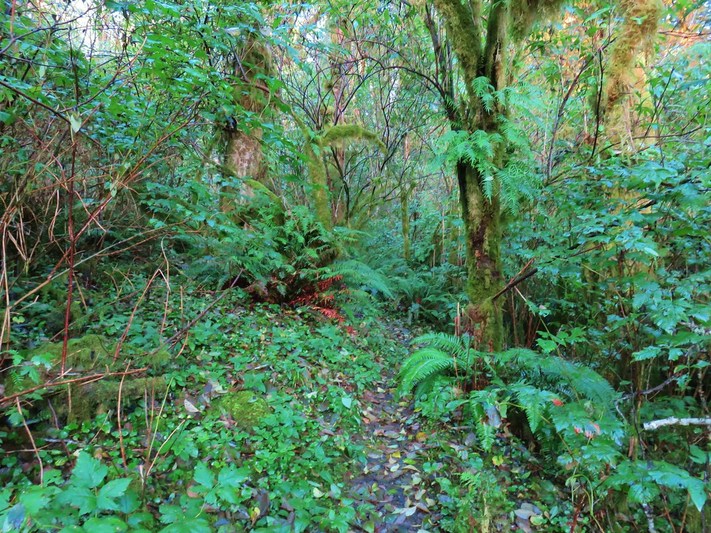
Mark’s Trail was another half mile that wound its way up through the forest to Amanda’s Trail. These two trails would probably have been more fun on mountain bikes as they were clearly designed for that and not to get from point A to point B. With nothing of note to see there really wasn’t a need to hike this unless you’re looking for some extra climbing or are like us and like to take different routes when possible.


 Back at Amanda’s Trail.
We turned right onto Amanda’s Trail and followed it back down to the trailhead which was just under a mile away. We had been watching for rough skinned newts all day but hadn’t seen any until this section where a loan newt was sitting in the middle of the trail.


The only other people we saw all day was a family coming up from Amanda’s Trailhead to take what appeared to be some senior pictures. The rest of the hike was full of solitude.

We were glad that we hadn’t let the forecast deter us. It hadn’t rained enough to really affect the hike and both the wind and thunderstorm had never materialized. Happy Trails!
Flickr: Mollala River Recreation Area
 Gumjuwac Trail at Highway 35.
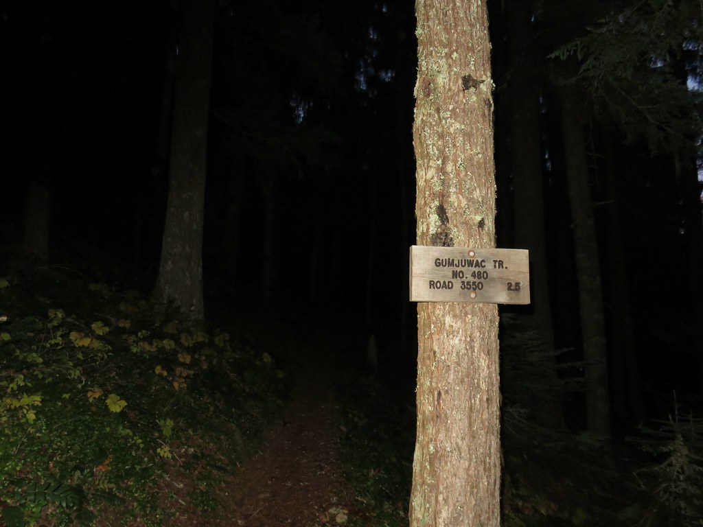
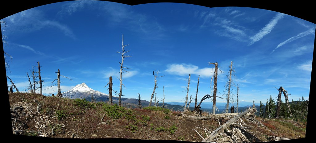
 Mt. Hood in the morning Sun.
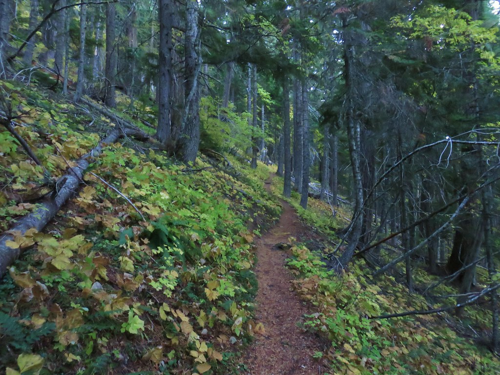


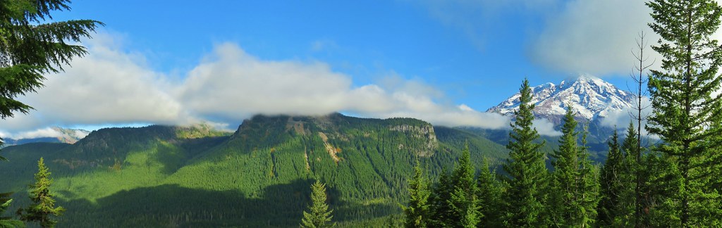
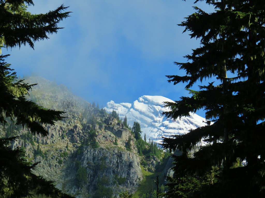
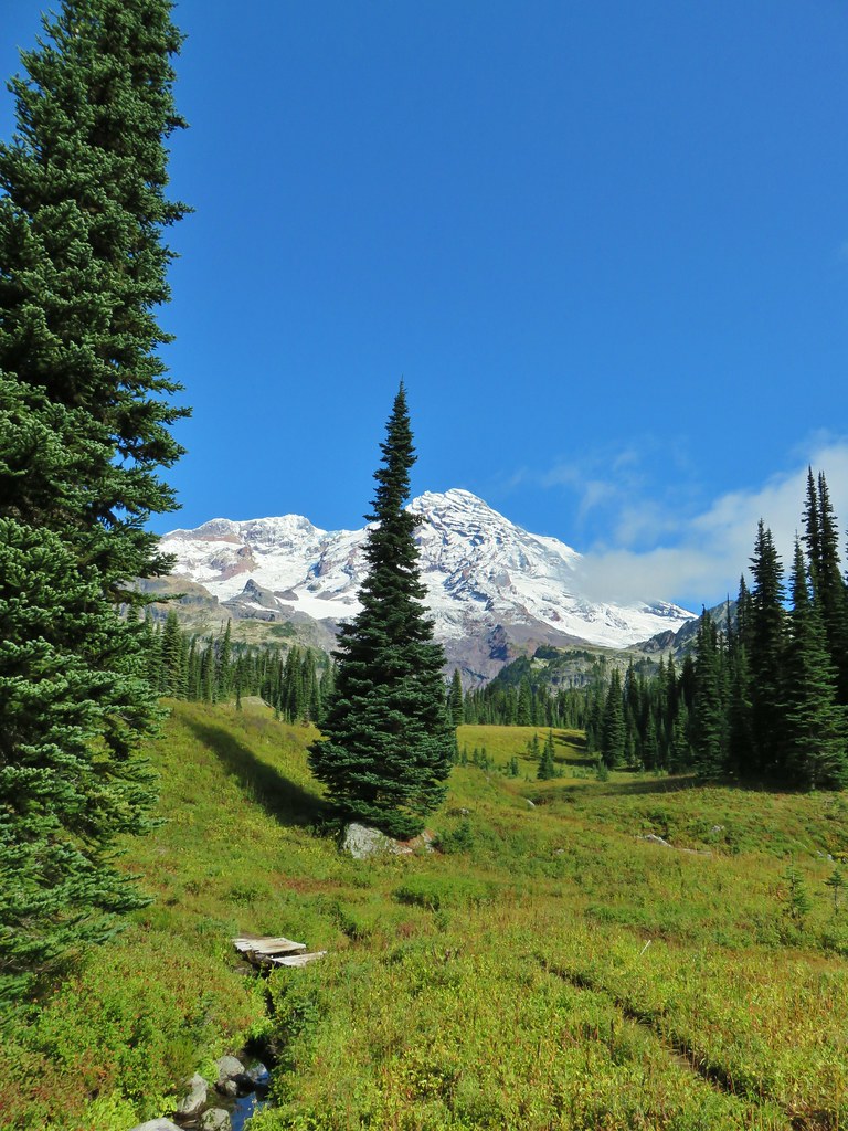
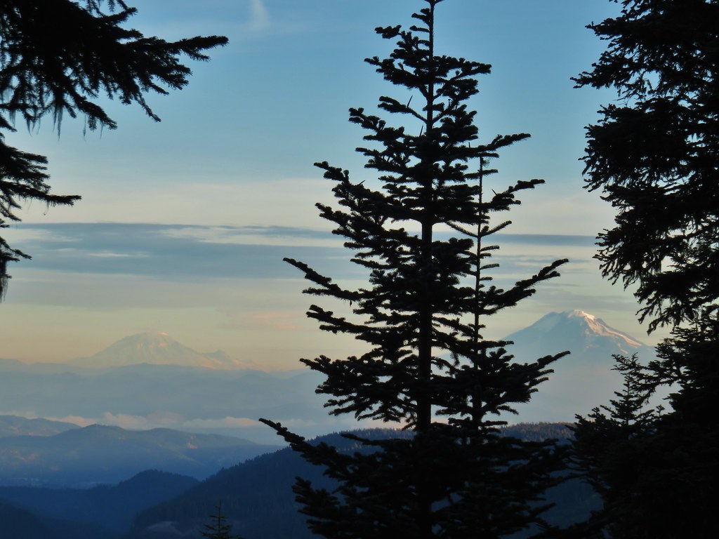 Mt. Rainier and Mt. Adams
 Mt. Adams
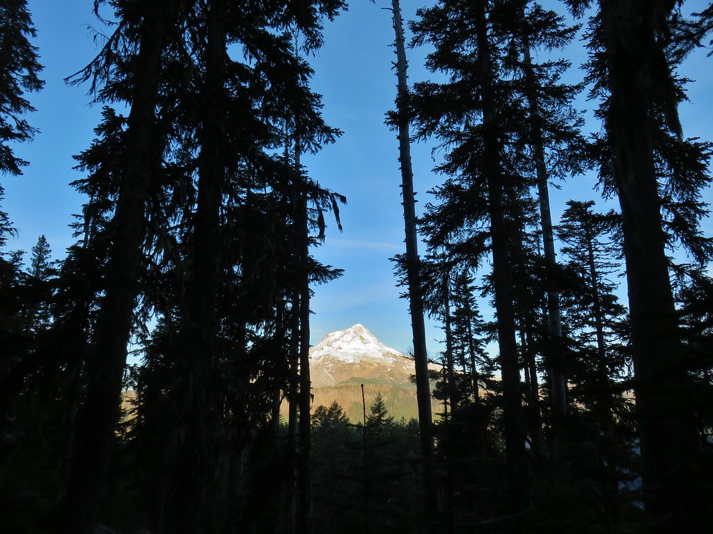
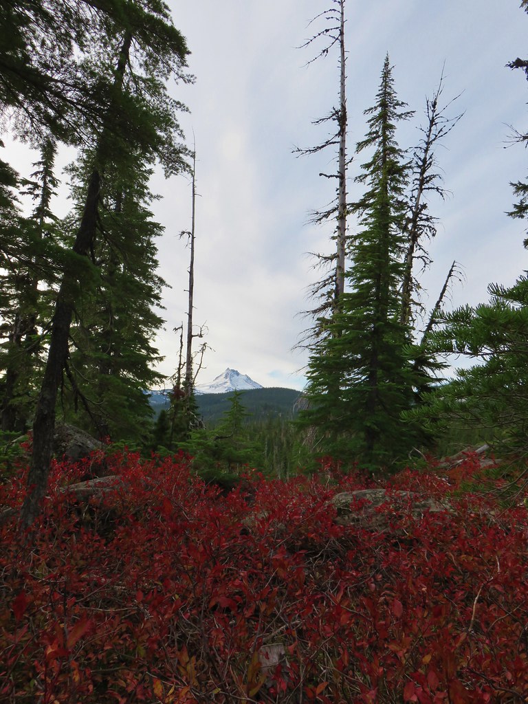
 Finally an unobstructed view of Mt. Hood.
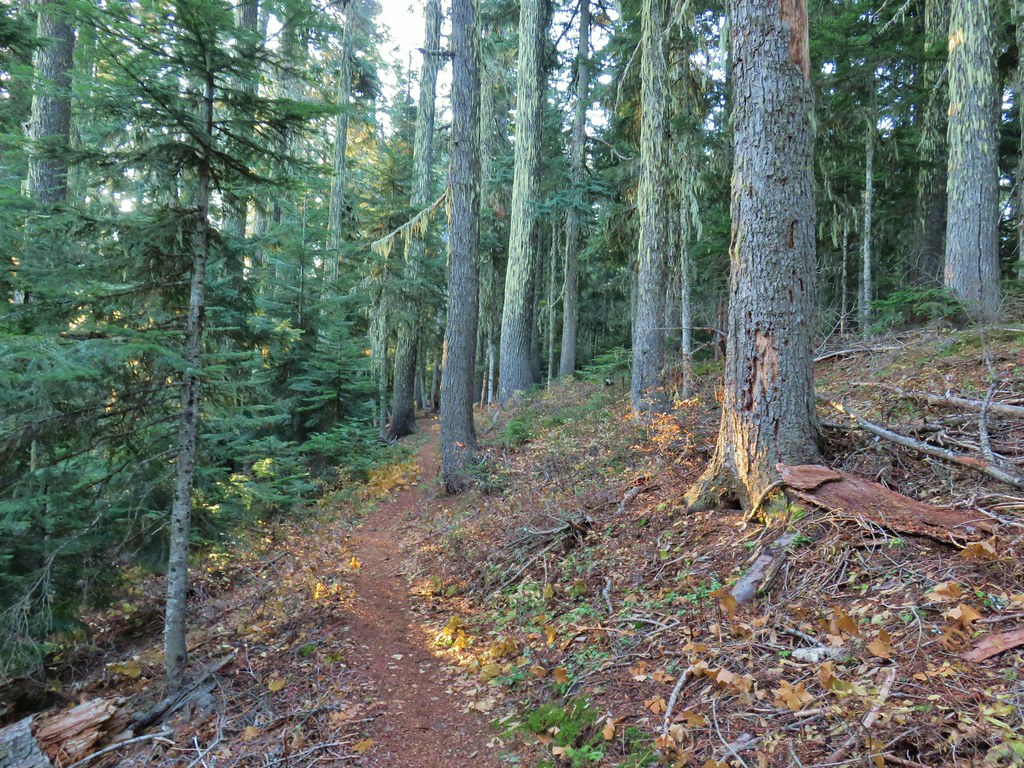
 Gumjuwac Saddle
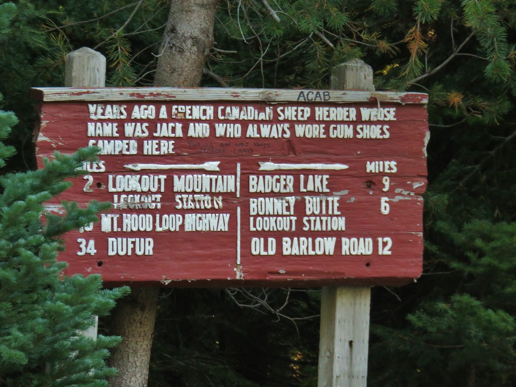


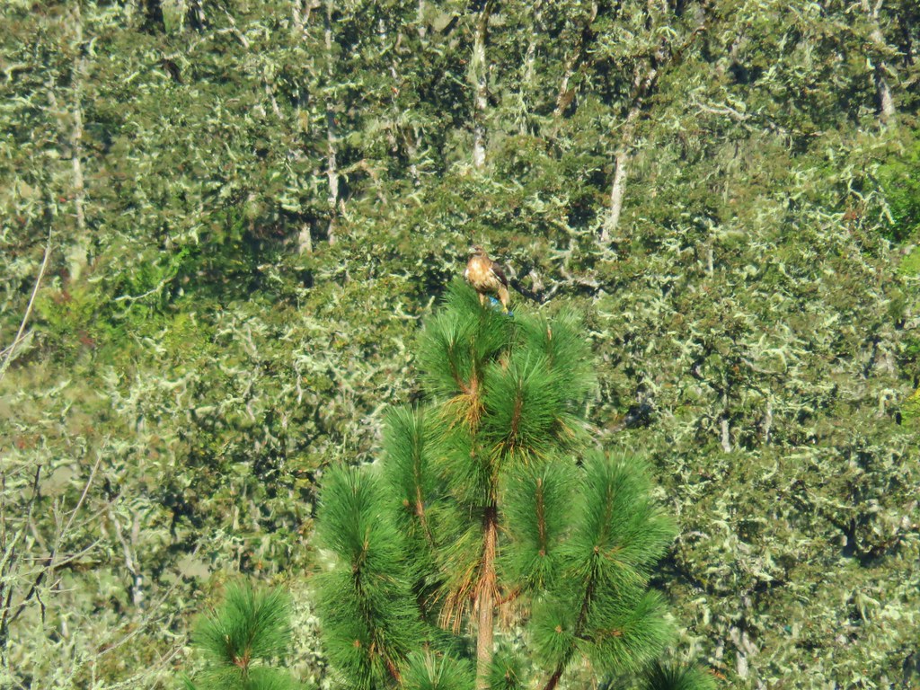
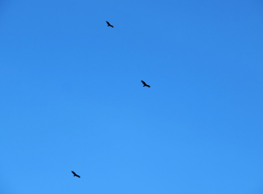
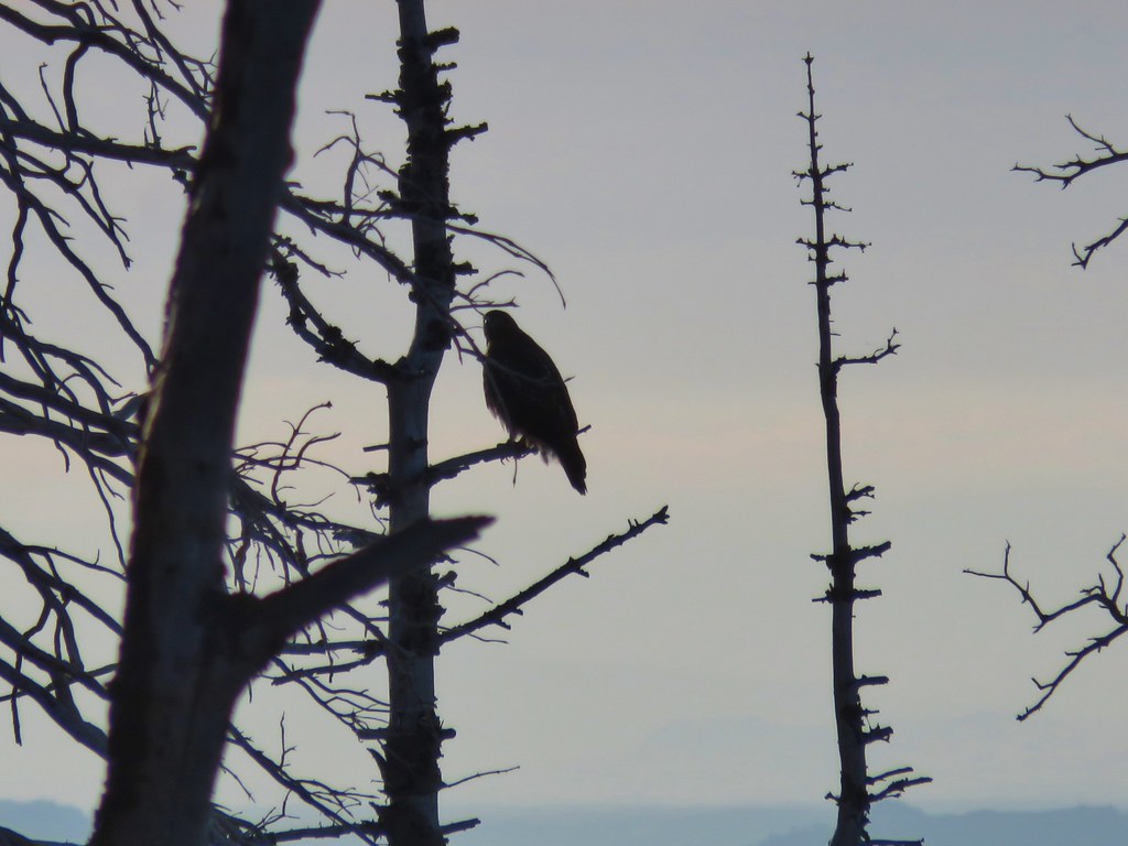 The hawk.
 A less than thrilled raven.
 Light green to yellow larches on the hillside behind the raven.

 Mt. St. Helens
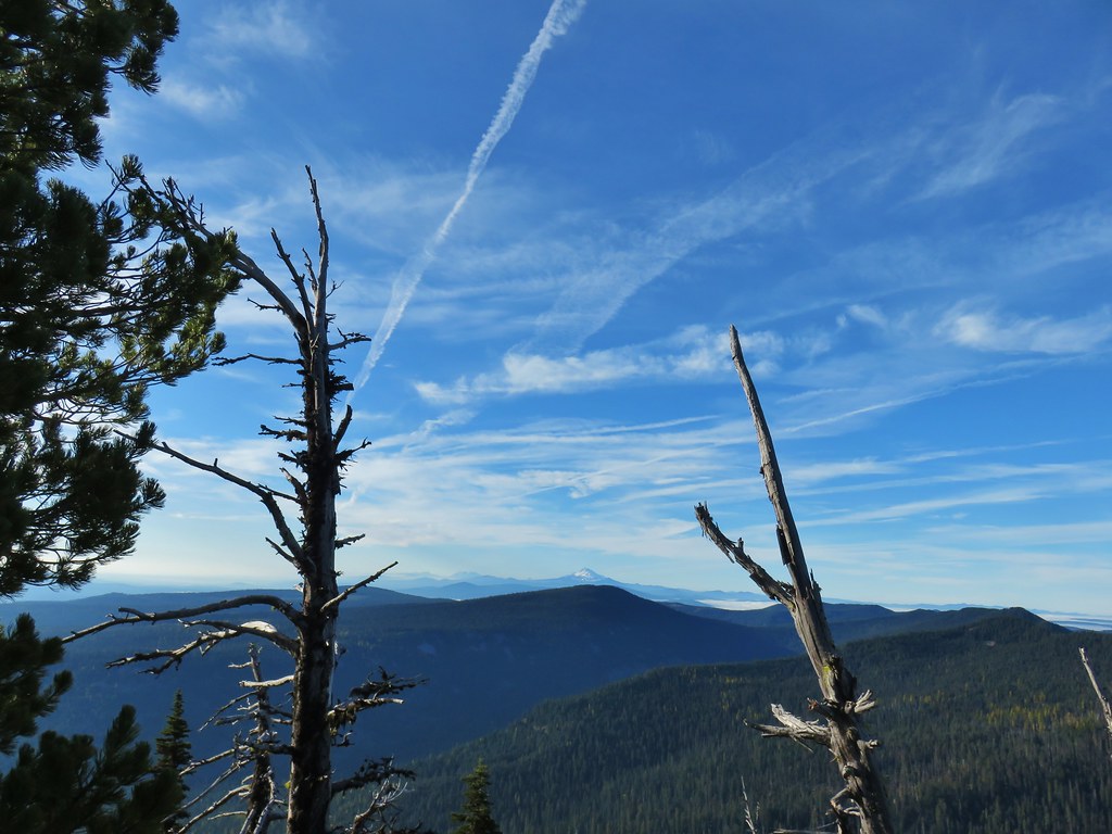 View south.
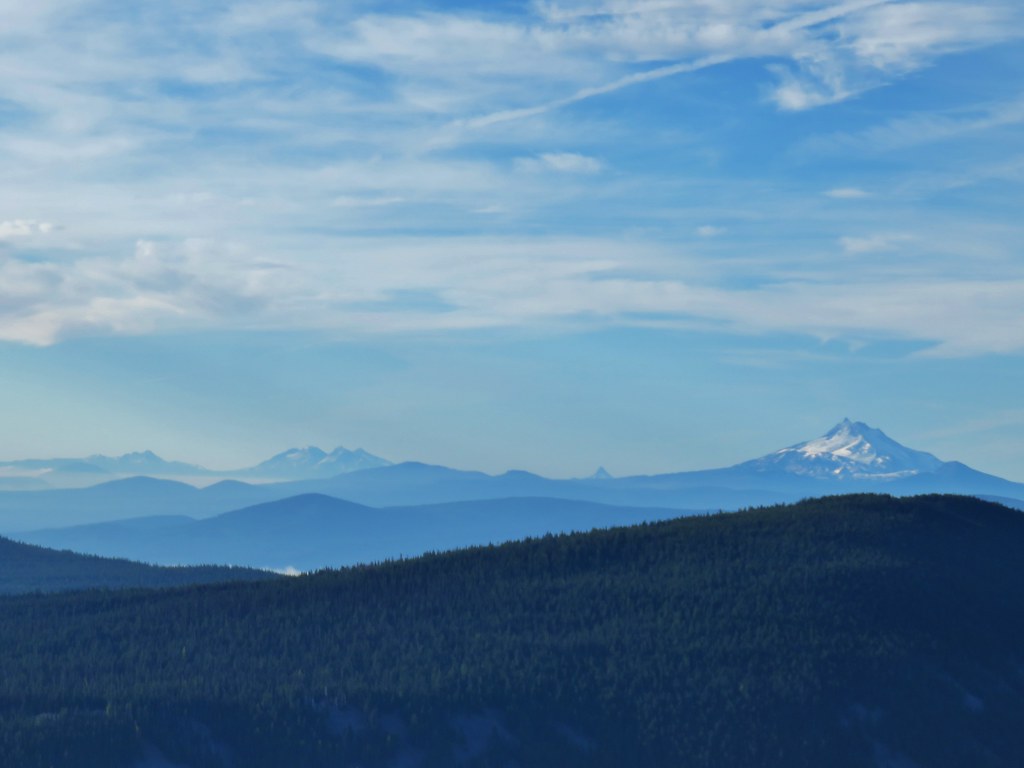 From L to R: Broken Top, The Three Sisters, Mt. Washington, and Mt. Jefferson.

 Mt. Jefferson
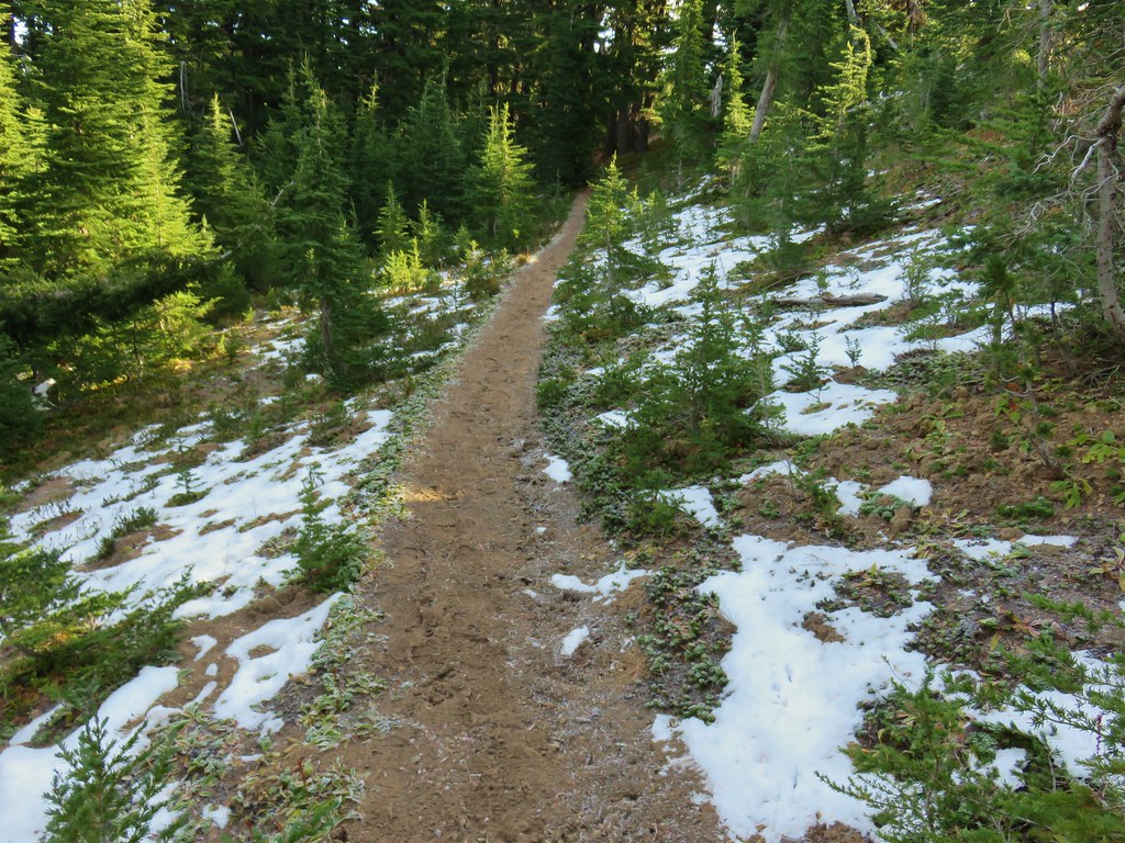


 Approaching the summit.
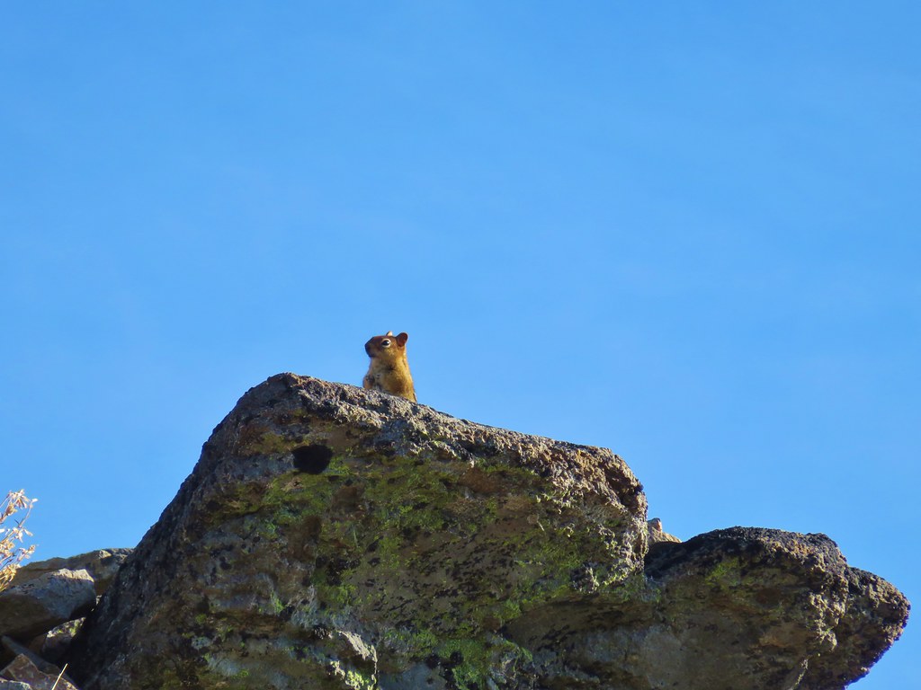 Lookout on Lookout Mountain.
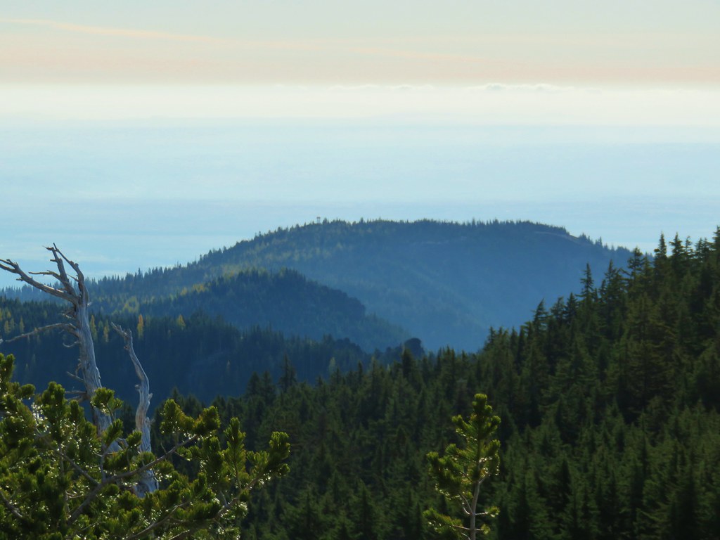 Flag Point Lookout in the distance.
 Flag Point Lookout
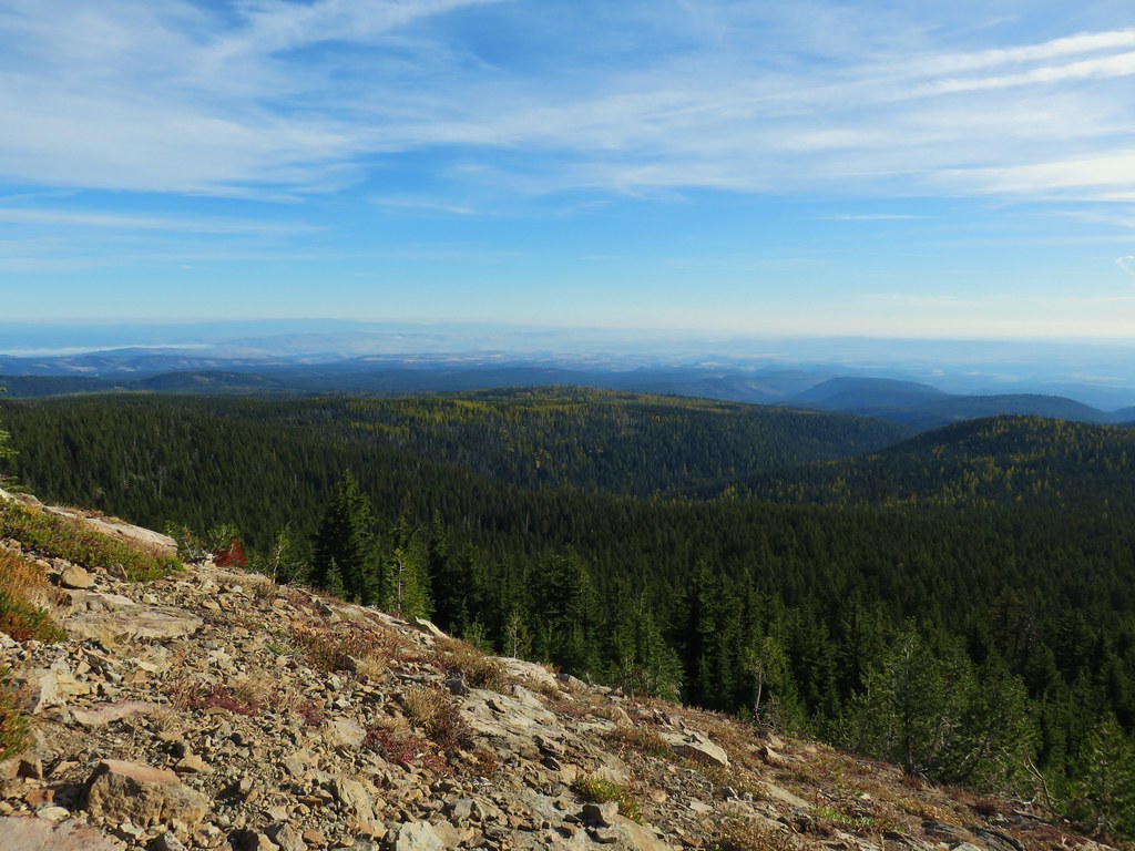


 Mt. St. Helens, Mt. Adams, and Mt. Rainier
 Mt. St. Helens
 Mt. Rainier
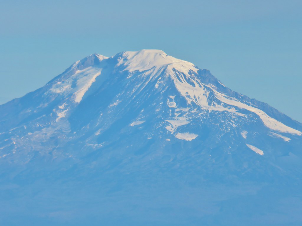 Mt. Adams
 Mt. Hood
 Mt. Jefferson followed by Mt. Washington, The Three Sisters, and Broken Top
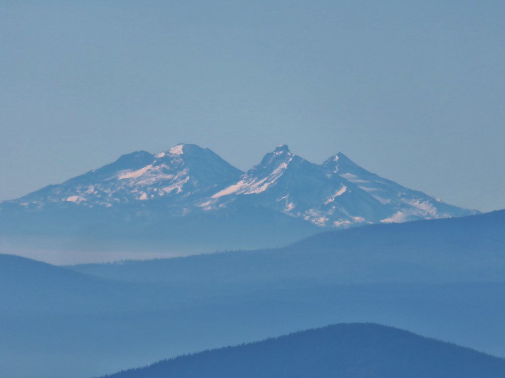 The Three Sisters


 Lookout Mountain from the Gunsight Butte Trail.
 Clark’s nutcracker
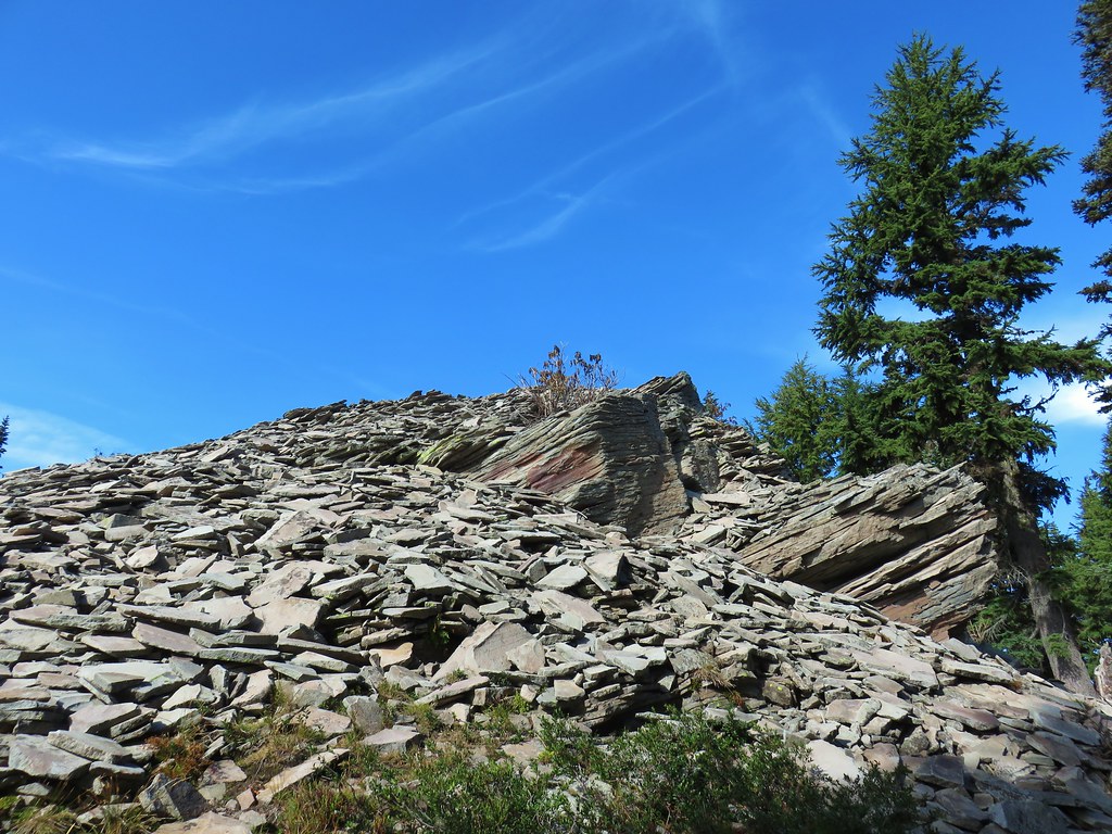


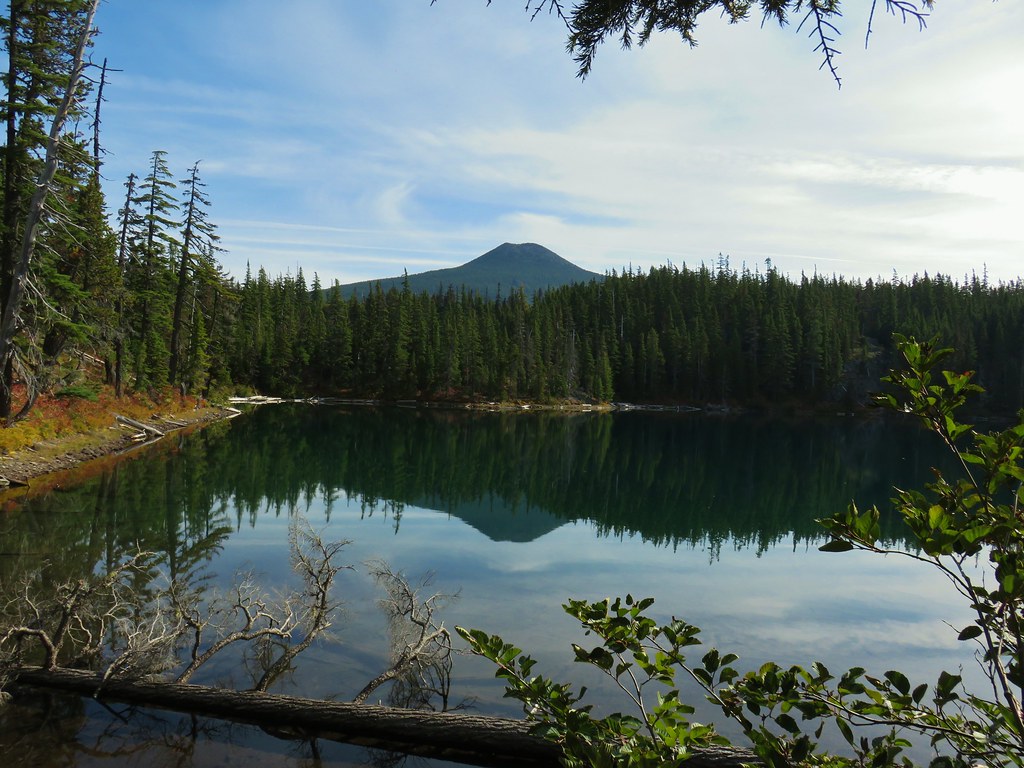
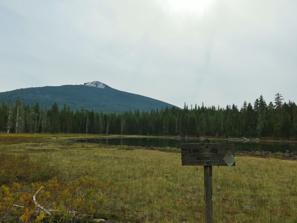
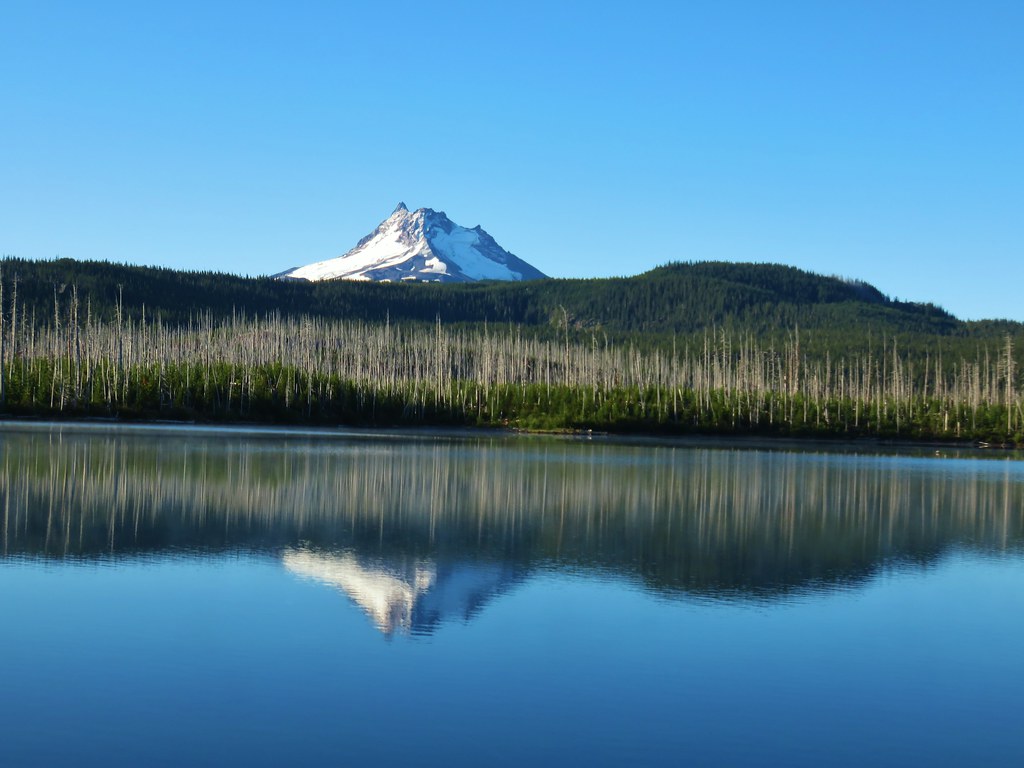
 Olallie Butte

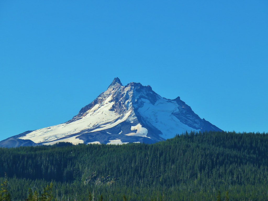
 Mt. Jefferson
 Olallie Lake
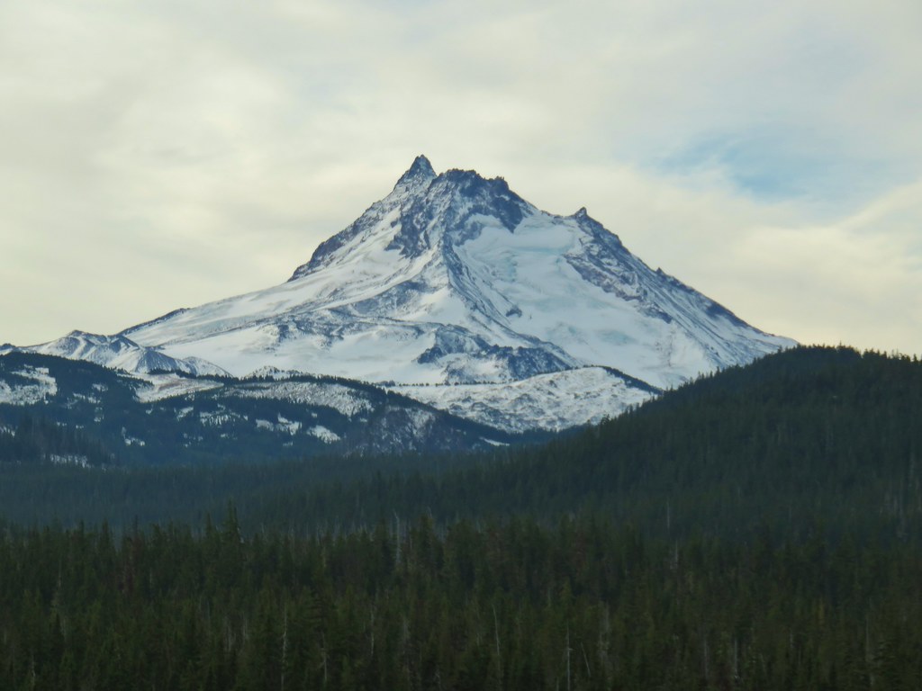

 Mt. Jefferson


 Potato Butte ahead.
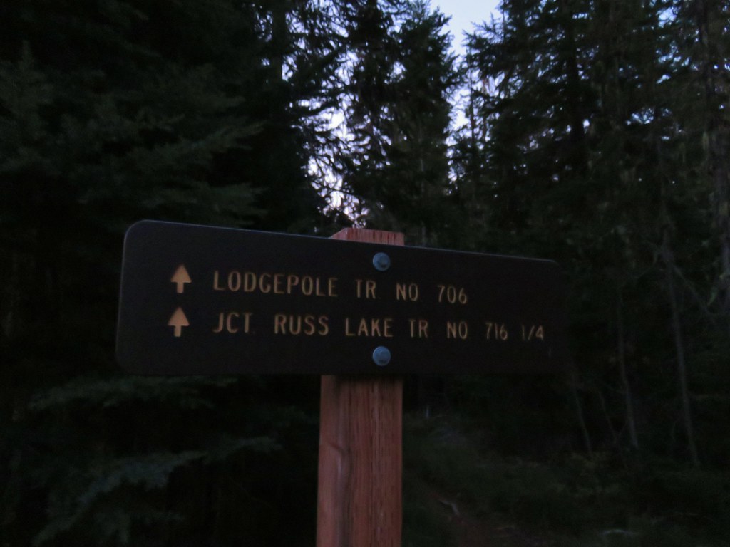
 Lodgepole Trail junction.
 One of the causes of the noisy steps.
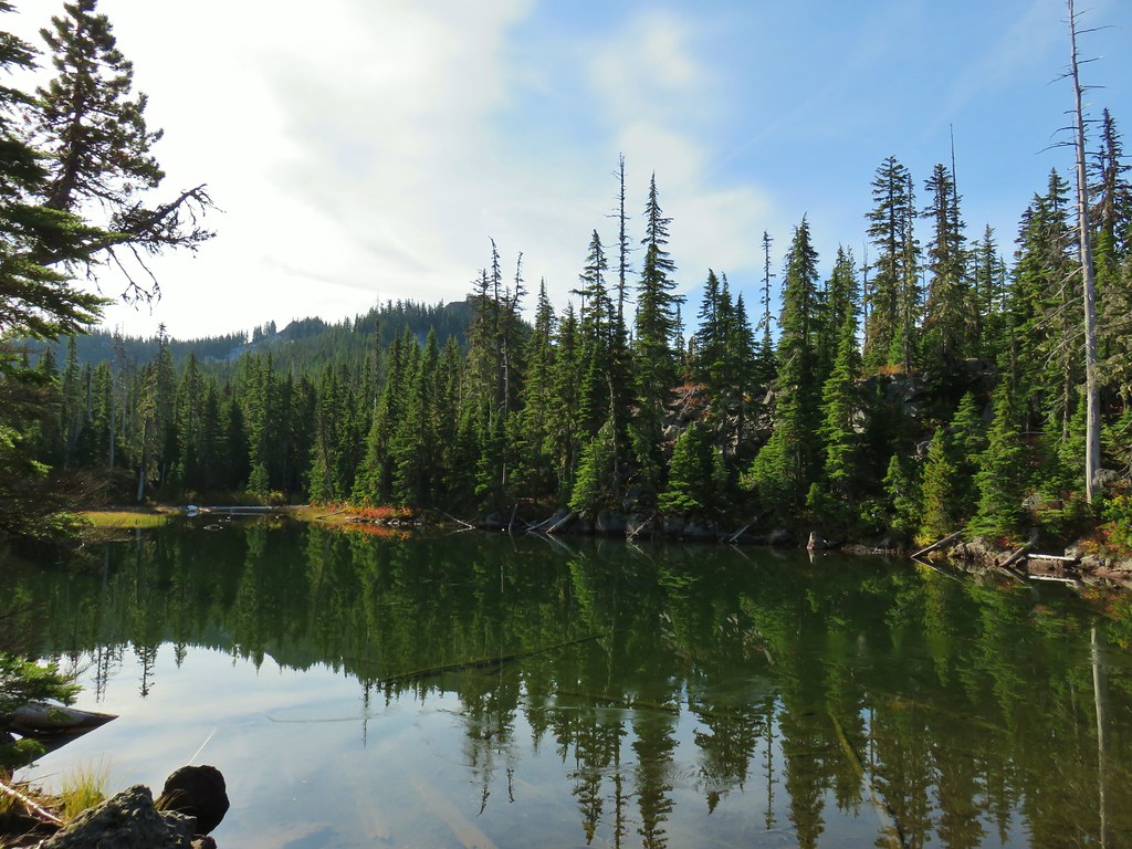 Twin Peaks on the other side of Middle Lake.
 Colors along Middle Lake.

 Olallie Butte
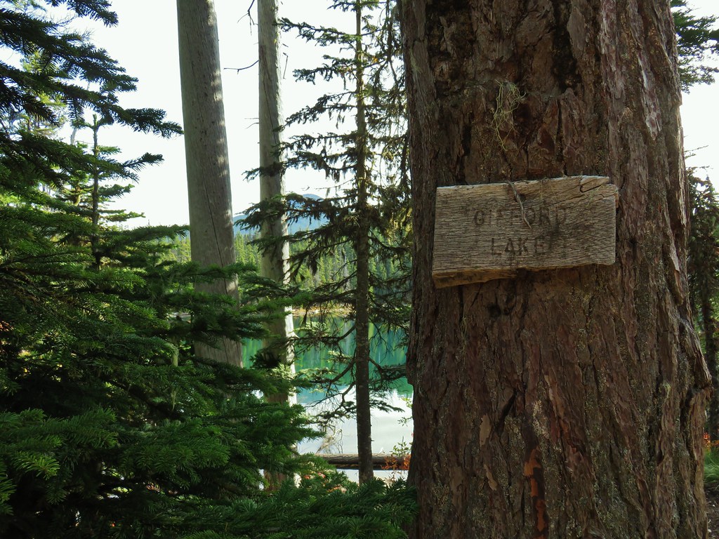
 Twin Peaks from Gifford Lake.


 Sign for the Fish Lake Trail.
 Lower Lake
 Olallie Butte
 Sign for the Lodgepole Trail.
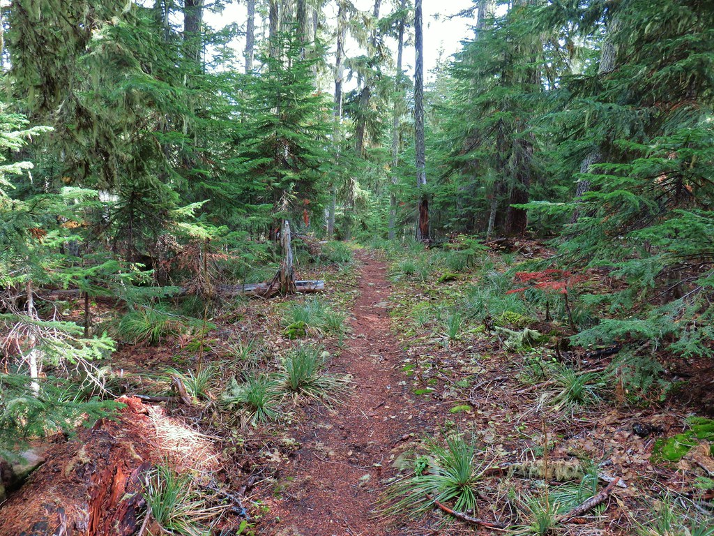
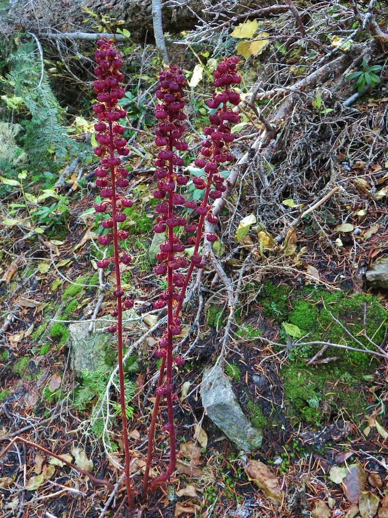 Pinedrops
 The trail was actually the fainter track to the left leading to the bridge, but that wasn’t obvious until we reached the trees.
 A lone yarrow.
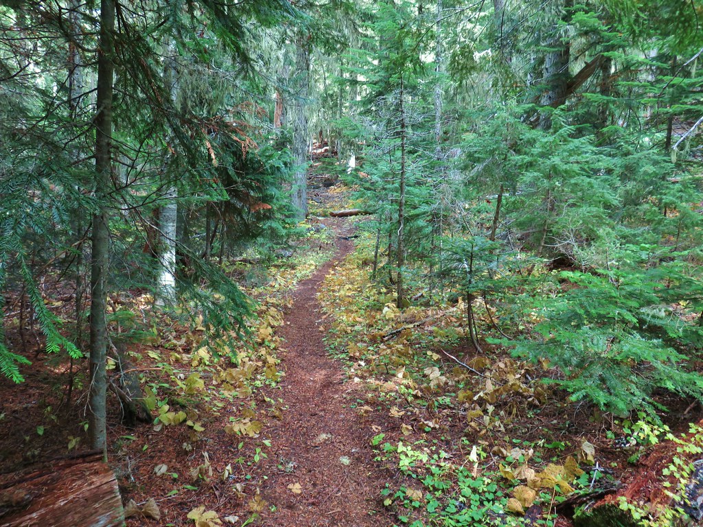


 Approaching the junction.
 Quite the camouflage isn’t it?
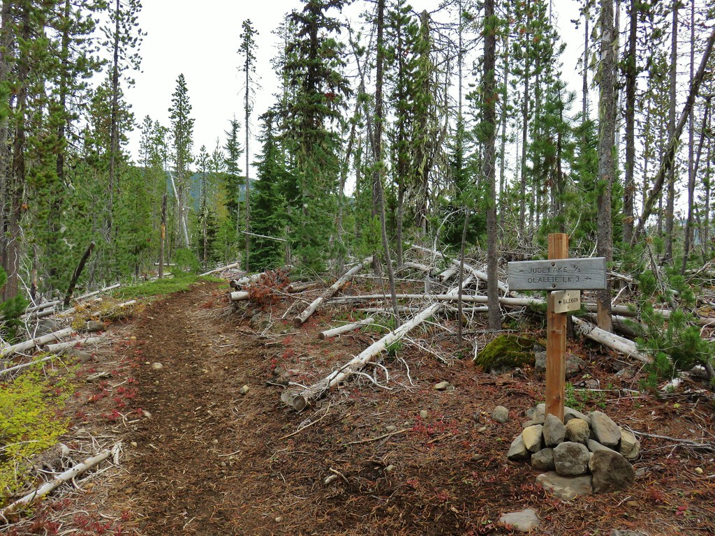

 Jude Lake
 Jude Lake
 Jude Lake
 Russ Lake


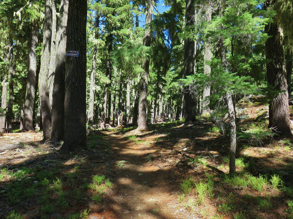
 Trail 17 to the left with Trail 1 straight ahead.
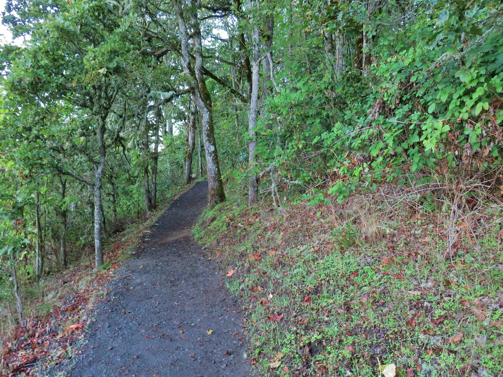


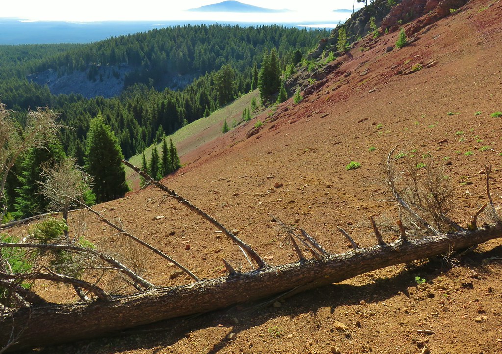
 Some of the patchy fog in the valley over Eugene.
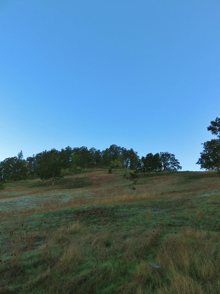 Swing Hill
 Deer high up on the side of Swing Hill.
 Geese flying in front of the fog.
 There were a lot of wet spider webs shining in the brush.
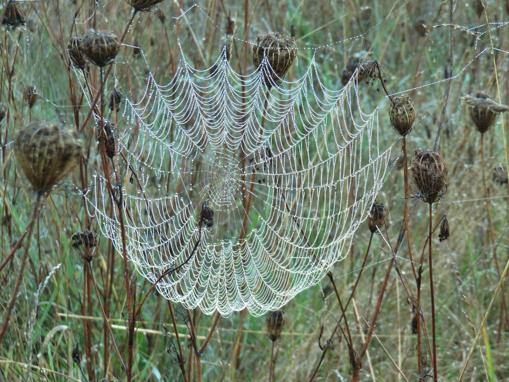


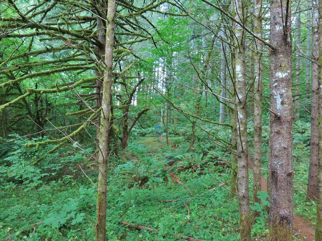
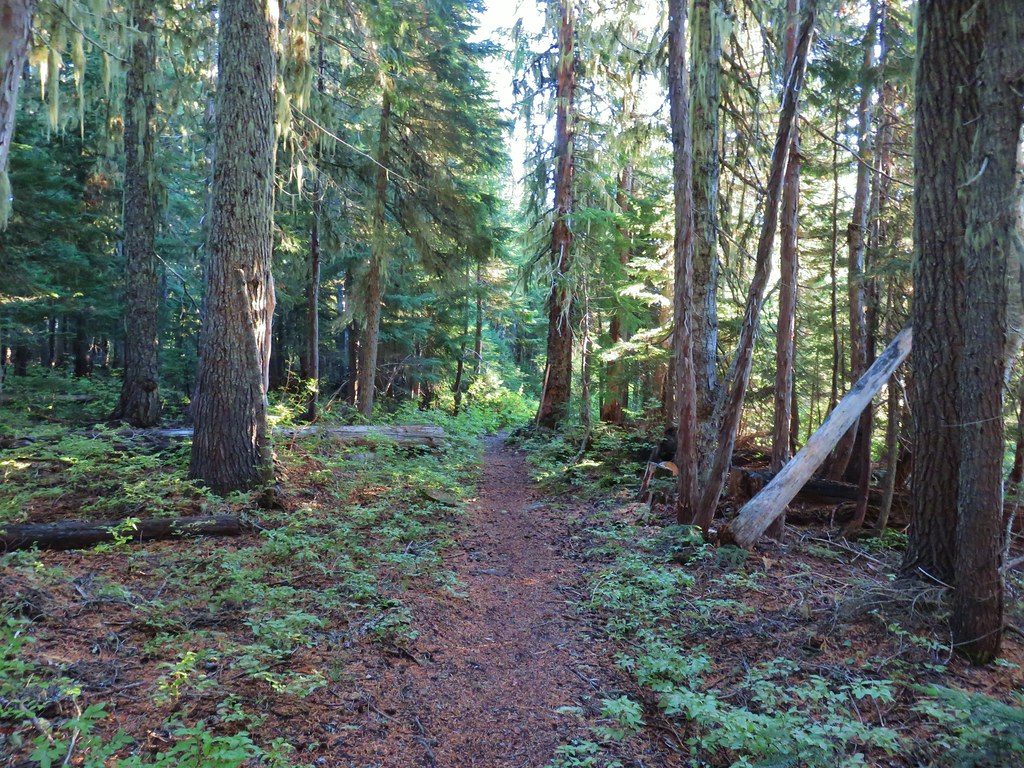
 The north side of Swing Hill was very forested.
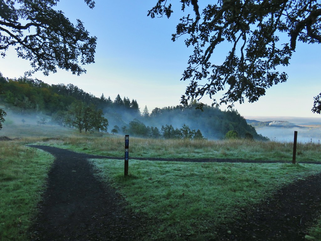 Saddle below Swing Hill
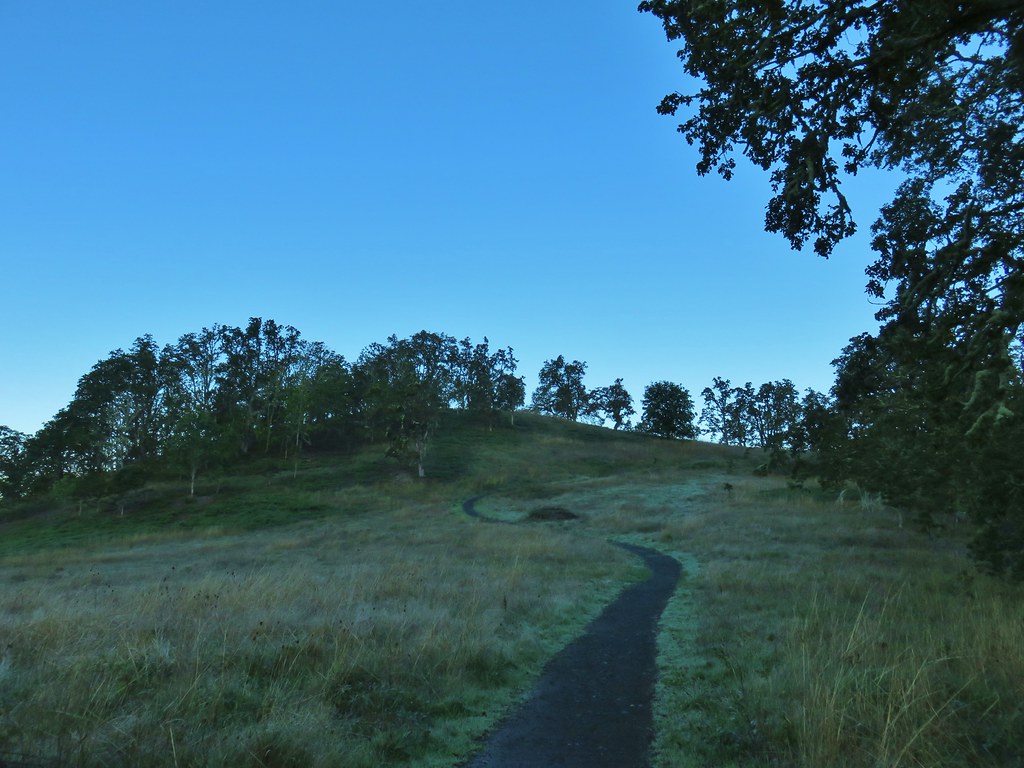

 View from Swing Hill


 Diamond Peak on the horizon.
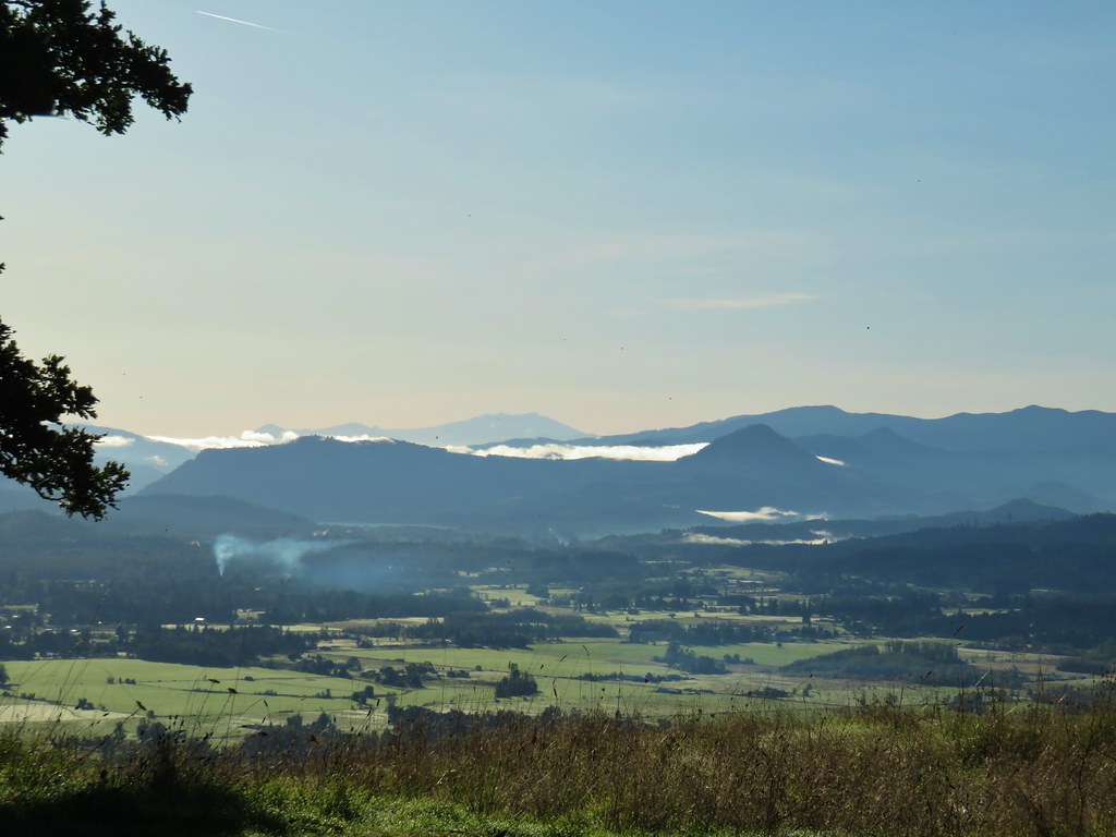 Diamond Peak
 Diamond Peak
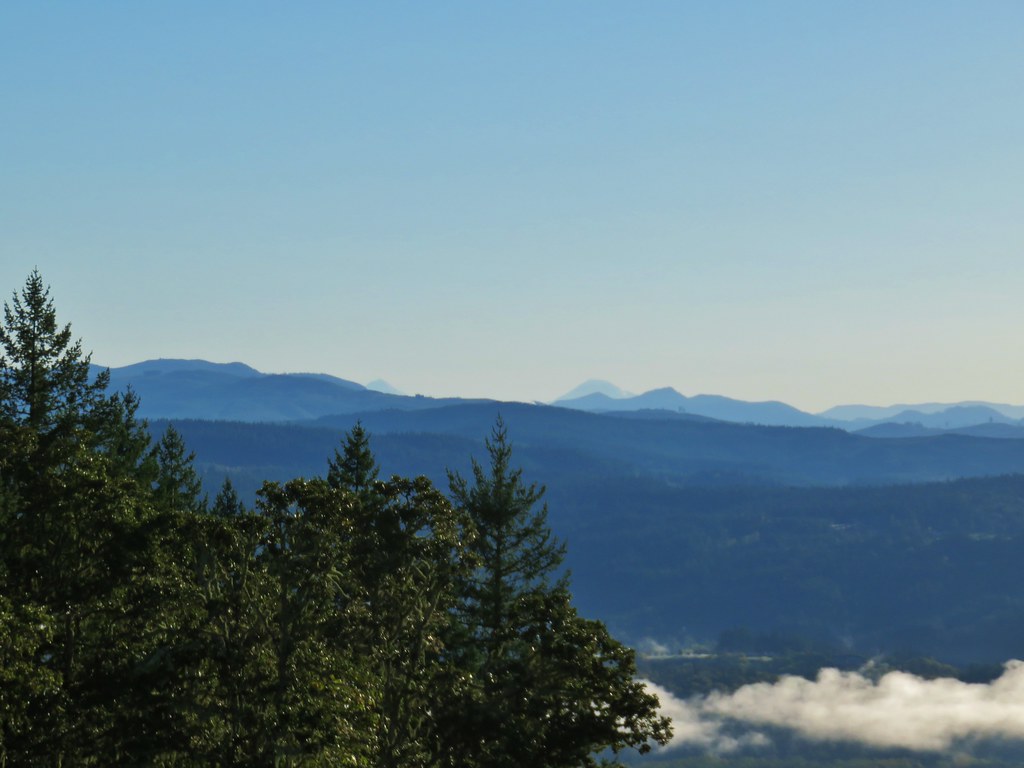 Middle and South Sister.
 Middle Sister
 South Sister photobomb by swallows
 South Sister without swallows.
 Spencer Butte to the west.
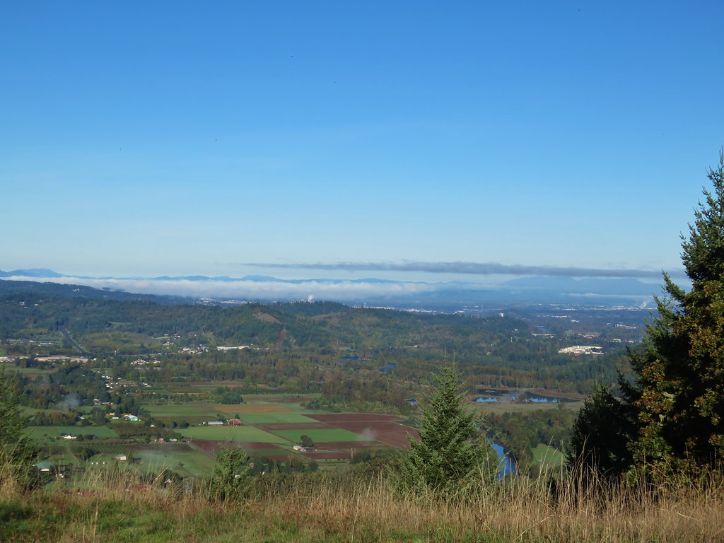 Eugene and the Coast and Middle Fork Willamette Rivers.
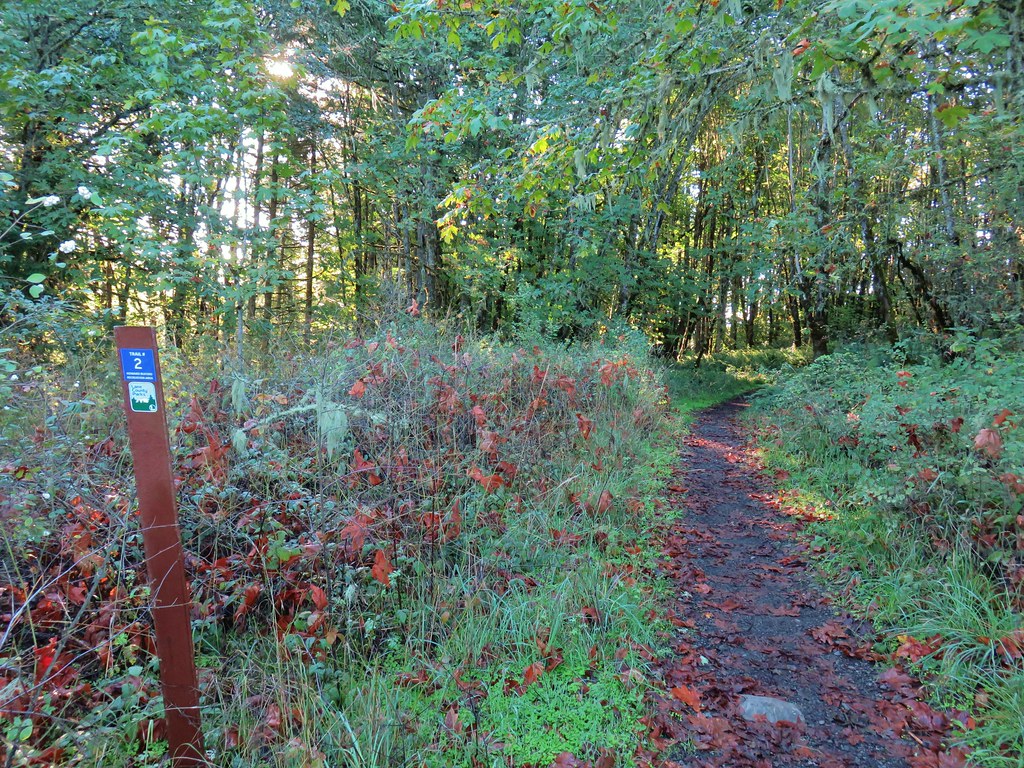
 Looking back uphill.
 Sun still causing problems with the view.
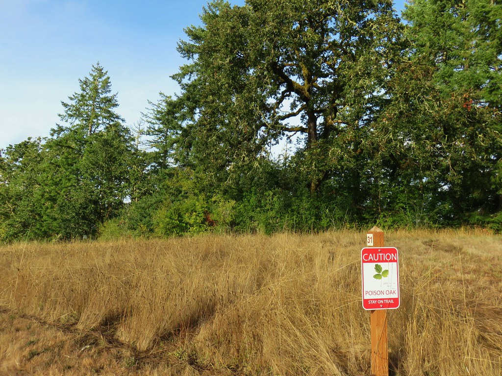
 Some red leaves of poison oak along Trail 24.
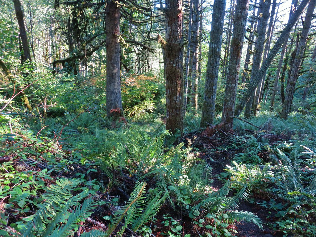


 More poison oak
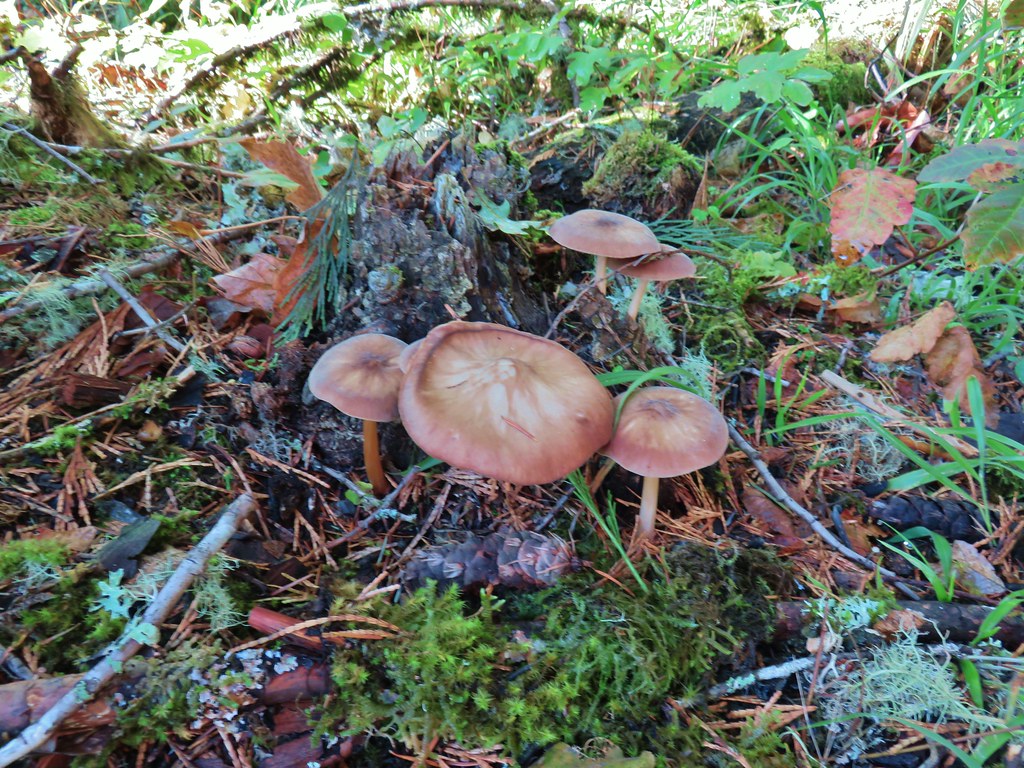 Mushrooms
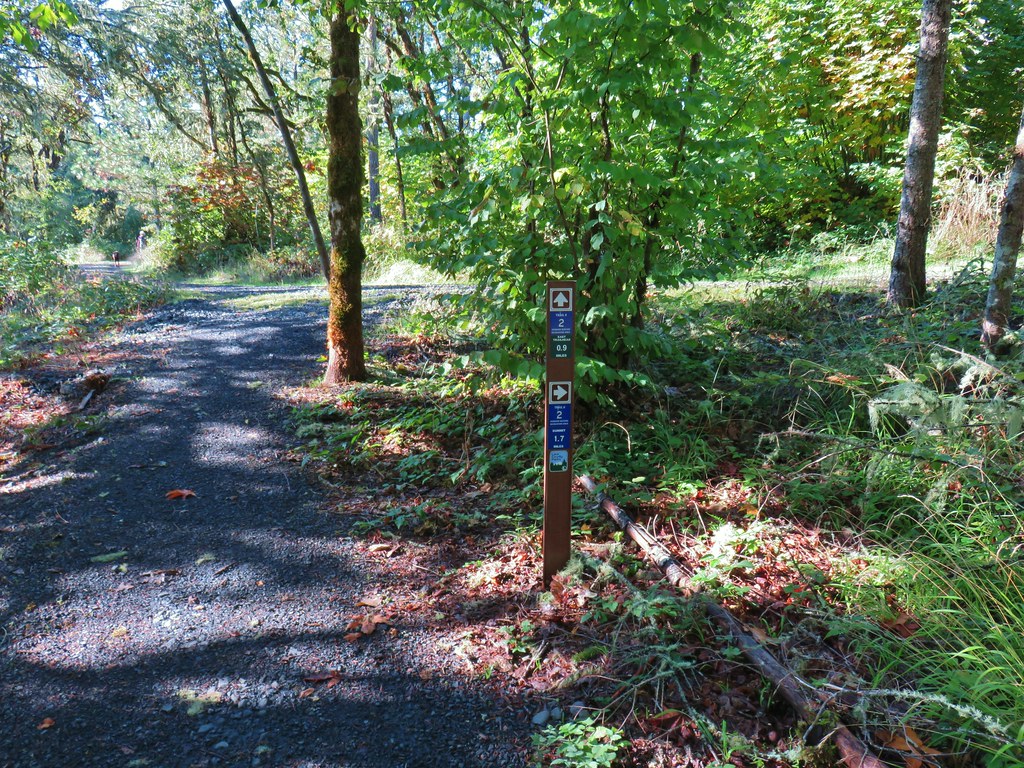

 Bright red tree at a nearby farm from Trail 2.


 Ladybug
 A few late bloomers.


 Cedar Trail to the left.
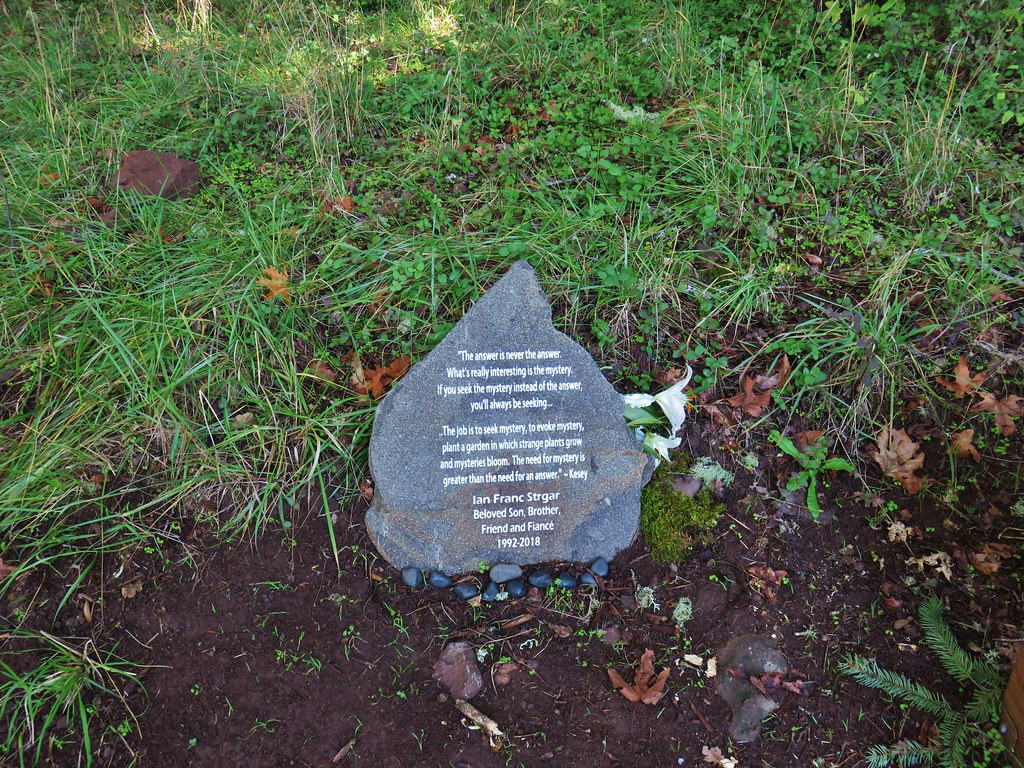


 Mount Pisgah from the Lower Plateau Trail.


 Ferns on a tree trunk.
 Lichen overhanging the trail.
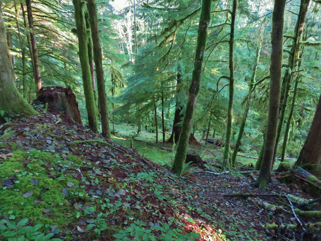

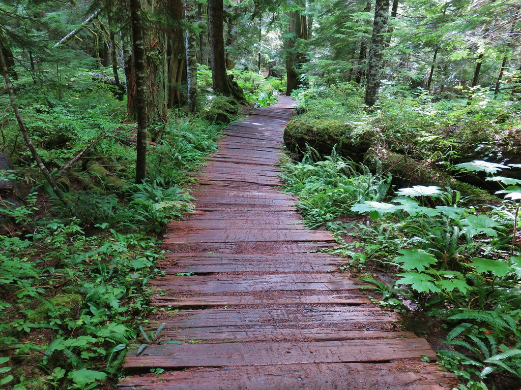
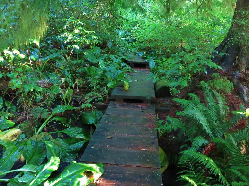 The boardwalk
 Nursery stump
 Spider finishing its morning web.

 There is a flag in there.

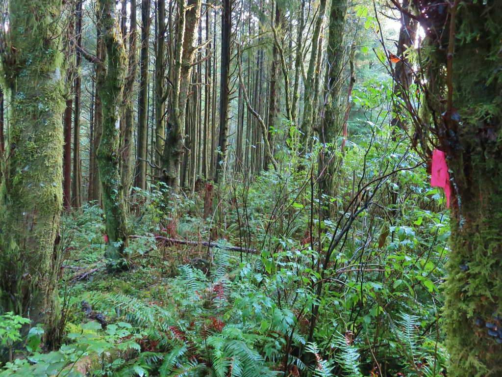
 Flagging along the trail.
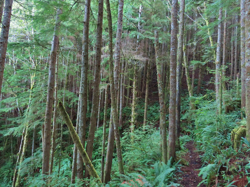
 Elk had obviously been on the trail recently.
 Fern covered hillside.


 Satuick Mountain
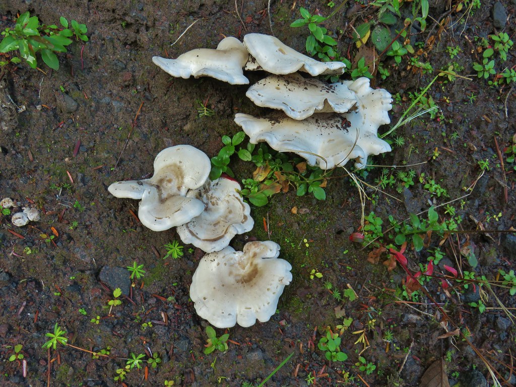

 First crossing
 Second crossing
 The third channel was the largest but still relatively small.
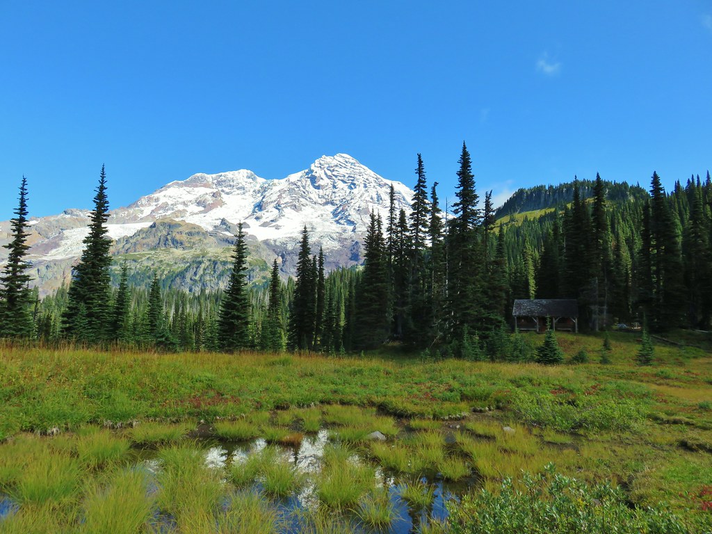
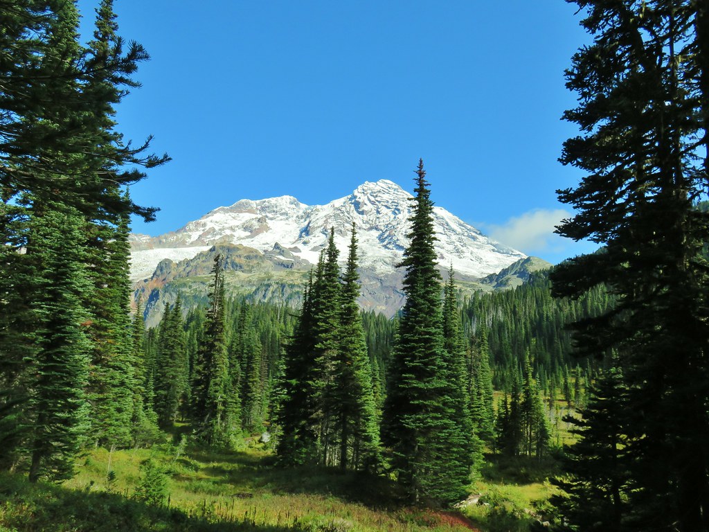
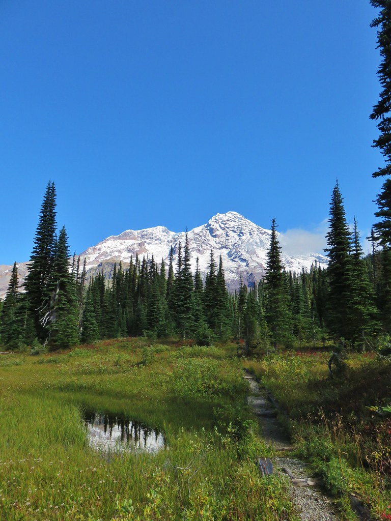
 Mt. Rainier from the far side of Kautz Creek.
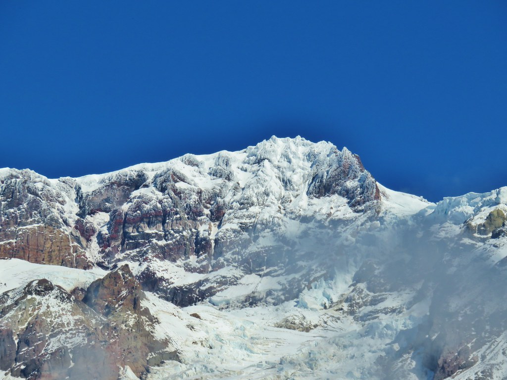
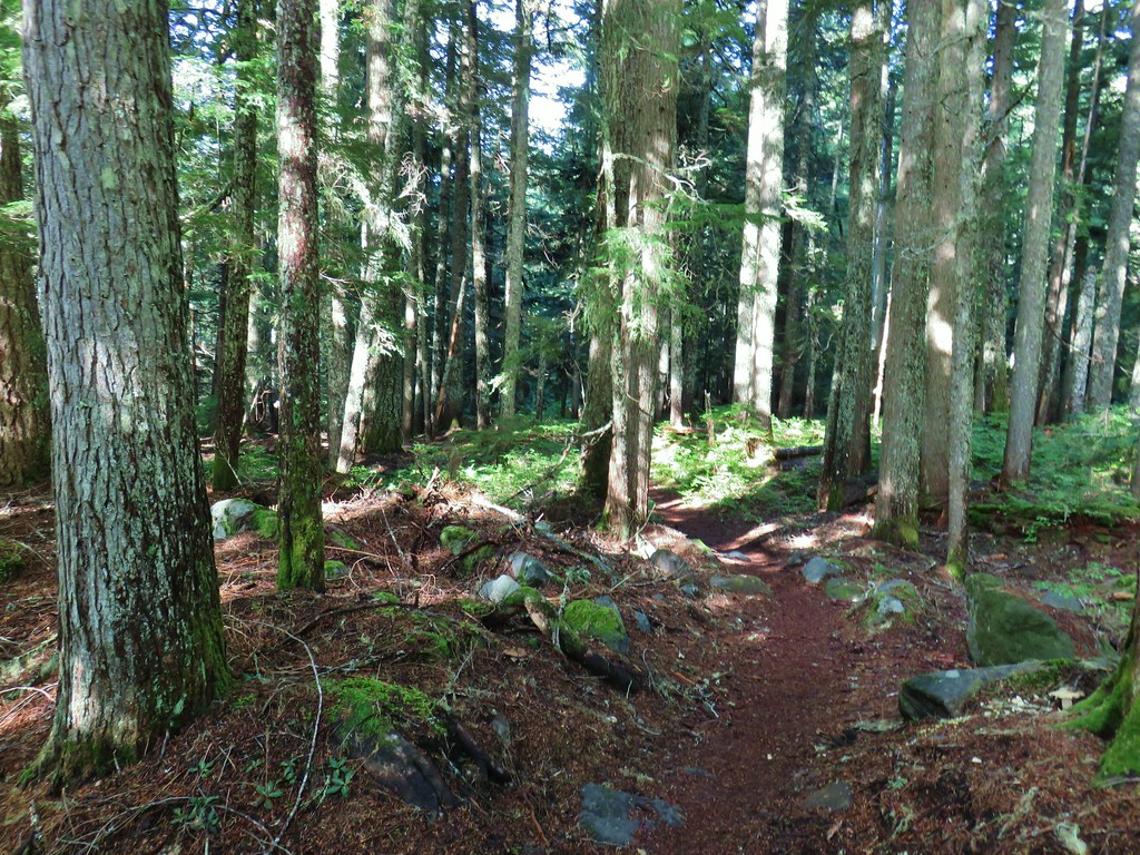

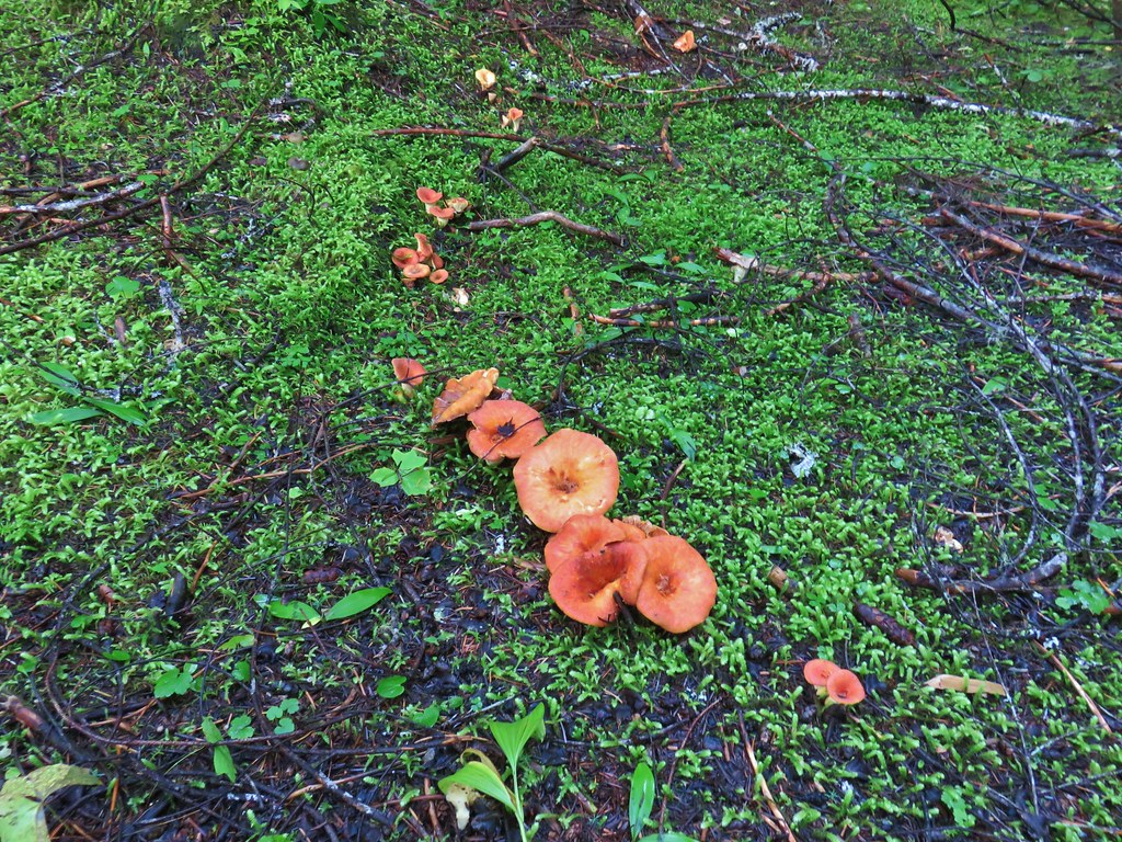
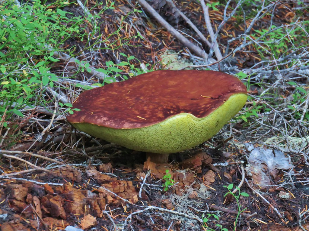
 Yet another big mushroom.


 There were quite a few coral fungi present as well.
 Fishers Hornpipe Creek
 The mushrooms in the back had exploded.
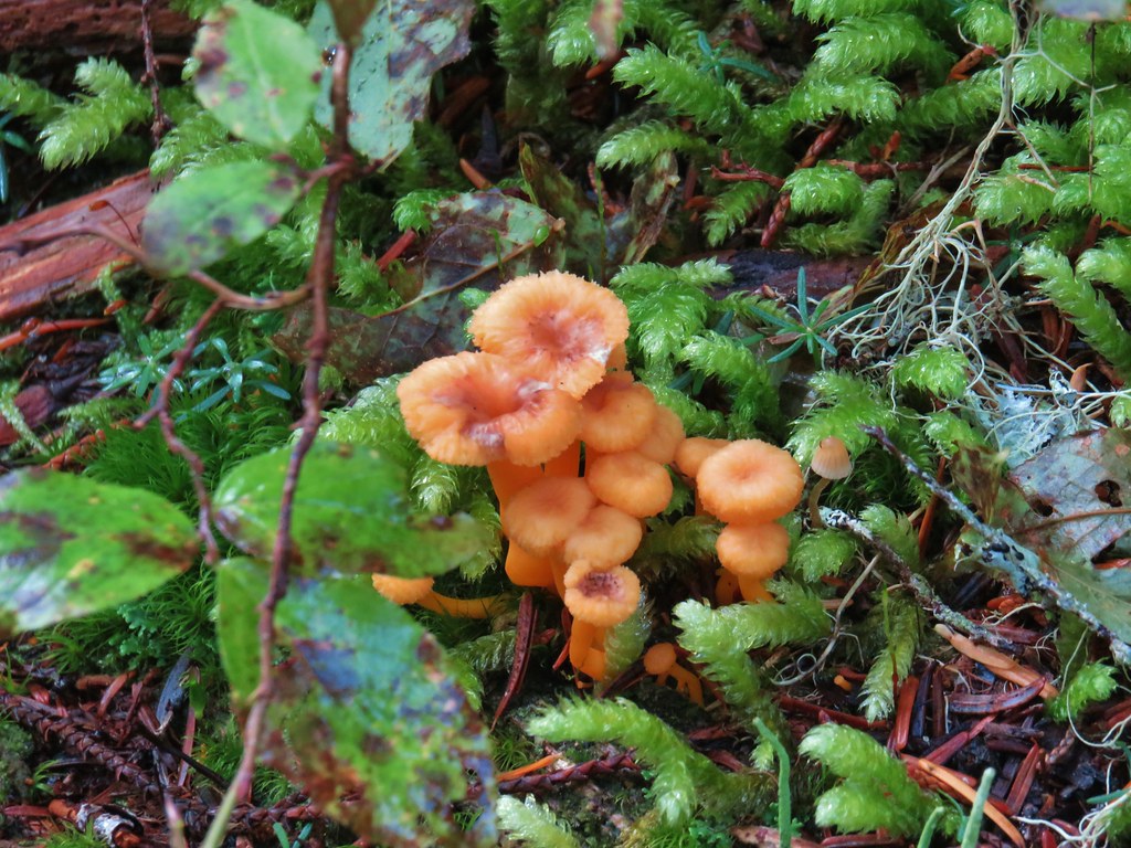
 A few red huckleberries left to eat.


 Bear pole


 Gentians
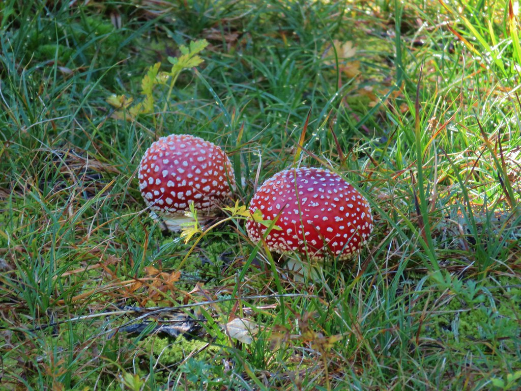 Mushrooms in the meadow.
 Gray jay in the huckleberries.
 Iron Mountain from the lake.


 Western pasque flower


 Paintbrush
 Butterfly on the remains of an aster.
 Gentians
 Pyramid Peak to the right.


 This guy was tiny.

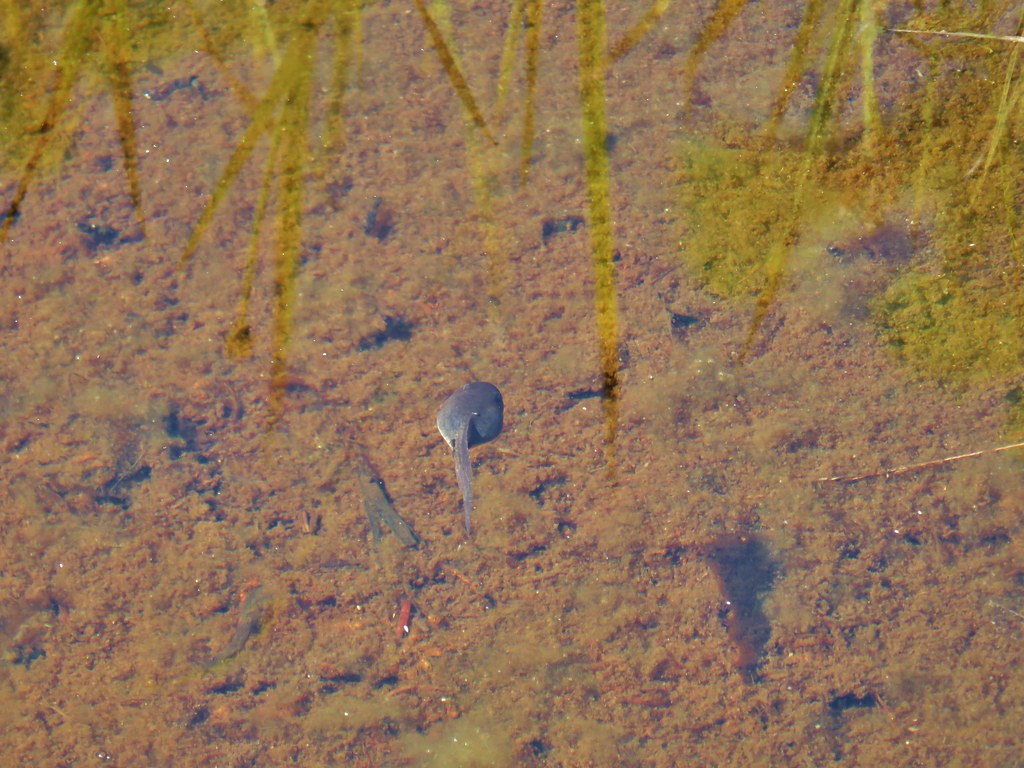
 Frog on a rock at the spring.


 Looking back across the road.
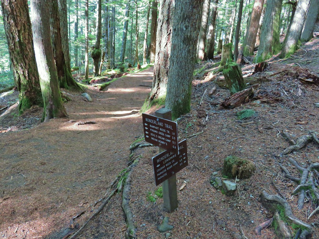


 PCT junction.
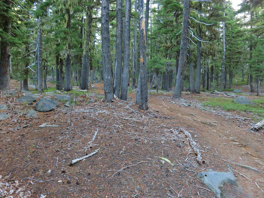
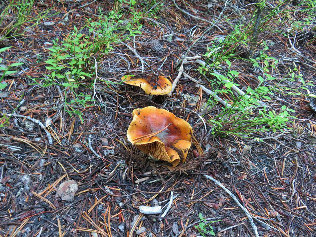
 More cool mushrooms.
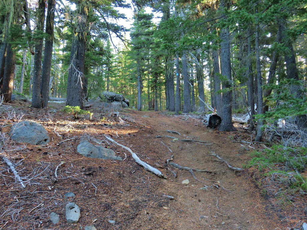
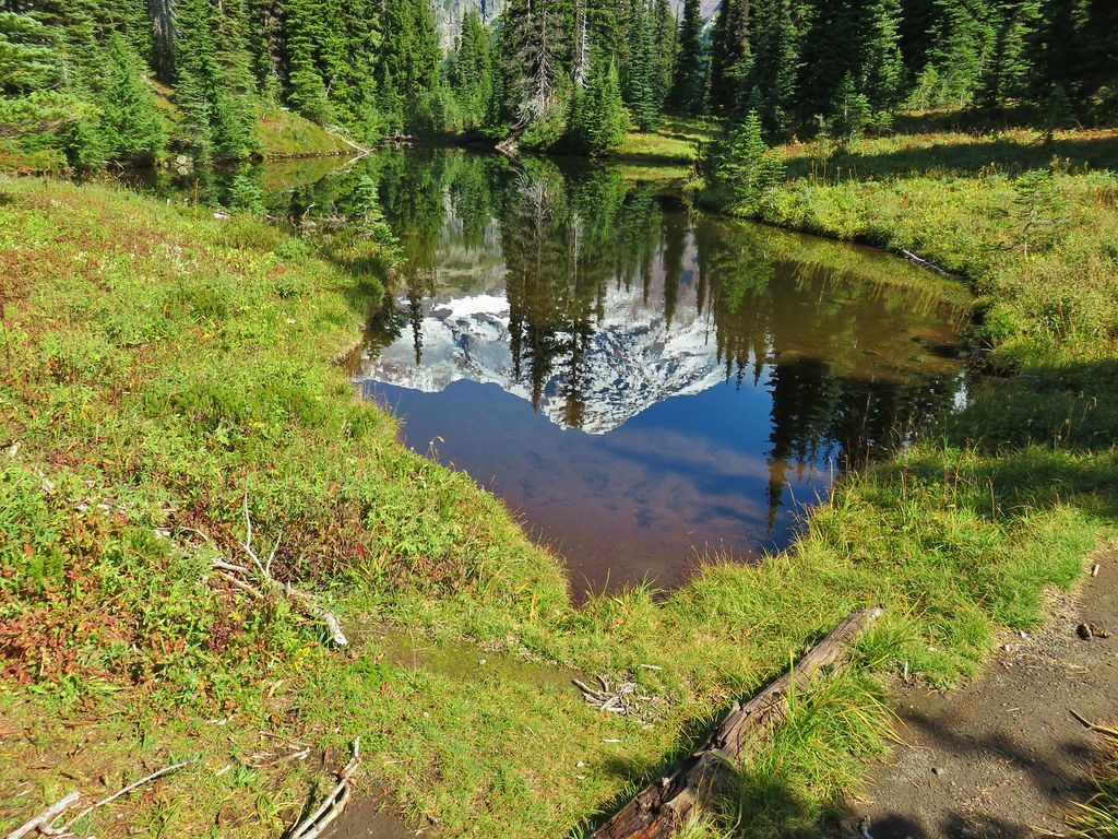
 First pond
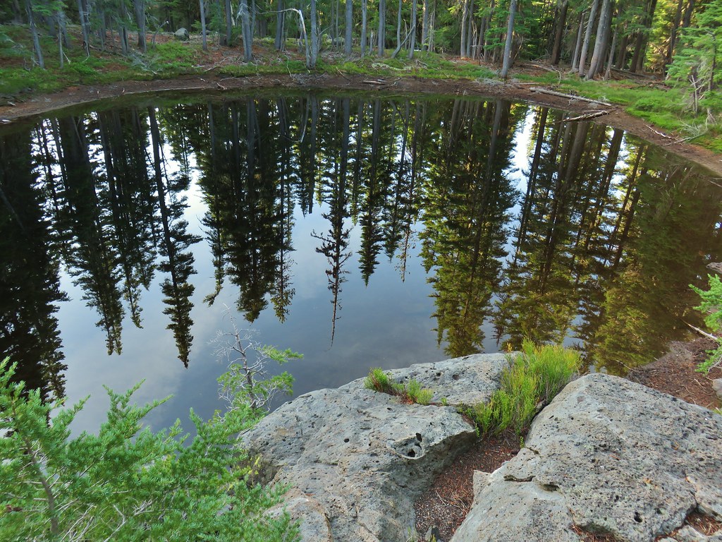 Looking down on the first pond.
 Liked the pattern on this shroom.
 A smaller pond.

 Found a few blooming bleeding heart.


 Diamond Peak on the right and Mt. Bailey (
 Mt. Scott (
 Maiden Peak (
 Close up of Diamond Peak
 Waldo Mountain Lookout (
 Rigdon Butte (
 Mt. Jefferson (with Three Fingered Jack in front), Mt. Washington, and The Husband
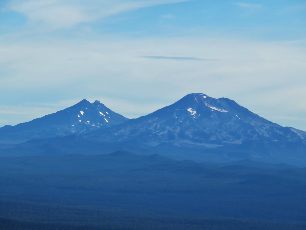 The Three Sisters
 Broken Top
 Mt. Bachelor


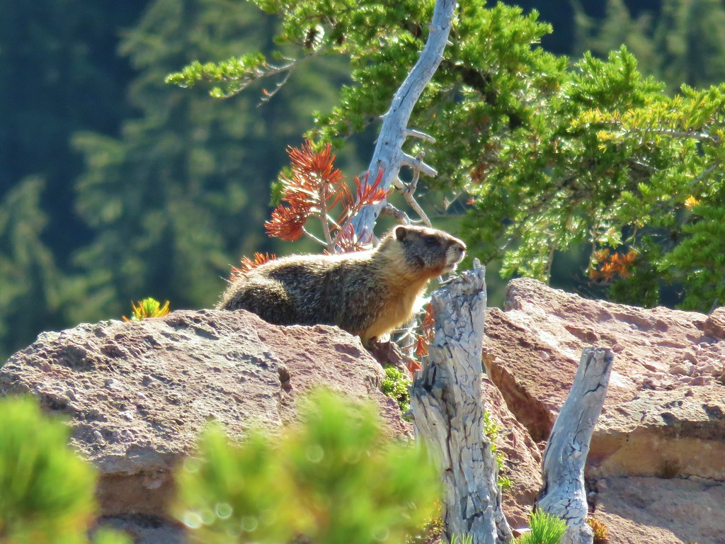
 The marmot on a rock ledge with Crane Prairie Reservoir in the background.


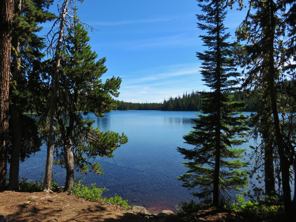
 That’s Bobby Lake below Maiden Peak.
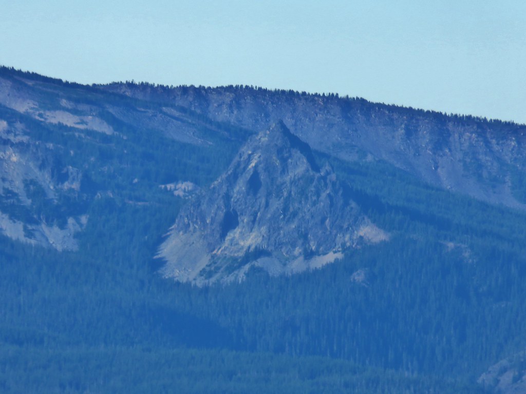 Mt. Yoran near Diamond Peak
 Gold Lake
 Fuji Mountain (
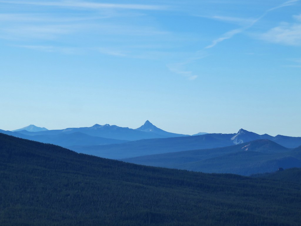 The closest rocky peak to the right of the photo is Cowhorn Mountain (
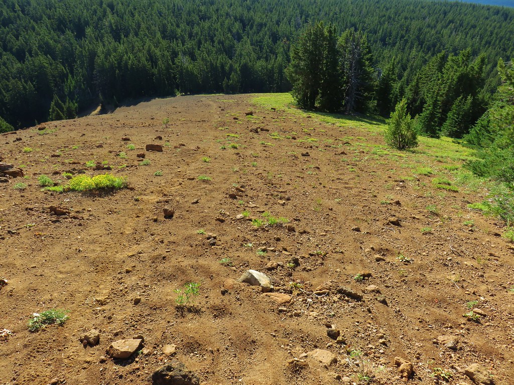


 Tiny PCT frog.
 One of the unnamed lakes.
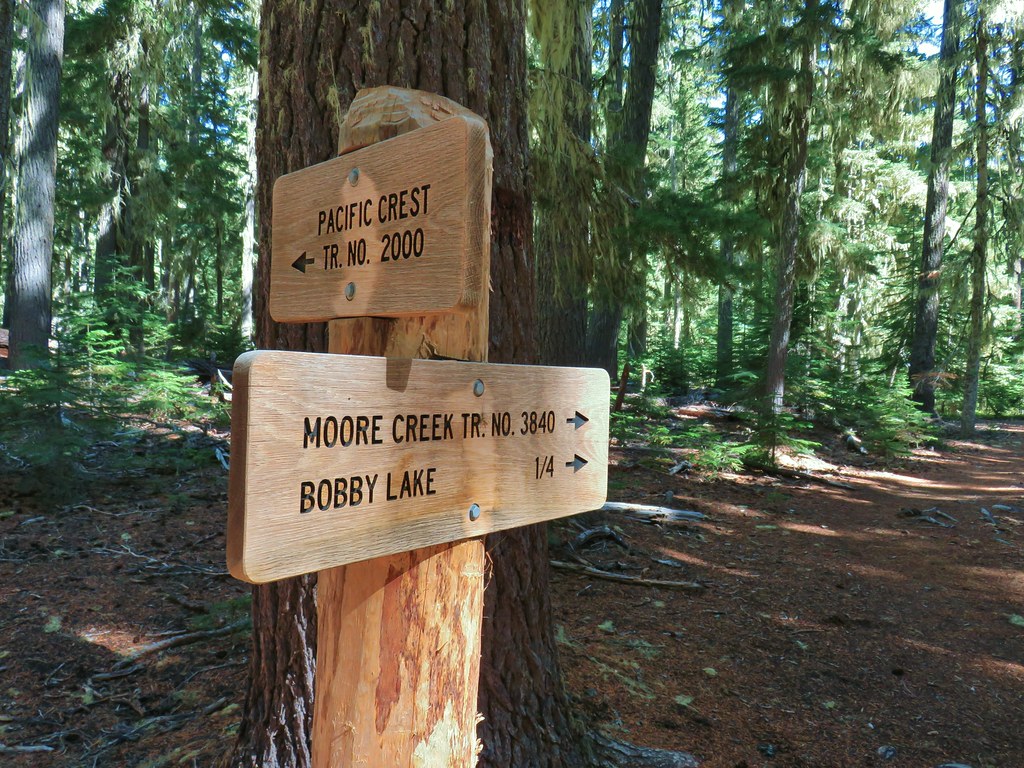 Trail sign at the 4-way junction.
 Maiden Peak above the lake.

 The Twins
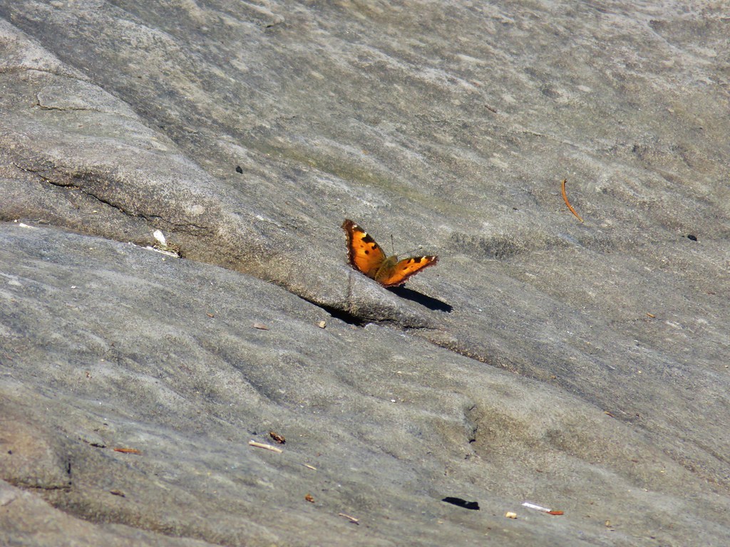 One of several butterflies.


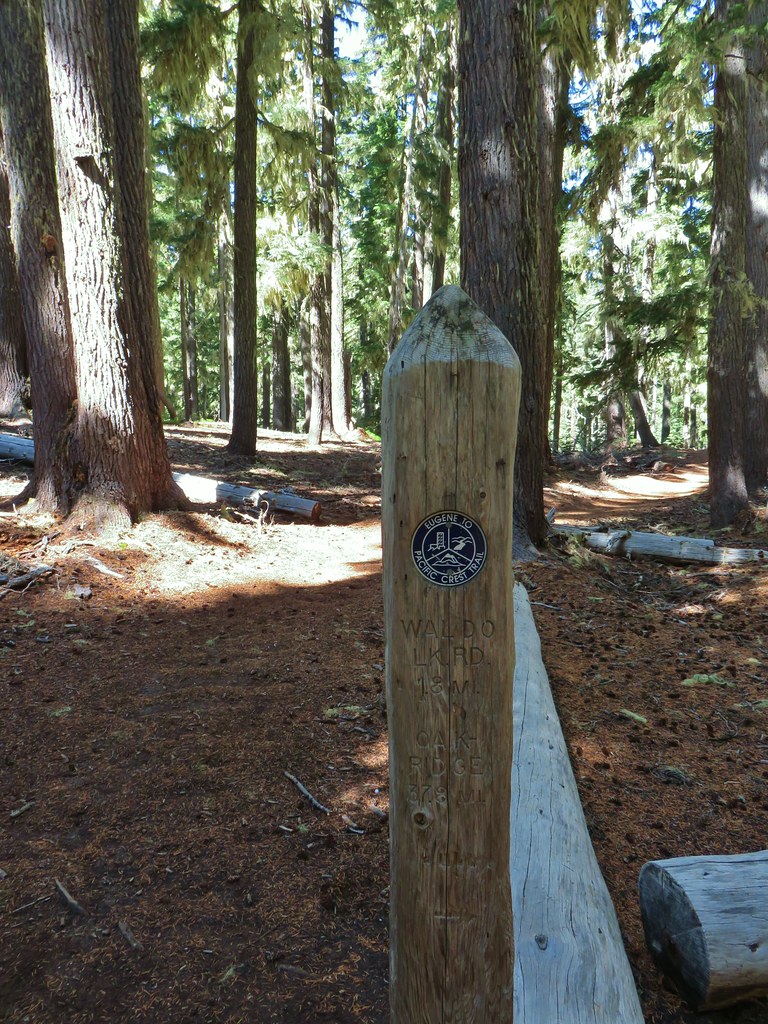


 Nordic trail sign high on the tree.


 The osprey flying over the water (All my zoomed in tries were super blurry.)
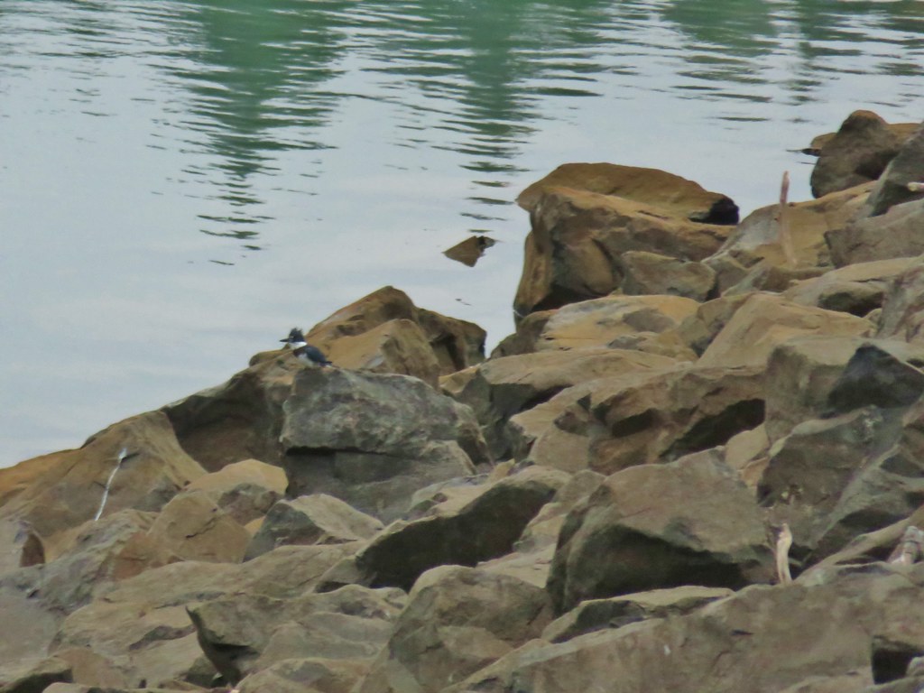 The kingfisher (also fairly blurry)
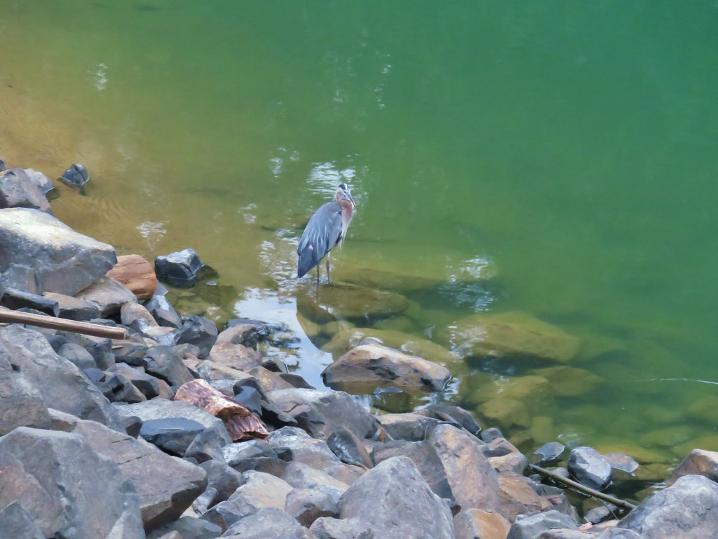 The heron


 One of the side trails heading down to the left to the lake.


 Scrub jay
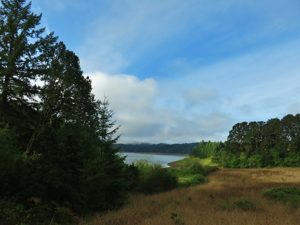


 Spider in the forest.
 Starting around the Tanner Creek arm.
 An egret and a heron.
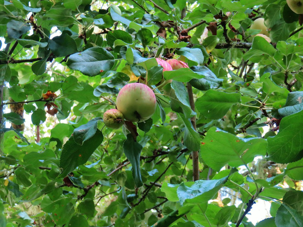 Apples

 Deer across Scoggins Valley Road
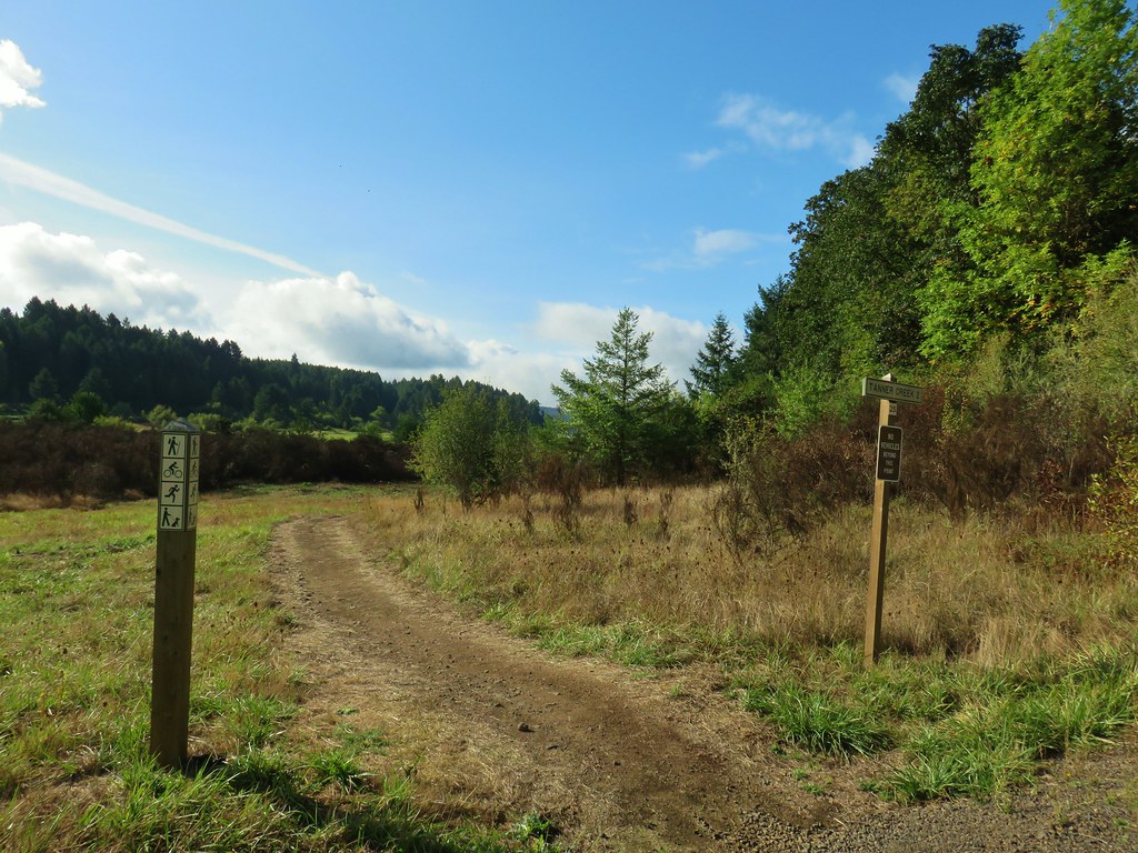


 Canada geese
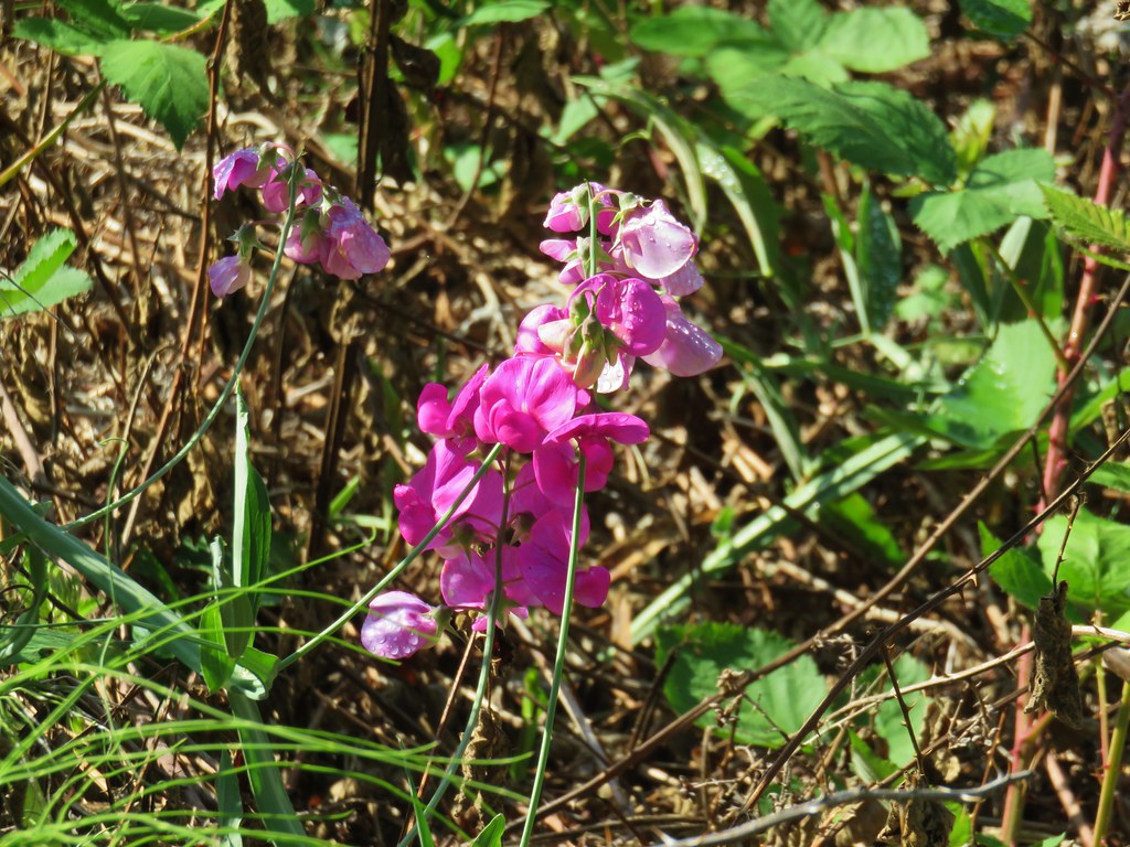


 Herons and geese at Wall Creek.
 Road walk over Scoggins Creek.
 Scoggins Creek
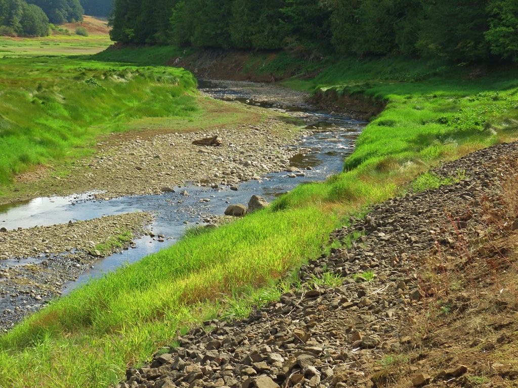 Scoggins Creek

 Coming up to the fishing pier and Recreation Area C.
 Pacific University building.
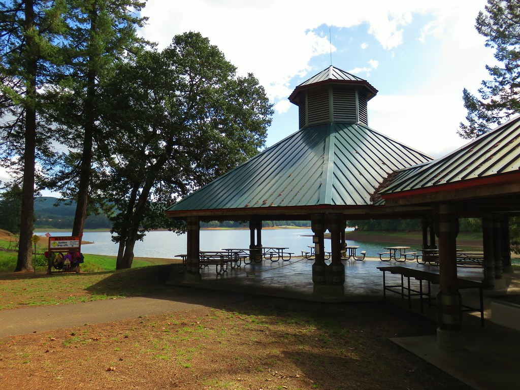 Sain Creek Recreation Area
 Sain Creek
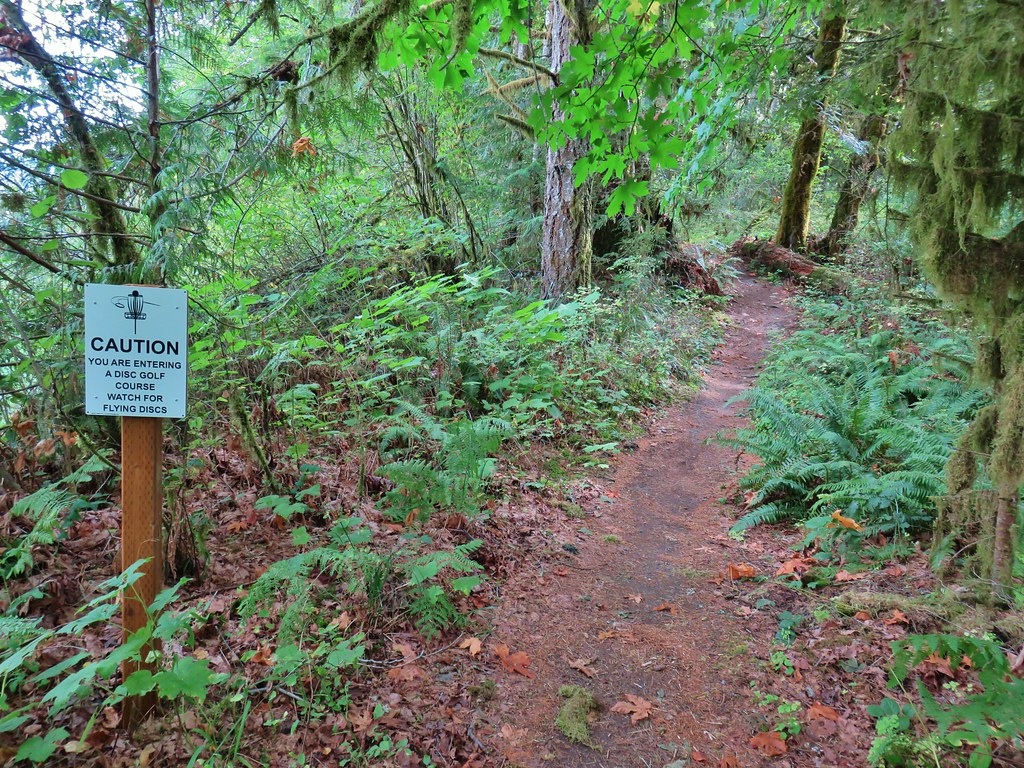
 One of the disc golf holes.
 Poison oak


 Geese and seagulls on an island.
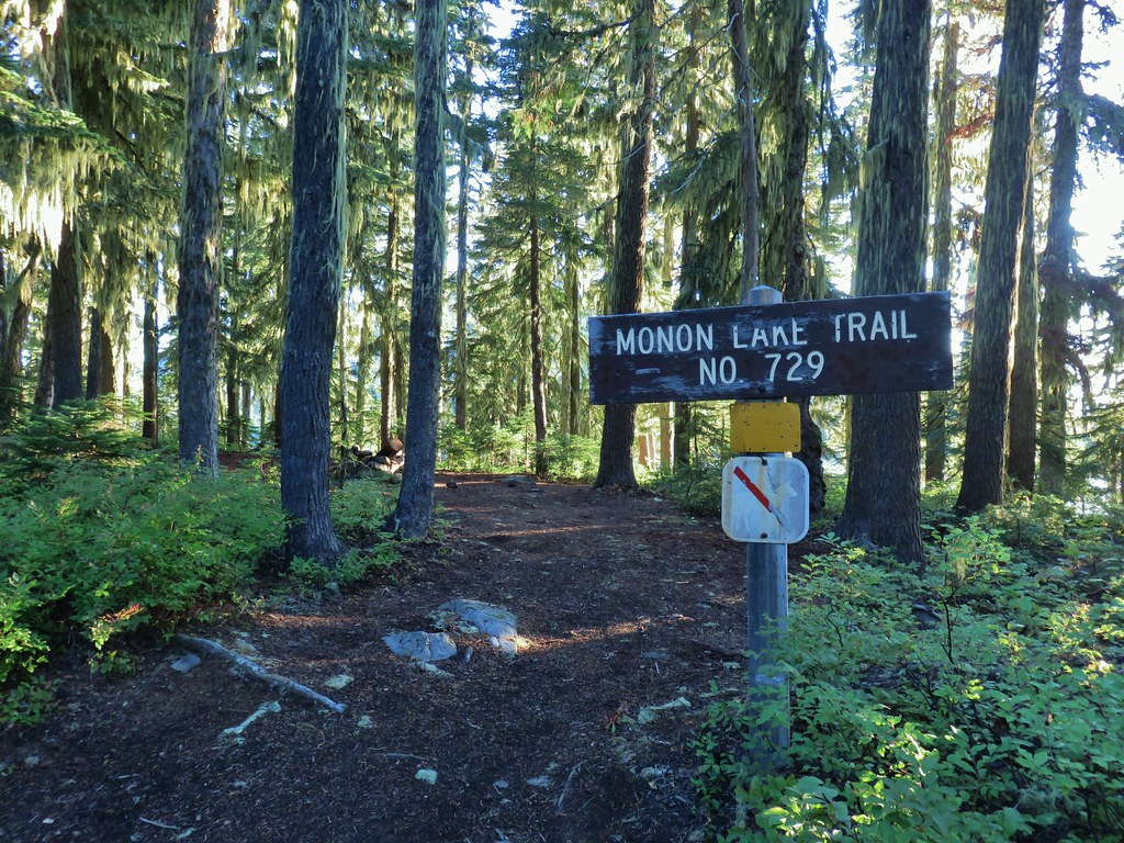
 Fading gentians
 A few gentians still holding their blue color.
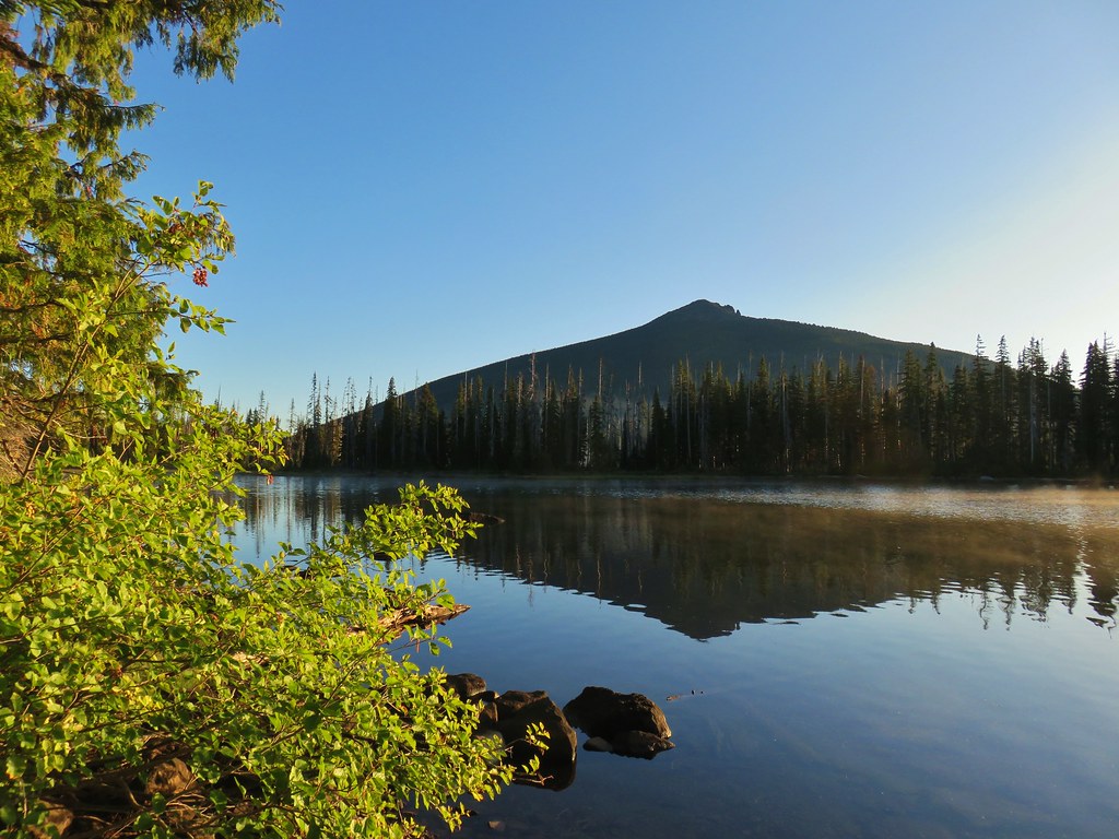
 Olallie Butte and the unnamed lake.
 The tip of Mt. Jefferson sticking up above the high point on the ridge.
 Dusting of new snow on Mt. Jefferson
 Duck on the lake.
 A little more of Mt. Jefferson showing.
 View from atop the rocks.
 The small rock cairn coming from the opposite direction on the Monon Lake Trail later in the day.


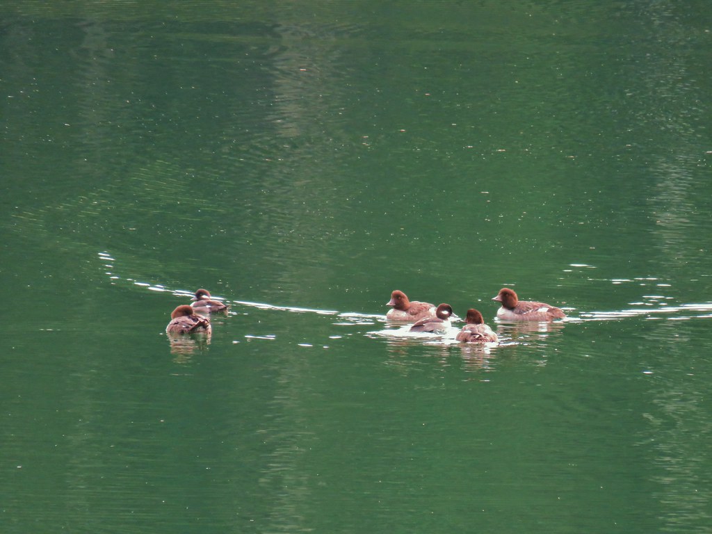
 Mergansers


 Rock cairn along the PCT marking the connector trail.
 PCT lookout.
 Golden-mantled ground squirrels at Cigar Lake.
 Double Peaks from Upper Lake
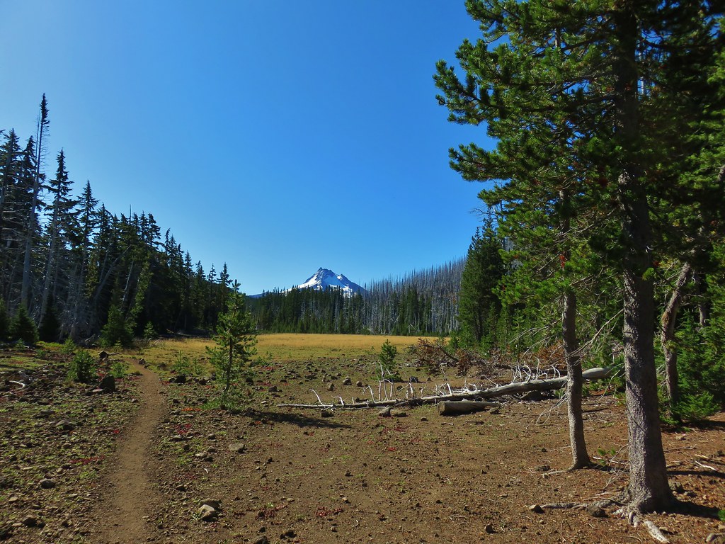

 Company at the viewpoint.
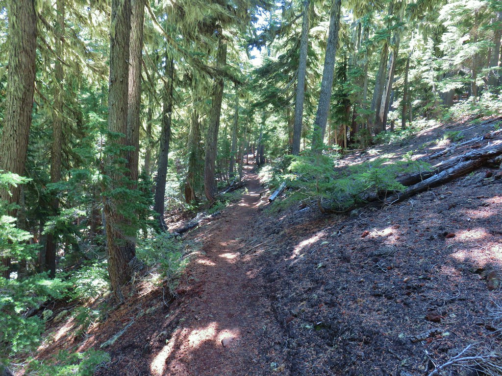 Approximate location when we heard the “elk” bugle.


 Flat topped Battle Ax Mountain to the left to the fire scarred summit of Schreiner Peak to the right.
 Battle Ax (
 Bull of the Woods (


 The gravel road from the junction.


 Coming up on the viewpoint.
 Mt. Jefferson
 Three Fingered Jack
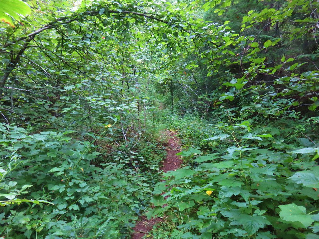
 Maybe a ragwort?
 Yarrow
 St. John’s wort
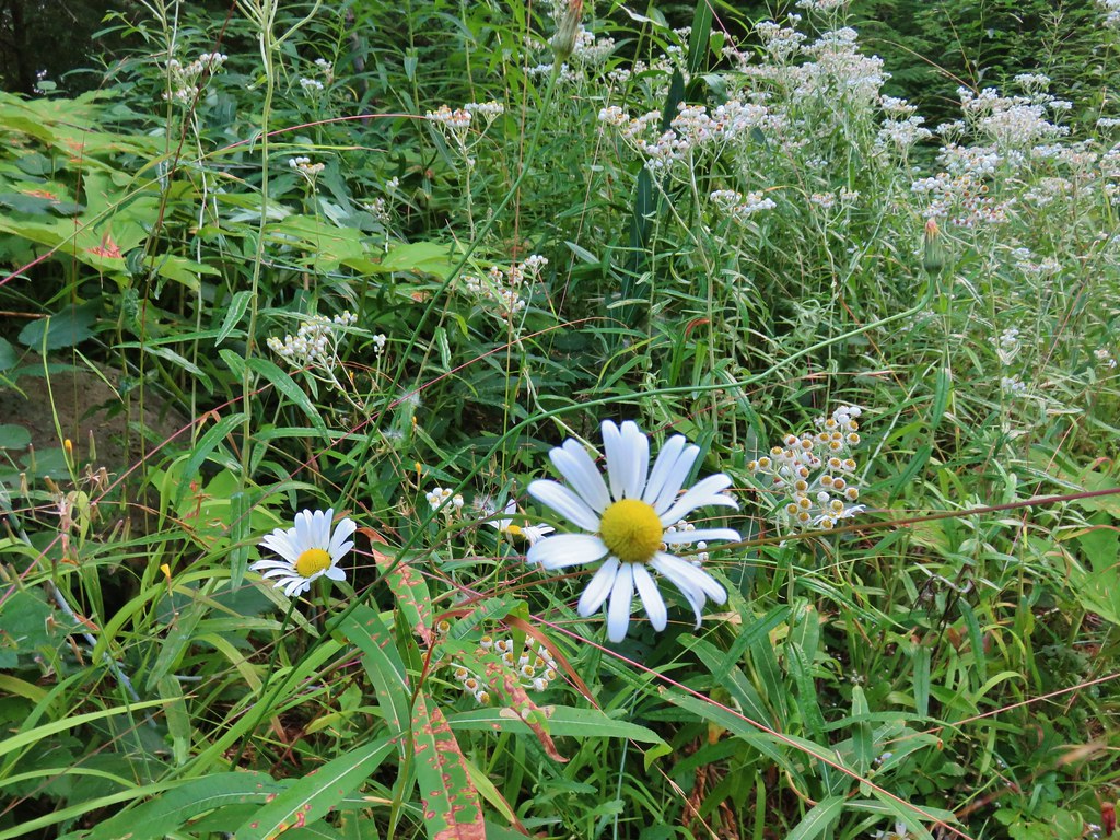 Daisy and pearly everlasting
 Beardstongue
 Fireweed
 Not a flower but colorful maple leaves.
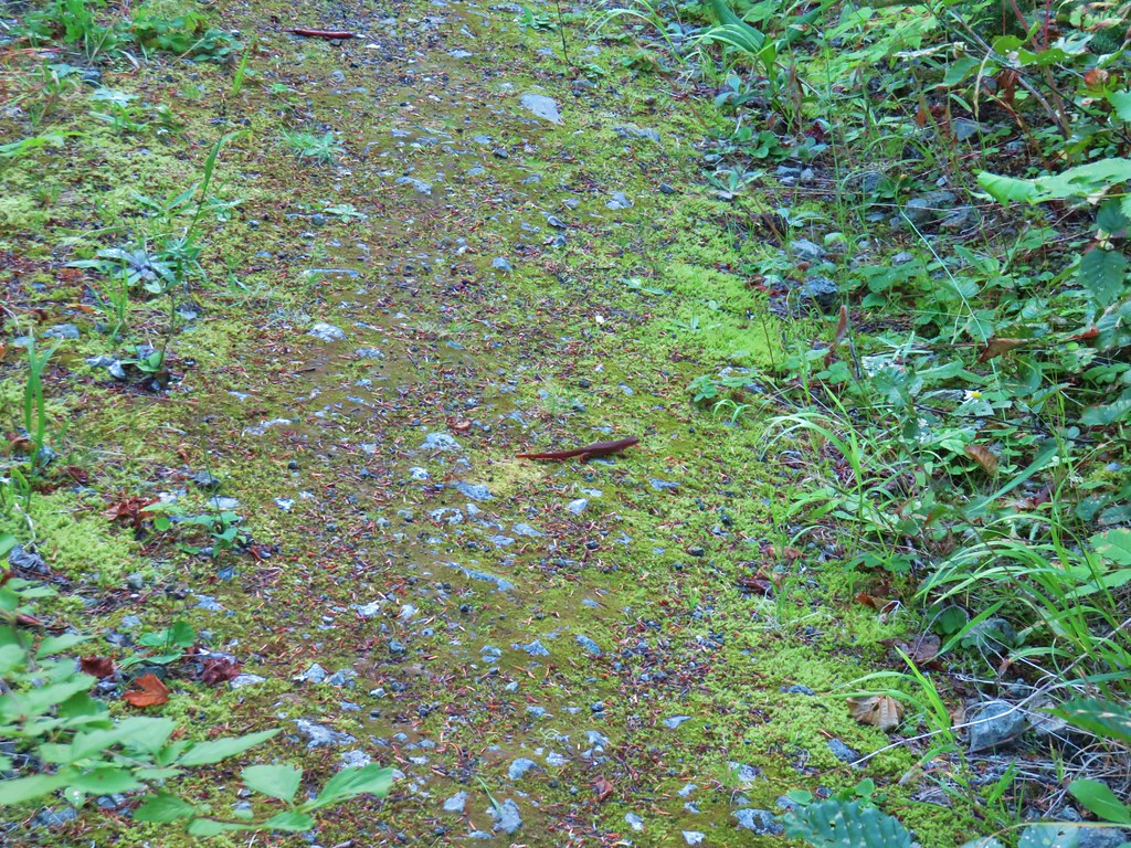 A common sight on the trail.
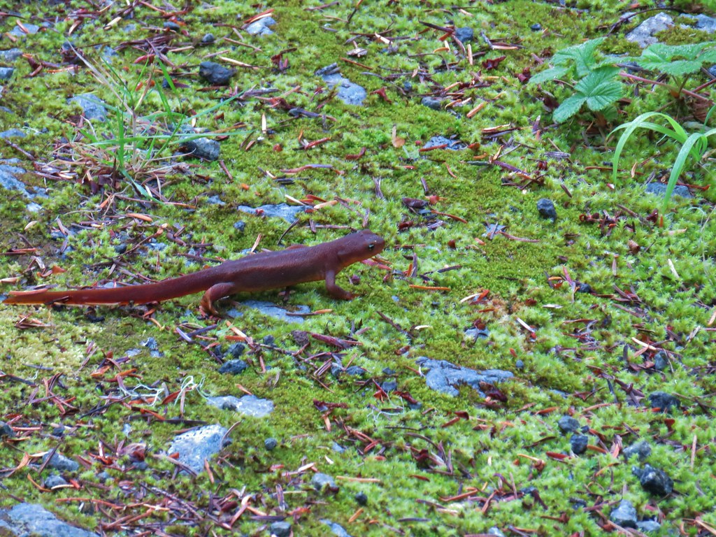 Rough skinned newt


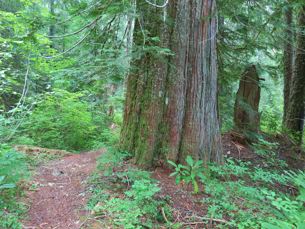 Old growth cedar


 The cedar trunk through some branches.

 Fritillary butterfly
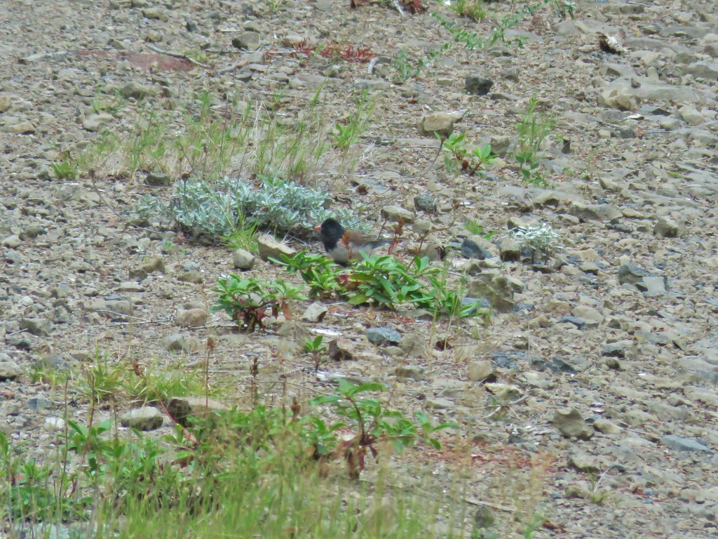 Dark eyed junco
 Bumble bee
 Back at the viewpoint.