We have had the hike up Cooper Spur on Mt. Hood in our plans for the last several years but for one reason or another it has wound up getting bumped from the schedule. It was on our schedule again this year with an October date set. Not wanting to miss out on this hike again we decided to take advantage of what appeared to be an excellent weather forecast and move it up.
Our plan was to start out at the Tilly Jane Ski Trail along Forest Road 3512 and explore the Cloud Cap/Tilly Jane Historic District as well as hiking up Cooper Spur. This starting point adds nearly 2000′ of elevation gain and approximately 5.5 miles to the hike vs starting at either the Tilly Jane or Cloud Cap Saddle Campgrounds but we decided we’d rather spend time hiking up to those areas than driving an additional 30 minutes each way.
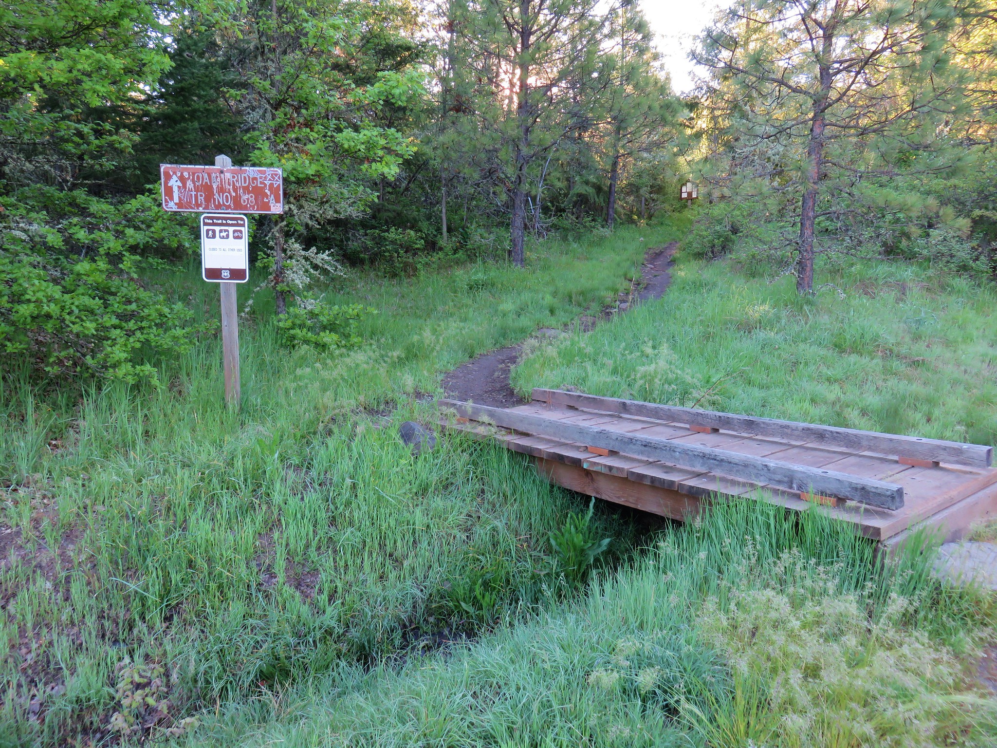
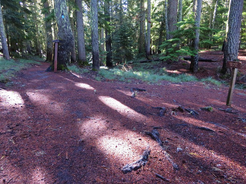
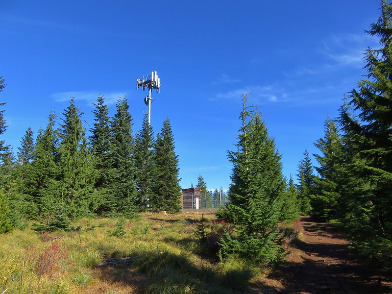
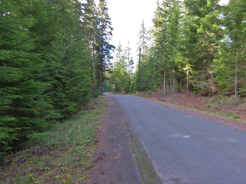
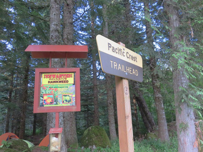
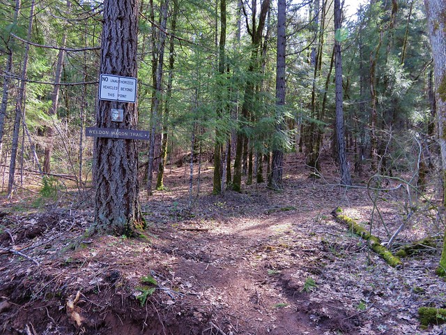
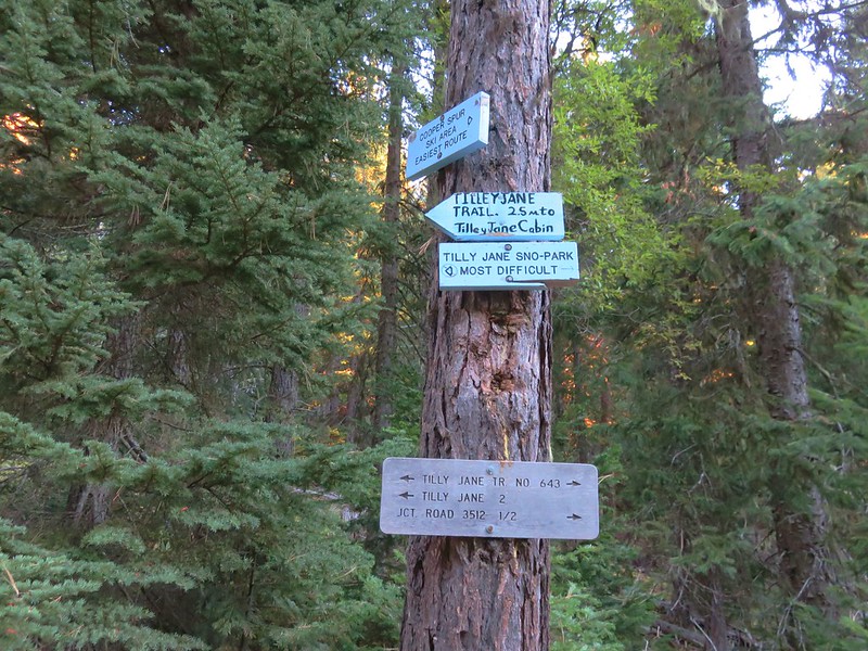
The trailhead is located just beyond the Cooper Spur Ski Area on Forest Road 3512. To reach it turn off of Highway 35 onto Cooper Spur Road then turn left onto Cloud Cap Road (Forest Road 3512) at the Cooper Spur Mountain Resort. The trailhead is 1.5 miles along this road with parking on the right.
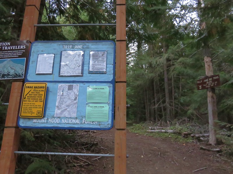
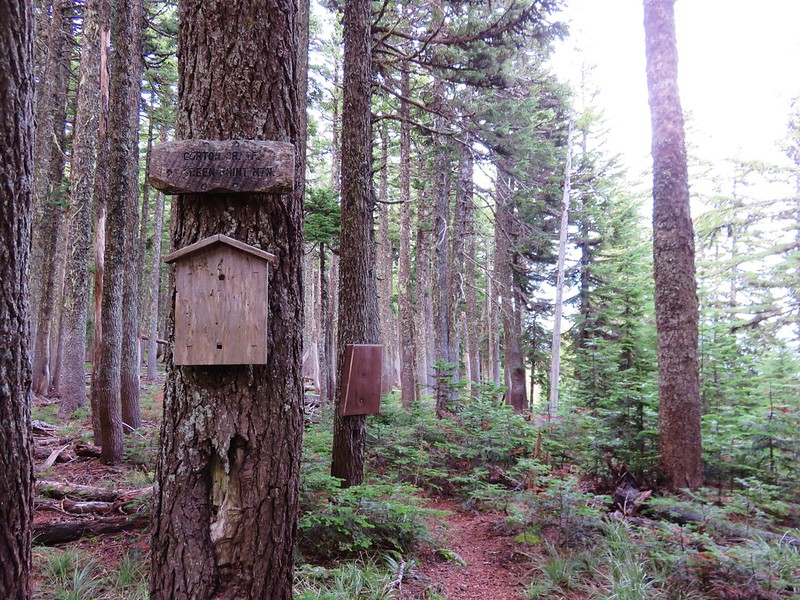
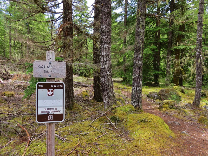
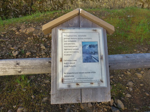
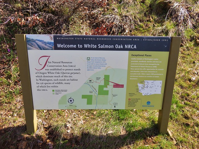
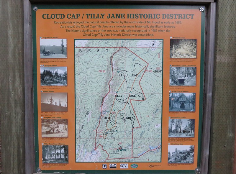
Informational signs at the trailhead told a little about the historic district.
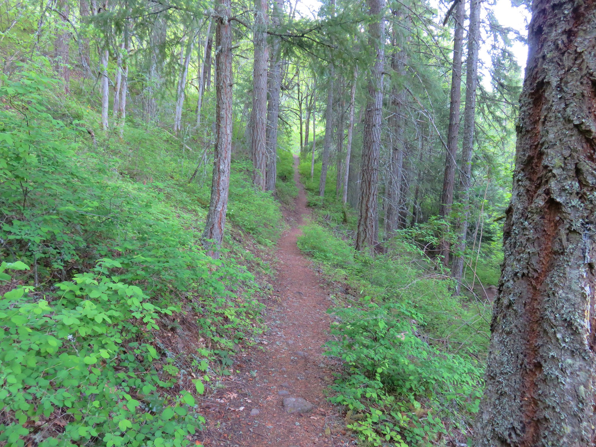
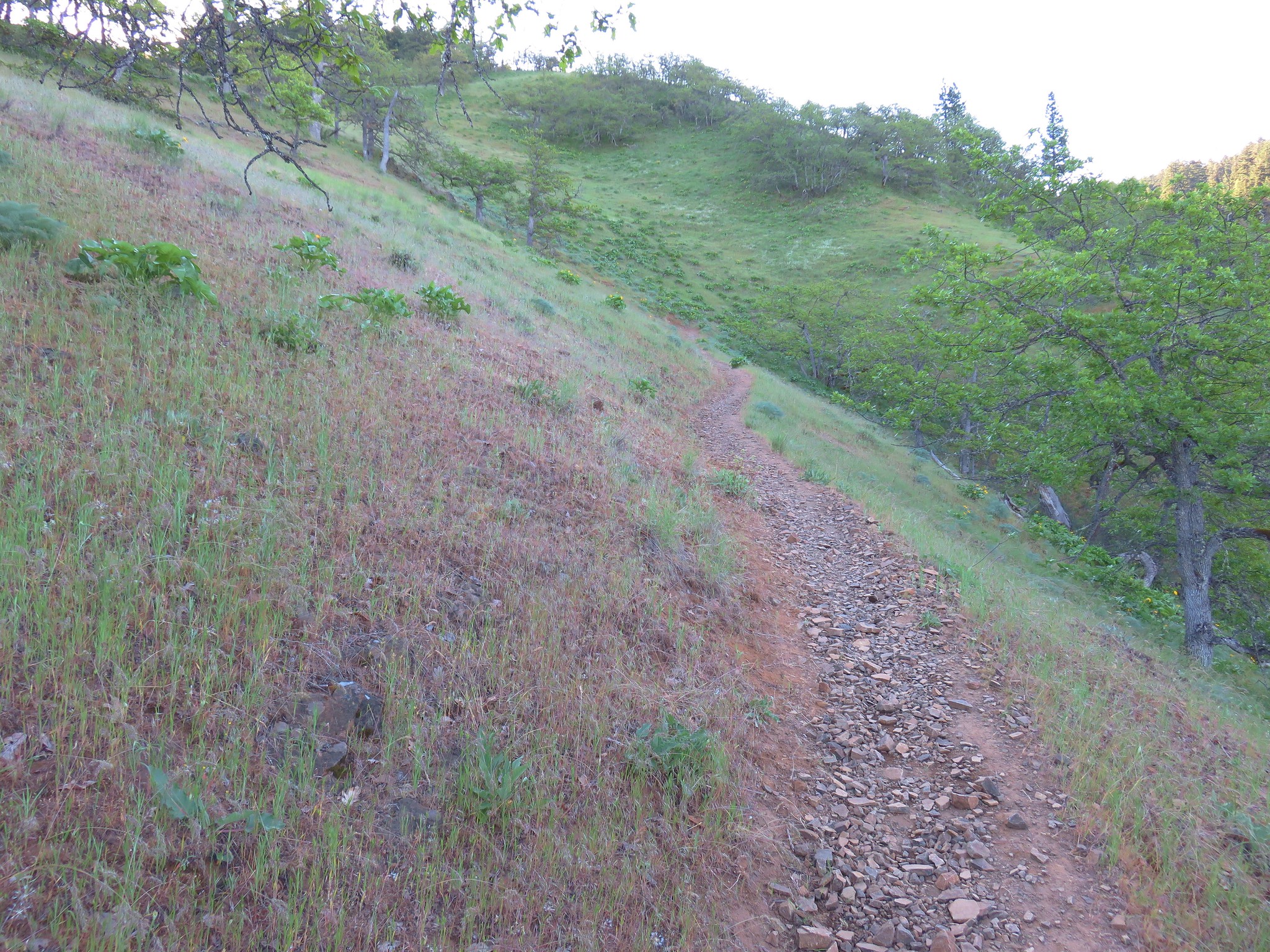
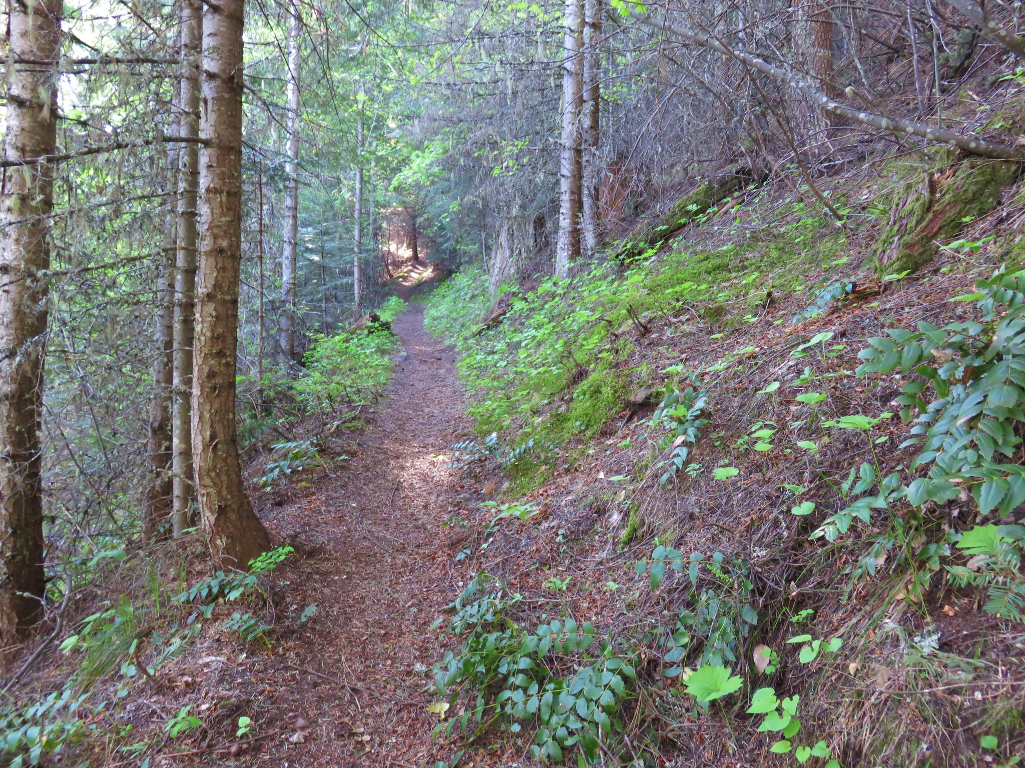
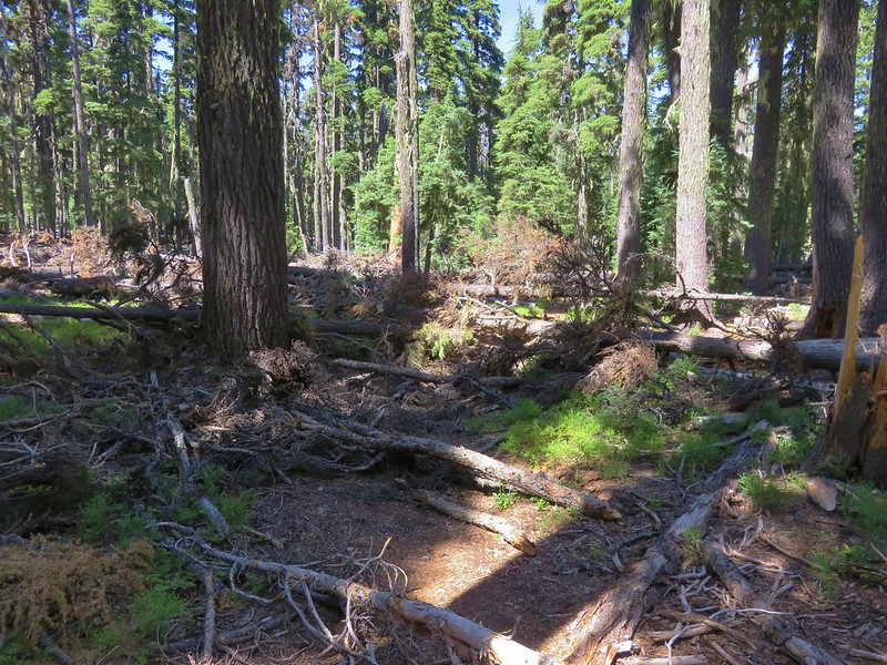
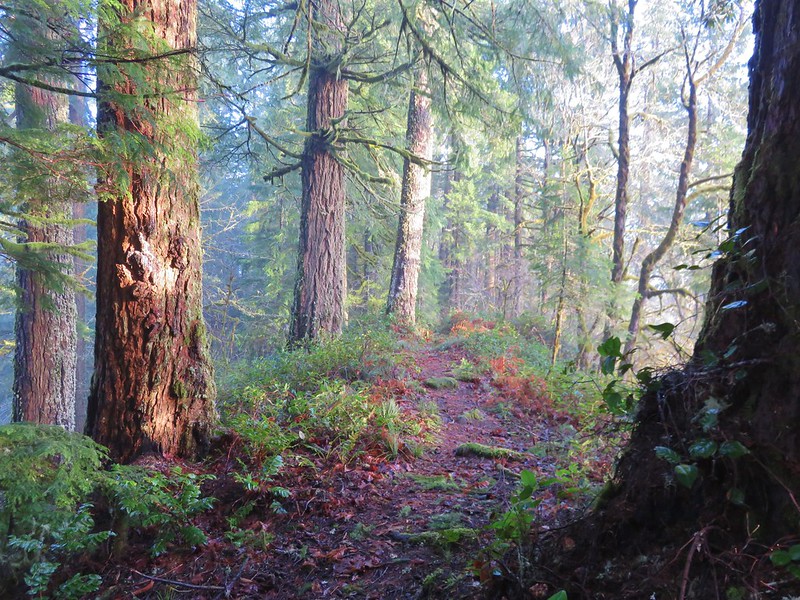
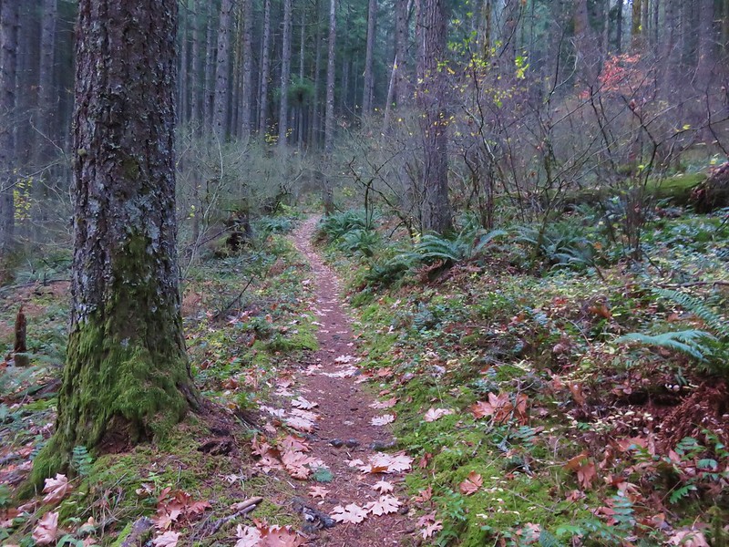
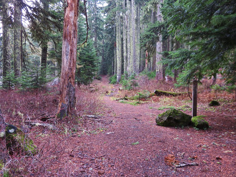
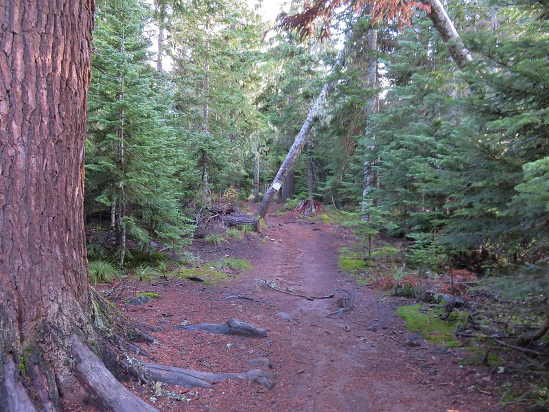
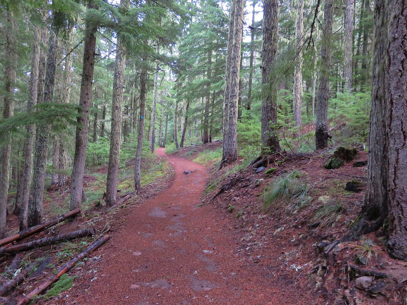
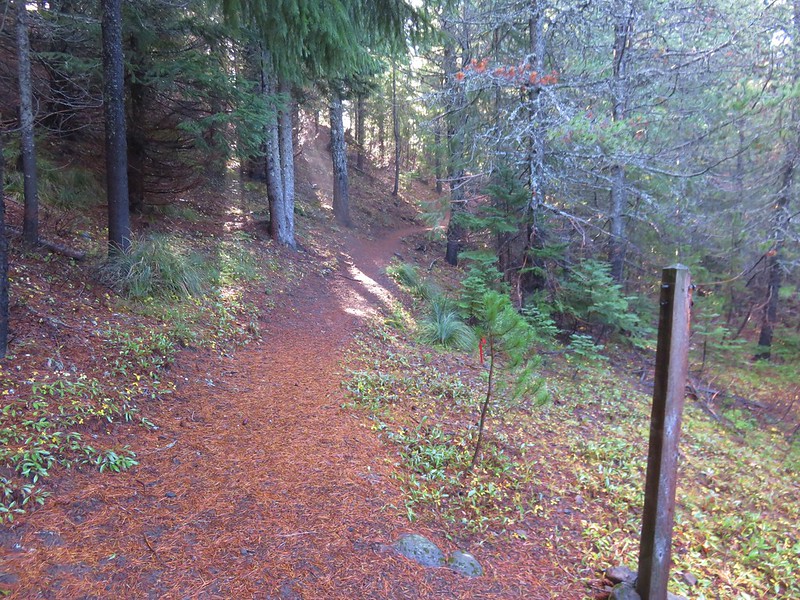
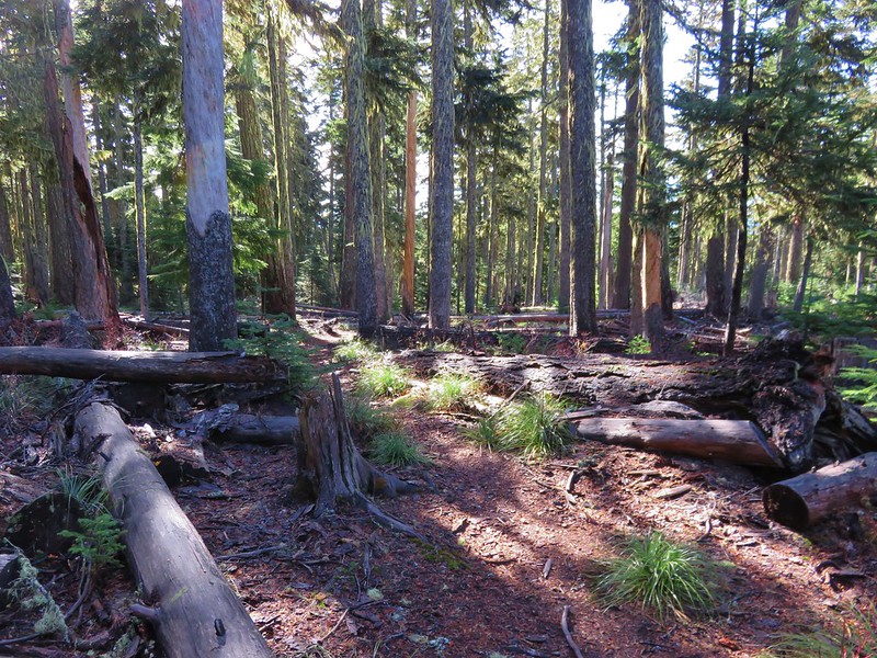
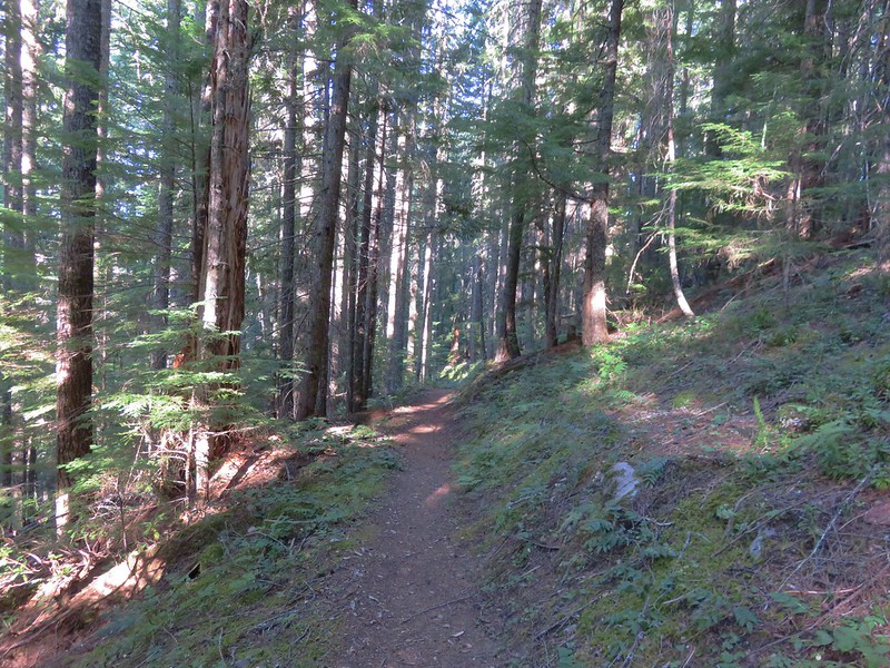
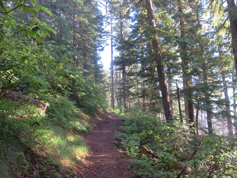
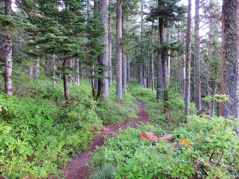
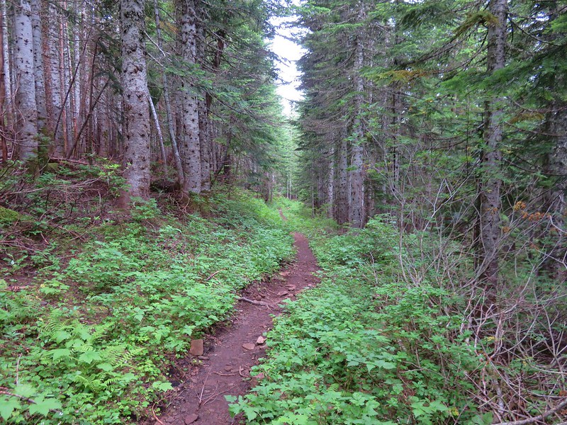
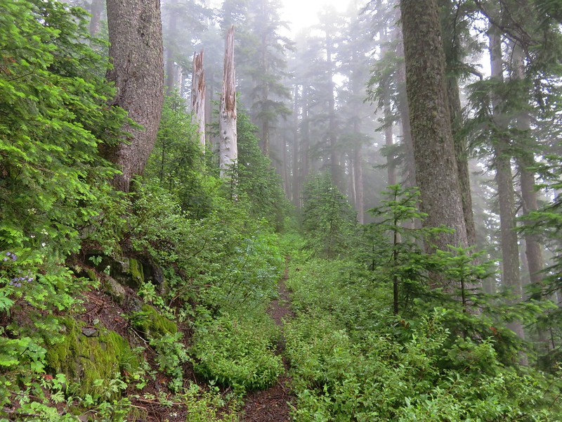
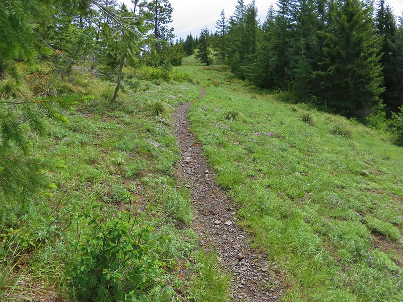
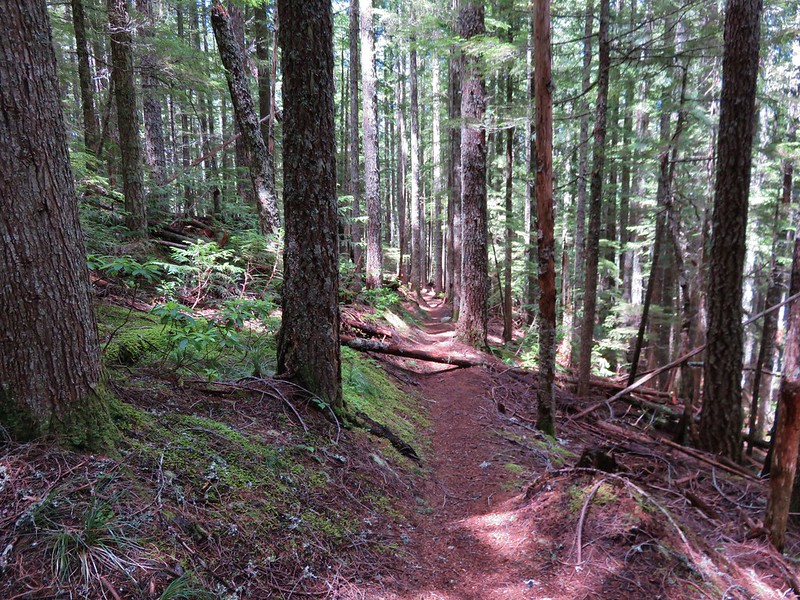
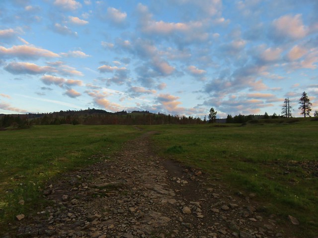
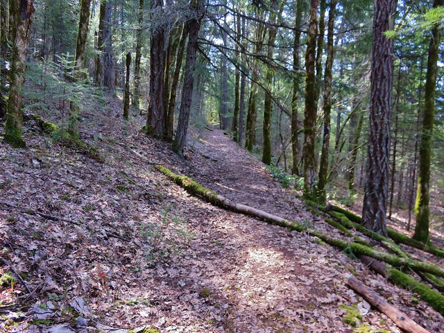
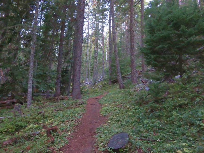
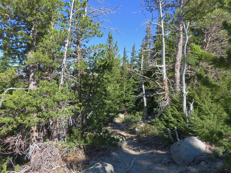
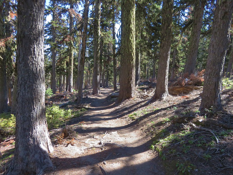
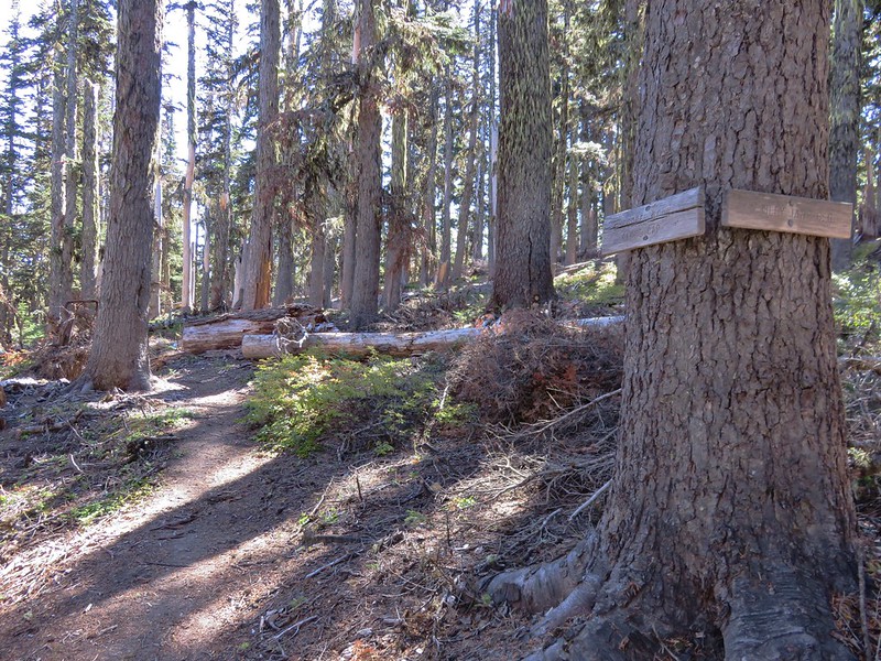
The trail headed uphill through the forest, reaching a junction after a half mile with the Polallie Ridge Trail which we would be taking as part of our return route.
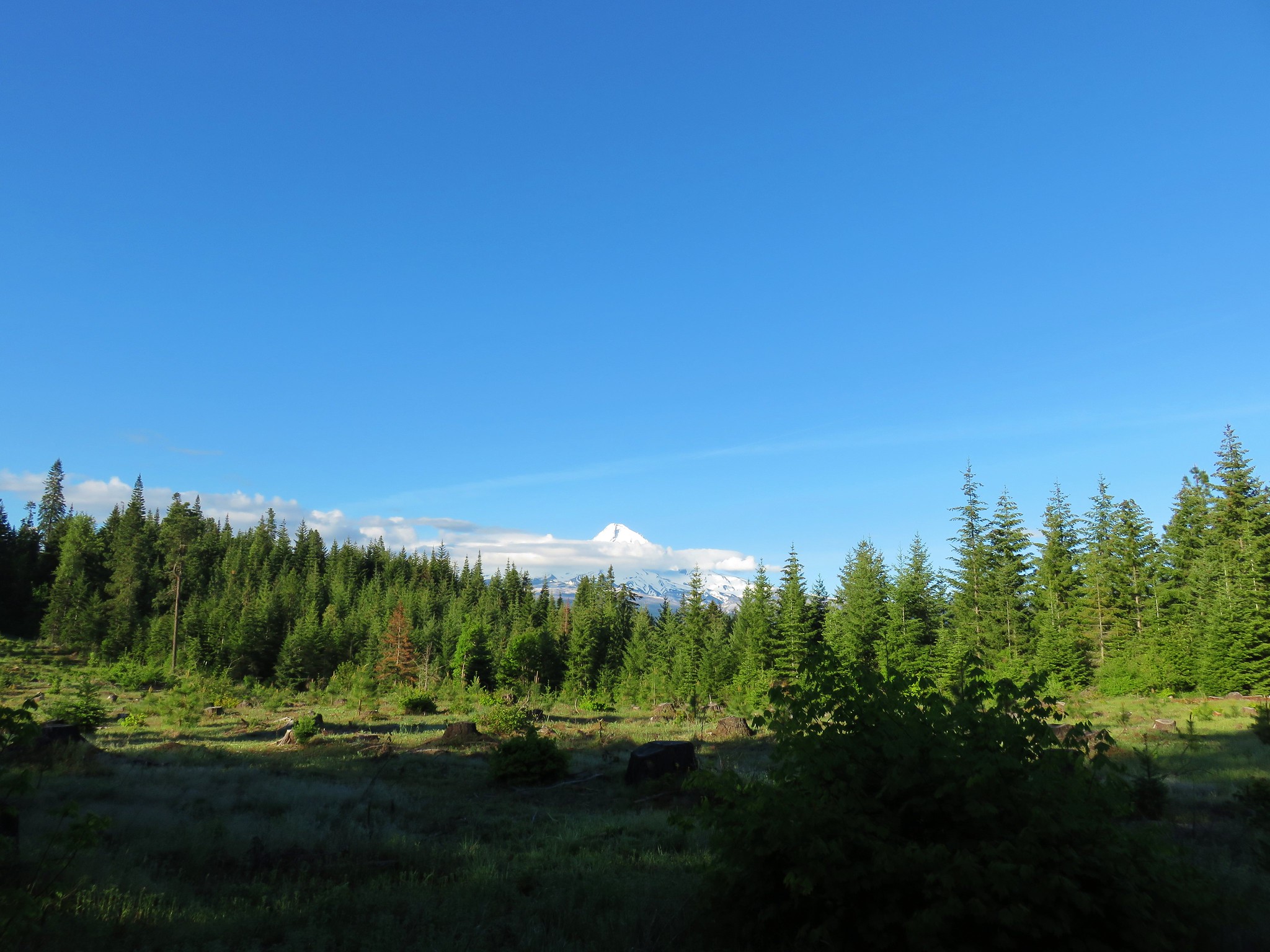
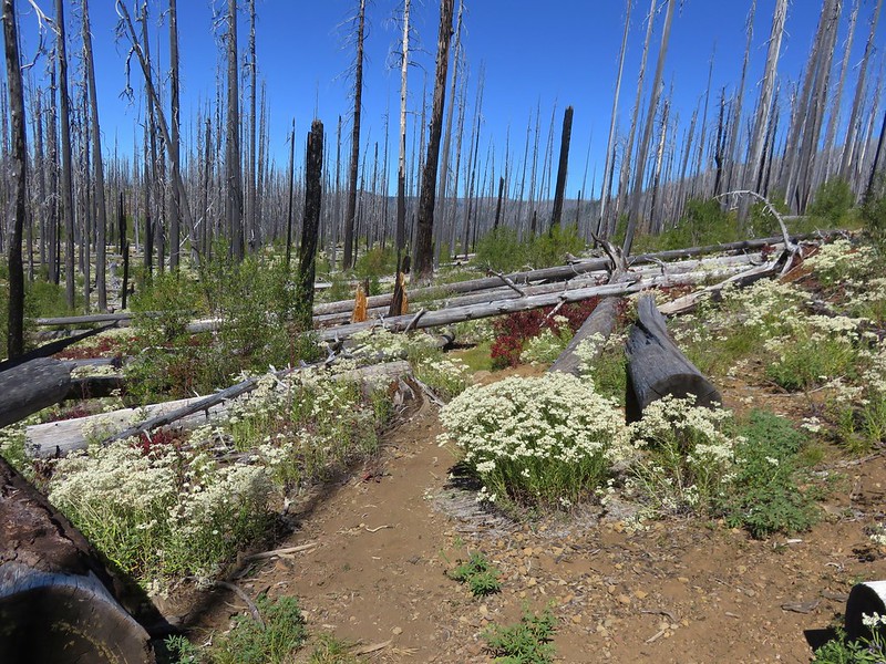
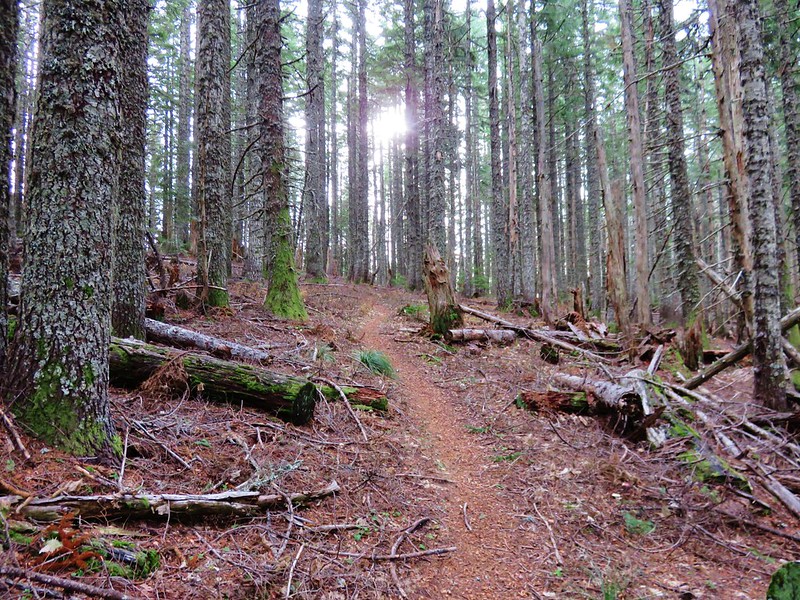
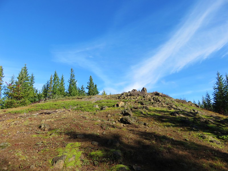
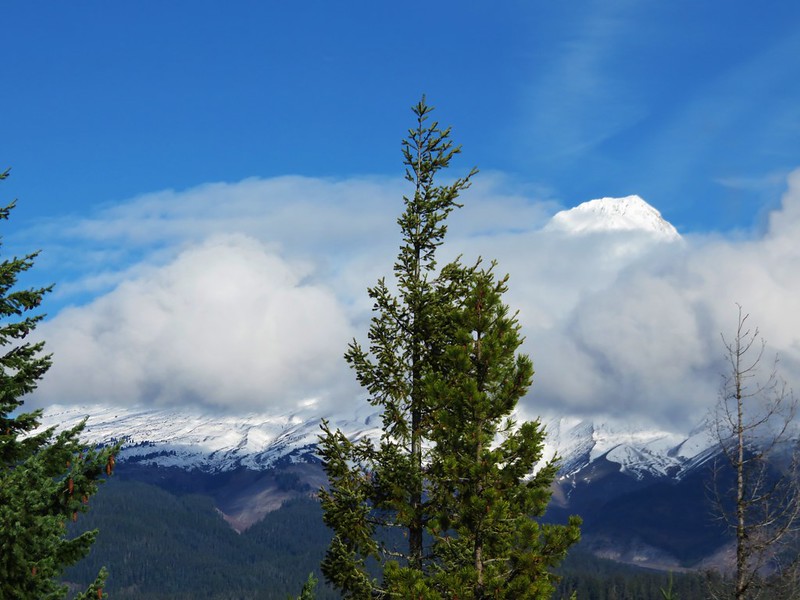
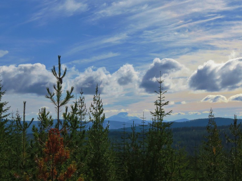
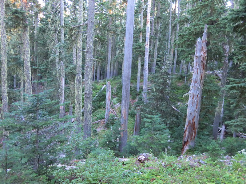
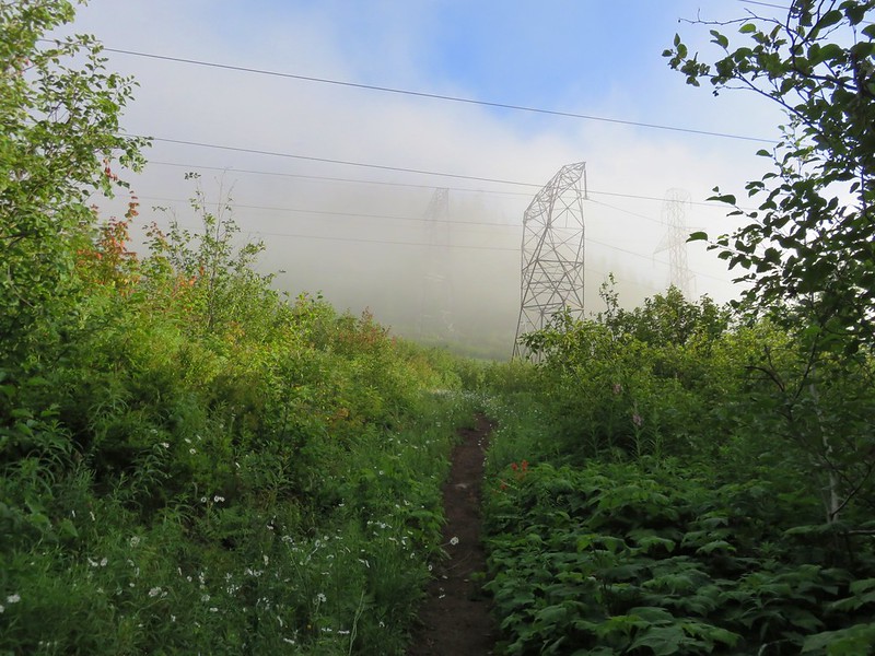
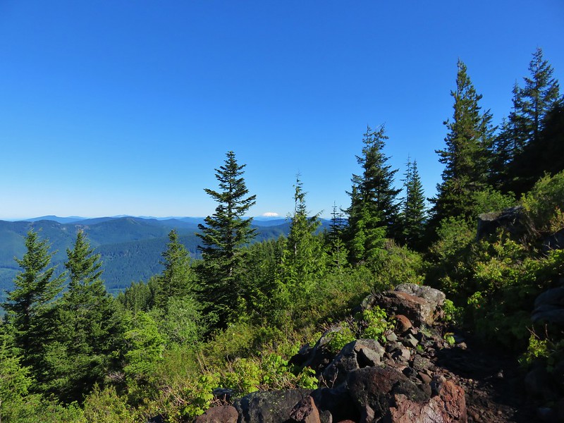
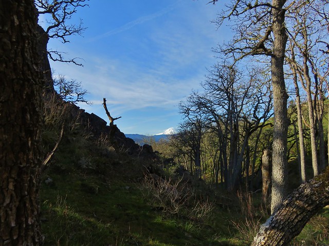
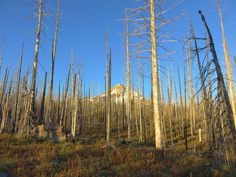
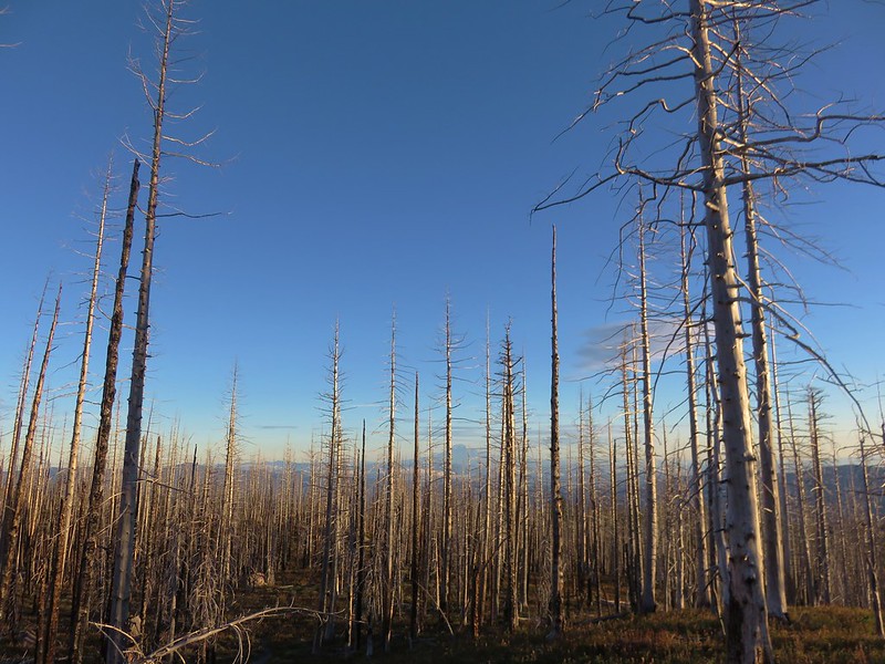
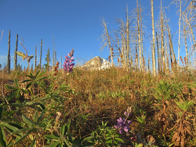
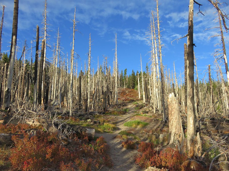
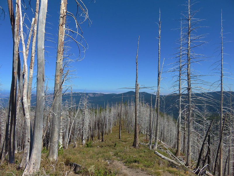
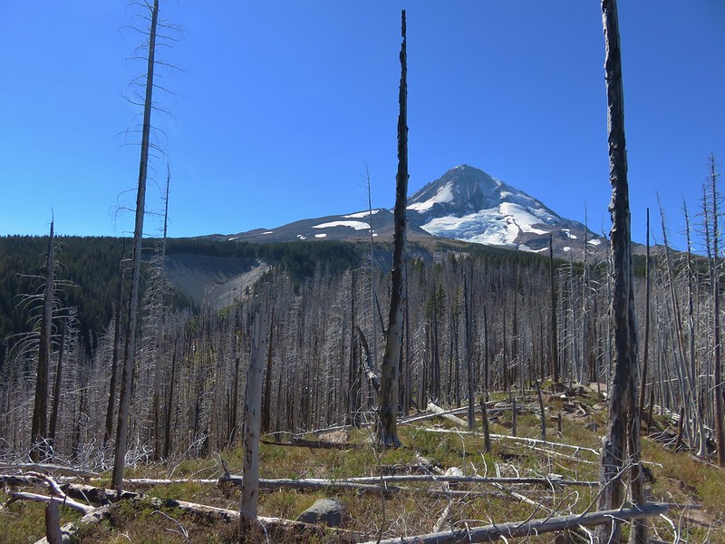
The trail climbed very steadily and soon entered forest burned in the 2011 Dollar Lake Fire.
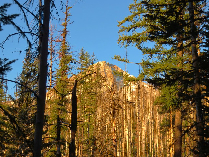
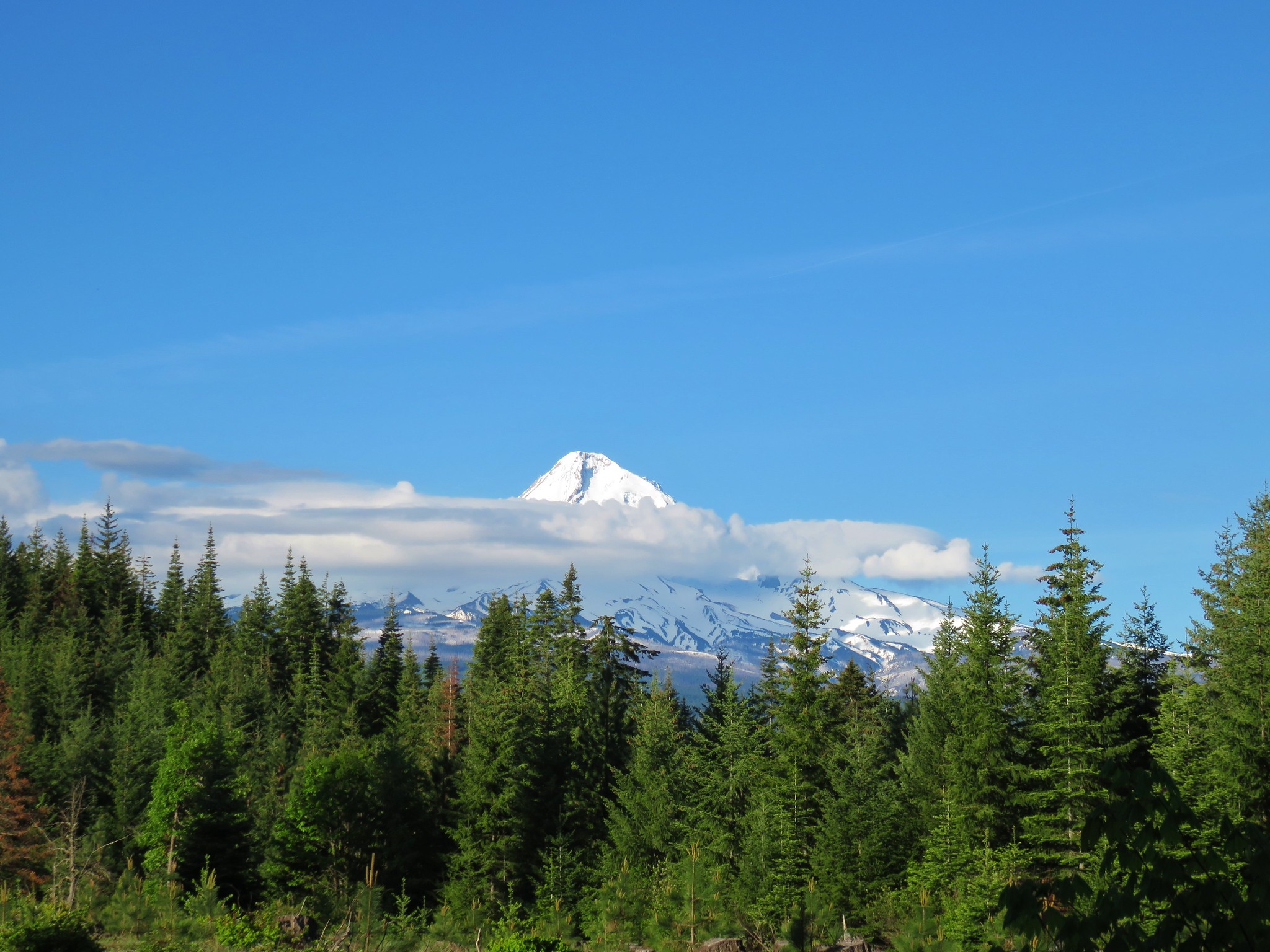
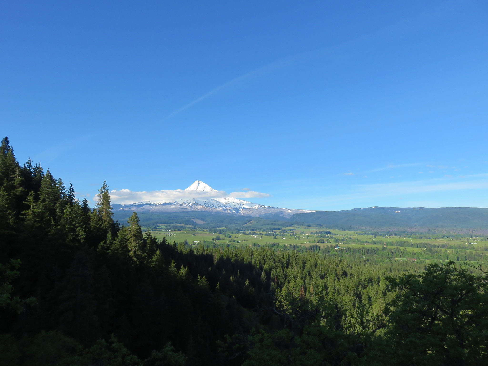
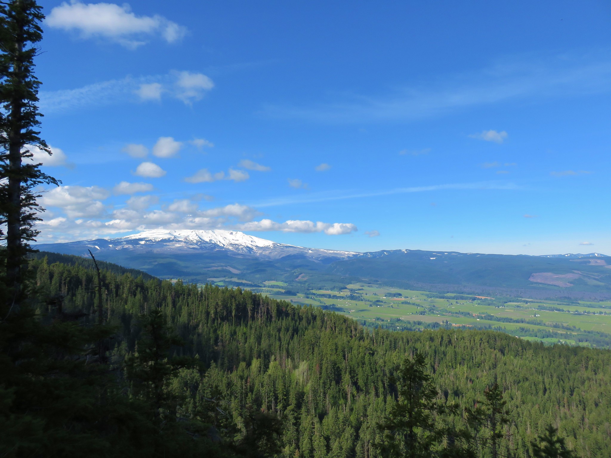
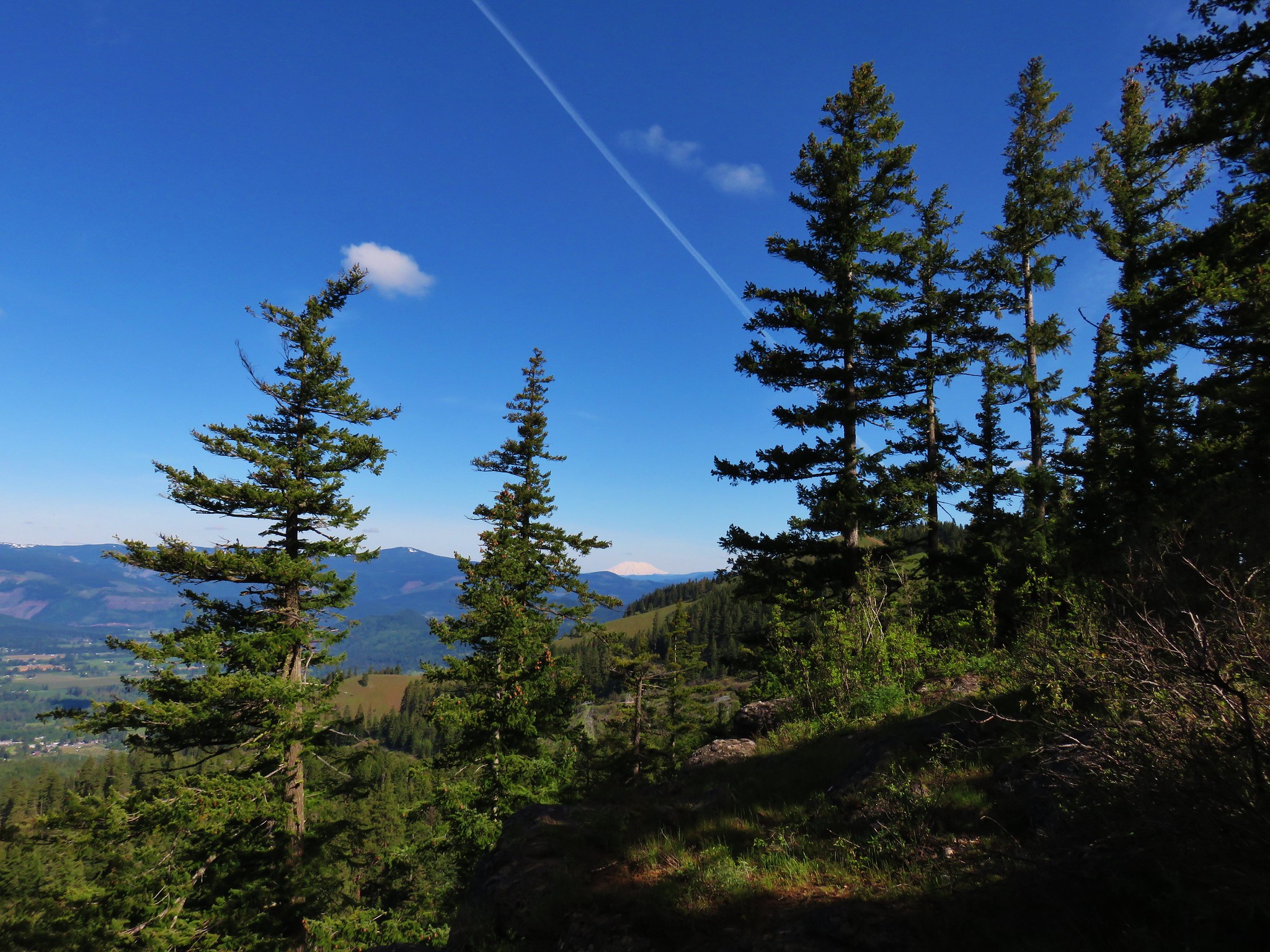
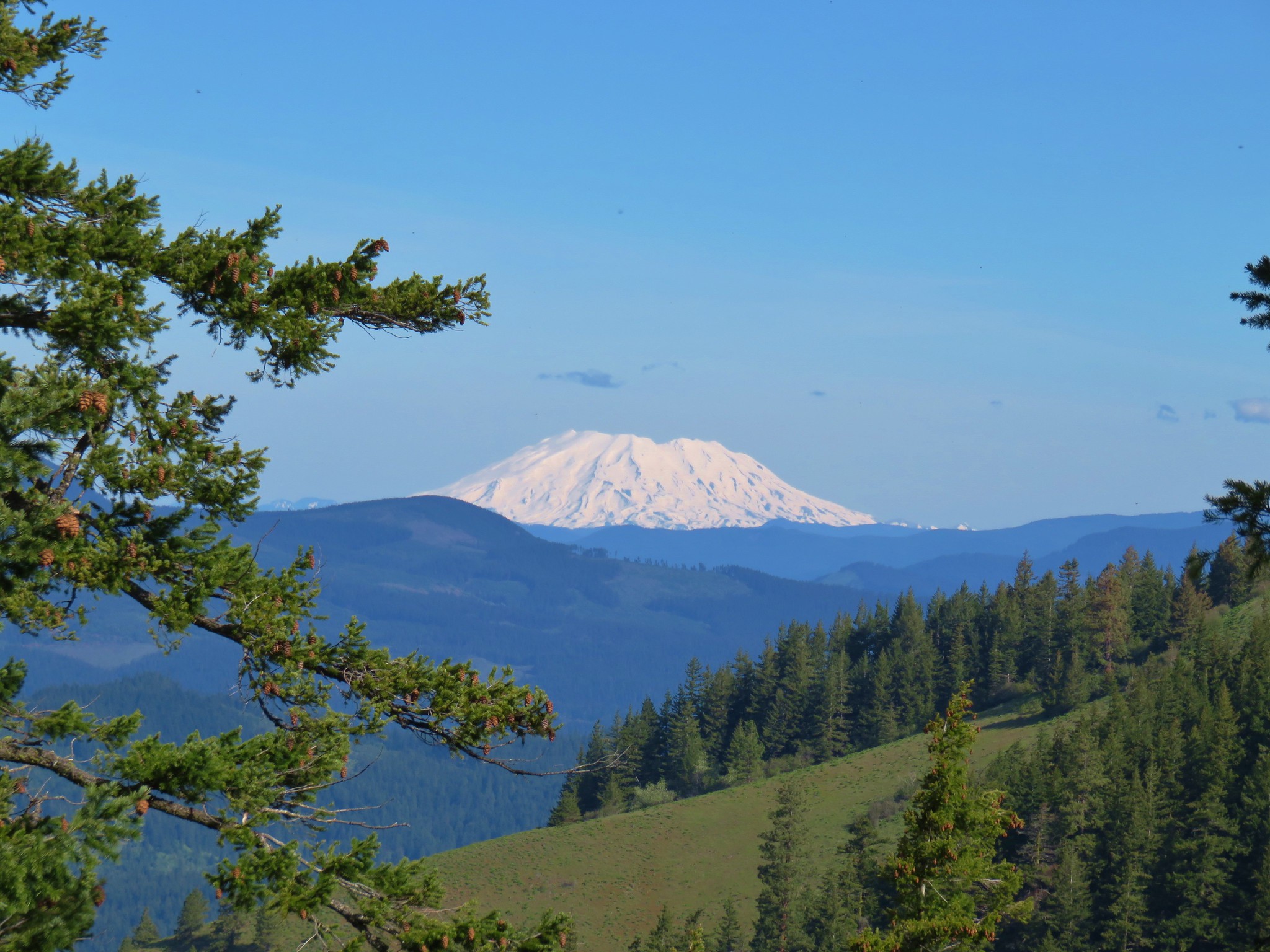
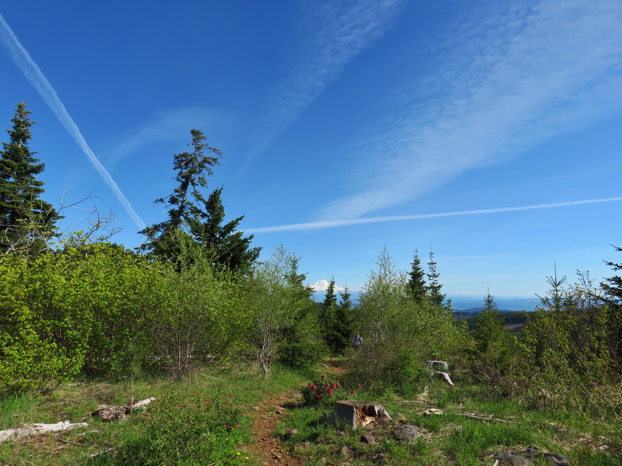
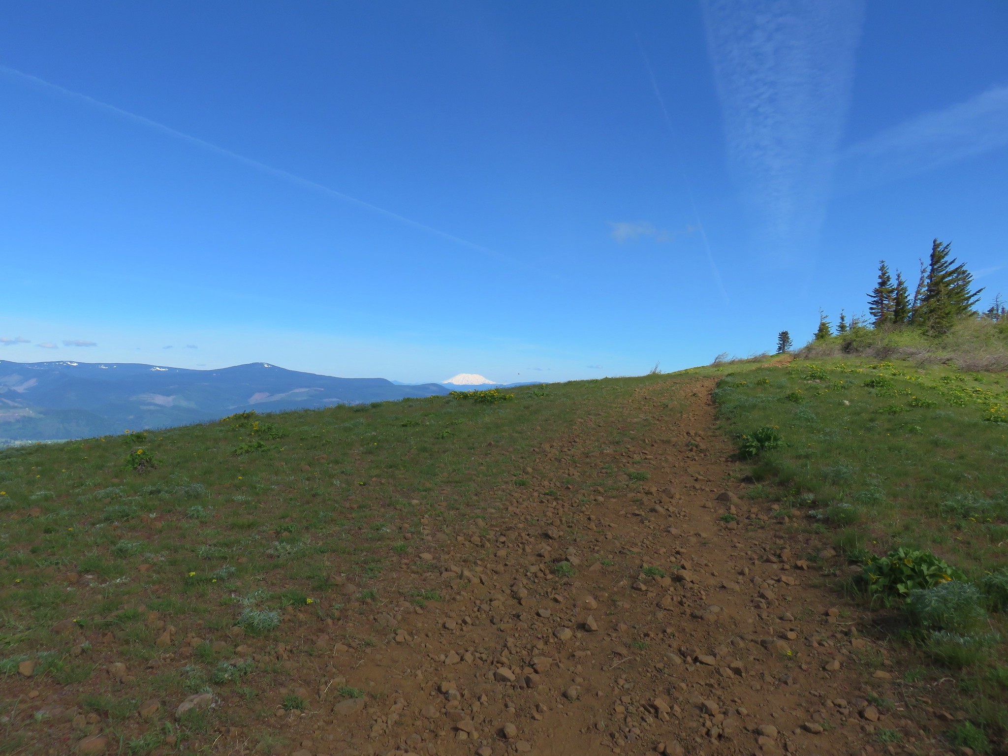
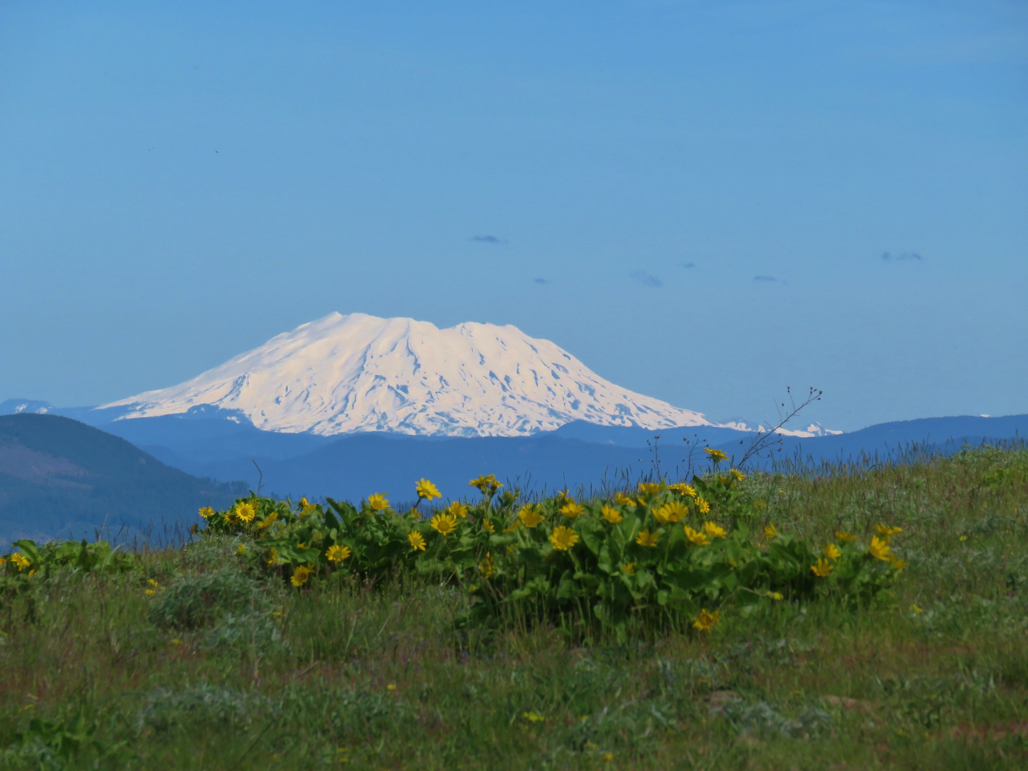
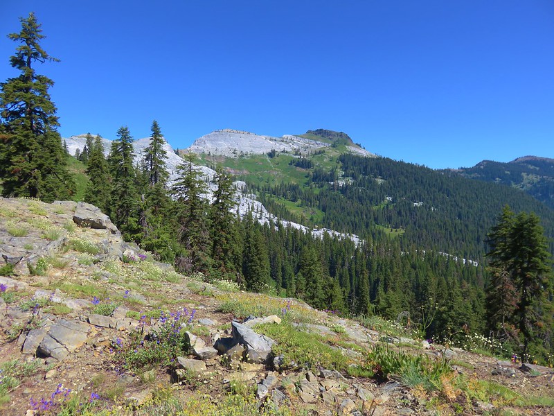
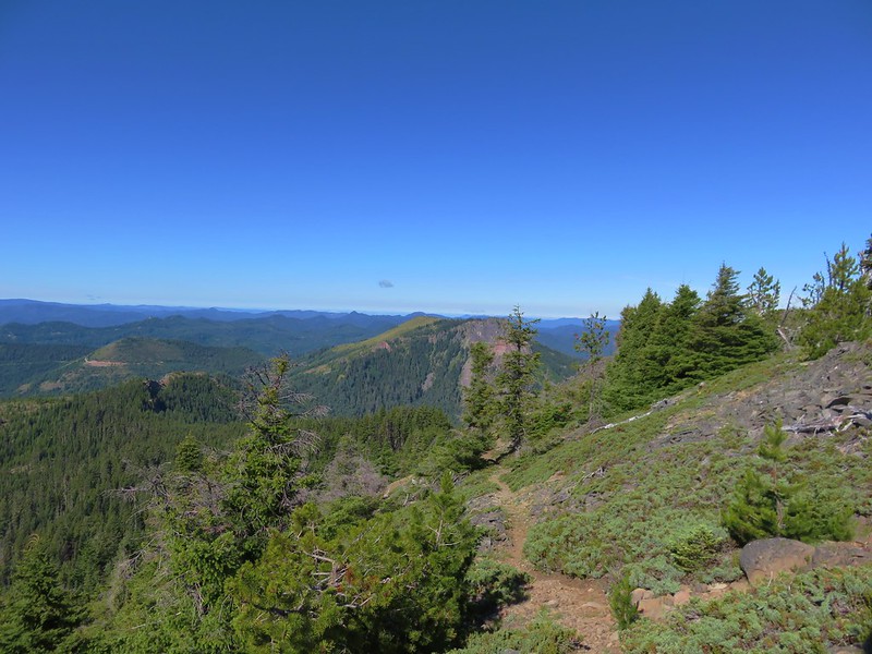
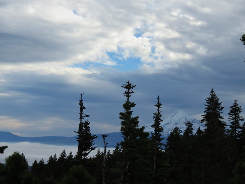
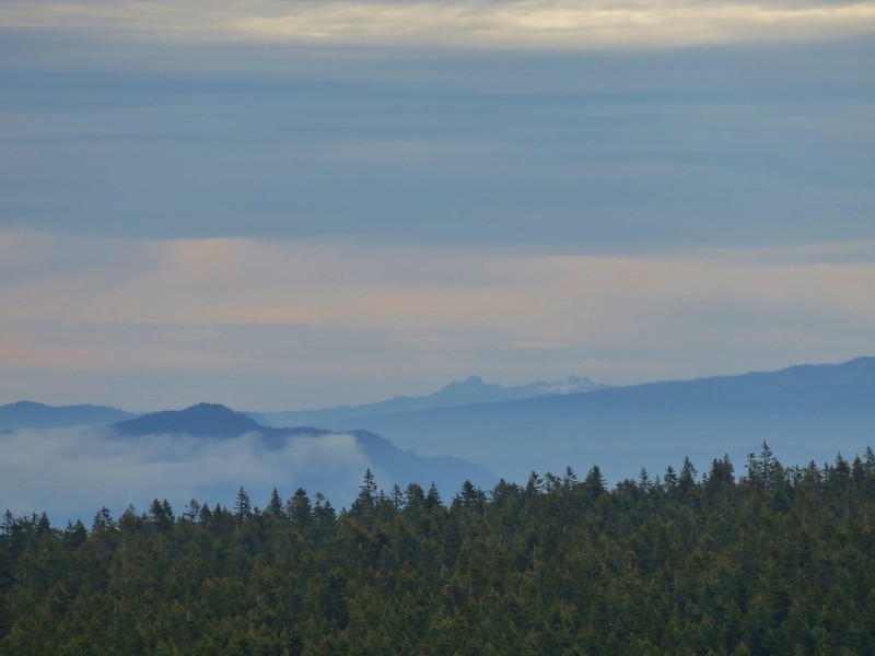
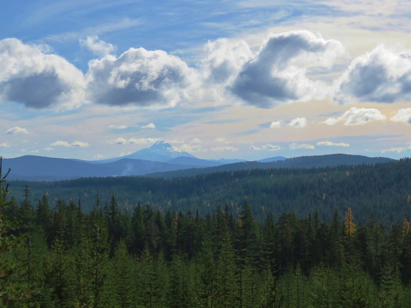
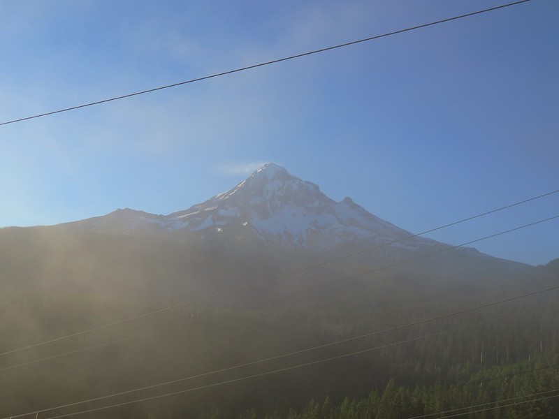
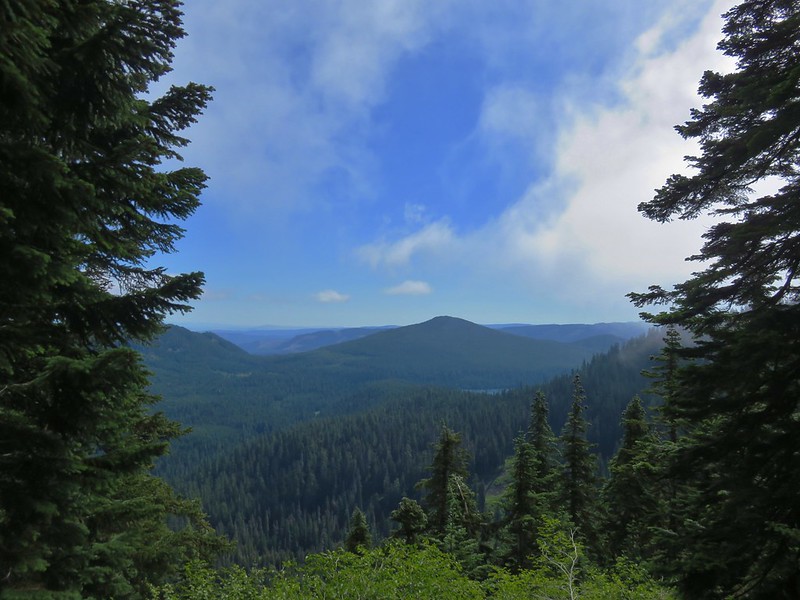
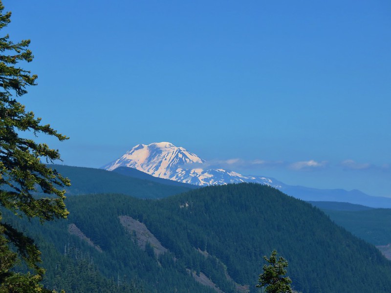
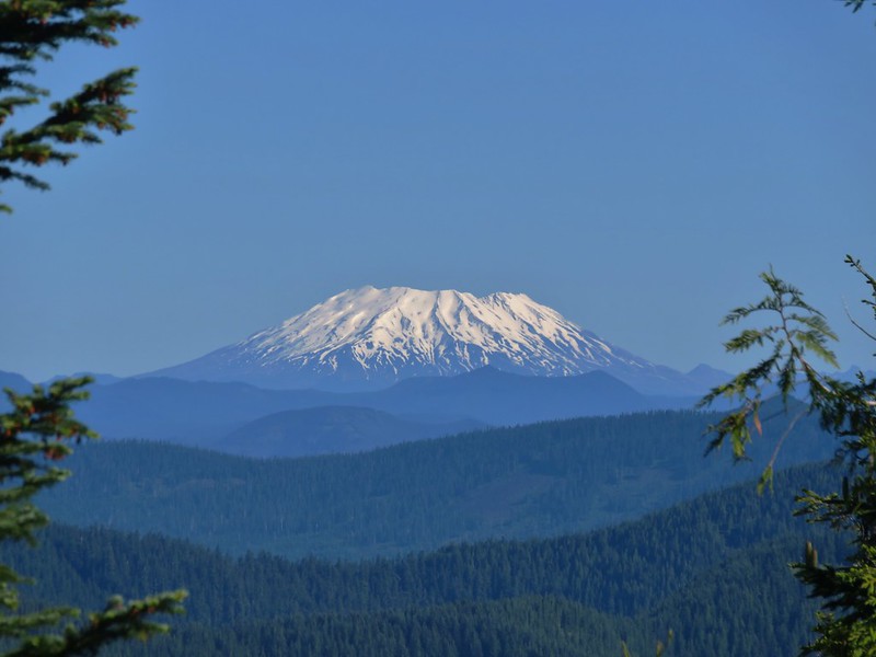
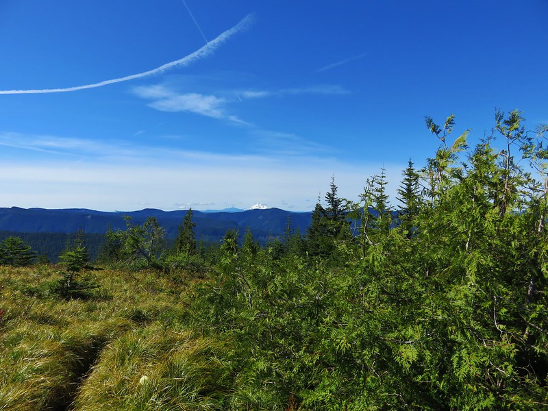
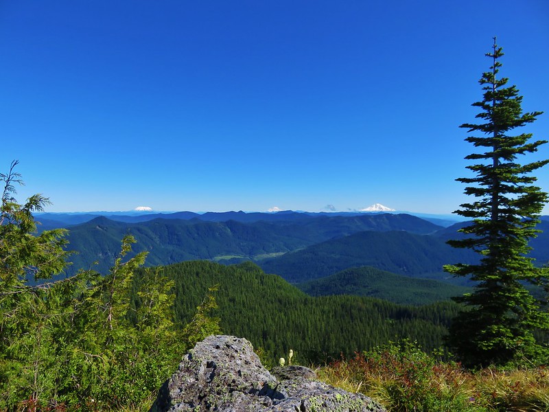
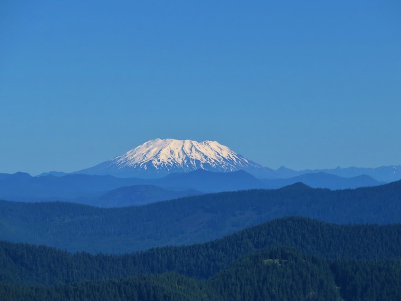
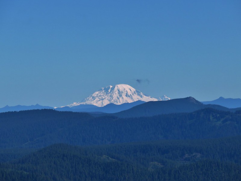
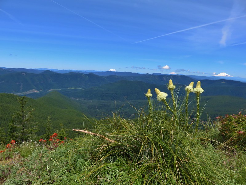
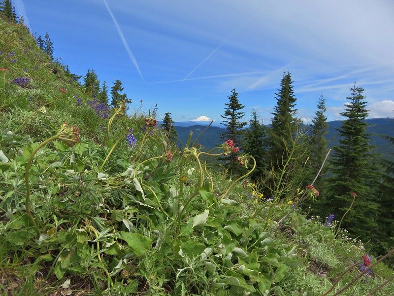
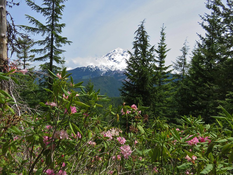
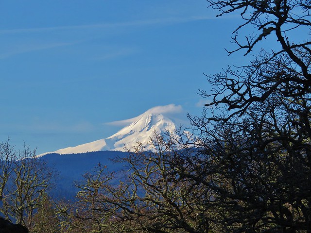
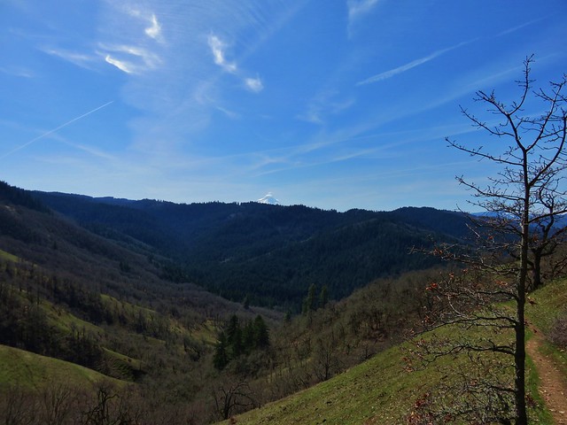
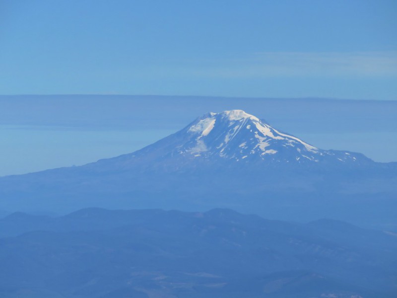
The burnt trees allowed for some nice views of not only Mt. Hood but also Mt. Adams, Mt. Rainier, and Mt. St. Helens in Washington.
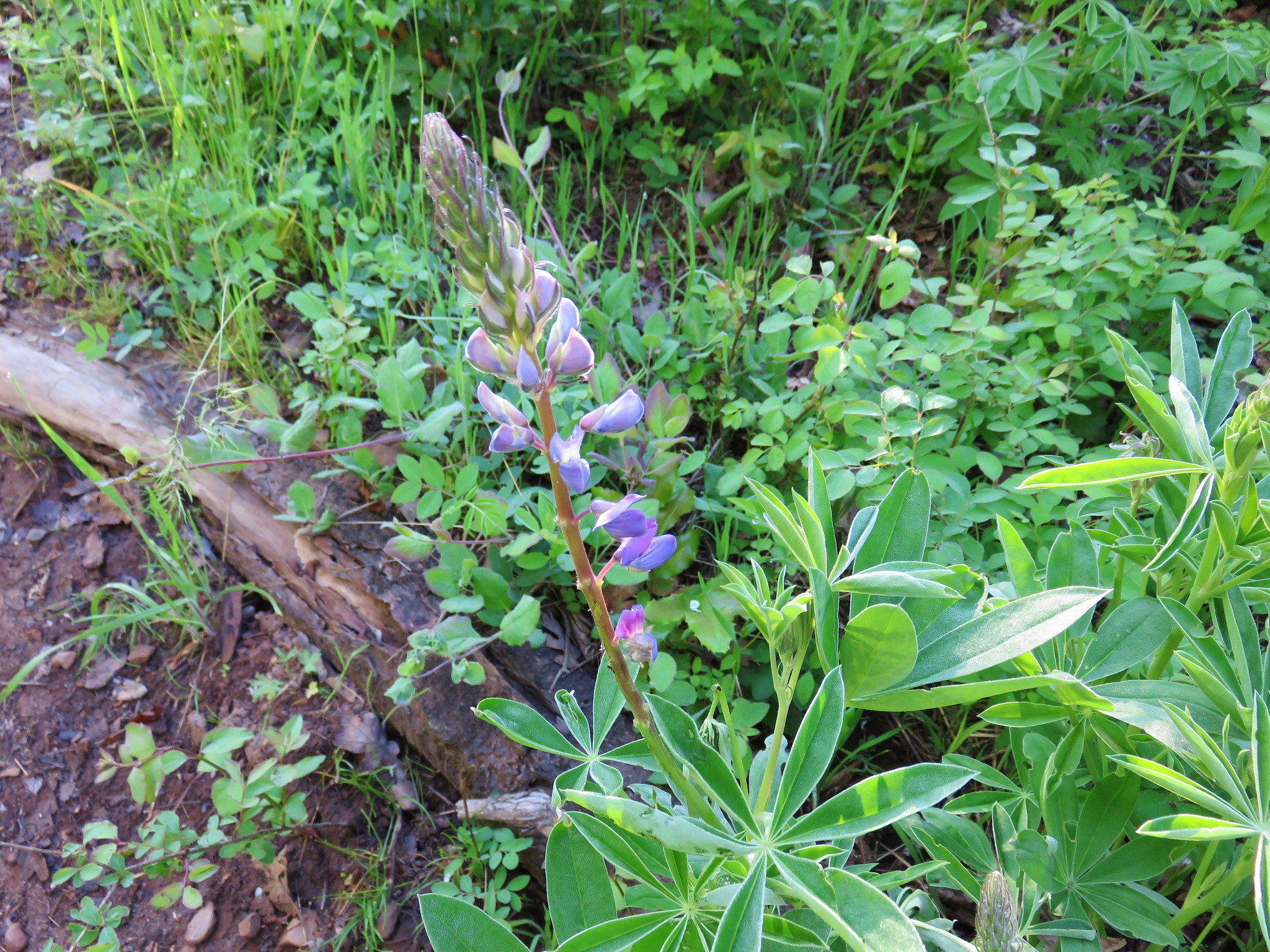
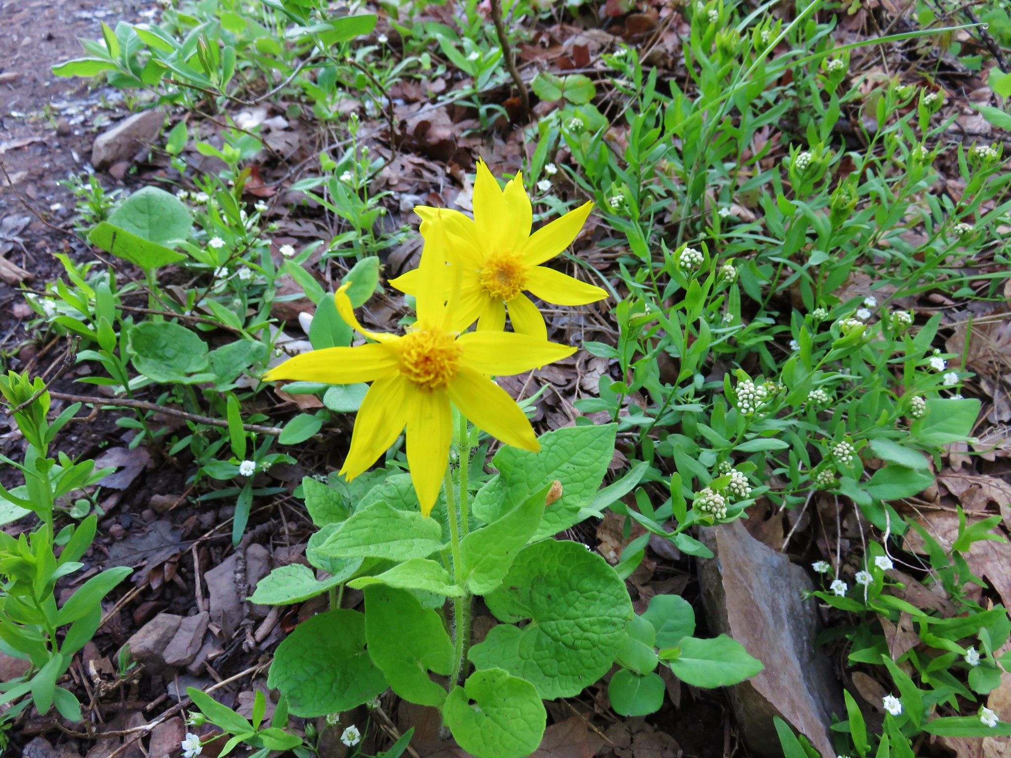
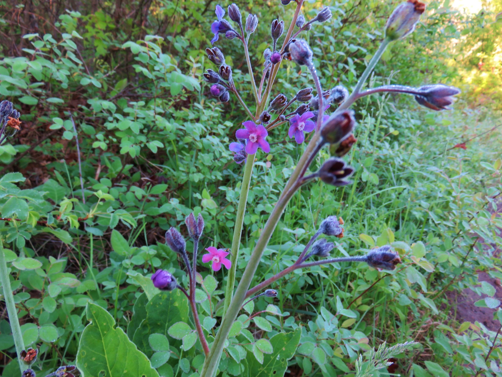
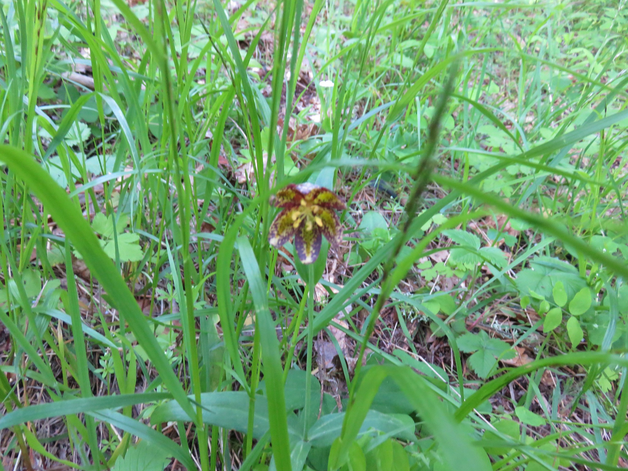
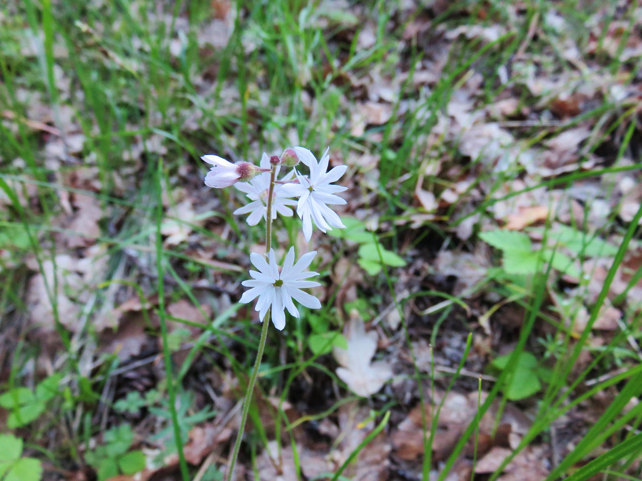
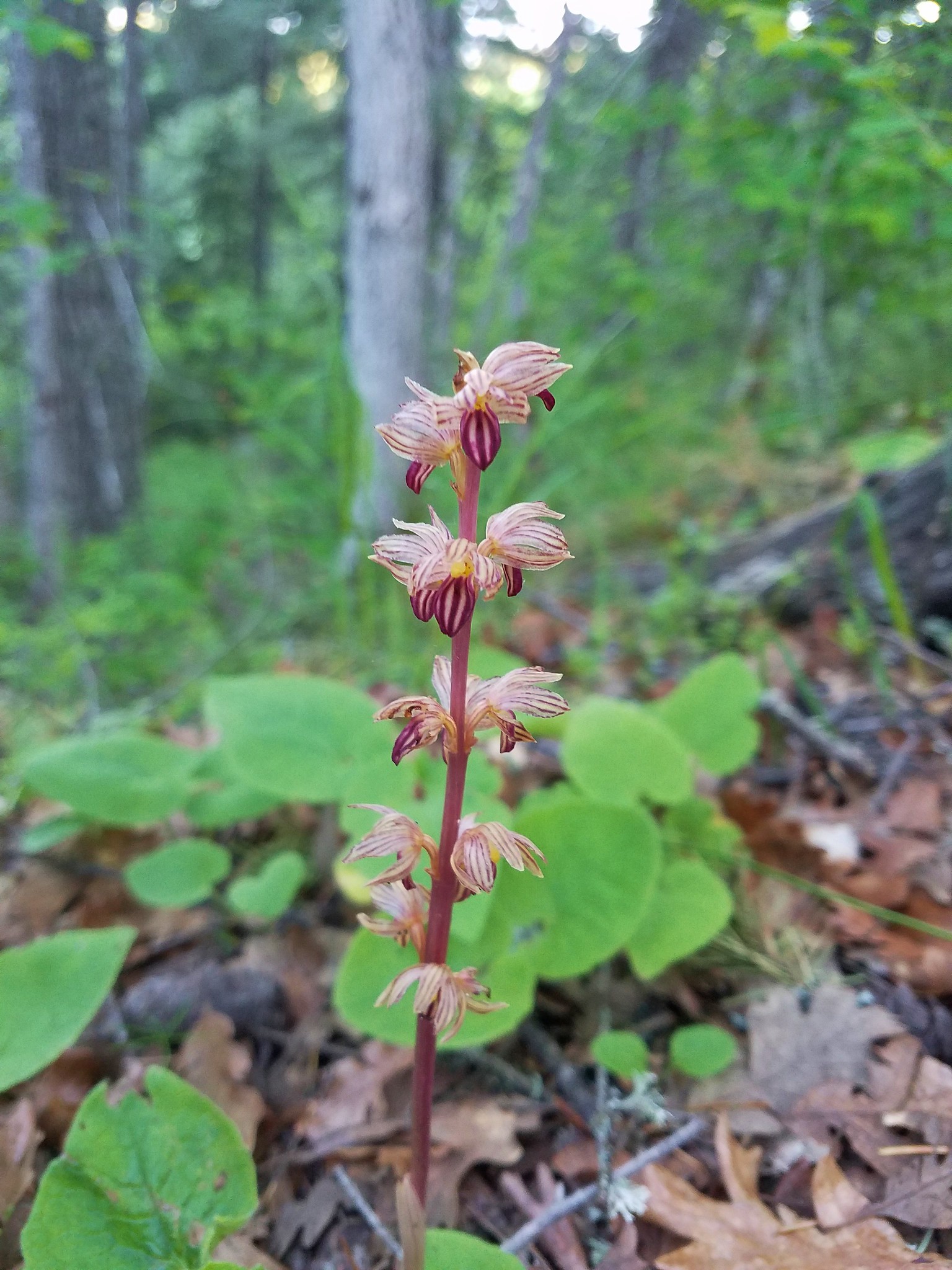
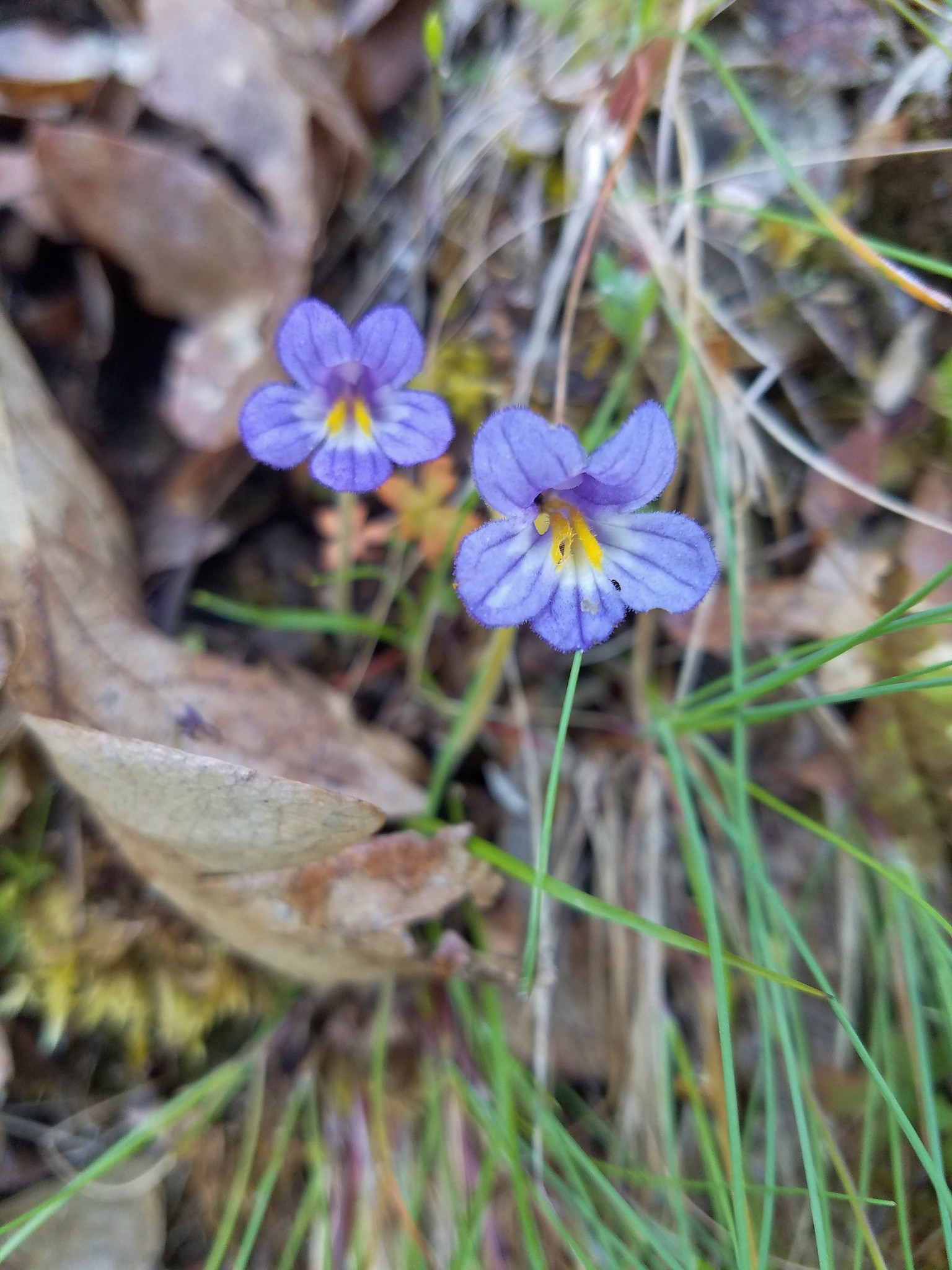
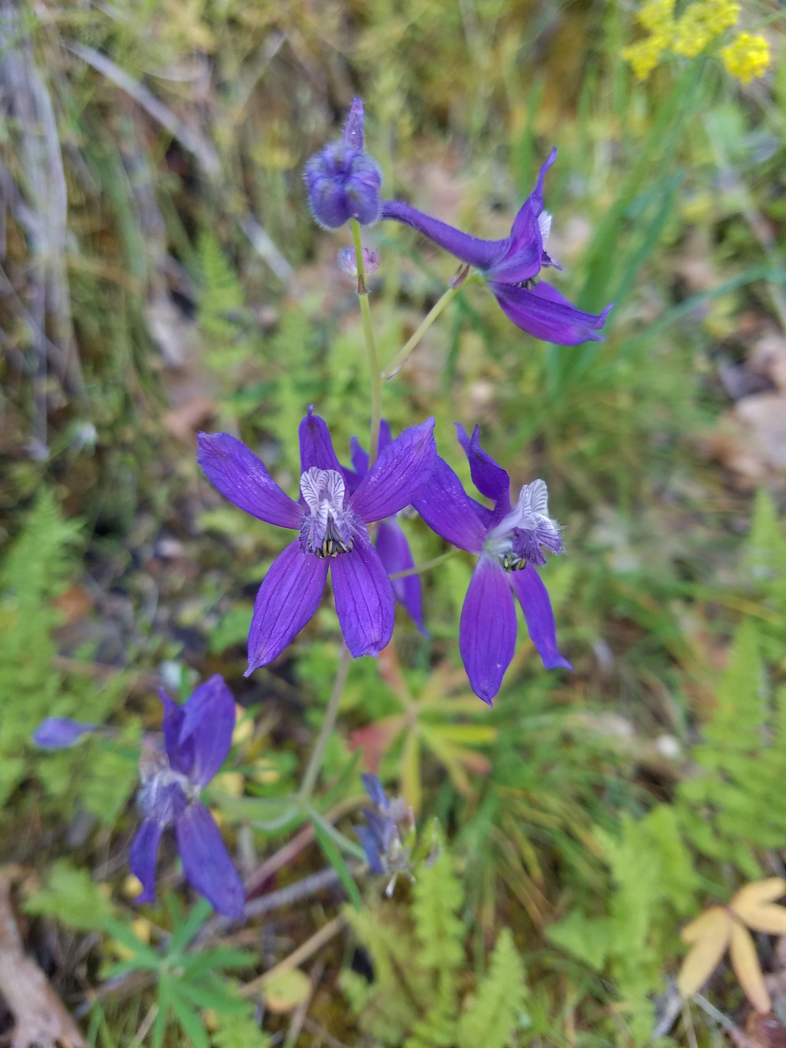
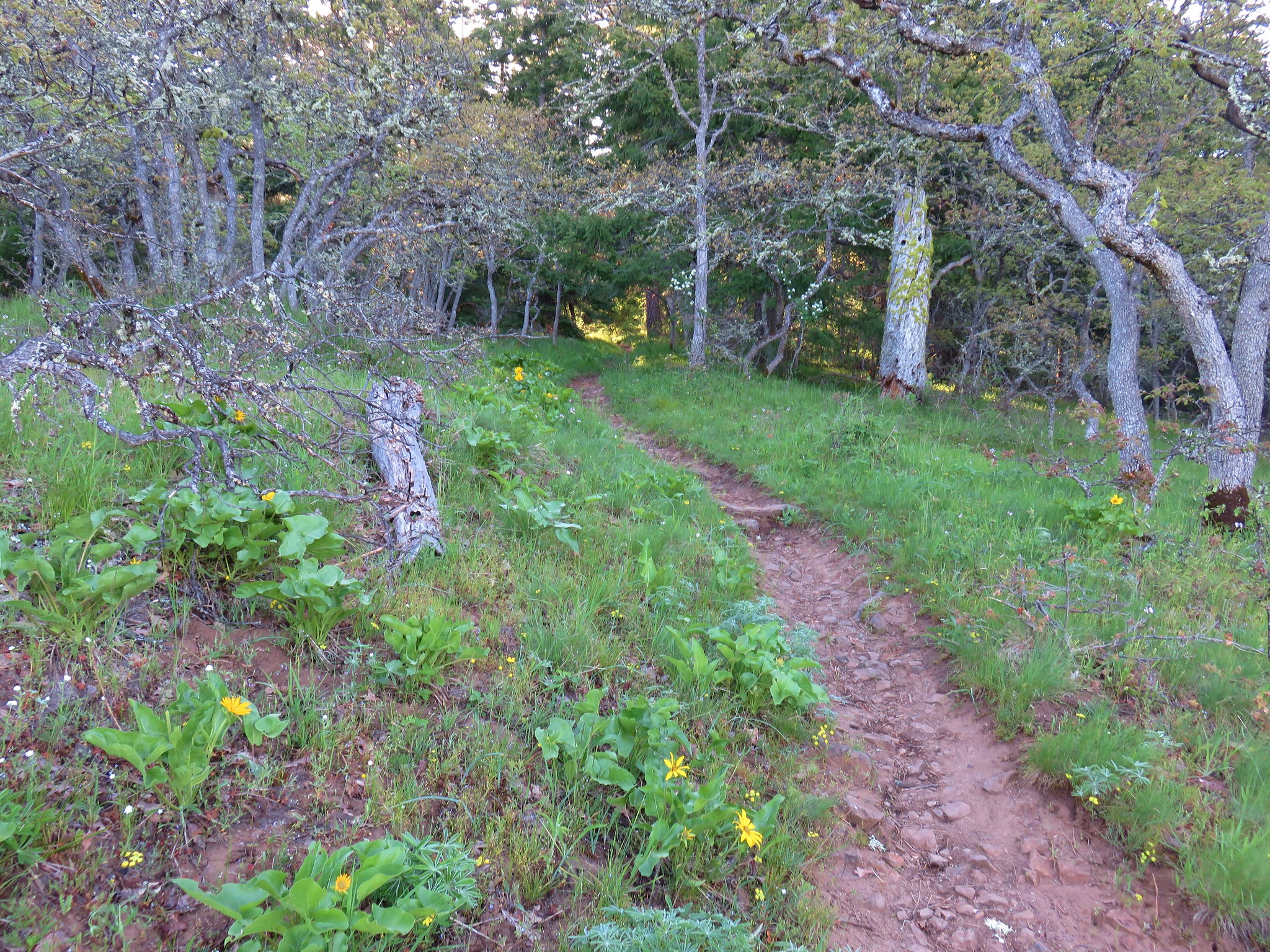
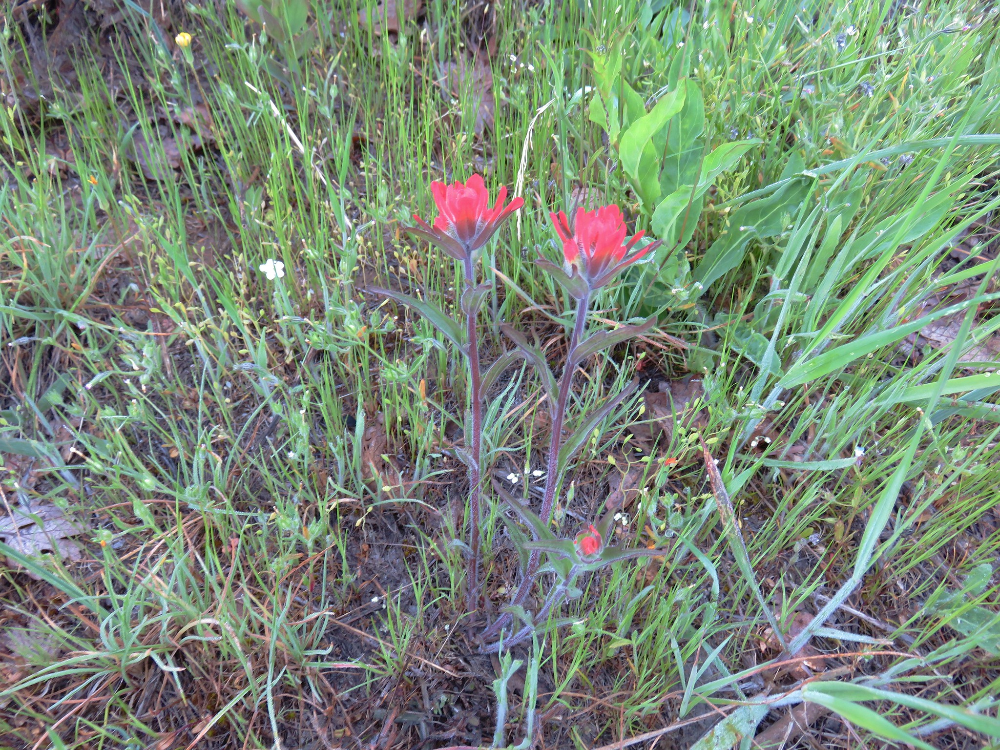
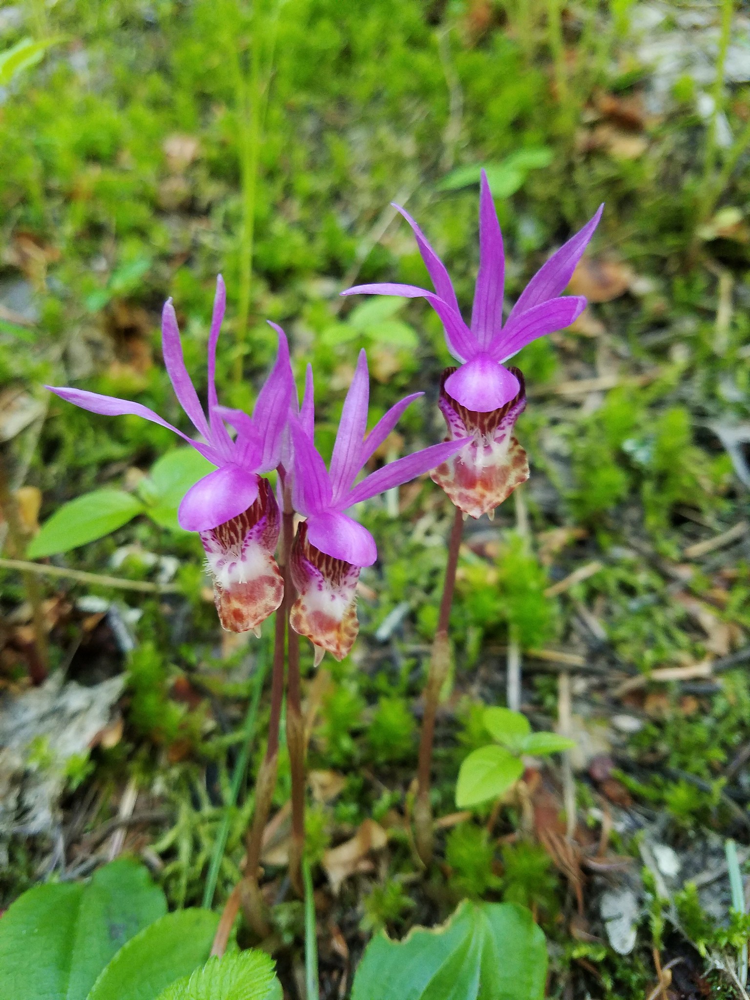
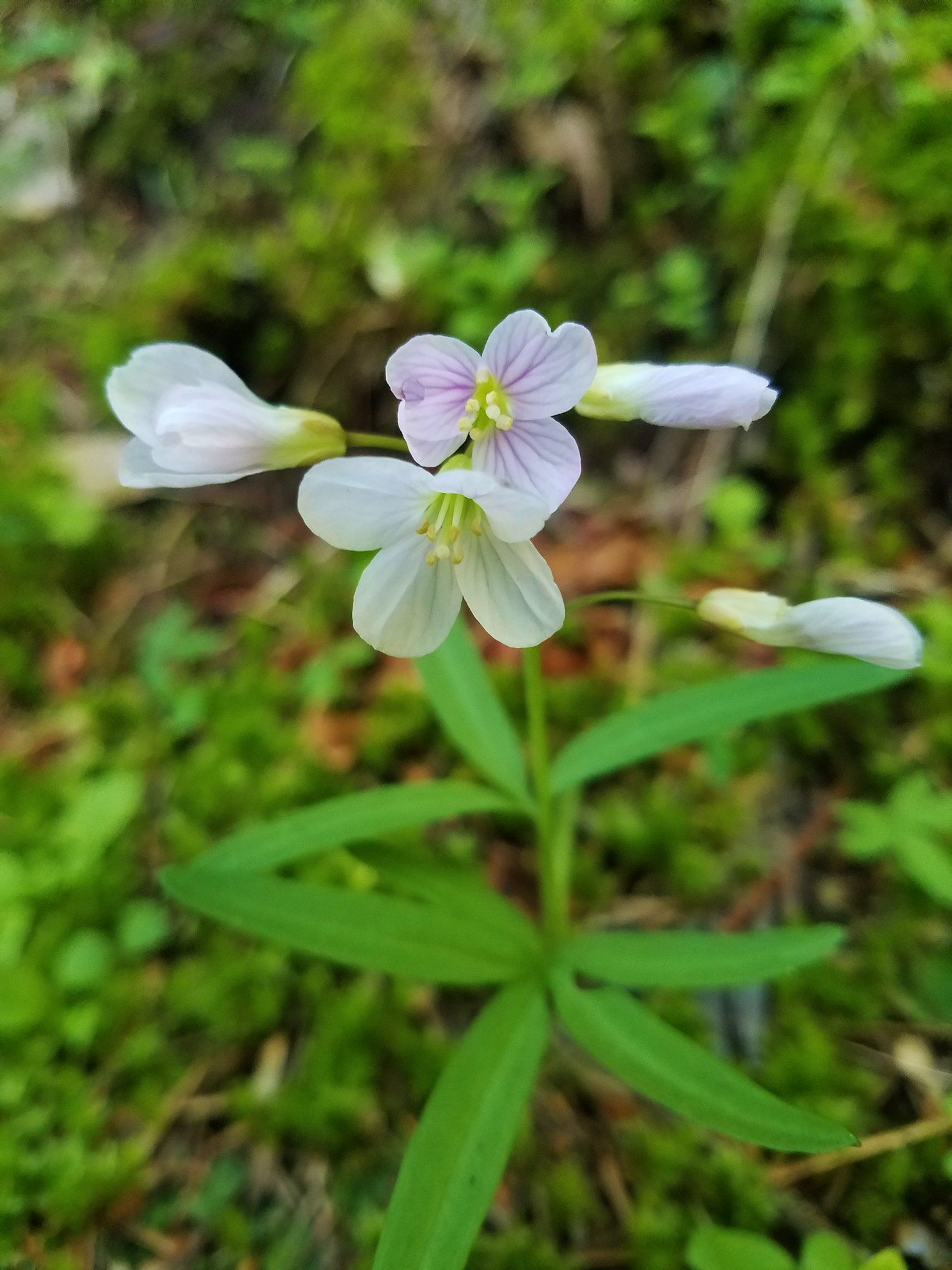
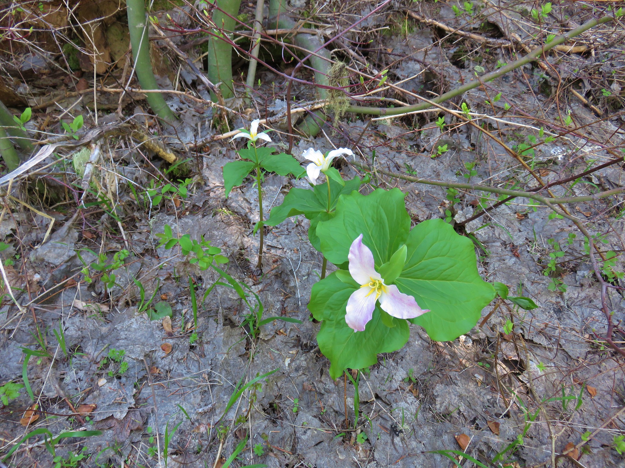
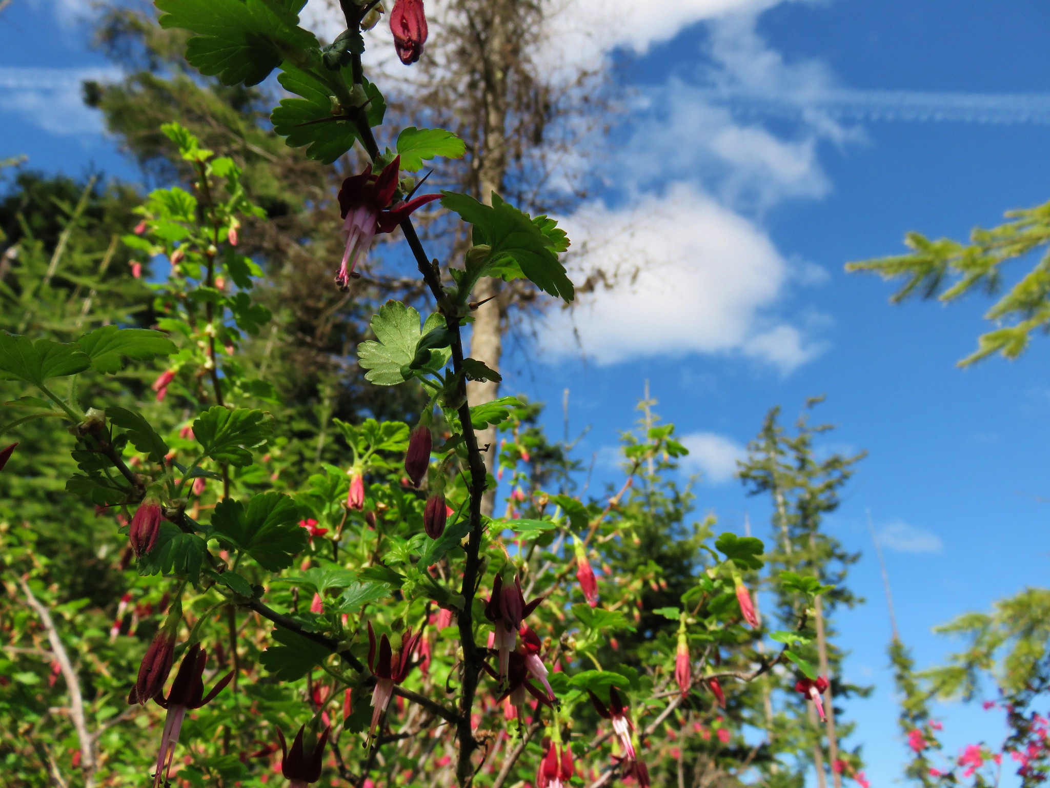
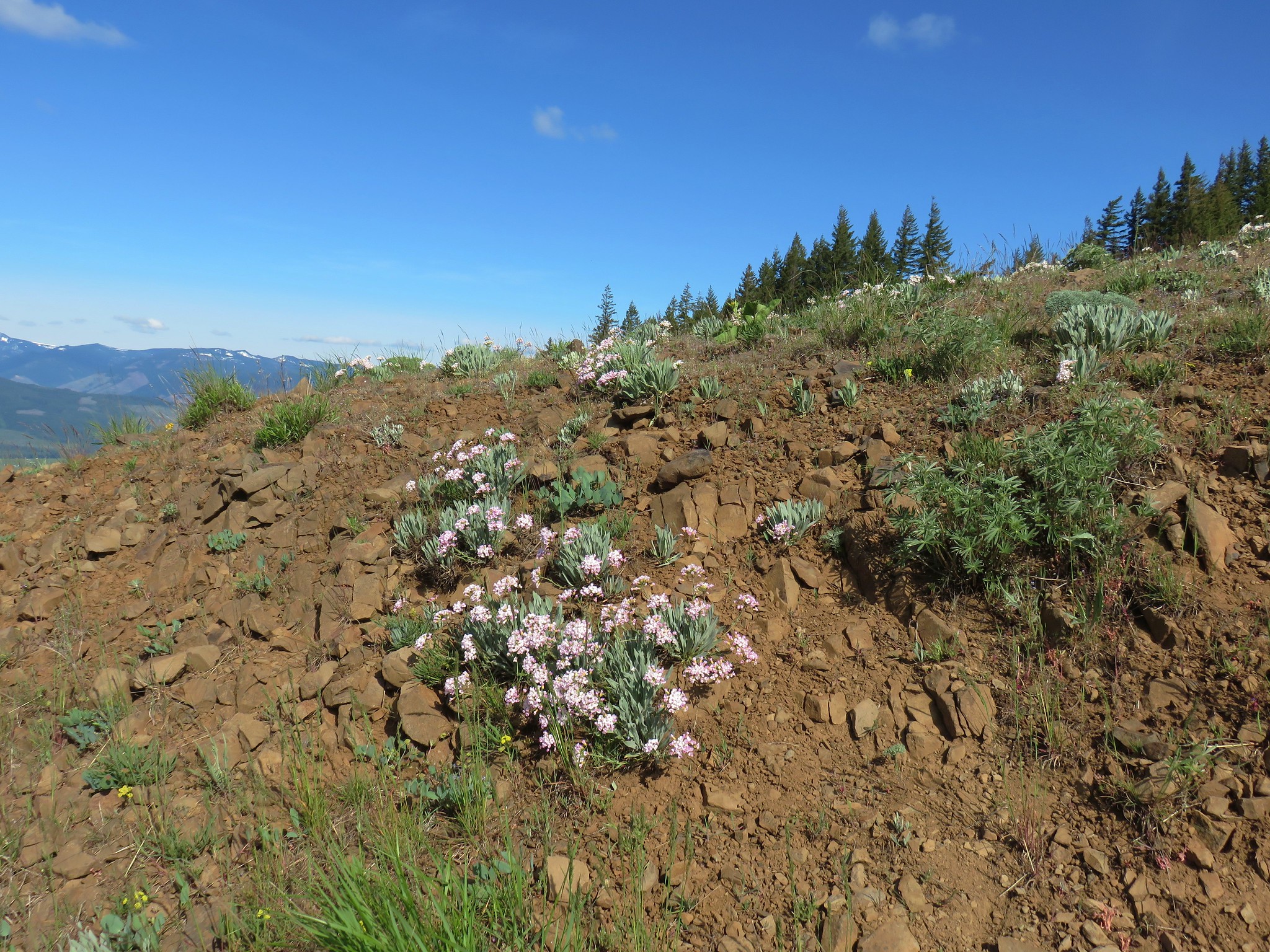
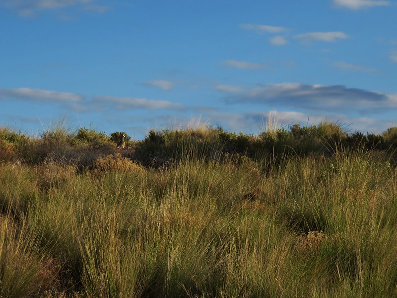
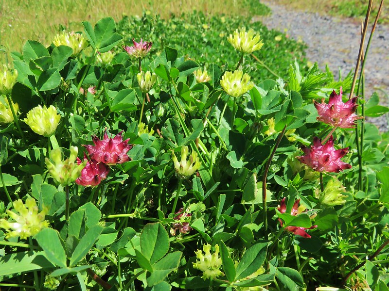
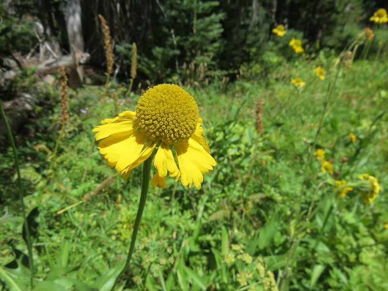
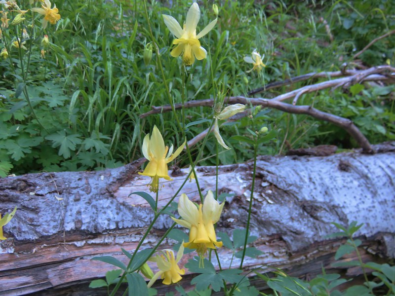
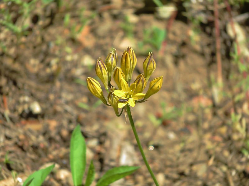
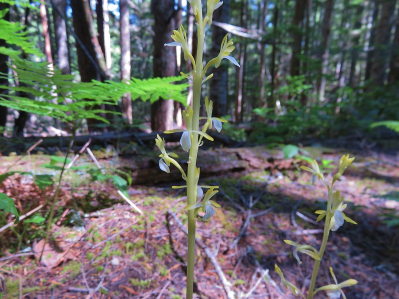
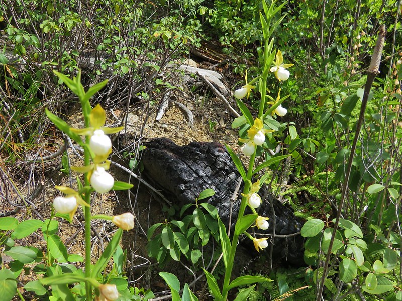
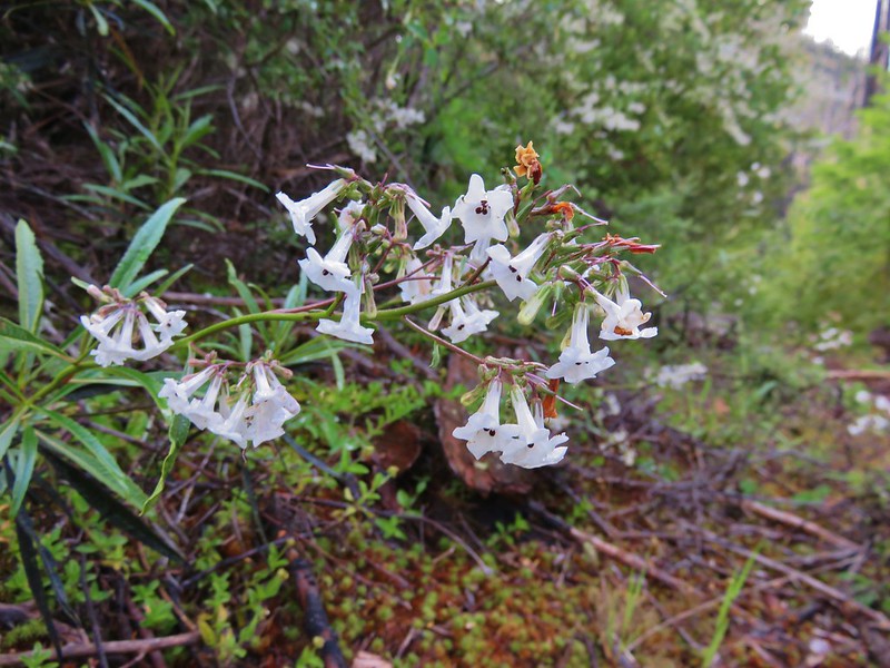
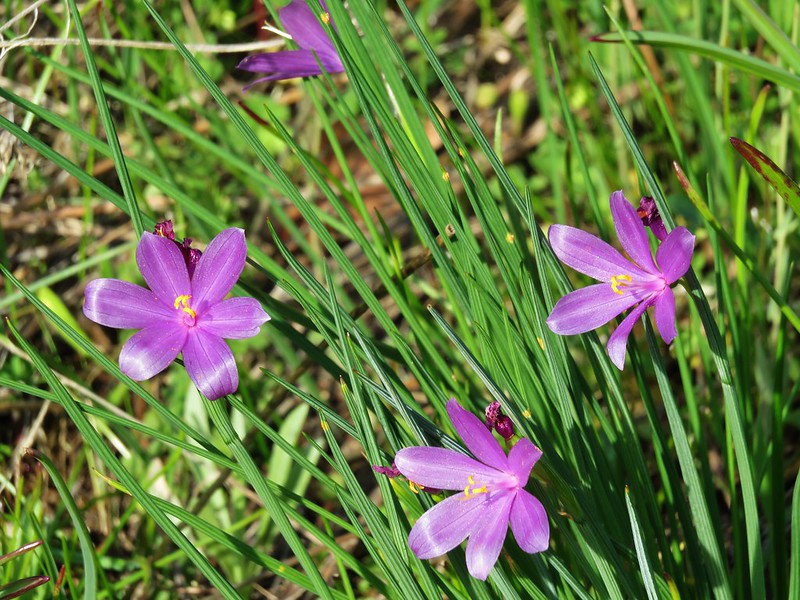
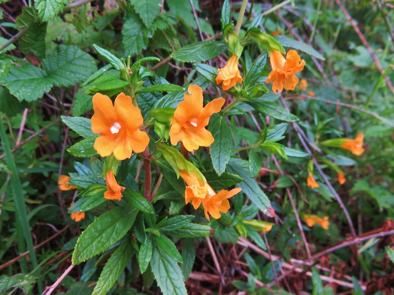
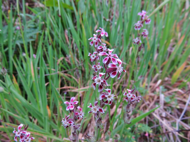
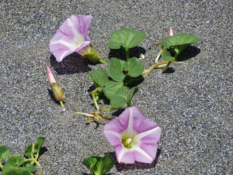
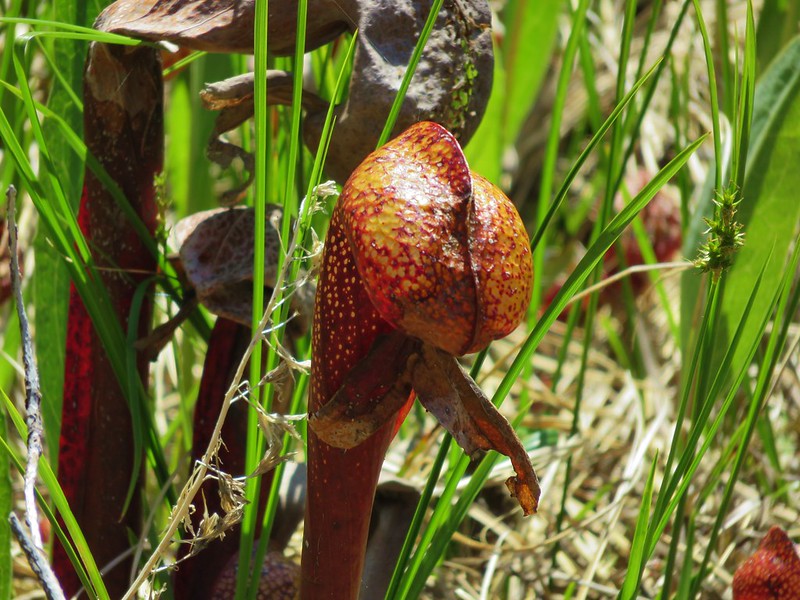
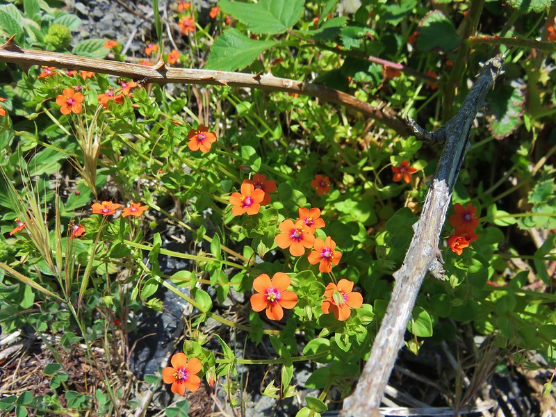
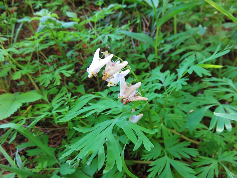
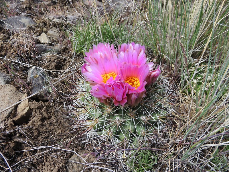
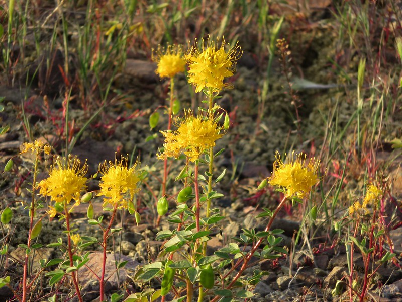
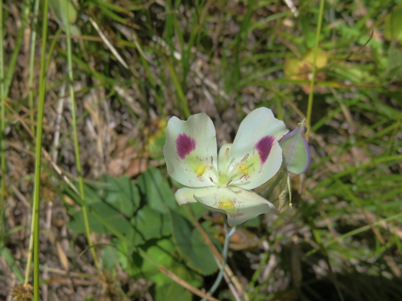
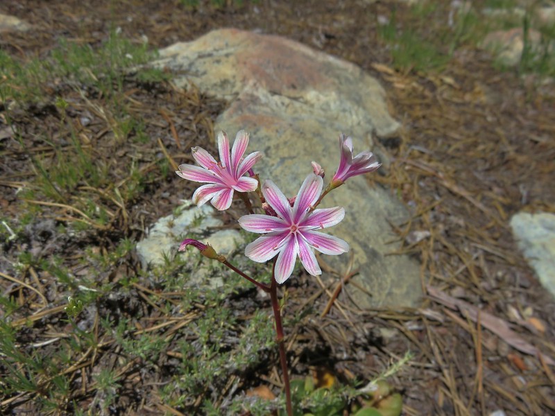
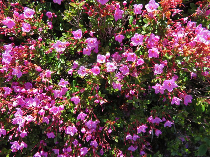
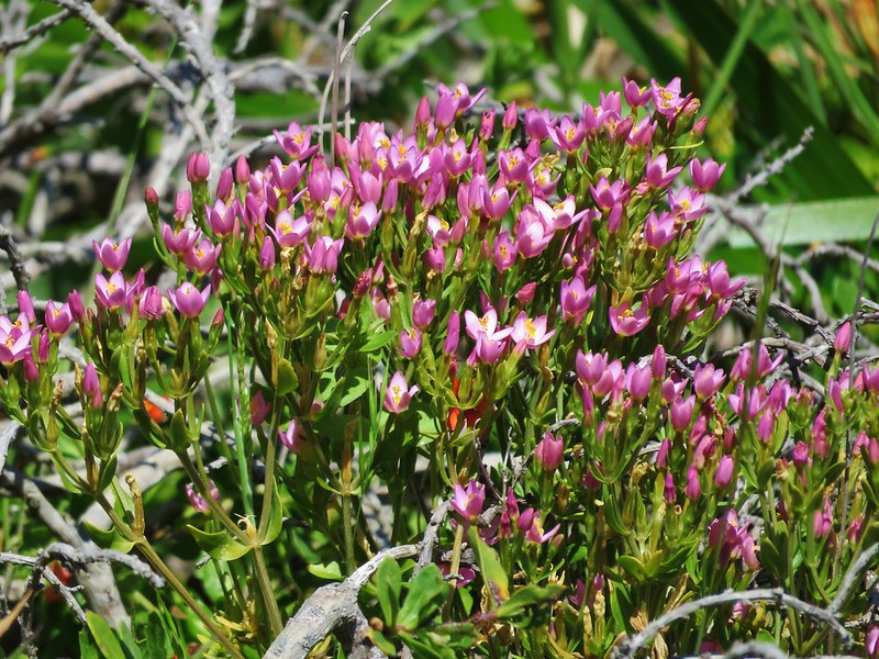
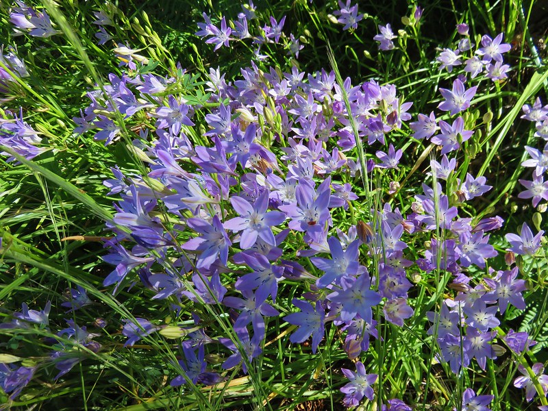
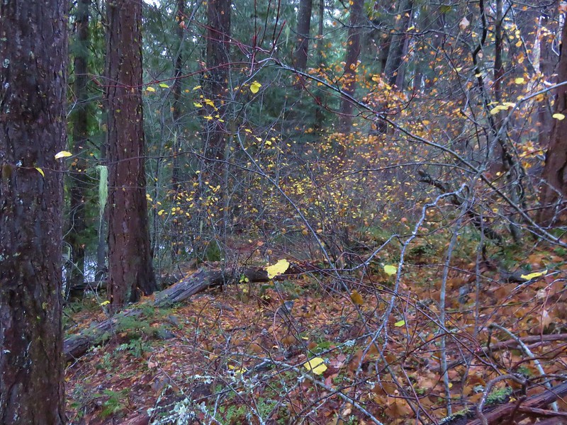
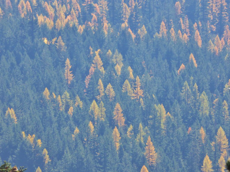
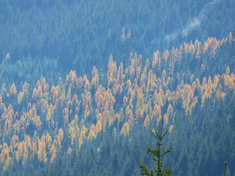
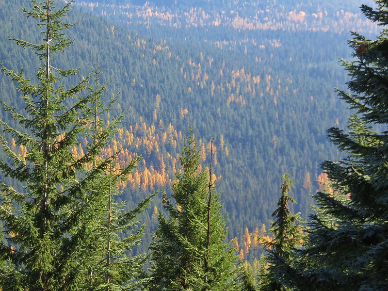
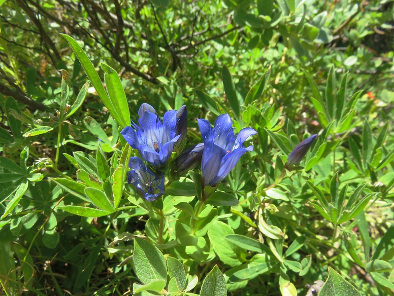
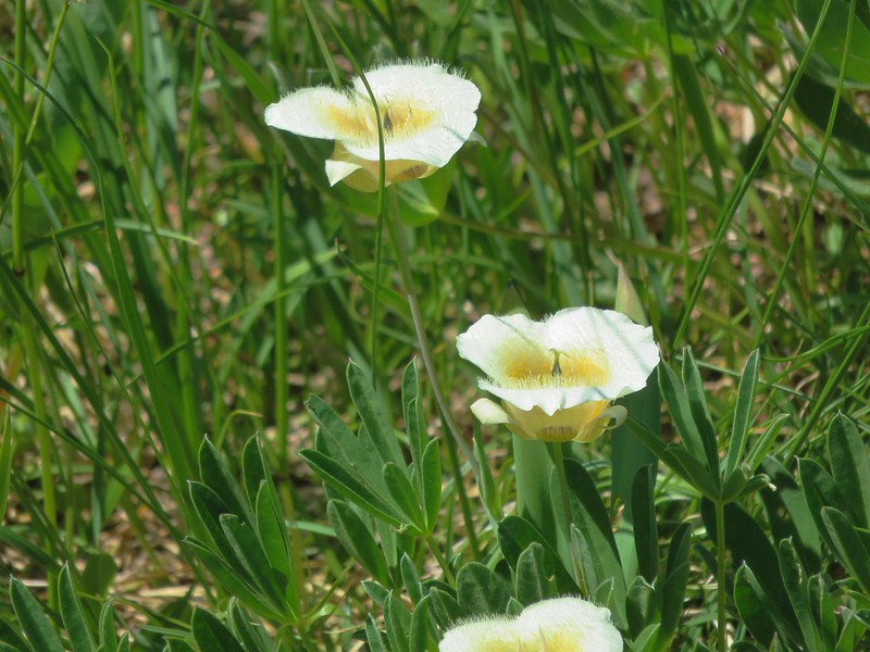
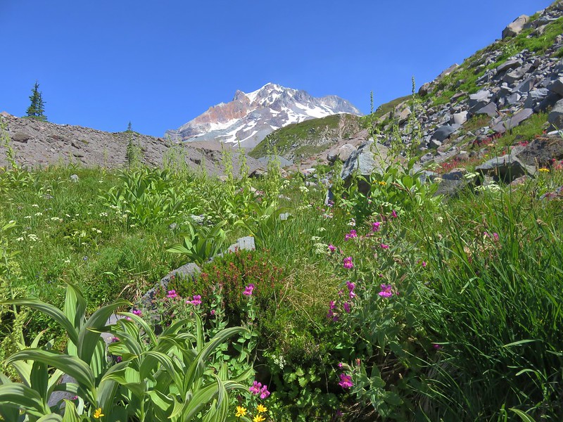
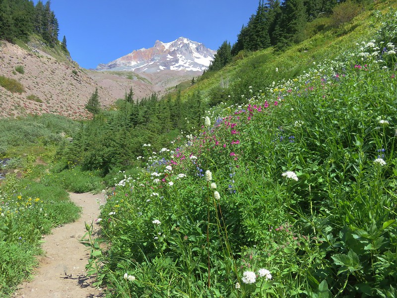
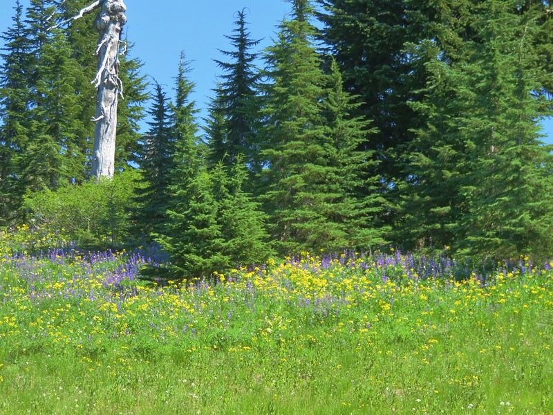
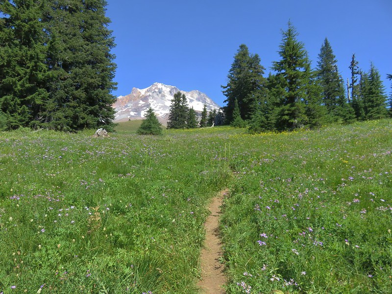
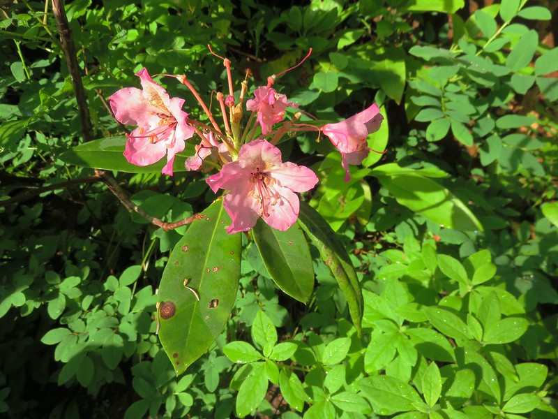
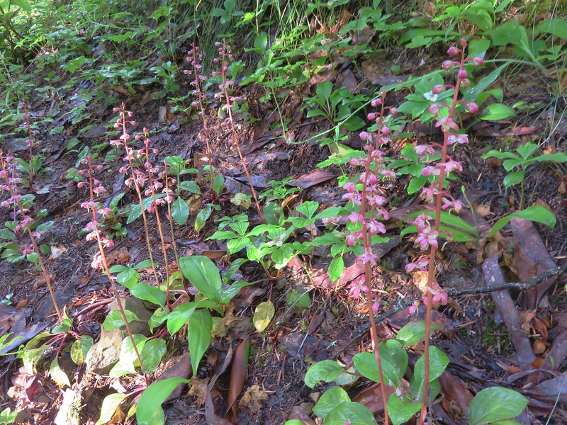
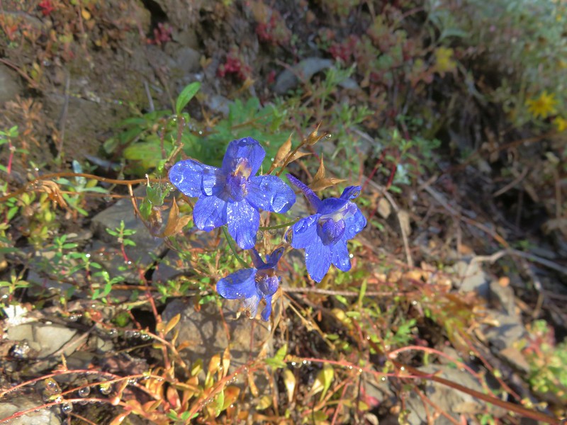
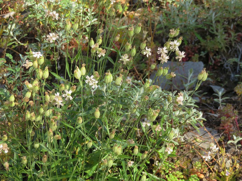
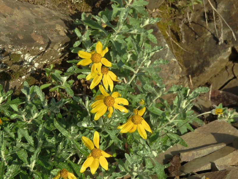
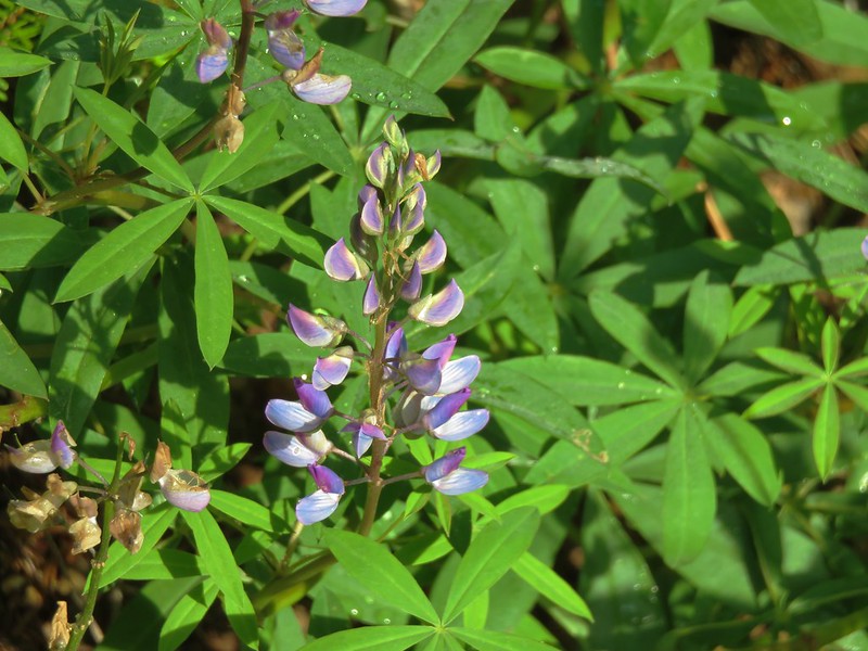
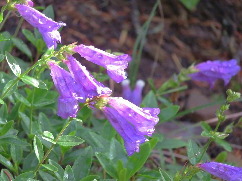
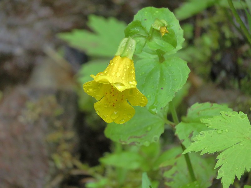
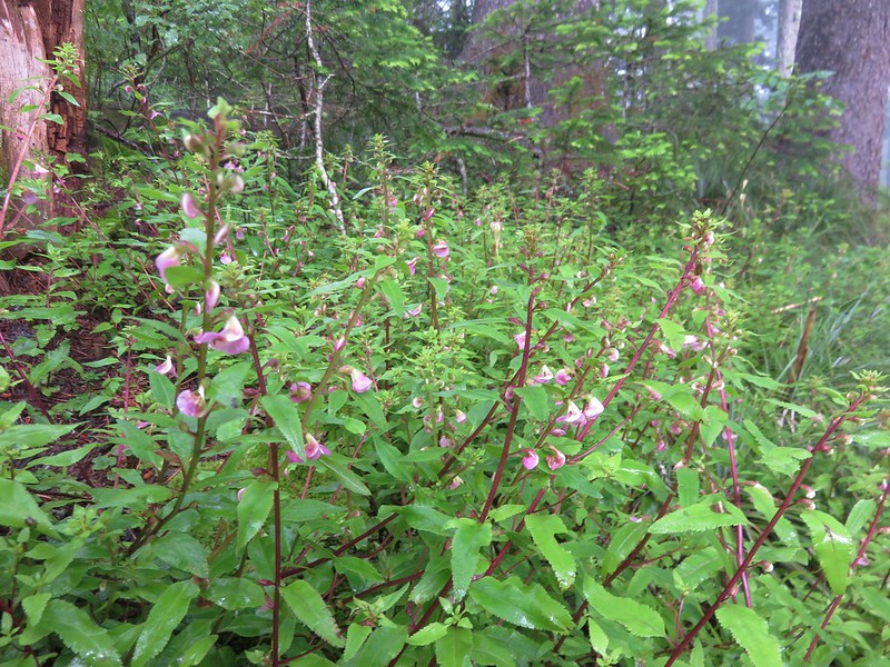
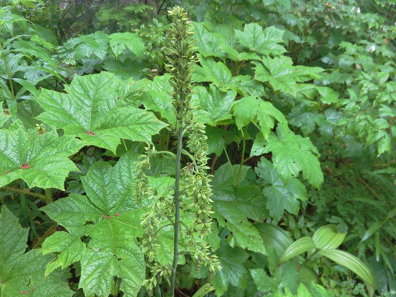
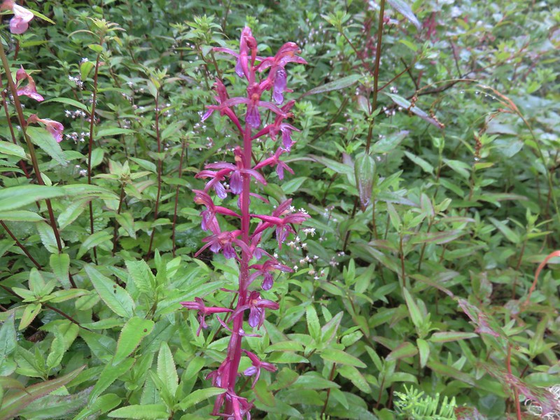
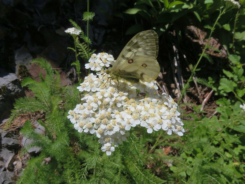
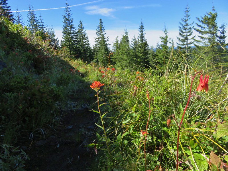
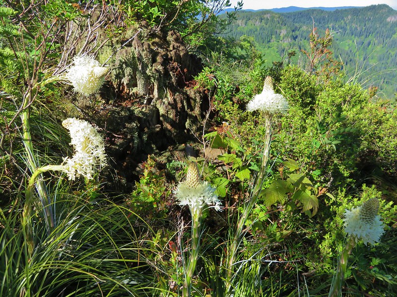
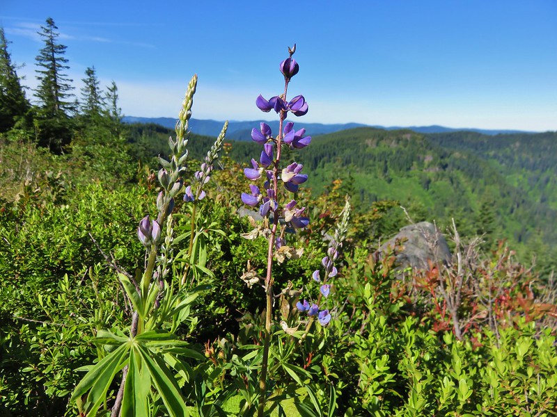
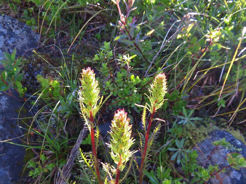
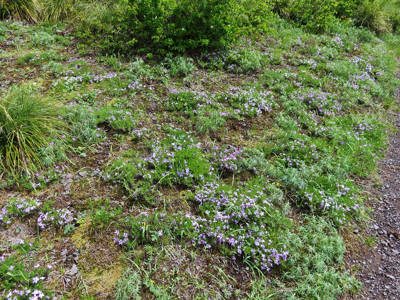
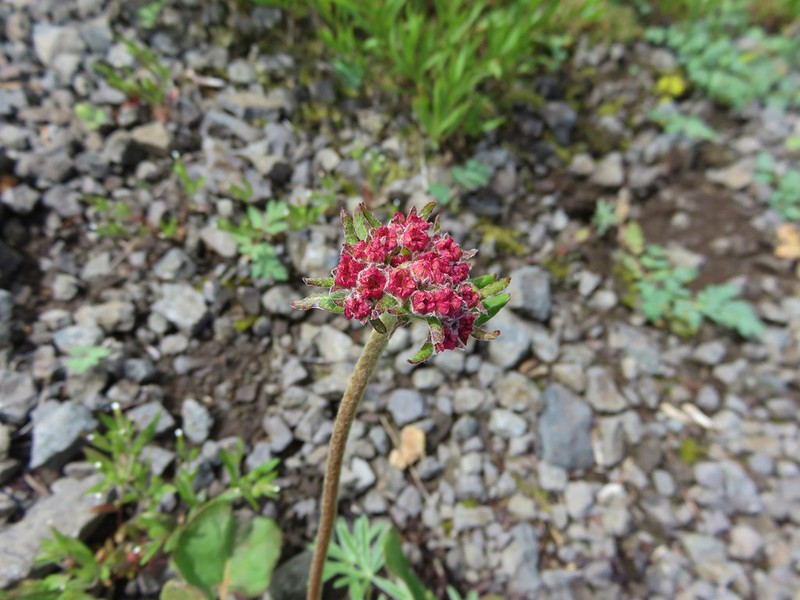
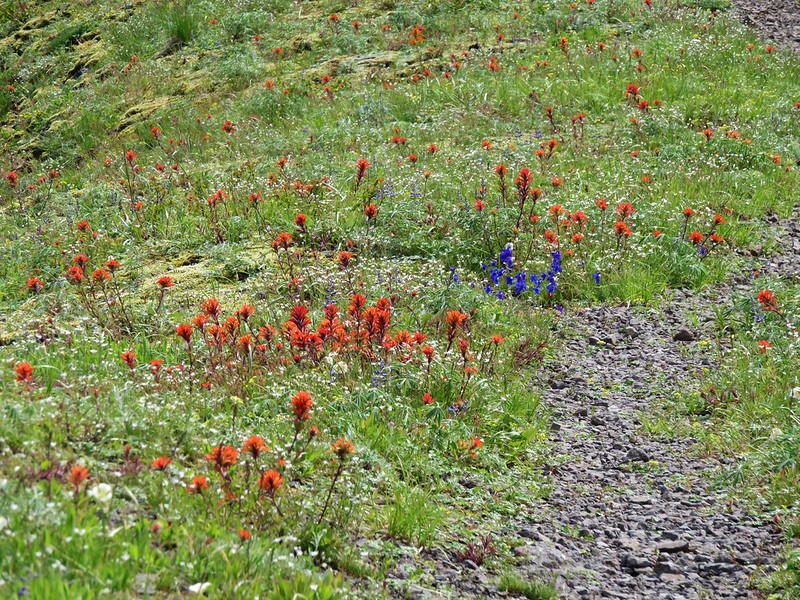
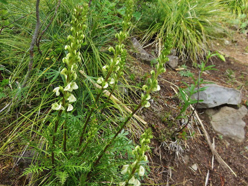
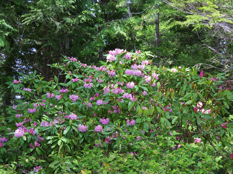
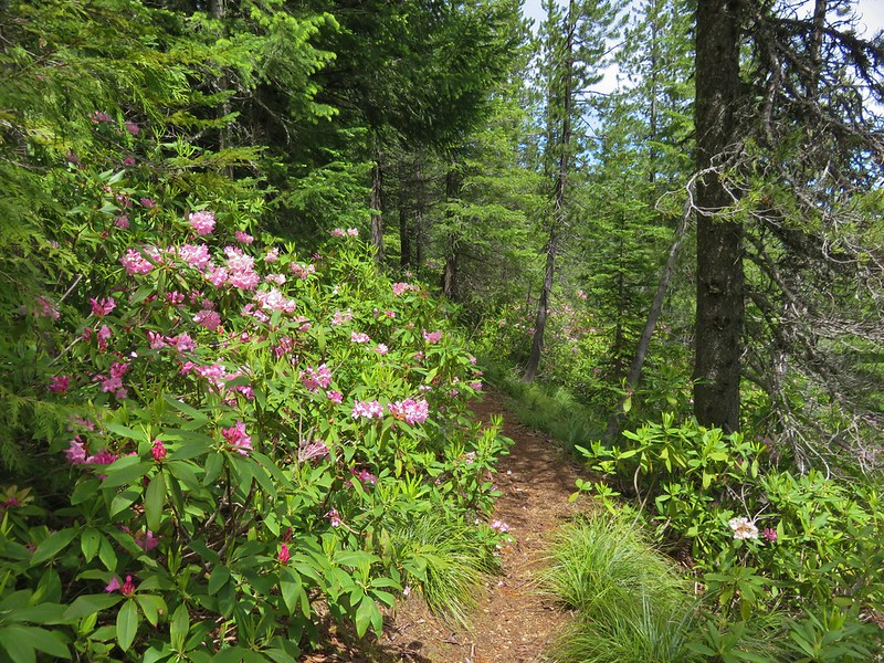
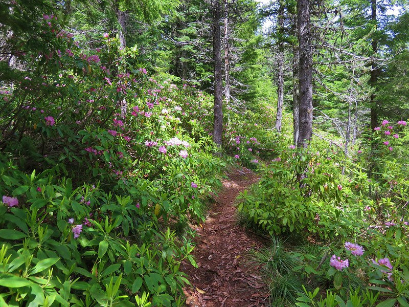
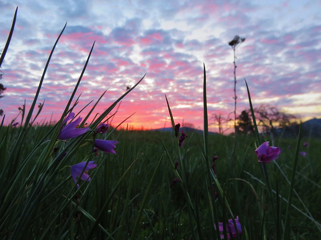
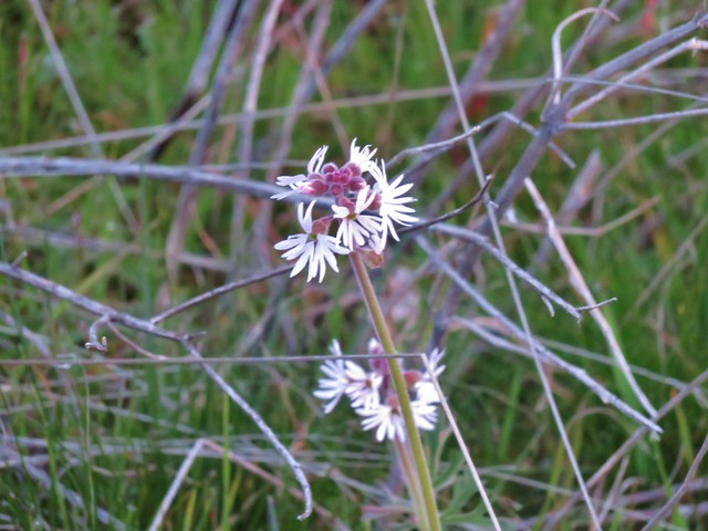
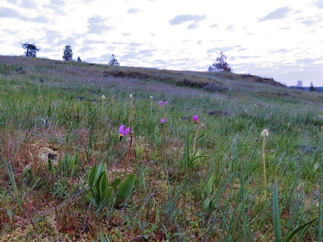
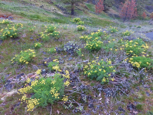
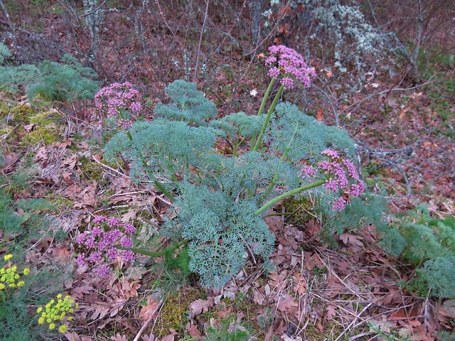
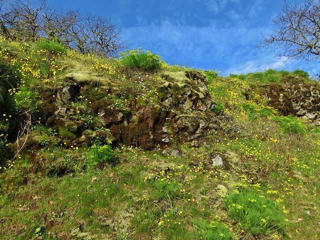
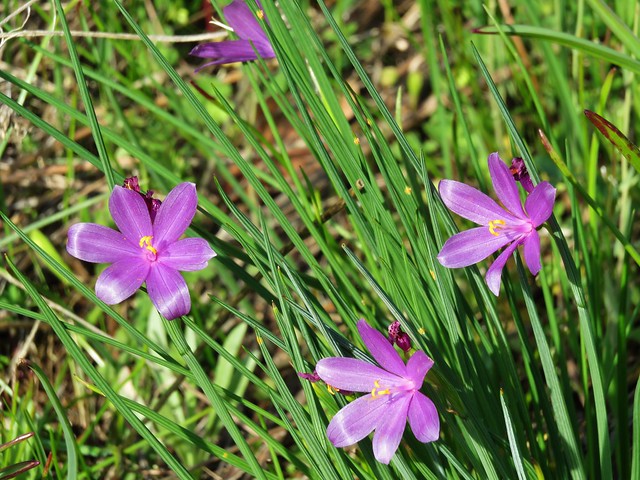
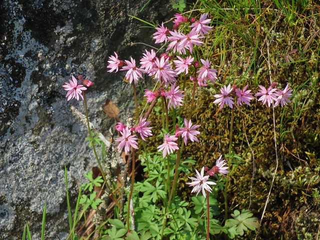
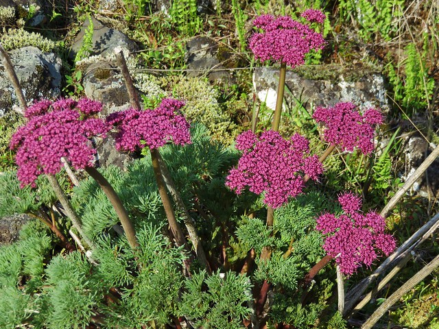
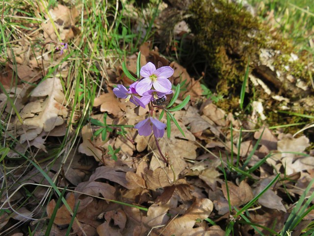
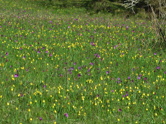
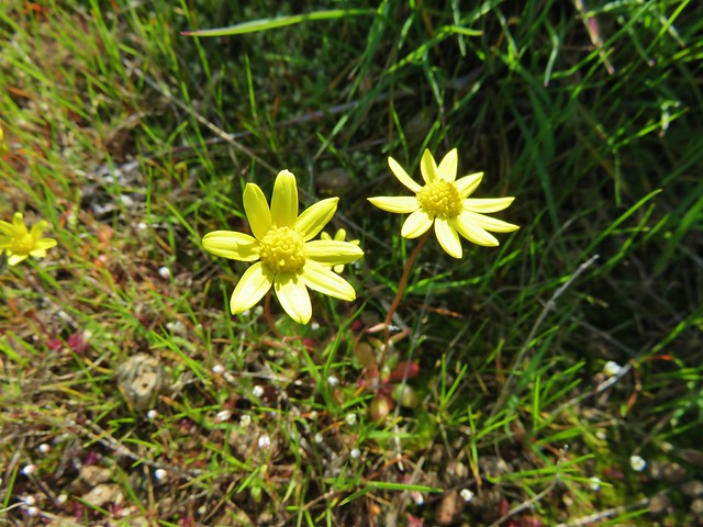
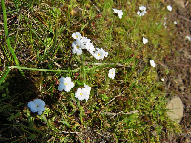
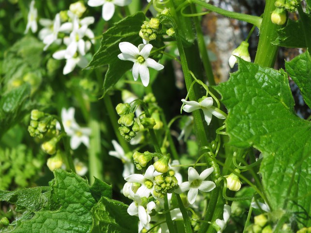
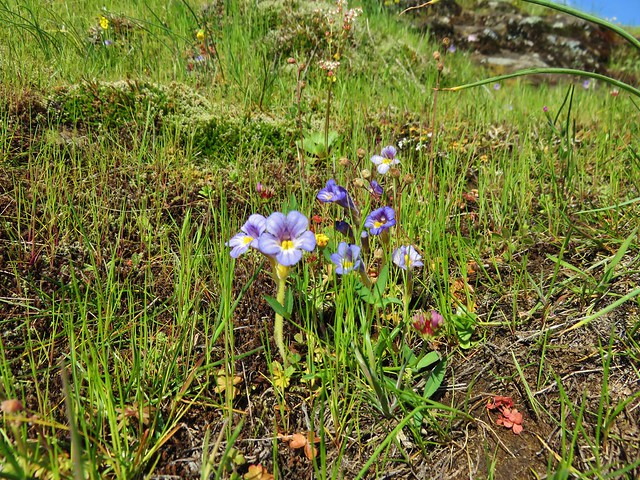
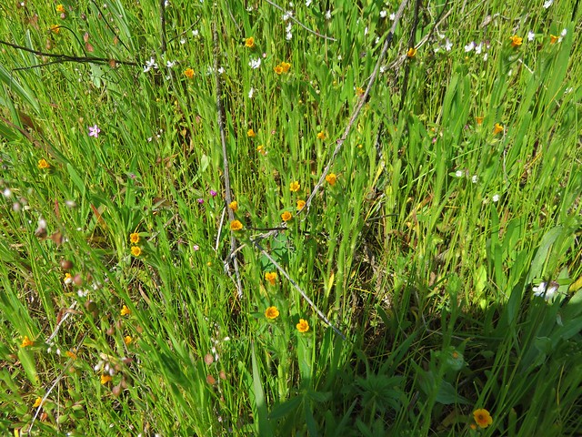
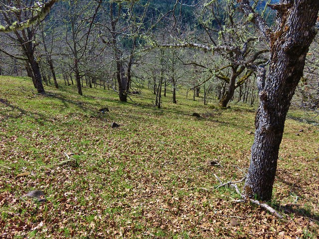
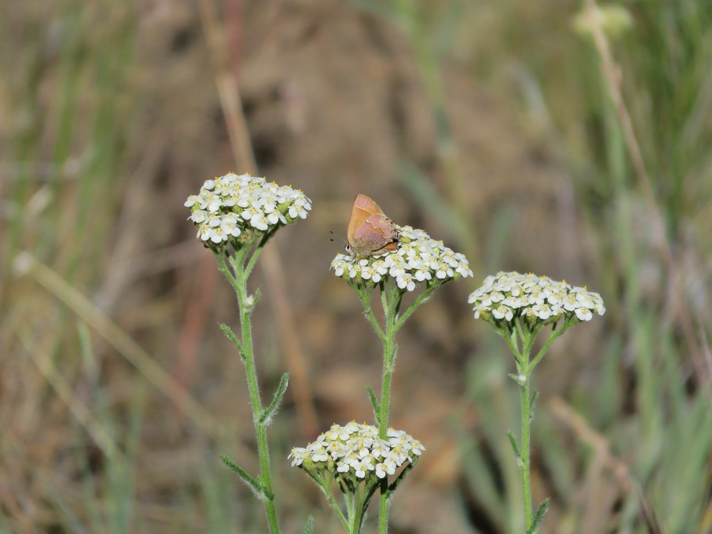
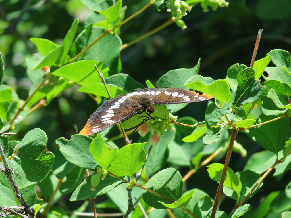
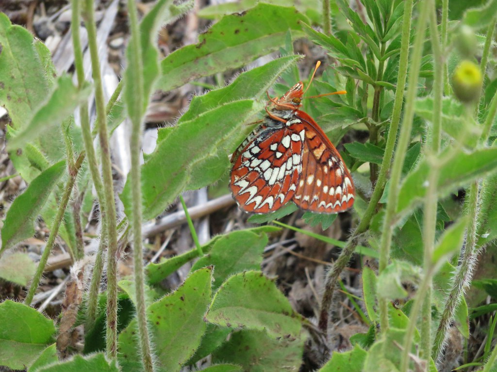
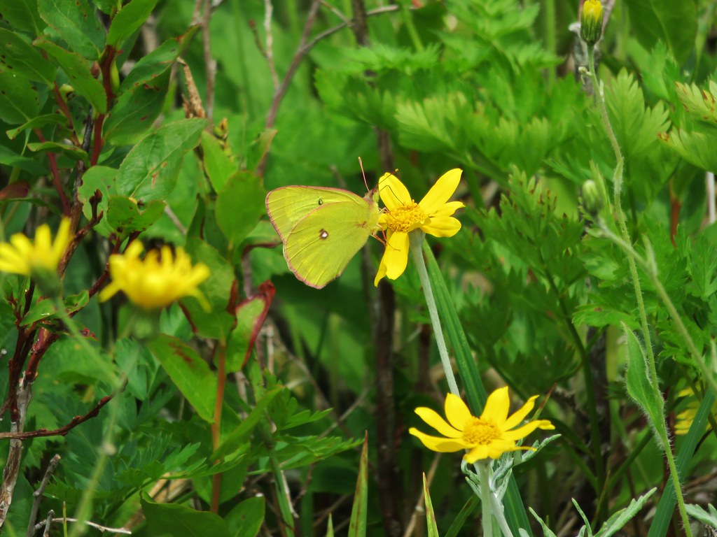
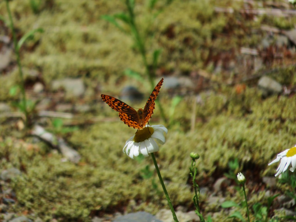
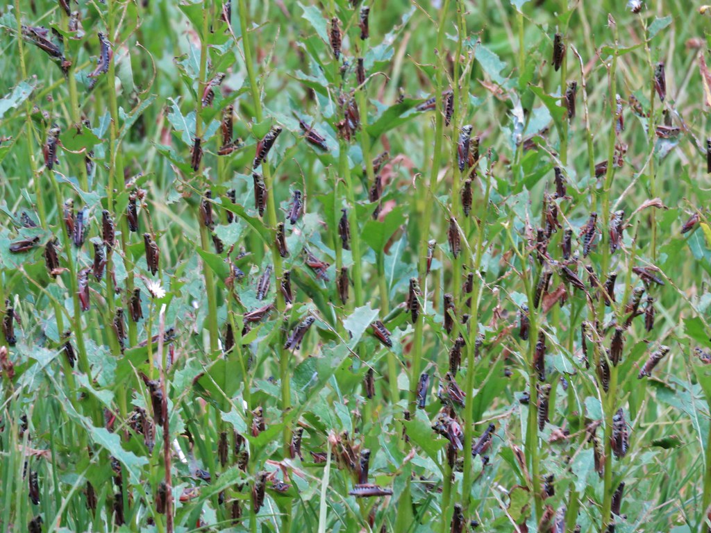
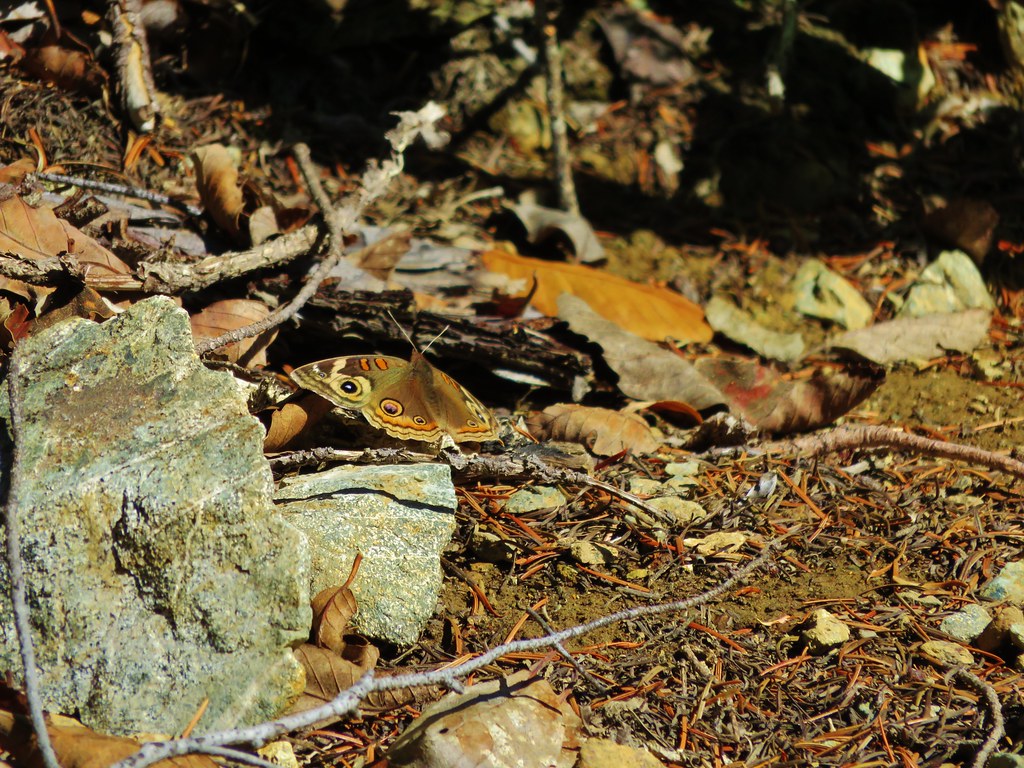
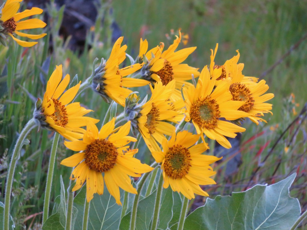
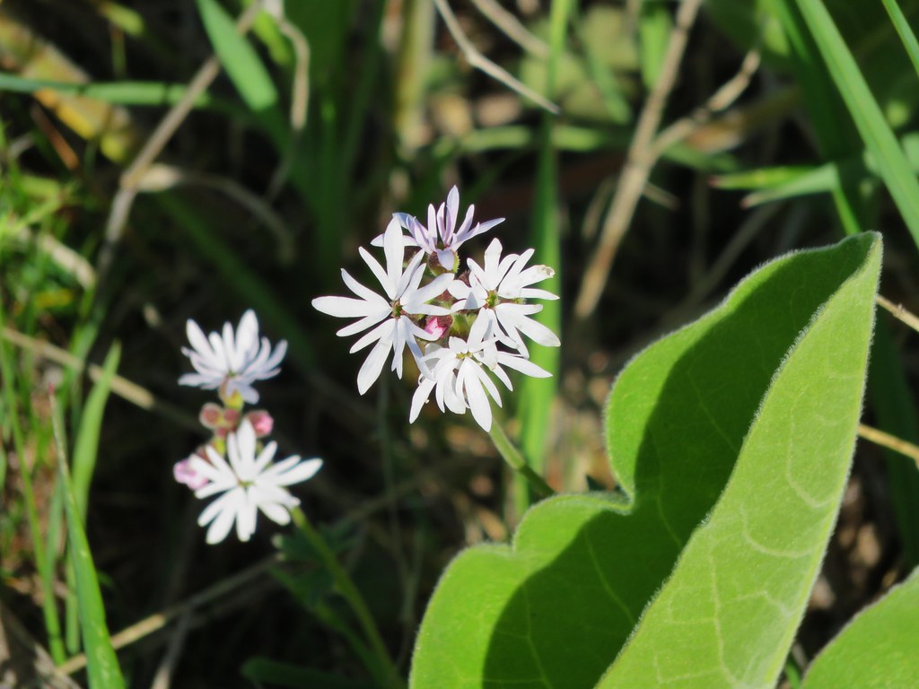
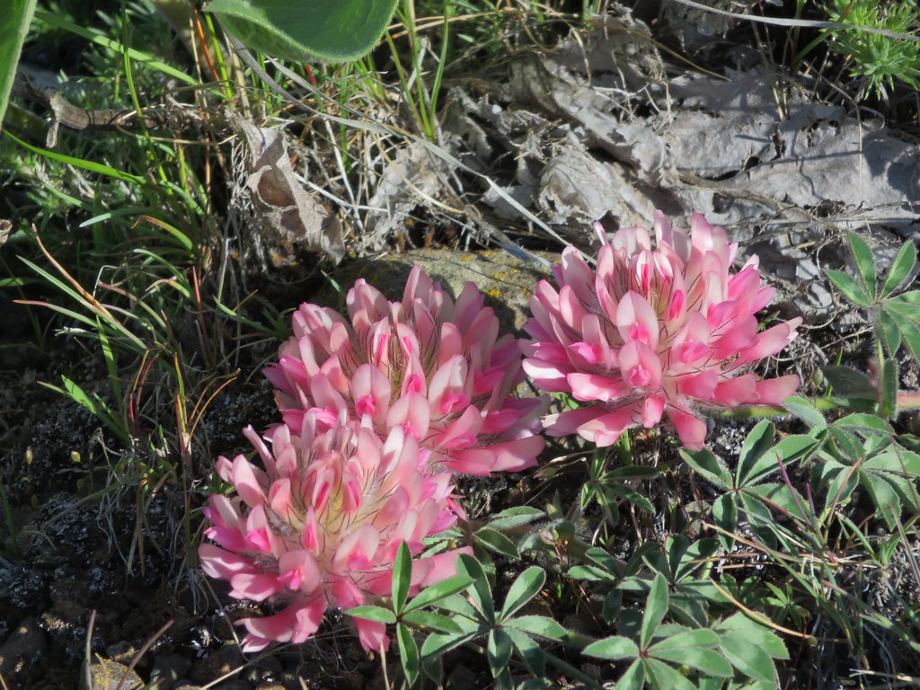
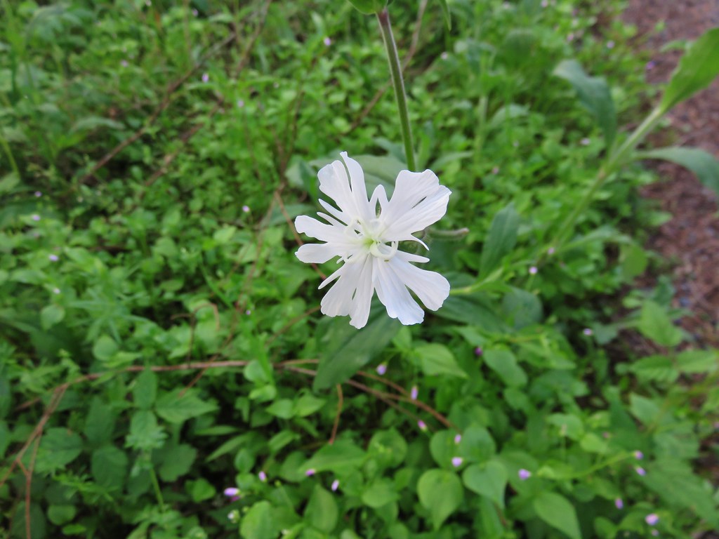
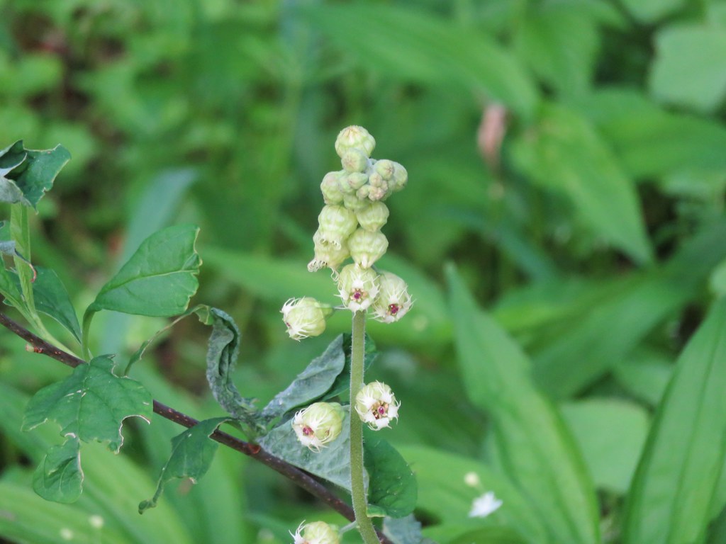
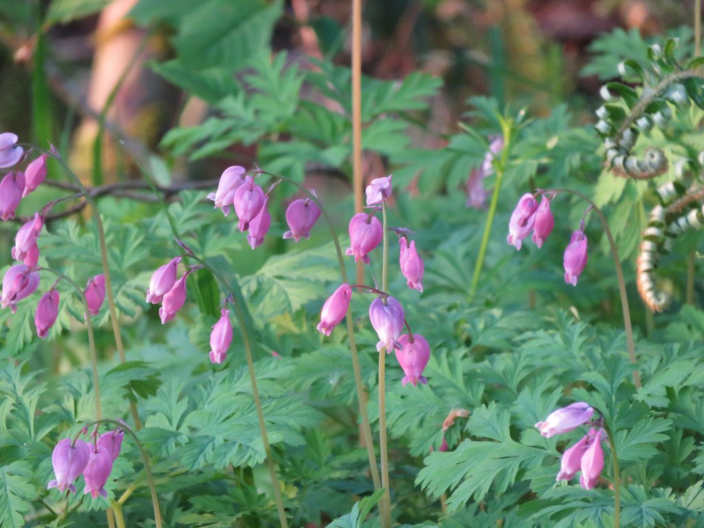
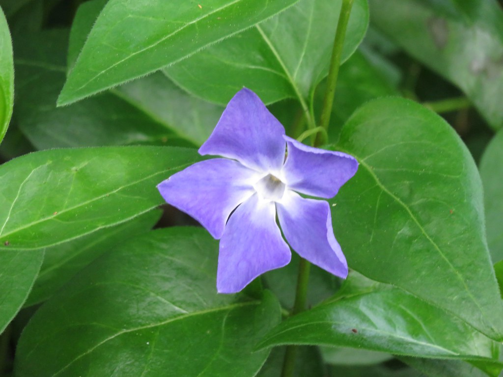
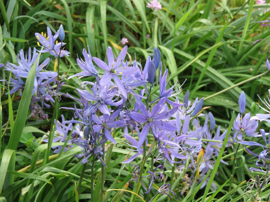
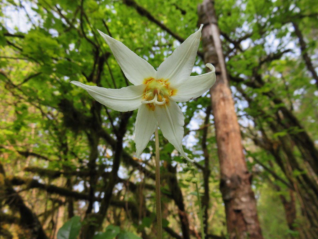
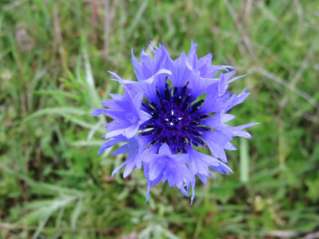
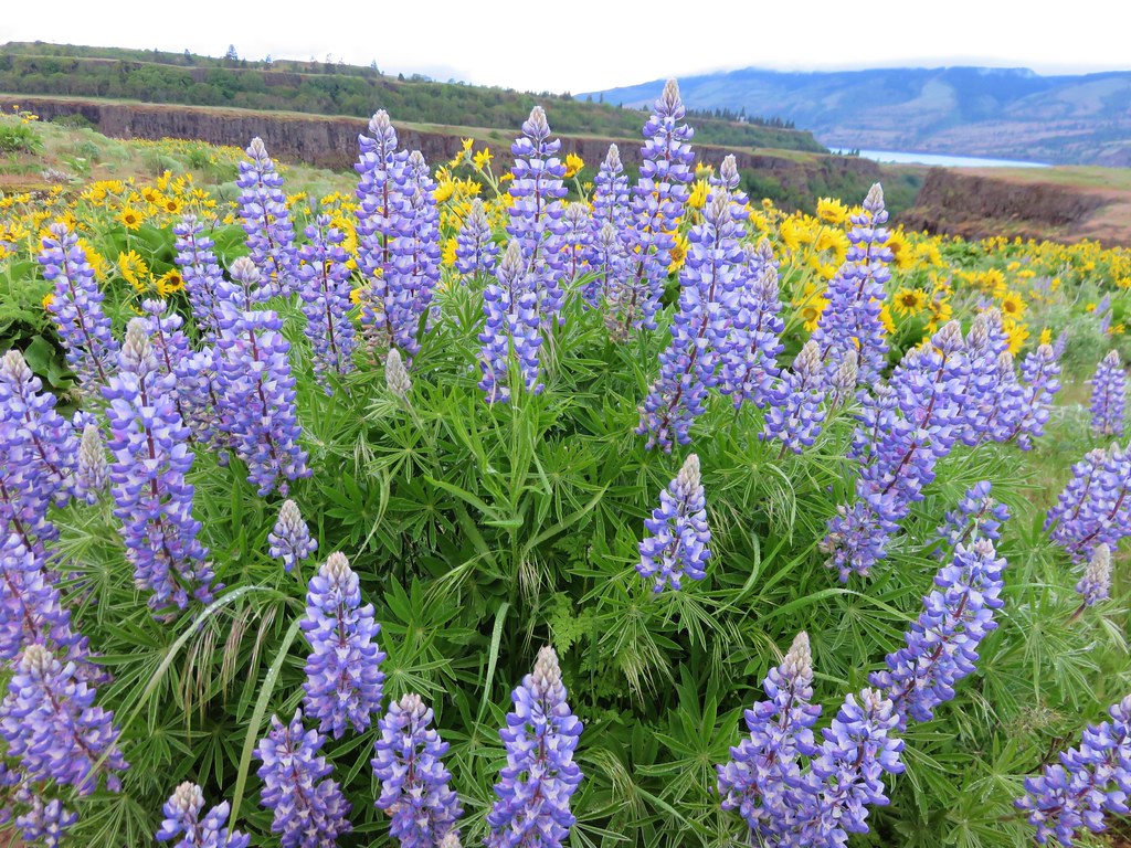
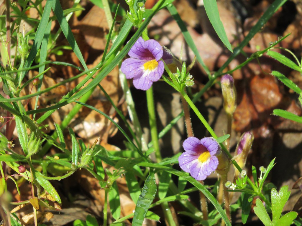
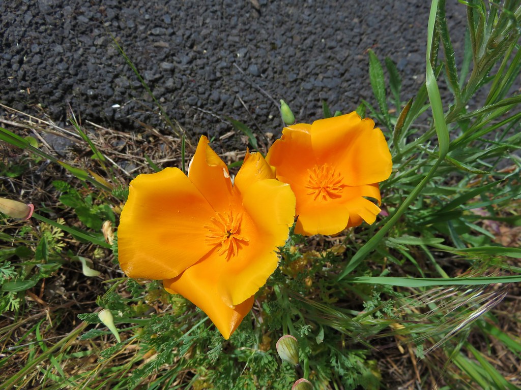
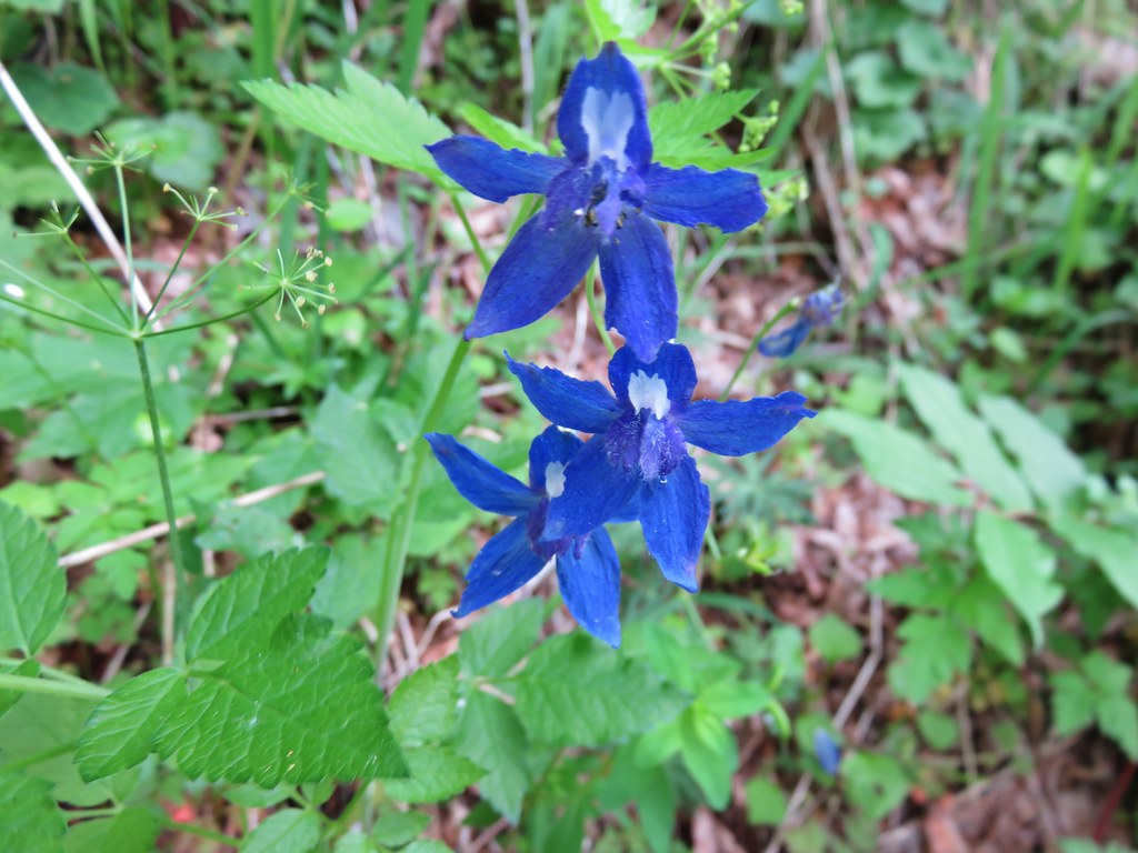
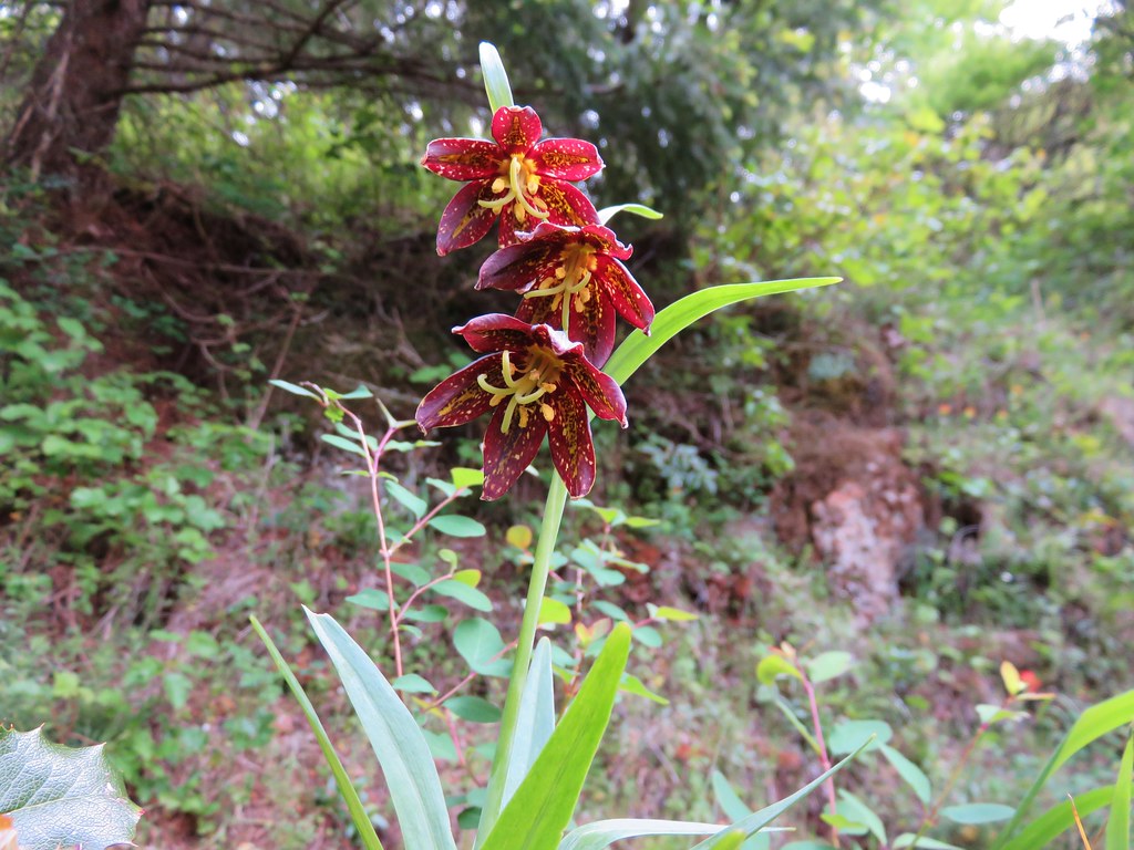
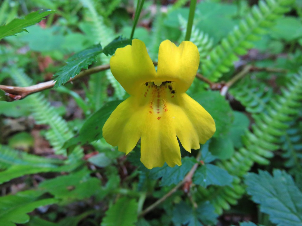
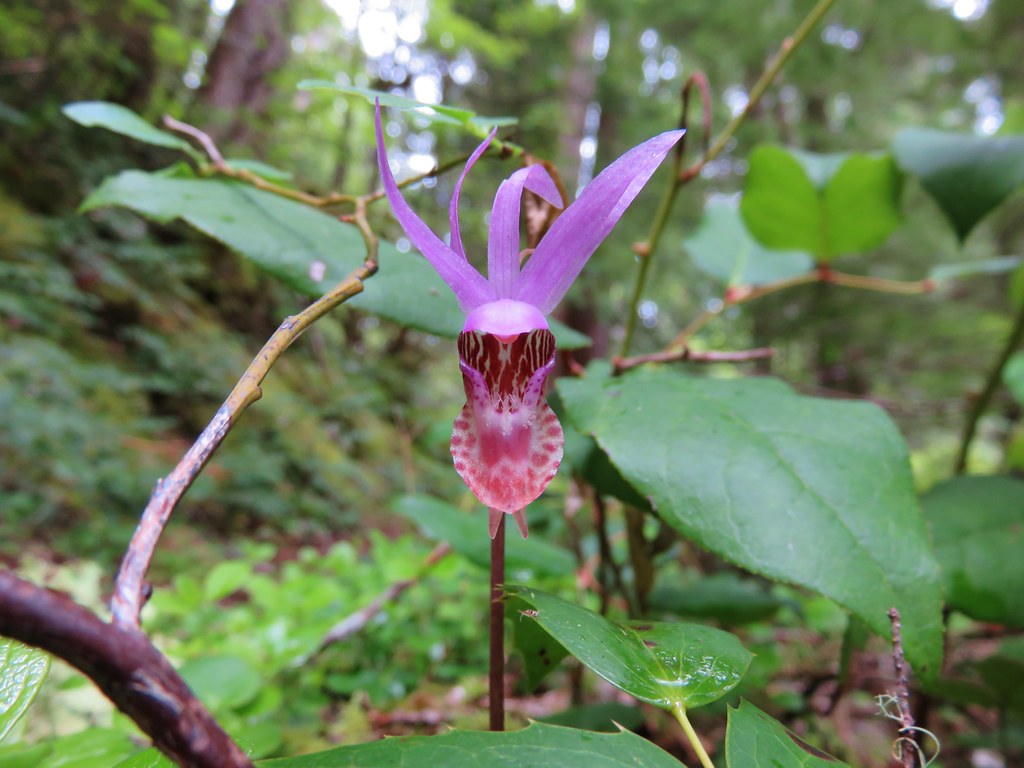
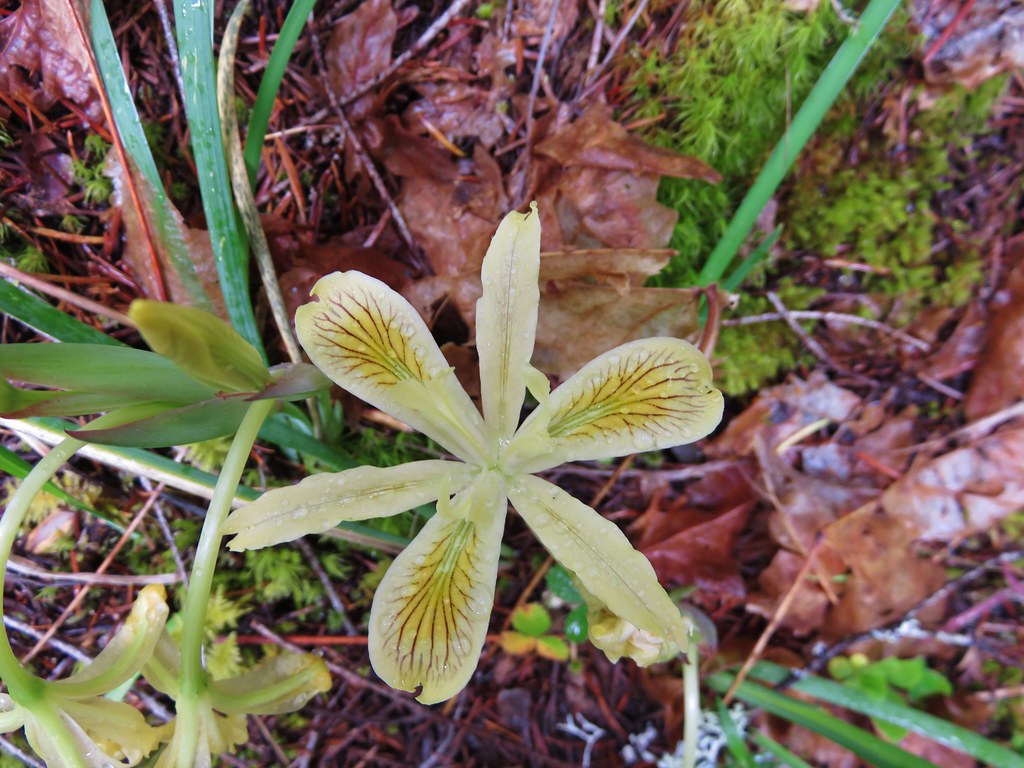
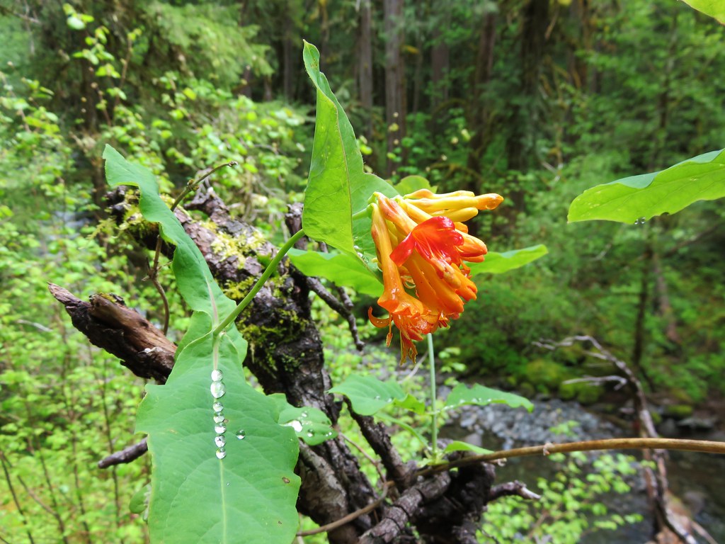
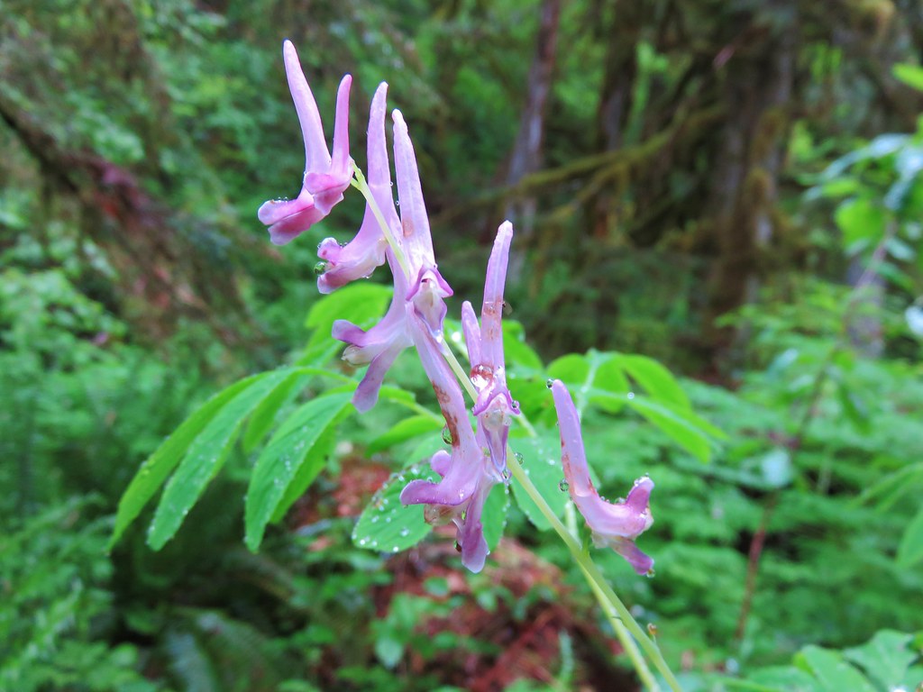
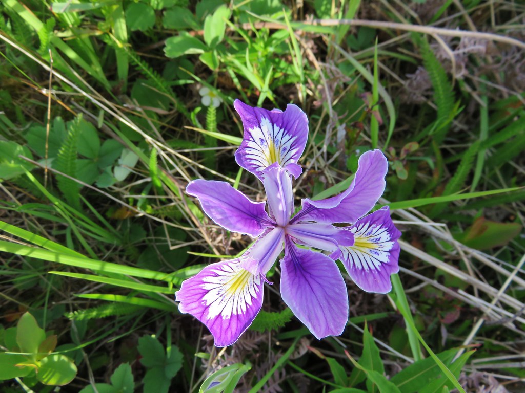
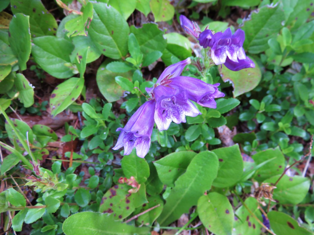
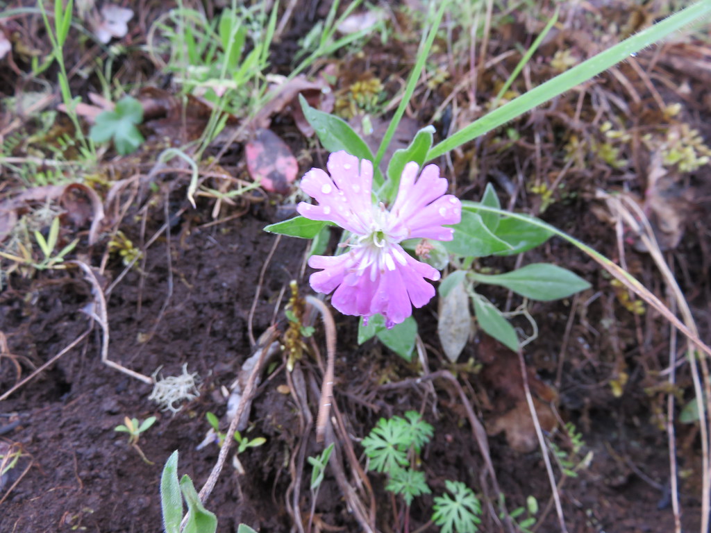
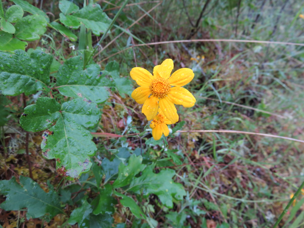
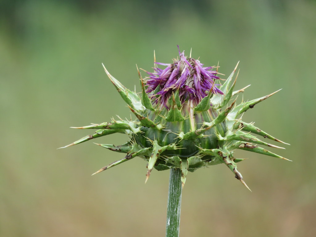
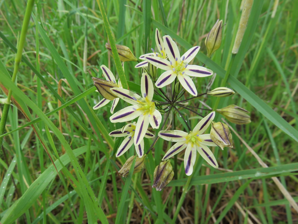
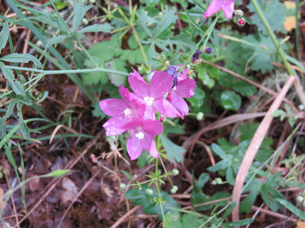
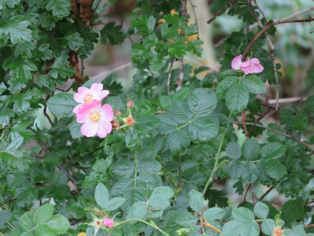
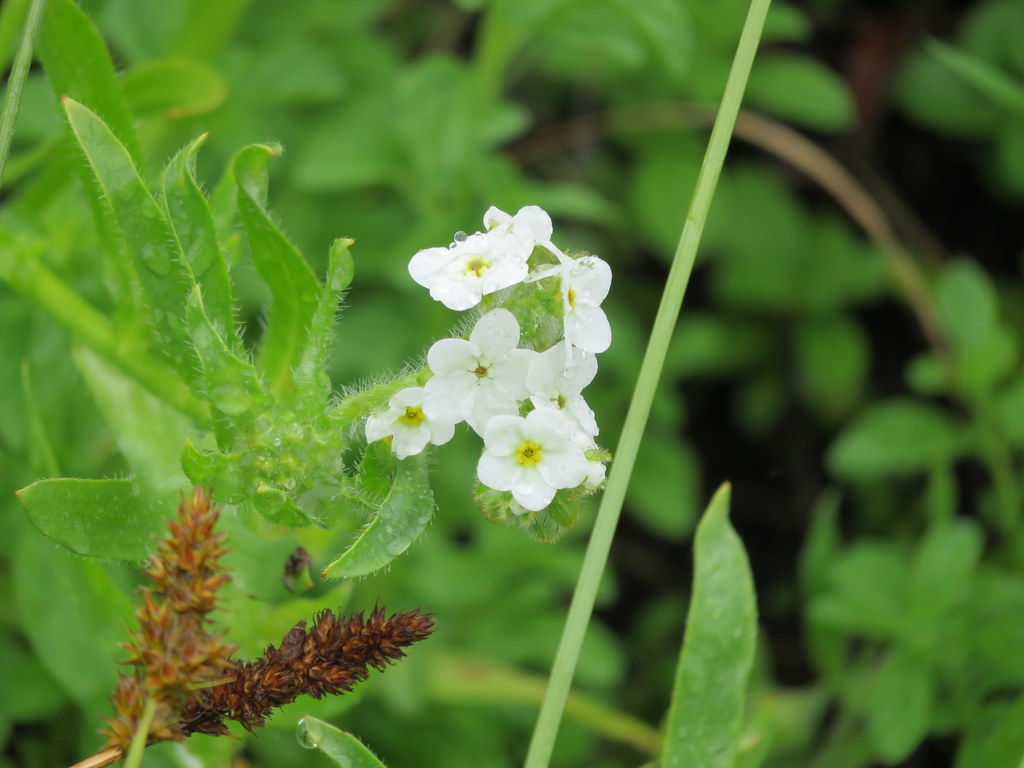
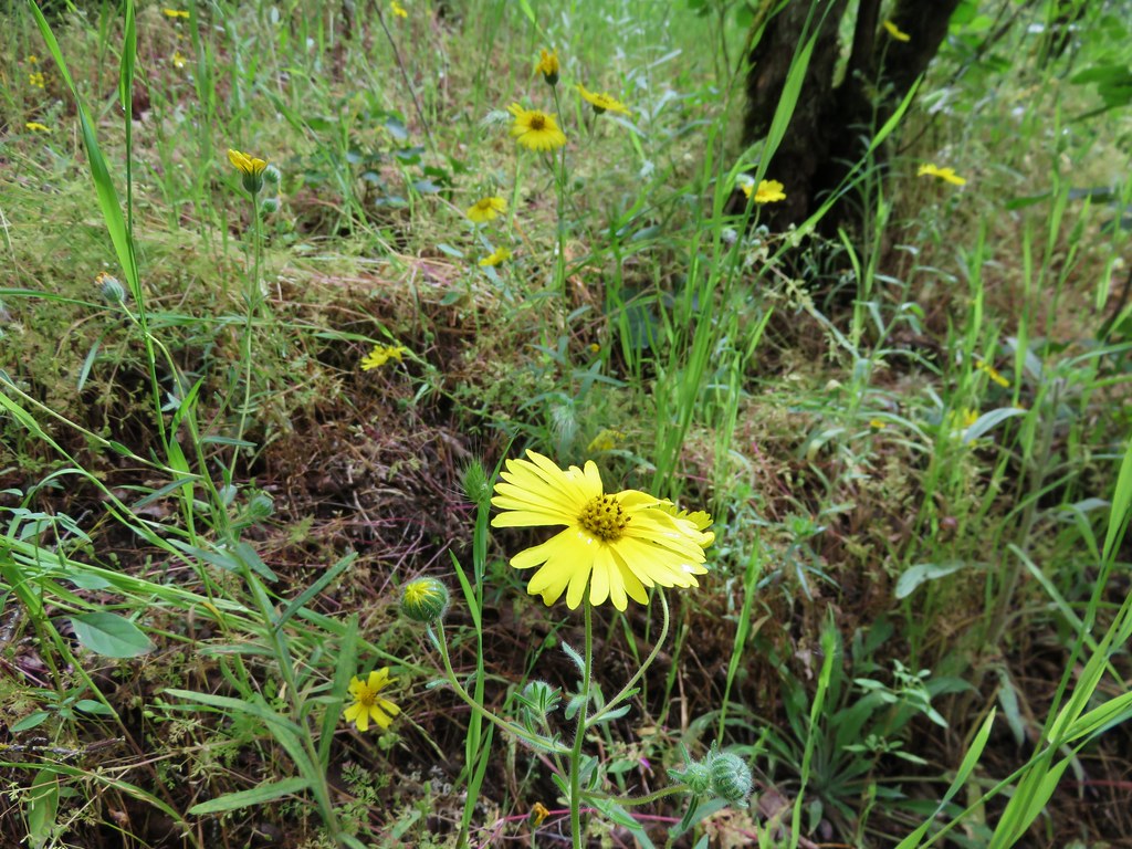
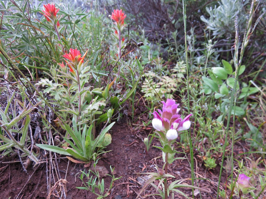
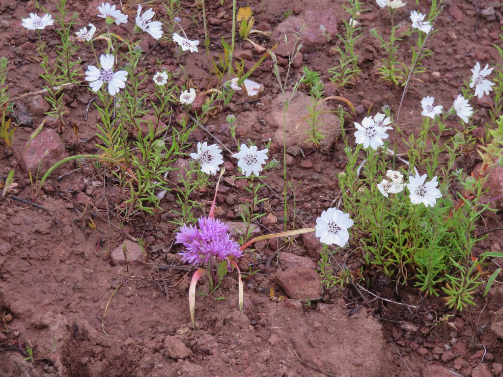
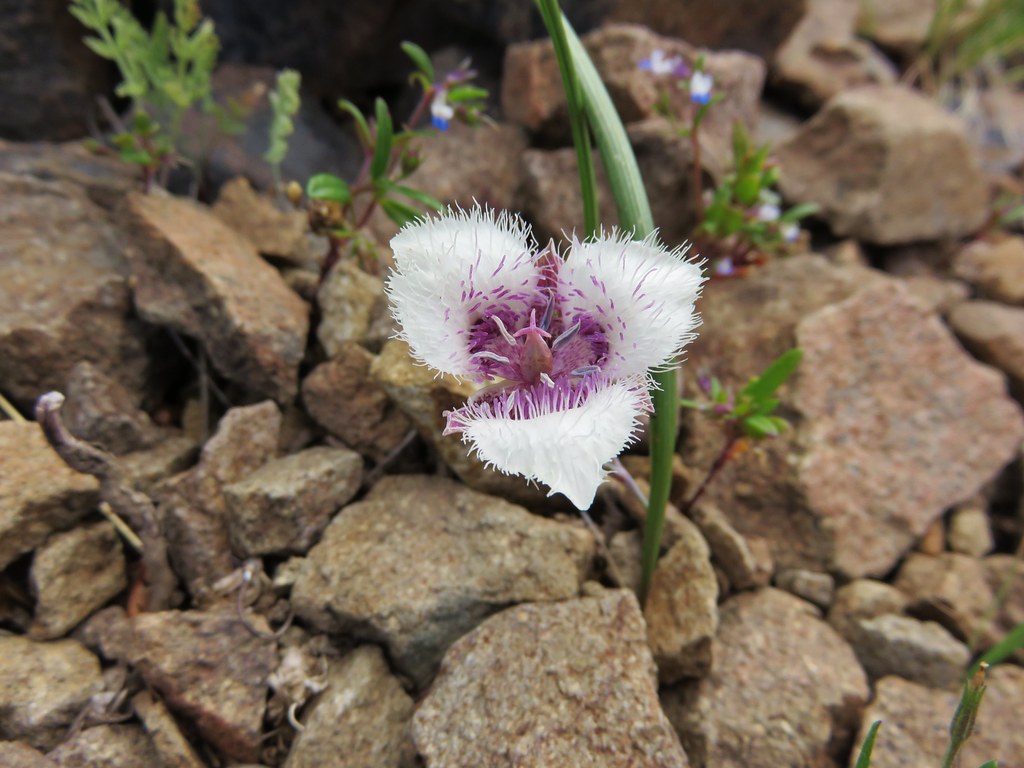
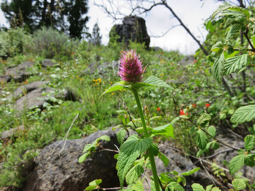
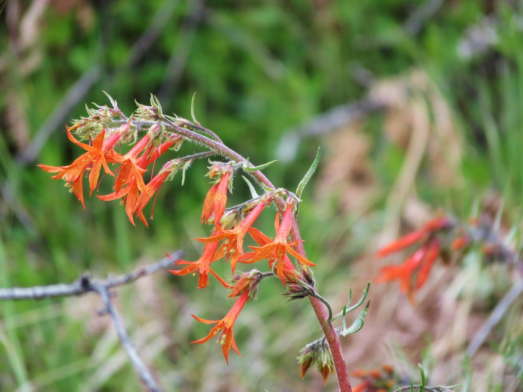
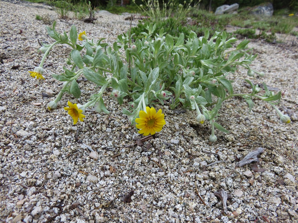
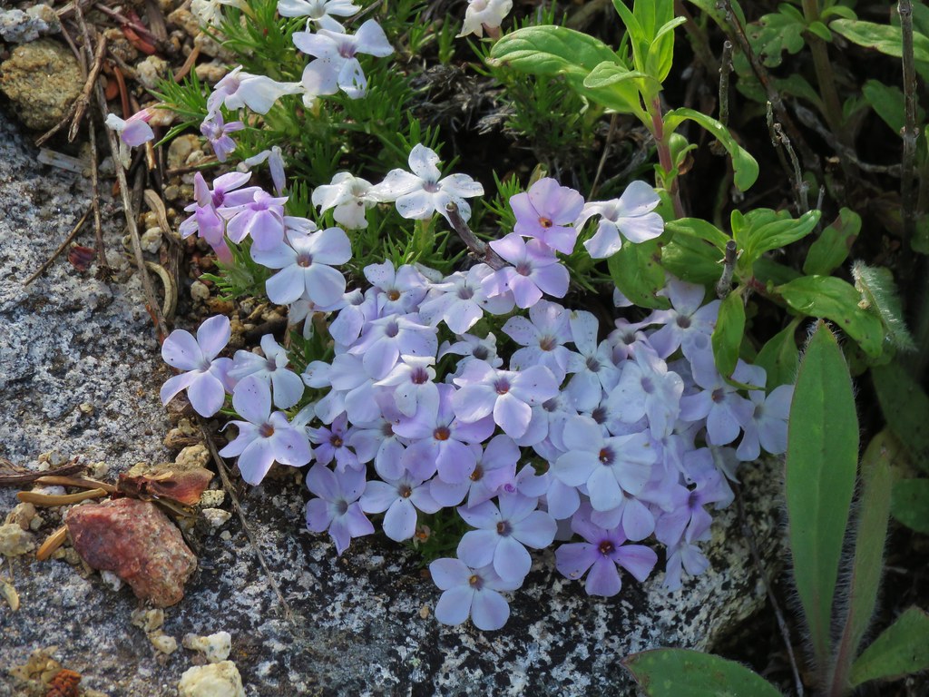
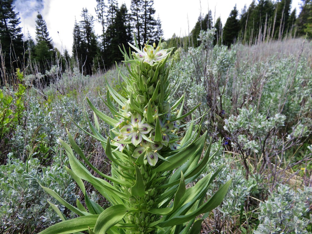
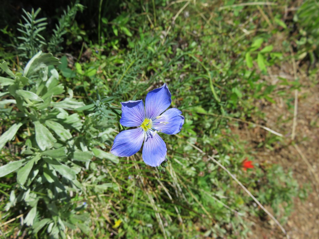
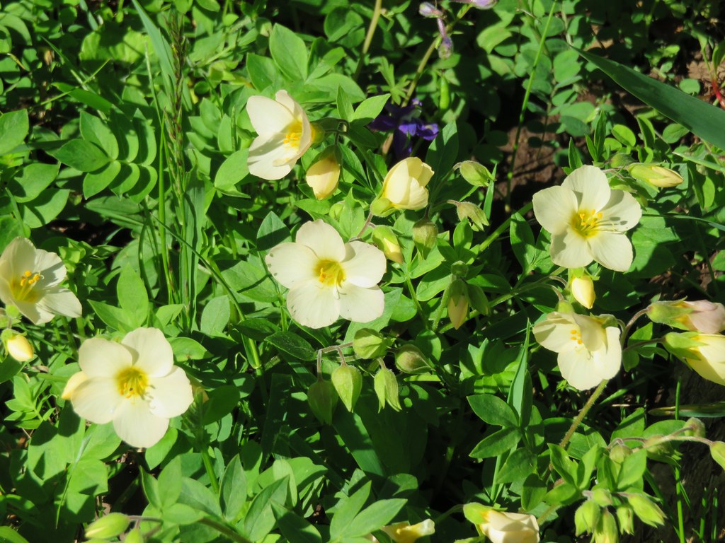
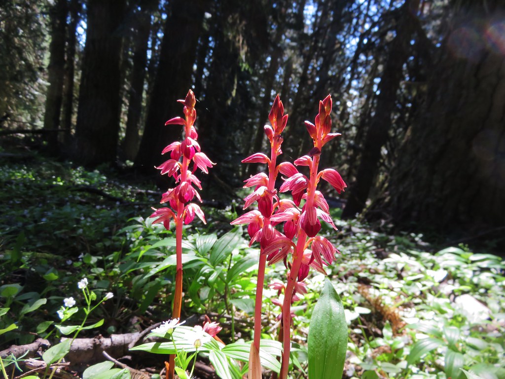
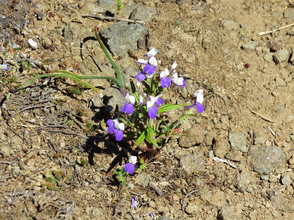
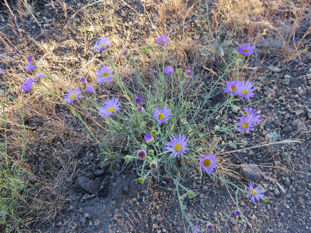
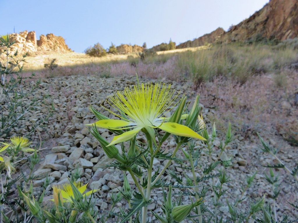
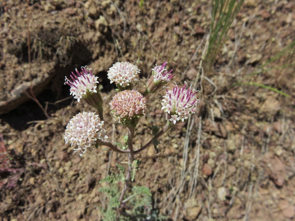
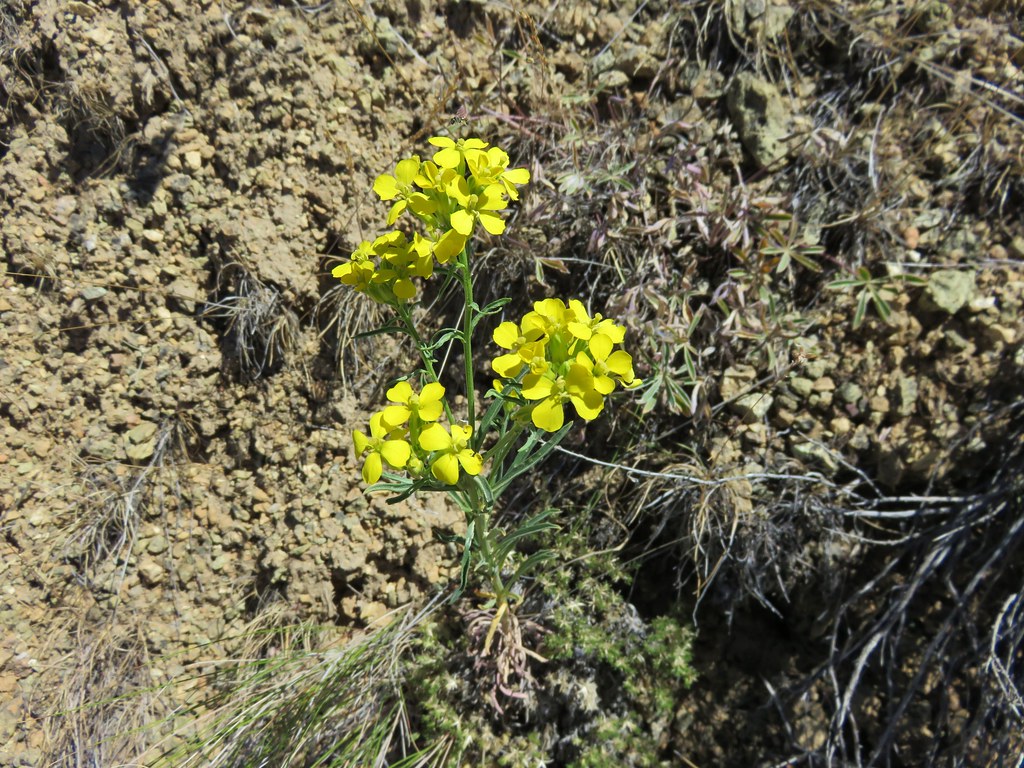
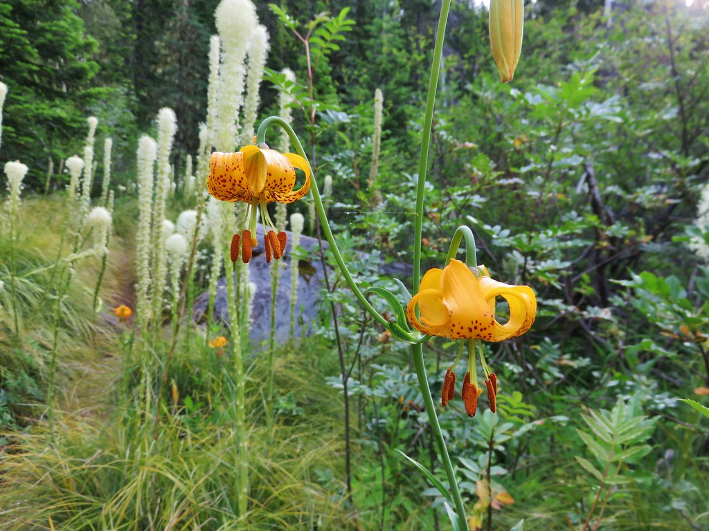
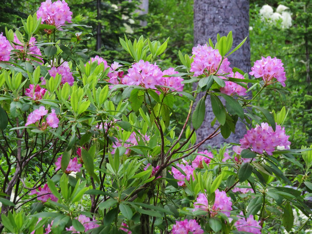
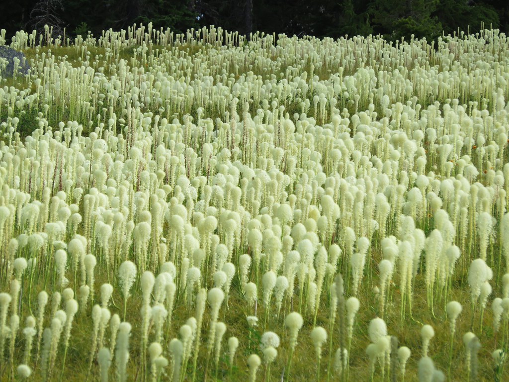
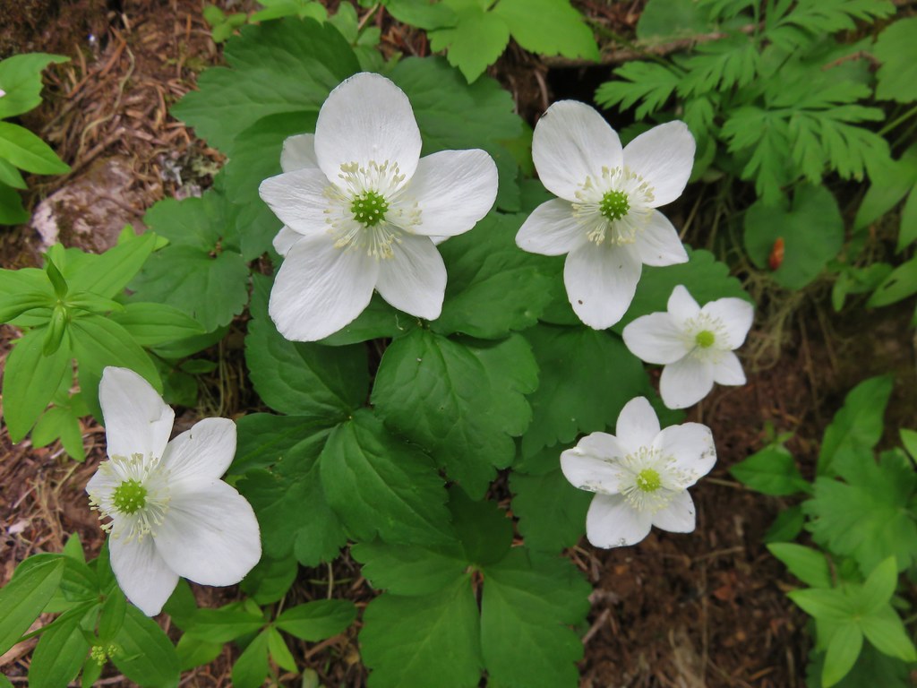
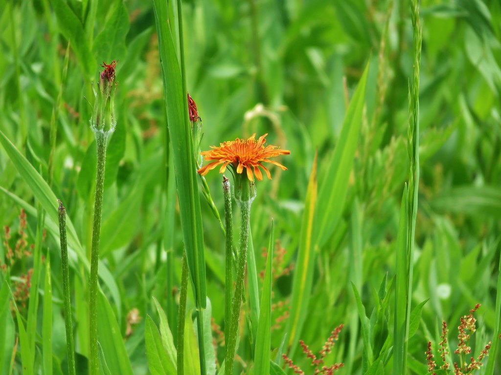
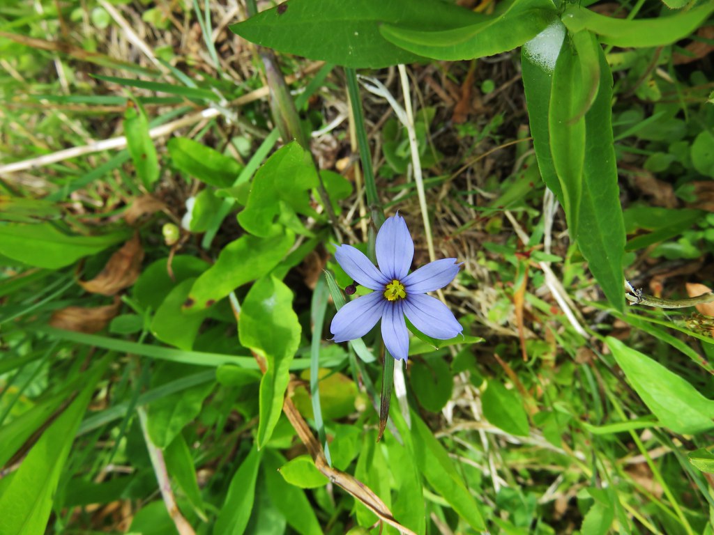
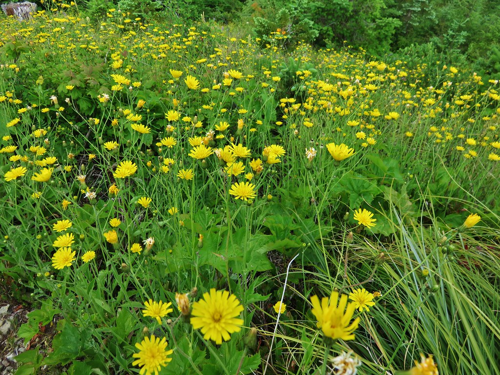
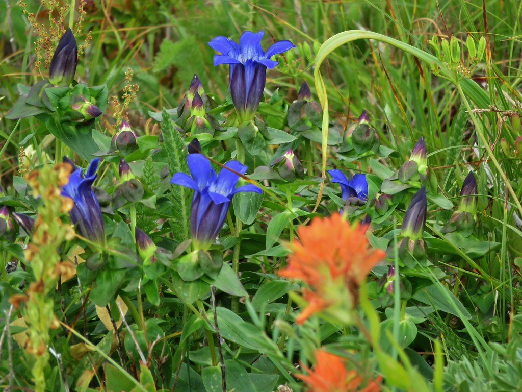
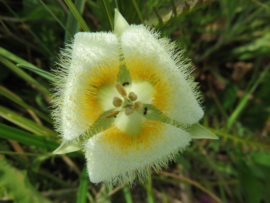
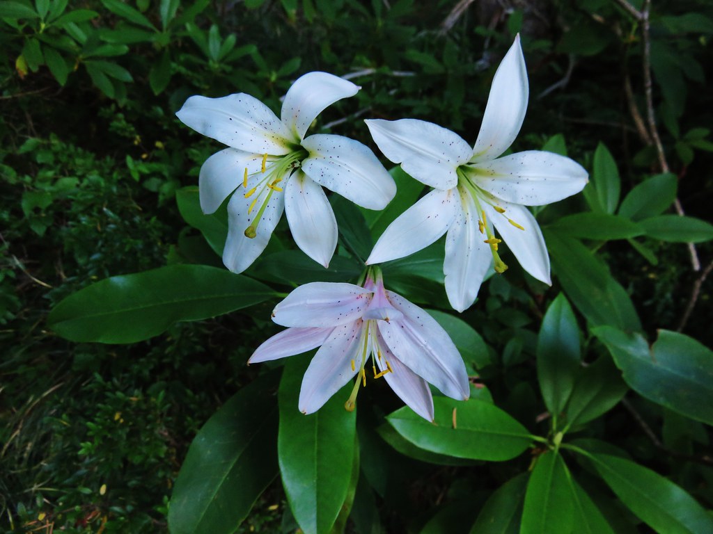
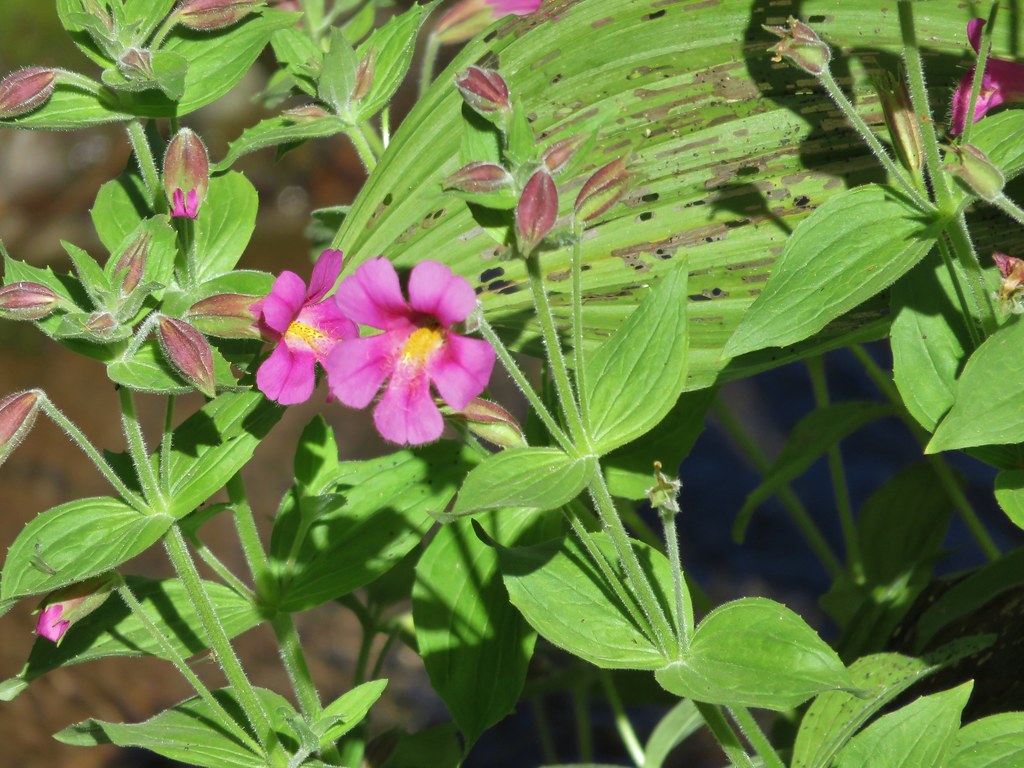
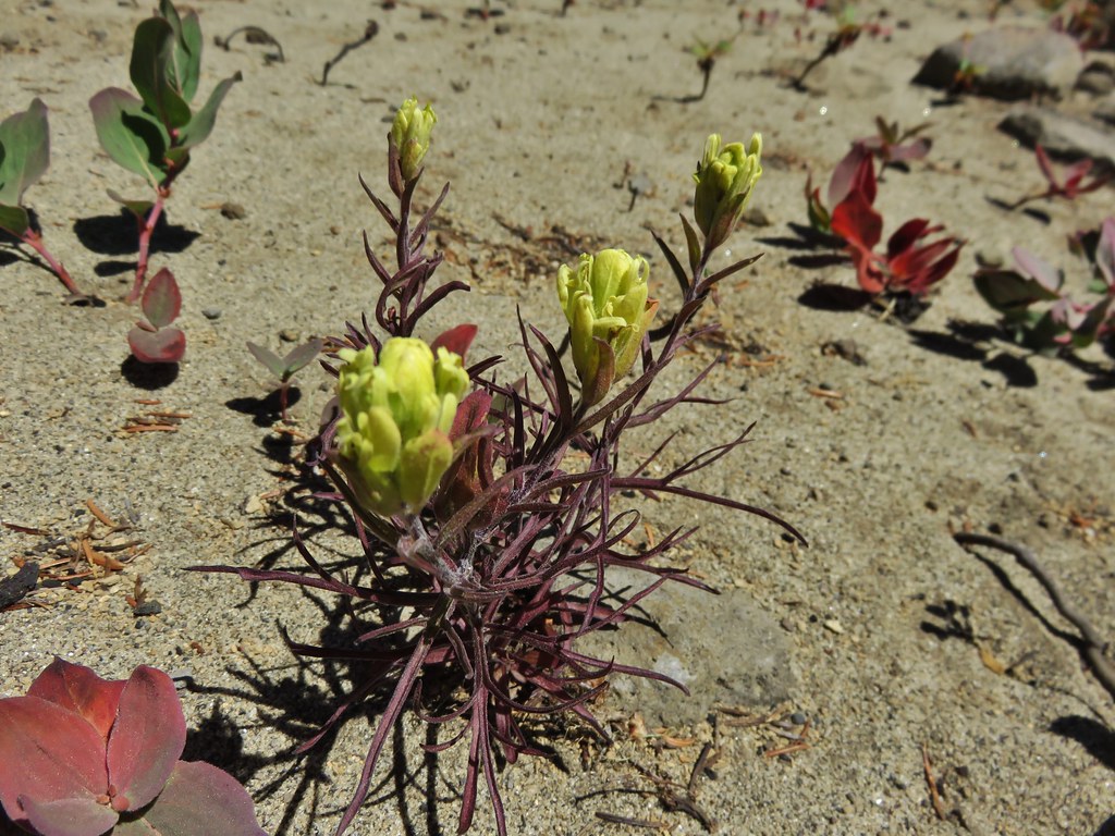
It was very apparent that earlier in the year there had been a nice display of wildflowers along the trail but most of them had long since passed although a few holdouts did remain.
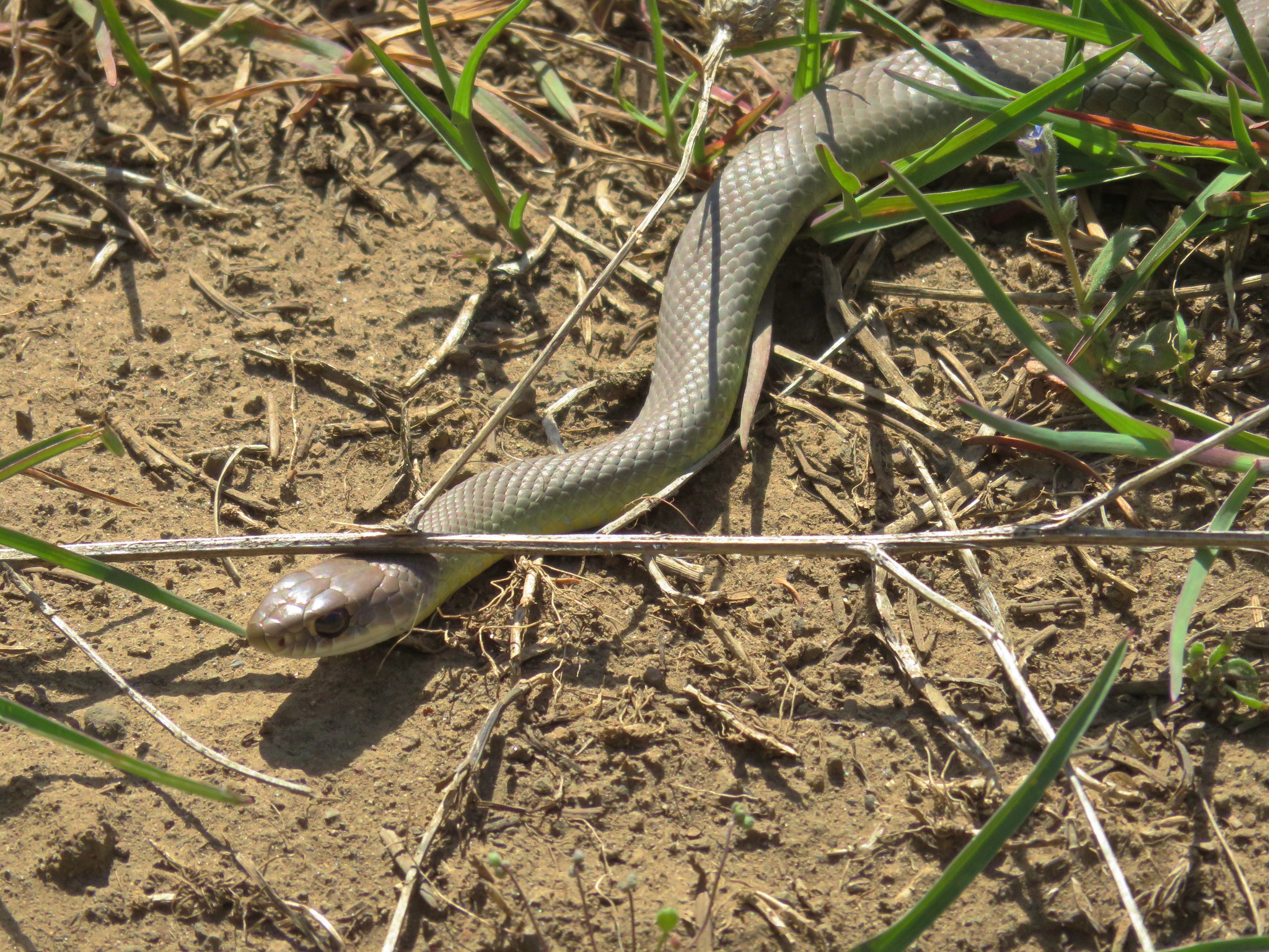
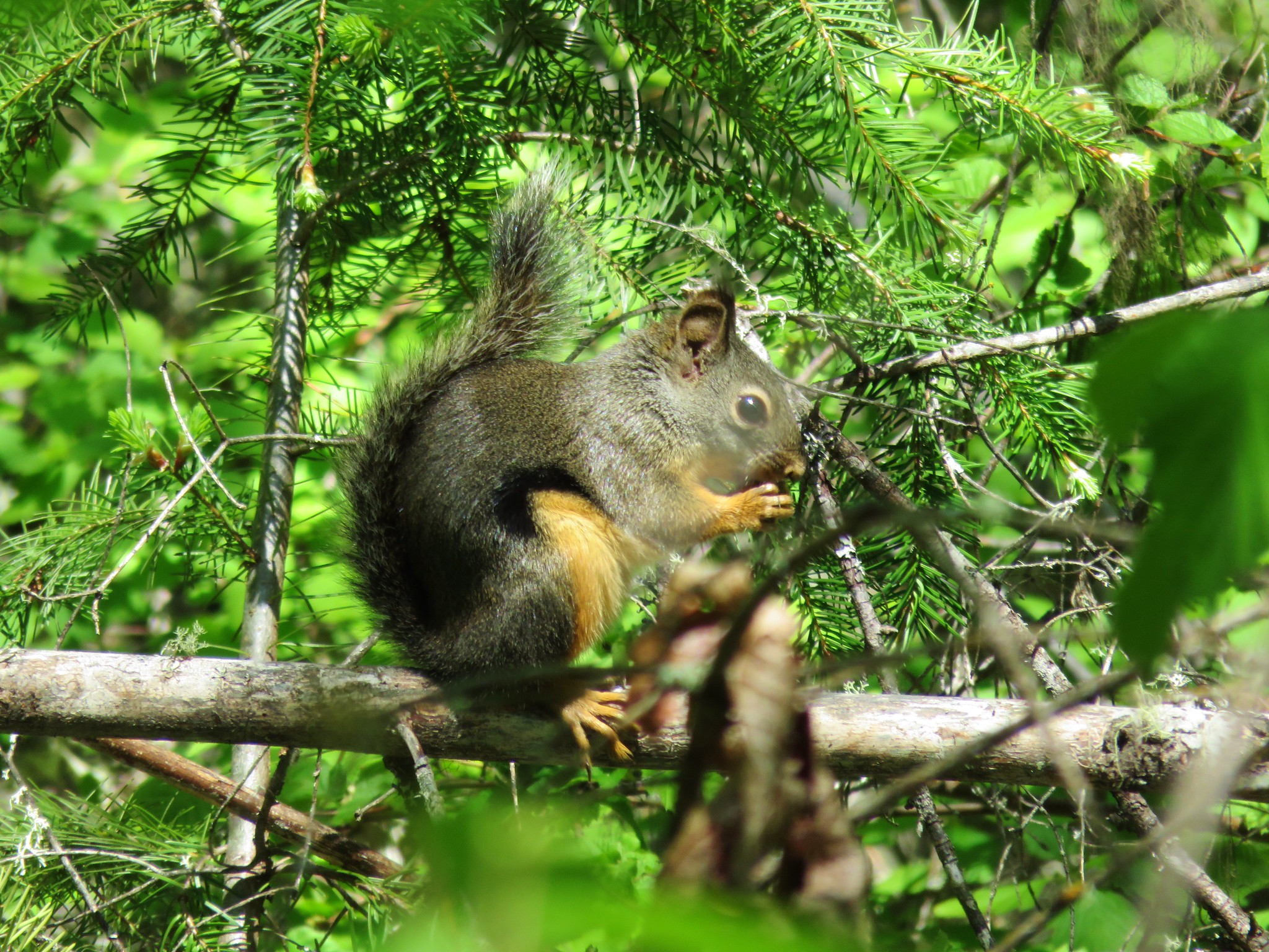
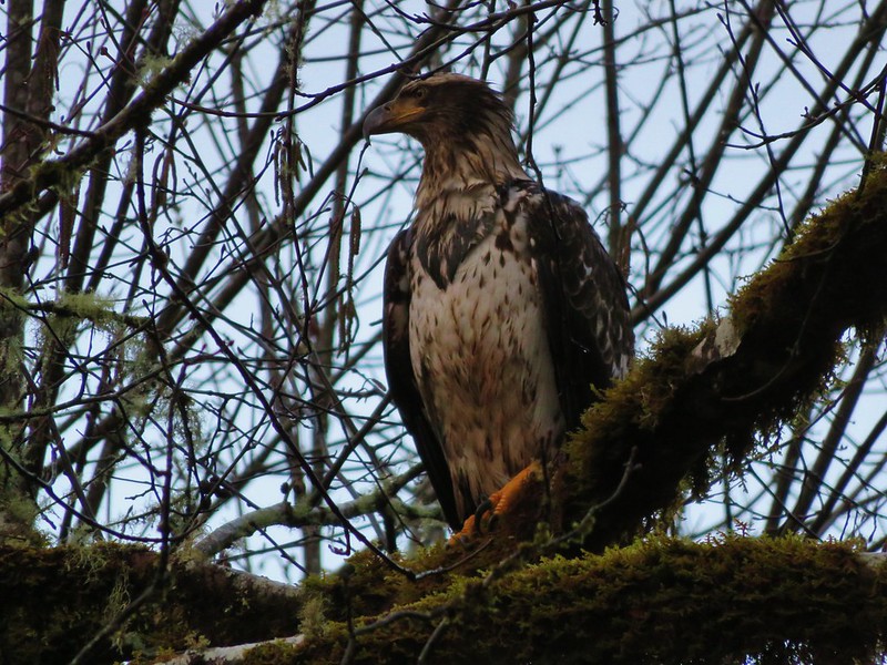
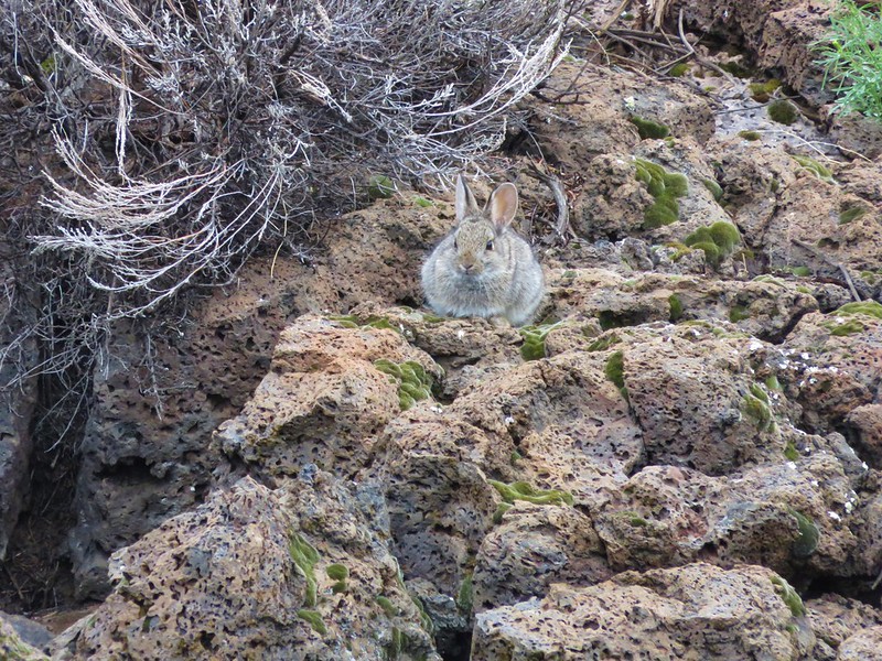
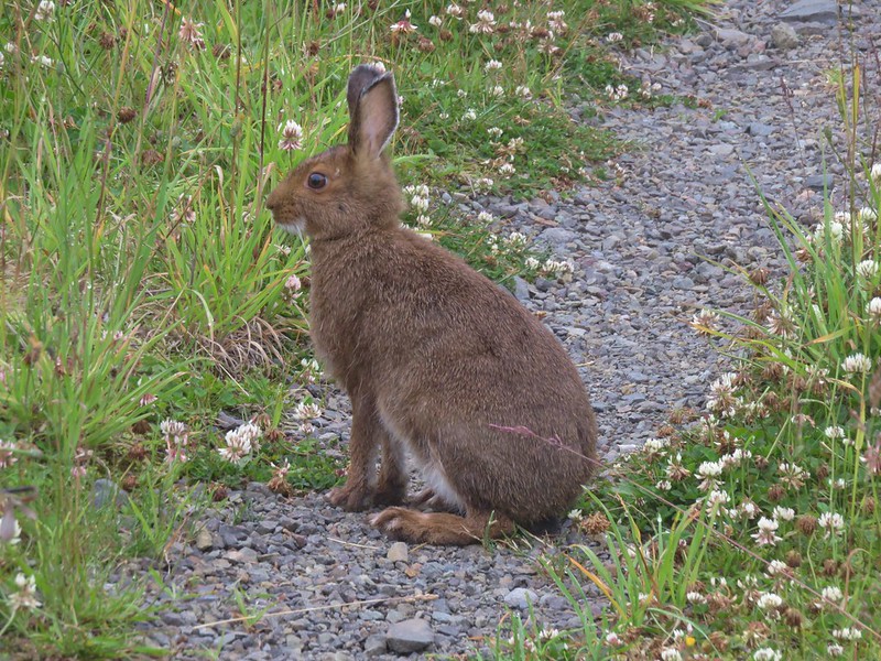
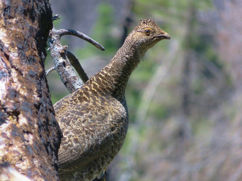
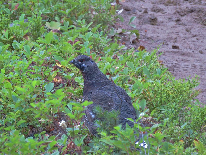
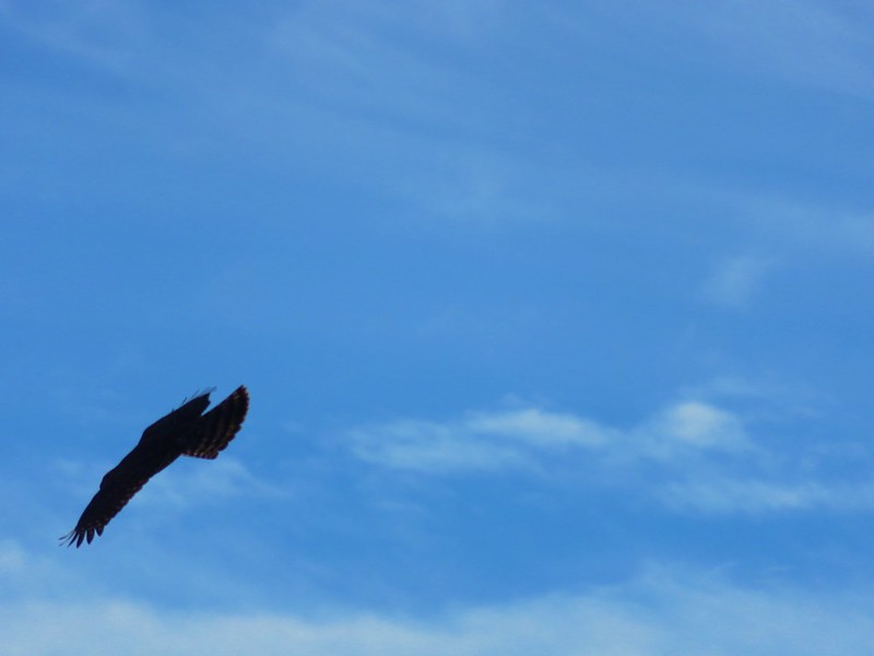
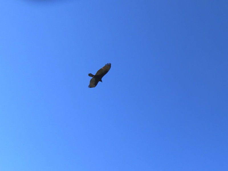
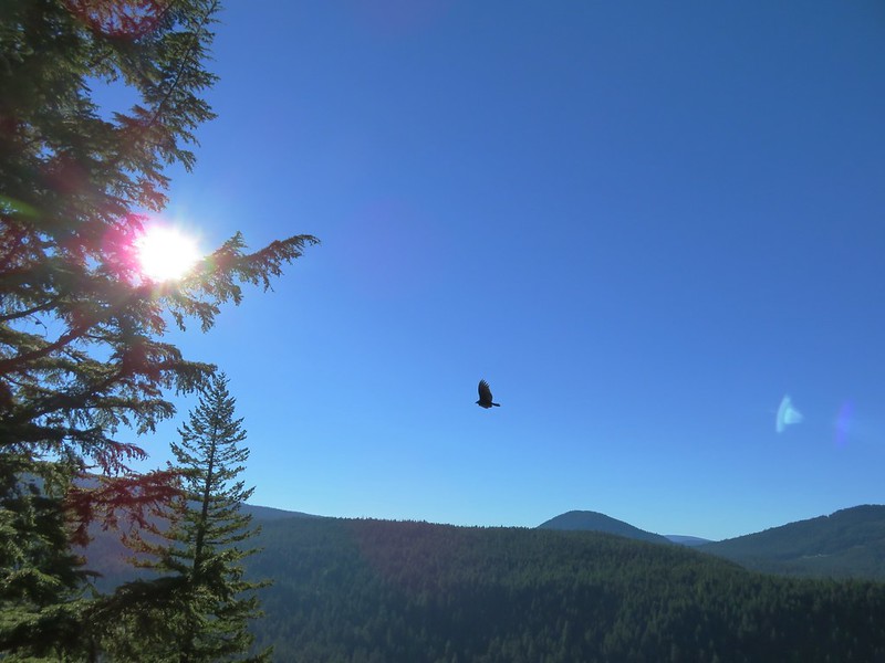
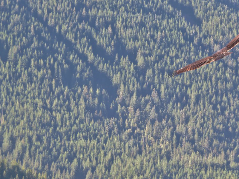
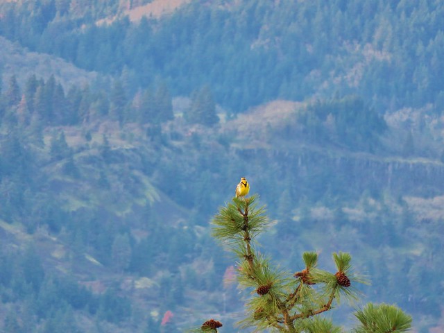
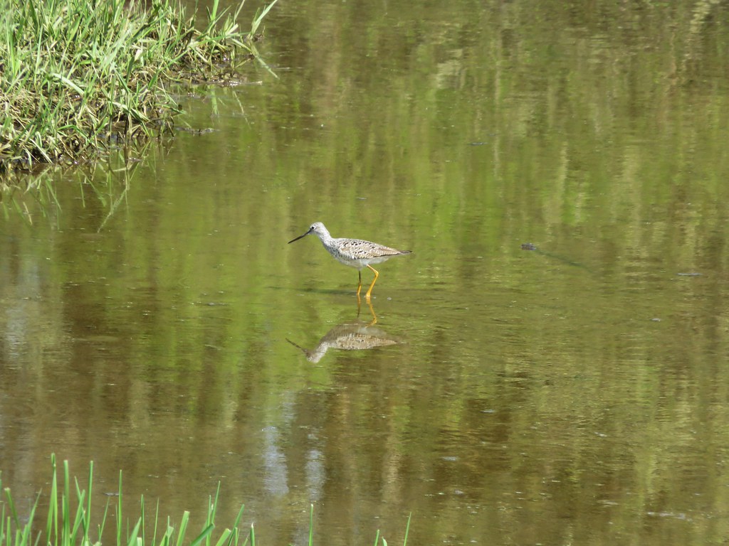
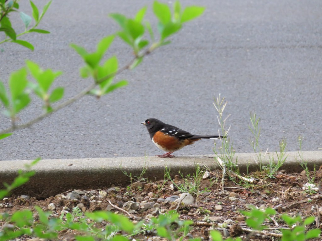
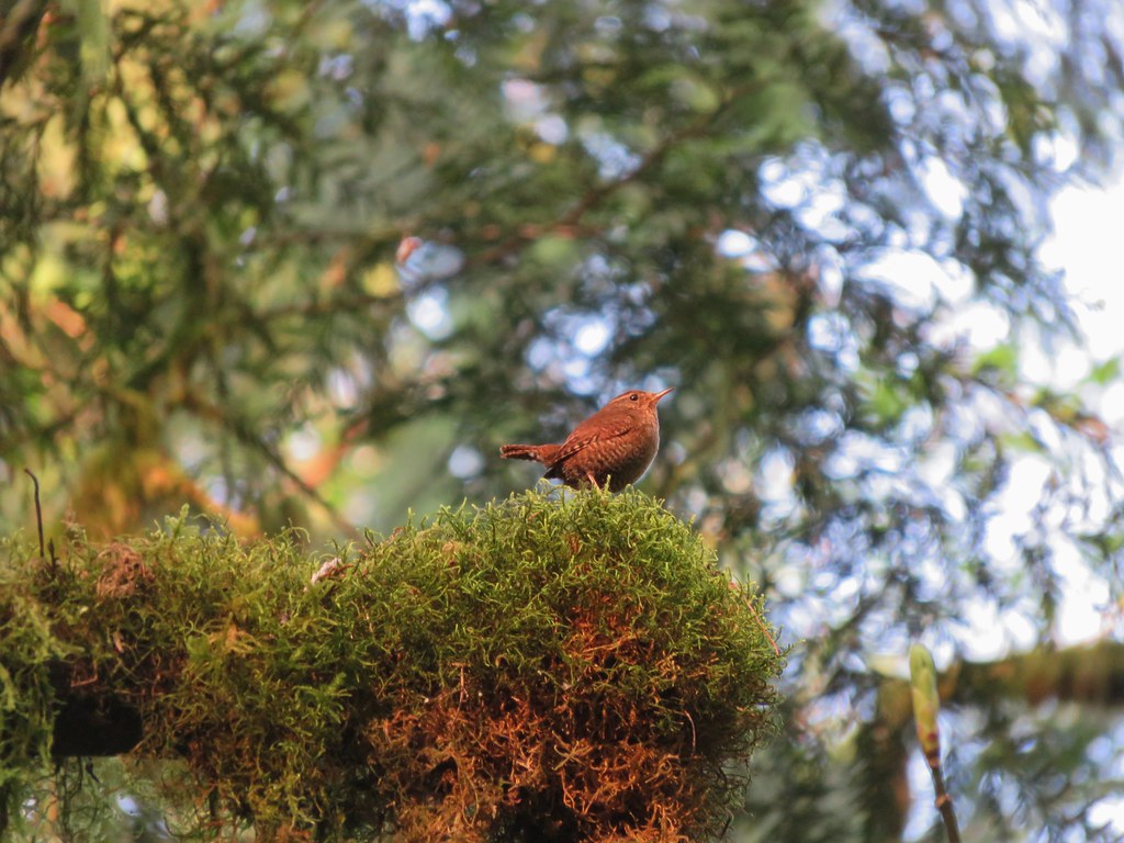
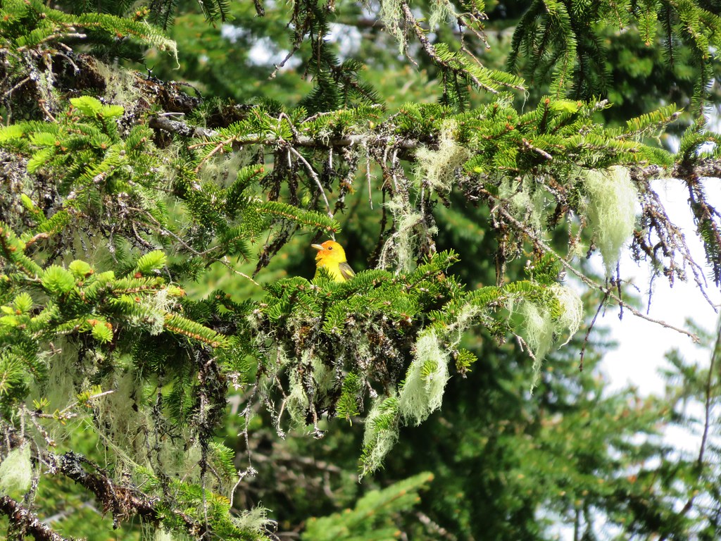
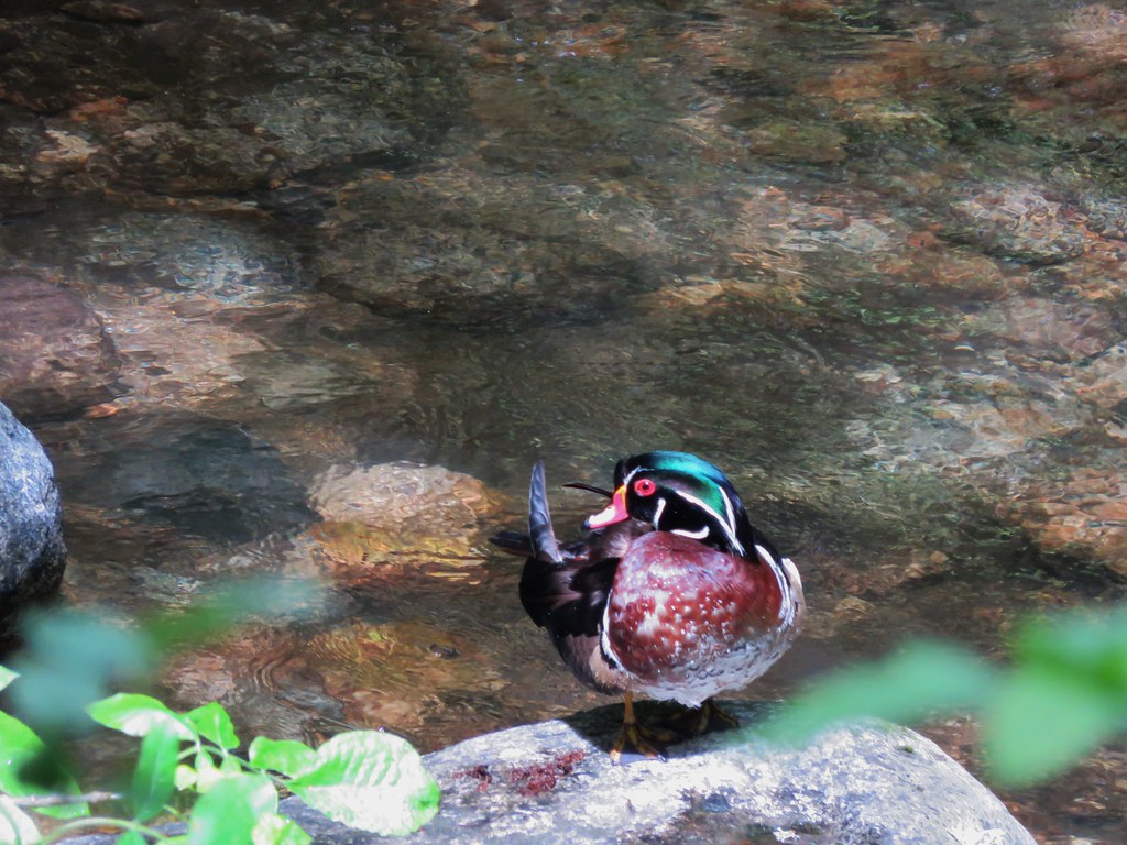
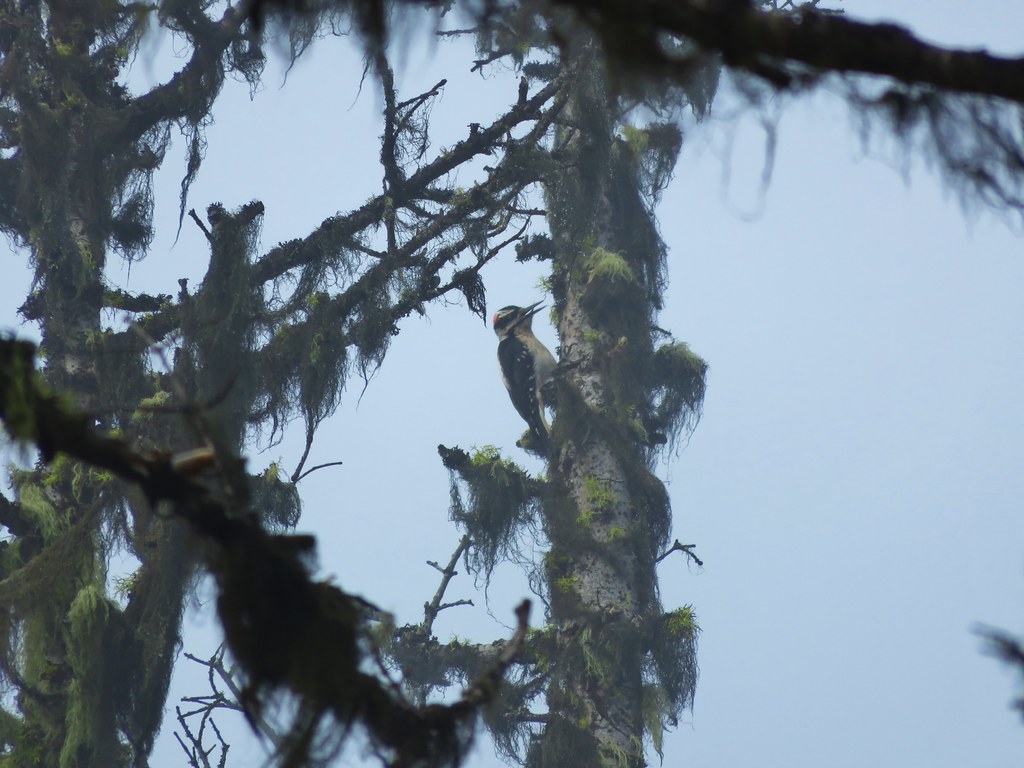
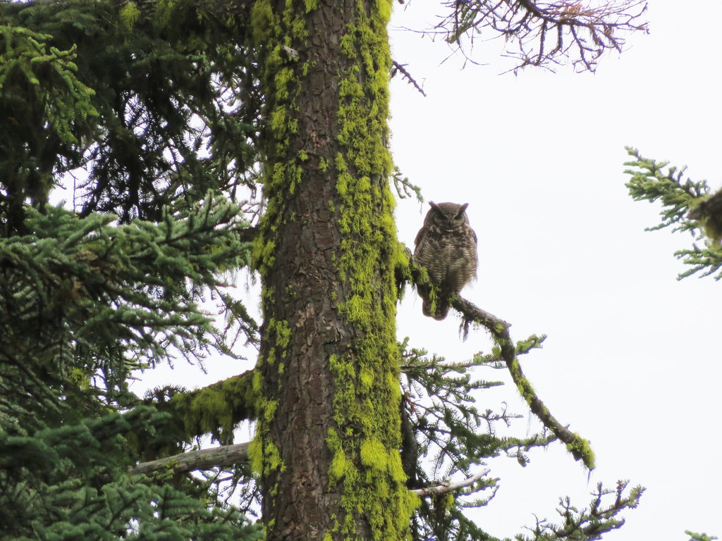
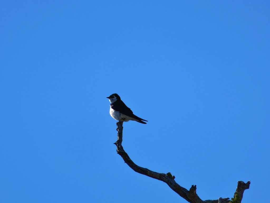
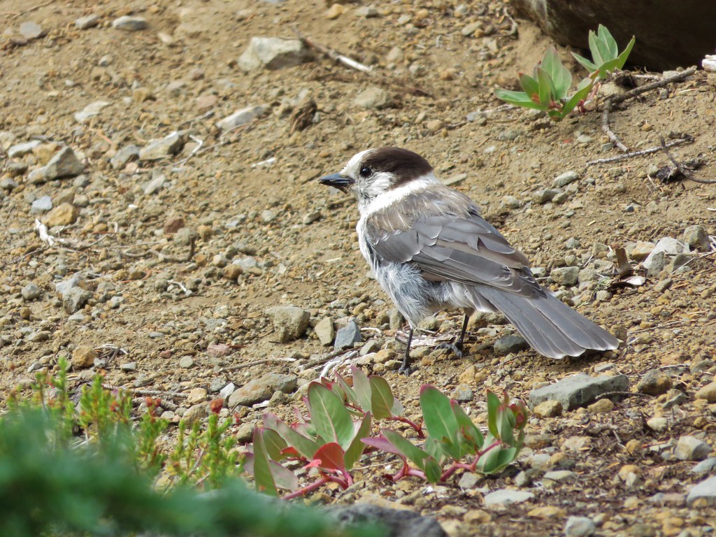
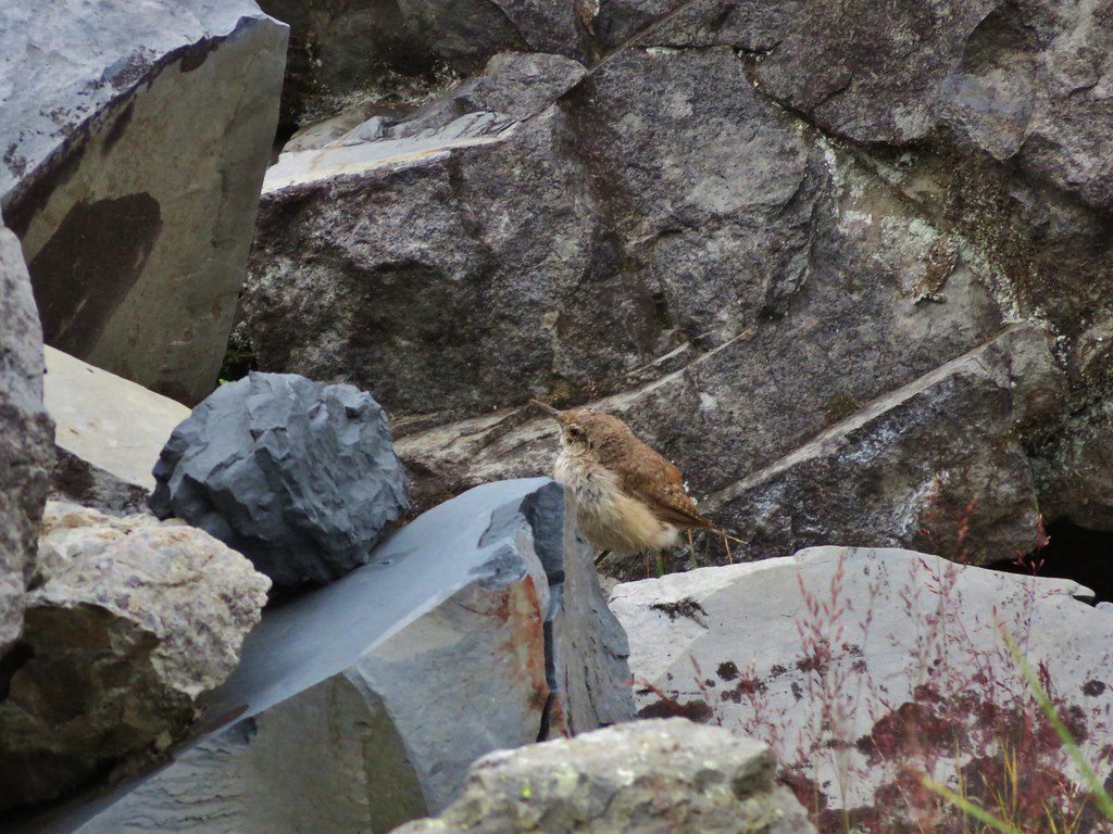
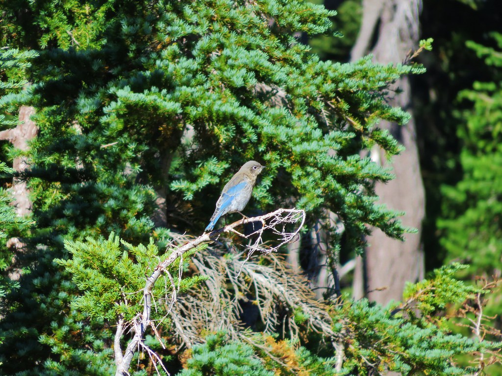
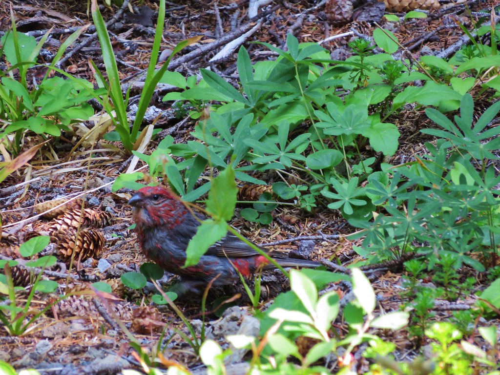
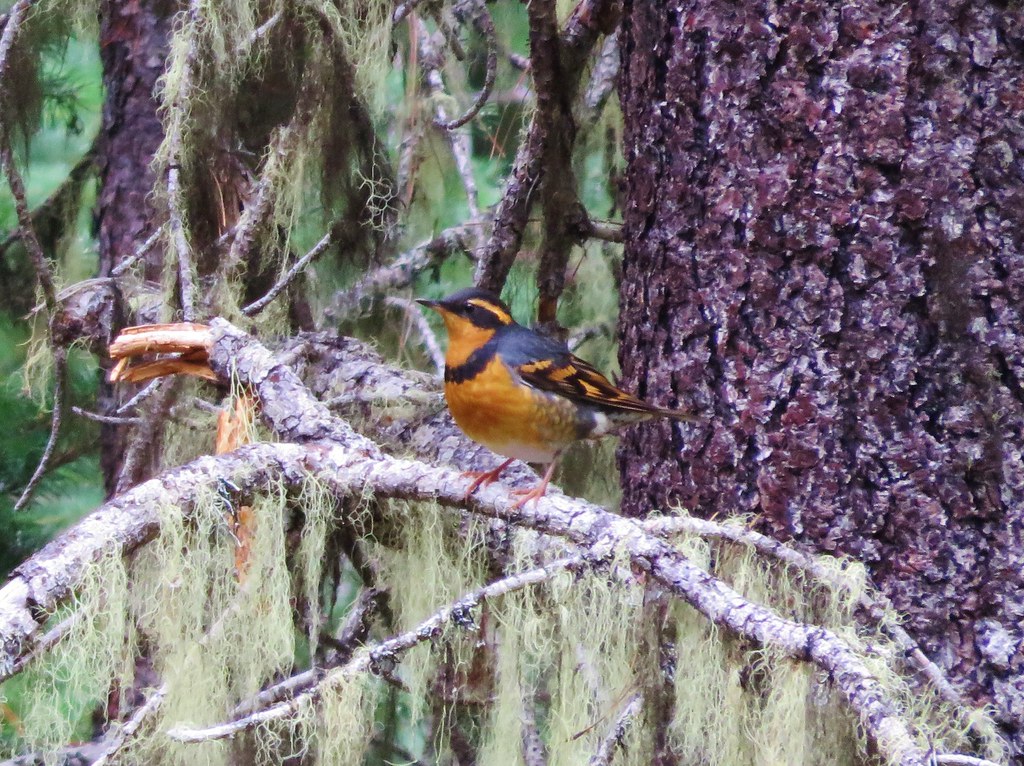
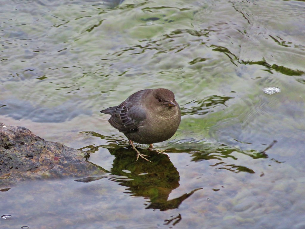
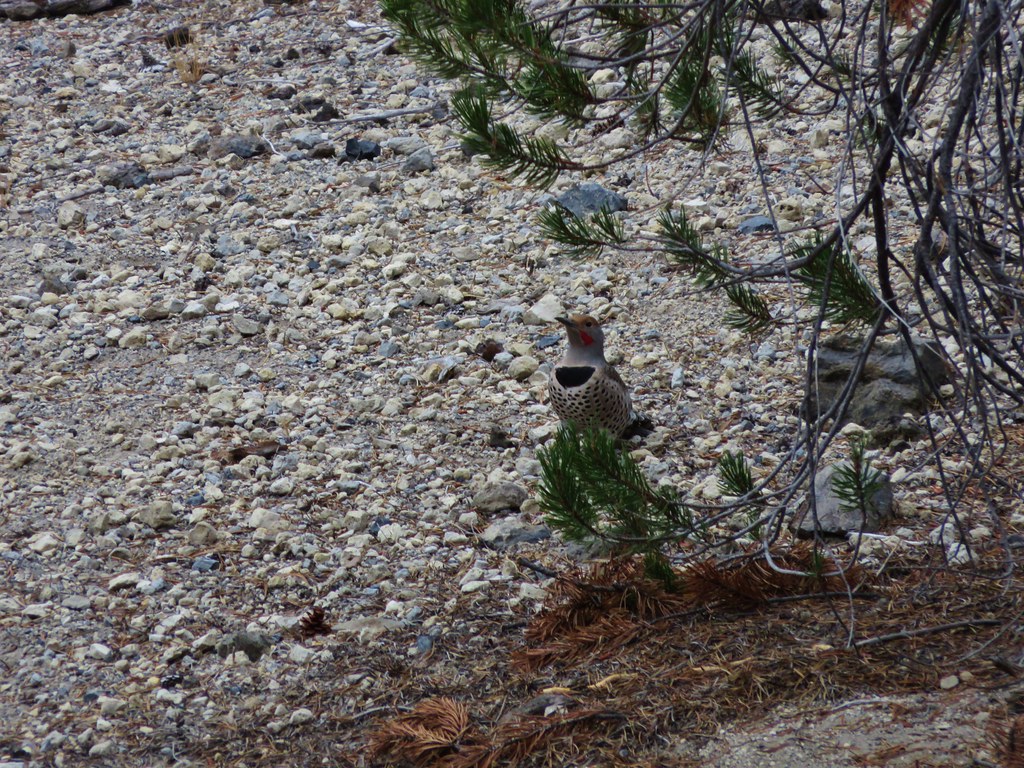
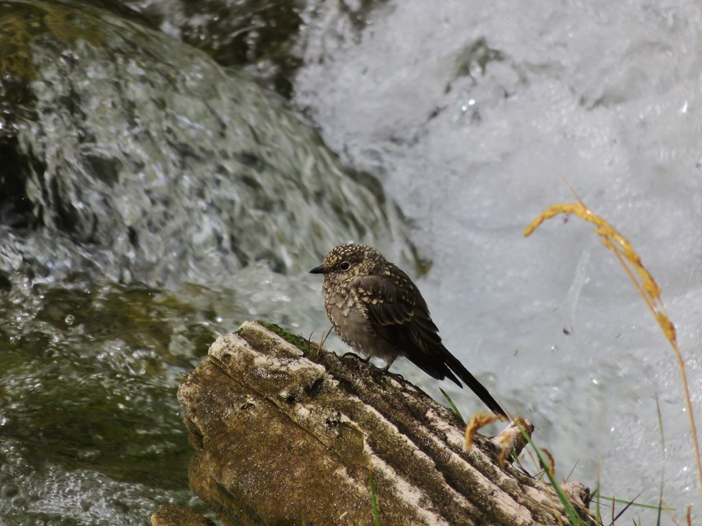
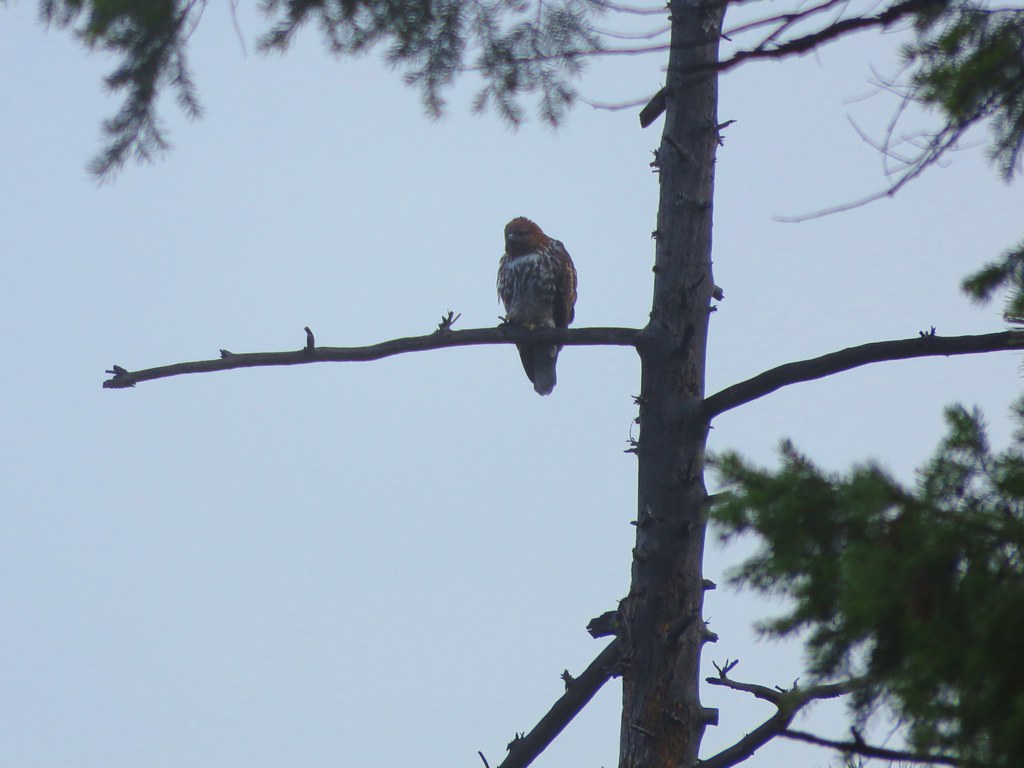
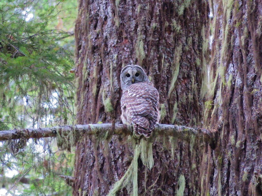
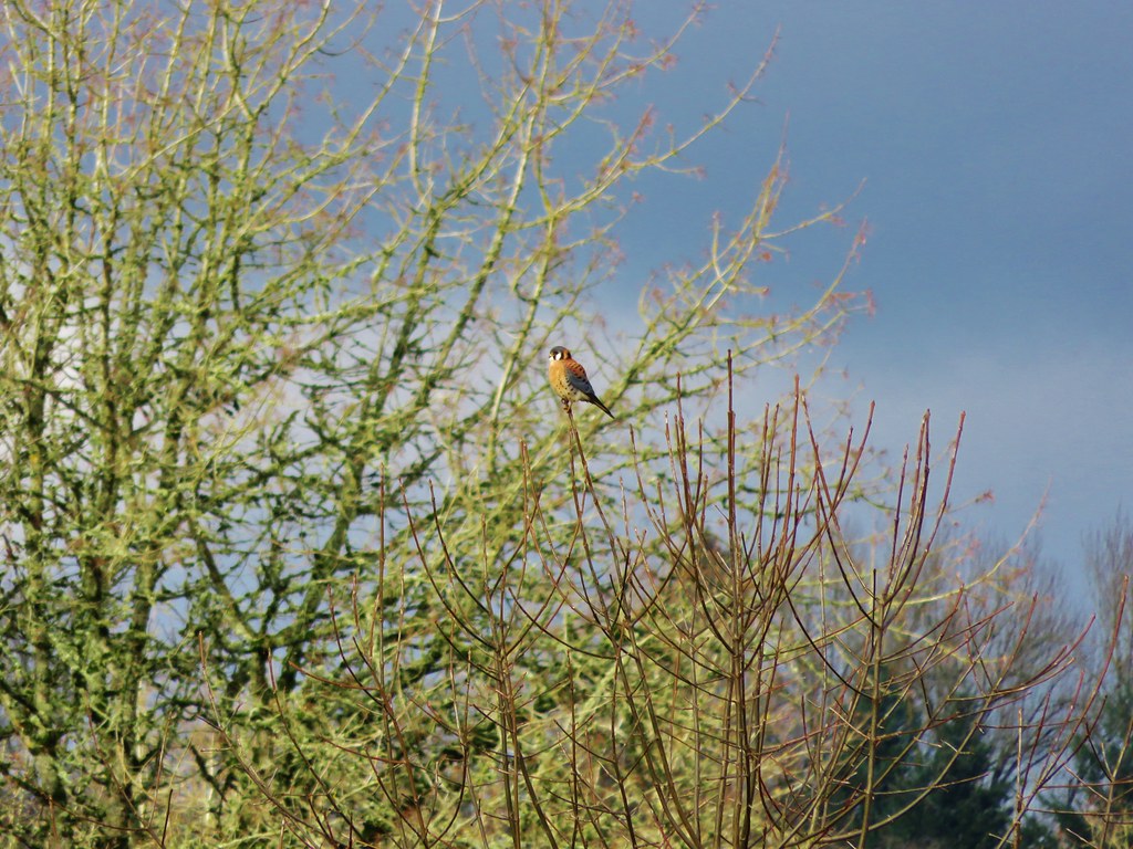
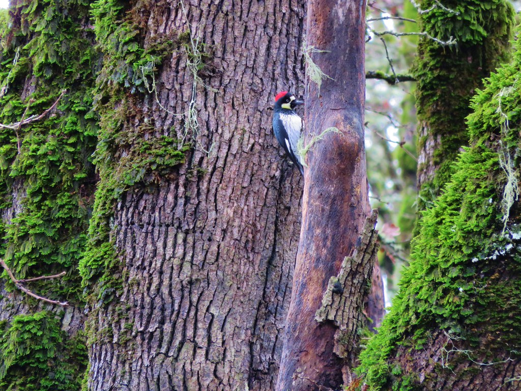
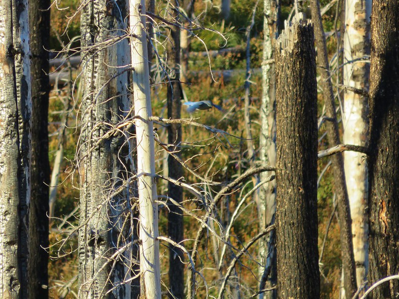
The dead trees seemed to host plenty of life in the form of a variety of birds flying from tree to tree.


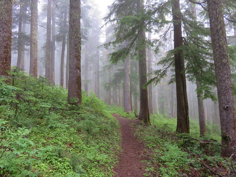
After nearly 3 miles of climbing we neared the Tilly Jane A Frame which was hidden in non-burnt trees.
Despite being threatened by the 2011 fire, firefighters had been able to save all the structures in the historic district.
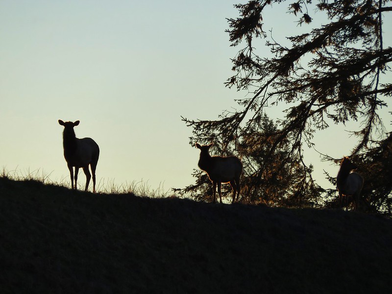
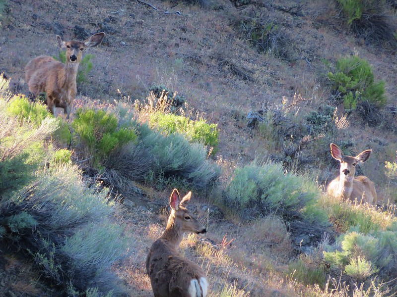
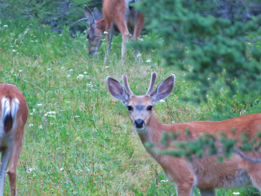
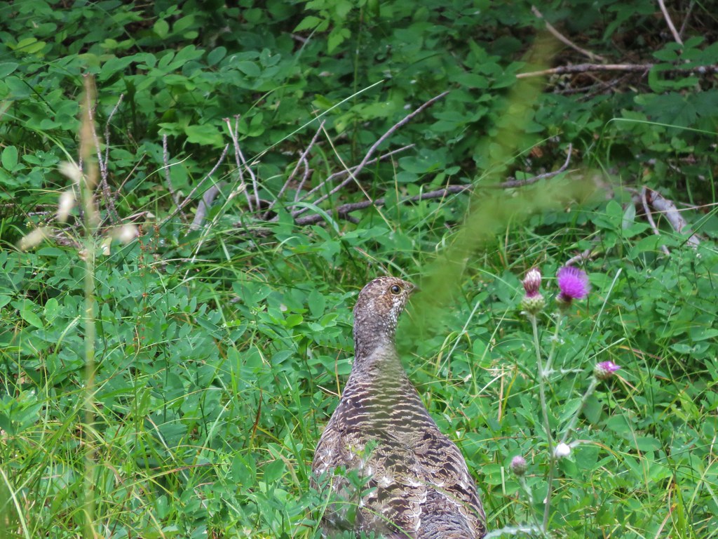
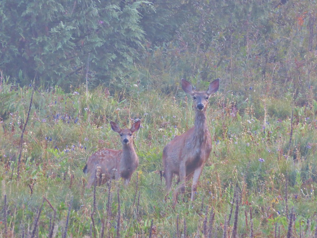
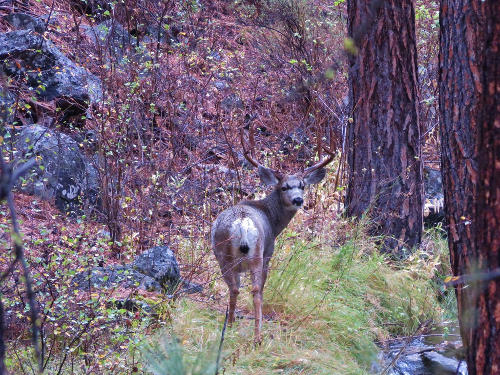
Heather and I were busy talking as we approached the A-Frame and I suddenly noticed there was a deer in the trail about 20 yards away. It walked into the trees as I was grabbing the camera, but then a second deer appeared.

She sized us up for a moment then proceeded to take a few bites of the plants as she followed the other one into the trees.
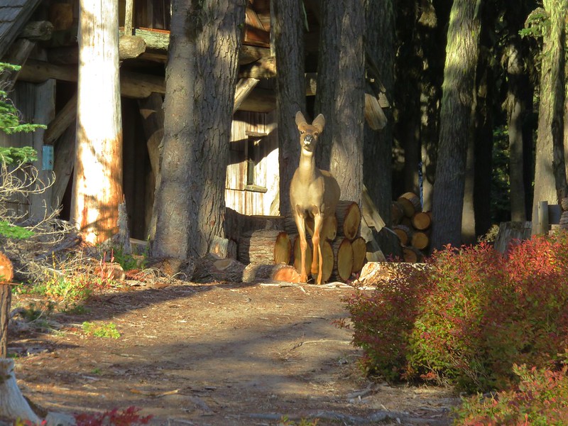
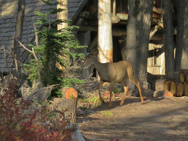
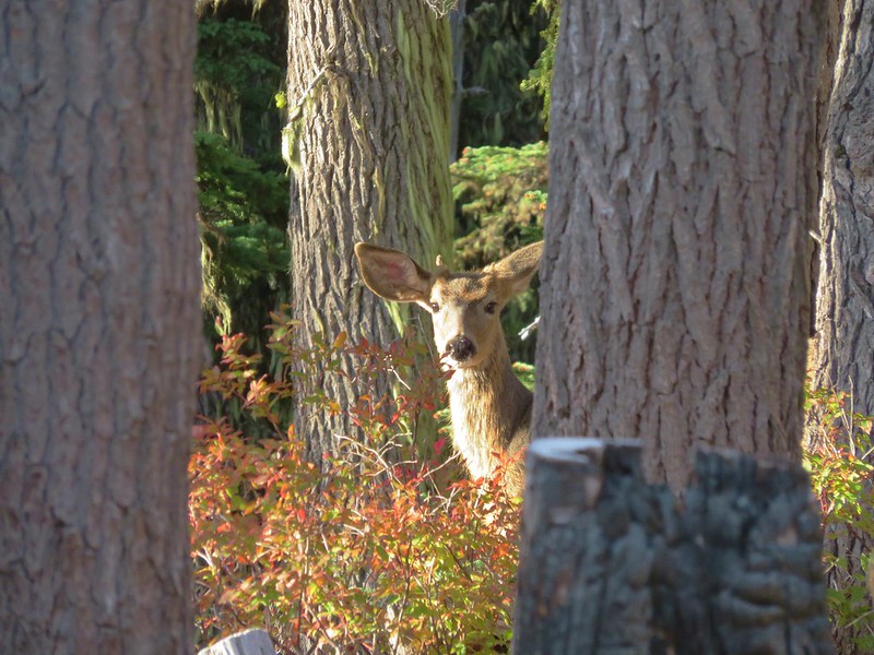
As we continued up the trail we spotted the first deer and saw that it was a young buck.
After watching the deer for a moment we proceeded to the A-Frame to have a look.
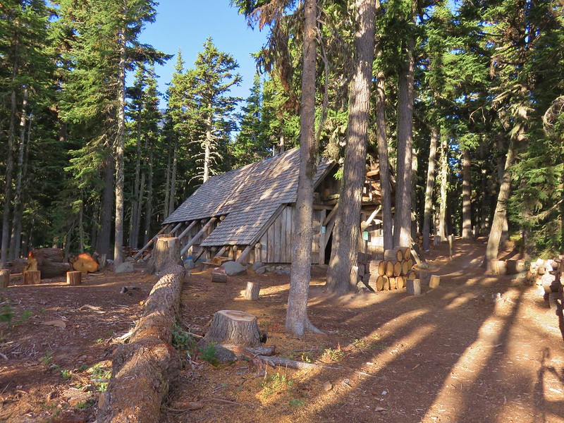
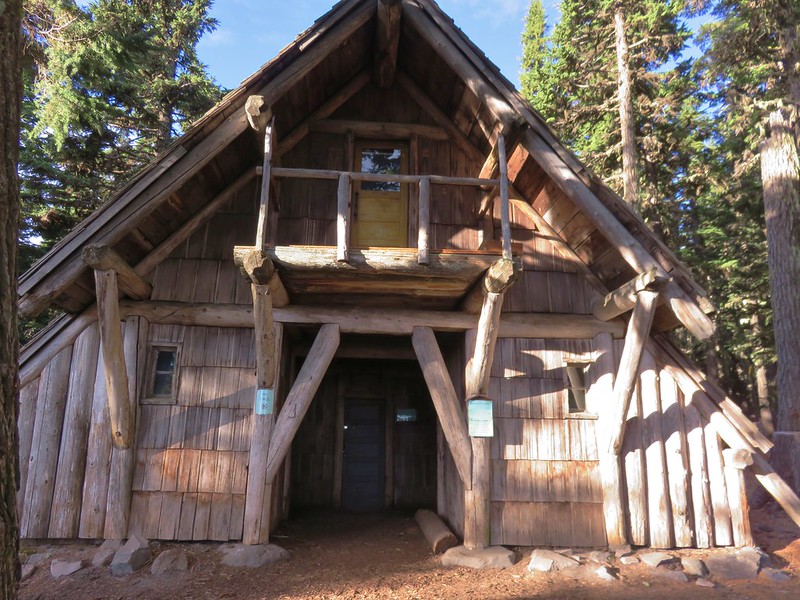

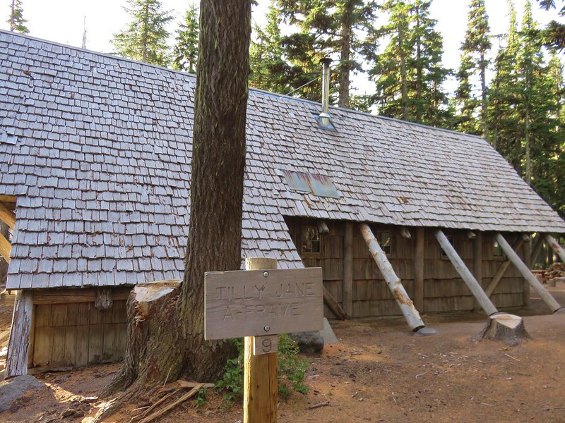
The A-Frame was constructed by the Civilian Conservation Corps in 1939 and can sleep up to 20. It originally had a kitchen and dining hall on the ground floor with the sleeping area above in the loft.
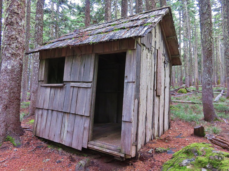
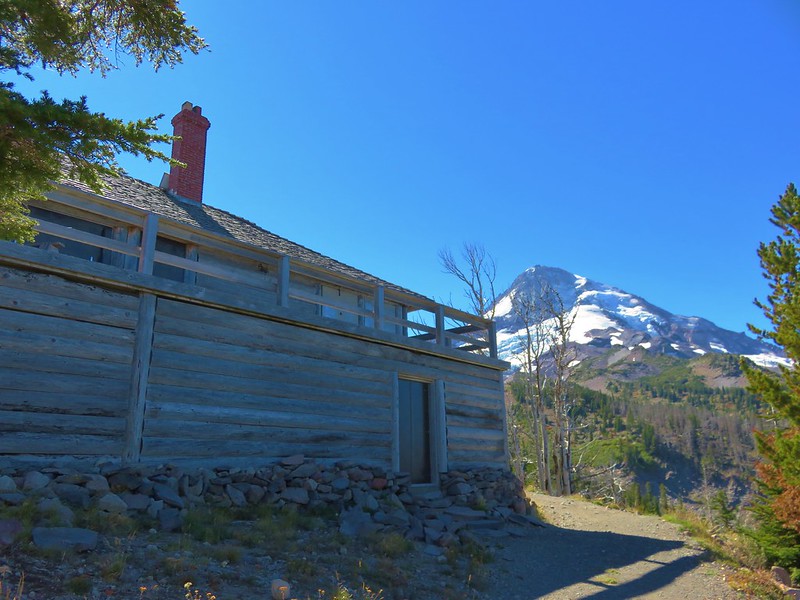
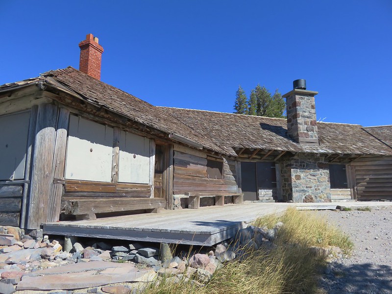
West of the A-Frame is the Legion Cookhouse (built in 1924) which is not in the best of shape.


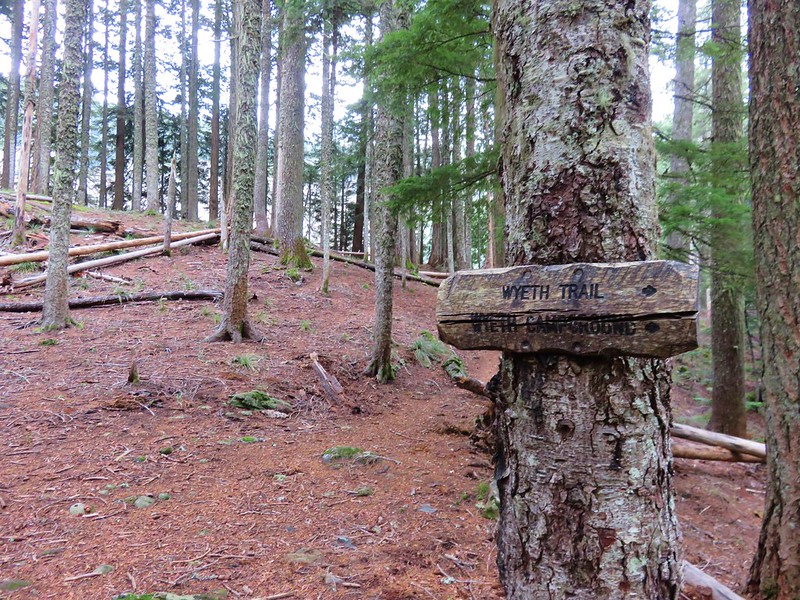
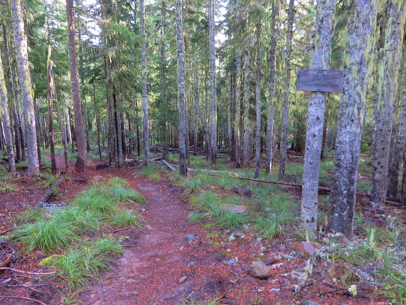
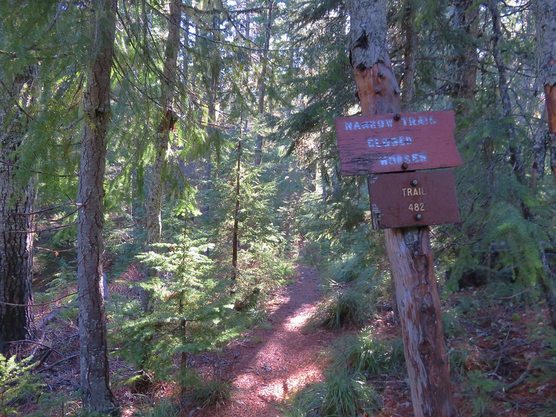
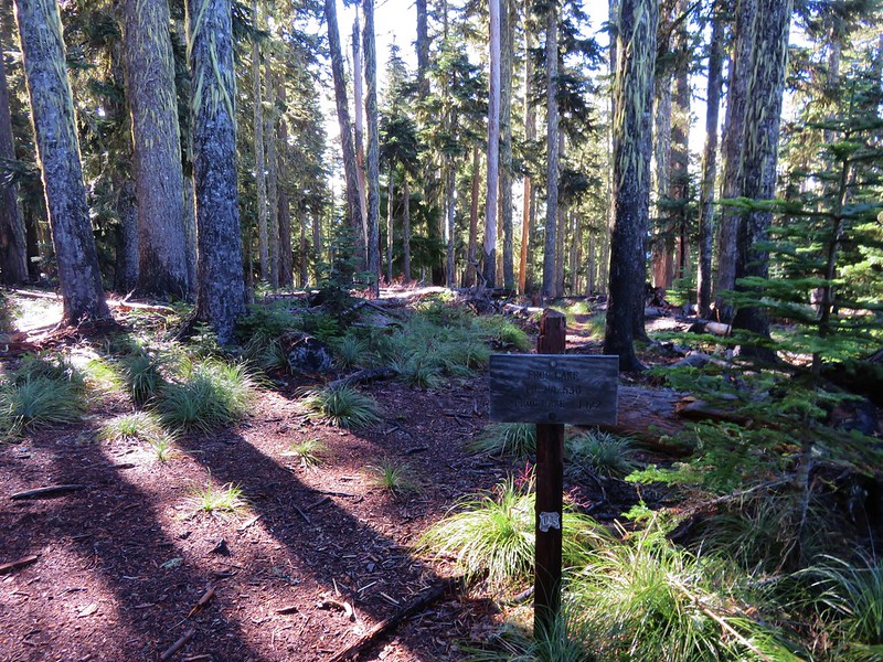
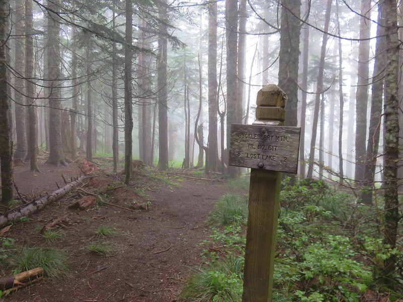
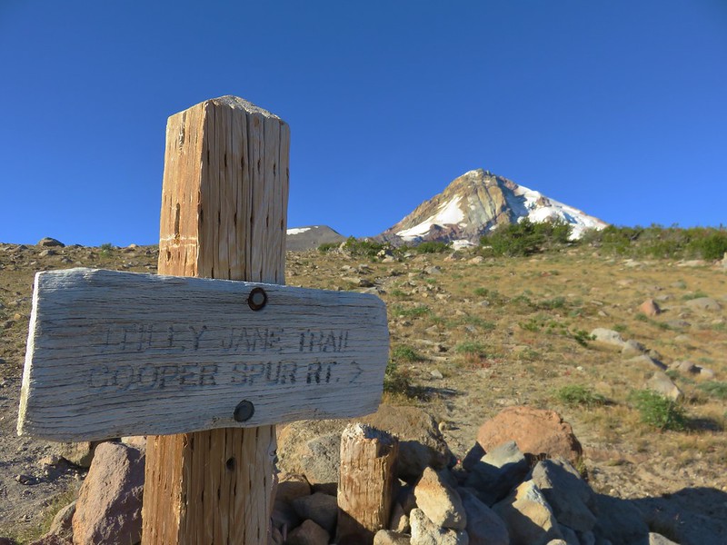
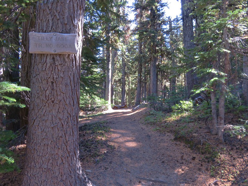
Just beyond the cookhouse a trail sign announced the Tilly Jane Trail.

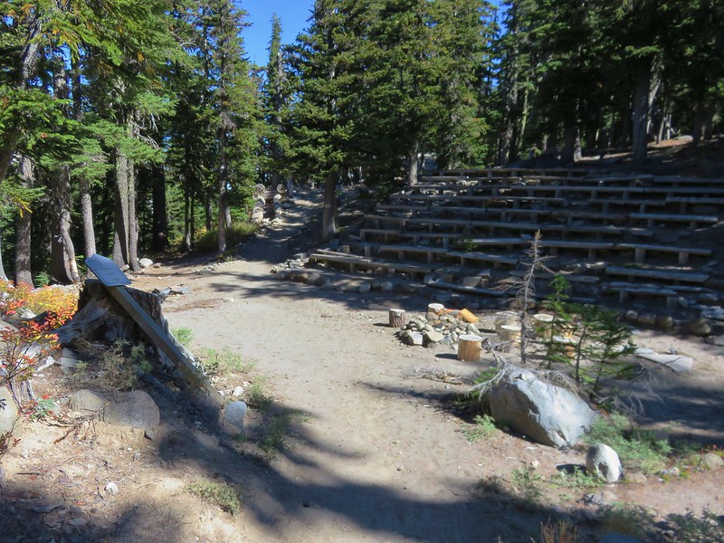
We turned left on the trail after taking a quick look at the American Legion Amphitheater which was also constructed in the 1920s.

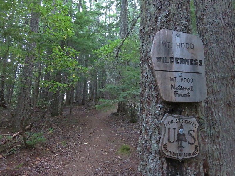
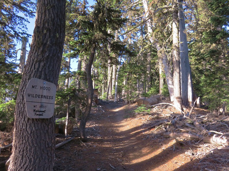
The Tilly Jane Trail enters the Mt. Hood Wilderness about a quarter mile from the cookhouse.
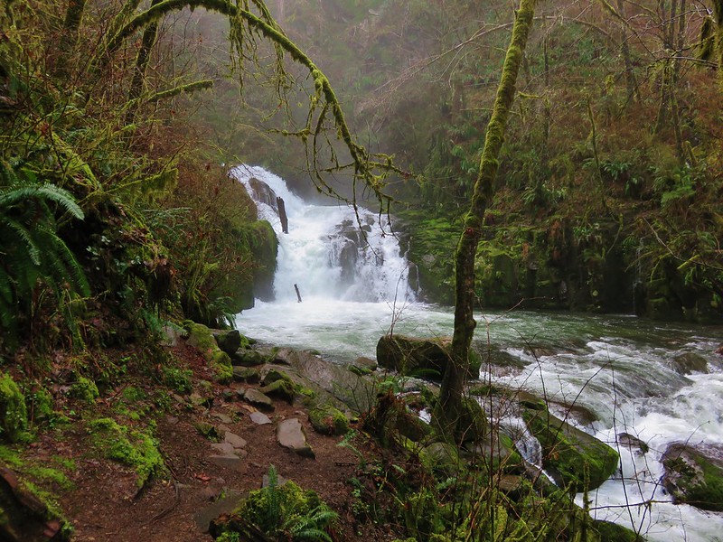
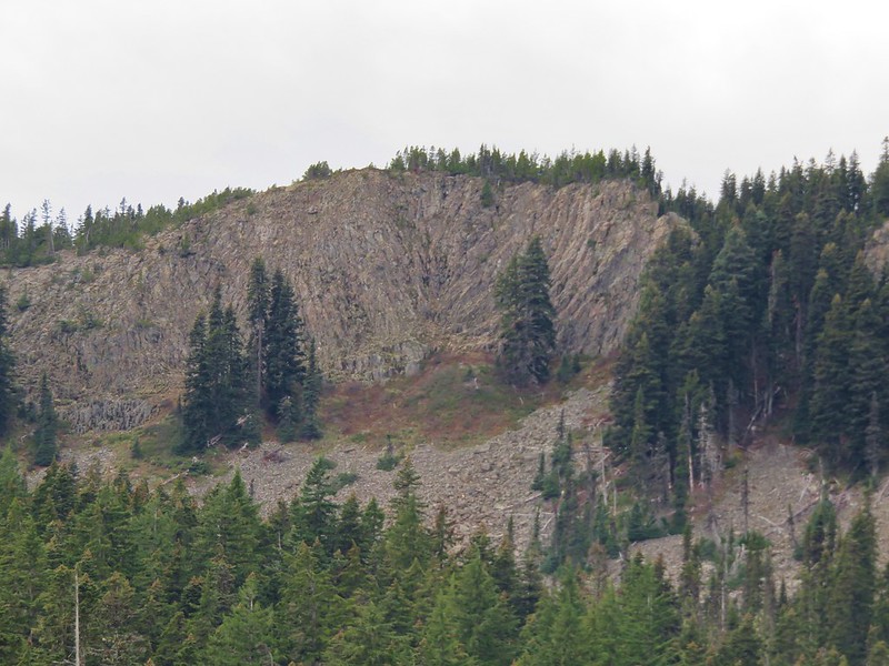
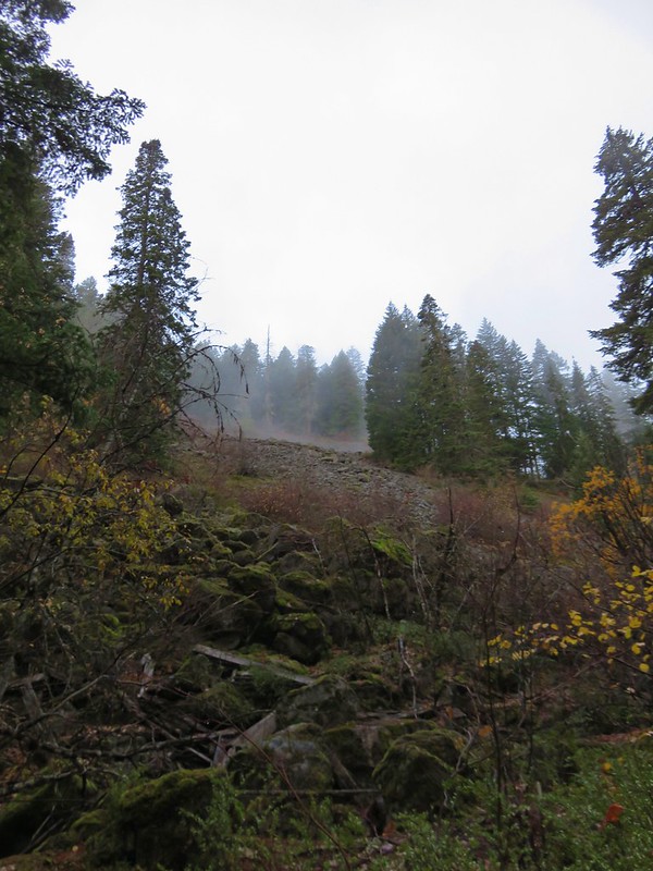
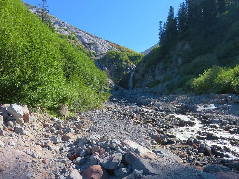
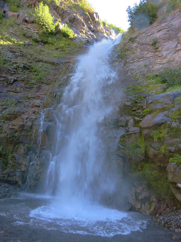
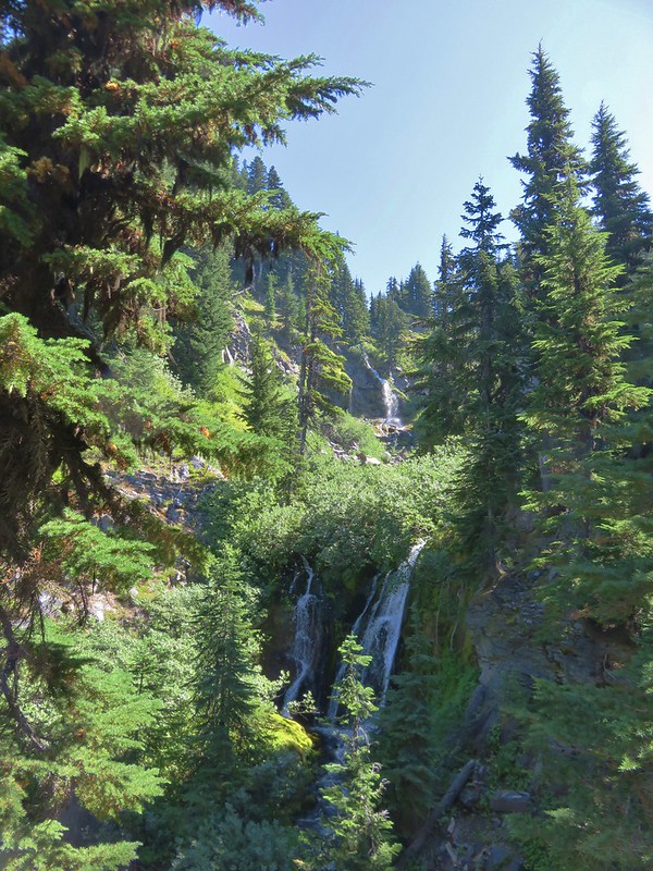
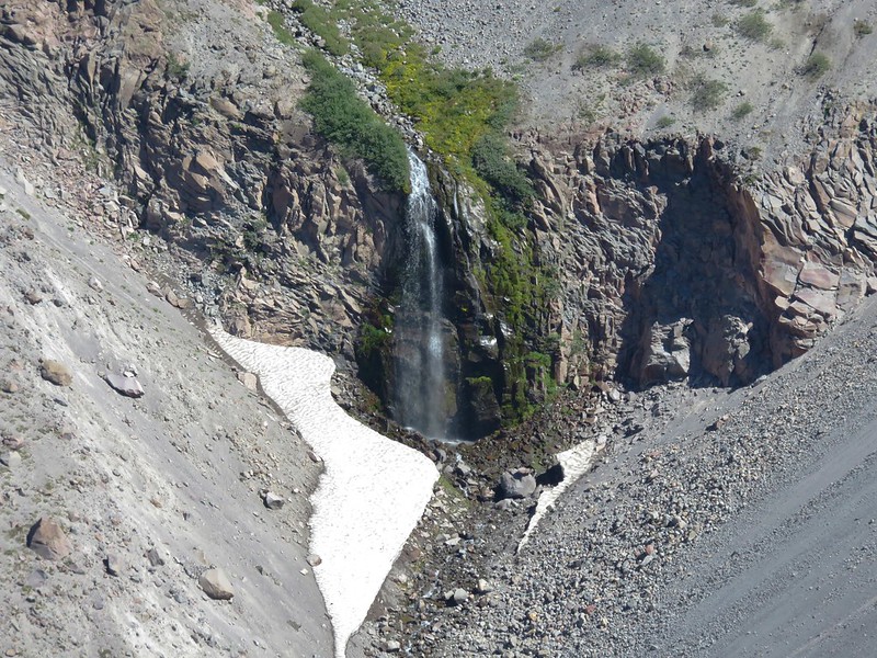
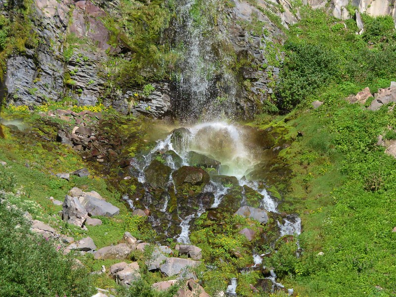
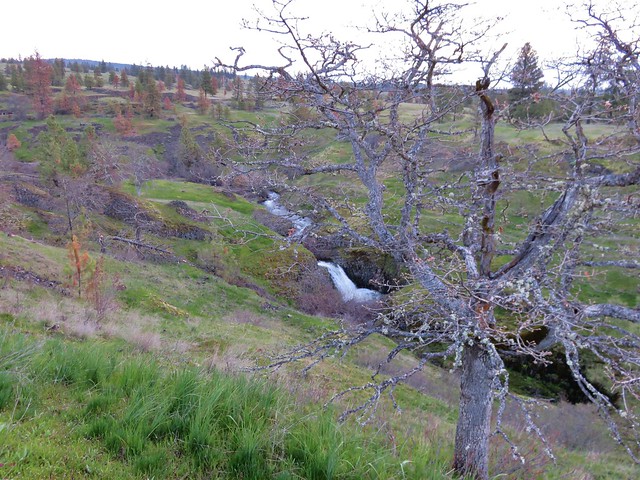
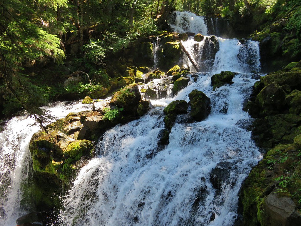
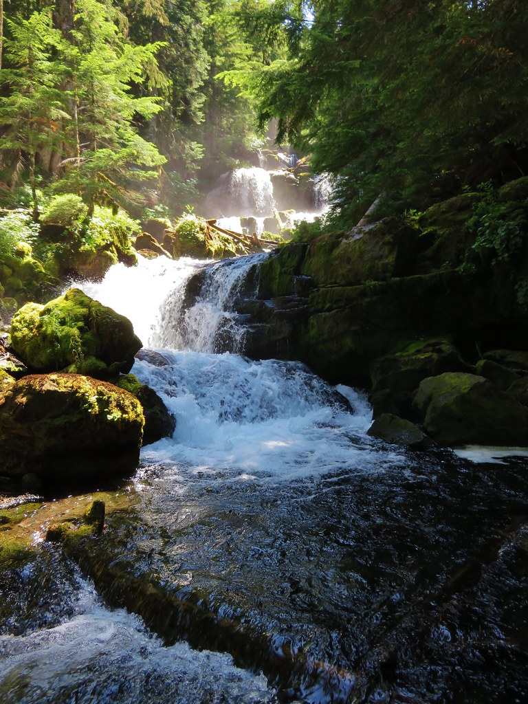
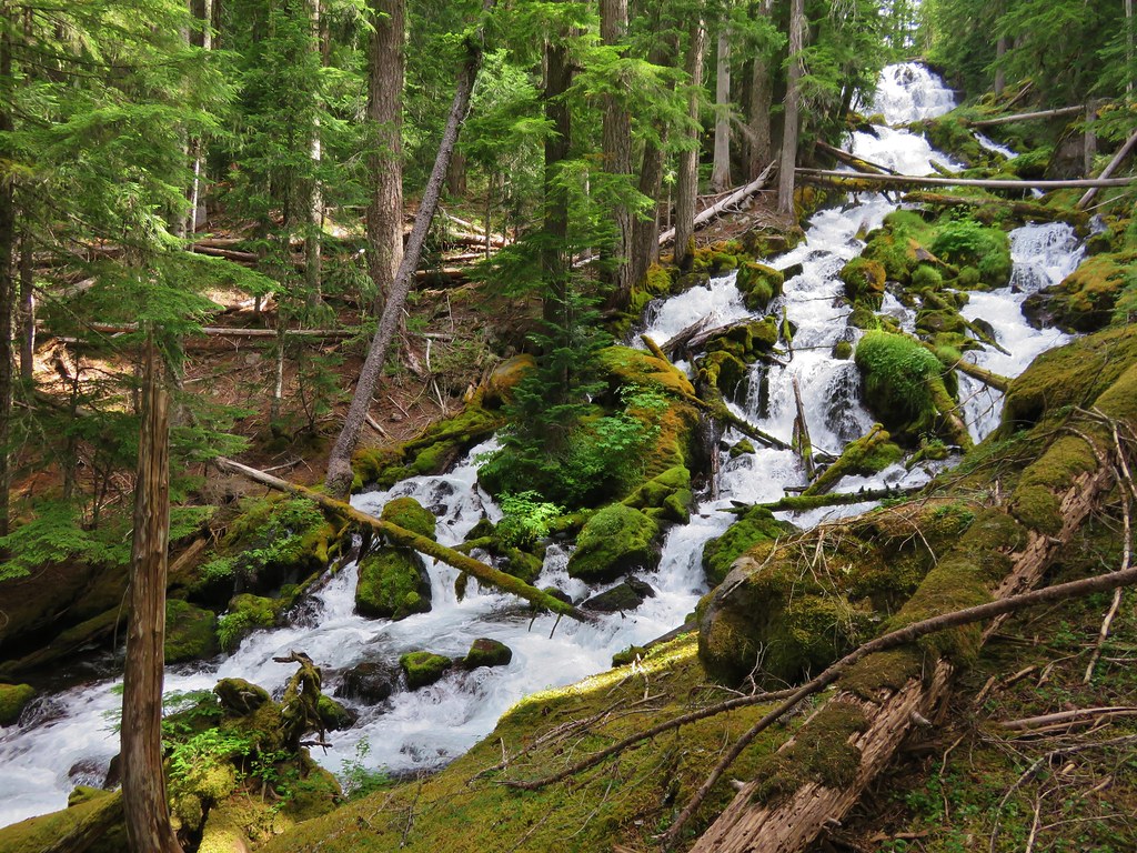
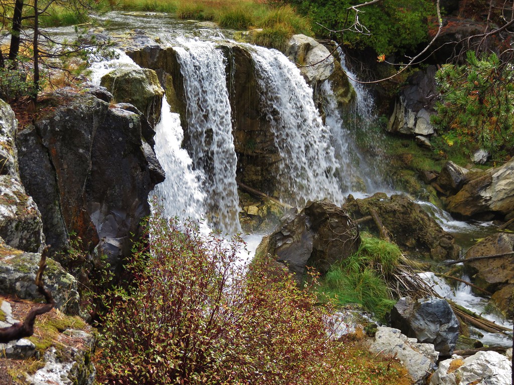
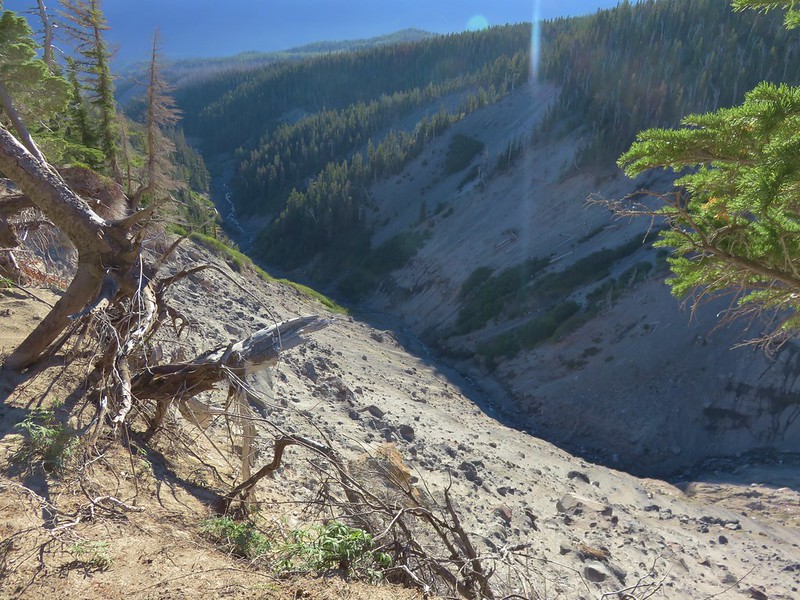
The trail then proceeds uphill along the Polallie Creek Canyon just over three quarters of a mile to the Timberline Trail. A 1980 flash flood sent an 80′ deep wall of water and debris down the canyon. Viewpoints along the way offered a look at the origin of the flood at the headwall of the canyon.
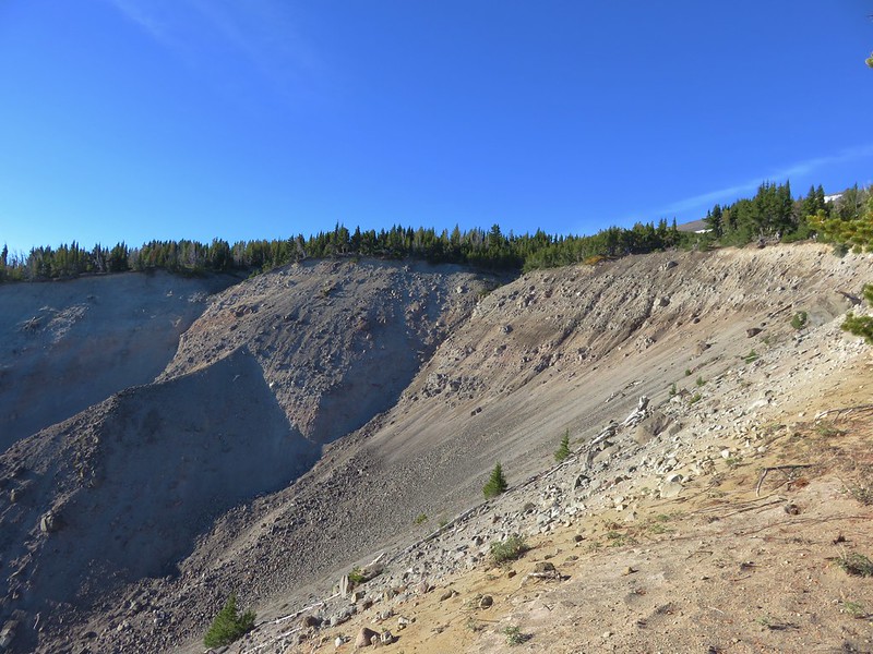
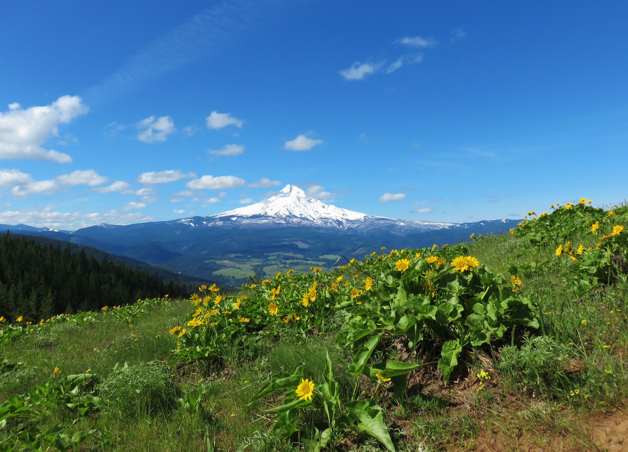
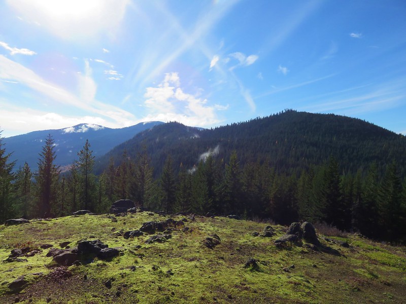
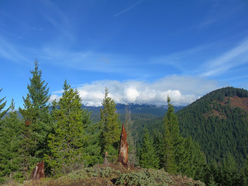
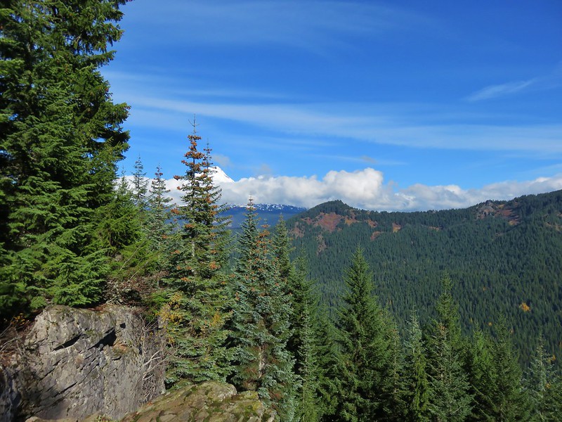
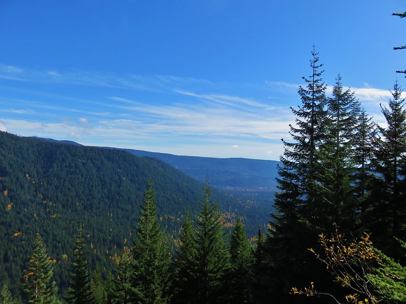
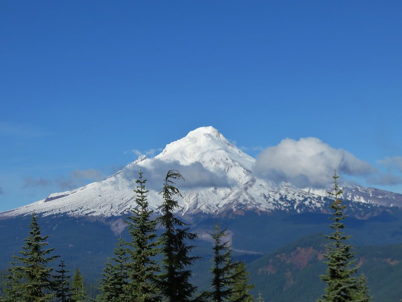
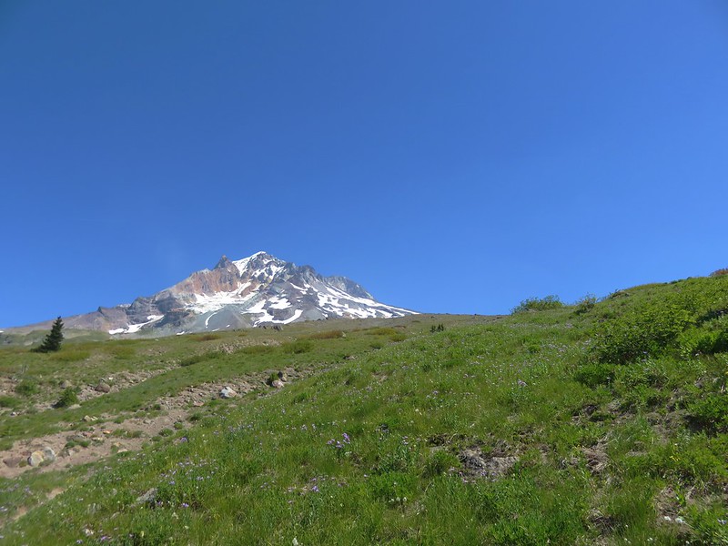
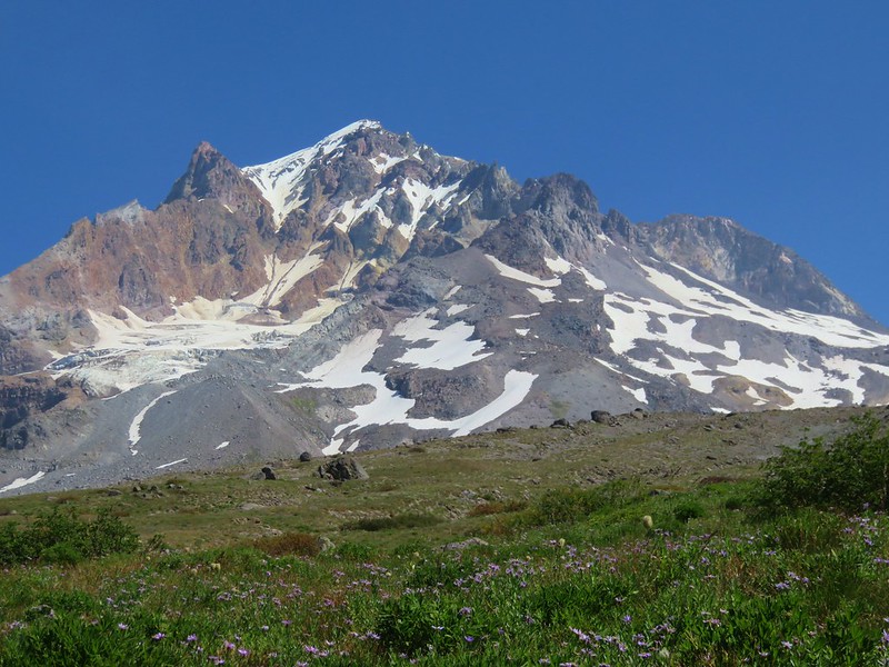
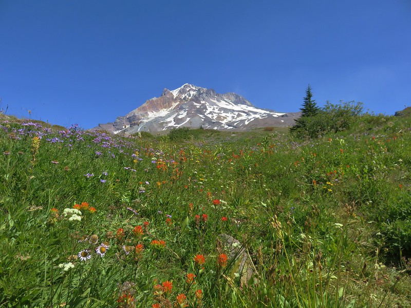
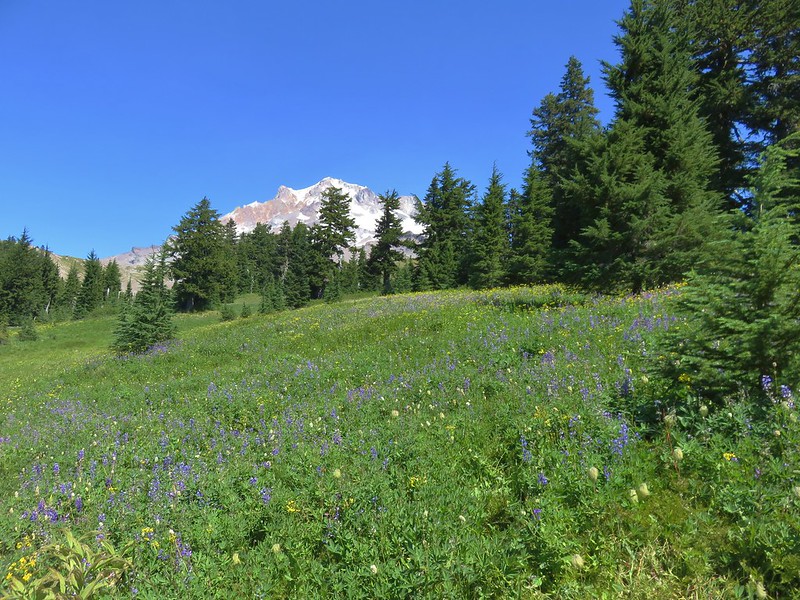
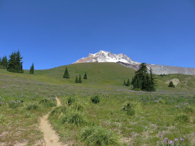
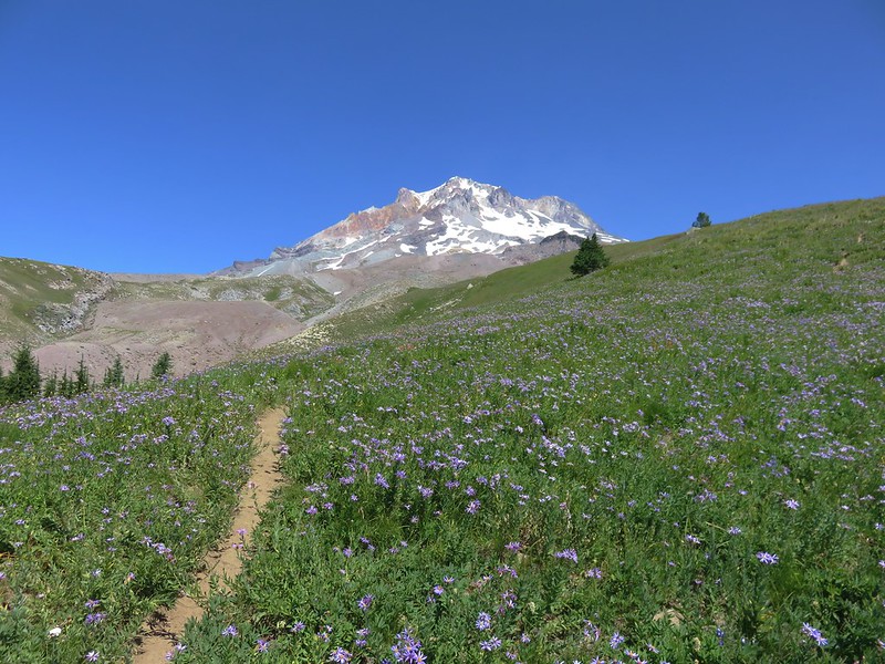
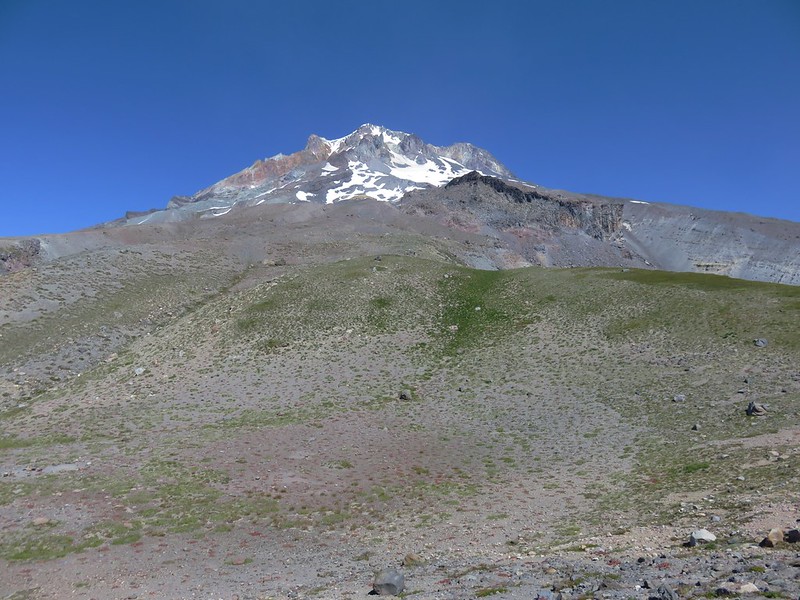
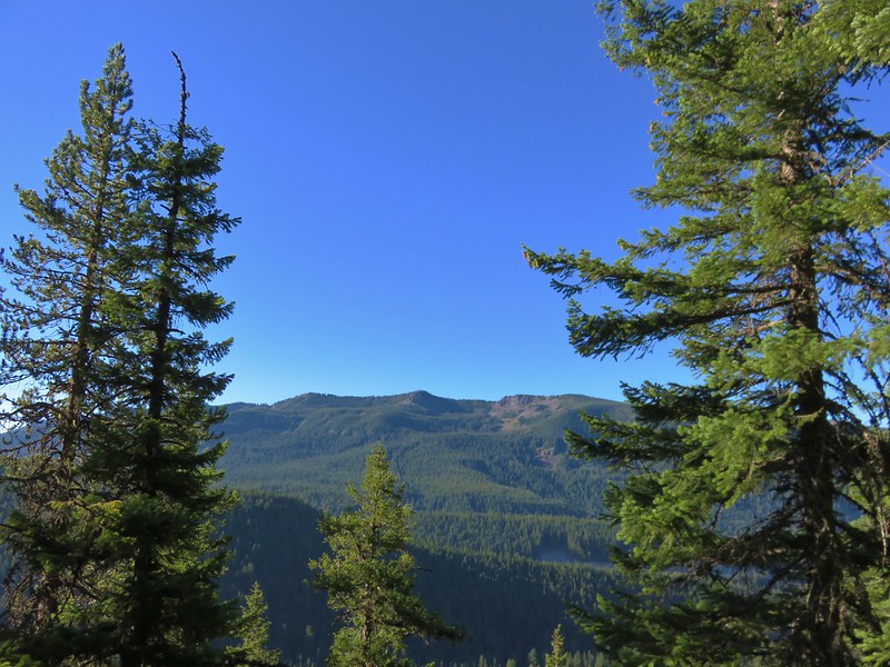
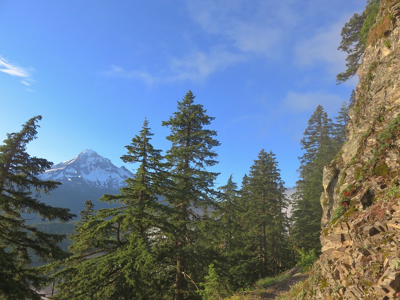
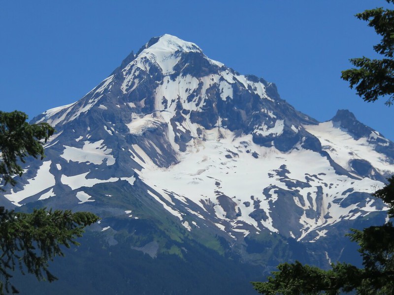
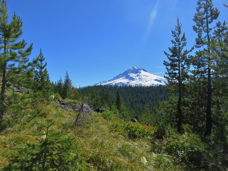
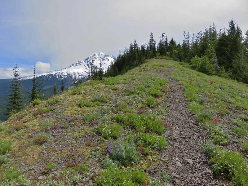
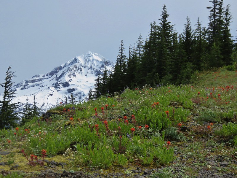
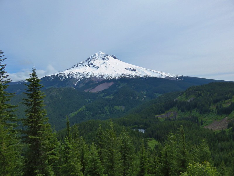
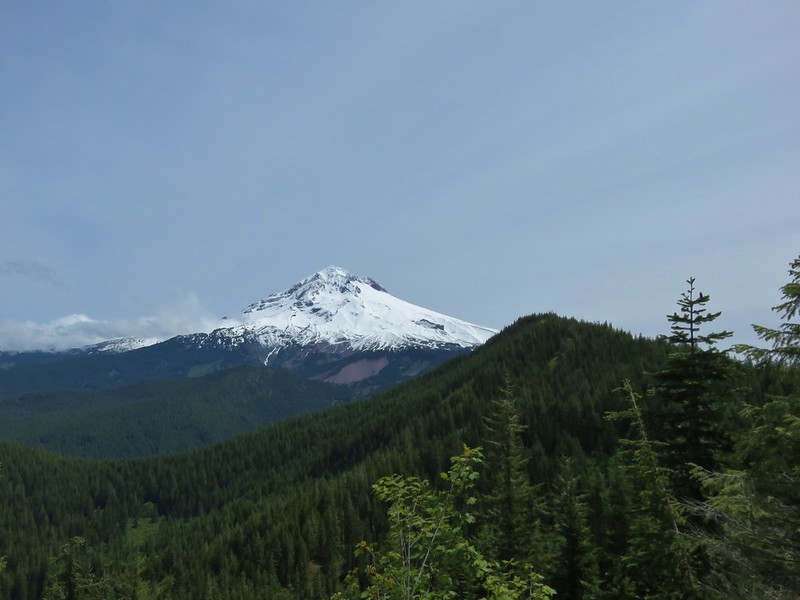
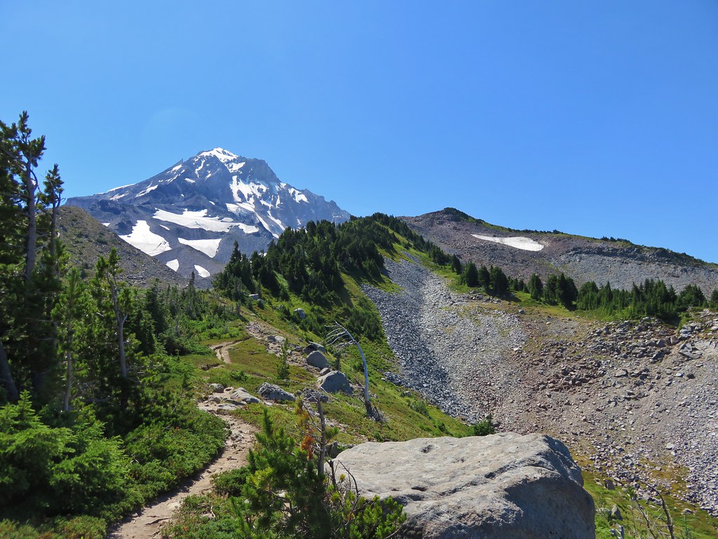
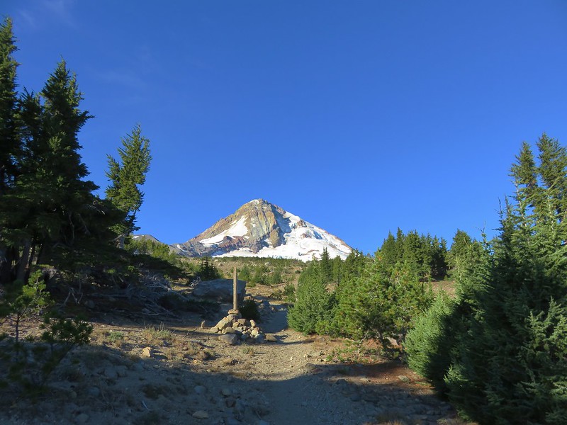
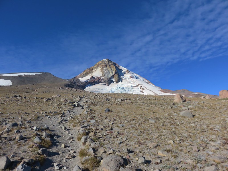
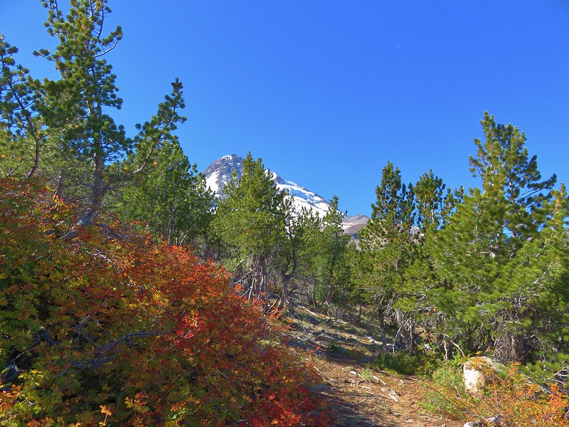
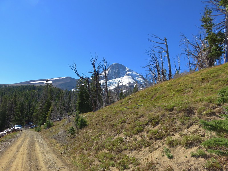
Beyond the viewpoint of the headwall the forest began thinning out providing nice views ahead of Mt. Hood.
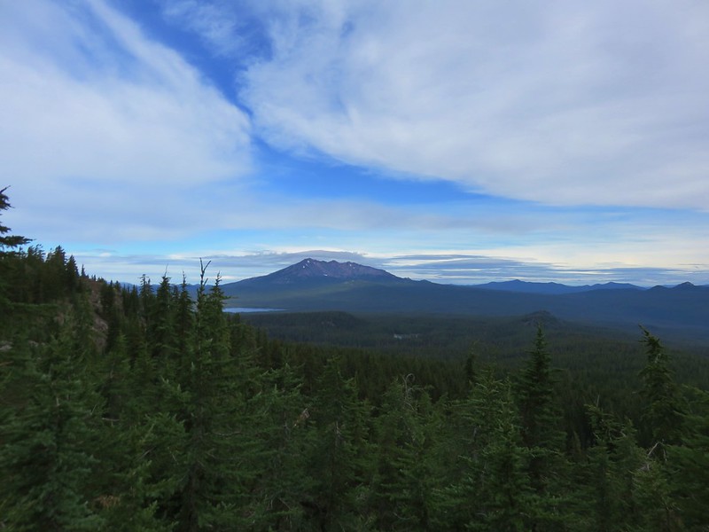
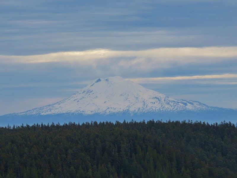
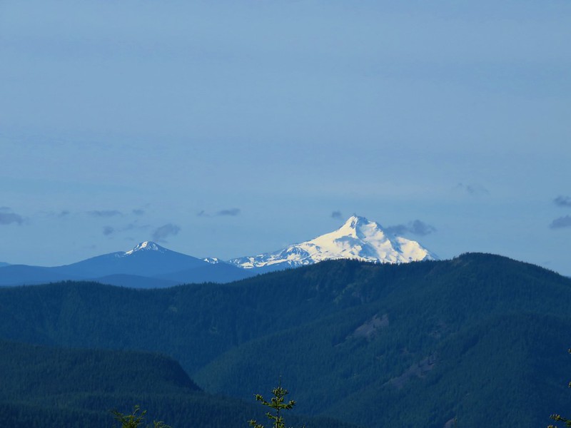
We also had a great view of Mt. Adams which is something we seem to rarely get.

Just over a mile from the cookhouse and 4 miles from the trailhead on FR 3512 we arrived at the Timberline Trail.
We followed the pointer for Cooper Spur a tenth of a mile to the Cooper Spur Shelter.
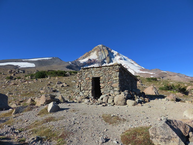
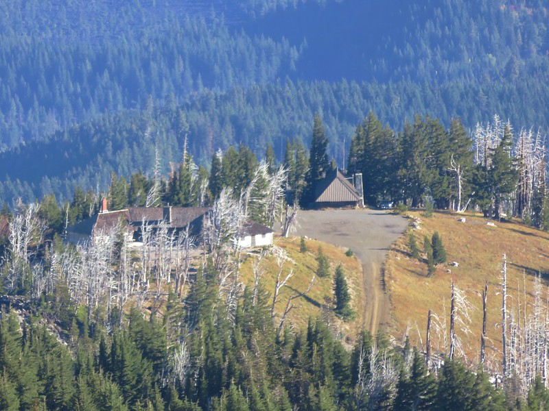
Cloud Cap Inn was visible from the shelter which we planned to visit on our way down.
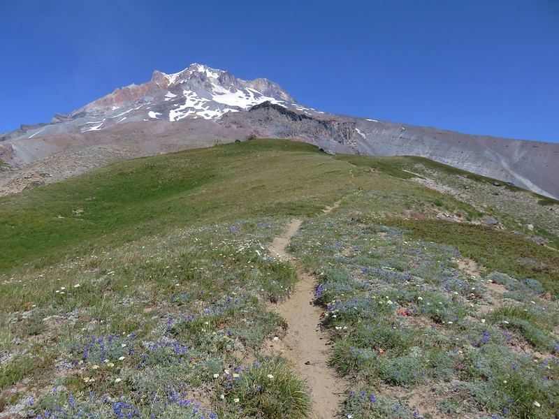
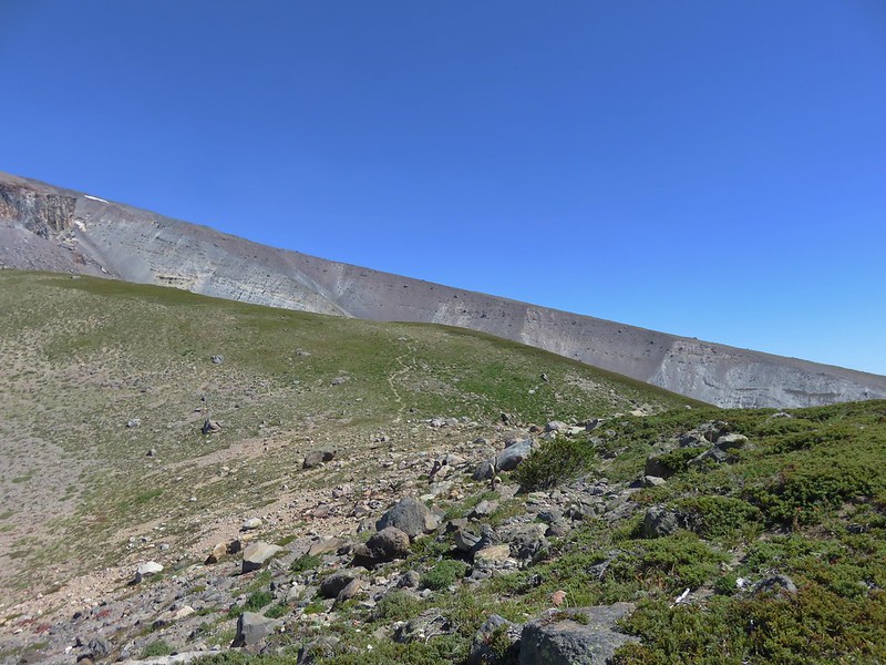
We continued up from the shelter following a clear trail.
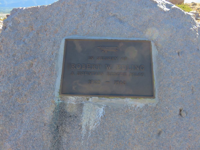
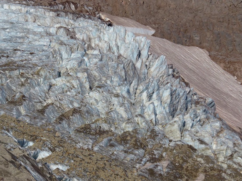
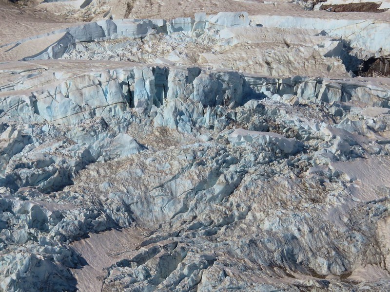
The official trail shown on maps switchbacks uphill but we wound up off the trail after visiting a viewpoint of the Eliot Glacier near a memorial plaque for Robert Edling, a mountain rescue pilot that died in a crop duster accident near The Dalles.
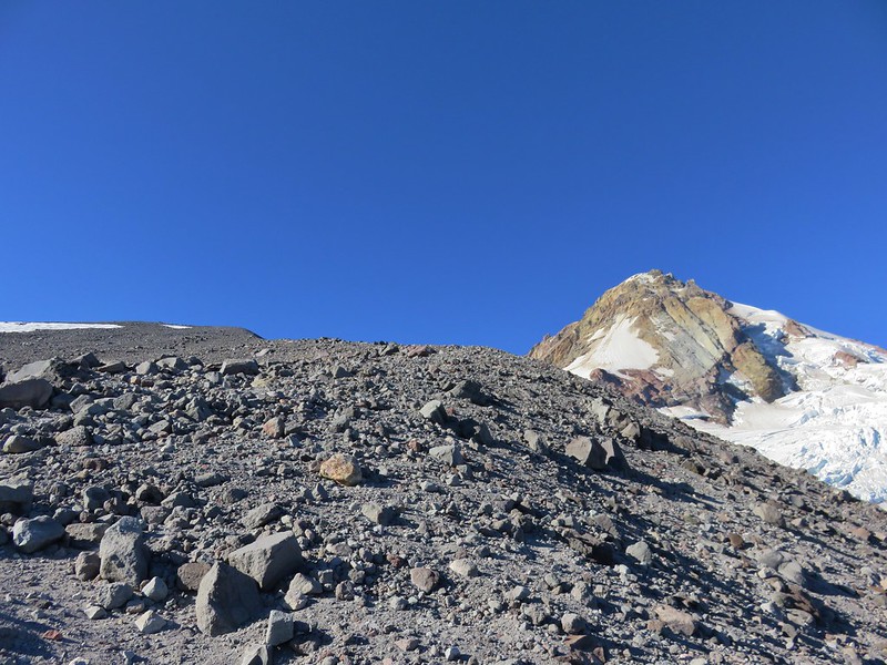
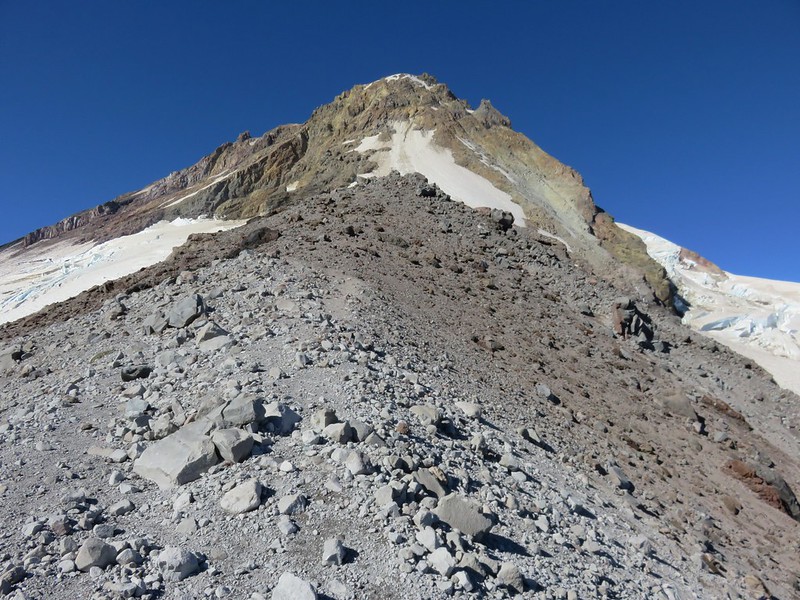
From the memorial plaque we headed straight up the ridge following a confusion of faint paths up through the rocks.
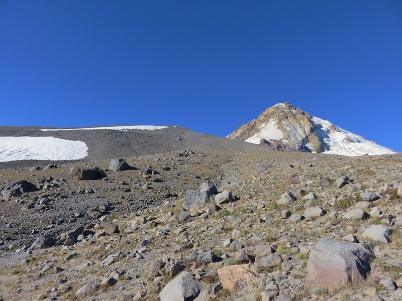
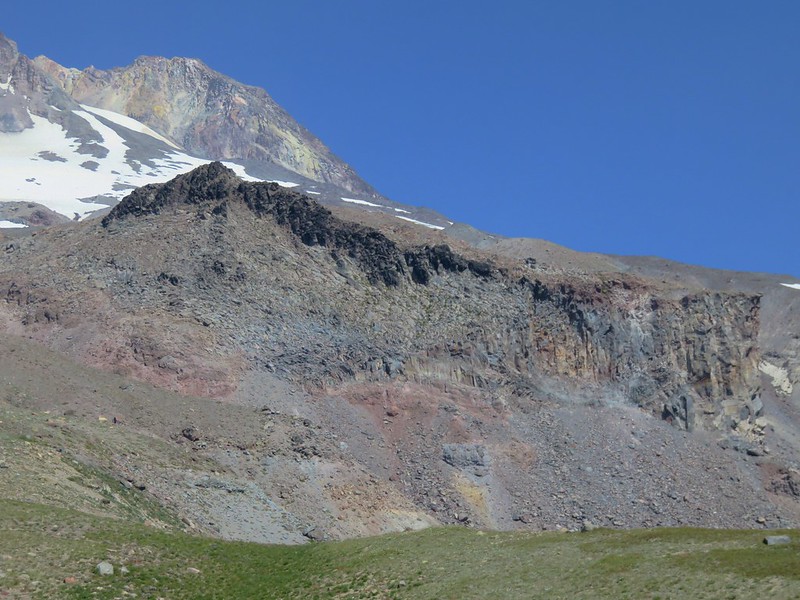
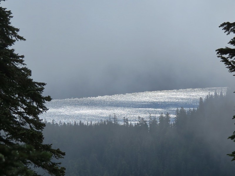
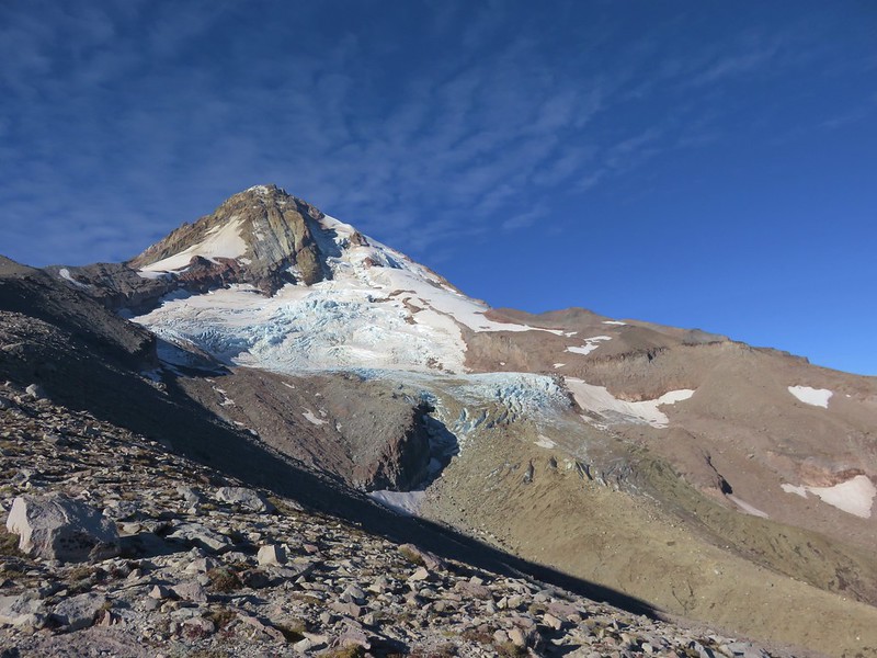
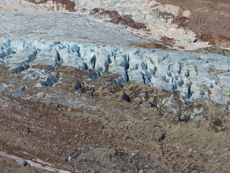
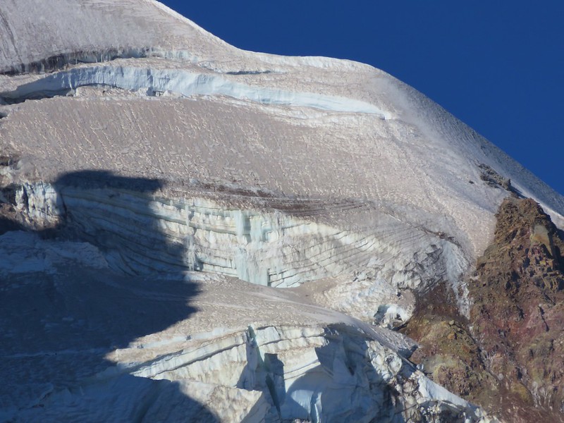
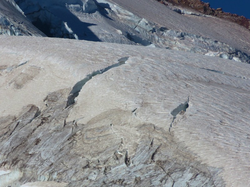
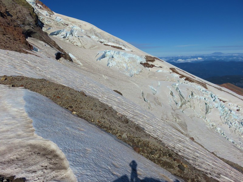
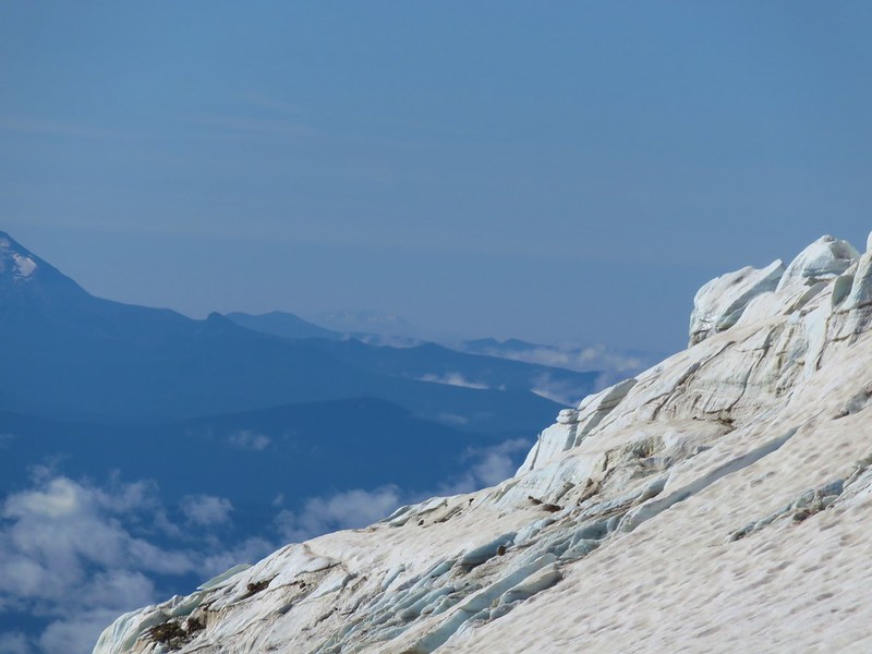
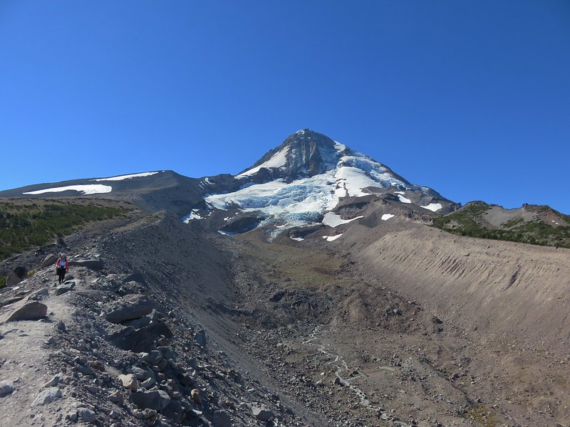
This was much steeper than the switchbacks would have been and when the official trail came close enough for us to see it we hopped back on. We left it again though when it headed straight for a snowfield. It was a cold morning (the expected high for the day in the area was 48) and we knew that the snow would be covered in ice so we wouldn’t be able to cross it. We returned to the edge of the ridge and headed straight up again. In addition to making the distance a little shorter, the main advantage to this route were the views. The views of the Eliot Glacier were really interesting.
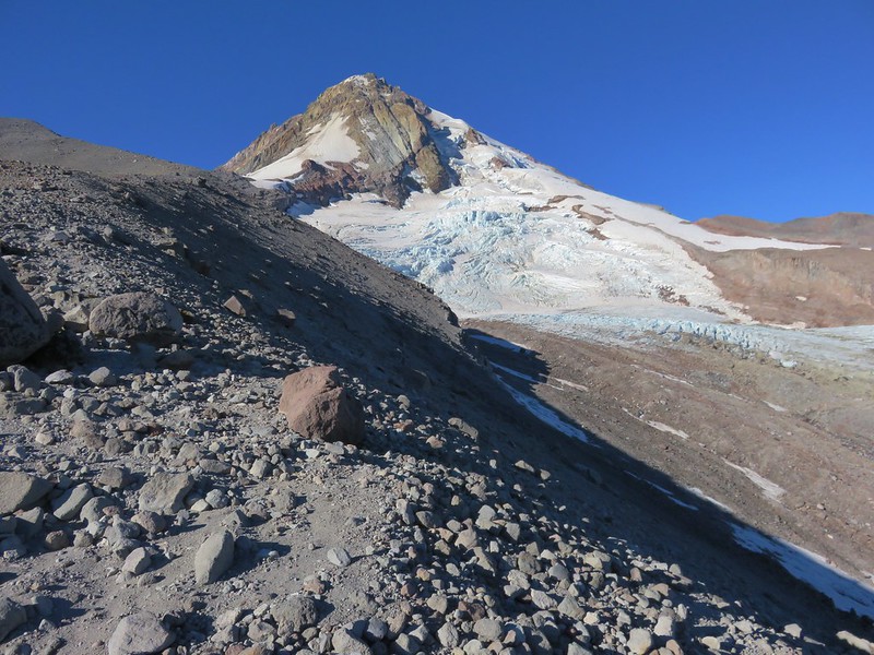
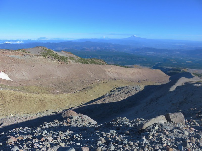
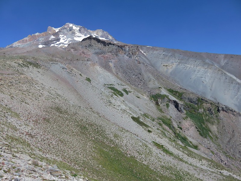
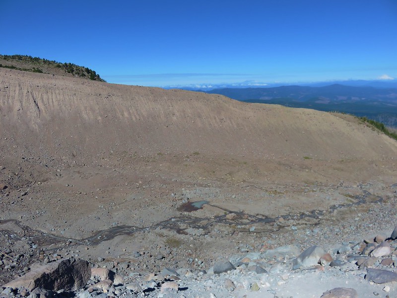
The route steepened quite a bit as it veered to the east to climb to the top of a moraine.
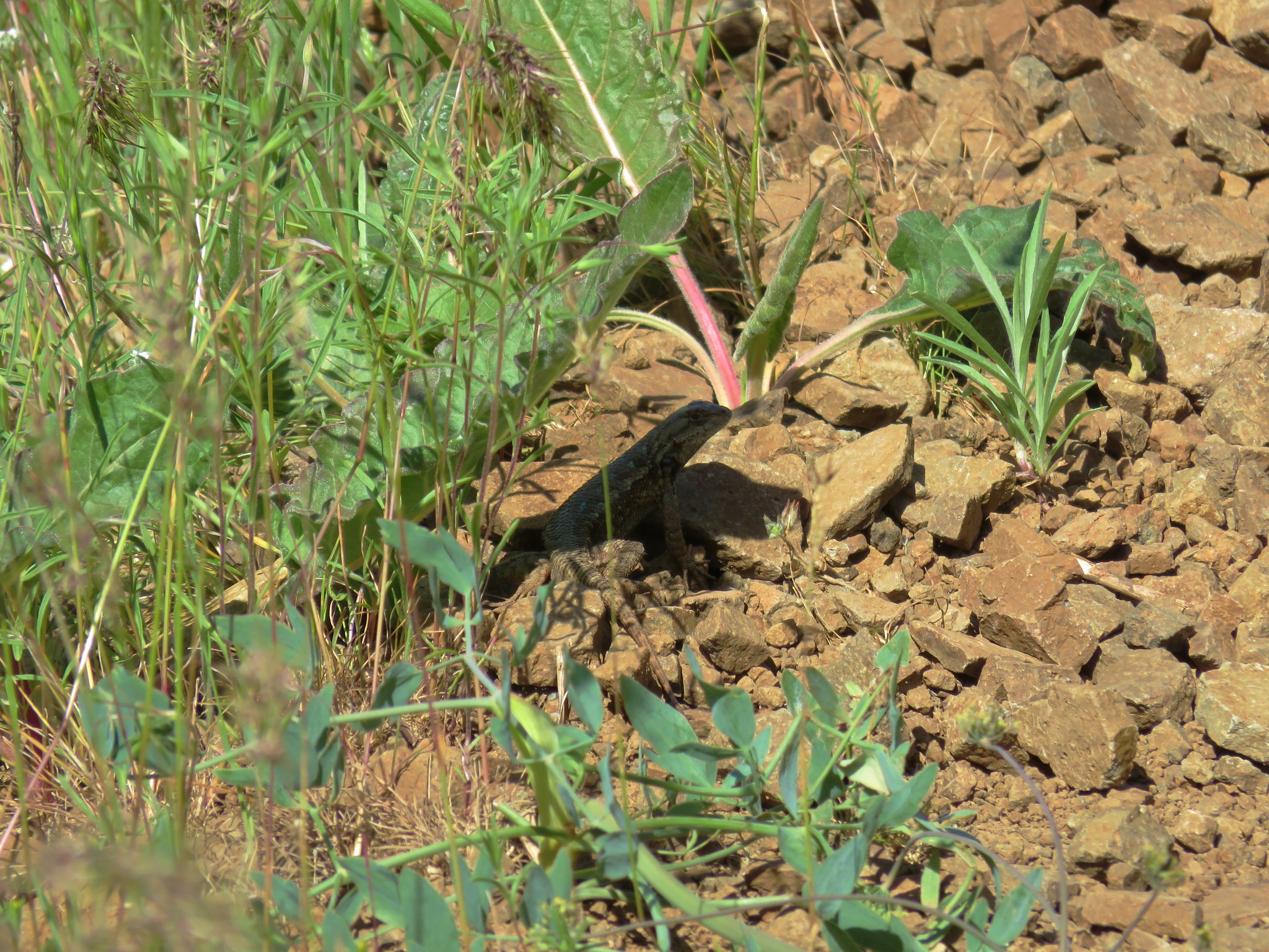
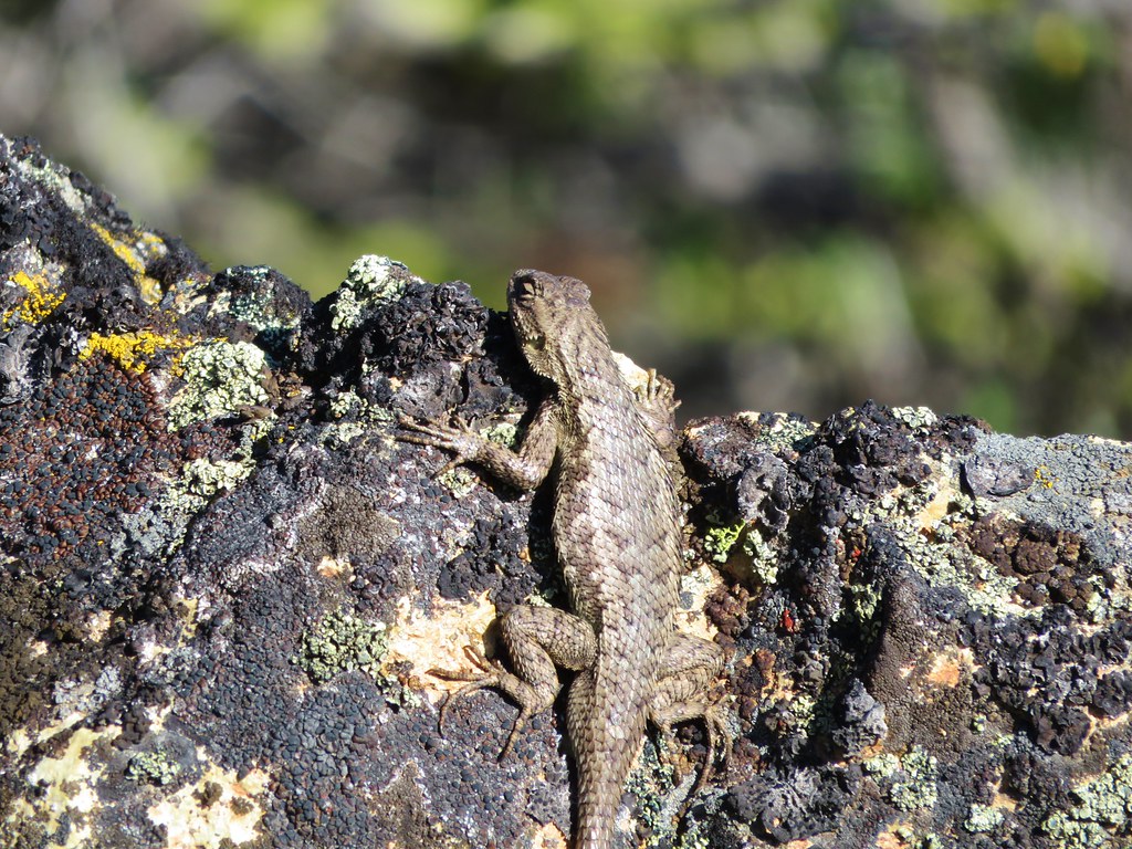
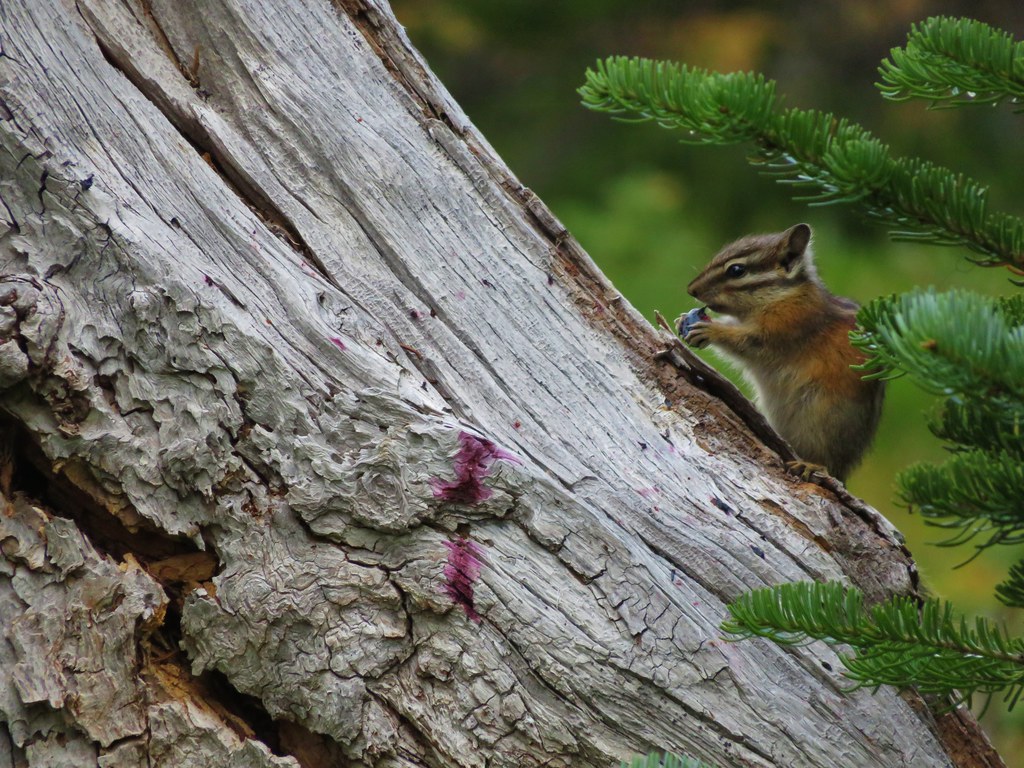
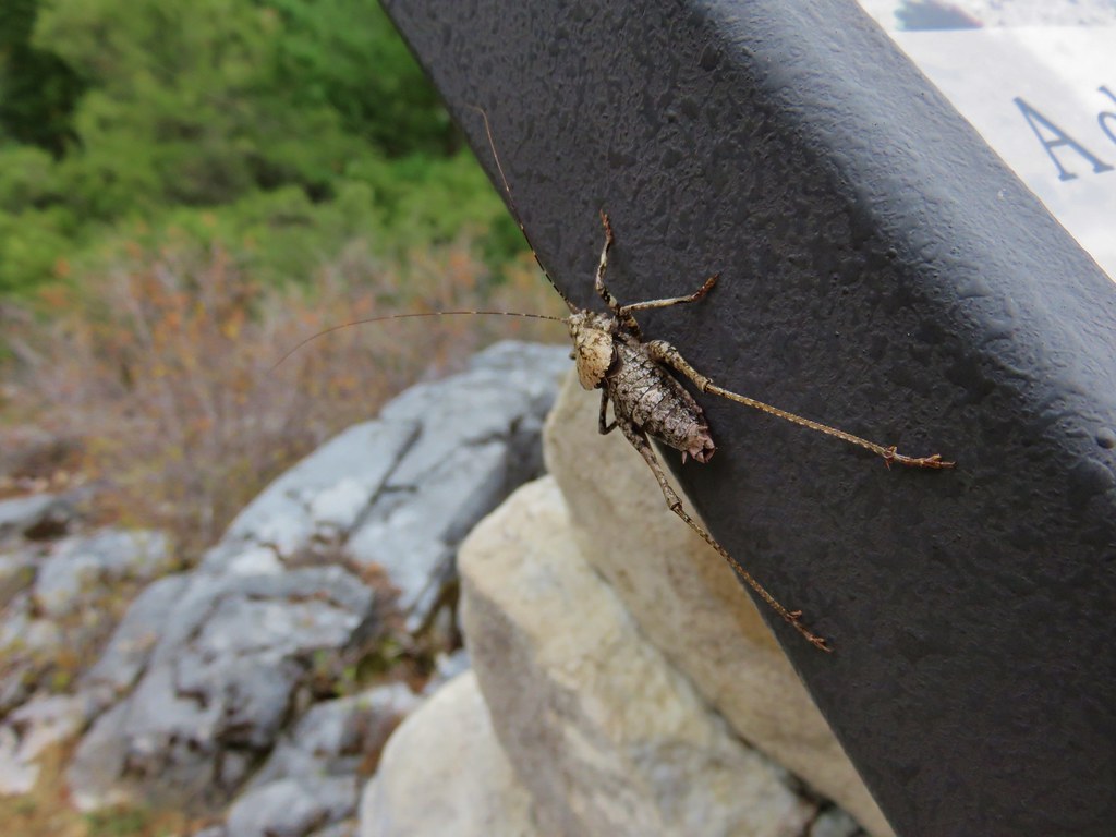
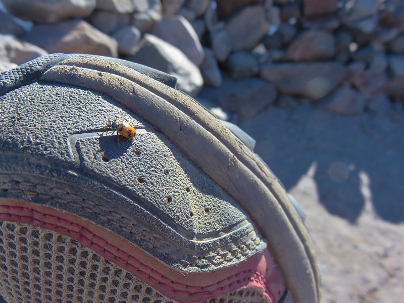
A stone windbreak at the top wasn’t housing any hikers but there were a few ladybugs taking shelter.

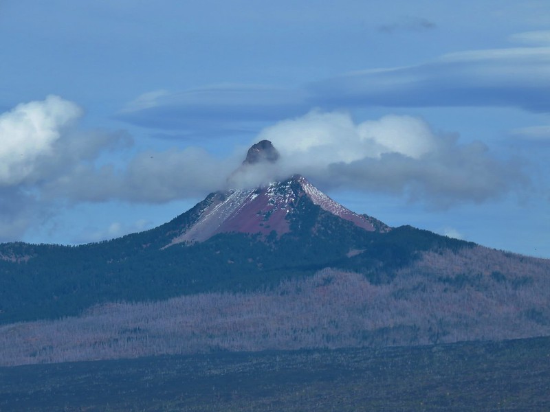
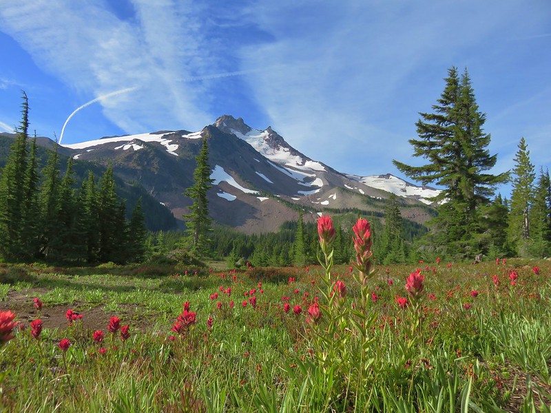
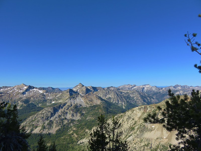
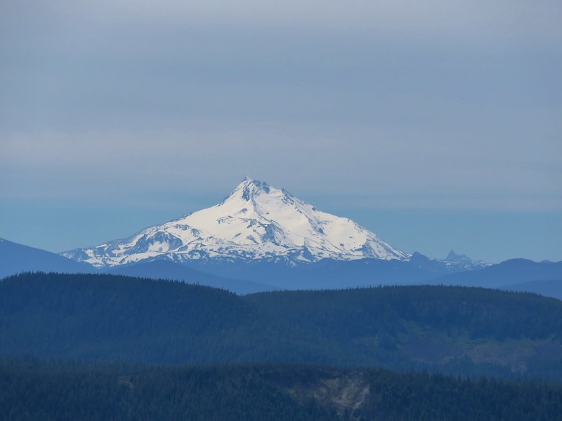
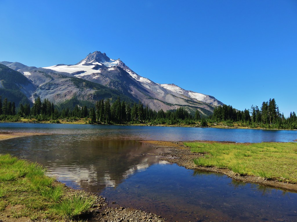
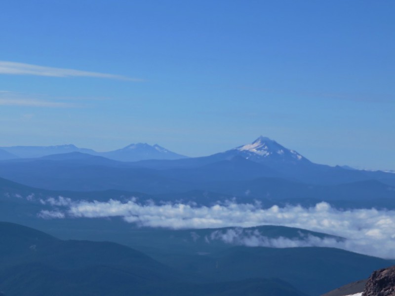
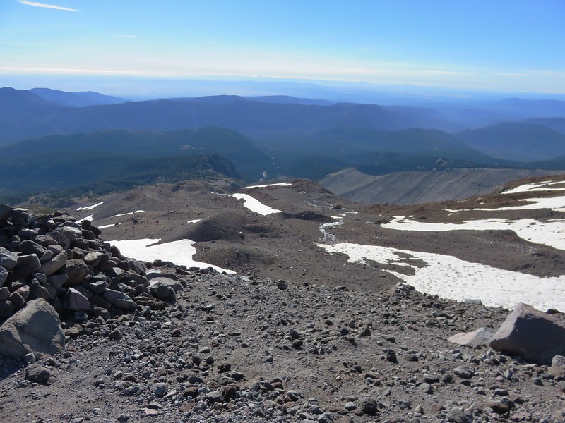
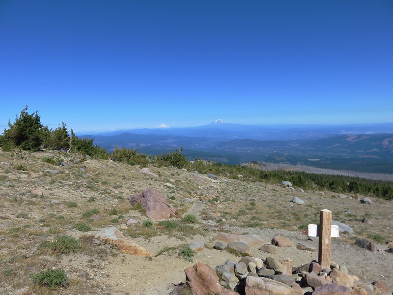
The official trail ends here where the views were spectacular. To the south Broken Top, The Three Sisters, and Mt. Jefferson were all visible.
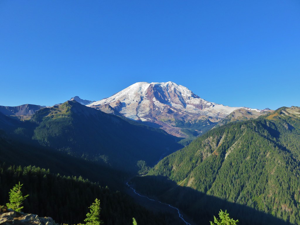
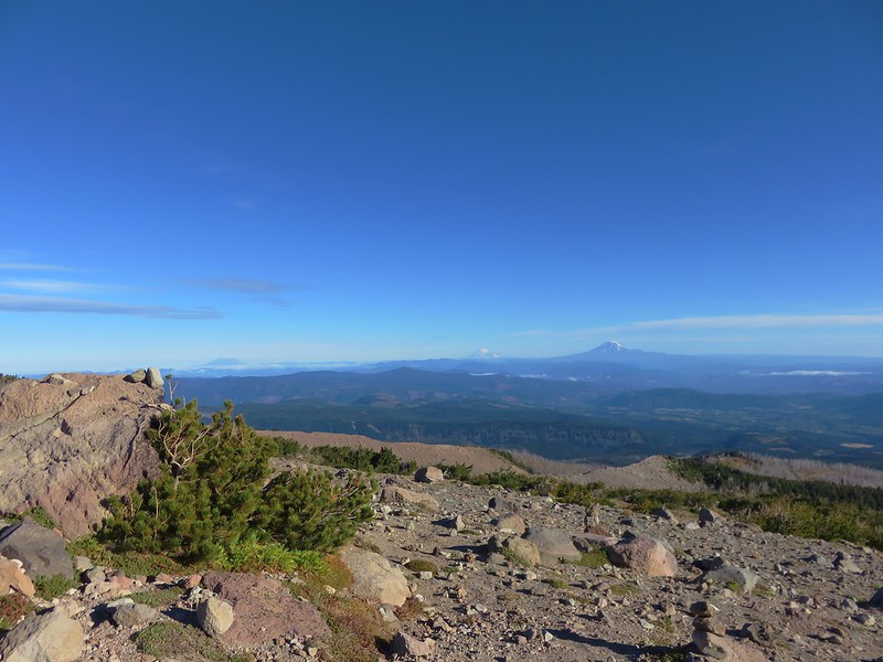
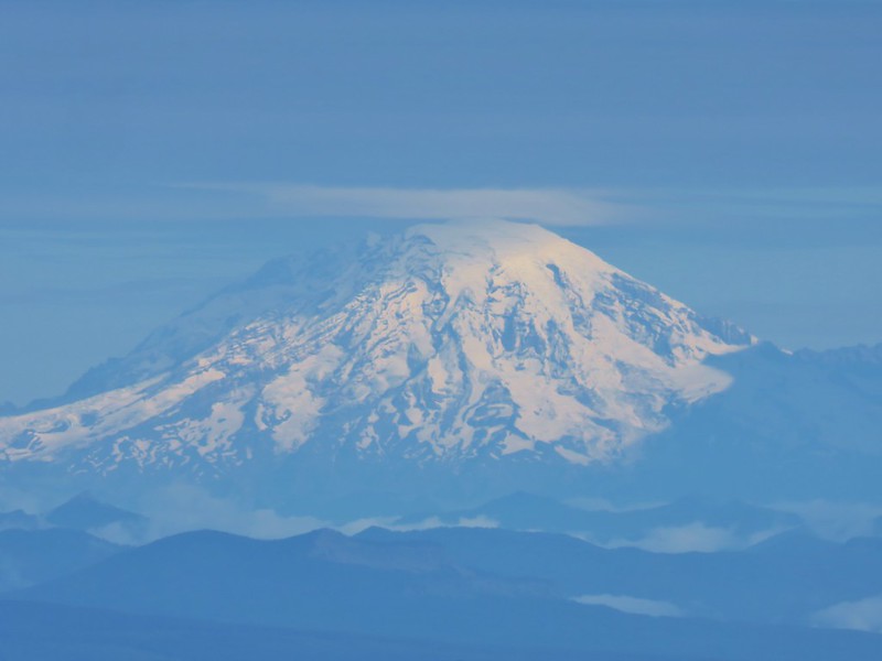
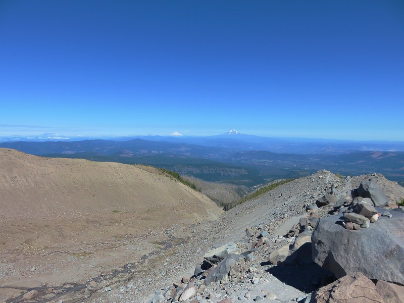
To the north Mt. St. Helens, Mt. Rainier, and Mt. Adams were all virtually cloud free.


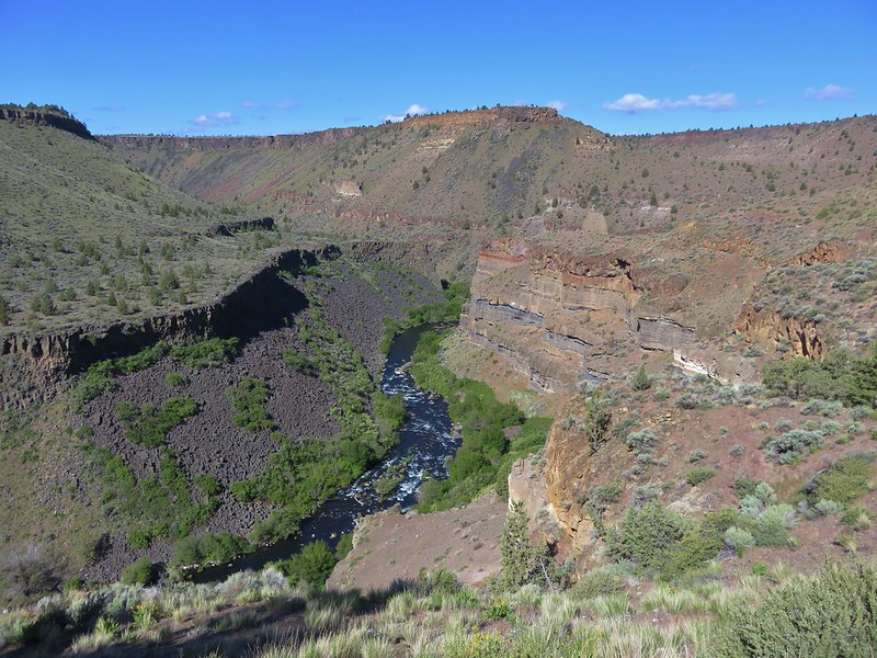
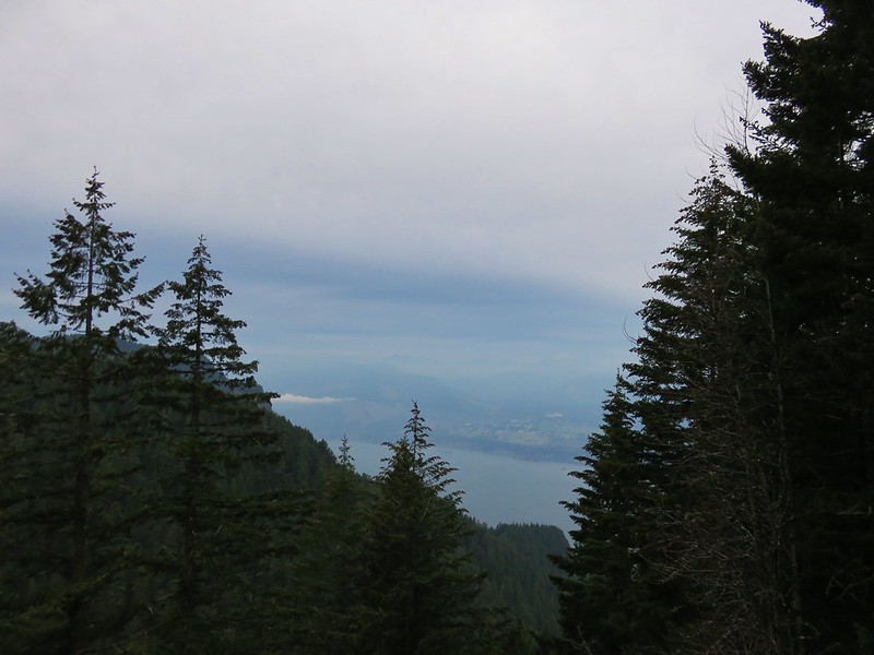
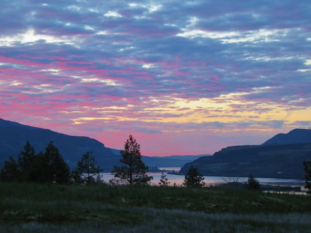
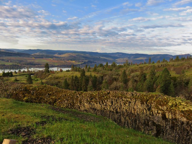
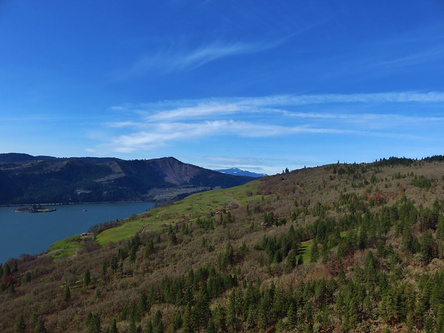
To the NE the Columbia River snaked from the dry brown landscape of eastern WA and OR into the forested cliffs of the Columbia Gorge.

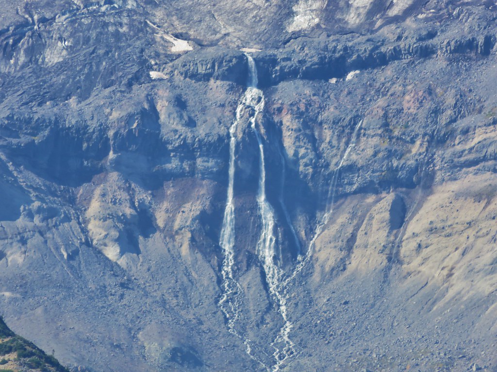
Further to the east the Newton Clark Glacier drained into the Newton Creek Canyon.
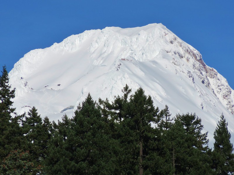
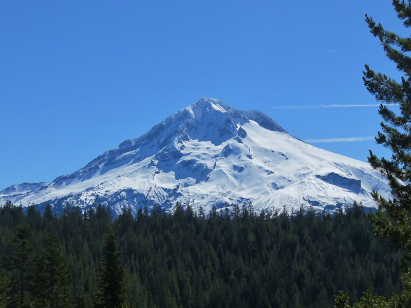
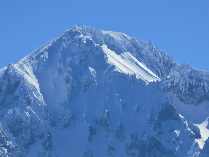
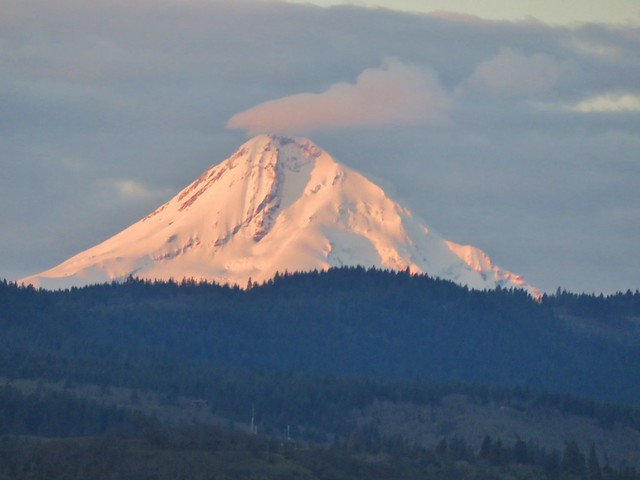
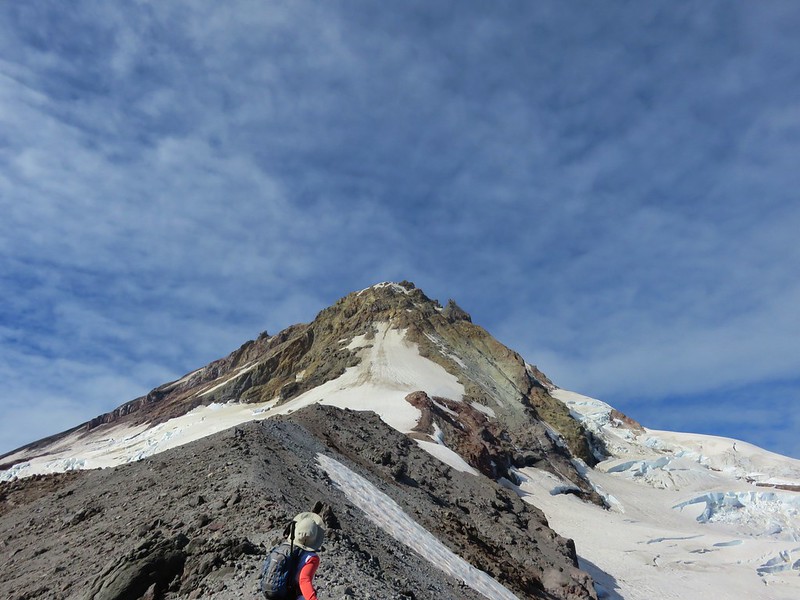
Mt. Hood provided the most dramatic view though.
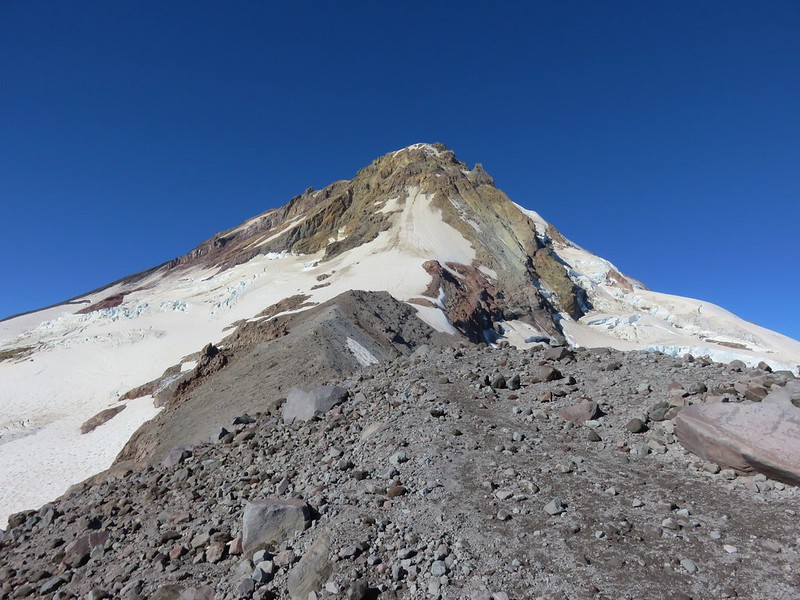
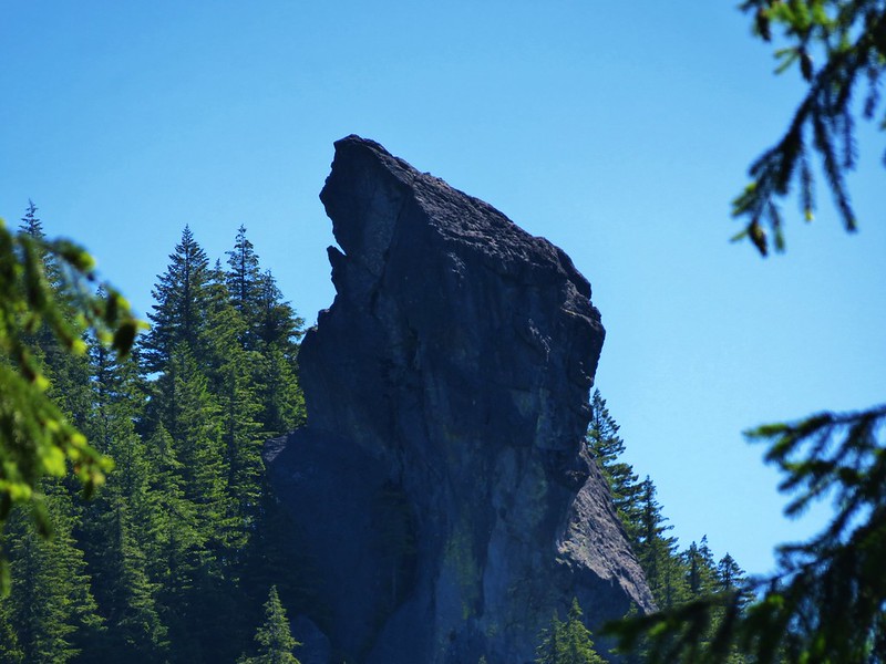
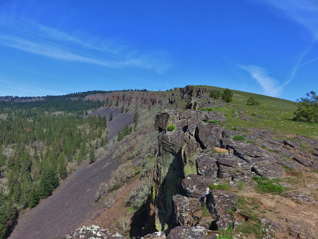
One of the features on Mt. Hood that we had a good view of was Pulpit Rock.

Another unique feature in the area is Hiroshima Rock. A boulder inscribed by a group of Japanese climbers in 1910.

For more information on the Hiroshima Rock check out this post by WyEast Blog.
Even though the official trail ended at roughly 8500′ on top of the moraine, a climbers trail continued along the ridge past Tie-in Rock, a large boulder not far beyond the start of the ridge. The ridge was snow free so we continued on passing Tie-in Rock and continuing to an elevation just over 8900′ where the trail dropped slightly to a saddle between the Eliot and Newton Clark Glaciers.
Heather crossing the ridge. (Tie-in Rock is the large boulder in the distance just to the right of the trail.)
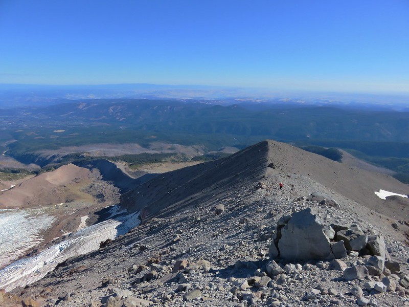
The first section of the ridge was somewhat level before a final rocky climb to our turnaround point.
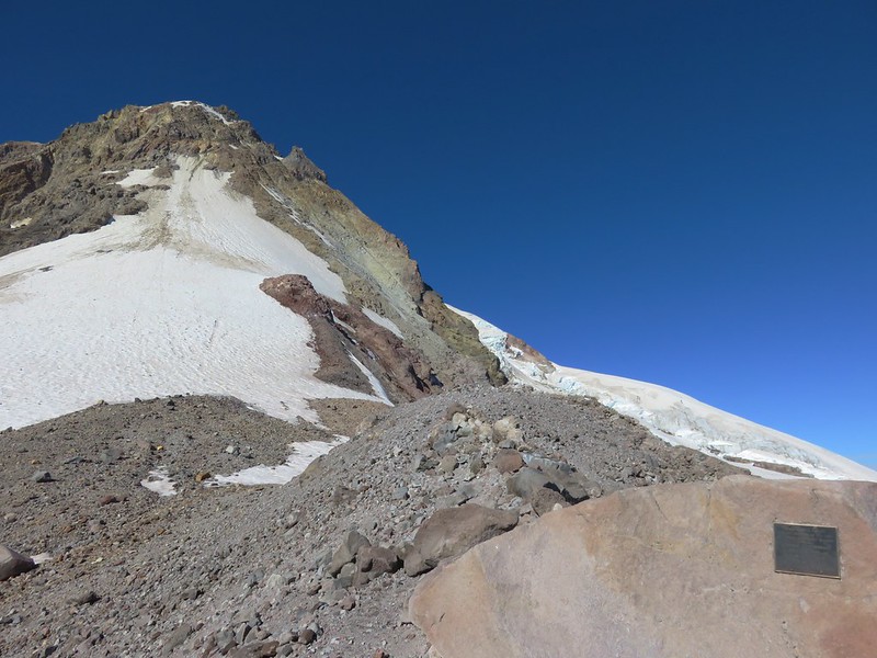
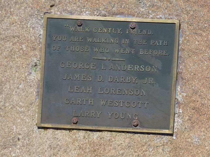
We passed a final memorial plaque along the way remembering the victims of a 1981 climbing accident.
Other than a bow hunter, who had been at the trailhead when we arrived that morning, we hadn’t seen anyone other people and were alone on the ridge.
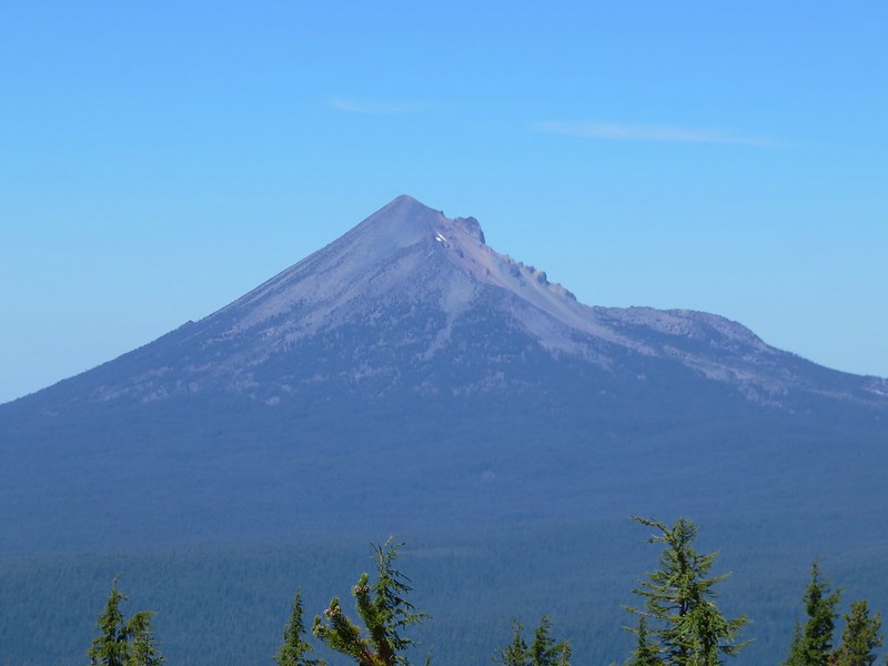
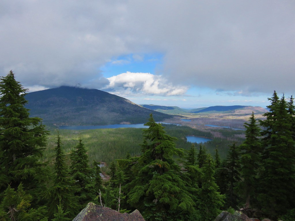
From this highest point one final Cascade Peak came into view to the south – Diamond Peak.
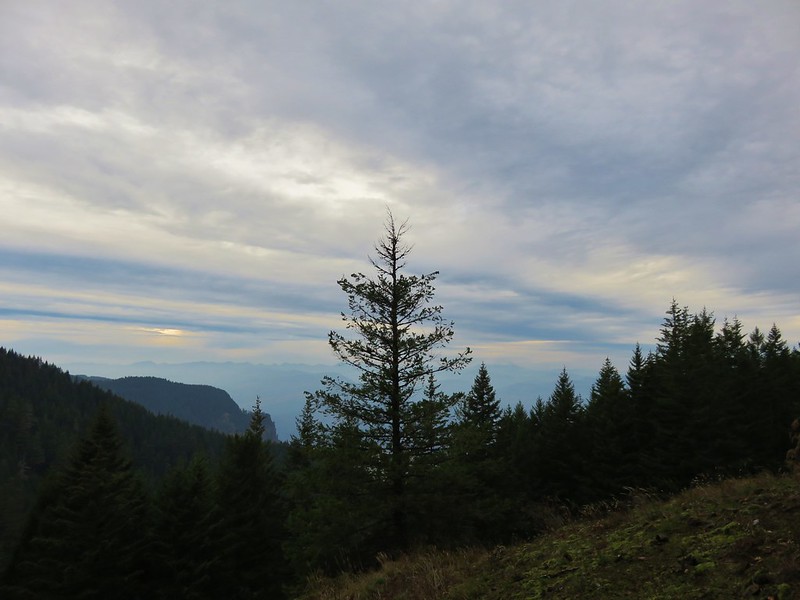
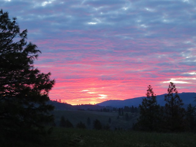
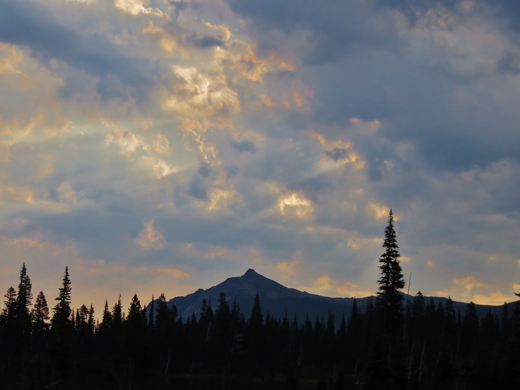
After enjoying the views we headed back down the way we’d come. As we were descending some high clouds passed overhead changing the scenery a bit.
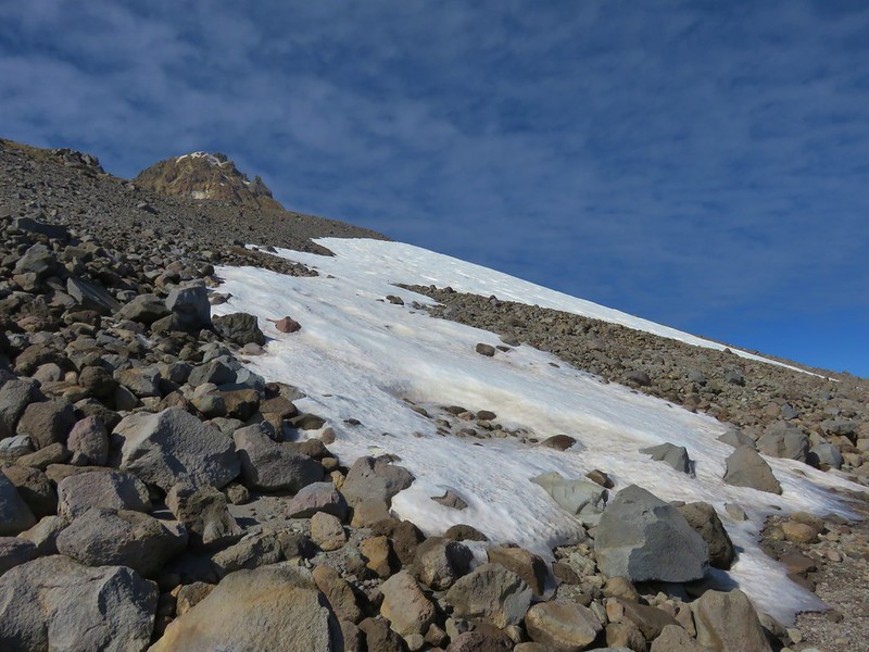
We decided to follow the official trail on the way down from the moraine which turned out not to be the best decision. The snowfield was still impassible and it was a lot bigger than we had anticipated which caused us to have to swing out wide and make our way down along the snow in loose rocks and sand.
After passing below the snowfield we contoured back toward the official trail eventually picking it up about a mile and a half from the Timberline Trail. We then followed it back down to the junction and turned left on the Timberline Trail and headed toward Cloud Cap.
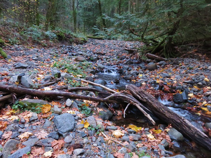
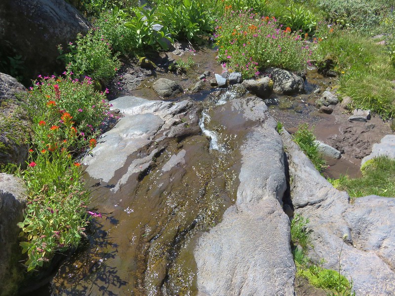
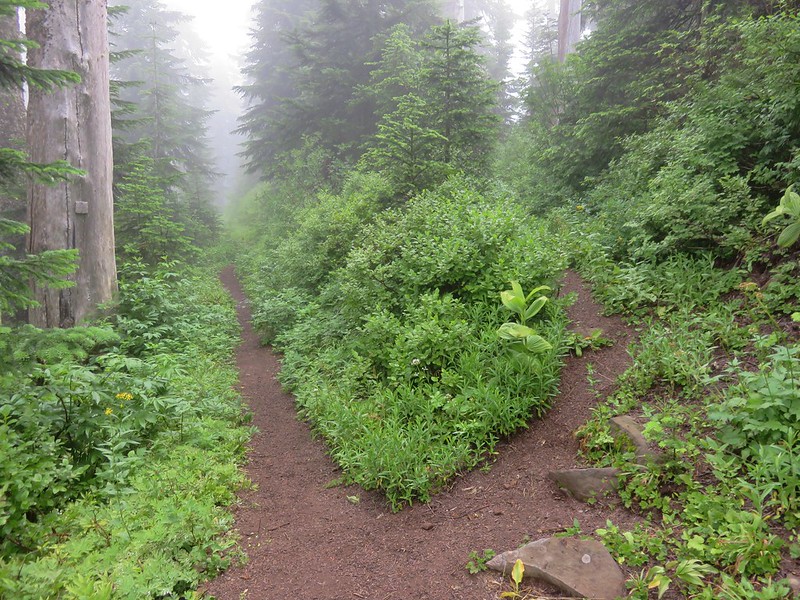
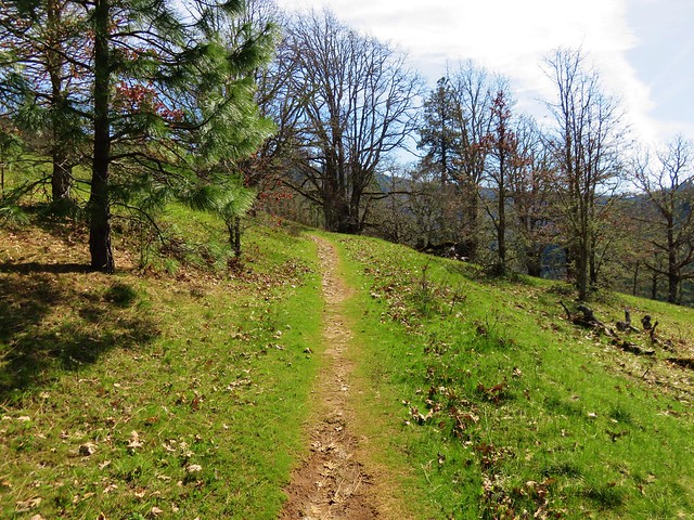
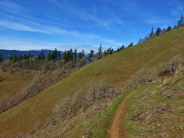
The trail descended to a crossing of the upper (and dry) portion of Tilly Jane Creek where it split. With no signs it was difficult to tell if we should turn downhill along the creek or climb to the ridge along the Eliot Moraine. We chose to go up where we found a nice path with great views along the ridge.
Near the end of the moraine the trail dropped down to the right into the forest.
After 1.2 miles we came to a sign for the Cloud Cap Trailhead.
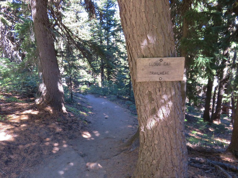
We followed that trail for 100 yards to the Cloud Cap Saddle Campground where a road led up and around a hill to the Cloud Cap Inn.

Snowshoe Cabin

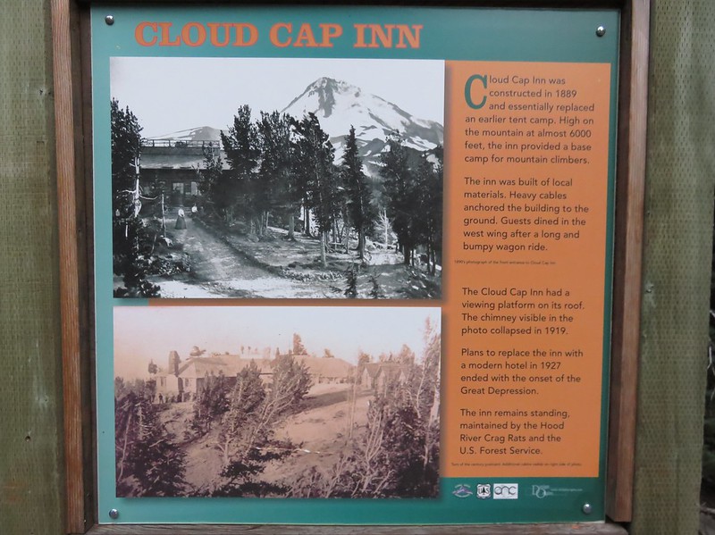
Cloud Cap Inn
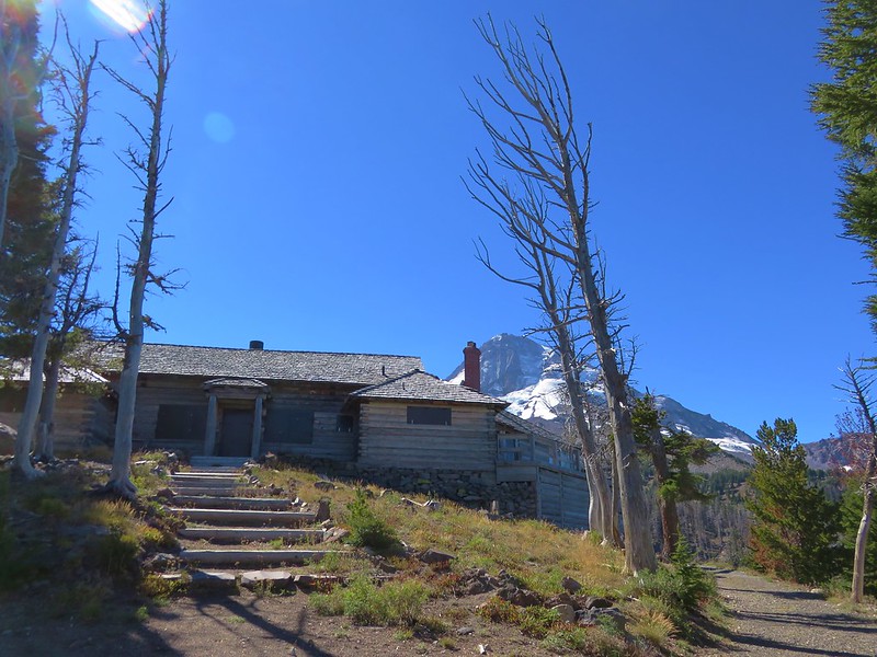
The inn was opened in 1889 and is currently maintained by the Hood River Crag Rats who use the inn as a base for snow surveys and mountain rescues. Click here for more on the inn’s history.
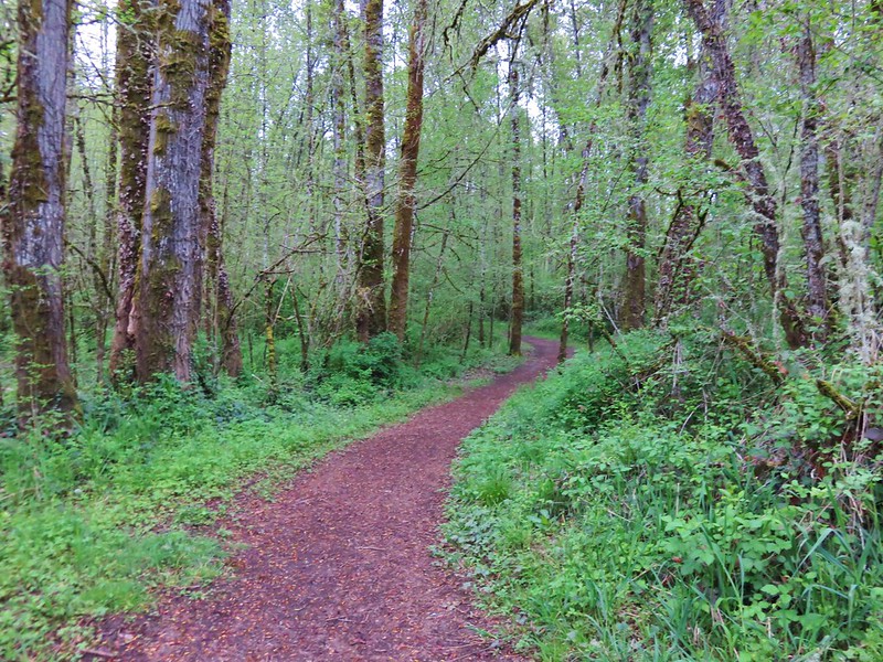
After visiting Cloud Cap we passed back through the campground where we turned left on the Tilly Jane Trail.
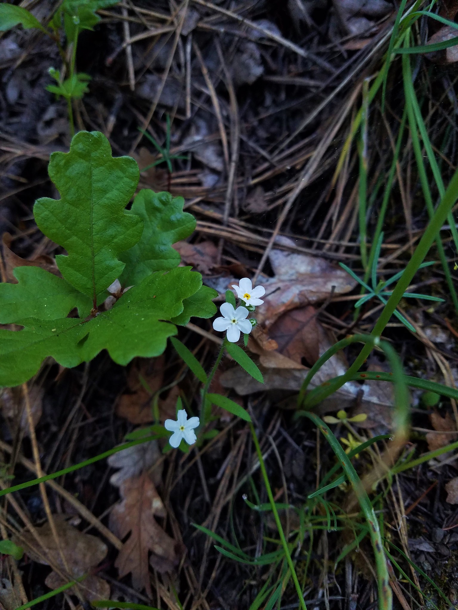
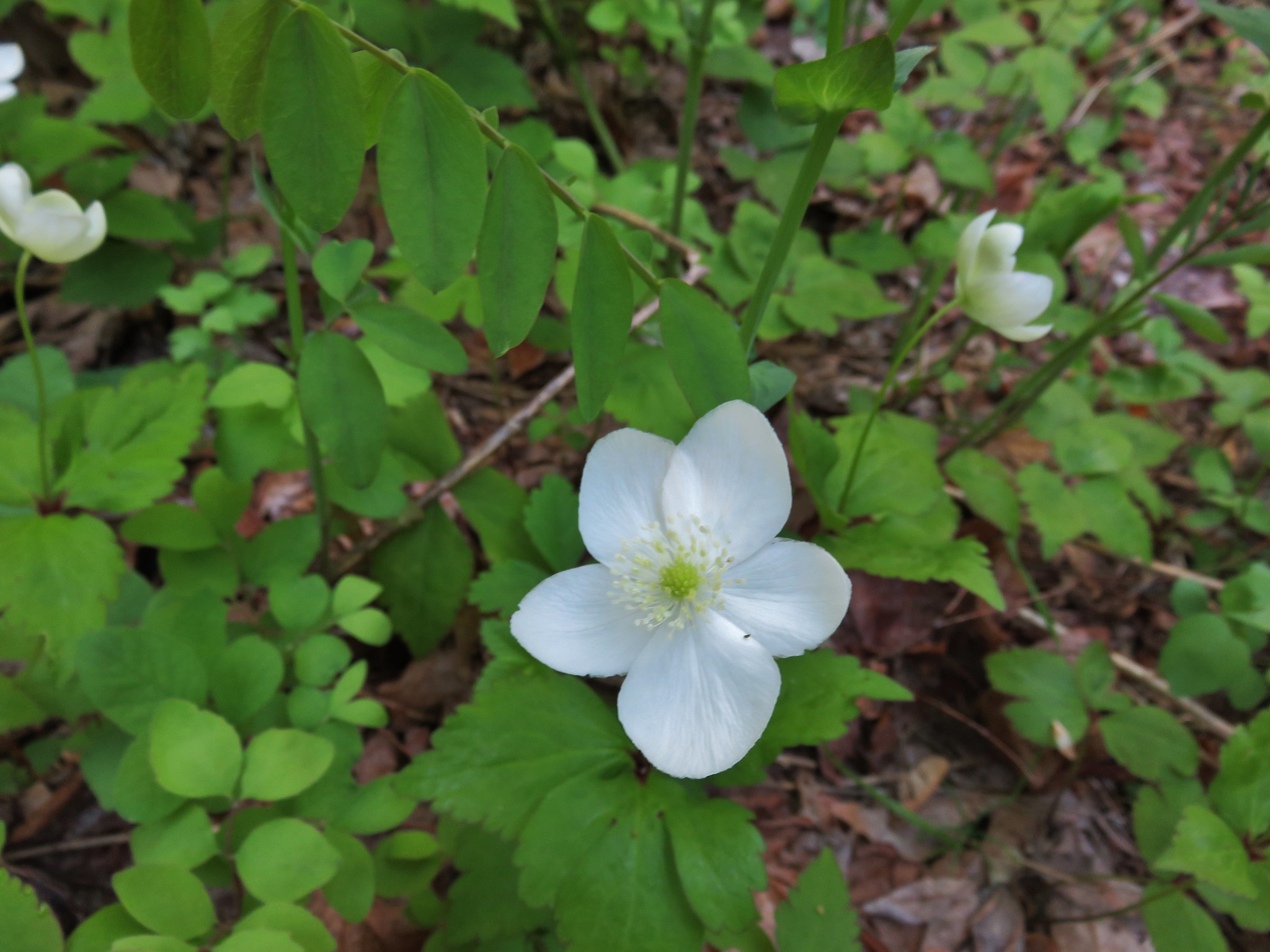
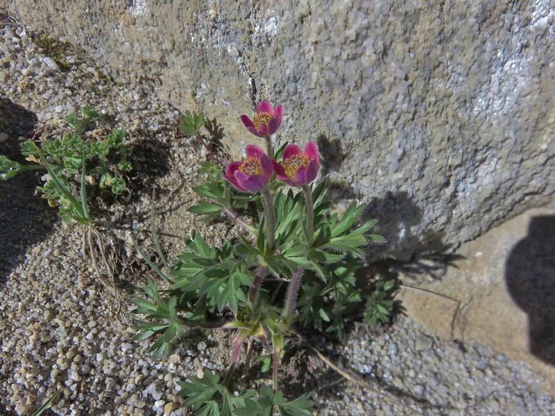
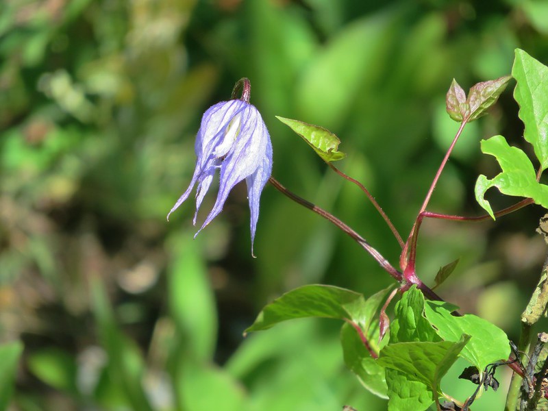
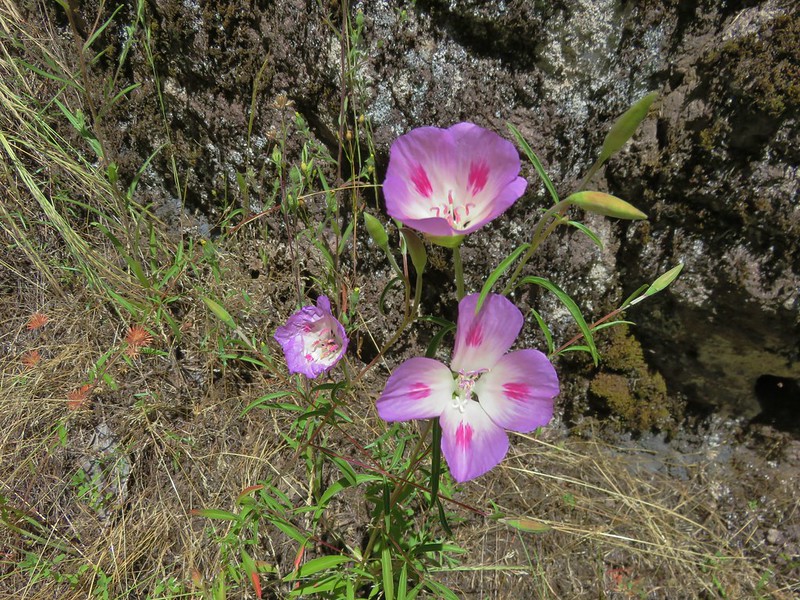
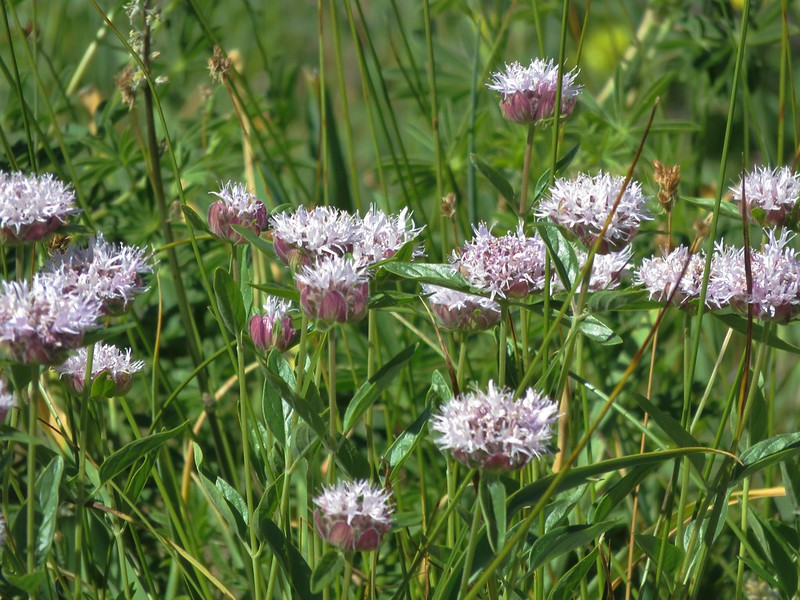
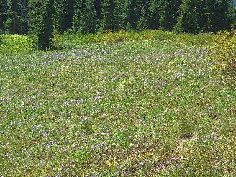
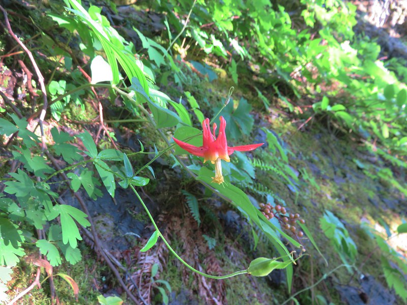
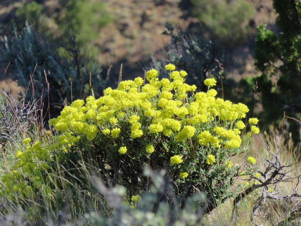
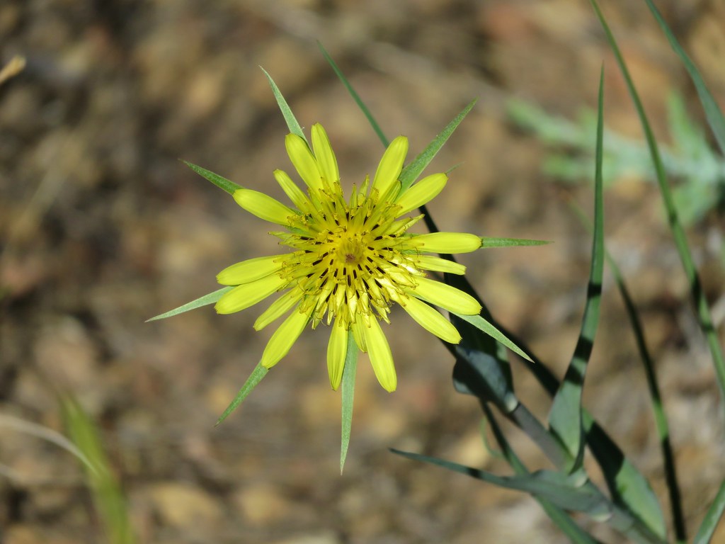
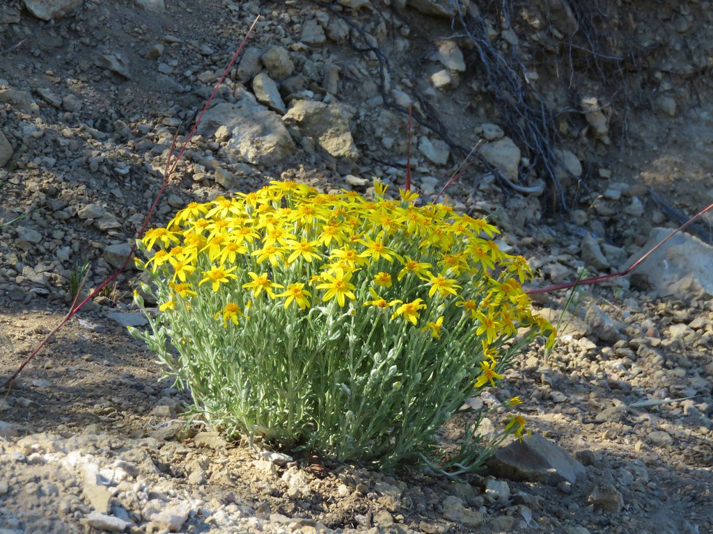
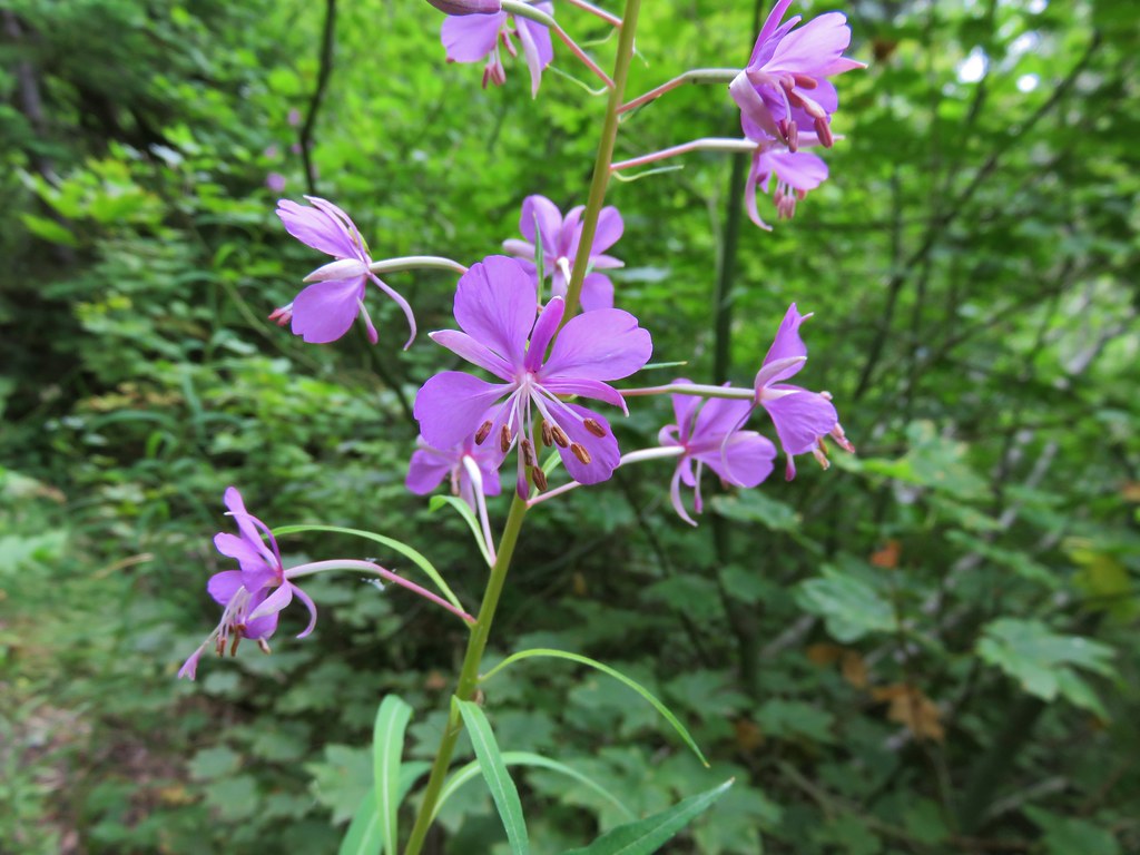
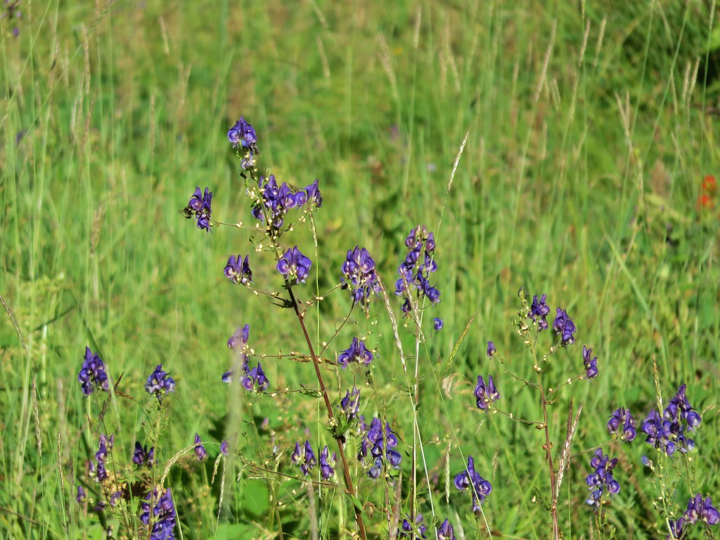
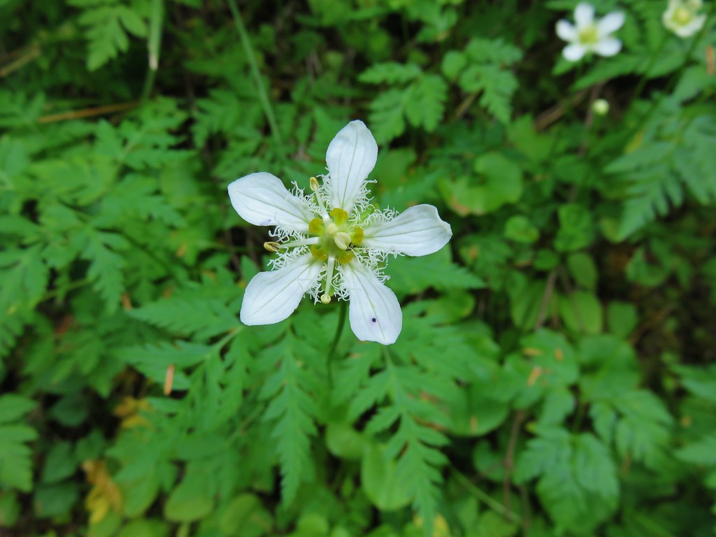
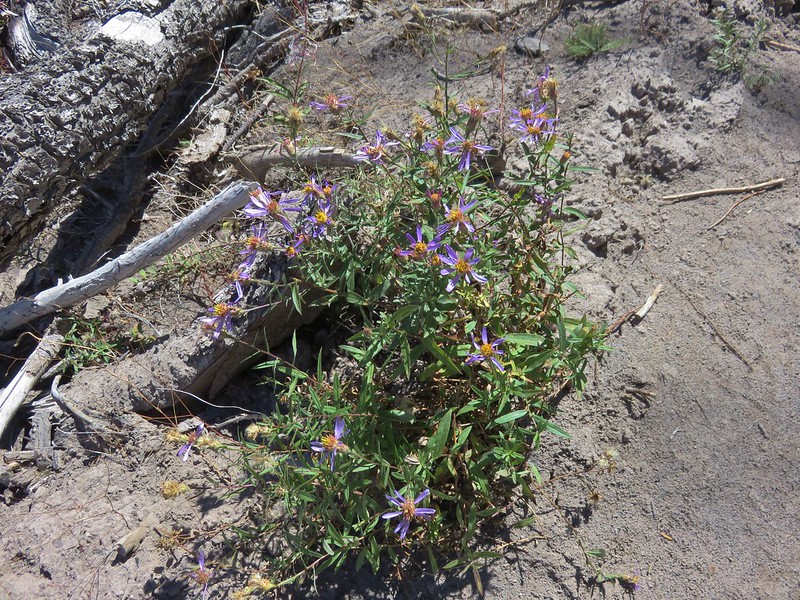
This section of the trail passed through a mix of burnt and unburnt forest and still had a few flowers along it.
Aster
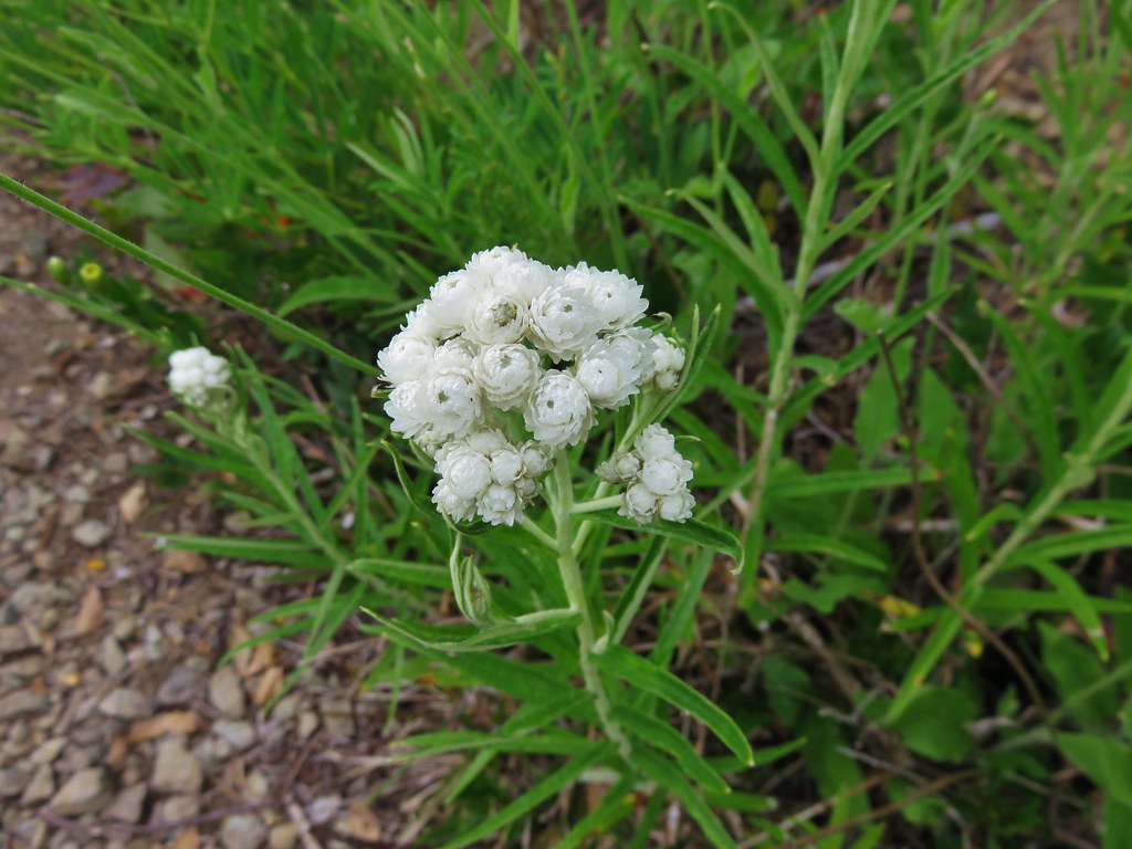
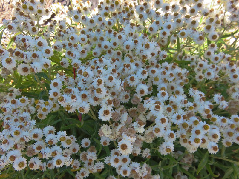
Pearly everlasting
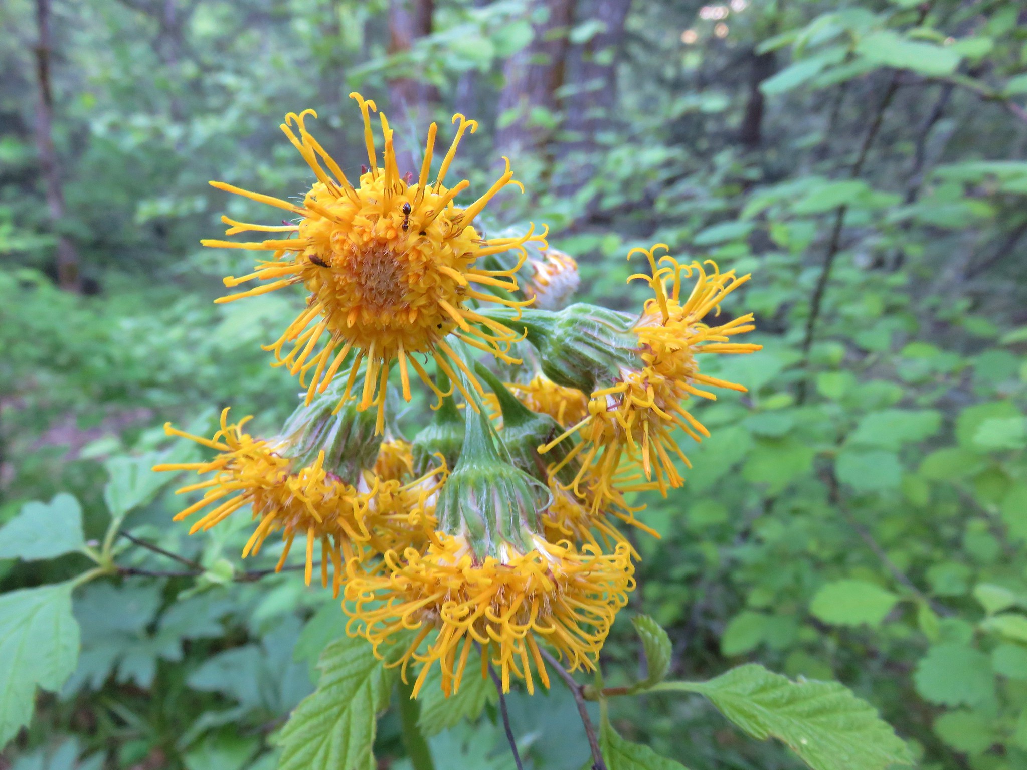
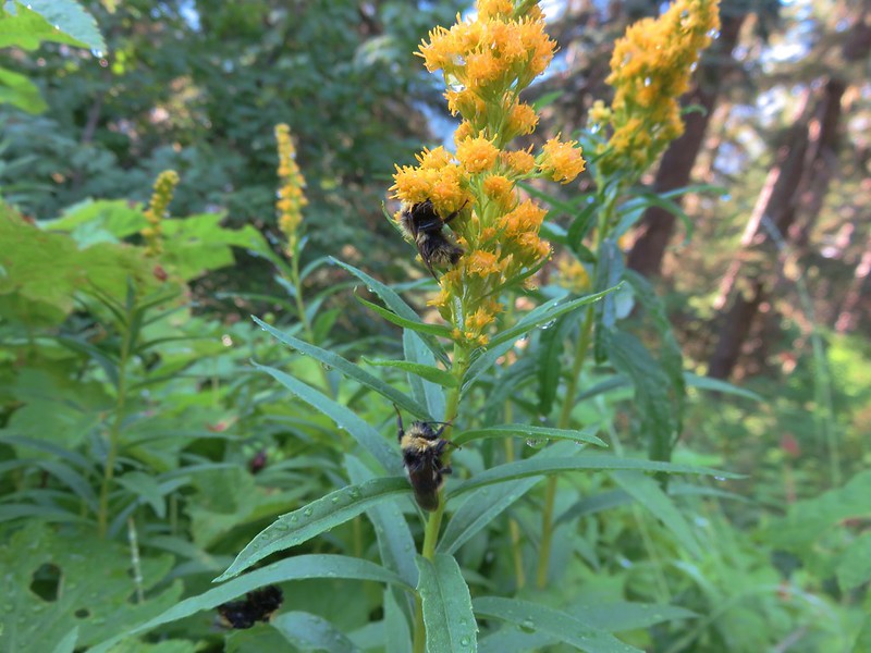
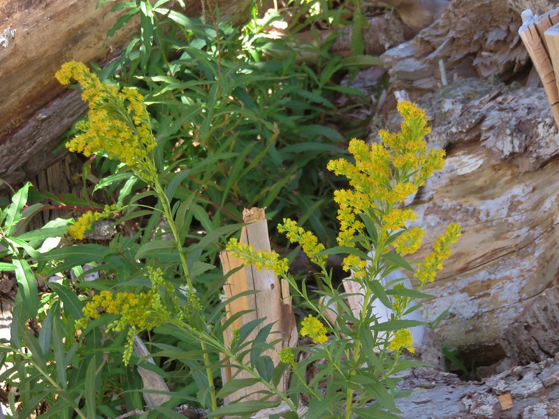
Goldenrod
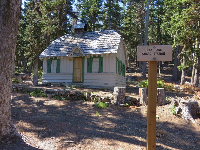
We followed signs to the Tilly Jane Campground and the 1924 Tilly Jane Guard Station.

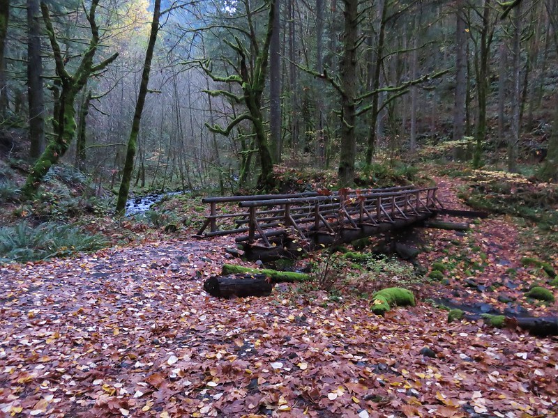
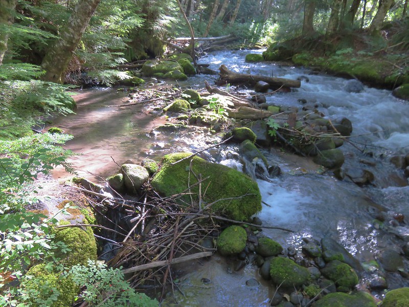
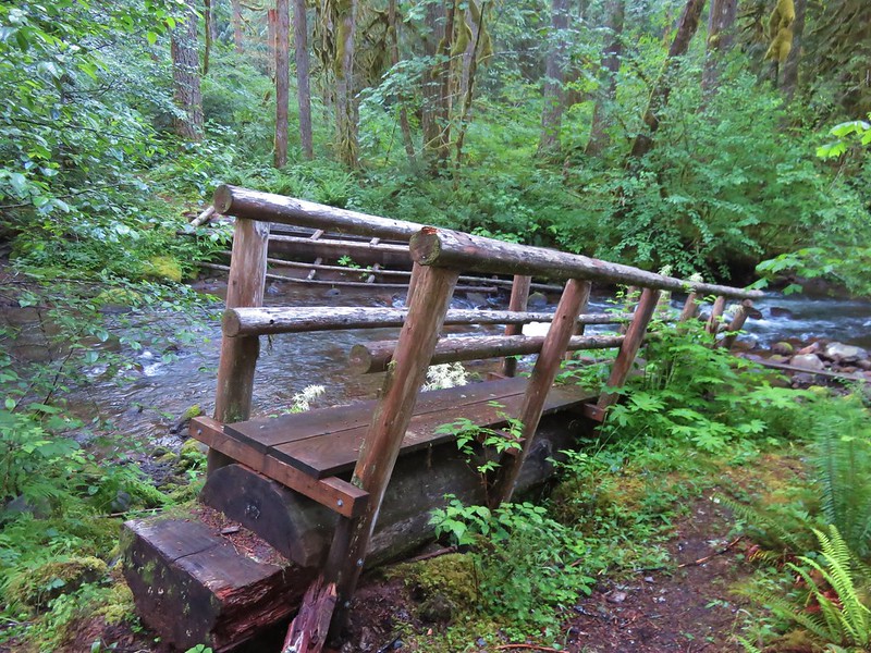
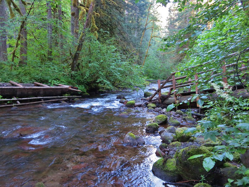
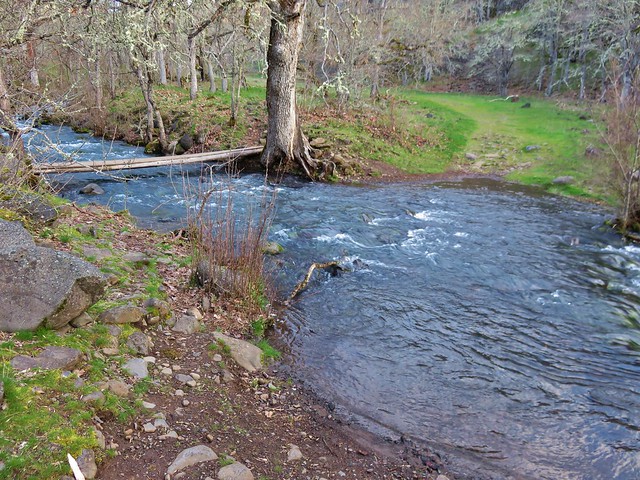
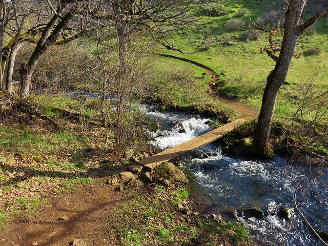
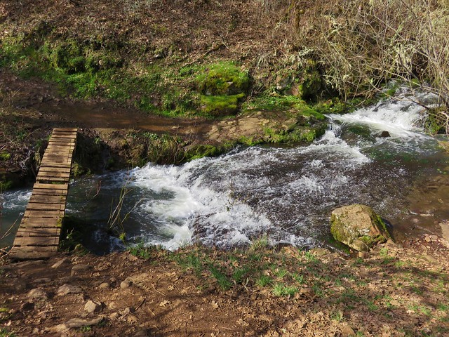
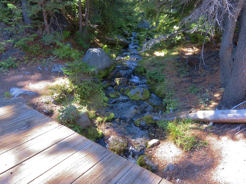
The trail crossed Tilly Jane Creek on a footbridge between the Guard Station and the amphitheater.
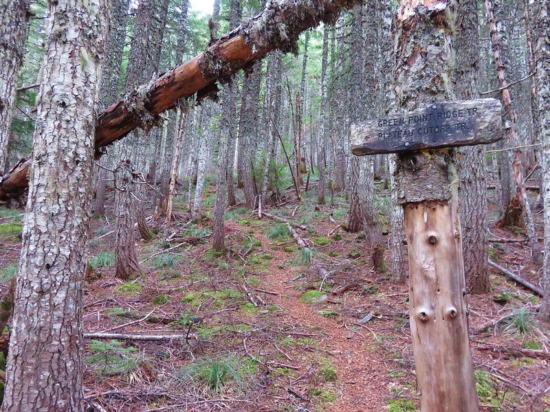
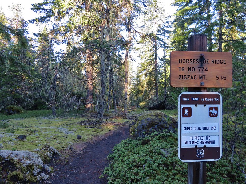
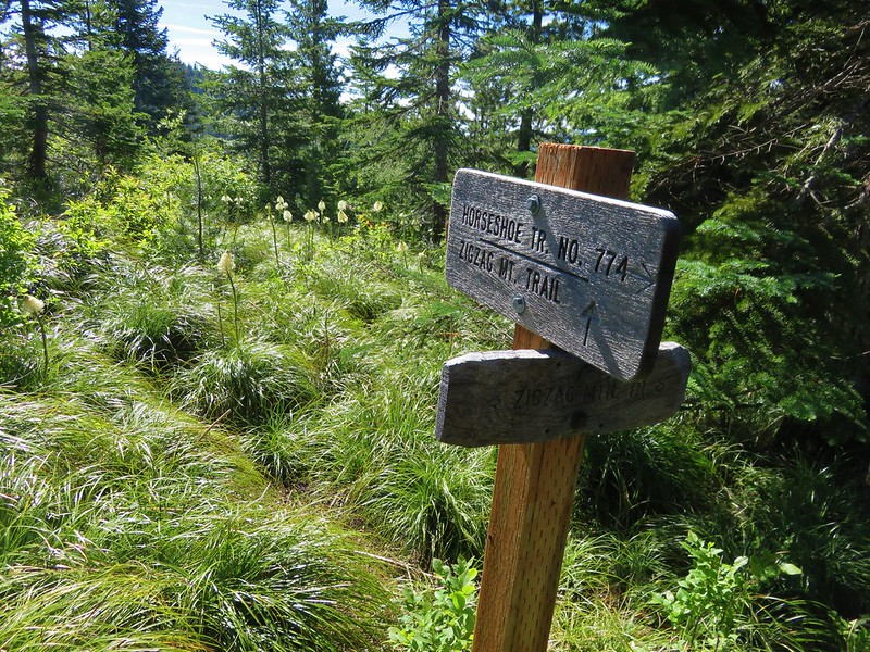
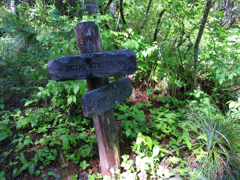
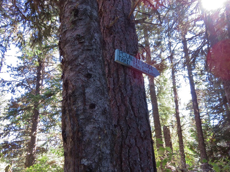
Instead of returning on the Tilly Jane Ski Trail which led past the A-Frame we turned back uphill on the Tilly Jane Trail for a couple hundred feet to a trail sign for the Polallie Ridge Trail.

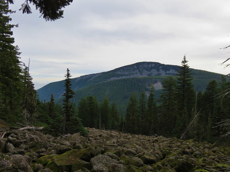
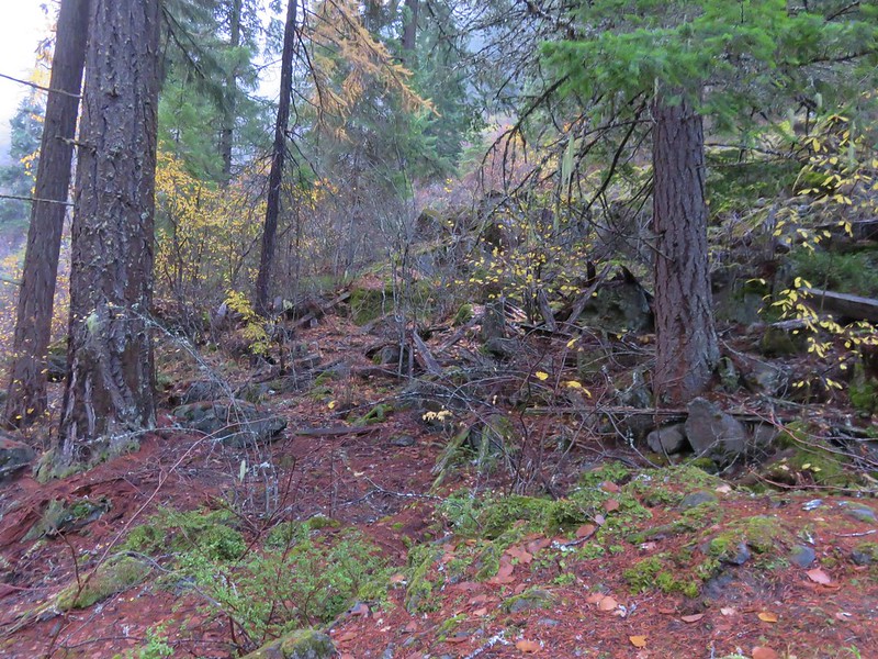
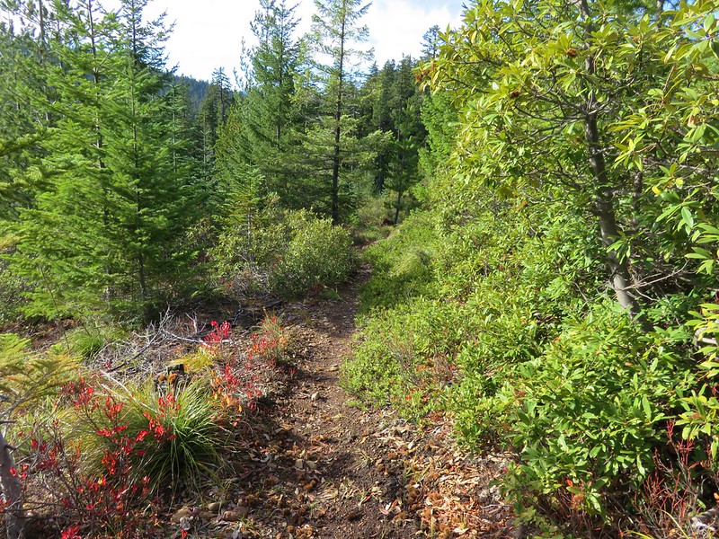
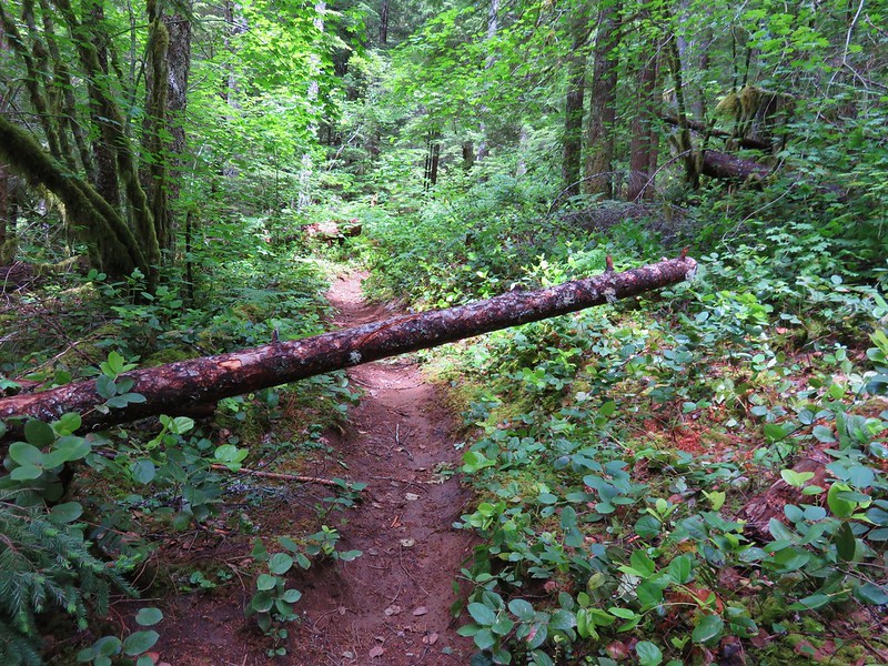
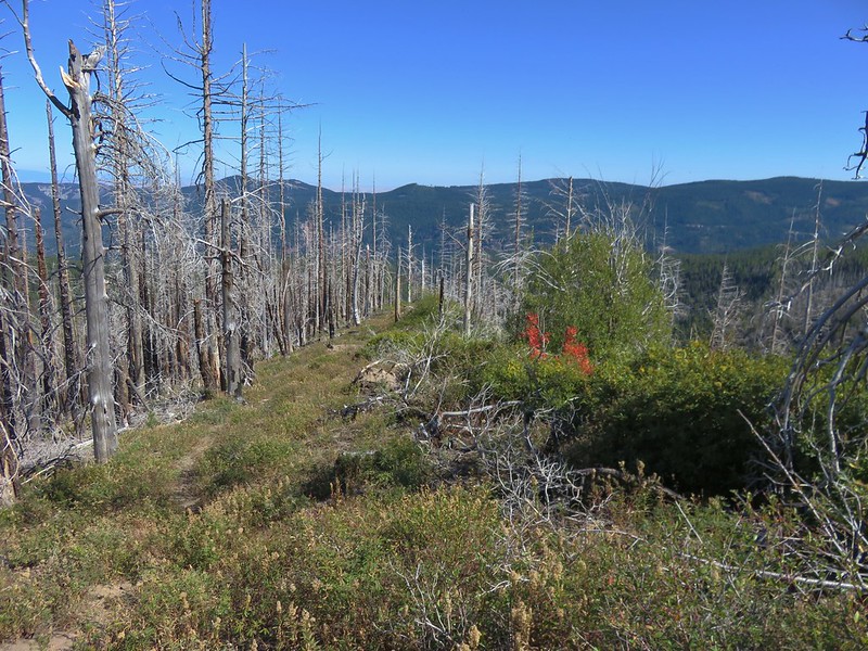
The Polallie Ridge Trail quickly entered the Dollar Fire burn area. The trail stuck closely to the top of the ridge as it headed straight downhill.

There was a nice view back to Mt. Hood as well as the headwall of the Polallie Creek Canyon.
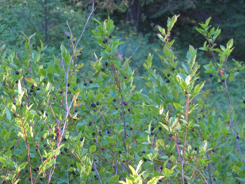
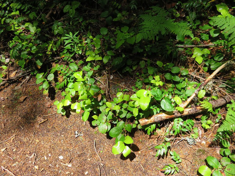
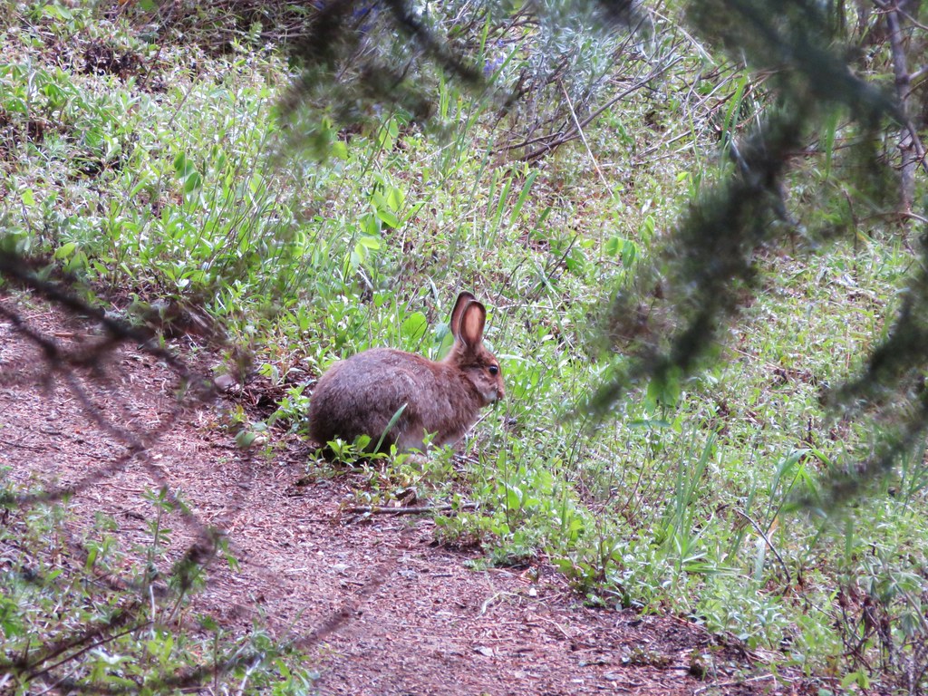
The trail was faint and appeared to get more use by deer than hikers. Manzanita and chinkapin covered sections of the trail but it was passable.
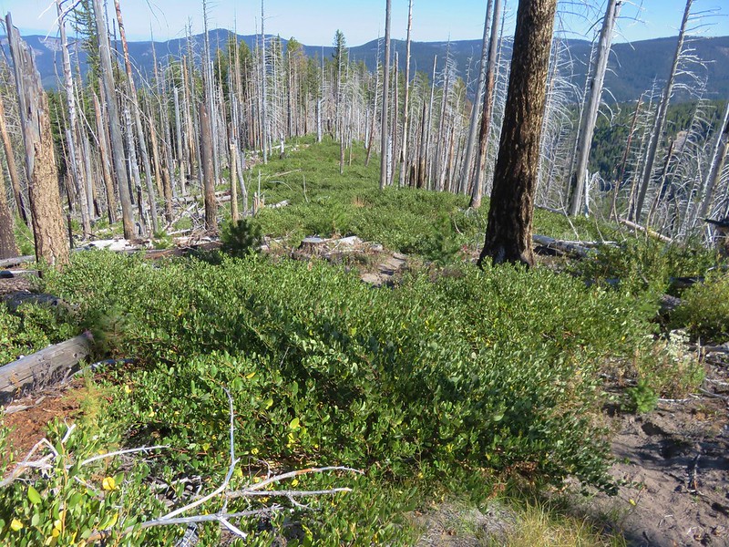
chinkapin

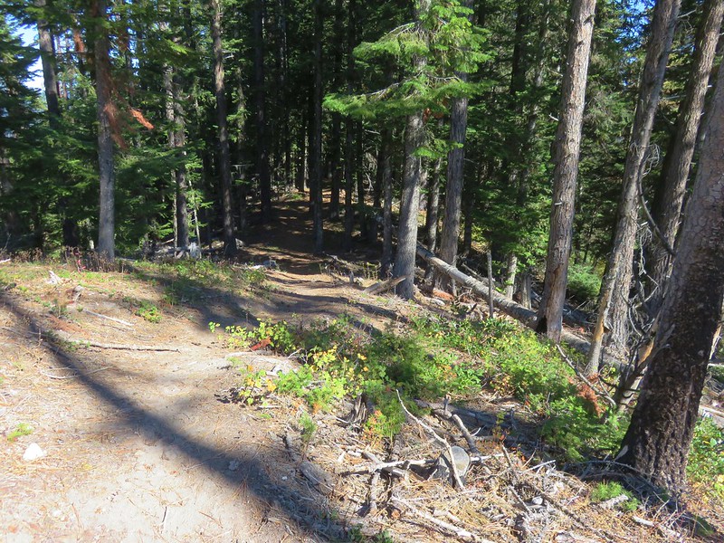
The trail eventually reentered forest unaffected by the fire and just over 2 miles from the Tilly Jane Trail junction we turned left following a blue arrow for the Polallie Ridge Trail.
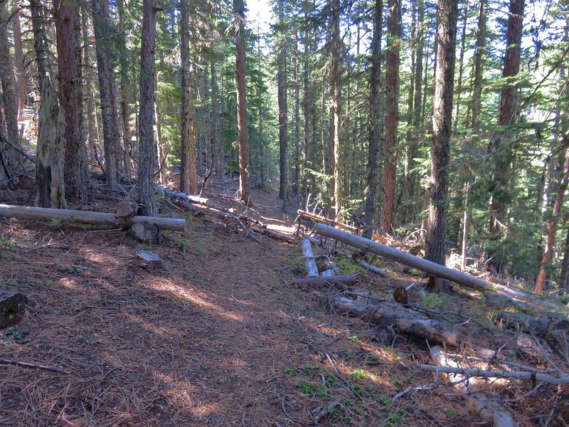
Another quarter mile brought us back to the Tilly Jane Ski Trail just .5 miles from our car.


The total distance for the hike was 13.9 miles with a little over 5000′ of elevation gain. It had been a near perfect day for the hike with the cool temperatures and lack of troublesome clouds. Having had Cooper Spur all to ourselves was just a bonus. We had begun seeing other hikers when we began descending from the moraine at 8500′ and there were plenty of cars at Cloud Cap and the Tilly Jane Campground as well as the trailhead when we got back. It was another good reminder why we get ourselves up so early on hiking days.
Happy Trails!
Flickr: https://www.flickr.com/photos/9319235@N02/albums/72157674245738906