Categories
Columbia Gorge North Hiking Trip report Washington

Catherine Creek, Coyote Wall, and the Weldon Wagon Trail

** Note the 2025 Burdoin Fire burned over much of the route described here. **

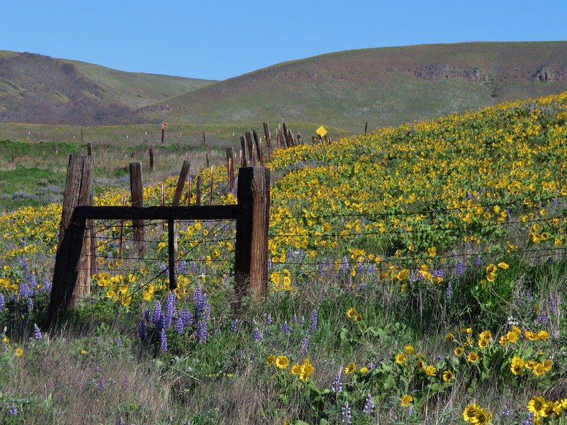
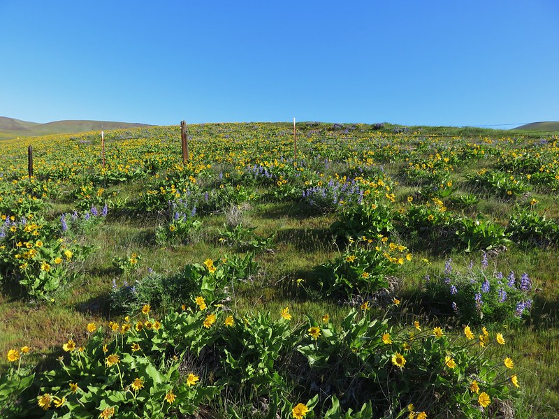
Similar to last months hike our March trip consisted of shorter hikes at three separate locations. We had been waiting for a day off with decent weather to head out toward the eastern end of the Columbia Gorge to see some early wildflowers and finally got one on the day before Spring.

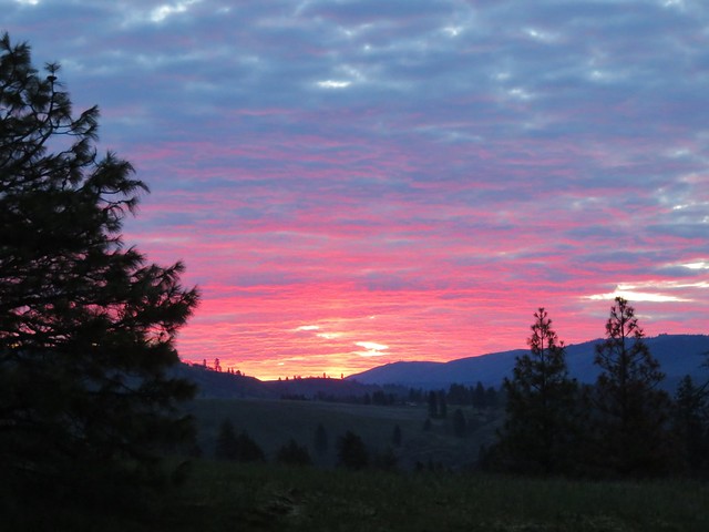
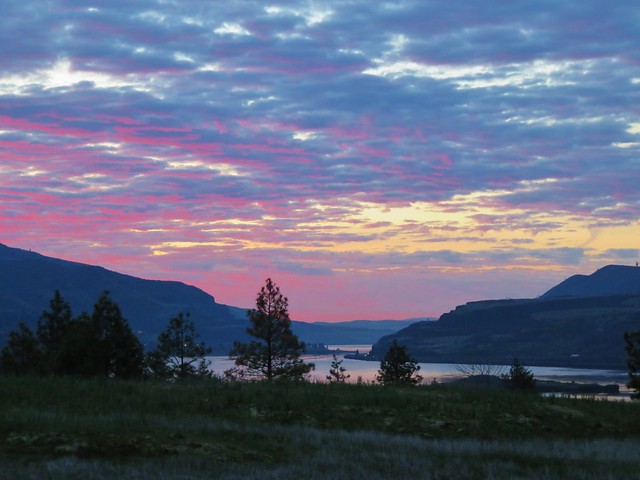
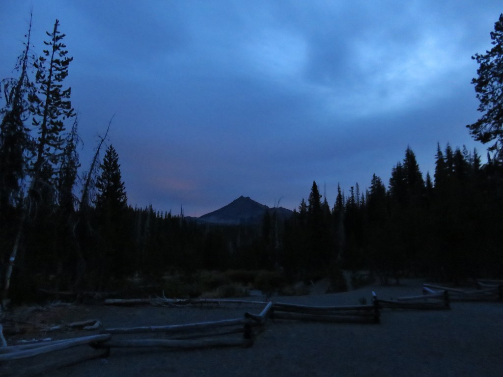
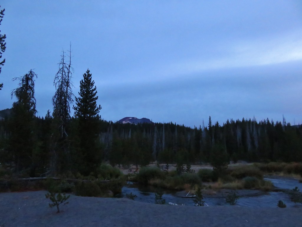
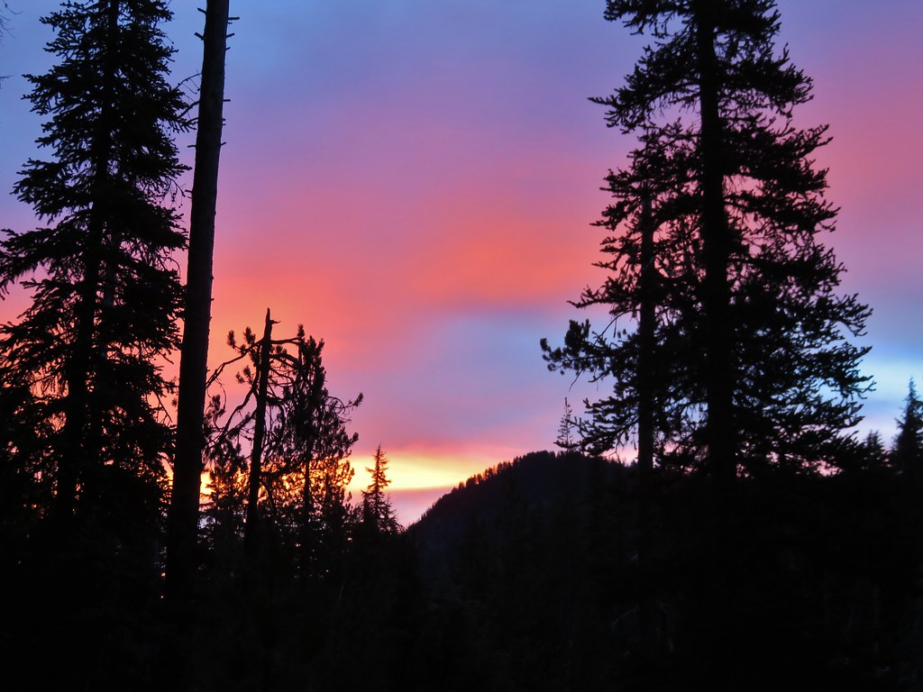
We started our day at the Catherine Creek Trailhead located approximately 6 miles east of Bingen, WA along Old Highway 8. We managed to arrive at the trailhead just as the sunrise began to light up with color.
Sunrise from the Catherine Creek Trailhead

Sunrise from the Catherine Creek Trailhead

Sunrise from the Catherine Creek Trailhead

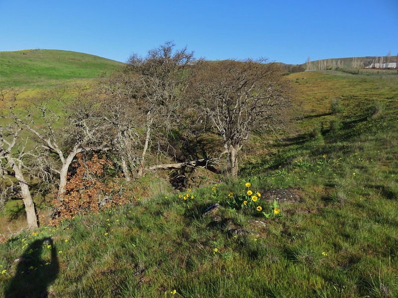
We took the paved Catherine Creek Trail on the south side of the old highway toward the Columbia River. We followed the 1 mile loop past wildflowers, vernal ponds, oak woodlands, Catherine Creek Falls, and views of Mt. Hood.
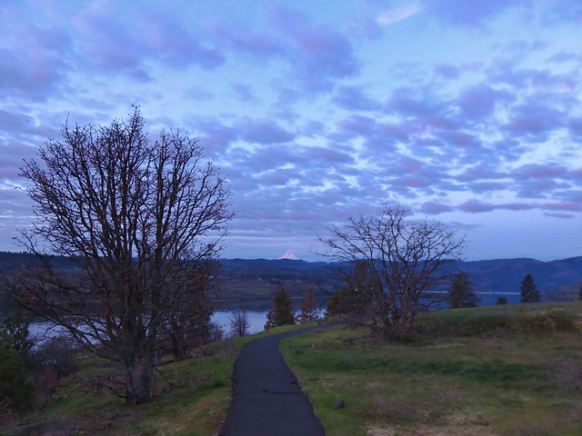
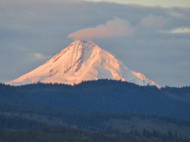
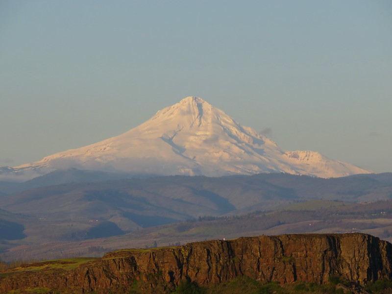
Mt. Hood catching some early sunlight

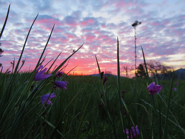
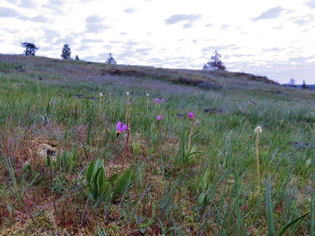
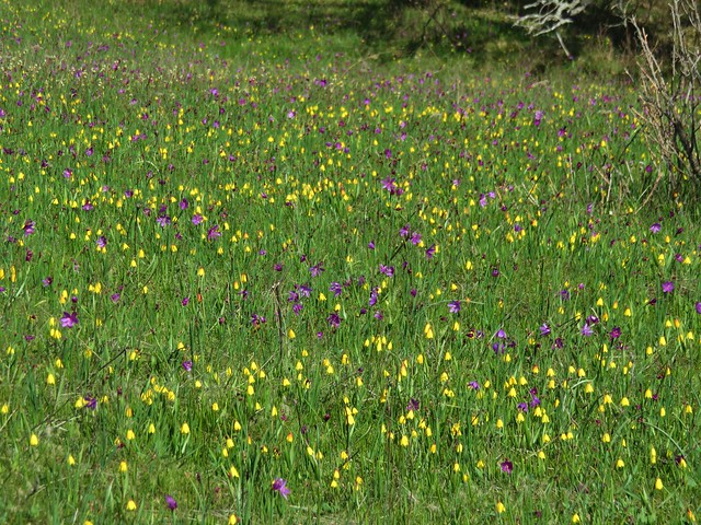
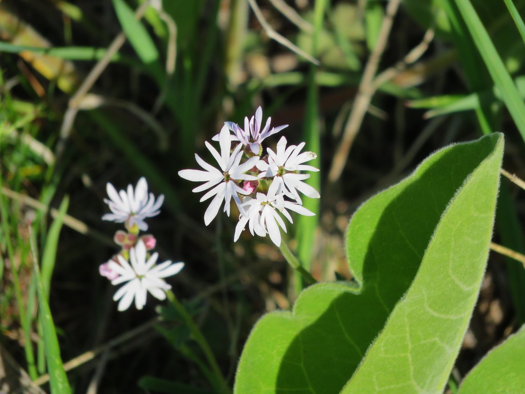
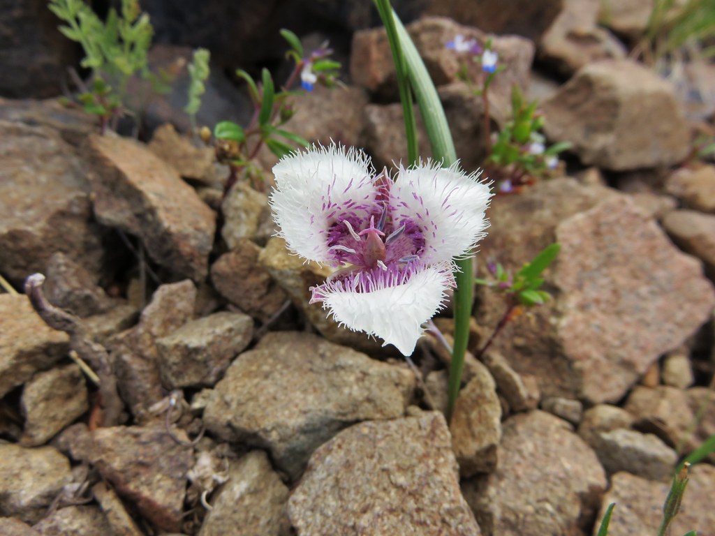
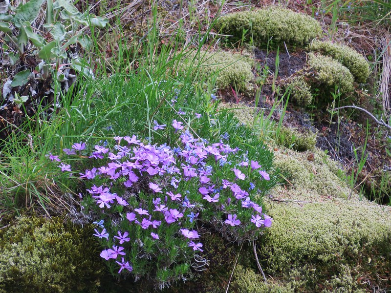
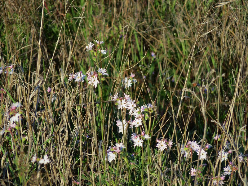
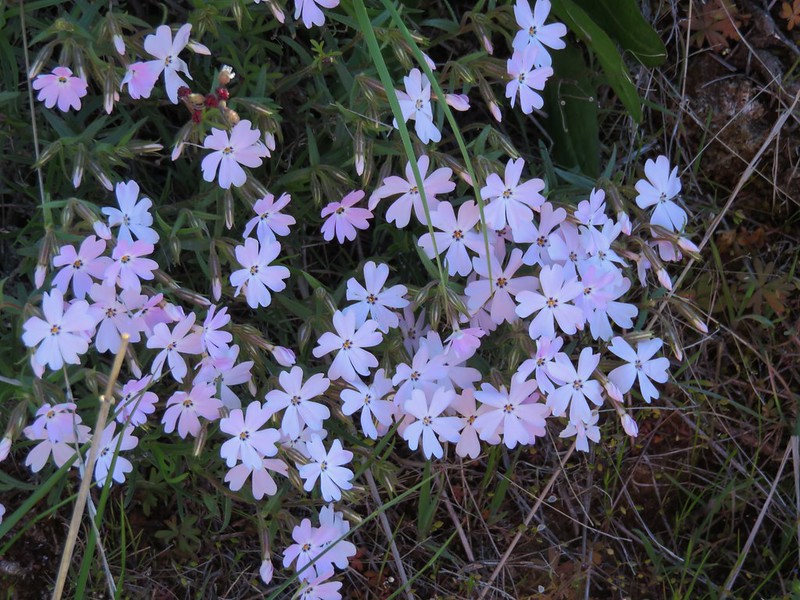
Grass widows
Grass Widows

Prairie Stars
Prairie stars

Shooting stars and saxifrage
Shooting stars

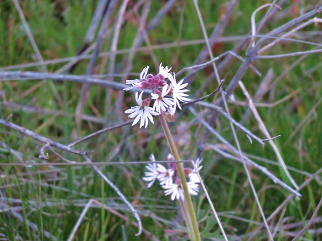
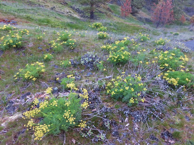
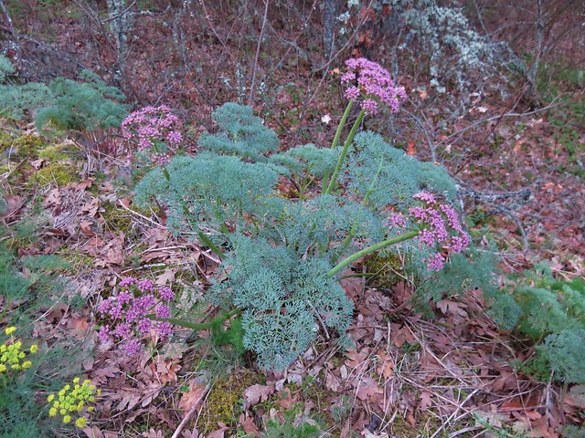
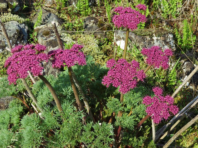
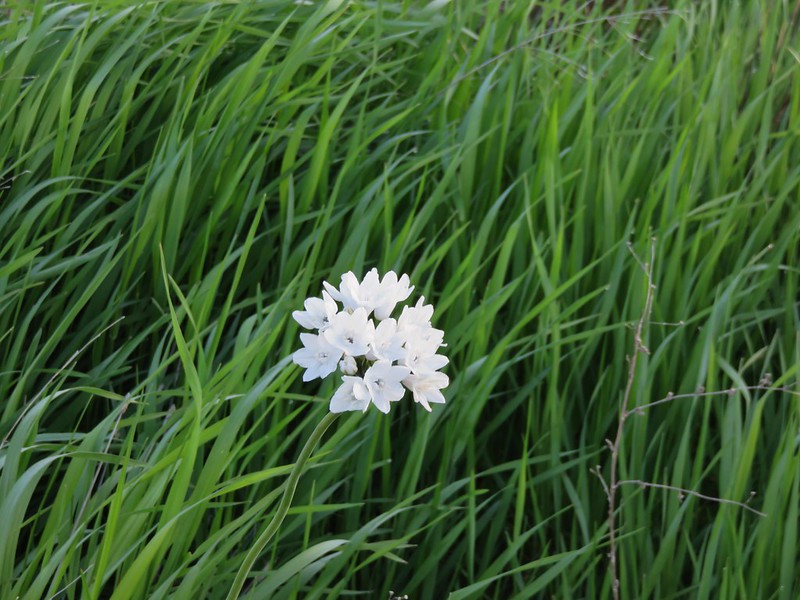
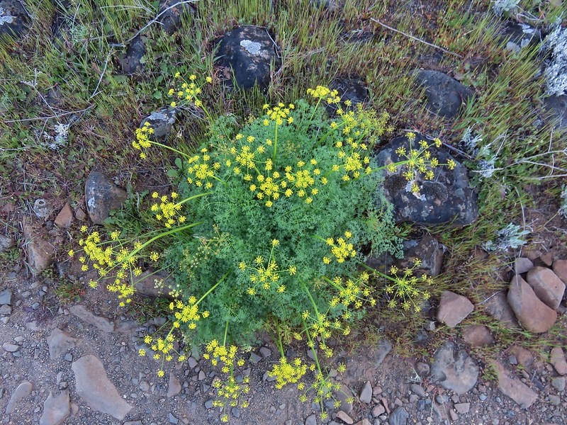
Lomatium
Lomatium

Lomatium

Mt. Hood across the Columbia River

Mt. Hood

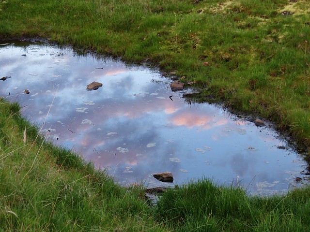
Reflections along the Catherine Creek Trail

Catherine Creek Falls

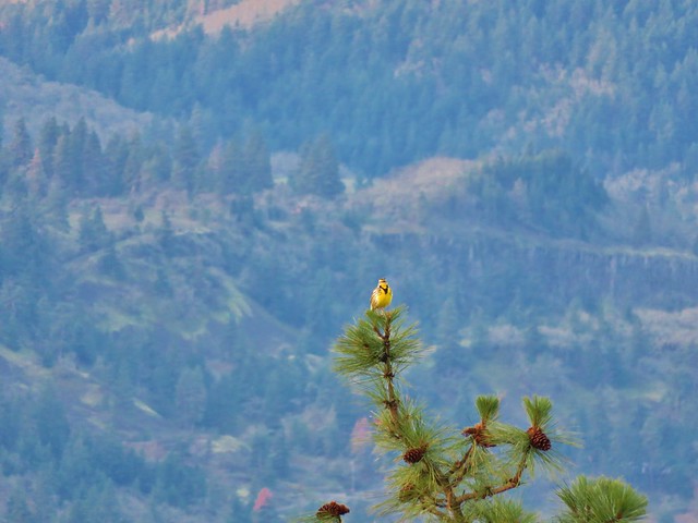
After completing the loop we crossed the road and head north on an old roadbed marked as “20”. At a fork we should have veered right on another road marked with a “21” sign but we initially missed that turn which turned out okay because we came upon a scenic vernal pond reflecting the clouds in the sky above and were serenaded by a western meadowlark.
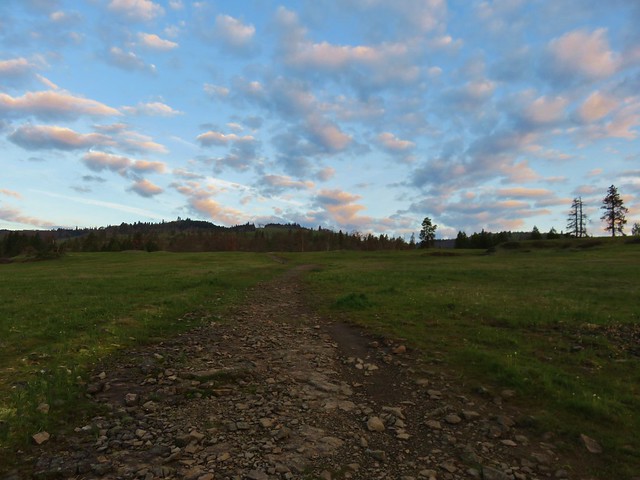
Catherine Creek Trail

Clouds reflecting in pool of water along the Catherine Creek Trail

Western meadowlark

Once we had backtracked onto the correct road bed we followed it to a crossing of Catherine Creek then on to an old corral below the Catherine Creek Arch.
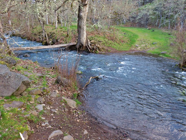
Catherine Creek

Catherine Creek Trail

The Forest Service has closed off the area near the arch with fencing but the view from below near the corral is nice.
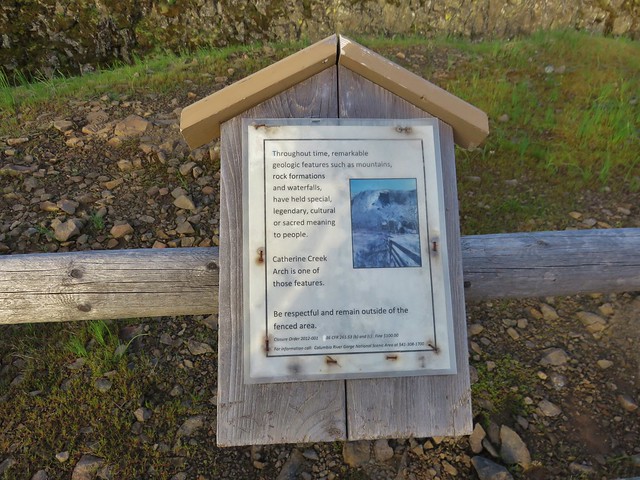
Sign near the Catherine Creek Arch

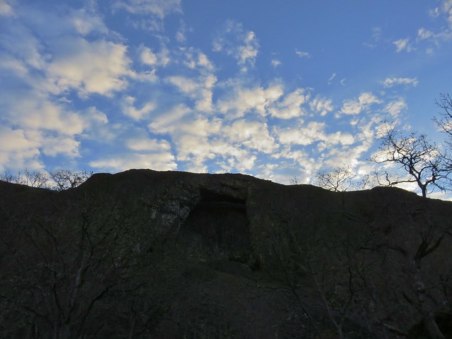
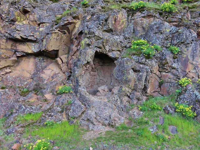
Catherine Creek Arch

We continued on the old road climbing gradually and after passing under a set of power lines we came to a trail junction. We took the signed trail to the right which led up a small hill to a ridge with a view of Mt. Hood.
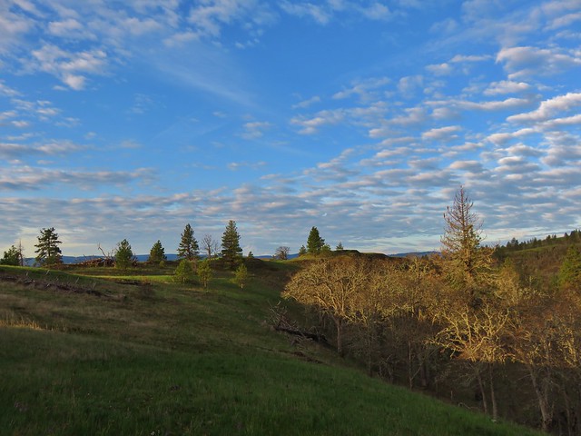
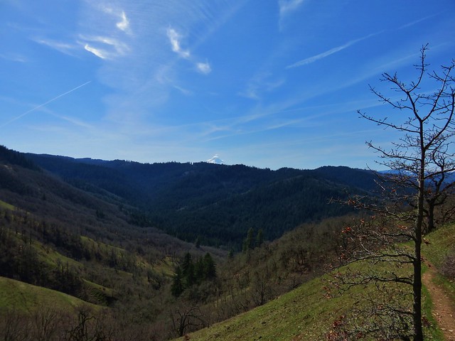
Mt. Hood from the Catherine Creek Trail

This trail followed the ridge down toward the old highway passing the top of the Catherine Creek Arch along the way.
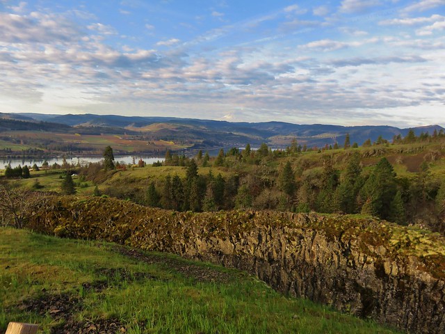
Mt. Hood and the Columbia River from the Catherine Creek Trail

We arrived at the old highway about a quarter mile east of the trailhead and simply walked along the shoulder back to the car. From there we headed back toward Bingen and our next stop at the Coyote Wall Trailhead just off Courtney Road (approx. 3 miles east of Bingen). Our early start allowed us to get to this second trailhead before 9am which was nice because this is a very popular destination.

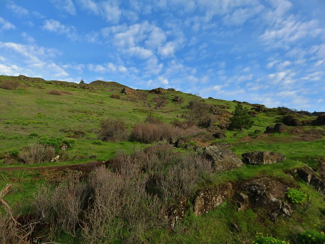
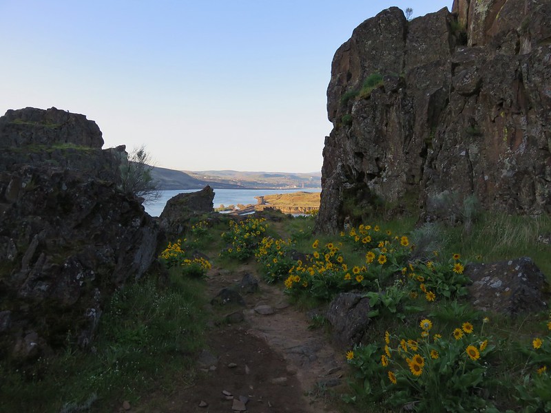
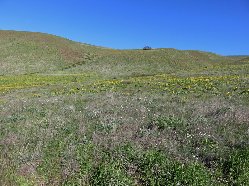
From the parking area we followed a closed section of old highway 8 east passing a nice view up Coyote Wall. After passing some cliffs the scenery shifted to rocky green hillsides dotted with wildflowers.
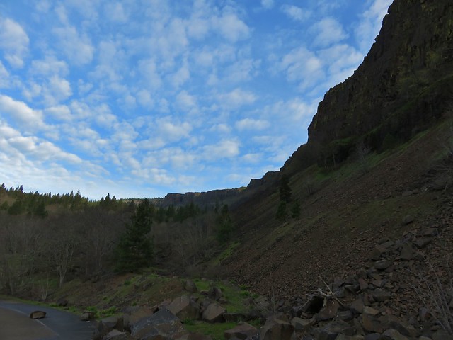
Coyote Wall

Biscuitroot surround a small hole in the rocks

View from the old highway

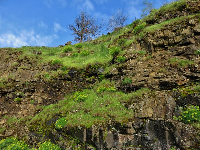
Wildflowers on the rocks along the old highway

Our plan was to take the Labyrinth Trail up to the Rowland Creek Trail then head left from that junction to old road 20 following that left to a creek crossing and following it all the way to a junction with the Coyote Wall Trail. The Labyrinth Trail sets off from old highway 8 approx .75 miles from the trailhead, but before turning up that trail when we came to it we continued on a couple hundred yards to check out Lower Labyrinth Falls.
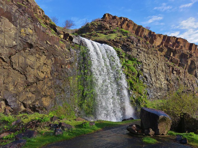
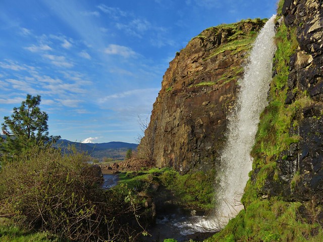
Lower Labyrinth Falls

Lower Labyrinth Falls

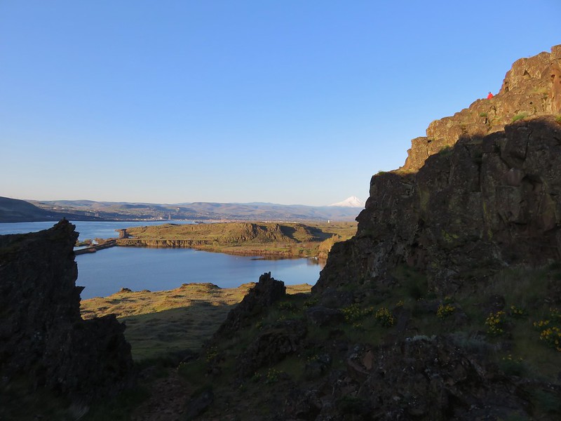
Mt. Hood from Lower Labyrinth Falls

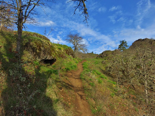
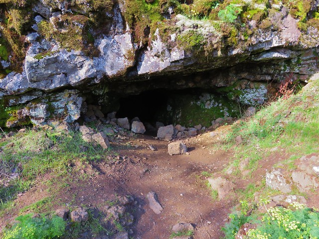
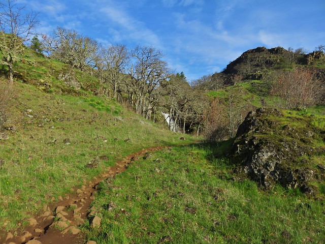
After returning to the Labyrinth Trail we headed uphill climbing past wildflowers and rock outcrops to a view of Labyrinth Falls near a small cave.
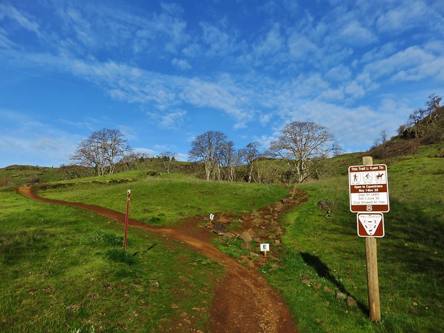
Labyrinth Trail

Labyrinth Trail

Cave along the Labyrinth Trail

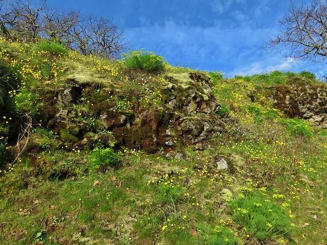
Wildflowers along the Labyrinth Trail

Wildflowers along the Labyrinth Trail

Labyrinth Trail

Labyrinth Falls

From the falls the trail continued to climb through a mix of grasslands and oak woods gaining better views of Mt. Hood.
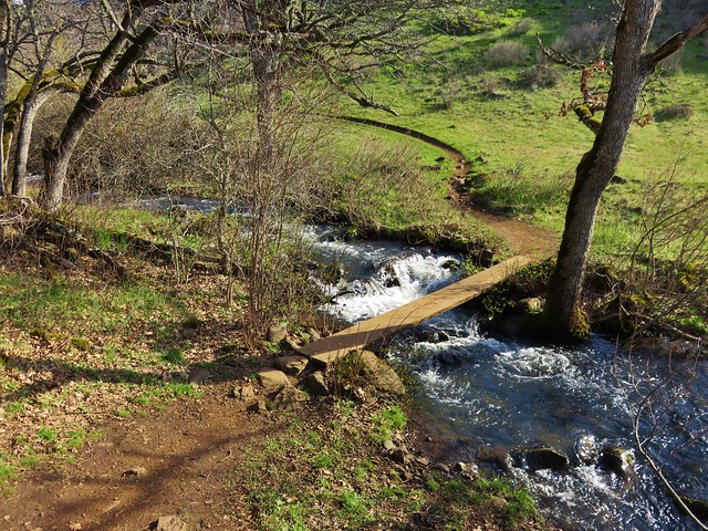
Labyrinth Trail

Labyrinth Trail

Mt. Hood from the Labyrinth Trail

Mt. Hood

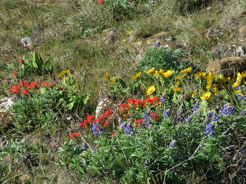
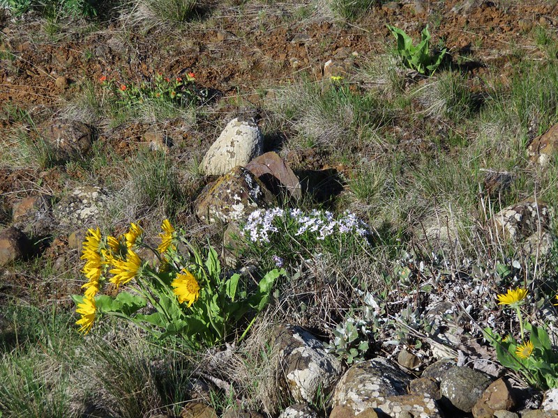
We saw lots of wildflowers along the way and passed a trail crew from the Washington Trails Alliance.

Grass widows
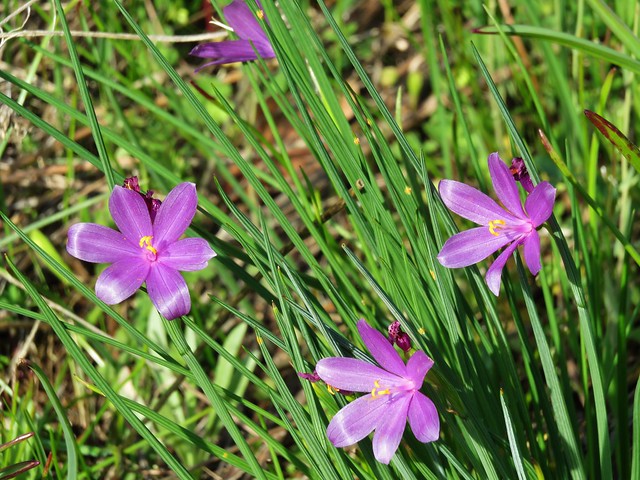
Grass widows

Prairie stars
Prairie star

Lomatium
Biscuitroot

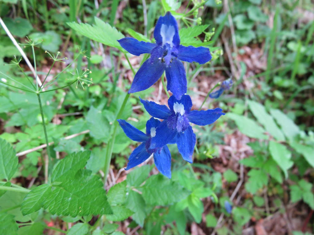
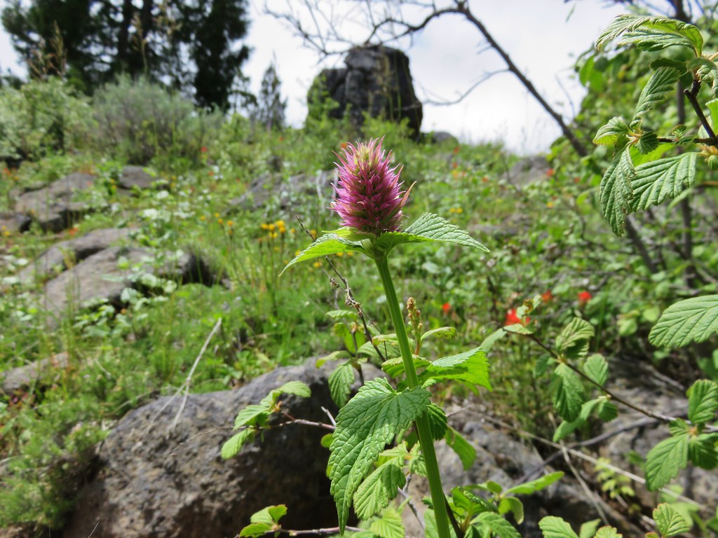
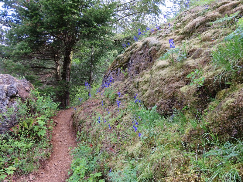
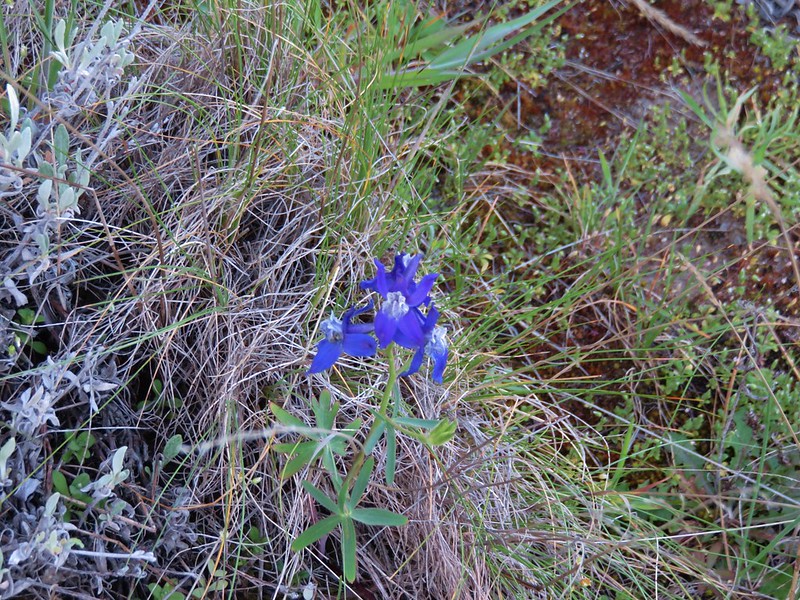
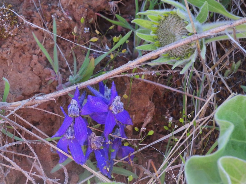
Larkspur
Larkspur and a grass widow

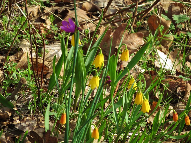
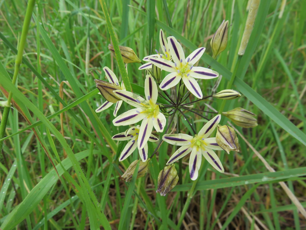
Yellow bell lilies
Yellow bell lilies and a grass widow

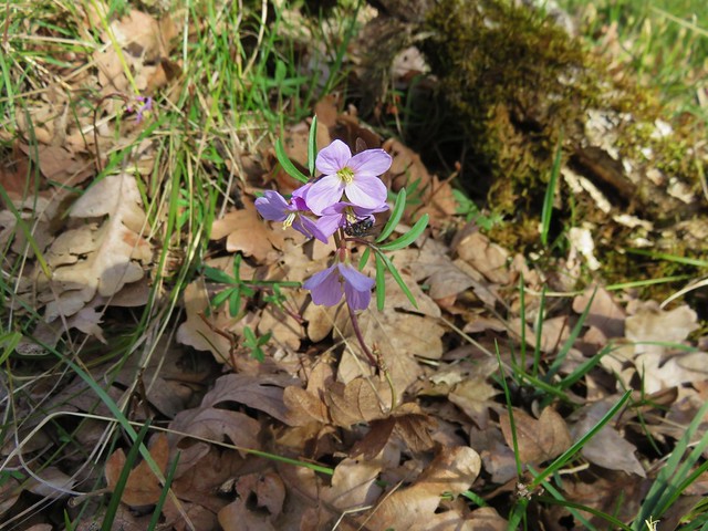
Toothwort
Toothwort

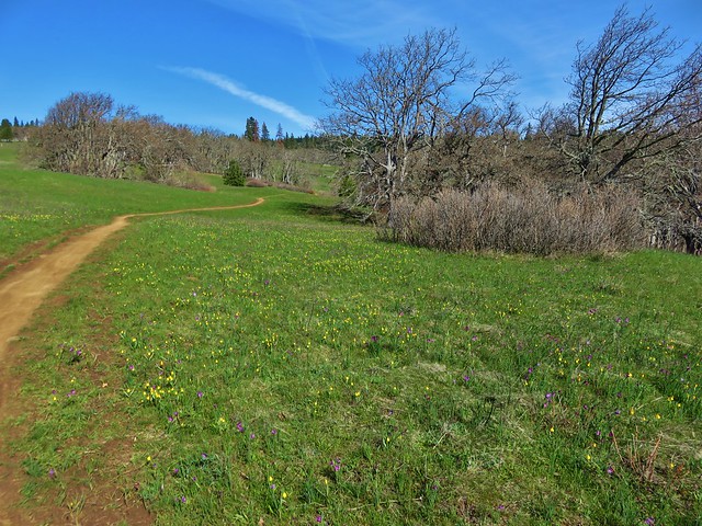
We arrived at the road 20 creek crossing as planned but things began to unravel a bit shortly afterward. Signage had been virtually non-existent and after climbing up from the creek crossing we arrived at large junction where the WTA trail crew had parked their vehicles. Several trails and old roads headed off in various directions here and were not shown on the map we were using. We first set off straight ahead on an old road bed but quickly saw a sign indicating it was private property, we turned back to the junction and began to head uphill on a clear trail. It didn’t seem like we should be going that direction though so we pulled out our guidebook and GPS before going any further. After some deliberation we returned once again to the junction and headed downhill on another old road which was the correct route. Here we passed an impressive meadow filled with yellow bell lilies and grass widows.
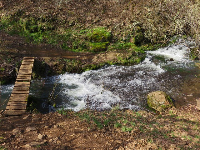
Labyrinth Trail

Grass widows and yellow bell lilies

Grass widows and yellow bell lilies

Grass widows and yellow bell lilies

We passed several more junctions that were not on our map and made one more wrong turn (it appears it would have led us to the top of Coyote Wall in the end) before finally making it down to the junction we had been looking for with the Coyote Wall Trail. At this point we were about halfway up the wall and made our way over to check out the view.
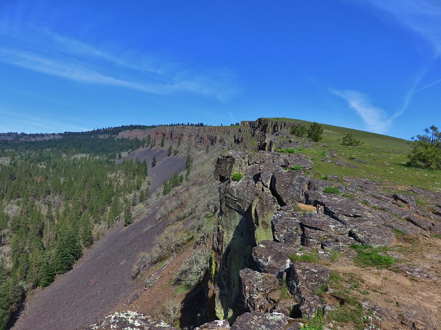
Coyote Wall

Mt. Defiance (with the snow)
Snow on Mt. Defiance

Mt. Hood
Mt. Hood across the Columbia River from Coyote Wall

From there we headed downhill staying as close to the wall as possible before the trail finally veered away as it neared the old highway.

We spotted a few additional flowers on this lower portion before popping back out on the old highway and making our way back to the busy trailhead.

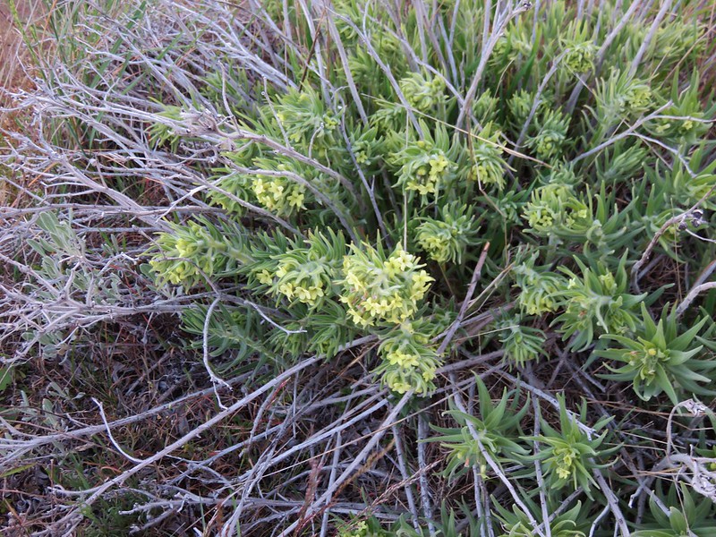
Woolly-pod milk vetch
Woolly-pod Milk-vetch

Gold stars
Gold stars

Popcorn flower
Popcorn flower

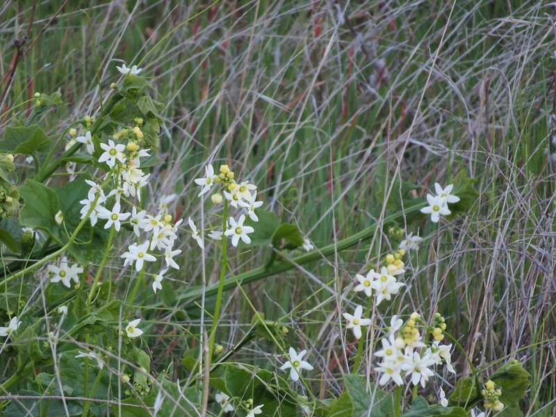
Manroot
Manroot

The unfortunately named Broomrape
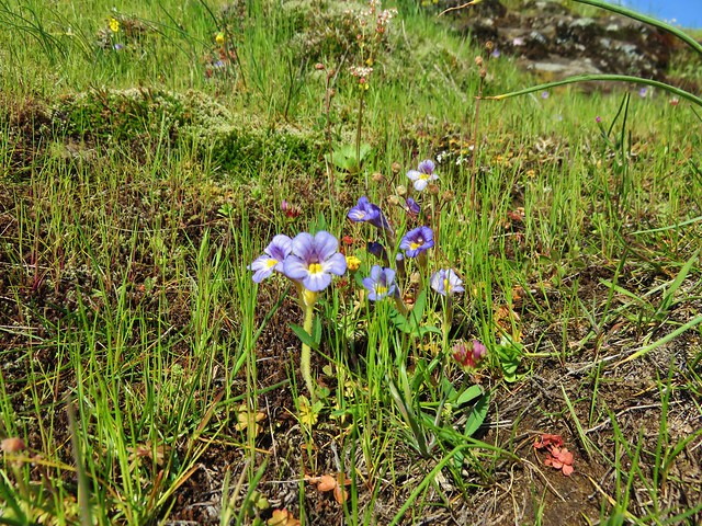
Broomrape

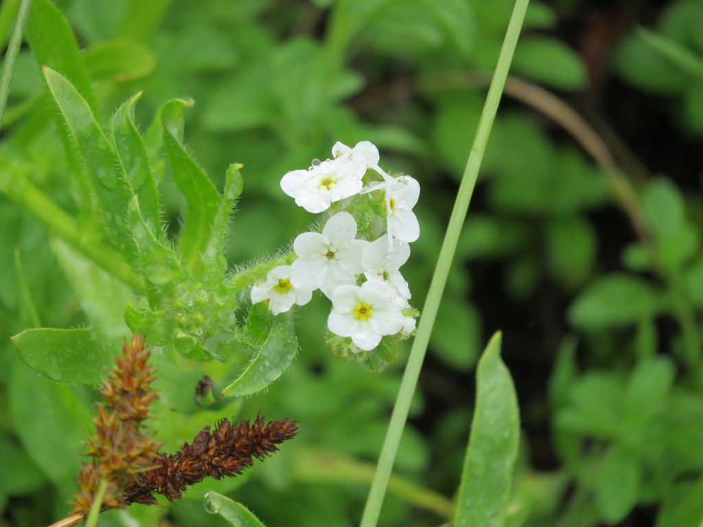
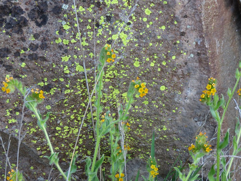
Fiddleneck
fiddleneck

Our final stop for the day was the Weldon Wagon Trail. For this hike we headed back through Bingen and continued west on Highway 14 to Alternate Highway 141 just before the White Salmon River. We followed this road north to Husum, WA where we turned right on Indian Creek Road. We followed signs for the Wagon Trail and parked at an unmarked pullout at the crest of Indian Cemetery Road. To reach the trail we needed to walk .2 miles up a logging road.
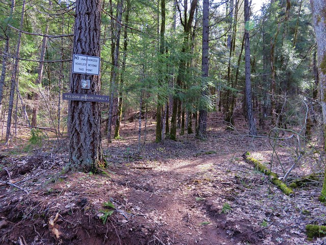
Weldon Wagon Trail

The Wagon Trail follows an old wagon road built in the early 1900’s to cart apples down to Husum. The trail began in a forest before entering more open grasslands.
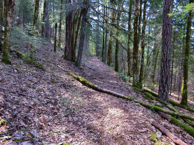
Weldon Wagon Trail

Weldon Wagon Trail

View from the Weldon Wagon Trail

The trial offers a pretty good climb gaining over 1000′ in the first 1.8 miles where a conservation sign sits in the middle of a hillside with a view of Mt. Hood.
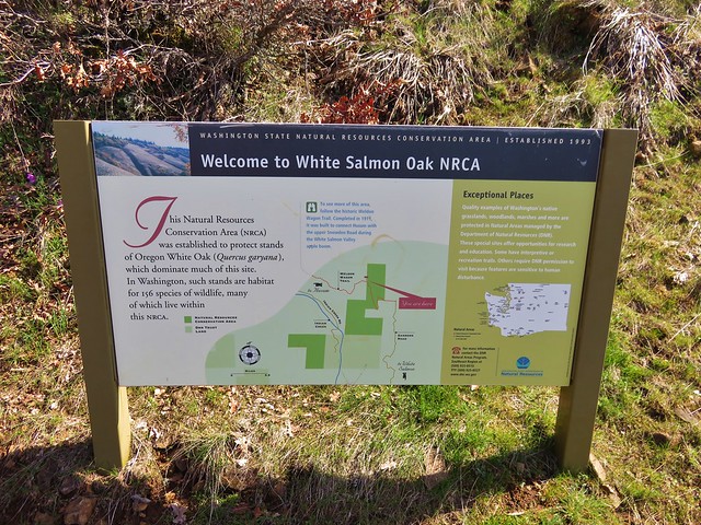
Interpretive sign along the Weldon Wagon Trail

Mt. Hood from the Weldon Wagon Trail

Weldon Wagon Trail

Although the trail continues another .7 miles to another road we turned around at the sign knowing we would be over 13 miles for the day by the time we arrived back at the car and that this was the best of the views from the trail.

On our way home we made one final stop, this time for food, at Mekong Bistro in Portland. We’re blaming this one on the good folks over at Trail Keepers of Oregon for having their Winter Meet-n-Deet there last year. 🙂 We enjoyed the food enough that night to have it now be our go to spot on the way back to Salem after hiking in the Gorge.  It didn’t disappoint and was a great end to a good day of hiking.

Although we did not have any issues ticks can be a problem on these hikes so be sure to keep your eyes out and check for any after your visit. Poison oak is also possible, as are rattlesnakes. Happy (and safe) Trails!

Flickr: https://www.flickr.com/photos/9319235@N02/albums/72157666169966955
Categories
Year-end wrap up

The Hikes of 2015 – A Look Back

Another year of wandering the trails of the Pacific Northwest has come to an end. Since 2010 we have been on over 200 hikes covering over 2200 miles and we continually find ourselves in awe of God’s creation.

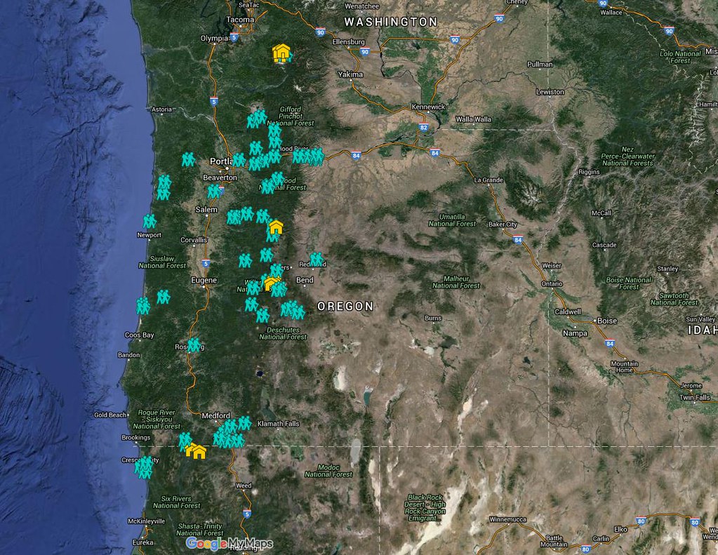
We managed to hit the trails at least once every month ending with 56 hikes for myself and 55 for Heather. I was able to sneak an extra one in by meeting my parents at Columbia Hills State Park in April while Heather was still running. These were the most hikes we’d done in a single year which also led to our highest mileage totals – 660.4 for myself and 652.6 for Heather. The hikes ranged from 2.9 miles (Butte Creek & Abiqua Falls) to 19.1 miles (Green Lakes Loop). Below is a link to a Google map showing the various trailheads and campsites (denoted by picnic tables).
2015

https://www.google.com/maps/d/edit?mid=zIiZZDXeDJAs.kn3sBy2gxhI8&usp=sharing

In addition to my Columbia State park hike we met my parents for hikes at McNeil Point and Jefferson Park. We also met a couple of regular contributors to Oregonhikers.org out on the trails, miah66 on Silver Star Mountain and justpeachy in Jefferson Park. In December we attended the Trail Keepers of Oregon/Oregon Hikers annual Winter Meet-n-Deet in Portland where we were able to put a few more faces to the names we’ve gotten to know on the hiking forums.  It was a blast and we’re hoping to continue attending the event in future years.

As in previous years our primary focus was to visit new places and spend time on trails we had not previously hiked.  We continued to expand the area in which we’ve hiked by spending 4 days hiking the Northern Loop Trail in Mt. Rainier National Park and spending some time hiking in California around Crescent City and in the Red Buttes Wilderness.  Other areas which were brand new to us included the area around Ashland, OR, Indian Heaven Wilderness, and The Oregon caves National Monument.  In all 43 of our 56 days of hiking were spent on sections of trails we had never been on before. The remaining 13 days were spent on trails that we had visited in prior years, but we managed to do something different this time around on each trip allowing us to see something new every time out.

This year just reinforced what has become one of our favorite aspects of hiking, the variety.  In visiting so many new trails we were able to see flowers, trees, animals, and even mountains that we had not previously encountered on our hikes.  Even in the familiar areas there always seems to be something new to experience.  It’s not just the sights that provide the variety though, the smells, sounds, and even the feeling of the air and the forest can change multiple times on any given hike.

Although the camera cannot adequately capture the beauty of nature a look back at some of this year’s pictures will hopefully give some indication of the many different sights we were blessed with.

Views:
Oregon Dunes Overlook
View from Oregon Dunes day use area

Rowena Crest
Rowena Crest from the Tom McCall Point trail.

Mt. Hebo Trail
Sunlight penetrating the clouds in the Siuslaw National Forest

View from Boccard Point
Looking west from Boccard Point

French Pete Creek
French Pete Creek

Smith Rock State Park
Smith Rock State Park from the summit above Burma Road

Mt. Hood from the McNeil Point Trail
McNeil Point Trail

Middle & South Sister from Eileen Lake
Middle and South Sister from Eileen Lake

Middle & South Sister from Linton Meadows
Middle and South Sister from Linton Meadows

Pacific Ocean from Salishan Spit
Low tide heading toward Salishan Spit

Mt. Jefferson from Russell Lake

Sluiskin Mountain
Sluiskin Mountain in the morning

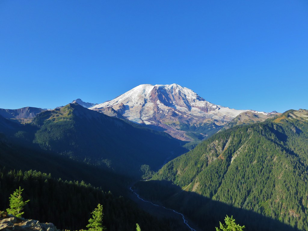
Mt. Rainier
Mt. Rainier

Olallie Lake Scenic Area
View from Double Peaks

Indian Heaven Wilderness
Lemi Rock

Mt. Washington Wilderness
Mt. Washington and Three Fingered Jack from Belknap Crater

Belknap Crater
Belknap Crater

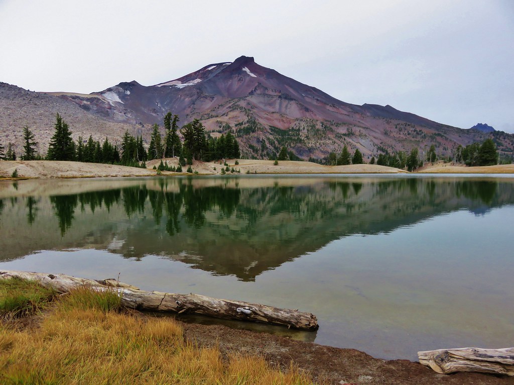
South Sister from the Green Lakes
South Sister from the first Green Lake

South Sister from Denude Lake

Wind and Dog Mountain from Indian Point
Wind and Dog Mountains from Indian Point

Bull of the Woods Wilderness
Lake Lenore and Mt. Hood from Big Slide Mountain

Pacific Ocean near Damnation Creek
Sunsetting over the Pacific Ocean from the mouth of Damnation Creek

Redwoods in Jedediah Redwoods State Park
Redwoods along the Boy Scout Tree Trail

Red Buttes Wilderness
Red Buttes and Kangaroo Mountain

Kangaroo Mountain
Marble outcrop below Kangaroo Mountain

Paradise Lost, Oregon Caves National Monument
Looking up in the Paradise Lost room of the Oregon Cave

Waterfalls:

University Falls
University Falls

Lower Butte Creek Falls
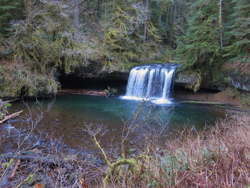
Lower Butte Creek Falls Upper Butte Creek Falls Upper Butte Creek Falls

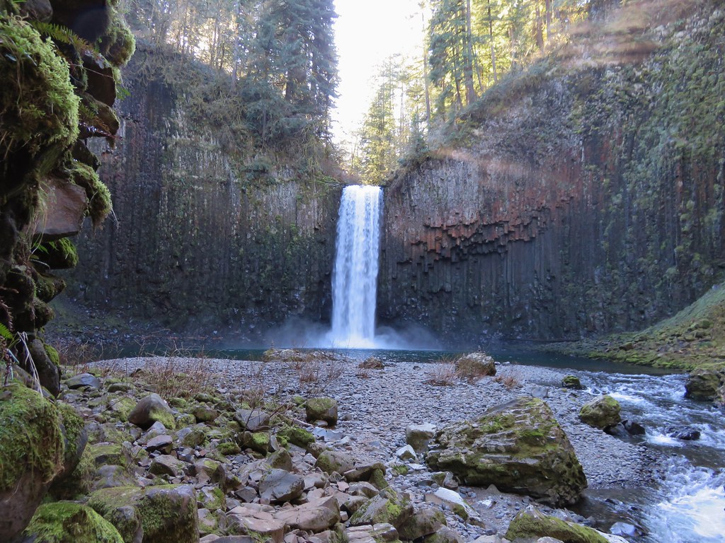
Abiqua Falls
Abiqua Falls Upper McCord Falls Upper McCord Falls

Wahclella Falls
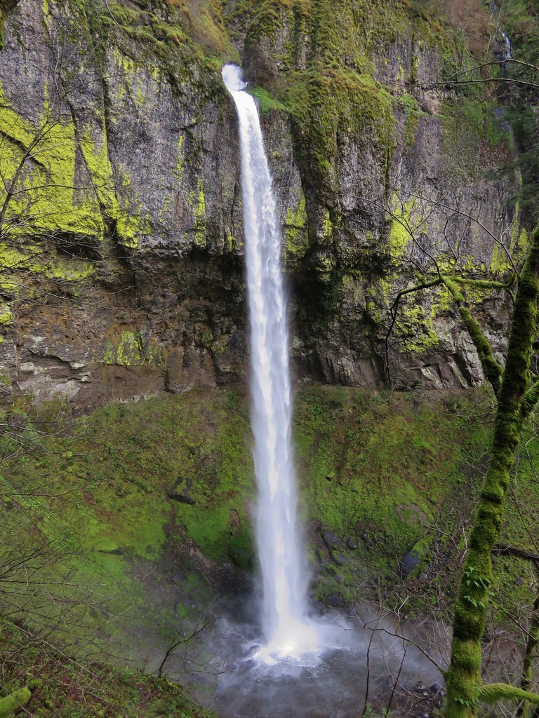
Wahclella Falls Elowah Falls Elowah Falls

The Potholes
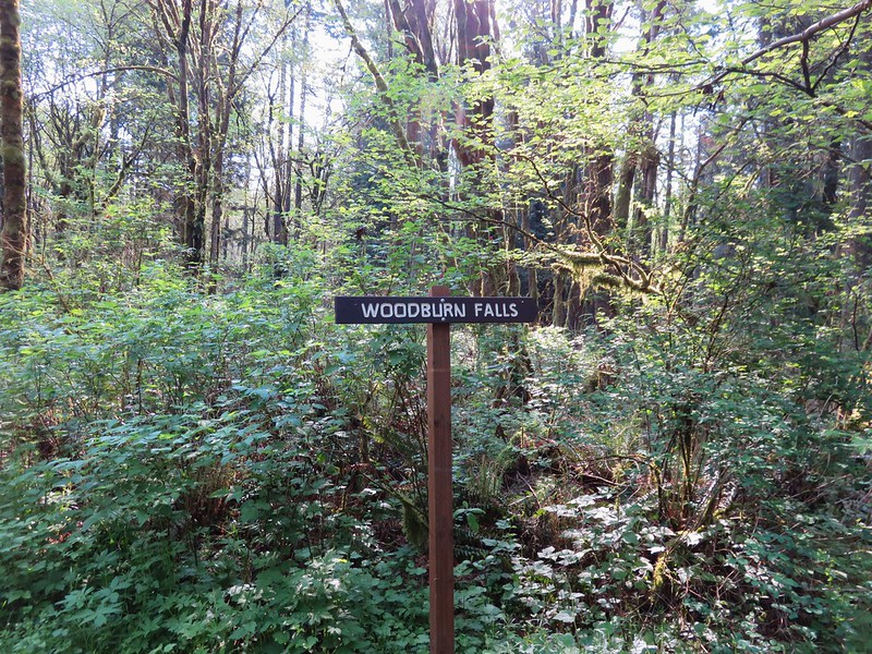
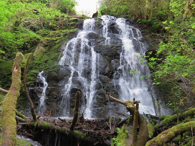
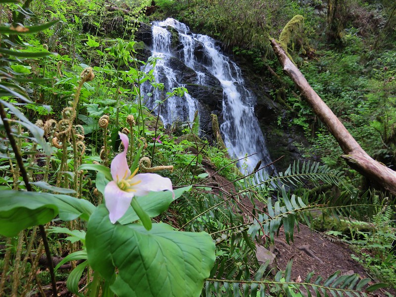
The Potholes Woodburn Falls Trillium at Woodburn Falls

Rodney Falls
IMG_1665 Upper Kentucky Falls IMG_1840

Lower Kentucky Falls
Lower Kentucky Falls North Fork Falls North Fork Falls

Munson Falls
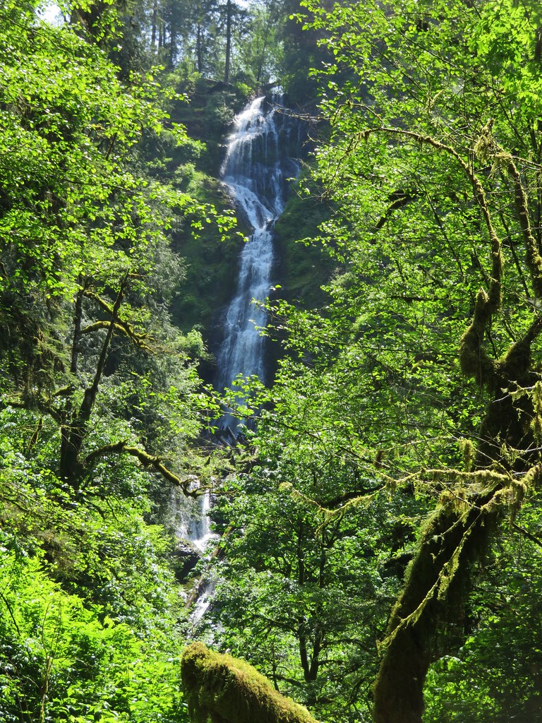
Munson Falls

Unnamed waterfalls along Linton Creek Waterfalls along Linton Creek

Waterfall on Linton Creek

Waterfall on Linton Creek

Waterfall along Linton Creek

Duncan Falls Duncan Falls

Upper Portion of Linton Falls
Upper portion of Upper Linton Falls

Some of Upper Linton Falls

Indian Holes Falls
Indian Holes Falls Unnamed waterfall – Mt. Rainier National Park IMG_7614

Garda Falls
Garda Falls Another unnamed fall in Mt. Rainier National Park IMG_7972

Van Horn Falls
Van Horn Falls

Waterfalls along Fall Creek IMG_9592

Fall Creek

Fall Creek

IMG_9604

IMG_9612

Falls along Crater Creek

Falls along Crater Creek

Waterfall on Crater Creek

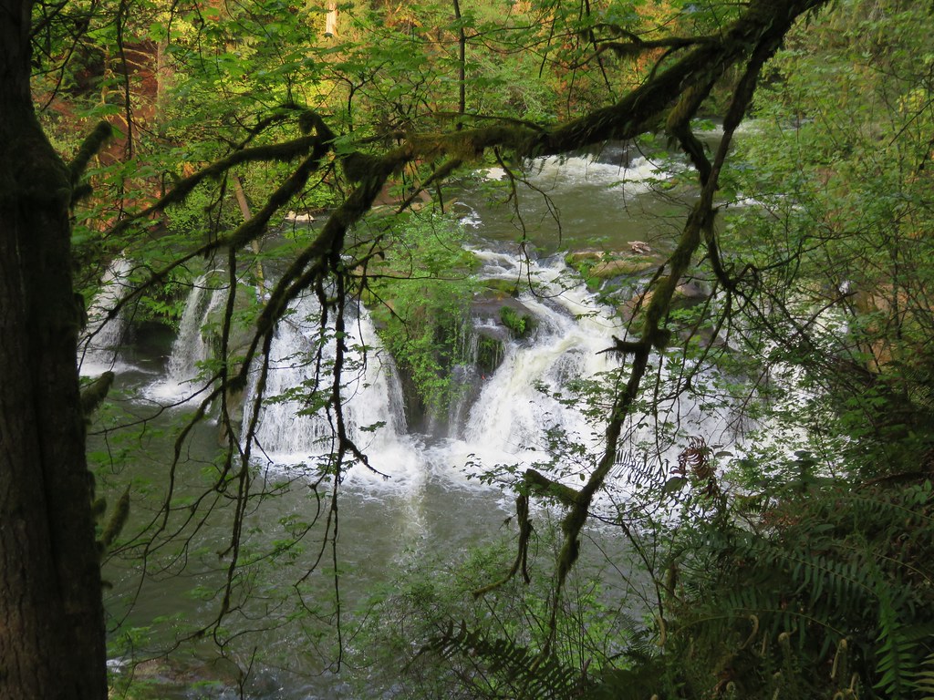
Corner Falls Corner Falls

Fall River Falls
Fall River Falls

Waterfalls along Paulina Creek Small waterfall on Paulina Creek

Falls on Paulina Creek

Small waterfall on Paulina Creek

Small waterfall on Paulina Creek

IMG_0567

Waterfall on Paulina Creek

McKay Falls

Waterfall on Paulina Creek

Waterfall on Paulina Creek

Waterfall on Paulina Creek below Ten-mile snopark bridge

Wildlife
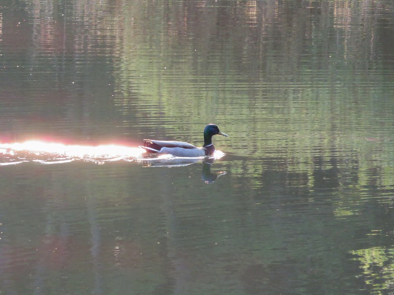
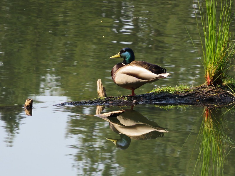
Mallard at Lacamas Lake

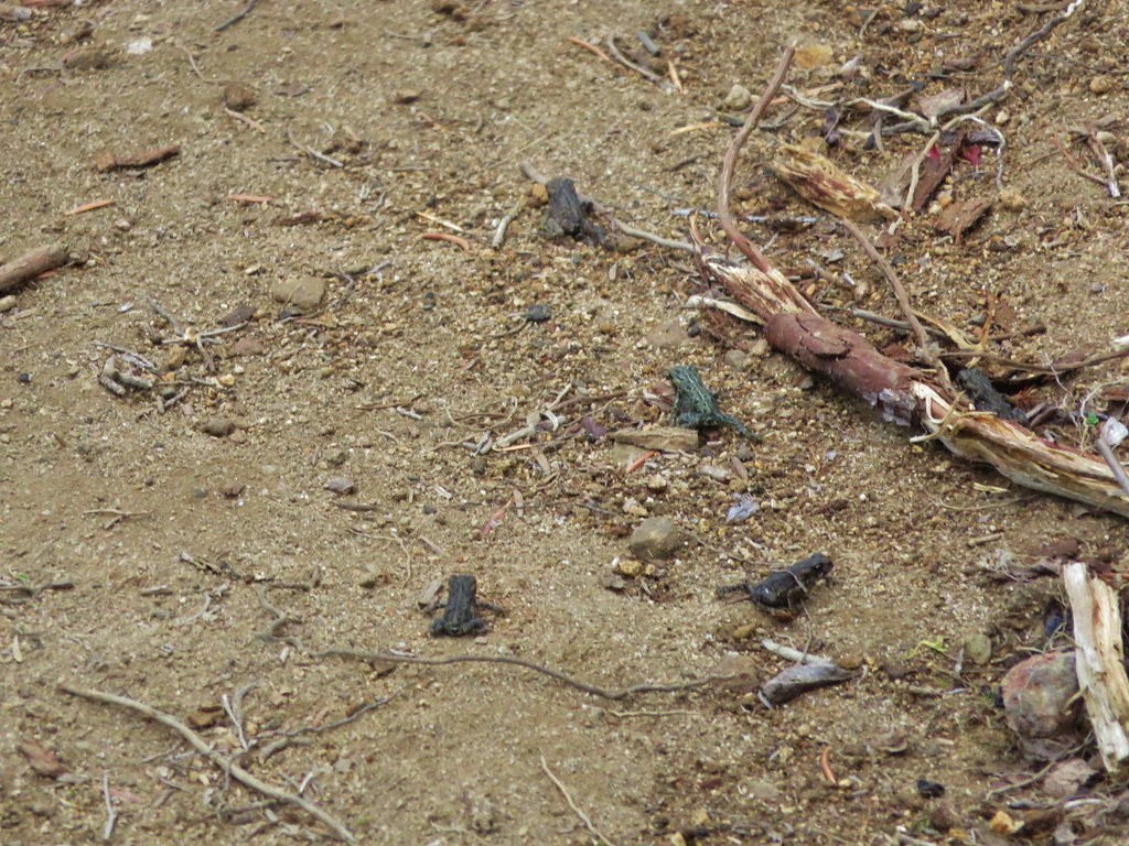
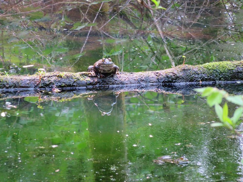
Bullfrogs in pond near Lacamas Lake

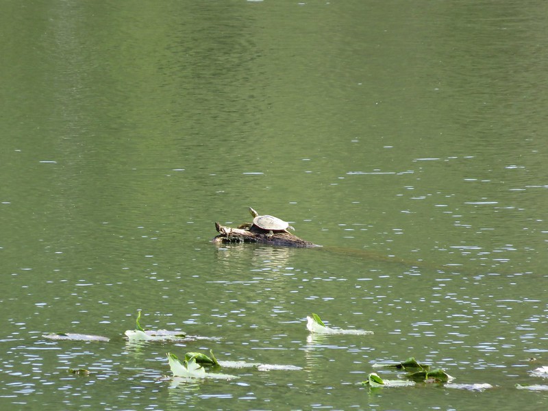
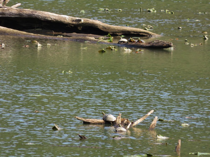
Turtles at Lacamas Lake

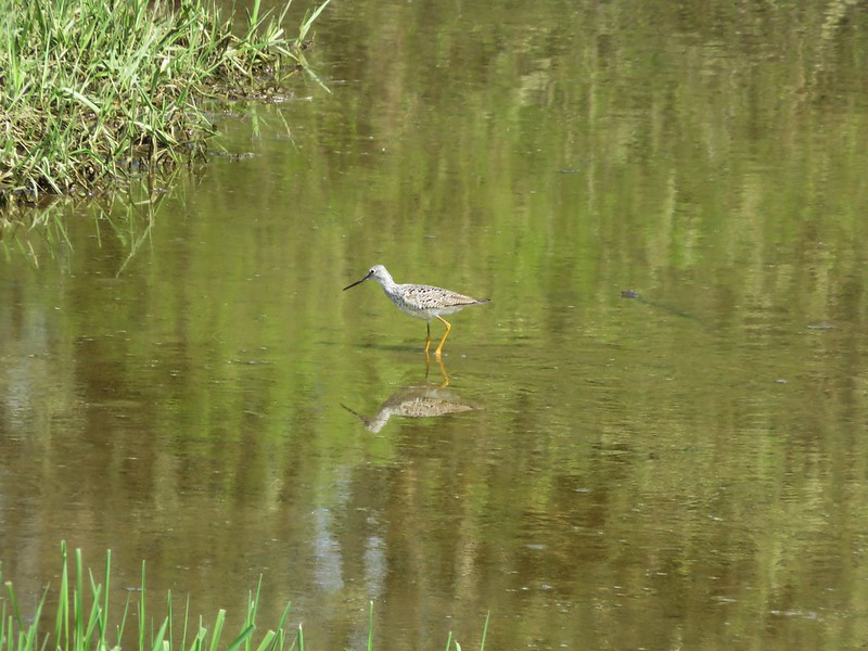
Greater Yellowlegs

IMG_1287

IMG_0993

IMG_1059

IMG_1134

IMG_1821

IMG_1851

IMG_1987

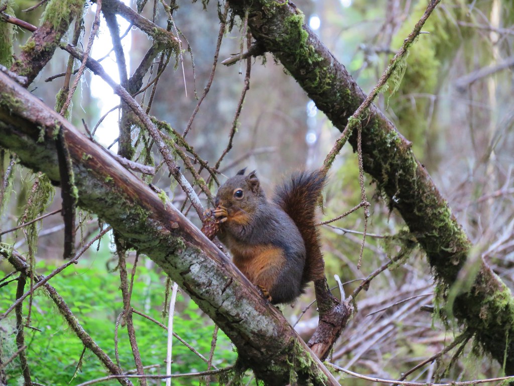
Douglas Squirrel

IMG_2493

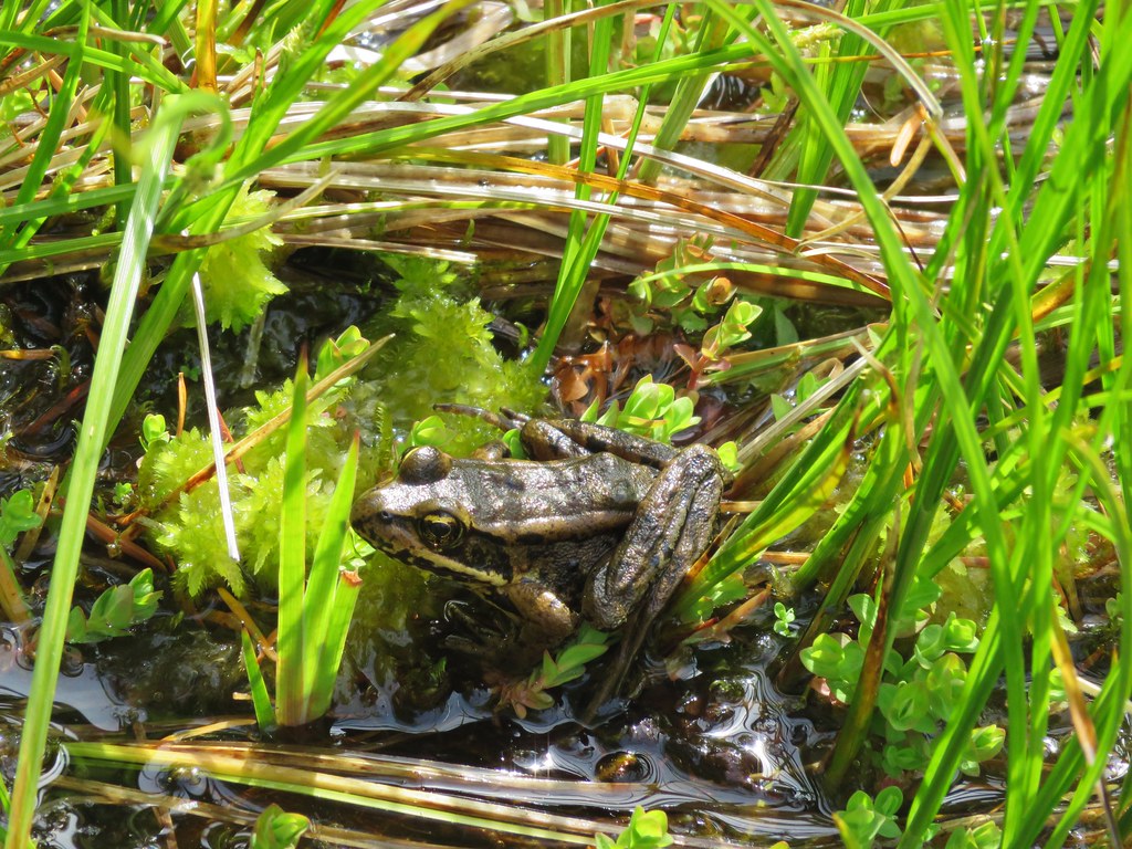
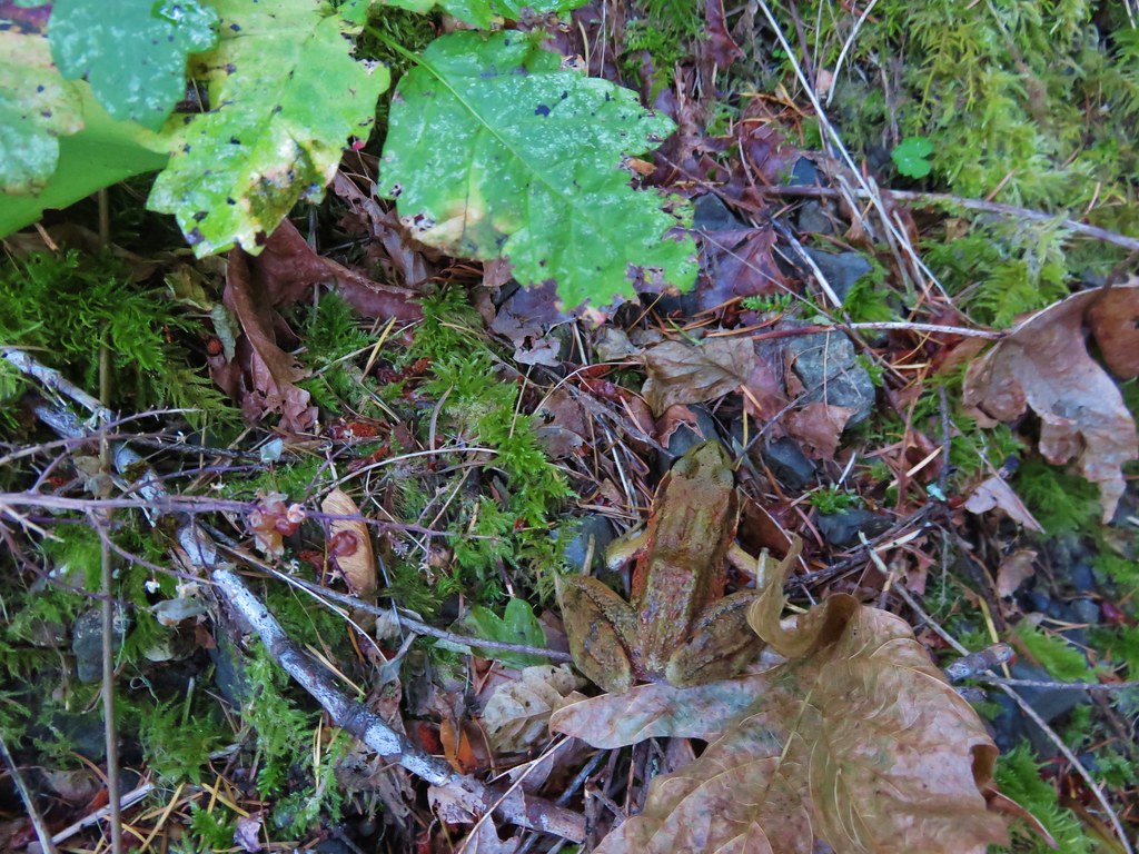
Frog

Northern Pacific Treefrog

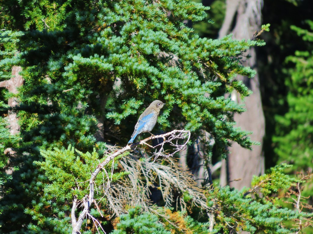
Western Bluebird

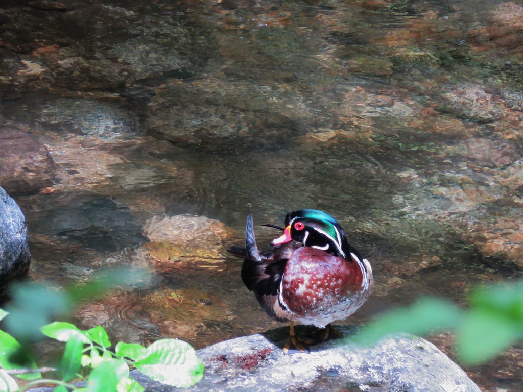
Wood duck

IMG_2915

IMG_3057

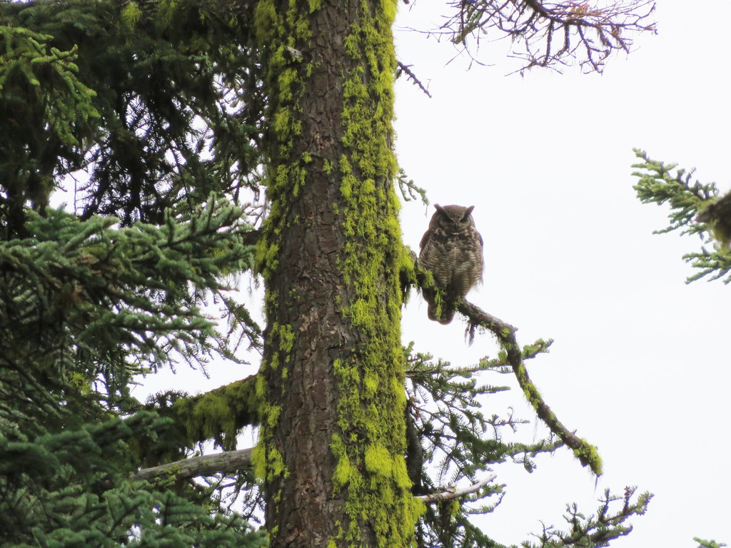
Owl

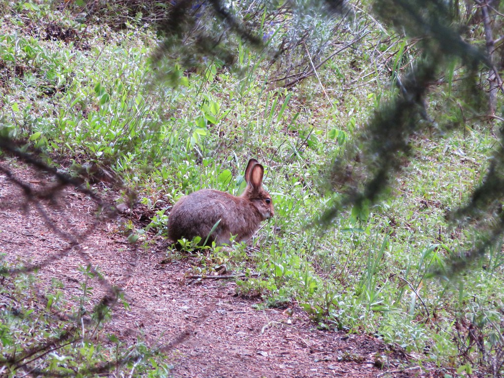
Rabbit

IMG_3651

IMG_3868

Green-tailed Towhee

IMG_4179

Hummingbird

IMG_4223

IMG_4249//embedr.flickr.com/assets/client-code.js

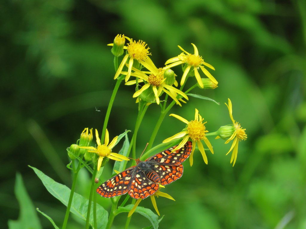
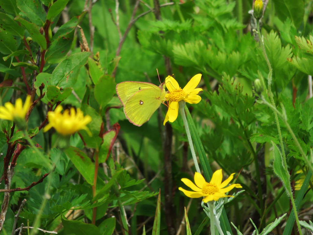
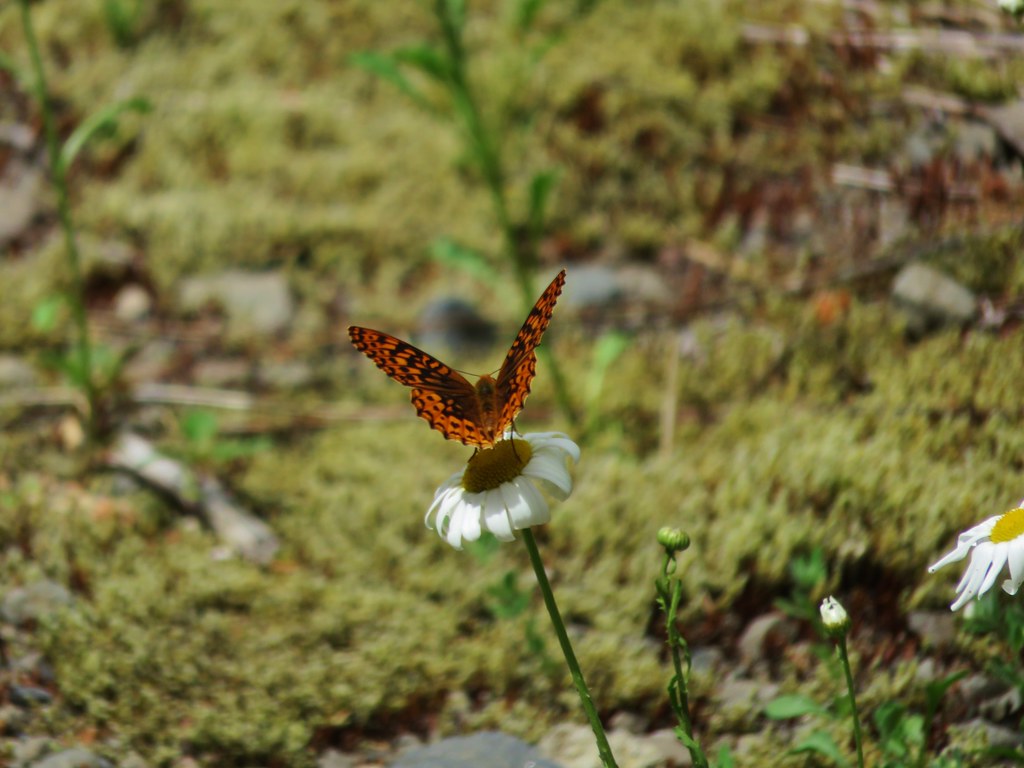
Butterfly along the Crooked River

IMG_4727

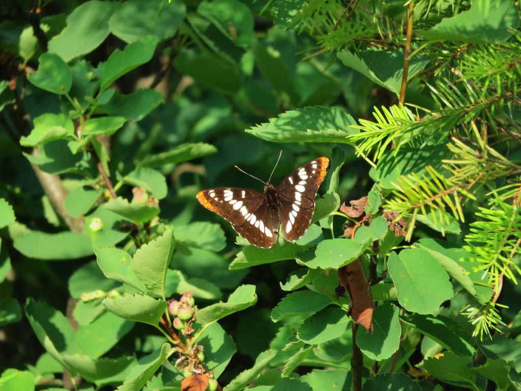
Butterfly along the Blair Lake Trail

IMG_4898//embedr.flickr.com/assets/client-code.js

Butterfly along the Bluff Mountain Trail

Mountain Parnassian

IMG_5507

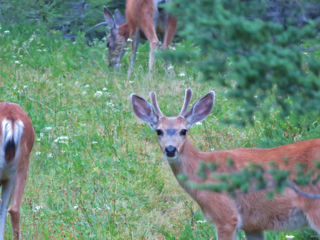
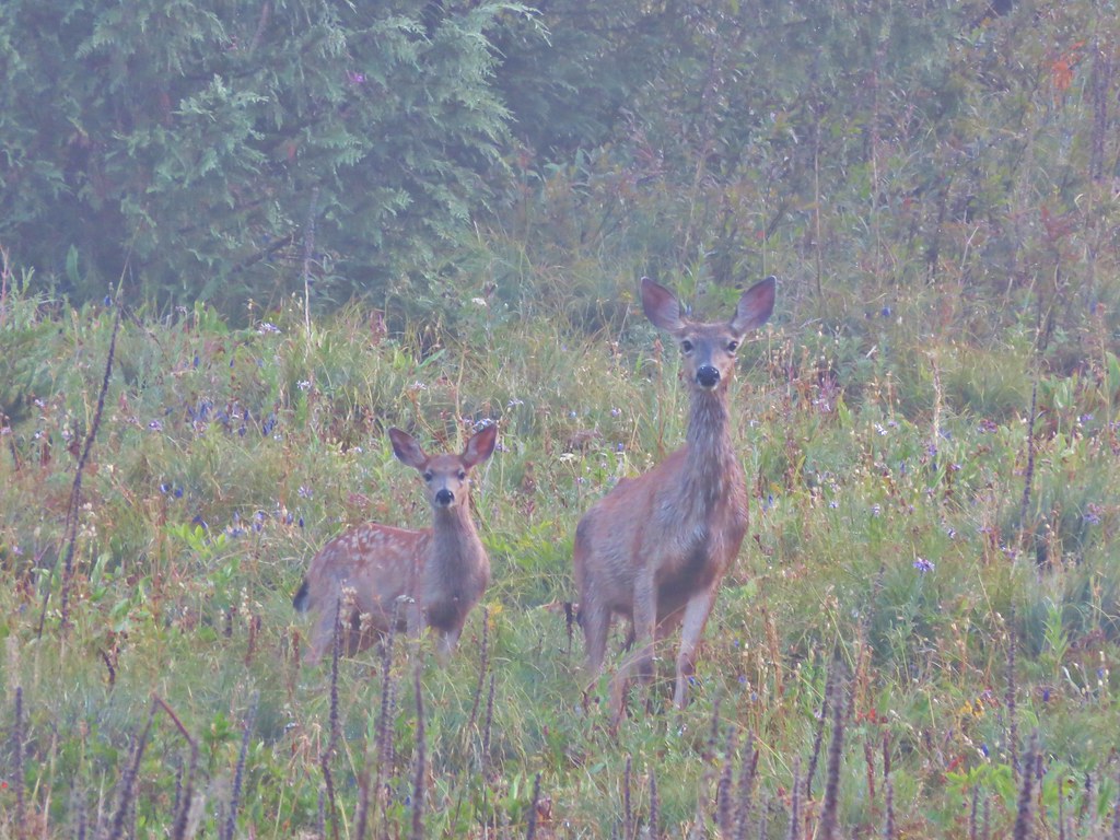
Deer visting a meadow behind our campsite

Small fish in a little stream near Linton Meadows

IMG_6760

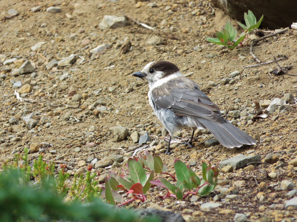
Gray Jay//embedr.flickr.com/assets/client-code.js

IMG_6769

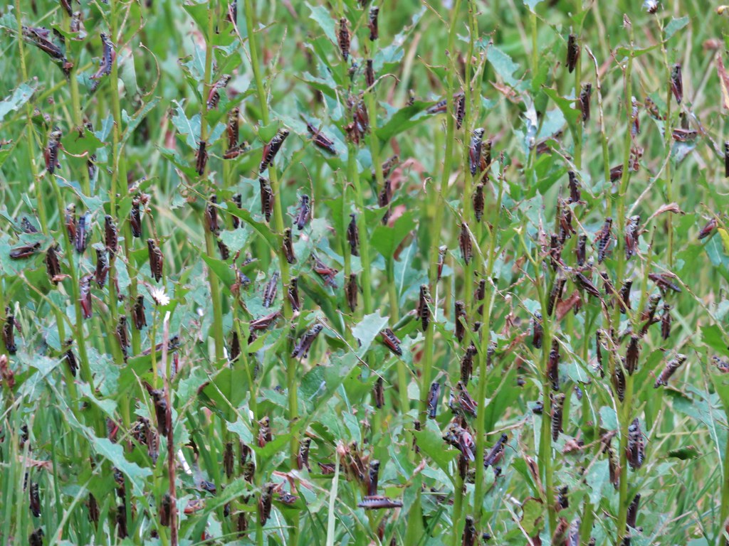
Grasshopper invasion

IMG_6939

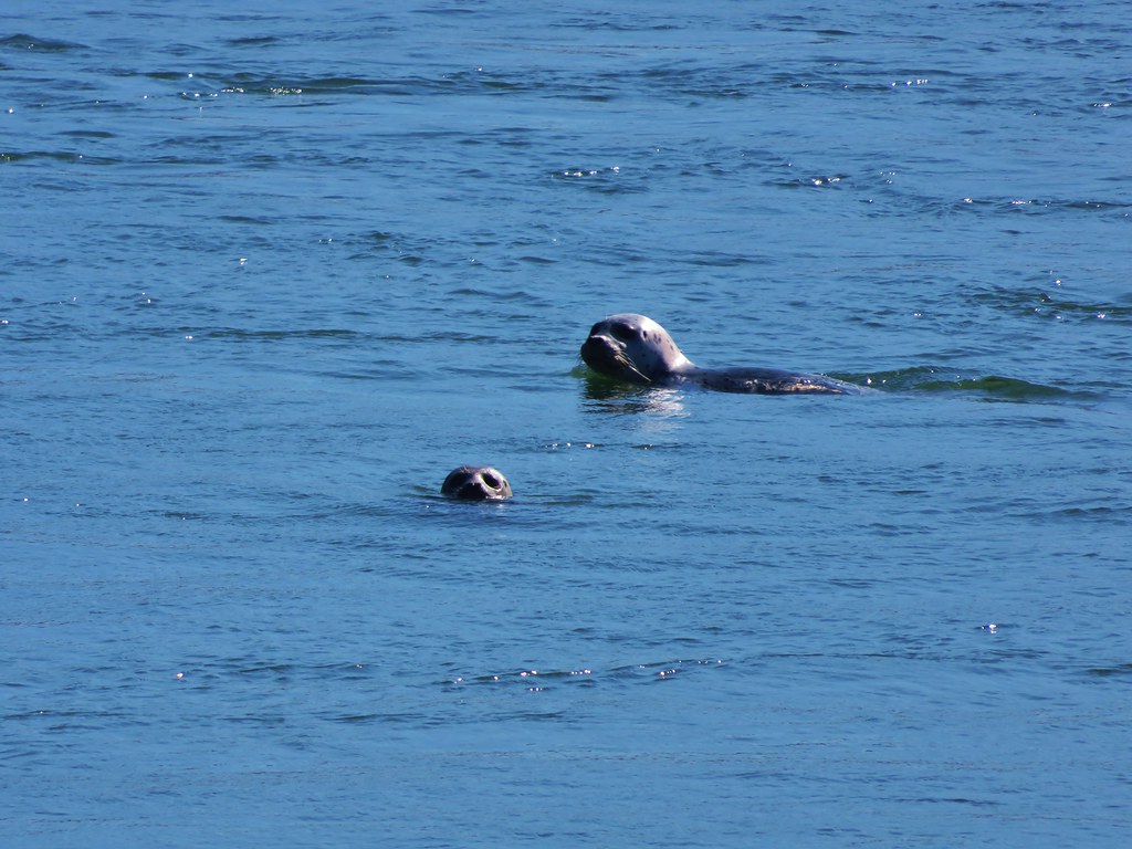
Harbor Seals

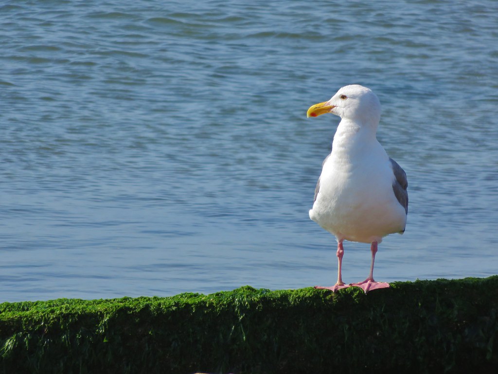
Seagull

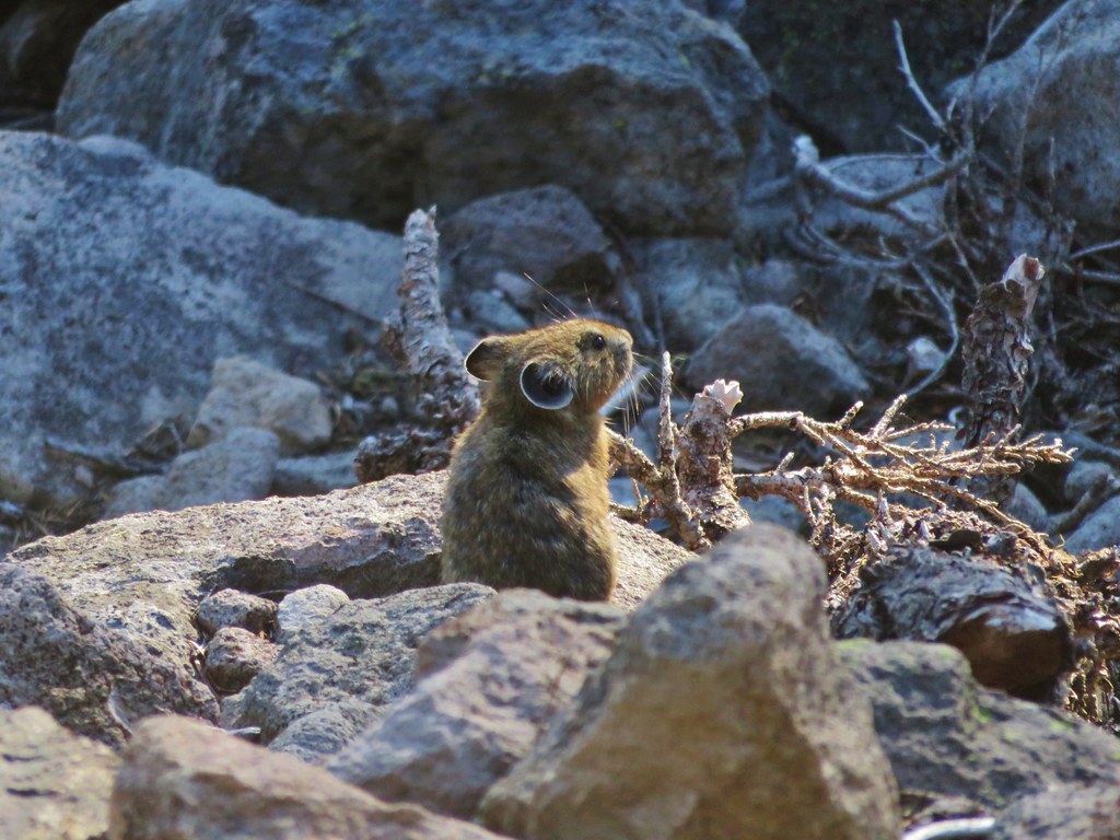
Pika

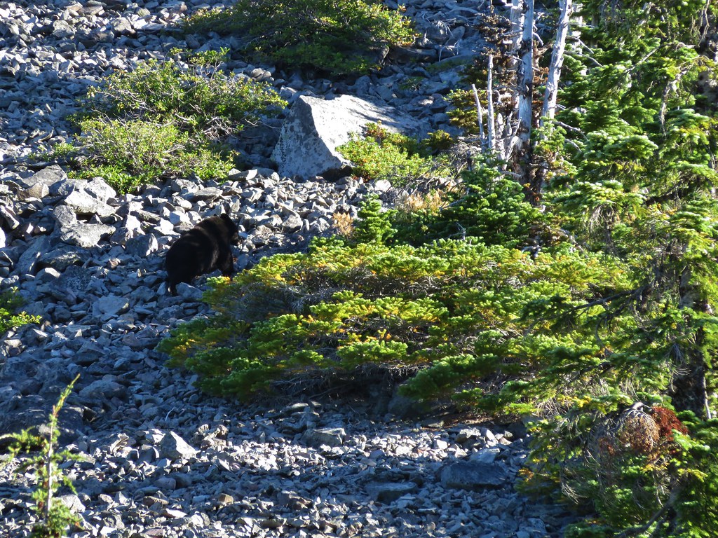
Black Bear

IMG_7342

IMG_7376

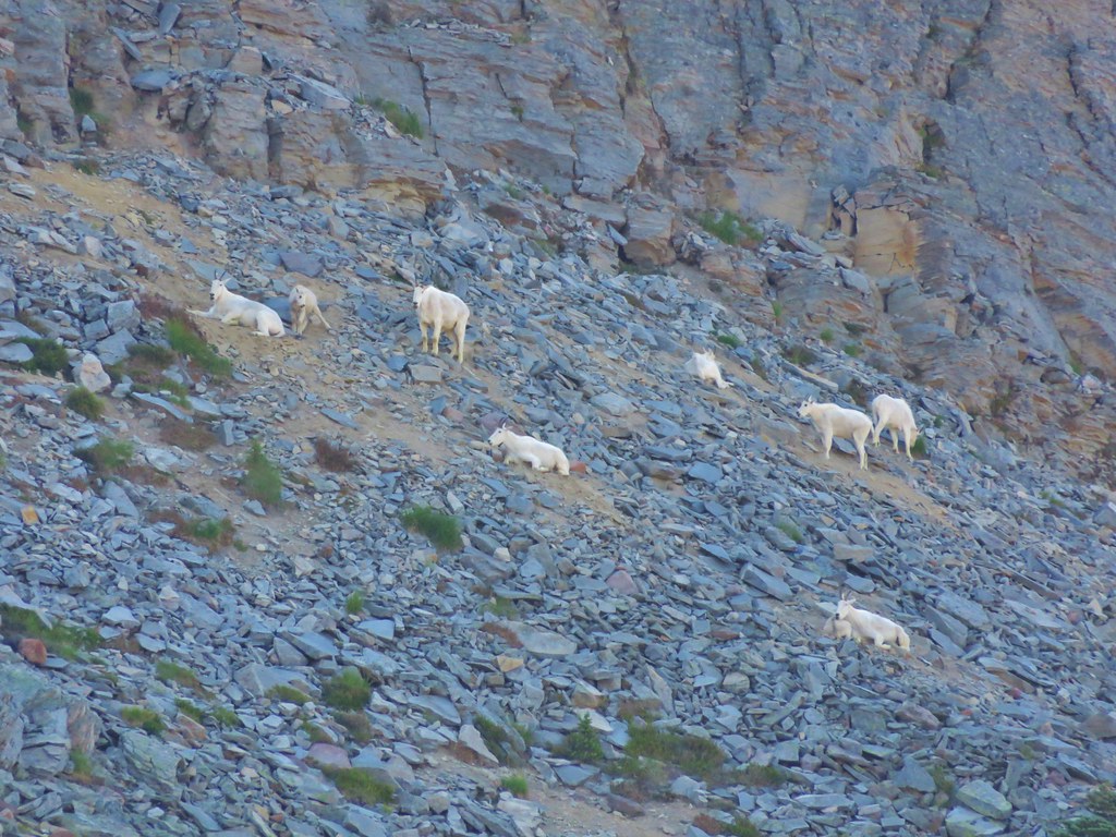
Mountain Goats on Burroughs Mountain

IMG_7760

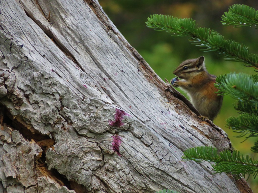
Chipmunk enjoying a berry

Deer in the meadow below Yellowstone Cliffs

Lounging marmot

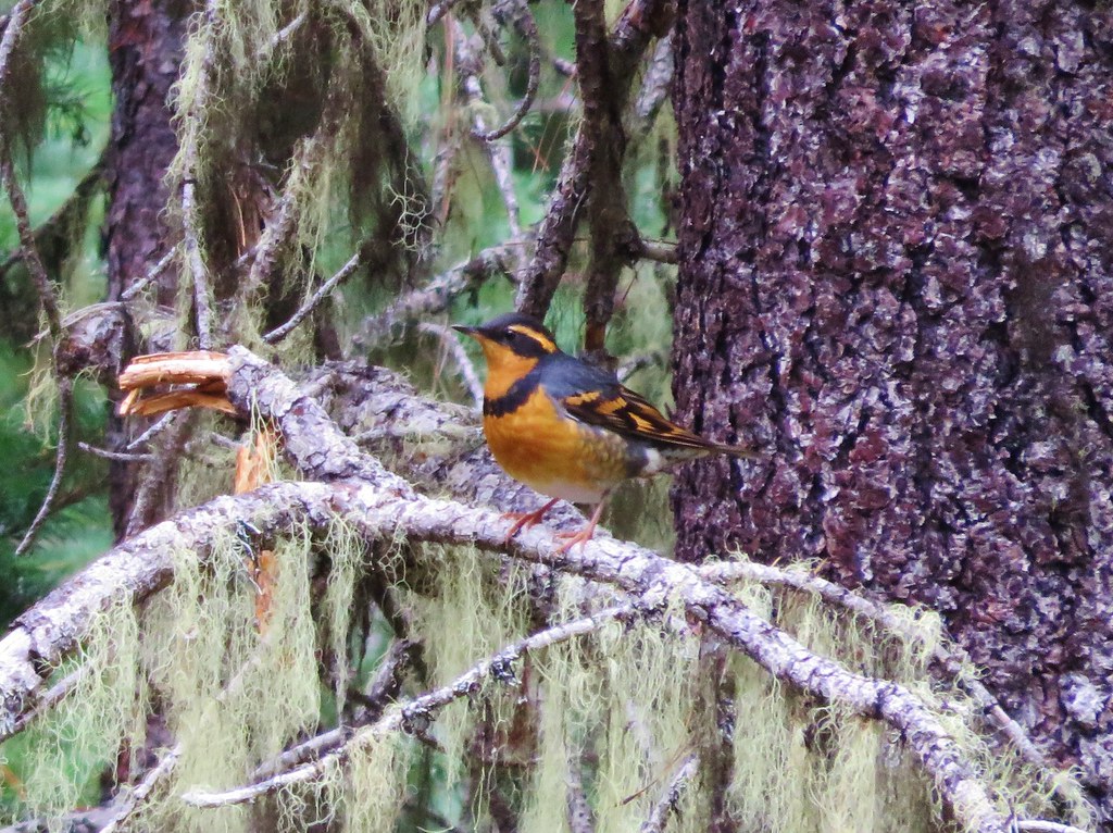
Varied Thrush//embedr.flickr.com/assets/client-code.js

IMG_1122

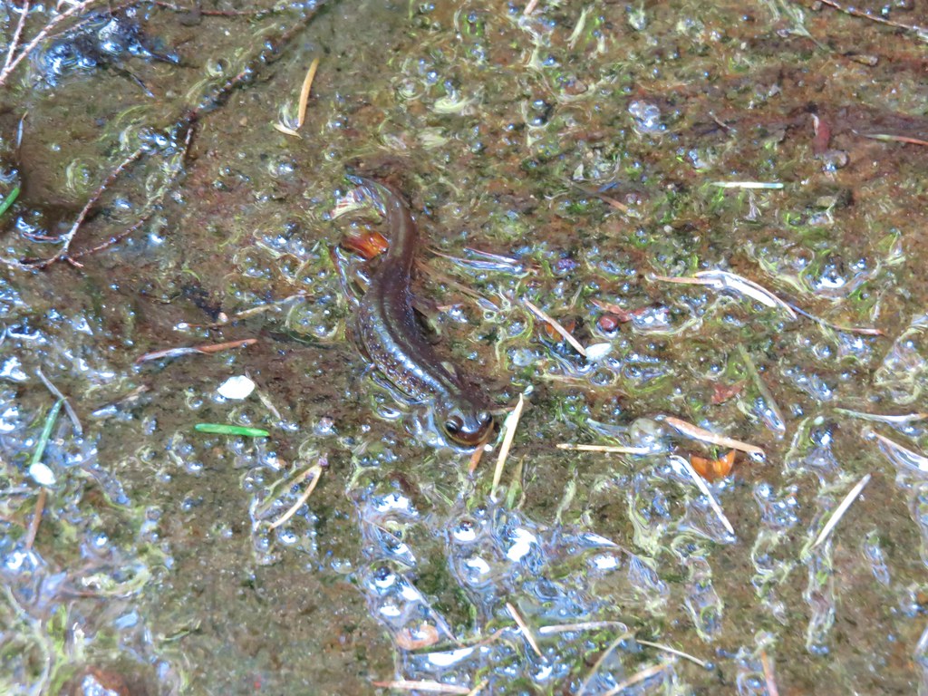
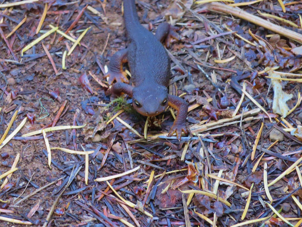
Rough Skinned Newt

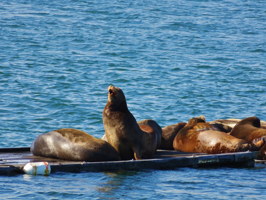
Sea Lions

IMG_1544

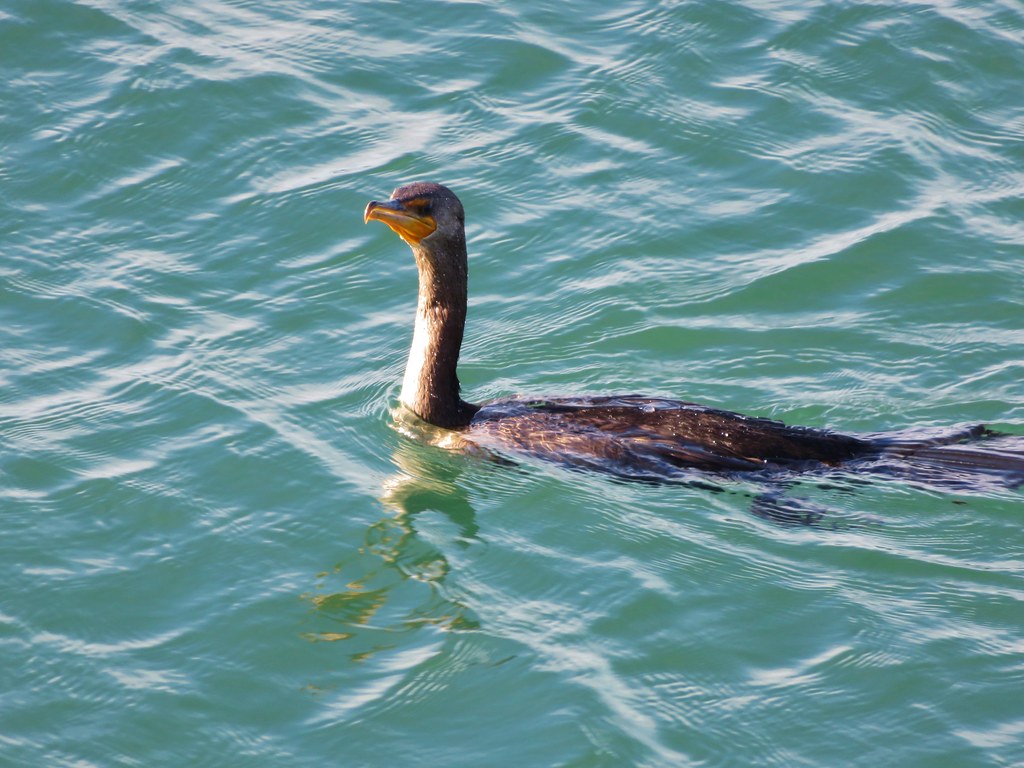
Cormorant

IMG_1601

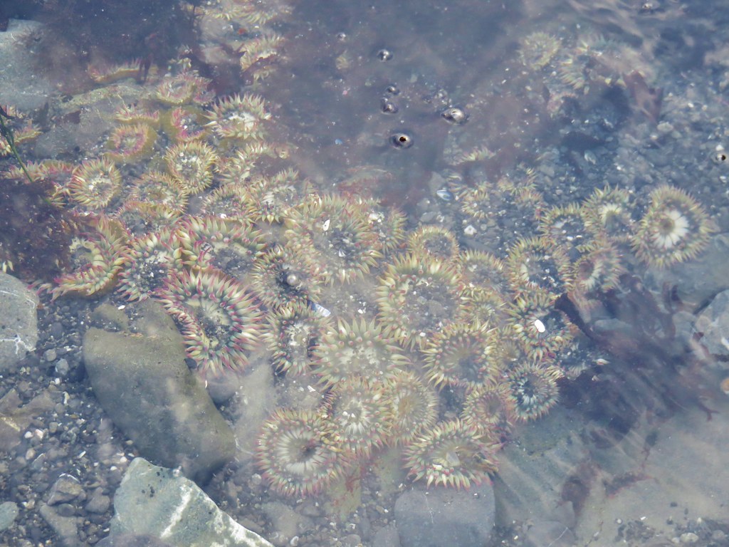
Anenomes

IMG_1691

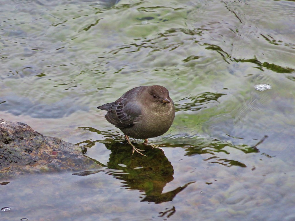
Ouzel

IMG_0156

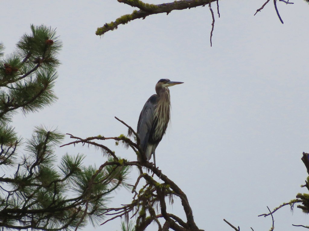
Great Blue Heron

IMG_0267

IMG_0397

IMG_0440

IMG_0551

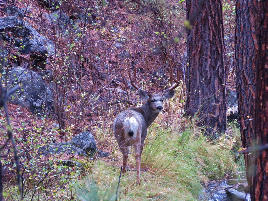
Buck

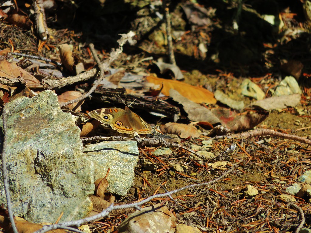
Last butterfly of the year

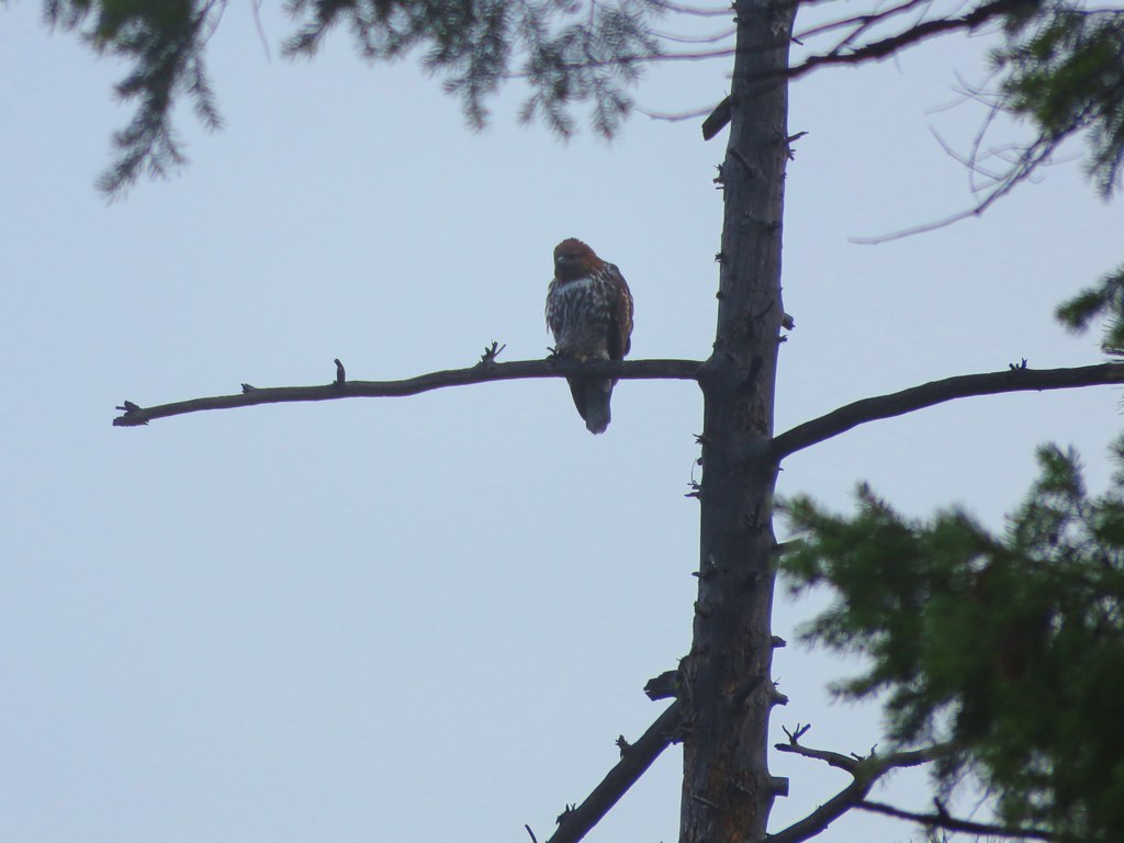
Hawk

IMG_2588

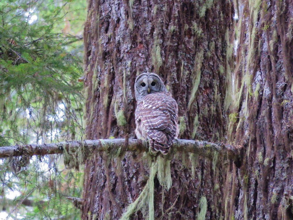
Barred Owl

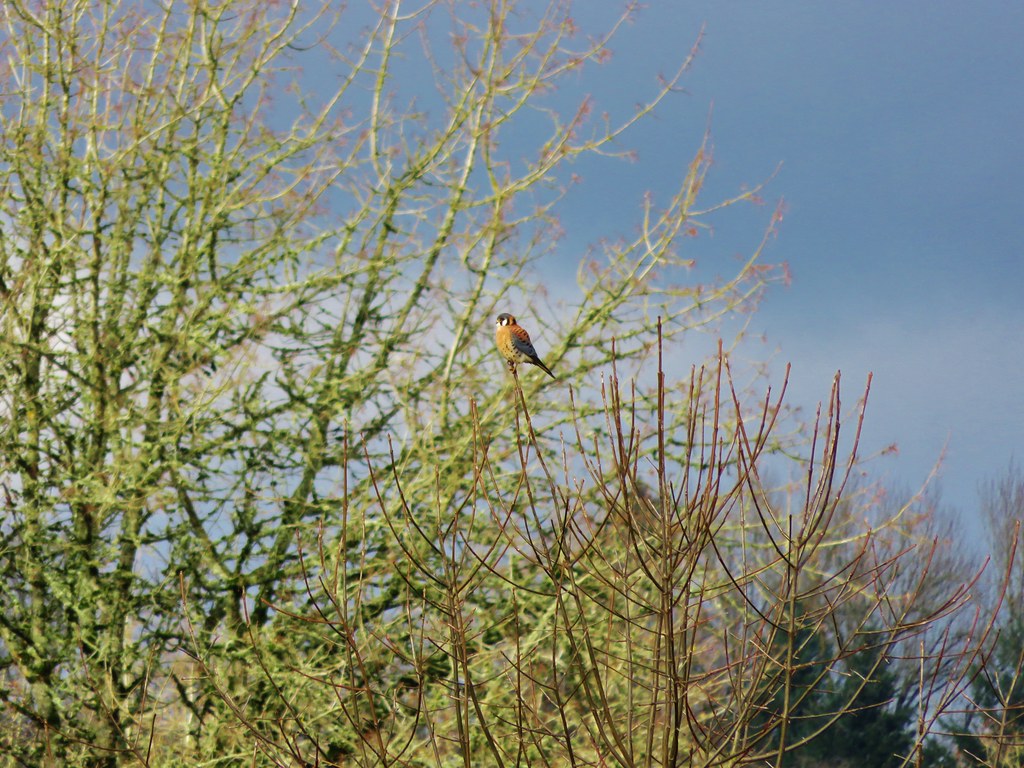
Americn Kestrel

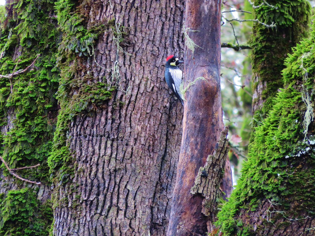
Acorn Woodpecker

Wildflowers
IMG_0578

IMG_0591

IMG_0708

IMG_0797

IMG_1012

IMG_1014

IMG_1040

IMG_1062

IMG_1098

IMG_1172

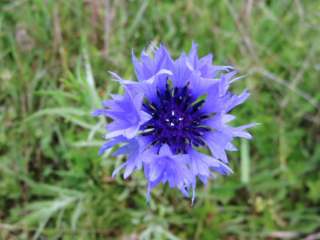
Bachelor Button

IMG_1375

IMG_1382

IMG_1428

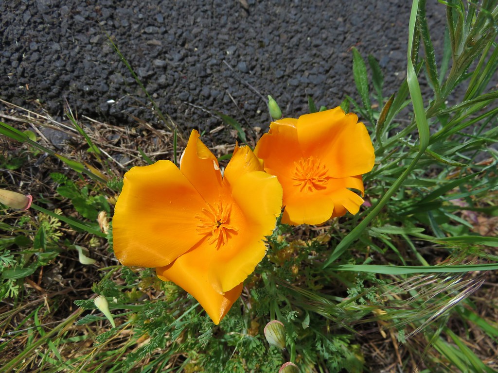
California Poppy

IMG_1682

IMG_1686

IMG_1699

IMG_1854

IMG_2011

IMG_2101

IMG_2107

IMG_2163

IMG_2263

IMG_2327

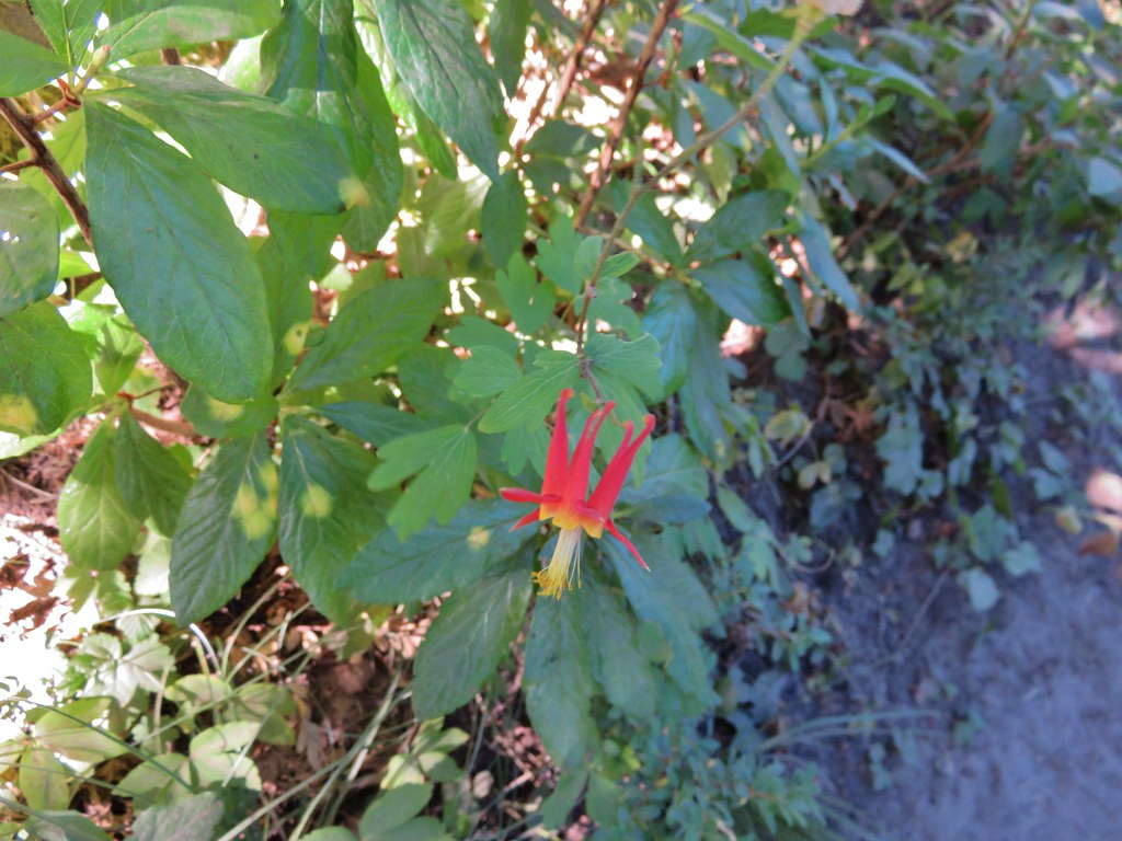
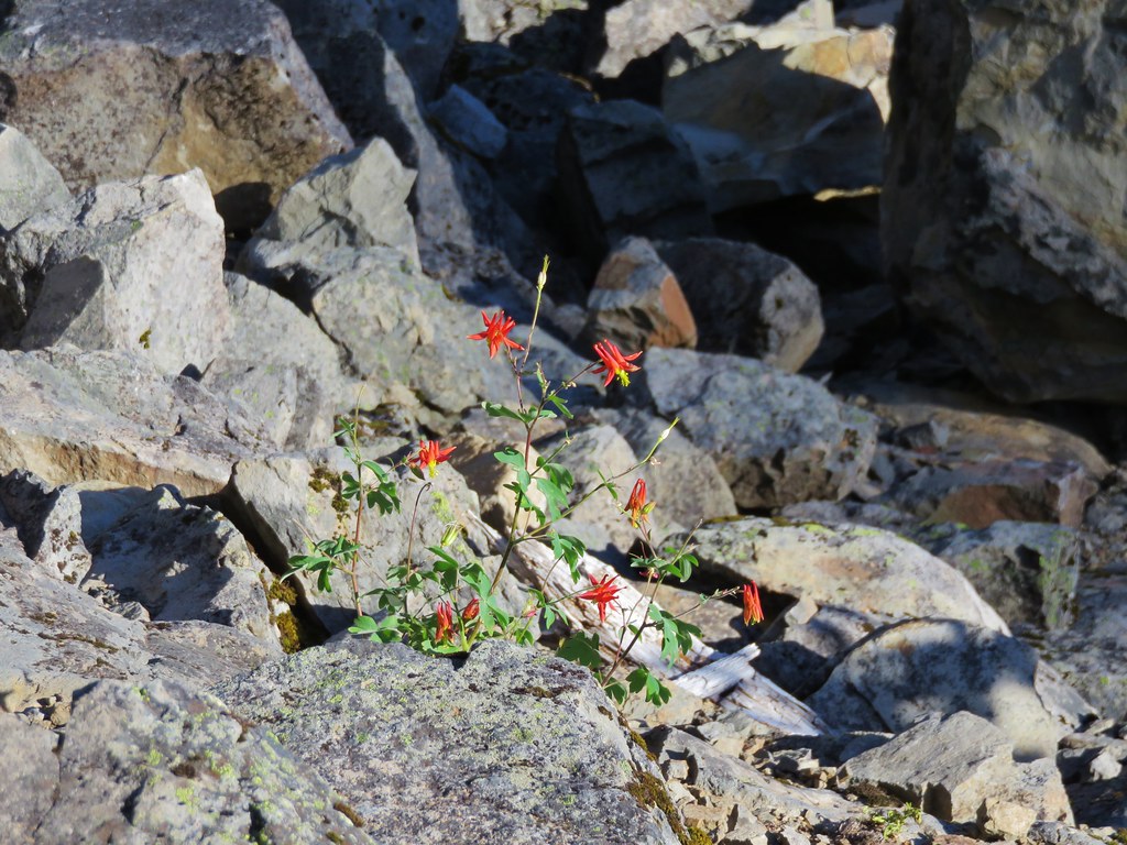
Columbine

Wild Iris

IMG_2484

036

051

070

Henderson's Stars

228

213

Elegant Brodiaea

Popcorn Flower

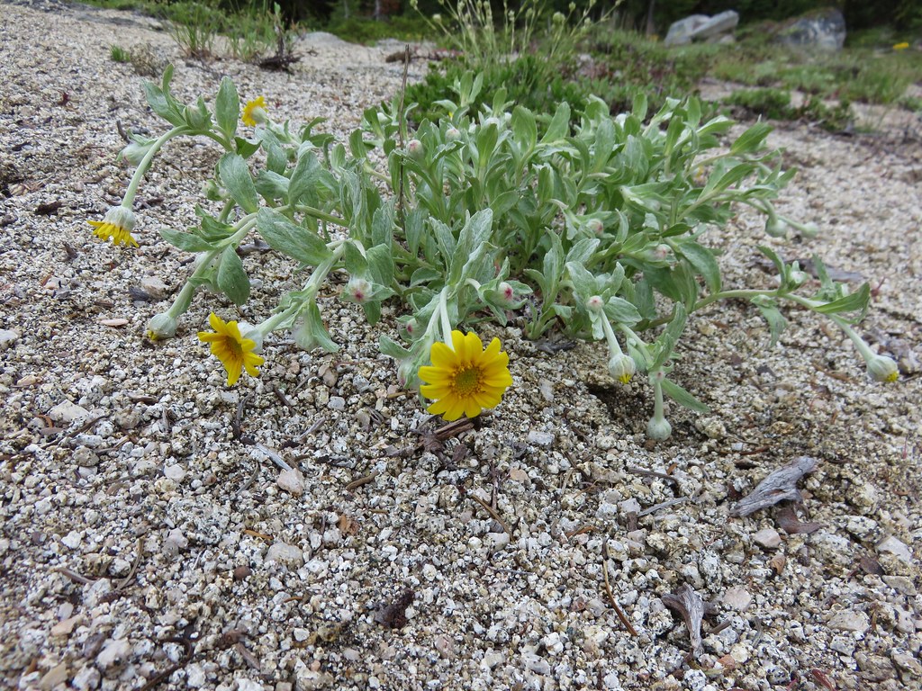
Common Madia

IMG_2972

IMG_2987

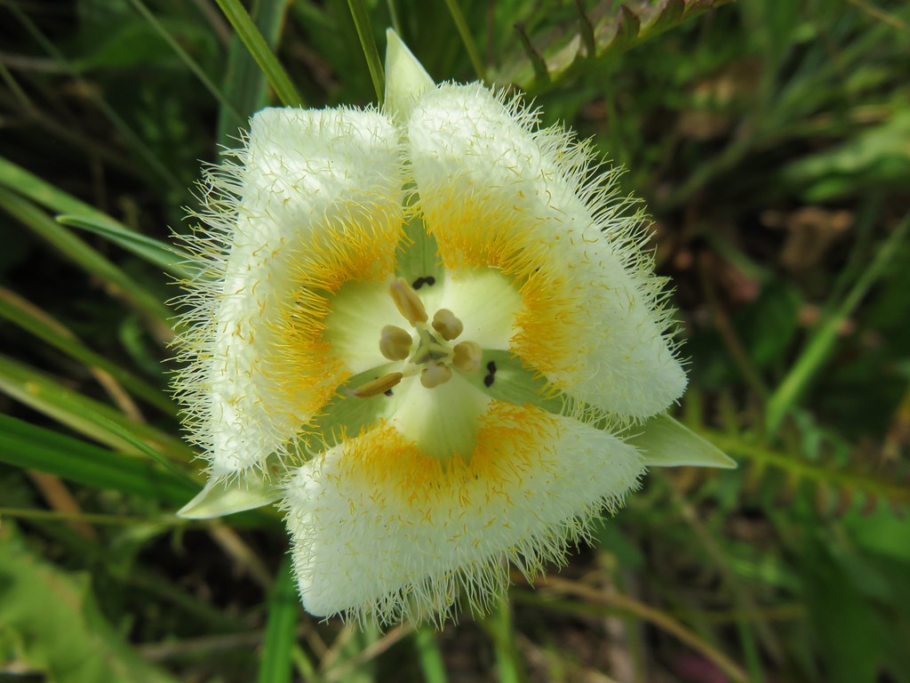
mariposa lily

IMG_3208

IMG_3322

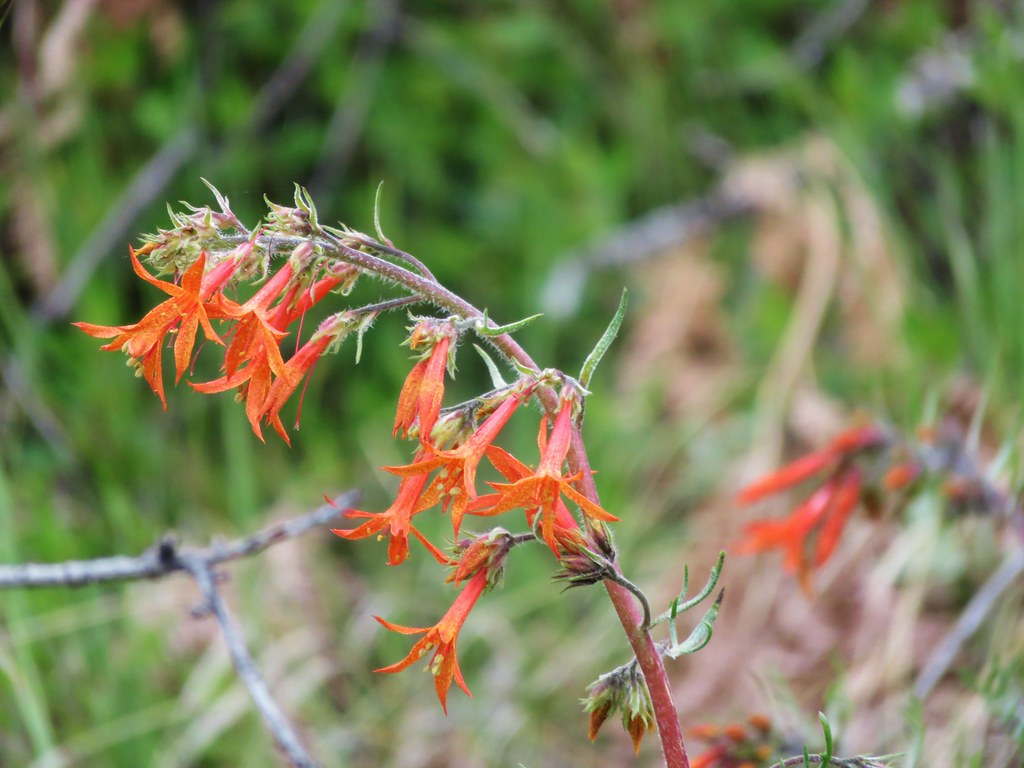
Scarlet gilia

IMG_3431

IMG_3314

IMG_3557

IMG_3667

Monument Plant aka Elkweed

IMG_3688

IMG_3772

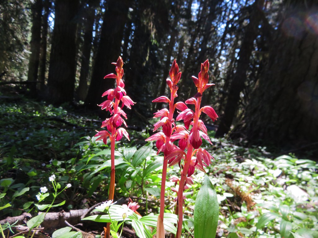
Striped Coralroot

IMG_4048

IMG_4074

IMG_4202

IMG_4219

IMG_4225

smoothstem blazing-star Mentzelia laevicaulis

IMG_4340

IMG_4407

IMG_4428

IMG_4458

Bog Orchid and Elephants Head

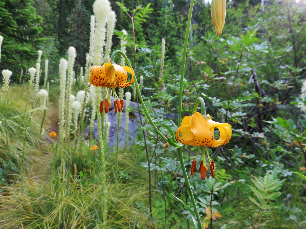
Tiger Lily

IMG_4523

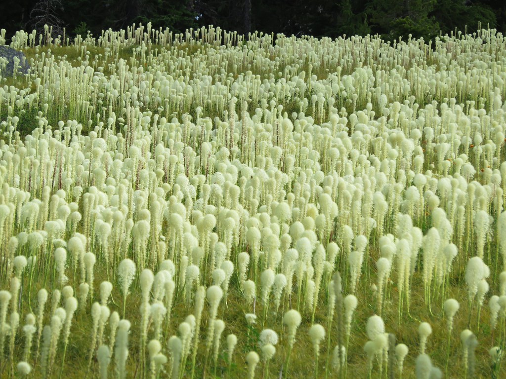
Beargrass Meadow

IMG_4640

IMG_4728

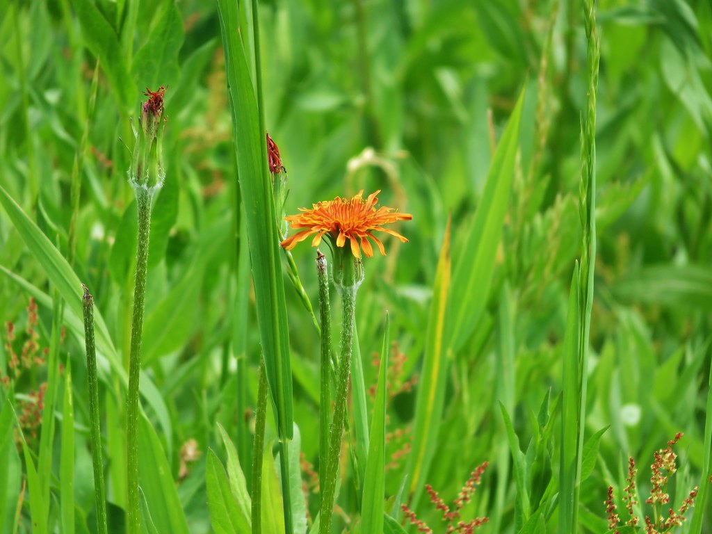
Orange Agoseris

Elegant Brodiaea

IMG_4925

IMG_5096

Cat's ear lily

IMG_5230

IMG_5270

IMG_5327

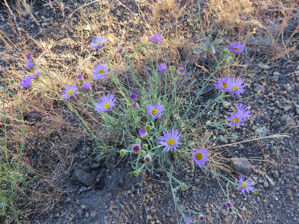
Aster

IMG_5620

IMG_5654

IMG_5694

IMG_5797

IMG_5823

IMG_6333

IMG_6516

IMG_7809

IMG_7934

We are already looking forward to next year’s hikes. I freely admit that I already have a preliminary schedule laid out (I will not admit to how far out it extends though 😉 ).  As it currently stands we will be visiting 6 new wilderness areas, another national monument, and summiting three peaks over 9000′ tall.  If history is any guide the list of completed hikes at this time next year will look vastly different from this preliminary one, but then that’s just part of the adventure.  One thing is for sure though, we are sure to see some amazing sights along whatever trails we wander.  Happy Trails!

Categories
Bull of the Woods/Opal Creek Hiking Old Cascades Oregon Trip report

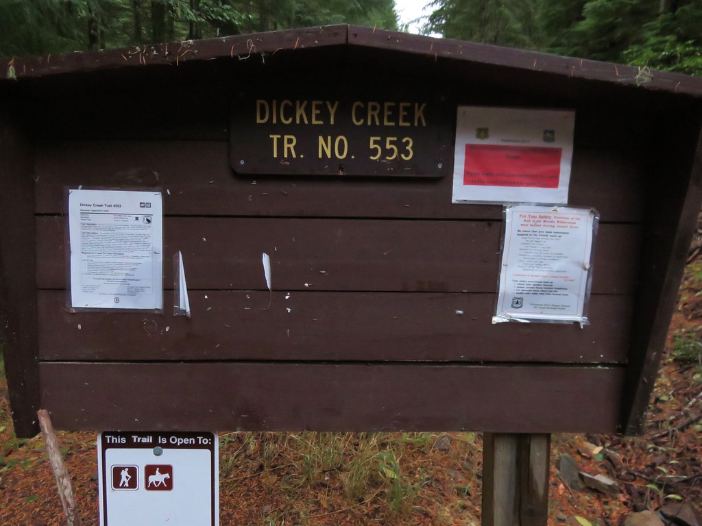
Dickey Creek Trail

**Note a portion of this hike burned in the 2021 Bull Complex.**

Once again the weather wasn’t cooperating with our overnight plans so we turned to plan B for our latest hike. Plan B wound up being the Dickey Creek Trail in the Bull of the Woods Wilderness on what turned out to be a great hike on a beautiful day. We began our hike at the Dickey Creek Trailhead located in forest service road 140 near Ripplebrook, OR.
IMG_1183//embedr.flickr.com/assets/client-code.js

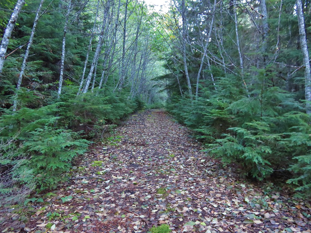
The Dickey Creek Trail followed a decommissioned road for about half a mile to the former trailhead parking area.
IMG_1434//embedr.flickr.com/assets/client-code.js

IMG_1188//embedr.flickr.com/assets/client-code.js

The trail continued to follow the old roadbed for .3 miles and then suddenly heads downhill.
IMG_1192//embedr.flickr.com/assets/client-code.js

IMG_1195//embedr.flickr.com/assets/client-code.js

IMG_1196//embedr.flickr.com/assets/client-code.js

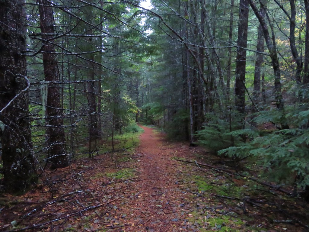
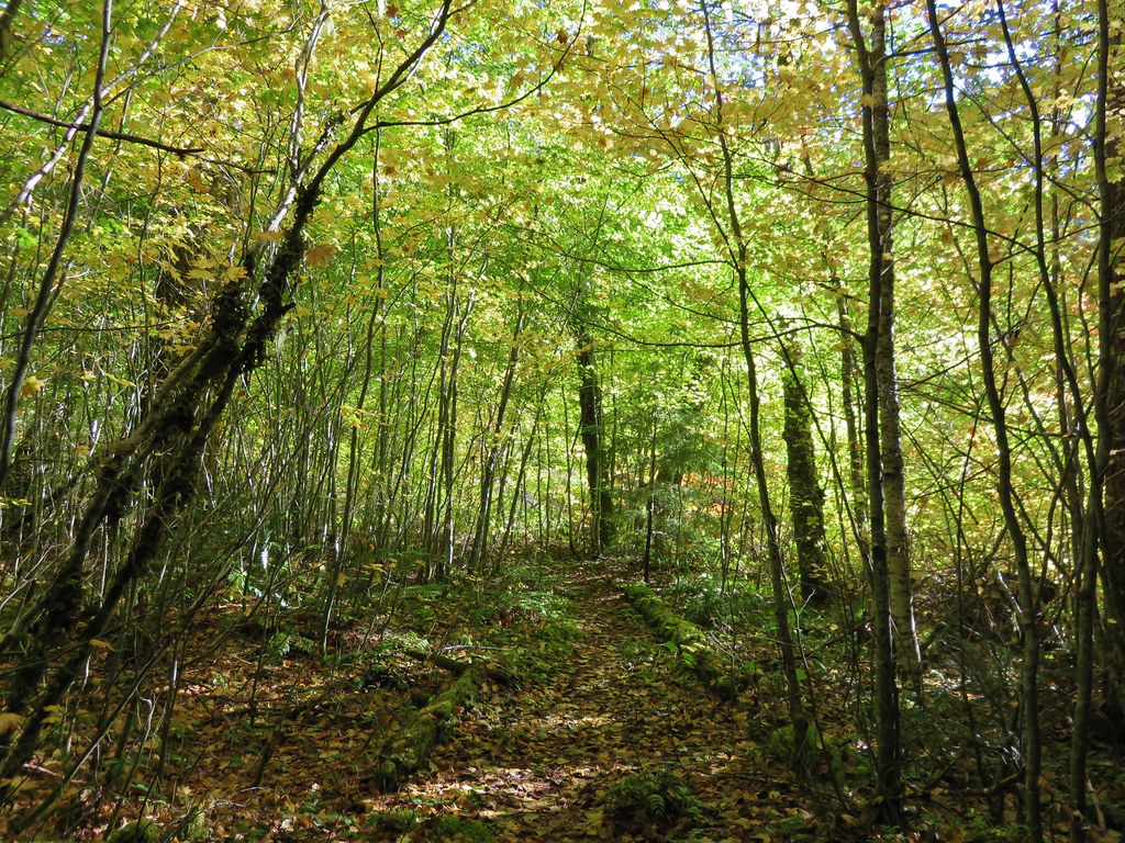
The descent was steep for the next half mile and included several sections of steps. It was one of the most fun sections of trail we’ve been on as it twisted and turned on it’s way down toward the creek. When the trail leveled out we were within earshot of the creek but the trail remained in the forest with the creek out of sight. The old growth forest in the valley was beautiful. Green moss carpeted the ground while large trees towered above. Rough skinned newts seemed to be everywhere and we had to step carefully to make sure we didn’t harm any.
IMG_1201//embedr.flickr.com/assets/client-code.js

IMG_1203//embedr.flickr.com/assets/client-code.js

IMG_1217//embedr.flickr.com/assets/client-code.js

IMG_1215//embedr.flickr.com/assets/client-code.js

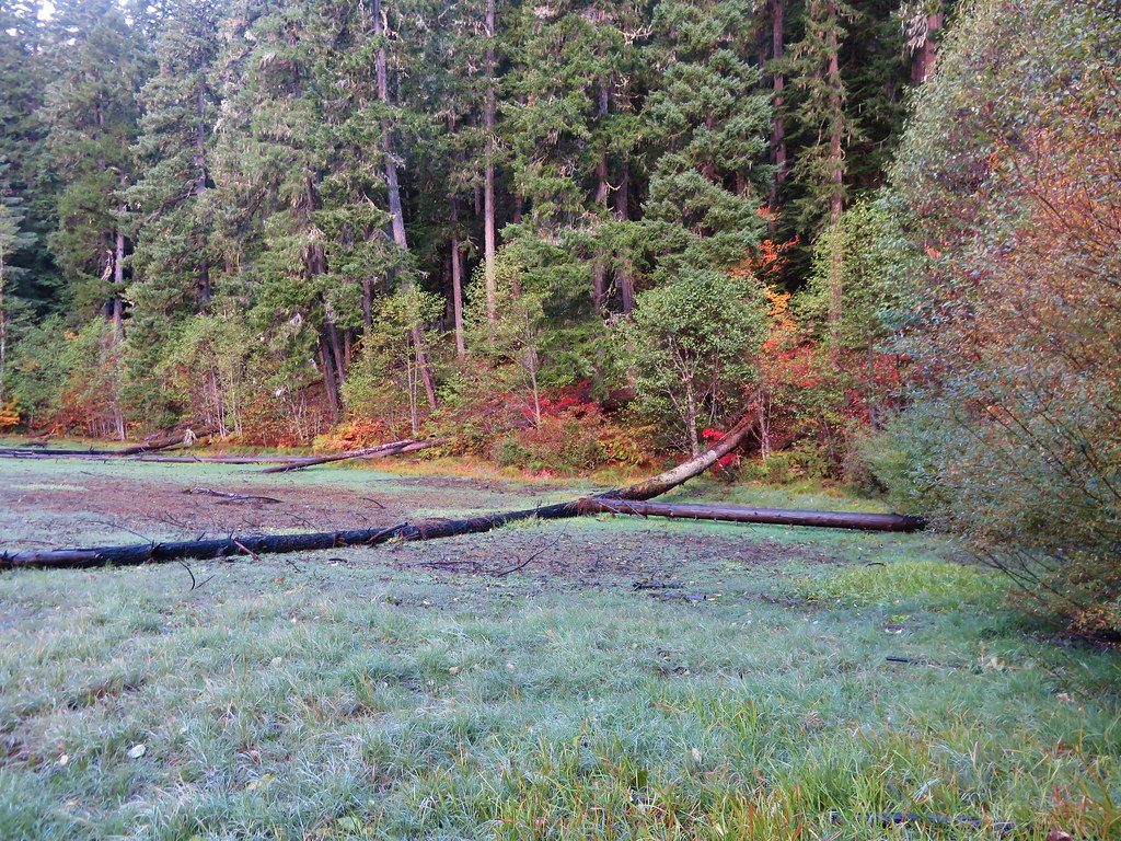
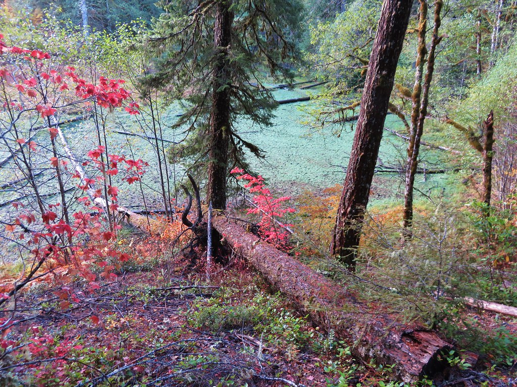
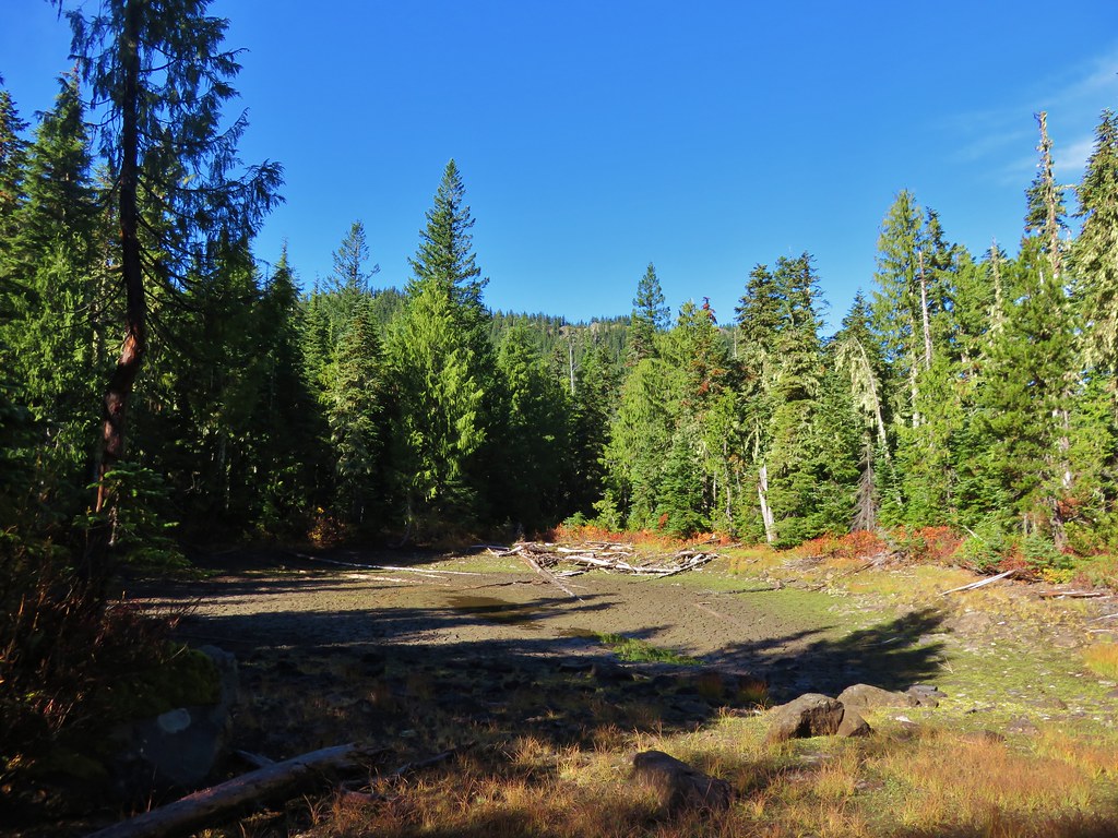
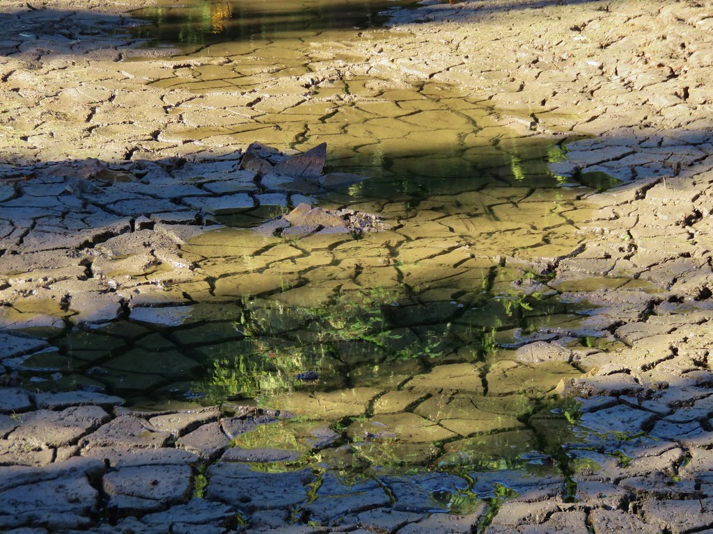
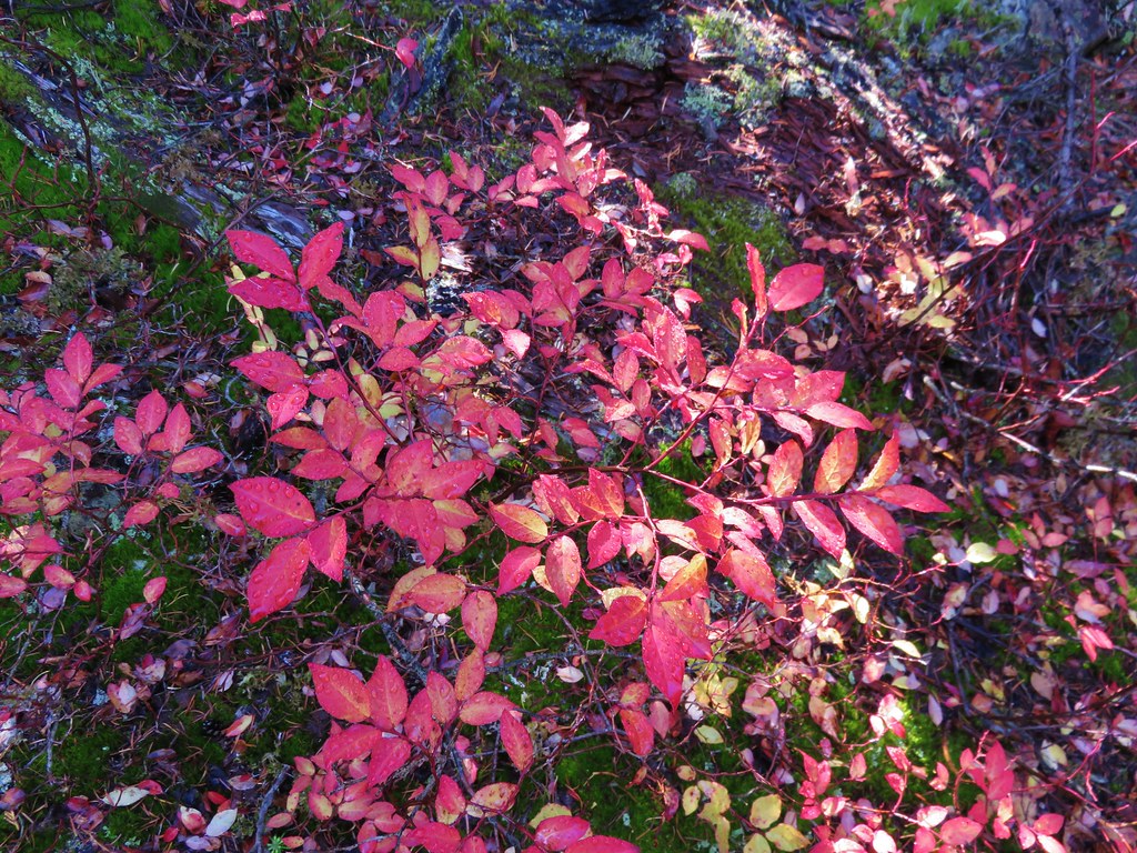
The old growth forest briefly opened up near a dry pond. The fall colors were on display around the pond and made a nice contrast to the green ground left over from where the pond water had been.
IMG_1206//embedr.flickr.com/assets/client-code.js

IMG_1209//embedr.flickr.com/assets/client-code.js

IMG_1210//embedr.flickr.com/assets/client-code.js

IMG_1212//embedr.flickr.com/assets/client-code.js

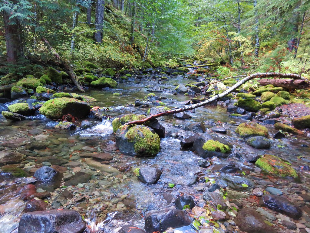
We arrived at the bridgeless crossing of Dickey Creek after almost 3.5 miles.
IMG_1218//embedr.flickr.com/assets/client-code.js

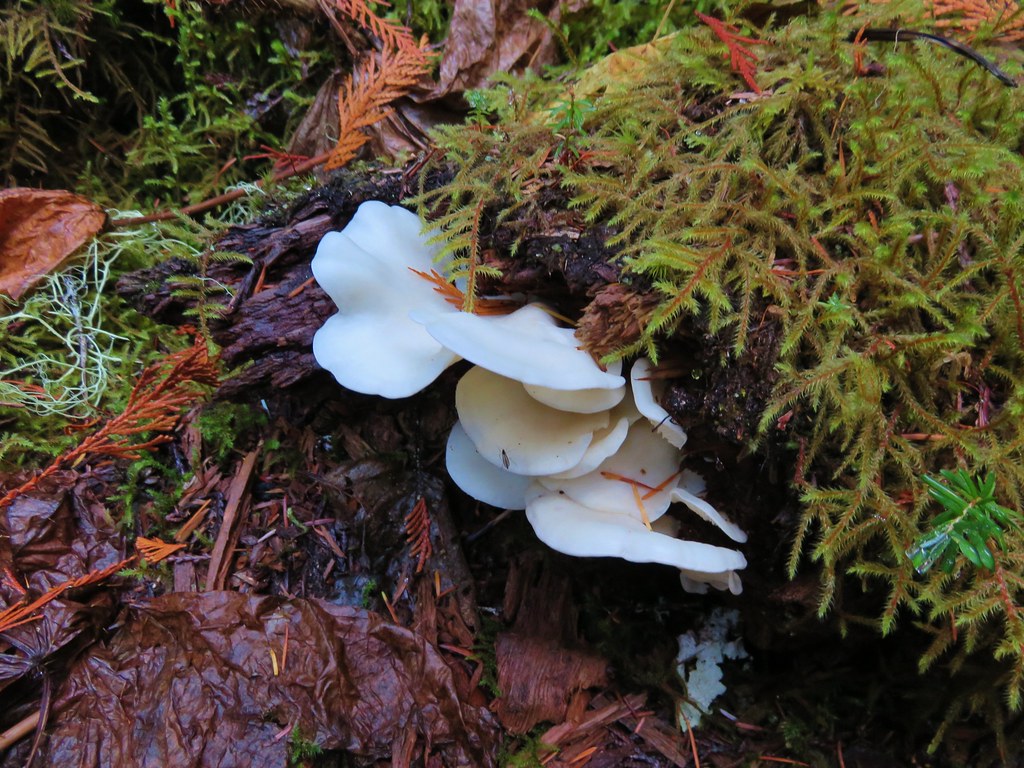
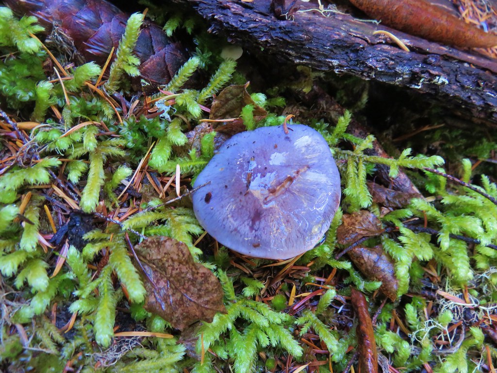
On the far side of the creek we spotted some interesting fungi.
IMG_1220//embedr.flickr.com/assets/client-code.js

IMG_1223//embedr.flickr.com/assets/client-code.js

We were heading for Big Slide Lake which was a little over 2.5 miles from Dickey Creek. From there we would decide whether we would continue on to Big Slide Mountain or turnaround depending on how clear the skies were. After a few switchbacks the trail climbed gradually up the valley toward the lake. Views opened up across the valley to North and South Dickey Peak. Ahead were the cliffs of Big Slide Mountain and the lookout tower on Bull of the Woods, the wilderness’s namesake.
IMG_1224//embedr.flickr.com/assets/client-code.js

IMG_1228//embedr.flickr.com/assets/client-code.js

IMG_1231//embedr.flickr.com/assets/client-code.js

IMG_1237//embedr.flickr.com/assets/client-code.js

After crossing a large rock field the trail split. We headed downhill to the right to visit Big Slide Lake where we encountered the only other people we’d see the entire day.
IMG_1238//embedr.flickr.com/assets/client-code.js

IMG_1241//embedr.flickr.com/assets/client-code.js

IMG_1242//embedr.flickr.com/assets/client-code.js

It was approximately 6 miles to Big Slide Lake from the trailhead so turning around here would have made for a decent enough hike, but the weather was great and there were only a few clouds in the sky so we decided to head up to Big Slide Mountain to see how the view was. We climbed back up to the Dickey Creek Trail from the lake and continued uphill toward a saddle on the ridge between Bull of the Woods and Big Slide Mountain. After about a half mile of good climbing we arrived at the saddle and a trail junction.
IMG_1243//embedr.flickr.com/assets/client-code.js

We turned left past a nearly dry pond.
IMG_1244//embedr.flickr.com/assets/client-code.js

IMG_1245//embedr.flickr.com/assets/client-code.js

IMG_1246//embedr.flickr.com/assets/client-code.js

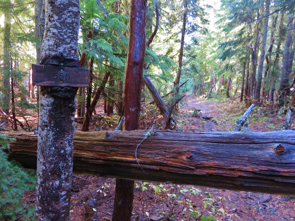
On the far side of the pond was a second trail junction. We stayed to the left on trail 555 and began to gradually climb Big Slide Mountain. Views opened up almost immediately on this section of trail. Mount Jefferson was the first of the Cascade peaks to come into view.
IMG_1248//embedr.flickr.com/assets/client-code.js

IMG_1255//embedr.flickr.com/assets/client-code.js

Followed by Three Fingered Jack.
IMG_1260//embedr.flickr.com/assets/client-code.js

Then came Broken Top, Mt. Washington, and the North and Middle Sisters.
IMG_1266//embedr.flickr.com/assets/client-code.js

Finally the South Sister made an appearance.
IMG_1271//embedr.flickr.com/assets/client-code.js

IMG_1272//embedr.flickr.com/assets/client-code.js

After almost a mile and a half of climbing the trail crested at a saddle between the summit of Big Slide Mountain and Knob Peak. The trail then headed over the saddle and downhill to its end at Lake Lenore a half mile away. In order to get to the summit of Big Slide Mountain we needed to do some cross country climbing. From the saddle we headed uphill along the ridge toward the summit making our way up as best we could. We managed to find sections of faint trail and pick our way up the rocky slope to the summit. The views from the summit were great. Big Slide Lake lay below us to the West.
IMG_1288//embedr.flickr.com/assets/client-code.js

To the North was Lake Lenore, Schriner Peak, Mt. Hood, and the shy Mt. Adams.
IMG_1290//embedr.flickr.com/assets/client-code.js

IMG_1308//embedr.flickr.com/assets/client-code.js

IMG_1341//embedr.flickr.com/assets/client-code.js

IMG_1294//embedr.flickr.com/assets/client-code.js

To the southeast cascade peaks dotted the horizon while Welcome Lakes lay below in the wilderness.
IMG_1356//embedr.flickr.com/assets/client-code.js

The peaks of the Bull of the Woods Wilderness rose to the south including Battle Ax and Bull of the Woods.
IMG_1314//embedr.flickr.com/assets/client-code.js

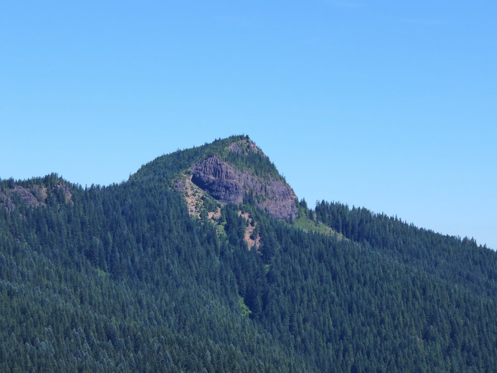
Table Rock rose above the Table Rock Wilderness to the southwest.
IMG_1330//embedr.flickr.com/assets/client-code.js

We took a long break on the summit watching the clouds in the sky and soaking in the sun before heading back downhill. On the way back we had one final stop to make. We wanted to check out an unnamed lake that lay off-trail below Big Slide Mountain. A short steep climb through some thick rhododendron bushes brought us to the edge of the small lake.
IMG_1381//embedr.flickr.com/assets/client-code.js

The water was crystal clear with some excellent reflections of Big Slide Mountain.
IMG_1389//embedr.flickr.com/assets/client-code.js

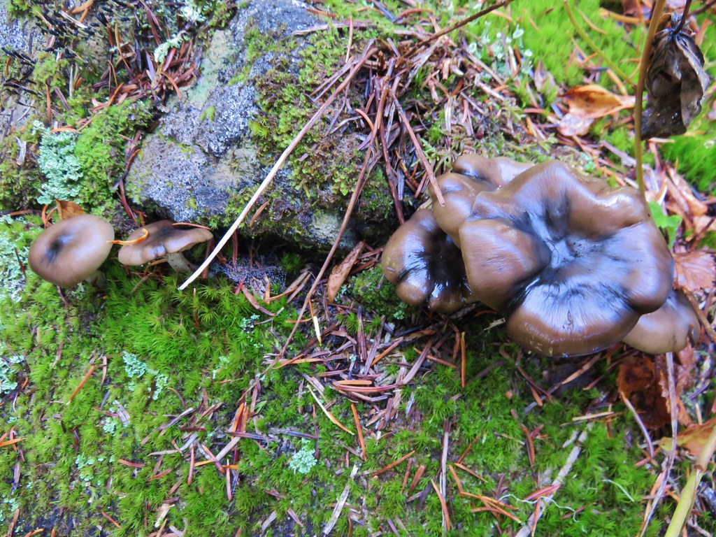
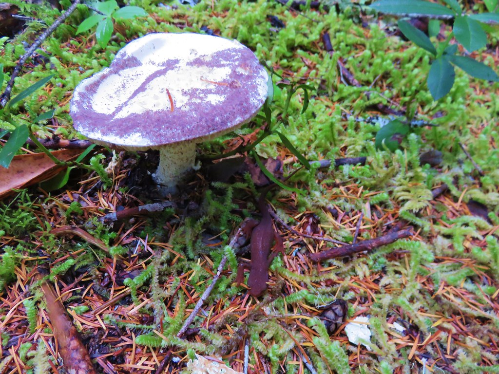
After fighting our way back through the rhododendrons we regained the trail. On our way back we stopped to check out a few interesting mushrooms, one complete with a newt.
IMG_1372//embedr.flickr.com/assets/client-code.js

IMG_1374//embedr.flickr.com/assets/client-code.js

IMG_1414//embedr.flickr.com/assets/client-code.js

When we arrived back at the dry pond the sunlight was lighting up the deciduous trees.
IMG_1418//embedr.flickr.com/assets/client-code.js

IMG_1419//embedr.flickr.com/assets/client-code.js

IMG_1420//embedr.flickr.com/assets/client-code.js

IMG_1422//embedr.flickr.com/assets/client-code.js

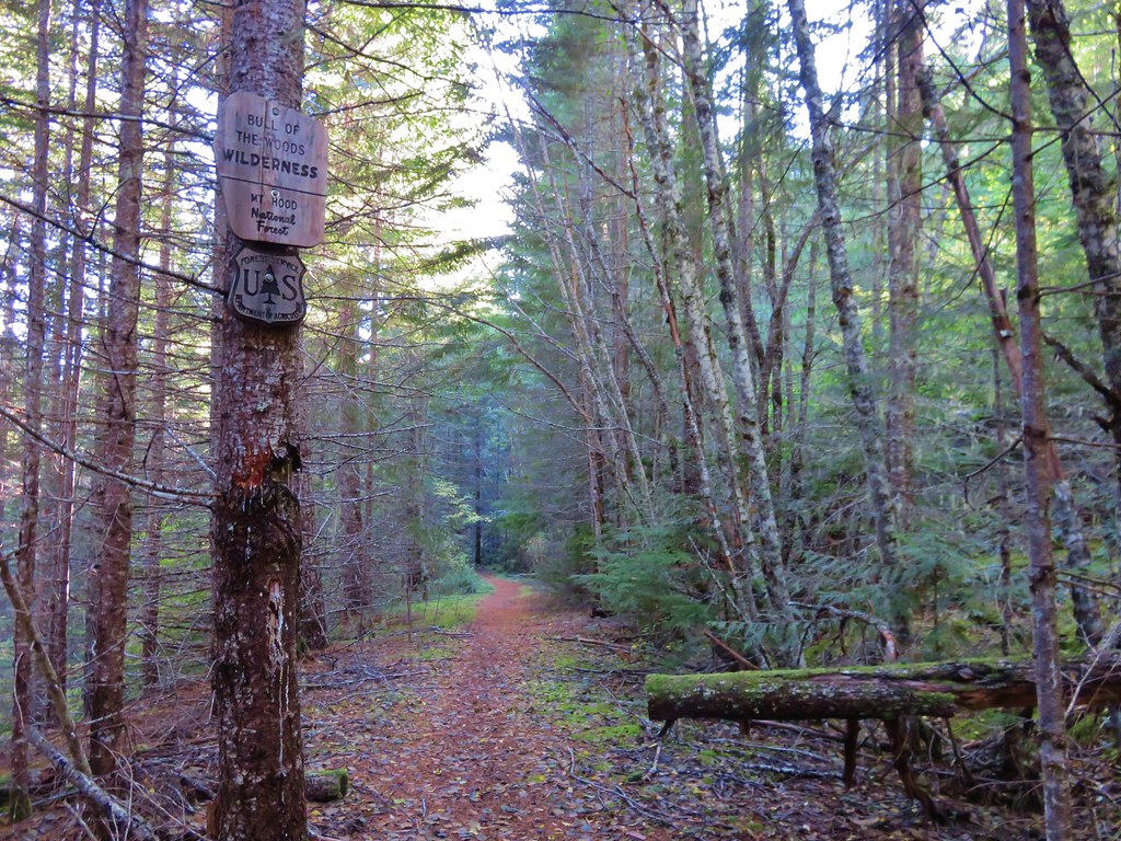
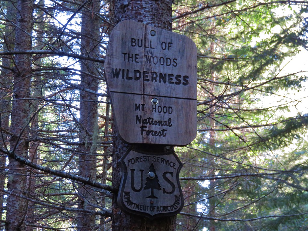
As we neared the end of our hike the only disappointment was having not seen a wilderness sign that morning. I try and get a picture of a wilderness sign for every wilderness we visit and I had been unsuccessful on our first two visits to the Bull of the Woods Wilderness. After making the steep climb away from the creek and back up to the old roadbed we began watching for signs that we may have missed on our way by earlier. Just before reaching the former trailhead we spotted the sign up on a tree.
IMG_1429//embedr.flickr.com/assets/client-code.js

IMG_1432//embedr.flickr.com/assets/client-code.js

It was a great end to a great hike. Happy Trails!

Flickr: https://www.flickr.com/photos/9319235@N02/albums/72157659338785890

Categories
High Cascades Hiking Oregon Three Sisters Area Trip report

Green Lakes (Finally!)

If you are familiar with our hiking past you may recall that on 5 previous occasions we had planned to and failed to see the Green Lakes in the Three Sisters Wilderness. Over 20 years since our foolish first attempt we finally made it to the lakes when we could see them. Ironically our visit was prompted by some of the very reasons we had been forced to abandon previous quests to see the lakes. Snow, fires, and the threat of thunderstorms had forced us to cancel our backpacking plans and led us to Central Oregon for a series of vacation day hikes. On Tuesday we headed for the Green Lakes Trailhead, once again attempting to reach the lakes.

The forecast called for overcast skies but there was no threat of thunderstorms and the snow wasn’t scheduled to arrive until later that night. We arrived at the trailhead as the sun was rising. The mountain peaks were fully visible under a high ceiling of clouds.
IMG_9576//embedr.flickr.com/assets/client-code.js

IMG_9580//embedr.flickr.com/assets/client-code.js

IMG_9586//embedr.flickr.com/assets/client-code.js

We set off on the familiar first 2 miles of the trail along Fall Creek passing its series of waterfalls.
IMG_9592//embedr.flickr.com/assets/client-code.js

IMG_9594//embedr.flickr.com/assets/client-code.js

IMG_9598//embedr.flickr.com/assets/client-code.js

IMG_9604//embedr.flickr.com/assets/client-code.js

IMG_9609//embedr.flickr.com/assets/client-code.js

IMG_9613//embedr.flickr.com/assets/client-code.js

IMG_9615//embedr.flickr.com/assets/client-code.js

After passing the trail junction to Moraine Lake we were on unfamiliar trail. We had hiked this section before but it was by headlamp on the way out of the wilderness after mistakenly thinking a fire and started nearby while we were camped at a tarn below Broken Top. We had packed up at dusk and hiked out in the dark missing the lakes and the scenery along the trail. Fall Creek was much calmer along this portion of trail flowing between the trail and a lava flow.
IMG_9652//embedr.flickr.com/assets/client-code.js

IMG_9657//embedr.flickr.com/assets/client-code.js

After hiking another 2 miles the trail entered the southern end of the Green Lakes Basin.
IMG_9683//embedr.flickr.com/assets/client-code.js

Several trails shot off in different directions and we veered left toward the day use peninsula of the middle and largest of the three Green Lakes.
IMG_9692//embedr.flickr.com/assets/client-code.js

The views from the day use area were great and we watched some ducks enjoying a morning swim on the lake.
IMG_9704//embedr.flickr.com/assets/client-code.js

IMG_9708//embedr.flickr.com/assets/client-code.js

IMG_9716//embedr.flickr.com/assets/client-code.js

IMG_9719//embedr.flickr.com/assets/client-code.js

We resumed our hike passing along the east side of the lake heading toward the third and final lake. This lake truly lived up to the Green Lakes name.
IMG_9758//embedr.flickr.com/assets/client-code.js

IMG_9762//embedr.flickr.com/assets/client-code.js

IMG_9766//embedr.flickr.com/assets/client-code.js

IMG_9768//embedr.flickr.com/assets/client-code.js

The Green Lakes Trail continues past the lakes climbing .7 miles to a pass between Broken Top and the South Sister before continuing down to Park Meadow. We headed for the pass to check out the views we’d missed on our night hike. We discovered an interesting landscape including some rocks showing the signs of long gone glacier.
IMG_9815//embedr.flickr.com/assets/client-code.js

IMG_9819//embedr.flickr.com/assets/client-code.js

IMG_9822//embedr.flickr.com/assets/client-code.js

At the pass the views extended down into Central Oregon and north to Mt. Hood.
IMG_9836//embedr.flickr.com/assets/client-code.js

IMG_9843//embedr.flickr.com/assets/client-code.js

IMG_9830//embedr.flickr.com/assets/client-code.js

IMG_9825//embedr.flickr.com/assets/client-code.js

IMG_9831//embedr.flickr.com/assets/client-code.js

After doing a little exploring (and picking up another balloon) we headed back down to the Green Lakes.
The balloon in the trees.
IMG_9859//embedr.flickr.com/assets/client-code.js

IMG_9860//embedr.flickr.com/assets/client-code.js

IMG_9865//embedr.flickr.com/assets/client-code.js

IMG_9889//embedr.flickr.com/assets/client-code.js

IMG_9890//embedr.flickr.com/assets/client-code.js

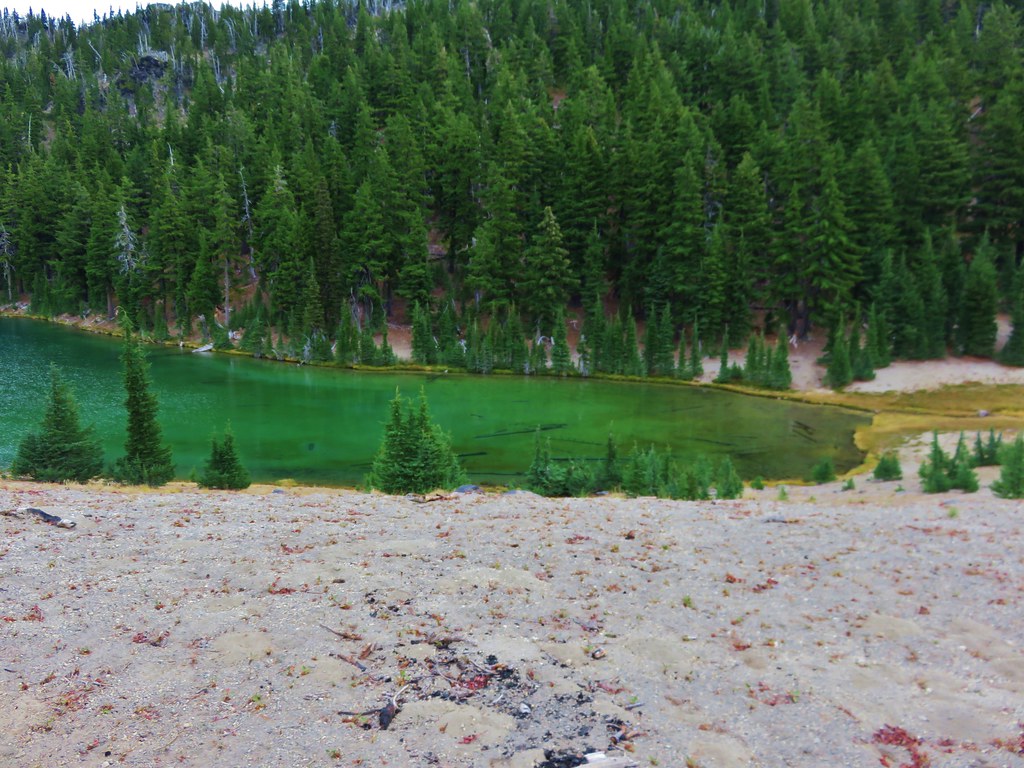
We were interested in checking out what appeared to be springs feeding into the third Green Lake and followed a path around the north shore only to discover a small “Area closed for restoration” sign less than 10′ from the springs. We couldn’t figure out why the forest service didn’t put a sign where the path split off from the main trail instead of clear back by the spring, but we obeyed the sign and turned around after taking a picture of what we could see.
IMG_9894//embedr.flickr.com/assets/client-code.js

It was a little over a mile from the third lake to the first lake which we had skipped earlier when we headed directly to the day use peninsula on the middle lake. We explored the area around the first lake before picking up the Broken Top Trail which came from the east to join the Green Lakes Trail just south of the first lake.
IMG_9924//embedr.flickr.com/assets/client-code.js

IMG_9929//embedr.flickr.com/assets/client-code.js

The Broken Top Trail makes it possible to turn the hike into a loop and we took advantage of this and headed east on the trail.
IMG_9936//embedr.flickr.com/assets/client-code.js

The trail had some nice views of Broken Top and also offered glimpses of Mt. Bachelor, Sparks Lake, Cowhorn Mountain, and Diamond Peak.
IMG_9939//embedr.flickr.com/assets/client-code.js

IMG_9943//embedr.flickr.com/assets/client-code.js

IMG_9961//embedr.flickr.com/assets/client-code.js

IMG_9962//embedr.flickr.com/assets/client-code.js

IMG_9964//embedr.flickr.com/assets/client-code.js

IMG_9947//embedr.flickr.com/assets/client-code.js

IMG_9960//embedr.flickr.com/assets/client-code.js

After traveling a little over 3 miles on the Broken Top Trail we arrived at a familiar junction.
IMG_0027//embedr.flickr.com/assets/client-code.js

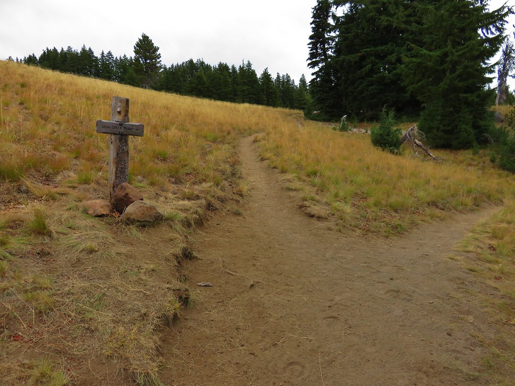
The trail from Todd Lake which we had used on our visit to Broken Tops No Name Lake joined on the right and we turned down it for .9 miles to another junction where we turned right again on the Soda Creek Trail.
IMG_0051//embedr.flickr.com/assets/client-code.js

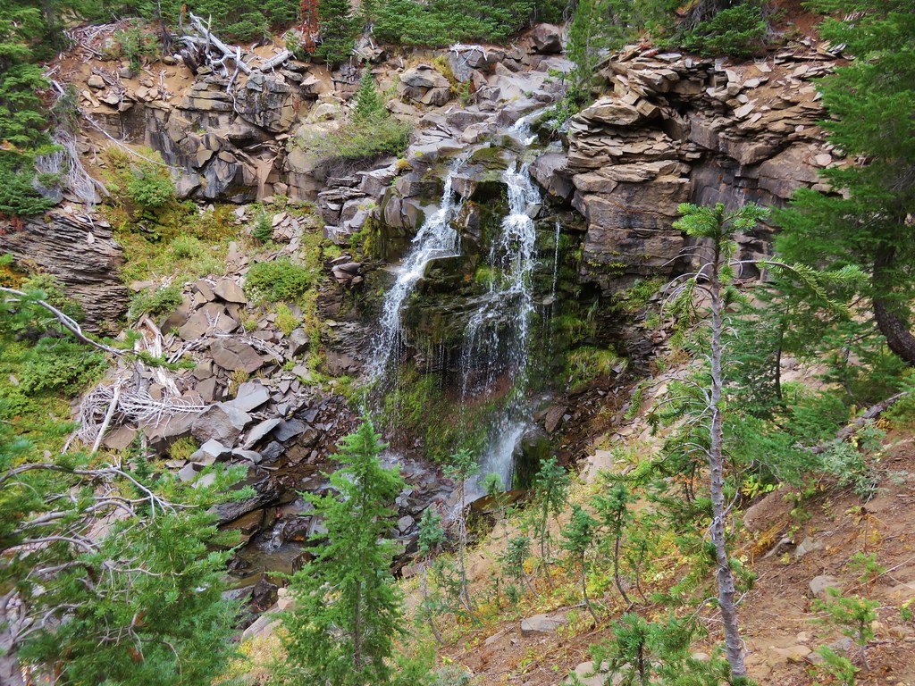
We got a bit sidetracked on our way down this trail. We began searching for waterfalls along Crater Creek when we spotted what looked like prime waterfall terrain. After a little off trail exploration we discovered a pair of pretty little falls.
IMG_0083//embedr.flickr.com/assets/client-code.js

IMG_0085//embedr.flickr.com/assets/client-code.js

IMG_0098//embedr.flickr.com/assets/client-code.js

IMG_0102//embedr.flickr.com/assets/client-code.js

The falls were a little low on water but looked like they would be really nice with a higher volume of water. Later I discovered there were a couple of other falls in the area along Crater Creek while doing a little research on waterfallsnorthwest.com.

After regaining the trail in a meadow where we startled a pair of deer we began to switchback down toward Soda Creek. Corner Falls was the only fall marked on the map in our guidebook which was located at the corner of the final switchback. It wasn’t quite as impressive as the falls on Crater Creek and we were unable to get a clear view due to another “Area closed” sign at the path leading away from the switchback.
IMG_0109//embedr.flickr.com/assets/client-code.js

IMG_0110//embedr.flickr.com/assets/client-code.js

IMG_0114//embedr.flickr.com/assets/client-code.js

IMG_0116//embedr.flickr.com/assets/client-code.js

The trail then gradually descended another 1.3 miles to a crossing of Crater Creek where we found another nice little waterfall.
IMG_0118//embedr.flickr.com/assets/client-code.js

IMG_0124//embedr.flickr.com/assets/client-code.js

IMG_0134//embedr.flickr.com/assets/client-code.js

The forest turned to drier lodgepole pine and passed through some old lava flows in the final 1.5 miles before popping us out at the Green Lakes Trailhead parking area.
IMG_0150//embedr.flickr.com/assets/client-code.js

IMG_0151//embedr.flickr.com/assets/client-code.js

IMG_0162//embedr.flickr.com/assets/client-code.js

We had felt a few drops of rain over the final half mile or so of the hike, and as we were changing at the car we began to notice a few small snowflakes mixed in the rain.
IMG_0164//embedr.flickr.com/assets/client-code.js

Later when we looked at the GPS information it showed a distance of 19.1 miles for the day. We hadn’t meant to go that far but there is something about the Three Sisters Wilderness that makes it really easy to wander. Happy Trails!

Flickr: https://www.flickr.com/photos/9319235@N02/albums/72157658424002889

Categories
High Cascades Hiking Mt. Hood Area Oregon Trip report

McNeil Point

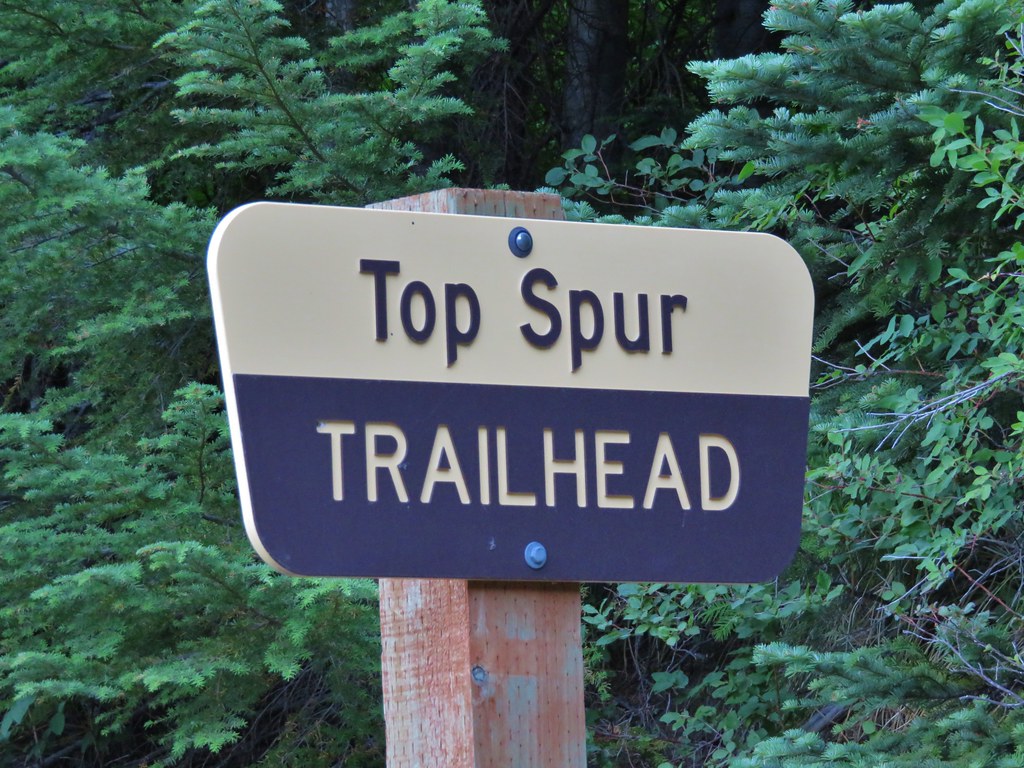
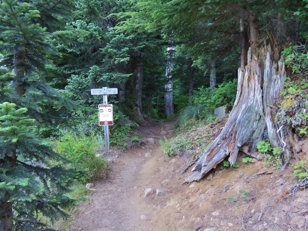
A week after visiting Mt. St. Helens we were headed to another of the Cascades volcanoes – Mt. Hood. We were meeting my parents in the morning for a hike up in the area of McNeil Point. The plan was to begin at the Top Spur Trailhead with them and hike together to an area below McNeil Point where ponds collect the melting winter snows. From the ponds Heather and I would head up to McNeil Point to visit the shelter there and continue up the ridge behind it toward Mt. Hood. We picked up my parents at McNeil Campground in the morning and were ready to set off on the Top Spur Trail just before 7AM.
IMG_5739

IMG_5740

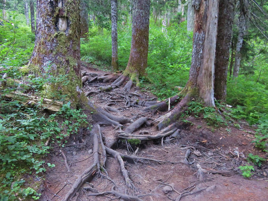
The first section of trail led through a forest filled with huckleberries and blueberries. Tree roots covered the path in many areas making for an uneven surface for walking.
IMG_5741

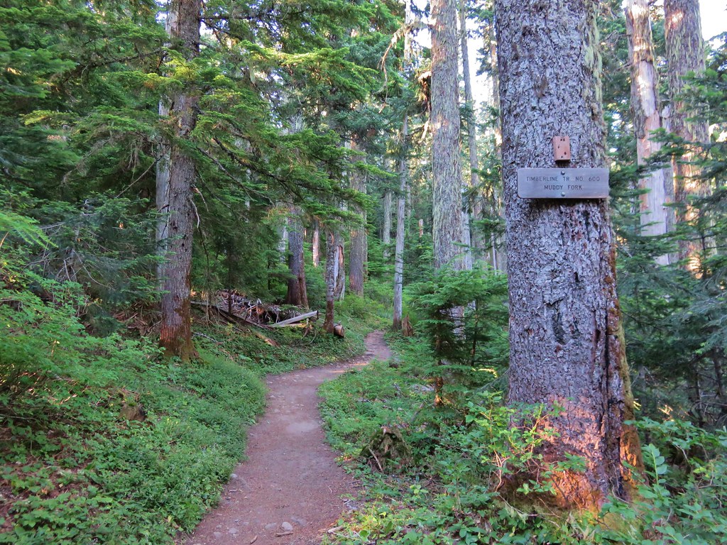
The Top Spur Trail joined the Pacific Crest Trail for a tenth of a mile before splitting off at a four way trail junction where the PCT and the Timberline Trail intersect.
IMG_5743

We took the middle of three forks following the Timberline Trail toward the Muddy Fork River. The PCT continued down the far right-hand fork and the left-hand fork was the continuation of the Timberline Trail on its way toward Cairn Basin.
IMG_5744

It would have been a little shorter hike if we had taken the Timberline Trail toward Cairn Basin which was the more direct way to get to the ponds below McNeil Point, but by heading toward the Muddy Fork we would pass through some open meadows on the south side of Bald Mountain where Mt. Hood would be visible. The meadows fill with flowers in early summer but were mostly passed now, however the view of Mt. Hood was still there.
IMG_5747

After passing through the second (smaller) meadow on Bald Mountain the trail reentered the forest. We were now looking for a side trail that would take us over the top of the Bald Mountain ridge to the Timberline Trail on the north side. Heather and I had taken this trail in 2012. At that time it was an unmarked use trail up and over the ridge. We spotted a worn trail to the left in the area we expected and headed toward the ridge. I managed to lead us over a small ridge and right back onto the Timberline Trail that we had already been on. We had to walk back through the small meadow and look for a different trail. Just around the corner from where we had turned off the trail the first time there was another side trail. This one had a nice new sign indicating it was the Cut Off Trail. Apparently it was now an official trail and there was a similar sign on the far side of the ridge.
IMG_6210

Now that we were back on track we headed uphill through the forest. More root covered trail awaited as we passed through some past-its-prime beargrass and headed up the ridge.
IMG_5768

IMG_5769

The trail climbed fairly gently up the ridge passing a couple of open views of the mountain.
IMG_5777

IMG_5786

In a typical year the flowers along this hike would have been at or near their peak in mid-July but this year the majority of them had already gone to seed. We did manage to spot a few late bloomers along the ridge though.
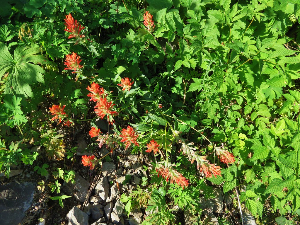
Paint
IMG_5790

Columbine
IMG_5788

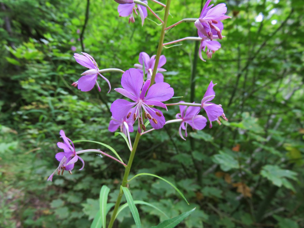
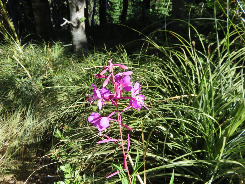
Fireweed
IMG_5791

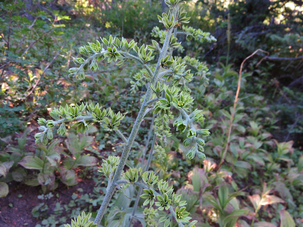
False Hellbore
IMG_5792

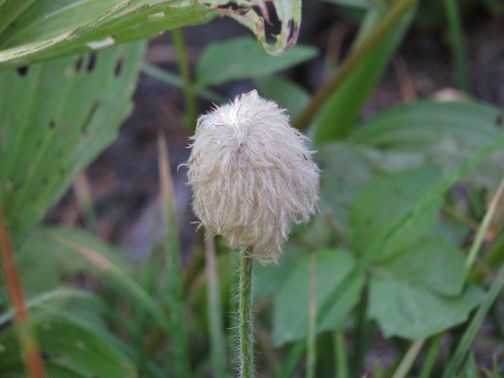
Western Pasque Flower (seed-head)
IMG_5797

After a few switchbacks the trail final leveled out some as it traversed a hillside where several branches of McGee Creek flowed across the trail. Additional flowers began popping up along this stretch but only the late blooming gentians and monkeyflower in larger quantities.
A branch of McGee Creek
IMG_5805

Aster or fleabane
IMG_5804

Spirea
IMG_5806

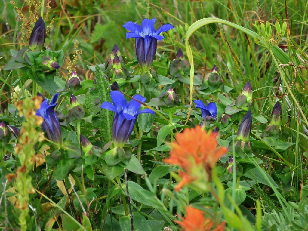
Gentians
IMG_5808

IMG_5834

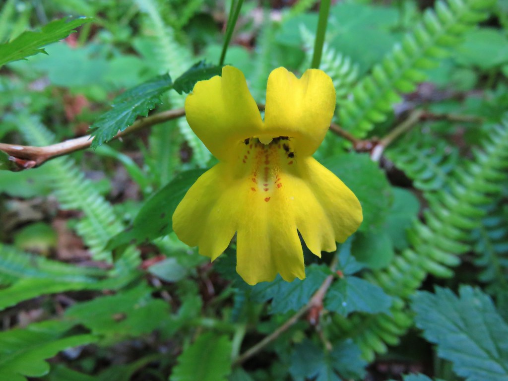
Monkeyflower
IMG_5822

Another branch of McGee Creek
IMG_6188

The trail passed below a pair of rock outcroppings below McNeil Point. At the second outcropping we found the first of the ponds completely dried up.
Passing the first outcropping.
IMG_5827

Dry pond
IMG_5843

Dry pond below the rocky outcrop and Mt. Hood beyond.
IMG_5848

The second pond still had a little water and a nice view of the top of Mt. Hood.
IMG_5853

IMG_5858

We erroneously followed the trail leading away from the second pond believing it would reconnect with the Timberline Trail which had forked to the right after passing the dry pond. The trail we were on eventually petered out and we were left with a short bushwack to get back onto the correct trail. We popped back out of the trees onto the trail and turned left continuing toward the McNeil Point Trail and Cairn Basin. We passed a junction with the Mazama Trail, a trail we had hiked in 2013, and decided it was time for our party to split up.
IMG_5869

Heather and I would go ahead at our own pace and head up to McNeil Point, and my parents would continue on toward Cairn Basin. We headed off amazed at the lack of flowers along the trail. On our previous visit to McNeil Point on 8/20/12 and Barrett Spur on 8/12/13 this section had been full of flowers but here we were a full month earlier than those visits and the flowers had long since passed. It was a clear indication of just how hot and dry this year had been. The good news was it was a clear day we had still had the views. In addition to Mt. Hood we could see three Washington snow peaks to the north.
IMG_5870

IMG_5876

Mt. Adams
IMG_5878

Mt. Rainier
IMG_5877

Mt. St. Helens
IMG_5879

We left the Timberline Trail at the sign for McNeil Point.
IMG_5882

The trail up to the shelter begins on a ridge next to silty Ladd Creek.
IMG_5887

IMG_5889

Heather enjoying the day.
IMG_5896

The trail then crossed a rock field where there is normally also a snowfield. Not this year though.
IMG_5905

Once past the rock field the trail passed beneath hills that hid most the mountain. Here we began to encounter more flowers in bloom.
IMG_5916

IMG_5917

IMG_5919

IMG_5932

IMG_5937

IMG_5939

There was also a lovely little creek lined with monkeyflowers.
IMG_5925

IMG_5927

IMG_5929

We faced a choice as we neared the shelter. We could head straight for the stone building or we could veer uphill and gain the ridge behind the shelter and then head up it. On our previous visit we had simply gone to the shelter and turned back there. (We had also visited Cairn & Wy’East Basins and Eden Park that day.) We decided to head directly for the ridge and turned uphill.
IMG_5946

As we headed for the ridge Mt. Hood began to peek out from above it.
IMG_5947

Heather spotted an interesting looking ladybug along the way.
IMG_5950

We gained the ridge and could see our route laid out before us with a closer look at Mt. Hood being the reward.
IMG_5955
As we were climbing and looking around at all the scenery I noticed something brown near the top of the ridge to our left. It didn’t look like it belonged there but we couldn’t make out what it exactly was at first.
IMG_5988

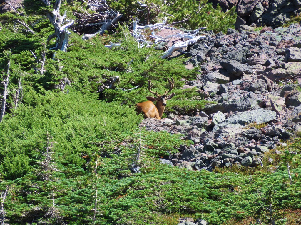
Once again the 30x zoom on our camera came in handy and we were able to see that it was a good sized buck bedded down for the day.
IMG_5998

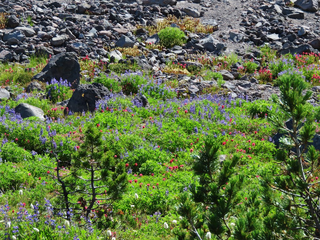
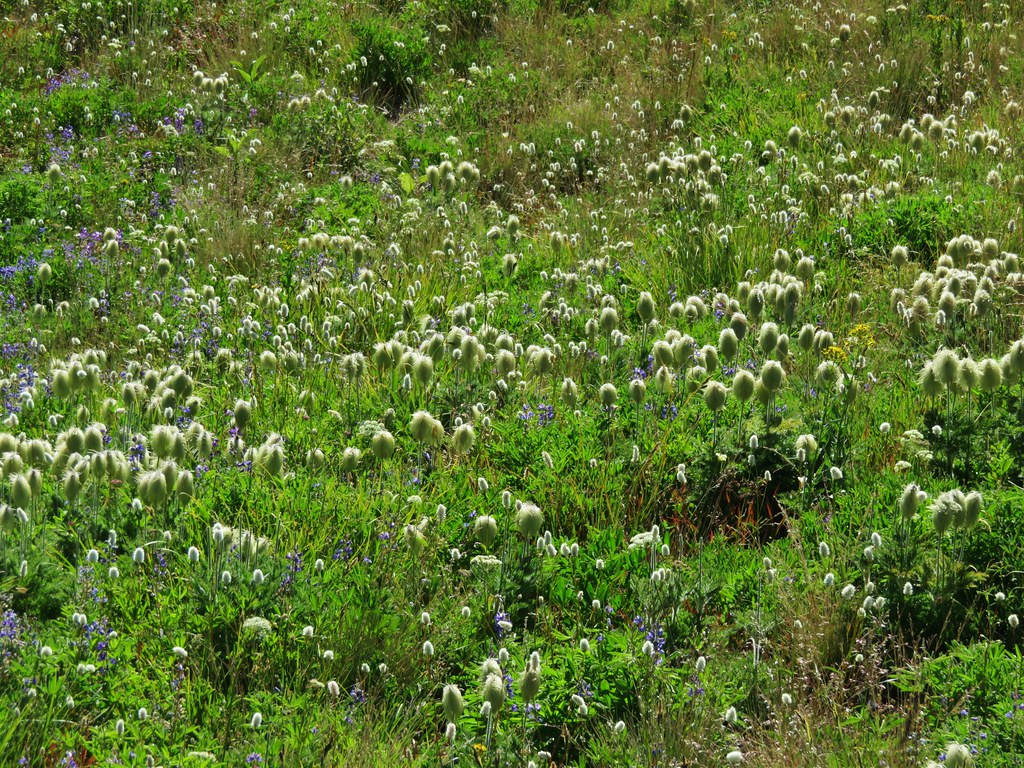
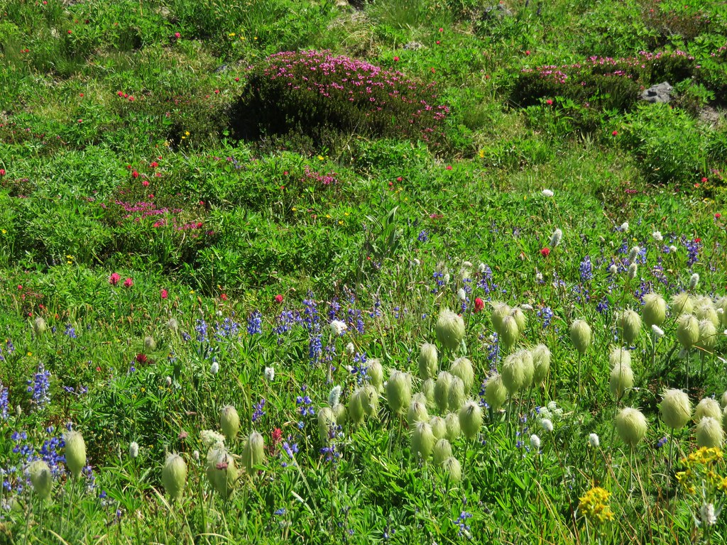
The best flower display of the day was in a little basin below the ridge where the deer was. Lupine, Mountain Heather, Paintbrush, Partridgefoot, Bistort, and Pasque flowers were all present.
IMG_5993

IMG_6008

IMG_6012

IMG_6016

The buck kept an eye on us as we continued up a very steep section of the ridge. Looking back down near we could see the trail to the shelter below and beyond McNeil Point was Bald Mountain and the ridge we and climbed from there.
IMG_6047

McNeil Point Shelter
IMG_6028

We were near what looked like the end of the climb.
IMG_6041

We were wrong and there was one more stretch of uphill ahead of us.
IMG_6043

To our left was Barrett Spur where we climbed to in August of 2013. https://wanderingyuncks.wordpress.com/2013/08/15/barrett-spur-via-the-mazama-trail/
IMG_6042

To our right was Yocum Ridge which we visited later that same year. https://wanderingyuncks.wordpress.com/2013/08/26/yocum-ridge/
IMG_6046

On our right was also the Sandy Glacier which feeds the Muddy Fork, a branch of the Sandy River. The scenery around the Sandy is just amazing.
IMG_6054

IMG_6055

IMG_6056

IMG_5966

IMG_6072

IMG_6070

We stopped on on a rocky spine just before a saddle where it would have required a sketchy looking descent to continue on any further.
IMG_6103

We took a couple of pictures then pulled out some potato chips for a snack.
IMG_6076

IMG_6080

IMG_6093

There had been two small groups ahead of us but they had since headed back down so we had the view almost to ourselves.
IMG_6088

IMG_6095
We headed back down toward the shelter, our next destination. Along the way we spotted a few flowers we’d missed on the way up.
Yellow cinquefoil
IMG_6119

Cats ear lily
IMG_6122

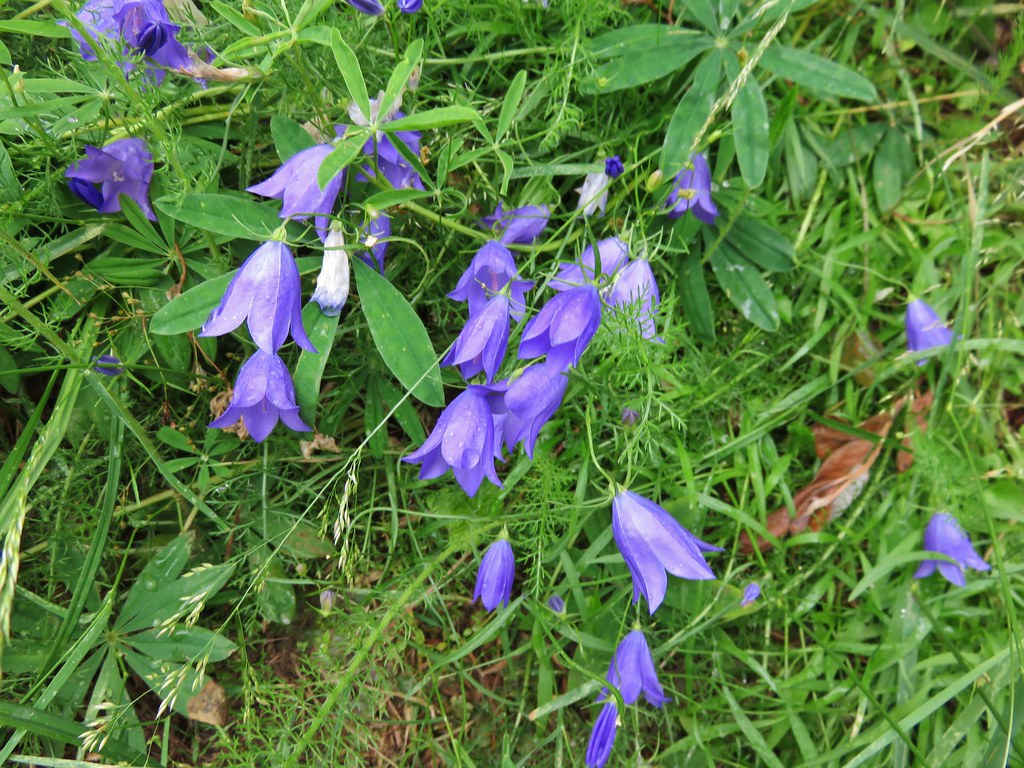
Blue-bells of Scotland
IMG_6131

We paid a quick visit to the shelter then continued to make our way back down.
IMG_6137

A few small clouds had formed by the time we arrived back at the ponds.
IMG_6168

IMG_6170

And the gentians had opened up some in the sunlight.
IMG_6176

It was another hot day so we stopped at a nice pool in one of the branches of McGee Creek to filter some cold mountain water into our Hydroflasks.
IMG_6179

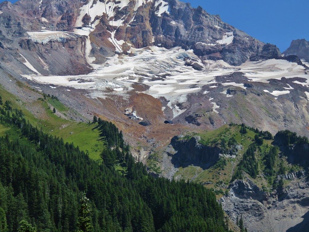
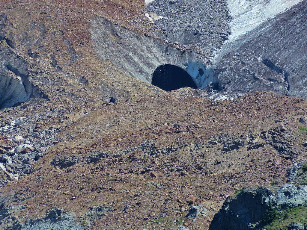
We had some great views on the way down the ridge toward the trailhead. This had been the first day we’d been able to pick out an ice cave on the Sandy Glacier.
IMG_6196

IMG_6199

IMG_6198

We had decided to take the shorter path back opting not to go around Bald Mountain with its views again so we said goodbye to the mountain at the last viewpoint along the ridge before heading back into the trees of the Mt. Hood Wilderness.
IMG_6202

IMG_6208

We found my parents back at the car, having finished their hike about 15-20 minutes prior to us. They had made it to Ladd Creek on the Timberline Trail and turned back there. It was a great day to be on the mountain and we ended it with dinner back at my parents campsite. Happy Trails!

Flickr: https://www.flickr.com/photos/9319235@N02/sets/72157655660865389

Categories
Hiking Mollala Old Cascades Oregon Trip report

Table Rock to Pechuck Lookout

**Note the 2020 Beachie Creek Fire burned a portion of this hike.**

We have two lists of “To Do” day hikes within a reasonable driving distance. One list is the hikes we have yet to do, and the second list is hikes we want to try again for one reason or another. Table Rock was one of the hikes on the later list having first visited in October of 2012. During that hike smoke from the Pole Creek fire in the Three Sisters Wilderness had limited the views and being fall it was too late for many flowers. We had seen enough on that visit to think it would be worth a second visit in early summer to see if we could catch the views and see what flowers there might be. I put it down on our schedule as our annual 4th of July hike thinking the timing might be good for wildflowers plus the drive avoided much time on freeways or busy highways.

The Table Rock Wilderness consists of 6028 acres designated in 1984 as wilderness and is managed by the Bureau of Land Management. Several trailheads access the 16 miles of trails in the area. For our hike we started at the Table Rock Trailhead which happens to be the shortest route to the summit of Table Rock, the highest point in the wilderness.
IMG_5256

IMG_5257

When we redo a trail I try to find some way to differentiate the hike from the earlier visit. Only 13 of our 172 hikes so far had been “re-hikes” and only 3 of those had we done the same exact trails. Three other times we added other short hikes on different trails, and on the remaining 7 we extended the hike visiting new places further along the trail. The plan to make this visit unique was to continue on past Rooster Rock, where we had turned around on our first visit, and continue on to Pechuck Lookout.

We set off on an old roadbed that is now the Table Rock Trail after rocks slides closed the road, the first at the current trailhead. We reached the second slide after .3 miles where the trail briefly entered the forest to bypass the slide.
IMG_5262

IMG_5263

Beyond the second slide the old road again becomes the trail for nearly another mile. Small trees and flowers now line the gravel road making it a pleasant walk.
IMG_5267

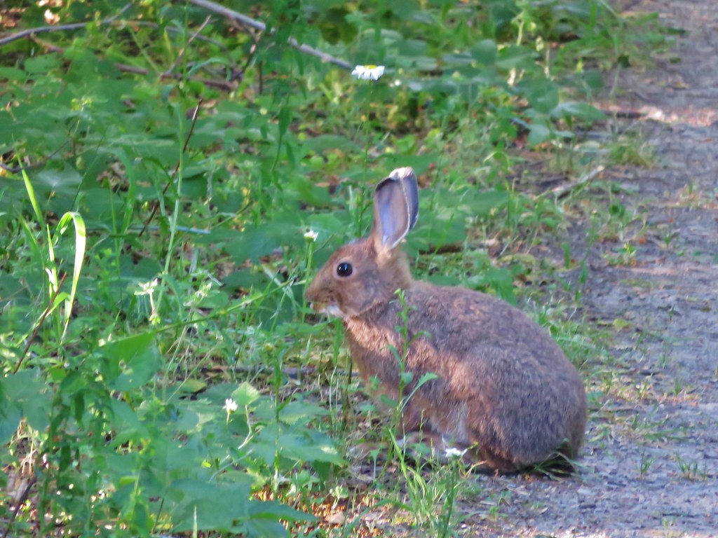
Rabbit along the road.
IMG_5269

At the 1.3 mile mark the trail leaves the road for good at the site of the former trailhead. Shortly after reentering the forest the Image Creek Trail joins from the right. A nice sign that had not been there in 2012 pointed to the Table Rock Trail.
IMG_5272

From this junction the trail passes below a large rock field that extends from the base of Table Rock then swings out and around a rocky ridge before turning back toward Table Rock and entering the rock field going the opposite direction of the earlier pass below.
IMG_5277

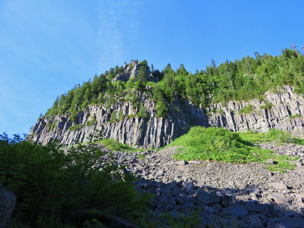
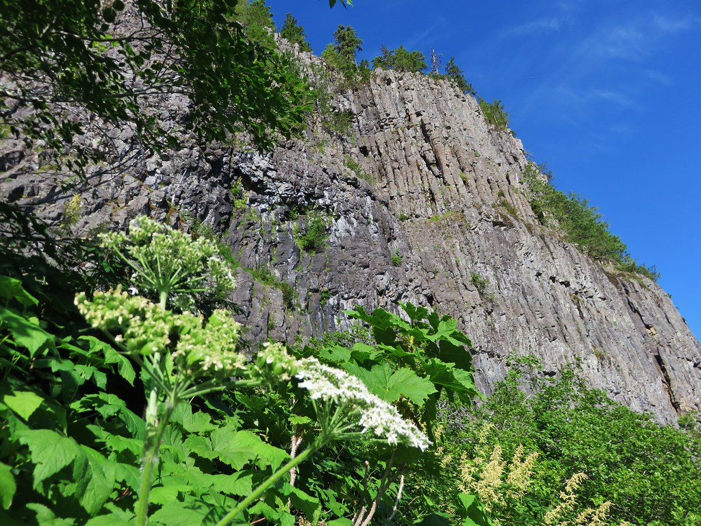
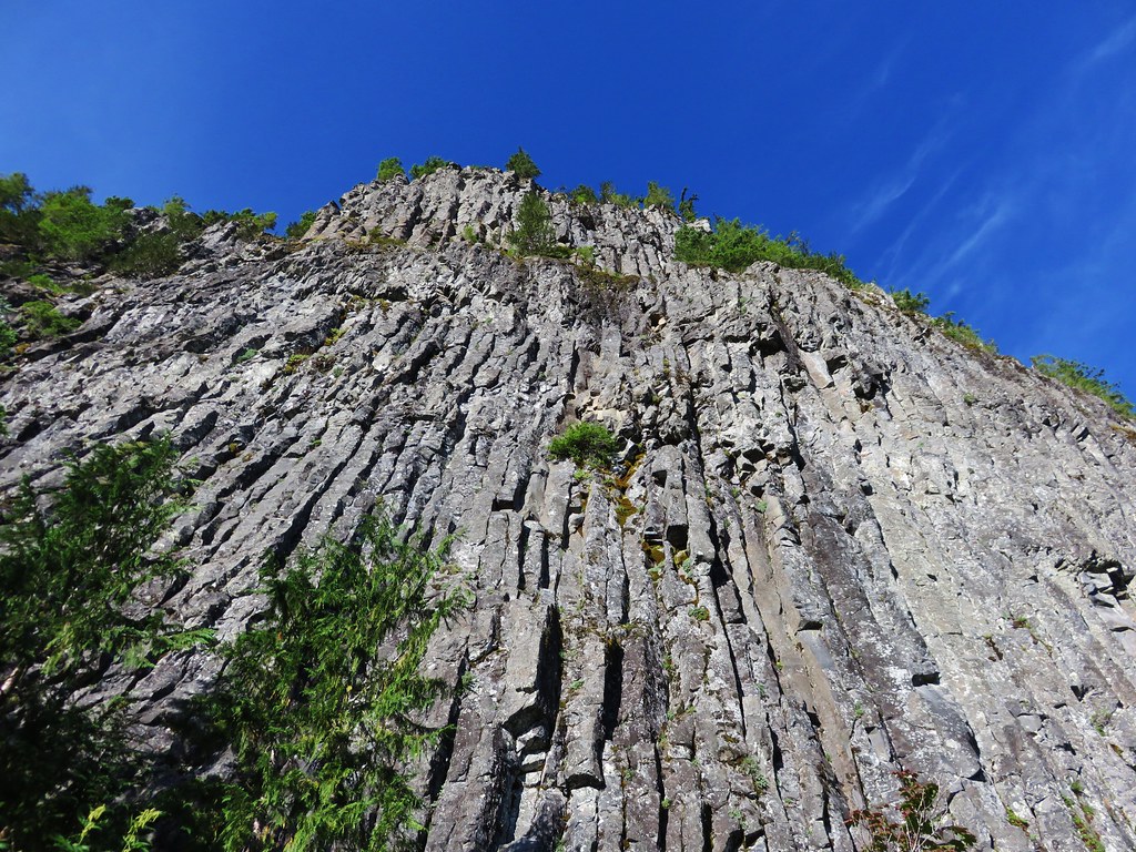
The rock field offers a close up look at Table Rocks columnar basalt cliffs. Numerous pikas were calling out from the rocks all around us but we weren’t able to spot any.
IMG_5292

IMG_5294

IMG_5300

There were also a few flowers managing to bloom in the rocks.
IMG_5285

IMG_5293

IMG_5295

IMG_5310

IMG_5497

The trail then reenters the forest and climbs to a trail junction in a saddle. We turned left and followed the Table Rock Summit trail .4 miles to the tilted plateau of Table Rock.
IMG_5322

The view was indeed better than it had been on our previous visit despite a fire that had broken out on Mt. Adams the day before. We could just make out Mt. St. Helens and Mt. Rainier along with Mt. Adams in Washington and had good views of Mt. Hood, Mt. Jefferson, Three Fingered Jack, Mt. Washington, and the Three Sisters in Oregon.

Mt. Jefferson to the Three Sisters
IMG_5330

Mt. Hood
IMG_5331

Mt. Jefferson
IMG_5332

Three Fingered Jack
IMG_5334

Three Sisters
IMG_5335

Mt. Adams
IMG_5350

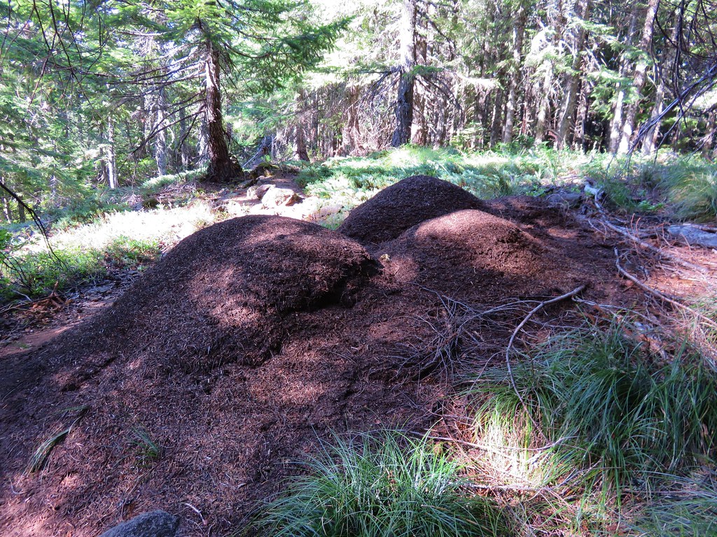
After exploring the plateau we returned to the junction and took the unsigned Saddle Trail toward Rooster Rock. Two things stand out about this trail. First is the ants which were everywhere. They were all over the trail and there were several large anthills right next to it.
IMG_5363

IMG_5364

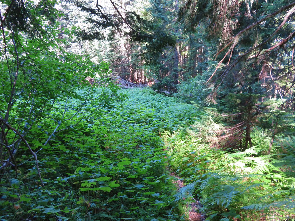
The second thing that made an impression is the steepness of this trail as it dips down and then back out of a thimbleberry meadow at the head of Image Creek. The trail all but disappeared in the thimbleberry bushes but it wasn’t too hard to follow. The nice thing about thimbleberry is that the plants do not have thorns so they are not bad to walk through. We did have to maneuver around a couple of devil’s club plants though.
IMG_5373

IMG_5374

The steep climb up from Image Creek ends at a saddle below Rooster Rock. Trees here block the view of Rooster Rock but a short path to the right goes up through a small meadow to a rocky viewpoint.
IMG_5385

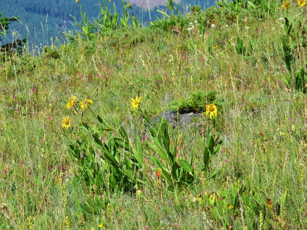
I had thought this small meadow might be a good wildflower spot, and there were some but not in any large amounts.
IMG_5378

IMG_5392

IMG_5409

IMG_5413

IMG_5414

IMG_5415

IMG_5418

The view toward Rooster Rock was better this time too.
IMG_5396

IMG_5398

IMG_5399

After a short rest we were ready to head for Pechuck Lookout. From the saddle we needed to drop down on the other side of the ridge to the High Ridge Trail. We were now starting the portion of the hike that we had not done before and we were in for a surprise. Just on the other side of the saddle was a meadow full of wildflowers.
IMG_5423

IMG_5422

IMG_5425

IMG_5426

IMG_5429

IMG_5433

IMG_5437

IMG_5439

Many of the flowers were past their prime succumbing to the heat, but there were still enough to make it an impressive sight. In most years our timing would likely have been spot on but the hot dry weather we’d been having has all the flowers at least two weeks ahead of schedule. On the far side of the meadow the trail again entered the trees.
IMG_5440

The High Ridge Trail was far more gentle with its ups and downs than the Saddle Trail had been. After .7 miles the Rooster Rock Trail joined from the right coming up from the trailhead on Rooster Rock Rd.
IMG_5442

We continued going up and down along the ridge leaving the wilderness and arriving at another former trailhead along the gated road near Pechuck Lookout.
IMG_5446

The trail continued on the far side of the road passing a nice view of Table Rock along the way.
IMG_5448

IMG_5449

This short section of trail was another steep one before ending at the lookout.
IMG_5450

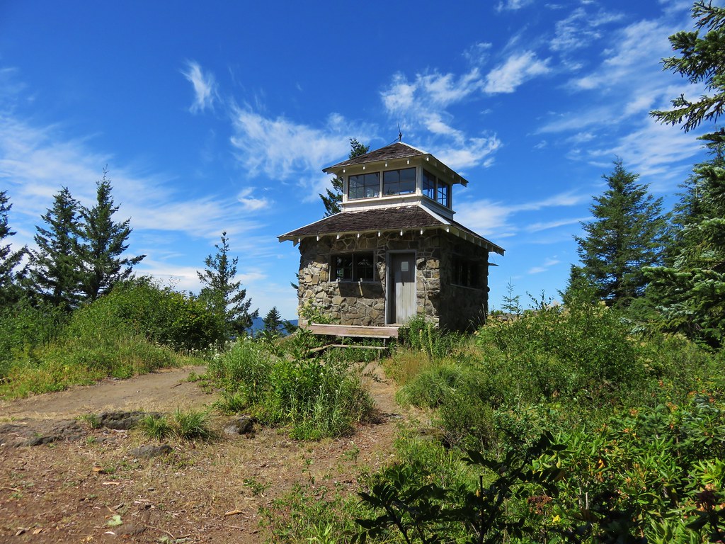
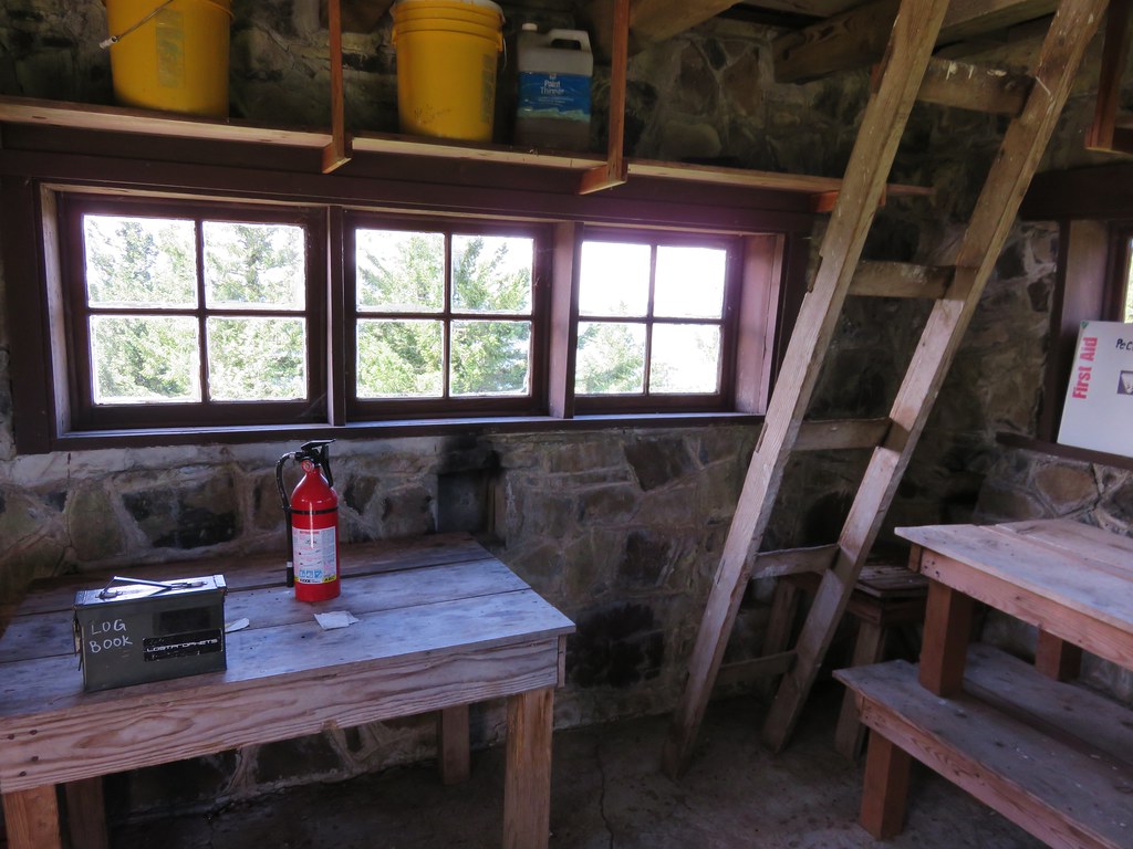
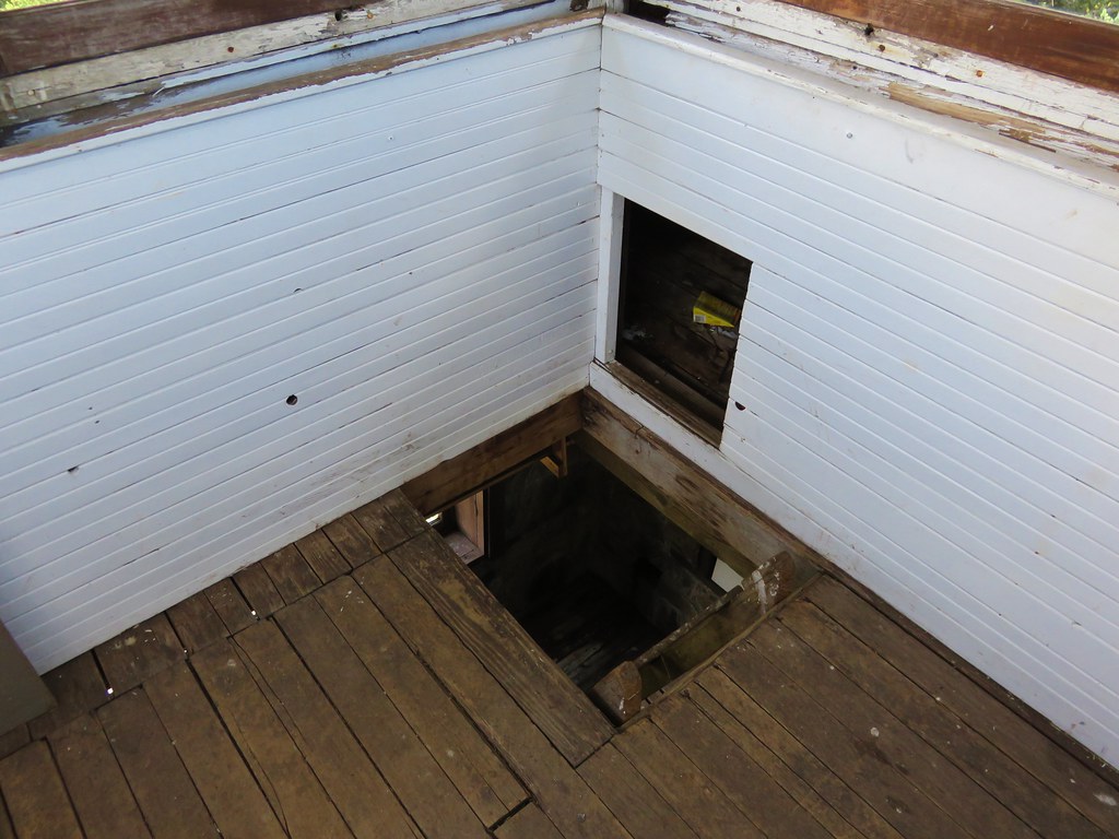
Pechuck Lookout was staffed from 1918/19 until 1964 with the current structure having been built in 1932. It is now available for overnight stays on a first come first serve basis. There was no one staying there so we went inside to take a look around and sign the log book.
IMG_5453

IMG_5454

IMG_5455
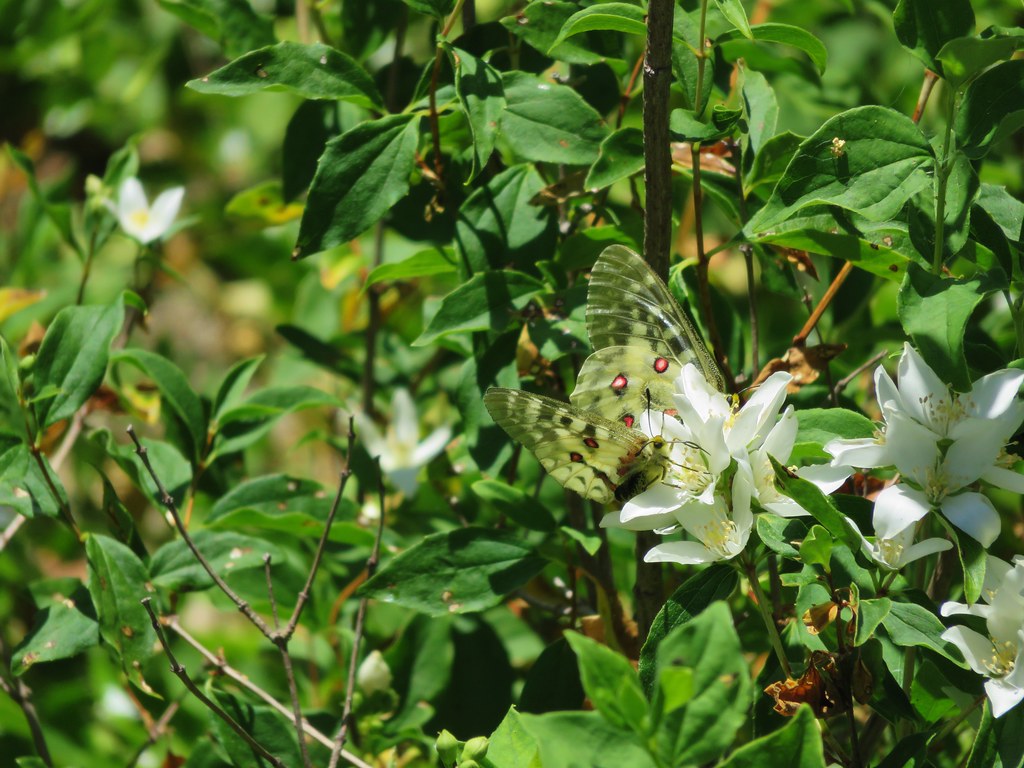
It was too warm to stay inside for long so we headed back out into the shade and had anther bite to eat while watching the many butterflies flitting about.
IMG_5459

IMG_5464

IMG_5466

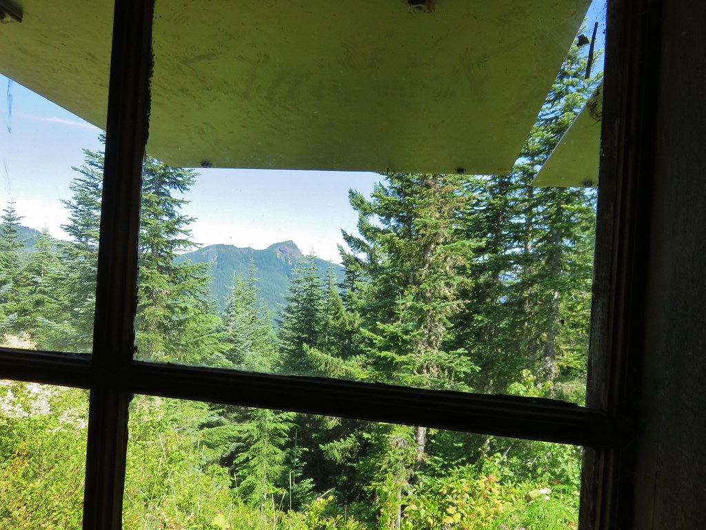
Aside from the view of Table Rock only Mt. Jefferson was visible and that mountain could only be seen in a couple of spots between some trees so it wouldn’t be a good place to stay if you’re hoping for mountain views.

We returned the way we’d come, skipping the side trips to the rocky viewpoint and the summit of Table Rock. The views to the south had become increasingly hazy, but Mt. Hood looked much clearer now that the sun had passed over.
IMG_5489

IMG_5491

The only other hikers we saw all day were between the summit trail junction and the old road on the way back to our car and that was only two other couples. The final stretch along the old road felt really long after all the climbing we’d done. I spent part of the final 1.3 miles chasing an orange butterfly that wouldn’t sit still long enough for me to get a picture. It took awhile but Warren (as I named him) finally gave me some shots.
IMG_5507

IMG_5510

It wound up being a longer hike than we expected. Everything we looked at indicated we’d be doing 14.8 miles but the final GPS reading was 15.7. With the various trailheads available this could have easily been split up into several shorter hikes for more sensible hikers. The Table Rock Wilderness is certainly a place worth visiting, and there should be plenty of ripe thimbleberries come August. Happy Trails!

flickr: https://www.flickr.com/photos/9319235@N02/sets/72157655417439836

Categories
Hiking Silver Star Mountain SW Washington Trip report Washington

Bluff Mountain Trail to Silver Star Mountain

Late June is typically a good time to catch the wildflower displays on Silver Star Mountain in the Gifford-Pinchot National Forest. Located in Washington between the Columbia Gorge and the snowy peaks of Mt. St. Helens and Mt. Adams the Silver Star Scenic Area offers several trails. Many of the trails pass through areas that were part of the 1902 Yacolt Burn, the largest fire in Washington State’s history. The series of September fires left exposed ridges and hillsides which are now wildflower filled meadows. The two most popular routes to Silver Star Mountain are via the Silver Star Trail/Ed’s Trail, a 5.2 mile loop, and an 8.2 mile loop via the Grouse Vista Trailhead. Each of these starting points come with their own drawbacks. Road 4109 which leads to the Silver Star Trail is an awful drive full of rocks, ruts, and potholes. The Grouse Vista Trailhead is on Washington Department of Natural Resource land and thus a Discovery Pass is required to park a car there. Passes are currently $10/day or $30/annually. We had done an expanded loop starting on the Silver Star Trail in 2013 https://wanderingyuncks.wordpress.com/2013/07/04/silver-star-mountain/ and didn’t feel like shelling out another $10 for a discovery pass so for this visit we chose a third option – the Bluff Mountain Trail.

The Bluff Mountain Trailhead has its drawbacks too, mostly a slow drive on a rock and pothole filled Forest Service road. I don’t think it is as bad as road 4109, you do pass this road on the way to the trailhead, but it is longer and took us a little over 45min to cover the 9.4 miles. It is also the longest route to Silver Star at 6.5 miles one way. The trailhead is at a poorly marked junction where the road bends around a ridge at a large swath of dirt. Only a small wooden stake marks the start of the trail which follows an old roadbed for the first 2 miles.
IMG_4862

Both Mt. Hood and Mt. Adams were visible from the trailhead parking area. It was going to be another hot day here with the highs near 90 degrees, but it was also fairly cloudy so the air was humid and the horizon hazy. We had prepared for the heat by filling the bladders for our packs the night before and leaving them in the refrigerator, bringing a couple of additional Hydro Flasks full of water, and packing some extra salty items such as potato chips and some after hike pickles.
IMG_4867

IMG_4869

IMG_4870

The old road traveled along ridges past a couple of small hills where a few trees were present. After passing the first of these hills Silver Star Mountain was visible in the distance.

Silver Star Mountain on the far right.
IMG_4874

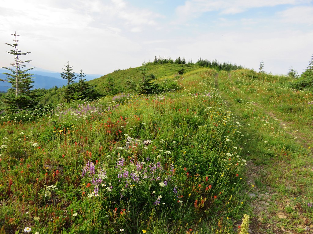
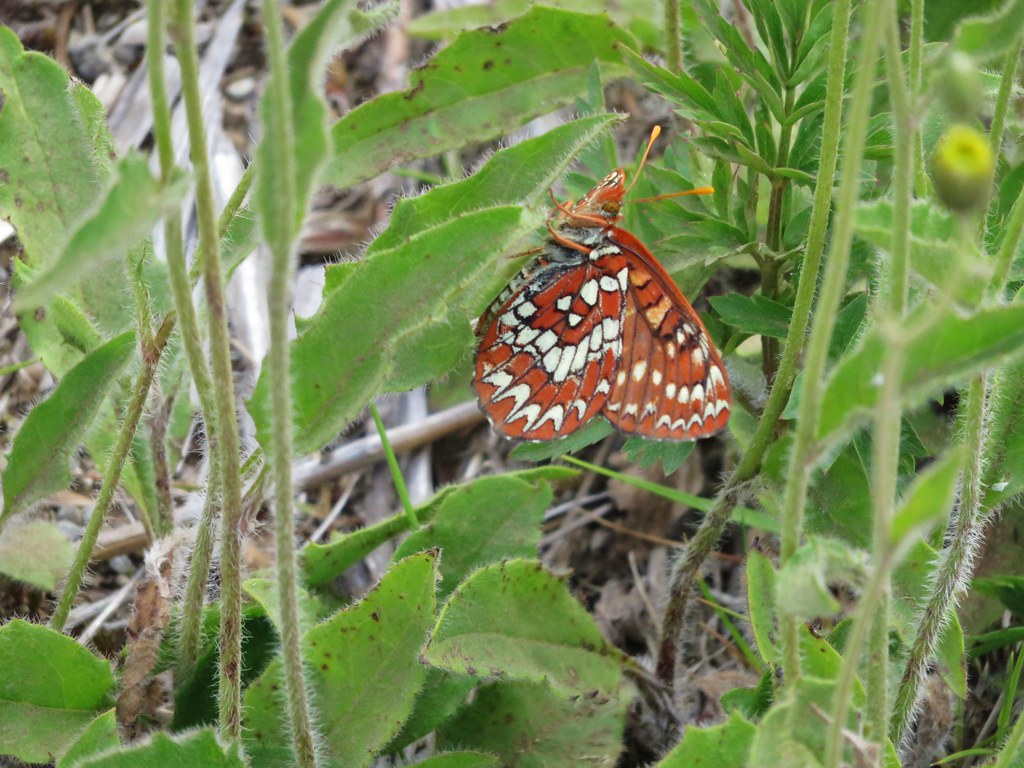
There were still quite a few flowers along the ridge despite the hot and dry conditions, and there seemed to be butterflies everywhere we looked.
IMG_4875

IMG_4876

IMG_4886

IMG_4896

IMG_4893

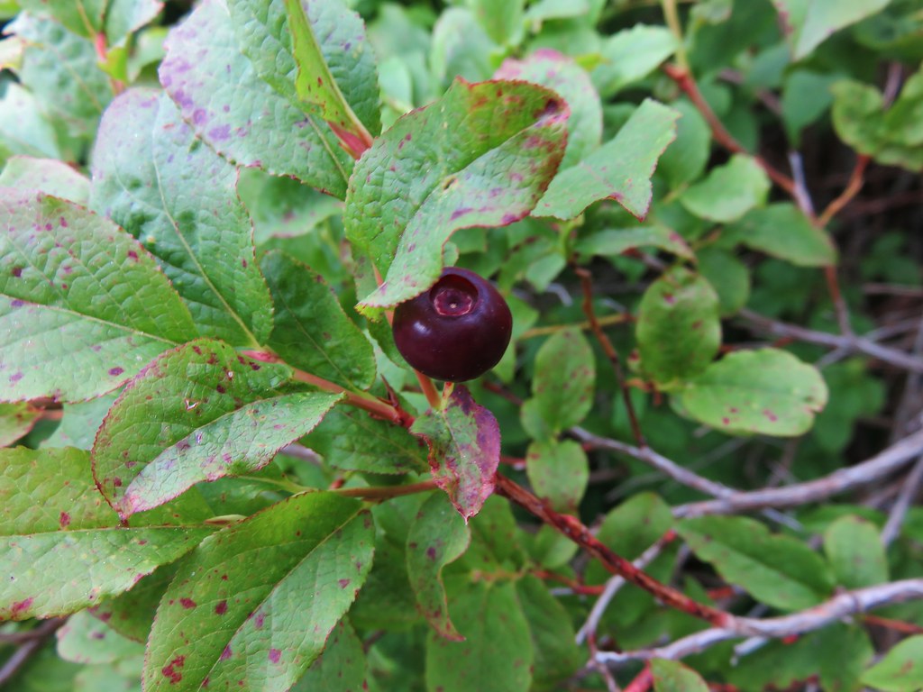
There were even some huckleberries beginning to ripen.
IMG_4879

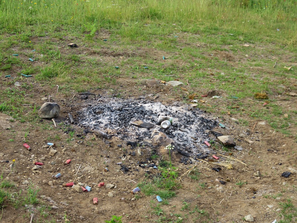
One sight that was not welcome was a fire pit filled with garbage where someone had obviously been shooting a shotgun.
IMG_4884

This is something we see far too often and it’s really disappointing that people bother to head out into nature just to make it their personal garbage can.

We continued along the road toward Bluff Mountain amid the wildflowers and butterflies. The views kept shifting as the old road made its way around the small hills along the ridge.
IMG_4902

IMG_4898

IMG_4910

IMG_4915

Little Baldy
IMG_4897

Silver Star Mountain and Little Baldy
IMG_4900

At the two mile mark the trail left the road and diped along the right hand side of a small knoll. At the split the view included all three of the peaks we would be passing – Bluff Mountain, Little Blady, and Silver Star Mountain.
IMG_4918

It was interesting to be able to see so much of our route due to the open views. Often times we could see the trail in the distance giving us a glimpse of what lay ahead.
IMG_4921

The section of trail between the road and Bluff Mountain was full of flowers. Some had seen better days a week or two before but many were still blooming strong and crowding the trail.
IMG_4924

IMG_4933

IMG_4925

IMG_4928

IMG_4939

In addition to the numerous butterflies we were seeing we also spotted several snakes during the hike. This one was spotted as we were passing below Bluff Mountain.
IMG_4947

New flowers and more butterflies joined the views as we passed under the cliffs of Bluff Mountain.
IMG_4953

IMG_4952

IMG_4956

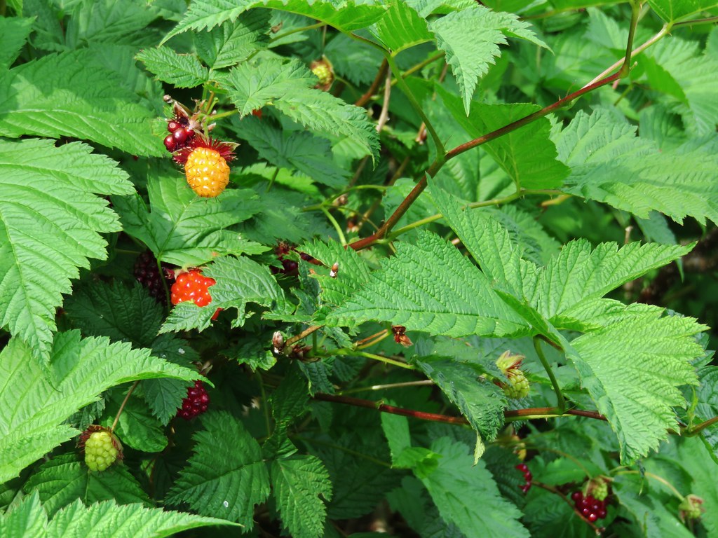
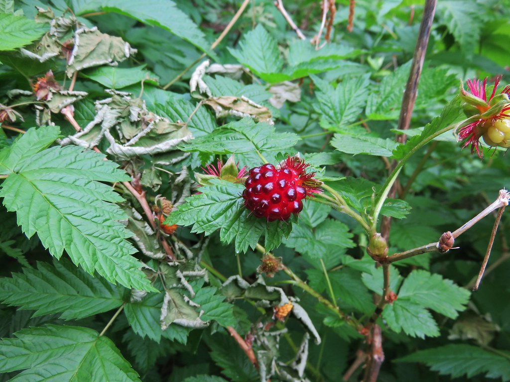
There were also lots of thimble and salmon berry bushes. The thimbleberries were not ripe yet but we found plenty of red and orange salmonberries ready to be eaten.
IMG_4962

IMG_4968

IMG_4966

Looking back from where we’d come we could see three Cascade mountains. (Some better than others)
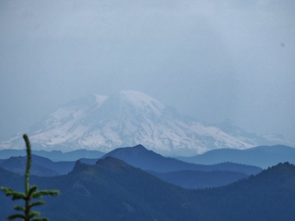
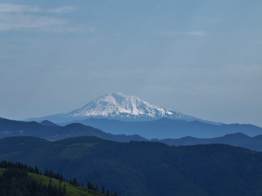
IMG_4963

Mt. St. Helens
IMG_4972

Mt. Rainier
IMG_4970

Mt. Adams
IMG_4974

After passing through the thick berry bushes the trail crossed a rock field then entered an forest of trees on a wide ridge between Bluff Mountain and Little Baldy.
IMG_4973

IMG_4975

We spotted a small rock cairn and what looked like a possible trail leading off to the right but didn’t have time to investigate.
IMG_4978

When we emerged from the trees we were in a small meadow with a view of Mt. Hood.
IMG_4979

IMG_4985

The meadow was full of yellow flowers.
IMG_4980

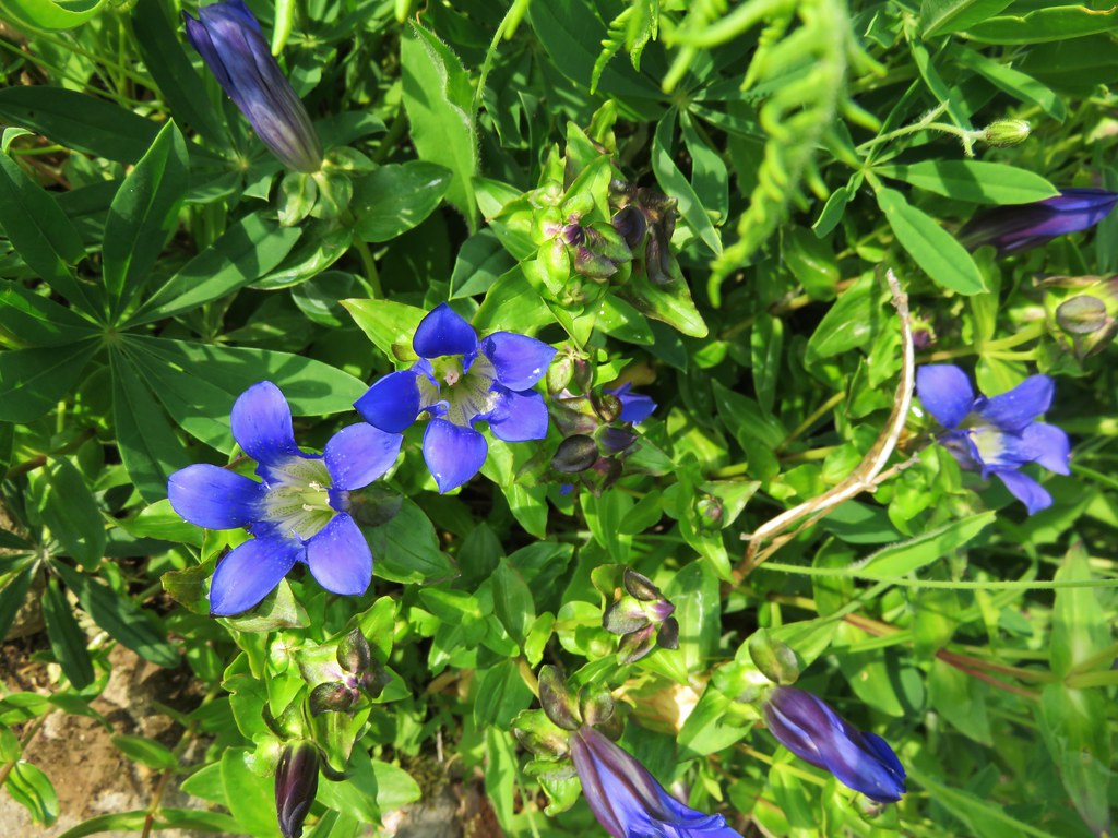
We also spotted some of my favorite flowers – gentians.IMG_4981

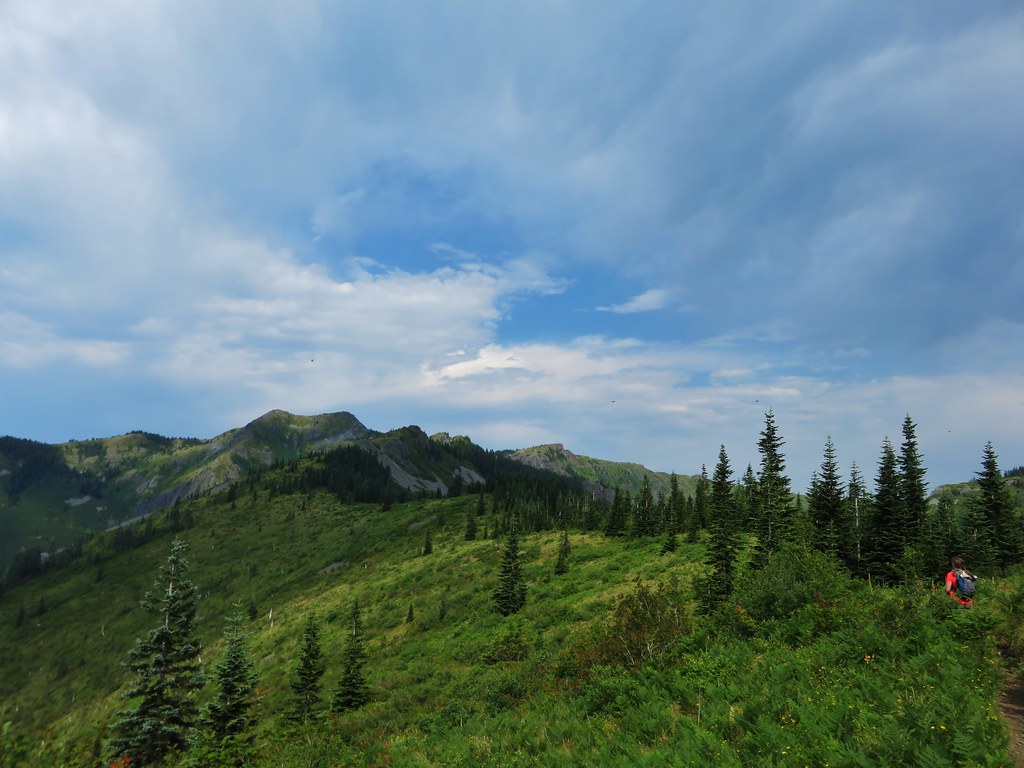
We were now on the opposite side of Little Baldy from what we’d been seeing all morning. Silver Star Mountain spread out ahead of us across a deep valley.
IMG_4987

IMG_4990

Little Baldy looked like a giant rock pile with a few patches of vegetation growing on its flanks.
IMG_4995

Gentians dotted the trail wherever plants were able to grow.
IMG_4992

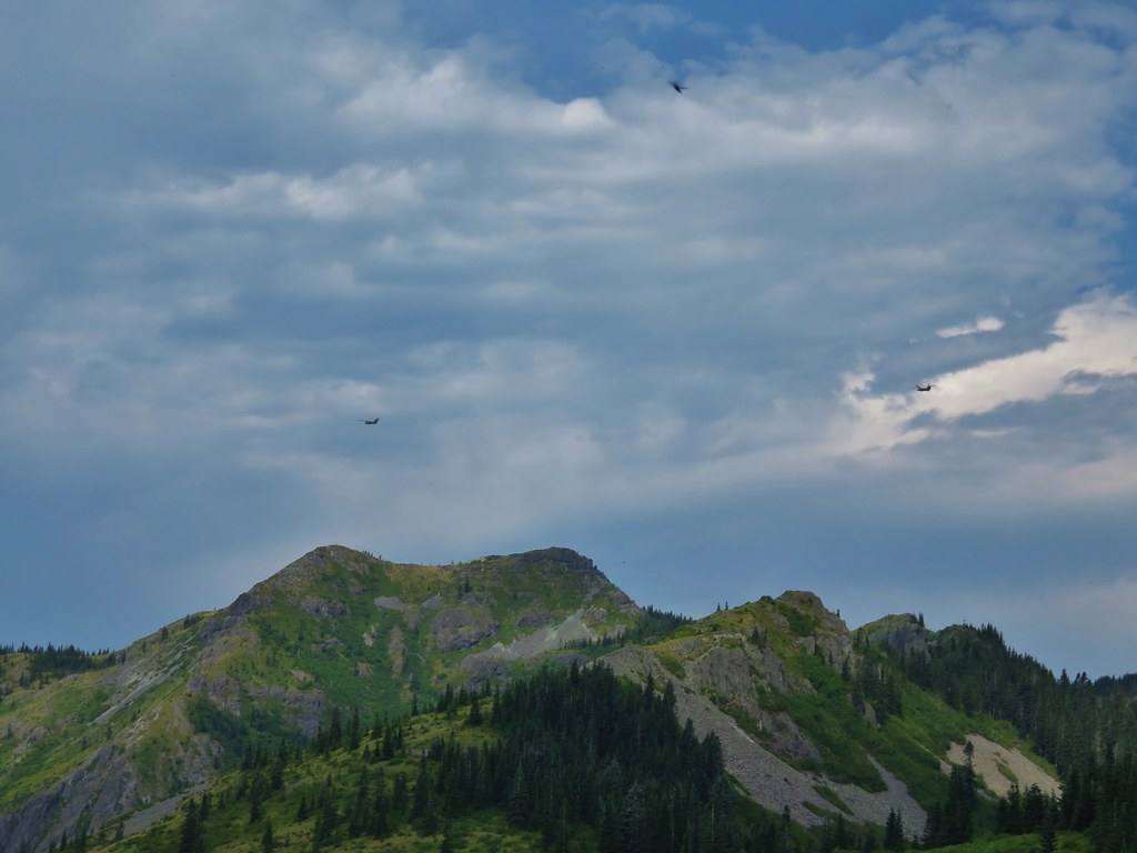
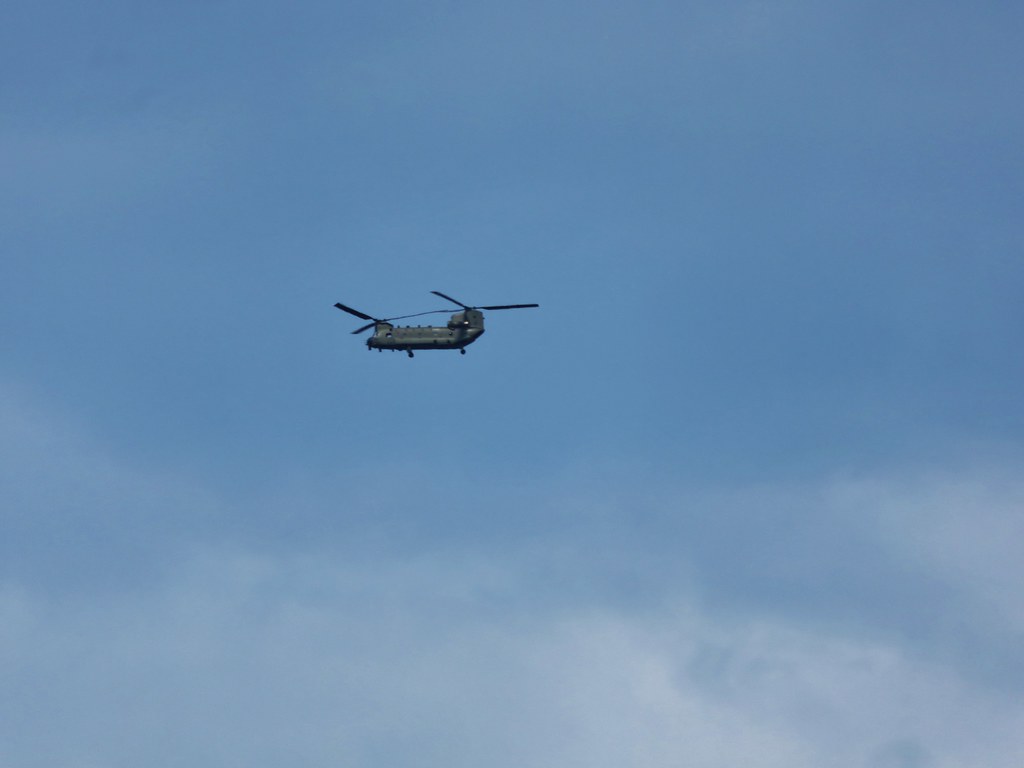
As were were walking we started to hear a loud noise in the distance. At first I thought it might be thunder since the forecast had called for some storms later in the afternoon, but the noise kept growing and getting closer. Heather was the first to identify it as helicopters and then we spotted three of them crossing the sky above Silver Star.
IMG_5003

IMG_5005

IMG_5007

At the 5 mile mark we reached the junction with the Starway Trail. This trail starts on the same Forest Service Road as the Bluff Mountain Trail but at an elevation almost 2000′ lower and is reportedly difficult to follow due to light usage and maintenance. We had watched for the trailhead during the tedious drive along road 41 but were unable to spot it on the way up or back down in the afternoon.
IMG_5033

We were now on the final half mile section of the Bluff Mountain Trail before its end at the Silver Star Summit Trail. The trail skirted along the ridge amid wildflower covered slopes and mountain views.
IMG_5047

IMG_5042

IMG_5053

IMG_5054

IMG_5058

IMG_5076

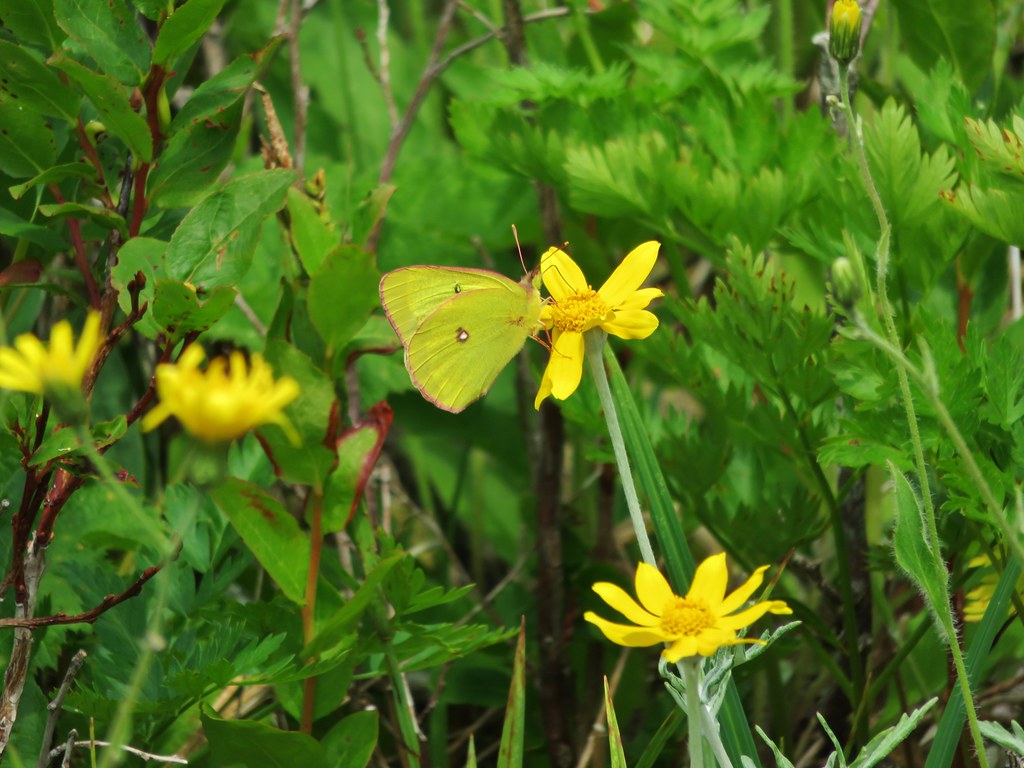
I had been trying to get one of the many lighter colored butterflies to land long enough for a picture and finally a pink-edged sulpher landed long enough for one.
IMG_5050

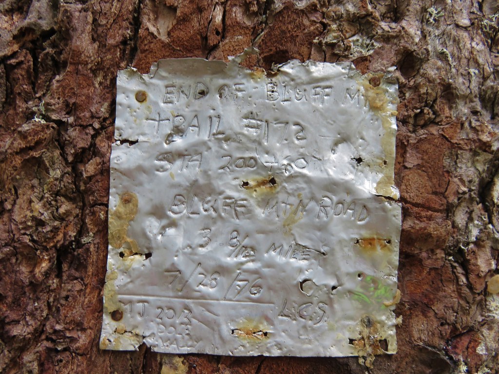
As we neared the end of the trail it suddenly forked with the left hand path heading up the hillside while the right hand side turned and began a traverse along a ridge away from the summit. We initially went right due to that fork looking more like an official trail than the left hand fork but we were getting further from the summit and starting to lose some elevation. I checked the map then the GPS unit and decided we should have taken the narrower left hand fork up so we hiked back and took the other path up to a camp site next to an old road that serves as the Silver Star Summit Trail. The only sign in the area was a small metal plate attached to a tree at the campsite.
IMG_5079

We turned up the old road and headed for Silver Stars dual summits.
IMG_5081

IMG_5083

The views are great all along the long summit of the mountain. Our route was laid out below us all the way to the large dirt parking area where we’d left our car that morning.
IMG_5085

IMG_5087

On our previous visit we had visited the southern summit first so this time we headed for the northern rocky summit where a lookout tower once stood.
IMG_5097

IMG_5099

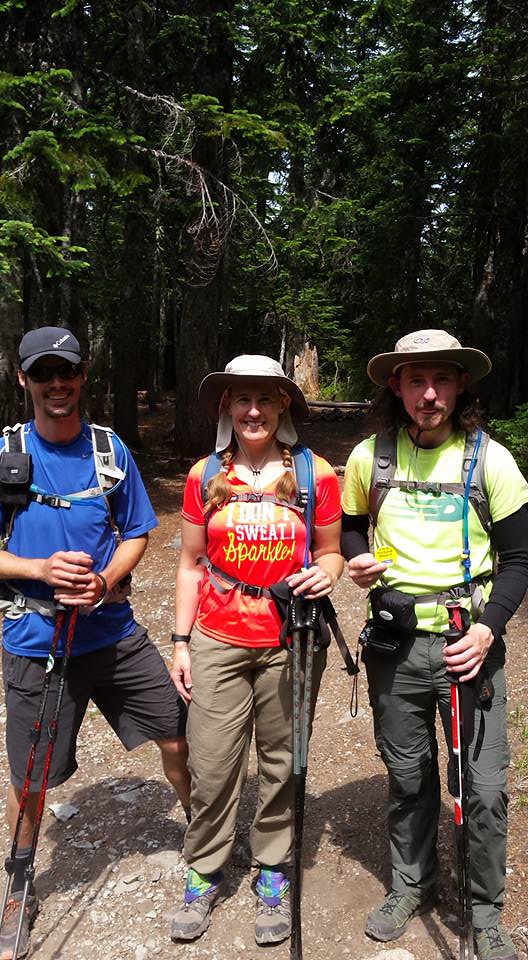
We took a seat on the rocks and ate the potato chips we’d brought along for their extra salt. They really hit the spot after all the hot climb we’d just finished. While we were relaxing and enjoying the view another pair of hikers arrived. I noticed a yellow button hanging from one of their packs and thought it might be a “I’m A Portland Hiker!!” button that some of the members of Oregonhikers.org (formerly Portlandhikers.org) had. It turned out to be miah66 from the forum and a friend who had come up the Silver Star Trail and was planning to return via Ed’s Trail. This was the second time that we’d crossed paths with another member of the forum but the first time we realized it at the time. The first time it wasn’t until we saw a trip report posted on the website that we realized we had passed another forum member.

After a nice conversation we headed to the southern summit then started back down the road. As we were starting to turn into the campsite and the start of the Bluff Mountain Trail miah66 caught up to us. He had realized that he had an extra button which he was nice enough to gift us. After a group photo it went straight on my pack.
1509012_857108270991212_1645144033841294853_n

It was a warm hike back to the car but the views and the butterflies helped keep our minds off the heat. We arrived back at the car with a little water to spare and a shiny new button. 🙂 Happy Trails!

flickr: https://www.flickr.com/photos/9319235@N02/sets/72157655183073161

Categories
Columbia Gorge North Hiking Trip report Washington

Beacon Rock State Park – The Return to Hamilton Mountain

Almost two years ago we traveled to Beacon Rock State Park to hike the Hamilton Mountain Trail. https://wanderingyuncks.wordpress.com/2013/05/ It was and still is the worst weather that we have ever encountered during a hike. Well enough time had passed and it was time for us to give this hike a second chance. We double checked the weather forecast before heading out which showed some morning clouds clearing up by mid-morning with little to no chance of rain and calm winds. That was good enough for us to give it a go so we got in the car and headed up to the Columbia Gorge once more. For most of the drive we were under a solid mass of clouds but as we headed east along Highway 14 toward Beacon Rock State Park rays of sunlight were shining down on the Columbia River in the distance. The edge of the clouds was just a bit further east than Hamilton Mountain so we decided to warm up on another trail in park, the .8mi Beacon Rock Trail, hoping to give the clouds more time to lift.

Parking for this trail is right along the highway and requires a Discovery Pass which can be purchased at the trailhead (currently $10/a day per vehicle). The trail begins almost directly below Beacon Rock itself.
Beacon Rock Trailhead

After a very short walk through woods the trail begins to switchback up Beacon Rock.
IMG_1584

IMG_1586

In fact the trail switchbacks 52 times on its way up to the top of the rock. (I lost count but that is the number that was on one of the signs at the trailhead.)
Beacon Rock Trail

IMG_1590

When we reached the summit the edge of the clouds was still to the east above Bonneville Dam.
IMG_1593

IMG_1599

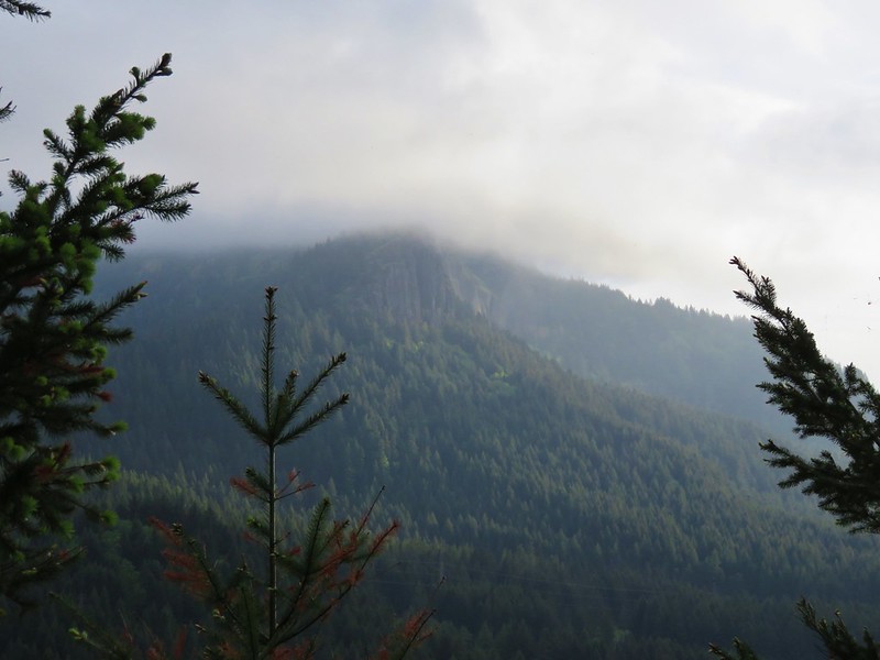
We could also see that Hamilton Mountain still had a cloudy top making us wonder what the conditions would be by the time we got up there.
IMG_1600

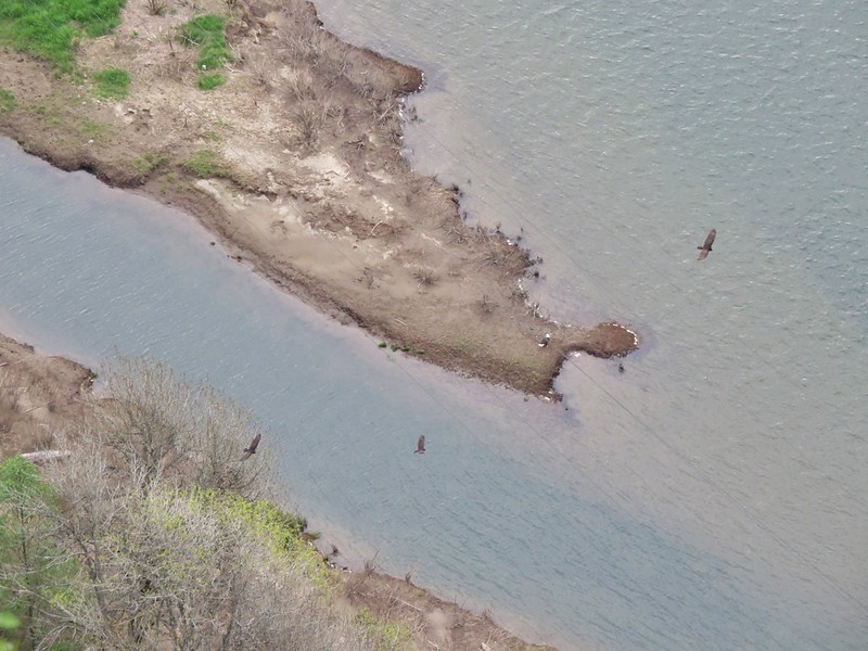
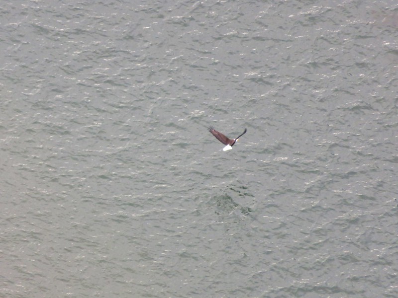
On the way back down we watched a number of Turkey Vultures circling above the river as well as a lone Bald Eagle.
IMG_1605

IMG_1609

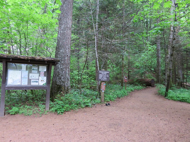
After completing our warm-up we hopped back in the car and crossed the Highway following a campground sign to the trailhead parking area. The trail sets off at a signboard behind the restrooms.
Hamilton Mountian Trailhead

After a gradual .5 mile climb through forest the trail emerges to views of Hamilton Mountain from under some power lines.
IMG_1623

The summit was still in the clouds but they did seem to be breaking up and we still had over 2.5 more miles to climb before reaching the top. After another half-mile a sign announces a viewpoint for Hardy Falls. A narrow path leads down a ridge to a platform that has no view of Hardy Falls at all. The only views are along the ridge prior to reaching the platform, and they are not great.
IMG_1632

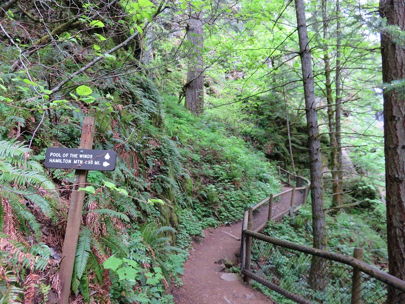
The disappointing viewpoint of Hardy Falls is quickly forgotten after just another tenth of a mile on the trail. Here another sign points up to Pool of the Winds.
IMG_1636

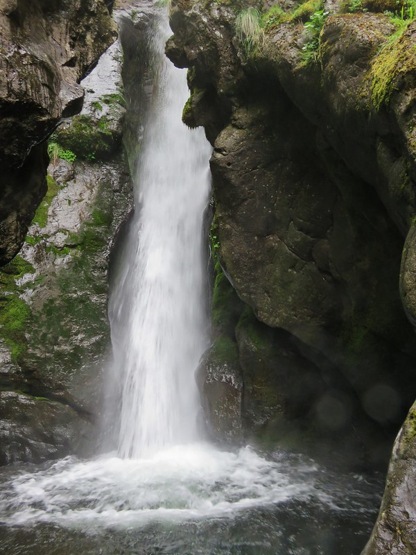
This short path leads to another railed viewpoint, but this time there is really something to see. The upper portion of Rodney Falls splashes into a rock enclosed splash pool. The force of the water falling into the pool combined with the narrow opening in the rocks causes wind to funnel out giving the pool its name.
Pool of the Winds

IMG_1655

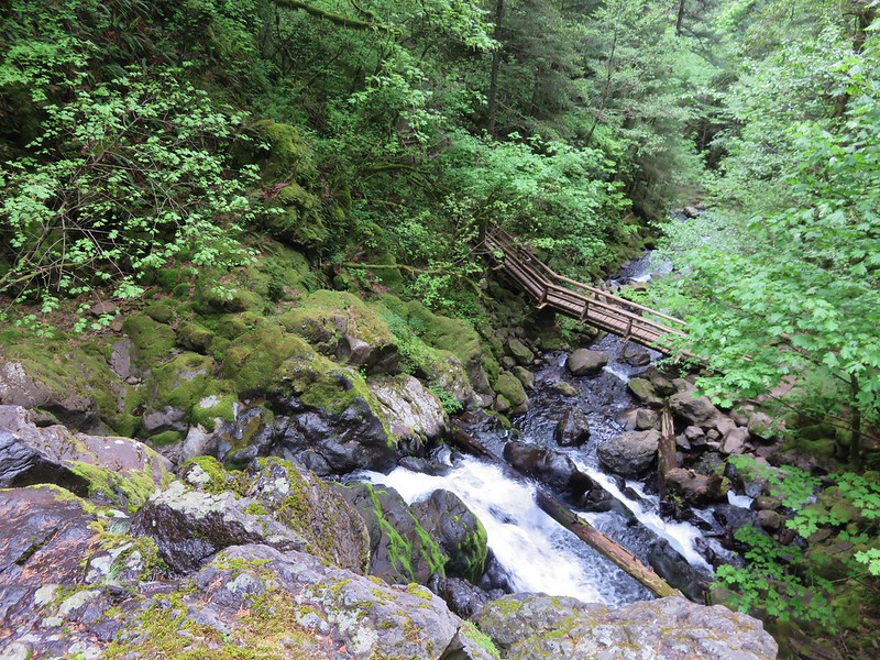
The view down is also nice as the trail crosses the creek on a footbridge below Rodney Falls.
IMG_1650

After spending some time enjoying the pool we continued on the trail passing below the falls. Rodney Falls is one of the more complicated falls we have seen. With the Pool of the Winds at the top followed by several smaller sections and then fanning out at the bottom it just has a lot going on. It also changes directions a couple of times which makes it difficult to capture it all well in a photo.
IMG_1665

Just over a quarter mile from Rodney Falls the trail splits allowing for a loop over Hamilton Mountain.
IMG_1680

We headed right which is the shorter but steeper way to the summit. We tend to prefer to go up rather than down steeper trails because it’s easier on our knees. Heading up the right fork the trail passes an increasing number of meadows where we were met with views and wildflowers. In 2013 the views consisted almost entirely of clouds so much of this we were seeing for the first time.

Beacon Rock from the trail.
IMG_1684

Larkspur
IMG_1683

Chocolate Lily
IMG_1686

Indian Paintbrush
IMG_1687

Phlox
IMG_1690

A side trail to the right leads to a rocky outcrop with even more views.
IMG_1702

Then the trail passes behind a knoll where more trees await.
IMG_1710

Larkspur along the Hamilton Mountain Trail

After making its way around the knoll the trail crosses a ridge between the knoll and Hamilton Mountains summit which looms ahead.
Hamilton Mountain

The view of the Columbia River along this ridge is very nice.
IMG_1718

The trail then begins its final ascent switchbacking up through open meadows of flowers. Larkspur and Chocolate Lilies were the predominate flowers blooming at this time of the year.
Chocolate Lilies

IMG_1723

IMG_1727

As we continued to climb the clouds continued to burn off and Mt. Hood suddenly appeared across the river.
IMG_1735

IMG_1738

To reach the actual summit take a side path to the right near the top of the mountain. Here the view was vastly different from our previous visit.

2013
151

2015
Mt. Hood from the summit of Hamilton Mountain

There were only a few bands of clouds left when we arrived at the summit and in addition to the view of Mt. Hood to the south Table Mountain and some of Mt. Adams were visible to the east.
Table Mountain and Mt. Adams from the summit of Hamilton Mountain

Mt. Adams

We took a short break and watched the clouds as they passed by. A few hikers and some other critters kept us company.
IMG_1785

We continued on the loop looking forward to reaching an exposed ridge that was the site of my infamous poncho battle in 2013. Wind and rain were whipping up and over the ridge on that visit but this time it was just sunshine and flowers.
IMG_1798

IMG_1799

At the far end of the ridge we looked back to soak in the view that we missed the first time.

2013
158

2015
Hamilton Mountain trail

Several paths lead off from the far end of the ridge, but we simply took a sharp left and headed down an old road toward Hardy Creek.
IMG_1809

The road leads downhill for a mile to Hardy Creek.
IMG_1810

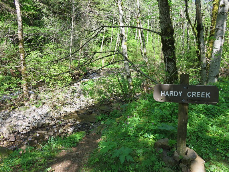
IMG_1811

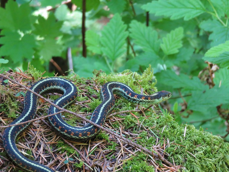
Signs at Hardy Creek point to the 1.1 mile hiker-only trail that completes the loop .3 miles from Rodney Falls. By the time we arrived back at the falls a steady stream of people were coming up from the trailhead. We were once again glad we’d gotten an early start and made our way past a traffic jam at the footbridge. With the number of hikers and dogs coming up the trail we were surprised when Heather spotted a garter snake on the path. It took cover in a stump but then came out to take a closer look at us.
IMG_1817

IMG_1821

We were really happy with the way this hike turned out. We had gotten the views we’d missed out on during our previous visit and the Beacon Rock warm-up was entirely new. Another great day in the Pacific Northwest. Happy Trails!

Flickr: https://www.flickr.com/photos/9319235@N02/sets/72157652309236702/

Categories
Columbia Gorge North Hiking Trip report Washington

Lacamas Park

We officially kicked off our hiking season this past week, a week earlier than we had originally planned. We got things started by attending a slide presentation by Adam Sawyer author of “Hiking Waterfalls in Oregon”. He covered several waterfalls some we’d been to and others that we have yet to visit. We wound up adding one of the falls to this years schedule after realizing one of our planned hikes would have us driving right past the short path to Panther Creek Falls. The presentation got us excited about getting back out on the trails, and when we saw that the weekend forecast was for sunny skies and 70 degree temperatures coupled with reports of the camas blooms hitting their peak we decided to move our Lacamas Park hike up a week.

Lacamas Park is located in Camas, WA and is a much more urban setting than we are used to on our hikes, but it offers plenty of trails with very minimal elevation gain which we were looking for due to Heather having just run a half-marathon the previous week. In addition, a series of lily fields bloom in the park in April and early May (most years) and there are several visitable waterfalls. We began our hike at the Lacamas Heritage Trail located at the north end of Lacamas Lake.
IMG_0982

This 3.5 mile path squeezes between Lacamas Creek then Lake and a golf club and private homes. The gravel path also passed several benches and interpretive signs listing some of the plants and animals that might be spotted in the area.
IMG_1008

The area was full of birds, some we saw and others we just heard singing away in the crisp morning air.
IMG_0993

IMG_0999

IMG_1031

IMG_1035

There were also plenty of flowers along the trail.
IMG_1012

IMG_1014

IMG_1019

IMG_1027

IMG_1029

IMG_1001

The lake began to widen as we traveled along and would have offered a pretty nice view of Mt. Hood but the sky was oddly hazy so we could only make out the mountains silhouette beyond the far end of the water.
IMG_1036

It turns out the haze was likely caused by massive fires in Siberia and possibly a dust storm in China when the jet stream picked up the smoke and dust particles and delivered them across the ocean to the Pacific North West.

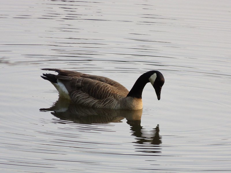
As the lake widened we spotted several ducks and geese.
IMG_1048

IMG_1055

IMG_1060

The Lacamas Heritage Trail ends at Camas Hertiage Park at the southern end of the lake but just across Highway 500 lay Round Lake and Lacamas Park. We crossed the road at a stoplight and entered the park.
IMG_1065

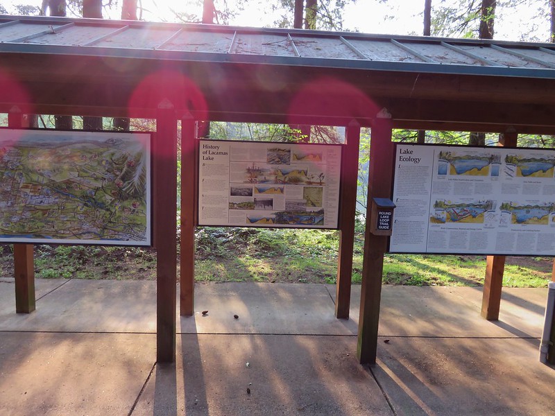
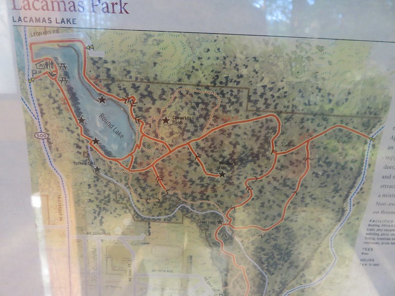
A series of signboards in the park gave all kinds of information on the area as well as a trail map of the park.
IMG_1072

IMG_1073

We looked over the map which agreed fairly well with the one in our guidebook and headed off on the Round Lake Loop
IMG_1076

We crossed over the Round Lake dam and immediately realized that this was going to be a more confusing hike than what the maps had shown. There were several different trails heading off in various directions, all looking fairly well used. This wound up being the case throughout the park and even though there were a good number of signs the profusion of trails sometimes made it difficult to tell which trails the signs were referring to. We knew that we wanted to follow Lacamas Creek down to The Potholes so we picked the trail which seemed to be heading in the right direction and followed the creek. We found The Potholes easily enough and the water was really flowing.
IMG_1081

IMG_1088

A short distance from The Potholes we entered a field of flowers.
IMG_1092

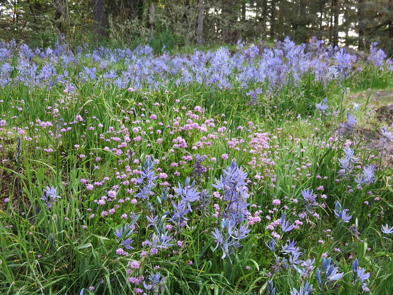
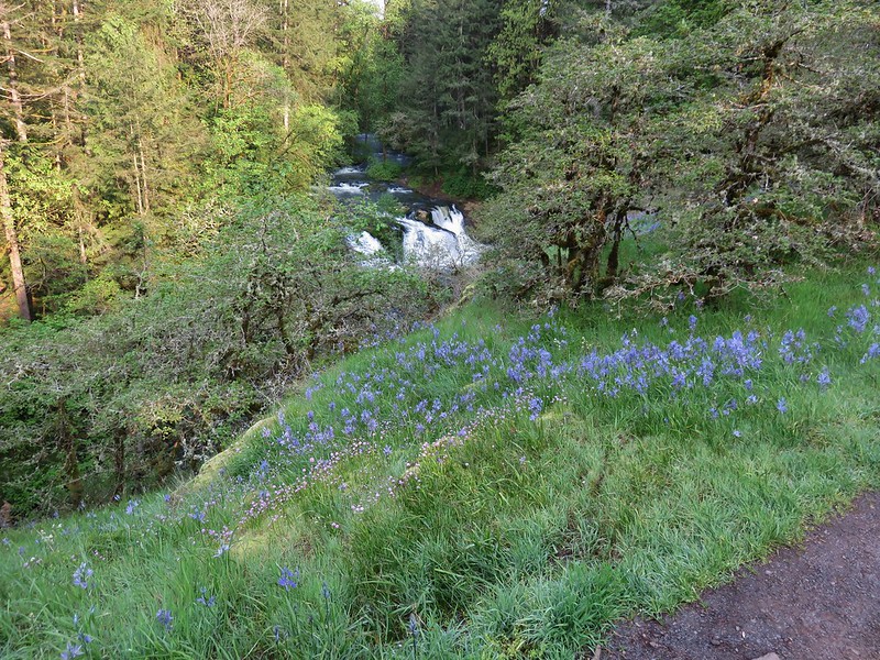
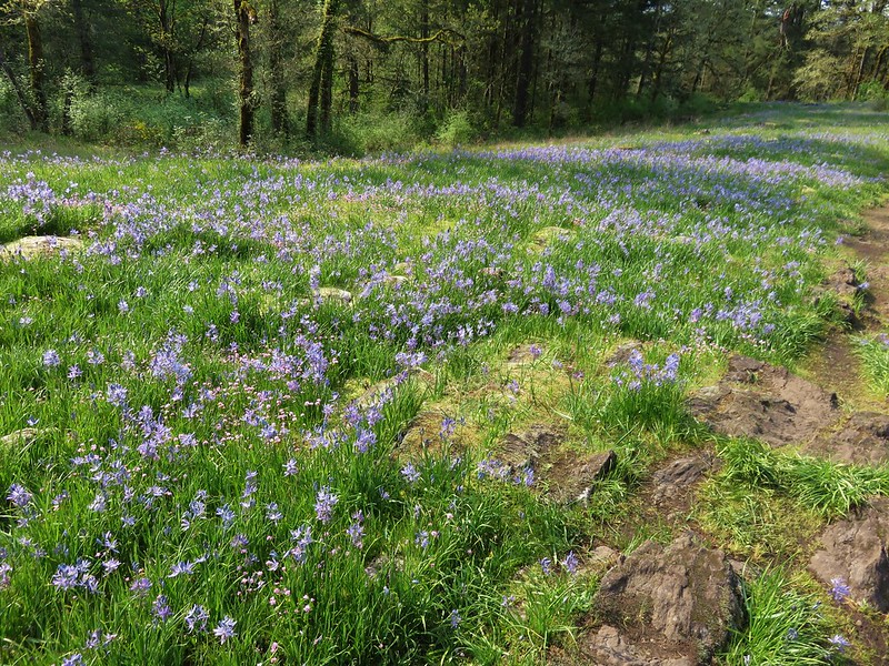
Mostly camas and plectritis, the meadow offered a nice view back to The Potholes.
IMG_1101

IMG_1110

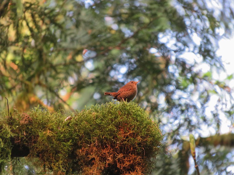
We continued on toward Lower Falls. The trail left the creek for a bit and passed through a forested section where we were serenaded by a little wren.
IMG_1125

IMG_1130

IMG_1134

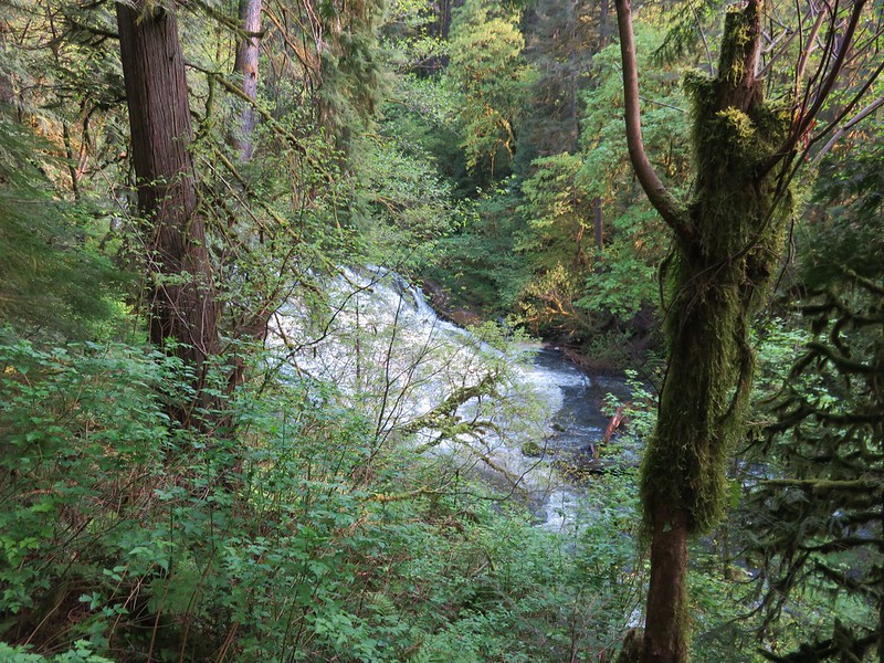
At Lower Falls a footbridge crosses the creek, another possible starting point lays beyond, but to complete the loop we needed to stay on the east side of the creek. We did cross the bridge hopping for a better view of the falls but couldn’t find one.
IMG_1153

It appears we may have found one if we had stayed on the east side and explored further downstream, but when we returned to that side we just continued the loop which now lead away from the creek. We managed to find the correct trails and passed through a forested section of the park on a .4 mile path to an old gravel road. We turned left on the road and quickly spotted a sign announcing the lily field loop on the right.
IMG_1170

Before we took that loop we wanted to visit Woodburn Falls which was located off a left hand spur trial just a bit further up the road. This trail too was identified by a sign.
IMG_1154

The short trail led down to a pretty 20 foot waterfall that usually dries up after June each year. For our visit the water was flowing nicely making it a scenic little spot.
IMG_1157

IMG_1165

After visiting the falls we returned to the gravel road and backtracked to the start of the lily field loop. The first lilies we saw were white fawn lilies along the trail.
IMG_1172

Then we came to the first lily field. It had both fawn and camas lilies but not in the numbers I had been expecting to see.
IMG_1183

IMG_1187

We passed through a couple of these small meadows and I was beginning to think I had been mislead about the flowers when the path entered a larger field. Camas lilies carpeted the hillsides on either side of the path.
IMG_1197

IMG_1200

IMG_1203

The trail passed through a number of these meadows each full of camas flowers.
IMG_1222

IMG_1228

After the final field the trail dropped back down to the Round Lake Loop Trail just a short distance from Round Lake. We completed the loop and recrossed the highway to get back to the Lacamas Heritage Trail for the final 3.5 miles of our hike. It was a little before 11am when we started back on the Heritage Trail and the day had warmed up nicely. We had given ourselves a mission on the final leg – to keep a lookout for turtles. We had yet to see a turtle on any of our hikes, or at any point in the wild for that matter, and had just read an article about their presence in the park we often take our runs in. The interpretive signs along the lake mentioned turtles so we knew we had a chance of seeing one so we set off watching for anyplace that looked like a good spot for a turtle. We were keyed in on the logs in the water which were playing host to some animals at least.
IMG_1236

IMG_1246

We’d gotten almost to the end of the lake where it looked more shallow and was full of lily pads when Heather spotted it – our first turtle.
IMG_1249

We were staring at it for awhile before we realized that not far away on another log were more turtles. In fact there were turtles on a bunch of logs.
IMG_1253

IMG_1267

IMG_1266

Seeing the animals is one of the things we like about hiking and the first time you see one is extra special, especially when it’s one you’ve been looking for for awhile. We pulled ourselves away from the turtle bonanza and continued on the trail. Before we were finished we saw one more animal for the first time. A greater yellowlegs searching for food in the water.
IMG_1276

We probably saw more people on this hike than any of the others we’ve done save maybe at Multnomah Falls but we didn’t mind as it had a lot to offer. We managed to get 12.4 miles of hiking in, saw 3 waterfalls, some great wildflowers, and lots of wildlife. With all the options and access points Lacamas Park is a handy place for anyone to get outside and enjoy some scenery. Happy Trails!

flickr: https://www.flickr.com/photos/9319235@N02/sets/72157651646192359/

Categories
Columbia Gorge North Hiking Trip report Washington

Columbia Hills State Park

Spring came early to the Pacific Northwest and many of the flowers are running a week or two ahead of schedule so I’d been keeping my eye on the wildflower situation in the Columbia Gorge. Recent trip reports from the east end of the gorge showing the flowers out in force, a promising forecast, and a free day at Washington State Parks made for a combination that I just couldn’t pass up. Due to Heather training for the upcoming Corvallis half-marathon she was unable to accompany me this time, but my parents were able to join me for three short hikes in Columbia Hills State Park.

The park is located in Washington just across the Columbia River from The Dalles, OR and encompasses 3,338 acres offering rock climbing, fishing, sailboarding, and many other activities in addition to the hiking trails. We started our day off at Horsethief Butte, a rocky outcrop left over from an ancient basalt flow popular with rock climbers.

Basalt cliffs on the opposite side of Highway 14 from the trailhead.
IMG_0561_stitch

The trail starts off with a nice view of Mt. Hood over The Dalles.
IMG_0554

IMG_0580

The trail crosses a short section of flat grassland before splitting with the left fork heading up into a canyon of Horsethief Butte and the right fork leading around the mesa to rejoin the left fork on the far end of the canyon. There were a variety of flowers to be seen along this portion of the trail.

Manroot
IMG_0616

Bugloss fiddleneck
IMG_0617

Death camas
IMG_0623

Prarie star
IMG_0631

Large-flower triteleia
IMG_0578

Western stoneseed
IMG_0581

Larkspur
IMG_0584

Desert parsley
IMG_0619

When the trail split we took the left hand fork and headed for the canyon. At Horsethief Butte the dirt trail gave way to a short rock scramble up to the canyon entrance. At the top of the scramble the canyon opened up to reveal a good sized slot dotted with yellow balsamroot flowers.
IMG_0586

IMG_0589

Members of the Mazamas, an outdoor group based out of Portland, were busy setting up and climbing among the rocks.
IMG_0597

At the far end of the canyon the view opened to the Columbia River and Mt. Hood.
IMG_0596

IMG_0598

Here the trail dropped out of the canyon (without a rock scramble) to rejoin the right-hand fork. Before heading back we turned left and continued another quarter mile behind the butte to a viewpoint where poison oak patches were growing.

Poison Oak
IMG_0615

We headed back and completed the loop with Mt. Hood looming to our left.
IMG_0626

Next we headed to the Dalles Mountain Ranch, a short 4.5 mile drive away. To get there we drove 1.8 miles west on Hwy 14 and turned right on Dalles Mountain Road for another 2.5 miles to a fork. The trailhead for the ranch was to the right about .2 miles. Here an abandoned farmhouse and other buildings sat amid fields of balsamroot and lupine.
IMG_0634

We explored the area around the farmhouse first where several pieces of old equipment were on display along with the flowers and views of Mt. Hood and distant Mt. Jefferson.
IMG_0635

IMG_0653

IMG_0665

IMG_0666

There were also a couple of trail options. I wandered down to Eight Mile Creek through a spectacular field of balsamroot and lupine.
IMG_0668

IMG_0684

IMG_0681

IMG_0688

Our final stop was another short 1.4 mile drive up Dalles Mountain Road where a gate marked the end of the drive and the start of the Columbia Natural Area Preserve.
IMG_0693

We set off on the 2.5 mile hike up the closed road that would led us to the summit of Stacker Butte. Entire hillsides were covered in yellow from the balsamroot with a smattering of other flowers thrown in.
IMG_0713

IMG_0704

IMG_0716

IMG_0718

The total climb was a little over 1100′ but it was never too steep and the sweeping views drew attention away from the climb.
IMG_0720

IMG_0719

It was interesting to note the change in the mix of flowers as we climbed. Along the lower portion balsamroot and lupine dominated with a few prairie stars mixed in. A little higher up we ran into paintbrush and phlox.
IMG_0751

IMG_0767

IMG_0776

Next came larkspur and big-head clover.
IMG_0778

IMG_0797

Flowers weren’t the only things we spotted. There were numerous birds and a few deer in the area.
IMG_0783

IMG_0855

IMG_0844

We had lost our views of Mt. Jefferson and Mt. Hood to the clouds, but when we reached the summit of Stacker Butte new views opened up. To the NW Mt. Adams was mostly obscured by a line of clouds, but Mt. Rainier and Goat Rocks were virtually cloud free.
IMG_0879

IMG_0885

IMG_0865

Almost directly below us lay Stacker Canyon where the Klickitat Rail Trail follows Swale Creek toward the Klickitat River, a hike we had done last April. https://wanderingyuncks.wordpress.com/2014/04/27/klickitat-rail-trail-swale-canyon-from-harms-rd/

IMG_0875

IMG_0876

It was a little too windy (and chilly) to spend much time at the summit so after a quick snack break near an air control wigwam we headed back down the road.
IMG_0860

On our way down I got my first butterfly pictures of the year.

Sheridan’s Hairstreak
IMG_0899

Blue Copper
IMG_0936

With all of the options Columbia Hills State Park has to offer it makes a great place to spend a day outdoors, especially during the spring flower bloom. There are ticks and rattlesnakes in the area in addition to the poison oak so you’ll want to pay attention if you visit, but don’t let that stop you from checking this park out. Happy Trails!

flickr: https://www.flickr.com/photos/9319235@N02/sets/72157649434751593/