Categories
Hiking Medford/Ashland Area Oregon Trip report

Grizzly Peak and Beaver Dam Trail

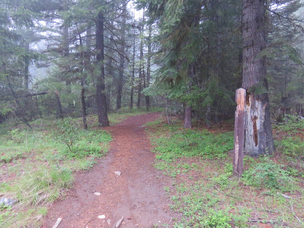
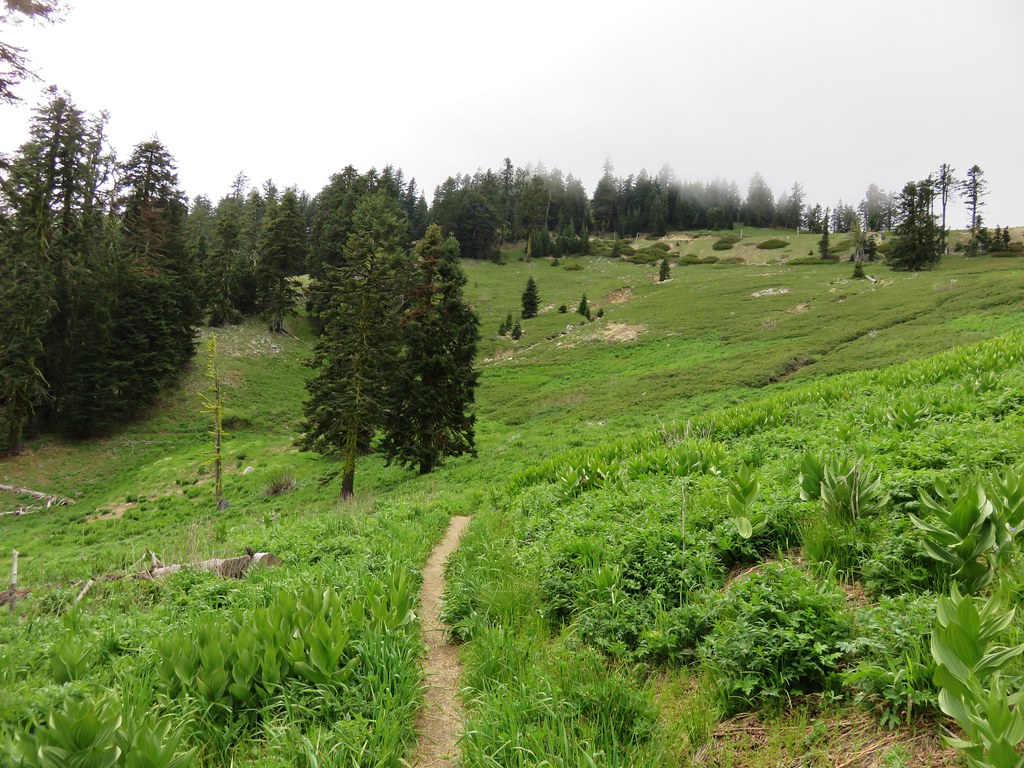
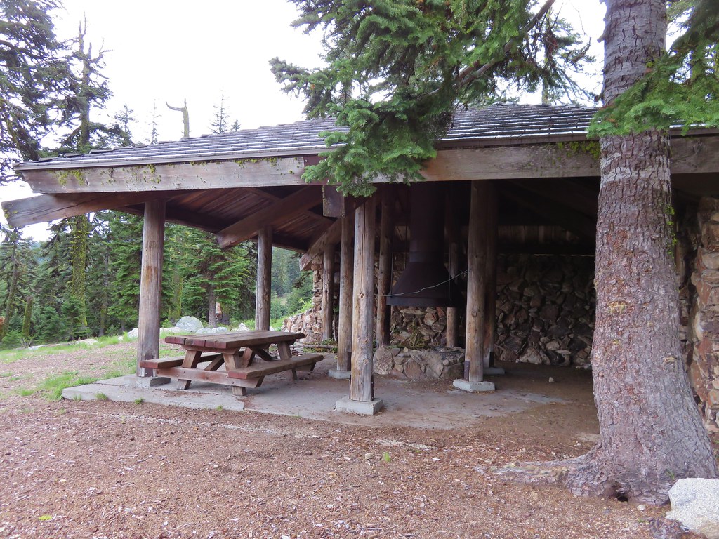
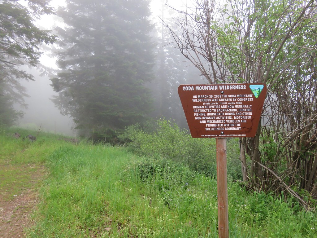
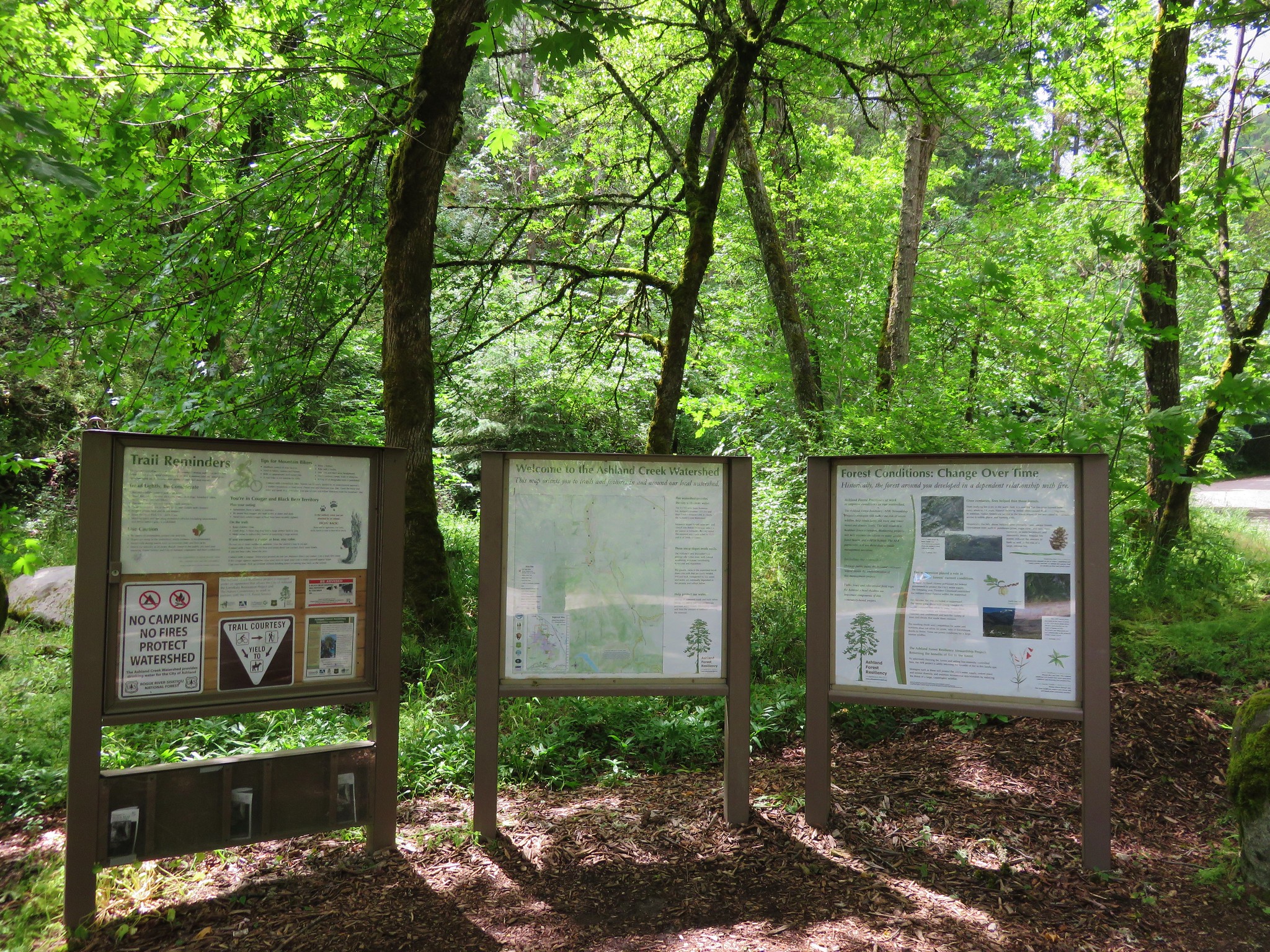
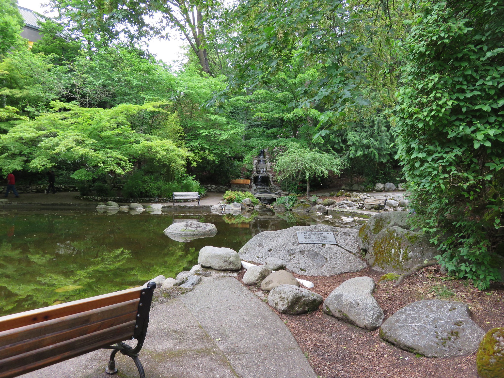
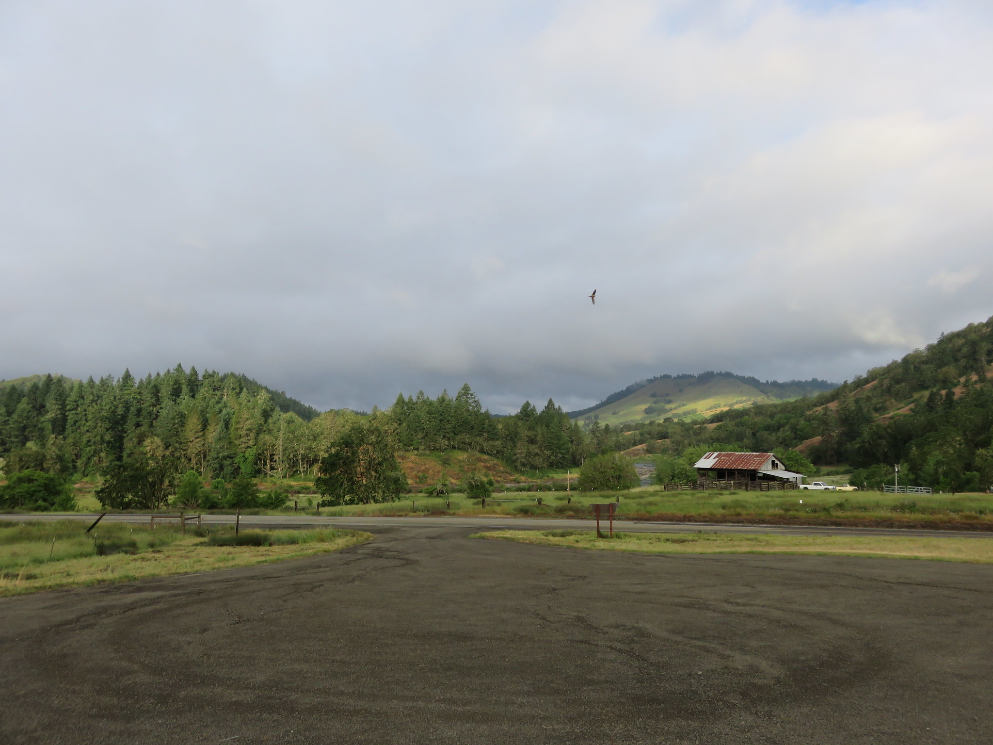
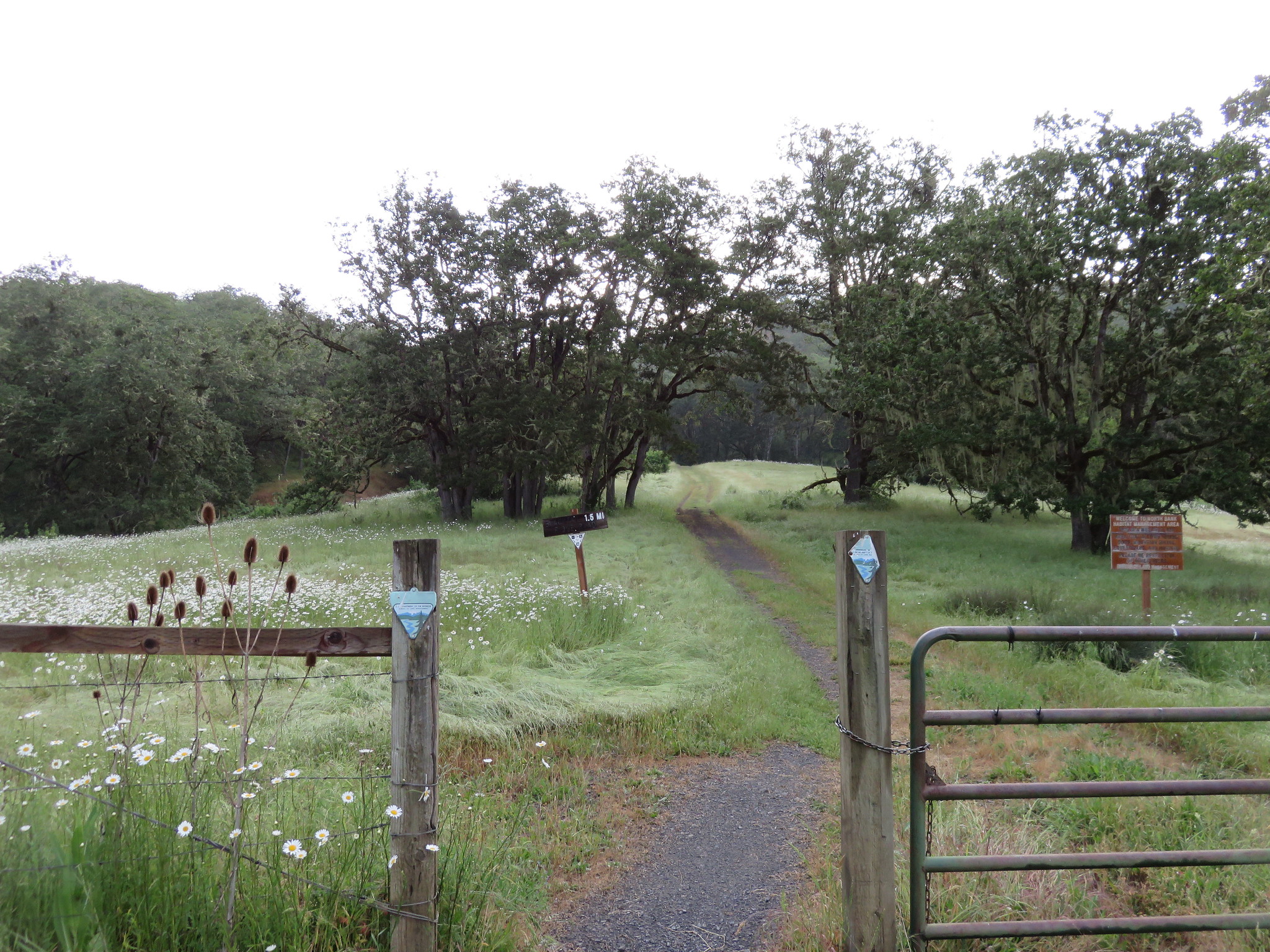
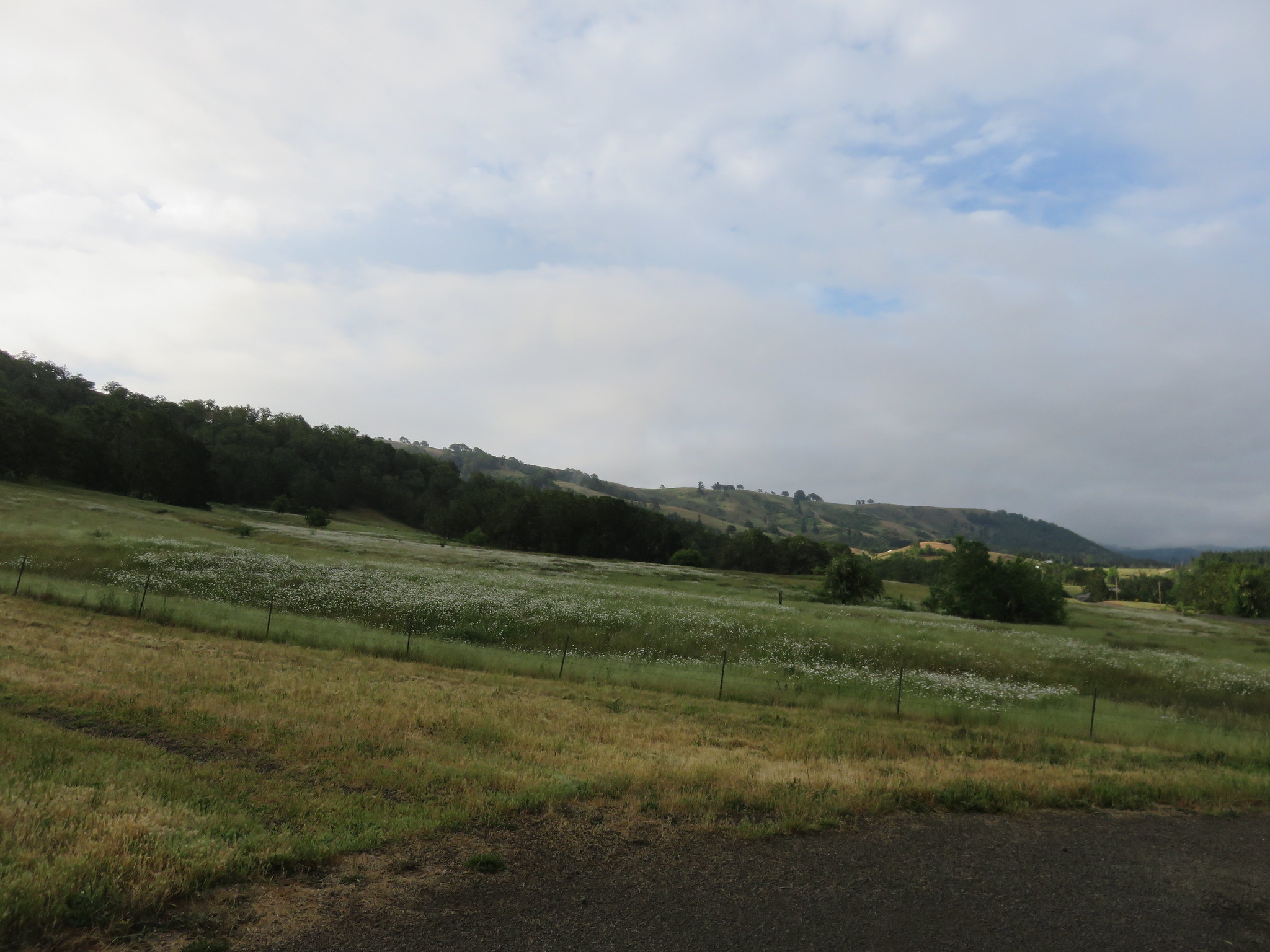
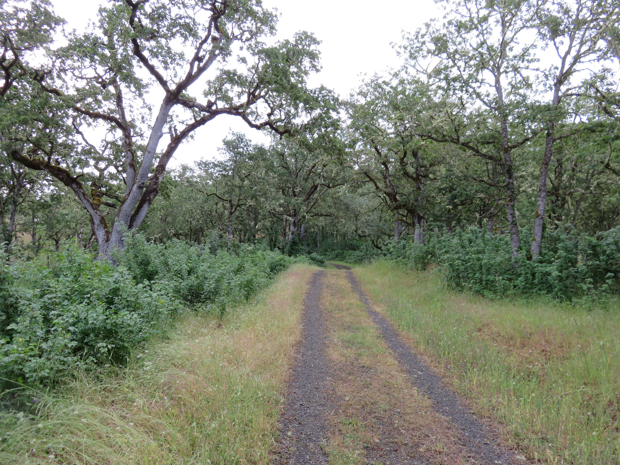
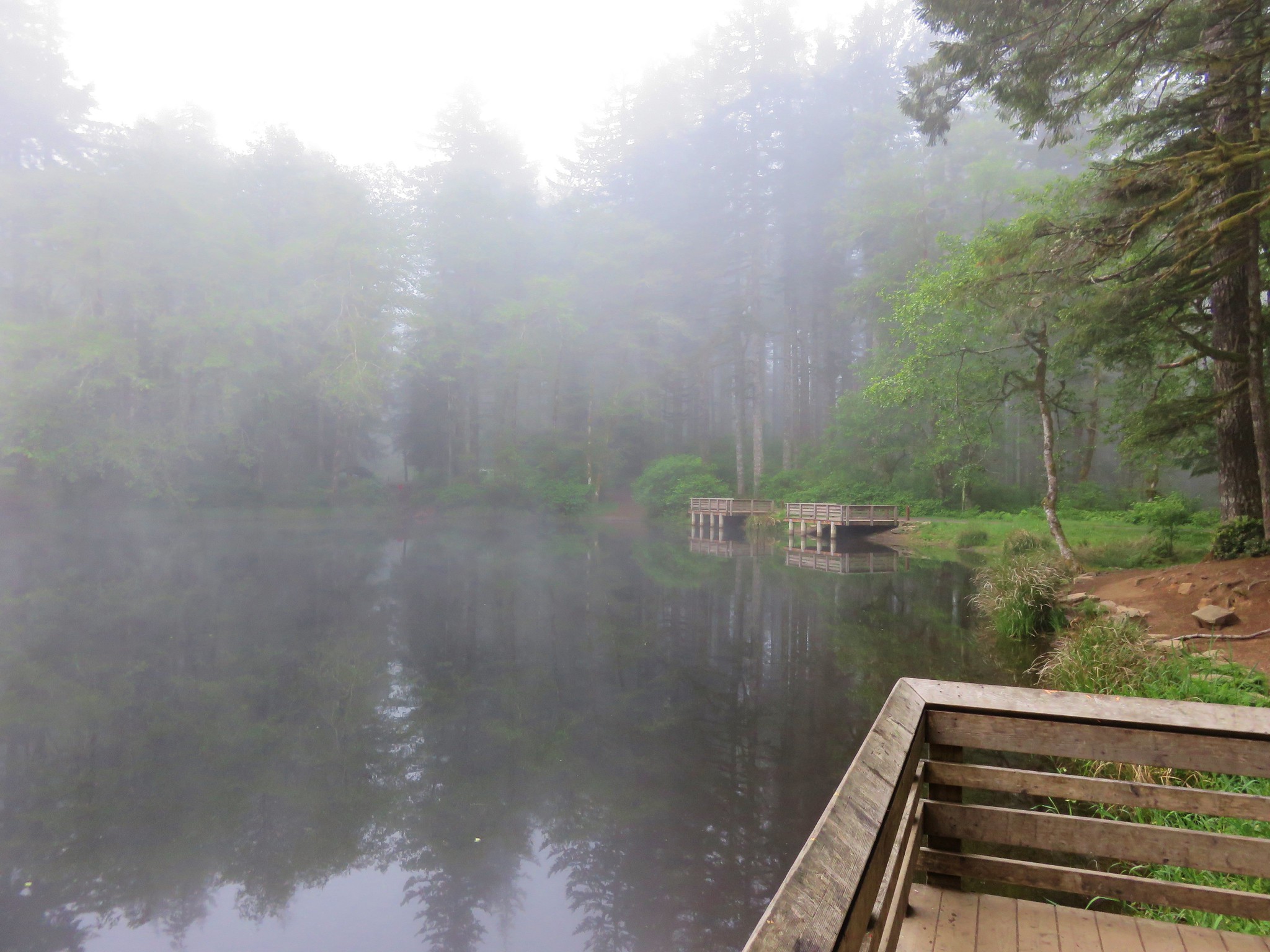
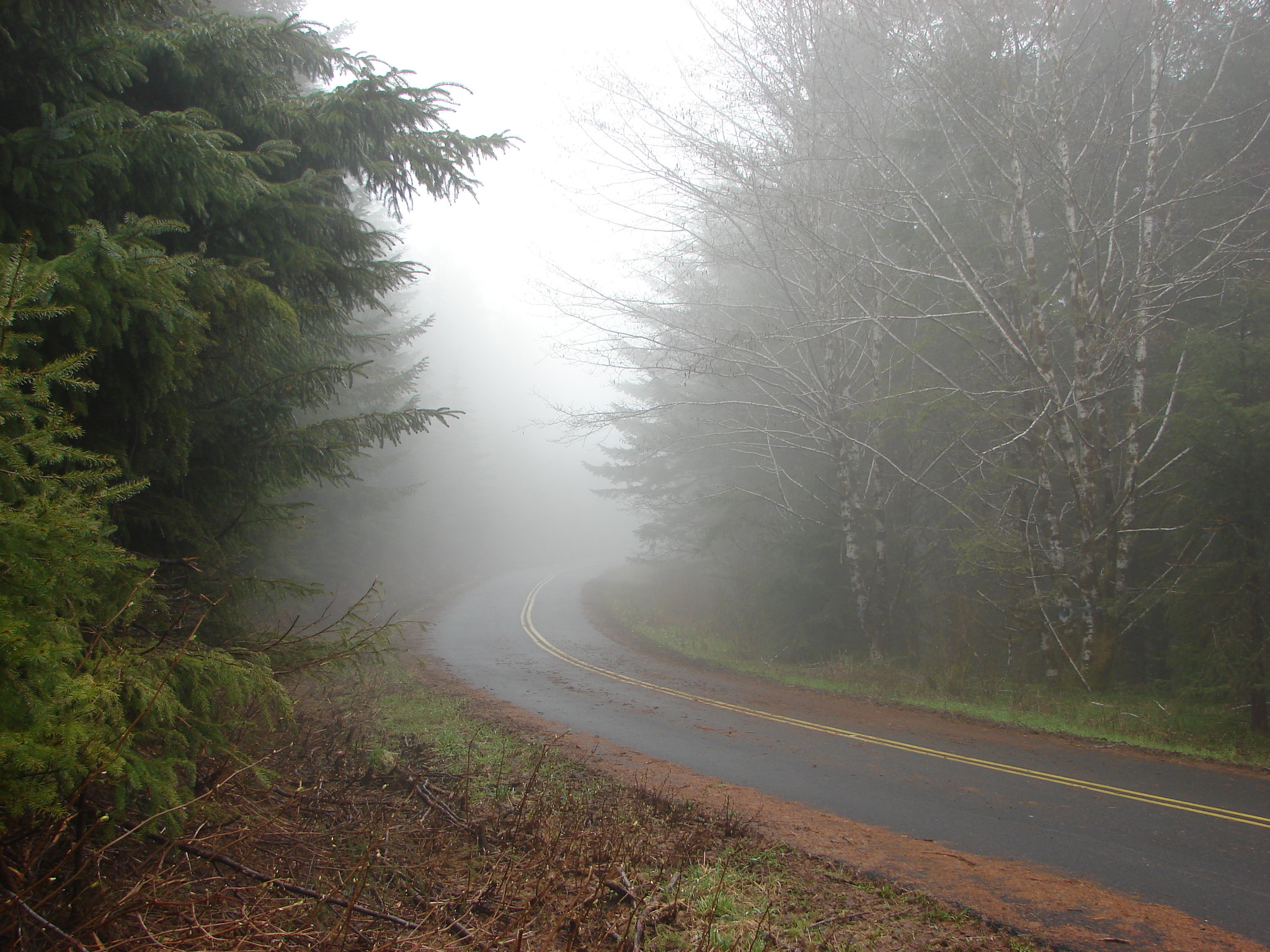
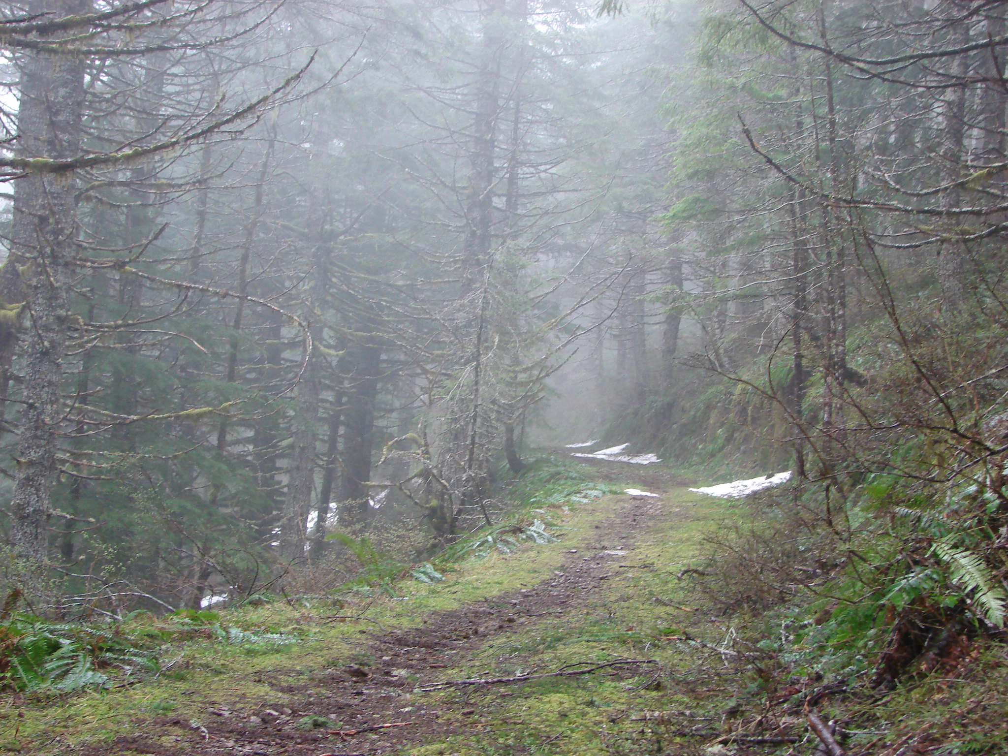
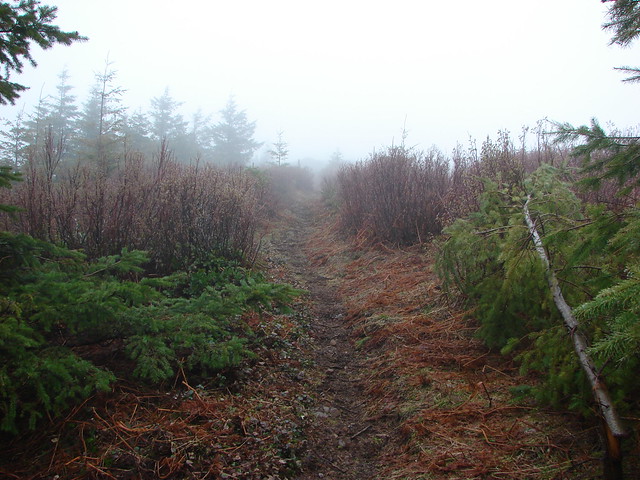
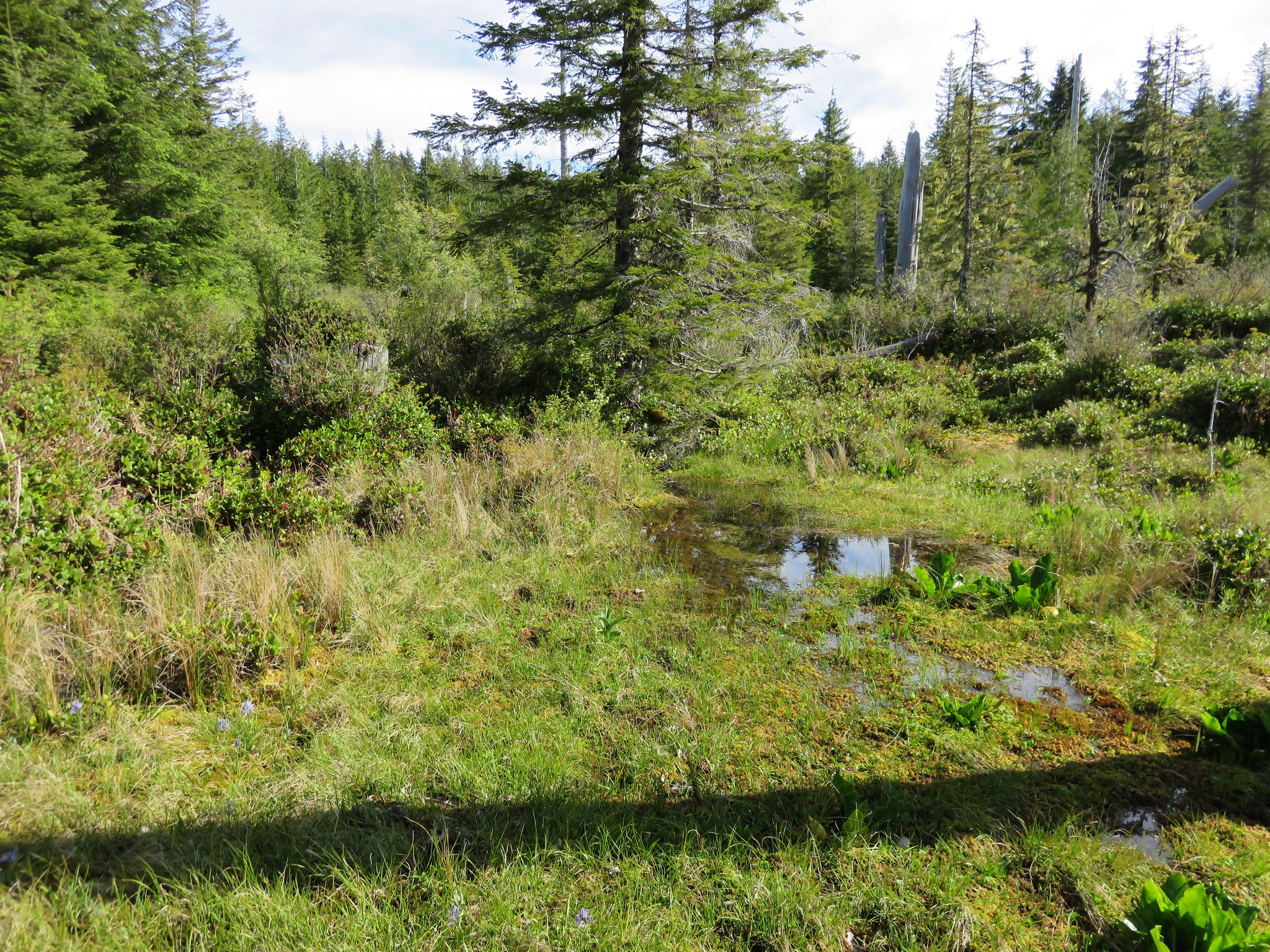
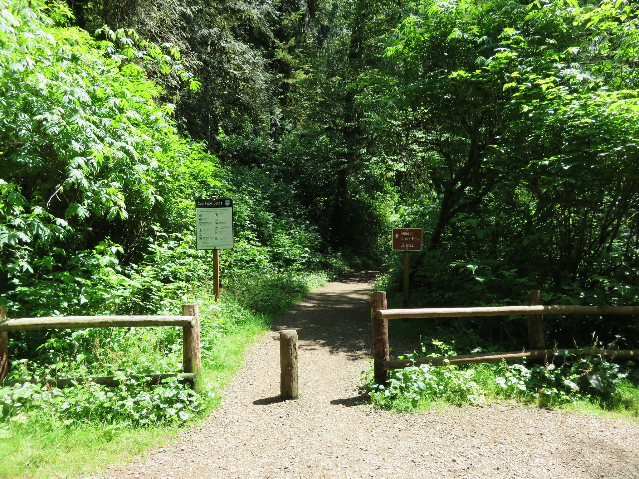
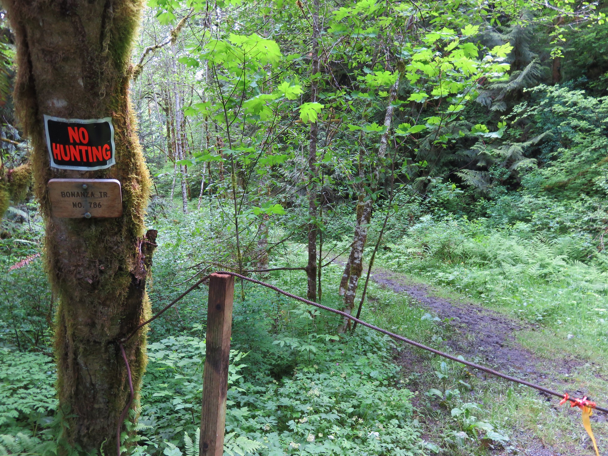
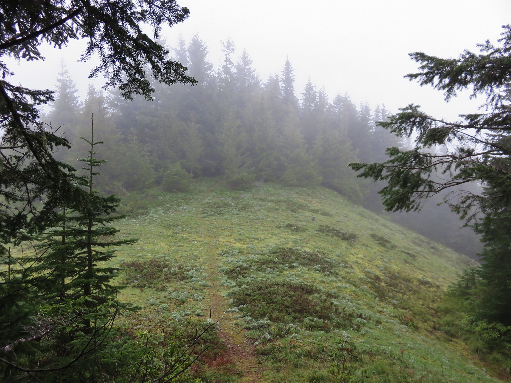
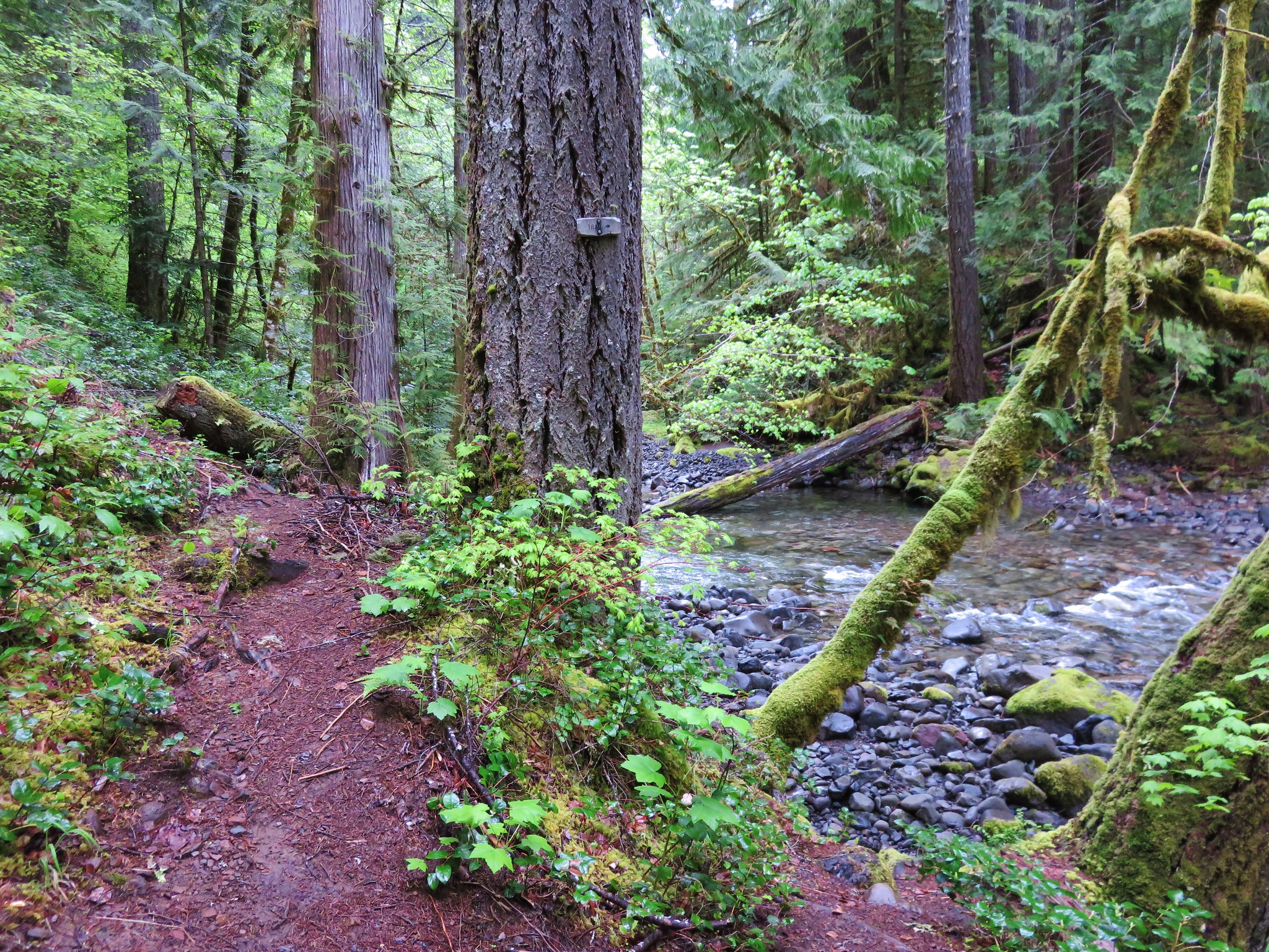
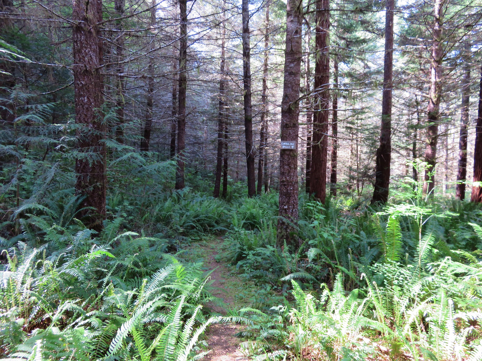
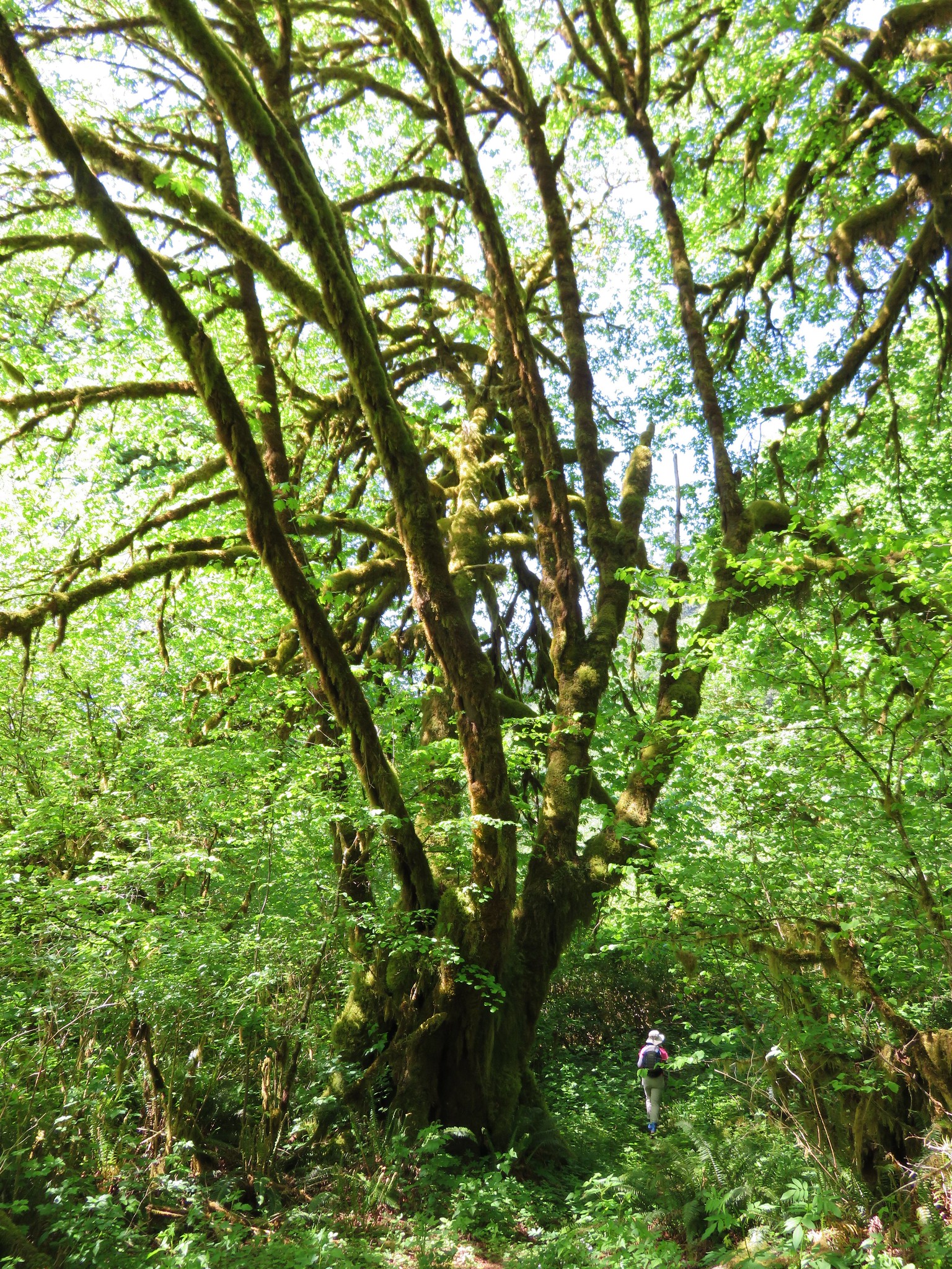
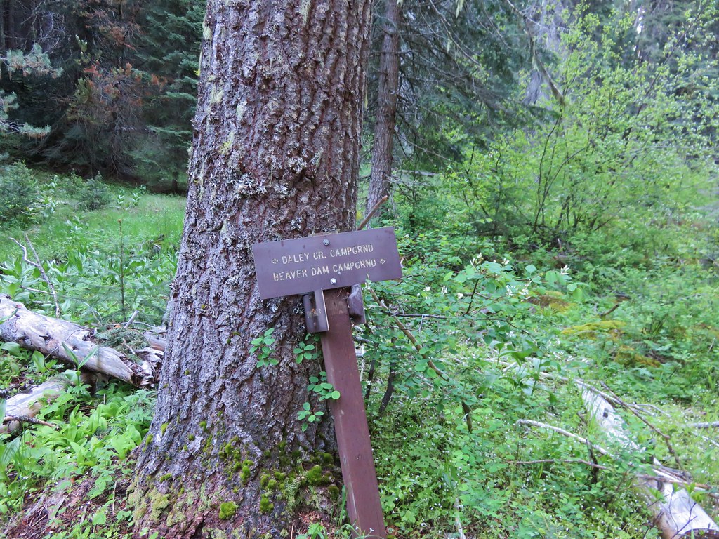
Friday it was time to head home and we had originally planned a shorter hike up Grizzly Peak. The Grizzly Peak Trailhead is located off of Dead Indian Memorial Highway. From the Green Springs Inn where were staying we could take Hyatt Prarie Rd. between Hwy 66 and Dead Indian Memorial Hwy avoiding the windy drive back down into Ashland. We noticed the 2.1 mile Beaver Dam Trail was close to where we would come out on Dead Indian Memorial Highway from Hyatt Prarie Rd. so we decided to start our final day with that hike prior to Grizzly Peak. The trail started at the Daley Creek Campground which we surprisingly found gated closed. We could see a trail sign just on the other side of the gate so we parked on the shoulder and headed down.
IMG_3738

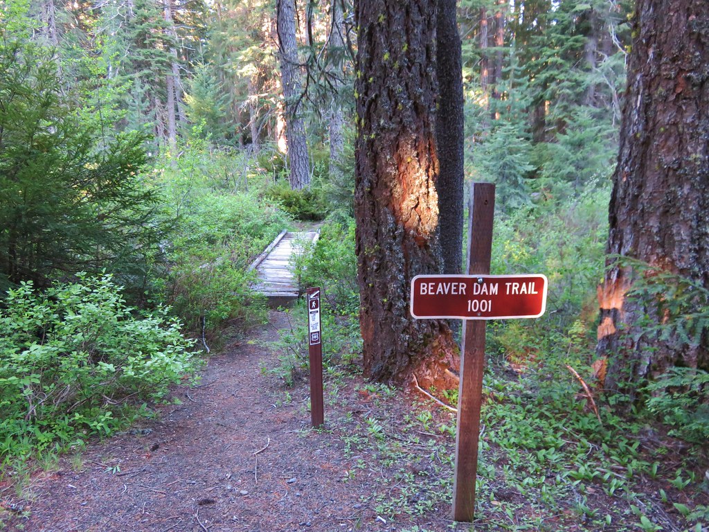
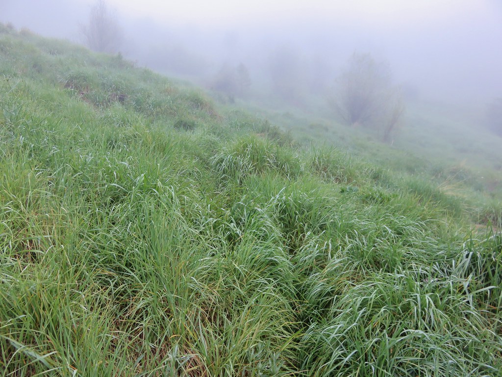
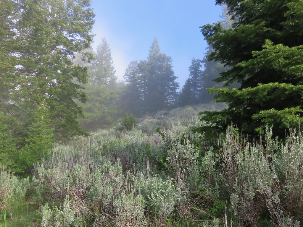
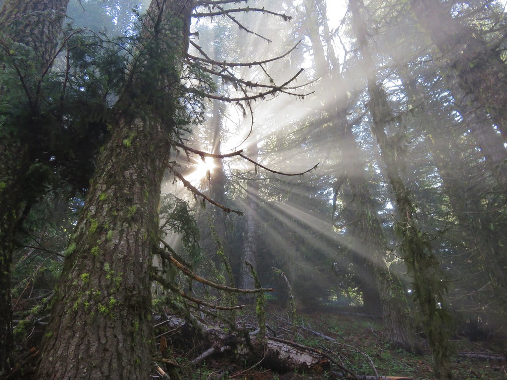
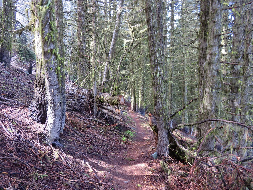
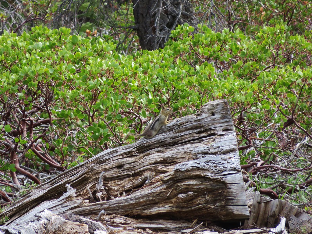
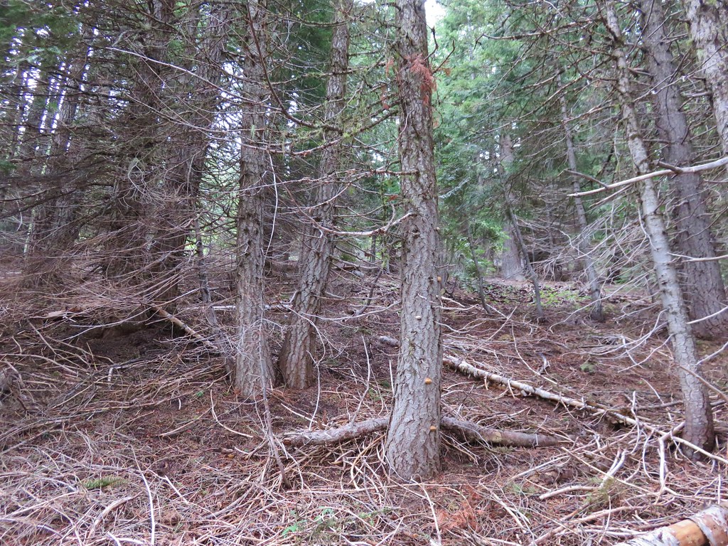
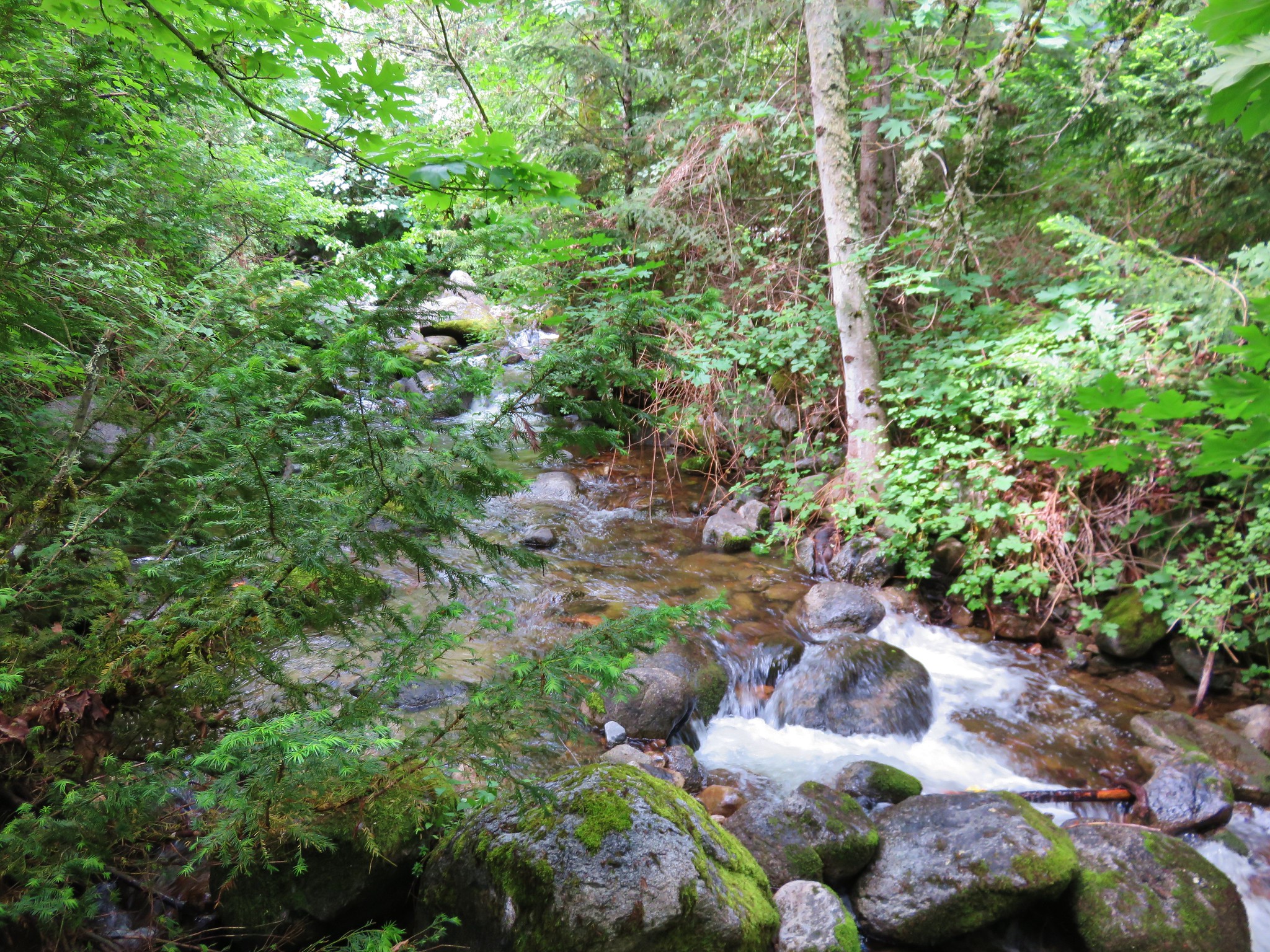
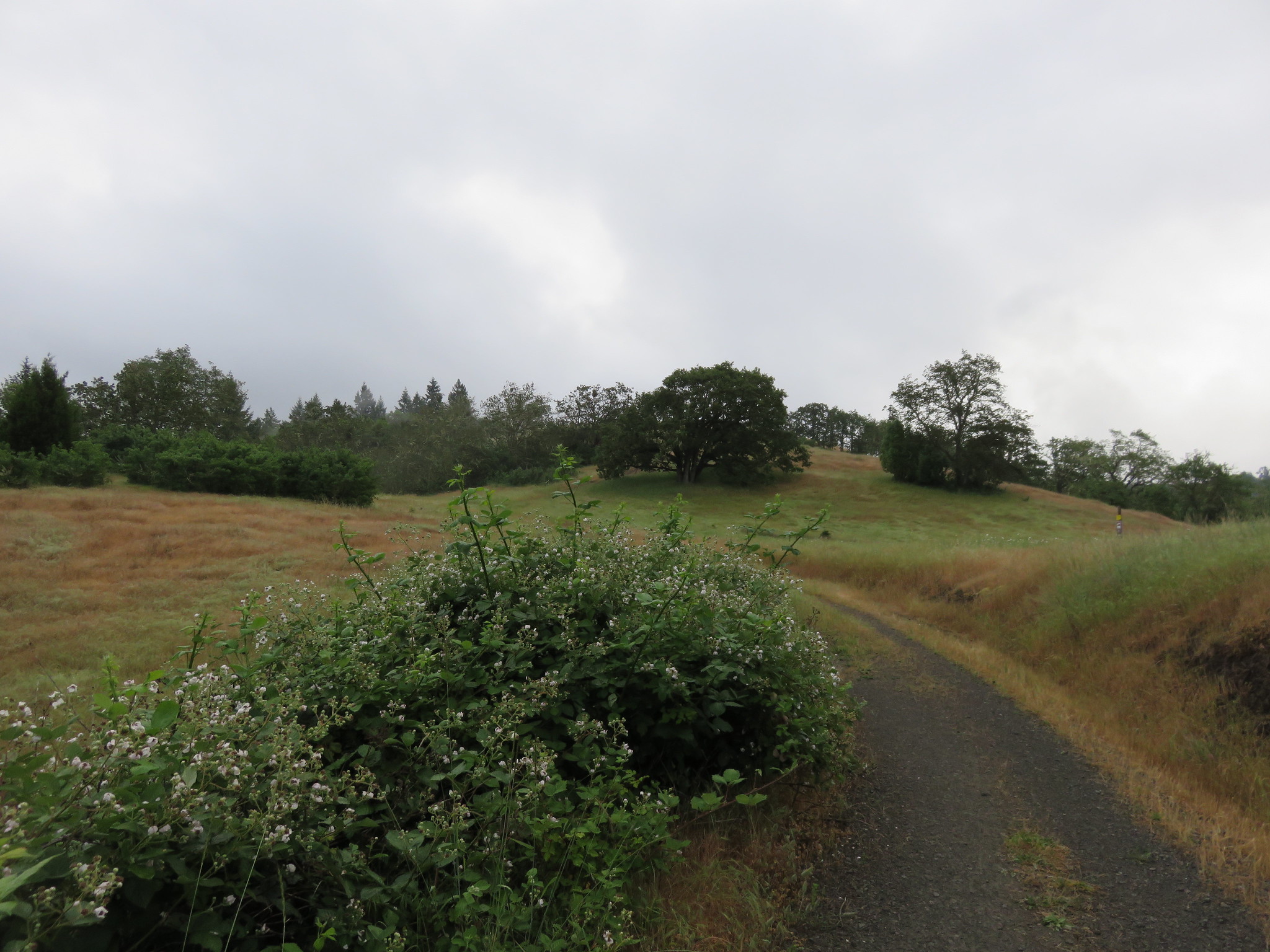
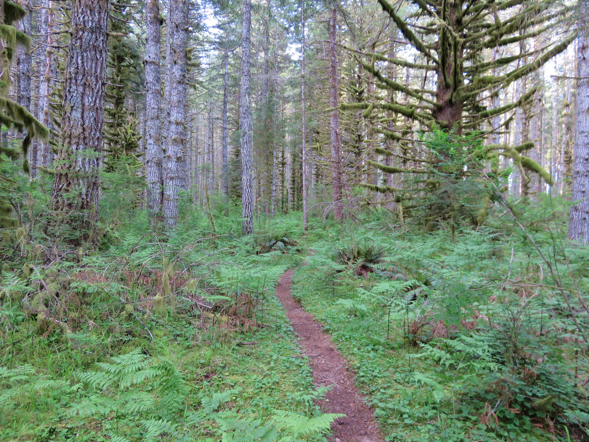
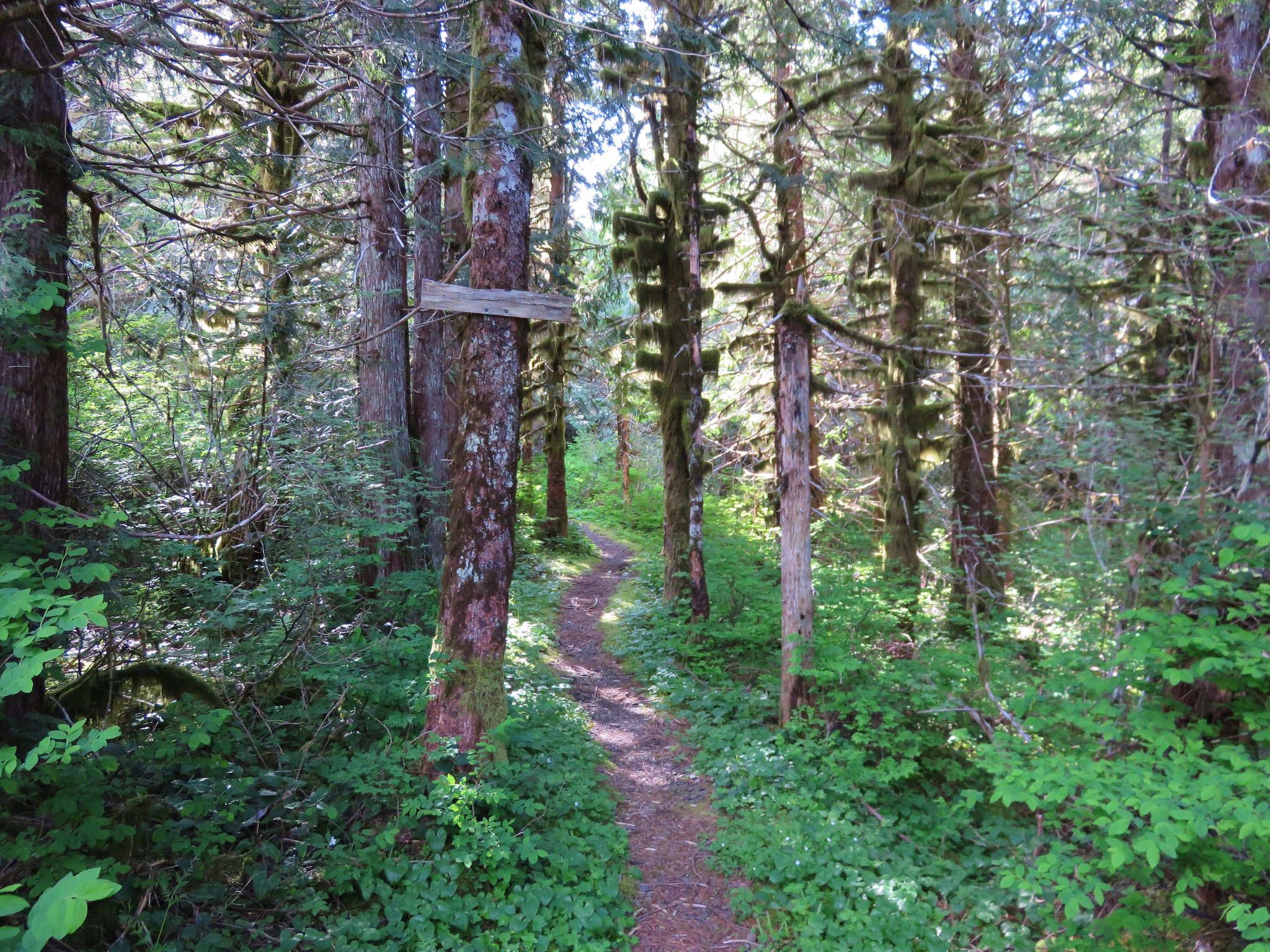
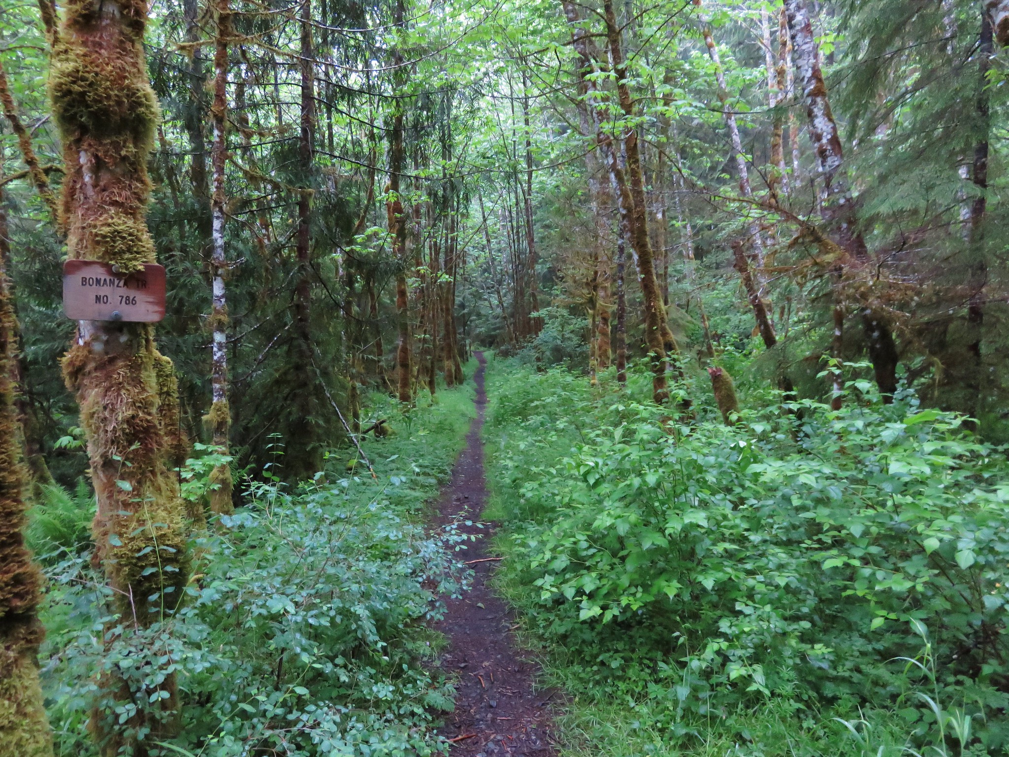
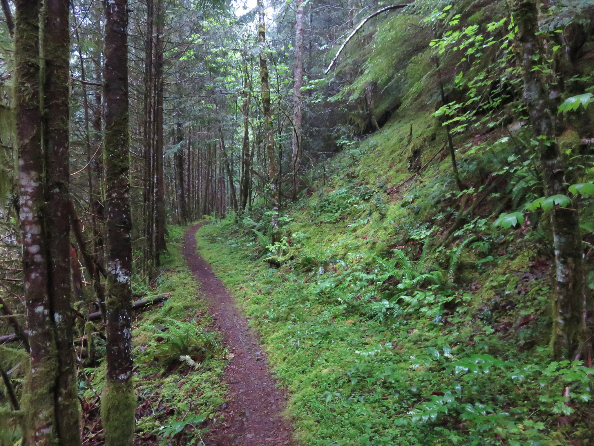
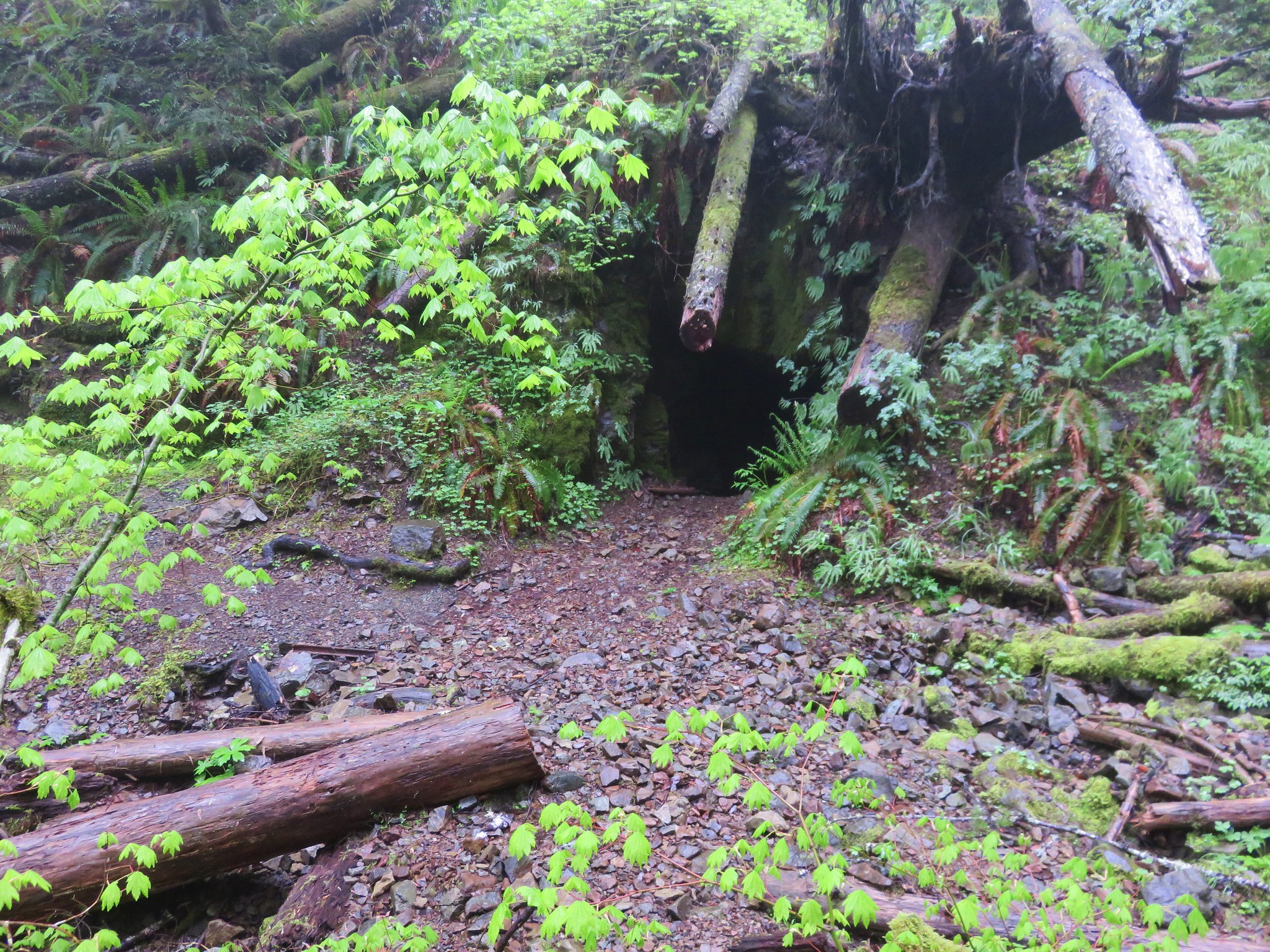
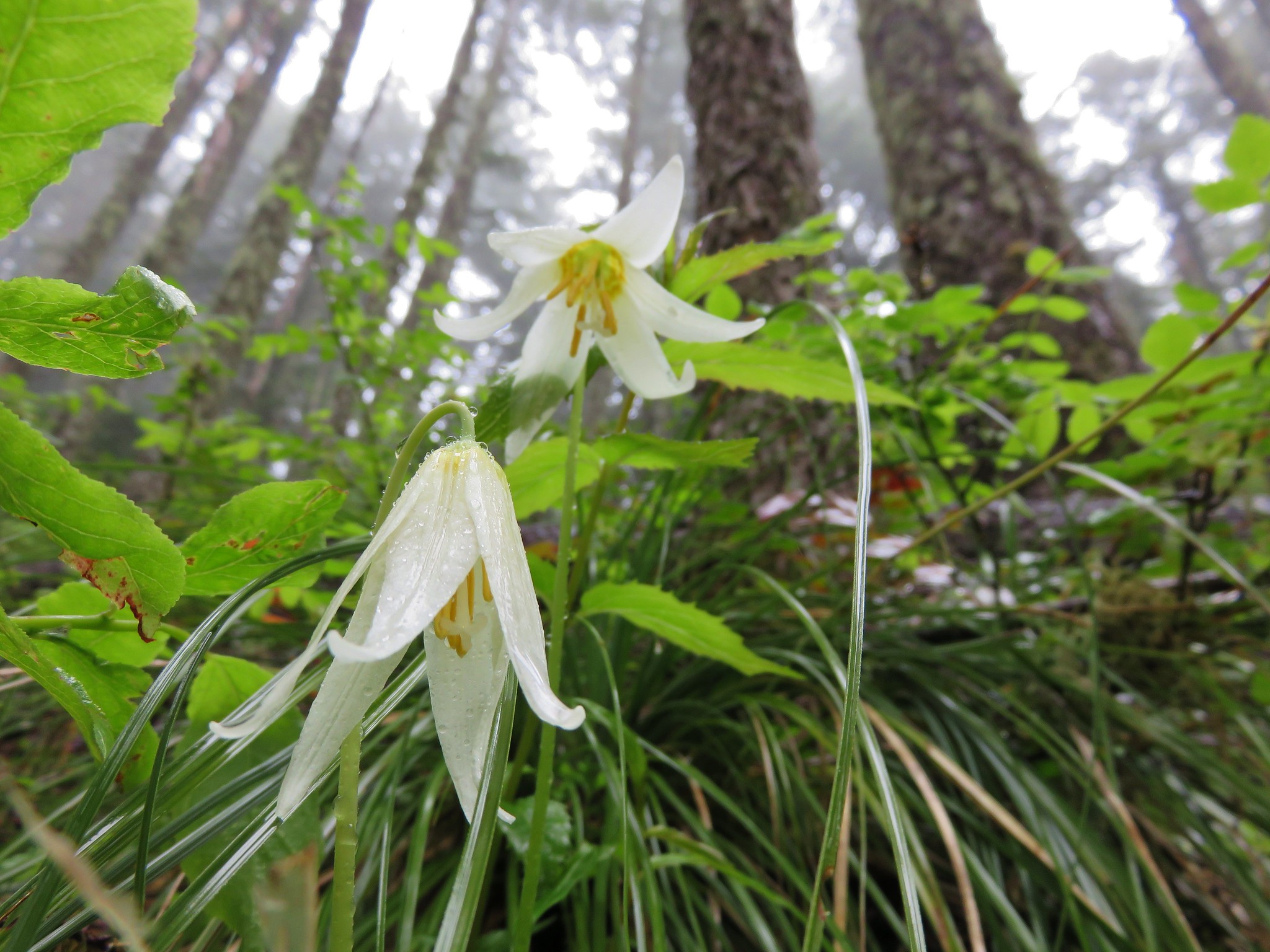
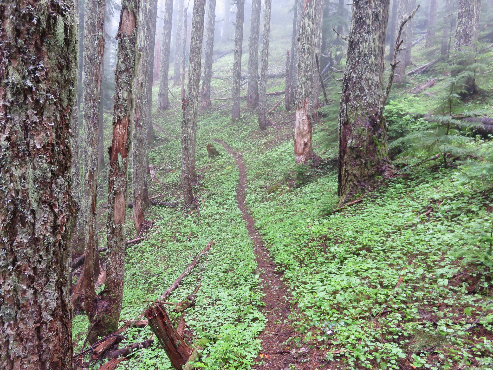
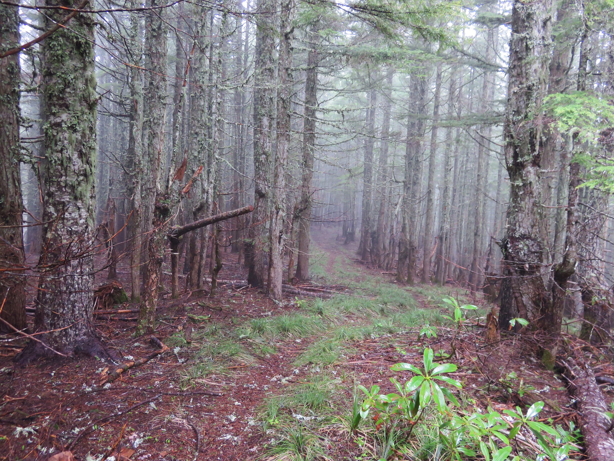
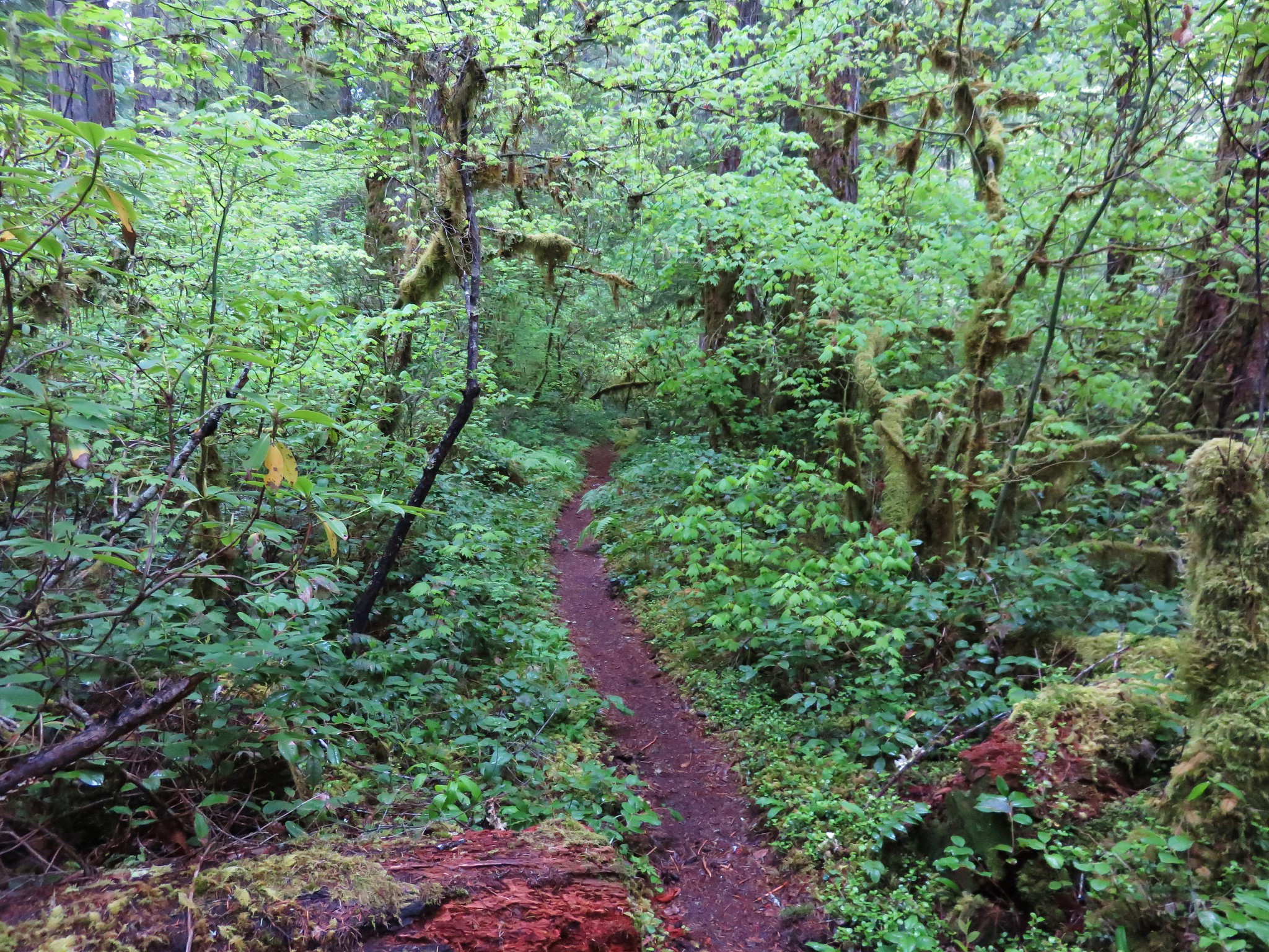
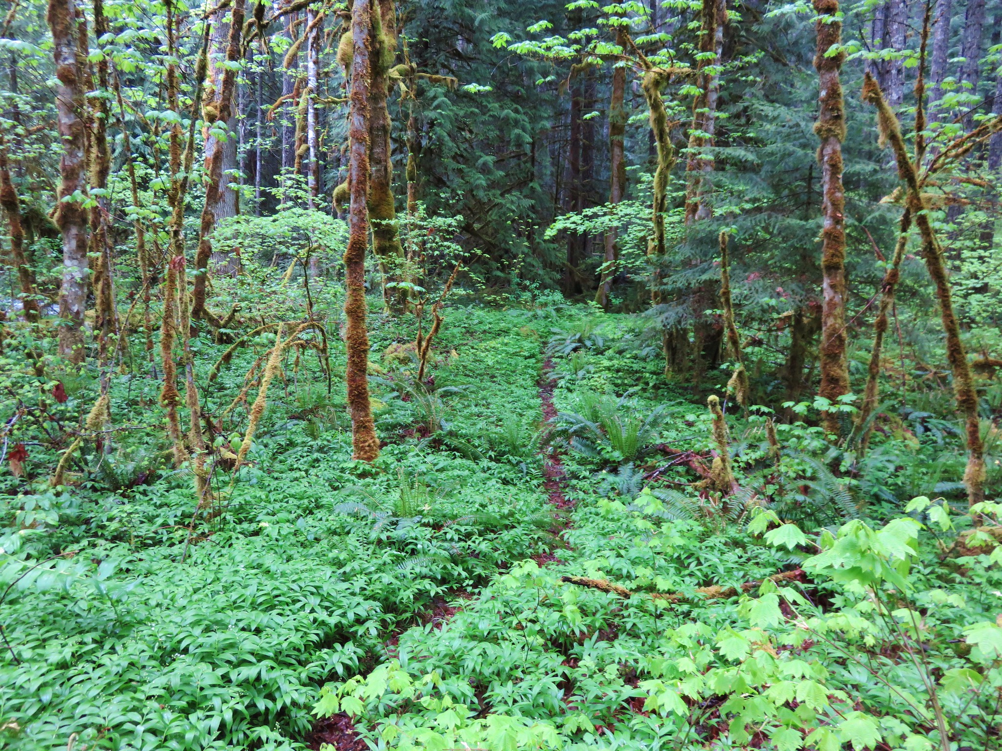
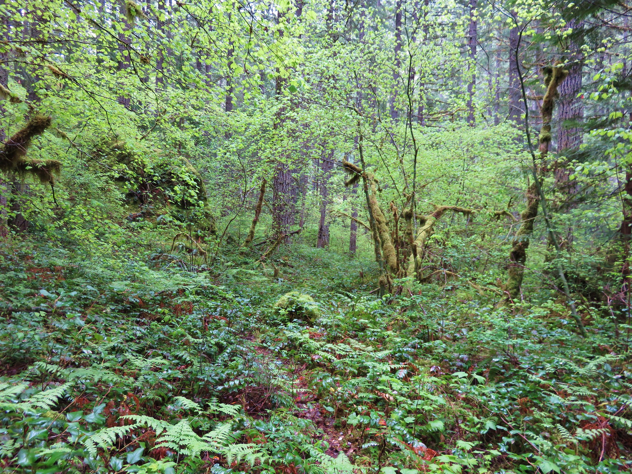
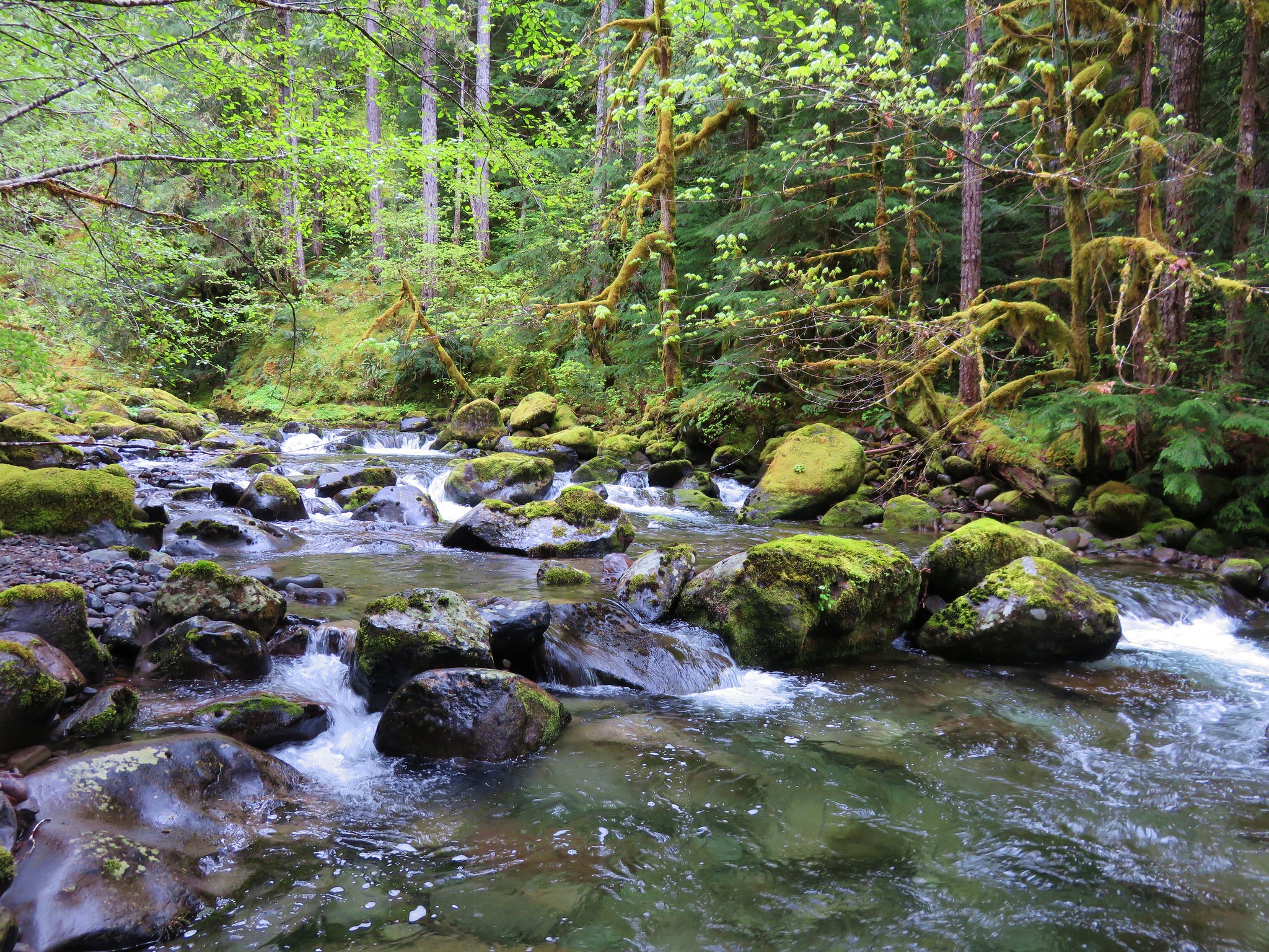
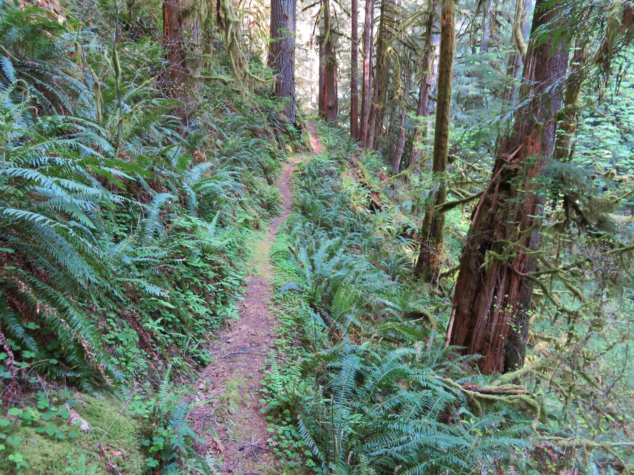
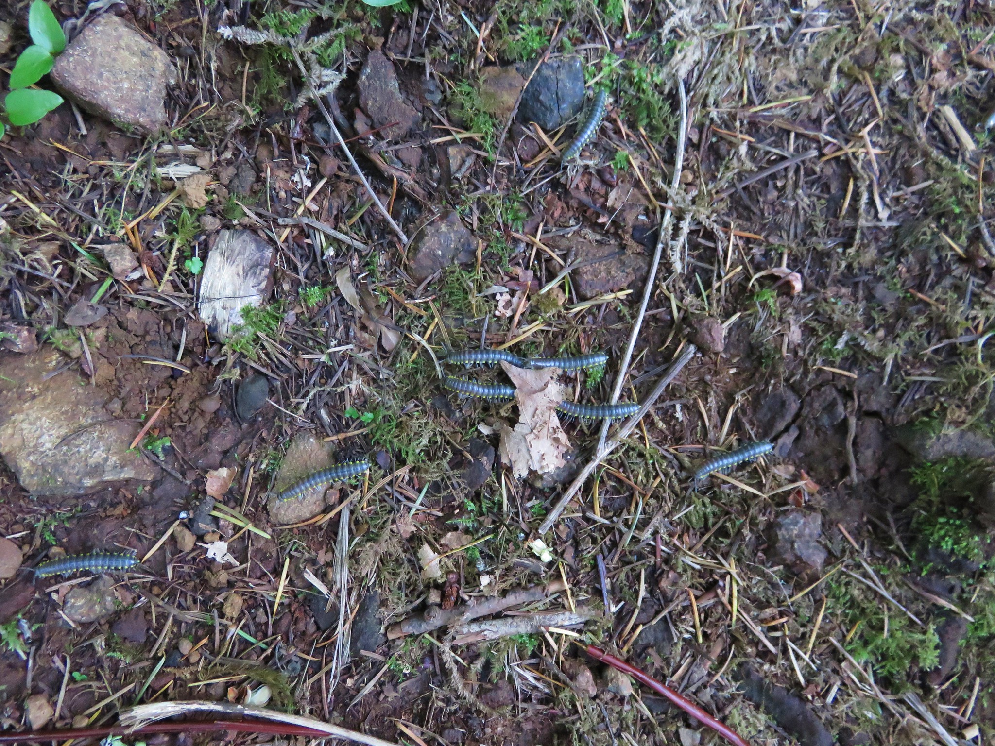
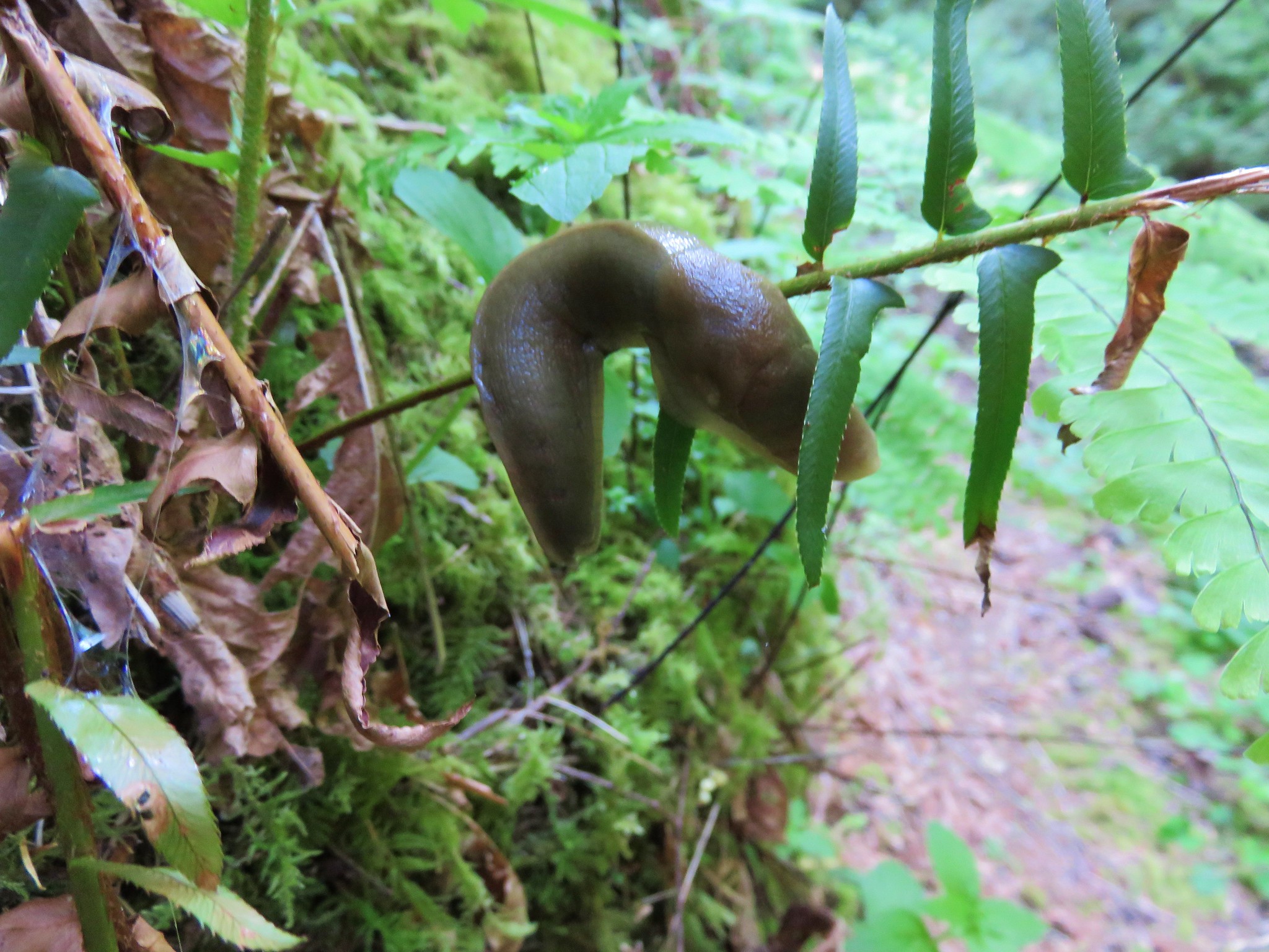
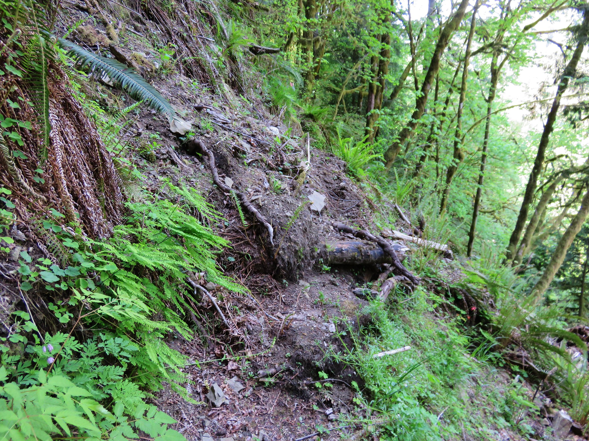
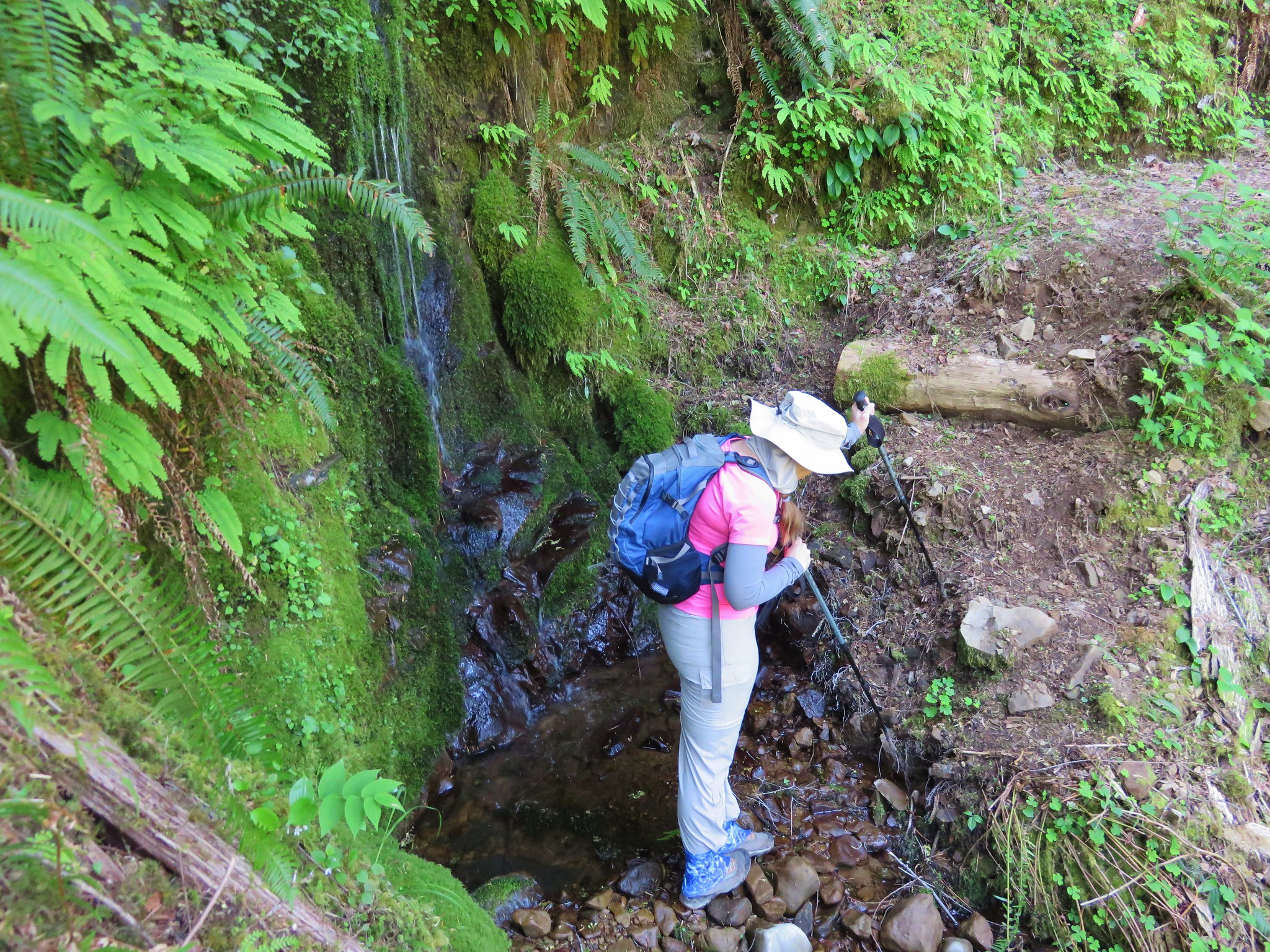
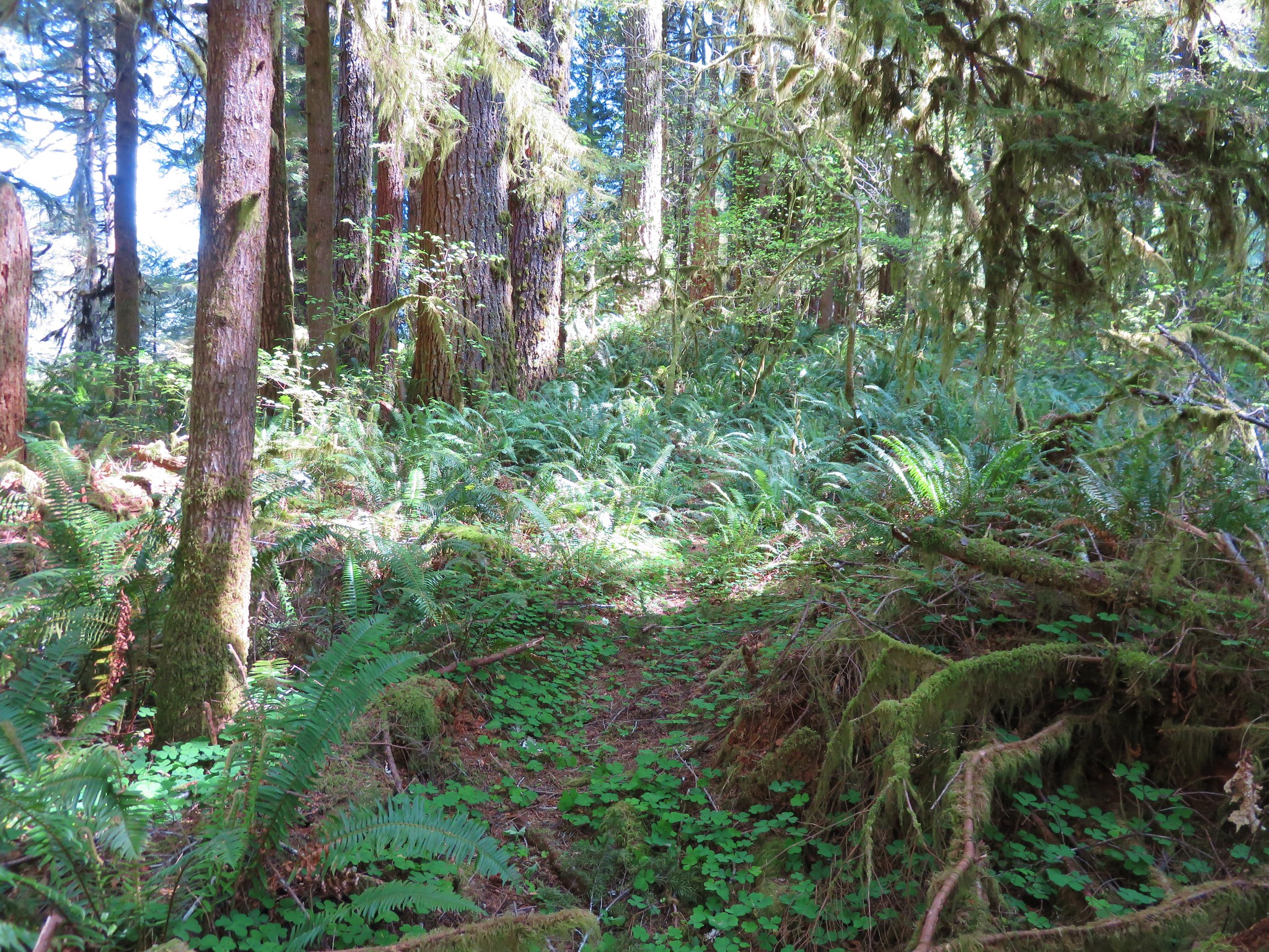
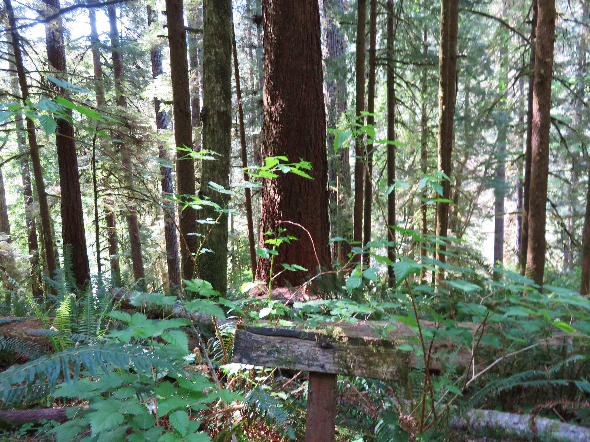
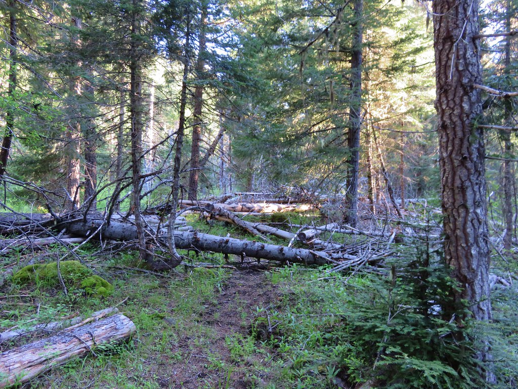
The first part of the trail clearly hadn’t been maintained for some time and it took a bit of searching at times to keep on it.
IMG_3744

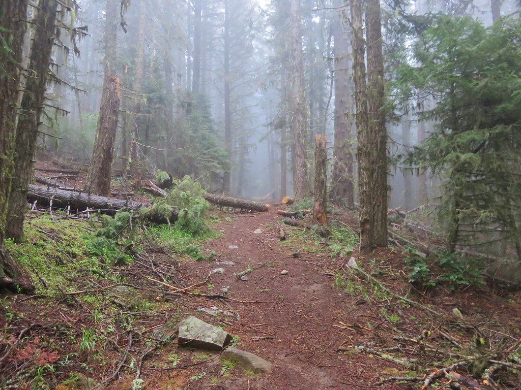
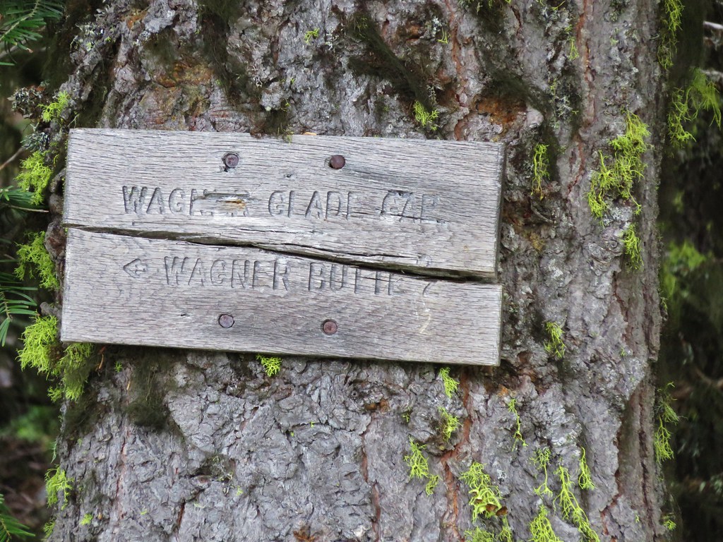
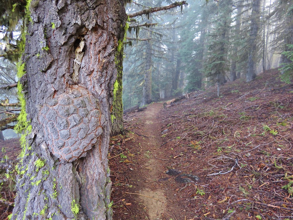
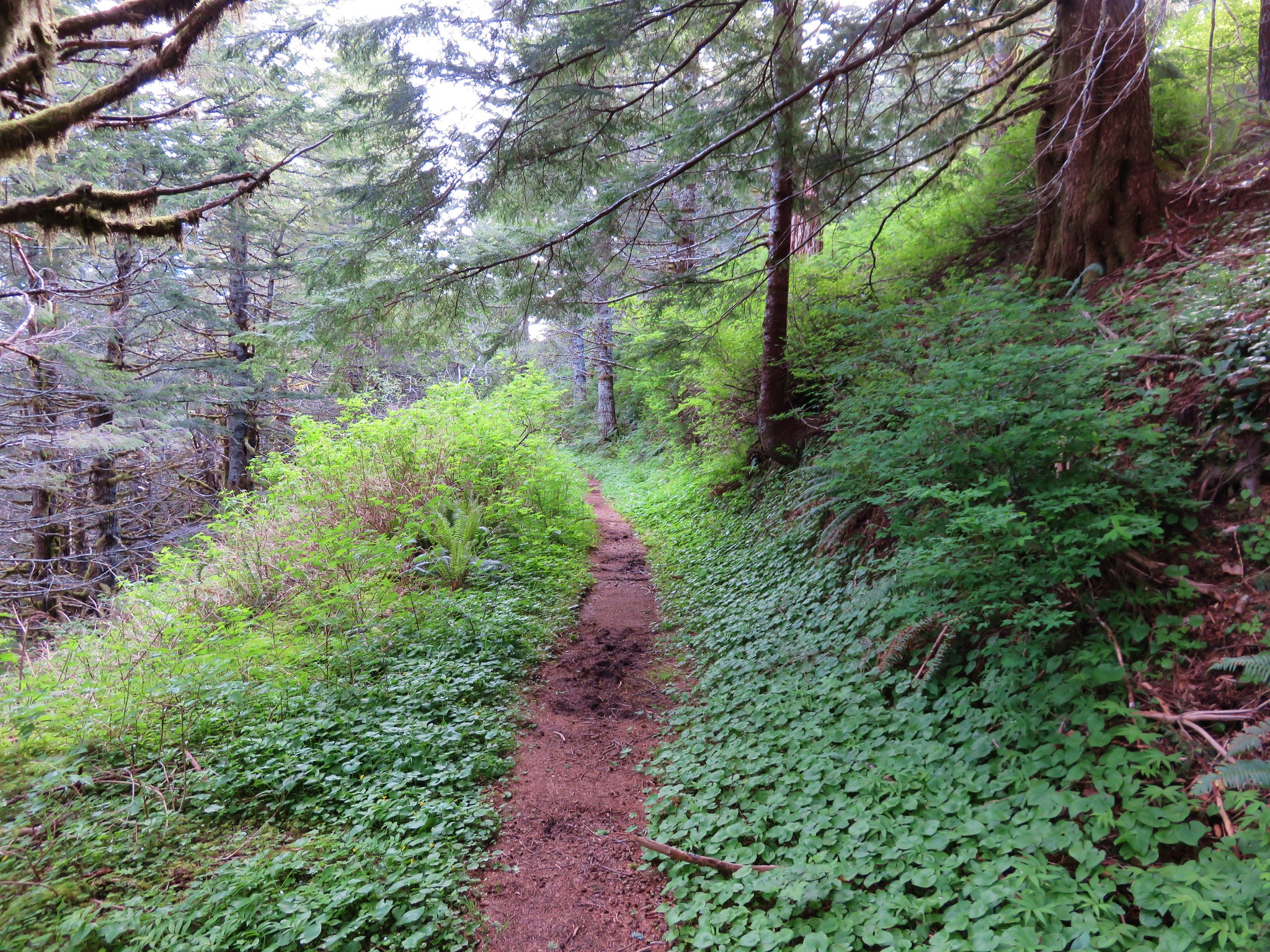
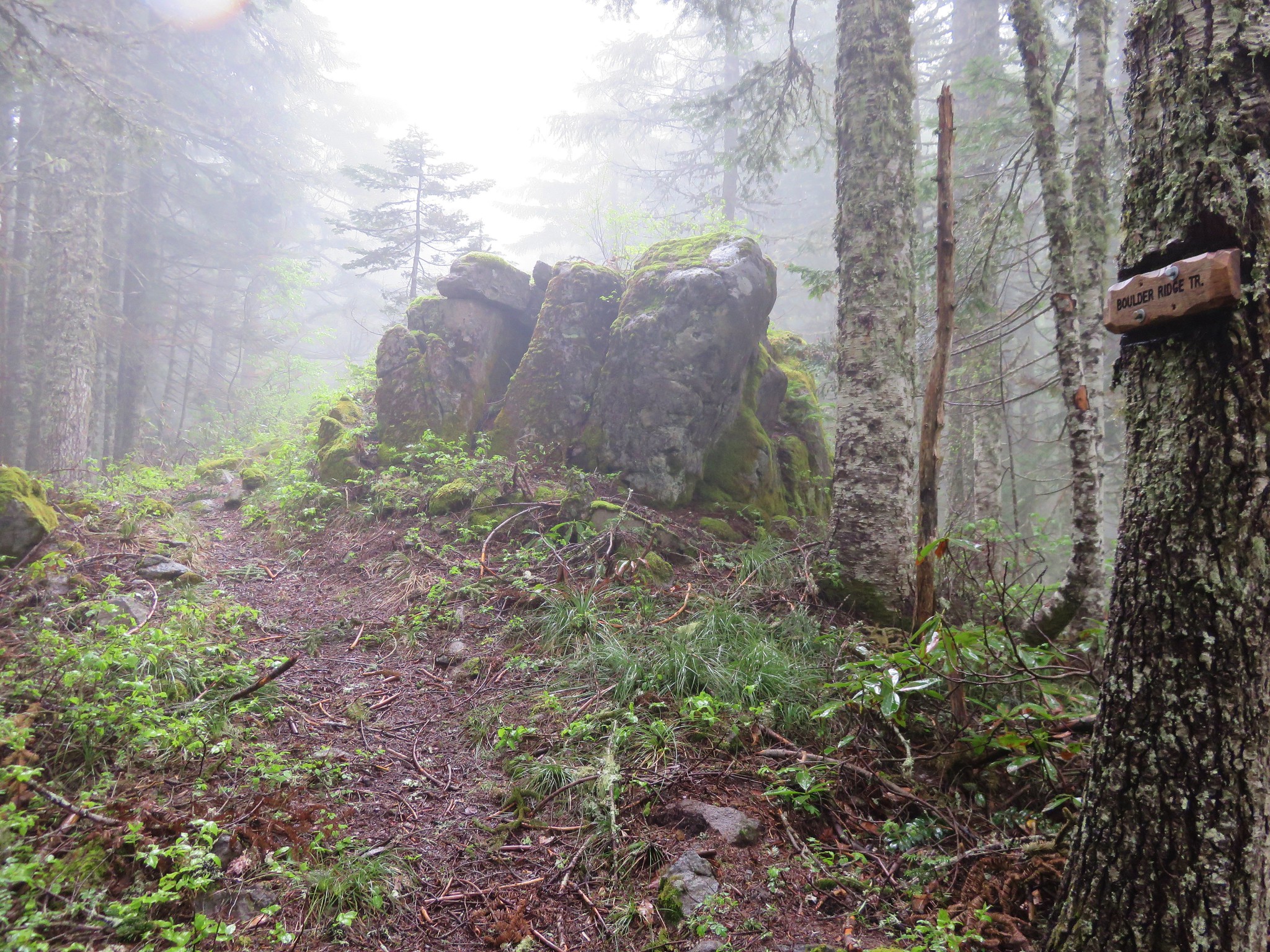
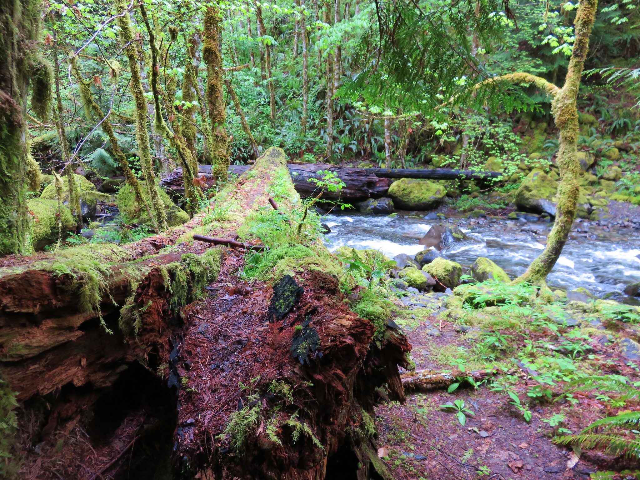
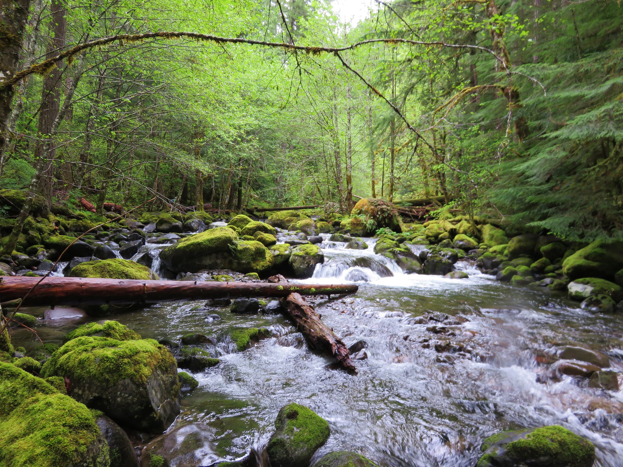
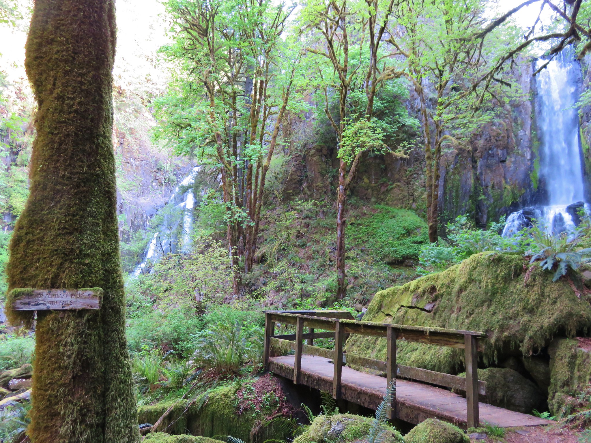
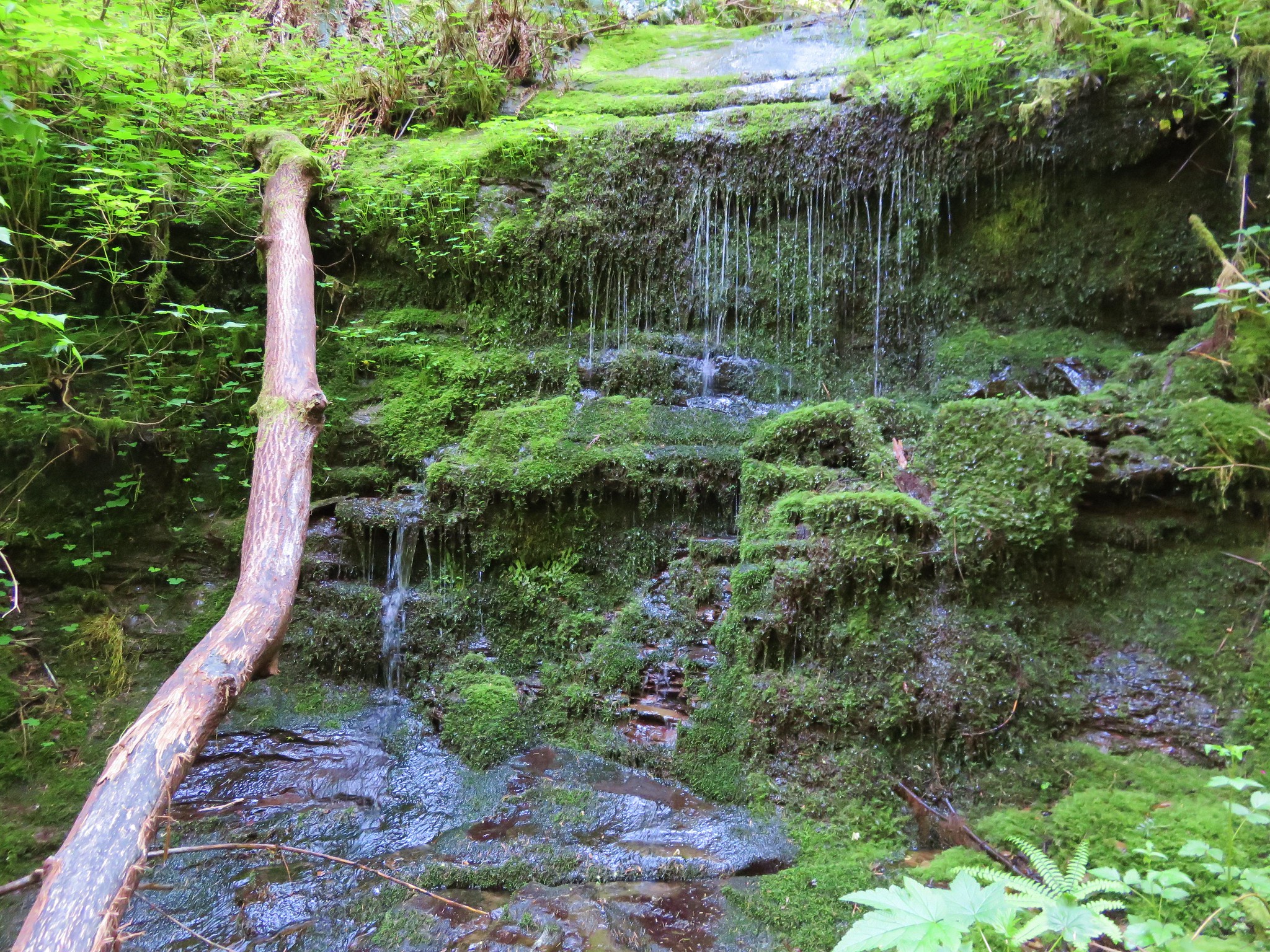
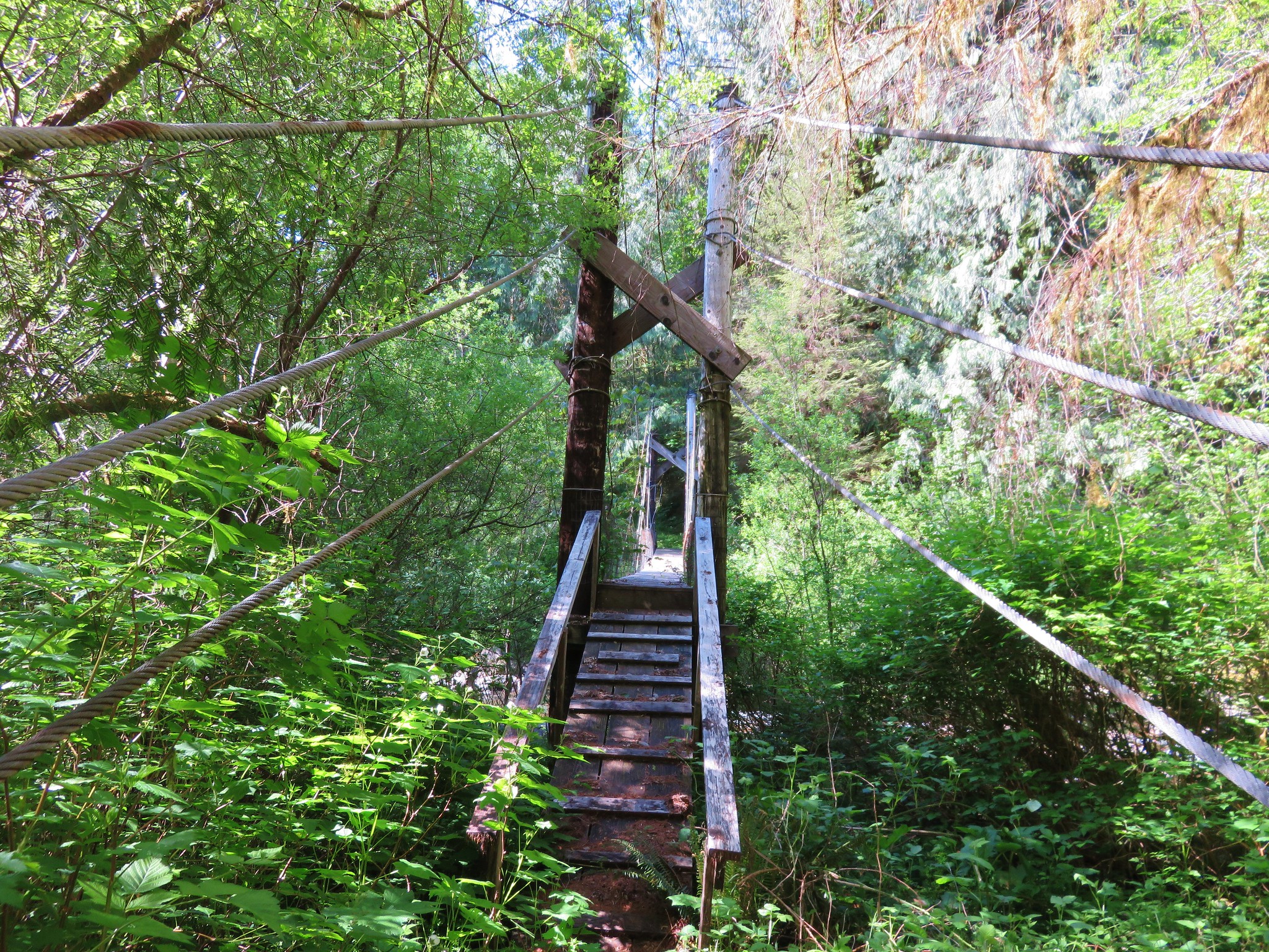
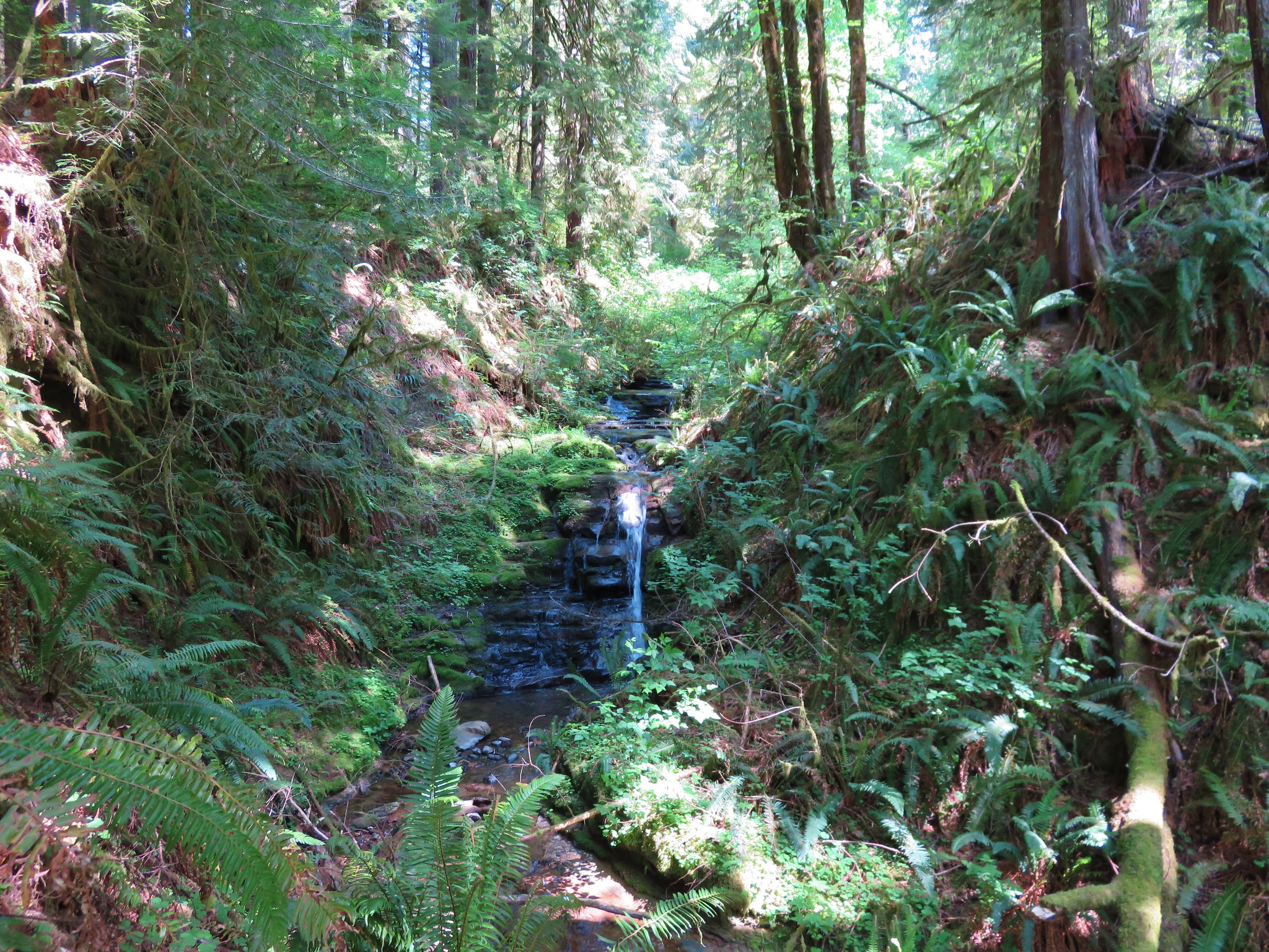
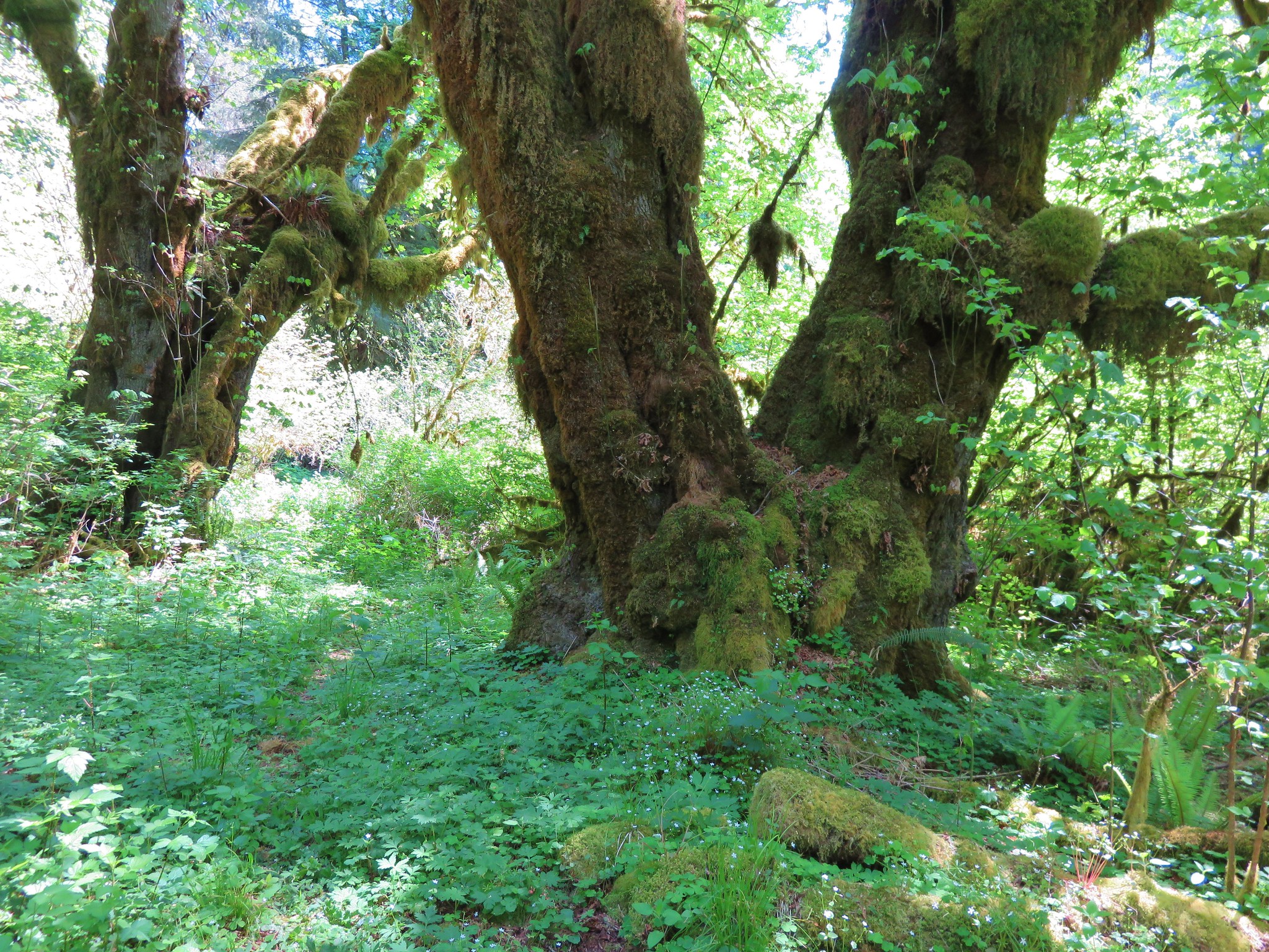
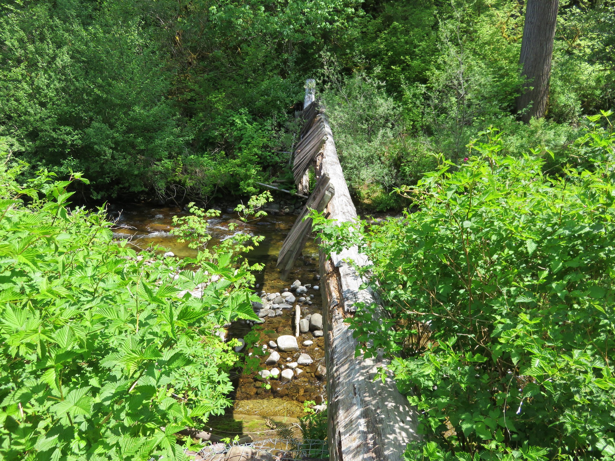
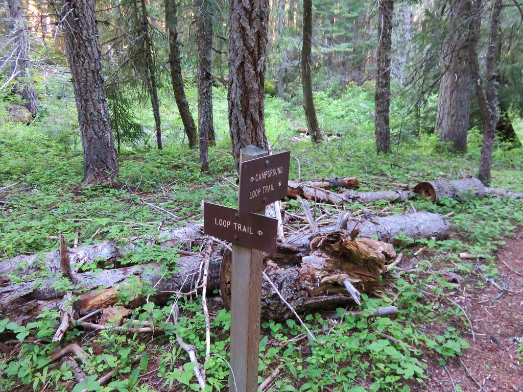
After recrossing the creek, where a bridge had obviously been, the trail was in a little better shape. Then we came to a sign post that was set against a tree at a trail junction.
IMG_3746

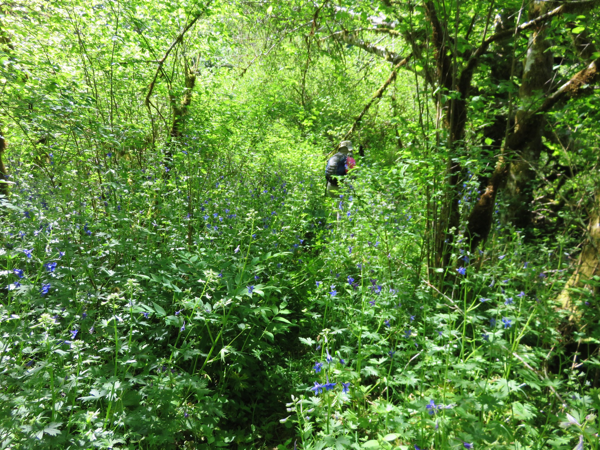
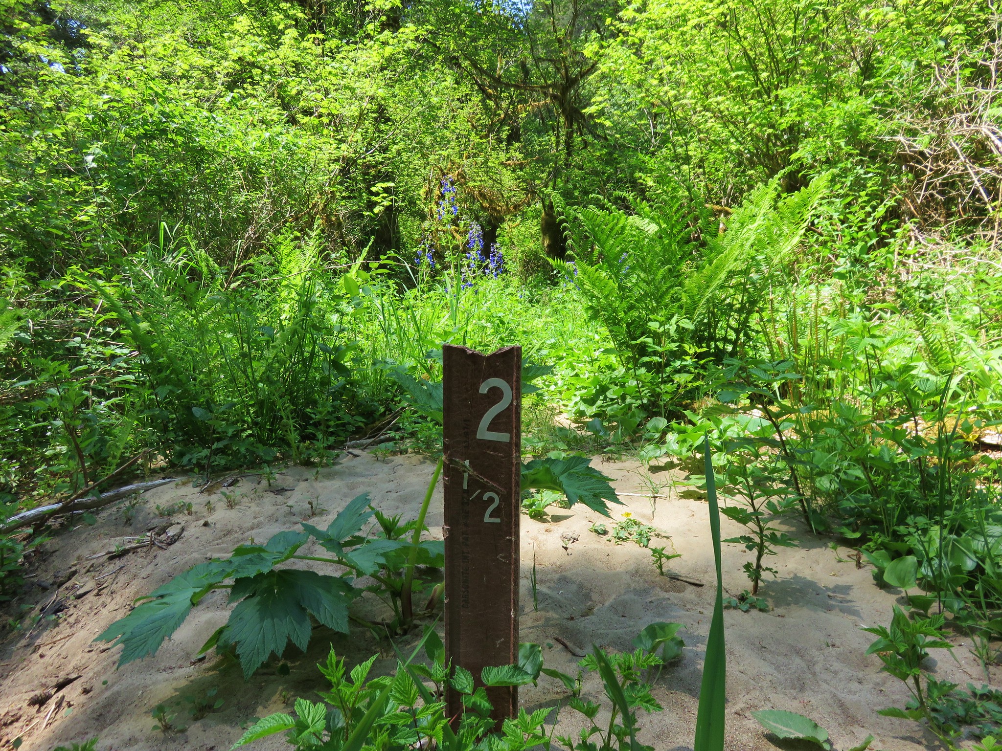
The trail supposedly traveled .6 miles to the start of a .9 mile loop. The directions that this sign was giving made no sense. It indicated that the start of the loop was in the direction we’d just come. We disregarded the sign and took the path that seemed correct. We chose wisely and arrived at the signed start of the loop.
IMG_3748

IMG_3749

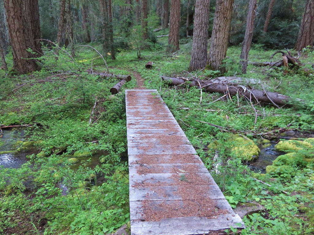
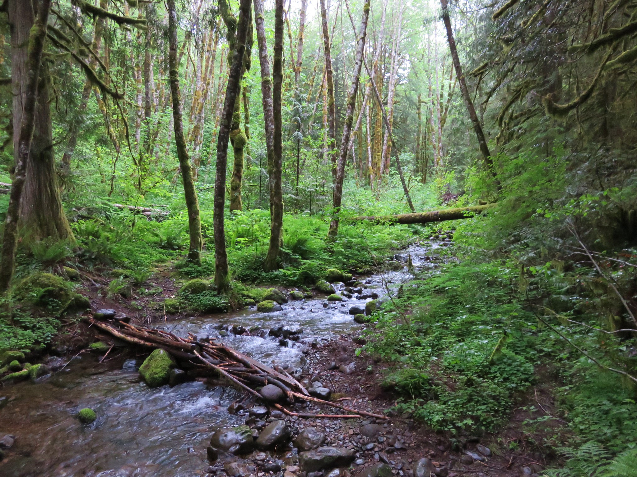
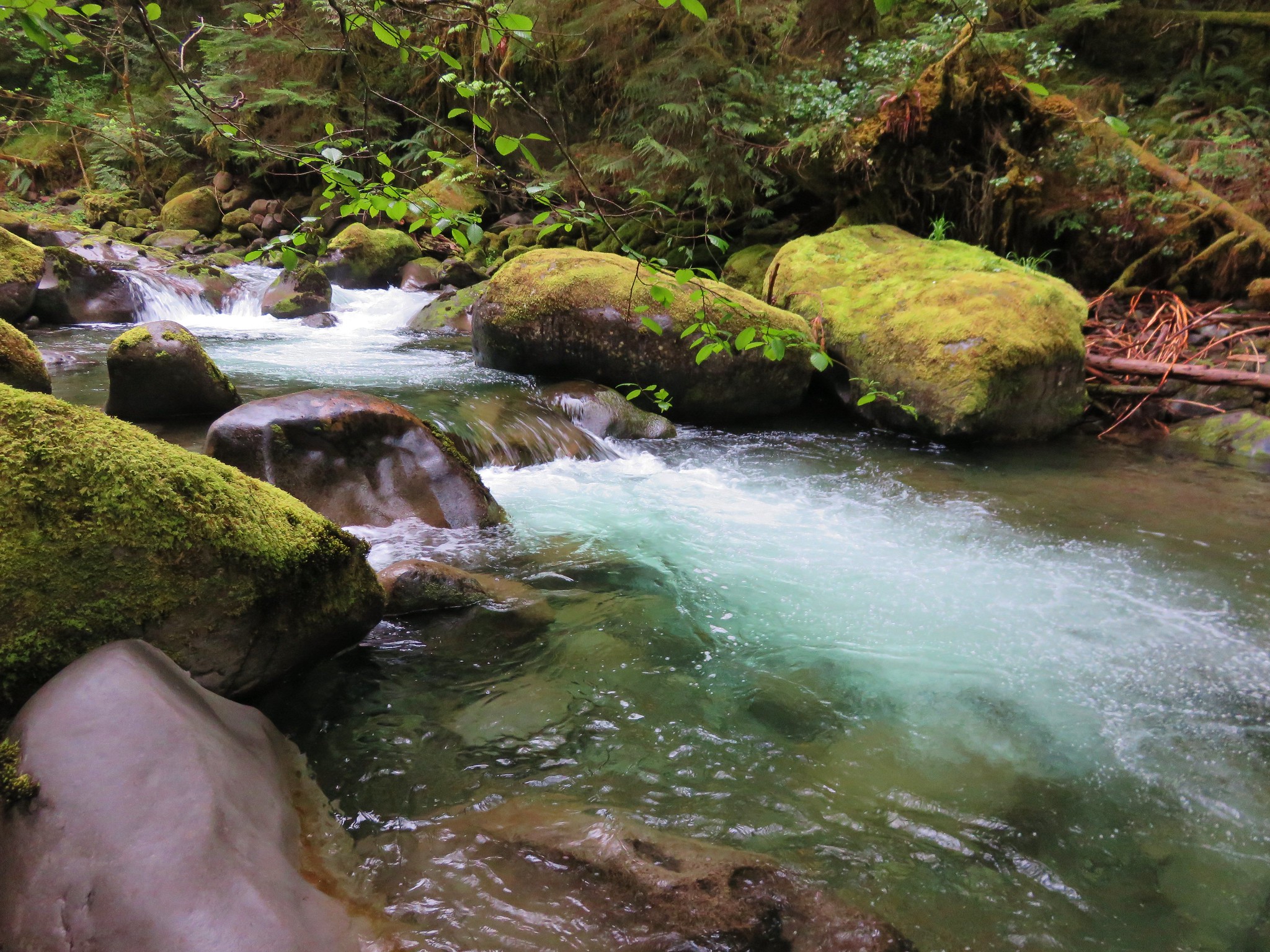
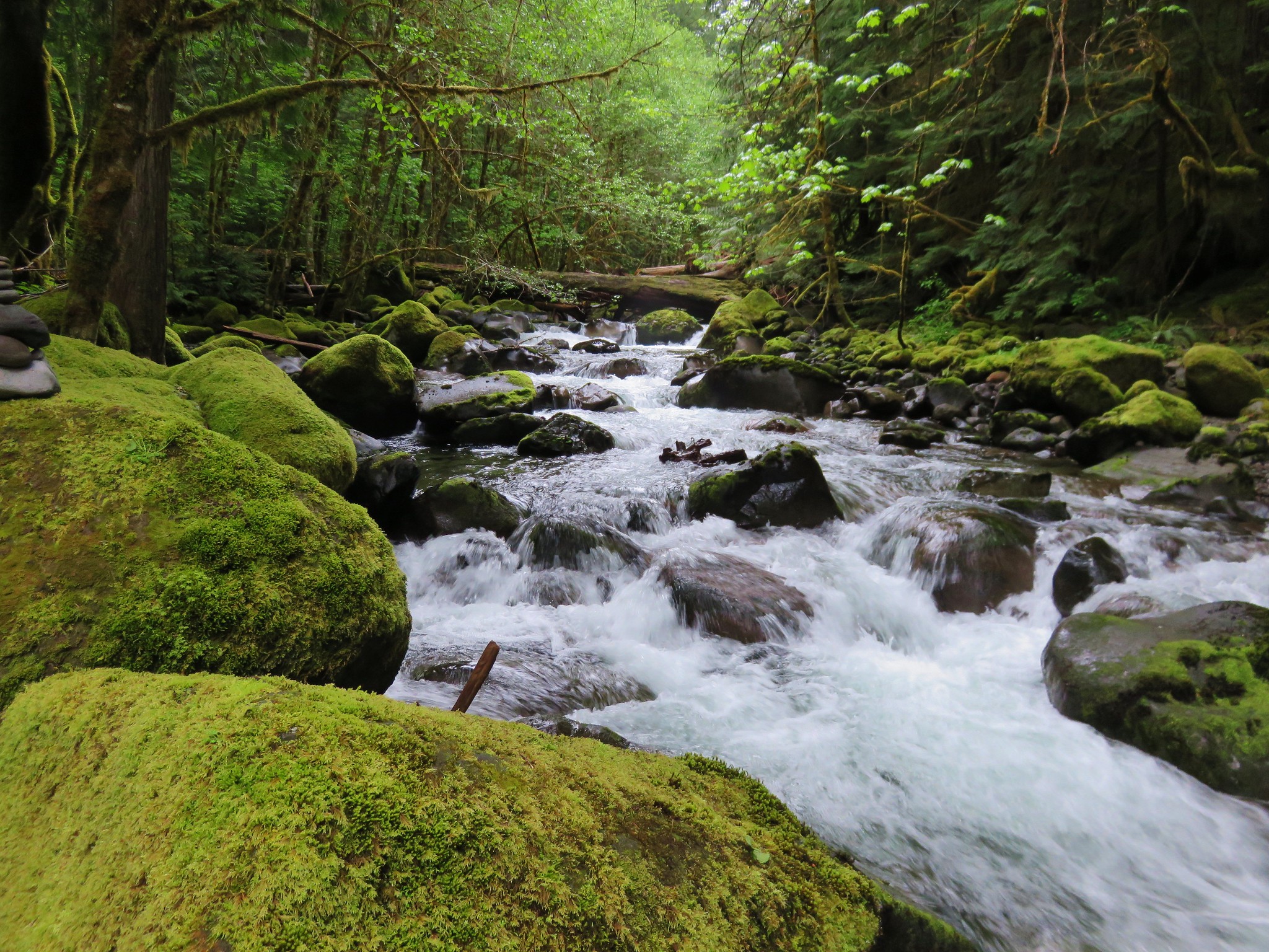
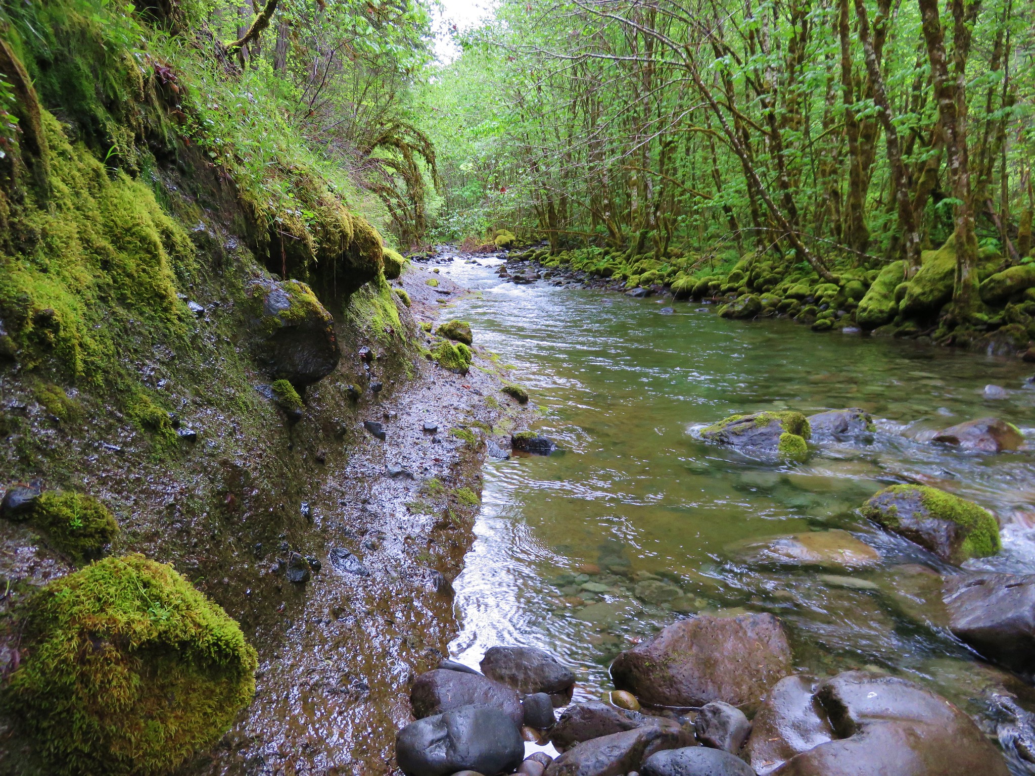
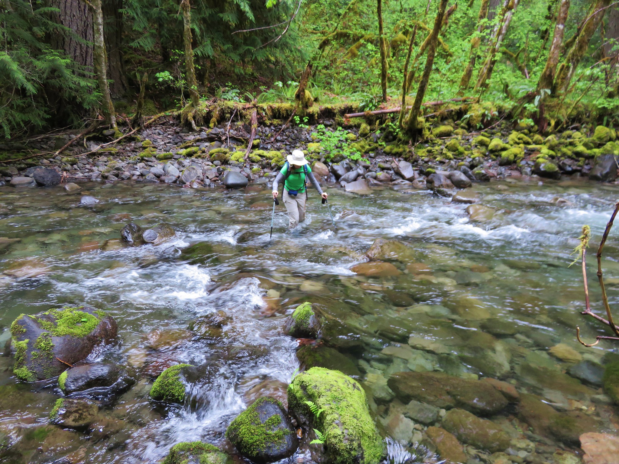
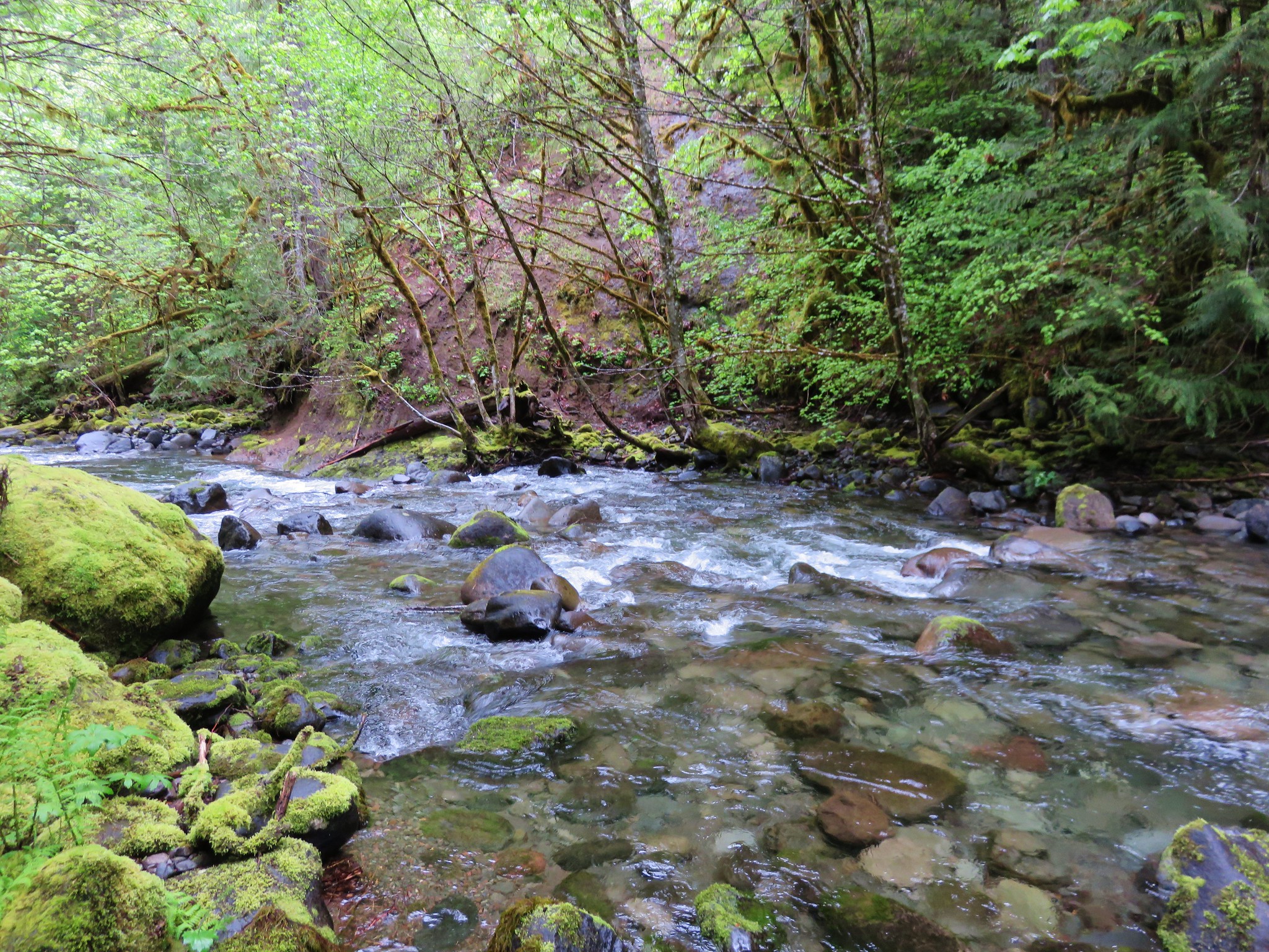
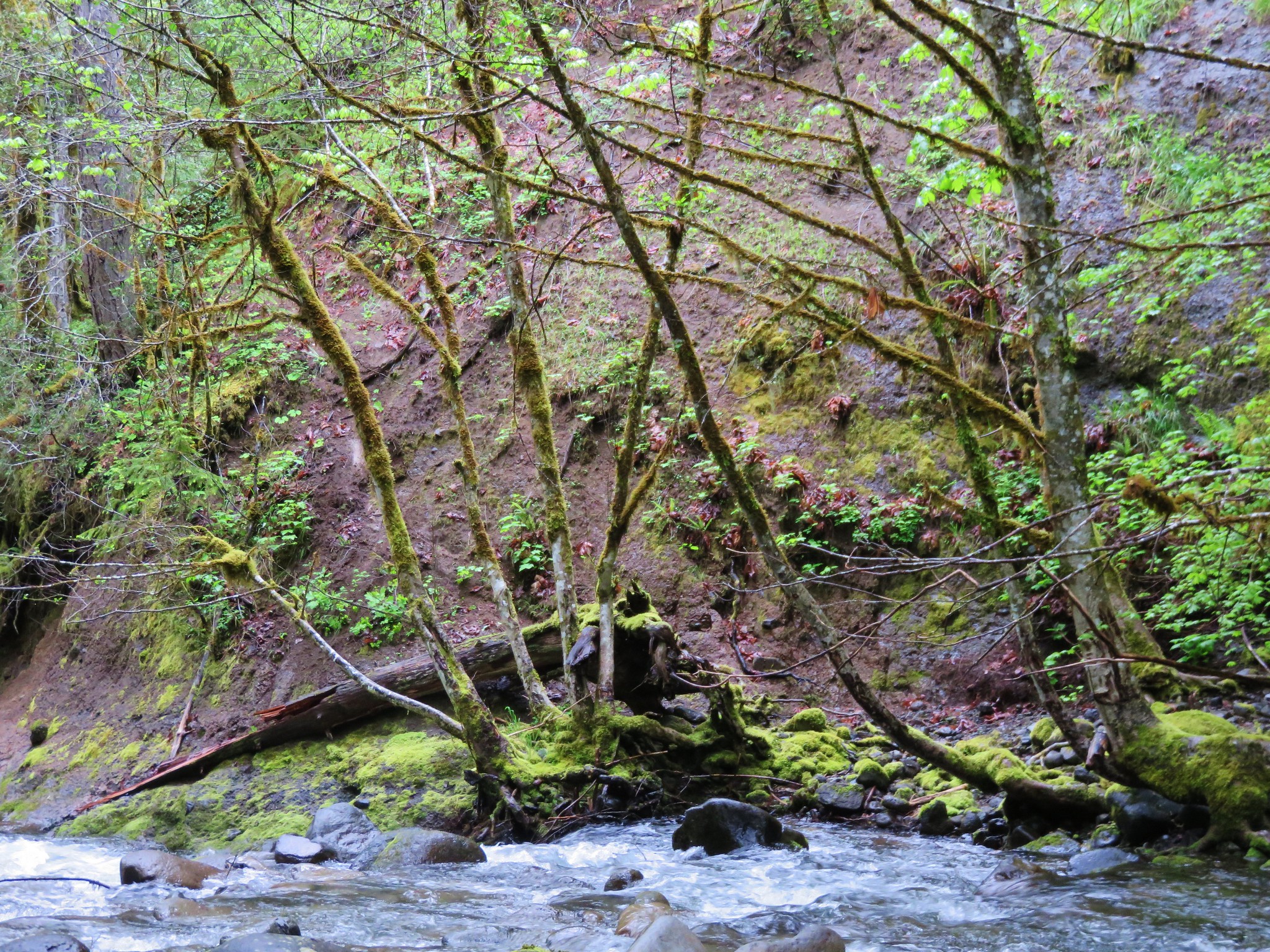
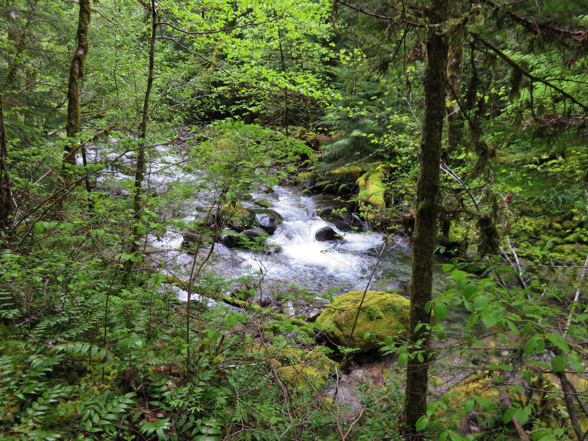
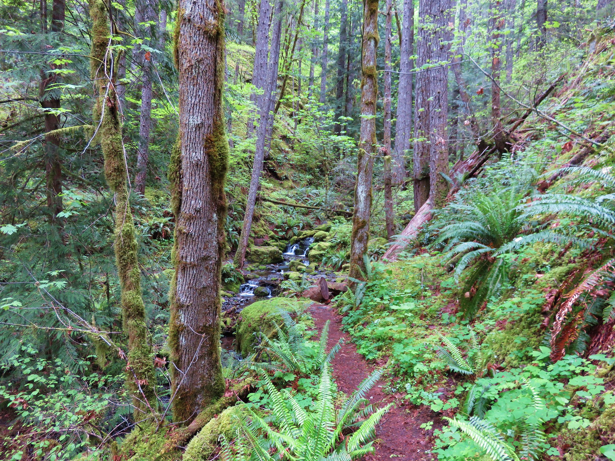
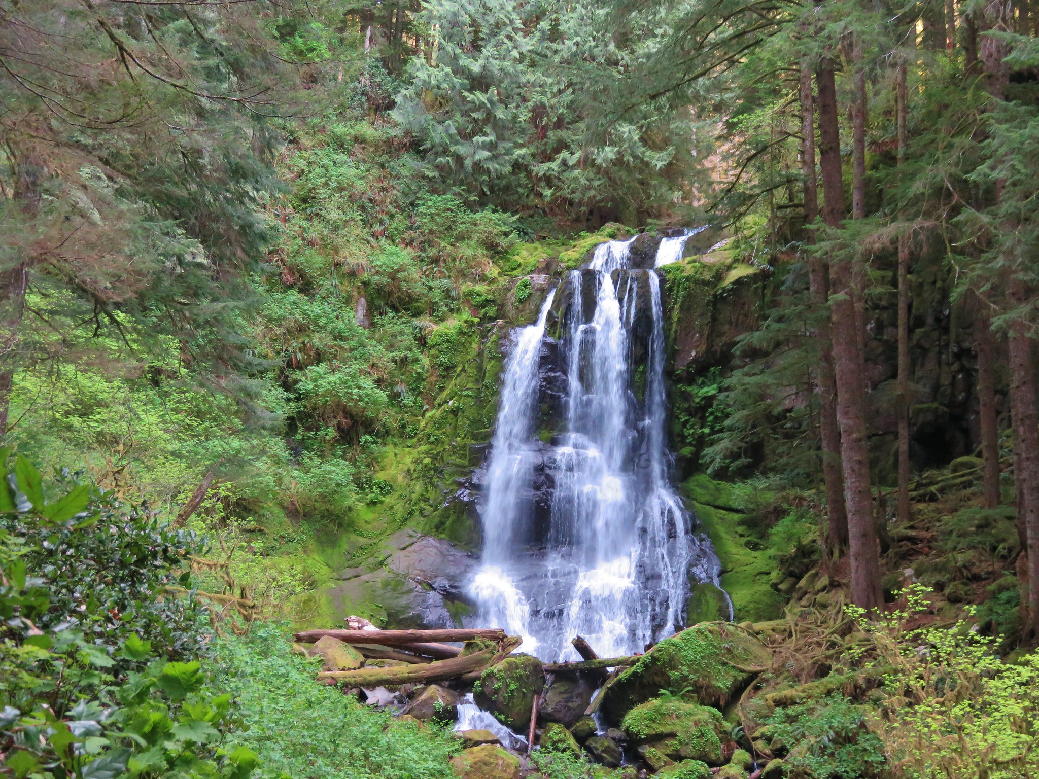
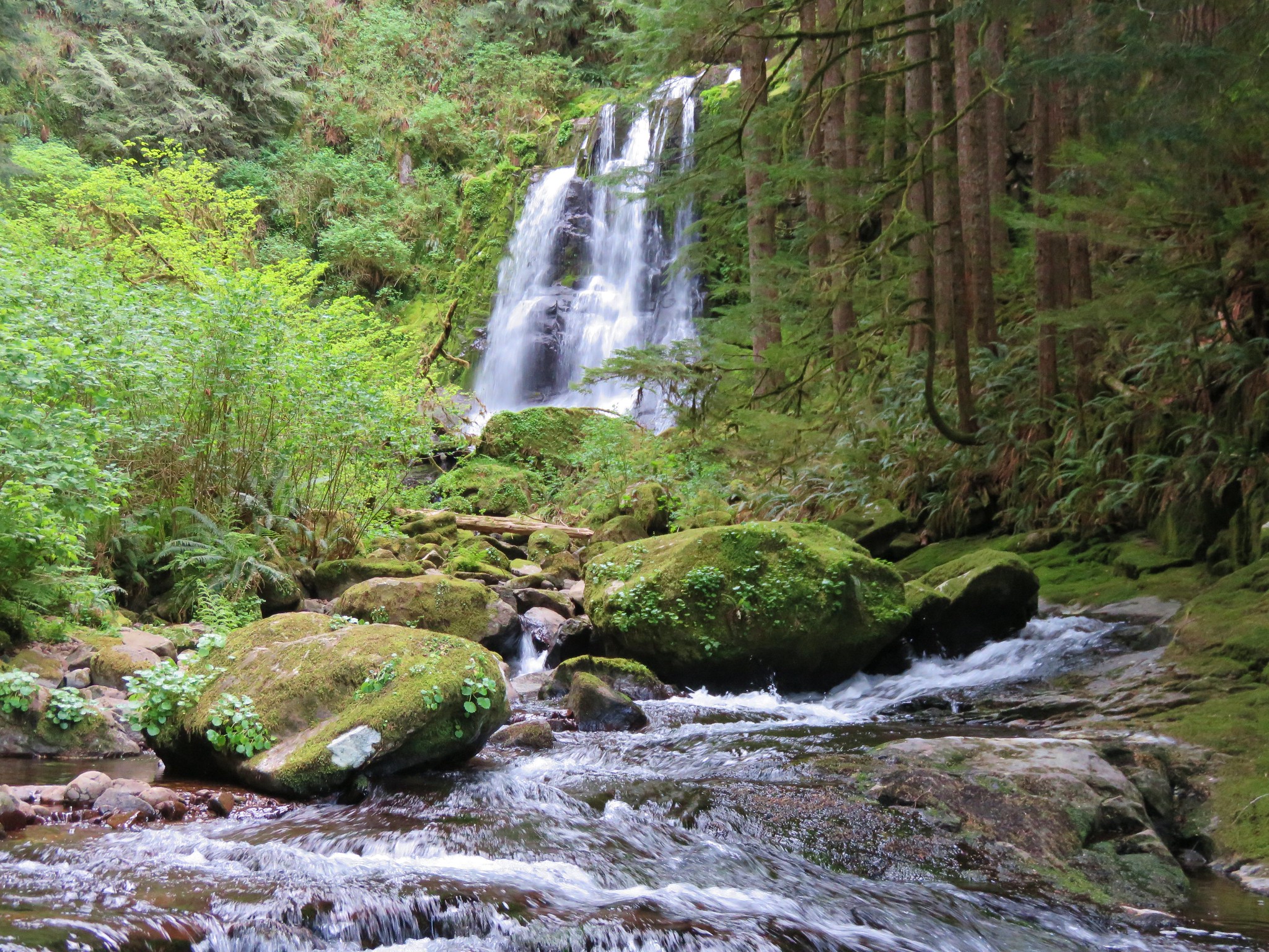
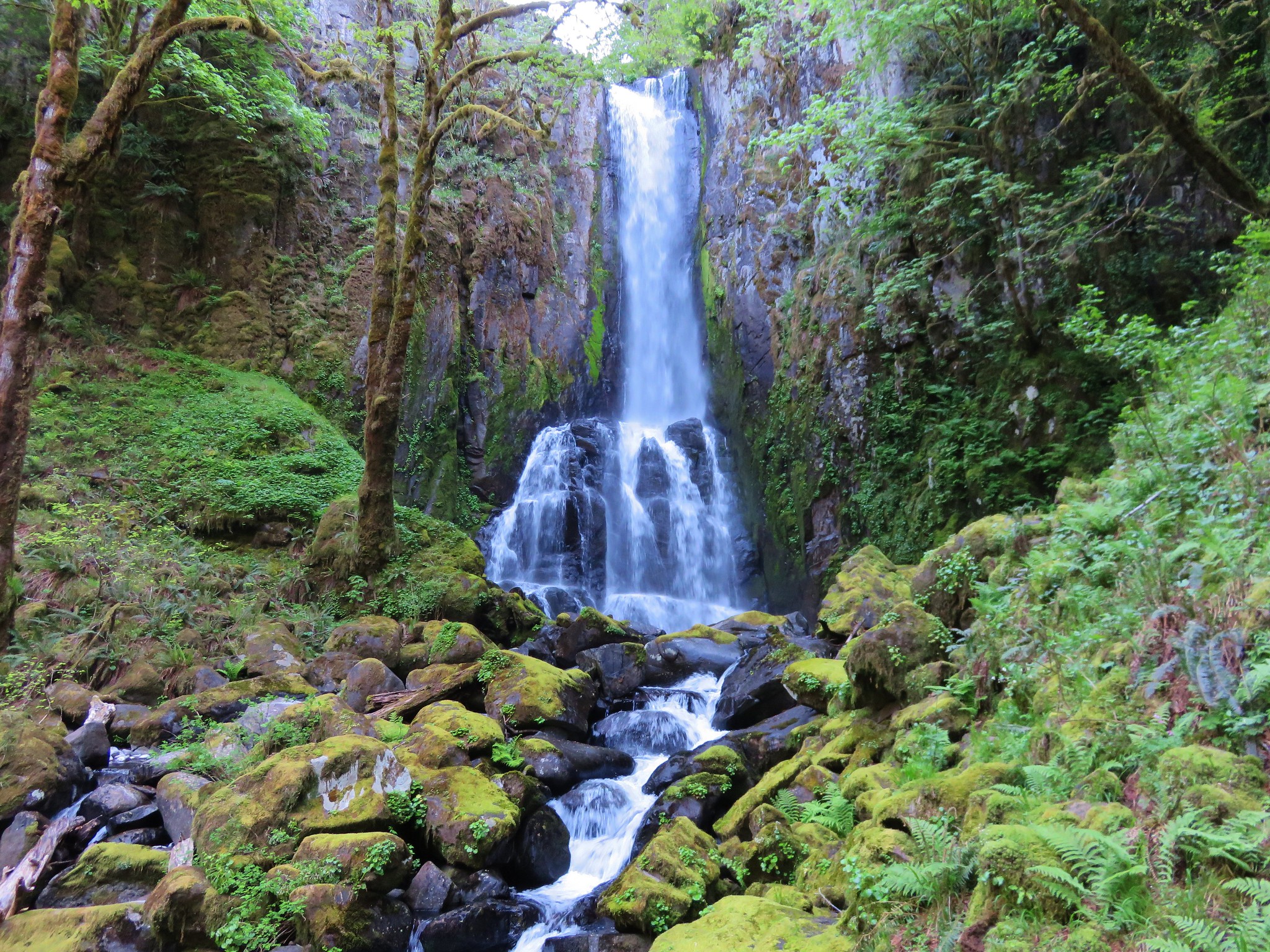
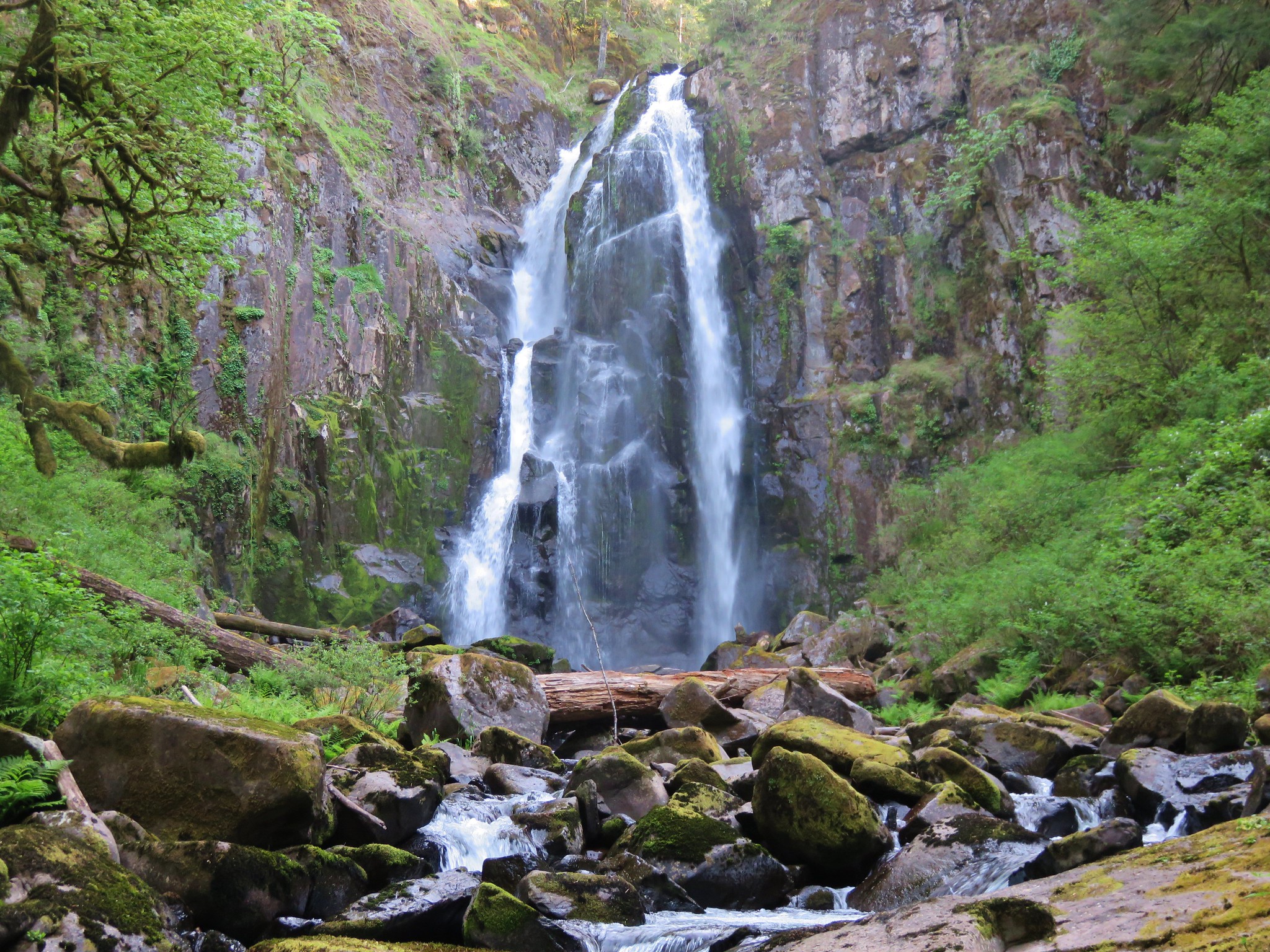
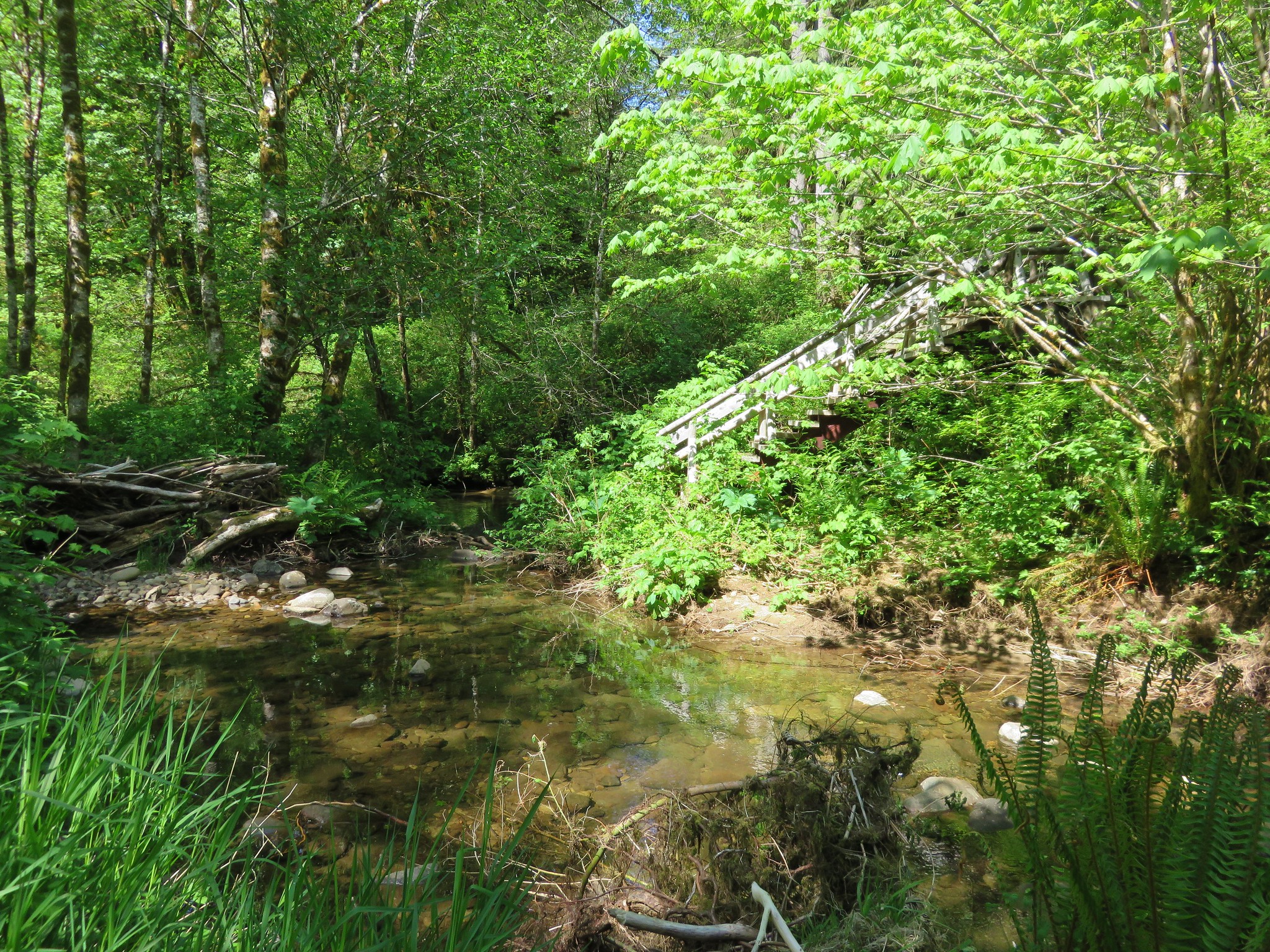
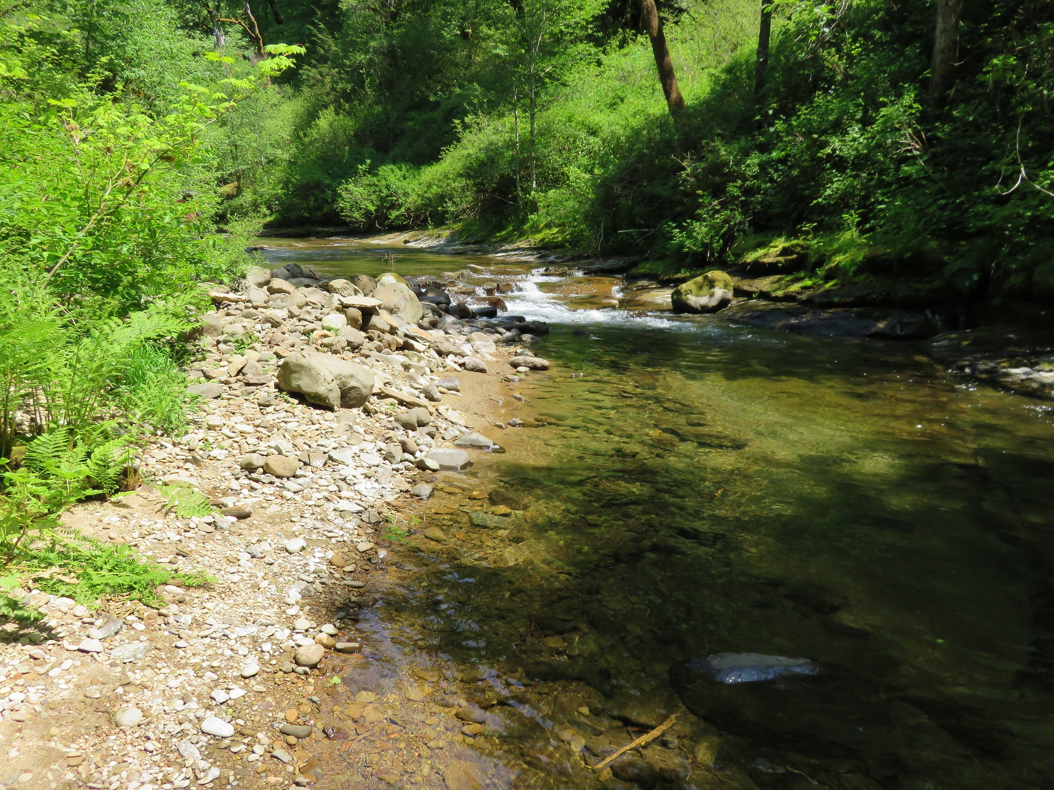
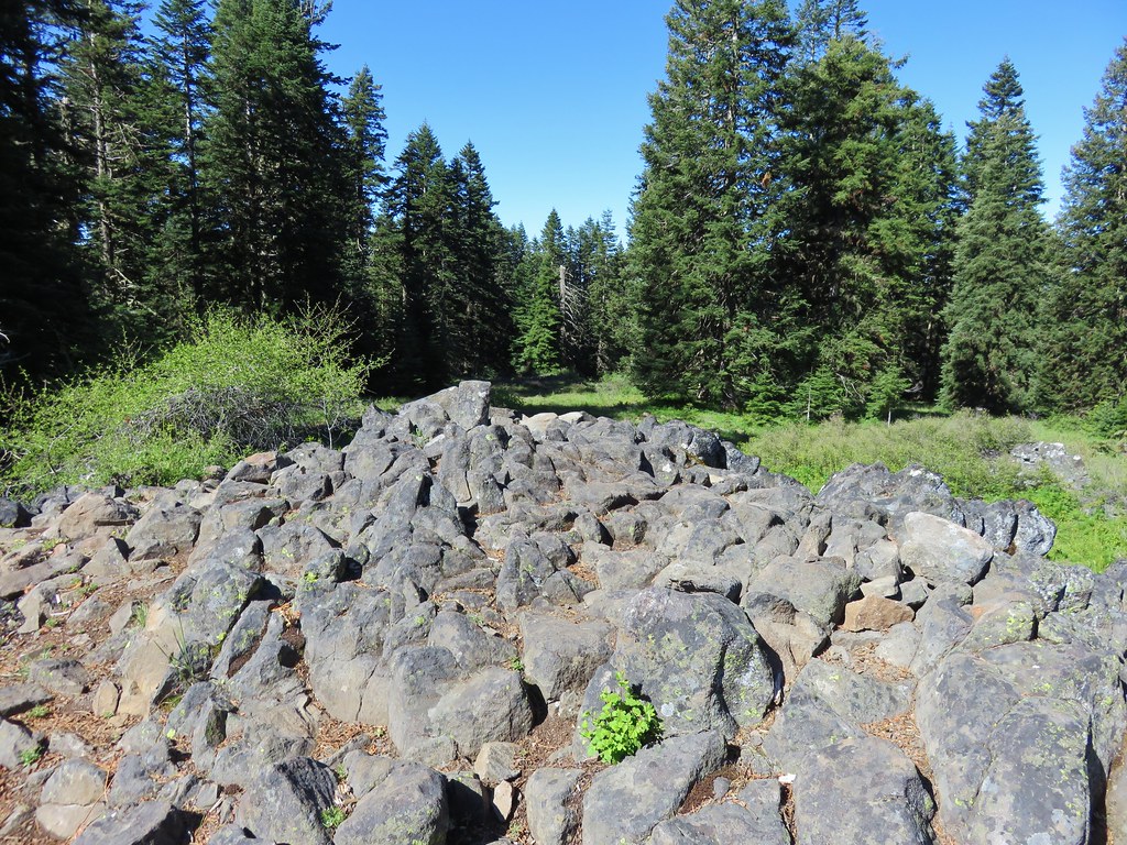
Here we tried taking the left fork toward the creek which brought us to a creek crossing with another missing bridge.
IMG_3750

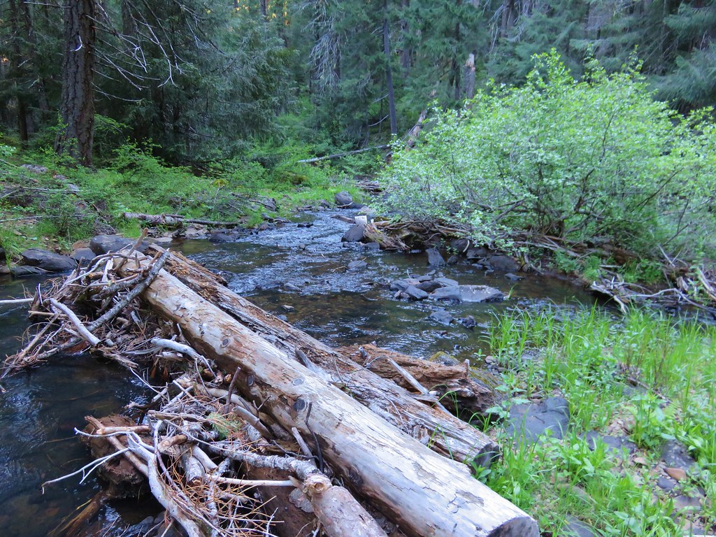
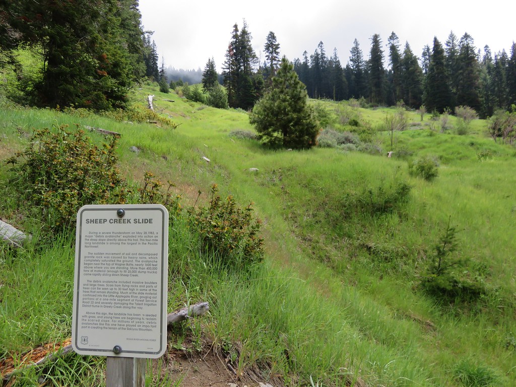
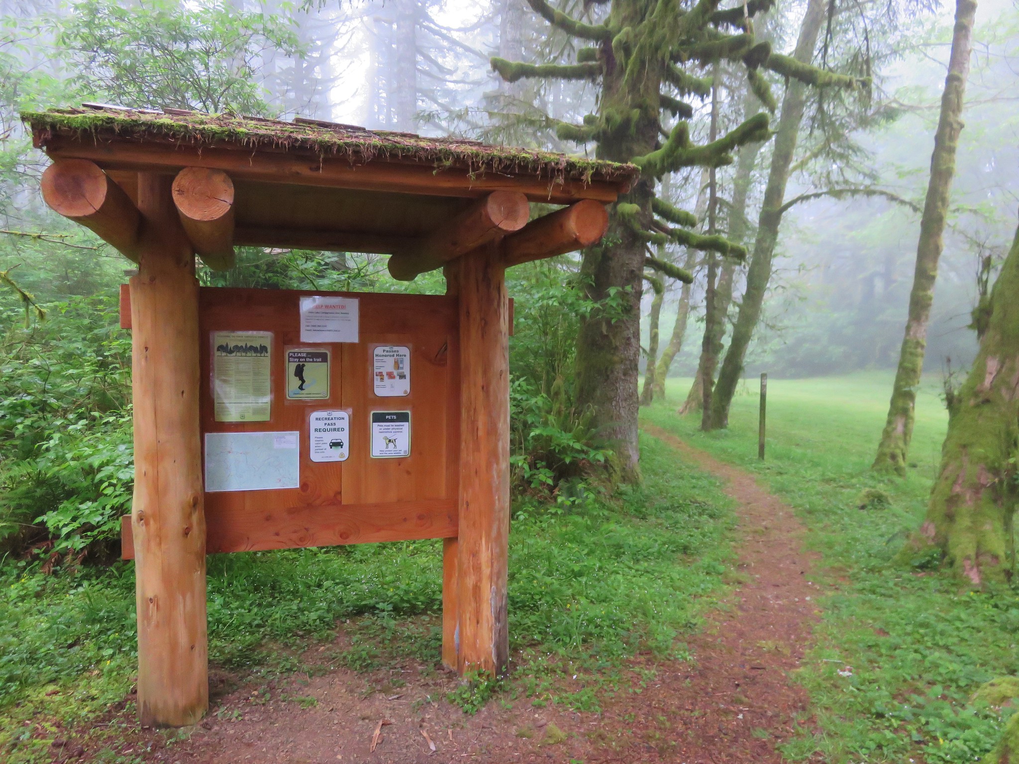
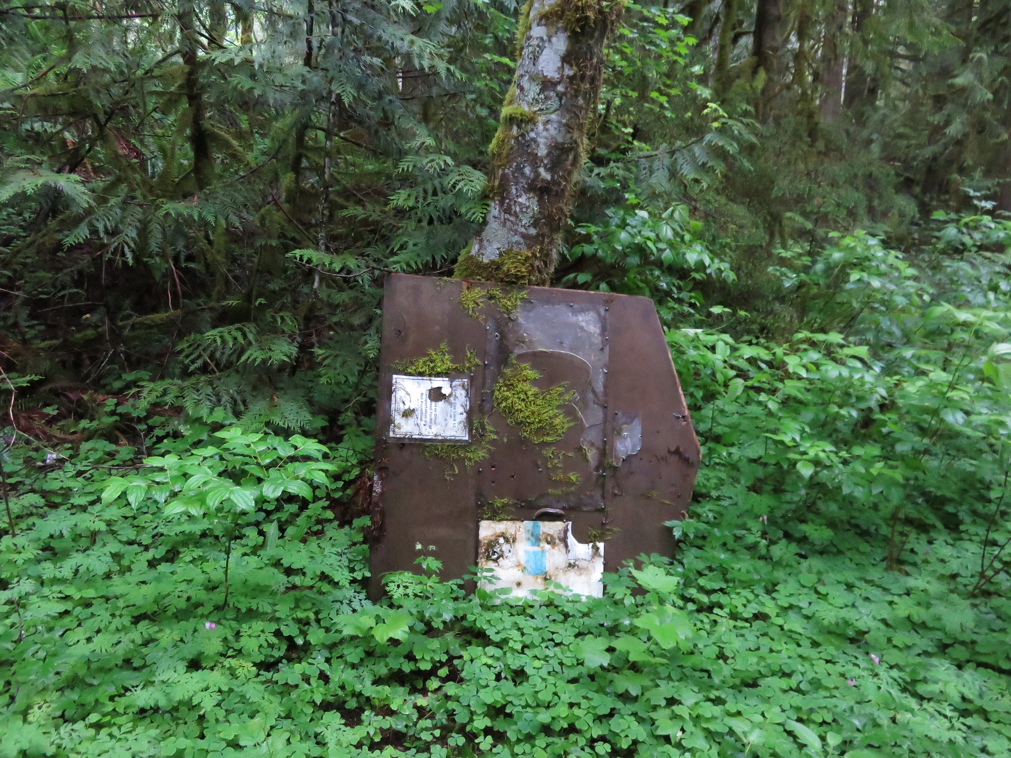
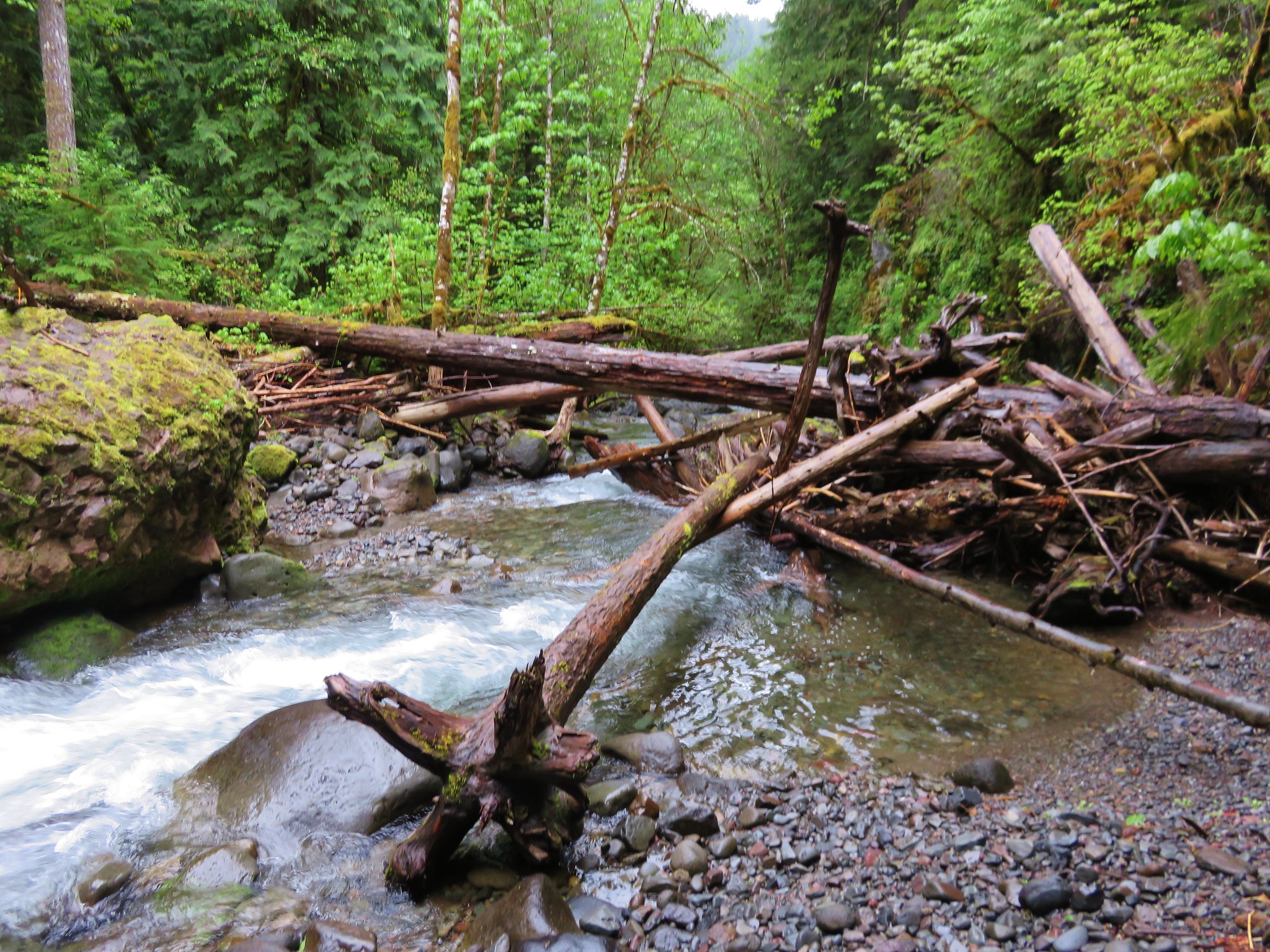
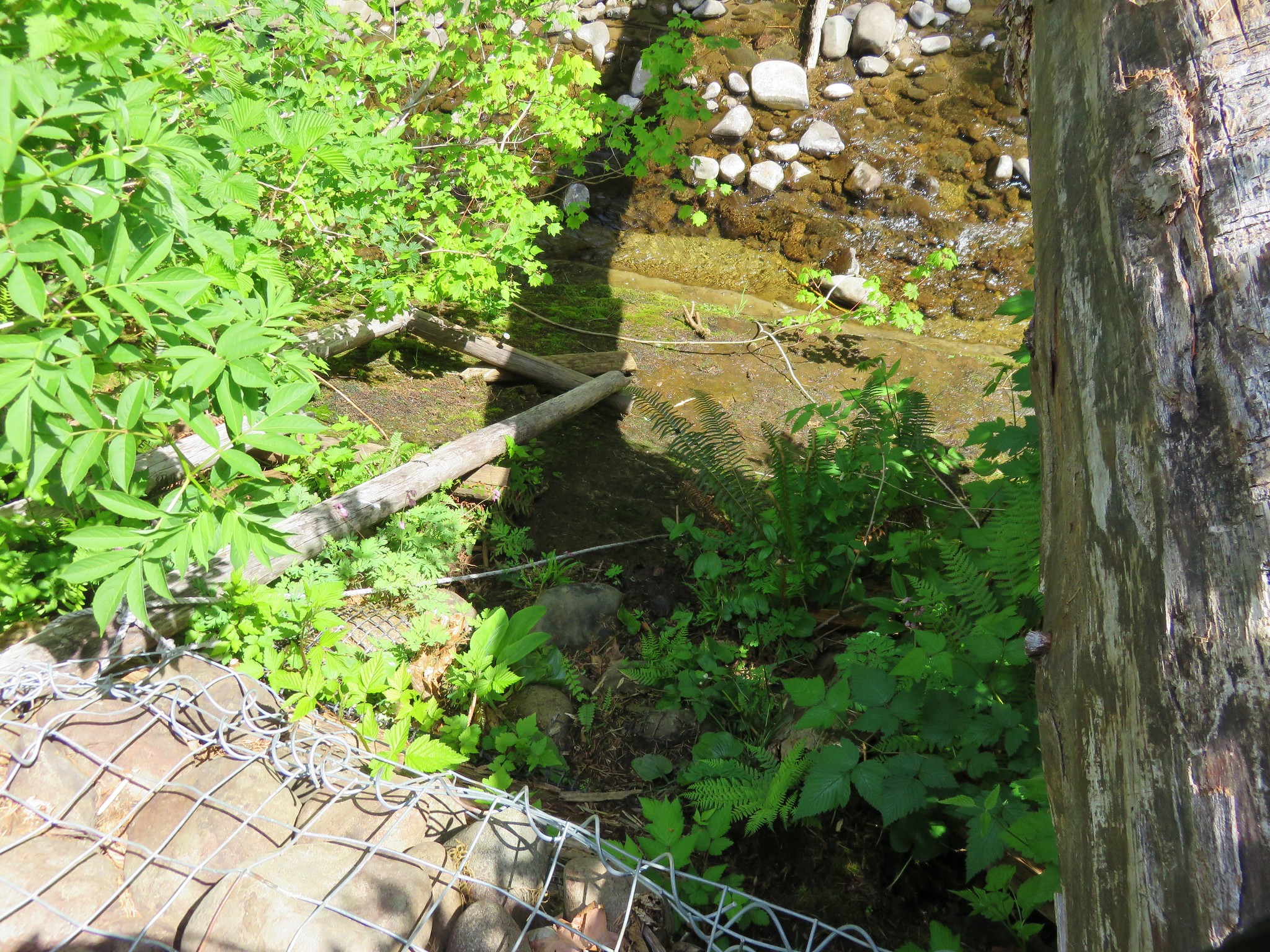
Neither of us were in the mood for a fording and we weren’t sure what the trail would be like on the far side so we turned around and headed back to the confusing sign. When we got back to the sign post we took a moment to attempt to figure out where the sign should have been placed and when we did we noticed the pointer for Daley Creek CG was not pointing in the direction we had come from early but toward a different path. We decided to follow it to see where it took us and ended up at a different trailhead further down the closed campground road where we had parked. Here were additional signs including a notice that parts of the trail were closed due to missing bridges.
IMG_3753

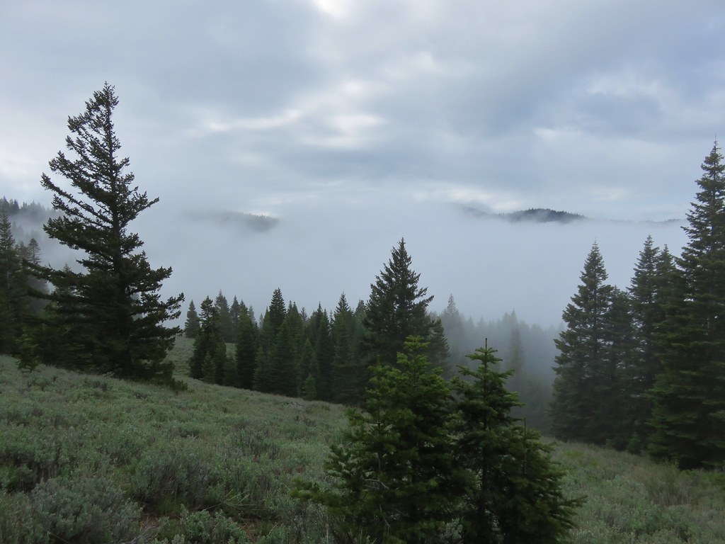
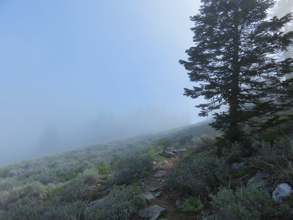
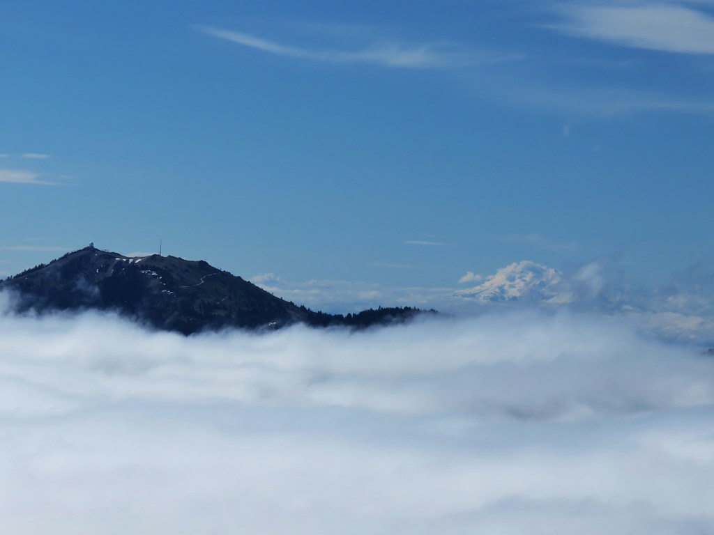
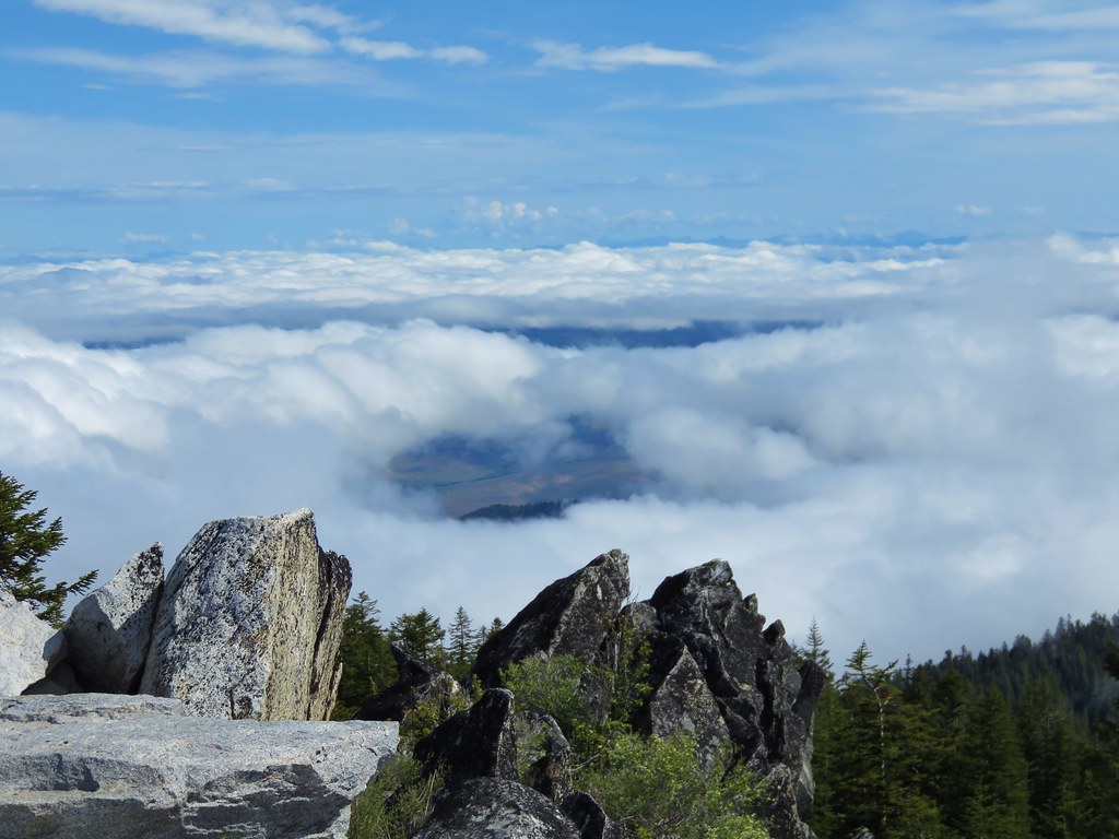
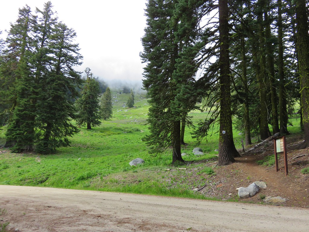
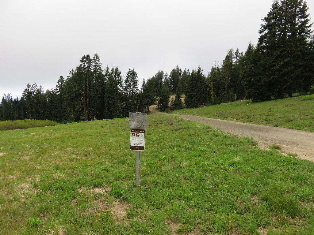
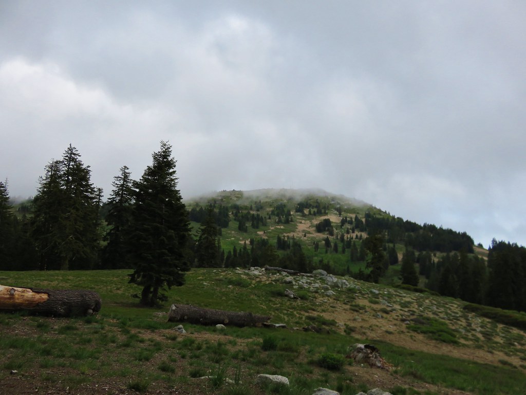
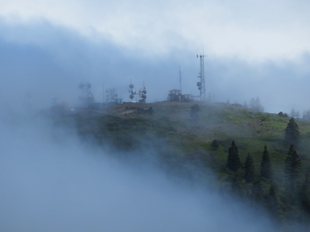
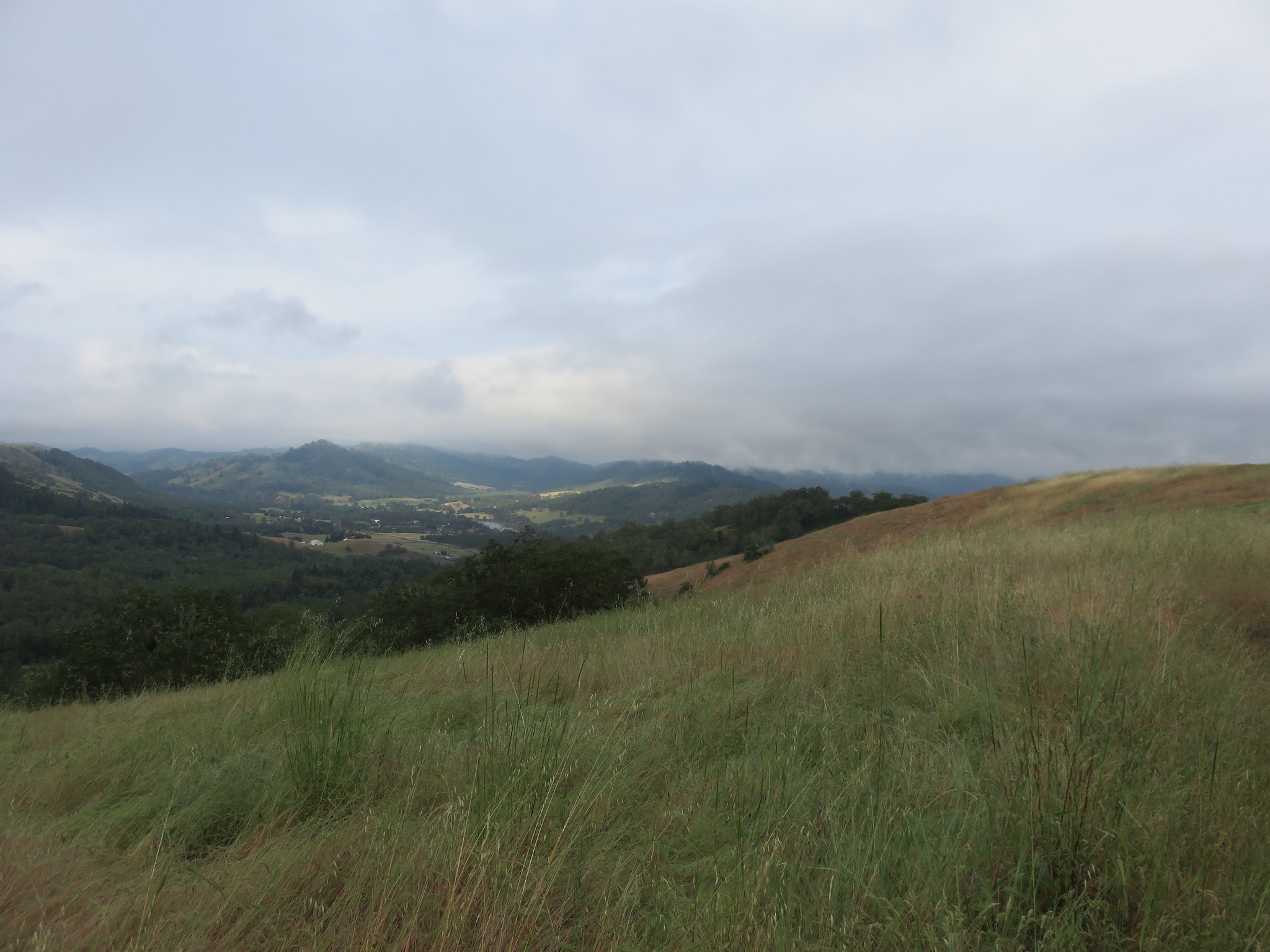
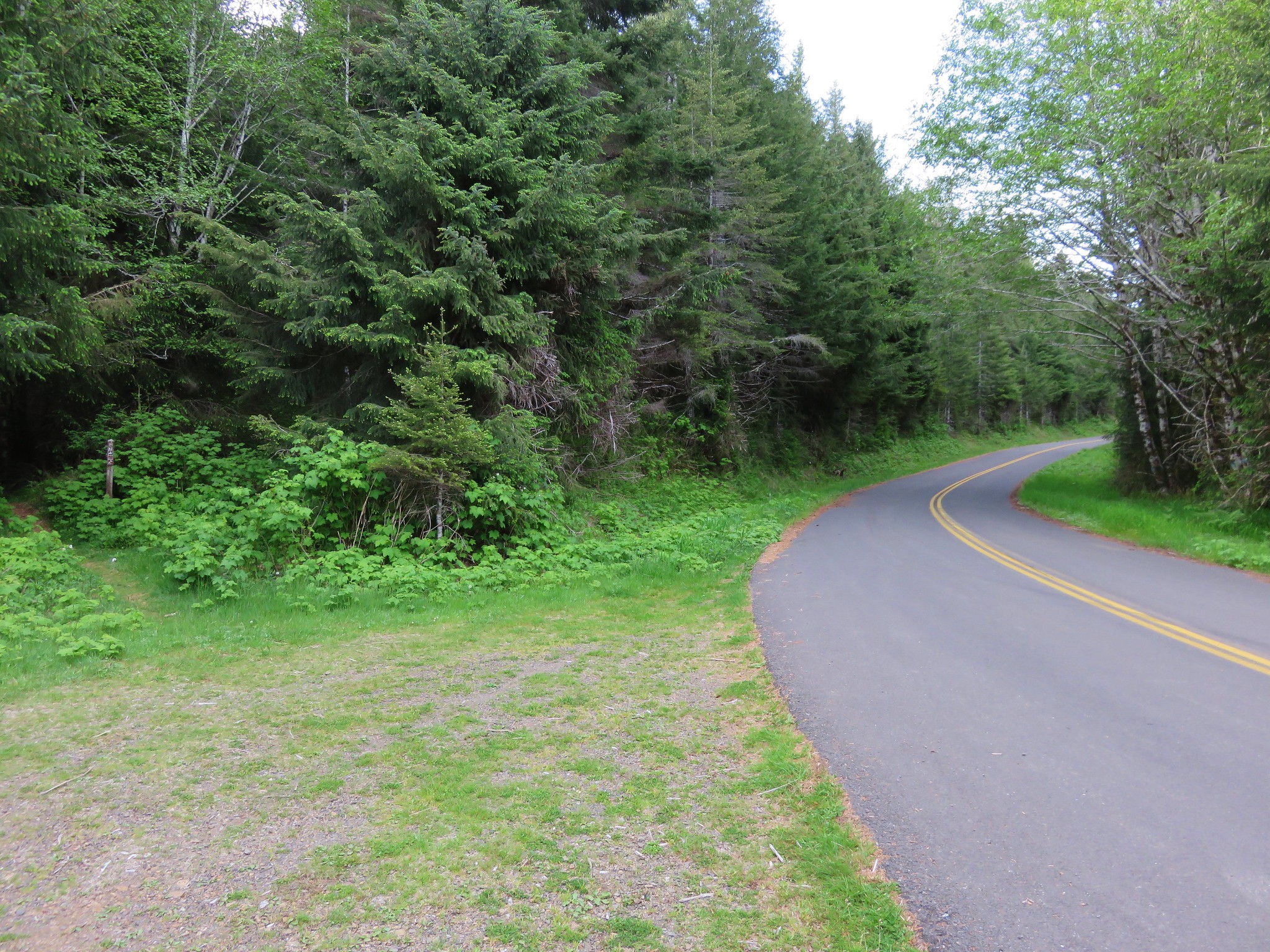
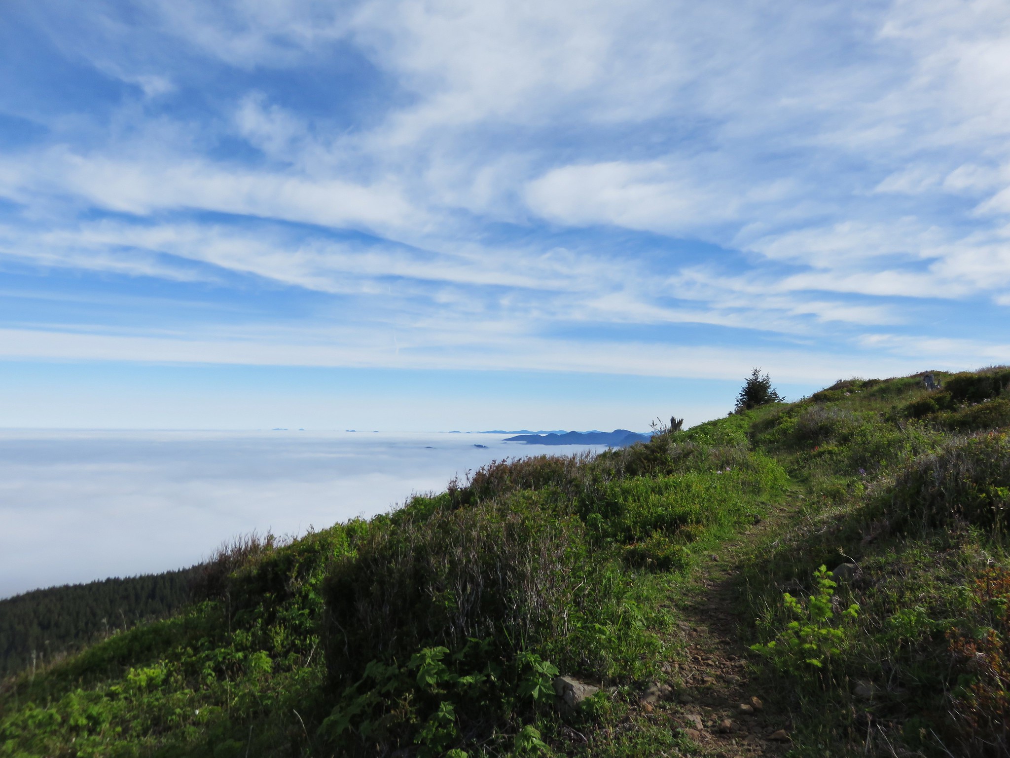
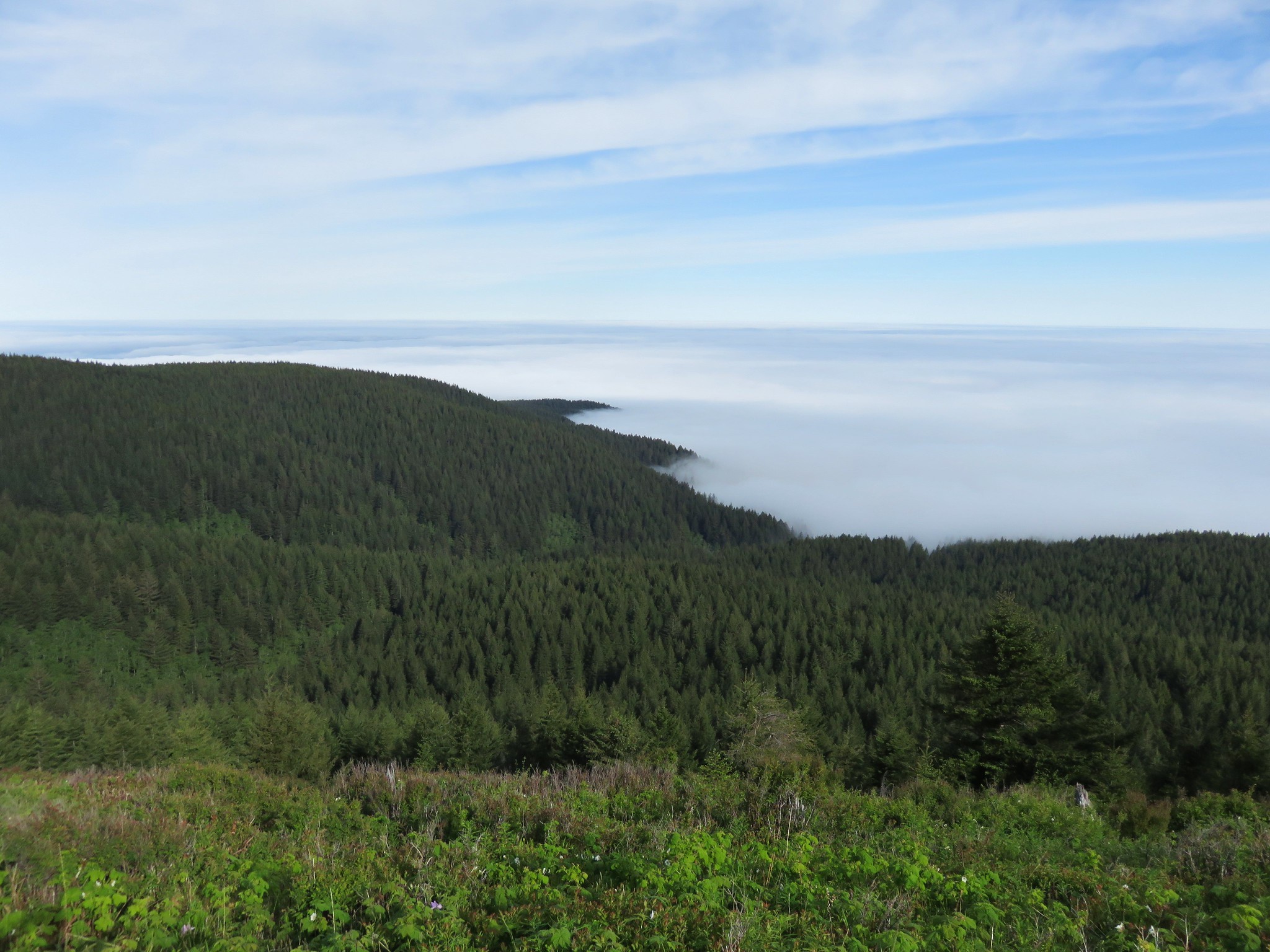
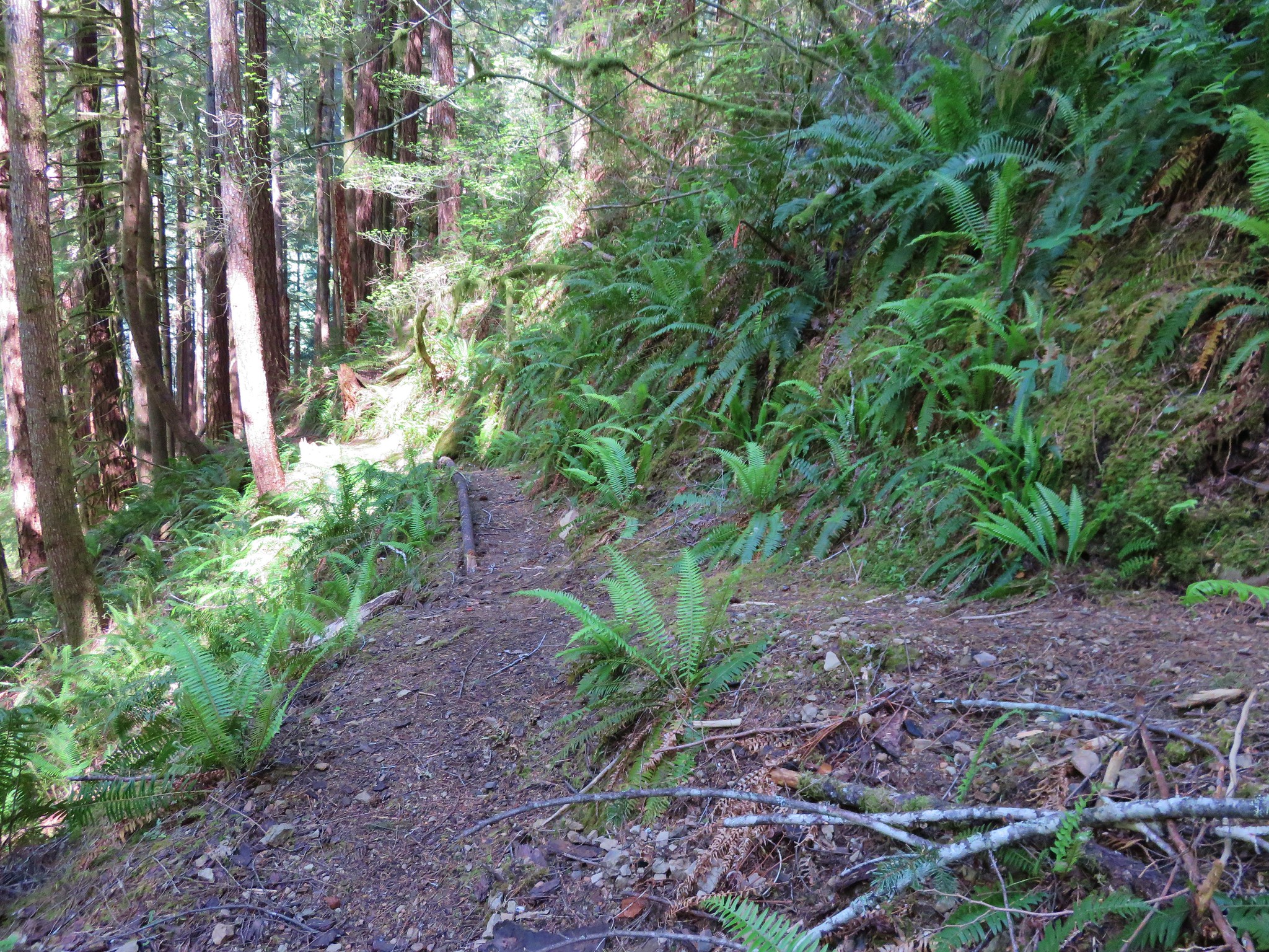
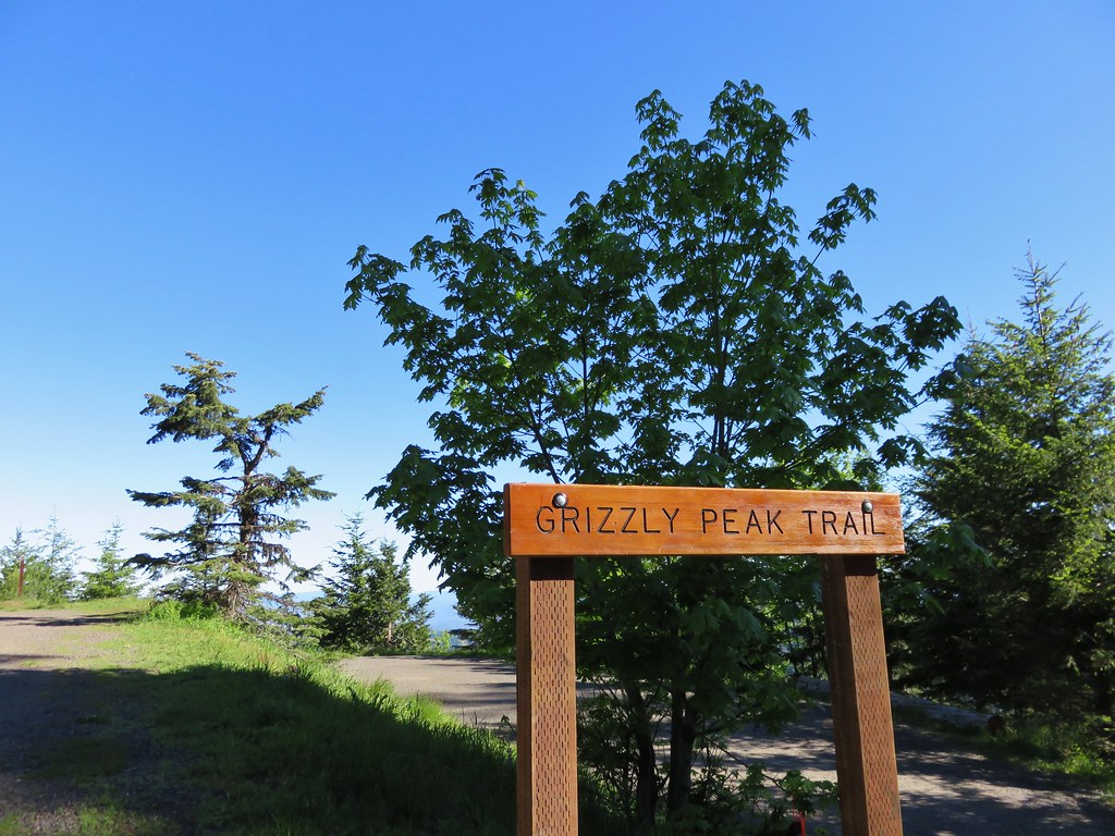
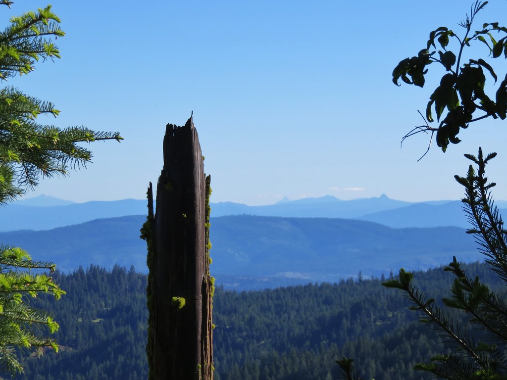
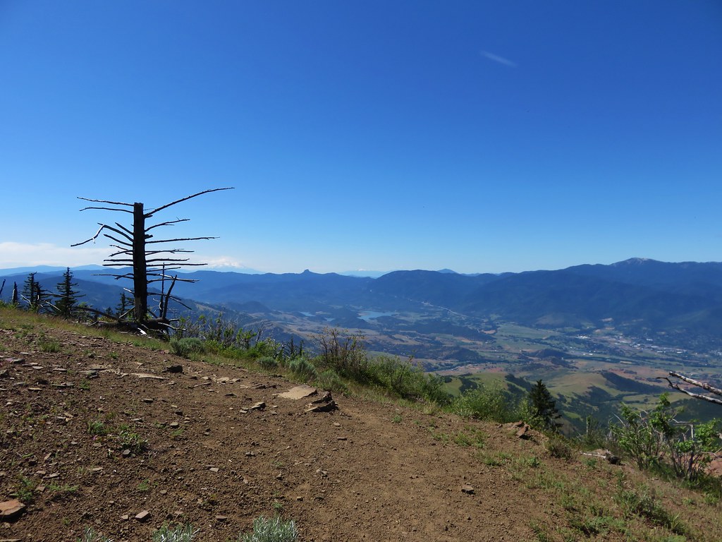
Later I checked the Forest Service website but it hadn’t been updated since 2013 regarding the trail and said that the campground would be reopening in May 2015. We should have checked the website before visiting, but in this case that wouldn’t have made much of a difference. After returning to our car we headed for Grizzly Peak arriving at the empty trailhead under the first virtually cloud free skies we’d had on the trip.
IMG_3754

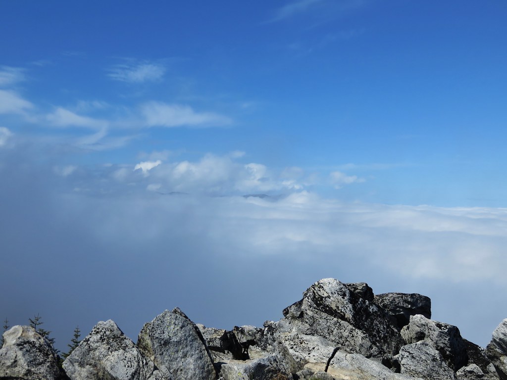
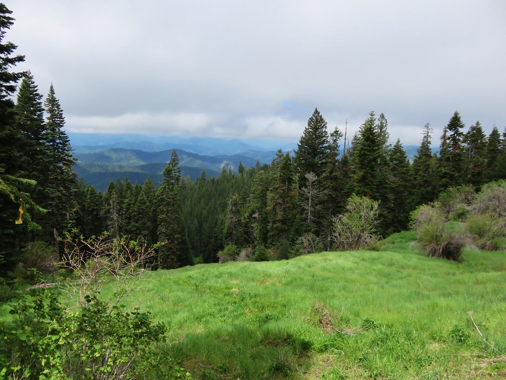
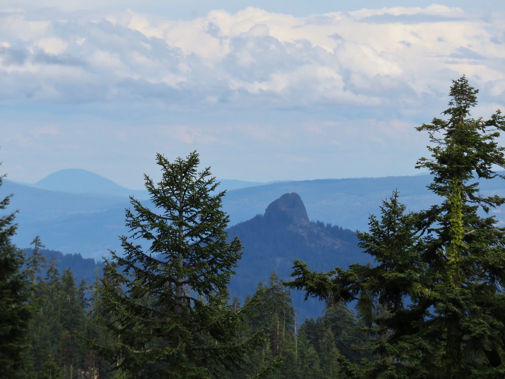
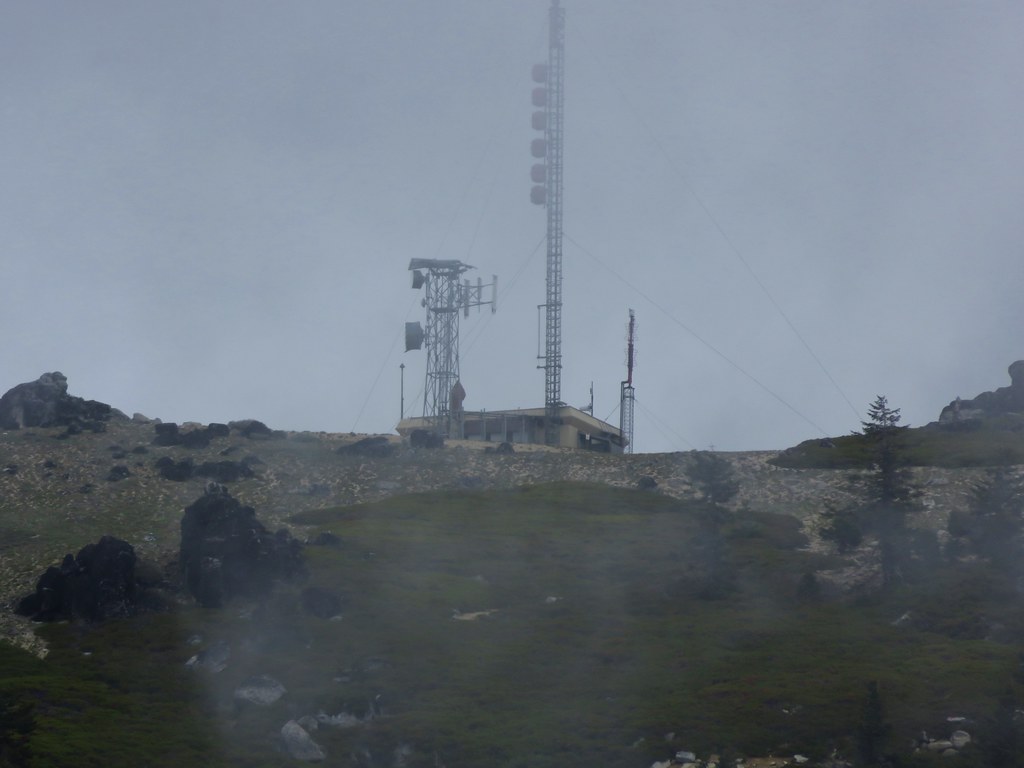
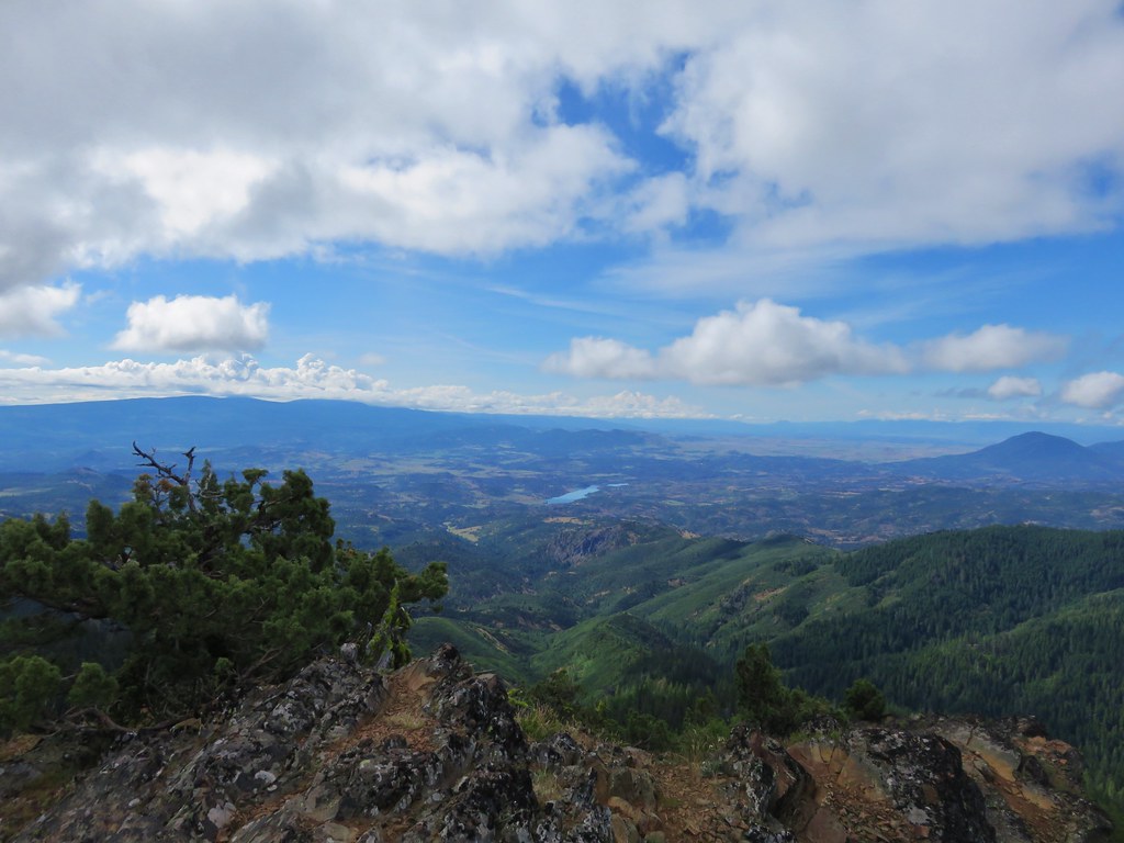
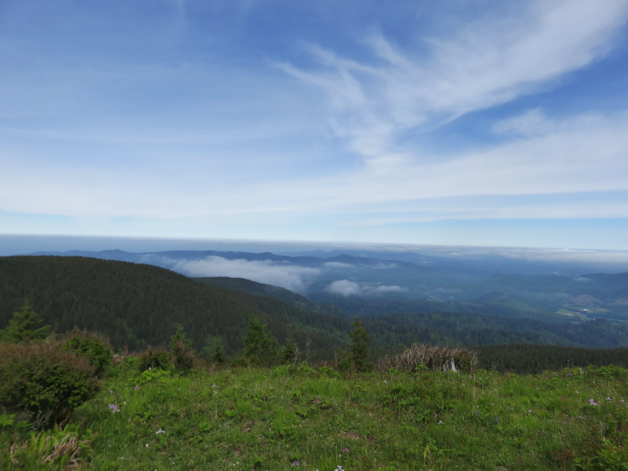
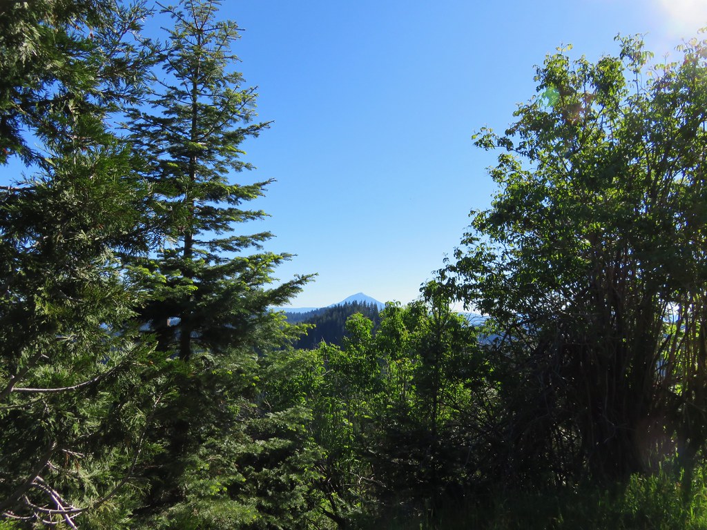
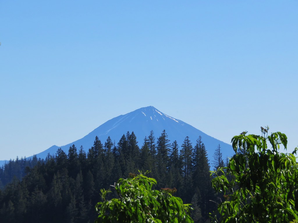
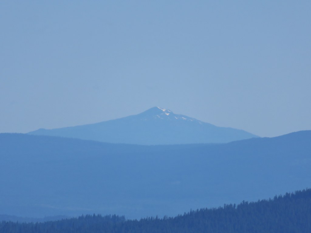
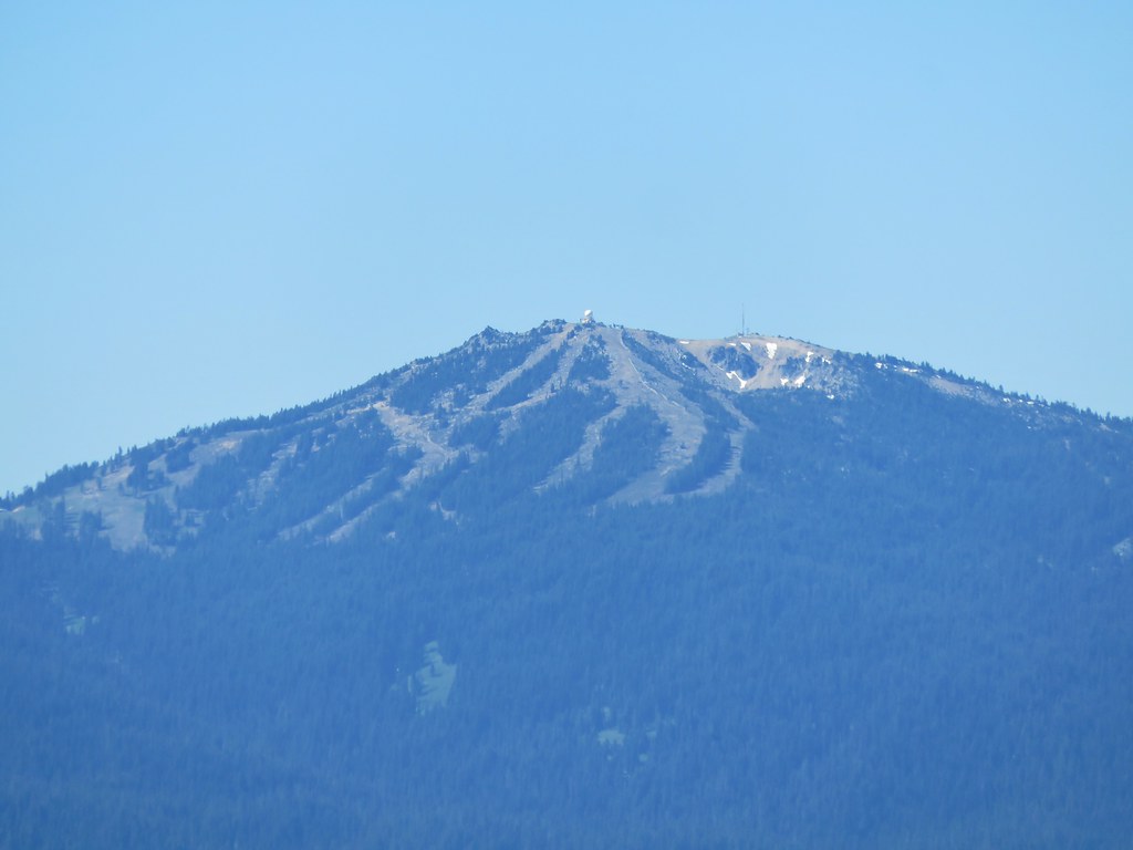
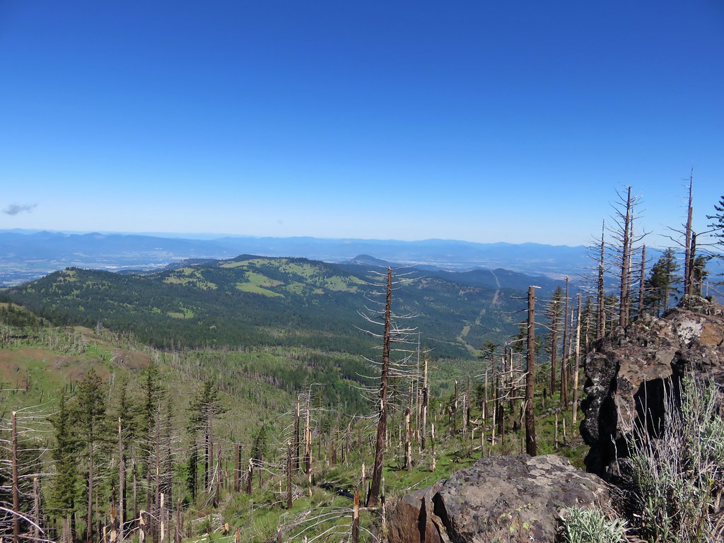
The first portion of the trail offered nice views to the NE of Mt. McLoughlin, Union Peak, Crater Lakes rim, Mt. Thielsen, and Mt. Bailey.

Mt. McLoughlin
IMG_3755

IMG_3756

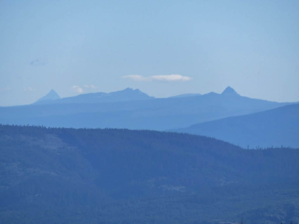
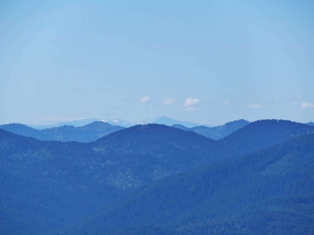
Union Peak, Mt. Scott, Crater Lakes rim, Mt. Thielsen, and Mt. Bailey.
IMG_3759

Mt. Bailey
IMG_3760

Union Peak, Crater Lakes rim, and Mt. Thielsen
IMG_3761

Crater Lakes rim and Mt. Scott
IMG_3764

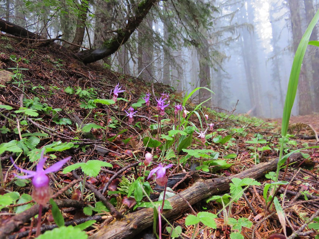
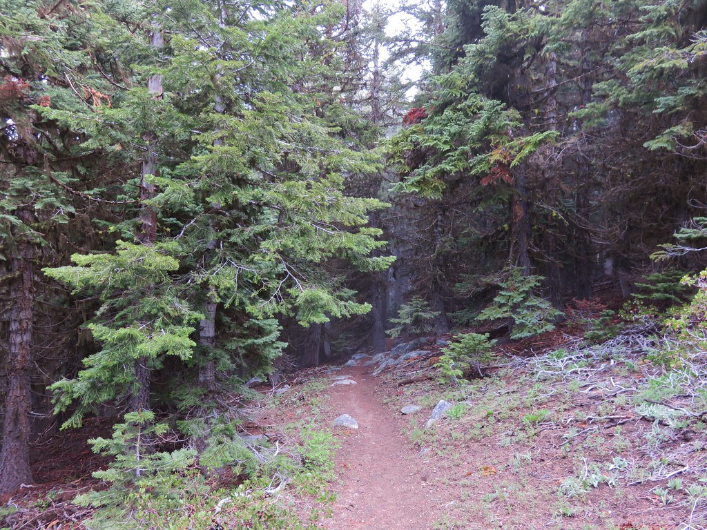
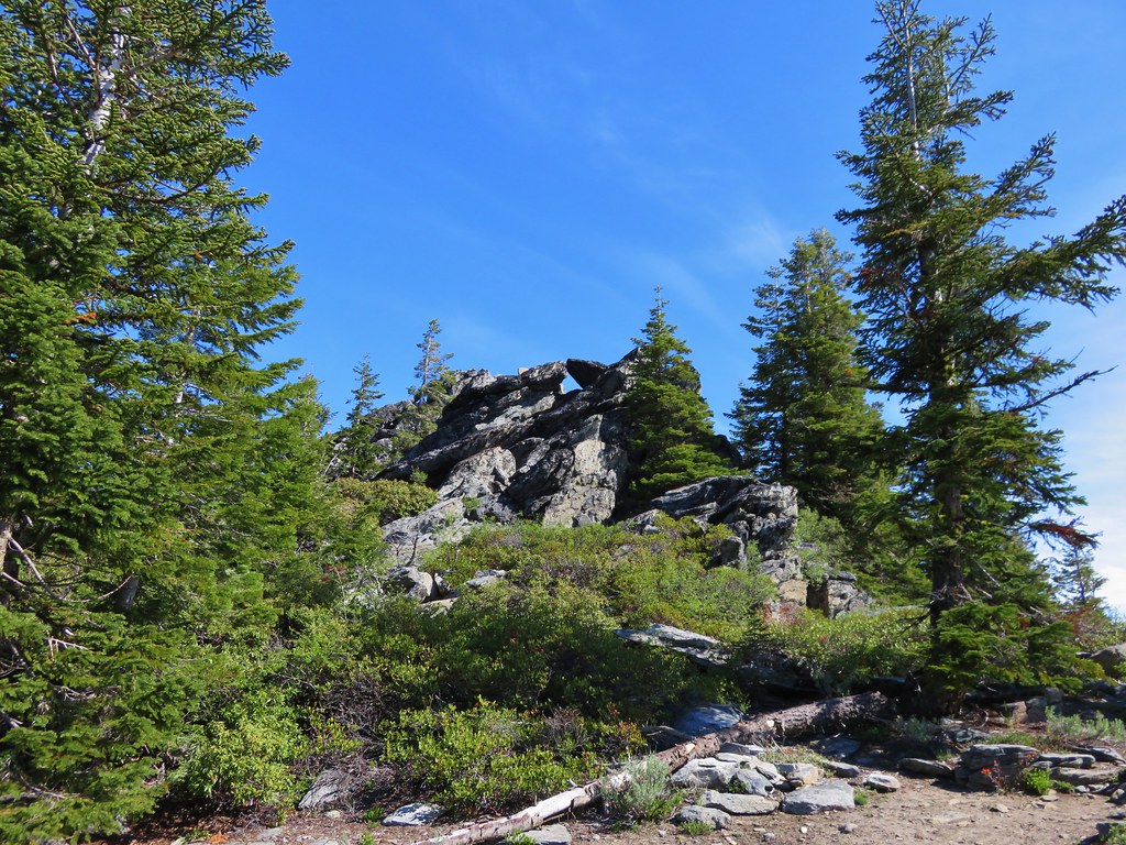
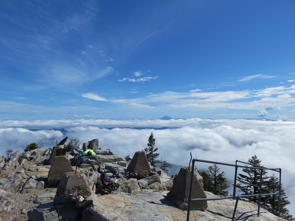
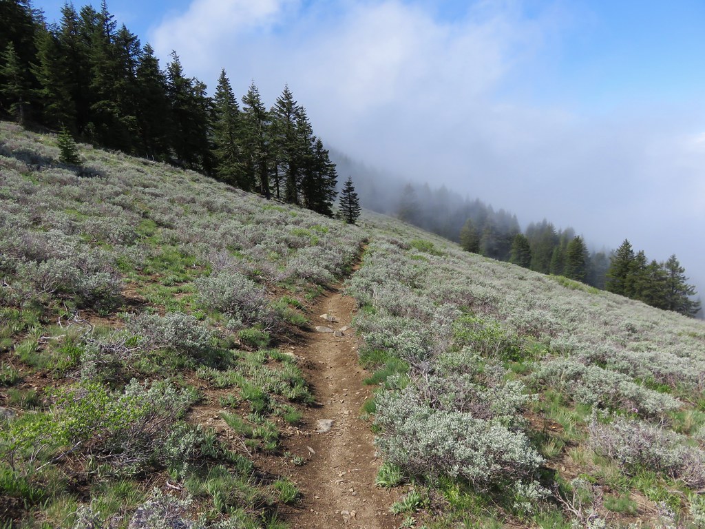
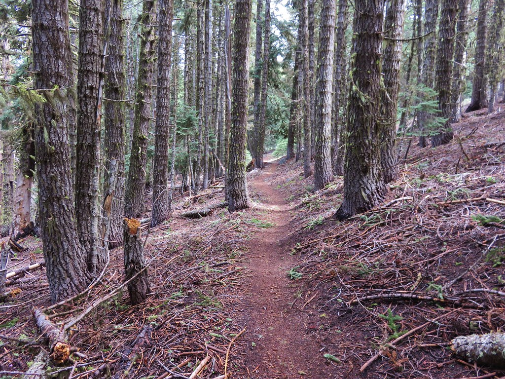
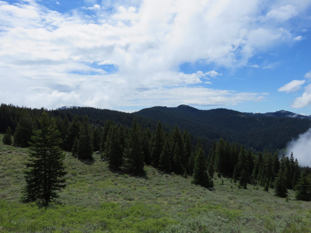
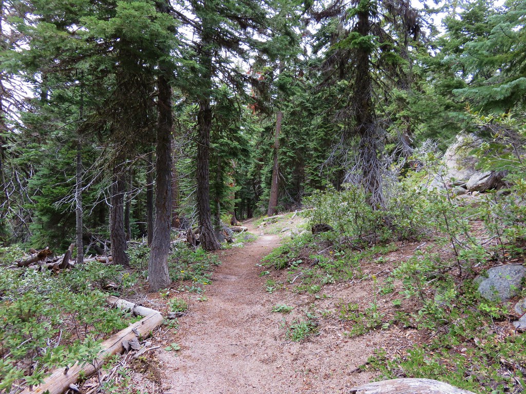
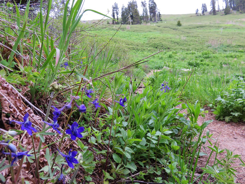
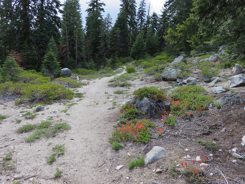
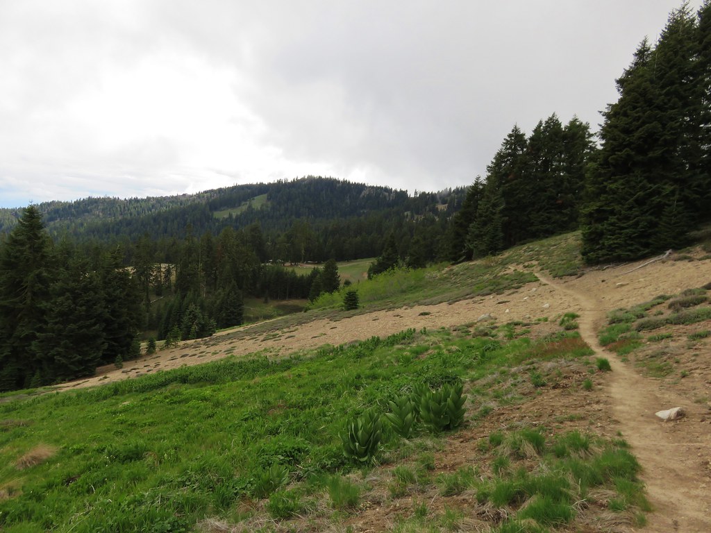
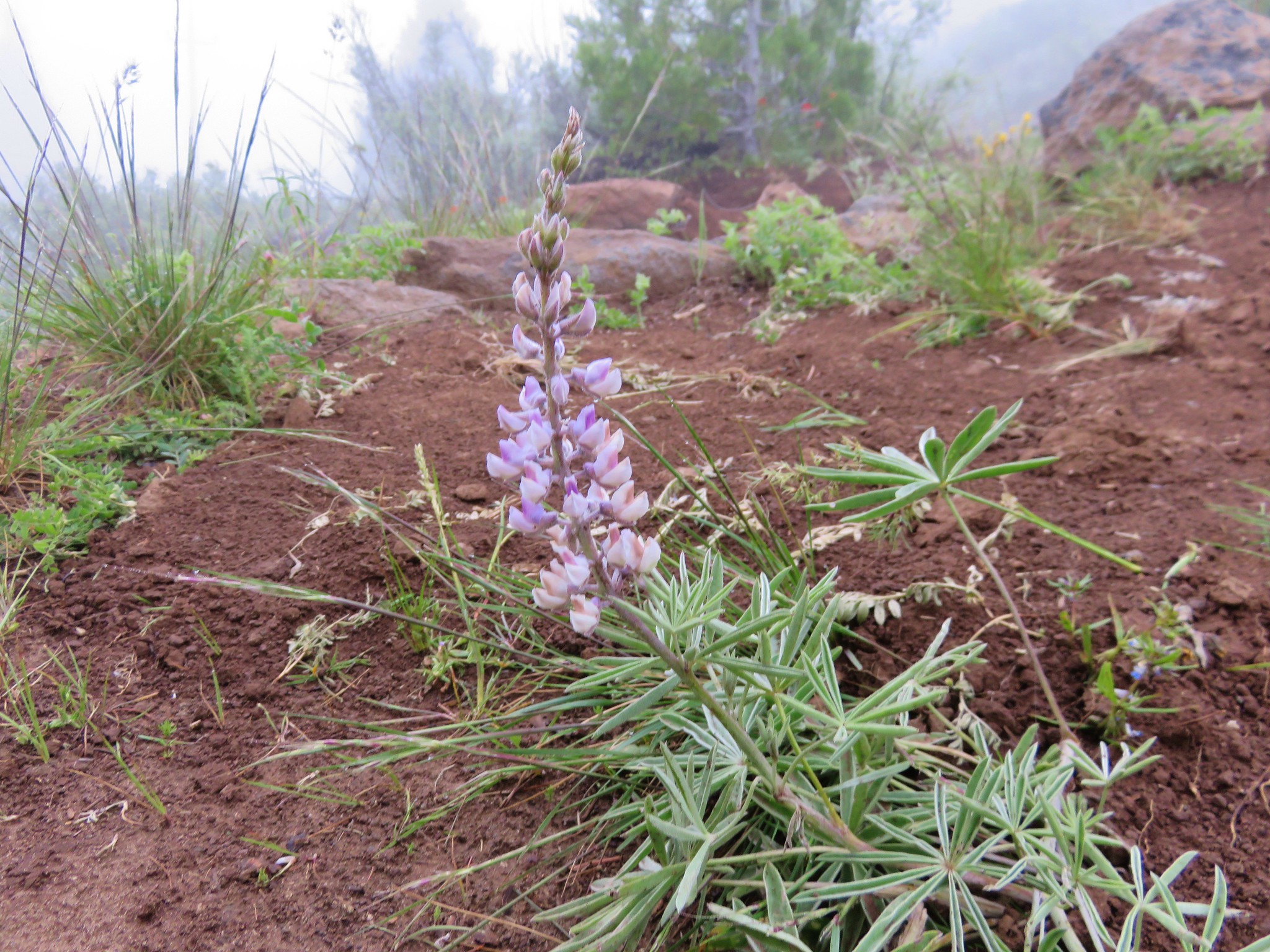
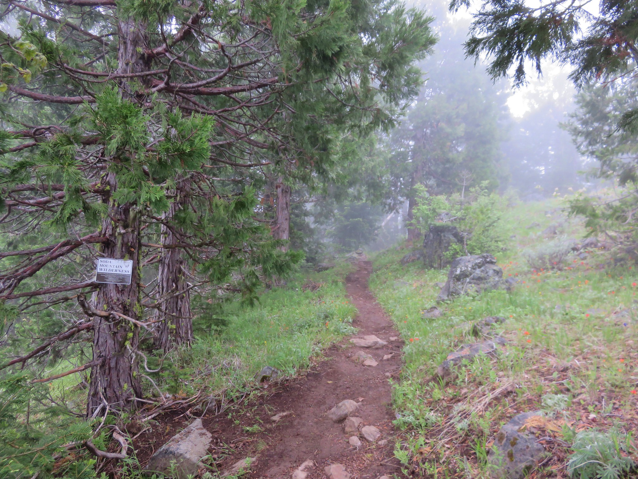
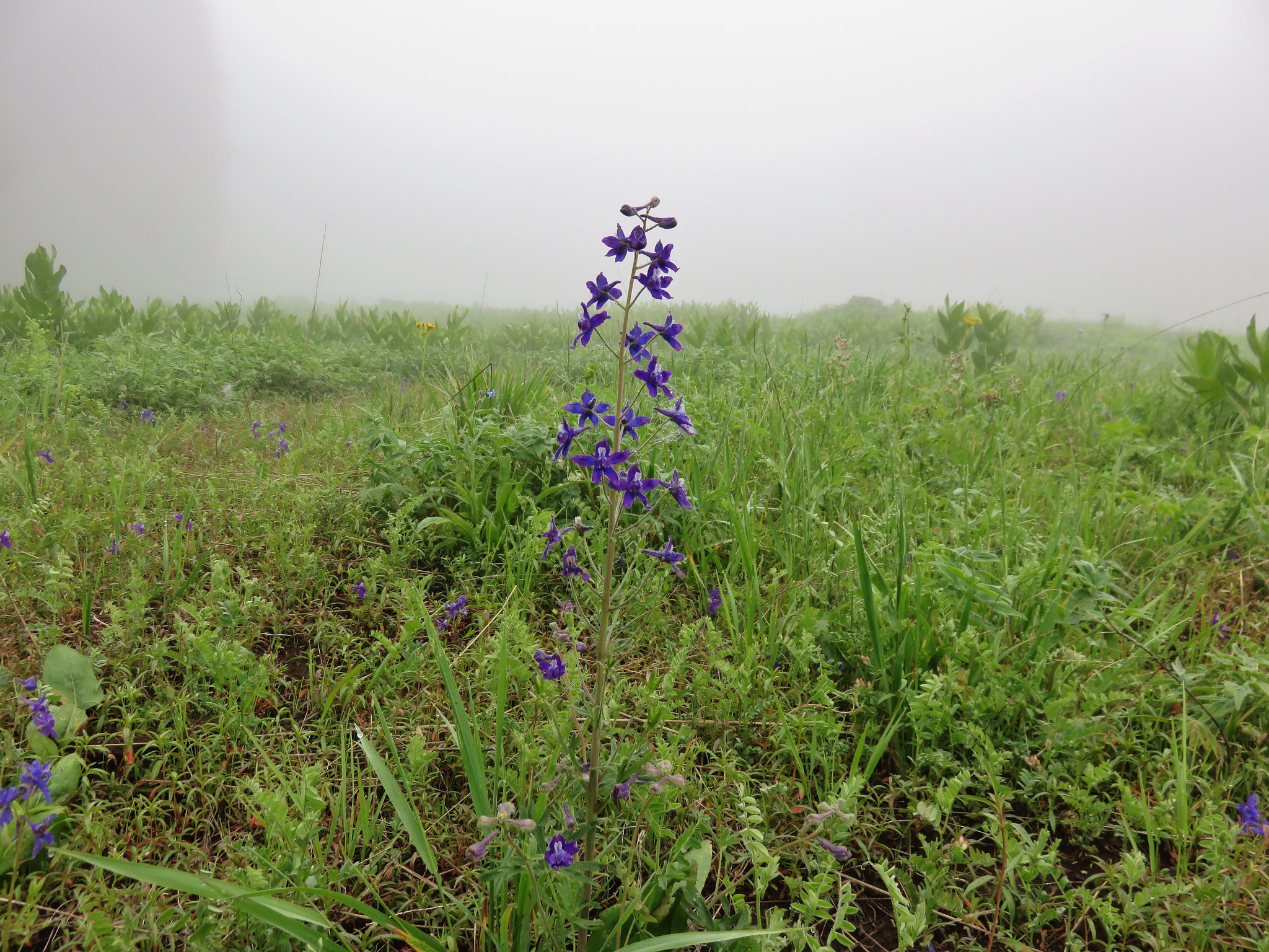
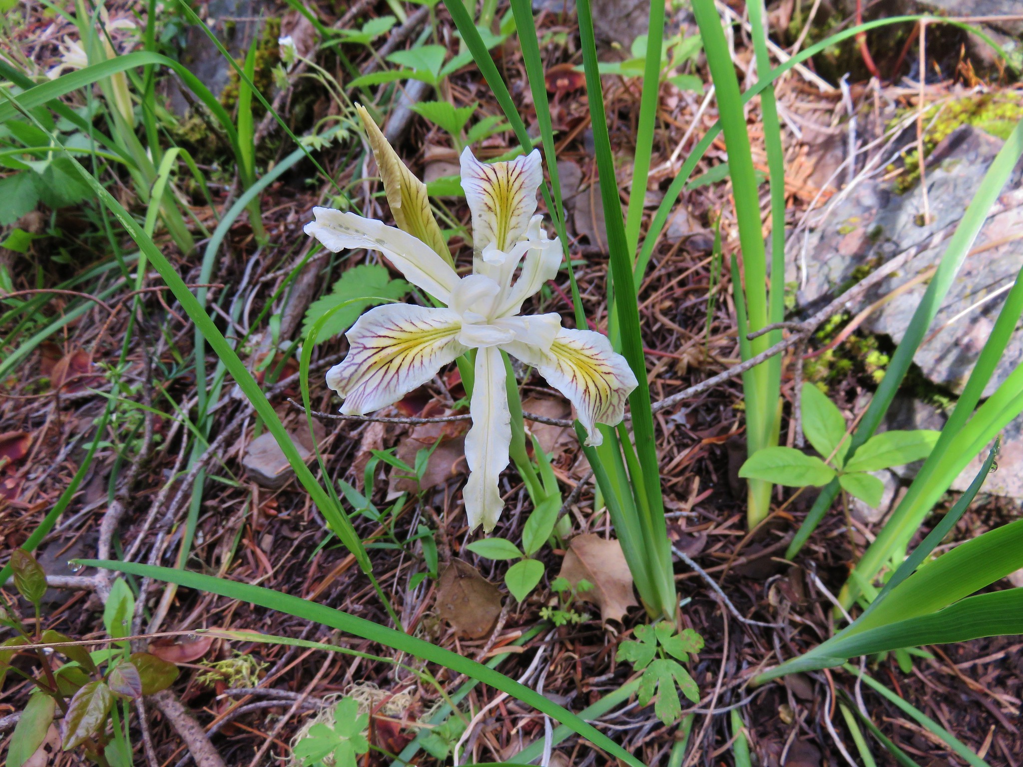
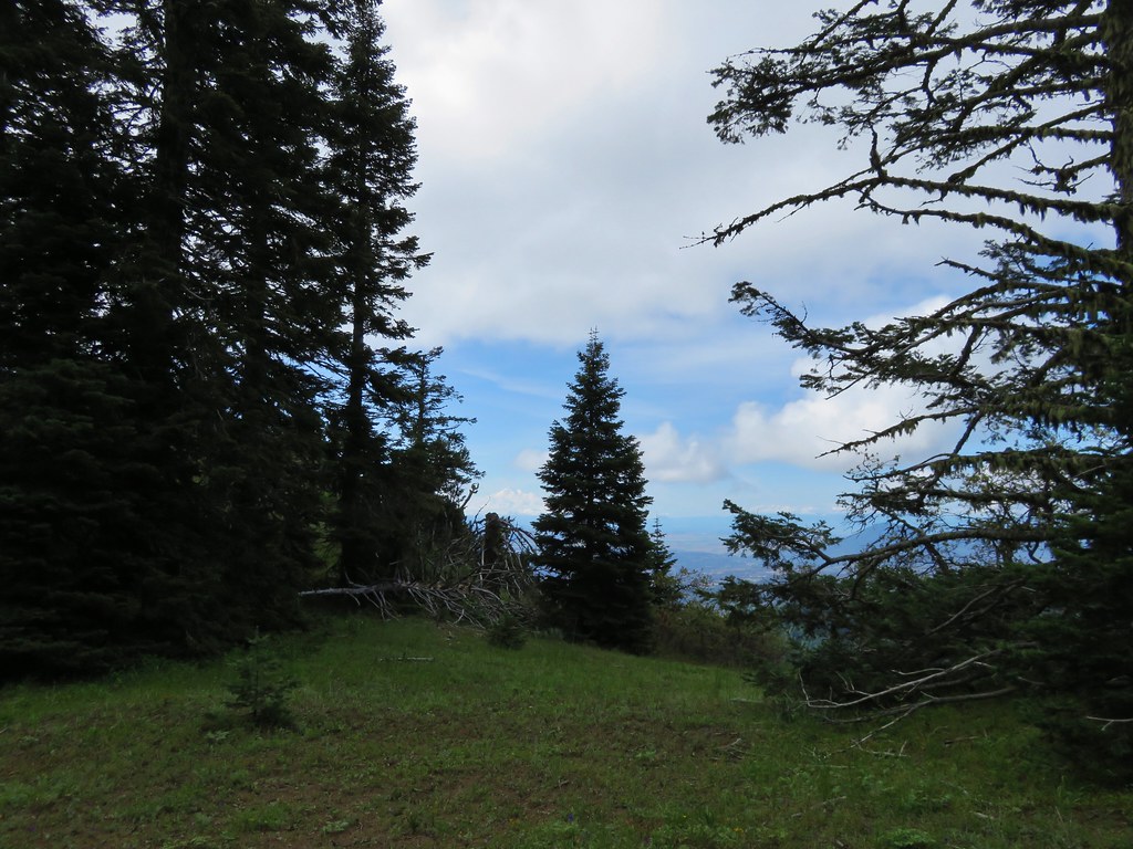
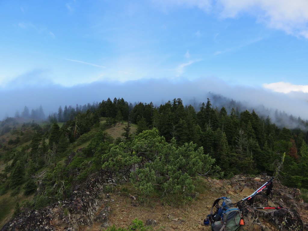
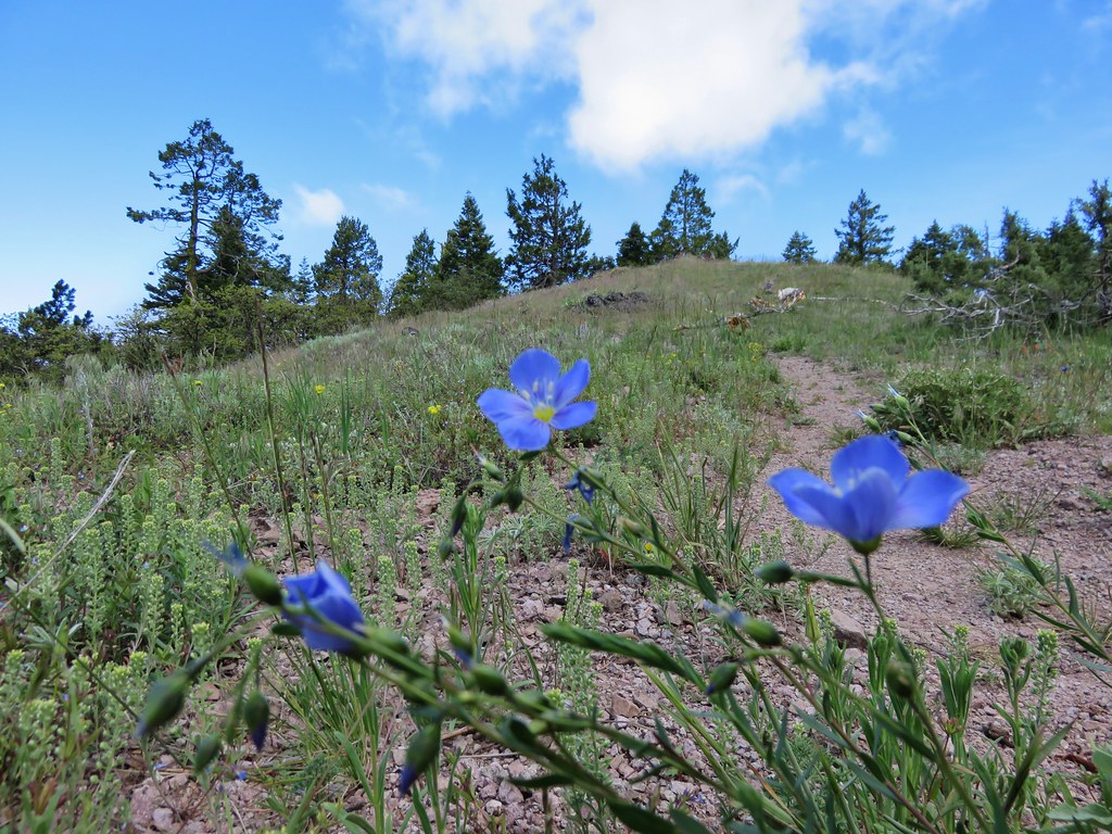
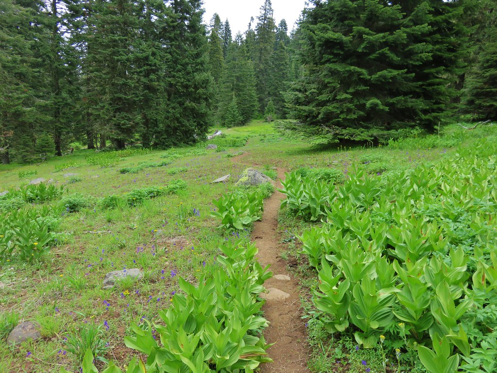
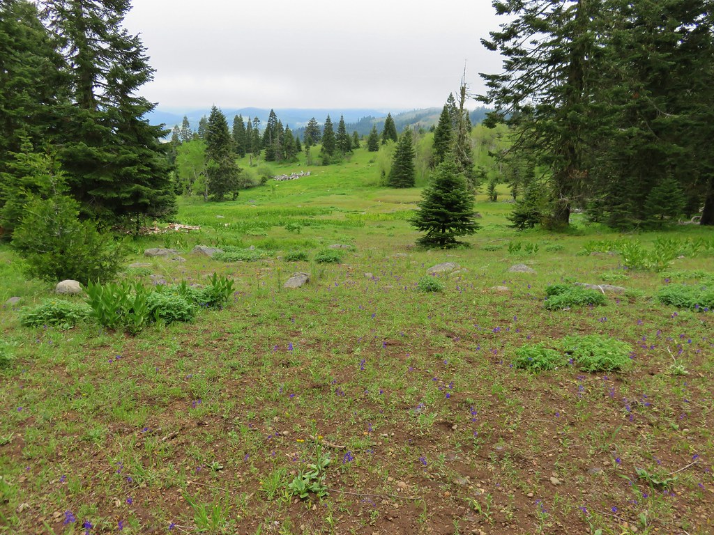
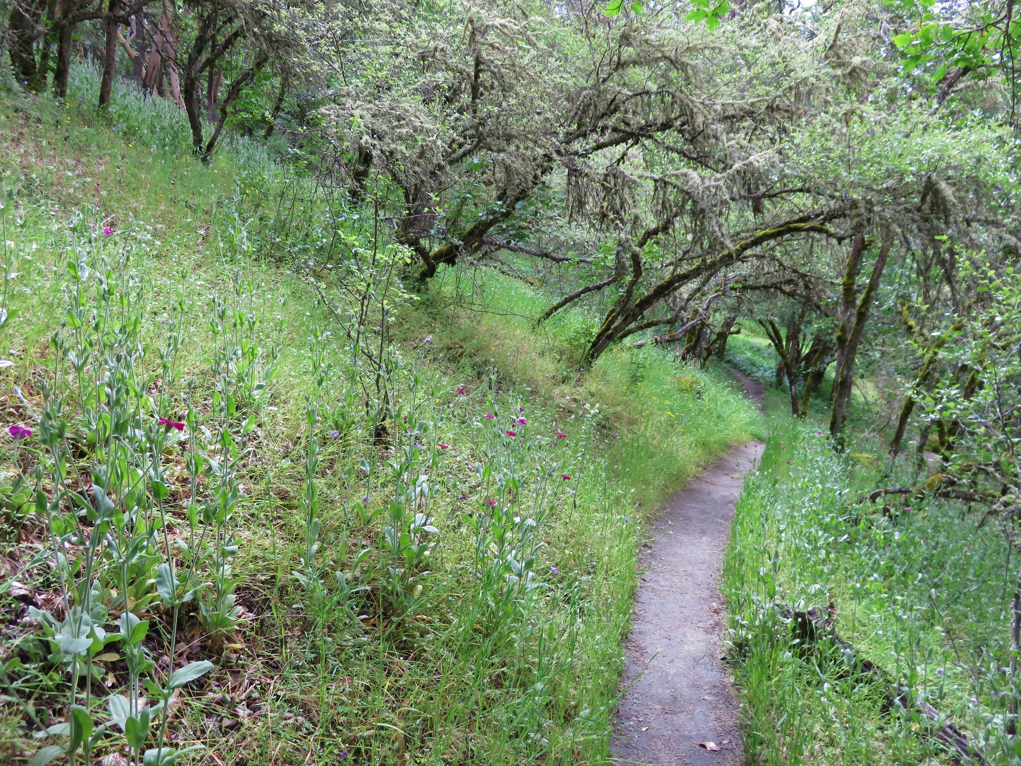
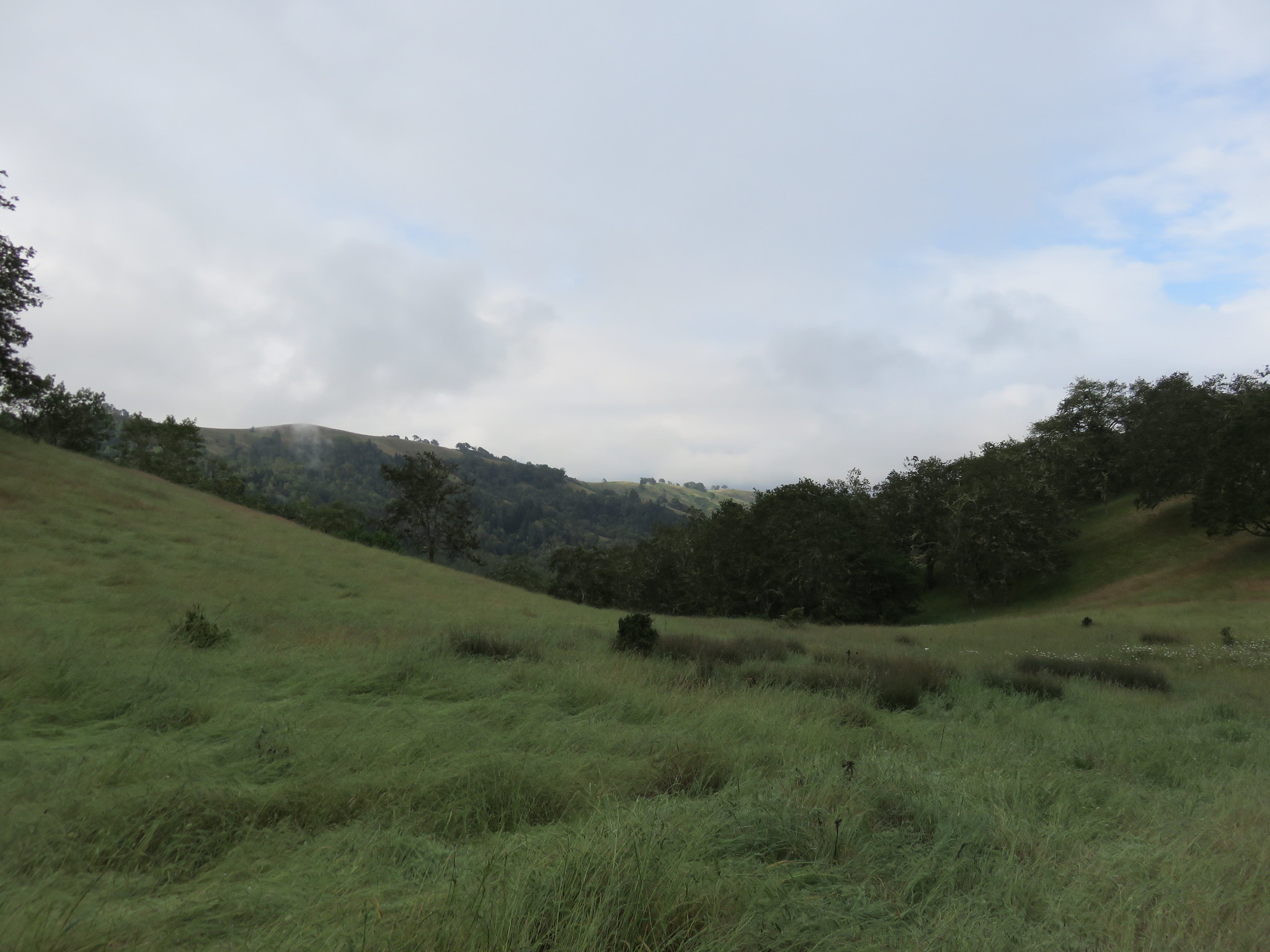
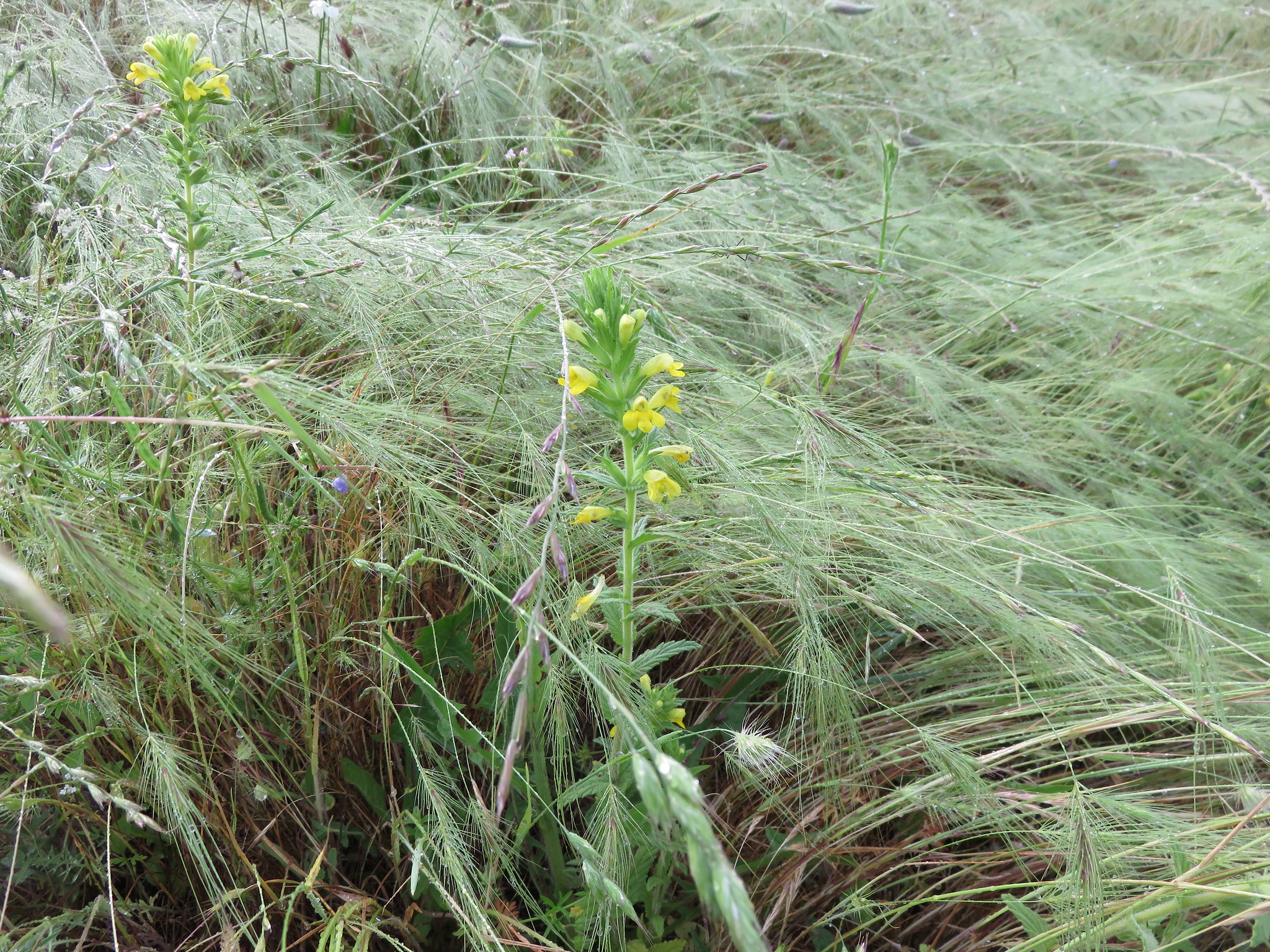
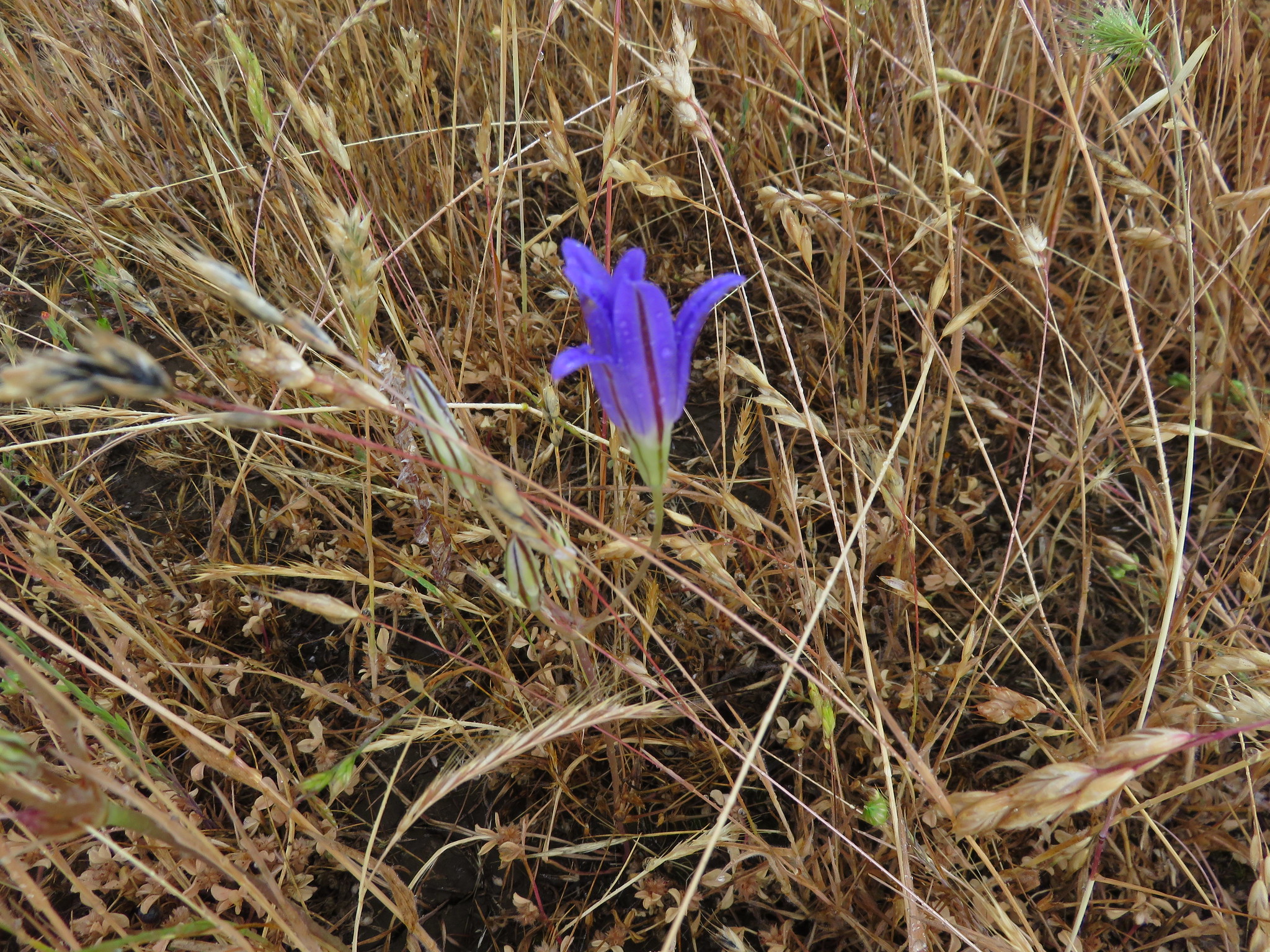
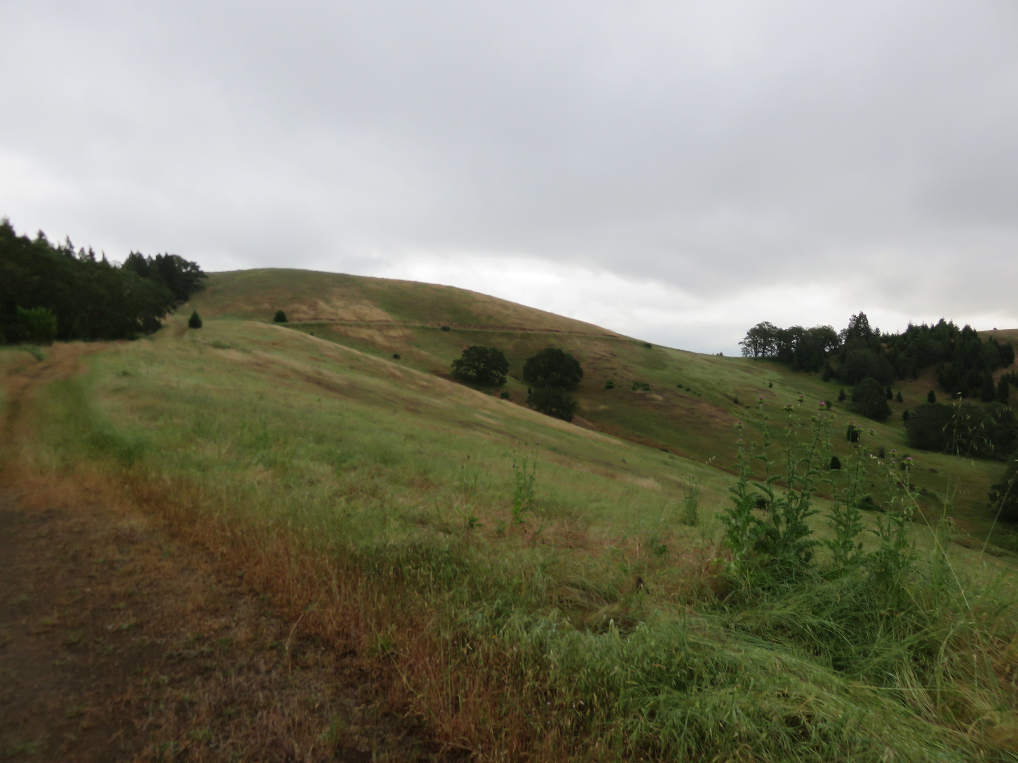
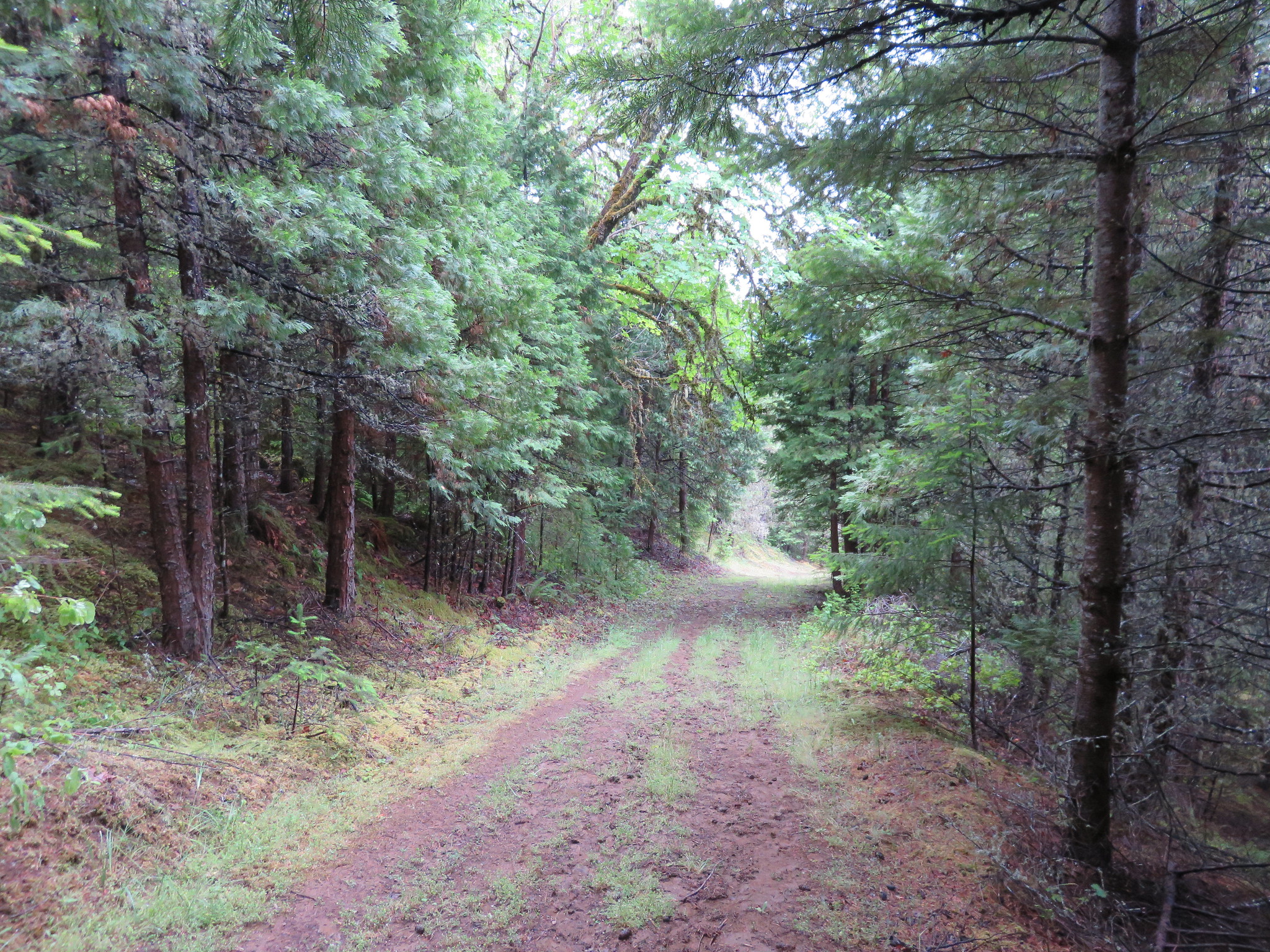
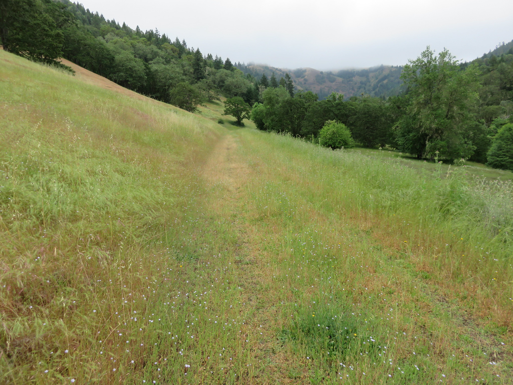
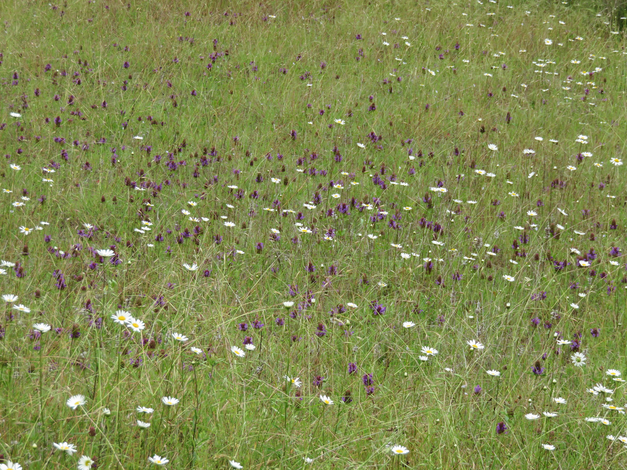
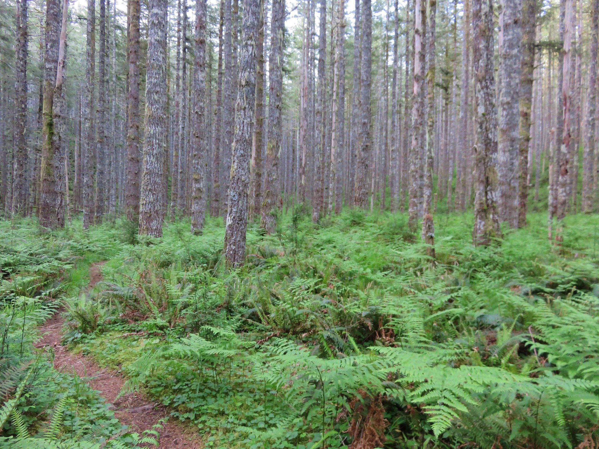
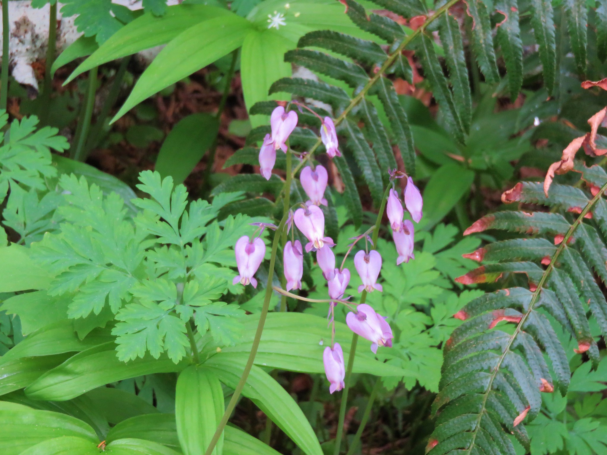
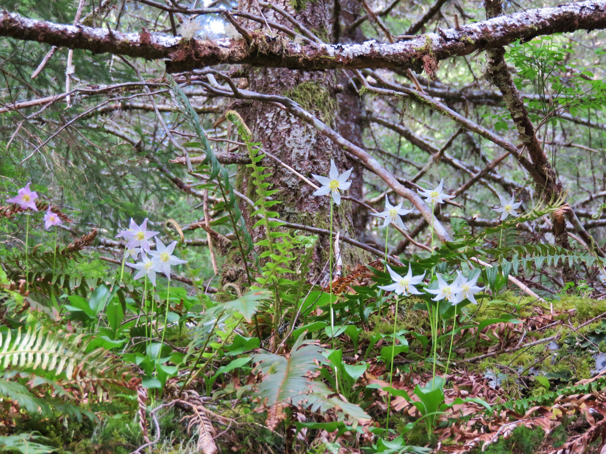
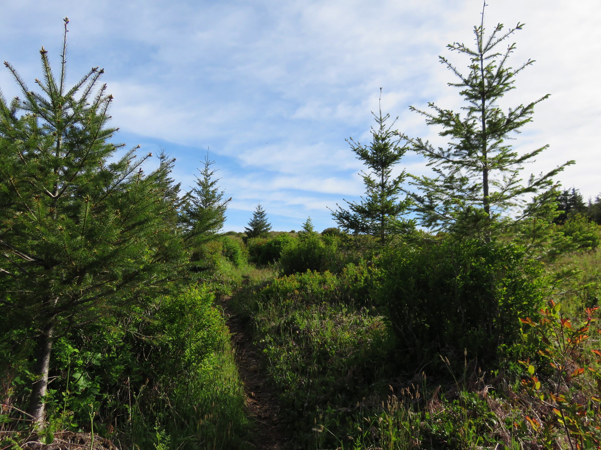
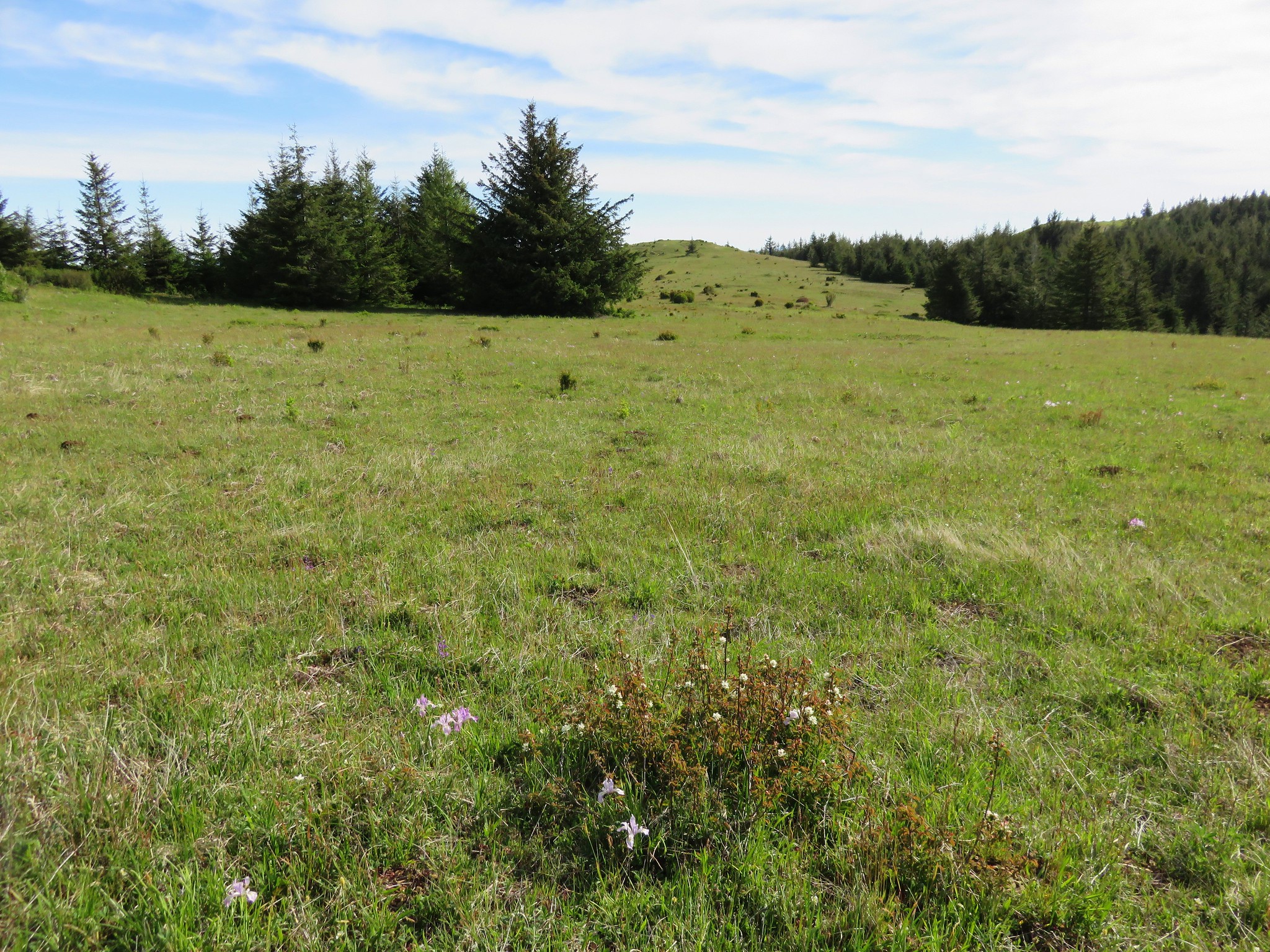
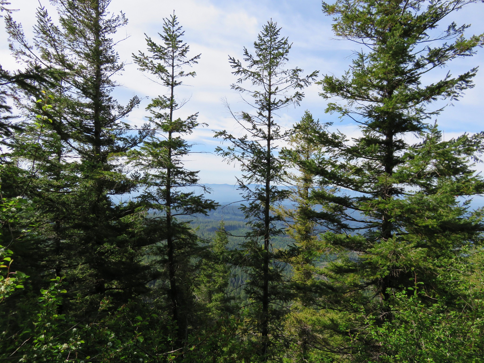
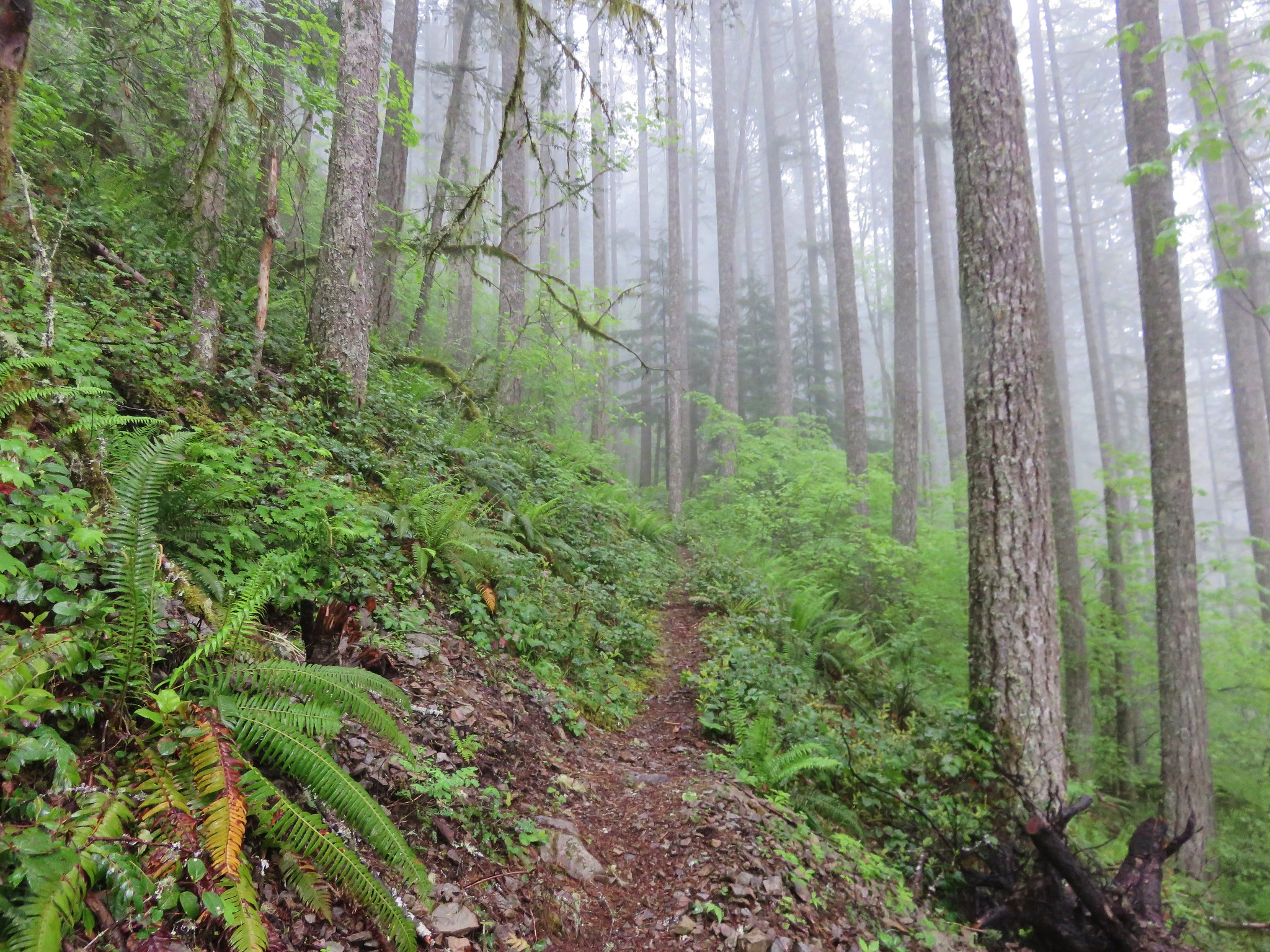
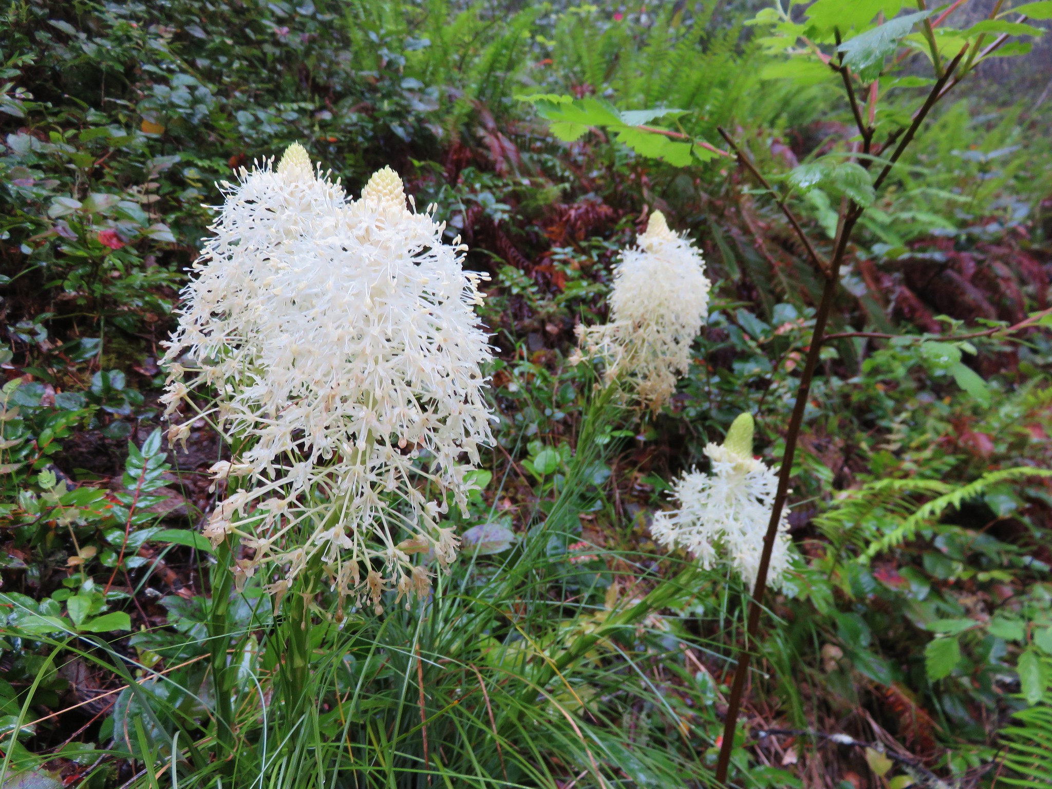
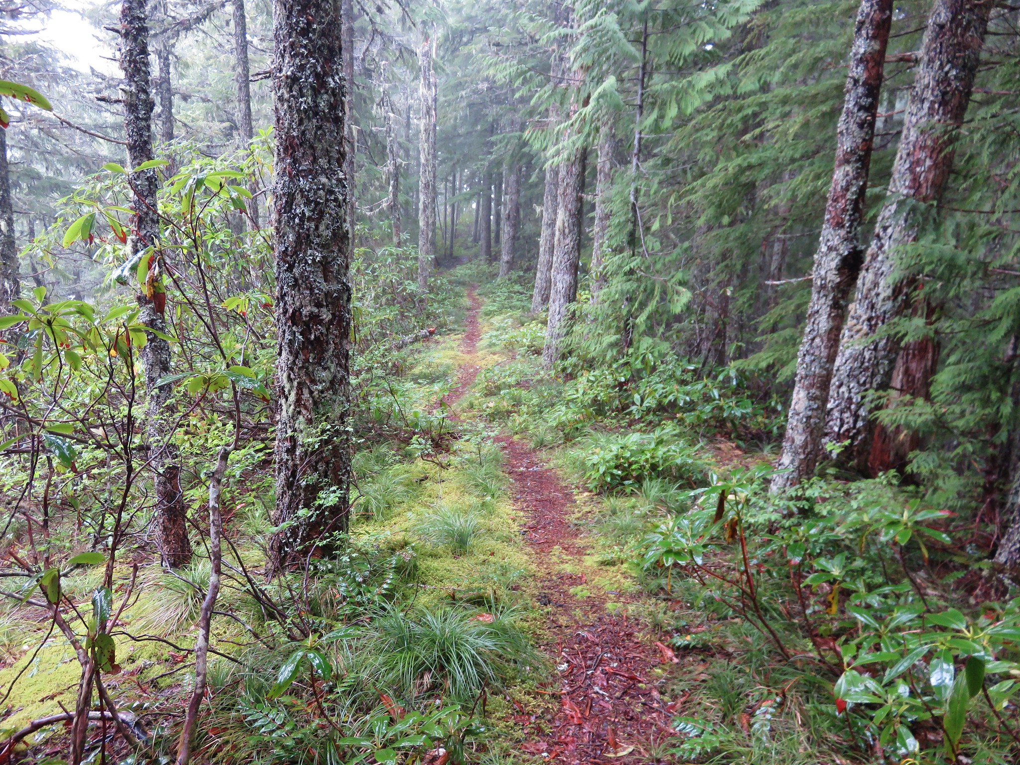
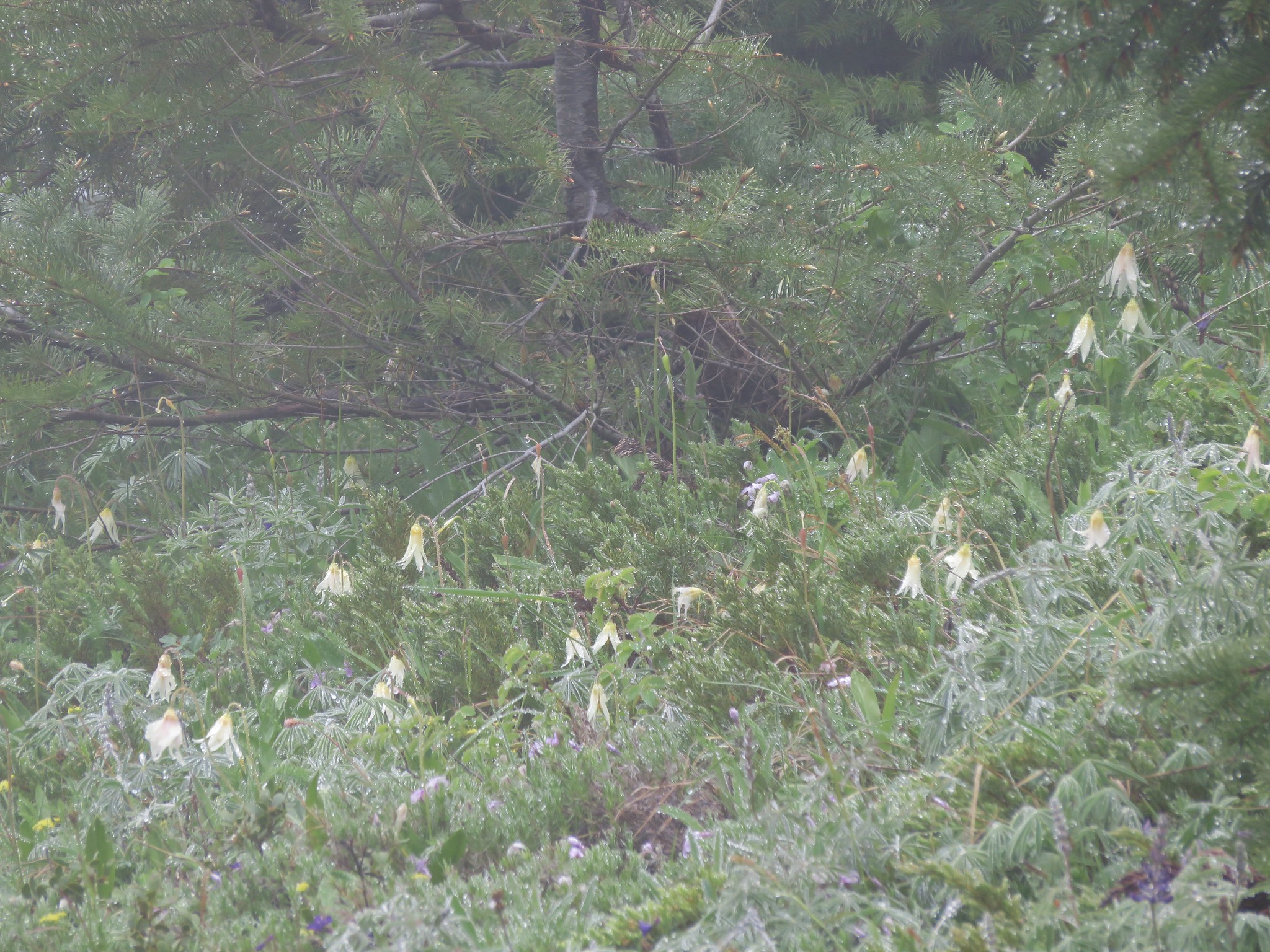
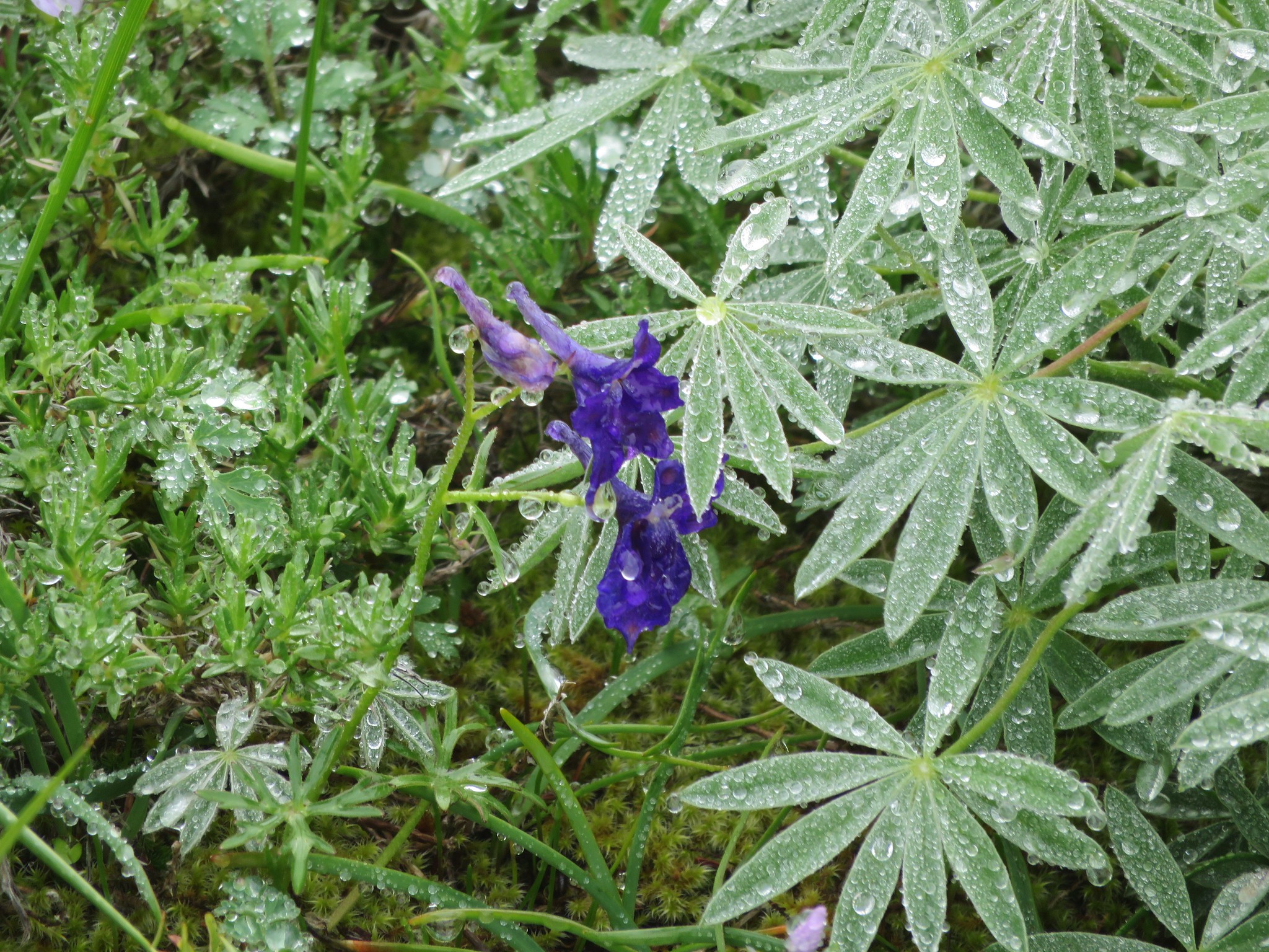
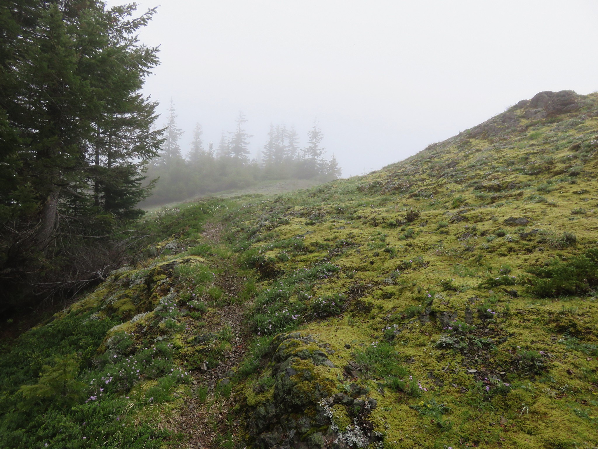
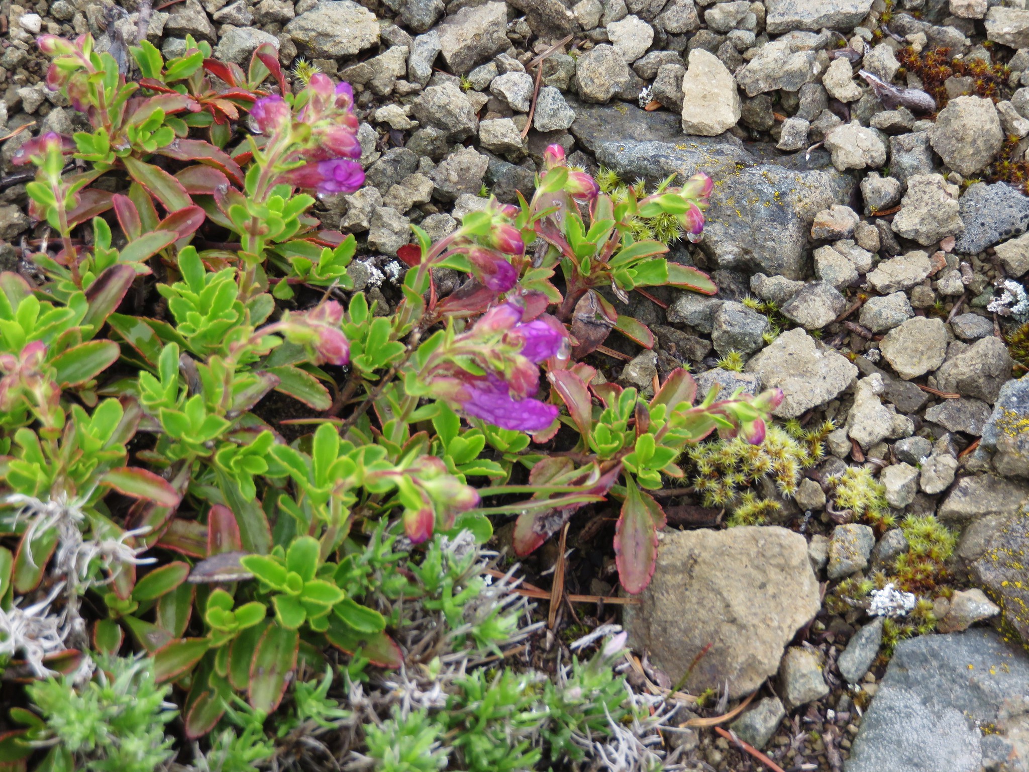
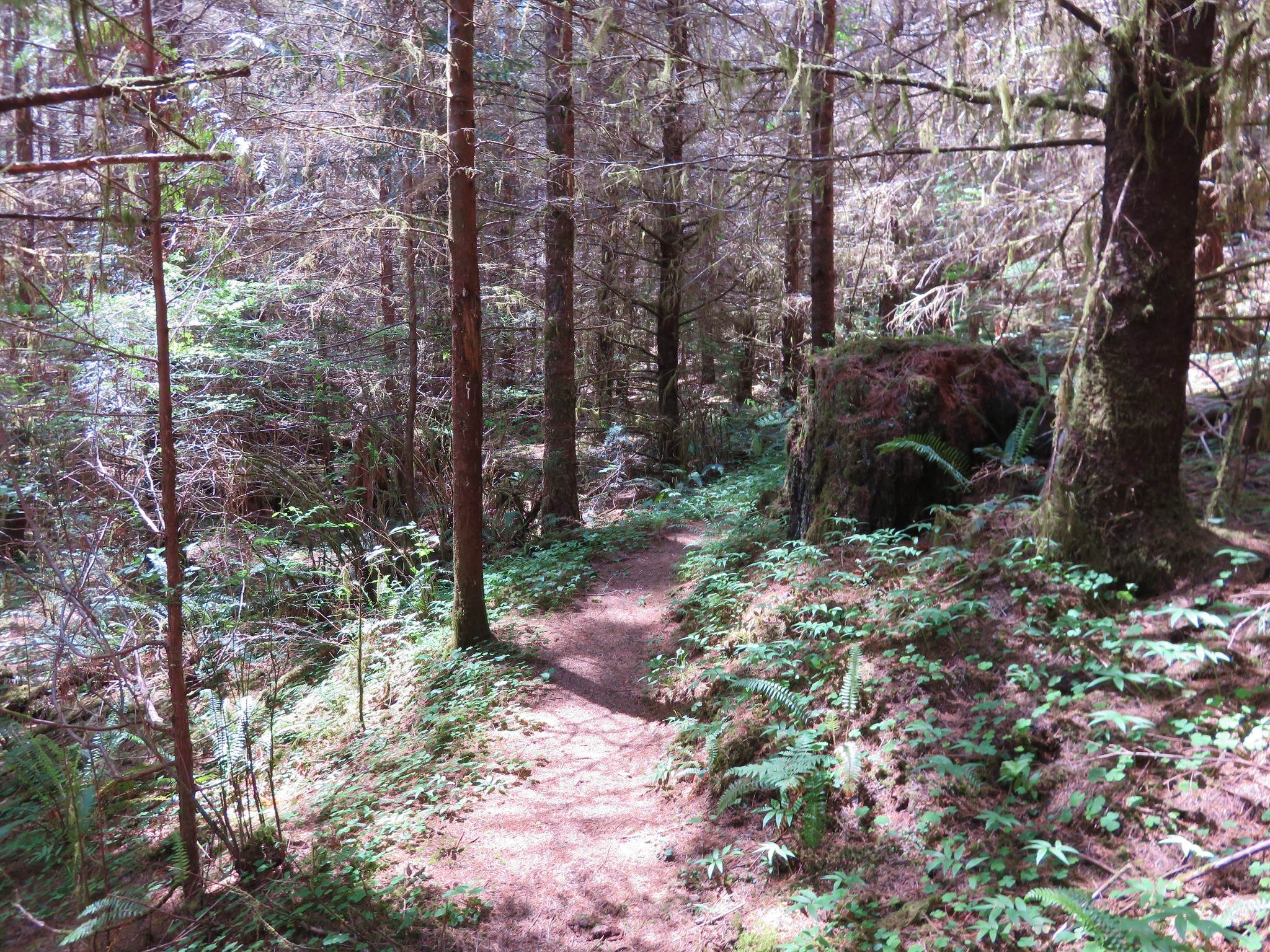
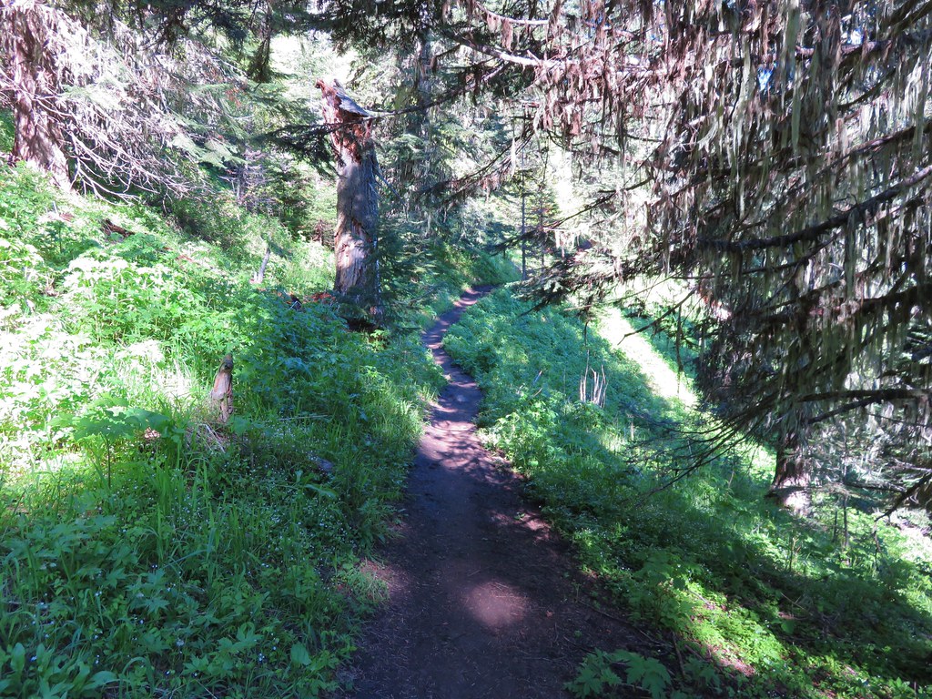
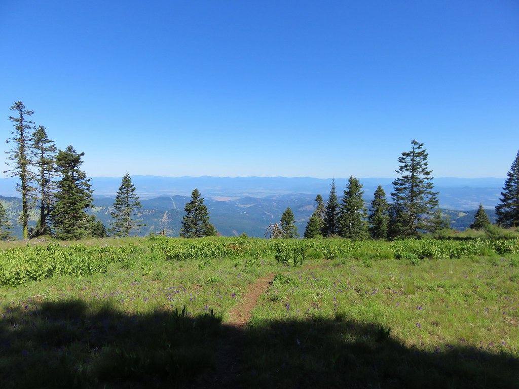
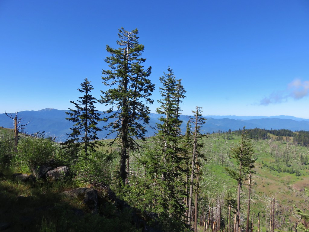
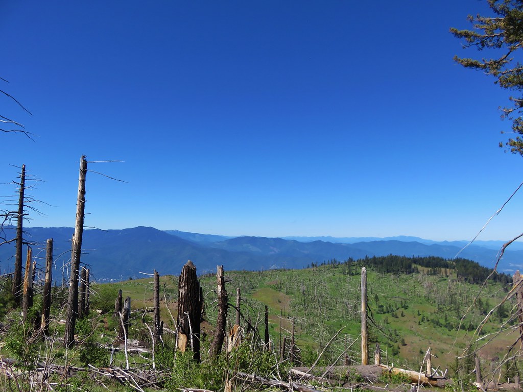
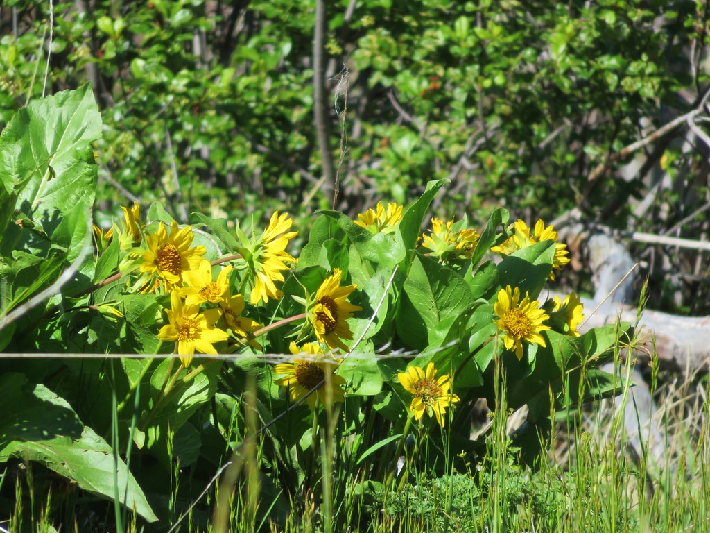
From the trailhead the trial travels 1.2 miles through open forest with wildflowers to the start of a 3 mile loop.
IMG_3772

IMG_3776

IMG_3788

IMG_3793

IMG_3777

IMG_3797

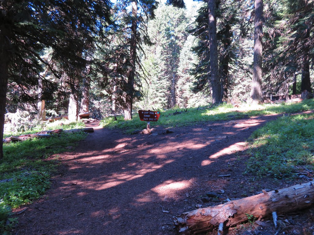
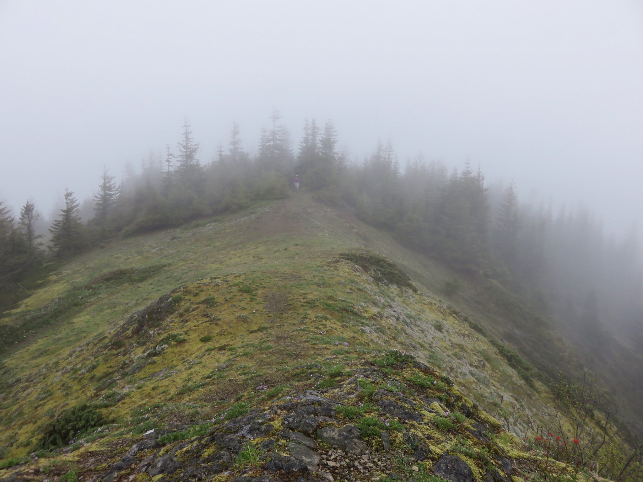
We took the loop counter-clockwise passing by the viewless summit first.
IMG_3810

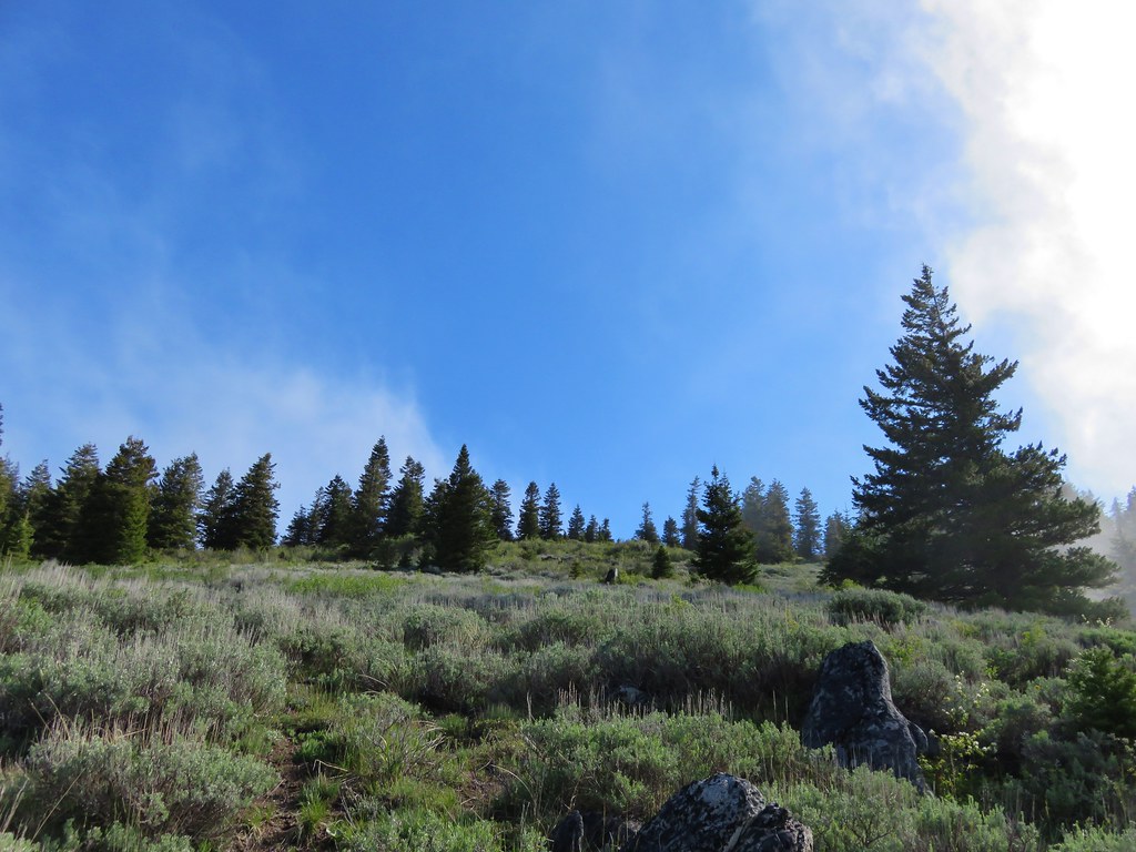
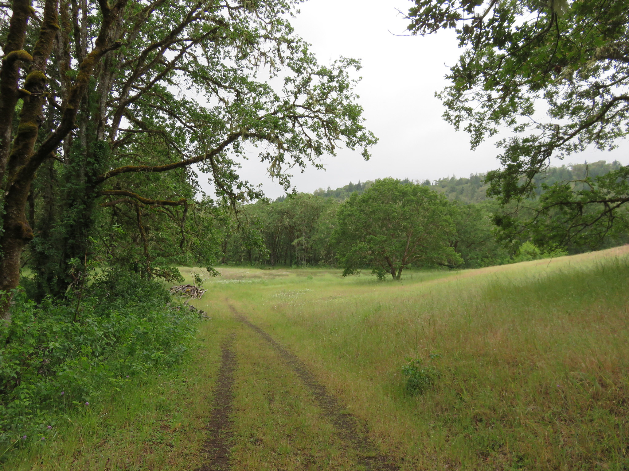
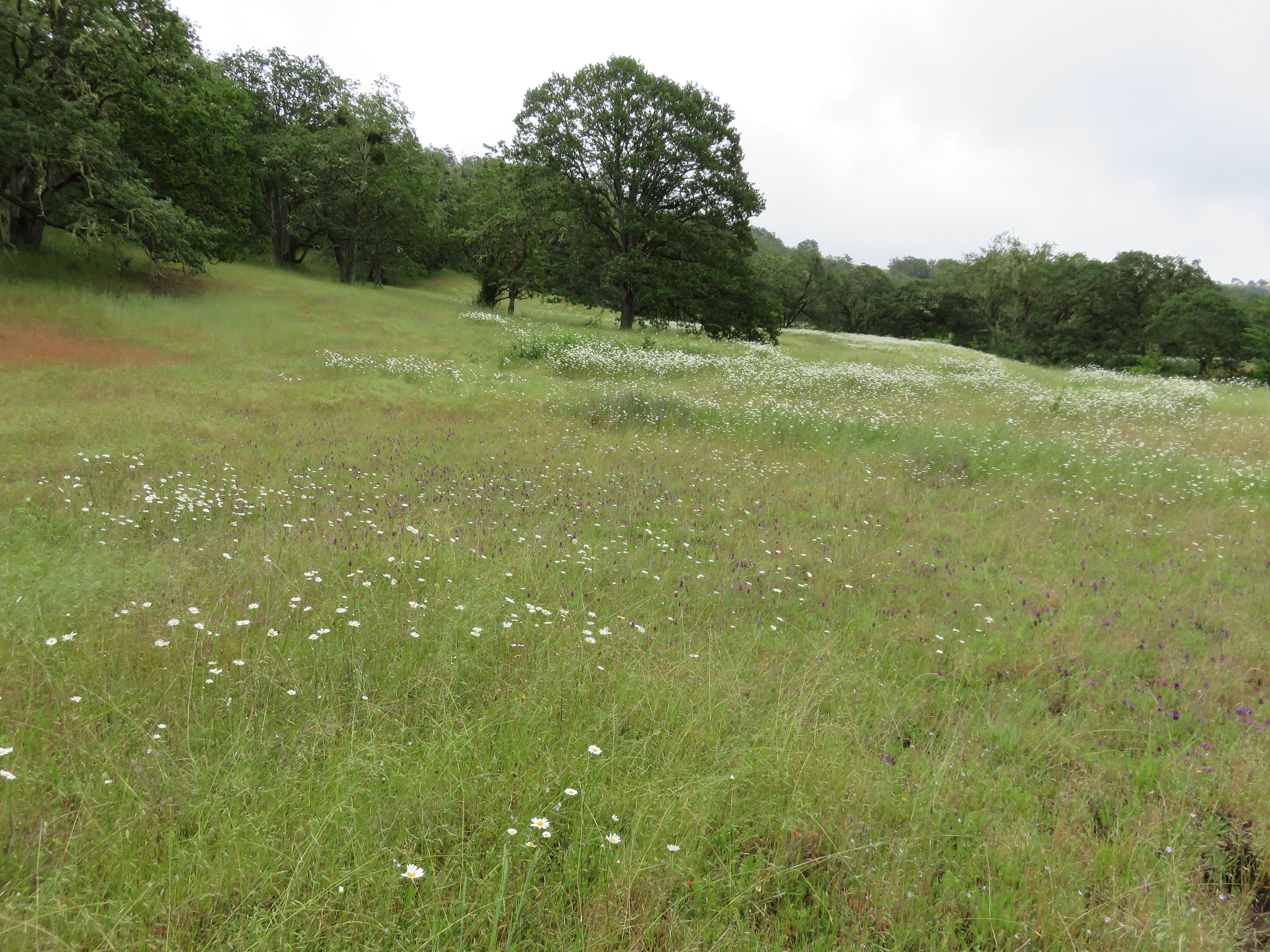
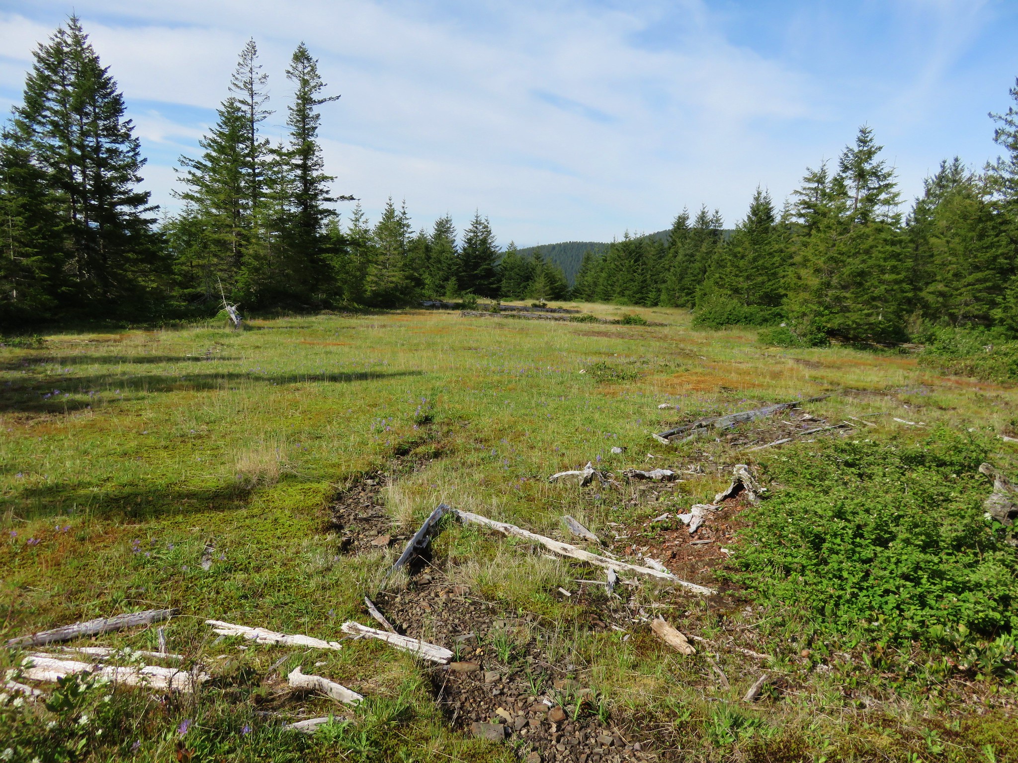
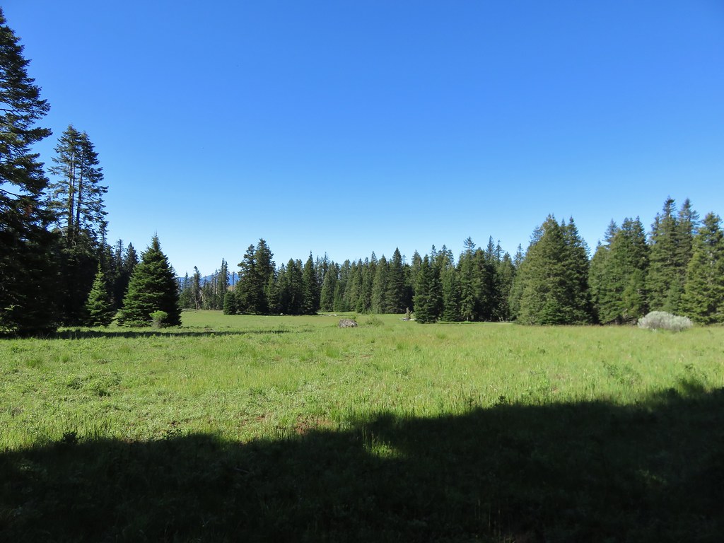
Then the trail passed a broad meadow.
IMG_3821

IMG_3824

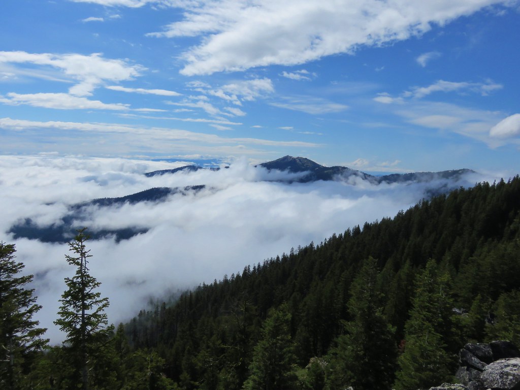
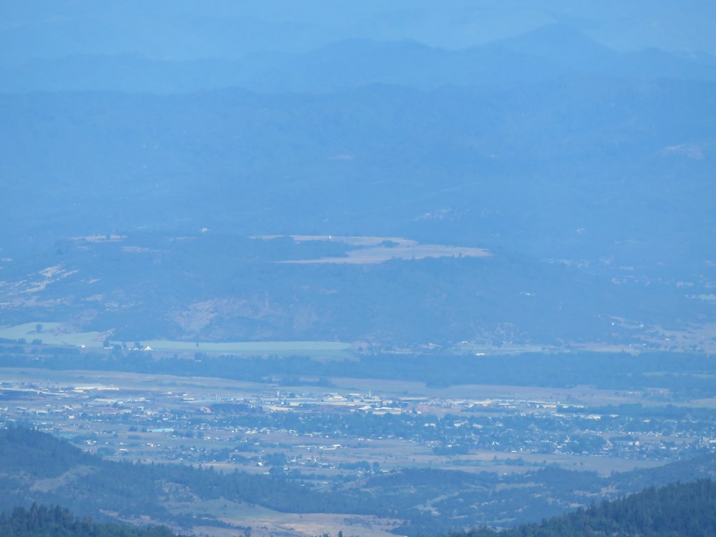
As the loop continued around the peak we came to another meadow with a view to the north.
IMG_3838

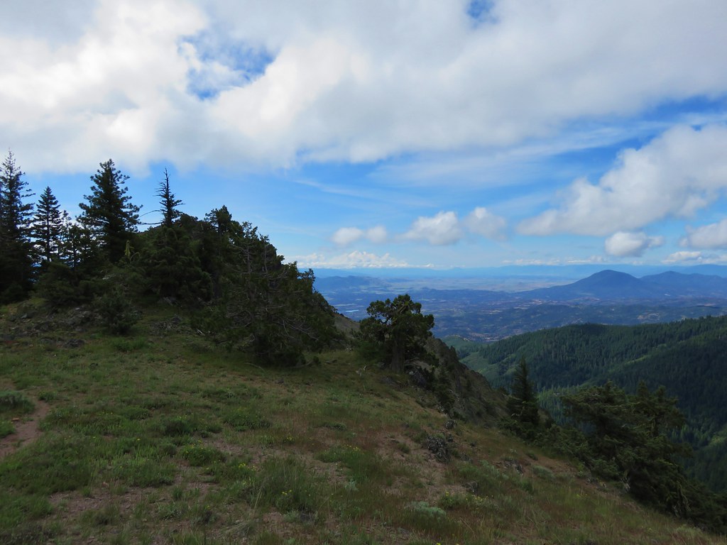
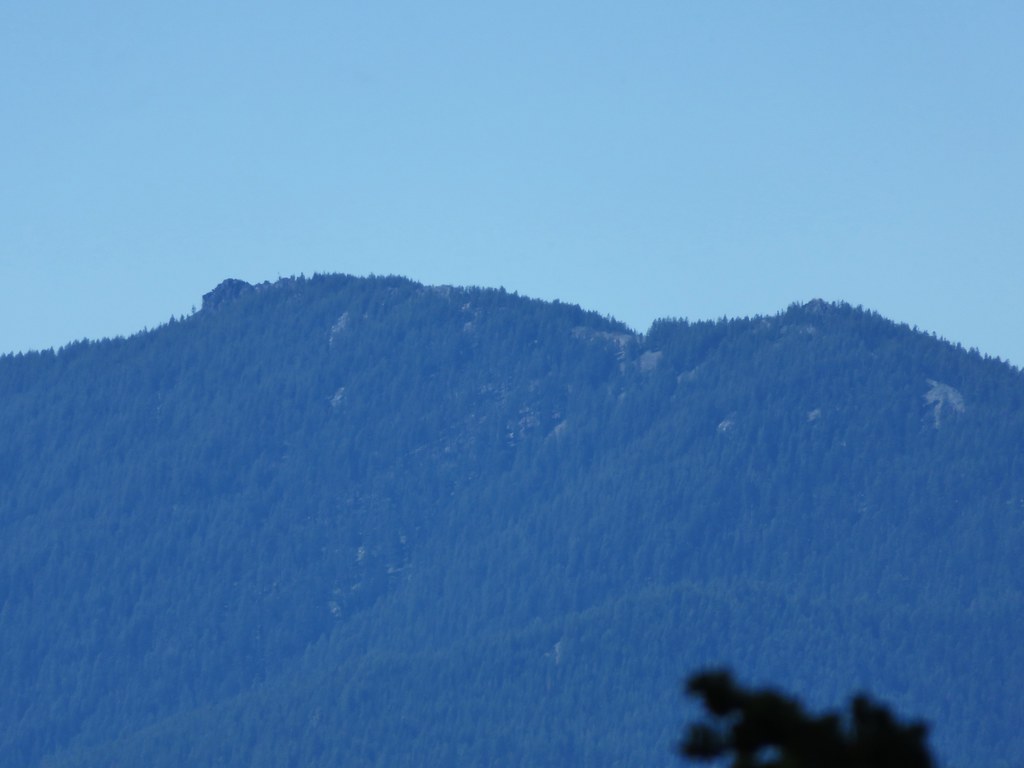
Here we could see the city of Medford and the Table Rocks.

Upper Table Rock
IMG_3848

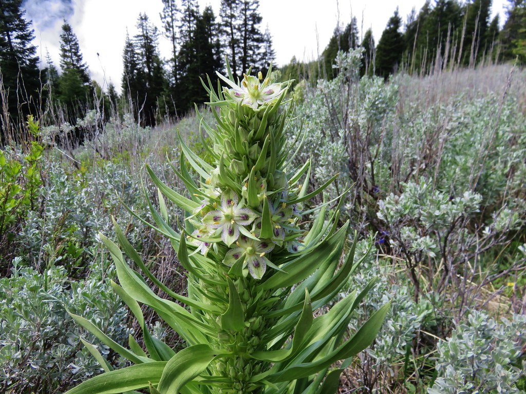
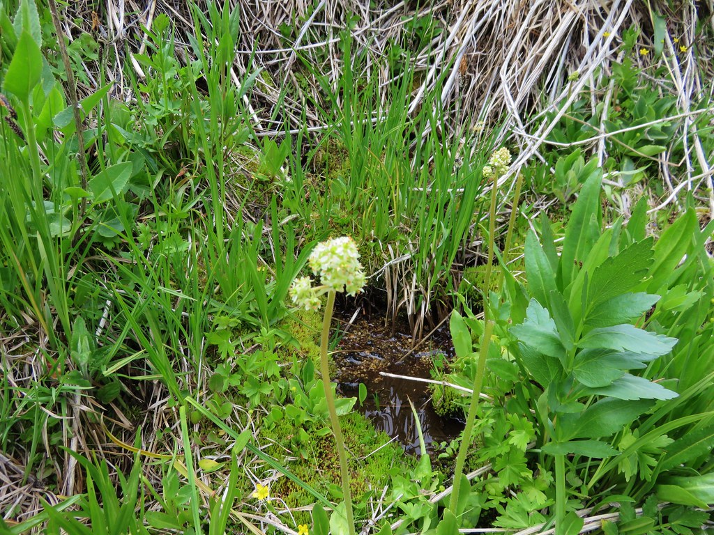
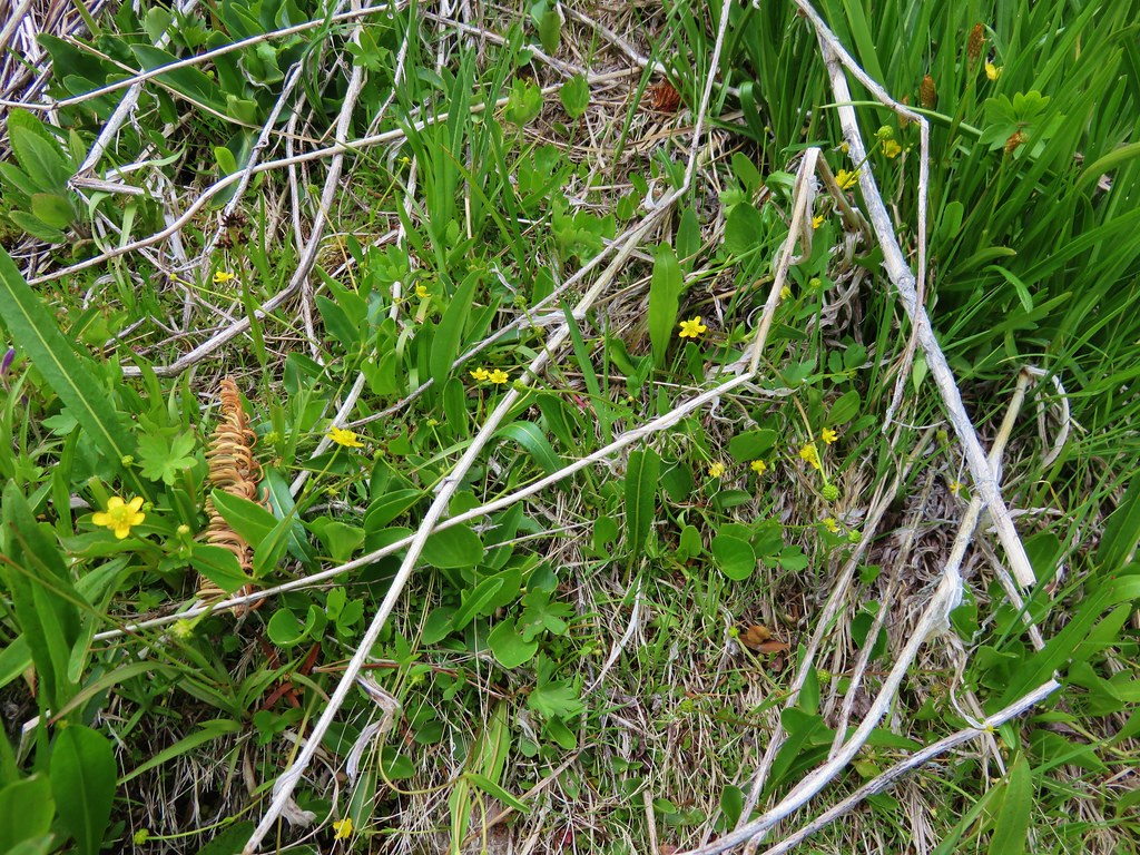
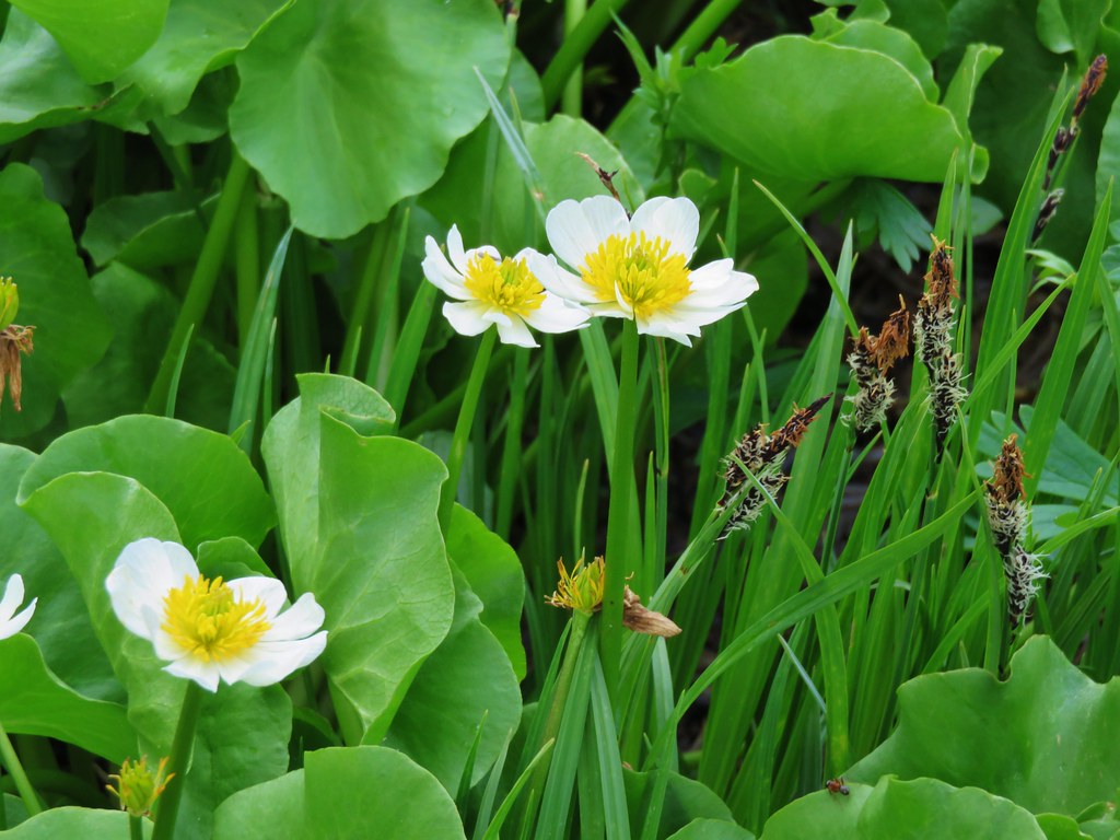
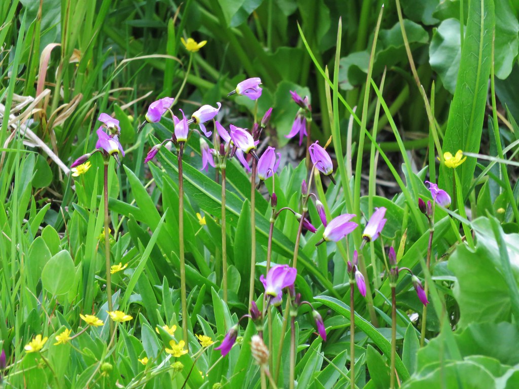
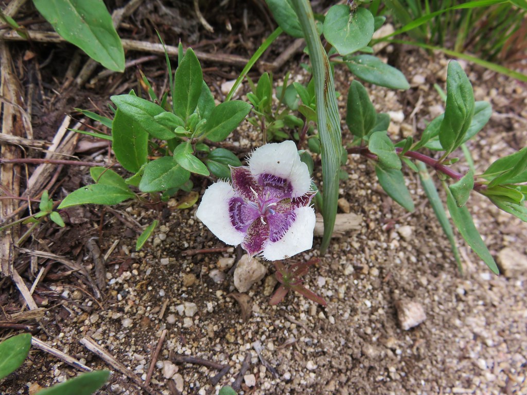
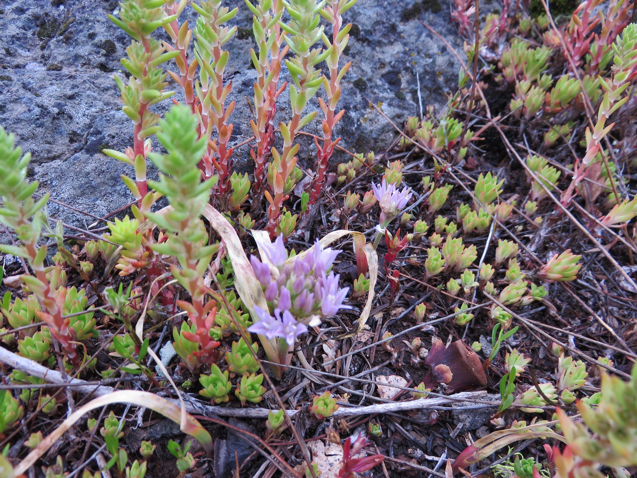
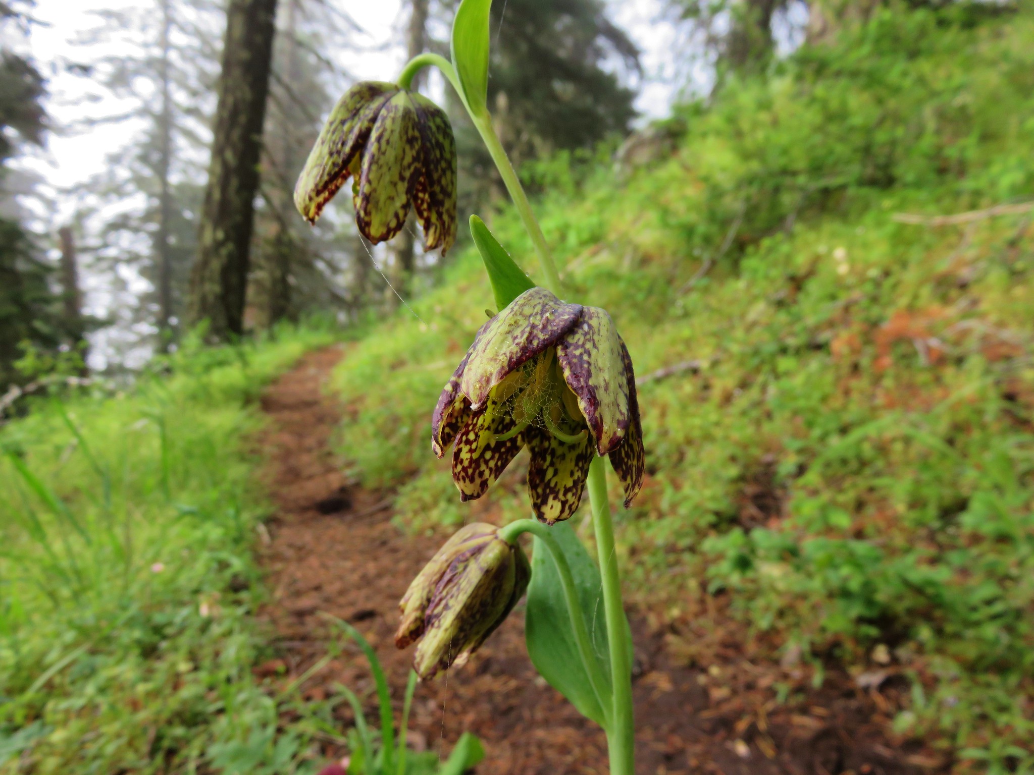
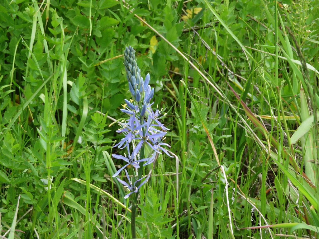
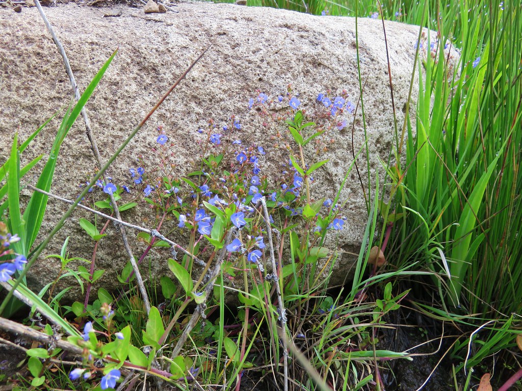
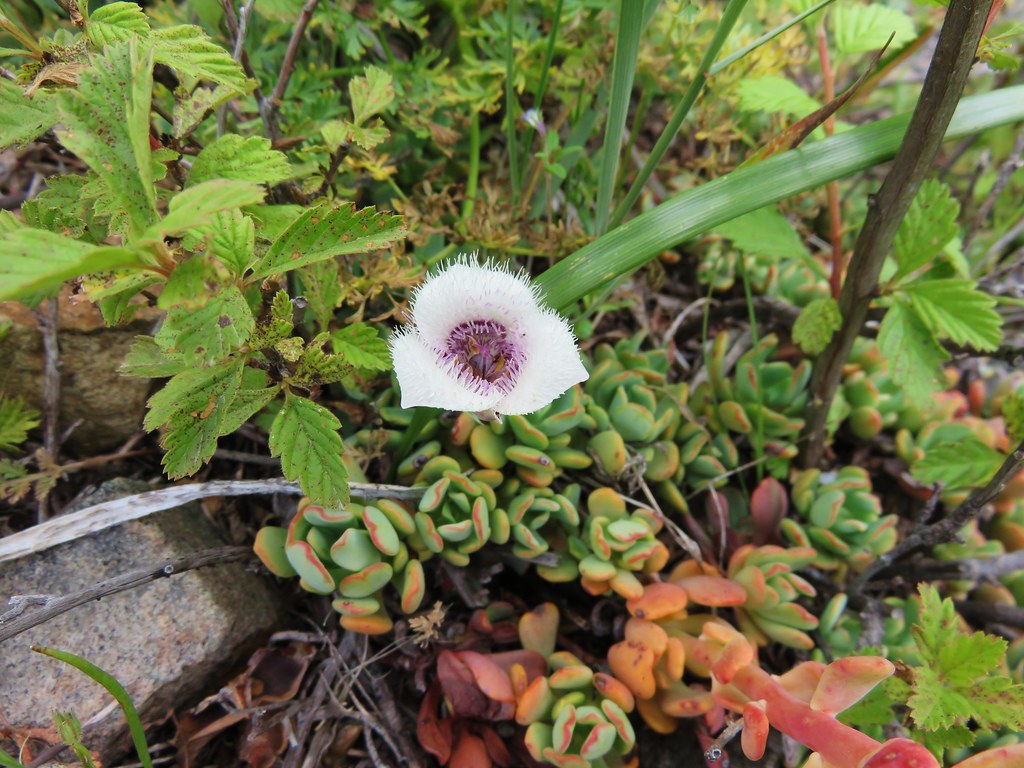
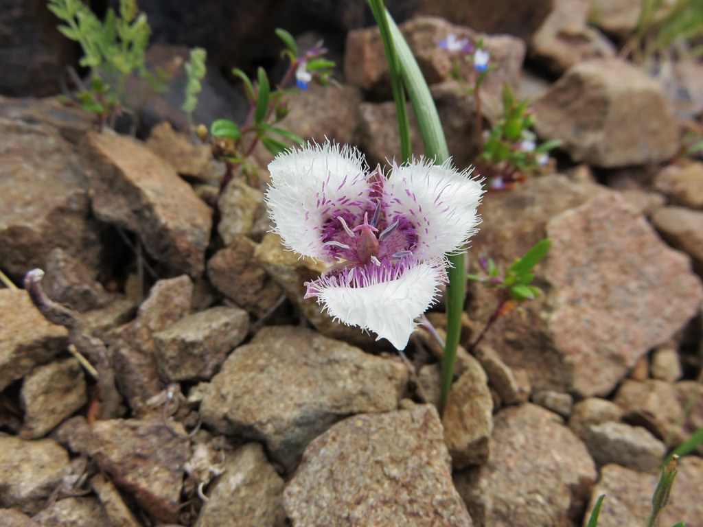
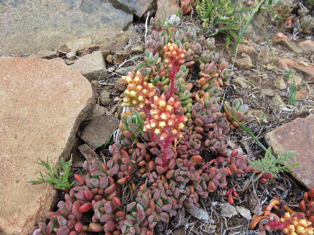
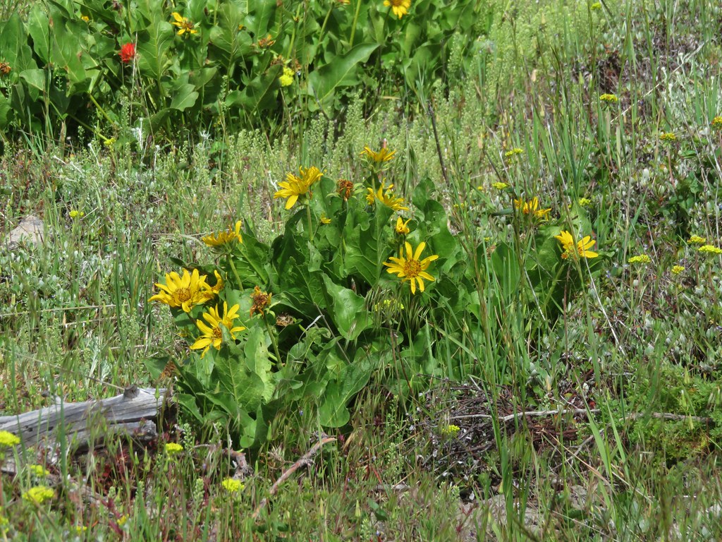
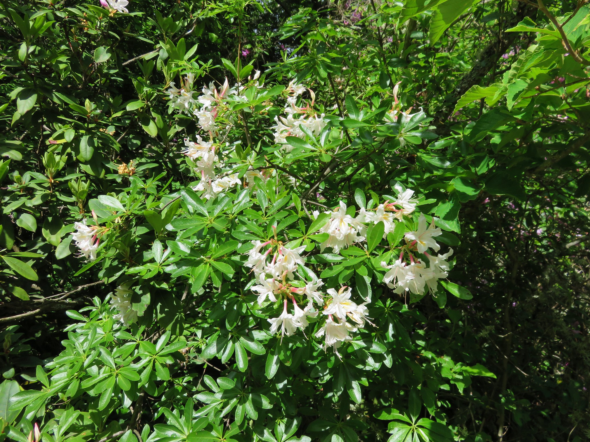
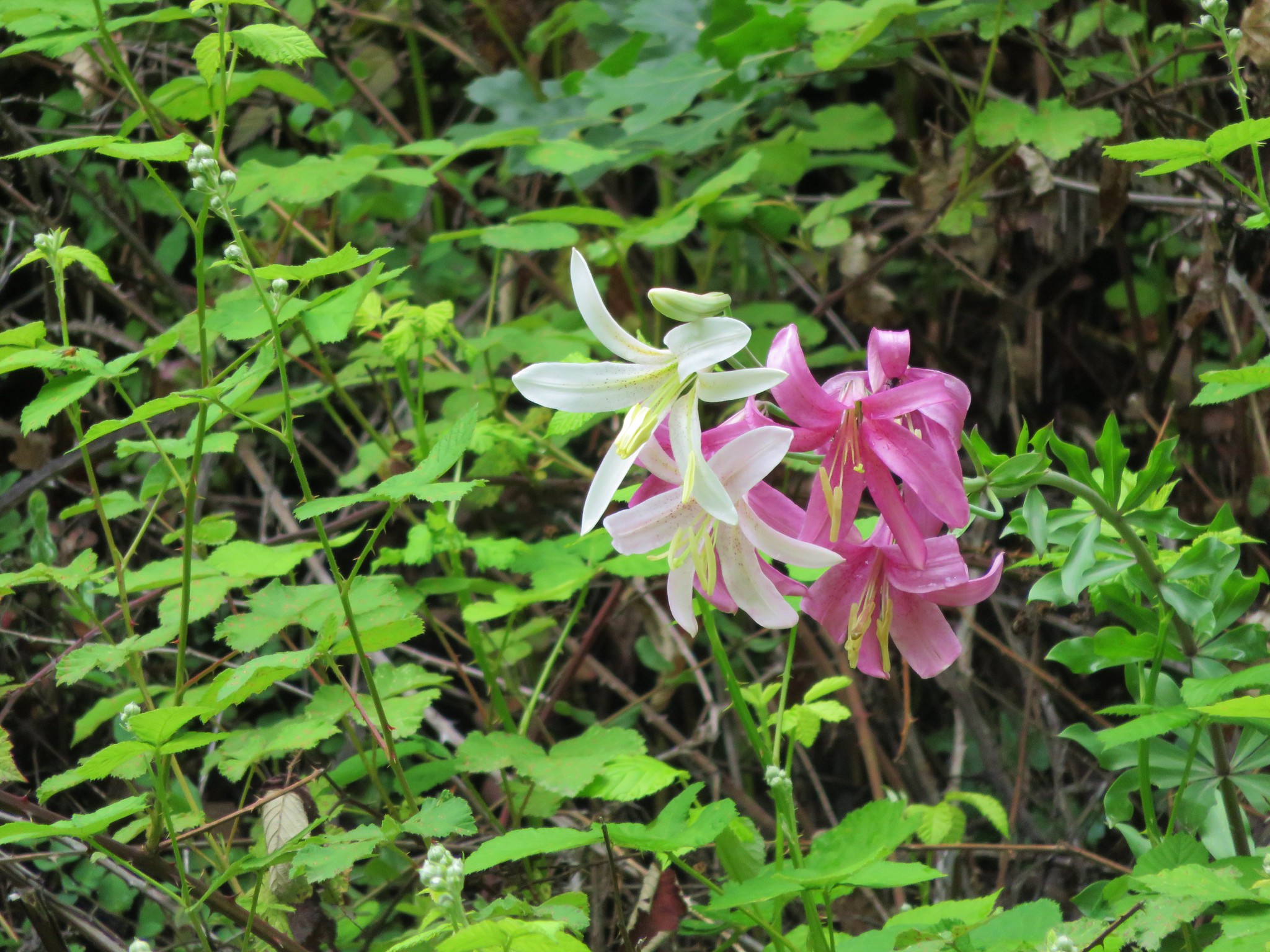
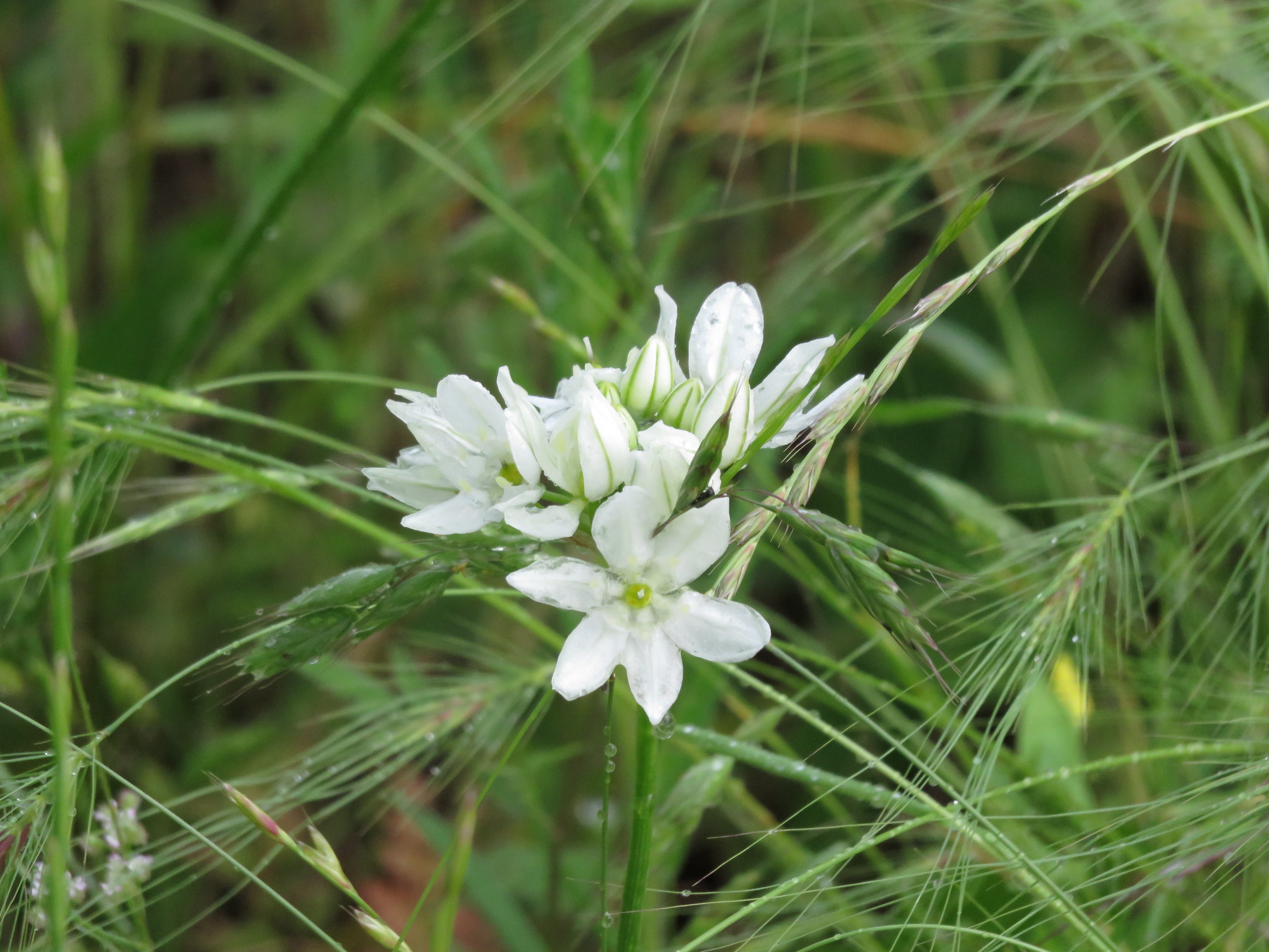
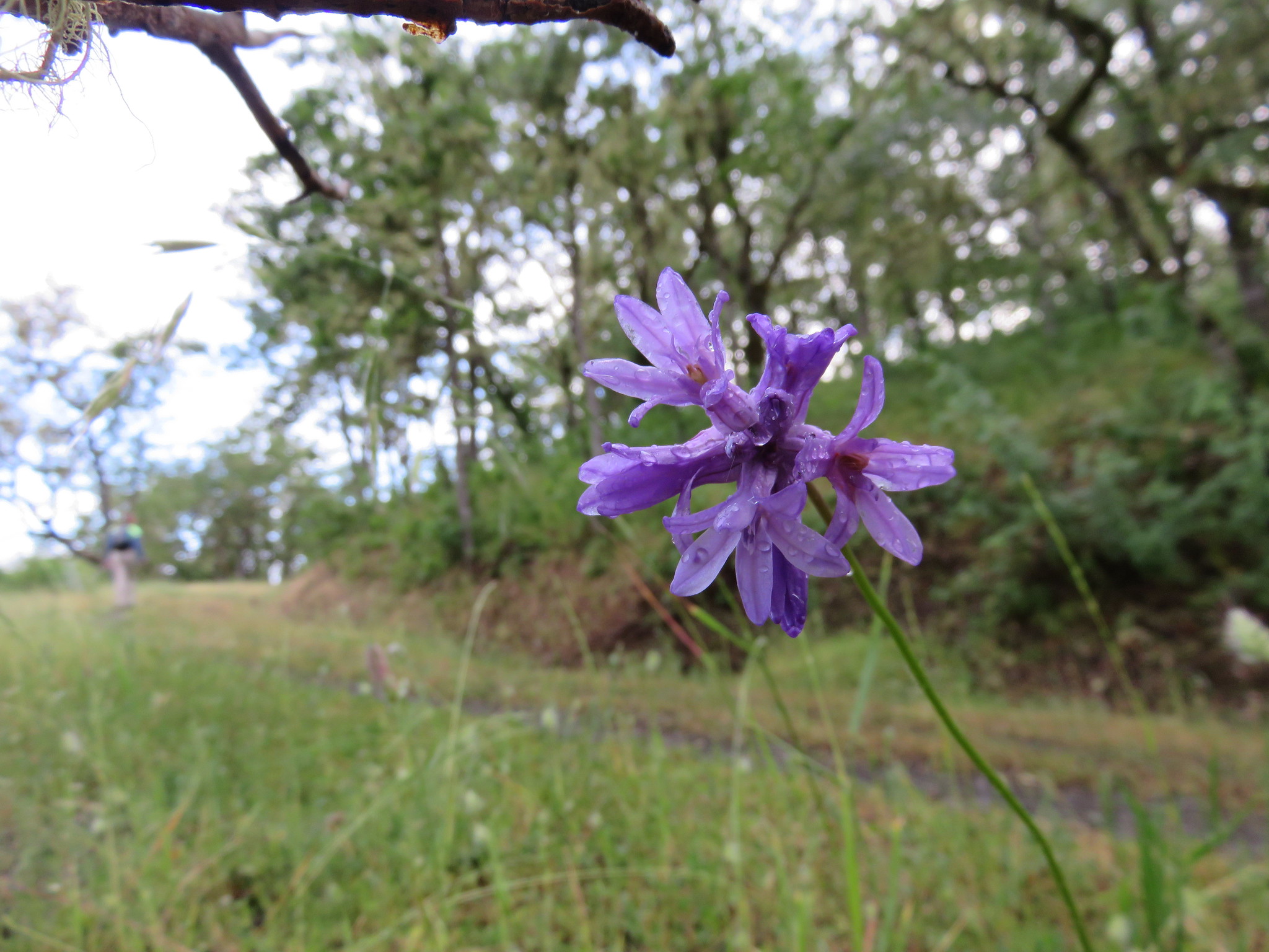
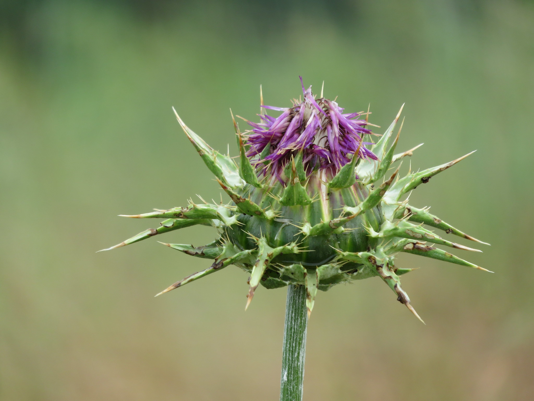
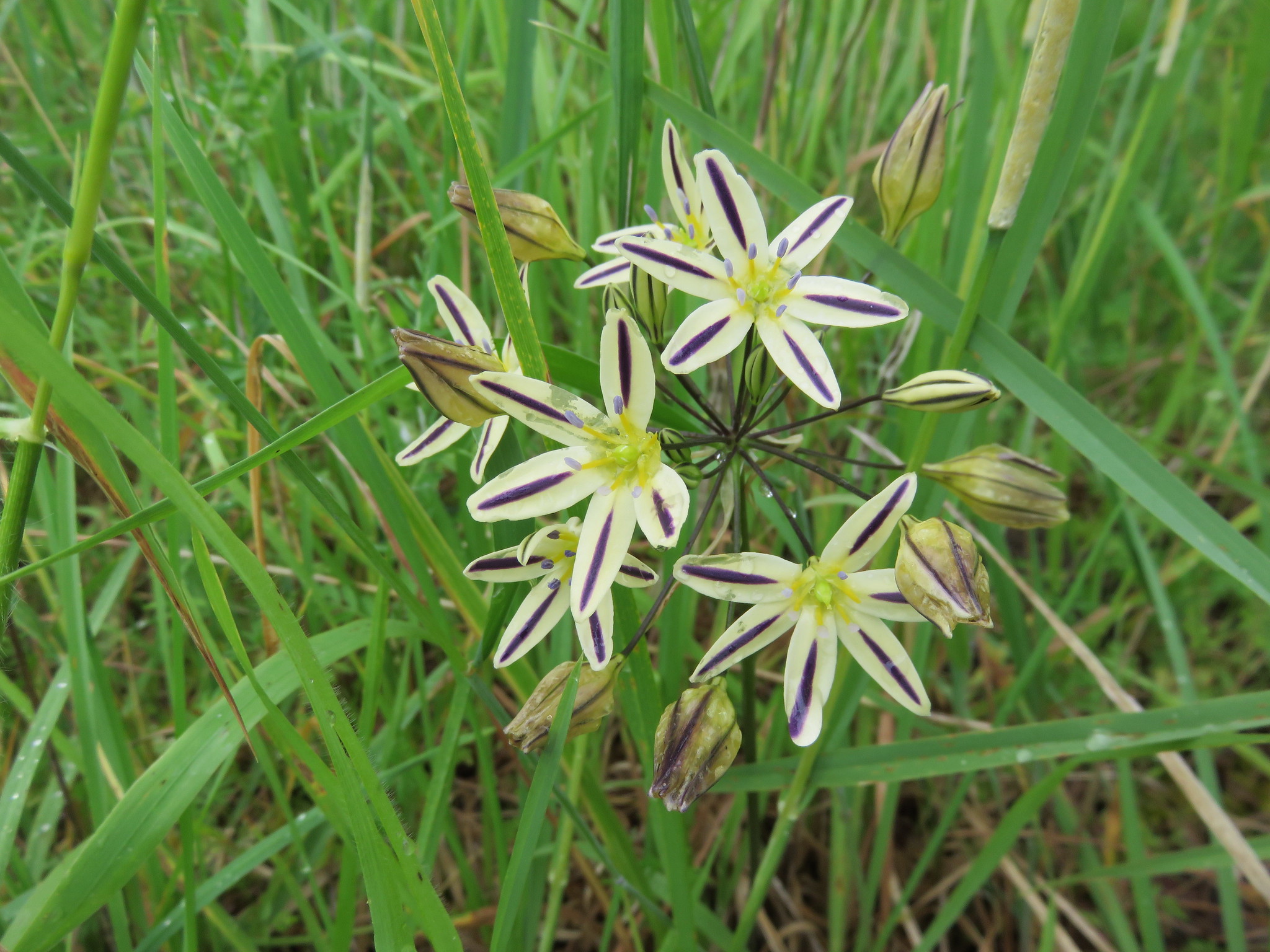
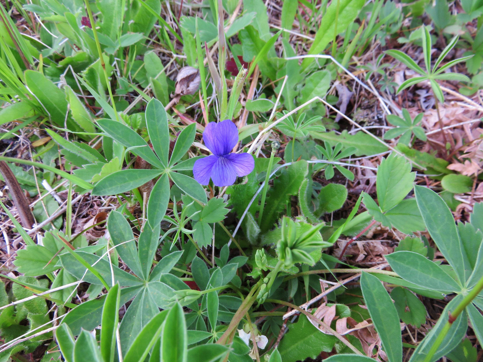
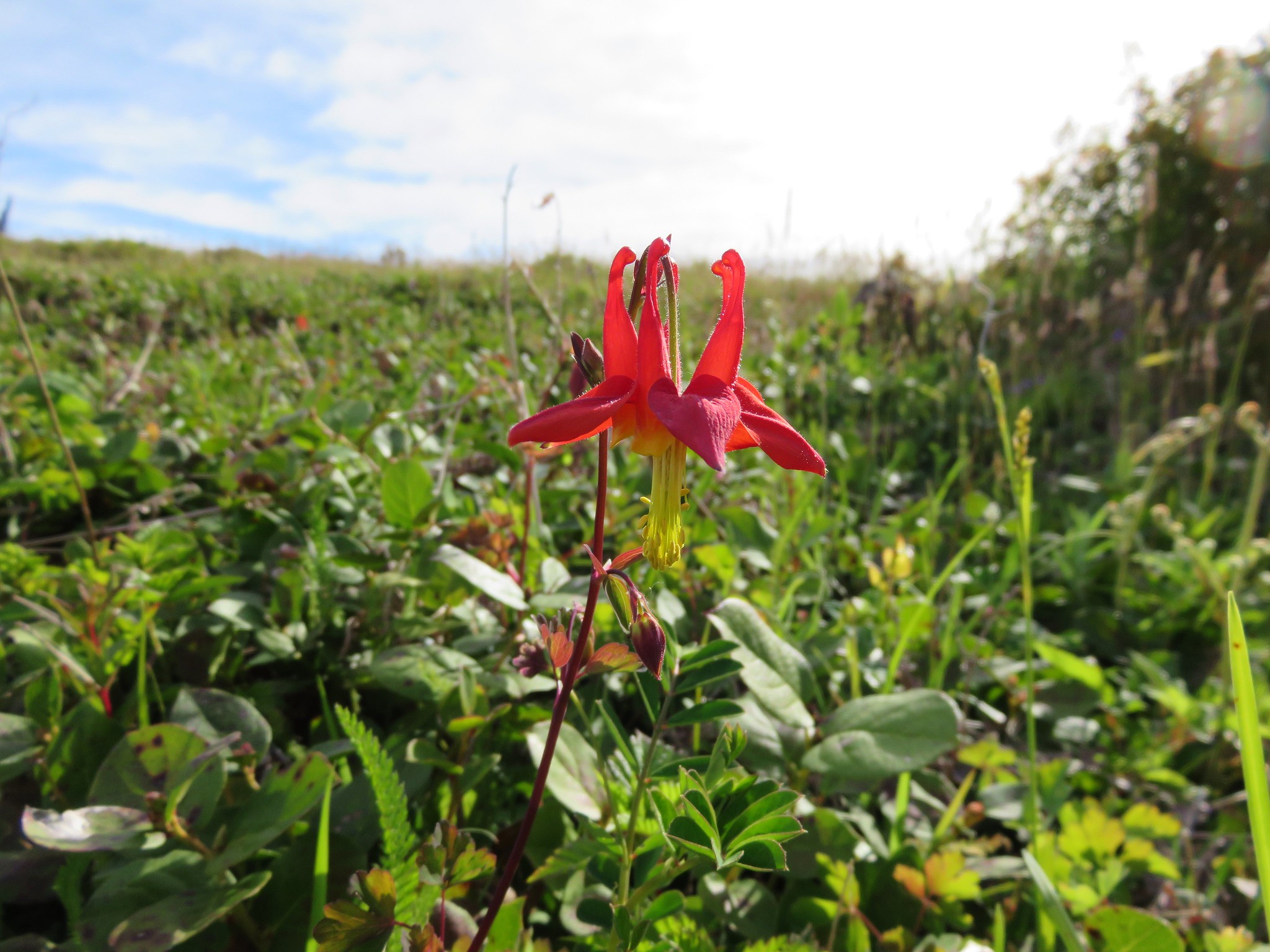
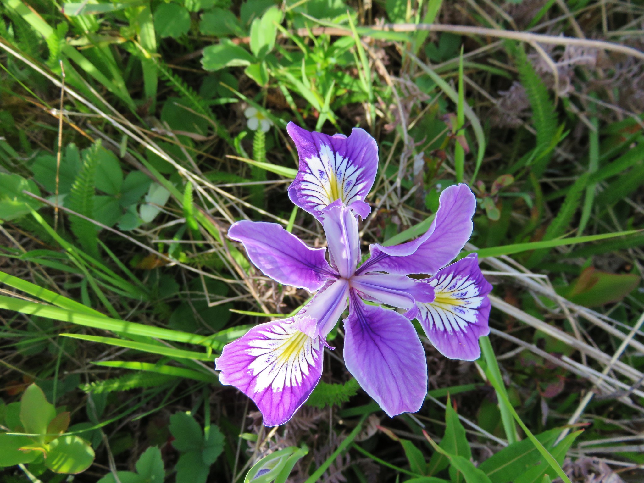
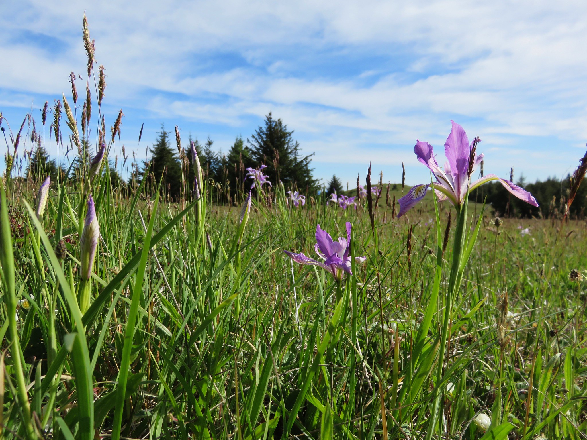
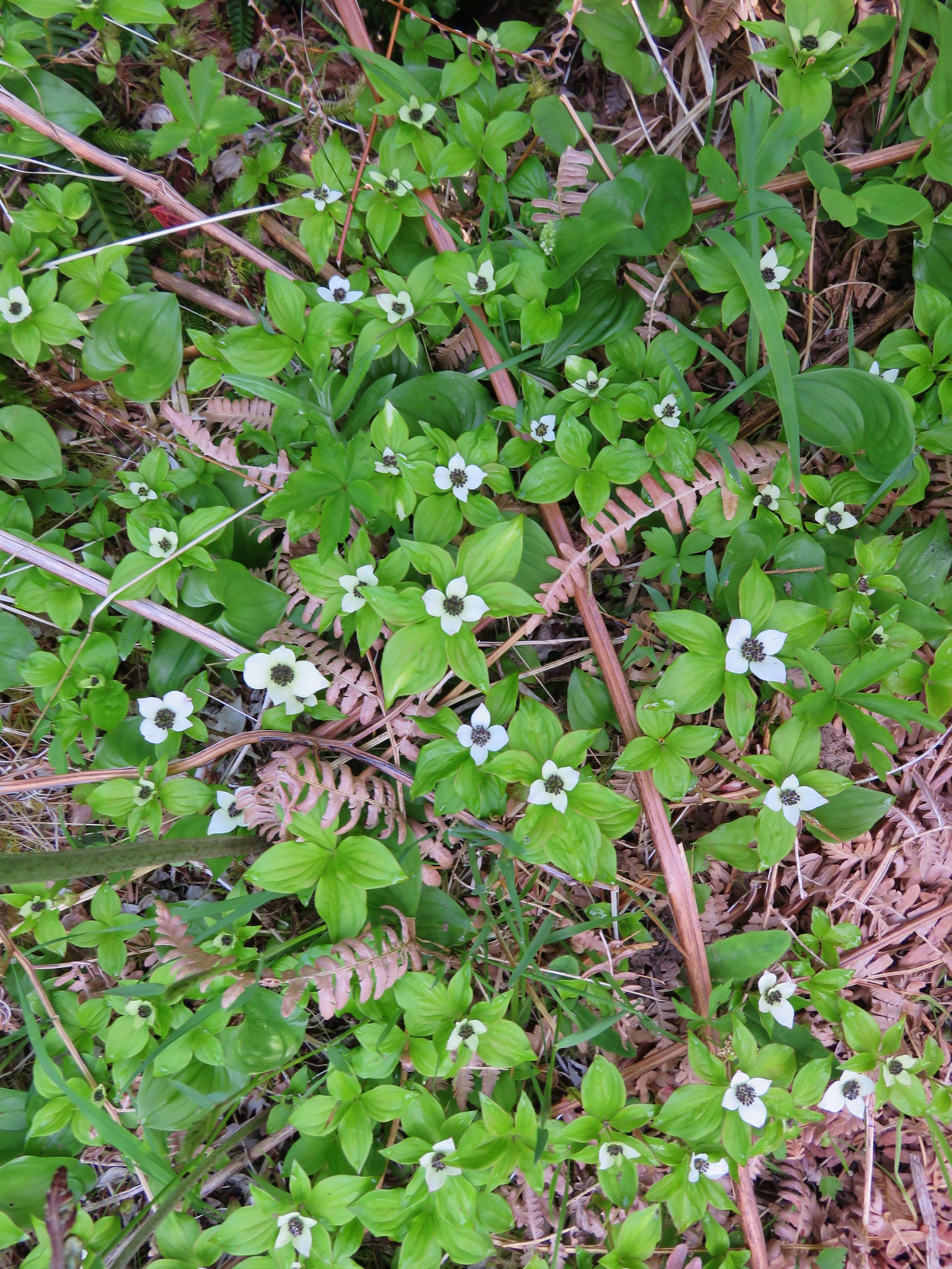
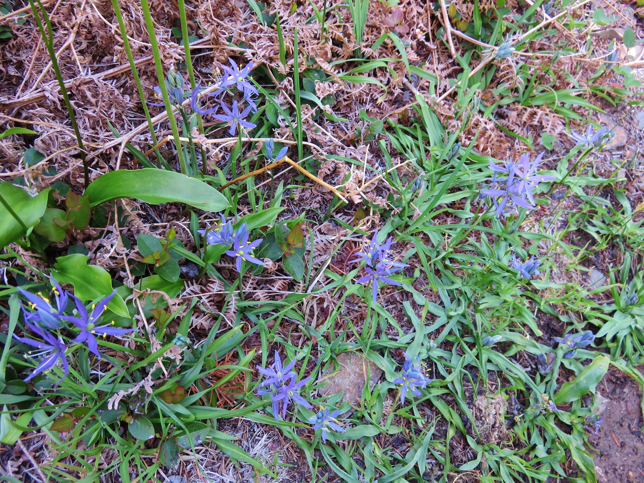
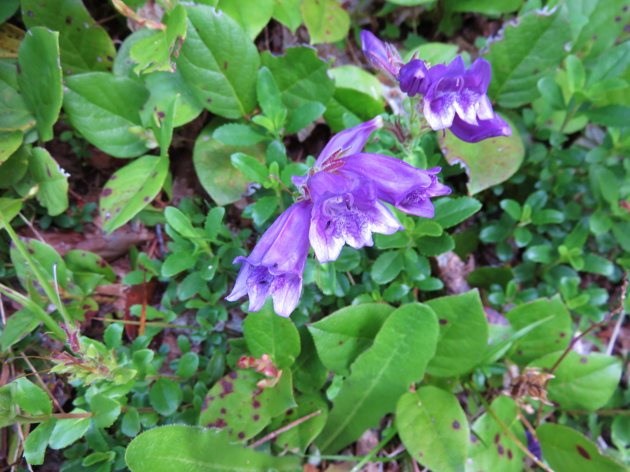
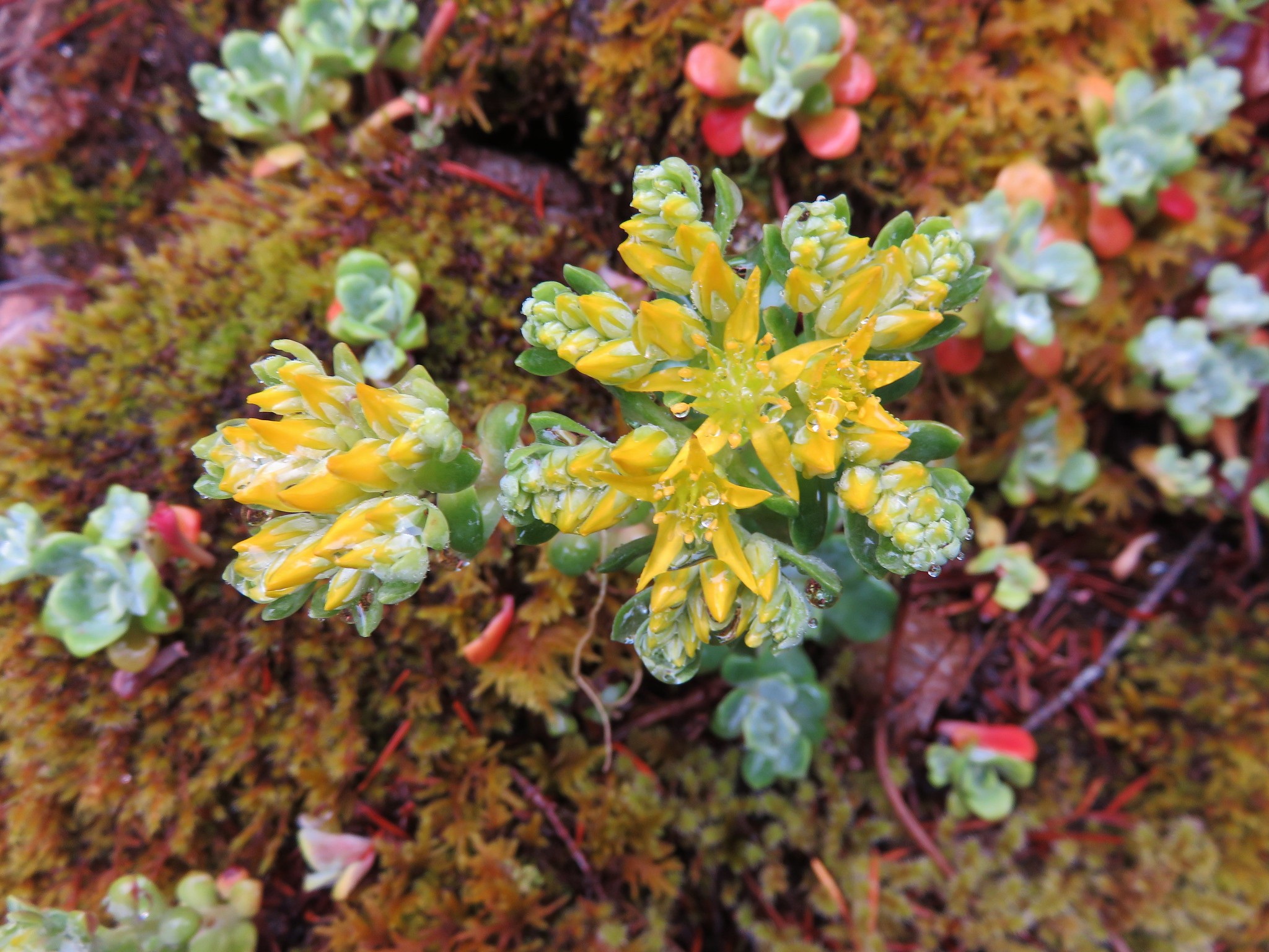
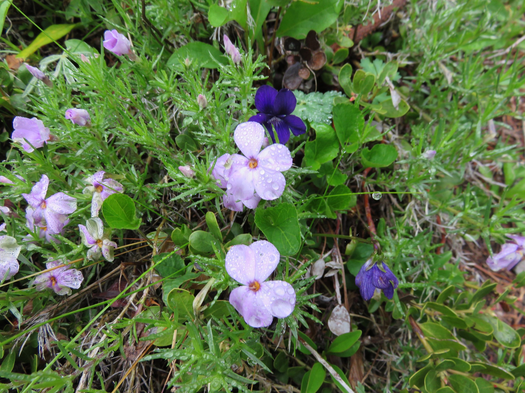
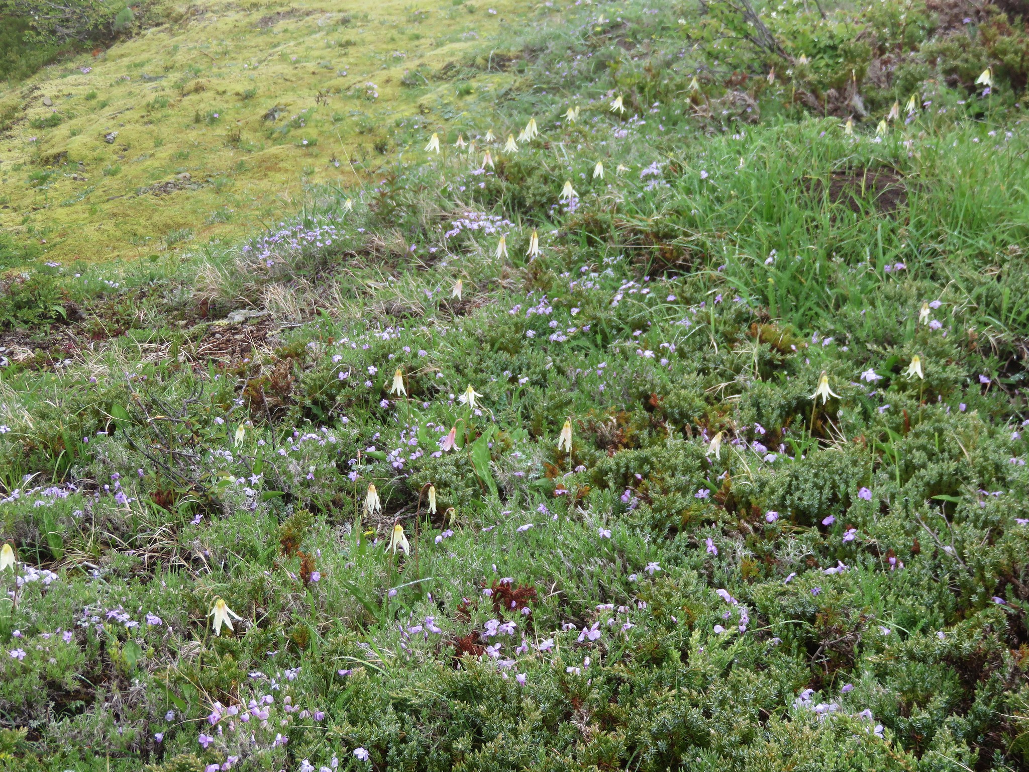
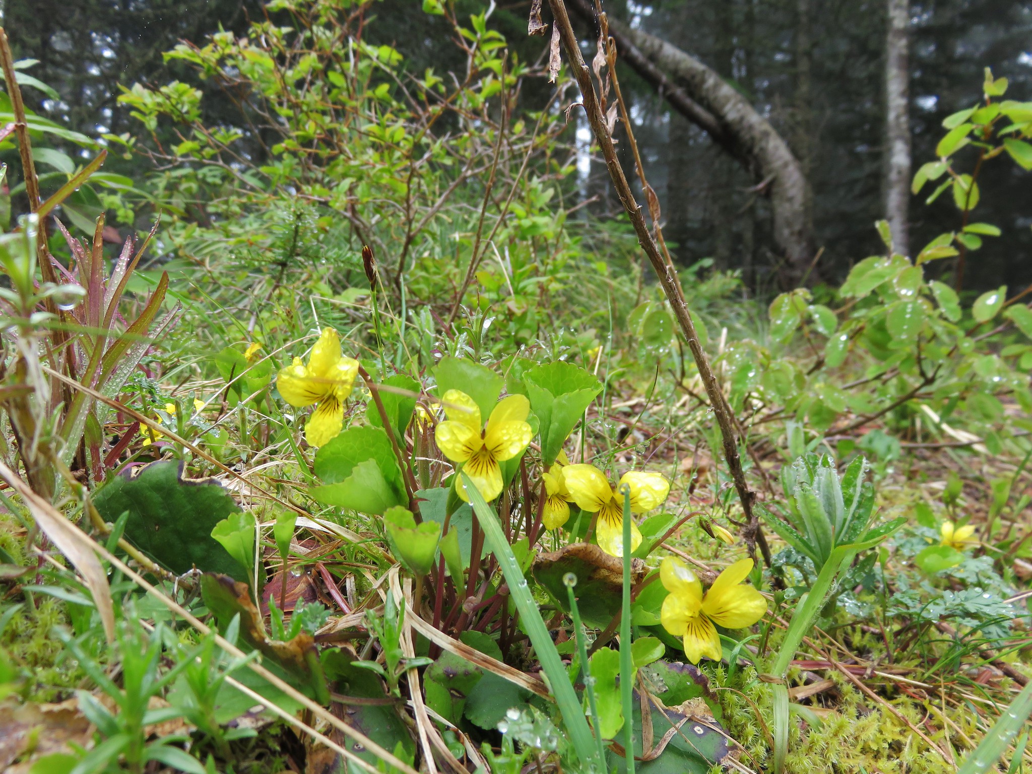
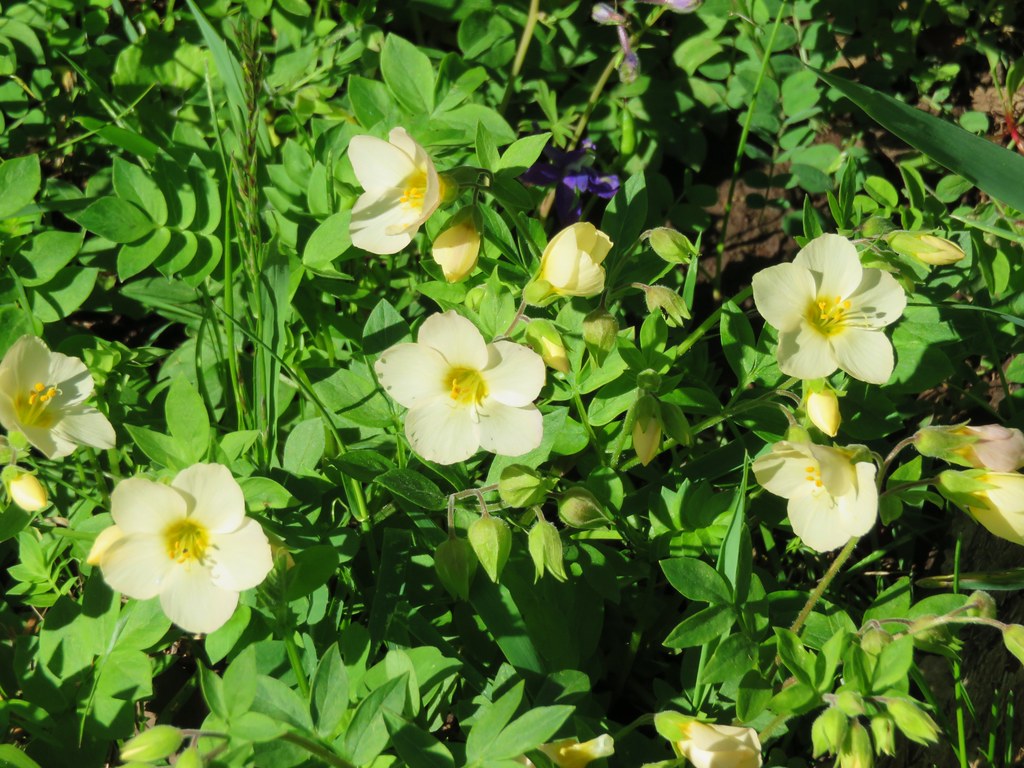
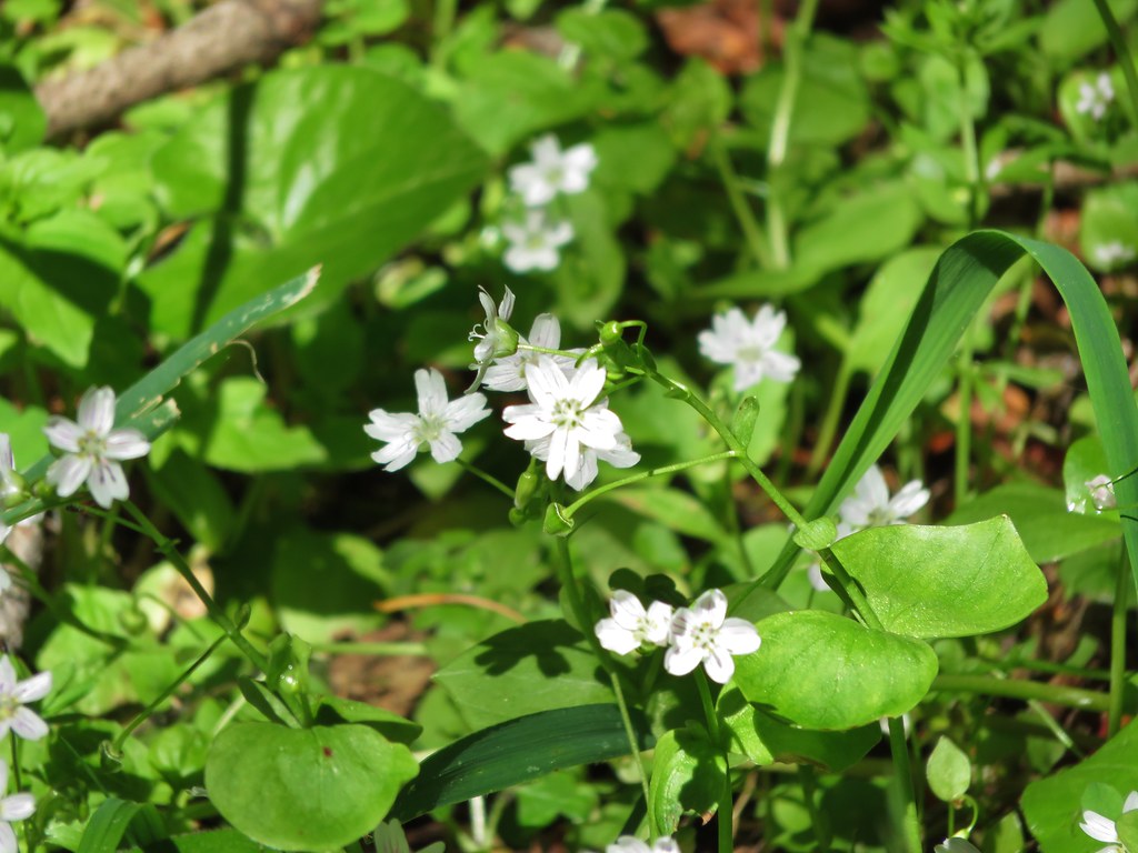
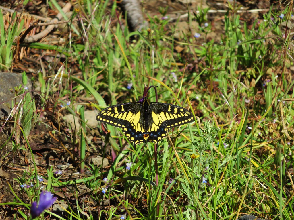
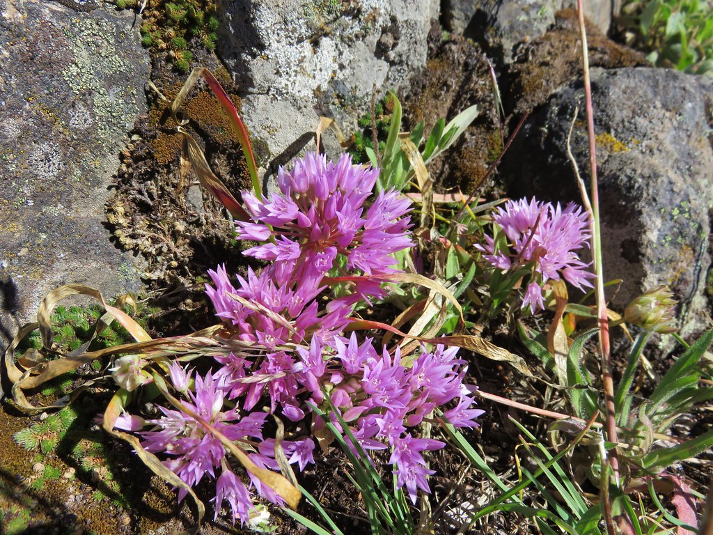
Flowers here included camas
IMG_3846

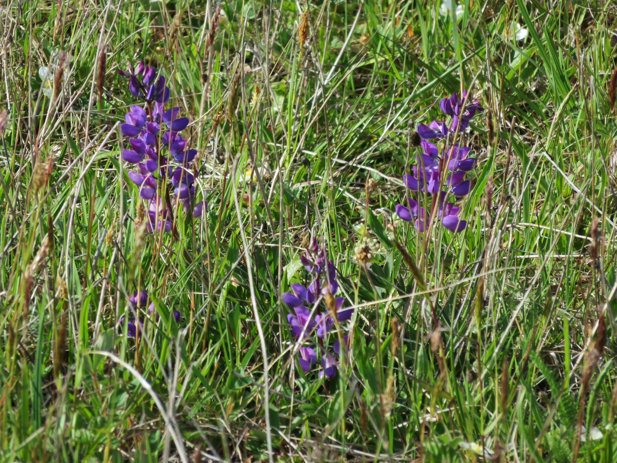
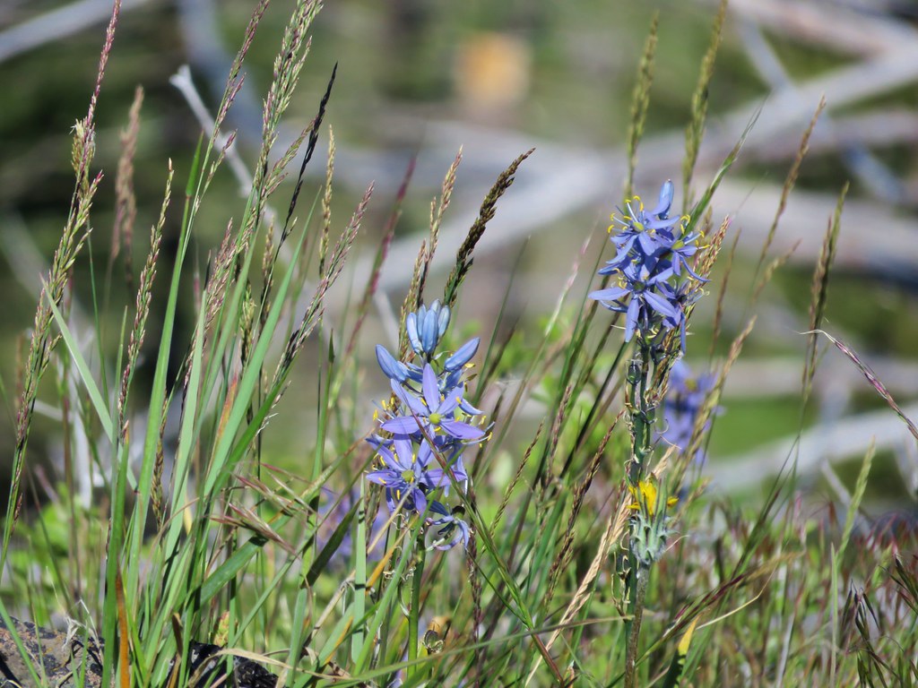
and ookow which was very popular with a swallowtail butterfly.
IMG_3861

IMG_3868

As we continued on the views shifted to the SW. Here Mt. Ashland and Wagner Butte which we had climbed the day before were visible.
IMG_3869

Mt. Ashland
IMG_3871

IMG_3883

Wagner Butte
IMG_3885

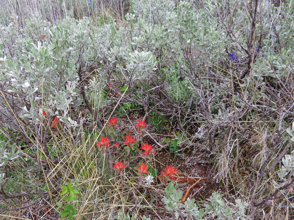
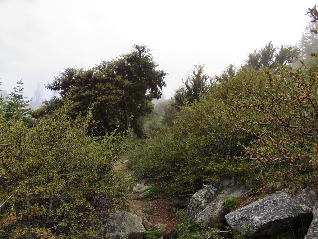
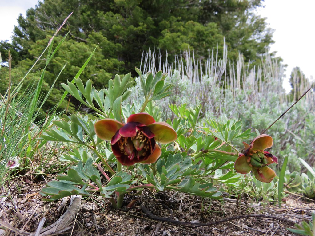
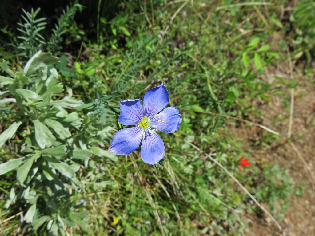
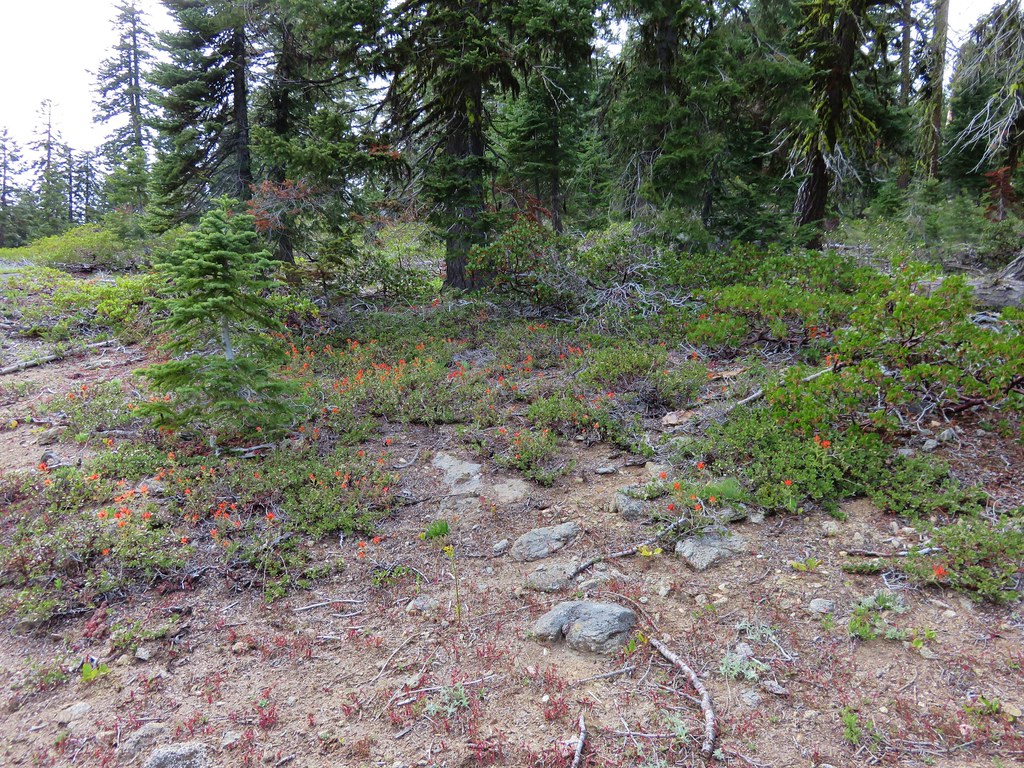
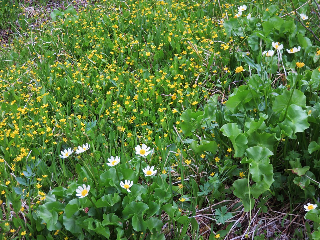
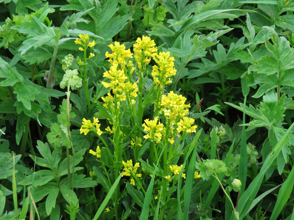
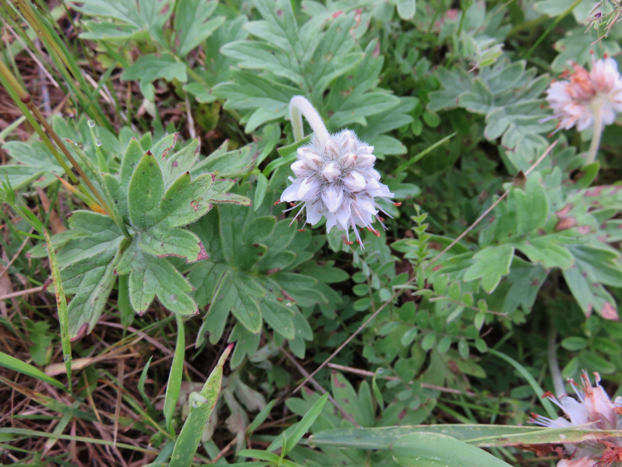
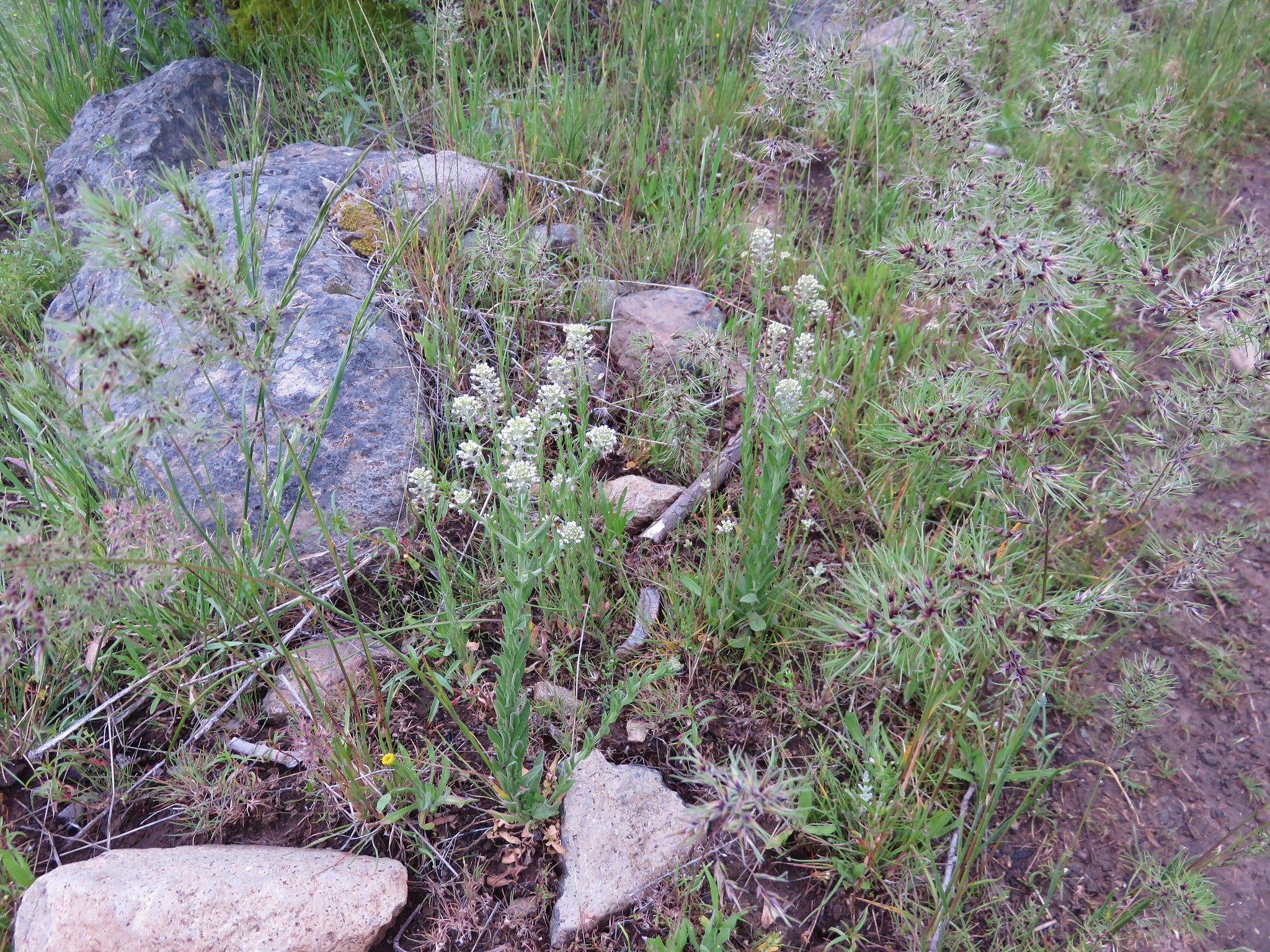
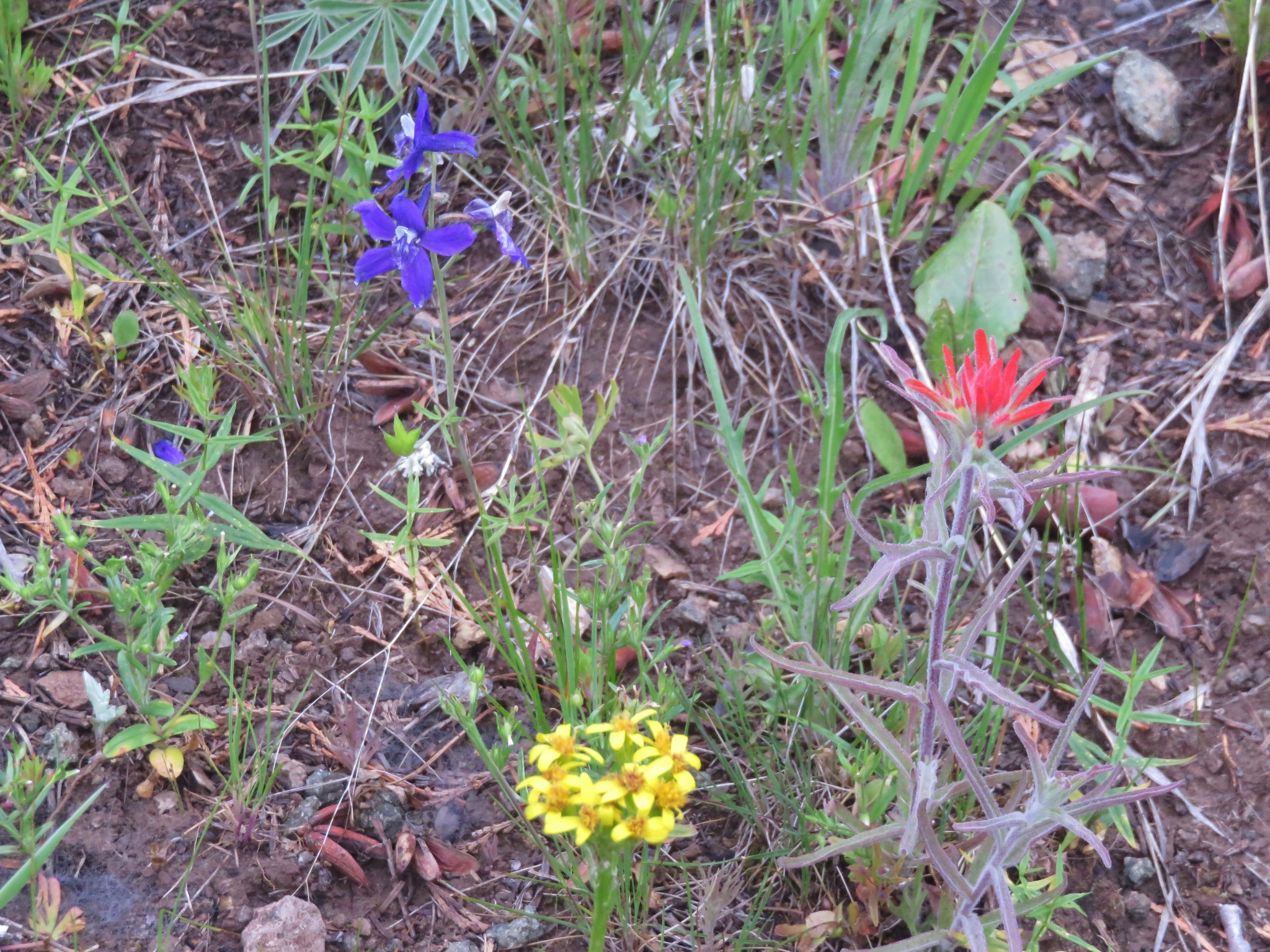
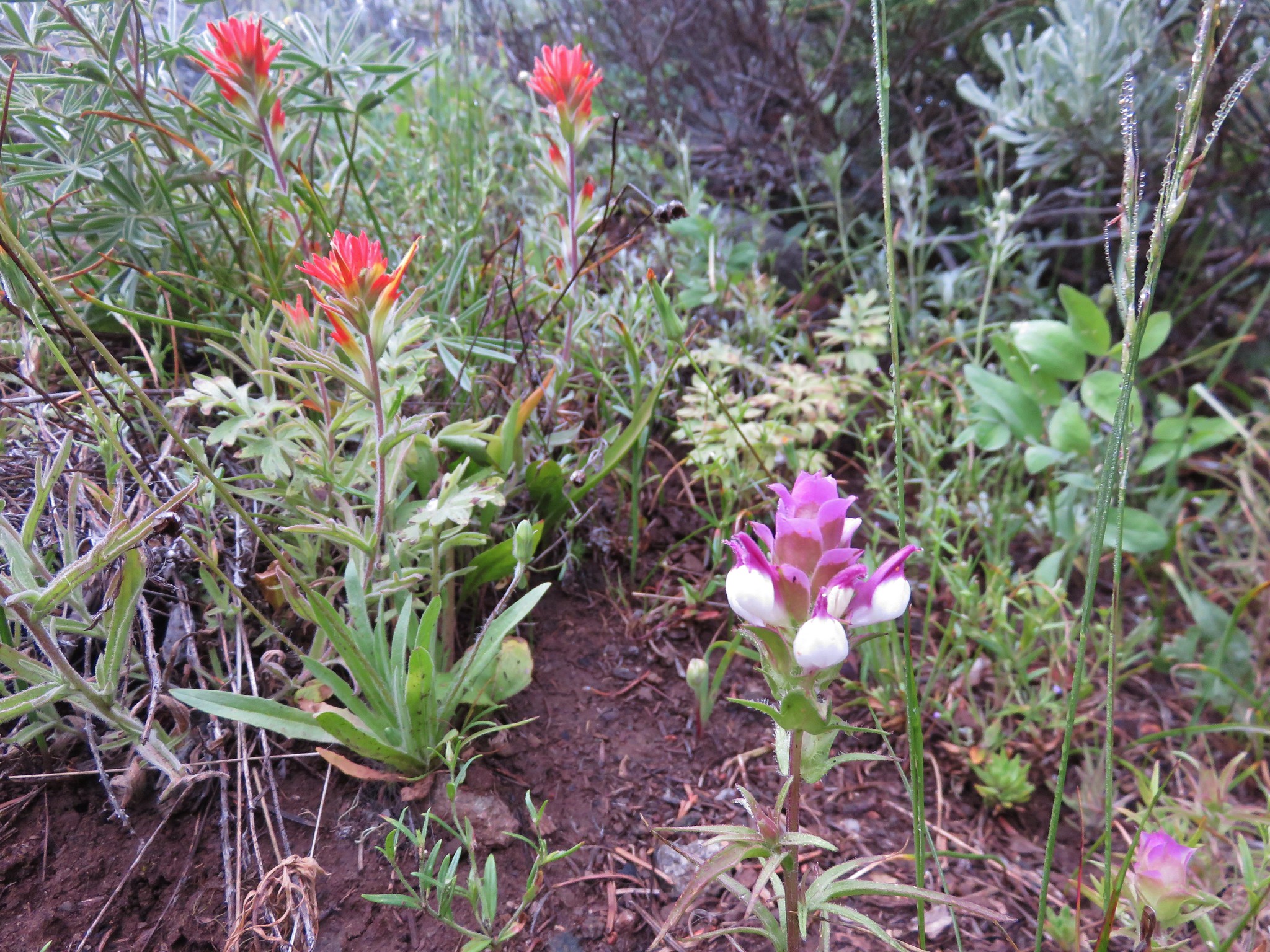
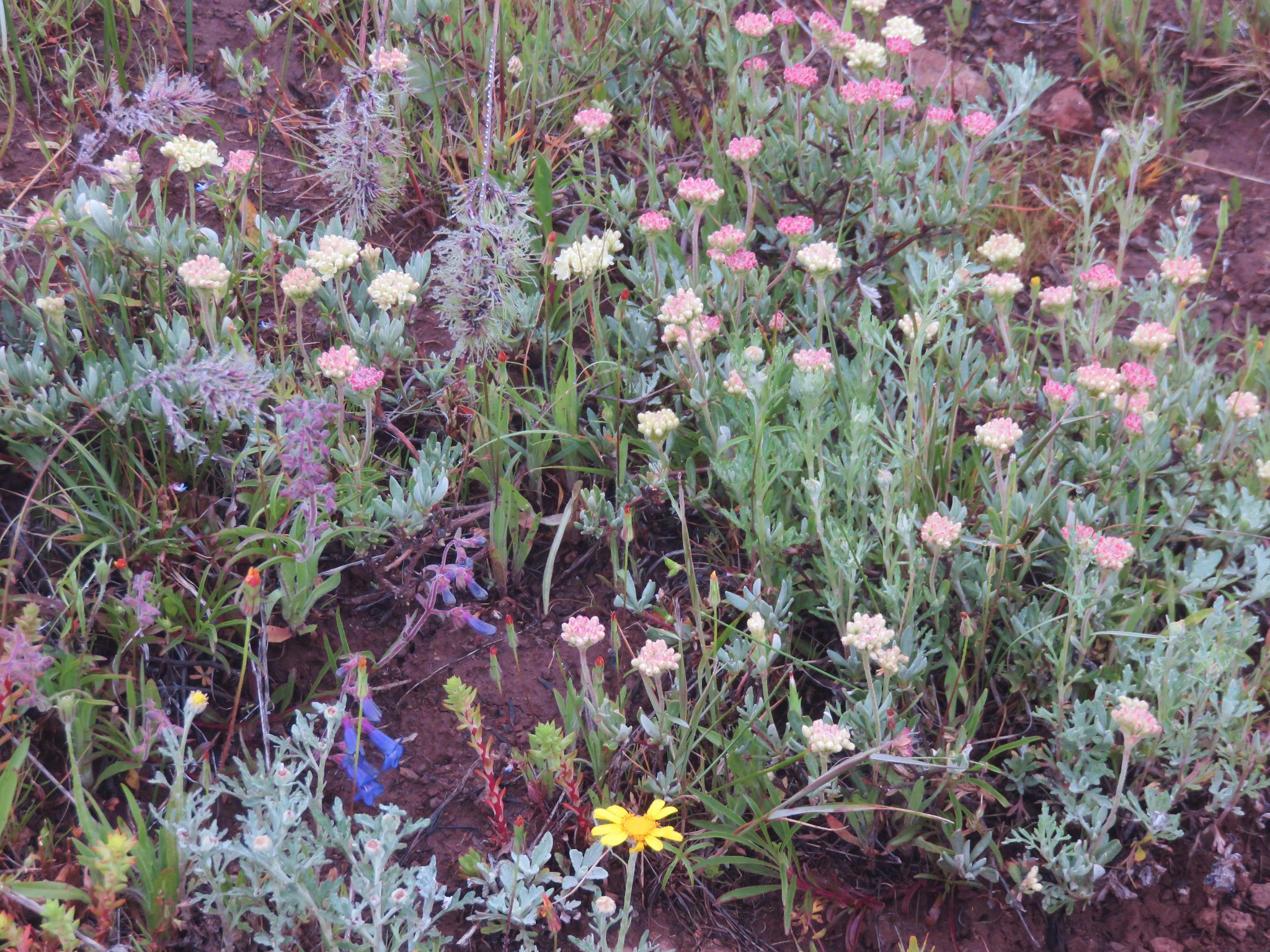
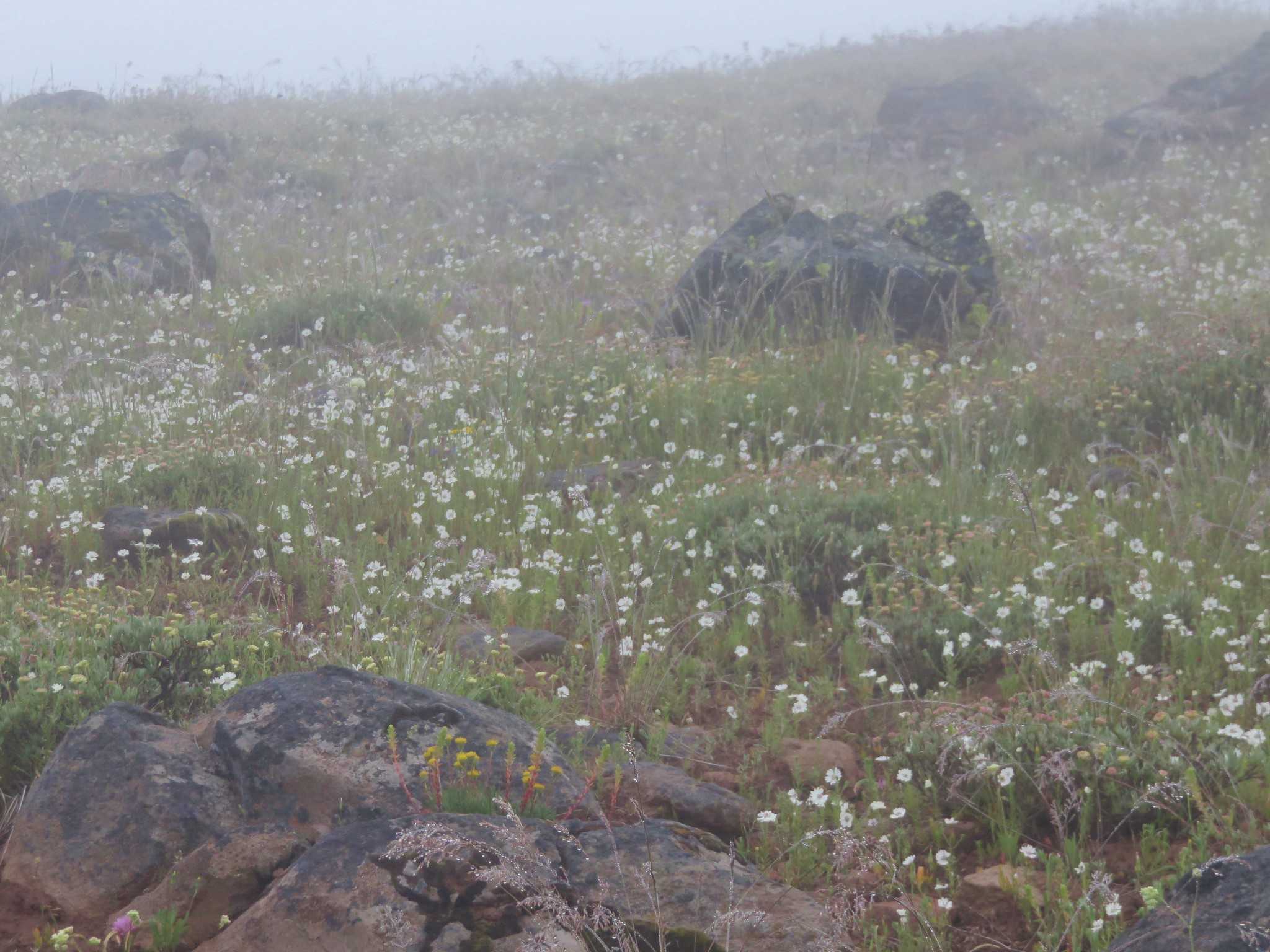
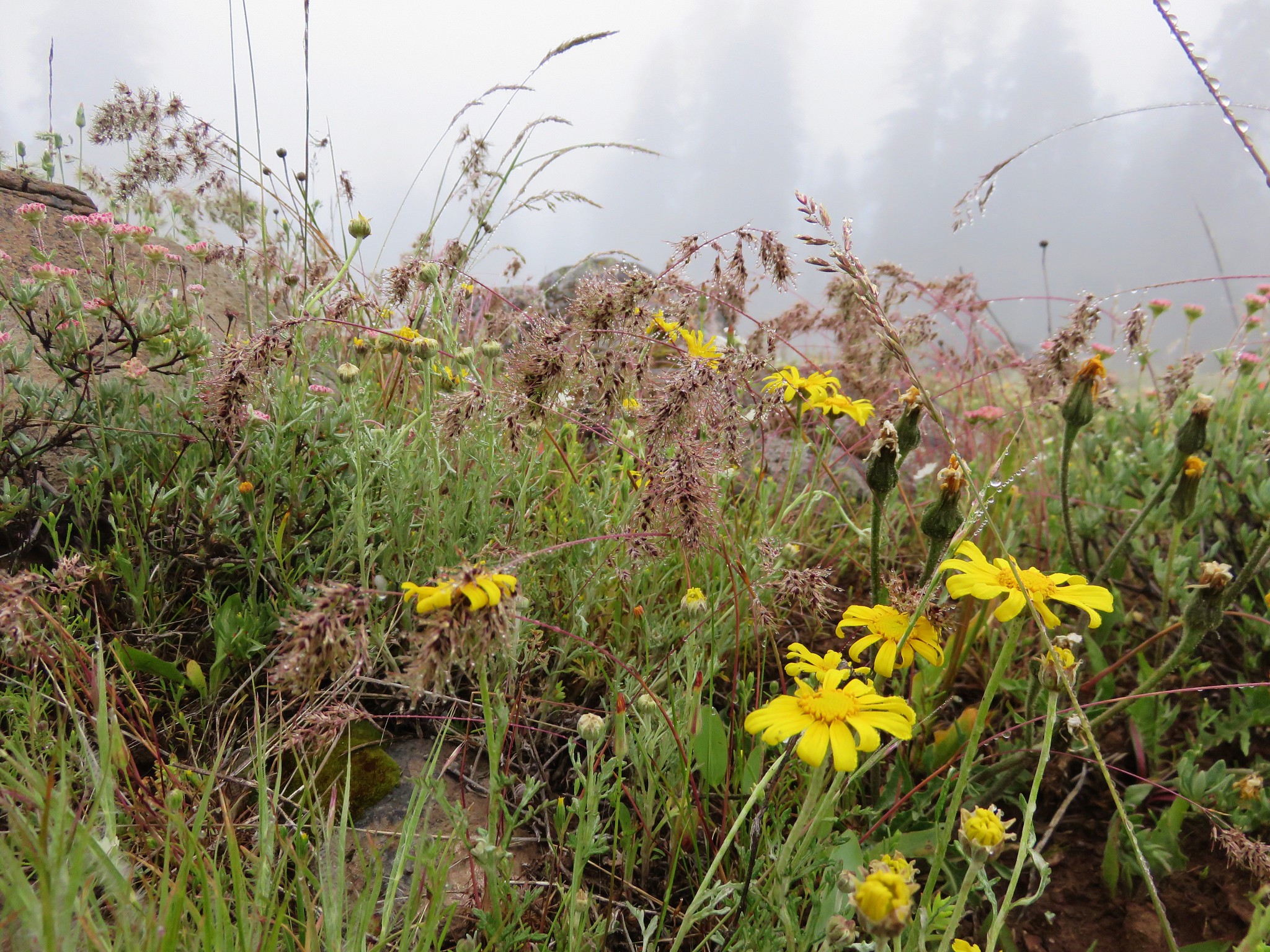
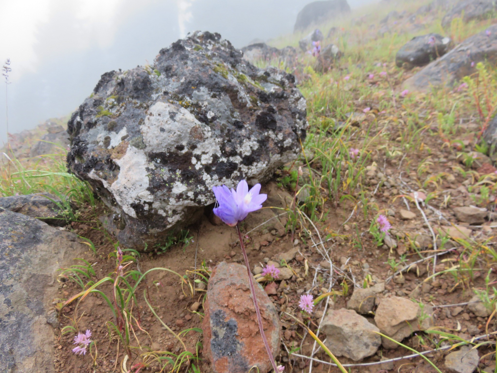
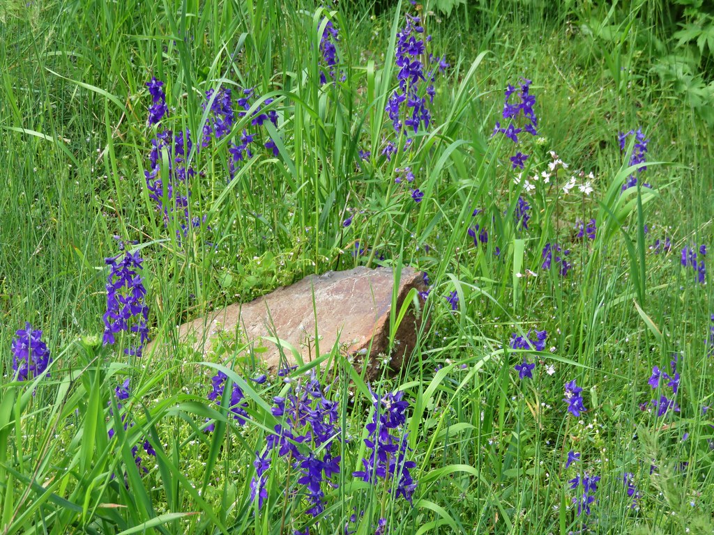
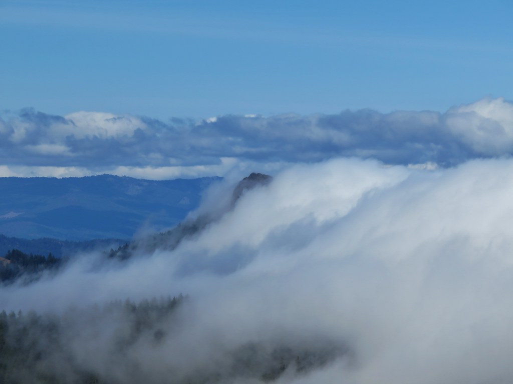
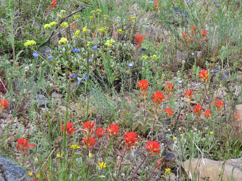
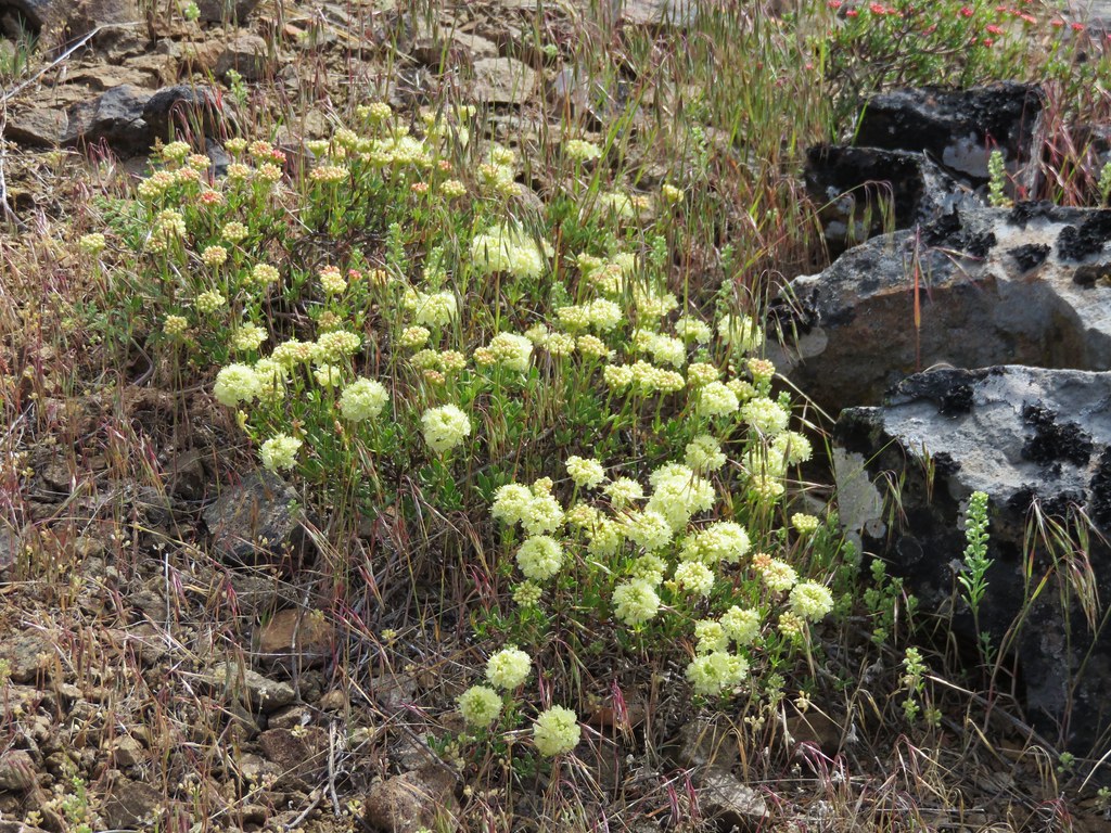
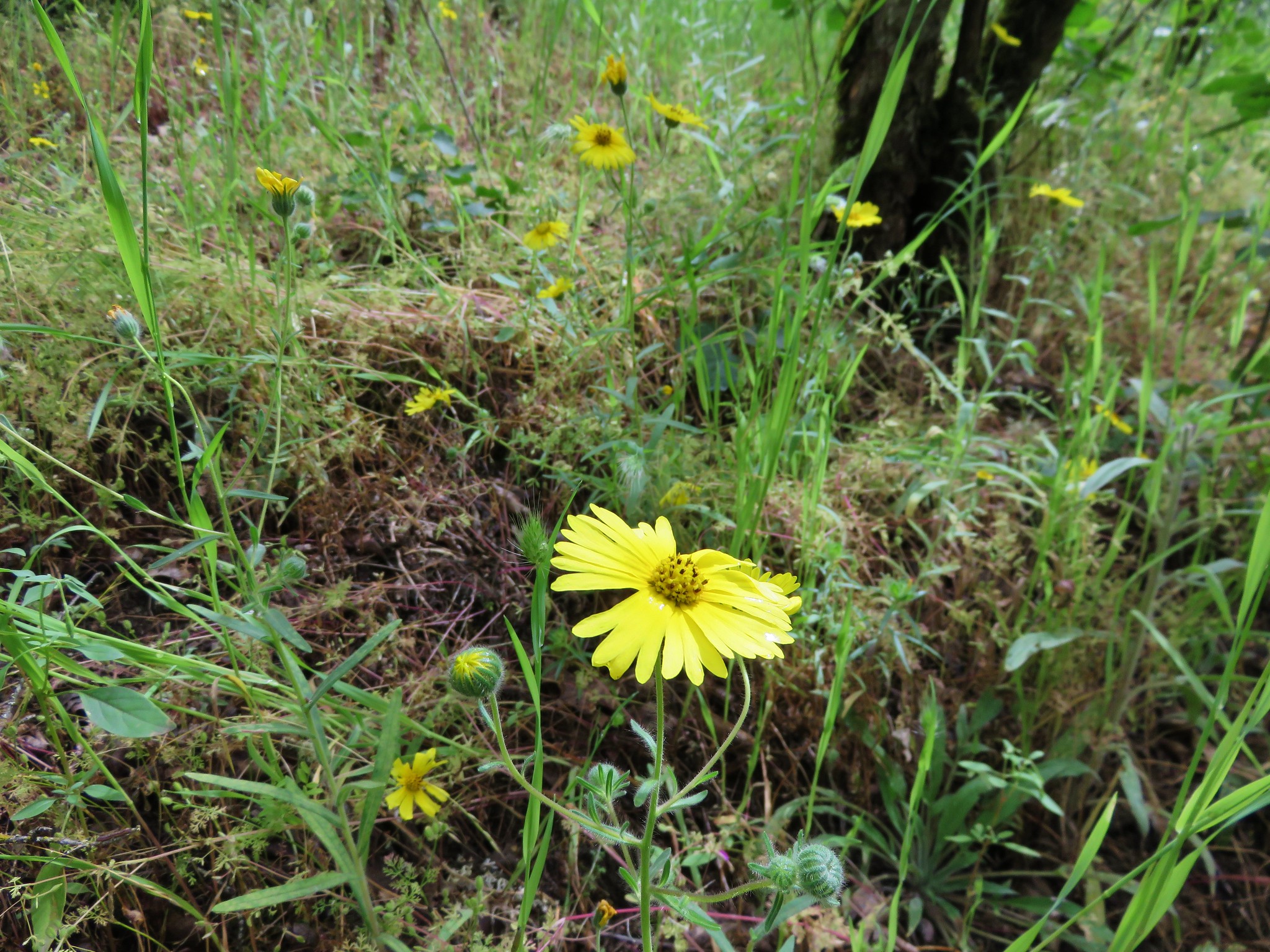
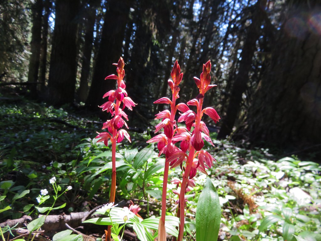
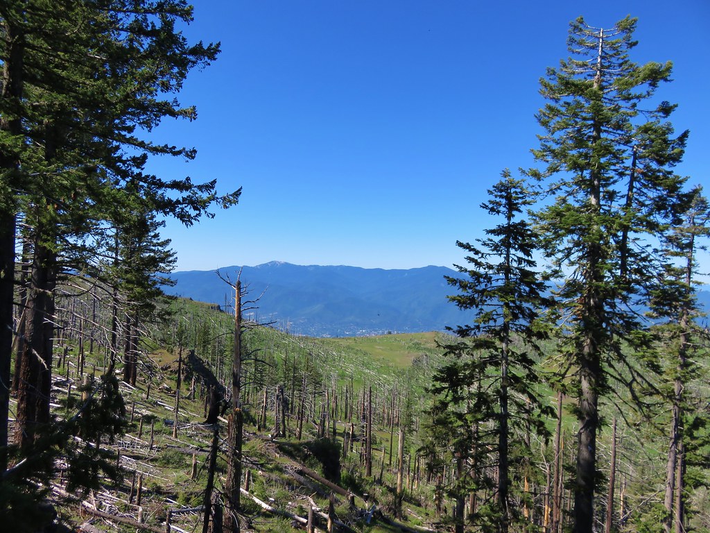
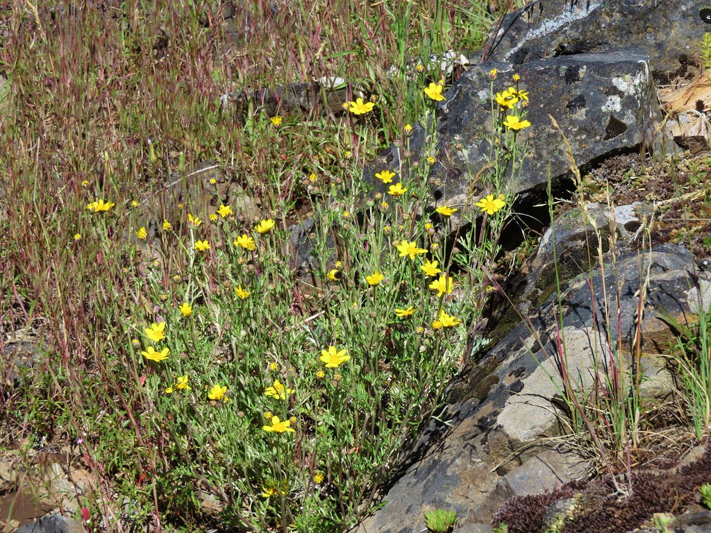
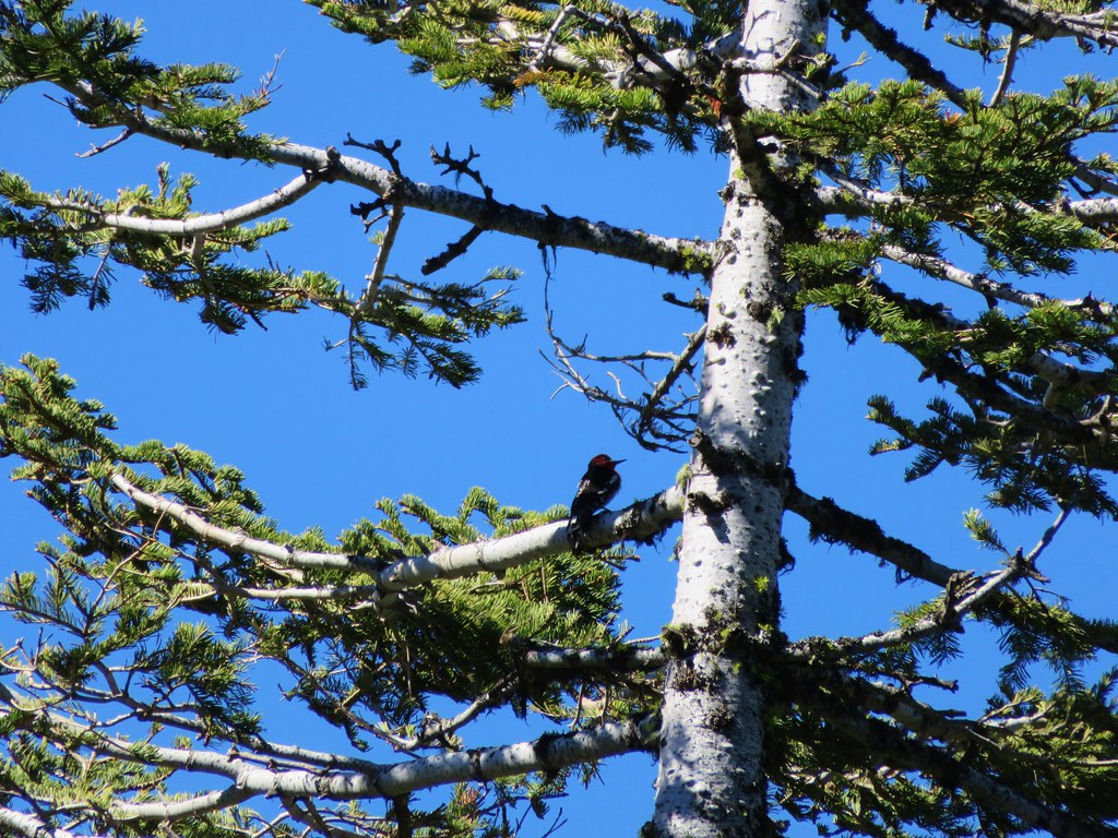
We had entered an area burned in 2002 where the fire left open views and plenty of sunlight for wildflowers.
IMG_3894

IMG_3901

IMG_3904

IMG_3905

IMG_3907

IMG_3917

IMG_3921

IMG_3927

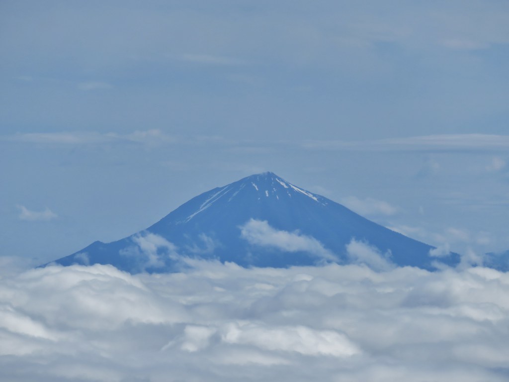
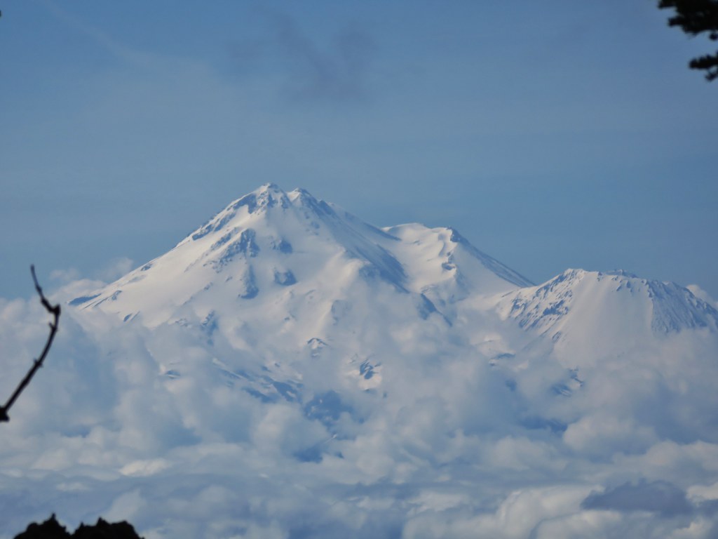
Further along the views included Mt. Shasta, Black Butte, Pilot Rock, and Mt. Eddy.
IMG_3974

IMG_3976

Mt. Shasta
IMG_3984

Black Butte and Pilot Rock
IMG_3980

Mt. Eddy
IMG_3978

and the distant Trinty Alps
IMG_3992

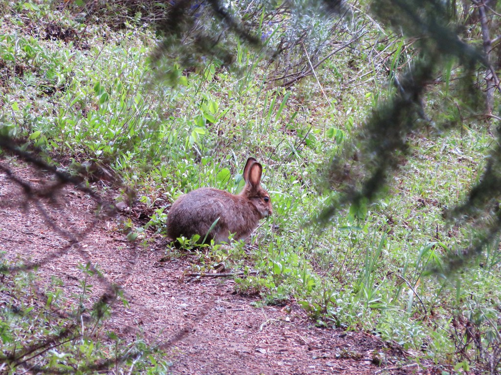
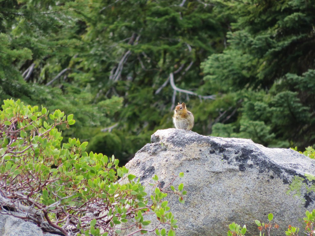
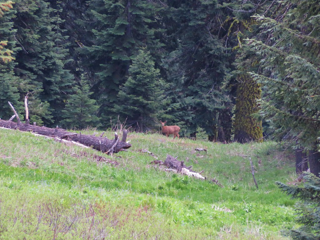
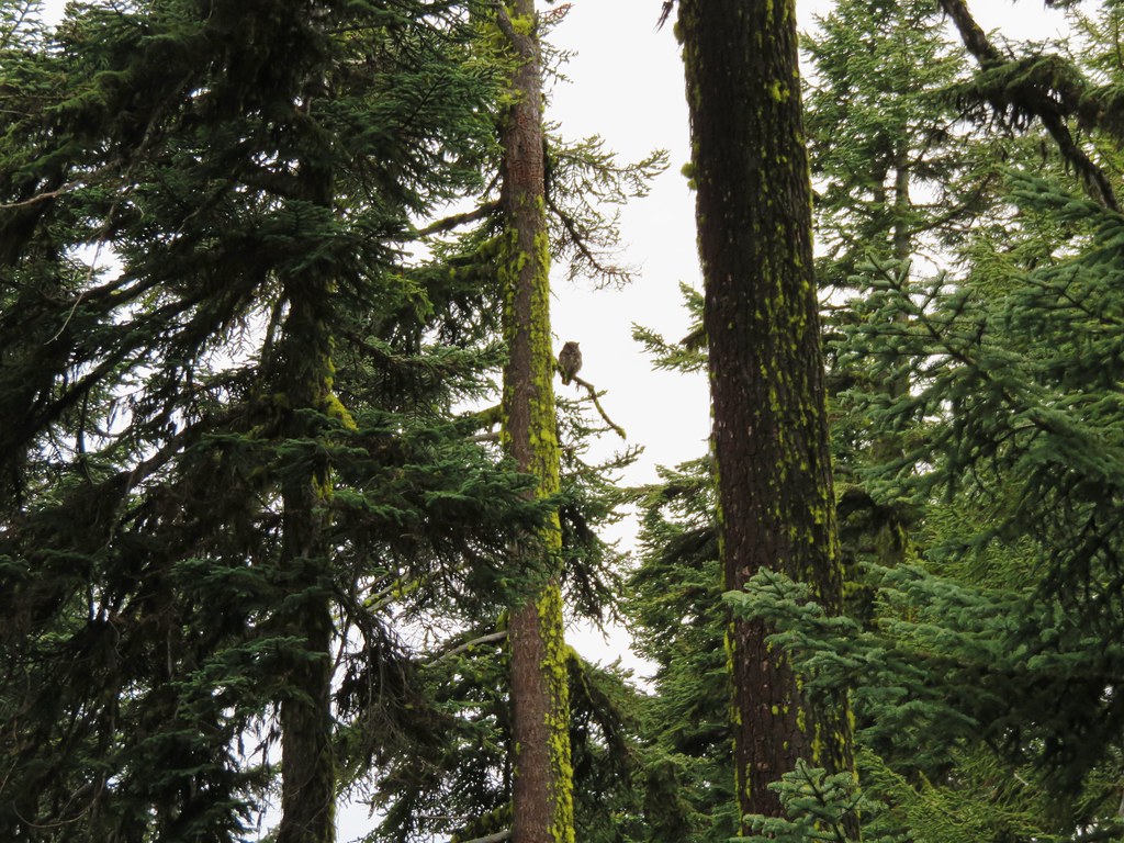
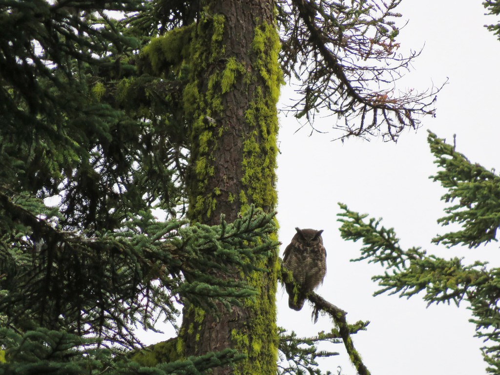
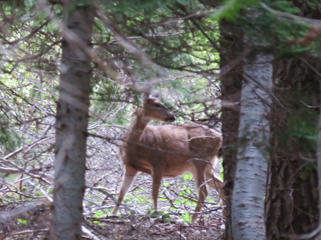
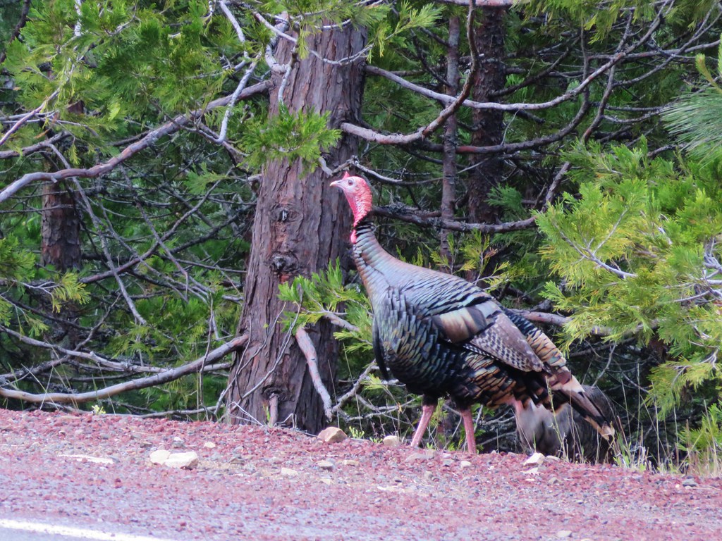
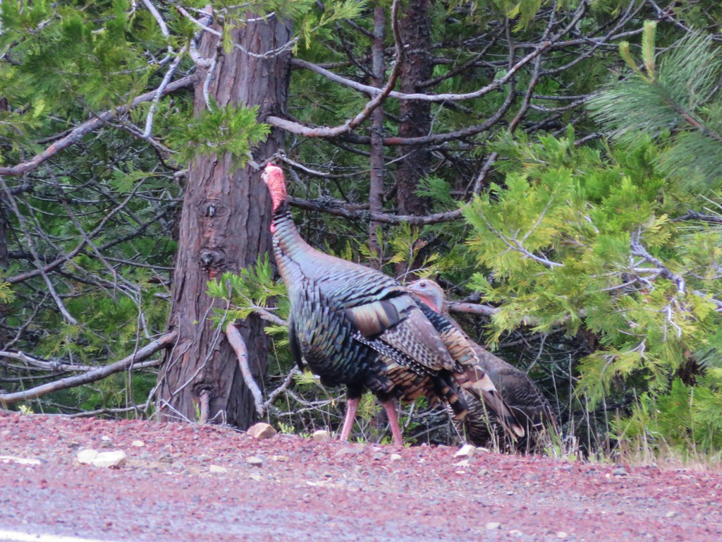
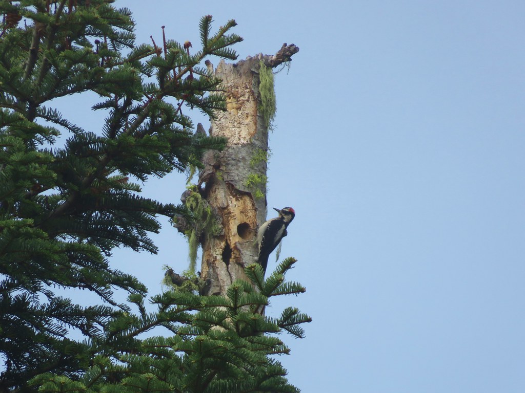
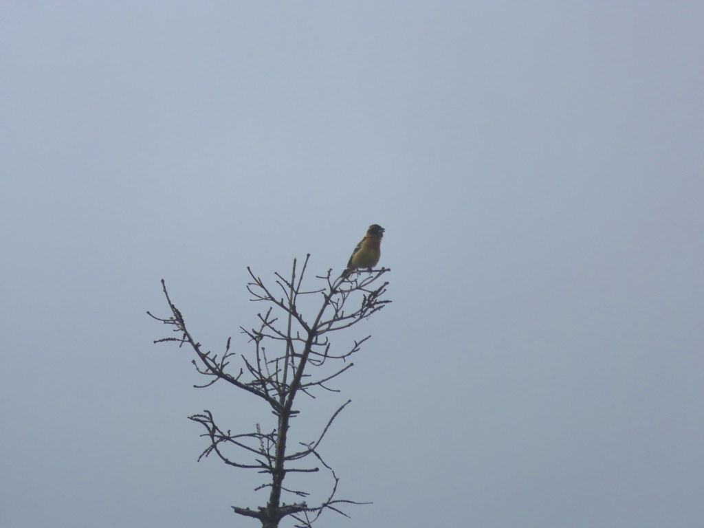
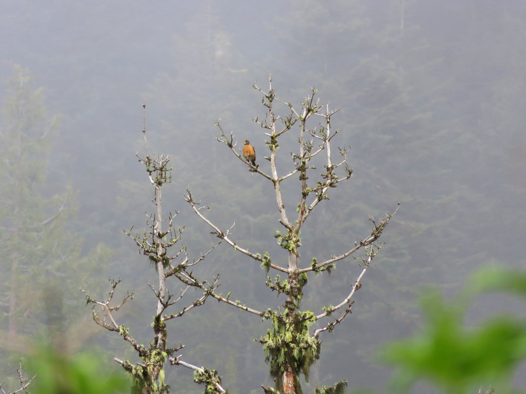
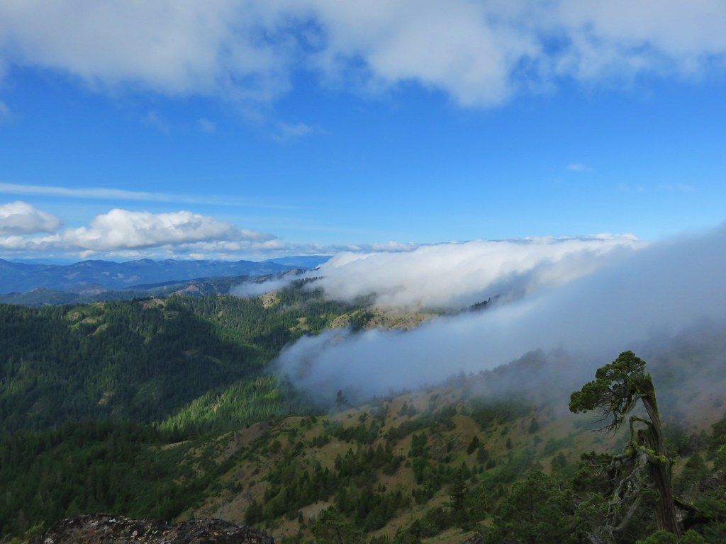
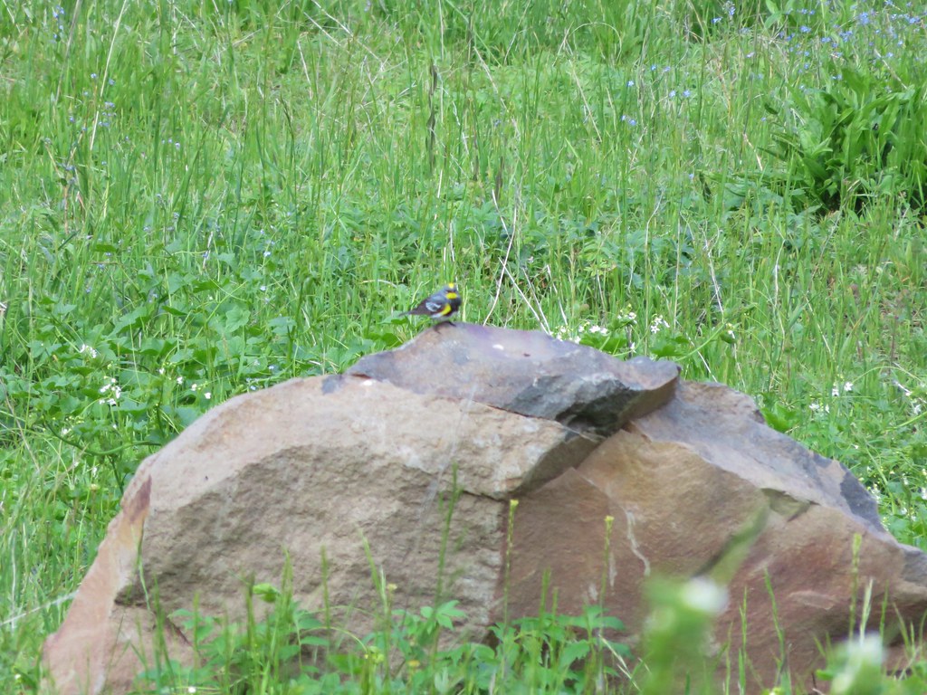
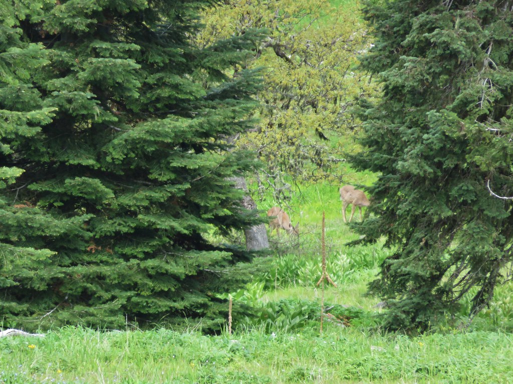
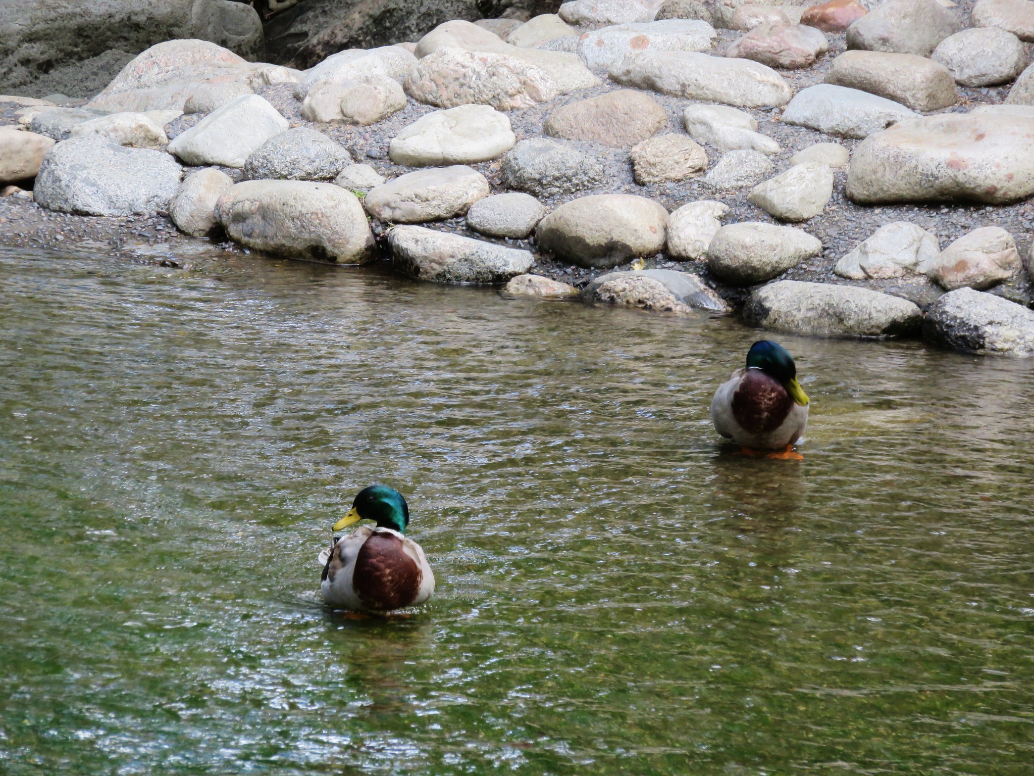
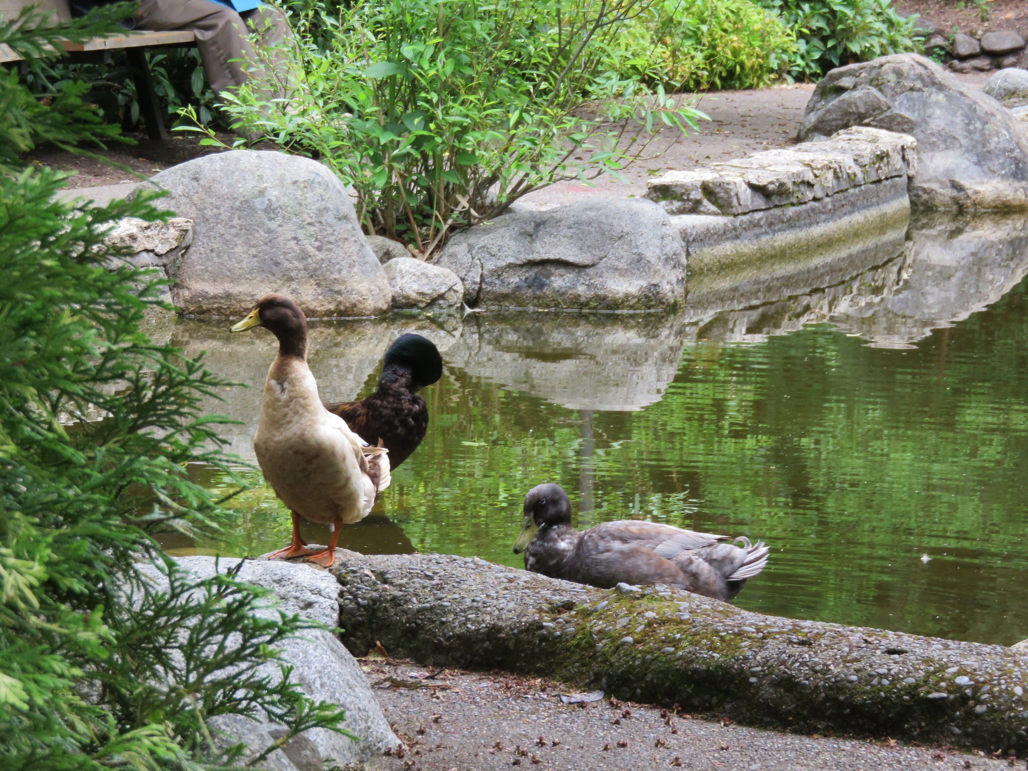
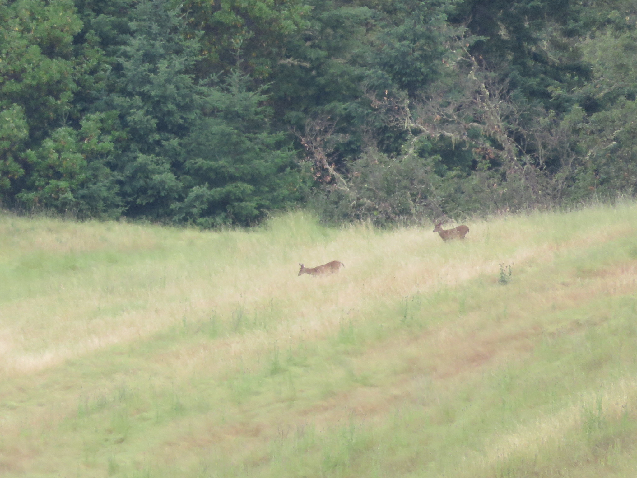
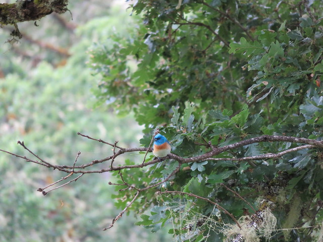
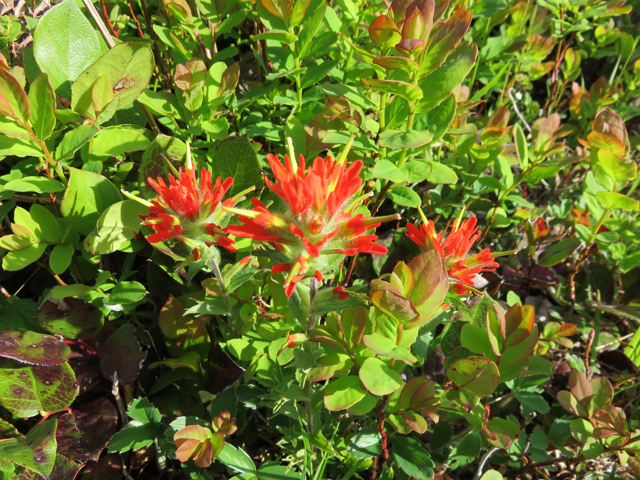
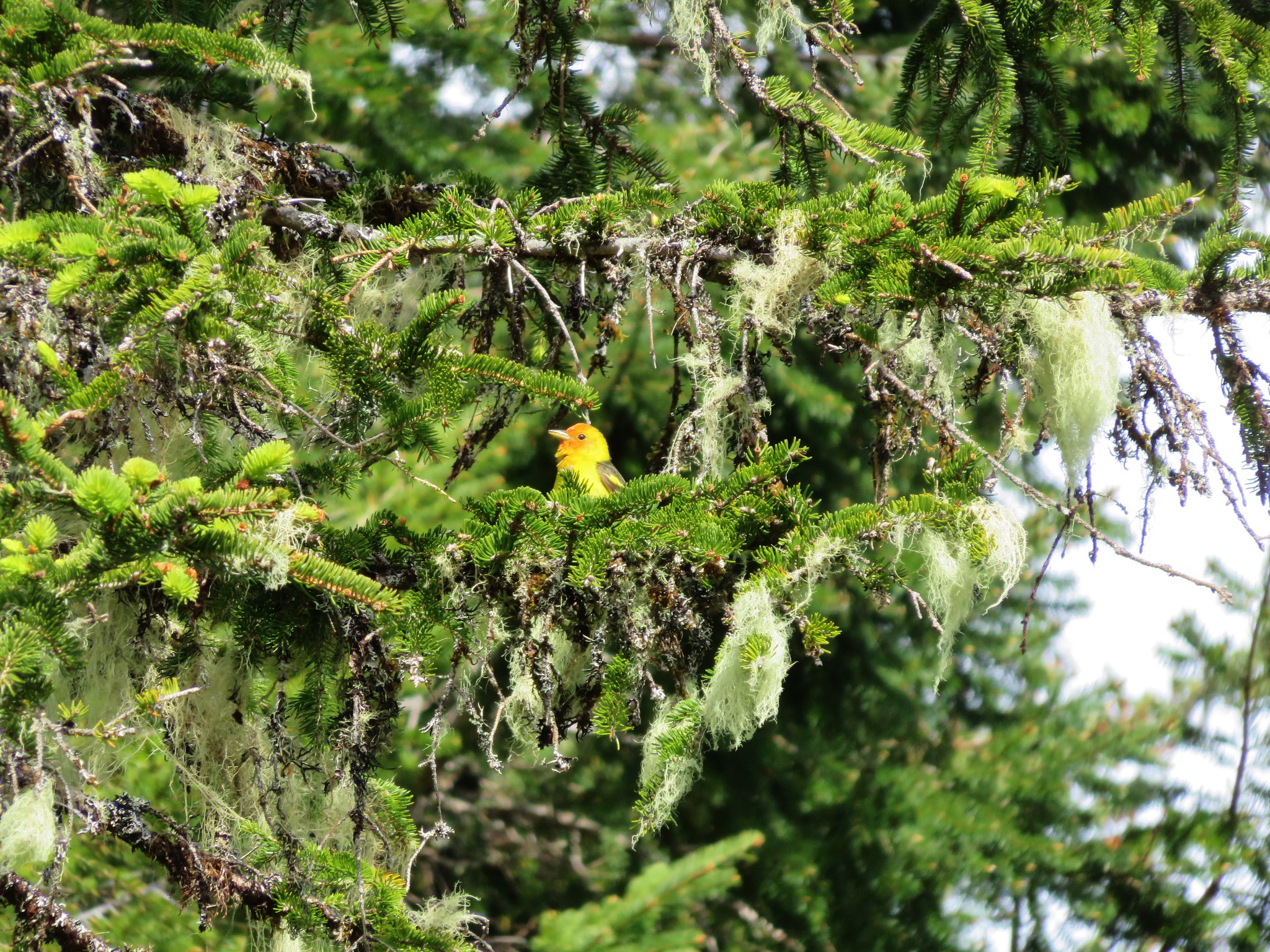
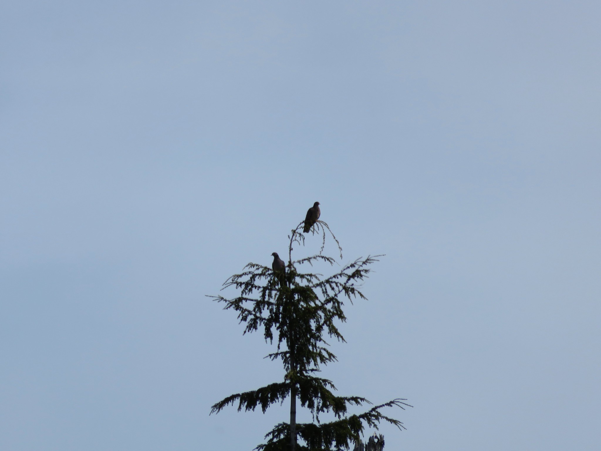
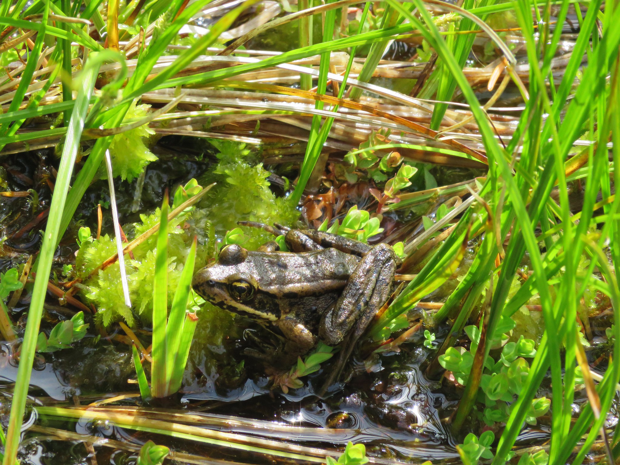
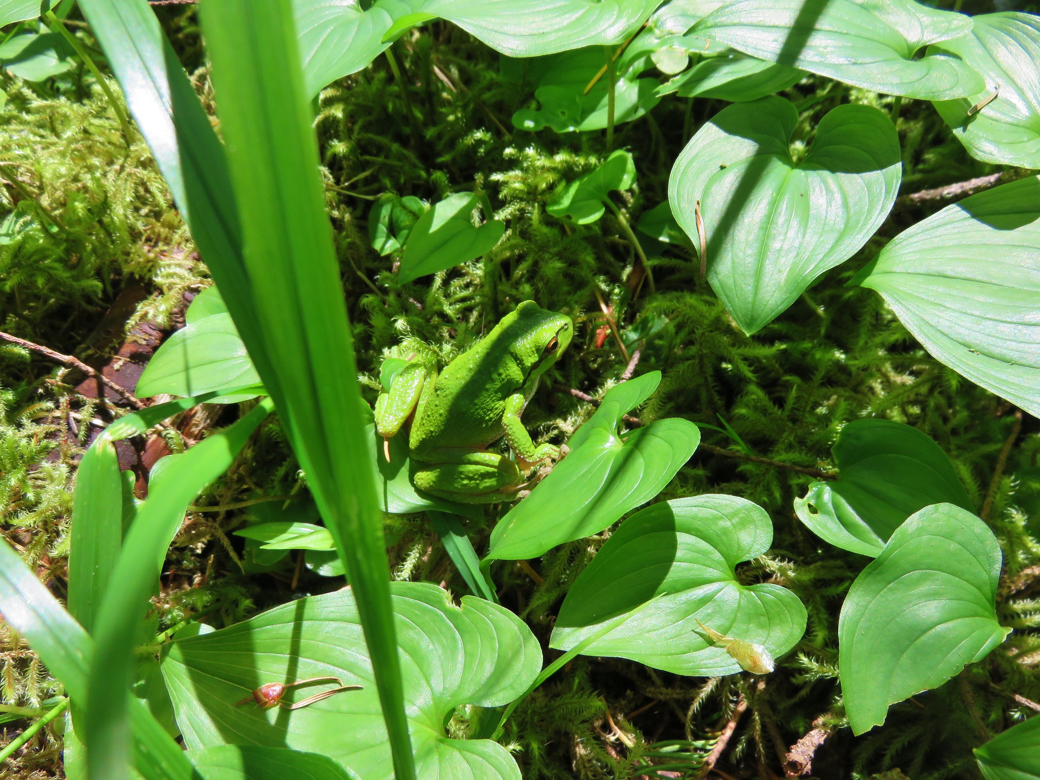
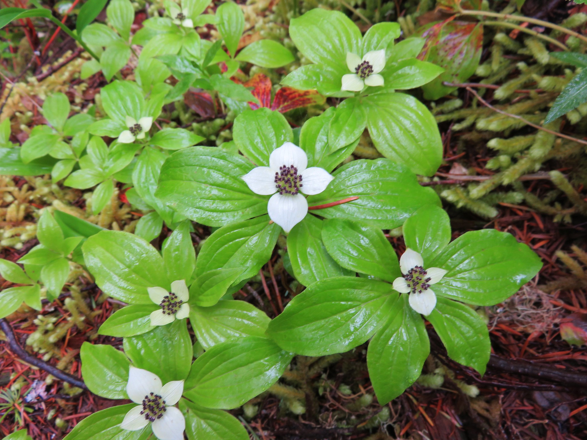
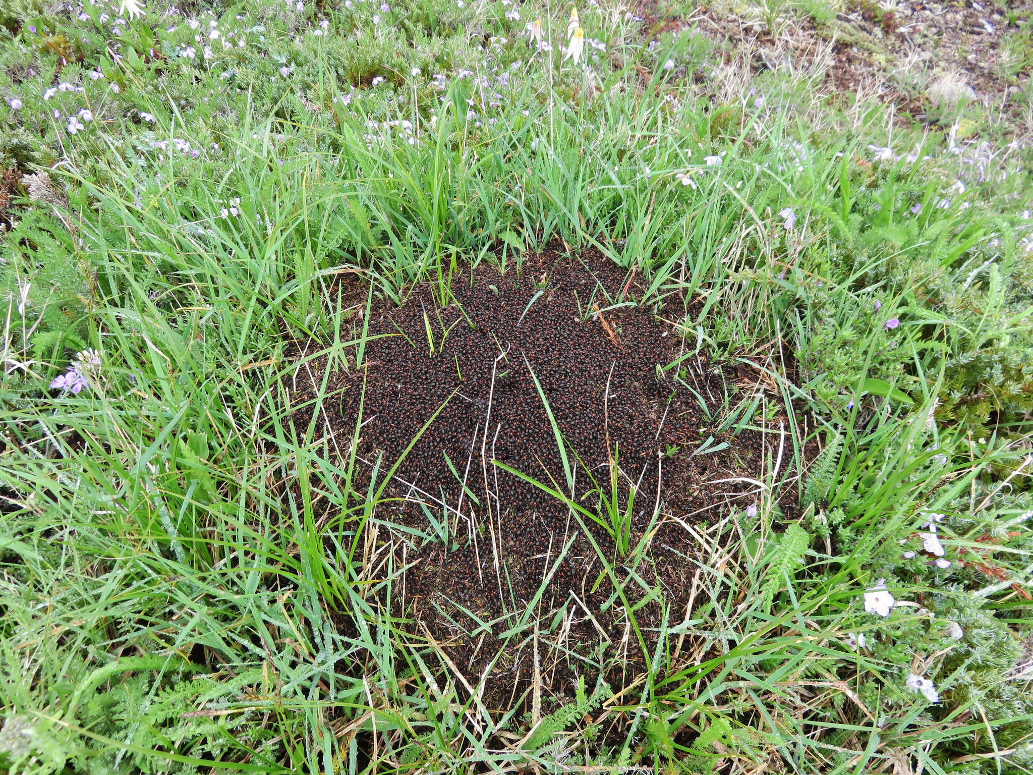
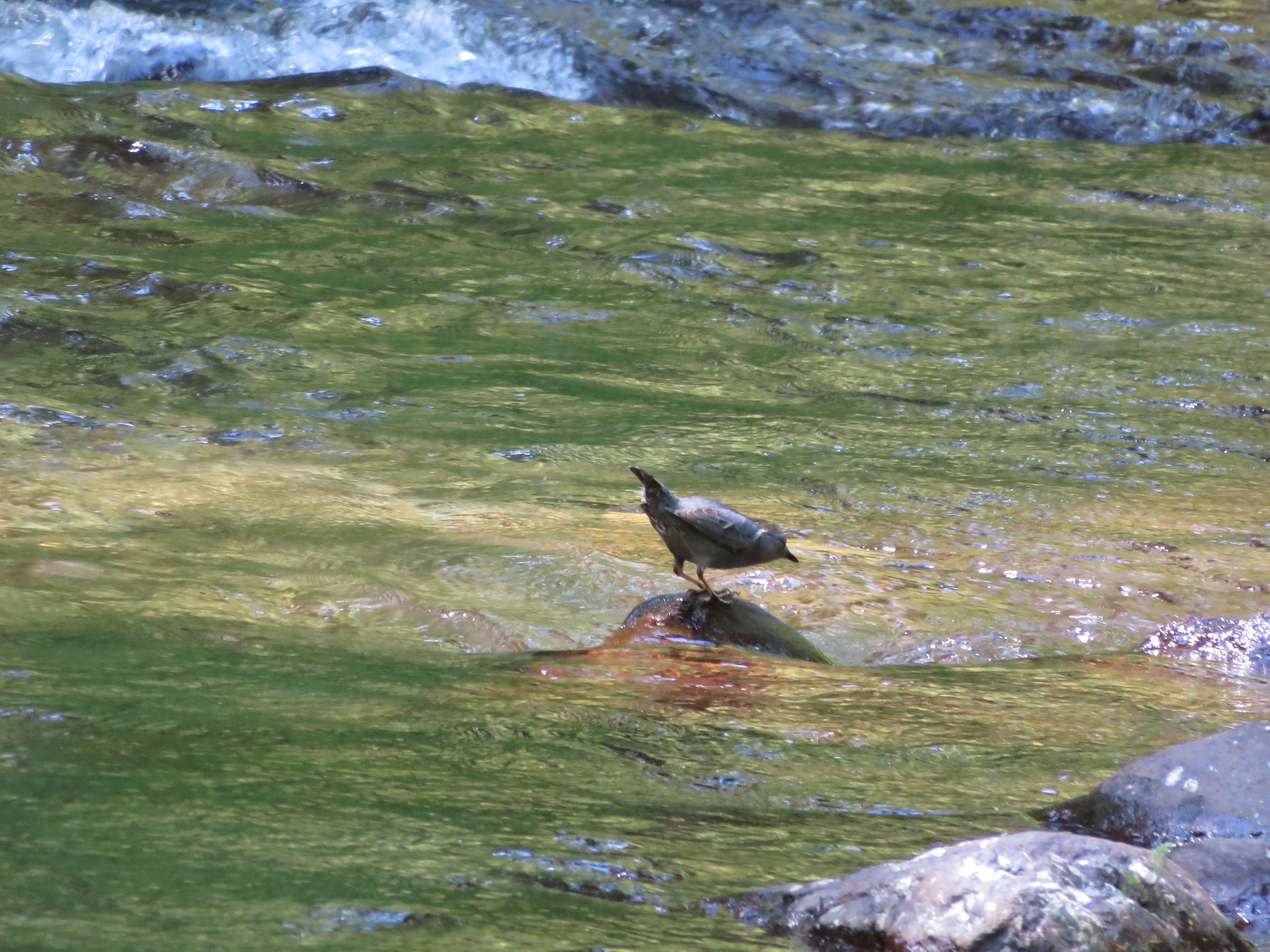
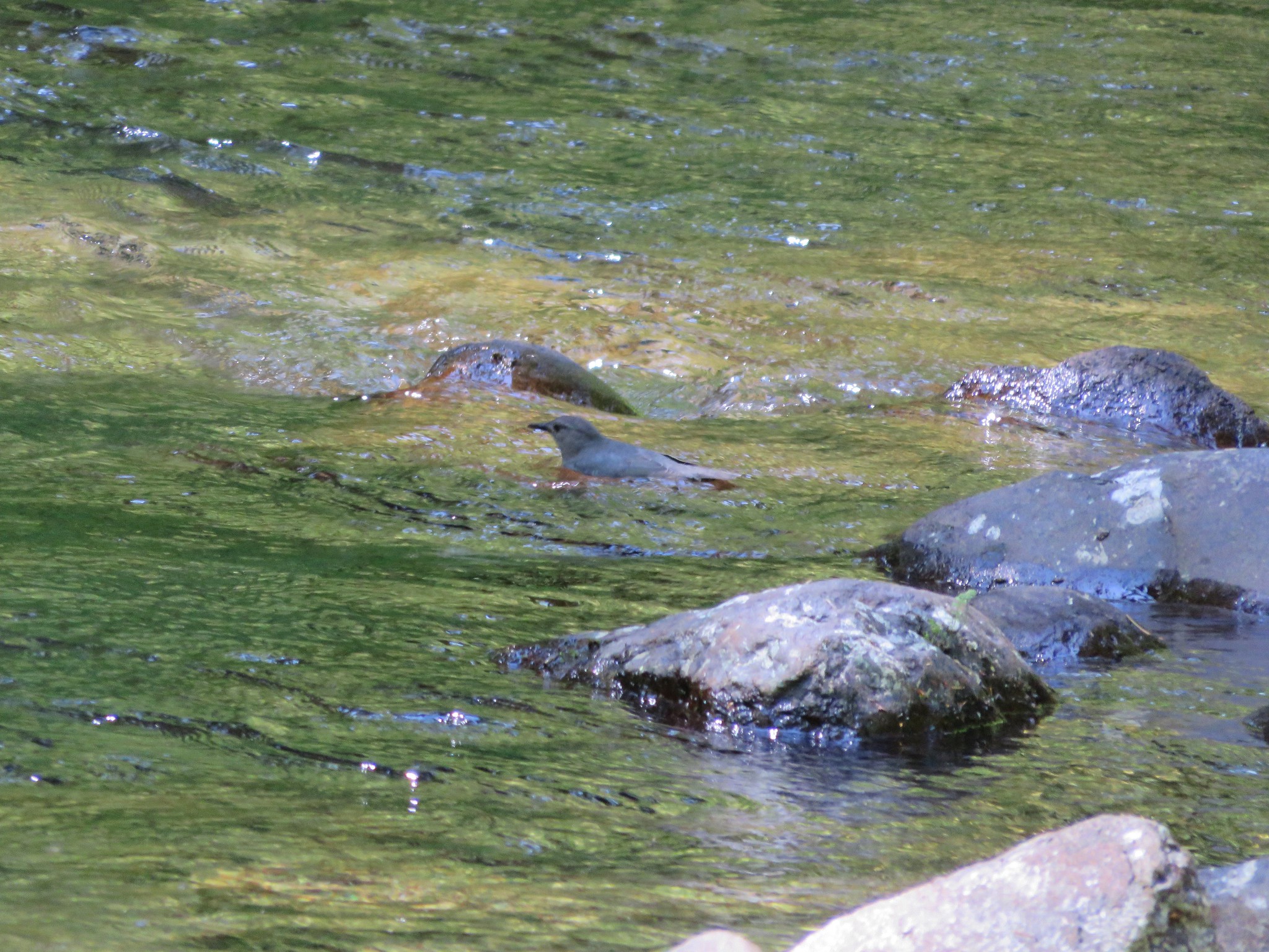
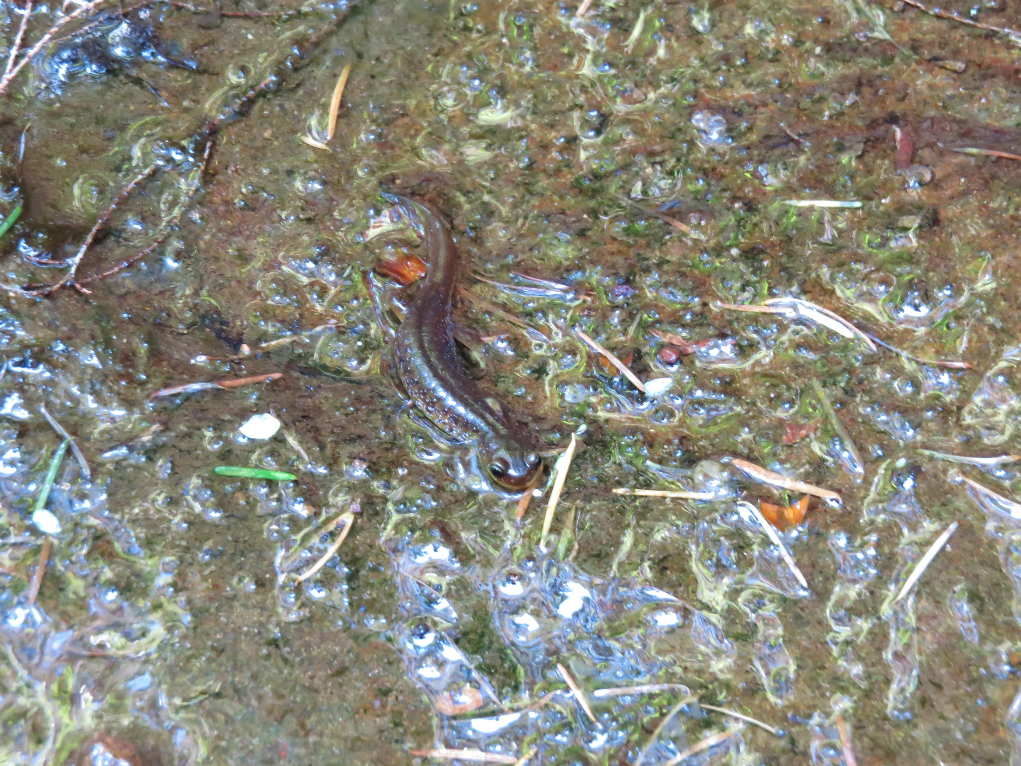
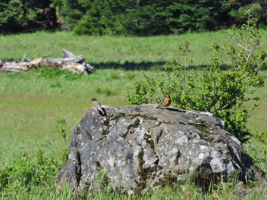
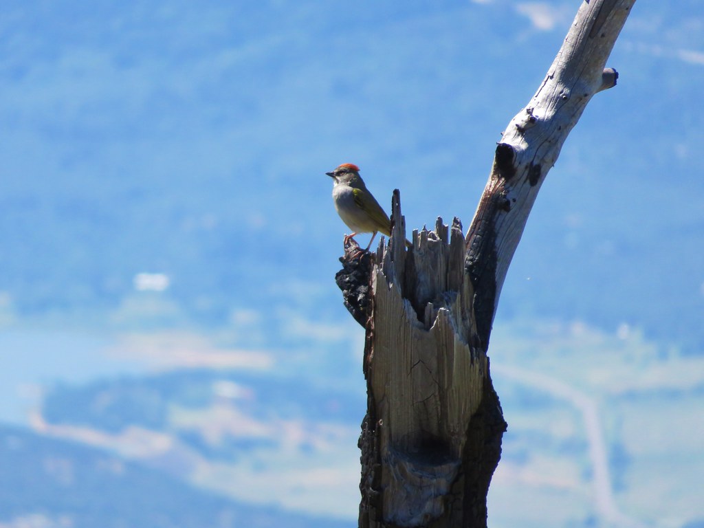
Just like all our other hikes in the area there were lots of birds happily singing along the way and here in the burnt trees they were easier to spot.
IMG_3880

IMG_3954

IMG_4000

IMG_4021

IMG_4001

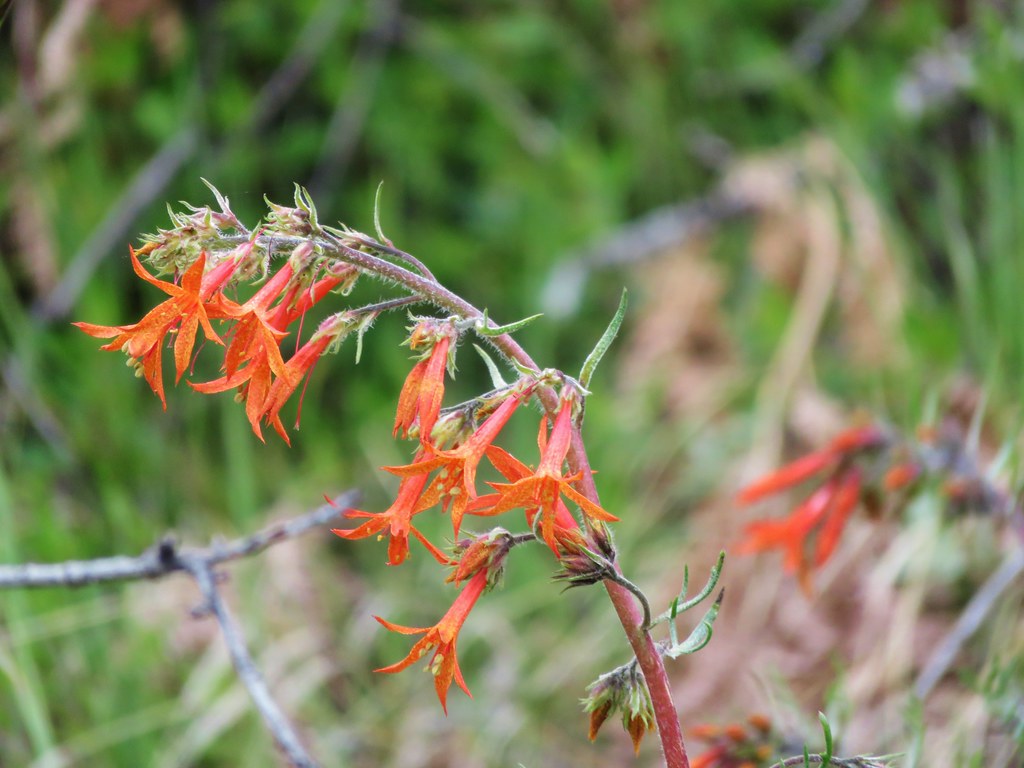
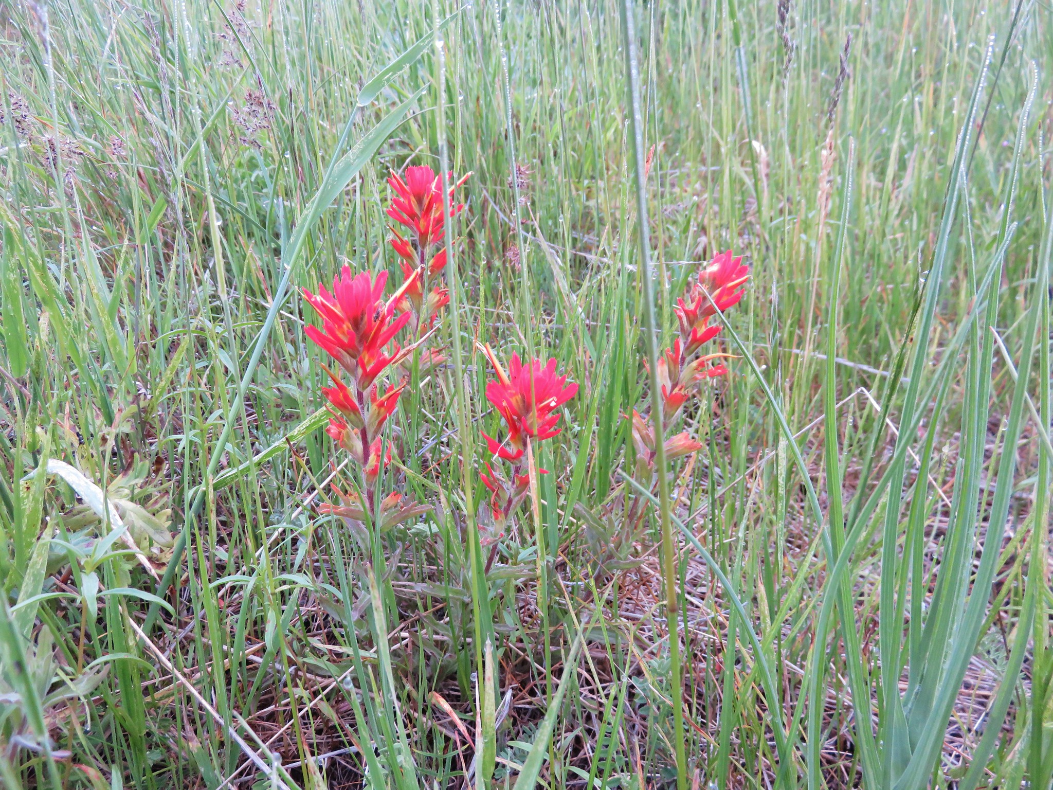
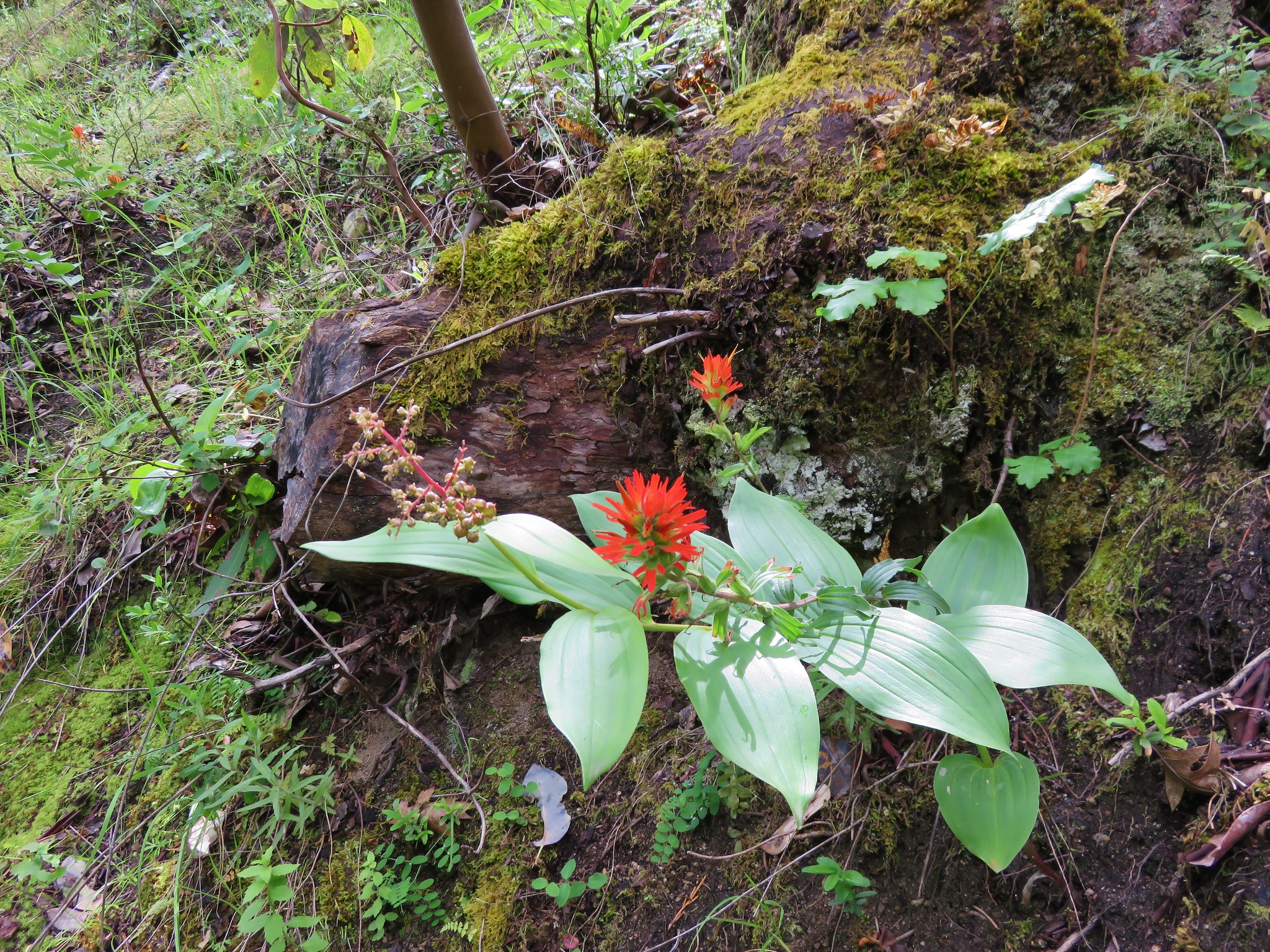
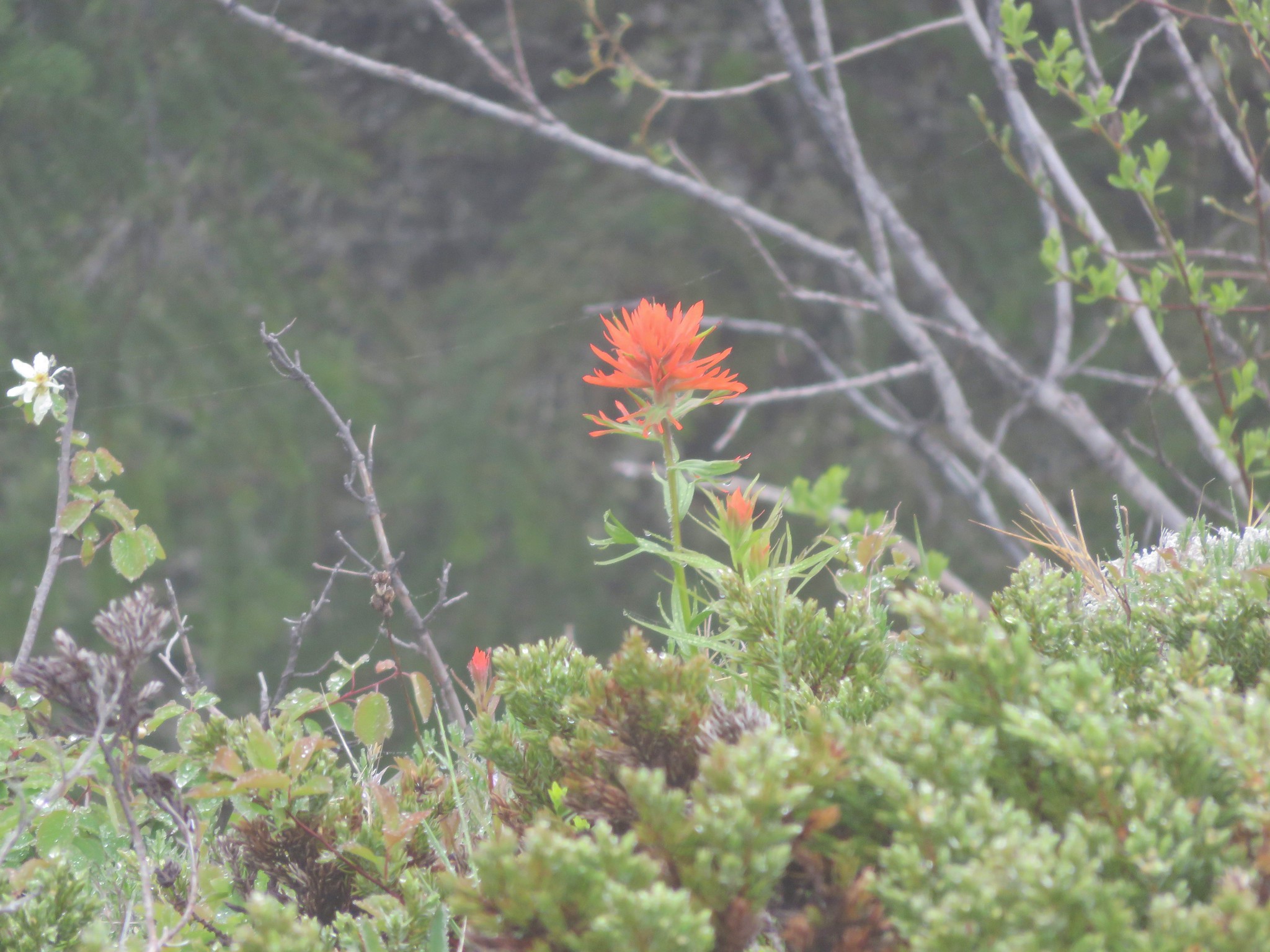
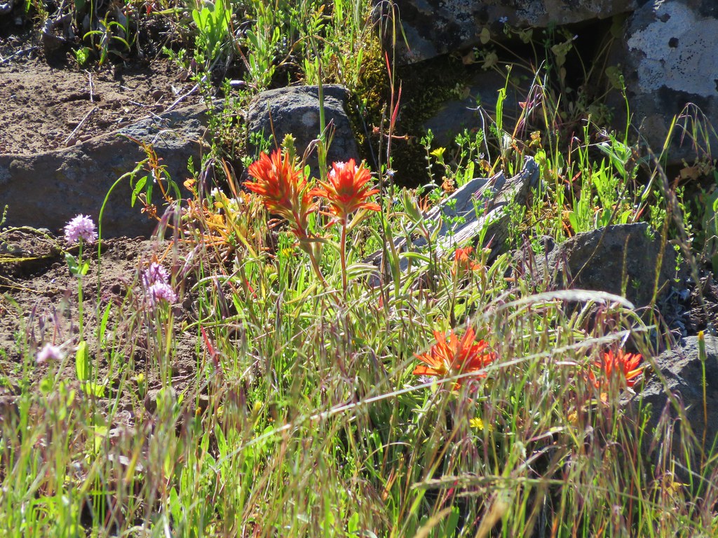
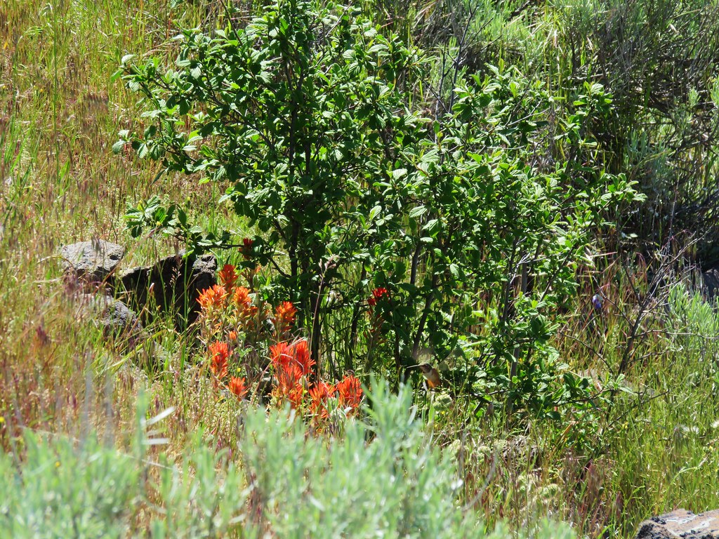
Hummingbird going for the paintbrush
IMG_4024

We completed our loop and headed back down to the now packed trailhead. This was the first trail besides Lithia Park where we saw more than 5 other hikers on the trail but with views like this packed into only 5.4 miles we could see why it was a popular hike. Our first hiking trip to Southern Oregon had turned out well. We got to see new flowers, plenty of wildlife, and nice views along with a wonderful play. That’s the recipe for Happy Trails!

flickr: https://www.flickr.com/photos/9319235@N02/sets/72157653715322378

Categories
Hiking Klamath/Siskiyou Mountains Oregon Trip report

Wagner Butte

We continued our exploration of the trails around Ashland on the fourth day of our trip. Our destination this time was the former lookout site atop 7140′ Wagner Butte. This trail sometimes does not open until mid-June due to snow but this year that wasn’t an issue. What could have been an issue was a forecast that called for a slight chance of thunderstorms. We checked the forecast once more before leaving in the morning and the possibility of thunder storms had been removed although it still called for mostly cloudy skies. The drive to the trailhead was indeed through thick fog and once again we were setting of on a trail in the clouds.
IMG_3446

The trail climbed for almost a mile along an old road before leveling out through a series of meadows.
IMG_3470

IMG_3472

The largest meadow having been created in 1983 by the Sheep Creek Slide when 400,000 tons of debris slid down from high up on Wagner Butte.
IMG_3478

There weren’t many flowers yet in the meadow but we could easily see how it would be an impressive show once the bloom began.
IMG_3481

IMG_3480

IMG_3482

IMG_3489

Beyond the Sheep Creek Slide the trail continued to pass through meadows where an increasing amount of sagebrush was present. We also began to get glimpses of blue sky above which we began to think might mean there was a chance that we would be above the clouds once we reached the summit.
IMG_3492

IMG_3501

We had seen several rabbits on the drive in and one on the trail near the slid meadow. I had not been able to get a picture of that one but we wound up spotting another one that was too busy eating to worry about my picture taking.
IMG_3515

At the 2.4 mile mark the trail began to switchback up through sagebrush filled meadows where there was more evidence of the clouds breaking up.
IMG_3527

IMG_3525

IMG_3537

We climbed for almost a mile before reaching a sign announcing Wagner Glade Gap.
IMG_3539

From the gap the trail turned left for the final 1.9 mile climb to the summit. We passed through trees and meadows, some in the fog and some in the sun.
IMG_3543

IMG_3547

IMG_3549

IMG_3552

IMG_3558

IMG_3560

This portion of the climb was never very steep and when we arrived on the ridgecrest for the final scramble we were indeed greeted with blue skies.
IMG_3568

To reach the former lookout site requires a bit of rock scrambling. The trail seems to end at a pile of boulders below a railing where the lookout once stood.
IMG_3576

IMG_3577

A faint path around to the right led to a fairly easy scramble up the rocks to the top of the rocks and spectacular views.

Mt. McLoughlin along with Brown Mt. to the right and Mt. Scott, Mt. Thielsen, and Mt. Baily to the left.
IMG_3587

Mt. McLoughlin
IMG_3582

Mt. Ashland and Mt. Shasta to the south.
IMG_3590

IMG_3608

We couldn’t see much to the SW which was still mostly covered by a layer of clouds.
IMG_3614

We stayed at the summit for awhile watching the clouds continue to break up.
IMG_3625

IMG_3630

IMG_3633

IMG_3642

When we noticed another batch of clouds moving toward our position on the summit we decided to head back down. The meadows and forest was now mostly fog free allowing for better views.
IMG_3653

IMG_3663

IMG_3660

IMG_3670

As we passed back through the meadows we noticed several types of flowers we had somehow missed on the way up including the very interesting elkweed or monument plant. A large stalk several feet tall full of pretty blossoms which we have no idea how we managed not to notice it earlier.
IMG_3676

IMG_3674

We also spotted some peony
IMG_3667

Lewis flax
IMG_3688

and Fritillaria
IMG_3681

We eventually made it back down into the cloud bank, but the lower meadows were far less foggy revealing some additional flowers and views as well.
IMG_3701

IMG_3712

IMG_3716

For the fourth straight day we had somehow managed to sneak in some views despite the cloudy/foggy conditions. Southern Oregon was not disappointing with its hikes and we had one day left. Happy Trails!

flickr: https://www.flickr.com/photos/9319235@N02/sets/72157654117259261

Categories
Hiking Klamath/Siskiyou Mountains Oregon Trip report

Mt. Ashland Meadows

After hiking to Boccard Point in the morning and resting for a couple of hours back at the Green Springs Inn we headed into Ashland. Our plan was to pick up a meal to go and then eat it at Grouse Gap Shelter on Mt. Ashland. The shelter makes for a good turnaround point for a moderate hike along the Pacific Crest Trail on the flanks of Mt. Ashland. After picking up some sandwiches from the Greenleaf Restaurant we headed toward the Mt. Ashland ski area south of Ashland. The Pacific Crest Trail crosses Mt. Ashland Rd. (Road 20) just beyond the 7 mile marker which is where we parked at a pullout with a signboard to begin our hike.
IMG_3214

We crossed the road and headed south on the PCT.
IMG_3215

The first section of trail passed through forest before emerging in the first of the meadows.
IMG_3217

IMG_3222

It was a little early in the year for most of the flowers but we spotted a few.
IMG_3231

IMG_3232

IMG_3233

In the second meadow we had views of the now mostly cloud covered Mt. Shasta and the now cloud free Pilot Rock. A near reversal from that mornings hike.
IMG_3247

IMG_3250

IMG_3253

After leaving the second meadow the PCT crossed a drier slope dotted with red paintbrush and manzanita. We were also joined by some golden-mantled squirrels.
IMG_3266

IMG_3274

IMG_3273

IMG_3264

After about a mile and a half we crossed a gravel road and entered another meadow.
IMG_3281

Just beyond this meadow was another smaller meadow where we spotted a deer far below at the meadows end.
IMG_3301

IMG_3306

The trail continued to pass through alternating meadows and forest before entering the final broad meadow before the Grouse Gap Shelter. It was still early for flowers but this large meadow had the most we’d seen on this hike.
IMG_3314

IMG_3317

IMG_3333

IMG_3346

IMG_3347

IMG_3351

IMG_3353

From the meadow we could see the shelter at the far end.
IMG_3361

A quarter mile road led from the PCT down to the shelter.
IMG_3368

IMG_3372

IMG_3373

The shelter looks out across the meadow toward the summit of Mt. Ashland. We were below the clouds this time but the summit wasn’t.
IMG_3377

IMG_3381

After eating our sandwiches we headed back. On the way we spotted another deer in the same meadow we had seen the earlier deer in, an owl who was nice enough to sit and have its picture taken, and a final deer amid the hillside trees.
IMG_3399

IMG_3411

IMG_3419

IMG_3435

IMG_3436

Then as we were driving back down the mountain a pair of turkeys emerged from the forest.
IMG_3442

IMG_3443

This hike wound up being a little over 7 miles long with about 700′ of elevation gain. The Grouse Gap Shelter proved to be a perfect place to stop for a meal making this a great relaxing hike to end the day. Happy Trails!

flickr: https://www.flickr.com/photos/9319235@N02/sets/72157651795646153

Categories
Cascade-Siskiyou National Monument Hiking Oregon Trip report

Boccard Point – Soda Mountain Wilderness

After attending Pericles the day before we spent our third day in the Ashland area hiking. We were staying east of town at the Green Springs Inn and Cabins on Highway 66 in the Cascade-Siskyou National Monument under two miles from where the Pacific Crest Trail crosses that highway on its trek from Mexico to Canada. We were also only 20 minutes from the Hobart Bluff Trailhead where the PCT crosses Soda Mountain Road as it emerges from the Soda Mountain Wilderness. Our hike to Boccard Point started at the Hobart Bluff TH, but instead of heading north on the PCT toward Hobart Bluff we headed south into the wilderness. It was a damp and foggy morning as we set off.
IMG_2940

We spotted a number of different flowers before we even made it into the wilderness.
IMG_2941

IMG_2943

IMG_2946

IMG_2952

IMG_2954

Shortly after passing under some powerlines we entered the wilderness.
IMG_2965

The flower show continued as the trail passed several rocky meadows.
IMG_2972

IMG_2973

IMG_2974

IMG_2982

IMG_2985

IMG_2989

IMG_3011

IMG_2999

The PCT also traveled through some more forested areas with other flowers.
IMG_3013

IMG_3025

IMG_3035

IMG_3036

After 2.9 miles at a large wilderness sign the PCT meets an old road junction. Here we left the PCT and headed deeper into the wilderness on an abandoned road just to the left of the sign.
IMG_3044

IMG_3049

Along this stretch of trail the old road curved around a damp wildflower meadow where there were many nearby birds and other wildlife.
IMG_3059

IMG_3061

IMG_3065

IMG_3077

IMG_3068

IMG_3070

IMG_3074

IMG_3076

IMG_3079

We had been in the fog almost the entire hike but just as we were starting the final quarter mile stretch to Boccard Point we emerged from under the clouds and were greeted with a view of Mt. Shasta.
IMG_3082

IMG_3083

As the rocky outcrop of Boccard Point approached the views to the south kept getting better.
IMG_3089

IMG_3096

To our right the edge of the clouds were lapping over Pilot Rock.
IMG_3093

IMG_3104

To the left the clouds were busy drifting over the lookout tower on the summit of Soda Mountain.
IMG_3119

IMG_3118

And behind us was the cloud that we had spent the morning in.
IMG_3109

The rocky terrain around Boccard Point was also dotted with wildflowers.
IMG_3091

IMG_3134

IMG_3130

IMG_3136

IMG_3138

IMG_3139

IMG_3140

IMG_3143

We headed back under the cloud. On the way back by the damp meadow we spotted more wildlife including a pair of deer that Heather spied.
IMG_3151

IMG_3162

IMG_3167

The fog had at least lifted as we traveled back to the trailhead revealing more of the meadows we had passed earlier that morning.
IMG_3194

IMG_3195

We skipped heading up to the lookout based on the cloud situation given the views we did get on Boccard Point. The total distance for the hike ended up being 10.5 miles with only about 1200′ of elevation gain. It was a gentle enough hike that we decided to head out again that afternoon after a brief rest back at the Green Springs Inn and Cabins. Happy Trails!

flickr: https://www.flickr.com/photos/9319235@N02/sets/72157653708085508

Categories
Hiking Medford/Ashland Area Oregon Trip report

Lithia Park – Ashland, OR

We had tickets for a play (Pericles) at the Oregon Shakespeare Festival on the second day of our Ashland vacation. Lithia Park is located next to the theaters and makes for a great opportunity for an urban hike. We parked at Lithia Park prior to the play and completed a nearly 3 mile loop.
IMG_2934

Ashland Creek flows through the center of the park giving the trails a woodsy feel despite being right near downtown Ashland.
IMG_2870

IMG_2872

IMG_2885

We spotted many ducks and other birds along the route.
IMG_2867

IMG_2879

IMG_2929

IMG_2920

IMG_2915

Flowers also fill the park. We spotted several varieties of wildflowers in addition to the numerous Rhododendron bushes dotting the paths.
IMG_2871

IMG_2897

IMG_2899

IMG_2900

IMG_2902

IMG_2904

IMG_2916

IMG_2924

We had traveled south along the east side of the creek to a reservoir on Granite Street.
IMG_2905

Beyond the reservoir several signs let you know that trails and roads make it possible to go all the way to the Pacific Crest Trail on Mt. Ashland.
IMG_2907

We had a play to attend so we turned around at the reservoir and completed the loop. The creek, wildlife, and wildflowers aren’t the only attraction in the park as several fountains and ponds add to the scenery.
IMG_2919

IMG_2927

IMG_2932

After the easy stroll through the park we wandered through some of the shops located near the theater before attending the play.
IMG_2936

The play was wonderful. It was Heather’s first play at the festival and my first since attending A Winter’s Tale while in grade school. Neither of us were familiar with Pericles before purchasing the tickets, but it turned out to be a great choice. As Shakespeare’s first romance this adventure ended on a happy note, but not before an emotional roller coaster that had many in the crowd reaching for tissues. We really enjoyed the cast and the production was very well done.

After the play we went looking for somewhere to get a bite to eat. We ended up at Taroko Pan-Pacific Bistro which was located near the theater. It was happy hour and we shared orders of Dumplings, Pad Thai, and a Mini Tuna Poke. All the food was good, but the Mini Tuna Poke was amazing. It was a perfect way to end a relaxing day. Happy Trails!

flickr: https://www.flickr.com/photos/9319235@N02/sets/72157653673457849

Categories
Hiking Oregon Roseburg Area Trip report Willamette Valley

North Bank Habitat

We recently headed down to Ashland, OR on vacation for a few hikes and to catch a play at the Oregon Shakespeare Festival.  On our way down south we stopped at the BLM managed North Bank Habitat just north of Roseburg for a quick hike to break up the drive.  The primary goal of the habitat is to  provide secure habitat for the Columbia white-tailed deer and other special status species.

The 10-mile square area has several access points and trail possibilities, although some access points are only open during certain days/hours so check ahead.  We started our hike at the West Access and headed up the Blacktail Ridge Road Trail.
002

005

The area which had been a farm/ranch? was very different than any of the places we have visited.  Rolling hills of grass and oak trees along with valleys filled with forest.
004

054

056

There were also a lot of flowers, many that were unfamiliar to us.  The only issue was having to watch out for the poison oak that seemed to be everywhere along the way.
010

Yellow Glandweed
016

031

036

042

051

Poison Oak lining the old road
044

Elegant Brodiaea
064

Blessed Milk Thistle
070

Despite it being a cloudy day there were views all along the ridge.  We kept our eyes open for deer on the surrounding hillsides but weren’t having any luck. The only signs of wildlife so far were some blackbirds at the trailhead and lots of birdsong from the trees.
077

096

We followed the Blacktail Ridge Road Trail to a junction with Middle Ridge Trail to a second junction the Thistle Ridge Trail.  Some of the best views were along the Middle Ridge Trail (which we were now on) just after the Thistle Ridge junction. It was here that we began spotting wildlife.  First a hawk
106

Then a small blue bird
114

and finally some deer.
126

They were a ways off but there appeared to be a pair of black-tailed deer not the Columbian white-tailed but they were deer none the less. We continued to spot new flowers as well including several Henderson’s stars which were really unique.
139

Eventually we reached a junction with the Chasm Creek Road Trail. Here we turned left and headed steeply down the old muddy road.
169

The trail eventually leveled off and we strolled through mores open grassland to the border of the Jackson Ranch where we turned left on  the Jackson Ranch access road.  This area was filled with birds including this beautiful western bluebird.
235

202

229

Just before reaching North Bank Road at the gated Jackson Ranch access road we turned left again along a short path lined with daisies and purple self-heal to return to the West Access Parking area.
257

258

Granted it was a Monday morning but we didn’t see another person during the 6.2 mile loop.  It was a perfect way to kick off a week of vacation. Happy Trails!

flickr: https://www.flickr.com/photos/9319235@N02/sets/72157653672903899

Categories
Coastal Range Hiking Oregon Trip report

Mt. Hebo and Munson Falls

Mt. Hebo was another hike on our list of do-overs. Our previous visit had been on May 30, 2011 which normally would be a good time for a visit to the meadows that dot the top of the mountain. 2011 was not a normal year though and our visit that day turned out to be a cold and foggy trek past patches of lingering snow to a view-less summit. We decided this was the year for the re-hike and we were even able to do it on the same day as before May 30, 2015. This time we threw in a second short stop at Munson Falls State Park to check out 266′ Munson Falls. Both of these hikes are located near Tillamook, OR.

We started the morning at Hebo Lake Camp Ground at the Pioneer Indian Trail trailhead. When we arrived we were having a bit of deja-vu as fog filled the forest much like our first visit. We knew there would be no snow this year, but would we get any views. The trail starts near the far end of the lake and heads into the forest.
IMG_2347

IMG_2348

Not too far along the trail we came to an unsigned junction that neither of us recalled from our first visit. It wasn’t marked on the map in our field guide either and we at first turned left which is incorrect. Luckily Heather spotted a “Trail ->” sign pointing back the way we’d come which caused me to double check with our GPS (which I should have done at the junction anyway) and we realized we needed to go back and take the right had fork.
Unsigned jct.
IMG_2356

As we continued along the sun began to burn through the clouds which was a welcome sight.
IMG_2357

IMG_2365

The trail passes several interpretive signs before reaching a plantation of trees which had been planted by the forest service in the early 1900s. The contrast between the two sections of forest is really interesting.
Forest before the plantation.
IMG_2369

Some of the plantation trees.
IMG_2375

The trail crosses a gravel road then at the 2.9 mile mark after a good climb crosses paved road 14. I had taken a photo at this crossing on our first visit allowing for a good comparison of just how different things were this time around.
2011
029

2015
IMG_2384

After crossing the road the trail follows an old road bed which is where we had encountered the first of the snow in 2011. This time around we encountered flowers instead.
2011
032

2015
IMG_2403

IMG_2393

IMG_2398

IMG_2401

Just over a mile from the road 14 crossing the trail enters the first meadow. Here again we found a vastly different scene than on our previous visit.
2011
035

2015
IMG_2408

There was a wide variety of flowers dotting the meadow and the view was much improved. We still could not see the ocean or any of the cascade peaks but much of the coast range was visible above the clouds.
Paintbrush
IMG_2409

Violet
IMG_2415

Columbine
IMG_2418

Wild Iris
IMG_2427

Lupine
IMG_2458

IMG_2428

IMG_2435

IMG_2442

The trail passes through the first meadow then a short section with some trees before emerging in a much larger meadow.
IMG_2448

IMG_2454

IMG_2456

We had turned around in this meadow after being blasted by a cold wet wind in 2011 but on this beautiful day we continued on recrossing road 14 and reentering the forest.
IMG_2461

There were new flowers to discover on this section of the trail including bunchberry, anenome, and camas which we were really surprised to see.
IMG_2459

IMG_2460

IMG_2462

We also crossed a little stream coming from a marshy wetland area. As we took a quick look we noticed some frogs hopping into several pools and a number of birds in the area. We didn’t get any pictures of wildlife on the first pass but on our way back by we were luckier.
IMG_2468

Western Tanager
IMG_2493

Band-tailed Pigeon
IMG_2499

IMG_2517

IMG_2518

This little area would have made a good turnaround point but we continued on a bit further looking for a viewpoint that was shown in our guide book. We passed a couple of smaller meadows filled with camas and found some nice penstemon in bloom but not a particularly nice viewpoint before the trail began to descend toward North Lake.
IMG_2472

IMG_2473

IMG_2484

IMG_2485

We weren’t interested in having to climb back up from the little lake so we turned around and headed back to the meadows. The clouds to the west had really retreated when we arrived back at the meadows revealing more of the coastal foothills.
IMG_2525

IMG_2529

As we were passing back through the forest along the lower portion of the trail Heather spotted a really good sized Pacific-Tree Frog.
IMG_2565

IMG_2556

After finishing the Mt. Hebo hike we headed north on Highway 101 toward Tillamook to Munson Falls State Park. Here a quarter-mile path leads to a view of the tallest water fall in the Coast Range. Unfortunately it is virtually impossible to get a clear view of the entire 266′ cascade due to a narrow canyon full of downed logs and thick brush. Still the waterfall was one of the more impressive we’ve seen and well worth the visit.
IMG_2574

IMG_2588

IMG_2591

IMG_2597

After our brief visit to the falls we took a little detour on the way home through Pacific City in order to stop at the Pelican Pub & Brewery which has become on of our favorite post hike places to grab a meal. Happy Trails!

flickr: https://www.flickr.com/photos/9319235@N02/sets/72157653321256339
flickr 2011 visit: https://www.flickr.com/photos/9319235@N02/sets/72157632953522057

Categories
High Cascades Hiking Mt. Hood Area Oregon Trip report

Bonanza Trail – Salmon-Huckleberry Wilderness

We were looking for a hike that would avoid the crowds of Memorial Day weekend and landed on the Bonanza Trail. The Bonanza Trail starts at the edge of Welches, OR near the Salmon River where it climbs 3000′ through the Salmon-Huckleberry Wilderness to a junction with the Plaza Trail #783 on Huckleberry Mountain. The forest service lists usage as light for this trail which is exactly what we were looking for.

The trailhead consists of a small pullout (room for 2 cars maximum) along E. Grove Rd in Welches marked by a cable, a no hunting sign, and a small trail sign.
Bonanza Trail Trailhead

The trail begins on an old grassy road climbing up over a ridge before dropping down the other side to a crossing of Little Cheney Creek.
Bonanza Trail

IMG_2174

Shortly after crossing the creek the trail enters the Salmon-Huckleberry Wilderness at what has to be the most pathetic wilderness sign we’ve seen yet (note the slug attached to it).
IMG_2176

The trail then went up and down along Cheeney Creek still following an old roadbed. I am still trying to figure out why Little Cheney Creek has one “e” and Cheeney Creek is spelled with two. In places the trail was rather overgrown with salmon berry bushes and scouler’s corydalis, a rather interesting flower.
IMG_2189

IMG_2195

Scouler’s corydalis
IMG_2180

IMG_2327

The trail leaves the creek shortly after arriving at a possible campsite near a small waterfall.
Small fall on Cheeney Creek

We had gained a little over 300′ of elevation up to the point of the campsite and then the real climbing began. One of the reasons that the Bonanza Trail is not heavily used is the 3000′ of cumulative elevation gain to reach the summit of Huckleberry Mountain. The trail only has a handful of switchbacks which means that the trail is fairly steep in some sections and even on sunny days lacks viewpoints. We had not chosen a sunny day though and so we climbed up through a forest filled with fog.
IMG_2223

It may as well have been raining as the mist in the clouds gathered on the plants and trees falling as drops of rain.
IMG_2220

Despite the lack of views there was plenty to see along the way. Flowers, wildlife, and the abandoned Bonanza mine gave us plenty of things to look for and explore.
IMG_2224

IMG_2228

Bonanza Mine

IMG_2232

IMG_2243

Rhododendron in the Salmon-Huckleberry Wilderness

As we climbed the forest and flowers we were seeing changed.
IMG_2255

IMG_2259

IMG_2261

IMG_2263

IMG_2267

When we reached the trail junction we were a bit surprised to find a newer looking sign announcing the Boulder Ridge Trail. According to the Forest Service the Boulder Ridge Trail ends at the Plaza Trail on the same ridge further to the NW on the opposite side of the summit of Huckleberry Mountain.
IMG_2272

We turned right on the Plaza/Boulder Ridge Trail and headed for the summit of Huckleberry Mountain. We knew we wouldn’t be getting any views on this day but we wanted to bag the summit before turning around. The trail traveled up and down along the ridge entering a nice meadow after .3 miles where we spotted a number of different flowers.
IMG_2275

Lilies
IMG_2278

Larkspur
IMG_2283

Lupine
IMG_2289

Phlox and violets
IMG_2291

Beyond the meadow the path reentered the forest which was a stark contrast to the open saddle we had just left.
Forest along the Boulder Trail on Huckleberry Mountain

In another .2 miles the trail once again emerged from the forest in a meadow at the summit of Huckleberry Mountain.
Meadow on Huckleberry Mountain

IMG_2309

There were more flowers here, some of which we hadn’t seen on the hike until this meadows.
IMG_2300

Penstemon
IMG_2301

Paintbrush
IMG_2304

Yellow violets
IMG_2318

We sat on the rocky summit where at least four cascade peaks would have been visible on a clear day and took a short rest. Missing out on the view just meant we’d need to come back some other day, possibly via the Boulder Ridge Trail, and try again. As we were leaving the meadow Heather noticed an ant pile that was quite active.
IMG_2314

IMG_2316

Our descent was pretty uneventful as we made our way back down the mountain. We finally saw other people at the small waterfall, a family of four exploring the creek. The Bonanza Trail lived up to the light usage label, but despite the fact that it hadn’t been maintained by the Forest Service since 2013 it was in surprisingly good shape. Perfect for a good bit of exercise and solitude.
Happy Trails!

flickr: https://www.flickr.com/photos/9319235@N02/sets/72157653391492331

Categories
High Cascades Hiking Oregon Three Sisters Area Trip report

French Pete Creek

**Note the 2018 Terwilliger Fire burned a portion of this hike.**

This is the third straight year we’ve had French Pete Creek on our schedule. Each of the previous years it has wound up getting bumped for one reason or another. This year was different although it had been pushed back several weeks due to the early wildflower bloom in the Columbia Gorge. A cloudy forecast made for a good day to take a hike through an old growth forest along a wilderness stream. With that in mind we headed to the French Pete trail 3311 in the Three Sisters Wilderness. Our goal was a 5 mile marker mentioned in William L. Sullivans “100 Hikes in the Central Oregon Cascades”. The trail starts at the French Pete Trailhead which is located across from the French Pete Campground a mile beyond Cougar Reservoir on Road 19. Road 19 or Aufderheide Rd runs between the McKenzie Hwy 126 and Hwy 58 near Oakridge.
French Pete Creek Trailhead

The trail promptly enters the Three Sisters Wilderness passing through nice old growth and several access points to the creek.
Entering the Three Sisters Wilderness

IMG_2038

IMG_2046

Pool along French Pete Creek

IMG_2053

After 1.8 miles of some up and down trail we arrived at the first of two creek crossings. There had been a bridge here years ago but now if you want to continue on you either ford the creek or attempt to cross on a log jam just downstream. We inspected the log jam but given the wet weather the logs were rather slick and we decided that it wasn’t going to be the best option on this day.
IMG_2068

There was a possible third option to the ford or log jam, a rough 1.2 mile scramble trail along the north side of the creek. Where the trail turned down toward the creek there was a faint trail leading further along the creek so we decided to try that option versus the ford.
IMG_2067

This path is not mentioned in the most recent edition of Sullivans book and we soon discovered why. We do not recommend attempting this route. The tread was very narrow with some blowdown and a few sketchy spots then after about .4 miles we came to the spot of a slide about 15′ above the creek. The path (and I use that term lightly) dove down the slide to the creek bank. I made it down but when I turned around I could tell Heather was not going to be able to do the same. I managed to get back up to where she had gotten stuck and helped her do a controlled slide in the dirt/mud down to a log where she was able to brace her self and continue on down to the bank. We knew we wouldn’t be going back that way so we sallied forth to the next big obstacle – a slanted rock shelf traverse.
Bedrock along French Pete Creek

The rock was wet and slick, but we managed to find enough footholds to not slip into the creek which was quite deep in sections. A bit further along the creek we were stymied again by another big slide. While I was attempting to find a way around this new obstacle Heather realized that she had lost her phone. We backtracked recrossing the rock shelf to the spot of her slide where I found the phone wedged against the log covered in dirt. Luckily it was inside its case and undamaged. When we turned back to find the phone we had only covered about half the distance needed to rejoin the official trail and neither of us wanted to tempt fate with a third go at the rock shelf. From where we were we could tell by the GPS that the trail was just on the other side of the creek so we decided it was time to ford the creek.
IMG_2078

From the far side we had a pretty good look at the slide area that had started all the trouble.
IMG_2075

IMG_2076

We came up from the creek and only had to walk about 10′ to find the trail. The trail in this section was a bit overgrown but in pretty good shape given most hikers turn back at the first crossing.
IMG_2079

We made it to the second creek crossing where a nice cedar log serves as a suitable bridge.
Cedar log crossing of French Pete Creek

We had another 1.8 miles to go after the second crossing to reach the 5 mile marker. This section of trail was also fairly overgrown and narrow but there were no major obstacles along the way. The trail climbed up above the creek at times passing through a grassy meadow and past some nice rock formations.
IMG_2094

IMG_2103

IMG_2098

IMG_2147

It also provided some of the best views of French Pete Creek.
IMG_2110

IMG_2120

After reaching the marker we stuck to the official trail on the way back.
IMG_2129

One of many little creeks flowing into French Pete Creek

We only ran into three other groups of hikers, all on the way back between the trailhead and first crossing making for a nice quiet hike. Happy Trails!

flickr: https://www.flickr.com/photos/9319235@N02/sets/72157652543084568

Categories
Coastal Range Hiking Oregon Trip report

Kentucky Falls

We had originally planned to visit Kentucky Falls a couple of years ago but winter storms damaged the North Fork Smith River Trail causing us to postpone the hike. Much of the trail has since been repaired and we decided that it was finally time for that trip. The North Fork Smith River Trail extends for over 8.5 miles between two trailheads in the Siuslaw National Forest west of Eugene, OR. We chose the Kentucky Falls Trailhead located on National Forest Road 919 as our starting point for a couple of reasons. First of all the three large waterfalls along the trail are closer to this trailhead and secondly the storms that damaged the trail had also damaged the 1 1/2 mile bridge (Named for its distance from the North Fork Smith Trailhead on forest road 23.) making it unsafe to cross and leaving a river ford as the only way to continue past on the trail.

From the Kentucky Falls Trailhead the path gradually descends through the forest to a view above Upper Kentucky Falls.
IMG_1835

The trail then begins a steeper descent as it switchbacks down to Kentucky Creek below the falls.
IMG_1842

IMG_1846

The trail again descends gradually crossing the creek on a footbridge before a second set of swtichbacks brings you to a trail junction at a sharp switchback.
IMG_1856

Sharp switchback
IMG_1893

The switchback is the continuation of the North Fork Smith River Trail and the route for a longer hike. A short path leading straight from the switchback junction leads a short distance to two more large falls. Lower Kentucky Falls and North Fork Falls.
IMG_1867

Lower Kentucky Falls
IMG_1870

North Fork Falls
IMG_1882

Turning back here would have made the hike approximately 4.5 miles, but we were planning on a longer trek so when we returned to the switchback junction we continued along the North Fork Smith River Trail. Under a mile from the junction we came to Swimming Pool Falls. A much smaller waterfall than the three upstream but scenic none the less.
IMG_1896

The trail after Swimming Pool Falls began to show signs of little use. The tread became narrower with some small plants and moss growing on the path.
IMG_1910

We had to watch our step but not because of the trail condition, we had to watch out for the numerous snails, slugs, millipedes, and other critters that we saw all along the trail.
IMG_1851

IMG_1861

IMG_1911

Our map showed that it was approximately 2.7miles from Swimming Pool Falls to the 3 mile bridge. This is the second bridge over the North Fork Smith River coming from the North Fork Smith Trailhead. We were on the lookout for a couple of markers along the way though, a small drippy waterfall and an 11′ Douglas fir. We spotted the drippy waterfall just fine which looked like it would have been very pretty with a higher volume of water.
IMG_1913

Not far after drippy falls there was a large tree trunk across the trail which made for a decent obstacle.
IMG_1986

Then we came to an unsigned trail junction at a switchback. This junction was not on any forest service map of the area we had seen and it wasn’t marked on the map in our field guide. The right hand fork led down a ridge while the left fork switched back along the canyon wall.

This picture is taken from the left hand fork looking back up at the unsigned junction.
IMG_1922

We decided to take the right hand fork to see if led down to the 11′ tree or possibly a campsite out on the ridge. We did pass an old campsite but the trail continued on down toward the river growing a little fainter as it went. We were following a side creek down the hillside which the maps showed the trail doing as it arrives at the 3 mile bridge so we kept going wondering if we had missed the 11′ tree and already arrived at the bridge. The trail crossed the little stream and arrived at another junction. This one had signs. A Kentucky Falls sign pointed right toward a very faint path while a North Fork Smith Trail sign pointed back up the way we’d come. The sign for the left hand fork said Swinging Bridge.
IMG_1914

We were headed for a bridge but it was odd that Sullivan had not mentioned the “Swinging” aspect of the bridge in his book. That is the kind of detail that he does include in his descriptions. Not far from the junction we arrived at the bridge though.
IMG_1916

It was a nice suspension bridge which was something else that didn’t fit the field guide description. We ventured out on the bridge and at the far end was a small sign that simply said. “3.5 miles to gated road 4880”. The path leading away from the bridge was an old roadbed that was overgrown with grass. We were able to deduce that the bridge must connect the trail system to some private land on which was shown on the map in our field guide on the opposite side of the river. So back up the hill we went to the unsigned junction to the path we hadn’t taken. This portion of trail had not been maintained for some time, probably since the storms that damaged the bridges, leaving a couple of wash outs that had to be navigated.
IMG_1925

IMG_1930

When the trail began to descend a ridge toward the river we realized that we must have missed the big tree and would have to look for it on our return trip. In the meantime we were busy trying not to miss the trail as it became increasingly overgrown the closer we got to the river.
IMG_1933

We passed as small former campsite near a small stream with a very small fall into a little pool.
IMG_1936

Then we arrived on the bank of the river. Here the trail was almost completely overgrown, but Heather did an excellent job following it through the undergrowth.
IMG_1941

IMG_1943

We struggled through the brush for a couple hundred yards at least before finally popping out at the river with a view of the 3 mile bridge.
IMG_1945

The next obstacle was figuring out the best way to reach the bridge which had been cut off by a new channel of the river after the storms. While we looked for the best route we noticed several little fish in the water.
IMG_1946

In the end we decided to go around to the right of the pool in front of us which worked out well and we were soon across the bridge. The trail then followed the river through a less overgrown wood. Here the sun was shinning and flowers lined the path.
IMG_1950

IMG_1957

Several neat moss covered trees also added to the character of this section.
IMG_1952

IMG_1956

IMG_1961

The scenery changed again when the trail left the more woodsy forest behind and entered a different feeling area where there was very less undergrowth and giant stumps told of a past forest fire.
IMG_1964

We finally arrived at what remains of the 1 1/2 mile bridge.
IMG_1965

There were visible cracks in the middle of the log and clearly not something anyone should attempt to cross. Determined hikers could look for a place to ford the river and there was a rope that was tied on a log near the bridge to assist in climbing up the embankment, but this may not be an option in high water.
IMG_1967

We turned around and began our return trip having decided to stop at a sandy beach we had passed earlier near a 2 1/2 mile post.
IMG_1962

We sat by the creek and cooled our feet off in the cold (really cold) water.
IMG_1969

An ouzel was busy hunting for insects in the water just downstream.
IMG_1978

IMG_1976

After resting for a bit we resumed our return hike focused on spotting the 11′ Douglas fir this time. We spotted it this time and also noticed a sign along the trail apparently identifying the tree. What the sign actually said we couldn’t tell but the tree was certainly larger than any of the other trees around.
IMG_1985

We also spotted a salamander in one of the little streams along the trail. I tried to identify the exact type of salamander this was, as it was the first we’d seen of this type, but all I was able to find out for sure is that it was indeed a salamander.
IMG_1987

When we arrived at the spur trail to Lower Kentucky and North Fork Falls we took it again wanting to see how the change in the suns position affected the appearance of the falls. They had been impressive in the morning, but now the sun was shining on the cascades and they were even prettier.
IMG_2003

IMG_2008

IMG_2001

We found the same thing at Upper Kentucky Falls.
IMG_2023

We finally arrive back at our car around 5pm after over 9 hours of hiking. The GPS put us at 17.4 miles and our feet agreed, but it had been a great hike full of plenty of surprises and adventure. According to a sign at the trailhead the Forest Service plans to replace the bridges in 2016, but until then the North Fork Smith River Trail should remain a bit on the wilder side. Happy Trails!

Flickr: https://www.flickr.com/photos/9319235@N02/sets/72157650241947594/with/17493753445/