In 2018 we began a tradition of posting a collection of the variety of flowers that we encountered during the years hikes. It’s always a bit shocking to see just how many different varieties we actually saw over the course of the year. It appears that the total in 2022 was right around 400. We are still learning to identify the flowers and are a long way from being able to tell some of the different species apart. For instance, we encounter species in both the genus Castilleja as well as Penstemon regularly but are not typically knowledgeable enough to determine which one we are seeing. That doesn’t take away from our ability to enjoy the flowers though, but the large number of different flowers makes it difficult if not impossible to get them all in one post.
With that in mind here are some (but not all) of the different flowers we saw this past year, in no particular order. (Any IDs provided are best guesses and any corrections or additional IDs are greatly appreciated.)
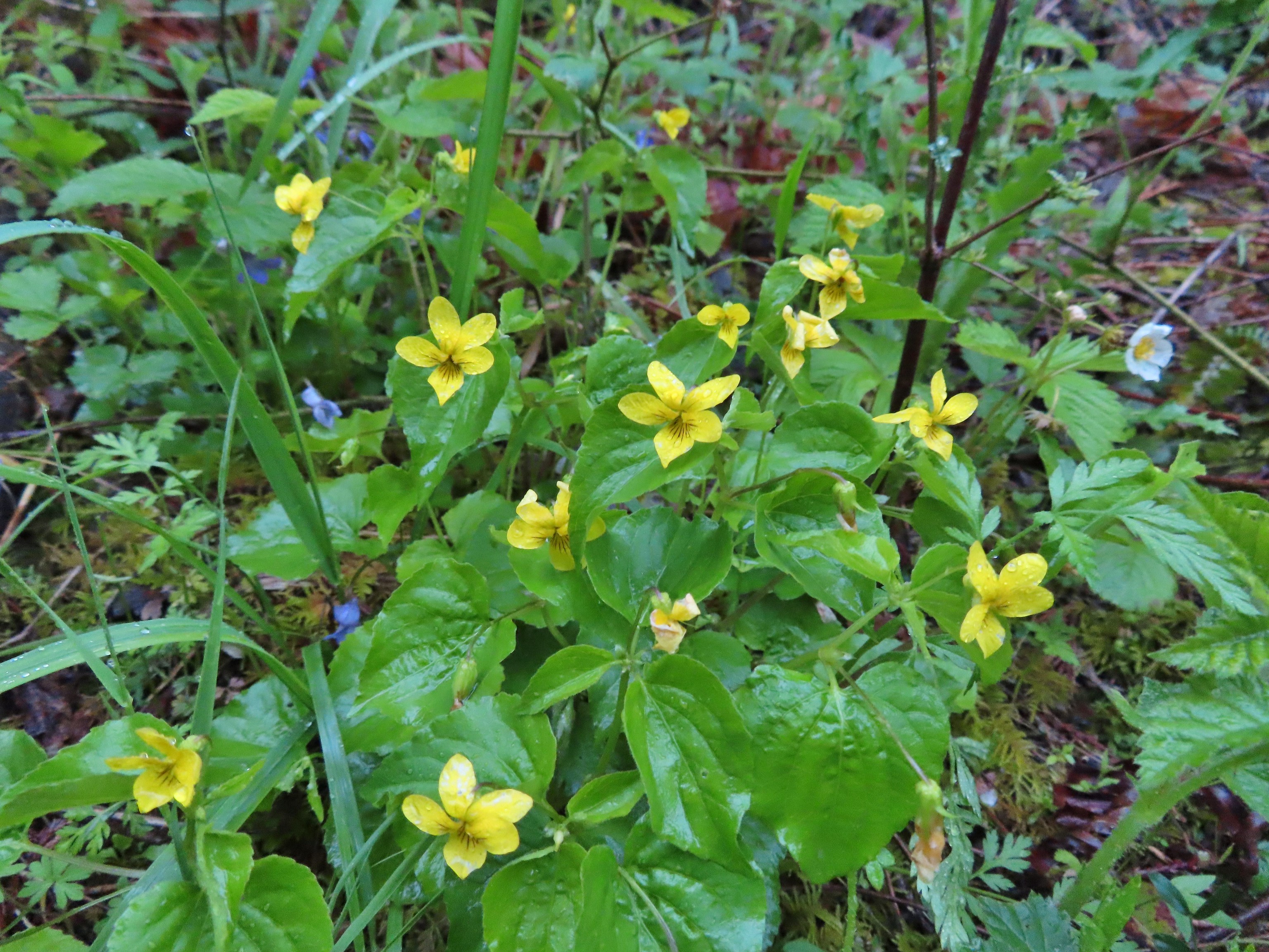
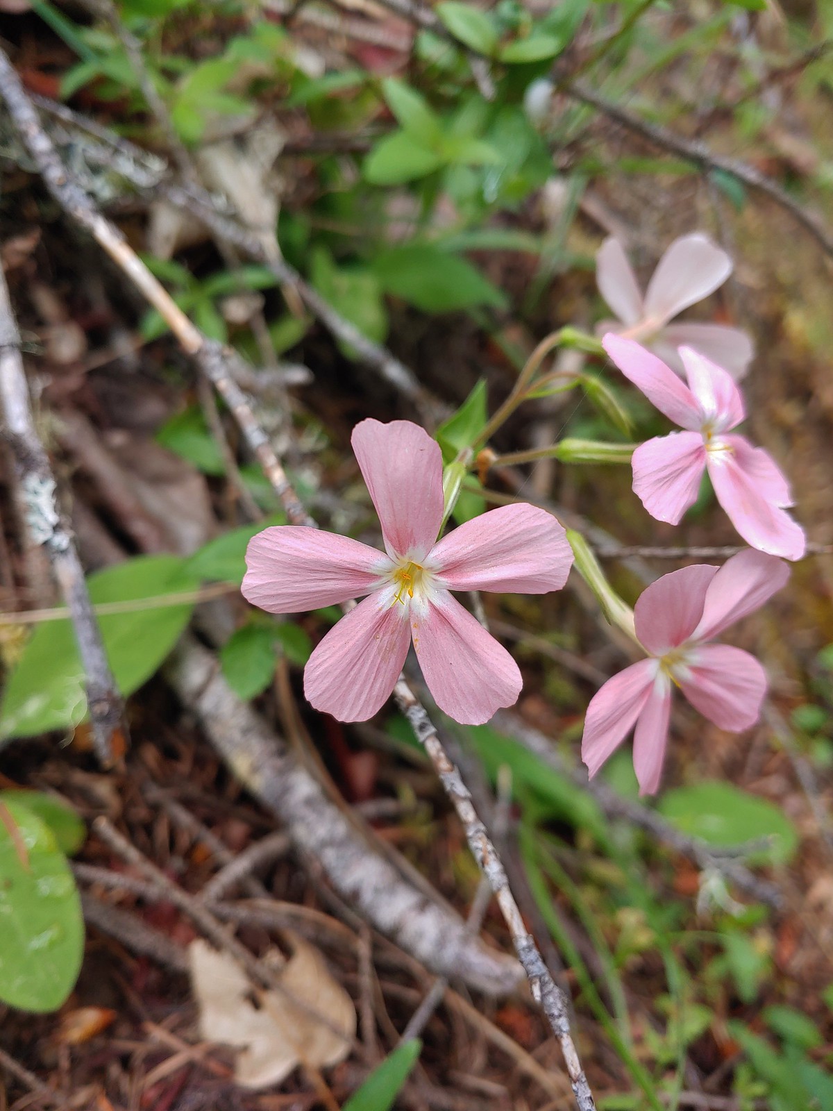
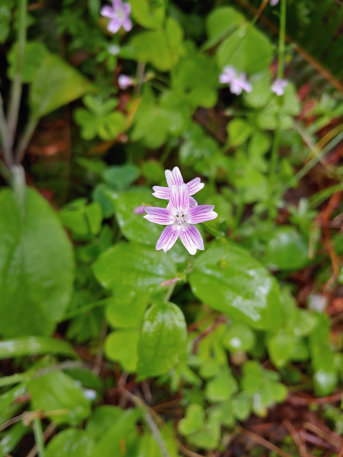
The first wildflower we spotted was a little violet on February 5th at the Yakona Nature Preserve.

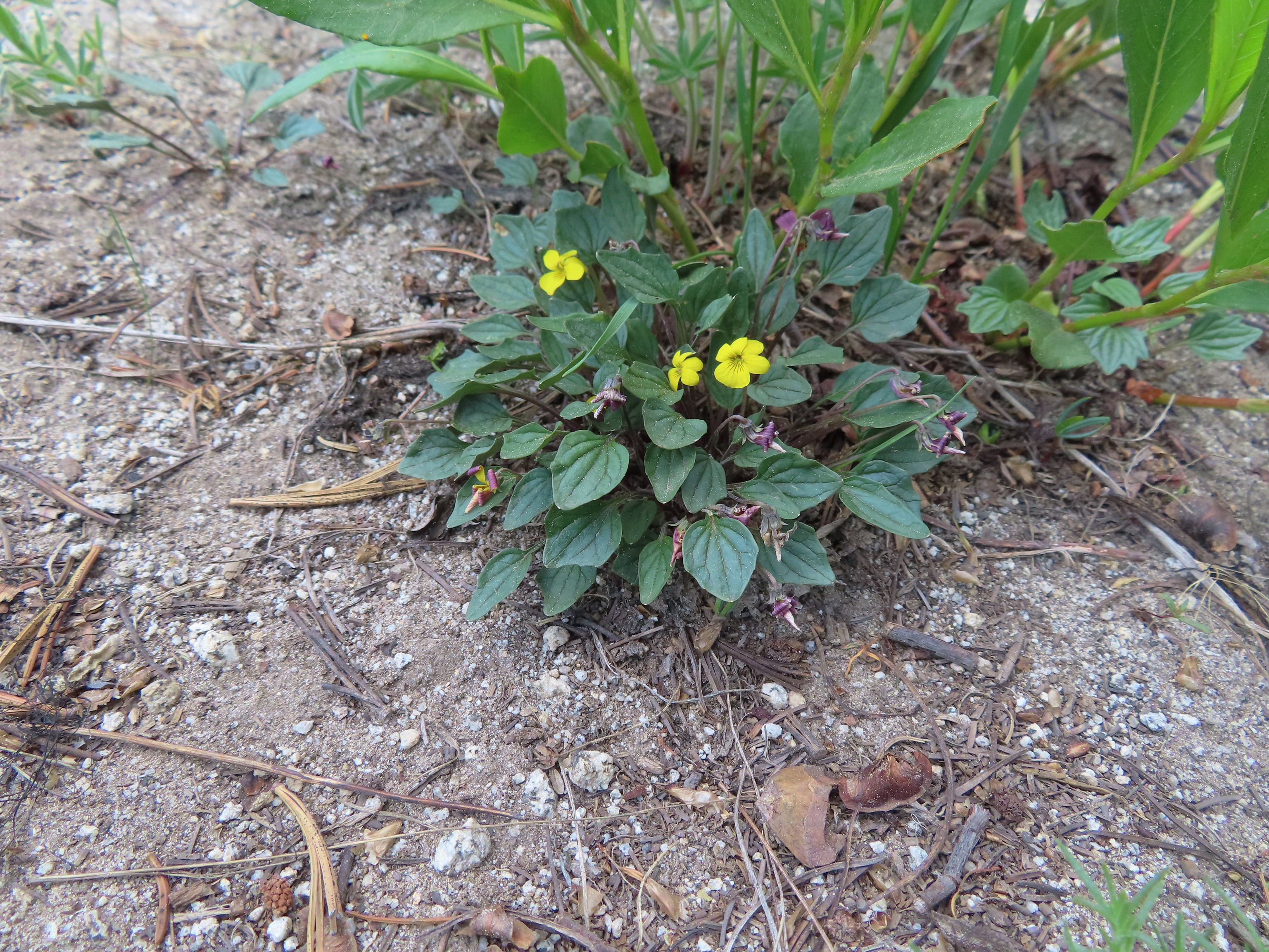
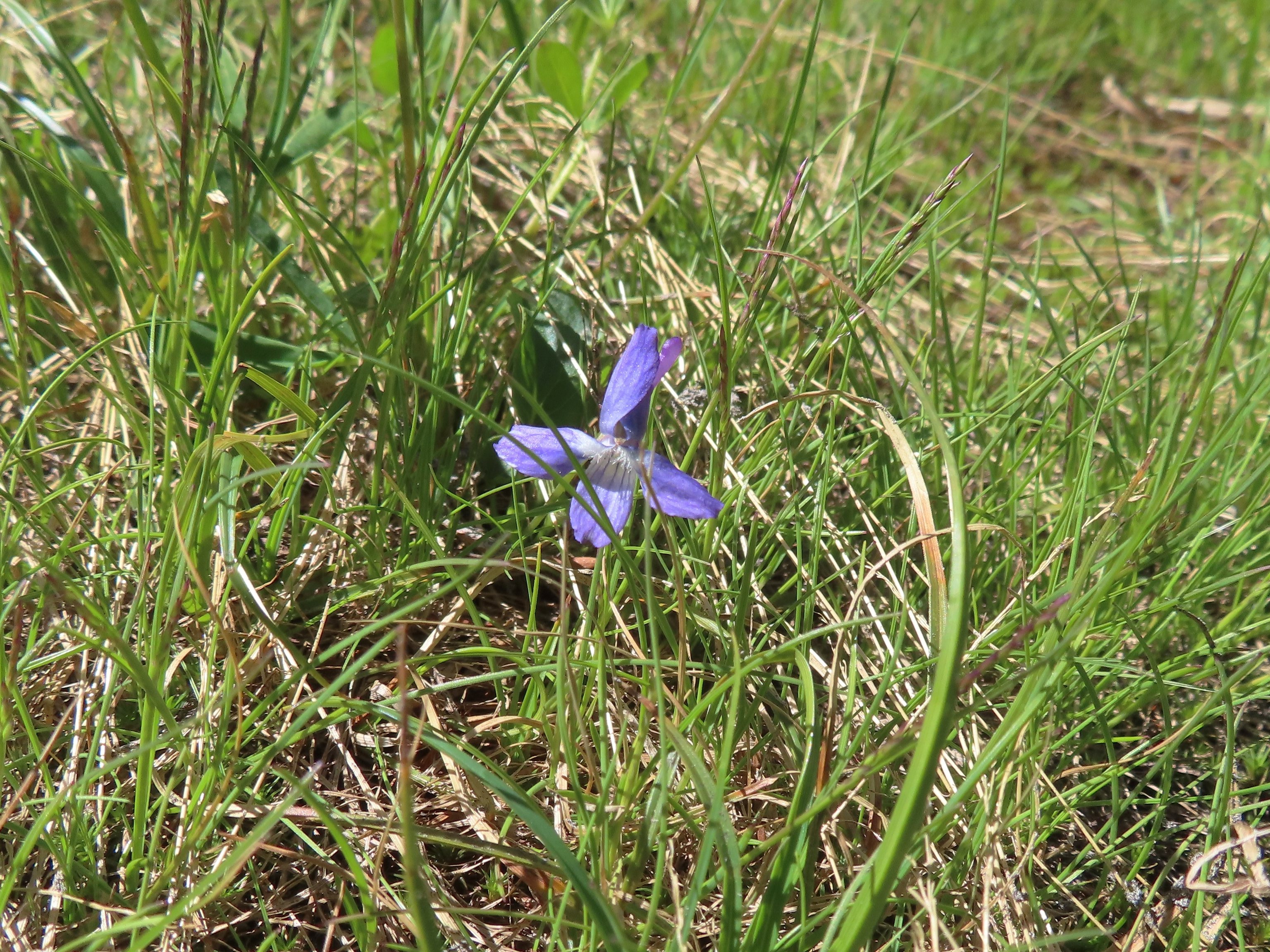
It was certainly not the last violet we’d encounter as they are one of the more common flowers we see and also one that struggle to identify beyond “violet”.
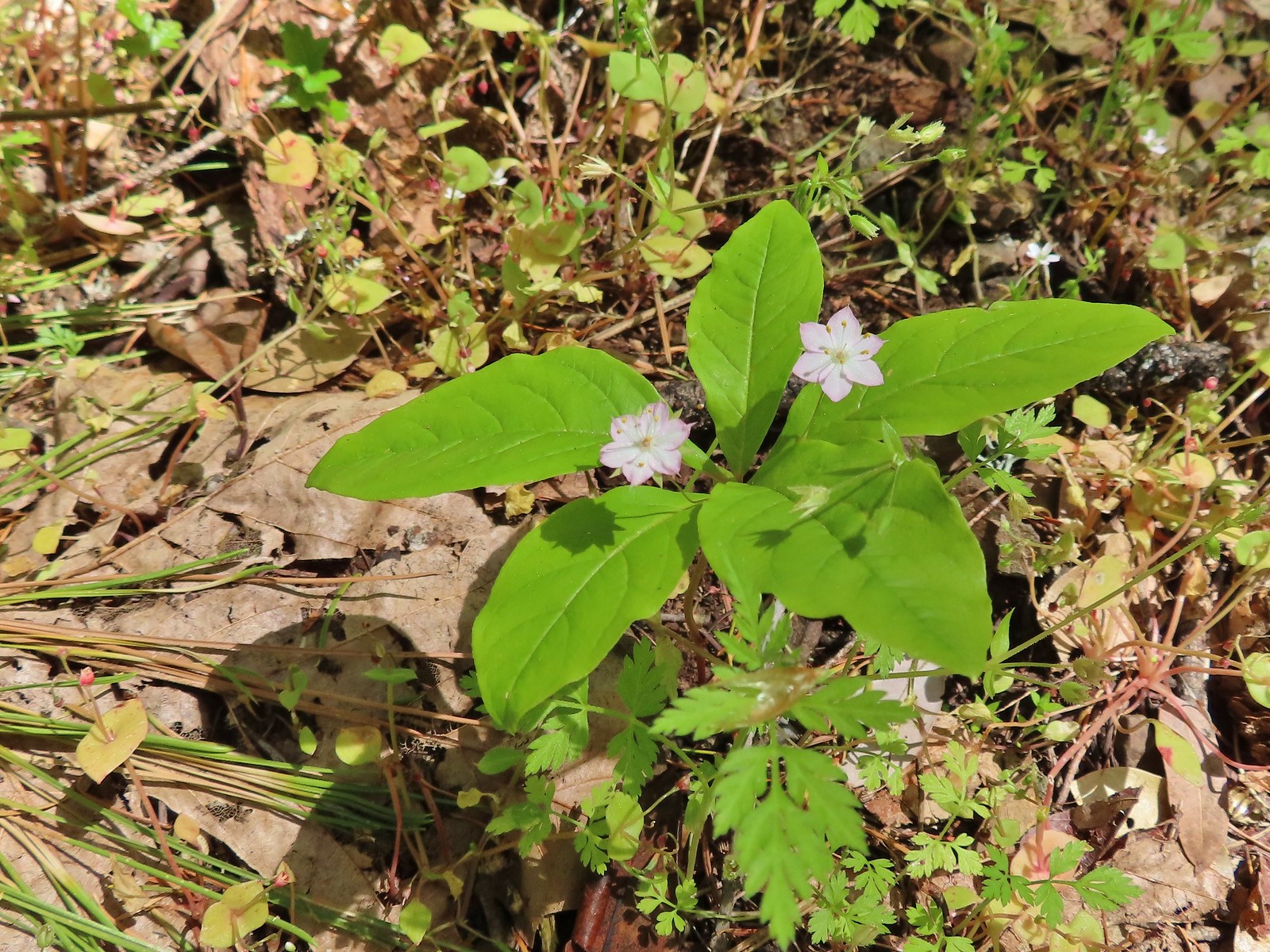
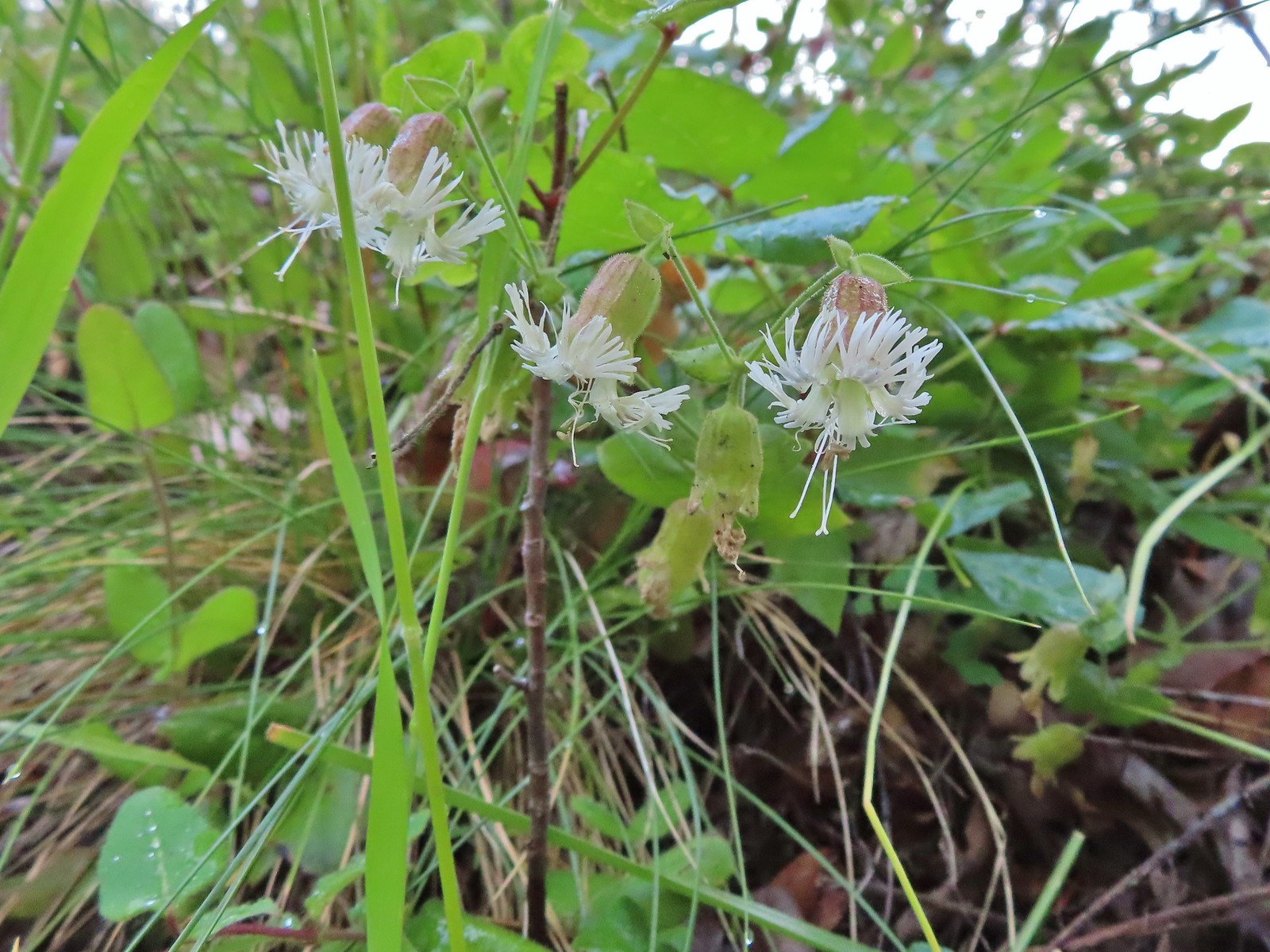
 May 14th – Chehalem Ridge Nature Park
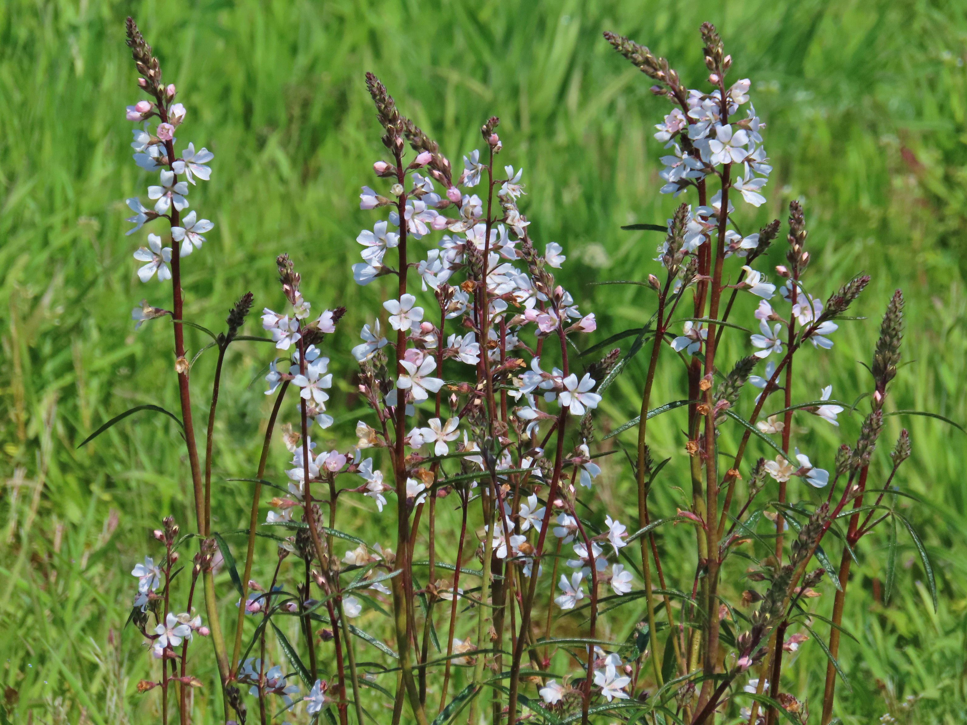
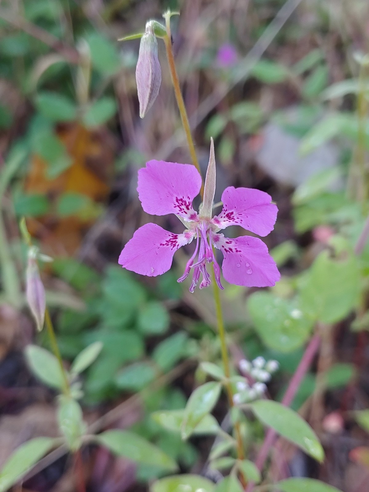
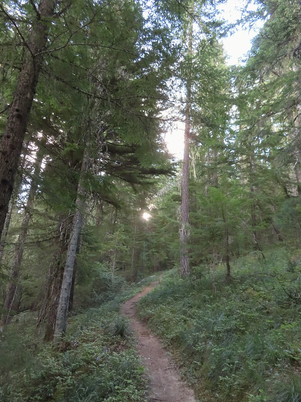
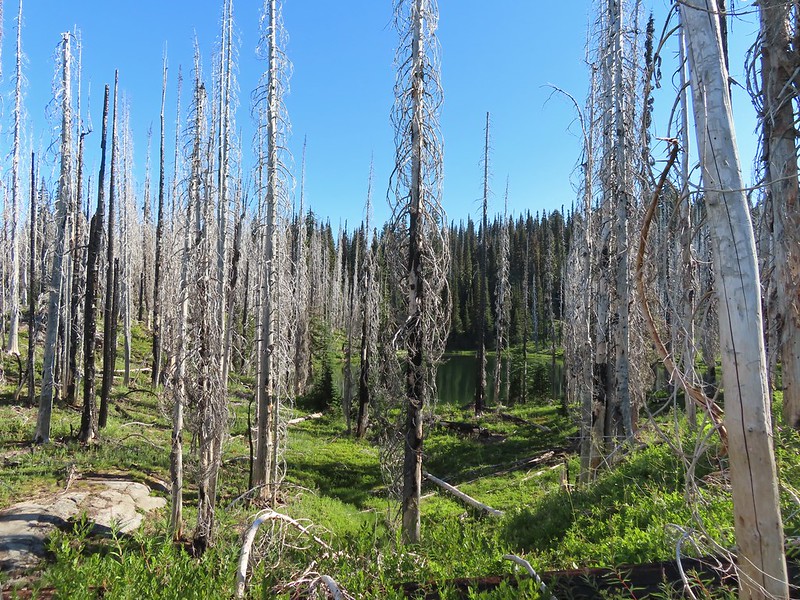
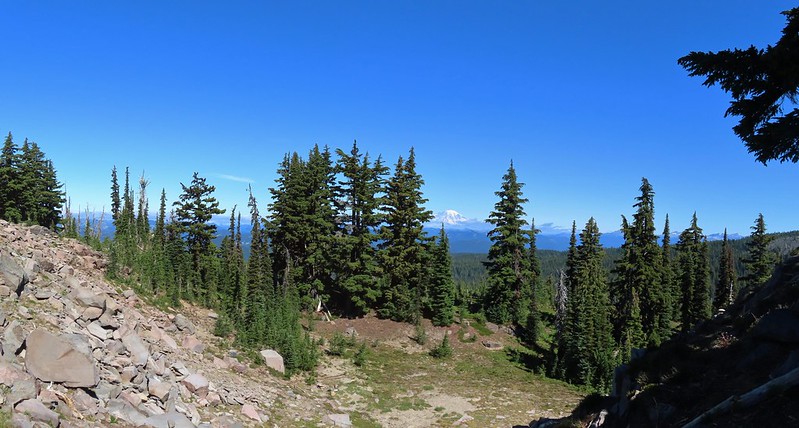
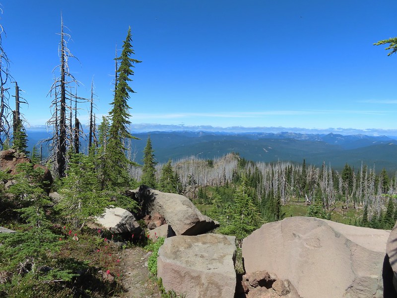
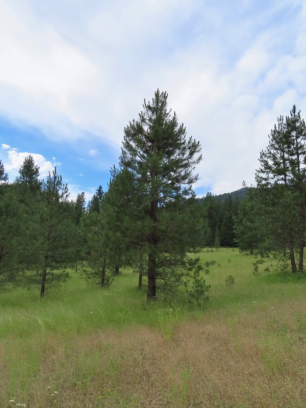
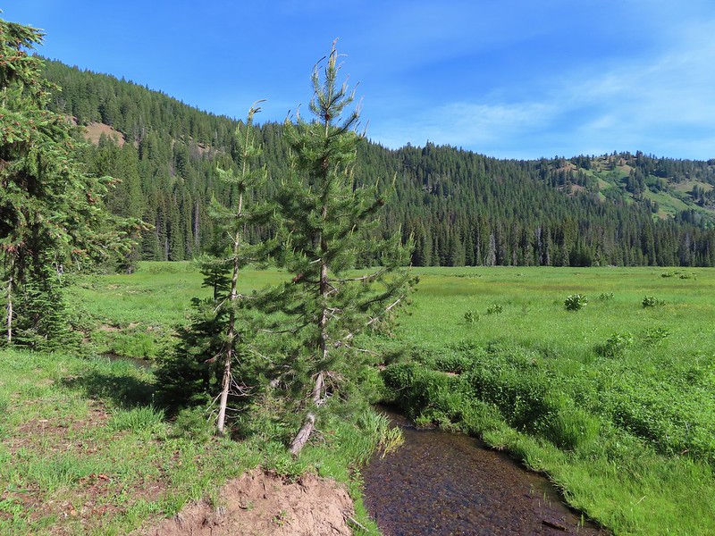
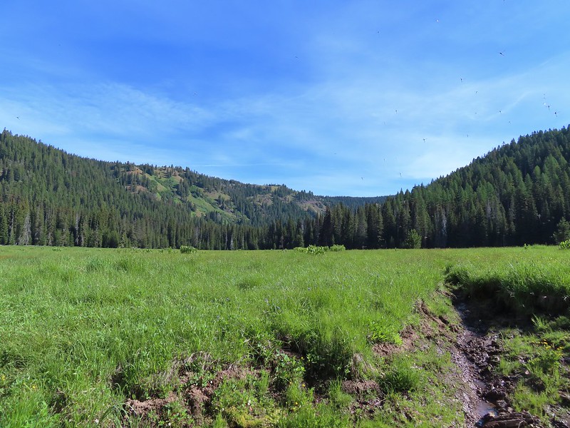
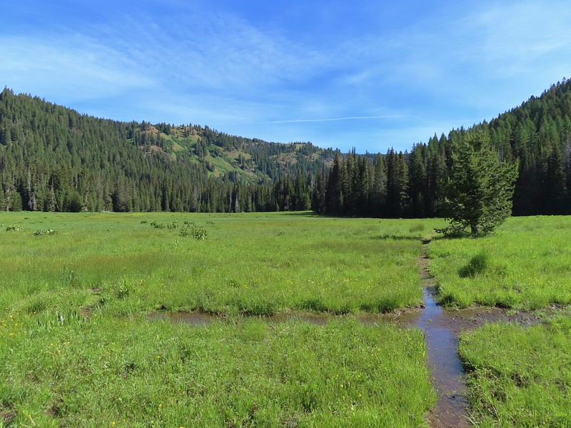
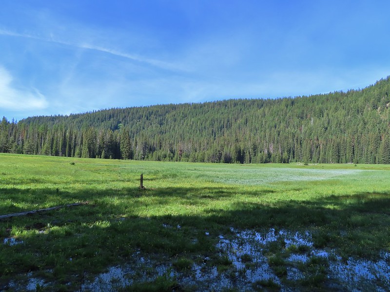
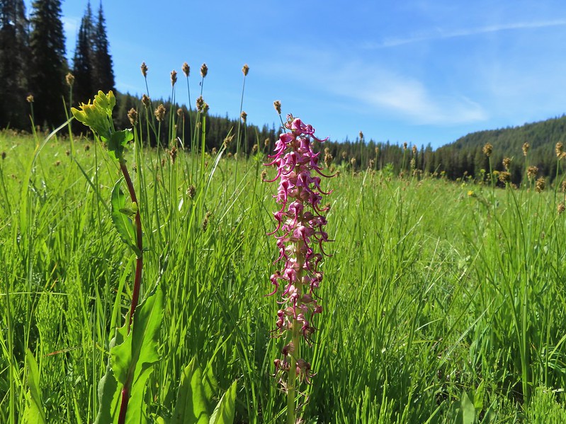
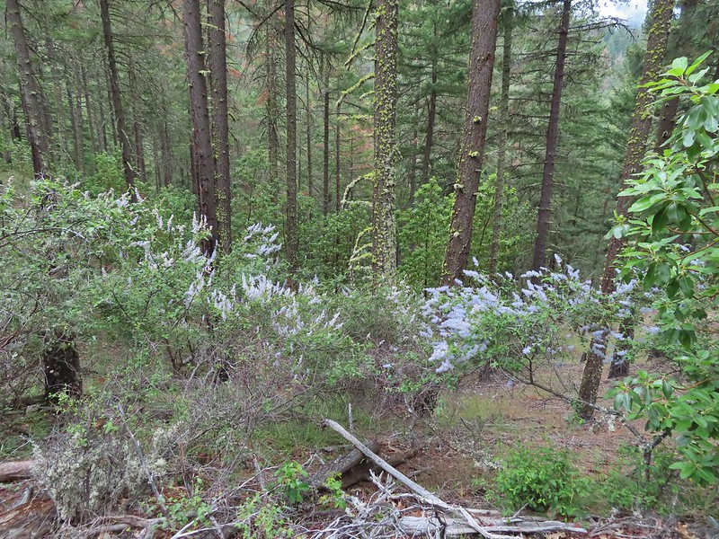
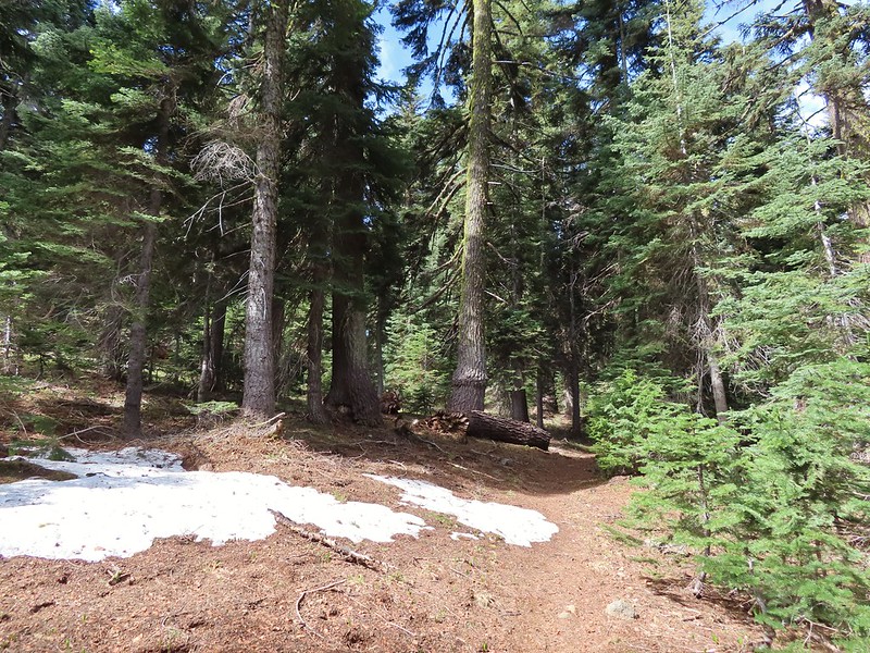
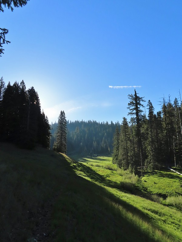
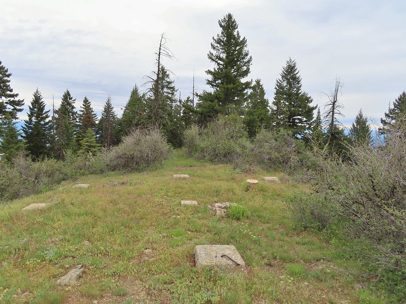
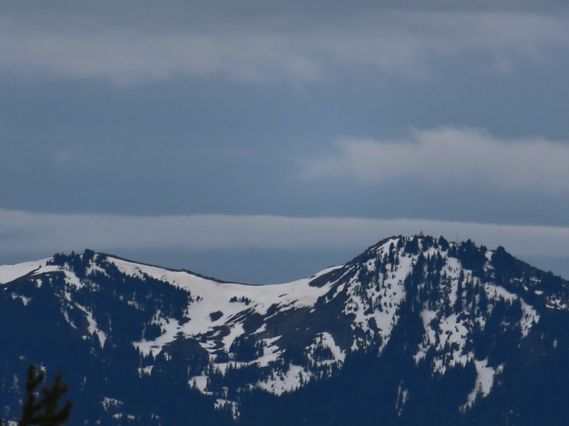
 June 15th – Donomore Meadows
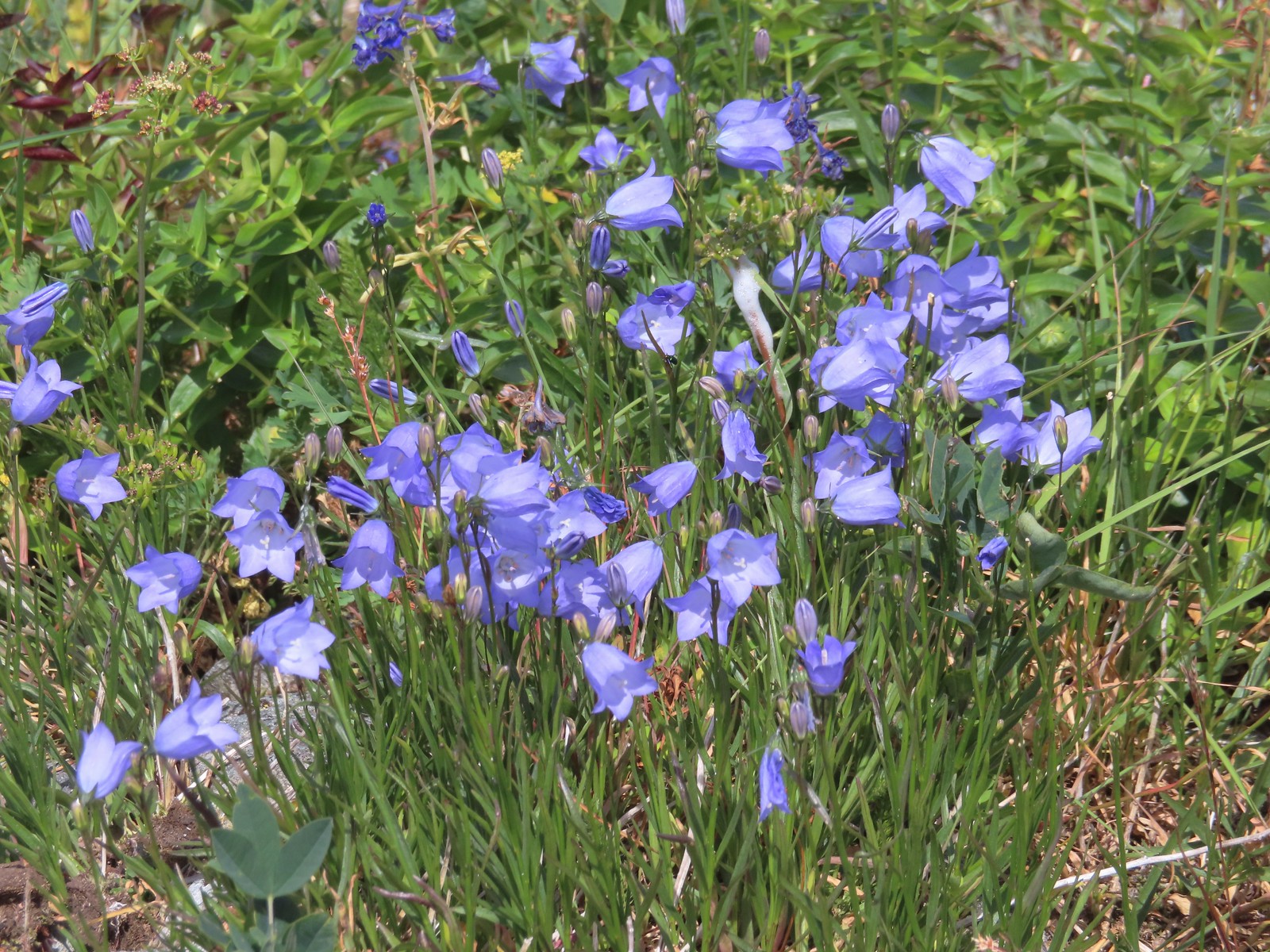
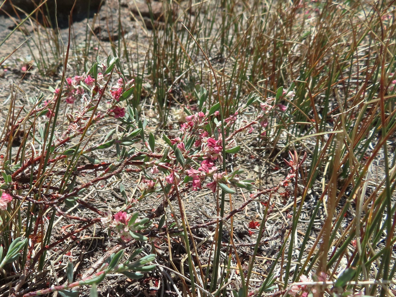
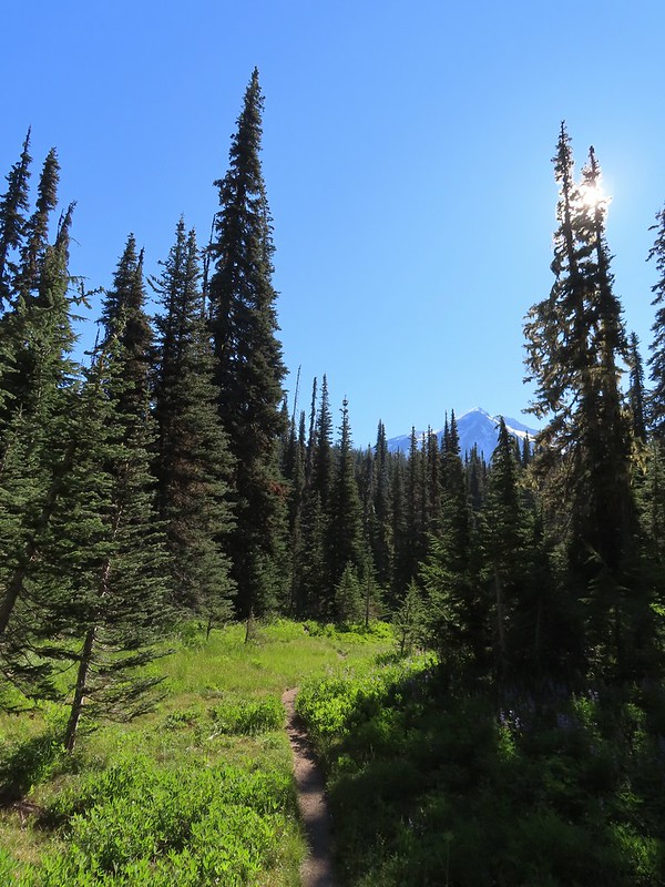
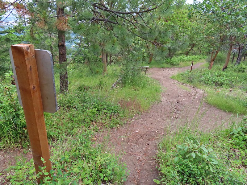
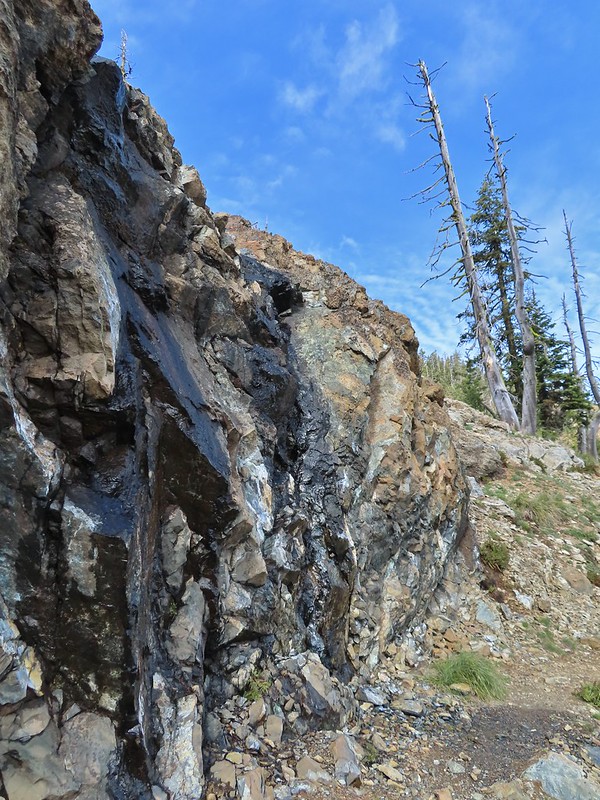
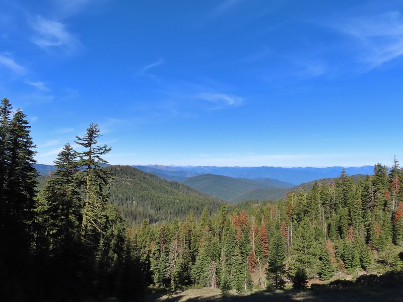
 June 16th – Pacific Crest Trail near Siskiyou Gap
 Marsh violet, June 25th – Goat Marsh Lake
 July 1st – Siskiyou Wilderness
 Wedgeleaf? violet – July 1st – Youngs Valley, Siskiyou Wilderness
 Goosefoot? violet, July 9th – Mt. Ireland
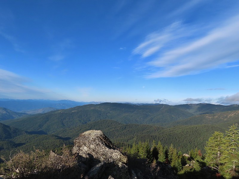
 July 9th – Mt. Ireland
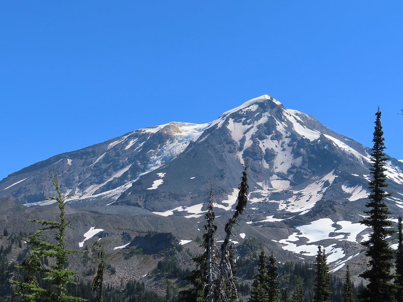
 August 13th – Mt. Adams Wilderness.
The final flower to be photographed was a bleeding heart enjoying a late season bloom along the Eagle Creek Trail on November 19th.

 Here is a more photogenic bleeding heart from May 21st on the Kings Mountain Trail.
We were lucky enough to see a handful of bucket list flowers during our trips to Southern Oregon and Northern California.
 Snow plant, June 18th – Red Buttes Wilderness
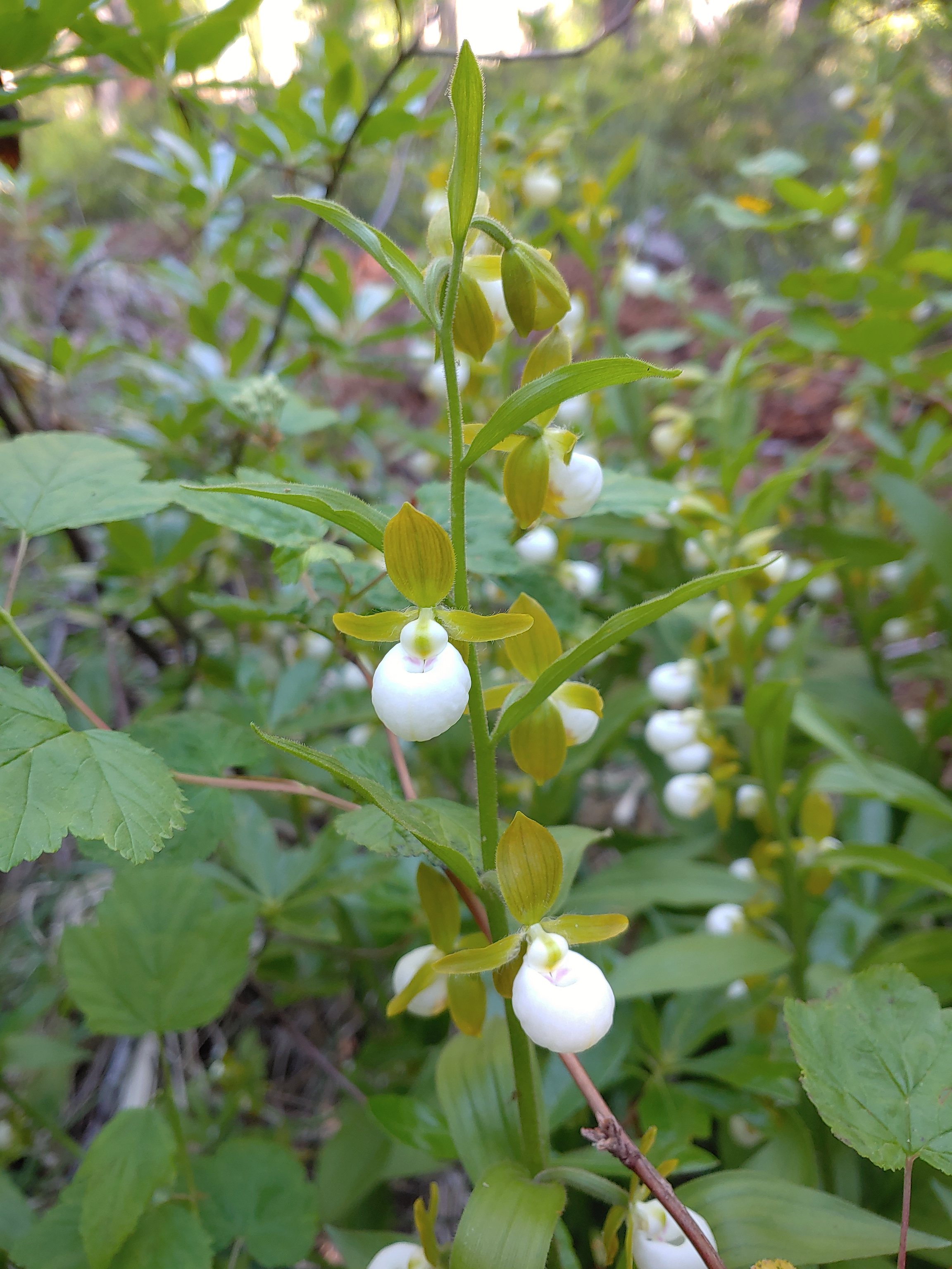 California lady slippers, July 2nd – Siskiyou Wilderness
 Bolander’s lily, July 2nd – Siskiyou Wilderness
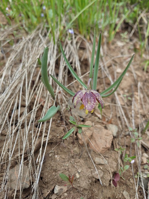
 Scarlet fritillary, May 27th – Jack-Ash Trail
 Henderson’s fawn lily, May 27th – Jack-Ash Trail
Here are some of the other’s that we encountered over the course of the year.
 Pungent desert parsley, April 2nd -Balfour Trail
 Columbia desert parsley, April 2nd – Klickitat Trail
 Woodland stars, April 2nd – Balfour Trail
 Pacific hound’s tongue, April 2nd – Balfour Trail
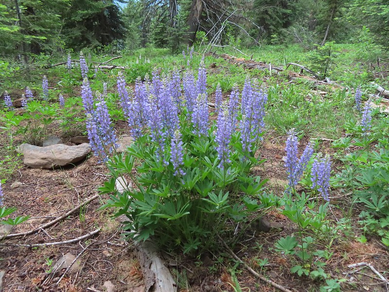
 Lupine, April 2nd – Klickitat Trail
 Big leaf maple, April 2nd – Klickitat Trail
 Slender phlox, April 2nd – Klickitat Trail
 Fringecup, April 23rd – Ankeny Wildlife Refuge
 Buttercups, April 23rd – Ankeny Wildlife Refuge
 Checkermallow, April 23rd – Ankeny Wildlife Refuge
 Another checkermallow, April 23rd – Ankeny Wildlife Refuge
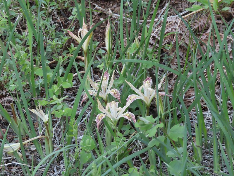
 Iris, April 23rd – Ankeny Wildlife Refuge
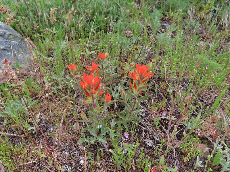
 A paintbrush, May 1st – Memaloose Hills
 Balsamroot, May 1st – Memaloose Hills
 Large-flower triteleia, May 1st – Memaloose Hills
 Naked broomrape, May 1st – Memaloose Hills
 Vetch, May 1st – Moiser Plateau
 Large-head clover, May 1st – Moiser Plateau
 Fiddleneck, May 1st – Moiser Plateau
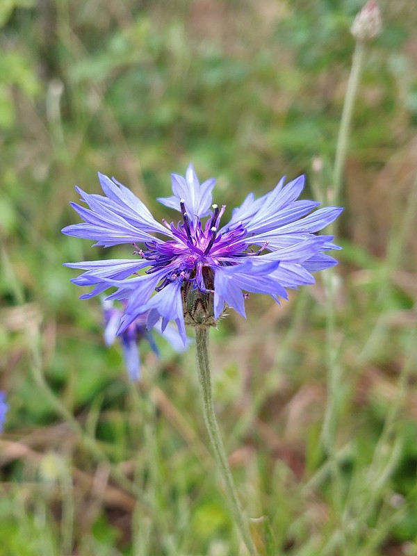
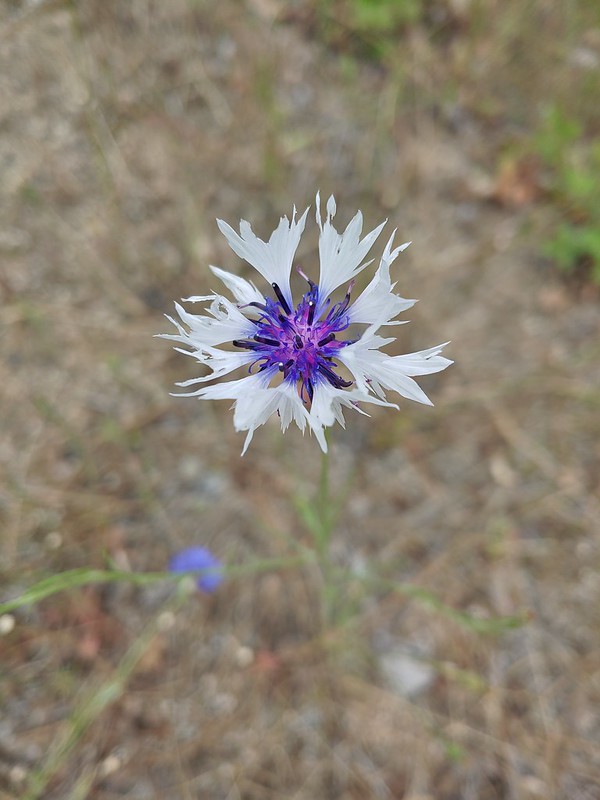
 Bachelor button (non-native), May 1st – Moiser Plateau
 Service berry, May 7th – Orenco Woods
 Aven, May 7th – Noble Woods
 Camas, May 7th – Miller Woods
 Wild ginger, May 7th – Miller Woods
 Striped coralroot, May 7th – Miller Woods
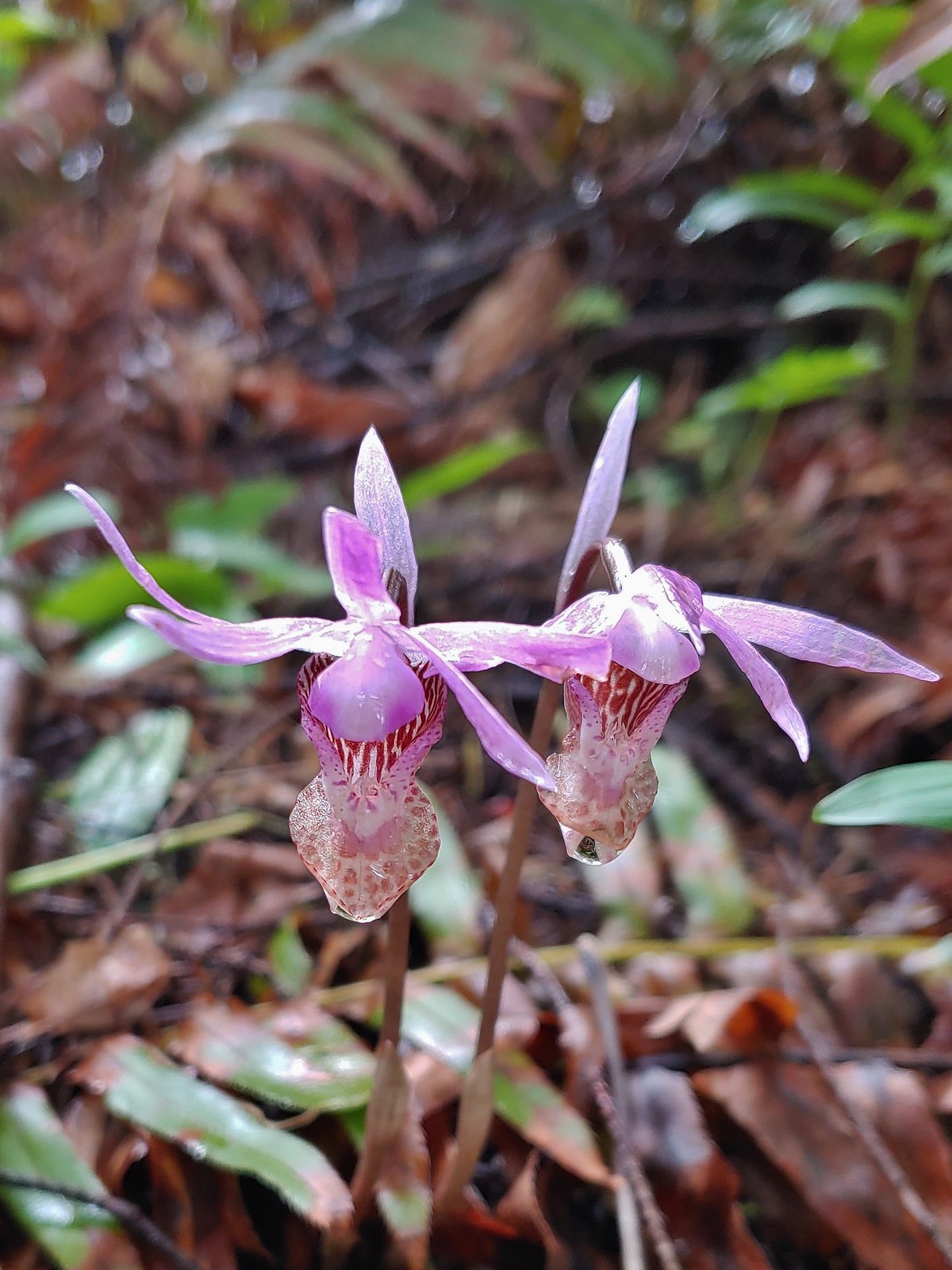 Fairy slippers, May 7th – Miller Woods
 Plectritis, May 14th – Chehalem Ridge Nature Park
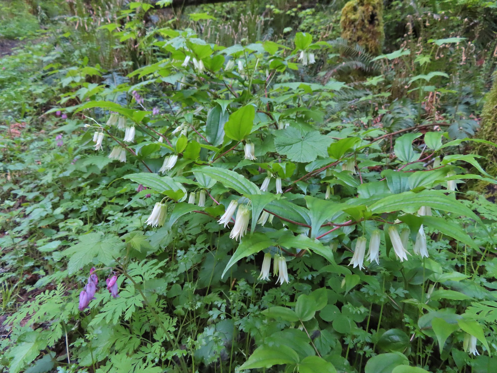 Fairy bells, May 21st – Elk/Kings Mountain Traverse
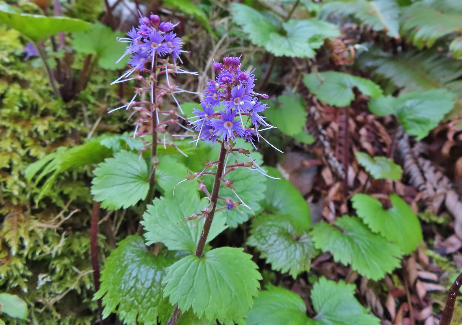
 Snow queen, May 21st – Elk/Kings Mountain Traverse
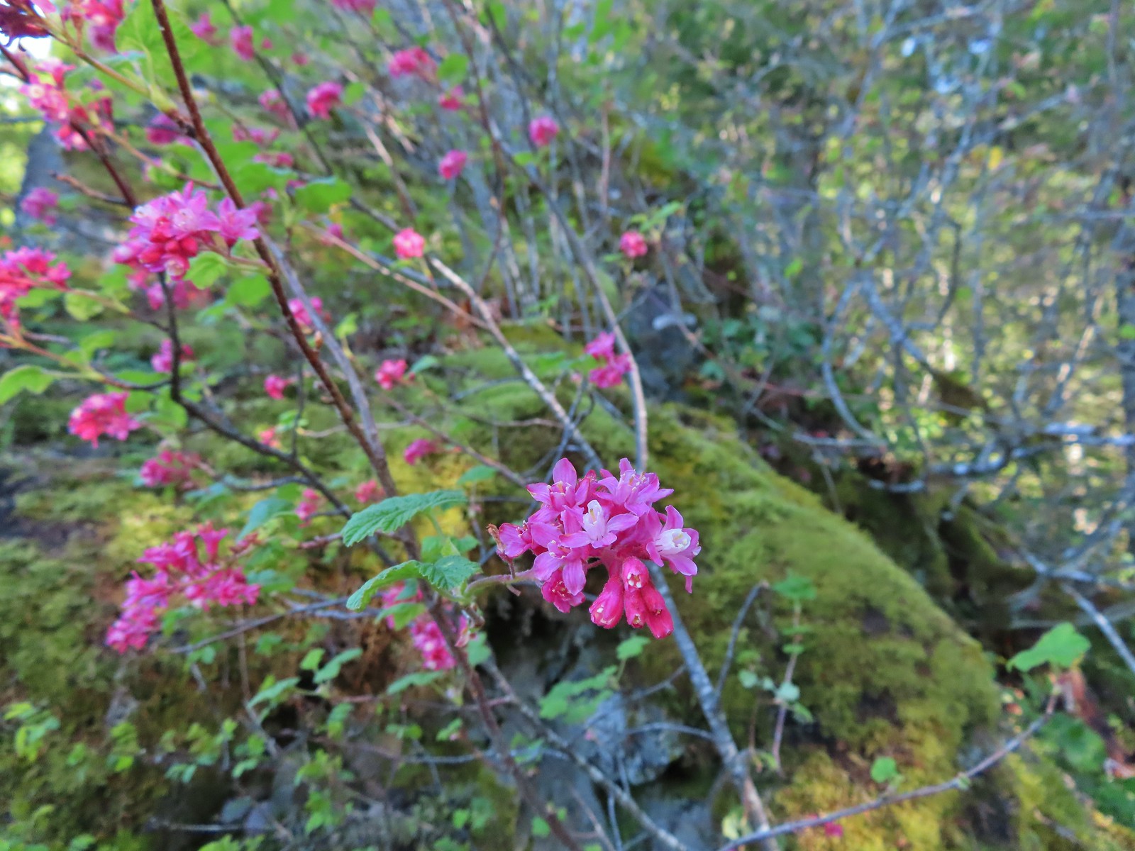 Red flowering currant, May 21st – Elk/Kings Mountain Traverse
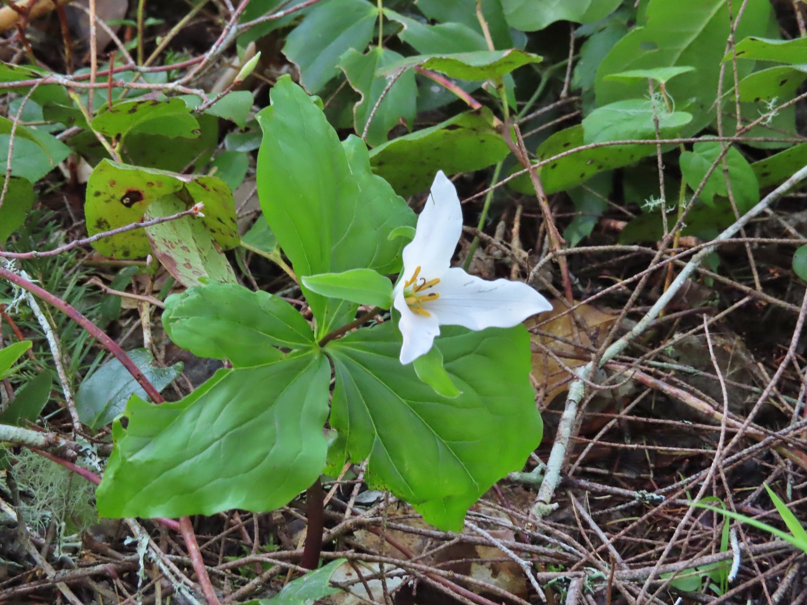 Trillium, May 21st – Elk/Kings Mountain Traverse
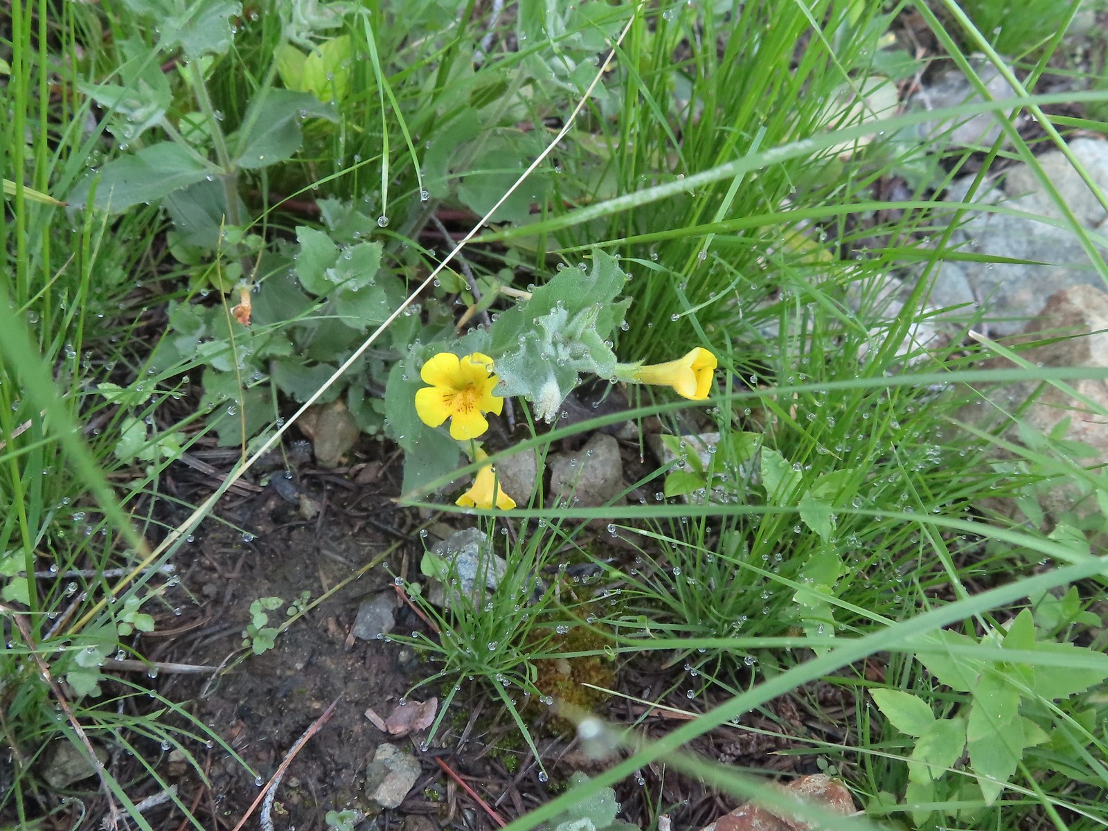
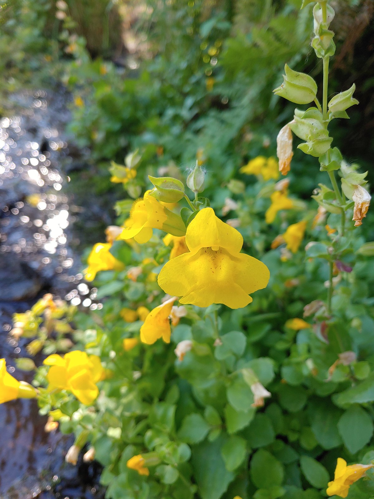
 A monkeyflower, May 21st – Elk/Kings Mountain Traverse
 Chocolate lily, May 21st – Elk/Kings Mountain Traverse
 Kittentails, May 21st – Elk/Kings Mountain Traverse
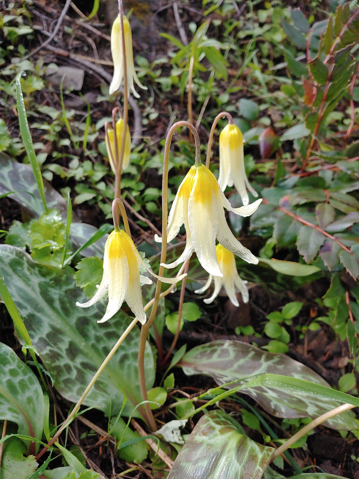
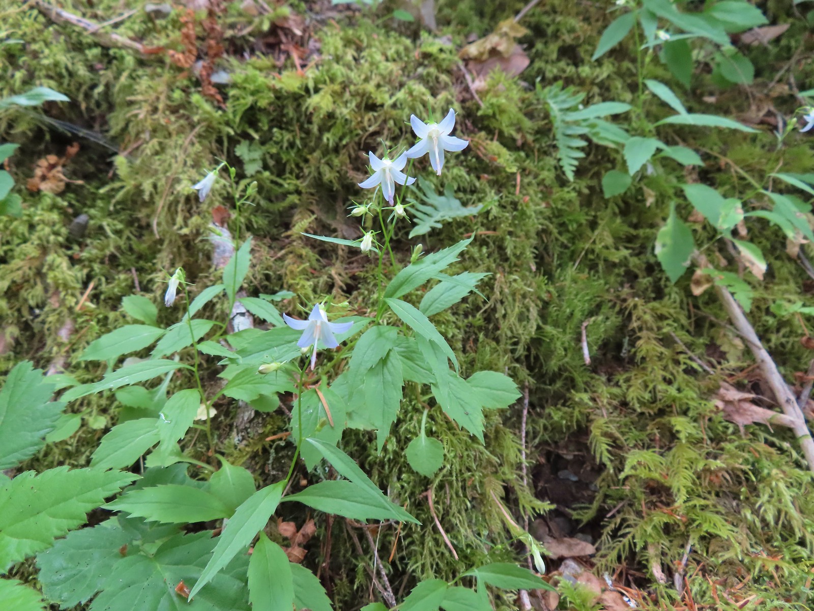
 Glacier lily, May 21st – Elk/Kings Mountain Traverse
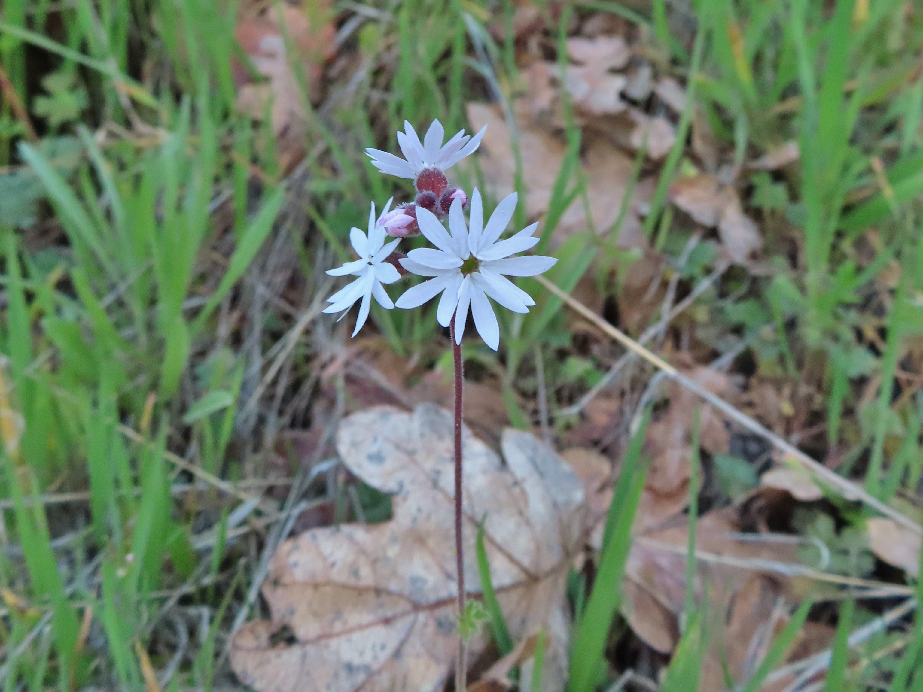
 Henderson’s stars, May 25th – Mule Mountain
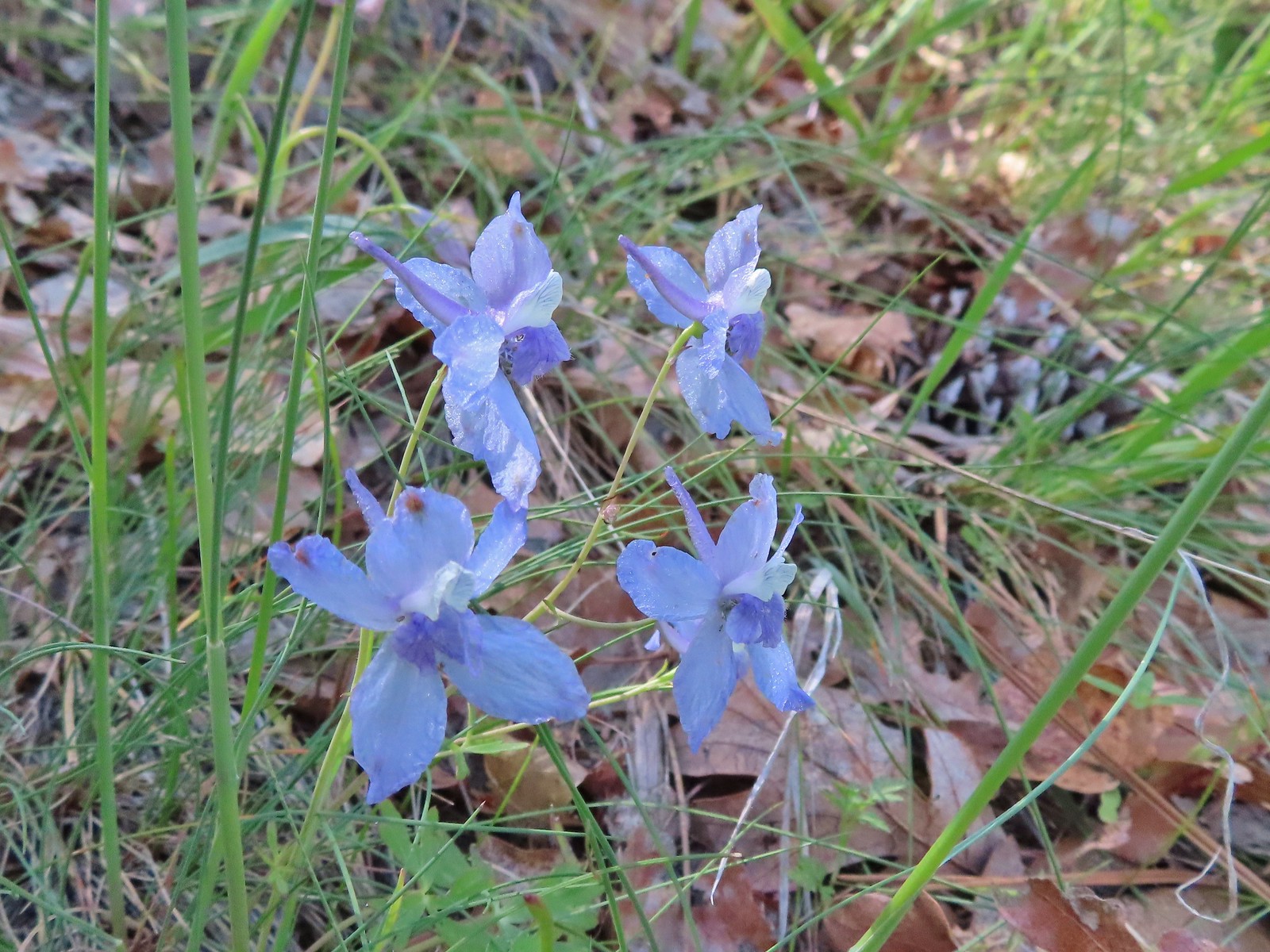 Larkspur, May 25th – Mule Mountain
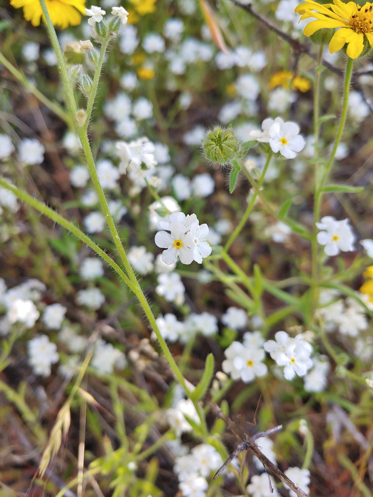 Not sure if this is a cryptantha or a popcorn flower, May 25th – Mule Mountain
 Douglas’ stichwort, May 25th – Mule Mountain
 A blue-eyed Mary, May 25th – Mule Mountain
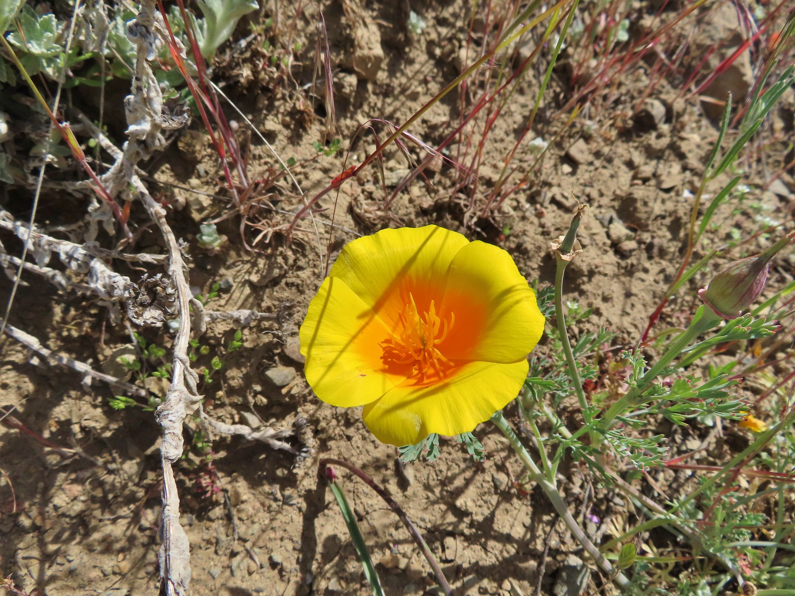 California poppy, May 25th – Mule Mountain
 A clarkia, May 25 – Mule Mountain
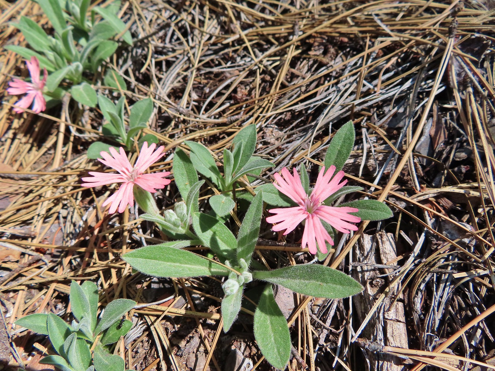 Hooker’s Indian pink, May 25th – Mule Mountain
 Star flower, May 25th – Mule Mountain
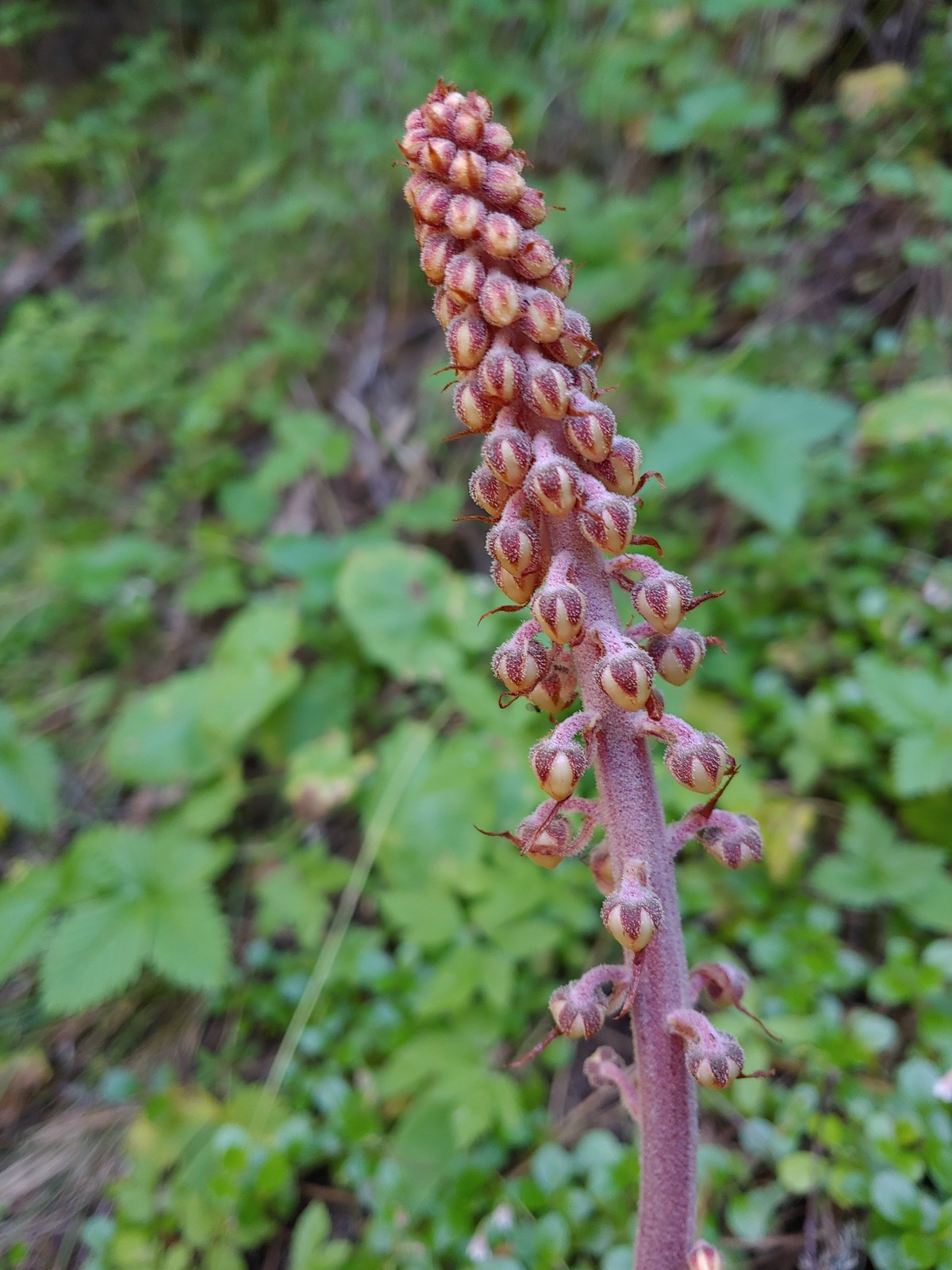
 California ground cone, May 25th – Mule Mountain
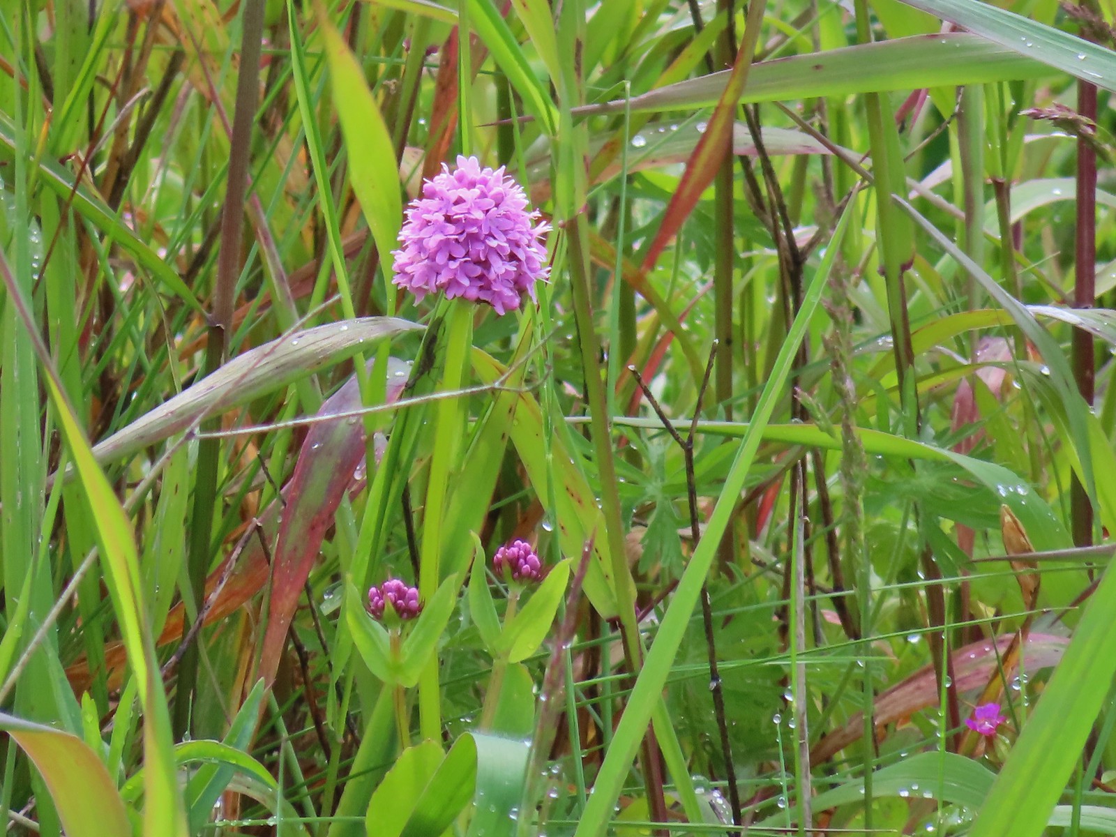
 Ookow, May 26th – Upper Table Rock
 Blow wives, May 26th – Upper Table Rock
 Best guess is Parry’s hawkweed, May 26th – Upper Table Rock
 Clustered broomrape, May 26th – Upper Table Rock
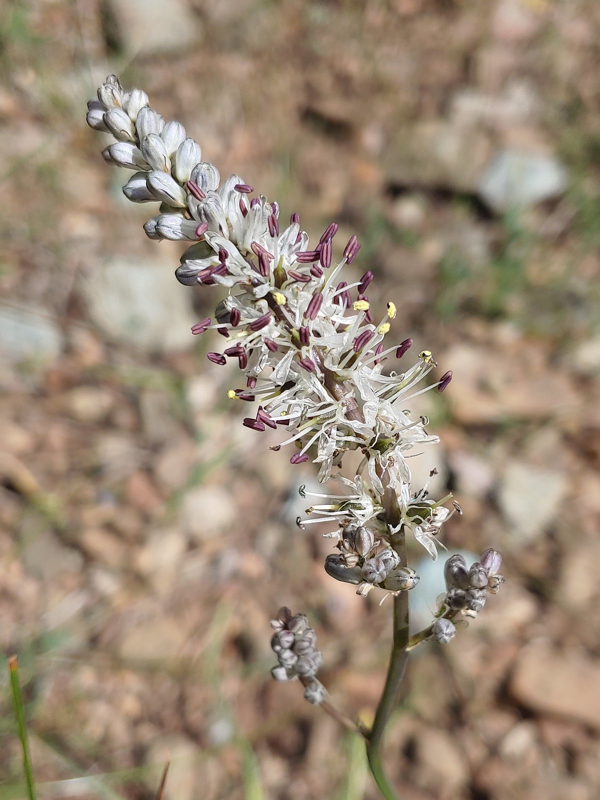
 Narrowleaf onion, May 26th – Upper Table Rock
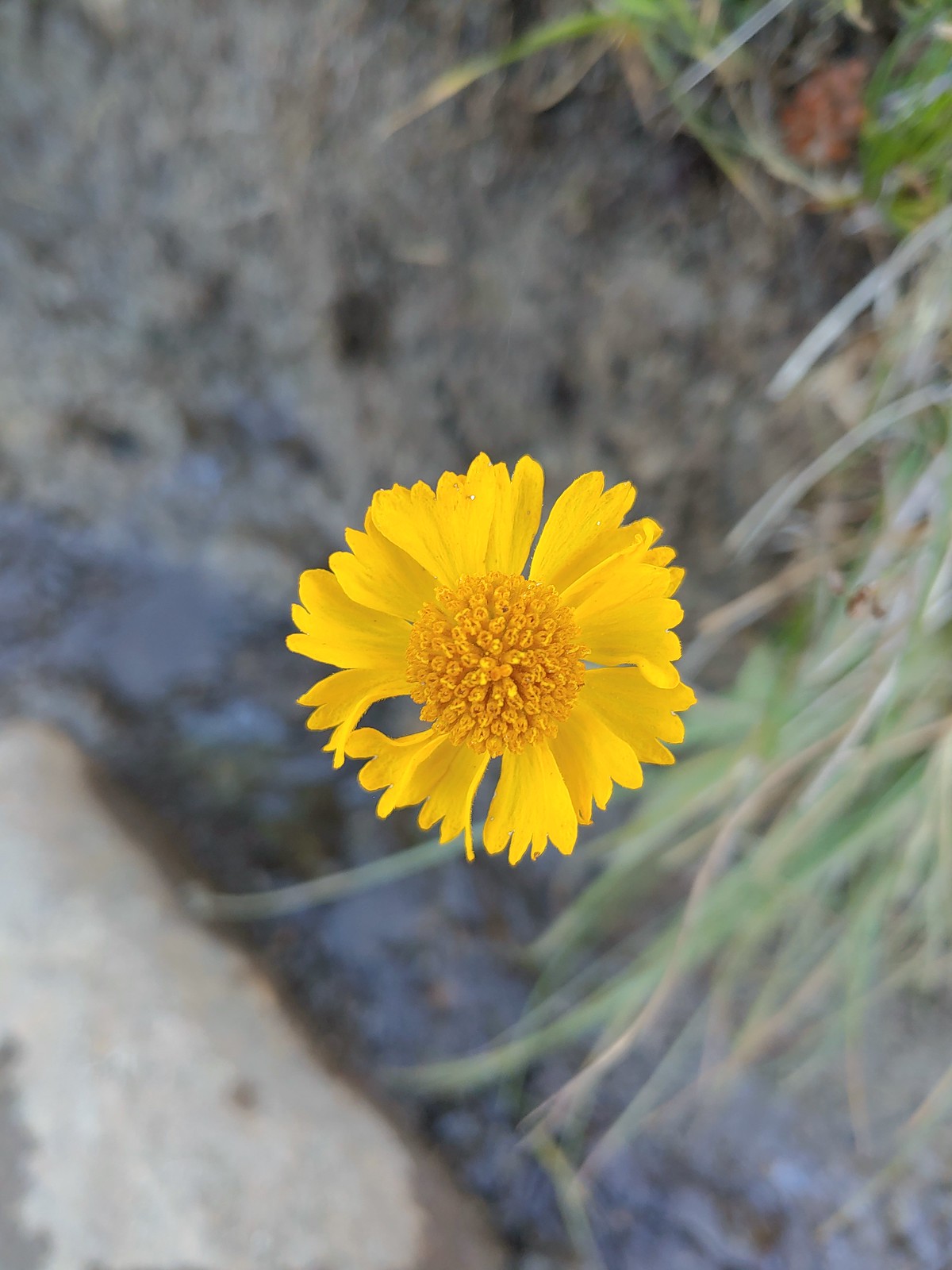
 California goldfield, May 26th – Upper Table Rock
 Possibly Fitch’s tarweed, May 26th – Upper Table Rock
 Marigold pincushion plant, May 26th – Upper Table Rock
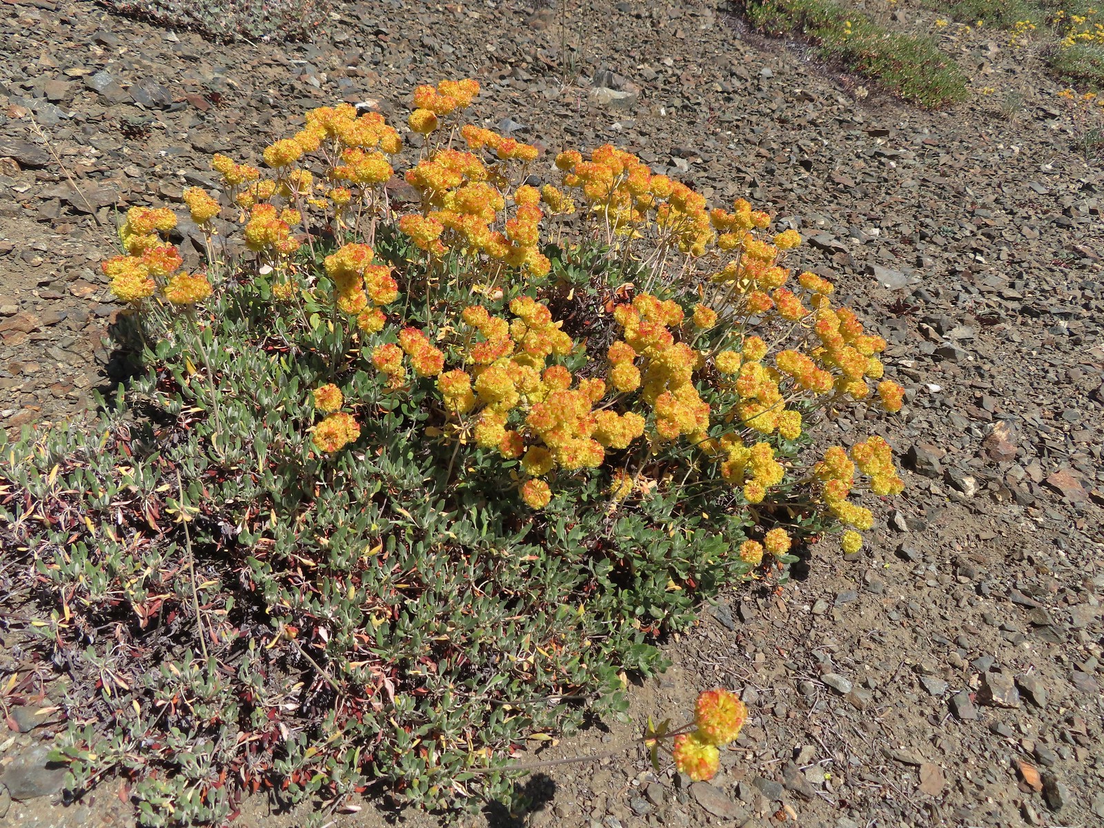
 Arrowleaf buckwheat, May 26th – Upper Table Rock
 A clarkia, May 26th – Upper Table Rock
 Iris, May 27th – Jack-Ash Trail
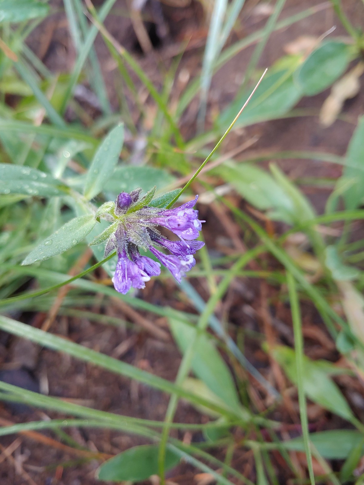
 Milkvetch, May 27th – Jack-Ash Trail
 Unknown on Anderson Butte, May 27th – Jack-Ash Trail
 Giant white wakerobbin, May 27th – Jack-Ash Trail
 A larkspur, May 27th – Jack-Ash Trail
 Rough eyelashweed, May 27th – Jack-Ash Trail
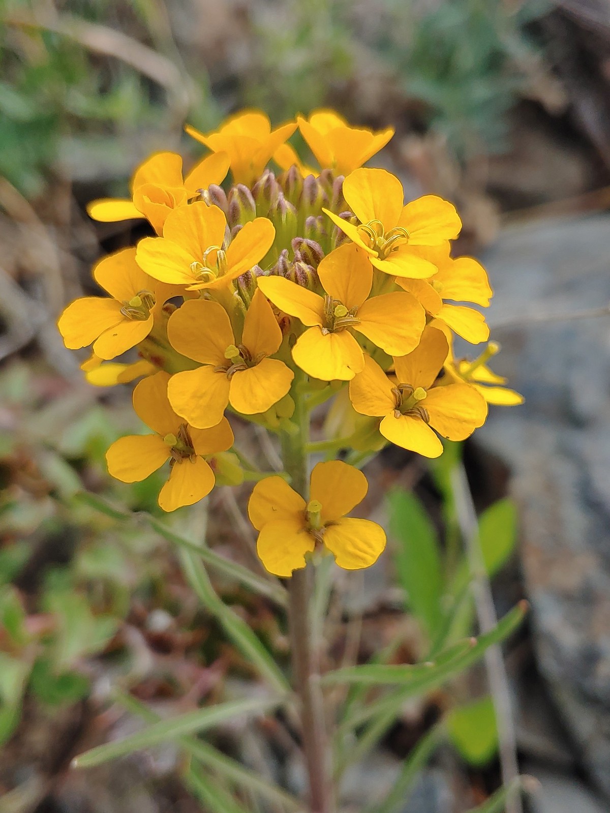 Wallflower, May 27th – Jack-Ash Trail
 A wild onion, May 27th – Jack-Ash Trail
 Jacob’s ladder, May 27th – Jack-Ash Trail
 Death camas, May 28th – Denman Wildlife Area
 Common madia, May 28th – Denman Wildlife Area
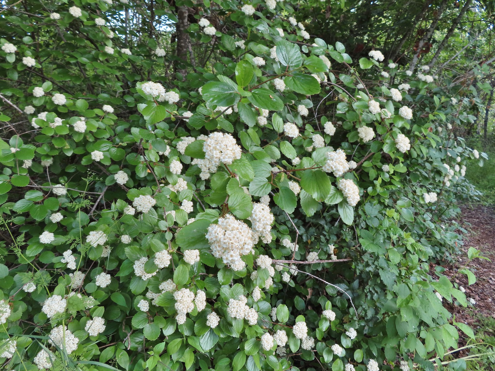 Common viburnum, May 28th – Denman Wildlife Area
 Hairy Indian paintbrush, May 28th – Denman Wildlife Area
 White campion, May 28th – Denman Wildlife Area
 Pale flax, May 28th – Denman Wildlife Area
 Purple oyster (non-native), May 28th – Denman Wildlife Area
 Rose, May 28th – Denman Wildlife Area
 Pea, May 28th – Denman Wildlife Area
 Kellog’s monkeyflower, May 29th – Applegate Lake
 Heart-leaf milkweed, May 29th – Applegate Lake
 Northern phlox, May 29th – Applegate Lake
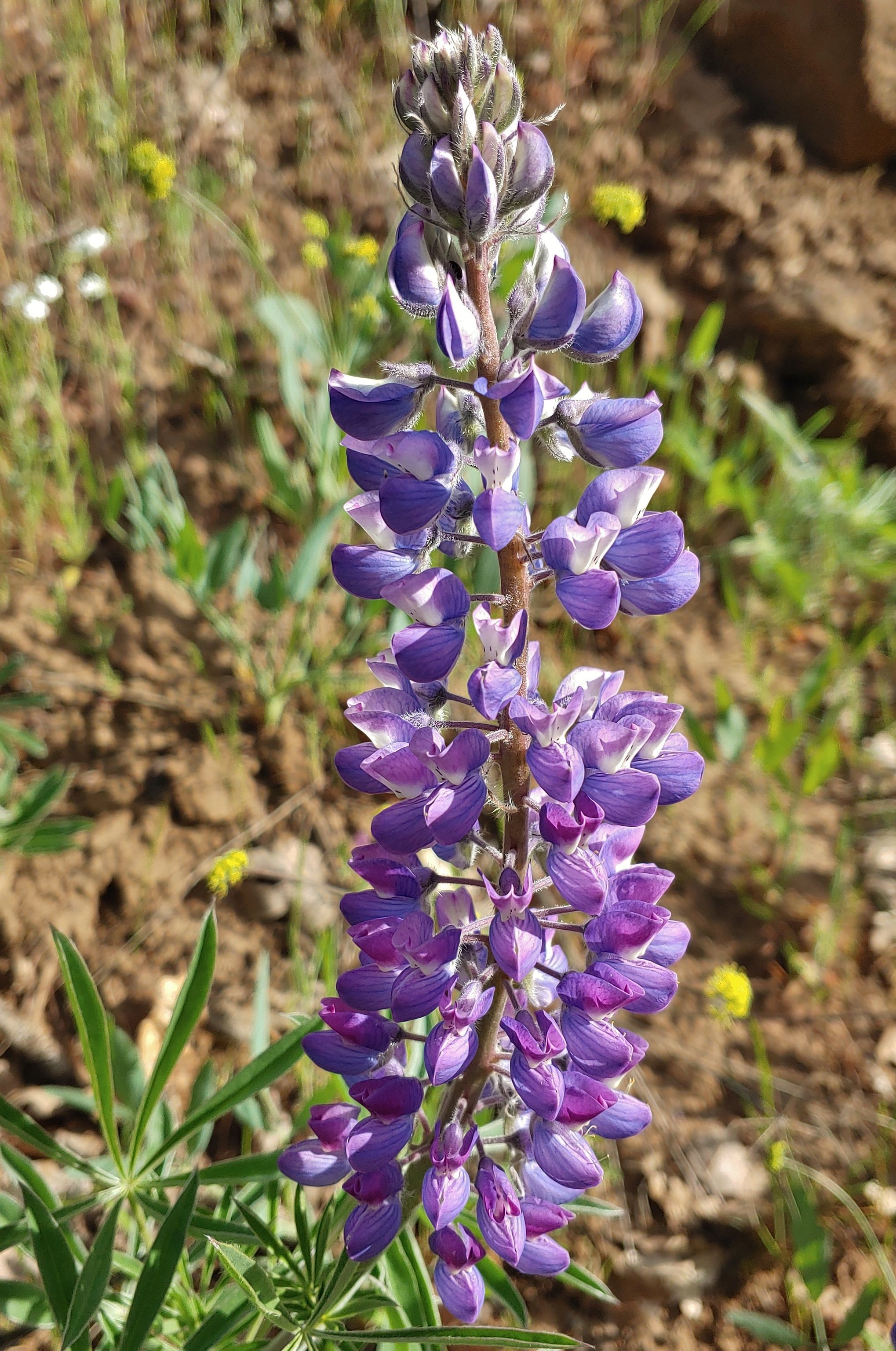
 White lupine, May 29th – Applegate Lake
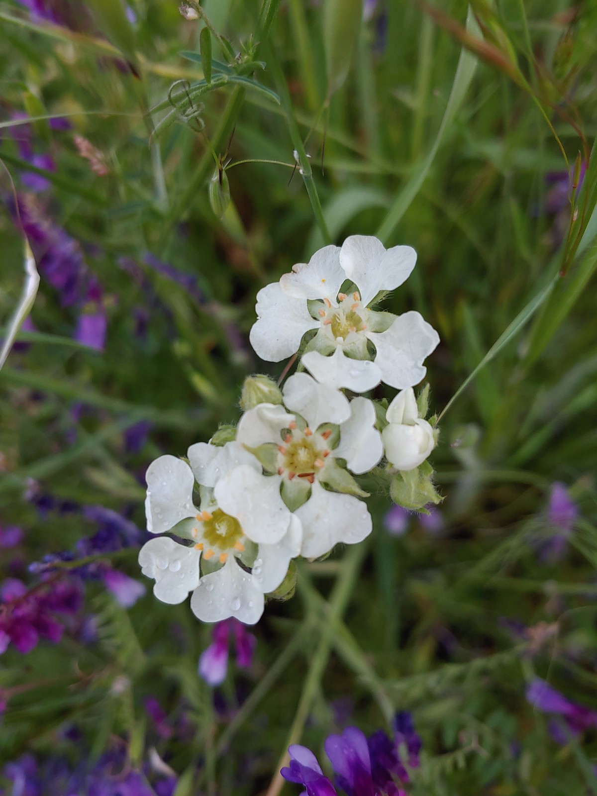 Carrotleaf horkelia, May 30th – Roxy Ann Peak
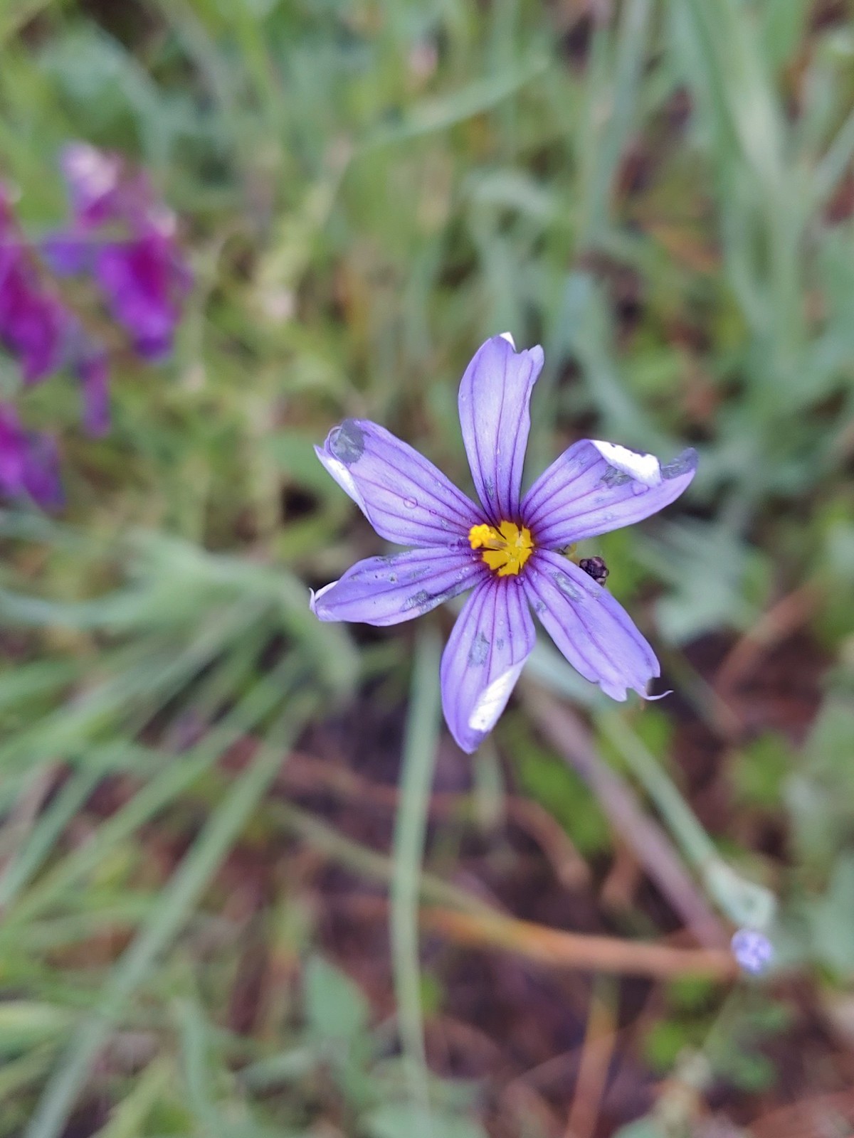 Blue-eyed grass, May 30th – Roxy Ann Peak
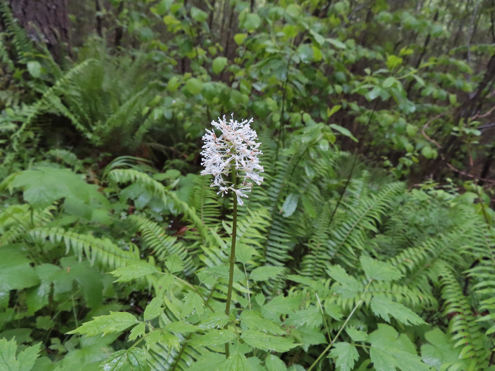 Baneberry, June 4th – North Siouxon Trail
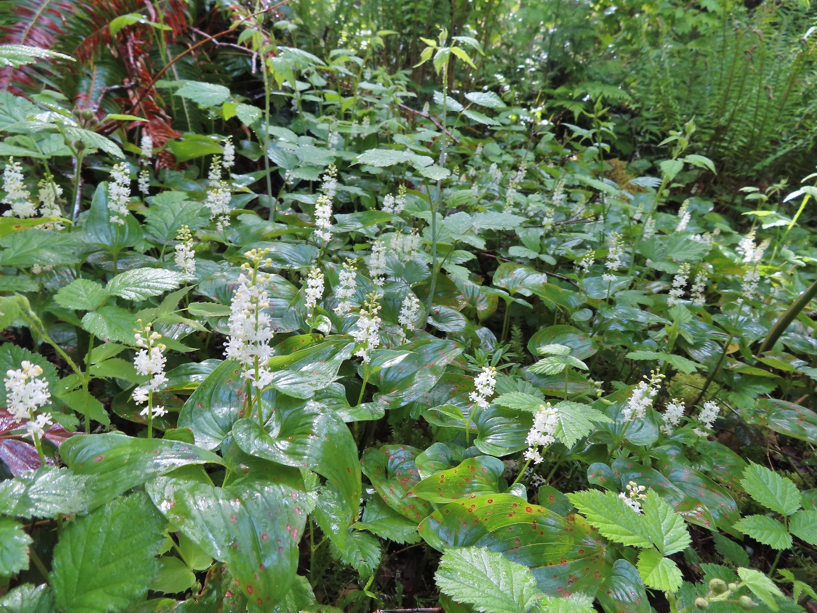
 Star-flower solomonseal, June 4th – North Siouxon Trail
 False lily-of-the valley, June 4th – North Siouxon Trail
 Candyflower, June 4th – North Siouxon Trail
 Scouler’s corydalis, June 4th – North Siouxon Trail
 Yellow glandweed (non-native), June 11th – Julia Butler Hanson Wildlife Refuge
 Daisy (non-native), June 11th – Julia Butler Hanson Wildlife Refuge
 Unknown shrub (non-native), June 11th – Julia Butler Hanson Wildlife Refuge
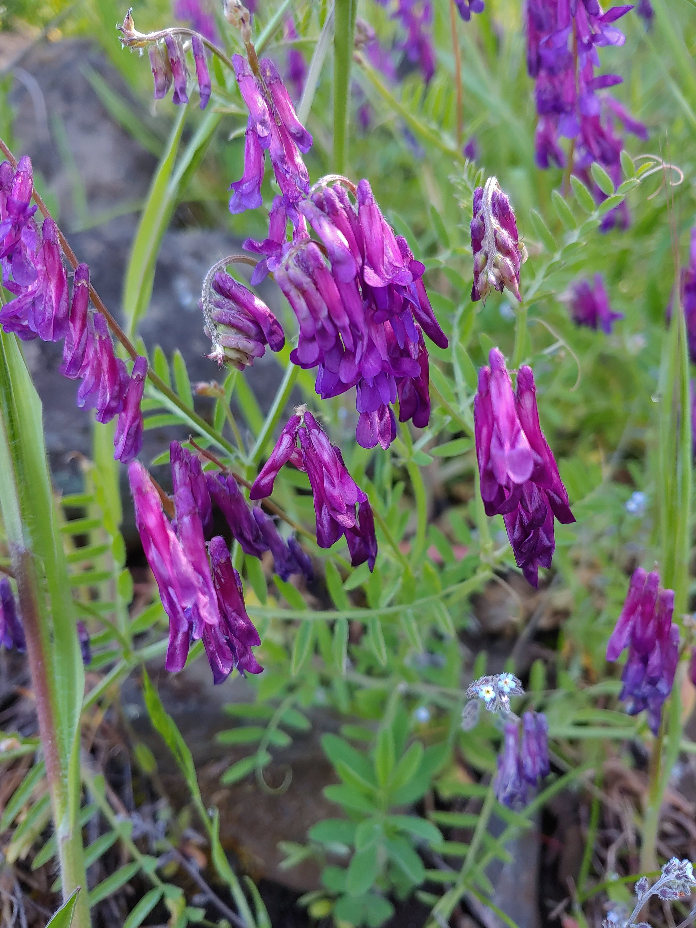
 A vetch or pea, June 13th – Susan Creek Falls Trail
 Columbine, June 13th – Susan Creek Falls Trail
 Solomonseal, June 13th – North Umpqua Trail
 Valerian, June 13th – Lemolo Falls Trail
 Gooseberry, June 14th – Illahee Rock
 Blue-eyed Mary, June 14th – Illahee Rock
 Fawn lilies, June 14th – Illahee Rock
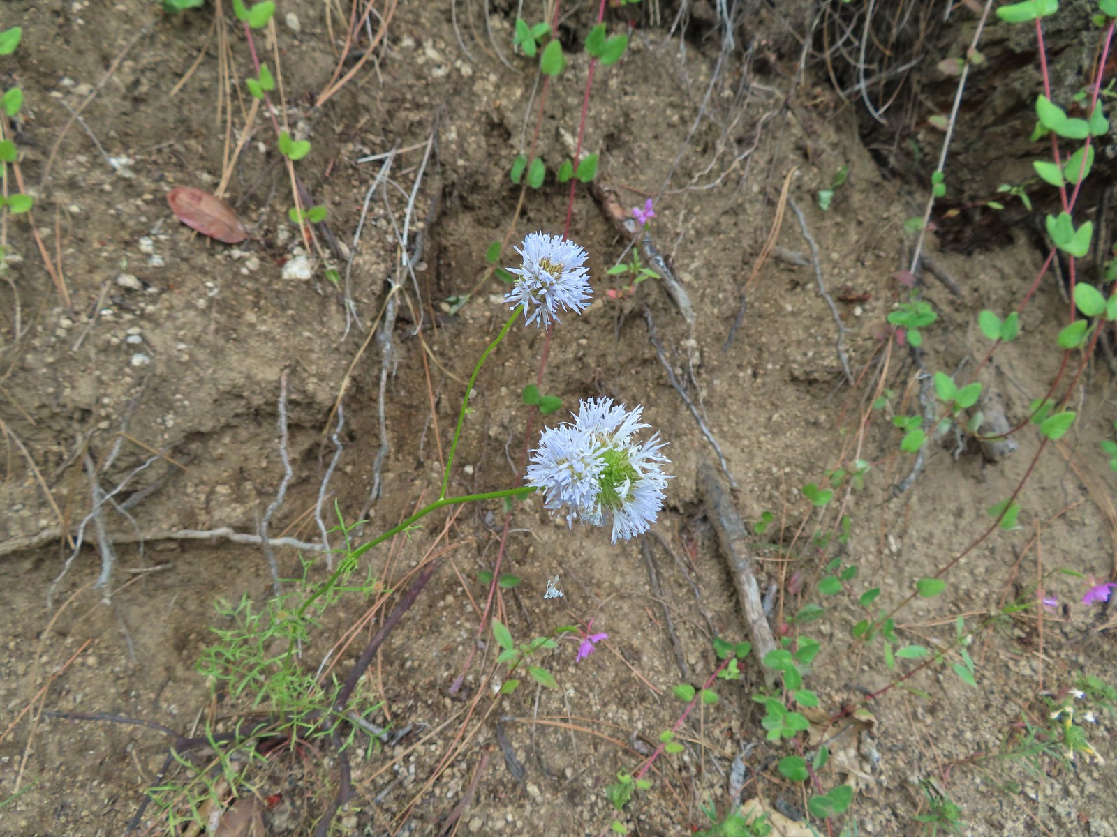
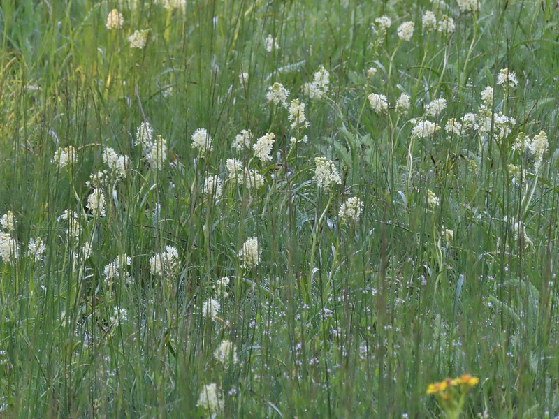
 Pussytoes, June 15th – Pacific Crest Trail near the Stateline Trailhead
 Bistort, June 15th – Donomore Meadows
 Cutleaf daisy, June 15th – Observation Peak
 Lance-leaf spring beauty, June 15th – Observation Peak
 A rockcress, June 15th – Observation Peak
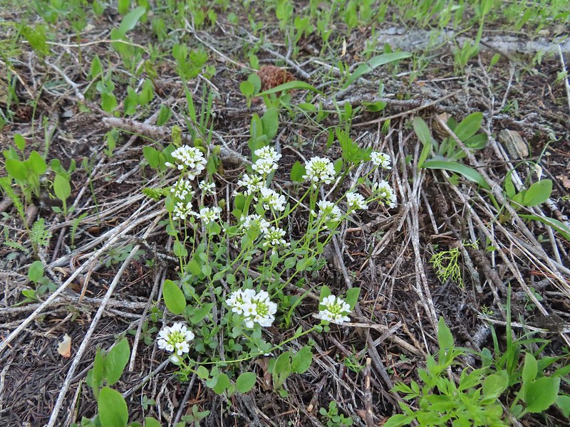
 Alpine pennycress, June 15th – Observation Peak
 Quill-leaf lewisia, June 15th – Observation Peak
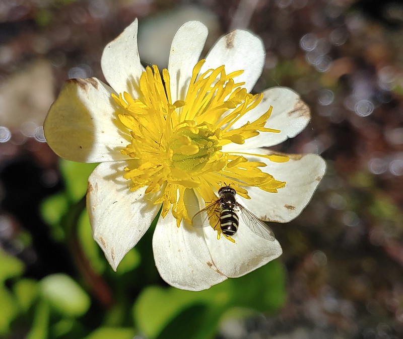
 Marsh marigold, June 15th – Pacific Crest Trail
 Anemone, June 16th – Pacific Crest Trail near Siskiyou Gap
 Jacob’s ladder, June 16th – Pacific Crest Trail
 Buds of an unknown flower, June 16th – Pacific Crest Trail near Big Red Mountain
 A paintbrush, June 16th – Pacific Crest Trail near Big Red Mountain
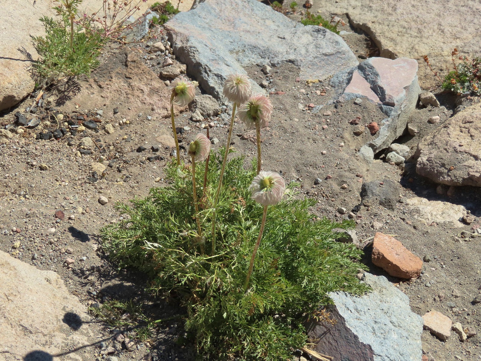
 Drummond’s anemone, June 16th – Pacific Crest Trail near Big Red Mountain
 Ballhead waterleaf, June 16th – Pacific Crest Trail near Big Red Mountain
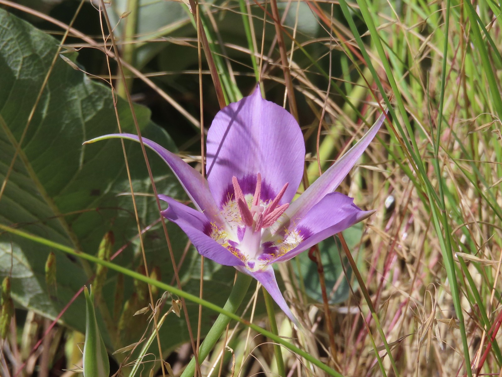
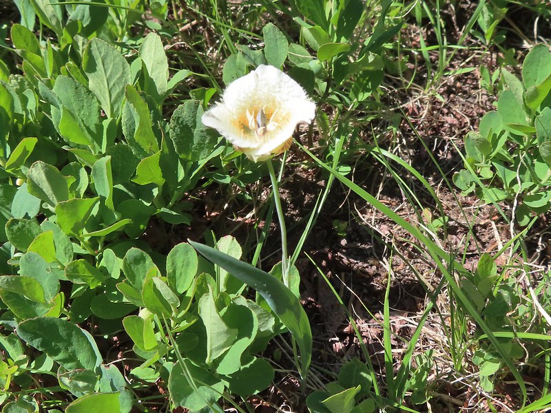
 A mariposa lily, June 16th – Pacific Crest Trail near Siskiyou Gap
 Diamond? clarkia, June 17th – Bandersnatch Trail
 A honeysuckle, June 17th – Bandersnatch Trail
 A catchfly, June 17th – Bandersnatch Trail
 Blue-head gilia, June 17th – Red Queen Trail
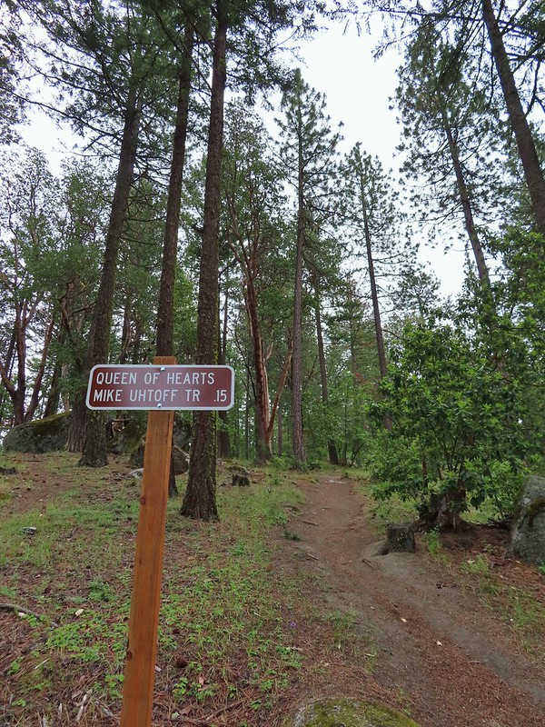
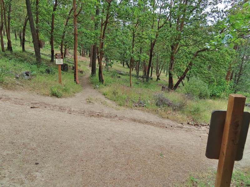
 Deerbrush, June 17th – Mike Uthoff Trail
 Grand collomia, June 17th – Mike Uthoff Trail
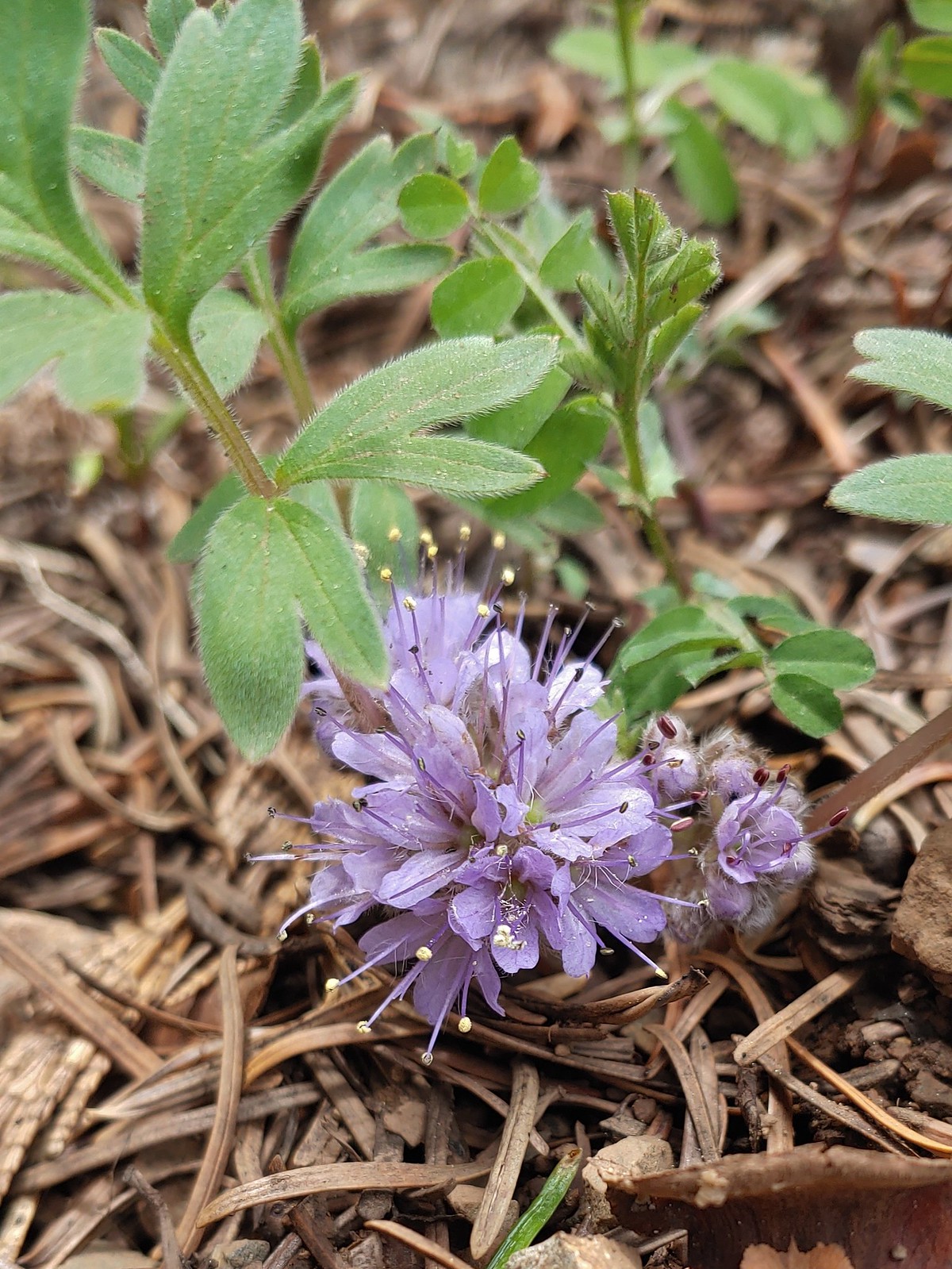
 A phaceli, June 17th – Mike Uthoff Trail
 Rhododendron, June 18th – Frog Pond Trail
 Pretty Face, June 18th – Frog Pond Trail
 Believe this is some sort of saxifrage, June 25th – Toutle Trail
 Avalanche lily, June 25th – Toutle Trail
 A penstemon, July 1st – Siskiyou Wilderness
 A phlox, July 1st – Siskiyou Wilderness
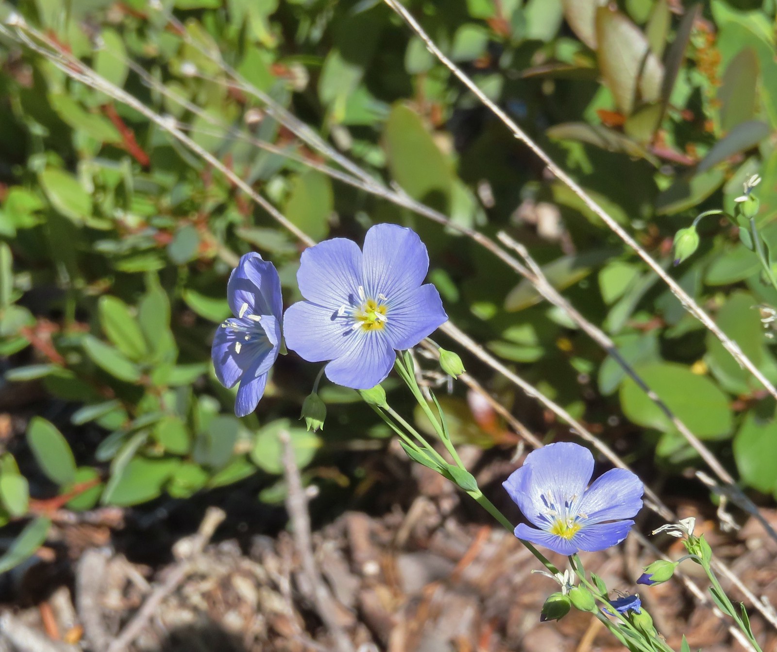 Lewis flax, July 1st – Siskiyou Wilderness
 A paintbrush, July 1st – Siskiyou Wilderness
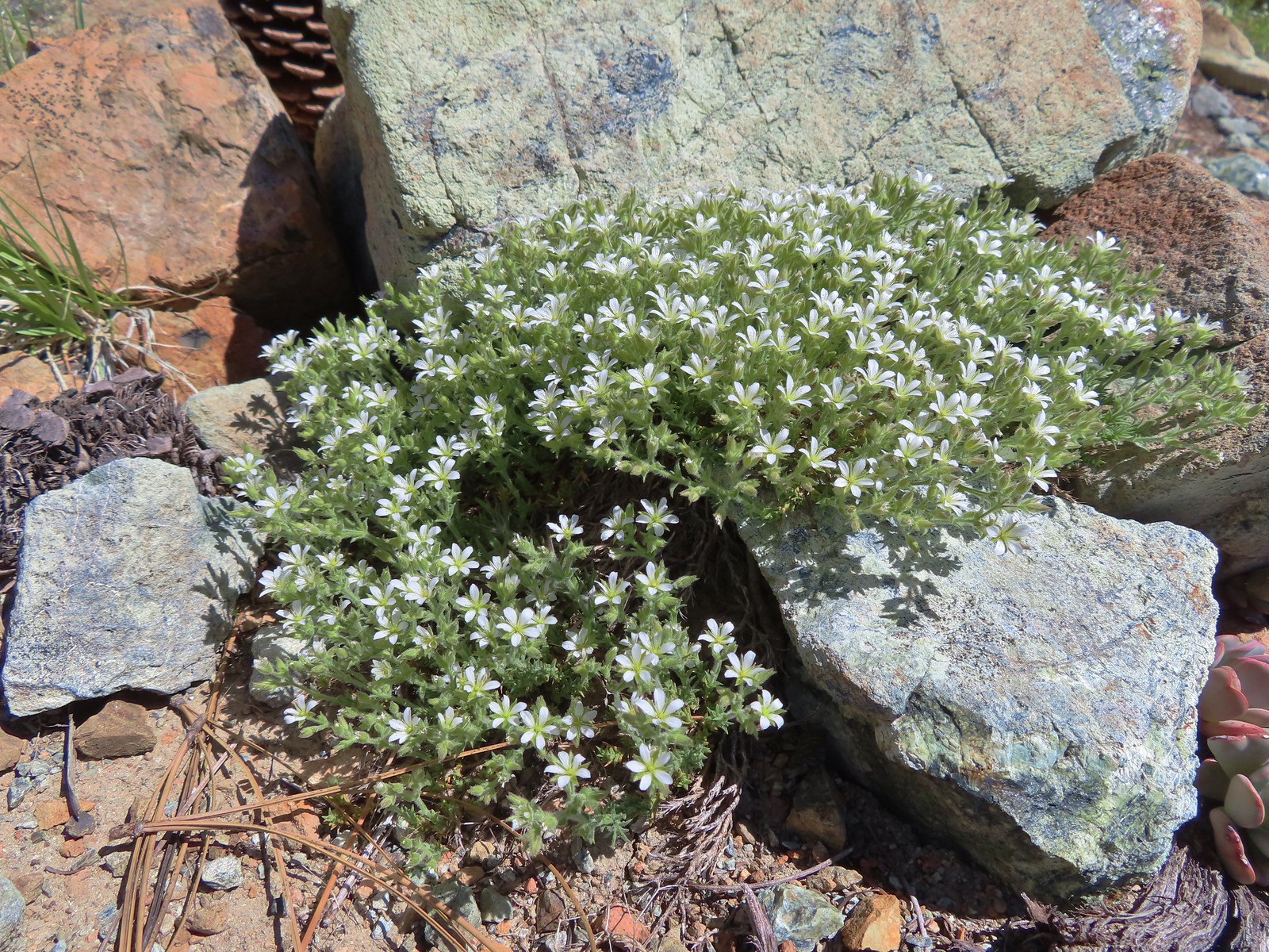 Nuttall’s sandwort?, July 1st -Siskiyou Wilderness
 Queen’s cup, July 1st – Siskiyou Wilderness
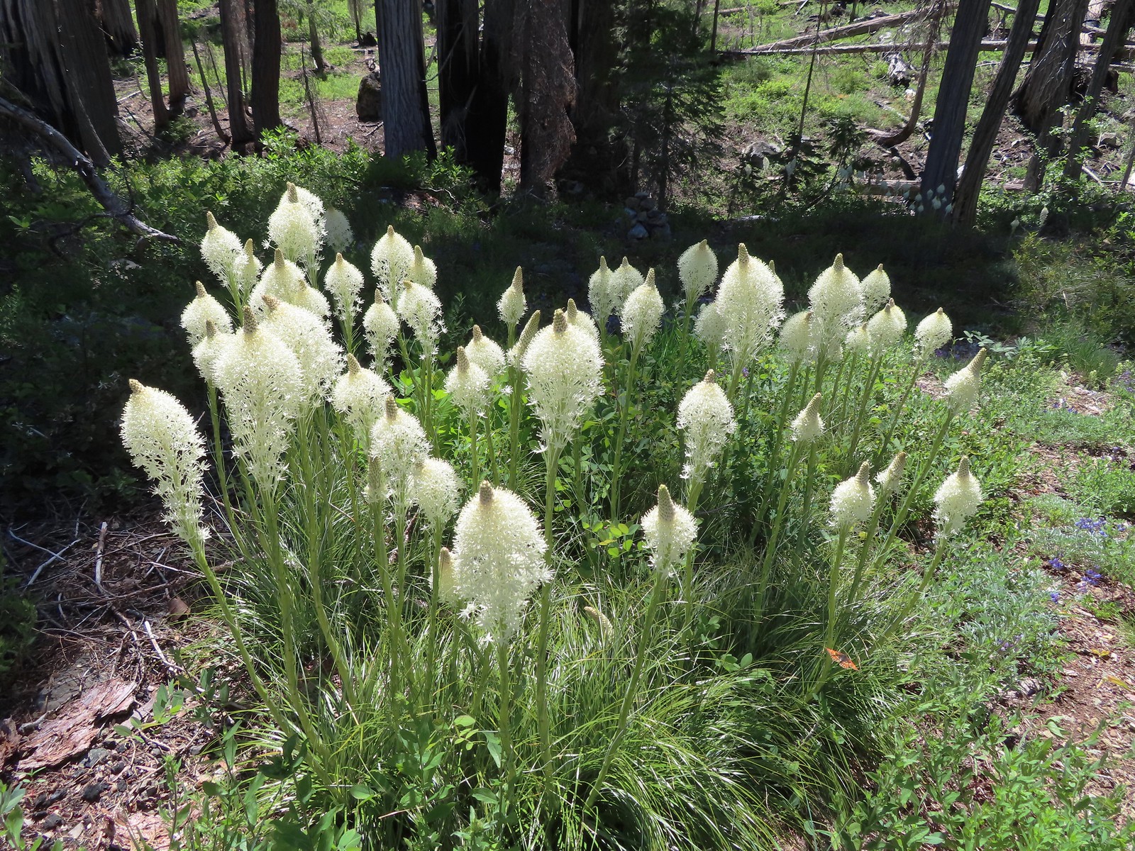 Beargrass, July 1st – Siskiyou Wilderness
 Shooting star, July 1st – Siskiyou Wilderness
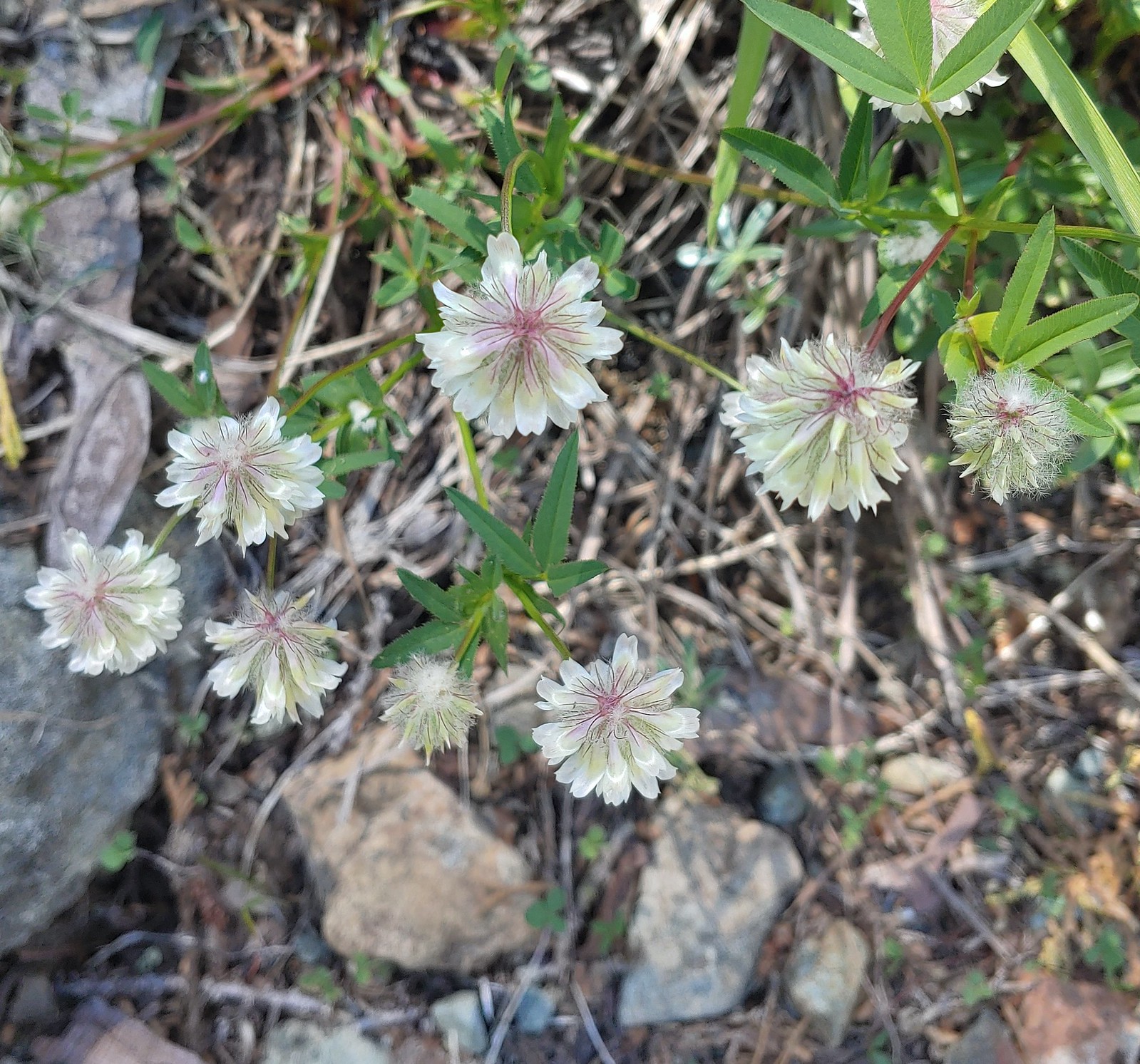 Wolley-head clover, July 1st – Siskiyou ikyWilderness
 A nightshade, July 1st – Siskiyou Wilderness
 Siskiyou lewisia, July 1st – Siskiyou Wilderness
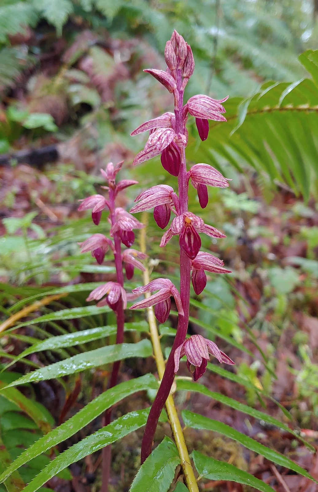
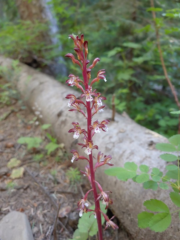
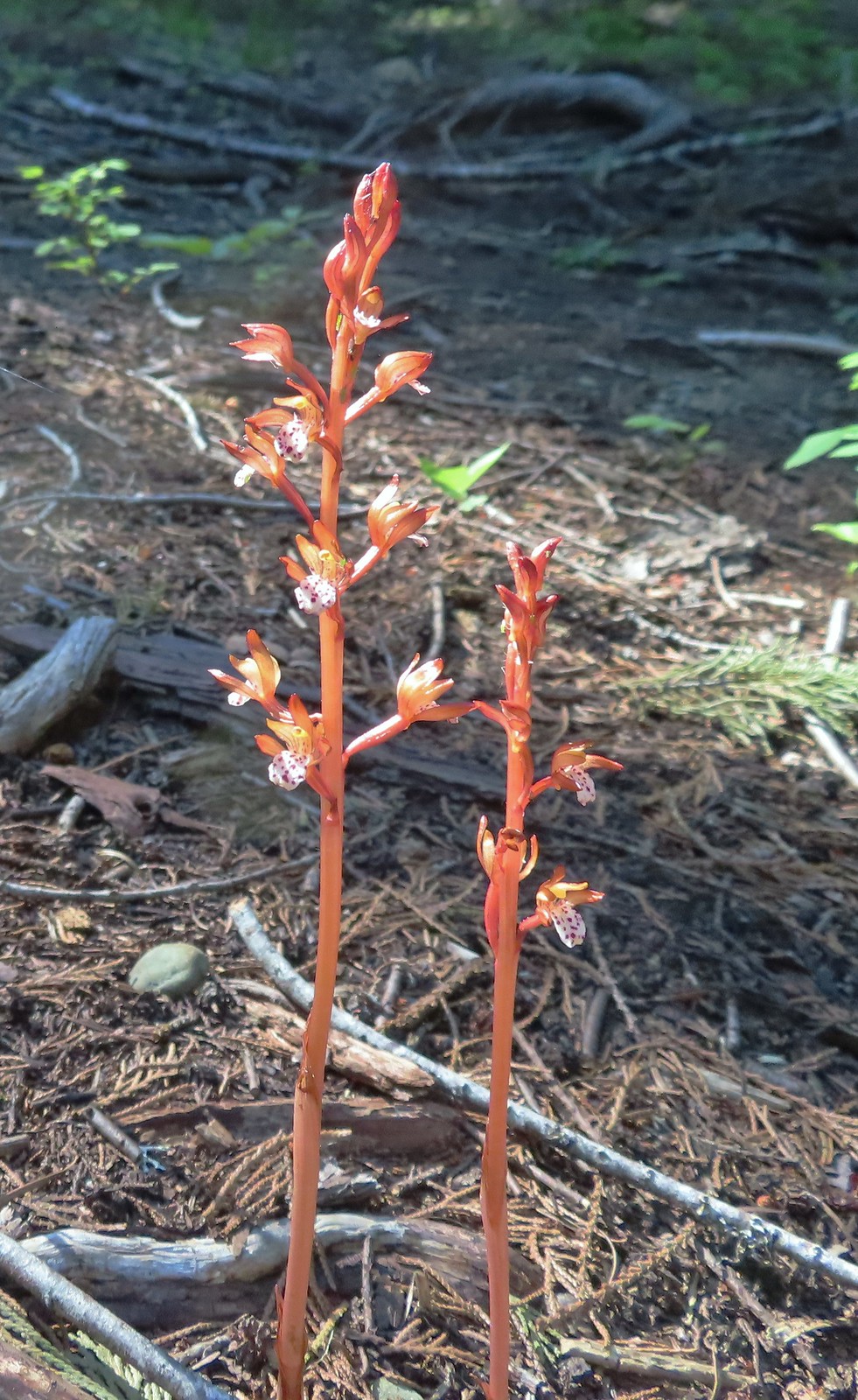 Spotted coralroot, July 1st – Siskiyou Wilderness
 This tiny flower was at the edge of the meadow in Young’s Valley, July 1st – Siskiyou Wilderness
 Azalea, July 2nd – Siskiyou Wilderness
 Honeysuckle, July 2nd – Siskiyou Wilderness
 Pacific ninebark, July 2nd – Siskiyou Wilderness
 Streambank bird’s-foot trefoil, July 2nd – Siskiyou Wilderness
 White-vein wintergreen, July 2nd – Siskiyou Wilderness
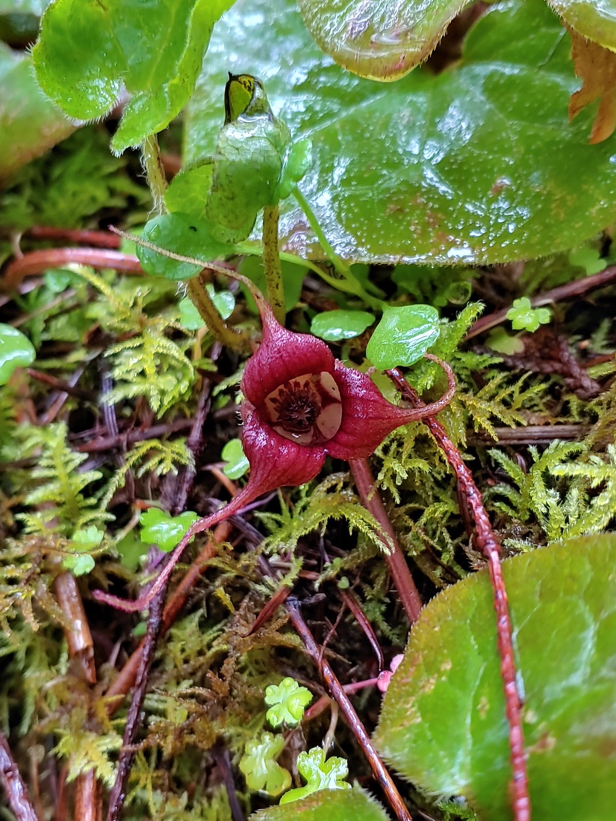
 California pitcher-plant, July 2nd – Siskiyou Wilderness
 Also California pitcher-plant, July 2nd – Siskiyou Wilderness
 White-stemmed frasera, July 2nd – Siskiyou Wilderness
 Washington lily, July 2nd – Siskiyou Wilderness
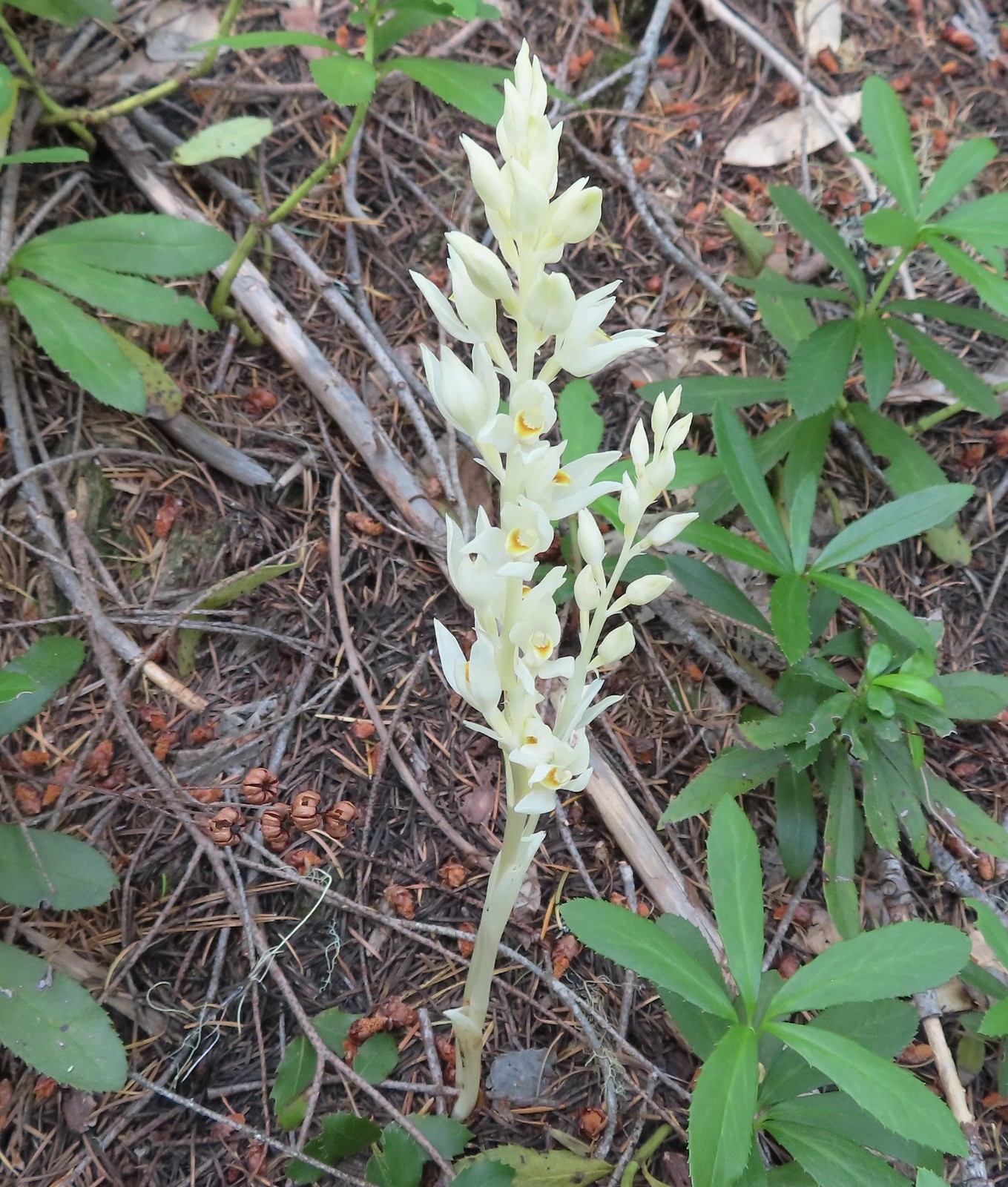 Phantom orchid, July 2nd – Siskiyou Wilderness
 Oregon sunshine, July 2nd – Siskiyou Wilderness
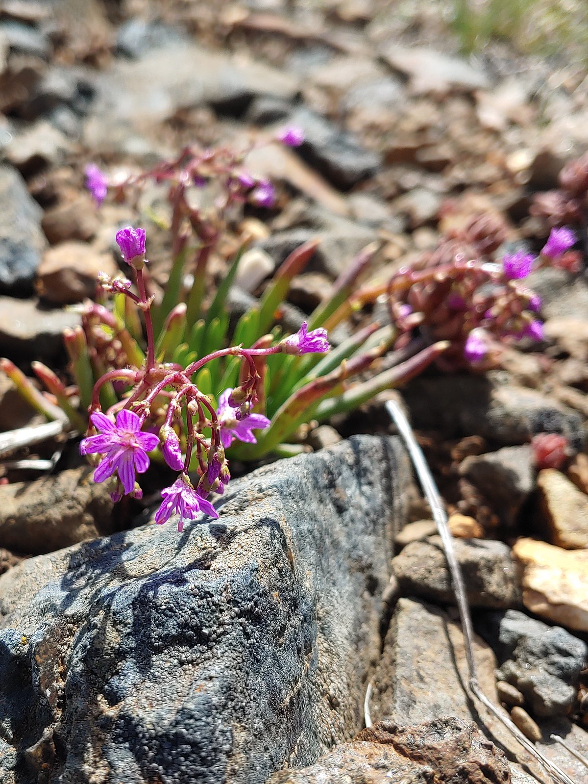
 Pussypaws, July 2nd – Siskiyou Wilderness
 Musk monkeyflower, July 3rd – Siskiyou Wilderness
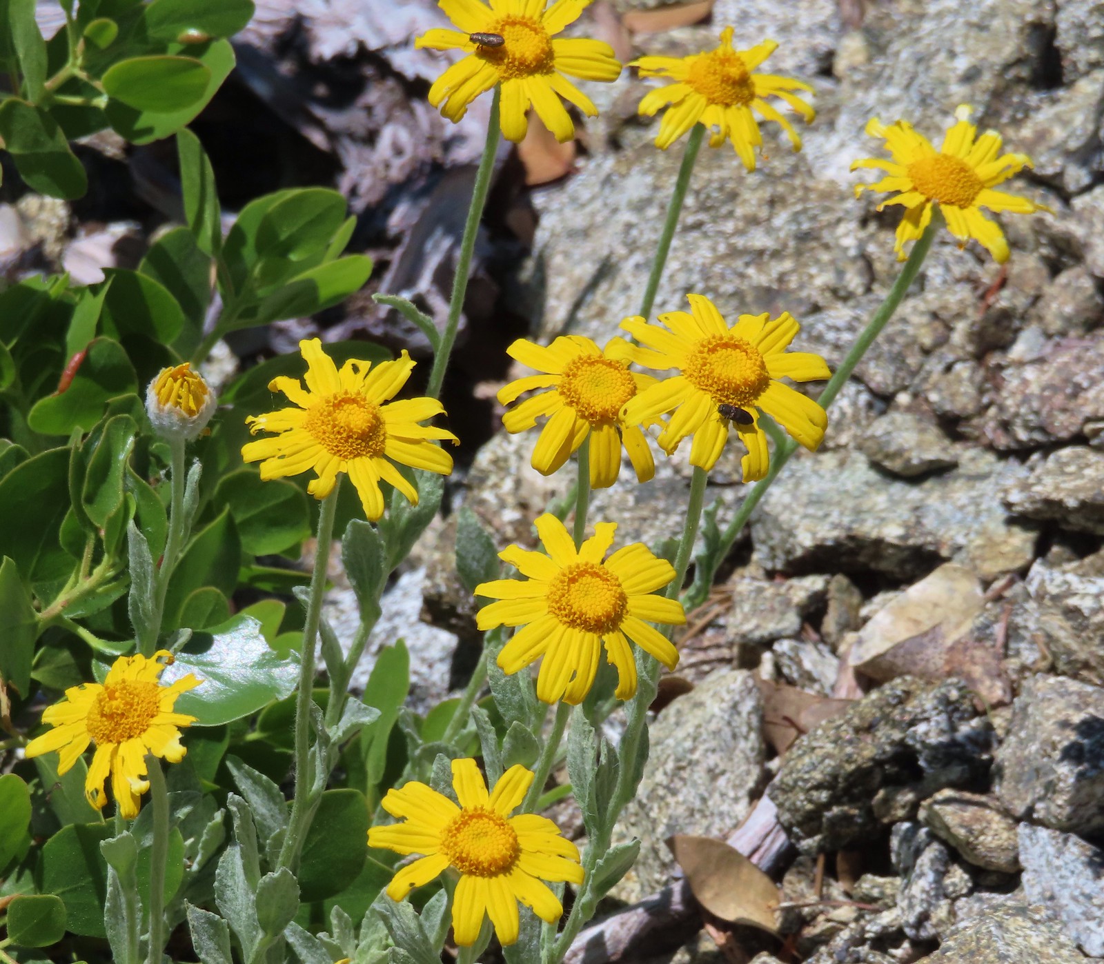
 Klamath arnica, July 3rd – Siskiyou Wilderness
 White rushlily, July 3rd – Siskiyou Wilderness
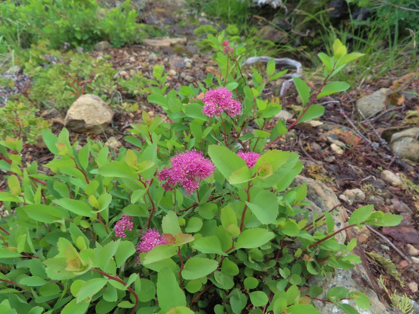 Spirea, July 4th – Siskiyou Wilderness
 Wild onion, July 4th – Siskiyou Wilderness
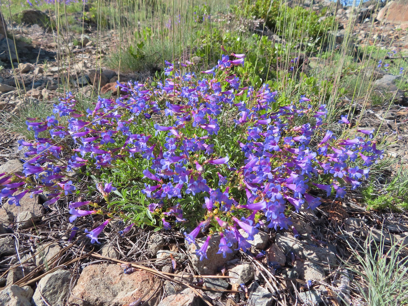
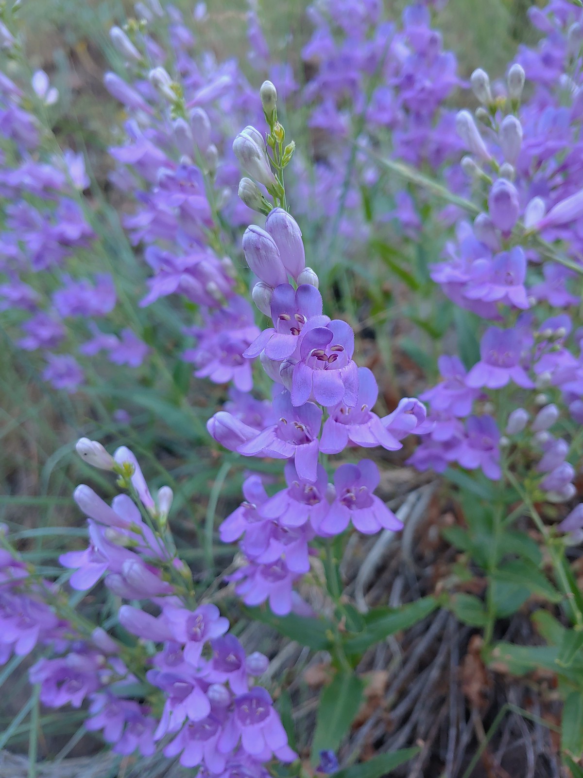
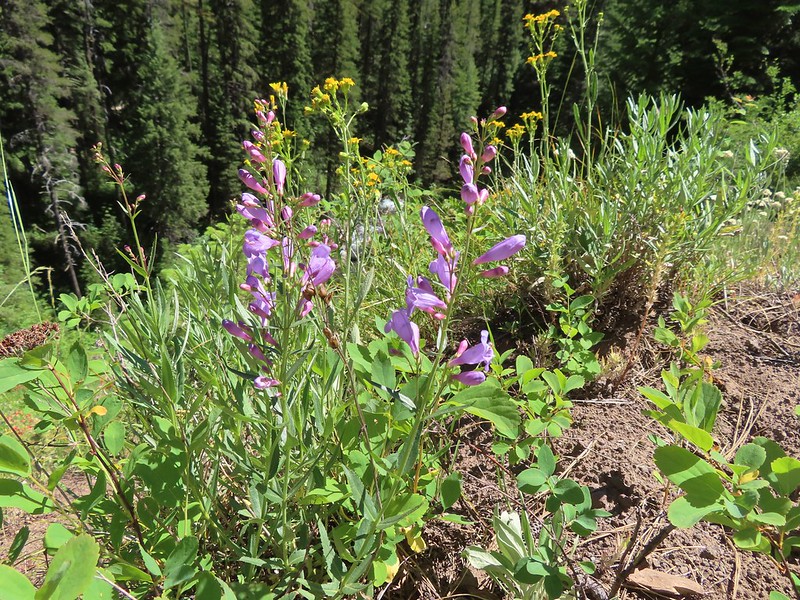
 A penstemon, July 4th – Siskiyou Wilderness
 Phlox, July 9th – Mt. Ireland
 Brown’s peony, July 9th – Mt. Ireland
 Yet another paintbrush, July 9th – Mt. Ireland
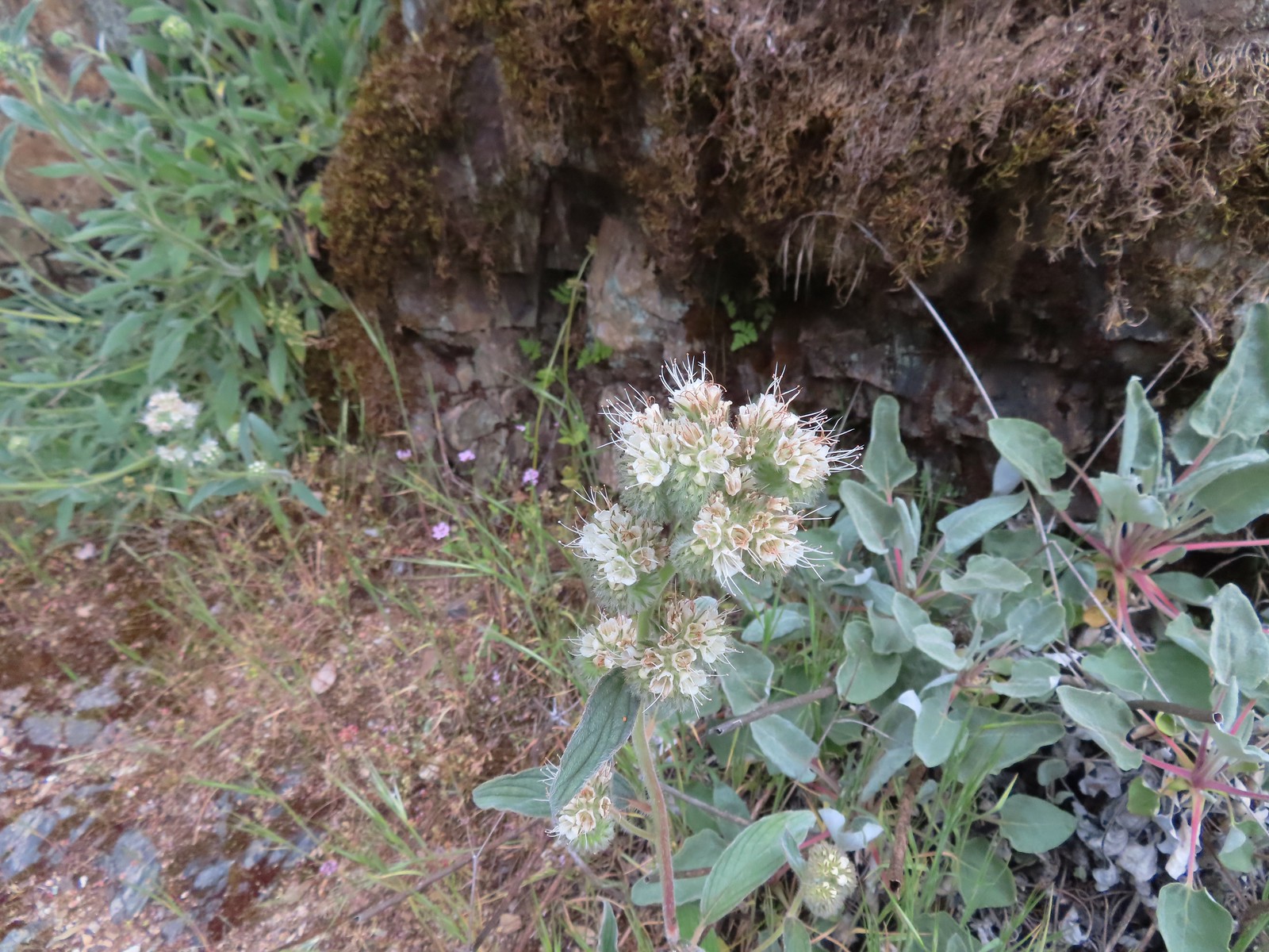
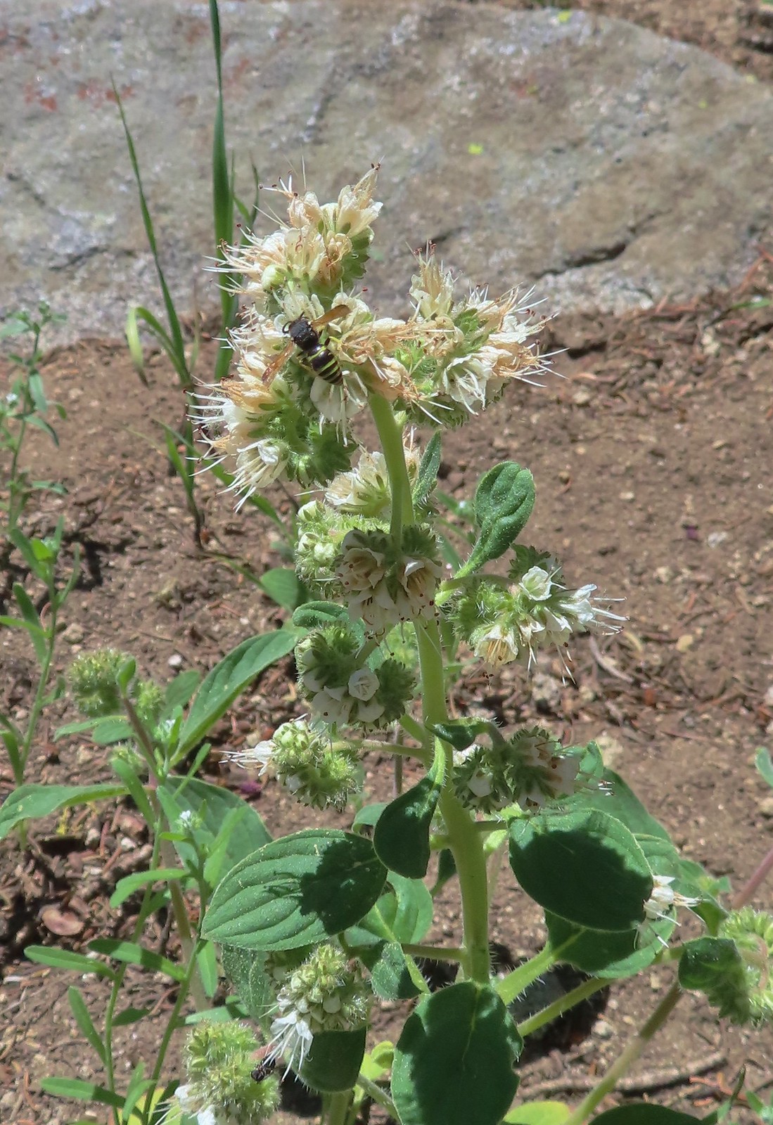 Silverleaf phacelia with visitor, July 9th – Mt. Ireland
 Venus penstemon, July 10th – Catherine Creek Trail
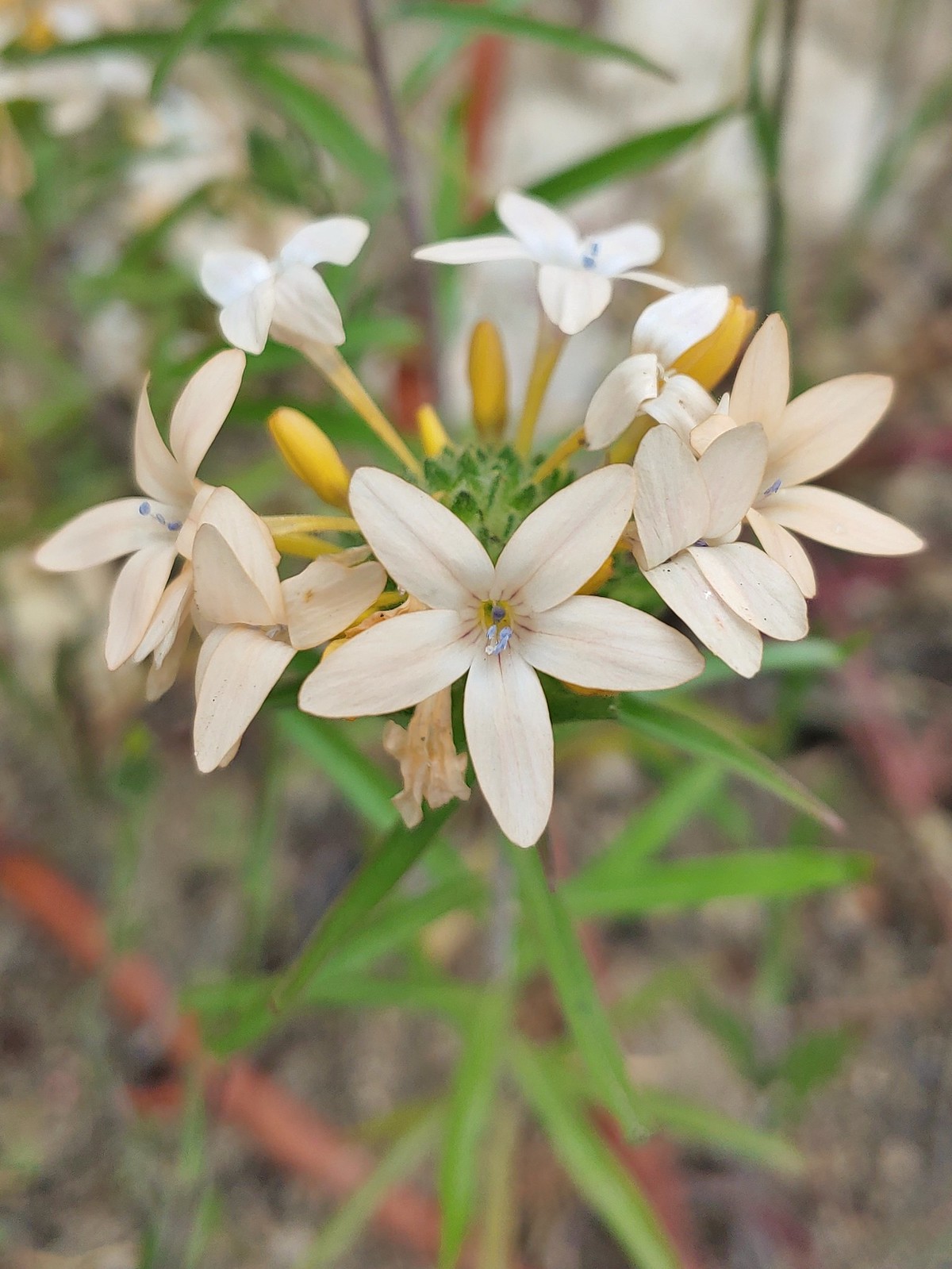
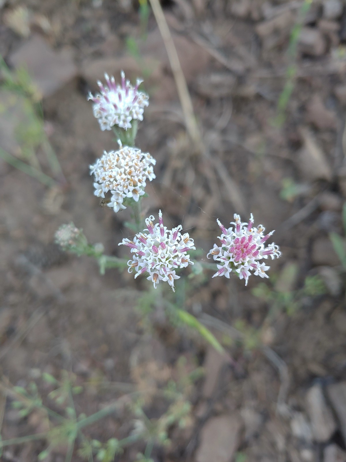 Douglas dustymaidens, July 10th – Catherine Creek Trail
 Bog orchid, July 10th – Catherine Creek Trail
 Mountain lady slippers, July 10th – Catherine Creek Trail
 Rosy pussytoes, July 10th – Catherine Creek Trail
 Yellow columbine, July 10th – Catherine Creek Trail
 Heart-leaved bittercress?, July 10th – Catherine Creek Trail
 Elephants head, July 10th – Catherine Creek Trail
 Cone flower, July 10th – Catherine Creek Trail
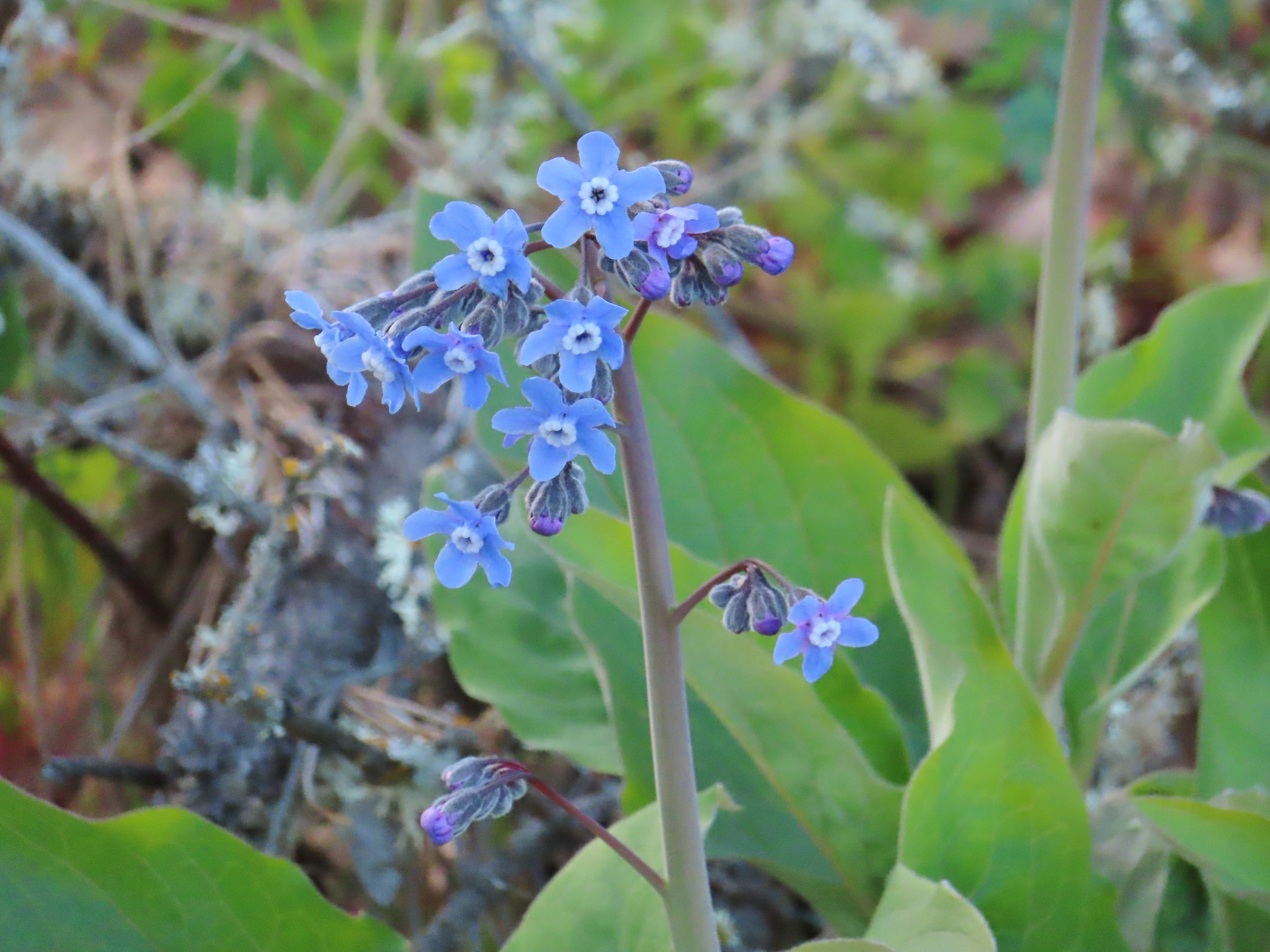
 Tall mountain bluebells, July 10th – Catherine Creek Trail
 Another wild onion, July 11th – Horse Ranch Trail
 Scarlet gilia, July 11th – Horse Ranch Trail
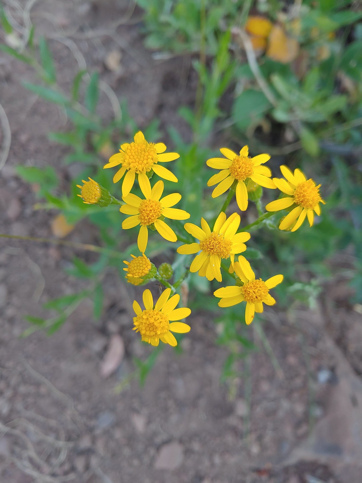 Arrowleaf groundsel, July 11th – Horse Ranch Trail
 Purple sticky geranium, July 11th – Horse Ranch Trail
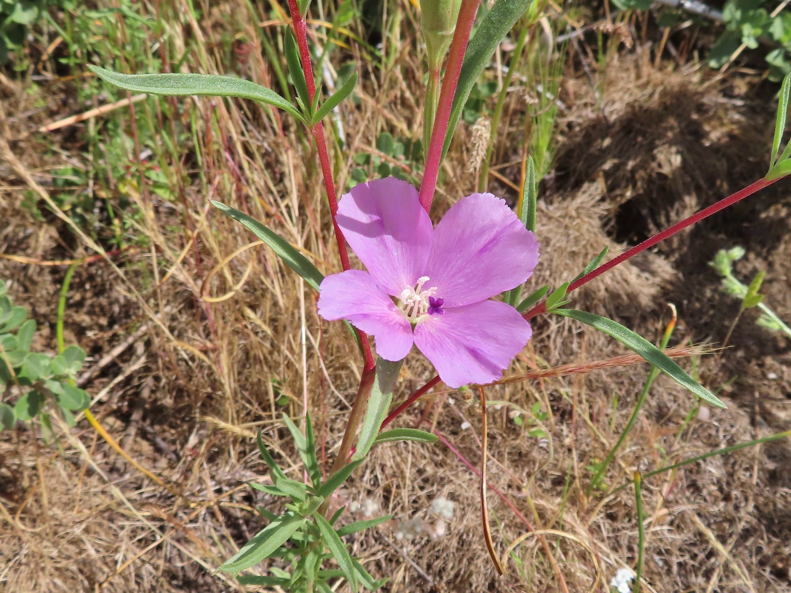
 Ragged robin, July 11th – Horse Ranch Trail
 False? sunflower, July 11th – Horse Ranch Trail
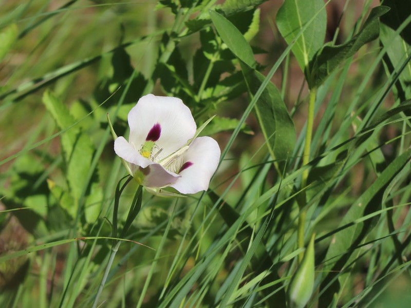
 White mariposa lily, July 11th – Horse Ranch Trail
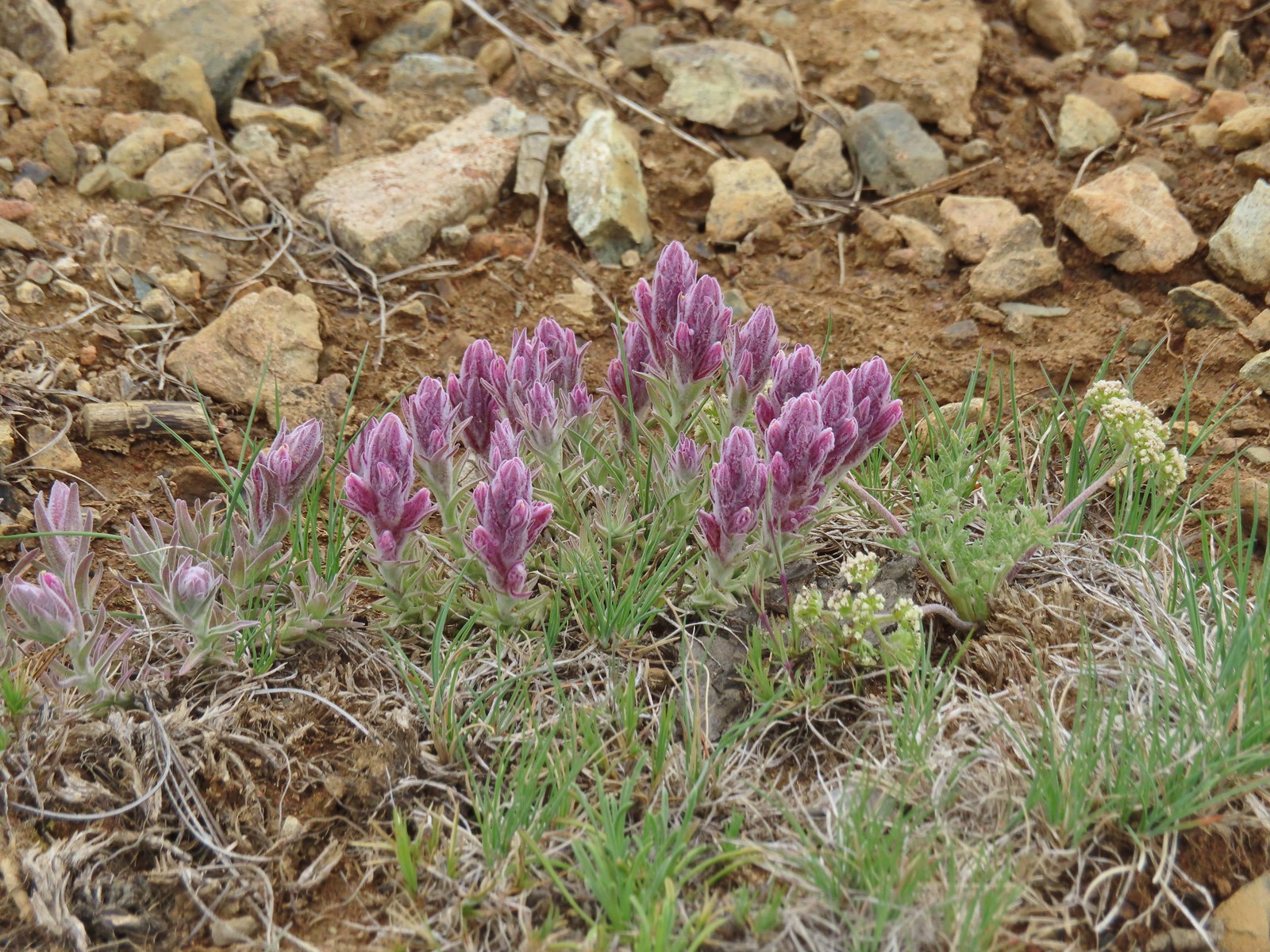
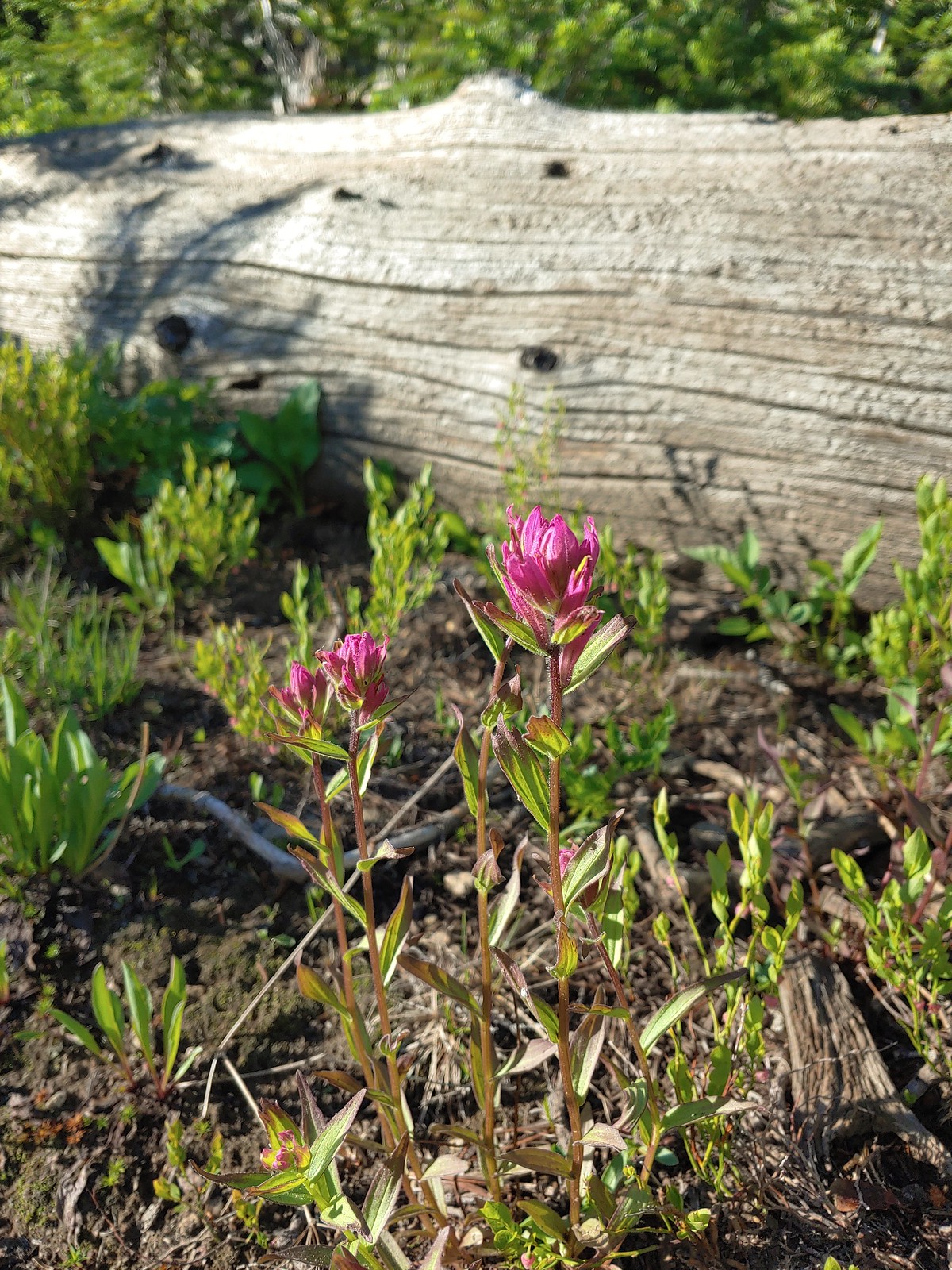 Rosy paintbrush, July 12th – Buck Creek Trail
 Lyall’s rockcress, July 12th – Buck Creek Trail
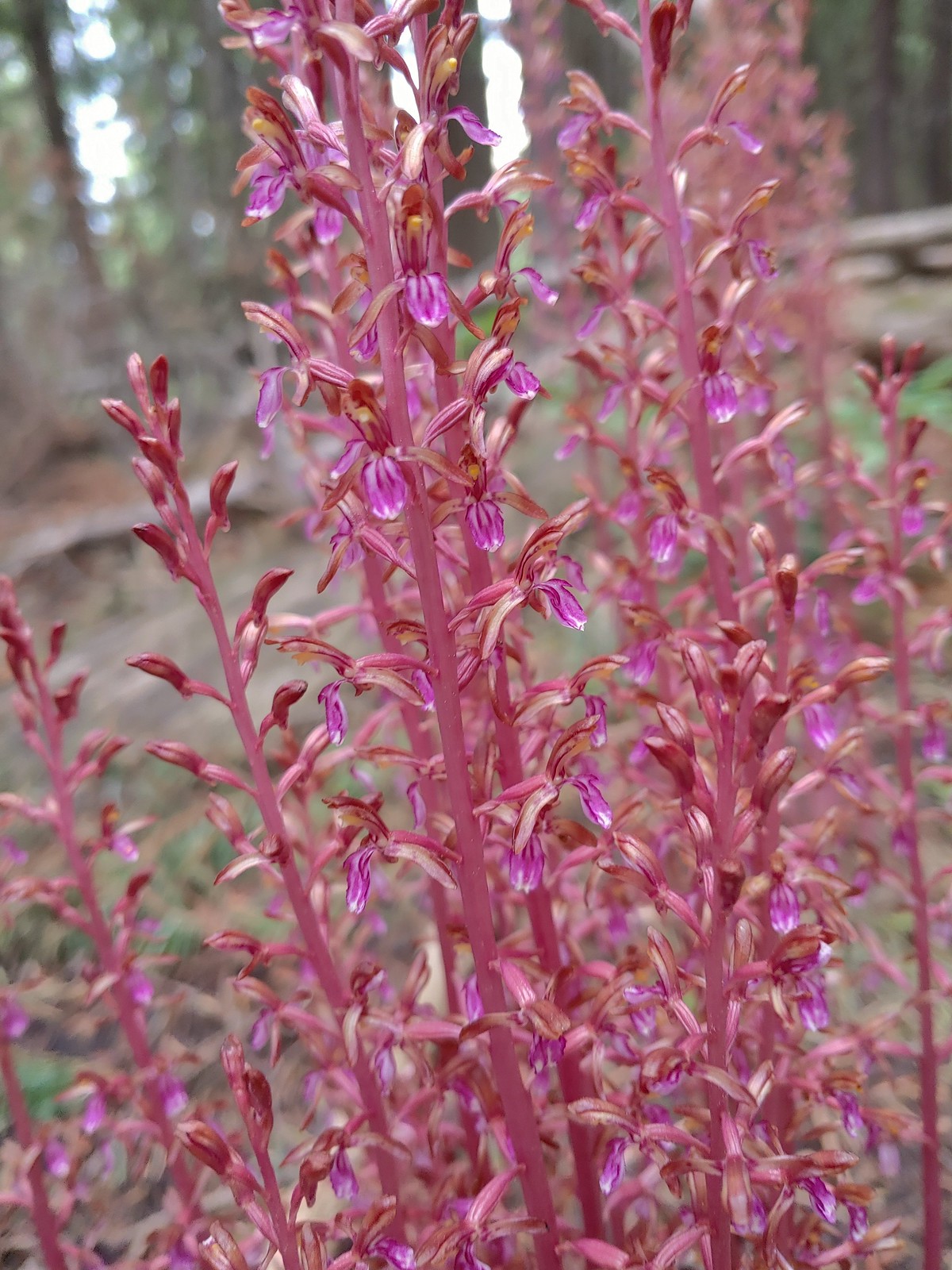 Pacific coralroot, July 13th – Rock Springs
Trail
 Hyssop, July 13th – Rock Springs
Trail
 Another penstemon, July 13th – Rock Springs
Trail
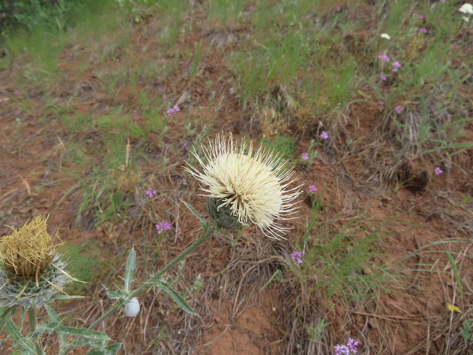 Thistle, July 13th – Rock Springs
Trail
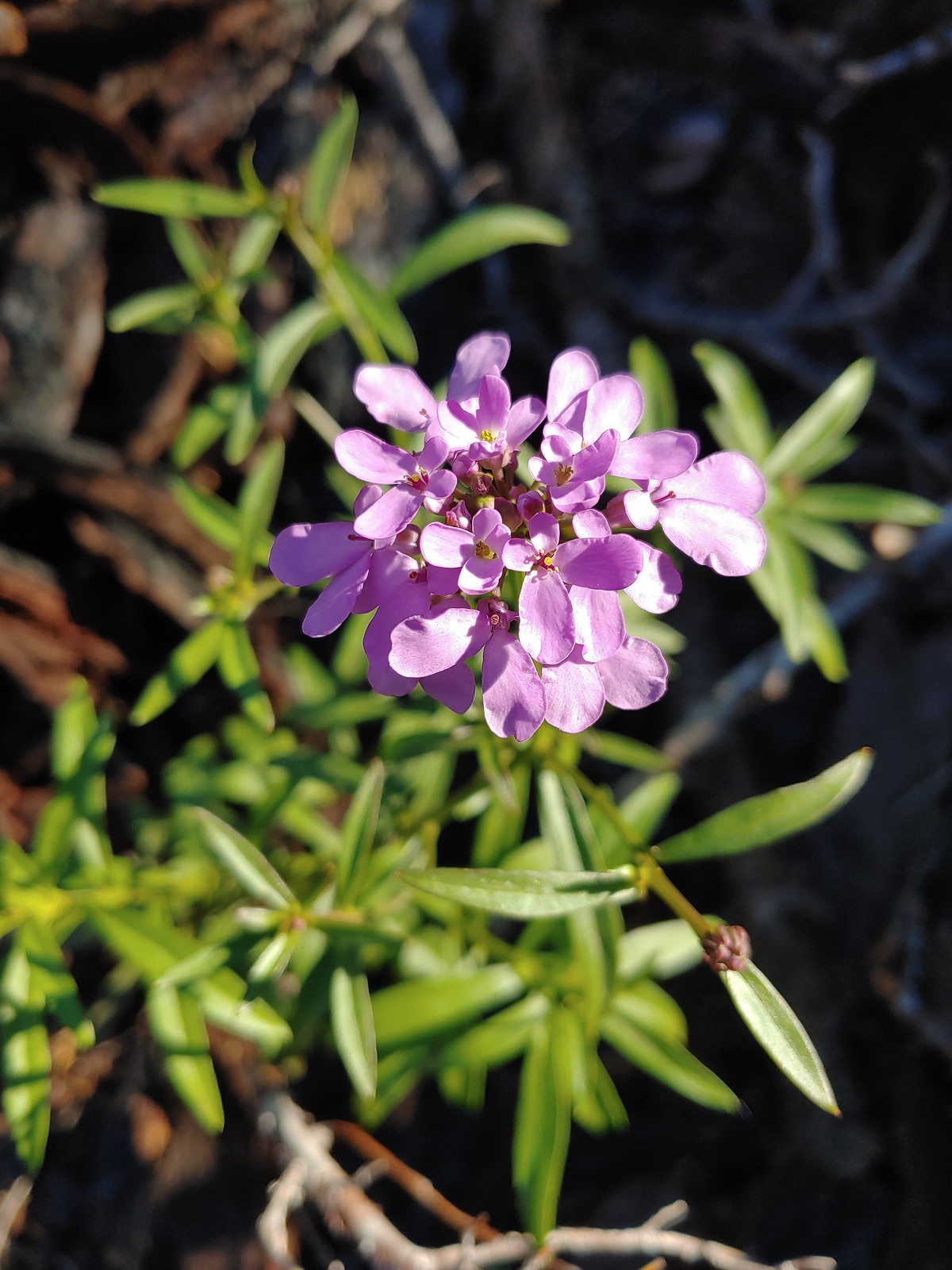
 Oregon checker-mallow, July 13th – Rock Springs
Trail
 This was a new one for us one-flowered moneses, July 14th – Bear Creek Trail
 Pinedrop, July 14th – Bear Creek Trail
 Sagebrush mariposa lily, July 14th – Wallowa Homeland
 Blanket flower, July 14th – Wallowa Homeland
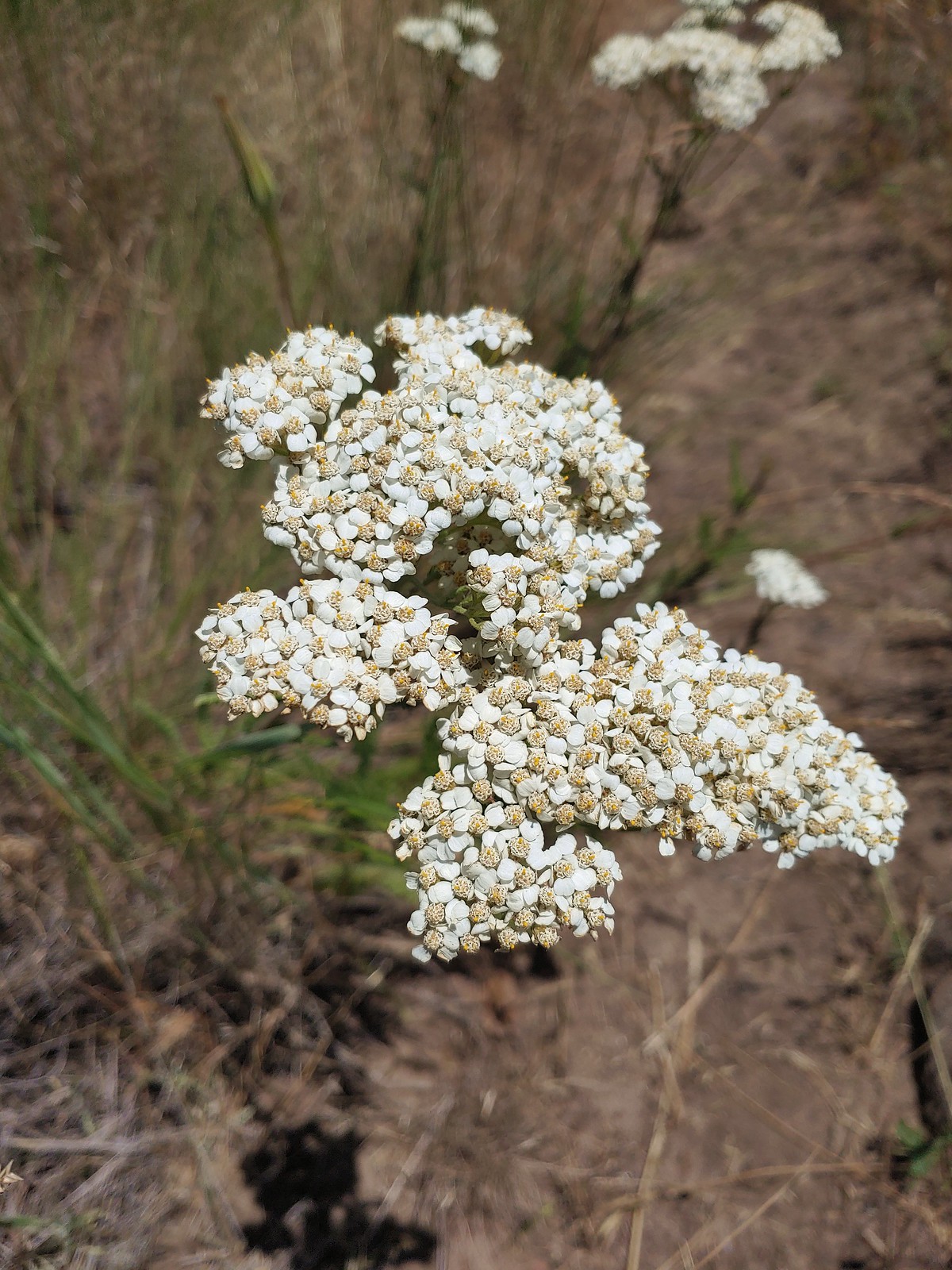 Yarrow, July 14th – Wallowa Homeland
 Scouler’s bluebells, July 23rd – Silverstar Mountain
 Inside-out flower, July 23rd – Silverstar Mountain
 Tiger lily, July 23rd – Silverstar Mountain
 Bluebells of Scotland, July 23rd – Silverstar Mountain
 Subalpine mariposa lily, July 23rd – Silverstar Mountain
 Western sweetvetch, July 23rd – Silverstar Mountain
 Coiled lousewort, July 23rd – Silverstar Mountain
 Best guess is subapline fleabane, July 23rd – Silverstar Mountain
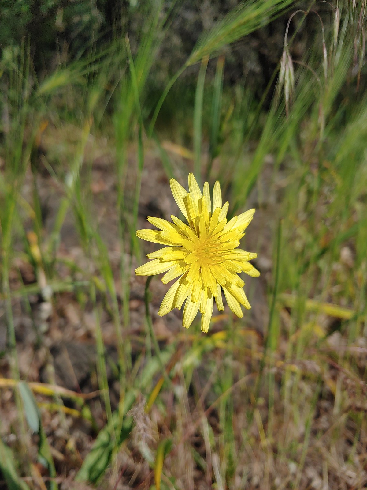
 Orange agoseris, July 23rd – Silverstar Mountain
 A larkspur, July 23rd – Silverstar Mountain
 Mock orange, July 23rd – Silverstar Mountain
 Chicory (non-native), July 30th – E.E. Wilson Wildlife Area
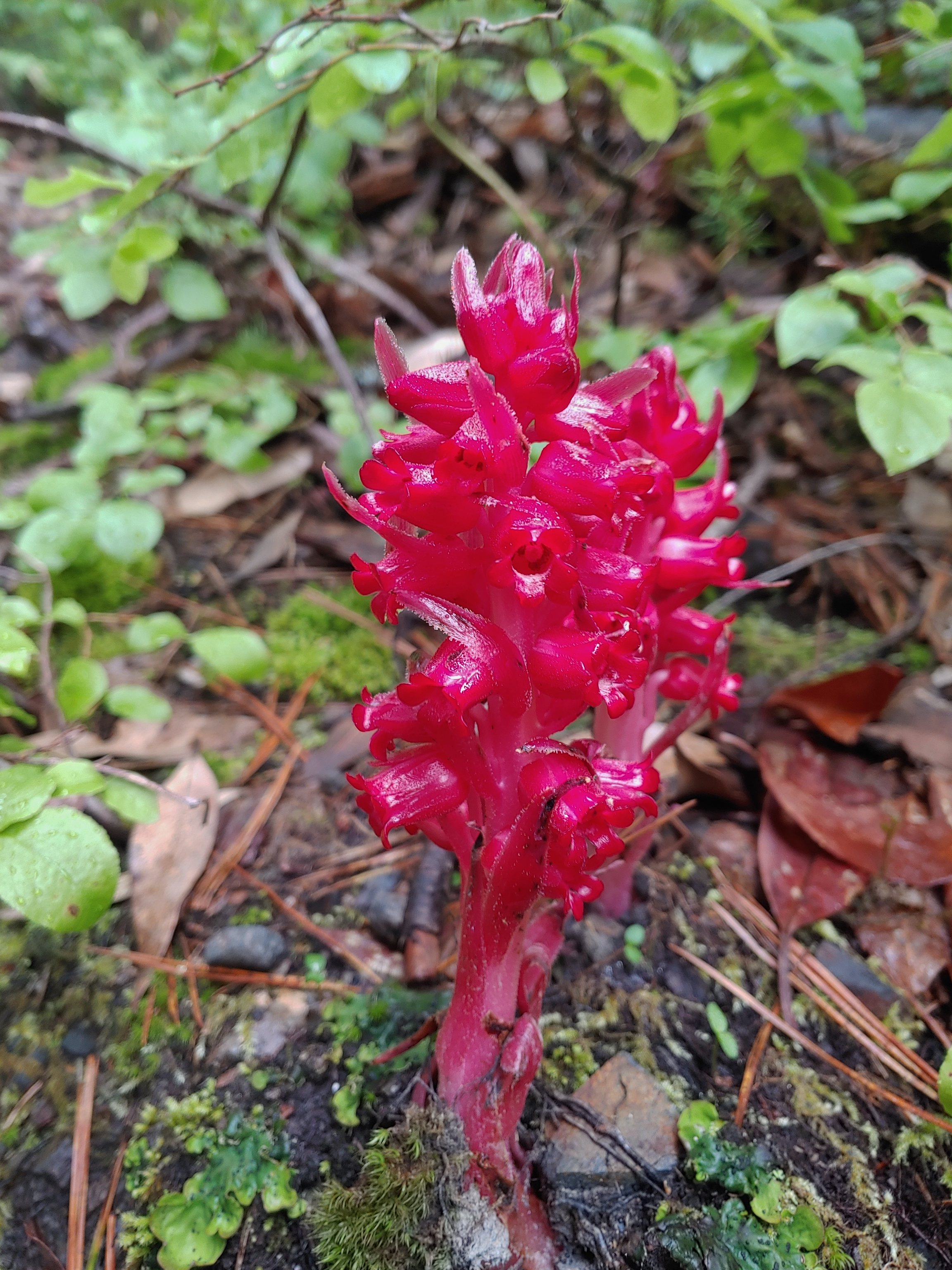
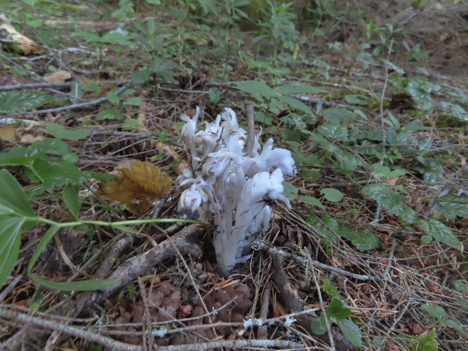 Indian pipe, August 6th – Yasko Falls Trail
 Leopard lily, August 6th – Hemlock Creek Trail
 Mountain owl’s clover, August 6th – Yellowjacket Loop Trail
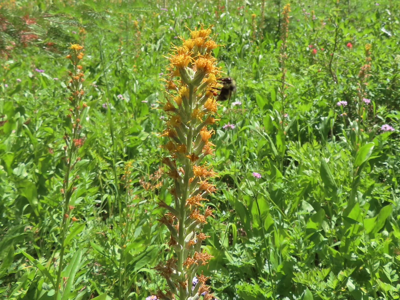 Rainiera, August 6th – Yellowjacket Loop Trail
 Hedgenettle, August 6th – Yellowjacket Loop Trail
 Large boykina, August 6th – Yellowjacket Loop Trail
 Candy sticks, August 6th – Yellowjacket Loop Trail
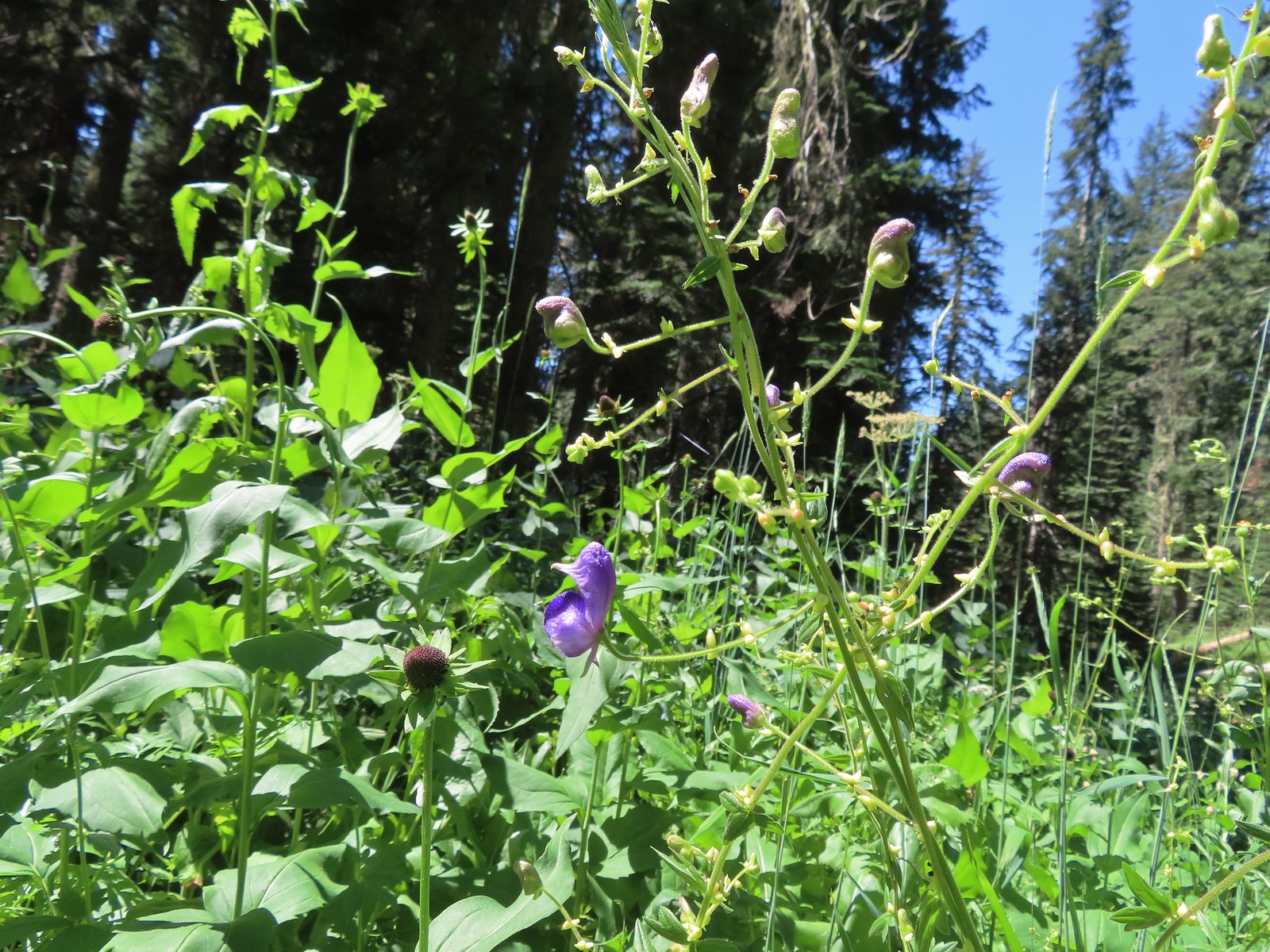 Monkshood, August 6th – Yellowjacket Loop Trail
 Scarlet monkeyflower, August 7th – Fall Creek Falls Trail
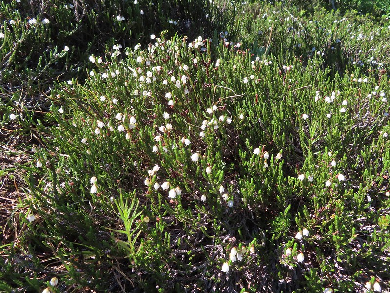
 White mountain heather, August 13th – Mt. Adams Wilderness
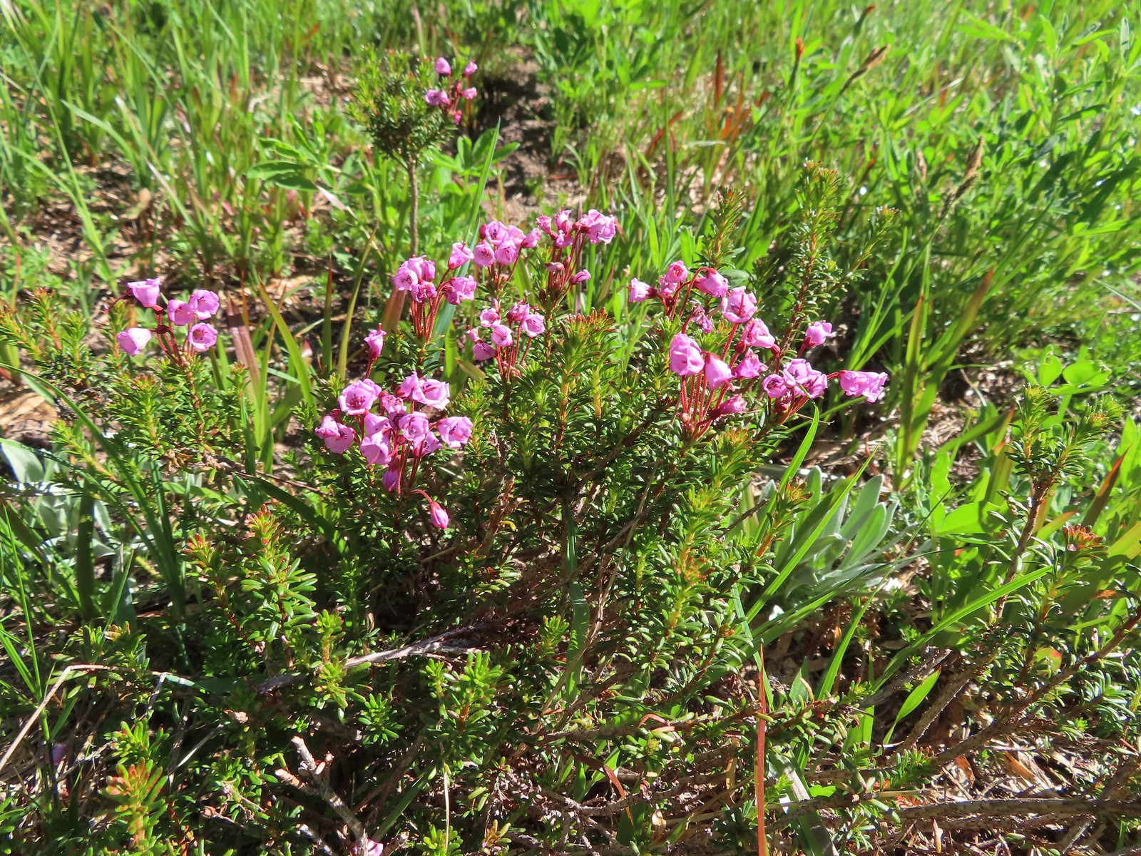 Mountain heather, August 13th – Mt. Adams Wilderness
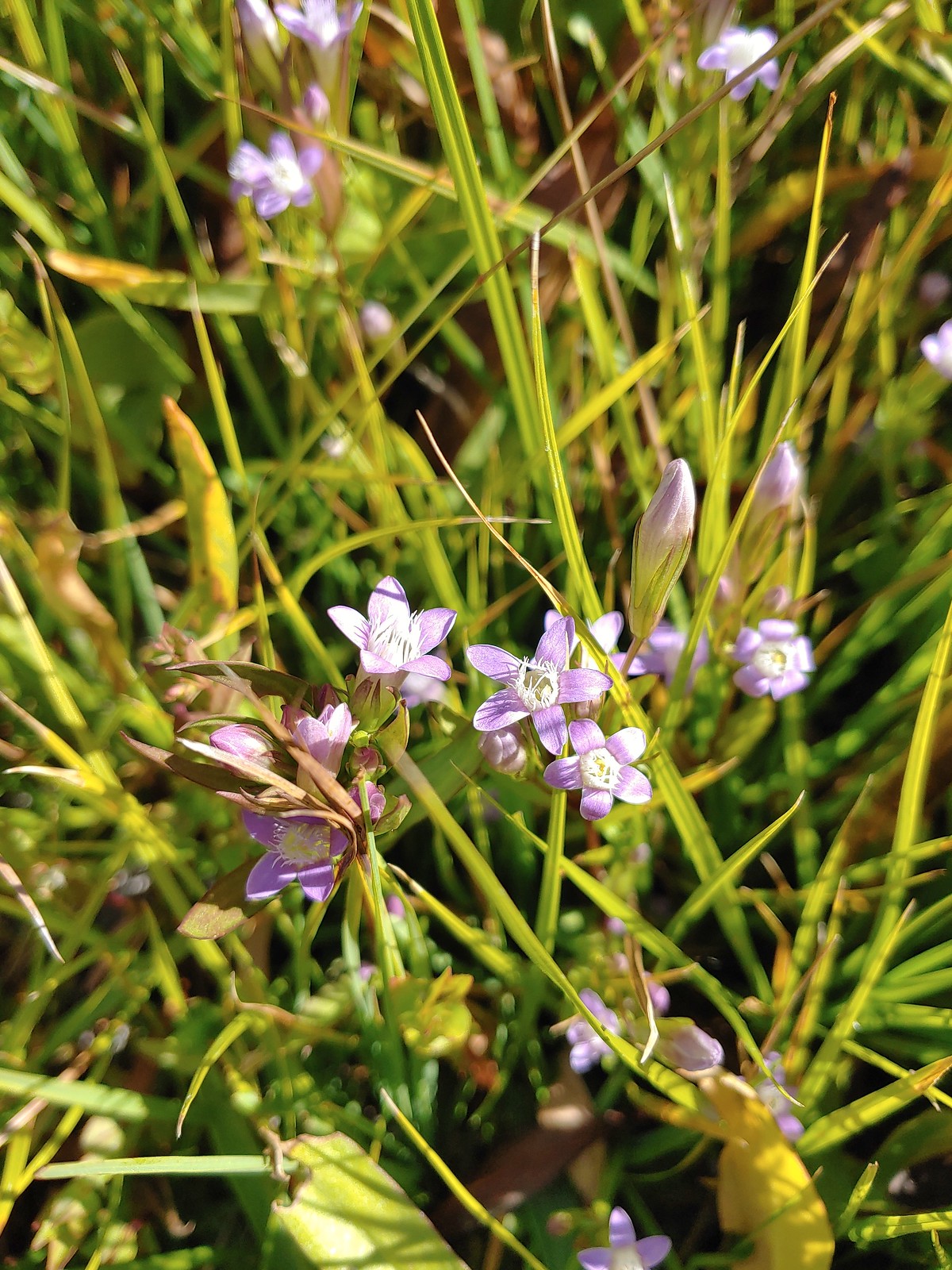
 Gentian, August 13th – Mt. Adams Wilderness
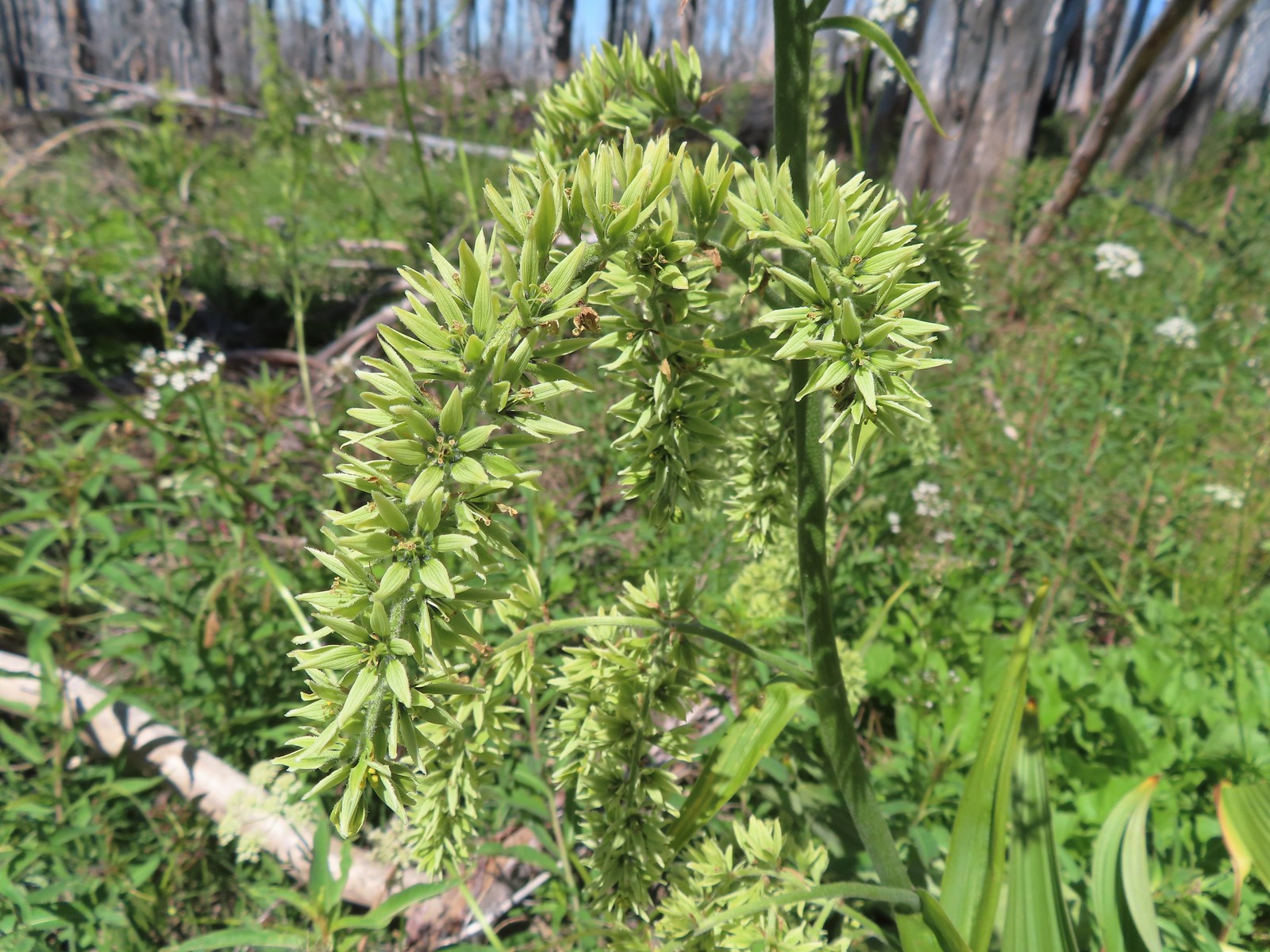 False hellebore, August 13th – Mt. Adams Wilderness
 A saxifrage, August 13th – Mt. Adams Wilderness
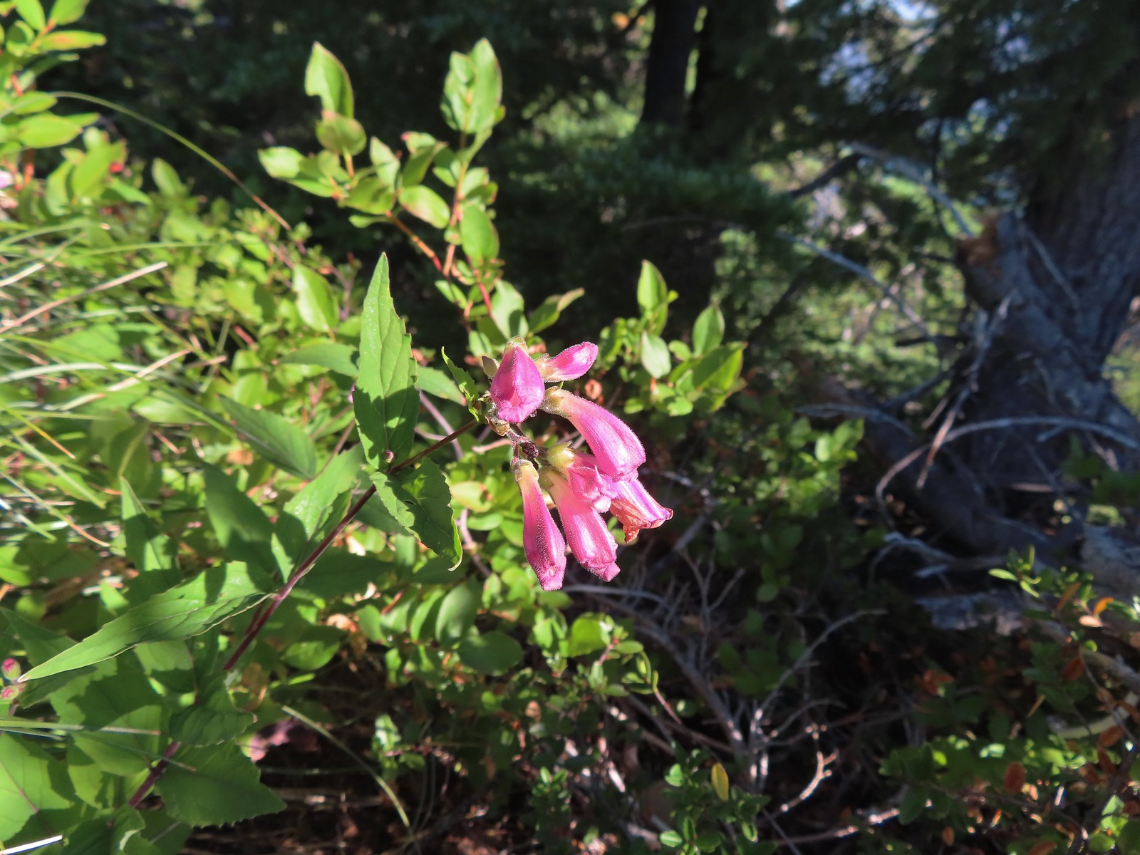 Beardstongue, August 20th – Grizzley Peak
 Shasta knotweed, August 22nd – Mt. Shasta Wilderness
 Marsh grass-of-Parnassus, August 22nd – Mt. Shasta Wilderness
 Western pasque flower, August 22nd – Mt. Shasta Wilderness
 Bigelow’s sneezeweed, August 23rd – Trinity Alps Wilderness
 Western snakeroot, August 23rd – Trinity Alps Wilderness
 A buckwheat, August 23rd – Trinity Alps Wilderness
 Autumn dwarf gentian, August 23rd – Trinity Alps Wilderness
 Saffron-flowered lupine, August 23rd – Trinity Alps Wilderness
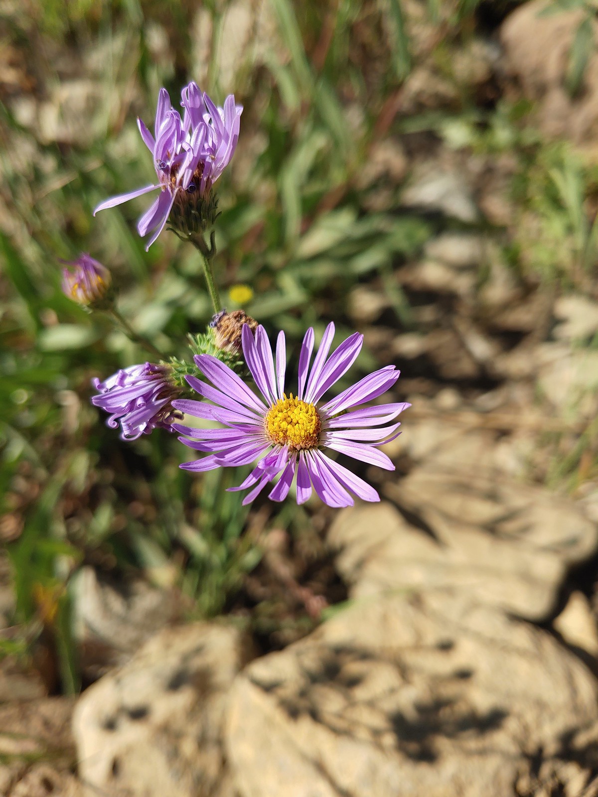 An aster or fleabane, August 23rd – Trinity Alps Wilderness
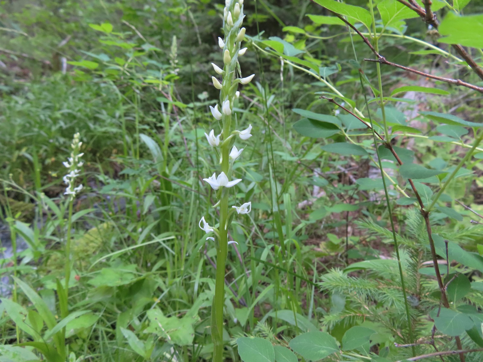
 Hooded ladies tresses, August 24th – Russian Wilderness
 Can’t seem to identify this flower on the shore of Russian Lake, August 24th – Russian Wilderness
 This one has me a bit stumped too, it looks like a wirelettuce or some sort of lewisa, August 24th – Russian Wilderness
 Buckwheat, August 24th – Russian Wilderness
 A monkeyflower (dwarf purple?), August 26th -Pacific Crest Trail near Carter Meadows Summit
 Mountain coyote mint, August 26th – Pacific Crest Trail near Carter Meadows Summit
 Sierra larkspur, August 26th – Pacific Crest Trail
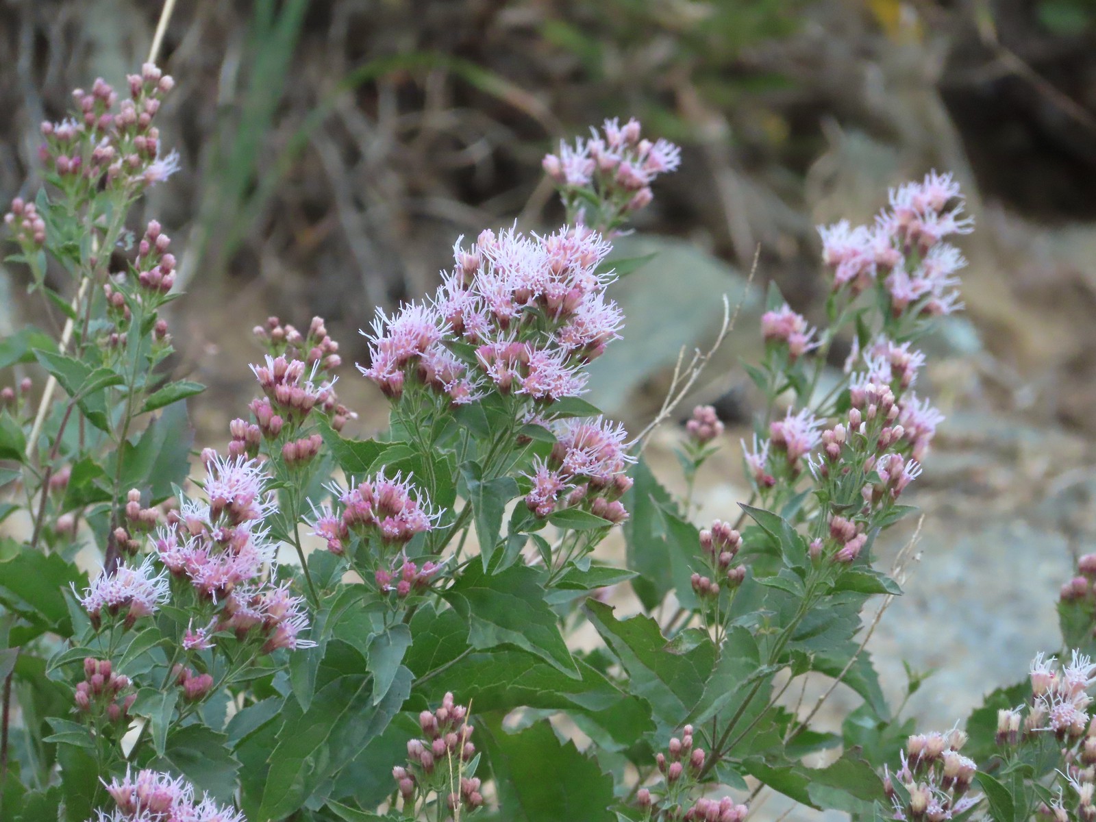
 Tasselflower brickellbush, August 26th – South Fork Lakes Trail
 Monkeyflower, August 26th – South Fork Lakes Trail
 Thistle, August 26th – South Fork Lakes Trail
 California hairbells, August 26th – South Fork Lakes Trail
 Common toadflax (non-native), September 10th – Spring Valley Greenway
 Fireweed, September 17th – Union Peak Trail
 Douglas spirea, September 18th – Sky Lakes Wilderness
 Best guess is Crater Lake collomia, September 19th – Dutton Creek Trail
 Another mystery seen near the Cold Springs Trailhead, September 25th – Sky Lakes Wilderness
We have a few wildflower hikes planned in 2023. We are hoping to see at least one or two more that we haven’t before along with plenty of familiar faces. Happy Trails!

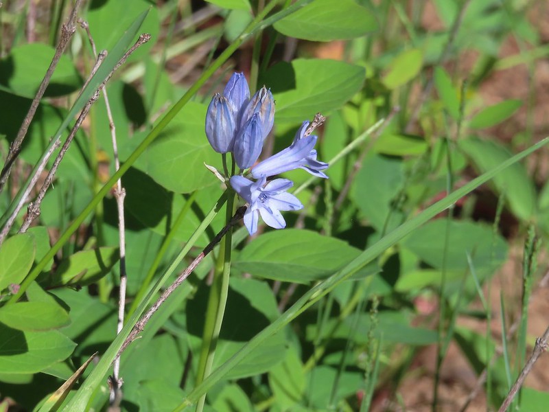
 Red larkspur with blue dicks in the background.
 Lupine
 Red larkspur, madia, blue dicks, and tomcat clover along the trail.
 Blue dicks
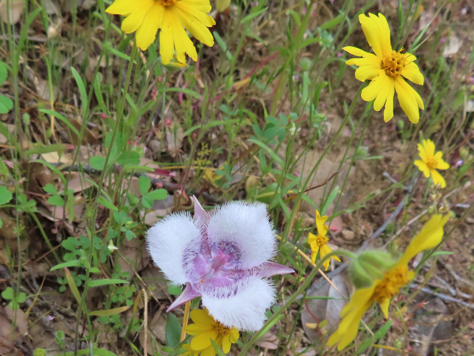 Tolmie’s mariposa lily and some madia.
 Larkspur and a red larkspur
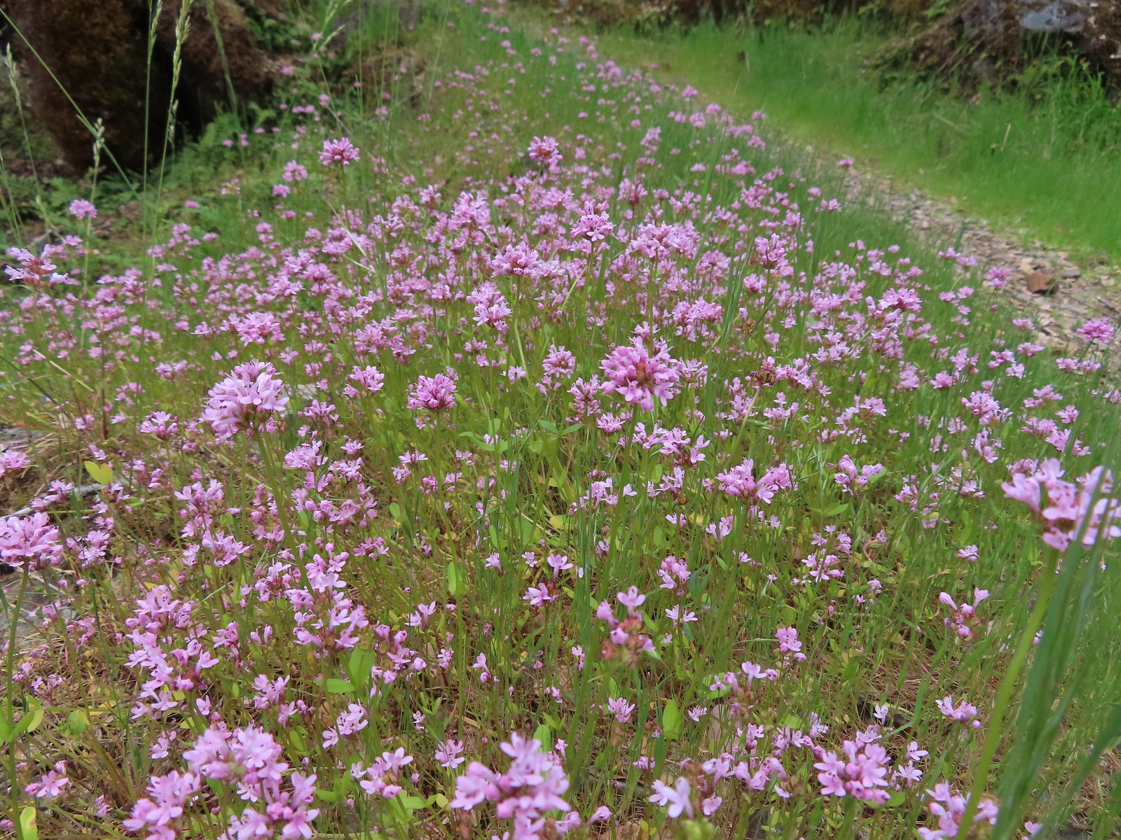 Plectritis
 Monkeyflower
 Serpentine phacelia
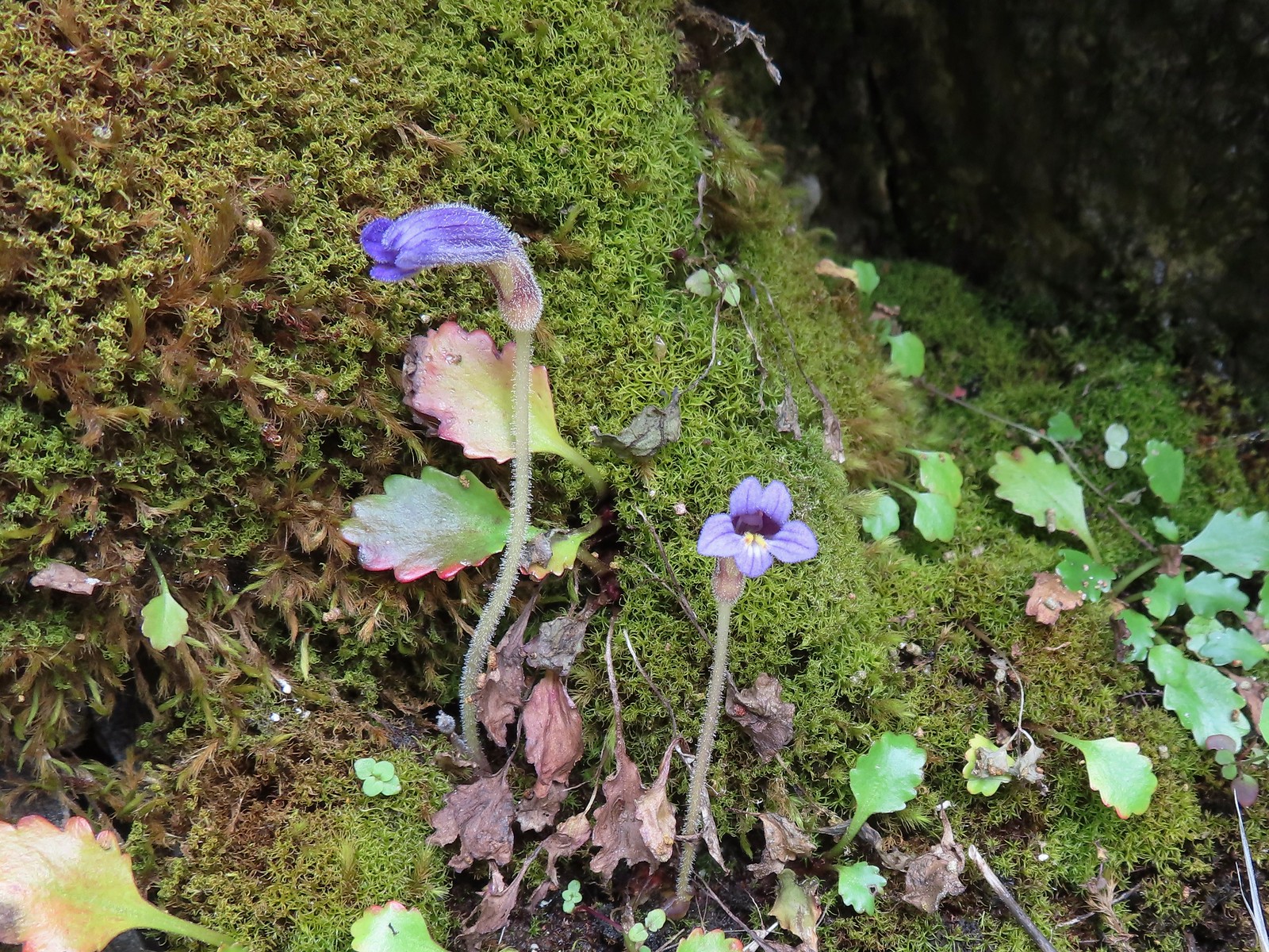 Naked broomrape
 Camas with monkeyflower and plectritis
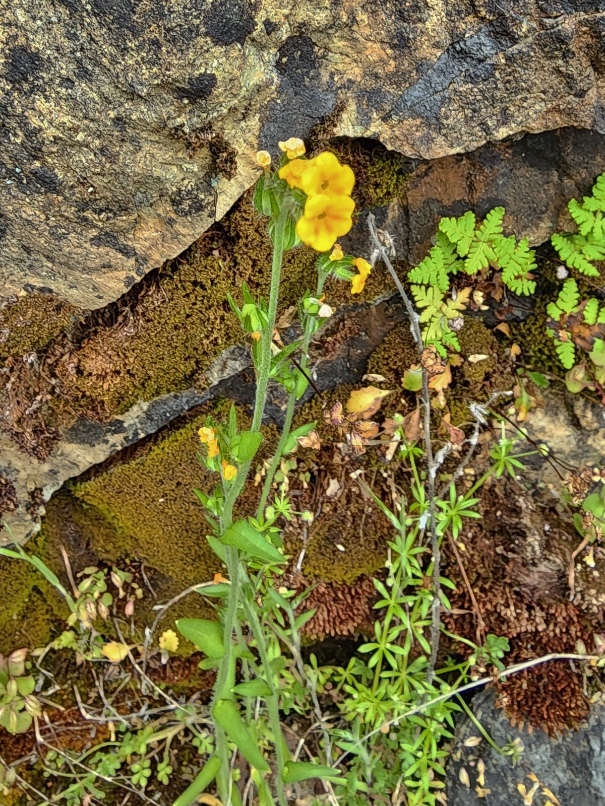 Fiddleneck
 Saxifrage
 A darker red larkspur
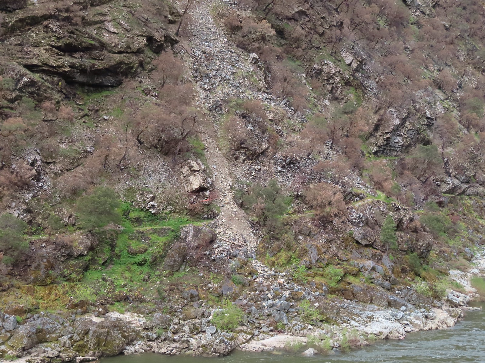 Some of the damage to the trail to Rainie Falls on the opposite side of the river.
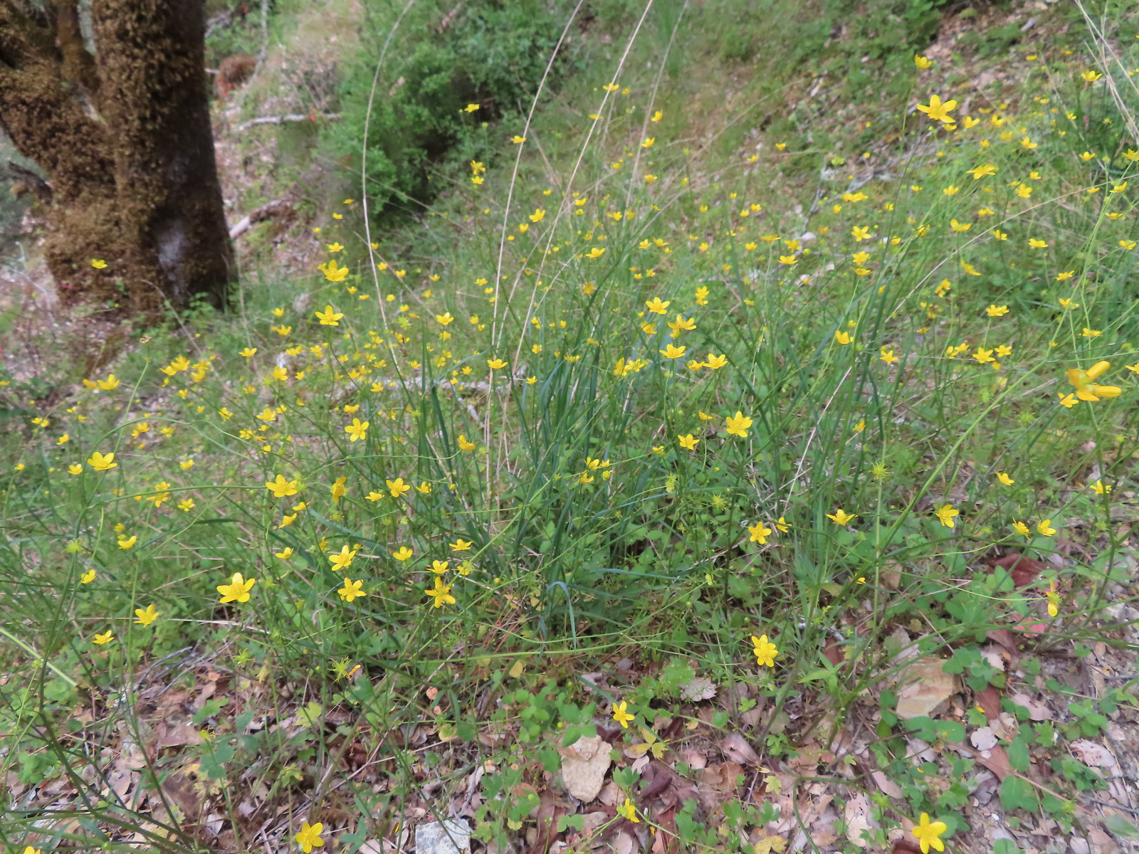 Buttercups
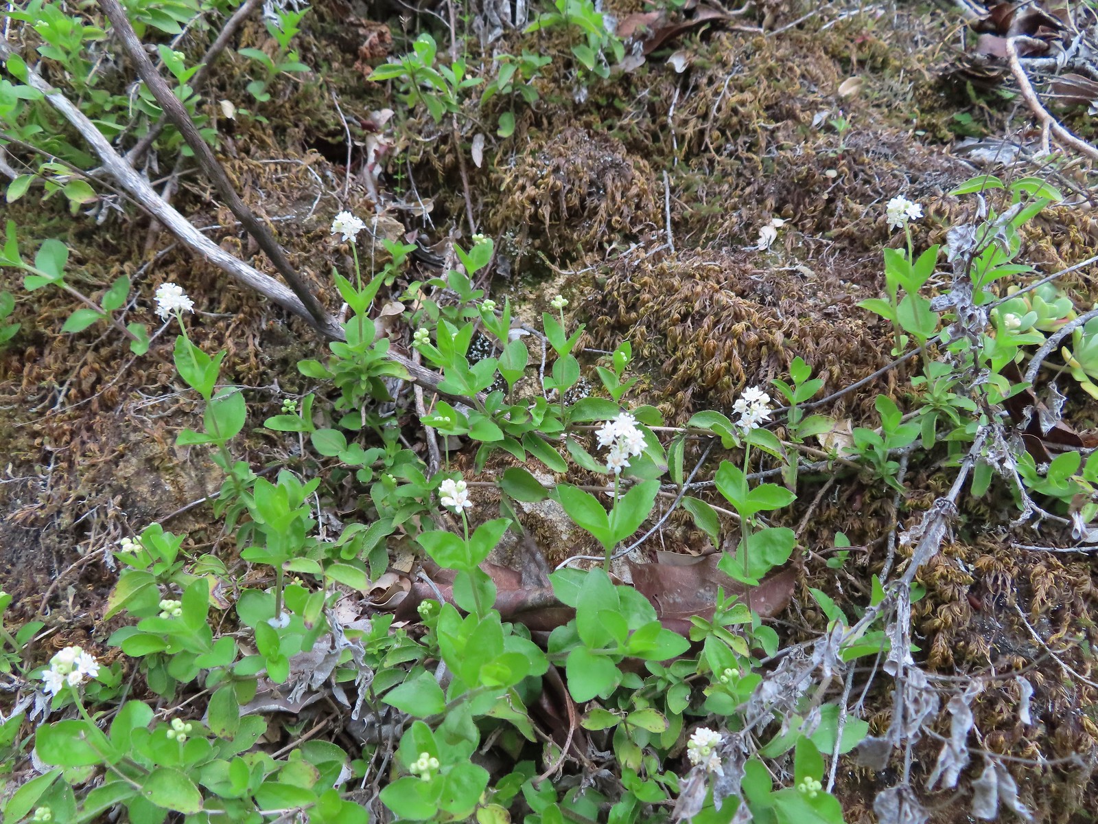 Common whipplea
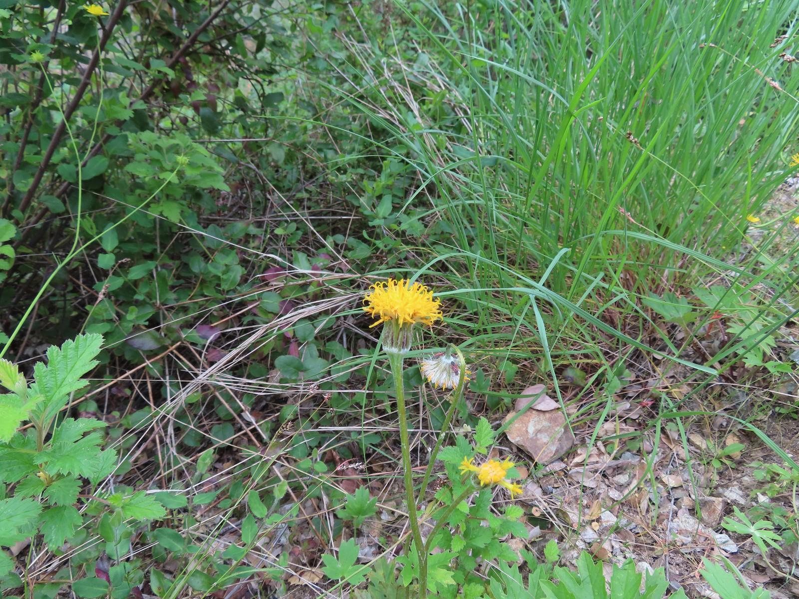 Silver crown
 The wet rock here was sneaky slick.
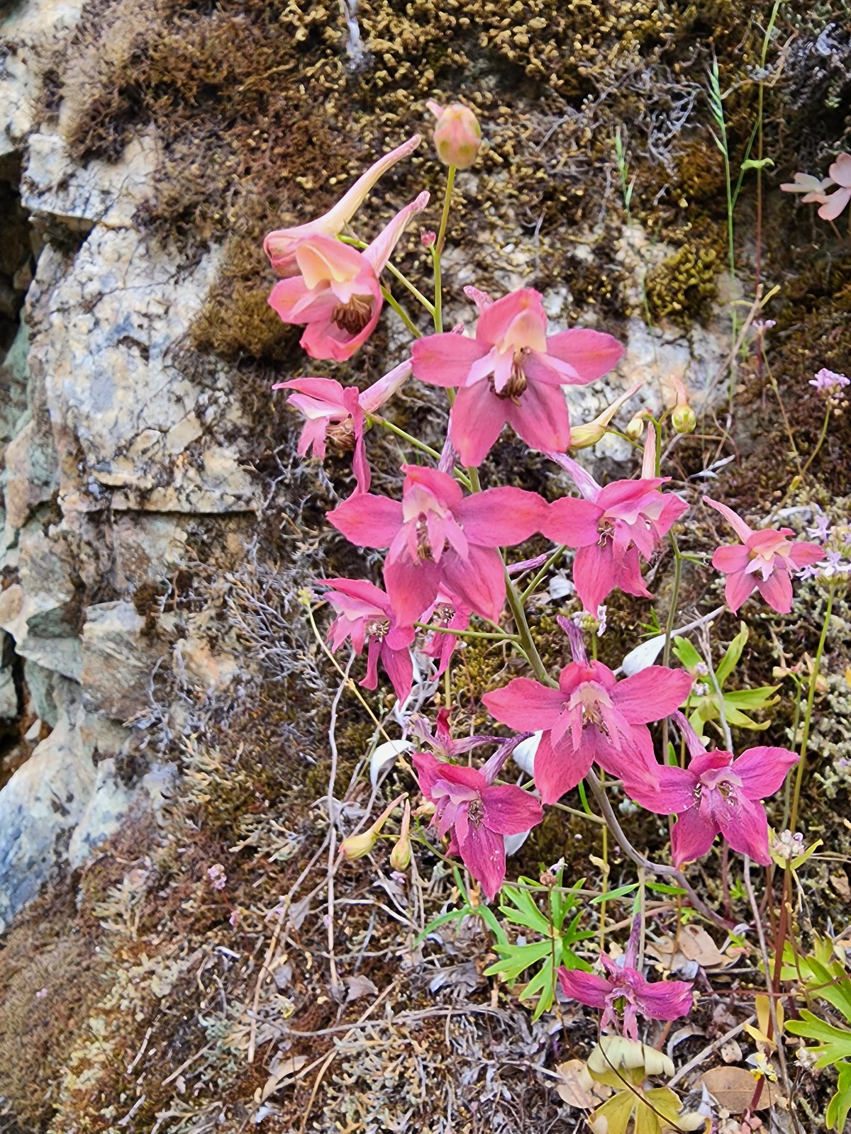 We spotted a couple of pink larkspur.
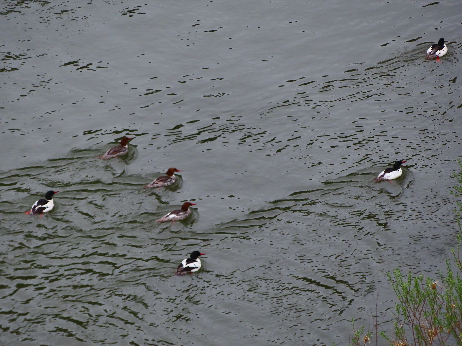 Common mergansers
 Common cryptantha
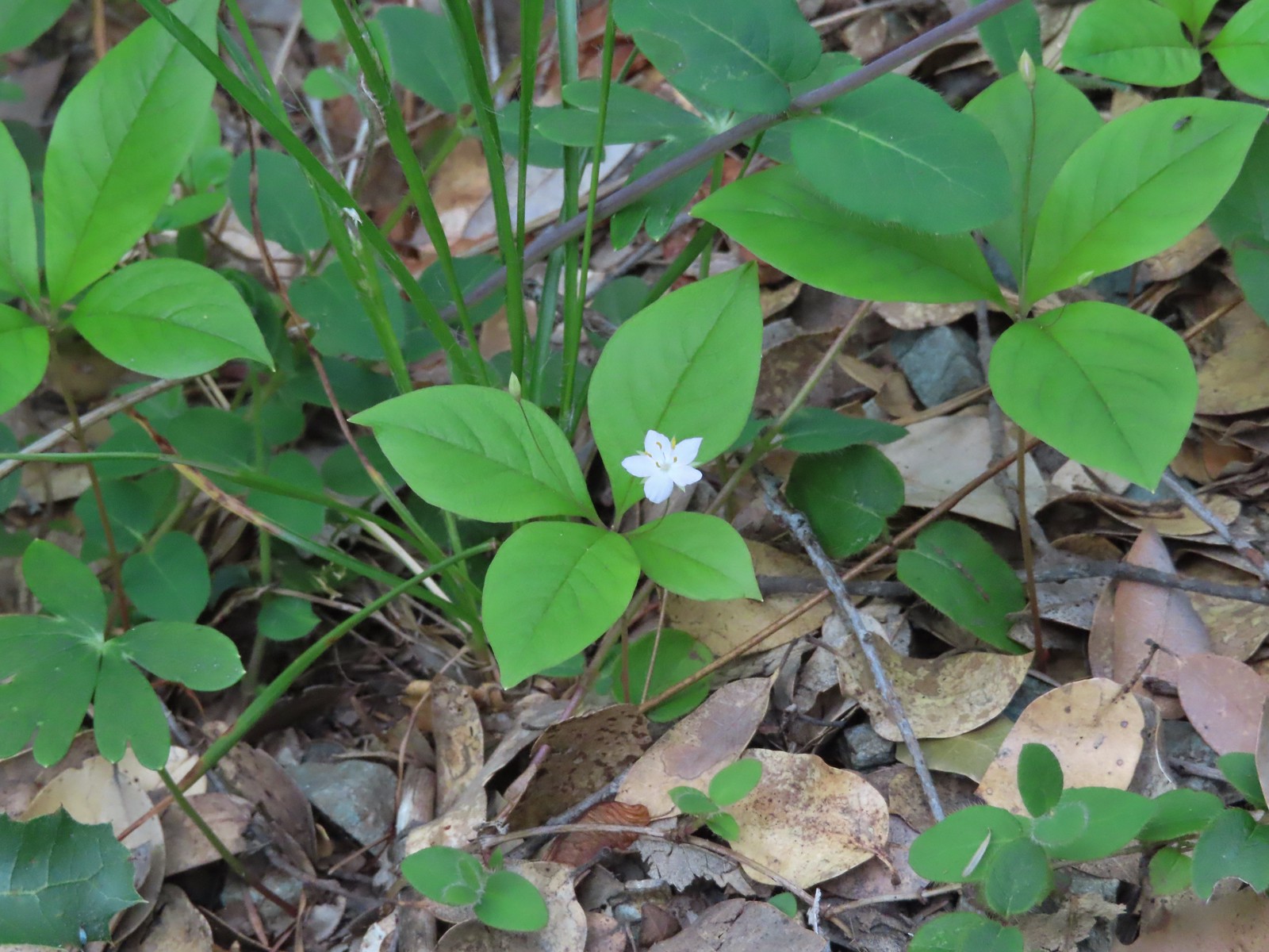 Starflower
 Paintbrush
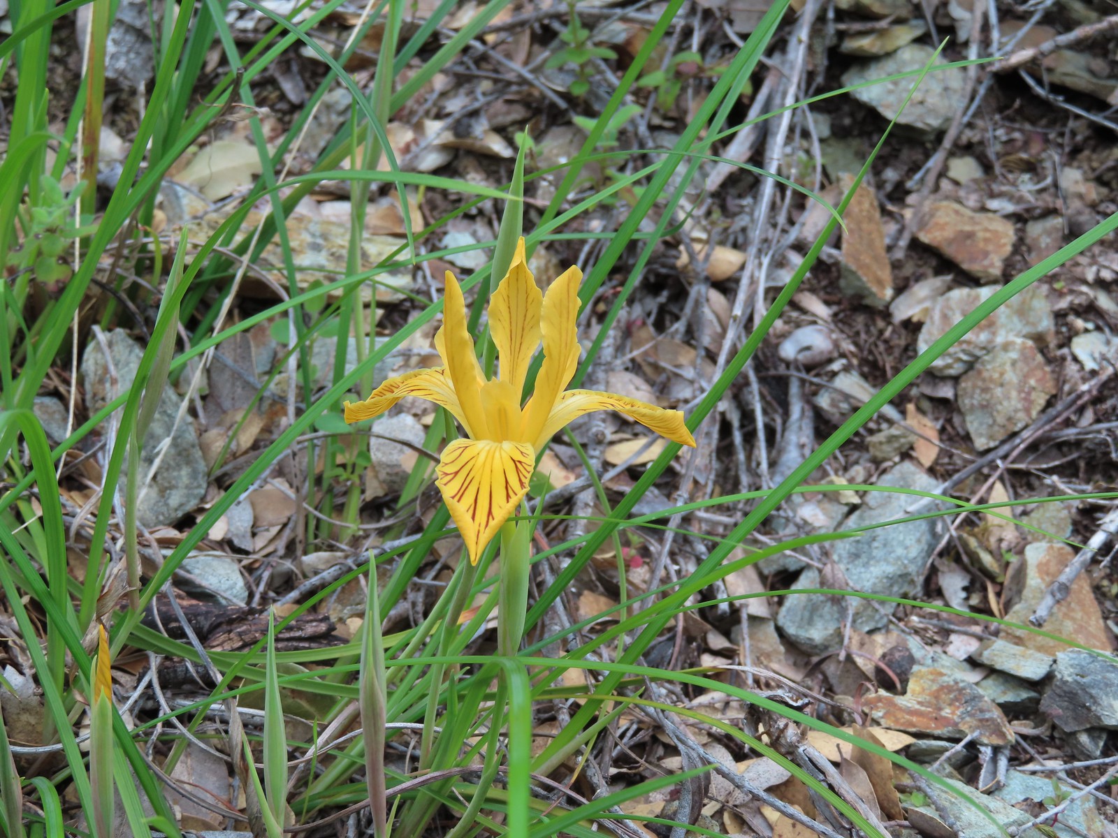 Del Norte iris
 Coastal manroot
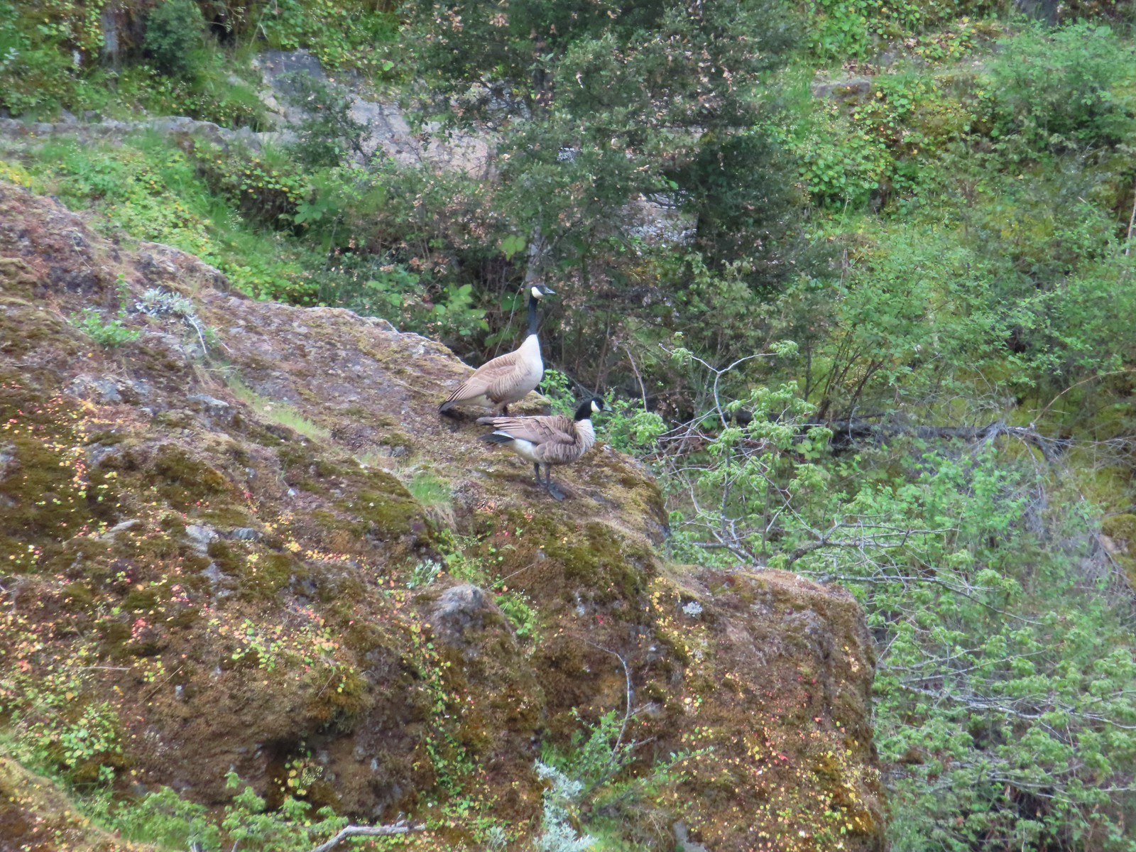 Canada geese
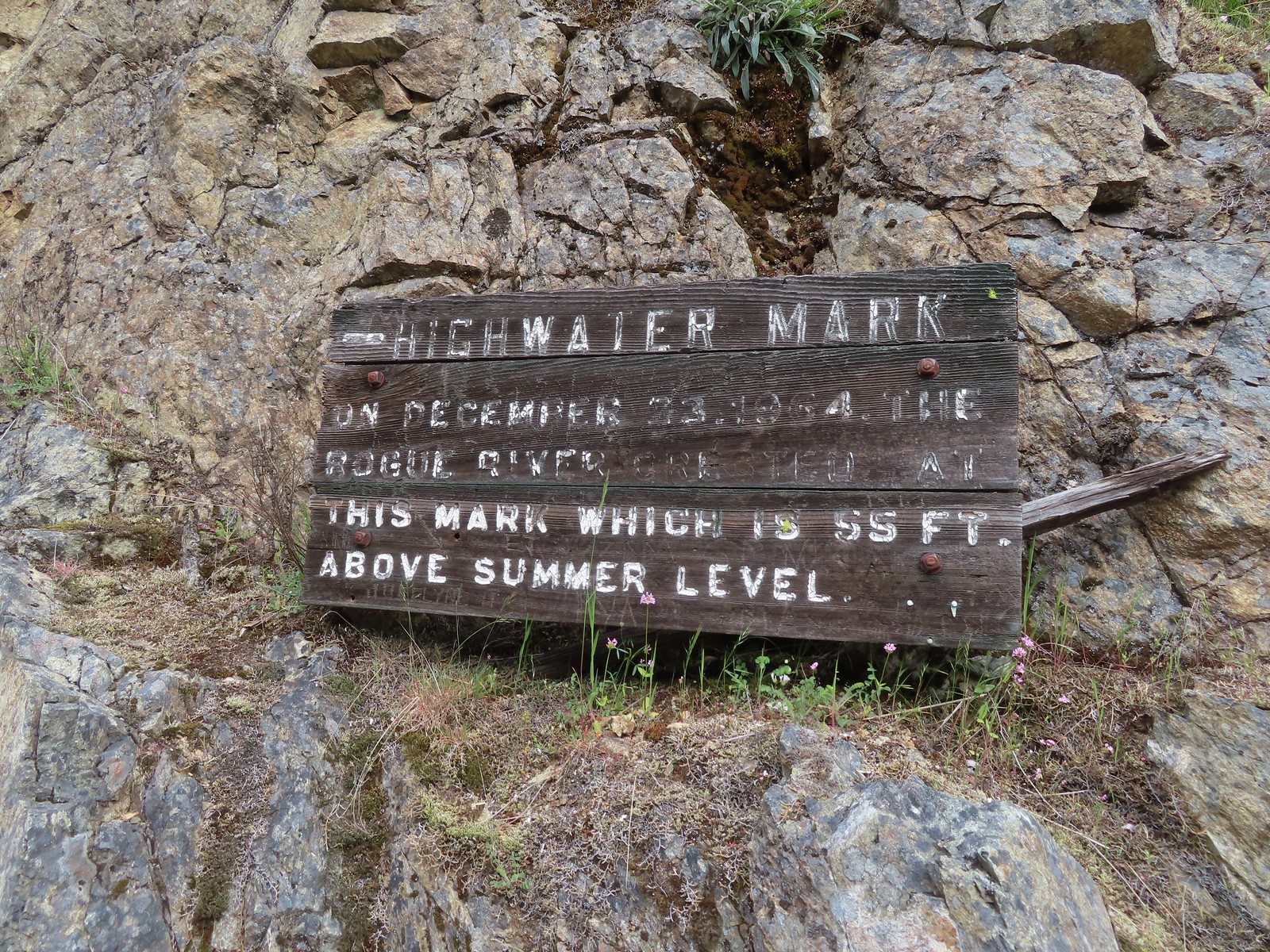
 Looking back upriver from the high water sign.
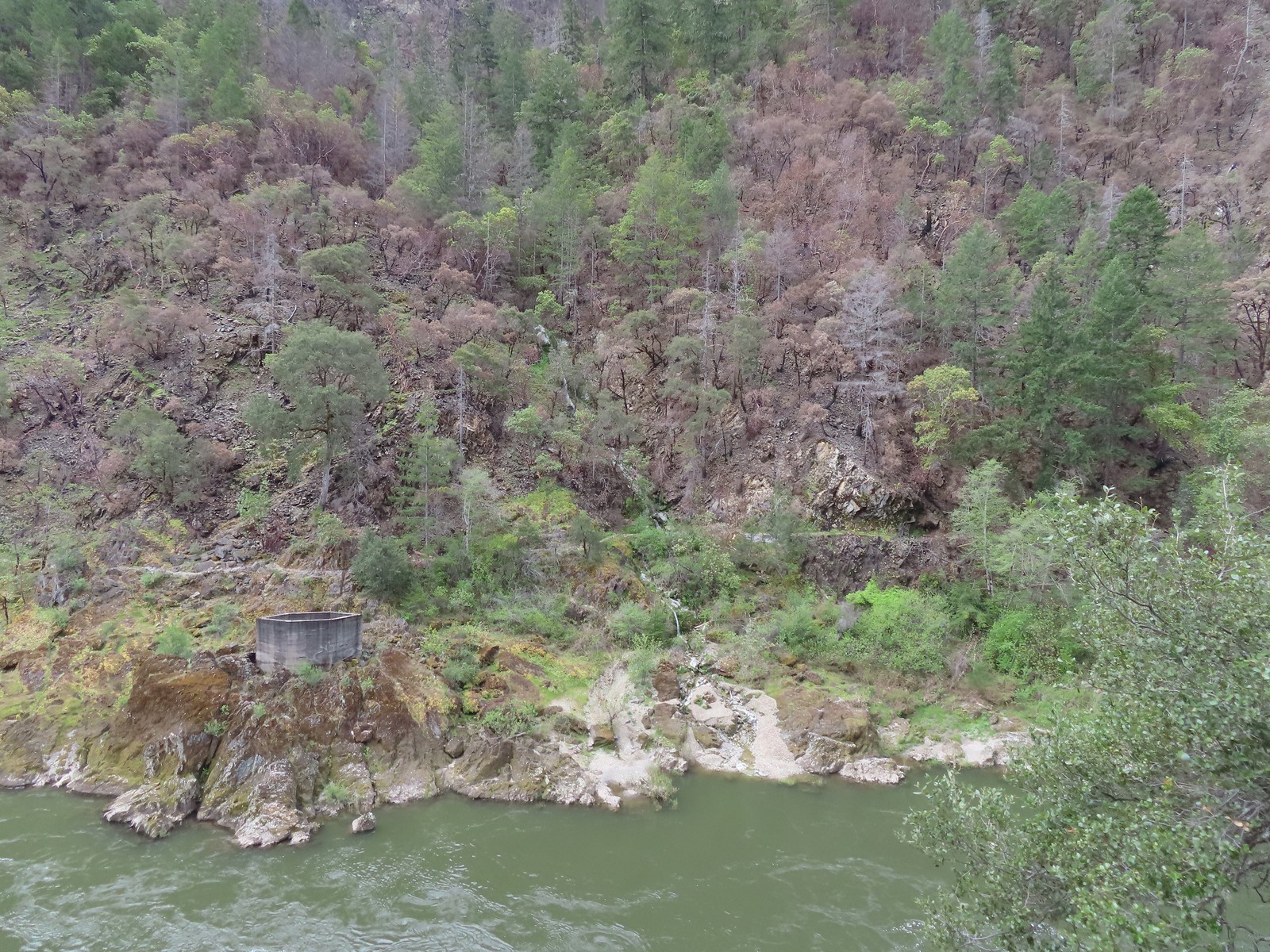 Sanderson Bridge site
 Golden-crowned sparrow
 Scarlet fritillary
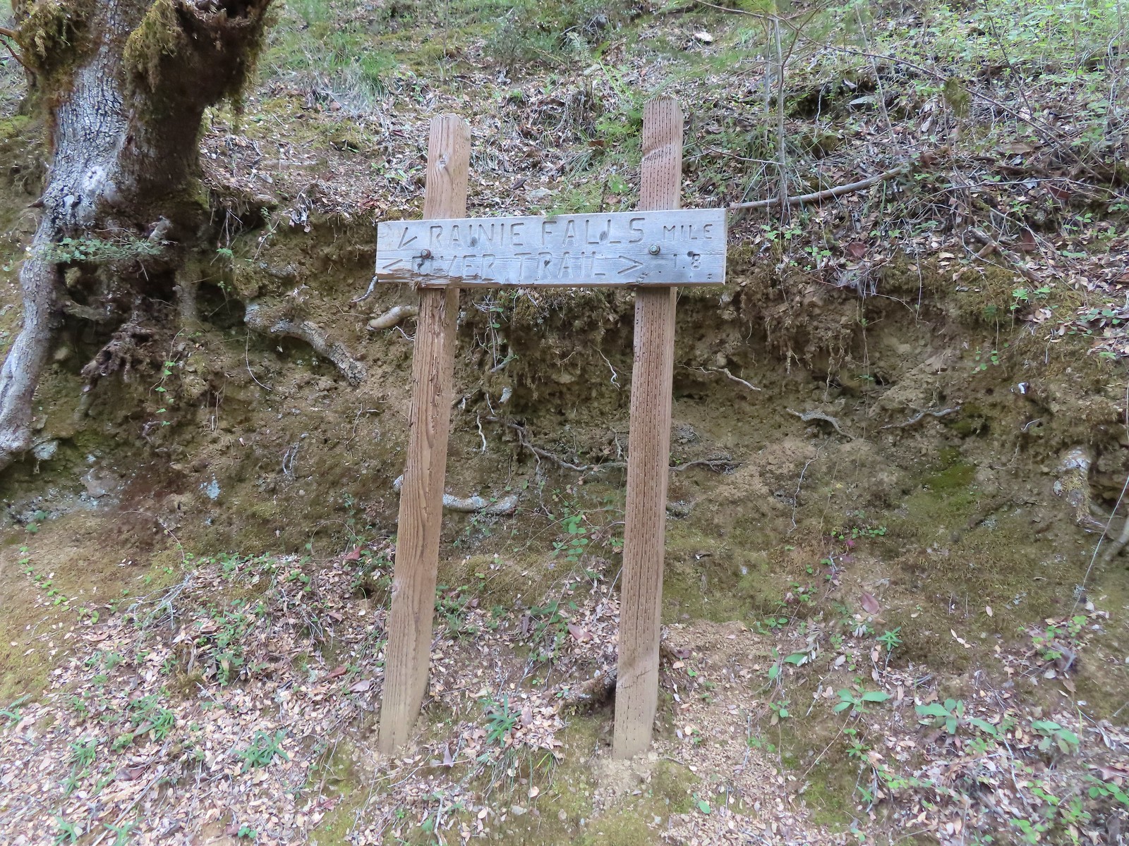
 White campion
 The only water we could make out on the far side of the river.
 Bullock’s oriole
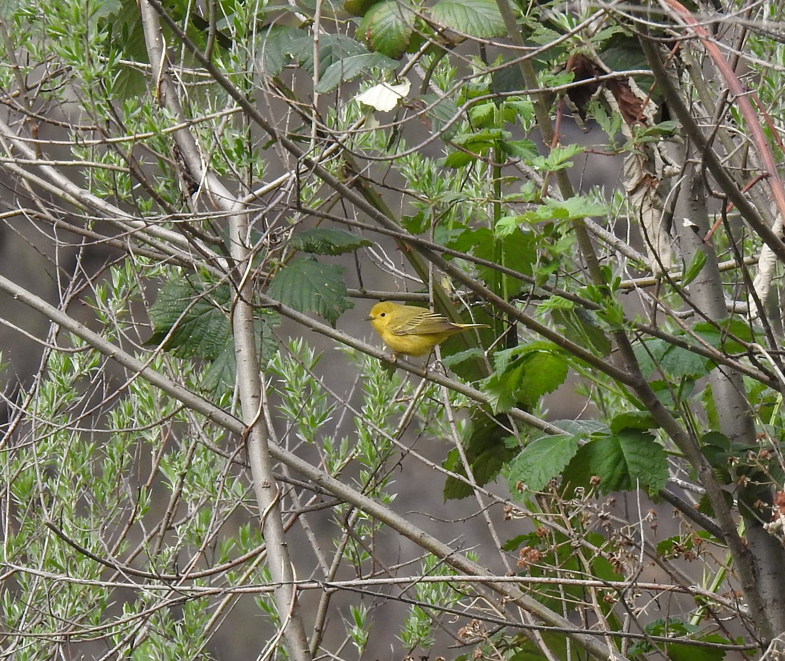 Yellow warbler
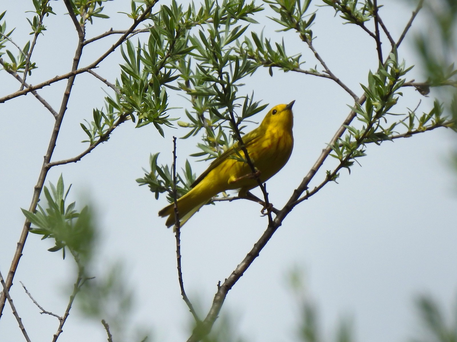 Yellow warbler
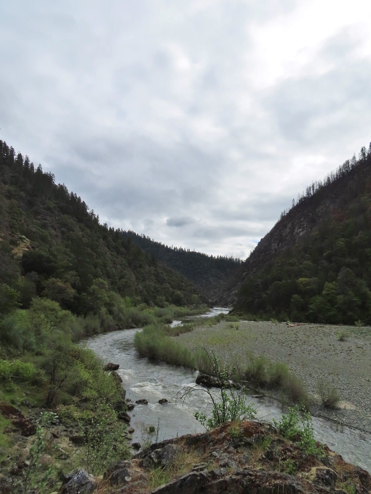
 Sandy beach along the Rogue River.
 Shooting star
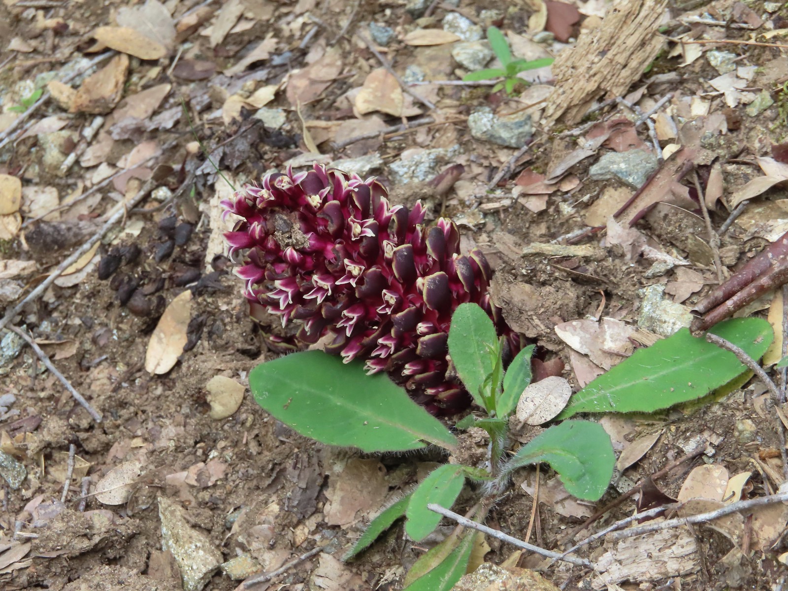 California groundcone
 Small-flowered woodland-star
 Approaching China Gulch
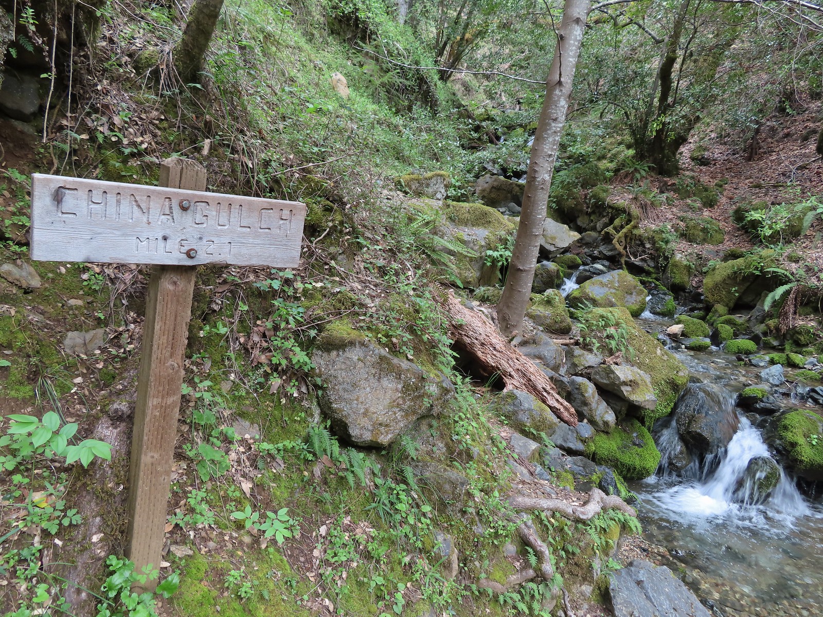
 Vetch
Vetch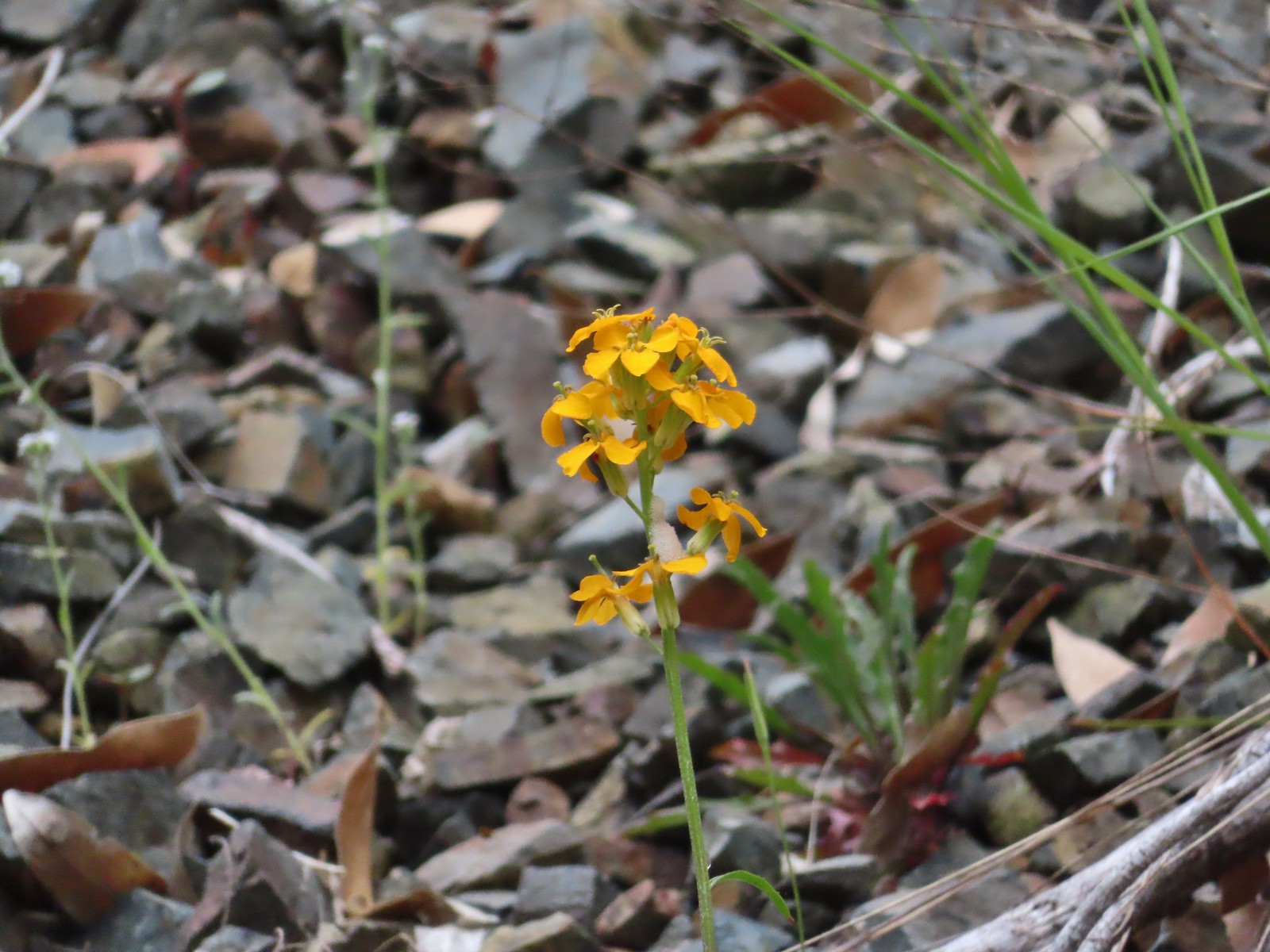 Wallflower
 Silverpuffs
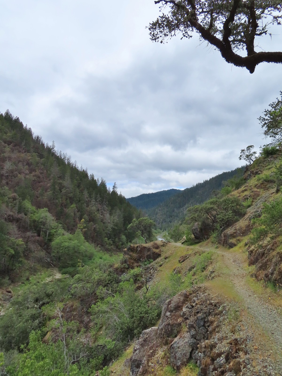
 This manzanita was particularly striking in person.
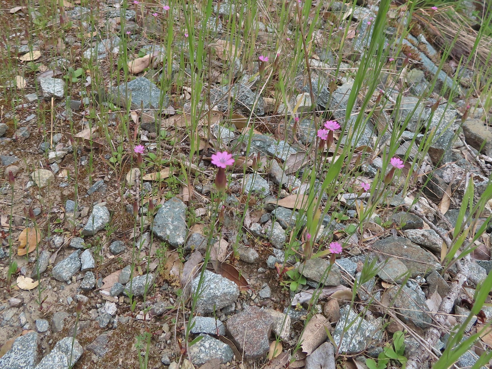 Hairy pink
 Robin
Robin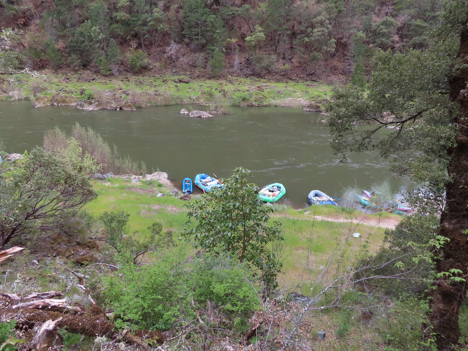 Rafts at Whiskey Camp.
 Whiskey Creek
 Footbridge over Whiskey Creek
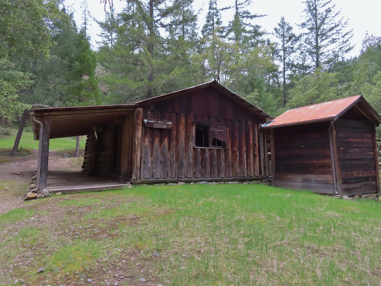
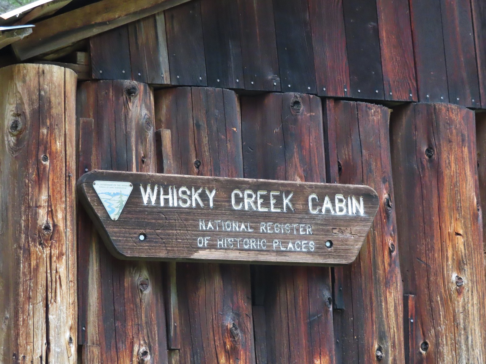
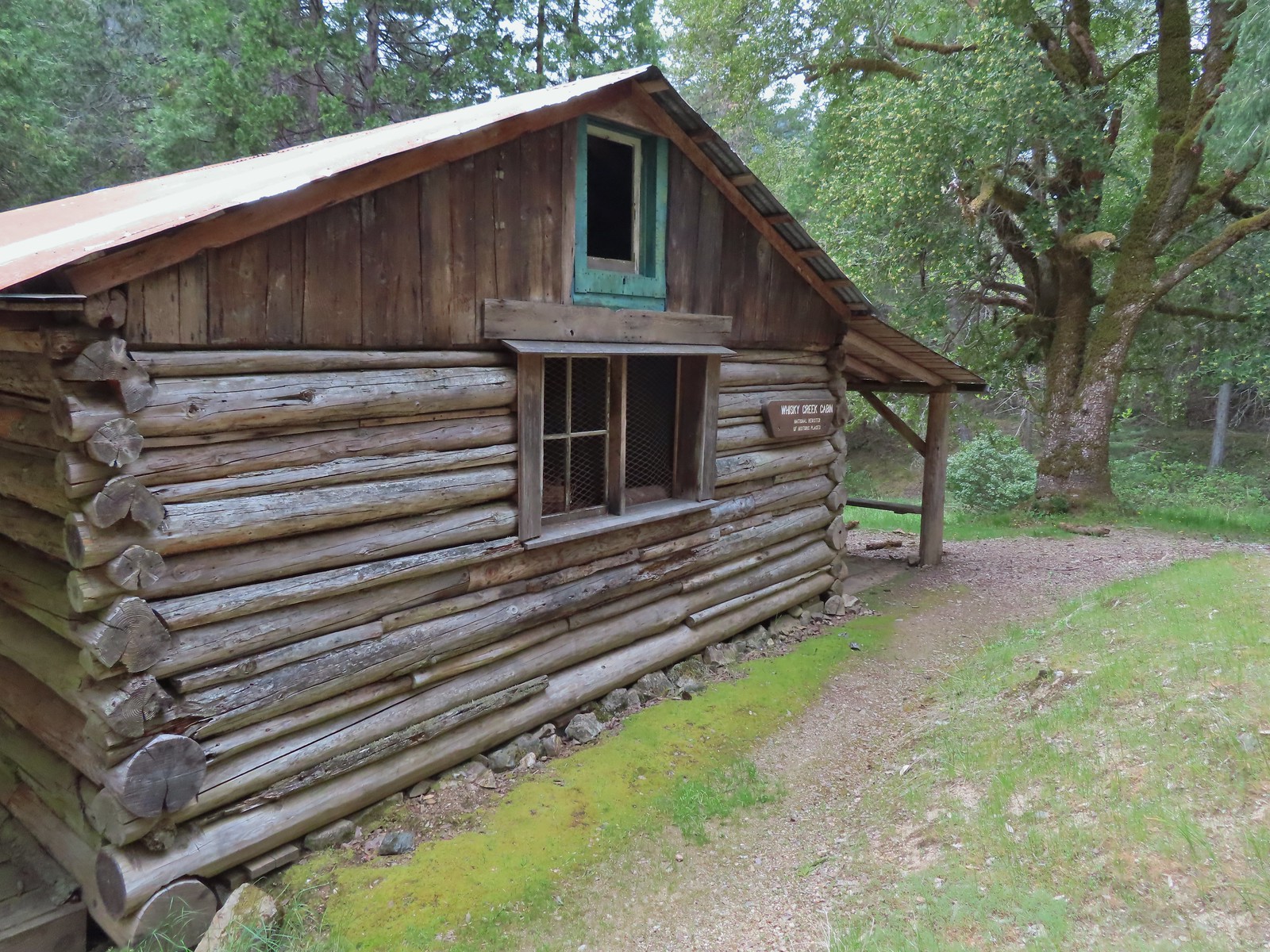
 Sign at the spur trail to the cabin.


 Del Norte irises
 Big Slide Camp to the left.
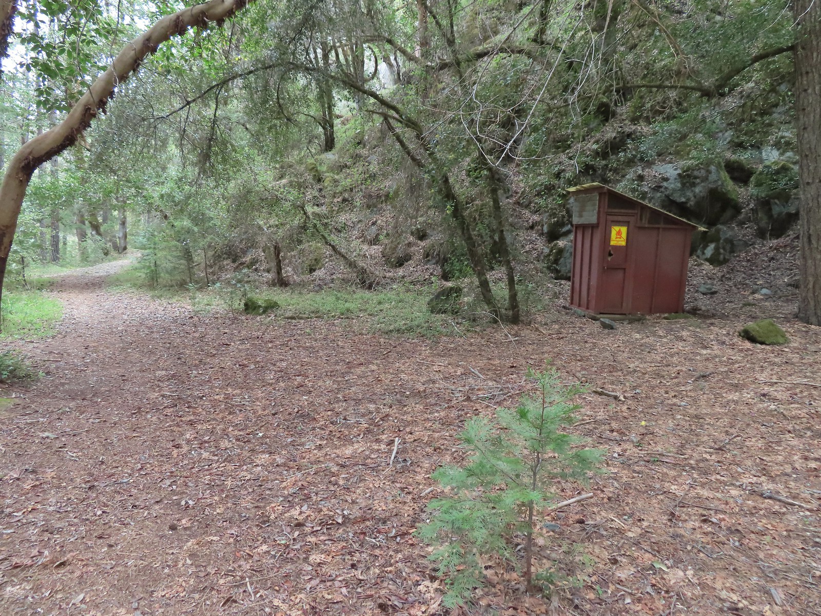 Outhouse at Big Slide Camp.
 Common mergansers
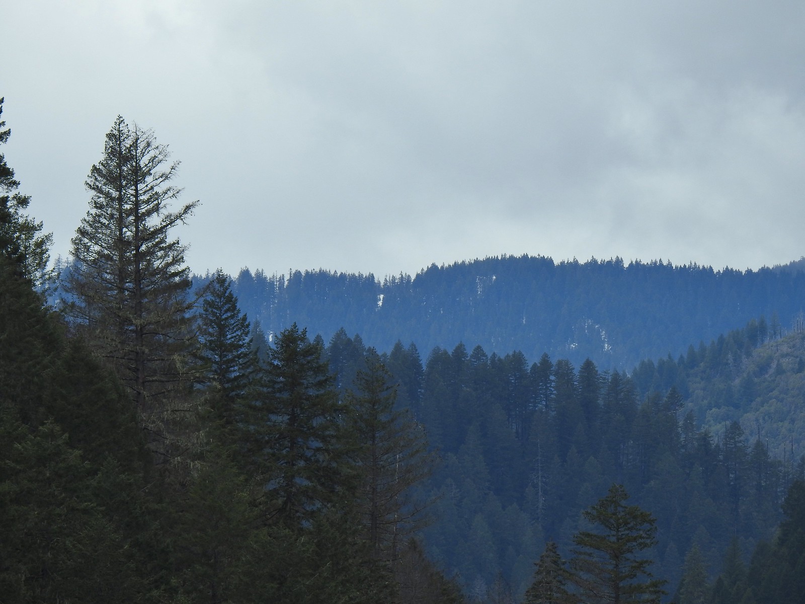 Snow on a ridge above the Rogue River Valley. (This was a sign of issues for us later in the week.)
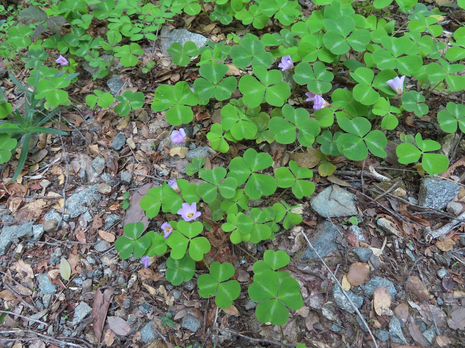 Redwood sorrel along Whiskey Creek.
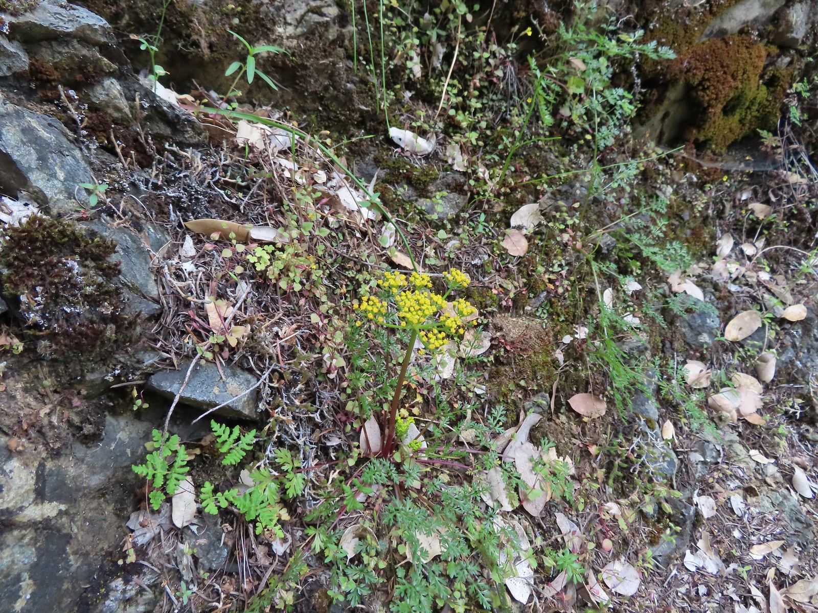 Buiscuitroot
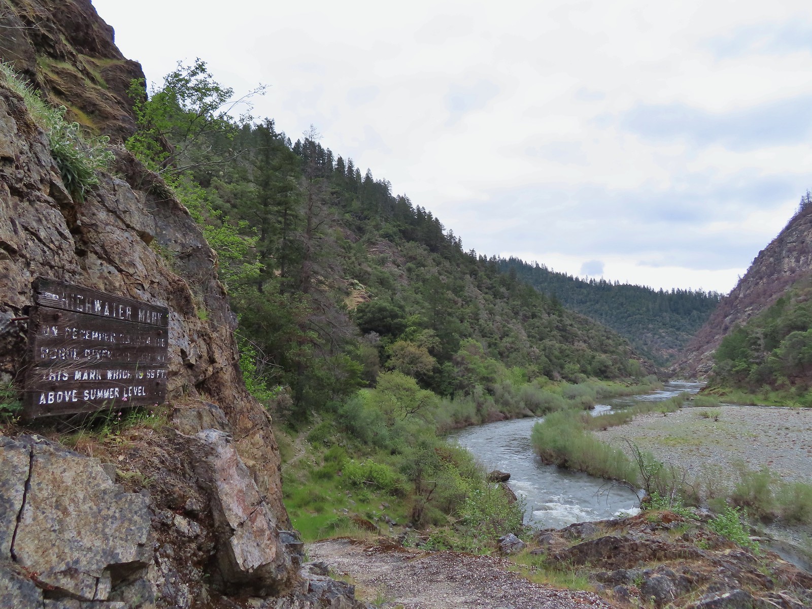 Passing the high water mark.
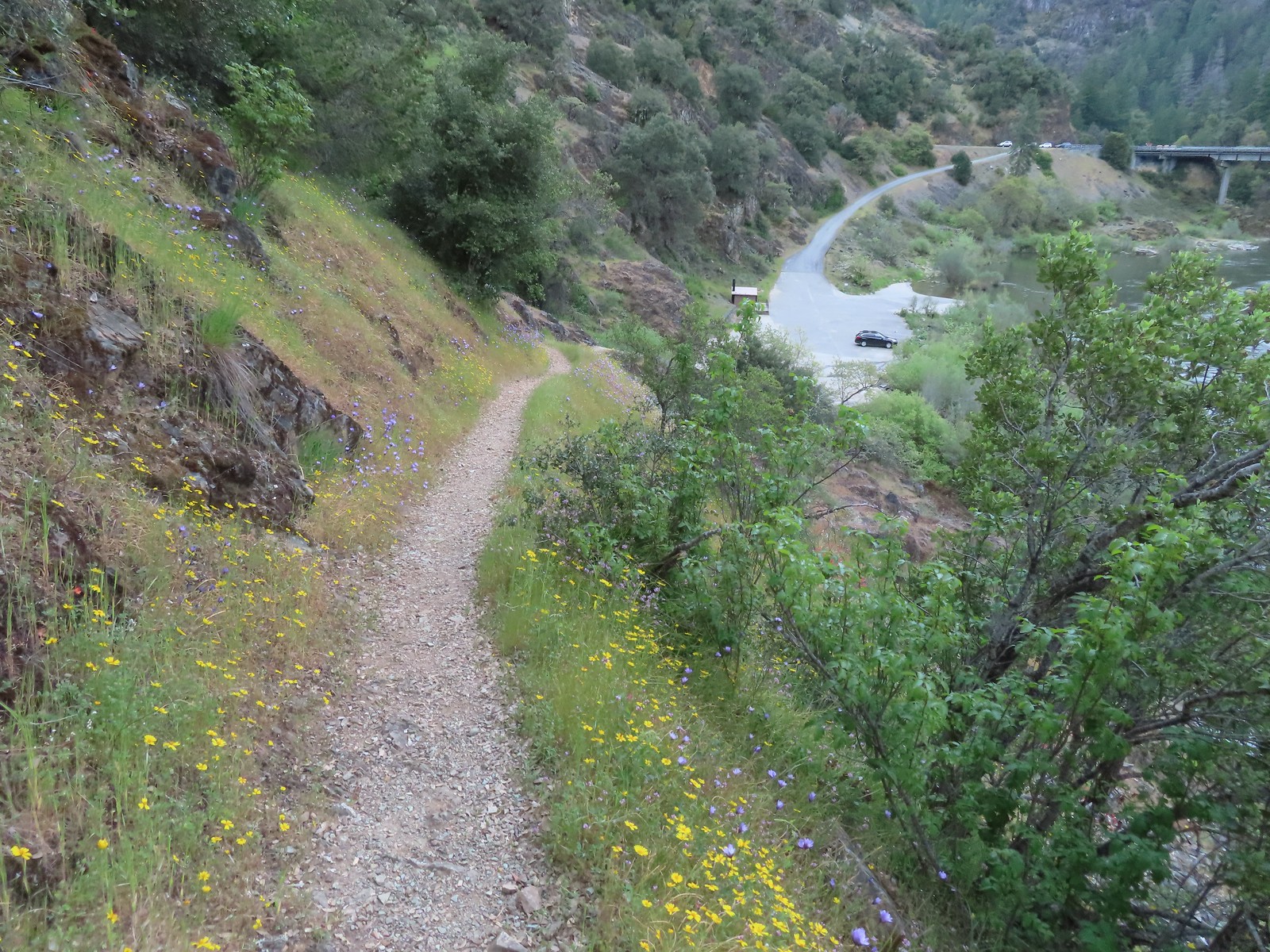 Arriving back at the trailhead.


 The Riley Camp Trail (Trail 64) on the opposite side of FR 23.


 We weren’t aware that the Forest Service was employing wilderness greeters.
 May I see your self-issued permit?
 The trail was in pretty good shape with just a few downed trees to step over/under.
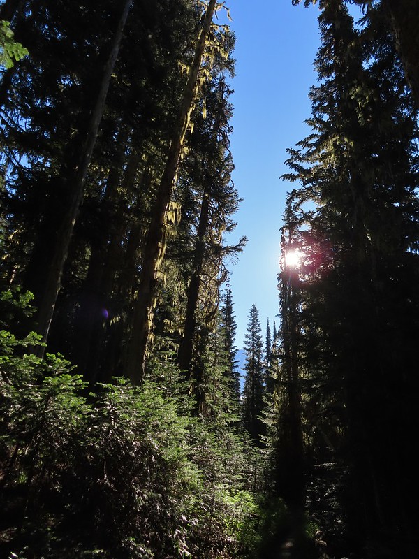 First look at Mt. Adams through the trees.


 Luna Lake
 Aster
Aster

 More Mt. Adams.
 Paintbrush and lupine

 Sub-alpine mariposa lily
 Riley Creek along the trail.
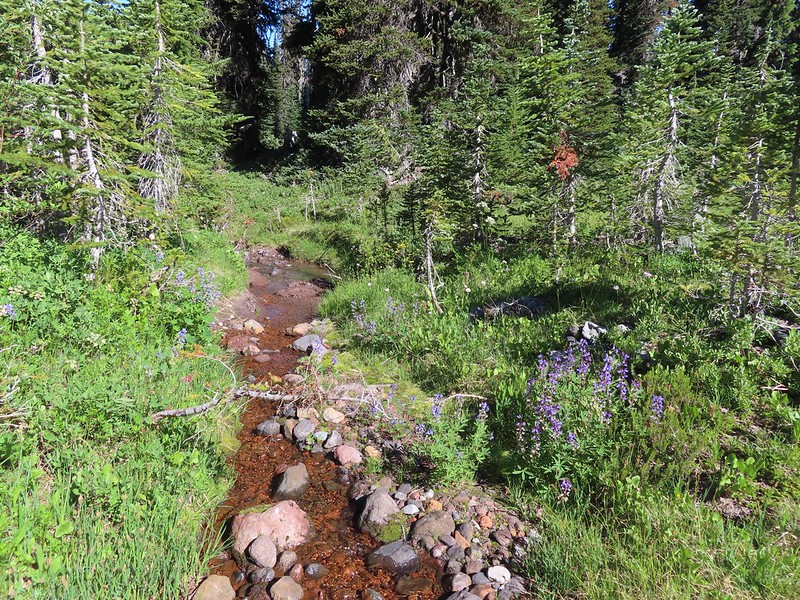 Riley Creek at the crossing.
 A trail sign up ahead at the junction.
 PCT marker on the tree.
 Riley Creek below the PCT crossing.
 White mountain heather
 A nice paintbrush
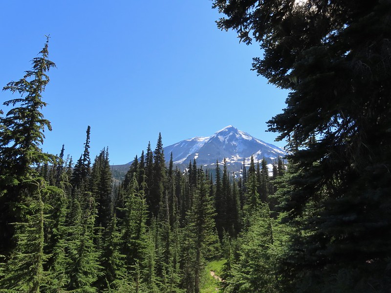 Mt. Adams behind us as we headed south.
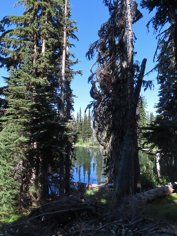 Sheep Lake
 Mt. Rainier behind a line of clouds.
 Burnt Rock behind the snags left over from the 2012 Cascade Creek Fire.
 Alpine false dandelion
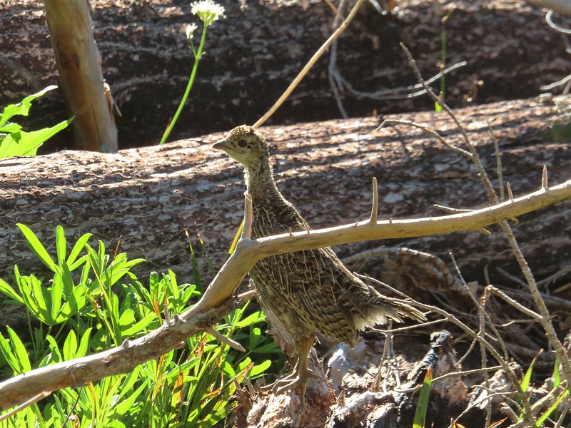 Grouse

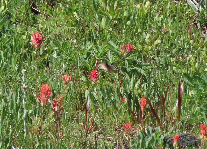 Hummingbird visiting paint.
 Mountain heather

 On the final pitch.
 Mt. Rainier and Goat Rocks
 Phlox
Phlox Almost there.
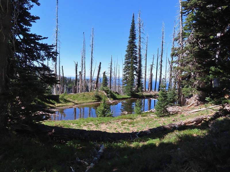 Not Crystal Lake, just a pretty little tarn nearby.
 Mt. Rainier
 Just a bit of snow left around 6300′.
 The little tarn we’d passed.
 While not big Crystal Lake was deep.
 View down from the rocky ridge on the south side of the lake.
 The rocky ridge along the south side of the lake.
 We continued a tenth of a mile beyond the lake for a dramatic view of Mt. Adams.
 We could hear a waterfall below on Riley Creek.
 Zoomed in on the waterfall below.
 Crystal Lake from above.
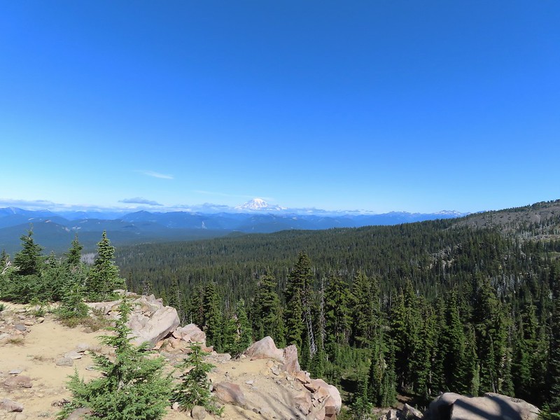 Mt. Rainier with Goat Rocks to the right.
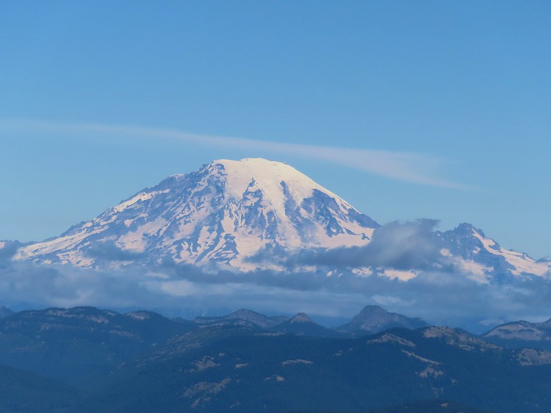 Mt. Rainier
 Some of Goat Rocks.
 Golden-mantled grounds squirrel


 Getting ready to drop down.
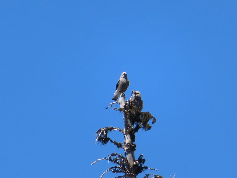 Clark’s nutcrackers
 Butterfly on mountain heather.
 Saxifrage
 Violet
 Alpine speedwell
 A checkerspot
 A crescent
 Mountain bluebird
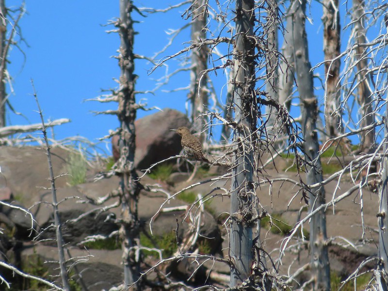 Northern flicker
 I’m guessing a warbler of some sort. We saw quite a few of these little yellow birds but had a hard time actually getting a photo.
 Mt. Adams from the PCT.
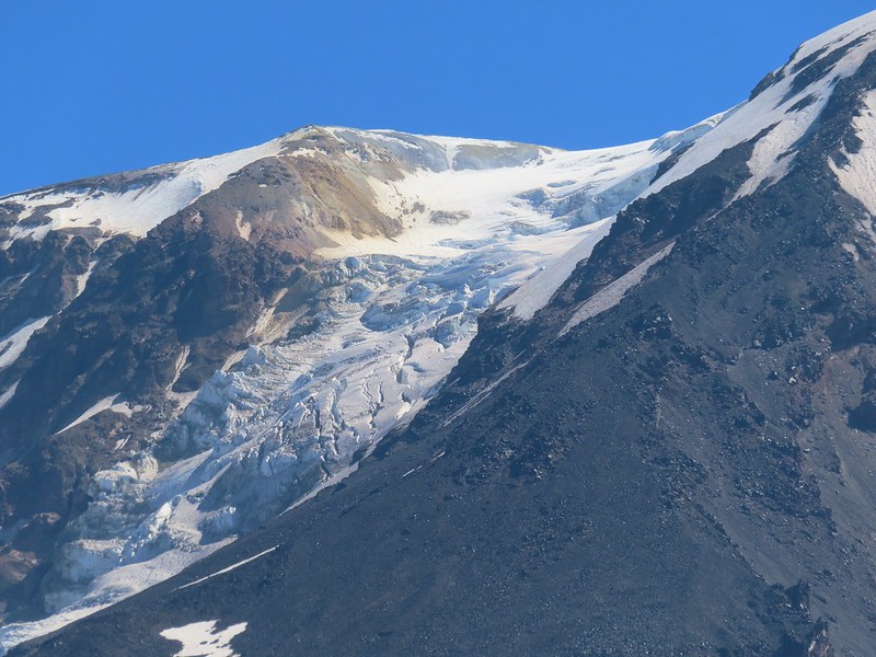 Adams Glacier
 Riley Creek at the PCT crossing.
 Wildflowers along the PCT.
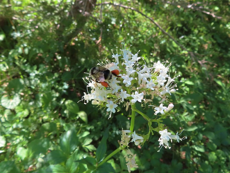 Bee on valerian
 Butterfly on valerian
 Another butterfly on valerian
 Looking back at Mt. Adams from the Riley Camp Trail.
 Passing through Riley Creek Meadows.
 Gentian
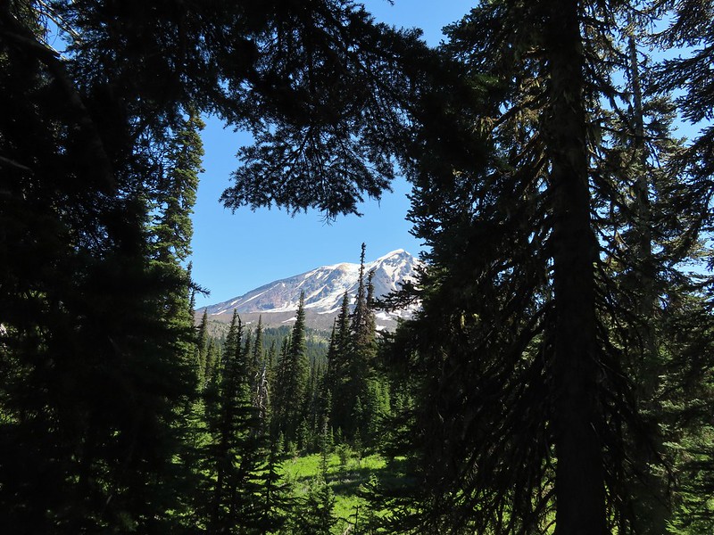
 We only saw a couple of beargrass blooms.
 Pollinators on fleabane.
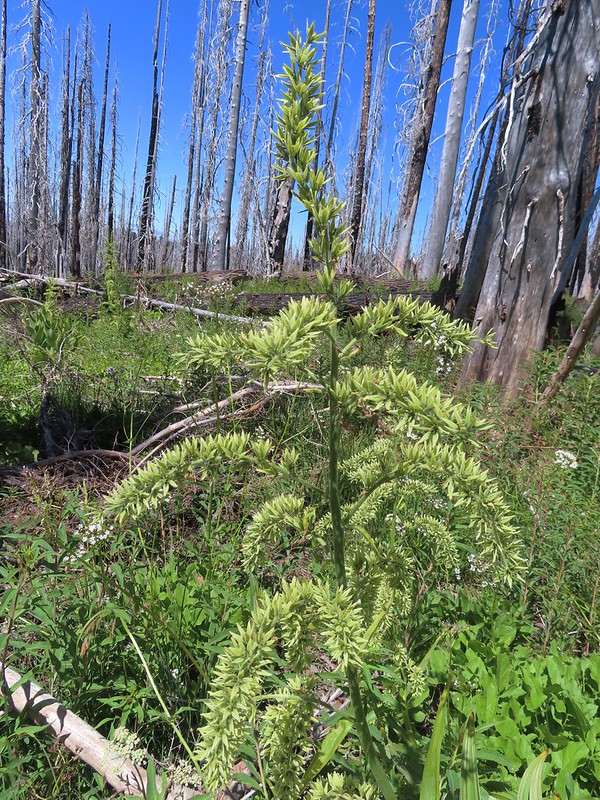 False hellebore
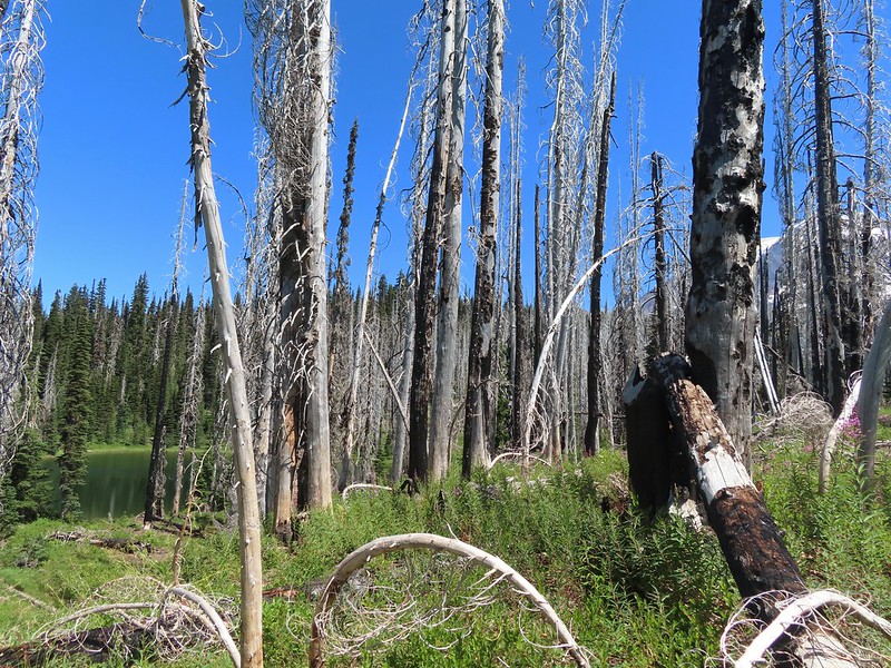 Luna Lake and Mt. Adams from the trail.

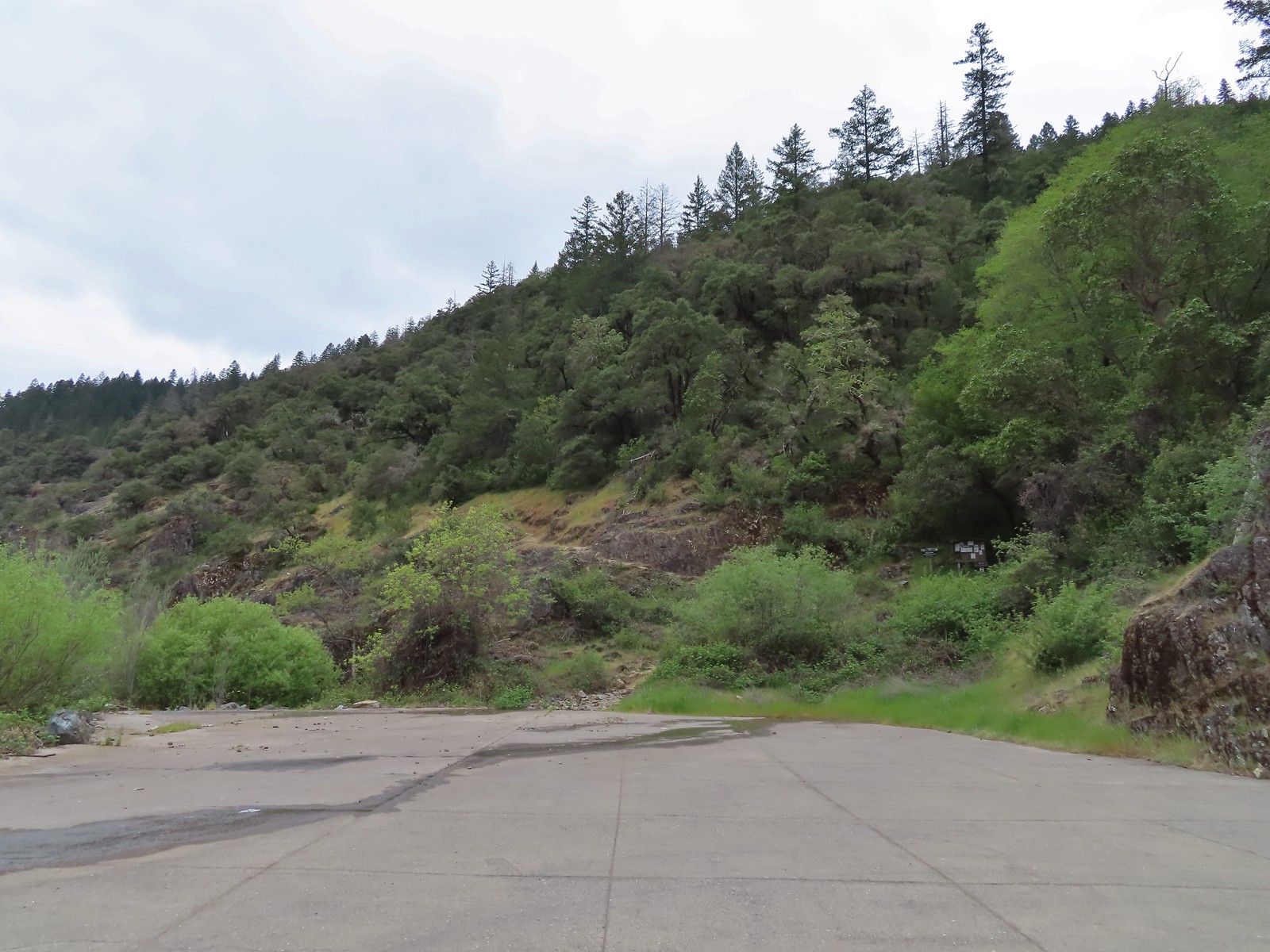
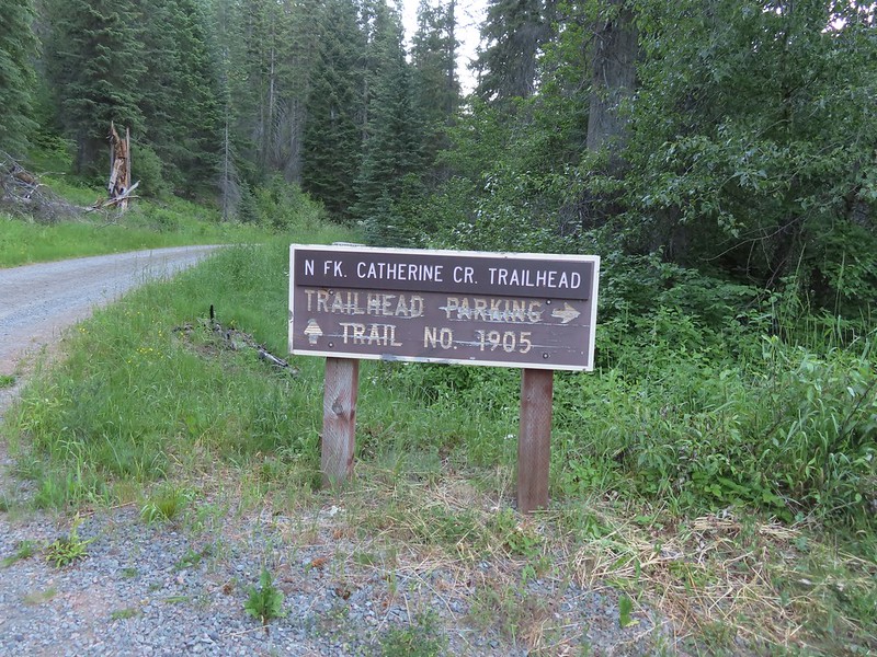
 We parked about 200′ north of the actual trailhead per a suggestion by Sullivan in his guidebook.
 The Rock Springs Trail at FR 62.
 The trail passed a large rock field just below FR 62 and then entered the
 Lupine
 Coralroot

 The edge of the storm clouds.
 Scarlet gilia along the trail.
 Oregon sunshine and tapertip onion
 Nettle-leaf giant hyssop
 View from the trail before the first “viewpoint”.
 Oregon checker-mallow
 Assorted wildflowers
 Blue sky following the storm clouds.
 Scabland penstemon
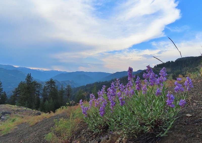 Penstemon near the first “viewpoint”.
 Yarrow
 Douglas dustymaiden
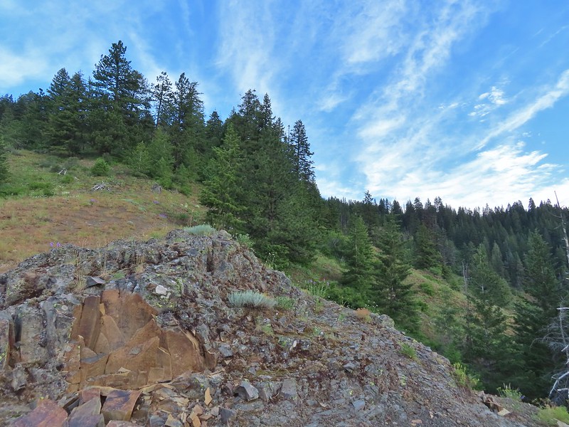 Looking back from the viewpoint.
 Buckwheat
 The Point Prominence Lookout atop the high point to the left.
 Ballhead sandwort
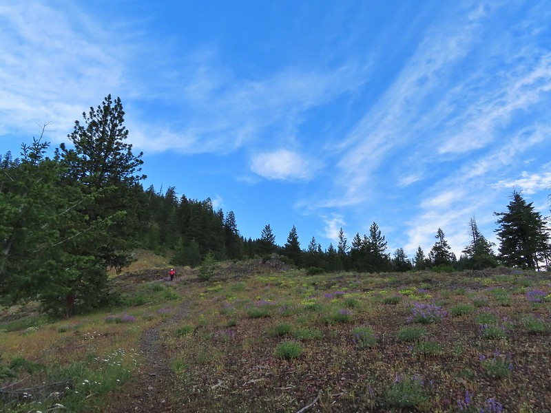 Heather coming down from the viewpoint.
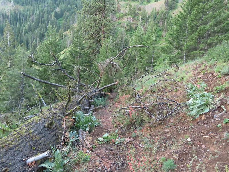 Blowdown over the trail.
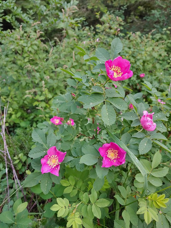 Nookta rose
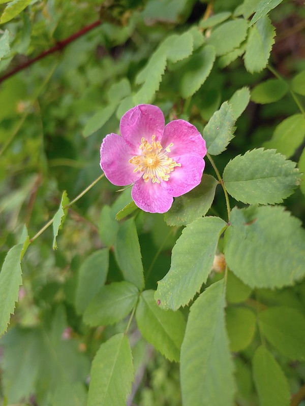 Wood rose
 View to the SE deeper into the Wallowas.
 Mountain parnassian?
 Back in the trees.
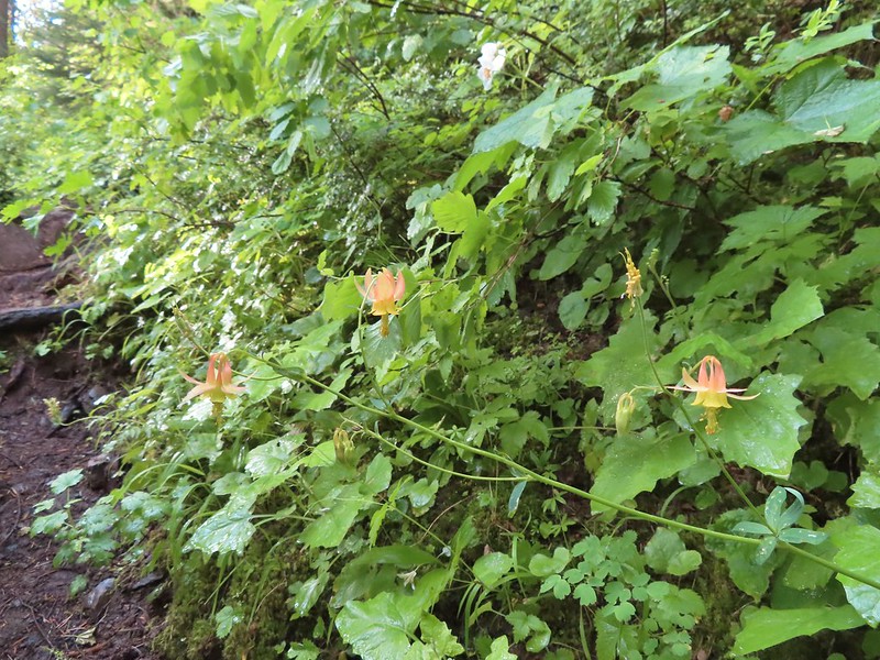 Some pale columbine. At first we thought it might be yellow columbine but it definitely had a red tint.
 Thimbleberry crowding the trail. The storm had left a lot of water on the vegetation which in turn wound up on our legs and shoes.
 Heading down into the valley.
 Elkhorn clarkia
 Approaching the second viewpoint.
 Backbone Ridge which separates the Minam and Little Minam Rivers. We had crossed over that ridge further south on Tuesday when we took the Horse Ranch Trail from Moss Springs to the Minam River (post).
 Grand collomia
 Prairie smoke
 Mock orange along the trail.
 Twin flower and foam flower
 Sign marking the junction of the Rock Springs and Little Minam Trails.
 Possibly a wasp of some sort near the junction.
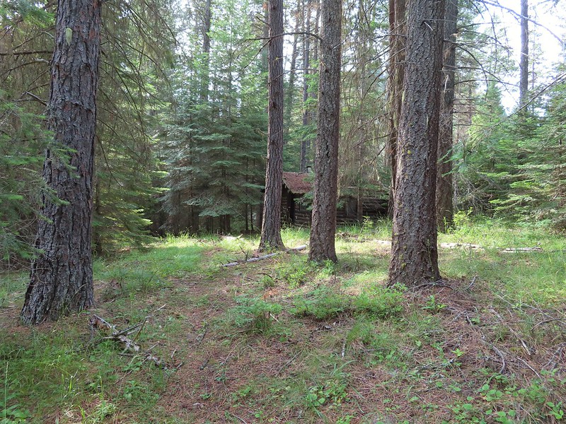 The first cabin ruin.
 Almost looks okay from this angle.
 Not so good from this angle.
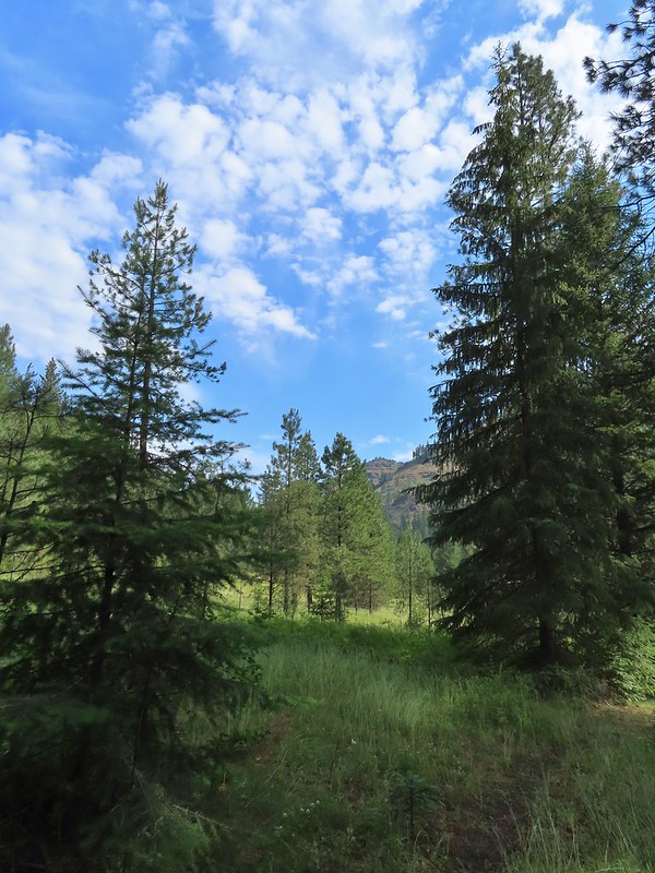 The lodge was at the edge of this meadow.
 The lodge
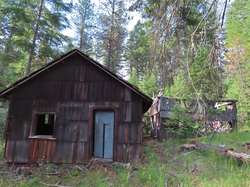
 The fireplace seems to have held up well.
 This cabin didn’t hold up.

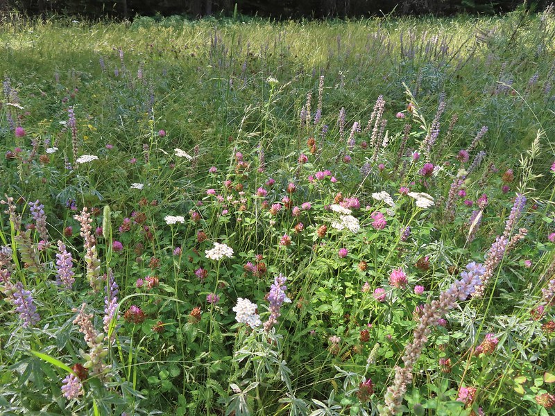 Wildflowers near the watering hole.
 The Little Minam River. We couldn’t quite see the confluence of the two rivers from here despite being very close.


 The dangerous ford.
 Here we tried looking for horse hoof prints to stick to the trail.
 Butterfly on yarrow.
 We think this was the trail.
 The campsites where we picked up the Rock Springs Trail again.
 Lorquin’s admiral
 Looking across the gully we could see the trail cut climbing up the far hillside.
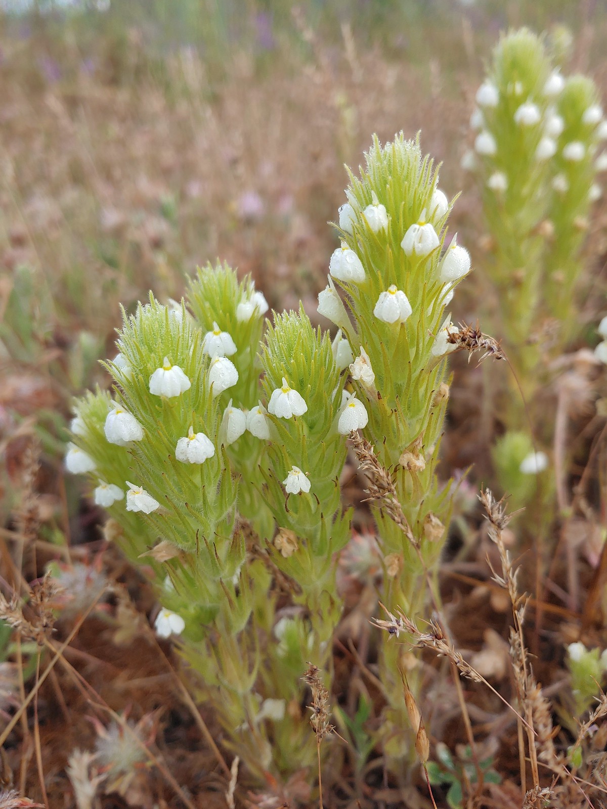
 Pincushion plant
 Resting moth
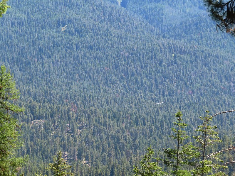
 A plane taking off from Minam Lodge.
 A popular thistle.
 A skipper of some sort.
 We both missed this yellow columbine on the way down.
 View from the upper viewpoint on the way back up.
 A final view from the Rock Springs Trail.
 The cloud cover that moved in turned out to be a blessing as it kept the temperature reasonable as we made the long climb back up.

 Entering the

 Scarlet gilia along the trail.
 Tapertip onion
 Scarlet gilia
 Lewis flax, we were hoping to see it opened up on the way back up to the car but somehow we both completely missed it.
 Arrowleaf groundsel
 Bog orchid
 False sunflowers
 Paintbrush
 Sticky geranium
 Footbridge over Horseshoe Creek.
 Horseshoe Creek

 Spotted coralroot
 Mountain lady slipper
 Little Minam River
 Coral fungus
 Huckleberry Creek
 Bridge across the Little Minam River.
 Little Minam River

 The only area that we encountered showing signs of having burned in the not too distant past.
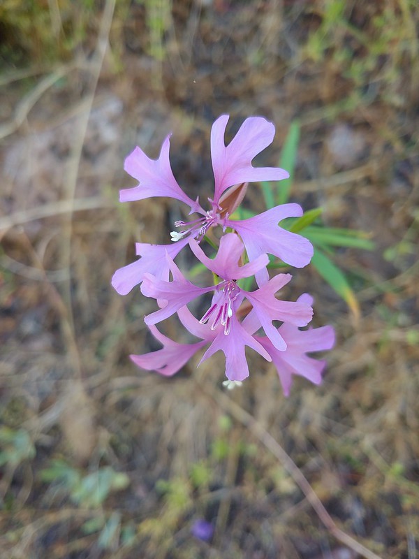 Elkhorn clarkia
 Junction with the Little Minam Trail (left) just below the pass.
 The meadow from the trail.
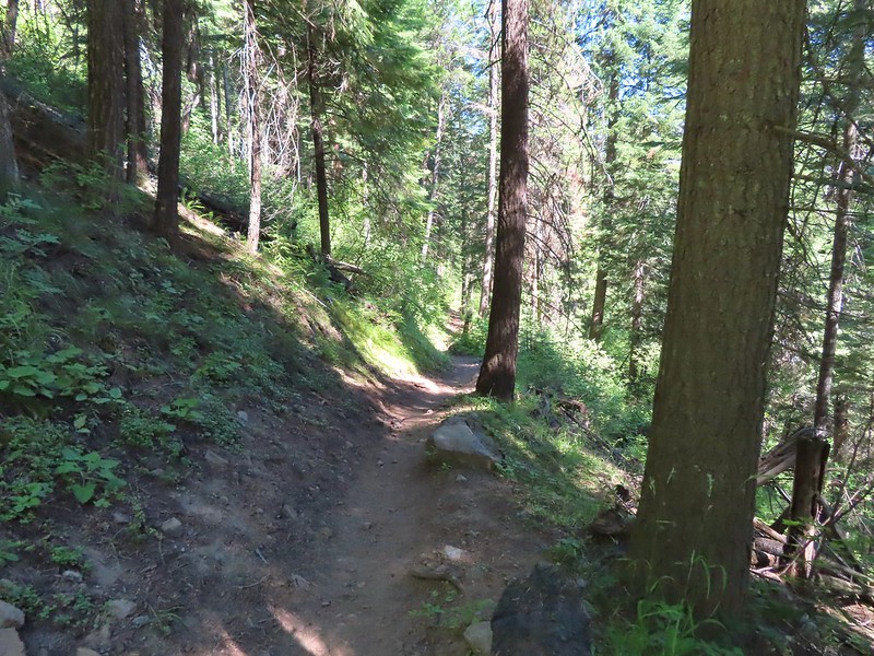
 Arriving at the meadow.
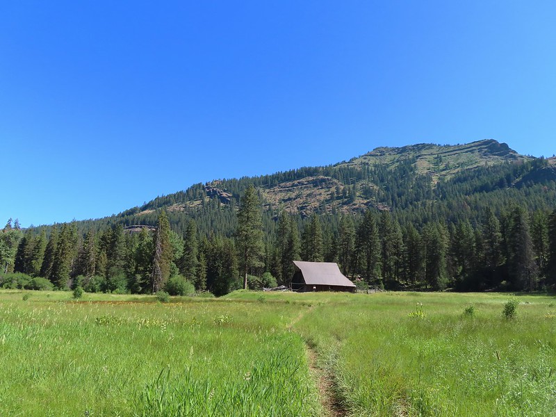

 Horses at Red’s Horse Ranch.
 Minam River
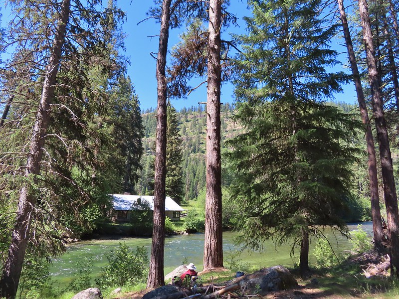
 Landing strip near Red’s Horse Ranch.
 A plane coming in for a landing at the nearby
  Lousewort
 Diamond clarkia
 Grand collomia
 Millipede
 Pink pyrola
 Little Minam River
 Coral fungus
 We saw a bunch of these black moths? but they seldom sat still long enough to get a photo.
 An Orobanche
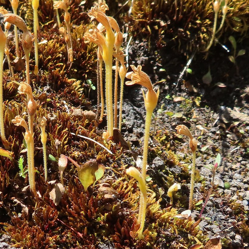
 Penstemon
 Butterfly
 White mariposa lily
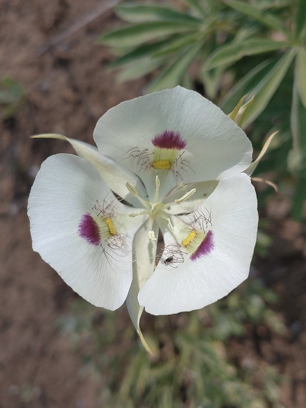
 Large-flower triteleia
 Arriving back at the trailhead.

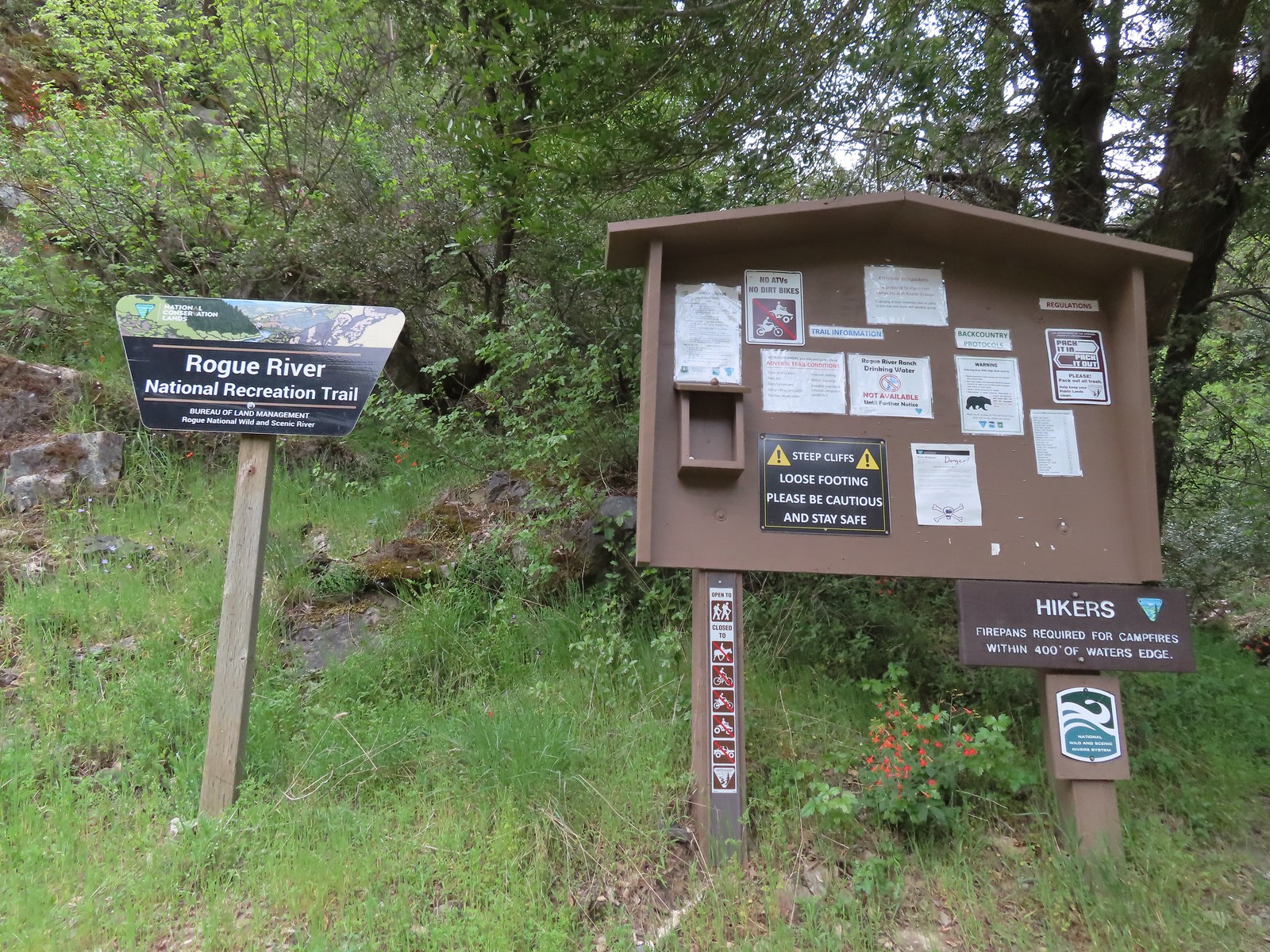
 A $5 fee is required here and at several other trailheads we visited during the week. (An annual
 Lots of purple venus penstemon.
 There were also some white scabland penstemon on the hillside.
 Buckwheat
 Venus penstemon
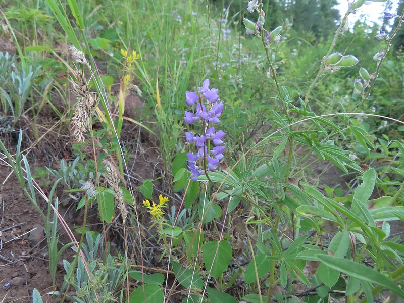 Lupine and stonecrop
 Paintbrush
 North Fork Catherine Creek
 Douglas dustymaiden
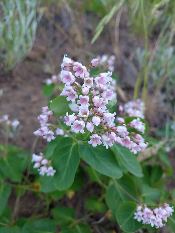 Spreading dogbane
 The trail crossed several side creeks, all of which were we were able to cross dry footed.
 A brief stretch along North Fork Catherine Creek.
 Queen’s cup
 Another side creek.
 Bog orchid
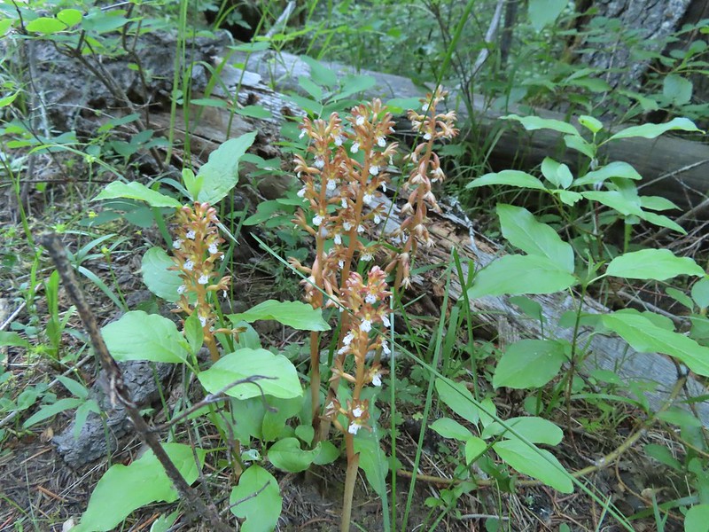 Spotted coralroot
 A fleabane
 They’re a little blurry but you can see the ants in the cracks where they would drop their sawdust. It was fascinating to watch and we paused for quite a while.
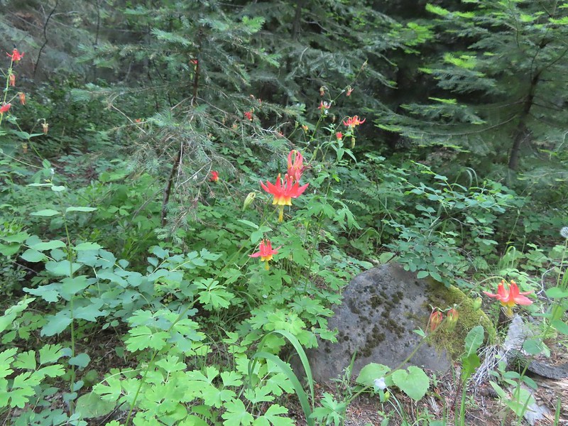 Columbine
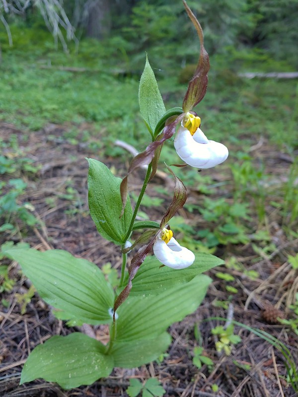 Mountain lady slippers
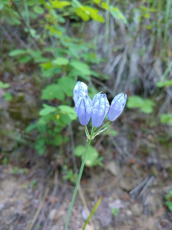 Large-flower triteleia
 Back above the creek.
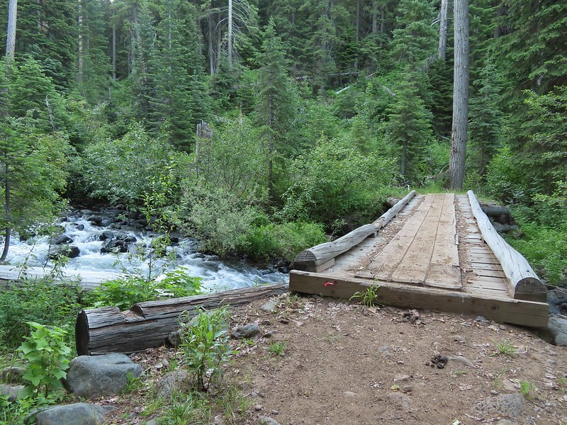 The bridge over Catherine Creek.
 Bluebells next to the bridge.

 Crab spider
 Another type of penstemon
 Rosy pussytoes
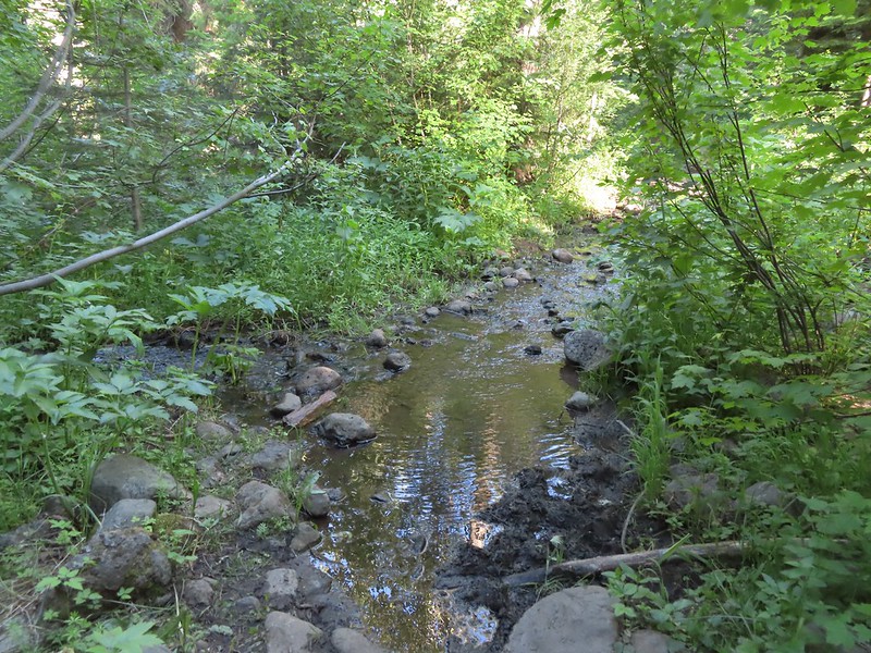 A side creek running down the trail.
 Yellow columbine
 Entering the
  Jim Creek, this was one of the trickier crossings.
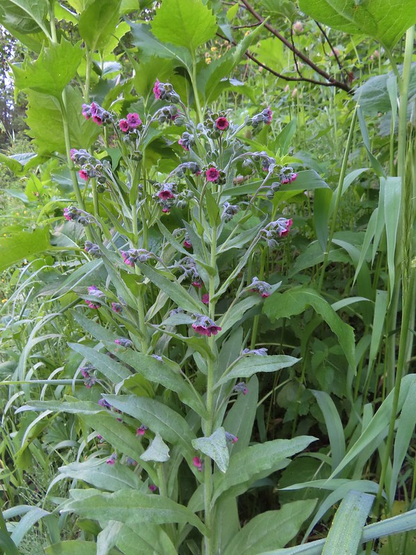 Hound’s tongue
 Nettle-leaf giant hyssop
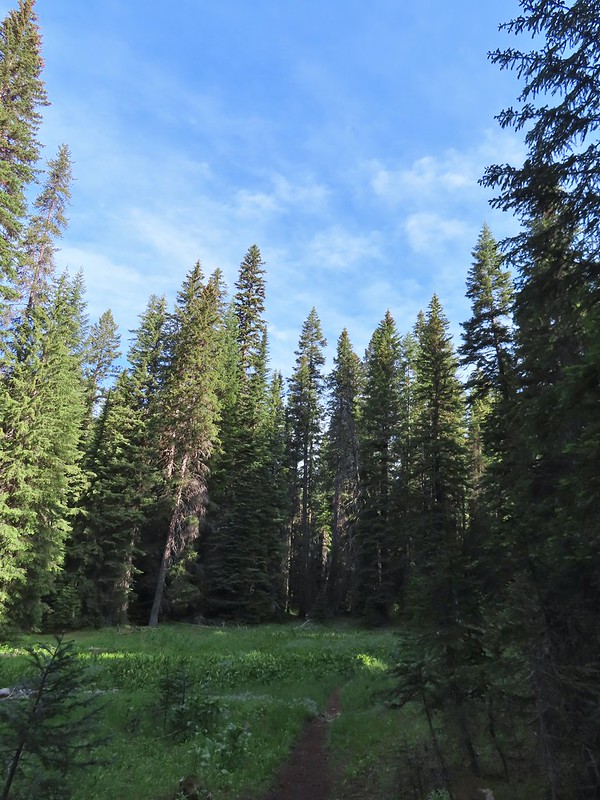 One of several smaller meadows along the trail.
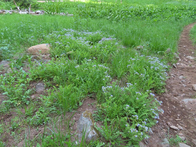 Jacob’s ladder
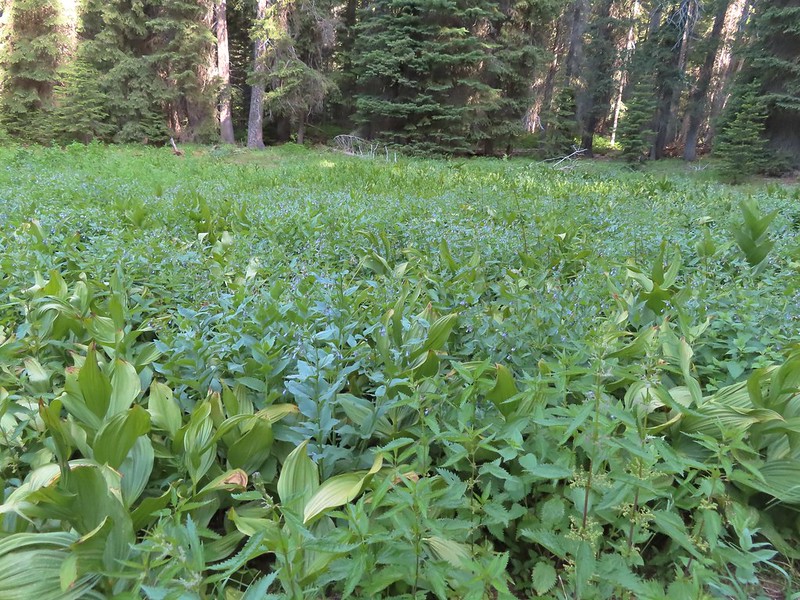 California corn lily and bluebells.
 Boot Hill Creek was also tricky as it had taken over the trail.
 A large patch of coralroot.
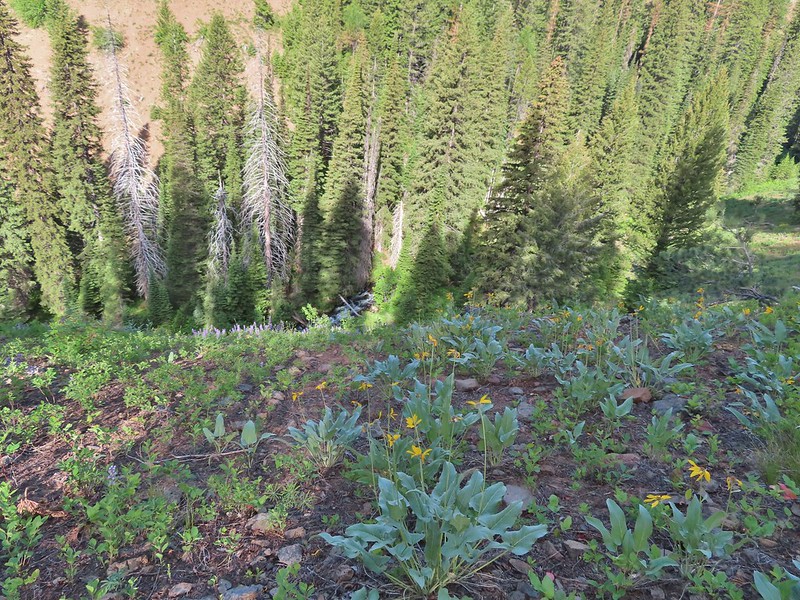 A few remaining balsamroot blooming above North Fork Catherine Creek.
 Arriving at Catherine Creek Meadows.
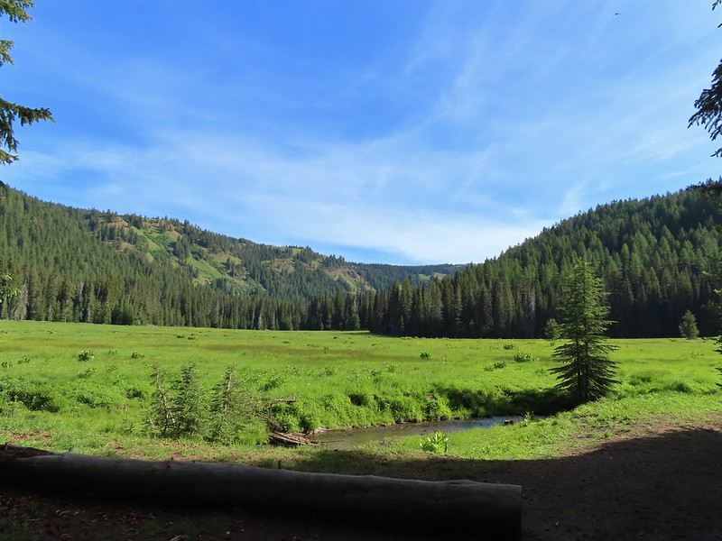
 All the black dots in the blue sky were gnats flying over the stream at the trail crossing.
 Heart-leaved bittercress
 Looking back at the sign post in the meadow marking the trail junction.
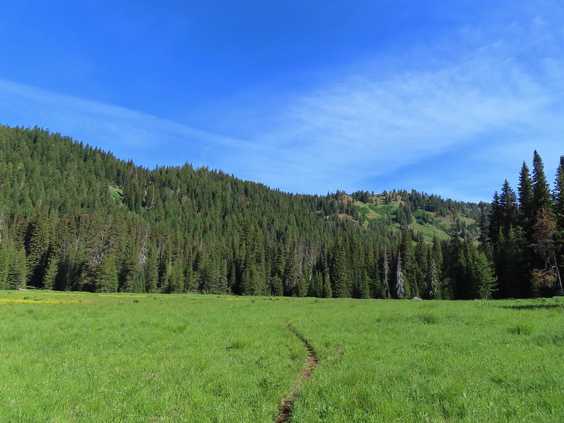 Another dry section of trail.
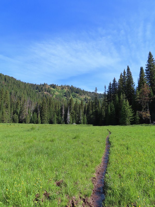 It wasn’t dry for long.
 Yellow buttercups and pink elephant’s head.
 Elephant’s head, one of our favorites.
 Ladybug
 Nearing the cabin.
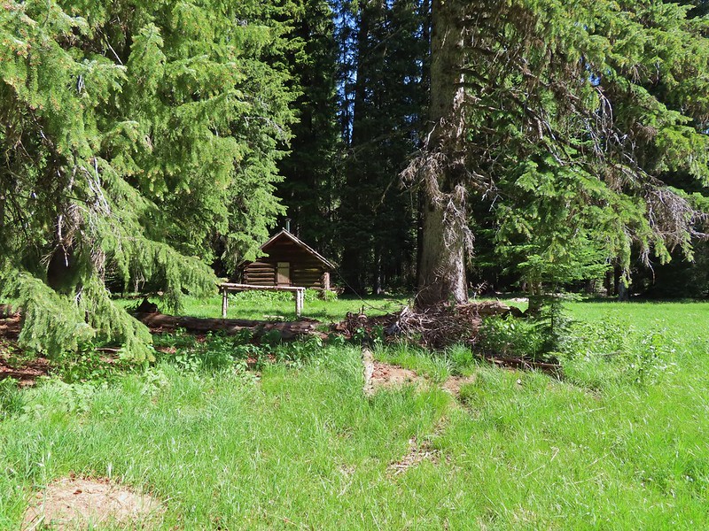
 Ground squirrel
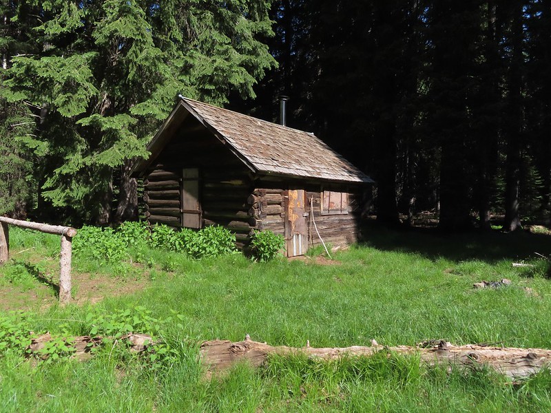
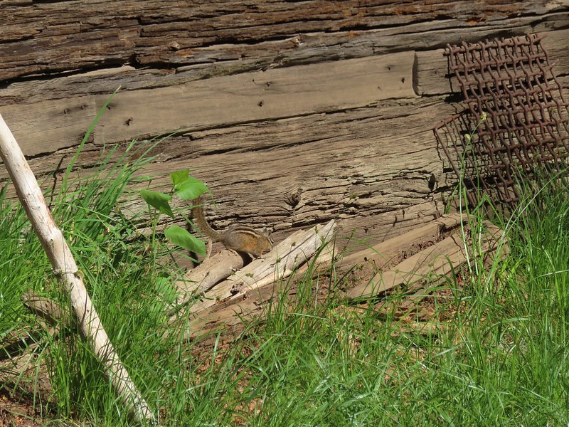 Squatter running from the cabin.

 Beetle
 Another beetle and Nevada bitterroot.
 Brunch
 A comma of some sort.
 Big mushroom
 Something from the Lycaenidae family.
 Coneflower
 Swallow-tail on red clover.
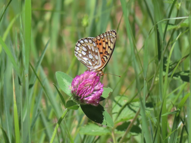 Fritilary on clover
 Mourning cloak perched overhead.
 Lorquin’s admiral
 A tortoiseshell
 Skullcap, one of the hardest flowers to get a decent picture of for some reason.
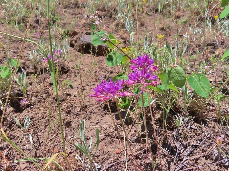 Tapertip onion
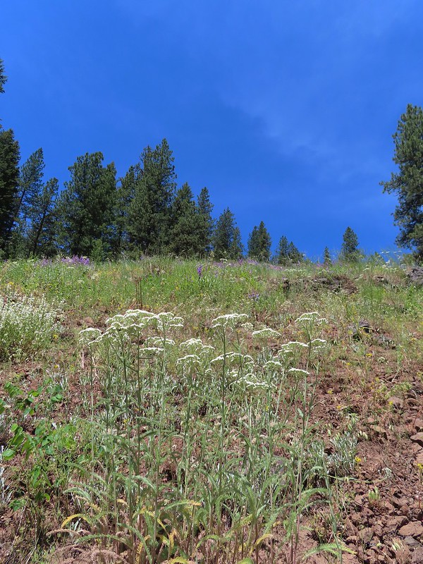 Yarrow and other wildflowers up the hillside.

 Sign for the Witzend Trail at the trailhead. Not one of the trails we wanted today.
 The Waterline Trail is the smaller gravel roadbed to the left of the fire hydrant.
 Despite the sign saying Snark online maps show that trail starting further up the Waterline Trail.
 The Snark Trail splitting off to the right.
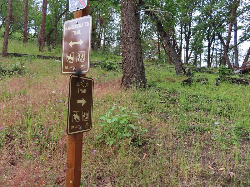
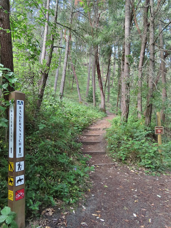 Turning left onto the Bandersnatch Trail.
 Marty the Pacific Fisher

 Henderson’s stars
 Paintbrush and blue sky.
 Mariposa lily
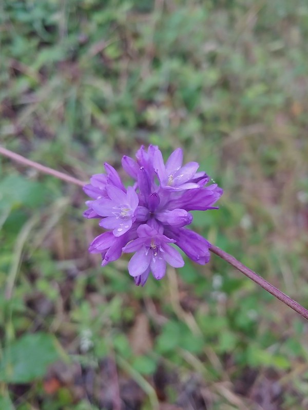 Ookow
Ookow Diamond clarkia
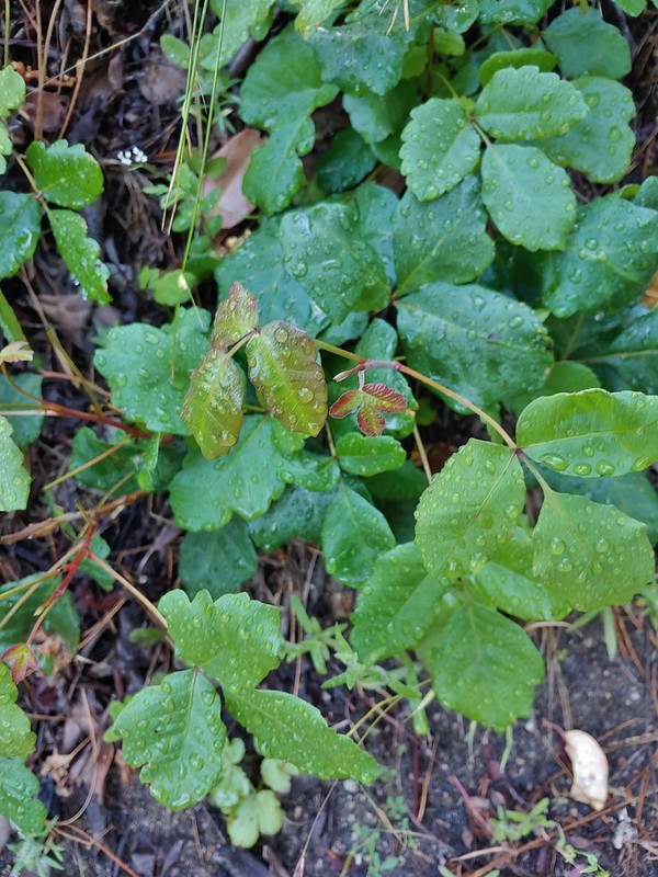 Some of that poison oak.
 A cryptantha
 Honeysuckle
 Madia and winecup clarkia
 Bell catchfly
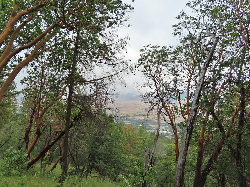
 View down toward Ashland.
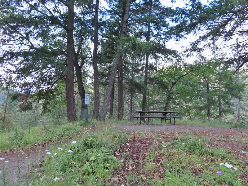 Picnic table at the top of the hill.
 Crossing the BTI Trail
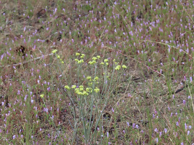 Baresteam wild buckwheat
 Wallflower
 heart-leaf milkweed
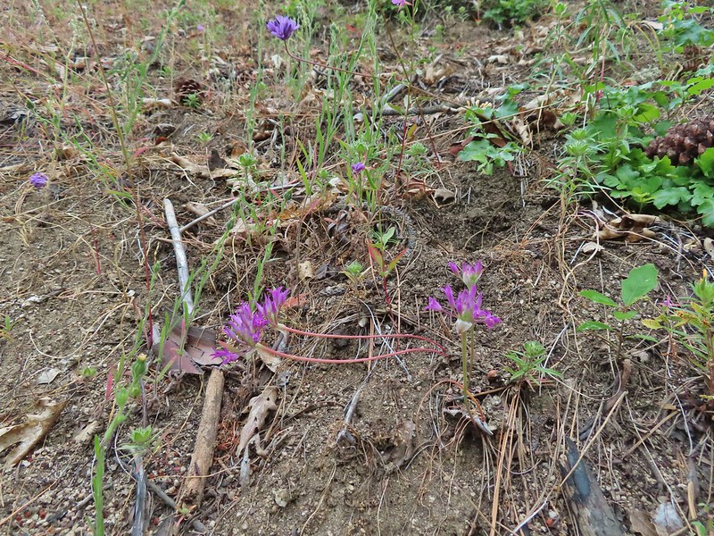 Wild onion
 Another Snark Trail encounter.
 The Red Queen Trail junction ahead.
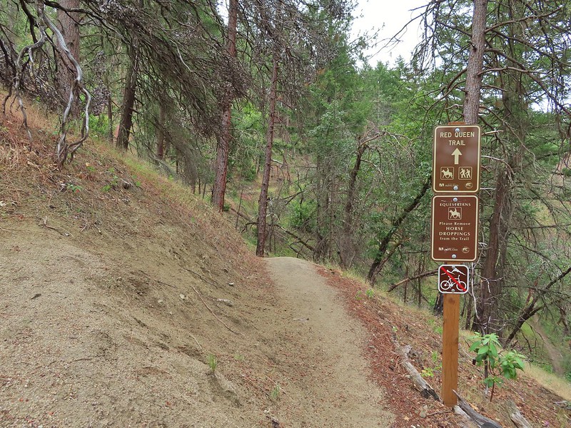
 Bluehead gilia
 Madrones along the Red Queen Trail.
 National Forest boundary.
 Lupine
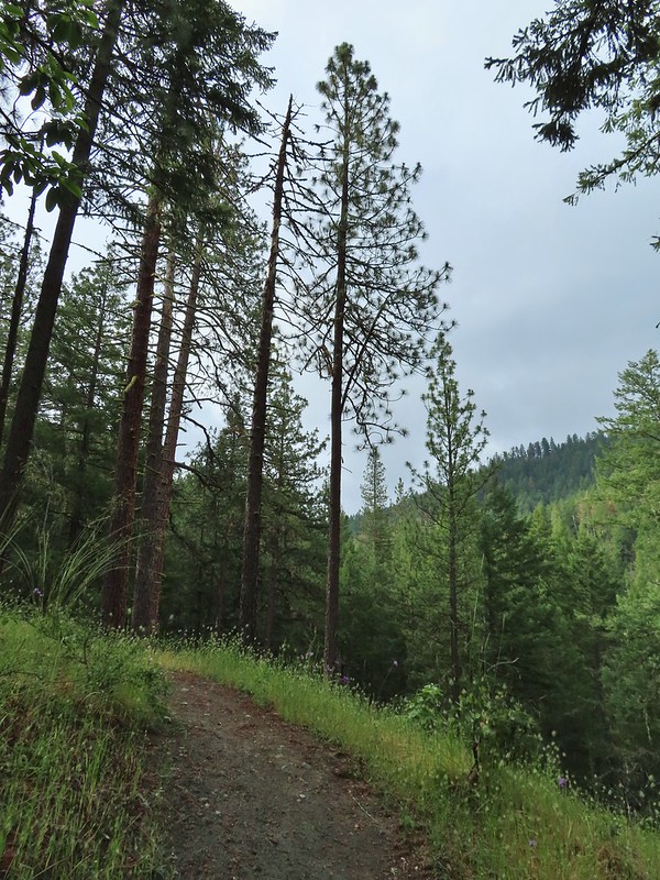 Clouding up.
 Deer brush
 A madrone and a ponderosa
 Nearing the junction with Road 2060 and the Caterpillar Trail.
 Sign for the Caterpillar Trail across the road.
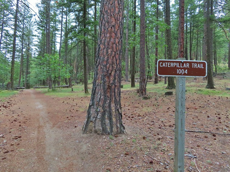

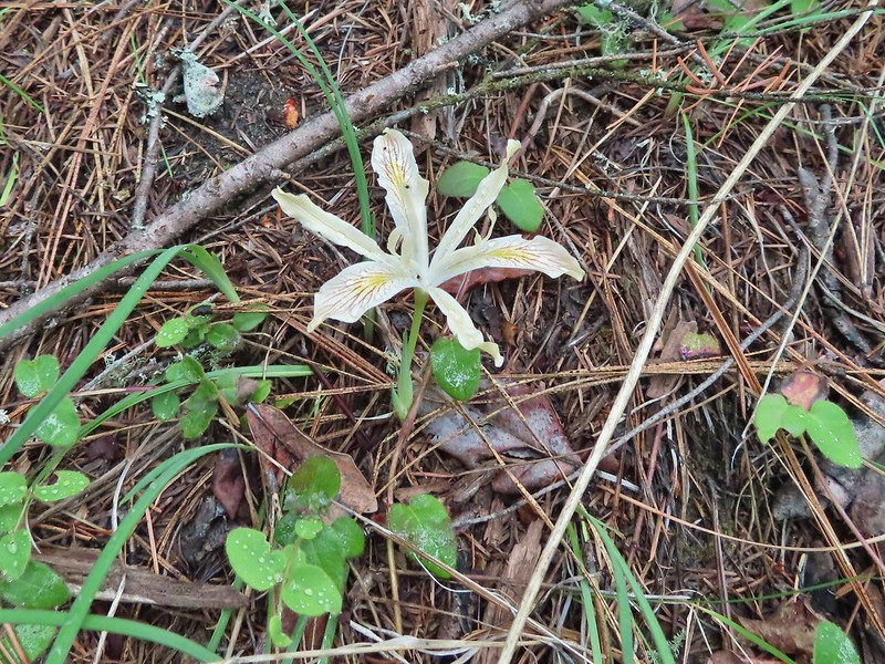 Iris
Iris
 The first signed junction with more signs in the distance.


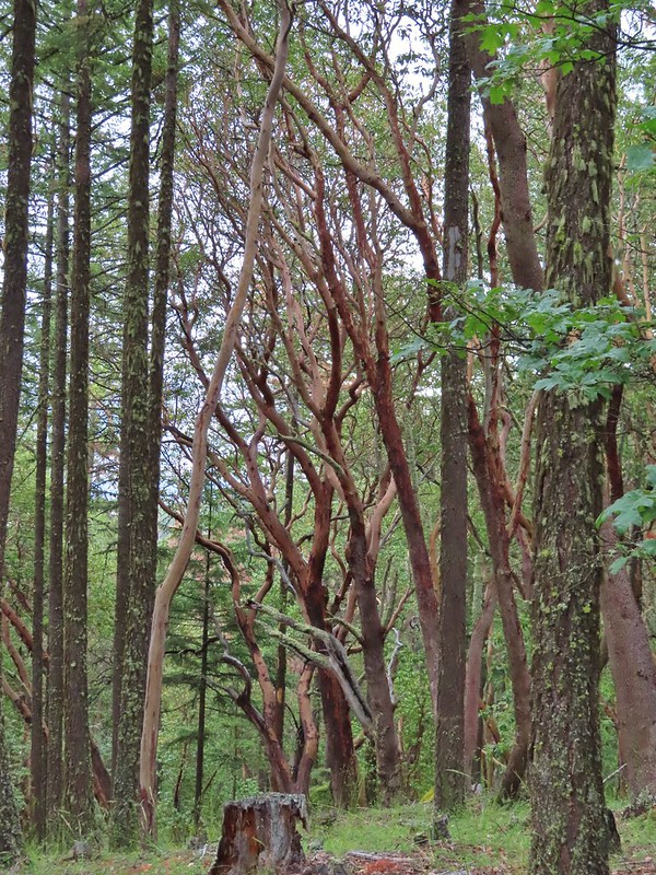

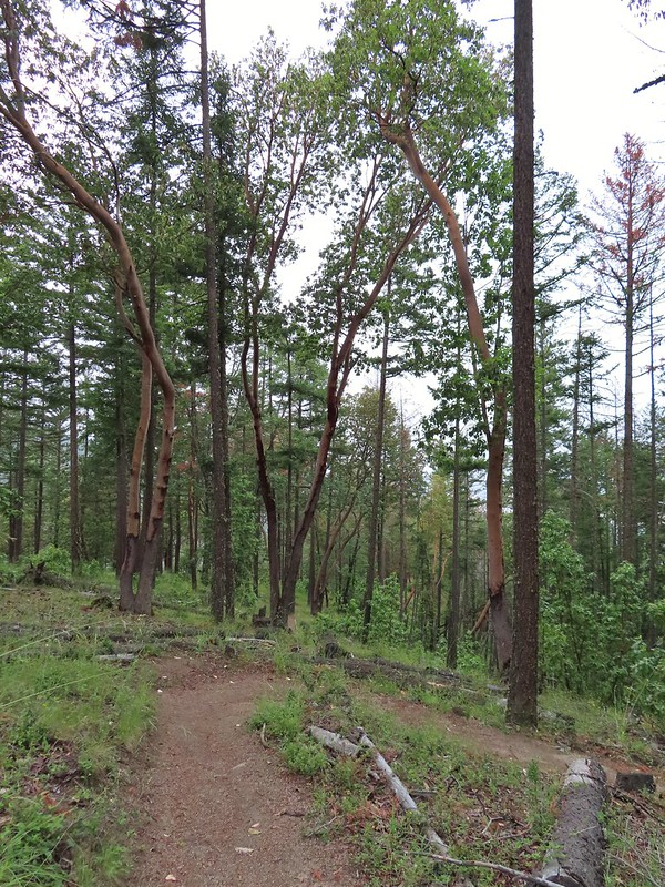
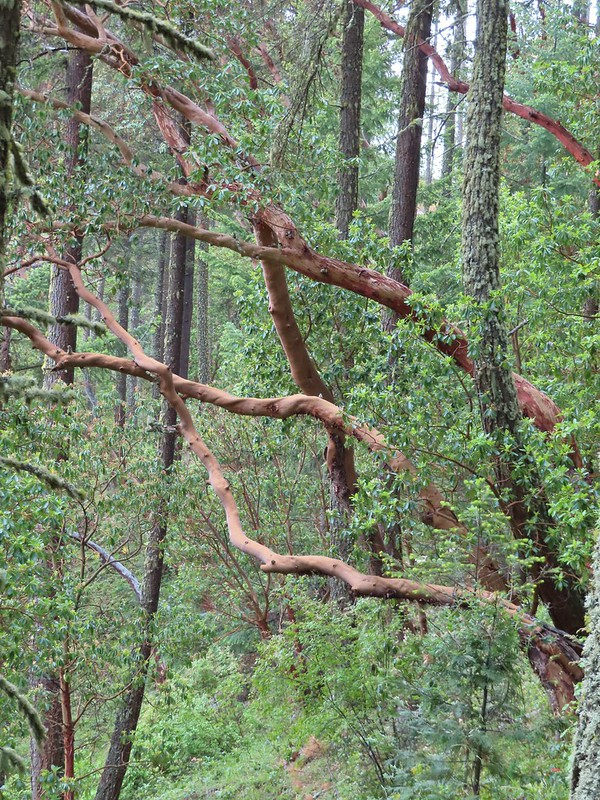 There were a lot of cool madrones along the trails.

 Madrone bark
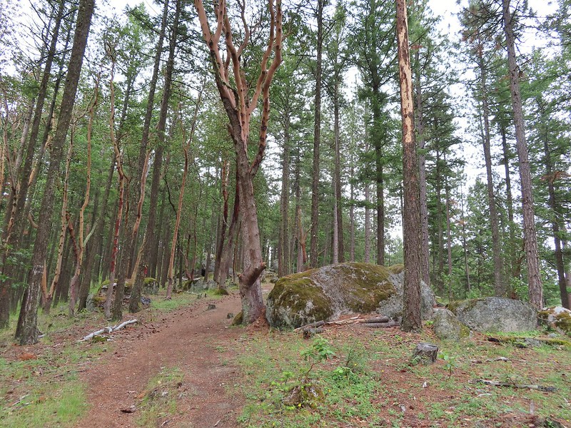
 Arriving at the junction with the Mike Uhtoff sign to the left.
 That isn’t the trail we were on so where were we?
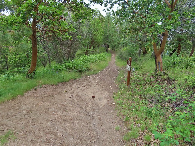
 Still no real rain but it was clouding up even more.
 Grand collomia


 Silverleaf phacelia
 We turned right onto this road bed which is the White Rabbit Trail.
 We hiked downhill on the White Rabbit to a bench (just visible through the vegetation on the left) at the trail junction.
 Trail to the Oredson-Todd Woods.

 We turned left here. There is a sign downhill on the left with what looked to be a small white map which we’d seen on other trail signs. These gave very limited information for bike routes.
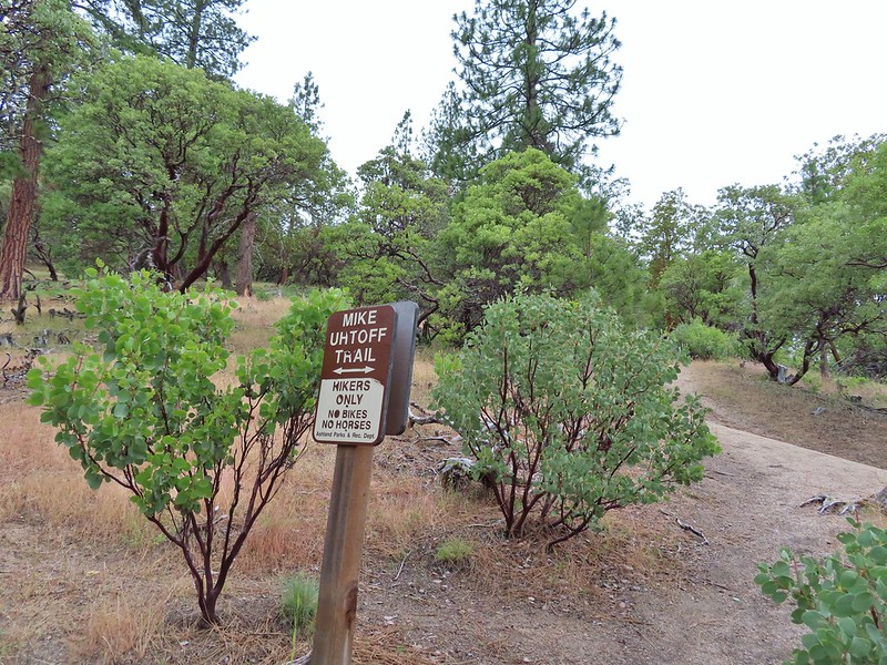


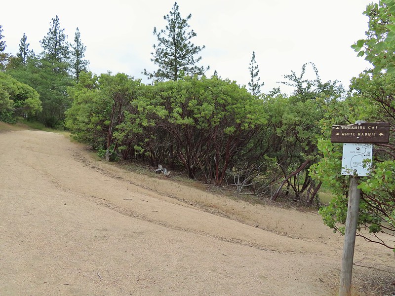 One of the white maps at the White Rabbit/Cheshire Cat junction.
 A connector for the Uhtoff Trail at a switchback.
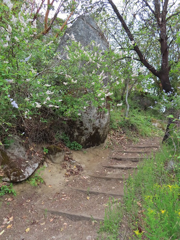
 Large boulders near the Looking Glass Trail jct.
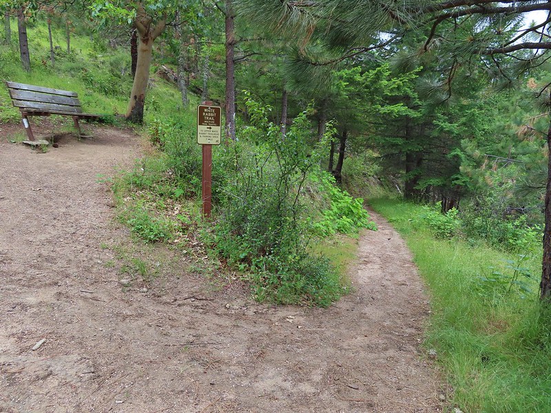 Passing the bench at the junction where we’d discovered that we had not in fact been on the Mike Uhtoff Trail.
 This section was a little confusing. The trail dropped to a junction in a small basin. We ignored this sign which pointed to another road bed with a gate.
 Looking down the March Hare Trail (it took less than 2 minutes to get from the bottom to the top via the White Rabbit Trail).
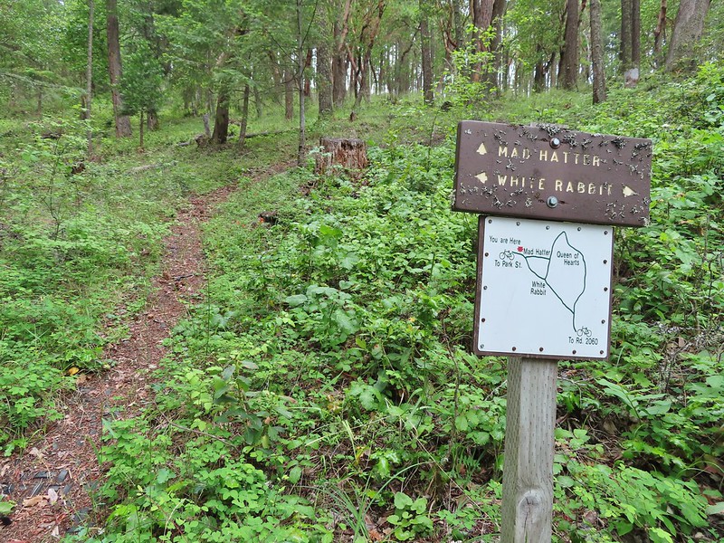 Yet another side trail = Mad Hatter.
 The Queen of Hearts Loop junction with the White Rabbit Trail.
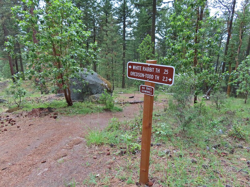 Sign as we neared the trailhead.
 Lots of cars here.
 This was the map that we needed earlier.
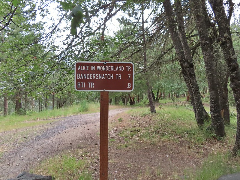

 Madrone circle.
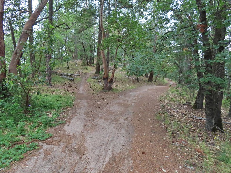 A couple of short spurs went up and over small hills, we stuck to the more level road bed.

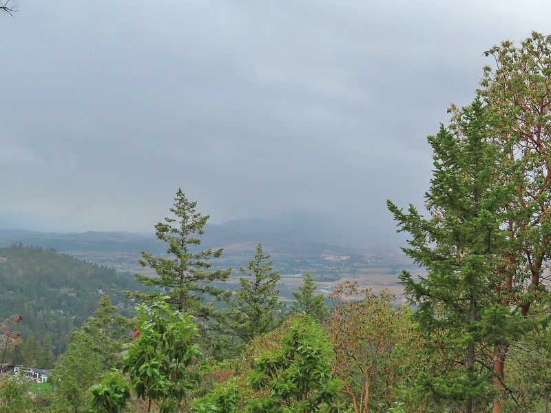 Rain to the north over Grizzly Peak (
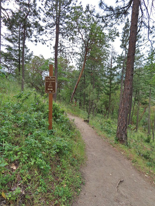 Approaching the BTI crossing.
 Red Queen crossing.
 Descending to the Bandersnatch junction.

 Marty the Pacific Fisher from the other side.
 The Waterline Trail 0.1 mile from the Witzend Trailhead.

 The deepest hole, it doesn’t look too bad here.
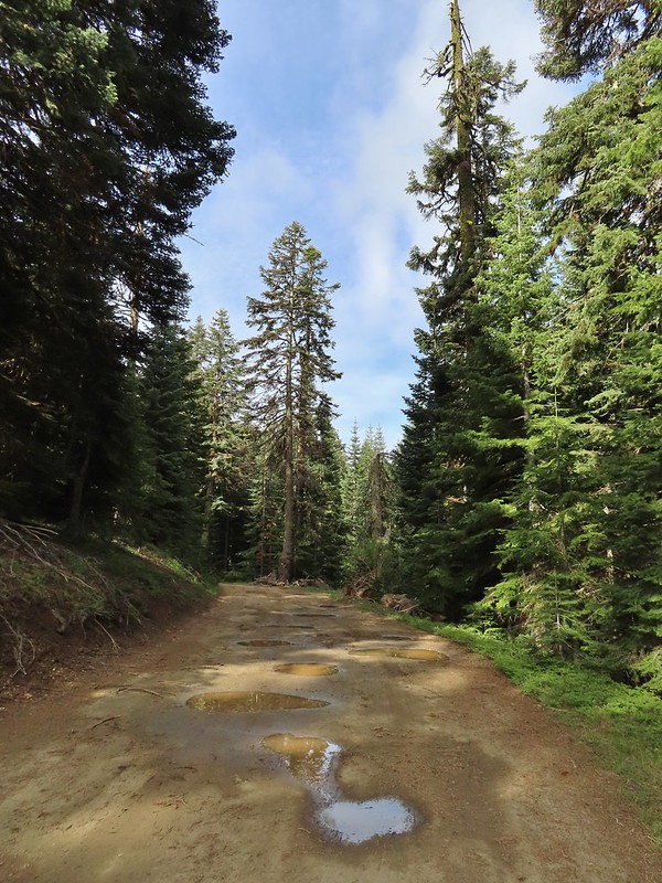 Potholes on FR 20. These turned out to be the worst of the stretch between the junction and Siskiyou Gap but we didn’t know that until we’d walked this road later in the day.
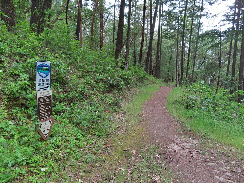
 The PCT was just a few yards into the forest from the FR 20/22 junction.
 Jessica sticktight?
 Mt. Shasta and Black Butte (
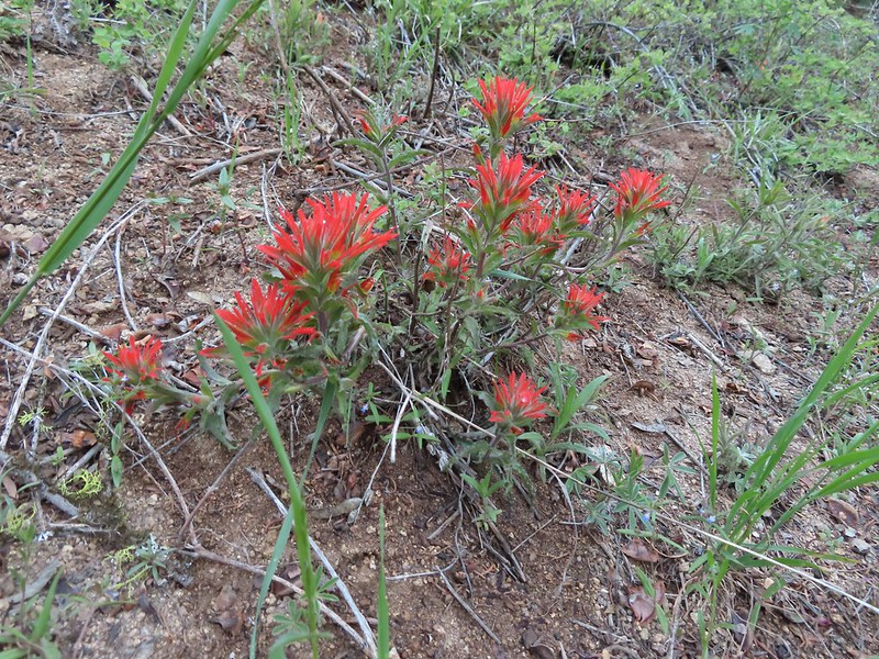 Paintbrush
 Siskiyou Peak from the PCT.
 Lupine and pussypaws
 The PCT heading toward Mt. Ashland from the ridge where we left it.
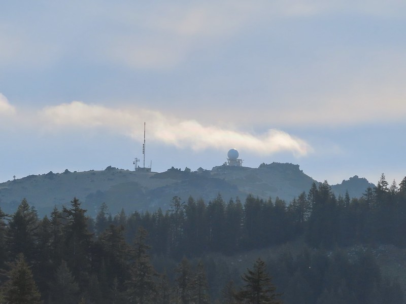 Towers on Mt. Ashland.
 The trail up Siskiyou Peak.
 Observation Peak to the left, where we had been the day before with Big Red Mountain on the right, where we were going later today.
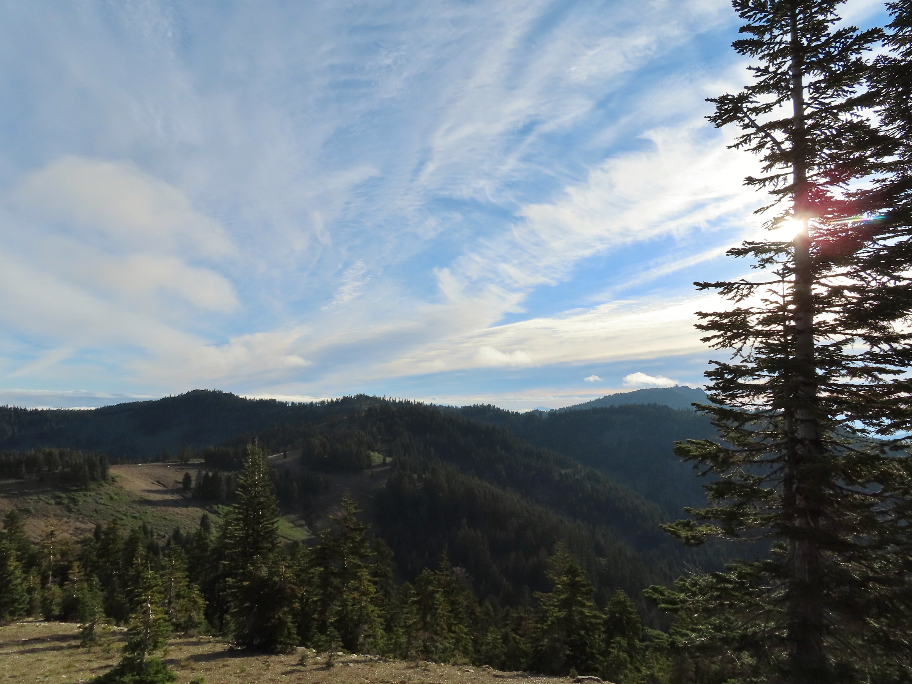 Mt. Ashland to the right.
 Mt. McLoughlin (
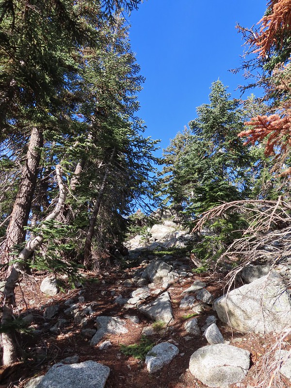 The final rocky climb to the summit.
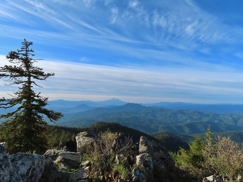 Mt. Shasta from the summit.
 The snowy Marble Mountains (
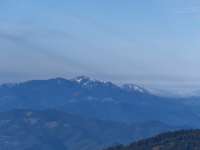 Some of the Marble Mountains.
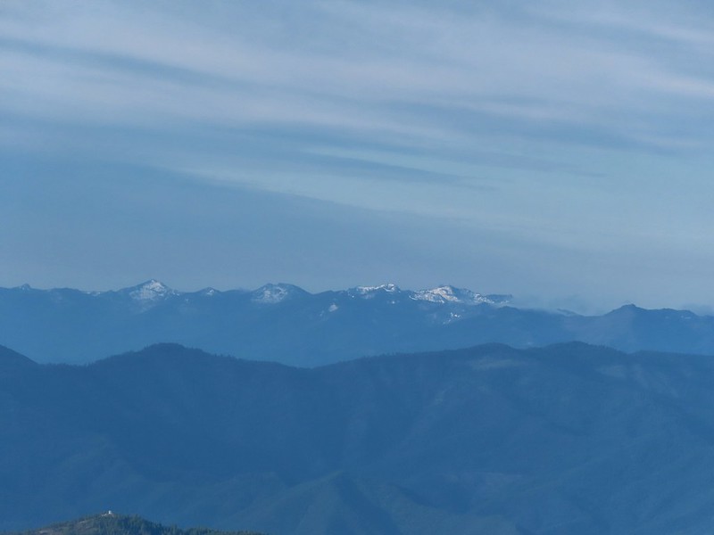 I believe these are peaks in the Russian Wilderness.
 Observation Peak and Big Red Mountain with Dutchman Peak in a cloud behind Big Red.
 Our shadows from the summit.
 Dutchman Peak emerged from the clouds to make an appearance over Big Red Mountain.
 Wagner Butte (
 Arriving at the junction.
 Trillium along FR 20.
 California Jacob’s ladder
 FR 20 looking a little better here.
 Pretty face
 Larkspur
 Larkspur
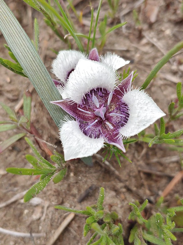 Mariposa lily
 FR 20 became a little rutted just before Siskiyou Gap.
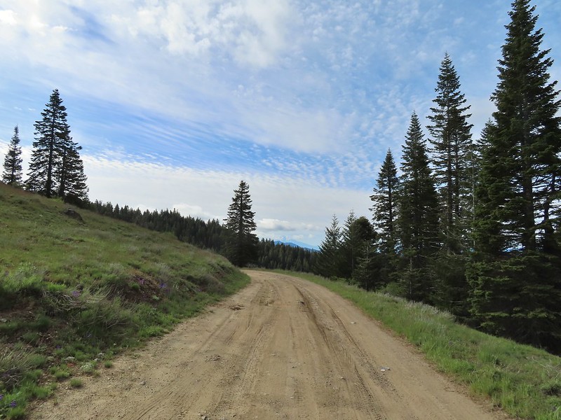 Mt. Shasta from the gap.
 Mt. Shasta
 Siskiyou Gap
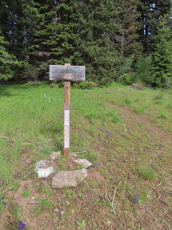

 Chocolate lily
 Violets, larkspur and alpine pennycress.
 Ballhead waterleaf
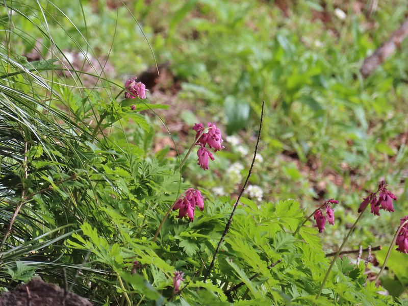 Bleeding heart
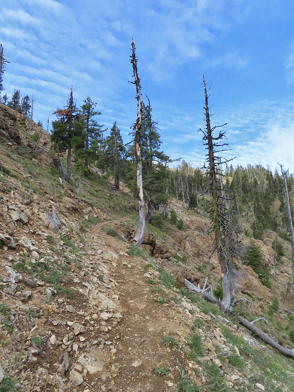

 A trickle of water flowing down over the rocks along the trail.

 Anemones and buttercups
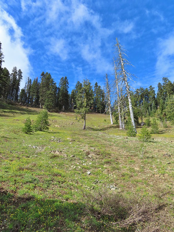 It’s hard to tell just how many flowers there were from the photo but it was very impressive to the naked eye.
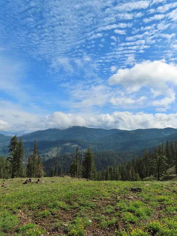 A cloud over Wagner Butte which stayed this way the rest of the day.
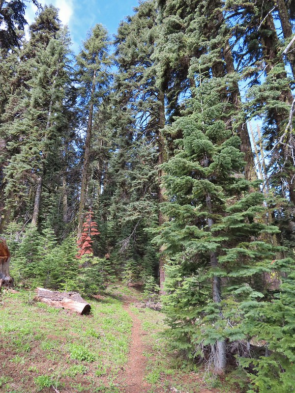
 A few small patches of snow were all that was left along the PCT.
 Starting to leave the trees behind as the PCT passes below Big Red Mountain.
 Looking toward Medford to the NE.
 Upper Table Rock (
 You could see where this large chunk of rock used to be.
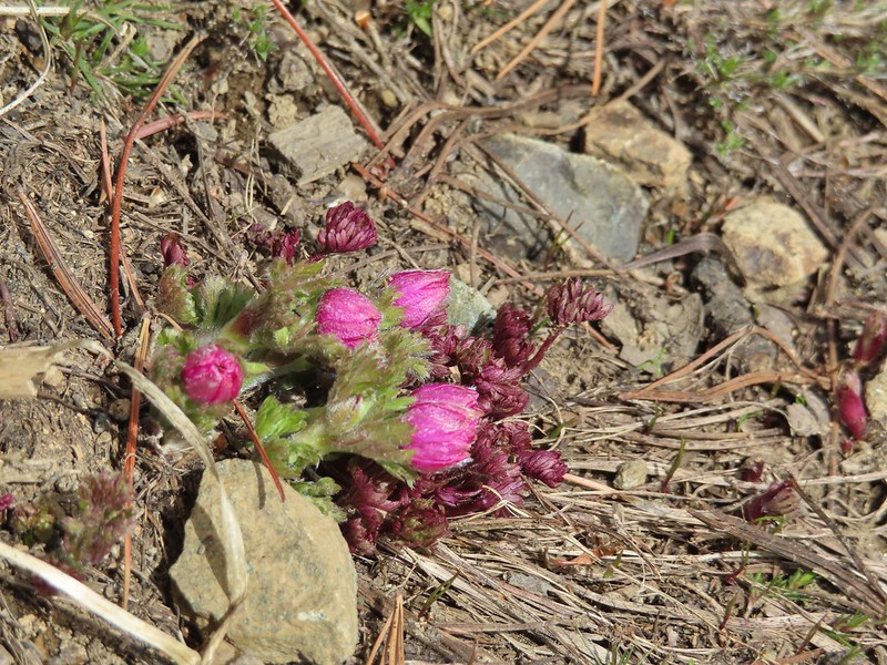 Something budding out.
 Dummond’s anemone – the blueish/purplish hue on some was quite pretty.
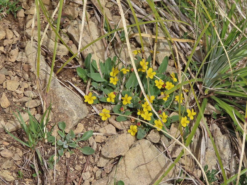 Violets
 There was a decent sized beargrass meadow along this section which appeared to have bloomed last year.
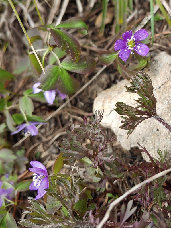 Anemones
 A saxifrage
 Siskiyou Peak from the trail.
 Splithair Indian paintbrush and a lomatium.
 Phlox
Phlox A small green pond and two of the Monogram Lakes.
 The green pond.
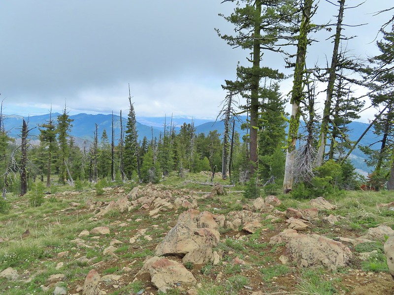 Looking down the ridge.
 Heather sitting up on the PCT while I made my way down the ridge.
 The pit with the mining trail on the far side.
 Old mining trail.
 The mining cart.
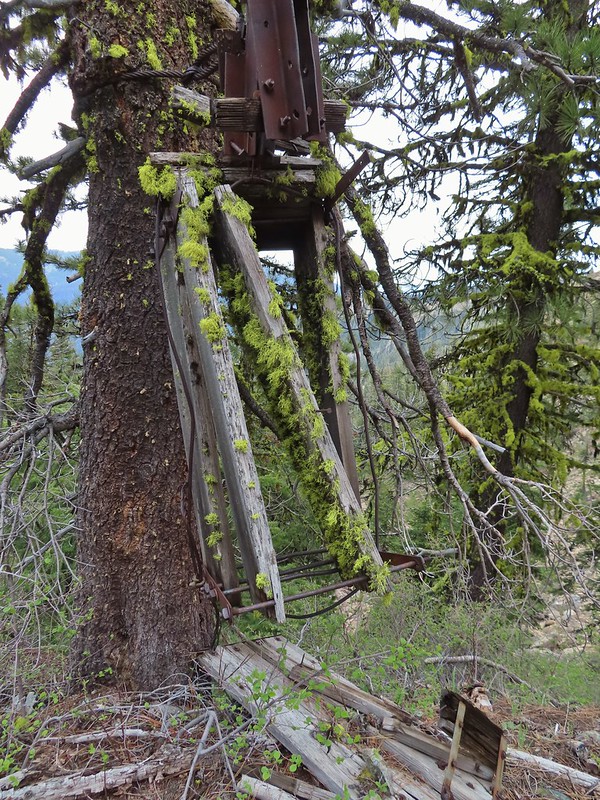
 Cable running up to the snag.


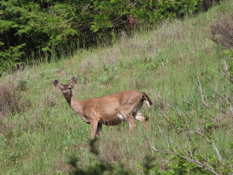
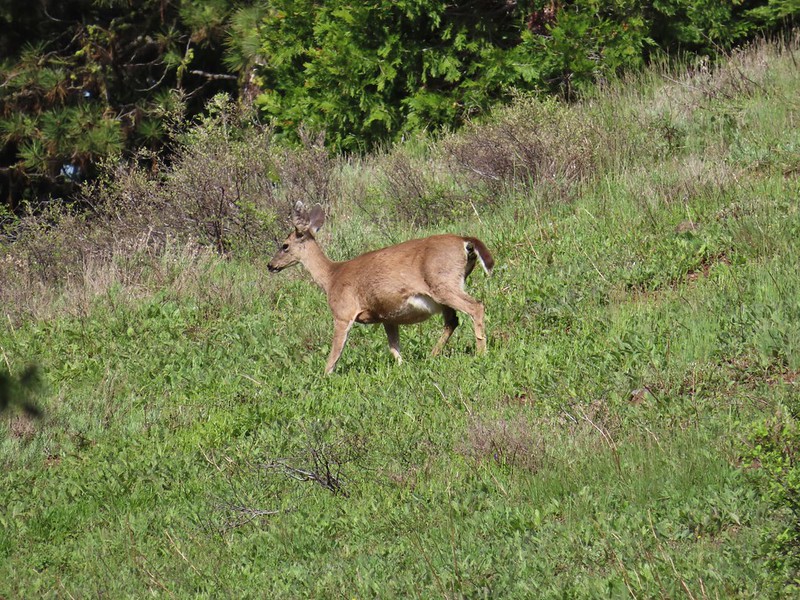
 I spotted something moving down in the meadow here.
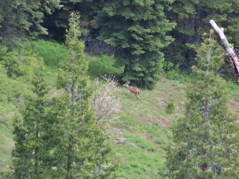 Had too use a lot of zoom to determine it was a deer.
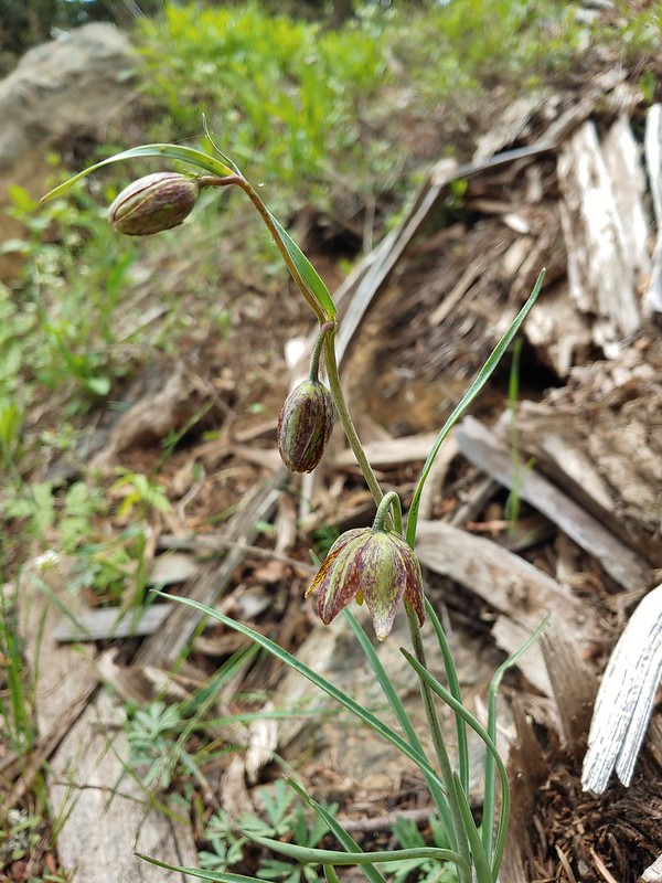 Chocolate lily
 Mt. Shasta and Black Butte from Siskiyou Gap on the way back.
 Our final view of Mt. Shasta this trip.
 Mt. Eddy (

 The PCT heading south from the Stateline Trialhead
 Iris
Iris
 A register is located 0.4 miles from the trailhead at the Oregon/California border.
 We were long overdue for a visit to California, our last hike in the state was way back in 2018 at the Lava Beds National Monument (
 A good reminder of how much of the PCT is located in CA.
 Pussytoes
 First look at Donomore Meadows.
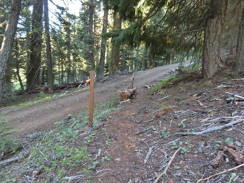 This road crossing is just over a mile from the trailhead. The Donomore Cabin is just up the road to the right.
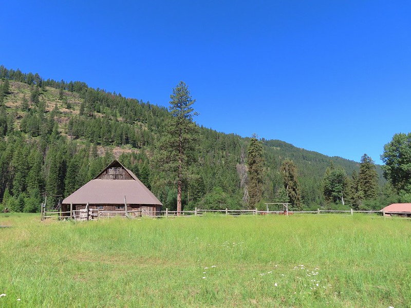
 The cabin was built in 1935.
 The meadow below the cabin.

 Death camas in the meadow.


 Mariposa lily
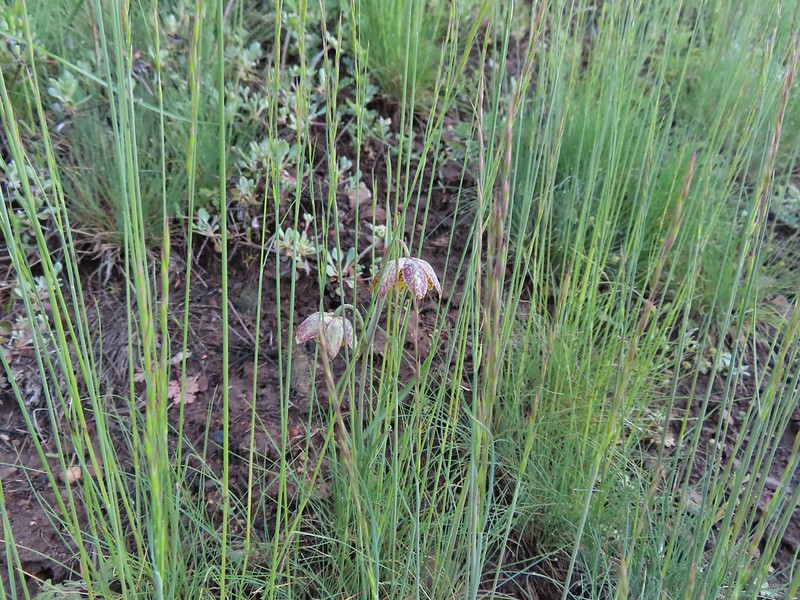 Chocolate lily
 Cinquefoil?
 Violets
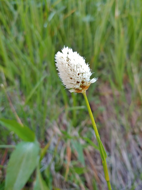 Bistort
 Heather passing through the meadow.
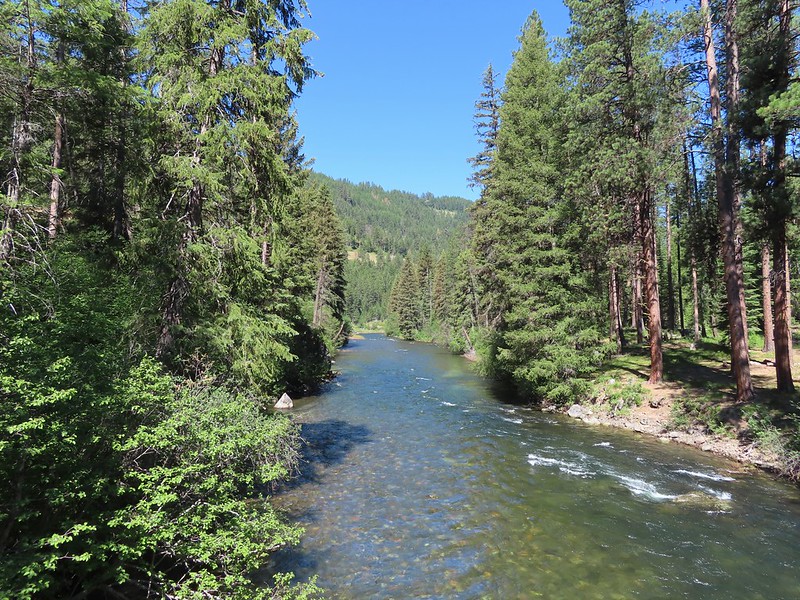
 There wasn’t much to the brushy creek but it made for a definitive turnaround point.
 California ground cone
 PCT heading north from the Stateline Trailhead.
 Pasque flower
 Grayback Mountain in the distance with a small patch of snow.
 One of three springs the trail passes on the way to Observation Peak.
 Marsh marigolds
 Alpine pennycress
 Another spring with marsh marigolds and glacier lilies.
 Scraggy Mountain
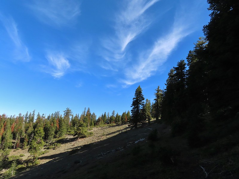
 Looking SE to the Red Buttes (
 Kangaroo Mountain and Red Butte with Preston Peak, Twin Peak and El Capitan behind in the Siskiyou Wilderness.
 View south.
 Part of the Marble Mountains (
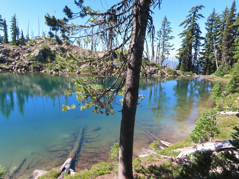
 Kettle Lake through the trees.
 Heading up to the ridge.
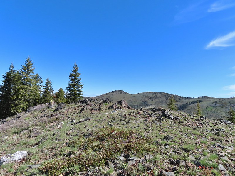 Dutchman Peak from the ridge.
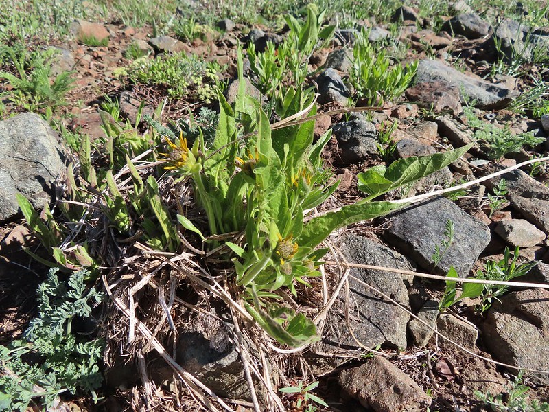 Not sure if these are mule’s ears or a balsamroot.
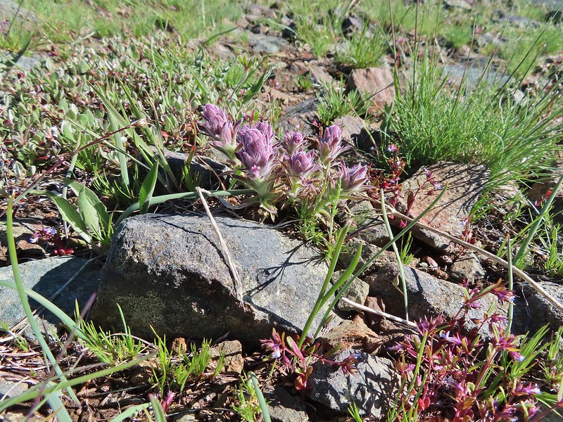 Splithair Indian Paintbrush (Castilleja schizotricha)
 Swallowtail on phlox.
 Wildflowers on the ridge.
 Cutleaf daisy?
 Snow drifts covering the PCT.
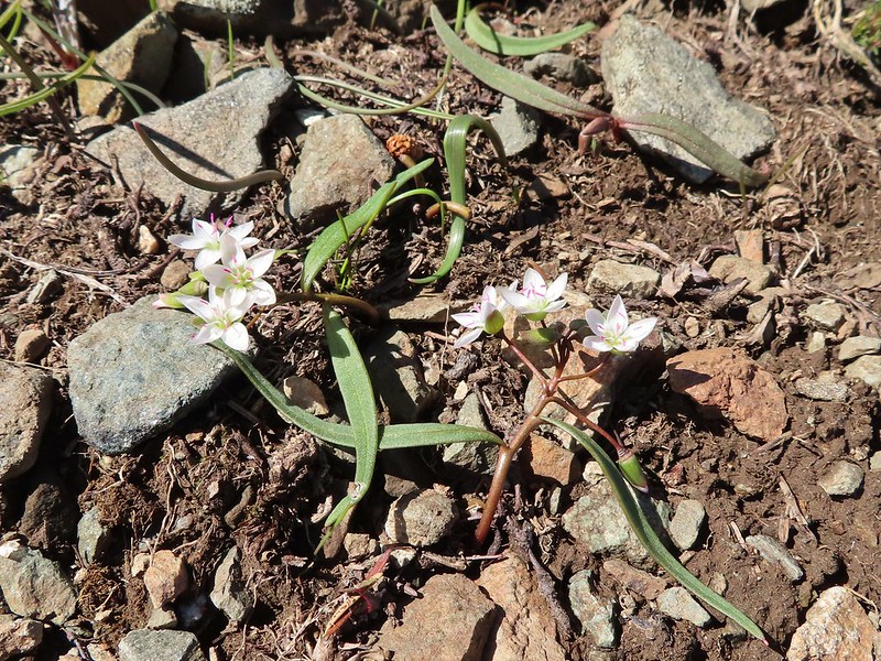 Lance-leaf Spring Beauty
 Heading for the summit.

 Pilot Rock (
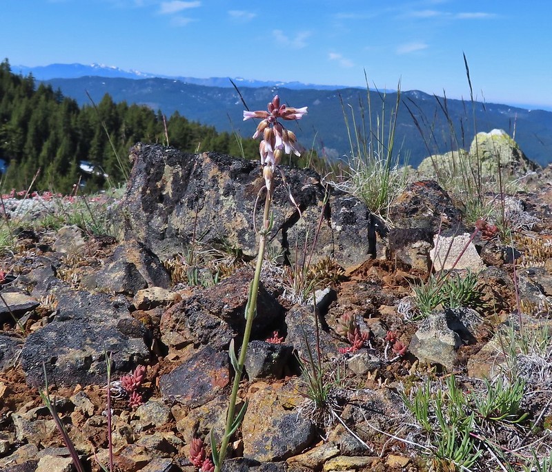 A rockcress
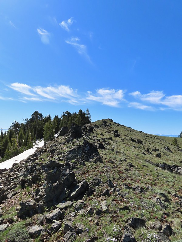

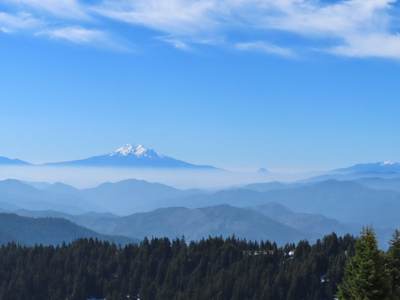 Mt. Shasta above a layer of smoke that mostly hid Black Butte (
 I think these peaks are a mix of the Russian Wilderness in the forefront and Trinity Alps behind. Bruce correct me if I am wrong on that :).
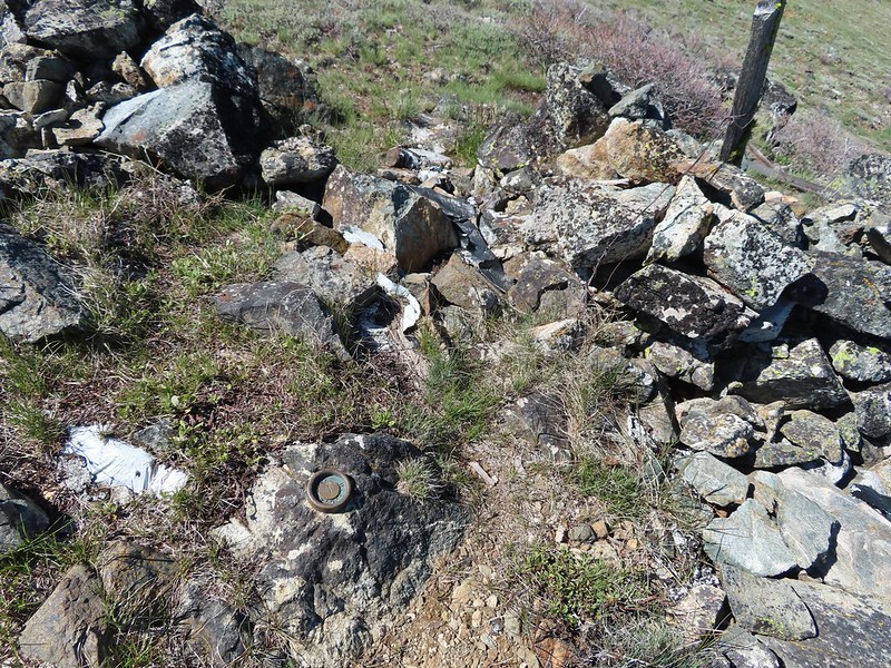 Rock pile at the summit.
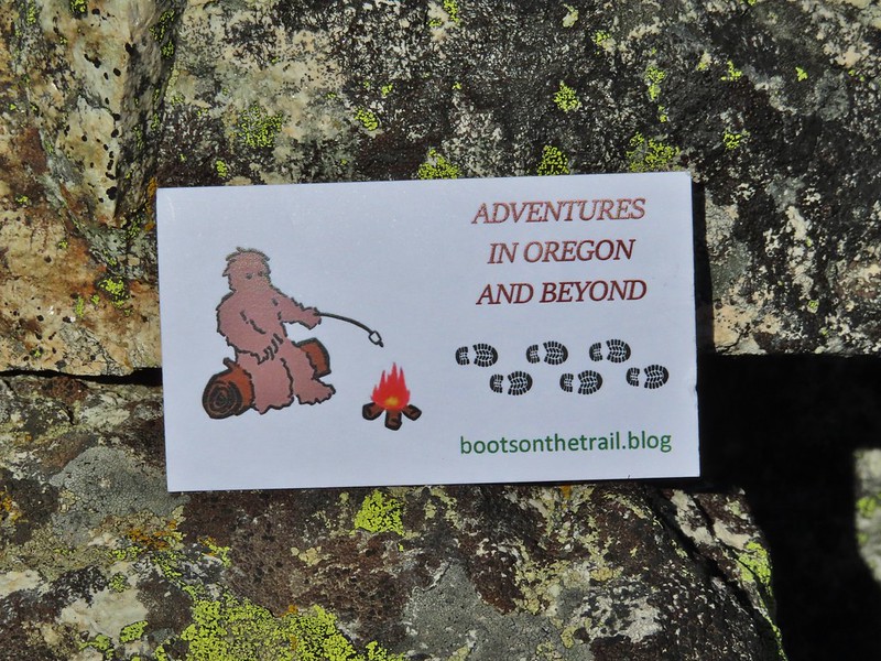 Our big find. I took a couple of pictures and put the card back for someone else to find (and added one of ours).
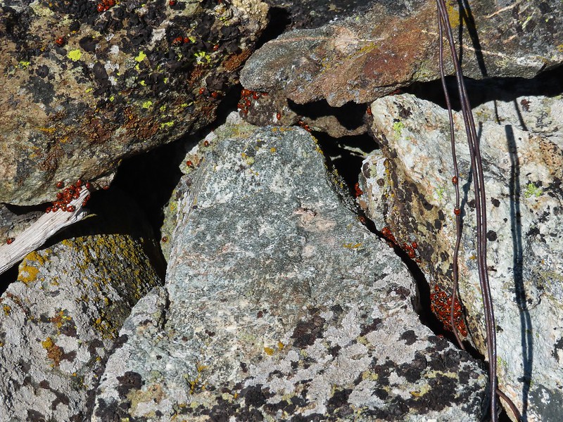 There were dozens of ladybugs in the rock pile.
 One of many photos of Mt. Shasta. We don’t get too many chances to see this Cascade Mountain.
 We could see Mt. Thielsen (
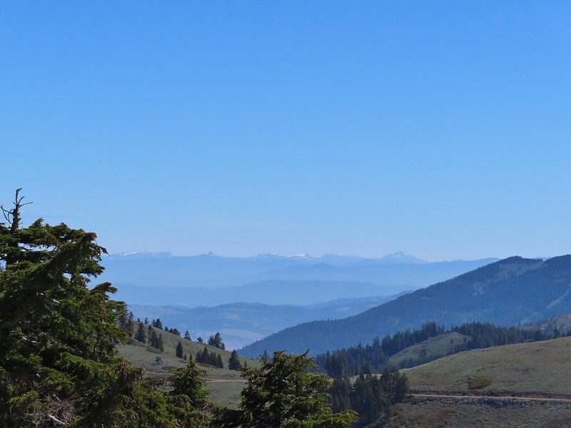 The peaks around the rim of Crater Lake.
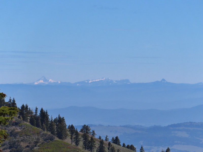 Mt. Thielsen to the left of Crater Lake.
 Mt. Bailey (
 The Red Buttes in front of Preston Peak.
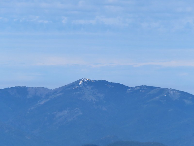 Grayback Mountain
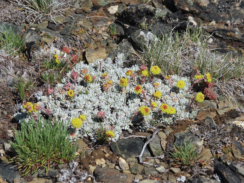 Buckwheat
 Alpine pennycress
 Quill-leaf Lewisia
 Larkspur
 Chipmunk having a snack.
 One of two hairstreaks we encountered on the PCT.
 The 2nd hairstreak.
 Where I left the PCT.
 Lots of this orange fungus in the forest.

 Bee on a marsh marigold.
 Glacier lily
 Trillium
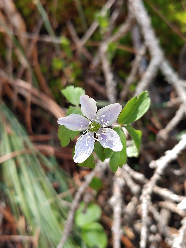 Anemone
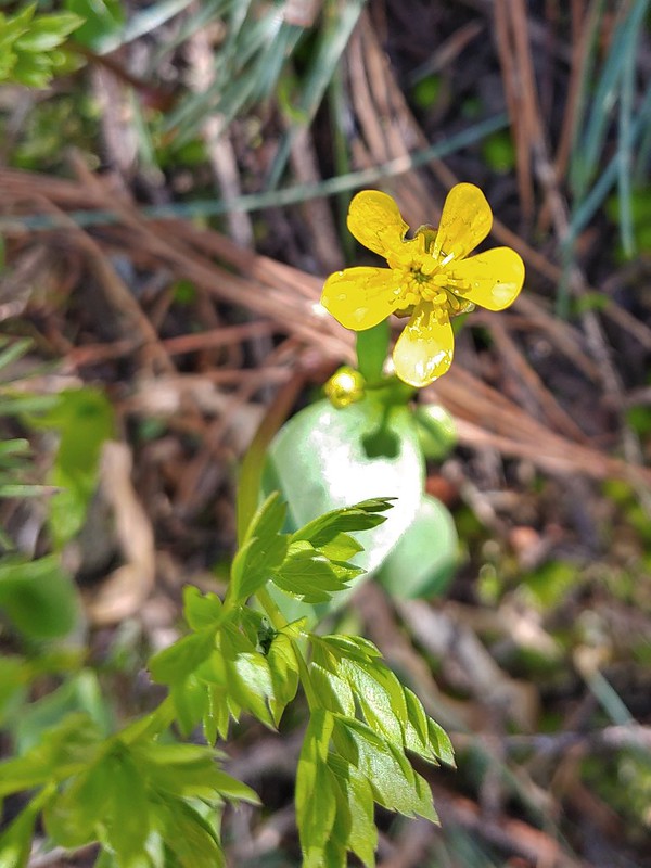 Buttercup?
 Passing through the manzanita section.


 The target shooting area and the OHV track coming down the ridge.
 The track going up the ridge between the two roads. We briefly wondered if this had been the BLM’s work to bypass the road walk in between this trailhead and the Greenstone Trailhead but decided it likely wasn’t (good call).
 The “hidden” trailhead sign.
 Despite the empty shell casings and garbage left by the shooters there were some nice flowers along the road.
 Valerian
 Bleeding heart
 The Greenstone Trailhead
 People suck
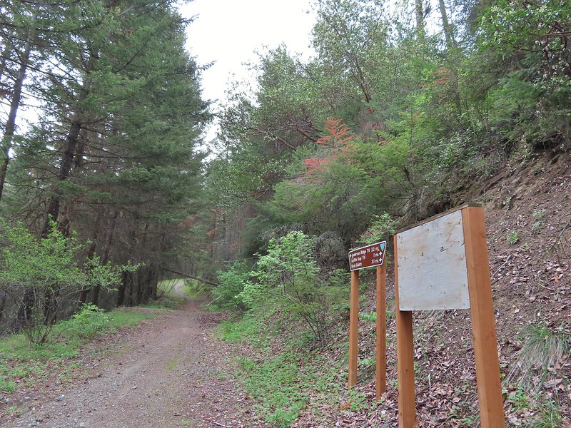 Nicer signs on the other side of the berm.

 Can you spot the insect?
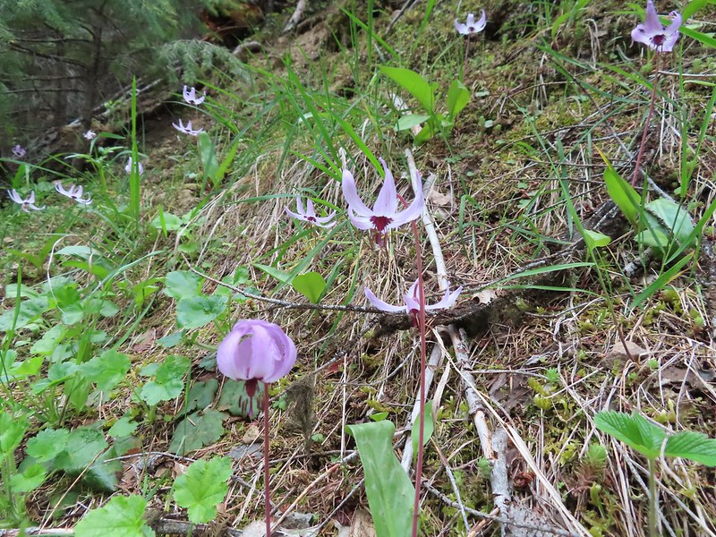
 Trillium

 Milkvetch
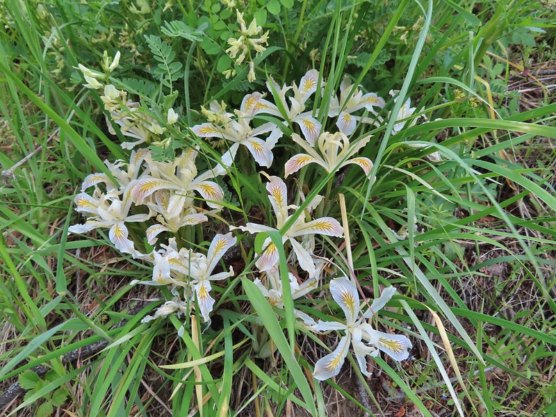 Iris
Iris Pacific houndstongue
 We managed to spot a few of the bloodsuckers before they grabbed my pants but we also had to flick 6-8 of the little buggers off.
 Charred tree trunks along the trail.
 Snow queen
 No signs of fire here.

 The Jack-Ash Trail continuing south.
 The trail heading west.
 Balsamroot
 Phlox
Phlox


 Scarlet fritillary – Fritillaria recurva

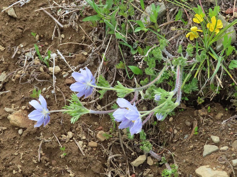
 Parsley, larkspur, prairie stars and blue-eyed Mary.
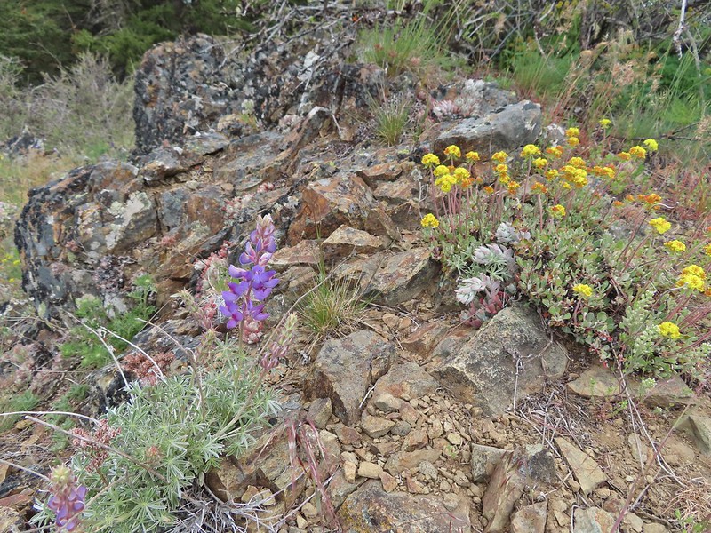 Lupine and buckwheat
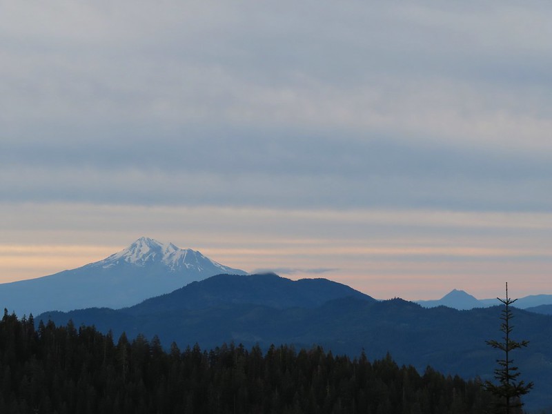
 Mt. McLoughlin (
 Zoomed shot of Dutchman Peak
 Zoomed shot of Red Buttes
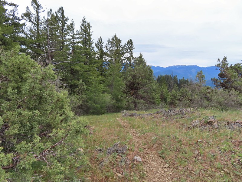
 Paintbrush, blue-eyed Mary, and redstem storksbill
 A stonecrop
 Where we left the roadbed.
 Back on the Jack-Ash.
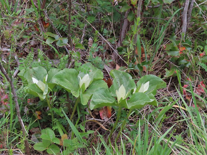 Giant white wakerobbin
 Paintbrush and waterleaf
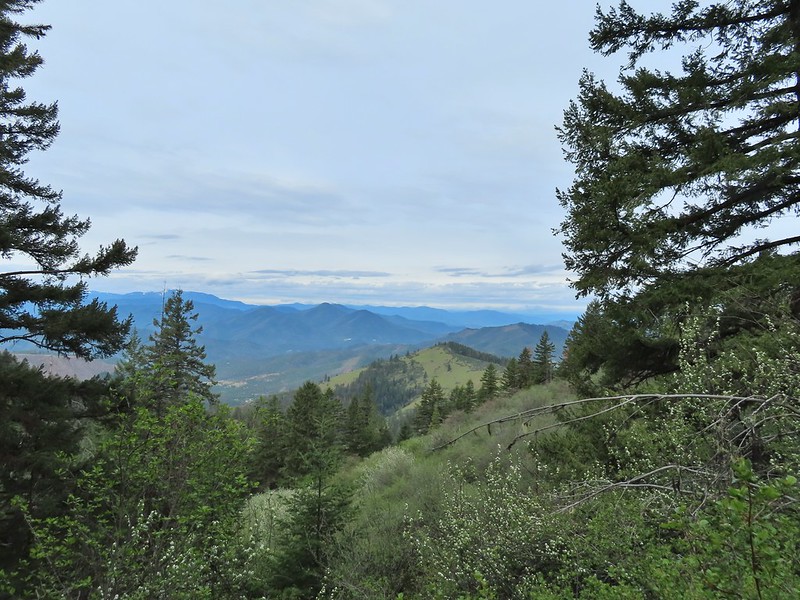 Grayback Mountain to the left with snow.
 The OHV trail crossing the Jack-Ash Trail.
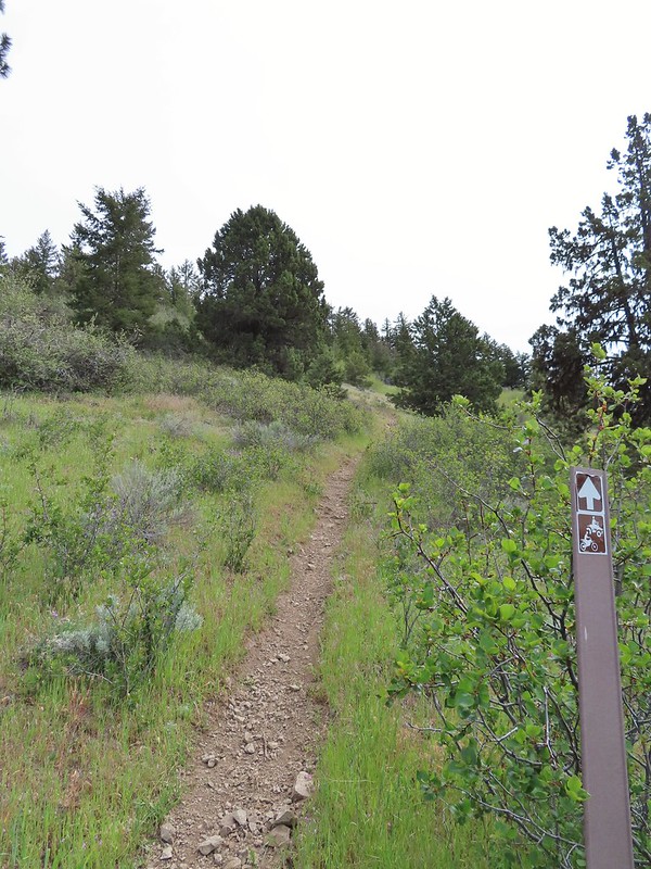 The OHV trail coming down from the road.
 Lupine
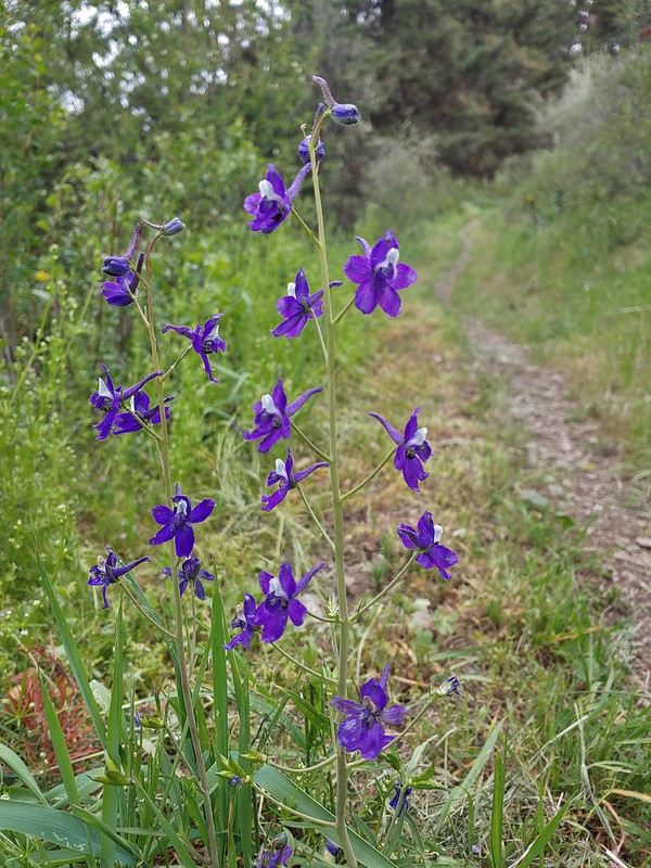 Larkspur
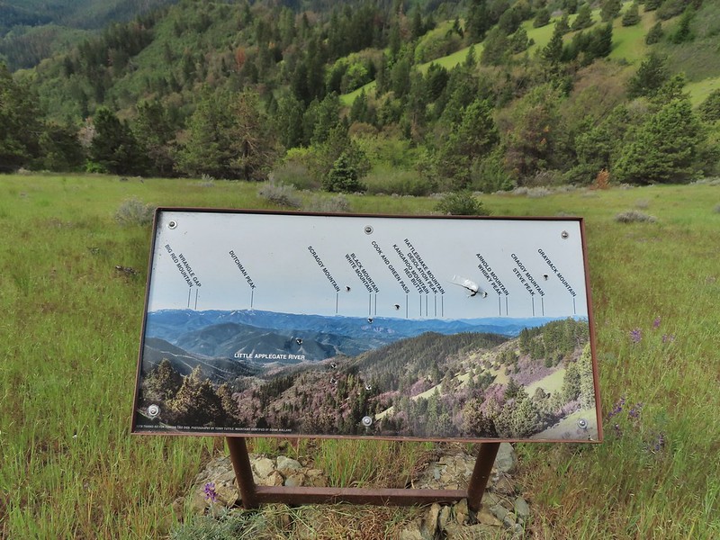 Always appreciate a good mountain locator.
 Mariposa lily
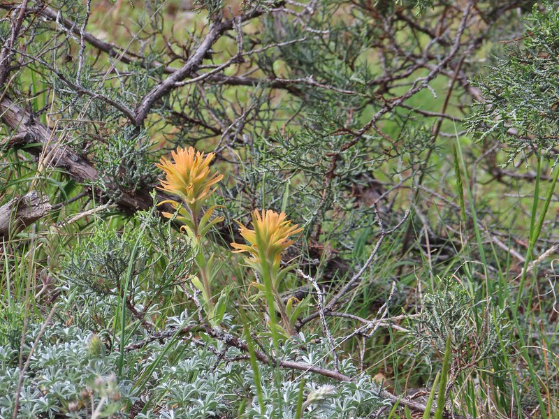 Paintbrush
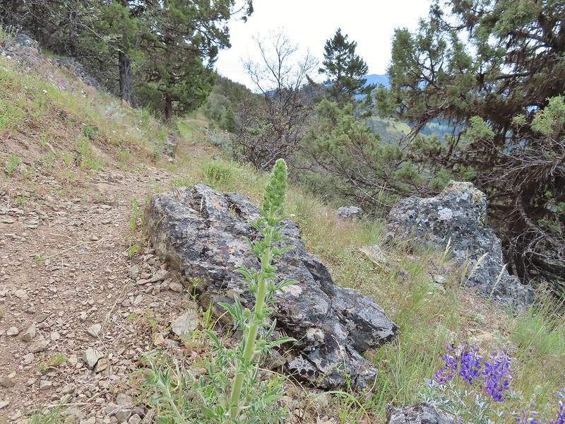 Silverleaf phacelia
 Some sort of big thistle on the hillside.
 Some pink lupine.
 Rough eyelash-weed
 Western wallflower with a crab spider.
 Clustered broomrape
 Buckwheat, paintbrush, and lupine
 Plectritis
 Nearing the Anderson Ridge Trailhead.


 Miniture lupine
 A ringlet on fiddleneck.
 Post at the OHV trail crossing.
 Salsify
 Yarrow
 The Jack-Ash Trail nearing the saddle where we had turned off to go up Anderson Butte.
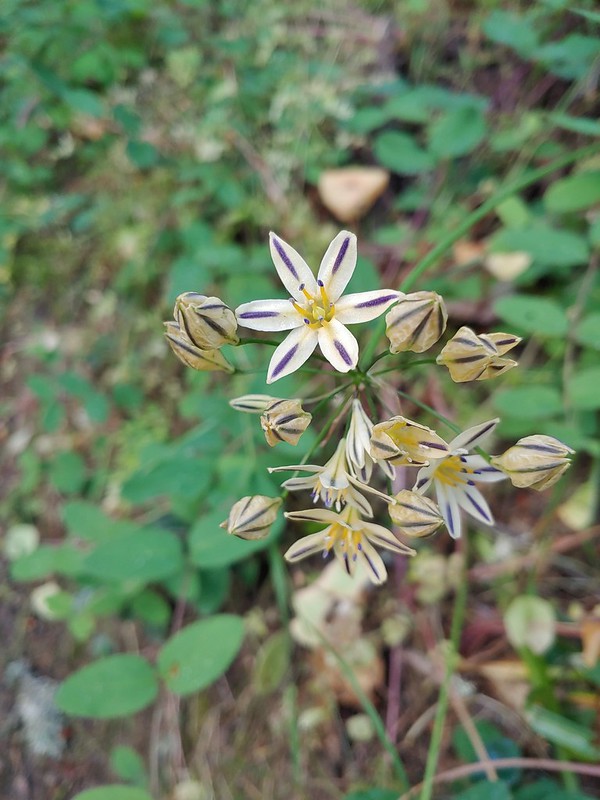
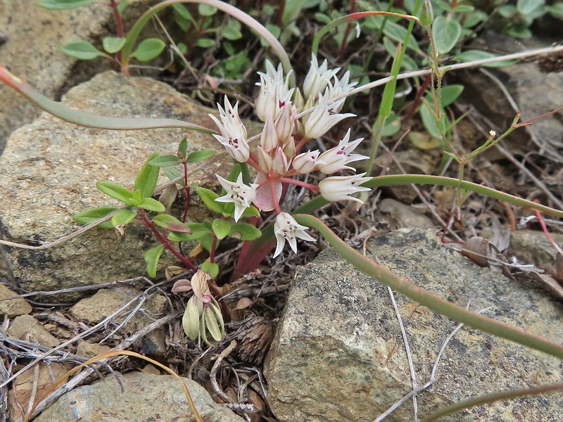 Wild onion (possibly Siskiyou)
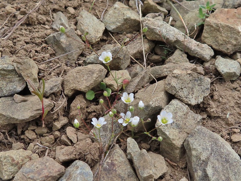 Meadowfoam
 Royal Jacobs-ladder
 Royal Jacobs-ladder
 The berm at the Greenstone Trailhead.
