In 2018 we began a tradition of posting a collection of the variety of flowers that we encountered during the years hikes. It’s always a bit shocking to see just how many different varieties we actually saw over the course of the year. It appears that the total in 2023 was between 300 and 350. We are still learning to identify the flowers and are a long way from being able to tell some of the different species apart. That doesn’t take away from our ability to enjoy the flowers though, so with that in mind here are some (but not all) of the flowers we saw this past year. (Any IDs provided are best guesses and any corrections or additional IDs are greatly appreciated.)
The first wildflowers we spotted were snow queen during a March 11th hike at Fitton Green Natural Area near Corvallis.

Here are the others in no particular order. I’ve tried to identify non-natives as well as indicate if this was our first time (that we know of) seeing a particular flower. Locations are all in Oregon unless noted as WA.
 Allumroot – 6/12/23, Imnaha River Trail, Eagle Cap Wilderness
 Alpine pennycress – 5/4/23, Forest Road 011, Rogue River-Siskiyou National Forest
 American saw-wort – 8/14/23, Main Eagle Creek Trail, Eagle Cap Wilderness
 Anemone – 6/12/23, Imnaha River Trail, Eagle Cap Wilderness
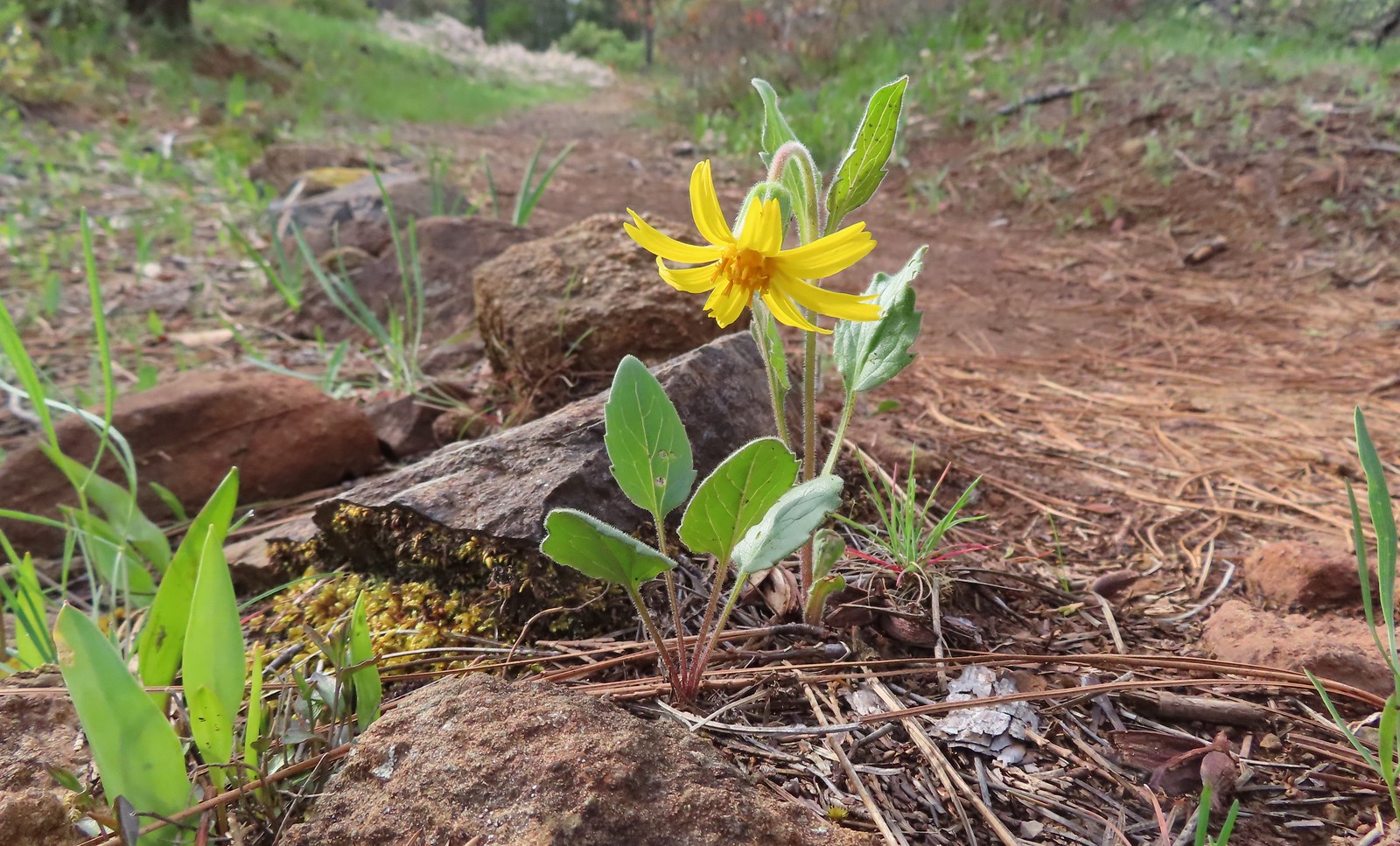 Serpentine arnica – 5/4/23, Eight Dollar Mountain Boardwalk, BLM Grants Pass Resource Area
 Arnica – 6/12/23, Imnaha River Trail, Eagle Cap Wilderness
 Arnica – 7/31/23, Garfield Peak Trail, Crater Lake National Park
 Spear-leaf arnica – 7/31/23, Garfield Peak Trail, Crater Lake National Park
 Arnica? – 8/16/23, Tombstone Lake Trail, Eagle Cap Wilderness
 Avalanche lilies – 7/15/23, Plaza Trail, Salmon-Huckleberry Wilderness
 Fawn lily – 4/13/23, Baskett Slough National Wildlife Refuge, Rickreall
 Henderson’s fawn lily – 5/2/2023, Sterling Mine Ditch Trail System, BLM Medford District
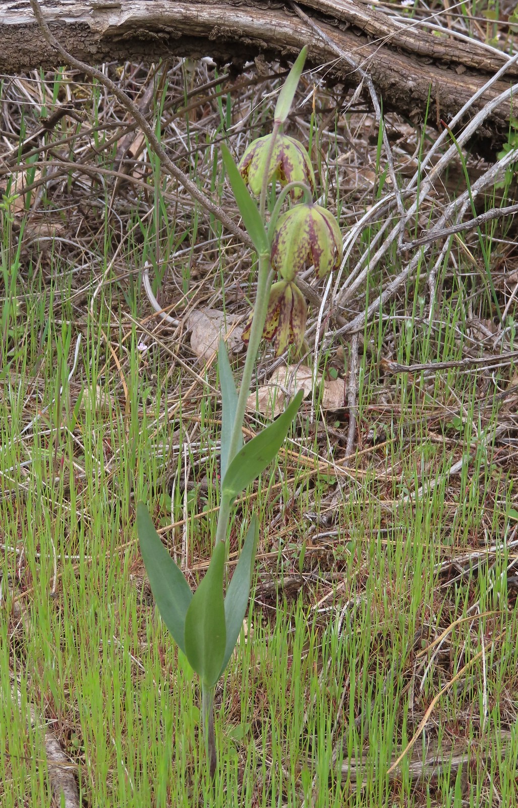 Checker lily – 5/4/23, Forest Road 011, Rogue River-Siskiyou National Forest
 Azalea – 5/4/23, Eight Dollar Mountain Boardwalk, BLM Grants Pass Resource Area
 Rhododendron – 7/15/23, Tumala Mountain, Mt. Hood National Forest
 Ball-head waterleaf – 6/12/23, Imnaha River Trail, Eagle Cap Wilderness
 Pacific waterleaf – 5/2/2023, Sterling Mine Ditch Trail System, BLM Medford District
 Balsamroot – 5/27/23, Metolius Preserve, Camp Sherman
 Hoary balsamroot – 6/15/23, Buckhorn Lookout, Wallowa-Whitman National Forest
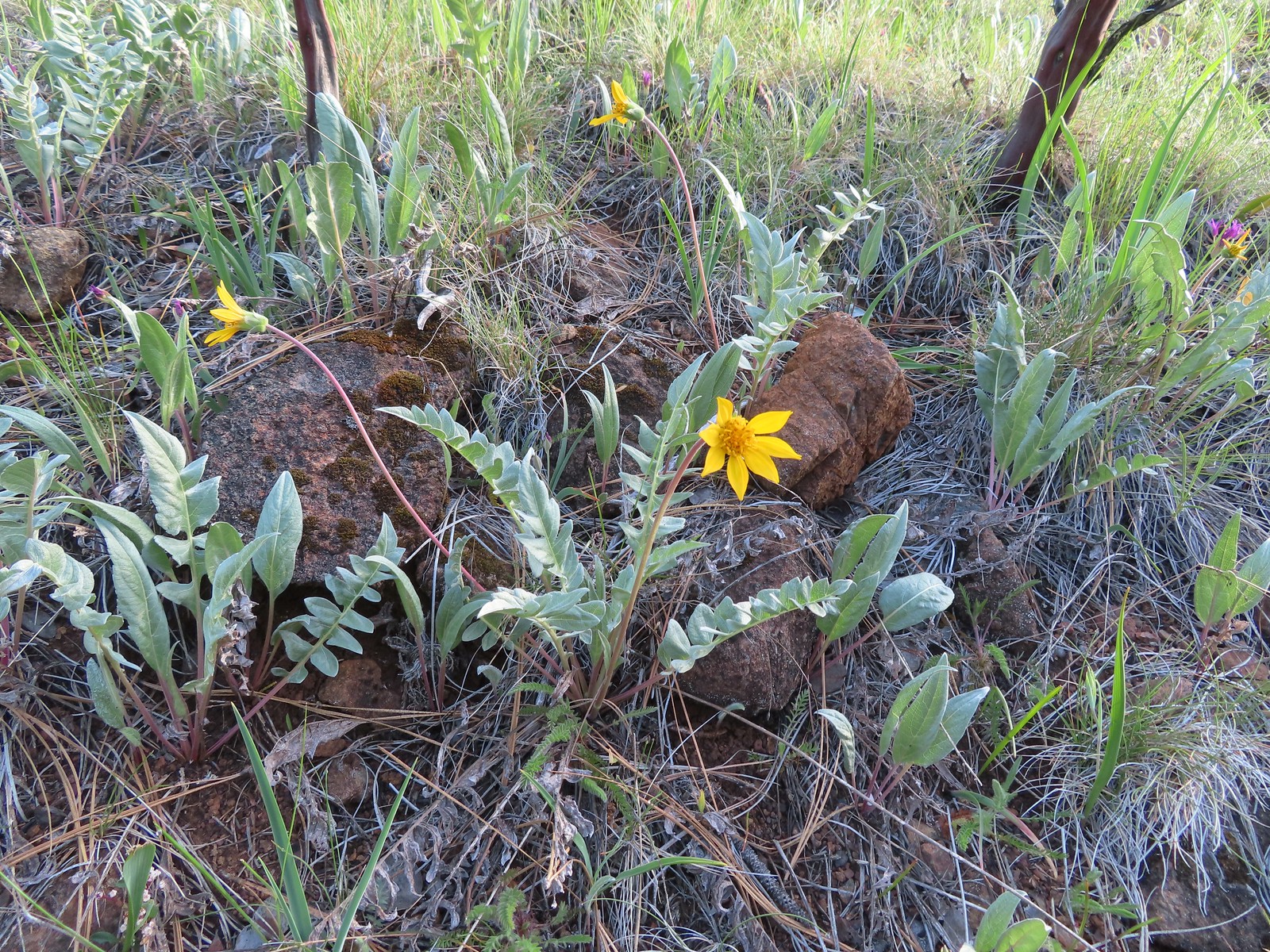 Silky balsamroot – 5/4/23, Little Falls Trail Loop, Rogue River-Siskiyou National Forest (first time seeing)
 Deltoid balsamroot – 5/2/2023, Sterling Mine Ditch Trail System, BLM Medford District
 Beargrass – 7/4/23, Rockytop Trail, Santiam State Forest
 Bigelow sneezweed – 10/7/2023, Sturgis Fork Trail, Rogue River-Siskiyou National Forest
 Field bindweed (non-native) – 6/14/23, Eureka Bar, Hells Canyon National Recreation Area
 Bindweed (non-native) – 8/26/23, Old Growth Cedar Trail, Rockaway Beach
 Biscuitroot – 5/4/23, Little Falls Trail Loop, Rogue River-Siskiyou National Forest
 Biscuitroot – 5/13/23, Tualatin River National Wildlife Refuge, Sherwood
 Biscuitroot – 6/12/23, Imnaha River Trail, Eagle Cap Wilderness
 Bistort – 7/31/23, Castle Crest Wildflower Trail, Crater Lake National Park
 Blanket flower – 6/14/23, Eureka Bar, Hells Canyon National Recreation Area
 Bleeding heart – 4/29/23, Canemah Bluff, Oregon City
 Blue dicks – 5/1/23, Rogue River National Recreation Trail, BLM Medford District
 Ookow – 6/3/23, Buck Creek Trail, Husem, WA
 Large-flower tritelia – 6/12/23, Imnaha River Trail, Eagle Cap Wilderness
 Bluebells of Scotland – 7/15/23, Sheepshead Rock, Salmon-Huckleberry Wilderness
 Tall bluebells – 6/12/23, Imnaha River Trail, Eagle Cap Wilderness
 Scouler’s bluebell – 7/4/23, Natural Rock Arch Trail, Santiam State Forest
 Blue-eyed Mary – 5/2/23, Cathedral Hills, Grants Pass
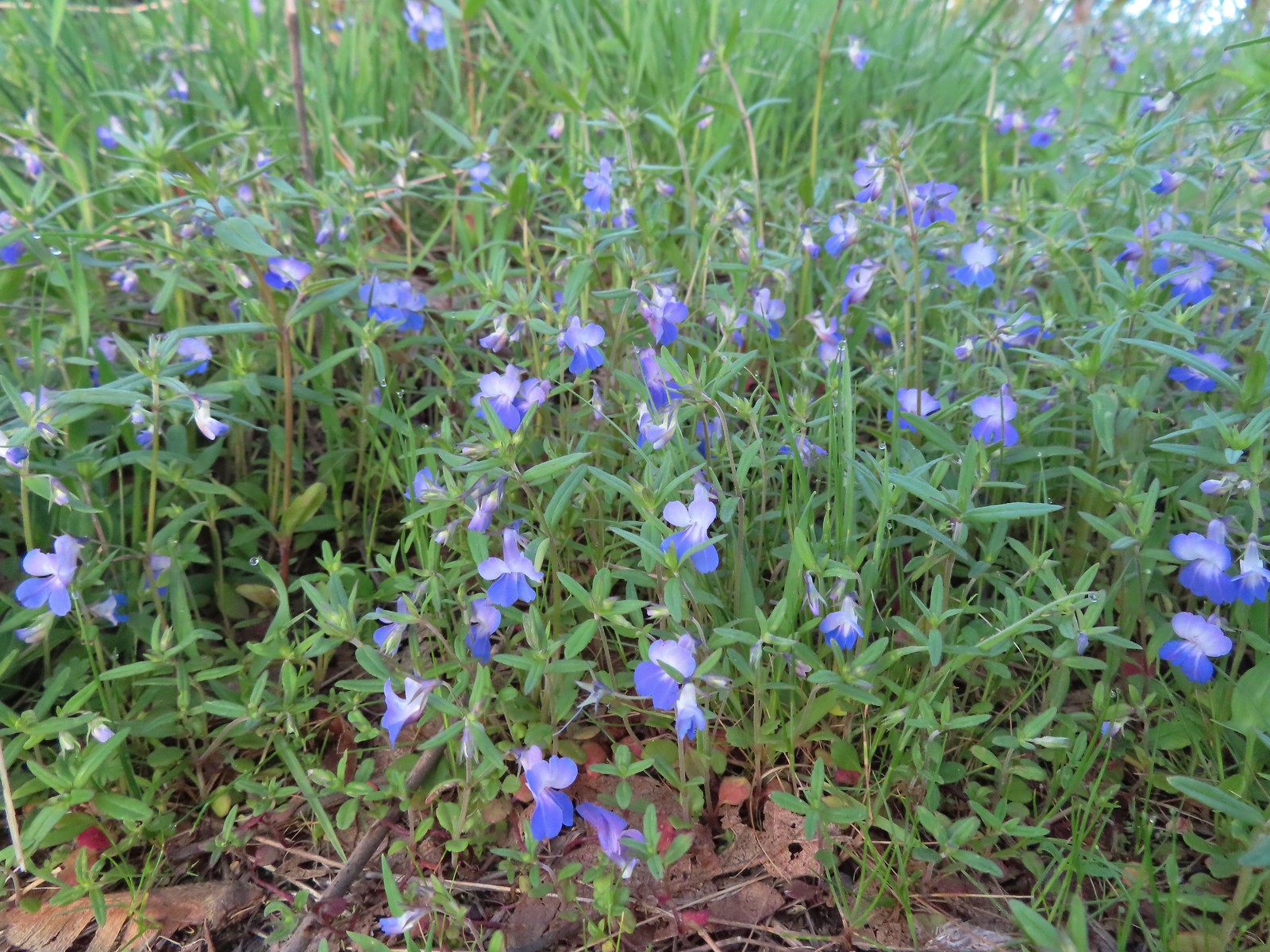 Giant blue-eyed Mary – 4/29/23, Canemah Bluff, Oregon City
 Bog orchid – 7/31/23, Castle Crest Wildflower Trail, Crater Lake National Park
 Phantom orchid – 6/3/23, Buck Creek Trail, Husem, WA
 Bolander’s yampah – 6/15/23, Nee-Mee-Poo National Historic Trail, Hells Canyon National Recreation Area
 Broad-leaved pepperweed (non-native) – 6/11/23, Hat Rock State Park, Hermiston
 Brown’s peony – 6/12/23, Imnaha River Trail, Eagle Cap Wilderness
 Buckwheat – 5/28/23, Criterion Tract, BLM Prineville District
 Buckwheat – 5/28/23, Criterion Tract, BLM Prineville District
 Buckwheat – 7/31/23, Garfield Peak Trail, Crater Lake National Park
 Buckwheat – 7/30/23, Crater Peak Trail, Crater Lake National Park
 Buckwheat – 6/3/23, Nestor Peak, Husem, WA
 Wickerstem buckwheat – 9/3/23, Threemile Canyon, BLM Burns District
 Bunchberry – 7/4/23, Santiam State Forest
 Buttercups – 4/29/23, Canemah Bluff, Oregon City
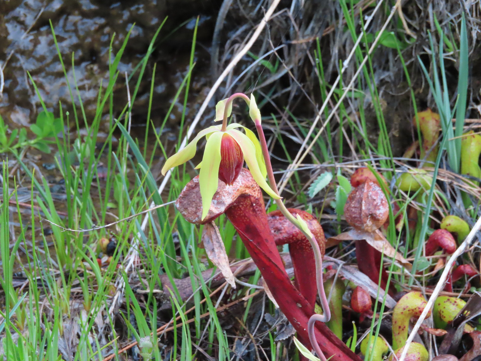 California darlingtonia – 5/4/23, Eight Dollar Mountain Botanical Area, Rogue River-Siskiyou National Forest
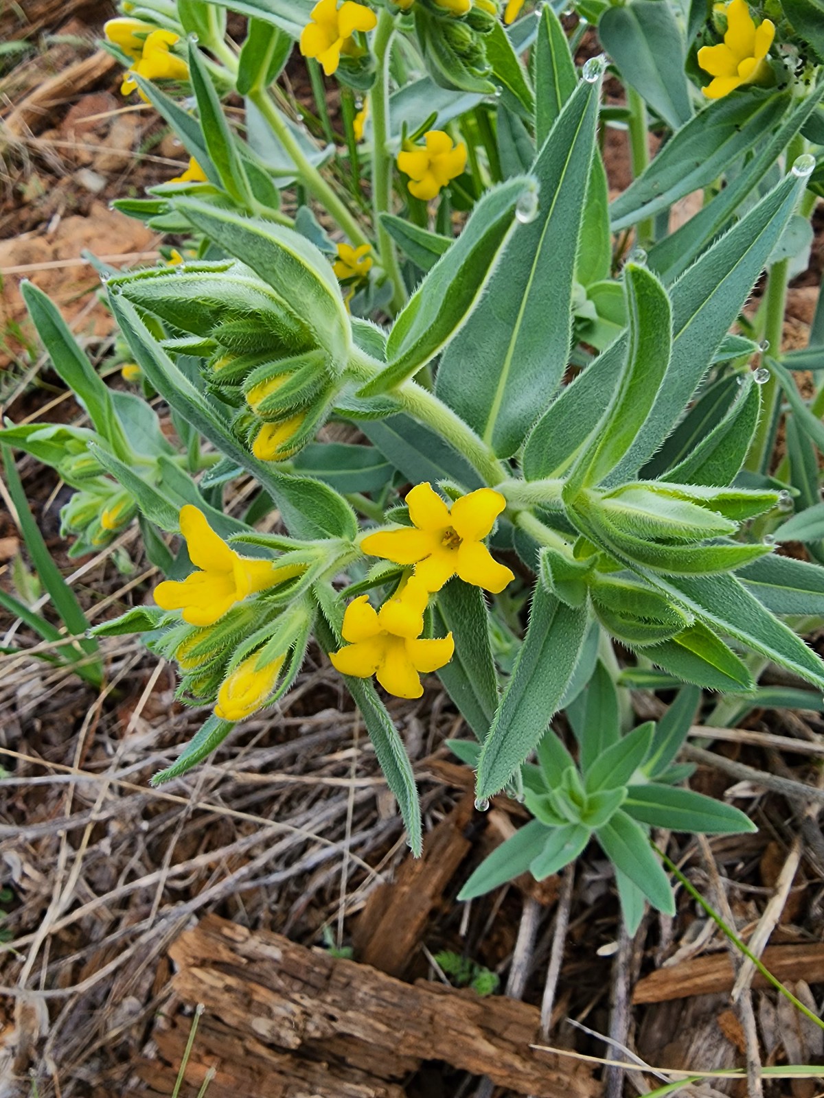 California gromwell – 5/4/23, Eight Dollar Mountain Botanical Area, Rogue River-Siskiyou National Forest
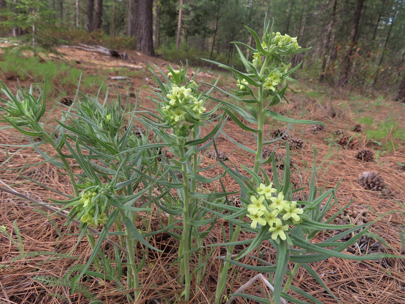 Western stoneseed – 5/27/23, Metolius Preserve, Camp Sherman
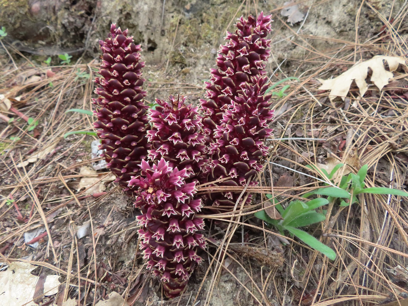 California groundcones – 5/3/23, Dollar Mountain, Grants Pass
 California harebells – 6/25/23, North Umpqua Trail, BLM Roseburg District
 California poppies – 6/13/23, Highway 351, Joseph
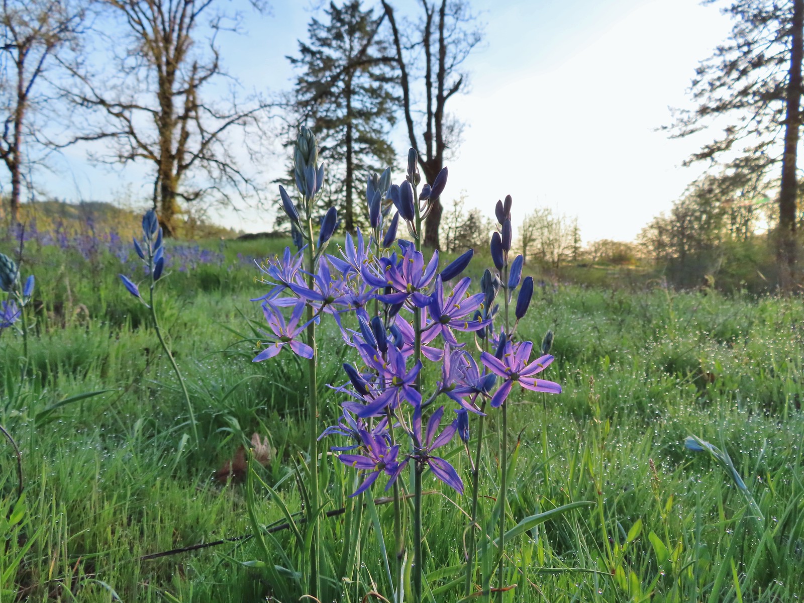 Camas – 4/29/23, Canemah Bluff, Oregon City
 Death camas – 5/4/23, Eight Dollar Mountain Boardwalk, BLM Grants Pass Resource Area
 Mountain death camas – 8/14/23, Main Eagle Creek Trail, Eagle Cap Wilderness
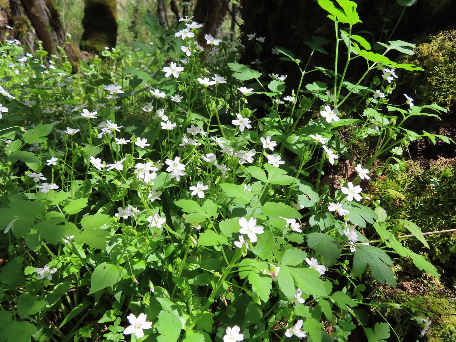 Candy flower – 5/3/23, Waters Creek Interpretive Trail, Rogue River-Siskiyou National Forest
 Candysticks – 7/8/23, Santiam Wagon Road, Willamette National Forest
 Carolina bugbane – 7/15/23, Old Baldy Trail, Salmon-Huckleberry Wilderness
 Cascade lily – 7/4/23, Natural Rock Arch Trail, Santiam State Forest
 Catchfly – 7/4/23, Rockytop Trail, Santiam State Forest
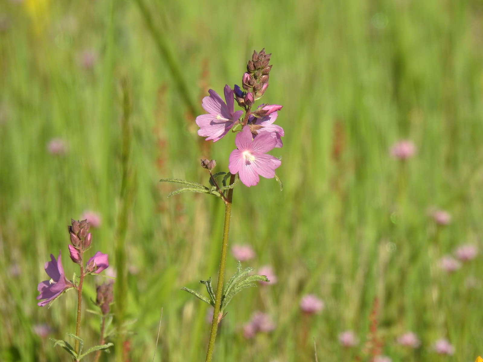 Checker-mallow – 5/13/23, Tualatin River National Wildlife Refuge, Sherwood
 Checker-mallow – 5/13/23, Graham Oaks Nature Park, Wilsonville
 Checker-mallow – 6/25/23, North Bank Habitat, BLM Roseburg District
 Orange globe mallow – 6/14/23, Eureka Bar Hells Canyon National Scenic Area
 Chicory (non-native) – 6/14/23, Imnaha Trail, Hells Canyon National Recreation Area
 Chokecherry – 5/30/23, Riley Ranch Preserve, Bend
 Mallow ninebark – 6/15/23, Hells Canyon National Scenic Area, Wallowa-Whitman
 Cinquefoil – 6/12/23, Imnaha River Trail, Eagle Cap Wilderness
 Shrubby cinquefoil – 8/14/23, Main Eagle Creek Trail, Eagle Cap Wilderness
 Clarkia – 6/3/23, Buck Creek Trail, Husem, WA
 Elkhorn clarkia – 6/15/23, Hells Canyon National Scenic Area, Wallowa-Whitman National Forest
 Tomcat clover – 5/13/23, Cooper Mountain Nature Park, Beaverton
 Clover (possibly Beckwith’s?) – 6/15/23, Hells Canyon National Scenic Area, Wallowa-Whitman National Forest
 Twin clover – 6/15/23, Hells Canyon National Scenic Area, Wallowa-Whitman National Forest (first time seeing)
 Large-head clover – 6/15/23, Hells Canyon National Scenic Area, Wallowa-Whitman National Forest
 Wooly-head clover – 6/15/23, Hells Canyon National Scenic Area, Wallowa-Whitman National Forest
 Owl’s clover – 6/15/23, Hells Canyon National Scenic Area, Wallowa-Whitman National Forest
 Clustered broomrape – 6/15/23, Hells Canyon National Scenic Area, Wallowa-Whitman National Forest
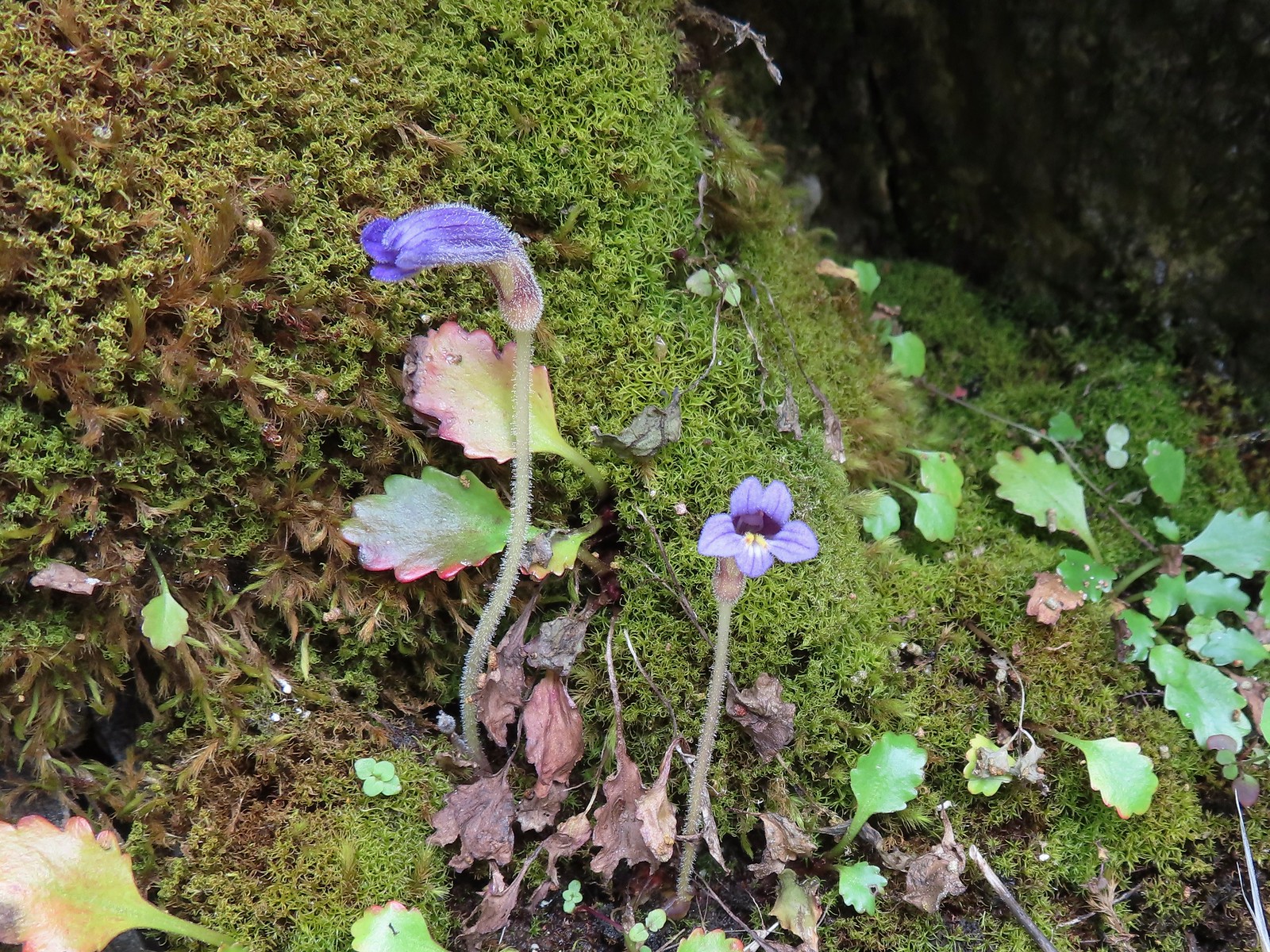 Naked broomrape – 5/1/23, Rogue River National Recreation Trail, BLM Medford District
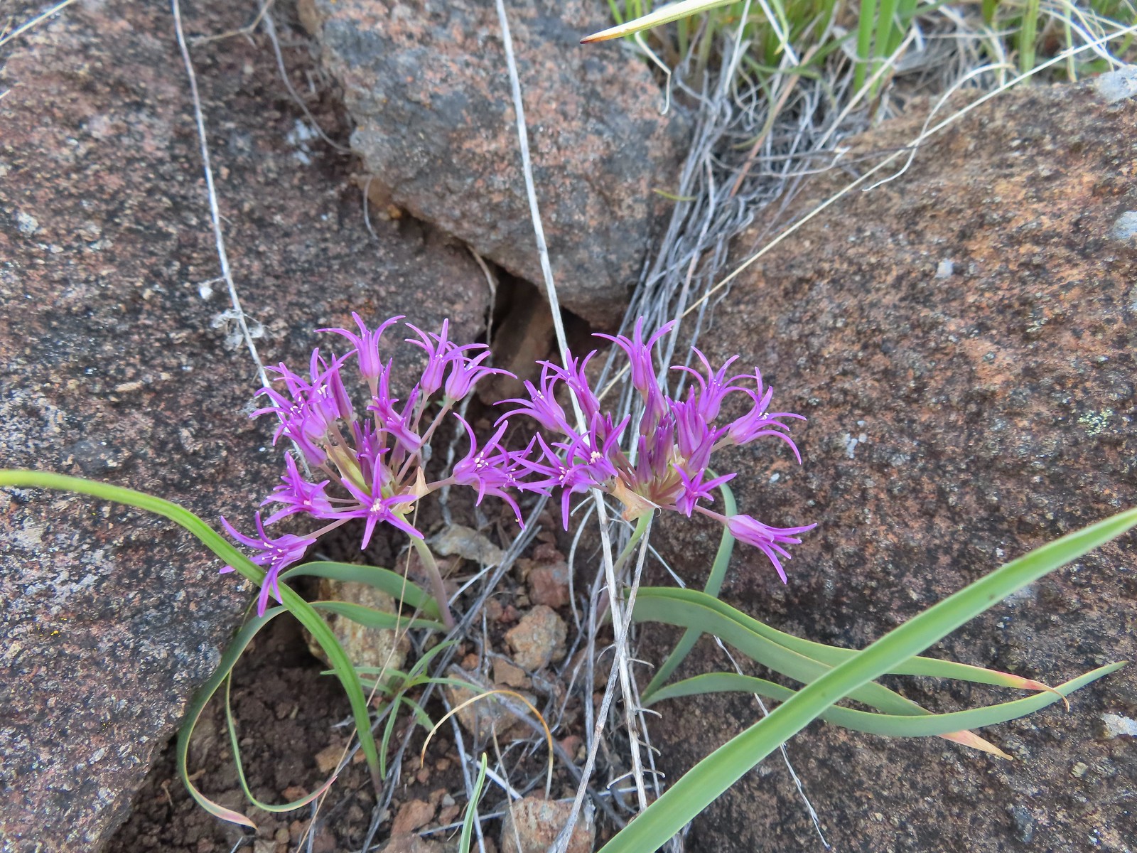 Coast flat stem onion – 5/4/23, Jeffrey Pine Loop Trail, BLM Medford District
 Swamp onion – 8/14/23, Main Eagle Creek Trail, Eagle Cap Wilderness
 Tolmie’s onion – 6/15/23, Hells Canyon National Scenic Area, Wallowa-Whitman National Forest
 Coltsfoot – 4/15/23, Enchanted Valley, Siuslaw National Forest
 Columbian lewisia – 6/15/23, Hells Canyon National Scenic Area, Wallowa-Whitman National Forest
 Threeleaf lewisia – 6/12/23, Imnaha River Trail, Eagle Cap Wilderness
 Columbine – 7/4/23, Rockytop Trail, Santiam State Forest
 Yellow columbine – 8/17/23, West Eagle Trail, Eagle Cap Wilderness
 Coneflower – 8/16/23, West Eagle Trail, Eagle Cap Wilderness
 Pacific Coralroot – 7/15/23, Plaza Lake Trail, Salmon-Huckleberry Wilderness
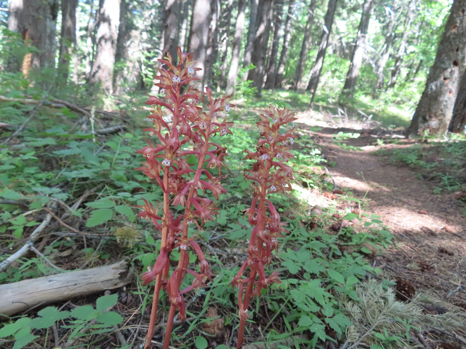 Spotted coralroot – 6/3/23, Buck Creek Trail, Husem, WA
 Crater Lake collomia – 9/9/23, Cliff Lake Trail, Sky Lakes Wilderness
 Grand collomia – 5/28/23, Criterion Tract, BLM Prineville District
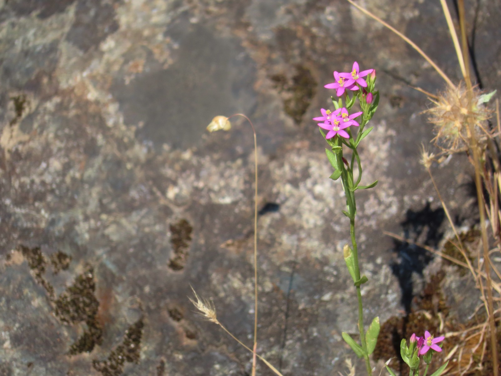 Variable-leaf collomia – 6/24/23, Rogue River National Recreation Trail, Wild Rogue Wilderness
 Tiny trumpet – 6/15/23, Hells Canyon National Scenic Area, Wallowa-Whitman National Forest (first time seeing)
 Creeping wirelettuce – 7/29/23, Stuart Falls Trail, Crater Lake National Park
 Currant – 6/12/23, Imnaha River Trail, Eagle Cap Wilderness
 Red flowering currant – 4/14/23, Minto-Brown Island Park, Salem
 Cusick’s speedwell – 8/15/23 Bear Lake Trail, Eagle Cap Wilderness
 Daffodils (non-native) – 4/13/23, Baskett Slough National Wildlife Refuge, Rickreall
 Dalmation toadflax (non-native) – 6/16/23, Copper Creek Day Use Area, Hells Canyon National Recreation Area
 Deer vetch – 7/22/23, Shut-In Trail, Deschutes National Forest
 Idaho milk-vetch – 5/28/23, Criterion Tract, BLM Prineville District
 Rogue River milk-vetch – 5/2/2023, Sterling Mine Ditch Trail System, BLM Medford District
 Woolly-pod milk-vetch – 5/2/2023, Sterling Mine Ditch Trail System, BLM Medford District
 Vetch – 5/13/23, Cooper Mountain Nature Park, Beaverton
 Vetch – 6/12/23, Imnaha River Trail, Eagle Cap Wilderness
 Pea (non-native) – 6/24/23, Rogue River National Recreation Trail, Wild Rogue Wilderness
 Del Norte iris – 5/1/23, Rogue River National Recreation Trail, BLM Medford District
 Tough leaf iris – 5/13/23, Cooper Mountain Nature Park, Beaverton
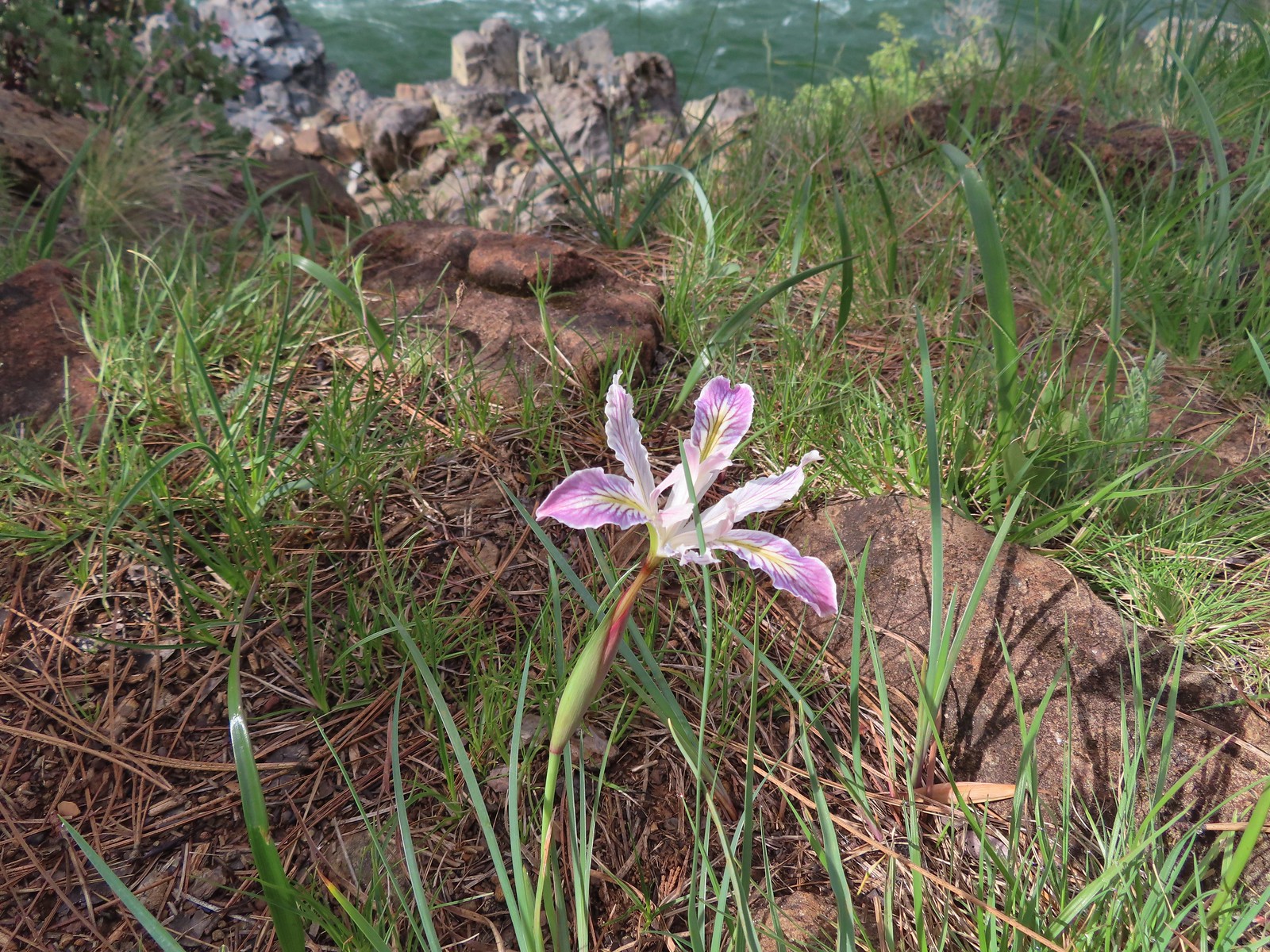 Iris – 5/4/23, Little Falls Trail Loop, Rogue River-Siskiyou National Forest
 Diffuse-flower evening primrose surrounded by blue-eyed Mary – 6/12/23, Imnaha River Trail, Eagle Cap Wilderness
 Drummond’s anemone – 7/30/23, Crater Peak Trail, Crater Lake National Park
 Western pasque flower – 7/8/23, Sand Mountain, Willamette National Forest
 Western paque flower (seedheads) – 7/31/23, Garfield Peak Trail, Crater Lake National Park
 Dwarf ceanothus – 5/3/23, Limpy Botanical Trail, Rogue River-Siskiyou National Forest
 Elegant brodiaea – 6/24/23, Rogue River National Recreation Trail, Wild Rogue Wilderness
 European centaury (non-native) – 6/25/23, North Bank Habitat, BLM Roseburg District
 Fairy slippers – 5/3/23, Limpy Botanical Trail, Rogue River-Siskiyou National Forest
 Mountain lady slipper – 6/3/23, Buck Creek Trail, Husem, WA
 Fiddleneck – 5/2/2023, Sterling Mine Ditch Trail System, BLM Medford District
 Field chickweed – 5/4/23, Forest Road 011, Rogue River-Siskiyou National Forest
 Fireweed – 6/25/23, North Umpqua Trail, BLM Roseburg District
 False hellebore – 7/31/23, Garfield Peak Trail, Crater Lake National Park
Dipping into fleabanes, asters and/or daisies, possibly the hardest to differentiate. These are my best guesses but I could be way off.
 Desert yellow fleabane – 5/28/23, Criterion Tract, BLM Prineville District
 Sub-alpine fleabane – 10/7/23, Forest Road 600, Rogue River-Siskiyou National Forest
 Fleabane? – 6/14/23, Eureka Bar, Hells Canyon National Recreation Area
 Fleabane? – 6/11/23, Hat Rock State Park, Hermiston
 Not even going to guess, could be a non-native. – 5/13/23, Graham Oaks Nature Park, Wilsonville
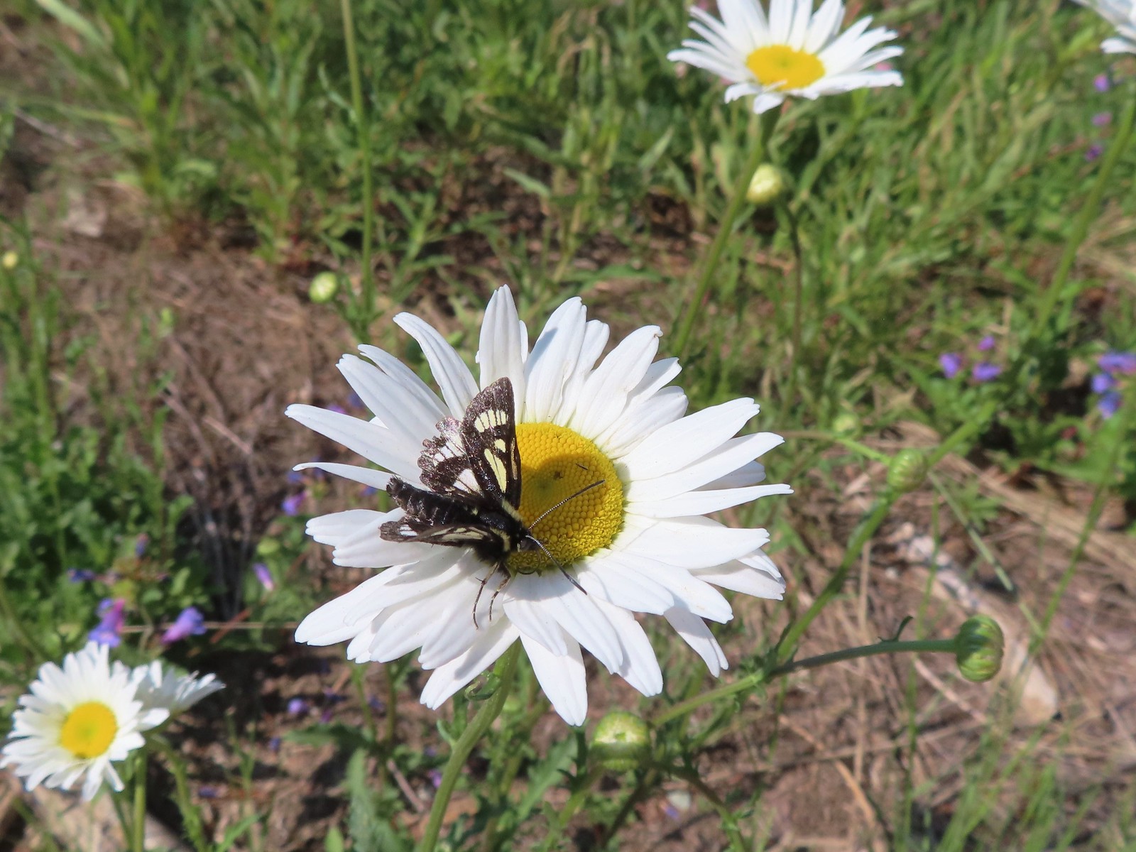 Diasy? – 7/4/23, Niagra Heights Road, Santiam State Forest
 Hairy golden aster – 6/14/23, Eureka Bar, Hells Canyon National Recreation Area
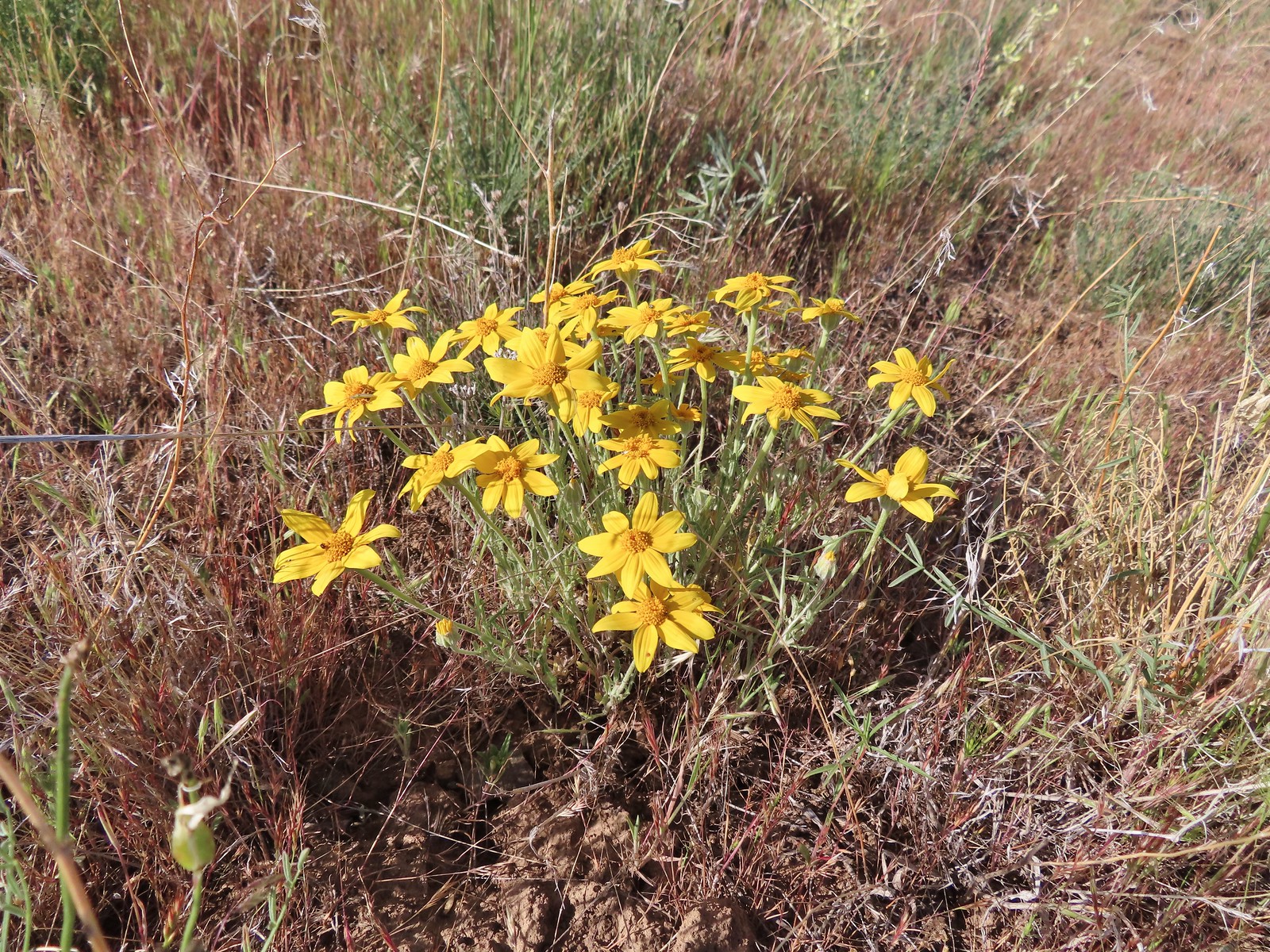 Oregon sunshine – 5/28/23, Criterion Tract, BLM Prineville District
 Oregon sunshine – 6/3/23, Nestor Peak, Husem, WA
 Sunflower – 9/3/23, Threemile Canyon, BLM Burns District
 Foam flower – 8/5/23, McGee Creek Trail, Mt. Hood Wilderness
 Foxglove (non-native) – 7/4/23, Natural Rock Arch Trail, Santiam State Forest
 Fringecup – 5/13/23, Tualatin River National Wildlife Refuge, Sherwood
 Gentians – 8/16/23, Tombstone Lake Trail, Eagle Cap Wilderness
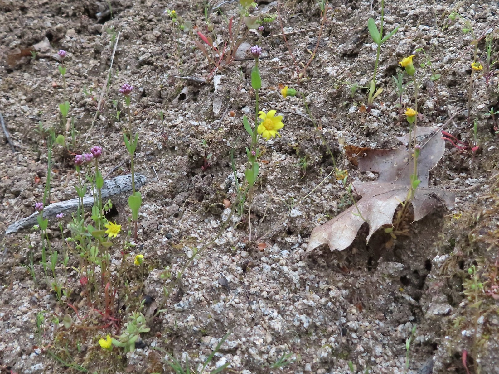 Gold stars? – 5/2/23, Cathedral Hills, Grants Pass
 Goldenrod – 7/22/23, Metolius River Trail, Deschutes National Forest
 Grass-of-parnassus – 9/9/23, Pacific Crest Trail, Sky Lakes Wilderness
 Gray sagewort (among others) – 8/14/23, Main Eagle Creek Trail, Eagle Cap Wilderness
 Groundsel – 6/3/23, Buck Creek Trail, Husem, WA
 Groundsel – 7/30/23, Plaikni Falls Trail, Crater Lake National Park
 Heatleaf spring beauty – 6/12/23, Imnaha River Trail, Eagle Cap Wilderness
 Hedgenettle – 7/22/23, Shut-In Trail, Deschutes National Forest
 Honeysuckle – 5/13/23, Cooper Mountain Nature Park, Beaverton
 Honeysuckle – 6/25/23, North Bank Habitat, BLM Roseburg District
 Twinberry honeysuckle – 6/12/23, Imnaha River Trail, Eagle Cap Wilderness
 Utah honeysuckle – 6/12/23, Imnaha River Trail, Eagle Cap Wilderness
 Twinflower honeysuckle – 7/22/23, Metolius River Trail, Deschutes National Forest
 Horkelia – 7/22/23, Metolius River Trail, Deschutes National Forest
 Houndstongue – 6/13/23, Iwetemlaykin State Heritage Site, Joseph
 Pacific houndstongue – 5/2/2023, Sterling Mine Ditch Trail System, BLM Medford District
 Jessica’s stickseed – 6/12/23, Imnaha River Trail, Eagle Cap Wilderness
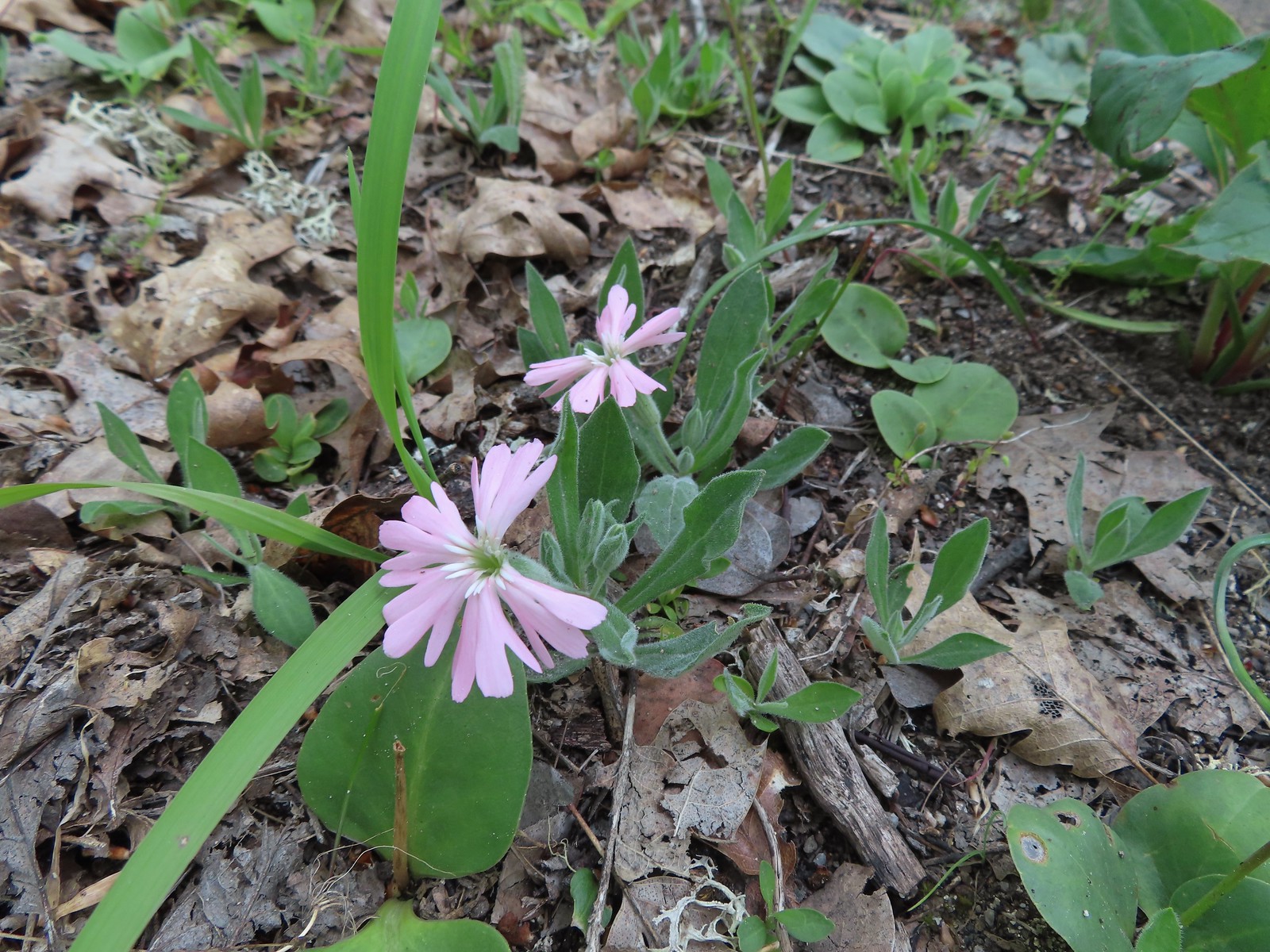 Hooker’s Indian pink – 5/3/23, Dollar Mountain, Grants Pass
 Hooker’s fairy bells – 4/29/23, Canemah Bluff, Oregon City
 Huckleberry – 6/12/23, Imnaha River Trail, Eagle Cap Wilderness
 Indian plum – 4/13/23, Baskett Slough National Wildlife Refuge, Rickreall
 Mountain snowberry – 6/15/23, Hells Canyon National Scenic Area, Wallowa-Whitman
 Salmonberry – 4/8/23, Minto-Brown Island Park, Salem
 Salal – 6/25/23, North Umpqua Trail, BLM Roseburg District
 Oregon grape – 4/8/23, Minto-Brown Island Park, Salem
 Serviceberry – 5/13/23, Cooper Mountain Nature Park, Beaverton
 Strawberry – 4/29/23, Canemah Bluff, Oregon City
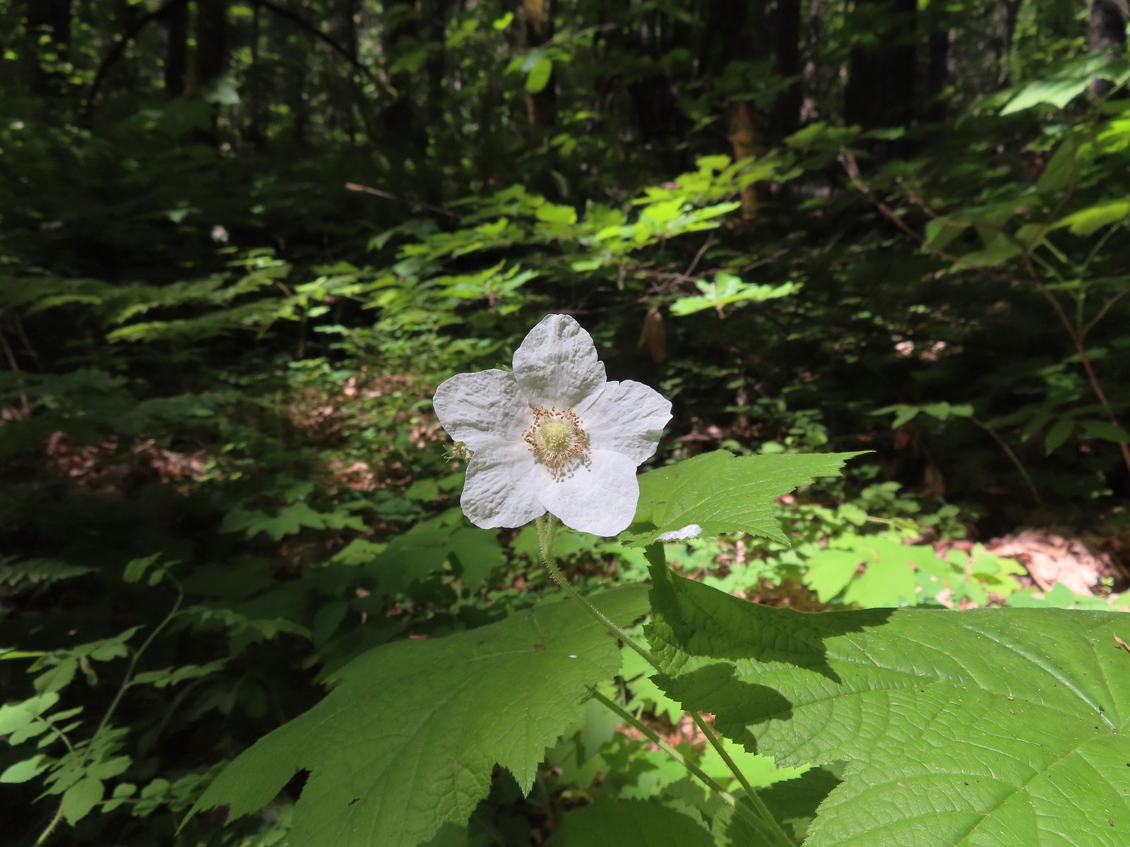 Thimbleberry – 6/3/23, Buck Creek Trail, Husem, WA
 Large-flower hawksbeard – 5/28/23, Criterion Tract, BLM Prineville District

Golden Paintbrush (Castilleja levisecta) – 5/13/23, Tualatin River National Wildlife Refuge, Sherwood
 Hairy Indian paintbrush (Castilleja tenuis) – 6/15/23, Hells Canyon National Scenic Area, Wallowa-Whitman
 Paintbrush – 6/15/23, Hells Canyon National Scenic Area, Wallowa-Whitman
 Paintbrush – 6/15/23, Hells Canyon National Scenic Area, Wallowa-Whitman
 – 6/3/23, Buck Creek Trail, Husem, WA
 Cobwebby paintbrush (Castilleja arachnoidea) – 7/31/23, Rim Trail, Crater Lake National Park
 Cobwebby paintbrush (Castilleja arachnoidea) – 7/31/23, Rim Trail, Crater Lake National Park
 Yellow Wallowa Indian paintbrush (Castilleja chrysantha) – 8/15/23, Lookingglass Lake Trail, Eagle Cap Wilderness
 Rosy paintbrush – 8/16/23, Tombstone Lake Trail, Eagle Cap WildernessFph
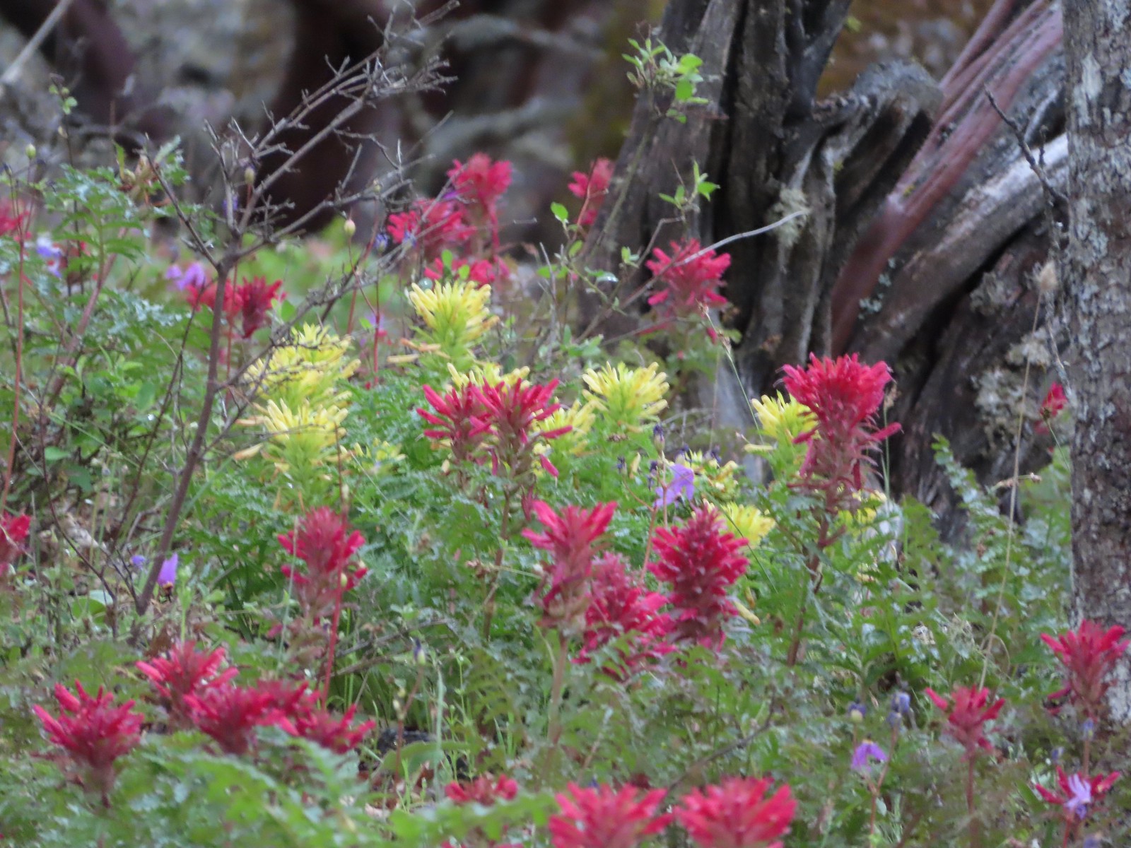 Indian warrior (Pedicularis densiflora) – 5/2/23, Cathedral Hills, Grants Pass (first time seeing)
 Inside-out flower – 7/4/23, Natural Rock Arch Trail, Santiam State Forest
 Jaccob’s ladder – 8/16/23, West Eagle Trail, Eagle Cap Wilderness
 Larkspur – 6/12/23, Imnaha River Trail, Eagle Cap Wilderness
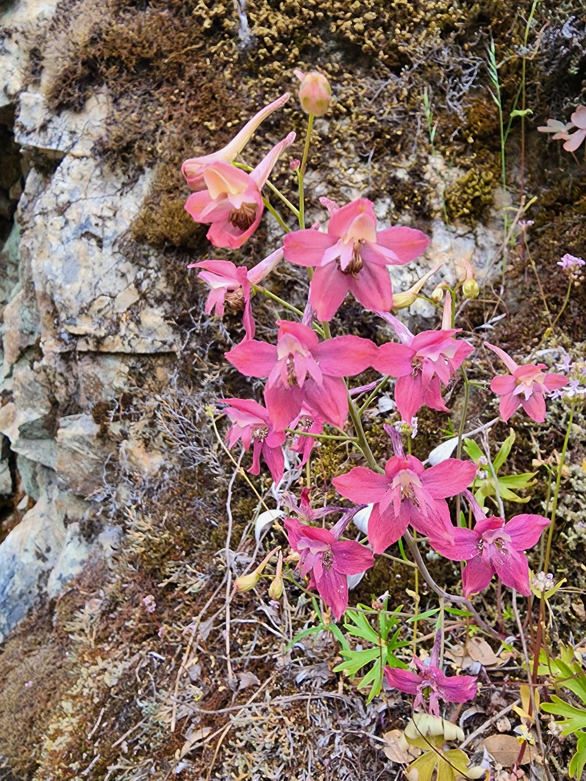 Larkspur – 5/1/23, Rogue River National Recreation Trail, BLM Medford District
 Red larkspur – 5/1/23, Rogue River National Recreation Trail, BLM Medford District (first time seeing)
 Tall mountain larkspur – 8/14/23, Main Eagle Creek Trail, Eagle Cap Wilderness
 Dwarf lupine – 7/8/23, Santiam Wagon Road, Willamette National Forest
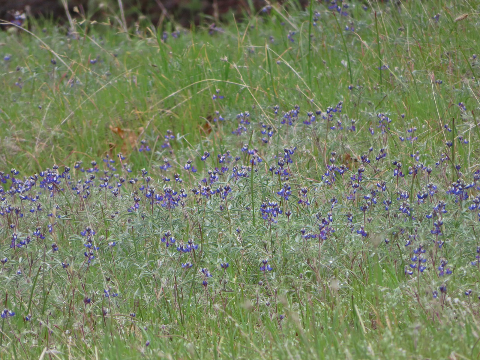 Miniature lupine – 5/2/2023, Sterling Mine Ditch Trail System, BLM Medford District
 Lupine – 5/28/23, Criterion Tract, BLM Prineville District
 Lupine (non-native colors) – 5/13/23, Graham Oaks Nature Park, Wilsonville
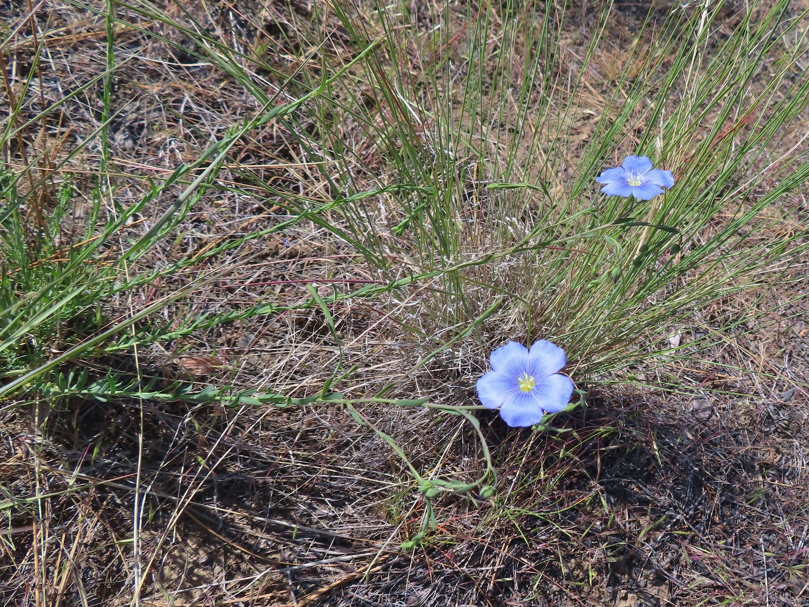 Flax – 5/30/23, Riley Ranch Preserve, Bend
 Coiled lousewort – 8/16/23, Tombstone Lake Trail, Eagle Cap Wilderness
 Sickletop lousewort – 8/16/23, West Eagle Trail, Eagle Cap Wilderness
 Sea blush (plectritis) – 4/29/23, Canemah Bluff, Oregon City
 Longhorn plectritis – 5/30/23, Riley Ranch Preserve, Bend
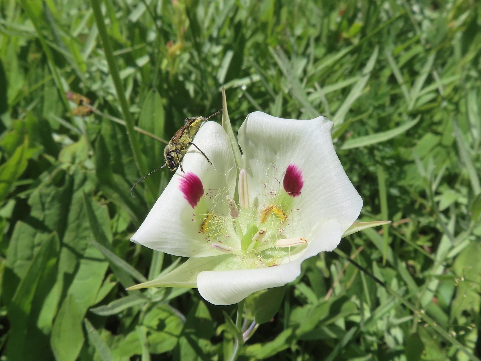 White mariposa lily – 8/14/23, Main Eagle Creek Trail, Eagle Cap Wilderness
 Sagebrush mariposa lily – 6/14/23, Eureka Bar, Hells Canyon National Recreation Area
 Mariposa lily (possibly a white sagebrush) – 6/14/23, Eureka Bar, Hells Canyon National Recreation Area
 Sub-alpine mariposa lilies – 6/3/23, Buck Creek Trail, Husem, WA
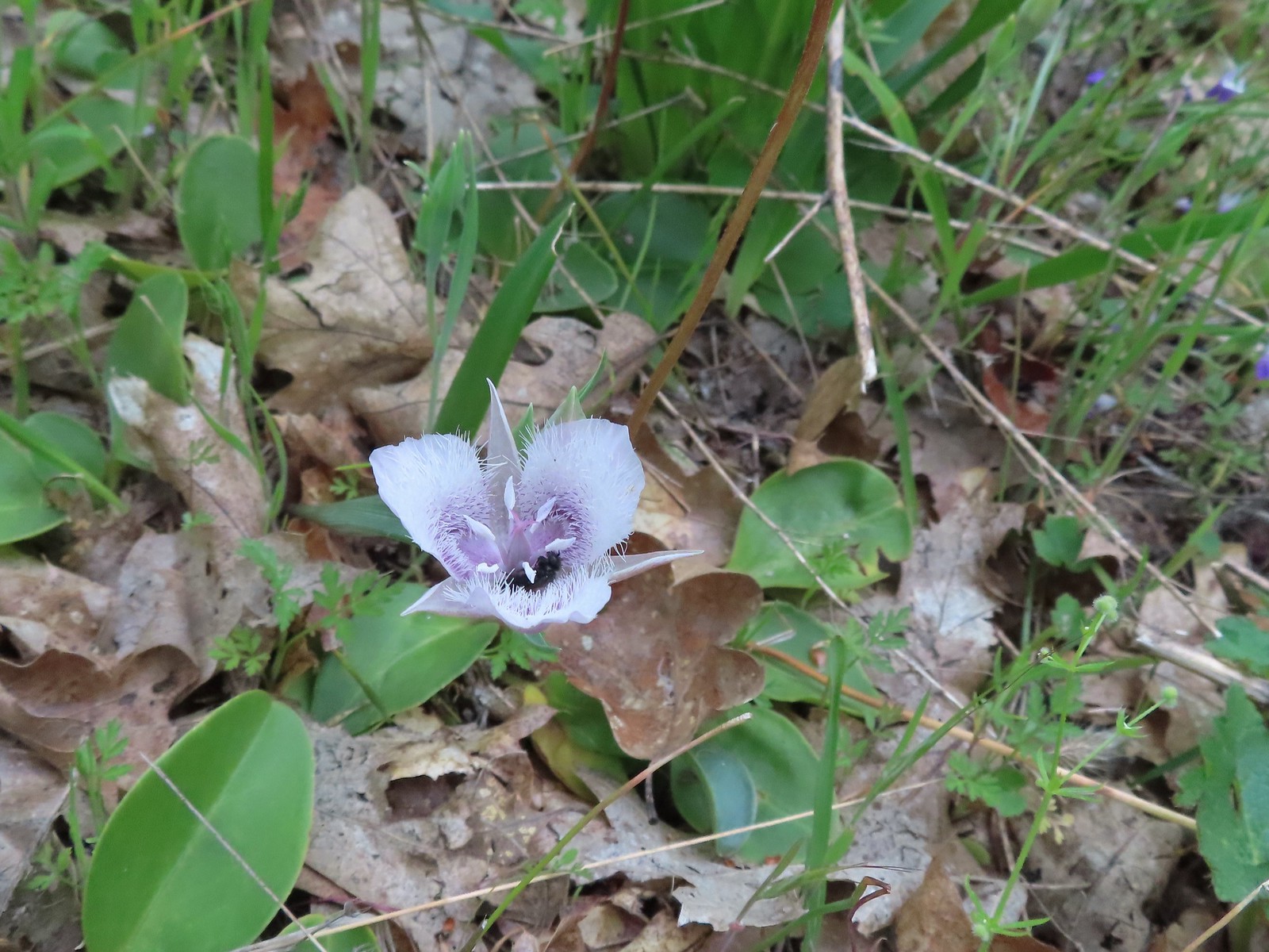 Tolmie’s mariposa lily – 5/3/23, Dollar Mountain, Grants Pass
 Manyflower tonella – 6/15/23, Hells Canyon National Scenic Area, Wallowa-Whitman
 Small-flowered tonella – 4/29/23, Canemah Bluff, Oregon City (first time seeing)
 Lewis monkefylower – 7/30/23, Plaikni Falls Trail, Crater Lake National Park
 Monkeyflower – 5/1/23, Rogue River National Recreation Trail, BLM Medford District
 Monkeyflower – 6/3/23, Conboy Lake National Wildlife Refuge, Trout Lake, WA
 Milk kelloggia (Kelloggia galioides) – 7/31/23, Garfield Peak Trail, Crater Lake National Park
 Monkshood – 7/30/23, Plaikni Falls Trail, Crater Lake National Park
 Moth mullein (non-native) – 6/14/23, Imnaha Trail, Hells Canyon National Recreation Area
 Mountain heather – 8/5/23, Timberline Trail, Mt. Hood Wilderness
 Mock orange – 7/4/23, North Santiam Park, Mill City
 Mountain ash – 6/12/23, Imnaha River Trail, Eagle Cap Wilderness
 Showy milkweed – 6/14/23, Eureka Bar, Hells Canyon National Recreation Area
 Western clematis – 6/16/23, Trail 1890, Hells Canyon Wilderness
 Western blue clematis – 6/12/23, Imnaha River Trail, Eagle Cap Wilderness
 Nightshade (non-native) – 6/14/23, Imnaha Trail, Hells Canyon National Recreation Area
 A knotweed? – 6/15/23, Hells Canyon National Scenic Area, Wallowa-Whitman
 Shasta knotweed – 7/31/23, Rim Trail, Crater Lake National Park
 Nettle-leaf giant hyssop – 6/15/23, Hells Canyon National Scenic Area, Wallowa-Whitman
 Nuttal’s linanthus – 8/15/23 Bear Lake Trail, Eagle Cap Wilderness
 One-sided wintergreen – 7/29/23, Stuart Falls Trail, Sky Lakes Wilderness
 Wintergreen – 7/30/23, Plaikni Falls Trail, Crater Lake National Park
 Orange agoseris – 7/15/23, Sheepshead Rock, Salmon-Huckleberry Wilderness
 Partridgefoot – 7/31/23, Garfield Peak Trail, Crater Lake National Park
 Pearly everlasting – 7/29/23, Stuart Falls Trail, Sky Lakes Wilderness
 Granite prickley-phlox – 7/31/23, Garfield Peak Trail, Crater Lake National Park
 Phlox – 5/4/23, Little Falls Trail Loop, Rogue River-Siskiyou National Forest
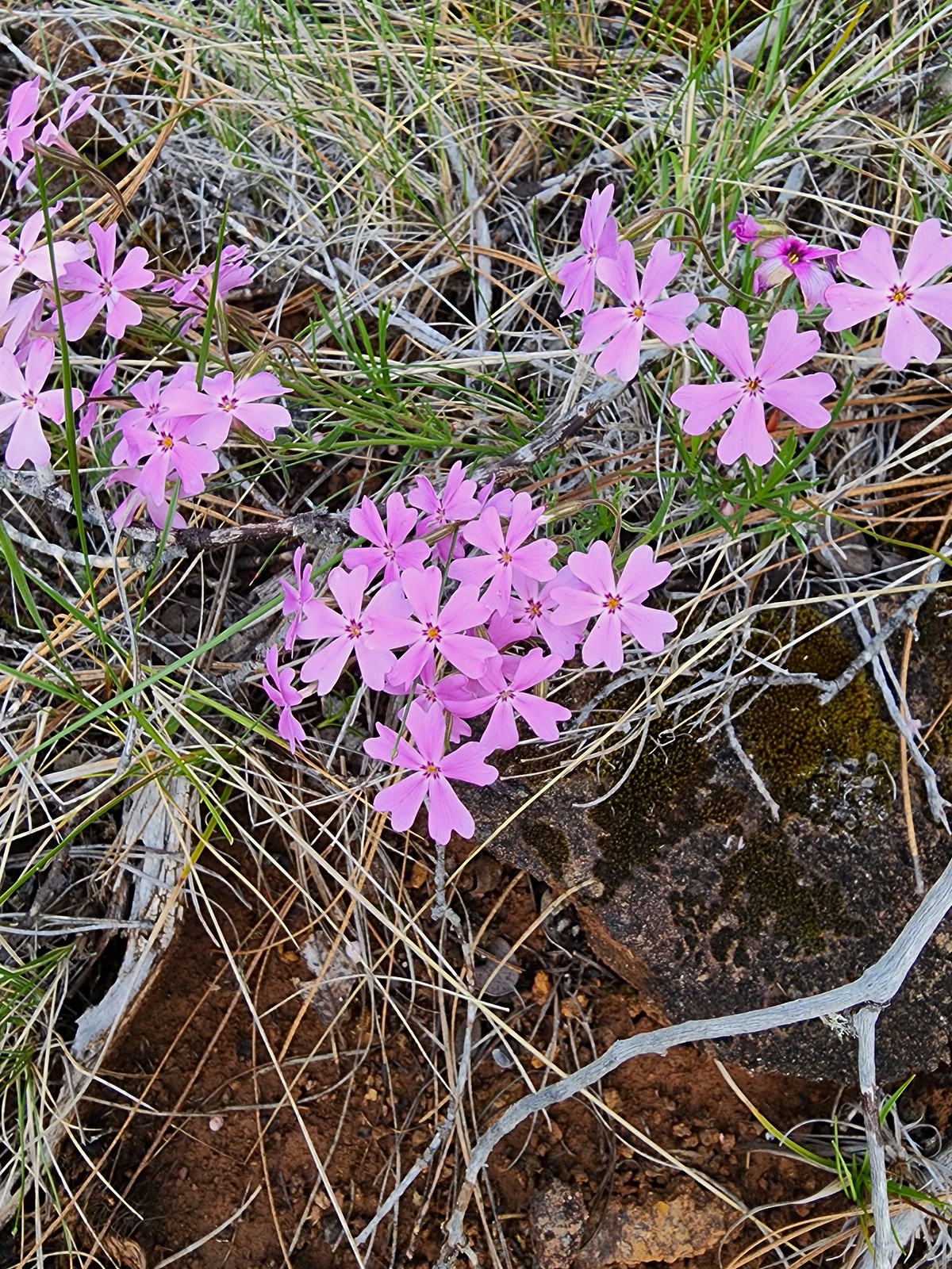 Showy phlox – 5/4/23, Eight Dollar Mountain Boardwalk, BLM Grants Pass Resource Area
 Slender phlox – 6/12/23, Imnaha River Trail, Eagle Cap Wilderness
 Phlox – 7/31/23, Rim Trail, Crater Lake National Park
 Phlox? – 6/14/23, Eureka Bar, Hells Canyon National Recreation Area
Penstemons is another genus that I have a really hard time telling apart.
 Woodland beardtongue – 7/4/23, Rockytop Trail, Santiam State Forest
 Globe penstemon – 8/15/23 Bear Lake Trail, Eagle Cap Wilderness
 Royal? penstemon – 5/30/23, Riley Ranch Preserve, Bend
 Finetooth? penstemon – 6/3/23, Buck Creek Trail, Husem, WA
 Shrubby penstemon – 6/12/23, Imnaha River Trail, Eagle Cap Wilderness
 Wilcox’s? penstemon – 6/12/23, Imnaha River Trail, Eagle Cap Wilderness
 Scabland penstemon – 6/12/23, Imnaha River Trail, Eagle Cap Wilderness
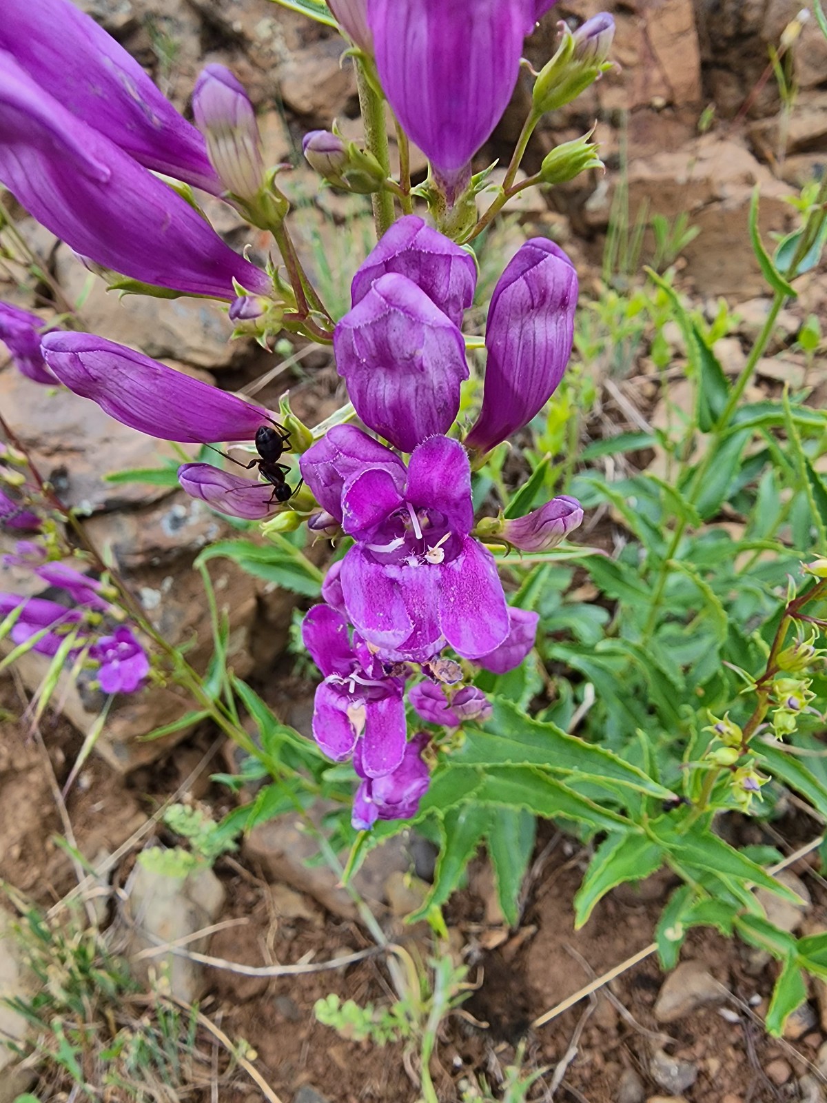 Unknown penstemon – 6/15/23, Hells Canyon National Scenic Area, Wallowa-Whitman
 Glaucous? beardtongue – 7/4/23, Niagra Heights Road, Santiam State Forest
 Silverleaf phacelia – 5/28/23, Criterion Tract, BLM Prineville District
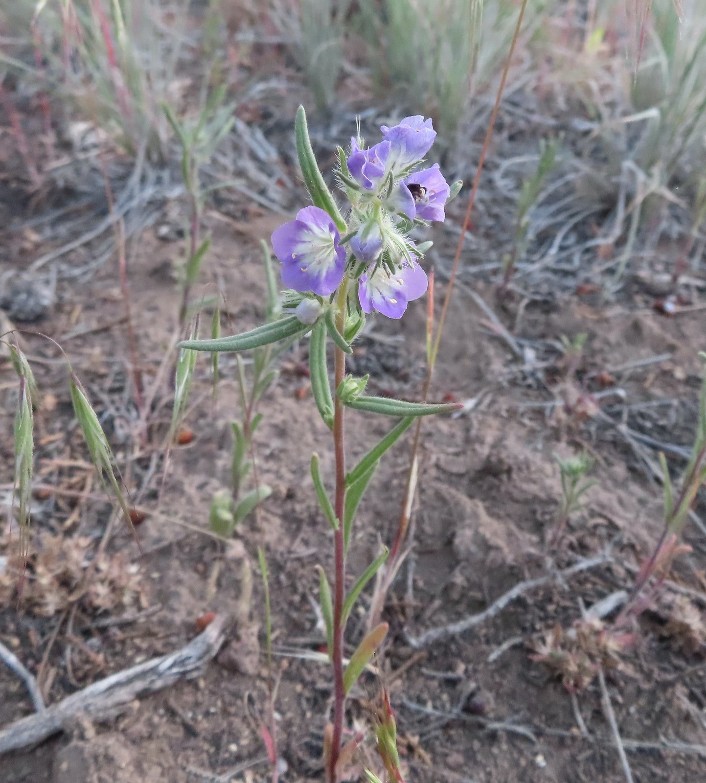 Threadleaf phacelia – 5/30/23, Riley Ranch Preserve, Bend
 A phacelia? – 8/16/23, Tombstone Lake Trail, Eagle Cap Wilderness
 Pinedrop – 7/22/23, Metolius River Trail, Deschutes National Forest
 Prairie smoke – 6/15/23, Hells Canyon National Scenic Area, Wallowa-Whitman
 Prickly pear cactus – 6/15/23, Hells Canyon National Scenic Area, Wallowa-Whitman (first time seeing)
 Prince’s pine – 7/8/23, Santiam Wagon Road, Willamette National Forest
 Pussypaws – 7/8/23, Santiam Wagon Road, Willamette National Forest
 Pussytoes – 7/30/23, Crater Peak Trail, Crater Lake National Park
 Rosy pussytoes – 6/12/23, Imnaha River Trail, Eagle Cap Wilderness
 Queen’s cup – 7/15/23, Old Baldy Trail, Salmon-Huckleberry Wilderness
 Ragwort (non-native) – 8/26/23, Fort Yamhill State Heritage Area, Grand Ronde
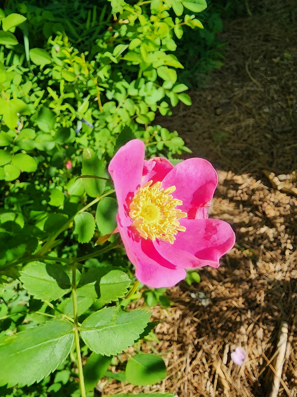 Wild rose – 6/3/23, Conboy Lake National Wildlife Refuge, Trout Lake, WA
 Rose campion (non-native) – 6/16/23, Hells Canyon National Recreation Area, Wallow-Whitman National Forest
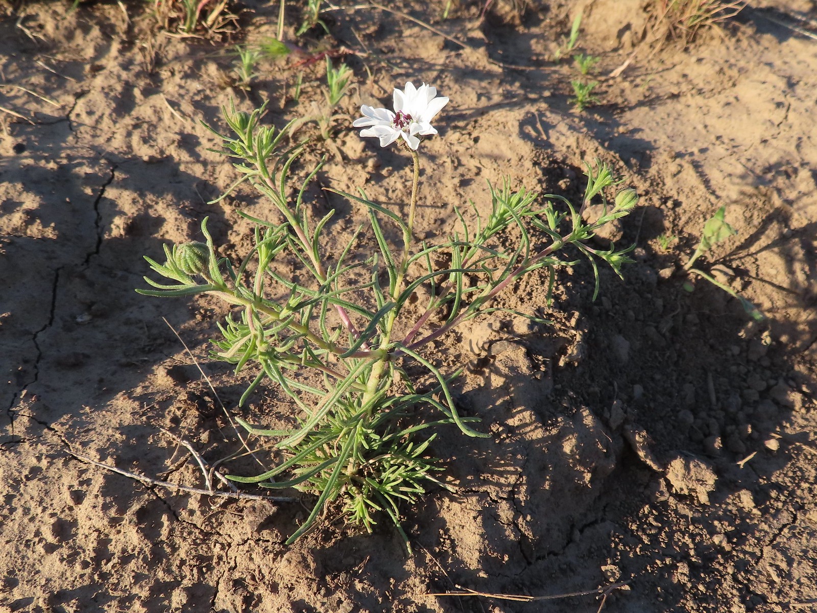 Rough eyelashweed – 5/28/23, Criterion Tract, BLM Prineville District
 Sagebrush false dandelion – 7/30/23, Crater Peak Trail, Crater Lake National Park
 Sandwort – 6/12/23, Imnaha River Trail, Eagle Cap Wilderness
 A saxifrage – 7/4/23, Niagra Heights Road, Santiam State Forest
 A saxifrage – 7/15/23, Sheepshead Rock, Salmon-Huckleberry Wilderness
 A saxifrage – 7/31/23, Rim Trail, Crater Lake National Park
 Silvery raillardella – 7/31/23, Rim Trail, Crater Lake National Park
 Scarlet gilia – 6/15/23, Hells Canyon National Scenic Area, Wallowa-Whitman
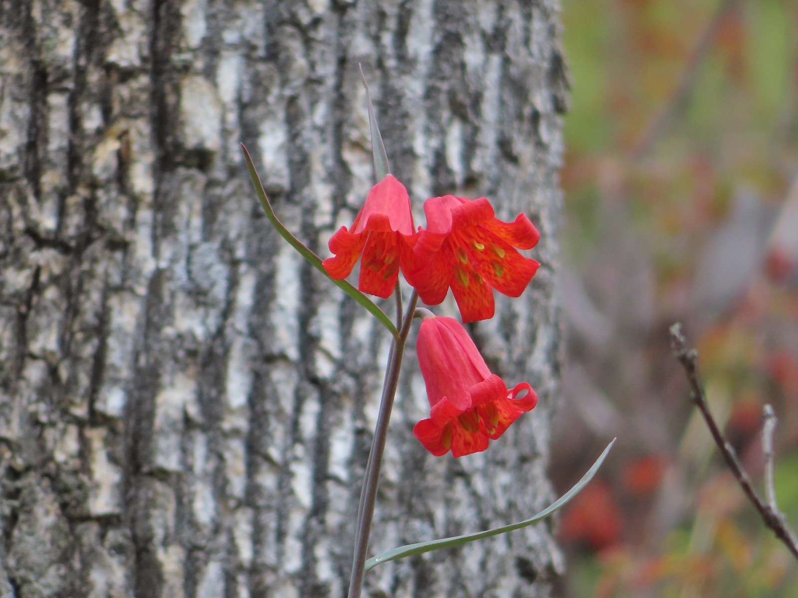 Scarlet fritillary – 5/2/2023, Sterling Mine Ditch Trail System, BLM Medford District
 Siskiyou fritillary – 5/3/23, Limpy Botanical Trail, Rogue River-Siskiyou National Forest
 Self-heal – 6/25/23, North Umpqua Trail, BLM Roseburg District
 Shooting star – 5/2/23, Cathedral Hills, Grants Pass
 Scouler’s woollyweed – 7/29/23, Stuart Falls Trail, Crater Lake National Park
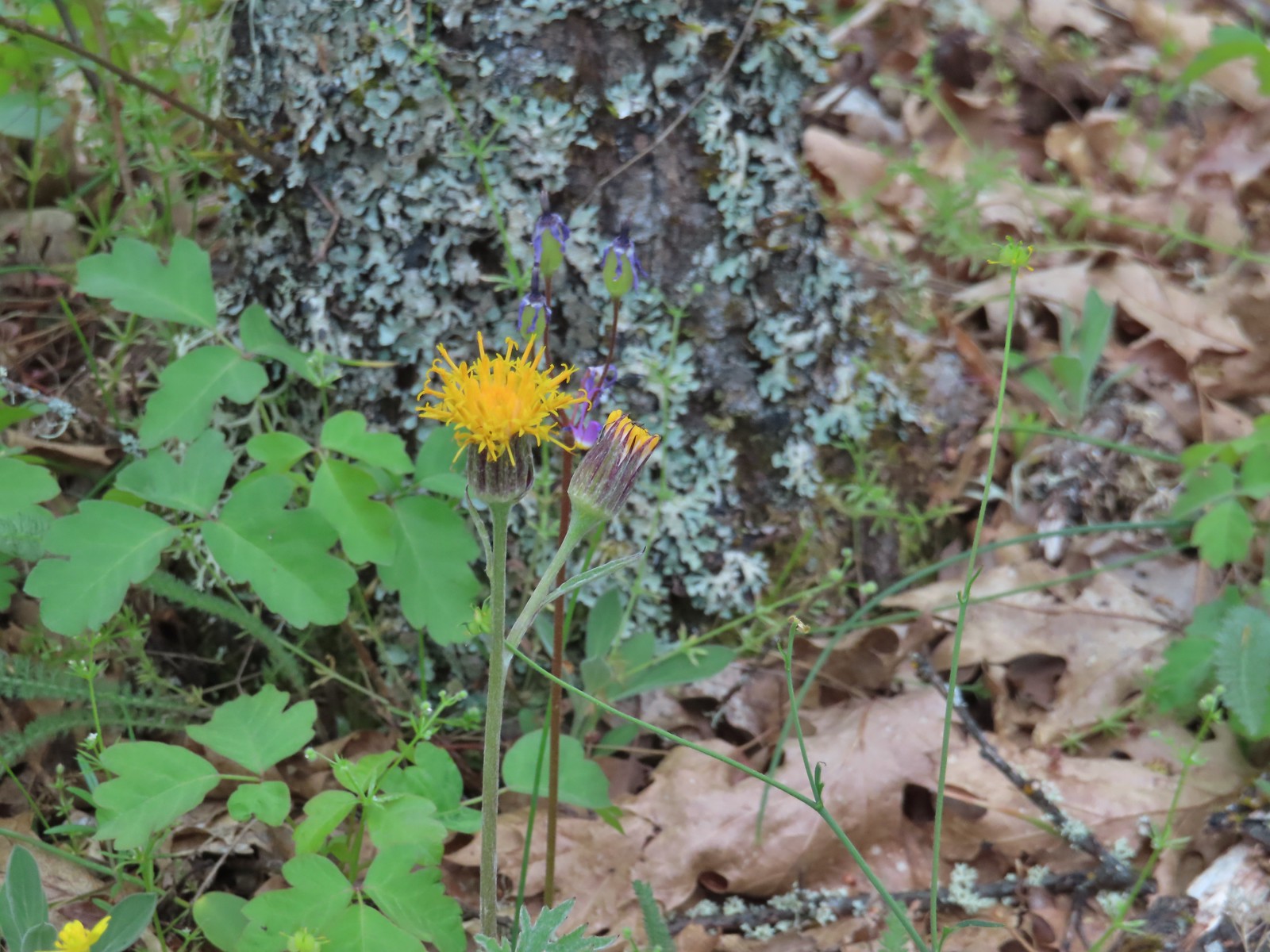 Silvercrown – 5/3/23, Dollar Mountain, Grants Pass
 Skullcap – 5/2/23, Cathedral Hills, Grants Pass
 Skunk cabbage – 4/15/23, Enchanted Valley, Siuslaw National Forest
 Douglas spirea – 10/7/2023, Sturgis Fork Trail, Rogue River-Siskiyou National Forest
 Mountain spirea – 7/4/23, Niagra Heights Road, Santiam State Forest
 White spirea – 6/15/23, Hells Canyon National Recreation Area, Wallowa-Whitman National Forest
 Spreading dogbane – 7/22/23, Metolius River Trail, Deschutes National Forest
 St. John’s wort (non-native) – 6/14/23, Imnaha Trail, Hells Canyon National Recreation Area
 Solomonseal – 5/27/23, Blowout Arm, Detroit Lake
 Star-flower solomonseal – 6/12/23, Imnaha River Trail, Eagle Cap Wilderness
 Star flower – 5/13/23, Cooper Mountain Nature Park, Beaverton
 Sticky purple geranium – 6/15/23, Hells Canyon National Recreation Area, Wallowa-Whitman National Forest
 Tasselflower brickellbush – 8/14/23, Main Eagle Creek Trail, Eagle Cap Wilderness
 Tiger lily – 7/4/23, Rockytop Trail, Santiam State Forest
 Leopard lilies – 7/29/23, Stuart Falls Trail, Sky Lakes Wilderness
 Toothwort – 4/15/23, Enchanted Valley, Siuslaw National Forest
 Trillium – 4/15/23, Enchanted Valley, Siuslaw National Forest
 Giant white wakerobin – 5/2/23, Cathedral Hills, Grants Pass
 Twinflower – 7/8/23, Santiam Wagon Road, Willamette National Forest
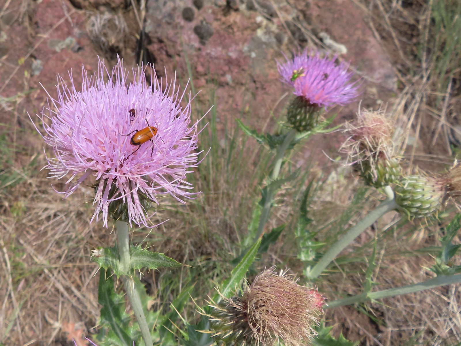 Thistle (wavy-leaf?) – 6/15/23, Hells Canyon National Recreation Area, Wallowa-Whitman National Forest
 Thistle (Palouse?) – 6/15/23, Hells Canyon National Recreation Area, Wallowa-Whitman National Forest
 Snowy thistle – 6/24/23, Rogue River National Recreation Trail, Wild Rogue Wilderness
 Thistle (Canadian? if so non-native) – 6/25/23, North Umpqua Trail, BLM Roseburg District
 Stonecrop – 7/30/23, Crater Peak Trail, Crater Lake National Park
 Stonecrop – 6/15/23, Hells Canyon National Recreation Area, Wallowa-Whitman National Forest
 Stonecrop – 8/16/23, Tombstone Lake Trail, Eagle Cap Wilderness
 Valerian – 6/12/23, Imnaha River Trail, Eagle Cap Wilderness
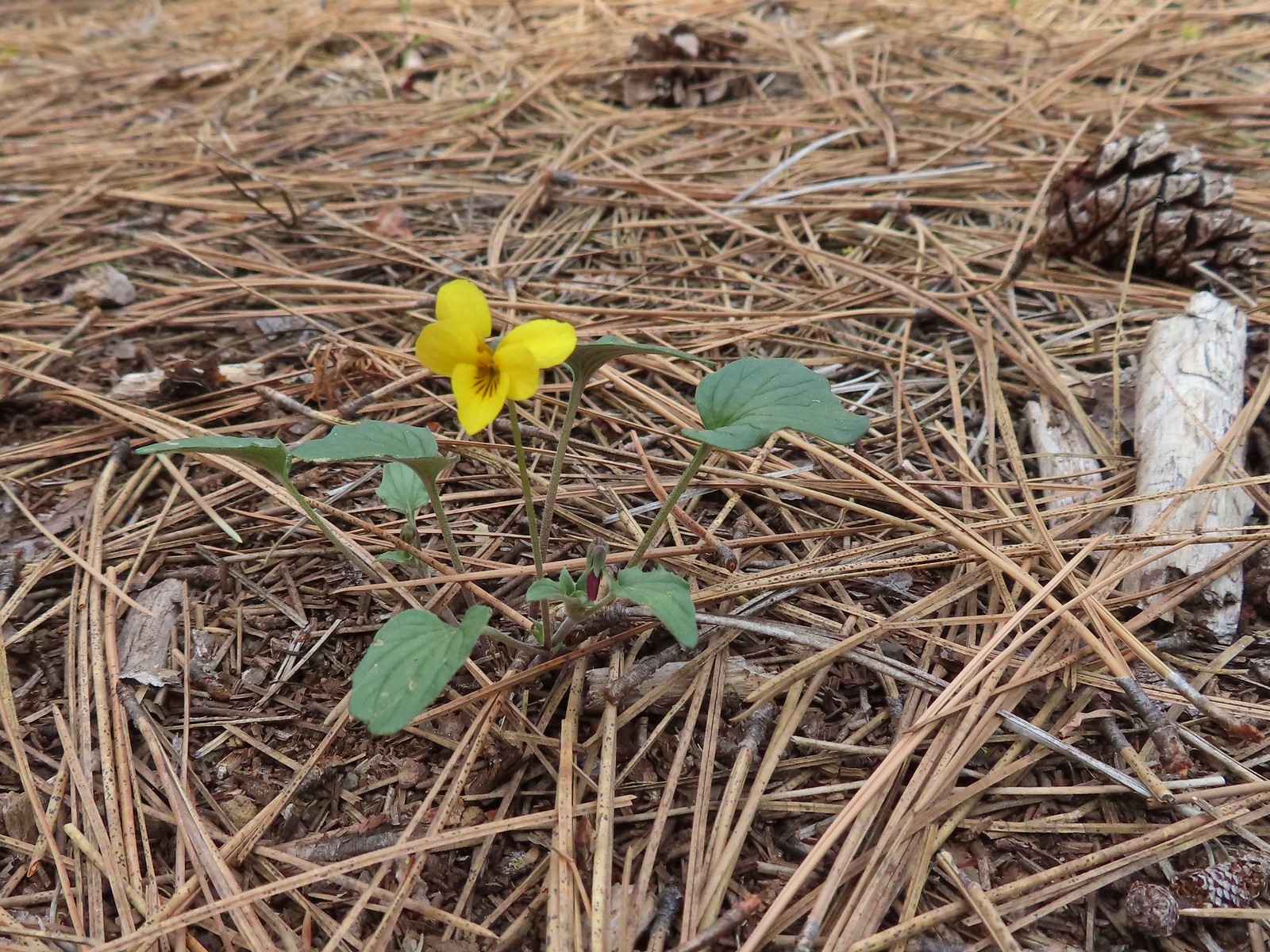 Goosefoot violet – 5/27/23, Metolius Preserve, Camp Sherman
 Hookedspur violet – 6/12/23, Imnaha River Trail, Eagle Cap Wilderness
 Marsh violet – 6/12/23, Imnaha River Trail, Eagle Cap Wilderness
 Violet – 6/12/23, Imnaha River Trail, Eagle Cap Wilderness
 Violet – 4/15/23, Enchanted Valley, Siuslaw National Forest
 Violet – 6/3/23, Conboy Lake National Wildlife Refuge, Trout Lake, WA
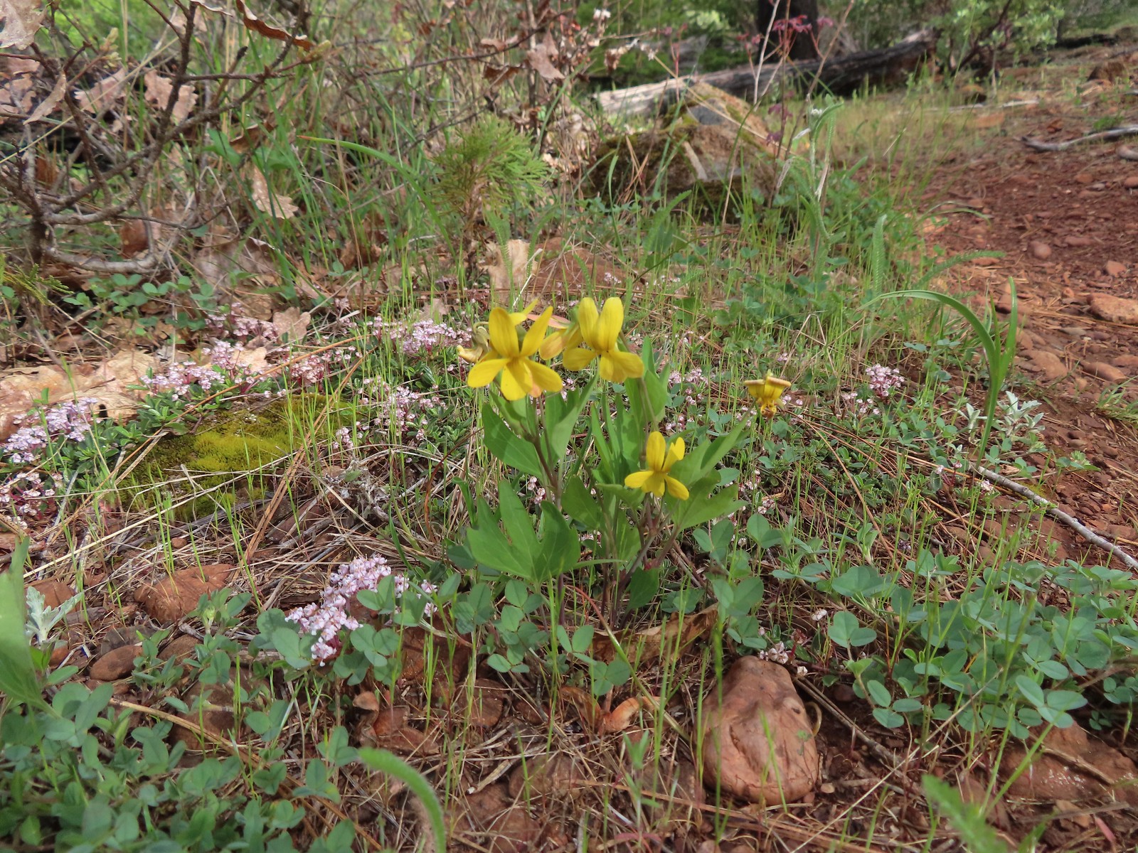 Violets – 5/4/23, Little Falls Trail Loop, Rogue River-Siskiyou National Forest
 Wedgeleaf violet – 5/4/23, Eight Dollar Mountain Boardwalk, BLM Grants Pass Resource Area
 Wallflower – 5/30/23, Riley Ranch Preserve, Bend
 Western meadowrue – 6/12/23, Imnaha River Trail, Eagle Cap Wilderness
 Western snakeroot – 8/16/23, West Eagle Trail, Eagle Cap Wilderness
 White-stemmed frasera – 6/15/23, Hells Canyon National Recreation Area, Wallowa-Whitman National Forest
 Woodland-stars – 6/12/23, Imnaha River Trail, Eagle Cap Wilderness
 Yarrow – 6/14/23, Eureka Bar, Hells Canyon National Recreation Area
 Youth-on-age – 4/29/23, Canemah Bluff, Oregon City
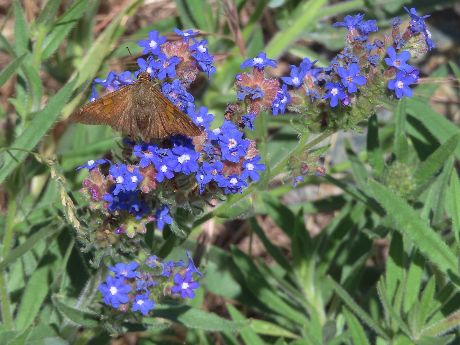 Common bugloss (non-native) – 6/14/23, Eureka Bar, Hells Canyon National Recreation Area
 White campion (non-native) – 6/14/23, Eureka Bar, Hells Canyon National Recreation Area
 Unknown – 7/4/23, Rockytop Trail, Santiam State Forest
 Unknown – 8/5/23, McNeil Point scramble trail, Mt. Hood Wilderness
 Best guess is a popcorn flower but? – 6/3/23, Conboy Lake National Wildlife Refuge, Trout Lake, WA
 Unknown, possibly non-native – 6/15/23, Nee-Mee-Poo National Historic Trail, Hells Canyon National Recreation Area
 Unknown, possibly non-native – 6/13/23, Iwetemlaykin State Heritage Site, Joseph
 Unknown, probably non-native – 6/14/23, Imnaha Trail, Hells Canyon National Recreation Area
 Unknown, probably non-native – 8/26/23, Old Growth Cedar Trail, Rockaway Beach
The last flower we saw was a non-native in December.
 Unkown. probably non-native – 12/16/23, Mt. Tabor Nature Park, Portland

 From the saddle South Triangulation Point, the highpoint of the loop, is to the right.
 Bleeding heart
 Fairy lanterns
 Solomonseal
 Inside-out flower
 Paintbrush
 Lupine
 Starflower
 Salmonberry
 Cardwell’s penstemon
 Beargrass
 Wallflower
 Little-leaf montia
 Fringecup
 Salal
Salal Rosy bird’s-foot trefoil
 Band-tailed pigeons
 Looking back at the saddle before heading into the trees.
 Vetch
Vetch Leaving the clearcut.
 Rock cliffs marking the location of Kilchis Falls.
 Located on a tributary of the North Fork Kilchis River the falls reportedly seldom have much flow, but there was enough water today to make for a pretty sight.
 The small pool below the falls.
 Avens
Avens Spider hiding on a columbine.
 Scouler’s corydalis
 Youth-on-age
 Valerian

 Hedgenettle
 Waterfall on an unnamed creek. It was quite a way back in thick vegetation.
 The above waterfall sans zoom.
 Buttercup
 Fick Creek joining the river.
 Potholes on the North Fork Kilchis River.
 Triangulation Creek flowing into the river.


 Snail shadow on a iris.
 Middle Road coming downhill on the right. This is the Middle Road Trailhead mentioned in the Oregonhikers.org field guide.

 A very blurry picture of a doe that was way down the hillside in the forest.
 Large rock and log in the middle of Middle Road.
 Monkeyflower surrounded by candyflower
 Paintbrush on some cliffs above Middle Road.
 Thistle
 The road at the 1.3-mile mark along Middle Road.
 The saddle at the 1.6-mile mark.
 Memorial at the saddle.
 Middle Road continuing on from the saddle.
 Beargrass
 The road on the left at the 2.1-mile mark.
 Iris
Iris Stream flowing down the road.
 Coming up to the 4-way junction.
 Middle Road from the 4-way junction.
 The two lefthand forks at the 4-way junction.
 FB3
FB3


 Monkeyflower
 Beargrass, paintbrush and penstemon
 More flowers on a rocky outcrop along FB3.
 A bunch of monkeyflowers.
 Springs along the road.
 Snake cooling off in the mud.
 The snake didn’t budge as we passed around it.
 This fork is approximately 4.2 miles from the Middle Road Trailhead.
 Snake number two on the day.
 This one didn’t budge either.
 Switchback below the saddle.
 Approaching the saddle.
 Gated road up Triangulation Point.
 South Triangulation Point
 Serviceberry, paintbrush, yarrow, and iris.
 Paintbrush and Cardwell’s penstemon
 Iris
Iris Broadleaf arnica, paintbrush and penstemon
 Columbine among others.
 Broadleaf arnica
 Final pitch to the summit.
 We could see our car parked at the saddle below Cedar Butte from South Triangulation Point.
 Motorcycle track heading down from the summit with Triangulation Point on the other side of the saddle.
 Looking to the NW you can see out to the Pacific Ocean. The line of peaks furtherst back staring from left to right consists of Neahkahnie Mountain (post), Angora Peak (post), West Onion & Onion Peaks, Sugarloaf Mountain, and Kidders Butte.
 Closer look at Surgarloaf Mountain and Kidder Butte.
 Wildflowers on South Triangulation Point.

 Another nice clump of wild iris.
 Lupine
 Flowers lining the road.
 More motorcycles at the 5-way junction.

 Variable-leaf collomia
 The road briefly followed a narrow ridge.
 Anemones
 Moth
Moth
 Heather spotted this little one. Not sure if it’s a vole, pocket gopher, or something else.
 Silverleaf phacelia and chickweed
 A lomatium

 Larkspur and monkeyflower
 This pink larkspur really stood out on the cliffs.
 Littleleaf miner’s-lettuce
 Several types of yellow wildflowers.
 Still dropping a little after the cliffs.
 Bleeding heart and candyflower
 Climbing the road at the edge of the clearcut.
 The saddle where our car was parked across the clearcut.
 South Triangulation Point from Cedar Butte Road.
 South Triangulation Point
 Looking down the North Fork Kilchis River valley from the saddle.
 The trail information lists the hike as “difficult” due to the amount of elevation gained over just three quarters of a mile to the summit.
 The start of the Cedar Butte Trail.
 Star-flowered false solomonseal
 Black-headed grosbeak
 False lily of the valley
 The trail was in good shape with just one small tree down over it.
 Blue-eyed Mary
 Small saddle below the summit.
 Beargrass
 Phlox
Phlox Final pitch to the summit.
 Wild onion
 Benches at the former lookout site.
 View from the summit.
 Wildflowers at the summit.
 Kings Mountain is the high point to the right along the ridge.
 Fairy bells and vanilla leaf
 Almost back

 The trailhead is just a large gravel pullout along Cook-Underhill Road.
 There is no parking for the trail anywhere along Jackson Rd.


 Ookow surrounded by poison oak.
 Mt. Defiance (
 Large-flower triteleia
 Monkeyflower along the road.
 Ookow
Ookow
 Small waterfall through the vegetation.
 The first of two crossings of this unnamed creek.
 There was a lot of spotted coralroot along the road.
 Most of the trees had been cleared from the road, those that remained were easily stepped over.
 Anemones
 The second creek crossing.
 Lupine
 White groundsel
 Small spring near the junction with the start of the loop.
 Reeder mentioned a rock cairn at the start of the loop which was still present, but now there were signs too.
 Going counterclockwise seemed to be preferred direction based on trip reports. This was also the shorter distance to the summit at 1.6-miles.
 The clockwise sign listed the summit as 2.8-miles away in that direction.
 Arriving at the lower meadow.
 Balsamroot
 Groundsel and balsamroot
 Lupine
 Death camas
 The rocks up ahead made for some nice seats to take in the view from.
 Mt. Hood peaking over the ridge to the left with Mt. Defiance to the right.
 Mt. Hood
 Vanilla leaf
 Starflower
 Fairybells
 The start of the long upper meadow.
 Larkspur
 Violets
 Slender phlox and blue-eyed Mary
 Phlox
Phlox Balsamroot surrounded by larkspur and coastal manroot.
 Coastal manroot
 Groundsel
 Dog Mountain from the meadow.
 Chocolate lily
 This was the closest lupine to blooming in the upper meadow.
 Chickweed
 Oregon sunshine yet to boom.
 Mt. Hood from the meadow.
 Woodland stars, larkspur, and lomatium.
 Yellow buttercups lining the trail.
 Mt. Hood and Mt. Defiance
 Mt. Hood
 Mt. Defiance
 Alpine pennycress
 Larkspur and lomatium

 Chocolate lily eating a buttercup.
 Largeleaf sandwort
 The final stretch of the upper meadow.
 Violets
 Phlox
Phlox Dog Mountain
 Mt. Hood and Mt. Defiance from the upper meadow.
 Table Mountain (
 Phlox, paintbrush, and lomatium


 Mt. Adams from between trees.
 Arnica
 The final stretch of the steep descent was through this forest with no understory.
 Vine maple overhanging the trail.
 It’s hard to tell from the photo but these were huge paintbrushes.
 Another view of Mt. Hood and Mt. Defiance.
 Dogwood
 Trillium
 The first tower.

 Looking toward Mt. Adams from beneath the powerlines.
 Mt. Adams
 Wind Mountain (
 The faint roadbed heading left back toward the forest.

 Wild ginger
 Candyflower
 The trail passed under a talus slope where a fair number of flowers were present.
 Lupine and yarrow
 Stonecrop
 Bee visiting penstemon.
 The talus slope.
 Descending to the junction.
 Ookow and bachelor buttons along the trail.
 Bachelor button
 Heather spotted this arctic skipper on some vetch.
 Clarkia. It wasn’t open yet when we’d passed by in the morning.
 There were a lot of phantom orchids starting along the lower portion of the hike, but this was the only one with any flowers opened.
 Cook-Underhill Road from Jackson Road.
 Sign for the trailhead along FS21.
 This mud and torn up area was why we chose the shoulder instead.
 Arnica near the trailhead.

 Broomrape
 Larkspur
 Death camas
 Lomatium and few-flowered pea-vine
 Lupine
 Woodland star
 Oregon sunshine
 Violet
 McClellan Mountain, Moon Mountain and Fields Peak (
 Balsamroot
 The clearer track to the left leads to Tupper Butte in approximately 0.3-miles. We continued straight on the Madison Butte Trail.
 The Strawberry Mountains with Strawberry Mountain (
 Glacier lily
 The fence in the distance.
 Huckleberry
 Mt. Hood
 Old man’s whiskers
 Ball-head waterleaf
 Small bluebells
 Paintbrush
 Trail marker on the tree.
 One of two fresh piles of scat along the trail.
 The markers were helpful because the trail was quite faint at times.
 Slender phlox
 Shooting stars
 Rock outcrop along the trail at the 2.1-mile mark.
 View from the rock outcrop.
 Larches

 Chocolate lily
 Lance-leaf spring beauty
 Violets
 Madison Butte from the trail.
 Bottle Spring
 Pond below the spring.
 Glacier lilies
 Trail sign at Madison Butte Road.
 Blue-eyed Mary
 The
The  Mt. Jefferson poking up in the distance.

 Wild onions


 The Strawberry and Aldrich Mountains to the south.
 The Elkhorns (
 The Elkhorns with Mt. Ireland (
 Looking SW we could see Mt. Jefferson and also make out the Three Sisters further to the south. Mt. Hood and Mt. Adams were also visible although partially obscured by clouds.
 A rockcress
 Swallowtail
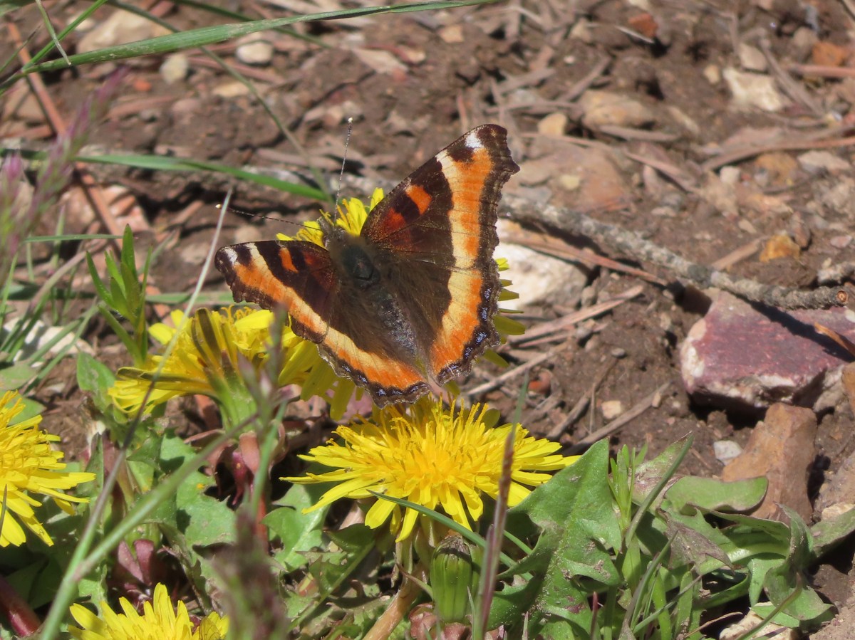
 Milbert’s tortoiseshell
 Skipper
 Mushroom
 Fairy slipper
 A particularly large paintbrush.
 Orange tip
 Larkspur


 Violets
 Ring-necked ducks and an American coot
 Arnica
 Ducklings
 Ring-necked duck
 Fleabane?
 Camas
Camas A coot and a sandpiper
 Red-winged blackbird
 Our first eared grebe.


 It was a little before 6am when I started up to the lakes.
 There was an interesting amount of sagebrush along the lower portion of this hike.
 There was still some smoke in the air, but it was quite a bit less than it had been the day before.
 The trail initially seemed like it is heading up this valley before it crosses over a ridge and heads for the Echo Lake basin.
 From this trail the route of the Tombstone Lake Trail was visible.
 Waterfall along Olive Lake’s outlet creek. One of the switchbacks along the Tombstone Lake Trail is just to the right.
 Tasselflower brickellbush
 There was a lot of paintbrush along the trail.
 Paintbrush and I believe fading false sunflowers.
 Penstemon and paintbrush
 Pika!
Pika!
 View across the valley.
 The trail approaching the outlet of Echo Lake.
 Above Echo Lake Falls which wasn’t visible from this trail.
 Groundsel, lupine, and fireweed along the creek.
 Sunrise in the basin.


 The pond.
 Gray sagewort
 Looking back toward the valley and pond.


 The spur trail.
 Spotted sandpiper


 Spirea
 A no fires beyond this point sign. Several of the lakes in the Eagle Cap Wilderness are in no campfire zones.
 Fleabane or aster lining the trail.
 Two types of lousewort.
 Echo Lake hidden by the trees.
 Pearly everlasting along the trail.
 Looking down at that trail from above the blowdown.
 Bluebells
 Echo Lake from the ridge end.
 The Elkhorn Mountains (
 Arriving at Traverse Lake.

 Golden-mantled ground squirrel
 Yellow Wallowa Indian paintbrush
 Columbian ground squirrel
 Cusick’s speedwell
 Remember that no fires sign? (Sigh)


 Monkeyflower
 Globe penstemon
 Gentians along the lake.
 A lone paintbrush.
 The blowdown at the far end of the boulder field.
 White mariposa lily
 Arnica
 Swamp onions
 Echo Lake
 The pond below on the left.
 Passing through the meadow.
 Paintbrush and fireweed
 Above Echo Lake Falls.
 West Eagle Meadows in the valley in the distance.
 Zoom in on West Eagle Meadows.
 Looking down at the switchbacks.
 Heather had also warned me about this blowdown over one of the switchbacks. There was a steep reroute that bypassed the trees.
 There were some interesting cloud formations on the way back.
 There was also an increase in the smoke.
 Can you spot the pika?
 Pika (possible the same one from earlier given the location).
 Paintbrush and buckwheat

 Another pika at the end of this switchback.
 The Tombstone Lake Trail junction ahead.

 Swallowtail photo bomb.
 West Eagle Creek Crossing.
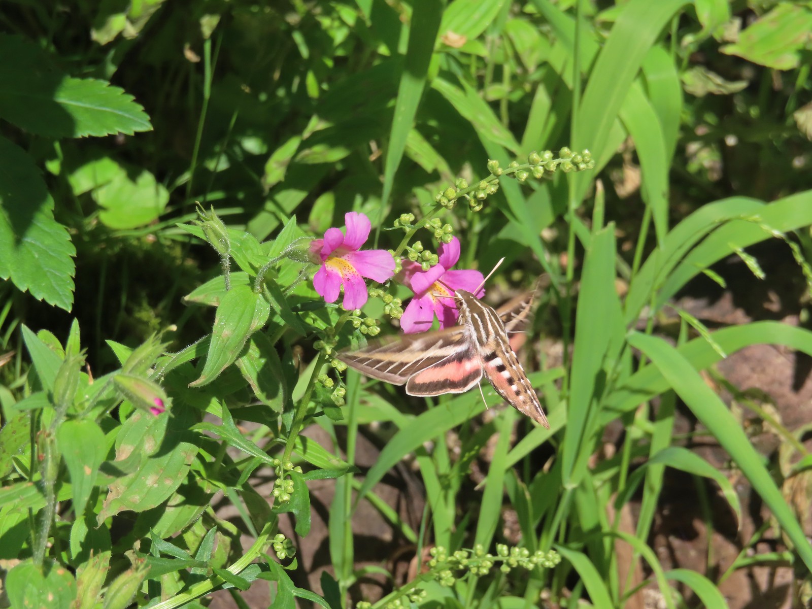 Sphinx moth
 Leaving the Eagle Cap Wilderness.
 Squirrel
 West Eagle Meadows
 It’s hard to see here but there is a trail post at this fork with a point to the left. This is for the horse camp and not the way back to the
  The trailhead in sight.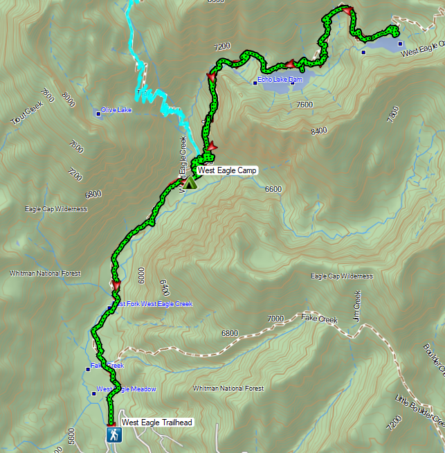
 Flax
Flax


 Registration box and signboard at the Mt. Hood Wilderness boundary.
 There were a few downed trees but nothing too difficult to navigate.
 The brush was mostly huckleberry bushes.
 Trail side snacks.
 McGee Creek Trail junction with the Timberline Trail.
 Blowdown from the September 2020 storms that also flamed the destructive wildfires across the state. For more information on the storms impact on Mt. Hood check out this Wy’East Blog
  Looking through the trees at one of the areas that suffered severe blowdown.
 It was a cloudy day. We got sprinkled on briefly a couple of times.
 Fireweed
 Pinedrop
 Avalanche lilies
 Paintbrush
 Valerian, spirea, and paintbrush
 Gentians
 Yellow monkeyflower
 A tributary of McGee Creek.
 Spirea along the Timberline Trail.
 Shooting star
 Pink monkeyflower
 Fleabane
 Beargrass
 False hellebore
 Partridge foot
 Lupine
 Lewis monkeyflower along a tributary of McGee Creek.
 Beardstongue
 Lousewort
 Dry pond surrounded by beargrass.
 The idiots camped in the meadow. There is even an arrow on the “Do not camp in meadow” sign pointing at the meadow. Please DON’T be these people.
 The second pond still had some water in it.
 Junction with the Mazama Trail (
 The butterflies weren’t out today but the bees were.
 The clouds just wouldn’t quite raise enough.
 Lupine and paintbrush
 Beargrass along the Timberline Trail.
 Paintbrush, partridge foot and lupine
 Signpost for the McNeil Point Trail.

 We’d never seen a paint colored like this before.


 Western pasque flower
 Lupine and two types of monkeyflower


 Pikas spend the Summer gathering greens for the rest of the year when they remain in their homes under the snows.

 Mountain heather and paintbrush.
 Saxifrage
 A variety of flowers.
 Avalanche lilies
 Sub-alpine fleabane
 Western pasque flowers
 Doe that was as surprised as we were when we spotted each other.

 Lewis monkeyflower
 The righthand fork.
 View from the plateau.
 Some low clouds to the East.
 Dwarf lupine
 A hiker on the righthand fork headed for the McNeil Point Shelter.

 Caves below the Sandy Glacier.
 Bluebells of Scotland
 The shelter below to the right.
 Muddy Fork
 Goldenrod
 With the clouds the view wouldn’t have been great from the ridge on this day.


 Patches of blowdown along Bald Mountain Ridge.

 Columbine
 Valerian
 Paintbrush and bistort
 Aster
Aster Chipmunk snacking on huckleberries.
 Meadow near the Timberline Trail.
 Arriving back at the Timberline Trail.
 Every once in awhile the trail was clear of other users.
 We’re always drawn to this rock fin above the Muddy Fork.
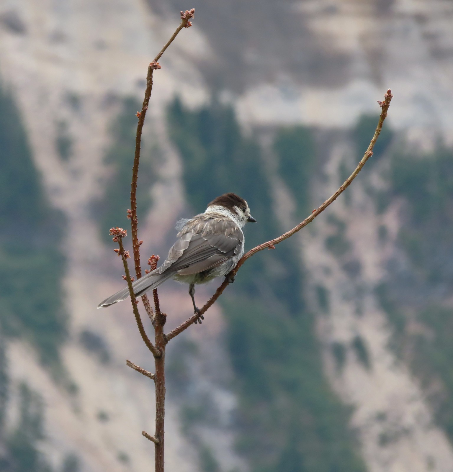 Canada jay
 McGee Creek Trail junction.
 Bunchberry
 Is that sunlight?
 While the clouds never lifted from Mt. Hood we did experience a window of blue sky near the end of our hike.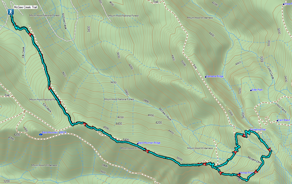


 Bog Orchid
 Bistort and monkeyflower

 Some sort of orchid?
 Yellow monkeyflower
 Monkshood


 Not sure if this is a robin or ?
 Crater Lake Lodge

 Garfield Peak from behind the lodge.
 The Watchman and Hillman Peak
 Golden-mantled ground squirrel with a mouth full.


 Mt. McLoughlin (
 Mt. McLoughlin
 Union Peak
 Paintbrush
 Reservoir structure (built 1931).
 Mt. Bailey (
 Mt. Bailey
 Deer below the trail.
 Western pasque flowers
 Arnica
 One of several patches of snow at the higher elevations.
 Crater Lake Lodge below to the left.
 Mt. Scott (
 Clark’s nutcracker
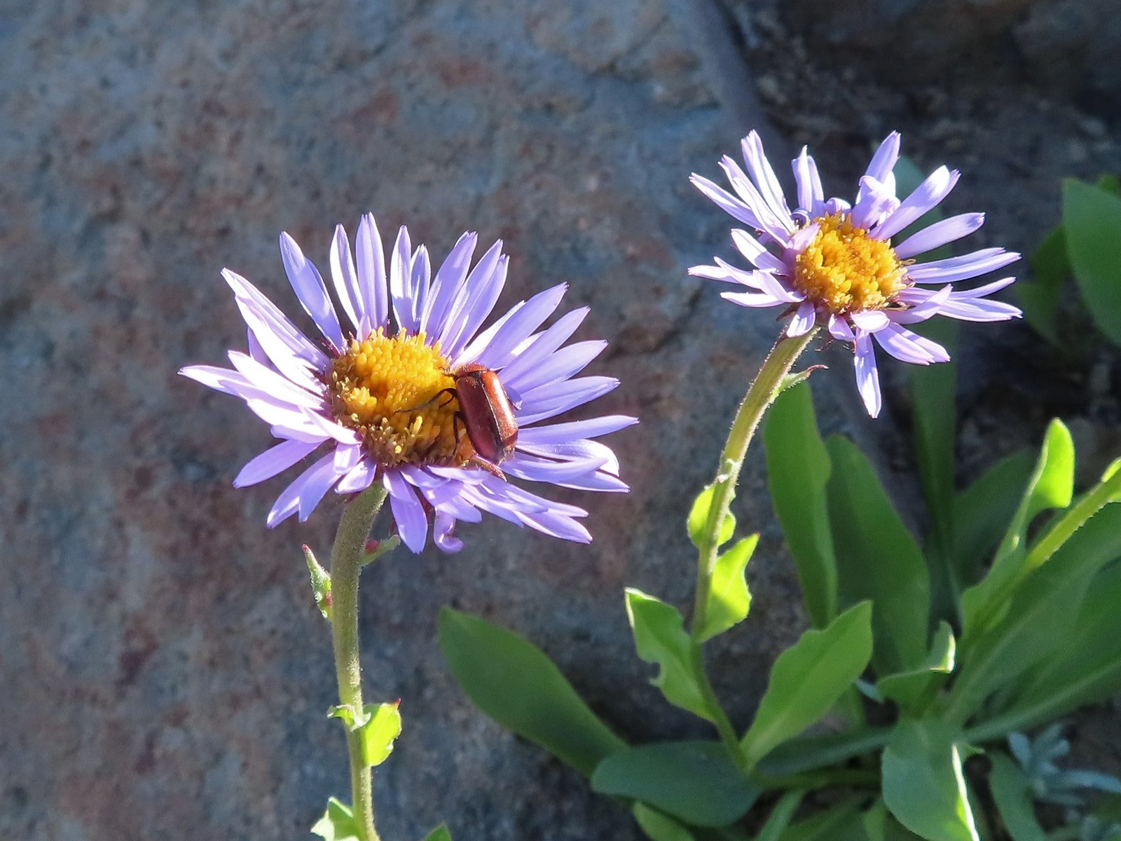 Beetle on sub-alpine fleabane.
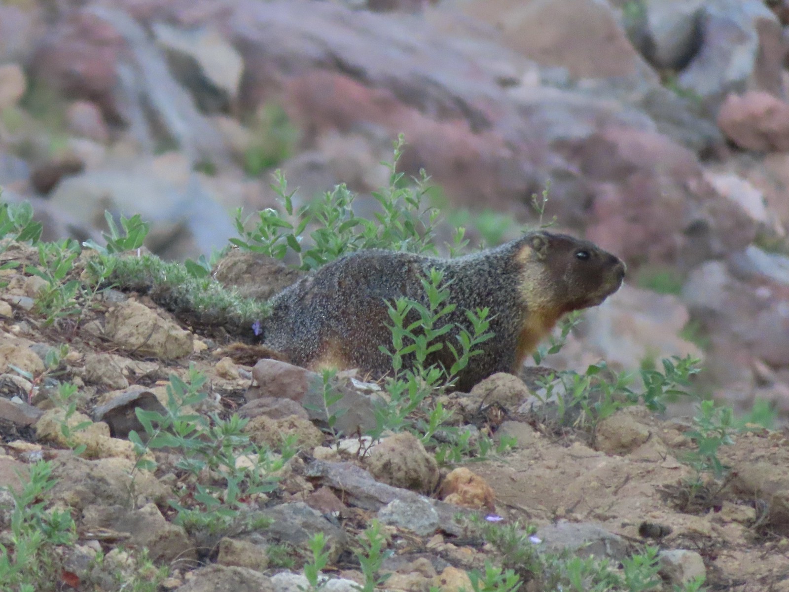 Yellow-bellied marmot
 Bench below the summit of Garfield Peak.
 Partridge foot
 Applegate Peak to the left and Crater Peak (
 Arriving at the summit.
 Mt. Scott above the Phantom Ship.

 It was a bit hard to make out but Mt. Shasta was visible to the south.
 Cowhorn Mountain (
 Crater Lake from the summit of Garfield Peak.
 Blurry photo due to the sheer distance away it was but it looked big.
 Union Peak behind a marmot.
 Penstemon
 Painted lady
 There were a lot of marmots out.
 Paintbrush, phlox and buckwheat.
 Stonecrop, paintbrush and pearly everlasting.
 The clear blue water of the deepest lake in the United States.
 Yellow-rumped warbler

 Viewpoint and The Watchman from the trailhead.
 Western pasque flowers above Crater Lake.
 Hillman Peak ahead.

 Lounging on a rock.
 Rim Drive below the Rim Trail.
 Mt. Bailey and Diamond Peak with Diamond Lake (
 Red Cone with Sawtooth Mountain (
 Snow patch on Hillman Peak.
 Penstemon
 Llao Rock
 It took us a moment to notice the two deer ahead along the tree line.
 We spotted the doe but she also had a pair of fawns nearby that bounded off.
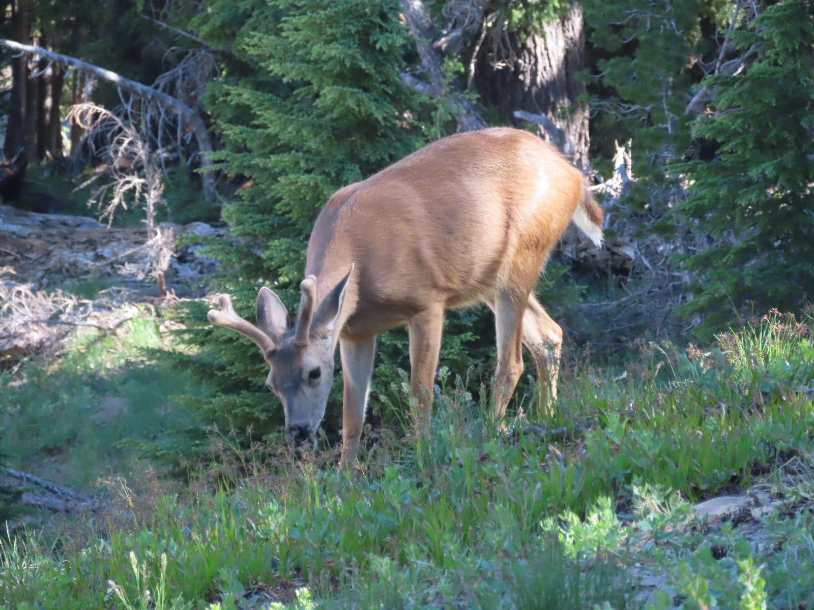 This buck had zero concern with us as we passed by.
 Dwarf lupine
 Devil’s Backbone with Mt. Scott behind.
 Wizard Island
 Devil’s Backbone
 Hillman Peak from Devil’s Backbone.
 Garfield Peak across Crater Lake.

 The Watchman
 If I stand perfectly still, they won’t see me.
 Hillman Peak and Llao Rock from the viewpoint at The Watchman Trailhead.
 Rock formations below Hillman Peak.
 Godfrey Glen Trailhead
 The ADA accessible trail made for a nice easy walk.
 Super-heated volcanic gas fused ash creating these pinnacles.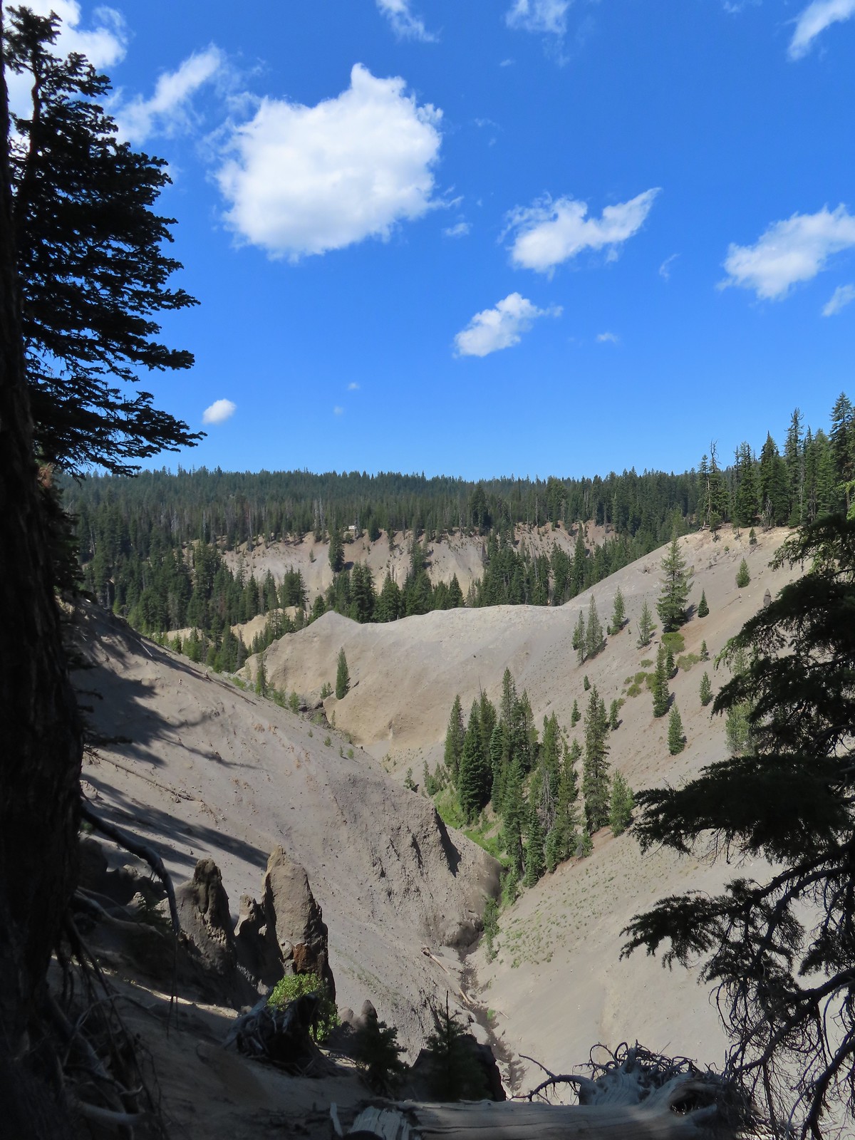

 First viewpoint of Godfrey Glen above Munson Creek.
 Godfrey Glen
 Another viewpoint.
 We could hear Munson Creek but it wasn’t visible in the canyon below.
 One waterfall.
 Another waterfall in the canyon.
 The end of the loop.
 Sinnott Memorial Overlook on the rim to the left.
 View from the overlook.
 Mt. Scott and Garfield Peak from the overlook.
 These numbers blew our minds.

 Swallowtail and a painted lady on penstemon.


 The forecast for Salem was for temps in the mid-90s so we got an early start.
 Bleeding heart and penstemon
 Iris
Iris A few green trees remain.
 Another Cascade lily
 The trail was in pretty good shape overall and we could tell there was ongoing trail work. It looked like there were some rock steps that were going be placed in this section.
 Penstemon
 Oregon sunshine
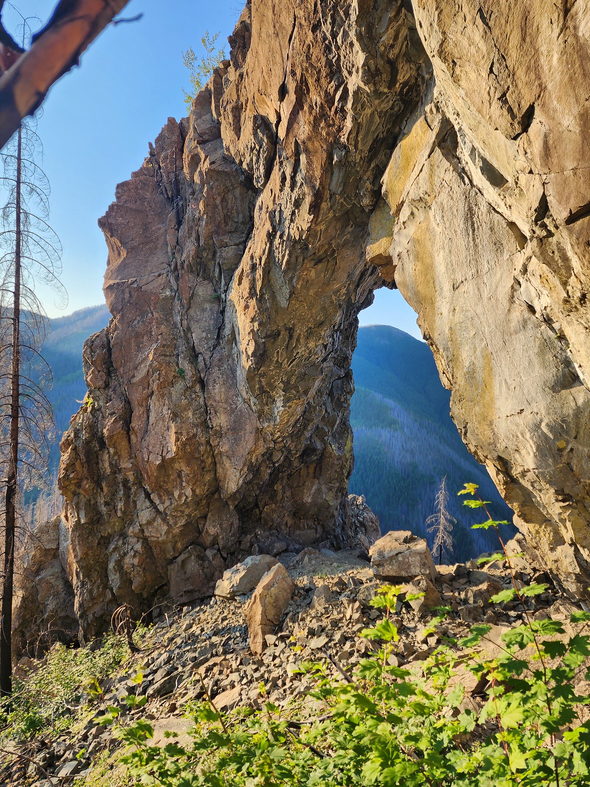
 View from the arch.
 Fin below the arch.




 Snowberry checkerspot
 Rocky Top straight ahead.
 Penstemon and big deer vetch
 Cascade lily
 Oregon sunshine, penstemon, Oregon bedstraw, and a daisy or two.
 Oregon sunshine and paintbrush
 There was a fair amount of shade while the Sun was still low.
 Paintbrush and penstemon
 Thimbleberry
 Bleeding heart. There was more bleeding heart on this hillside than we’d ever seen in one spot.
 Pika below the road.
 Pika
Pika Rhododendron
 The Three Sisters on a hazy morning.
 Anemone
 Paintbrush and lupine
 Beargrass
 A few patches of green below Rocky Top.
 This was probably the worst spot in the road in between the two trailheads.
 Trillium with a few petals yet to fall off.
 Violets
 Spirea and valerian

 Large boykinia
 Lots of lupine.
 Larkspur and phacelia
 Arriving at the Rocky Top Trailhead.

 Clodius paranssian
 Columbine
 Lupine
 The road from the trail. The taller, rounded, peak in the center is Sardine Mountain (
 Mt. Washington and the Three Sisters.

 Mt. Jefferson, Three Fingered Jack, Mt. Washington and the Three Sisters.
 Mt. Jefferson through the haze.
 Elkhorn Ridge (
 Mt. Hood above ridges of burned forest.
 The loss of the trees did result in better views of the various rock formations in the area.
 We’d never seen so many of these eight-spotted forester moths.
 Hummingbird taking a rest from visiting the penstemon and paintbrush.
 Another moth that had some excellent camo.
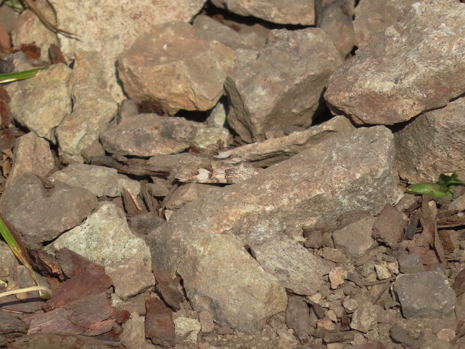 The moth putting its camouflage to use.
 Penstemon
 Rose
Rose
 Rocky Top from the trail.
 This was the only pink colored penstemon we spotted.
 Lupine and beargrass
 Not sure which of the Lycaenidae this is but it was pretty.
 The spirea was popular.
 Bumble bee
 At one point it looked like Three Fingered Jack was sitting on top of Coffin Mountain (
 Nice blue sky overhead.
 Looking North. Henline Mountain (
 Bistort and penstemon
 Haven’t been able to identify this one yet.
 A snowberry checkerspot and some fried avalanche lilies.
 The trail wound behind Rocky Top to come up the West ridge to the summit.
 Arnica
 Sub-alpine mariposa lily
 Catchfly
 Not sure what the story is behind this chair, but we weren’t about to test its stability.
 Detroit Lake
 Mary’s Peak (
 Looking North we could see Table Rock (
 Closer look at Table Rock.
 Henline Mountain, Table Rock, Mt. Hood, in front and just to the right of Mt. Hood is Whetstone Mountain (
 Mountain bluebird checking us out.
 Mt. Jefferson
 Three Fingered Jack behind Coffin Mountain, Maxwell Butte (
 Zerene fritillary
 Beargrass
 Moth and a checkerspot
 A bee, a moth, and a butterfly land on some flowers…
 Painted lady
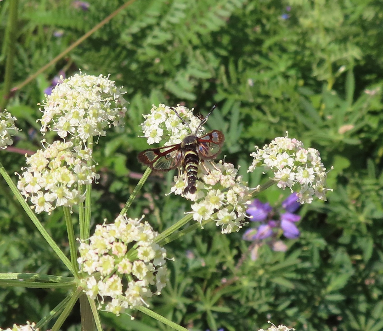 Fireweed Clearwing Moth (Albuna pyramidalis).
 A fritillary and a copper.
 Two coppers and a bee.
 Checkerspots, a bee, a copper and part of an eight-spotted forester moth.
 Eight-spotted forester moth.
 The previous four photos were all from this group of Oregon sunshine.
 Bleeding heart, no butterfly but a nice group of blossoms.
 More moths and butterflies.
 Swallowtail on penstemon
 One of the blues I think, but not sure which.
 Lorquin’s admiral


 Sparrow
 Stellar’s jay
 The spur trail is to the right just ahead.
 We watched a norther flicker fly into the snag ahead and it took a minute to figure out where he was.
 The flicker
 Trailing blackberries. We might have found a few ripe ones.
 Arriving at the camping area.
 North Santaim River
 Oregon grape
 The boat launch.
 North Santiam River
 The park host on the left and the parking lot on the right.
 Crosswalk for the pre-fire loop.
 Looking North from the crosswalk there was zero sign of the former trail.
 They had at least restored this short section of the loop so we were able to return to the spur trail and turn right then right again to complete the inner loop.
 The “To River” sign at the spur trail junction.
 Possibly a western wood pee-wee
 Spotted towhee
 Osprey
 The park host from the trail.


 While the loop did come in at 2.5-miles it was a little over 3/4 of a mile to the Boundary Trail.
 Lupine
 One of several ponds along the trail.
 A “Student Stop” marker surrounded by dwarf lupine. We aren’t sure what the these meant or what program they are related to.
 An interpretive sign along the trail facing some of the hummocks.
 Penstemon
 Mt. St. Helens as we neared the Boundary Trail junction.
 Trail guide marker #3 and an interpretive sign at the junction.
 The lower left map shows the current closure area and open trails. In a nutshell, all the trails are open but everything off-trail to the side facing SR504 is currently closed.
 The views of Mt. St. Helens were great.
 The trail began to climb as it squeezed between a gap in the hillsides ahead.
 View back to the hummocks from the gap.
 Trees in the gap.
 After exiting the gap we got another good view of the mountain before the trail veered left turning away from the mountain.
 Heading away from Mt. St. Helens to start the climb.
 Dwarf lupine was profuse below the ridge.
 Scouler’s bluebell
 Thimbleberry blossoms
 Castle Peak above Castle Lake with Spud Mountain to the right and the North Fork Toutle River below.
 Horned lark
 Tiger lily
 Savannah sparrow
 Heading back toward Mt. St. Helens.
 The North Fork Toutle River flowing between Spud Mountain (left) and Elk Rock (right).
 Castle Peak and Castle Lake
 Elk Rock on the left and Coldwater Lake on the right.
 Coldwater Lake
 Mountain bluebird.
 At one point quite a bit of dust? kicked up from the South Fork Toutle River canyon.
 Cardwell’s penstemon

 Coldwater Peak with Mt. Adams to the far right of the photo. The hiker ahead to the left of Coldwater Peak was from Belgium. He was here on work but using the weekends to explore the area. We would see him two more times, once from the observatory as he continued on the Boundary Trail and then as we were exiting the trailhead. He had done a loop using the Coldwater Trail (
 Mt. Adams from the viewpoint on our way back. The angle of the Sun earlier caused the mountain to look pretty washed out.
 Mt. St. Helens from the viewpoint.
 Variable-leaf collomia
 The Loowit Viewpoint on the ridge ahead.
 Paintbrush covered hillside.
 Mt. St. Helens from the Loowit Viewpoint.
 Mt. St. Helens crater.
 Golden mantled-ground squirrel. These brazen con-artists often convince visitors they would starve without humans help. While this is definitely not the case and
  A single plant.
 A lot of paintbrush.

 Daisies and paintbrush
 Penstemon, yarrow, and Scouler’s woolyweed along with the paintbrush.
 Paintbrush and penstemon along the trail.

 Passing by the Johnston Ridge Observatory.
 Before and after photos of the 1980 eruption.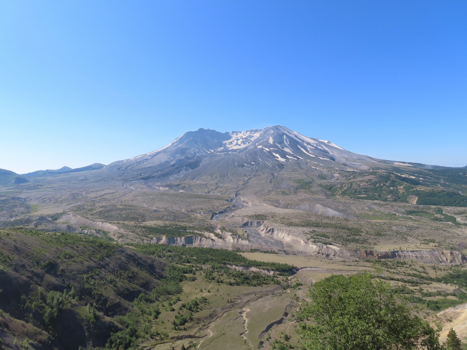

 Mt. Adams peaking over the ridges with Spirit Lake also visible (center).
 Spirit Lake
 The mountain identifier ahead on the left.
 We could see where the repair work was happening on SR504 from this trail.
 The rounded peak to the right is Goat Mountain (
 Goat Mountain with a few patches of snow still showing up.
 Rock Arch near Coldwater Peak.
 Memorial for the lives lost in the 1980 eruption.
 Junction with the Boundary Trail.
 Pussypaws


 Another view of the washout.

 Our turn around spot. You can see the trail on far side of the saddle veering left behind the ridge.
 Coldwater Peak from our turnaround spot.
 The Johnston Ridge Observatory from the trail. We hadn’t realized how much elevation we’d lost until we turned around.
 Castle Peak and Spud Mountain on the left and the observatory above some colorful cliffs.
 Penstemon
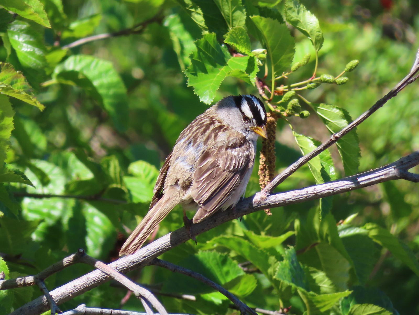 White crowned sparrow
 Boundary Trail leaving the Loowit Viewpoint.
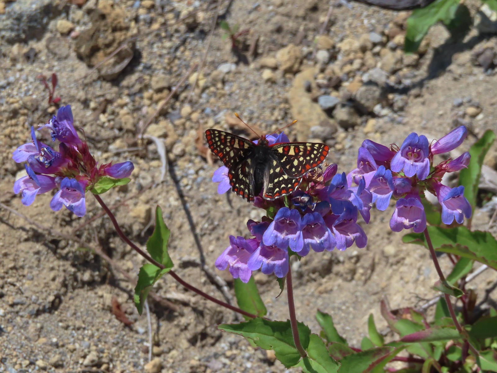 Snowberry checkerspot on penstemon.
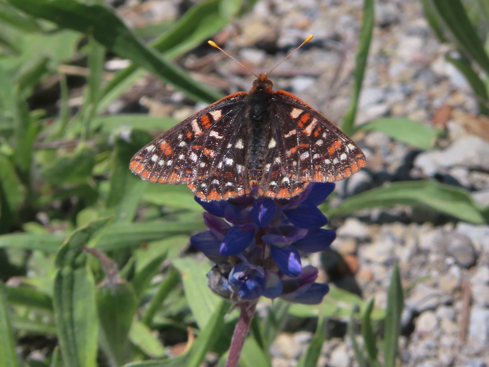 Another checkerspot, this time on lupine.
 Cedar waxwings


 Mt. St. Helens and the North Fork Toutle River.
 The same view in May 2014.
 Same spot, different angle 2014.
 Monkeyflower
 Maybe a yellow-rumped warbler.
 Caterpillar
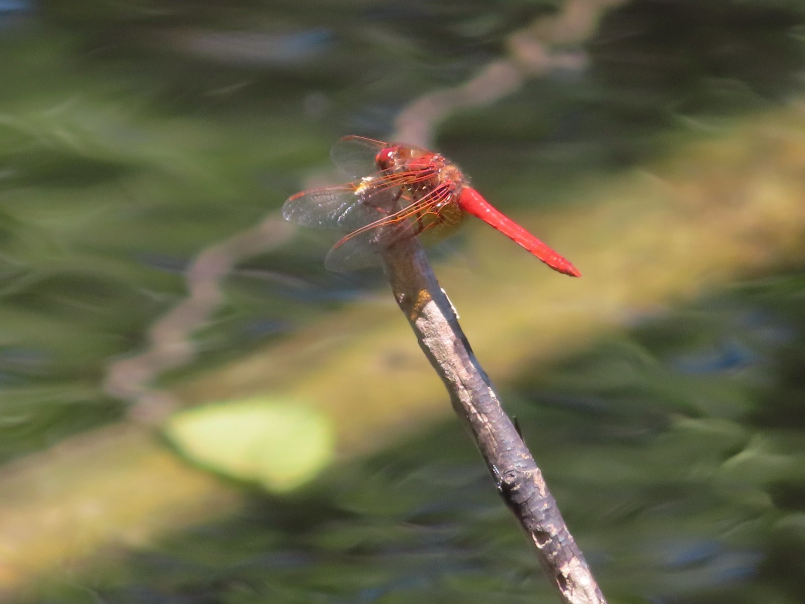 Dragonfly
 Pearly everlasting
 Arriving back at the Hummocks Trailhead.

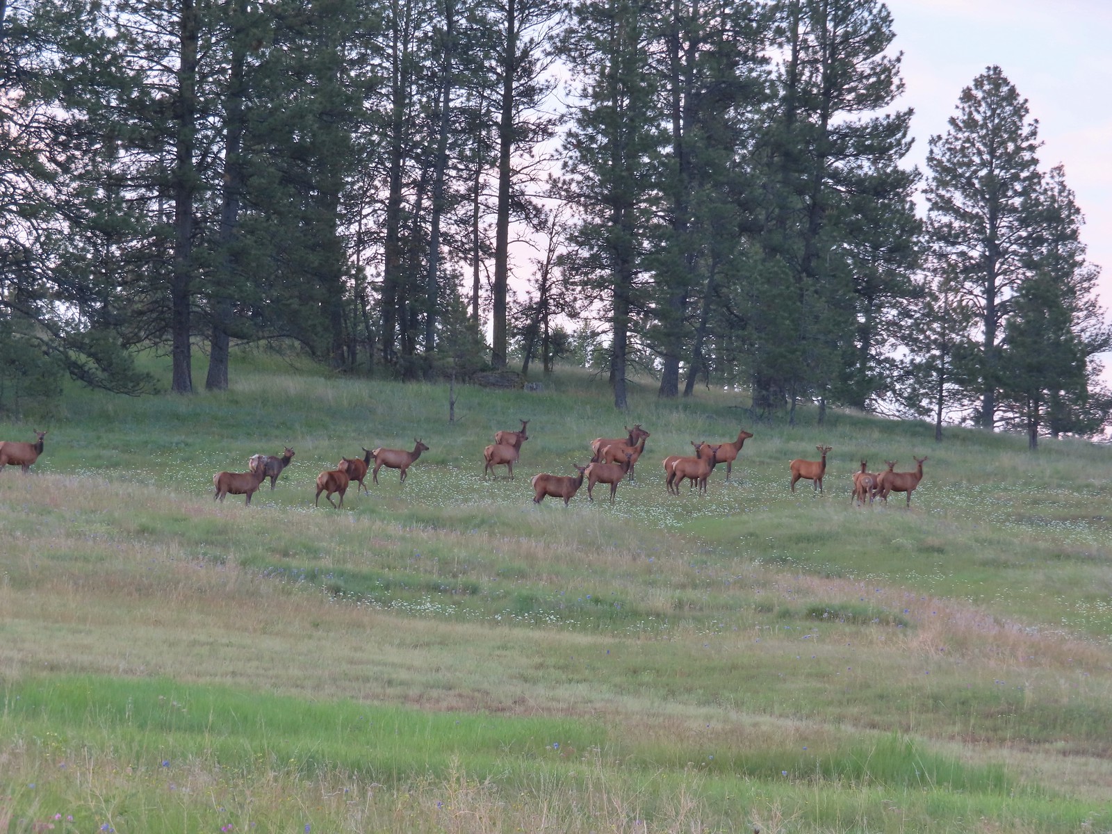
 At least one bull in the herd.
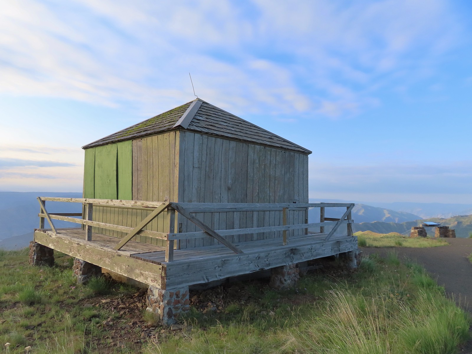
 Buckhorn Lookout

 Hells Canyon
 Tolmie’s onion
 Pale paintbrush
 Larkspur, lupine, and northern mules ears.
 Purple sticky geranium
 Paintbrush
 Parsley, larkspur, large flower triteleia, and Tolmie’s onion
 Phlox
Phlox We could have driven the 1.2-miles on FR 780 to the gate but the road was not in good shape and after driving to Eureka Bar the day before we weren’t interested in another rough road.
 Mallow ninebark
 Arnica
 Large flower triteleia

 Gate at the end of the road.
 Marker for the Nez Perce – Nee-Mee-Poo National Historic Trail.


 Seven Devils in Idaho
 Lupine, yarrow, buckwheat, and scarlet gilia
 Scarlet gilia

 Elkhorn clarkia a.k.a. ragged robin
 Paintbrush, lupine, phacelia, thistle, and scarlet gilia
 Penstemon
 A phlox
 Scabland penstemon
 Threadleaf phacelia
 Penstemon
 Lark sparrow
 Cedar waxwing
 Elkhorn clarkia
 Wallflower
 Skullcap
 Monkeyflower and some tiny white flowers near a seep.
 Buckwheat

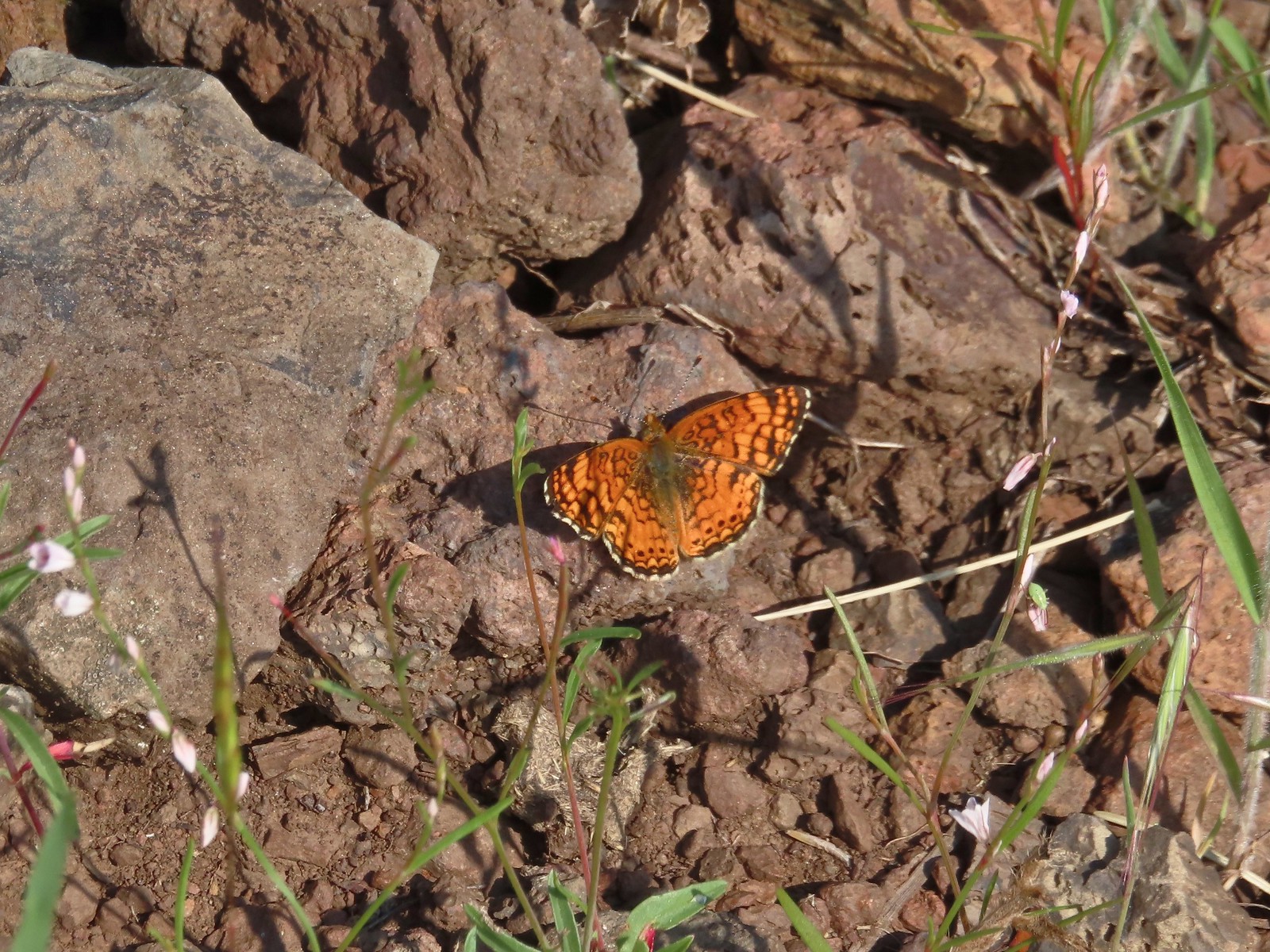 Mylitta crescent
 Rough eyelashweed
 Looking back up the trail.
 At Spain Saddle the road switched to the opposite side of the ridge.
 Bush penstemon
 Another type of penstemon
 Manyflower tonella
 Owl’s clover
 The viewpoint on the far side of the fence.
 Boat on the Snake River.
 Salsify
 Bindweed
 Clouds moving in behind us.
 Prickly pear cactus
 The only poison ivy we saw all hike.
 Eureka Viewpoint ahead to the left.
 Hairy goldenaster
 Fleabane
 Eureka Viewpoint
 Looking back
 Looking down
 Clustered broomrape


 A very small part of the river is visible to the left and more to right.


 Here come the clouds.
 We spotted a rock arch on the way up that we’d missed earlier.
 A closer look at the arch.
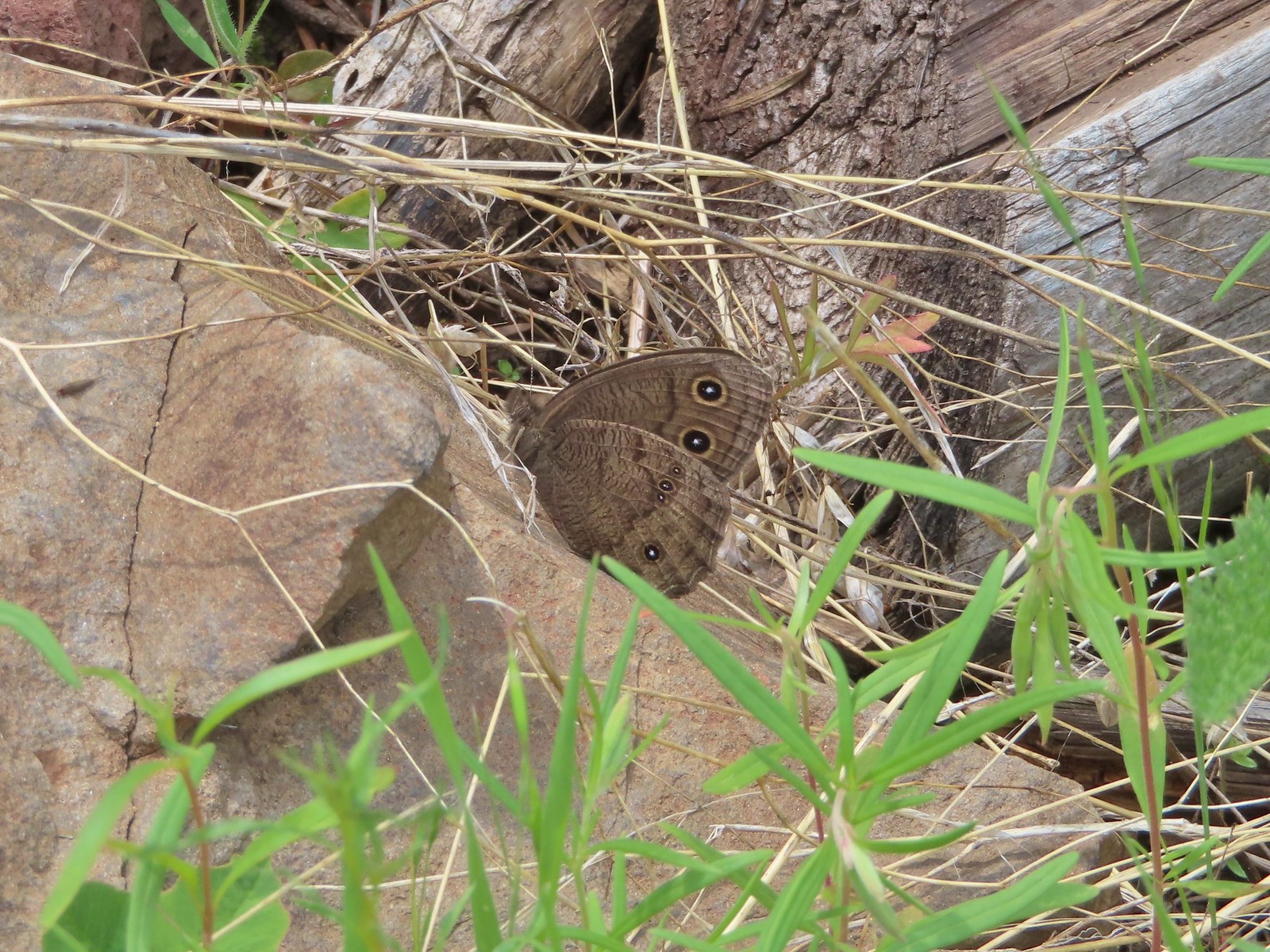 Common wood nymph
 Spotted towhee
 Northern flicker
 The only time we noticed the Imnaha River from the trail.
 Butterfly near the seep.
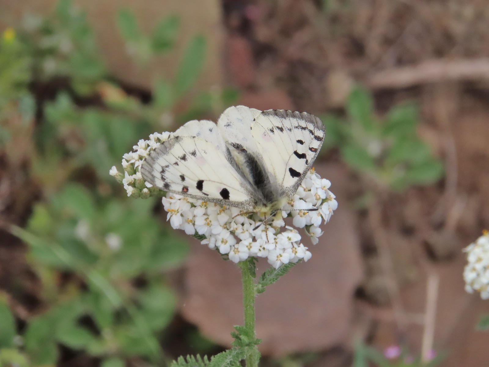 Mountain parnassian on yarrow.
 A painted lady butterfly.
 Chipping sparrow
 We could actually smell a little smoke at times on the way back.
 Hound’s tongue and roses
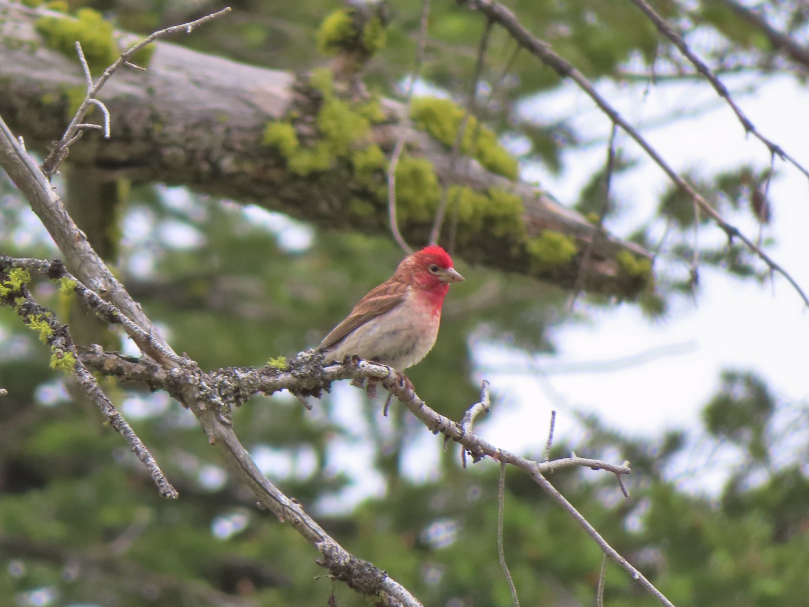 Cassin’s finch
 Western bluebird
 Western tanager
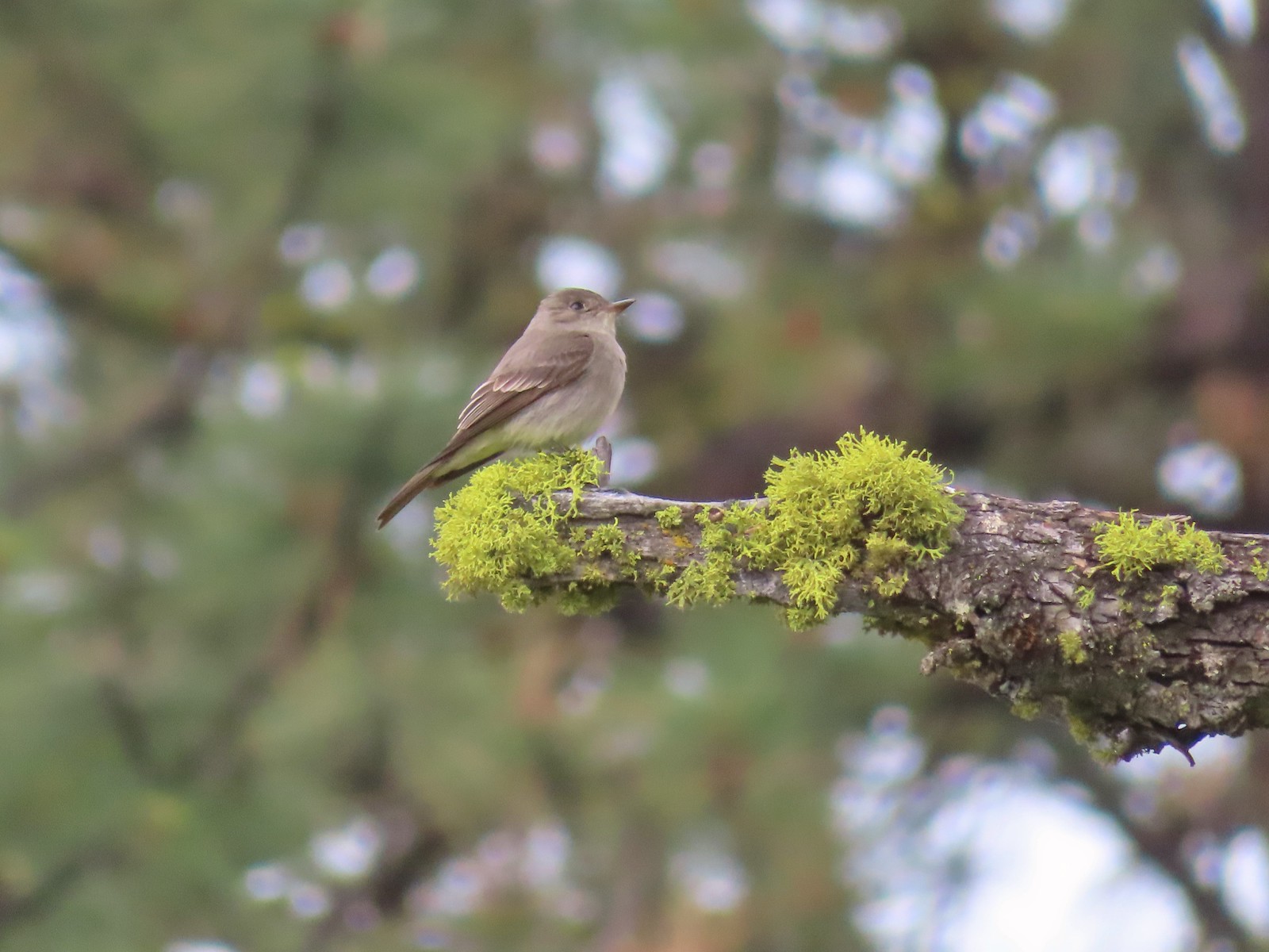 Western wood peewee
 Mountain bluebird
 The view in the afternoon from the lookout.

