After missing a week of hiking due to heavy rains arriving for the one weekend we’d obtained a Central Cascade Wilderness Overnight Permit we were heading to Bend to celebrate Heather’s parents 50th wedding anniversary (congratulations again). That was possibly the first time we were excited to have to cancel our hiking plans as the rain (and snow on the mountains) continues to be greatly needed. Saturday was set aside for the anniversary party but we planned on getting a quick hike in Sunday morning before driving home.
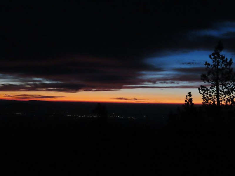
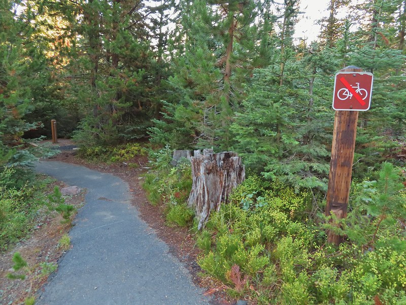
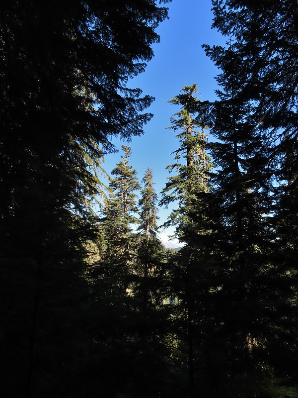
In 2014 we attempted a to catch the sunrise from Tumalo Mountain (post) but were thwarted by low clouds which provided almost zero viability. Nearly seven years later (9/26/21 vs 9/27/14) we returned for another attempt and this time were rewarded with a colorful show. We arrived at the Dutchman Sno-park/Trailhead just after 5am and got ready to head out using our headlamps. Things already looked more promising than on our previous trip as the Moon was visible over Mt. Bachelor.
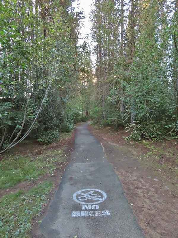
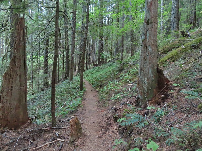
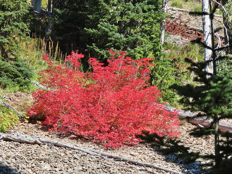
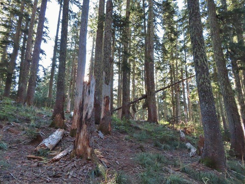
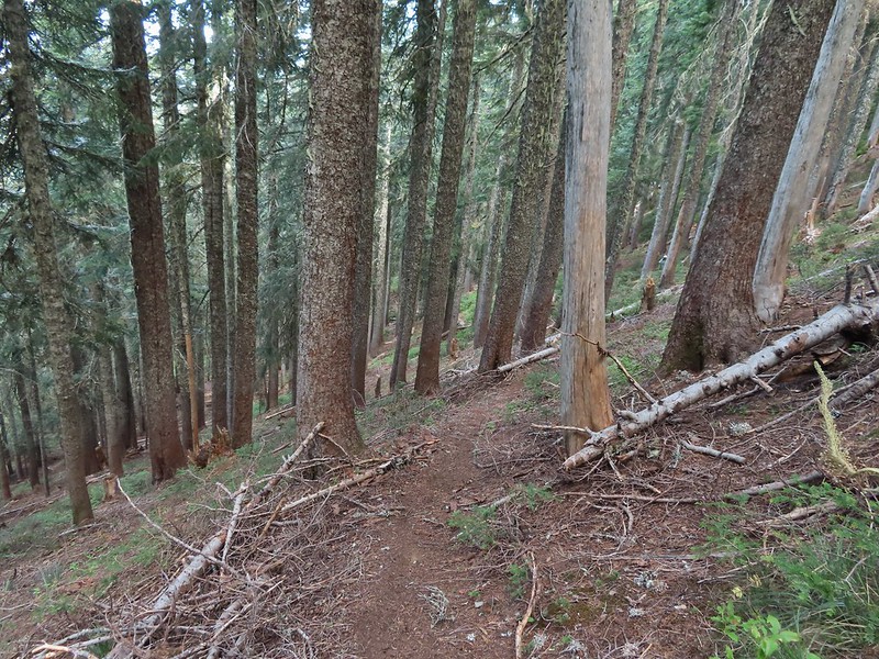
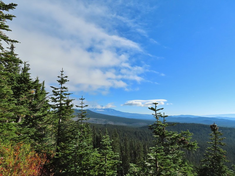
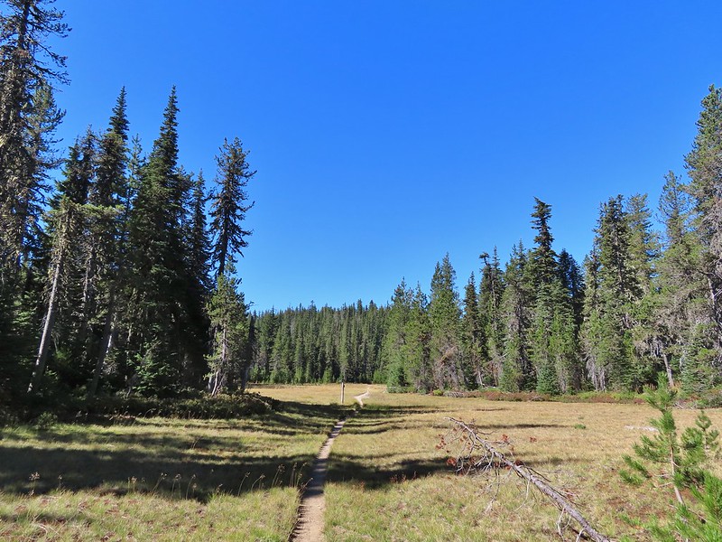
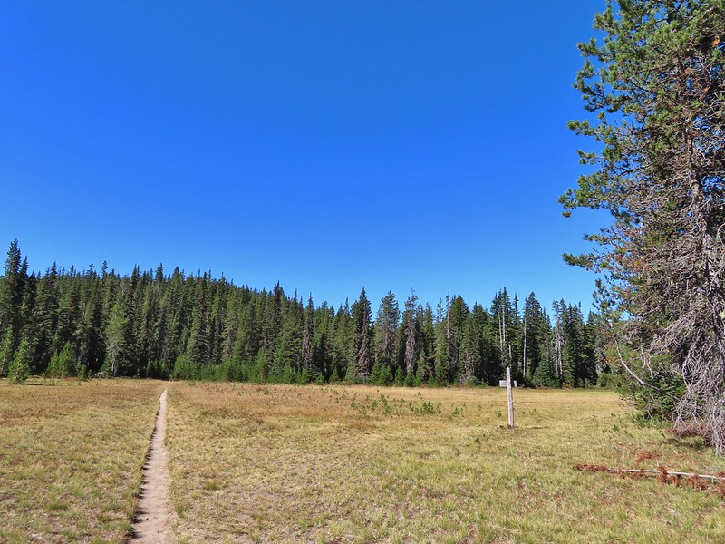
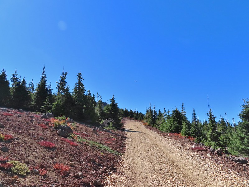
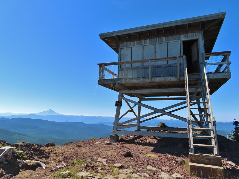
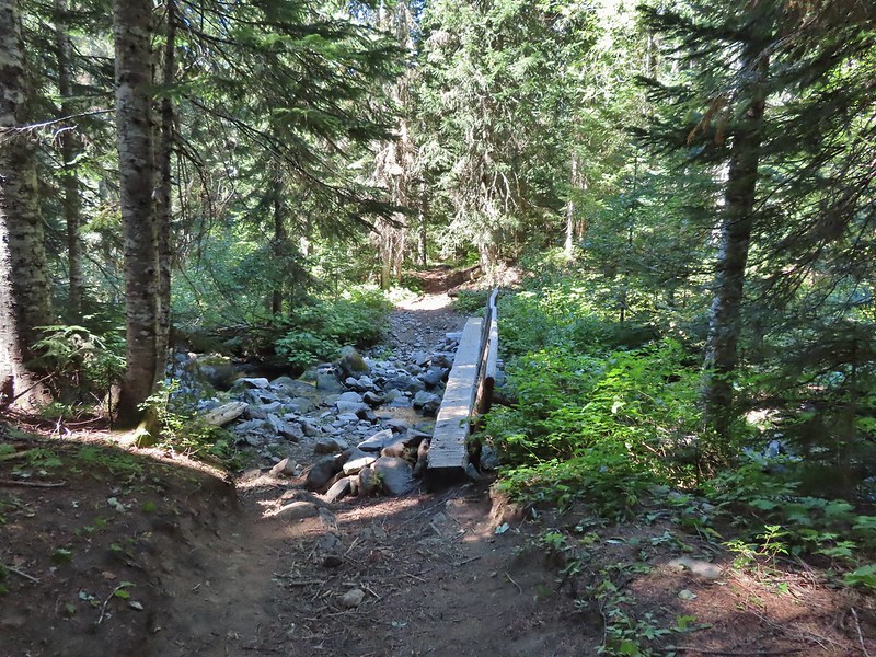
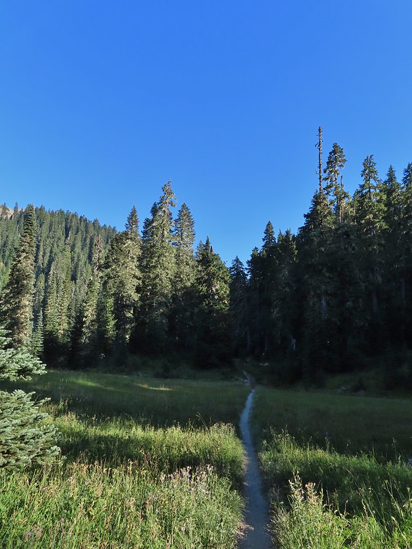
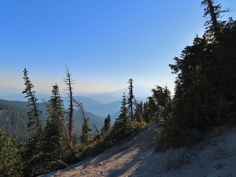
The Tumalo Mountain Trail gains 1425′ in two miles to the site of a former lookout tower. I hustled up to the lookout site as fast as my legs would allow and arrived a little after 6am to catch the first strip of color to the east beyond Bend.
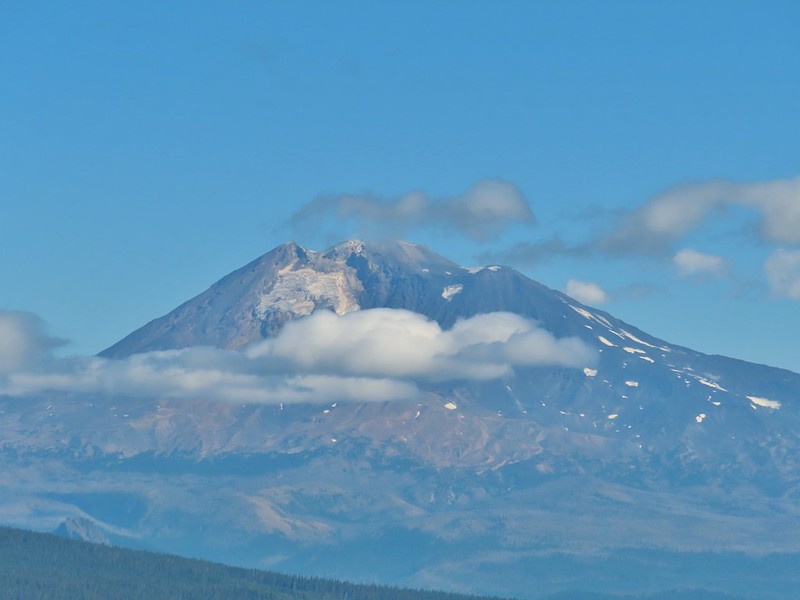
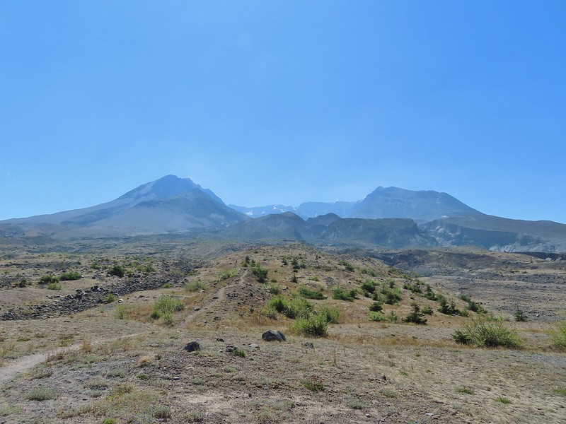
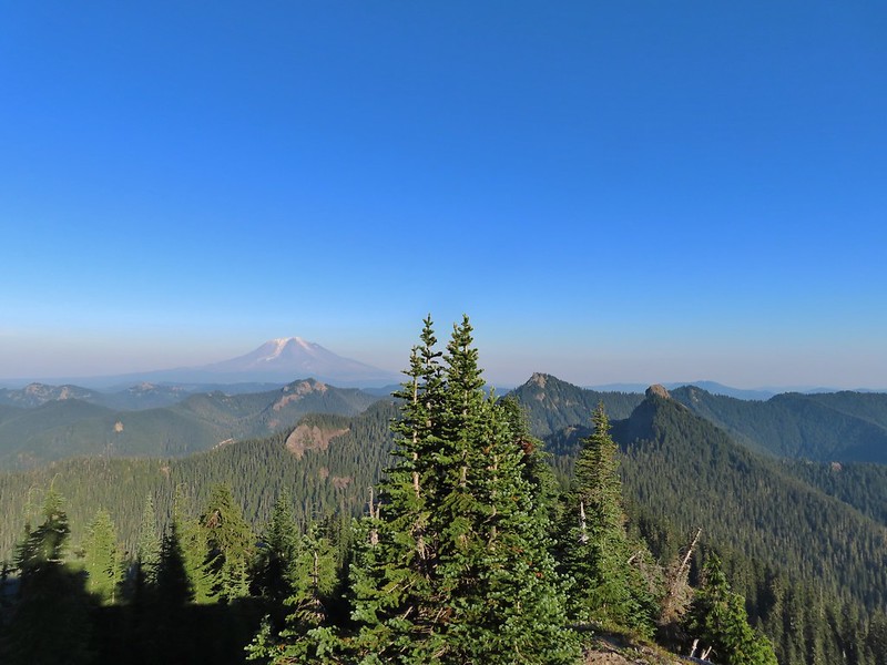
After Heather joined me we continued further along the broad summit to the northern end where the view included Mt. Bachelor to the south and the Three Sisters and Broken Top immediately to the NW. Mt. Bachelor
The Three Sisters and Broken Top
We spent the next half an hour watching the changing light and colors as we waited for the Sun to rise. We had brought an extra camera which I had been using the day before to photograph the anniversary. This proved interesting as each of the cameras we were using captured the sights in their own ways. As I’ve mentioned before I basically have no idea what I’m doing as far as photography and mostly I just rely on getting lucky once in awhile if I take enough photos. My usual camera is a Canon SX740HS, a small point and shoot with 40x optical zoom. Heather was using her phone, an LGE LM-G820, and the other camera, a Nikon Coolpix P900, belongs to my parents. Mt. Bachelor via the Nikon.
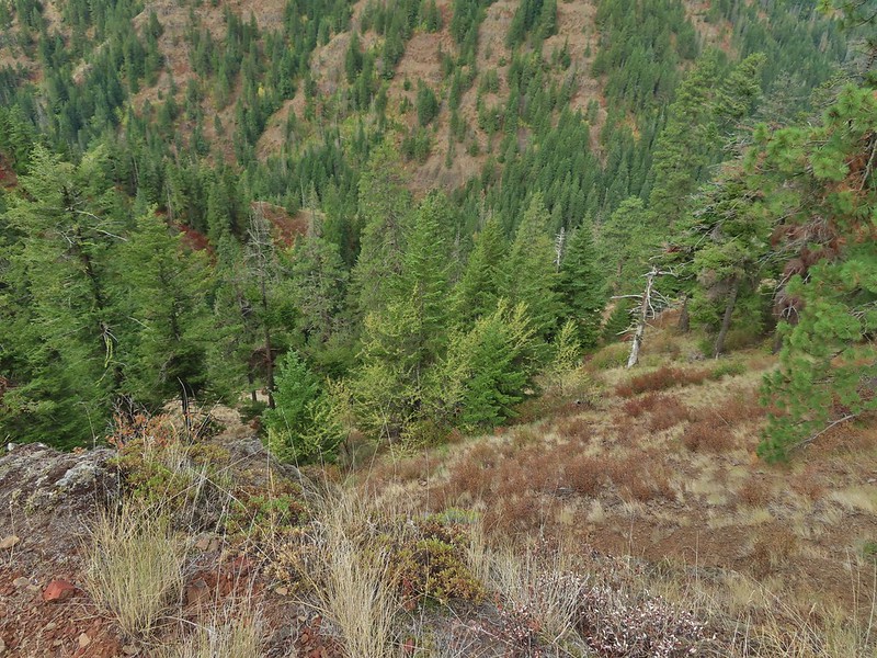
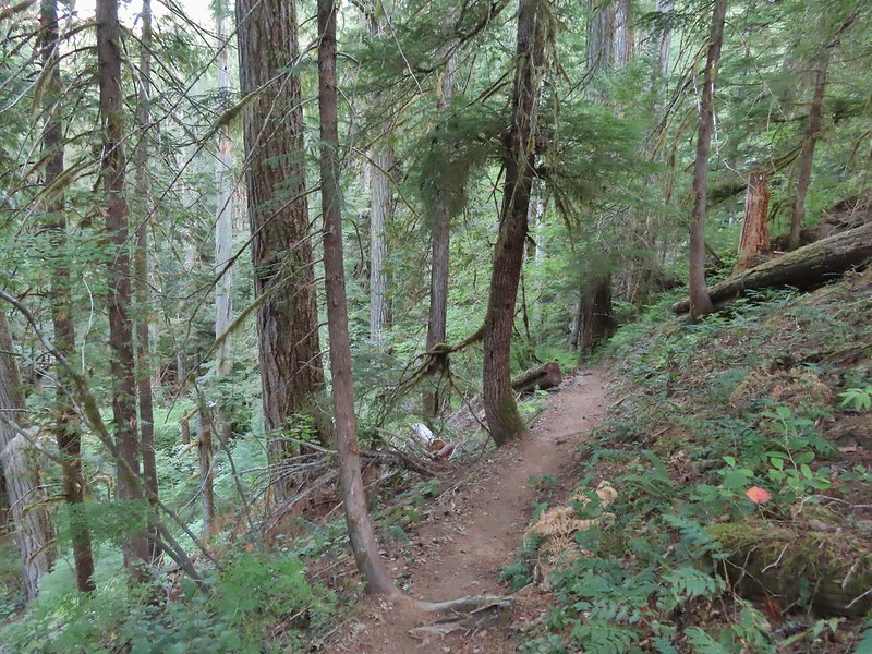
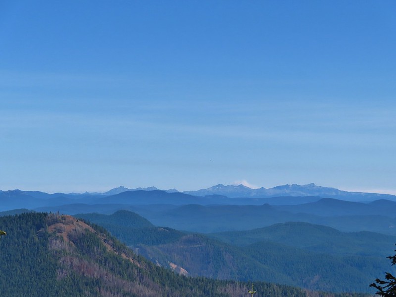
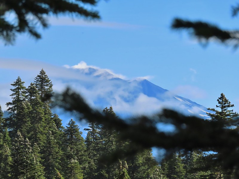
There were lots of views of Mt. Bachelor on the way down and we could also make out Mt. Thielsen (post) and Mt. Scott (post) further south.
Mt. Scott to the left and Mt. Thielsen to the right.
Grouse
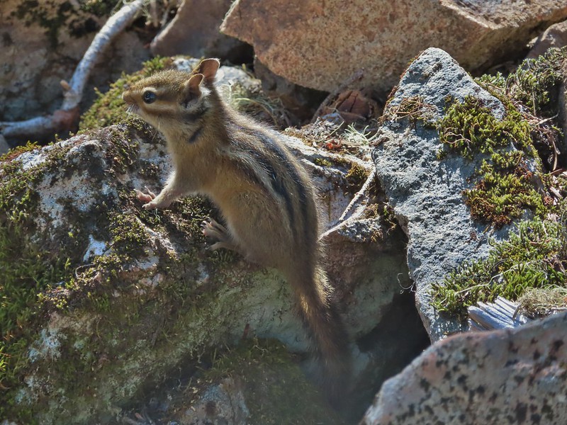
Chipmunk
Mt. Bachelor as we arrived back at the snow-park.
We finished our hike just after 7:45am and headed back to Salem. The hike had been everything we could have hoped for. There were just enough clouds in the sky to create some beautiful colors (the lingering smoke even added a bit although we would rather it wasn’t in the air) and the mountains were all clearly visible. My GPS showed a total of 4.7 miles which made sense given it was too cold to simply sit while we waited for the sunrise, spending over half an hour wandering around at the summit.
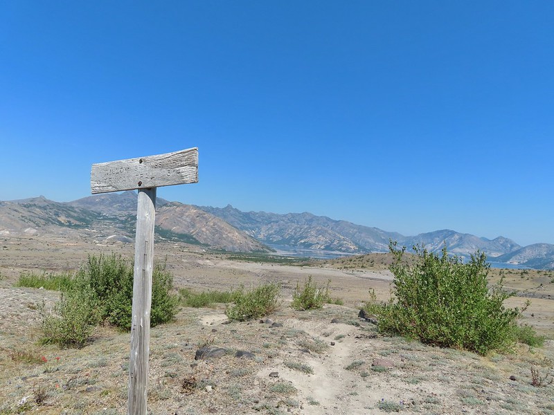
There were two other groups of hikers watching the sunrise with us and we passed many more as we descended. Tumalo Mountain is a great choice for a short hike with spectacular views. It is also just outside the Three Sisters Wilderness meaning that a Cascade Wilderness Permit is not needed. Happy Trails!
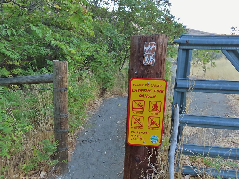
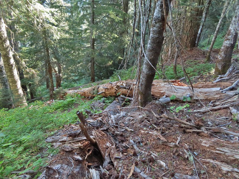
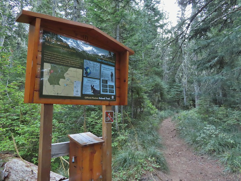
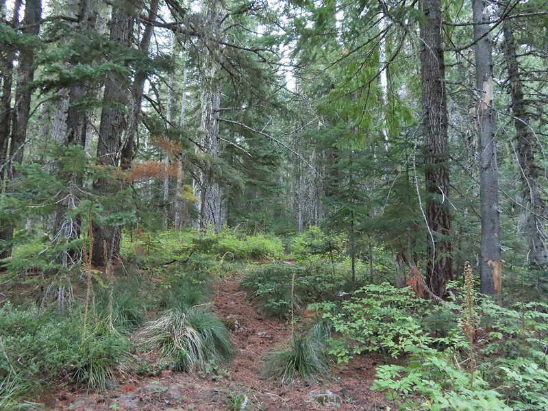
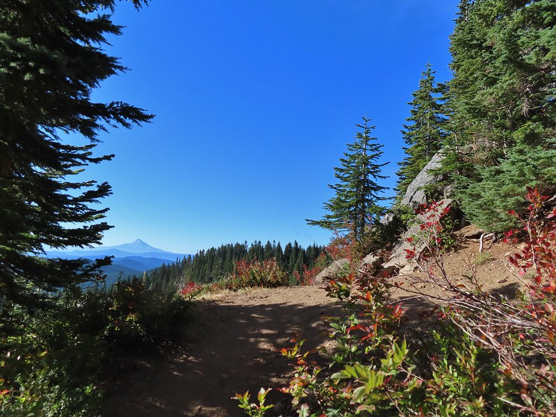
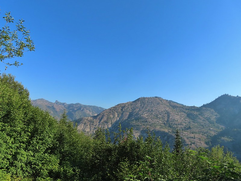
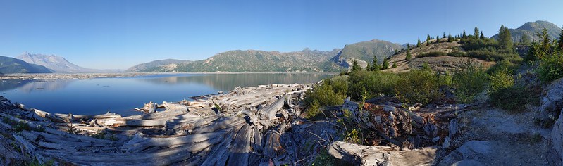
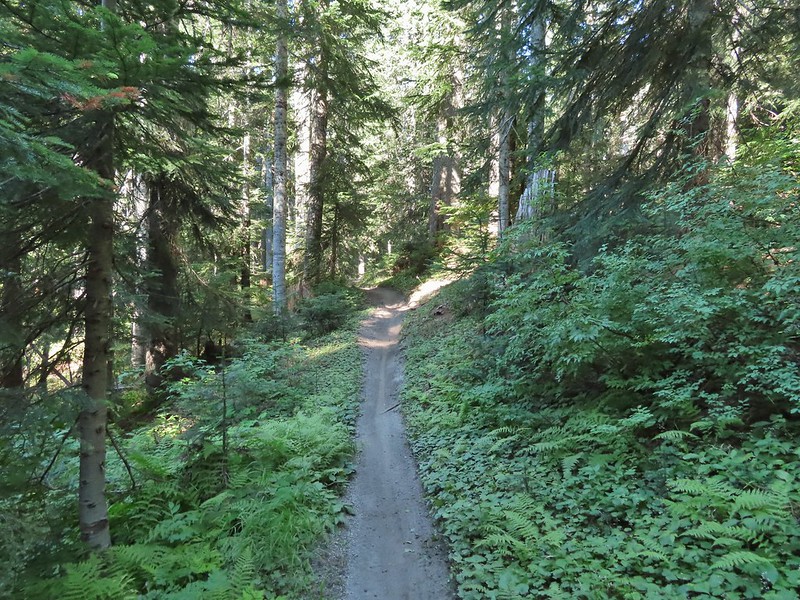
After spending two days hiking in the Blue Mountains NE of Pendleton it was time to head home. We typically look for a short hike that can act as a leg stretcher when we are facing long drives to or from a vacation spot. Driving from Pendleton to Salem meant looking for something along I-84 preferably closer to Pendleton than Salem. Looking through our hiking books gave us the perfect answer, Heritage Landing. The hike along the Deschutes River from Heritage Landing is included in Matt Reeder’s “PDX Hiking 365” guidebook (Hike #9). There is also an entry for the hike on Oregonhikers.com as well. Heritage Landing is primarily used by rafters and fishermen but the fishermen and other users have created a series of trails up river at least as far as Rattlesnake Bend.
We parked in a gravel lot on the left side of the road just uphill from the boat ramp and hiked down past a gate.
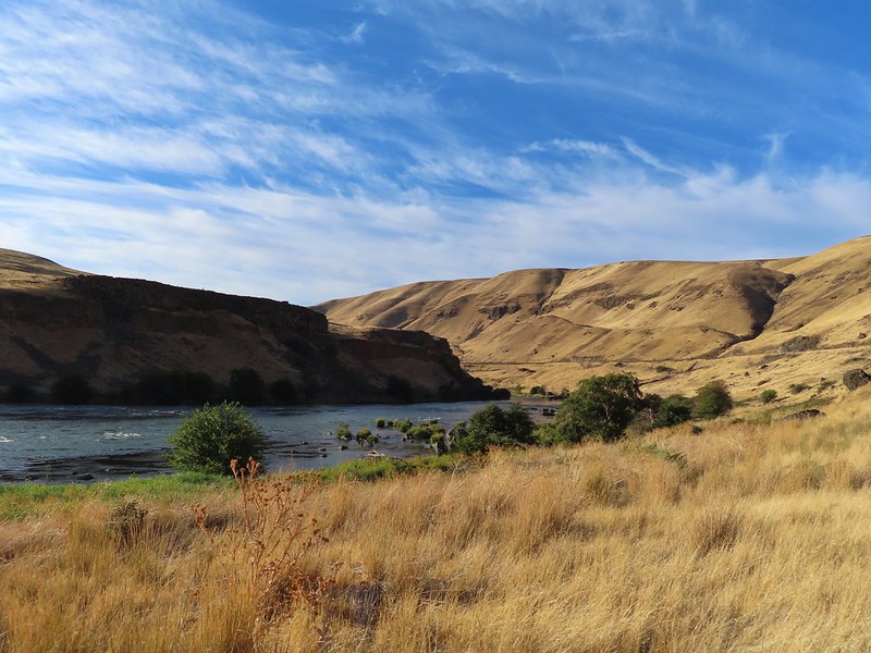
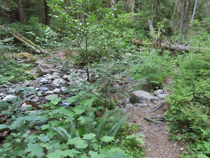
We followed an old road bed upstream past Moody Rapids. We had hiked the Deschutes River Trail on the other side of the river in 2018 (post)
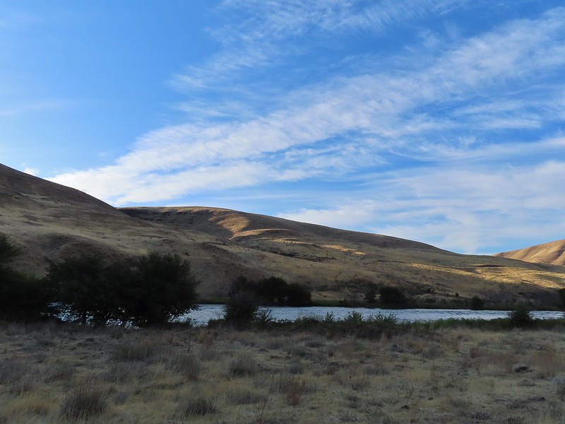
Sunlight on Haystack Butte in Washington.
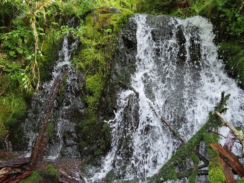
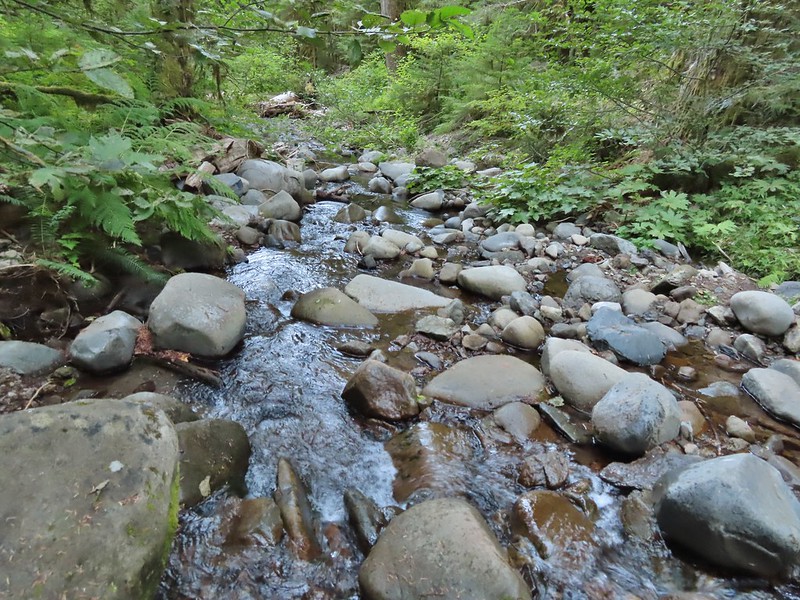
Part of Moody Rapids.
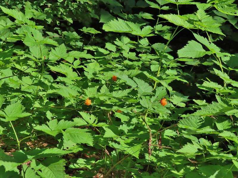
Gum weed
The last petals on a blanket flower.
We saw several of these large beetles, all prepared to defend themselves.
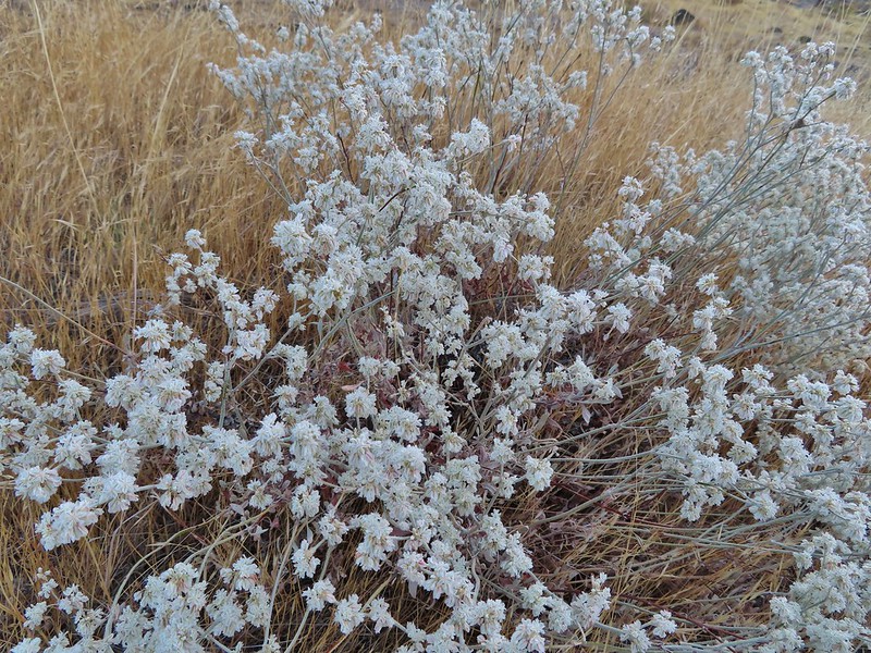
Snow buckwheat
Chicory
Seagull
Mergansers
The trail passed by a spring where thick blackberry bushes and other green vegetation hosted a number of small birds (and a few fishermen).
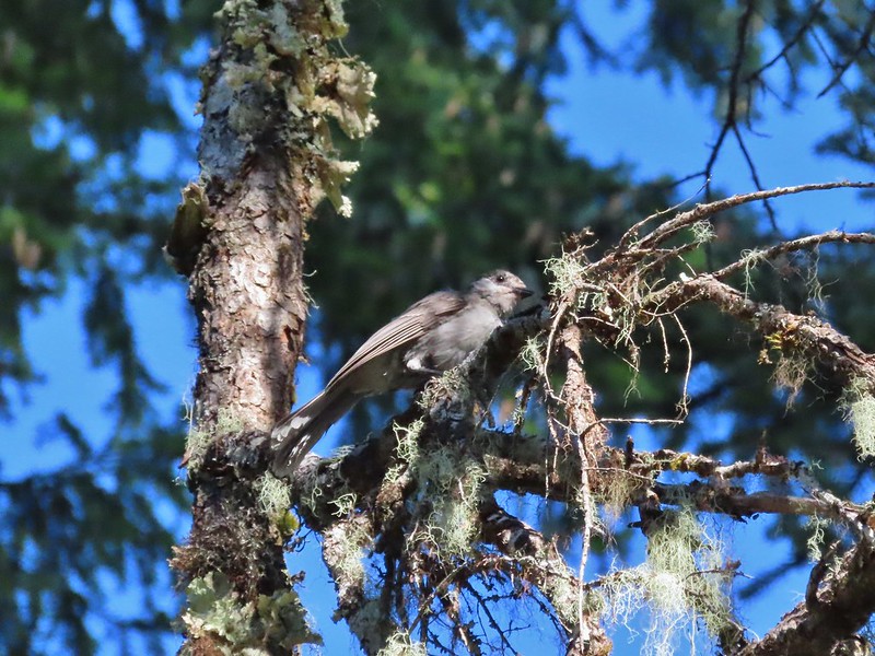
Sparrow
Shortly after passing the spring both Heather and I noticed something that looked out of place down by the water but we both decided it was another fisherman. After a few more steps we realized it was a river otter grooming itself on a small rock or patch of grass. I tried to grab my camera but it somehow knew I wanted a photo and disappeared into the water. The next thing we knew there were three otters swimming with the current and heading downstream but they were close enough to the bank that my camera kept focusing on the grass or limbs between them and us so I still don’t have a decent picutre of an otter. 😦 One blurry otter head and another partial otter on the right.
A bunch of tree branches, oh and an otter in the water.
After the exciting and yet disappointing otter encounter we continued up river. We planned on hiking until either the tread petered out or we reached Rattlesnake Rapids. The tread petered out a little before the rapids but we had a nice view of them from Rattlesnake Bend.
At times there were multiple trails to choose from.
Rattlesnake Bend is up ahead but we stopped here for a bit to watch a heron getting breakfast.
A sparrow, possibly a Savannah sparrow.
The trail climbed higher on the hillside for a bit to avoid some thick vegetation below.
Rattlesnake Bend
Railroad tracks above the trail.
Looking back from Rattlesnake Bend near where we turned around.
Rattlesnake Rapids
On our way back we tried to choose the fishing trails closer to the river.
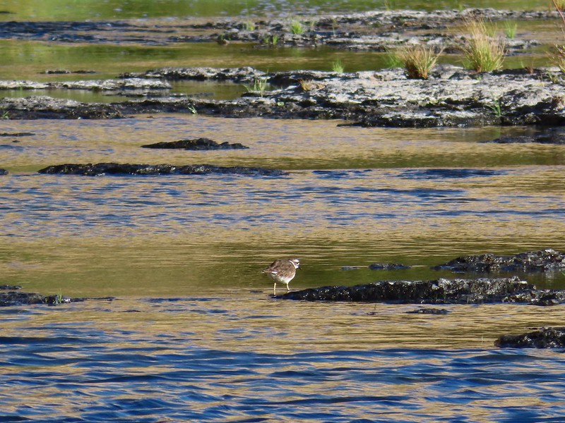
Killdeer
An older channel?
Had to go back up to avoid the vegetation here.
Ground squirrel
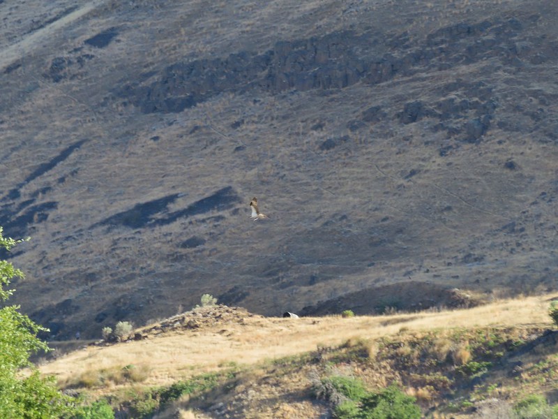
Heron flying up river.
Old rock wall along the way.
Typical use trail.
Merganser
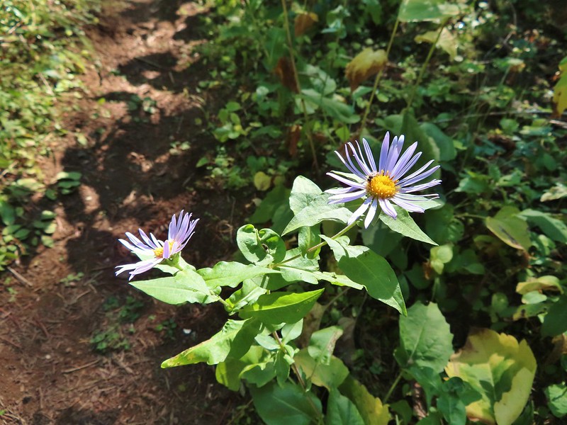
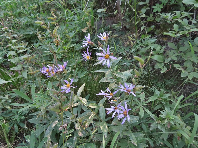
Aster
Osprey showing up the fishermen.
Finch
More birds near the spring.
Little yellow birds, maybe warblers?
One of the yellow birds on a blackberry plant.
Moody Rapids
Haystack Butte
A line of mergansers.
This turned out to be an excellent hike with great scenery and plenty of wildlife (and no rattlesnakes). We got in a little over 4 miles round trip. Reeder listed it as a 3.2 mile out and back while Oregonhikers has it at 3.8 miles but a lot depends on where you turn around and how much back and forth you do down to the river.
Our track for the day.
It hadn’t been the vacation that we’d originally planned but our three days of hiking were beautiful and we were thankful to have been able to enjoy them so much. Happy Trails!
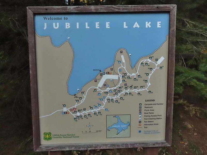
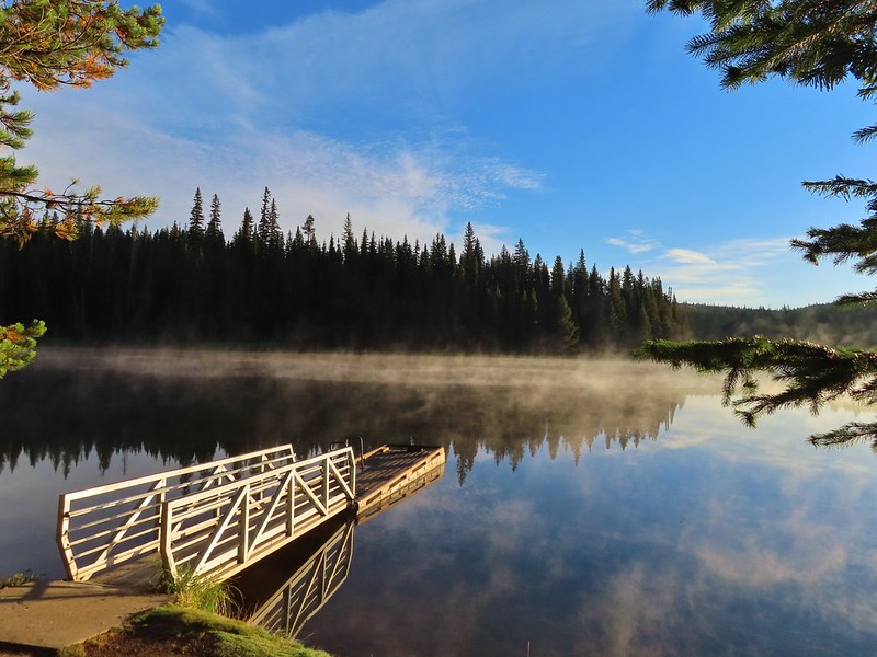
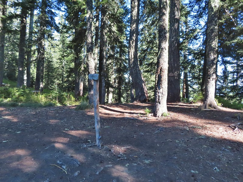
After spending the night in Pendleton we headed back to the same area in the Blue Mountains where we had hiked the day before on the Wenaha River Trail (post). We started our day at the Jubilee Lake Campground. (We had passed the entrance road the day before on our way to the Timothy Springs Trailhead.) An earlier version of this trip had us staying at the campground given the hike here and it’s proximity to the other two trails that made up the trip but sleeping in a comfy bed won out over a tent in a busy campground. After paying the $3 day use fee we parked near the boat ramp where the morning sunlight was just hitting the lake.
The Jubilee Lake Trail loops around the the lake and is one of two hikes Sullivan lists for hike #42 in his “100 Hikes/Travel Guide Eastern Oregon” 3rd edition guidebook. He recommended hiking the loop counter-clockwise so we headed right from the boat ramp past a picnic area and onto a paved trail.
From the boat ramp the trail winds around the lake for three quarters of a mile to the lake’s dam which was built in 1968. We passed several picnic tables and viewpoints along this stretch.
The trail passed over the dam and continued on the far side switching from paved to dirt tread.
This squirrel was making an impressive amount of noise with its mouth full.
Passing around one of the lake’s arms.
One of several bridges over creeks.
Mergansers
There were several benches positioned along the trail. We got a kick out of this one which was right next to a nice view of the lake but it was facing directly into some trees.
The view next to the bench.
The view from the bench.
Going around another arm.
A checker-mallow
Aster
Forest as we neared the campground again.
Arriving back at the ramp.
The loop around the lake came in at just about three miles which we thought was a perfect distance for a hike around a lake. Longer loops around lakes often begin to feel repetitive but this one didn’t. We were also glad we stopped here first as there wasn’t anyone out on the lake while we hiked nor did we pass any other users on the trail (there were a couple of fishermen/hunters behind us at one point). From Jubilee Lake we then drove to our second stop at the Rough Fork Trailhead near Mottet Campground. The final 1.5 miles to this trailhead on FR 6043 were rough and probably only passable with a high clearance vehicle.
From the trailhead we followed a sign for the Rough Fork Trail.
The Rough Fork Trail descends nearly 1900′ in 3.3 miles. Twelve switchbacks allow the grade to never be too steep and there were nice views nearly all the way down to the South Fork Walla Walla River Trail. The first part of the trail passed through a stand of trees.
View to the west along the South Fork Walla Walla River canyon.
Loved the top of this tree.
Another view, there was just a hint of smoke in the air giving the hillsides a blue tint which is where the name “Blue Mountains” comes from. Apparently smoke has been a common occurrence here for a long time.
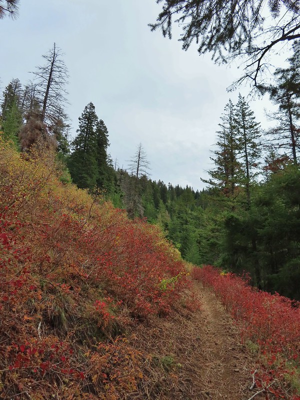
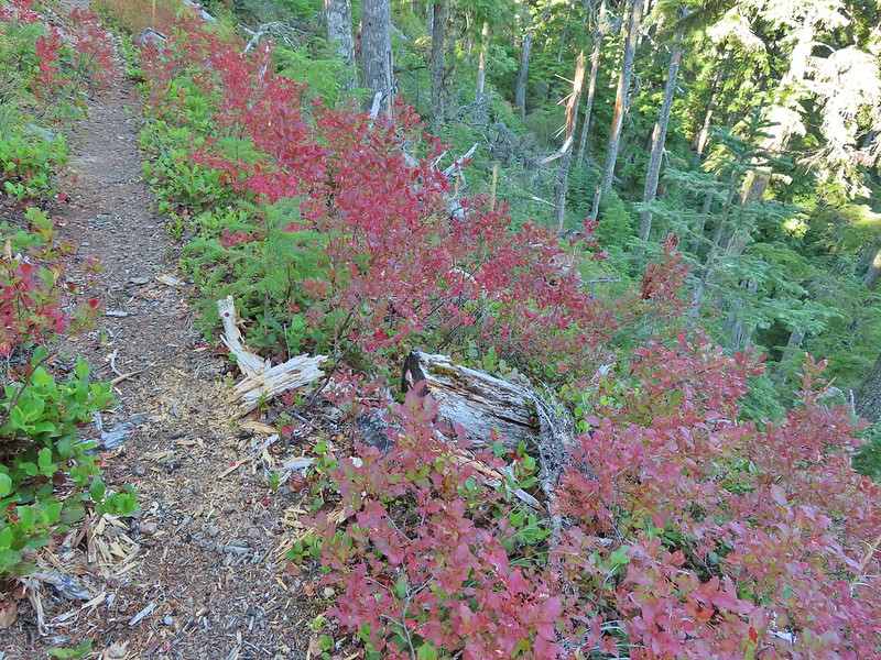
There was a lot more Fall color along this trail.
Paintbrush
Cone flower
Aster amid some thimbleberry leaves.
Vine maple
Looking down toward the Sheep Creek.
Finally found the river.
There was a 6 to 8′ waterfall along Sheep Creek but no way to get a clear view of it through the thick vegetation on a steep hillside.
As we neared the river the trail leveled out in a lusher forest.
Two types of clover.
Footbridge over the South Fork Walla Walla River.
There was a small campsite near the bridge where we took a break and watched an ouzel dip up and down on rocks in the river.
Reser Creek on the left joining the South Fork Walla Walla River just upstream from the bridge.
There was another small cascade on Sheep Creek near the river which I was able to reach with a little effort. There were just enough exposed rocks for me to work my way downstream from the bridge to Sheep Creek.
After enjoying the river we headed back up having completed Sullivan’s suggested hike here. We could have continued two more miles downstream to Box Canyon but adding another four miles to our day didn’t seem necessary. The climb up wasn’t as bad as we’d feared. The grade along with a cooling breeze that would come and go helped immensely.
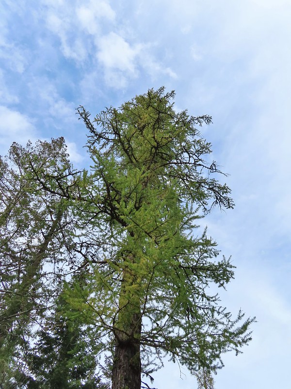
A couple of the larch trees were just starting to turn color for the fall.
A scarlet gilia blossom waiting to fall off.
A final view back over the canyon with the crooked tree.
The hike came in at the expected 6.6 miles giving us a total of 9.6 for the day.
Rough Fork Trail track
We were done early enough to spend a relaxing afternoon in Pendleton where we discovered that a lot of the downtown restaurants were closed on Sundays. We wound up eating at Thai Crystal which turned out to be a good choice. These two hikes finished off Sullivan’s featured hikes in the northern Blue Mountains but that doesn’t mean we wont be back. There are more trails in the area and all our hikes there so far have been enjoyable. Happy Trails!
For the second year in a row our September vacation plans were disrupted by wildfires. The reality we are facing is that this may well be the norm now and maybe September isn’t the best time to try and take a hiking trip. We’d been avoiding October due to the erratic weather that time of year but it might be time to rethink that. Unlike last September when we scrapped our plans and just stayed home staying inside to avoid the smoke this year we had a viable back up plan. Our original plan was for a long weekend in Union Creek near Crater Lake National Park but that area seemed to be ground zero for unhealthy air quality so we canceled our reservations there and watched the weather and smoke forecast waiting until Friday to make our final decision. A favorable forecast put Pendleton as our first choice but according to the Forest Service website two of the three trails we planned on hiking were showing as closed. The entire Umatilla National Forest had been closed earlier this year due to wildfires but those were either out or mostly contained and the closure area had been greatly reduced. I reached out to the Forest Service and they confirmed that despite what the website said the trails we were planning on hiking were open.
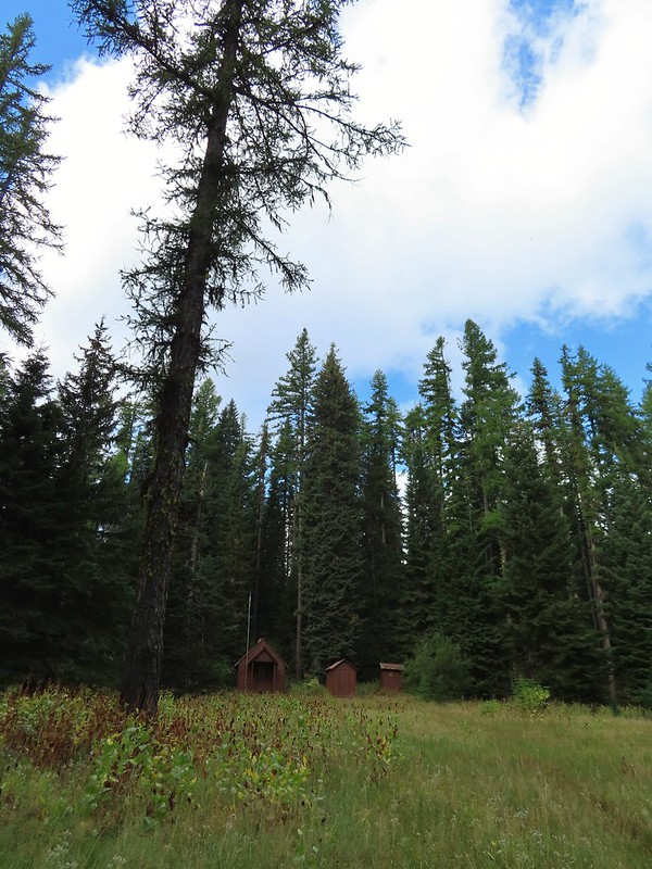
It was a 5 to 5 1/2 hour drive from Salem to the Timothy Springs Trailhead for our first hike of the weekend on the Wenaha River Trail. We had hiked on this trail in 2019 but from the other end near Troy, OR (post). The trail is just under 31.5 miles long but for this hike we planned on following the trail downhill for 4.5 miles to Milk Creek which is Sullivan’s longer option for his featured hike #43 in the 3rd edition “100 Hikes/Travel Guide Eastern Oregon”. We arrived to find the campground at the trailhead full of bow hunters which we had expected this time of year. We parked in a dirt area not far from the historic Timothy Springs Guard Station because the only spot open at the actual trailhead would have meant parking over grass which we didn’t want to do given the fire danger. The guard station.
The only “parking spot” open near the actual trailhead.
The trail descended gradually through a the forest crossing a couple of small streams before reaching the South Fork Wenaha River at the 2.3 mile mark. There was a lot of cone flower along the trail.
It had rained the night before but most of the moisture had already dried up or evaporated.
There were just a few flowers hanging on.
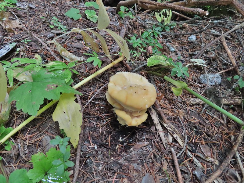
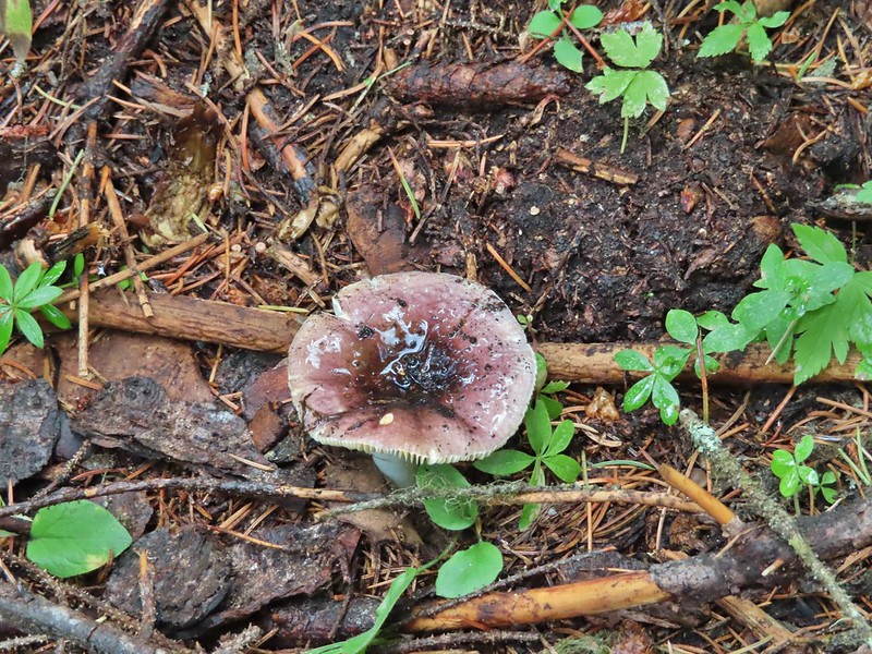
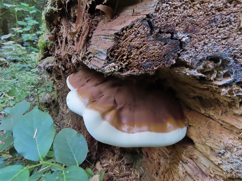
There was also a nice variety of mushrooms.
Paintbrush
One of the small streams.
Self-heal
There weren’t many views along the trail but this one was nice.
Pearly everlasting
Ghost pipe
This was one of the smallest frogs we’ve seen. When I first saw it jump I mistook it for a grasshopper.
A short distance before reaching the river we passed what Sullivan described as 6′ waterfall. There wasn’t much water flowing this time of year so we had to picture it mostly.
South Fork Wenaha River
The river was just wide enough and the logs wet enough that crossing dry wasn’t an option so we forded the river, it was maybe mid-calf at its deepest. A brief climb on the far side quickly put us above the river as the trail traversed a rock hillside.
The views were better along this section as it gradually descended to Milk Creek 2.2 miles beyond the South Fork Wenaha ford.
One of two snakes we came across, both the harmless types.
South Fork Wenaha River
Fall colors along the trail.
Milk Creek with the Wenaha River Trail continuing on the far side.
Milk Creek joining the South Fork Wenaha River.
Elderberry near Milk Creek
Snowberry
After a nice break at Milk Creek we began the 1300′ climb back to the trailhead. It was a fairly uneventful return trip but we managed to spot a few flowers and mushrooms along the way that we’d missed on our first pass.
Might be an aven?
Coral fungus
Aster
A lone arnica still blooming.
This was a pleasant 9.1 mile hike and despite it being bow hunting season most of the hunters were already back in camp when we arrived so we only saw one group of three people the entire hike.
It was interesting to see the difference in the forest and terrain between the upper and lower ends of the Wenaha River Trail too. We then drove to Pendleton and after a little hiccup in our plans checked into a motel and then went to OMG! Burgers & Brew for dinner. Happy Trails!
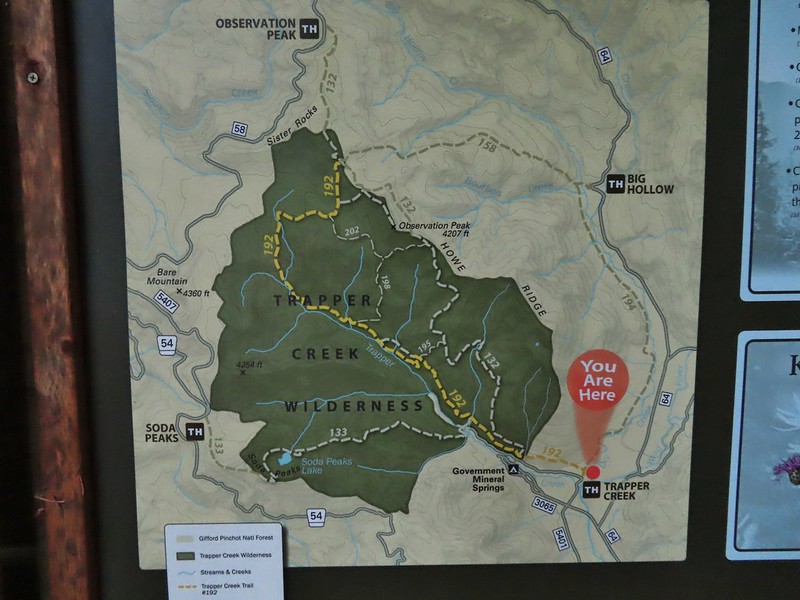
For Labor Day we headed back up to Washington where we’d been able to mostly avoid smoke from the numerous wildfires in the West. We’d spent the day before in the Indian Heaven Wilderness (post) and today we were returning to the Trapper Creek Wilderness for the first time since 2013 (post). The wilderness areas are just eight miles apart, separated by the Wind River Highway (and Wind River).
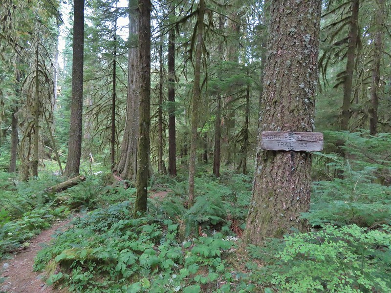
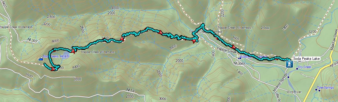
Our planned hike for the day was inspired by a featured hike in Sullivan’s 5th edition of his “100 Hikes/Travel Guide Northwest Oregon & Southwest Washington” book. While Sullivan describes two options for hike #34, Trapper Creek, both were a bit short for us after the 2 hour drive to reach the closest trailhead. His first option is a 3.8 mile out and back to what he calls the “Grove of Giants”, a stand of old growth cedar trees starting at the Trapper Creek Trailhead. His second option (beginning at a different trailhead) is a 5 mile out and back to visit Soda Peaks Lake. Our plan was to park at the Trapper Creek Trailhead and do an out and back hike passing the Grove of Giants, then continuing on the Soda Peaks Lake Trail to Soda Peaks Lake and beyond to a viewpoint on the rim above the lake.
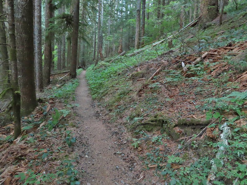
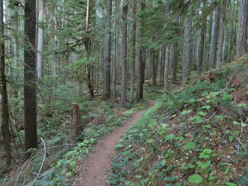
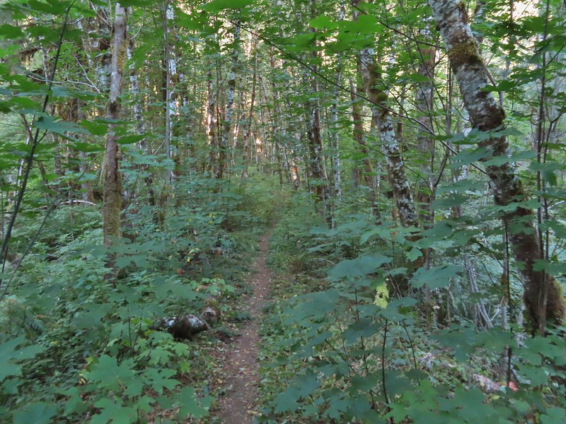
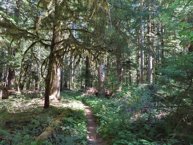
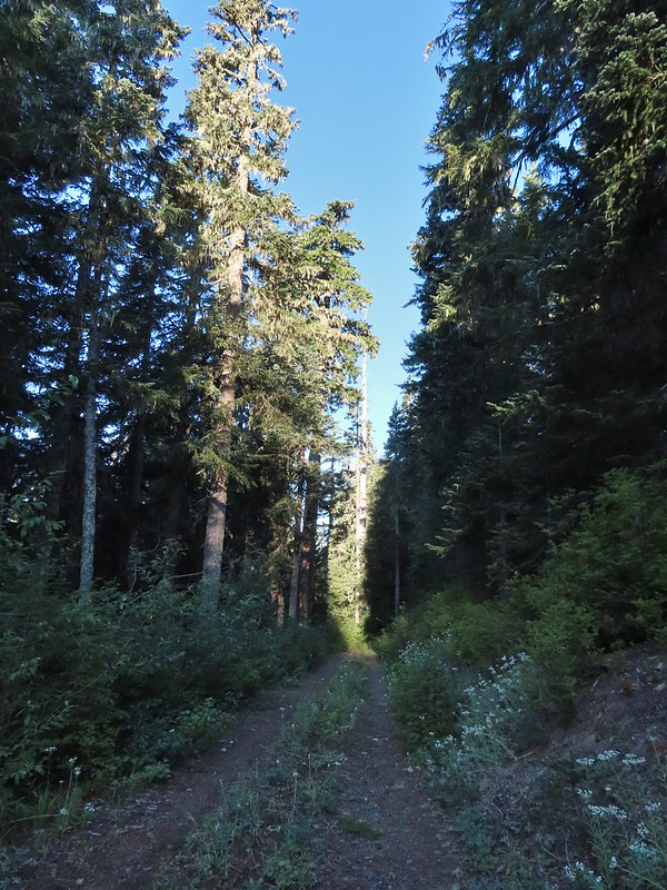
The Trapper Creek Trail started out nearly level which made for a nice warm up before climbing.
Not far from the trailhead the unsigned Dry Creek Trail joined from the right.
Warning sign for burned trees due to the 2020 Big Hollow Fire (there’s that four letter “F” word again). The wilderness had been closed most of the year due to that fire (and some bad winter storms) and was only reopened in August.
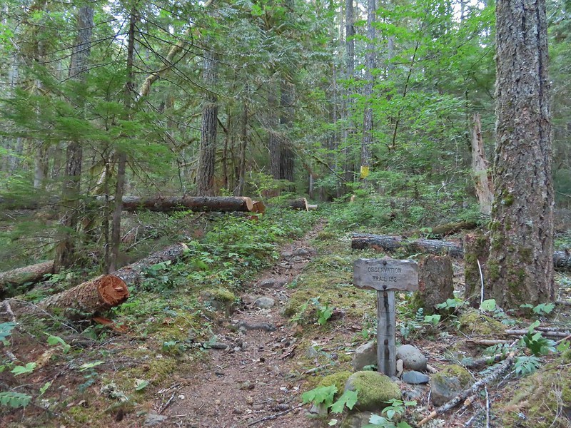
The trail climbed gradually along a hillside above Trapper Creek for three quarters of a mile to a 4-way junction with the Observation Trail which we had been on in 2013.
The Observation Trail.
We stayed straight on the Trapper Creek Trail here.
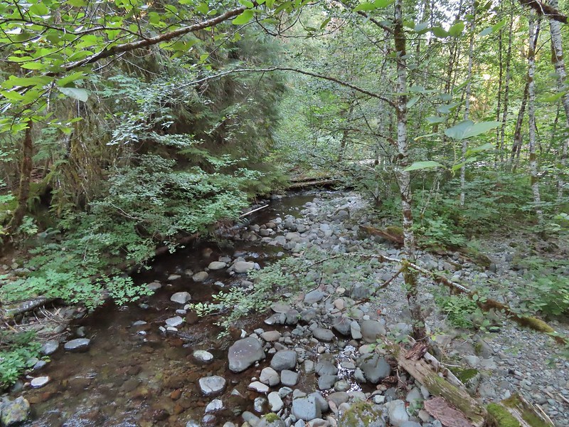
For the next three quarters of a mile the trail gradually descended to a unnamed creek crossing.
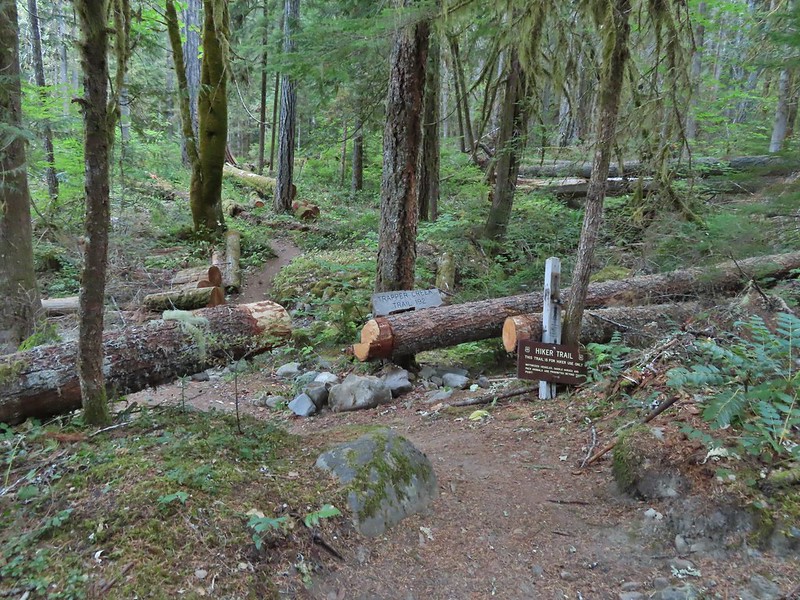
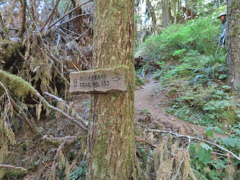
On the far side of the creek we turned left onto the Soda Peaks Lake Trail.
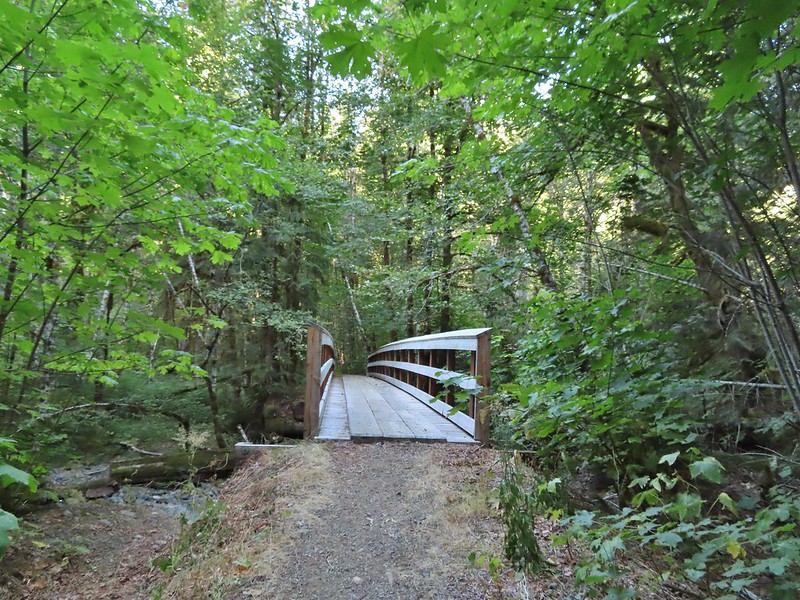
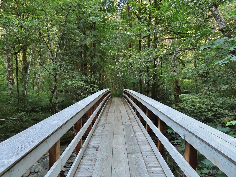
We followed the creek downhill ignoring a side trail joining from the left and came to a footbridge over Trapper Creek.
Sign at the jct with the side trail joining from some private cabins.
The trail then passed through a stand of alder before turning left and reaching the Grove of Giants just under half a mile from the Trapper Creek Trail.
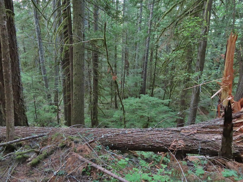
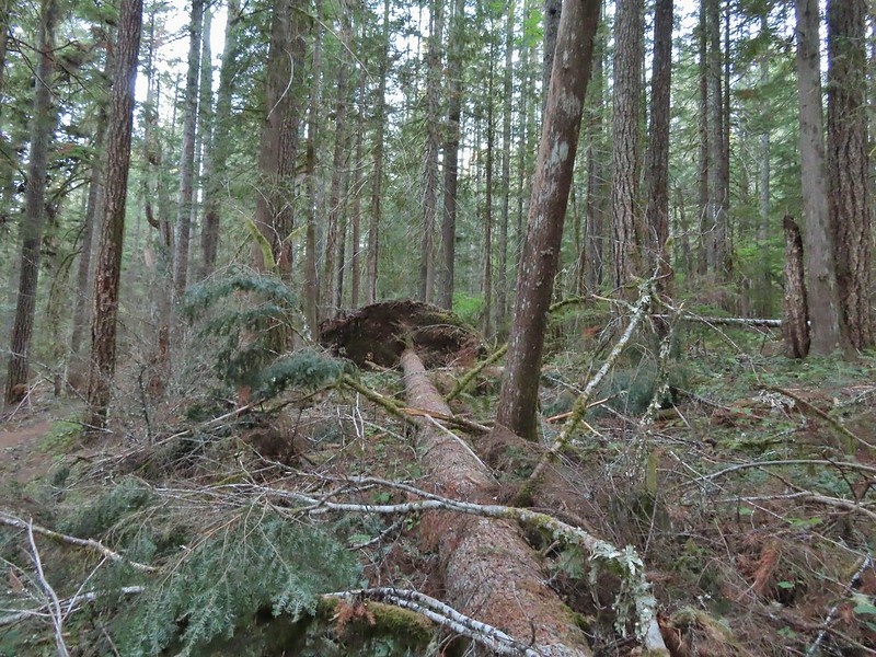
One of the big trees was down.
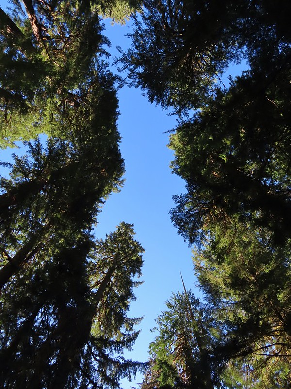
At the grove the trail made a sharp right turn and began an arduous three mile climb gaining over 2300′ of elevation.
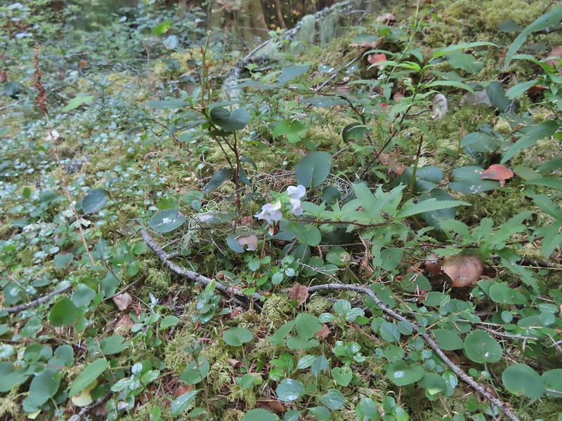
Lousewort was just about the only flowers left blooming along the trail.
Grey jay
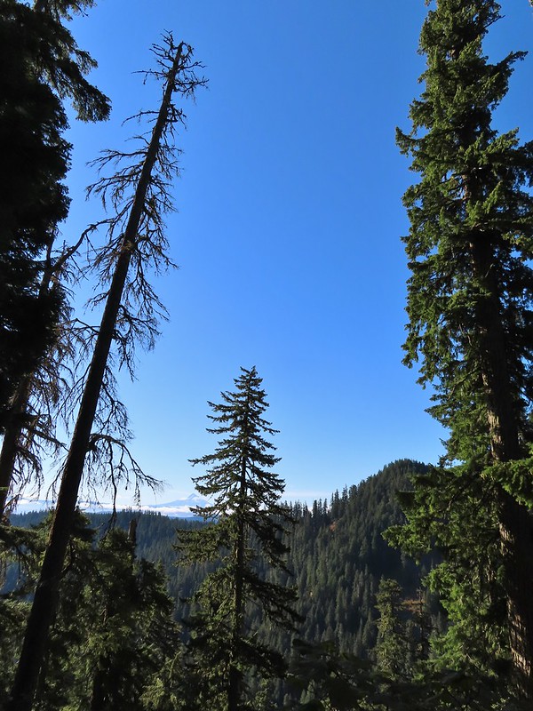
Observation Peak from the trail.
Huckleberry leaves
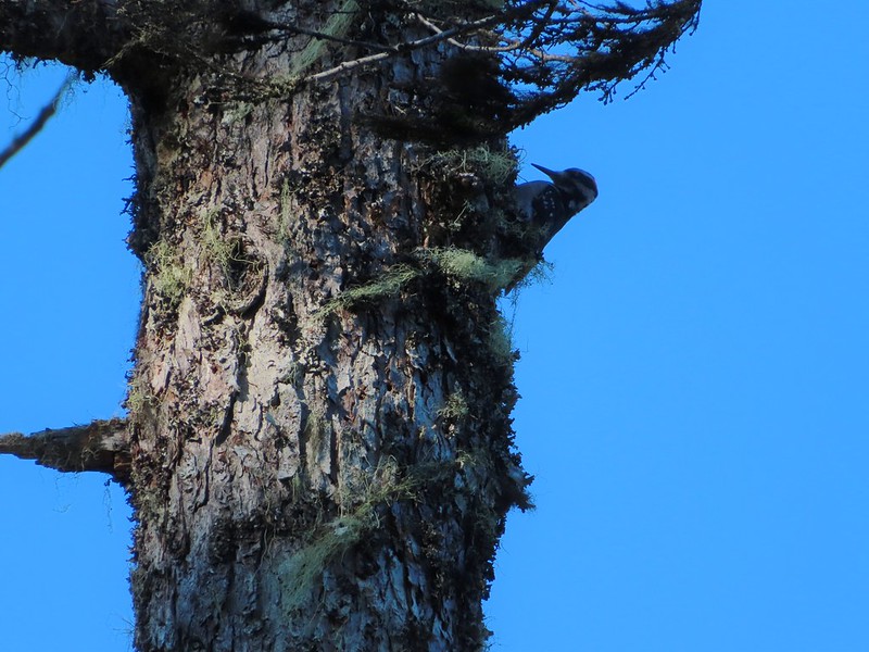
Woodpecker
There were three short stretches in saddles where the trail briefly leveled out giving us a respite from the climb.
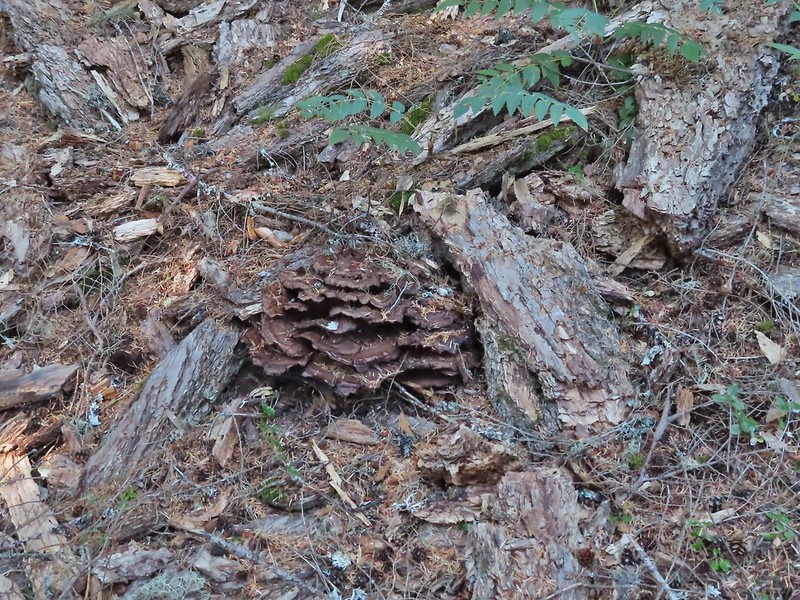
Fungus amid some bark.
Big rock outcrop along the trail.
Mountain ash changing into its Fall colors.
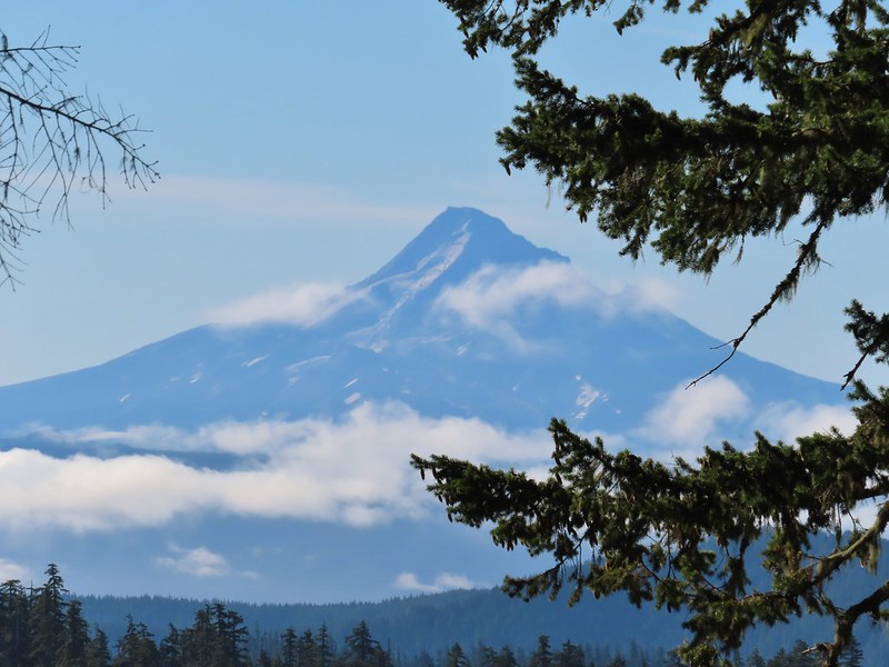
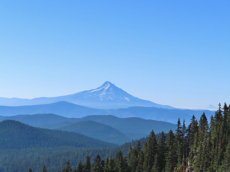
Mt. Hood from the trail.
Mt. Hood
Red bunchberries and a blue berry from a queen’s cup.
Mt. St. Helens from the trail.
Mt. St. Helens
The only real obstacle came about a quarter of a mile from the lake where a large tree trunk blocked the trail. It was too wide to step over and at too steep an angle to climb over.
The only option was to climb steeply uphill to pass around the top of it.
Mt. Adams from the trail.
Almost to the lake which was busy with folks that most likely took the shorter route in.
Day use area at Soda Peaks Lake.
I don’t think we’d seen anyone all morning on the trails so the barking dogs and yelling people (maybe they were just talking loud but I wasn’t used to hearing voices) were enough encouragement to move on after a short break. The rim viewpoint that we planned to make our turnaround point was another 1.1 miles and 600′ of climbing away. The trail immediately climbed away from the lake from the day use area.
It then curved around the north side of the lake passing through several rock fields where we heard a few pikas but were not able to spot any.
Not a pika, but it was a cute chipmunk.
After some gradual climbing the trail got serious and switchbacked steeply to the rim where it turned right following it for 0.2 miles to the viewpoint.
Mt. Rainier
Mt. Rainier
The Goat Rocks with a smoke plume rising behind them to the north.
Mt. Adams with Soda Peaks Lake in the trees below. The row of peaks in between Mt. Adams and the lake is the Indian Heaven Wilderness.
The Red Mountain lookout where we’d been the day before.
There were more people coming down the trail headed for the lake. After a moment admiring the view and catching our breath we also headed back down. We stopped again briefly at the lake then said our goodbyes.
It was a long descent and our knees were happier once we were back on the Trapper Creek Trail. Heather also suffered a yellow jacket sting on her calf on the way down which wasn’t a nice surprise.
Mt. Hood and some vine maples.
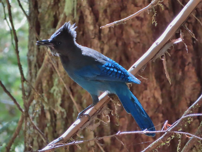
This stellar’s jay almost hit Heather in the head.
Back on level ground.
The hike wound up being 12.5 miles with 3800′ of elevation gain. It was in the 80’s when we arrived back at the trailhead and the heat just made the hike a little harder. Nevertheless it was an enjoyable day in the Trapper Creek Wilderness. Happy Trails!
The horrible wildfire season finally thwarted one of our planned trips when California announced that all National Forests would be closed over Labor Day Weekend (and at least through September 17th). This was at least the third year in a row we had a backpacking trip in the Siskiyou Wilderness planned but either fire or weather has kept those plans from happening each time. Much like last September many of the areas that aren’t on fire are suffering from unhealthy air quality due to the smoke so our options were limited. (How I miss the days of rain being the driving factor on where we were going to hike.) One of the areas that has been less impacted by the smoke has been SW Washington and so we turned to that area once again for a pair of hikes over the holiday weekend. We skipped Saturday as smoke was an issue pretty much everywhere save for the Coast and Coast Range and waited for the next system to push the smoke east (sorry Central Oregon).
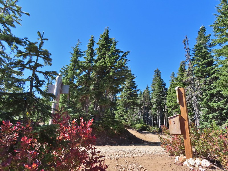
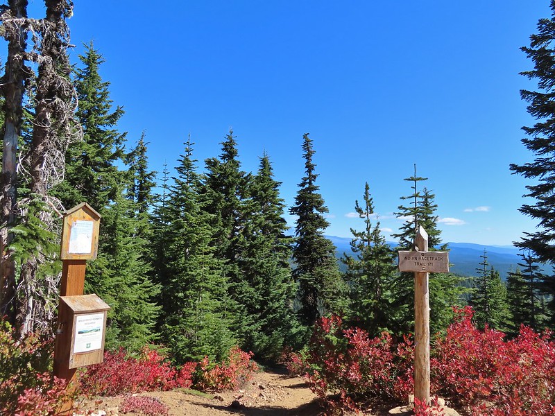
For our hike on Sunday we turned to Matt Reeder’s “Off the Beaten Trail” 2nd edition. In his Indian Racetrack and Red Mountain description (hike #15) Reeder describes an alternate loop using the unmaintained Basin Lakes Trail and the Pacific Crest Trail as an alternate to the 7.4 mile out and back that he suggests. We’d been to Indian Racetrack and Red Mountain as part of a diffent loop (post) so this other loop sounded more interesting than the out and back. We figured if the old Basin Lakes Trail was too hard to follow we could simply turn back and still do the out and back as described since it was only 2 miles to the basin then an additional mile up to the Pacific Crest Trail. We started our hike at the Falls Creek Horse Camp. The Falls Creek Trail heads southwest from the horse camp descending to Falls Creek Falls.
The trail we wanted, the Indian Racetrack Trail, began on the opposite side of Forest Road 65. There were no signs for the obvious trail.
Once we were on the trail we ignored an unsigned side trail on the right which presumably led down to Falls Creek.
Approximately 0.2 miles from FR 65 a second trail joined from the left at a wilderness signboard.
Approximately 120 yards beyond the signboard we arrived at an unsigned fork.
The Indian Racetrack Trail continued to the right while the abandoned Basin Lake Trail veered left. While the Forest Service no longer maintains the trail (or even lists it on their website) the tread was obvious and based on the number of road apples on the ground it is used fairly regularly by equestrians.
A half a mile up this trail we came to a small meadow where a couple of hikers were camped.
They warned us that where were quite a few trees down the closer you got to the Basin Lakes but that didn’t dissuade us and we continued on. The trees weren’t much of an issue and in most cases clear paths simply went around them.
We crossed a branch of Falls Creek just under a mile along the trail.
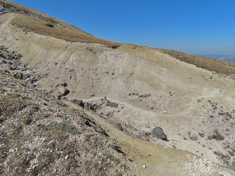
The tread continued to be fairly easy to follow for another half mile and then it vanished, at least from our sight, near a gully.
After a few minutes of hunting for it (which included crossing and recrossing the gully) we decided to simply follow the tallest ridge in the direction of the lakes using our GPS and Reeder’s map. A quarter mile later we were looking down at Peggy Lake on our left.
We stayed on the ridge above Peggy Lake and turned on the far end made a hard right toward Janet Lake. Typical vegetation and trees on the ridge.
We rediscovered tread as we dropped to a saddle near Janet Lake.
Sign at the saddle between Peggy and Janet Lakes.
We did walk down to the bank of Janet Lake to admire its reflection.
From Janet Lake it was another 0.1 miles to an unnamed (at least officially) Basin Lake, sometimes on tread and sometimes not.
Sleepy ducks
I believe Oregon Hikers calls this one “Cindy Lake”.
We passed another lake on our left a quarter mile later.
That was followed by what appeared to be a mostly dry lake bed on the right, now filled with green grass.
We were now at the eastern end of the basin facing a steep climb up to the Pacific Crest Trail. We needed to gain almost 500′ to reach that trail and at the moment we weren’t sure if there was any tread to follow up.
We scanned the hillside but couldn’t pick anything out so we put our route finding hats on and identified a small saddle where it looked like a trail would go and headed for it. As we approached we stumbled on tread.
The small saddle we’d been aiming for.
From there we were able to follow a faint path up and out of the basin.
Heather down to the right between a couple of trees.
Me getting close to the top.
The top of the ridge.
The Pacific Crest Trail runs right along the ridge (despite where it’s shown on Google Maps) and passes over the top of Berry Mountain to the south. After catching our breath we turned right and headed toward Berry Mountain and yet more climbing.
Fortunately it was the PCT so the climb was relatively gradual as it switchbacked up 170′ in 0.4 miles.
At a switchback a bit below the summit we were treated to a spectacular view of Mt. Hood.
Mt. Jefferson was also visible to the right of Mt. Hood. Unfortunately so was the smoke being produced by the Bull Complex Fire which destroyed the historic Bull of the Woods Lookout (post) on Labor Day 😦 .
Autumn is on the way, bring on the rain please.
The PCT stuck to the long summit which would have also provided good views of Mt. Adams and Mt. St. Helens on a clearer day. Mt. Adams
Looking toward Mt. St. Helens
The peaks in the Trapper Creek Wilderness (post) to the west.
We finally began to descend from Berry Mountain and after 3 miles on the PCT arrived at a signed junction for the Indian Racetrack Shortcut Trail. Cliffs on Berry Mountain
Mt. Hood as we headed downhill.
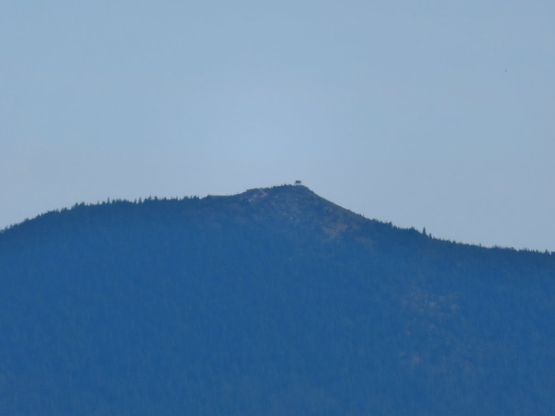
Red Mountain and its lookout tower.
This beargrass is way off schedule.
On our previous hike we’d arrived at this junction from the other direction so when we turned right we one a somewhat familiar trail. After a brief stint in the forest the trail entered larger and larger meadows.
After a half mile we arrived at the Indian Racetrack Trail arriving on our right.
This would be the route back to our car but first we wanted to revisit the lookout on Red Mountain so we continued straight for approximately 50 yards and turned left at a pointer for the Indian Racetrack Trail.
We followed the trail 0.8 miles to a road and then followed the road another quarter mile to the lookout gaining a total of 700′ along the way.
Mt. Adams from a viewpoint along the way.
We passed two sets of hikers on their way down, the second of which mentioned having accidentally driven to the lookout. Apparently someone had vandalized the gate which allowed vehicles to drive up the road. Hopefully the Forest Service can get that remedied quickly as Google still shows the Indian Racetrack Trailhead on Red Mountain.
Not sure if someone forced the door open too or not.
View of Mt. Adams beyond Indian Heaven.
Photo taken from the doorway, it looked like nothing had been vandalized.
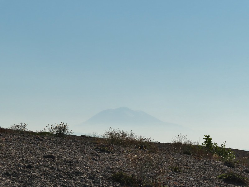
Mt. St. Helens still hiding behind that line of clouds.
We took a long enough break at the summit to get to a brief glimpse of Mt. St. Helens summit.
Mt. Adams with a few clouds passing by.
Mt. Hood with smoke from the Bull Complex behind.
We headed back down the Indian Racetrack Trail to Indian Racetrack and then continued on it past Race Track Lake. We passed quite a few hikers on our way down and saw more at Indian Racetrack. Indian Heaven Wilderness sign on Red Mountain with Mt. Adams in the background.
Race Track Lake on the left.
It was 2.3 miles total from the junction back to the Falls Creek Horse Camp. We continued to see more and more hikers and were once again glad we’d gotten an early start allowing us to have the lookout to ourselves. Hardhack
Footbridge over Falls Creek.
Falls Creek
Butterfly near Falls Creek.
Sign at the final trail junction near FR 65.
Reeder called this a 12 mile loop but our GPS came in at 11.2 miles which was a nice surprise. Total elevation gained was approximately 2850′. For this loop route finding, map, and navigation skills are highly recommended, otherwise the out and back option still provides a nice hike. Happy Trails!
Orange represents the old Basin Lakes Trail which is not shown on most maps.
After spending the night in our tent at Badger Lake (post) Heather’s foot was feeling better enough to give the Norway Pass hike a go. We were up nice and early thanks in part to an owl who visited the lake just before 4am. After a breakfast of Mountain House’s Spicy Southwest Skillet (our current favorite) we packed up and started our hike back to Elk Pass. The view from the trees surrounding our campsite as we prepared to leave.
We had decided not to follow the Boundary Trail all the way back to Elk Pass opting to cut over to a forest road after the first two miles near the Mosquito Meadows Trail junction. Sullivan mentions doing this stating that it is “slightly quicker, but a bit tedious”. Our hope was there would be less elevation gain because we’d done a fair amount of up and down on the trail the day before.
Mt. St. Helens catching some morning light.
Mt. Rainier without a whole bunch of smoke.
There were a couple of paths near the trail junction where people had cut over to the old forest service road which was only about 10 yards away (but hidden by trees from the trail). We turned left at the first of the paths and quickly popped out onto the road.
We turned right on the roadbed and followed it downhill just under half a mile to FR 2551 which is still in use.
We snagged a few black caps along the road to as a post breakfast snack.
FR 2551
We turned right onto FR 2551 and were pleasantly surprised to find that there was very little elevation change (just a slight gain) over the 1.7 miles back to FR 25. The very top of Mt. St. Helens from FR 2551.
Sullivan had labeled this stretch with the word slide which had caused a little apprehension in deciding to try this return route but despite the obvious slide(s) that had occurred here the road was in decent shape.
Not sure what kinds of birds were in this tree but there were a lot of them.
FR 25 at the end of a long straight away.
We turned right again at FR 25 walking along the shoulder for 150 yards to the Boundary Trailhead.
The Boundary Trail crosses FR 25 near the road sign ahead. The picture was taken from FR 2551 at FR 25.
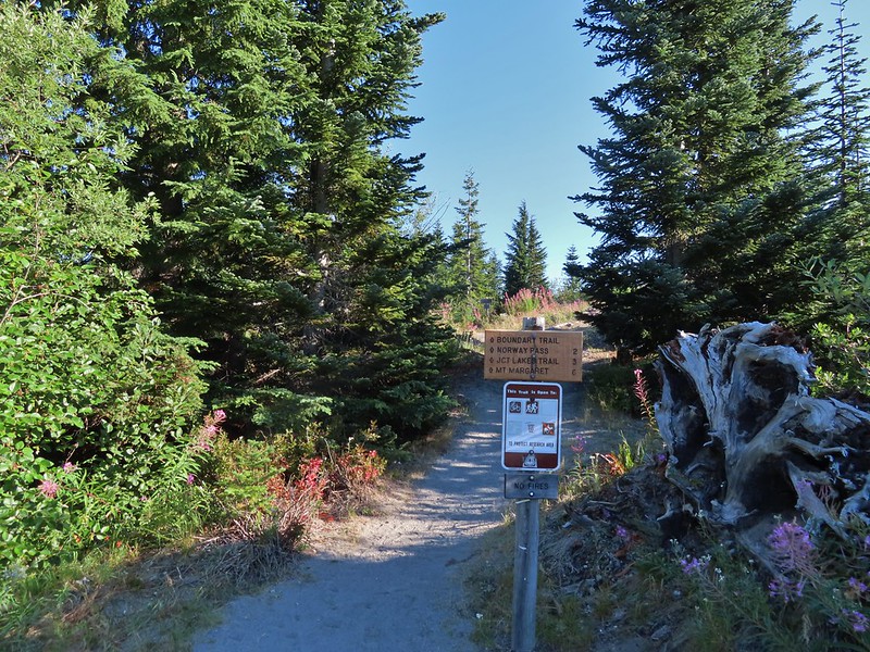
We pulled our day packs out, refilled our water with some extra we had left in the car and drove north on FR 25 to FR 99 where we turned left heading for the Norway Pass Trailhead. A short connector from the trailhead leads to the Boundary Trail.
We turned left at the Boundary Trail and climbed for just over a mile to a signed junction with the Independence Ridge Trail. A couple was taking a break at the junction and another hiker, from the Mt. St. Helens Institute, coming down hill stopped to ask them if they were debating on which way to go. They weren’t and she said good because the Independence Ridge Trail is “dicey”.
Paintbrush
Buckwheat
We could hear a waterfall in the valley below.
The top of the waterfall.
Penstemon and pearly everlasting.
Looking back over our shoulders to Meta Lake.
Mt. Adams also from over our shoulders.
Aster
Switchback at the Independence Ridge Trail junction.
The Boundary Trail climbed less steeply beyond the junction with the exception of an up and down to cross a dry stream bed.
Heading down to the stream bed.
Penstemon
Monkeyflower
As the trail made it’s final climb to Norway Pass Mt. Rainier was visible beyond the ridges to the north.
Norway Pass (the low saddle to the right) from the trail.
Orange agoseris
Approaching the pass.
To get a good view of Mt. St. Helens we had to descend on the trail a short distance beyond the pass.
After admiring the view we headed back stopping along the way to debate what these flowers were and whether or not they were non-natives (we believe they probably are).
With much of the 2.2 mile return hike being downhill we made good time back to the trailhead where we changed and then started the long drive home. Mt. Adams and Meta Lake from the trail.
This hike was just 4.4 miles but gained nearly 900′ of elevation making it a good workout with great views.
The hike out of Badger Lake had been 4.2 miles so combined it was an 8.6 mile day. Knowing that we had now hiked at least portions of all 100 featured hikes in another of Sullivan’s books was the icing on the cake of a fun but tiring visit to Mt. St. Helens. Happy Trails!
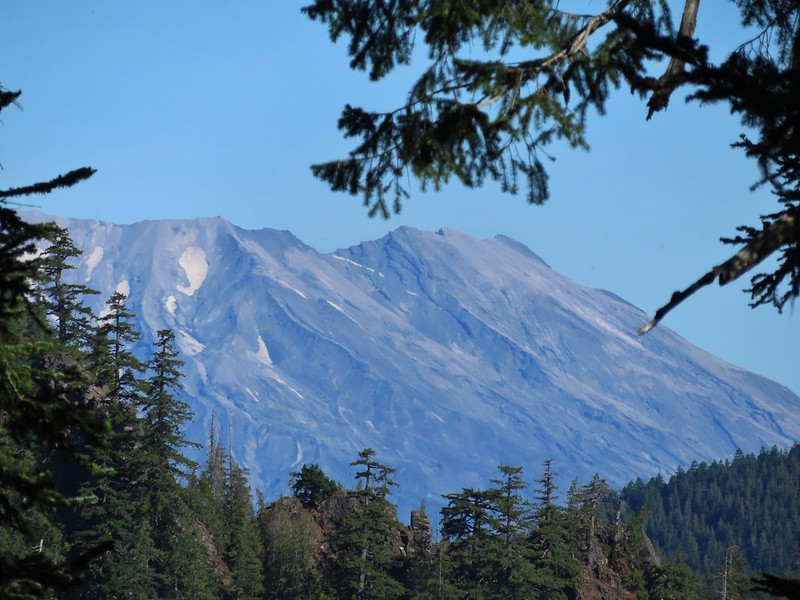
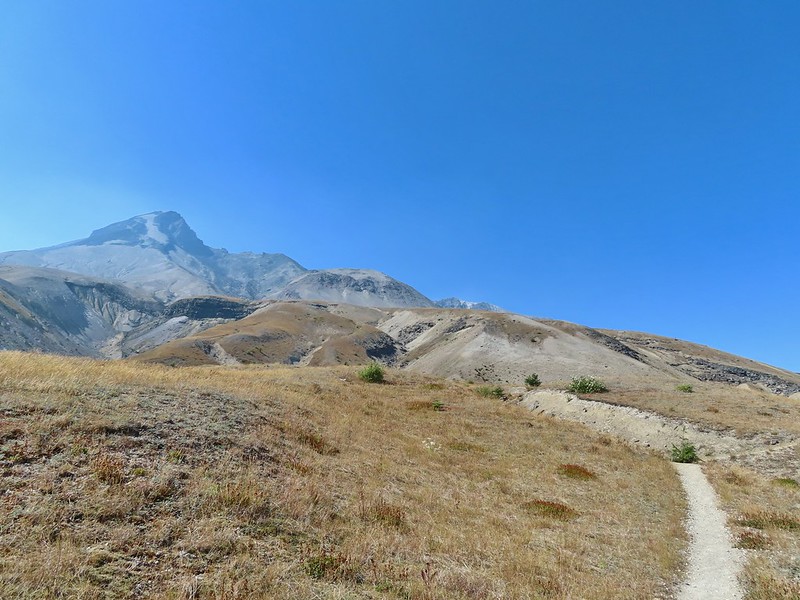
After having spent a week in SE Oregon checking off a few of Sullivan’s featured hikes in that region we turned our focus back to the Northwest Oregon/Southwest Washington guidebook where just 3 featured hikes remained. All three hikes were located on the NW side of Mt. St. Helens, a three and a half hour drive from Salem. These last three hikes were a good example of some of the things we’ve had to work out on what counts toward being able to check off a hike. Due to their distance day hikes were out and a limited number of nearby rooms meant we needed to get creative. Our plan was to do portions of all three hikes on Saturday starting at Mt. St. Helens and ending with us backpacking in to Badger Lake and the finishing up on Sunday by driving back to Mt. St. Helens to complete one of the three options Sullivan has for his Spirit Lake hike (4th edition hike #29).
One of the quirks with Sullivan is that while he has the 100 featured hikes he often gives multiple options. Typically the second option is an extension of the shorter option but sometimes the options go in different directions or are even completely different hikes starting at different trailheads. Two of these last three hikes had three options. For Spirit Lake the shortest option, Harmony Falls, started at the Harmony Trailhead while the other two, Norway Pass and Mt. Margaret, began at the Norway Pass Trailhead. We had hiked up Mt. Margaret on a previous trip coming from the other direction (post) so we didn’t feel we needed to do that option but the other two options would be new to us so we planned on doing them both starting with Harmony Falls and saving Norway Pass for Sunday.
From the Harmony Viewpoint a 1.2 mile trail leads 700′ downhill to Spirit Lake.
Mt. St. Helens from the viewpoint.
As has been the case this Summer there was a good deal of haze surrounding us but we had blue(ish) sky overhead. There were also a fair amount of wildflowers blooming, at least compared to what we had seen in SE the previous week.
Pearly everlasting
Penstemon
Paintbrush
Mt. St. Helens
Prior to the 1980 eruption of the mountain Harmony Falls was a 50′ waterfall but most of the falls were buried as was the lodge that sat near the base of the falls. Now there is only a small cascade along the trail.
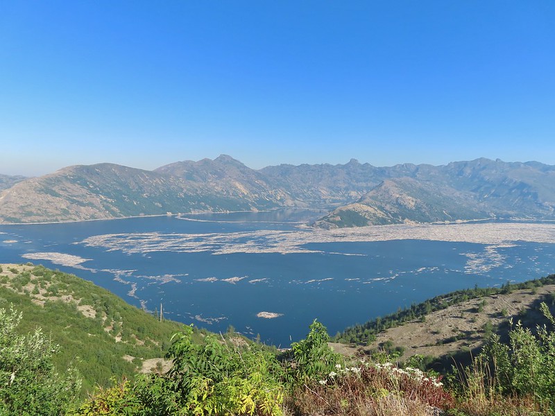
Mt. St. Helens and Spirit Lake from the end of the trail.
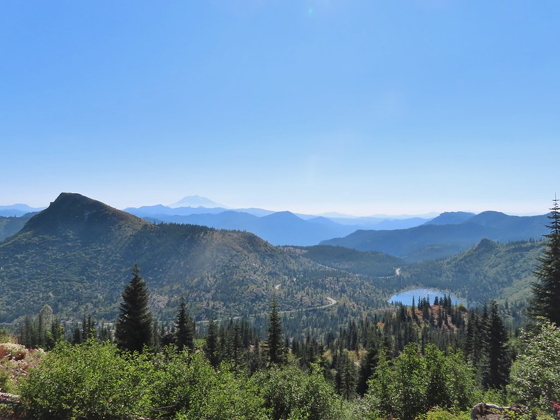
As we were making our way back we were doing our best to try and identify the various rock formations and peaks across the lake. Coldwater Peak (post) is easy with the white equipment on top.
The Dome
Mt. Margaret
Mount Teragram
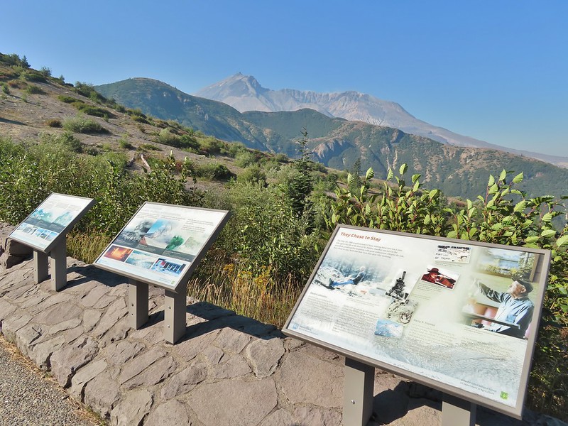
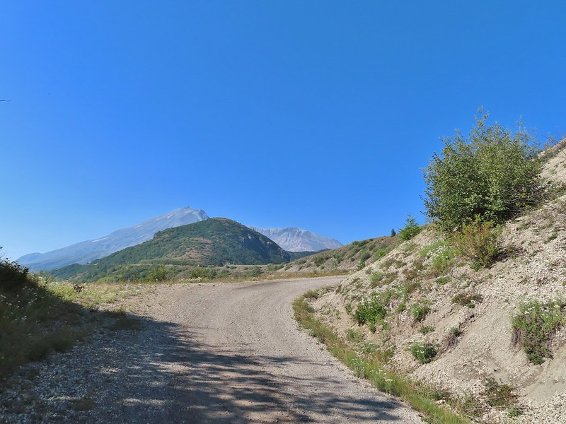
After finishing this 2.4 mile hike we continued driving toward Mt. St. Helens on FR 99 and parked at the Windy Ridge Interpretive Site where the road is gated and only open to research vehicles.
We were now working on featured hike #28 – Windy Ridge. Again Sullivan had three options, this time all starting from this parking lot. The shortest option was a .2 mile round trip up a steep set of stairs to the Windy Ridge Viewpoint at the northern end of the parking lot (see photo above). We set off across the lot to tackle this one first.
<img src="https://live.staticflickr.com/65535/51413600517_e0b437d3fb_c.jpg" width="800" height="600" alt="IMG_3847">The interpretive site and Spirit Lake.
Mt. St. Helens.
Aside from a little section near the top the stairs were nicely spaced making the climb better than it looked from the bottom.
In addition to Mt. St. Helens both Mt. Adams and Mt. Rainier were visible from the viewpoint although on this day the haze was an issue. Mt. Adams
Mt. Rainier
The interpretive signs at the viewpoint did a good job of identifying different features that were visible which we appreciated.
The Johnston Ridge Observatory was visible across Spirit Lake on a far hillside.
It’s often hard to tell if you’re seeing dust from rockfall or steam from one of the vents.
After reading the signs and taking in the views we headed down the stairs and to the other end of the parking area where we walked past the gate and followed FR 99 for 1.8 miles to a sign for the Abraham Trail, the return route for the longer option.
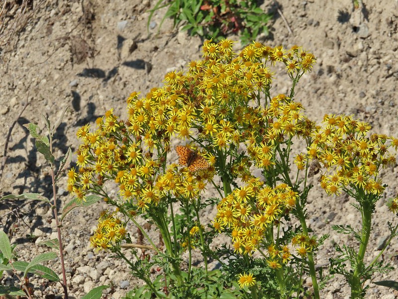
Butterfly on ragwort
Butterfly on pearly everlasting
Lupine in the pearly everlasting
Golden-mantled ground squirrel
Might be Oregon sunshine
Penstemon
The longer option would add approximately 2.2 miles and 500′ to our hike and visit the Plains of Abraham. As with Mt. Margaret we had visited the Plains of Abraham (post) previously so we were going to stick to the shorter option. Beyond the junction with the Abraham Trail FR 99 dropped to a small parking area for research vehicles where two trails began.
To the left was the Windy Trail and to the right was the Truman Trail. Our plan was to take the Windy Trail and hike a clockwise loop returning on the Truman Trail.
We followed the Windy Trail just over a mile to the Loowit Trail where we turned right.
Paintbrush and dwarf lupine
Pearly everlasting
The Loowit Trail junction.
The Loowit Trail immediately dropped into a gully to cross a small stream. Spirit Lake from the junction.
In the gully.
We continued another 0.4 miles before arriving at Big Spring which was a big surprise.
Another gully to cross.
Big Spring is in the willow thicket.
We knew that there was a spring but more often than not the springs wind up being small trickles or big mud puddles but not Big Spring. This was a good sized stream beginning almost right next to the Loowit Trail.
The stream flowing over the Loowit Trail.
A pink monkeyflower at the spring.
Looking back at the willows and Big Spring.
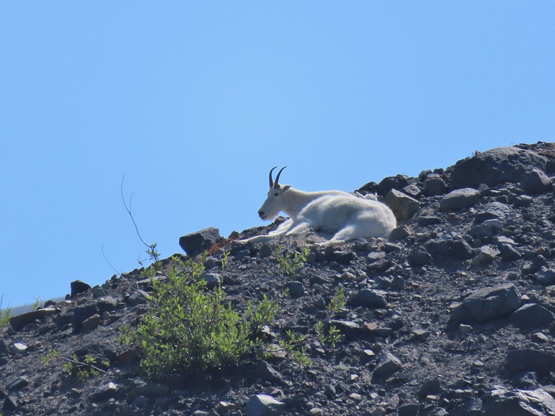
Another half mile of big views and a couple of gully crossings followed Big Spring. We were excited to spot mountain goats lounging on a ridge between the mountain and the trail along this stretch. Coldwater Peak to the right.
The Sugar Bowl lava dome.
Spirit Lake from the trail.
The first goats we spotted are on this ridge above the lone tree.
The Loowit Trail crossing two gullies in a short stretch, one red one black.
Dropping into the second gully.
From the second gully we could see quite a few more goats on the ridge.
A half mile from Big Spring we arrived at another trail junction. Approaching the junction with the side trail to Loowit Falls.
Sign for Loowit Falls.
We stayed straight here following the pointer for Loowit Falls for another half mile. Loowit Falls (right side of the photo) was visible for much of the half mile.
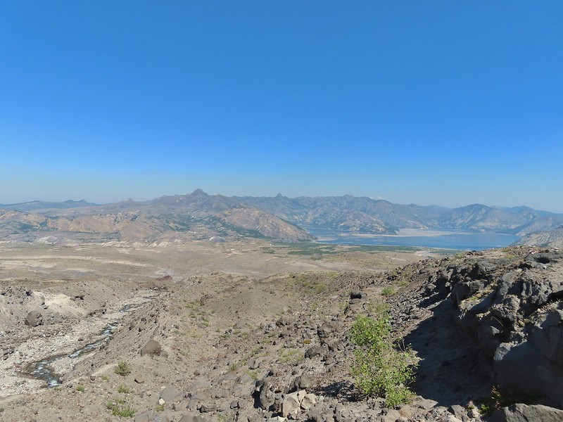
Looking back at Coldwater Peak and Spirit Lake. (The top of Mt. Rainier is barely visible peaking over the top of the ridges.)
As we neared the falls we noticed another small herd of mountain goats on the hillside.
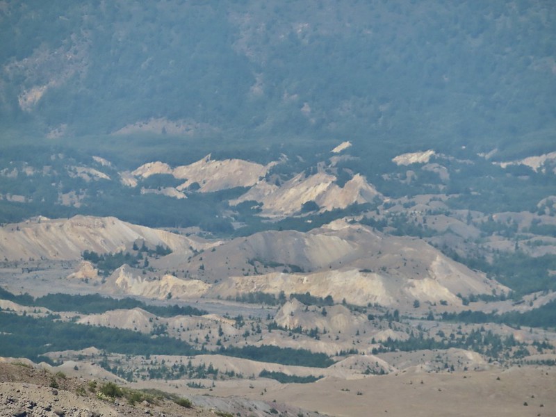
We could also see the hummocks (post) off in the distance to the NE, pieces of the mountain that slid off during the 1980 eruption and settled in the debris flow creating odd mounds.
Loowit Falls looked bigger than I had expected. We took a good break at the viewpoint with a couple of other hikers and a pair of young Forest Service workers.
Spirit Lake from the viewpoint.
After our break we returned to the Loowit Trail to continue the loop.
Paintbrush
Dwarf lupine
Just under three quarters of a mile from the Loowit Falls Trail junction we arrived at the Willow Springs Trail junction.
Here we left the Loowit Trail by turning right on the 0.8 mile long Willow Springs Trail.
Mt. St. Helens from the Willow Springs Trail.
Heading toward Spirit Lake.
The Willow Springs Trail ended at the Truman Trail where we again turned right.
We followed the Truman Trail for a mile and a half back to the research vehicle parking area, re-crossing the gullies and streams we had crossed on the Loowit Trail.
The Dome above Spirit Lake
Vehicles ahead in the research parking area.
From the parking area we followed FR 99 (mostly uphill until the very end) 1.8 miles back to the Windy Ridge Interpretive Site. The haze was improving as the day wore on and we could now at least make out some snow on Mt. Adams.
Mt. Adams to the left.
Mt. Adams
Look out for snakes, not the poisonous kind just don’t want to step on them.
Some sort of sulphur butterfly on pearly everalsting.
Our 10.7 mile track from the Windy Ridge Interpretive Site
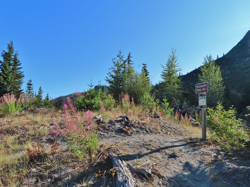
The 53.7 mile long Boundary Trail’s western end is near Norway Pass where we planned on hiking the next day while the eastern end is located at Council Lake near Mt. Adams. The section of the trail that we planned on hiking was a 4.3 mile segment from Elk Pass to Badger Lake. From the signboard at the trailhead a short spur led away from FR 25 into the trees before joining the Boundary Trail.
We turned left on the Boundary Trail and promptly arrived at FR 25 which we then crossed.
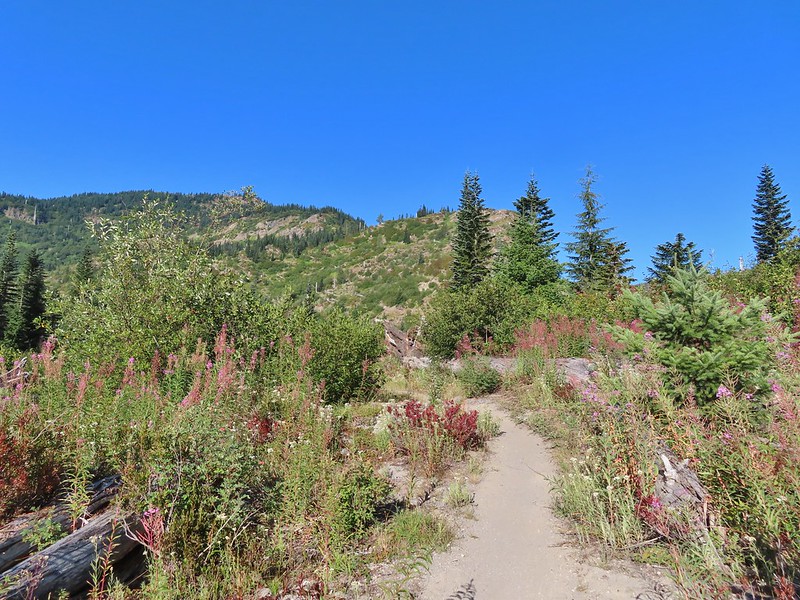
This trail is open to both mountain bikes and motorcycles which probably explains why it was only briefly one of Sullivan’s featured hikes (#30 in his 4th edition). The forest was pretty and quiet (no motorcycles during our visit) but the trail showed a lot of wear from tires.
One plus was a good variety of berries along the way and there were a few flowers as well. Salmonberries
Blueberries
Huckleberries
Mushrooms (the flowers of Fall)
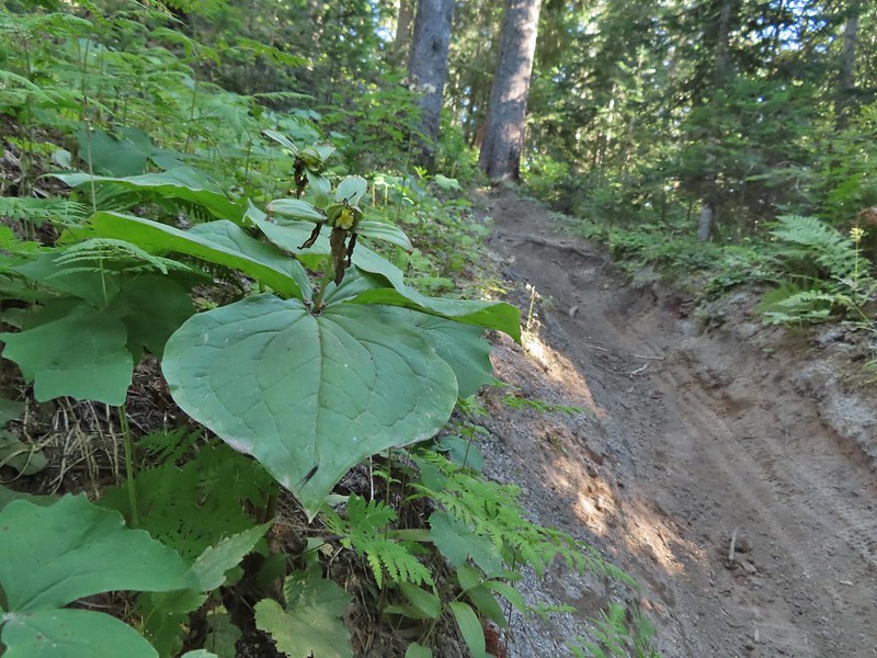
I was really surprised to still be able to make out the remains of the petals on these trillium.
These bunchberries with a few petals left were near the trillium above.
Candyflower
At the 2.3 mile mark we passed the Mosquito Meadows Trail on the left.
At this junction Heather told me to go on ahead and find a campsite then hike up Badger Peak without her if I wanted. Her plantar fasciitis had flared up on the way back from Loowit Falls and was struggling a bit. We had planned on hiking up to the summit after setting up camp and I didn’t want to wait for morning because the rising Sun would have been directly behind Mt. Adams. (Sullivan’s short option for this hike was to the lake and back while the longer option was to the summit.)
The trail gained a little over 600′ over the next two miles which doesn’t sound like a lot but nearly all the elevation was packed into two short sections of the leg.
These thimbleberries weren’t ripe but a short distance further were a lot of ripe ones. I thought I might have to hike back and retrieve Heather from them.
A brief glimpse of Mt. Rainier from the ridge the trail was following, it looked like a lot of the smoke had blown away.
Two miles from the Mosquito Meadows Trail I arrived at a junction with the Badger Peak Trail.
Before I headed up that trail though I needed to hike on to Badger Lake to find a campsite (and get rid of my full backpack). Beyond this junction the trail passed through a meadow crossing Elk Creek and arriving at the lake on the far side.
Aster
Elk Creek
Pink monkeyflower along Elk Creek
Lupine
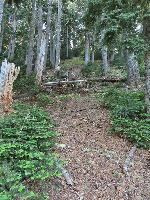
The trail near Badger Lake was particularly torn up and there were several signs posted admonishing motorcyclists to stop driving off trail.
Torn up hillside near the lake, it only takes one or two idiots to cause a lot of damage (the same goes for hikers/mountain bikers).
The little puddle in the foreground is not the lake, it is further back.
I found a tent site back in the trees near the meadow and dropped my pack off and hung my hunter orange shirt so Heather couldn’t miss it. Then I grabbed my day pack and hiked back to the Badger Peak Trail and headed uphill.
This mushrooms was at least as wide as a salad plate.
It was 0.8 miles to the summit with 700′ of elevation to gain which meant the trail was pretty steep. In addition the motorcycles had gouged a deep trough in the center of much of the trail which was uncomfortably narrow to walk in. It turned out to be for the best that Heather had decided to skip the summit.
A columbine
The view was nice though and the sky around Mt. Adams had also cleared up greatly from earlier in the day.
A hiker from Boise was at the summit when I arrived. She said she had been planning on staying up there until sunset but was having second thoughts due to the chilly breeze and not wanting to have to hike down the trail in the dark. I helped her identify the different mountains as this was her first time to the area. She was on a driving expedition as was thinking of heading to the Olympic Mountains next. Mt. St. Helens was hard to make out with the combination of haze and Sun position.
Looking south toward Mt. Hood (I could make it out with the naked eye.)
Mt. Hood in the haze.
Mt. Rainier
Mt. Rainier
Mt. Adams
The Goat Rocks were also hard to make out due to the smoke.
Western pasque flowers, aka hippies on a stick, below the summit.
I headed down after a short break and found Heather finishing setting up our tent.
We took our dinner over near Badger Lake and then turned in for the night. It had been a long day with a lot of hiking. For me it was a 19.4 mile day with approximately 3800′ of elevation gain and Heather was in the 18 mile range with over 3000′, no wonder her plantar acted up.
The last of the sunlight hitting Badger Peak.
We hoped her foot would be feel better in the morning so the hike out wasn’t too miserable and so she might be able to do the Norway Pass hike. For now though we just needed to get our sore bodies to let us fall asleep. Happy Trails!


 Mt. Bachelor
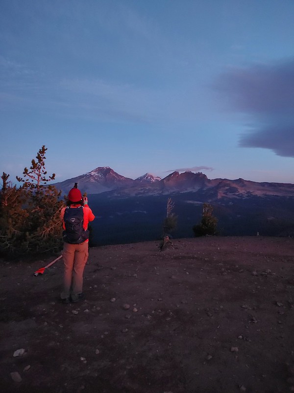 The Three Sisters and Broken Top
 Mt. Bachelor via the Nikon.
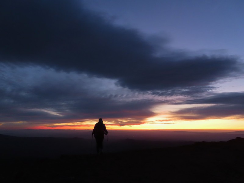 Heather watching the show taken with the Canon.
 The Three Sisters with the Canon.
 Canon
Canon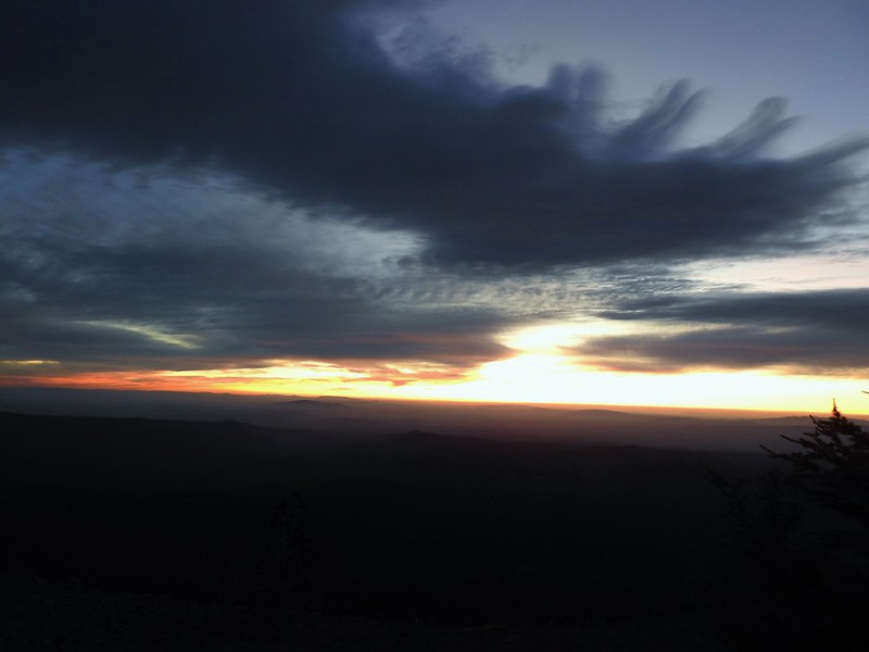 Nikon
Nikon Mt. Bachelor (post) with the Canon.
 Canon shortly before the Sun became visible.
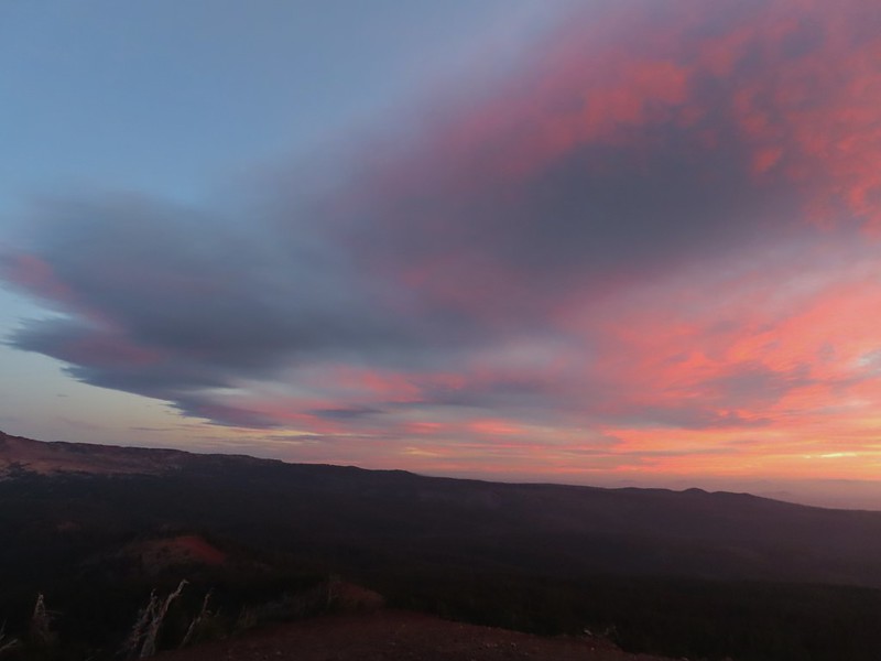 Canon shortly before the Sun became visible.
 The Three Sister just before sunrise with the Nikon.
 The Three Sister just before sunrise with Heather’s phone.
 Canon moments before sunrise. A line of wildfire smoke on the horizon gave it a red tint.
 Canon
Canon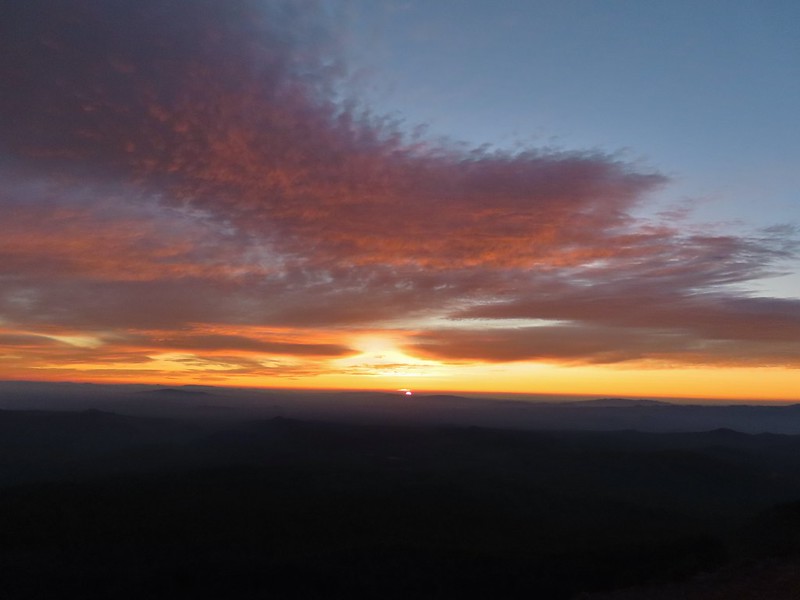 Canon catching the Sun.
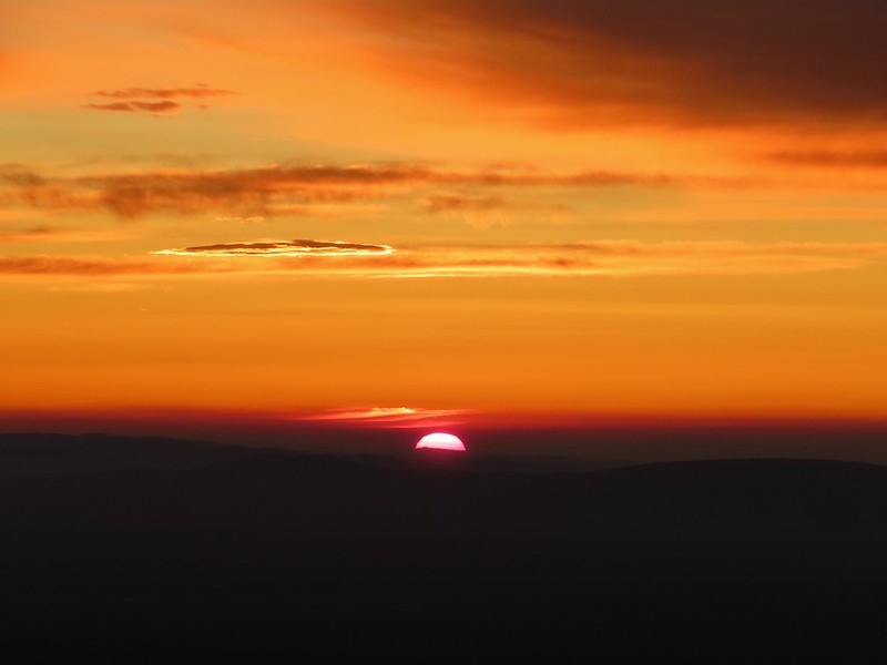 Canon
Canon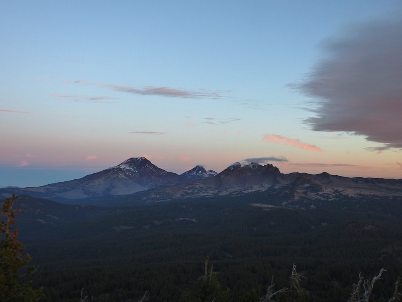 The Three Sisters and Broken Top (Nikon)
 South Sister (post) (Nikon)
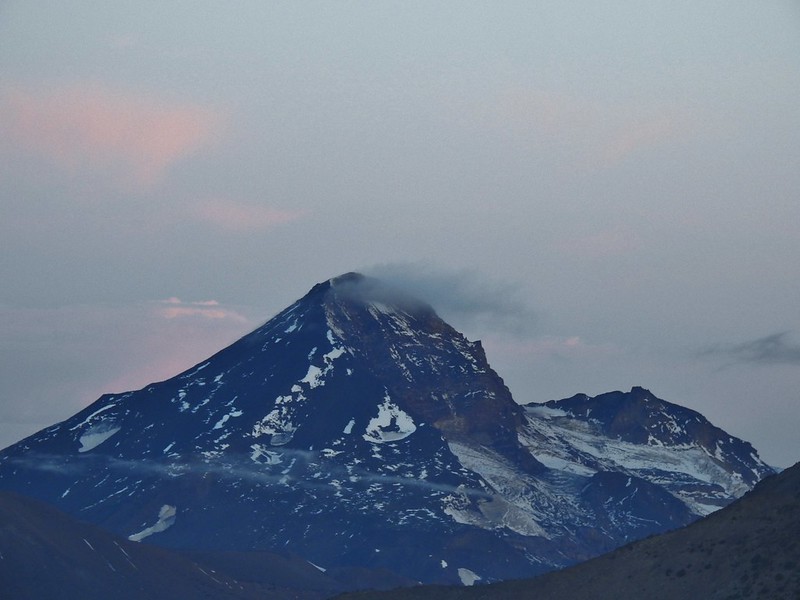 Middle and North Sister (Nikon)
 Broken Top (post) (Nikon)
 Aline glow hitting the mountains. (Canon)
 South Sister (Canon)
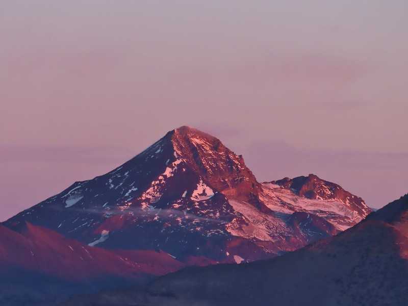 Middle and North Sister (Canon)
 Broken Top (Canon)
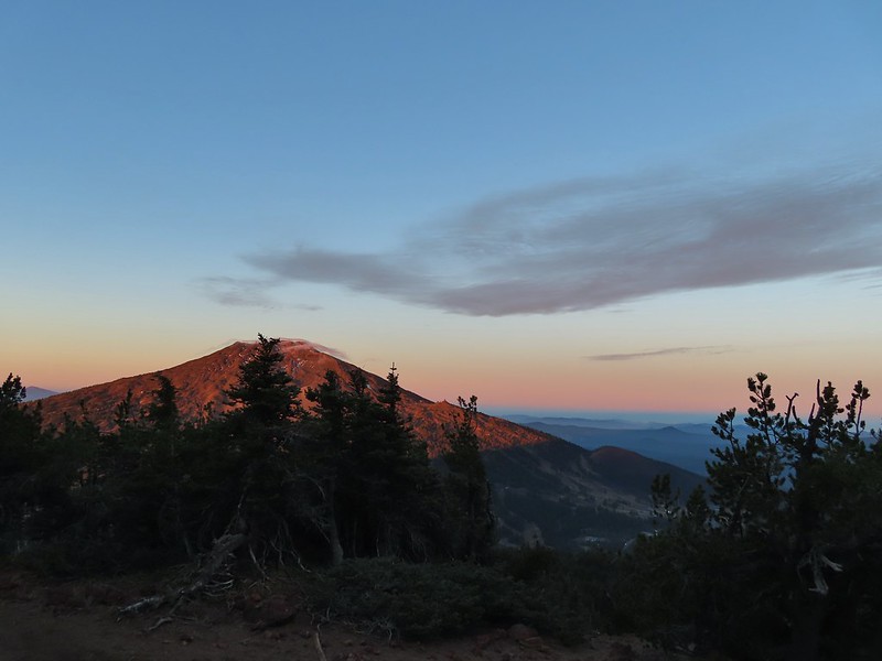 Mt. Bachelor (Canon)
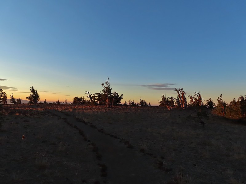

 Mt. Scott to the left and Mt. Thielsen to the right.
 Grouse
 Chipmunk
 Mt. Bachelor as we arrived back at the snow-park.


 Sunlight on Haystack Butte in Washington.
 Part of Moody Rapids.
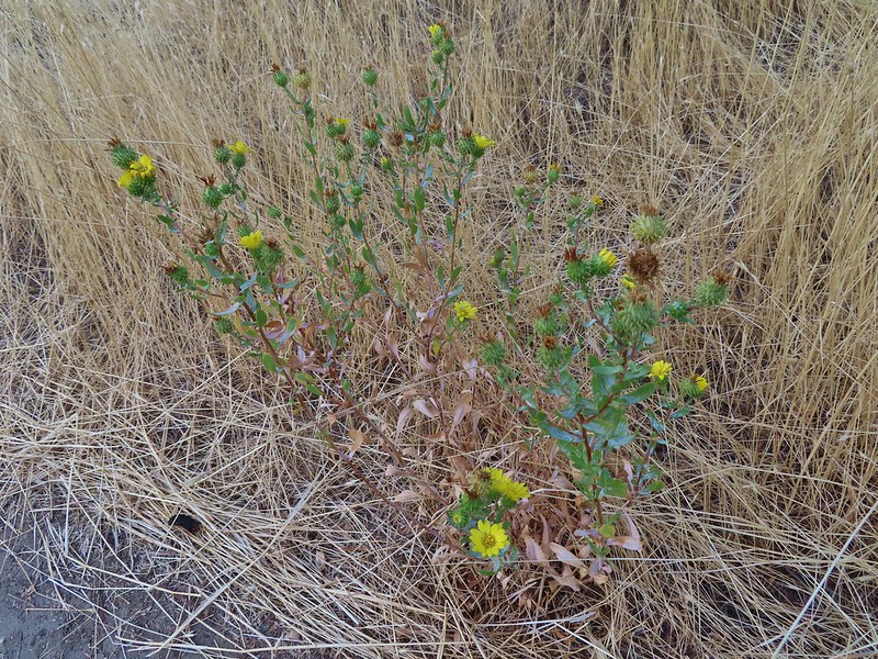 Gum weed
 The last petals on a blanket flower.
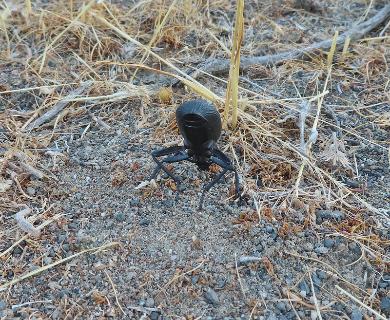 We saw several of these large beetles, all prepared to defend themselves.
 Snow buckwheat
 Chicory
 Seagull
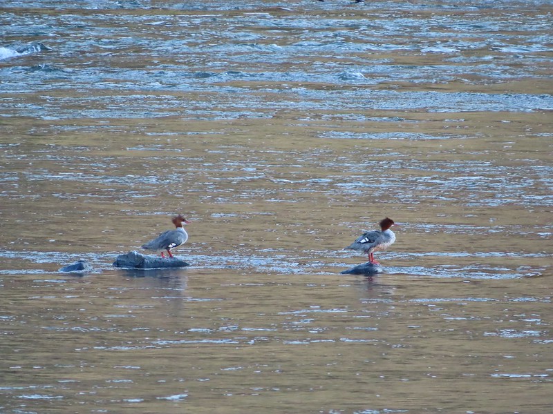 Mergansers
 Sparrow
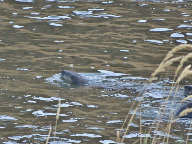 One blurry otter head and another partial otter on the right.
 A bunch of tree branches, oh and an otter in the water.

 At times there were multiple trails to choose from.
 Rattlesnake Bend is up ahead but we stopped here for a bit to watch a heron getting breakfast.

 A sparrow, possibly a Savannah sparrow.
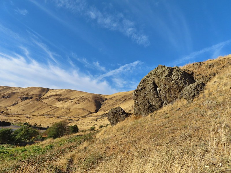 The trail climbed higher on the hillside for a bit to avoid some thick vegetation below.
 Rattlesnake Bend
 Railroad tracks above the trail.
 Looking back from Rattlesnake Bend near where we turned around.
 Rattlesnake Rapids
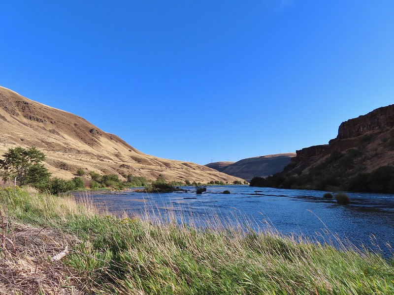
 Killdeer
 An older channel?

 Had to go back up to avoid the vegetation here.
 Ground squirrel
 Heron flying up river.
 Old rock wall along the way.
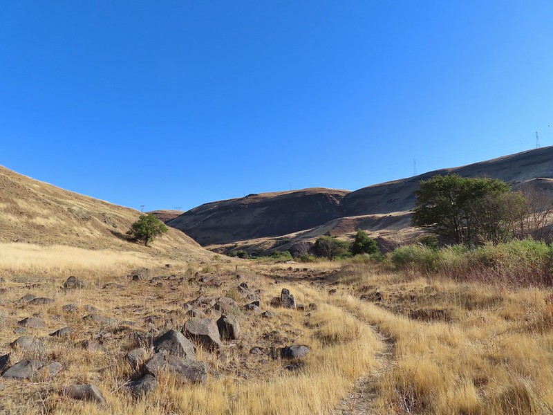 Typical use trail.
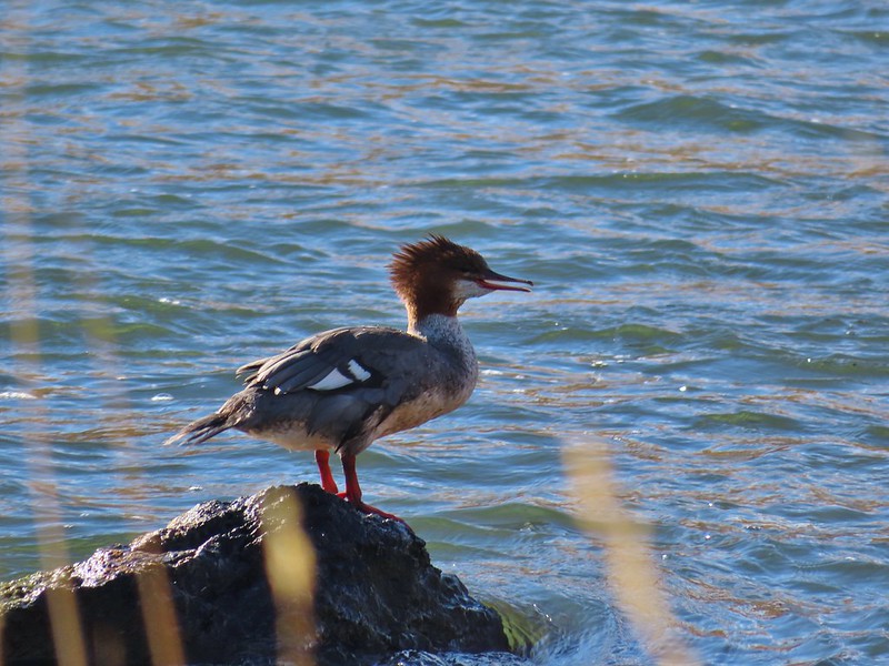 Merganser
 Aster
Aster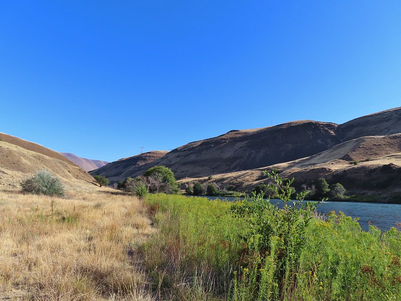
 Osprey showing up the fishermen.
 Finch
Finch More birds near the spring.
 Little yellow birds, maybe warblers?
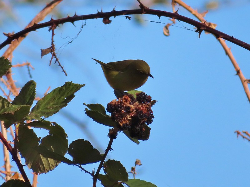 One of the yellow birds on a blackberry plant.
 Moody Rapids
 Haystack Butte
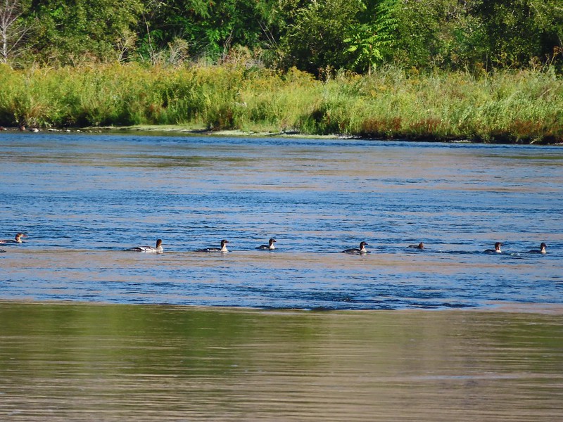 A line of mergansers.


 This squirrel was making an impressive amount of noise with its mouth full.
 Passing around one of the lake’s arms.
 One of several bridges over creeks.
 Mergansers
 The view next to the bench.
 The view from the bench.
 Going around another arm.
 A checker-mallow
 Aster
Aster Forest as we neared the campground again.
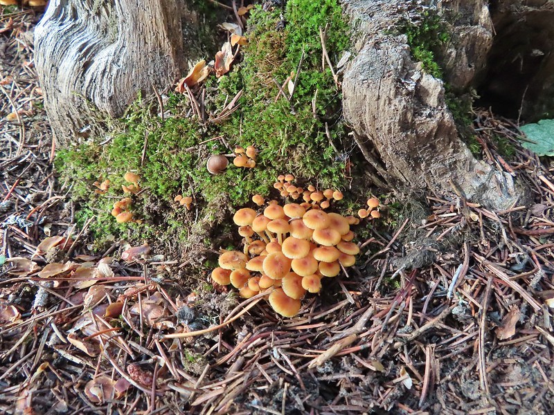
 Arriving back at the ramp.
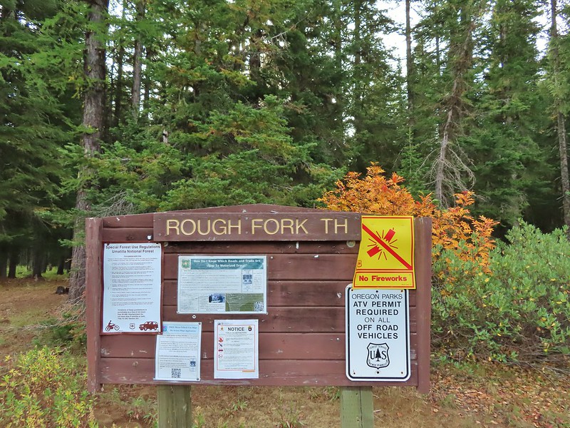

 The first part of the trail passed through a stand of trees.
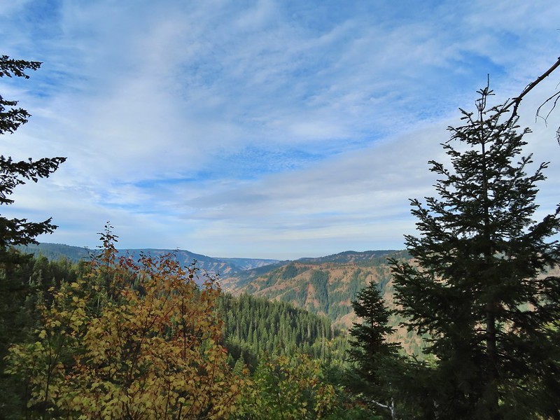 View to the west along the South Fork Walla Walla River canyon.
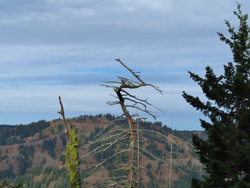 Loved the top of this tree.
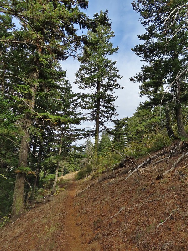
 Another view, there was just a hint of smoke in the air giving the hillsides a blue tint which is where the name “Blue Mountains” comes from. Apparently smoke has been a common occurrence here for a long time.
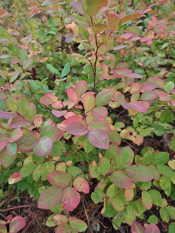 There was a lot more Fall color along this trail.
 Paintbrush
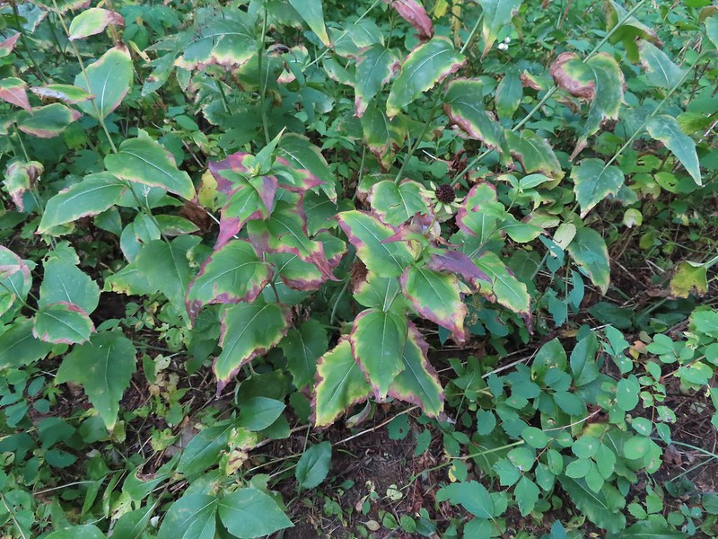 Cone flower
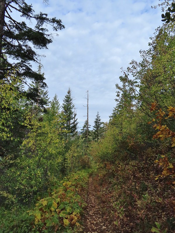
 Aster amid some thimbleberry leaves.
 Vine maple


 Looking down toward the Sheep Creek.
 Finally found the river.
 There was a 6 to 8′ waterfall along Sheep Creek but no way to get a clear view of it through the thick vegetation on a steep hillside.

 Two types of clover.
 Footbridge over the South Fork Walla Walla River.


 Reser Creek on the left joining the South Fork Walla Walla River just upstream from the bridge.
 There were just enough exposed rocks for me to work my way downstream from the bridge to Sheep Creek.
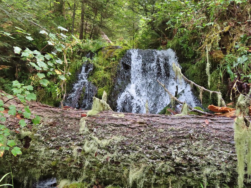

 A couple of the larch trees were just starting to turn color for the fall.
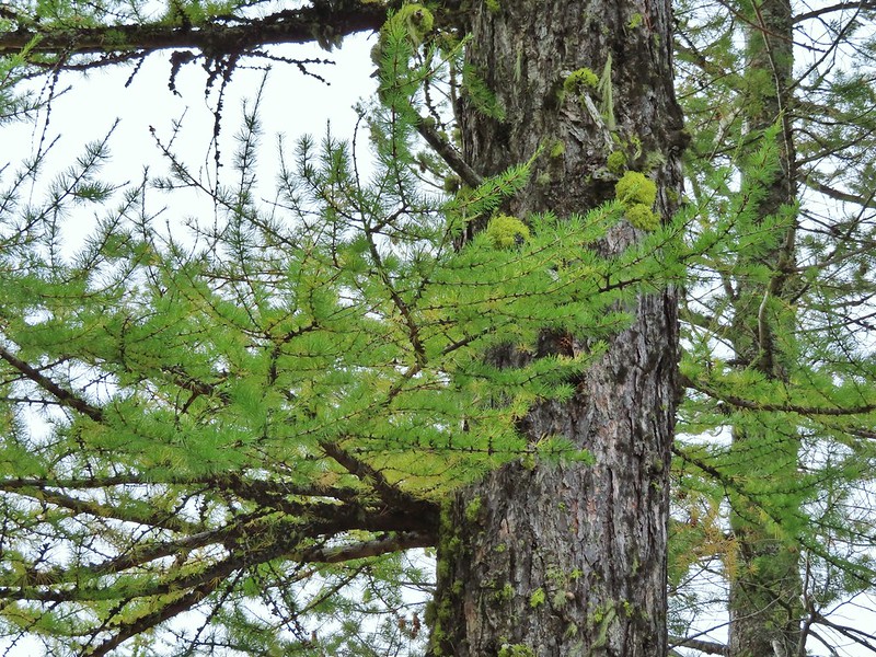

 A scarlet gilia blossom waiting to fall off.
 A final view back over the canyon with the crooked tree.
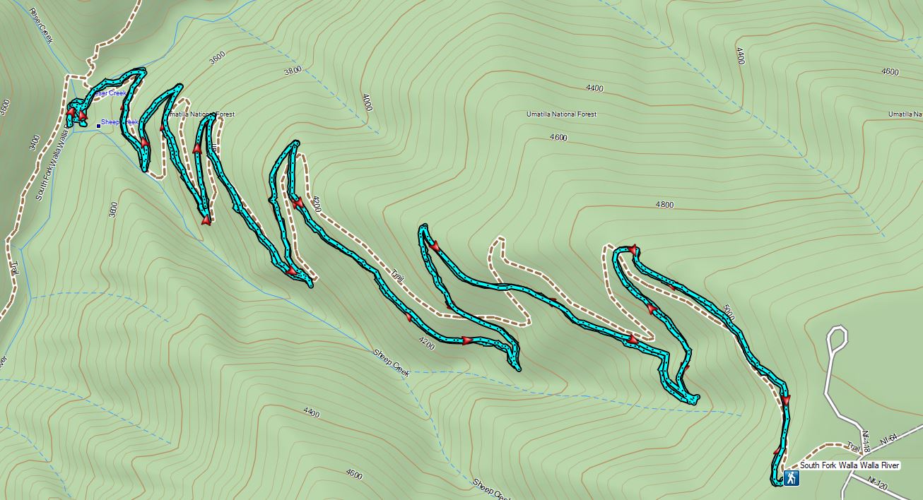
 The guard station.
 The only “parking spot” open near the actual trailhead.

 There was a lot of cone flower along the trail.
 It had rained the night before but most of the moisture had already dried up or evaporated.
 There were just a few flowers hanging on.
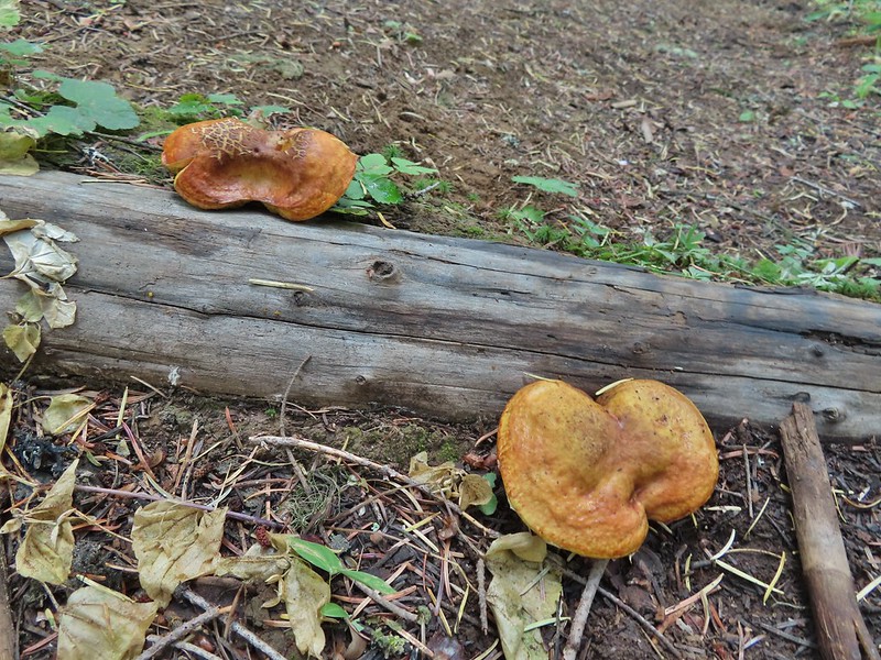 There was also a nice variety of mushrooms.
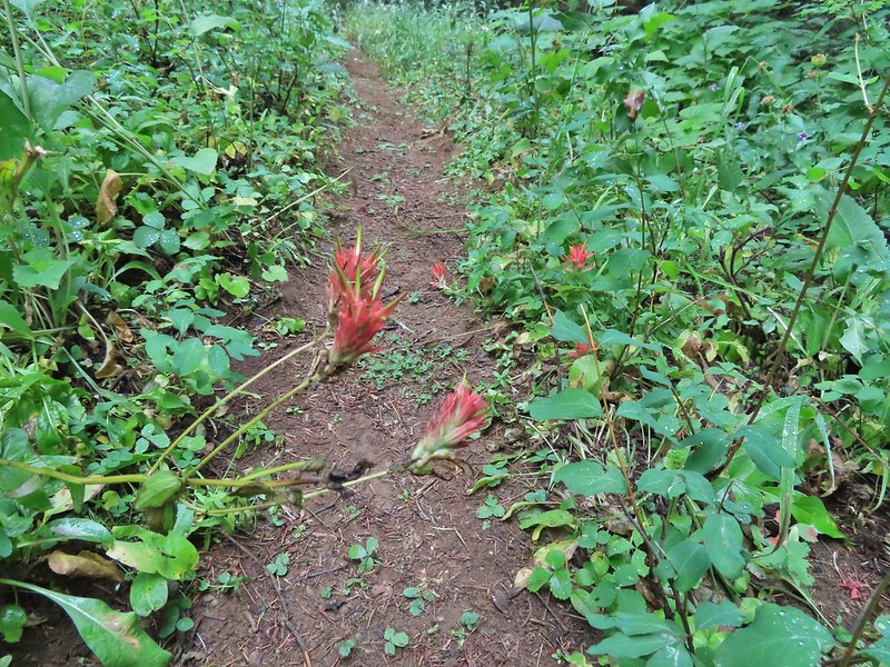 Paintbrush

 One of the small streams.
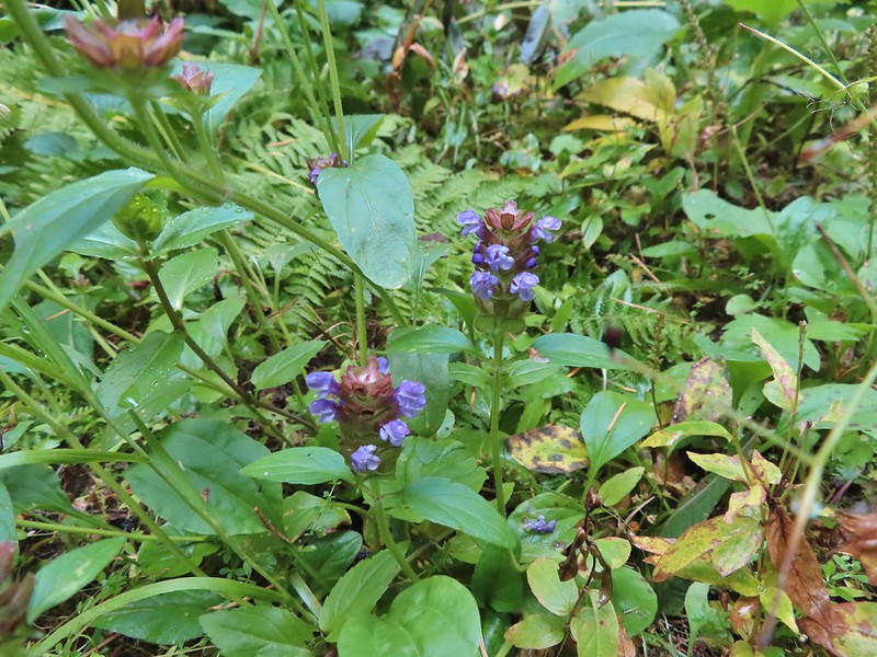 Self-heal
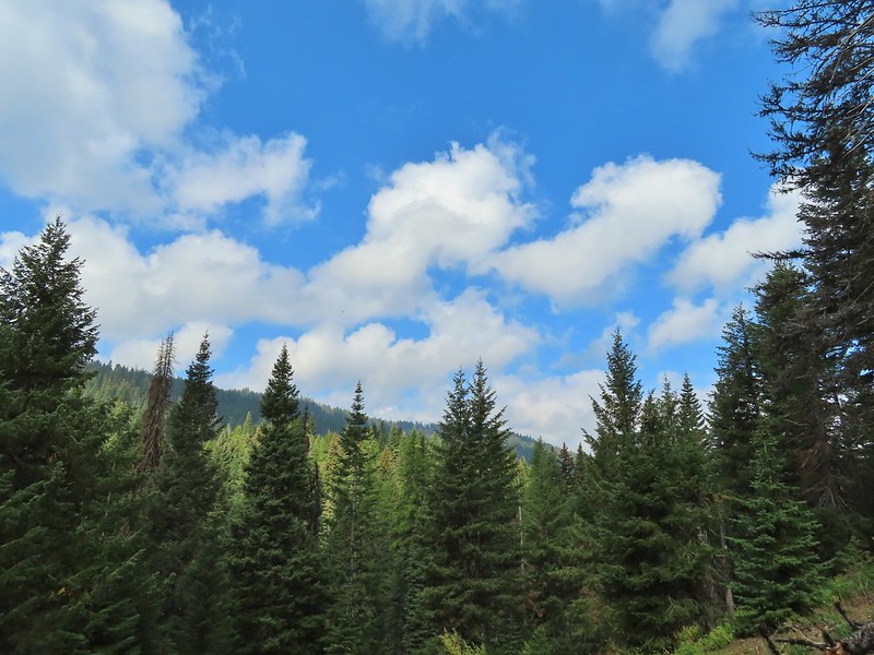 There weren’t many views along the trail but this one was nice.
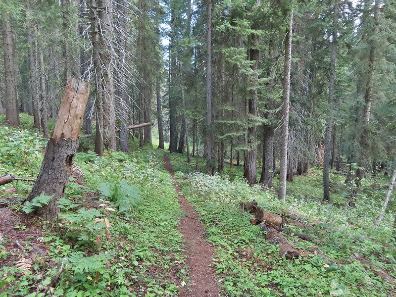
 Pearly everlasting
 Ghost pipe
  This was one of the smallest frogs we’ve seen. When I first saw it jump I mistook it for a grasshopper.

 South Fork Wenaha River


 One of two snakes we came across, both the harmless types.
 South Fork Wenaha River
 Fall colors along the trail.
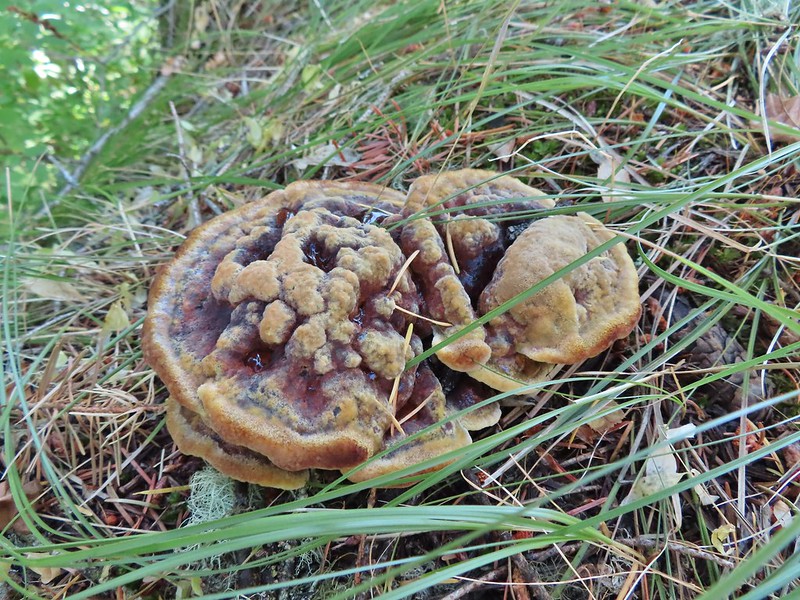

 Milk Creek with the Wenaha River Trail continuing on the far side.
 Milk Creek joining the South Fork Wenaha River.
 Elderberry near Milk Creek
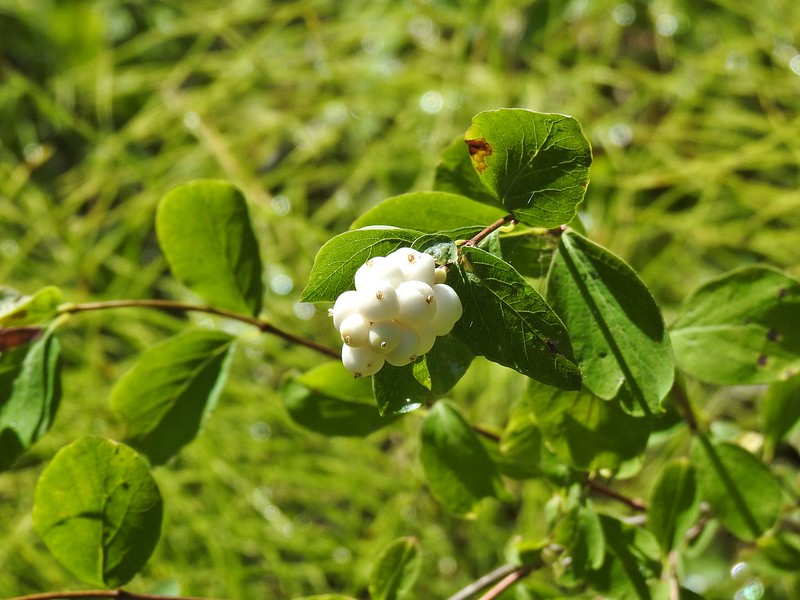 Snowberry
 Might be an aven?
 Coral fungus
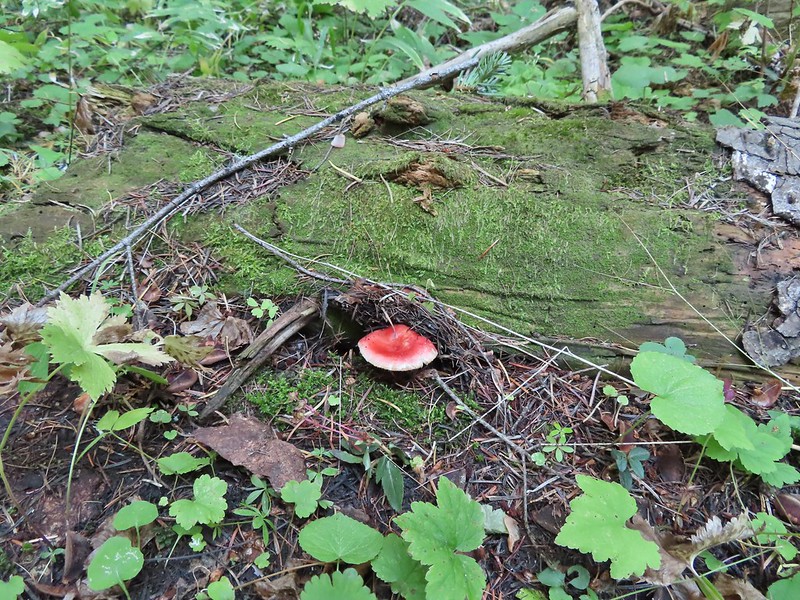

 Aster
Aster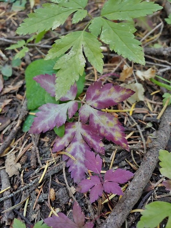
 A lone arnica still blooming.


 There were no signs for the obvious trail.

 Entering the


 Typical vegetation and trees on the ridge.
 We rediscovered tread as we dropped to a saddle near Janet Lake.
 Sign at the saddle between Peggy and Janet Lakes.


 Sleepy ducks
 I believe Oregon Hikers calls this one “Cindy Lake”.

 The small saddle we’d been aiming for.

 Heather down to the right between a couple of trees.
 Me getting close to the top.
 The top of the ridge.
 Mt. Adams in some clouds.
 Mt. St. Helens behind a line of clouds.
 Gifford Peak (
 Chipmunk

 Mt. Jefferson was also visible to the right of Mt. Hood. Unfortunately so was the smoke being produced by the Bull Complex Fire which destroyed the historic Bull of the Woods Lookout (
 Autumn is on the way, bring on the rain please.
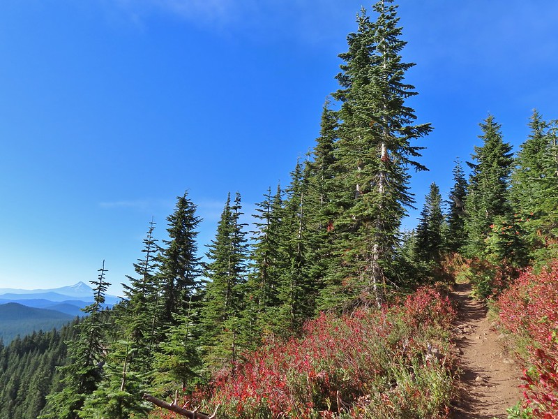
 Mt. Adams
 Looking toward Mt. St. Helens
 The peaks in the Trapper Creek Wilderness (
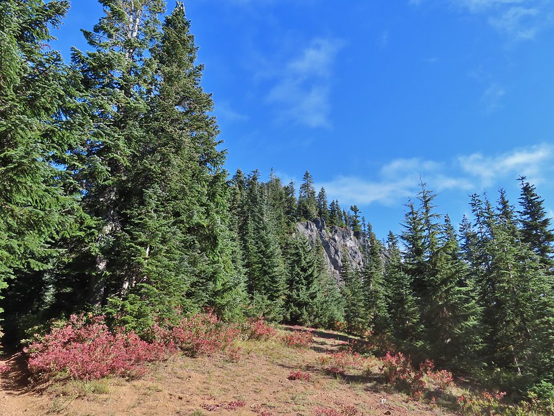 Cliffs on Berry Mountain
 Mt. Hood as we headed downhill.
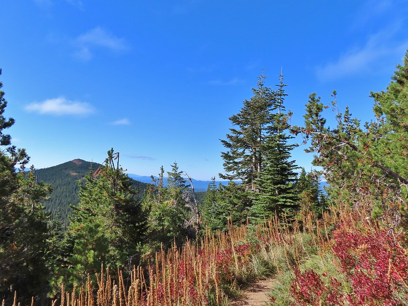 Red Mountain and its lookout tower.
 This beargrass is way off schedule.


 Mt. Adams from a viewpoint along the way.


 Not sure if someone forced the door open too or not.
 View of Mt. Adams beyond Indian Heaven.
 Photo taken from the doorway, it looked like nothing had been vandalized.
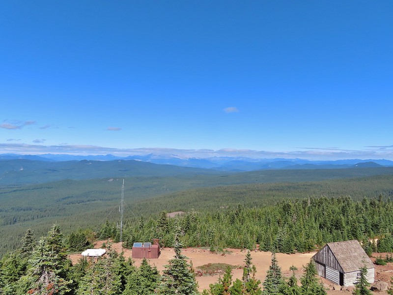 Mt. St. Helens still hiding behind that line of clouds.
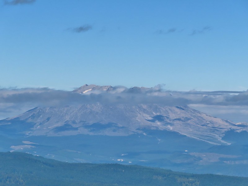
 Mt. Adams with a few clouds passing by.
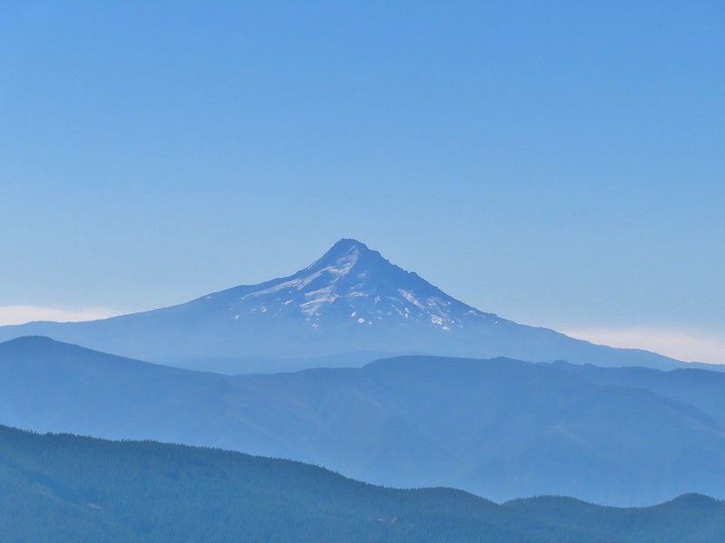 Mt. Hood with smoke from the Bull Complex behind.
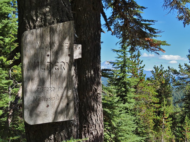 Indian Heaven Wilderness sign on Red Mountain with Mt. Adams in the background.
 Race Track Lake on the left.

 Hardhack
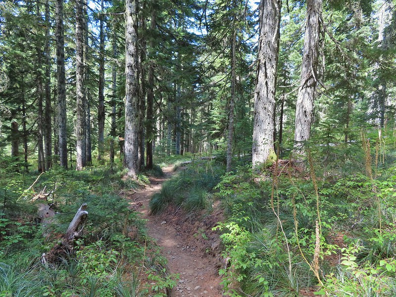
 Footbridge over Falls Creek.
 Falls Creek
 Butterfly near Falls Creek.
 Sign at the final trail junction near FR 65.
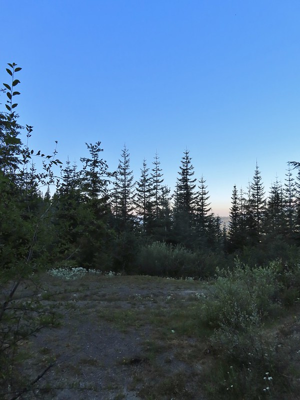
 The view from the trees surrounding our campsite as we prepared to leave.
 Mt. St. Helens catching some morning light.
 Mt. Rainier without a whole bunch of smoke.
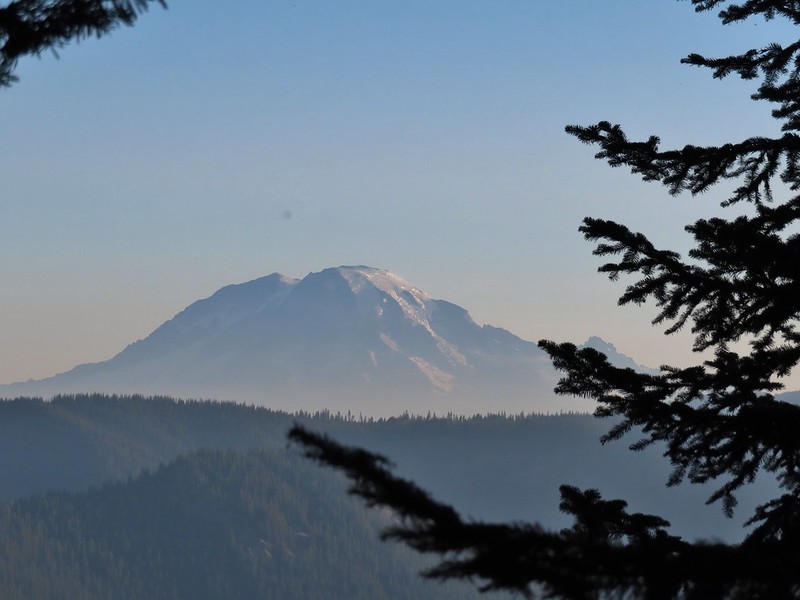
 We snagged a few black caps along the road to as a post breakfast snack.
 FR 2551
 The very top of Mt. St. Helens from FR 2551.
 Sullivan had labeled this stretch with the word slide which had caused a little apprehension in deciding to try this return route but despite the obvious slide(s) that had occurred here the road was in decent shape.
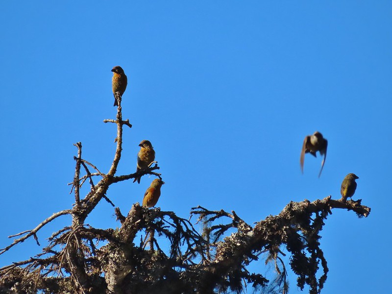 Not sure what kinds of birds were in this tree but there were a lot of them.
 FR 25 at the end of a long straight away.
 The Boundary Trail crosses FR 25 near the road sign ahead. The picture was taken from FR 2551 at FR 25.

 Paintbrush
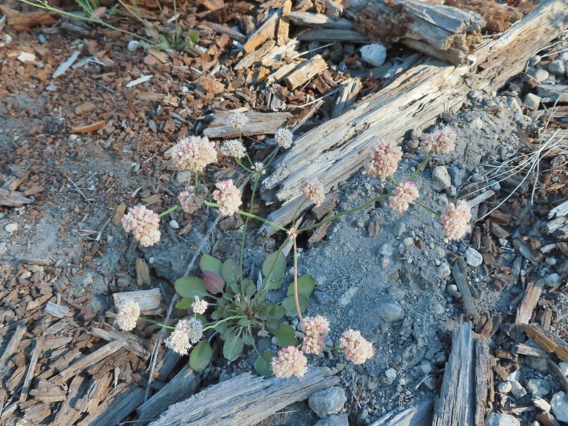 Buckwheat
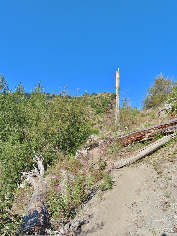

 We could hear a waterfall in the valley below.
 The top of the waterfall.
 Penstemon and pearly everlasting.
 Looking back over our shoulders to Meta Lake.
 Mt. Adams also from over our shoulders.
 Aster
Aster
 Switchback at the Independence Ridge Trail junction.
 Heading down to the stream bed.
 Penstemon
 Monkeyflower

 Norway Pass (the low saddle to the right) from the trail.
 Orange agoseris
 Approaching the pass.


 Mt. Adams and Meta Lake from the trail.


 Mt. St. Helens from the viewpoint.

 Pearly everlasting
 Penstemon
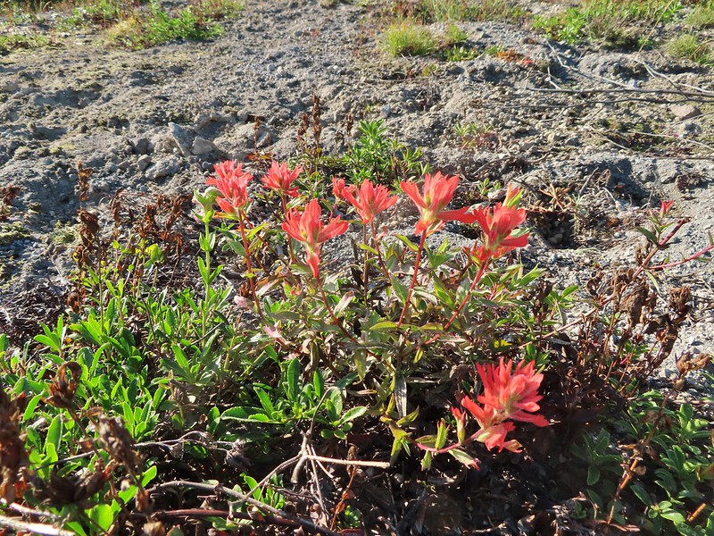 Paintbrush
 Mt. St. Helens
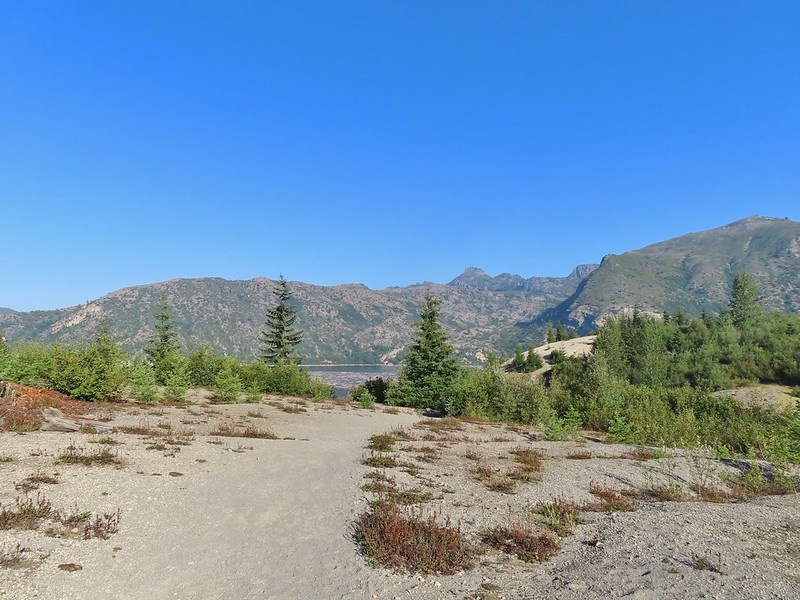


 Mt. St. Helens and Spirit Lake from the end of the trail.
 Coldwater Peak (
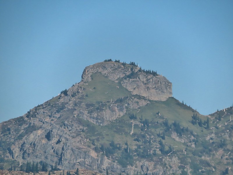 The Dome
 Mt. Margaret
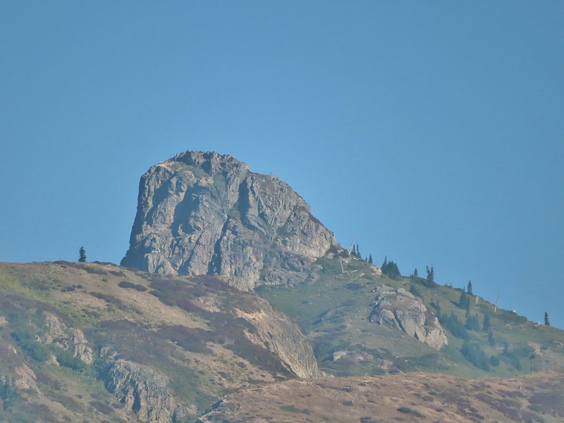 Mount Teragram
 Mt. St. Helens.

 Mt. Adams
 Mt. Rainier

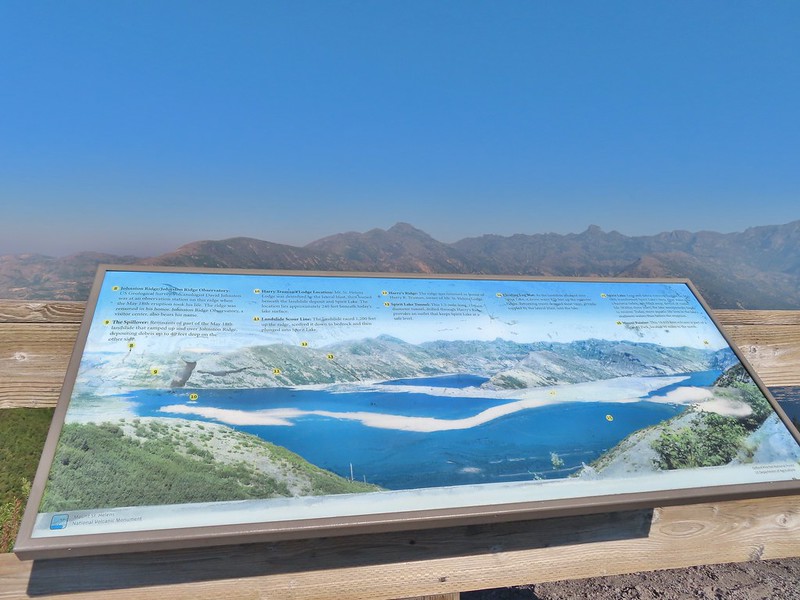
 The Johnston Ridge Observatory was visible across Spirit Lake on a far hillside.
 It’s often hard to tell if you’re seeing dust from rockfall or steam from one of the vents.

 Butterfly on ragwort
 Butterfly on pearly everlasting
 Lupine in the pearly everlasting
 Golden-mantled ground squirrel
 Might be Oregon sunshine
 Penstemon


 Paintbrush and dwarf lupine
 Pearly everlasting
 The Loowit Trail junction.
 Spirit Lake from the junction.
 In the gully.
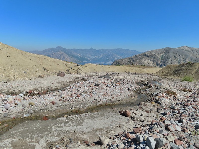
 Another gully to cross.
 Big Spring is in the willow thicket.
 The stream flowing over the Loowit Trail.
 A pink monkeyflower at the spring.
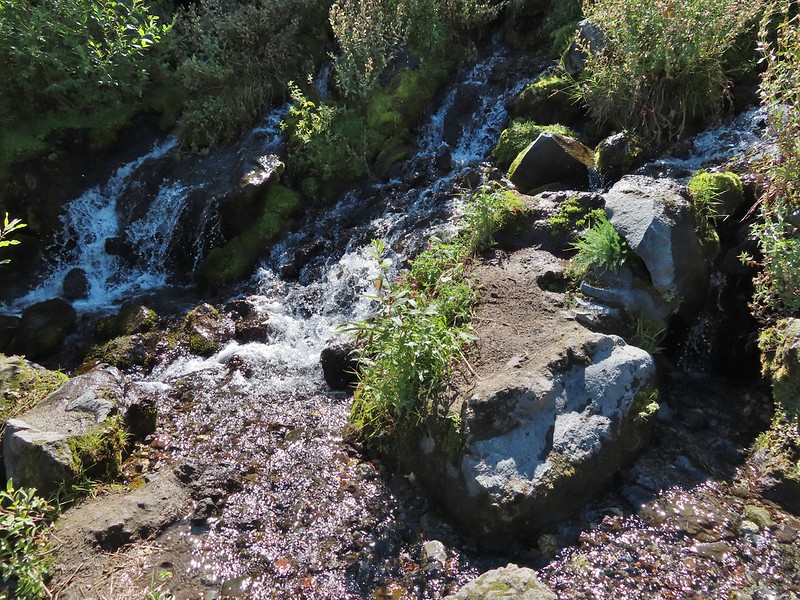
 Looking back at the willows and Big Spring.
 Coldwater Peak to the right.
 The Sugar Bowl lava dome.
 Spirit Lake from the trail.
 The first goats we spotted are on this ridge above the lone tree.
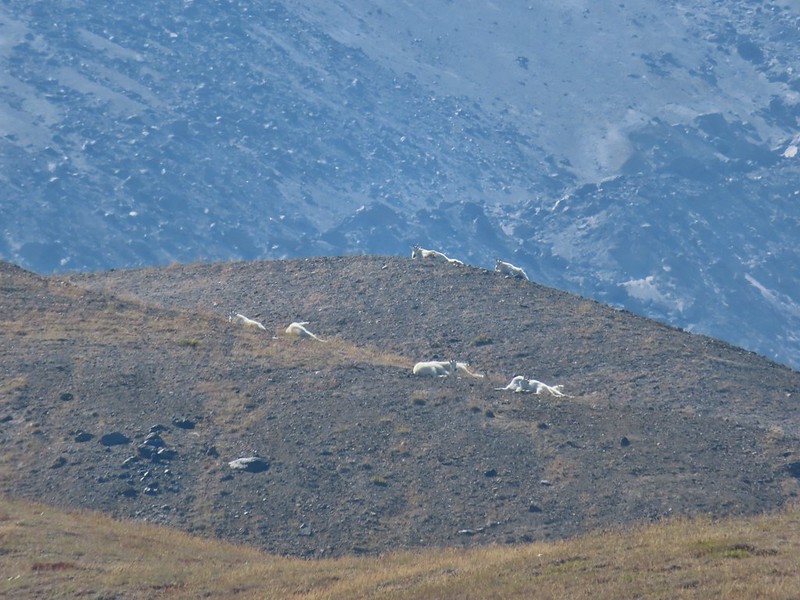
 The Loowit Trail crossing two gullies in a short stretch, one red one black.
 Dropping into the second gully.
 From the second gully we could see quite a few more goats on the ridge.
 Approaching the junction with the side trail to Loowit Falls.
 Sign for Loowit Falls.
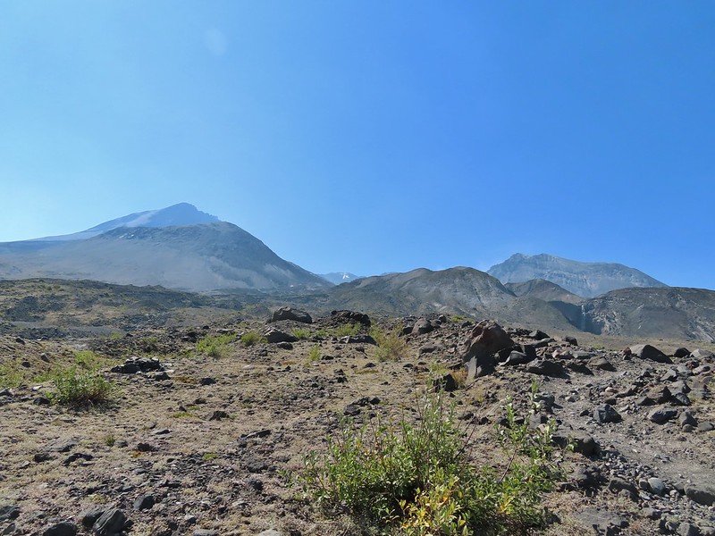 Loowit Falls (right side of the photo) was visible for much of the half mile.
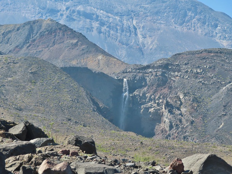
 Looking back at Coldwater Peak and Spirit Lake. (The top of Mt. Rainier is barely visible peaking over the top of the ridges.)


 Spirit Lake from the viewpoint.
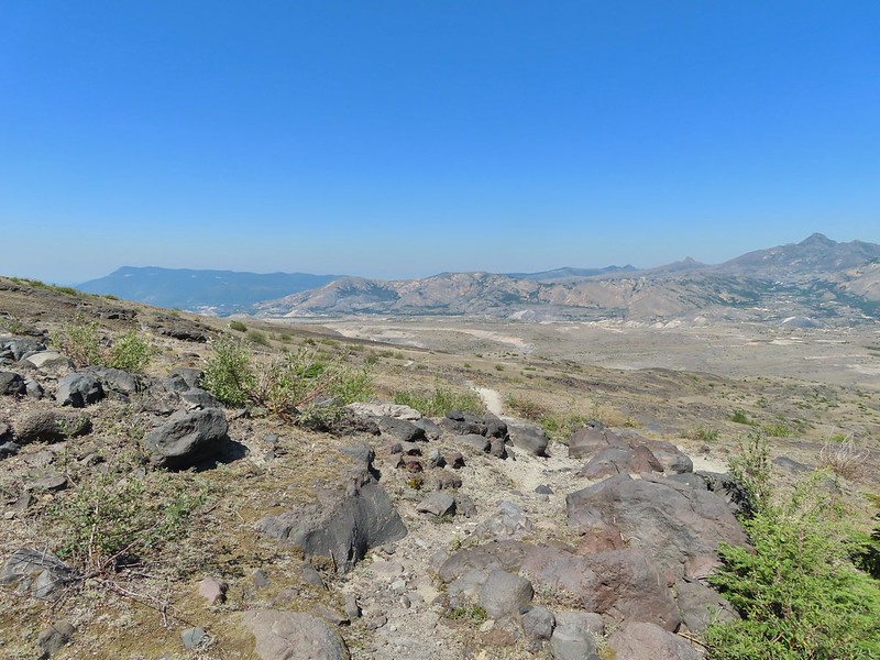

 Paintbrush
 Dwarf lupine
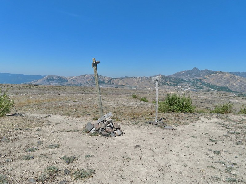
 Mt. St. Helens from the Willow Springs Trail.
 Heading toward Spirit Lake.
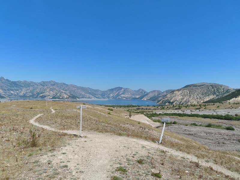


 The Dome above Spirit Lake

 Vehicles ahead in the research parking area.
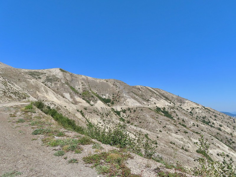
 Mt. Adams to the left.
 Mt. Adams
 Look out for snakes, not the poisonous kind just don’t want to step on them.
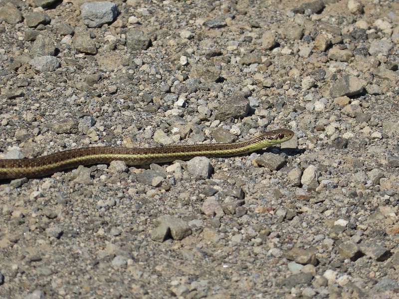
 Some sort of sulphur butterfly on pearly everalsting.


 Salmonberries
 Blueberries
 Huckleberries
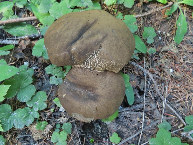 Mushrooms (the flowers of Fall)
 I was really surprised to still be able to make out the remains of the petals on these trillium.
 These bunchberries with a few petals left were near the trillium above.
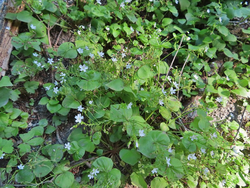 Candyflower

 These thimbleberries weren’t ripe but a short distance further were a lot of ripe ones. I thought I might have to hike back and retrieve Heather from them.
 A brief glimpse of Mt. Rainier from the ridge the trail was following, it looked like a lot of the smoke had blown away.
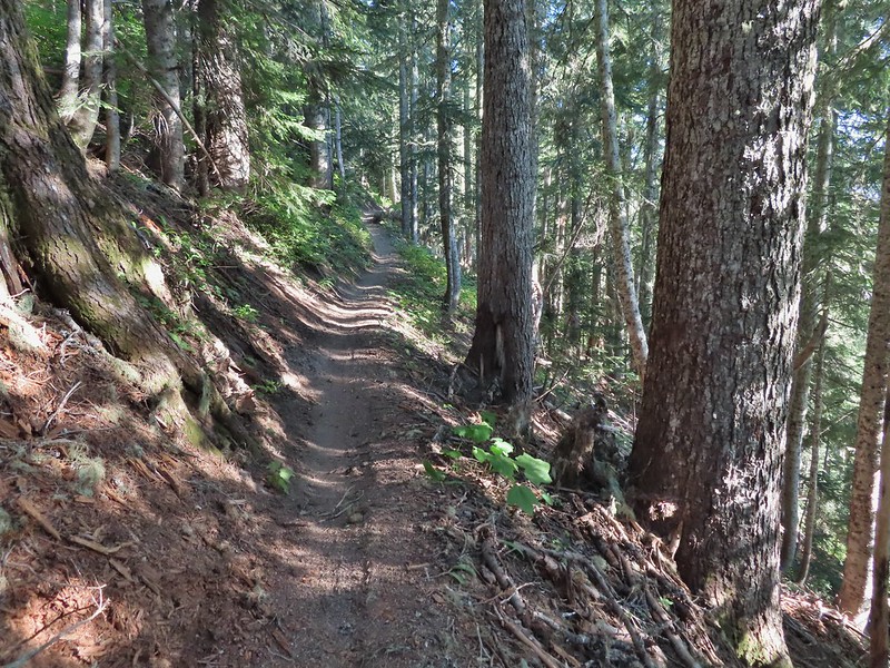

 Aster
Aster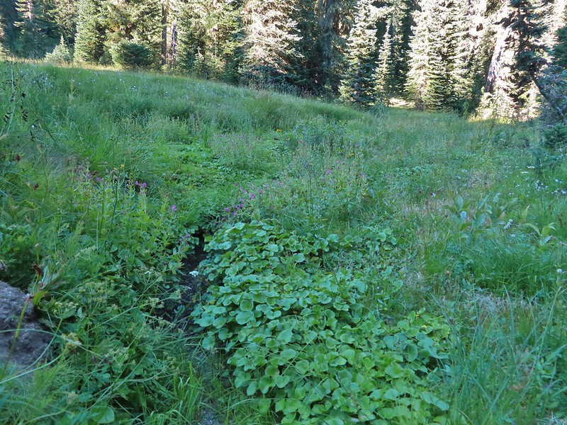 Elk Creek
 Pink monkeyflower along Elk Creek
 Lupine
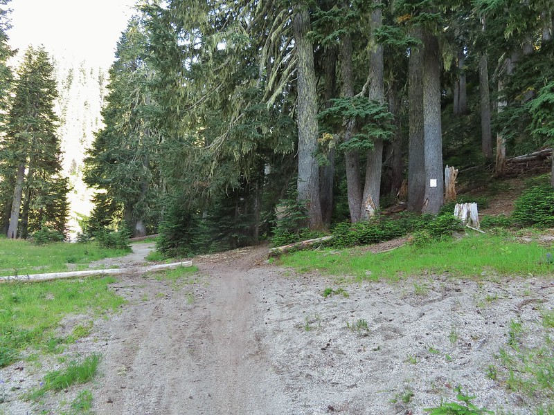 The trail near Badger Lake was particularly torn up and there were several signs posted admonishing motorcyclists to stop driving off trail.
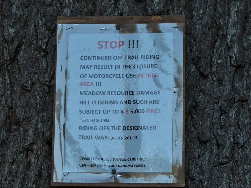
 Torn up hillside near the lake, it only takes one or two idiots to cause a lot of damage (the same goes for hikers/mountain bikers).
 The little puddle in the foreground is not the lake, it is further back.
 This mushrooms was at least as wide as a salad plate.


 A columbine
 Mt. St. Helens was hard to make out with the combination of haze and Sun position.
 Looking south toward Mt. Hood (I could make it out with the naked eye.)
 Mt. Hood in the haze.
 Mt. Rainier
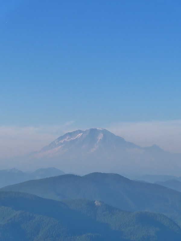 Mt. Rainier
 Mt. Adams
 The Goat Rocks were also hard to make out due to the smoke.
 Western pasque flowers, aka hippies on a stick, below the summit.


 The last of the sunlight hitting Badger Peak.