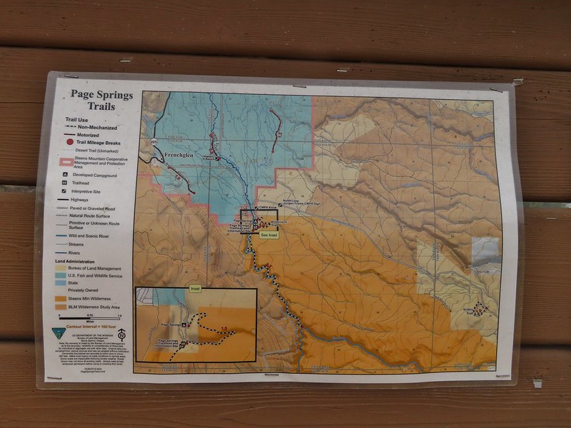
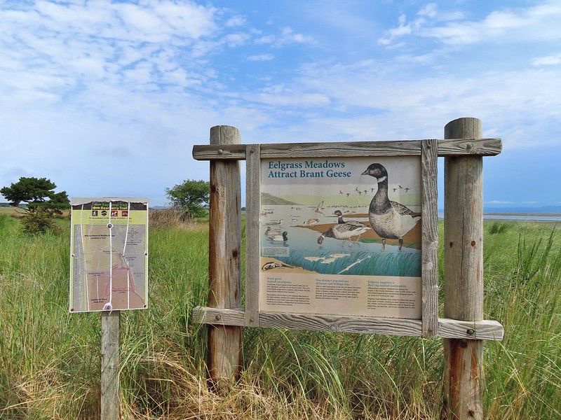
Monday was mostly a travel day as we left Bend and headed for the Steens Mountain Resort where we would be staying for the next three nights. We did however manage to get a few short hikes in along the way beginning with a trail that had intrigued us since the first time we’d stopped at the Sagehen Rest Area on Highway 20 eighteen miles west of Burns. A highway rest stop seemed like a bit of an odd place for a trail but that’s part of what piqued our interest. The Sagehen Hill Nature Trial is a short (just over half a mile) interpretive loop with 11 numbered stops. Trailhead sign at the south end of the rest stop. Brochures were located in the small box under the sign.
Map on the trailhead sign.
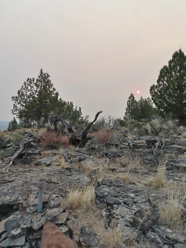
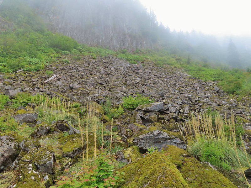
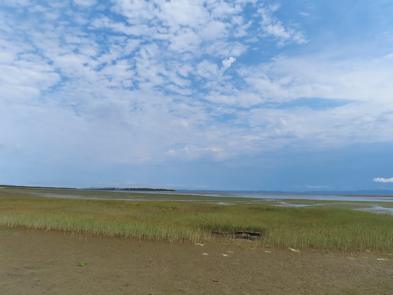
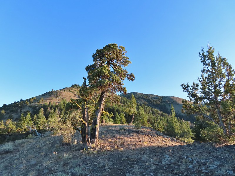
Smoke from fires near Lakeview, OR made for a smoke filled horizon and unlike our hike on Mt. Bachelor the previous day (post) here we could smell it in the air. Red Sun through the smoke.
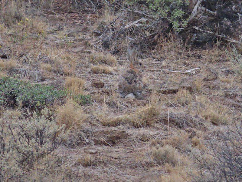
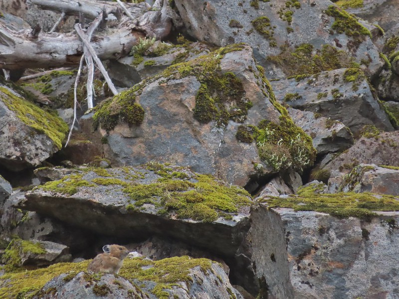
Despite the lack of views (on a clear day Steens Mountain would have been visible) it was a nice hike and the interpretive stops were interesting. We didn’t see any sage grouse here but we spotted some other wildlife along the route.
The Harney Valley to the east.
This stop was for a juniper that was blown apart by a lightning strike.
The rest area from the loop.
The last stop was to discuss the relationship between the junipers and the Idaho fescue that grows underneath.
This was a neat little trail and a nice leg stretcher. After completing the loop we drove into Burns, filled up our gas tank and then headed for our next stop at the Malheur National Wildlife Refuge Headquarters. This was the one place we had previously visited (post) but we hadn’t driven the entire auto tour route that time and there were some other trails in the complex that we could check out. We started with a stop at the headquarters where we once again were treated to a variety of wildlife as we toured the complex.
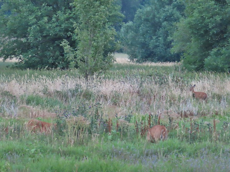
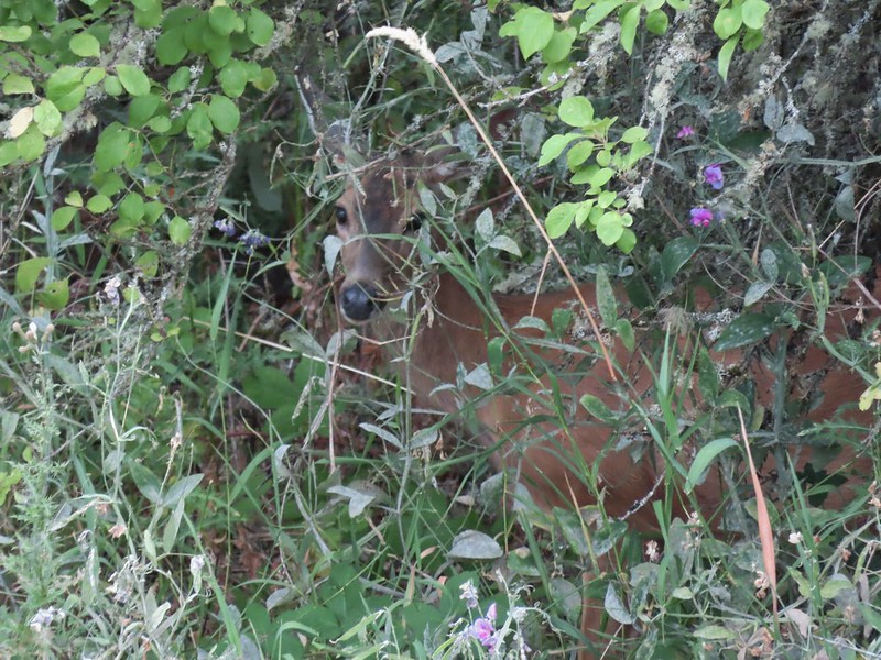
Deer in the nearly dry Marshall Pond
Yellow headed blackbird
California quail
Owl
Chipmunk
More quail
The early bird
Hummingbird
Little bird on a feeder
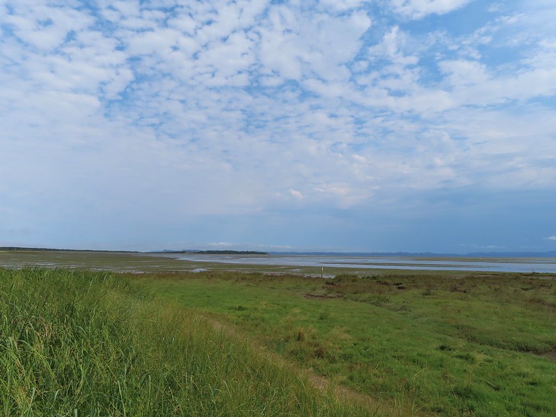
We skipped the Overlook Trail this time due to the smoke filled horizon and started the auto tour route. Again there was plenty of wildlife to pause for along the drive and we also stopped at Benson Pond to hike the Benson Pond Trail (a short half mile out and back) where we were treated to a large number of ducks and other birds on the pond.
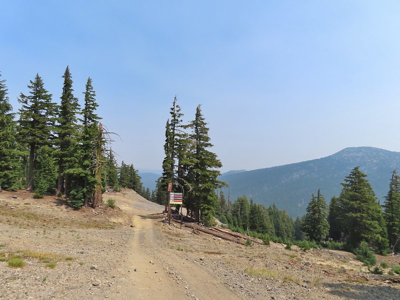
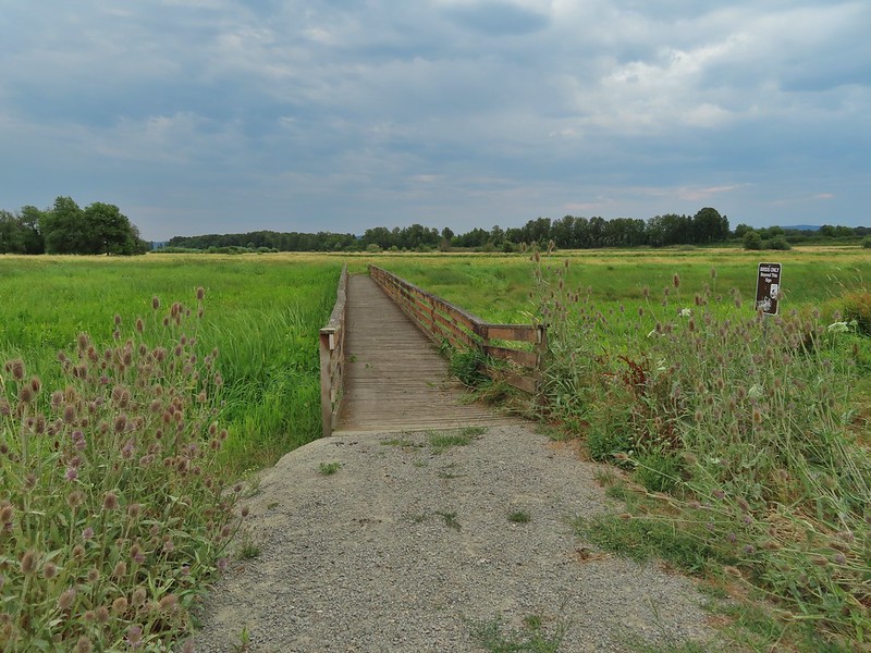
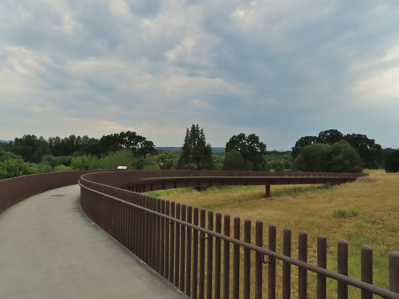
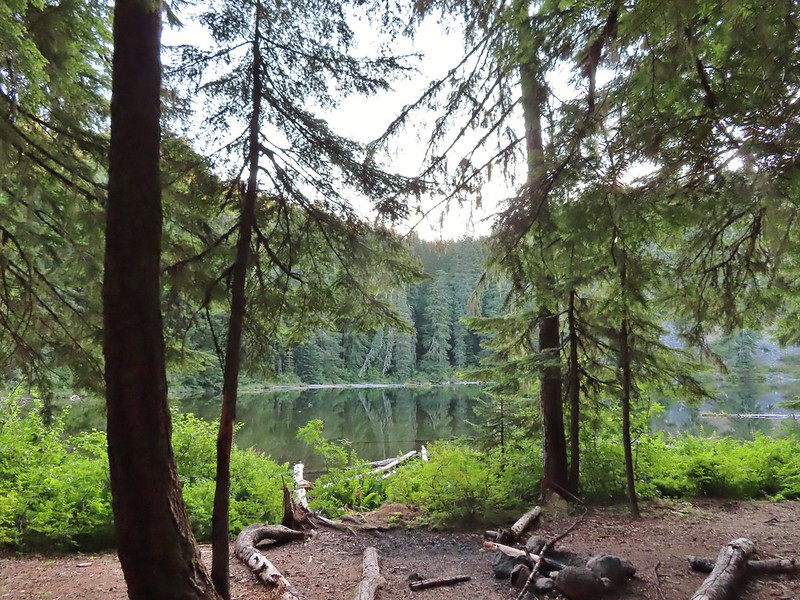
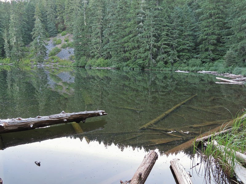
The auto tour route ends at the Steens Mountain Loop Road just a mile and a half from the Steens Mountain Resort. We were a bit too early to check in though so we drove past the resort another tenth of a mile to the entrance of the Page Springs Campground. We turned into the campground and parked at the day use area at its far end where two trails start. The one mile Wilderness Nature Trail and the 3.7 mile long Donner und Blitzen River Trail.
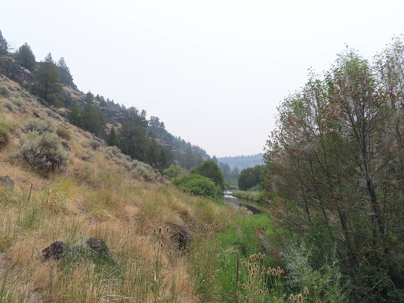
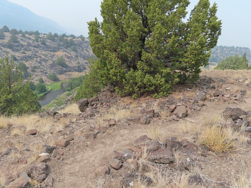
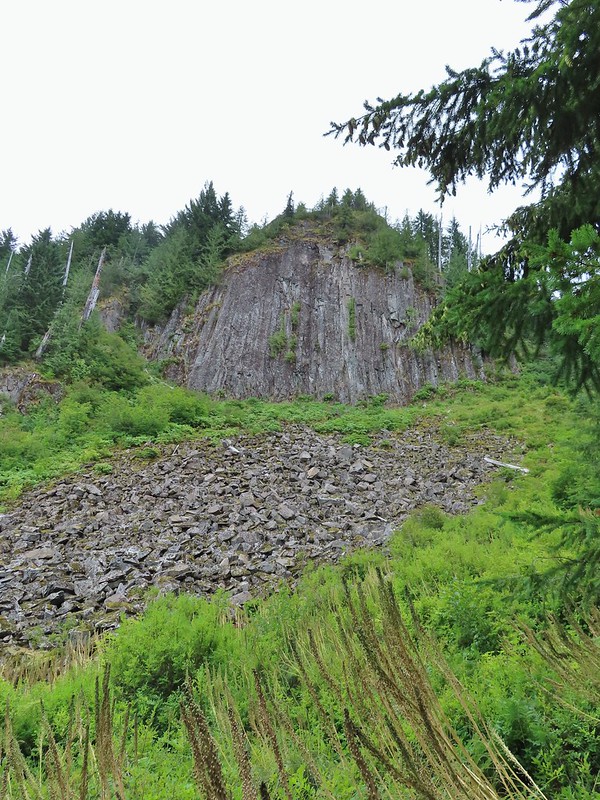
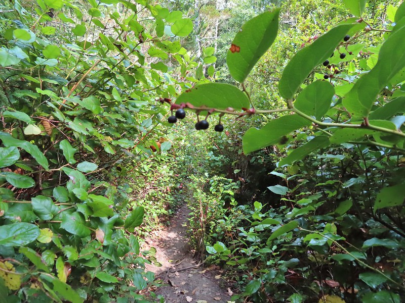
We decided to take the Donner und Blitzen Trail since the nature trail looped back into the campground and ended near one of the campsites leaving a short road walk back to the trailhead. The Donner und Blitzen Trail entered the Steens Mountain Wilderness a short distance from the trailhead and followed the river fairly closely for the first 1.2 miles which is as far as we went on this day. It was a little smokey and it was hot and enough time had passed that we would be able to check into the resort by the time we made it back to our car. The trail was a little brushy at times but a nice surprise was finding a loop option not shown on the map but clearly marked starting 0.4 miles from the trailhead and rejoining the river trail at the 0.7 mile mark. We took this route on the way back climbing up through the cliffs above the river providing some nice views despite the haze.
Bee and a butterfly
A brushy section.
A bee and a skipper
Praying mantis
The “other” trail on the hillside at the 0.7 mile mark.
A wren?
Fence crossing
Rejoining the Donner und Blitzen Trail at the 0.4 mile mark.
2.9 mile hike on the Donner und Blitzen trail
We got a total of 5.4 miles of hiking in between Sagehen Hill, the refuge headquarters, Benson Pond, and the Donner und Blitzen River. The abundant wildlife was the highlight of the day. We checked into the resort and got settled in our modular unit which had a full kitchen, shower, couch and most importantly A/C. We were hoping that the smoke would move out overnight or at least over the next day or two when the temperature was also set to drop to more reasonable levels. We spent the evening listening to the osprey that had a nest below the resort. Happy Trails!
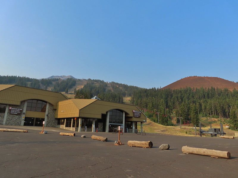
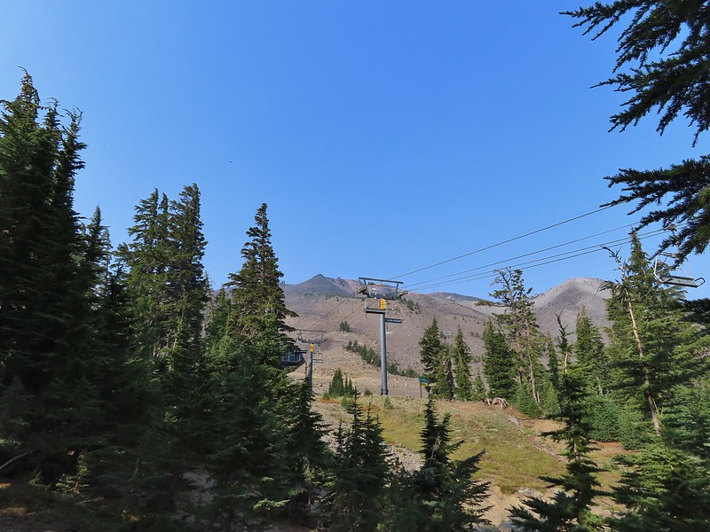
For our August vacation this year we finally returned to the Steens Mountain area for five days of hiking but along the way we made a stop in the Cascade Mountains to hike up to the summit of Mt. Bachelor. As the 6th largest ski resort in the US, Mt. Bachelor is known more for that winter sport than hiking. Hiking also takes a back seat to mountain biking and even a zip line tour but as part of an agreement between the resort and the Forest Service a trail is maintained to the summit for hiking to the 9068′ summit. Growing up in the Bend area I spent a lot of time skiing the mountain but other than riding the Summit lift to the top one Summer (when that lift still operated in the Summer months) neither of us had spent time on the mountain without snow. It was going to be another warm, hazy day as that seems to be the new norm here in the West but the air quality wasn’t in the danger zone so we left early on Sunday morning and arrived at the West Village Parking lot a little before 8am to find a somewhat blue sky overhead.
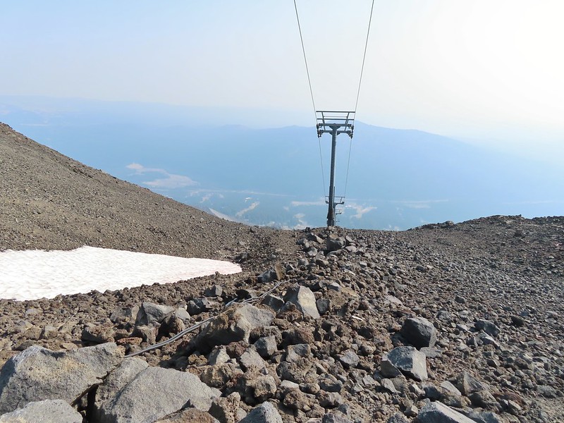
There are currently three routes shown on the resorts web page with the easiest being from the top of the Pine Marten Lift which operates from 10am thru 5 or 7pm depending on the date. The other two routes start at the West Village Lodge near the Pine Marten Lift which allows for a reverse lollipop hike which is what we did. We took the more scenic trail up which was marked by blue signboards for the West Village to Summit Connect Trail.
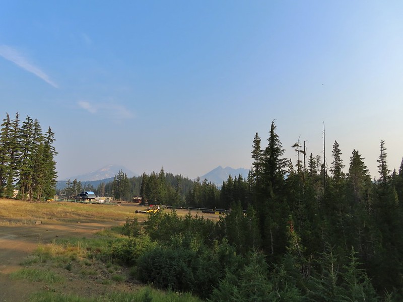
A hazy look at the South Sister and Broken Top.
After a short distance on cat roads we came to an actual trail which led into the trees.
The trail traversed along the mountain crossing several ski runs before turning uphill near the “Marshmallow” run and the Sunrise lift.
Passing under the Skyliner Express
The ski runs gave us a good look at the top of the mountain.
Turning uphill
Spotted a grouse hen and her chicks in this little meadow.
Two of the chicks.
Passing under the Sunrise lift.
The first 1.4 miles had gained under 350′ but after turning uphill the trail steepened gaining almost 2400′ over the next 2.5 miles.
Nearing the top of the Sunrise lift.
Another hazy look at the nearby mountains.
South and Middle Sister through the haze.
The top of Sunrise and the bottom of the Summit lifts.
Looking up from the top of Sunrise.
Above the Sunrise lift the trees thinned out leaving a few scattered trees including white bark pines.
Signs gave way to white arrows painted on rocks at the higher elevations.
Looking down from beneath the Summit Express.
We could really feel the elevation affecting our breathing and by this point we were both sucking wind.
Dwarf alpinegold
I arrived at the summit first and followed the path the the mountain’s high point. Looking back at the Summit Express.
Heading for the high point.
A mountain bluebird near the summit.
South Sister and Broken Top with Sparks Lake (post) the brown patch below.
I took my pack off and had a seat and was soon joined by a curious golden mantle.
It’s our rule not to feed the wildlife but it was obvious that many don’t adhere to that LNT principle. I had to put my pack back on to avoid having a hole chewed through my pocket.
View of the summit.
The surrounding smoke made it impossible to see anything to the east, very little to the south or west and just the closest features to the north, but a cool breeze made it a comfortable spot for a rest while I waited for Heather to join me. Broken Top, the Pine Marten Lodge halfway up the mountain, the West Village Lodge and parking area below and Tumalo Mountain across the Cascade Lakes Highway.
After Heather had a chance to relax at the summit as well we headed back down taking a short detour to a viewpoint above the Cirque.
We then hiked back down just above the Sunrise Lift where we turned left on the West Village Getback road which I could picture skiing on all those years ago. A little better view of Broken Top and Tumalo Mountain on the way down.
Clark’s nutcracker
Left leads up to the Pine Marten Lodge atop the Pine Marten Express, right to the West Village Lodge.
The road walk is not only not as scenic as the trail route we took up it also passes through the mountain bike trails so we had to keep our eyes open at the crossings.
A decent look at Tumalo Mountain
Warning sign for a bike crossing.
A look at some of the mountain bike trails and some haze moving in overhead.
A tortoiseshell butterfly on the road.
The trail map showed this route passing under the Pine Marten Express and turning 90 degrees downhill alongside the lift.
There was a disc golf hole here but no sign of any trail except for a faint line continuing straight ahead through some grass. We followed it briefly before realizing it wasn’t going to get us to the parking lot. At least we could see the mountains a little better from here.
We turned back to the lift and headed cross country downhill alongside it. We eventually did find some tread which took us to the base of the lift and back to the parking lot. We were glad we’d gotten there as early as we had because it was now quite a bit hazier overhead and a lot warmer.
We left the mountain and drove to Heather’s parents house where we spent the night before once again heading out early for another adventure. Happy Trails!
Our track for Mt. Bachelor. The GPS said 8.8 miles and 2800′ of elevation but the resort lists the hike as 6.5 miles and 2742′ of elevation gain.
Mount Mitchell is located near Cougar, WA just south of the Lewis River (post) and only 10 miles south of Mt. St. Helens providing an up close view of the mountain’s southern flank. That is if there is any visibility at the summit. On our recent visit we had near zero visibility from the former lookout site but despite missing out on the view this was an enjoyable hike which will soon likely be inaccessible due to planned logging activities.
Until 2011 the hike to Mount Mitchell began at the Mount Mitchell Trailhead on the north side of the mountain and was a 5 mile round trip gaining just over 2000′. In 2011 the owner of private land which the access road passes through gated the road and cut off recreational access. An alternate route via the North Siouxon Creek Trail requires a 20+ mile hike and quite a bit more elevation gain but for now at least there is a third unofficial option, a hunter’s path from the east along Sugarloaf Ridge to the Mount Mitchell Trail. The hike starts on Washington Department of Natural Resources land (which means a Discover Pass is required) at the end of a dirt/gravel road not shown on Google Maps (it is visible on the satellite image though). The start of the “trail” at the end of the road.
Wildflowers at the trailhead.
It was a cloudy morning but the last forecast I had seen was for partly sunny skies so we were hoping the clouds might burn off, although some precipitation wouldn’t be the worst thing given the current drought conditions in the West. After briefly following an old road bed the trail launched steeply uphill through thick vegetation.
It’s hard to capture steepness in pictures but it was steep. Luckily this wasn’t the case for long and we soon found ourselves on a more level trail.
For an unofficial trail it was in good shape and easy to follow. We did run into a hunter later in the day who said he had been one of the people that originally cleared some of the trail years ago. He wasn’t sure the history of the trail, he thought possibly loggers, but the tread had been there. He also said that it had become a much clearer and well wore trail ever since it showed up on “some yuppie hiker website”. While the tread was good and there were pointers and flagging present there was also a lot of recent flagging done for the timber sales along the first mile or so of the hike. Orange dot on a tree.
Another orange dot.
Occasionally there were short steep climbs but nothing as steep as the first part.
Mushroom
Pink flagging on the right related to the timber sale.
Water in a creek bed.
Mushroom amid bunchberry leaves.
Red huckleberries
Timber sale boundary sign on the right with a flag.
More huckleberries.
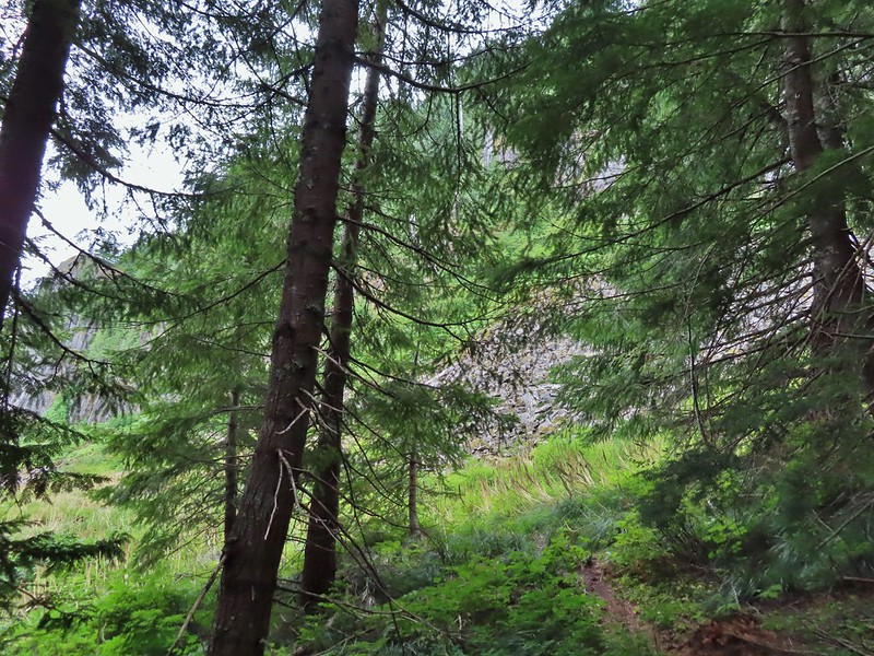
After leaving the timber sale the trail continued through a nice forest until reaching basalt cliffs below Sugarloaf Mountain near the 2.5 mile mark.
The cliffs reminded us a lot of Table Rock (post) near Mollalla just not quite as tall. We thought we heard a pika or two “meep” from the rocks but weren’t able to spot any. There were however a good number of flowers blooming along the route below the cliffs. Bluebell of Scotland
Gentian
Pearly everlasting
The view north, not much to see.
Mount Mitchell from the path.
Paintbrush
Gentian
Penstemon
aster
Oregon sunshine
Yarrow
The trail nearing the end of the basalt cliffs.
The trail reentered the forest beyond the cliffs and a short distance later arrived a junction with the Sugarloaf Trail.
We turned right on the Sugarloaf Trail and followed it 200 yards to a viewpoint where we met the hunter who gave us the back history on the area. The view south across North Siouxon Creek was the same as it had been to the north.
It’s possible to follow a faint trail from the viewpoint to the top of Sugarloaf Mountain but with no views to be gained by doing so we returned to the junction and continued east on the Sugarloaf Trail toward Mount Mitchell.
It was apparently a good beargrass year along the trail.
A half mile from the junction we arrived at the Mount Mitchell Trail as it made a turn uphill.
We followed the left hand fork uphill through more beargrass stalks.
Fireweed amid the beargrass.
We reached the rocky summit after 0.4 miles only to find ourselves in the middle of passing clouds.
Mt. St. Helens is out there somewhere.
Looking east over the site of the former lookout.
The survey marker and one of several neat rock formation near the summit.
Closer look at the formation.
It was an interesting summit even without the views but it was also a little chilly due to the dampness of the passing clouds and our own sweat from the hike up so we didn’t stay too long before heading back down. We had wondered if this was going to be one of those hikes where the skies didn’t clear up until we were on our way back down but that wasn’t the case today. By the time we were passing the basalt cliffs it was sprinkling off and on and the visibility was even less than it had been earlier when we passed through.
This time we for sure were hearing the meeps of pikas so we took our time passing through and stopped below the largest rock field and watched.
Heather was the first to spot one darting toward some brush at the edge of the rocks. After a little more surveying I spotted a flash of movement in the middle of the rocks. After seeing another bit of movement I took a picture of the area and even though I couldn’t pick it out then I got a pika in the picture.
A second picture after seeing it move again.
The pika disappeared for a moment behind a larger rock but we waited it out knowing from experience that it would probably reemerge to keep an eye on us. The pika popped back out below the larger rock that it had run behind.
This was our first pika this year as we haven’t spent much time in areas where they are present in 2021 and they are not easy to spot. A non zoomed in photo, the pika is still in the same spot as in the two photos immediately above.
Having seen the pika more than made up for the lack of views. We completed the final 2.5 miles in on-again off-again light showers.
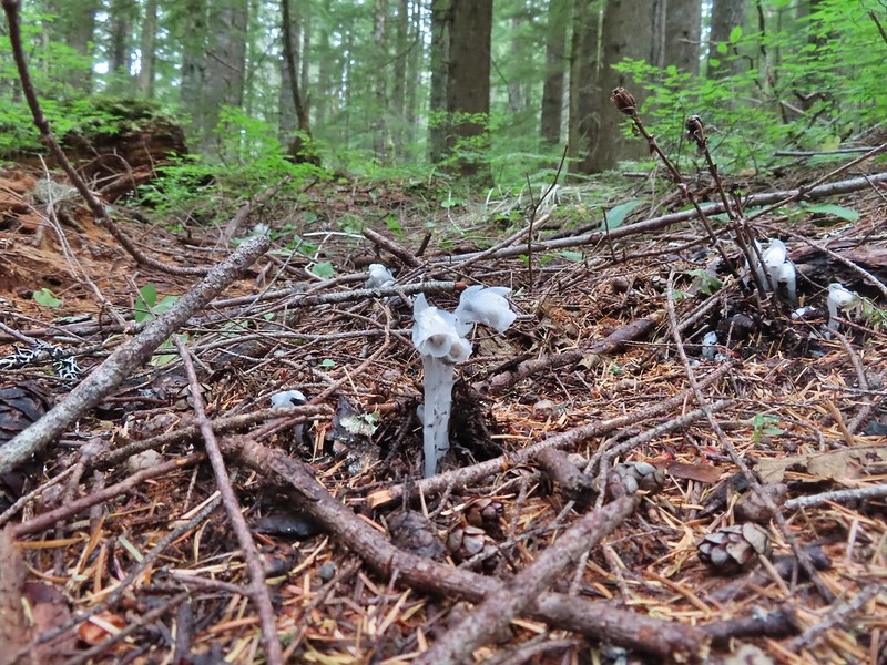
Spotting this patch of ghost pipe emerging from the forest floor was another highlight on the return hike. The hike is reportedly 7.3 miles with a little over 2000′ of elevation gain but Heather’s GPS put us at 7.8 miles and mine registered 8.3 miles. (If you’ve read other posts you know that Heather’s unit used to almost always show the higher mileage but lately mine has been.) Whatever the actual mileage it was a good hike through a very nice forest which sadly, barring a last minute successful change, may not be possible in the future.
Our track for Mount Mitchell
Typically I’d say Happy Trails here but the thought of losing another to logging, fire or abandonment somehow makes it seem inappropriate.
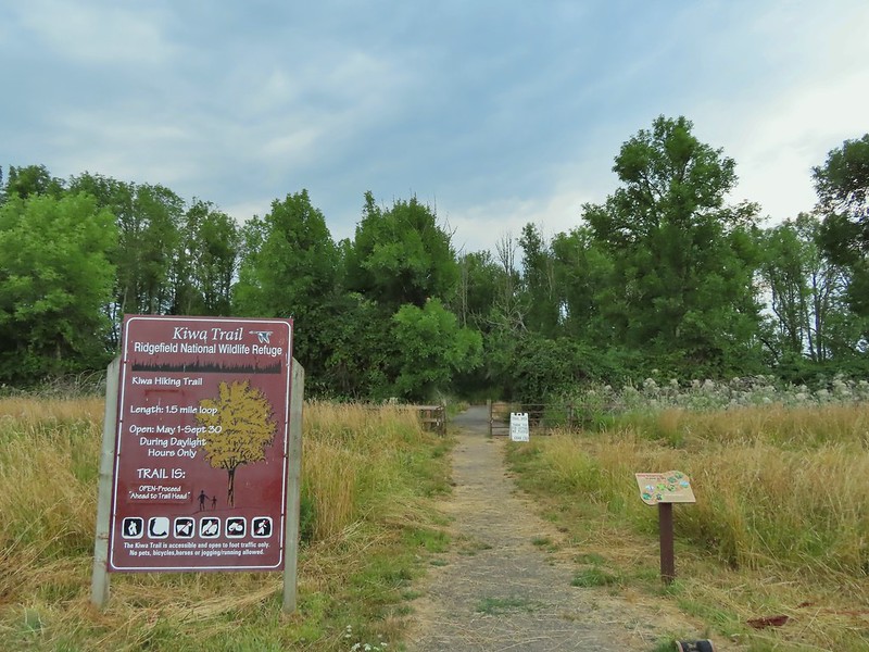
As we continue to close in on and complete some of our long term hiking goals such as hiking all 100 featured hikes in at least one edition of William L. Sullivan’s five 100 Hikes guidebooks some of the remaining hikes have provided some challenges (post). Distance, weather, and various closures have required us to be flexible and get creative at times. Our visit to the Ridgefield and Willapa Wildlife Refuges in SW Washington was a good example. We had a visit to the Ridgefield Wildlife Refuge on our schedule for 2020 but then COVID-19 struck and things changed. It was back on the schedule for this Spring but nesting Sandhill Cranes caused the refuge to close the 1.5 mile Kiwa Trail which was part of Sullivan’s featured hike. The Ledbetter Point hike had been a featured hike in the “100 Hikes/Travel Guide Oregon Coast & Coast Range” 3rd edition but was moved to an additional hike in the 4th edition. We had switched to the 4th edition as the one to attempt completing all 100 featured hikes in part because the hike at Ledbetter Point was only 4 miles long but was a three and a half hour drive from Salem. Subsequently we switched back to the 3rd edition due to the indefinite closure of the Salmonberry Railroad which was a new featured hike in the 4th edition.
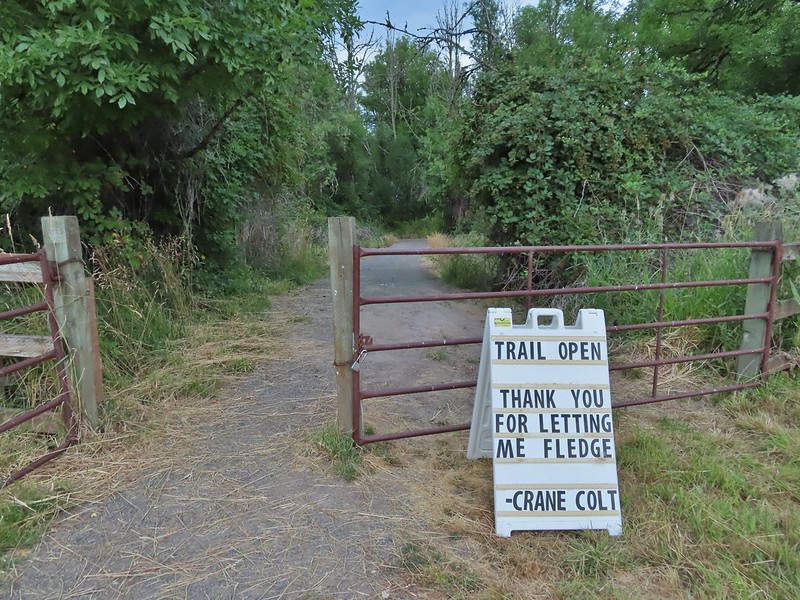
After having to postpone our Ridgefield hike and modify the plan if we were going to hike there this year (I had originally combined it with a hike at the Stiegerwald Wildlife Refuge but a restoration project has closed it for the entirety of 2021.) I came up with the idea to combine it with the Ledbetter Point hike which was also planned for this year. It was only a little bit out of the way to stop at Ridgefield before continuing up to Ledbetter Point State Park. The combined hikes would be close to 11 miles which was a reasonable distance and with an early start would likely get us back home between 5 and 6pm. (This did mean breaking our self imposed rule of not spending more time driving than hiking on day hikes but sometimes compromises must be made.) With the plan set we just needed for the hikes to be open and as luck would have it the sandhill crane colt fledged and the Kiwa Trail was set to reopen on the very day we had hoped to do the hike.
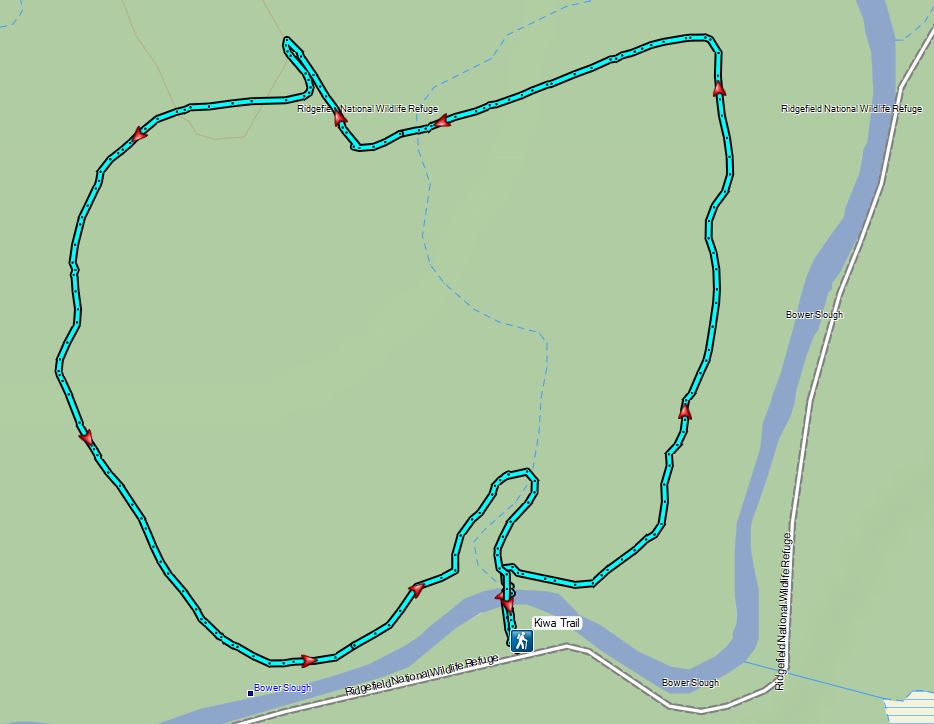
After paying the $3.00 entry fee at the Ridgefield Wildlife Refuge our first stop of the morning was at the Kiwa Trailhead.
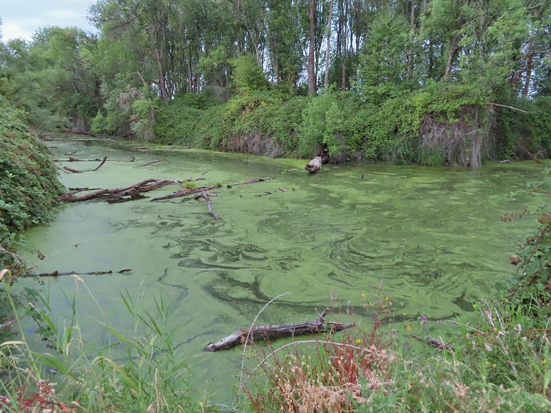
The Kiwa Trail crossed the Bower Slough and then splits to create a loop around South East and Middle Lakes. We chose to hike the trail in a counter clockwise direction. Bower Slough
Ducks in the slough.
South East Lake which was mostly dried up at this point in the year.
Apparently deer can’t read based on the trail leading past the sign.
The bed of South East Lake
Some moisture passing through this morning.
Dove
Walking along a cleaner looking portion of the slough.
Bridge/boardwalk between Middle Lake (left) and West Lake (right).
Wapato blossoms
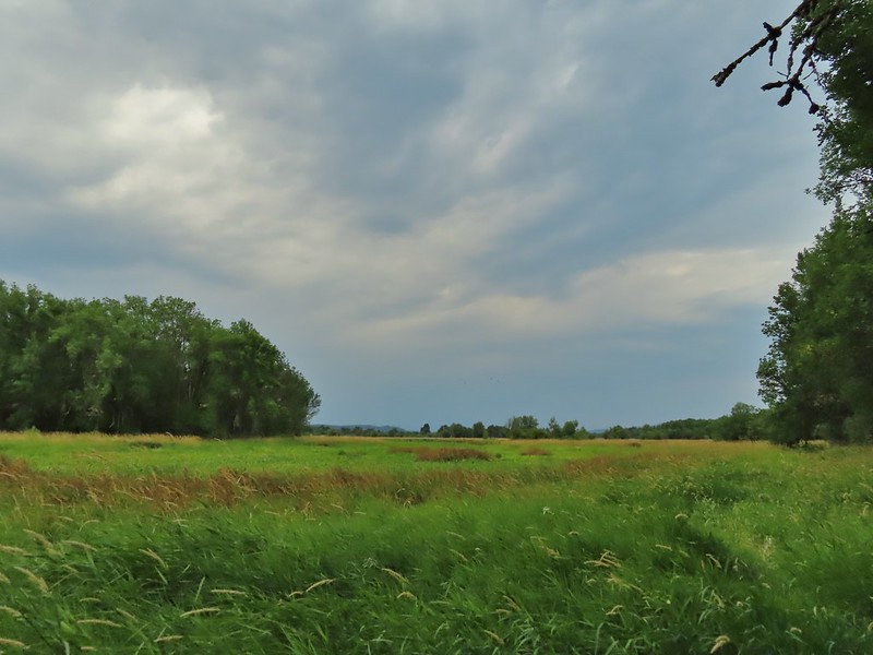
With the lack of water this time of year there wasn’t much in the way of wildlife other than lots of little birds flying in and out of the vegetation. The views were nice enough to keep us entertained on the short loop though and when we got back to the trailhead there were several deer in the field across the road and a rabbit just a short distance from our car.
Lots of ripening blackberries.
Second crossing of Bower Slough near the end of the loop.
Since the trailhead is along the 4.2 mile one-way auto tour loop we drove back around to the fee booth and restrooms at the start of the loop. Along the way we stopped several times for wildlife. Great blue heron
Doe
Deer near the restrooms/fee booth.
Kiwa Trial Track
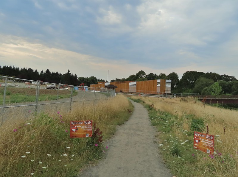
From the auto tour loop we drove to our second stop in the refuge at the Ridgefield Trailhead in the Carty Unit.
Construction to build a new multi-purpose building is in process to be completed in 2022.
We passed the new building and crossed over some railroad tracks on a nice footbridge. <
Doe in the brush near the tracks.
The trail then led to a replica plankhouse.
The trail split on the far side of the plankhouse with the Carty Lake Trail heading left around Duck Lake and the Oaks to Wetland Trail system to the right. Carty Lake Trail and Duck Lake
Ducks on Duck Lake
We went right to explore the Oaks to Wetland Trails. The maps show several loop possibilities but an ongoing restoration project currently has some connector trails closed and an entire portion of the system closed on Thursdays.
Paved and dirt options allow for a mini-loop near the start, later the trails are all dirt.
Big oak
One-way pointers for a second loop.
The trails can reportedly be quite muddy during the wet season but the current drought meant a hard packed surface.
Bright red poison oak climbing some of the tree trunks.
It’s possible to follow the Carty Lake Trail all the way to the Port of Ridgefield Trailhead on the Lake River but for our hike today we simply hiked until the trail turned south on the far side of Carty Lake then turned around and headed back to the car. Gee Creek
Orange jewelweed along Gee Creek.
Carty Lake also lacking much water.
Bindweed
A primrose
Wapato at Carty Lake
The trail turning south toward the Port of Ridgefield.
Carty Unit Track
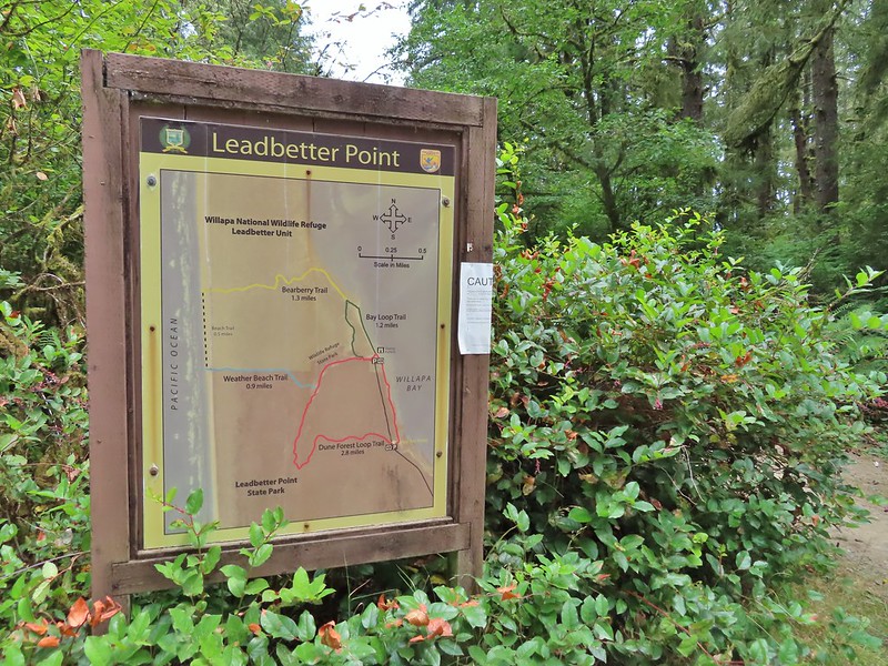
From Ridgefield we drove north to Longview, WA where we crossed back into Oregon to take Highway 30 to Astoria only to return once again to Washington eventually making our way to the Ledbetter Point Trailhead.
We got a little confused at the trailhead as three trails appeared to start here, one was to the left of the restrooms, one on the right of the signboard which appeared to head straight for Willapa Bay, and another to the right of the signboard that appeared to head parallel to the bay. Our plan was to follow the Bay Loop Trail (Green) north along the bay to the Bayberry Trail (Yellow) and take that trail west across the peninsula to the Beach Trail at the Pacific Ocean. We’d then head south along the beach to the Weather Beach (Blue) Trail where we would turn inland and hook up with the Dune Forest Loop Trail (Red). Sullivan’s description of this hike would have had us turn left here for 0.6 miles back to the trailhead but our plan was to go right for 1.5 miles to the southern parking lot and then turn north along Willapa Bay for 0.7 miles back to the car.
The official trail is the one to the left of the restrooms but being unaware of that we struck out on the path which looked to head directly to the Willapa Bay.
Lots of salal along the trail.
The trail did pop us out near the bay and onto an official trail where we turned left.
We realized we’d chosen the wrong path when we spotted a group of hikers that had taken the left hand trail ahead of us on the trail. When we made it to where they had come out we found a signboard and viewing platform indicating it had been the official trail.
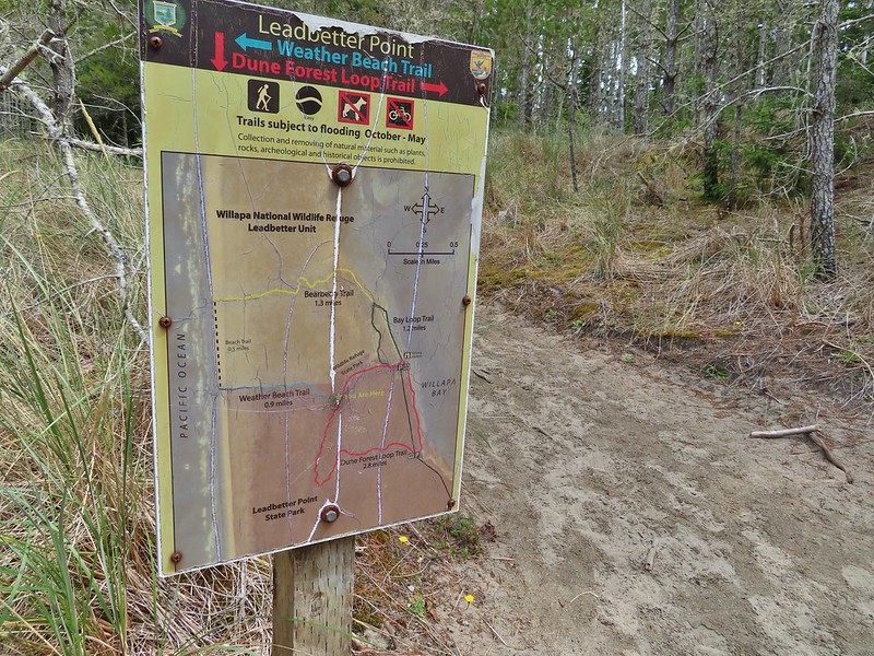
Map near the platform.
We continued up the beach until we spotted another signboard and hiker post.
High tide had been between 7 and 8am so the water was retreating from the Bay.
Looking south.
A short distance later we came to another signboard at the junction of the Bay Loop and Bayberry Trails. Here we began to follow the hiker posts coded in yellow for the Bayberry Trail.
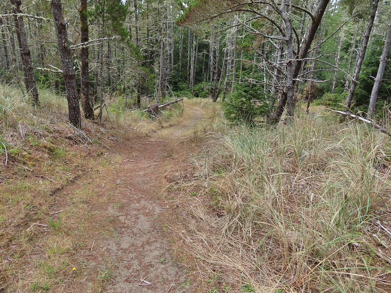
The Bayberry Trail soon turned inland into the forest.
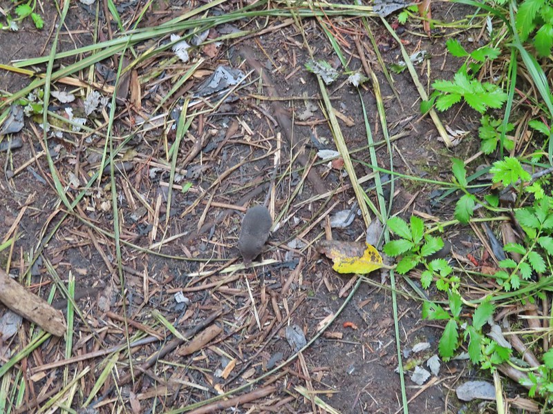
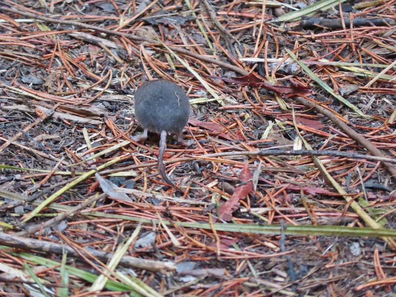
We were following another pair of hikers who had spotted something small running along the trail. We stopped and watched as what we believe was a mole hurried down the trail right past us nearly running into my foot in the process.
The trail eventually left the forest and entered the deflation plain behind the dunes along the beach.
Looking back along the trail.
Cresting the dune.
Snowy plover sign, a common sight along the beaches in Oregon too.
Bayberry Trail passing through the snowy plover closure area.
Bumblee on American skyrocket.
While there had been a bit of blue sky above Willapa Bay the Pacific Ocean was covered in fog (another familiar sight to for us).
We turned south as planned, hiking through the fog between the Pacific and the snowy plover closure area, until we spotted an opening in the foredune marking the Weather Beach Trail.
We followed this trail back into the forest to its end at the Dune Forest Loop Trail.
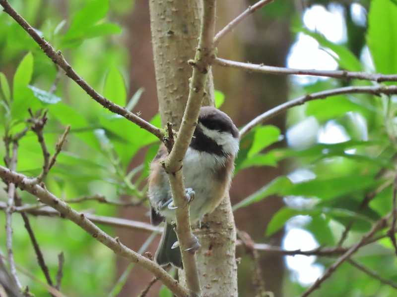
Chestnut backed chickadee
We turned right as planned wondering why Sullivan didn’t have you do the same.
Someone had written “umpassable (sic) swamp” below the word loop on this sign. This is when we began to guess why Sullivan had you turn left at the Weather Beach Trail junction.
Slug and a mushroom. We both thought of Alice in Wonderland.
While we did not encounter any swamps the vegetation did get thick and it was easy to see how in wetter times of the year the trail would be difficult if not impossible. Our biggest problem though were the mosquitos which were a nuisance.
Signboard at the southern trailhead.
We were happy to have reached the southern trailhead and gotten back to the bay where the openness and breeze kept the mosquitos away.
We turned north and followed the trail back to where we had come down from the trailhead and hiked back up that same way. There were a few downed trees that needed to be climbed over along this stretch. We were also fortunate to have a bald eagle land ahead of us with its catch and then watch as some pesky crows tried to steal it for their own.
Looking back over one of the trees.
Bumble bee on gumweed.
A pair of great blue herons in Willapa Bay.
The eagle has landed.
Crow attack
Looking for a quite place to eat.
We didn’t see what happened to the kill, if the eagle got to eat it or not.
The crows weren’t leaving the eagle alone.
Last of the trees to navigate.
Our hike here was a little over 6 miles giving us about 10.5 miles on the day with minimal elevation gain.
Ledbetter Point Track (no we weren’t in the water)
On the way home we stopped in Warrenton for a late lunch/early dinner at Nisa’s Thai Kitchen. We’d eaten here in 2017 and really enjoyed the food and it was as good as we had remembered. It was a good way to celebrate checking off our final featured hike of the coast guidebook as well as the 97th in the northwestern Oregon book. Happy Trails!
After a week of hiking in the John Day area we had stopped in Bend on our way home Friday to visit Heather’s parents. Saturday morning we headed to Salem but stopped first for a short hike to Pika and Fir Lakes in the Willamette National Forest. The hike starts at the Pika-Fir Trailhead which is currently one of the trailheads in the Central Cascades that does not require any Central Cascades Wilderness Permits as the trail and lakes are outside of the Mt. Jefferson Wilderness. (You would however need an overnight permit if you were try continue off trail into the wilderness to stay overnight.)
We picked this trail because it was on our way back to Salem, we hadn’t been here before, and it was nice and short. The trail itself is about a mile long passing Pika Lake and ending at Fir Lake and after averaging just over 12 miles a hike for the previous five days a short hike sounded nice. We were also in a bit of a hurry to get home to see our cat Hazel who we were going to have to say goodbye to soon (post).
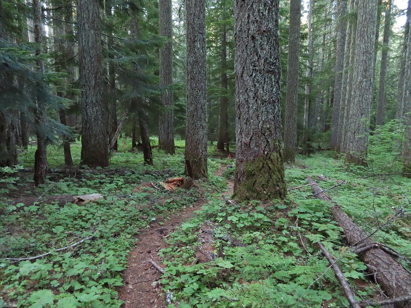
The trail passed through a nice green forest with some bigger trees, a very different sight than the hikes we’d taken in Central Oregon that week.
A little bit of up and down brought us to Pika Lake in just half a mile.
We walked a short way around the SE side of the little lake before returning to the trail and continuing to Fir Lake which was just 0.4 miles away.
Unnamed lakelet/pond between Pika and Fir Lakes.
Fir Lake
Goldeneyes
We again explored a little of the lake shore before turning around and returning to the car.
This was a quick hike which we managed to make 2.5 miles by exploring some of the lake shores. There were several camp sites at the lakes which would be good options for folks with young kids for some early backpacking trips. Track for Pika & Fir Lakes
With our hikes now completed we drove home to spend the rest of the weekend with Hazelnut before having to say our final goodbyes. It was a bitter sweet ending to what was otherwise a good vacation. Happy Trails!
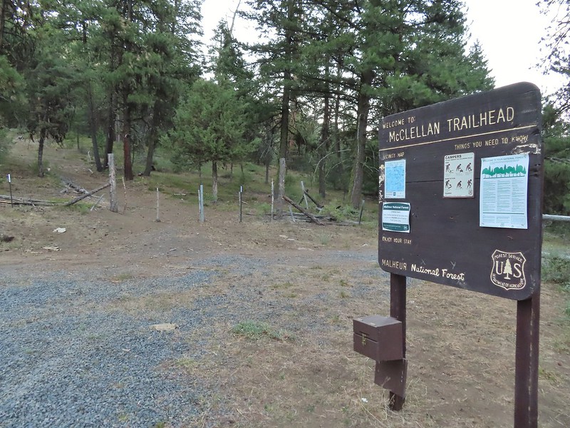
Our time in John Day had come to an end and it was time to start our journey back to Salem. We were planning on visiting Heather’s parents in Bend for the night but of course we had a hike planned on the way. The hike to Fields Peak and McClellan Mountain in the Aldrich Mountains was another hike that was previously featured in William L. Sullivan’s “100 Hikes/Travel Guide Easter Oregon” but had been moved to the back of the book in his most recent 3rd edition. We began the hike at the McClellan Mountain Trailhead after a rough final 1.2 miles of driving (high clearance vehicles recommended). The bright spot of the drive was spotting a bobcat in the road.
While the route to Fields Peak is open to OHVs the McClellan Mountain Trail, which splits off to the east after 1.5 miles is not.
The trail/OHV track begins through a barbed wire fence and heads steeply uphill, at times, 0.7 miles to a saddle.
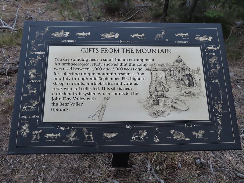
A lone interpretive sign near the beginning of the trail.
The saddle
Sullivan mentioned that bitterroot bloomed on the ridge to the right but it was too late in the year to see any of them but I wandered out along the ridge a short distance anyway having reached the saddle ahead of Heather.
Fields Peak from the saddle.
Heather arriving at the saddle.
We had gained a little over 700′ in the first section and now the trail would gain nearly another 600′ in the 0.8 miles to the trail junction. A rare level section.
Scarlet gilia in the middle of the OHV track.
Nearing the trail junction.
The McClellan Mountain Trail to the right.
We ignored the McClellan Mountain Trail for now and climbed another 0.8 miles gaining 700 plus more feet to the 7362′ summit of Fields Peak. The meadows along the track were way past bloom but it was evident that earlier in the year there would have been quite the wildflower display. A peak east to McClellan Mountain and the more distant Strawberry Mountain (post).
We saw a number of these moths sleeping on the hyssop.
Hyssop and sunflowers
Paintbrush
Looking up Fields Peak.
Mountain coyote mint
Shadow of Fields Peak
Buckwheat
A few trees near the top.
Final steep pitch to the summit.
View west, Aldrich Mountain is the high point to the near right.
It was another nice morning with relatively clear skies given the fires that were (and still are) raging in Oregon. View north
McClellan Mountain and the Strawberry Mountain Range to the east.
Logan Valley to the SE.
The view south.
We had a nice break and then headed back down. On the way several grouse startled us when they flew out of the trees as a group of raucous Clark’s nutcracker watched from the tree tops.
More moths
When we reached the junction with the McClellan Mountain Trail we turned left.
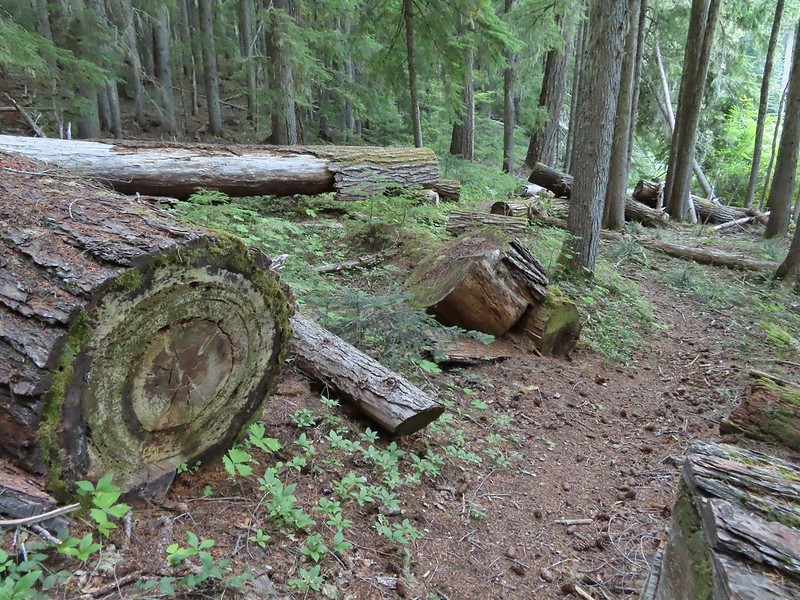
Aside from being a little crowded with brush the trail was in relatively good condition with just a couple of downed trees that were easily navigated.
Over the next 2.2 miles the trail slowly lost elevation as it alternated between south and north facing hillsides via four saddles, the first of which we arrived at after 0.5 miles. Hillside above the trail.
Sagebrush mariposa lily
Approaching the saddle where we would cross the the north side of the hill ahead.
The first saddle with Moon Mountain behind.
Looking back along the trail.
Looking back from the saddle.
The north side had a few more trees.
Looking back toward Fields Peak
We passed through a rocky section near the second saddle.
In another half mile we found ourselves passing through the second saddle and back on the south side of the ridge. McClellan Mountain from the second saddle.
Yet another half mile of trail brought us to the third saddle. Sullivan calls this phlox saddle and there was indeed a lot of phlox present it but had been a long time since it bloomed and all of the plants were now brown and dried. Approaching the third saddle.
The trail was again on the north facing side as it passed over a ridge leading out to Moon Mountain. Moon Mountain
Fields Peak (center).
McClellan Mountain as we approached the fourth saddle.
As the trail descended to the fourth saddle it disappeared in the sagebrush meadow.
The good news was this fourth saddle was where the off trail route to the top of McClellan Mountain started so we simply made our way through the sagebrush to the gentlest looking slope and started up the mountain. Sullivan showed it being 1.2 miles and just under 700′ up to the 7043′ summit. Looking back you can sort of make out the trail angling down the near hillside.
Looking up McClellan Mountain.
Earlier in the hike I had mentioned to Heather that the only real disappointment of the trip had been the lack of large wildlife (aside from the dozens of deer and lone bobcat we spotted on our drives). As we crested the first hill on our way up McClellan Mountain though we spotted a line of ungulates crossing the hillside far above us. They were far enough away that I couldn’t tell for sure if they were elk or deer but once again the zoom on our camera helped solve the mystery. In the middle of the center hill to the left of the tree in the foreground is the line of what turned out to be 5 bull elk.
Blurry due to the elk moving and the deep zoom.
Four of the bulls stopped to look back at us.
The fifth and largest bull on top of the ridge waiting for the rest.
After watching the elk disappear over the hillside we continued on. As far as off trail hikes go this was nice and straight forward, not ever too steep, and the vegetation wasn’t too tall or thick.
An old fence line on the hill.
Fields Peak on the left, an unnamed peak in the center and Moon Mountain on the right.
False summit (there’s always at least one). After some debate we went to the left of the rock outcrop which worked out well.
Passing the rock outcrop.
Almost there.
The Greenhorn Mountains, Elkhorns, Dixie Butte and the Strawberry Mountains from left to right in the distance.
Looking back at Fields Peak
The John Day River Valley.
Logan Valley
Company at the summit.
We took another nice break at the summit before heading back the way we’d come. On the return trip we had an encounter with what we believe was our first ruffed grouse. Passing back through Phlox Saddle.
A better look at the rocky section of trail.
Mountain coyote mint, one of only a couple with this coloration on the stems.
Butterfly and a beetle.
Sagebrush mariposa lily
Ruffed grouse
A final look at McClellan Mountain.
For the second day in a row our hike came in at 12.3 miles, this time with approximately 3200′ of elevation gain.
Fields Peak Track
In our five days of hiking in the area we passed a single hiker (with dogs), something that is unheard of even on weekdays on the western side of the State. We were a little concerned about ticks but we only saw two, Heather had one on her hand the first night on the Rock Creek Trail and she had a second on her tights at the end of the Canyon Mountain hike but neither had bitten her. It had been an enjoyable trip but it was time to head home. We drove to Bend and had a nice visit with Heather’s parents before leaving early the next morning for one final short hike. Happy Trails!
For our fourth day of vacation we had planned another of Sullivan’s featured hikes, this time the Canyon Mountain Trail in the Strawberry Mountain Wilderness. Sullivan suggests two possible turn around points, for a moderate 6.6 mile hike Dog Creek and a more difficult 11.8 mile hike Dean Creek. We had originally planned on the more difficult option but were having second thoughts after reading the Forest Service information for the the Canyon Mountain Trailhead which noted that the final couple of miles of road were not maintained by the Forest Service and they recommend 4×4 vehicles only during dry months of the year. Sullivan simply described the road as “very steep and bumpy at times!”. We had prepared ourselves to have to park at one of the many dirt (OHV) spurs before reaching the trailhead thus adding a few miles to our hike in which case Dog Creek might need to be our turnaround. The road was indeed steep and bumpy but our Rav4 managed to make it 2.2 miles to a saddle where the road worsened even further. We decided to park along a spur road at the saddle and walk the final 1/4 mile of road to the trailhead. I had started up to the left at the saddle but it was steep with gullies and some debris so we carefully turned around and parked below.
Little Canyon Mountain from the saddle. A wildfire burned the area in 2015 and the trail up to Dog Creek.
The actual trailhead.
A short distance up the trail we entered the Strawberry Mountain Wilderness.
The Canyon Mountain Trail doesn’t climb Canyon Mountain but rather traverses the hillsides below its namesake. There were however views of said mountain as we came around the first ridge end of the hike.
This was the least hazy morning of our trip so far but we were heading toward the rising Sun so visibility still wasn’t all that great. Little Pine Creek flowed down this valley below Canyon Mountain.
It looked like the wildflower display was probably pretty good earlier in the year but most of them were past now. We did see a fair number of late bloomers though. Yarrow along the trail.
Fireweed
Paintbrush
Approximately 1.5 miles from the trailhead we arrived at Little Pine Creek at a switchback.
A tenth of a mile beyond the switchback (and after switching back once more) we crossed Little Pine Creek but not before stopping to sample some raspberries. Paintbrush and pearly everlasting
Raspberries
We don’t recall seeing a penstemon with leaves like this before.
Twinberry (we did NOT sample)
Sitka burnett (white)
Little Pine Creek at the crossing.
The trail then gradually climbed through the forest to a viewpoint at a ridge end in what was now a dry meadow dotted with sagebrush mariposa lilies.
Prince’s pine
Mountain death camas
Fringed grass of parnassus
John Day below.
Little Canyon Mountain behind the ridge we’d come around earlier.
The Aldrich Mountains to the west, our destination for the next day’s hike.
Canyon Mountain
One of the sagebrush mariposa lilies.
Dixie Butte and the Greenhorn Mountains to the NE
After wrapping around the ridge the trail reentered the forest once again and descend gradually to Dog Creek, 1.7 miles from the Little Pine Creek crossing. Berries were the highlight at Dog Creek with three different types of ripe blue/huckleberries to pick from.
Columbine
Swamp onion
Flowers at Dog Creek
Twinflower
Since we’d manage to drive almost to the trailhead we decide to continue on to Dean Creek which was another 2.2 miles away. The distance was mostly due to having to swing out and around the rocky ridge separating the two creek drainage’s. There was a lot of elk sign along this section of the trail.
A lot of sign.
Looking back toward Canyon Mountain.
The trail crossed over the ridge in a saddle with quite a bit of mountain coyote mint.
Green Mountain on the left and Canyon Mountain on the right.
A smaller raptor, it wouldn’t look at us so I’m not sure what type it was.
Butterflies on western snakeroot. Side note we didn’t see a single snake or lizard all week which was really surprising to us.
We did however see quite a few grouse.
The trail got a little brushy nearing Dean Creek.
There wasn’t much water in Dean Creek but there was enough for a small cascade.
Wildflowers next to a small pool.
Dean Creek
Butterfly near the pool.
We sat in a nearby campsite to soak in the views as we took a short break. Canyon Mountain
Dixie Butte with the Greenhorns on the left and the Elkhorns (post) on the right.
After our break we returned the way we’d come, watching as always for wildlife and any flowers we’d missed on our fist pass (also ripe berries). Cones
Lousewort
Pearly everlasting, yellow flowers, and fireweed.
An eagle?
More cones
Dragon fly
A sulphur butterfly
California tortoiseshell
Grouse
Maiden fly
Skipper
Woodpecker
Northern flicker
Mountain bluebird
We put the car in low and drove back down the steep road until we made it to pavement then returned to John Day for one final night. This was probably our favorite hike of the trip because it felt the most like being in the mountains even though we were at higher elevations on Spanish Peak, in the Monument Rock Wilderness and the next day in the Aldrich Mountains. With the little extra road walk we came in at 12.3 miles and about 1850′ of elevation gain. Happy Trails!
We were finally down to our last Oregon Wilderness area to visit, the Monument Rock Wilderness (post). The 20,210 acre wilderness is located in the southern Blue Mountains a little over an hour east of John Day. We’d spent the night in John Day and woke to find that it had rained overnight but we hadn’t heard any thunder so we were optimistic that no new lighting caused fires would be springing up. We had two hikes in the wilderness planned for the day with the first being a hike to the wilderness’s namesake, Monument Rock.
Our starting point for the hike to Monument Rock was the Table Rock Trailhead. The final 3.8 miles to this trailhead require slow driving and a high clearance vehicle.
The trailhead is at this hairpin curve below Table Rock. The road continues another 0.8 miles to the staffed Table Rock Lookout but reportedly worsens which is hard to imagine is possible.
The trail quickly crossed the wilderness boundary on an old roadbed completing our goal of hiking in all of Oregon’s 46 wilderness areas open to human visitors.
First time seeing a wilderness sign quite like this.
There was quite a bit of smoke in the sky this morning even though we still weren’t really smelling it.
A red Sun behind the smoke, presumably mostly from the 400,000 plus acre Bootleg Fire east of Klamath Falls in south central Oregon.
We followed the old road bed through sagebrush and occasional stand of trees for a total of 1.7 miles to a post. There was a nice amount of red paintbrush blooming amid the sage and lots of interesting rock formations along the way.
Clark’s nutcracker
Monument Rock in the distance.
Paintbrush in the sagebrush.
Ground squirrel
There was a fair amount of this green paintbrush too.
We believe this post (not the 1.7 mile post) marked a side trail to Rock Spring but we didn’t see any tread in the area to know for sure.
Bullrun Rock dead ahead.
Table Rock in the distance.
The Table Rock Lookout.
Two kinds of paint.
Bullrun Rock below the Sun.
Monument Rock again.
Old man’s whiskers
A checkermallow
We passed this sign for the Amelia Trail along the way but again didn’t see any trace of tread for it.
Grazing cattle near the post.
The post with Monument Rock in the background.
We made a sharp left turn following an old jeep track uphill toward Bullrun Rock.
In a little under a half mile we were at the base of the rock near a fence.
I believe that is Ironside Mountain.
We then scramble up the side of Bullrun Rock to the 7873′ summit.
The jeep track and Monument Rock.
Table Rock
Looking down into the Monument Rock Wilderness
After enjoying the view we climbed down and returned to the post which we then continued past through an old fence and onward toward Monument Rock.
Woodpecker
Mountain bluebird
The old road bed wasn’t much more than a cattle trail now but we followed it for approximately 0.2 miles to what was shown on our GPS units as a sharp turn to the right. Sullivan indicated that there was a small cairn in this area marking the start of the route to Monument Rock. We didn’t notice any cairns but comparing the map on our GPS to the one in his guidebook led us to believe this was the correct spot so we followed an elk/cow path to the left but it was leading us too much to the east so we struck off cross country toward the flank of Monument Rock.
Looking back toward Bullrun Rock.
The initial climb up was a little steeper than we’d expected which led us to believe we may have not been quite where Sullivan would have had us go up, but we managed to make it up to a broad ridge where we then headed uphill through sagebrush. Table Rock from where we gained the ridge.
Heading up.
Soon the large rock cairn atop Monument Rock was visible (the cairn was likely constructed by Basque shepherds or possibly gold miners long ago).
We made our way over to the andesite outcrop and climbed up to the cairn and took a break. Me making my way up to the cairn.
Bullrun Rock from the cairn.
Table Rock from the cairn.
The Monument Rock Wilderness.
The haze had cleared up somewhat by this point giving us blue sky at least overhead as we began our hike back. The cairn on Monument Rock from below.
We decided to try a slightly different route back down hoping that we could follow the ridge further down and pick up what was showing on our GPS units as a trail below following South Bullrun Creek. Sullivan’s map showed the first part of the trail from the turn where we’d left the road bed extending 0.3 miles to a spring but the Garmins showed the trail then continuing south. Our thought was that if a trail had at one time been down there it was likely built on a less steep grade than the side we’d scrambled up. Heading downhill.
Heather spotted this sheep moth.
When we came to what appeared to be an old jeep track or path of some sort we turned right (north) and followed it down a short but still steep hill.
The path leading downhill.
The trail that was shown on the GPS dropped over 150′ from where we were, presumably down to the spring, but that was about 120′ more than we needed to lose so when the hillside leveled out a bit we made a hard right turn and made our way back to the track we’d taken earlier. We arrived below the point where we’d scrambled up and then headed back to the old road bed. Once we rediscovered the road we followed it back past the post and to the trailhead. Table Rock in the distance with Bullrun Rock on the right.
Robin
Quite a bit of a difference from the morning.
The hike here came in at an even 7 miles with just under 900′ of elevation gain.
Our track for Monument Rock
We had a little left in our legs after the Monument Rock hike so after navigating the rough 3.8 miles back to the Elk Flat Springs Campground we continued another 3/4 of a mile on Forest Road 1370 to the North Little Malheur Trailhead. The Little Malheur River had been one of Sullivan’s featured hikes in previous editions of his Eastern Oregon book but repeated fires and lack of maintenance have relegated it to a back of the book entry. We had decided to check it out to see what the trail condition was and to hopefully make it to the Little Malheur River which was approximately 2.2 miles from the trailhead.
We were encouraged to find signs at the trailhead showing that the Blues Crew had done some work on the trail.
We were less excited that a cow crew was currently present.
In true cow fashion instead of just letting us pass by above them on the trail they ran uphill onto the trail and the for the next couple of miles we occasionally caught up to them and they would run off along the trail again kicking up dust and leaving cow pie mines along the path but I digress. Getting back to the hike, the trail was faint but flagging and a few rock cairns assisted in keeping it found (along with the cows).
Yarrow and an orange agoseris.
Wilderness sign marking the boundary of the Monument Rock Wilderness.
Table Rock from the trail.
Elk Flat Creek.
An orange flag to the right ahead.
The trail following Elk Flat Creek.
A few areas of green trees remained.
We were entertained by a large number of hawks in the area.
Unnamed stream shortly before reaching the Little Malheur River.
Monkshood along the stream.
It appeared that quite a few trees survived along the Little Malheur.
The trail crossing the Little Malheur River. We were especially excited to see a lot of nice pink monkeyflower along the banks.
We reached the river which wasn’t much more than a creek here, but it was a pretty setting. Wildflowers and green vegetation hosted a number of butterflies.
Pearly everlasting
After a nice relaxing break along the river we returned the way we’d come. In theory the trail extends another 5 miles to the south trailhead crossing the river 7 times along the way but we had gone far enough for today. It was nice not to be following the cattle on the way back. Ground squirrel
Either a big ground squirrel or a small marmot.
Another hawk.
Fluffy clouds forming over the Monument Rock Wilderness.
Our hike here, which included just a bit of wandering, came in at 4.8 miles giving us 11.8 for the day.
Our track for the Little Malheur River
It had been a good ending to our quest to visit all of Oregon’s designated wilderness areas and we celebrated with an early dinner at 1188 Brewing in John day before turning in early so that we could get up in the morning and head into the Strawberry Mountain Wilderness. Happy Trails!
After spending the night camped near First Creek along the Rock Creek/Ochoco Mountain Trail we got an early (6:30am) start to hopefully climb up the 2000 plus feet to the summit of Spanish Peak before the day got too hot. According to Sullivan’s map (which matched the Forest Service’s map) it was 5.3 miles to the summit.
Forest Service Map
Just 0.2 miles from where we had made our makeshift campsite we came to an established campsite in a saddle near where the Ochoco Mountain Trail supposedly turned uphill to start the climb. Continuing along the Waterman Ditch.
If this trail sign was marking a junction it wasn’t clear where the other trail was.
Campsite at the saddle.
There was no clear tread other than the continuation of the Rock Creek Trail to the north where it ends at the National Forest Boundary in another mile. There was however a sign for the “Rim Trail” on a tree uphill from the trail. The Rim Trail sign on a tree trunk.
We headed uphill to the sign and picked up what appeared to be a rough trail but it also looked like it could have been an elk trail.
We tried our best to follow it uphill but there were no blazes, flagging, or cut logs to indicate that it really was an actual trail and in less than a half mile we lost it in brush.
The hike had suddenly become an off-trail adventure. Between the Sullivan’s and the Forest Service map we knew the general route that the trail supposedly took so we did our best to recreate it at first. That meant a series of switchbacks up a steep hillside through a sagebrush meadow above First Creek.
The trail then supposedly wrapped around the ridge between First and Second Creeks arriving at a rock cairn along a rim 2.5 miles from the saddle. We thought that we might rediscover the tread as we switchbacked up, but we did not. As we compared the maps with our GPS we noticed that we weren’t that far below the top of the ridge and that it might be possible to simply climb over the ridge taking a more direct route to the rim cairn. We decided that was our safest bet as we weren’t sure if we would find the trail wrapping around the ridge and even if we did a large downed tree in the wrong spot could make it impassable. We followed game trails through a small stand of trees into more sagebrush on top of the ridge.
Rock Creek Lake
Gaining the ridge.
We found the trail again on top of the ridge and were soon following rock cairns to the rim.
View from the rim.
Spanish Peak
A local
The trail was easy to follow along the rim but soon it came into some trees (and past a few wildflowers) where it appeared maintenance hadn’t been performed for a bit. Astter
Some sort of delphinium I think.
Downed trees across the trail ahead.
Interestingly camouflaged beetle on the upper onion.
Lupine
A checkermallow
Some more downed trees that we had to go around.
We briefly left the trees and were back to cairns in the sagebrush but soon reentered the trees and encountered more obstacles.
After passing through a couple of meadows we came to a rocky hillside below Spanish Peak where we left the trail and headed uphill following a few scattered cairns along what was shown on the GPS as the “Mascall Jeep Track”.
We left the trail here, note the small cairn on the left.
Heading uphill.
Scarlet gilia
Paintbrush
After a third of a mile we came to Spanish Peak Road, a dirt track to the radio tower and former lookout site atop Spanish Peak. //embedr.flickr.com/assets/client-code.js
We turned left on the road and followed it another 0.3 miles up to the summit.
The site of the former lookout.
The view was impacted by the “widespread haze” that had been forecasted but we could still make out quite a bit (and at least it didn’t smell smokey). Looking out toward the John Day River valley.
SE to Windy Point.
West to Rock Creek Lake and on the horizon the flat topped Lookout Mountain (post) and pointier Round Mountain (post) in the Ochocos.
NE to the John Day River Valley.
Lookout and Round Mountain and the rim that we had hiked up below Spanish Peak.
The Pisgah Lookout on the far side of the Bridge Creek Wilderness (post).
A hazy Mount Hood to the NW.
After taking a break at the summit we returned down the road to the jeep track and followed it back down to the Ochoco Mountain Trail where we turned left into some trees.
We passed through a meadow filled with fritiallry butterflies who were loving the remaining hyssop blossoms.
After 0.3 miles back on the Ochoco Mountain Trail we came to a signed junction with the Mascall Corral Trail.
Here we made a hard right and headed steeply downhill along the Baldy Creek drainage.
This trail was in a little better shape having seen some maintenance.
Baldy Creek was on our left.
The trail soon followed old roadbeds, including another section of the Mascall Jeep Track and just under three miles from the junction arrived at the Mascall Corrals Trailhead
Red-tailed hawk
Western tanager
Arriving at the trailhead.
Signage at the trailhead.
From this trailhead we turned right and followed Forest Road 3820 one and a quarter miles (some of which was disappointingly uphill) to Arvid Nelson Road where we turned right for another 0.8 miles to the Rock Creek Trailhead and our waiting car. Baldy Creek below FR 3820.
A sulphur butterfly of some sort.
A watermellon or June bug as we called them growing up.
FR 3820 meeting Arvid Nelson Road.
Spanish Peak from Arvid Nelson Road.
This was an 11.5 mile hike with almost 2500′ of elevation gain. The off-trail scramble above First Creek had made the hike a lot more difficult than planned, made more so by having our full backpacks instead of a lighter day pack, but it had been fun (mostly) and despite the haze we had decent views on the day.
Our track in orange
From the Rock Creek Trailhead we drove to Highway 26 then headed east to John Day where we checked into the Dreamers Lodge then had a nice dinner at the Outpost Pizza Pub & Grill before turning in for the night. Happy Trails!
**Note the 2024 Rail Ridge Fire burned over the Black Canyon Wilderness.**
Every year we pick our vacation time in January/February (due to work) so we never know what the conditions will be when we choose. We had a week scheduled in July for a trip to the John Day area in hopes to make further headway on the 100 featured hikes in Sullivan’s “100 Hikes/Travel Guide Eastern Oregon” (post) and to complete our goal of visiting all of Oregon’s designated wilderness areas (minus the two that are closed to human visitors) (post).
With severe drought conditions present all of the West and multiple wildfires burning in Oregon we kept an eye on the forecast and made daily checks with the relevant National Forests to make sure the hikes that we had planned remained open. While all of the trails were open a red flag warning for possible scattered thunderstorms Monday and Tuesday for the Blue Mountains had us a little concerned. The forecast also called for “wide spread haze” every day but fortunately not for “smoke” which meant we’d probably not have much in the way of views on the trip. We could deal with the haze, it was the possibility of new lightning caused fires that could quickly end our trip and our two days of hiking (Monday & Tuesday) involved our first overnight backpacking trip of the year.
Monday we left Salem and drove to the Boeing Field Trailhead, the first of two stops in the eastern portion of the Ochoco Mountains.
This trailhead, named in honor of a B-18 bomber that crashed nearby during a WWII training flight killing all four crew members, provides access to the Black Canyon Wilderness via the Owl Creek Trail.
We headed down the Owl Creek Trail and quickly entered our 45th Oregon wilderness area.
We descended to the nearly dry bed of Owl Creek in the scar of a 2008 wildfire and in a half mile reached the Black Canyon Trail.
Aster, paintbrush, and fireweed.
Fireweed, aster, and pearly everlasting.
Clouds and smoke mixing in the sky made it hard to tell if any thunderstorms might be developing.
We never heard any thunder but we did briefly get sprinkled on.
Ground squirrel.
Columbine
Fritillary butterfly
Black Canyon Trail junction.
We turned left onto the Black Canyon Trail and followed it down into Black Canyon along Owl Creek soon leaving the fire scar behind.
Owl Creek crossing approximately 1.5 miles from the junction.
In another half mile we arrived at Black Canyon Creek which we easily crossed on small logs.
Fish in Black Canyon Creek
We were seeing a lot of mountain lady slipper orchids but unfortunately they were all past.
Three quarters of a mile after crossing Black Canyon Creek we passed the Coffee Pot Trail and soon entered another fire scar, this one from 2002.
Western Tanager
Just under 4 miles into the hike we came to the second crossing of Black Canyon Creek and our turnaround point for the day.
California tortioseshell
Western Jacob’s ladder
Black Canyon Creek
After a short break on a log spanning the creek we headed back to the car stopping occasionally along the way to watch pollinators busy at work.
This was an eight mile out and back with almost 1600′ of elevation gain, mostly on the way back.
Black Canyon Track
From Boeing Field we drove back the way we’d come 4.3 miles to the Rock Creek Trailhead.
Here we threw on our full backpacks as our plan was to camp somewhere along Rock Creek and then return on a loop the next day by hiking up to Spanish Peak the next day following the route of the Ochoco Mountain Trail and Mascall Corral Trail.
Forest Service Map
From the trailhead the trail descended to Rock Creek crossing it on a nice footbridge.
The number of insects on the blossoms and their size differences were fascinating.
The trail then followed along Rock Creek for a bit before the creek began descending more steeply than the trail. At the 2.4 mile mark we arrived at a sign announcing the Waterman Ditch.
Snacks
Lorquin’s adrmiral
A little light on the tread in this section.
The trail then followed the old ditch passing the remains of a cabin next to Fir Tree Creek in 1.4 miles.
Fir Tree Creek
Butterflies on coneflower
The cabin ruins.
We continued on heading for Second Creek which was just over 1.5 miles beyond Fir Tree Creek where we hoped we might find a spot to camp or at least refill our water supply.
Coming around a ridge end toward Second Creek.
Monkshood at Second Creek
This little guy oversaw our water pumping.
There wasn’t a lot of water in Second Creek and the crossing where the most obvious spot to get water was had a whole lot of yellow jackets flying around. We had to do a little hunting up and down the creek in thick vegetation to find a pool deep enough for our pump but finally managed to. What we couldn’t find was a place for our tent or a spot to cook dinner away from the yellow jackets and mosquitos so after getting water we reluctantly continued hiking. After nearly 1.5 more miles we arrived at First Creek where there was almost no water but there was a suitable spot for a tent.
It had been a long day with this hike coming in a little over 7 miles making it a 15+ mile day for us.
Rock Creek Track (orange)
It was also a warm evening and we had the rainfly on due to the slight chance of rain which made it even warmer. It did finally cool off enough overnight to warrant pulling our sleeping bag/quilt over us and we managed to get some sleep. I woke up once when something fairly big cracked it’s way through the trees below our camp and a couple more times when a pair of nearby owls were trading hoots. It was a more difficult start to our trip then we had anticipated but a good day none the less. Happy Trails!
 Trailhead sign at the south end of the rest stop. Brochures were located in the small box under the sign.
 Map on the trailhead sign.
 Red Sun through the smoke.

 The Harney Valley to the east.
 This stop was for a juniper that was blown apart by a lightning strike.
 The rest area from the loop.
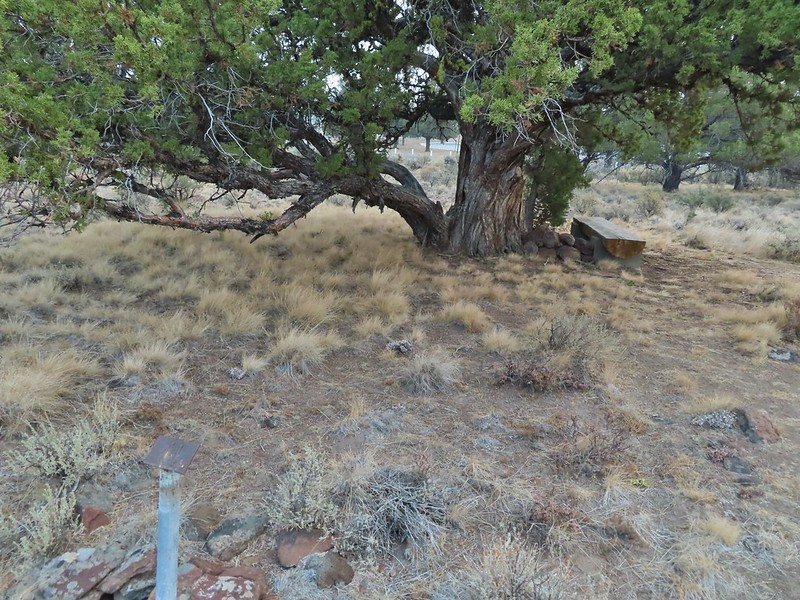 The last stop was to discuss the relationship between the junipers and the Idaho fescue that grows underneath.
 Deer in the nearly dry Marshall Pond
 Yellow headed blackbird
 California quail
 Owl
Owl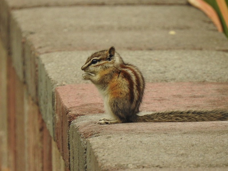 Chipmunk
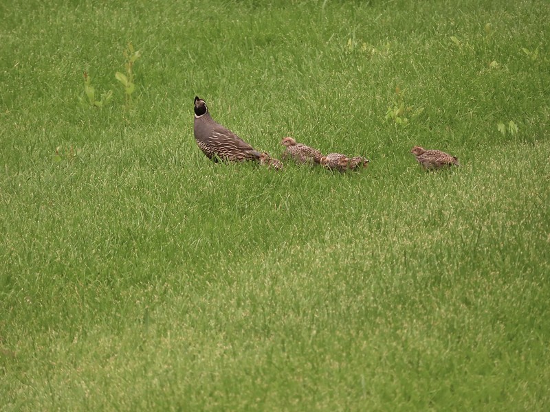 More quail
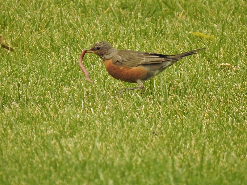 The early bird
 Hummingbird
 Little bird on a feeder
 Shrike
 Hawk and a magpie
 Osprey
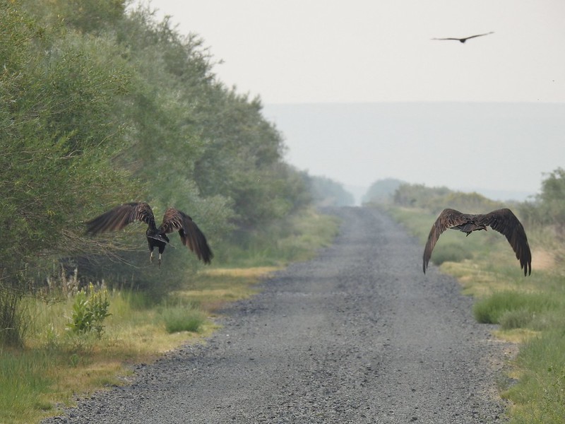 Turkey vultures
 Coyote
 Mourning doves
 Egrets and ducks at Benson Pond
 Old cabin at Benson Pond
 Another owl
 Another turkey vulture
 Grasshopper
 White faced ibis
 Great blue heron amid the ducks.
 A couple types of egrets it appears.
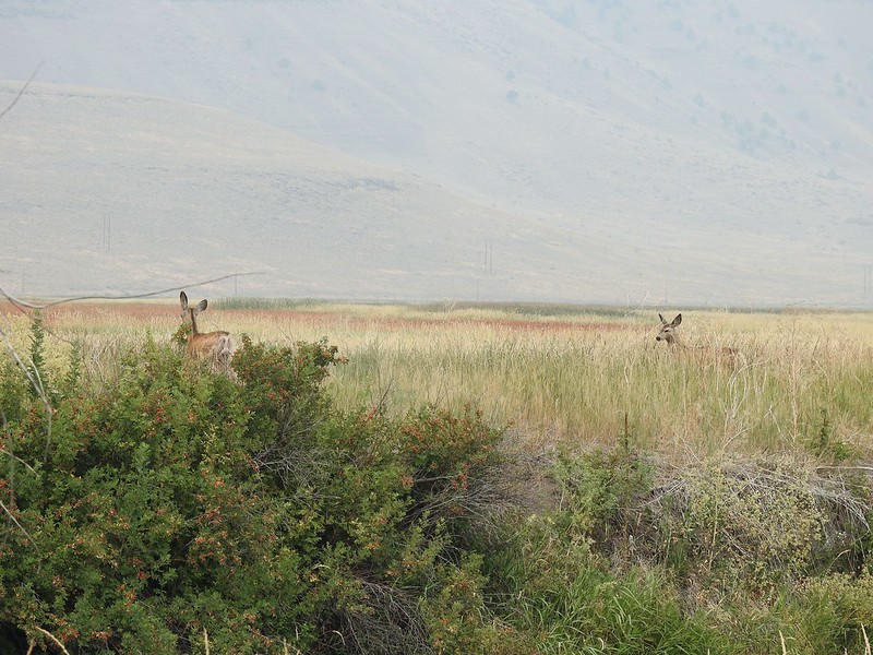 Deer that were in the Blitzen River
 Bounding fawn
 Ducks and coots at Knox Pond


 Bee and a butterfly
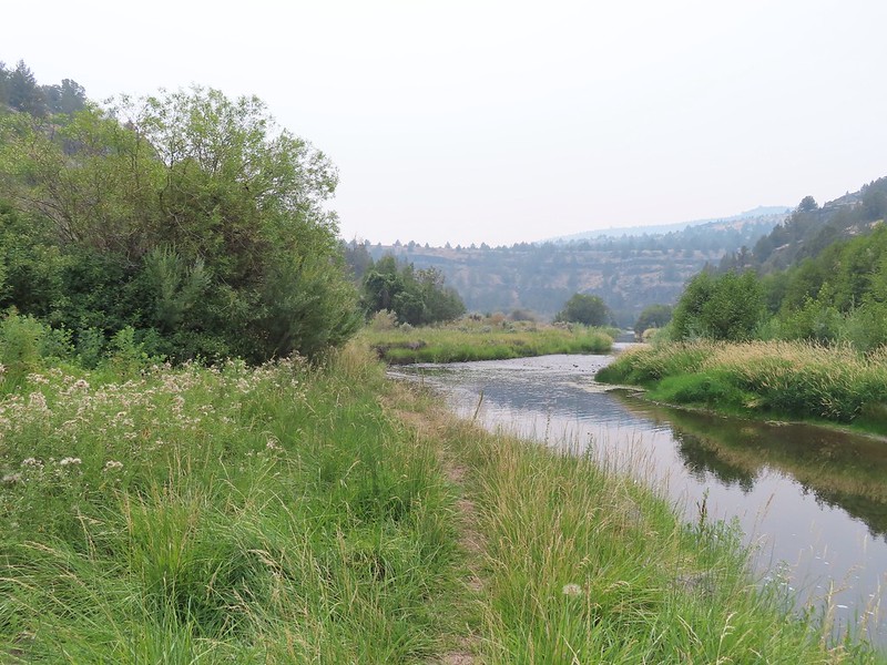
 A brushy section.
 A bee and a skipper
 Praying mantis
 The “other” trail on the hillside at the 0.7 mile mark.
 A wren?
 Fence crossing
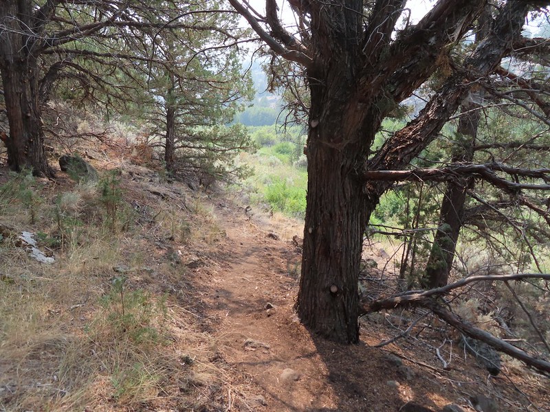 Rejoining the Donner und Blitzen Trail at the 0.4 mile mark.
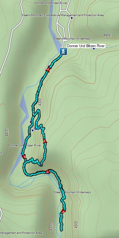


 A hazy look at the South Sister and Broken Top.

 Passing under the Skyliner Express
 The ski runs gave us a good look at the top of the mountain.
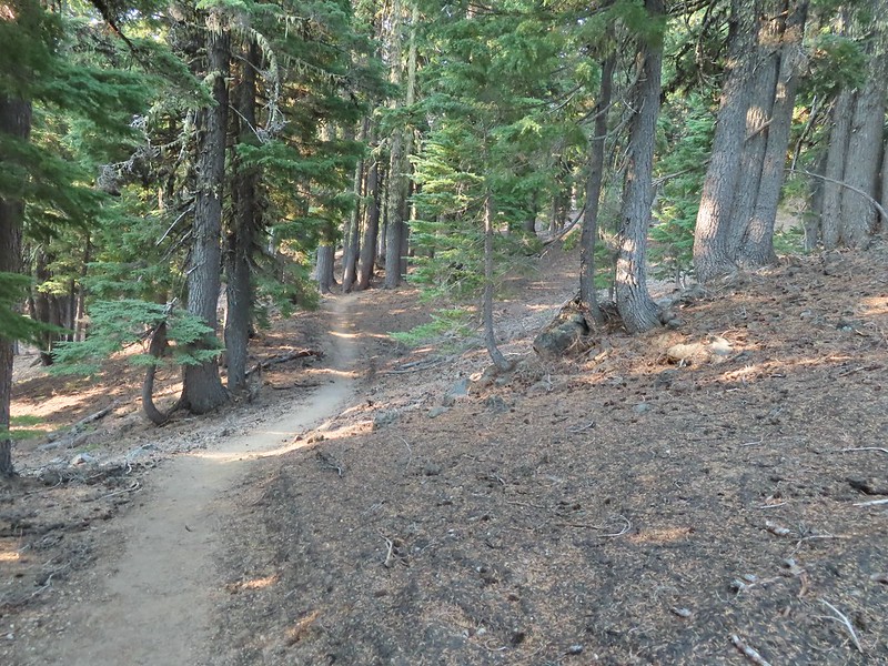

 Turning uphill
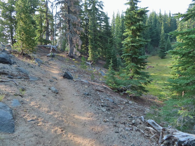 Spotted a grouse hen and her chicks in this little meadow.
 Two of the chicks.
 Passing under the Sunrise lift.
 Nearing the top of the Sunrise lift.
 Another hazy look at the nearby mountains.
 South and Middle Sister through the haze.
 The top of Sunrise and the bottom of the Summit lifts.
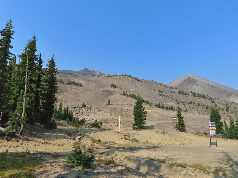 Looking up from the top of Sunrise.
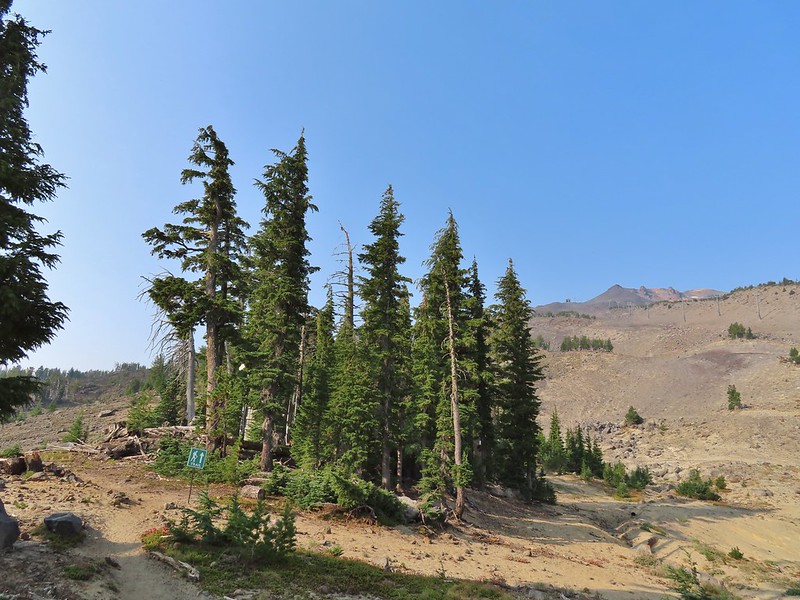


 A few saxifrage blossoms still left.
 Alpine buckwheat and paintbrush
 The first patch of snow we passed.
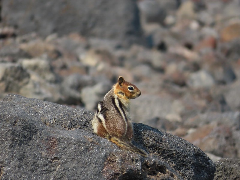 Golden mantled ground squirrel
 Tumalo Mountain (
 Looking down from beneath the Summit Express.
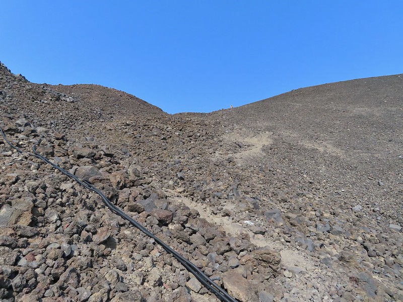 We could really feel the elevation affecting our breathing and by this point we were both sucking wind.
 Dwarf alpinegold
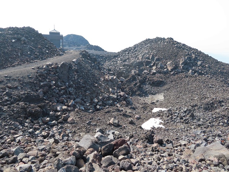 Looking back at the Summit Express.
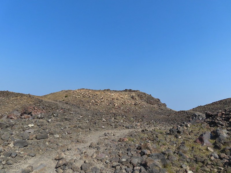 Heading for the high point.
 A mountain bluebird near the summit.
 South Sister and Broken Top with Sparks Lake (

 It’s our rule not to feed the wildlife but it was obvious that many don’t adhere to that LNT principle. I had to put my pack back on to avoid having a hole chewed through my pocket.
 View of the summit.
 Broken Top, the Pine Marten Lodge halfway up the mountain, the West Village Lodge and parking area below and Tumalo Mountain across the Cascade Lakes Highway.

 A little better view of Broken Top and Tumalo Mountain on the way down.
 Clark’s nutcracker

 Left leads up to the Pine Marten Lodge atop the Pine Marten Express, right to the West Village Lodge.
 A decent look at Tumalo Mountain
 Warning sign for a bike crossing.
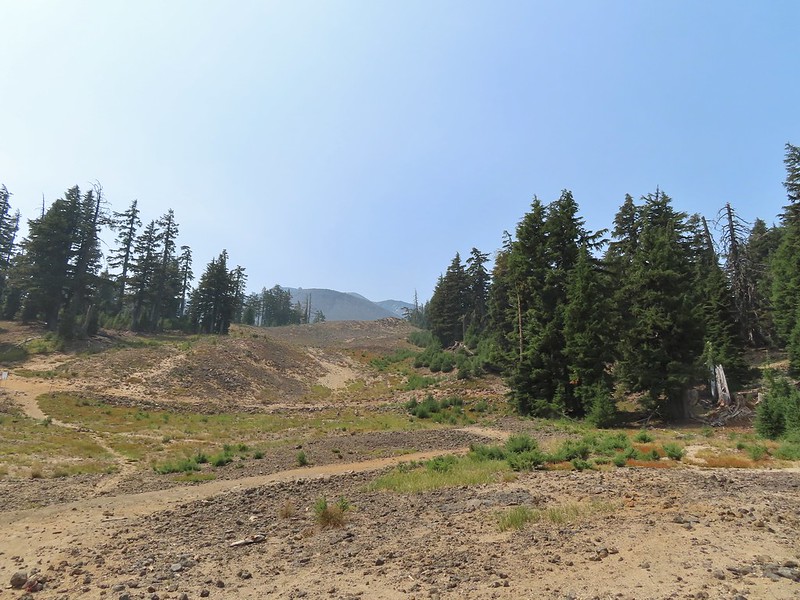 A look at some of the mountain bike trails and some haze moving in overhead.
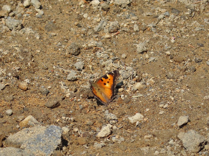 A tortoiseshell butterfly on the road.

 At least we could see the mountains a little better from here.

 The start of the “trail” at the end of the road.
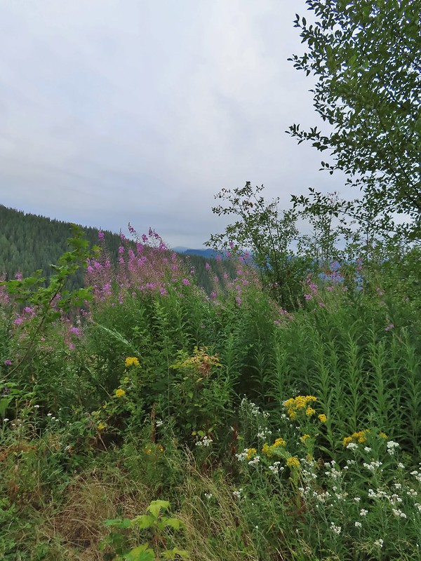 Wildflowers at the trailhead.
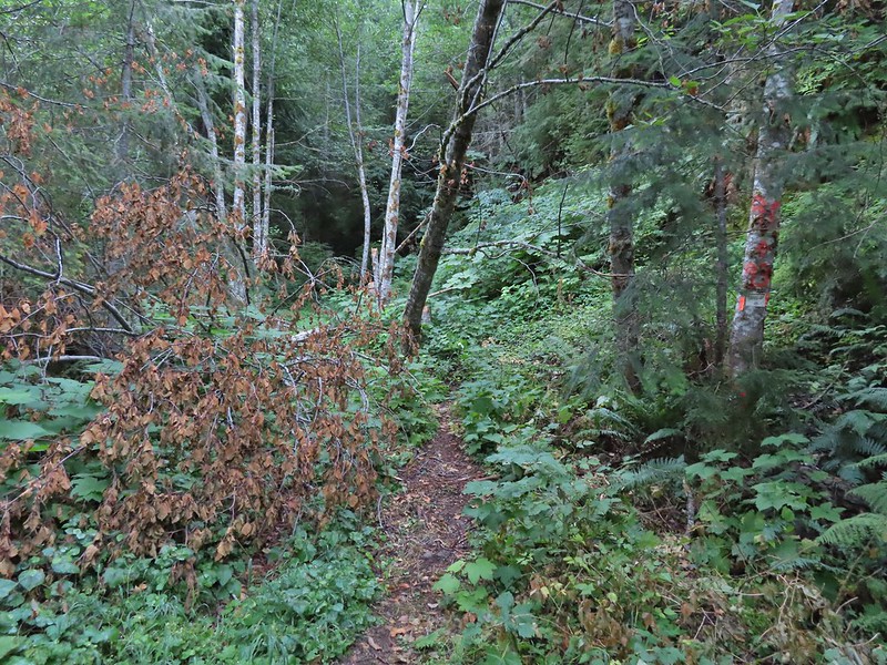


 Orange dot on a tree.
 Another orange dot.
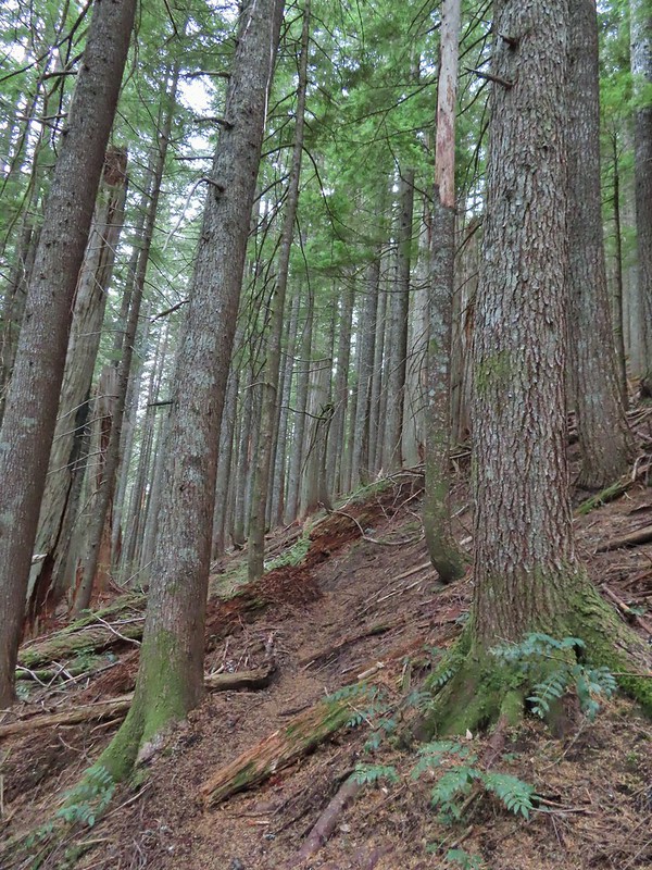 Occasionally there were short steep climbs but nothing as steep as the first part.
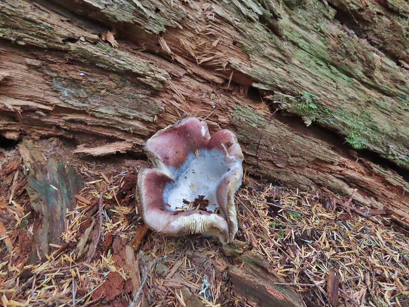 Mushroom
 Pink flagging on the right related to the timber sale.
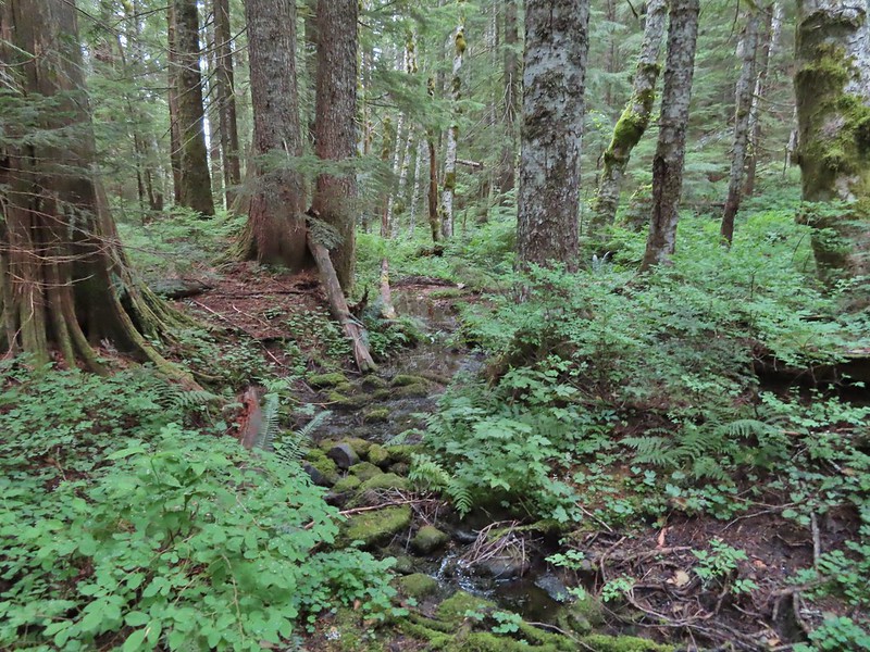 Water in a creek bed.
 Mushroom amid bunchberry leaves.
 Red huckleberries
 Timber sale boundary sign on the right with a flag.
 More huckleberries.
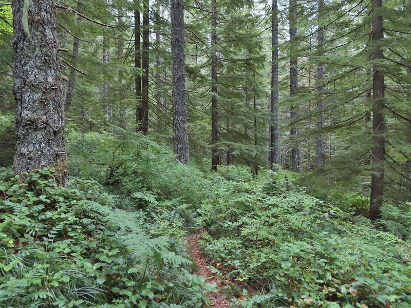


 Bluebell of Scotland
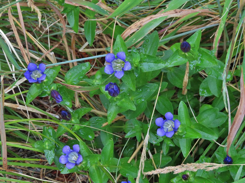 Gentian
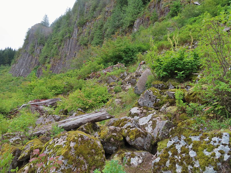
 Pearly everlasting
 The view north, not much to see.
 Mount Mitchell from the path.
 Paintbrush
 Gentian
 Penstemon
 aster
aster Oregon sunshine
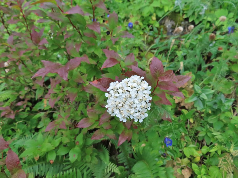 Yarrow
 The trail nearing the end of the basalt cliffs.
 The view south across North Siouxon Creek was the same as it had been to the north.

 It was apparently a good beargrass year along the trail.


 Fireweed amid the beargrass.
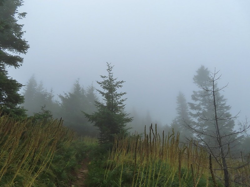


 Mt. St. Helens is out there somewhere.
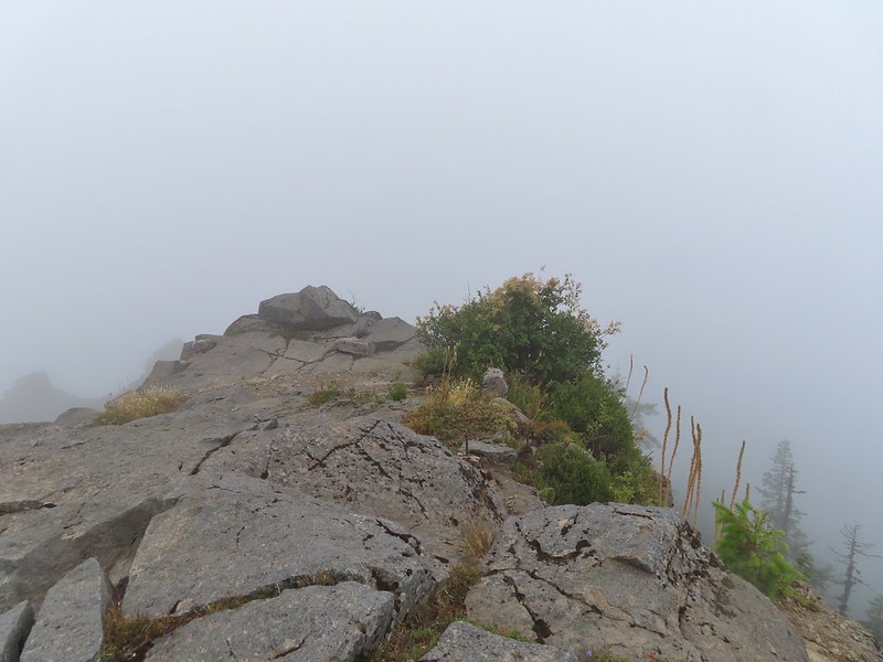 Looking east over the site of the former lookout.
 The survey marker and one of several neat rock formation near the summit.
 Closer look at the formation.

 A second picture after seeing it move again.
 The pika popped back out below the larger rock that it had run behind.
 A non zoomed in photo, the pika is still in the same spot as in the two photos immediately above.
 Spotting this patch of ghost pipe emerging from the forest floor was another highlight on the return hike. The hike is reportedly 7.3 miles with a little over 2000′ of elevation gain but Heather’s GPS put us at 7.8 miles and mine registered 8.3 miles. (If you’ve read other posts you know that Heather’s unit used to almost always show the higher mileage but lately mine has been.) Whatever the actual mileage it was a good hike through a very nice forest which sadly, barring a last minute successful change, may not be possible in the future.
 Bower Slough
 Ducks in the slough.
 South East Lake which was mostly dried up at this point in the year.
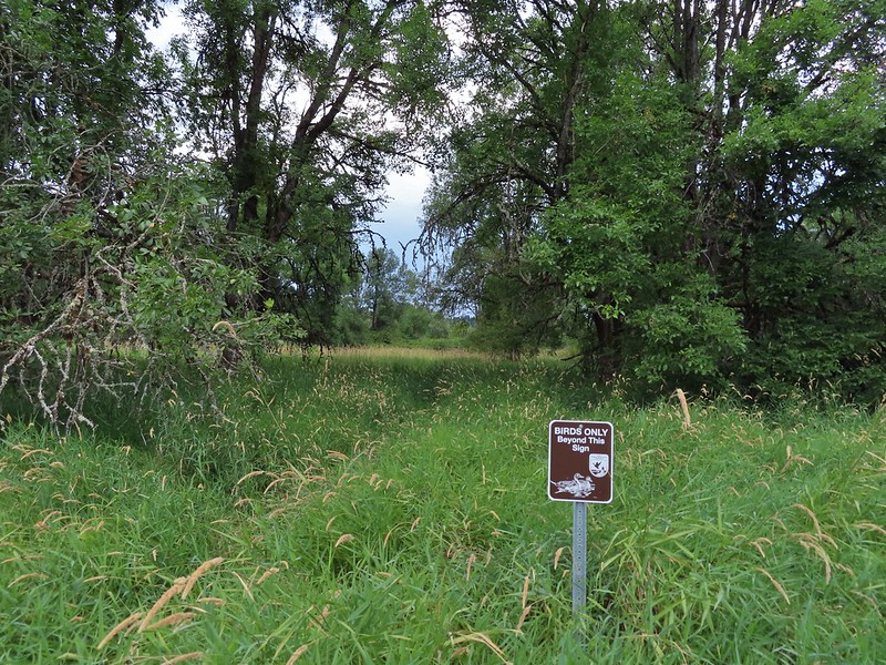 Apparently deer can’t read based on the trail leading past the sign.
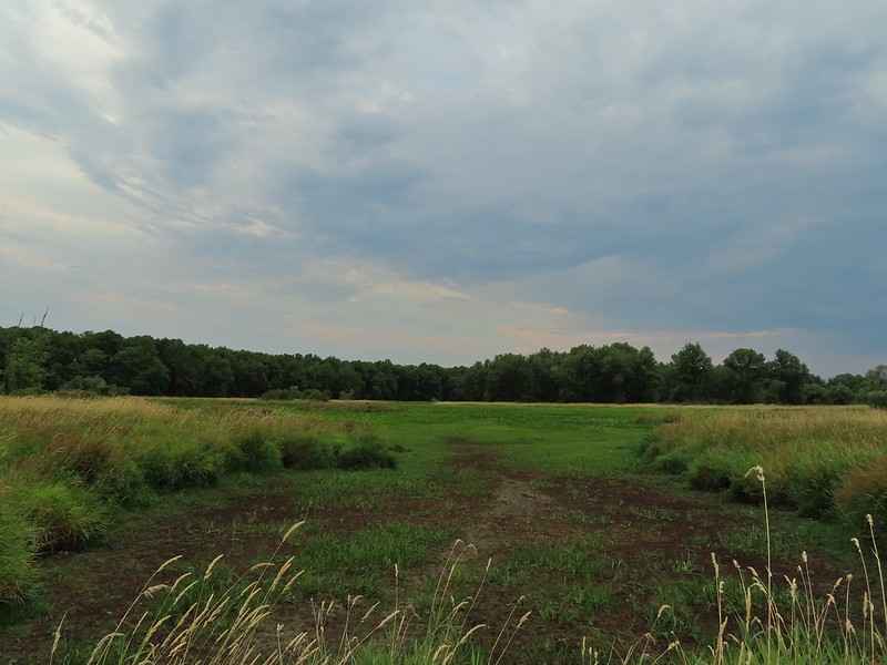 The bed of South East Lake
 Some moisture passing through this morning.
 Dove
Dove Walking along a cleaner looking portion of the slough.
 Bridge/boardwalk between Middle Lake (left) and West Lake (right).
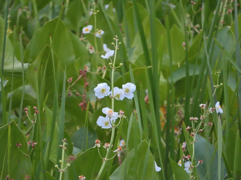 Wapato blossoms
 Lots of ripening blackberries.
 Second crossing of Bower Slough near the end of the loop.


 Great blue heron
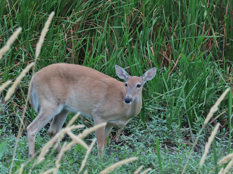 Doe
Doe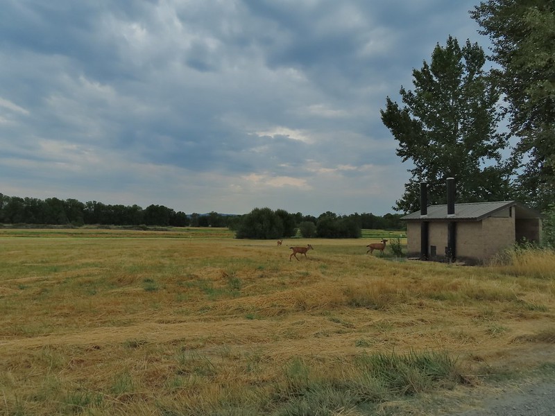 Deer near the restrooms/fee booth.

 <
<
 Doe in the brush near the tracks.
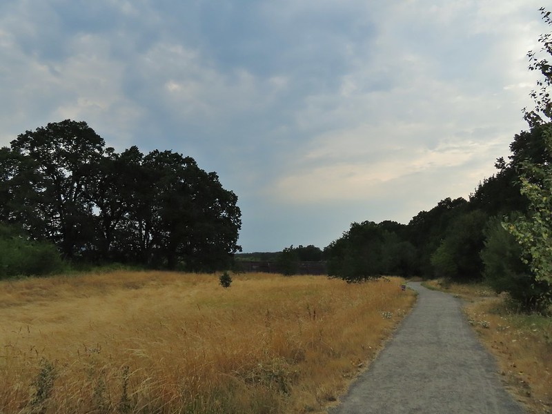


 Carty Lake Trail and Duck Lake
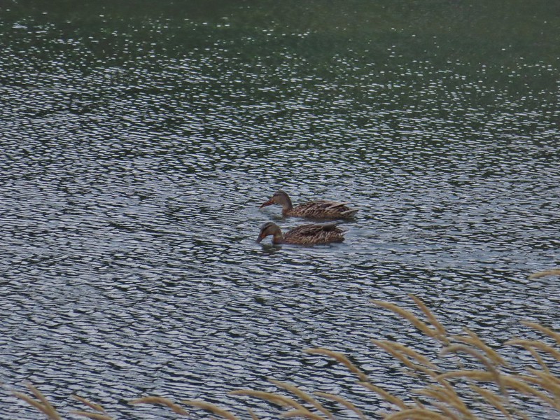 Ducks on Duck Lake
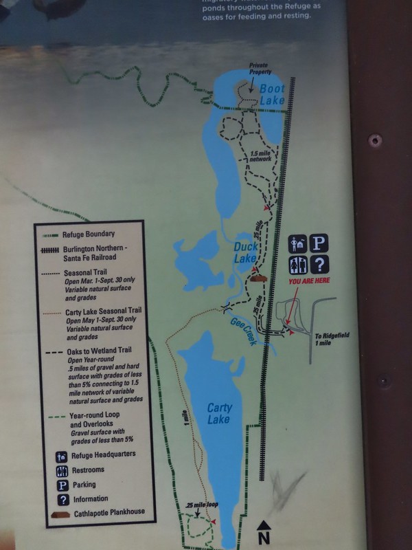
 Paved and dirt options allow for a mini-loop near the start, later the trails are all dirt.

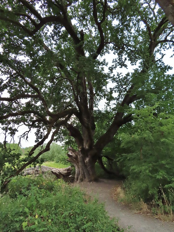 Big oak
 One-way pointers for a second loop.
 The trails can reportedly be quite muddy during the wet season but the current drought meant a hard packed surface.
 Bright red poison oak climbing some of the tree trunks.
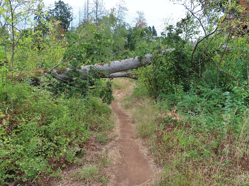 A bit of a low bridge.
 Spotted towhees
 Onward toward Carty Lake.
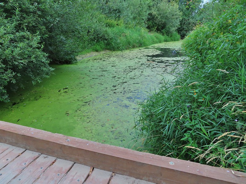 Gee Creek
 Orange jewelweed along Gee Creek.
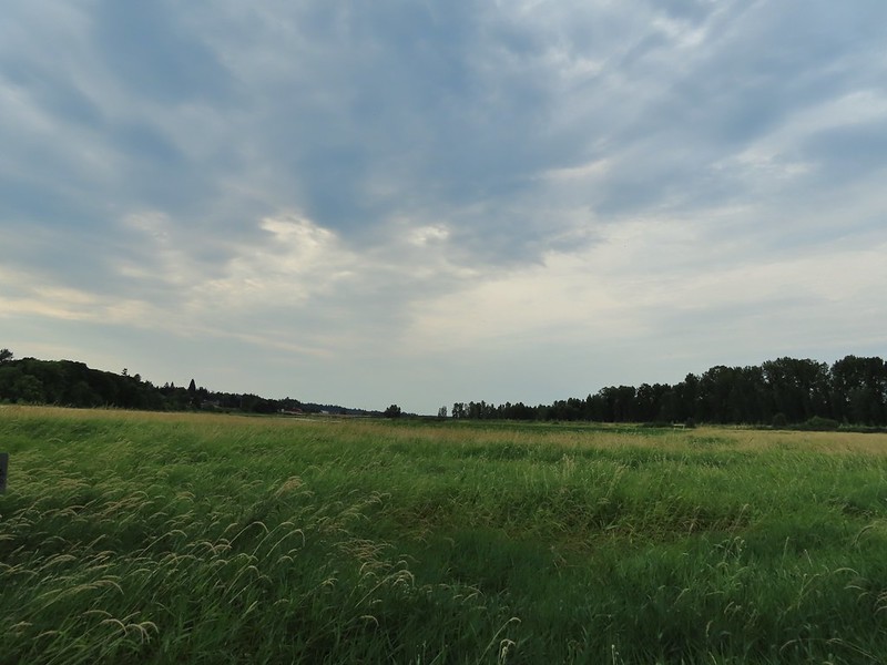 Carty Lake also lacking much water.
 Bindweed
 A primrose
 Wapato at Carty Lake
 The trail turning south toward the Port of Ridgefield.


 Lots of salal along the trail.

 Map near the platform.
 High tide had been between 7 and 8am so the water was retreating from the Bay.
 Looking south.


 Looking back along the trail.
 Cresting the dune.
 Snowy plover sign, a common sight along the beaches in Oregon too.
 Bayberry Trail passing through the snowy plover closure area.
 Bumblee on American skyrocket.


 Chestnut backed chickadee

 Someone had written “umpassable (sic) swamp” below the word loop on this sign. This is when we began to guess why Sullivan had you turn left at the Weather Beach Trail junction.
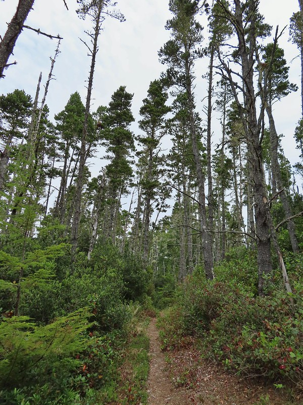
 Slug and a mushroom. We both thought of Alice in Wonderland.

 Signboard at the southern trailhead.


 Looking back over one of the trees.
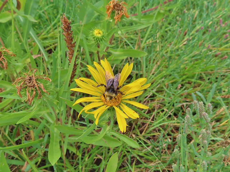 Bumble bee on gumweed.
 A pair of great blue herons in Willapa Bay.
 The eagle has landed.
 Crow attack
 Looking for a quite place to eat.
 We didn’t see what happened to the kill, if the eagle got to eat it or not.
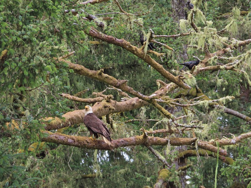 The crows weren’t leaving the eagle alone.
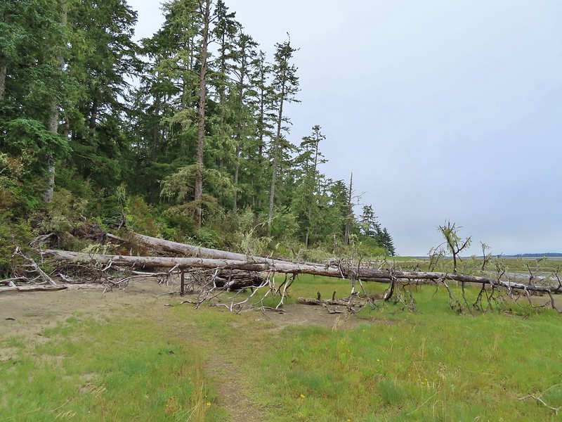 Last of the trees to navigate.
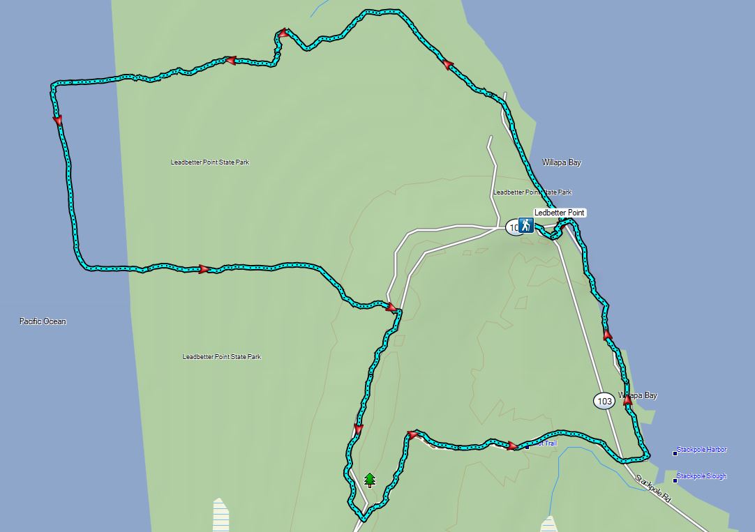


 Unnamed lakelet/pond between Pika and Fir Lakes.
 Fir Lake
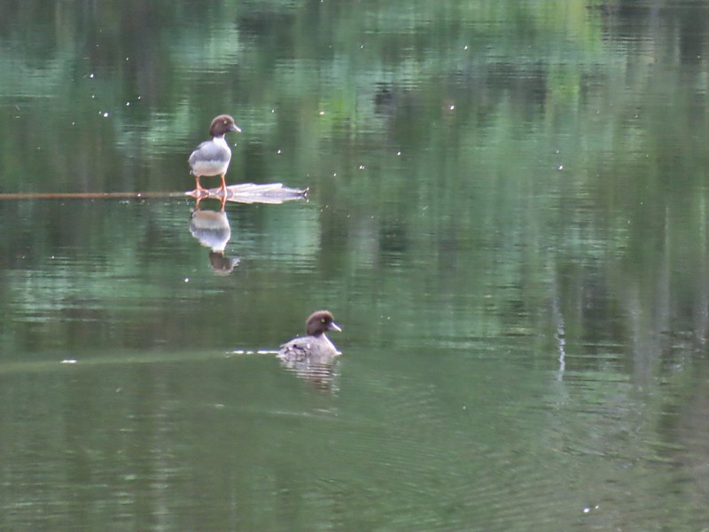 Goldeneyes
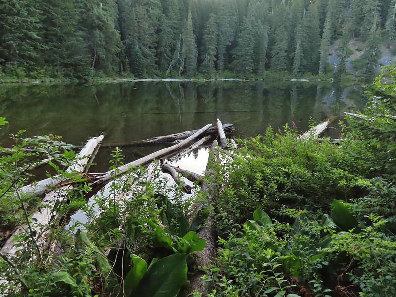


 A lone interpretive sign near the beginning of the trail.
 The saddle
 Fields Peak from the saddle.
 Heather arriving at the saddle.
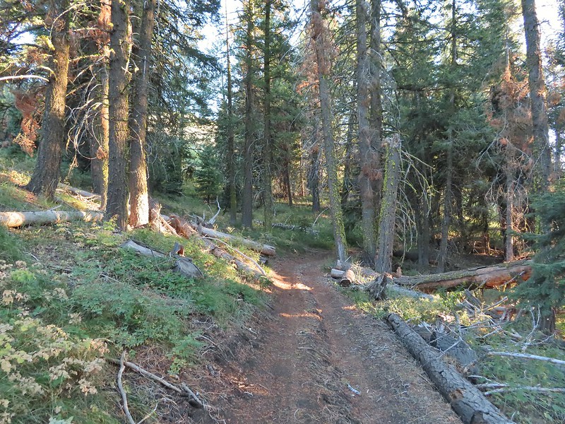 A rare level section.
 Scarlet gilia in the middle of the OHV track.
 Nearing the trail junction.
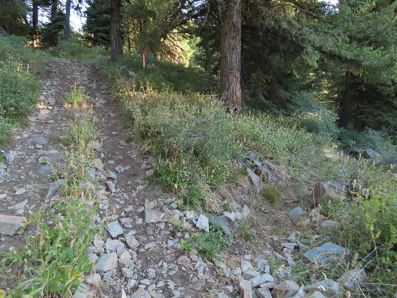 The McClellan Mountain Trail to the right.
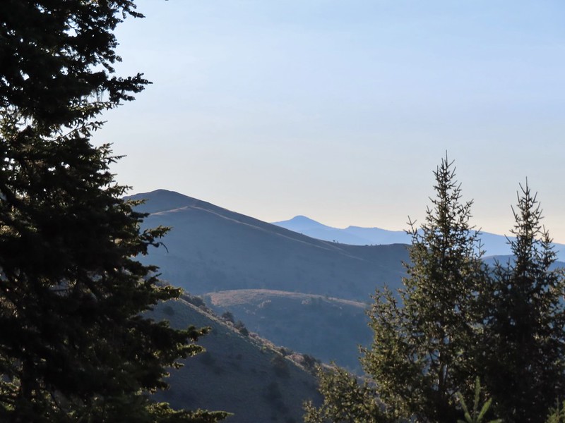 A peak east to McClellan Mountain and the more distant Strawberry Mountain (
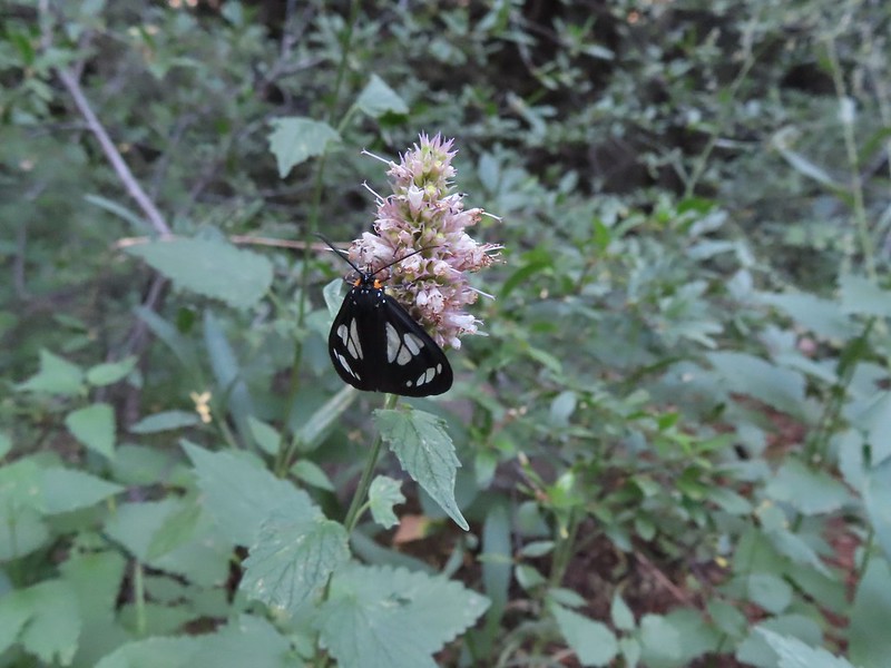 We saw a number of these moths sleeping on the hyssop.
 Hyssop and sunflowers
 Paintbrush
 Looking up Fields Peak.
 Mountain coyote mint
 Shadow of Fields Peak
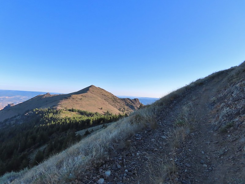
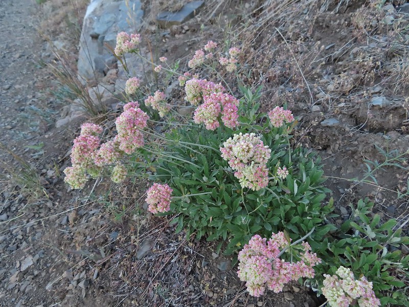 Buckwheat
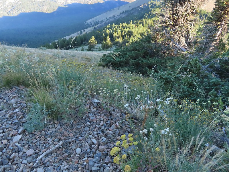
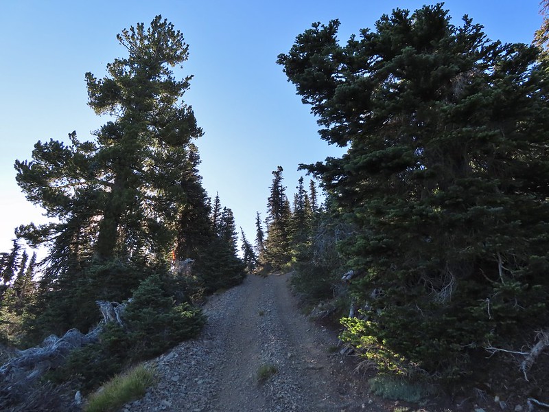 A few trees near the top.
 Final steep pitch to the summit.
 View west, Aldrich Mountain is the high point to the near right.
 View north
 McClellan Mountain and the Strawberry Mountain Range to the east.
 Logan Valley to the SE.
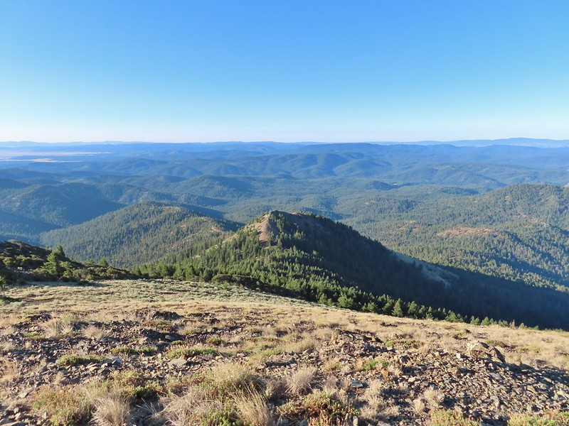 The view south.

 More moths
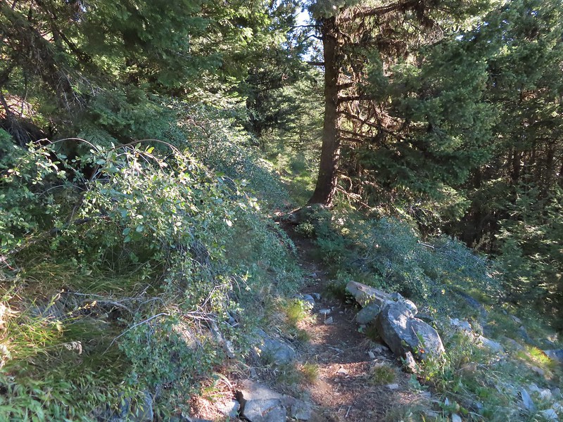
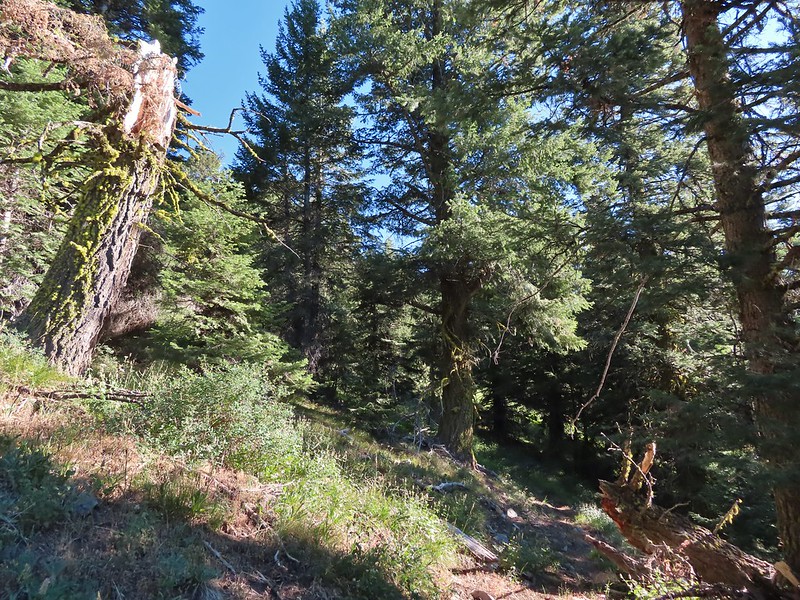
 Hillside above the trail.
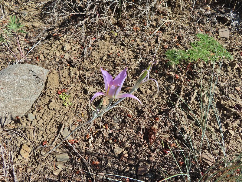 Sagebrush mariposa lily
 Approaching the saddle where we would cross the the north side of the hill ahead.
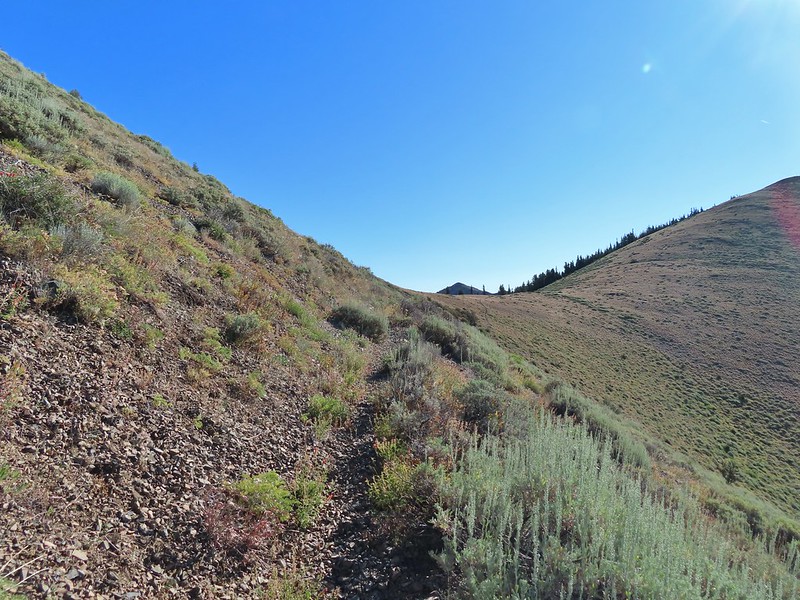 The first saddle with Moon Mountain behind.
 Looking back along the trail.
 Looking back from the saddle.
 The north side had a few more trees.
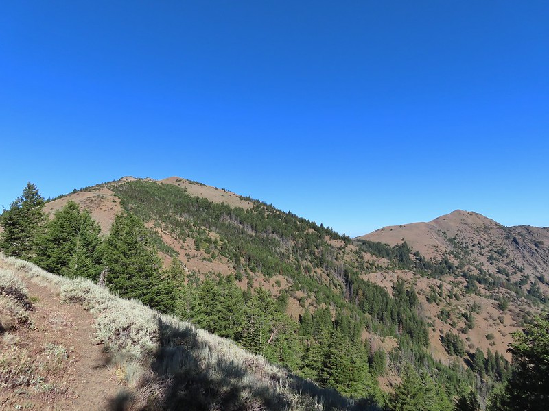 Looking back toward Fields Peak
 We passed through a rocky section near the second saddle.
 McClellan Mountain from the second saddle.
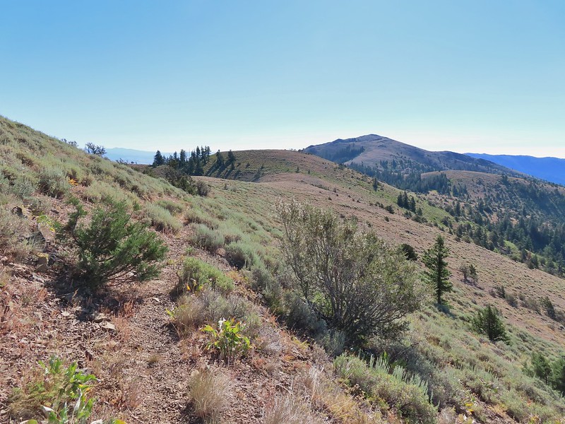 Approaching the third saddle.
 Moon Mountain
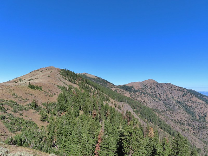 Fields Peak (center).
 McClellan Mountain as we approached the fourth saddle.
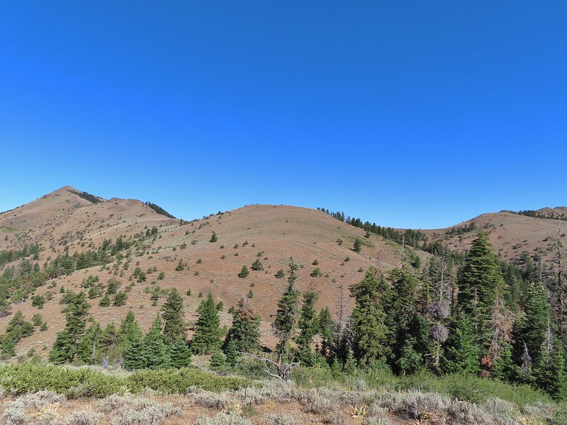 Looking back you can sort of make out the trail angling down the near hillside.
 Looking up McClellan Mountain.
 In the middle of the center hill to the left of the tree in the foreground is the line of what turned out to be 5 bull elk.
 Blurry due to the elk moving and the deep zoom.
 Four of the bulls stopped to look back at us.
 The fifth and largest bull on top of the ridge waiting for the rest.
 An old fence line on the hill.
 Fields Peak on the left, an unnamed peak in the center and Moon Mountain on the right.
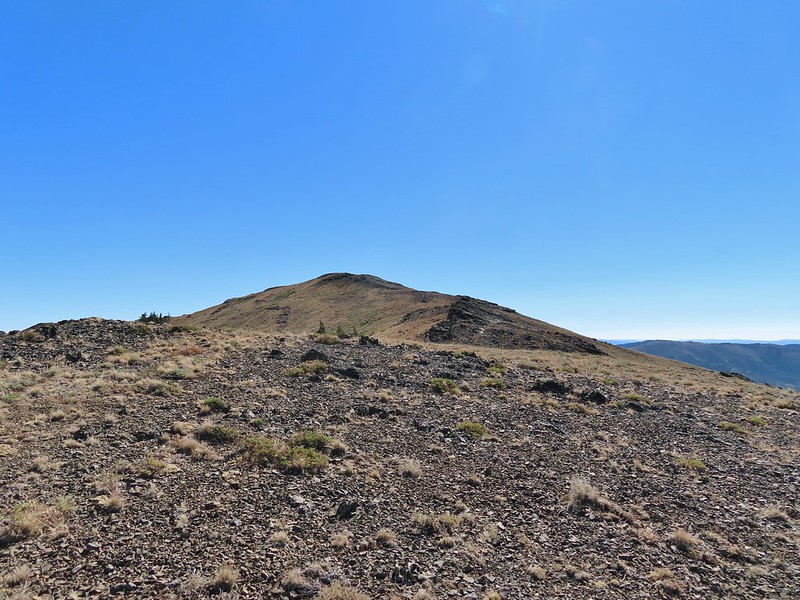 False summit (there’s always at least one). After some debate we went to the left of the rock outcrop which worked out well.
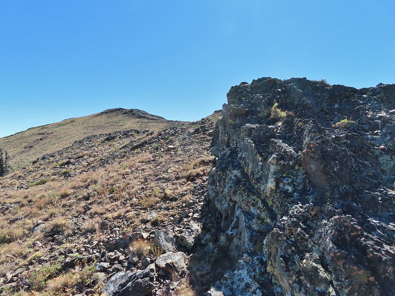 Passing the rock outcrop.
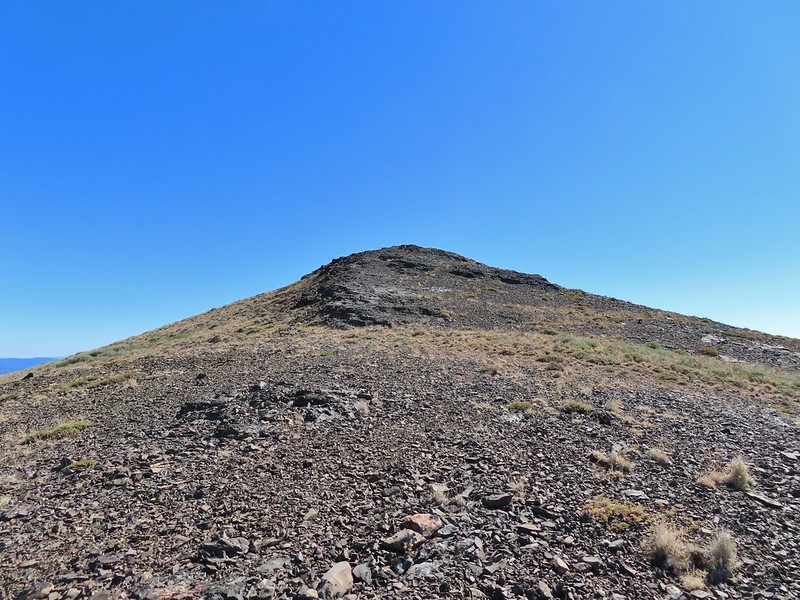 Almost there.
 The Greenhorn Mountains, Elkhorns, Dixie Butte and the Strawberry Mountains from left to right in the distance.
 Looking back at Fields Peak
 The John Day River Valley.
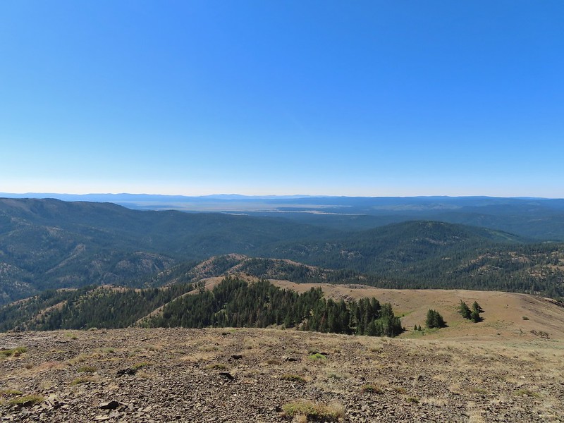 Logan Valley
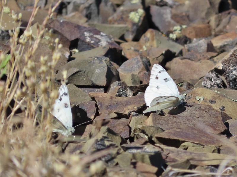 Company at the summit.
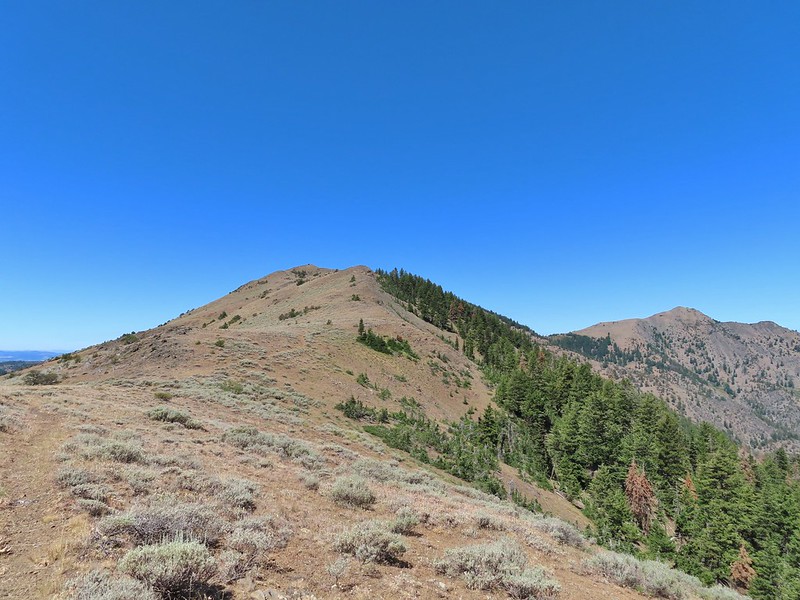 Passing back through Phlox Saddle.
 A better look at the rocky section of trail.
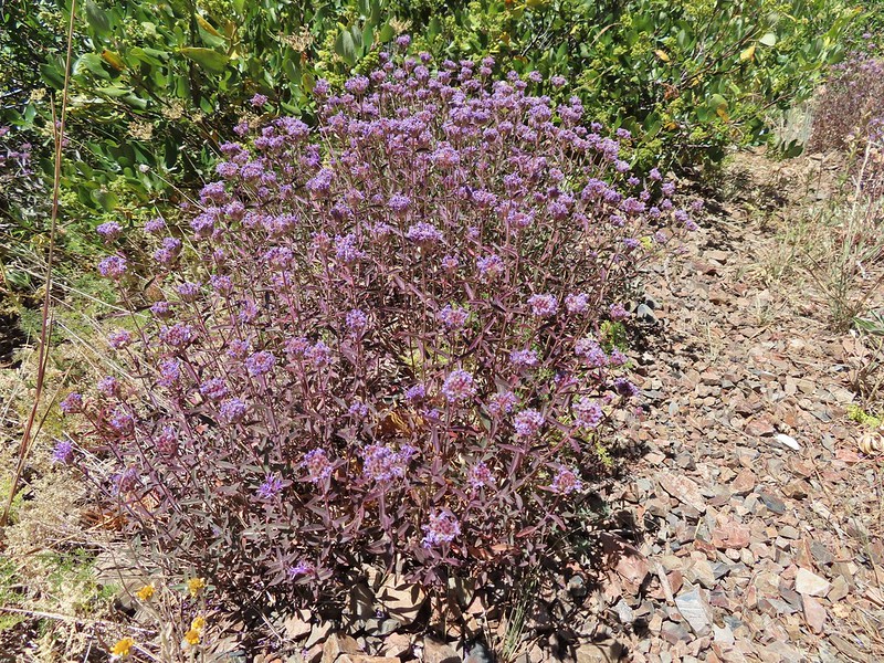 Mountain coyote mint, one of only a couple with this coloration on the stems.
 Butterfly and a beetle.
 Sagebrush mariposa lily
 Ruffed grouse
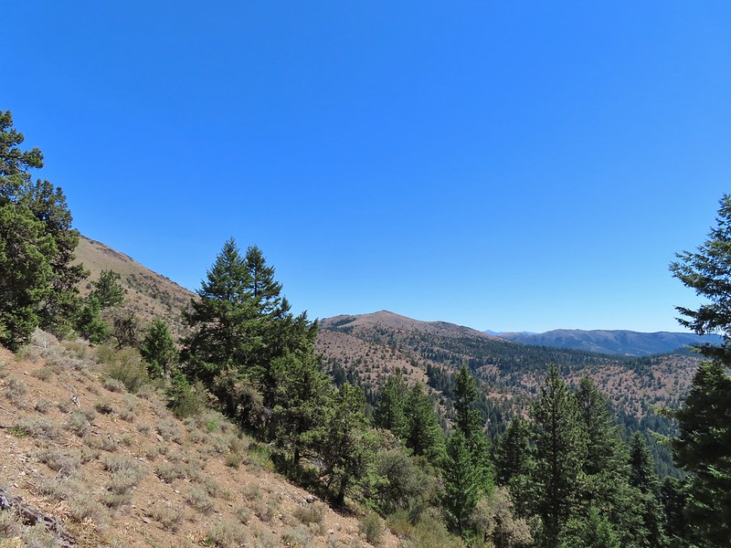 A final look at McClellan Mountain.
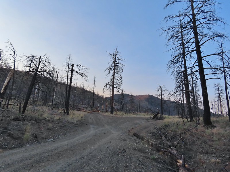 I had started up to the left at the saddle but it was steep with gullies and some debris so we carefully turned around and parked below.
 Little Canyon Mountain from the saddle. A wildfire burned the area in 2015 and the trail up to Dog Creek.
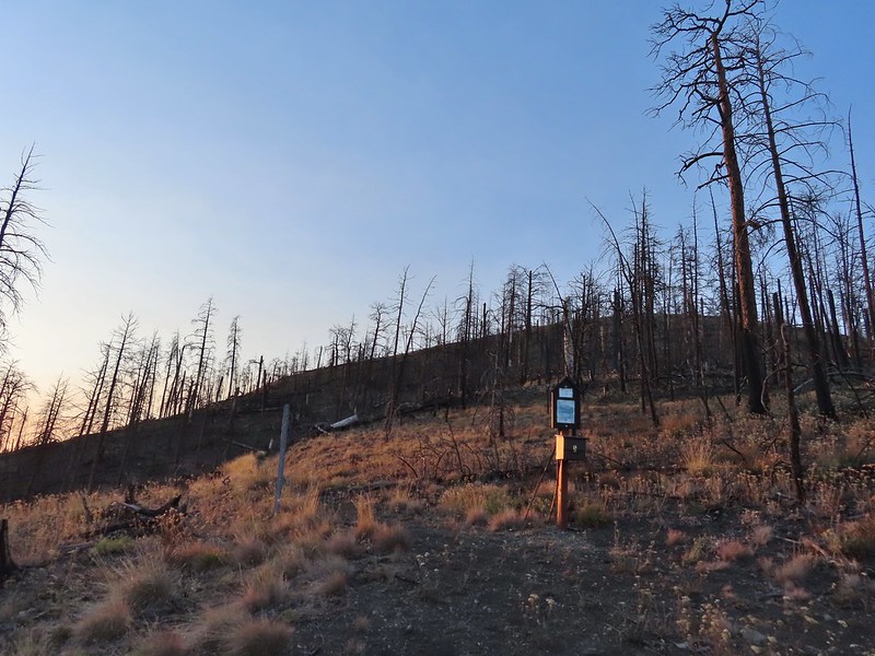 The actual trailhead.
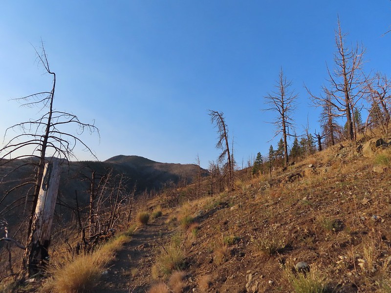
 Little Pine Creek flowed down this valley below Canyon Mountain.
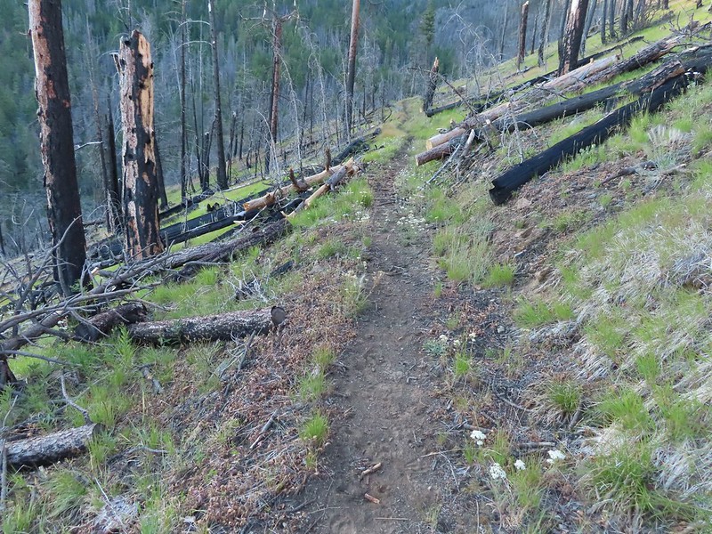 Yarrow along the trail.
 Fireweed
 Paintbrush
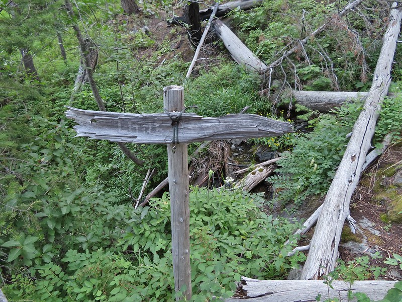
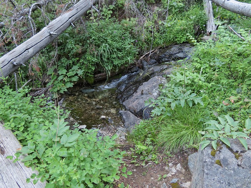
 Paintbrush and pearly everlasting
 Raspberries
 We don’t recall seeing a penstemon with leaves like this before.
 Twinberry (we did NOT sample)
 Sitka burnett (white)
 Little Pine Creek at the crossing.
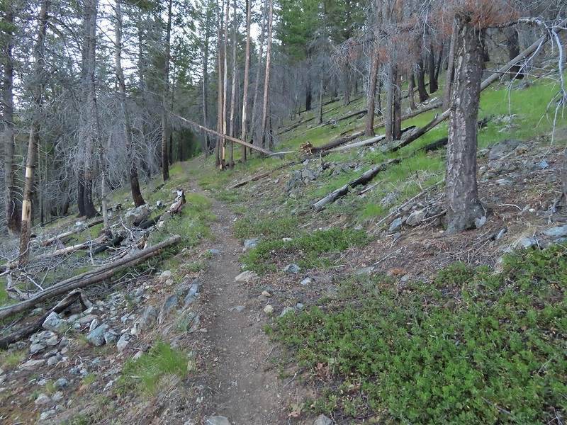
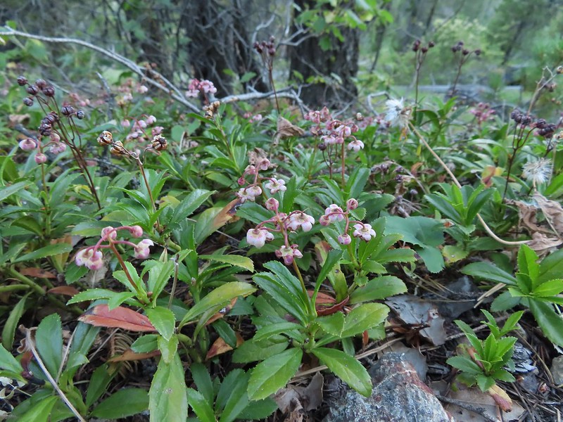 Prince’s pine
 Mountain death camas
 Fringed grass of parnassus
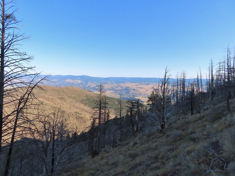
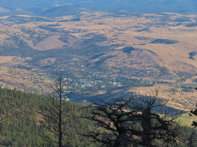 John Day below.
 Little Canyon Mountain behind the ridge we’d come around earlier.
 The Aldrich Mountains to the west, our destination for the next day’s hike.
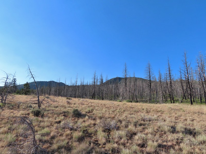 Canyon Mountain
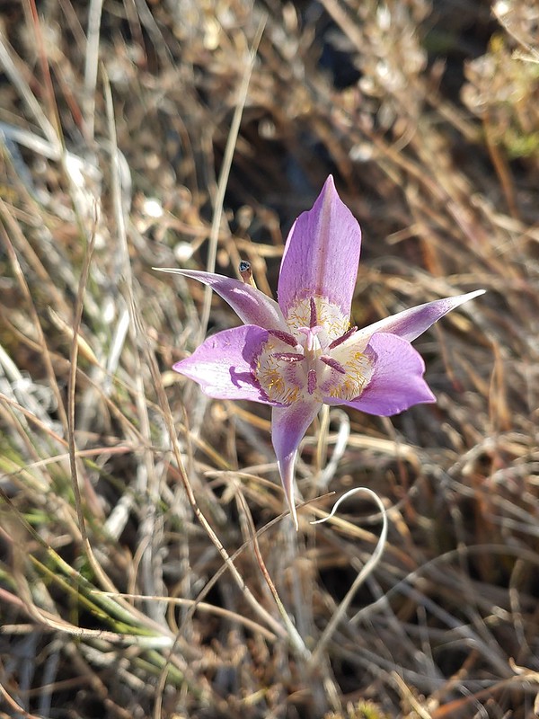 One of the sagebrush mariposa lilies.
 Dixie Butte and the Greenhorn Mountains to the NE
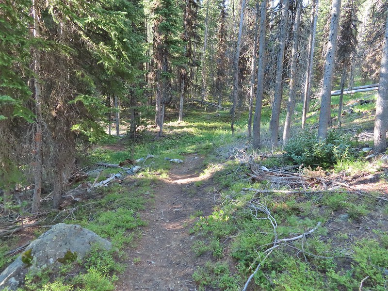
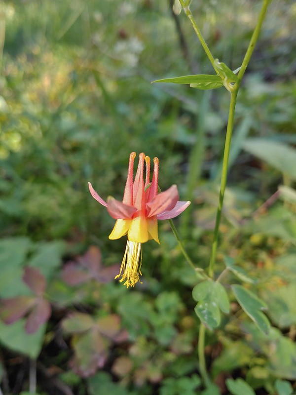 Columbine
 Swamp onion
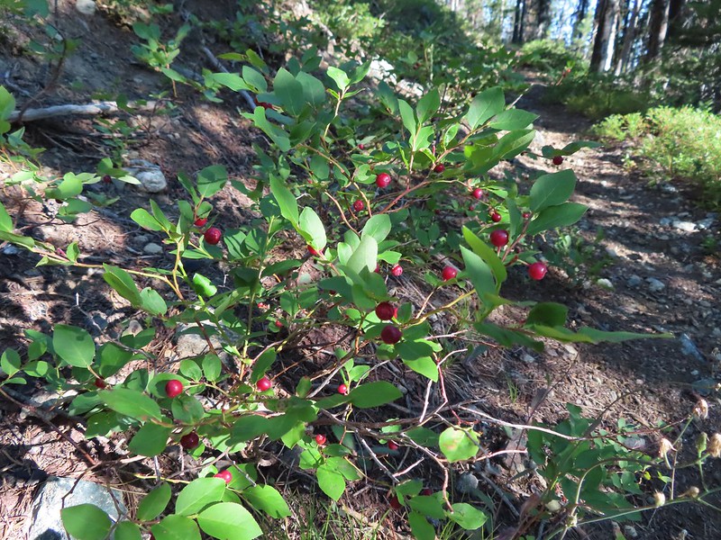
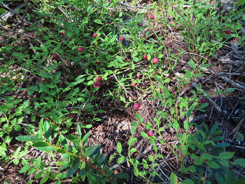
 Flowers at Dog Creek
 Twinflower
 There was a lot of elk sign along this section of the trail.
 A lot of sign.
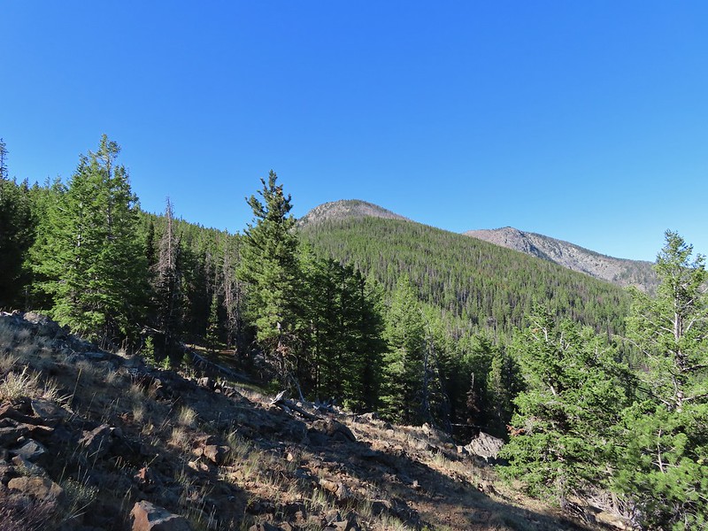 Looking back toward Canyon Mountain.
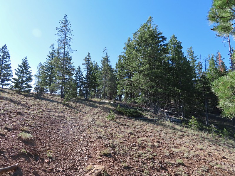 The trail crossed over the ridge in a saddle with quite a bit of mountain coyote mint.
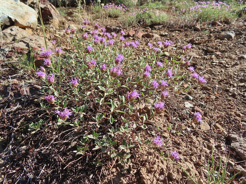 Mountain coyote mint
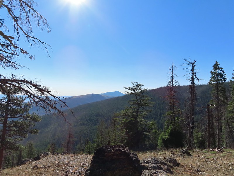 Strawberry Mountain (
 Heading toward Dean Creek now.
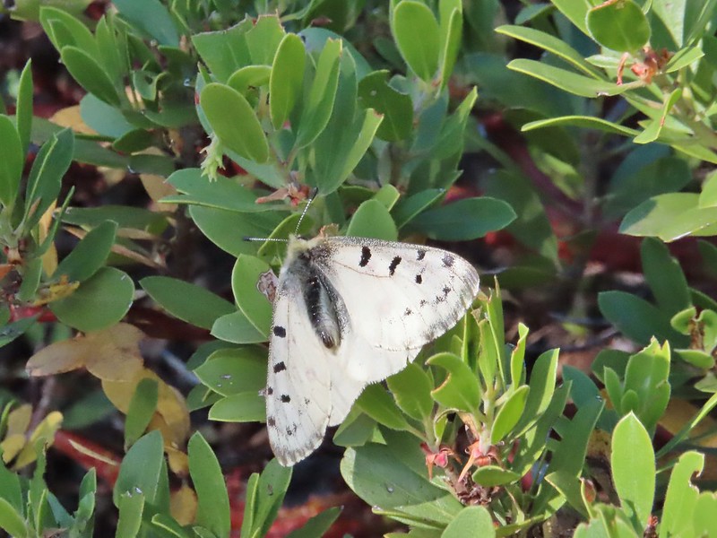
 Green Mountain on the left and Canyon Mountain on the right.
 A smaller raptor, it wouldn’t look at us so I’m not sure what type it was.
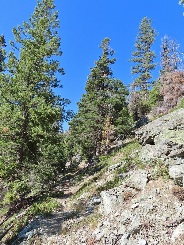
 Butterflies on western snakeroot. Side note we didn’t see a single snake or lizard all week which was really surprising to us.
 We did however see quite a few grouse.
 The trail got a little brushy nearing Dean Creek.
 There wasn’t much water in Dean Creek but there was enough for a small cascade.
 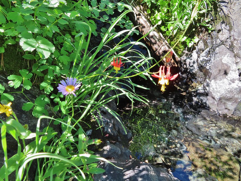 Wildflowers next to a small pool.
 Dean Creek
 Butterfly near the pool.
 Canyon Mountain
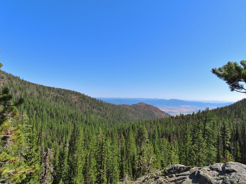 Dixie Butte with the Greenhorns on the left and the Elkhorns (
 Cones
Cones Lousewort
 Pearly everlasting, yellow flowers, and fireweed.
 An eagle?
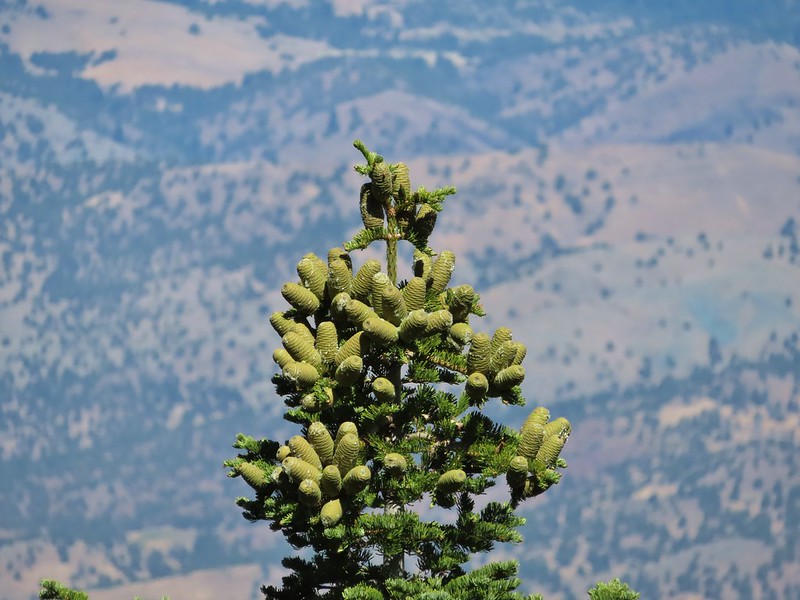 More cones
 Dragon fly
 A sulphur butterfly
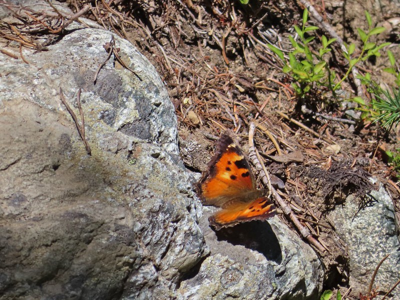 California tortoiseshell
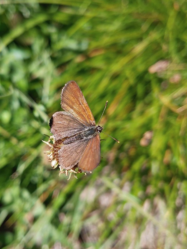
 Grouse
 Maiden fly
 Skipper
 Woodpecker
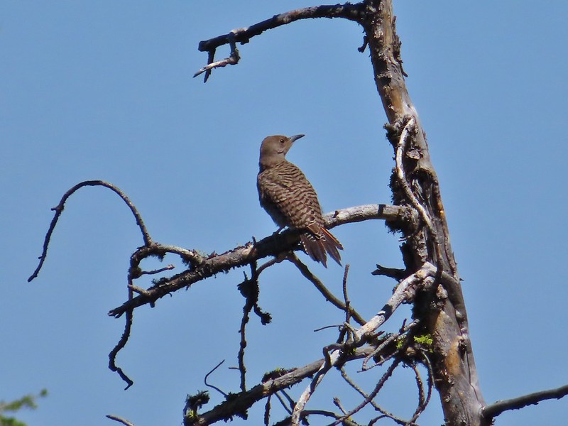 Northern flicker
 Mountain bluebird
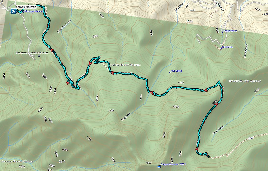
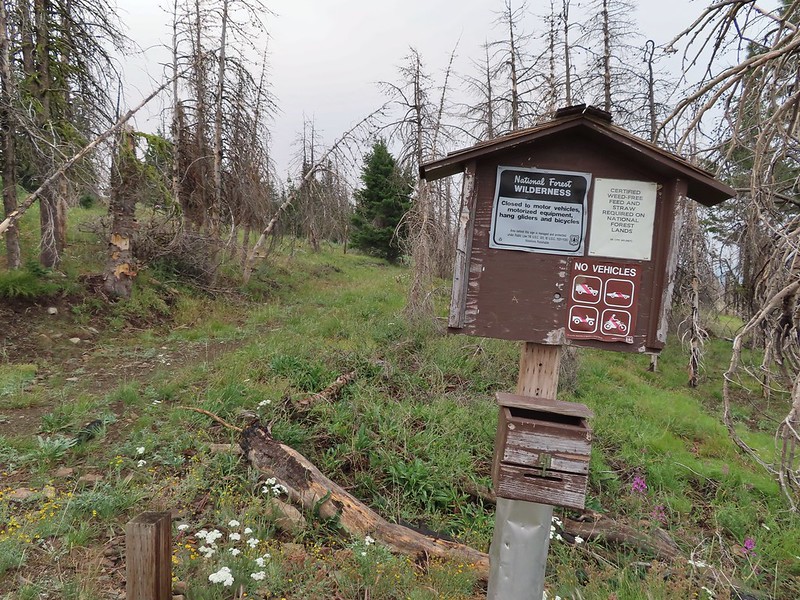
 The trailhead is at this hairpin curve below Table Rock. The road continues another 0.8 miles to the staffed Table Rock Lookout but reportedly worsens which is hard to imagine is possible.
 First time seeing a wilderness sign quite like this.
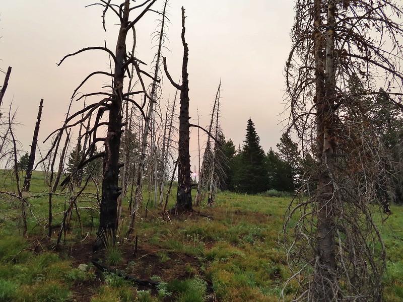
 A red Sun behind the smoke, presumably mostly from the 400,000 plus acre Bootleg Fire east of Klamath Falls in south central Oregon.
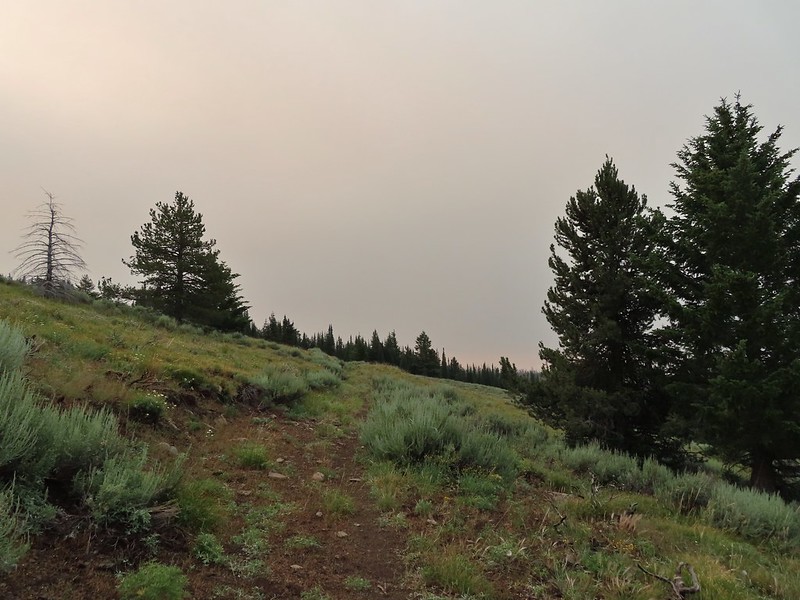
 Clark’s nutcracker
 Monument Rock in the distance.
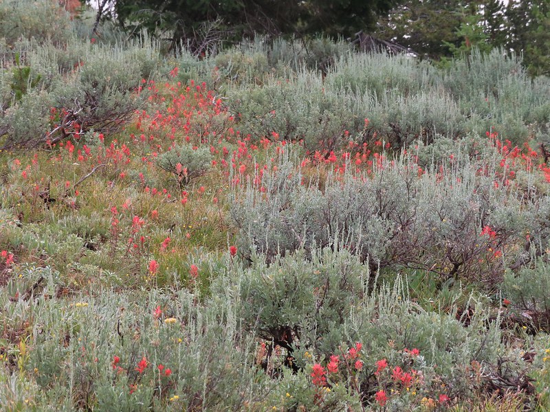 Paintbrush in the sagebrush.
 Ground squirrel
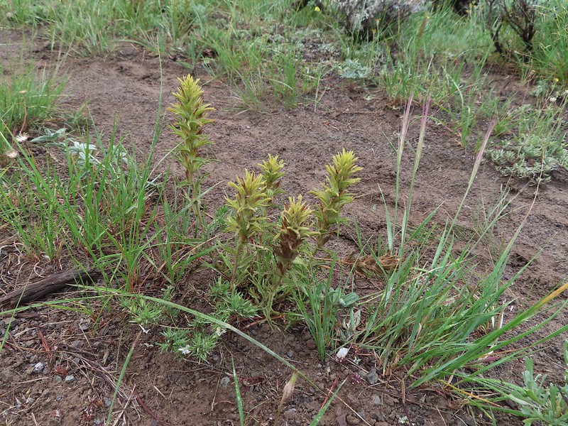 There was a fair amount of this green paintbrush too.
 We believe this post (not the 1.7 mile post) marked a side trail to Rock Spring but we didn’t see any tread in the area to know for sure.
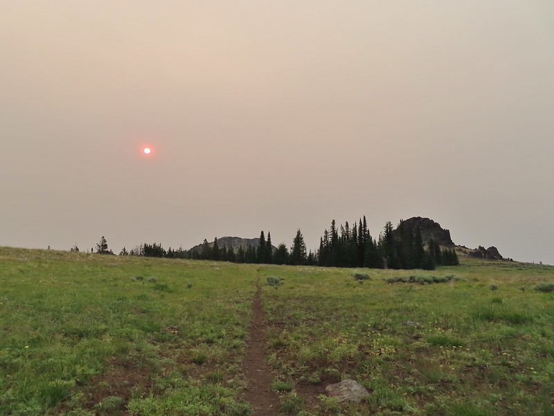 Bullrun Rock dead ahead.
 Table Rock in the distance.
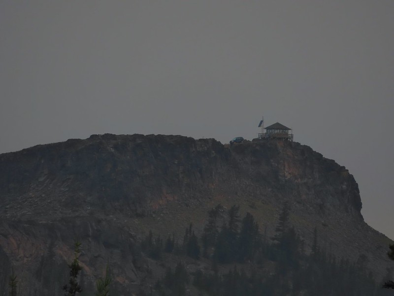 The Table Rock Lookout.
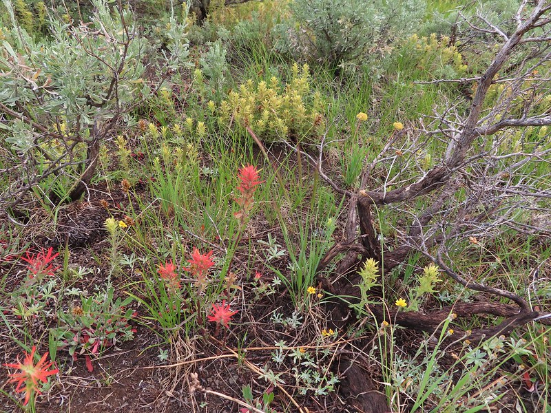 Two kinds of paint.
 Bullrun Rock below the Sun.
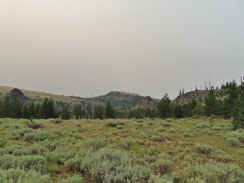 Monument Rock again.
 Old man’s whiskers
 A checkermallow
 We passed this sign for the Amelia Trail along the way but again didn’t see any trace of tread for it.
 Grazing cattle near the post.
 The post with Monument Rock in the background.
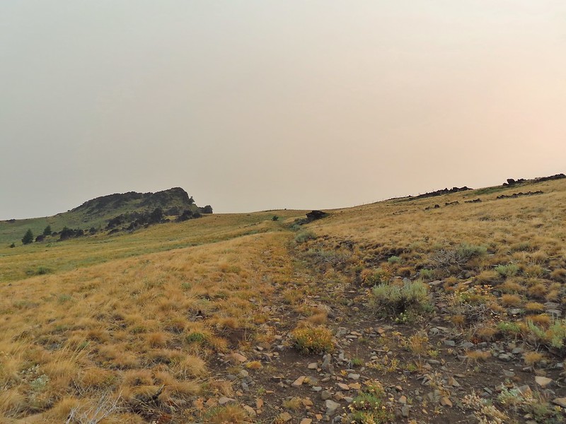

 I believe that is Ironside Mountain.
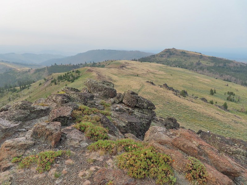 The jeep track and Monument Rock.
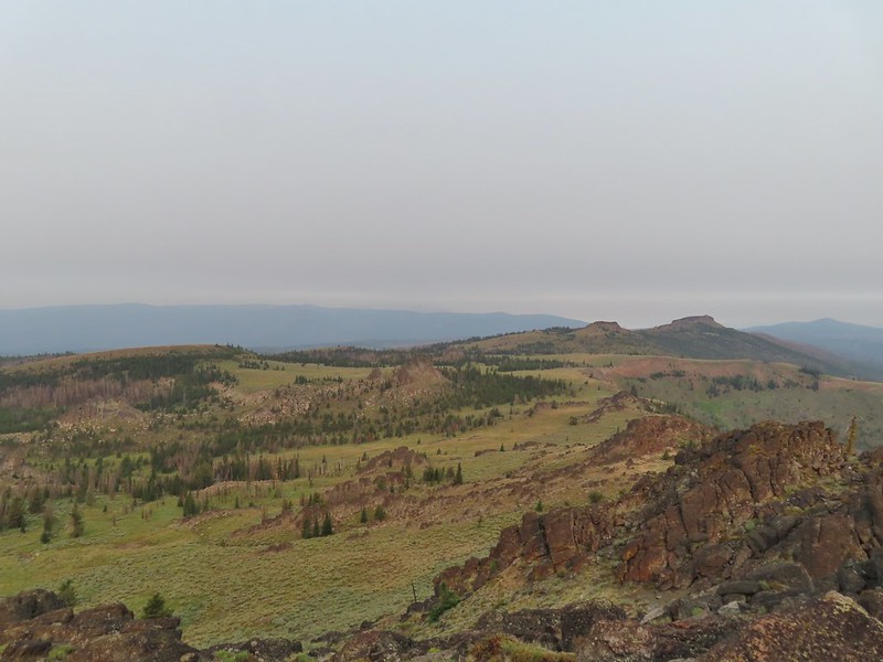 Table Rock
 Looking down into the Monument Rock Wilderness
 Woodpecker
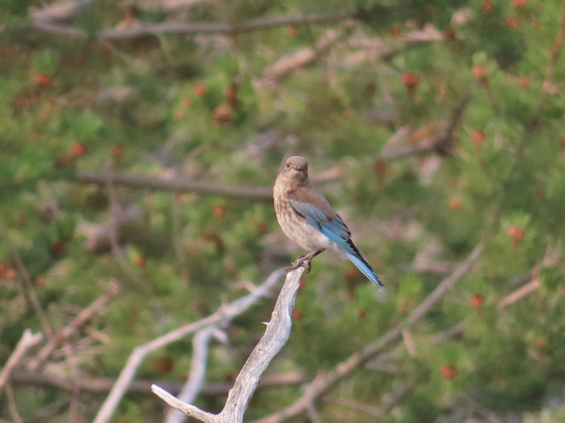 Mountain bluebird
 Looking back toward Bullrun Rock.
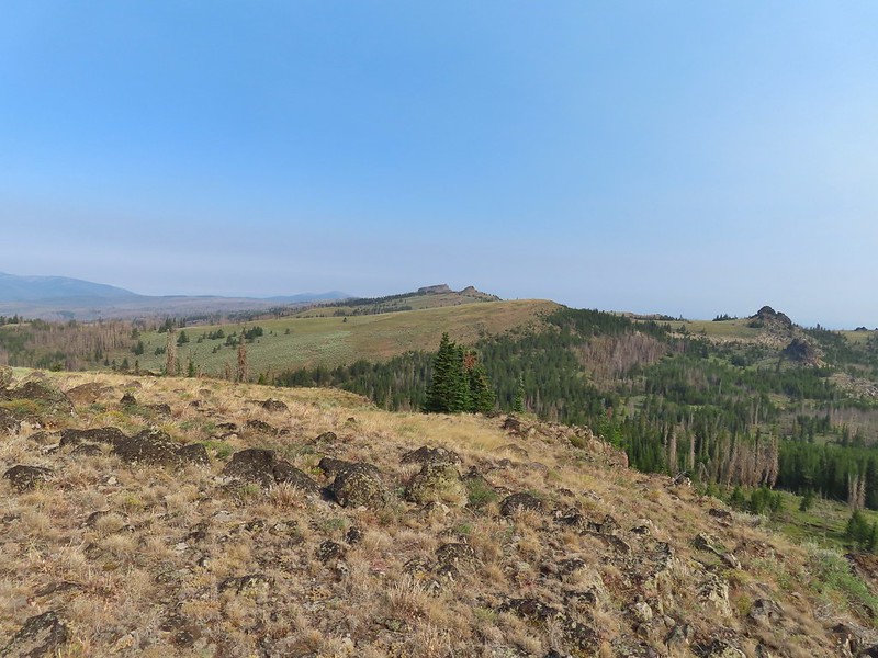 Table Rock from where we gained the ridge.
 Heading up.
 Me making my way up to the cairn.
 Bullrun Rock from the cairn.
 Table Rock from the cairn.
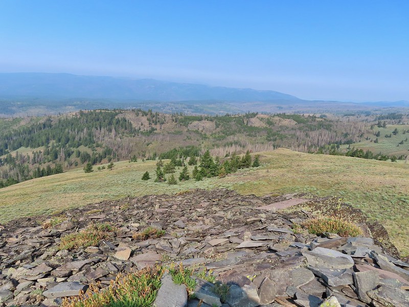 The Monument Rock Wilderness.
 The cairn on Monument Rock from below.
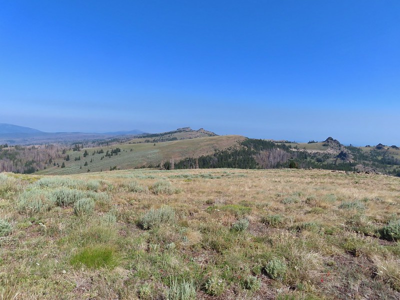 Heading downhill.
 Heather spotted this sheep moth.
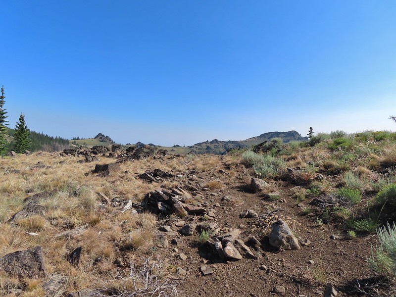
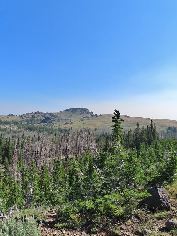 The path leading downhill.
 Table Rock in the distance with Bullrun Rock on the right.
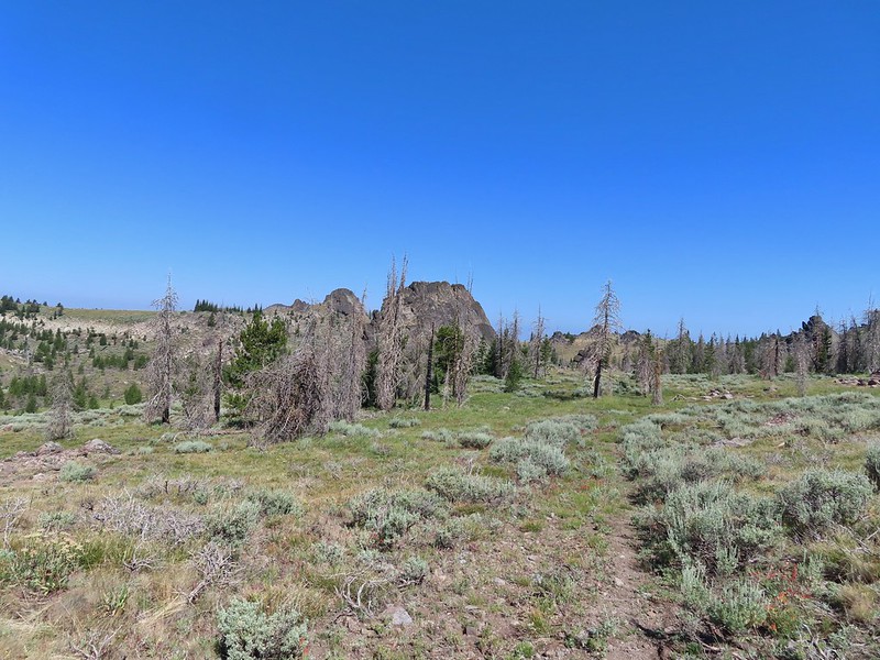
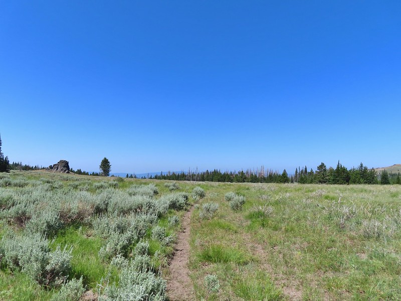


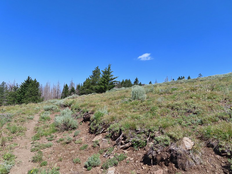

 Robin
Robin Quite a bit of a difference from the morning.
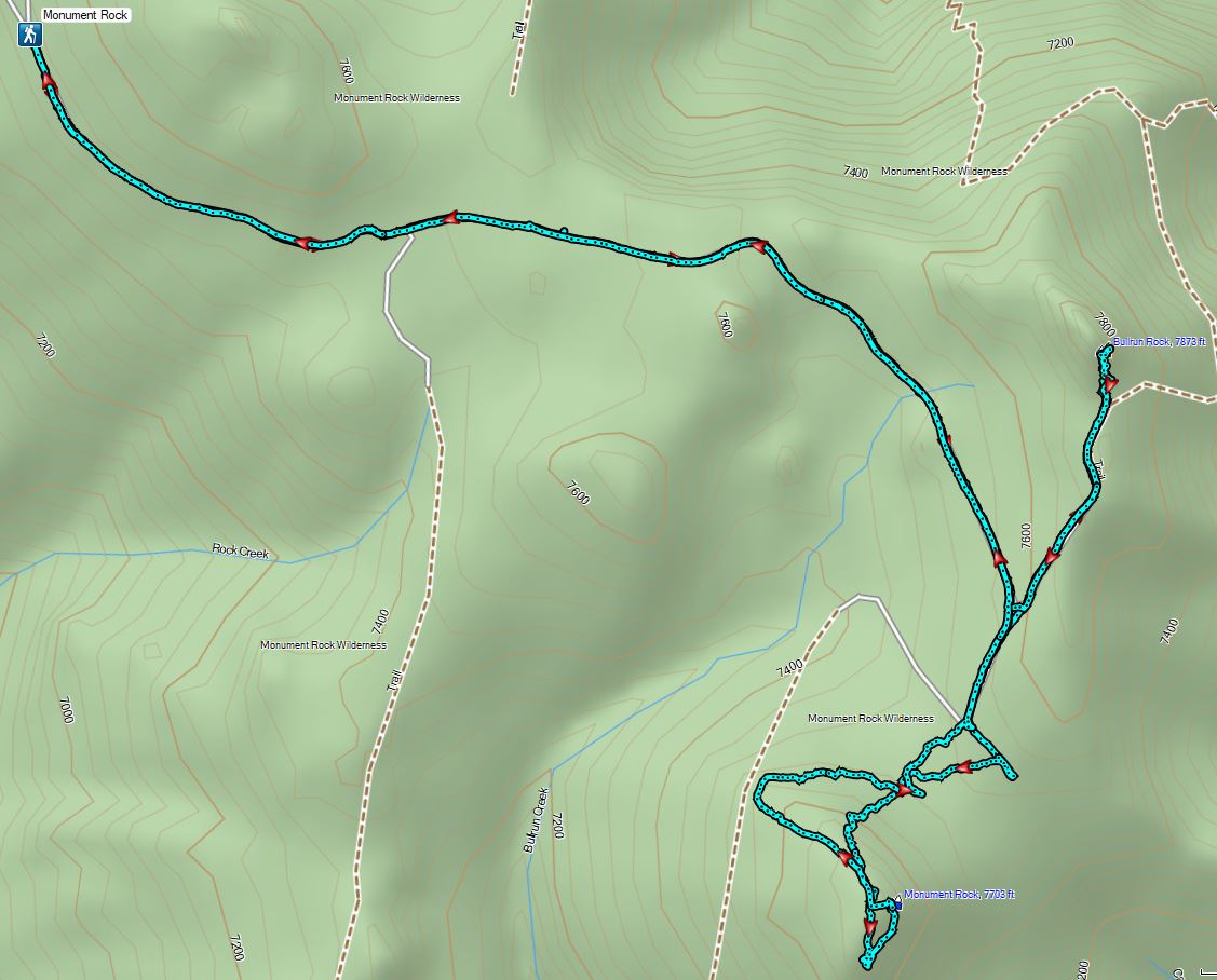

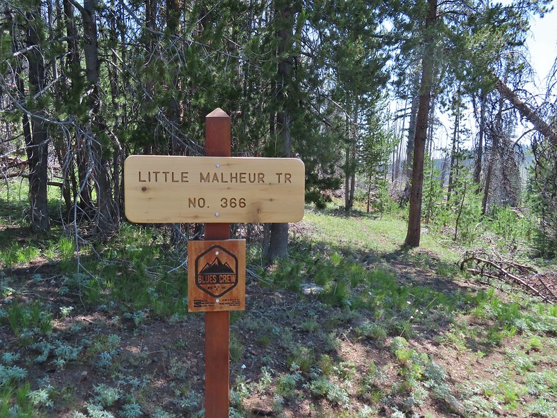
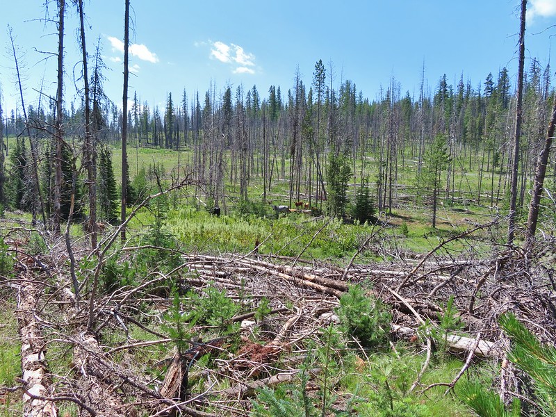


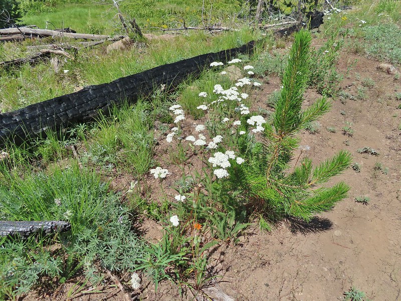 Yarrow and an orange agoseris.
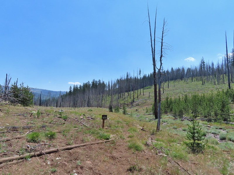 Wilderness sign marking the boundary of the Monument Rock Wilderness.
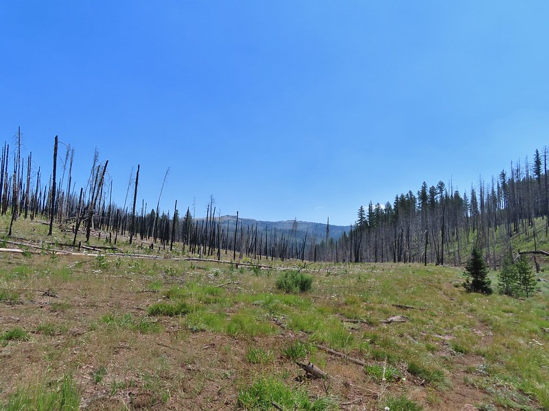 Table Rock from the trail.
 Elk Flat Creek.
 An orange flag to the right ahead.
 The trail following Elk Flat Creek.
 A few areas of green trees remained.


 Unnamed stream shortly before reaching the Little Malheur River.
 Monkshood along the stream.
 It appeared that quite a few trees survived along the Little Malheur.
 The trail crossing the Little Malheur River. We were especially excited to see a lot of nice pink monkeyflower along the banks.


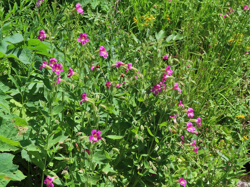

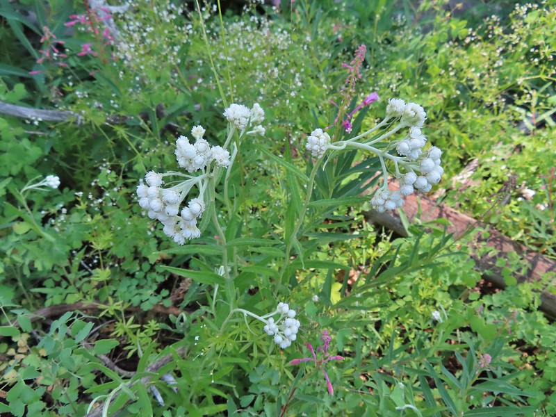 Pearly everlasting
 Ground squirrel
 Either a big ground squirrel or a small marmot.
 Another hawk.
 Fluffy clouds forming over the Monument Rock Wilderness.
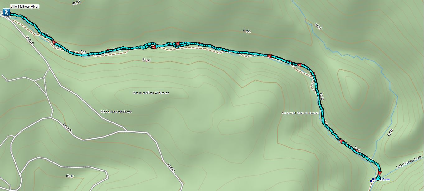
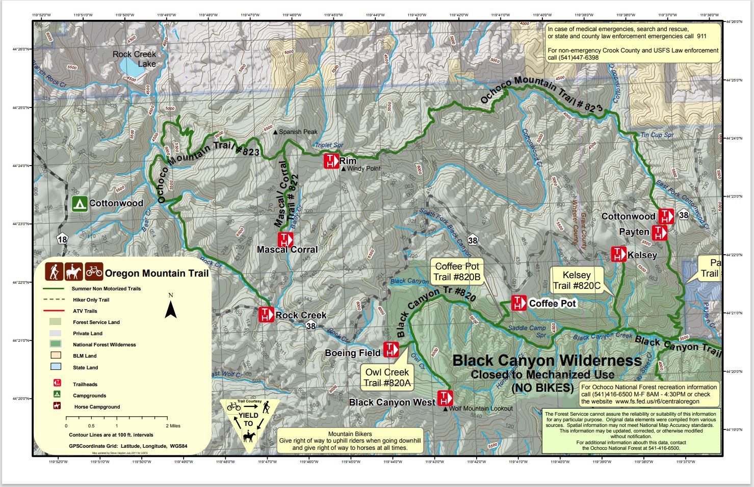
 Continuing along the Waterman Ditch.
 If this trail sign was marking a junction it wasn’t clear where the other trail was.
 Campsite at the saddle.
 The Rim Trail sign on a tree trunk.

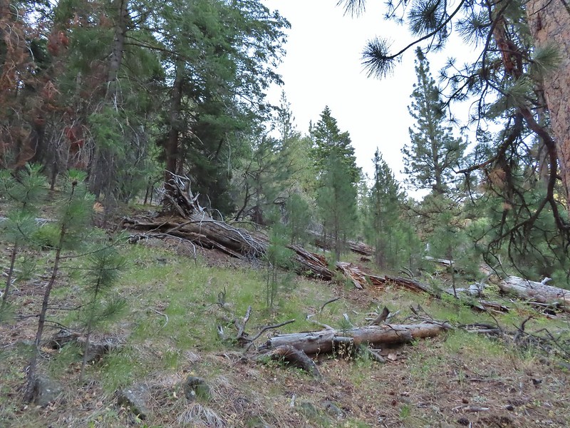
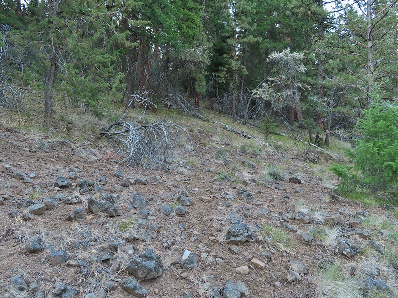
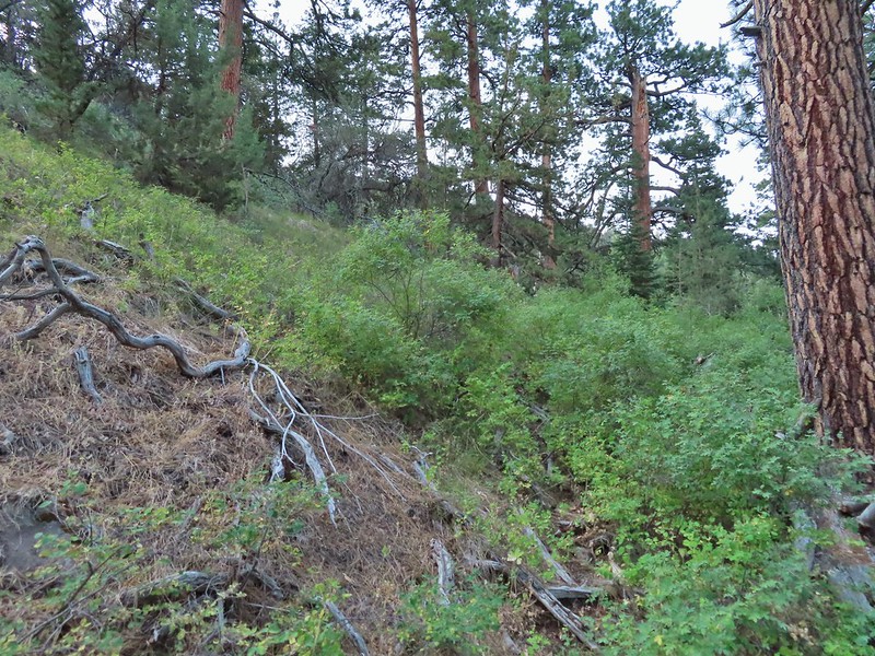
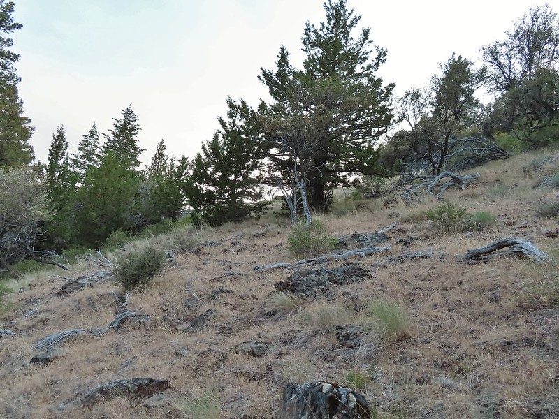

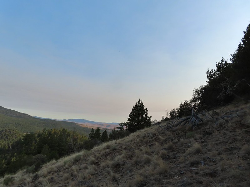

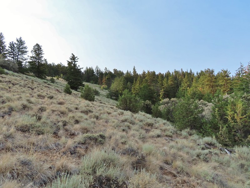

 Rock Creek Lake
 Gaining the ridge.

 View from the rim.
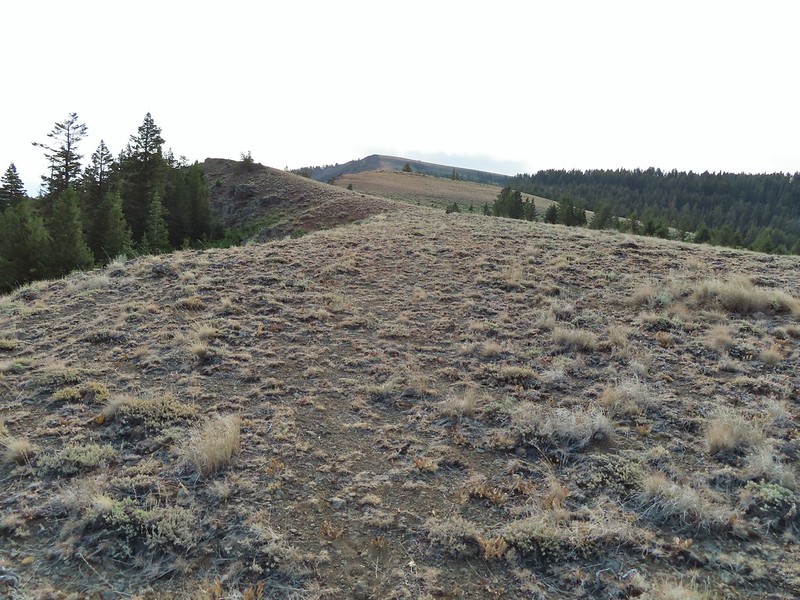 Spanish Peak
 A local
 Astter
 Some sort of delphinium I think.
 Downed trees across the trail ahead.
 Interestingly camouflaged beetle on the upper onion.
 Lupine
 A checkermallow
 Some more downed trees that we had to go around.
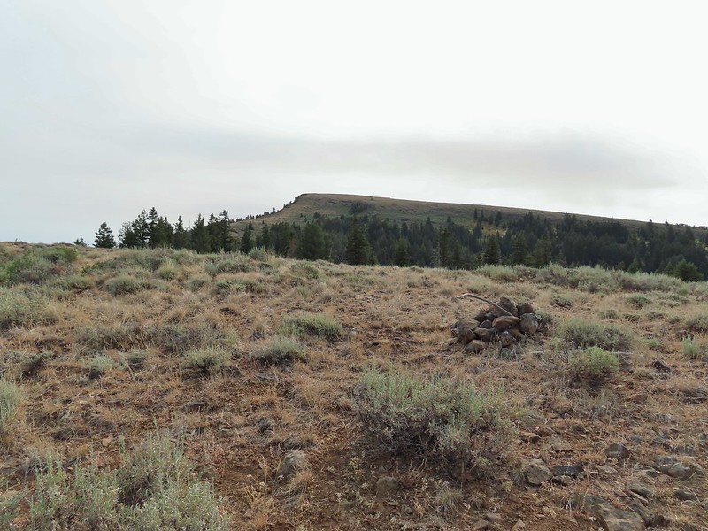


 We left the trail here, note the small cairn on the left.
 Heading uphill.
 Scarlet gilia
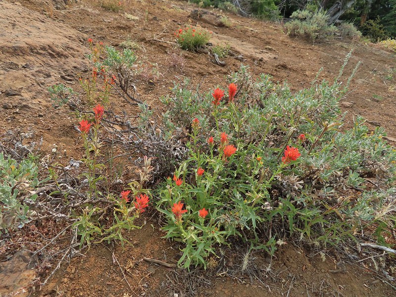 Paintbrush
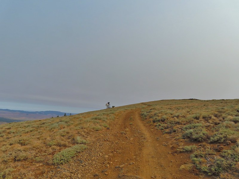
 The site of the former lookout.
 Looking out toward the John Day River valley.
 SE to Windy Point.
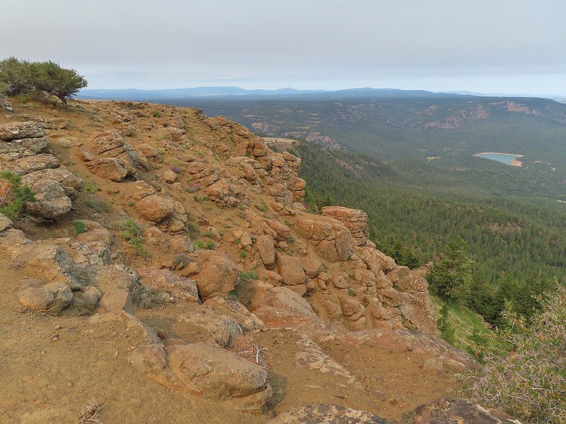 West to Rock Creek Lake and on the horizon the flat topped Lookout Mountain (
 NE to the John Day River Valley.
 Lookout and Round Mountain and the rim that we had hiked up below Spanish Peak.
 The Pisgah Lookout on the far side of the Bridge Creek Wilderness (
 A hazy Mount Hood to the NW.
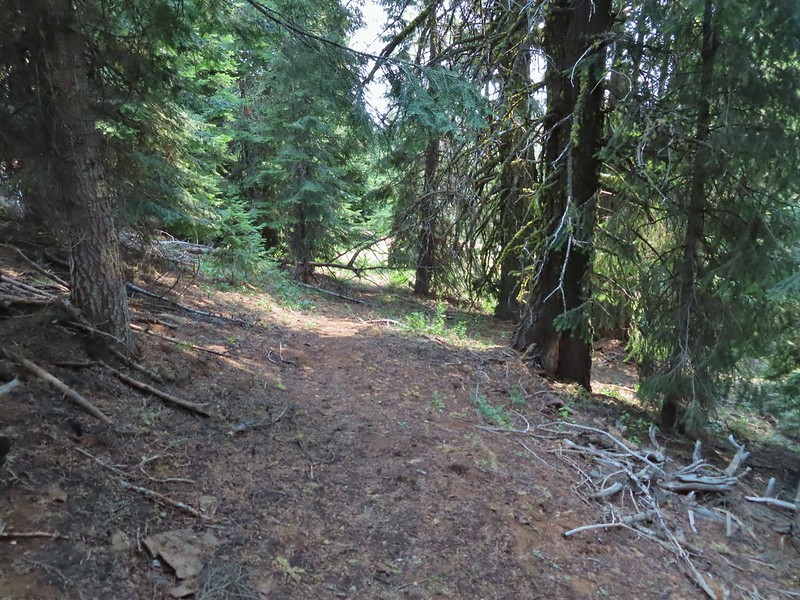

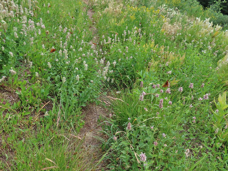
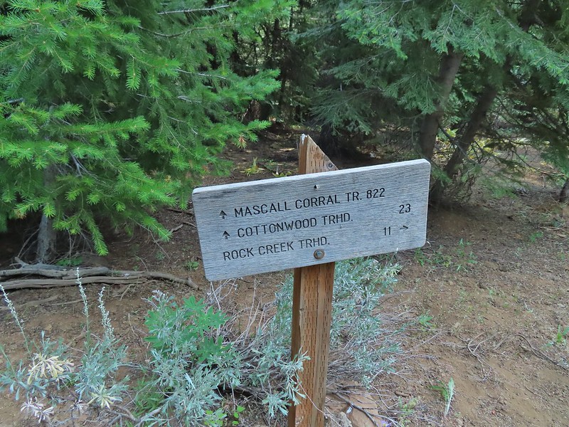

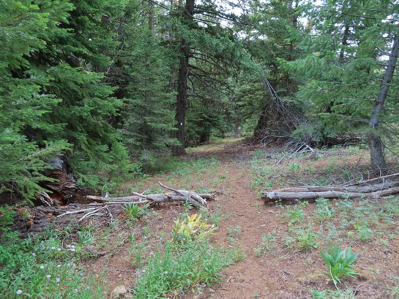
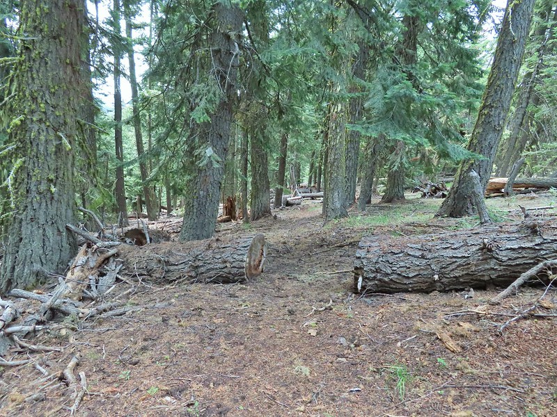
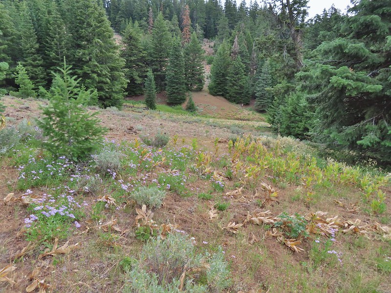 Baldy Creek was on our left.
 Red-tailed hawk
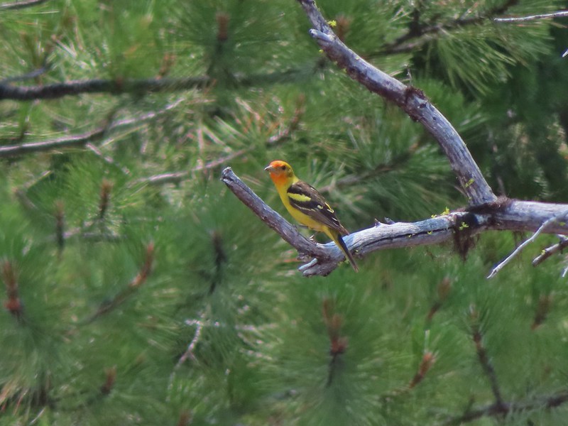 Western tanager
 Arriving at the trailhead.
 Signage at the trailhead.
 Baldy Creek below FR 3820.
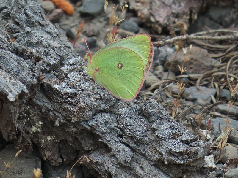 A sulphur butterfly of some sort.
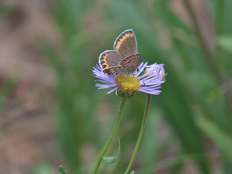
 A watermellon or June bug as we called them growing up.
 FR 3820 meeting Arvid Nelson Road.
 Spanish Peak from Arvid Nelson Road.
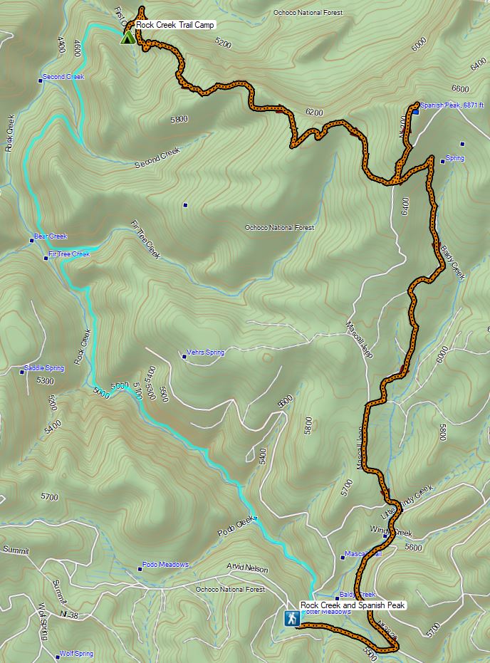

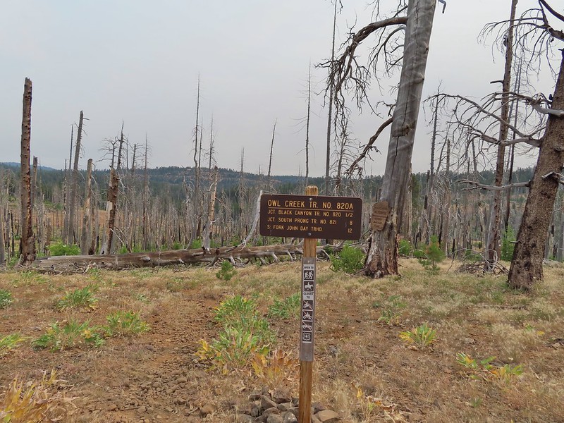


 Aster, paintbrush, and fireweed.
 Fireweed, aster, and pearly everlasting.
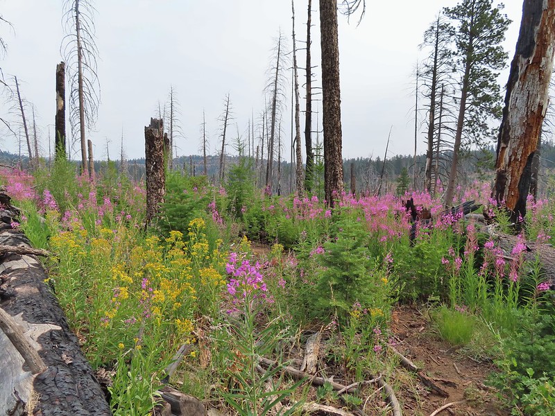
 Clouds and smoke mixing in the sky made it hard to tell if any thunderstorms might be developing.
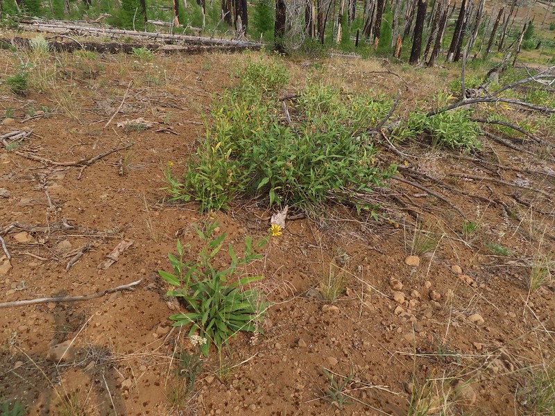 We never heard any thunder but we did briefly get sprinkled on.
 Ground squirrel.
 Columbine
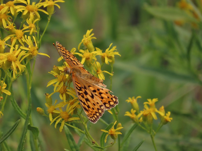 Fritillary butterfly
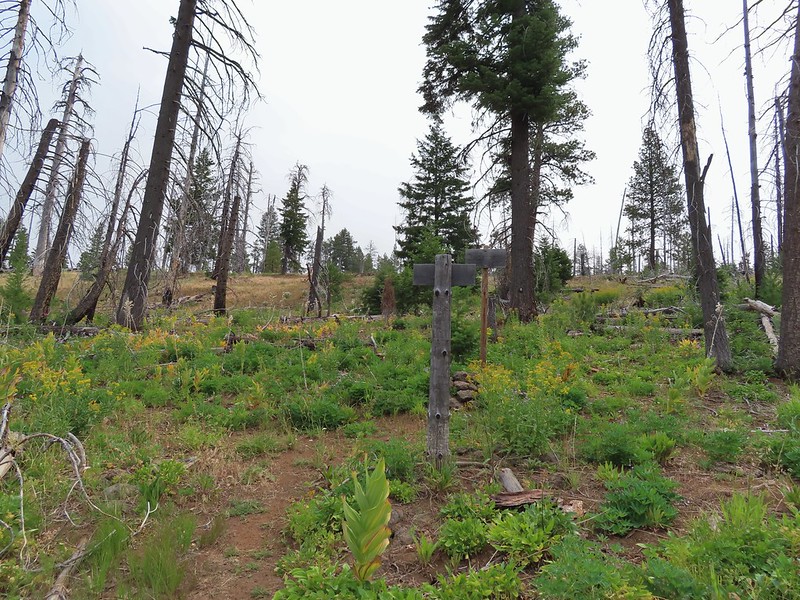 Black Canyon Trail junction.


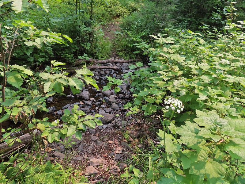 Owl Creek crossing approximately 1.5 miles from the junction.
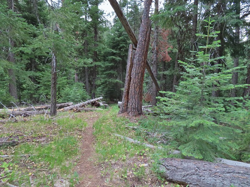


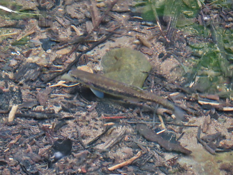 Fish in Black Canyon Creek
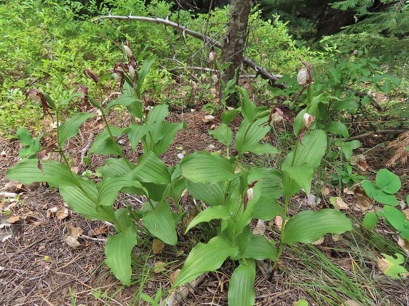


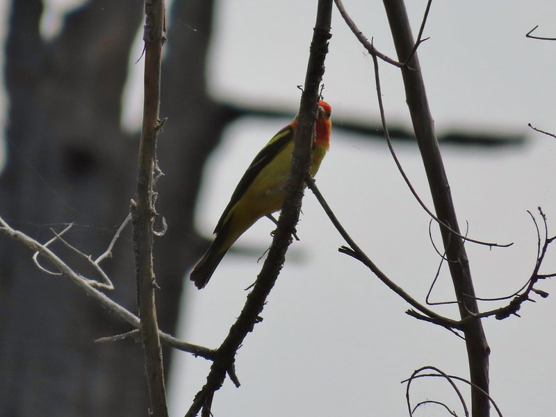 Western Tanager

 California tortioseshell
 Western Jacob’s ladder
 Black Canyon Creek
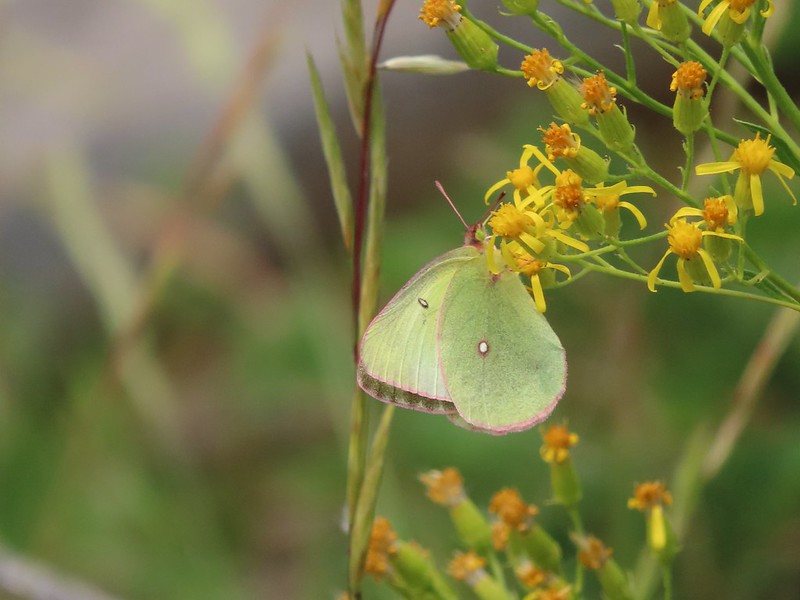

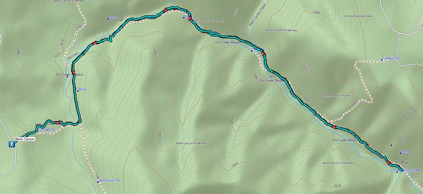
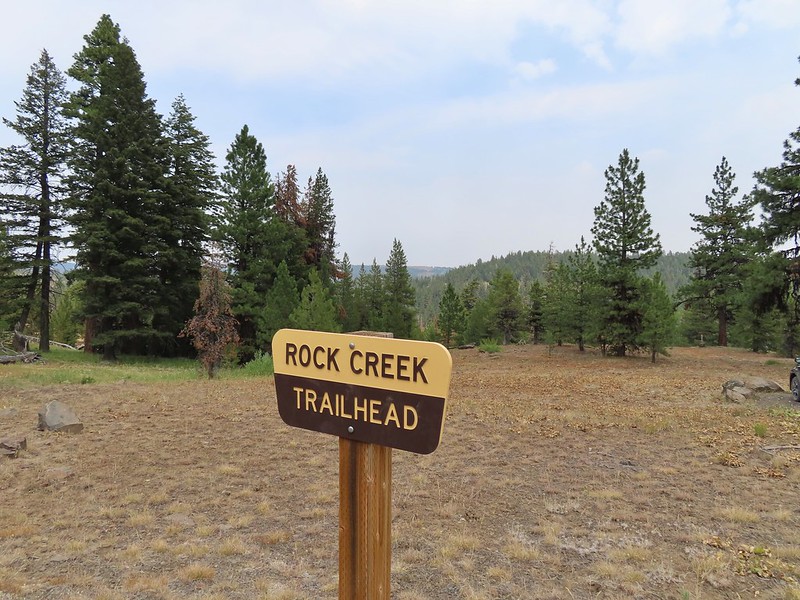
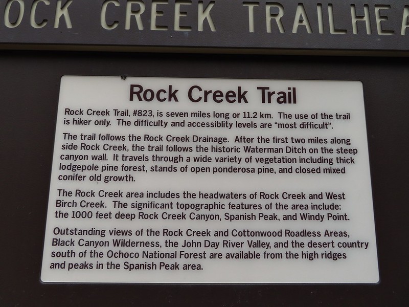


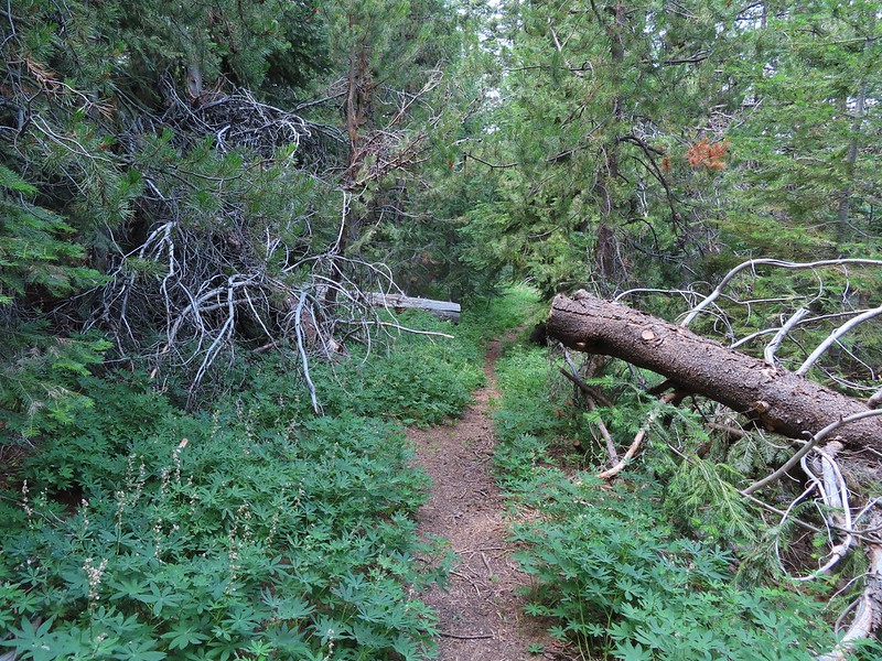
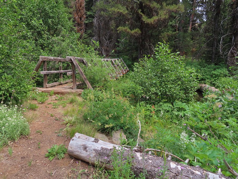
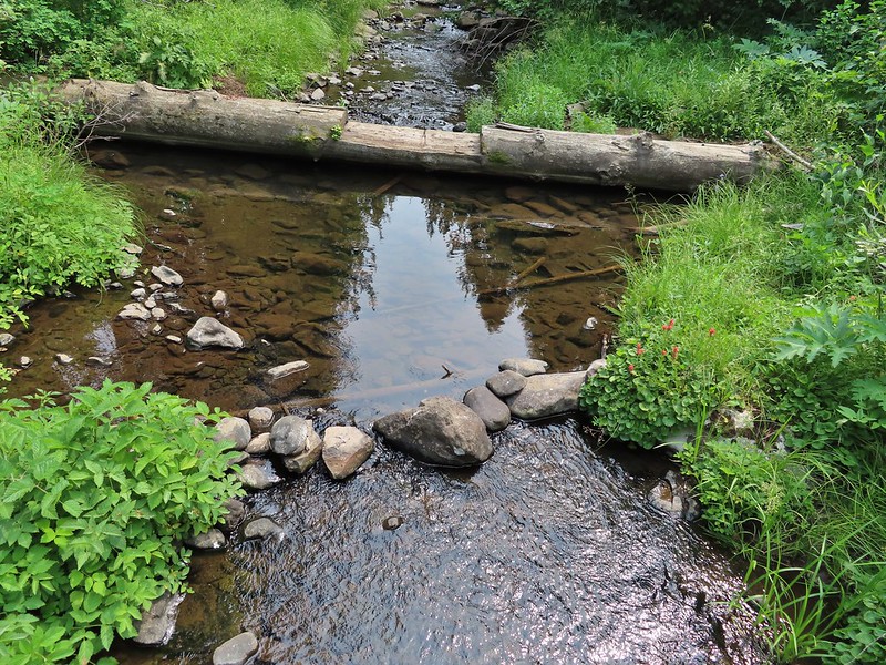
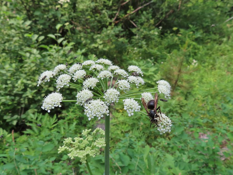 The number of insects on the blossoms and their size differences were fascinating.
 Snacks

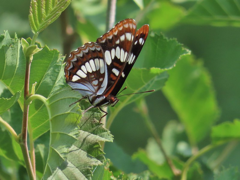 Lorquin’s adrmiral

 A little light on the tread in this section.


 Fir Tree Creek
 Butterflies on coneflower
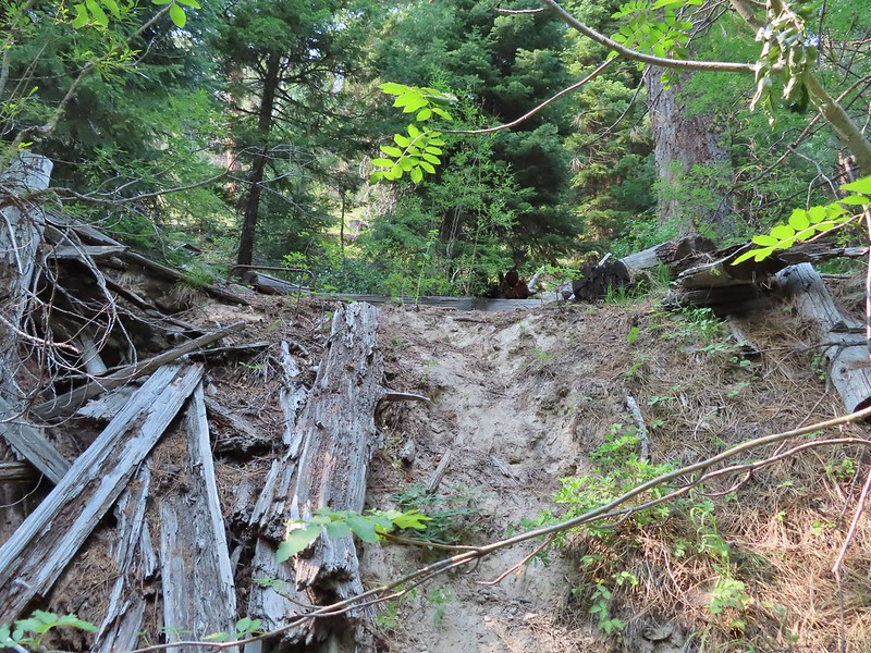 The cabin ruins.
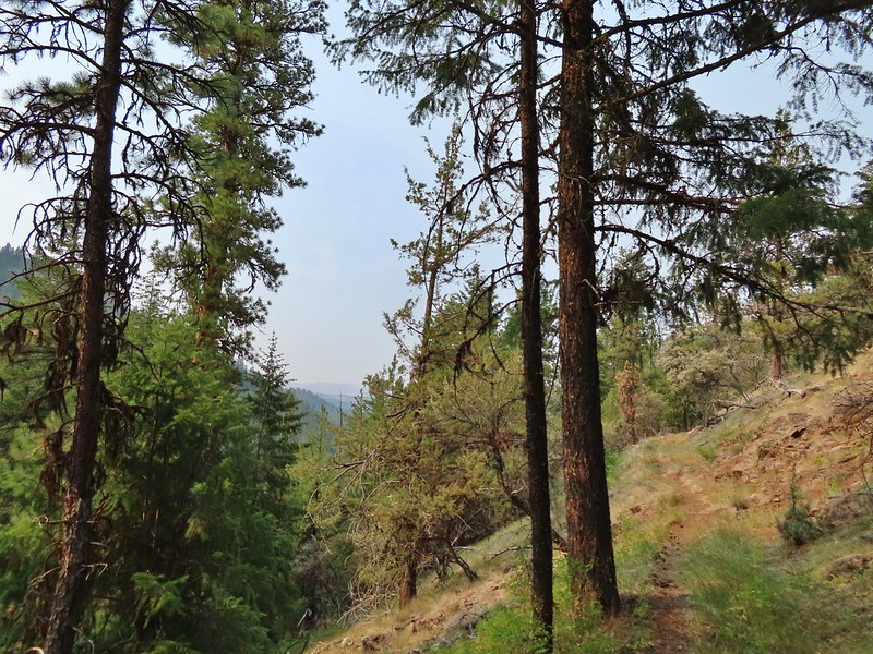
 Coming around a ridge end toward Second Creek.
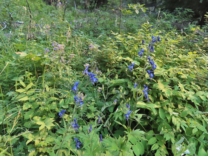 Monkshood at Second Creek
 This little guy oversaw our water pumping.
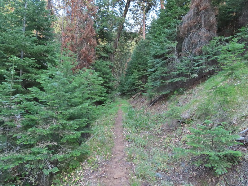
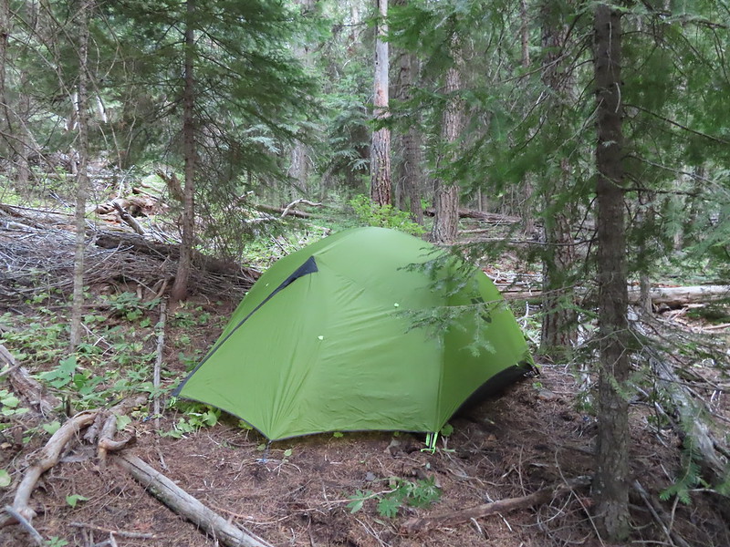
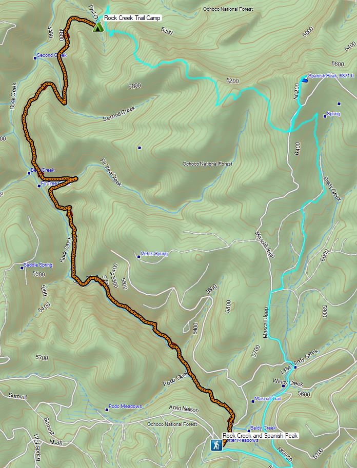
