
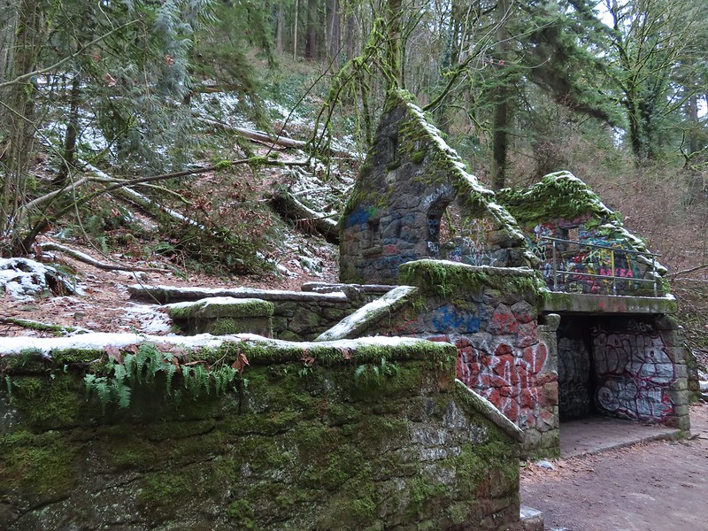
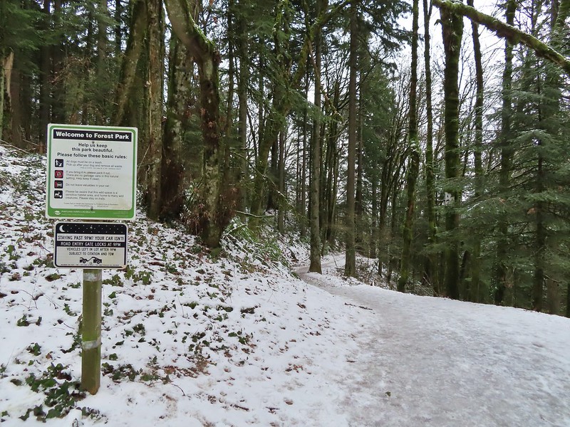
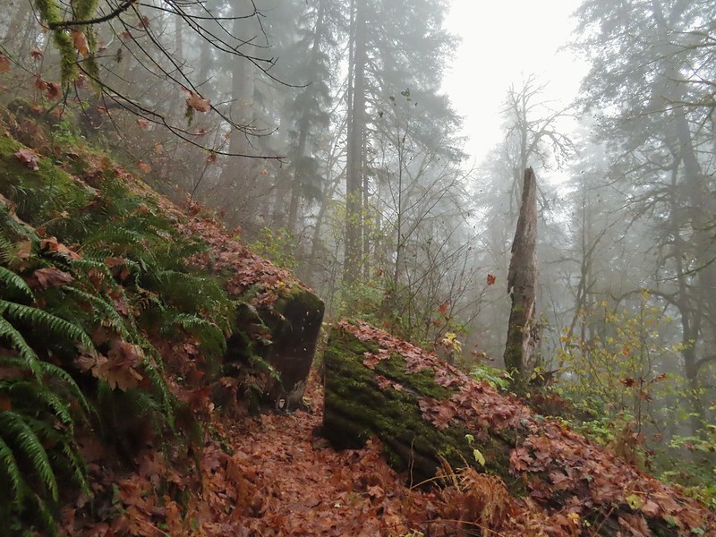
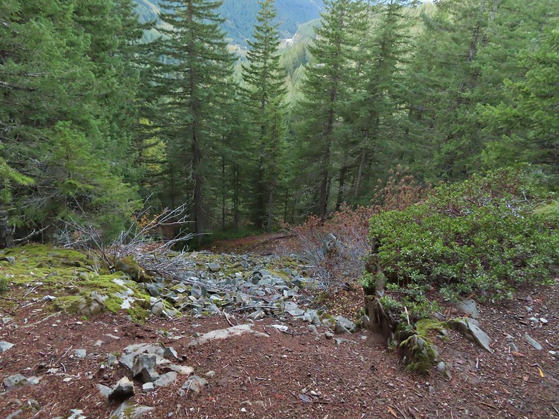
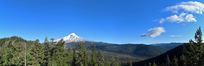
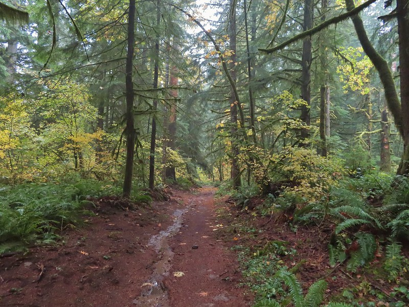
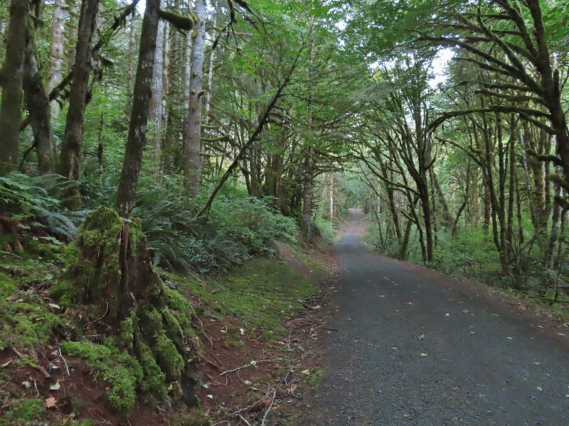
Weather permitting we like to get our January hike in on New Years Day. A series of Winter storms had passed over the Willamette Valley starting Christmas night but while temperatures had remained cold the precipitation had ceased and the forecast for New Years Day was for another dry day with a potential for sunny skies. The only issue presented by the forecast were the temperatures which promised to be in the low 20’s for our morning start. We had our sights set on Forest Park in Portland as it didn’t require us driving over any mountain passes and allowed us to sleep in a bit since it is only an hours drive from Salem. This would be our fourth hike in the park but our first time starting from an upper trailhead in the Tualatin Mountains. One of our goals was to visit the stone ruins, sometimes referred to as the Witch’s Castle, along Balch Creek which was one of two options for Sullivan’s Balch Creek featured hike. We had chosen to do his longer option in 2020 (post) which we used to check that featured hike off our to-do list but we wanted to tie up the loose end.
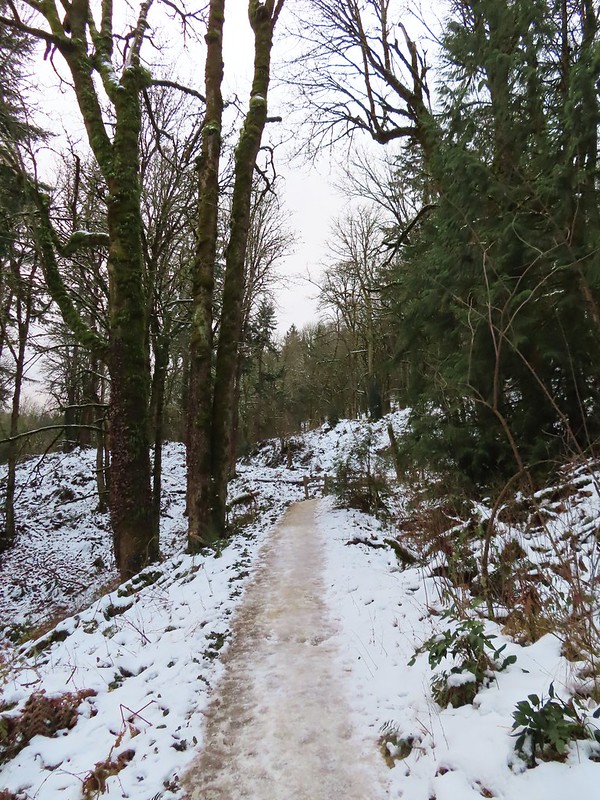
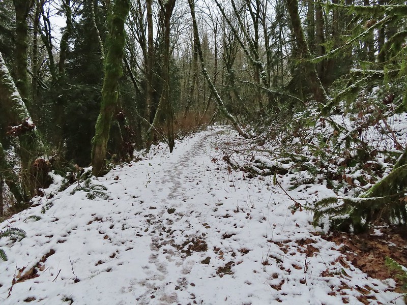
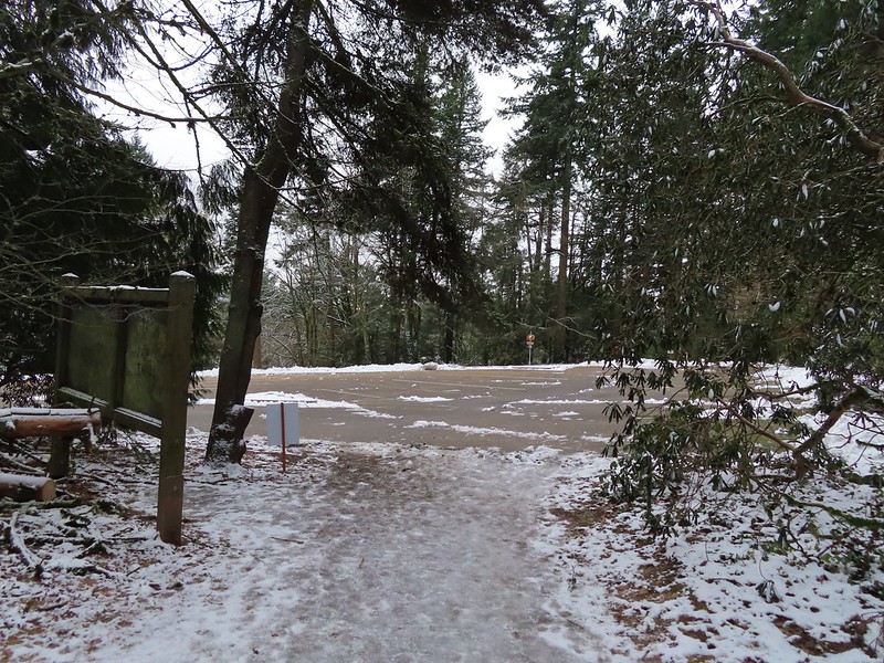
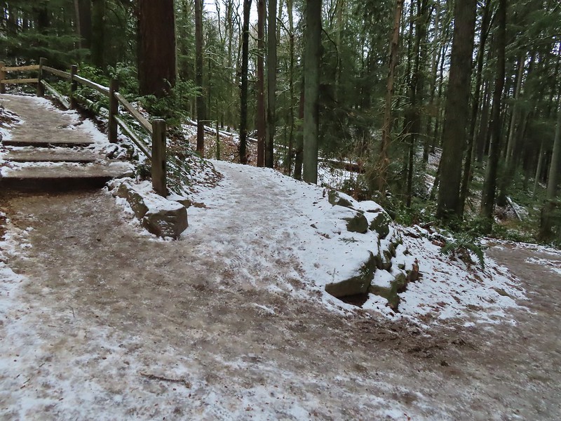
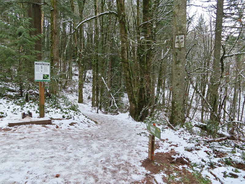
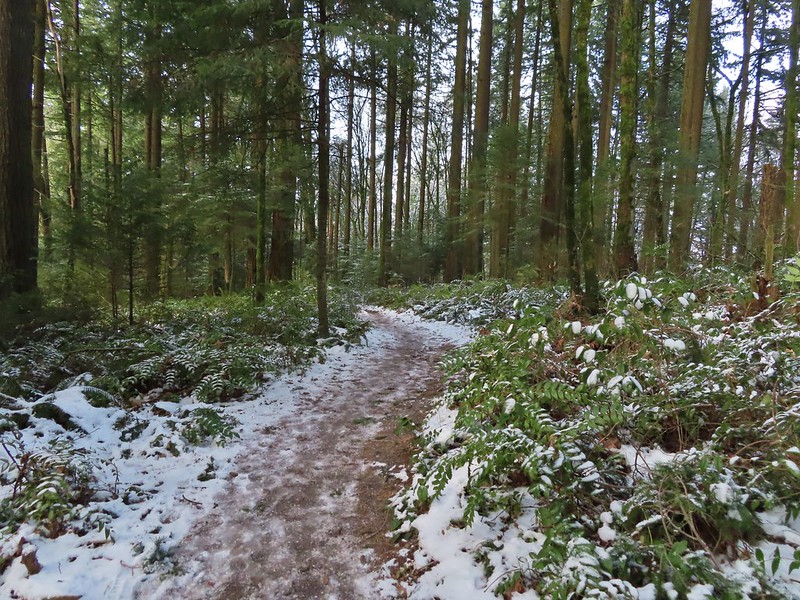
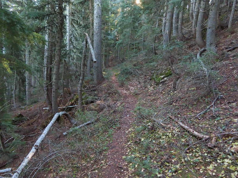
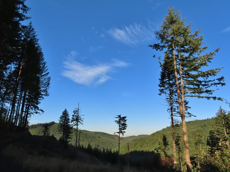
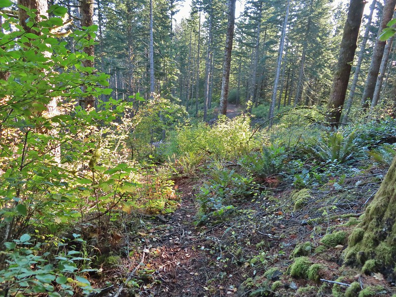
We decided to begin our hike at the NW 53rd Trailhead in order to add some distance and to check out some of the trails that we had not hiked on in 2020. While the snow had left the valley floor at 800′ some still remained and the 21 degree temperature had frozen everything.
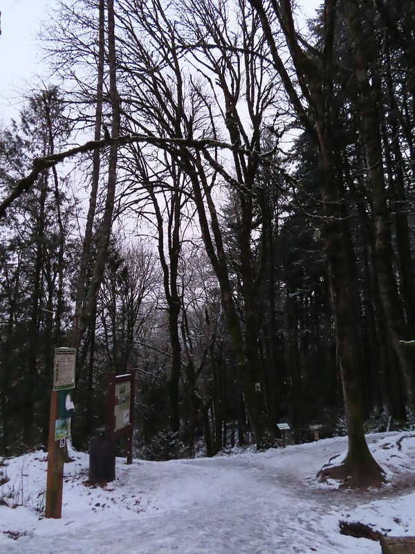
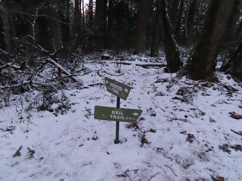
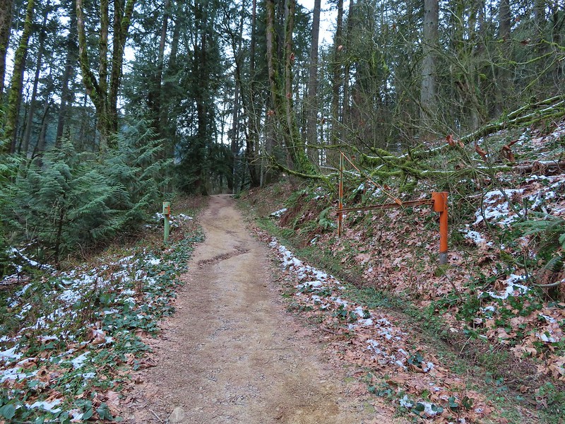
From the trailhead we immediately turned right on the Keil Trail, one of the trails we had not been on before.


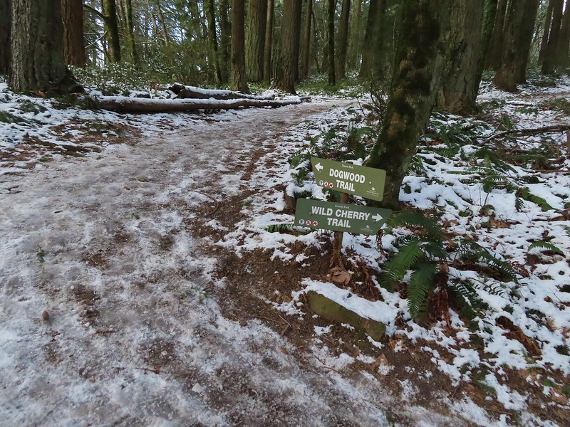
The trail ended in under a quarter mile at the Dogwood Trail where we turned left.
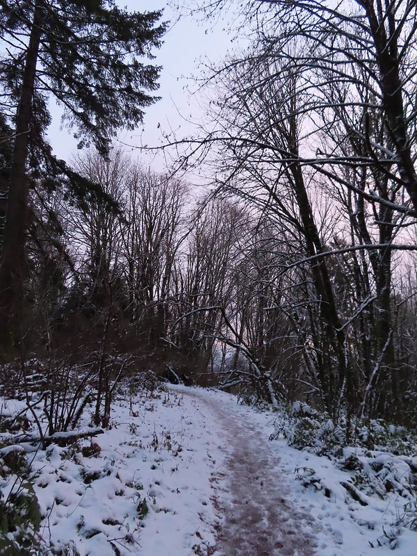
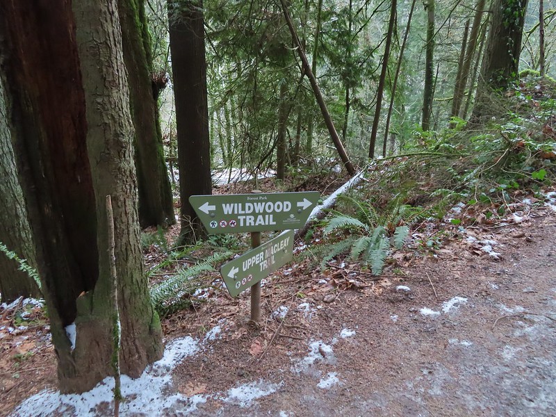
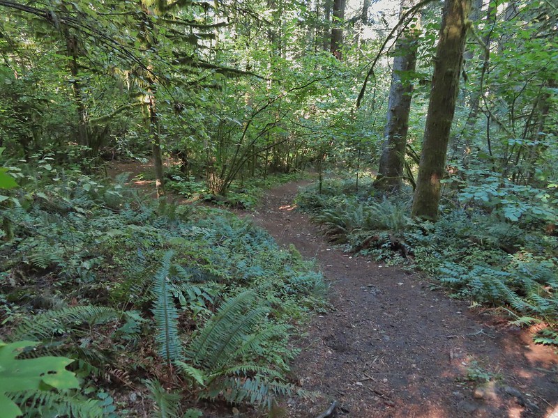
We followed this trail downhill for a little over half a mile to a junction with the Wildwood Trail.
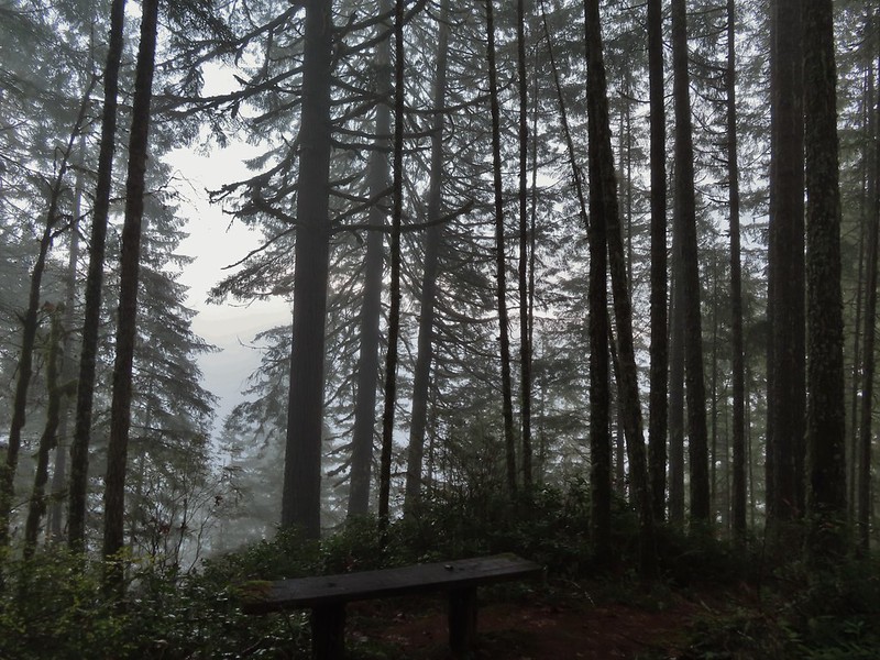
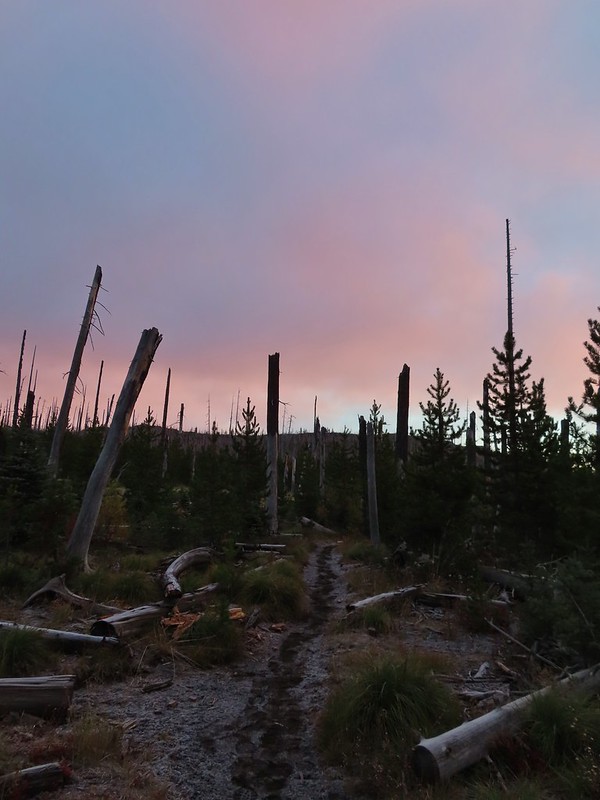
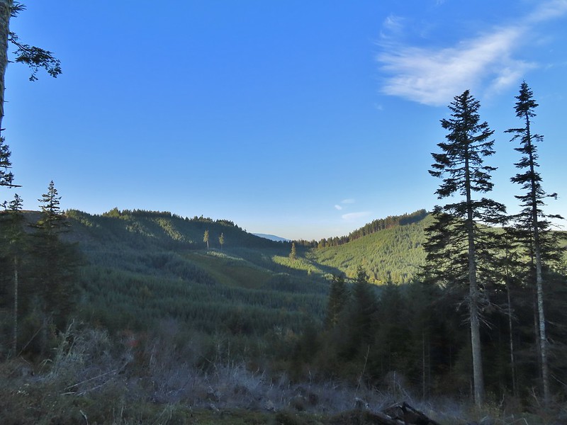
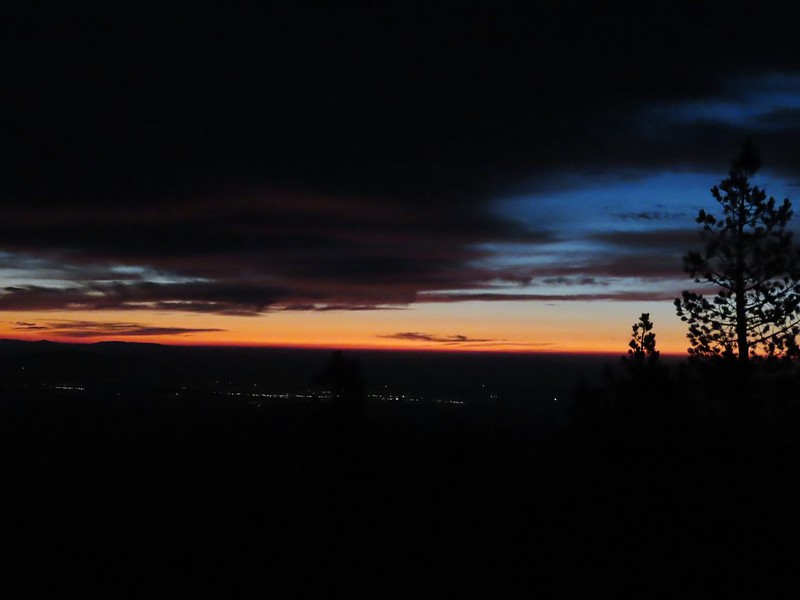
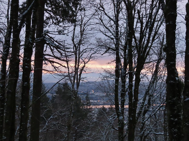 A bank of clouds was sitting directly over Portland but we could see the edge in the distance. We hopped that the clouds would either burn off or move along.

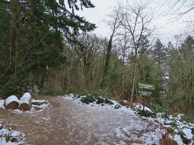
We turned right on the Wildwood Trail. The next 0.6 miles to a junction with the Wild Cherry Trail was a section of trail that we had been on in 2020.


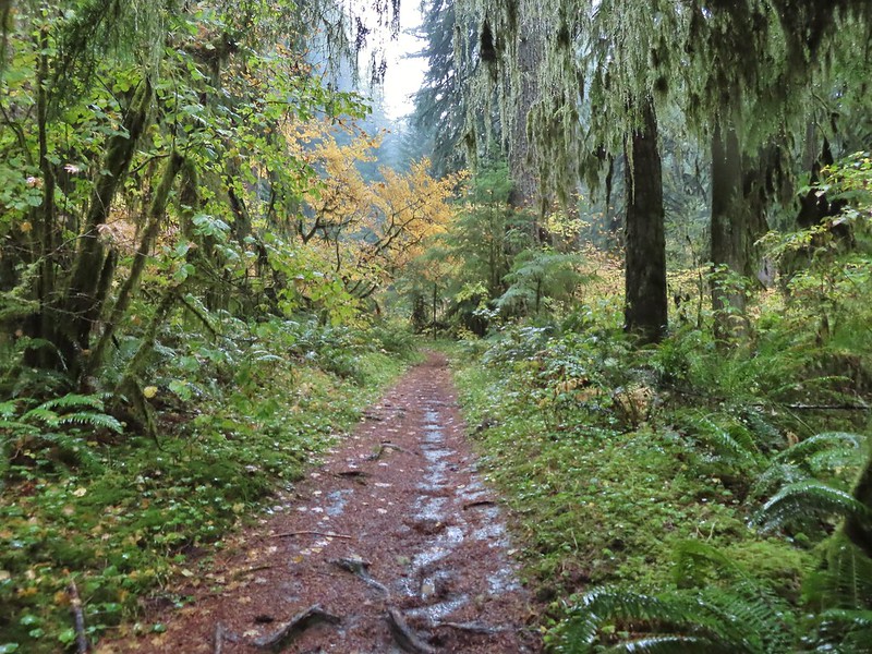
We stayed straight on the Wildwood Trail ignoring all side trails for 2.5 miles to the stone ruins along Balch Creek.

 Junction with the Birch Trail.
 A wren busy pecking at a log.
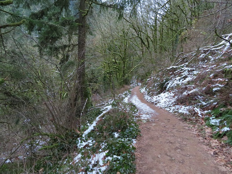
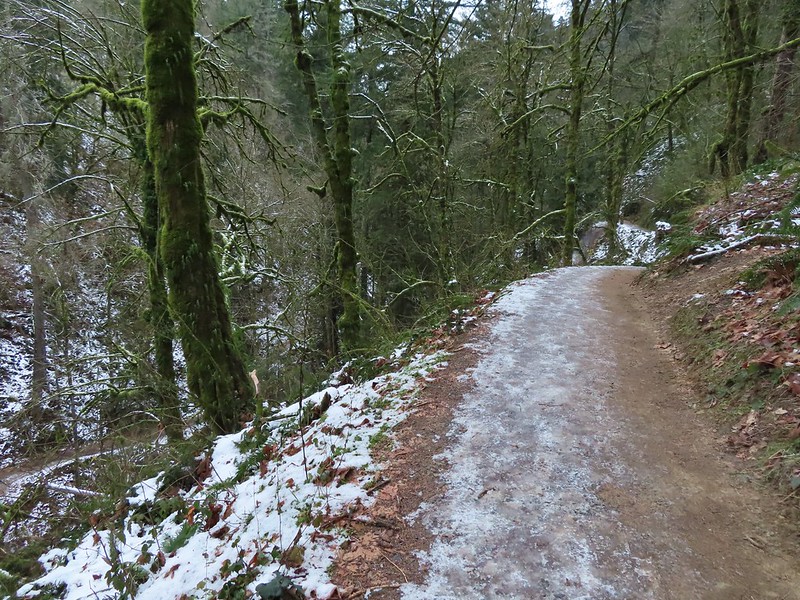
 Junction with the Aspen Trail. As we descended we left most of the snow, and the icy conditions, behind.
 Holman Lane Junction.
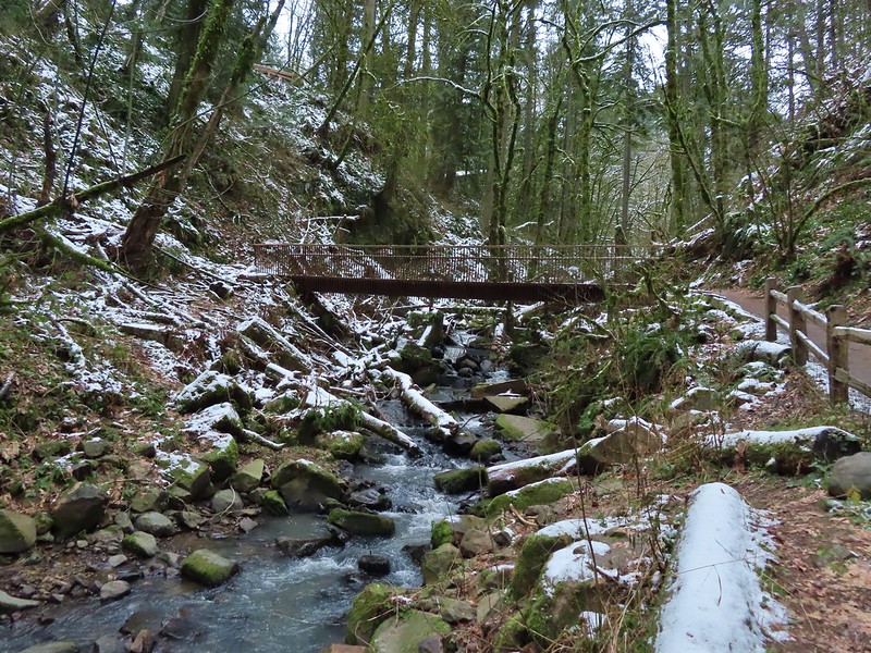
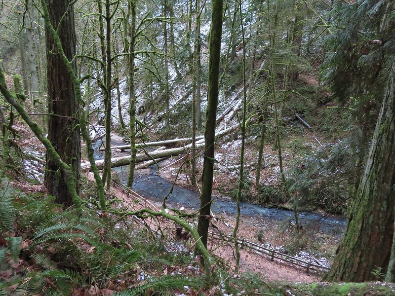 Balch Creek and the Lower Macleay Trail (Currently closed due to construction.)

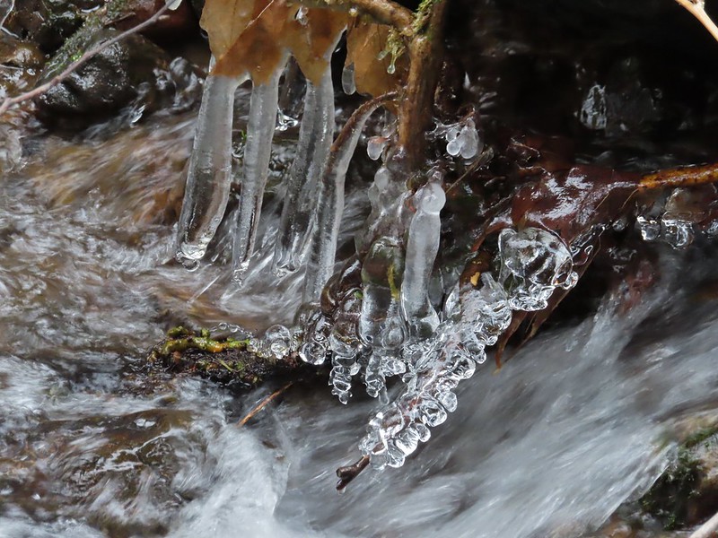
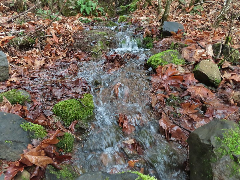
 Icicles over Balch Creek.
We continued beyond the Witch’s Castle another half a mile to the Macleay Park Trailhead crossing Balch Creek and climbing up a rather slick hill along the way.


 Going uphill before it got really slick.
 Wilwood Trail at Macleay Park Trailhead.
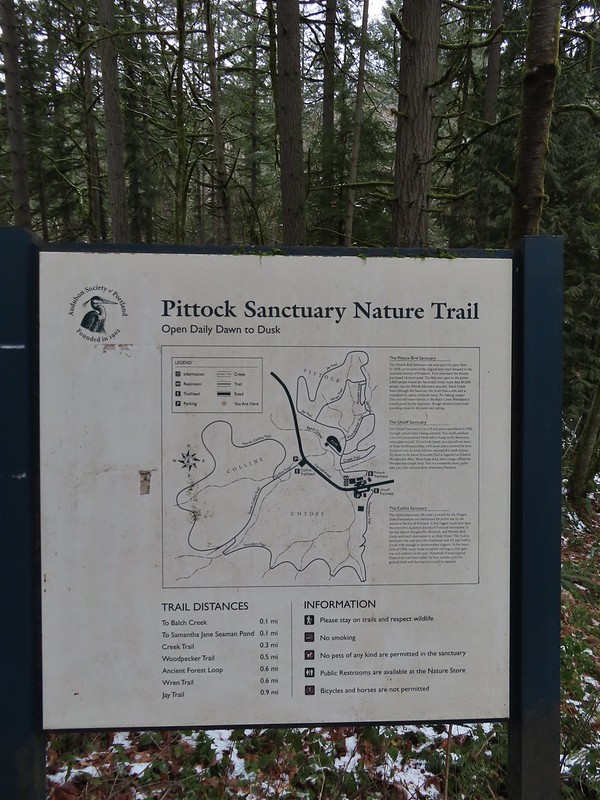
We left the Wildwood Trail at the trailhead turning right past some picnic tables and taking a path along NW Cornell Road to the Portland Audubon Wildlife Sanctuary.


A network of trails loop around the sanctuary.
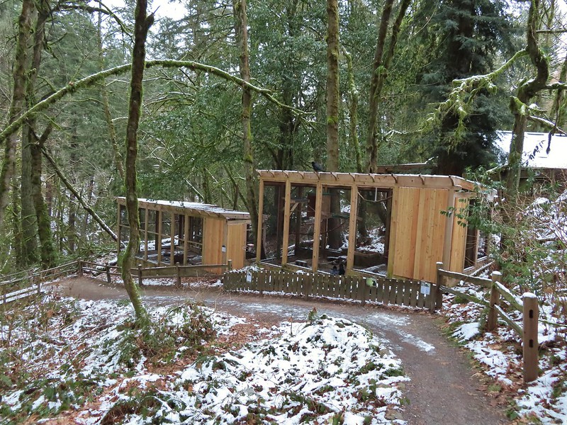
We began our tour here by walking past the Wildlife Care Center where we think we witnessed an escape attempt.

Aristophanes, a common raven and long time resident at the sanctuary, was being visited by another pair of ravens with questionable intent :).
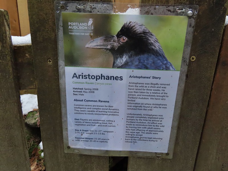
 We took this raven to be the “lookout”.
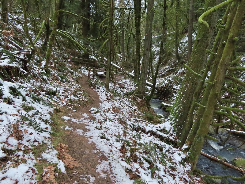
Beyond the ravens the trail descended to Balch Creek where we took the short Creek Trail to a turnaround at a bench before returning to the Jay Trail.


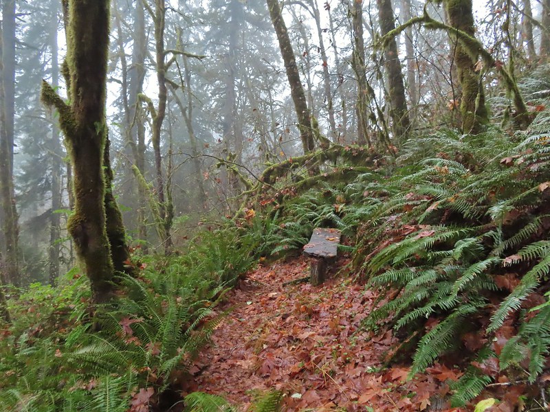
 Bench at the end of the Creek Trail.
We left the Jay Trail by taking a right on the Woodpecker Trail keeping right at junctions to meet up with the other end of the Jay Trail which we then returned on making a 0.7 mile loop.
 Pond along the Jay Trail,
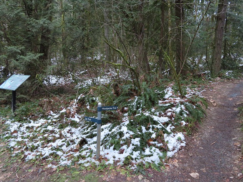 Junction with the Woodpecker Trail.
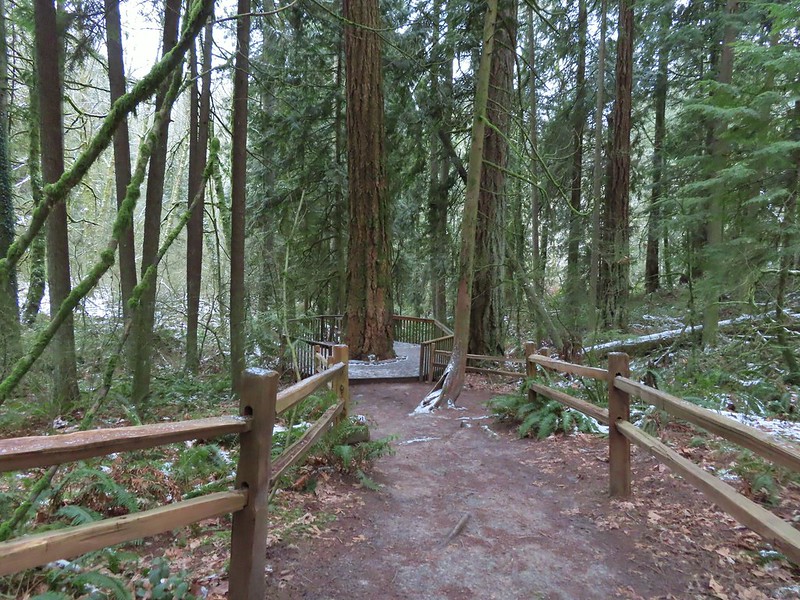 Big Douglas fir.
 I continue to struggle to get a clear photo of a varied thrush.
 Jay Trail junction with the Wren Trail.

 Nearing the pond from the other side.
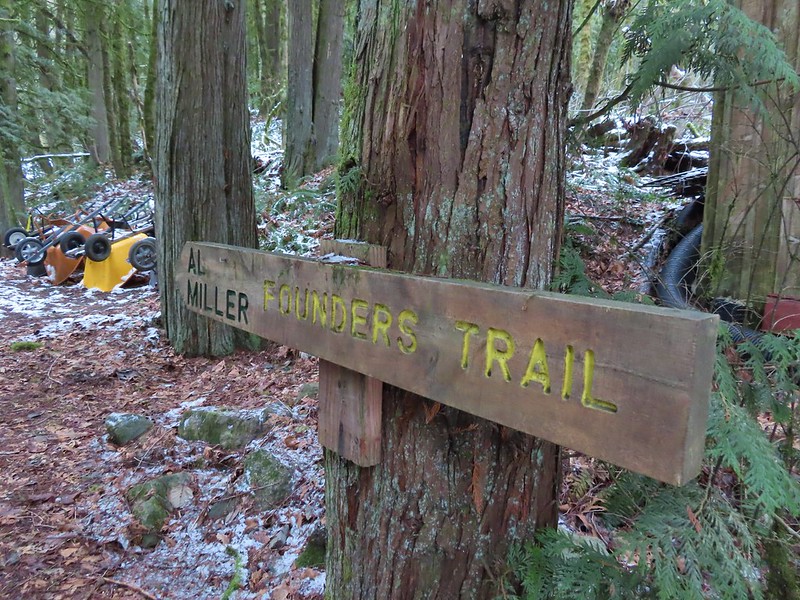
After completing this short loop we crossed NW Cornell Road and headed up the Al Miller Founders Trail.
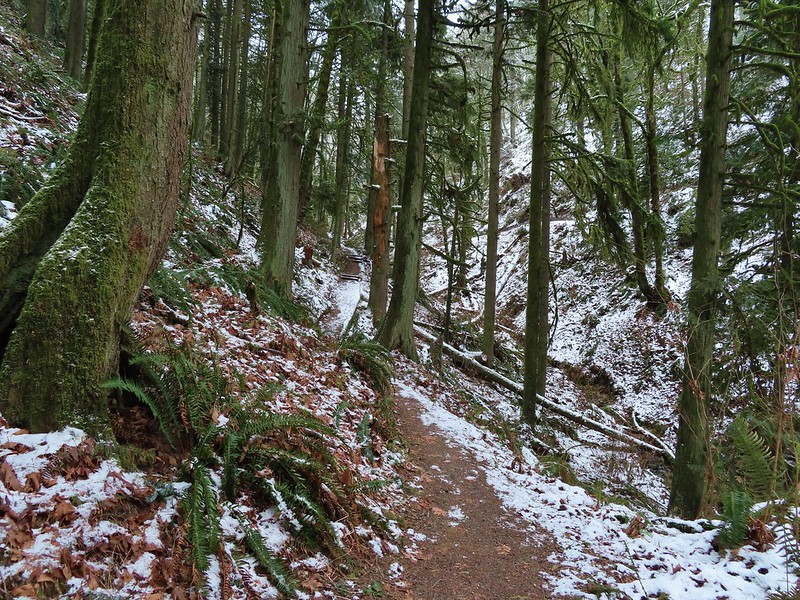
The Founders Trail climbed up into increasingly snowy forest before traversing around a hillside to a junction with the North and South Collins Trails in 0.6 miles.


 Stairs up to the trail junction.
The South Collins Trial offered a slightly shorter loop but we turned left on the North Collins Trail which climbed a little more before winding downhill and rejoining the South Collins Trail near NW Cornell Road.

 Baseball sized jelly fungus, the largest we’ve seen.
 Descending to the South Collins Trail.
 More ice formations.
This was a 1.5 mile “almost loop” which required a 500′ road walk to return to the Founders Trail and the Wildlife Sanctuary.
We then made our way back to the Macleay Park Trailhead and the Wildwood Trail which we followed across NW Cornell Road.

Due to tunnel construction the road was closed just beyond the trailhead so we didn’t have to worry about traffic as we crossed. On the other side of the road we continued on the Wildwood Trail but soon found ourselves facing the slickest section of trail we’d encountered yet. Luckily we had brought our Kathoola micro spikes which we put on in order to get down the little hill.
 We planned on returning via the Upper Macleay Trail.
 Heather descending the slick section with a trail runner behind that had attempted to get up the hill but was turning back.
The trail runner had come up the Cumberland Trail which she said had been fine but above that trail things got slick fast.
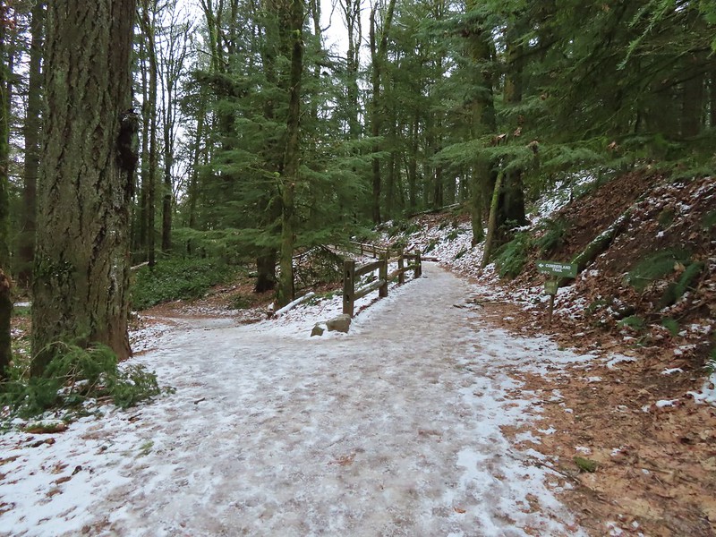 Cumberland Trail junction.
The Wildwood Trail turned uphill at a junction with the Macleay Trail which is where things started to get really interesting.

Other than the one hill where we’d put on our spikes there had always been enough clear trail to find descent footing but now the trails were pretty much ice.

We held off putting the spikes back on though until the three way junction with the Upper Macleay Trail. We watched another trail runner slip and slide as they carefully made their way downhill and decided it was time to put the spikes back on.
 The trail runner in blue.
With the spikes on we were able to confidently walk uphill, marching past a number of folks struggling to come down. We saw a few falls but luckily we didn’t see anyone get injured which was a real possibility. Besides us we only came across 4 other hikers with some sort of traction devices for their shoes.
 Heather coming up behind me.
 Arriving at the Pittock Mansion parking lot.
We had visited the mansion in 2018 (post) having come up from the other side on the Wildwood Trail and had hoped that this time we might get a view but alas the cloud cover had not moved on.
 Pittock Mansion

 A line of blue sky beyond the cloud cover.
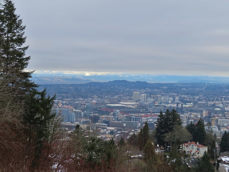 Portland from Pittock Mansion.
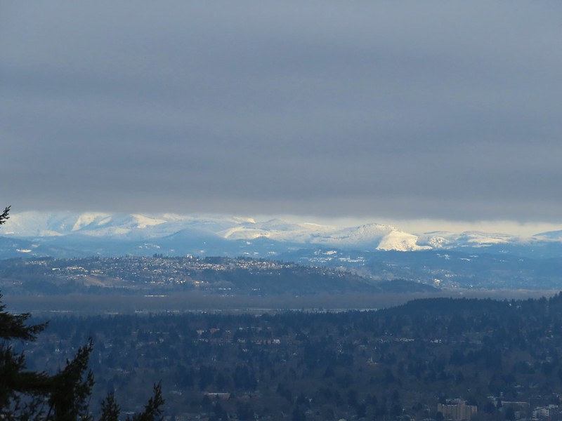 Snowy foothills in the sunlight beyond the Columbia River.

Deprived of a mountain view we headed back to the Wildwood Trail where we put our microspikes back on and headed downhill.
With the spikes on we had no issues reaching the junction with the Upper Macleay Trail where we turned left.
The spikes stayed on until we had descended to Macleay Park and Heather re-donned hers again to descend to the Witch’s Castle.

 Entering the Macleay Park Trailhead.
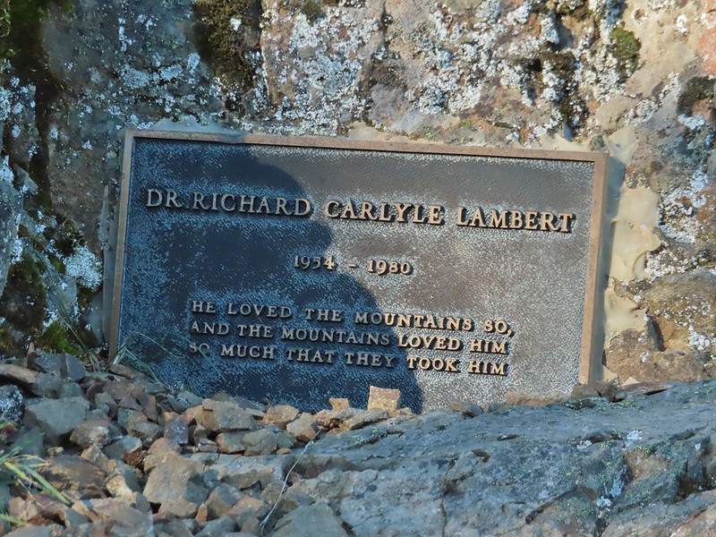
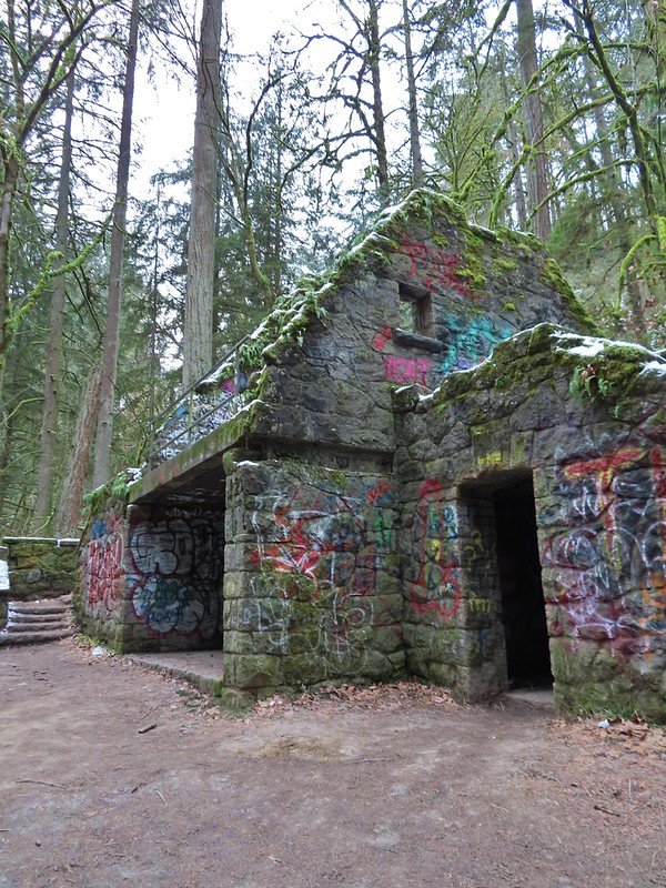 One last look at the Witch’s Castle.
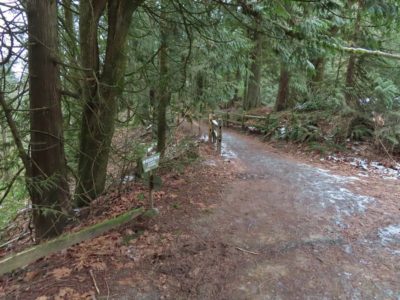
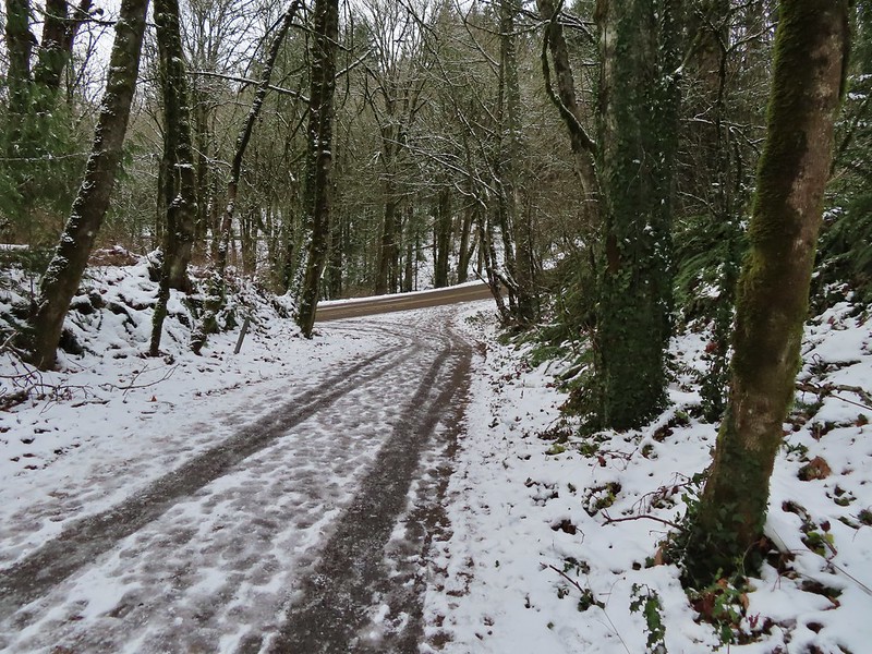
When we reached Holman Lane we turned left and headed uphill. We followed Holman Lane just over three quarters of a mile to NW 53 Dr. where we turned right walking a short distance along the road to the Birch Trailhead. Here we picked up the Birch Trail which descended a quarter mile back to the Wildwood Trail. Going back this way not only let us experience a new trail but it cut a half mile off the distance to the Wildwood/Birch Trail junction.
 Holman Lane started out snow and ice free.
 Back to the snow and ice higher up.
 NW 53rd Drive
 Birch Trailhead
 The microspikes went back on before descending the Birch Trail and stayed on for the remainder of the hike.

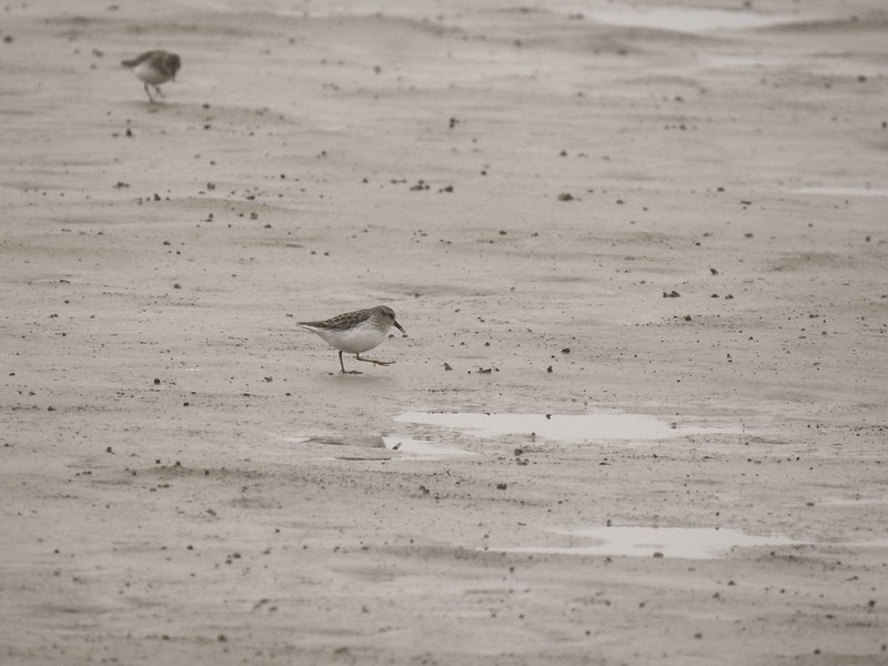
 Sparrow foraging on the Birch Trail.
 Back to the Wildwood Trail.
We turned left on the Wildwood Trail for 0.4 to the Wild Cherry Trail where we again turned uphill. This was another new section of trail for us and it was an additional three quarters of a mile shorter than returning via the Wildwood Trail.
 Wild Cherry Trail junction.
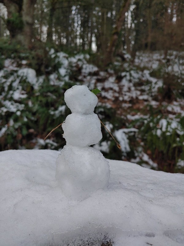 Little snowman near the junction.
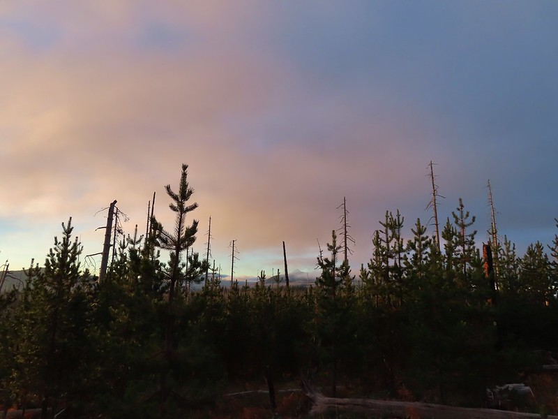
 Is that a bit of blue in the sky finally?
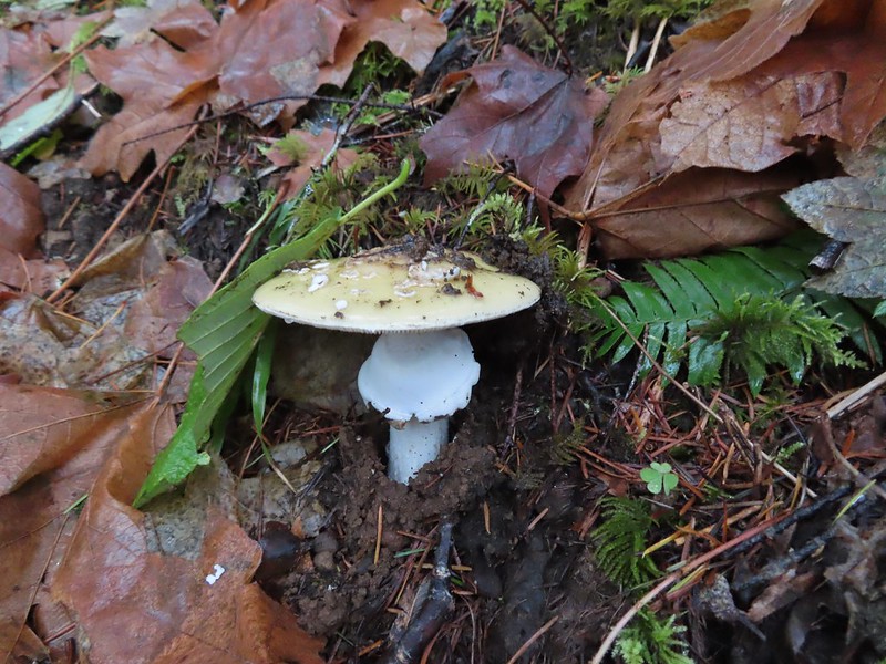
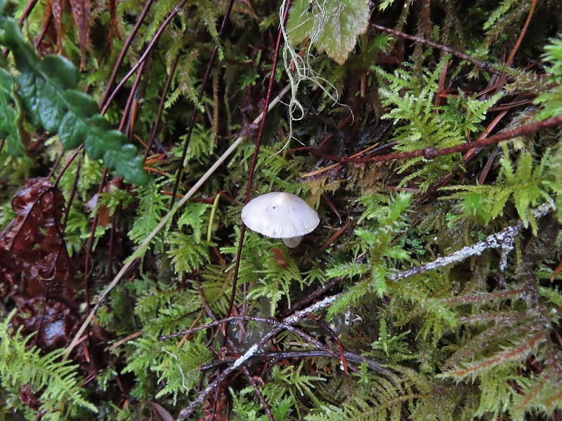
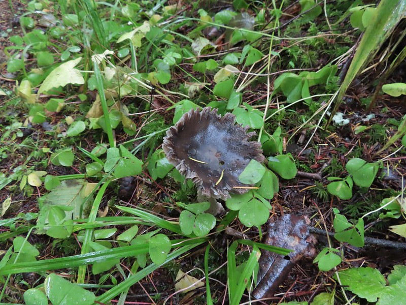
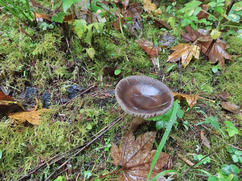
 Snowy mushrooms
The Wild Cherry Trail ended at the Dogwood Trail where we turned right for a short distance before reaching its junction with the Keil Trail.
 A break in the clouds provided some blue sky above the Keil/Dogwood Trail junction.
We turned left on the Keil Trail retracing our steps from the morning to the NW 53rd Trailhead.
 Woodpecker that wasn’t a bit concerned about my presence.
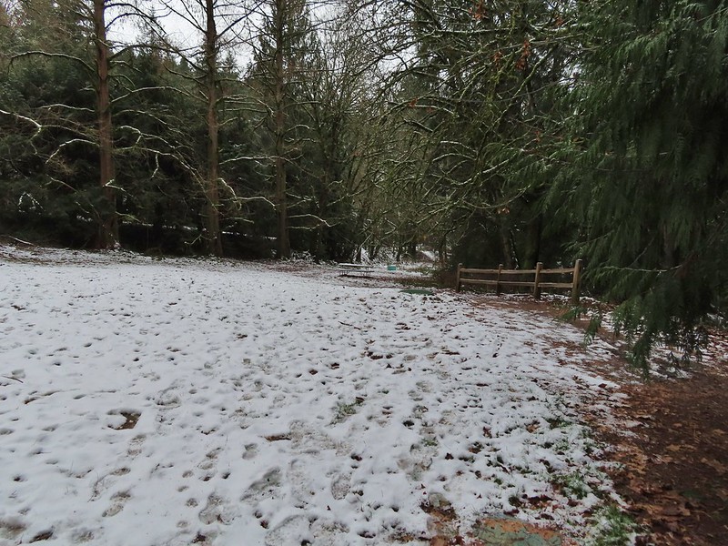
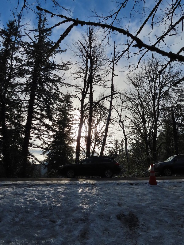 The Subaru waiting for us at the trailhead.
According to the GPS this was a 13 mile hike with around 2500′ of elevation gain.

Aside from not getting the views we’d hoped for this was a wonderful way to kick off the new year. There was good scenery, historical structures and a good deal of wildlife (even if most of it wouldn’t stay still long enough for photos). We hope everyone had a great holiday season and here is to a great 2022. Happy Trails!


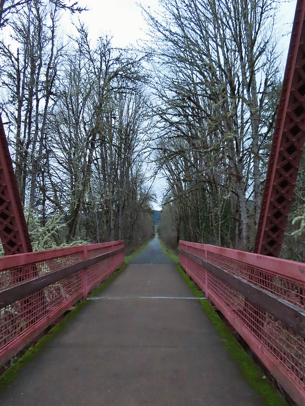
 Banks-Vernonia State Trail in January. (
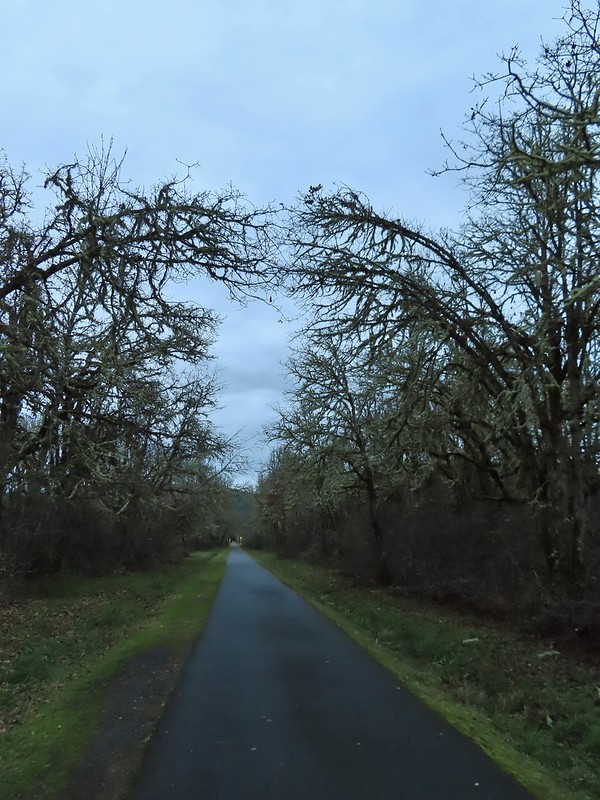
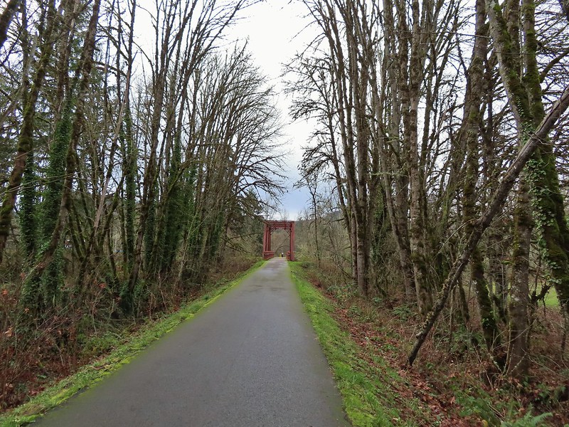 Row River Trail in December. (
 John Day River from the Lost Corral Trail
 Ninemile Ridge in the North Fork Umatilla Wilderness in June. (
 Devil’s Staircase Wilderness in July. (
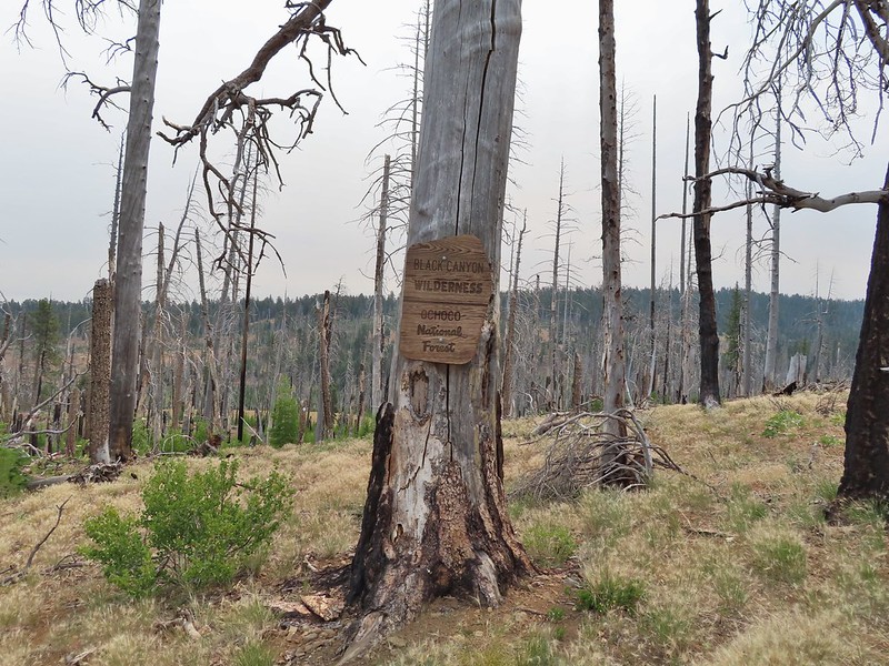 Black Canyon Wilderness in July. (
 Monument Rock Wilderness in July. (
 Ledbetter Point, the last of the hikes from the coast book. (
 Badger Lake, the last hike from the northwestern book. (
 Redwoods
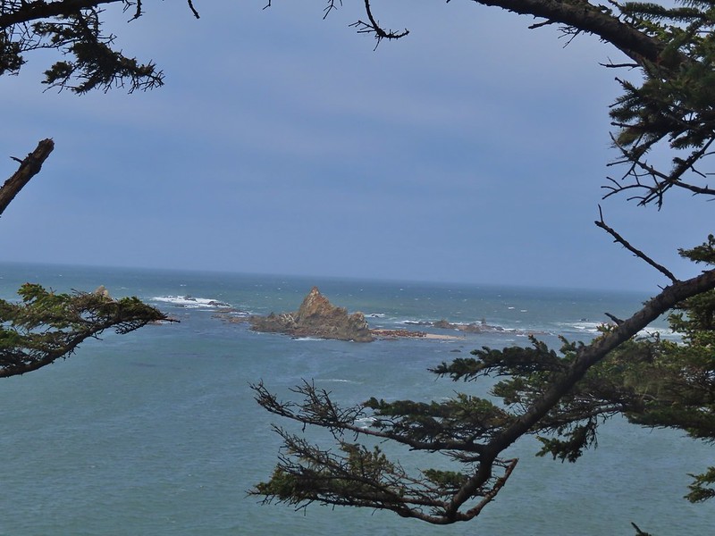

 Falls Creek – February
 Cascade Head from God’s Thumb – March
 Columbia River from Mitchell Point – March
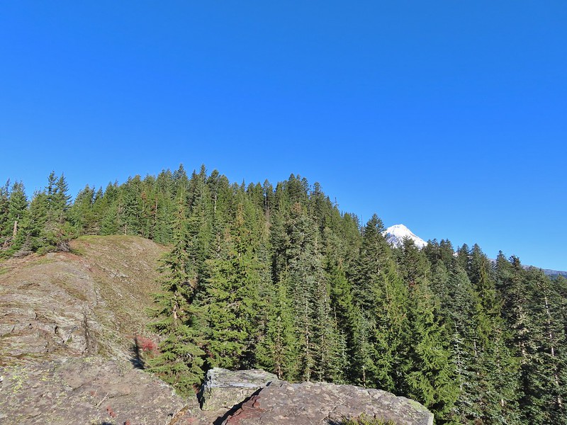
 Mt. Hood from Sevenmile Hill – March
 Dalles Mountain Ranch – April
 Mt. Adams from Grayback Mountain – May
 Navigating a downed tree along the Pawn Old Growth Trail – May
 Rogue River Trail – May
 Golden Falls – May
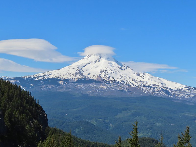 Lenticular cloud over Mt. Hood from Surveyor’s Ridge – May
 Whychus Canyon – May
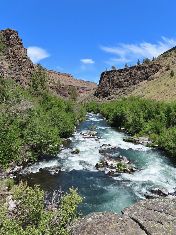 Deschutes River – May
 Whychus Creek Overlook – May
 Forest on Mary’s Peak – June
 North Fork Umatilla River – June
 Tower Mountain Lookout – June
 Malheur River – June
 Meadow on Round Mountain – June
 Santiam Lake – July
 Three Fingered Jack from Lower Berley Lake (and a butterfly photobomb) – July
 The Husband and Three Sisters from Substitute Point – July
 Ochoco
 Red Sun through wildfire smoke from the Monument Rock Wilderness – July
 Canyon Mountain Trail, Strawberry Mountain Wilderness – July
 Aldrich Mountains – July
 Mt. Mitchell summit on a rare poor weather day – August
 Mt. Bachelor – August
 Cottonwood Camp, Big Indian Gorge in the Steens Mountain Wilderness – August
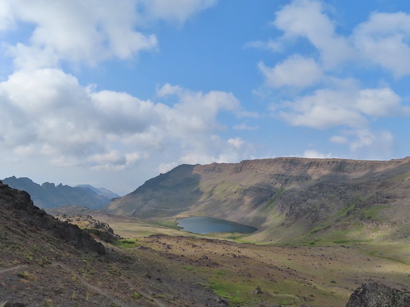 Wildhorse Lake, Steens Mountain Wilderness – August
 Evening at the Steens Mountain Resort – August
 Little Blitzen Gorge – August
 Riddle Ranch – August
 Morning in the Pueblo Mountains – August
 Oregon Desert Trail, Pueblo Mountains – August
 Mt. St. Helens and Spirit Lake – August
 Harmony Falls – August
 Loowit Falls – August
 Mt. St. Helens from Norway Pass – August
 Mt. Hood from the PCT in the Indian Heaven Wilderness – September
 Mt. Adams and Soda Peaks Lake, Trapper Creek Wilderness – September
 Jubilee Lake – September
 Rough Fork Trail, Blue Mountains – September
 Heritage Landing Trail, Deschutes River – September
 McDonald-Dunn Forest – October
 Cascade Mountains from the Mt. Jefferson Wilderness – October
 Three Fingered Jack from Round Lake – October
 Mt. Hood from the Flag Point Lookout
 Mt. Hood from Lookout Mountain – October
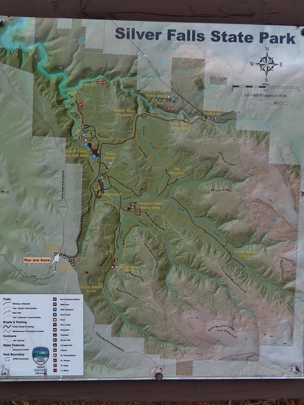
 Silver Falls State Park – October
 Laurel Hill Wagon Chute – October
 Barlow Ridge, Mt. Hood Wilderness – October
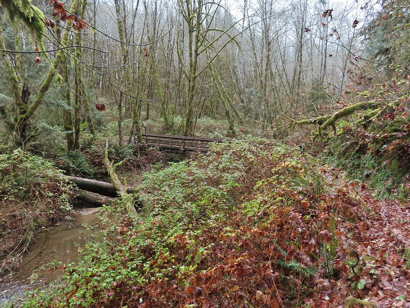
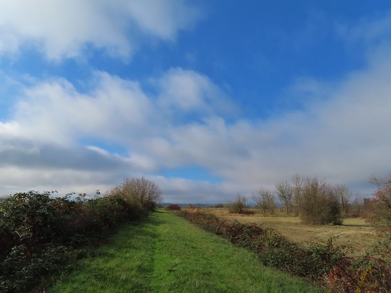 Fern Ridge Wildlife Area – November


 Ivy disguising itself as a tree.
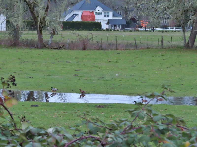 Mallards and Christmas lights.
 Layng Road crossing. The lights on the signs were activated when sensors picked up something approaching.

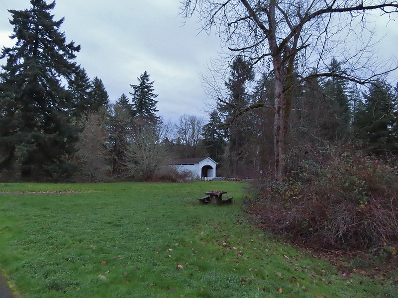
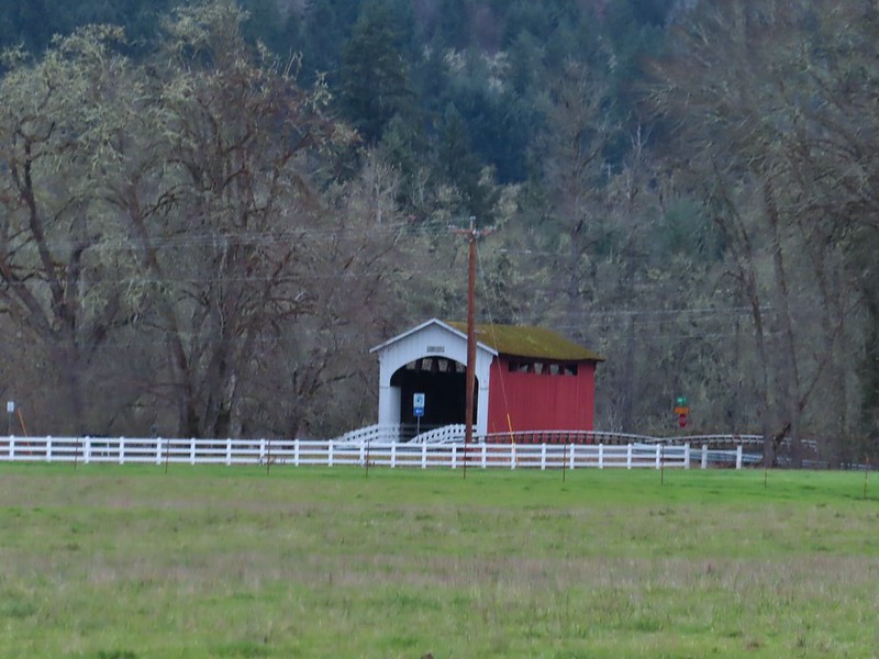 Currin Covered Bridge on Layng Road.
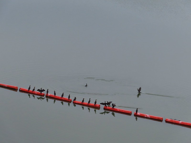
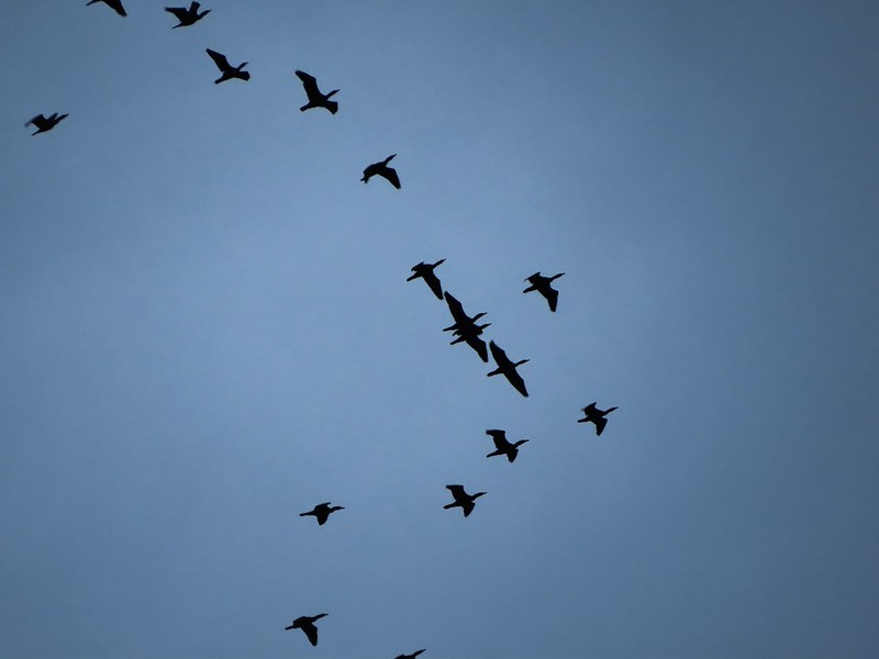 Cormorants flying overhead.
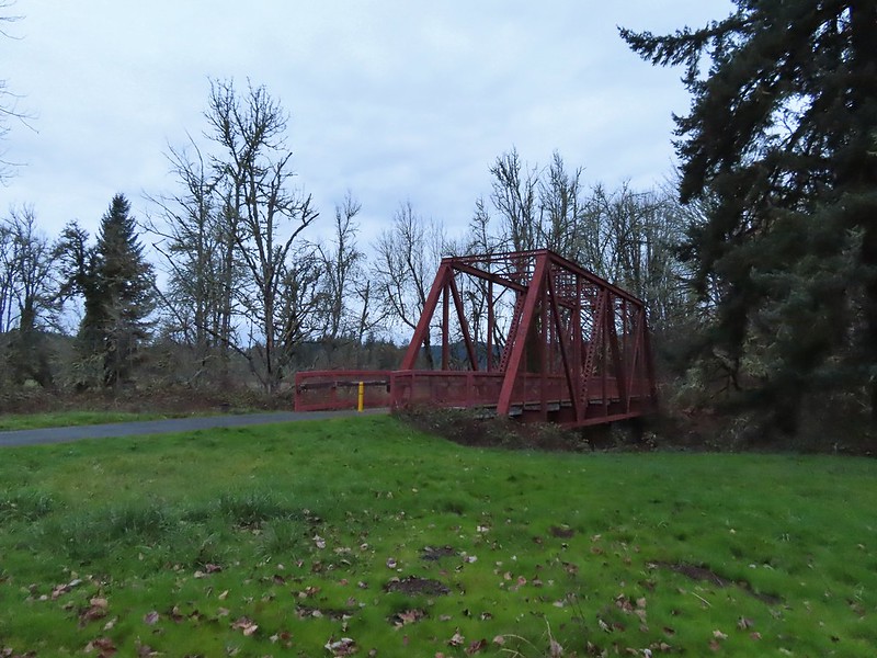
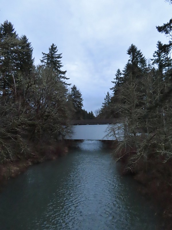
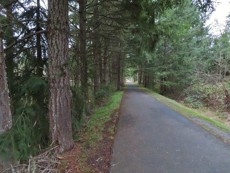 Approaching the bridge over the Row River.
 Row River
 Lesser scaup. I would have liked a better picture but it was still early and not very light and the little guy was a ways away on the river.
 This was a new sign to us.
 Row River Road with some snowy hillsides in the distance.
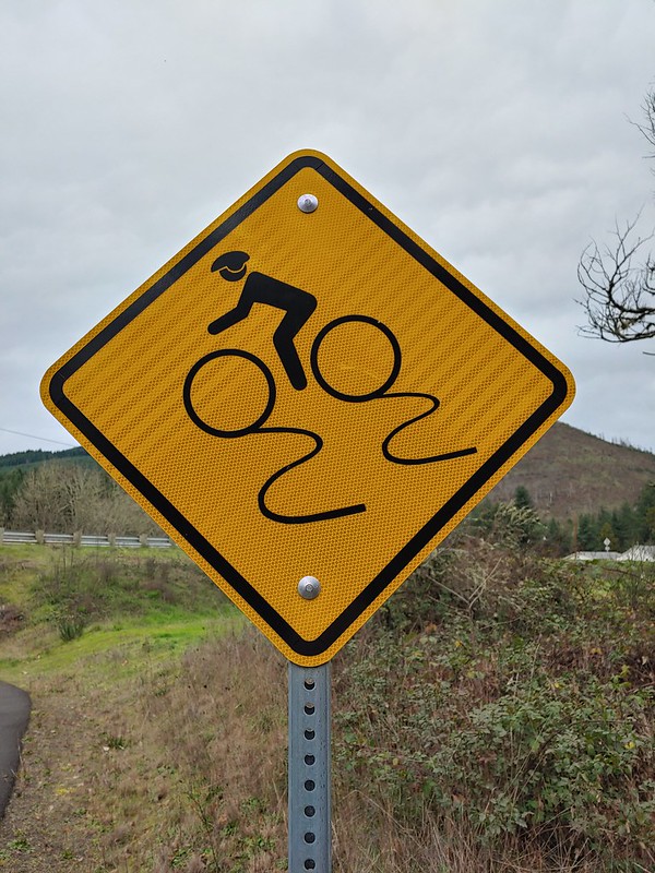
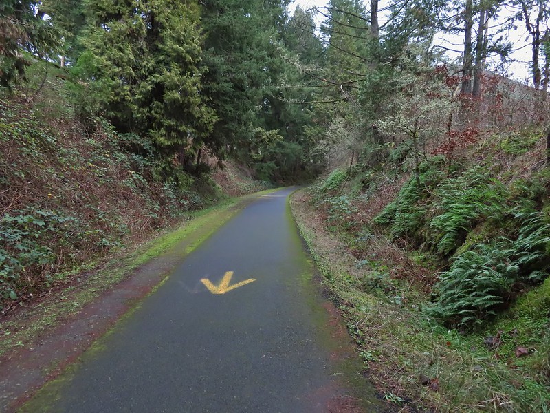 Arrows and other yellow markings identified bumps and holes in the trail for equestrian and bike users.
 Jelly fungus
 Hamblen Creek
 Turkeys in a field.
 Sign along a private driveway.
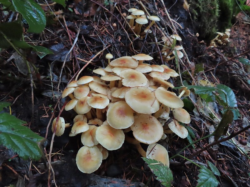
 Not very many mushrooms but these were good sized.

 Do squirrels jog?
 Madrone along the trail.
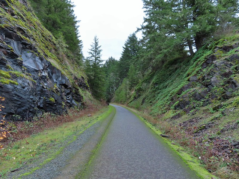 Row River Road was overhead to the left along this rocky section.
 Nearing a bench along the trail facing Dorena Lake Dam.
 Interpretive sign near the bench.

 Snow in the Calapooya Mountains.
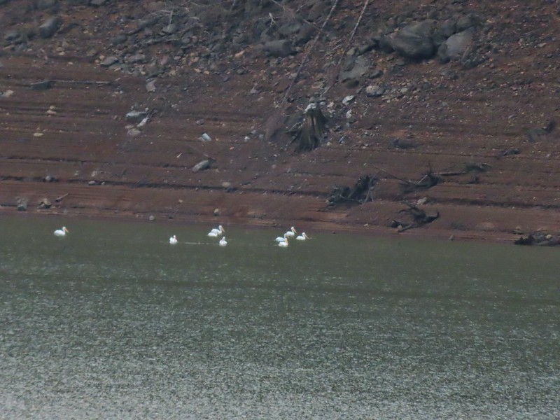 White pelicans on the other side of Dorena Lake.
 Still no rain despite the clouds.
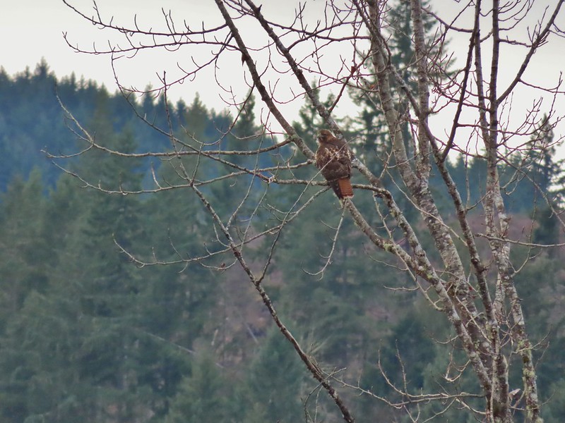 Red-tailed hawk


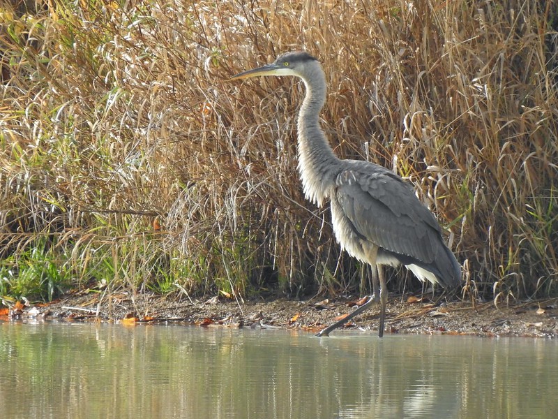
 A kingfisher and a great blue heron.
 Pelicans and other waterfowl on the move.
 Cerro Gordo from Row Point.
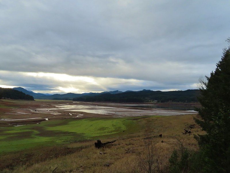 Not much water at all in the eastern end of the reservoir.
 A great blue heron on the far left with a bunch of white pelicans and cormorants.
 Actual sunlight hitting the dam.
 Spotted towhee
 Rat Creek Bridge
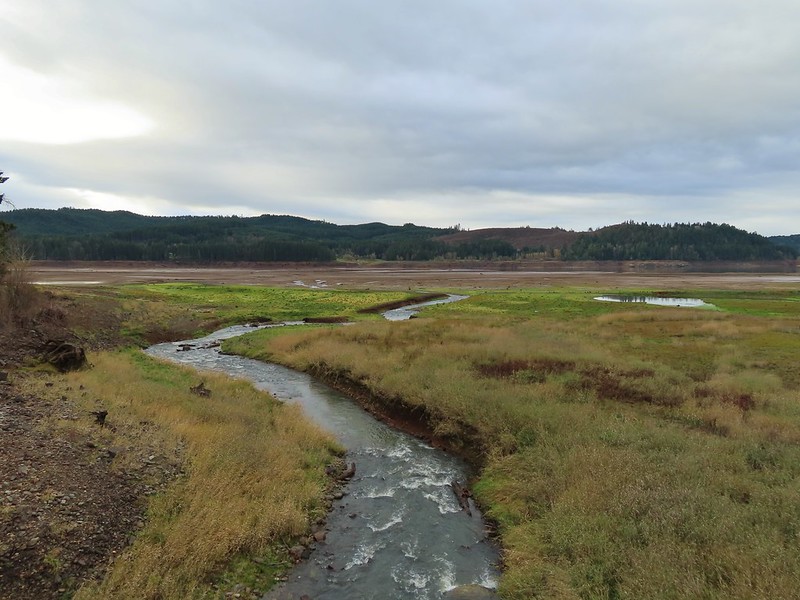 Rat Creek
 June 2020 from the Rat Creek Bridge.

 Gold tree in front of Cerro Gordo.
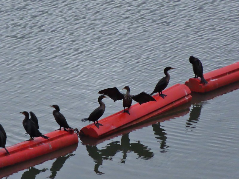
 The little hill to the left provides access to the north end of the dam.


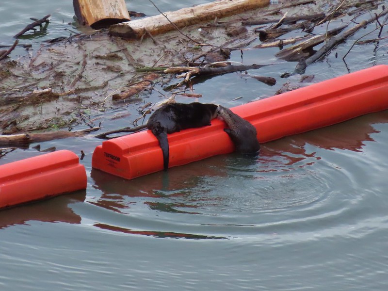
 Just drying out.
 Trying to play.
 No luck.
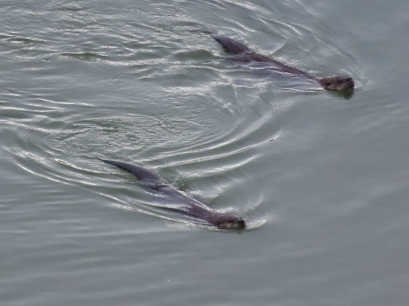

 Rabbit
 American wigeons
 Nature slowly reclaiming an old farm truck.
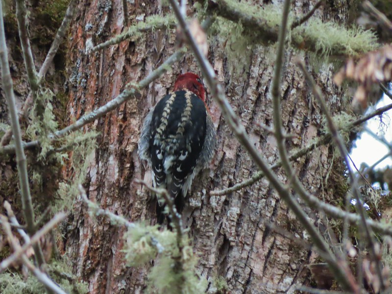 Red breasted sap sucker.
 Mosby Creek
 The trailhead sign for the Clay Creek Trail is ahead on the opposite side of the road.
 Siuslaw River
 Clay Creek on the left emptying into the Siuslaw.
 Stairs at the Clay Creek Recreation Area across the river.

 The Clay Creek Trail climbing above Clay Creek.
 It’s hard to tell size here but the diameter of this tree was well over 5′.
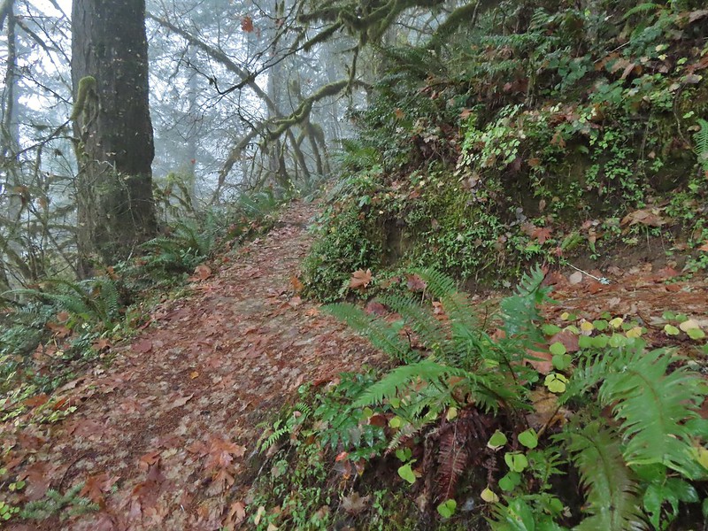 The junction for the loop.
 One of several reroutes we encountered.
 On the ridge top.
 Madrone trunk and bark, always fascinating.
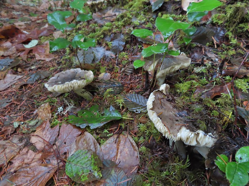 Lots of mushrooms pushing up through the forest floor.
 Good sized trees near the high point.
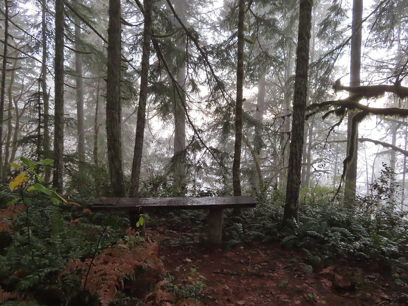 No idea what you might see on a clear day.

 The viewpoint.
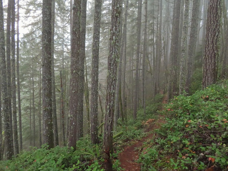

 Nearing the footbridge.
 The fog had lifted off the river at least.
 Note that Royal Ave and the trail to the viewing platform are open year around with the other restrictions listed below.
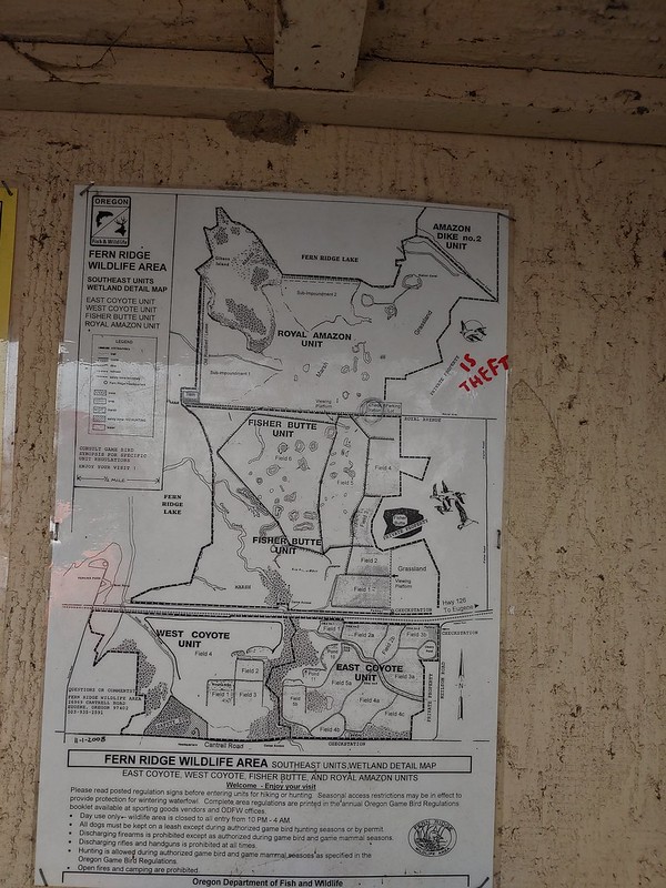 We took a picture of this map to assist us with our route.

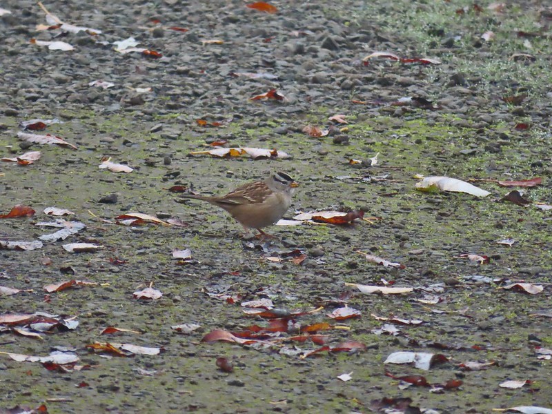 White crowned sparrow
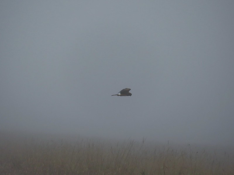 Northern harrier on the hunt.
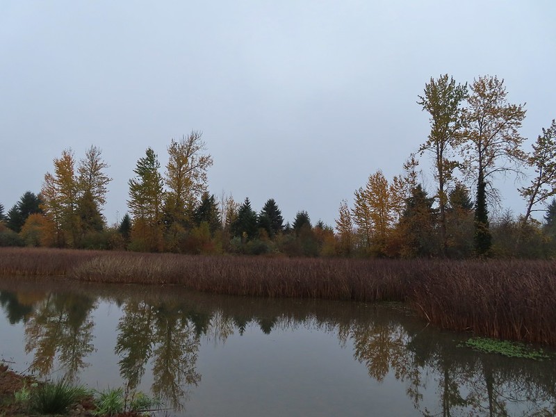
 Wetlands in the Royal Amazon unit.
 The bittern taking off.
 Not the greatest photo but enough to identify it.
 A hawk on a stump.
 American coots
 Gibson Island (with the eagles in the snag to the far left)
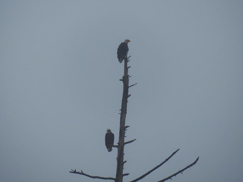


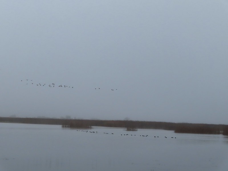 A flock of geese above the coots.
 There were a number of these small birds pecking around in the mud which, with some help from Molly in the comments, are American pipits.
 Continuing west.
 We used the stones to the right to cross the water here.
 Great blue heron (with Highway 126 in the background).
 Sandpiper in the roadway.
 End of the line.

 Seagull
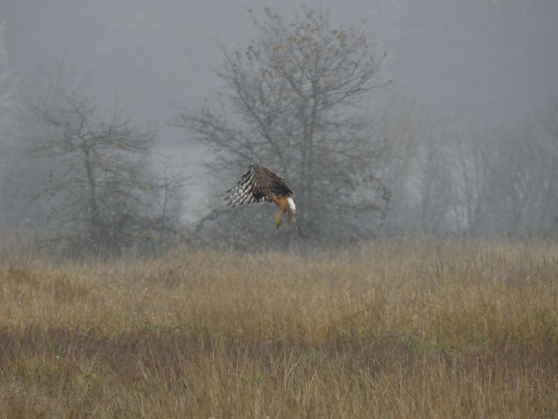 Perhaps the same northern harrier.
 The harrier taking a break.
 The path to the platform.
 Dunlins (thanks again to Molly)
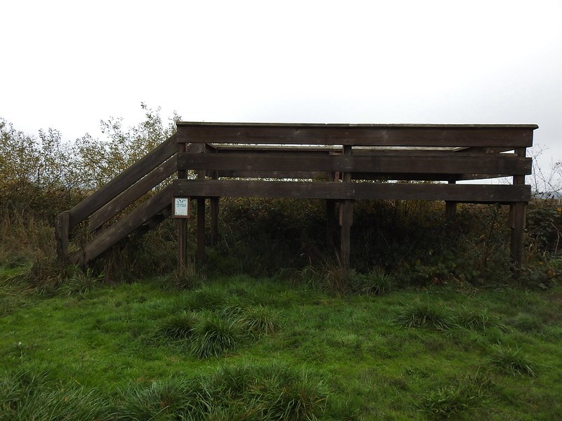 The platform.
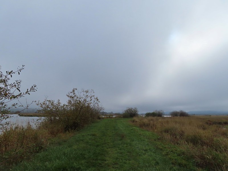
 The first signs that the fog/clouds might be breaking up.
 Looking back at a little blue sky and a visible Gibson Island


 Fisher Butte is the low hill ahead to the right.
 Gibson Island was now lit by direct sunlight.
 The dike running between Fields 3 & 4.
 Looking back over the ditch.
 California scrub jay
 Northern shovelers and a bufflehead.
 Buffleheads and two hooded merganser females.
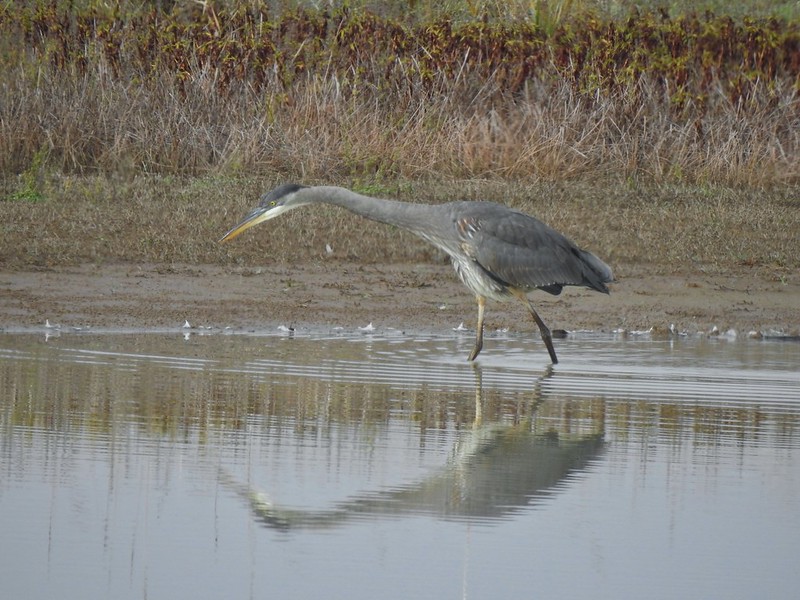
 Kingfisher
 American robin
 The gravel road and another small portion of the wildlife area on the other side.
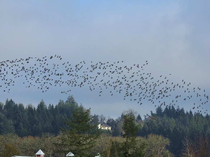 Noisy geese.
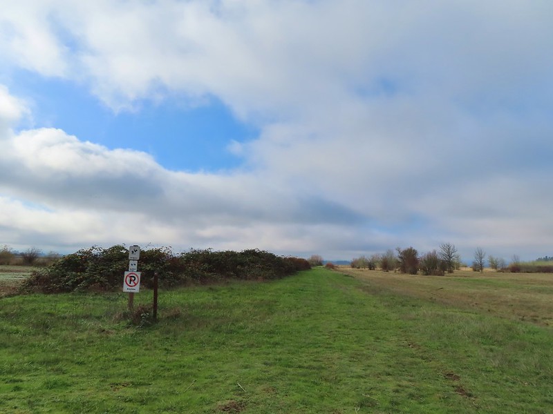 Back on the mowed track.
 A sparrow
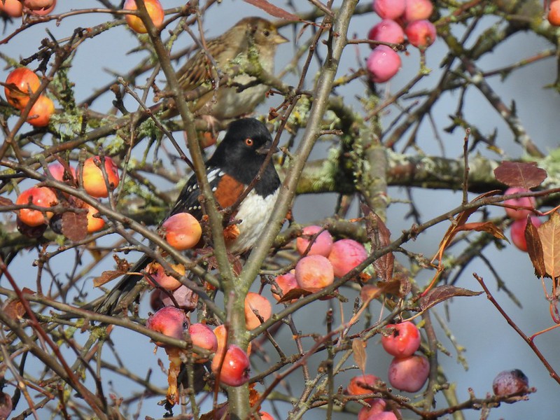 Spotted towhee and friend.
 Finch
Finch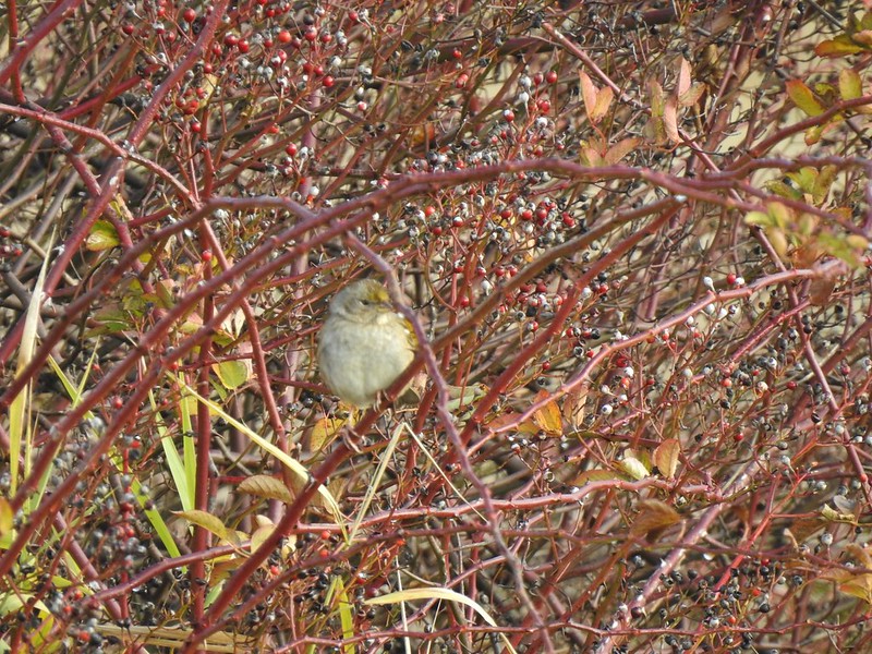 As of yet unidentified little bird.
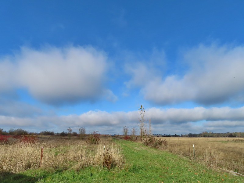 This path headed north from the trailhead, something to explore on our next visit.


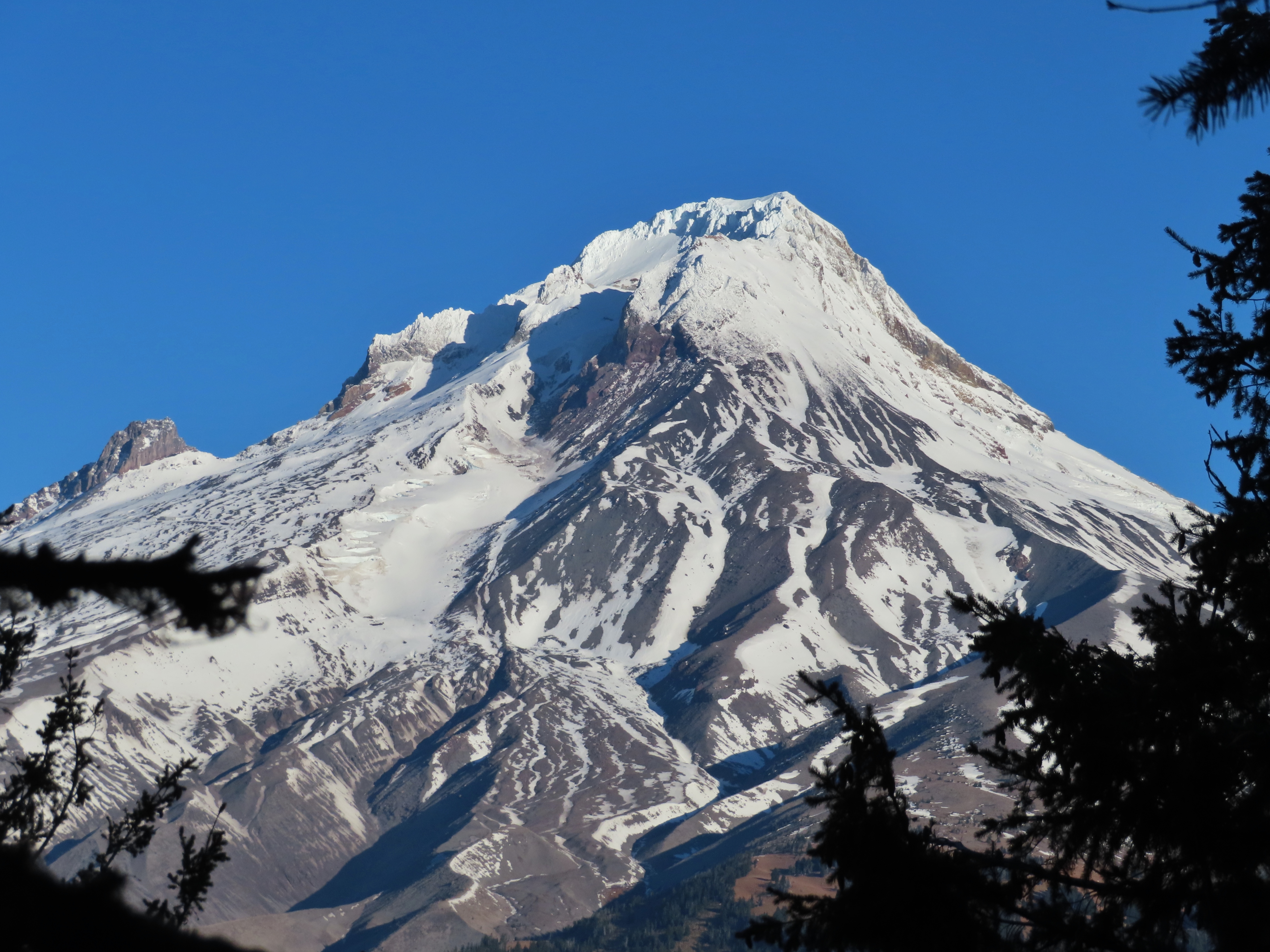
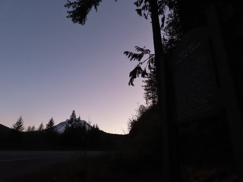 Mt. Hood from the trailhead.


 The left at the 4-way junction.
 Looking down the chute.
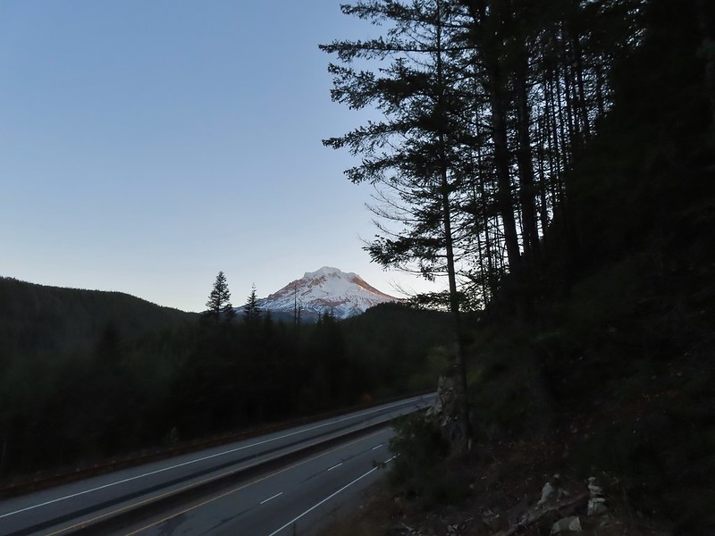
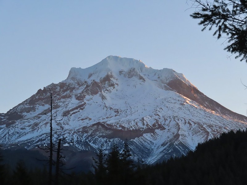 Sunlight starting to hit the SE side of Mt. Hood.
 Ravens photo bombing a close up of the mountain.


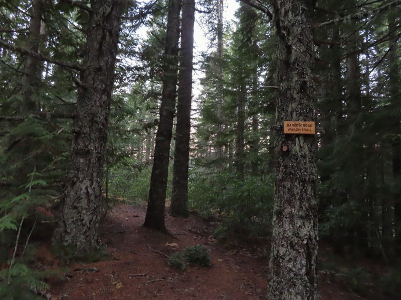
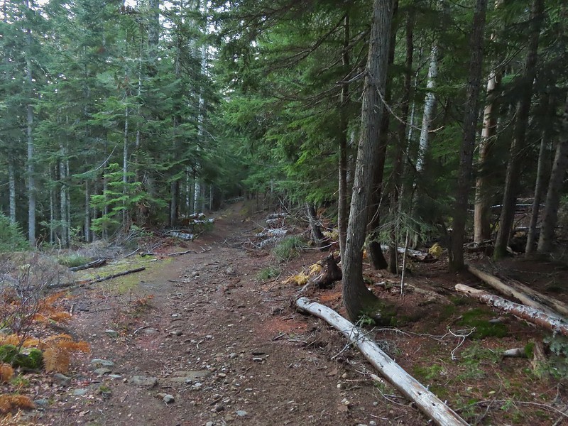 A portion of the original Barlow Wagon Road.
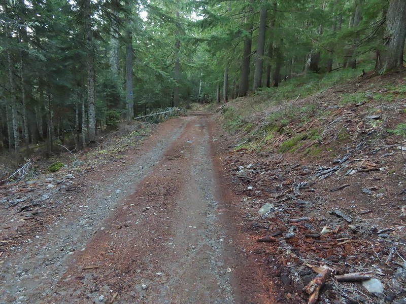 Barlow Road (FR 3530)
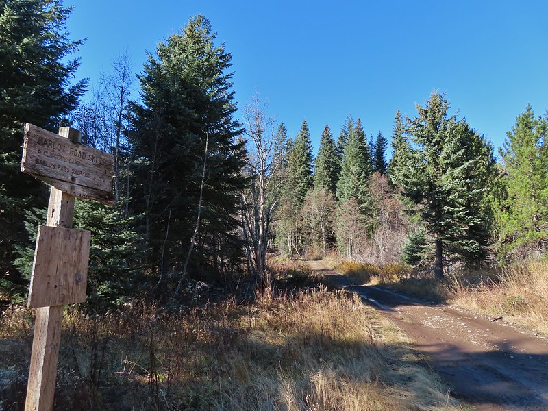
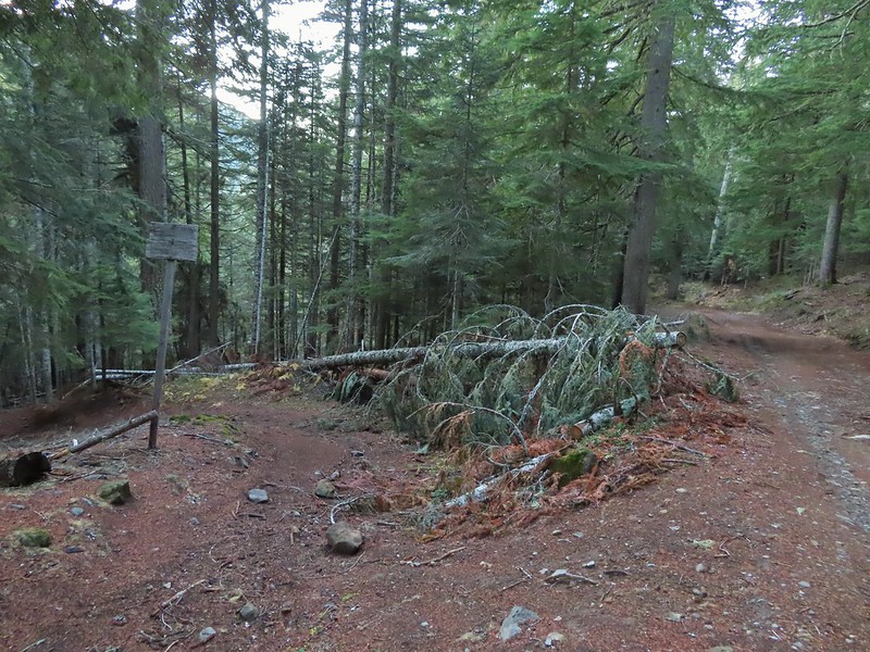


 Wilderness sign along the Barlow Butte Trail.
 Getting steeper.
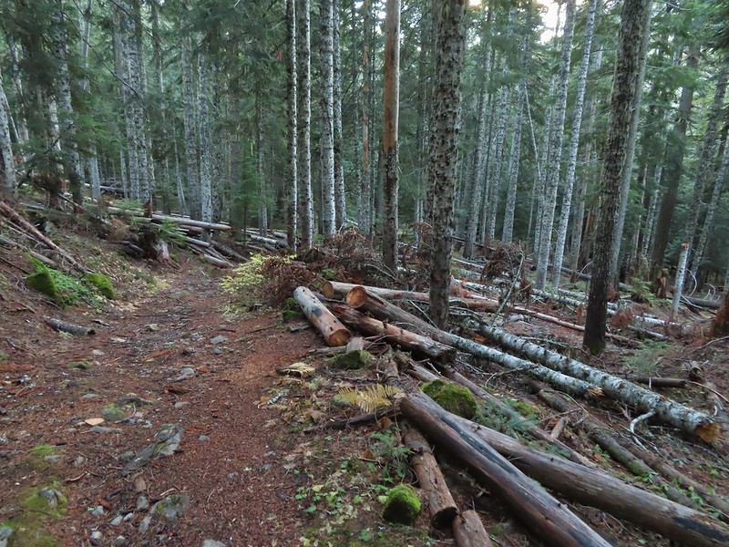
 This was the worst of the blow down we had to navigate on this section.
 Nearing the junction.
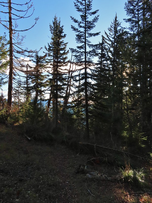
 It was a little chilly with temps in the mid 30’s combined with a stiff breeze adding to the wind chill.
 On the right of the far ridge is Bonney Butte (
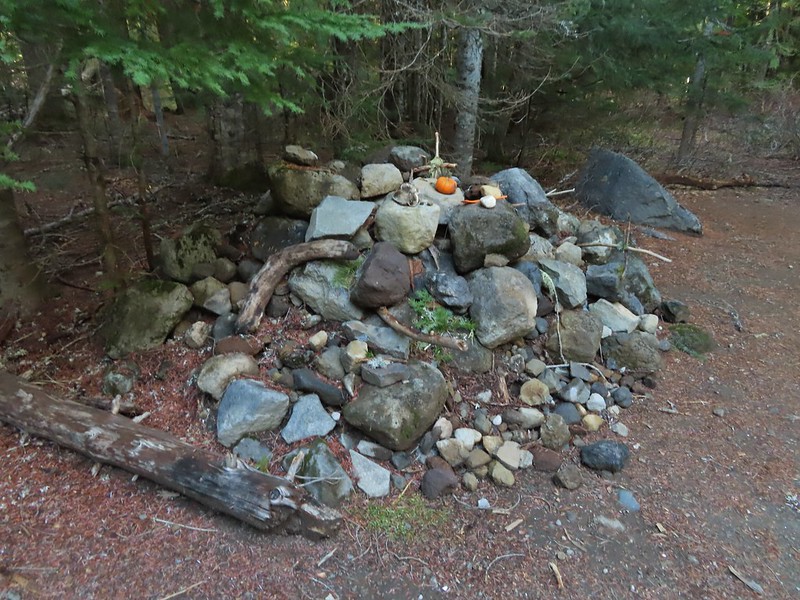
 Remains from the lookout.
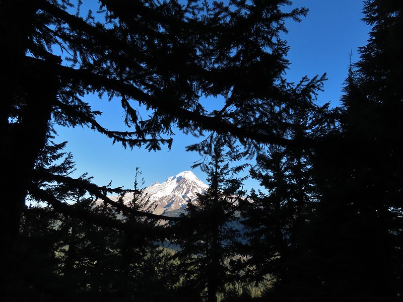
 Barlow Butte and the top of Mt. Hood.
 Frog Lake Buttes (
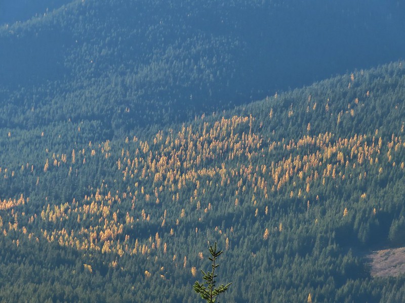 Western larches
 Mt. Jefferson behind some clouds.
 Sisi Butte (double humps) and Bachelor Mountain (


 Barlow Butte to the left of Mt. Hood.
 Mt. Jefferson still behind some clouds.
 Parts of Mt. Jefferson peaking through the clouds.
 Tom Dick and Harry Mountain (with the rock fields near the top).
 Small cairns in a meadow.
 One of the aforementioned diamonds.
 Approaching the high point.
 Clouds were starting to pass over Lookout Mountain at this point.
 Mt. Hood from the high point of Barlow Ridge.
 Carin in the trees ahead.
 Elk or deer tracks leading the way.
 Another section of frost.
 We took this as a blaze.
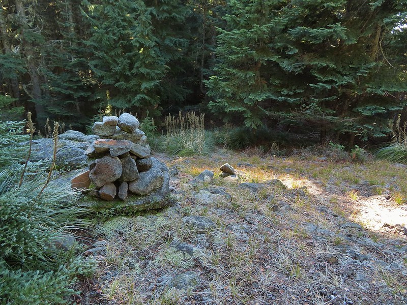 That blaze led to this large cairn.
 Things were starting to get interesting here.
 Stopped here to listen for pikas, no luck though.
 This could be trail.
 Still on the right track, note the folded trail sign on the tree at center.
 The small meadow.
 Officially off-trail now.
 This looked like a place the trail would go.
 A final look at Mt. Hood from Barlow Ridge.
 This doesn’t look so bad.
 One of several big trees we encountered.
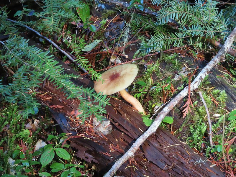
 Little orange mushrooms, how appropriate for Halloween.
 Starting to encounter more debris.
 If there had been a trail good luck finding it.
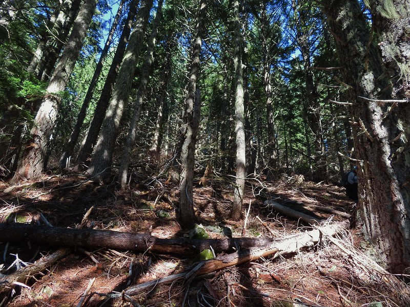 Heather coming down behind me.
 Pretty decent game trail here.
 This section was fun.
 A bigger orange mushroom.
 Uphill on this game trail.
 Thickets of brush kept us from getting all the way over to the ridge we needed so we just kept going downhill knowing that we would eventually run into one of the forest roads at the bottom.
 Look Ma a road!
 It doesn’t look that steep from down here.
 Barlow Road.
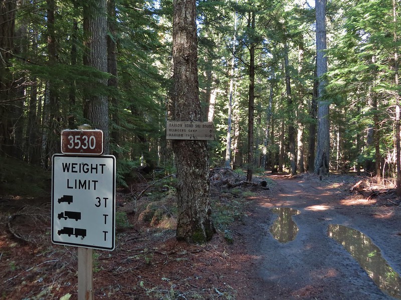


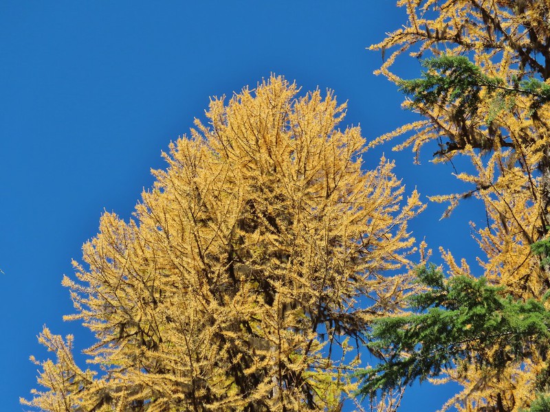 Western larches above Barlow Road.
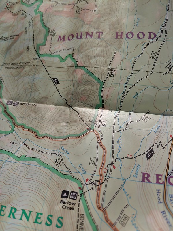
 Grindstone Campground
 Barlow Creek
 Crossing Barlow Creek near Devil’s Half Acre Meadow.
 Clouds on top of Mt. Hood towering over the trees.
 Barlow Road at the campground.
 Devil’s Half Acre Meadow.
 Finally back to where we’d left the road in the morning.
 Arriving back at the Barlow Pass Trailhead
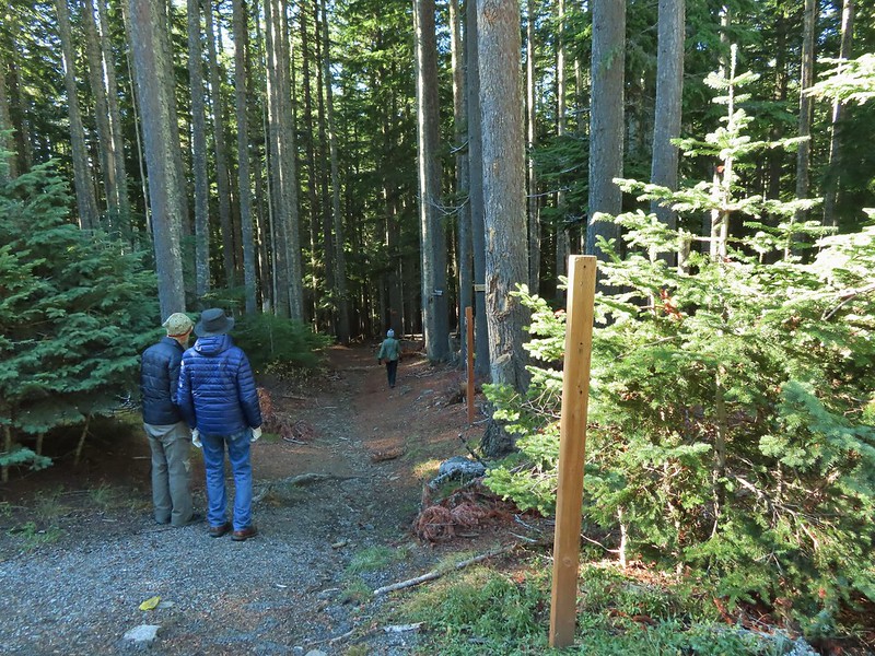 The first other people (not counting the two drivers in the pickups) that we’d seen all day.


 East Fork Salmon River


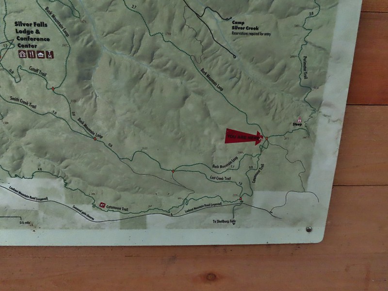
 Park map at the viewpoint.
 Willamette Valley

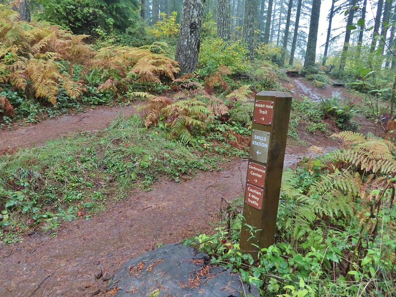
 Sign post for the Newt Loop and mountain biking skills station.
 As much blue sky as we were going to get on this day.
 A massive old growth nursery log. The tree stood for hundreds of years and will spend hundreds more slowly decaying and providing nutrients for younger trees.
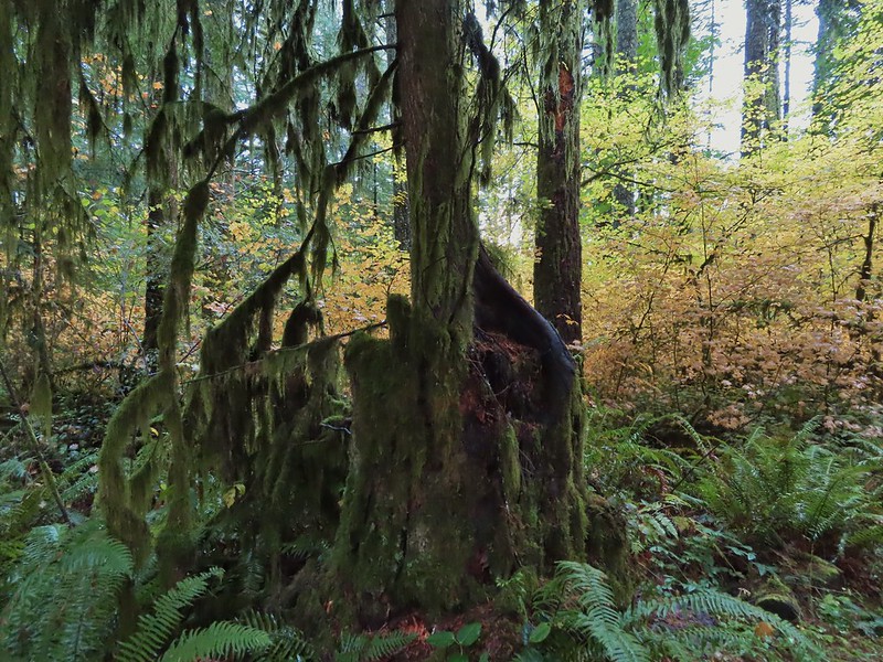 Nursery stump. While some old growth exists in the park it was also logged heavily which was the primary reason it was passed over for National Park status.
 The Smith Creek Trail junction.
 Does anyone know their salamanders? Not sure what type this one was.
 The Nature Trail junction.


 From the spot that we entered the campground you could just see a hiker sign at the far end of the paved campground road.


 No wildlife to view today.
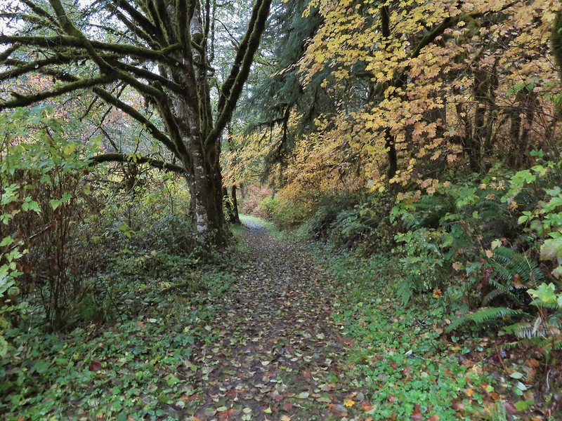

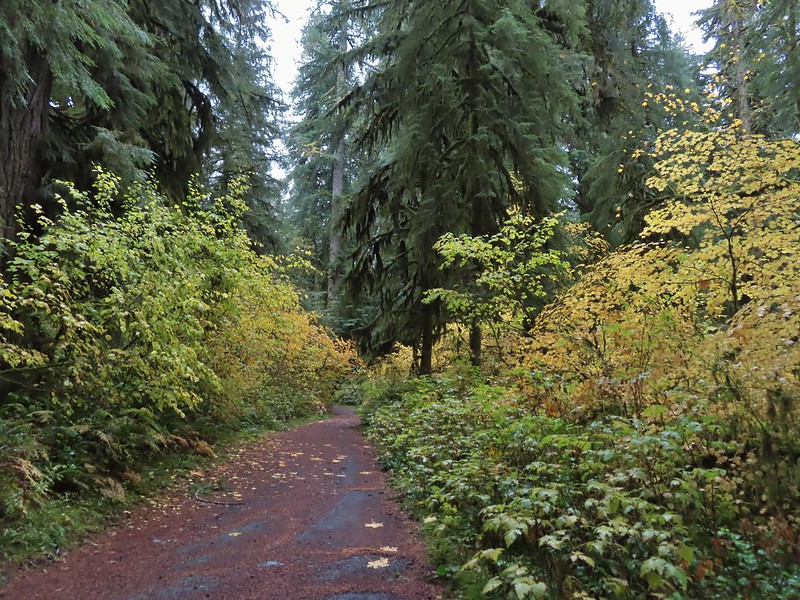
 The Howard Creek Loop Trail.
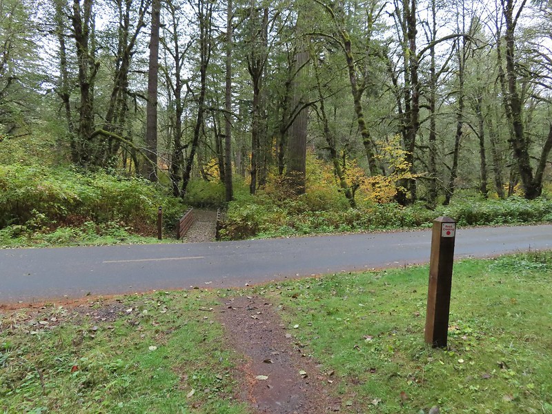
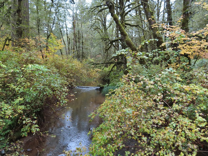 Howard Creek
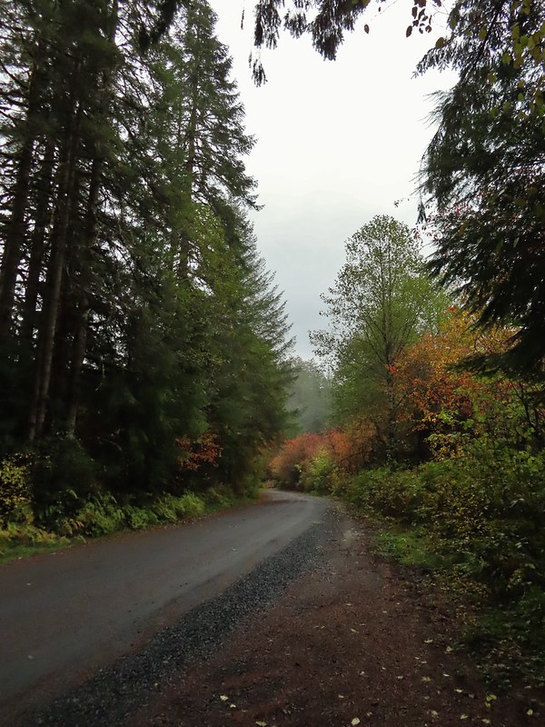
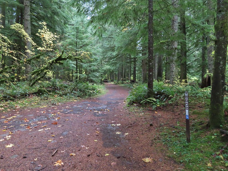
 Sign for the trailhead.


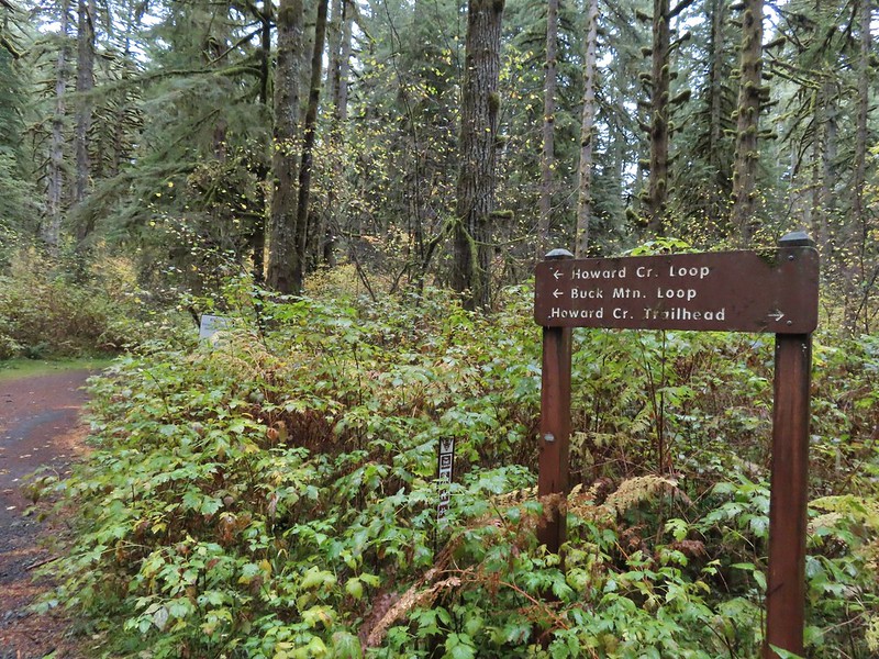

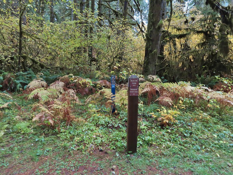


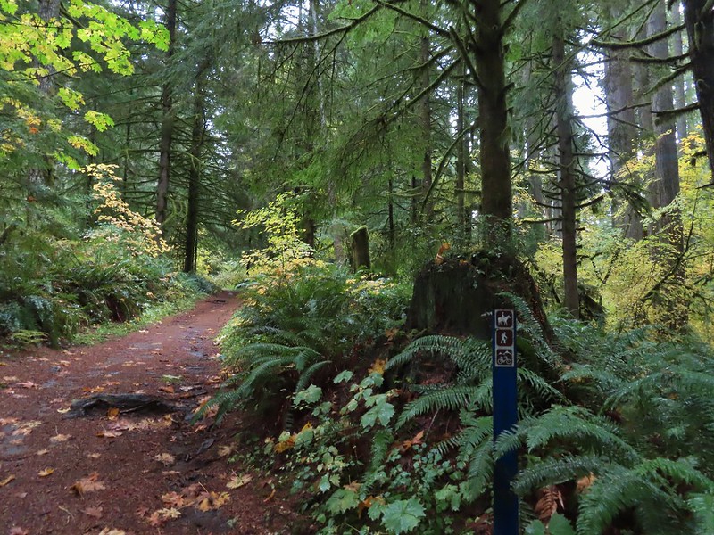 Blue appeared to mean Buck Mountain Loop (the posts along the Howard Creek Loop had been red and later the Smith Creek Trail posts were yellow.)
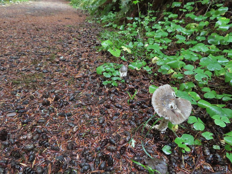

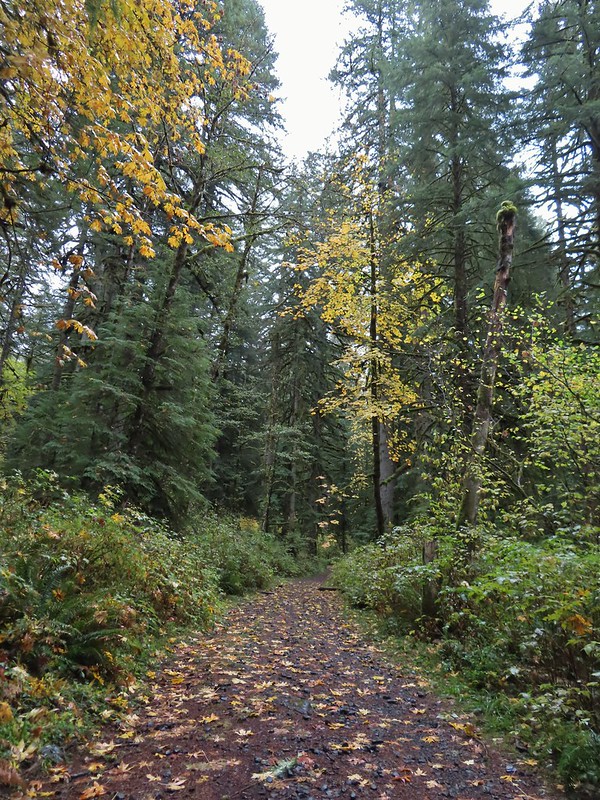
 The mix of tree trunks here caught our eye.
 Approaching the trail junction.

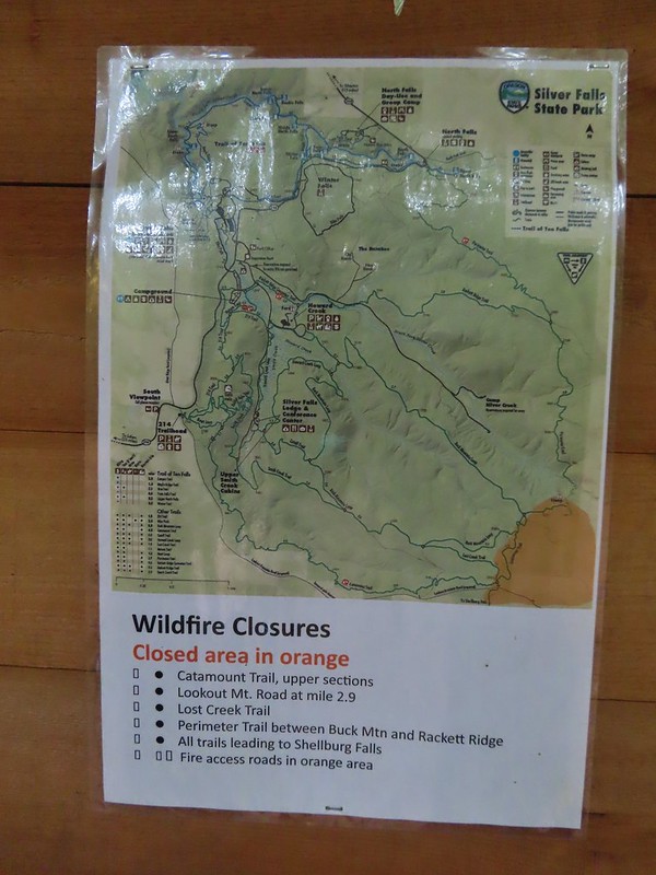 The 2020 Beachie Creek Fire threatened the Park and did in fact burn over nearby Shellburg Falls (
 Orange fence marking the closure of the Catamount Trail.
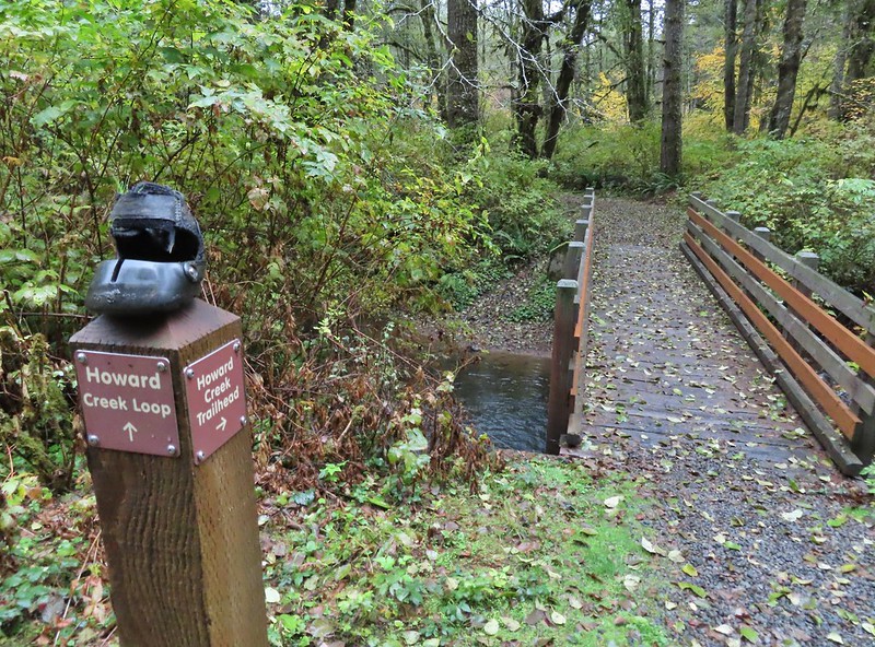
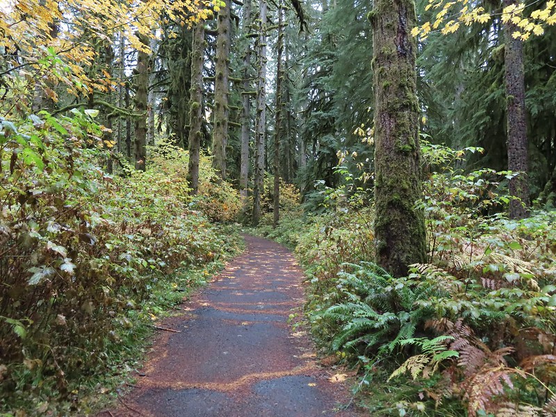
 The first footbridge which spans Howard Creek. The creek was obscured by brush.
 The second footbridge over a tributary not shown on the topo map.
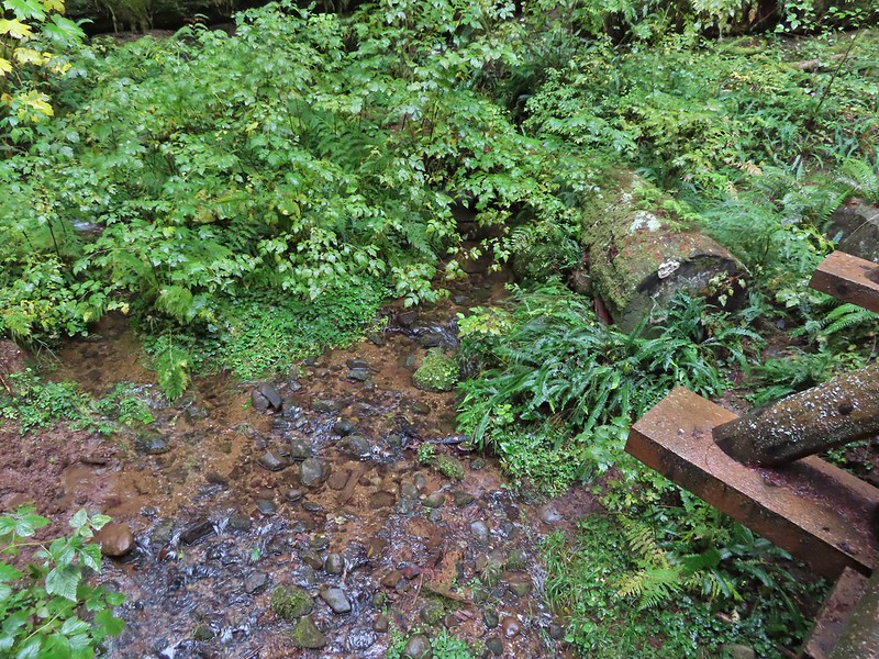 This stream was a little easier to see.
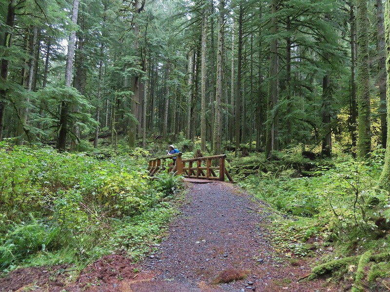
 A reminder of how close the Beachie Creek Fire was.
 The 4-way junction.

 Approaching the Smith Creek Trail junction.


 Ramps in the background at the skills station.
 The Catamount Trail arriving on the left.
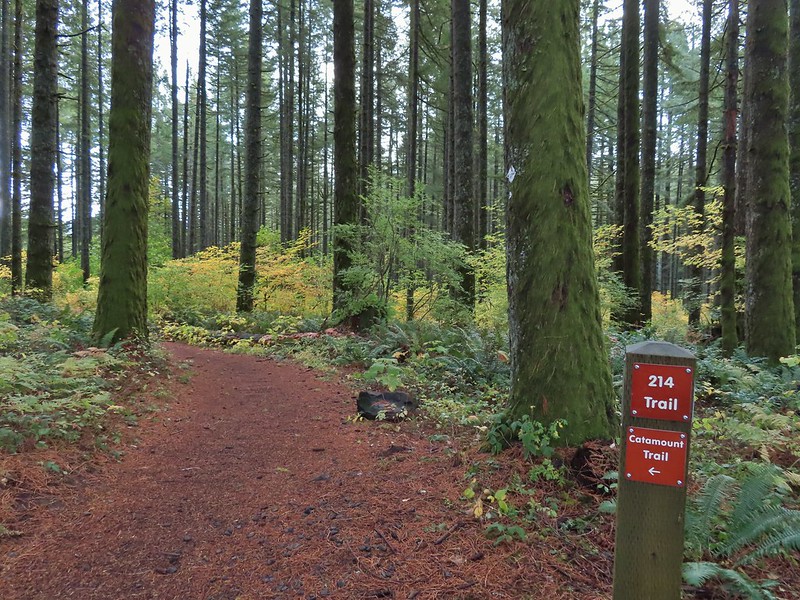
 The 214 Trail from the Newt Loop.

 A few larches along Road 2730
 Fret Creek Trail across from the pullout.
 Entering the Badger Creek Wilderness.


 Starting to climb again.
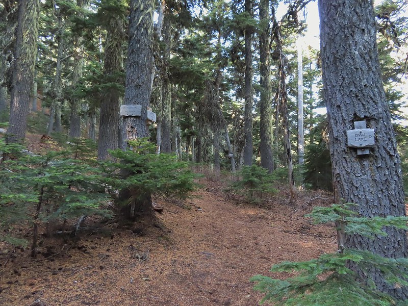
 Sign for Oval Lake.
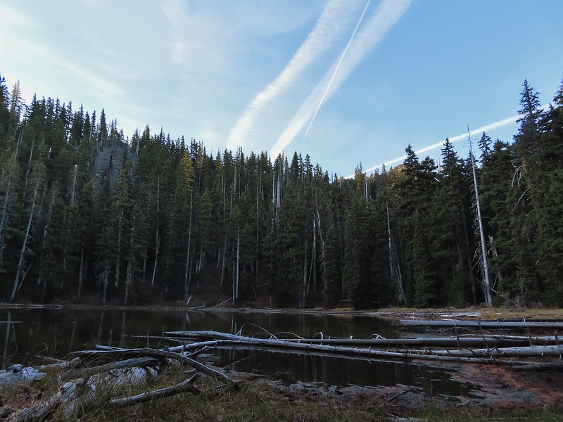
 June 28, 2014
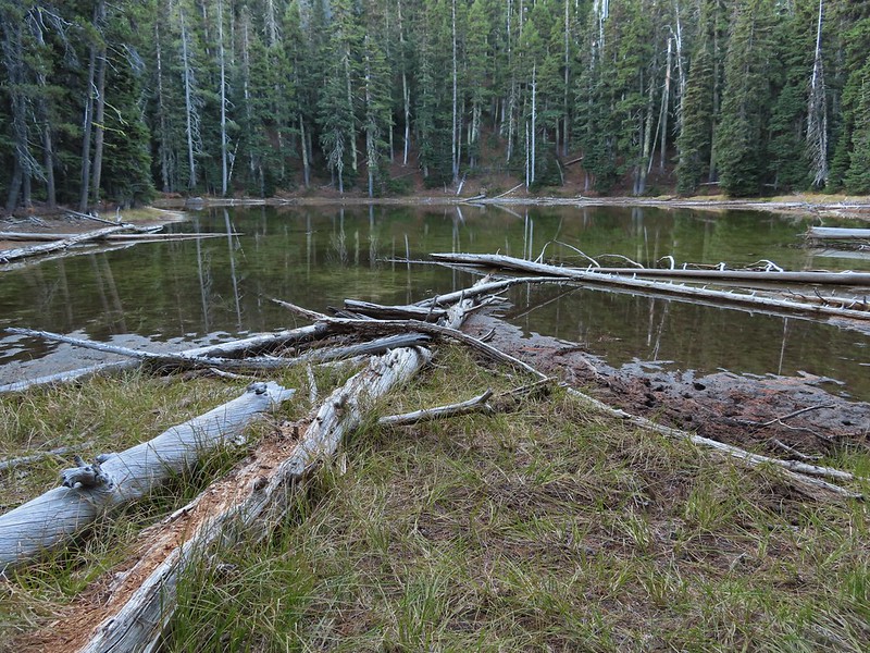
 A bit of snow left from the recent snowfall.
 The Divide Trail.
 Some snow near a switchback along the trail.
 Mt. Adams starting to peak over a ridge to the north.
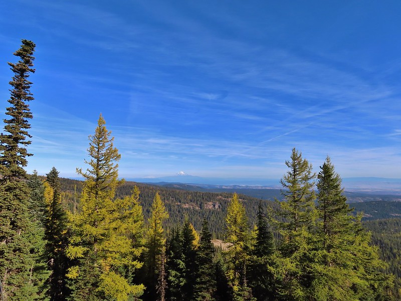
 Mt. Adams with some larch trees in the foreground.
 Lookout Mountain from the Divide Trail (The bare peak in between the two bare snags. Just to the right of the left snag.)
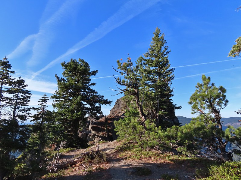 Side trail to Palisade Point.
 Broken Top, The Three Sisters, Mt. Washington, Three Fingered Jack (just the very top), Mt. Jefferson, and Olallie Butte (
 Mt. Jefferson with the tip of Three Fingered Jack to the left and Olallie Butte to the right.
 Mt. Hood peaking up over the rocks.
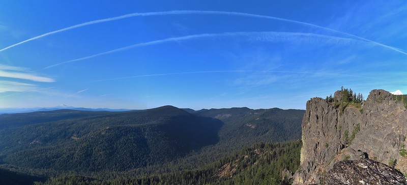 Panoramic view with Badger Creeks valley below.
 Rocks below Palisade Point.
 We ran into this jumble of downed trees shortly after leaving Palisade Point but fortunately it was the worst of the obstacles.
 Flag Point Lookout from the trail.
 A small meadow that was full of flowers a couple of months ago.
 A stand of larches.
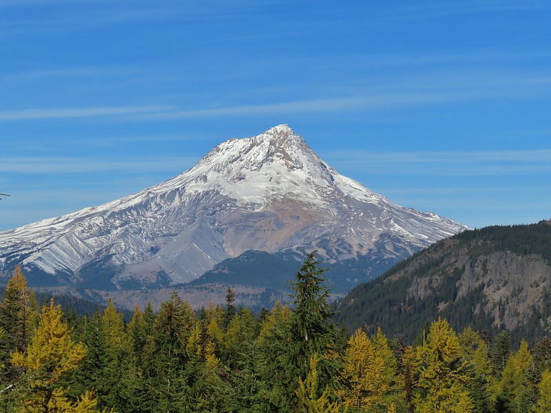
 A better view of Mt. Hood.
 Zoomed in.
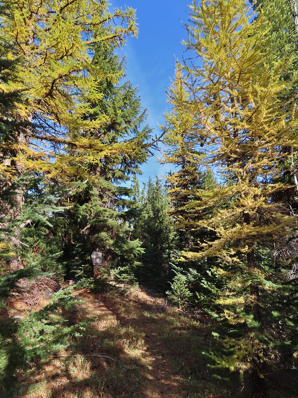 Looking back through larches at a Badger Creek Wilderness sign near Road 200.
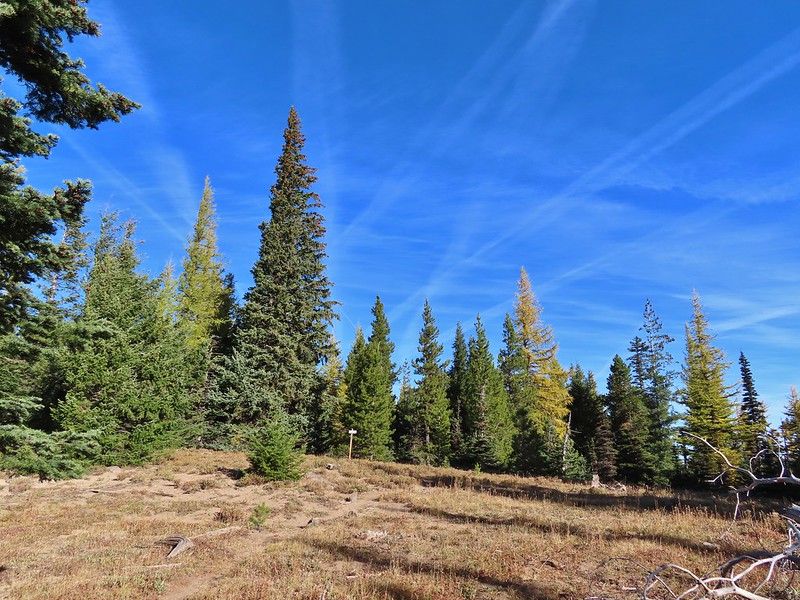 Looking back at the Divide Trail.
 Road 200
 Chipmunk
 Nearing the lookout.
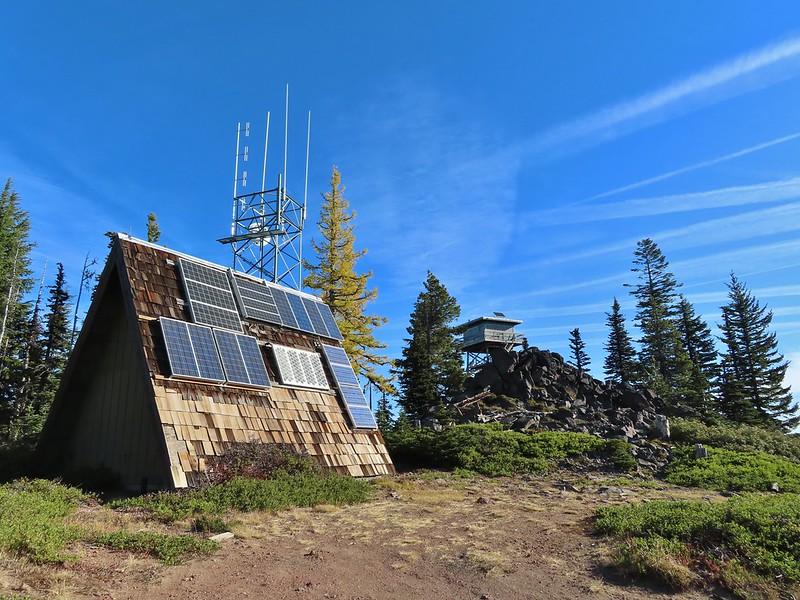

 Mt. Rainier and Mt. Adams to the north.
 Mt. Rainier and Mt. Adams
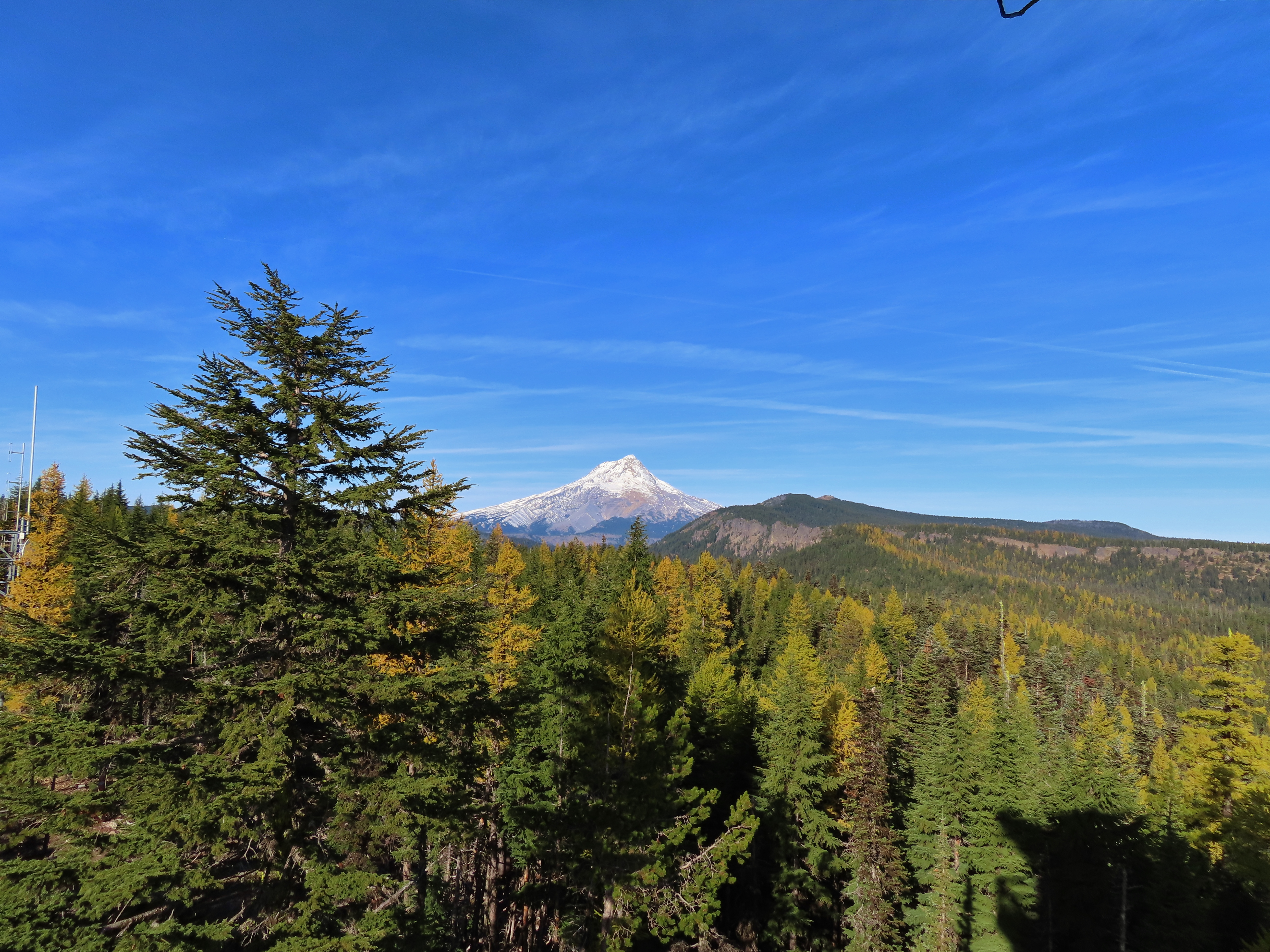

 Three Fingered Jack, Mt. Jefferson, and Olallie Butte
 View east to the hills above the Columbia River.
 Passing the Fret Creek Trail.
 We did need to gain almost 800′ of elevation to reach Lookout Mountain which at times was a fairly steep climb.
 Another viewpoint along the way where Badger Lake was visible.
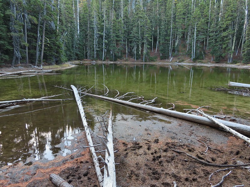
 Badger Lake

 The final pitch to the summit, there is at least one hiker visible up top.
 Looking back to Flag Point.
 Looking NE toward The Dalles and the Columbia River.
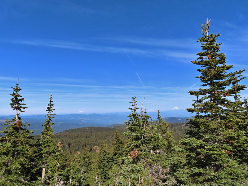 Mt. St. Helens, Mt. Rainier, and Mt. Adams
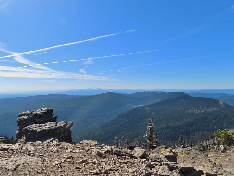 View south past Badger Lake to Mt. Jefferson.
 Flag Point from the Helispot.
 And of course Mt. Hood again.

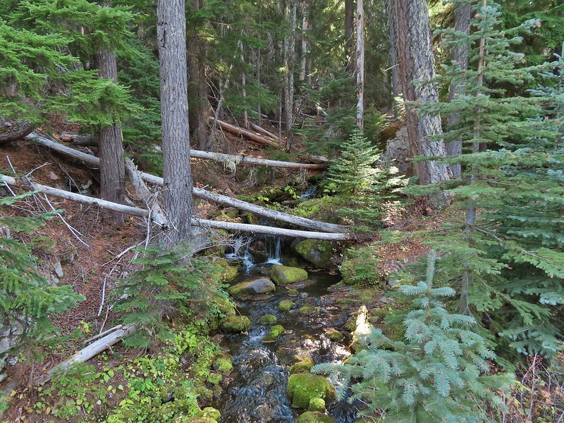 Fret Creek from the road near the trailhead.
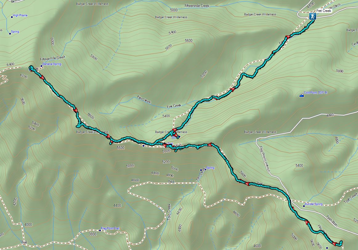

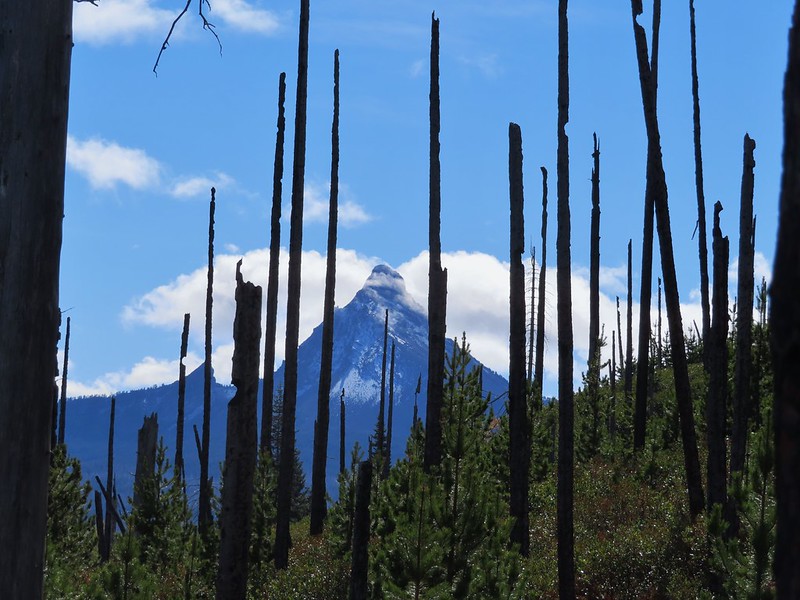
 Black Crater (

 Black Crater and North Sister
 Black Crater, the top of Broken Top, some of the Sisters, and part of Mt. Washington.
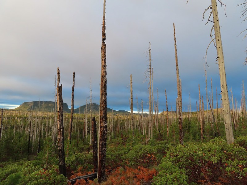 Hayrick and Hoodoo
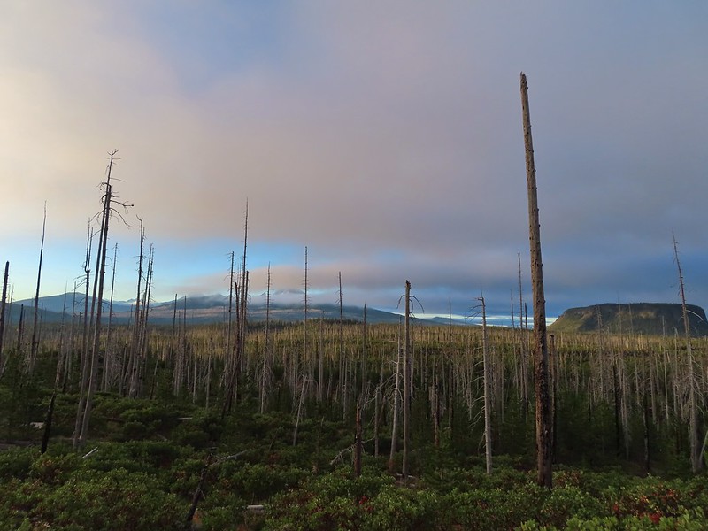 Between Mt. Washington and Hayrick Butte is Scott Mountain (
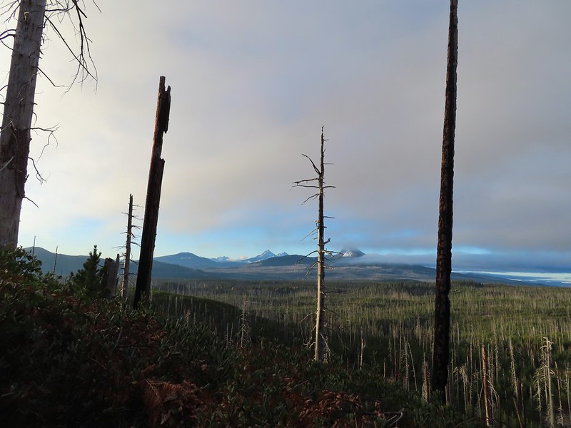 Cache Mountain is the high point furthest to the left.
 Broken Top and the Three Sisters
 Mt. Washington
 The Three Sisters. The summit of South Sister is between North and Middle Sister behind 9321′
 Black Butte (
 A different angle from 2012.

 One white rump with a black tail amid the ferns near the center of the photo (good luck).
 The only paintbrush we would see all day.
 The top of Mt. Washington is just visible on the other side of Square Lake.

 Mt. Washington’s spire again.
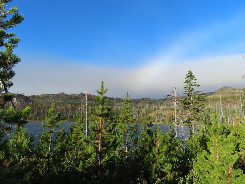 A rainbow was trying to form to the west.

 Lodgepole pine seeds require fire in order to be released from their tight cones.
 Our first sighting of Long Lake (zoomed in).

 Ducks taking off from Long Lake.
 This is one of the areas that we could see getting pretty muddy/wet.
 Rainbow
 The Round Lake Trail just on the other side of the downed tree.
 Long Lake is back down that way somewhere.
 Back on the Round Lake Trail.
 Black Butte shedding the morning clouds.
 The top of Three Fingered Jack behind some thin clouds.
 Green Ridge (
 A better look at Three Fingered Jack.
 First glimpse of Round Lake.


 Starting to look kind of grey.
 A mountain bluebird adding a splash of blue to the green backdrop.
 Clouds over Square Lake.
 A few scarlet gilia blossoms.
 The unnamed lake is about halfway up the far hillside.
 Black Butte and Long Lake from the trail.
 Heading toward Three Fingered Jack we got back under blue skies.
 Square Lake still under a clouds,
 The unnamed lake that drew our attention.
 Similar view from 2012.
 The trail at the gap. It was grey and cloudy to the west.
 Still at the gap, it was blue skies to the east.
 There is Three Fingered Jack.
 A good look at Green Ridge.
 A lupine that was late to the party.
 Booth Lake


 The trail cut on the far hillside.
 Black Butte, Long Lake, and part of Square Lake.
 Square Lake along with Broken Top and the Three Sisters (Mt. Washington was hiding in the clouds still).
 Part of the rock ledge.
 Three Fingered Jack had once again disappeared.
 Where’s Heather.

 View climbing away from Square Lake.
 Similar view in 2012.
 2012
2012

 Finally clear!
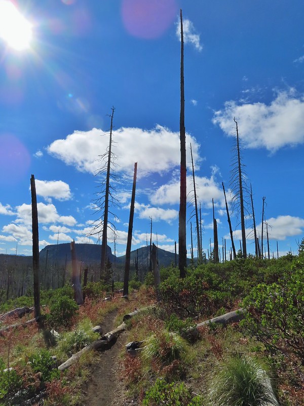 Hayrick Butte and Hoodo as we neared the trailhead.


 Sulphur Springs
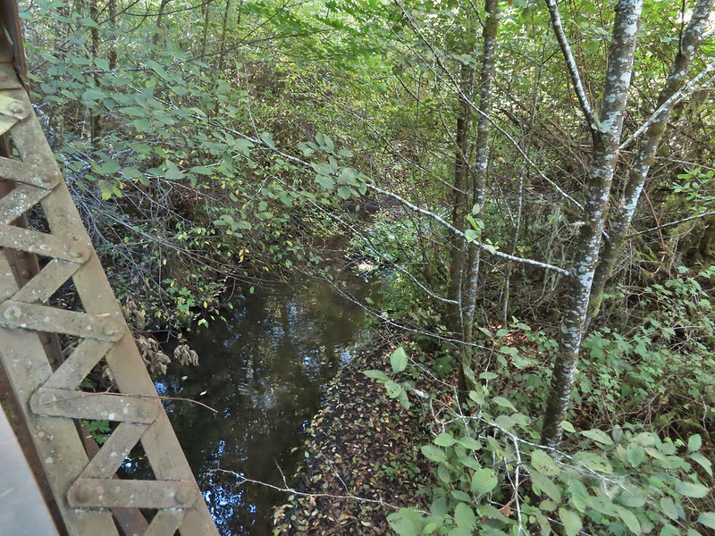
 Soap Creek near Sulphur Springs.
 Sulphur Springs Road from the pullout.
 Sulphur Springs Road Trailhead.

 We stayed right at this junction with Road 761.
 The Rocky Road Trail.
 A good sized cedar along the trail.
 Road 760 ahead.
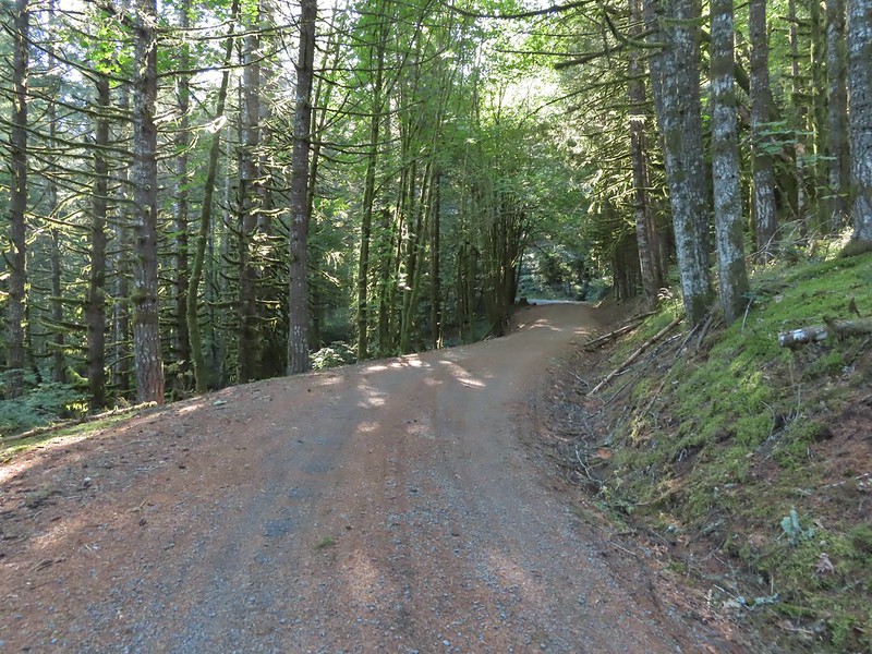
 Interesting patchwork of trees. We would have liked to have been able to see when each section had been harvested and replanted.
 We couldn’t see much to the east due to the Sun’s position.
 Mary’s Peak (
 Road 7040 on the left.
 Pointer for McCulloch Peak at the junction. We had come up from Road 700 on the right.
 The rest of the 4-way junction. After visiting the peak we would head downhill following the pointer for Oak Creek.
 Trail to the spur road.

 Fading pearly everlasting.
 We stayed left here which was the shorter route.
 Madrone
 Tree island at the junction with Road 680.


 Nearing the trail junction.
 Poison oak climbing trees.
 Signs for the Uproute and Extendo Trails.
 Road 680


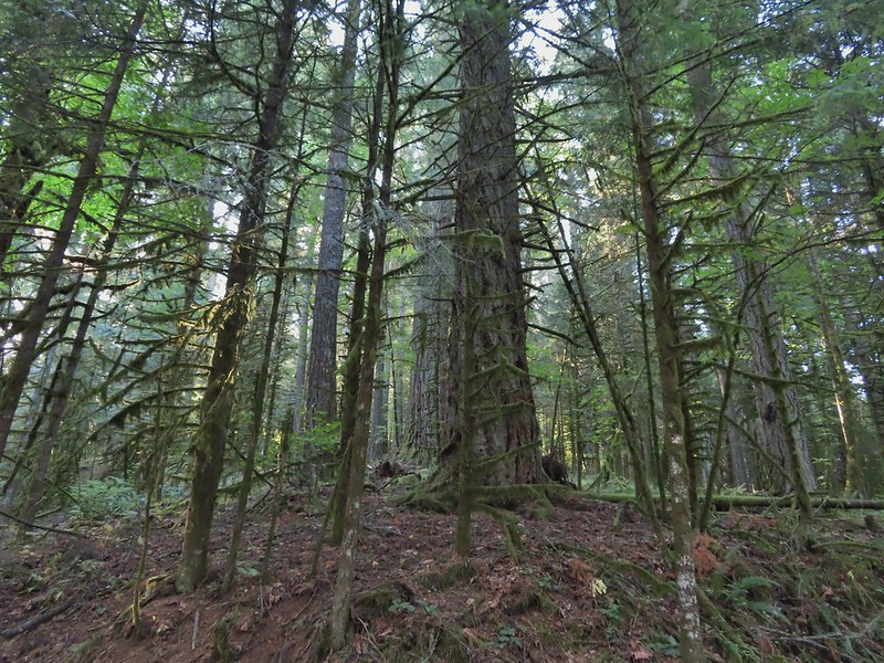 A few larger trees in the forest.
 A sea of green grass.
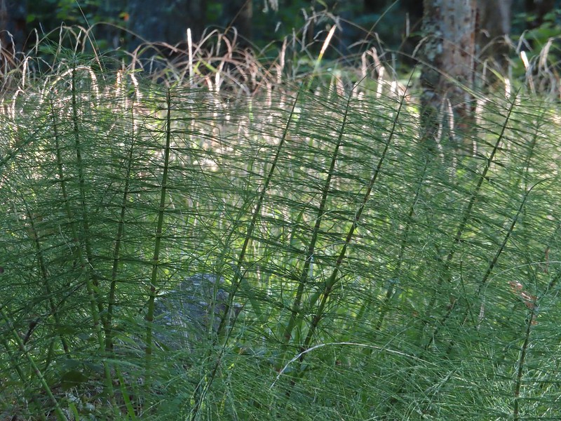 Horsetails
 The 4-way junction.


 Summit of Dimple Hill.
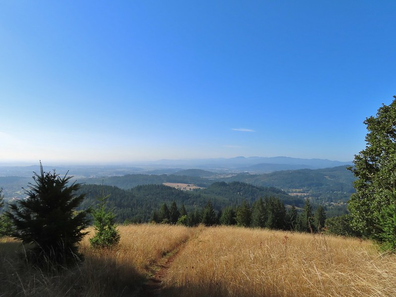
 Mary’s Peak
 Approaching the junction on Road 650.
 Junco
Junco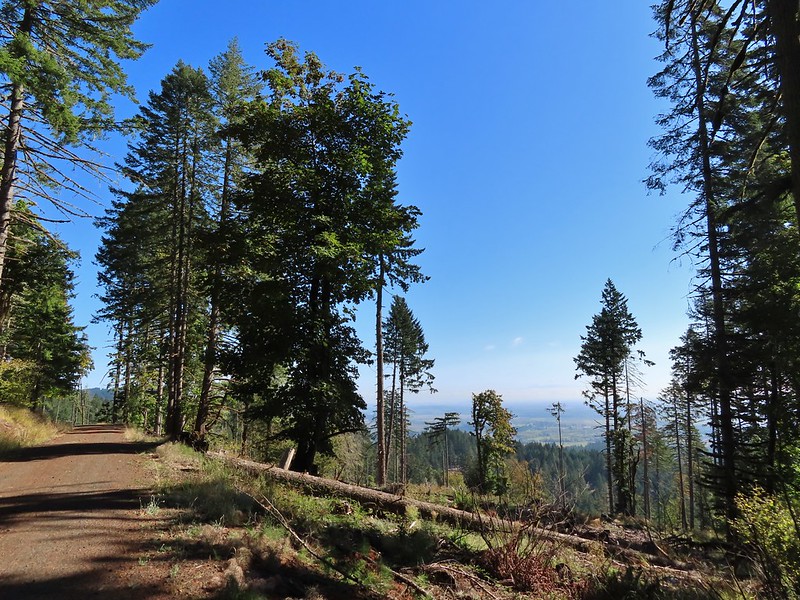
 Mt. Hood
 Mt. Jefferson
 The Three Sisters


 The High Horse Trail and another trail heading uphill at the 4-way junction.
 What we assume is the Bombs Away Trail on the left and the High Horse Trail on the right at the 4-way junction.
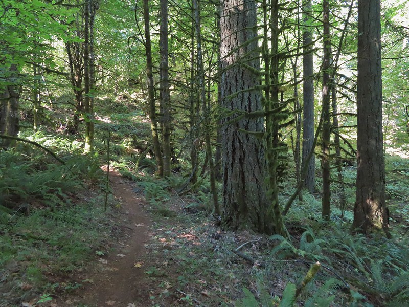

 Left or right? More often than not both ended up in the same spot.
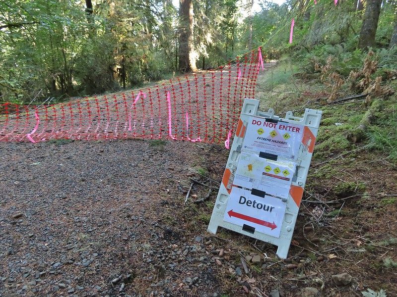 Road 640
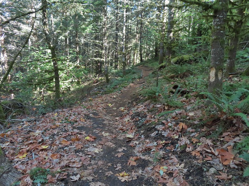


 Junction with the Alpha Trail.


 Looking back at the Alpha Trail from Road 810.

 Road 800 below Road 810.
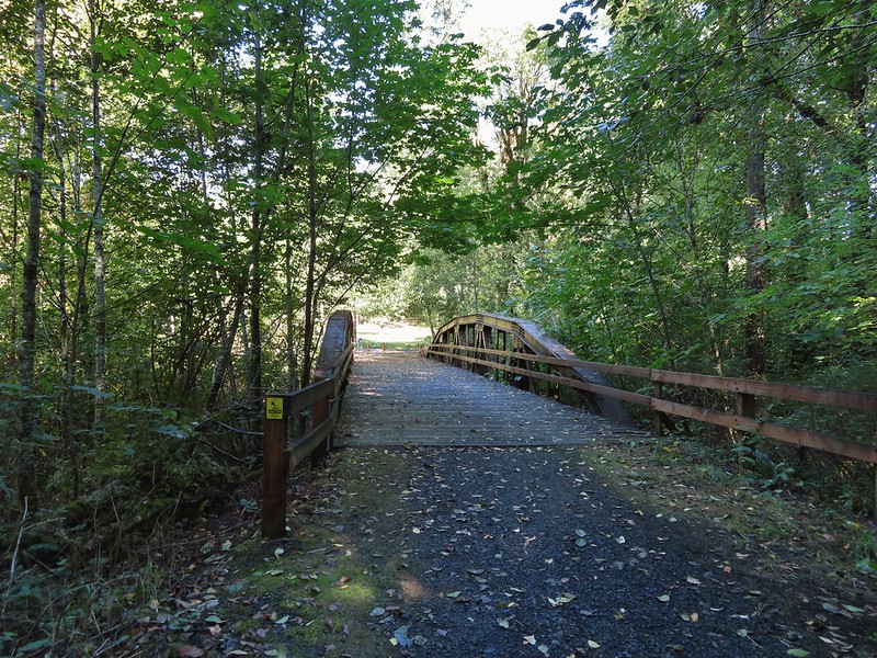
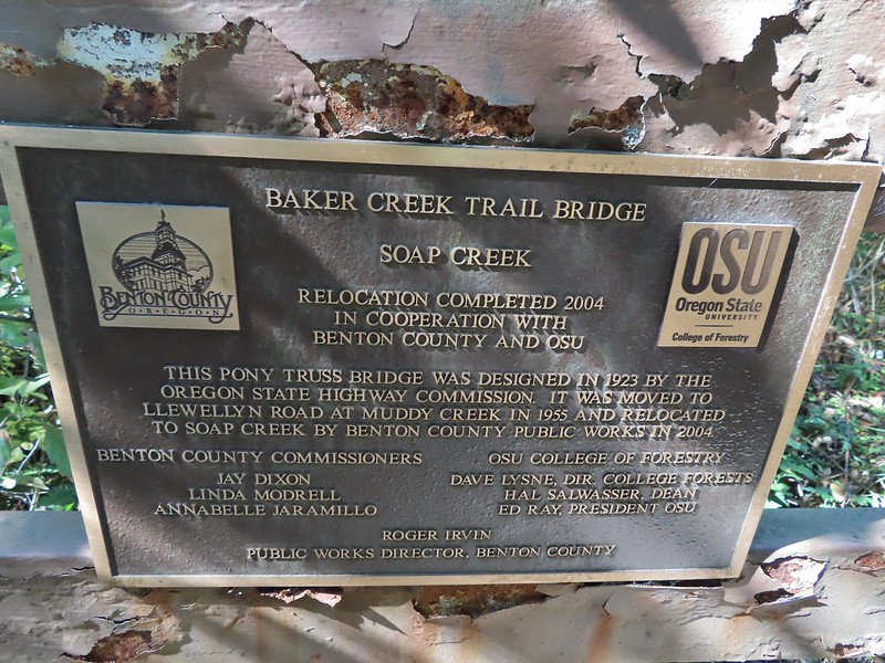
 Baker Creek Trail ahead on the right.
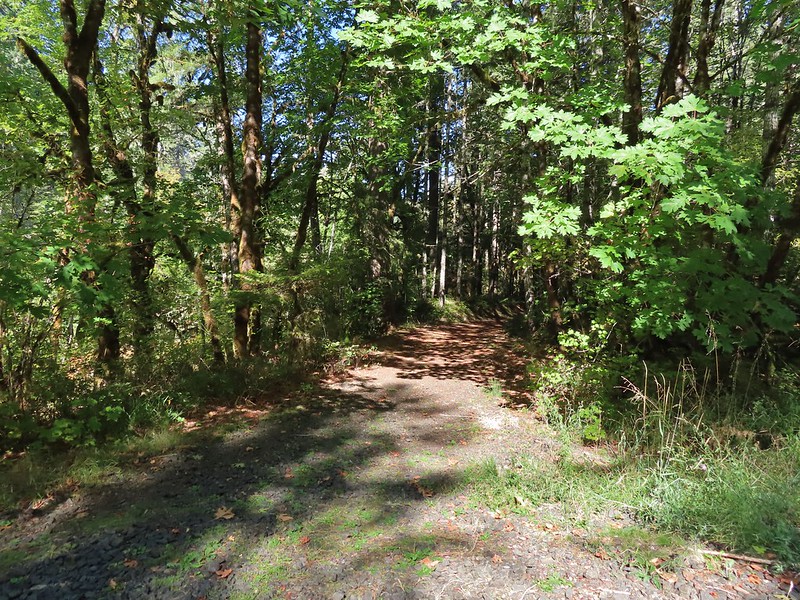


 Mt. Bachelor
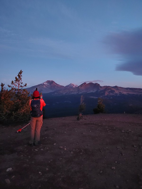 The Three Sisters and Broken Top
 Mt. Bachelor via the Nikon.
 Heather watching the show taken with the Canon.
 The Three Sisters with the Canon.
 Canon
Canon Nikon
Nikon Mt. Bachelor (
 Canon shortly before the Sun became visible.
 Canon shortly before the Sun became visible.
 The Three Sister just before sunrise with the Nikon.
 The Three Sister just before sunrise with Heather’s phone.
 Canon moments before sunrise. A line of wildfire smoke on the horizon gave it a red tint.
 Canon
Canon Canon catching the Sun.
 Canon
Canon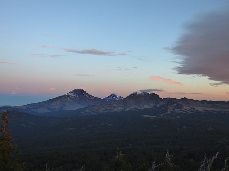 The Three Sisters and Broken Top (Nikon)
 South Sister (
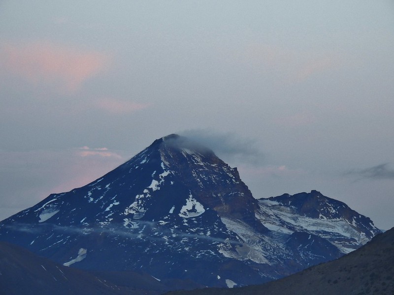 Middle and North Sister (Nikon)
 Broken Top (
 Aline glow hitting the mountains. (Canon)
 South Sister (Canon)
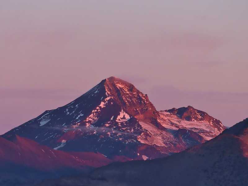 Middle and North Sister (Canon)
 Broken Top (Canon)
 Mt. Bachelor (Canon)

 Mt. Scott to the left and Mt. Thielsen to the right.
 Grouse
 Chipmunk
 Mt. Bachelor as we arrived back at the snow-park.
