After striking out on a view of Mt. Hood during our previous hike on the Boulder Ridge Trail (post) we planned on trying again during our next outing by visiting Lost Lake. The hikes around Lost Lake and up Lost Lake Butte had been on our schedule in both of the previous years but changes in those plans had bumped it back to this year.
A featured hike in Sullivan’s NW Oregon book (hike #74 in the 4th edition) it presented an issue with our rule to not have our driving time be longer than our hiking time. At a little under 8 miles for both trails we figured the hike would wind up taking us around 4 hours based on our typical pace leaving us an hour short of the 5 hour round trip driving time. Our solution was to add a pair of stops along the way where we could do a couple of short hikes which would bring the times closer in line with each other.
Our route to Lost Lake would be via Interstate 84 through the Columbia River Gorge to Hood River so for our first stop of the day we chose the less than a mile and a half round trip to Gorton Creek Falls. This hike began at the same trailhead (at Wyeth Campground) that we had used in 2016 for the Wyeth Trail (post) which REMAINS CLOSED after the 2017 Eagle Creek Fire.

In fact with closures still in place over numerous parts of the gorge we stopped to consult the closure map both at the trailhead and then at the fence erected blocking access to the Wyeth Trail at its junction with the Gorge Trail.
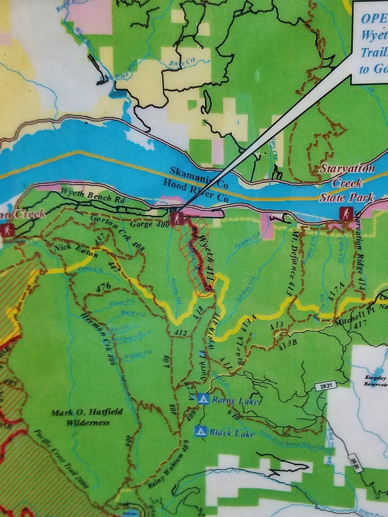
With Gorton Creek outside of the closure area and no visible signs of closure we followed the unofficial trail along Gorton Creek from the junction.

A nice path follows the creek for about a half mile where it ends near Emerald Falls, a small 10′ cascade.


The much taller Gorton Creek Falls is another 100 yards up the creek and requires a bit of scrambling along the left side of the creek over boulders and through trees.

 Looking down the scramble route.
 Some of the obstacles
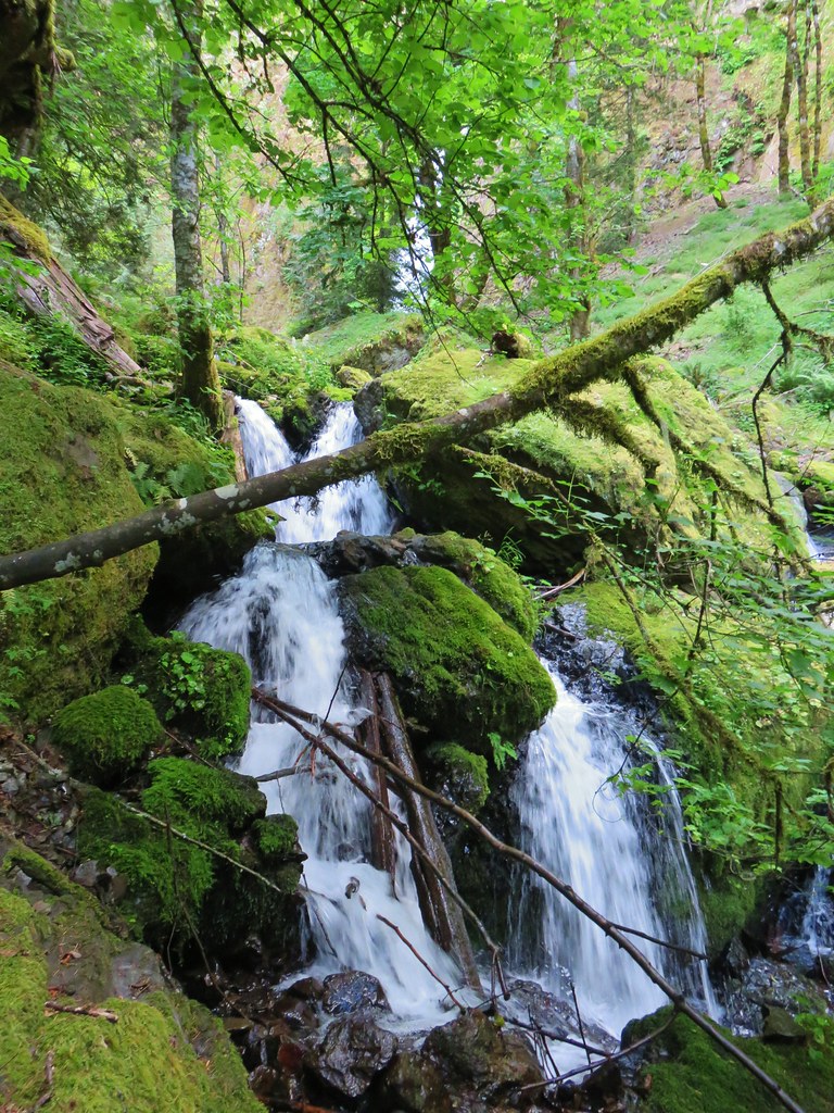 First sight of Gorton Creek Falls through the trees.

It is a nice two tiered waterfall but the upper tier is only visible from certain angles.


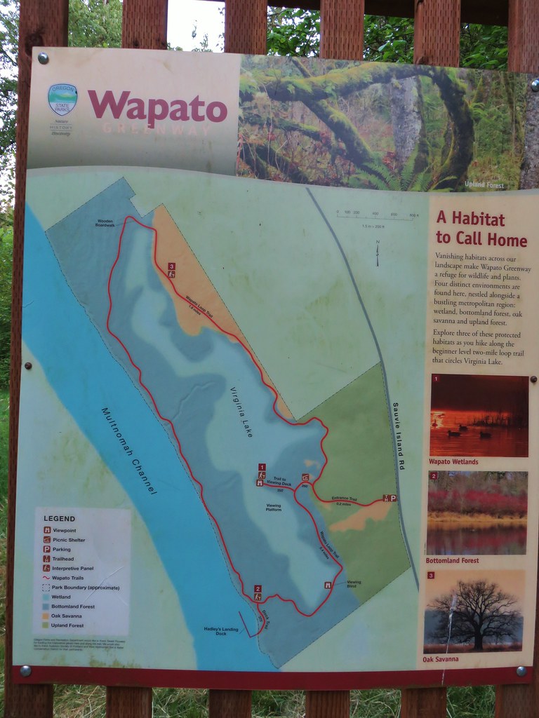
After admiring the falls we headed back down to the trailhead completing the very nice 1.3 mile hike. We then continued driving east on I-84 to Hood River where we took exit 62 and followed our GPS to the Punchbowl Falls Park Trailhead. Not to be confused with the more famous Punch Bowl Falls which is located on Eagle Creek (also CLOSED due to the Eagle Creek Fire) this Punchbowl Falls is located on the West Fork Hood River in a county park established in 2016 after the land was purchased by the Western Rivers Conservancy. Trailkeepers of Oregon have since constructed trails (with a new one set to open this year) allowing for a short loop hike through oak woodlands and past a pair of waterfalls.
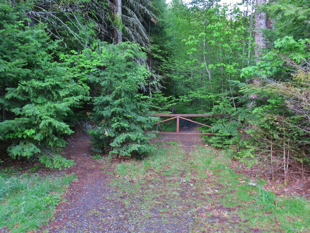
The trail starts at a gated service road.

Just beyond the gate are a signs for the park and trails.


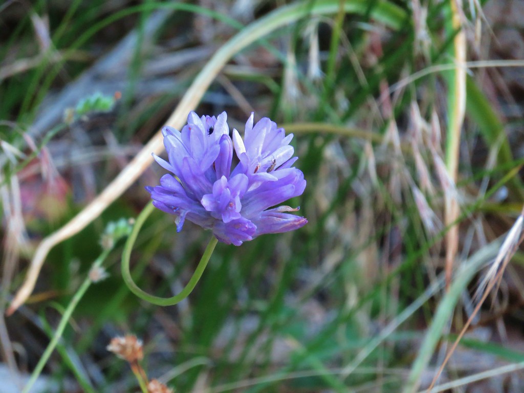
We took the West Fork Trail which led to an open hillside with a few lingering ookow in bloom overlooking the West Fork Hood River.
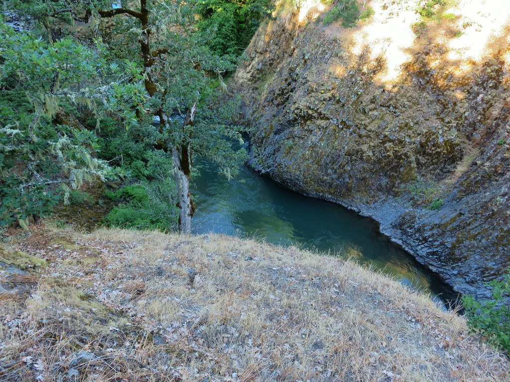
The path followed the river gorge through the oak woodland where there had been a nice lupine display by the looks of it.


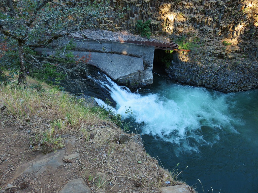
As we neared Punchbowl Falls we could see the crumbling remains of a staircase that had led down to a fish ladder along the river.


A very short side trail led to a viewpoint overlooking the falls and the wide bowl at the base.

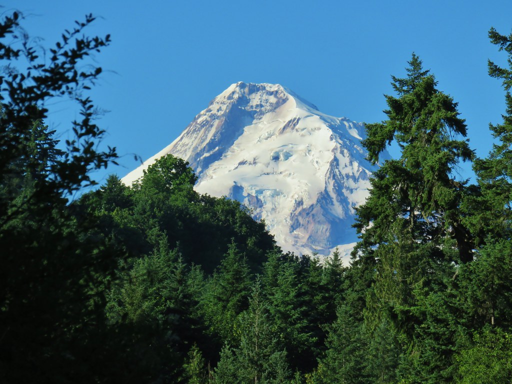
We could also see the top of Mt. Hood rising up above the trees up river. There wasn’t a cloud to be seen near the mountain which was a great sign for our hike up Lost Lake Butte later.
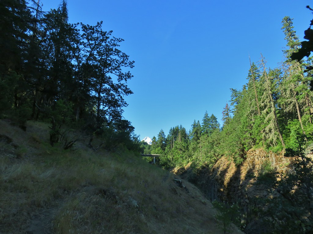
From the viewpoint we continued on the West Fork Trail toward Dead Point Falls.

Another viewpoint along the way looked back up river to Punchbowl Falls and Mt. Hood as well as across the gorge to Dead Point Falls.


Just a little further along was a signed spur trail to another viewpoint of Dead Point Falls and the confluence of Dead Point Creek and the West Fork Hood River.

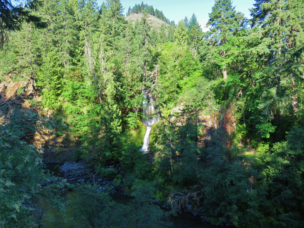
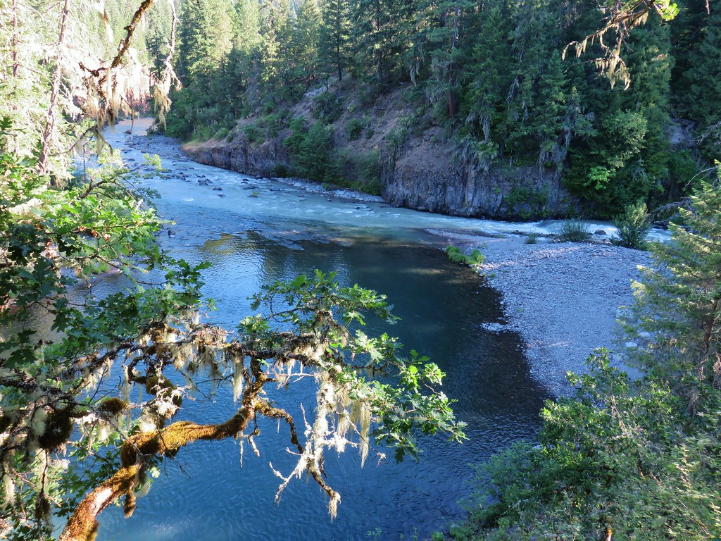
Beyond the Dead Point Falls viewpoint we came to a junction with the Dogwood Trail which could be used to make a short loop back to the trailhead. We stuck to the West Fork Trail which descended slightly to another viewpoint, this time of the confluence of the West and East Forks of Hood River.

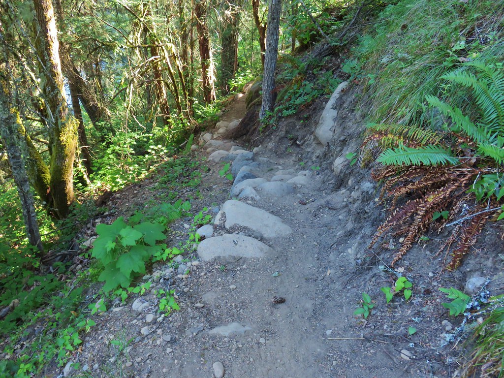
The East Fork Hood River was noticeably siltier having the clouded color indicitive of glacier runoff.
At a junction just beyond the viewpoint we turned right at a point for the East Fork Trail opting not to continue down to the river which was only a tenth of a mile or two away but we didn’t really feel like climbing back up.

By the end of this year the East Fork Trail will extend out along the East Fork Hood River but for now this path brought us to the gated serviced road which we turned right onto and followed back toward the trailhead.

After about 150 yards we came to the Dogwood Trail as it crossed the road where we turned uphill to the left.

A lone pink pyrola was blooming along this trail which we followed through the wood for two tenths of a mile to signboards and completing a .9 mile loop.


From Punchbowl Falls Park we drove back the way we’d come a mile to Lost Lake Road were we took a right and followed a car with Florida license plates nearly the entire 13.5 paved miles to the entrance to the Lost Lake Campground. I bring this up to ask that if people aren’t comfortable driving on the narrow curvy forest roads that’s fine but when you have cars following you and are going 20 mph below the speed limit and have multiple chances to pull over, please do it (end mini-rant).
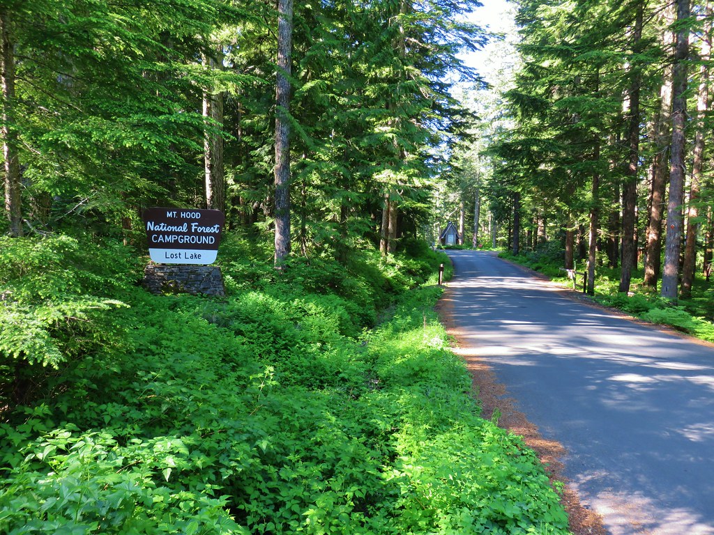
There is currently a $9 day-use fee charged to enter the Lost Lake area but the OregonHkers Field Guide mentioned a possible starting point along gated Jones Creek Road just before the campground entrance. We parked at a small pullout here (room for a couple of cars).

The precursor to the Pacific Crest Trail, the Oregon Skyline Trail (now the Old Skyline Trail) could be accessed here and followed up to the Lost Lake Butte Trail. The only problem was we didn’t read the field guide closely enough. It states that there is a sign for the Old Skyline Trail at the road junction, but the GPS map showed the trail leaving the road a little beyond the gate. Having missed that detail we headed up the road watching for the trail which didn’t materialize. Just under a quarter mile from the gate the road forked and we followed the left hand fork which led toward the location of the trail on the map. Approximately 100 yards later we found the unsigned Old Skyline Trail crossing the road.

We turned right onto the trail and followed it through the forest looking for a four way junction where we would turn onto the Lost Lake Butte Trail. That trail was also not where the map on the Garmin indicated it would be. The junction was about a tenth of a mile further south than shown on the map but it was obvious and well signed.

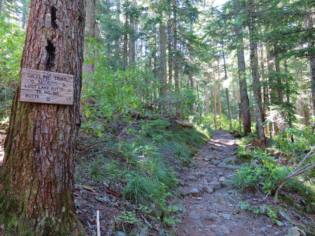
At the junction we took the Lost Lake Butte Trail and began the 1000 plus foot climb to the summit. A Forest Service Crew had just come through the weekend before to do maintenance, so it was in great shape.
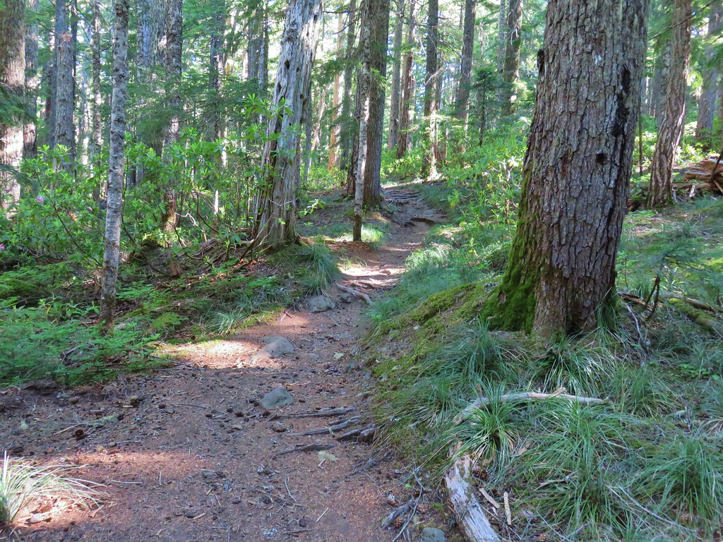

The forested route offered no views to speak of and there was as an unusual lack of flowers along the route but it wasn’t a bad climb and in 45 minutes we were passing the remains of the Lost Lake Butte lookout tower.

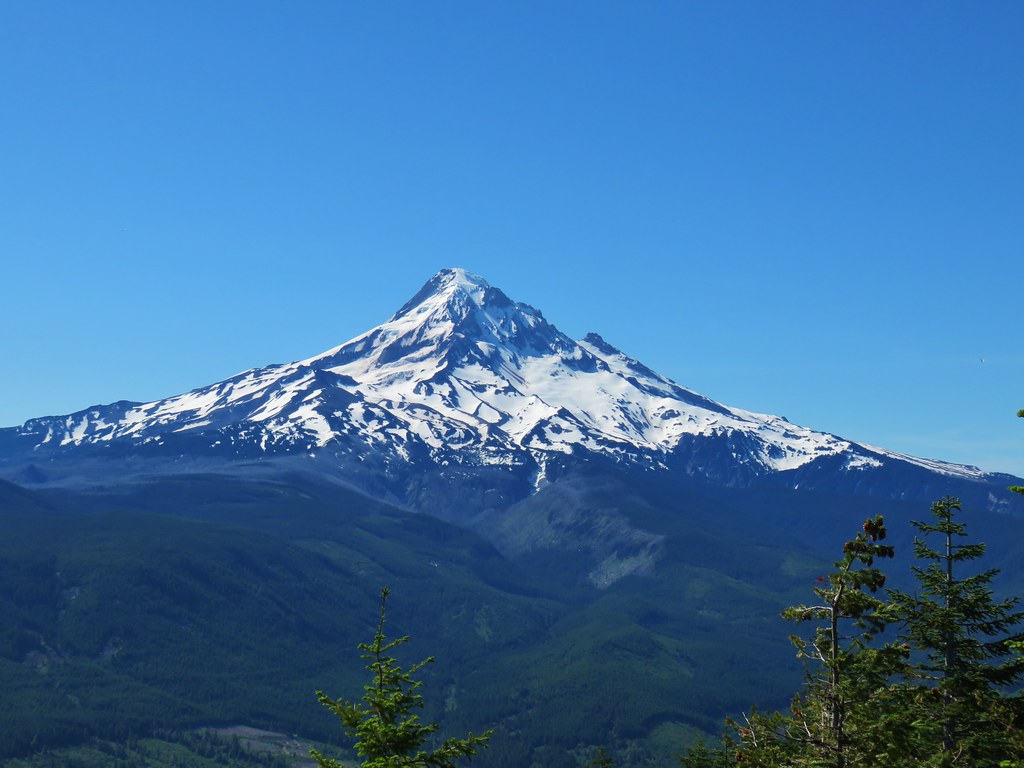
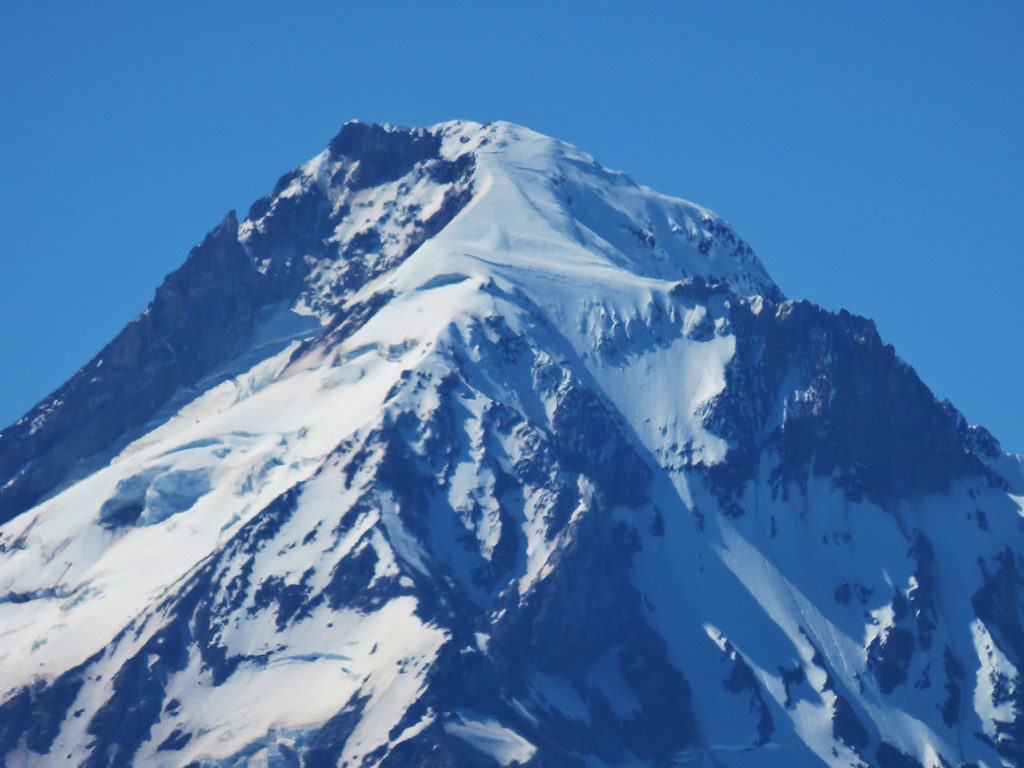
Although much of the former 360 degree view is now blocked by trees the view south to Mt. Hood remains and is spectacular.

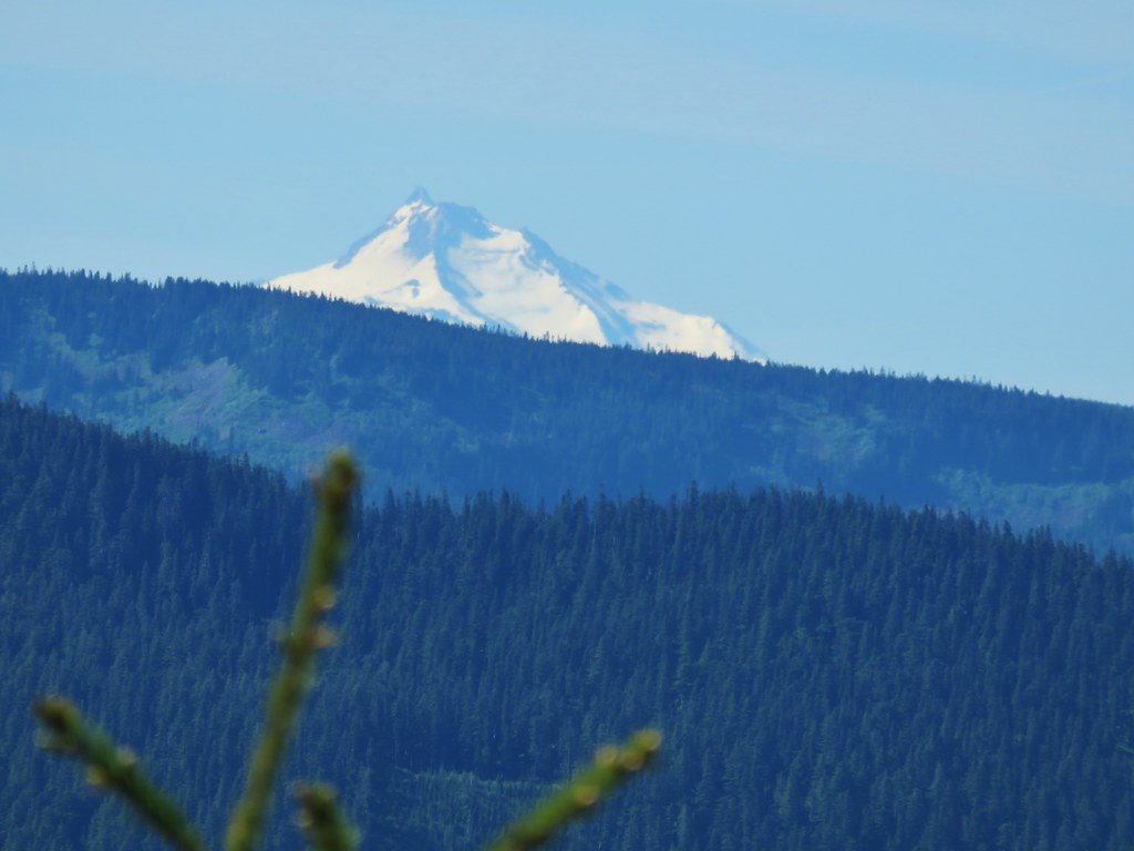
To the right of Mt. Hood we also had a pretty good view of the upper portion of Mt. Jefferson.

It was also possible to look north across the Columbia River and see Mt. Adams.
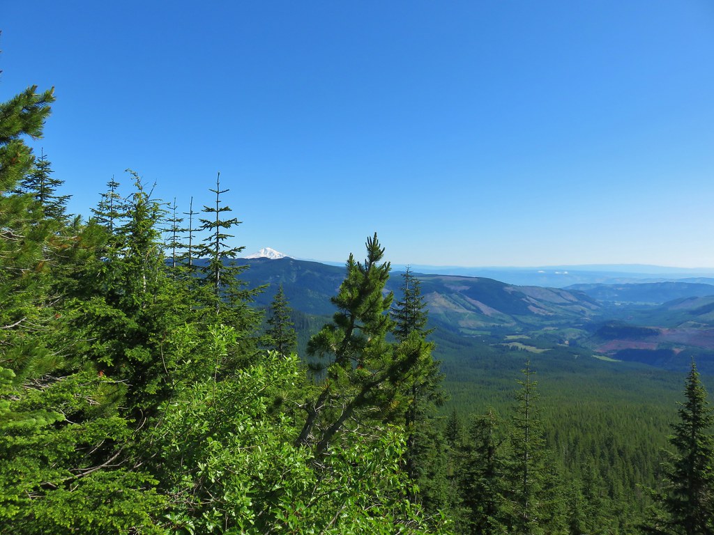

After spending some time enjoying the view and talking with a couple form Astoria who were staying at the Lost Lake Lodge we headed down. When we arrived back at the four way junction we crossed over the Old Skyline Trail and followed the trail down to a paved road crossing.

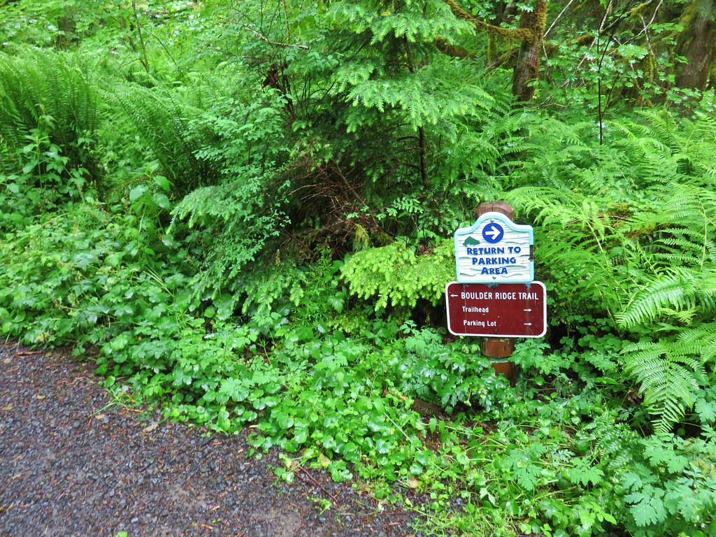
Google has this marked as the Old Growth Trailhead but the sign here called this the Rhododendron Trail which led to the Old Growth Trail.


We followed this trail through the forest to a junction where we turned left onto the Old Growth Trail.


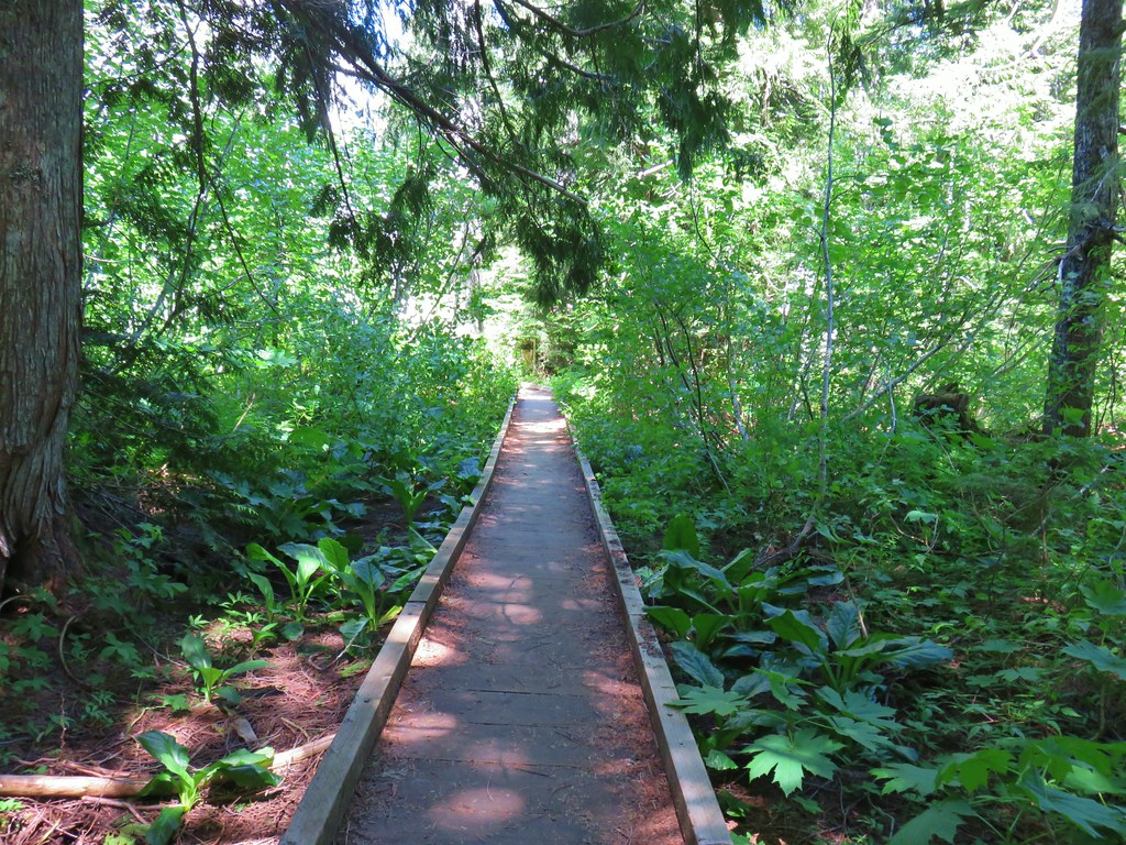
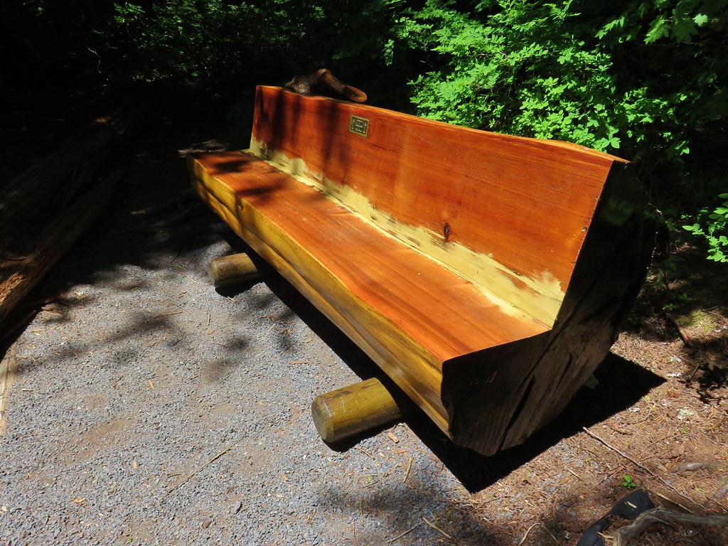
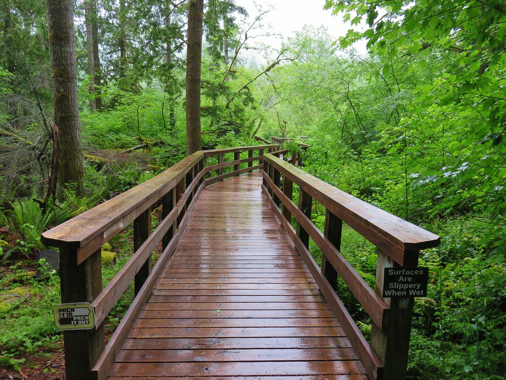
The Old Growth Trail is an interpretive trail with a number of informational signboards along the way. It joined the Shrader Old Growth Trail (post) as one of our favorite interpretive trails. Much of the trail was boardwalk and there were a few pullouts with benches where one could sit and enjoy the forest.
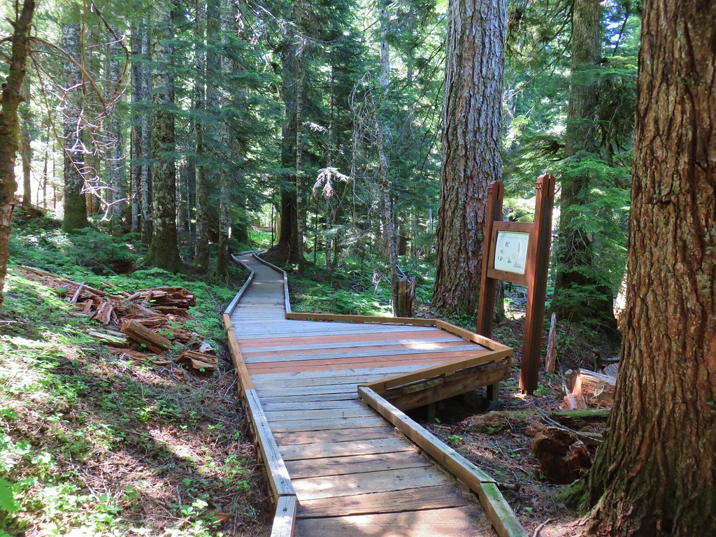
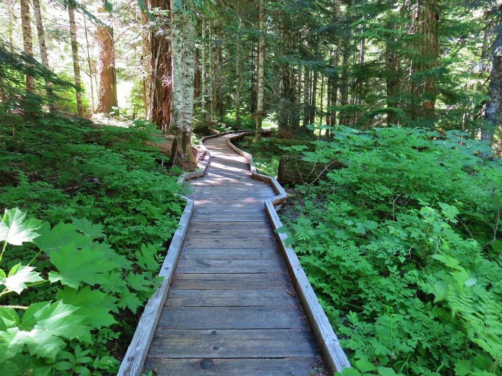

 one of the pullouts


The Old Growth Trail ended at another paved road crossing (it was a mile one-way in between the two roads).

We crossed the road and followed a pointer for the Lakeshore Trail.

The Lakeshore Trail, as it’s name suggests, loops around the shore of Lost Lake. We turned left when we reached the trail and started our way clockwise around the lake.
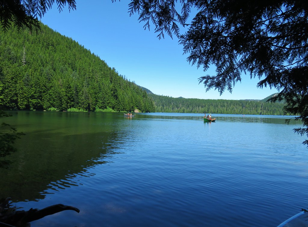
We passed the Huckleberry Mountain Trail which connects up with the Pacific Crest Trail on the ridge above Lost Lake. We had passed the upper end of the trail on our visit to Buck Peak in 2016. (post)

The trail looped around to the west side of Lost Lake where the hillside was much steeper than that of the opposite side where Lost Lake Butte rose up from the forest.


There was one short section where the trail was under water and a brief but steep detour led up the hillside and back down. Other than that the trail was in good shape. Flowers including rhododendron, anemones, bleeding heart and wild bugbane were in bloom.
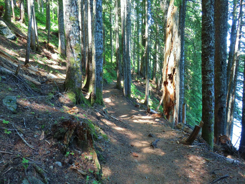
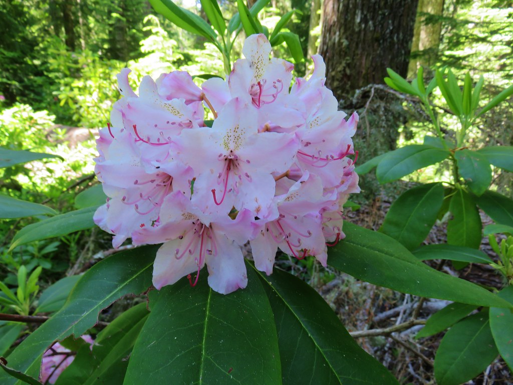
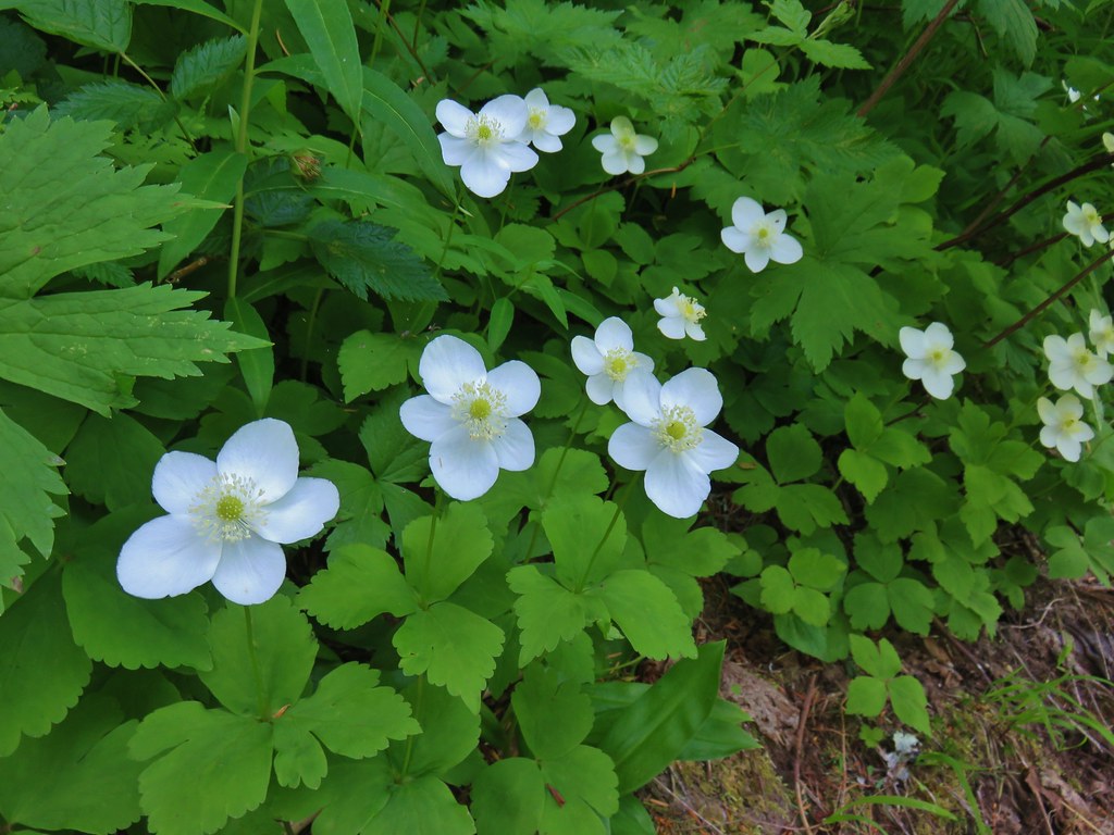
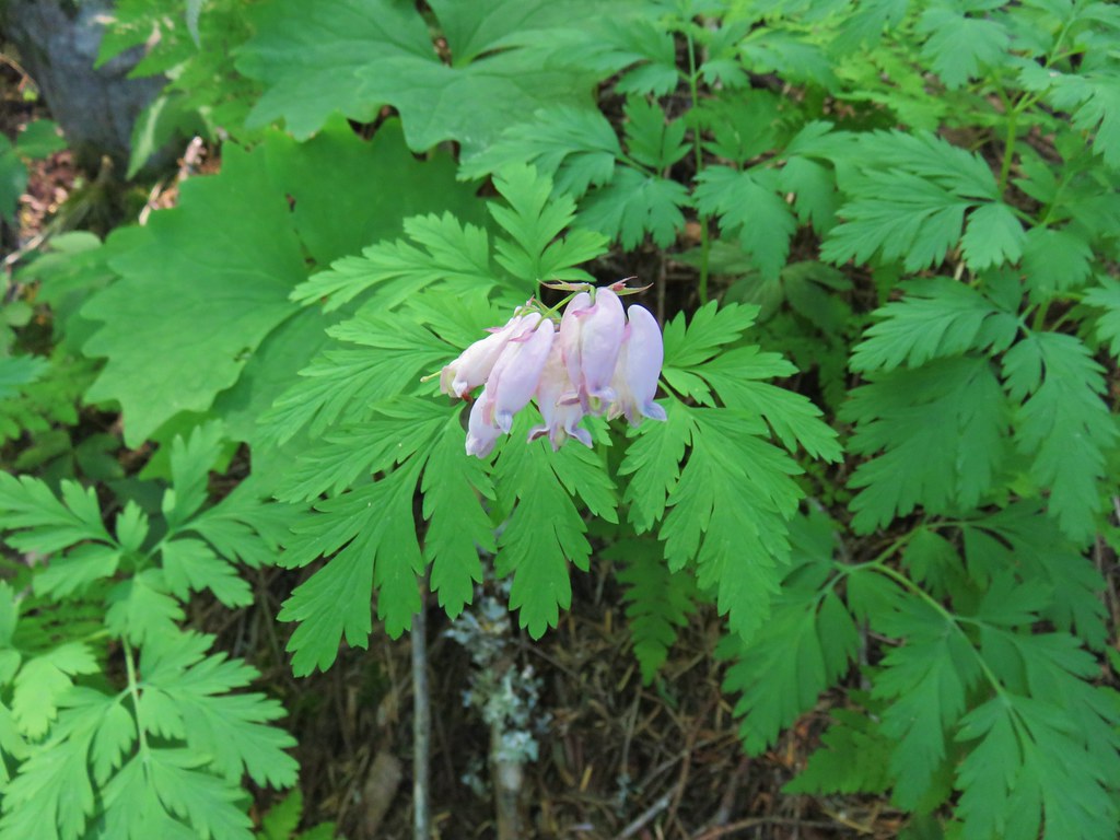

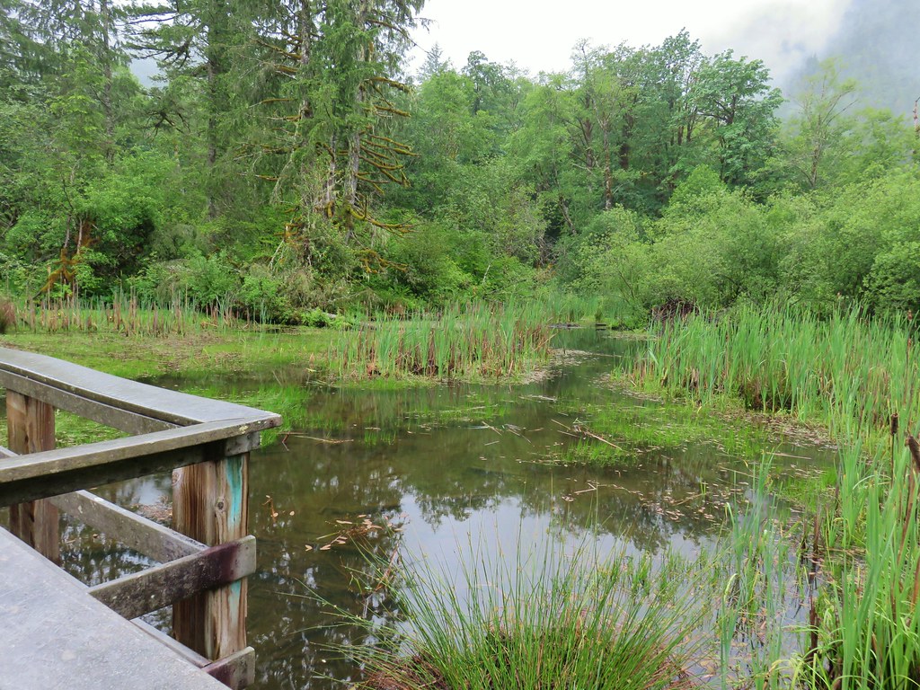
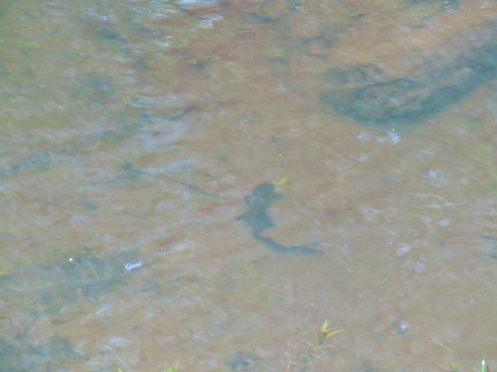
The trail briefly becomes a boardwalk as it passes over the lake’s inlet creeks where small fish and rough skinned newts could be seen swimming.


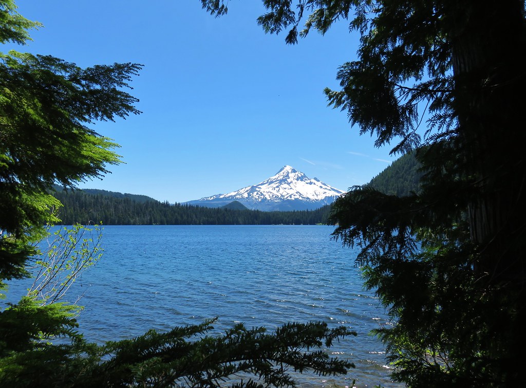
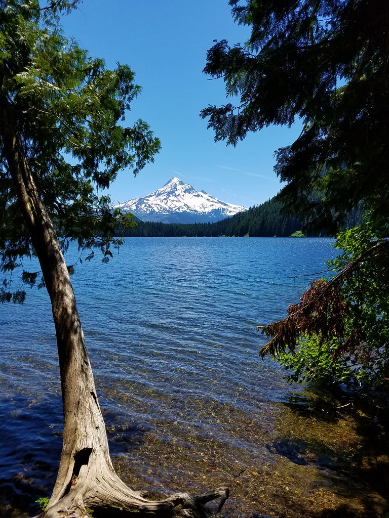
As we made our way around the lake Mt. Hood finally began to come into view.

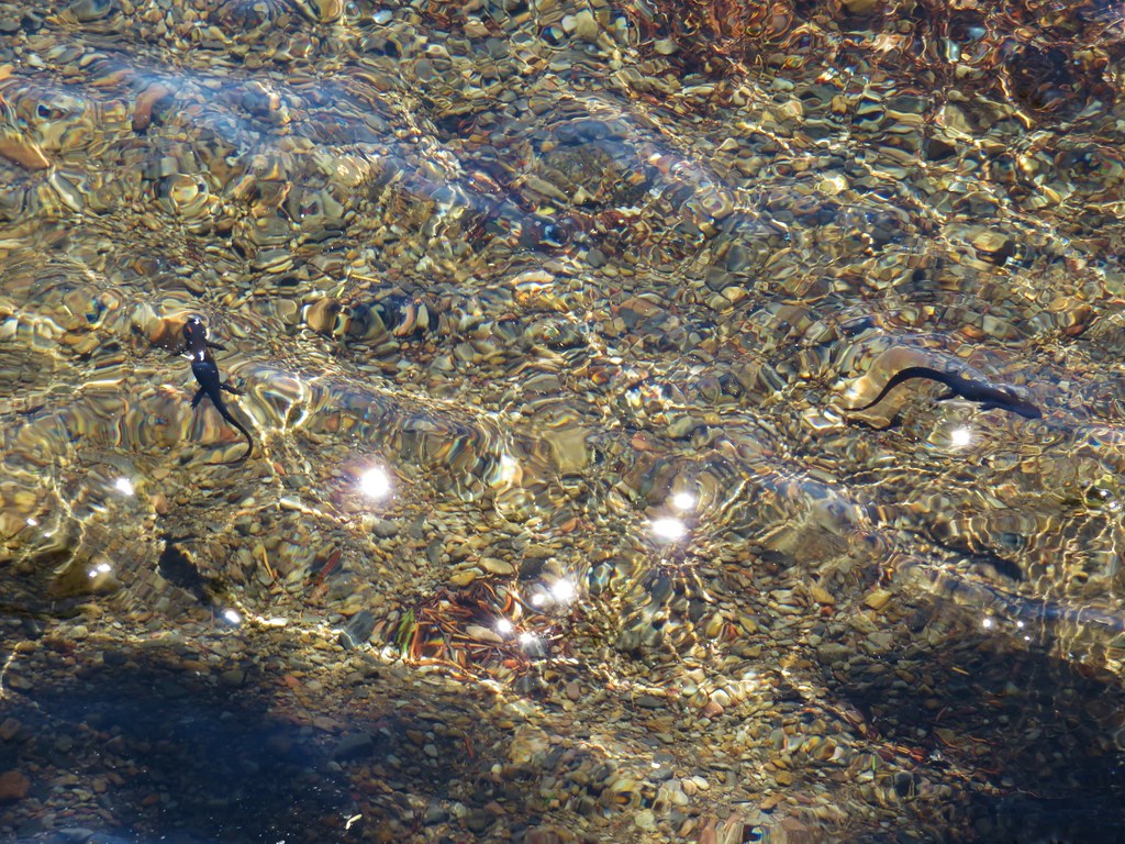
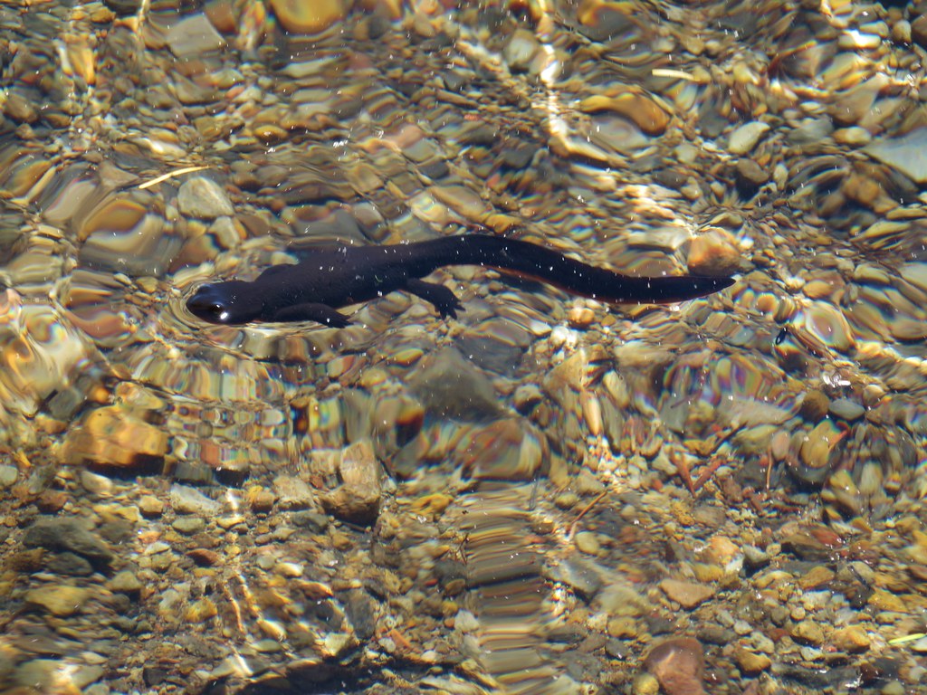
Numerous side trails led down to the shore between the boardwalk and the Lost Lake Resort providing excellent views of Mt. Hood and lots of newts to watch in the clear water.
Things were pretty hectic as we neared the day-use area and only got busier as we neared the lodge.

We left the Lakeshore Trail near the lodge and cut up through the resort toward the entrance road in hopes of following it back to our car. We had just popped out of some trees onto that road when a pickup passed us and we heard someone call out my name. We turned to look as the truck stopped and realized it was my cousin Lance and his family. They were visiting the lake for the first time too and were planning on doing some kayaking. It was quite the random encounter. After saying hi we went our separate ways and returned to our car and headed home. We wound up taking Highway 35 to Highway 26 around Mt. Hood instead of returning via I-84 after pulling up Google traffic and seeing that there were at least two accidents holding up traffic on the Interstates.
Our route on the trails at Lost Lake added up to 7.7 miles giving us 9.9 miles combined. It turned out to be a nice combination of hikes with varying scenery and different types of trails and best of all we got to see Mt. Hood this time around. Happy Trails!
Flickr: Gorton Creek Falls, Punchbowl Falls Park, and Lost Lake










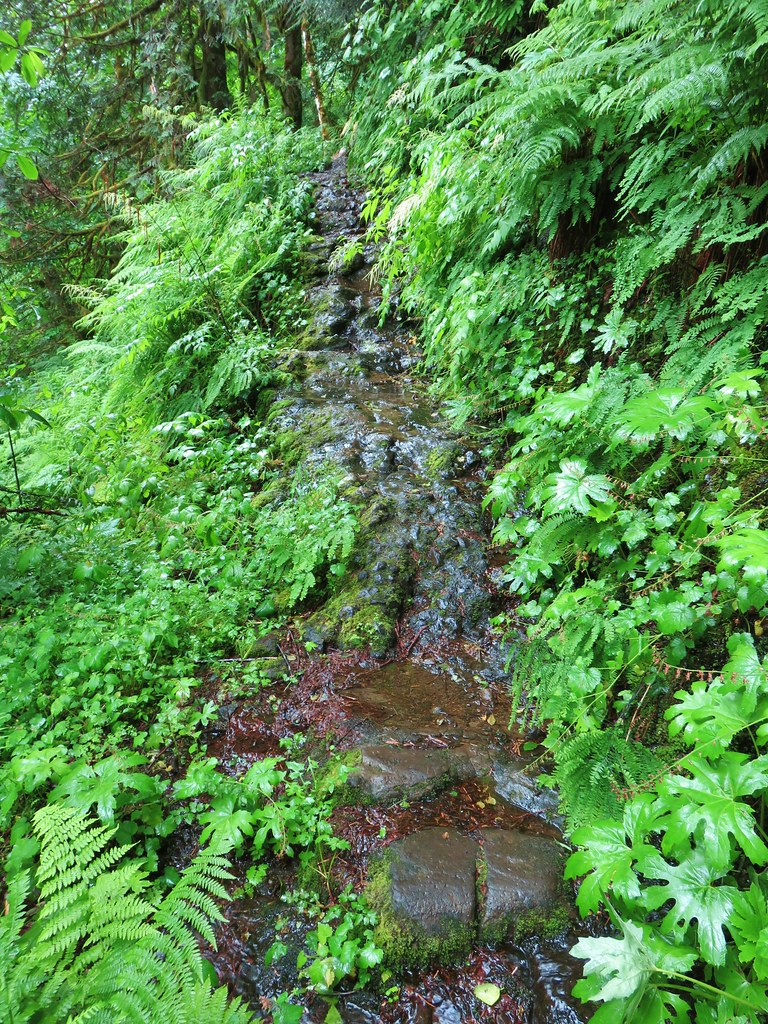
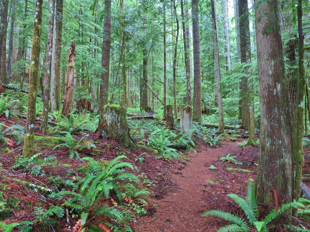

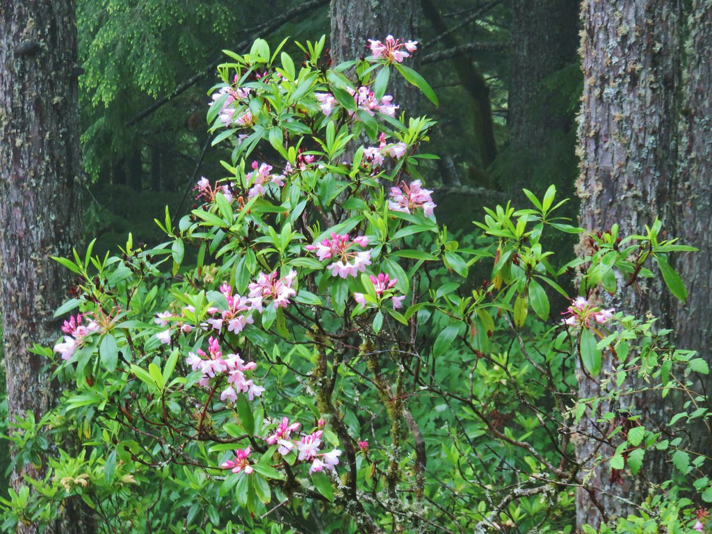 Rhododendron
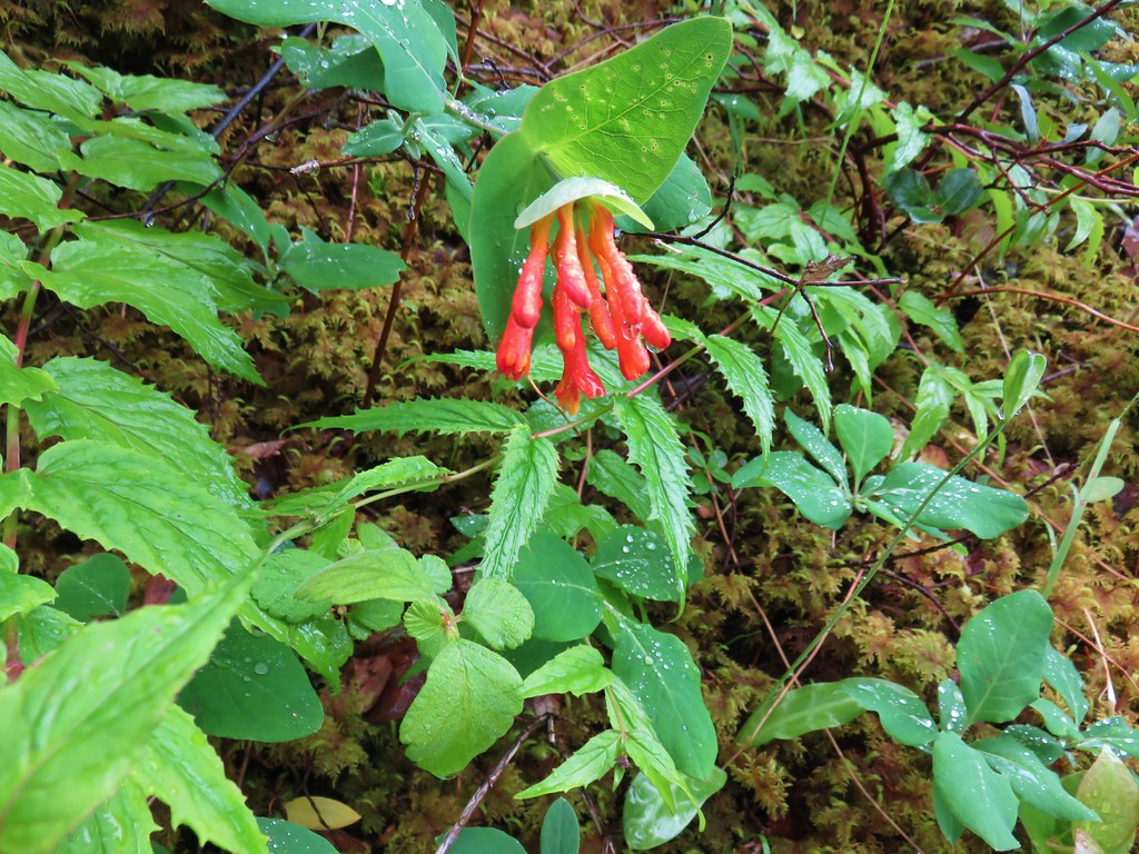 Honeysuckle
 Beargrass and rhododendron along the trail.
 Coralroot and sourgrass
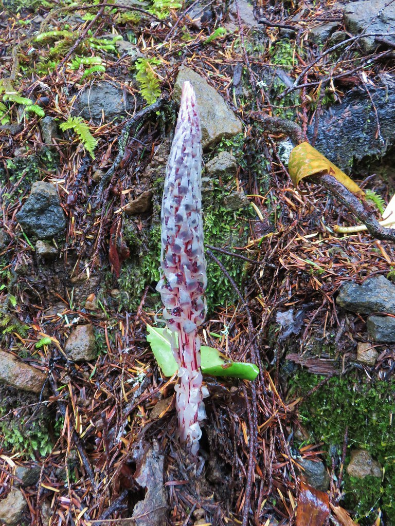 Candy stick
 Damp iris

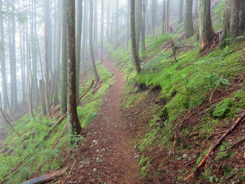
 Green lichen
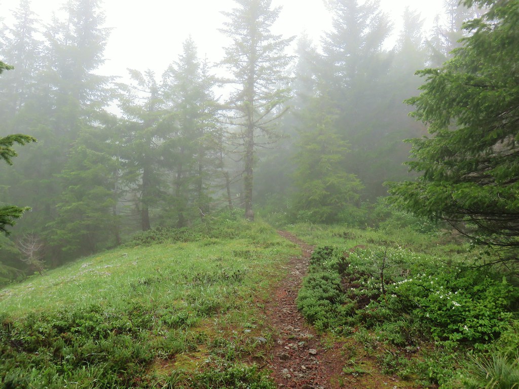
 A few trees peaking through the clouds along McIntyre Ridge (
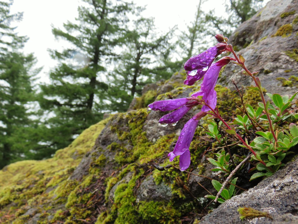 Penstemon
 Paintbrush
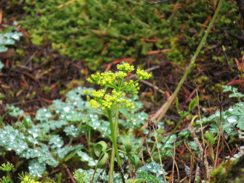 Biscuitroot
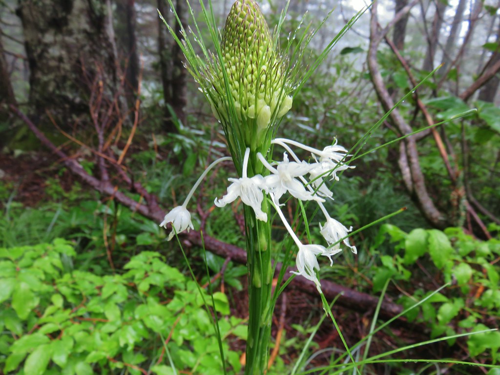
 Beargrass
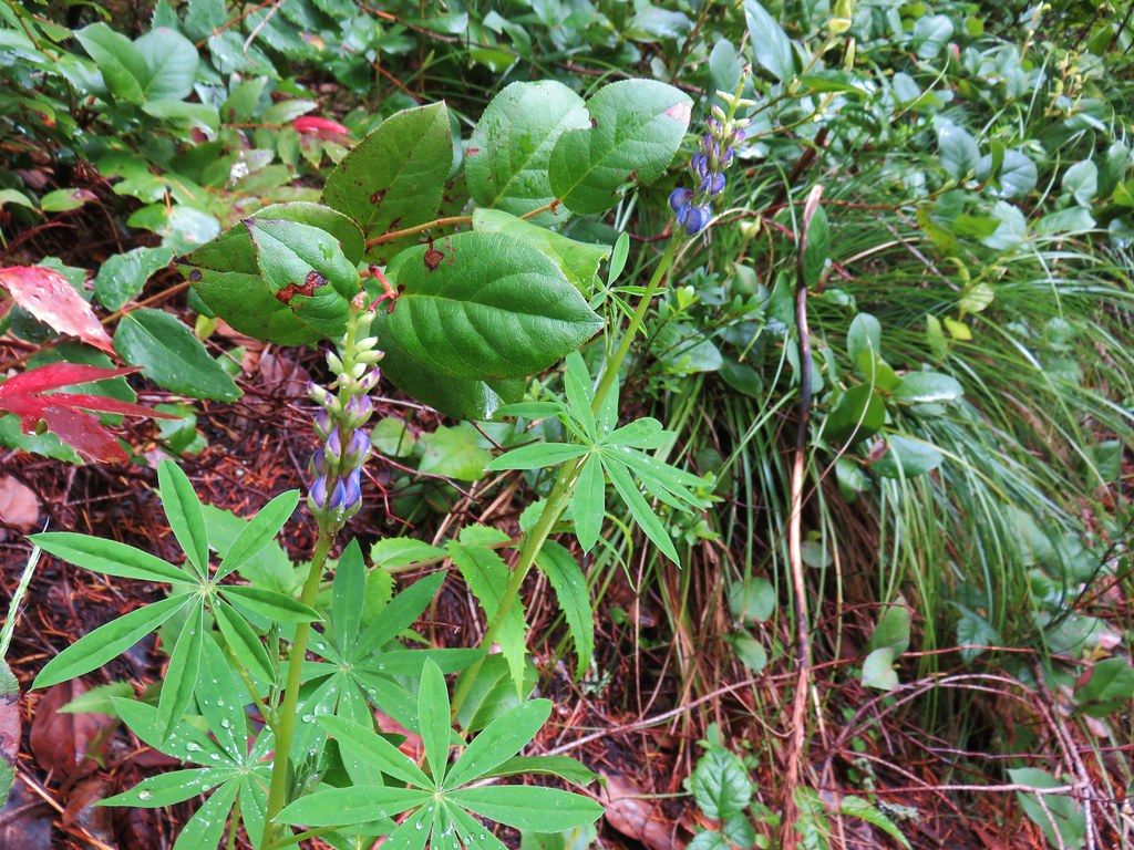 Lupine






 2019
2019 2015
2015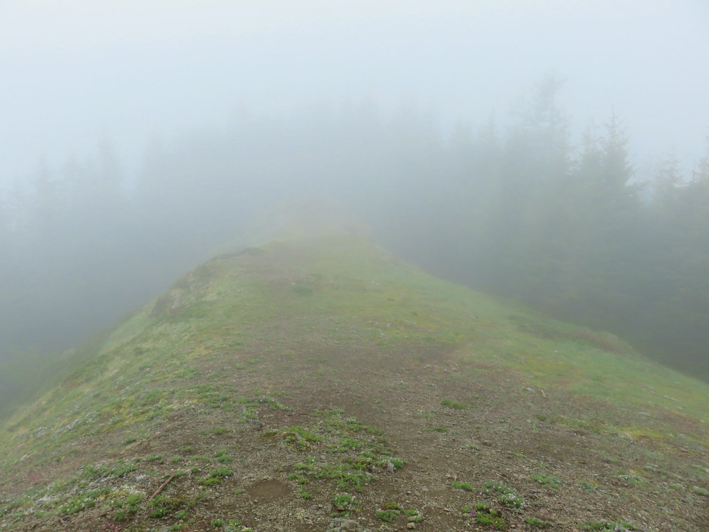
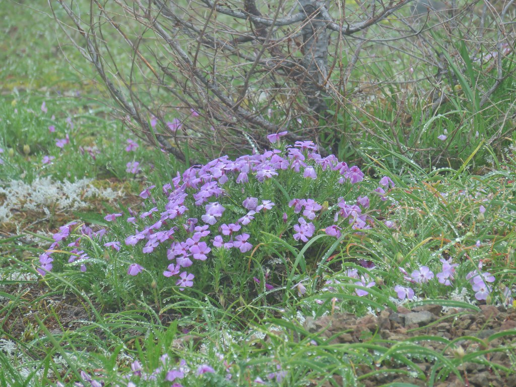 Phlox
Phlox Paintbrush
 Penstemon
 Avalanch lily
 Wild onion





 Paintbrush above Sardine Creek
 Iris
Iris Rhododendron
 Candy flower



 Beargrass
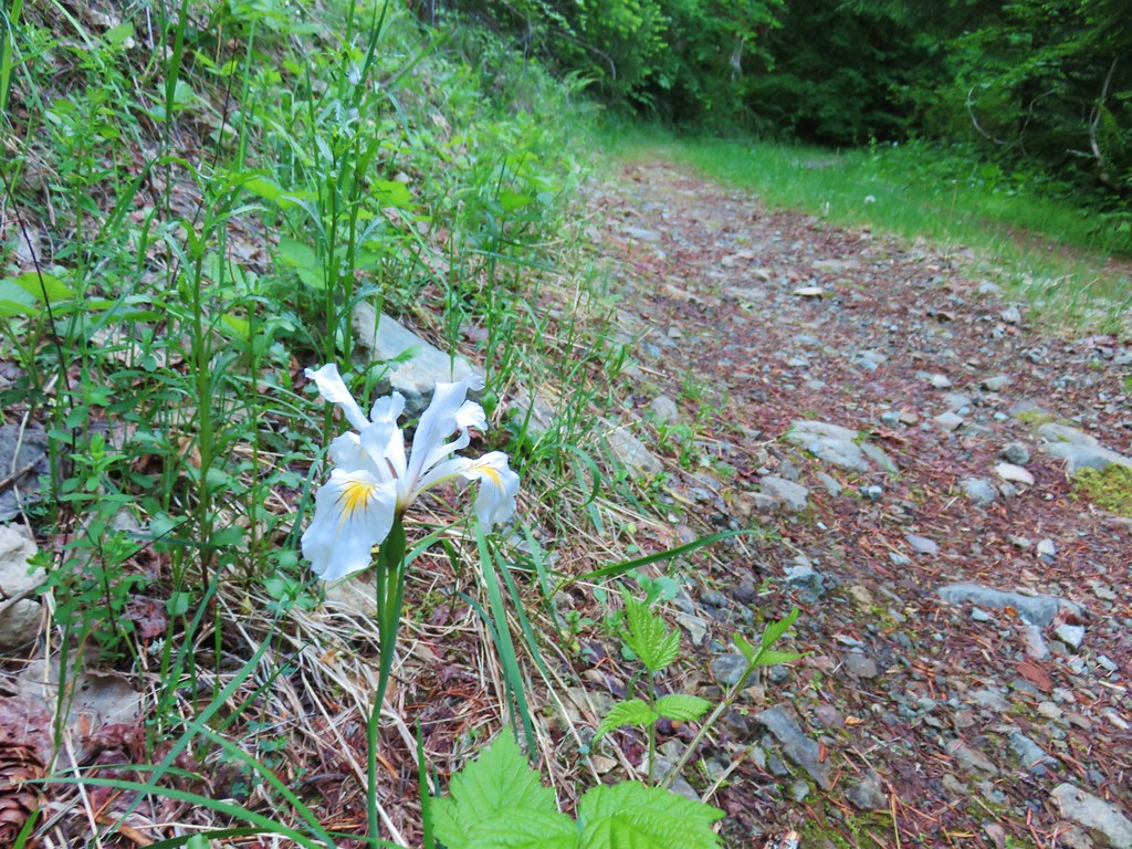 Iris
Iris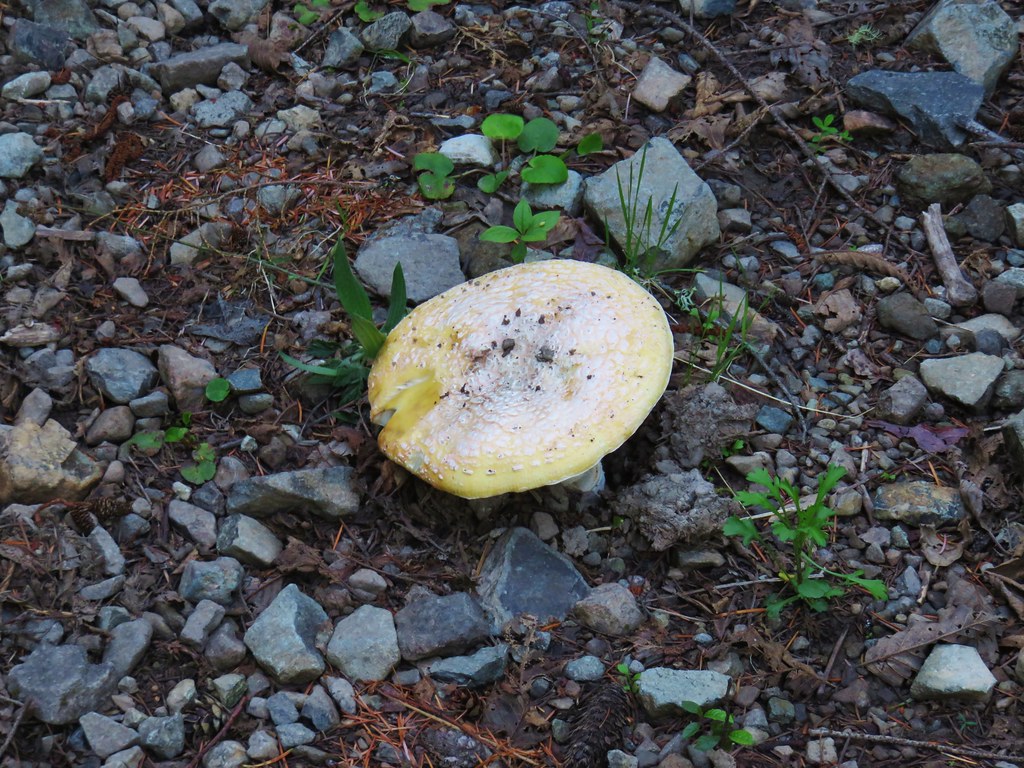 Mushroom in the middle of the road
 Valerian
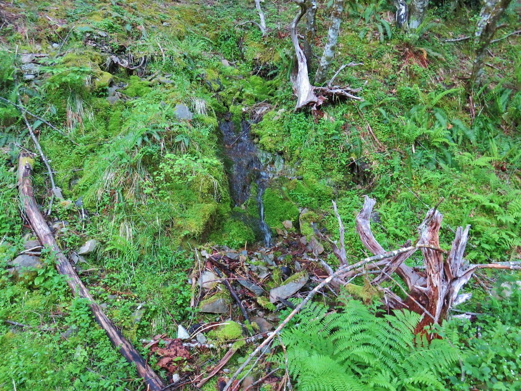 A hillside spring




 Red flowering currant




 Mt. Hood with North Dicky Peak in front.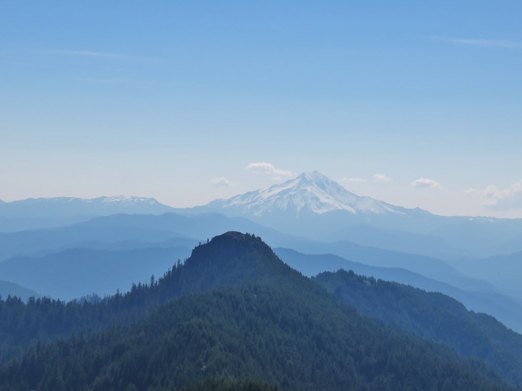


 Three Fingered Jack
 Mt. Washington and the Three Sisters
 Tumble Lake
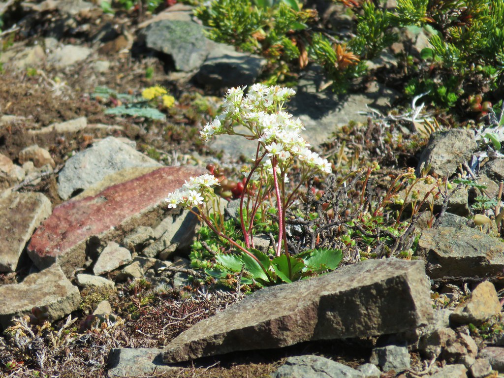 A saxifrage
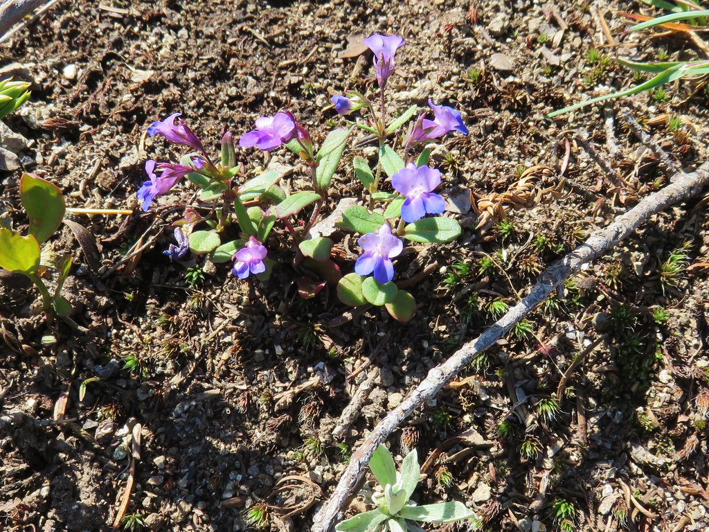 Blue-eyed mary
 Cats ears
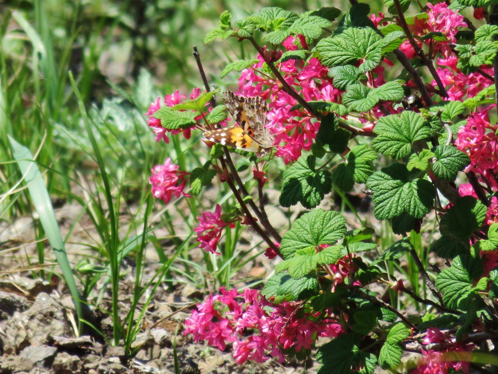 Butterfly on red flowering currant
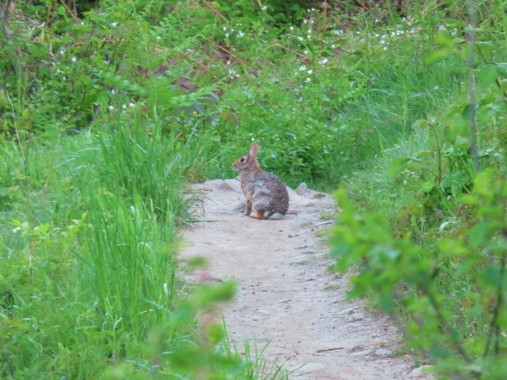
 Rabbit
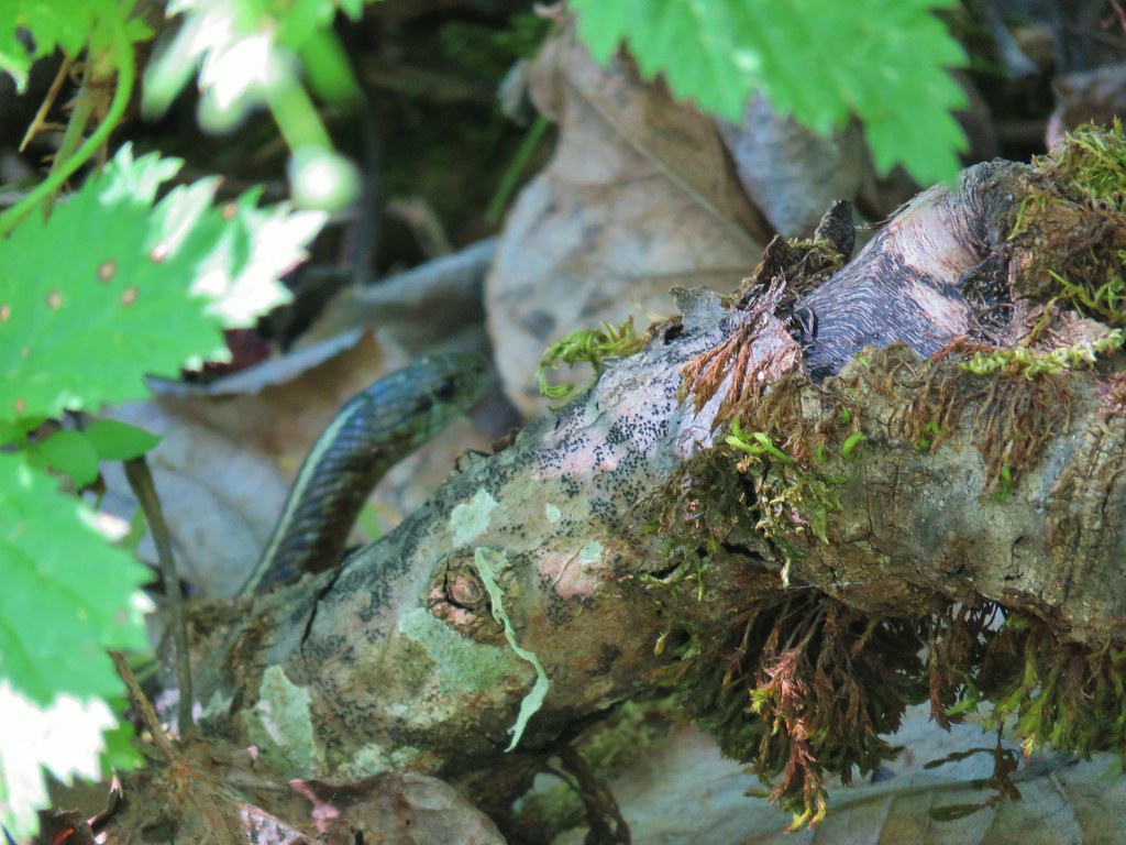
 Snake
Snake
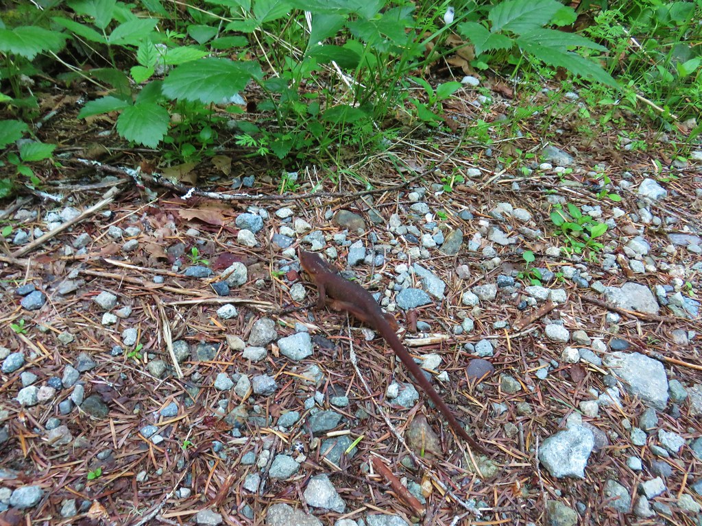
 Another northern alligator lizard
 These two long legged spiders got into a brawl when they met crossing the road.
 Candy flower
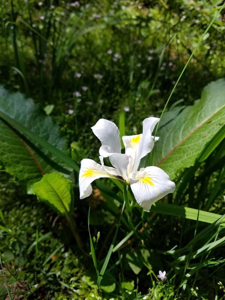 Iris
Iris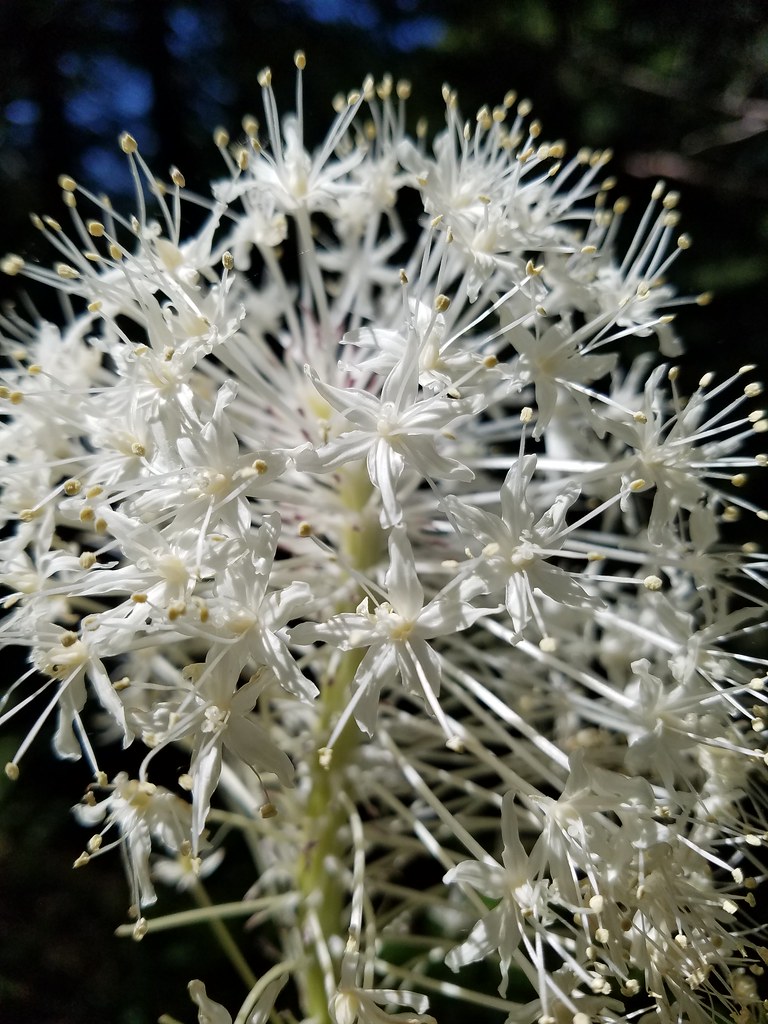 Beargrass
 Fringecup
 Monkeyflower
 Thimbleberry
 Stonecrop
 Youth-on-age with an interesting insect


 Looking toward the Seven Devils in Idaho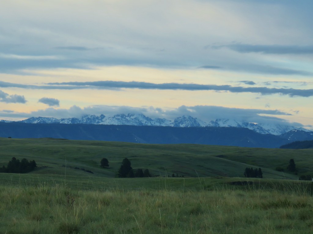

 Findley Buttes (You can see some of the standing water on Duckett Road on the right hand side.)
 Old man’s whiskers
 Phlox with larkspur in the background
 Cusick’s paintbrush
 White-stem frasera
 Paintbrush
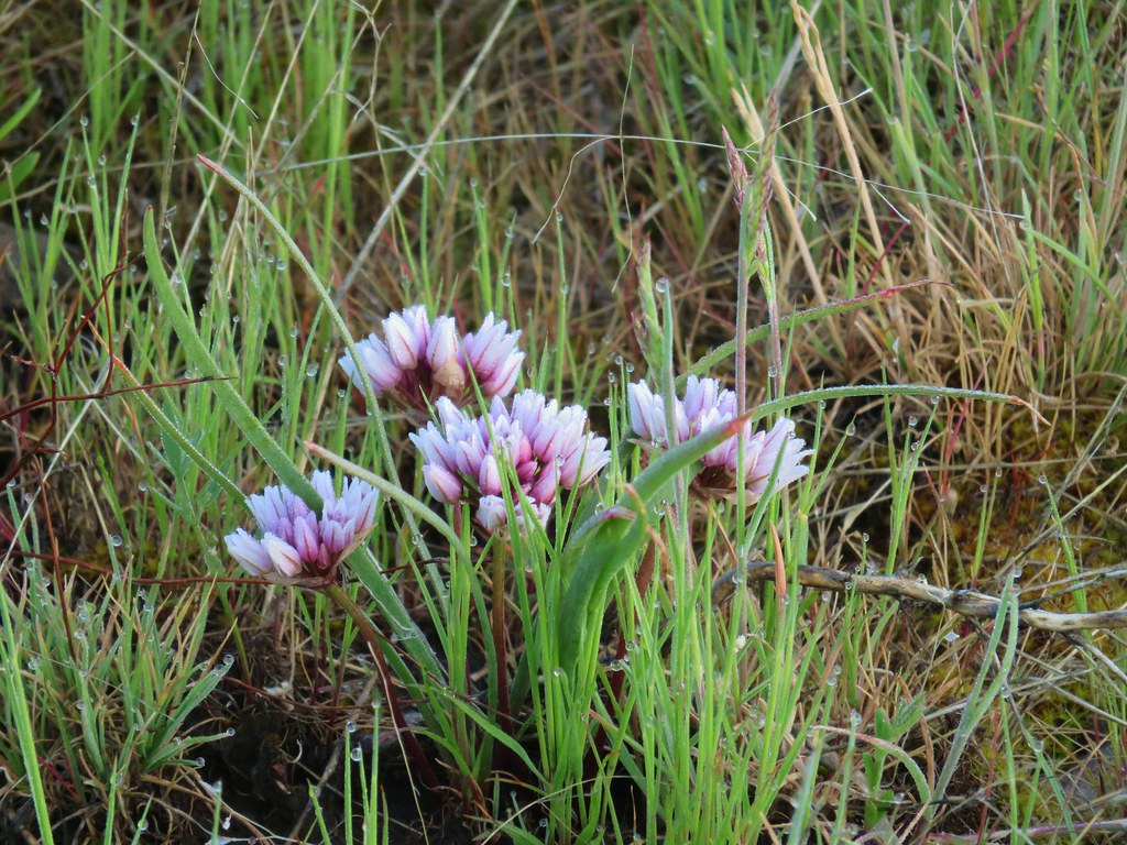 A wild onion
 Larkspur
 Milk vetch
 Chickweed
 Woodland stars
 An assortment of flowers
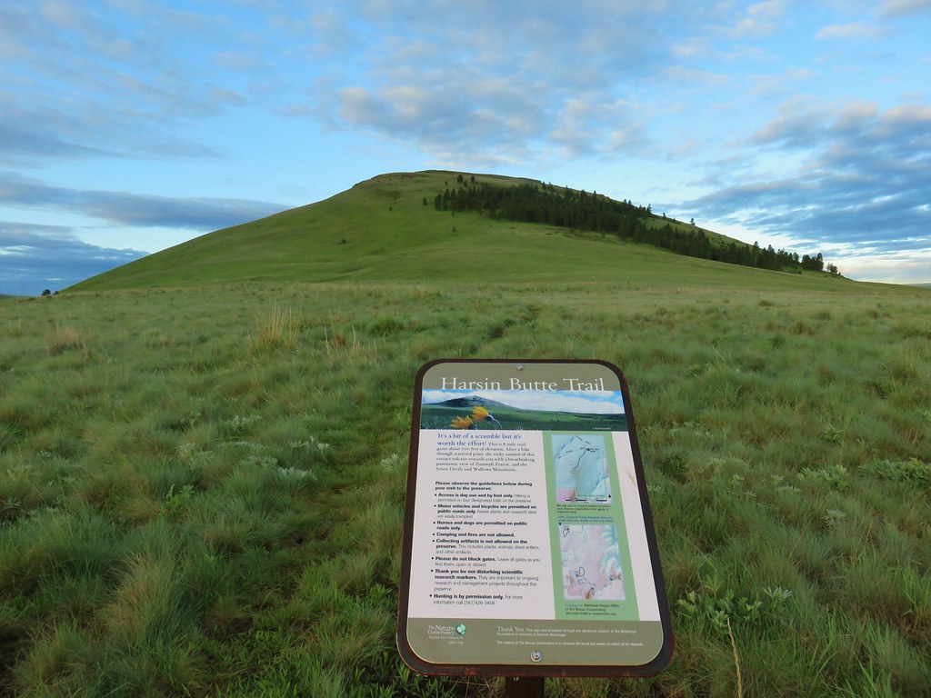
 One of the carins and the trail going up Harsin Butte in the background.

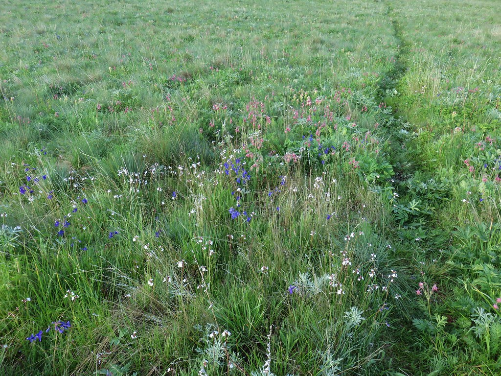
 Monument plant
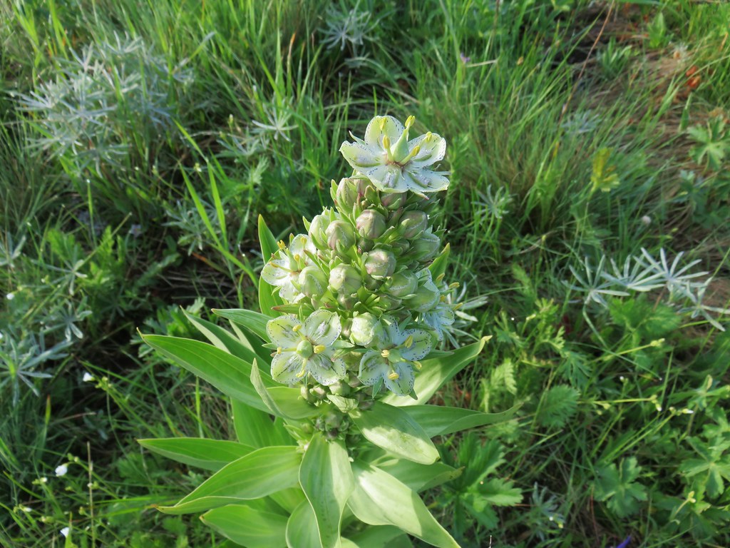 Top of the monument plant
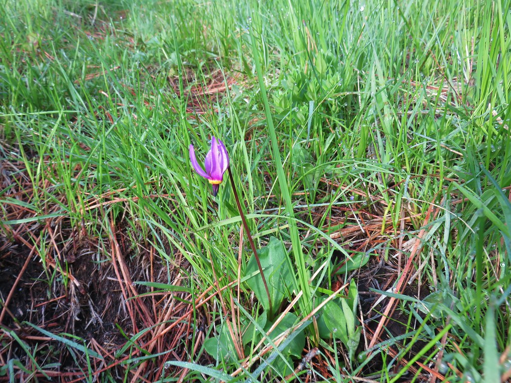 Shooting star
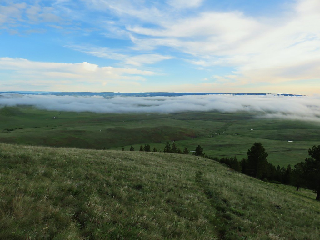 Here comes the clouds.
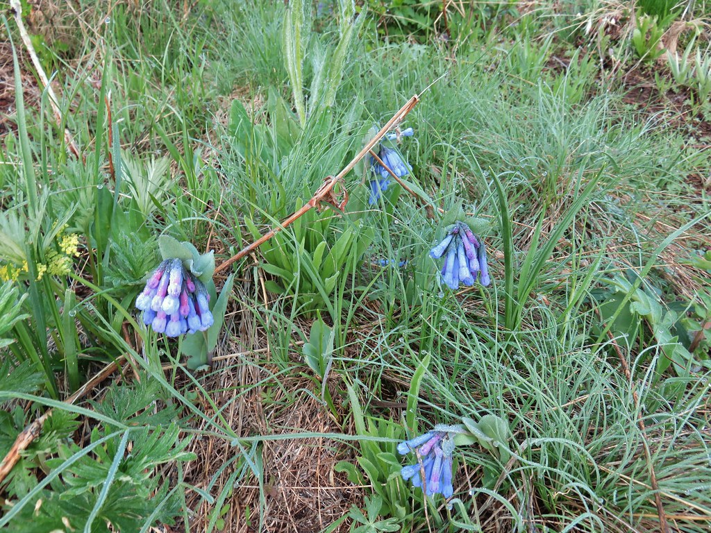 Bluebells
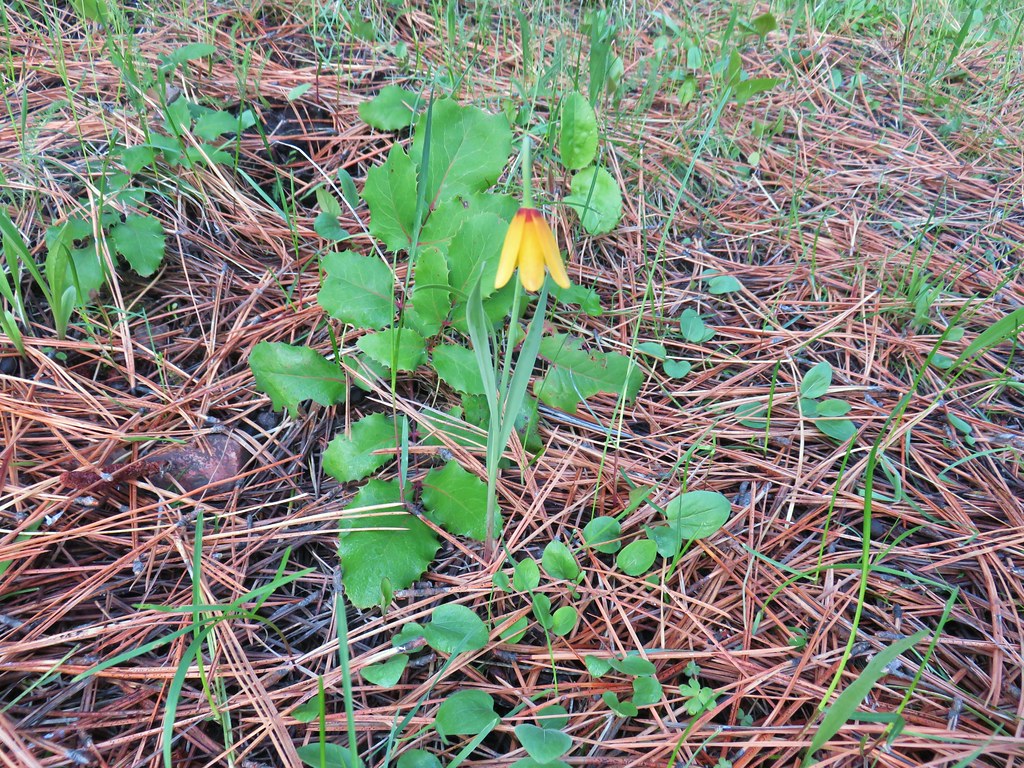 Yellow bell
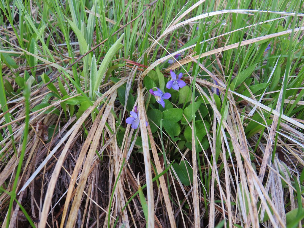 Violets
 Ball-head waterleaf
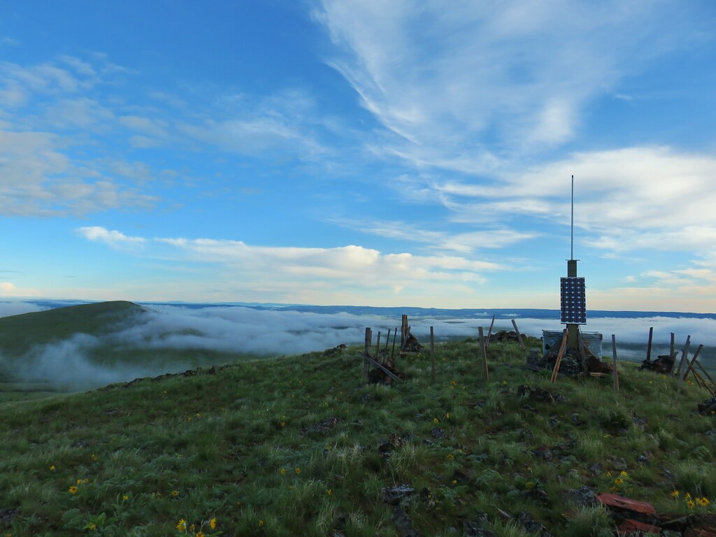


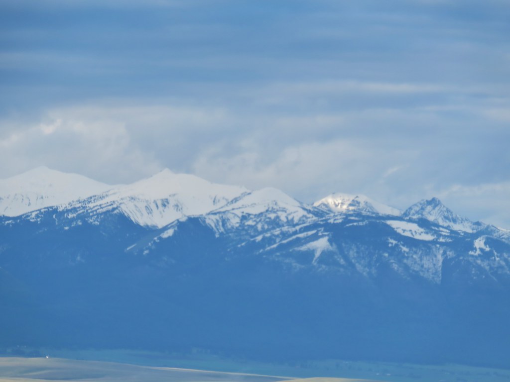


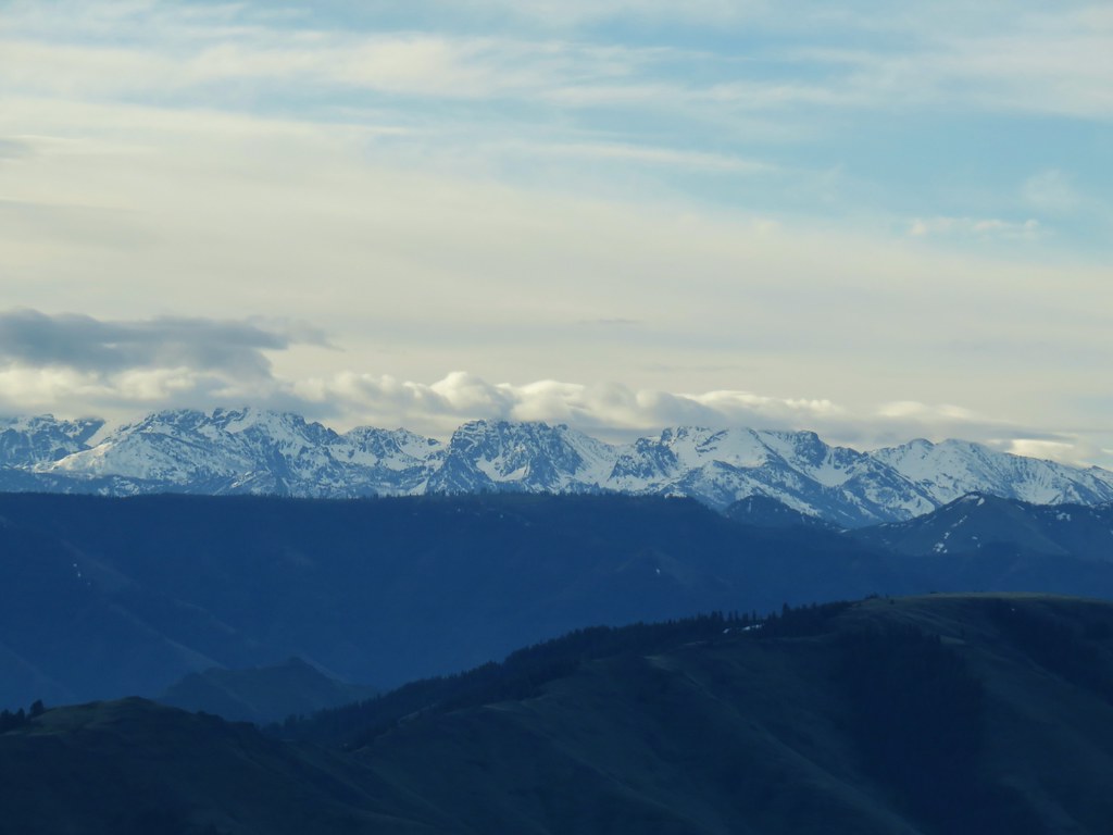






 Camas
Camas Old man’s whiskers and white-stem frasera
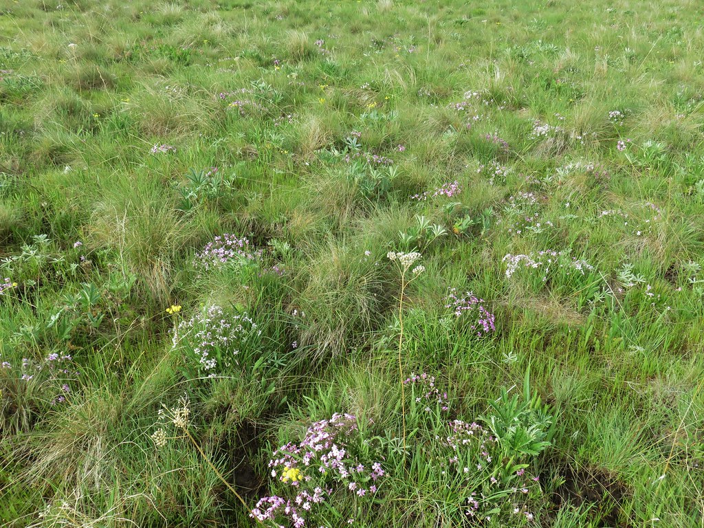 Lots of phlox
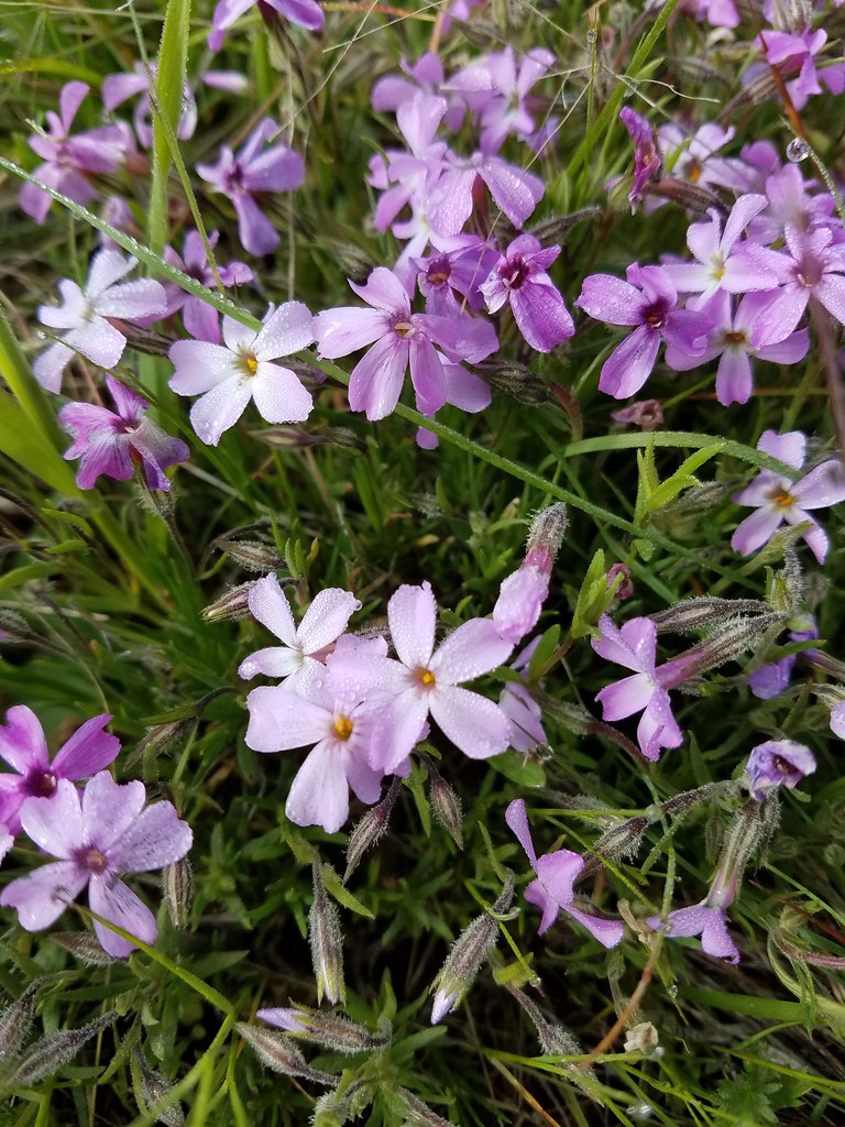 Phlox
Phlox Large head clover, larkspur, and wild onion
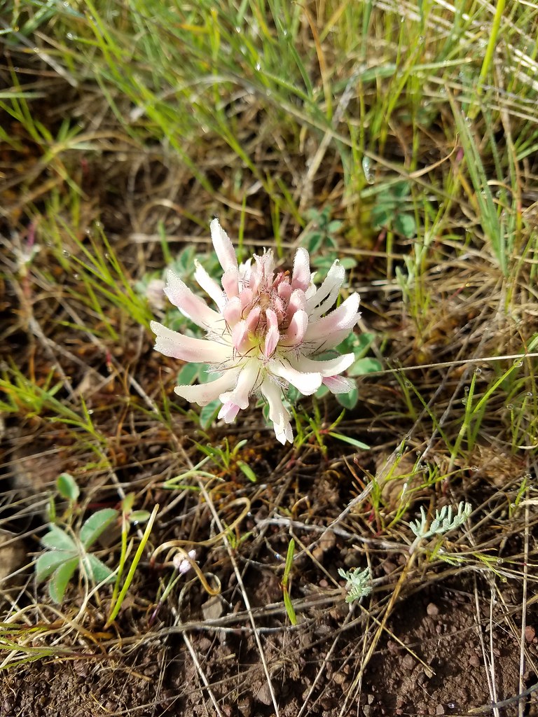 Large head clover
 Wild onion
 Duckett Barn starting to disappears as we descended.
 Possibly hoary balsamroot
 Hoary balsamroot?
 Phlox
Phlox Diffuseflower evening-primrose
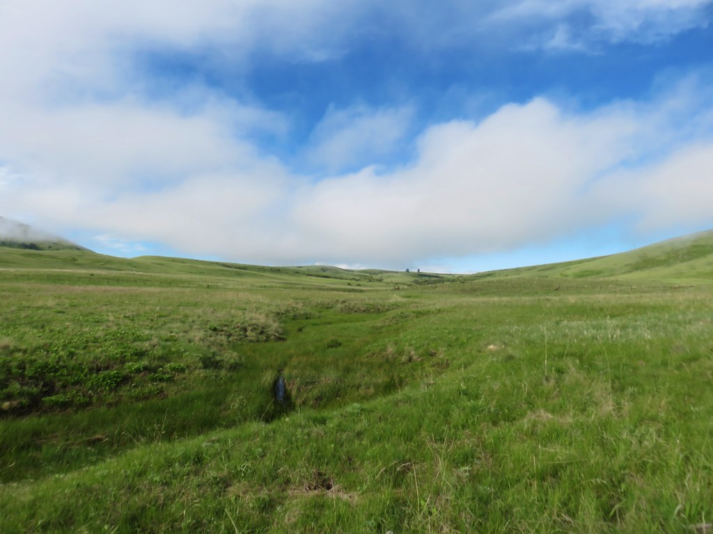 Camp Creek

 Possibly a mustard
 White-stem frasera blooming
 Violets
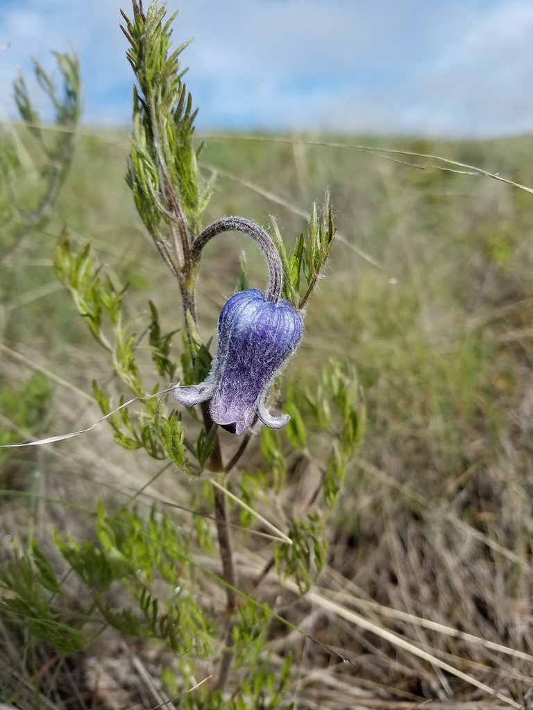 Hairy clematis
 Old man’s whiskers

 Cusick’s paintbrush






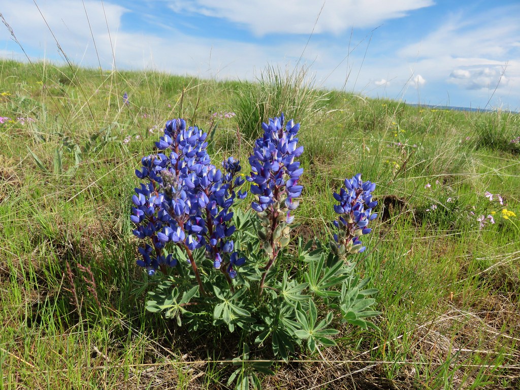

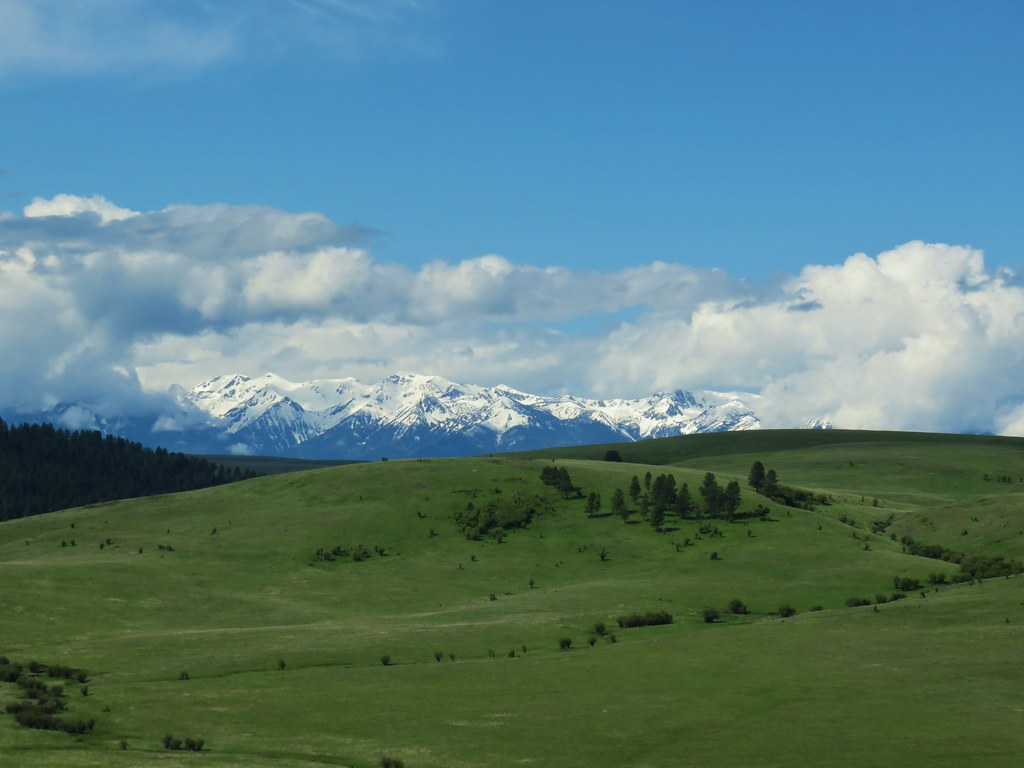

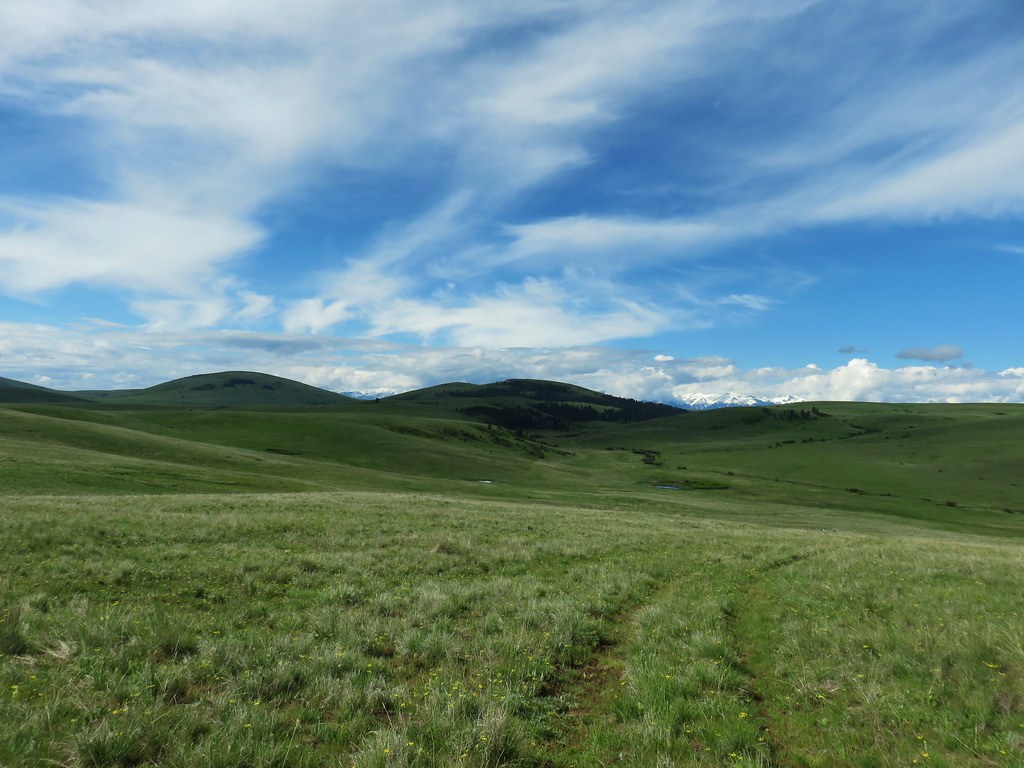
 Paintbrush and biscuitroot
 A ragwort or groundsel (I think)
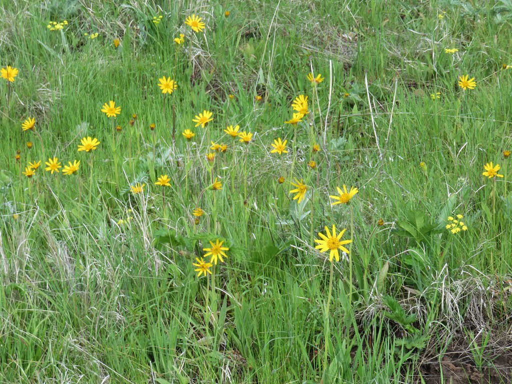 False sunflower?
 Old man’s whiskers and milk vetch
 Western stoneseed
 I had to dip into the digital zoom to get this photo so it’s a bit blurry.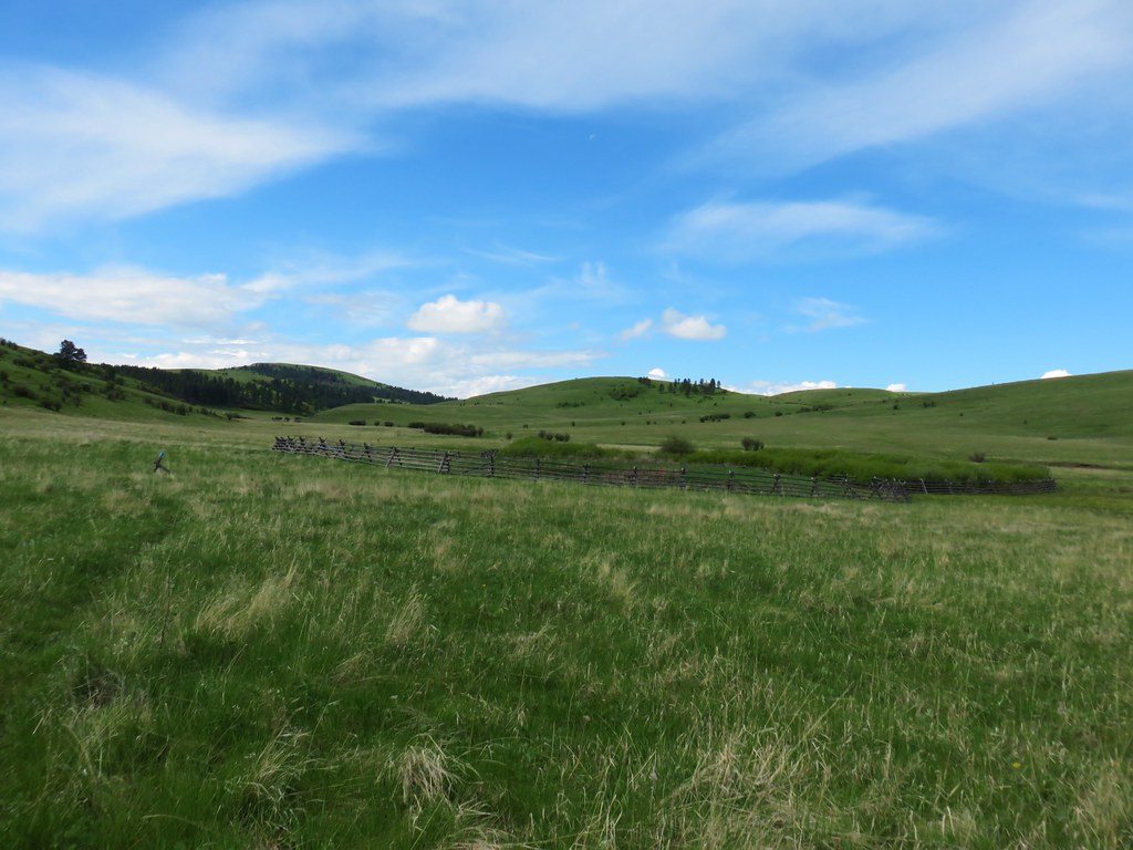

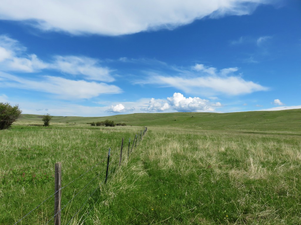


 Dwarf yellow fleabane
 Blue dicks
 Looking back down the draw.


 Vetch
Vetch Spreading dogbane
 Wild rose with a beetle
 Yarrow
 Houndstongue
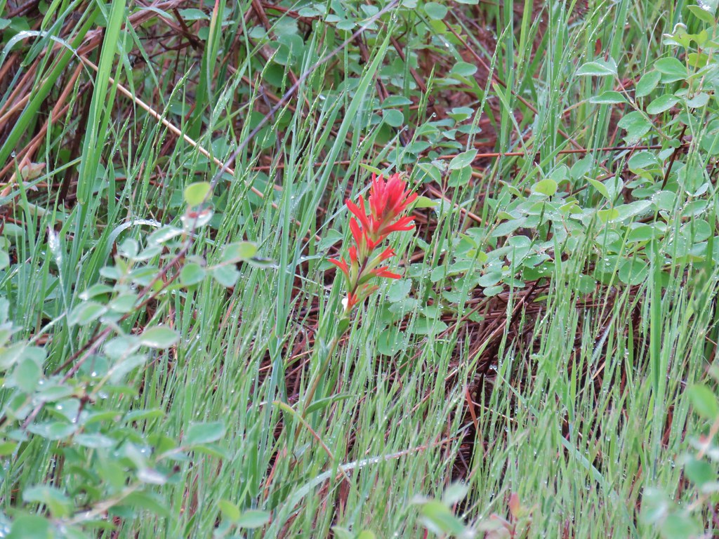 Paintbrush
 Catchfly
 sticky purple geranium


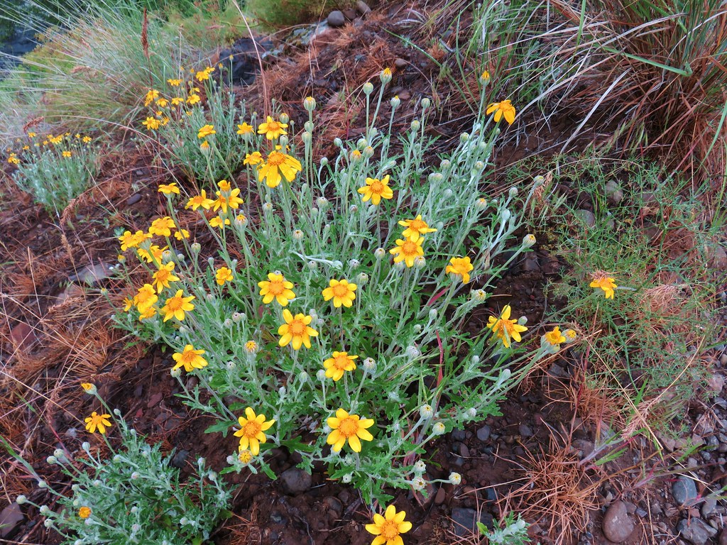 Oregon sunshine
 Monkey flower
 Watercress?
 Fiddleneck
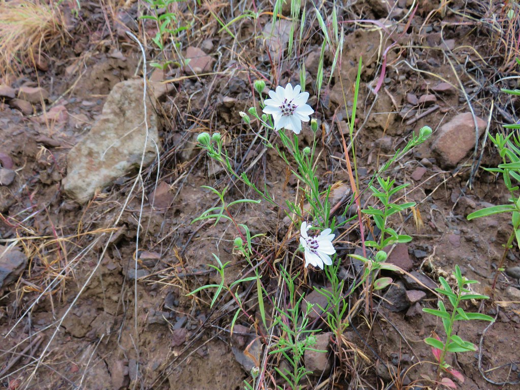 Rough eyelashweed
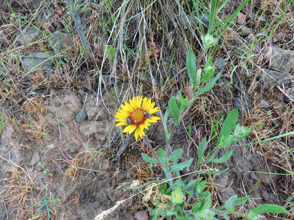 Blanket flower with two sleeping bees
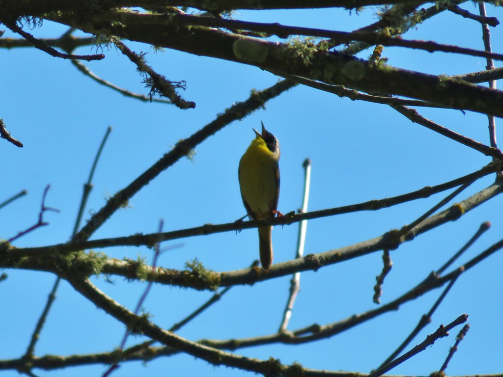
 Yellow breasted chat
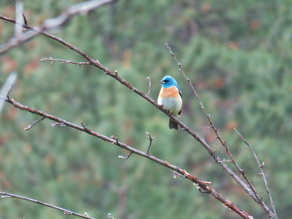 Lazuli bunting


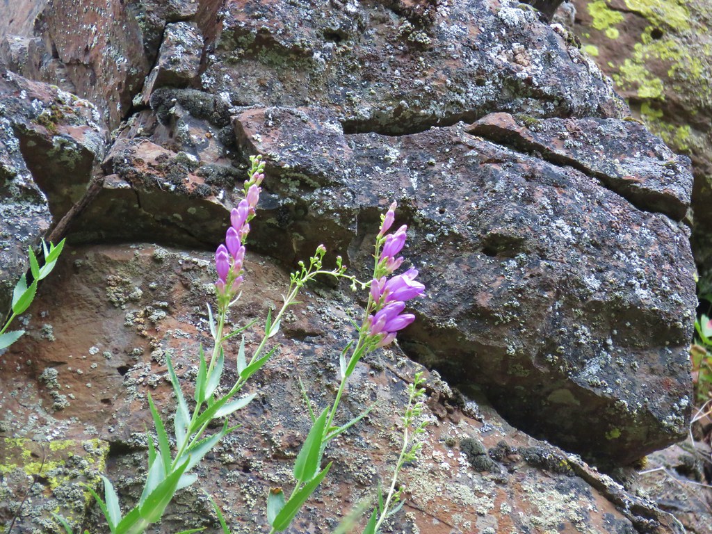 Penstemon
 Clarkia
 Phlox
Phlox More spreading dogbane
 Buckwheat
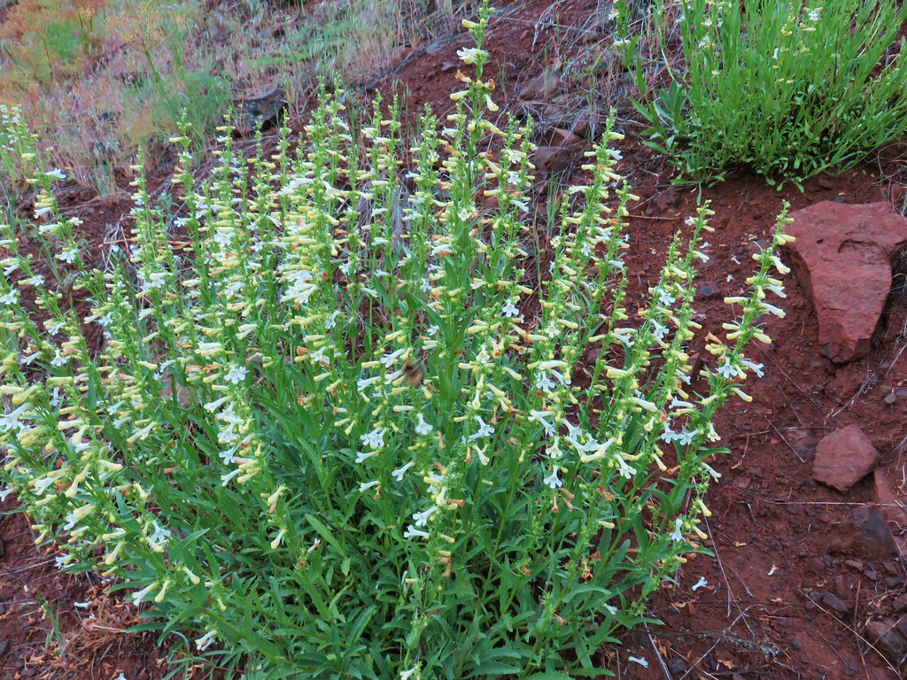 Scabland penstemon
 Cinquefoil?


 Woodpecker with a snack.
 Northern flicker
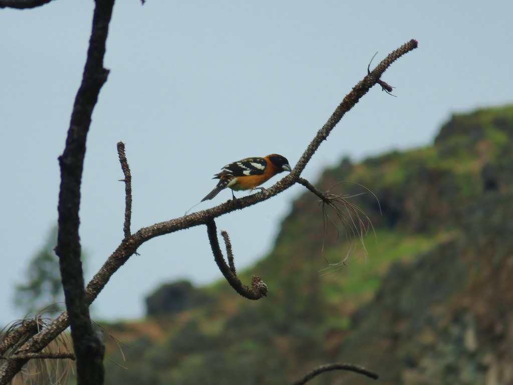 Black headed grosebeak
 Blue dicks with a beetle
 Lupine
 Salsify
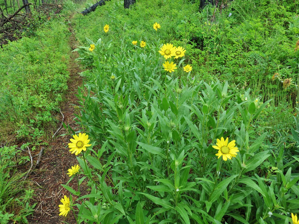 False sunflowers
 Balsamroot
 Clarkia with beetles
 View from the ridge end.
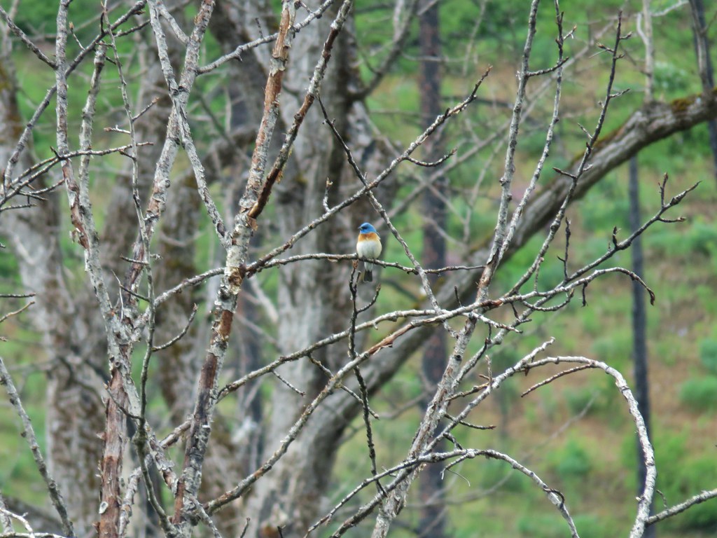 Another bunting
 Wallflower
 Another chat


 Geranium

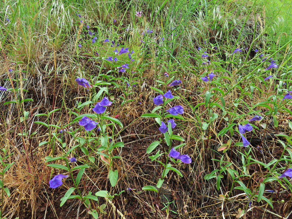 Skullcap
 Stream globemallow
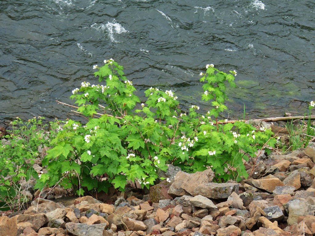 Thimbleberry
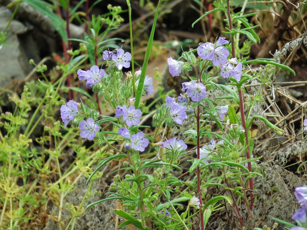 Threadleaf phacelia
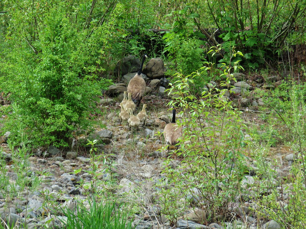


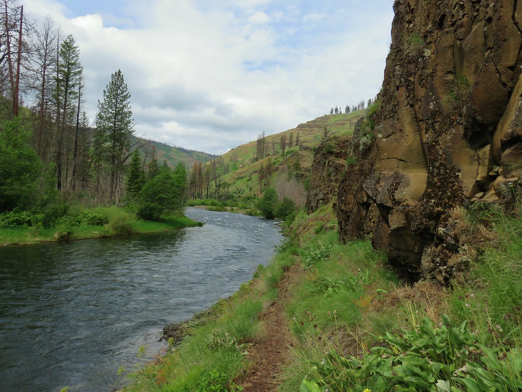 Officially inside the wilderness
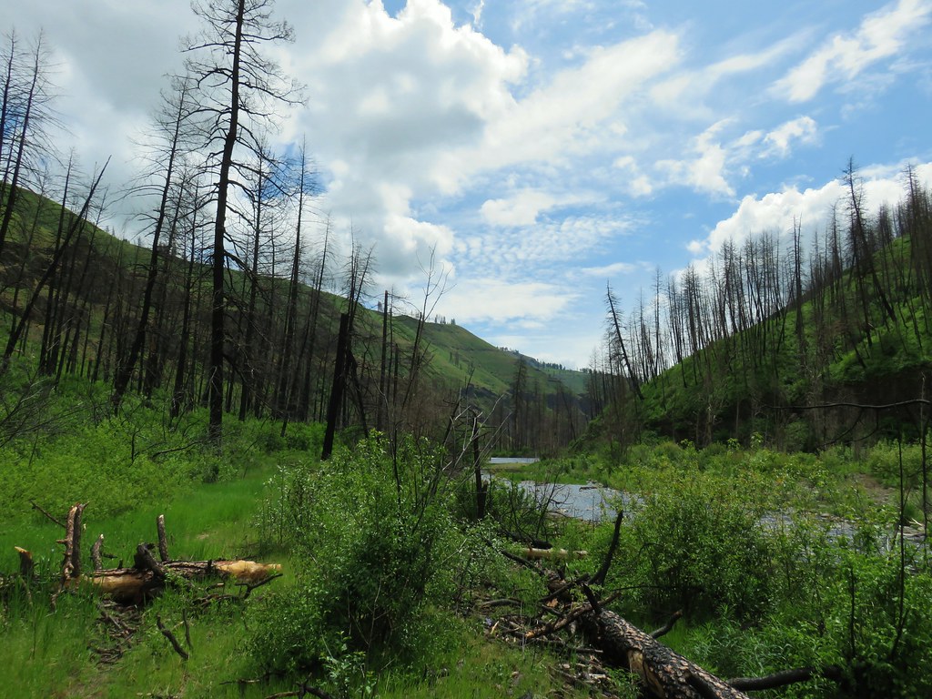 Blue sky
 Wren
Wren Spider and blue dicks
 Old man’s whiskers
 Wild onion



 The bees woke up at some point.




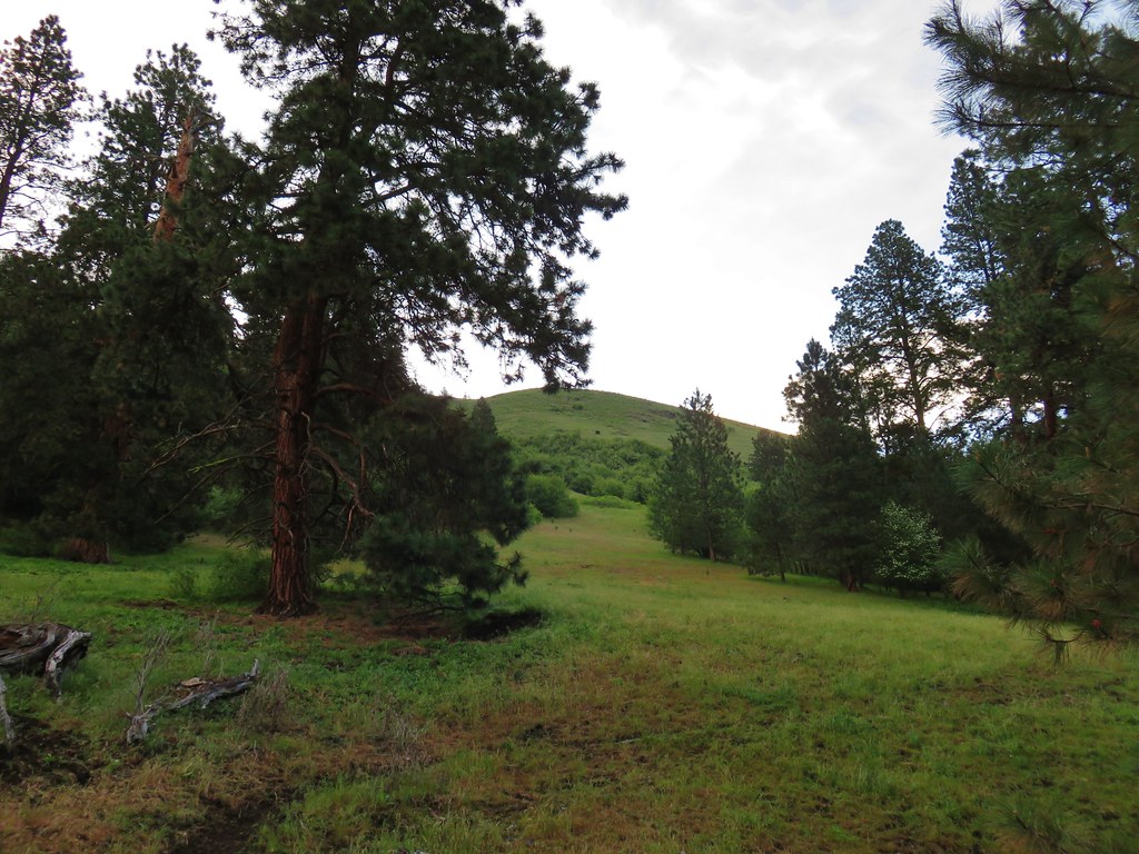 (The black dot in the center of the hill is one such cow.)
 Western stoneseed
 Prairie stars
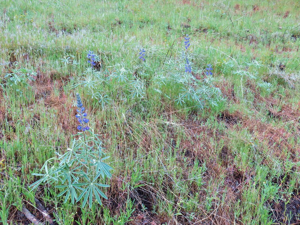 Lupine
 Heather emerging from the brushy section.

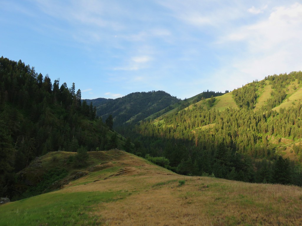

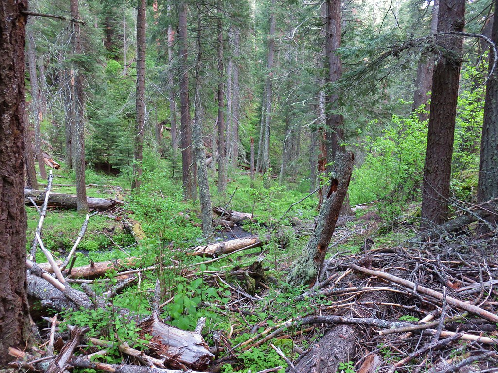


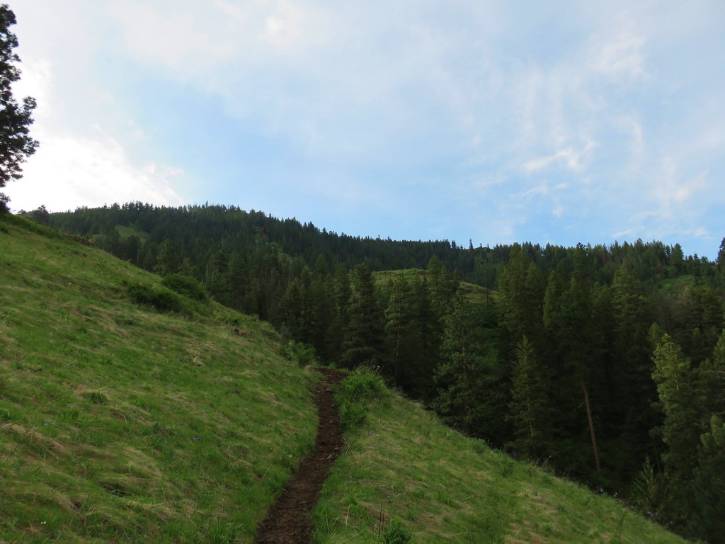
 Blue Dicks
 Balsamroot
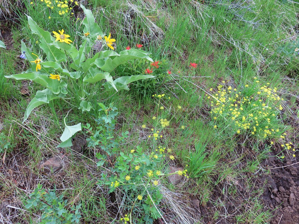 Balsamroot, paintbrush and biscuitroot



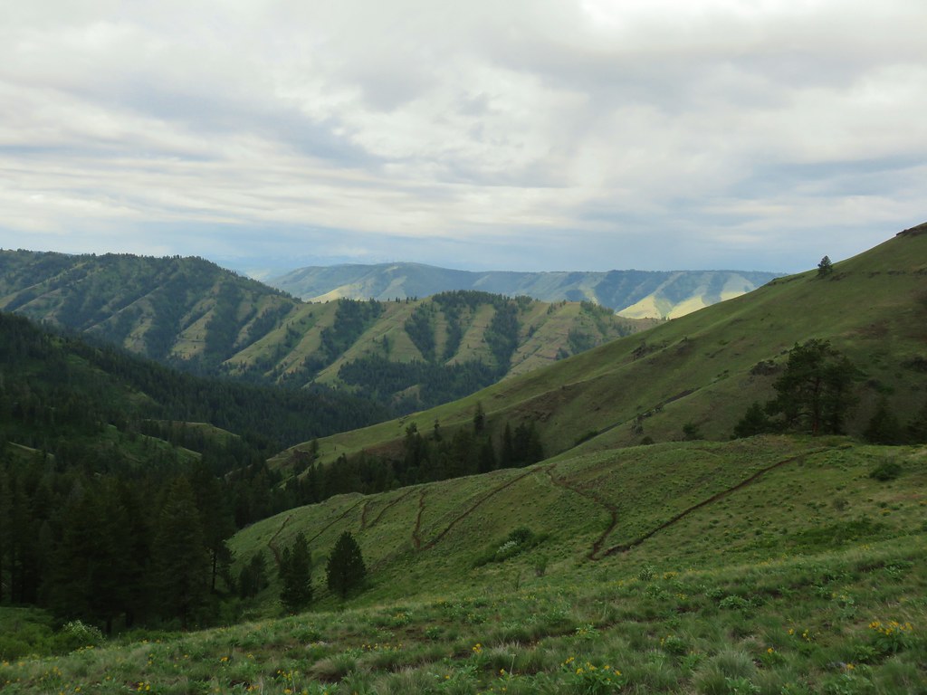
 Larkspur and monkeyflower
 Paintbrush
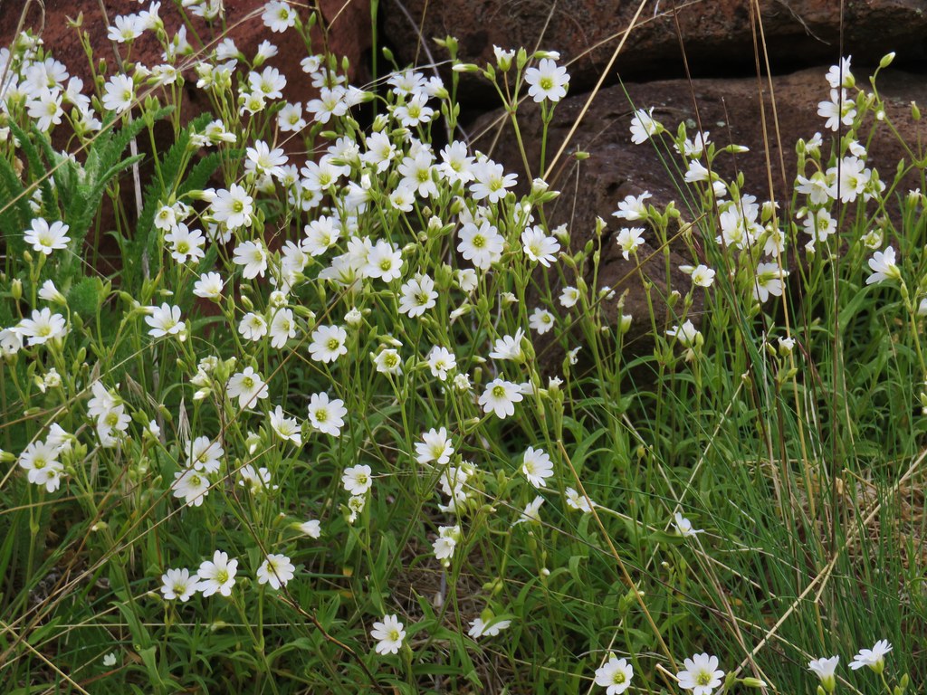 Chickweed
 Possibly going to be a penstemon
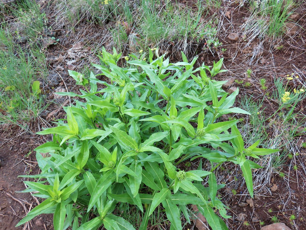 Unkown
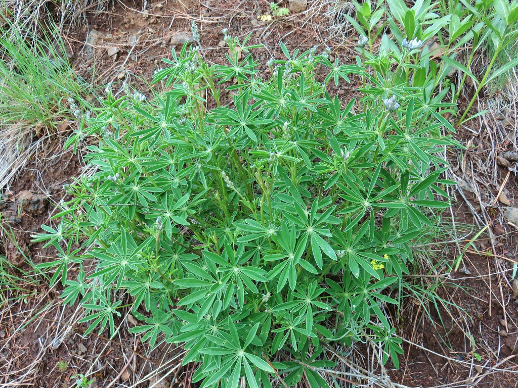 Lupine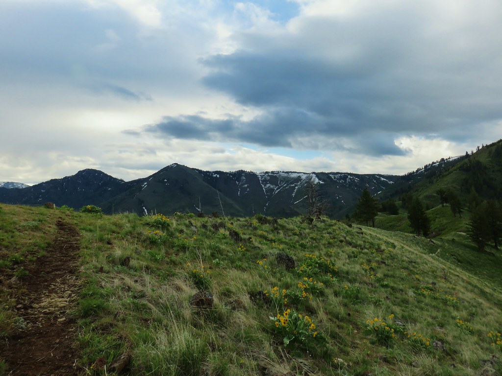

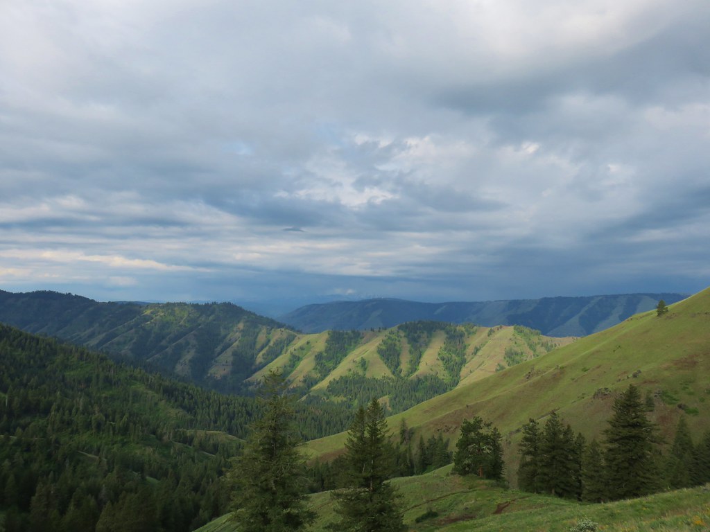 West to the quickly vanishing Wallowa Mountains.
 North
North South
South East into Hells Canyon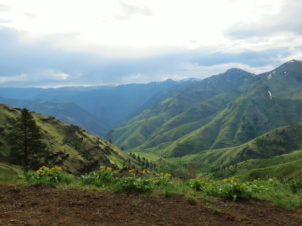
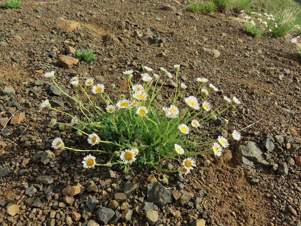 Cutleaf daisy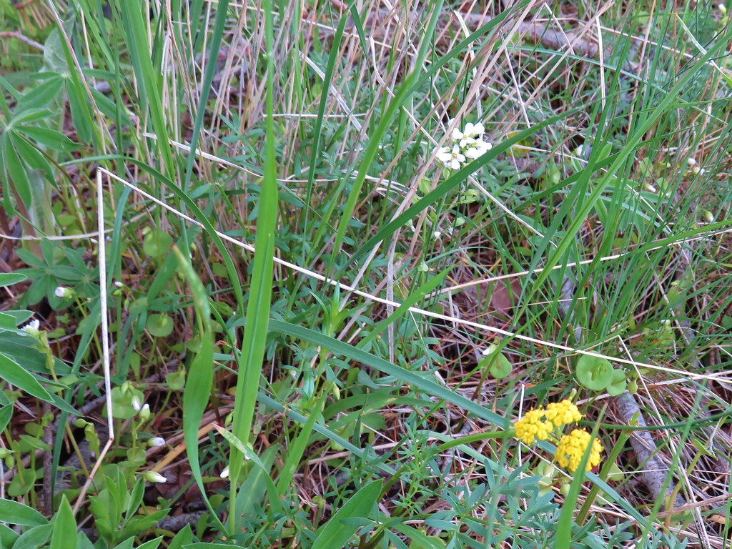
 Largehead clover


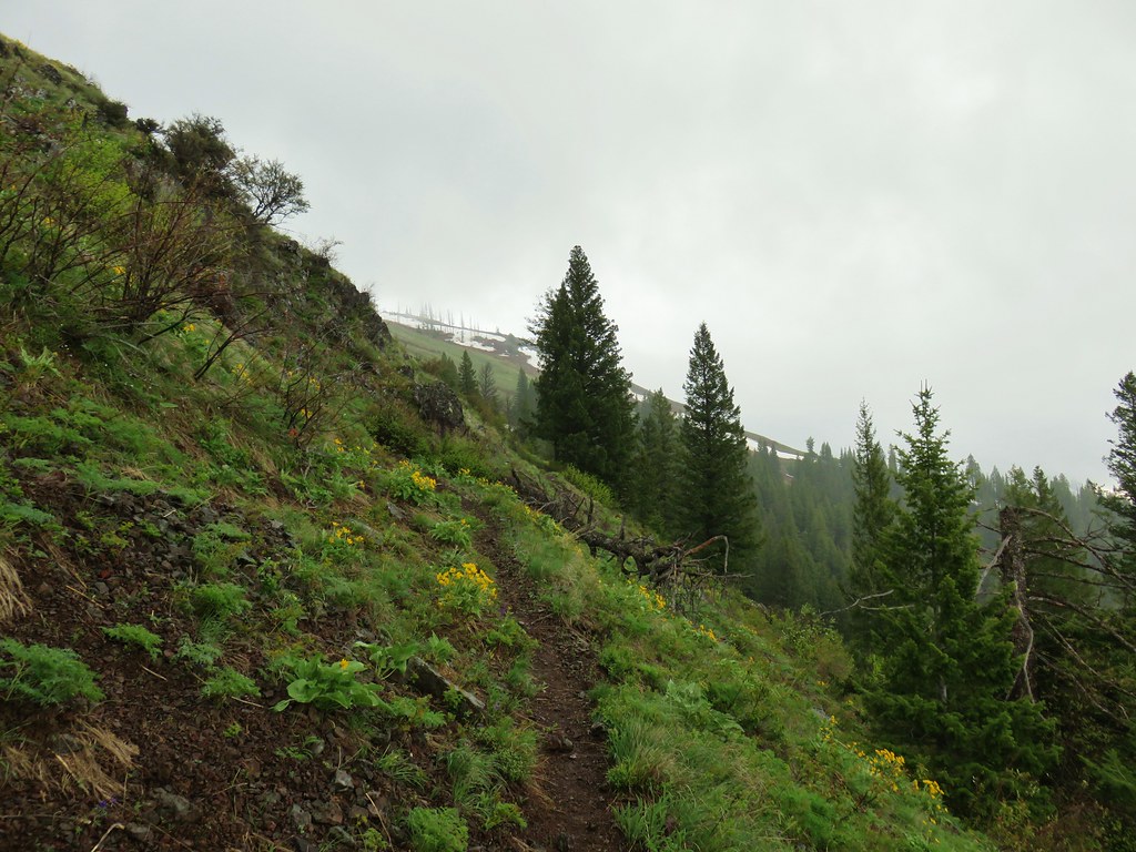






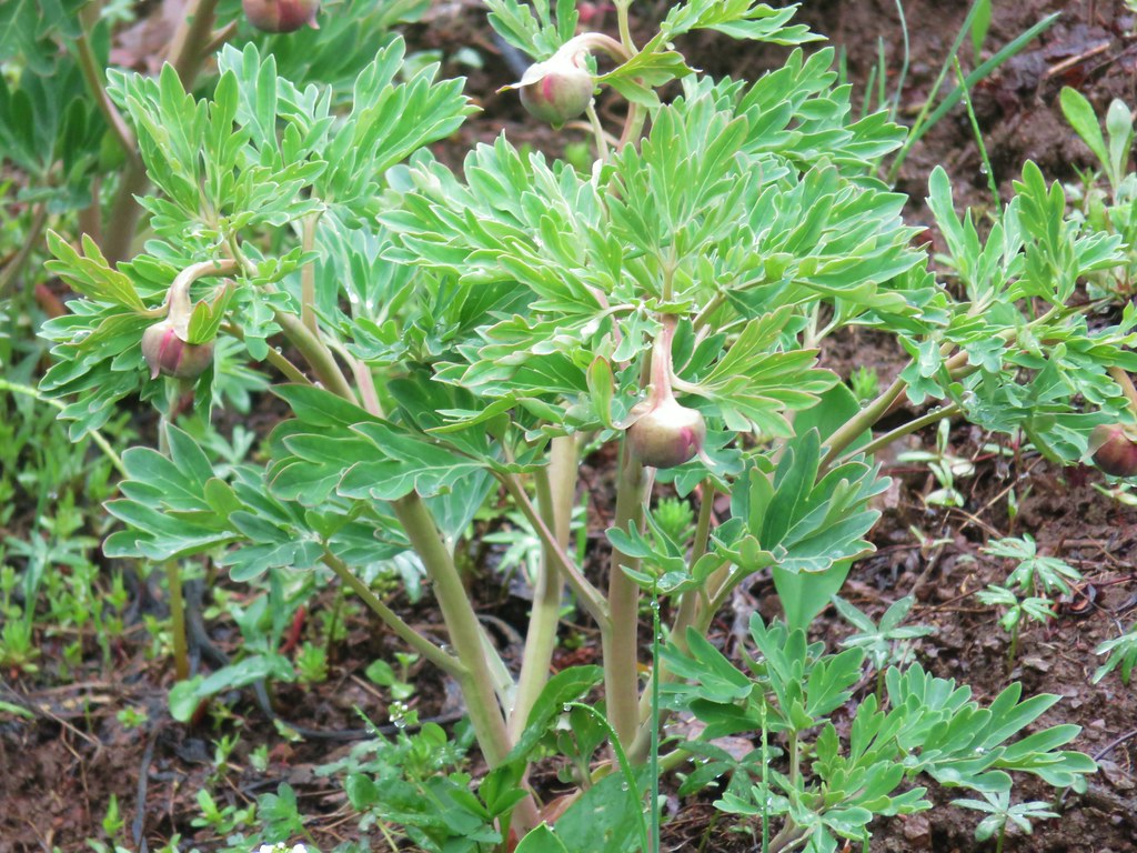 Brown’s peony getting ready to bloom.
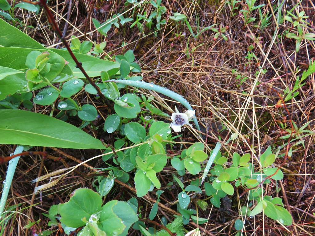 Mariposa lily starting to open.


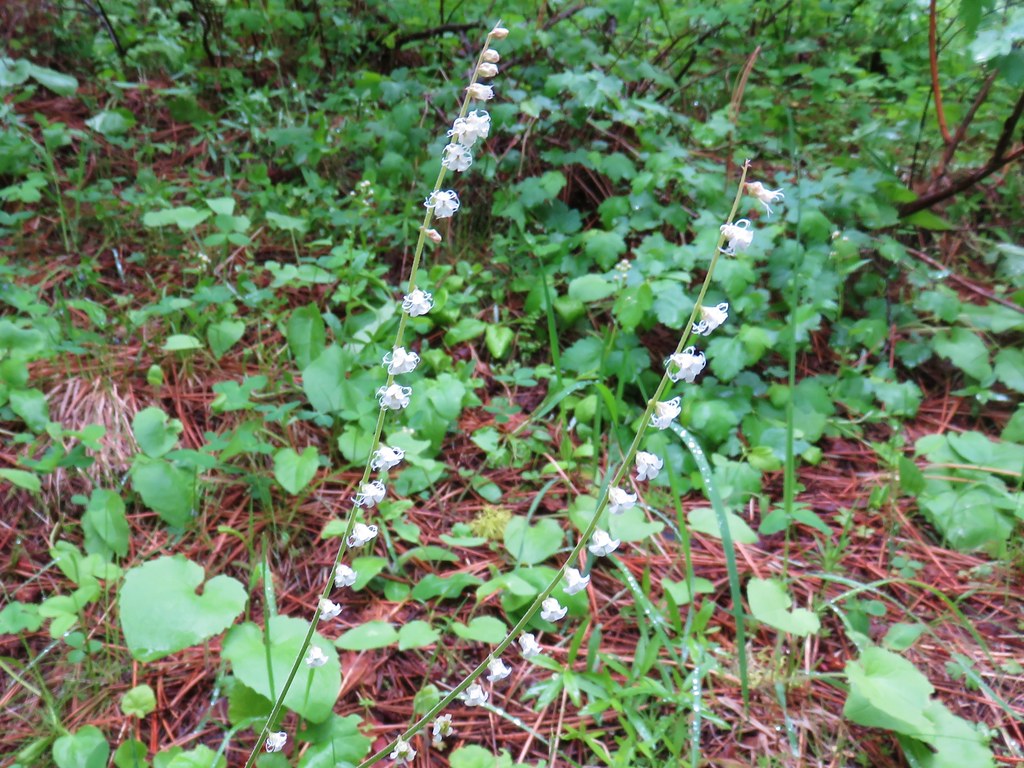 Small flower miterwort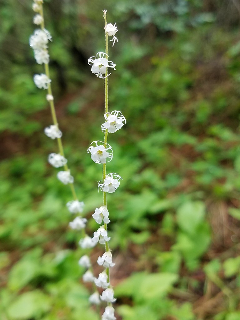



 Yarrow


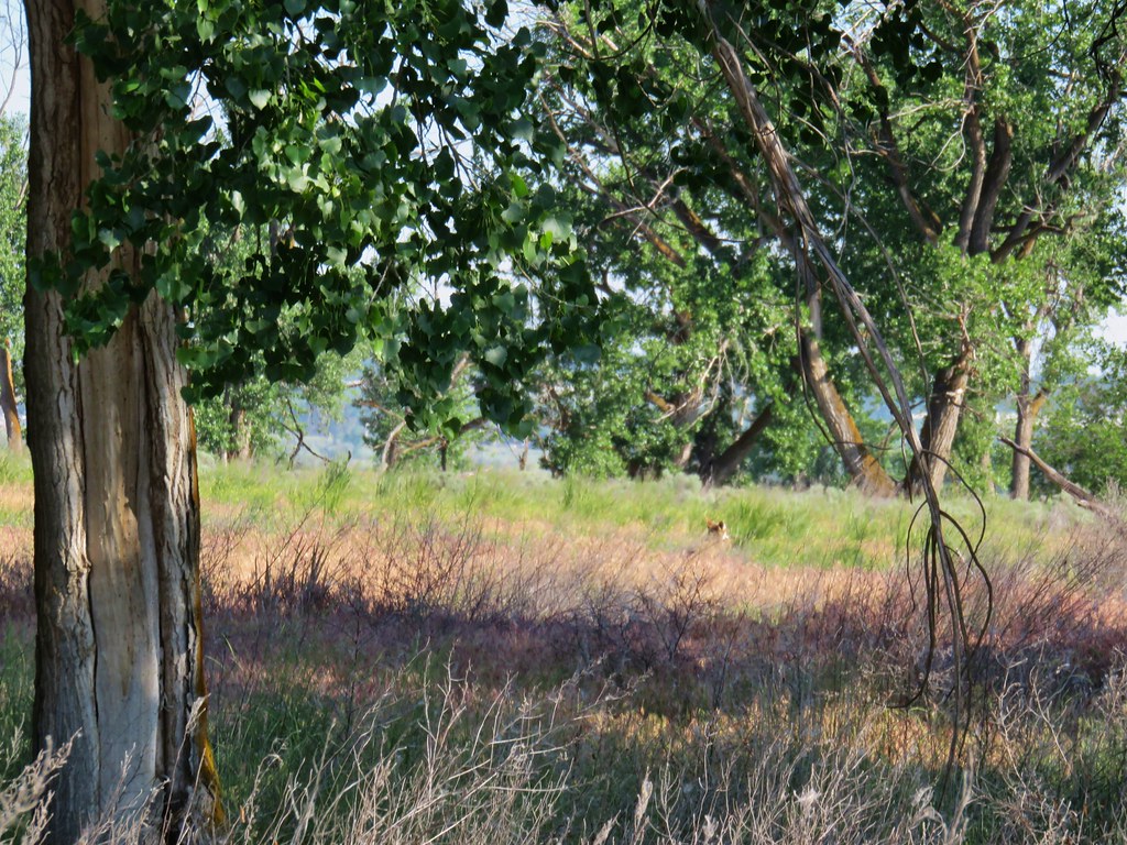 First coyote in the grass.
 Second coyote racing off through the grass.
 One of the deer running off.
 Great blue heron flying off.
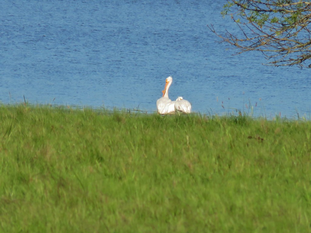
 White pelicans circling overhead.

 Bald Eagle
 Wild Rose
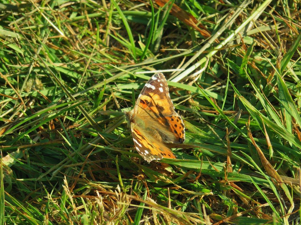
 Butterfly
 Killdeer
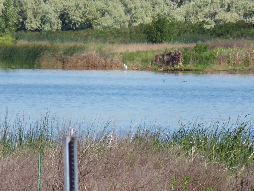 An egret on the other side of the slough.
 Sagebrush lizard
 Another butterfly
 Deadly Nightshade
 A goose in the reeds.
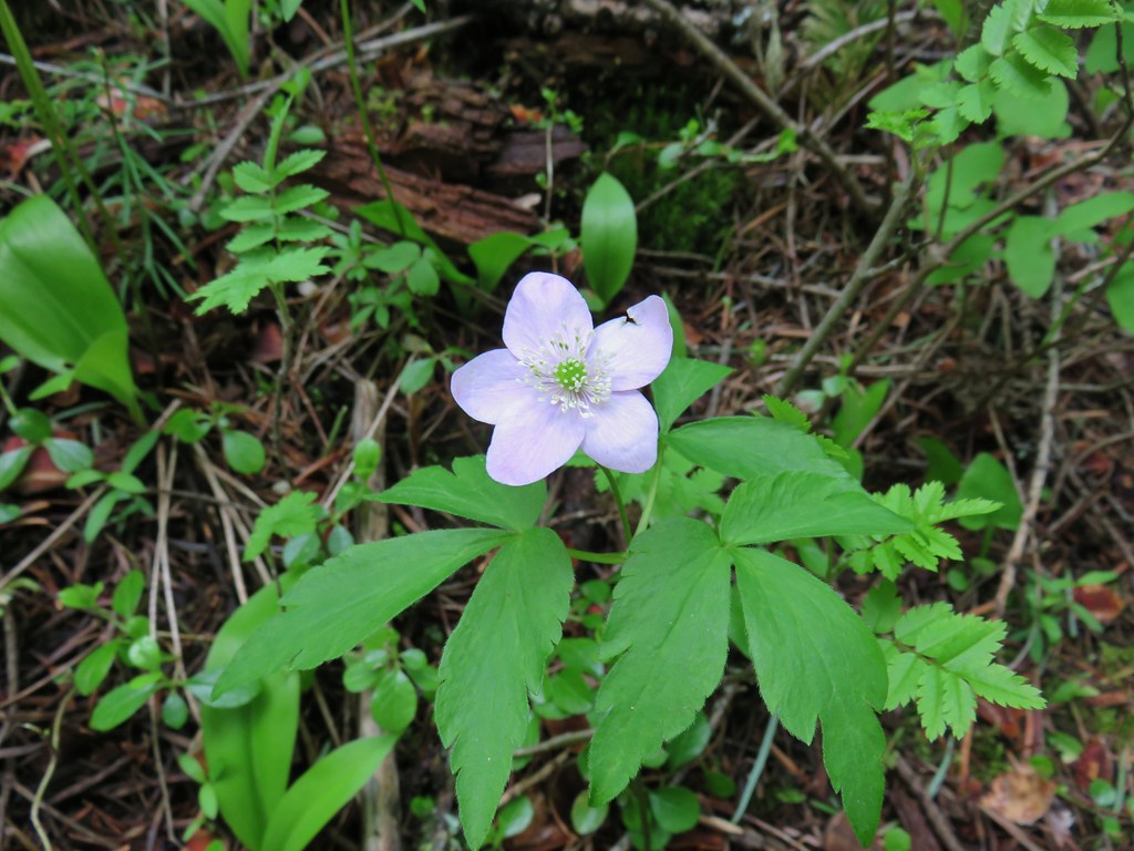 Anemone
 Fairyslipper
 Arnica



 Bluebells
 Prairie stars
 More rock clematis
 Paintbrush
 Larkspur
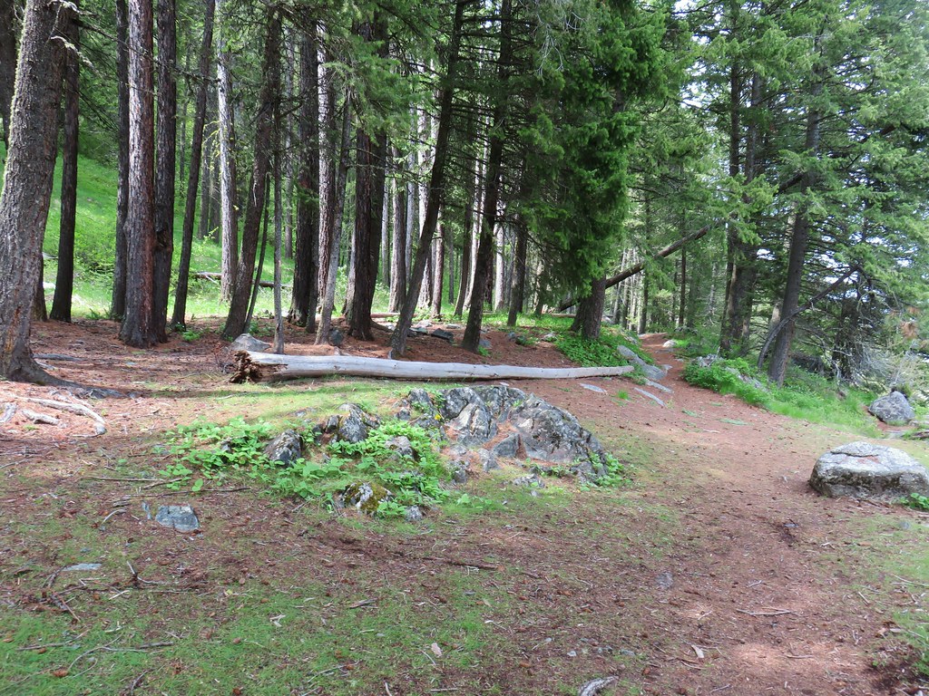 Area near the viewpoint.
 Looking further into the Wallowas.
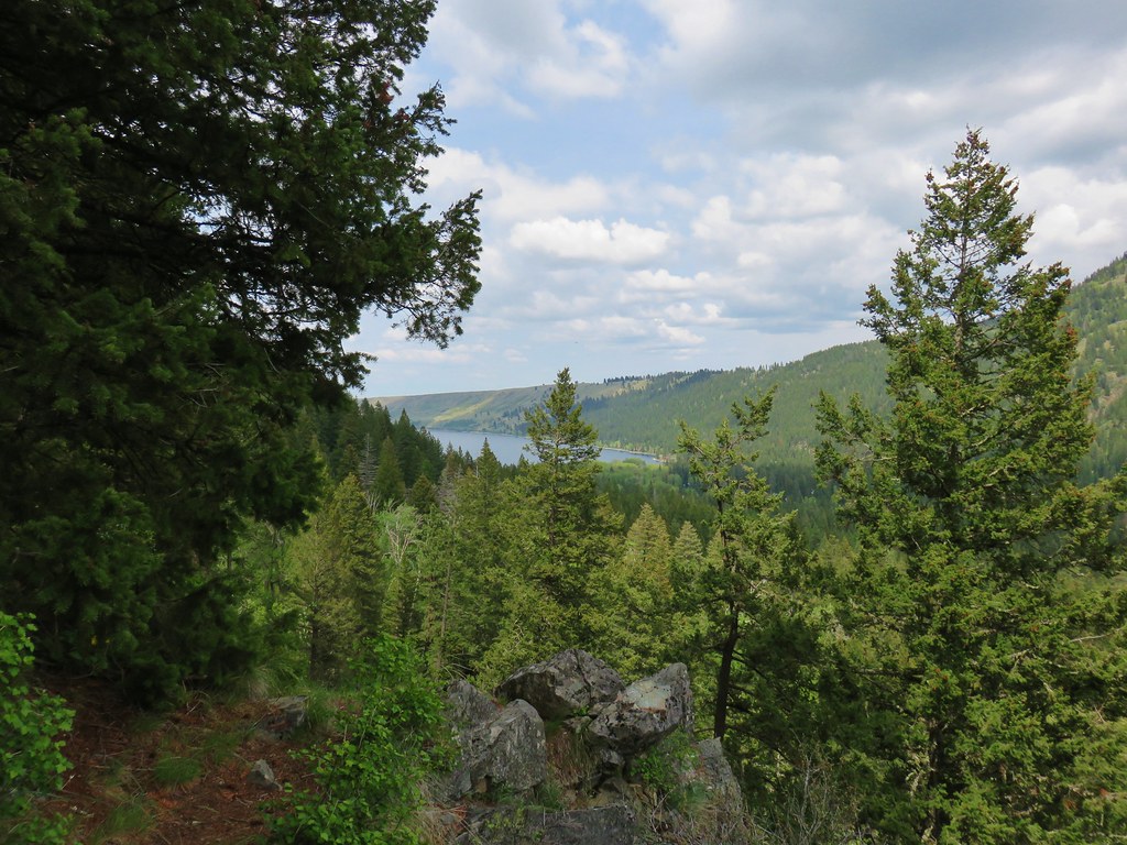 Wallowa Lake




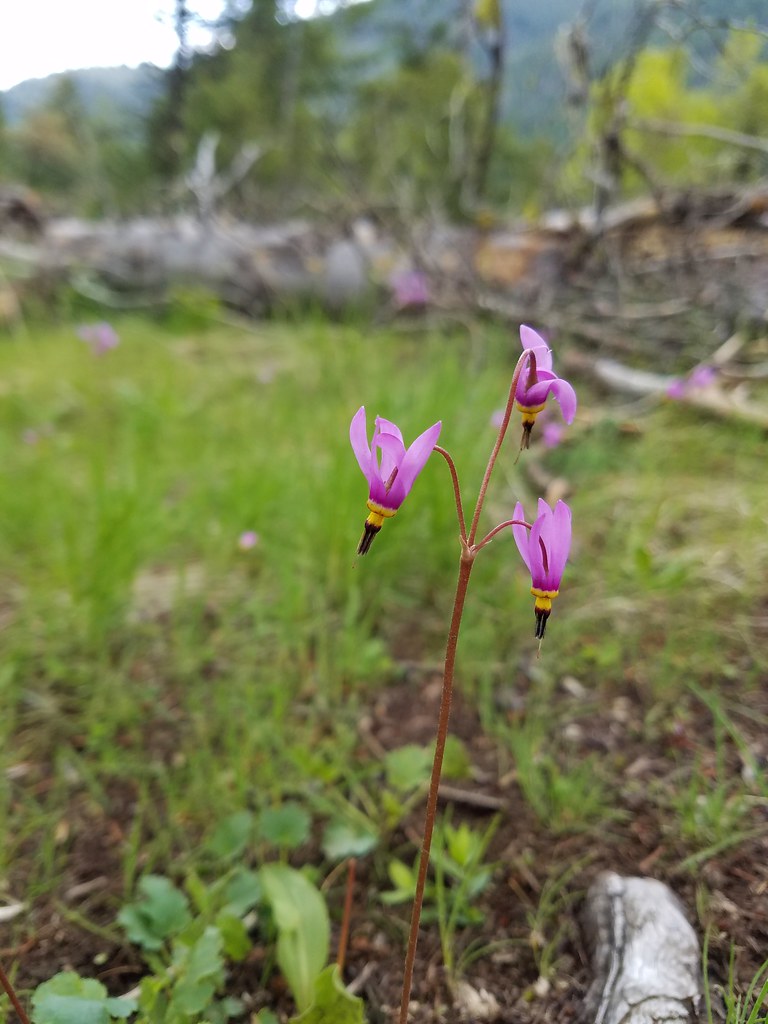 Shooting star
 Old man’s whiskers
 Possibly a checkermallow
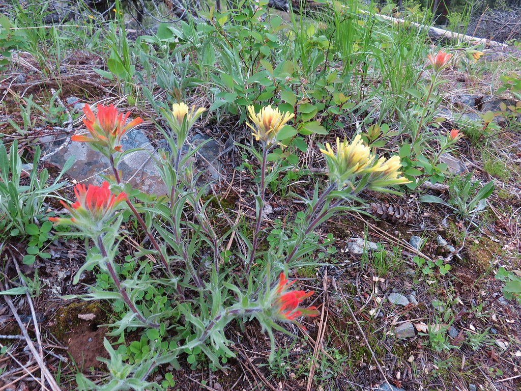 Paintbrush






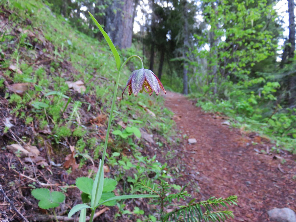 Chocolate lily
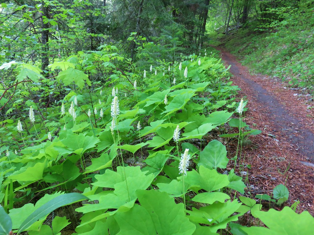 Vanilla leaf
 Columbia windflower (anemone)
 Red flowering currant
 Ball-head waterleaf
 Dogwood (and a crab spider)
 Arnica
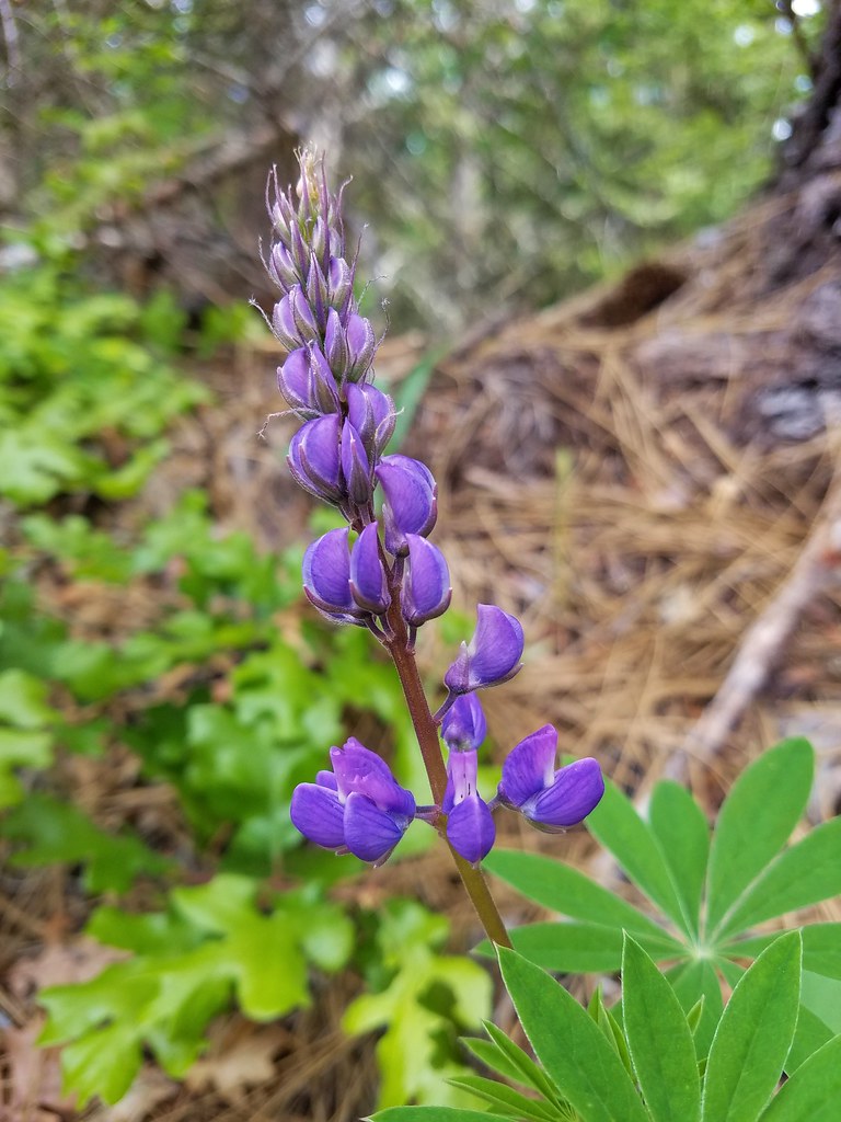 Lupine
 Lupine yet to bloom
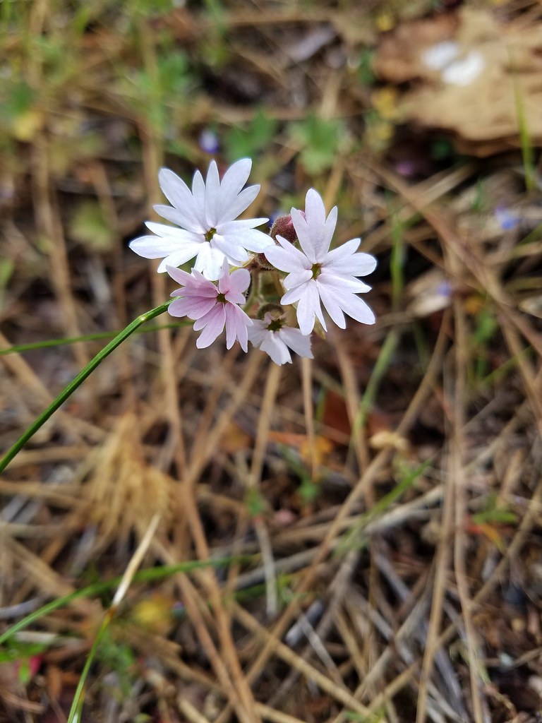 Woodland stars
 Larkspur with biscuitroot in the background
 Fairy slippers
 Indian paintbrush
 Popcorn flower
 Sandwort
 Sticky blue-eyed mary
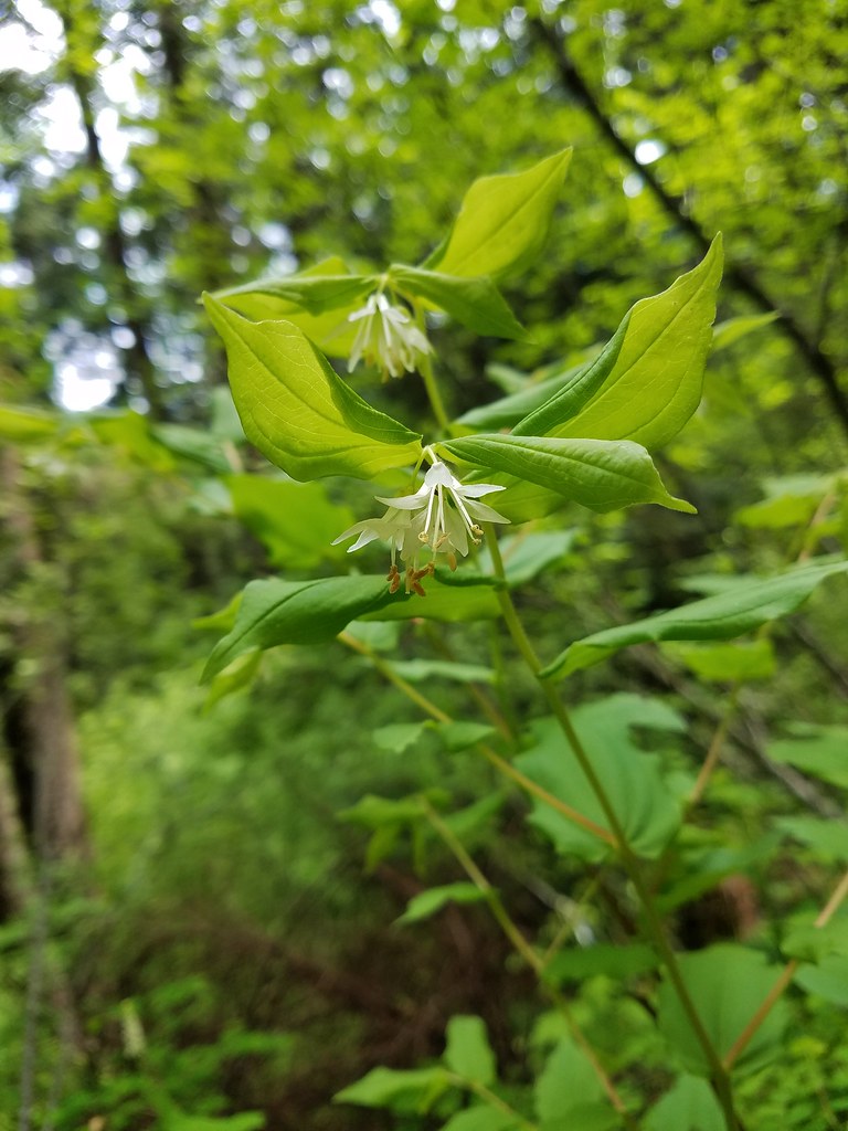 Hooker’s fairy bells
 Solomon’s seal








 Penstemon
 Phlox
Phlox



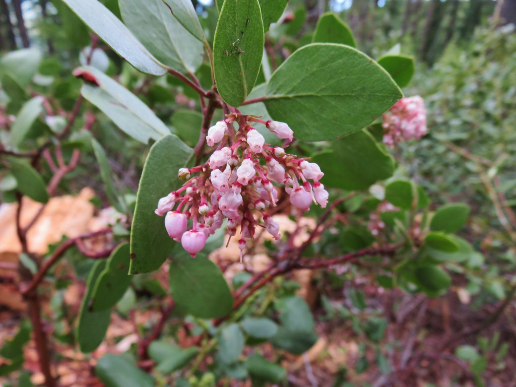 Manzanita
 A currant
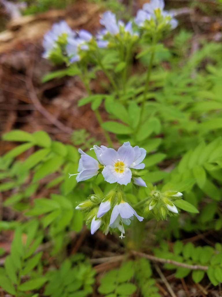 Jacob’s ladder
 Popular tree


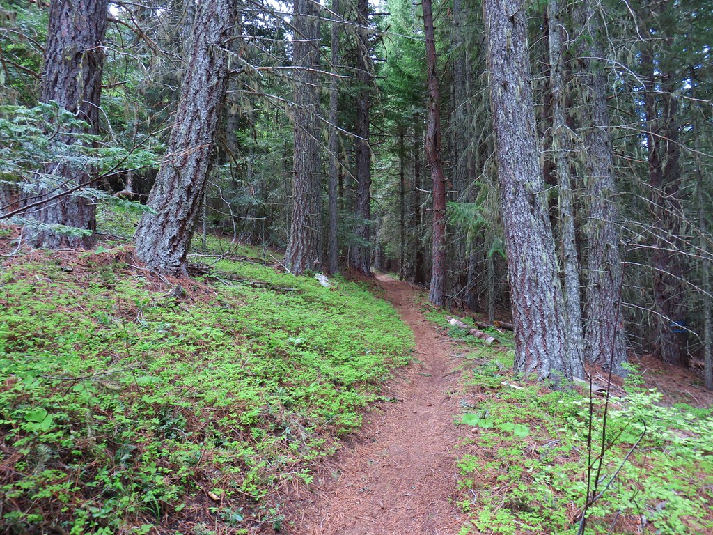

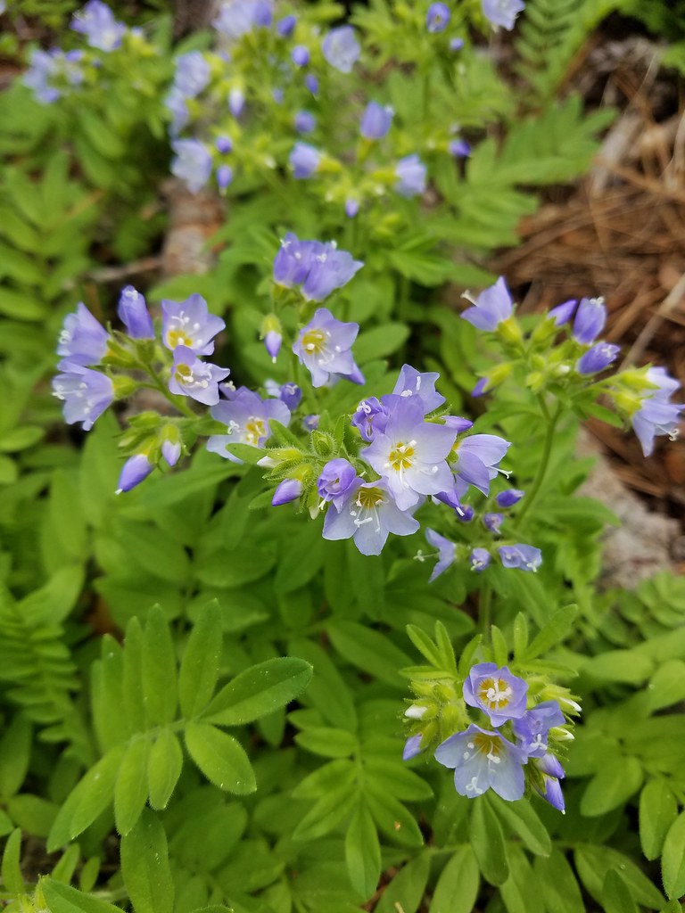 There was quite a bit of Jacob’s ladder along this stretch of trail.
 Oregon anemone
 Forest Road 620.


 A still cloudy Mt. Hood
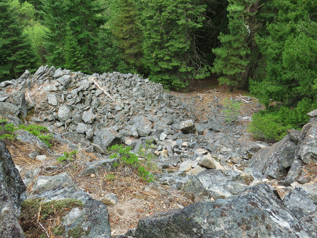 Looking down the talus slope with the Dog River Trail visible between the trees to the right.









 Black-headed grosbeak



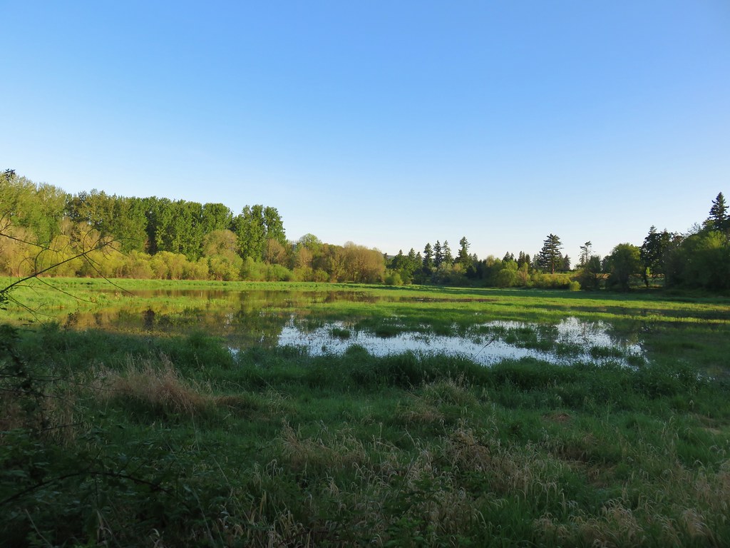
 Mallards with a great blue heron in the distance.
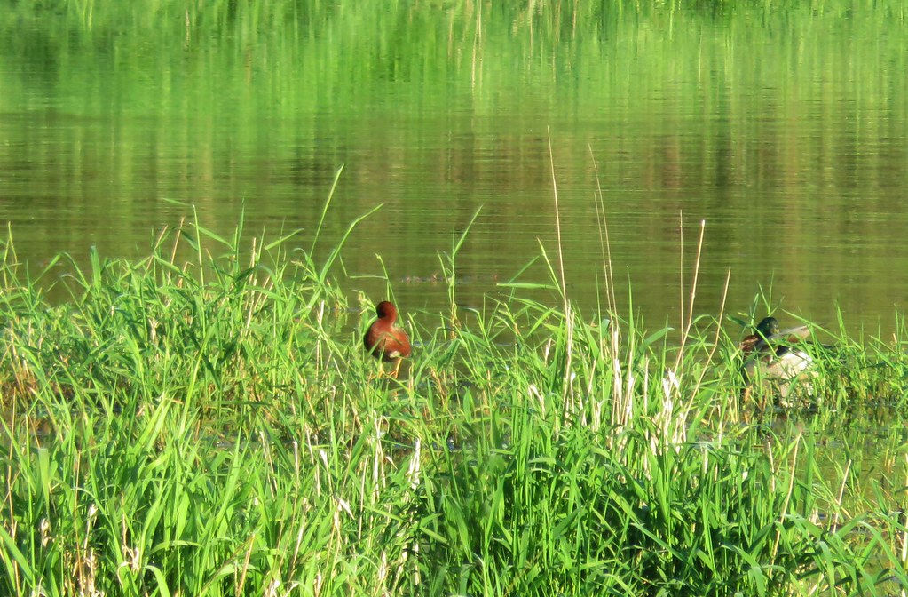 Cinnamon teal and a mallard
 Pied-billed grebe


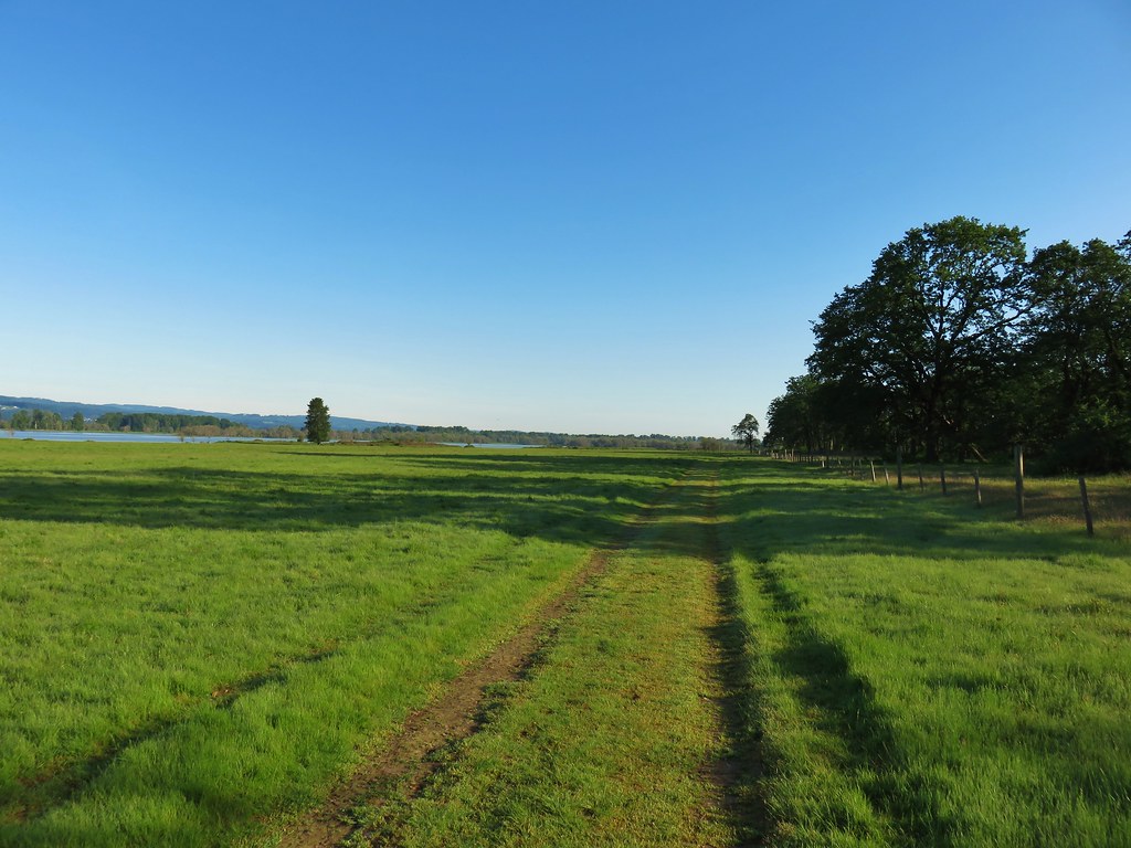

 Looking back at the gate.

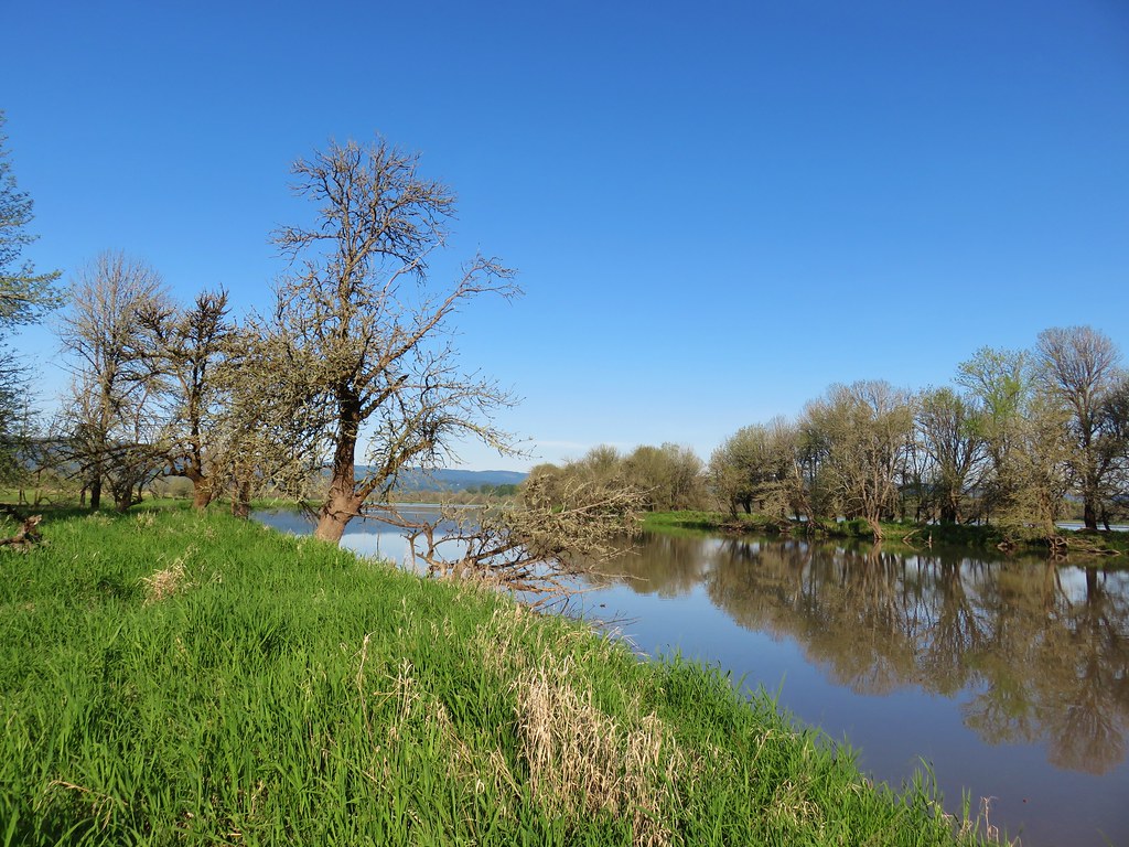 Looking toward Steelman Lake from the Narrows.
 The Narrows. Another lake, Mud Lake, is on the other side of the trees.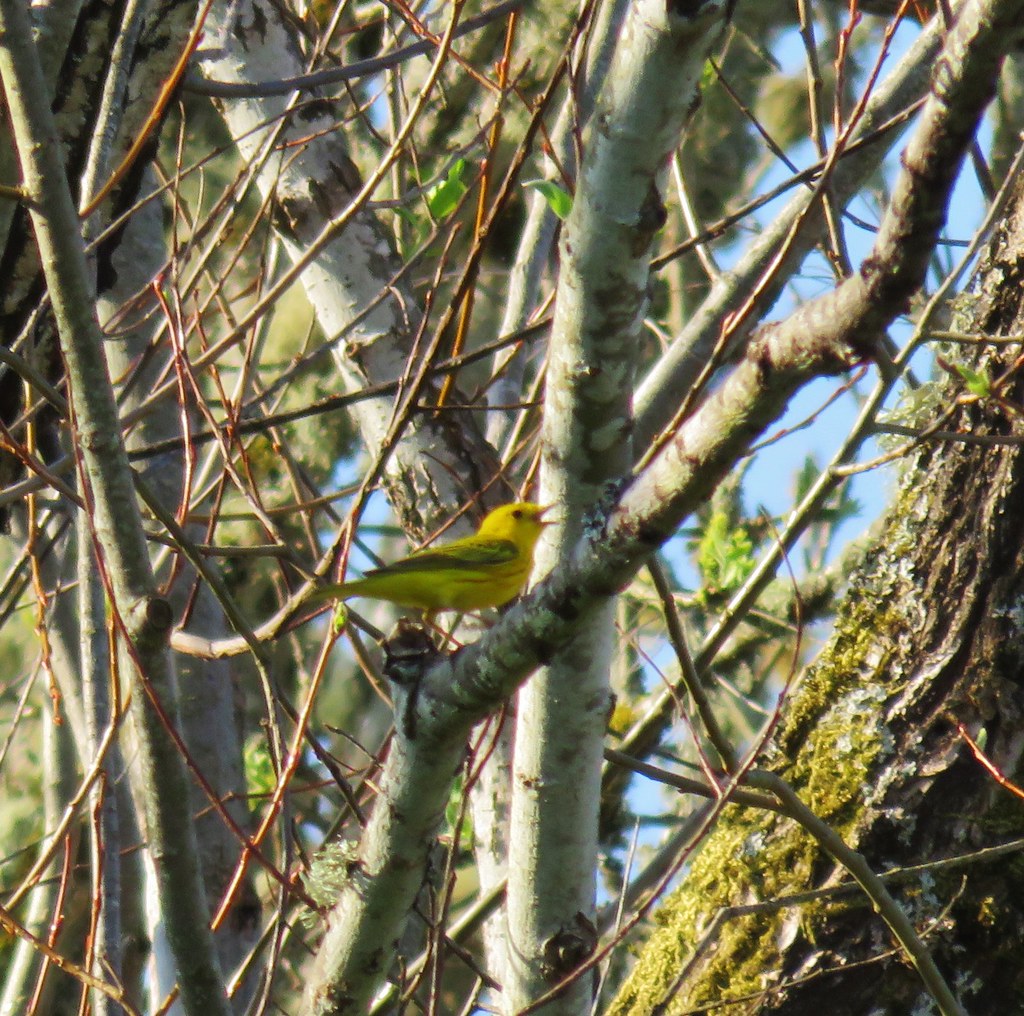
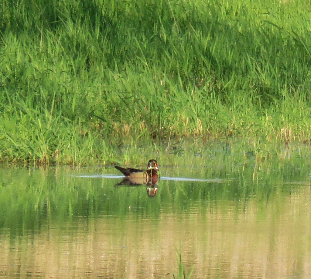
 Mt. Adams (it is really there)
 Mt. St. Helens


 Mt. St. Helens and an Osprey nest.
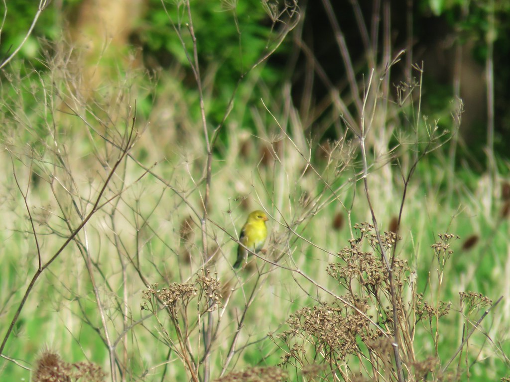 Female
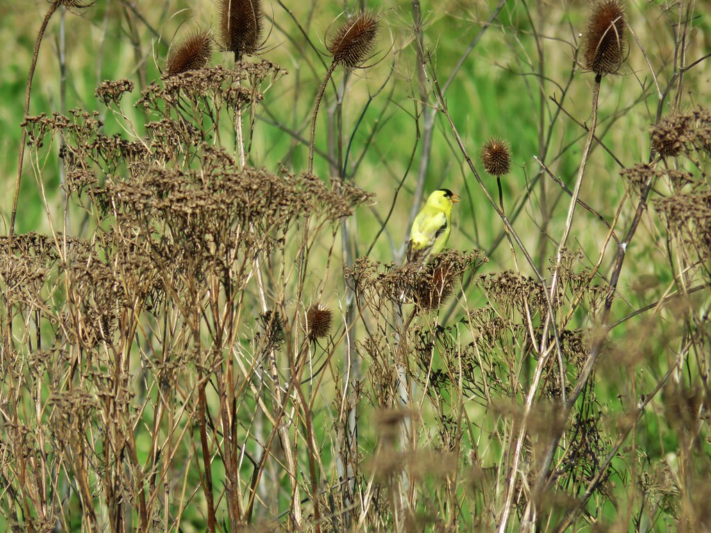 Male
Male

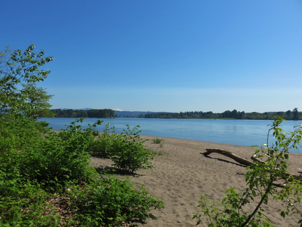 Mt. St. Helens again.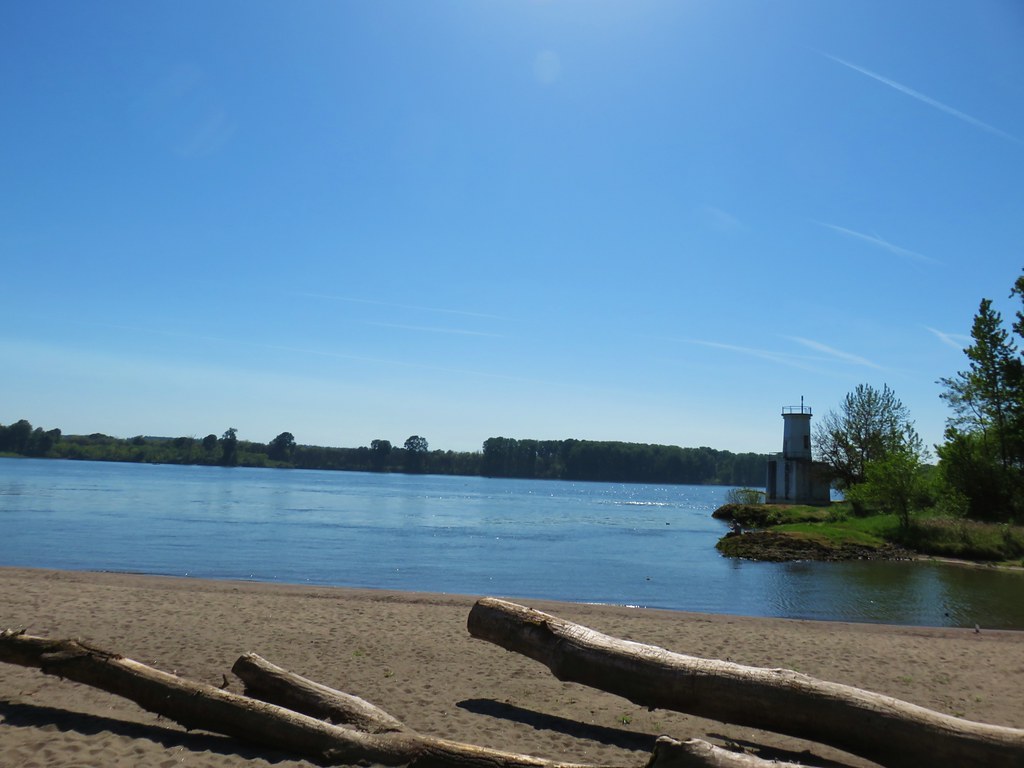


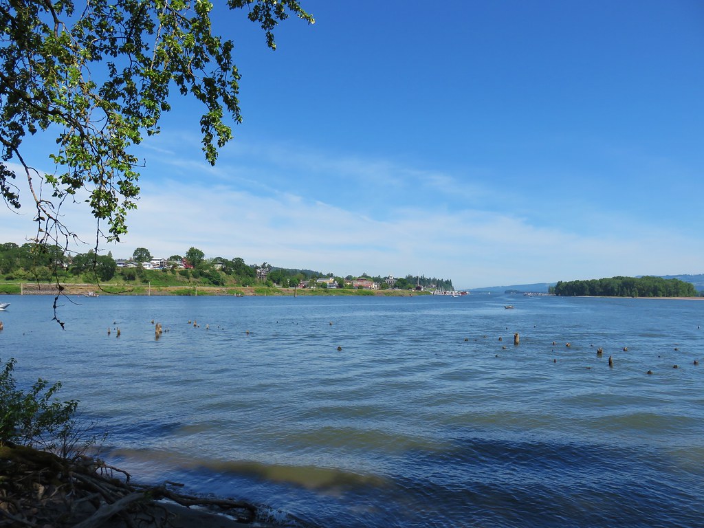
 1905 Columbia County Courthouse


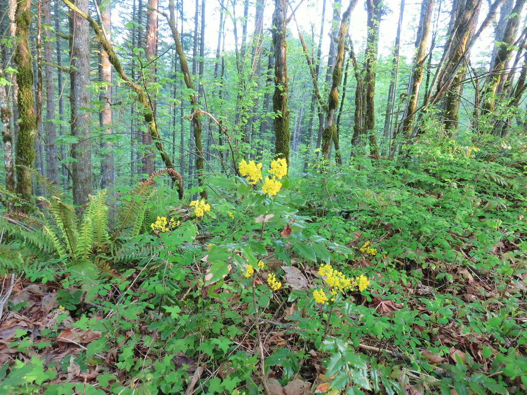 Oregon grape
 Dogwood
 Large solomonseal
 Trillium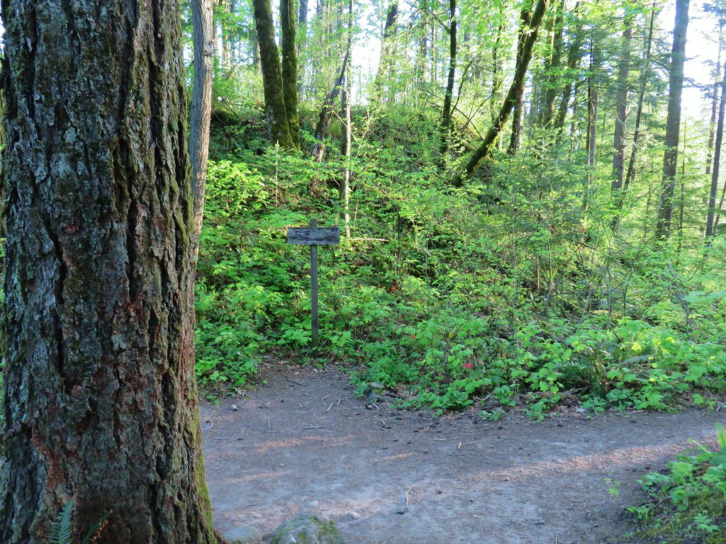

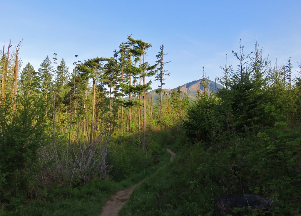




 Hamilton Mountain (
 Sacagawea and Pappose Rocks
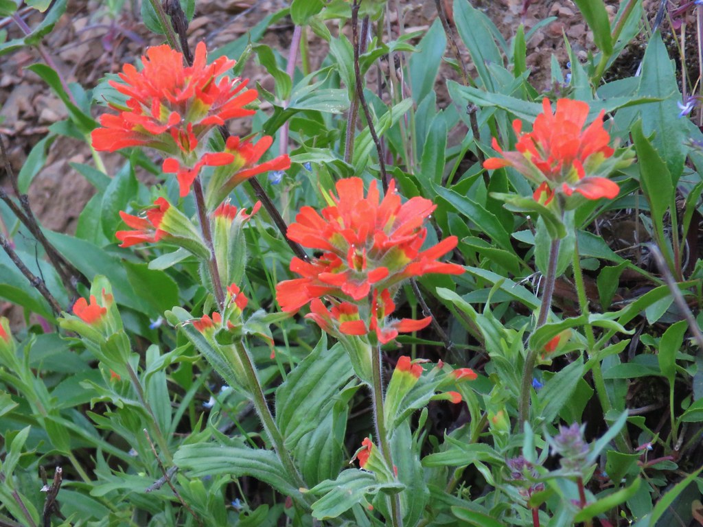 Indian paintbrush

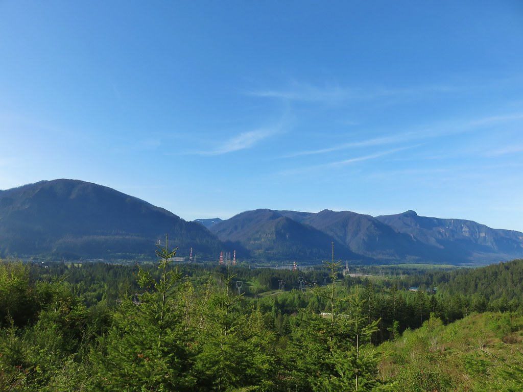 Bonneville Dam on the Columbia River. Nesmith Point (
 Unnamed lake through the trees.


 Bleeding heart
 Vanilla leaf

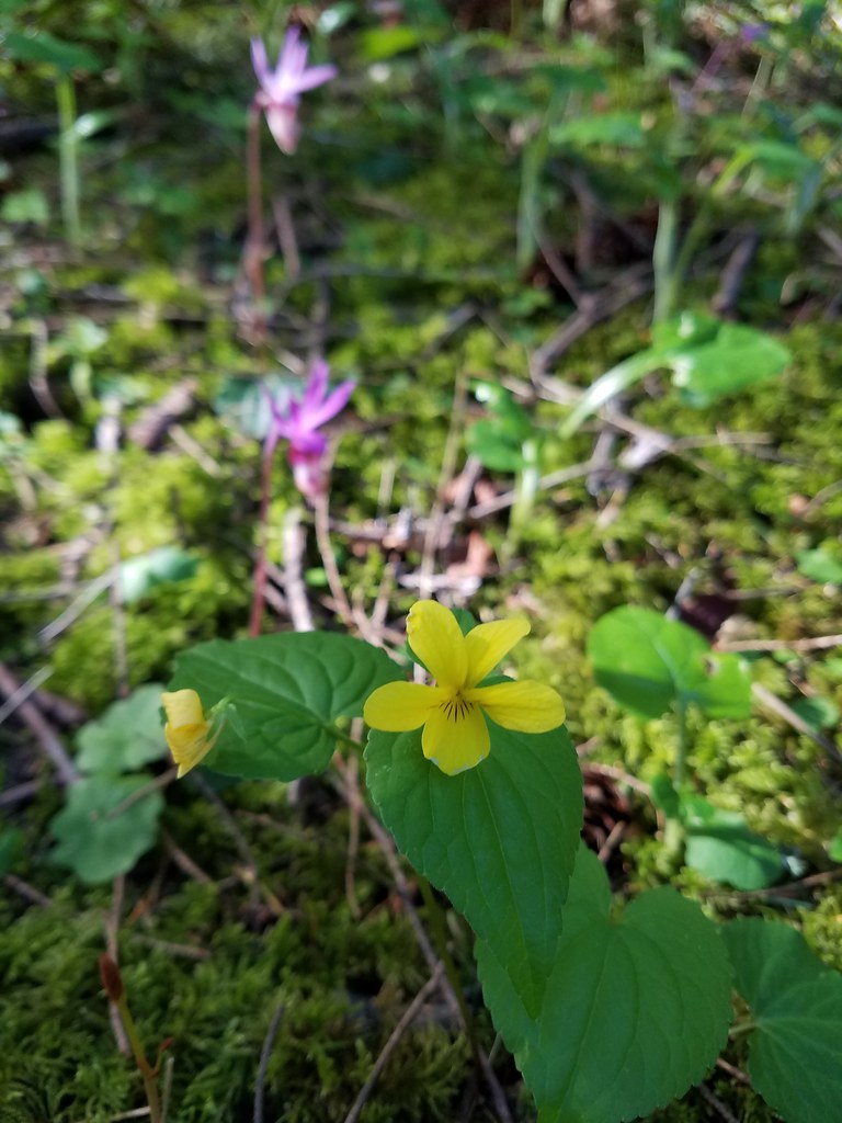 Wood violet
 Fairy slipper
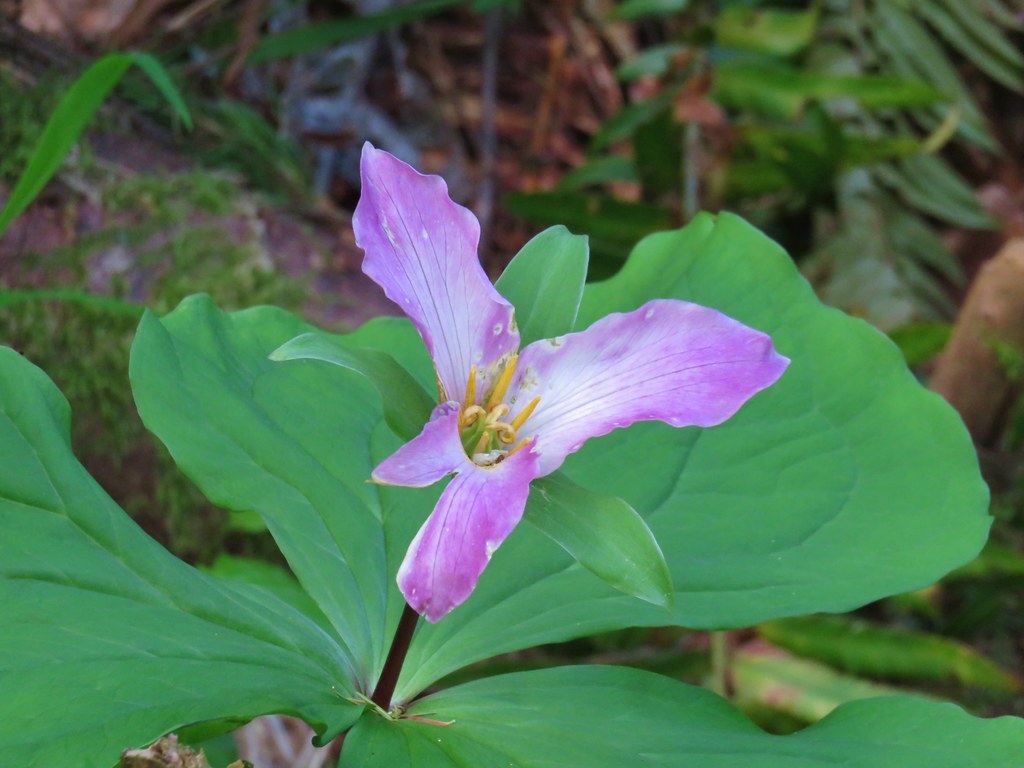 Trillium
 The Two Chiefs on the left and Table Mountain on the right.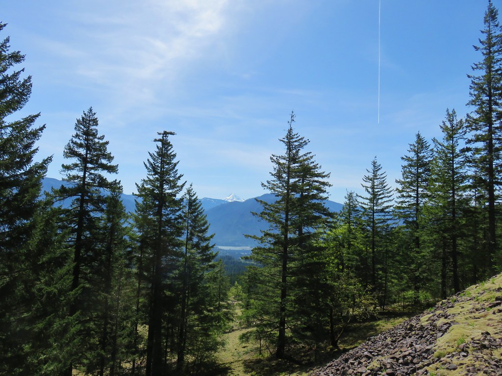
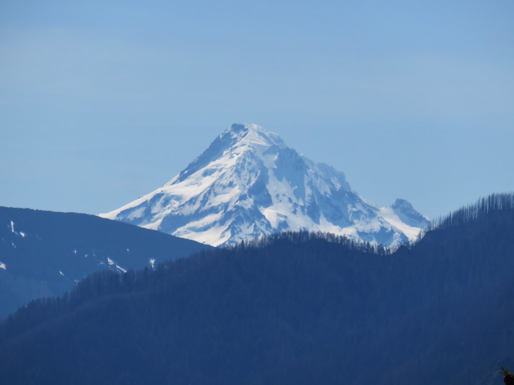
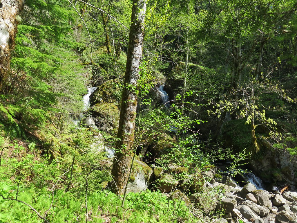

 Left side
 Right side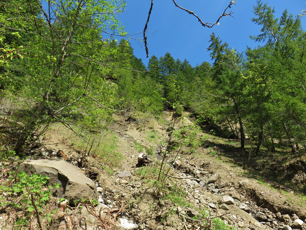
 The highest tier that I was able to see.
 A middle section of Greenleaf Falls
 Cascades along Greenleaf Falls just above the ones visible from the trail.


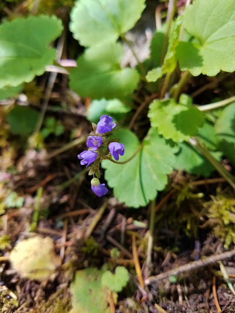 Snow queen
 Wild strawberry
 Butterfly landing on leafy pea
