March began with a couple of weeks of wet weather including several days with snow mixed in with the rain. Things finally changed this week and by the weekend temperatures in the Willamette Valley were entering the low 70’s which meant it was time for our March hike. Dorris Ranch had been on the schedule for March 2024 since 2022 following a February hike by my parents there. They’d been a little too early for any flowers, so March seemed like a good time for us to give the ranch a try.
The 268-acre Dorris Ranch (est. 1892) is located in Springfield, OR and is recognized as the first commercial filbert (hazelnut) orchard in the United States. Listed on the National Register of Historic Places, it is reported that over 50% of the commercial filbert trees growing in the U.S. today originated from the Ranch’s nursery stock.
Trails crisscross the ranch ranging from the paved Middle Fork Path to gravel and natural surface paths. We parked at the Middle Fork Path Trailhead at Dorris Ranch. Our plan was to begin by hiking through the orchards to the confluence of the Coast Fork and Middle Fork Willamette Rivers then continue on to the Middle Fork Path and follow it to its end at Clearwater Park and then return to the trailhead via the Middle Fork Path.
 Signboard at the trailhead.
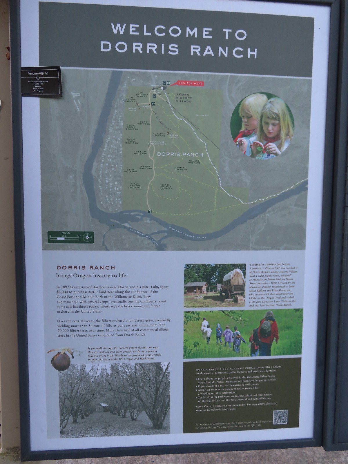 Map of the trails at Dorris Ranch.
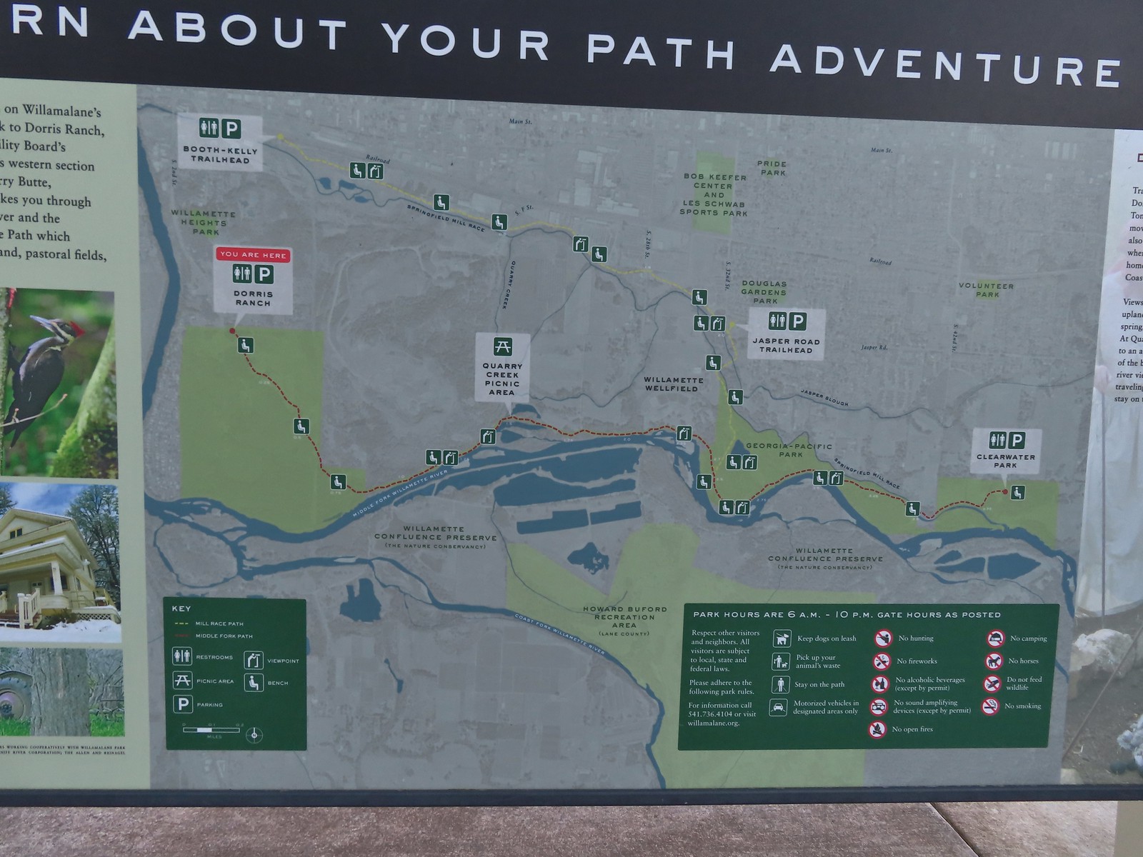 Map of the Middle Fork Path (red) and Mill Race Path (yellow).
Before heading for the rivers we visited the Living History Village. Replicas of the 1850’s buildings built by the Masterson family built prior to selling the land to the Dorris family are located along a short loop and is used for school field trips.
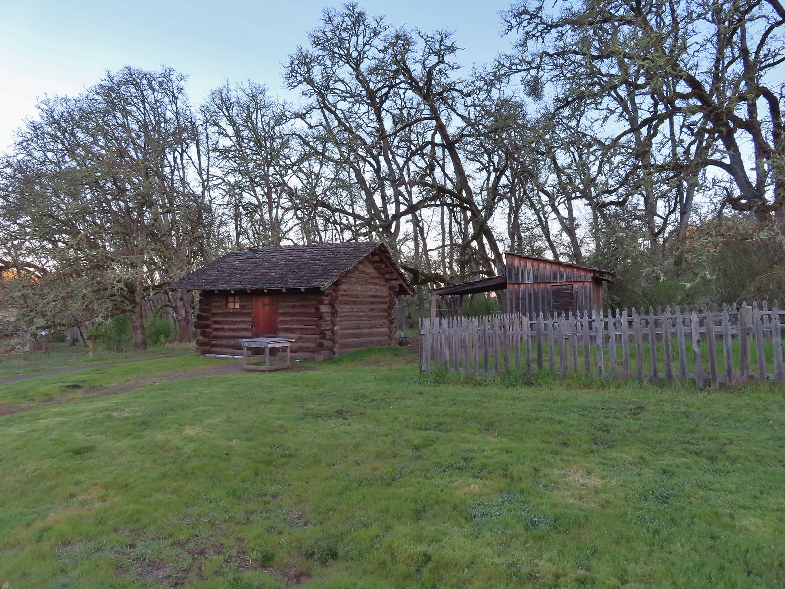 The Masterson cabin replica. They were a family of ten when they moved out.
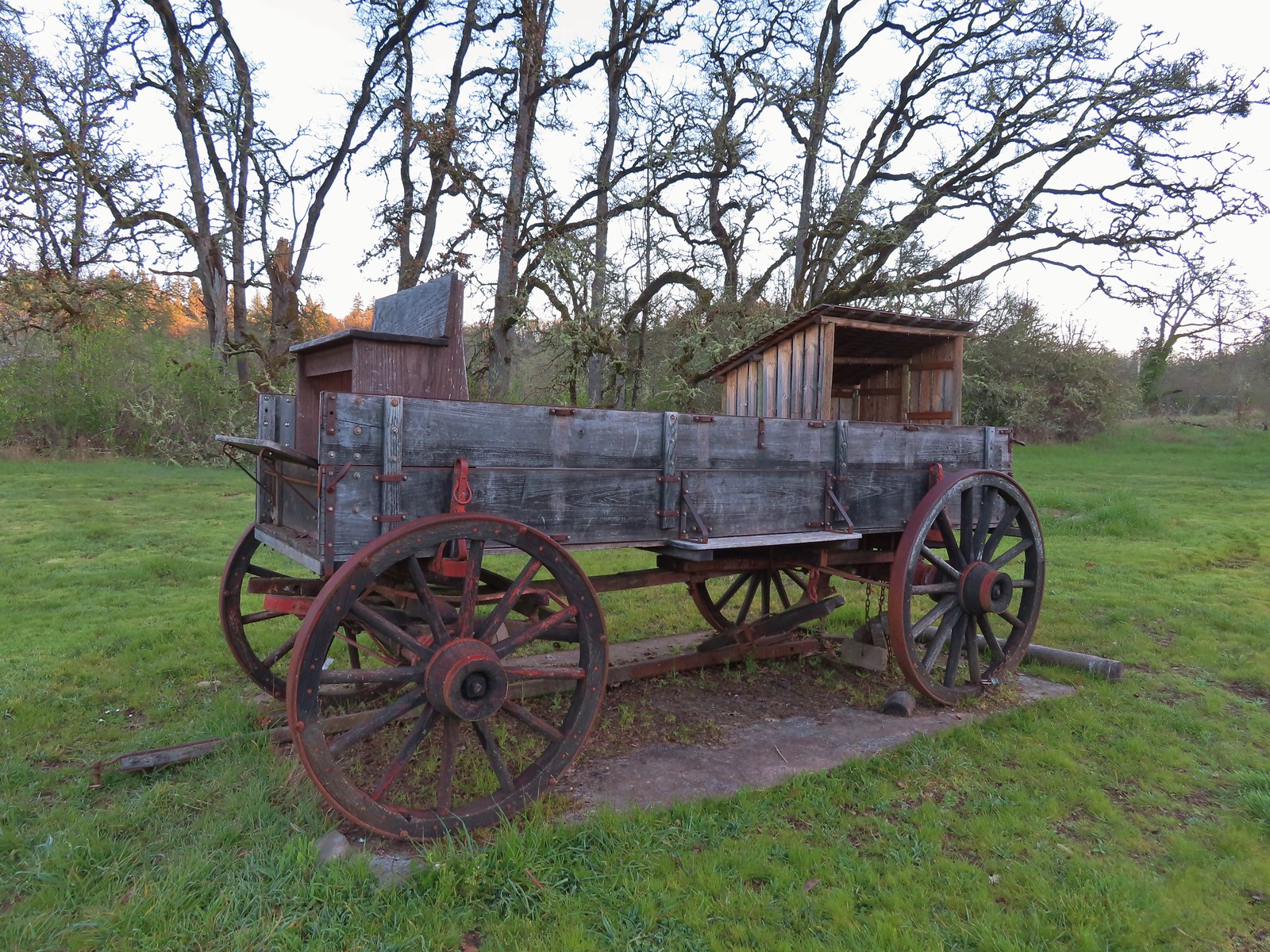
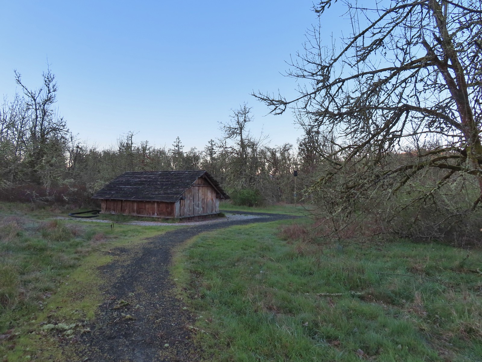
After checking out the Living History Village we headed downhill to the Dorris Ranch Barn.
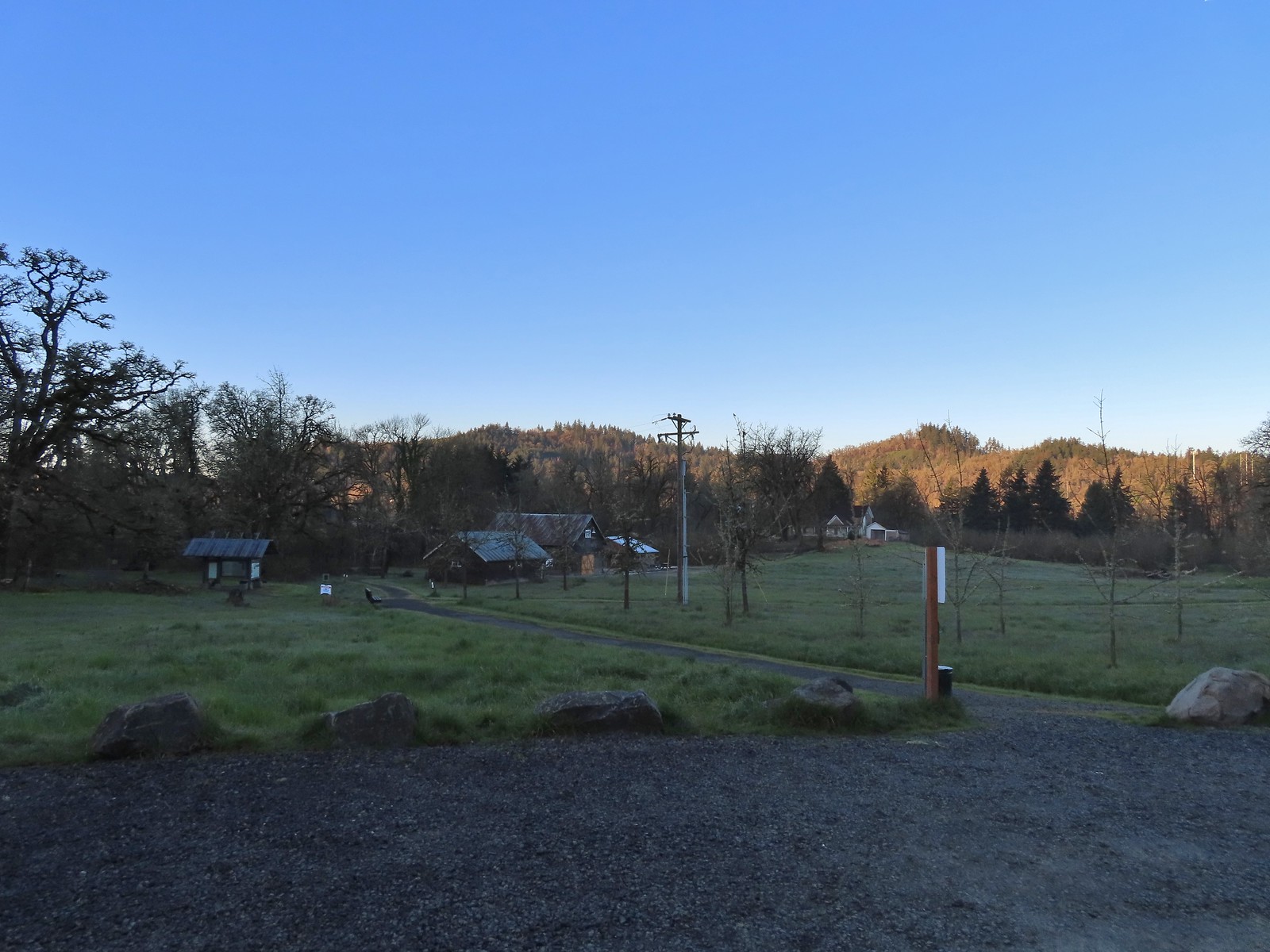
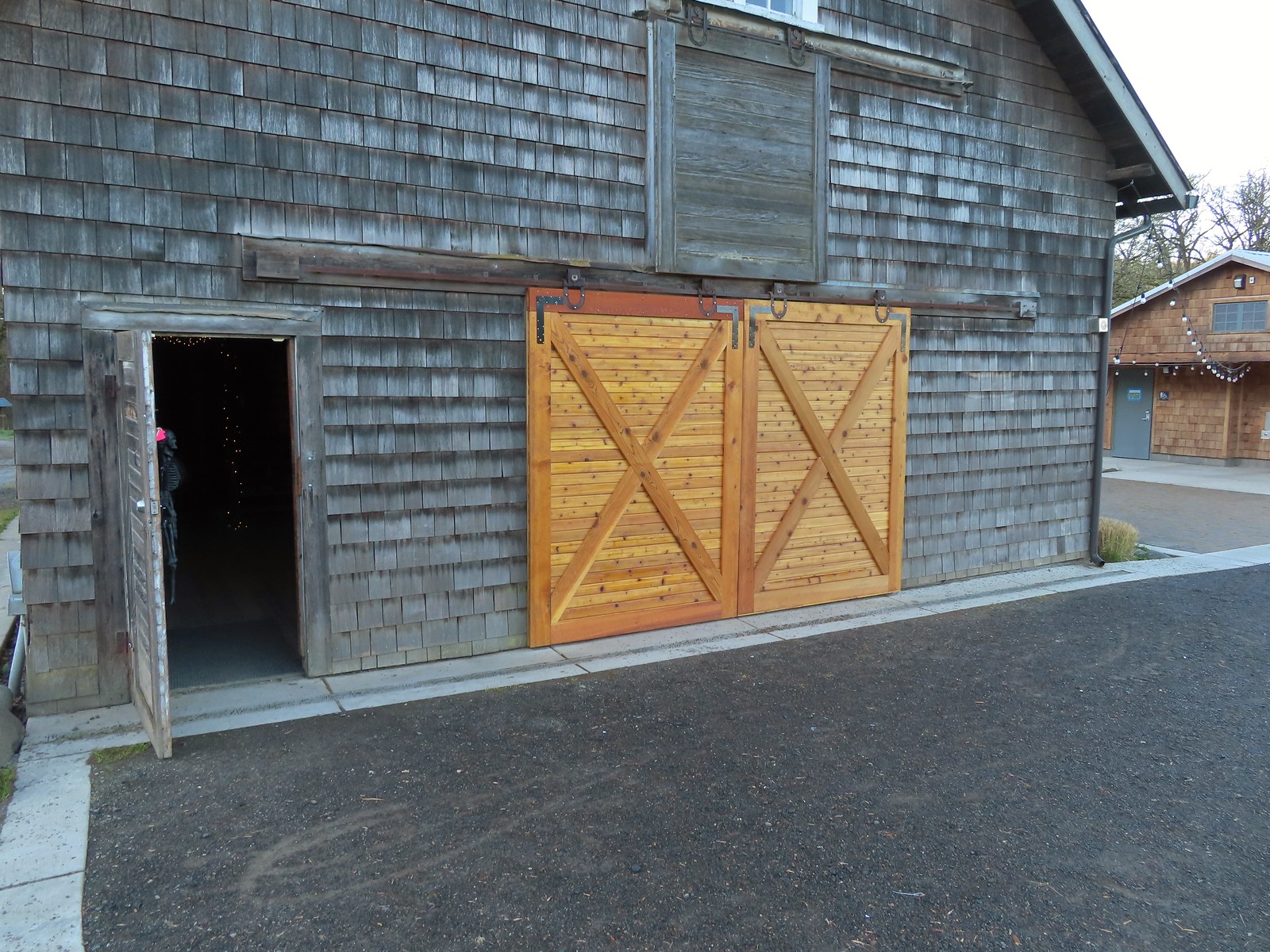 These cedar doors were installed earlier this month replacing a broken door.
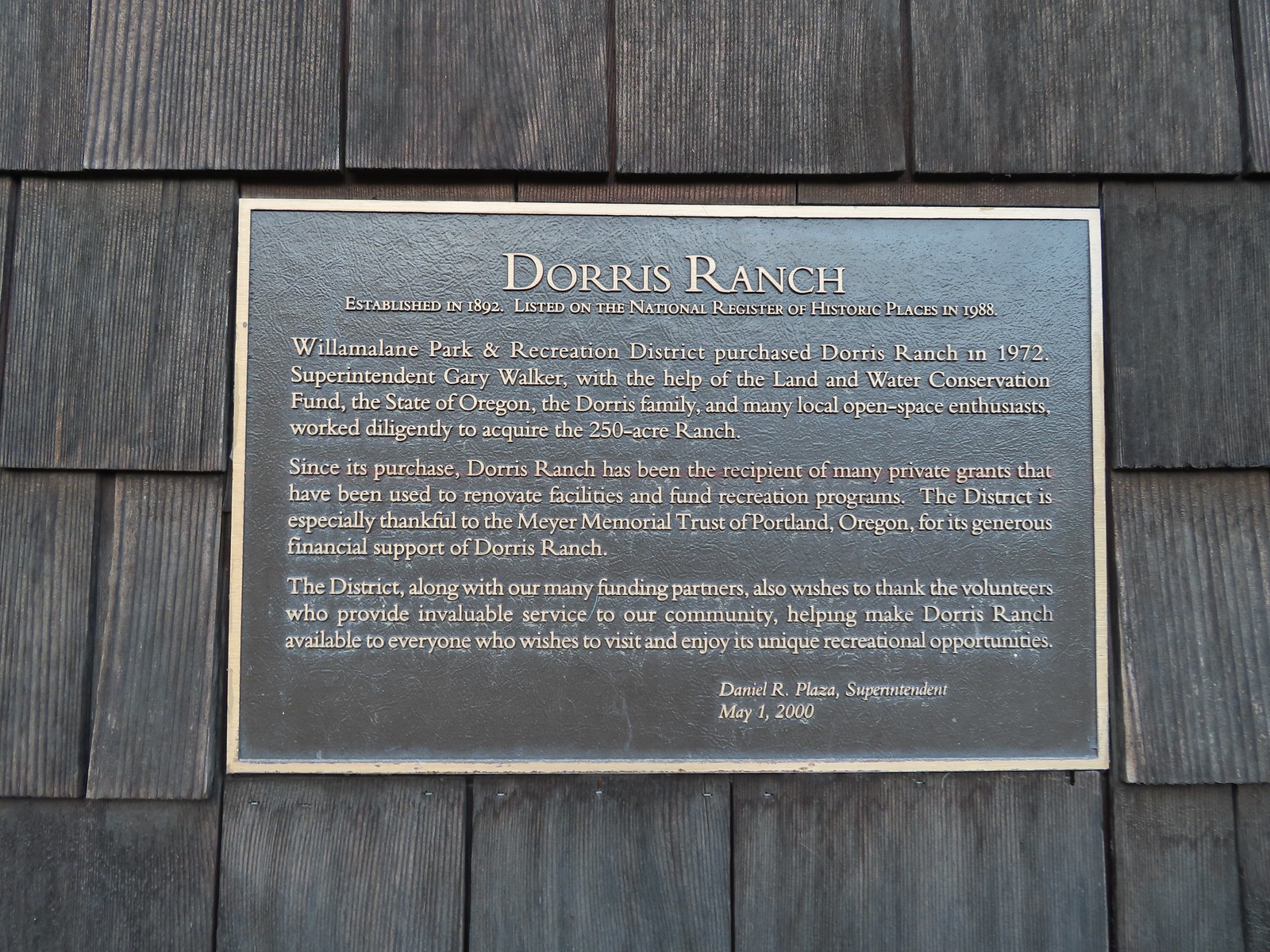 Plaque on the barn.
From the barn we took a wide gravel path past a gate to the orchards.

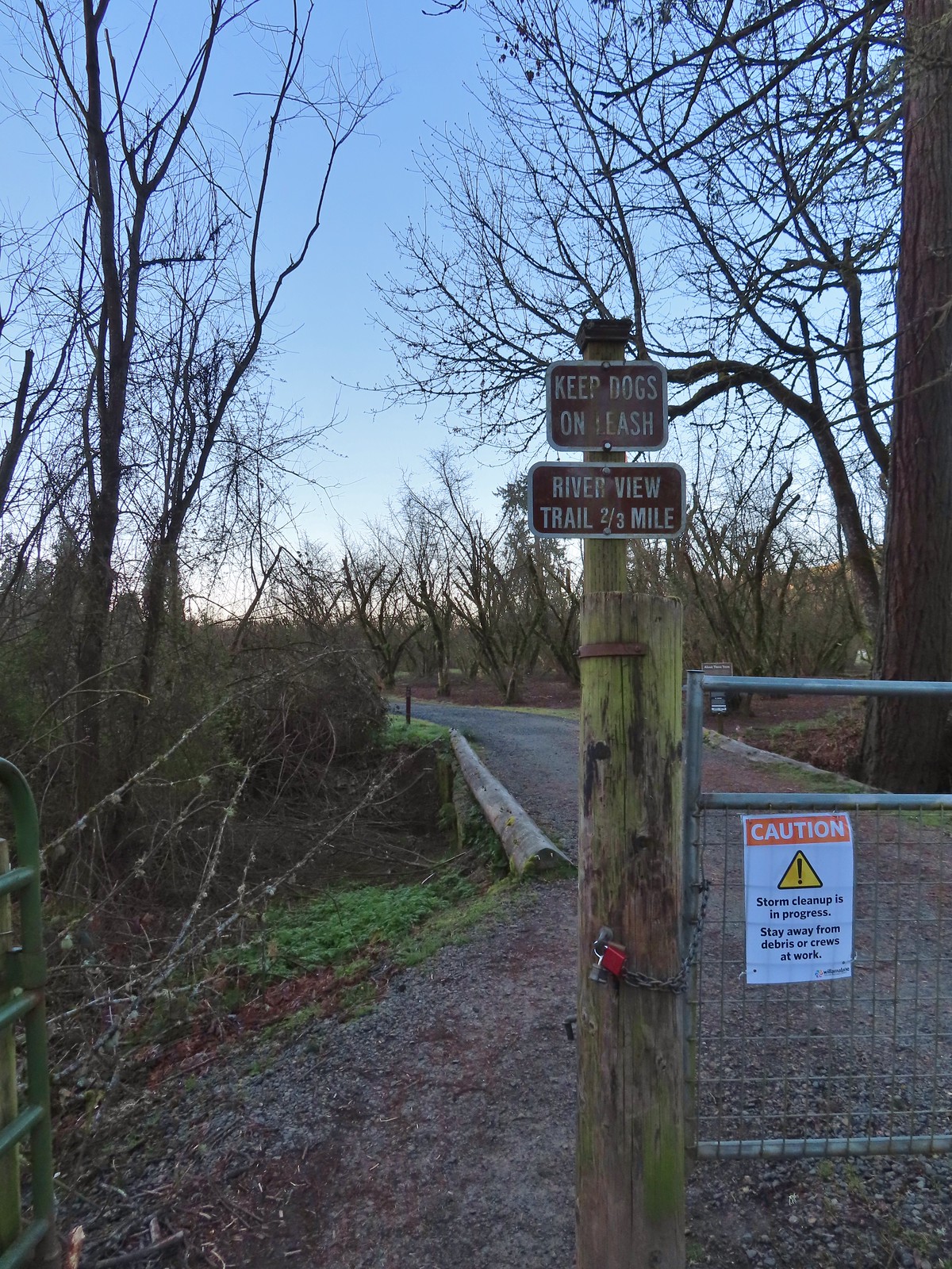 A January 16th ice storm hit the area hard and damaged a number of trees at the ranch and along the Middle Fork Path.
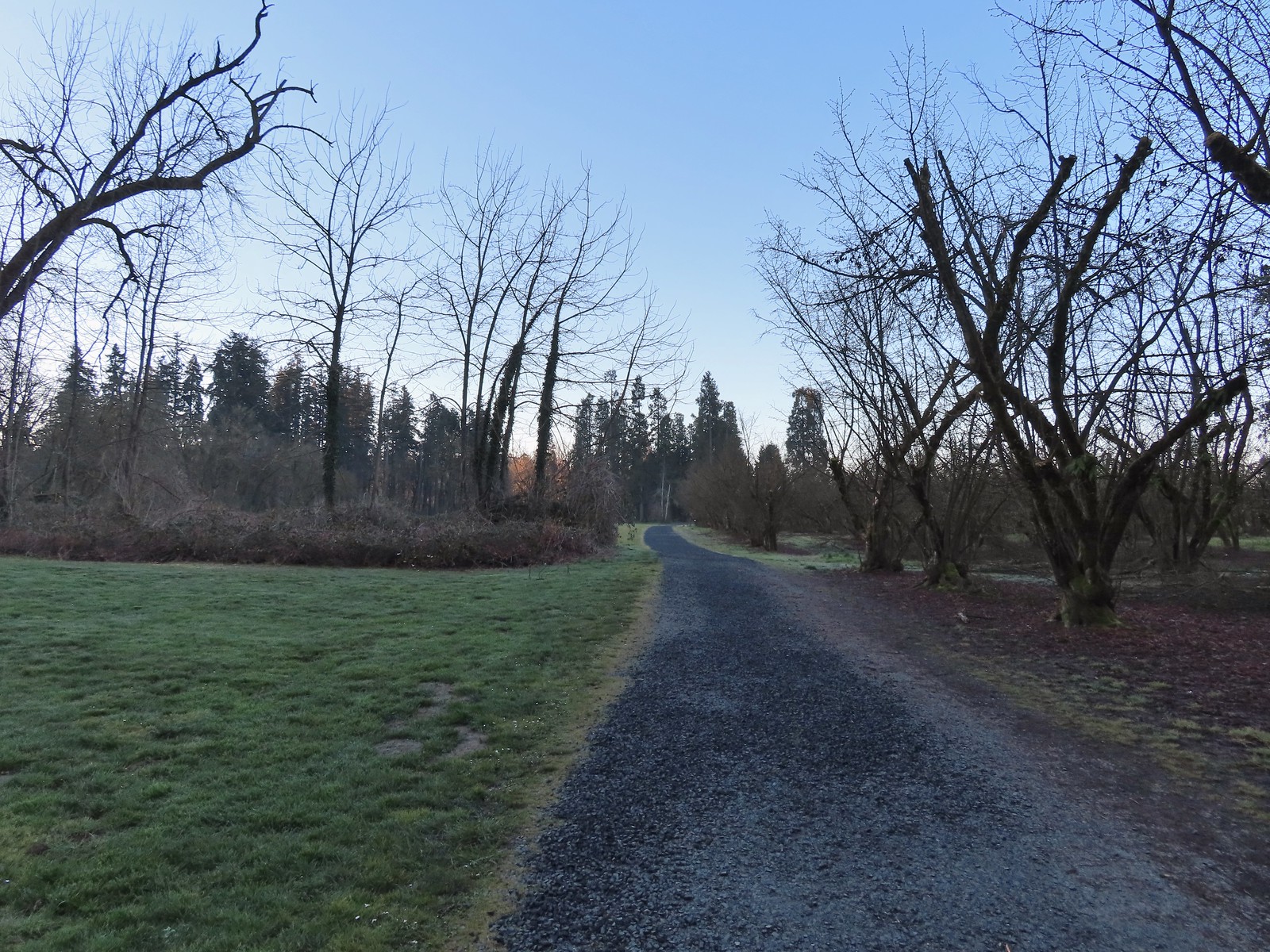
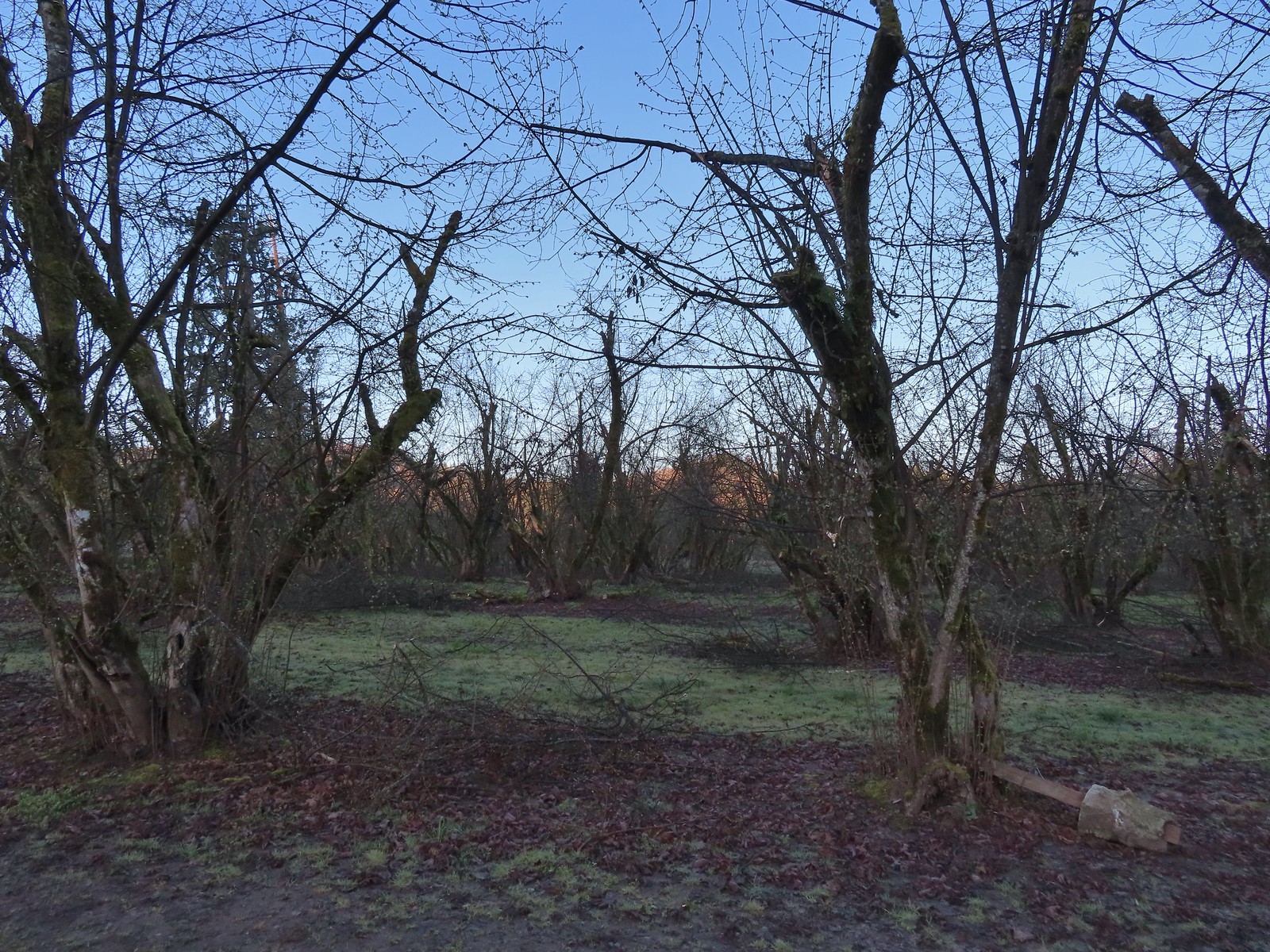 Some signs of the ice storm damage.
 Large trees around the pump house and packing shed.
 An American kestrel with an unlucky frog atop a tall tree.
 Oregon grape near the packing shed.
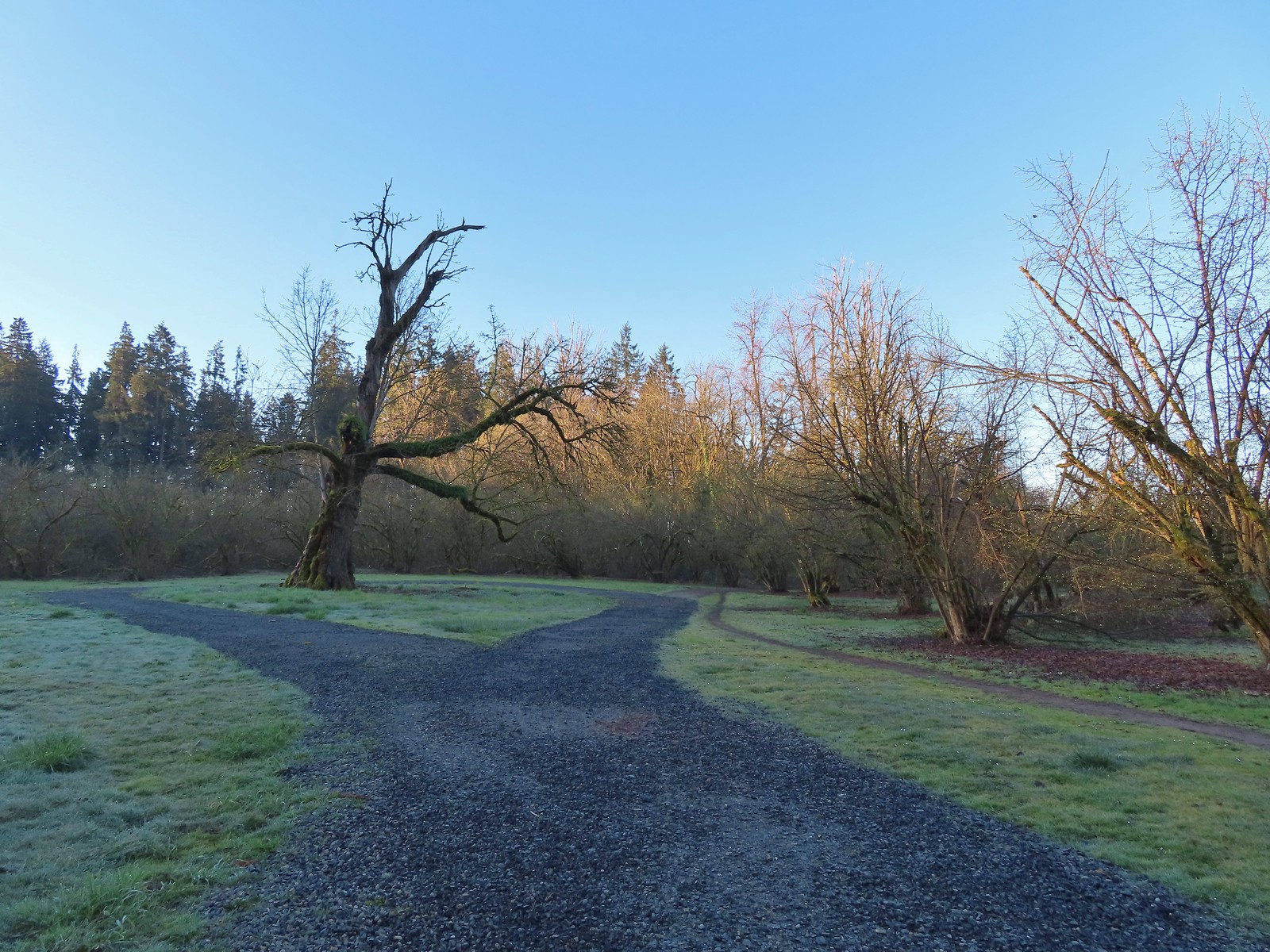 Old oak tree along the path.
 Purple deadnettle beneath the old oak.
 Black walnut orchard just past the oak tree.
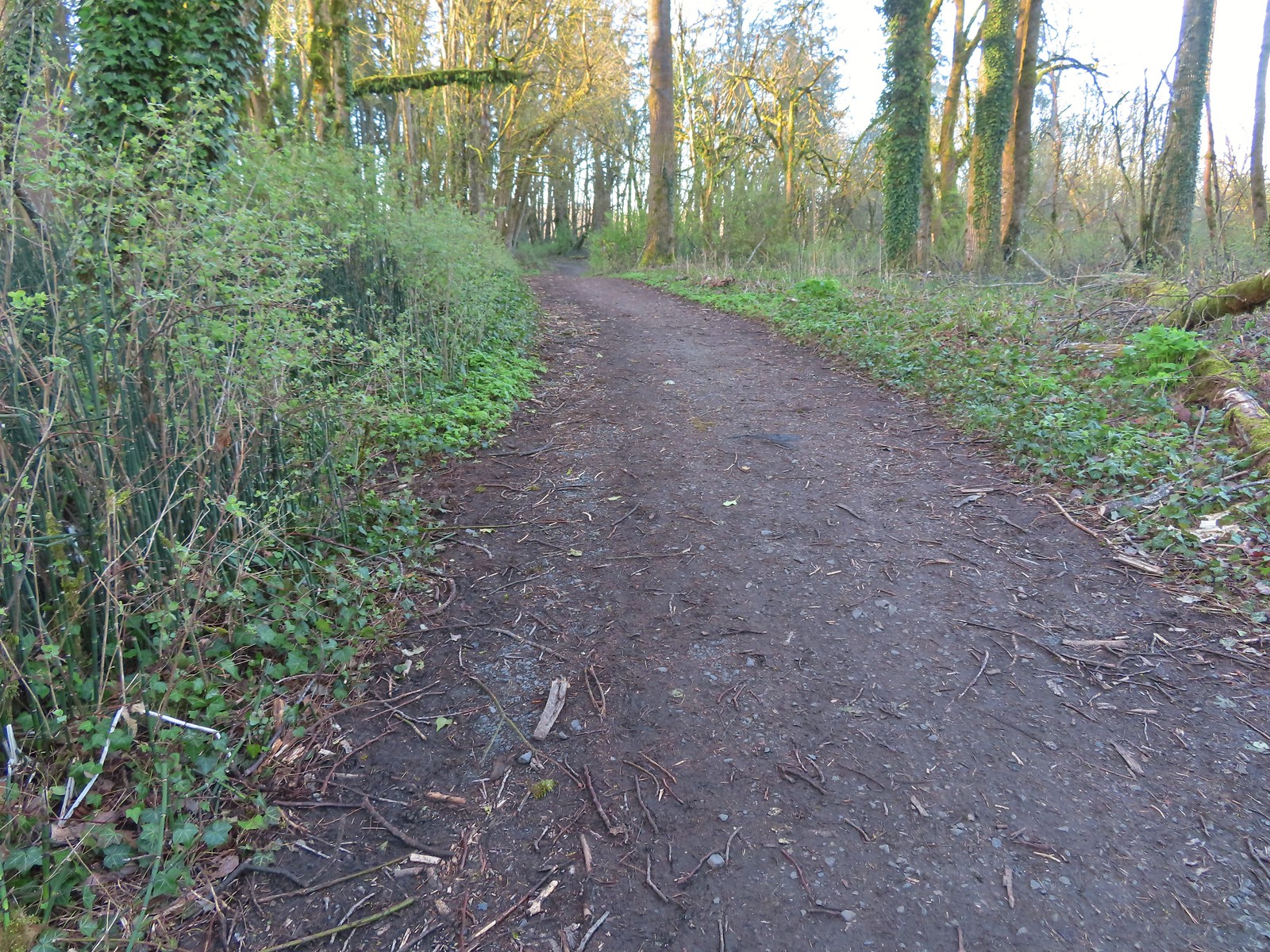
At the black walnut orchard the gravel gave way to a natural surface trail.
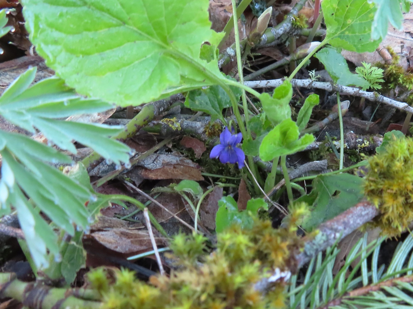 Violet
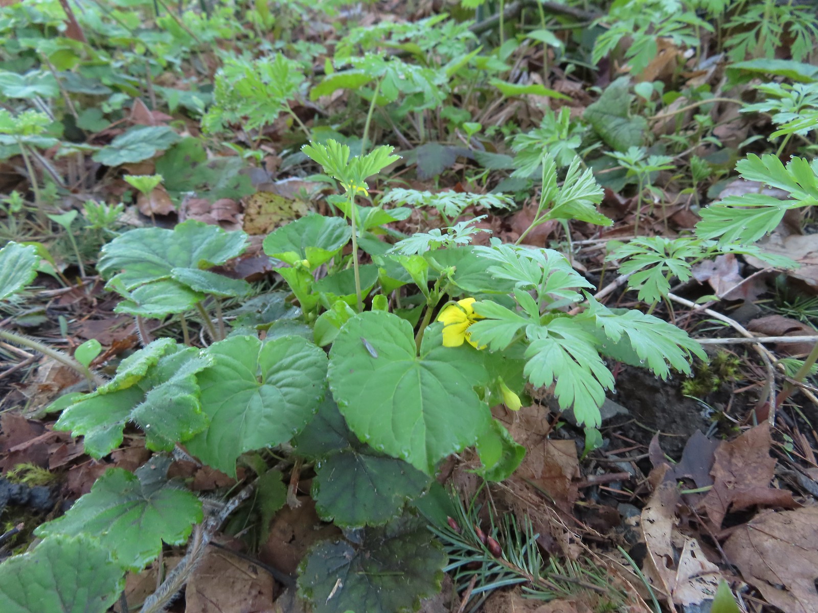 Violet
The trail arrived at a bench overlooking the confluence of the Coast Fork and Middle Fork Willamette Rivers.
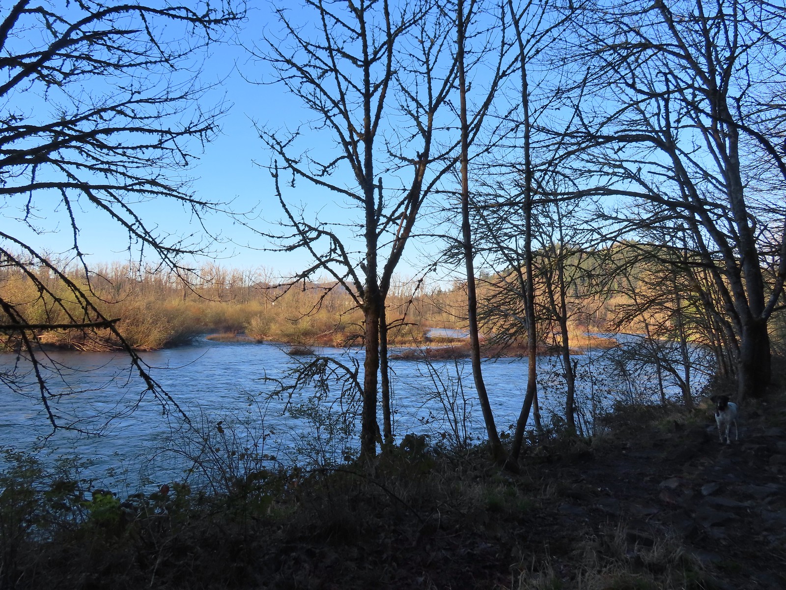 The confluence.
 Middle Fork Willamette River
From the confluence the trail turned left passing through a forest before arriving at the Middle Fork Path after half a mile.

 Mallards
 Hooded mergansers
 Slender toothwort
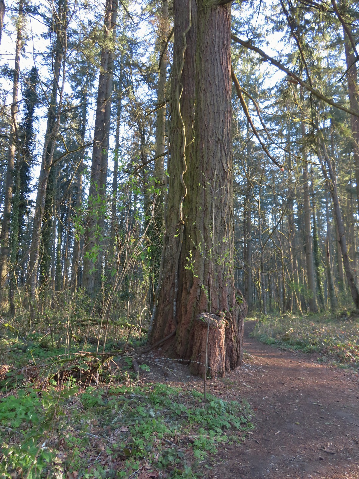 Someone had left some seeds and nuts on this tree. While it’s not LNT compliant it was attracting a variety of wildlife.
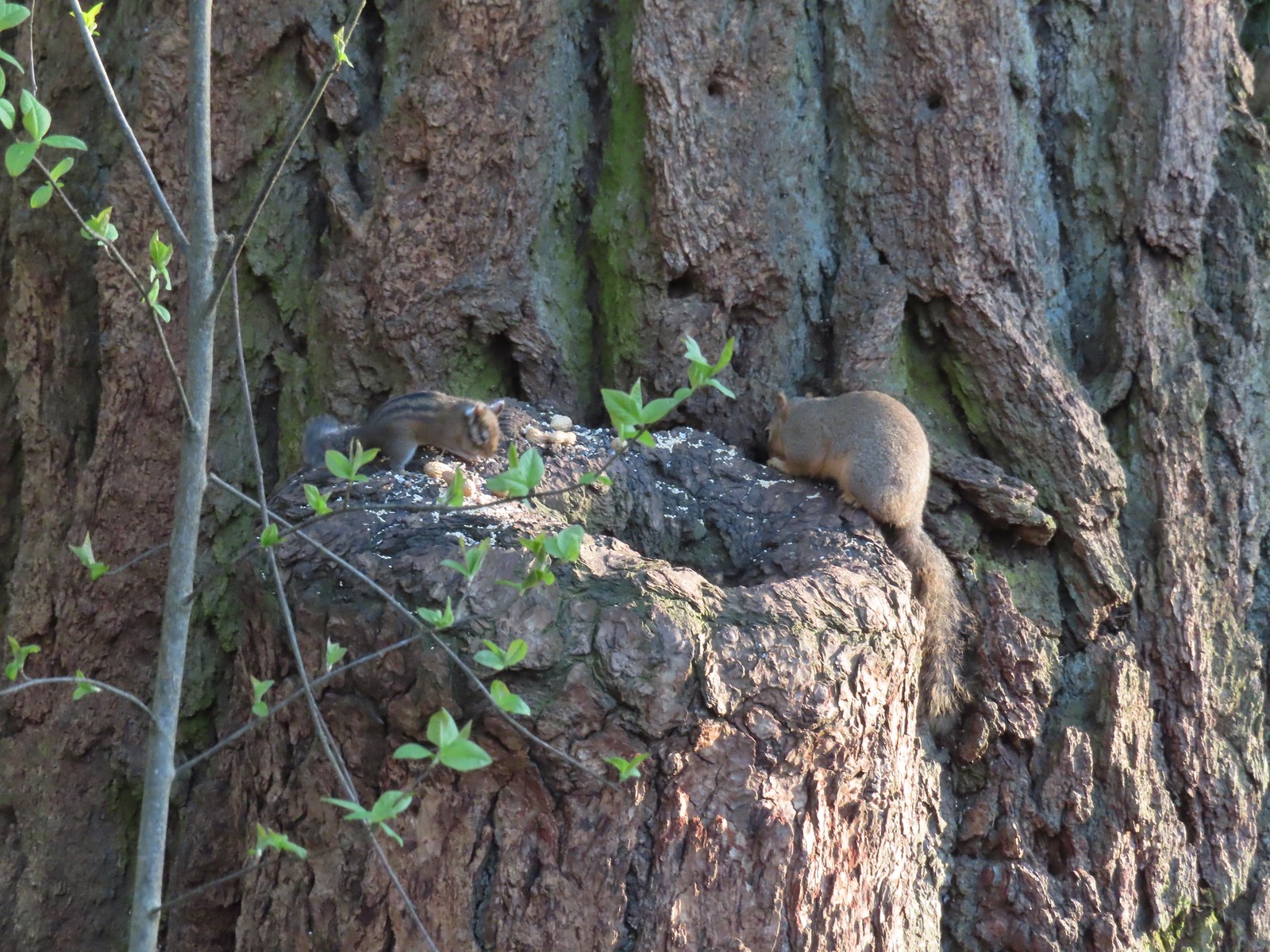 Chipmunk and squirrel
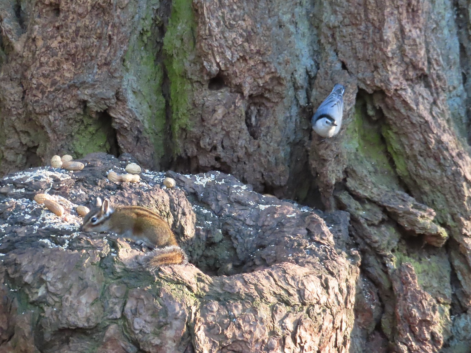 Chipmunk and white-breasted nuthatch
 Giant White Wakerobin, Trillium albidum
 The paved Middle Fork Path dead ahead.
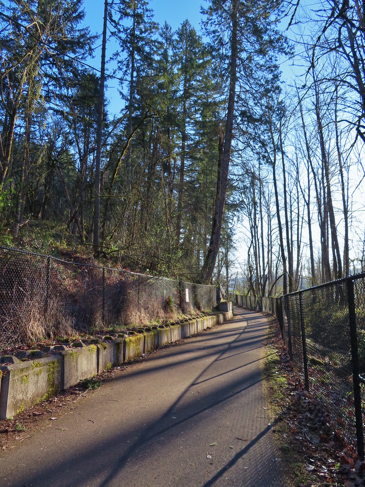
We turned right onto the Middle Fork Path and followed it for three and a quarter mile to the parking lot at Clearwater Park.
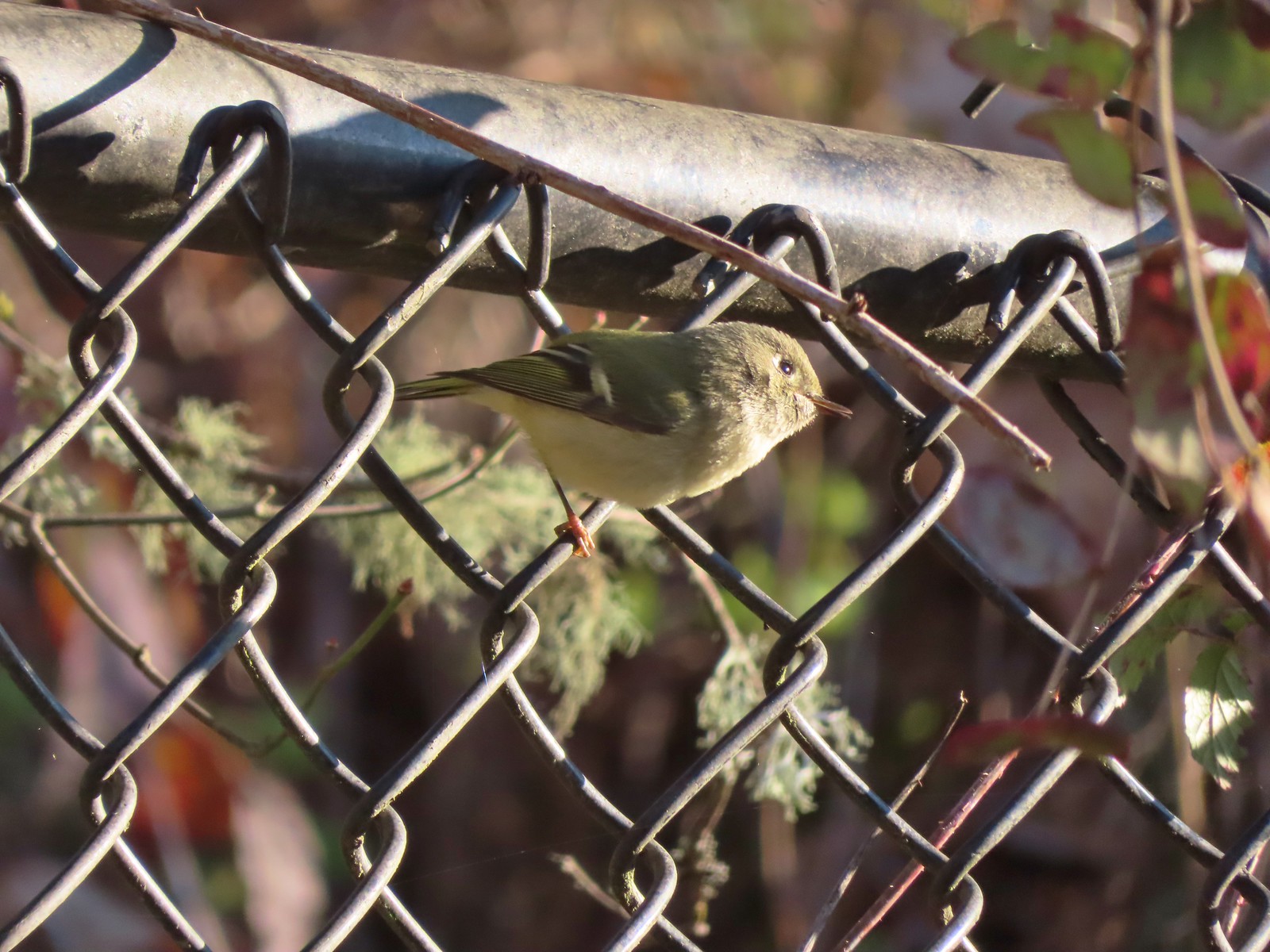 Ruby-crowned kinglet
 Wren
Wren
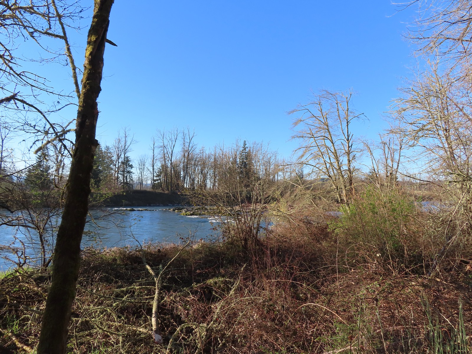 Middle Fork Willamette River

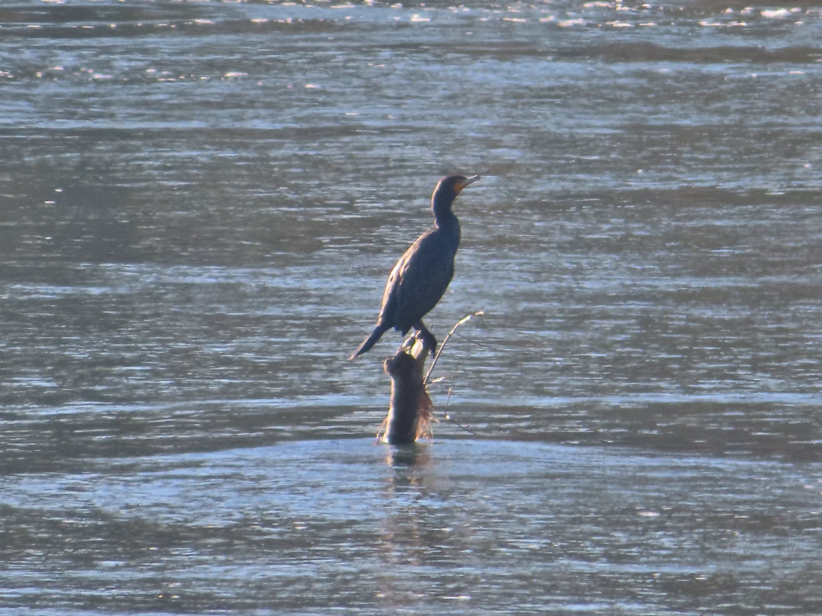 Double-breasted cormorant
 Pacific hound’s tongue
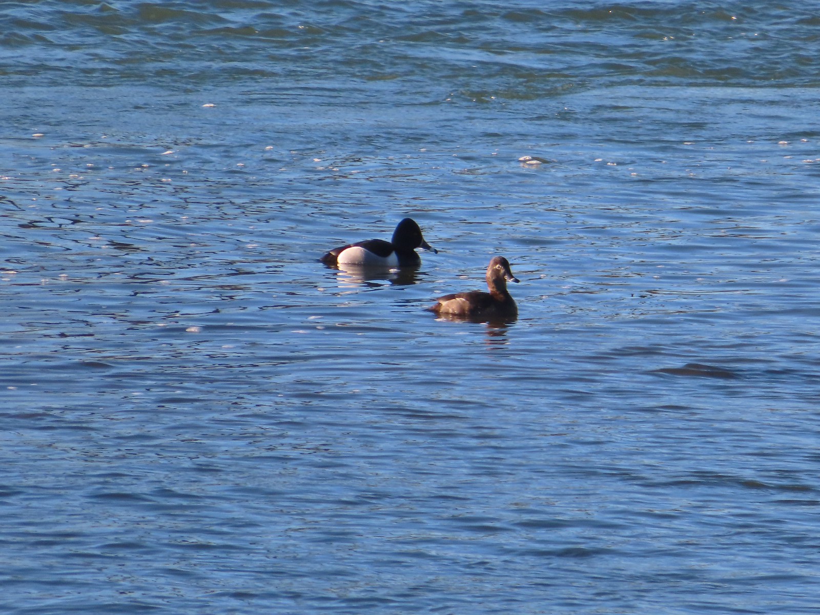 Ring-necked ducks
 Goose
Goose
 Arriving at the Quarry Creek picnic area.
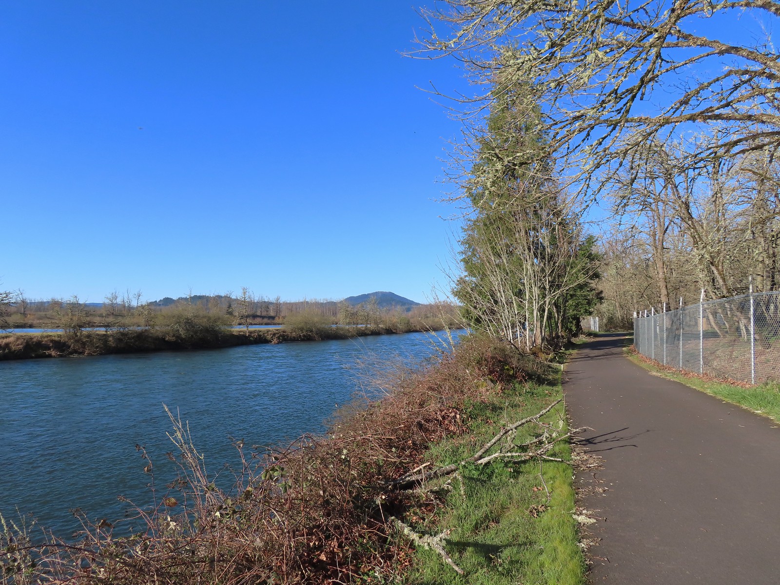 Looking back at Spencer Butte (post).
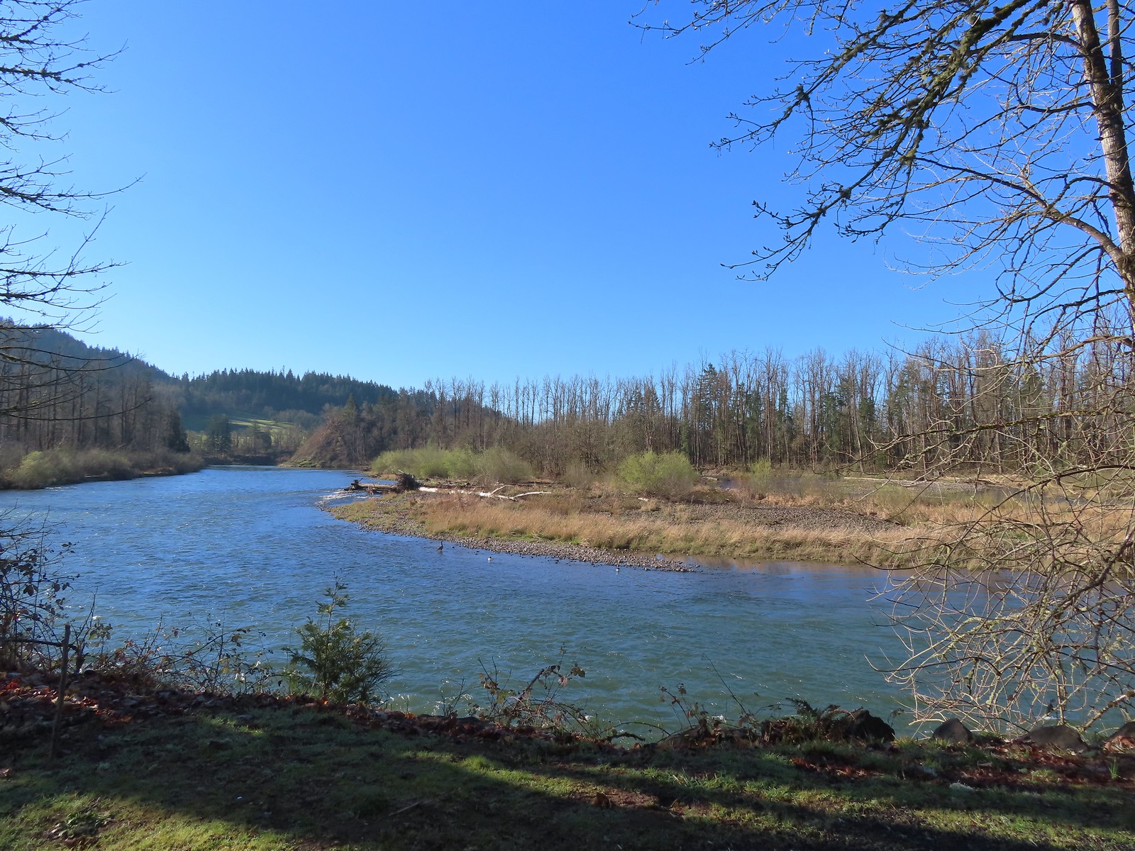 A goose and a couple of common mergansers in the river.
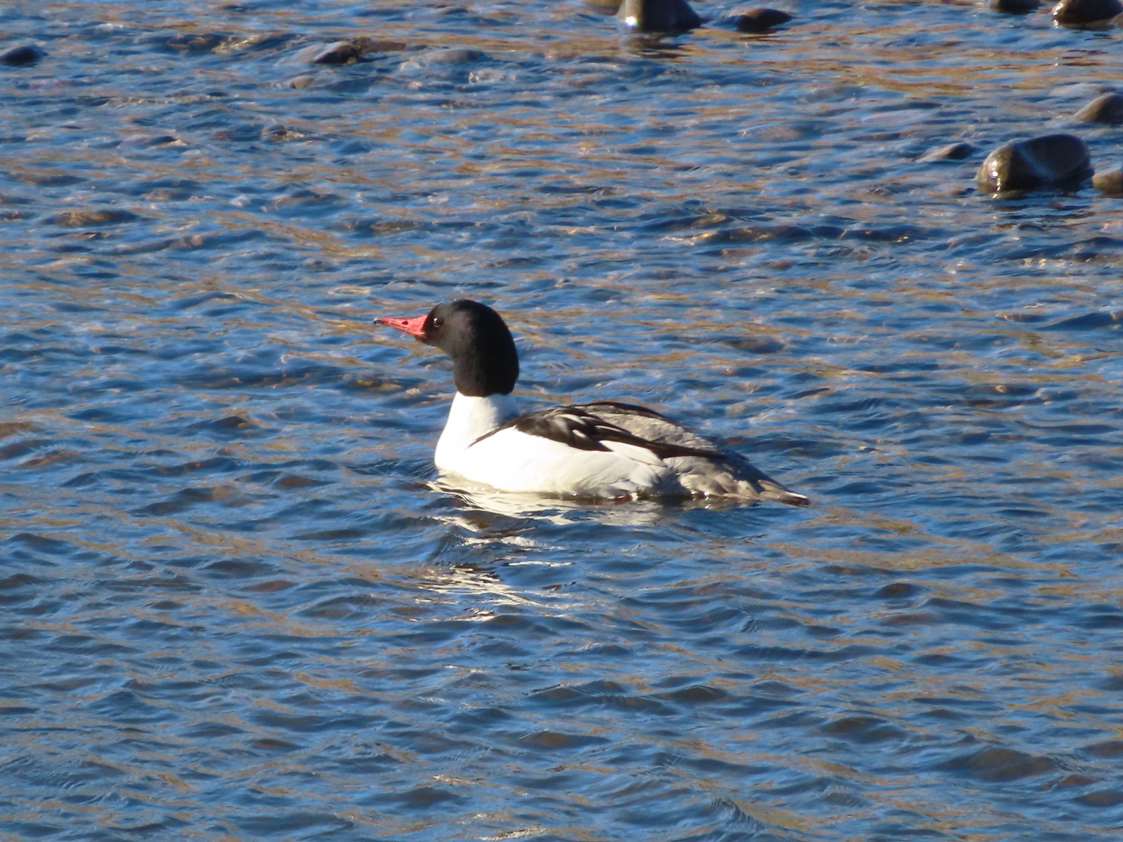 Common merganser drake

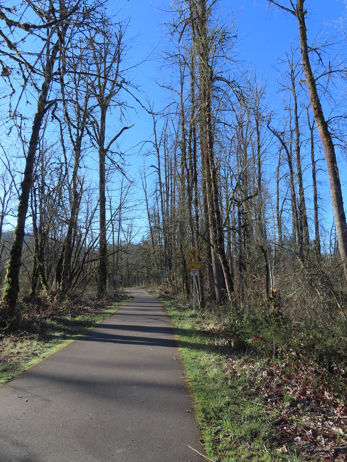 Approximately 2.75-miles from Dorris Ranch we came to the junction with the 3-mile-long Mill Race Path. An adventure for another day.
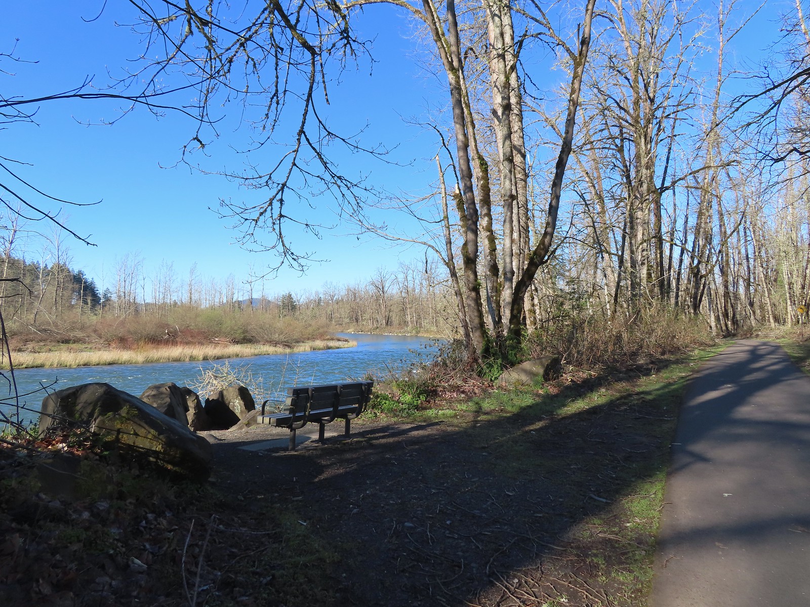 There were plenty of benches along the path.
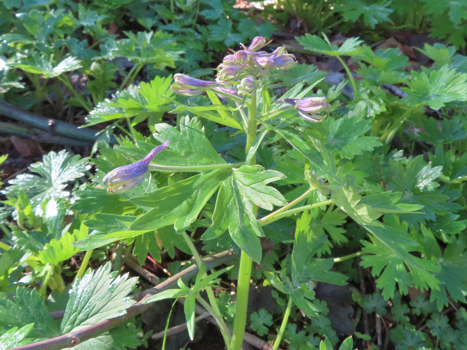 Larkspur starting to bloom.
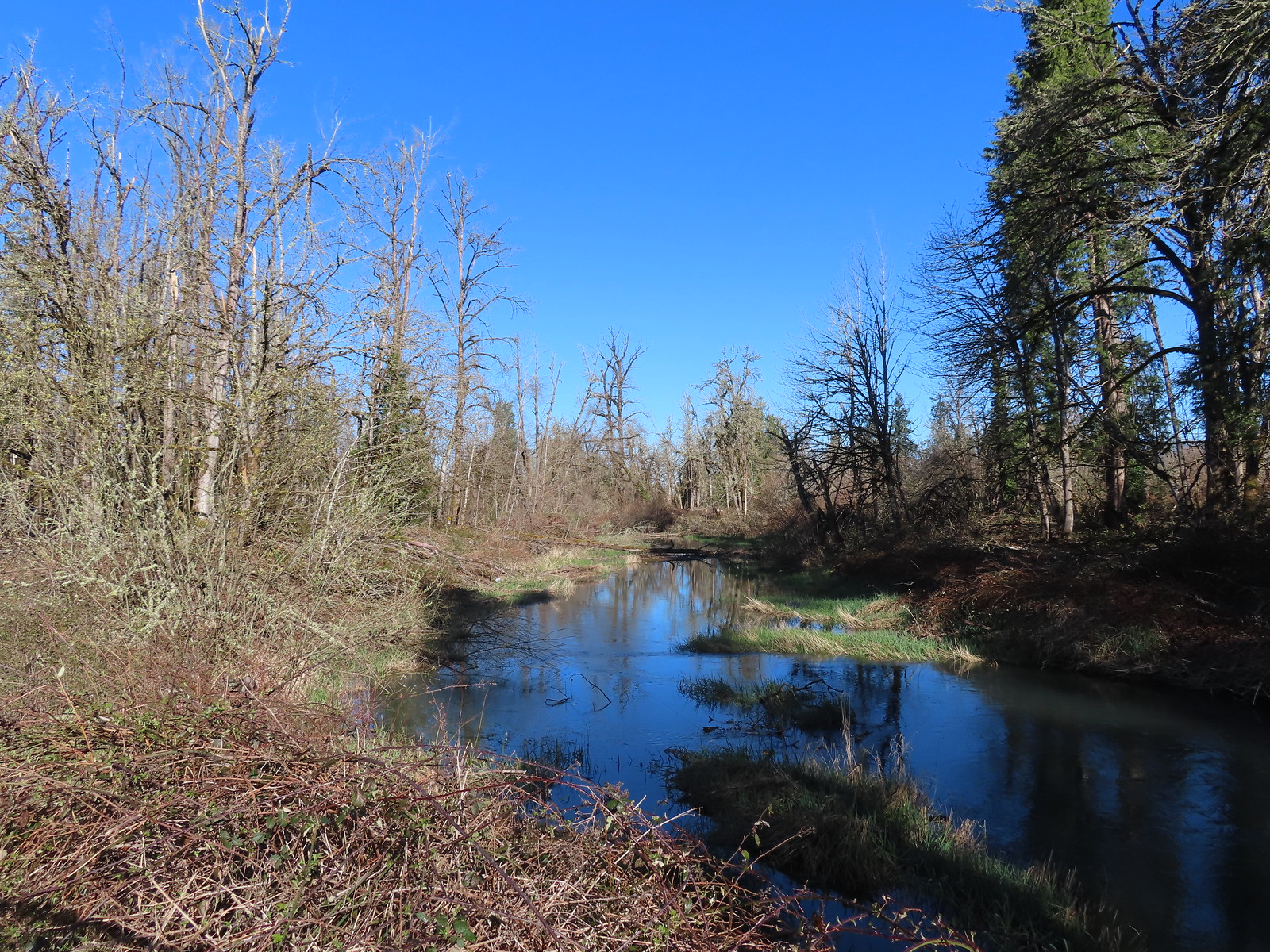 Springfield Mill Race
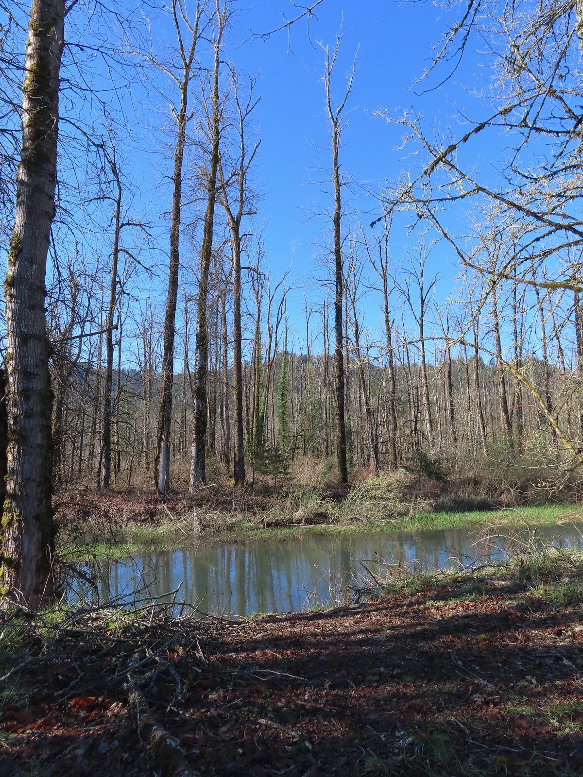 Mt. Pisgah (post) through the trees across the Middle Fork Willamette.
 Disc golf course at Clearwater Park.
 Nearing the parking lot at Clearwater Park.
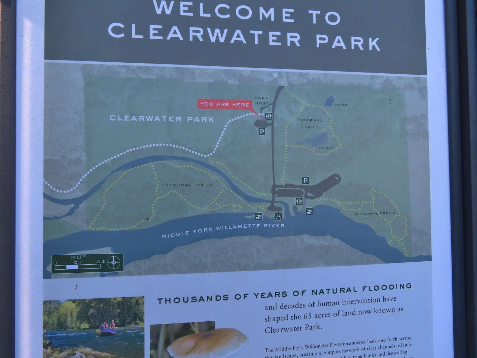 Map of the trails at Clearwater Park.
We weren’t aware of the informal trails shown on the map at Clearwater Park, but the prospect of seeing a couple of ponds piqued our interest so we crossed the park entrance road and followed a narrow gravel path into the woods.
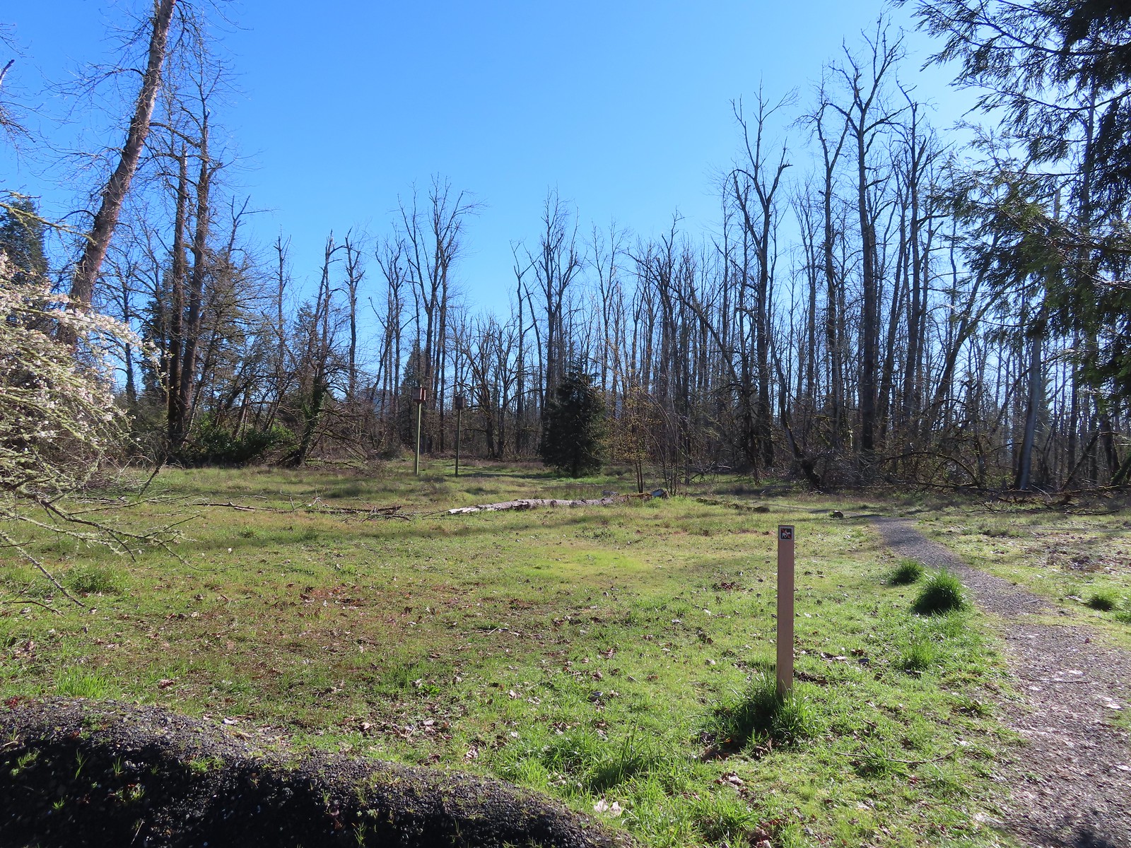
 Turkey vultures. We’d seen our first turkey vulture of the year a little earlier on the Middle Fork Path. I’d been on the lookout for one of these scavengers for the last couple of weeks knowing that their arrival in the Willamette Valley coincides with the onset of Spring.
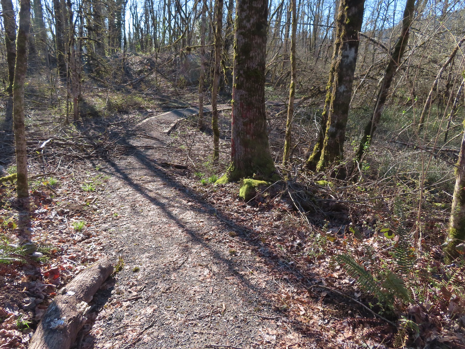
We didn’t get far on the informal trails before ice storm damage turned us back.

We backtracked and took a different informal path to the parking area near the boat launch and then followed a dirt path back to the Middle Fork Path.
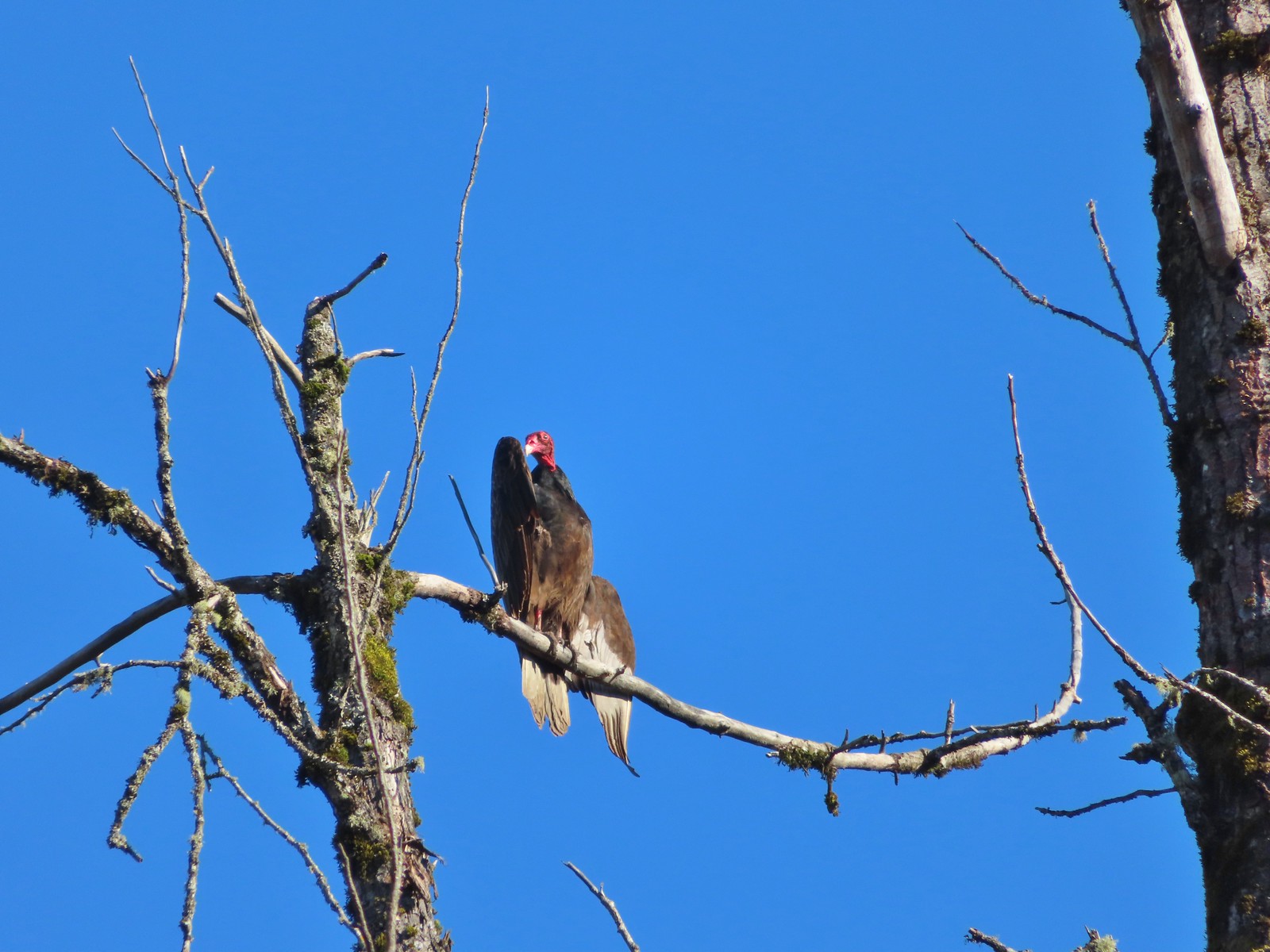 Turkey vulture enjoying the sunshine.
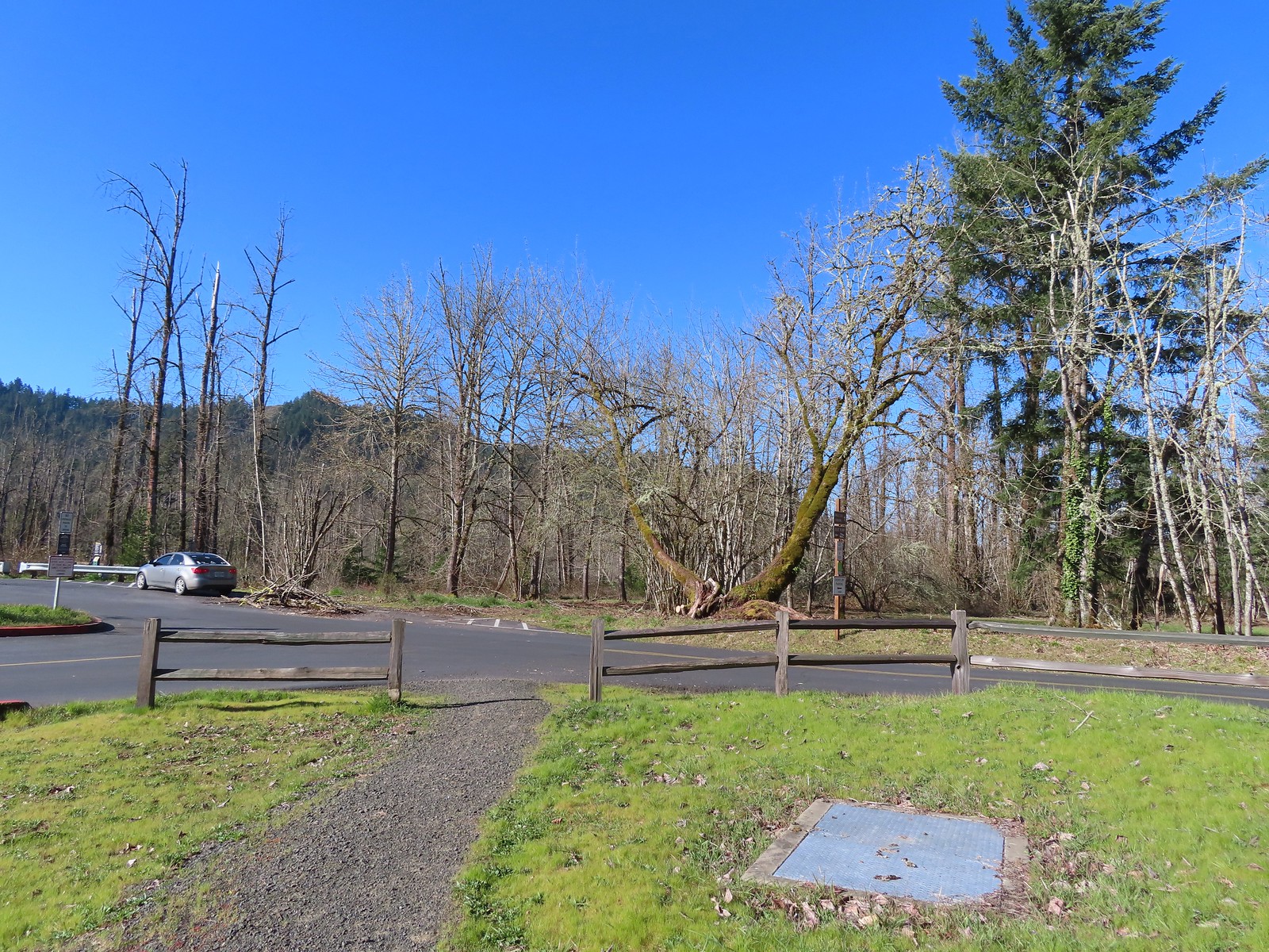 Arriving at the boat launch area.
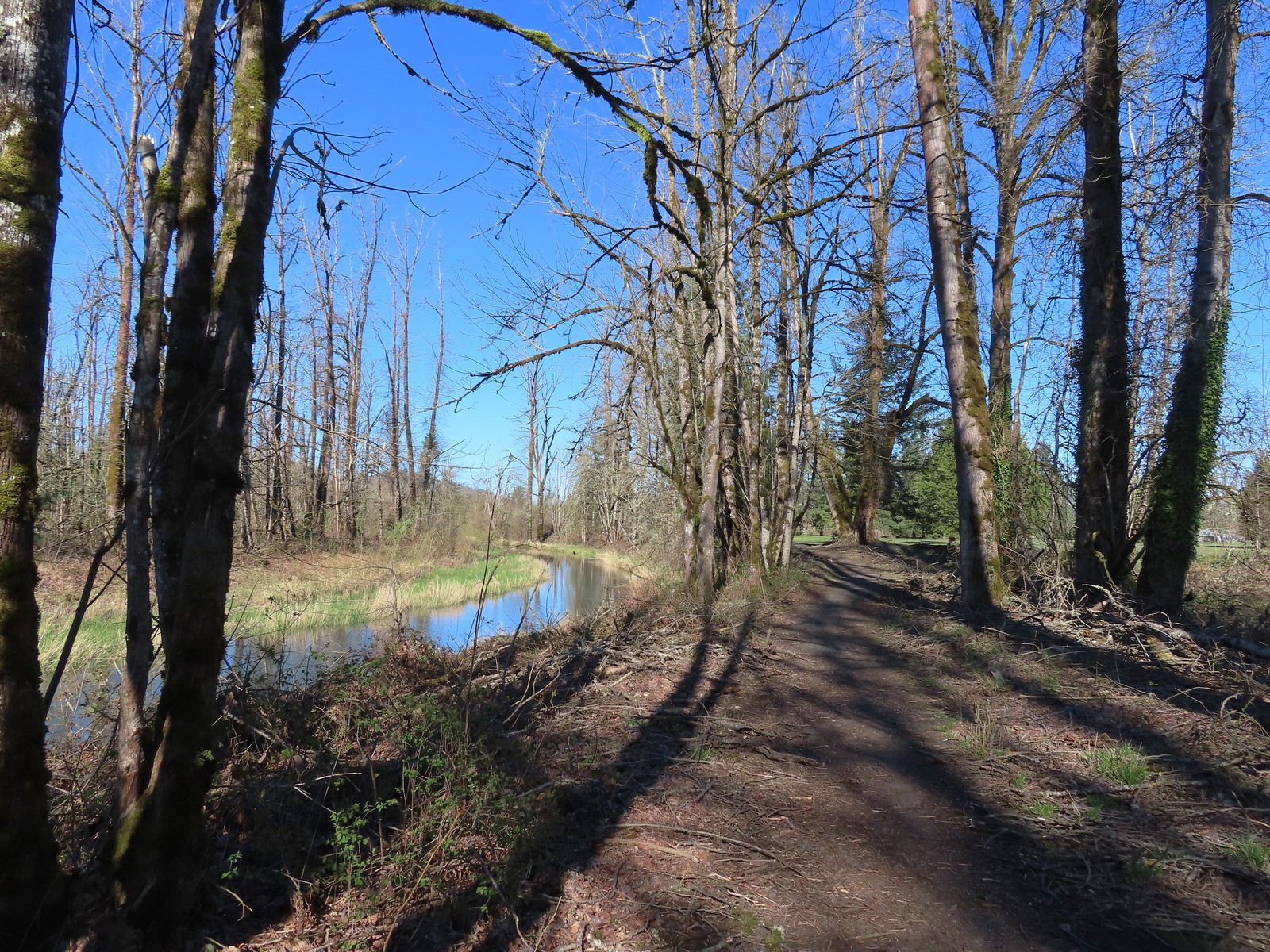 Heading back to the Middle Fork Path.
We followed the Middle Fork Path back to Dorris Ranch, sticking to the paved trail all the way back to the trailhead.
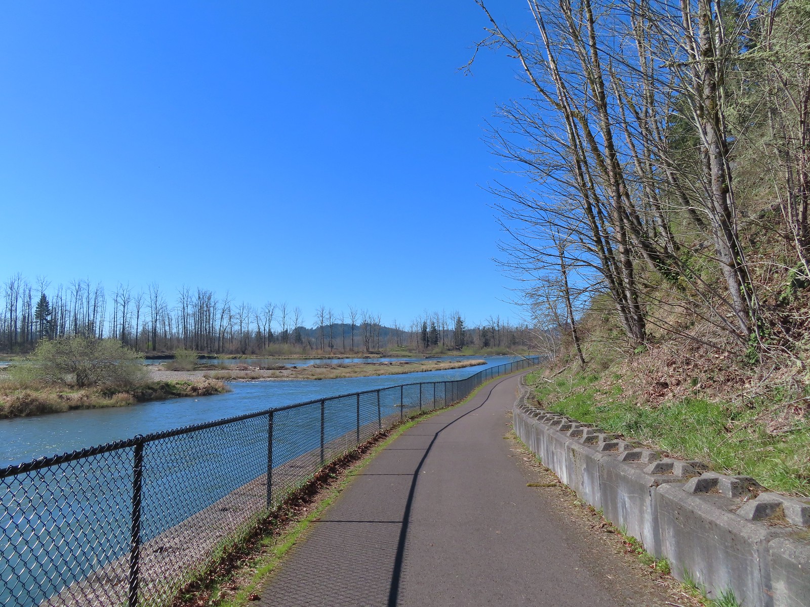
 Back at Dorris Ranch. The trail we’d taken earlier that morning is to the left just before the bench.
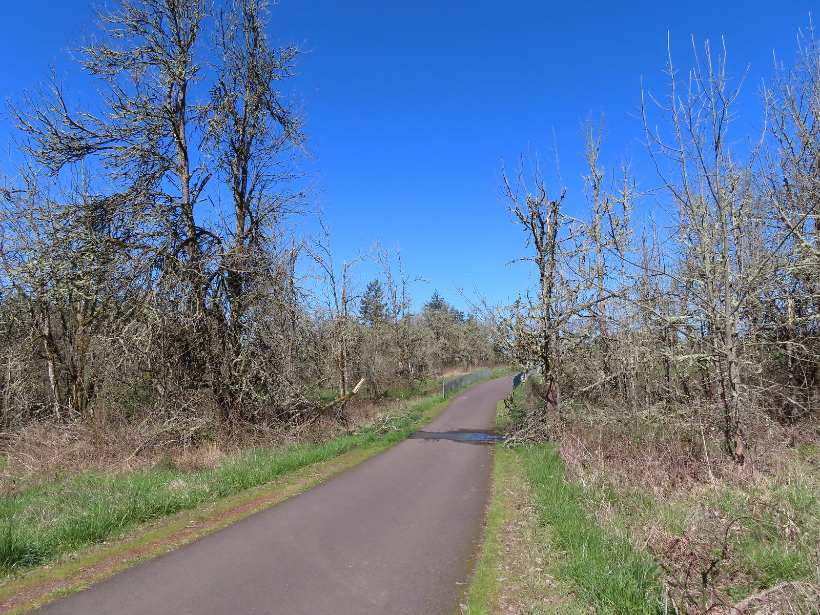
 Western bluebirds
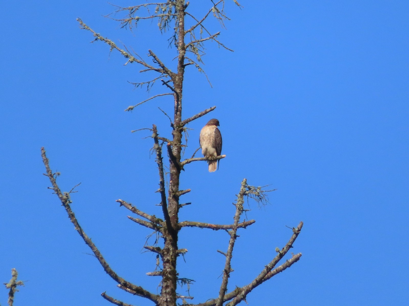 I believe this is a Cooper’s hawk.
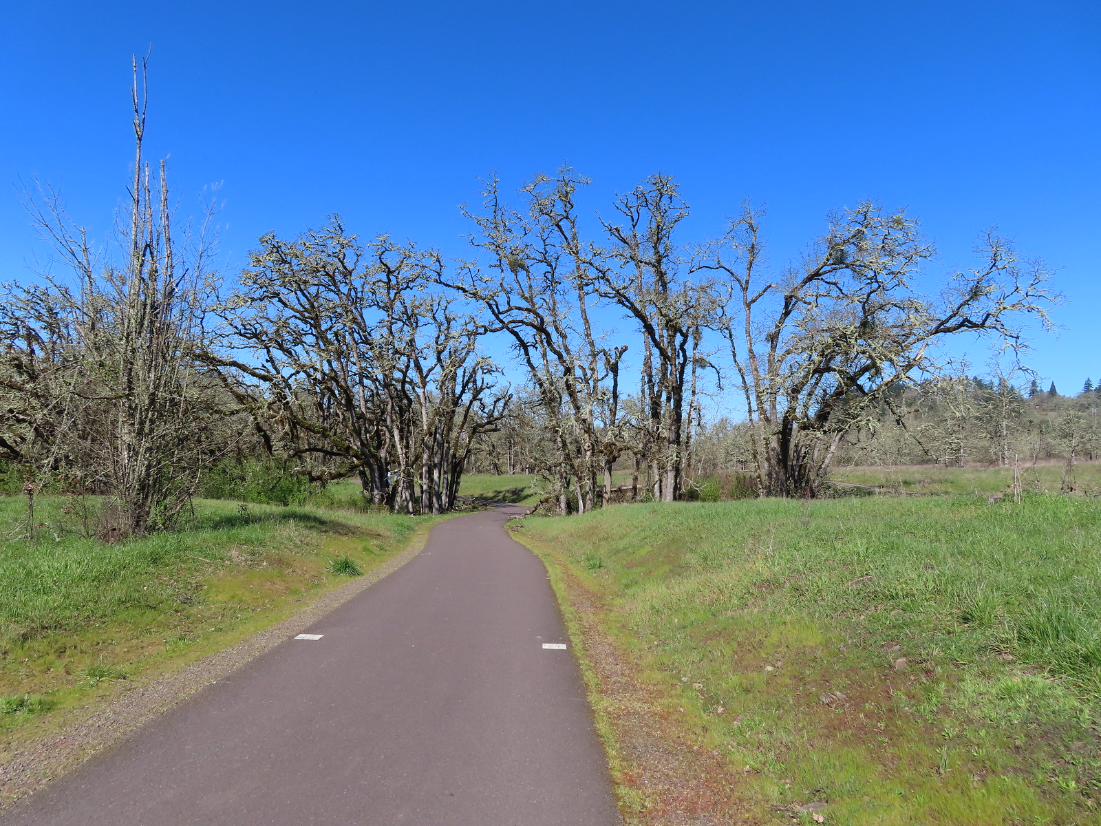
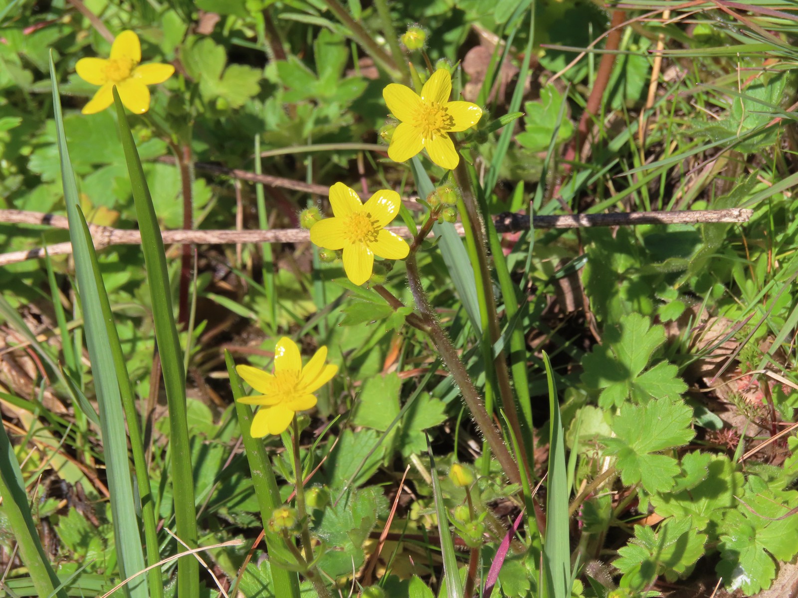 Western buttercups
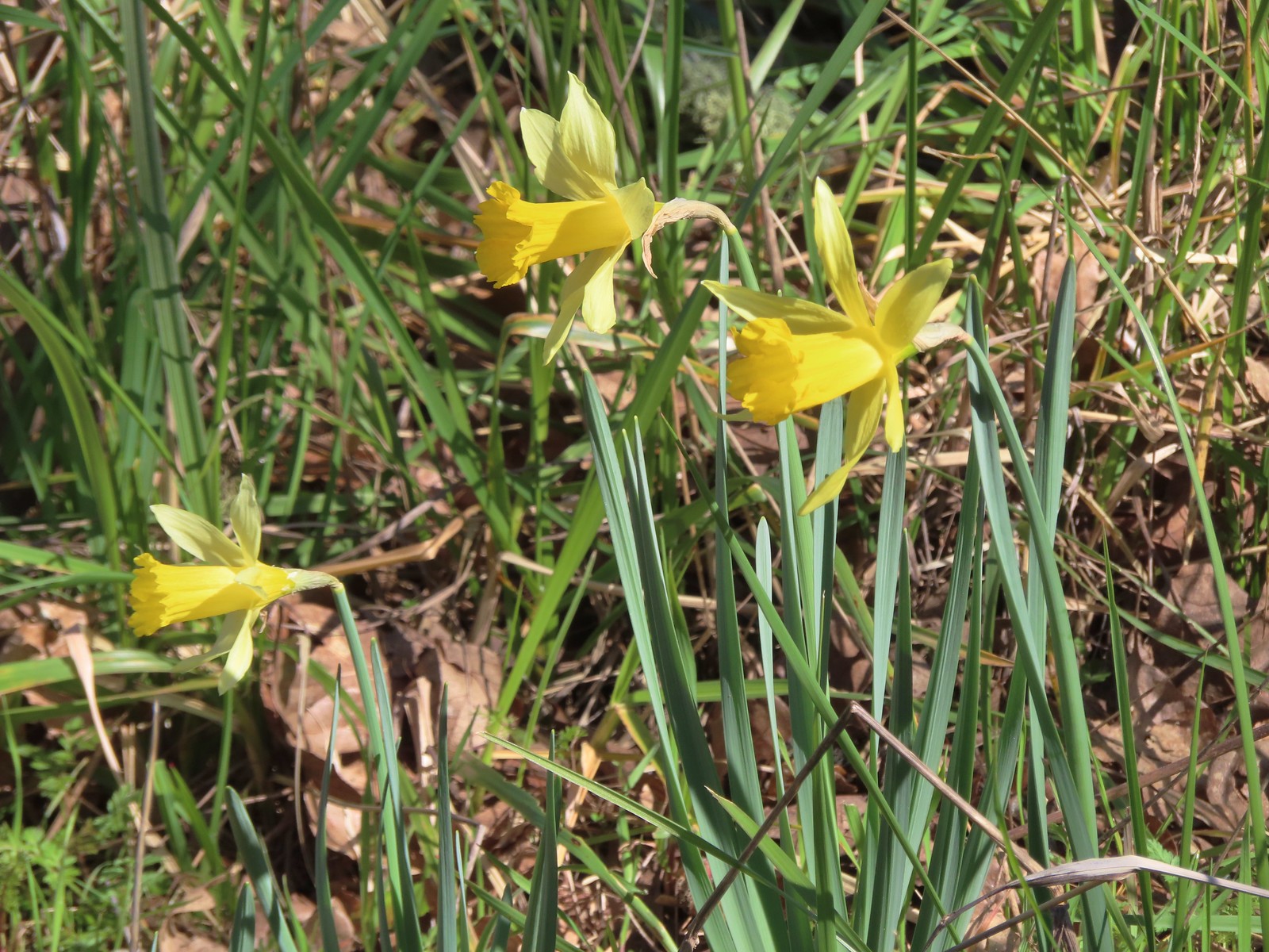 Daffodils
While we saw a few more flowers than my parents had in February we were still a week or two early, but at least we did see a few of the early bloomers. There was abundant wildlife though and the fairly level trails made for a relaxing hike. Our GPS units both showed this as a 9.2-mile hike which was just right for our feet this time of year given we were primarily on paved trails.

After the hike we met up with our Son for lunch at Ubon Thai Kitchen before heading back to Salem. As to close a perfect late Winter hike as you can get. Happy Trails!
Flickr: Middle Fork Path

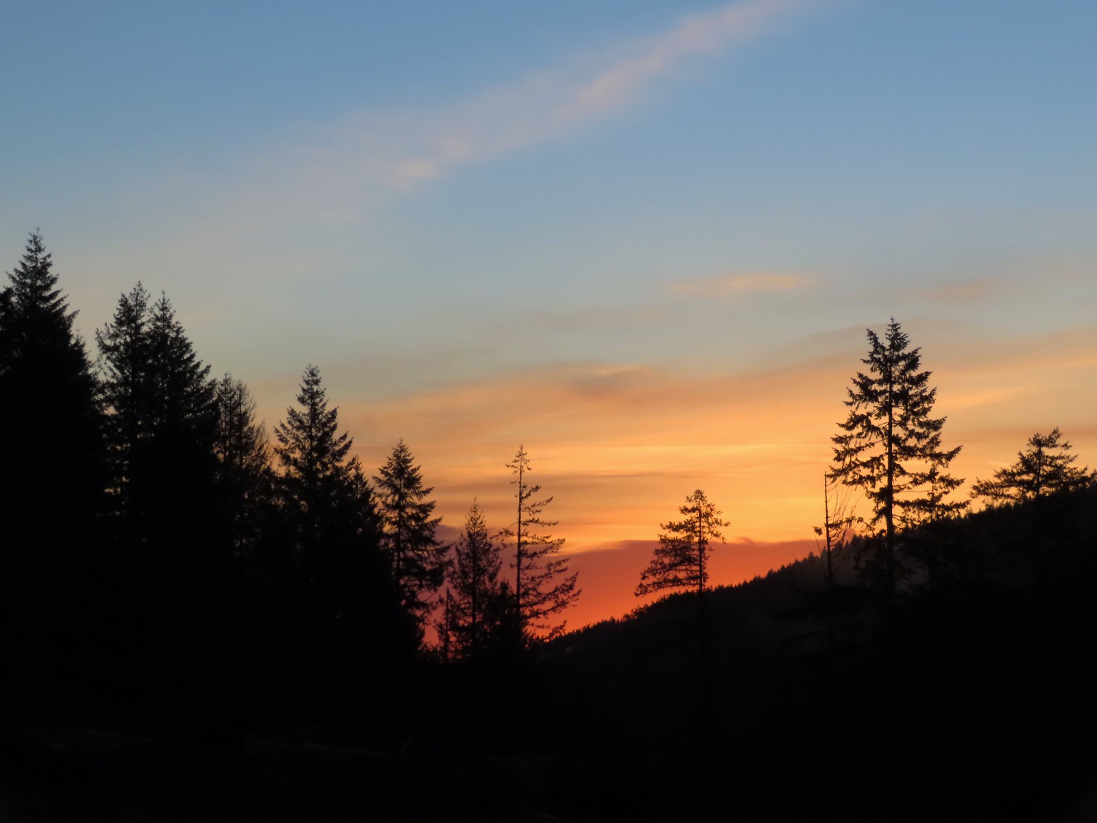 Sunrise from the trailhead.
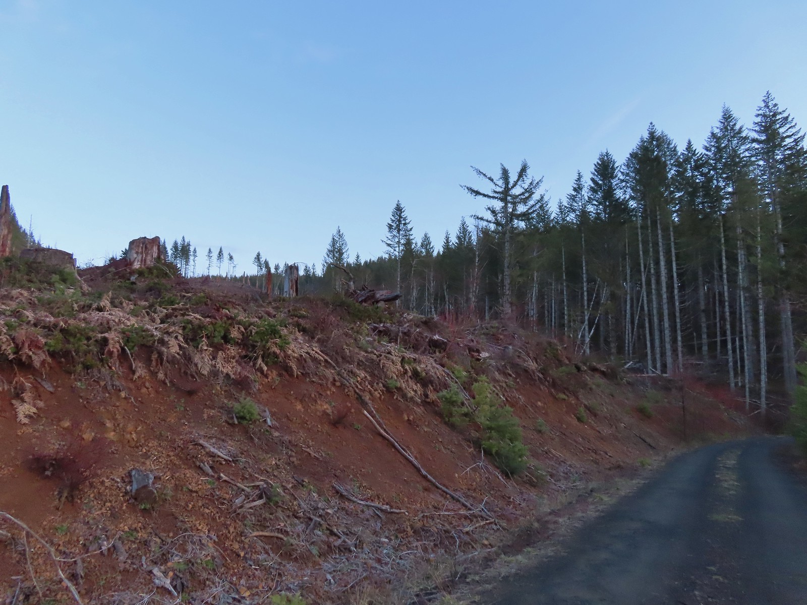 Clear cut at the trailhead.
 This was the view through the forest from Maple Creek Road around the 80-yard mark.
 We could hear the Tualatin River in the valley below and I managed to get far enough down the hill to get a glimpse of the water. I had descended from a pullout with a fire ring about 50-75′ looking for the old roadbed, but I still couldn’t make out where it actually was and had been slipping a lot on wet wood.
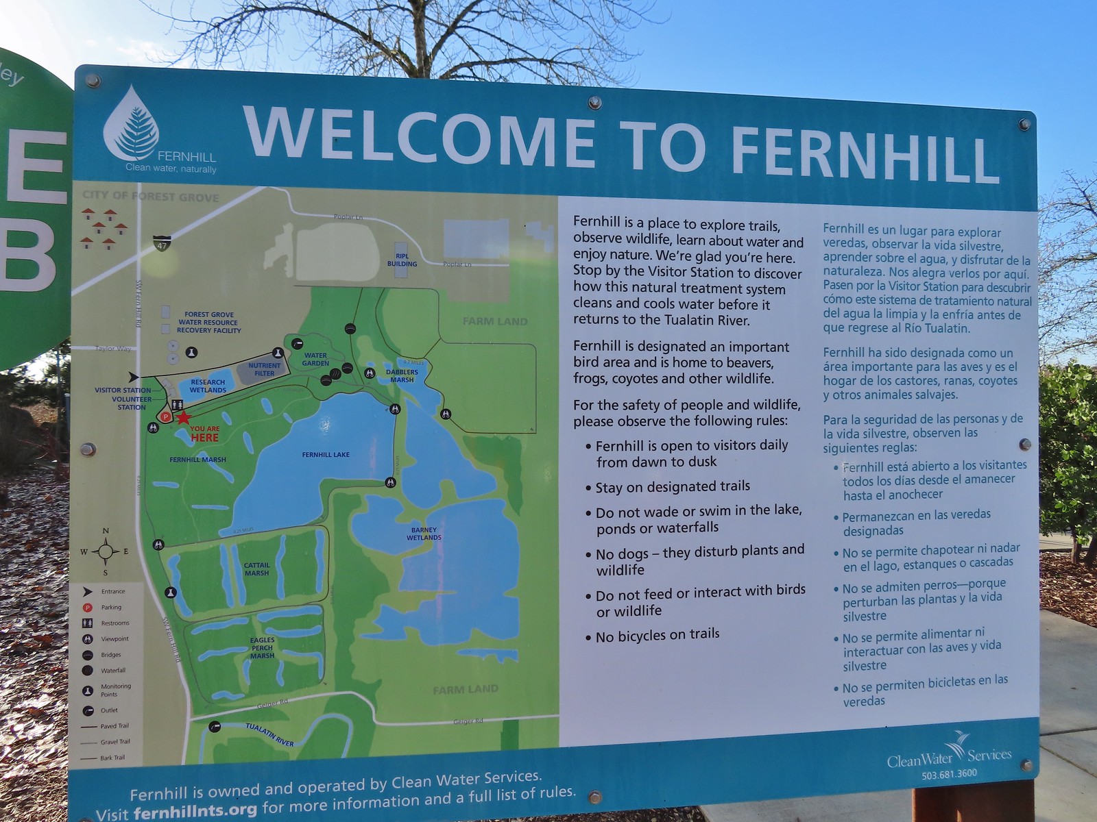 Map and information at the trailhead.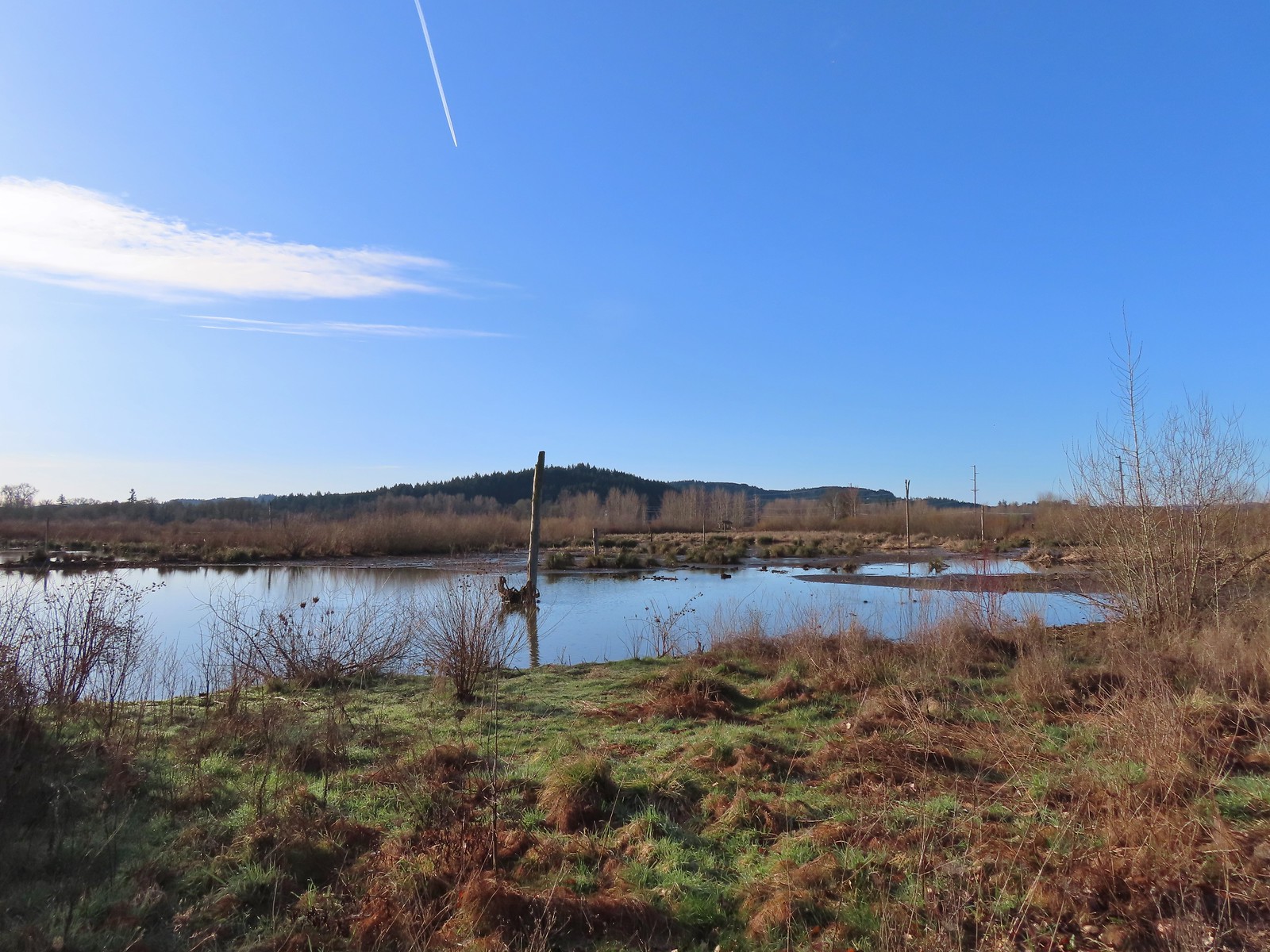
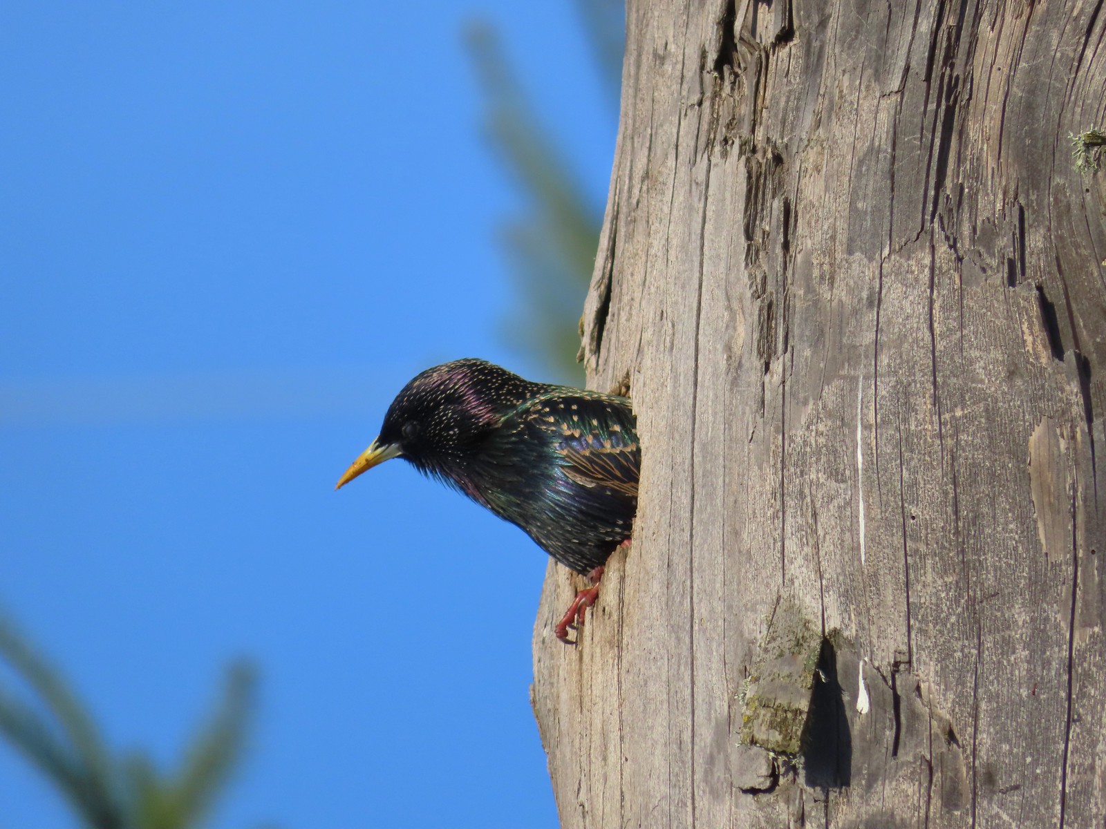 Starling
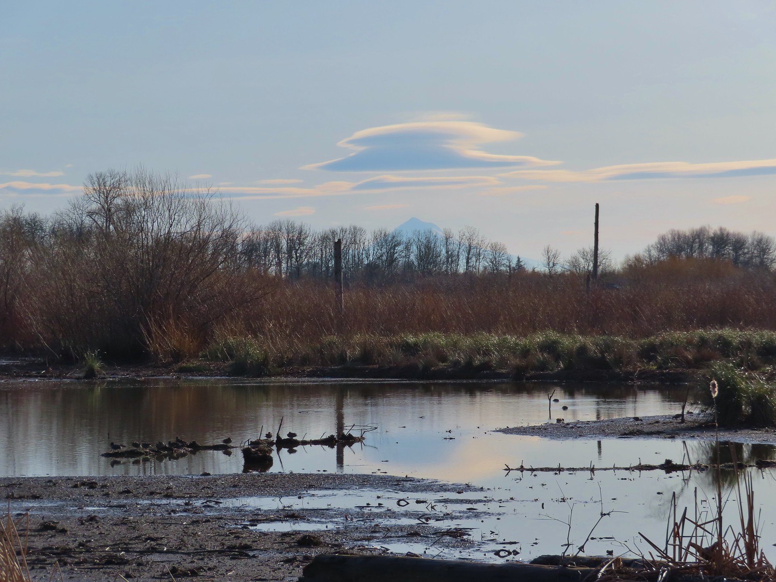 Lenticular clouds over Mt. Hood in the distance.
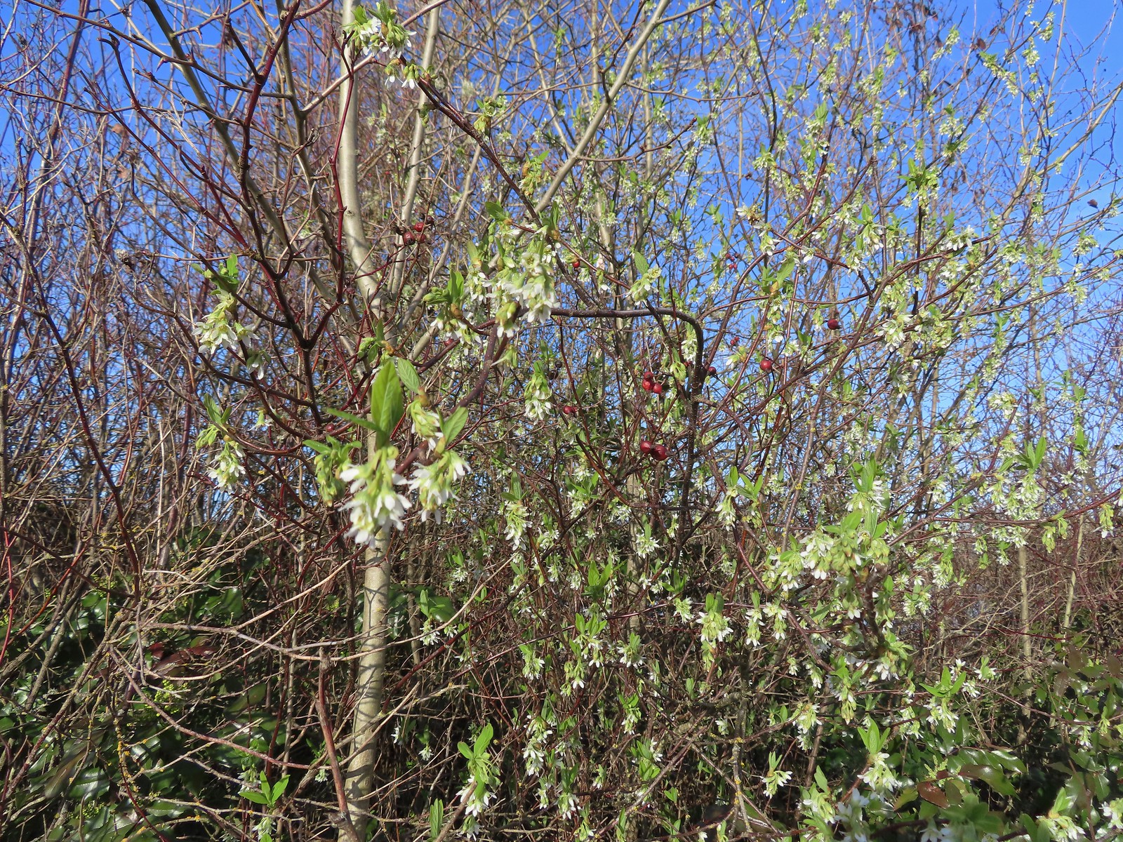 Our first wildflower of the year is Indian plum in 2024.
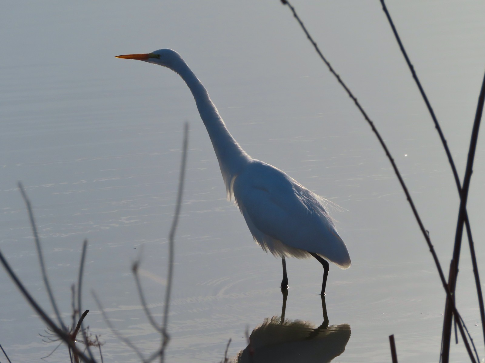 Egret
Egret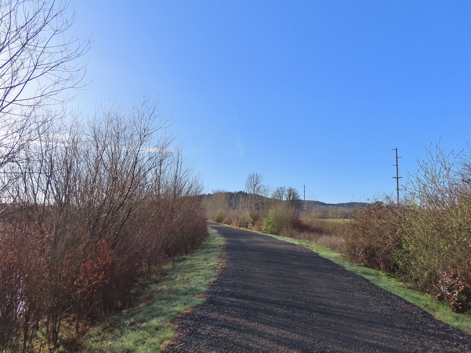 Path at Fernhill Wetlands.
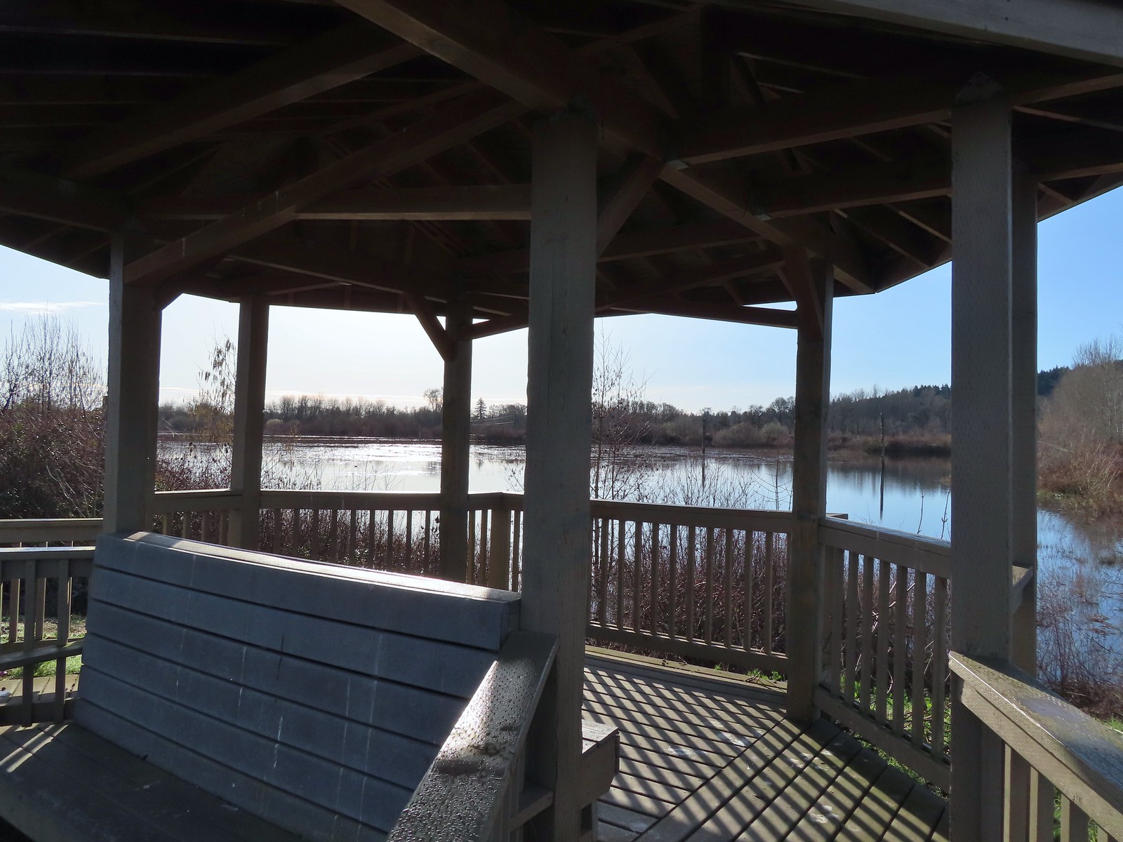 Gazebo overlooking Cattail Marsh.
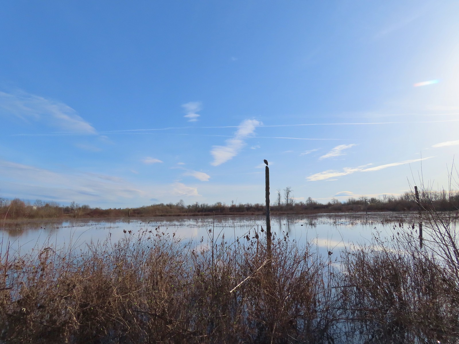 Great blue heron on a post above Cattail Marsh.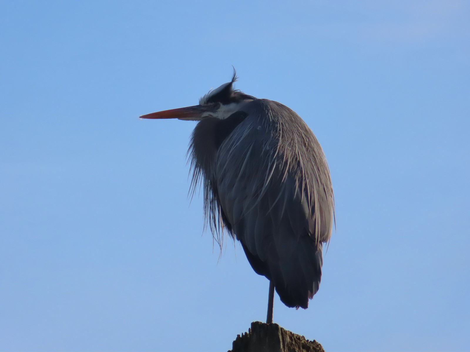
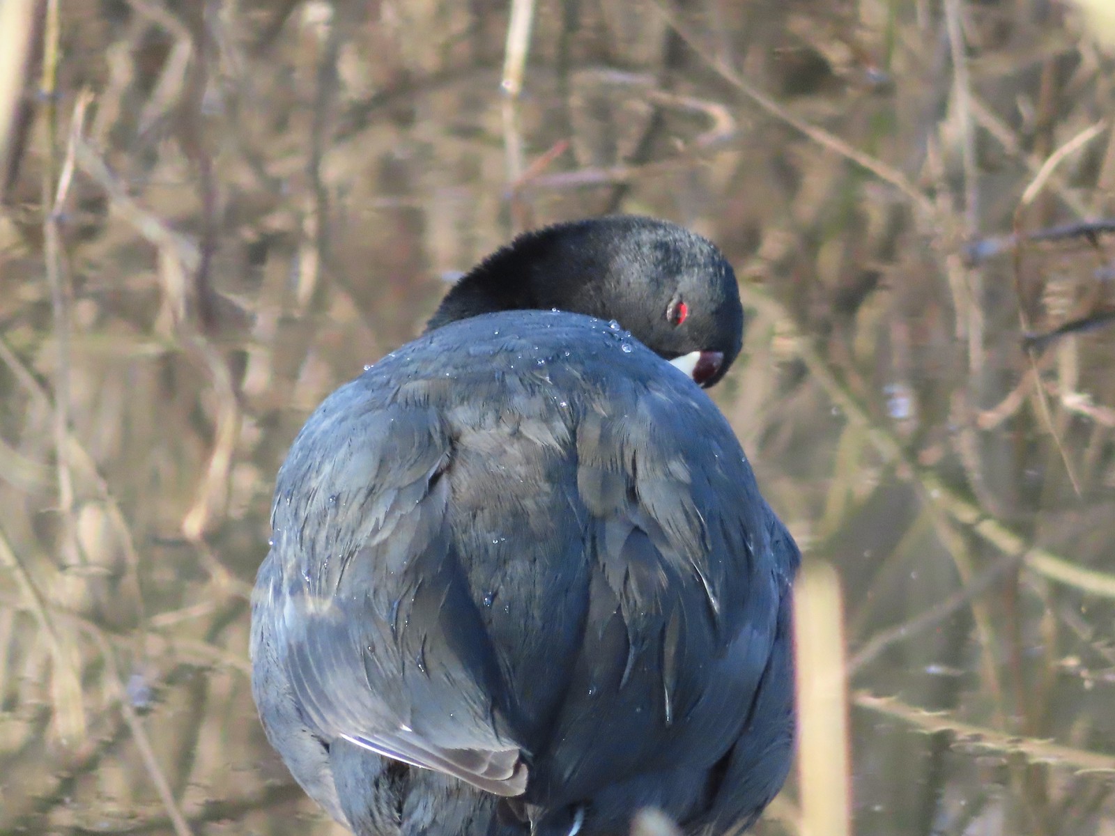 American coot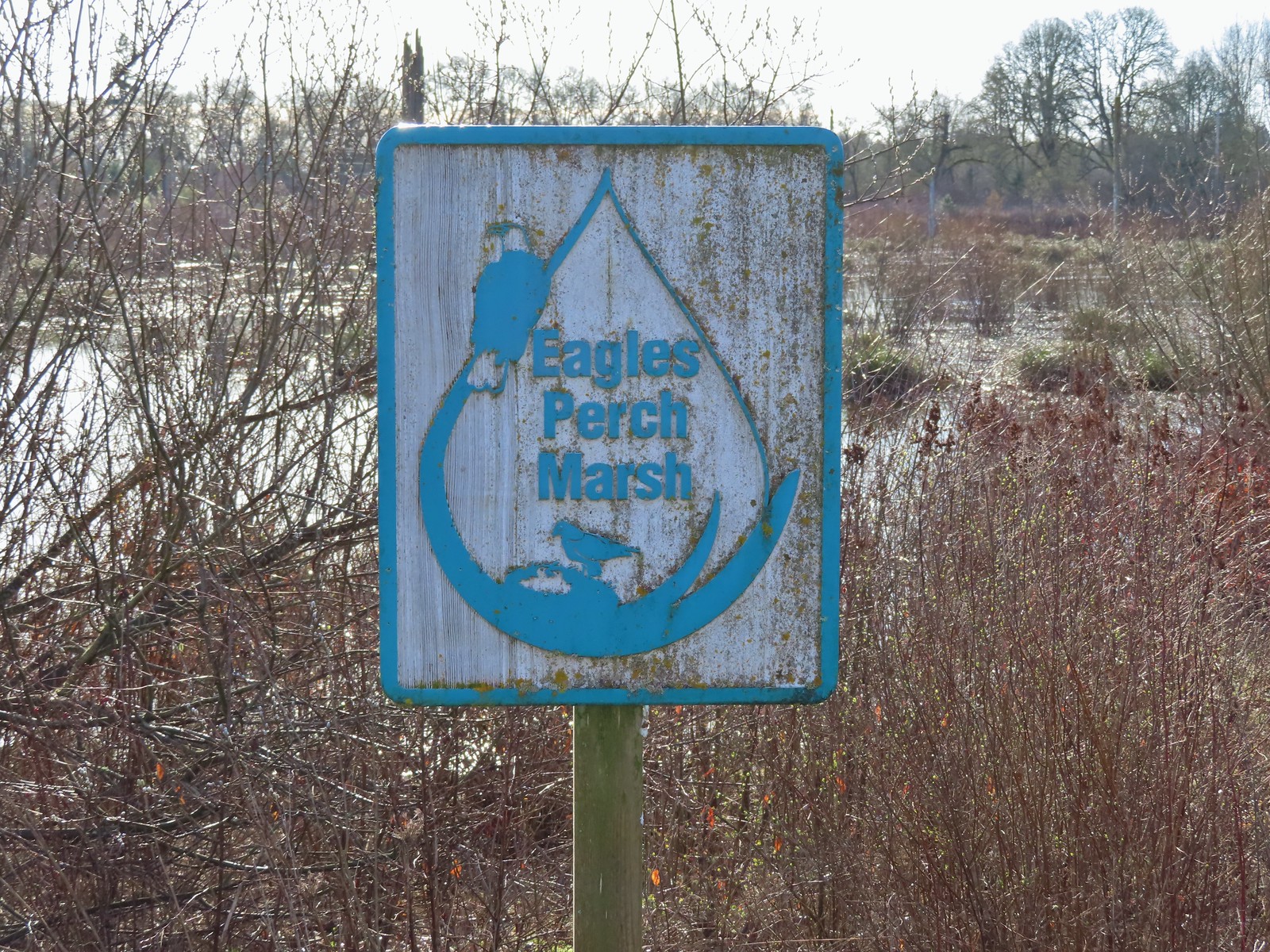
 Another great blue heron.
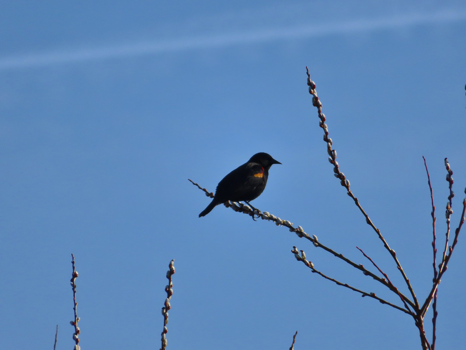 Red-winged blackbird
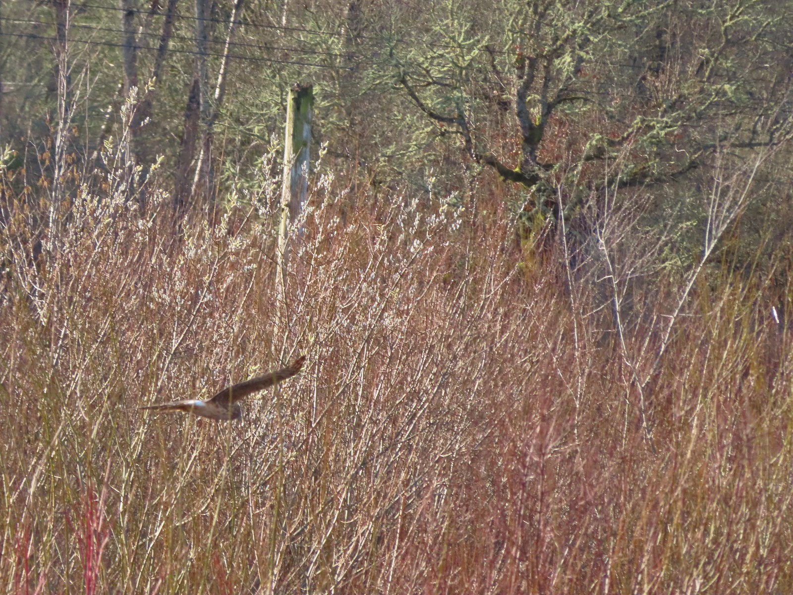 Hawk flying over Eagles Perch Marsh.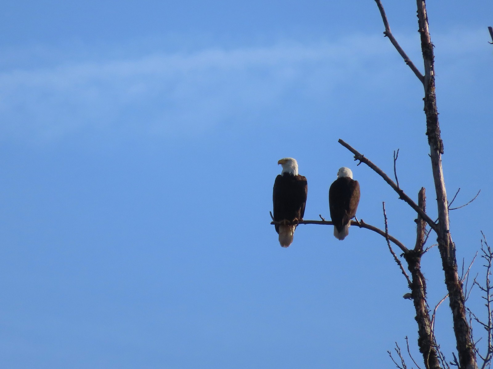

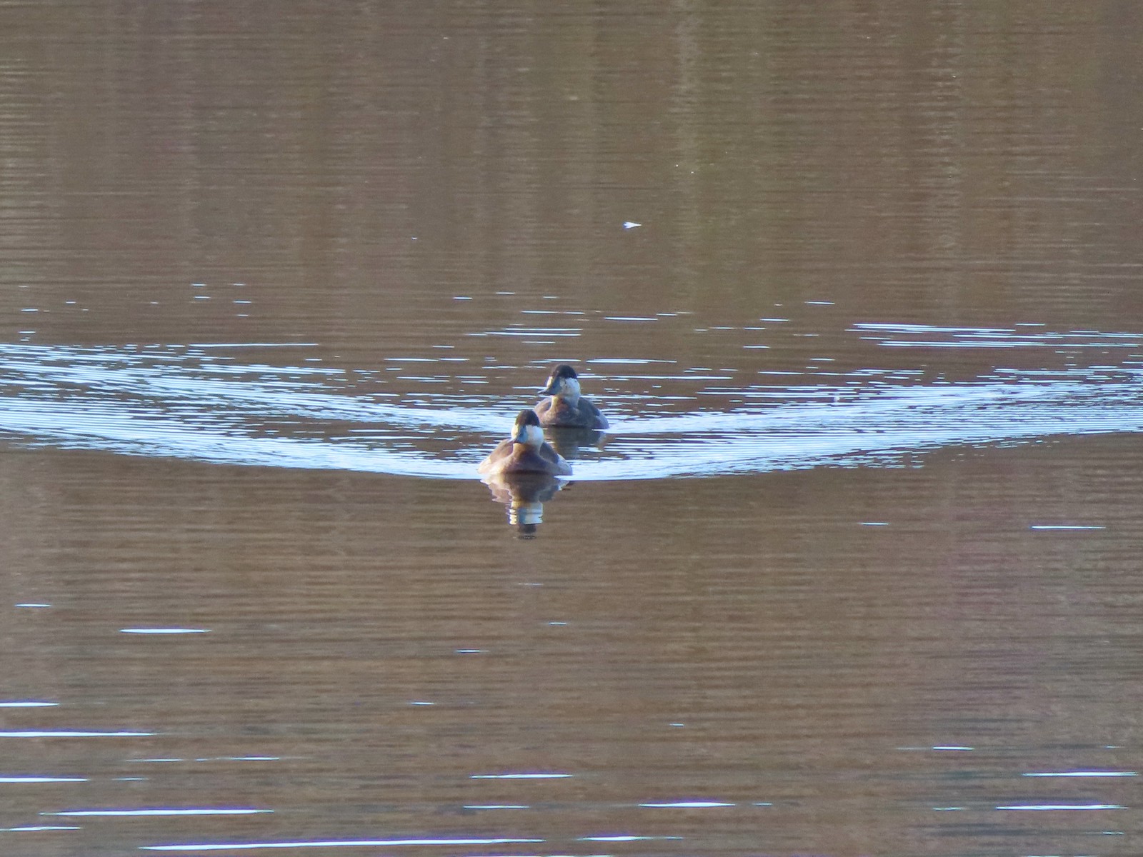
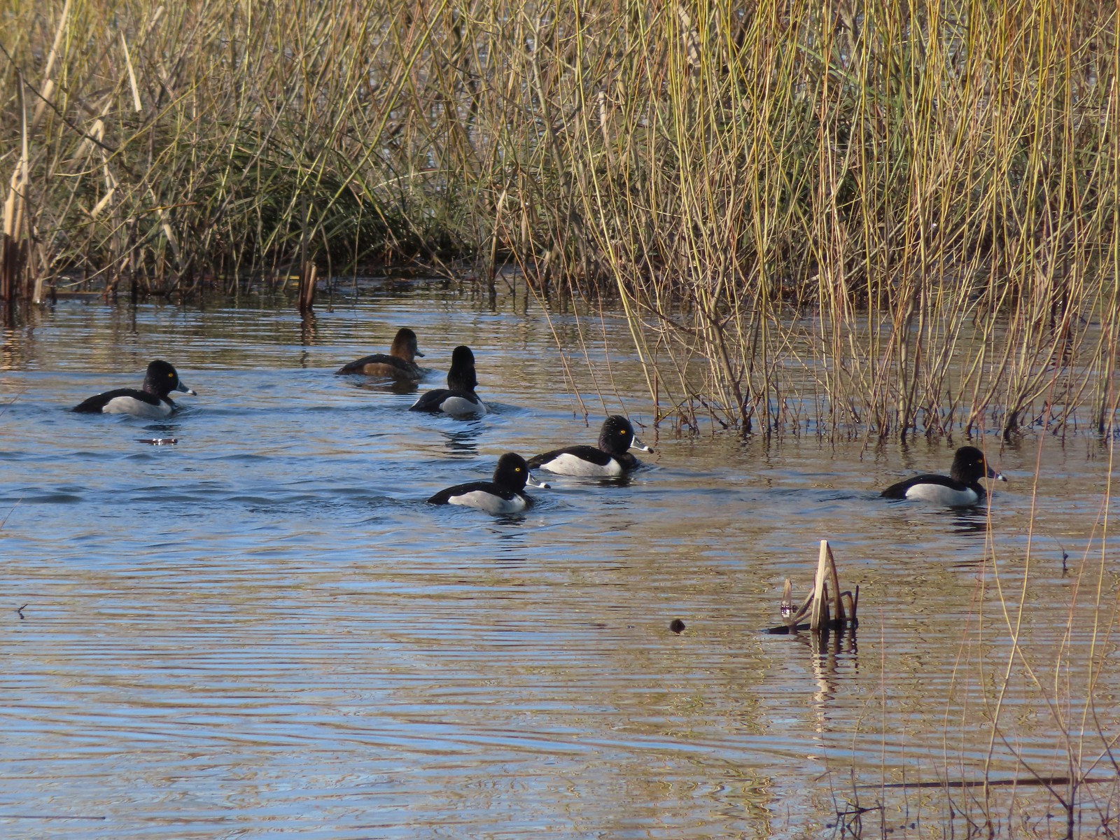 Ring-necked ducks
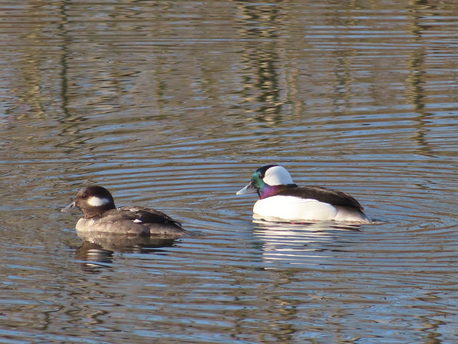 Buffleheads
 This one might be a hooded merganser?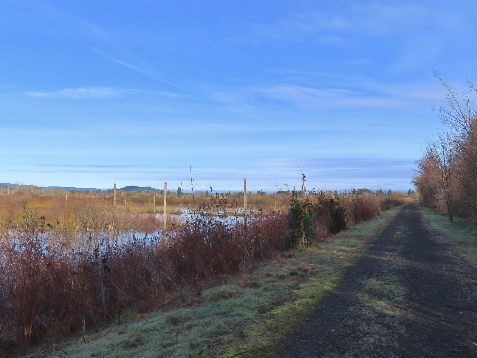
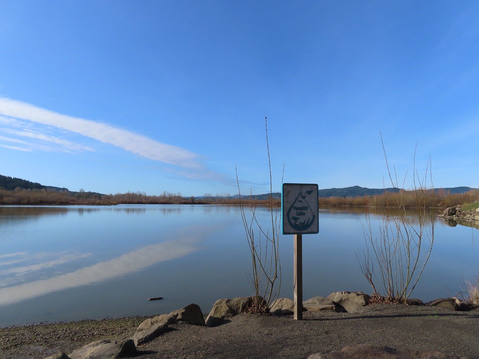
 Fernhill Lake
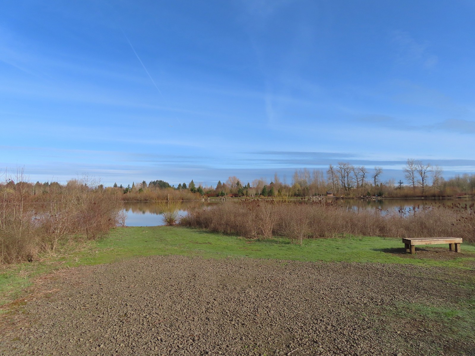 This is where the trail turned east (for obvious reasons).
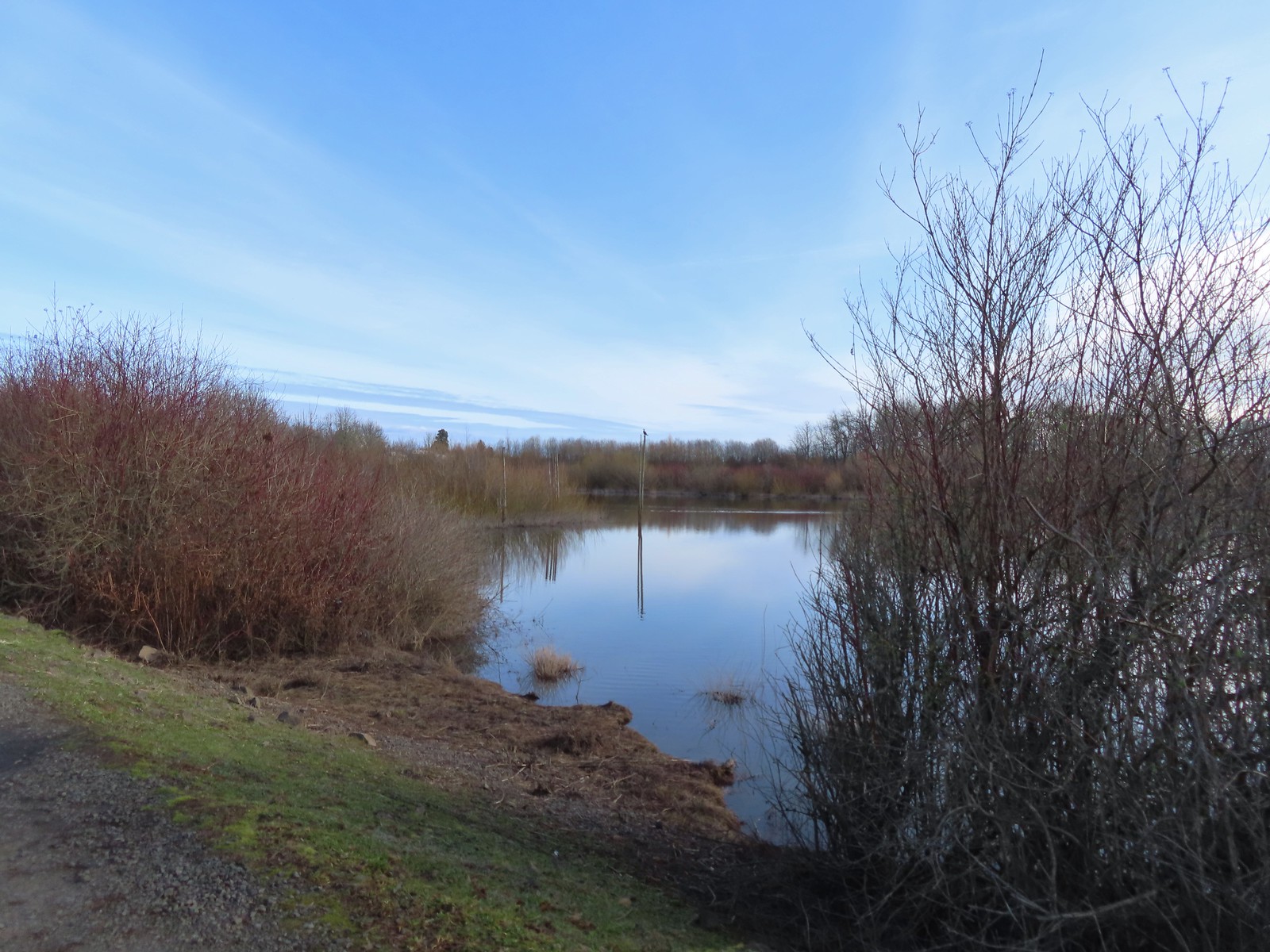
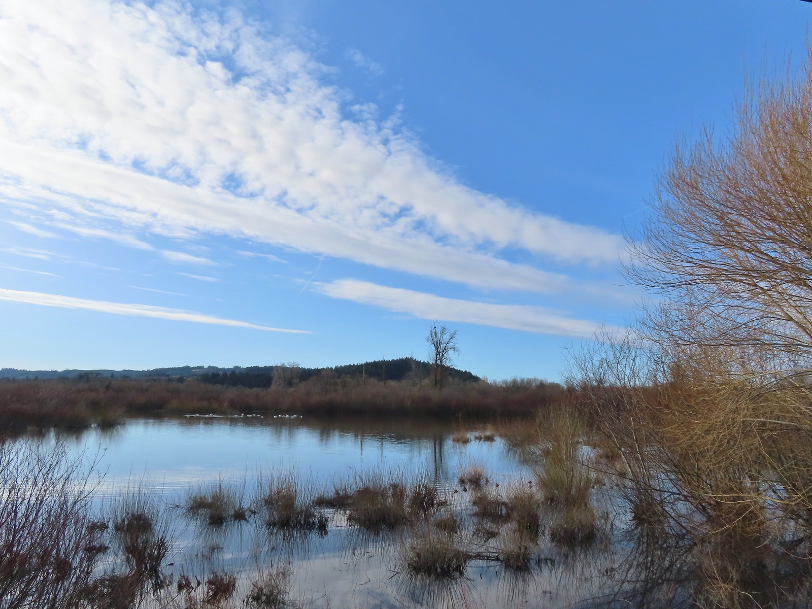 Barney wetlands
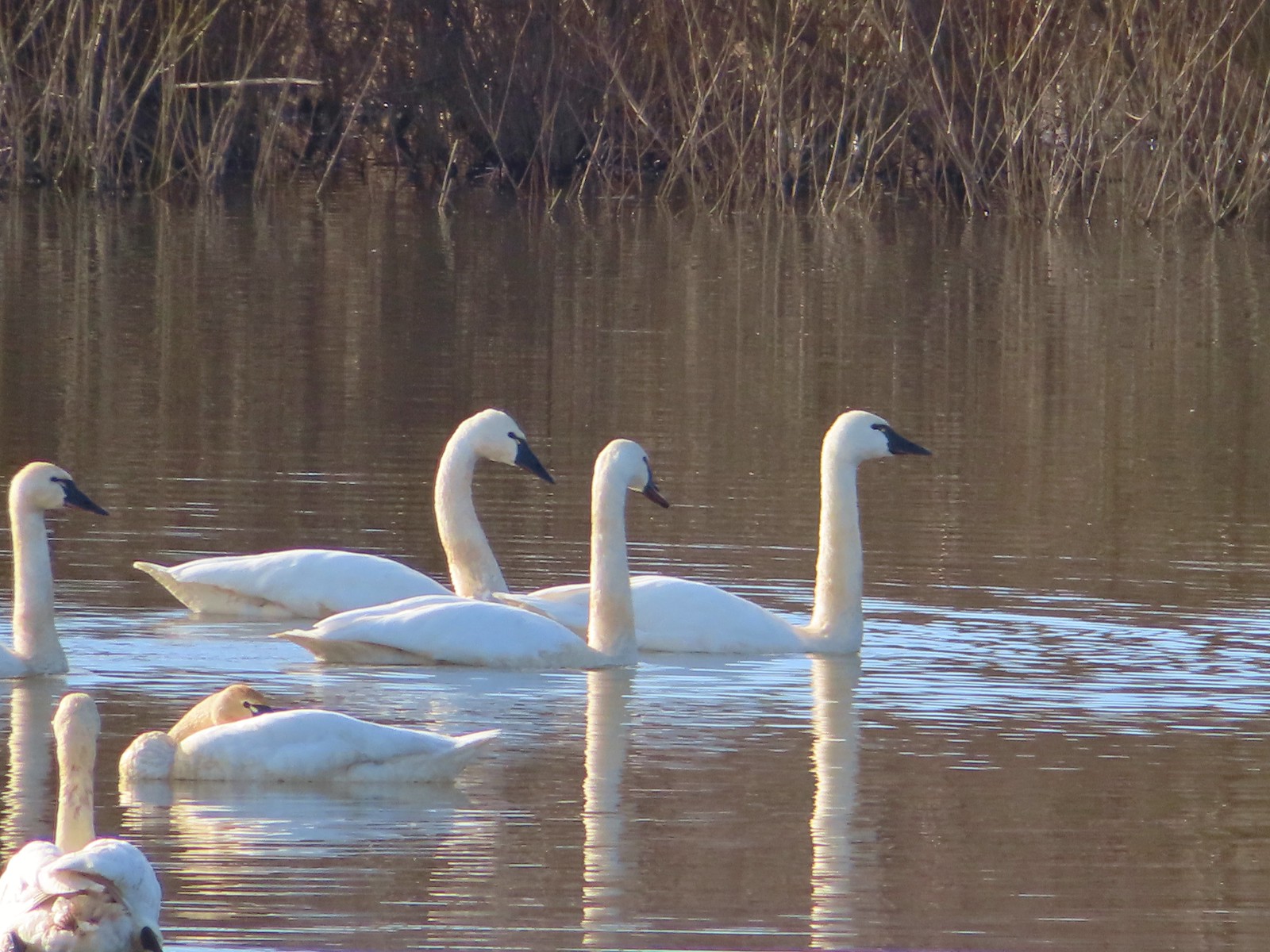
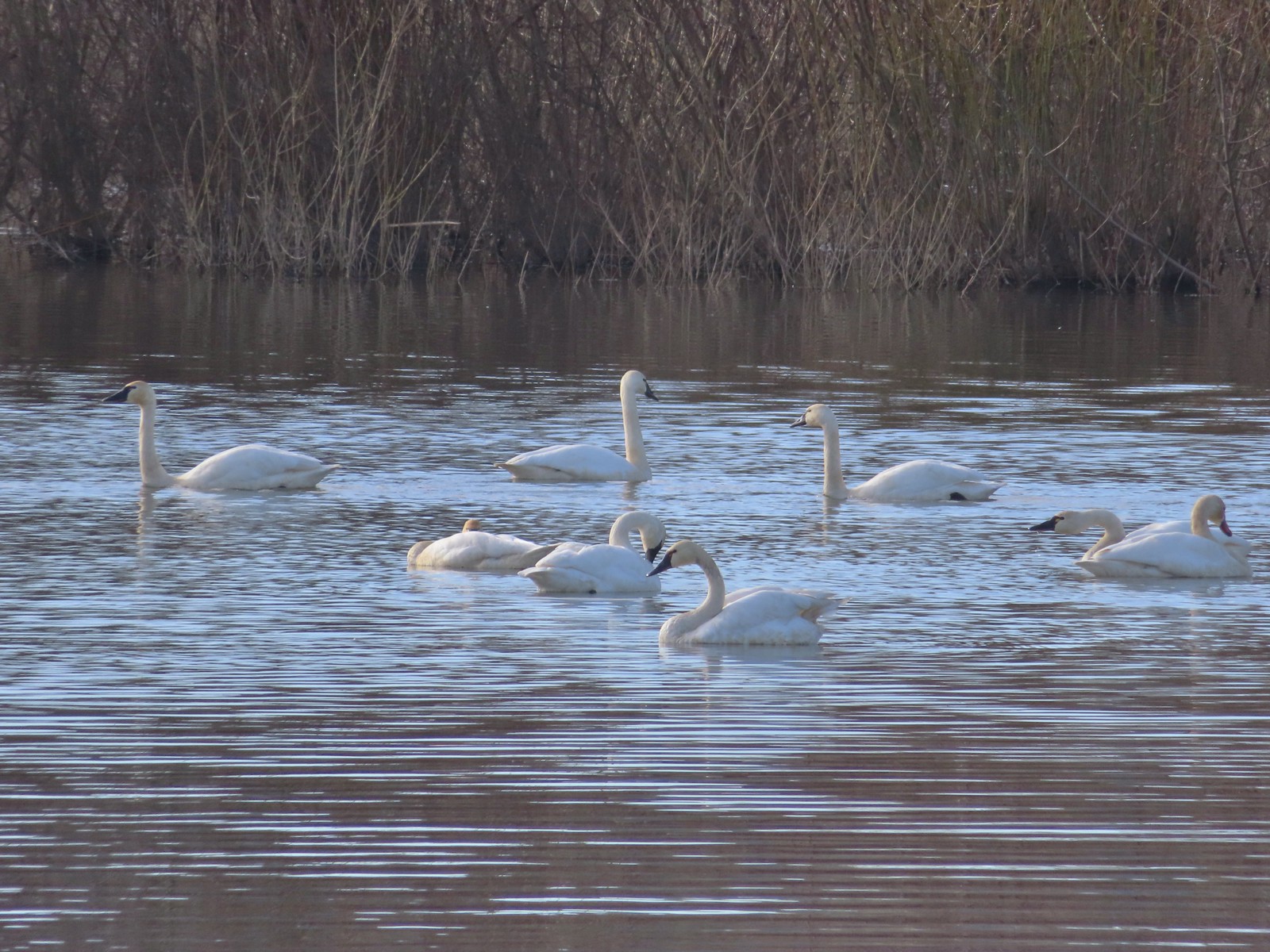

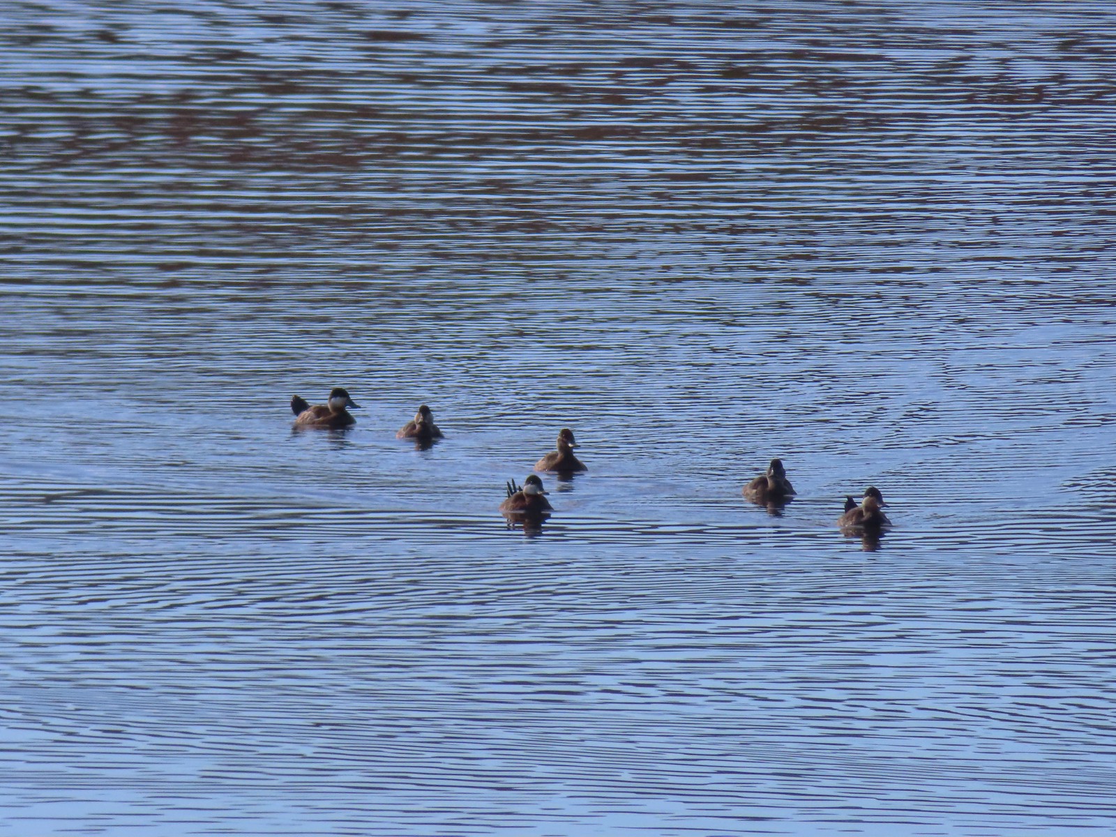


 Double-crested cormorant on a post in Barney Wetlands.
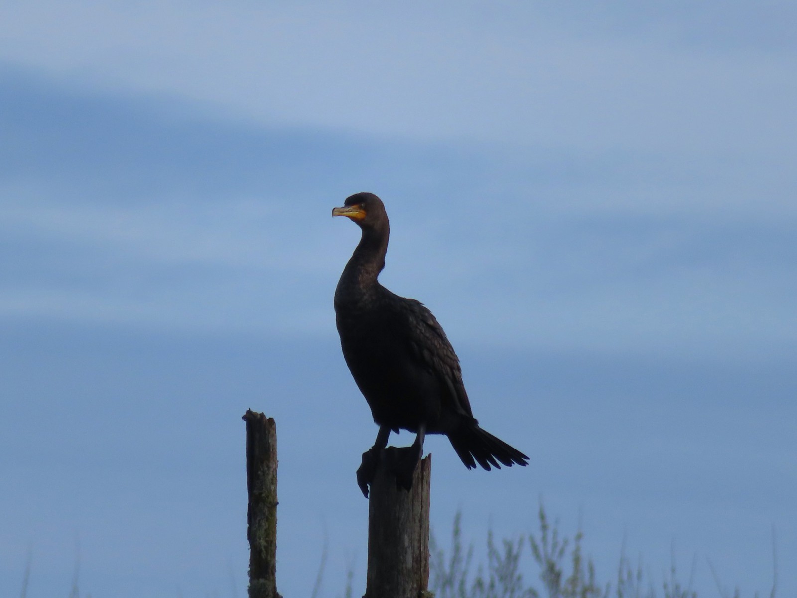 Double-crested cormorant
 Drying off in the sun.
 Nurtia at a bench near Dabblers Marsh
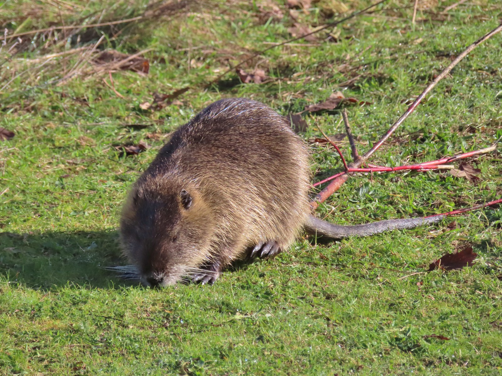 Nutria
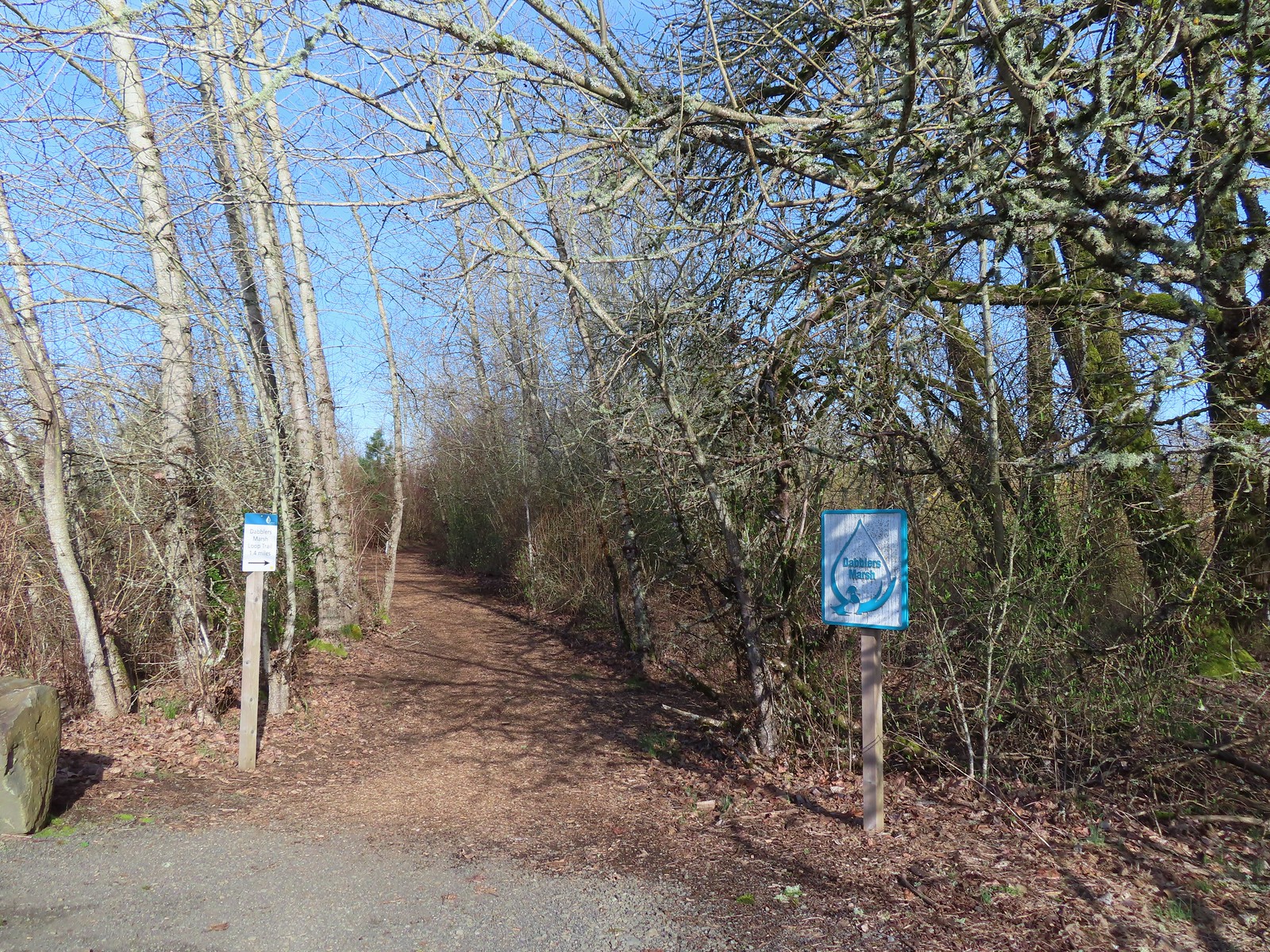
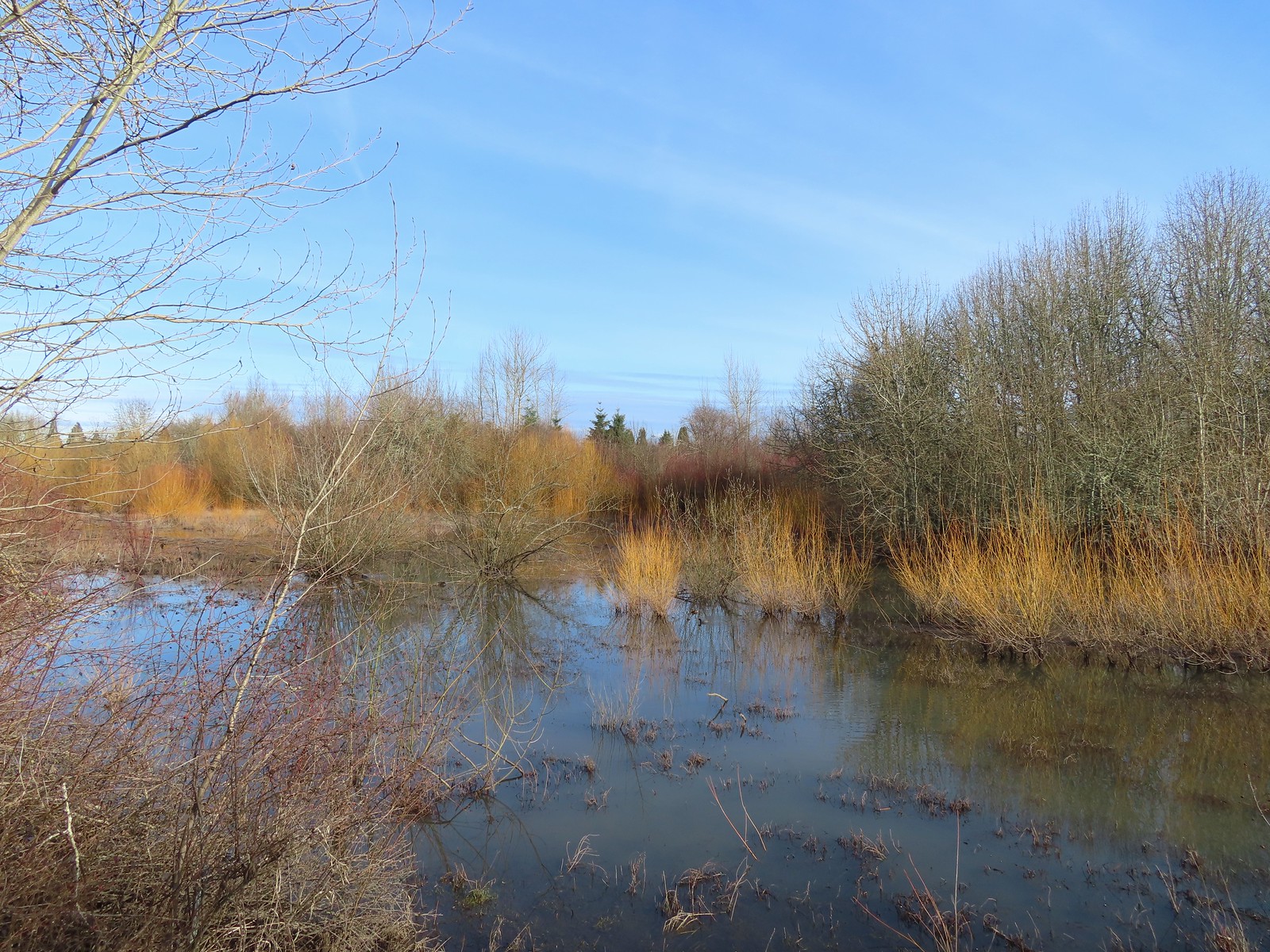 Dabblers Marsh
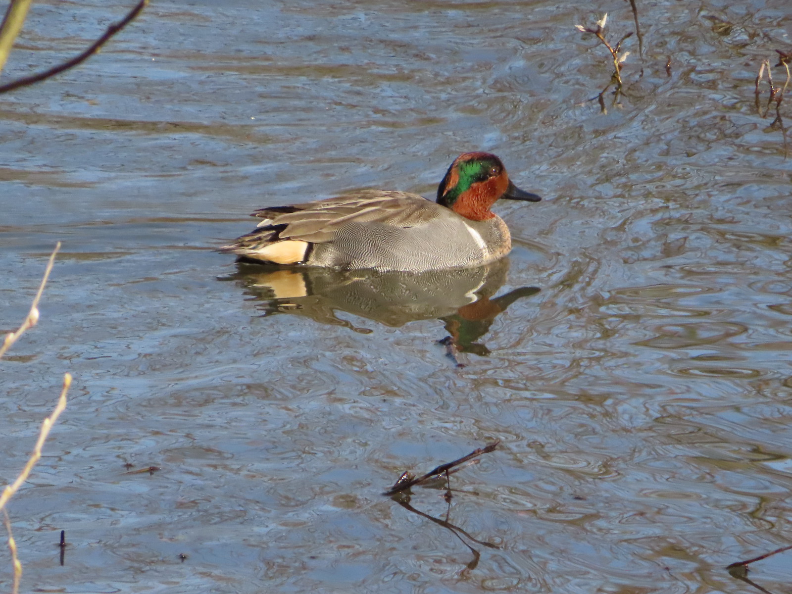 Green-winged teal
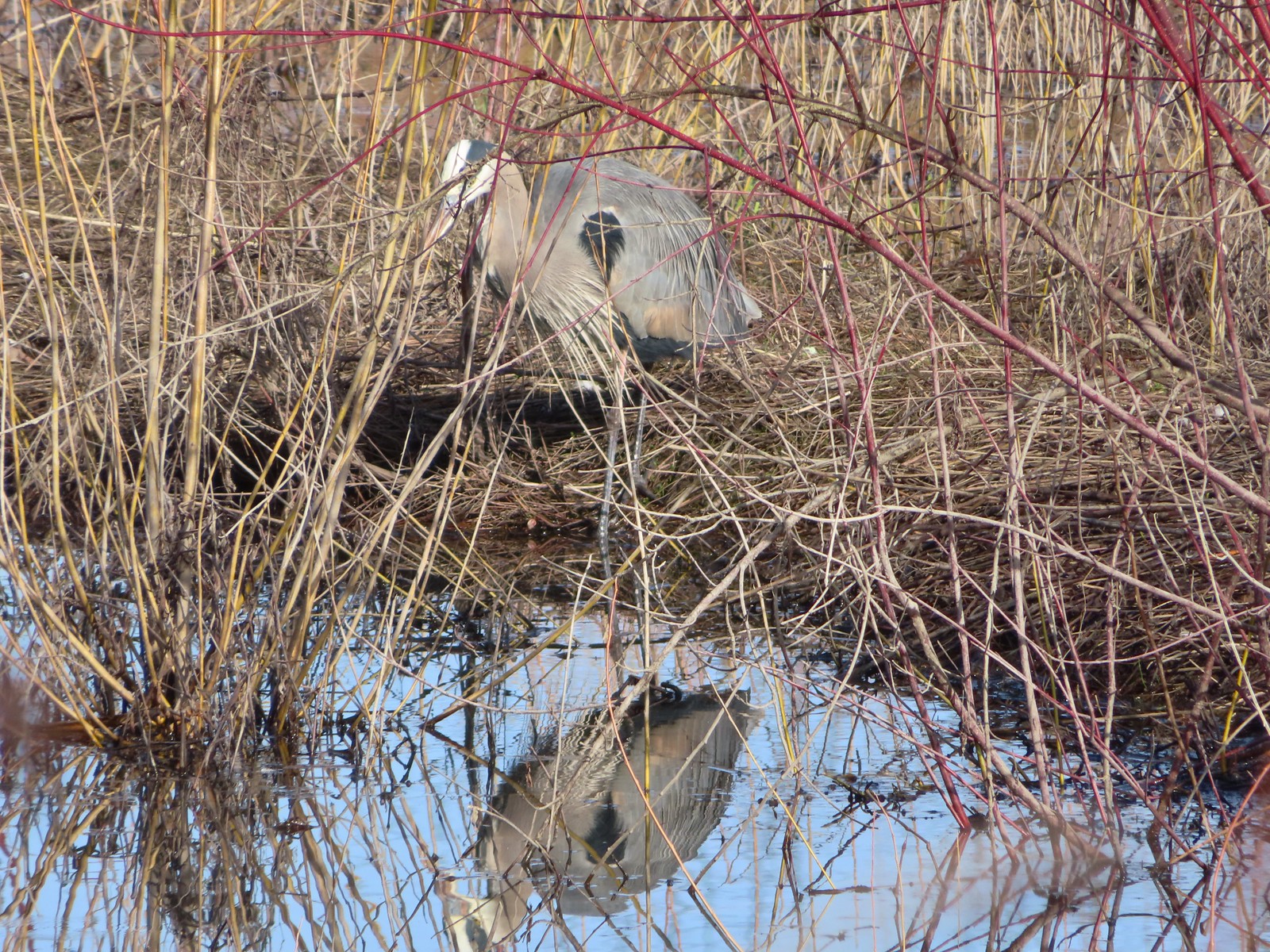 Great blue heron
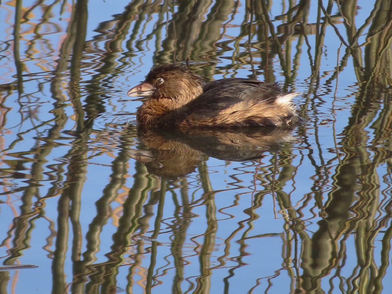 Pie-billed grebe
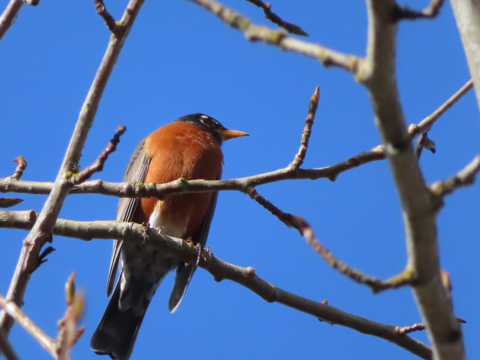 Robin
Robin
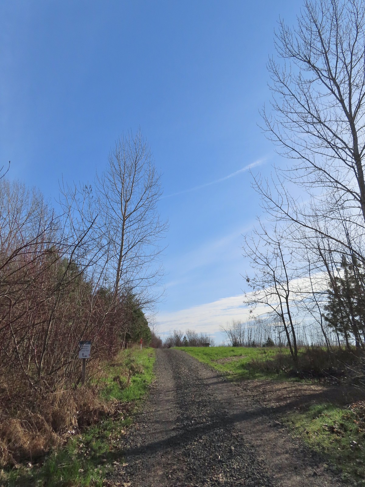 The start of the loop at the edge of the farmland. We stayed left opting to hike the loop clockwise.
 Anna’s hummingbrid
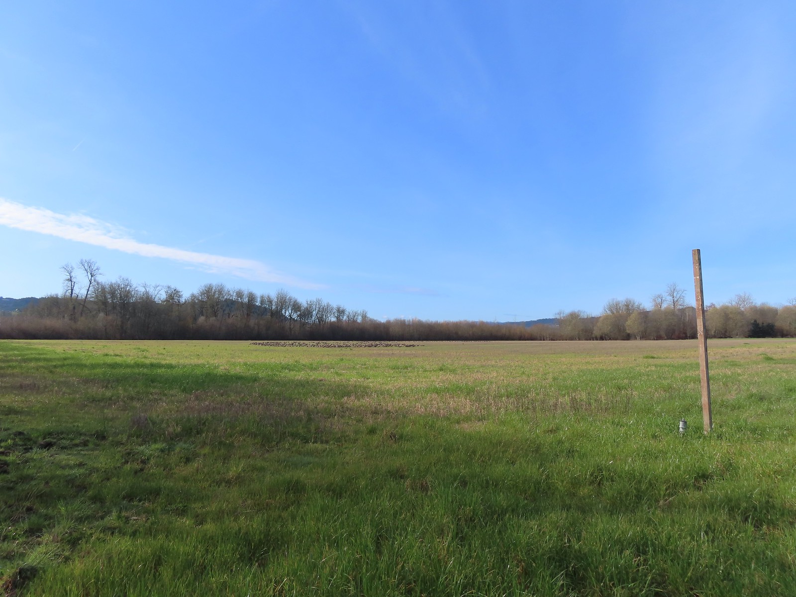 A gaggle of geese in the field.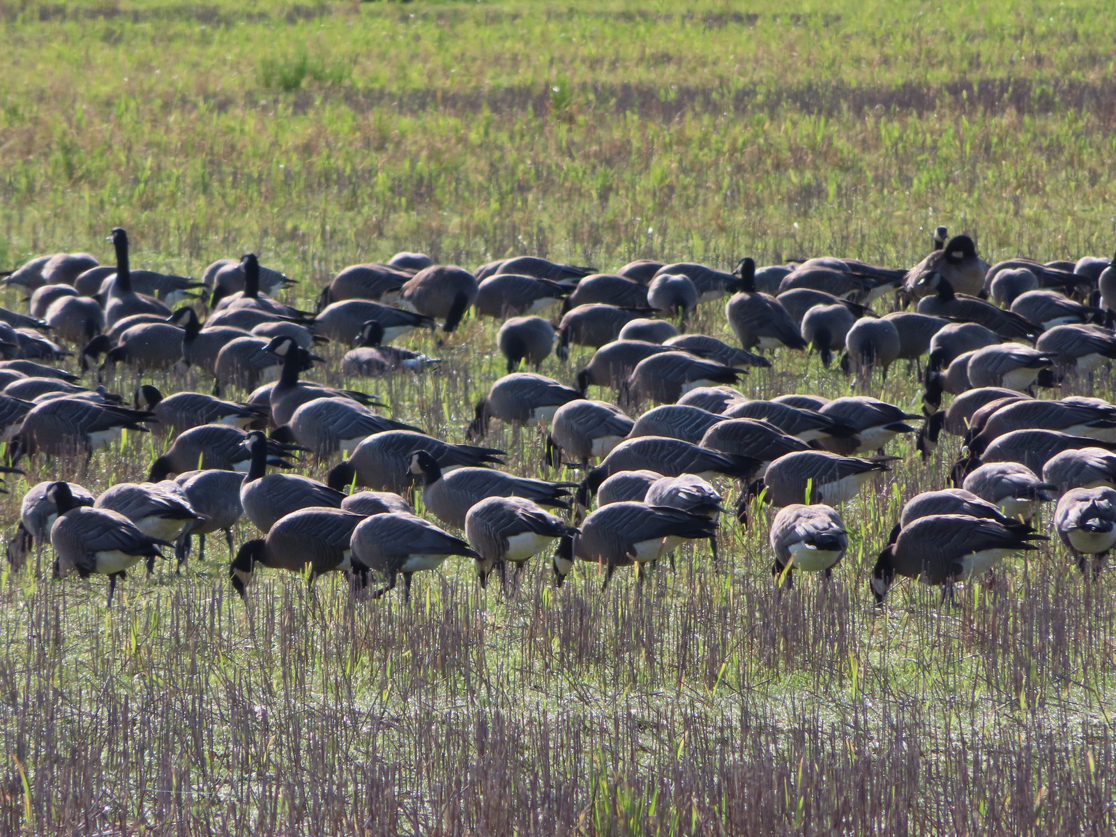
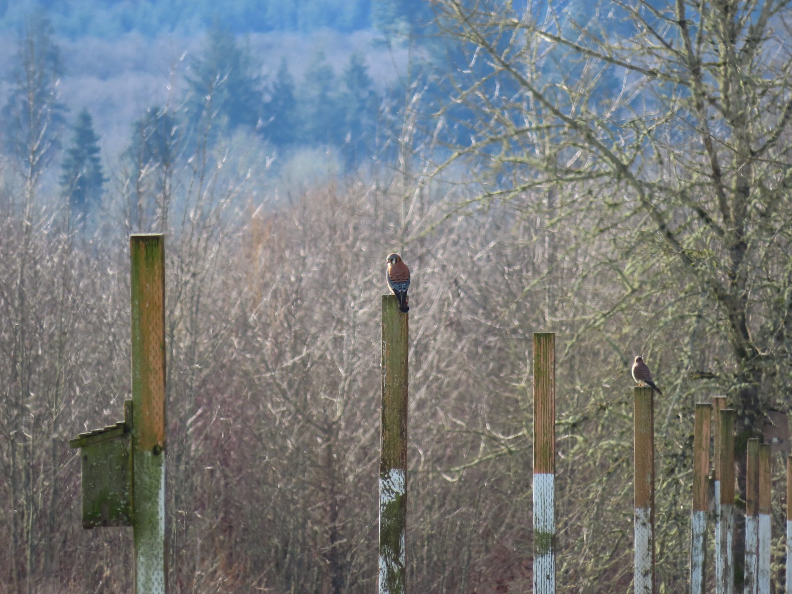 American kestrels manning their posts.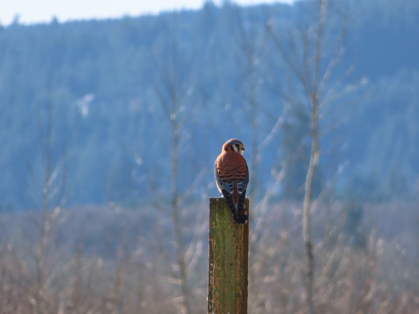
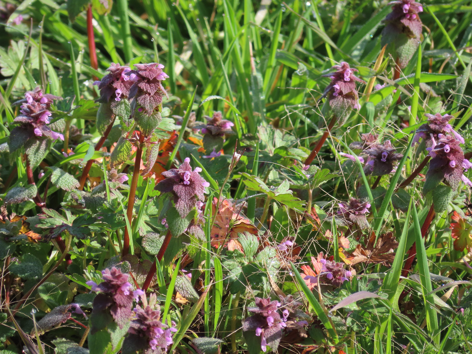 Purple dead-nettle
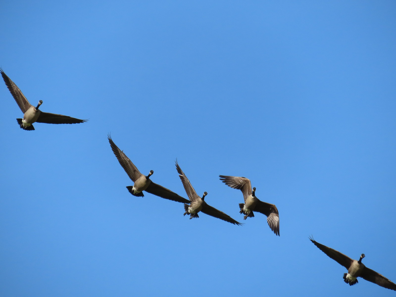 More geese coming in for a landing.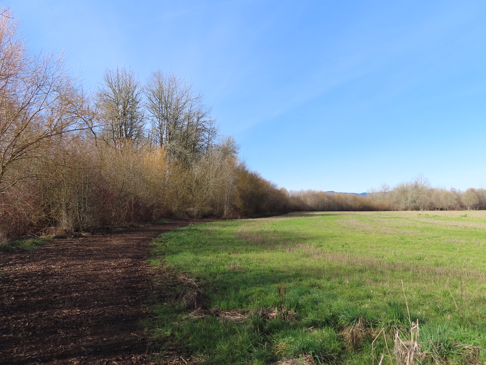
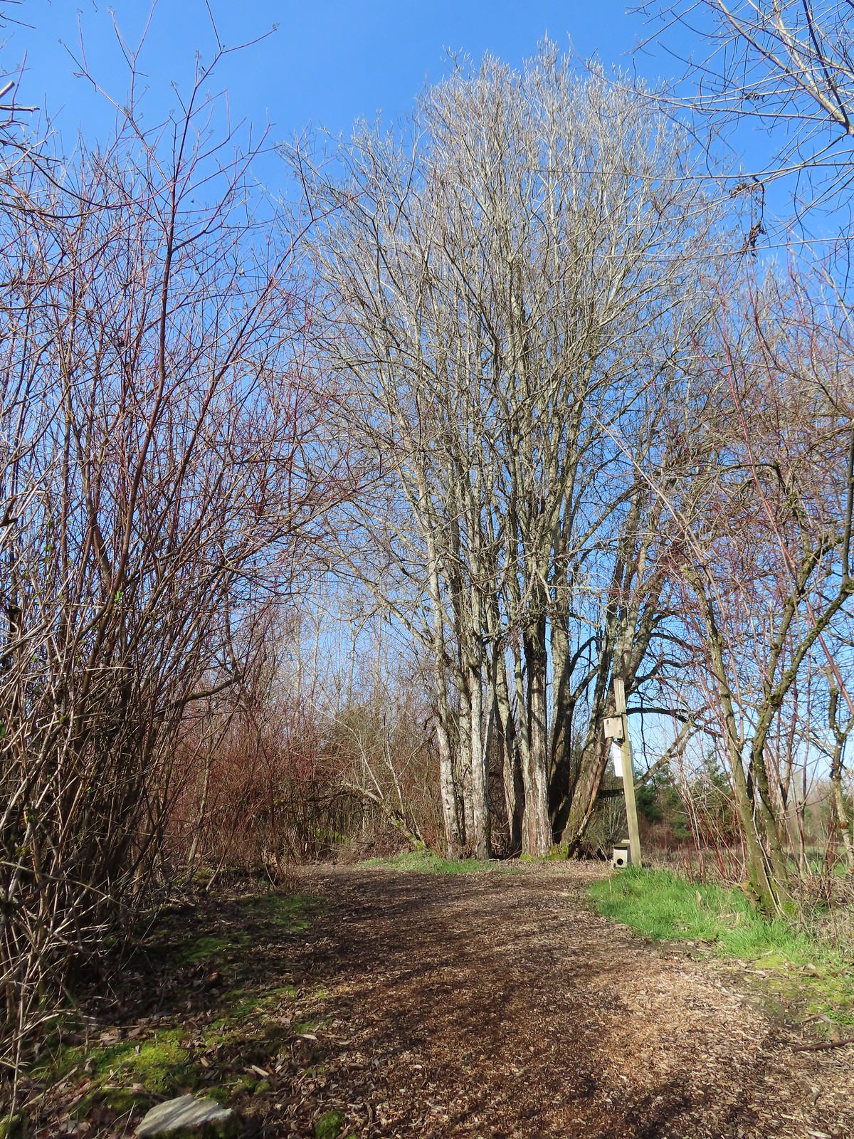 Near the end of the loop the trail left the field along Dabblers Marsh.
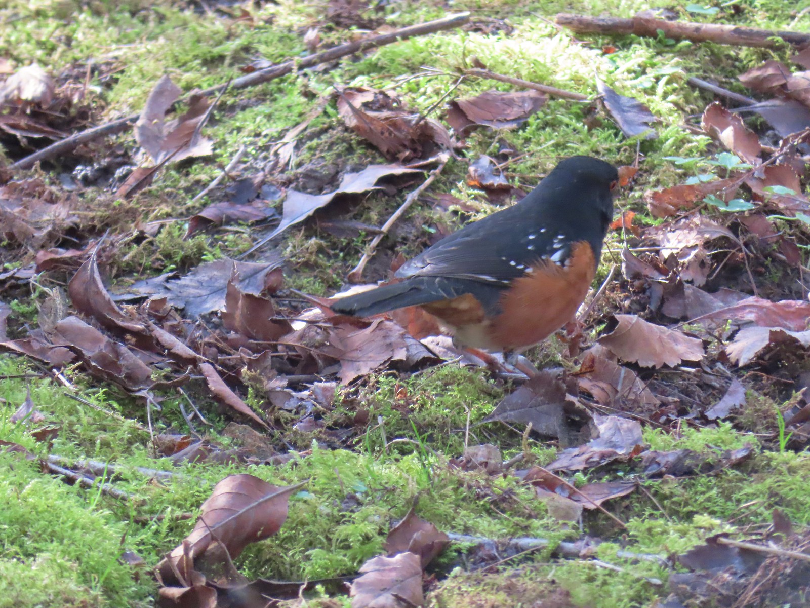 Spotted towhee
 Rabbit
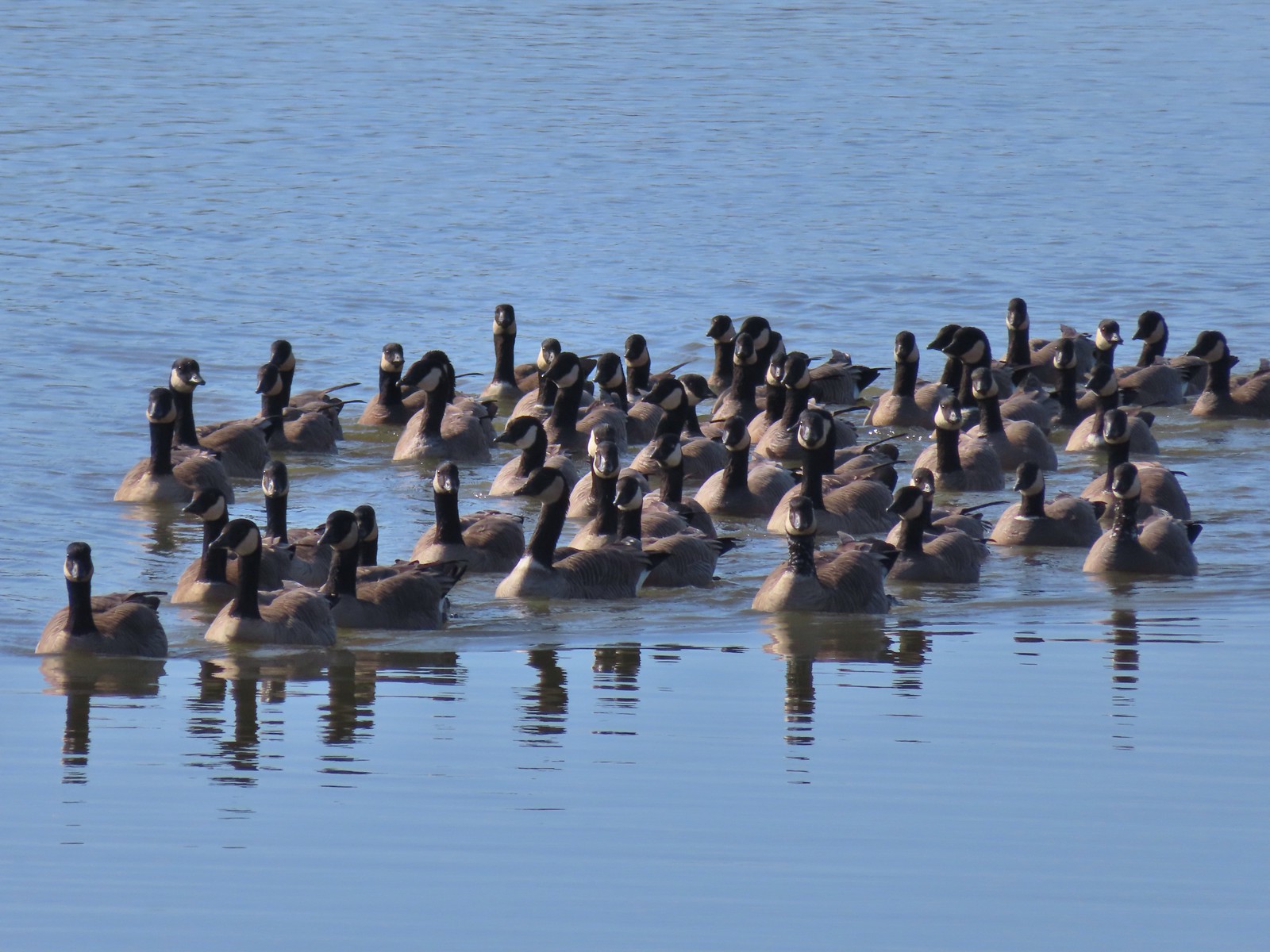 Geese on Fernhill Lake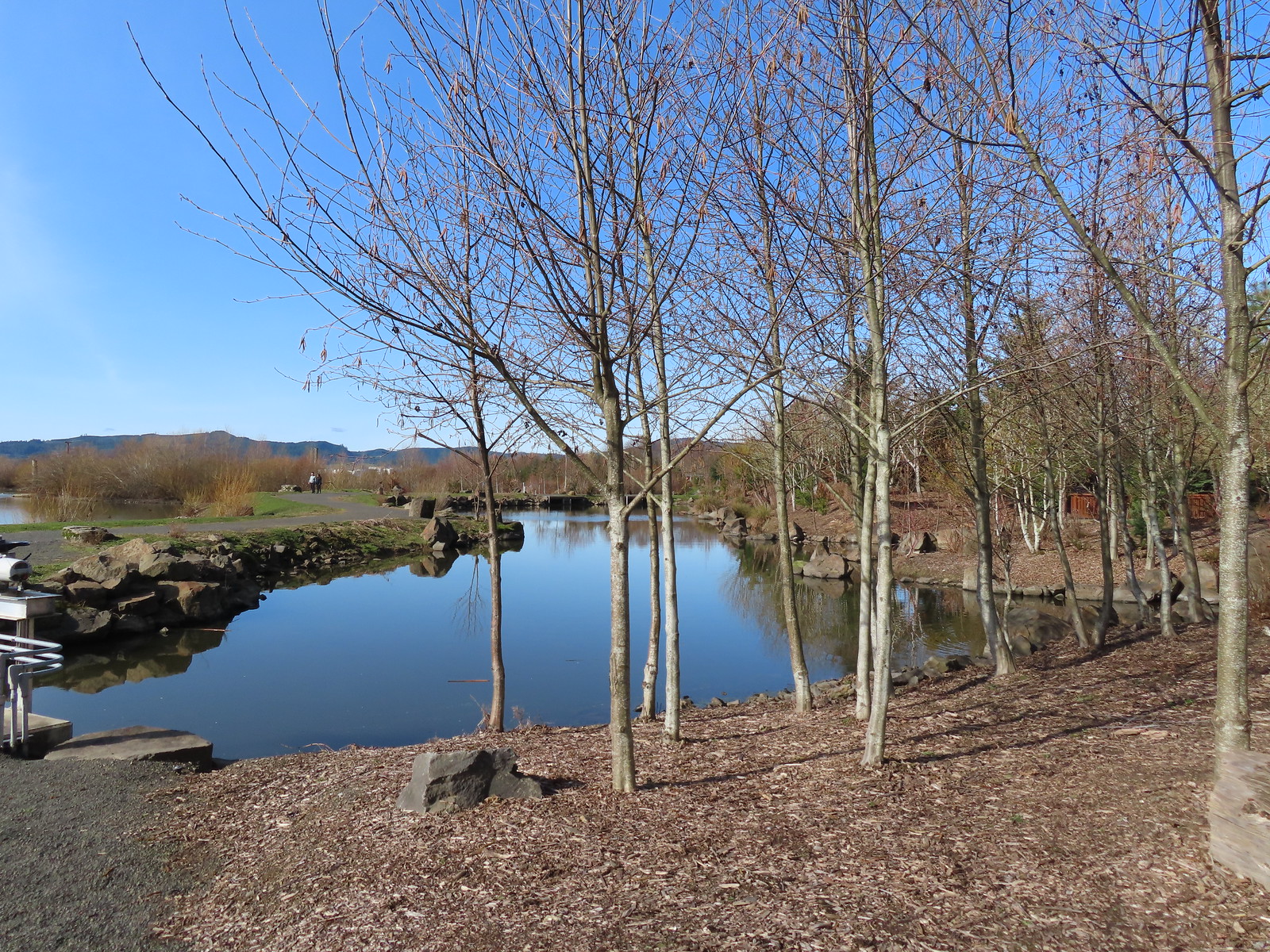
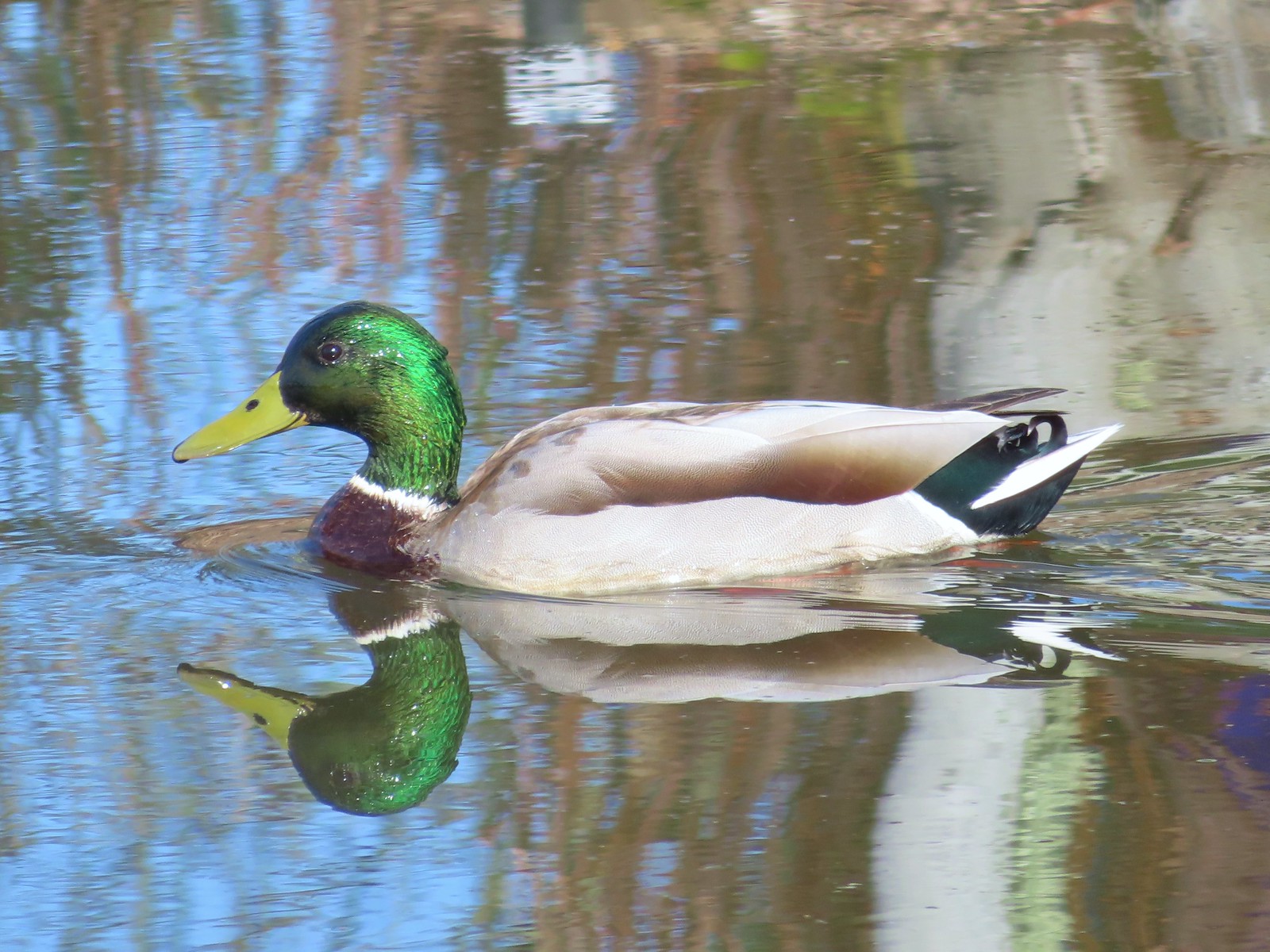 Mallard drake
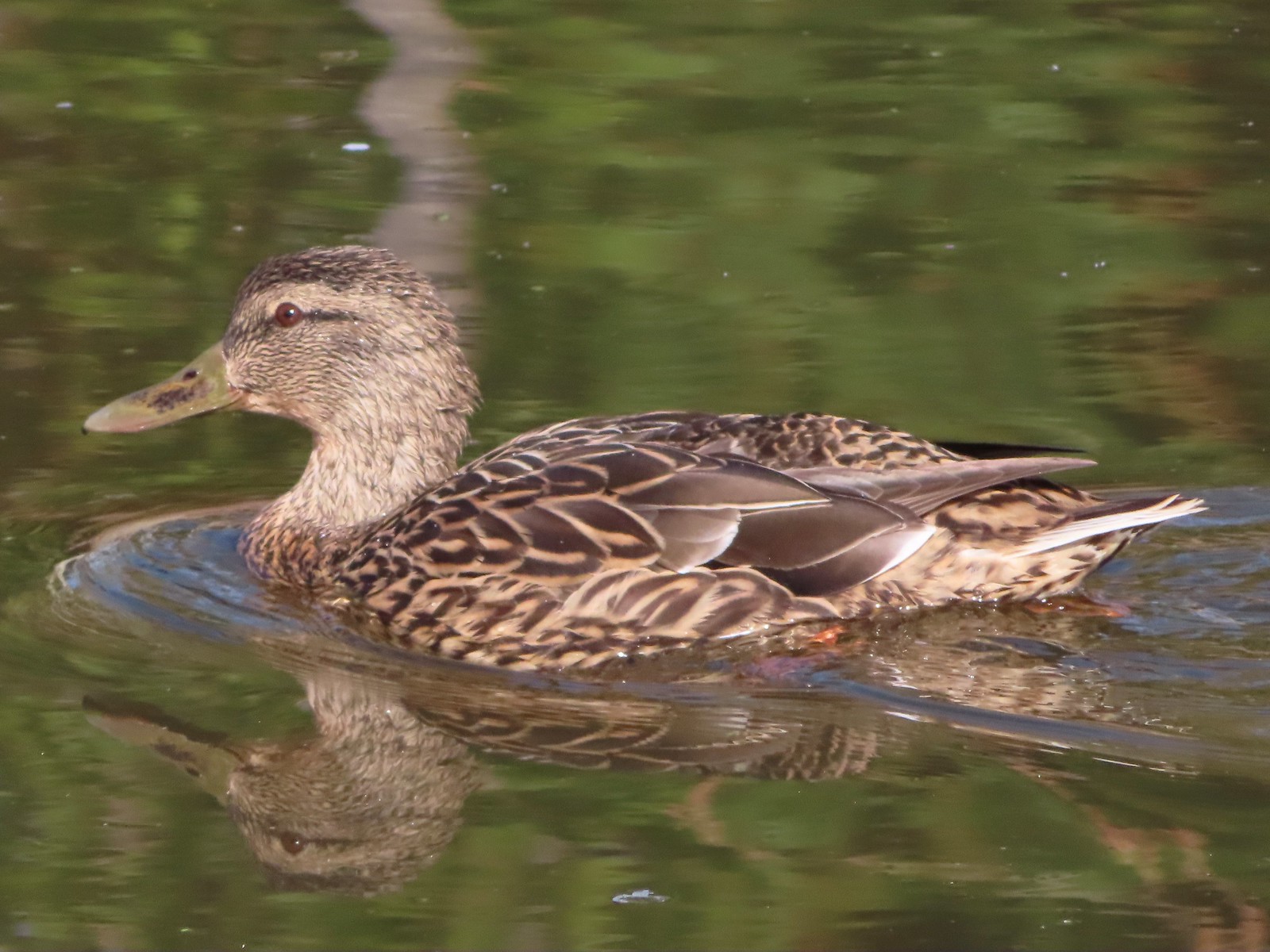 Mallard female
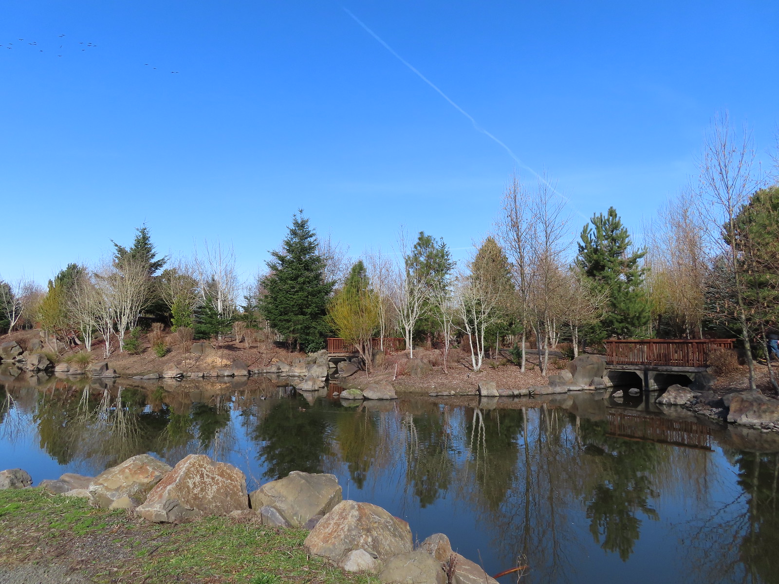 Water Gardens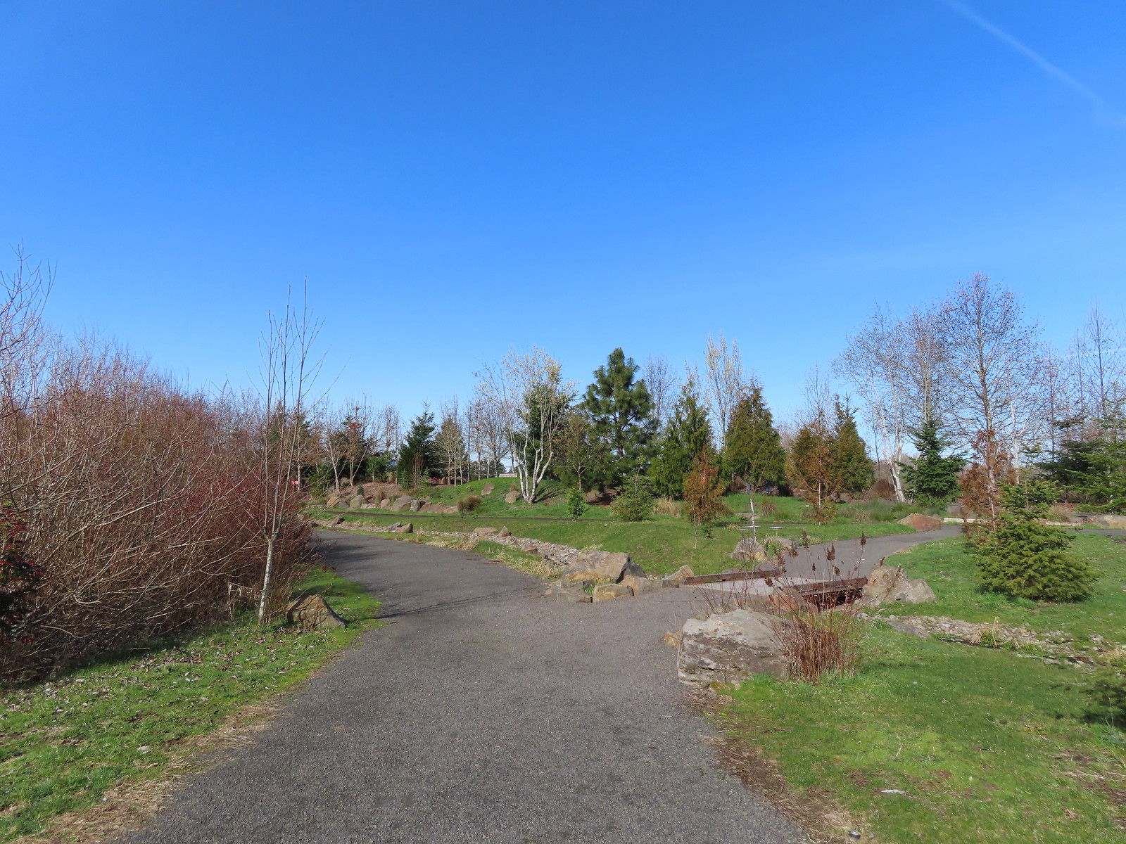

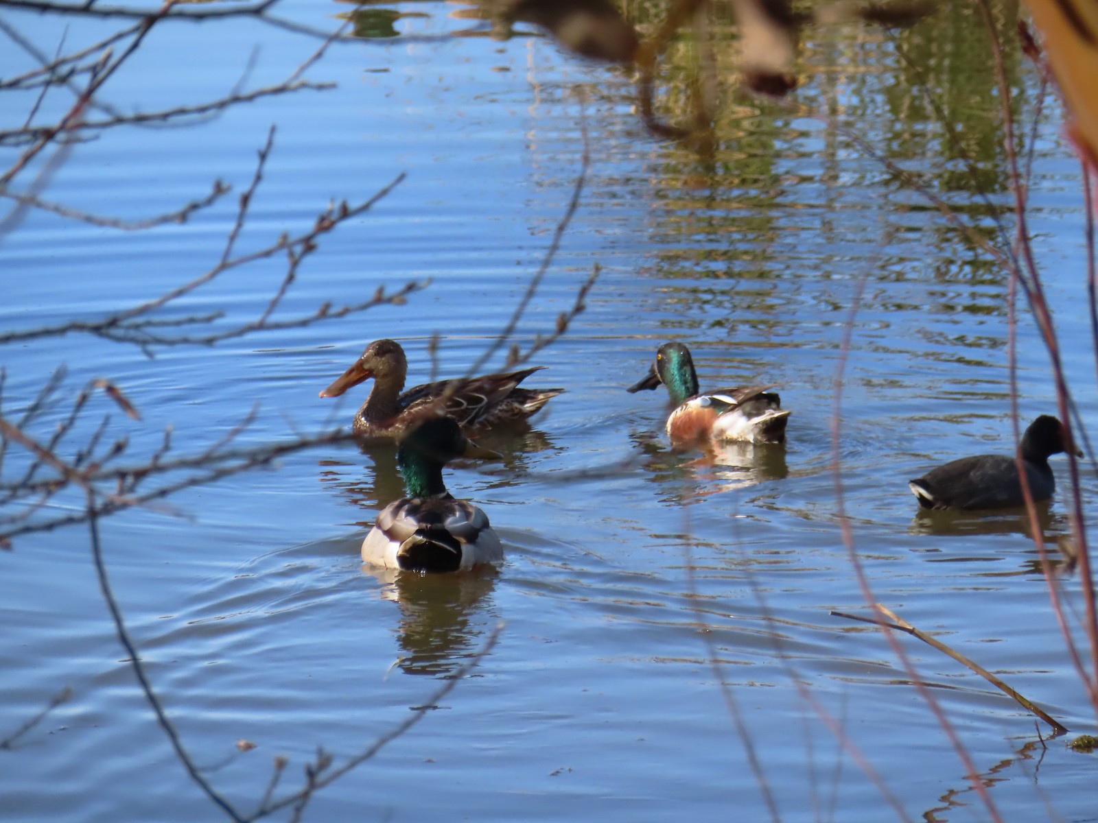 Northern shovelers, a mallard, and a coot.
 Oregon grape beginning to bloom.
 Northern shoveler
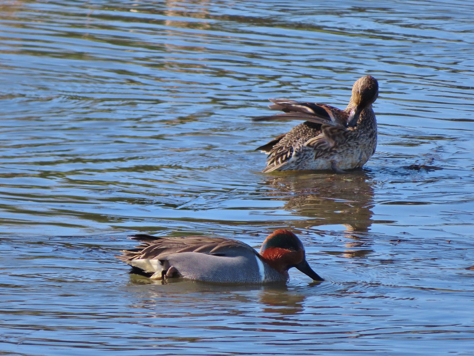 Green-winged teal pair
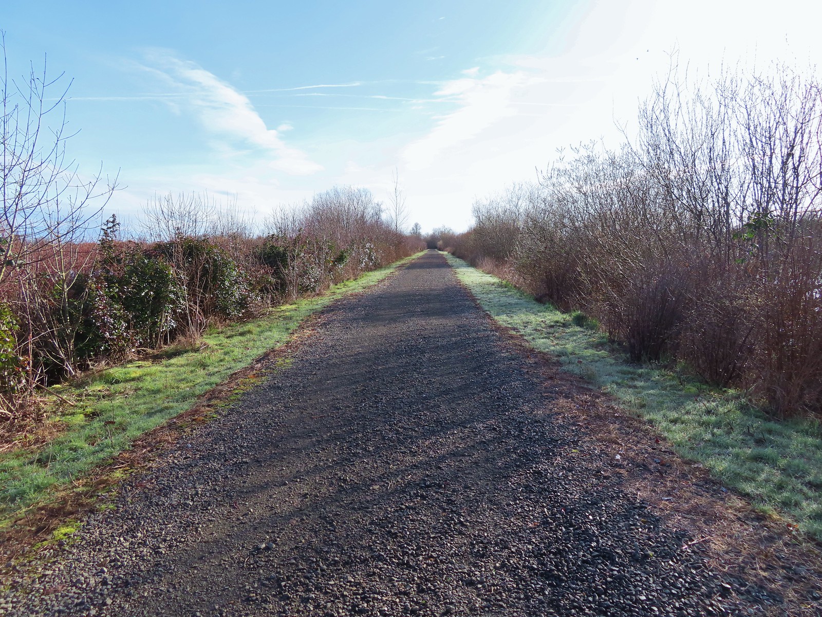
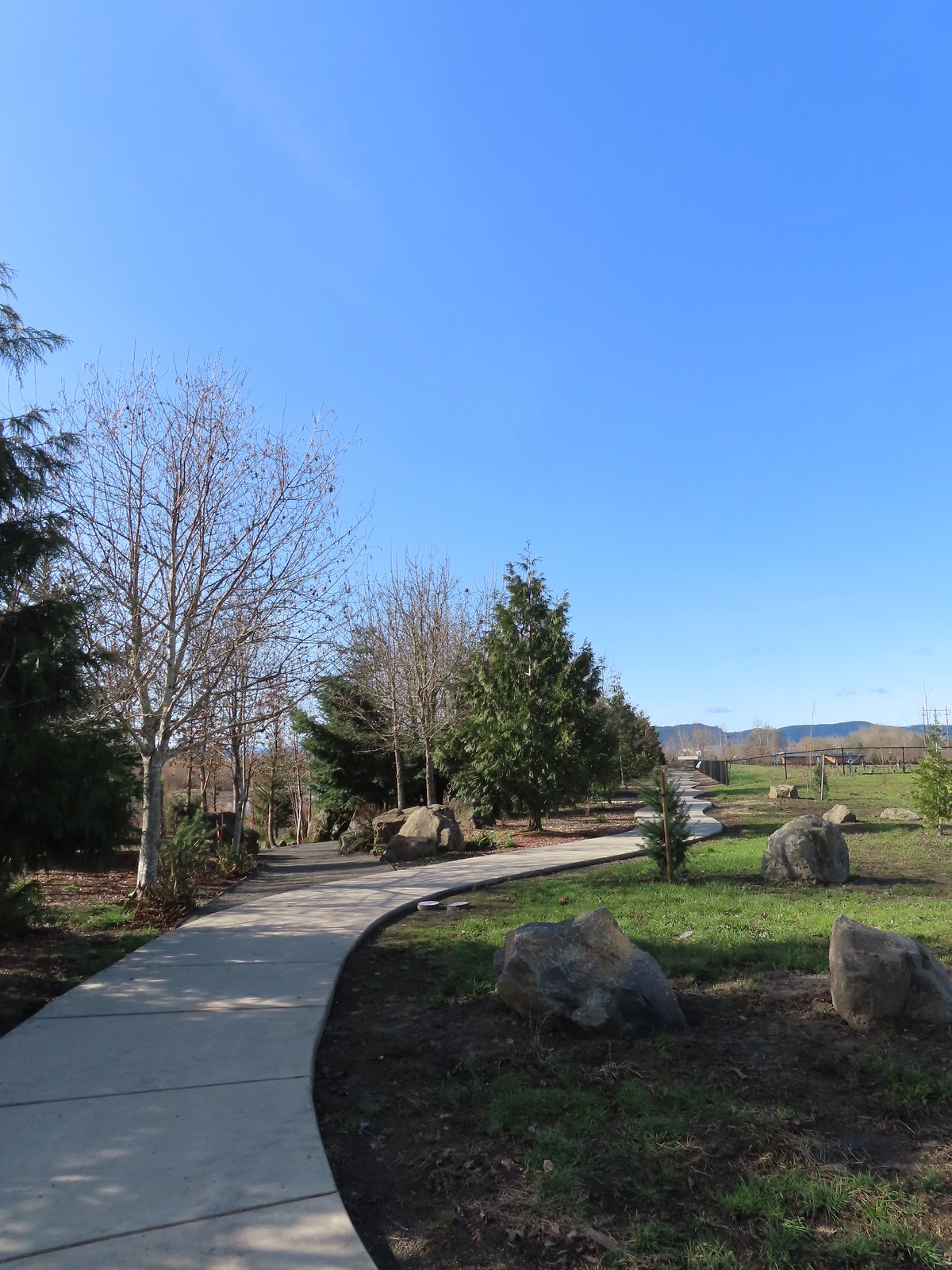 Path along the Research Wetlands.
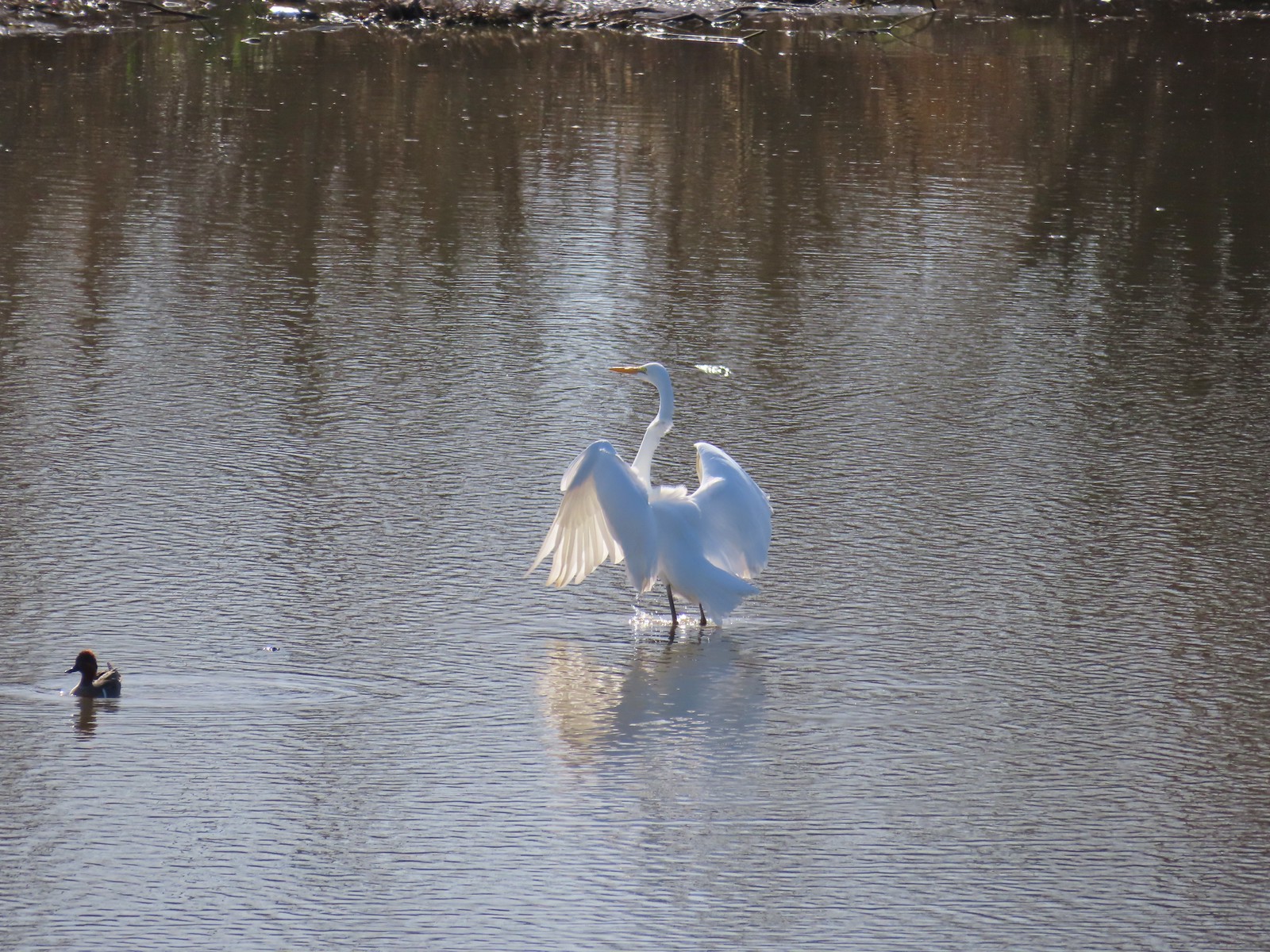 Egret near the parking lot at Fernhill Marsh
 Looking back at the Research Wetlands from the near the trailhead.


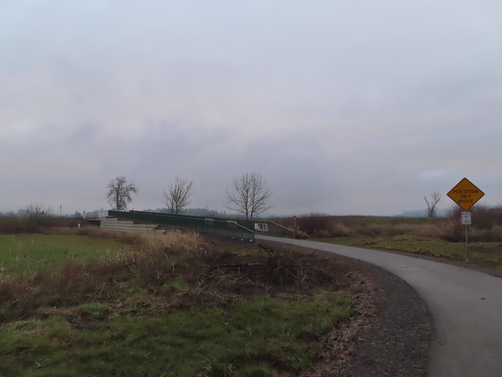
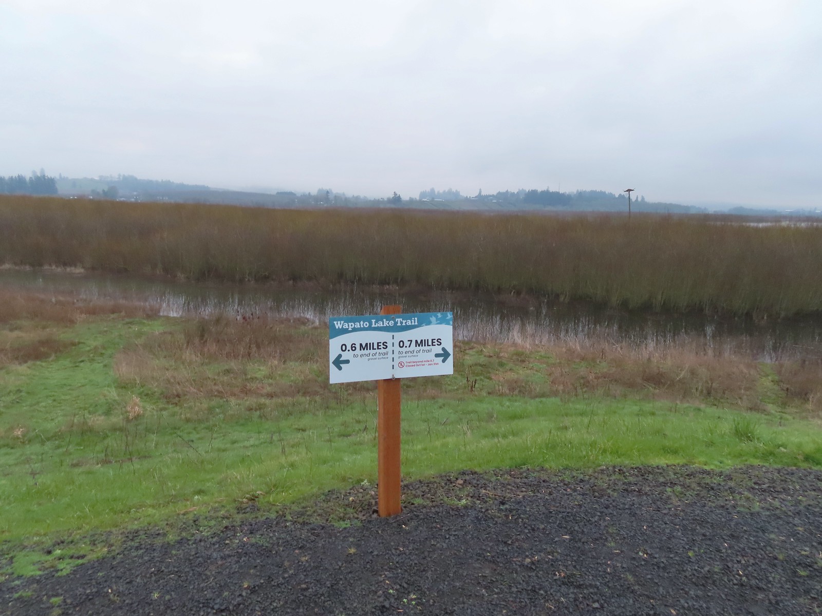
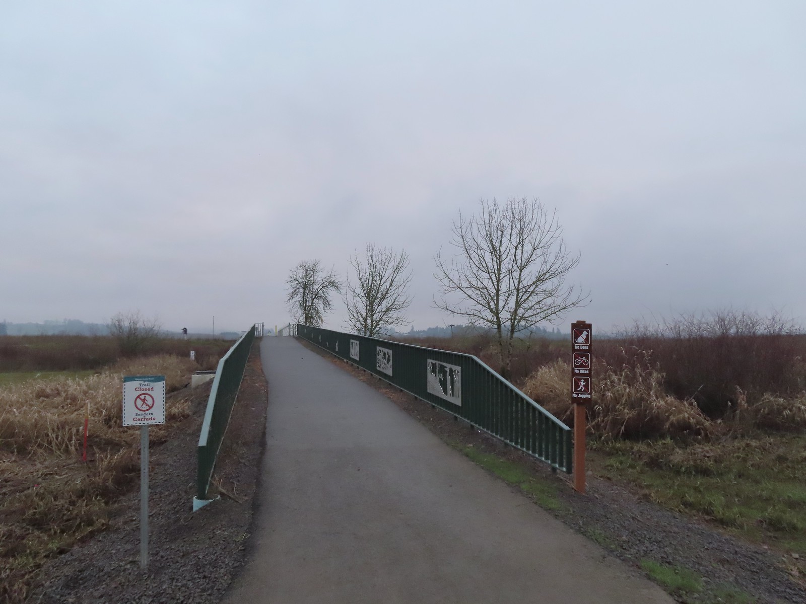 We were a little confused by the sign on the left here stating the trail was closed. The website and signboard had said nothing about a closure and the gate at the far end of the bridge was open and others were already out on the levee. We assume they just hadn’t taken the sign down after the seasonal closure period.
 Pointers on the levee.
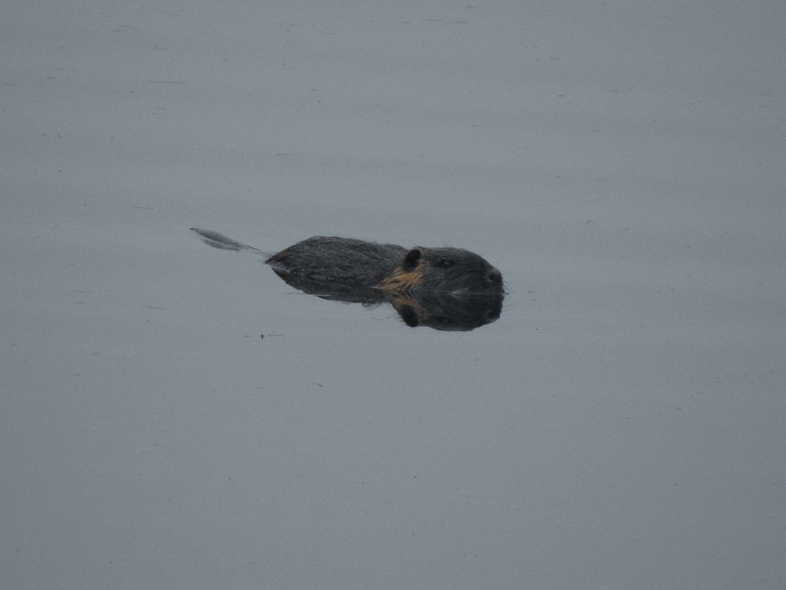 Nutria (sigh). We had hopped it was a beaver but alas the whiskers give it away.
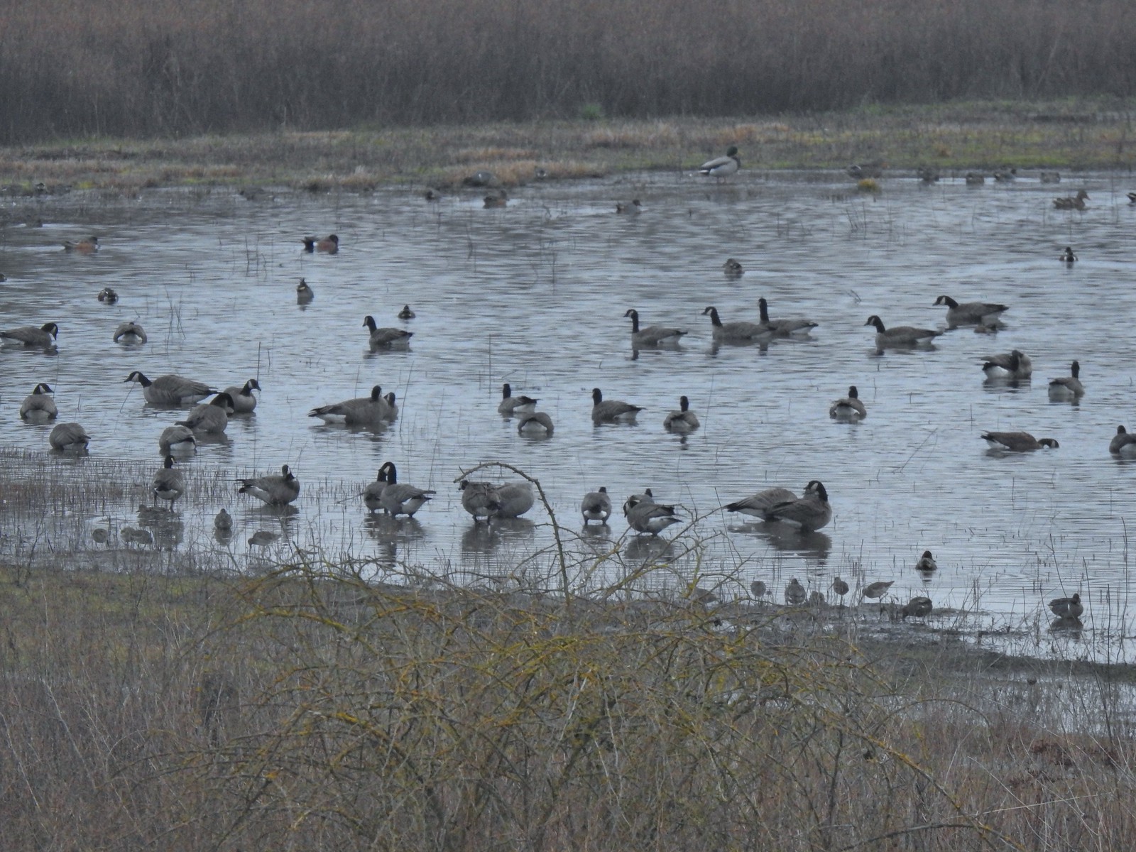 Geese, several species of ducks, and some shore birds.
 A great blue heron along Wapato Creek.
 Great blue heron
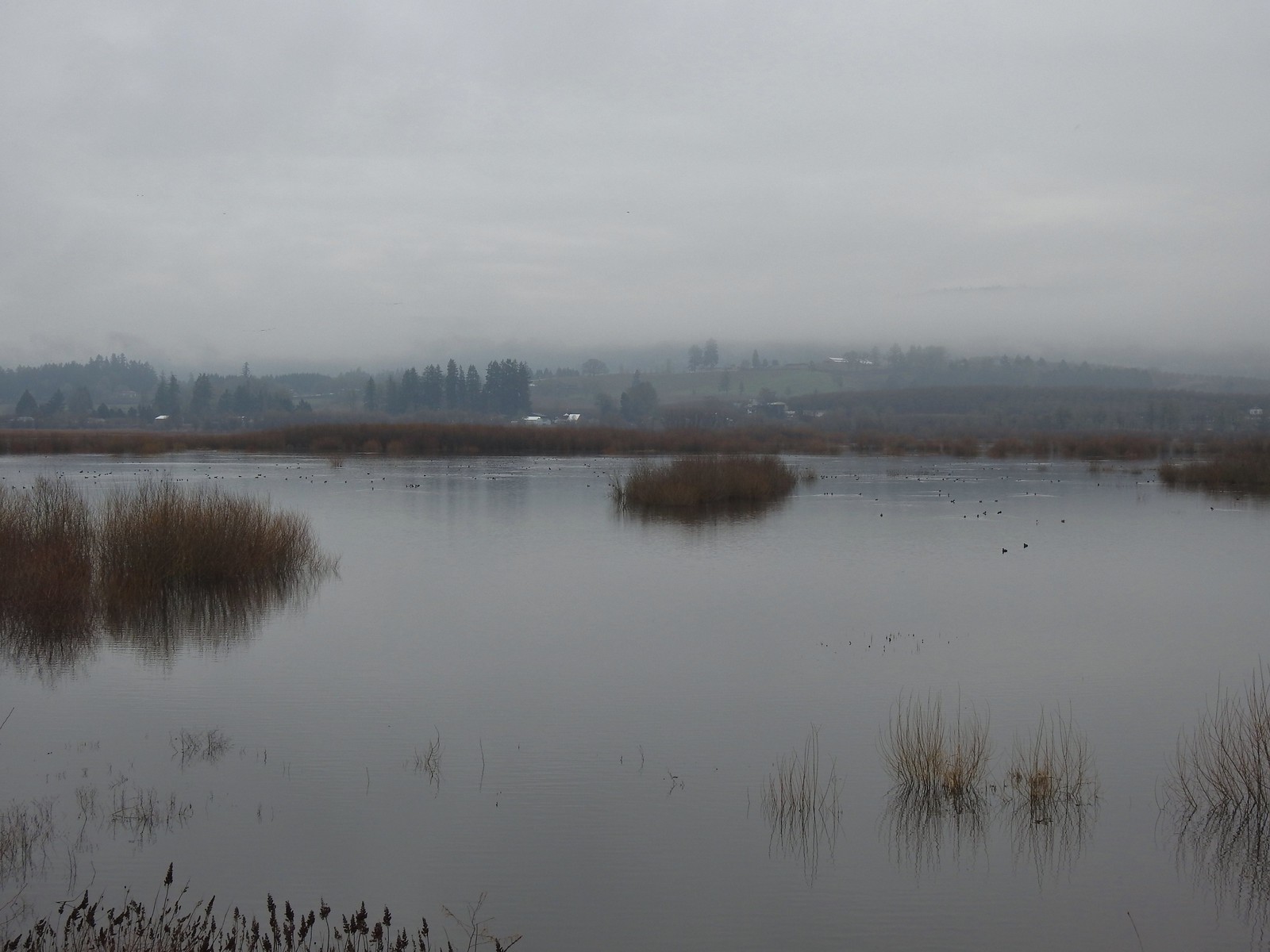
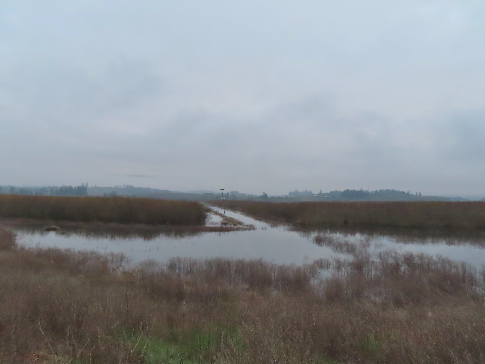 Wapato Lake
 Beaver lodge
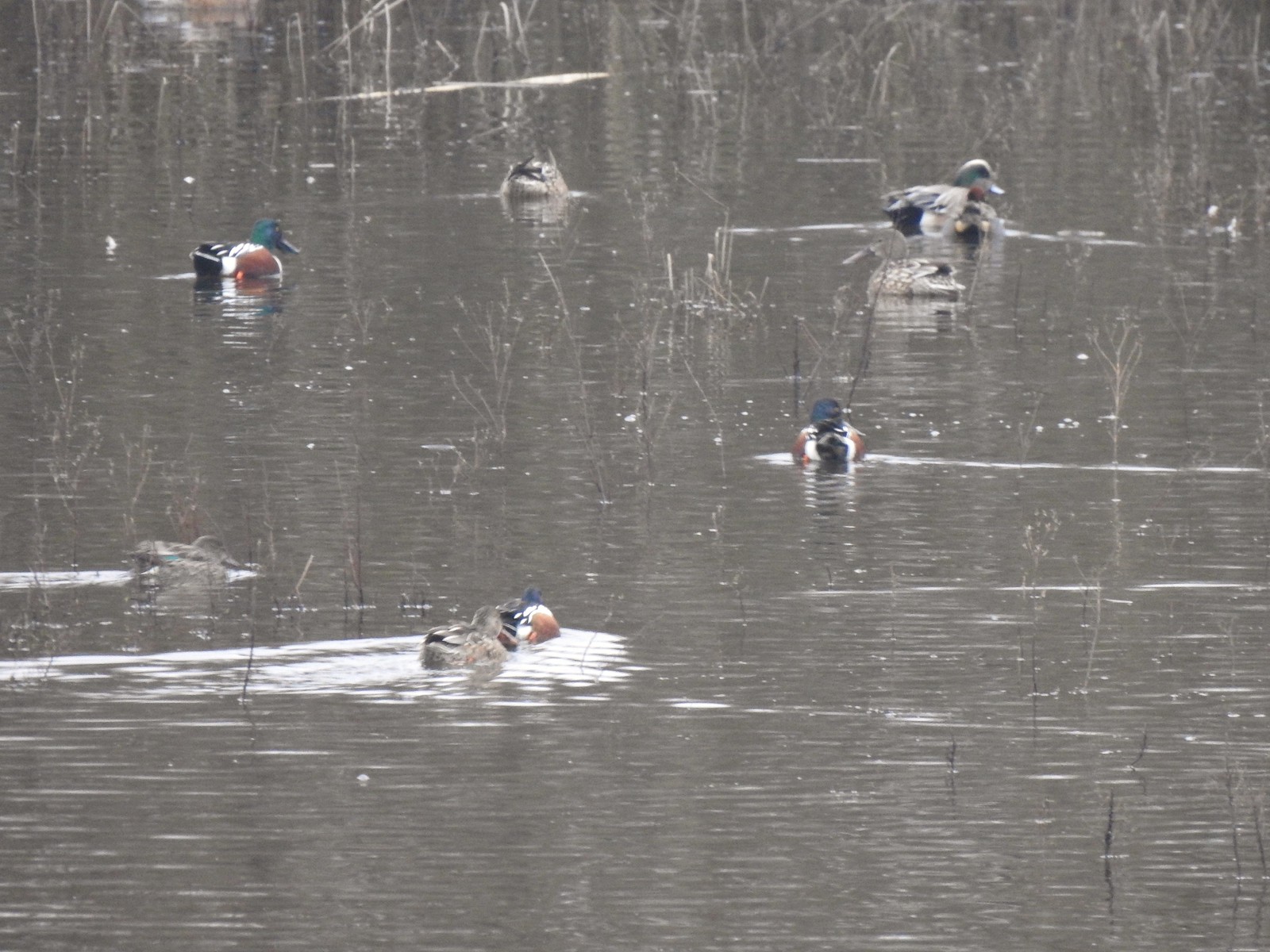 Northern shovelers and an American wigeon
 Of course we forgot to bring binoculars making it even harder to make out which types of ducks were out there.
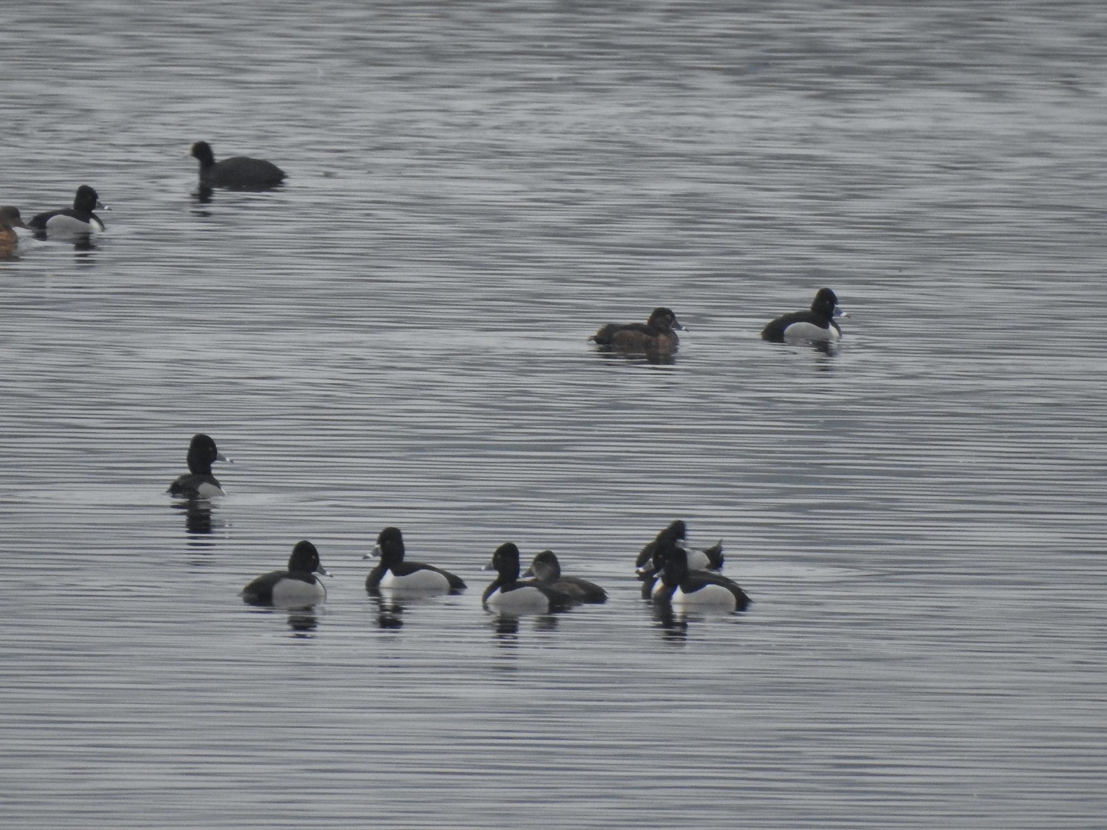 Ring-necked ducks with an American coot in the background.
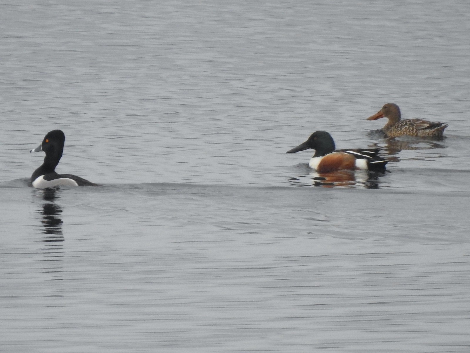 Ring-necked duck and northern shovelers
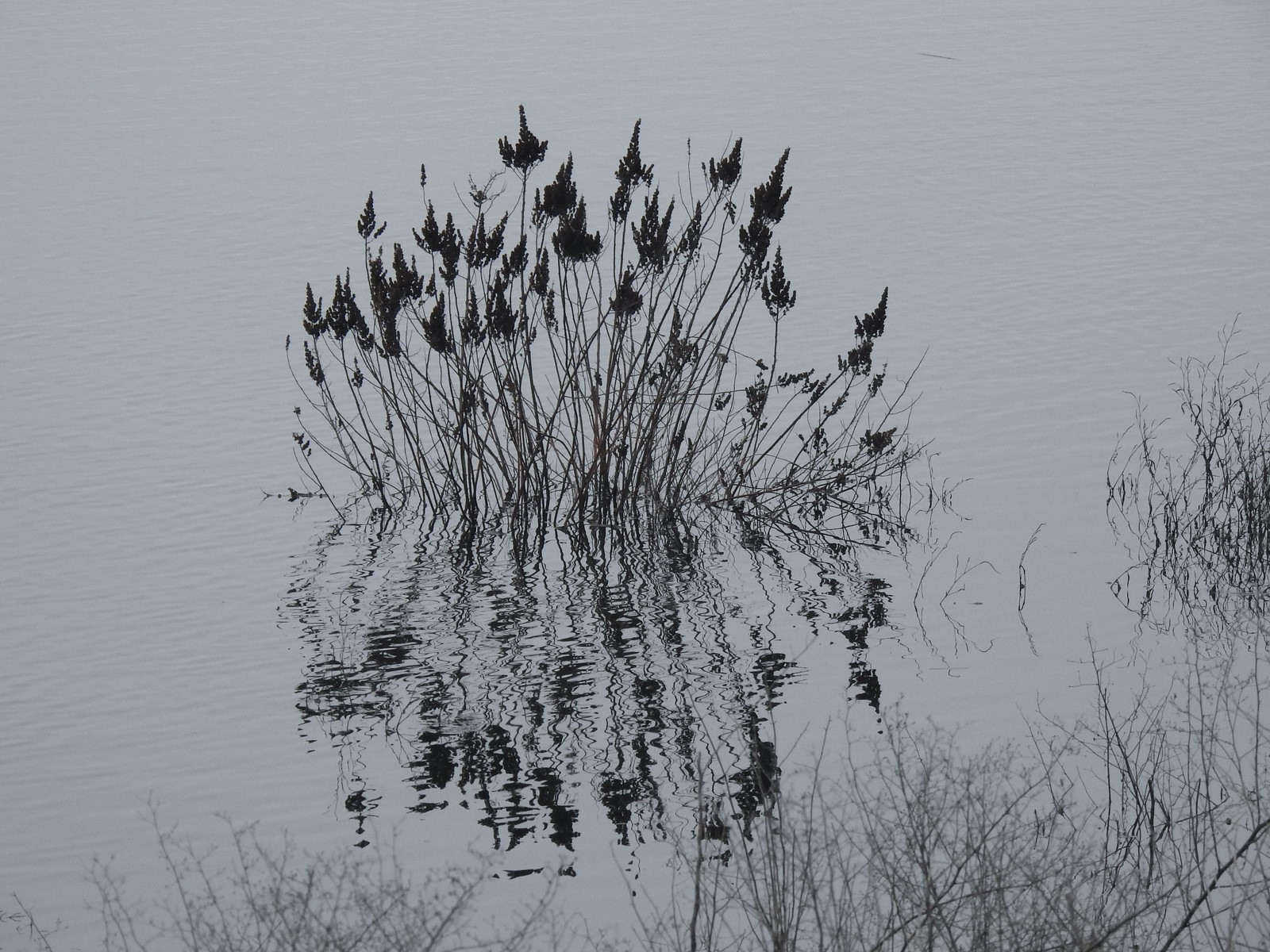 Reflections in Wapato Lake
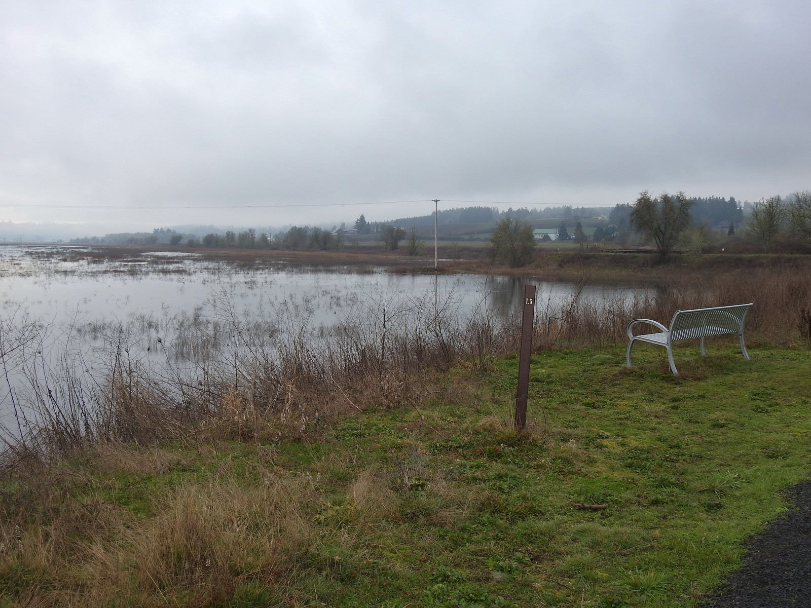 There is virtually no shade along the lake which wasn’t an issue today but could be in the heat of Summer. There are however three benches along the levee allowing for a place to sit and watch the birds.
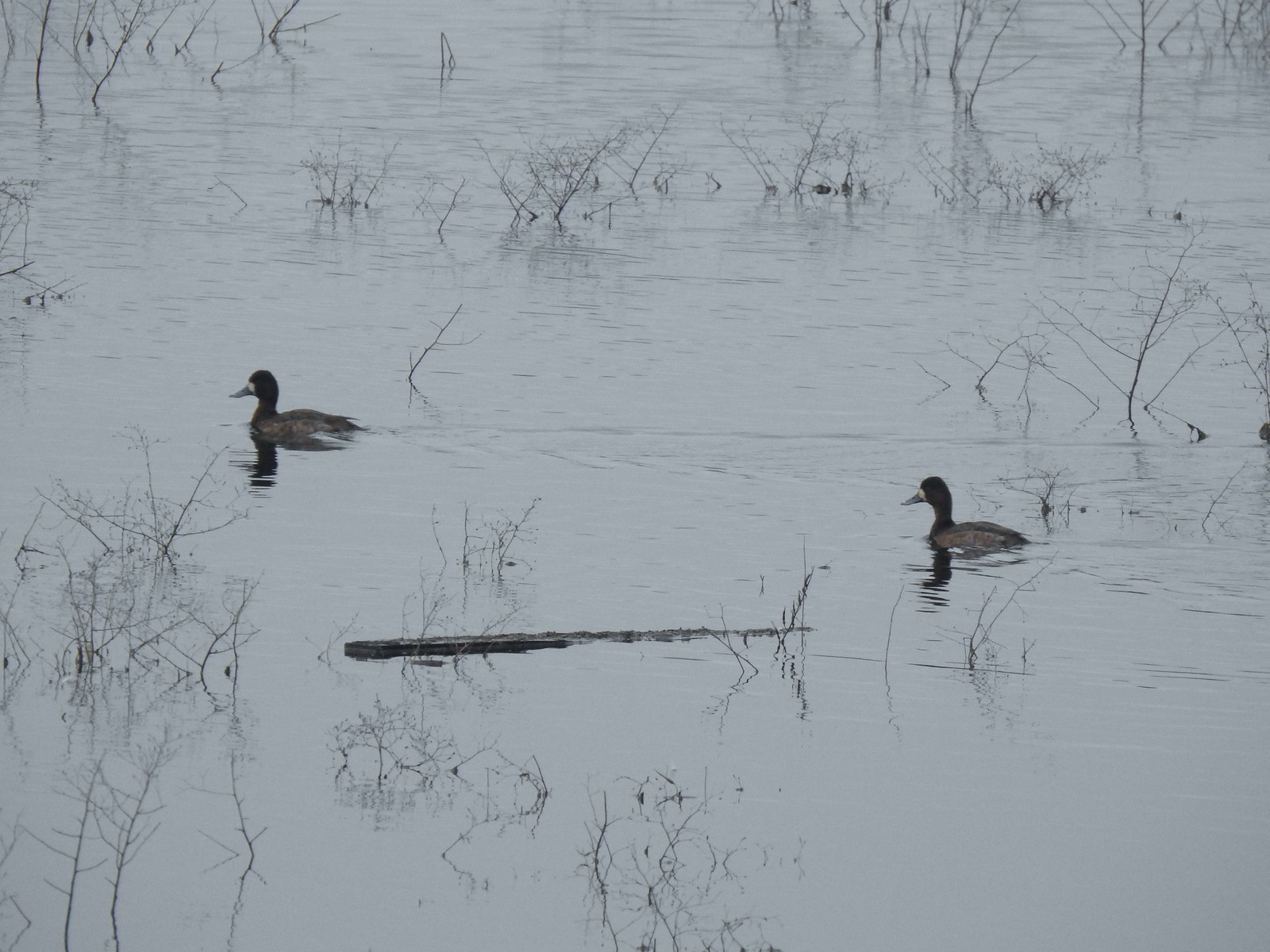 Lesser scaups
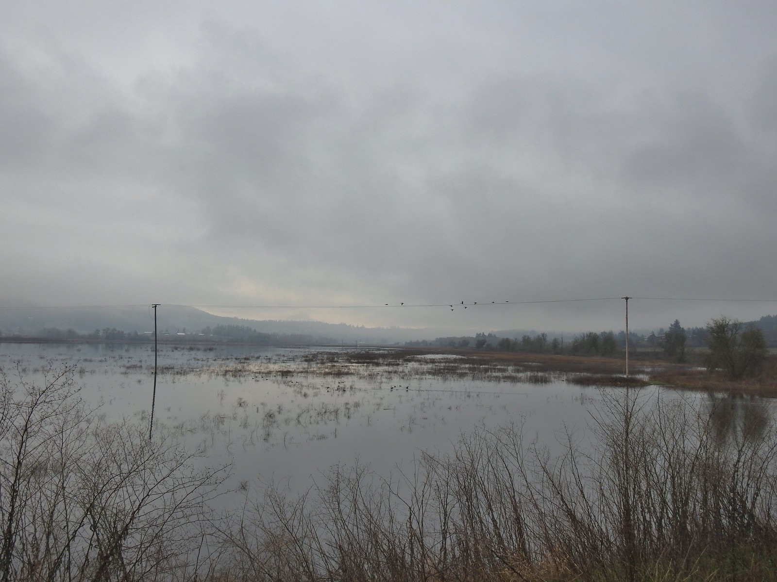 Ducks flying over the lake.
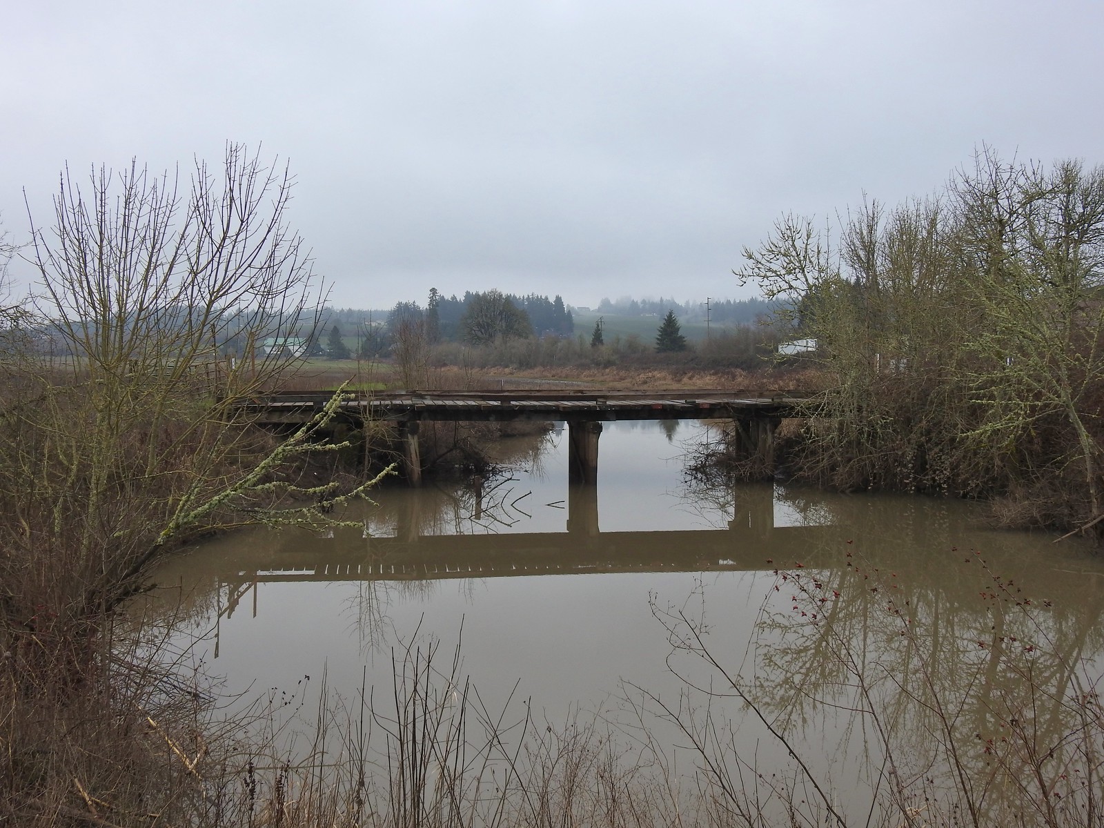 Old bridge over Wapato Creek. The gravel surface ended at this bridge.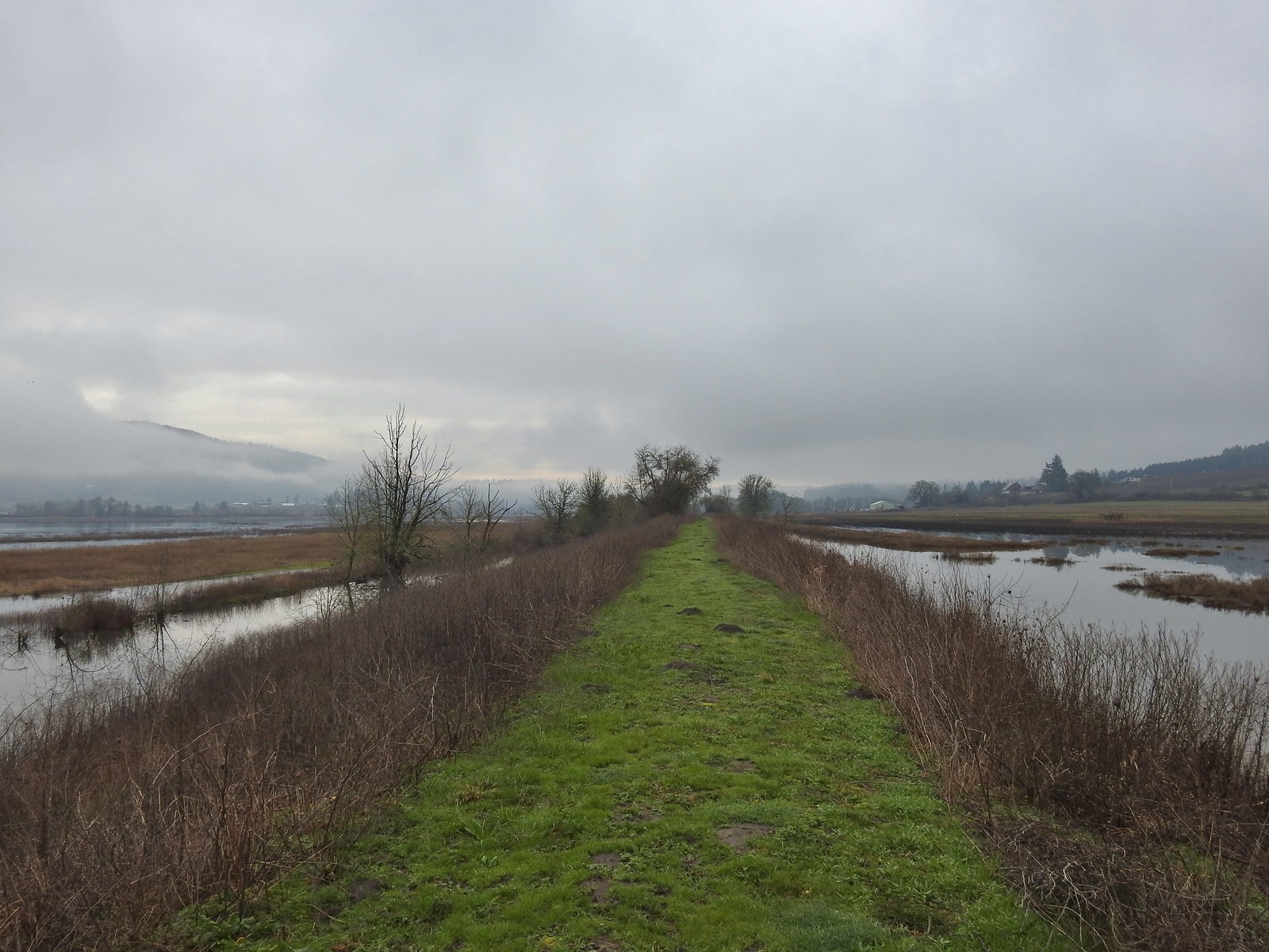
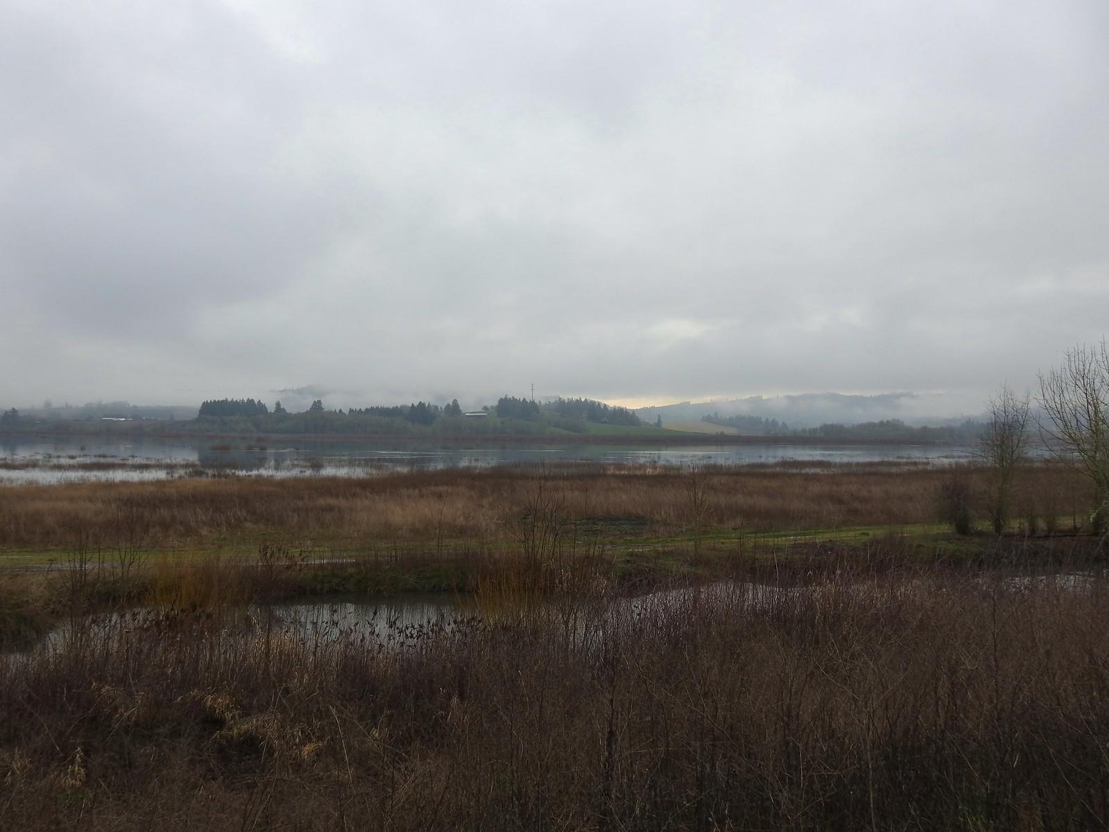
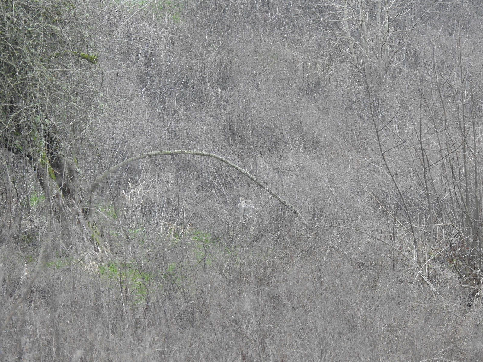 The coyote running off through the brush.
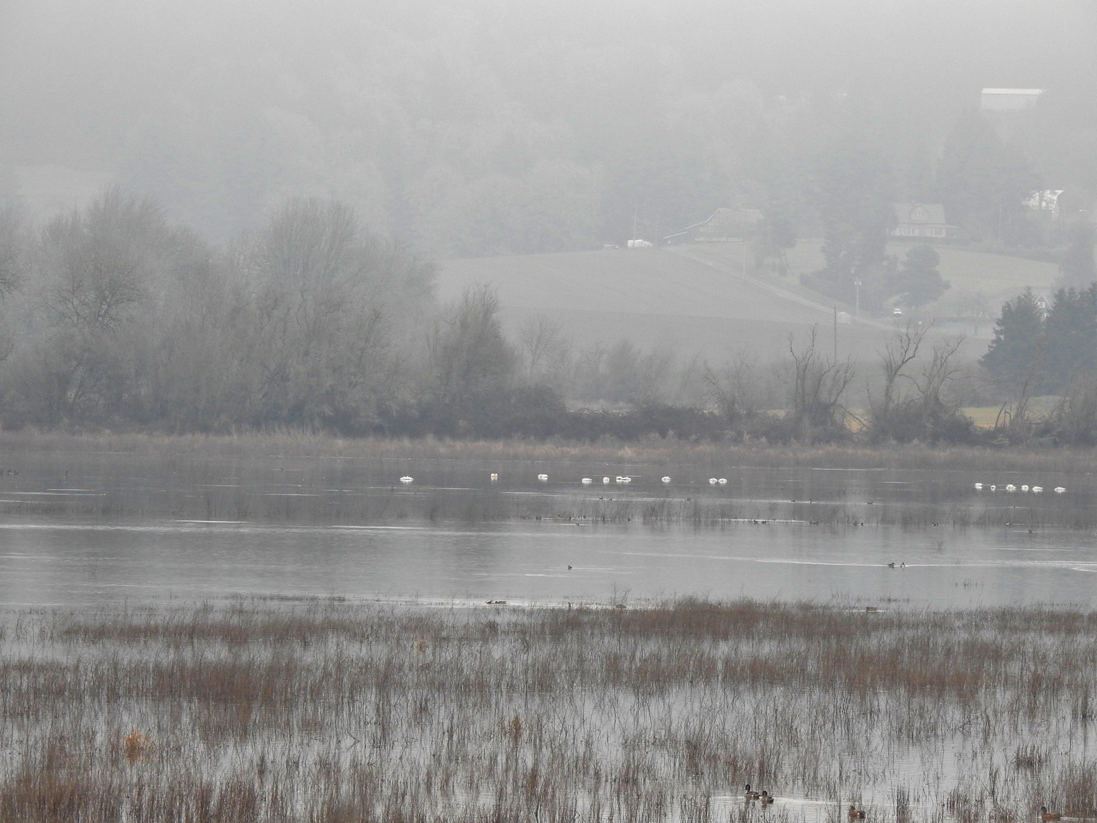 Tundra swans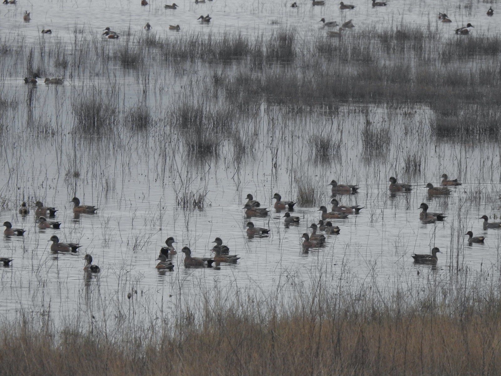
 Tundra swans
 We decided to turn around at this bridge even though the levee continued. It appeared that the water was further away from the levee going forward and we hadn’t planned on going much more than 3-miles today.
 Northern pintails and some green-winged teals.
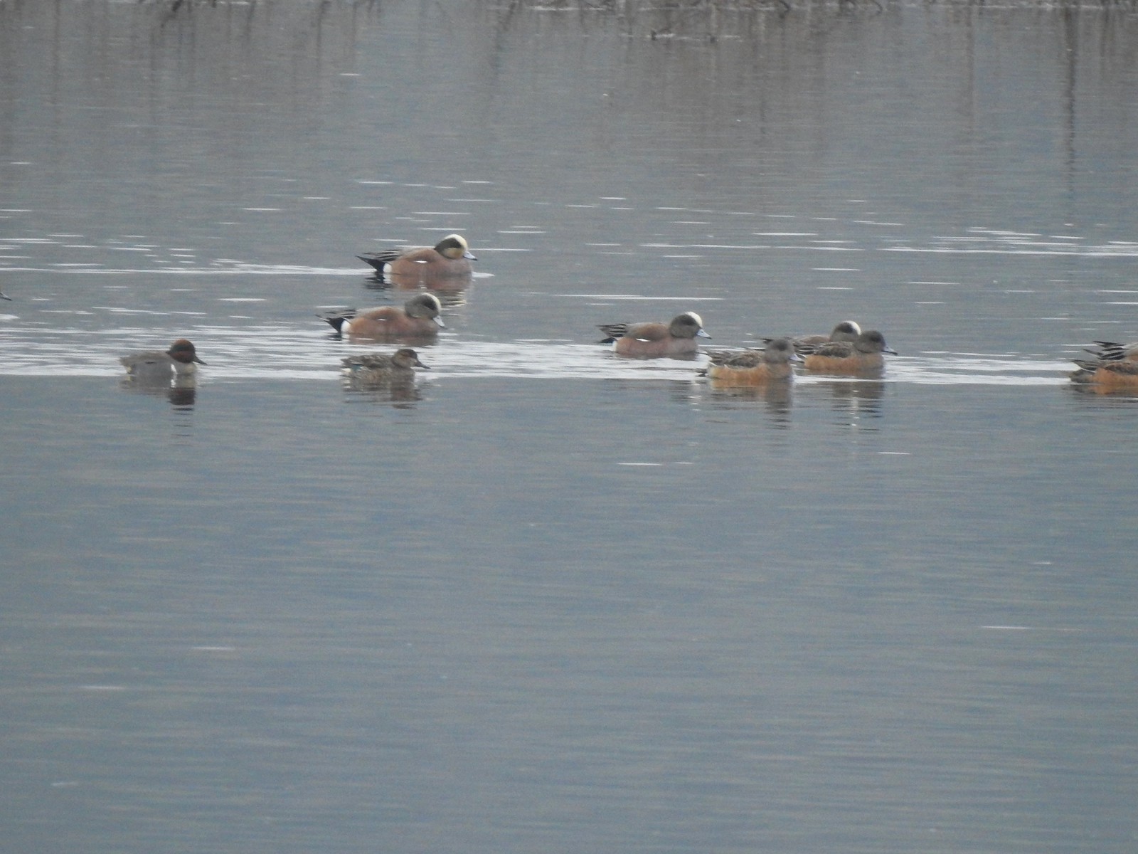 American wigeons and a pair of green-winged teals.
 There were a couple of times that blue sky seemed imminent.
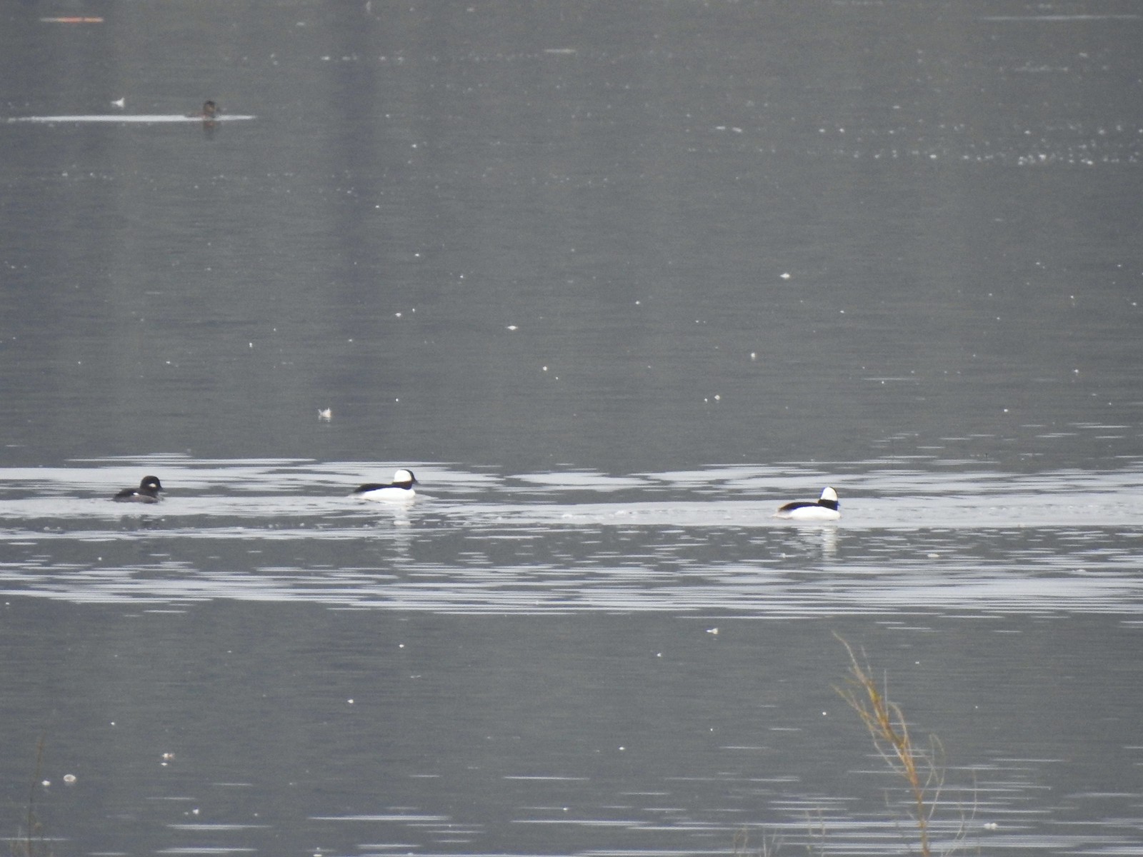 Buffleheads
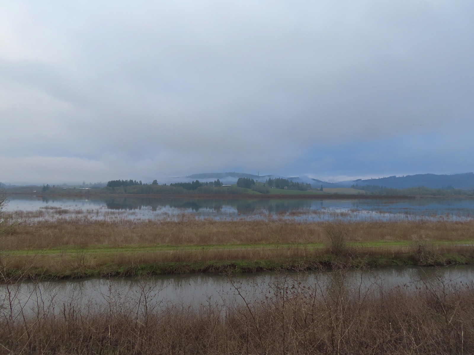 Iowa Hill (
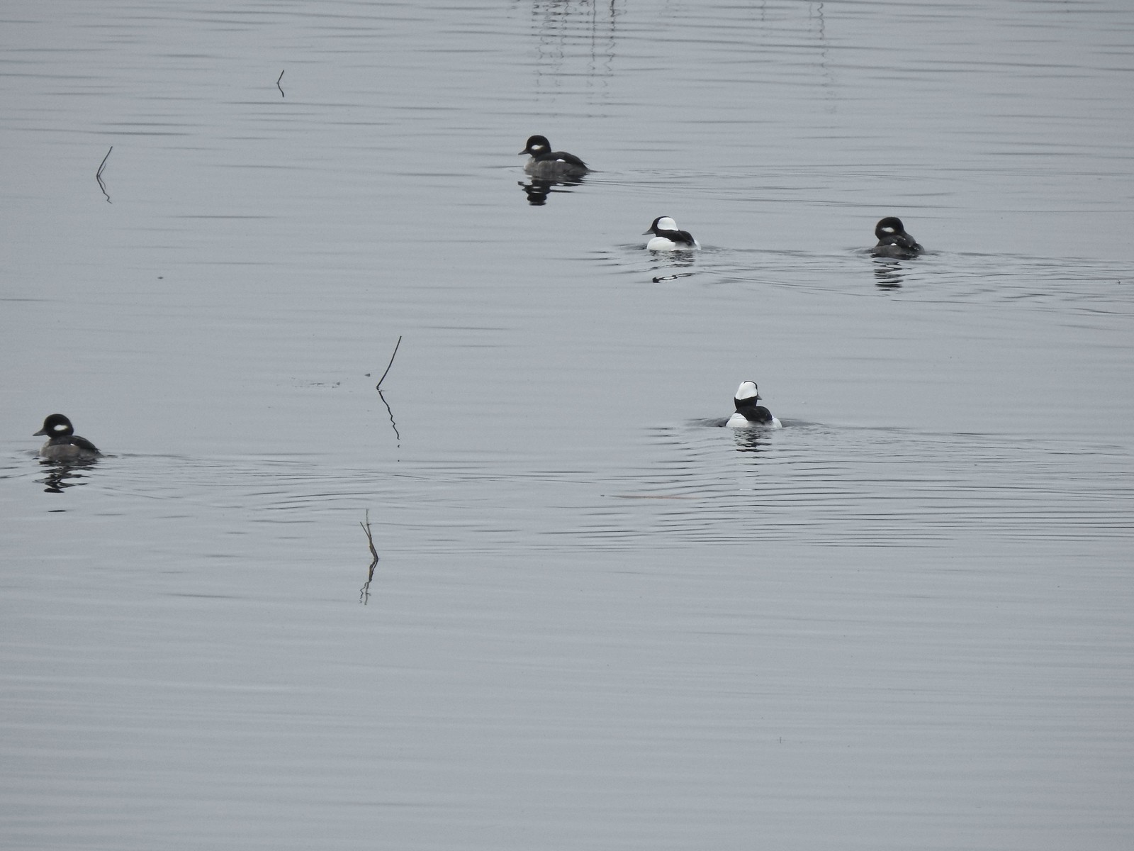 More buffleheads
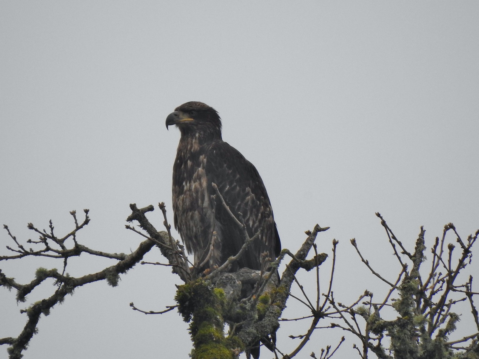 Immature bald eagle
 Sparrow
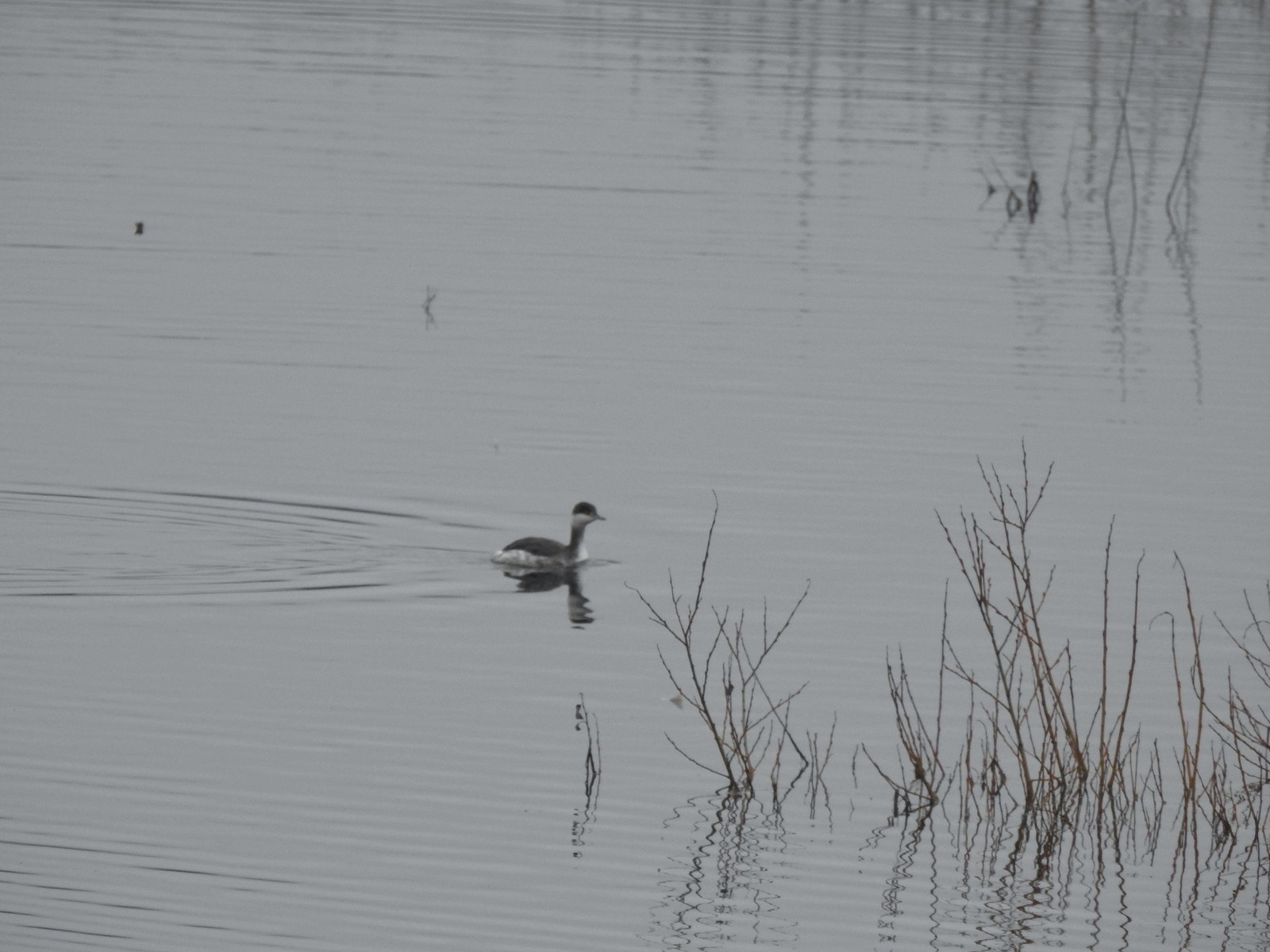 Horned grebe
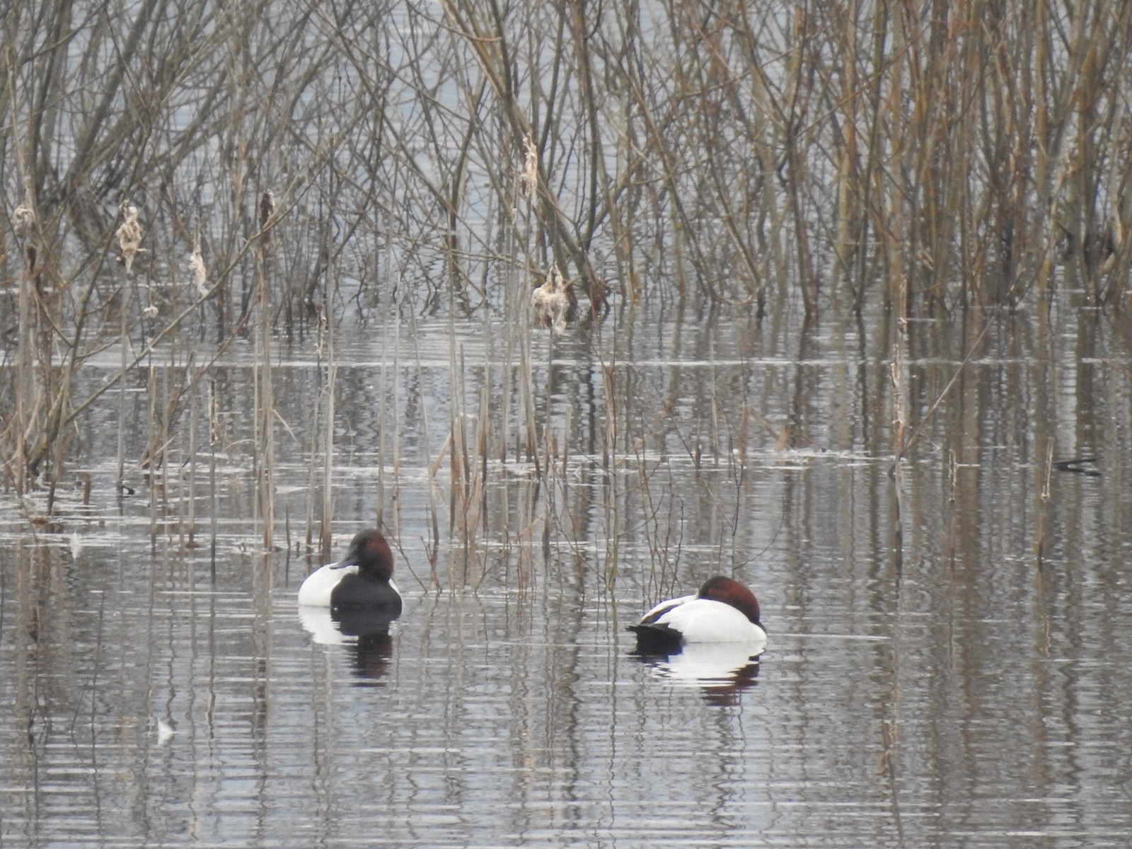 Canvasbacks, another first for us.
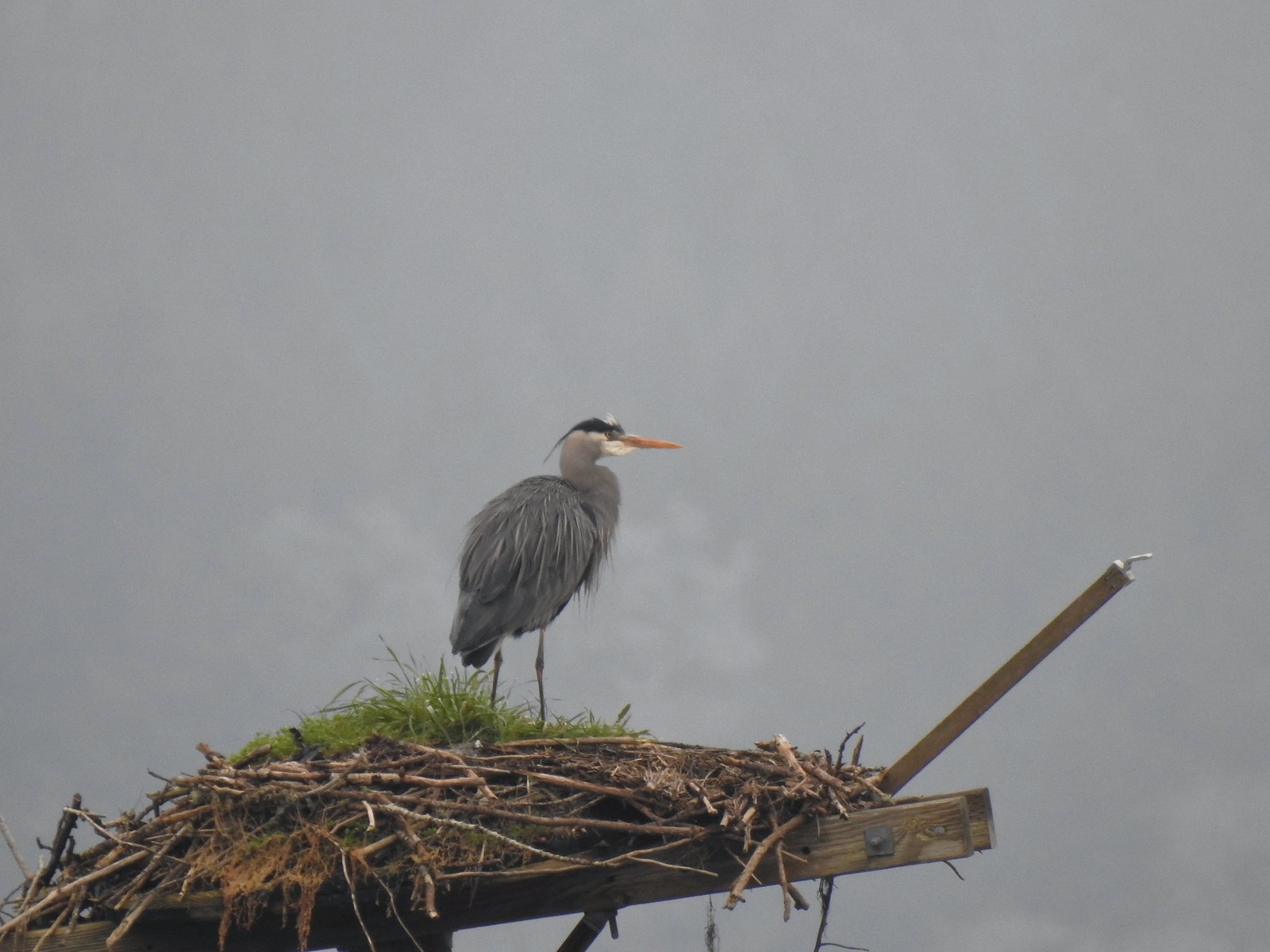 Great blue heron on the osprey nest.
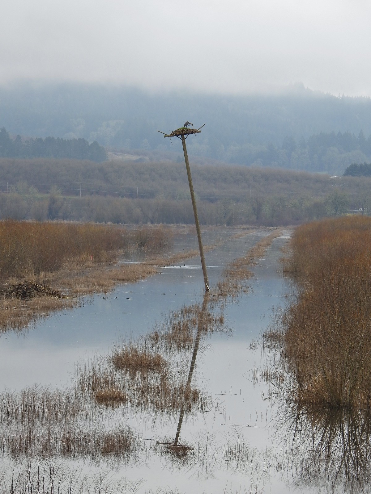 Ther heron on the nest.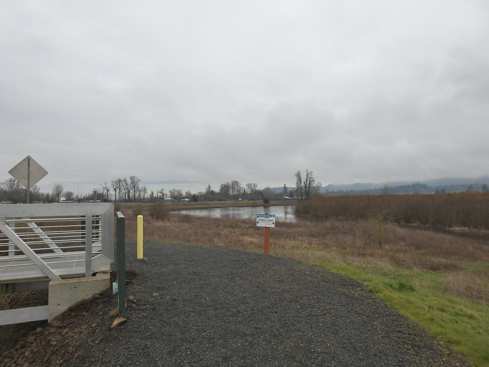
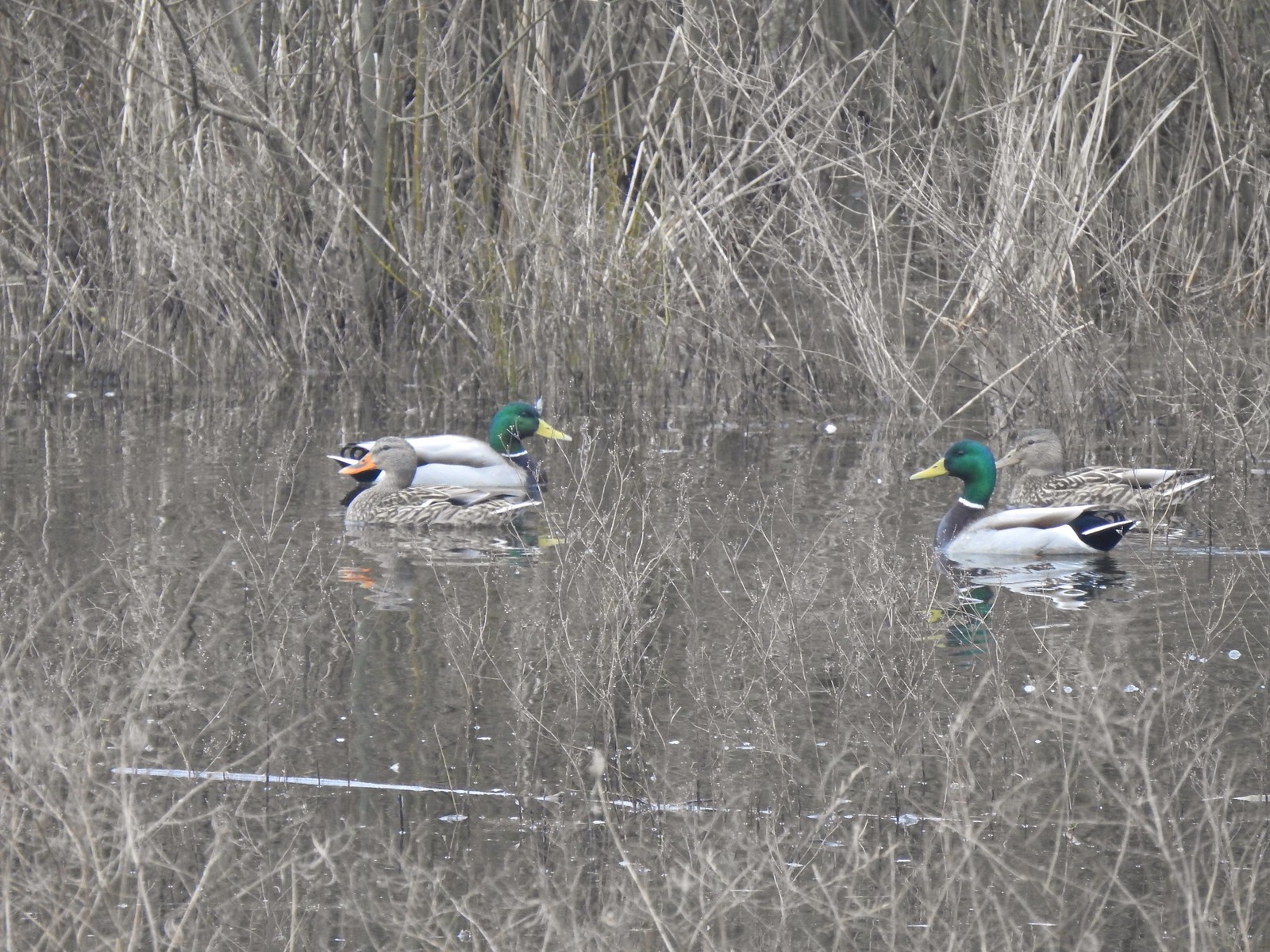 Mallards
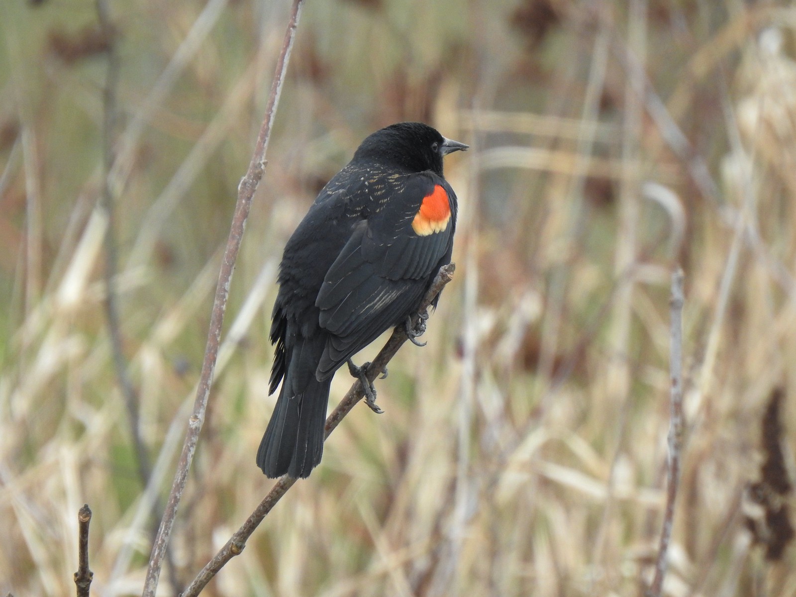 Red-winged blackbird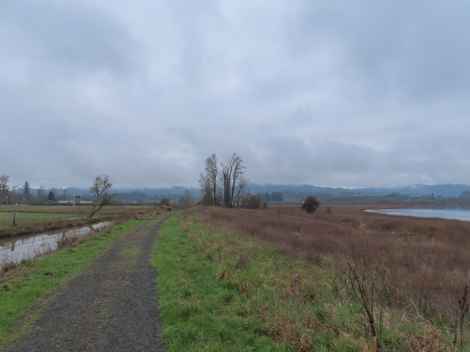
 Bald eagle
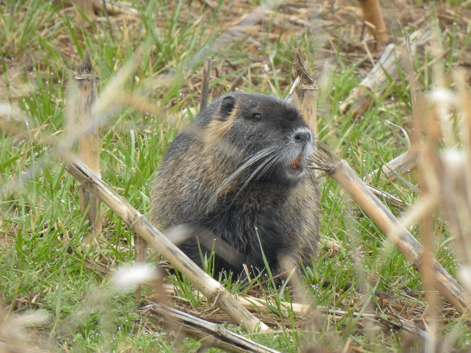 Nutria
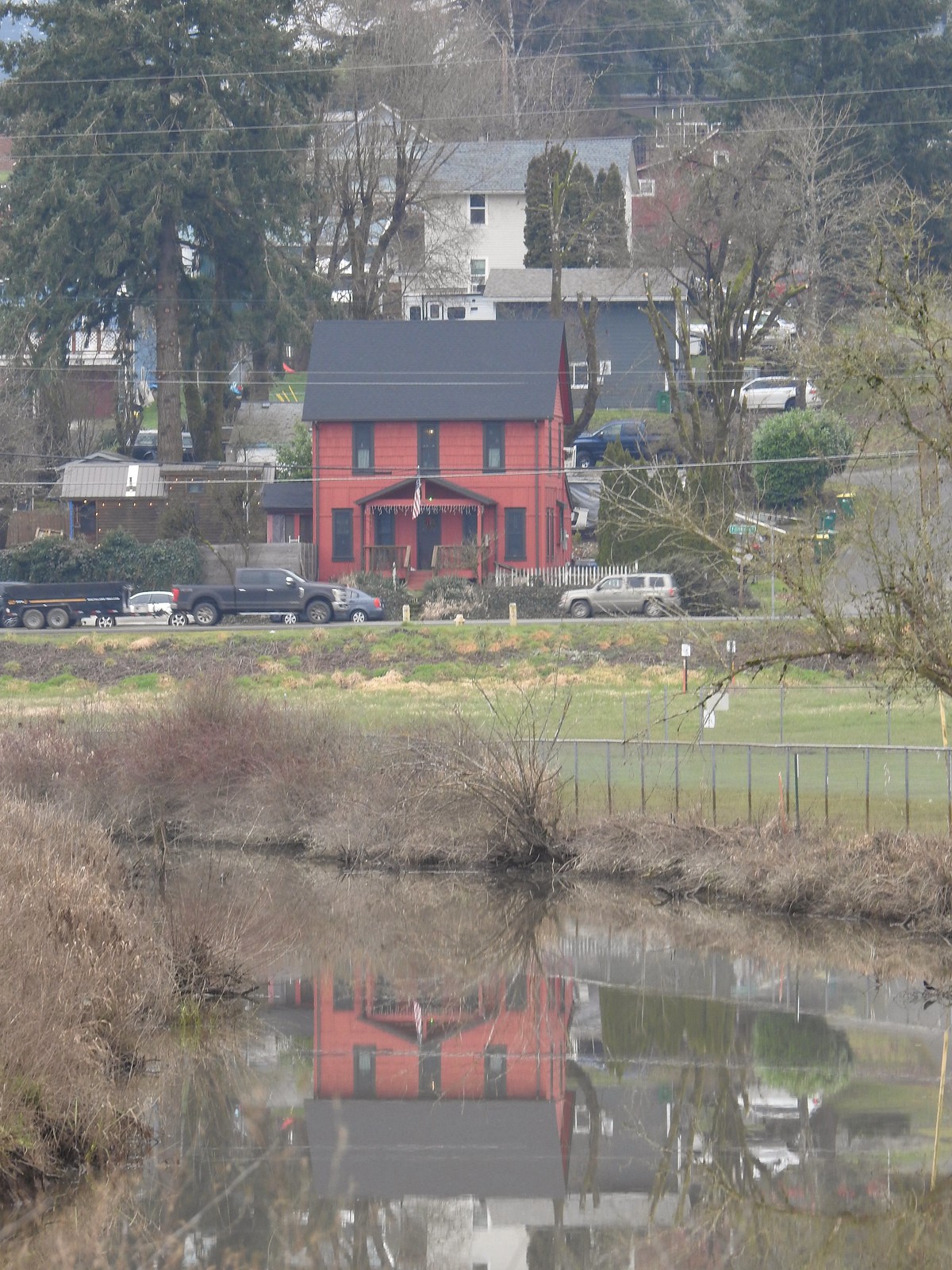 Gaston from the refuge.
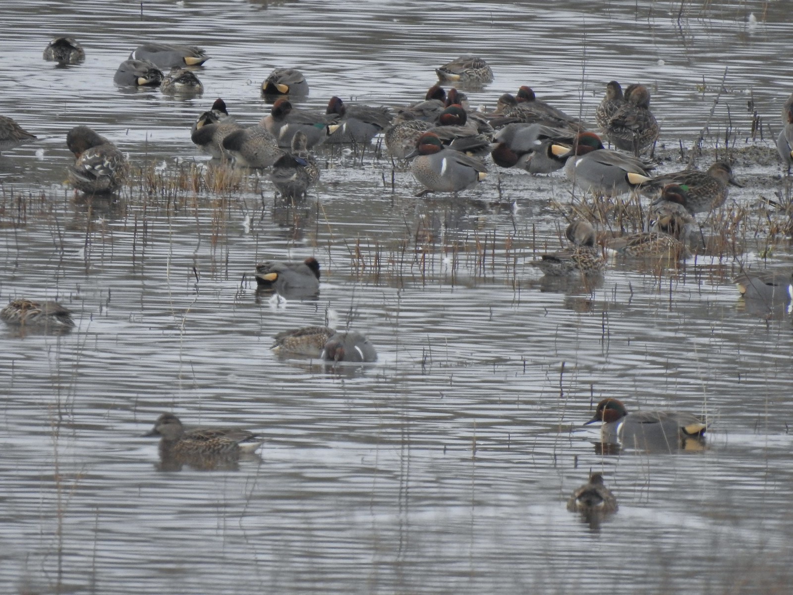 Green-winged teals
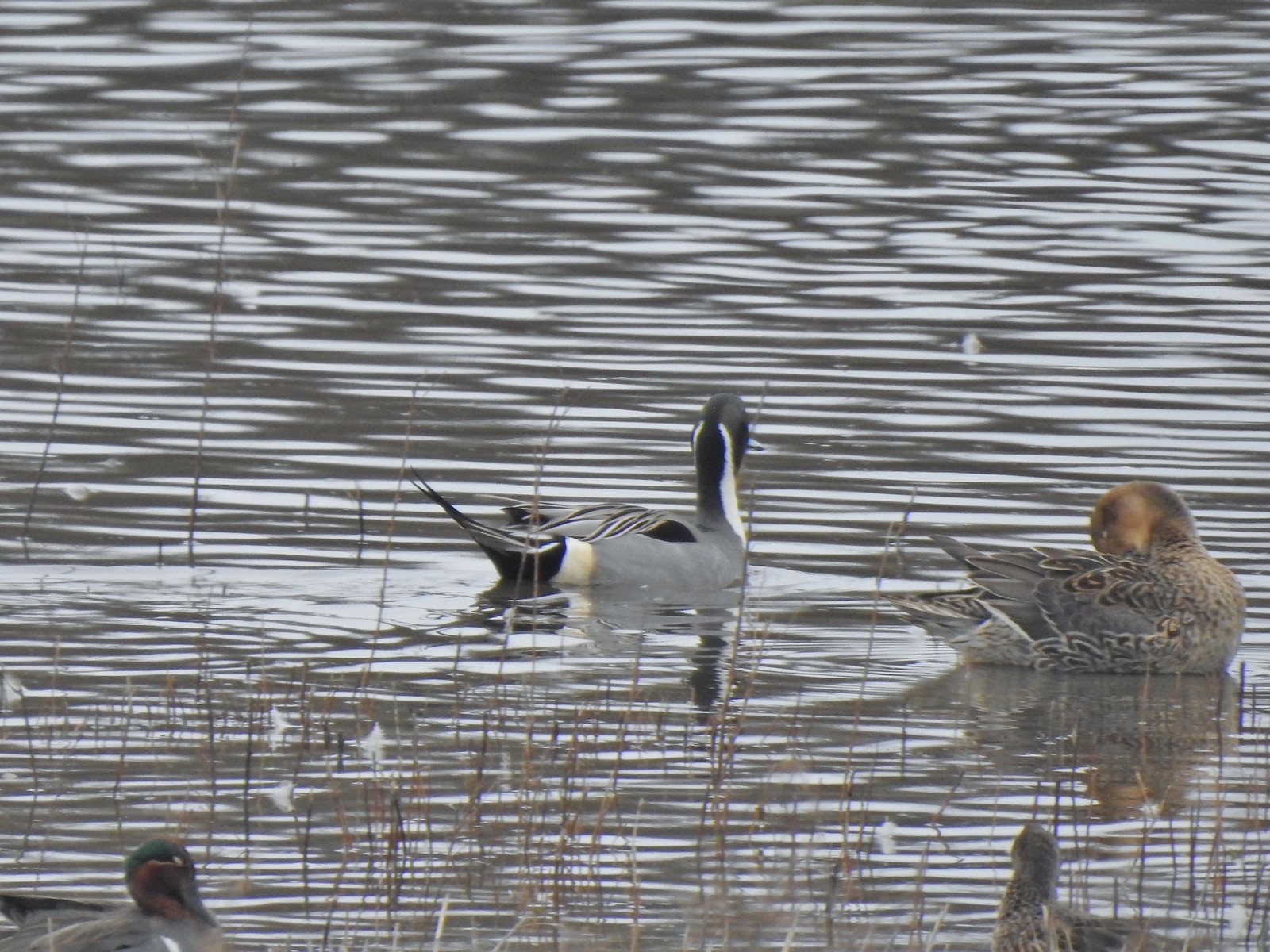 Northern pintails
 Mostly American wigeons and green-winged teals
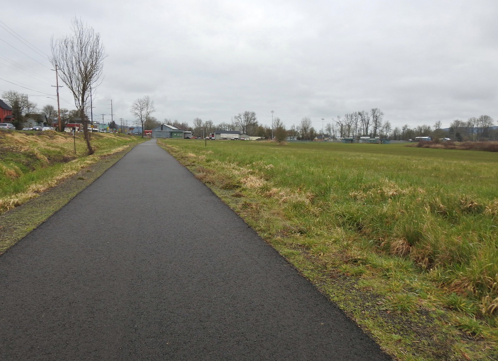 On the paved path back to the parking lot.

 Some of the damage from the ice storm at the trailhead.
 Sign for the Connector Trail at the trailhead.
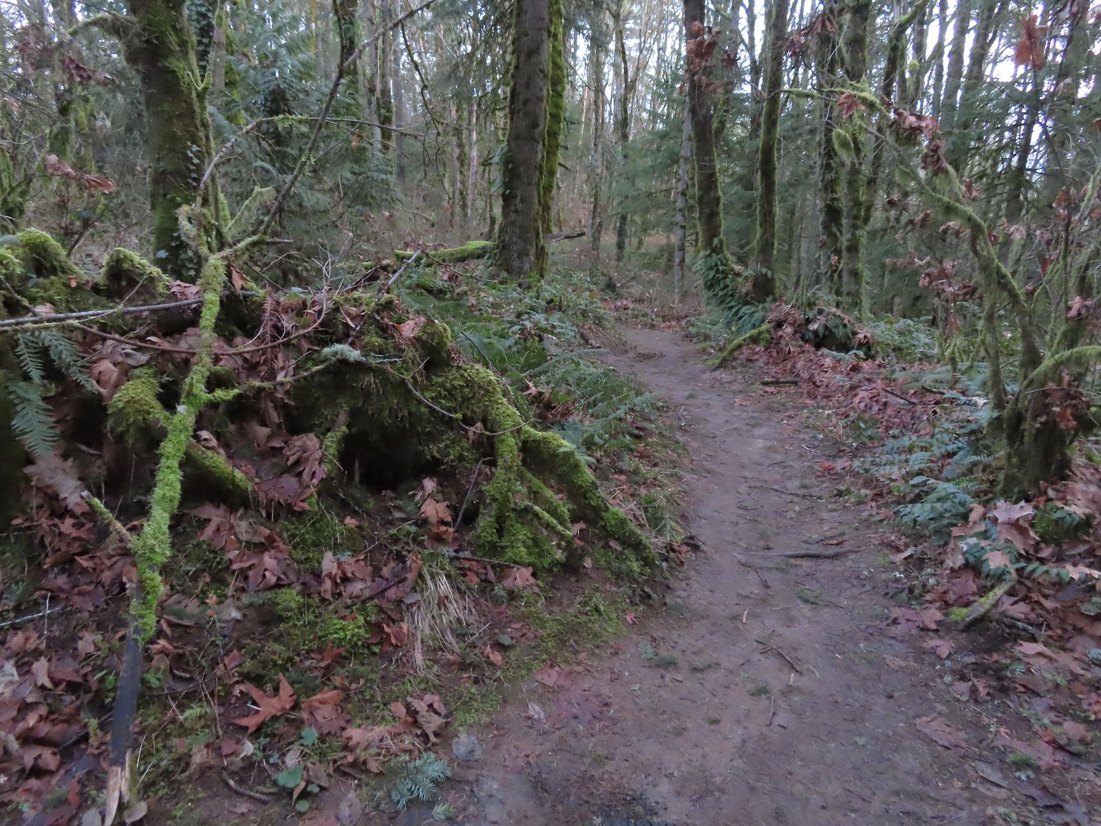 Cannon Trail
 Firelane 9 across from the trailhead.
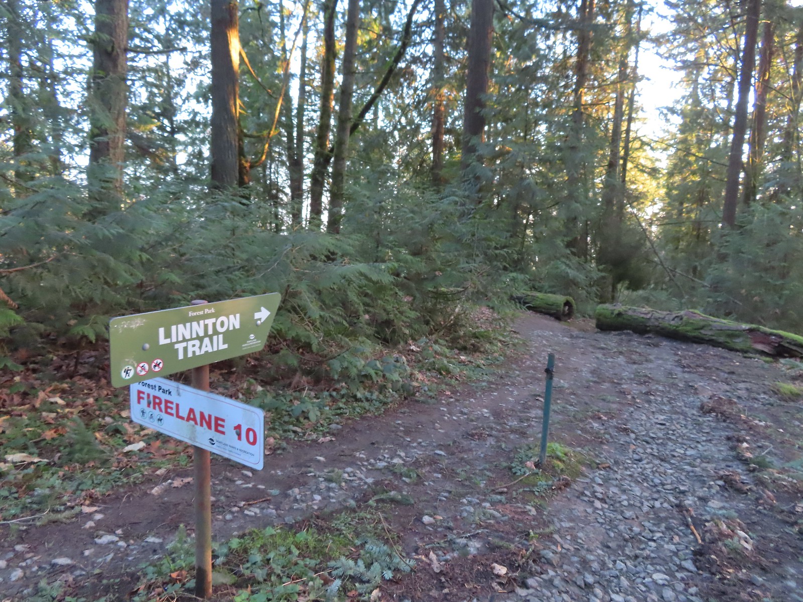
 Firelane 10
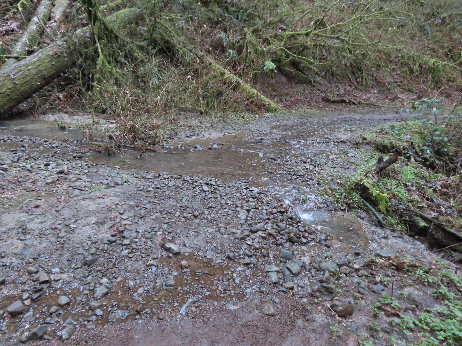 Unsurprisingly the recent weather had most of the stream beds flowing which we hadn’t witnessed on our other visits.
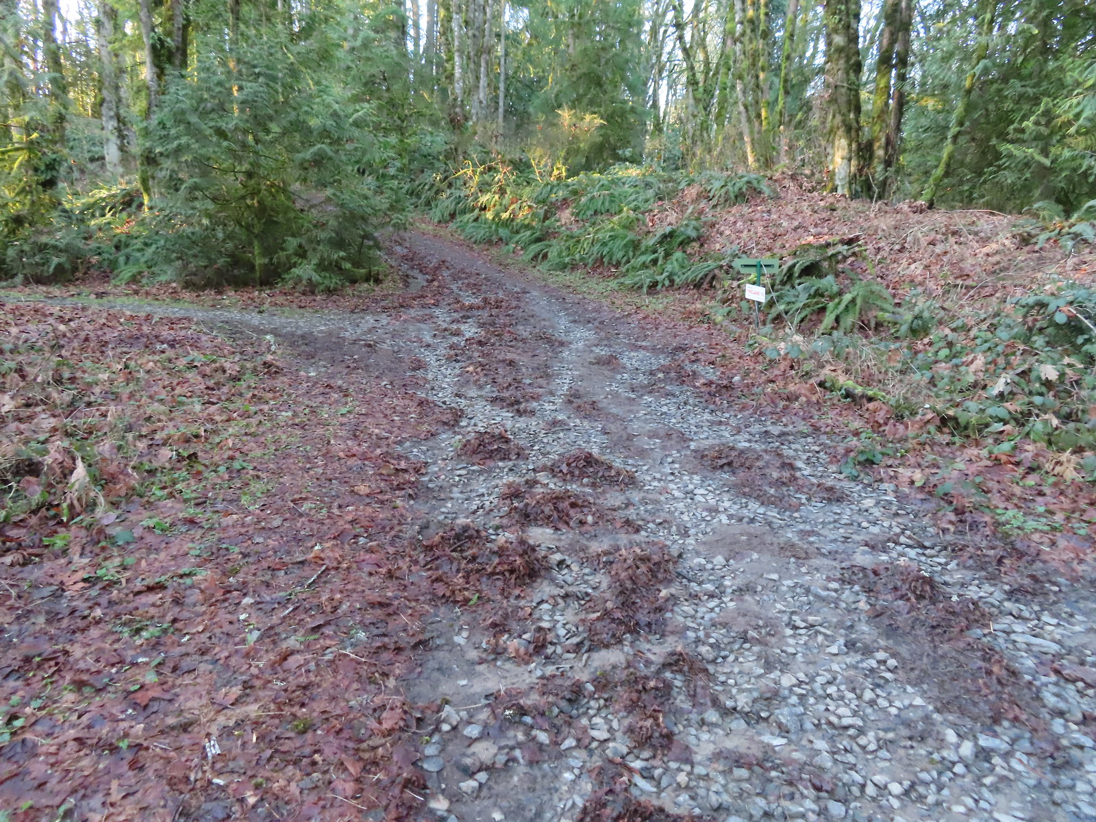
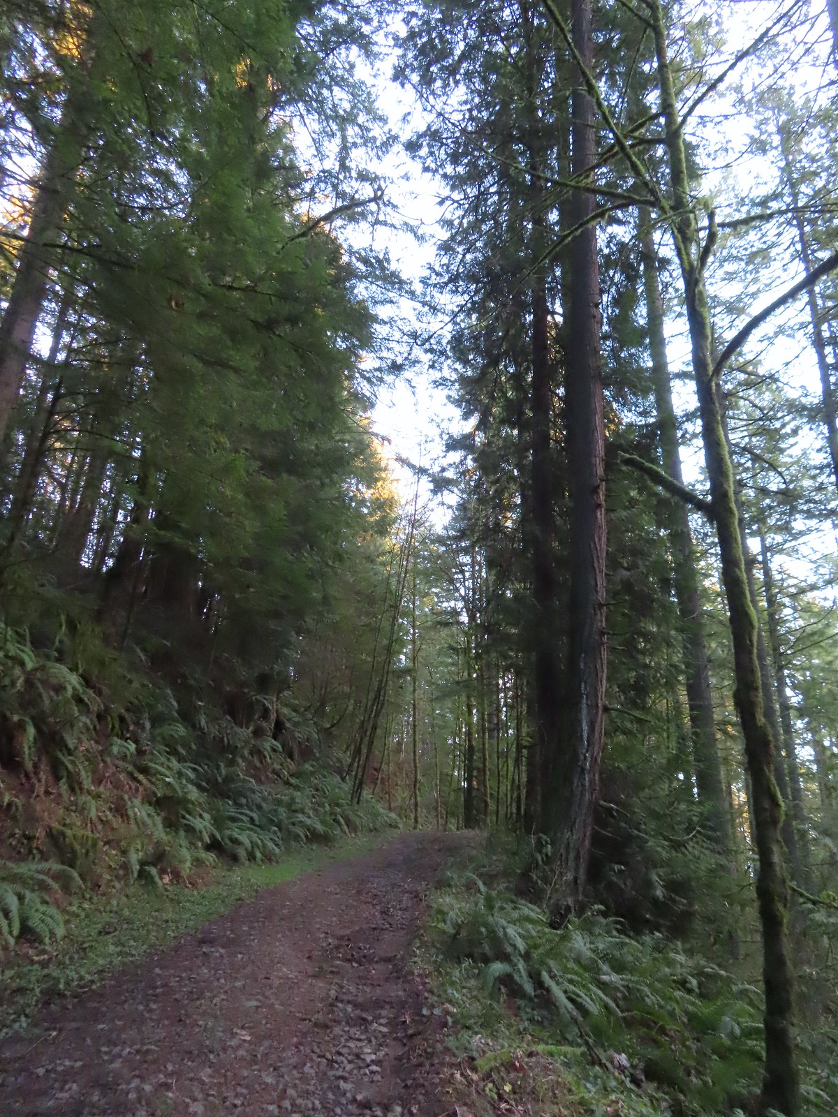 Heading up to the junction.
 The Linnton Trail heads down a ridge to the
 We passed the Keyser Trail which rejoins Firelane 10 just a quarter mile ahead. We stuck to Firelane 10 which climbed very steeply in that quarter mile leading us to believe the Keyser Trail may have been a little more gradual as the map showed it bowing away from Firelane 10 before rejoining.
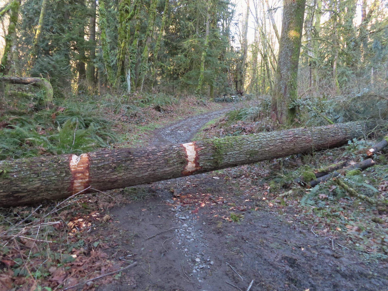 The first of only three trees that were still down over the trails we hiked. In the distance is a Wildwood Trail sign at the junction.
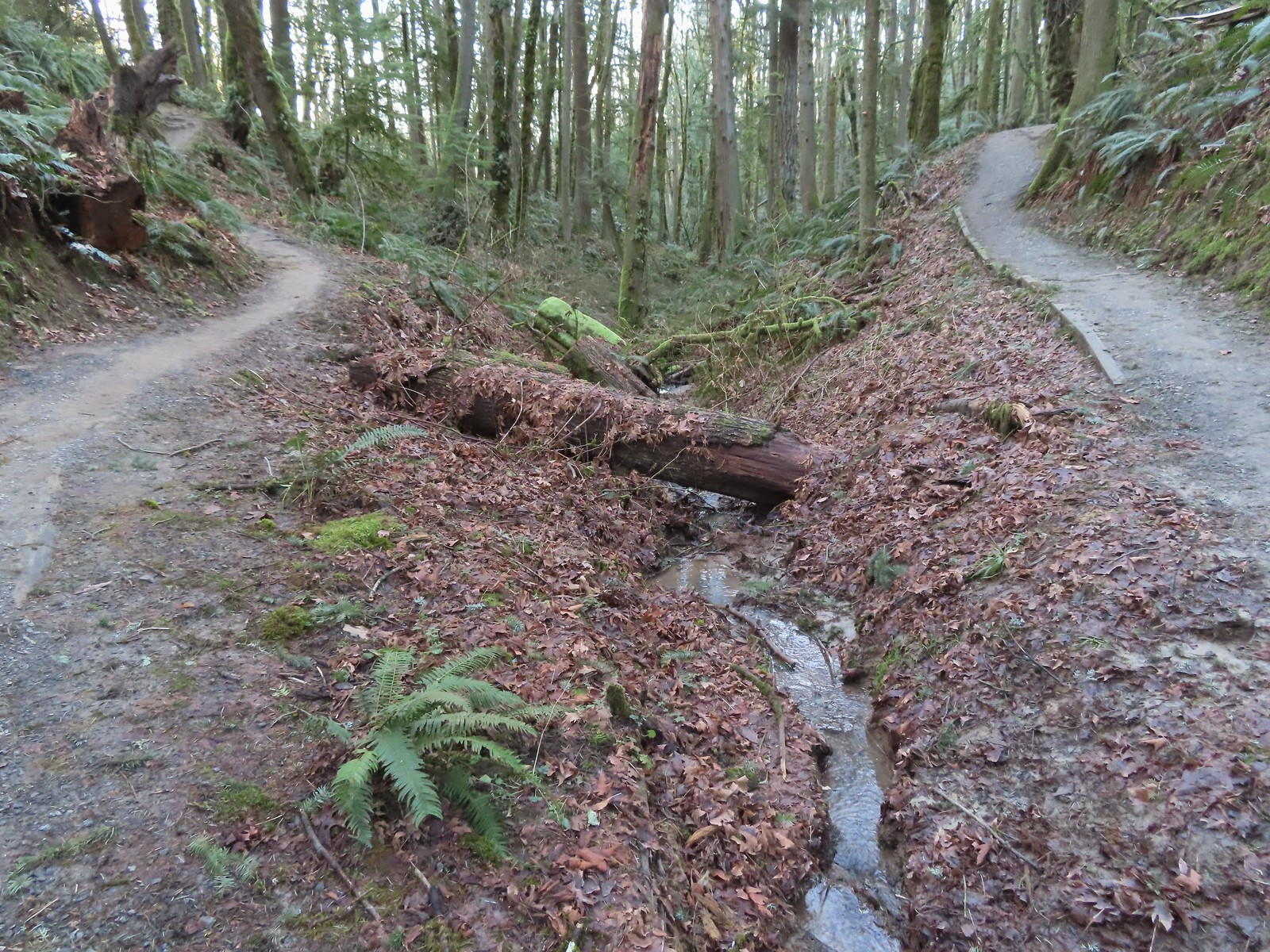 The trail repeatedly bows into the hillside to cross creek beds.
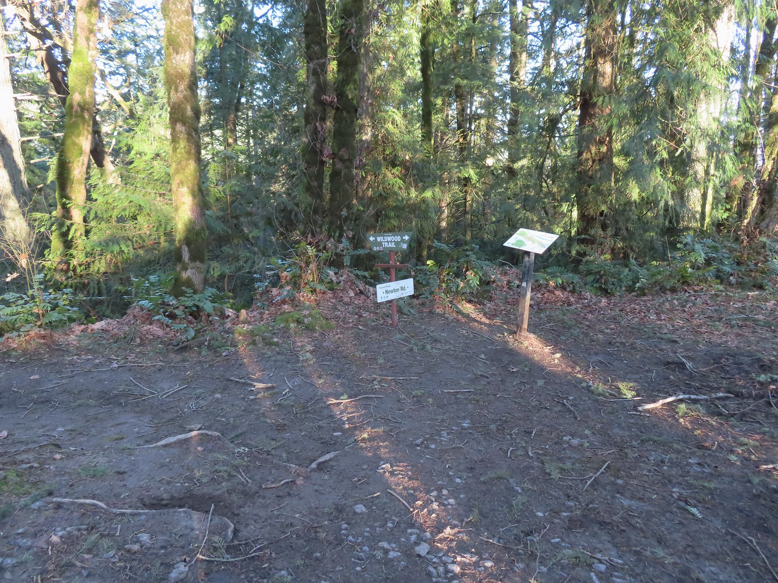
 We passed three pointers for Newton Road and then crossed Newton Road along this section of the Wildwood Trail. We would be using Newton Road to make another small loop on our way back.
 The Wildwood Trail crossing Newton Road.
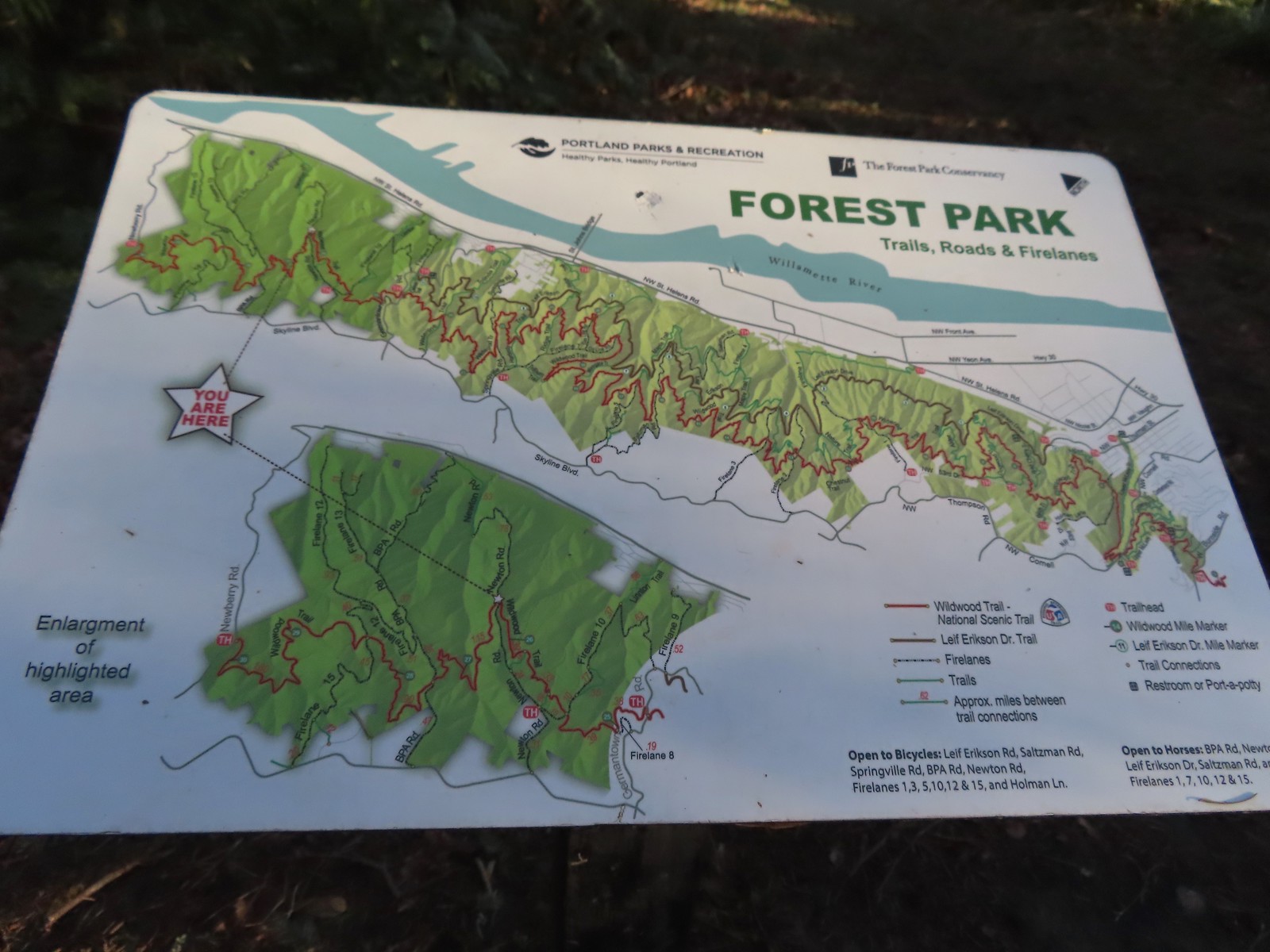 Not all of the junctions have maps, but most of the major ones do to help keep hikers and runners on track (or to give them more ideas).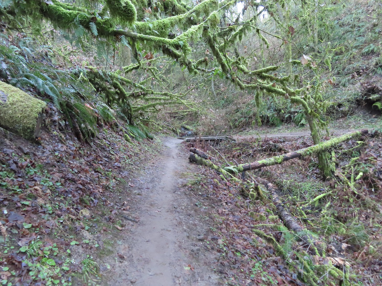
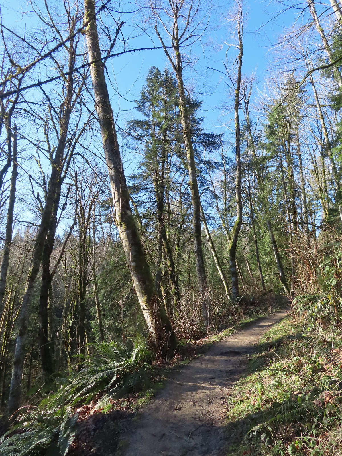 Climbing up to the BPA Road crossing.
 The BPA Road heading uphill with the Wildwood Trail we’d just come up to the right.
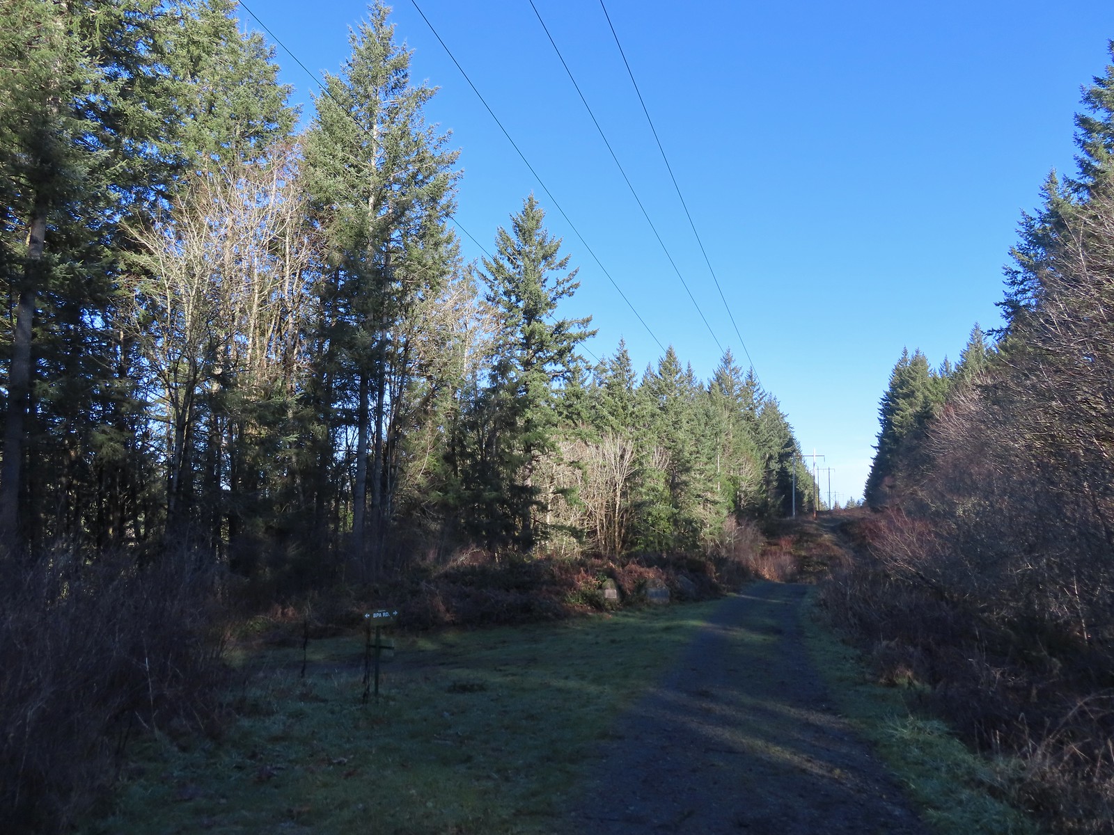 Firelane 12 on the left.
 The middle of three plaques commemorating the 1999 acquisition of 73-acres that was in danger of being developed.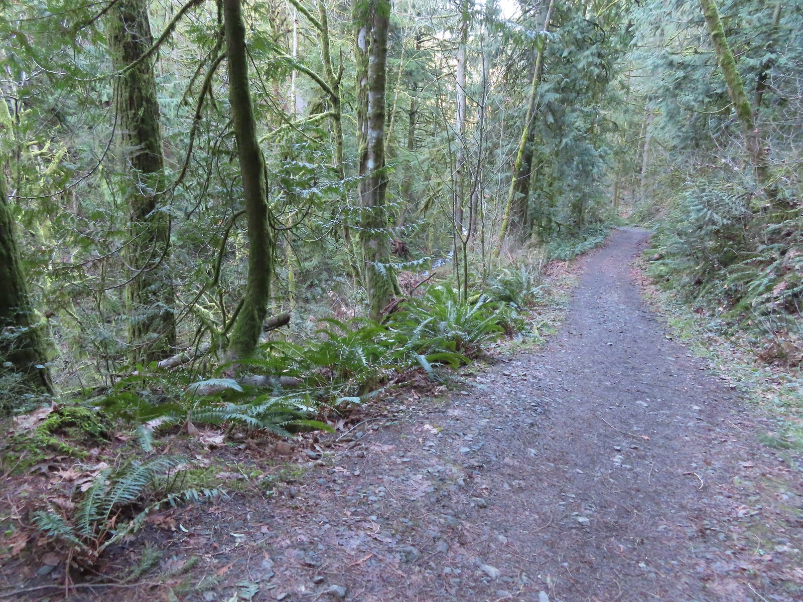
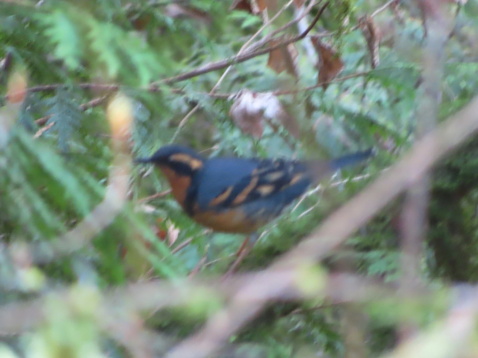 Once again varied thrush 1 – Deryl 0. If I was keeping score, it would probably be something like 179-10.
 Firelane 15 on the left ahead.
 The small creek along Firelane 15.
 Blue sky and powerlines above Firelane 15.
 Wildwood Trail crossing Firelane 15.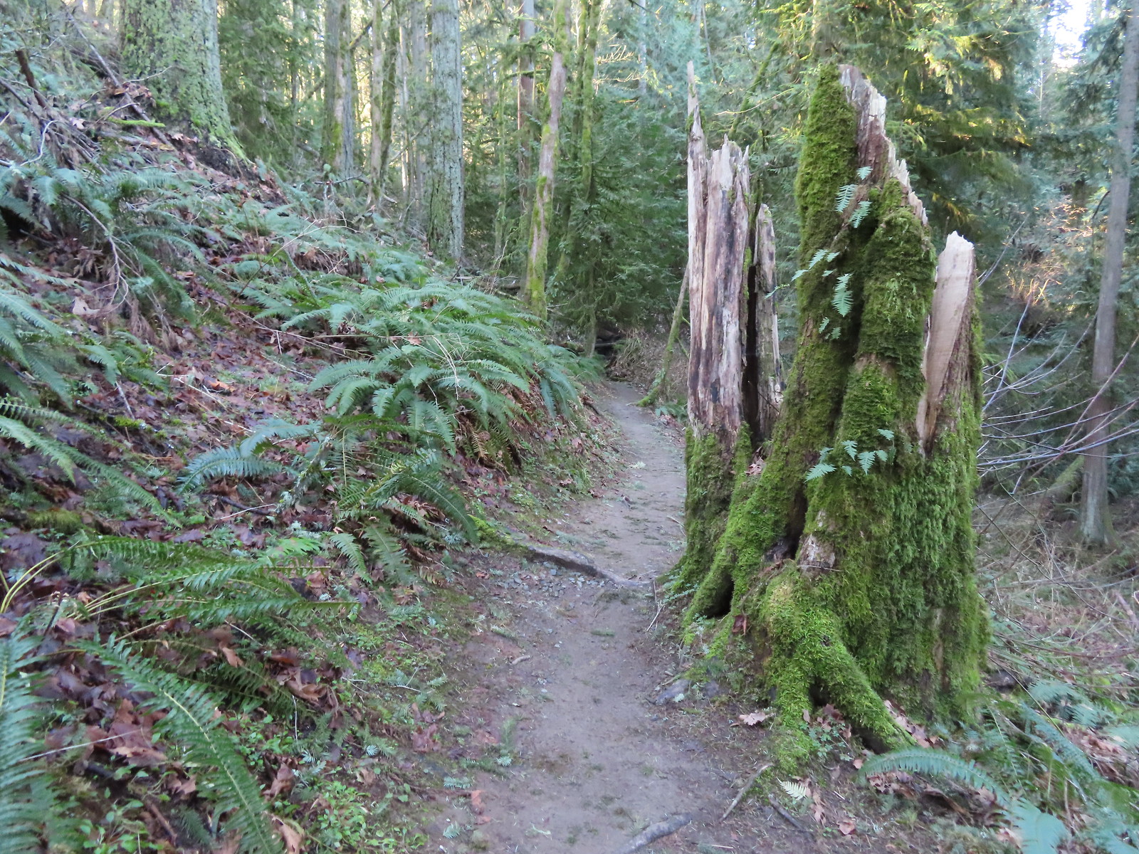
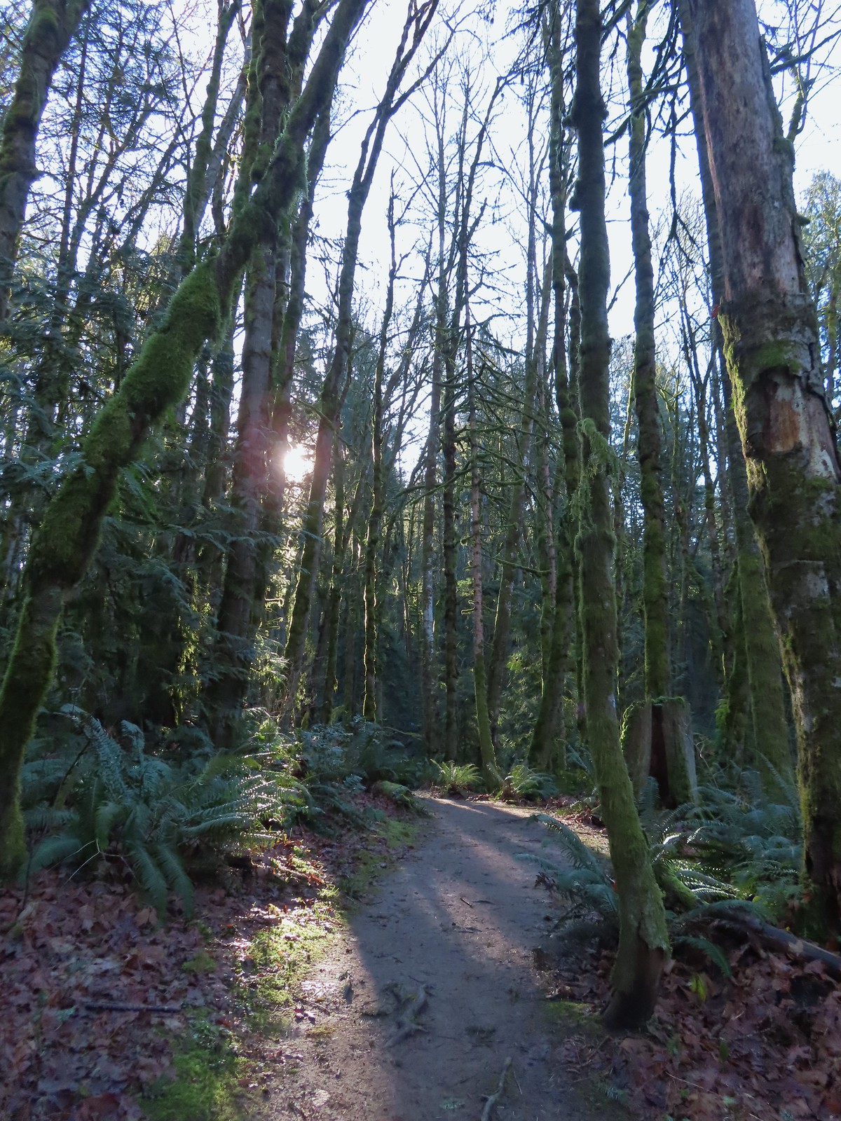
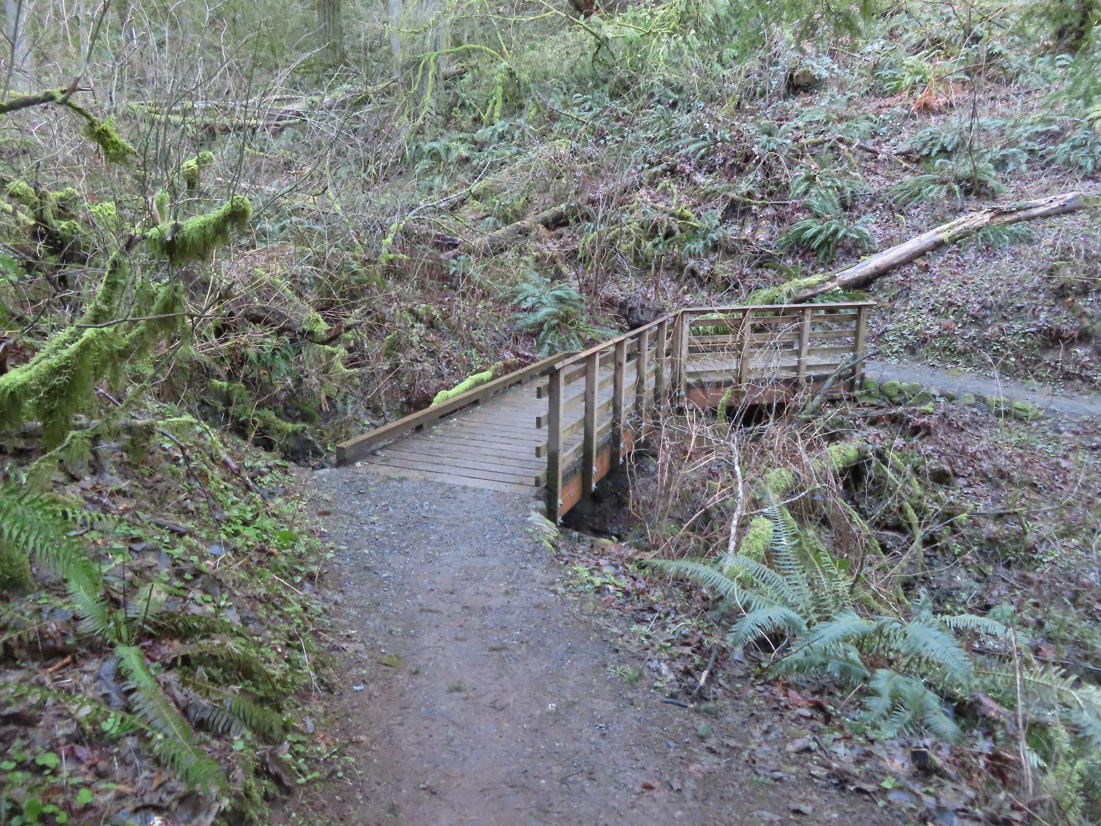 The fanciest bridge we crossed all day.
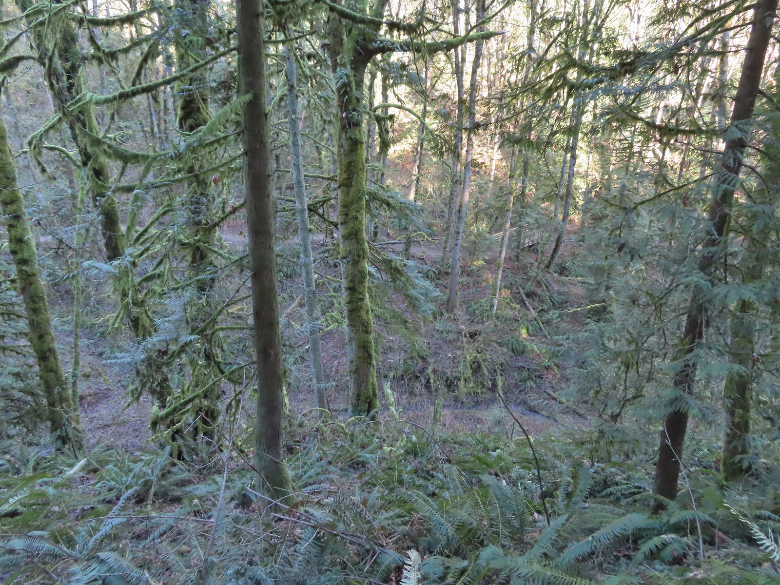 Why is the trail way down there when the road is up above on the far hillside?
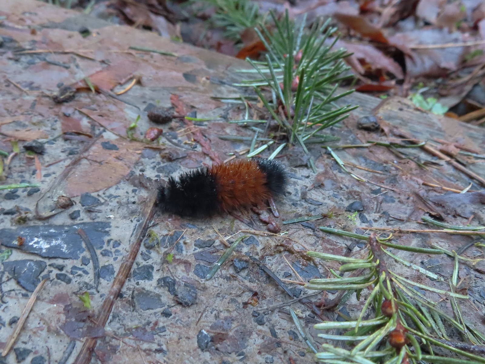 Woolly bear
 Climbing to Newberry Road just to say we made it to the end of the Wildwood Trail.
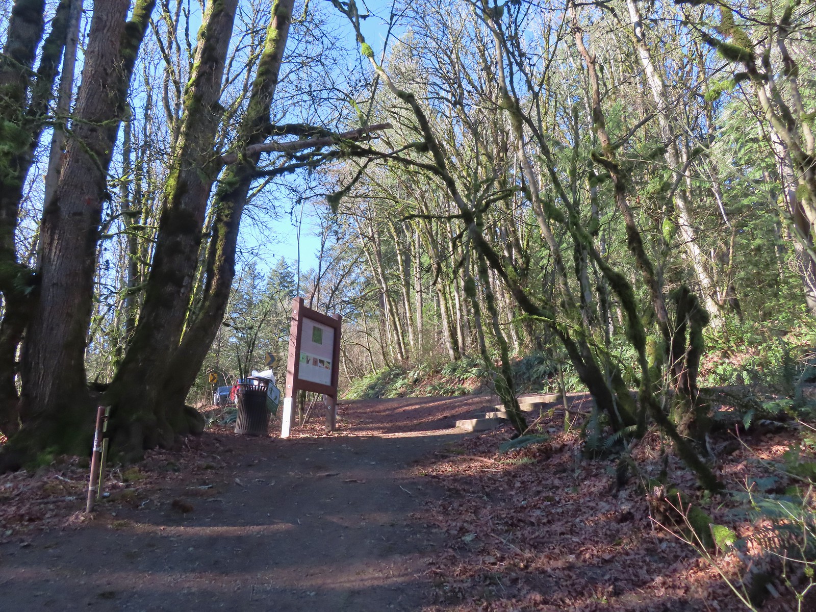 Newberry Road Trailhead.
 Another sub-par bird photo, but it took us quite a while just to spot this woodpecker who was way up in the treetops (and mostly in the shade).
 Crossing Firelane 15.
 Another blurry bird. This one a wren, one of many we heard but the only one we were able to spot.
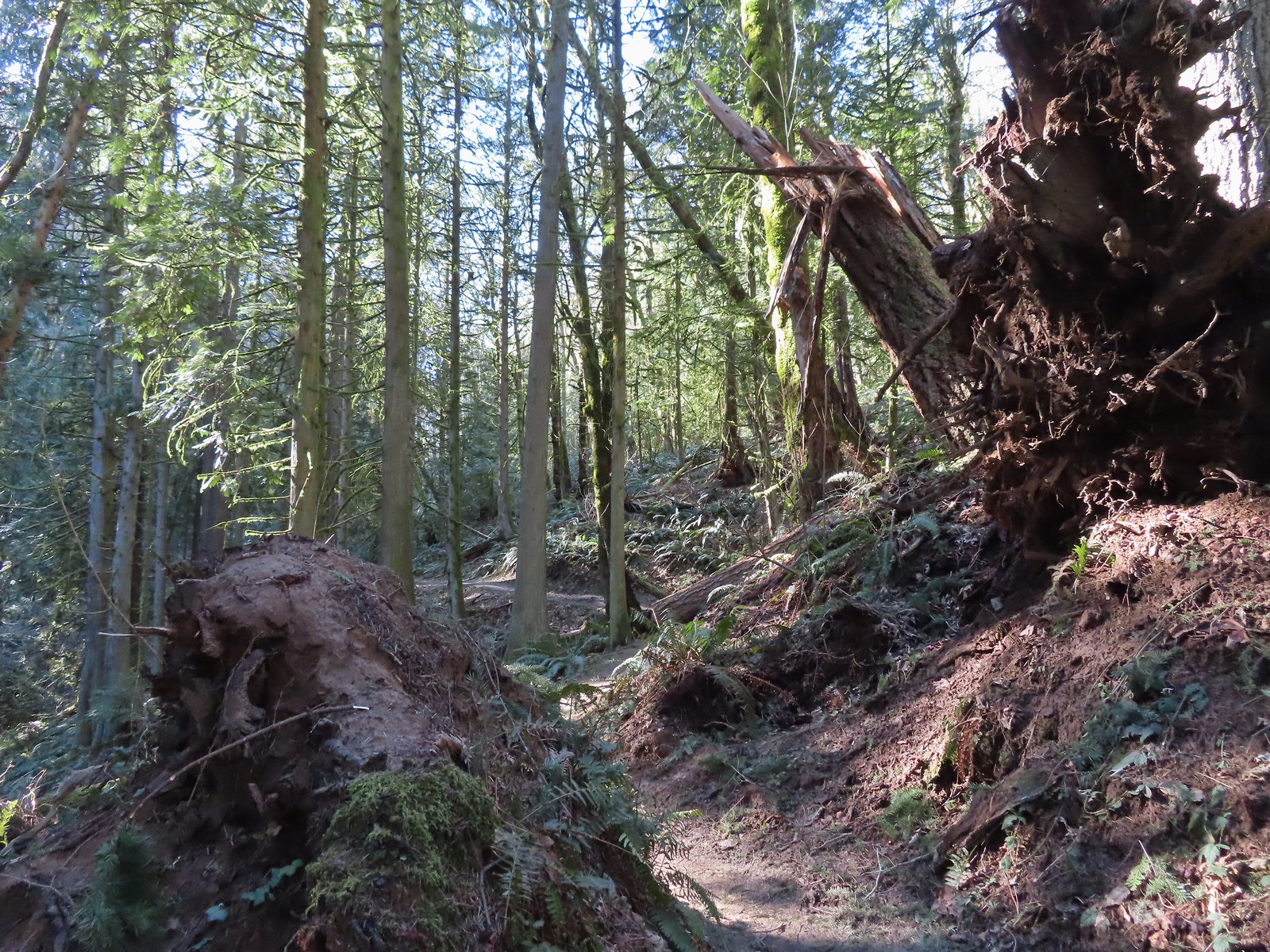 Uprooted trees along the Wildwood Trail.
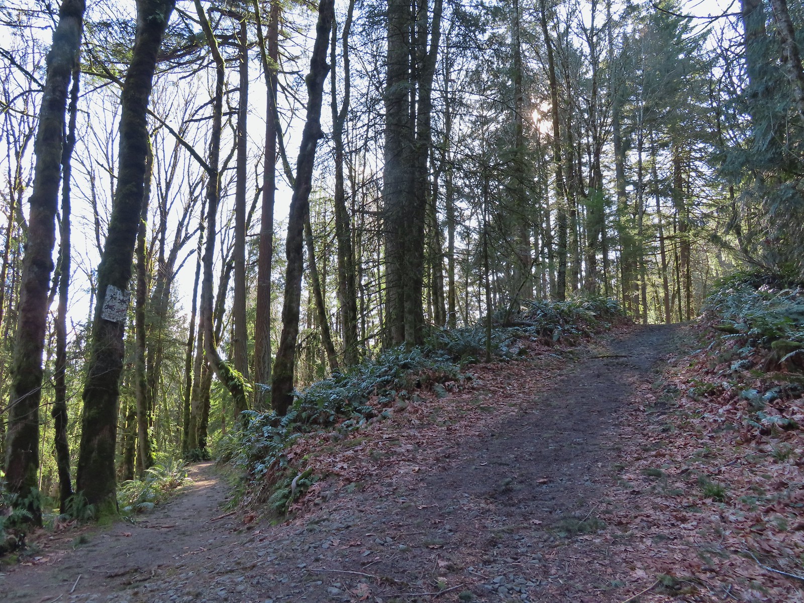 Newton Road to the right of the Wildwood Trail.
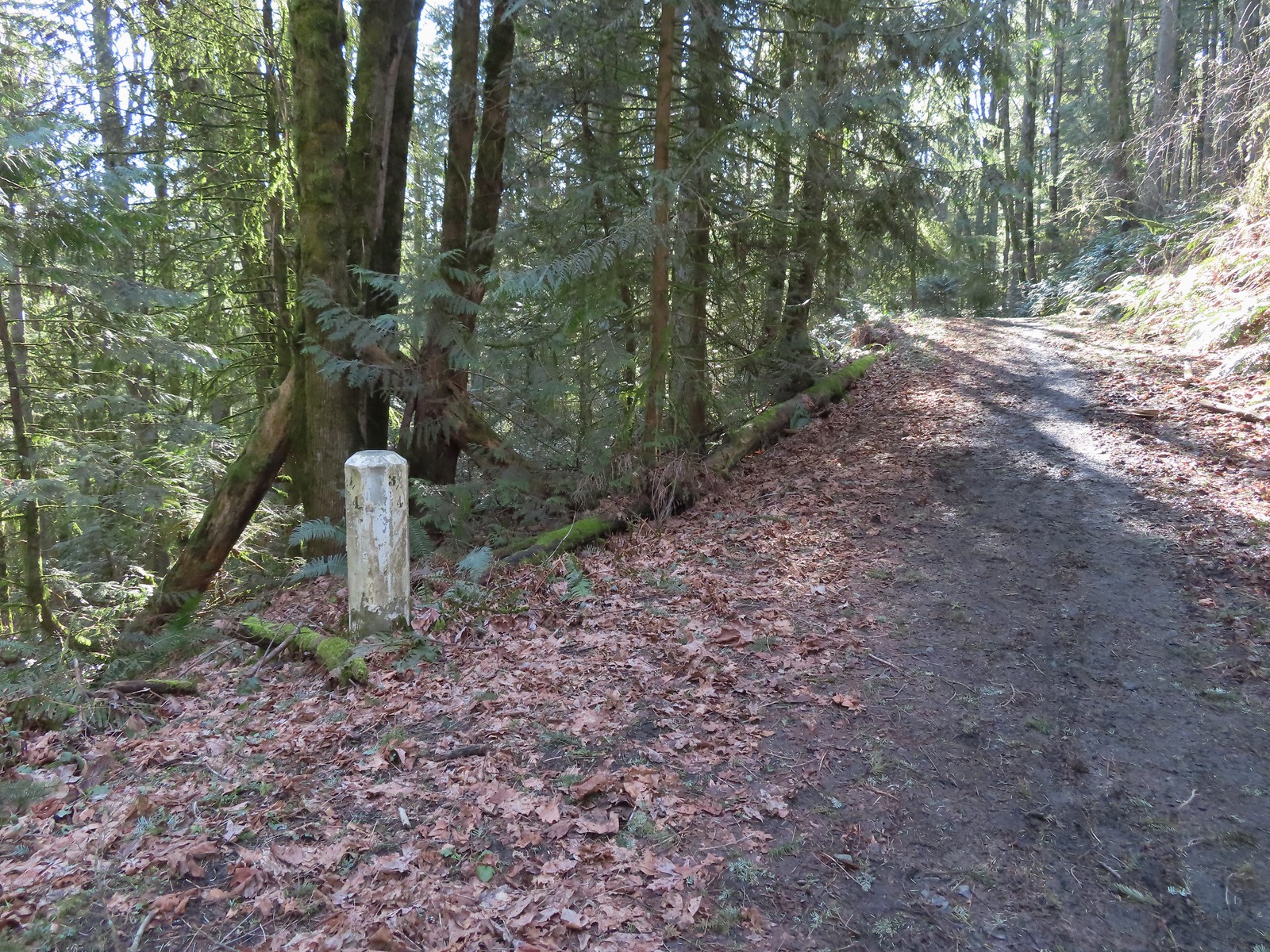 Mile marker along Newton Road.
 Douglas squirrel
 One of several small habitat restoration study areas along Newton Road.
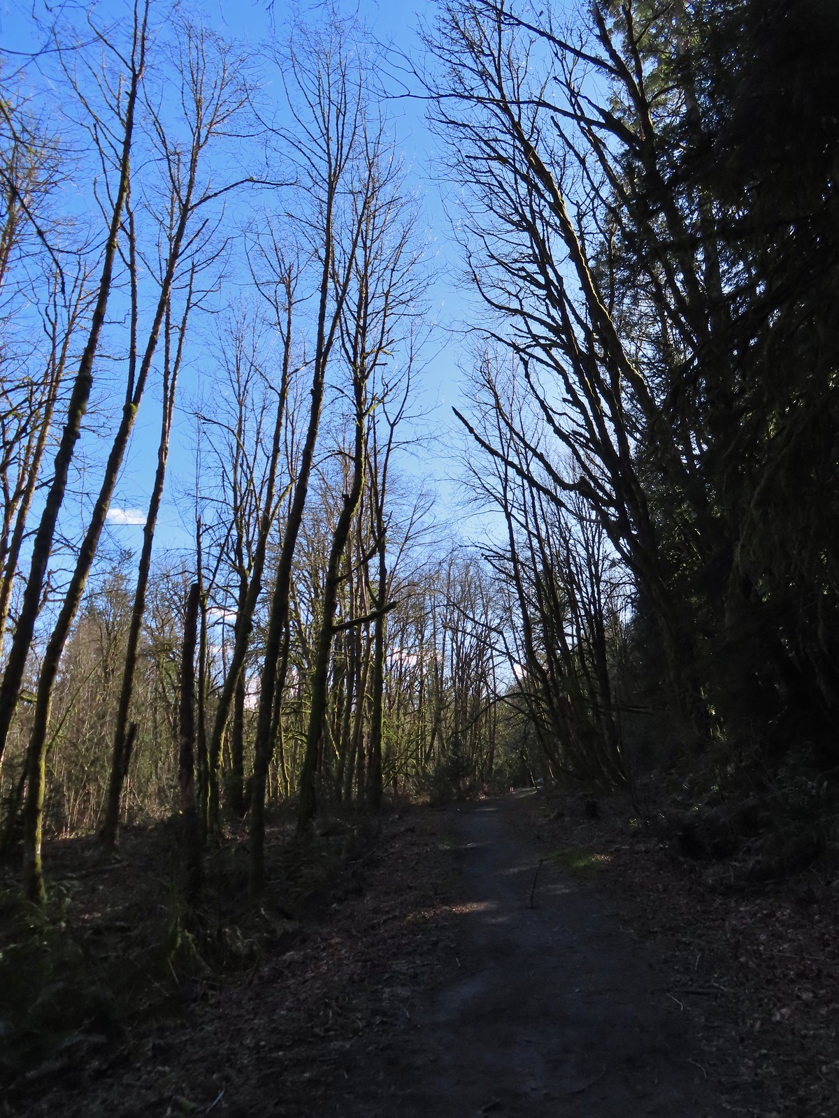 The Newton Road Trailhead in the distance.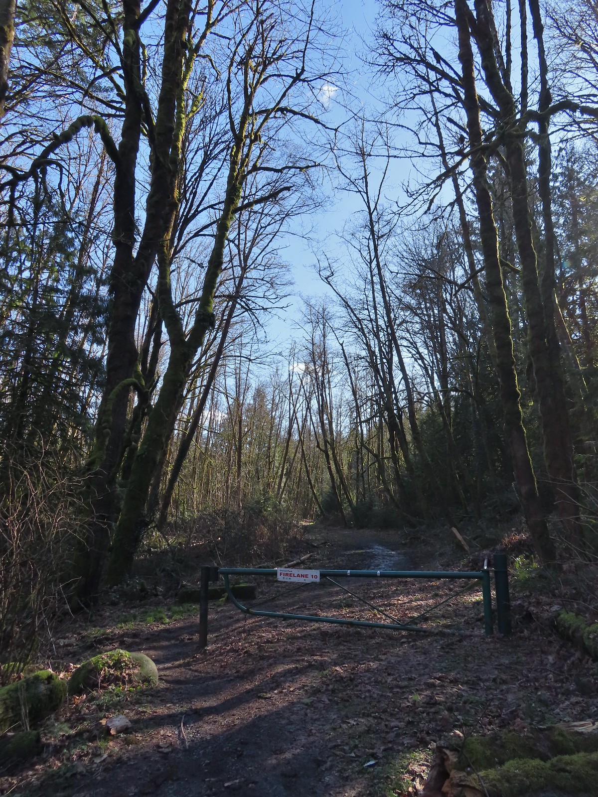

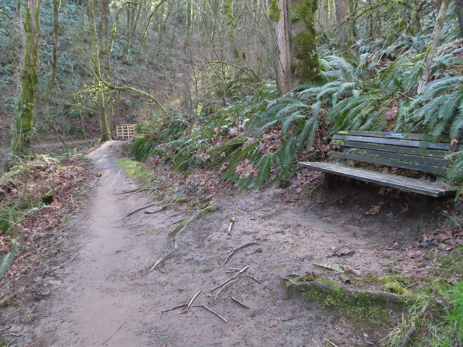 One of only two benches we saw all day.
 Cars parked along Germantown Road in the distance.


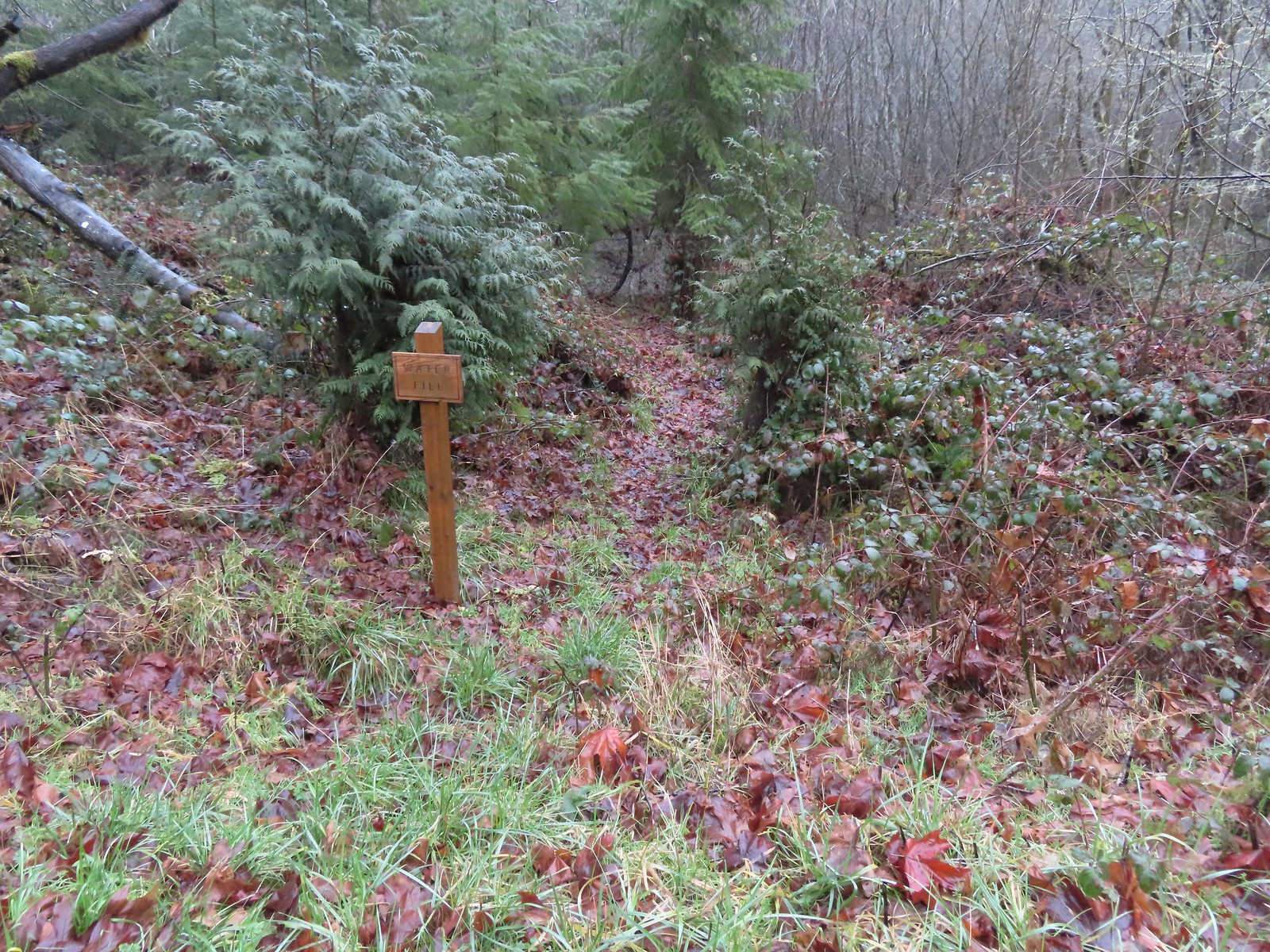 Just before the bridge over Shot Pouch Creek is a spur trail for water which is reportedly scarce along the entire 60-mile route.
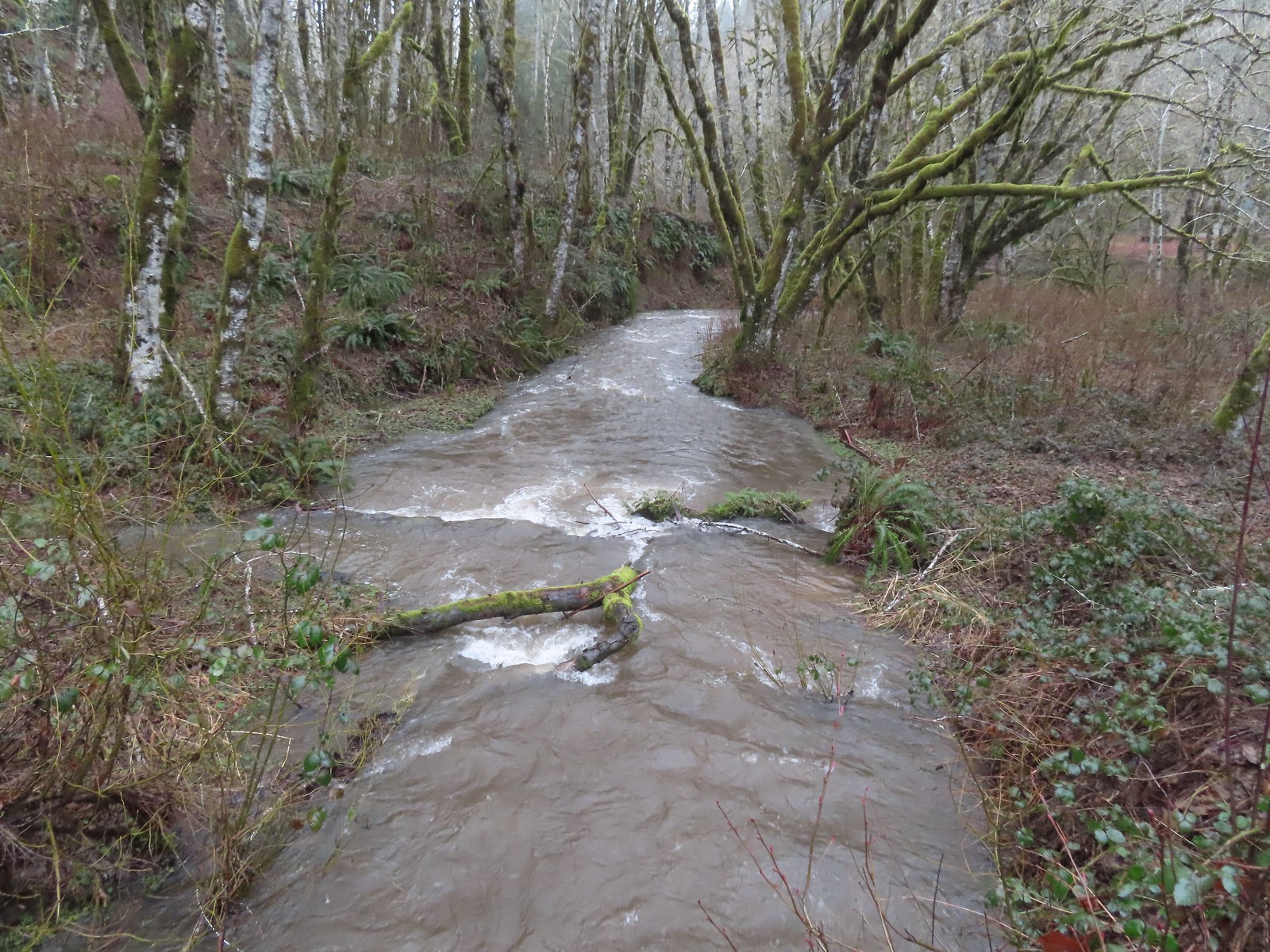 A swollen Shot Pouch Creek.
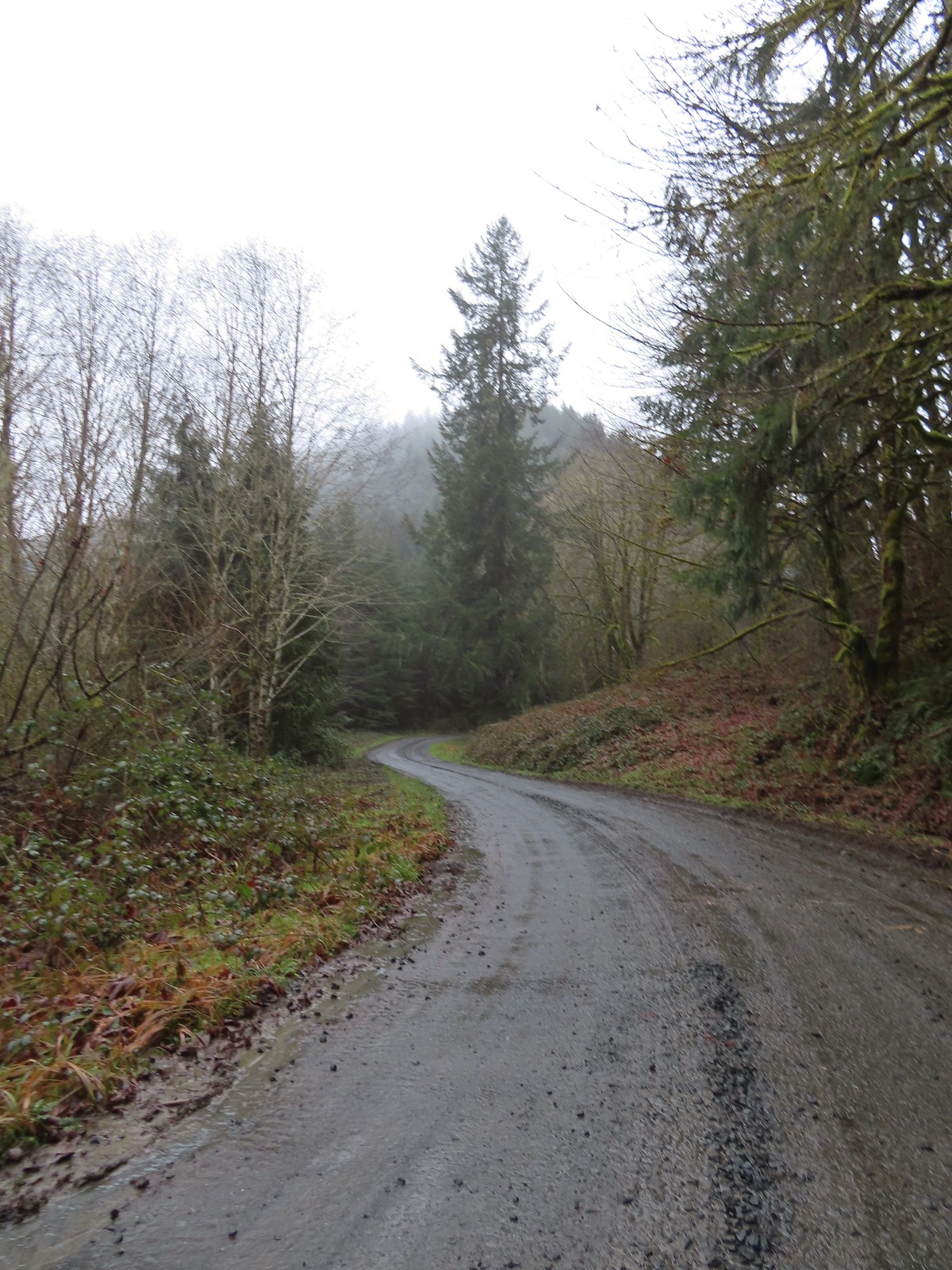 Following the trail/road up to the 4-way.
 This was one of a handful of similar structures in the area. So far we haven’t found any information on their history.
 Nearing “The 4-way”. Just ahead is where the Subaru bottomed out slightly.
 The 4-way
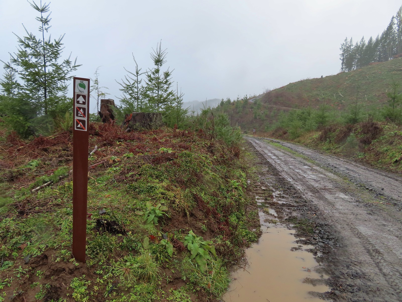 Trail marker with the kiosk and part of the gate in the distance.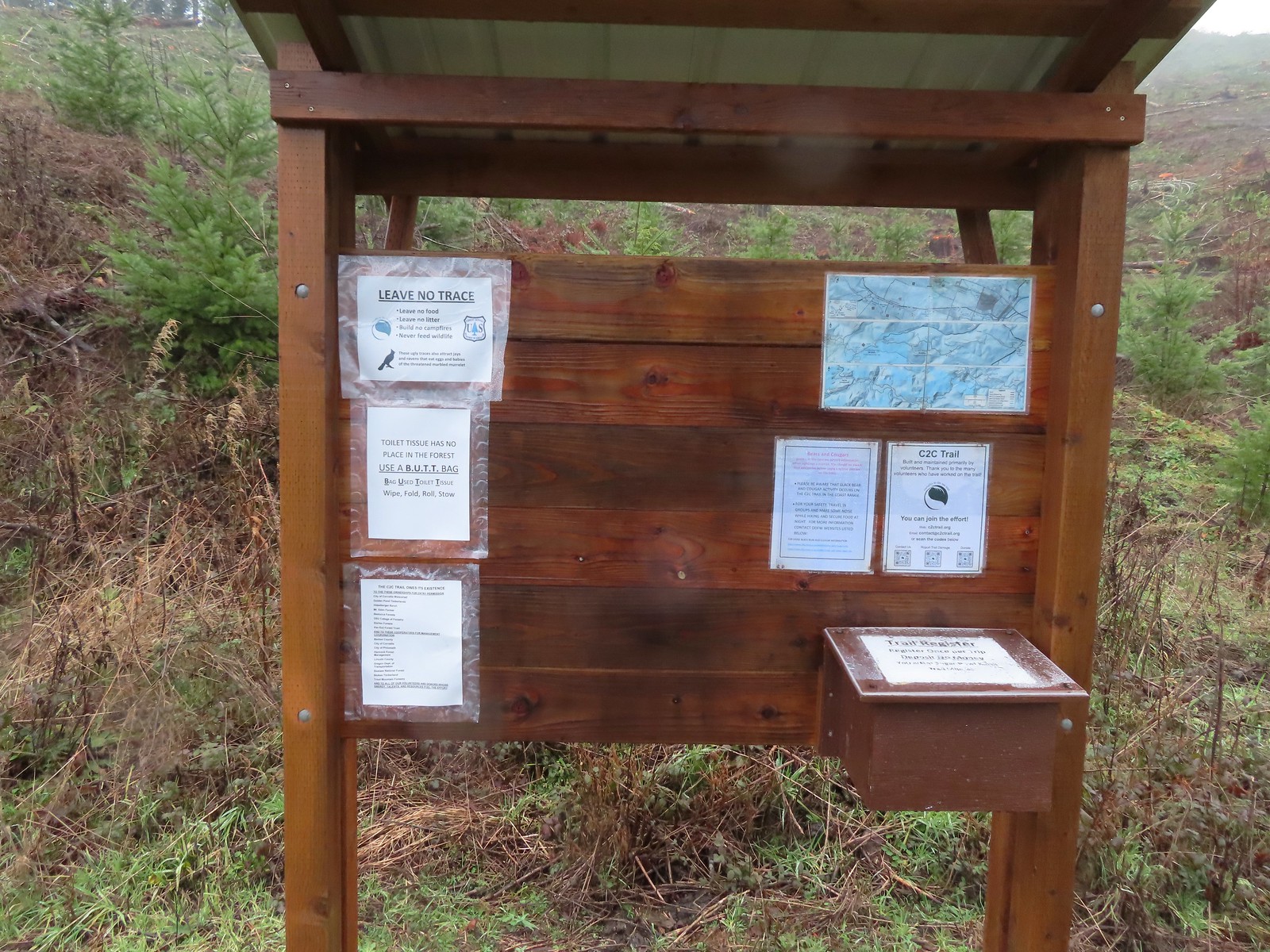
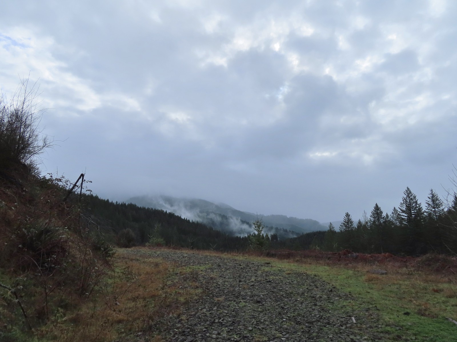
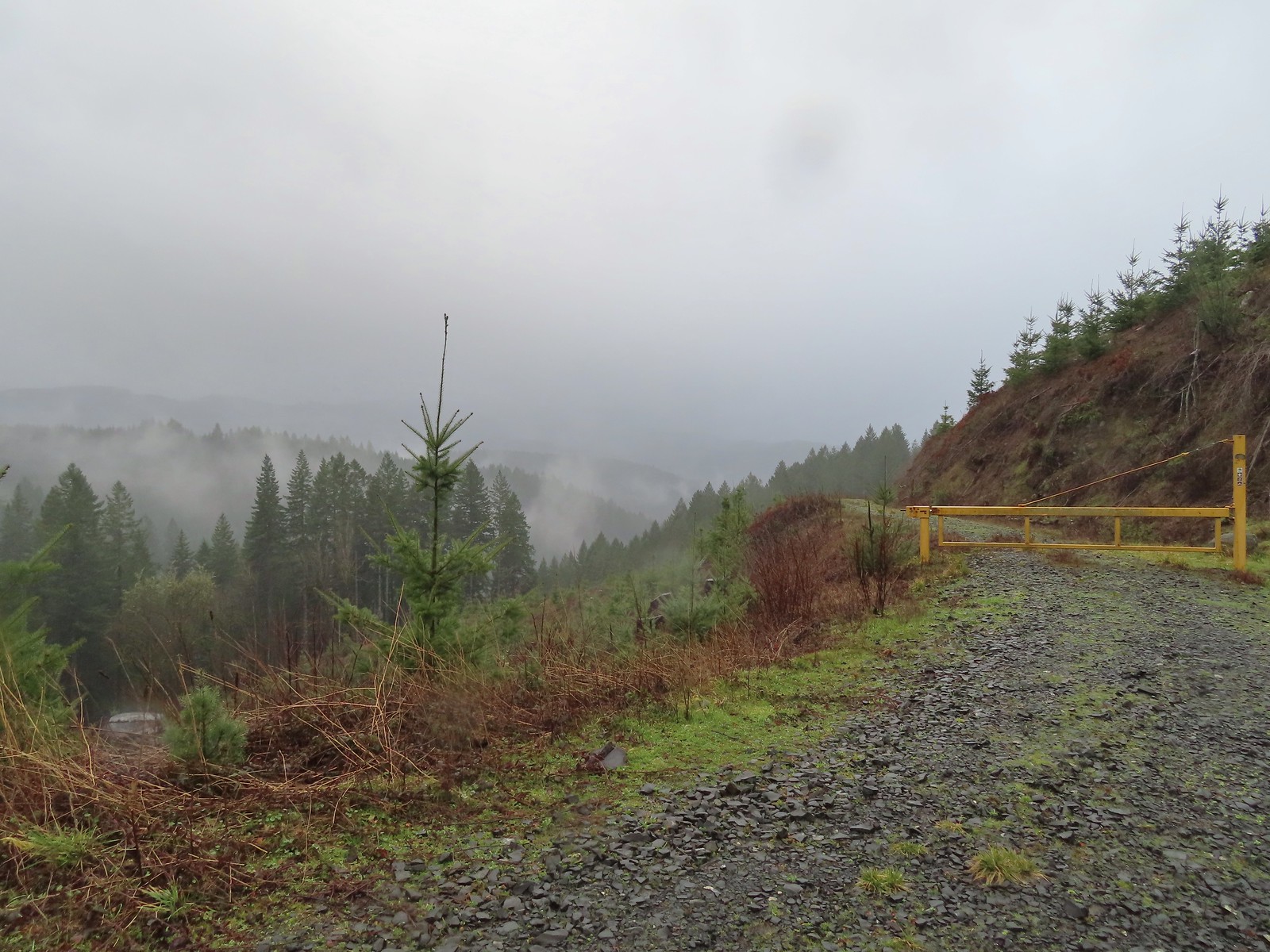 Cloudy and wet morning as expected.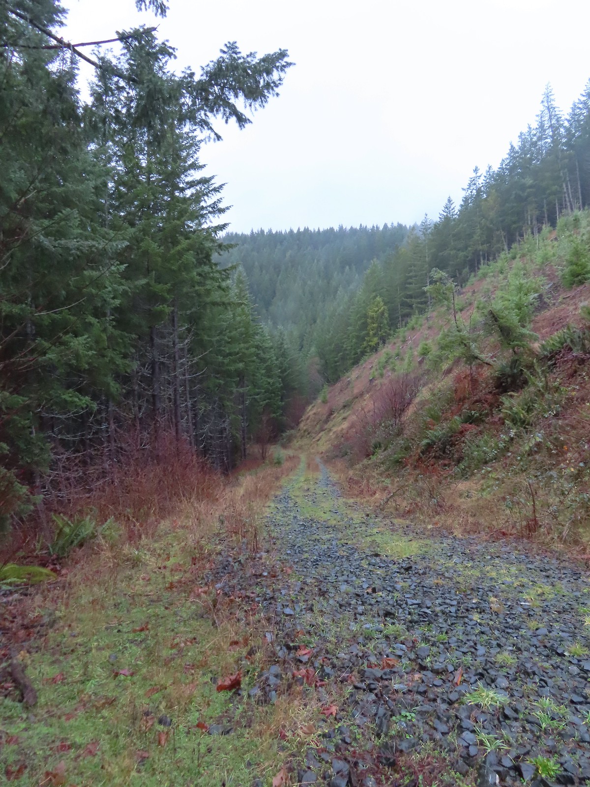
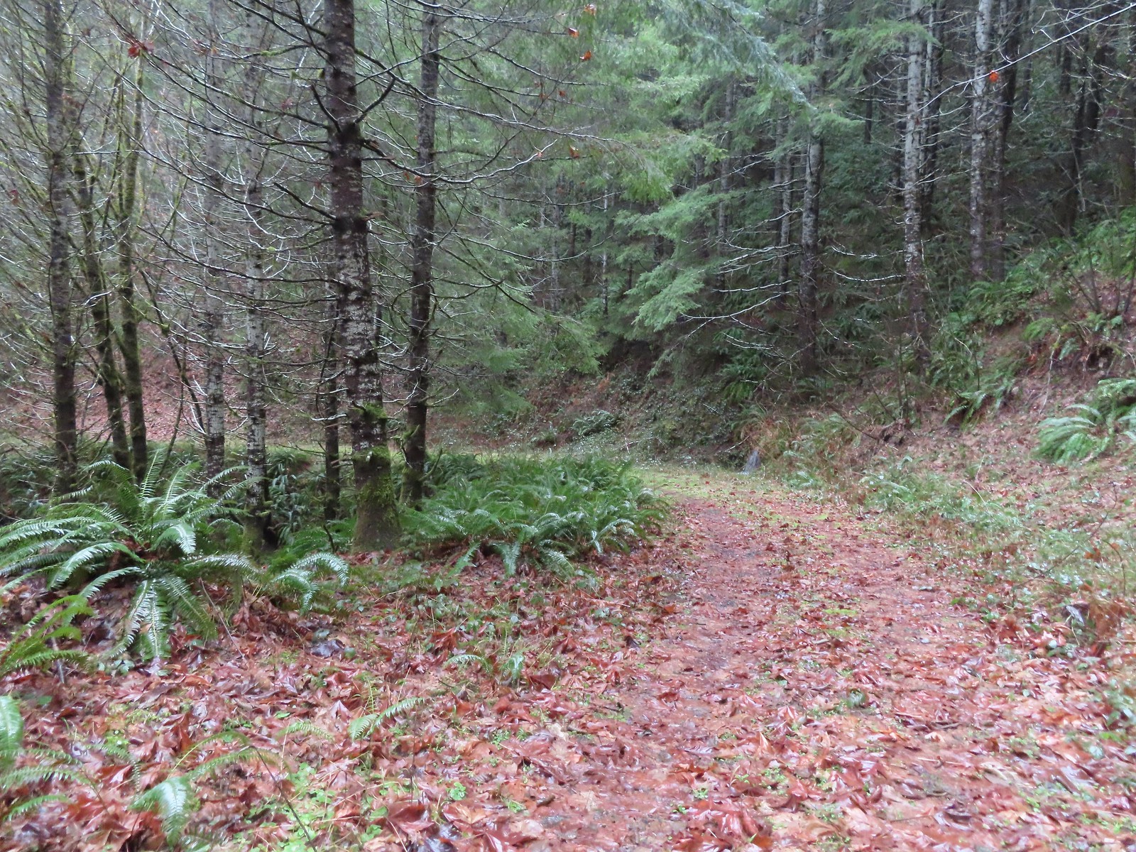 The rocks on the first stretch were not a pleasant surface to walk on but it wasn’t too long before we left the rocks behind.
 Small cascade along a side creek.
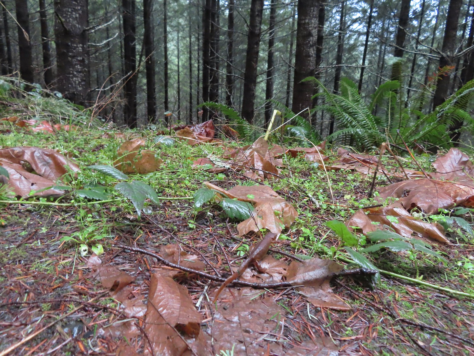 The first of the newts we spotted. They blend well with the leaves so we tried to really keep our eyes open to avoid accidently stepping on any. Over the course of the hike we saw several dozen and who knows how many we didn’t see.
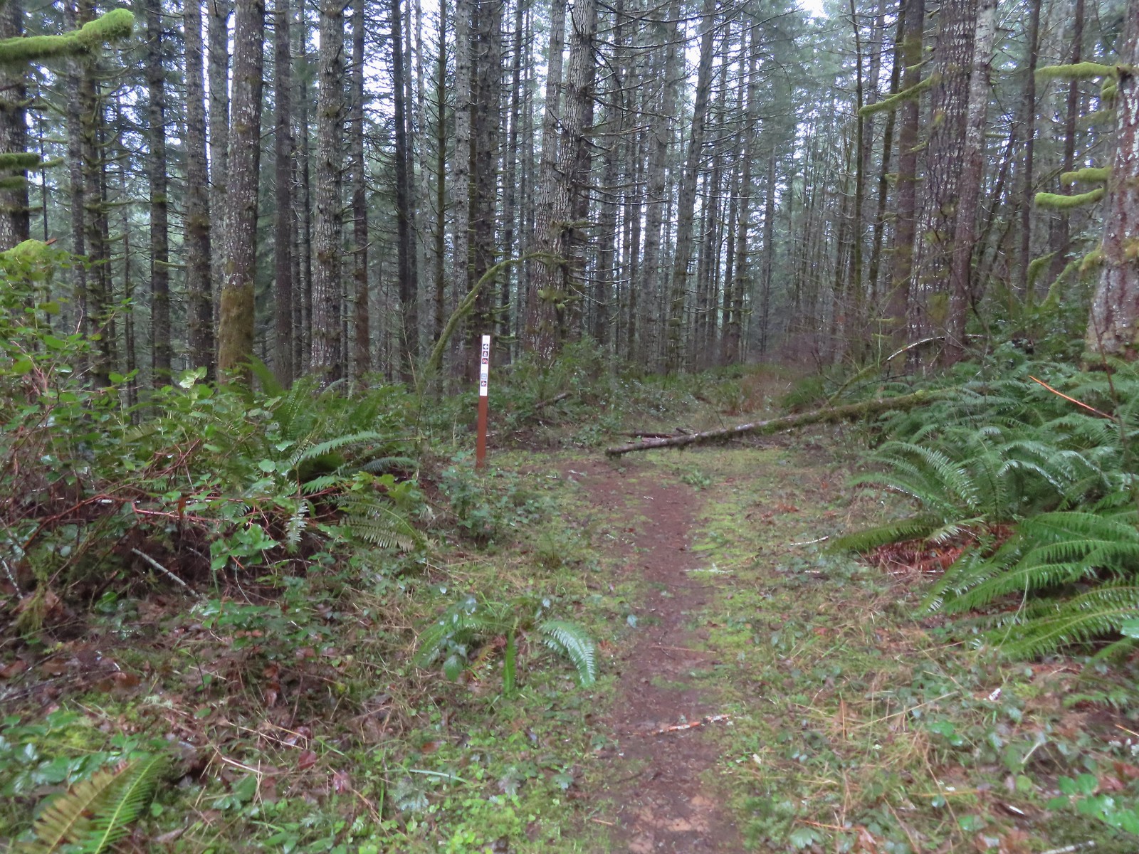
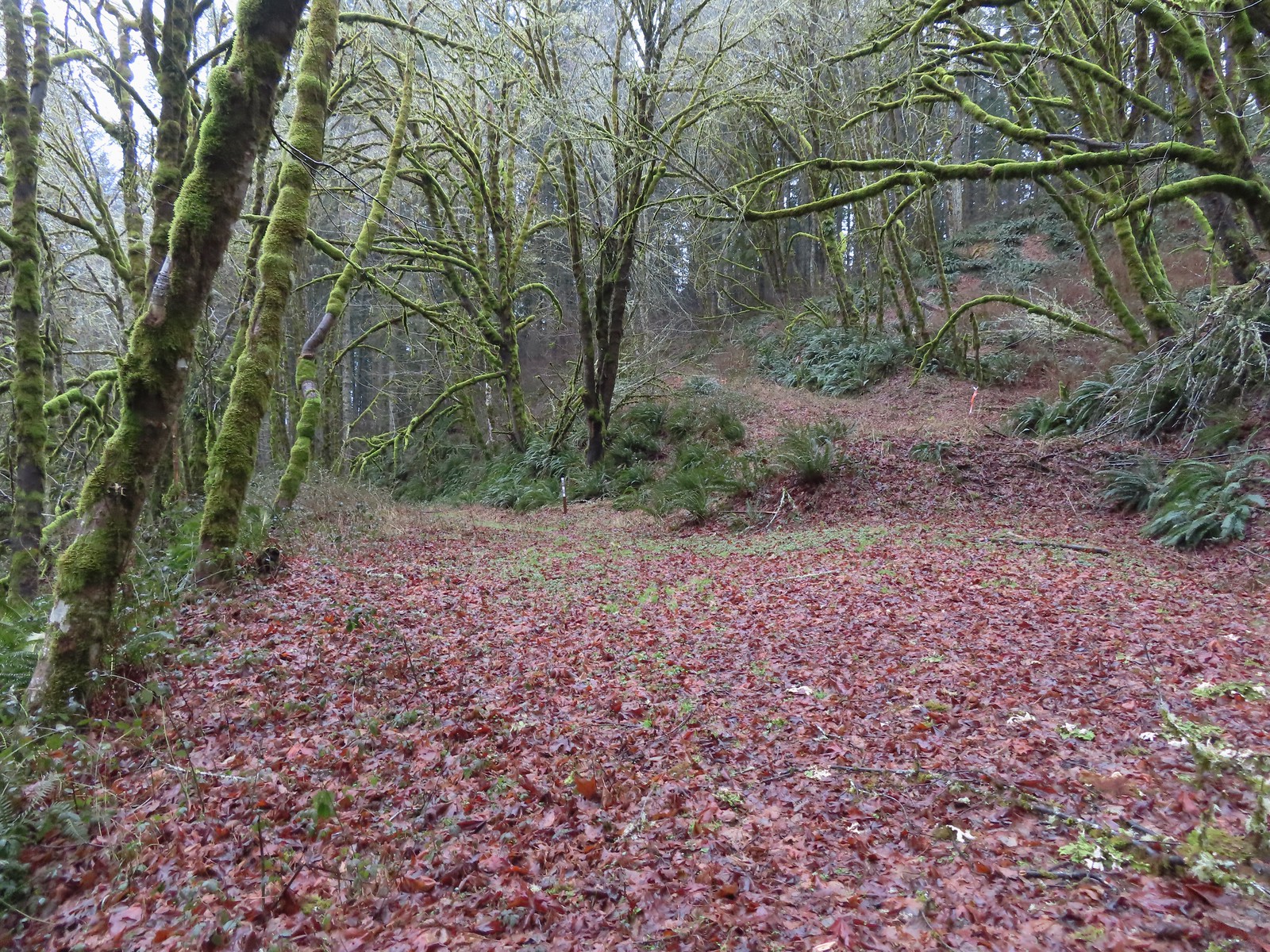 C2C Trail marker along the left-hand (downhill) fork.
 This was the only significant blowdown we encountered on the hike and the tree here was a fairly easy duck under.
 The Sugar Bowl Creek Trail segment leaving the old road. This was the only portion that was true singletrack along the Sugar Bowl segment. Here the trail passes through a portion of the Siuslaw National Forest.
 The Sugar Bowl Creek Trail switchbacked downhill to the East before turning back to the SW in the Sugar Bowl.
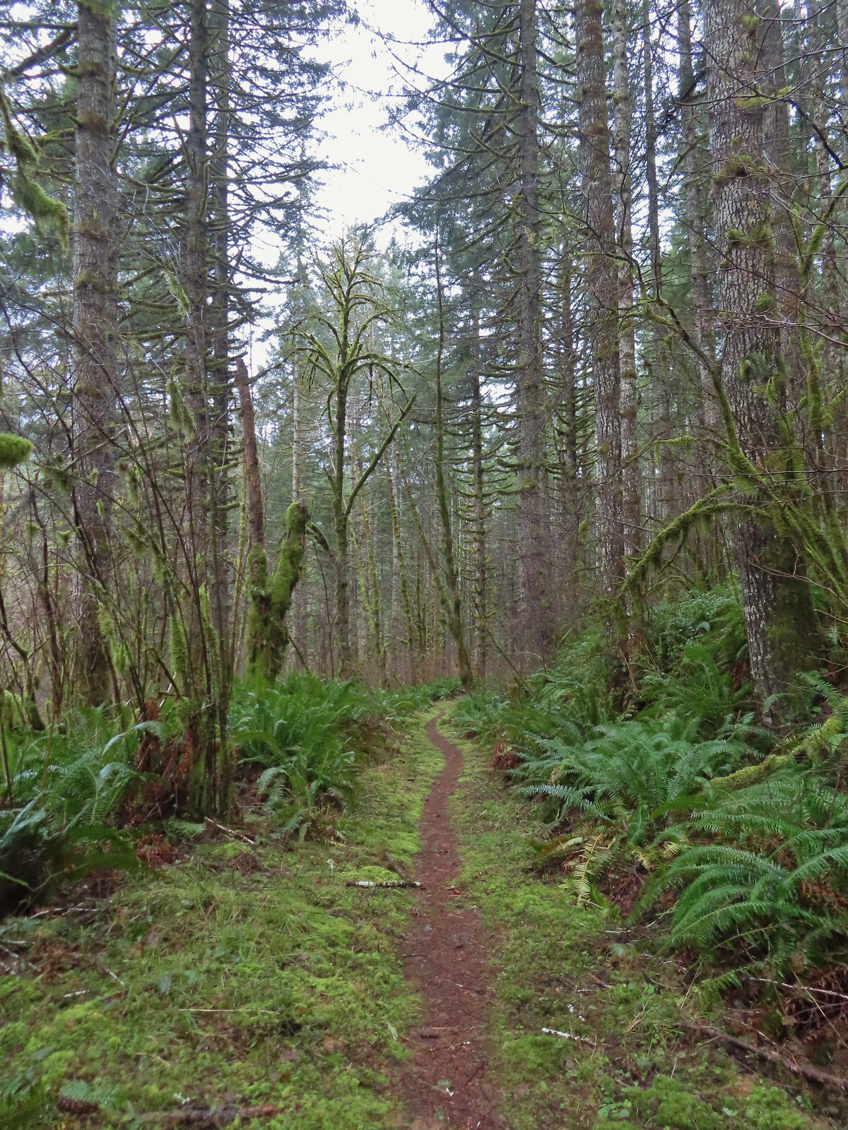 The trail eventually rejoined the old roadbed.
 Actual blue sky.
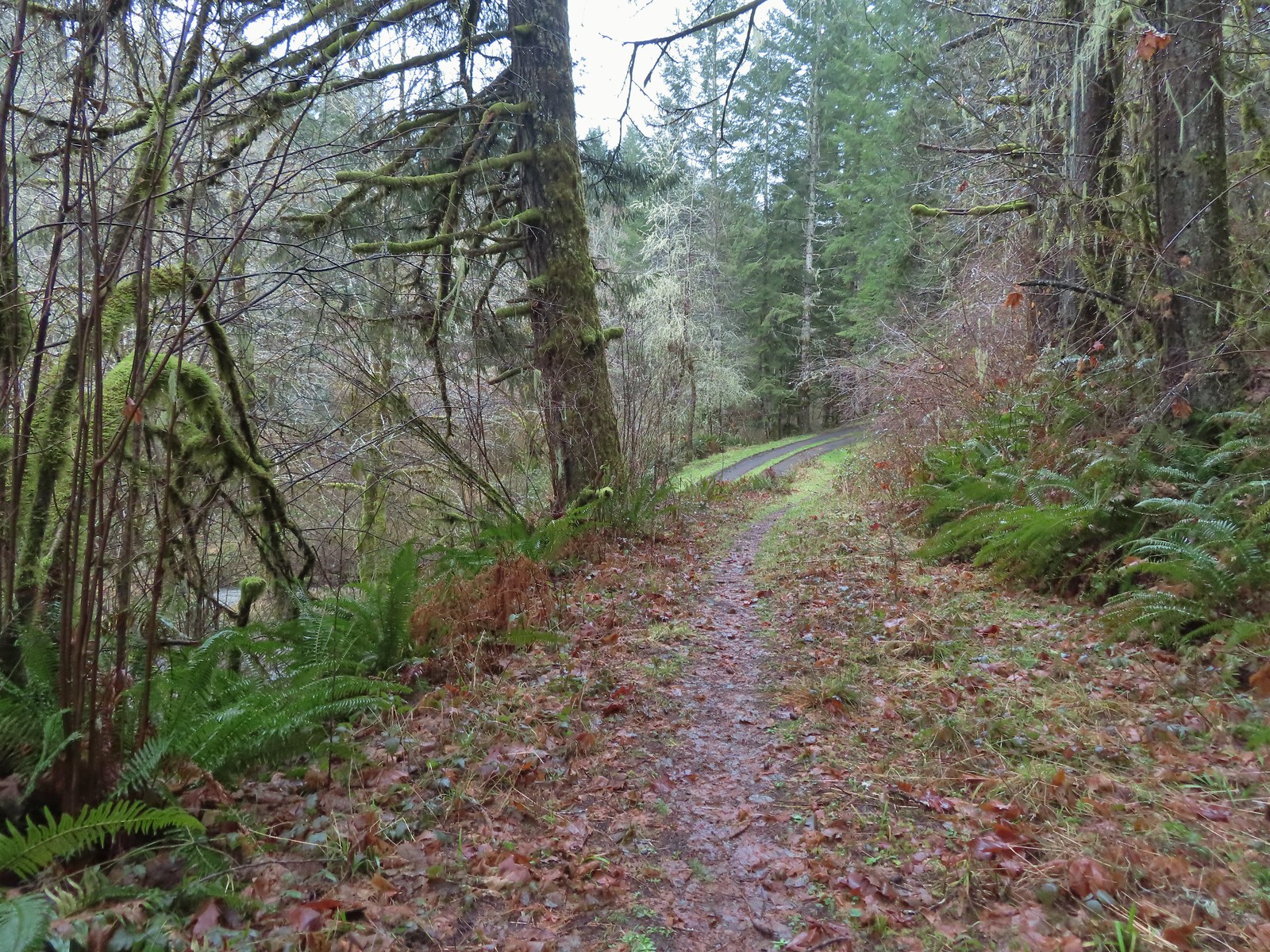 Arriving at Mary’s Peak Road.
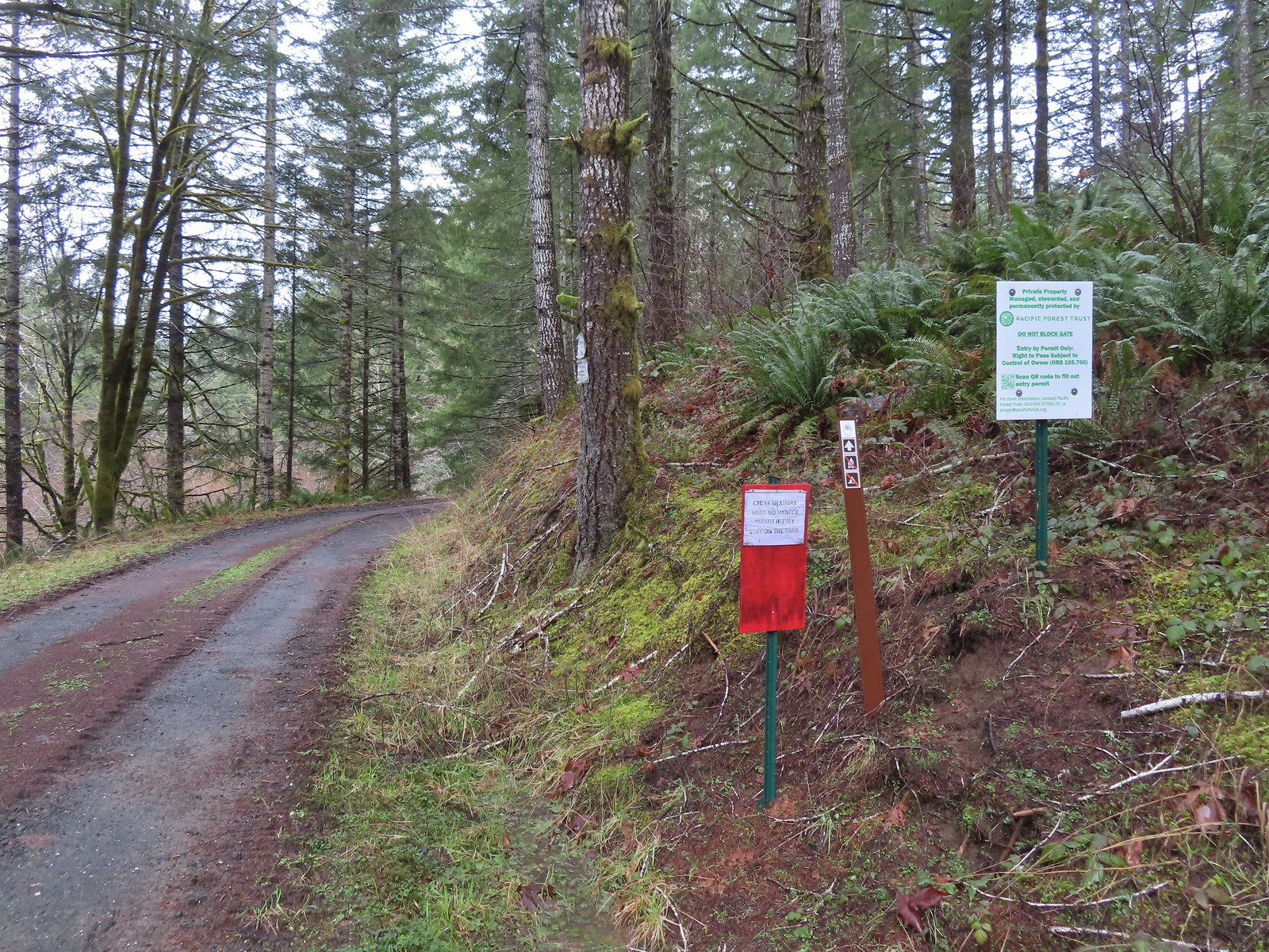 Signage along Mary’s Peak Road for the C2C.
 This particular newt was not about to move out of Heather’s way.
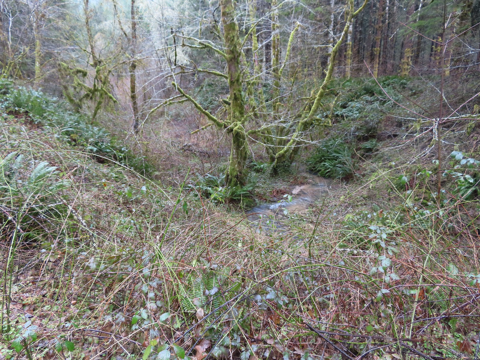 A side creek flowing toward Sugar Bowl Creek.
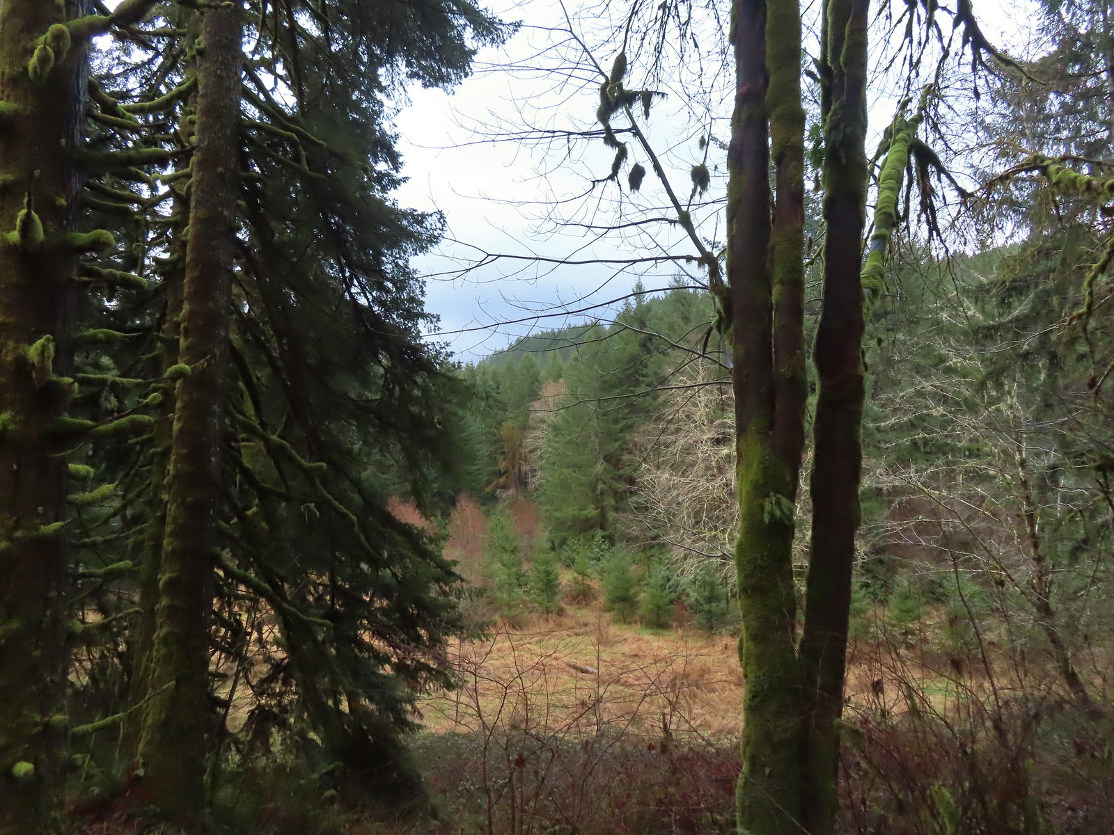 Sugar Bowl Creek was never visible from the C2C but it was out there somewhere.
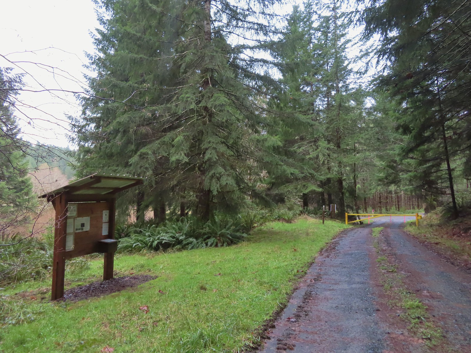 The Harlan Road Gate and kiosk.
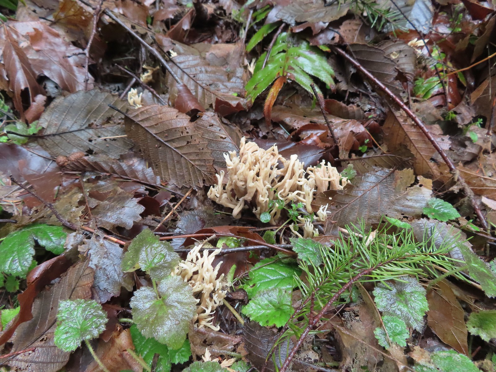 Coral fungus
 Unnamed creek
 Back on the rocky roadbed below the 4-way.
 Back at the gate and kiosk.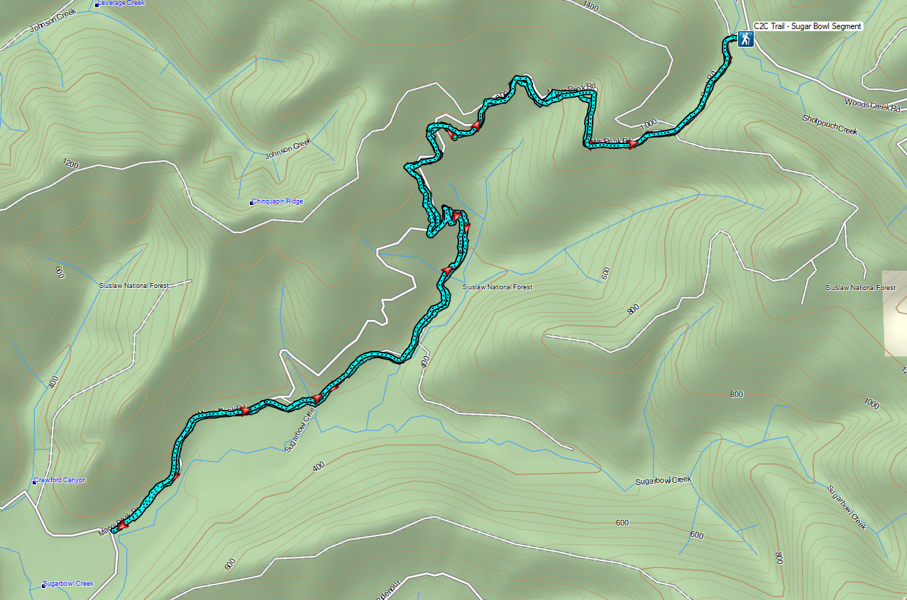


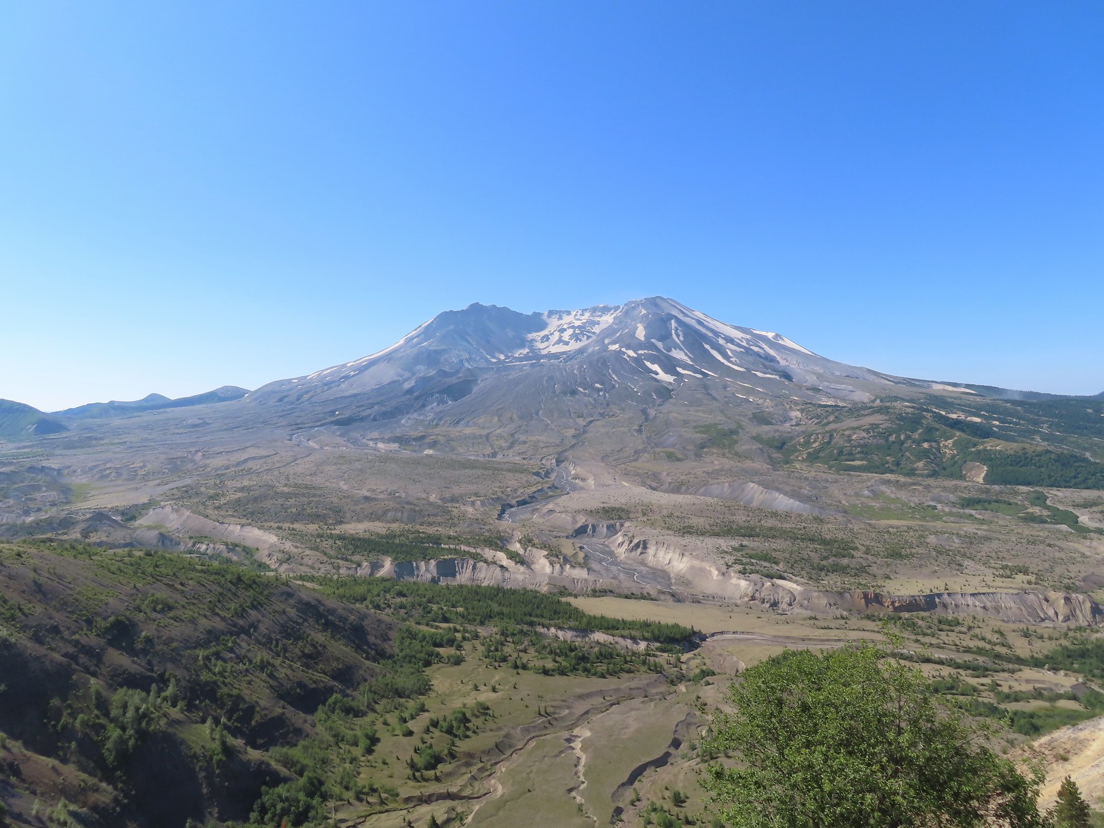
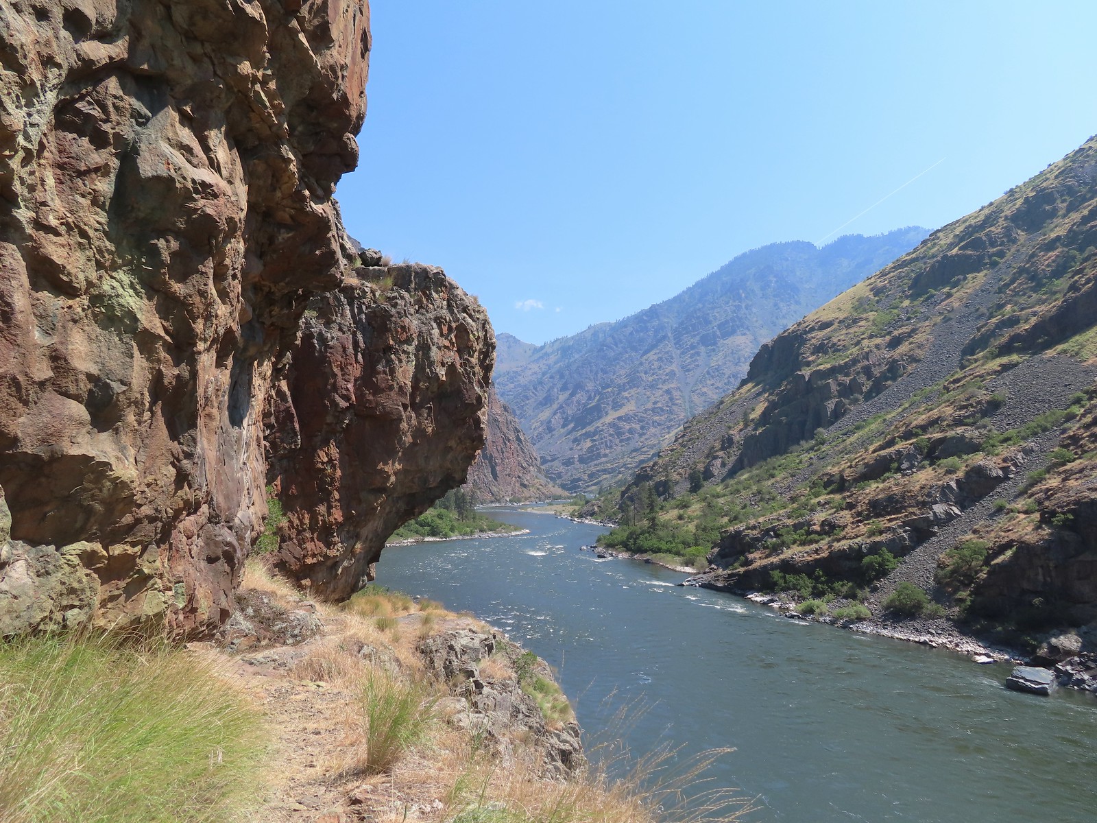
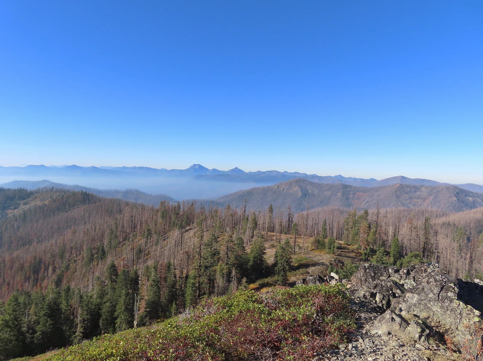 Peaks in California from Tanner Mountain.
 The Pacific Ocean from Cape Mountain.
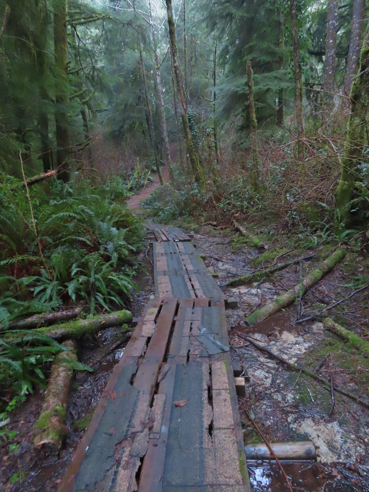 Friends of Wildwoods Trail – Lincoln City, OR (January)
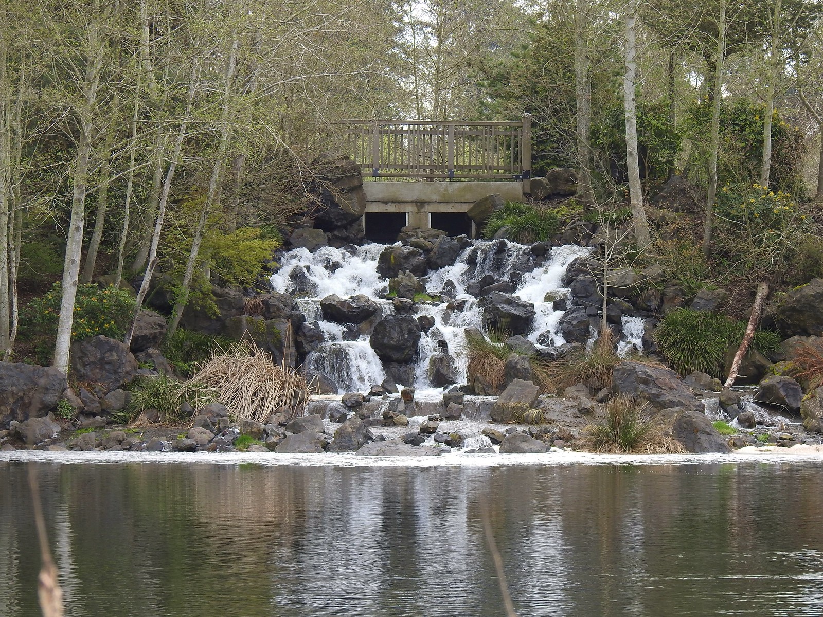 Talking Water Gardens – Albany, OR (April)
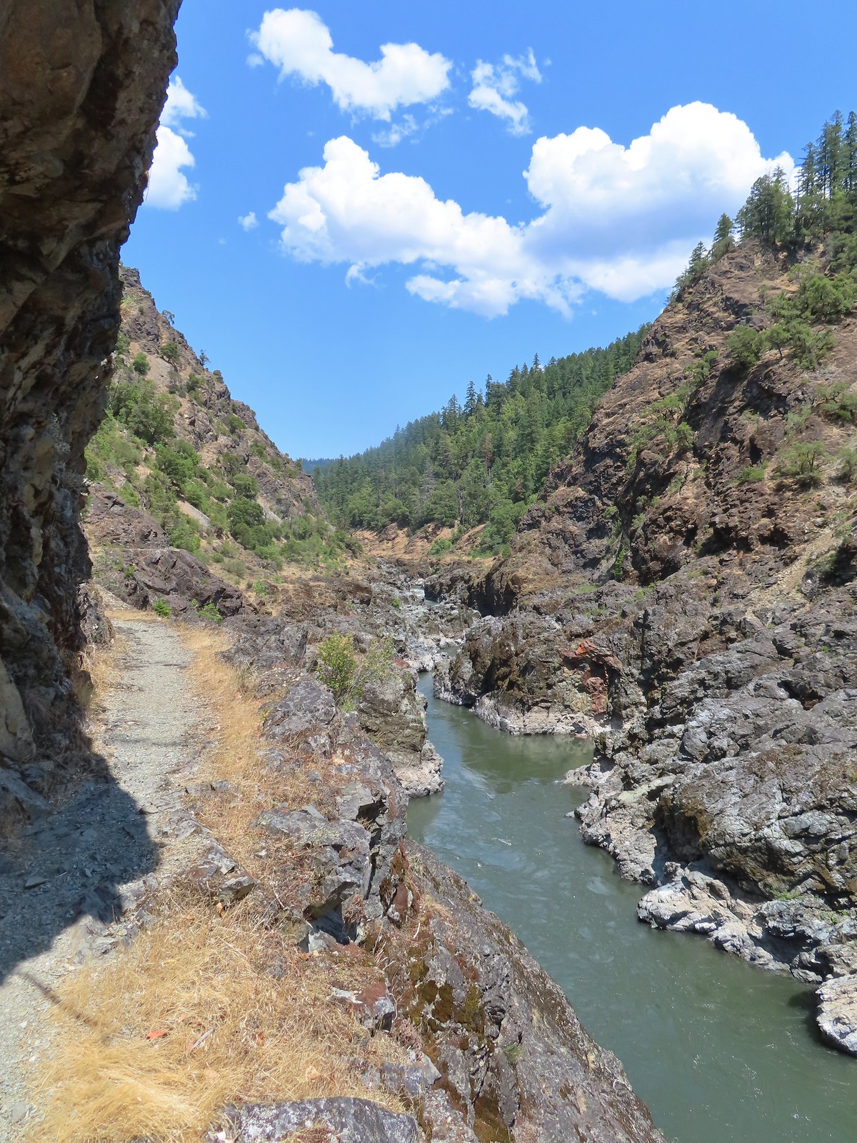
 Whiskey Creek – Rogue River National Recreation Trail, OR (May)
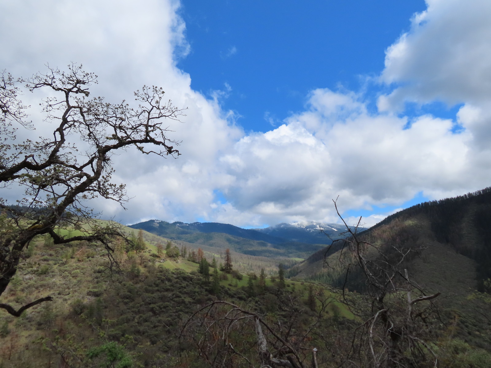 Wagner Butte from the Sterling Mine Ditch Trail – Southern Oregon (May)
 Illinois River from the Kerby Flat Trail – Southern Oregon (May)
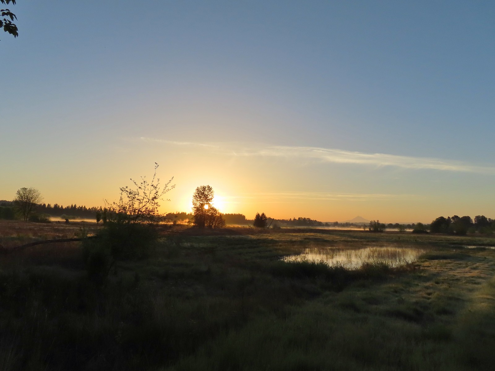 Mt. Hood from the Tualatin River National Wildlife Refuge – Sherwood, OR (May)
 Deschutes River from the Criterion Tract – Central Oregon (May)
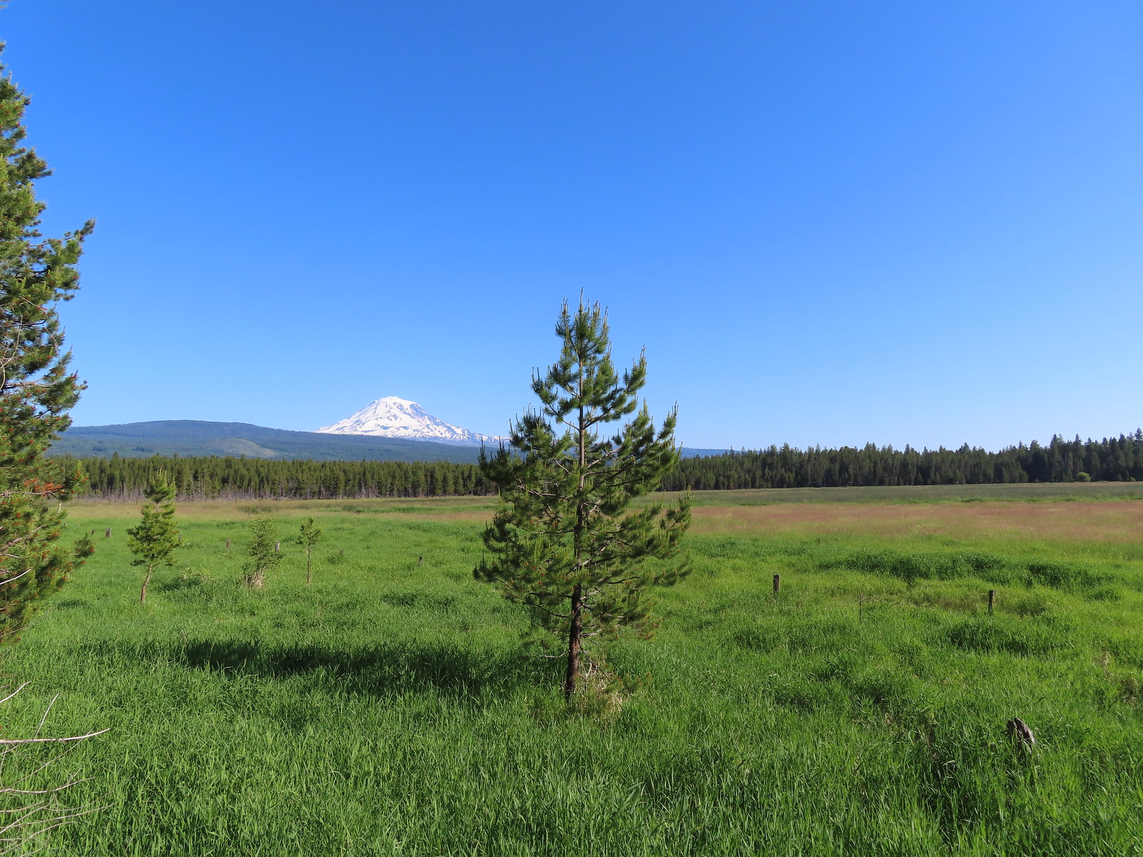 Mt. Adams from Conboy Lake National Wildlife Refuge – Washington (June)
 Hat Rock – Hat Rock State Park, OR (June)
 View from the Imnaha River Trail –
  Pond at Iwetemlaykin State Heritage Site – Joseph, OR (June)
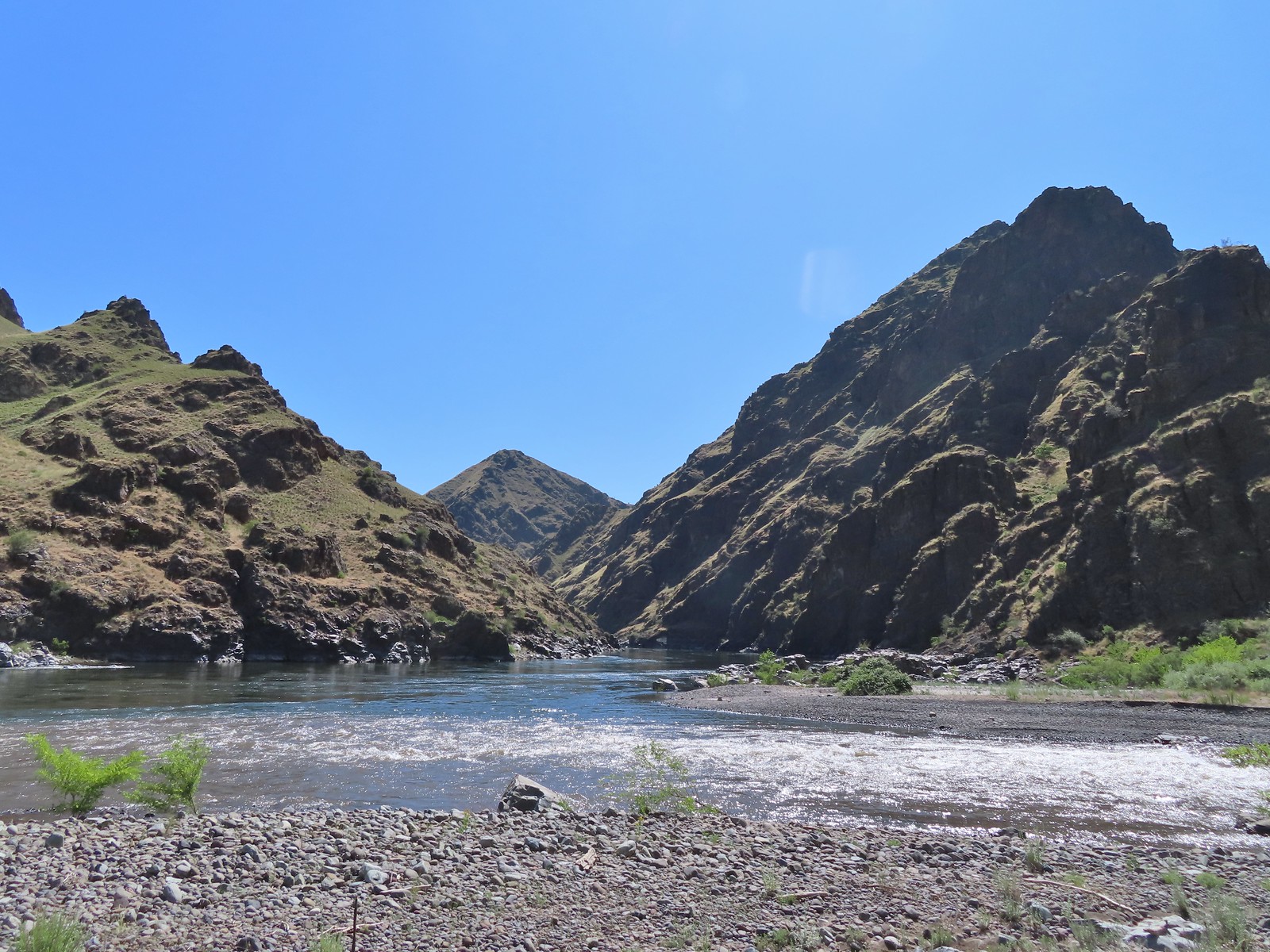 Snake River at Eureka Bar, OR (June)
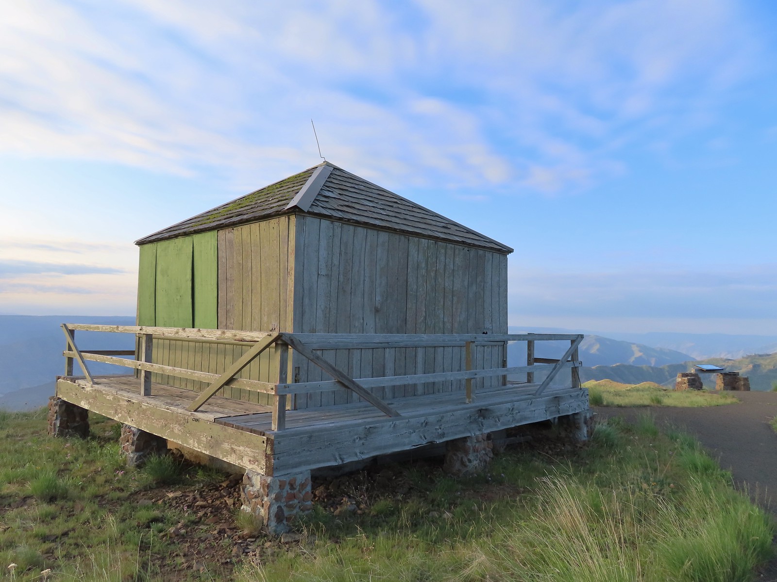 Buckhorn Lookout, OR (June)
 Blossom Bar – Rogue River, OR (June)
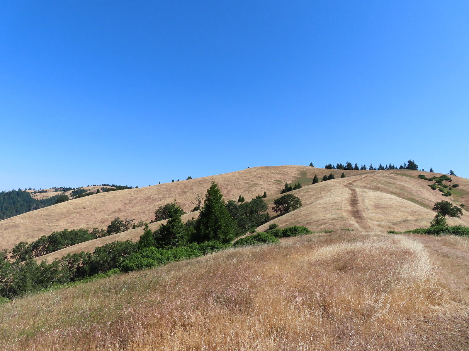 North Bank Habitat – Roseburg, OR (June)
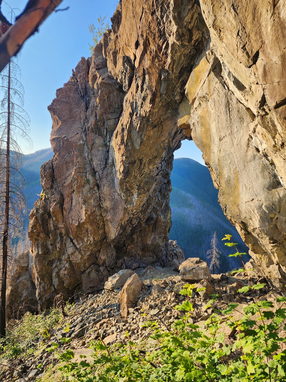 Natural Rock Arch – Niagra, OR (July)
 Mt. Jefferson and Three Fingered Jack from Sand Mountain – Willamette National Forest, OR (July)
 Stuart Falls –
 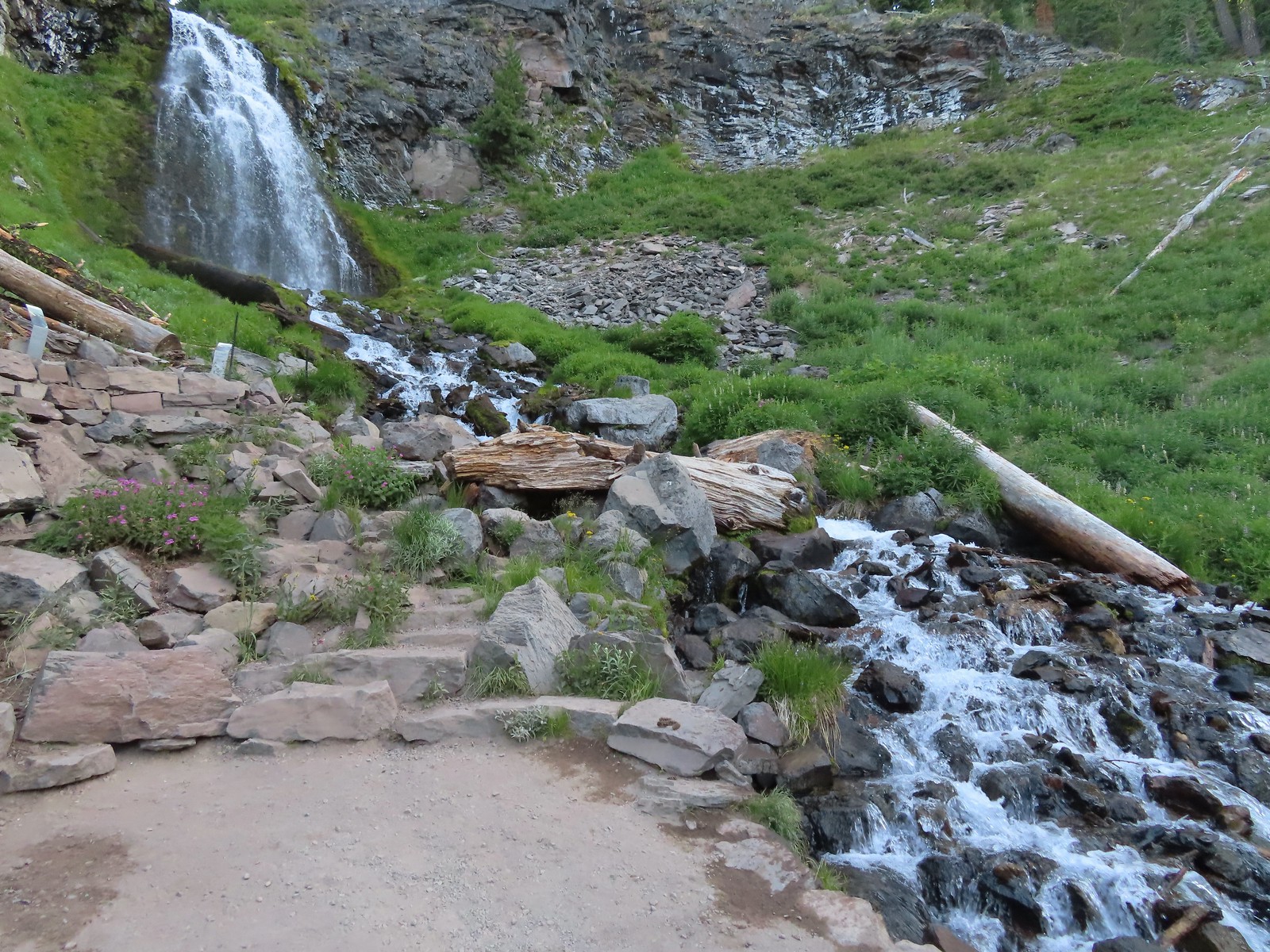 Plaikni Falls –
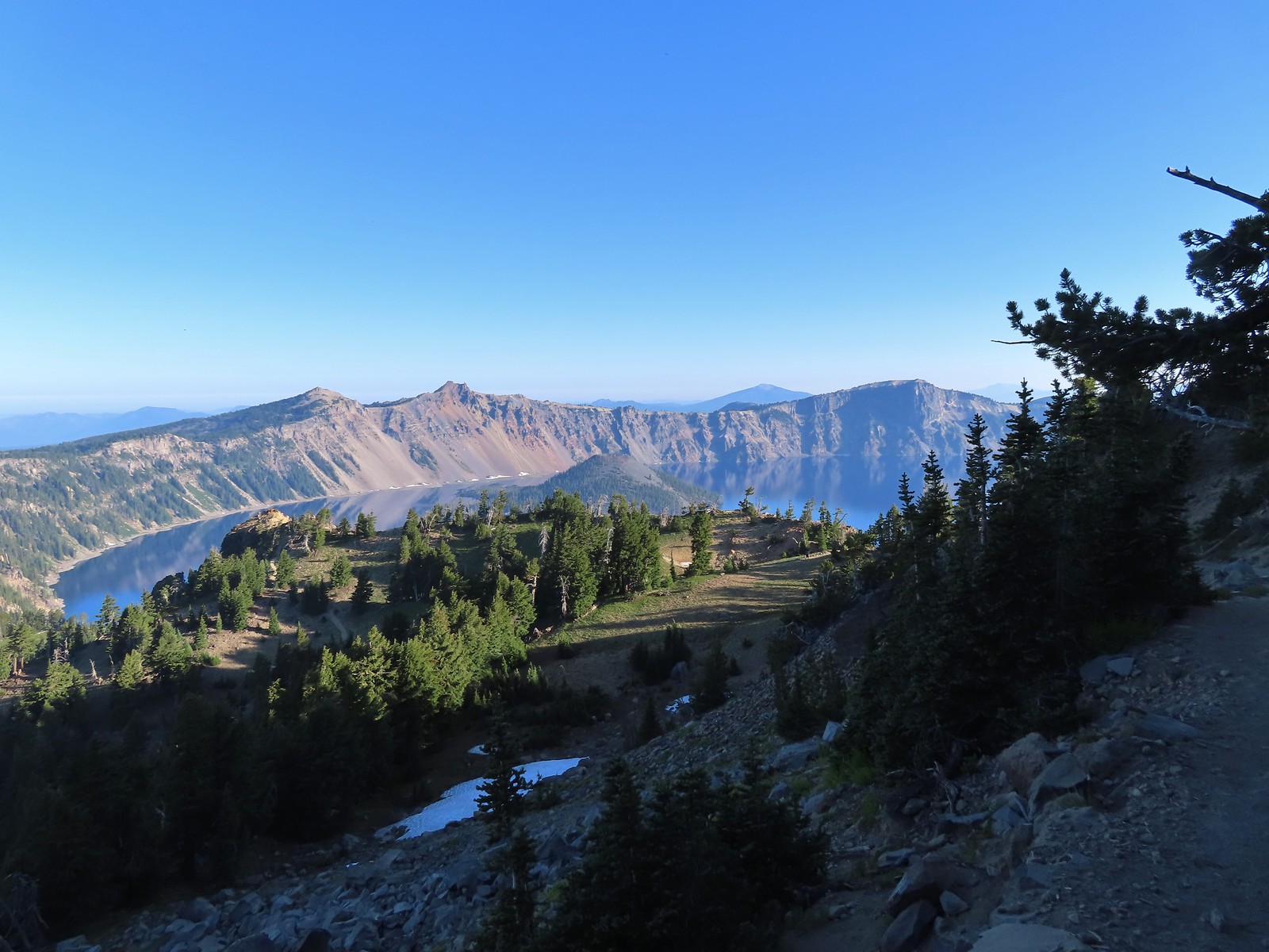
 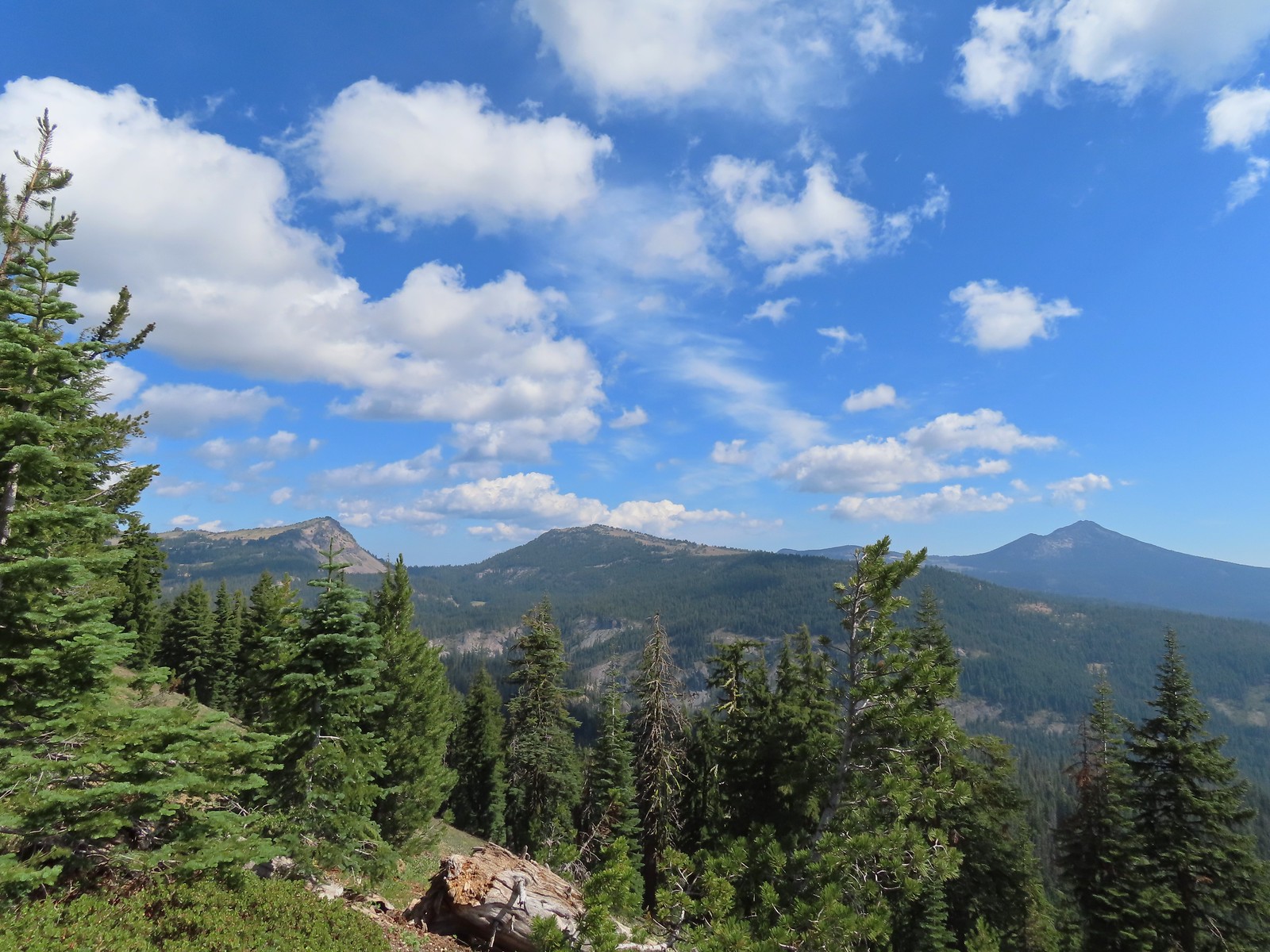 View from Crater Peak – Crater Lake National Park, OR (August)
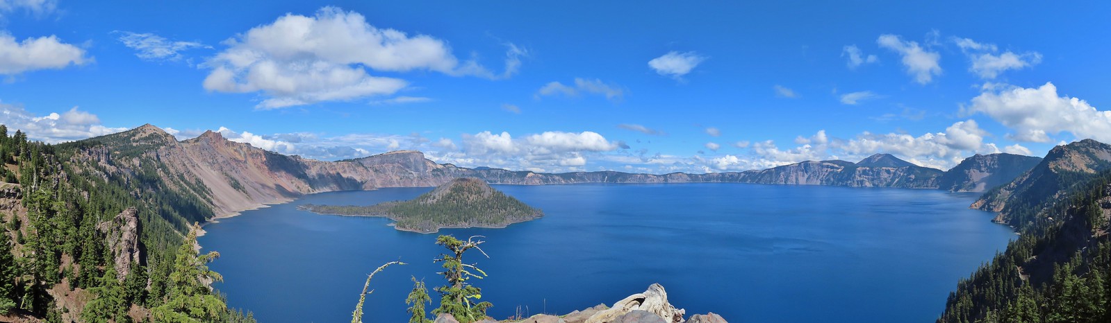
 Crater Lake from the Cleetwood Cove Trail – Crater Lake National Park, OR (August)
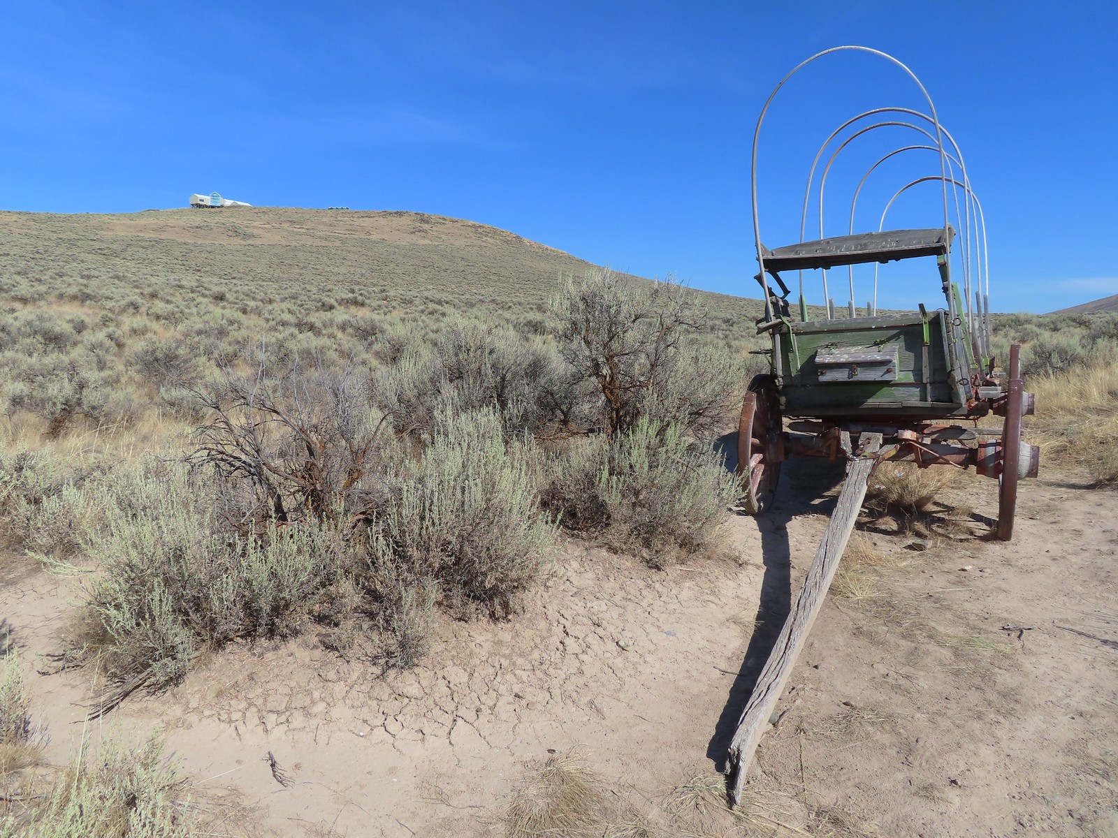 Oregon Trail replica wagon – Baker City, OR (August)
 Eagle Cap Wilderness, OR (August)
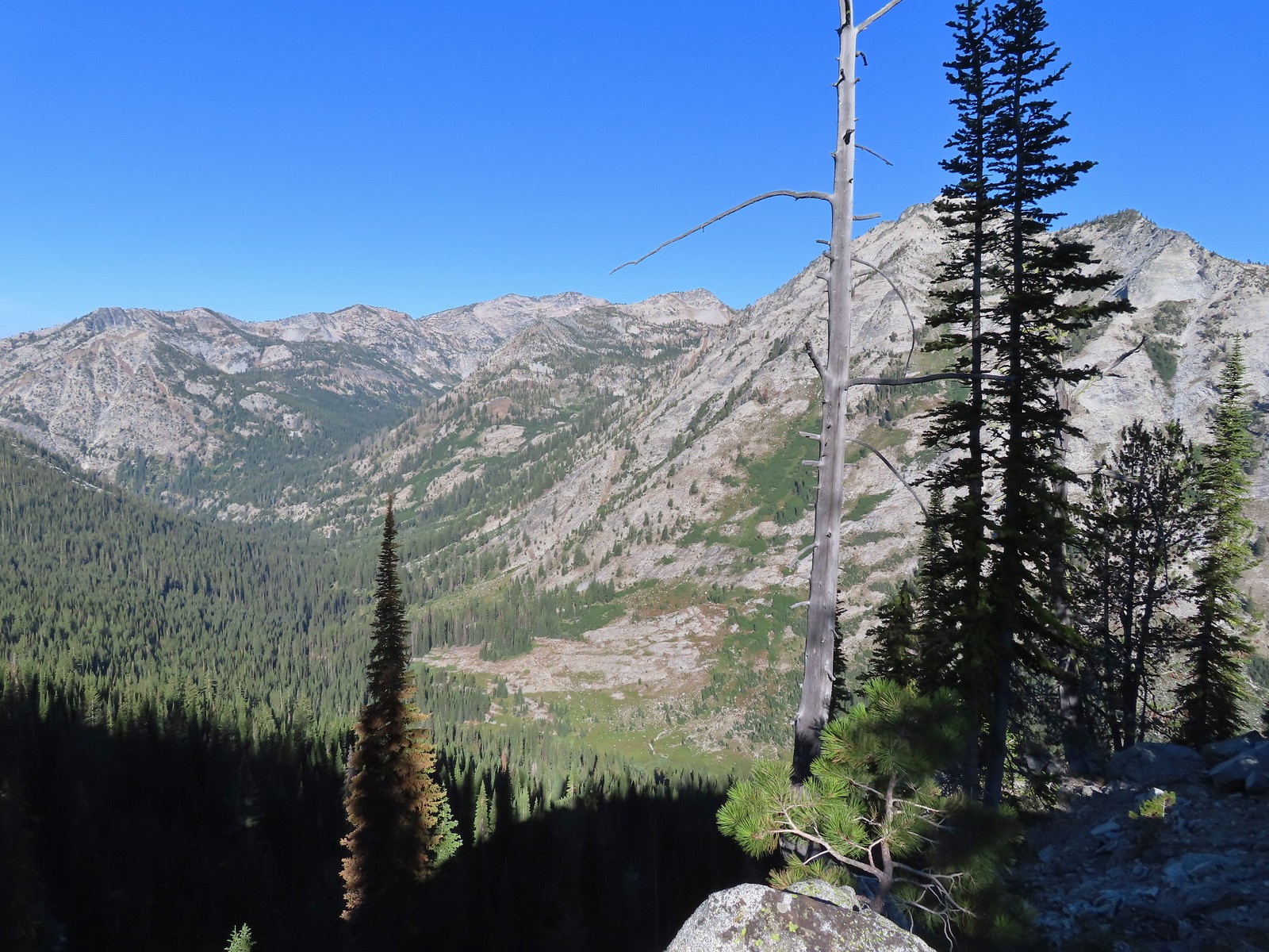 View from the Bear Lake Trail – Eagle Cap Wilderness, OR (August)
 Tombstone Lake – Eagle Cap Wilderness, OR (August)
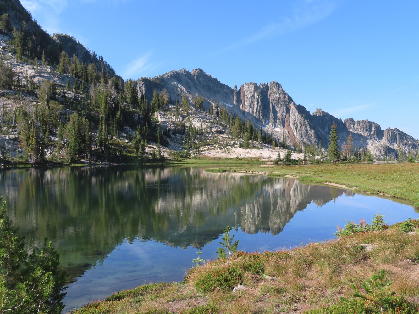 Traverse Lake – Eagle Cap Wilderness, OR (August)
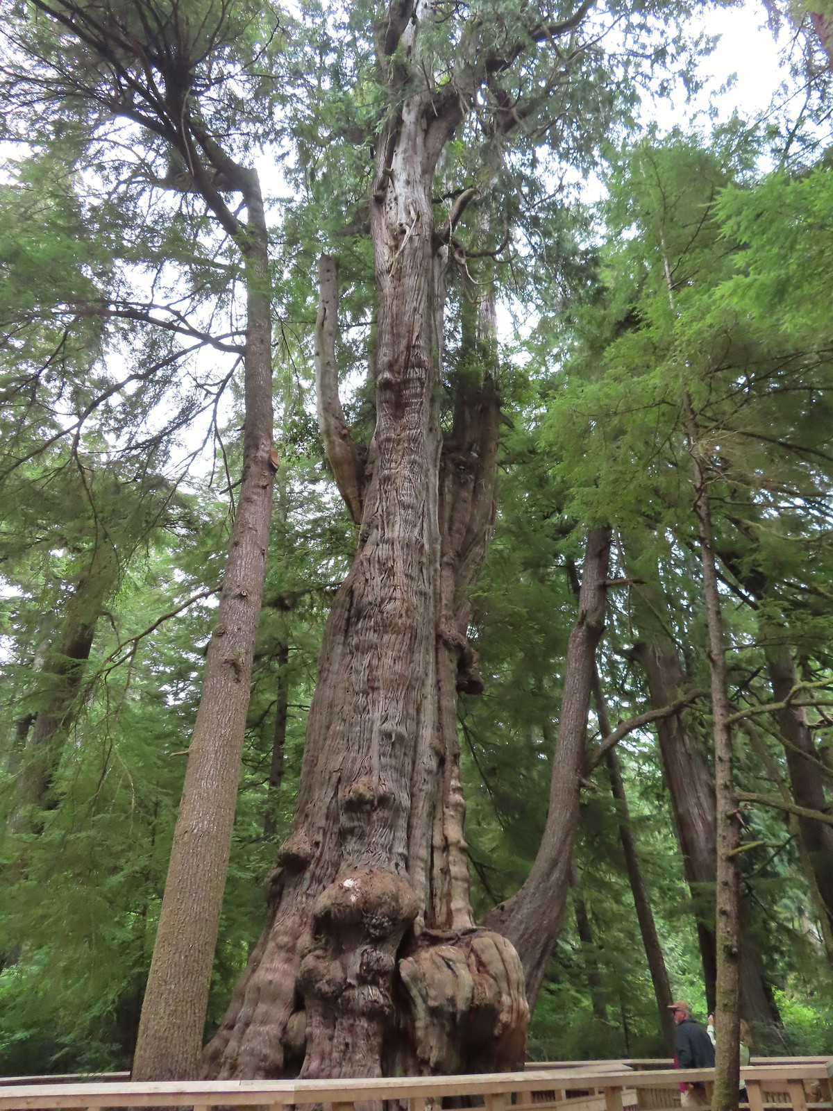 Rockaway Beach Cedar Preserve Boardwalk – Rockaway Beach, OR (August)
 Dry River Canyon – Central Oregon (September)
 Kurmbo Reservoir – Malheur National Wildlife Refuge, OR (September)
 Seven Lakes Basin – Sky Lakes Wilderness, OR (September)
 Sisi Butte Lookout – Mt. Hood National Forest, OR (September)
 Olallie Butte from Lower Lake – Mt. Hood National Forest, OR (September)
 Rock spire along the Castle Canyon Trail – Mt. Hood Wilderness, OR (September)
 Sun rays at Strom Boulder Ridge – Burnt Woods, OR (September)
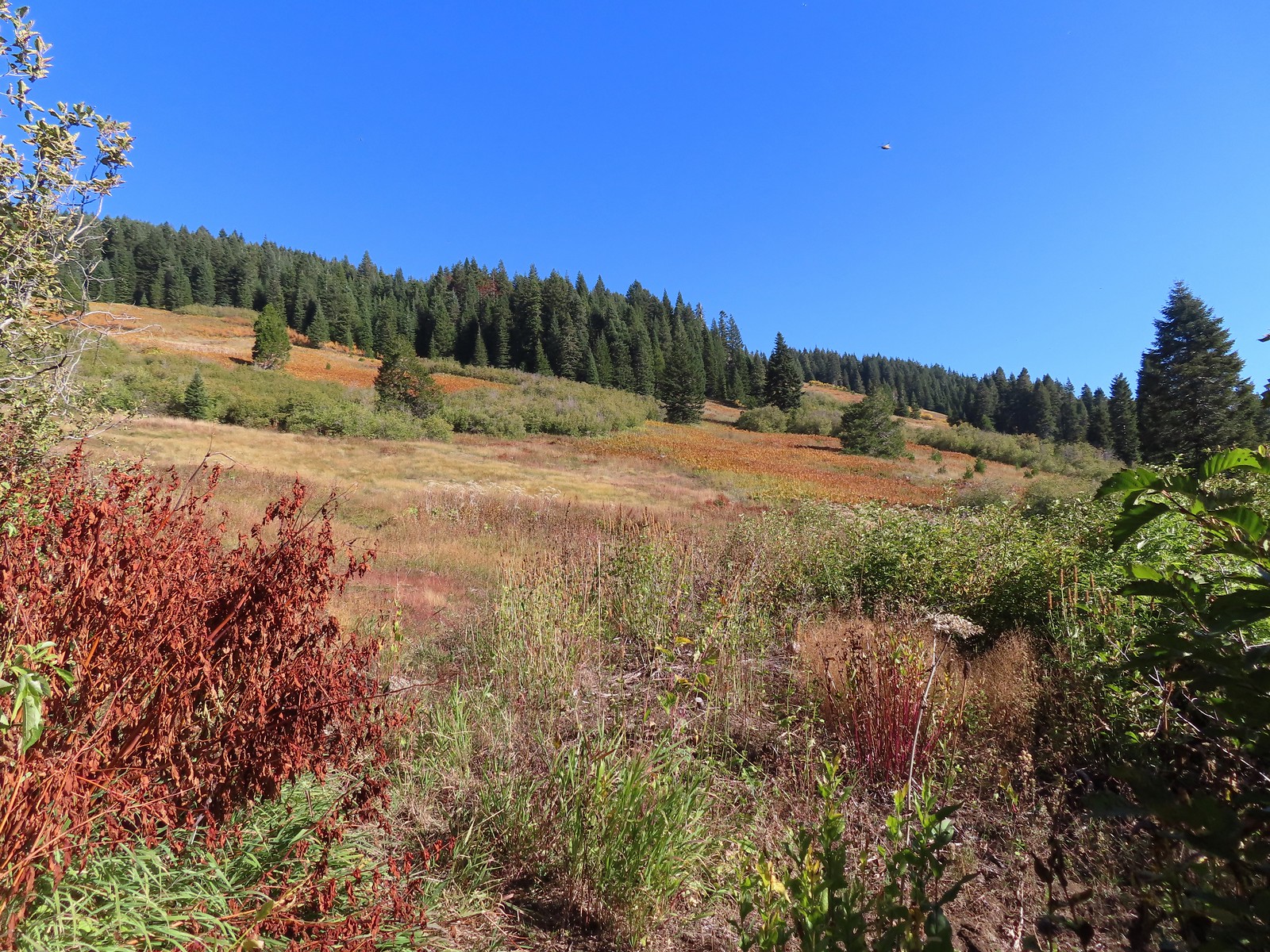 Bondary Trail above Sturgis Fork – Rogue River-Siskiyou National Forest (October)
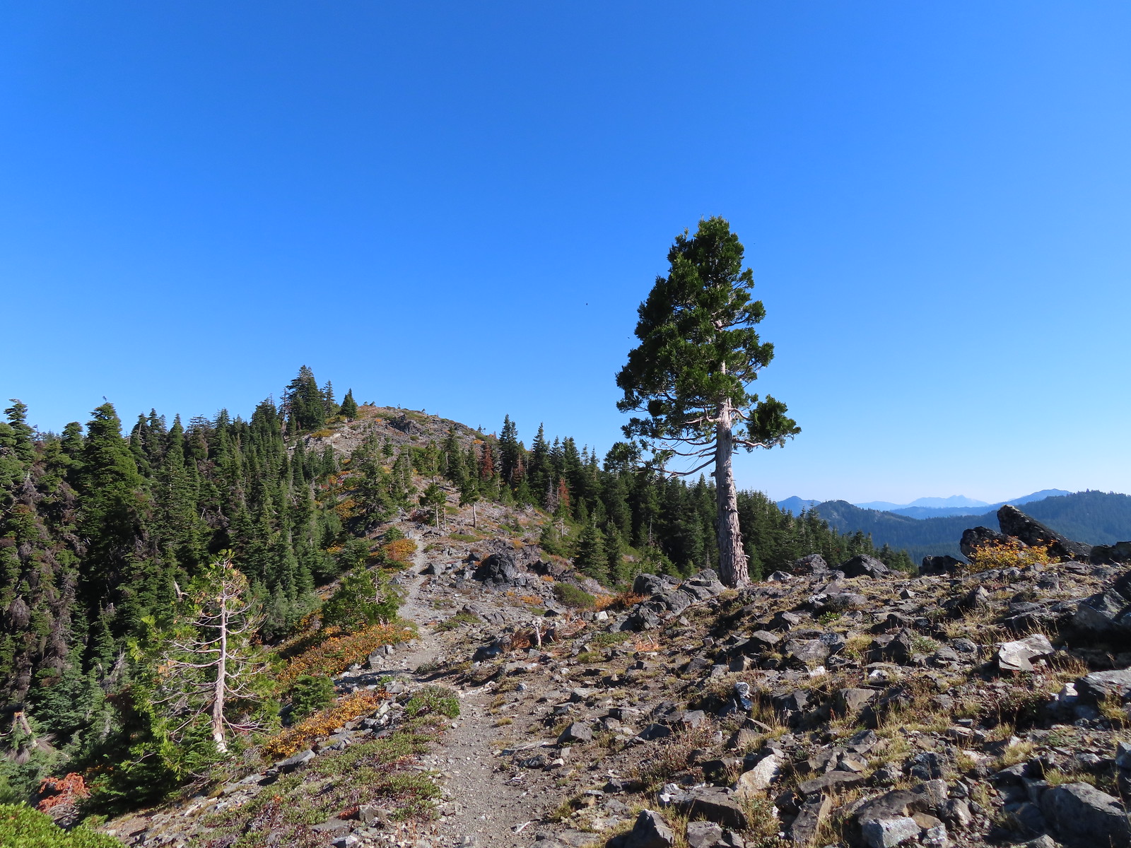 Lake Mountain Trail heading toward the taller Mount Elijah – Oregon Caves National Monument & Preserve (October)
 Tanner Lake –
 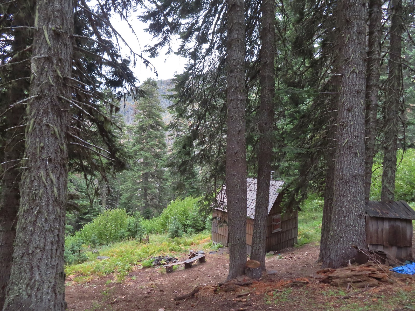 Grayback Mountain snow shelter – Rogue River-Siskiyou National Forest (October)
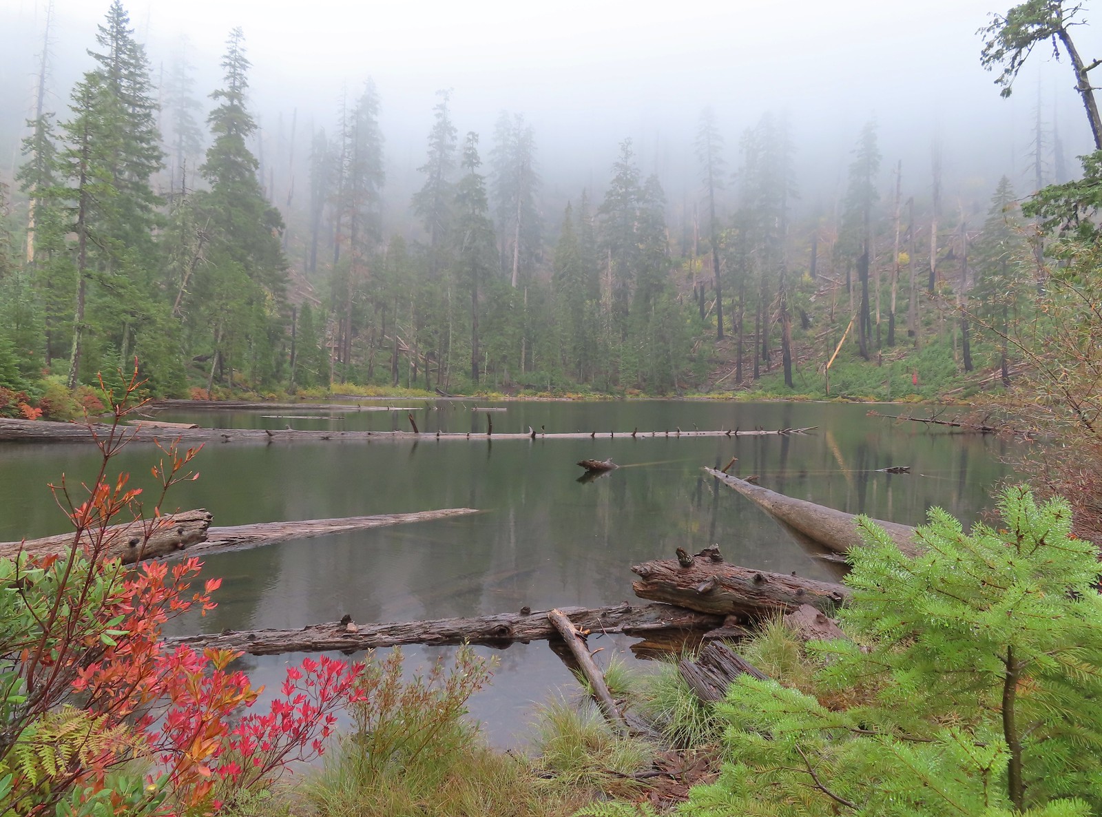 Babyfoot Lake – Kalmiopsis Wilderness, OR (October)
 Vivian Lake –
 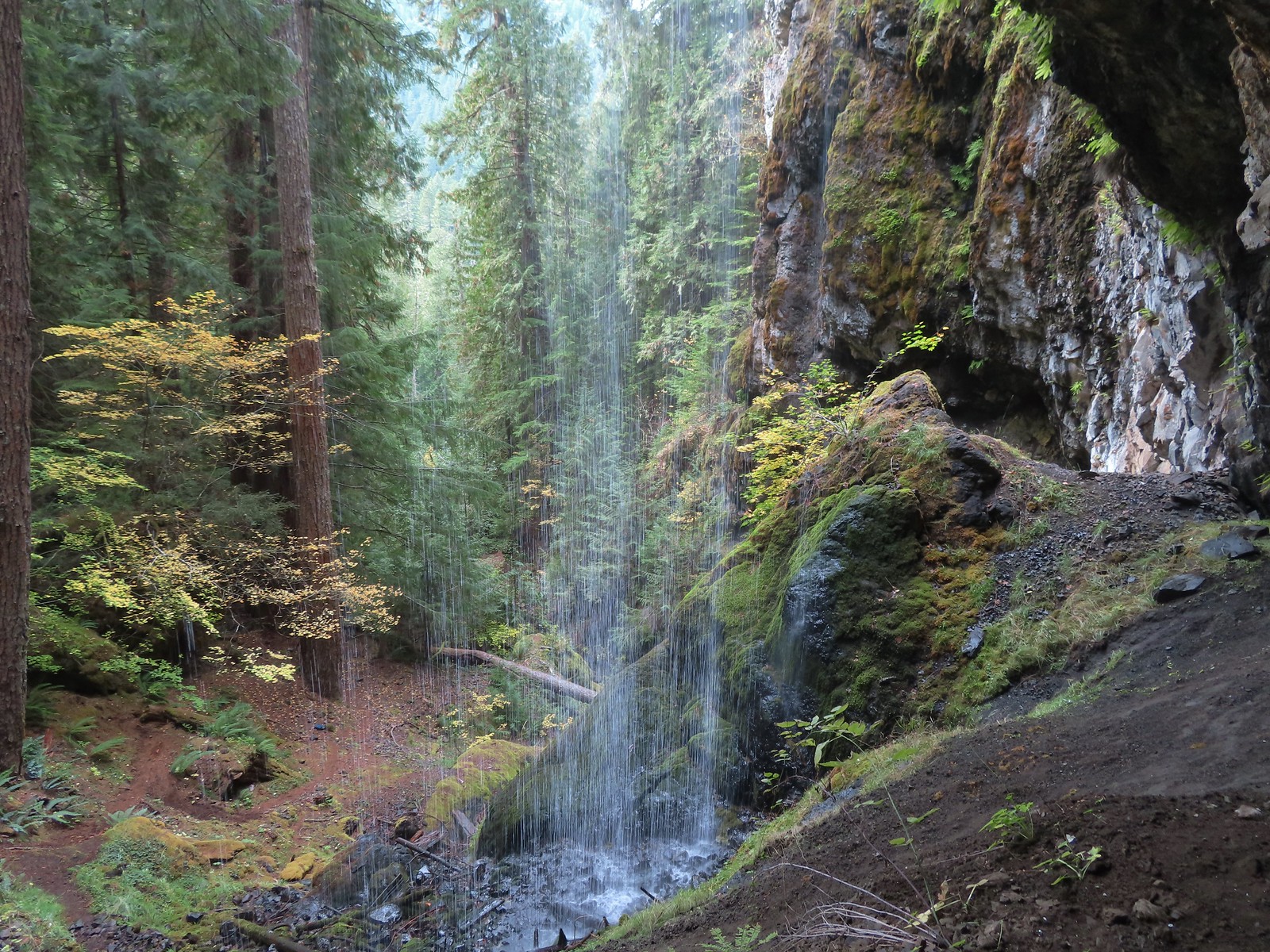 Pool Creek Falls – Willamette National Forest, OR (October)
 Tunnel Beach – Oceanside, OR (October)
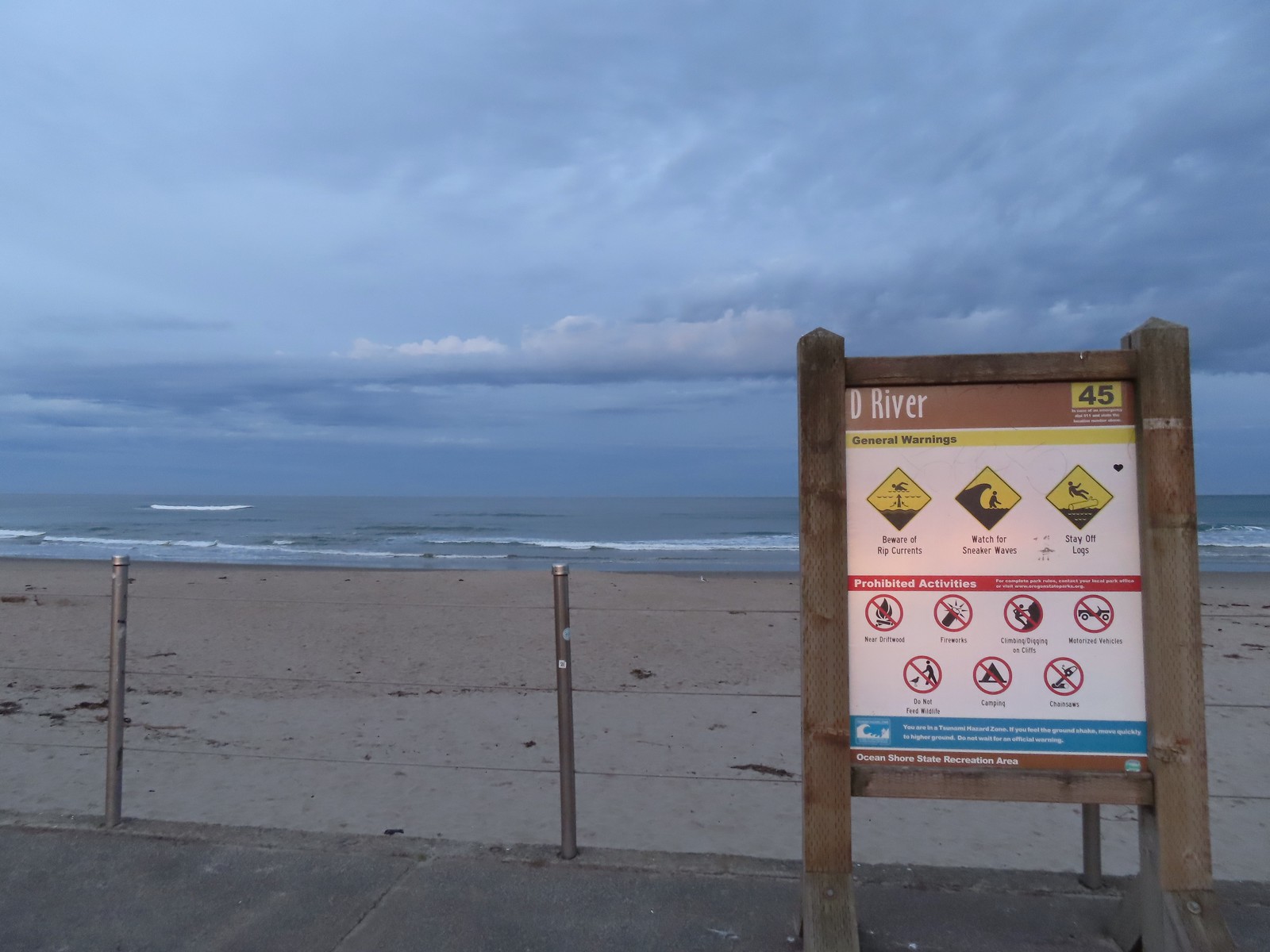
 D River – Lincoln City, OR (November)
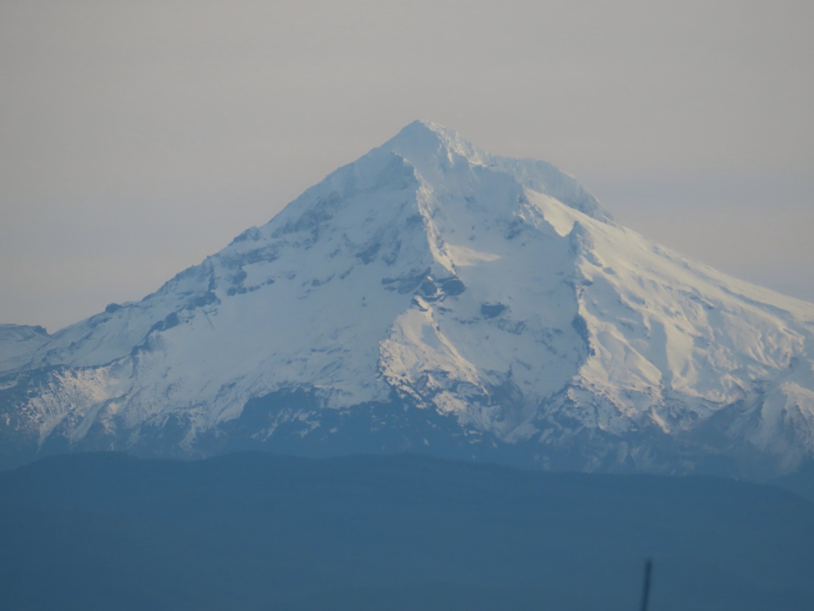
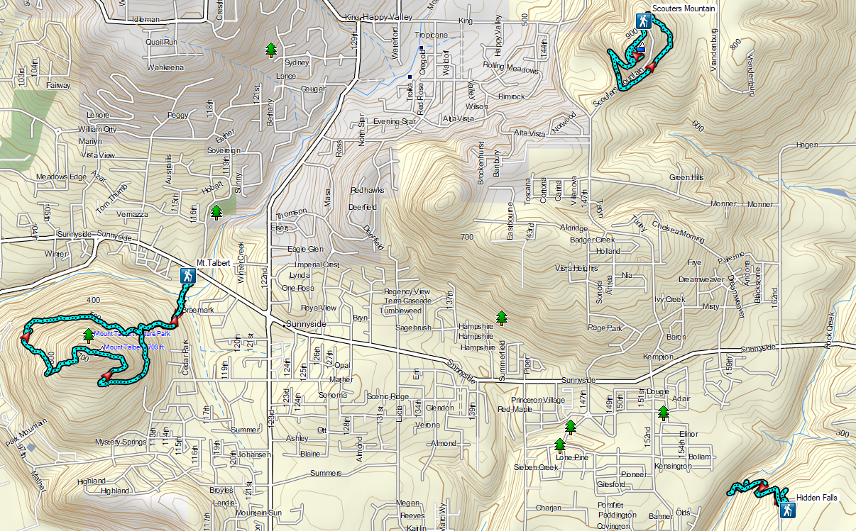
 Mt. Hood through the shelter on Scouters Mountain – Portland, OR (December)
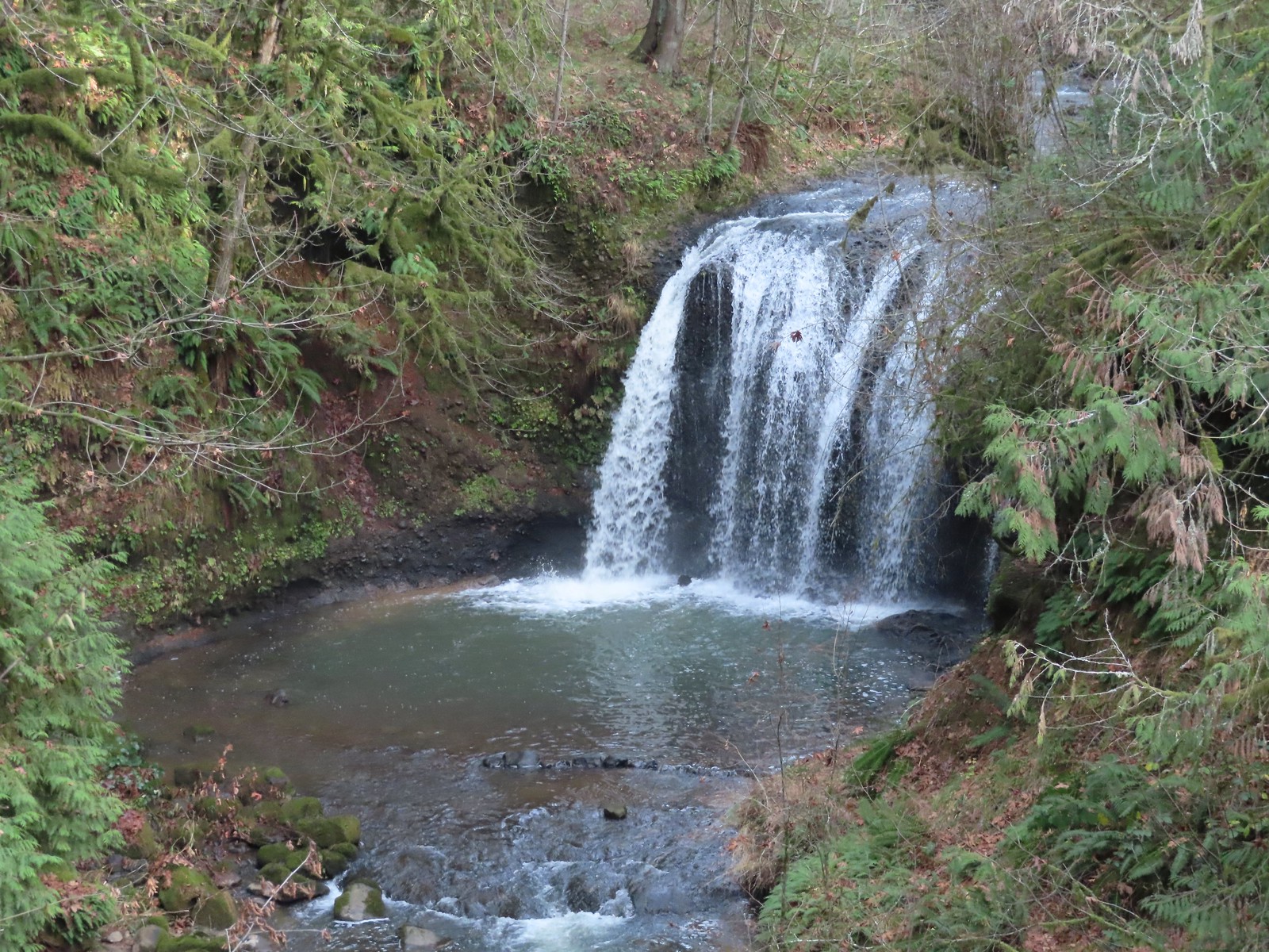 Hidden Falls – Hidden Valley, OR (December)


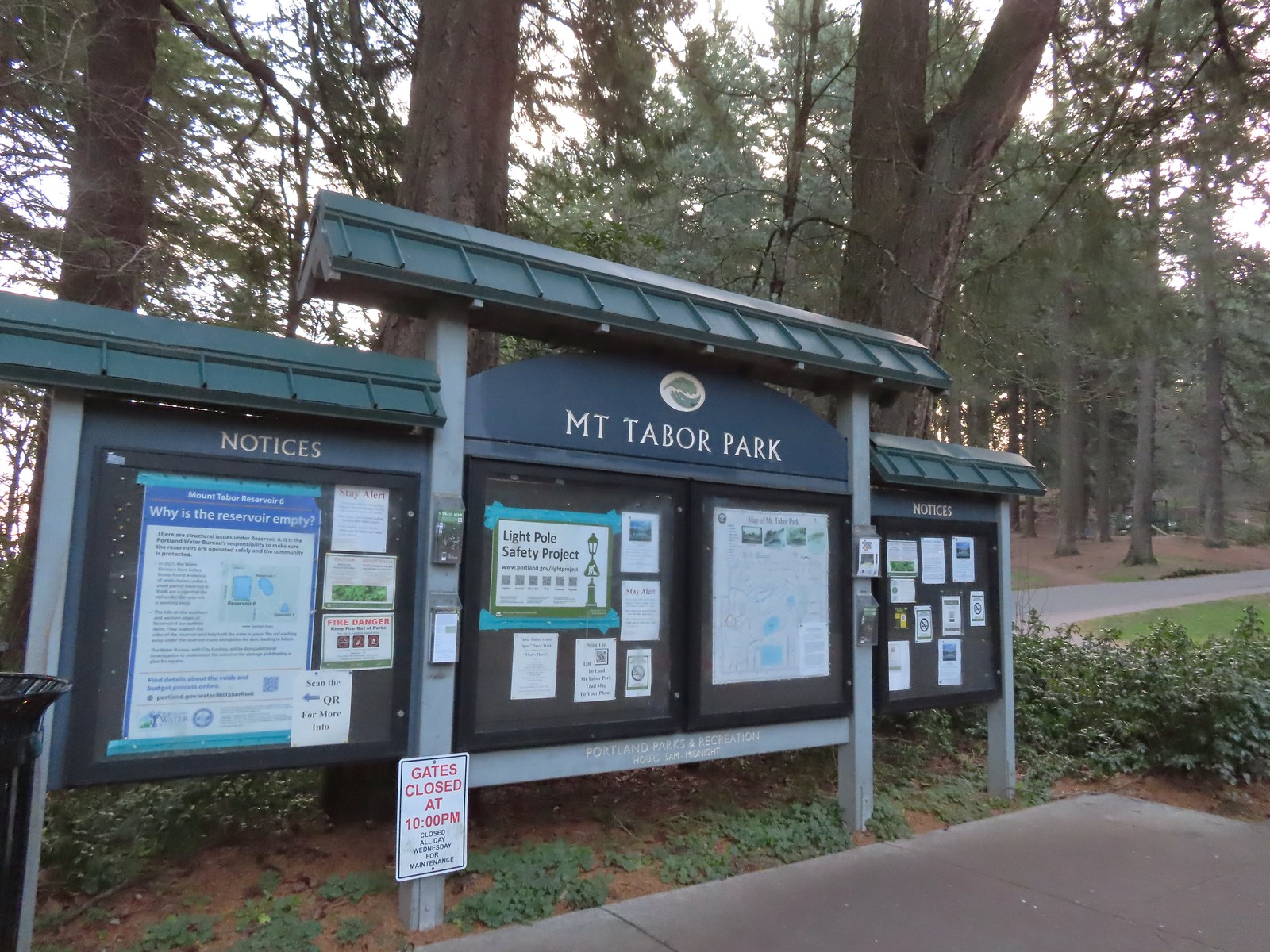 The playground behind and to the right of the signboard at the Visitors Center.
 The red trail continuing on the far end of the playground.
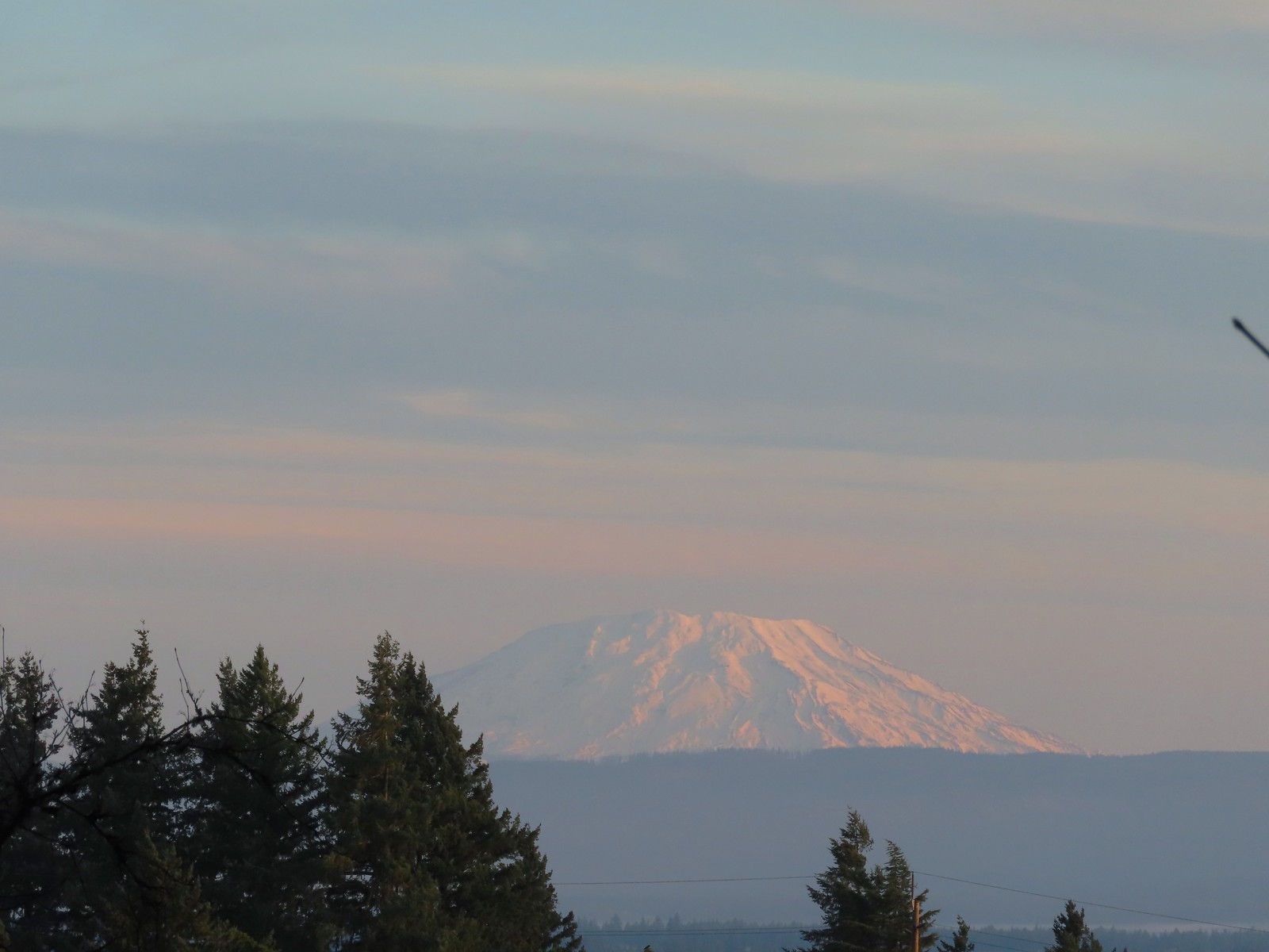 Mt. St. Helens from the playground.
 On the red trail.
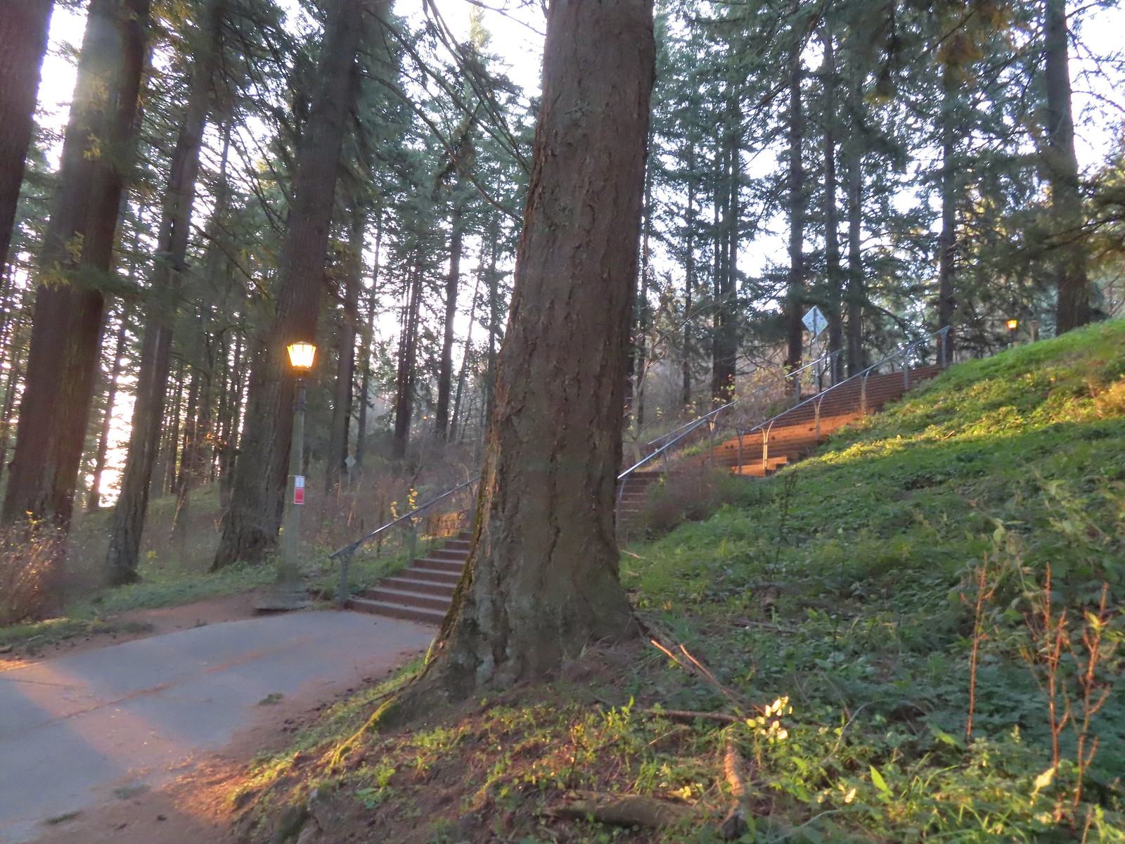 The Mount Tabor stairs extend from the park border up to the summit.
 Summit restrooms
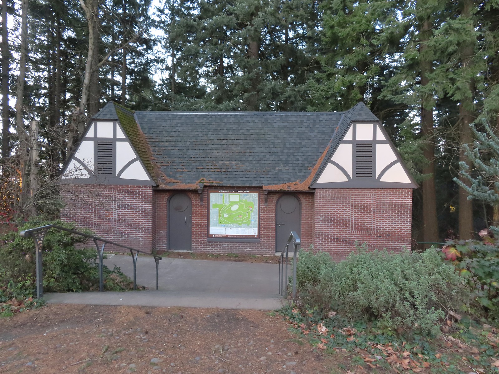 The restrooms were reopened in 2017 after being renovated.
 Mount Tabor summit
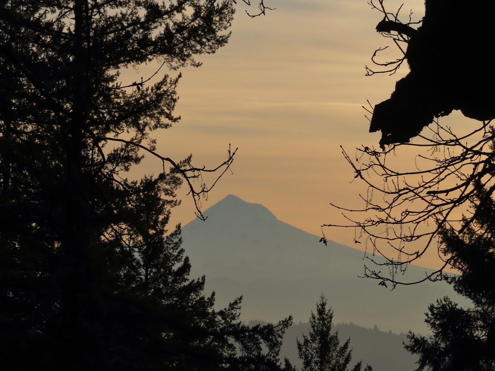 Mt. Hood from the summit.
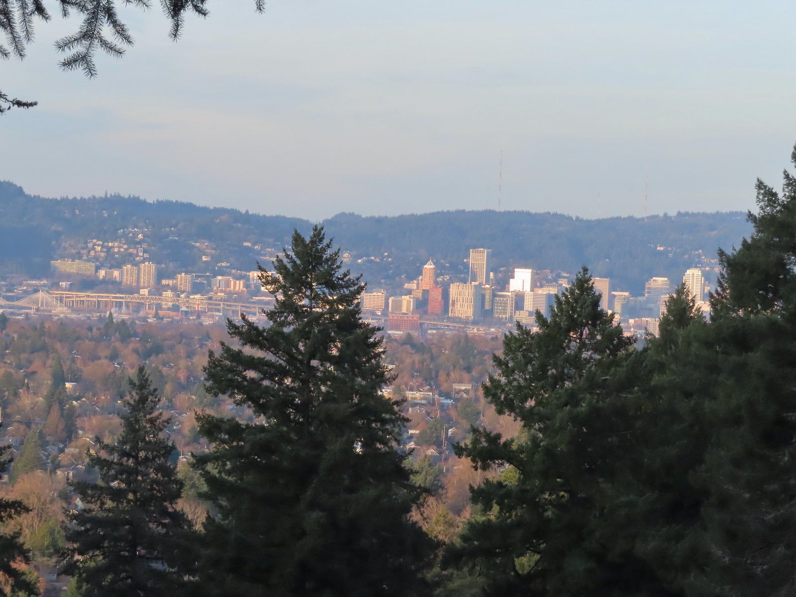 Downtown Portland

 Mallards



 We forked right at this junction sticking to the green pointers.
 Arriving at The Crater.
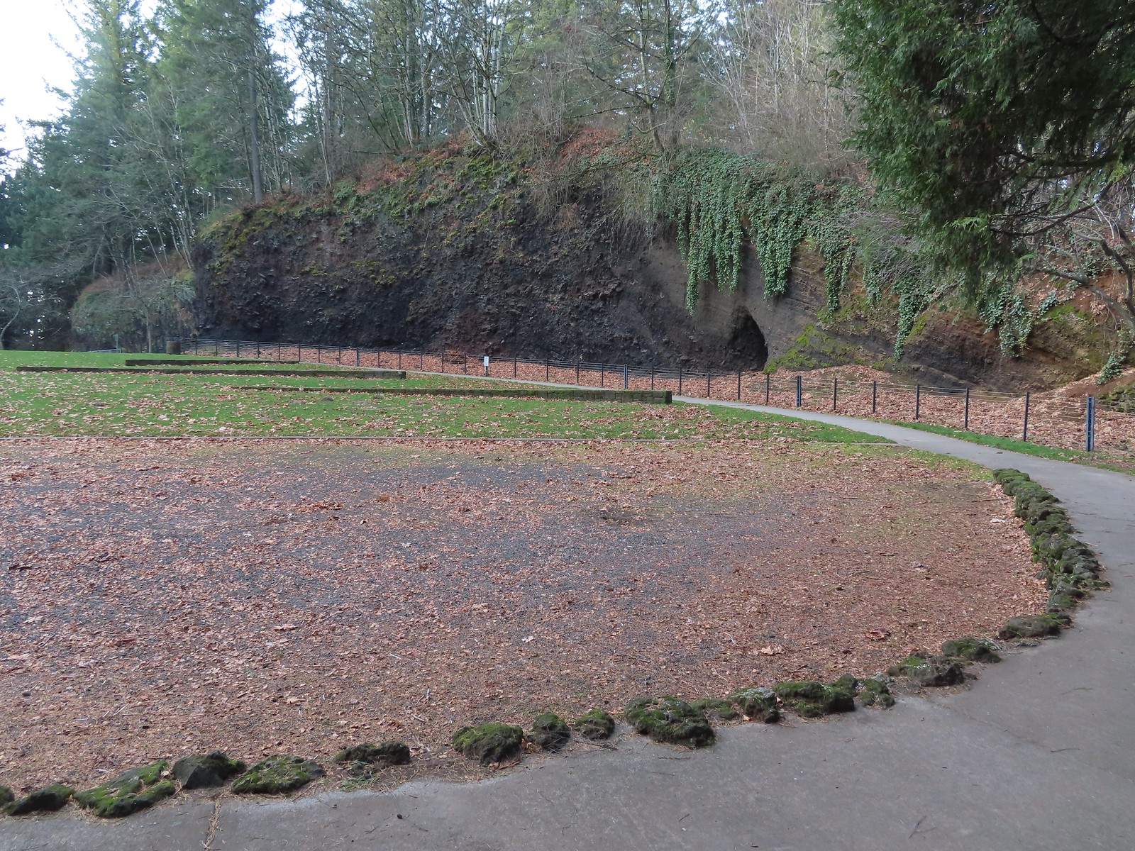 Coming around The Crater near the Visitors Center.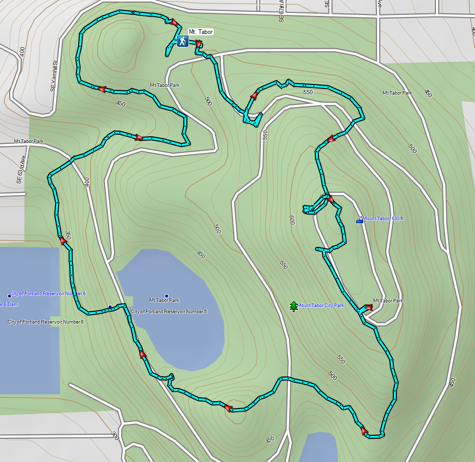

 Mount Talbert from the path.
 Mount Scott Creek
 The Park Loop Trail junction just uphill.
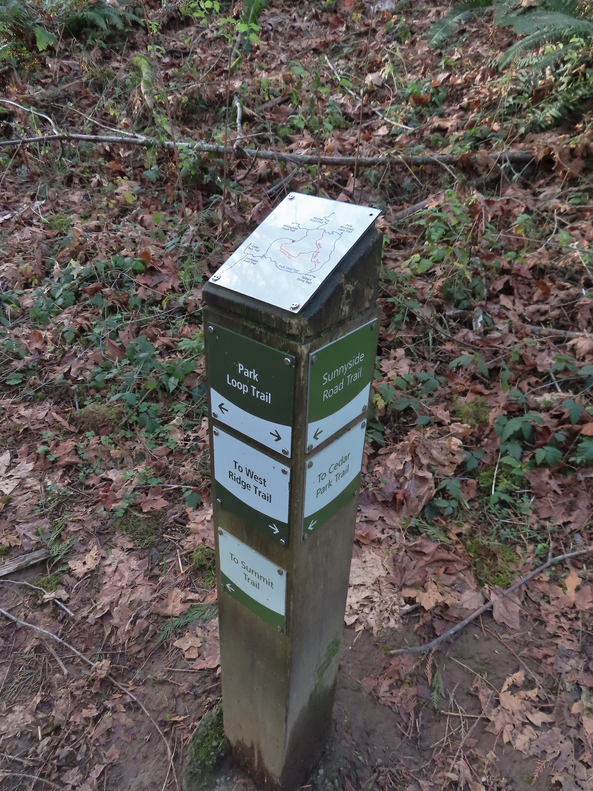 Note that the map at the Park Loop/Sunnyside Road Trail junction mis-identifies the location with the “You Are Here” star located at the Park Loop/Summit Ridge junction.
 Arriving at the West Ridge Trail junction.
 Rejoining the Park Loop Trail.
 Mt. Adams was visible through the web of small branches.
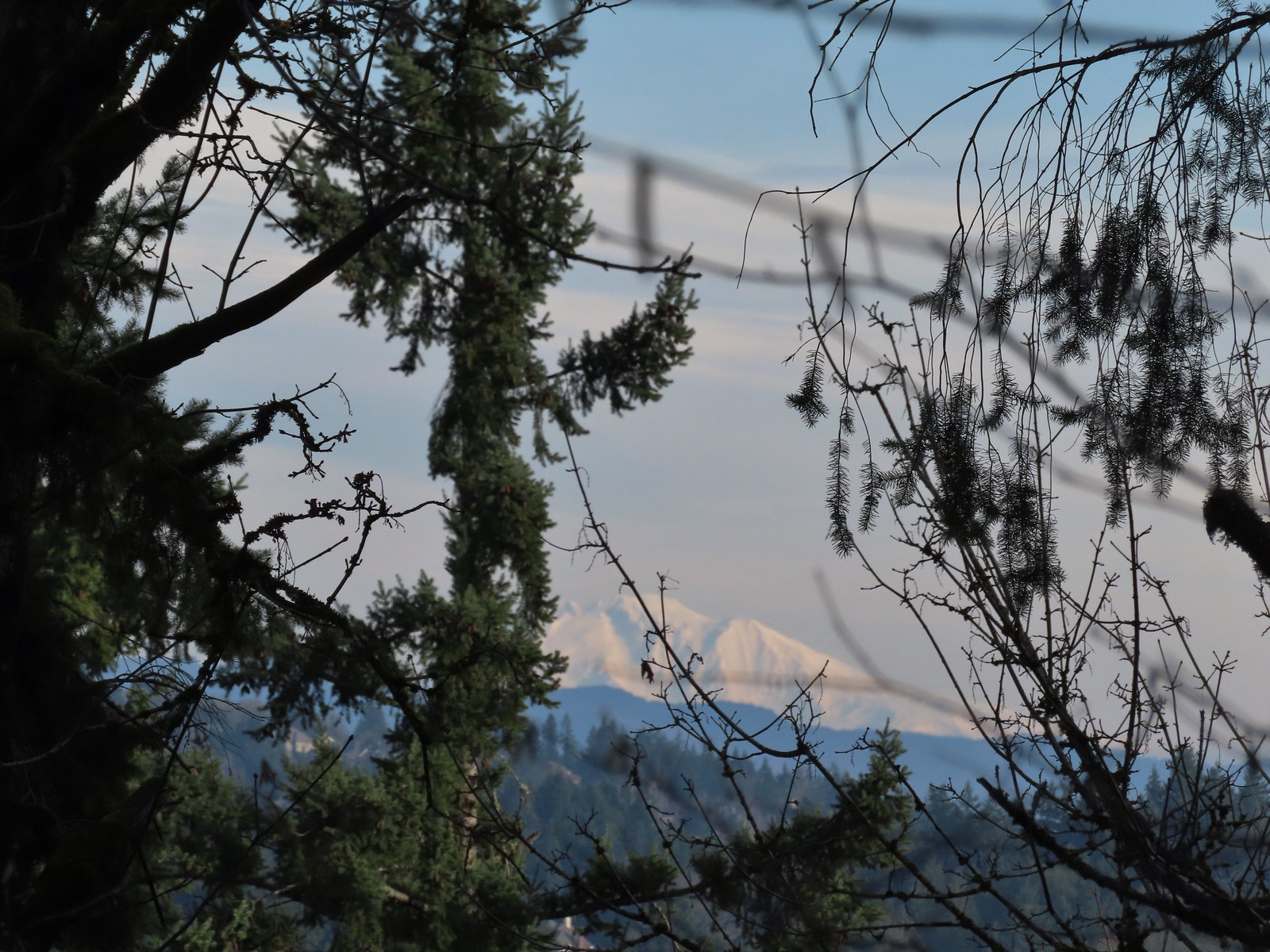 A snowy Mt. Adams.
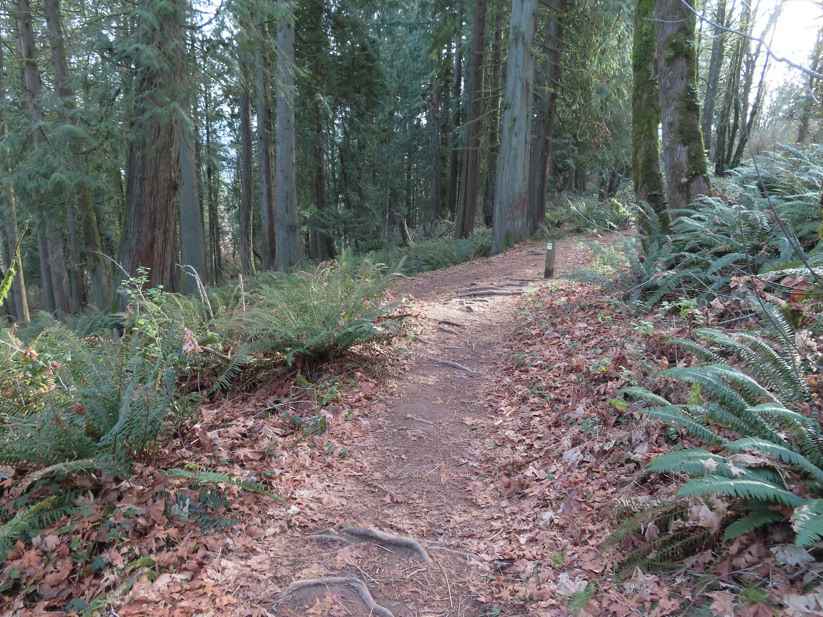 Back at the Sunnyside Road Trail.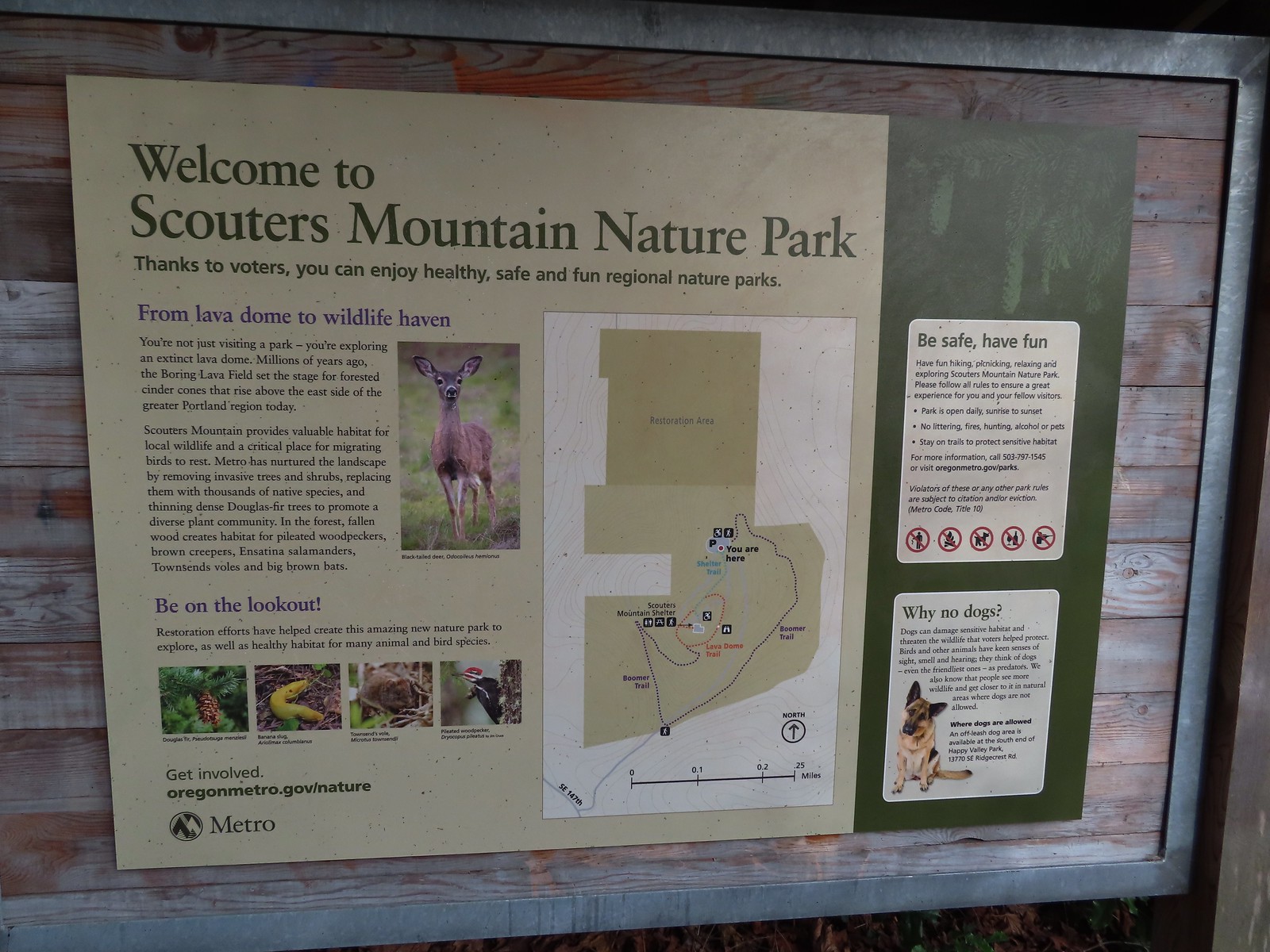
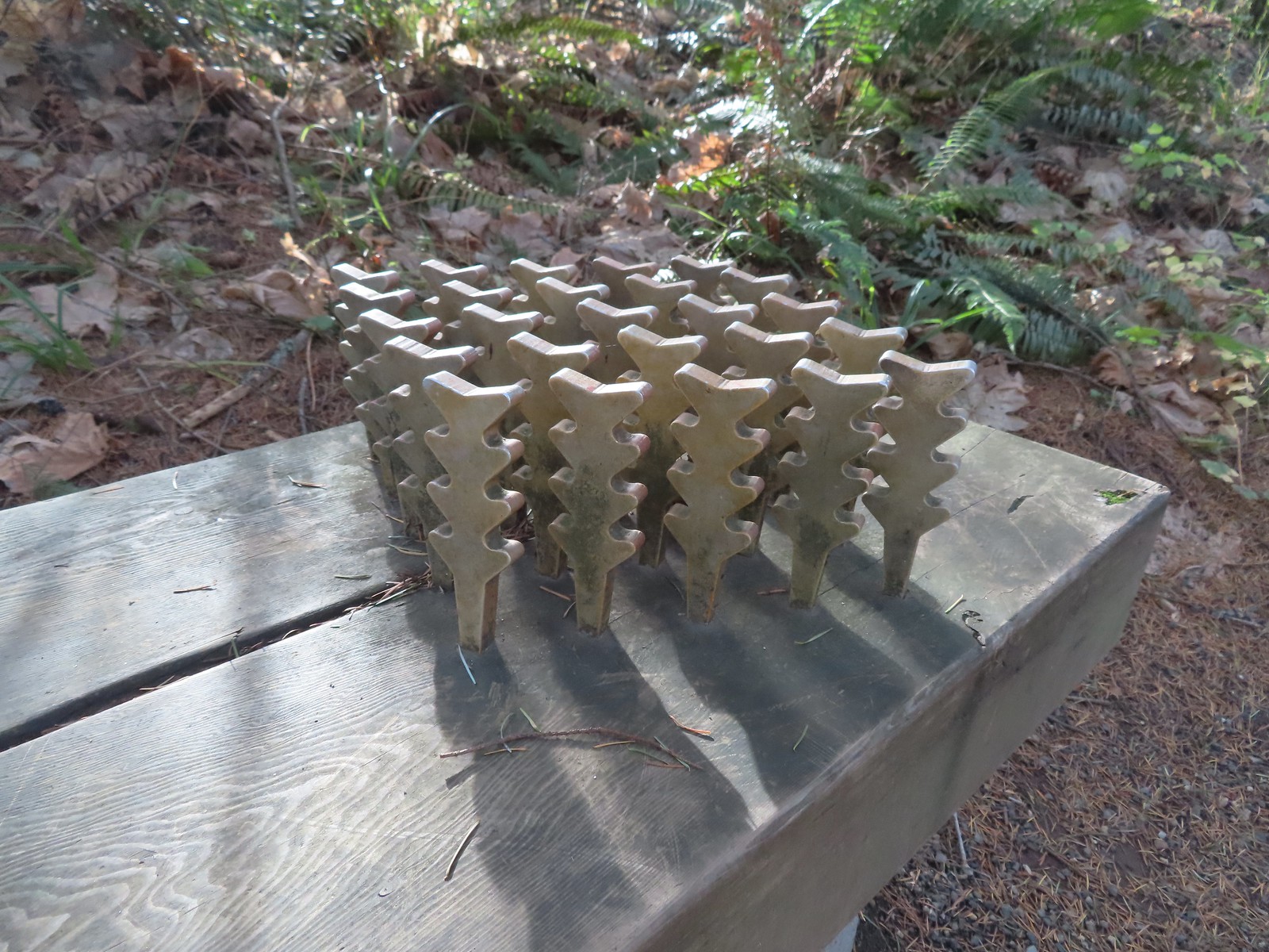 The benches throughout the park contained various nature sculptures, this one is “Moss Group”.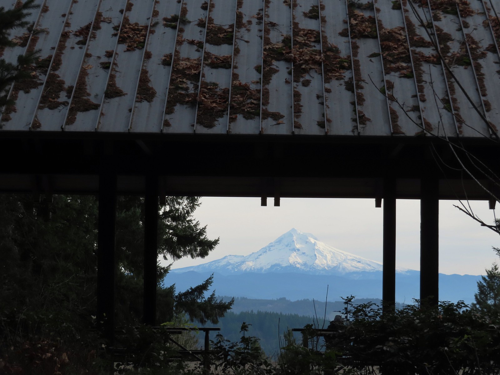
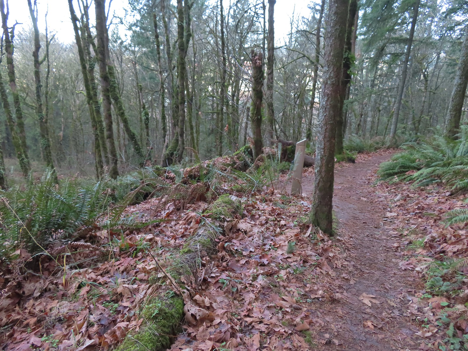
 On the Boomer Trail.
 The Boomer Trail turned left at the bottom of these stone steps.
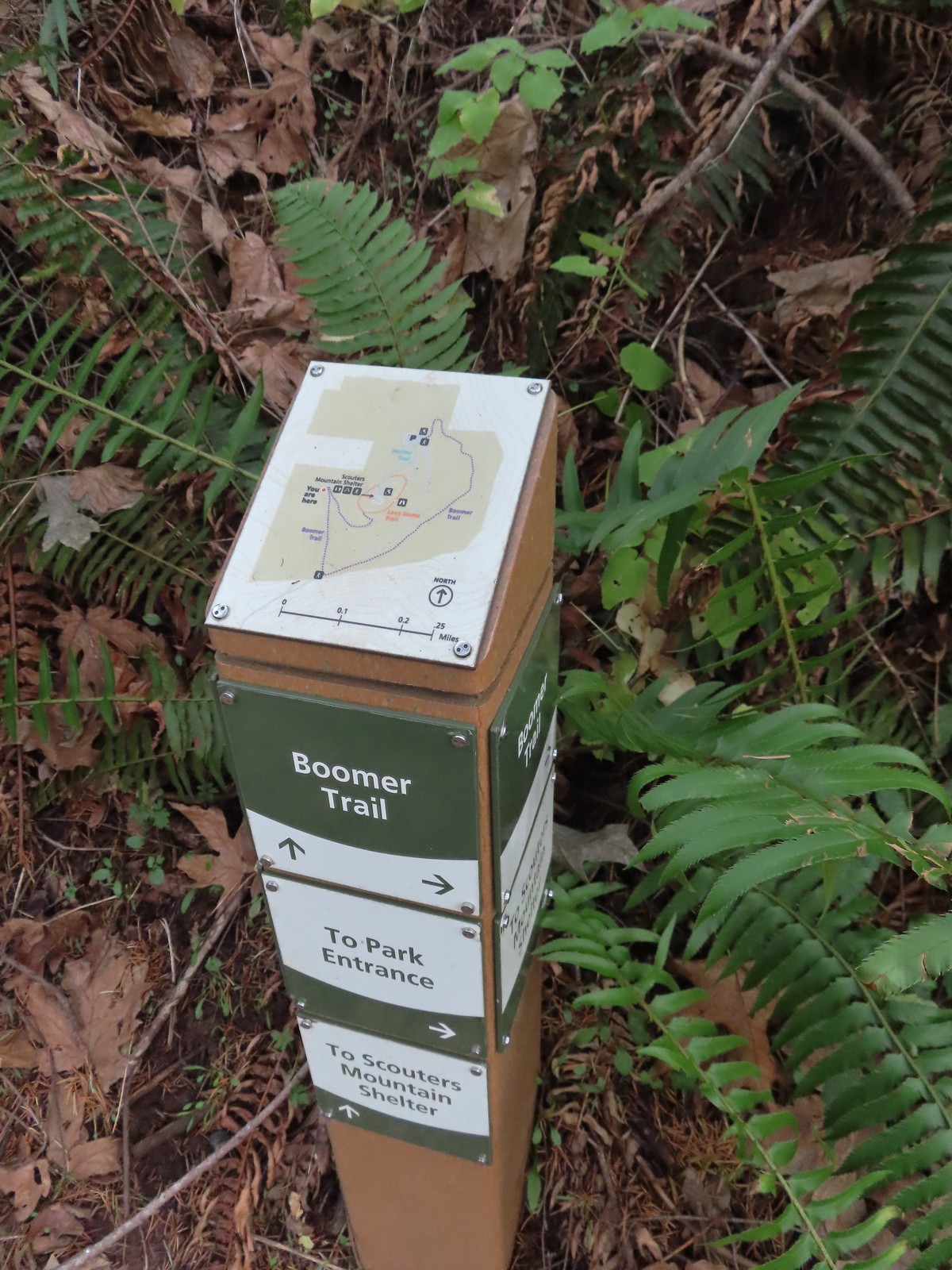 Another Metro trail map and pointers.
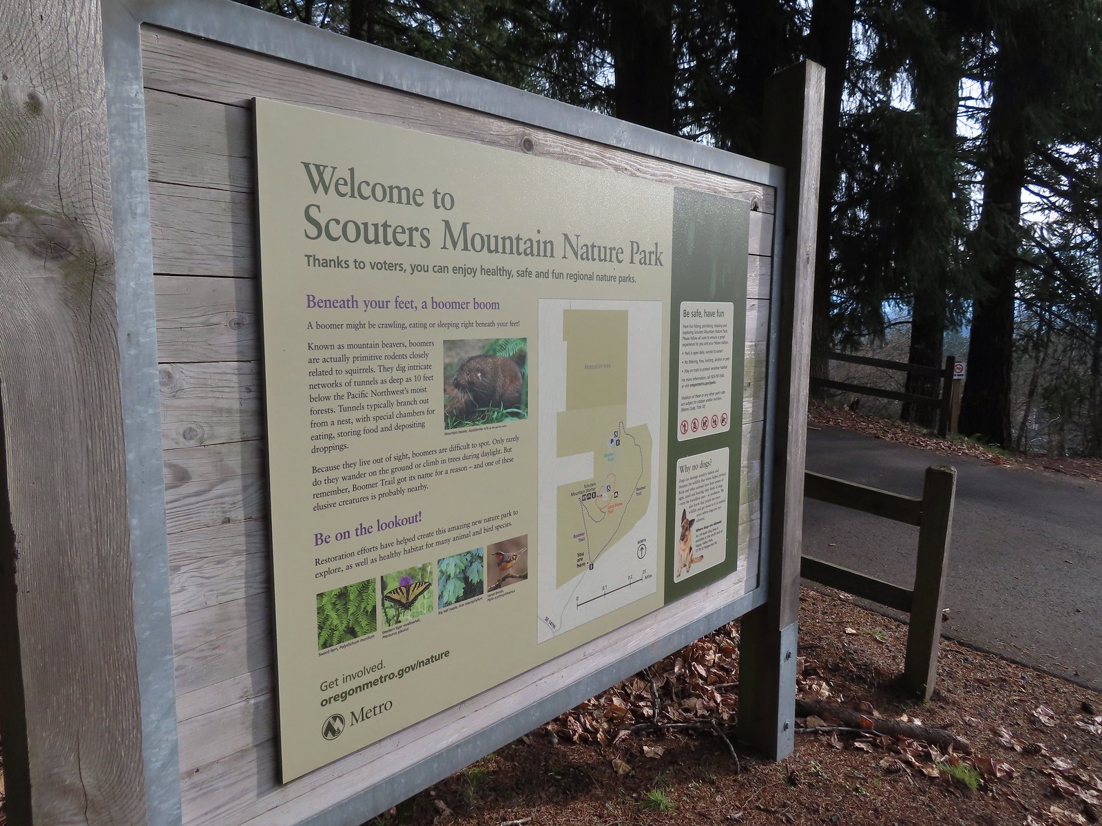 The Boomer Trail, named for Mountain Beavers which are sometimes called boomers, crossed the entrance road before climbing back up to the parking area.
 This was an impressive root system.
 A less obstructed view of Mt. Adams. (Mt. St. Helens was also briefly visible from this section of trail.)
 Slightly clearer shot of Mt. Adams.
 Back at the trailhead.
 Mt. St. Helens from the service road. Mt. Hood was also visible to the right through some fences around the ball fields.


 The large area to the right didn’t offer much of a view of the falls, but the view from the bridge was great.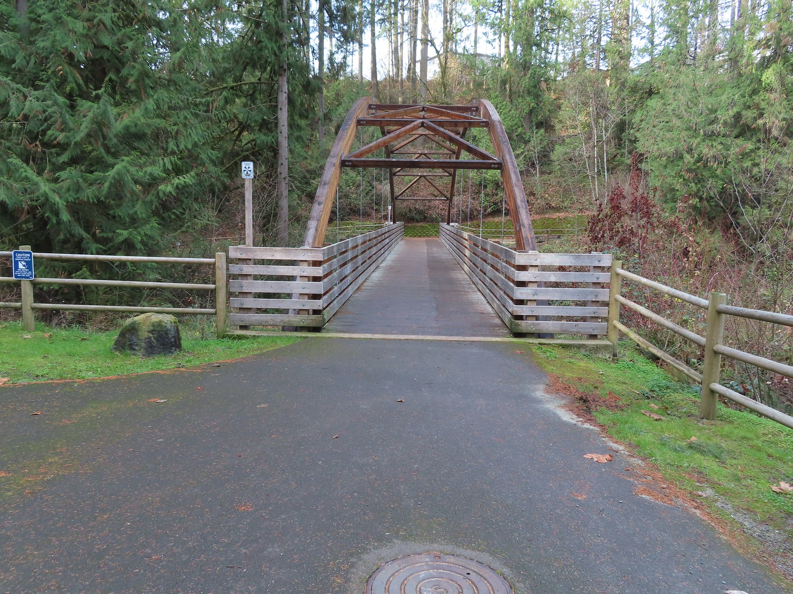

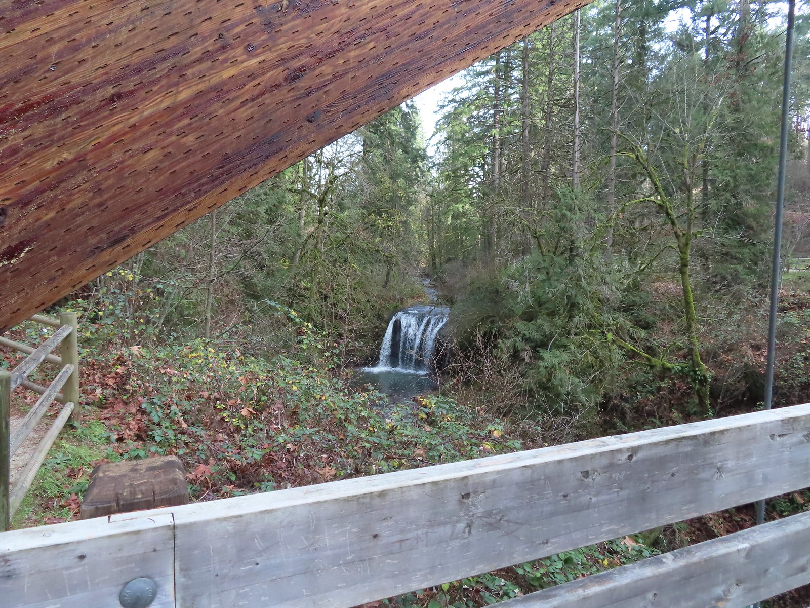
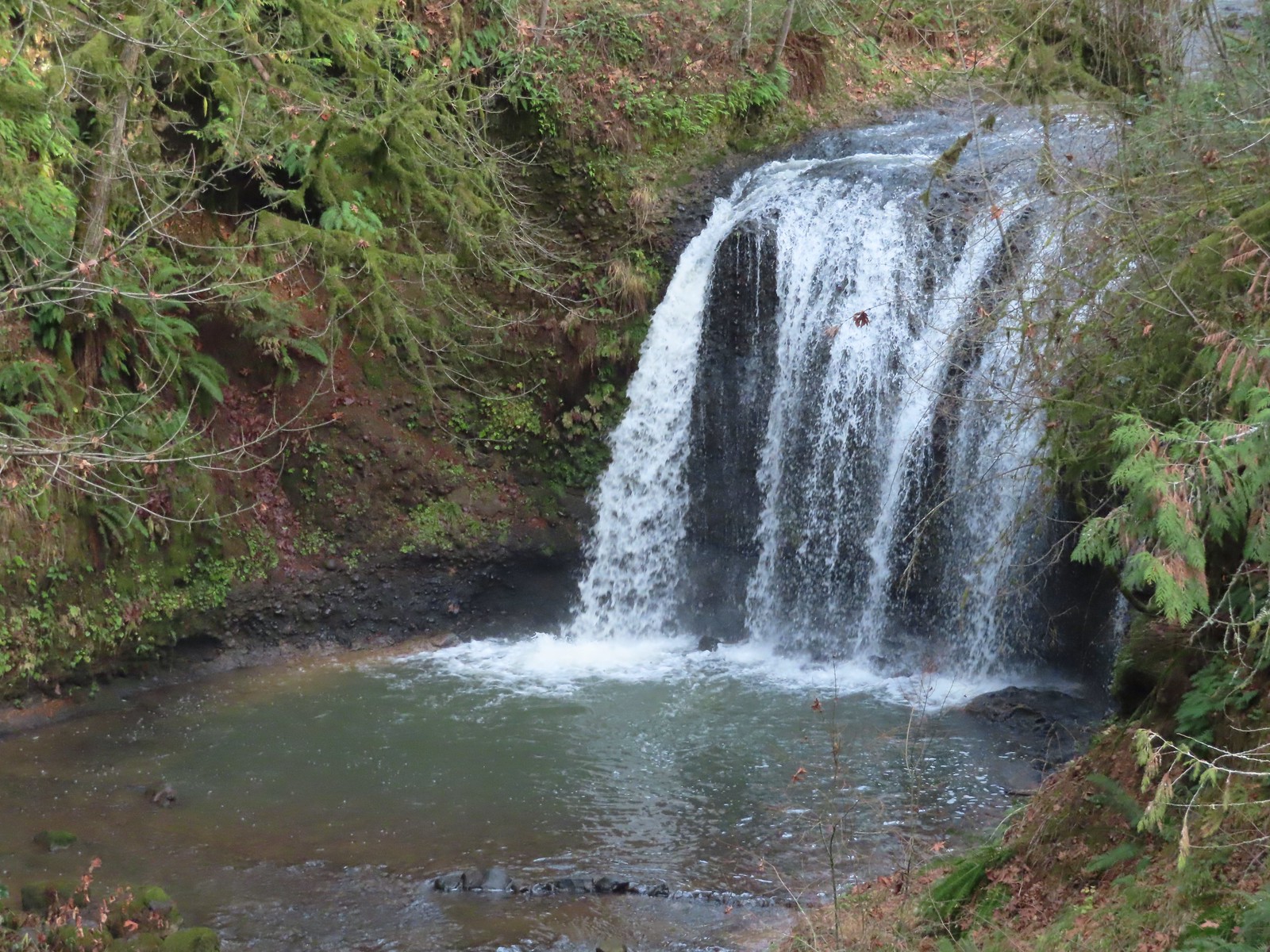
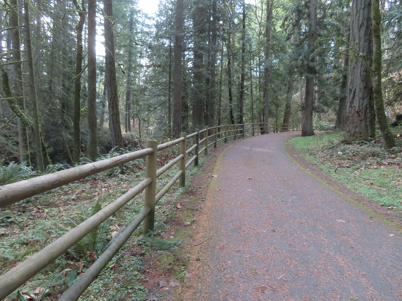


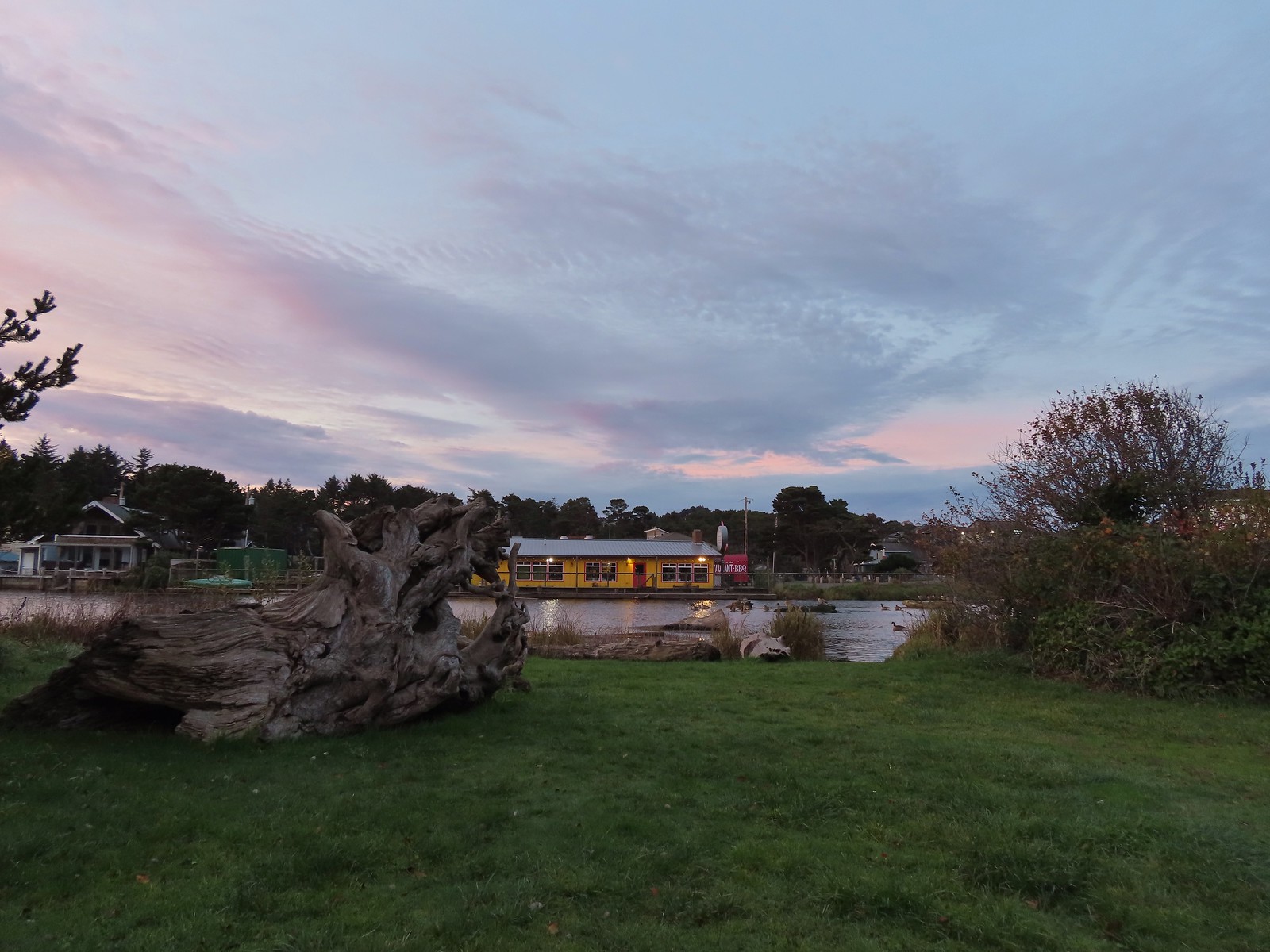
 The highway from the parking lot.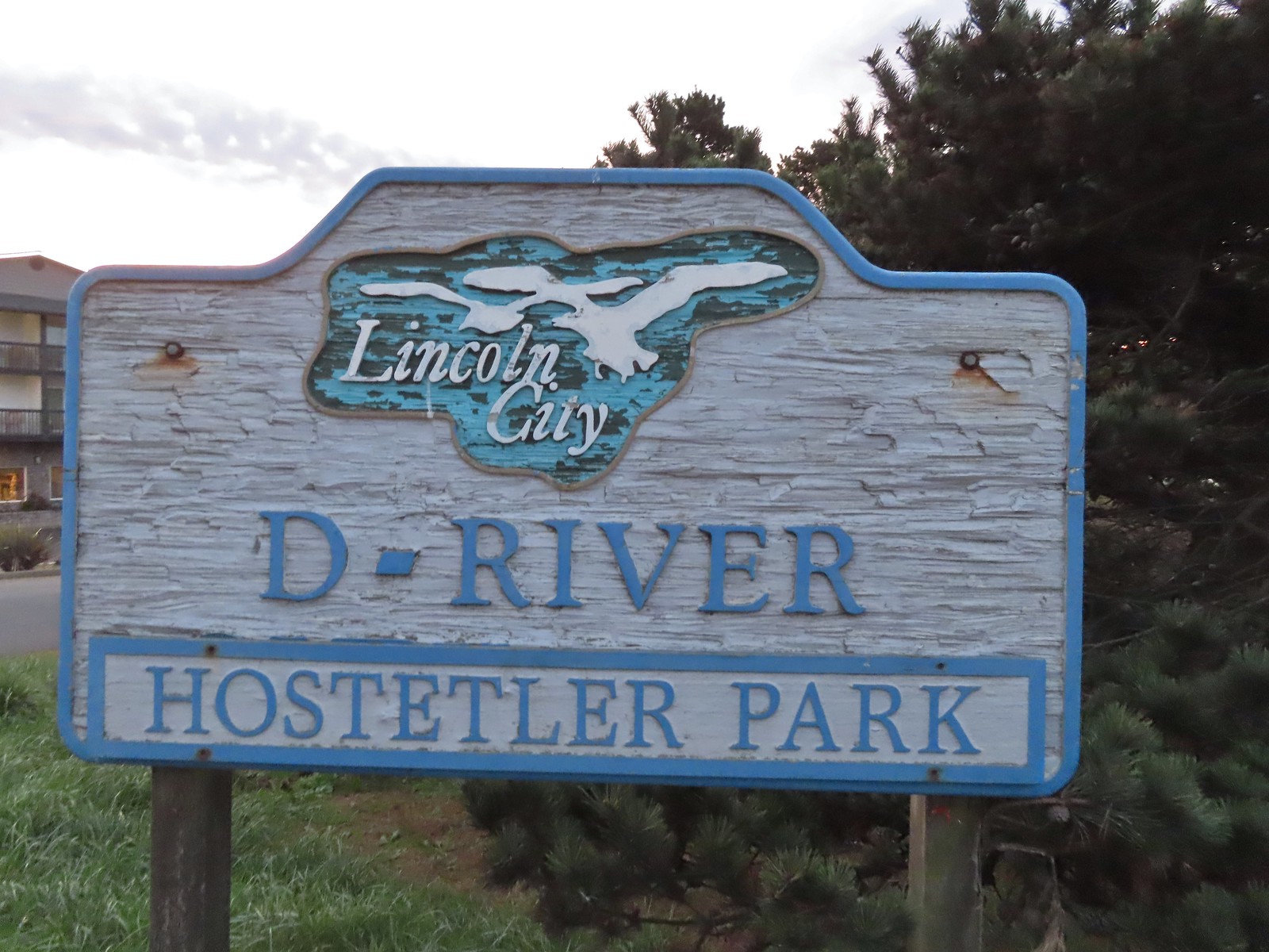
 Hostetler Park.


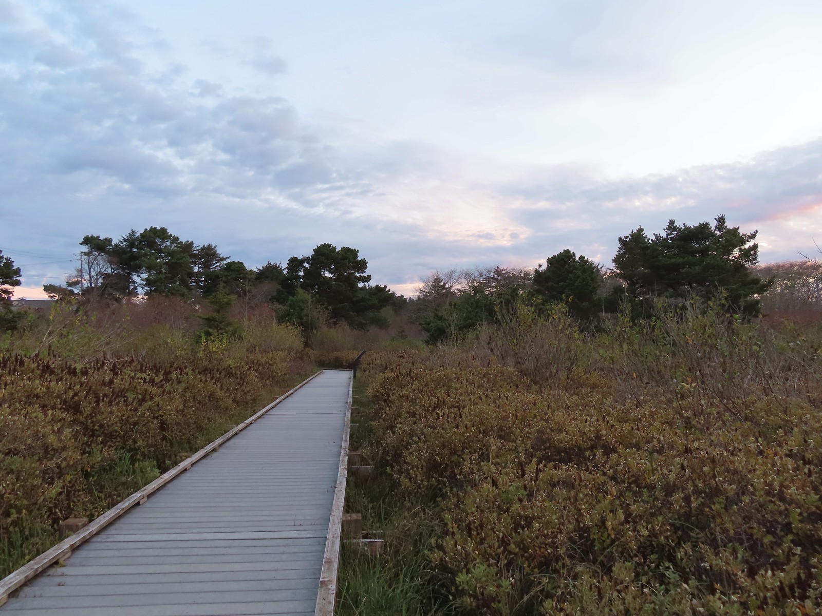 Several interpretive signs were located along the boardwalk.
 One of the interpretive signs.
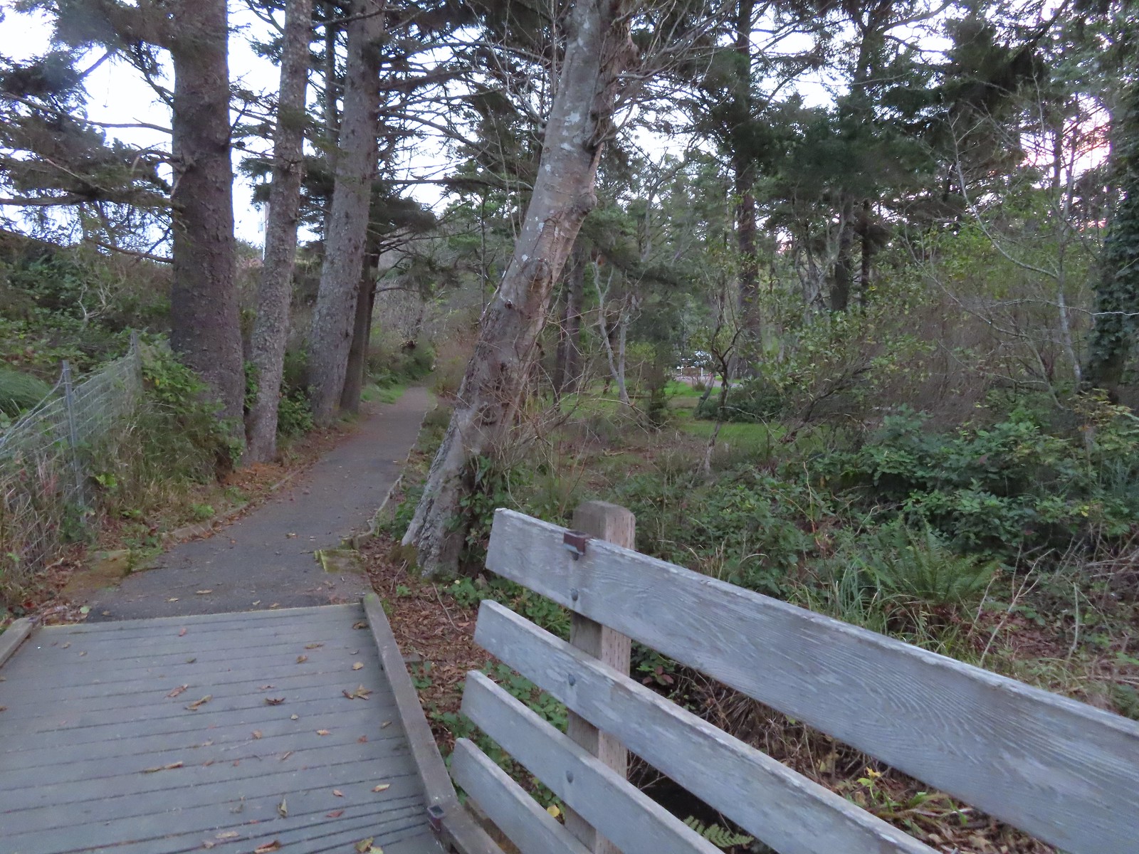 Nearing the campground.
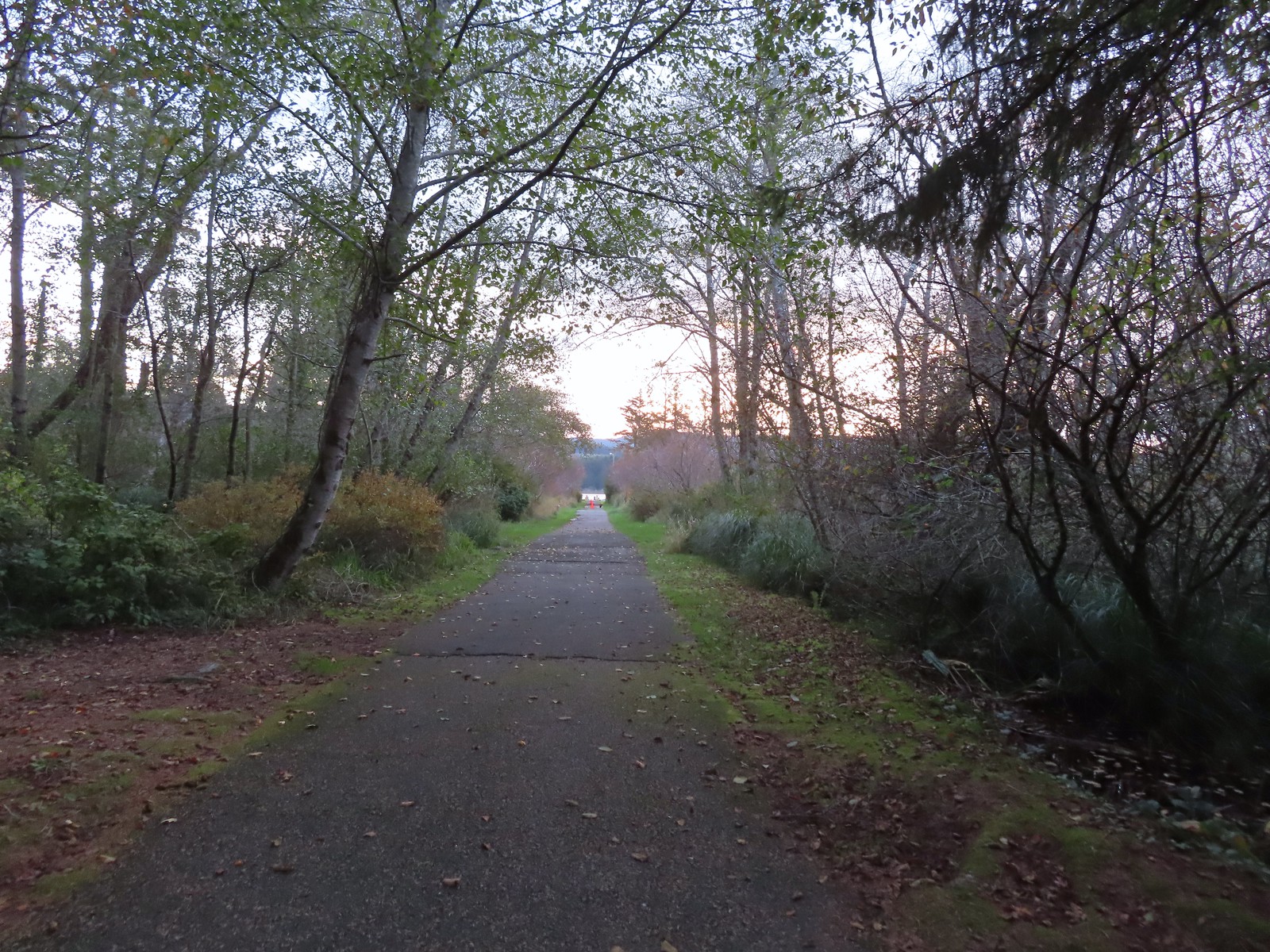 Orange cones, and a cat, at the far end of the path.
 Program area in the campground.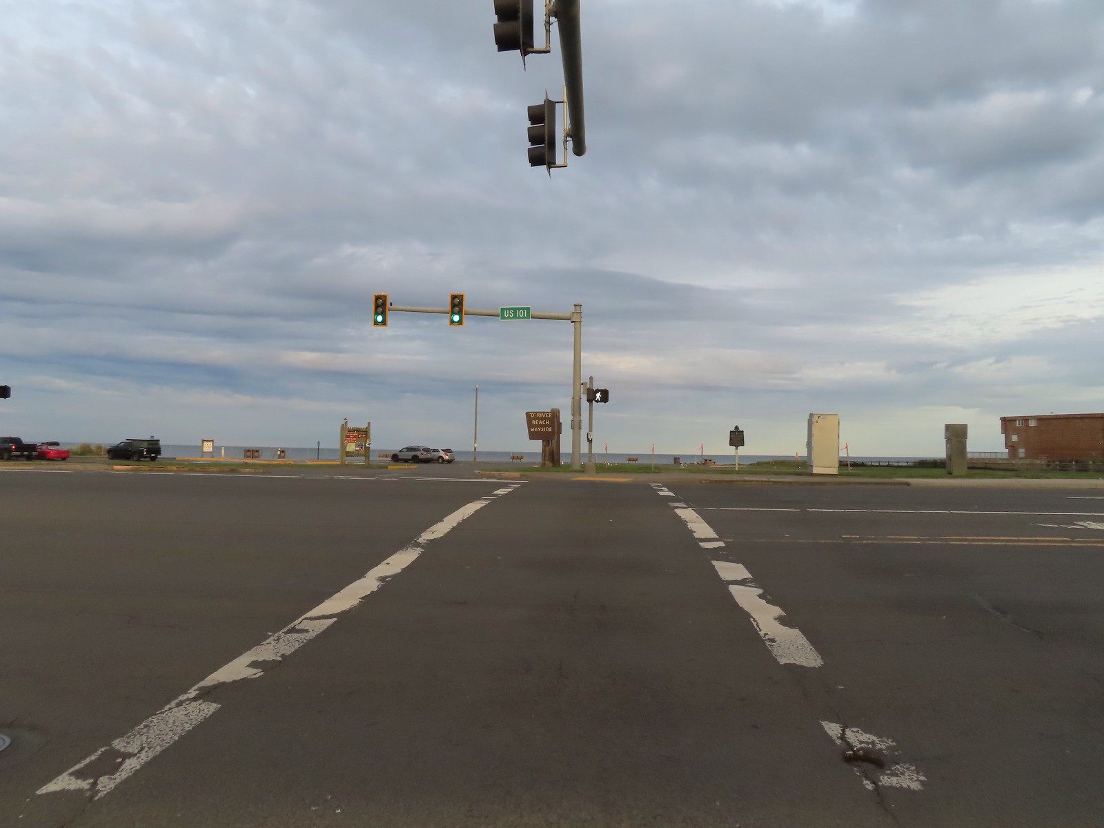
 View North from the beach.
 Cascade Head (
 Seagulls at the mouth of the D River.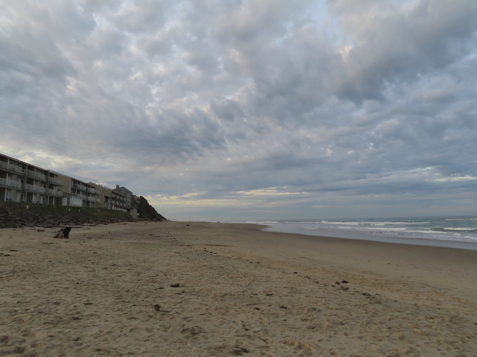
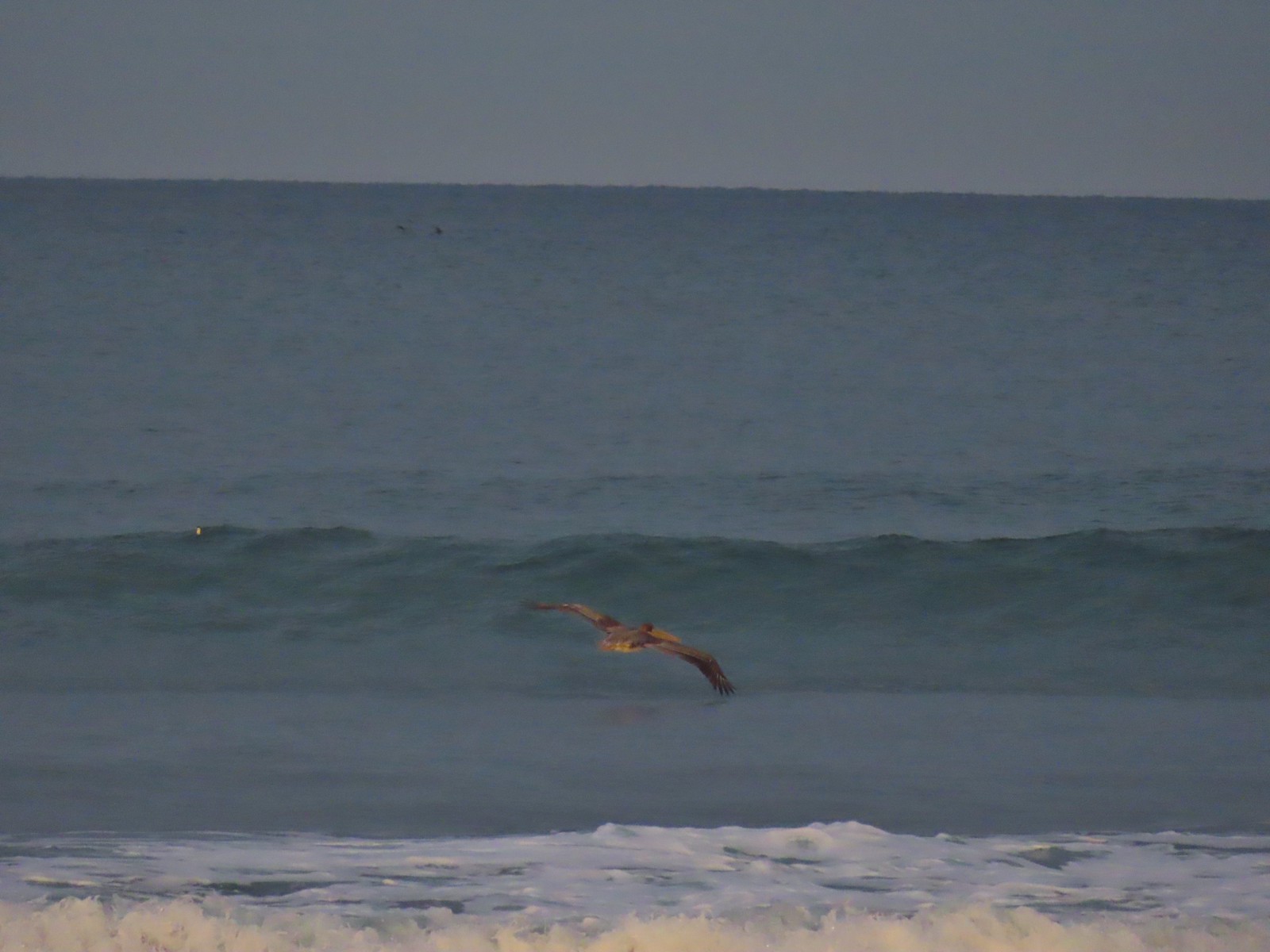
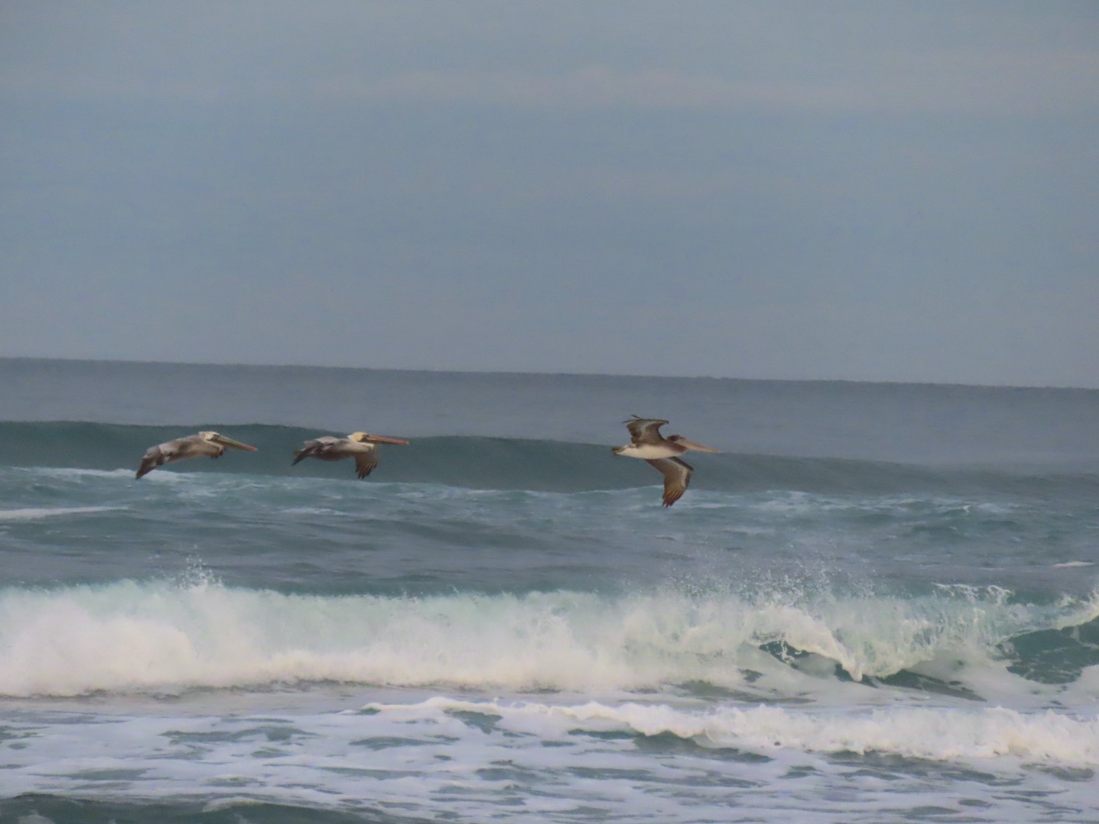


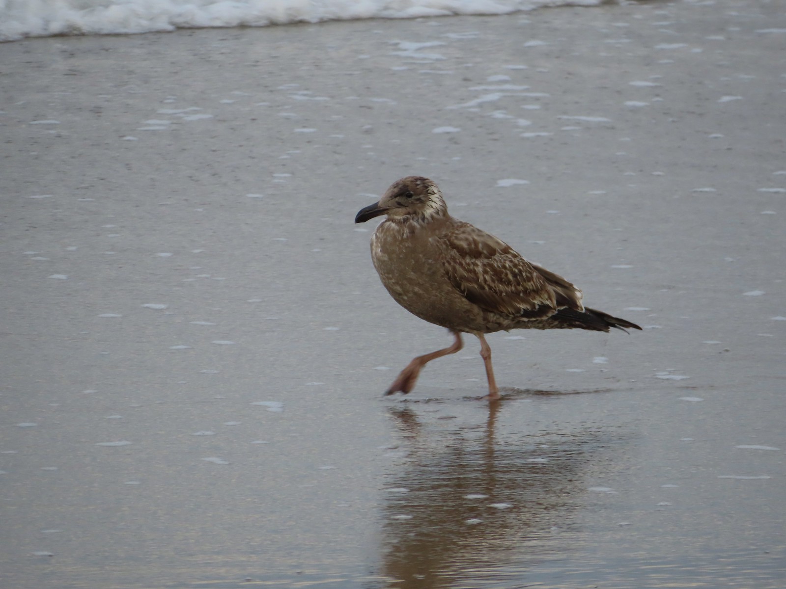 There were of course plenty of seagulls present.
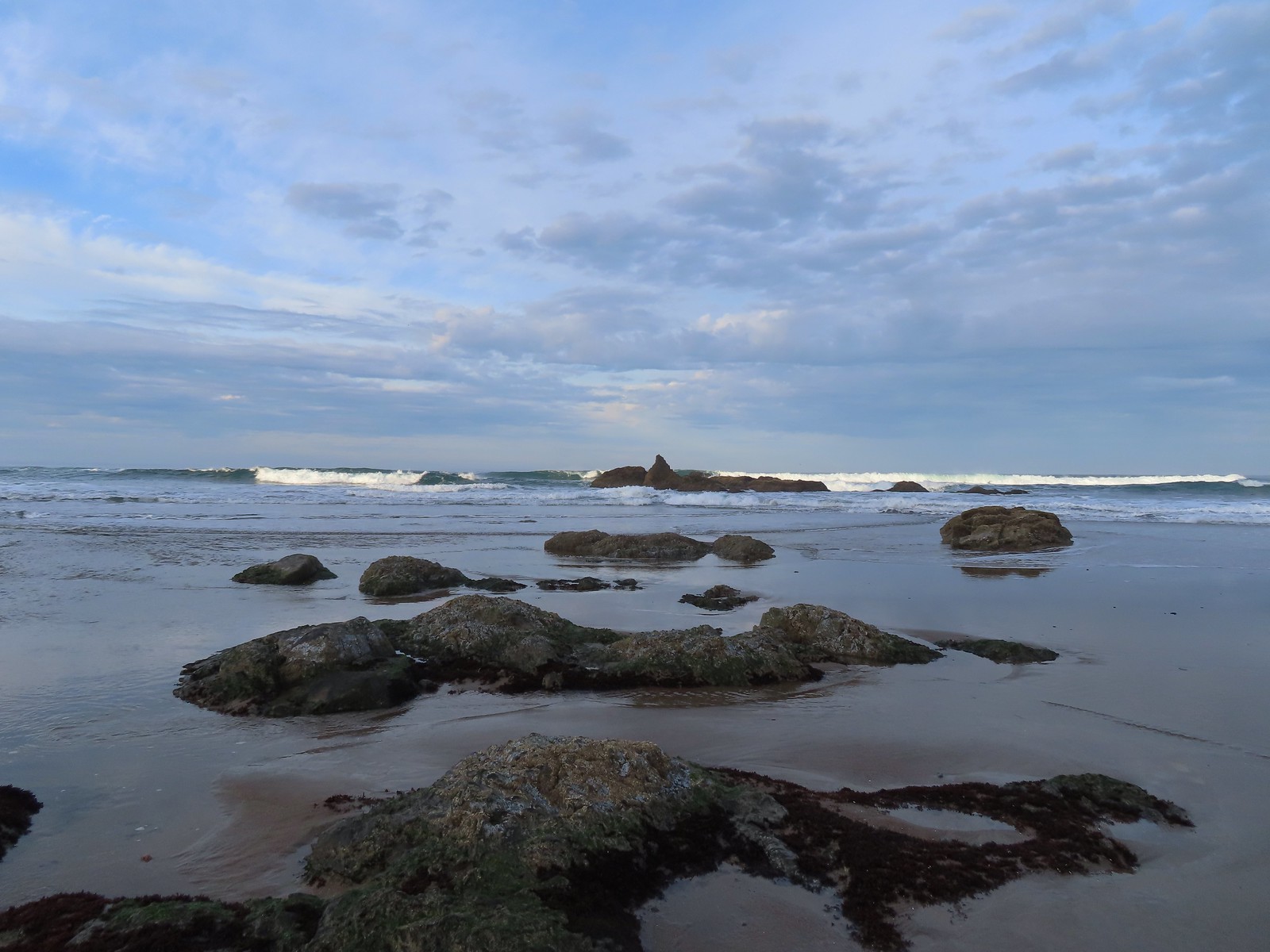
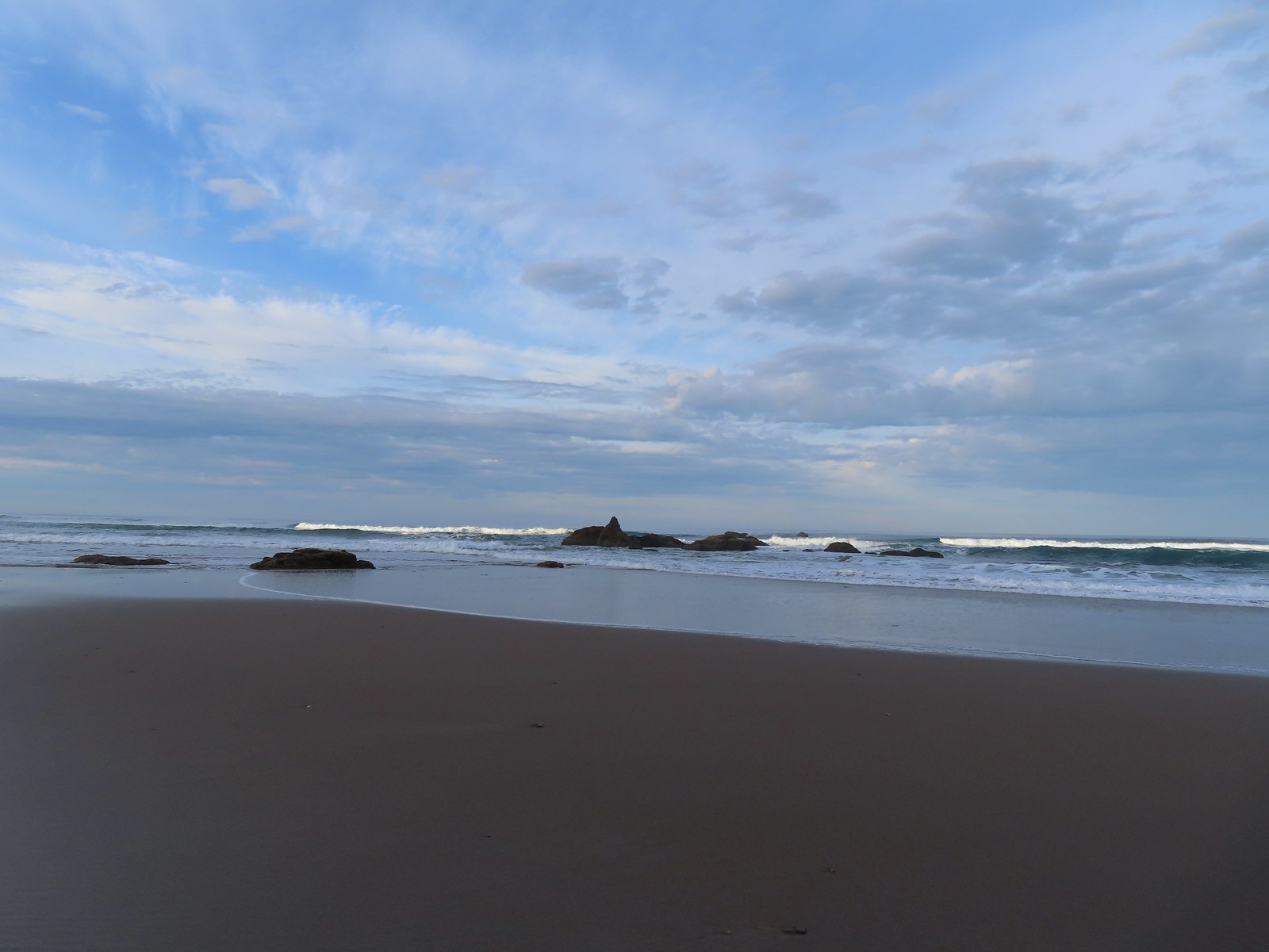 There weren’t very many ocean rocks along this stretch of beach.
 Surf scooters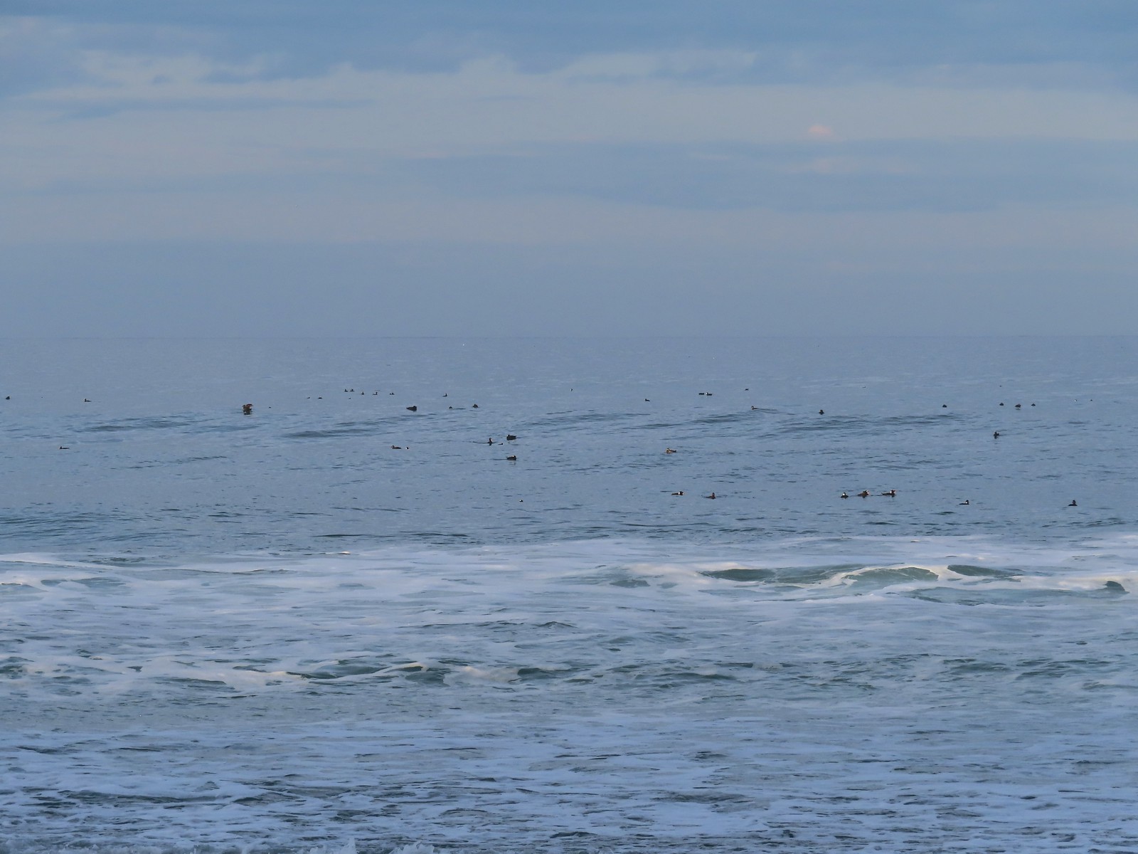
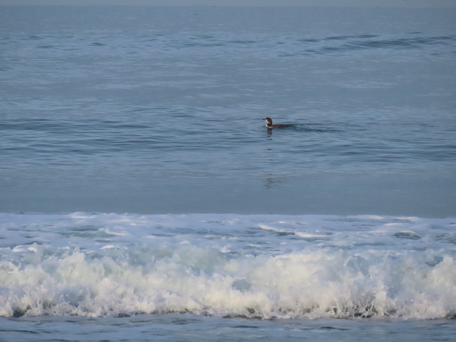 Loon, probably a common loon.
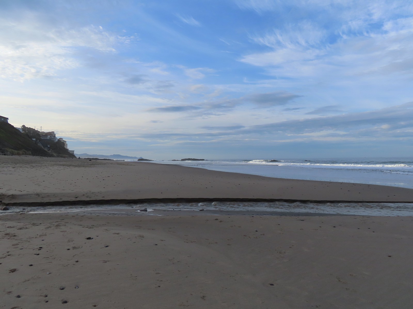 Baldy Creek
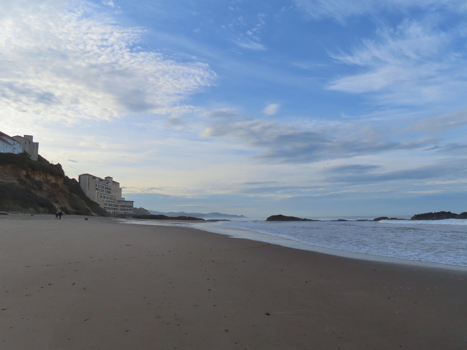 The inn on the left with the rocks extending into the Pacific.
 Cormorants and seagulls
 This was a big tree that we were able to walk under.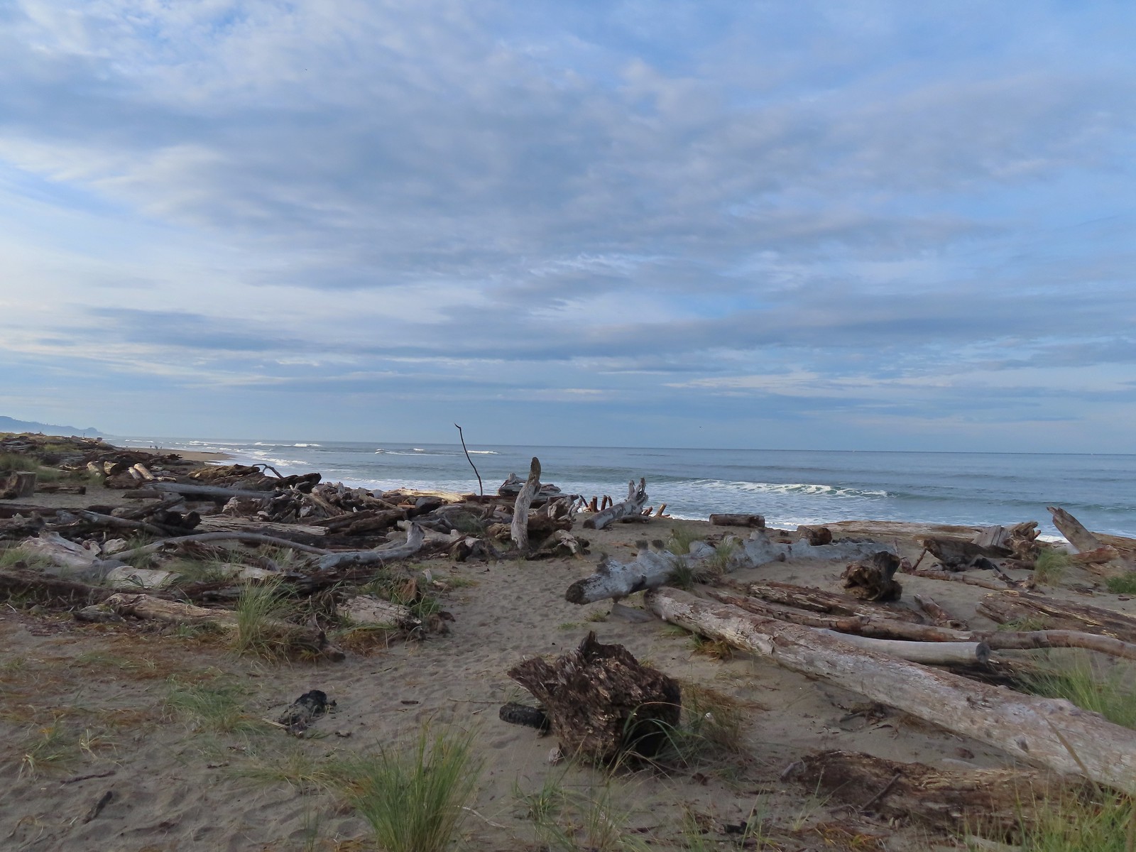
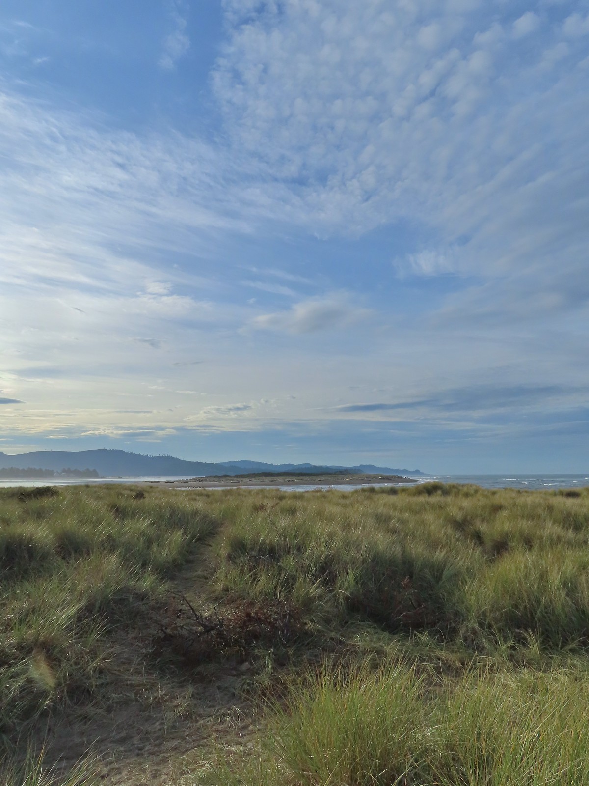 Salishan Spit across the Siletz.
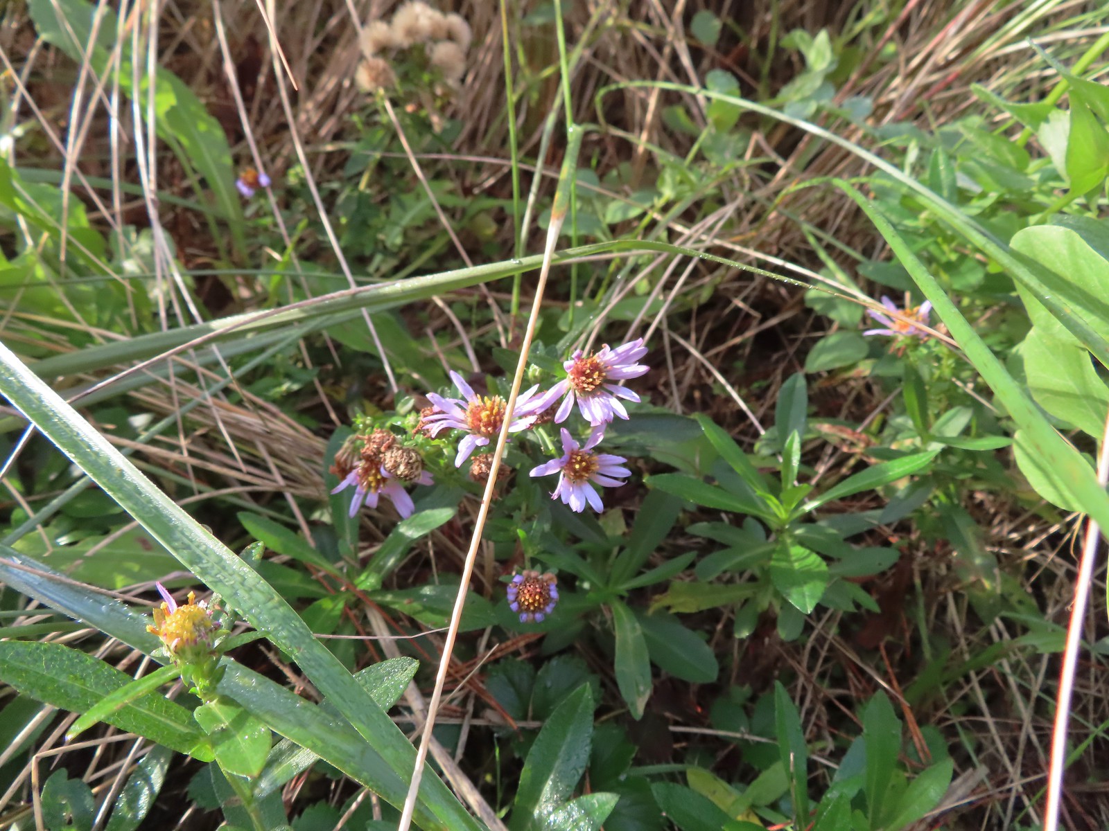 Asters on the beach.
 Pelicans on the left and seals on the right at the end of Salishan Spit.
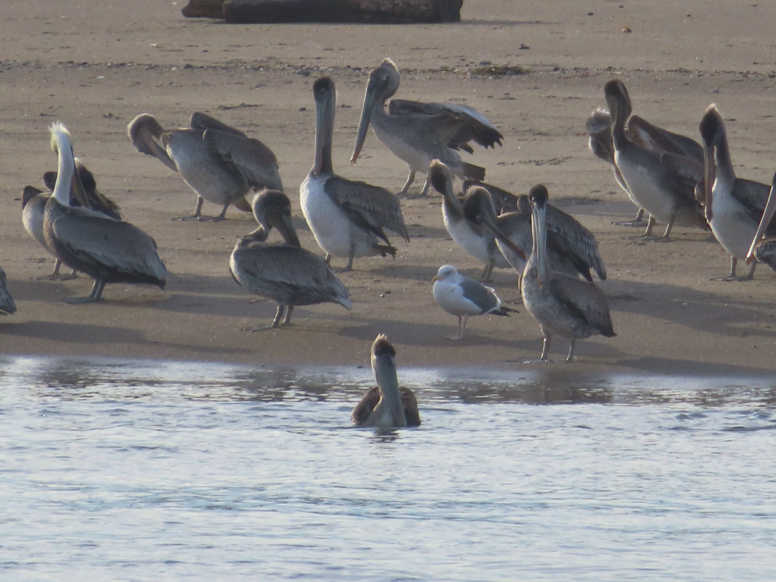 Pelicans and seagull
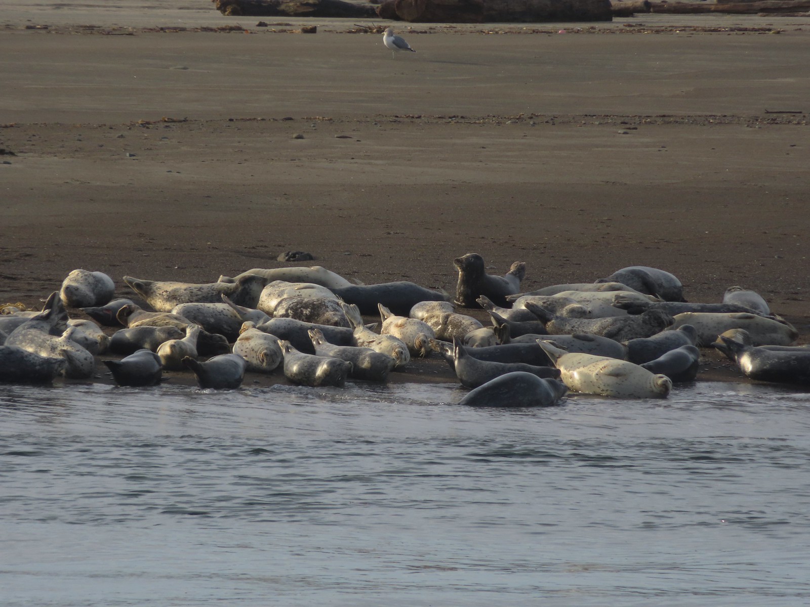 Seals and a seagull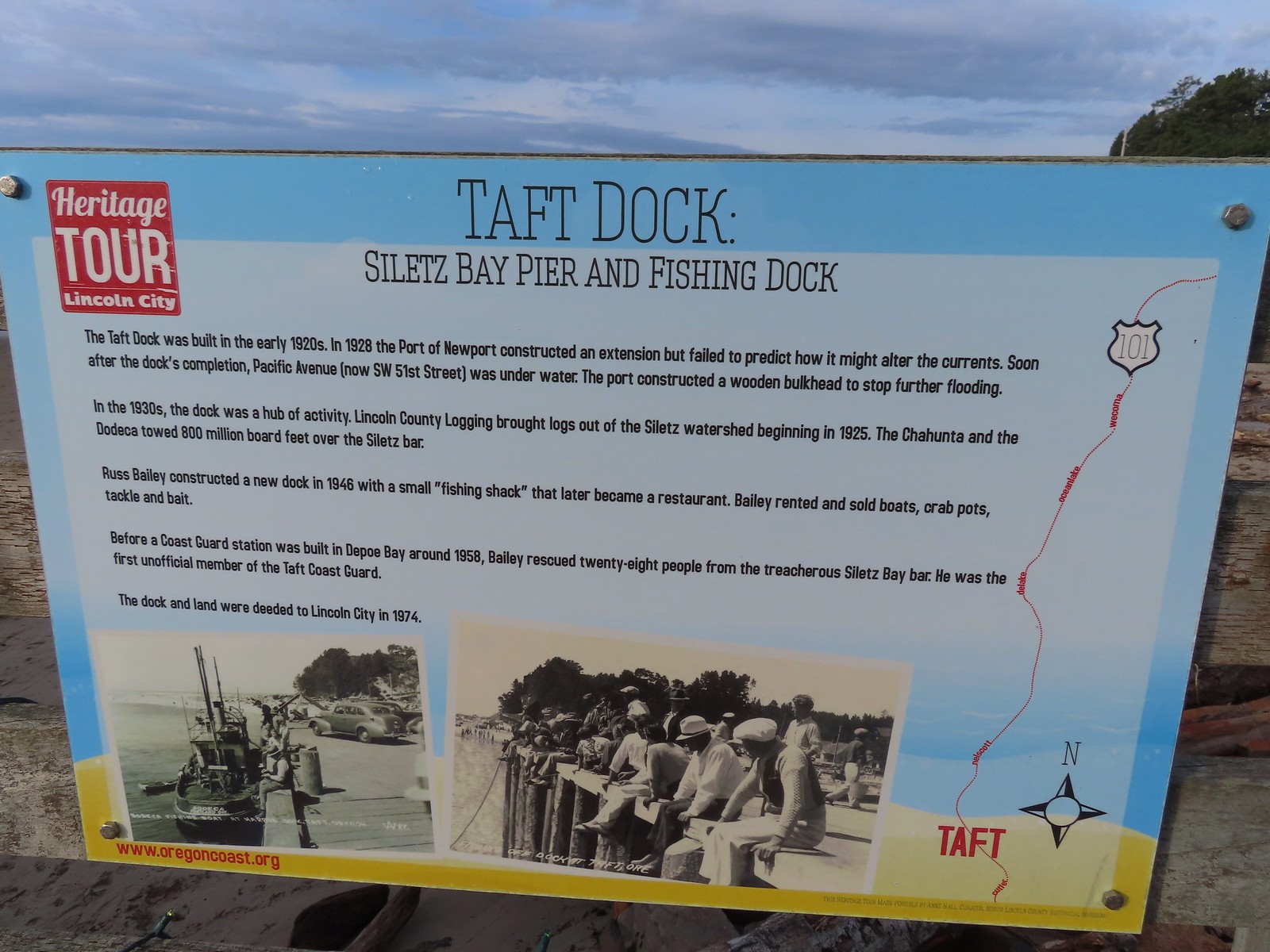


 Drying off

 Pelican mouths are a sight to behold (righthand side).
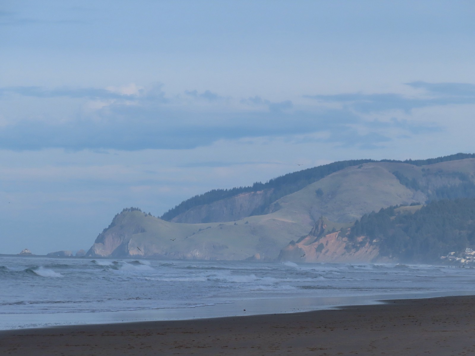 Cascade Head and God’s Thumb both in the sunlight now.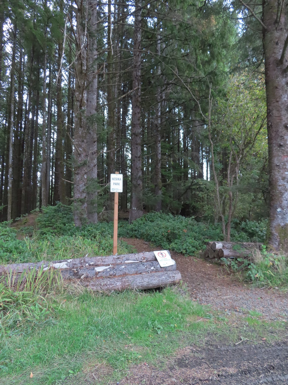

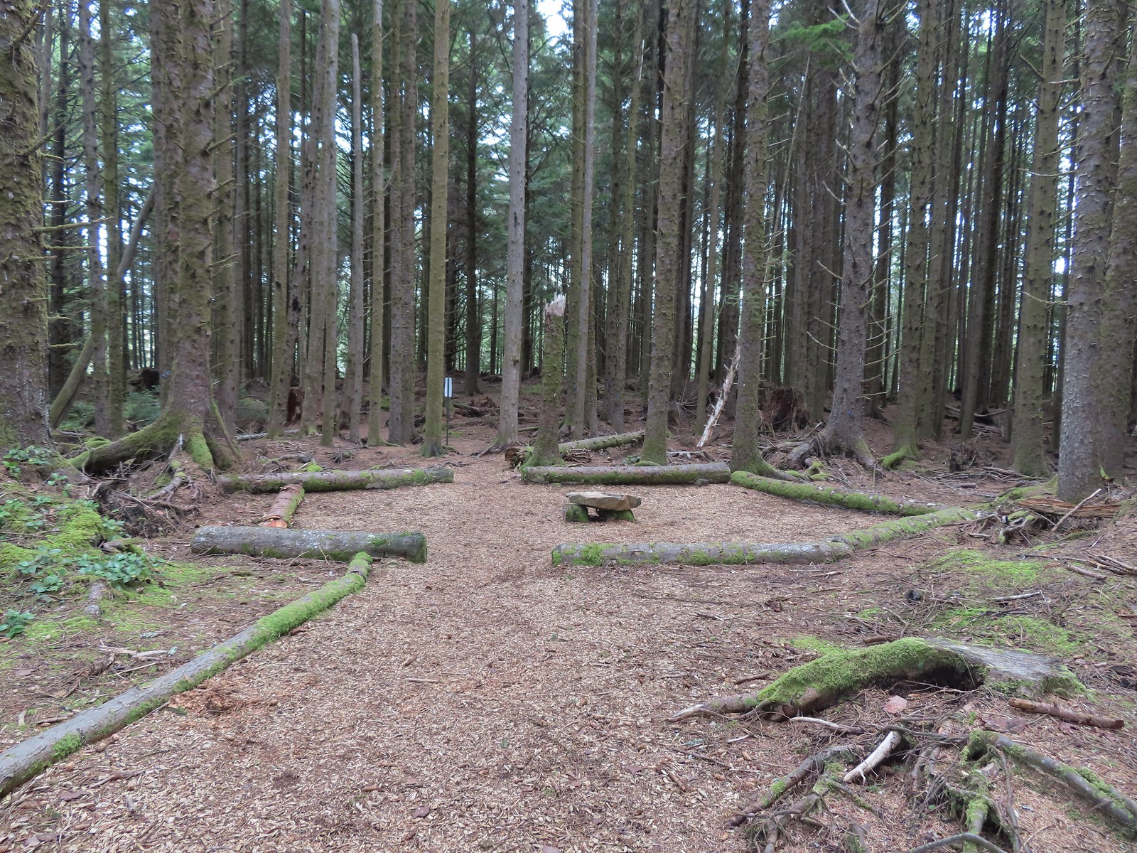 The Story Circle
 Trail Challenge sign #8.
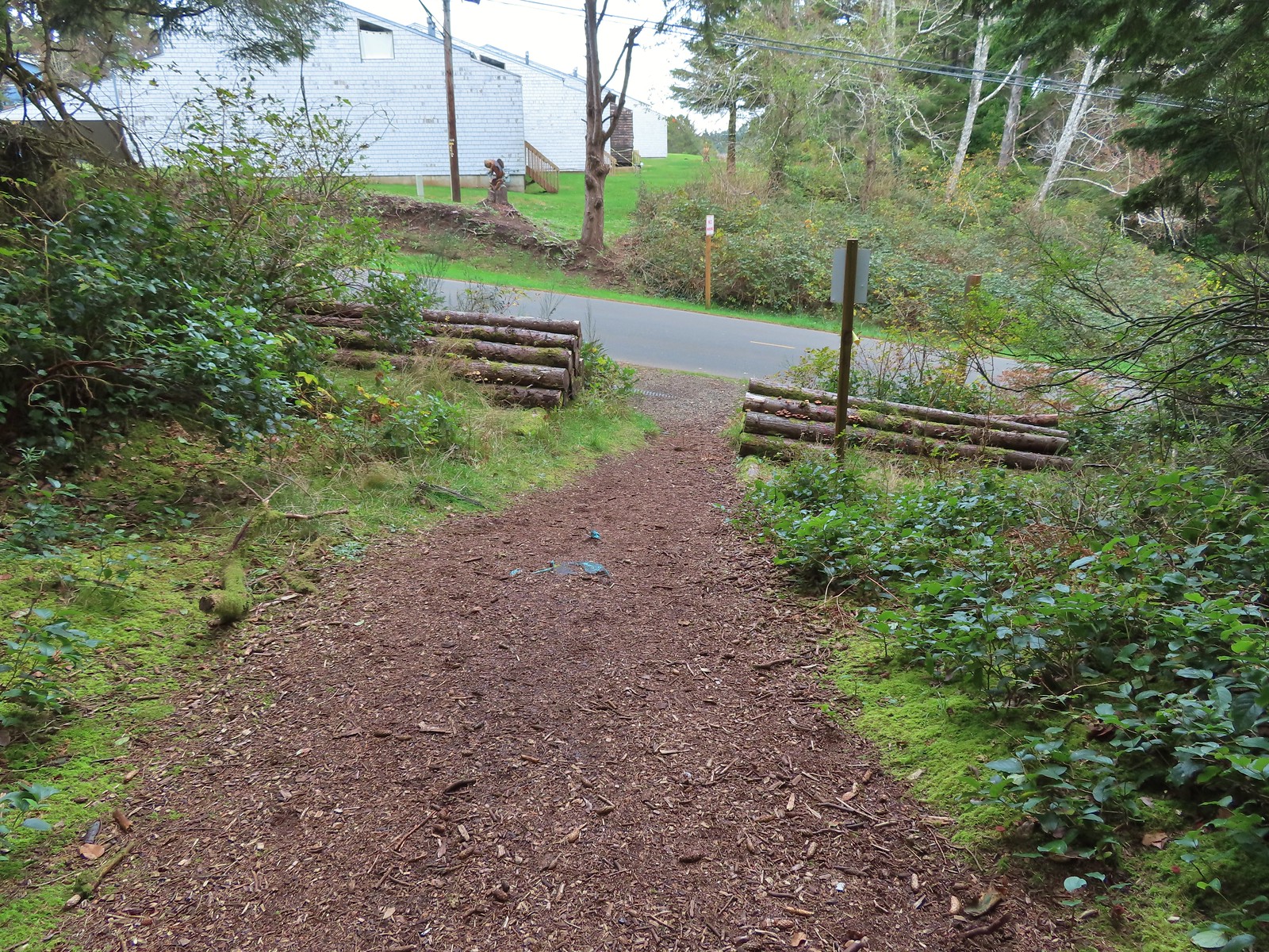 The trail ends at SE 3rd St (no parking available).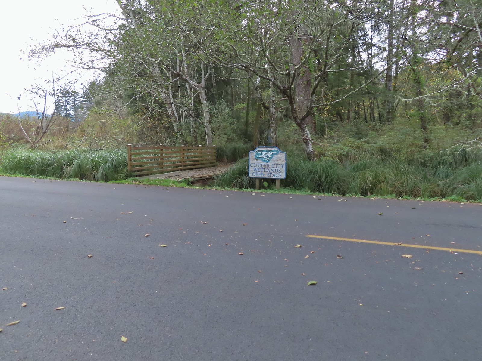

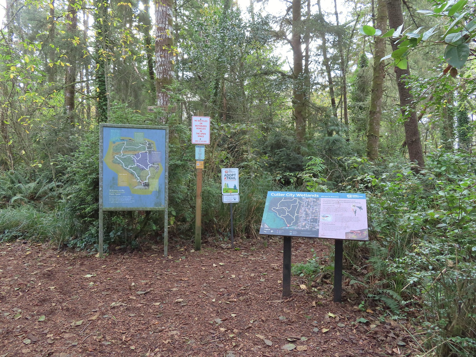
 While there are more trails to choose from here the total milage is just about 1.25 miles. We opted to loop around the outside with detours to the Salt Marsh Overlook and Pond’s Edge.
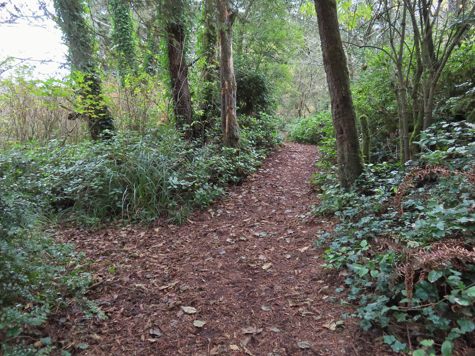 To the left is the very short spur to the Salt Marsh Overlook which was too overgrown to really see anything.
 Interpretive sign at the overlook.
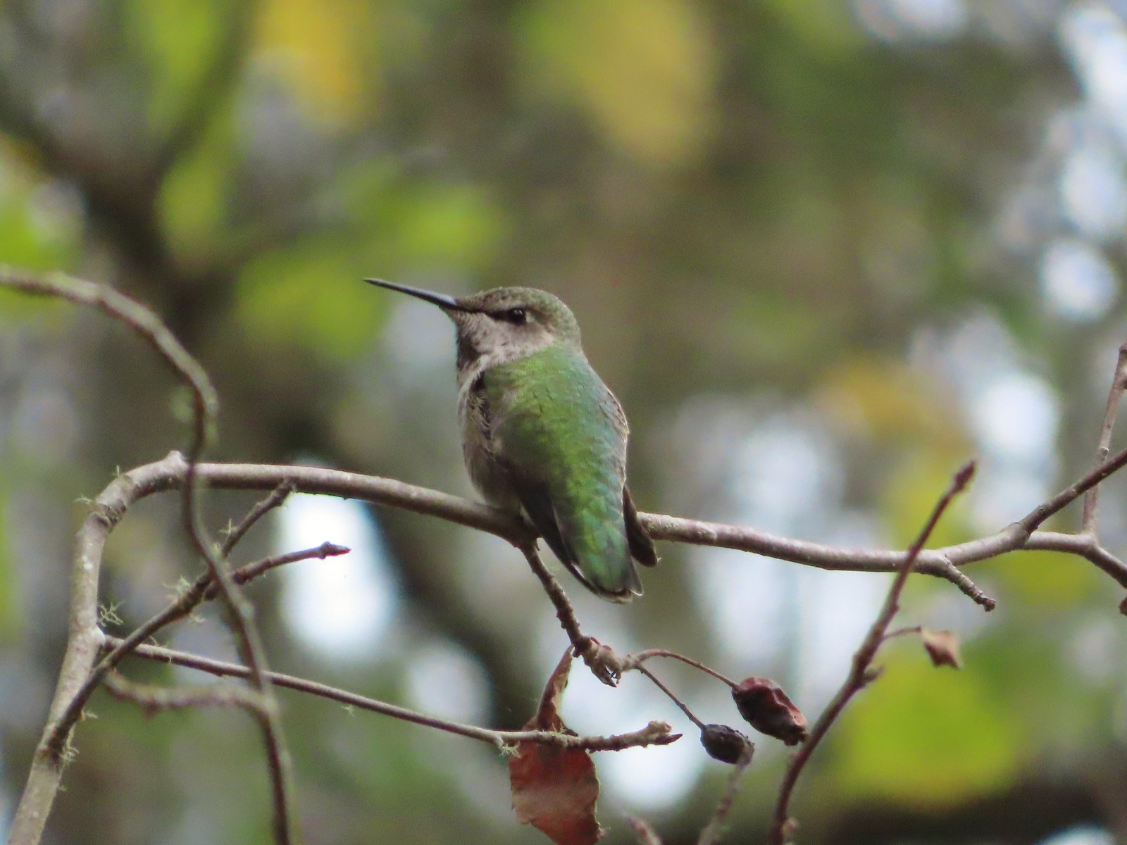 A noisy little hummer near the overlook.
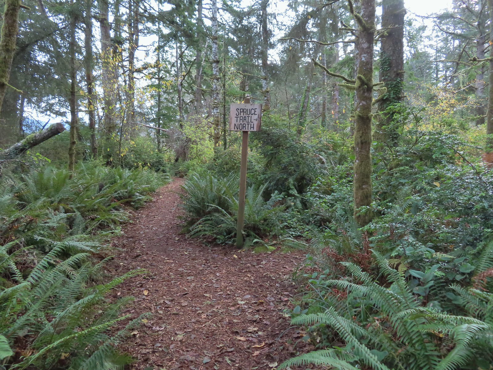 There was pretty good signage at the main trail junctions.

 Boardwalks helped cross the wet areas.
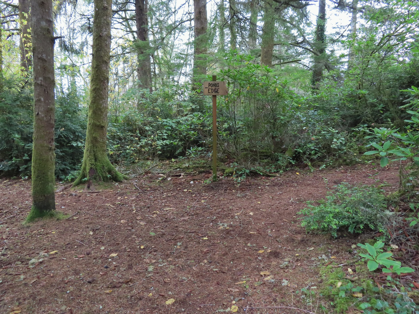 Pond’s Edge spur trail.
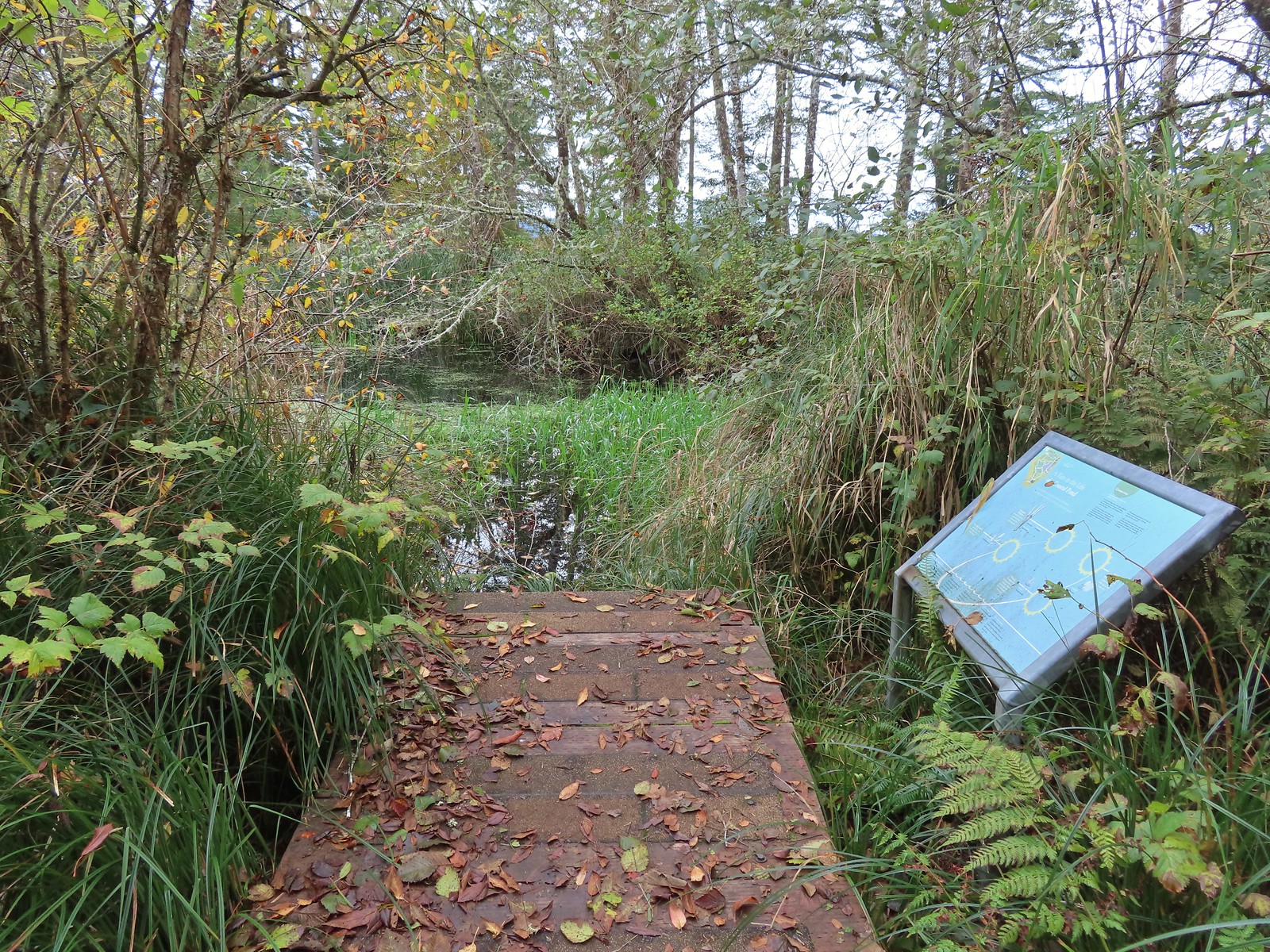 At the edge of the pond.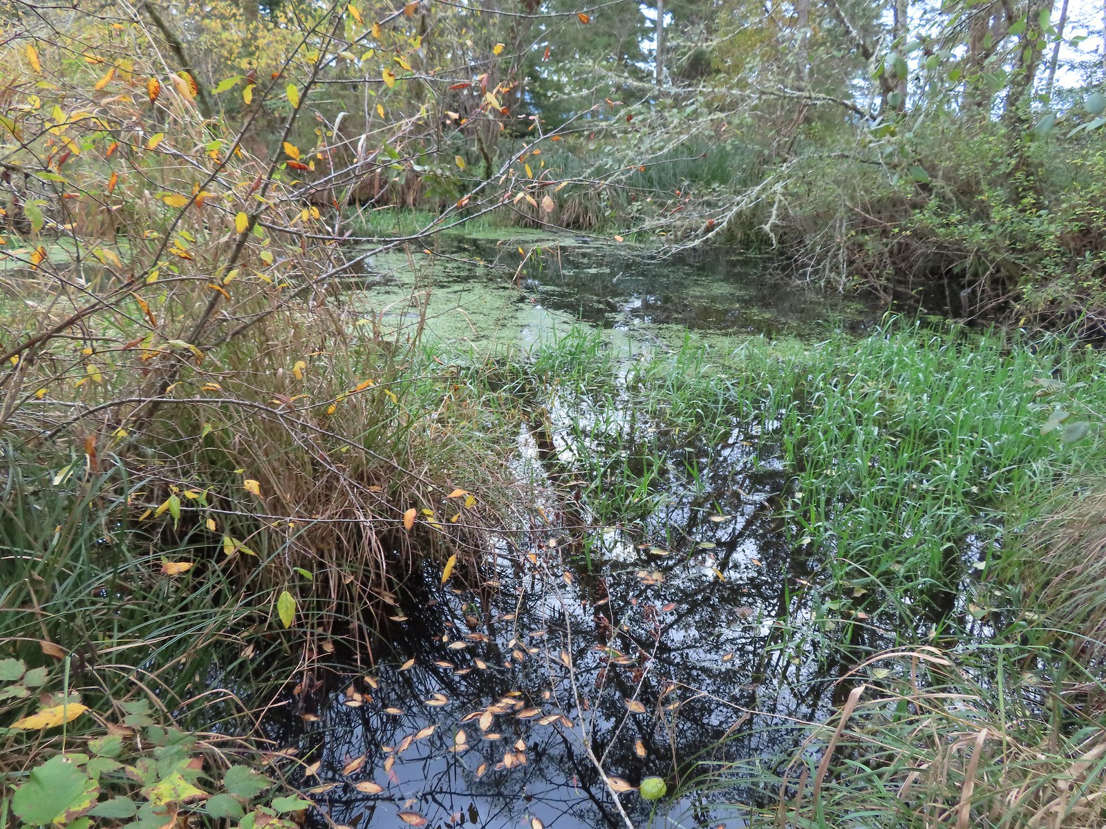
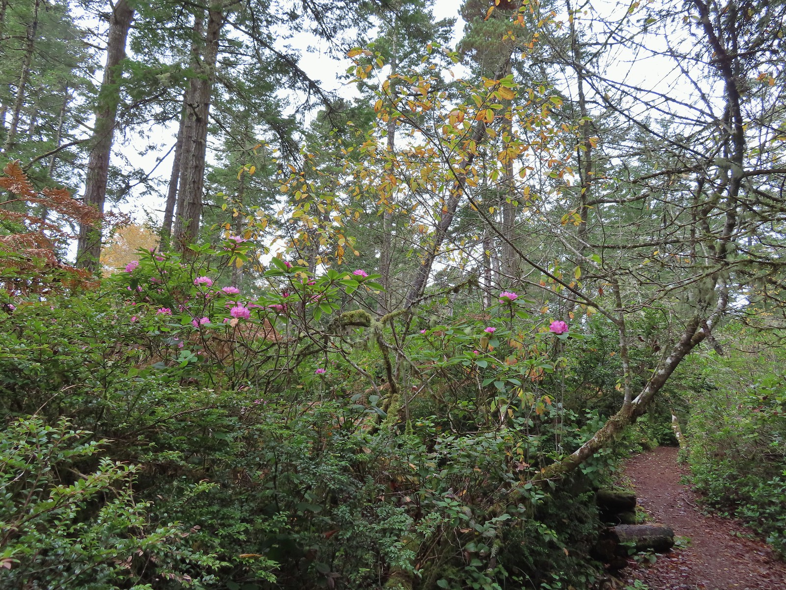 We hadn’t expected to see any blooming rhododendrons.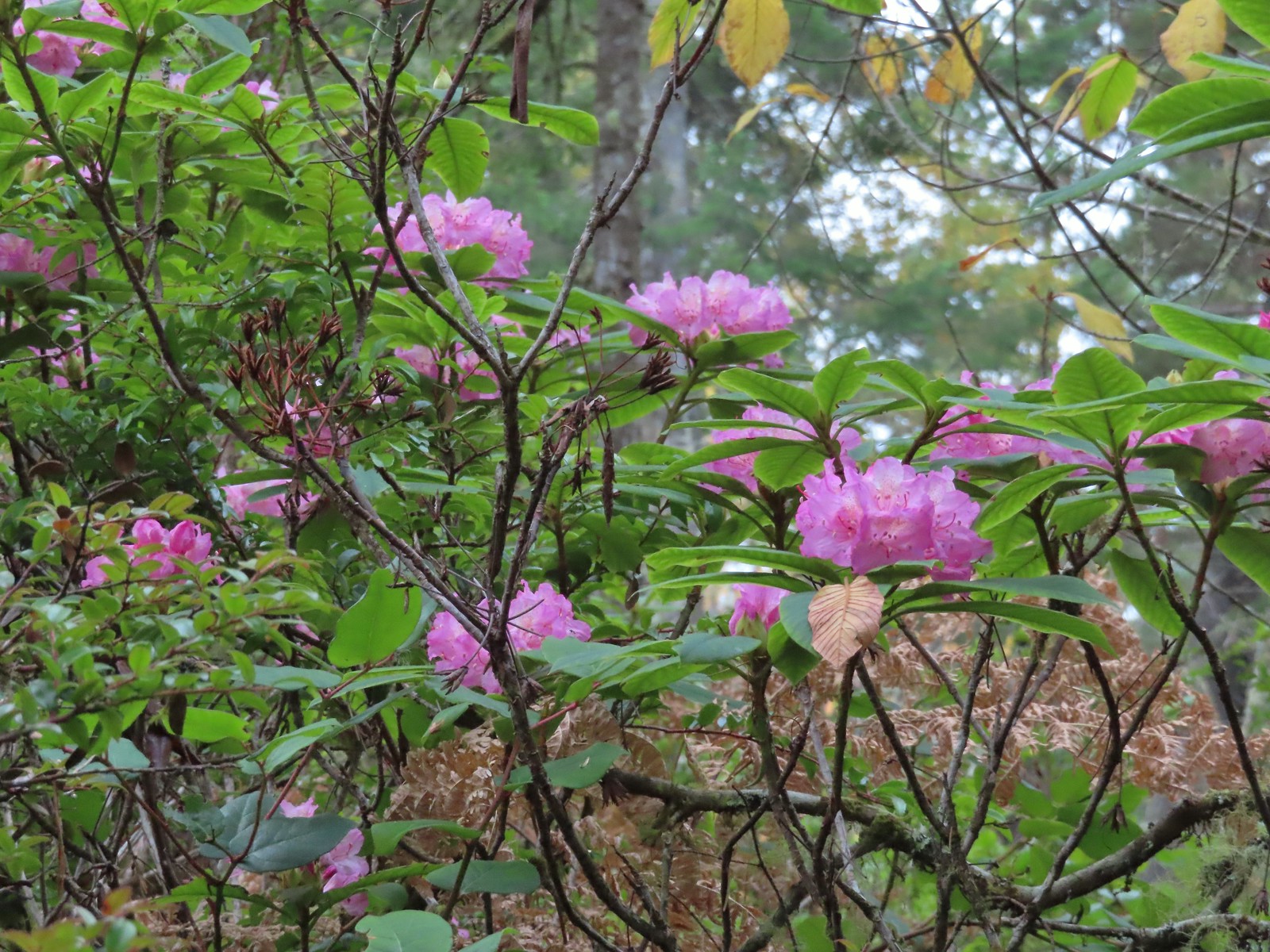
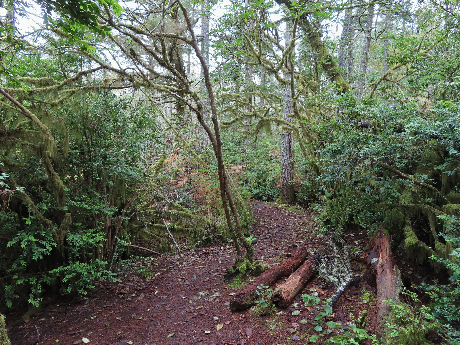
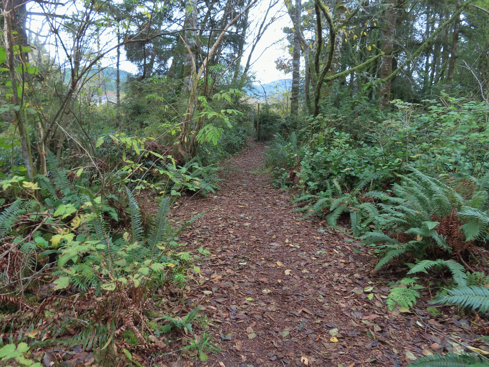 Arriving at the signboards at the start of the loop.


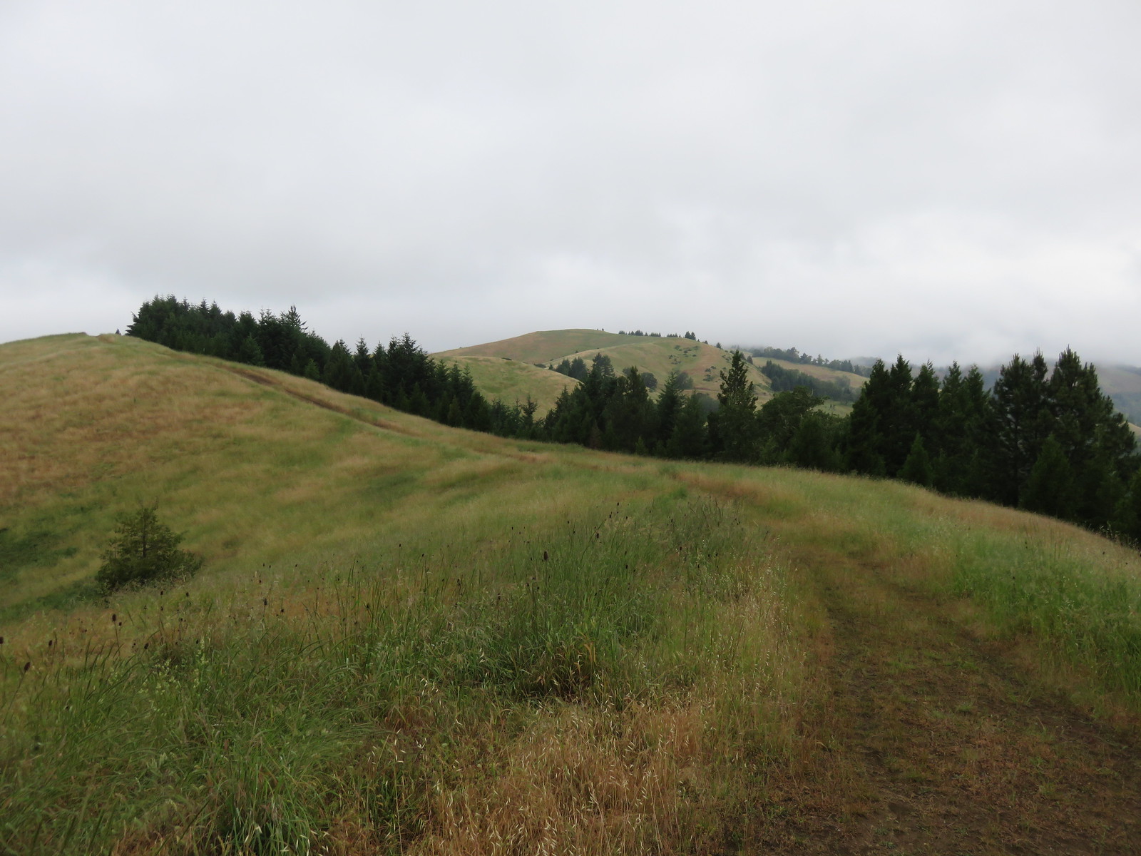
 Fall Creek Falls
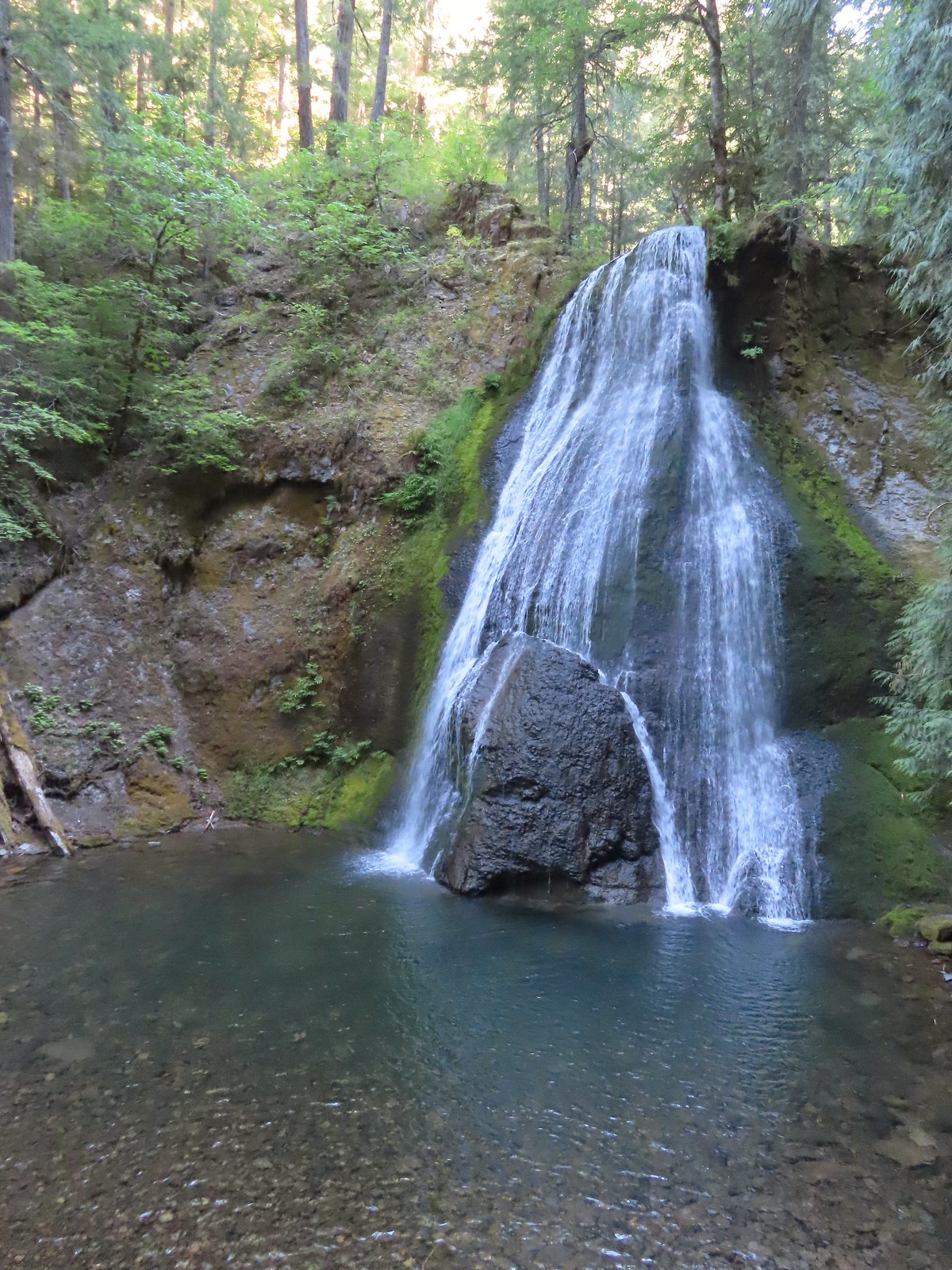 Yasko Falls









 Lower Table Rock
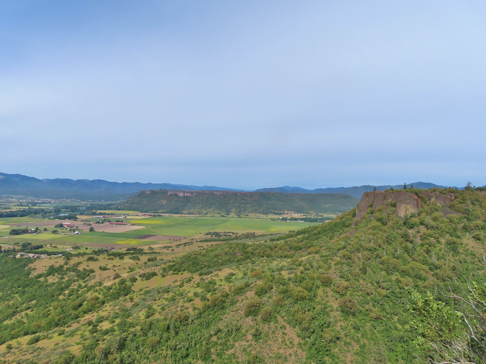 View from Upper Table Rock