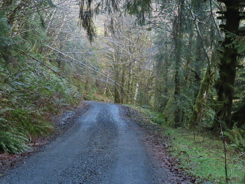
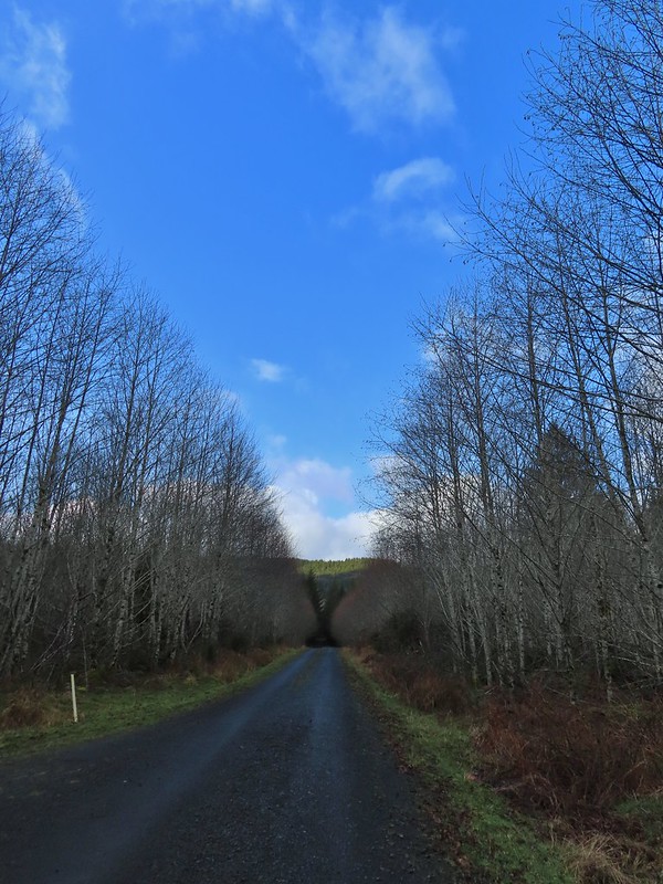
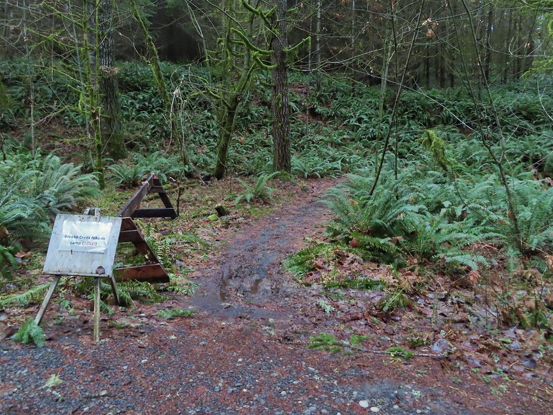
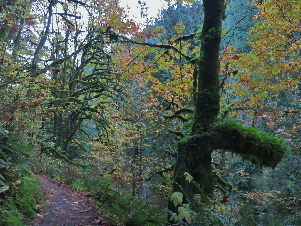
Like much of the U.S. we’ve had some ugly weather so far in February so when we saw the potential for a “not too wet” window of time we decided to head out for this month’s hike. On our schedule for February was the North Fork Nehalem River in the Coastal Range. This hike came from the Oregon Hikers Field Guide, my favorite online source for ideas. This particular hike utilizes roads instead of trails which was actually a good thing after an unusually destructive ice and snow storm had come through just a week before our hike. We hopped that the combination of the roads and some clearcuts along those roads would mean we wouldn’t have to deal with much if any debris from the storm. As we drove west on Highway 26 from Portland we were amazed at how much damage there was to trees in the Coastal Range. Between the damage we saw and a couple of heavy rain showers we were wondering what we might be getting ourselves into as we turned south onto Highway 53. The rain let up as we wound our way down past more damaged trees to the Nehalem Fish Hatchery. We had planned to stop at the hatchery first for a quick stop to see Umbrella Falls but signs at the hatchery indicated it was closed to visitors due to COVID-19 (the ODFW website for the hatchery didn’t mention the closure). With access to the 1/8 mile path to the falls blocked we had to skip Umbrella Falls for now and we drove the short distance north on Highway 53 to Cole Mountain Road (just north of the bridge over the North Fork Nehalem River) where we turned west (right) and kept right at a fork to reach the North Fork Nehalem Trailhead.

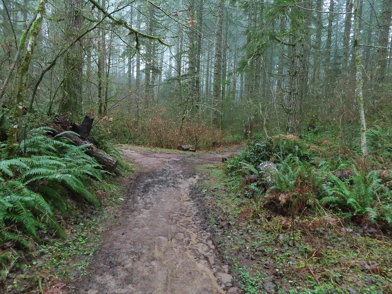
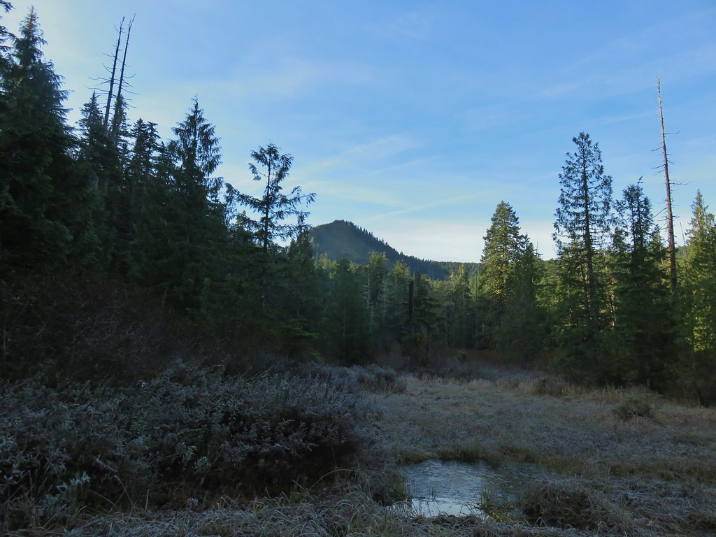
We parked at a pullout before a gate marking the start of private land owned by McCracken Woodlands LLC and set off on foot.

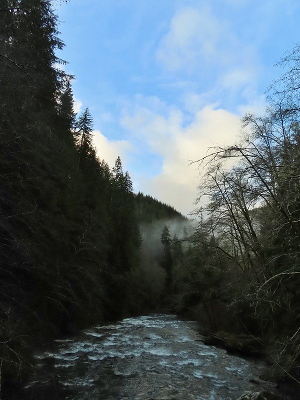
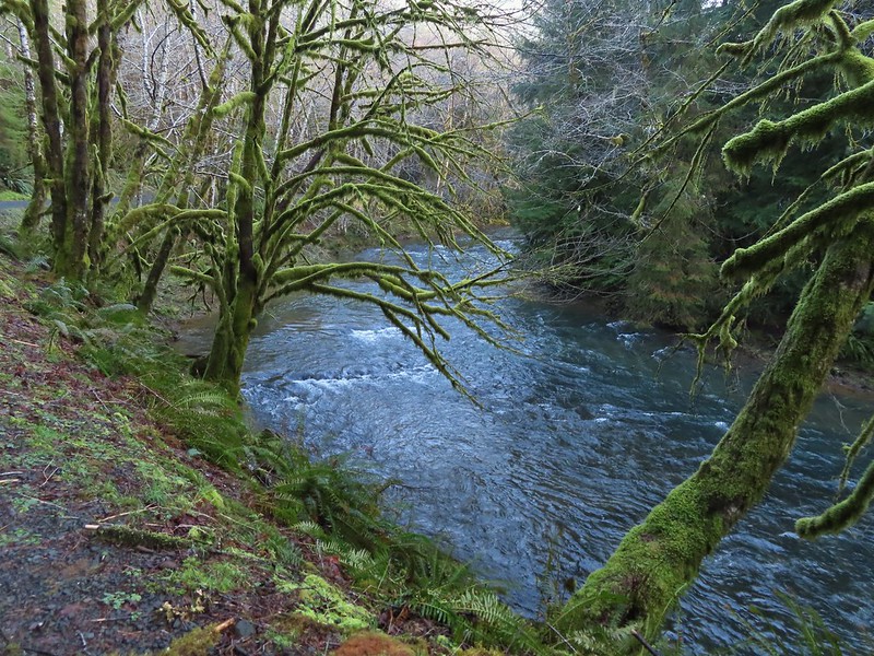
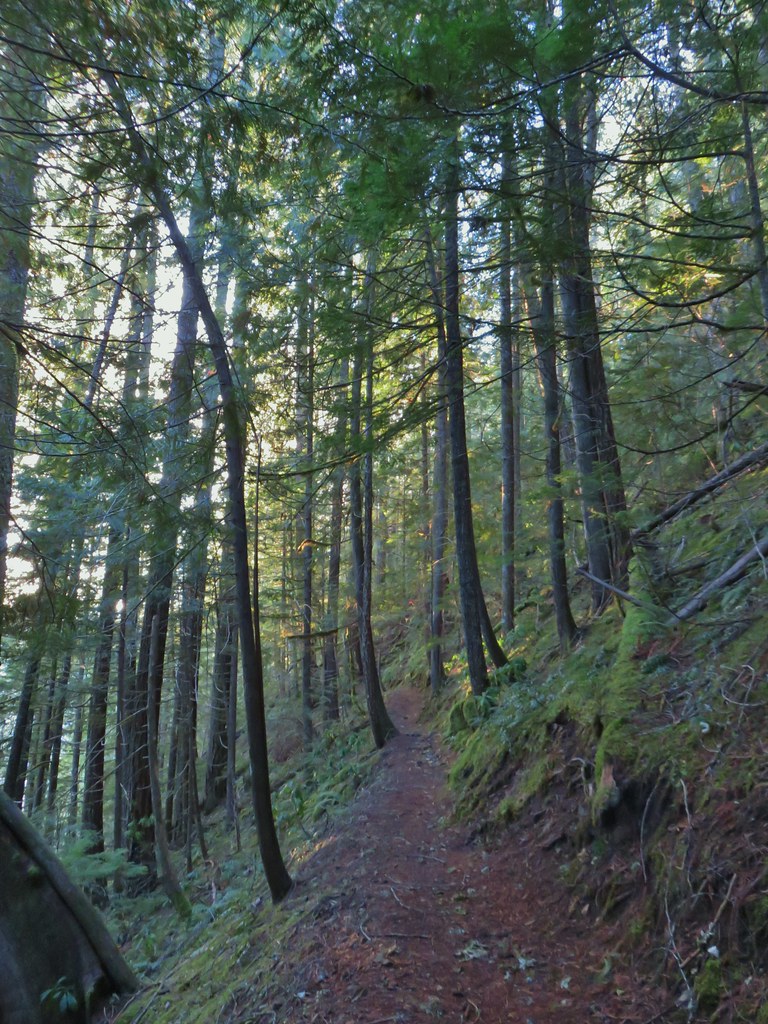
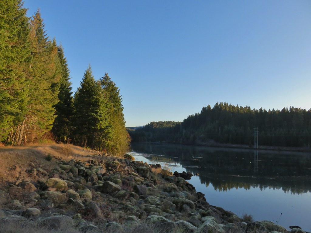
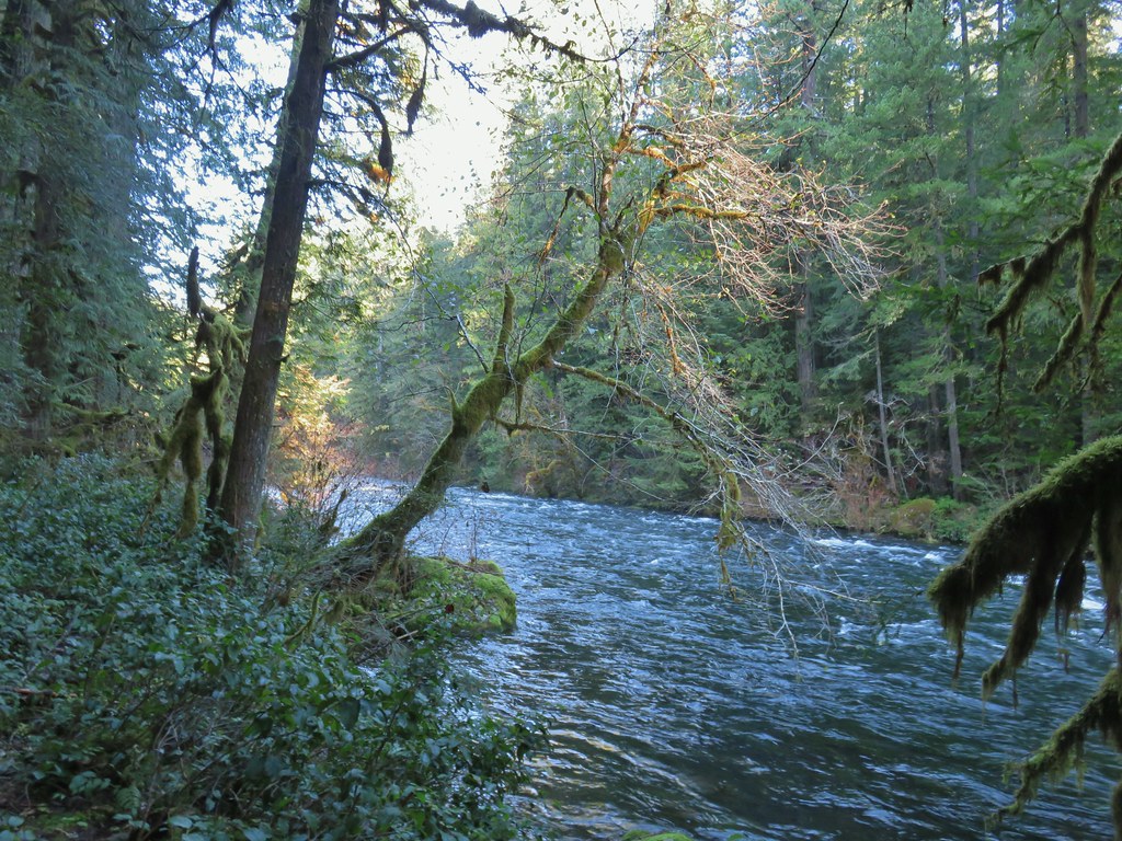
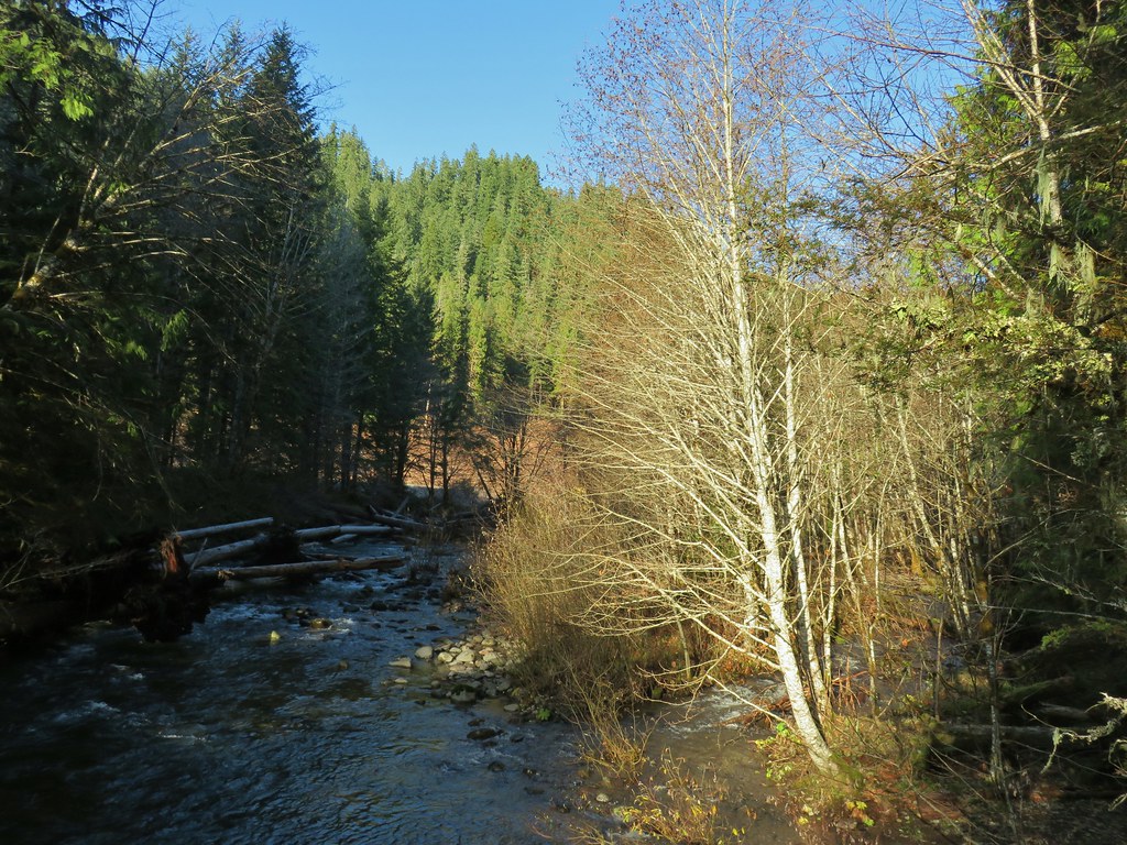
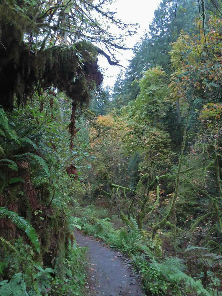
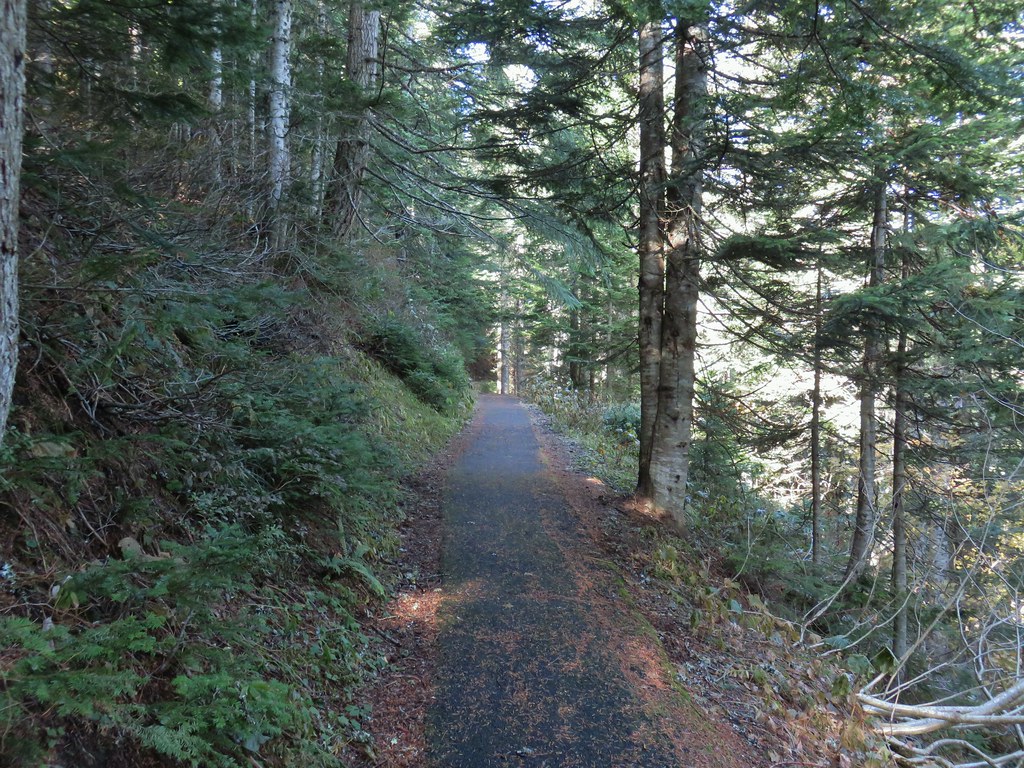
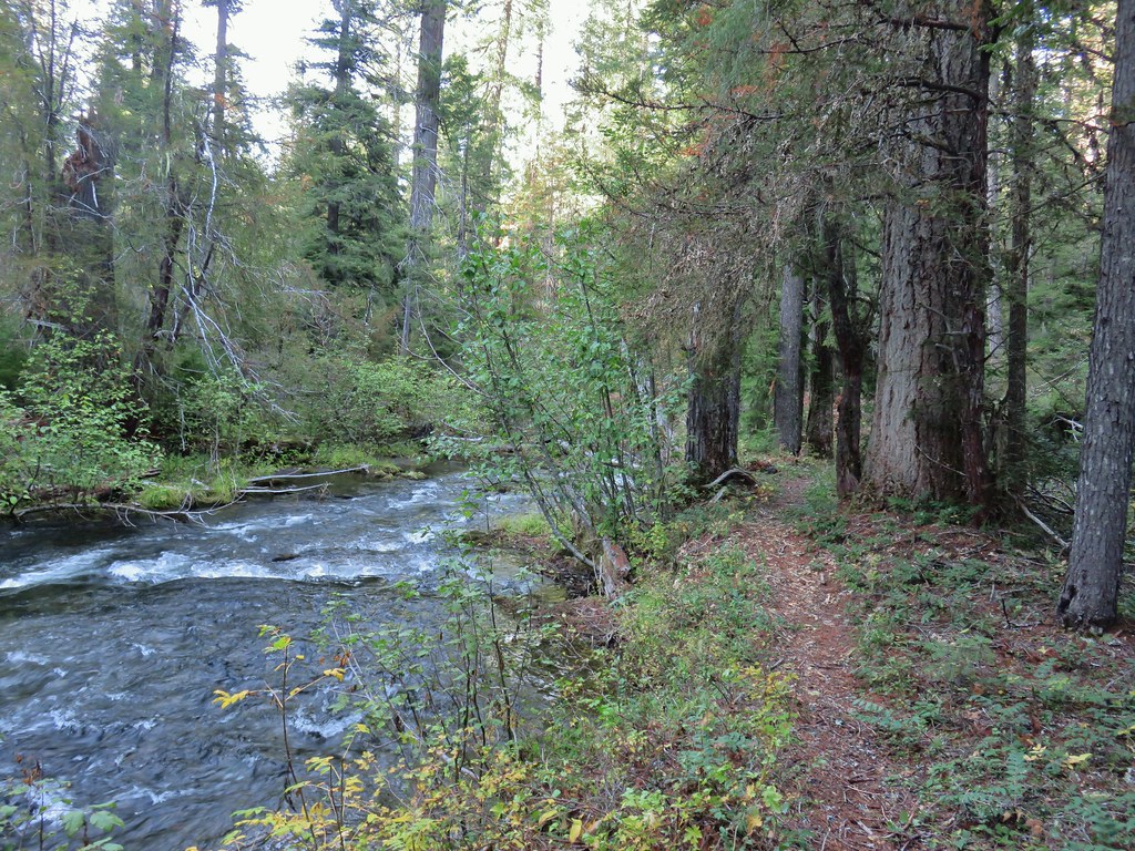
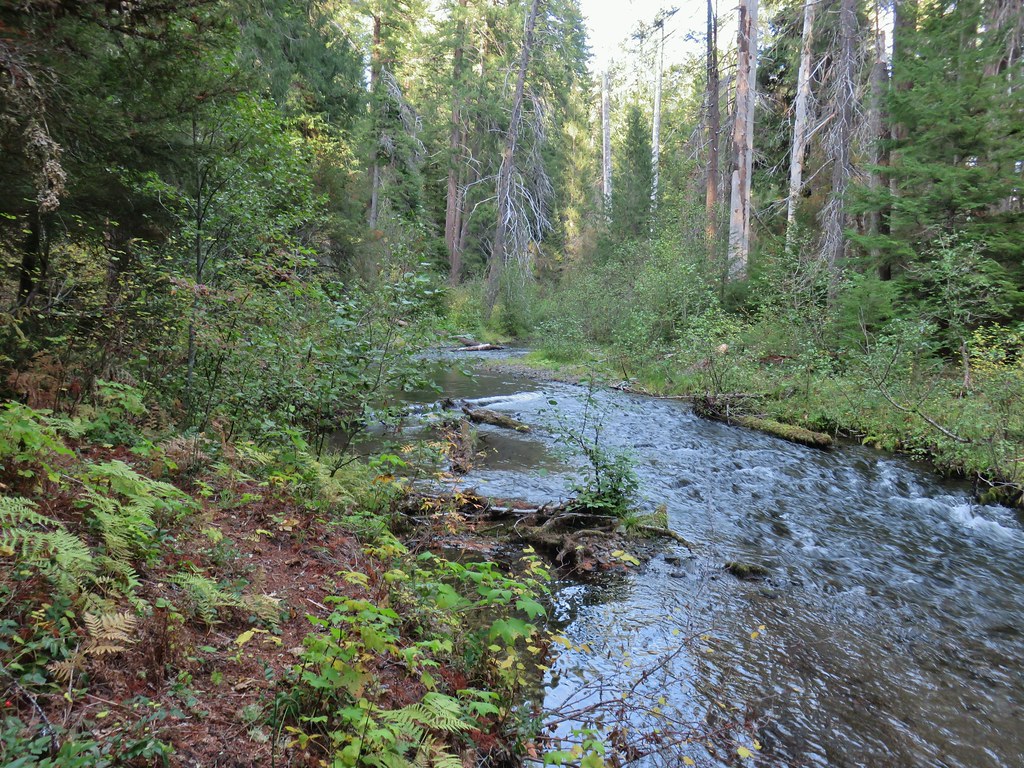
After crossing over a small stream we started getting views of the North Fork Nehalem River on our right.


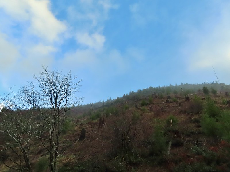
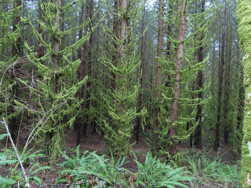
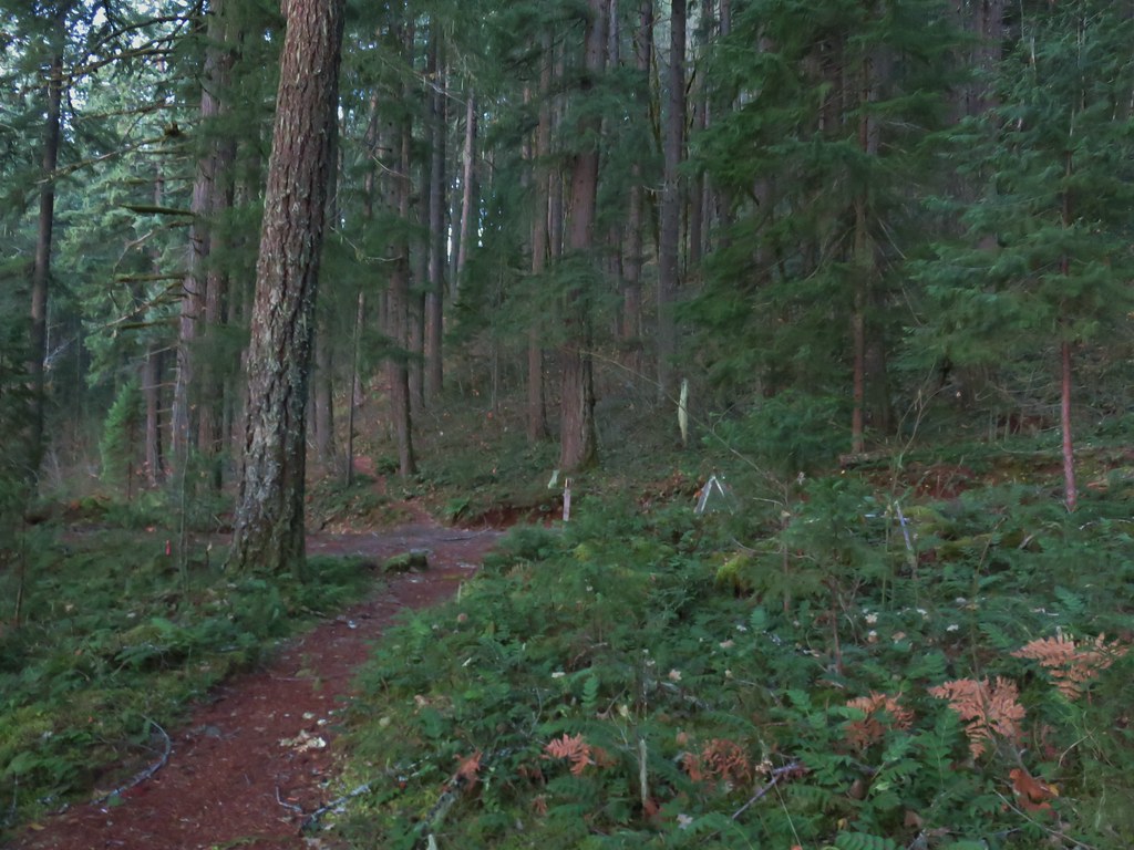
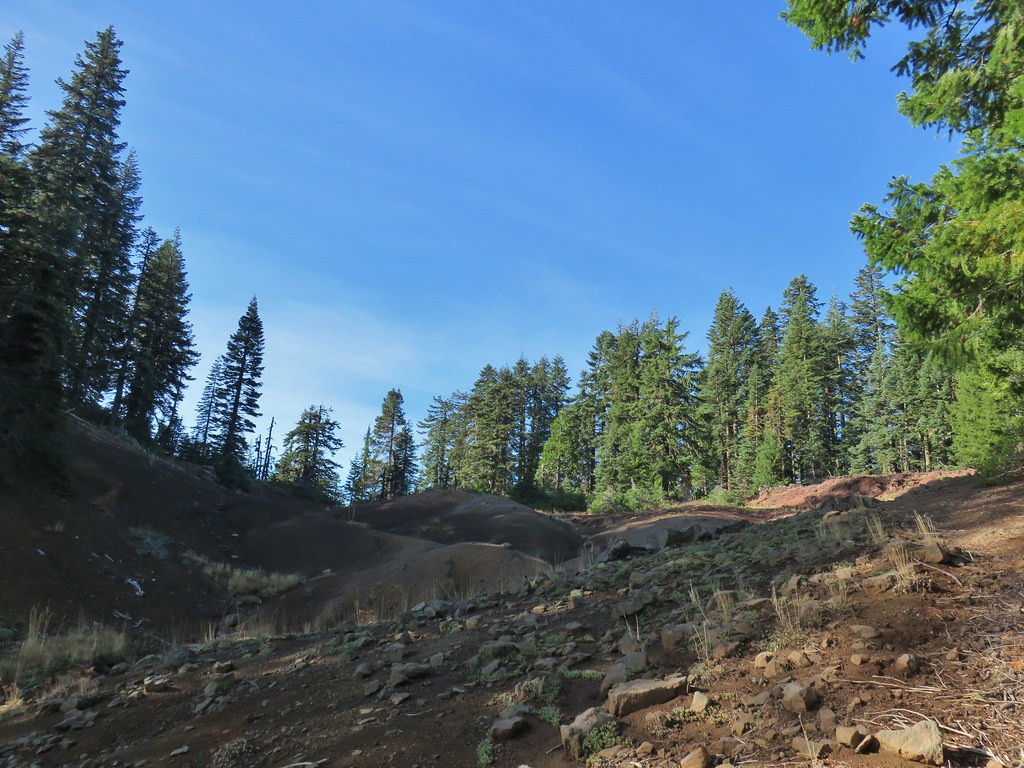
We were soon passing one of several clearcuts.
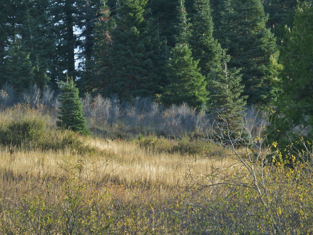
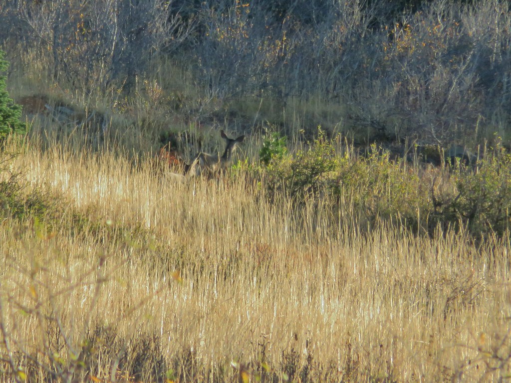
While we are always on the lookout for wildlife we rarely spot anything when we’re specifically looking for something. Today was no exception and after scanning the hillside and coming up empty we started walking again. I turned around to see what the view was like behind us and caught movement 2/3rds of the way up the hill. It was a pair of deer that were well aware of us and making their way in the other direction.


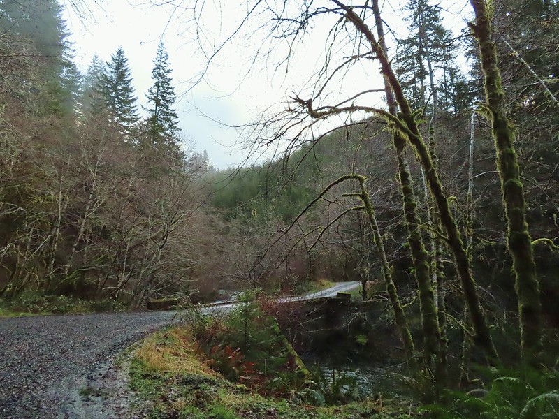
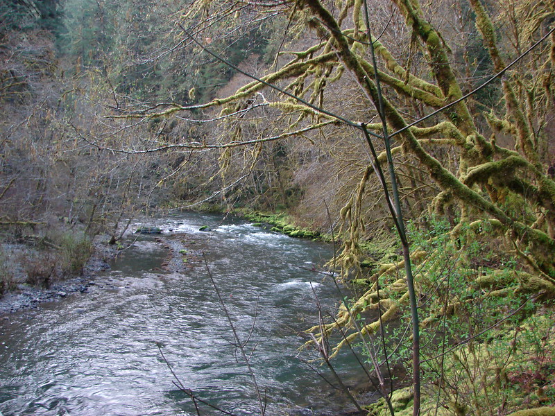
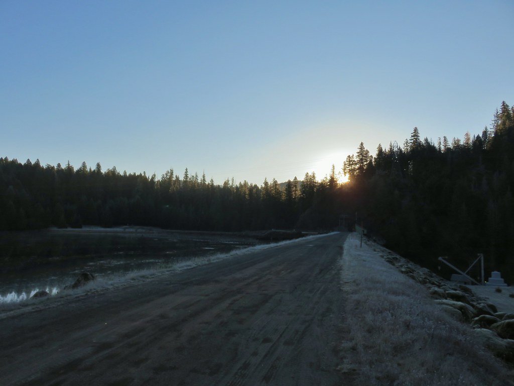
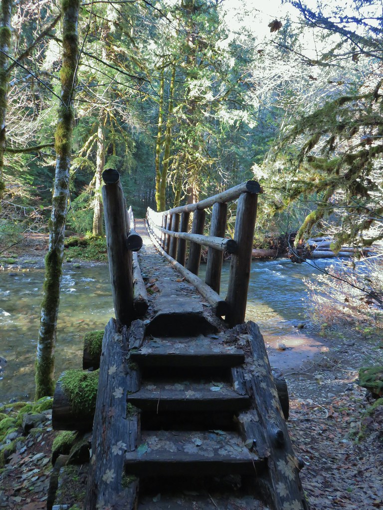
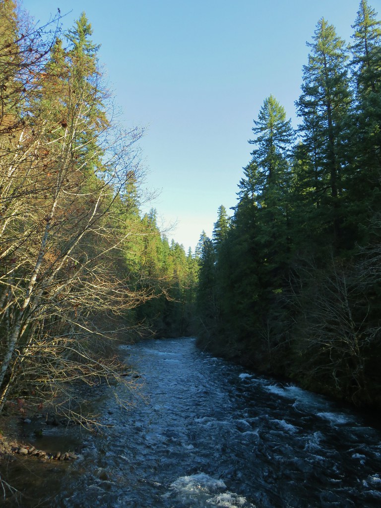
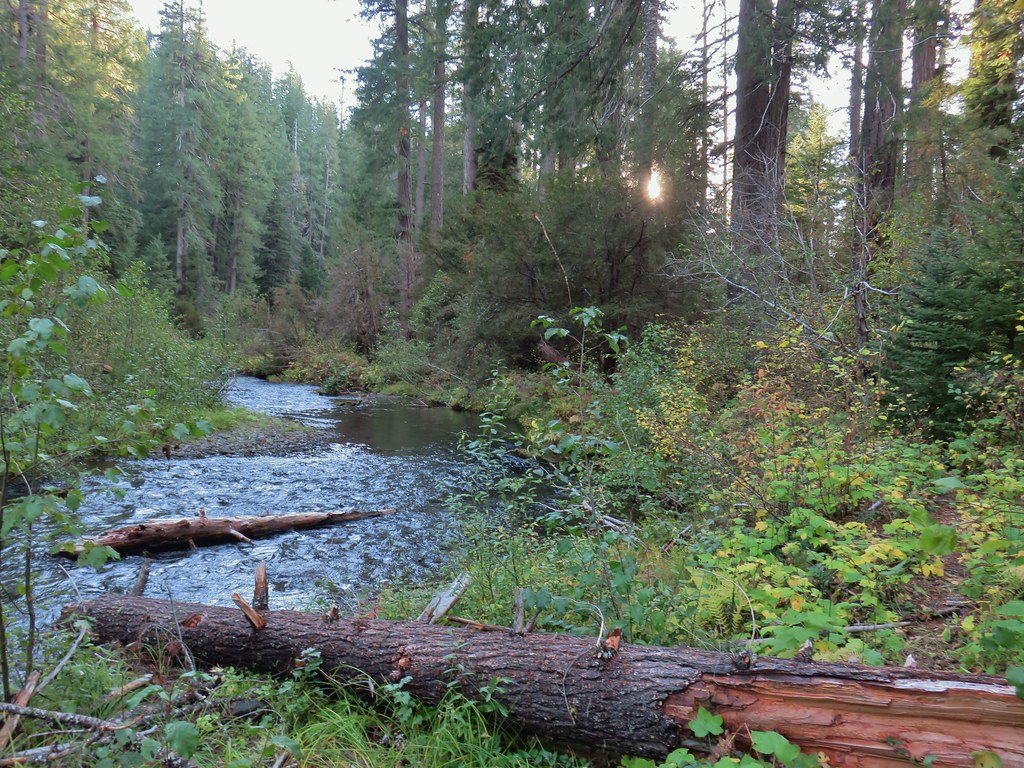
A mile into the hike we crossed the river on a bridge.

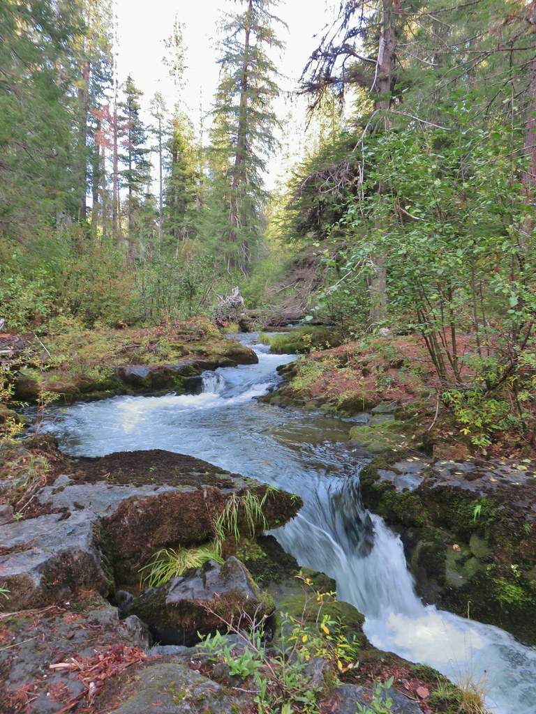
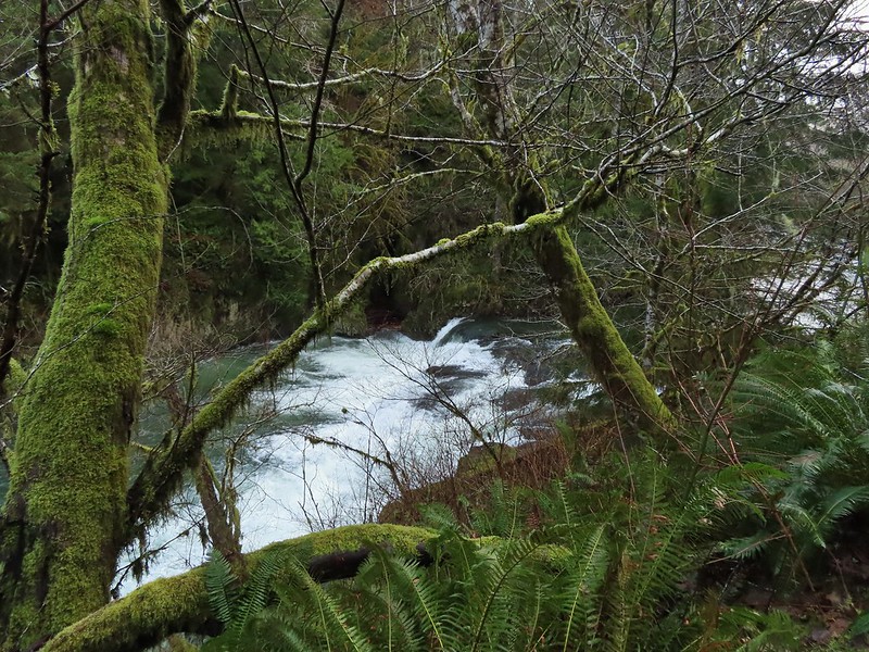
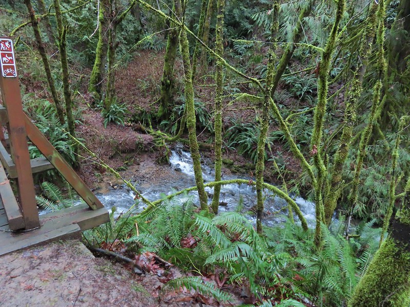
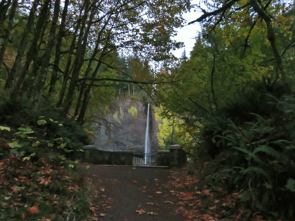
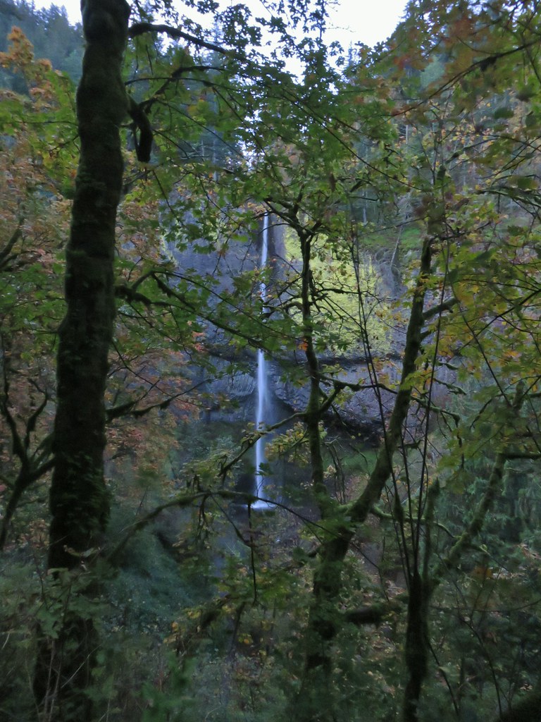
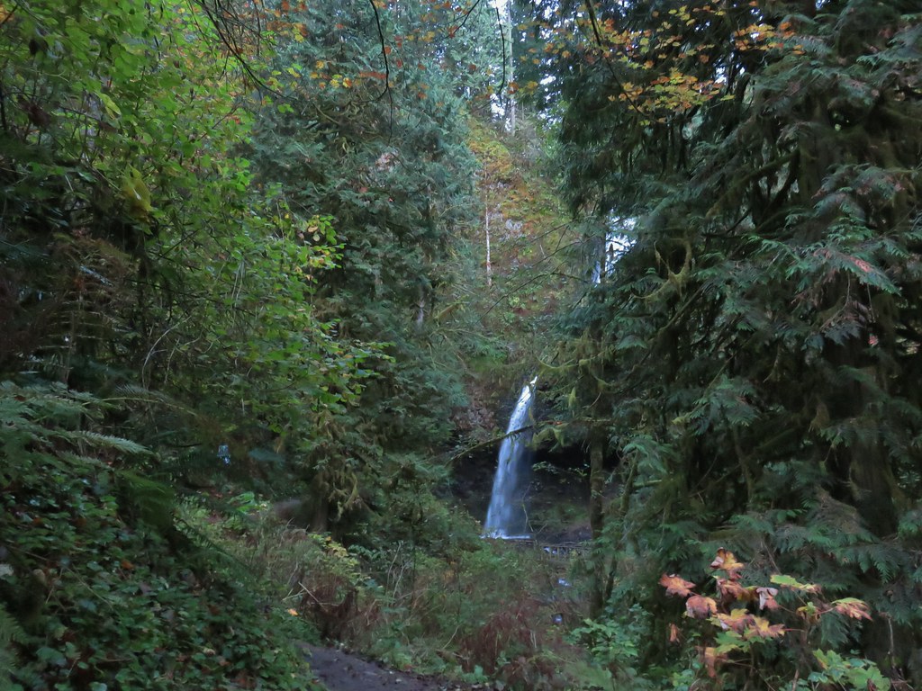
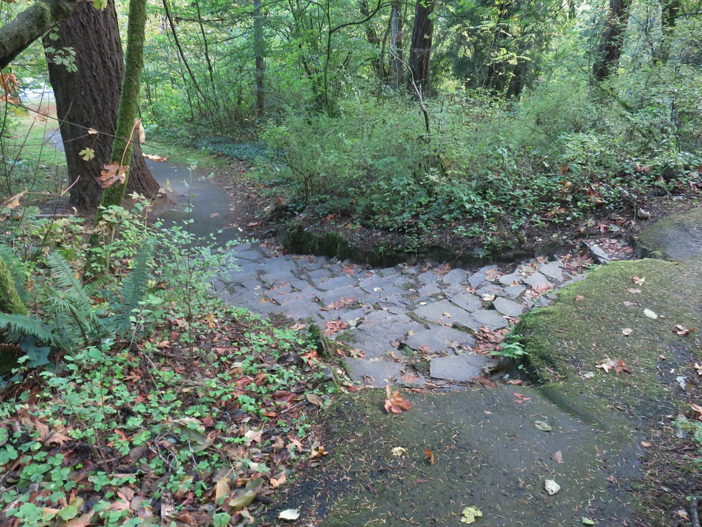
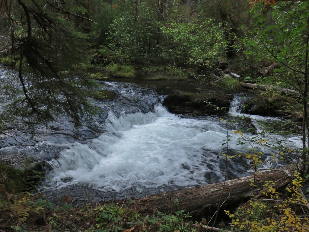
Just under a half a mile from the bridge we came to North Fork Falls where some steps led down to a fish ladder.


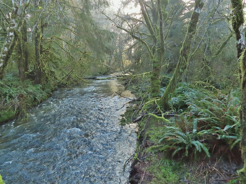
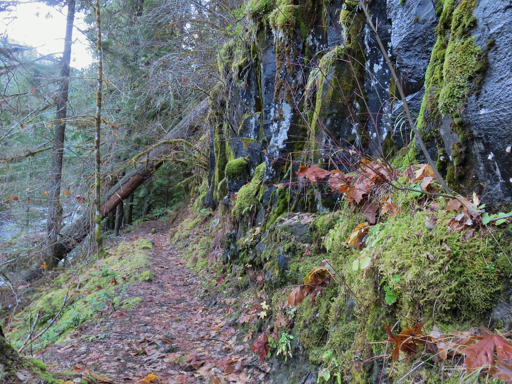
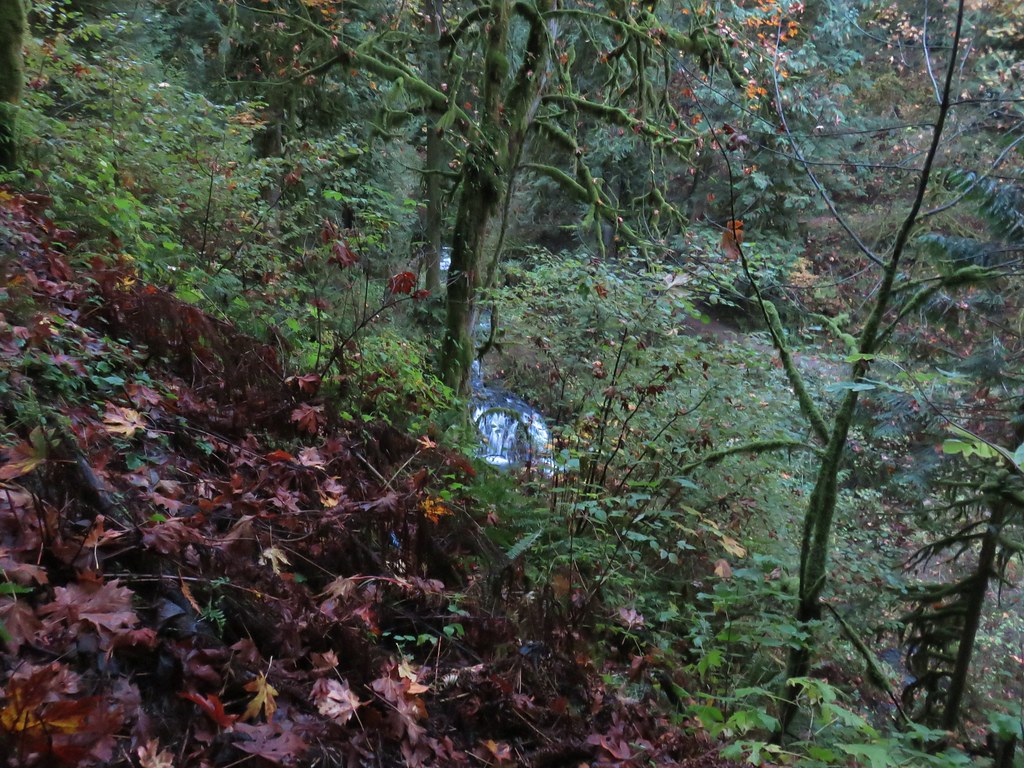
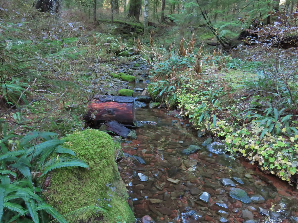
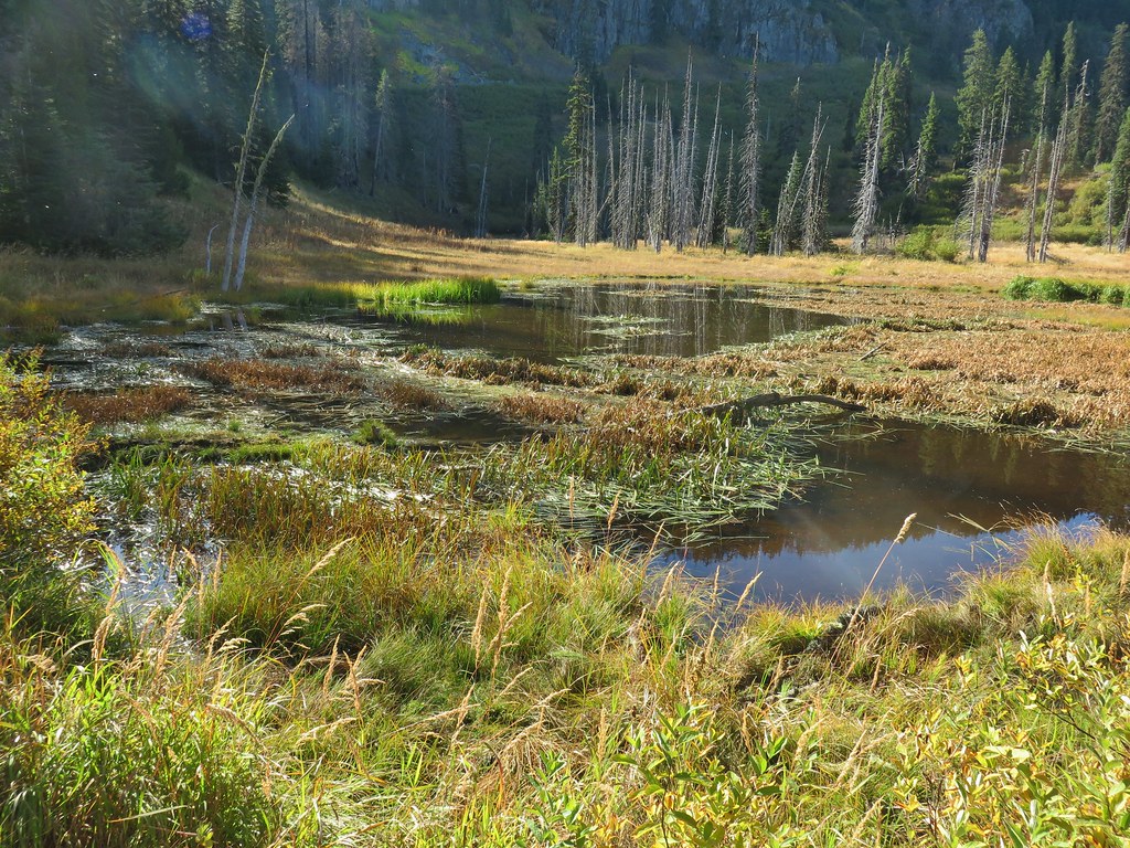
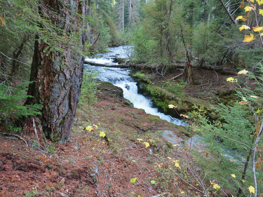
After checking out the falls and fish ladder we continued on North Fork Road passing twin seasonal waterfalls, a quarry, and a pond before crossing over Gods Valley Creek near the two and three quarter mile mark of the hike.


 Gods Valley Creek
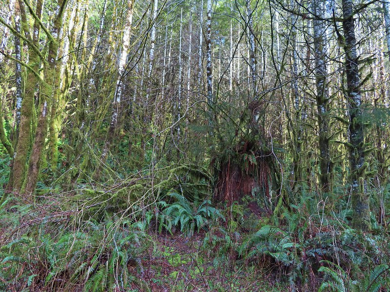
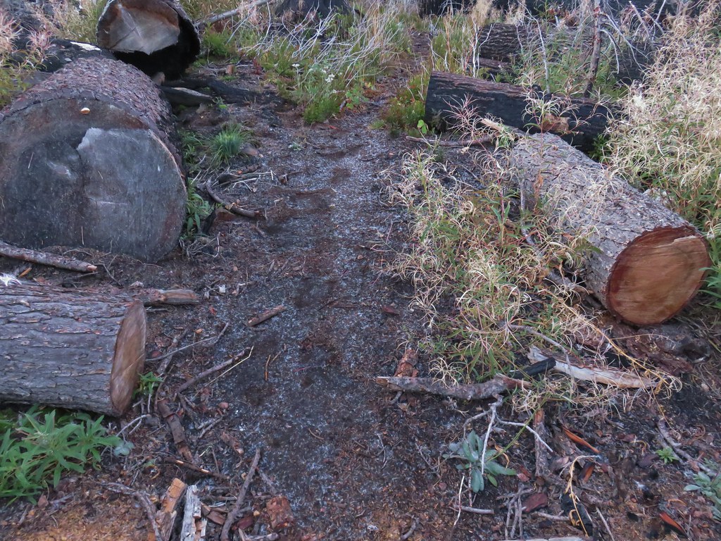
Just beyond Gods Valley Creek we spotted some old moss covered picnic tables. We’d be interested in the history here as there was also at least one former campsite with an old fire ring in the area as well. Our guess is that before the logging this was some sort of recreation area but we haven’t been able to find any information online about it.

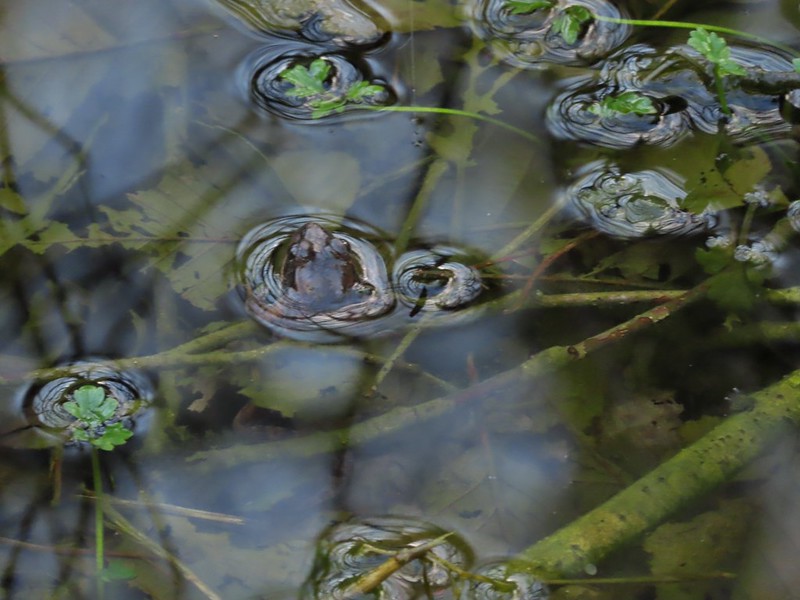 Frog near the old picnic tables.
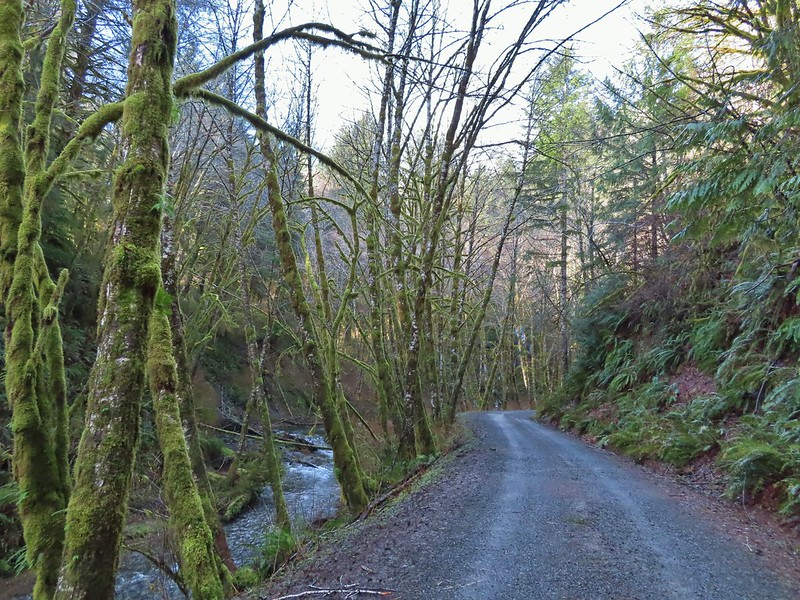
After crossing the creek the road left the North Fork Nehalem as the river bent northward sticking to a straight line to another crossing of the River just before the 3.5 mile mark.


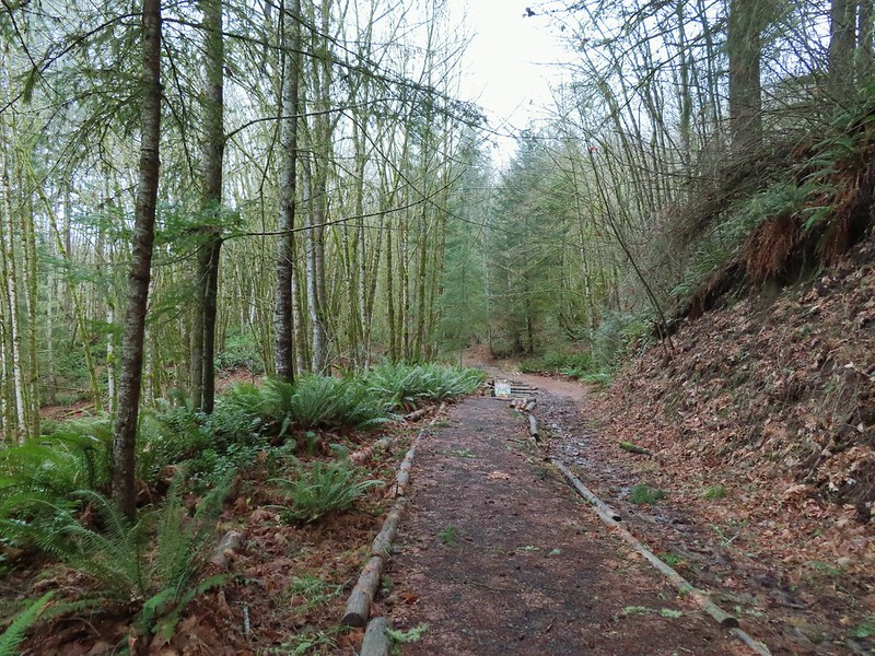
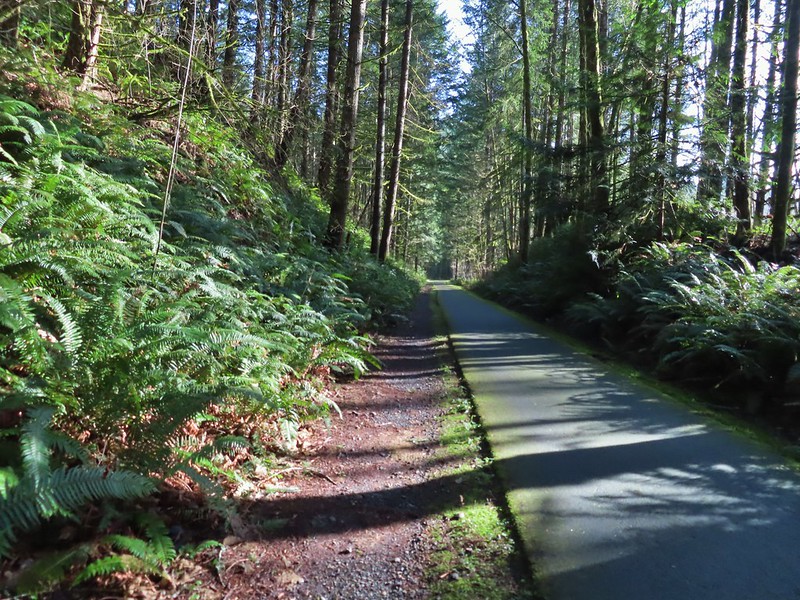
A gate at the far end of this bridge marked the boundary of the private land and the start of the Clatsop State Forest. We followed North Fork Road through the forest another two miles to Fall Creek (just on the far side of another large quarry).
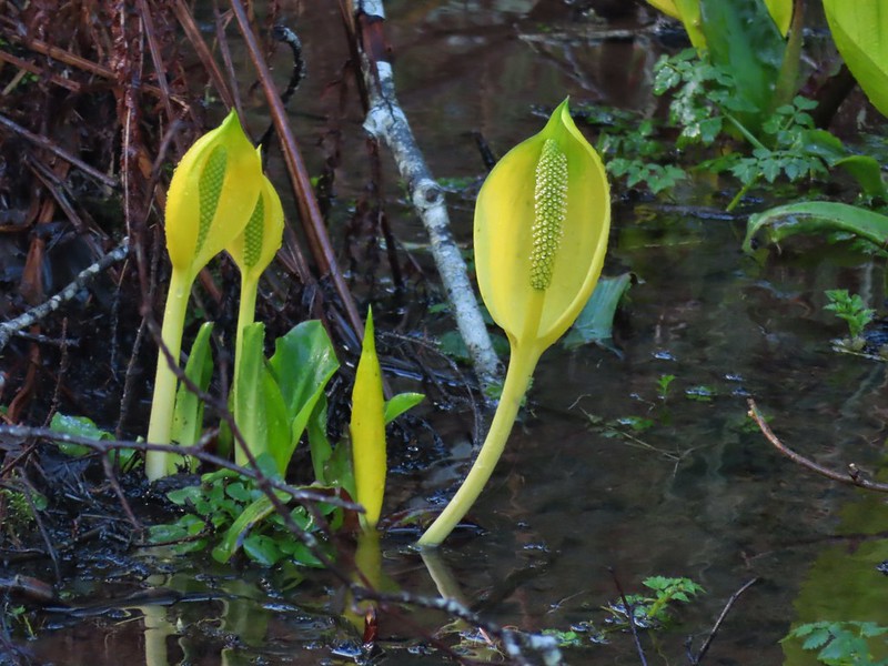
 Not much in the way of flowers yet but there was a bit of skunk cabbage in bloom.
 Some low hanging trees, presumably from the storm. The roads had been cleared but occasional damage along the side of the road was evident.
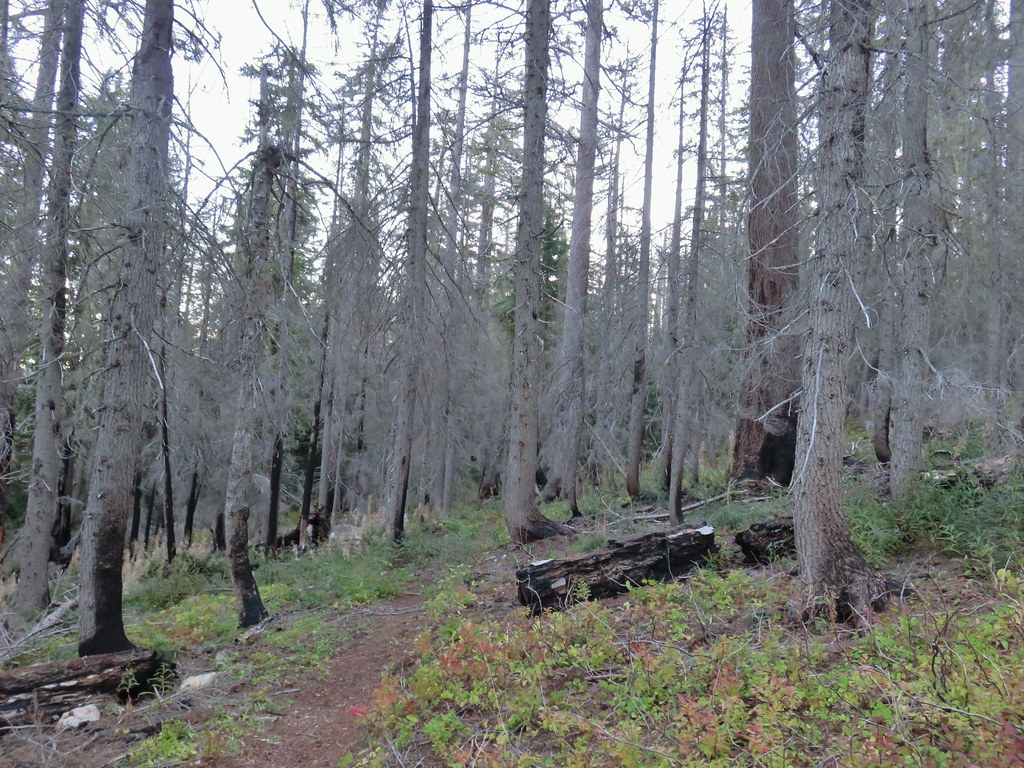
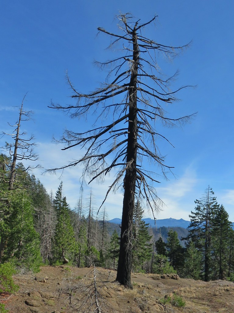
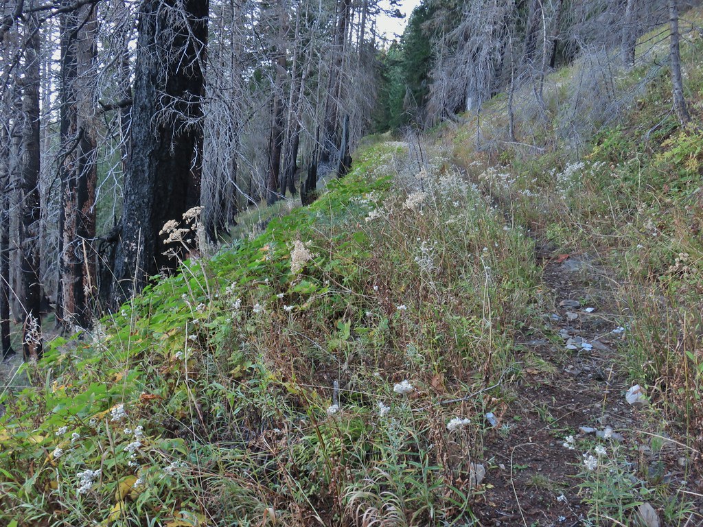
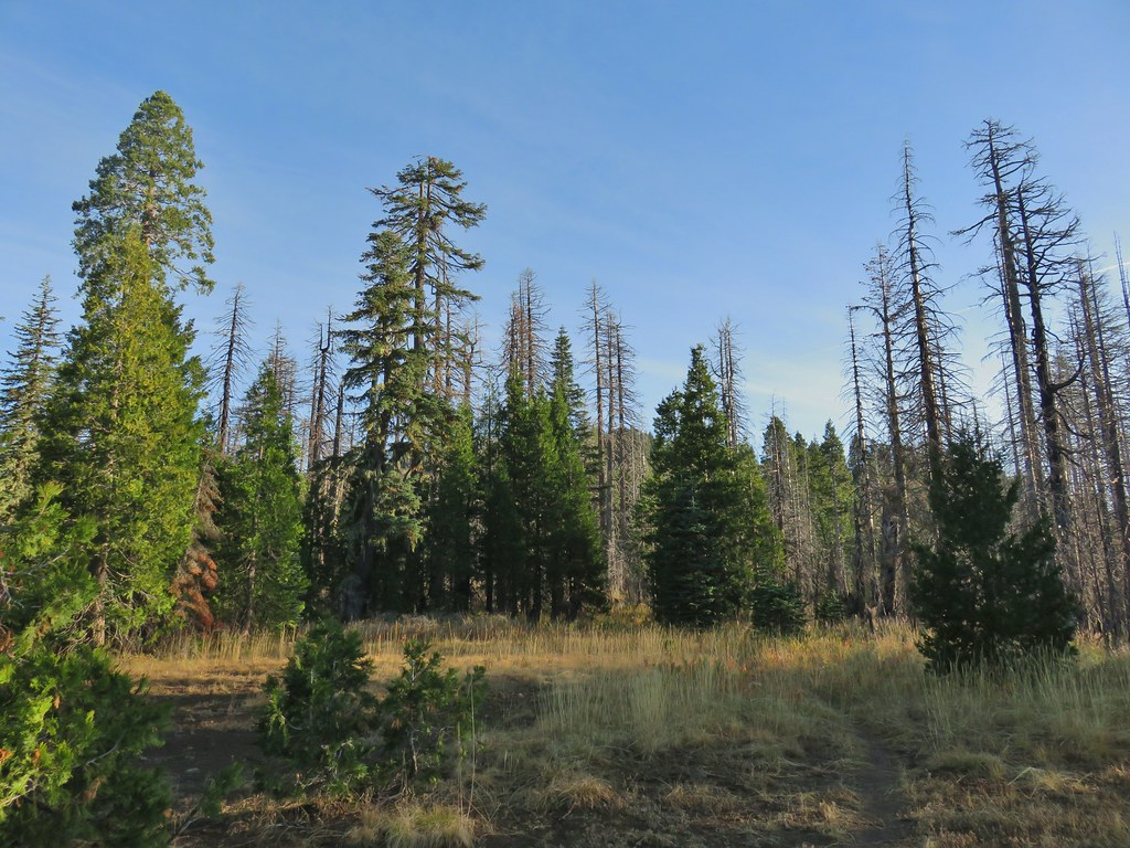
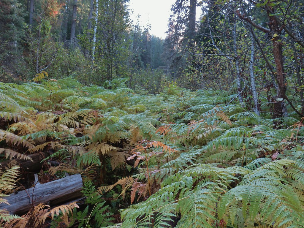
 There were no recent clearcuts in the Clatsop State Forest section but there was evidence of past logging.
 Fall Creek
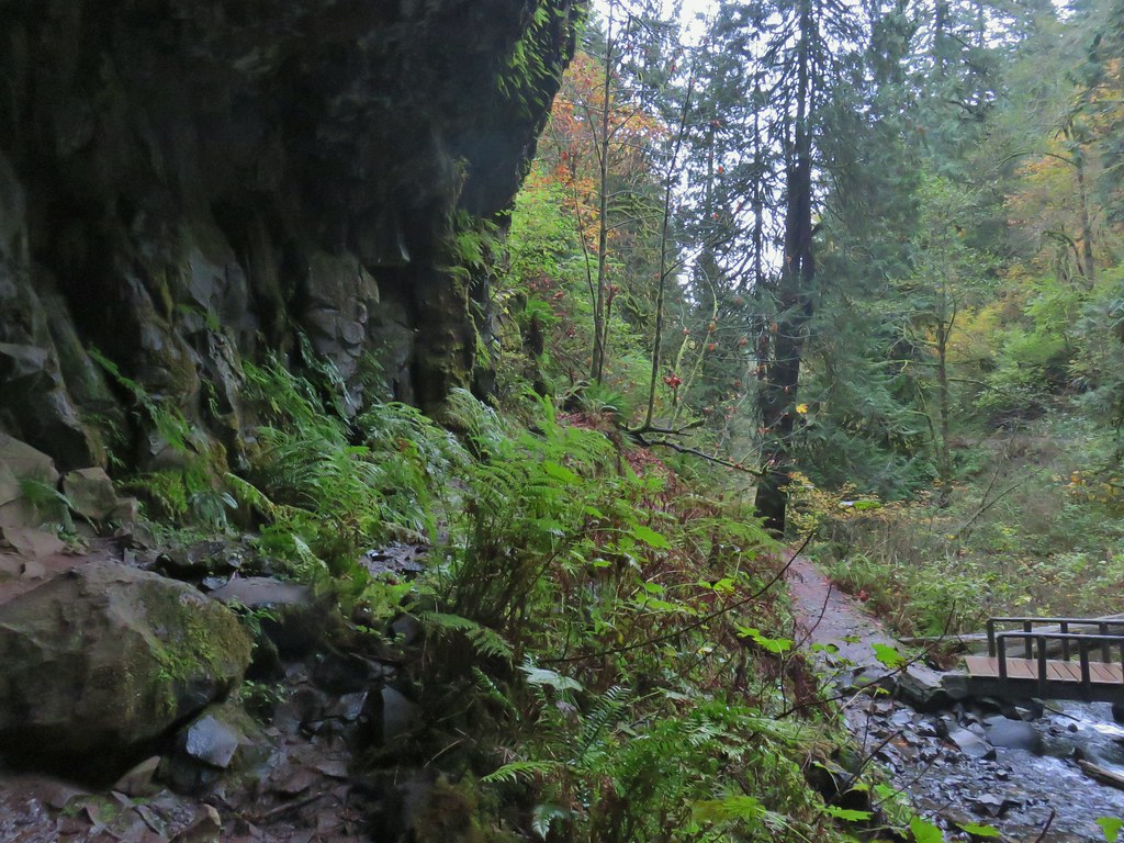
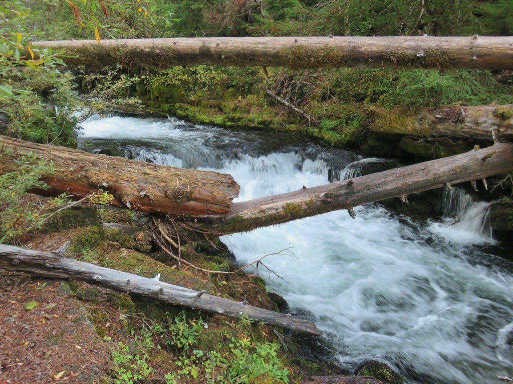
After crossing Fall Creek the road (which is shown on maps as Hill Road here) turned away from the river and followed Fall Creek. We took a short detour to the right toward the river where a gated suspension bridge led to another fish ladder.

 Not sure why I neglected to get a picture of the bridge from the locked gate but this is the only one I took of the bridge.
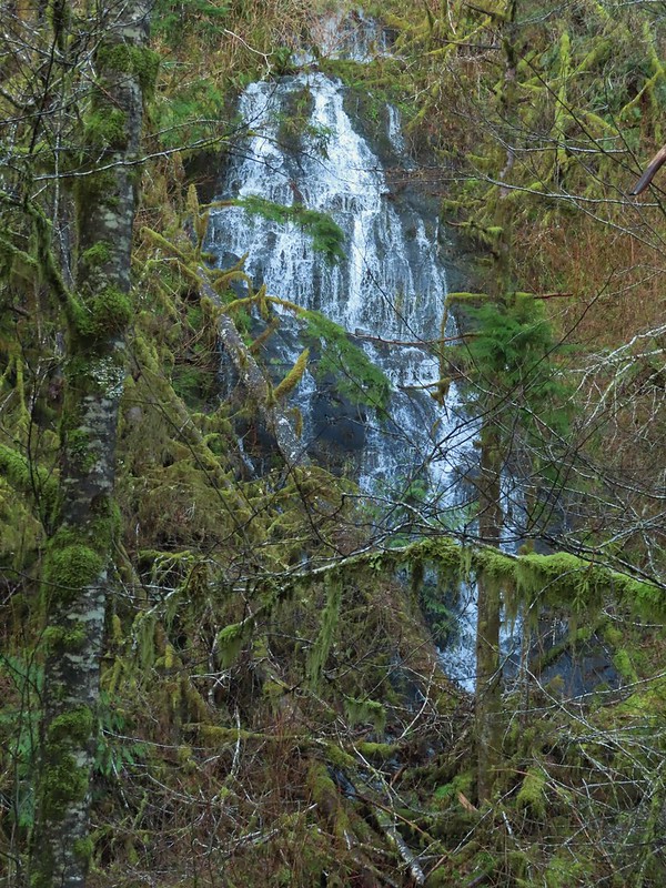
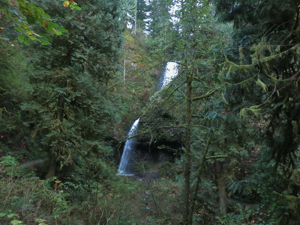
 The hike description in the Oregon Hikers Field Guide mentions walking along the bank to get a view of Upper North Fork Falls from the rocks below but that wasn’t going to be an option with the river level today.
After checking out the bridge we returned to the the road and continued uphill along Fall Creek to visit three more waterfalls.
We came to the first fall after .3 miles, a side stream flowing into Fall Creek. The lack of leaves made it a little easier to see the falls than it would be later in the year.

I was able to make my way down to Fall Creek below the falls for a closer look. (I did however get slapped in the face a couple of times by the vegetation.)

Another quarter mile brought us to the final two falls. A stepped fall on Fall Creek and another side stream flowing into Fall Creek.


We were pleasantly surprised at how nice these last three waterfalls were, especially the two on the side streams. We were also thankful that we hadn’t had any real precipitation to deal with. We headed back the way we’d come looking for anything we’d missed on our fist pass.
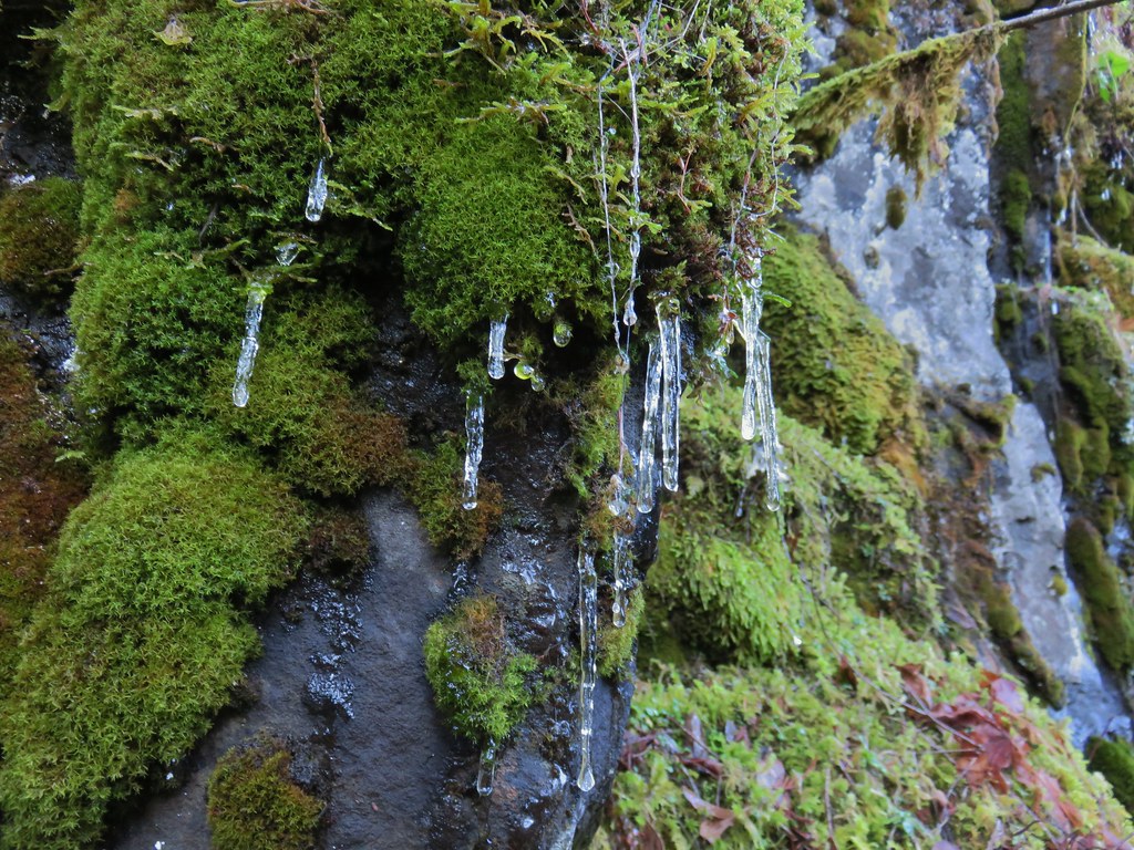
 We both thought that this thick moss looked like some sort of hairstyle.
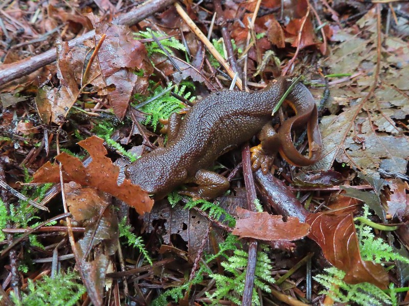 Rough-skinned newt
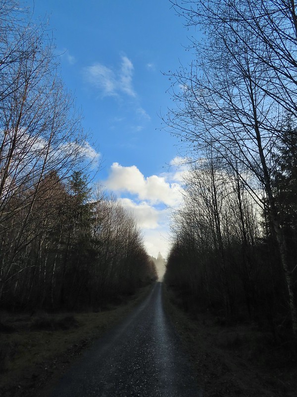
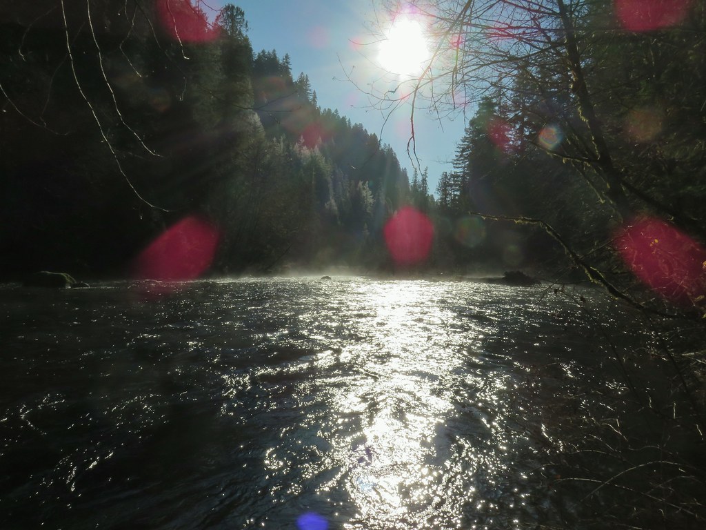
A brief mist passed over but that was it and we enjoyed some bright blue sky as we finished up our outing.
The hike came in at a little under twelve and a half miles with just over 500′ of elevation gain. We passed three anglers on the road on the way back and saw two more (their fishing line anyway) down on river. This was a great winter hike and a thoroughly enjoyable outing despite being entirely on roads. It just goes to show that it’s the not the surface but the surroundings that make a good hike. Happy Trails!
Flickr: North Fork Nehalem River


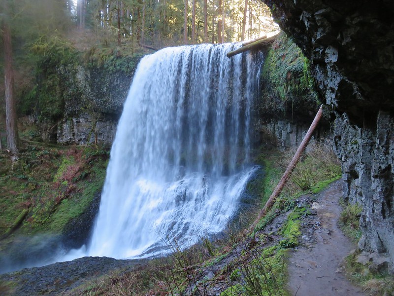 Middle North Falls
 Shellburg Falls
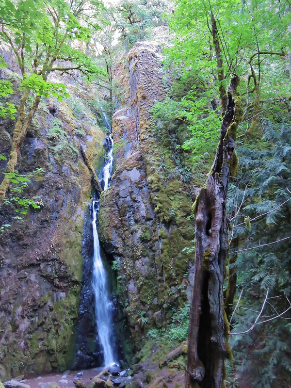
 Henline Falls
 Jawbone Flats
 Tumble Lake from Dome Rock
 Mt. Jefferson from Battle Ax
 View from Stahlman Point
 Meadow below the Three Pyramids
 Beargrass on Crescent Mountain
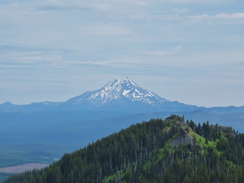 Mt. Jefferson from Browder Ridge
 Boardwalk in Echo Basin
 Iron Mountain from the trail.

 Soda Creek Falls
 Majestic Falls
 Roaring Creek
 Mt. Jefferson
 Three Fingered Jack from Marion Lake
 Mowich Lake and Duffy Butte from Red Butte
 Three Fingered Jack
 Wizard Falls
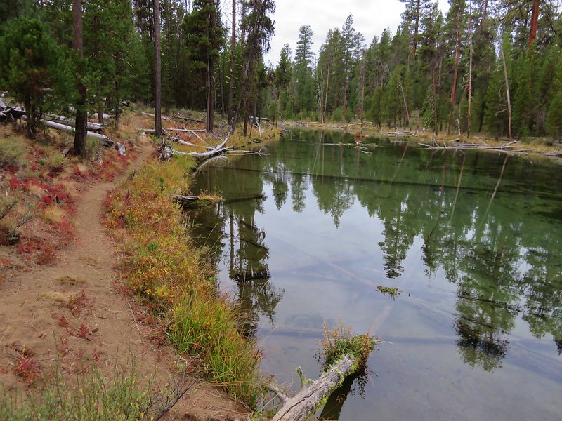
 Deschutes River

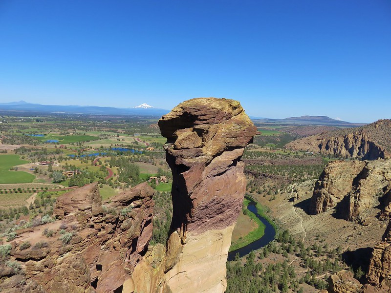 Monkey Face
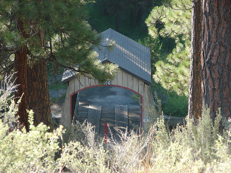 Hixson Crossing Covered Bridge
 Benham Falls
 Deschutes River
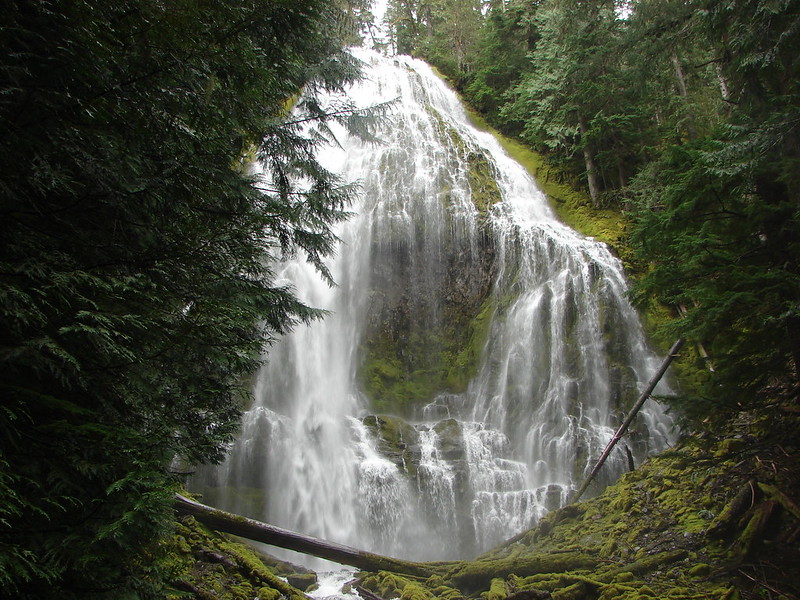 Proxy Falls
 Obsidian Falls
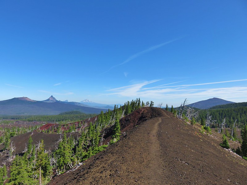 View from Four-in-One-Cone

 Mt. Washington, Three Fingered Jack, and Mt. Jefferson from Little Belknap Crater
 North Sister from South Matthieu Lake
 Former lookout site on Black Crater.
 South Sister from Camp Lake
 Middle and North Sister from Golden Lake
 Broken Top and Broken Hand from Tam McArthur Ridge
 Trees near the summit of Tumalo Mountain.
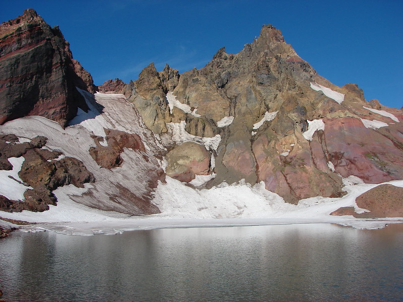 Broken Top from No Name Lake
 South Sister from Sparks Lake
 The third Green Lake
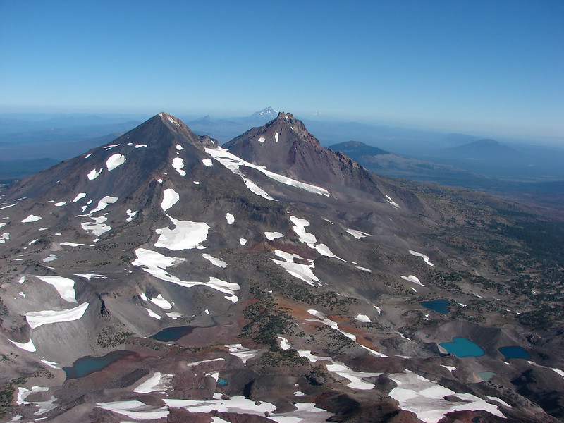 Looking north from the South Sister.
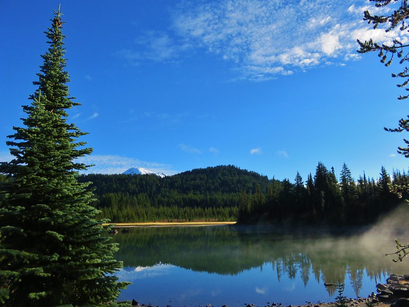 South Sister from Sisters Mirror Lake
 Horse Lake
 Doris Lake
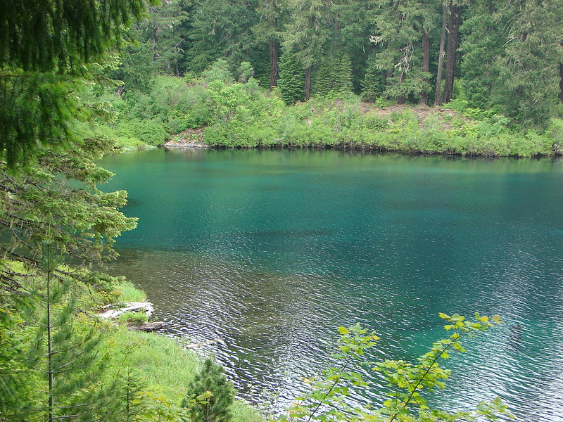
 Sahalie Falls
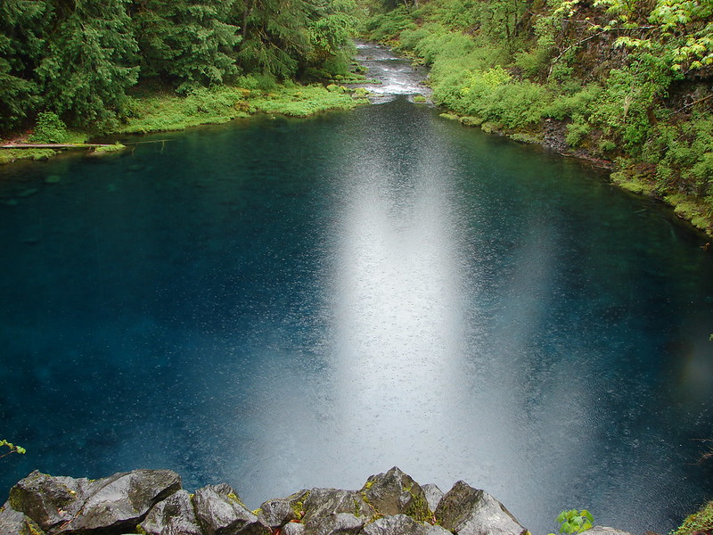
 Separation Lake
 South Sister and Mt. Bachelor form Horsepasture Mountain.
 View from Lowder Mountain.
 View from Tidbits Mountain.
 Monkeyflower and plectritis on Castle Rock.
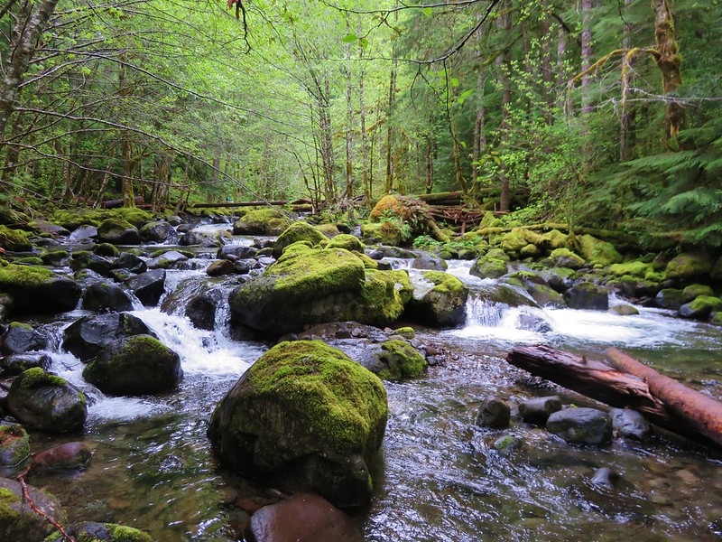
 Middle Erma Bell Lake
 Fog over Eugene.
 Summit marker on Mt. Pisgah.
 Sawtooth Trail
 Lone Wolf Meadow
 Wildflowers along the Tire Mt. Trail.
 Buffalo Rock from the North Fork Willamette River
 Beargrass meadow along the Blair Lake Trail.
 Indigo Springs (These springs have not burned.)
 Moon Falls
 Upper Trestle Creek Falls
 Lower Eddeeleo Lake
 View from the Waldo Mountain Lookout.


 Pulpit Rock from Middle Rosary Lake
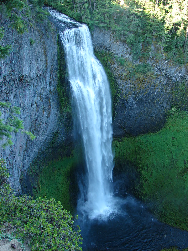
 Yoran Lake
 Diamond Peak from Diamond View Lake
 Huckleberry Bushes along Saddle Lake.
 Notch Lake
 Diamond Peak from Corrigan Lake
 Diamond Peak
 Sawtooth Mountain from Timpanogas Lake
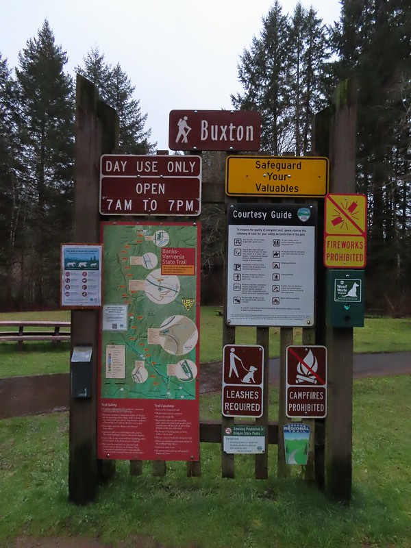


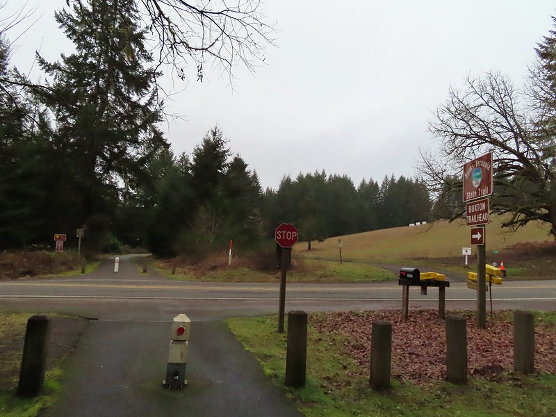 Leaving the Buxton Trailhead area.
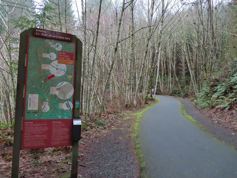 Entering Stub Stewart State Park.
 This trail was just north of Logging Creek and appeared to just loop back to the Banks-Vernonia Trail a bit further north.
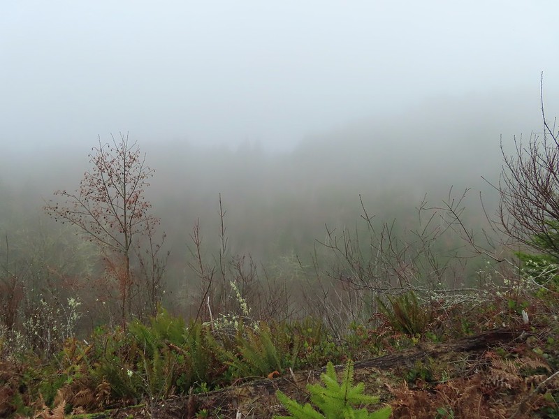
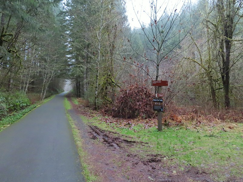 The Caddywhomper Way(s) Trail was signed better. We skipped the viewpoint given the amount of fog/clouds and not wanting to add another 2 miles to the days total. The Oregonhikers field guide also mentions that there isn’t much of a view left due to the presence of trees.
 Trail junction just north of Williams Creek


 Sign for the Widowmaker Way and Harse Canyon Trails.

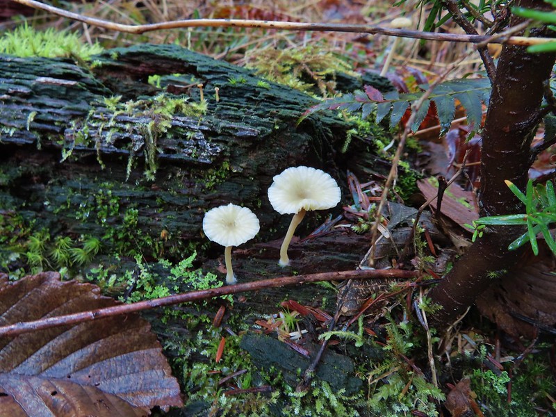
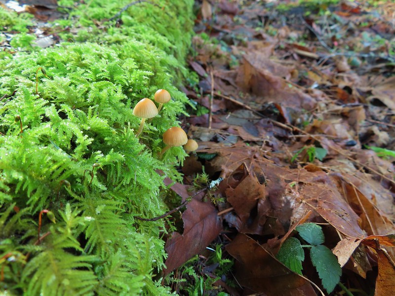
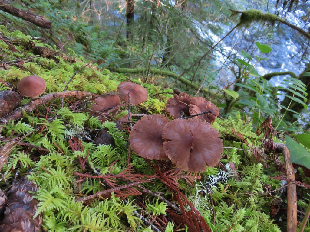
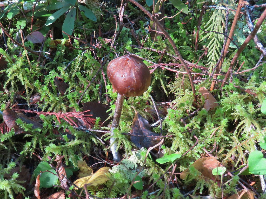
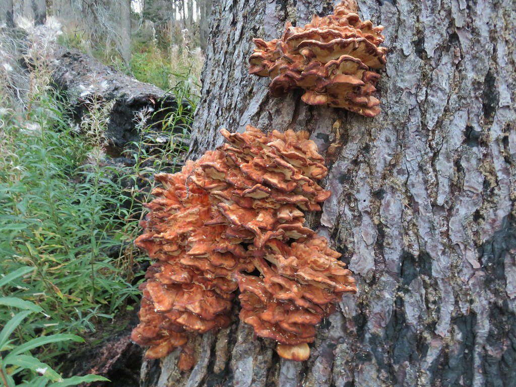
 No flowers yet but plenty of mushrooms and fungi.
 The trails were well signed so it was easy to stay on the Hares Canyon Trail.
 Comming up on North Caddywhomper Way


 Wet webs in the trees.


 Chatty squirrel
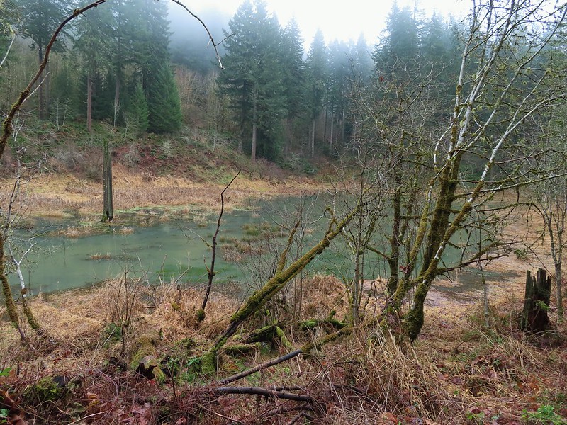

 Passing over Highway 47 on the way to the Tophill Trailhead.
 Orange jelly fungus on a tree.
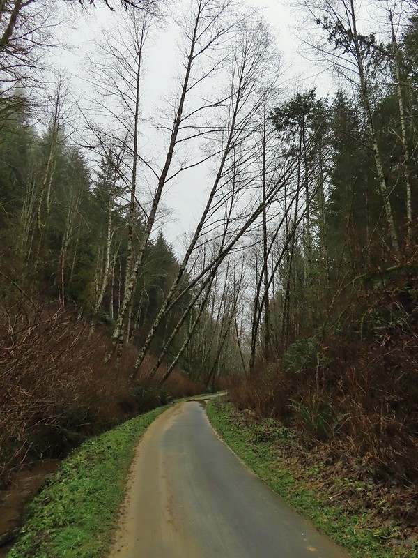 Heading up from the hill from the less steep south side.
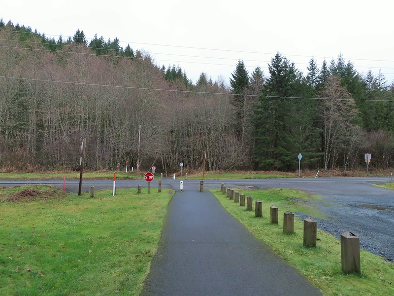 Highway 47 at the Tophill Trailhead.
 Chestnut-backed chickadee
 Pond along the trail.
 Entrance road to Stub Stewart.
 Back at the Buxton Trailhead
 Bench at the Buxton Trailhead
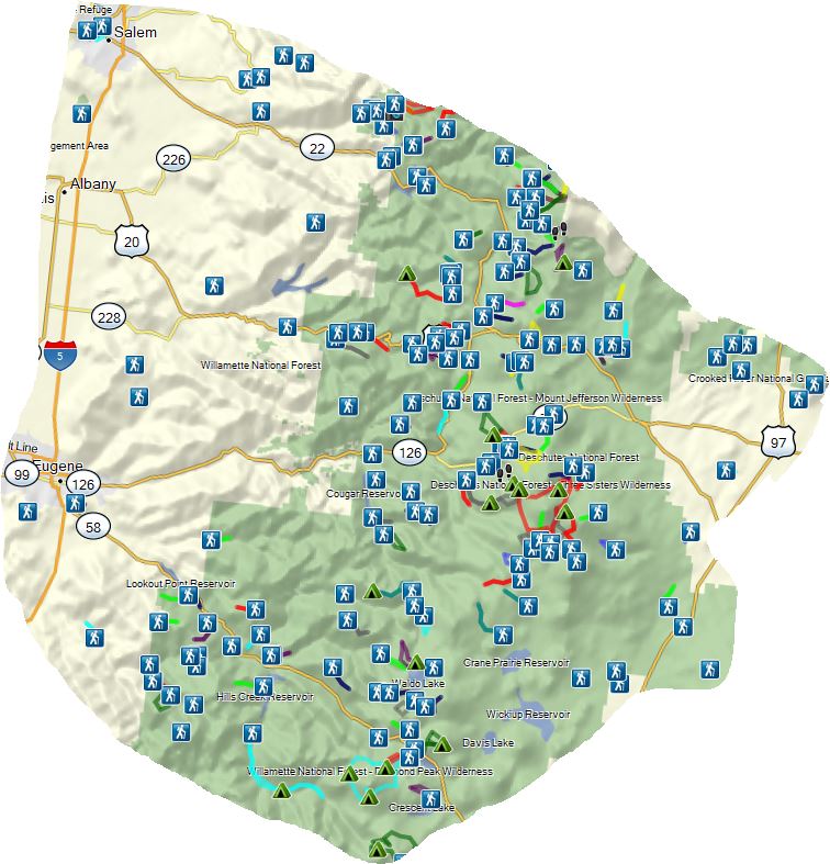
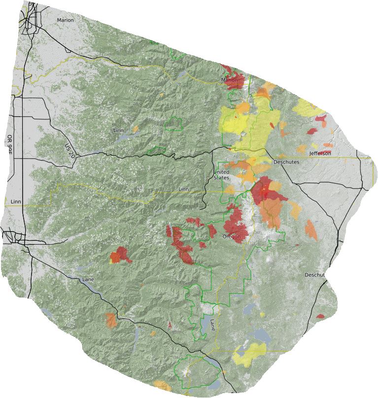
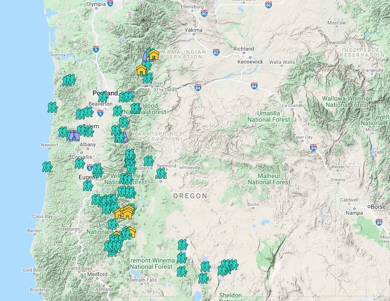 Hiker symbol = Trails/trailheads, yellow houses = campsites, purple binoculars = roadside waterfalls
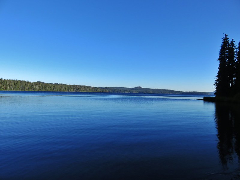
 Gearhart Mountain
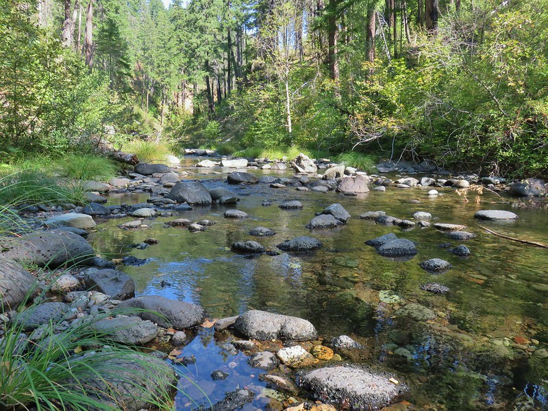 Boulder Creek
 Netarts Spit
 Horse Rock Ridge
 Miller Woods
 Trappist Abbey
 Bush Pasture Park
 Basket Slough Wildlife Refuge
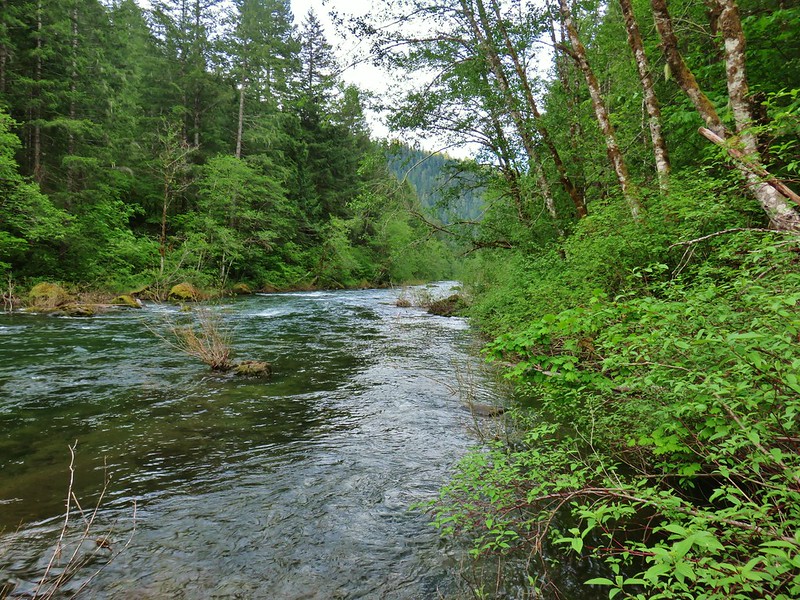 North Fork Willamette River
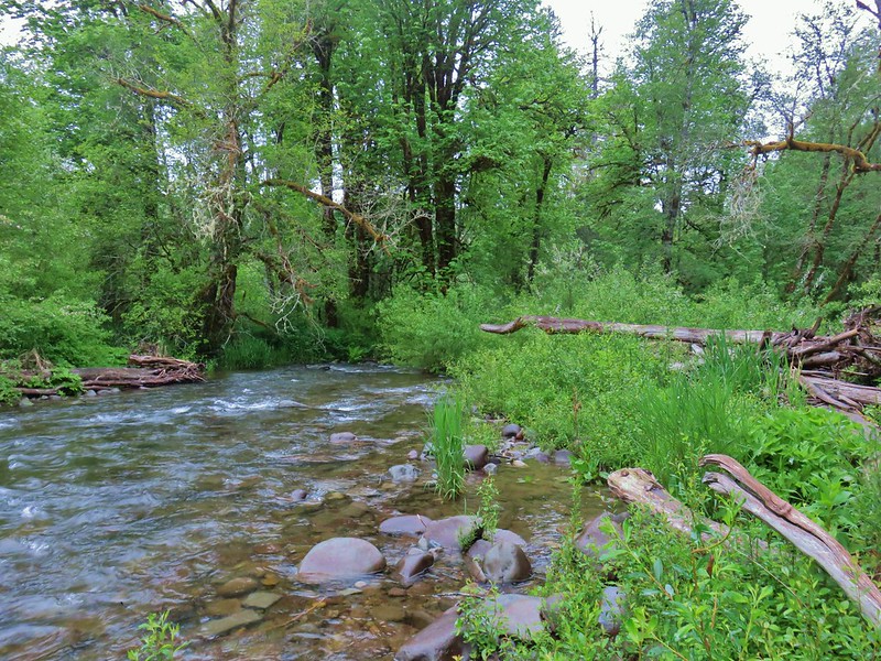 Little Luckiamute River
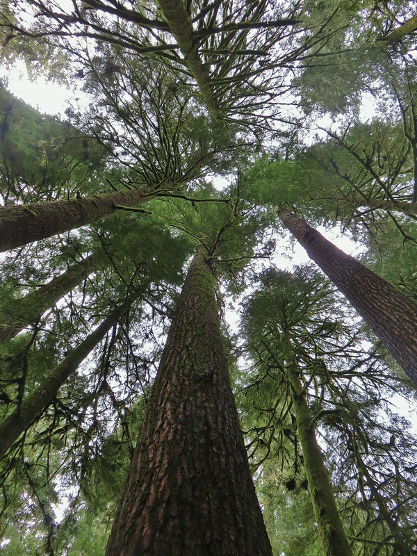 Valley of the Giants
 Rigdon Meadows
 Pigeon Butte
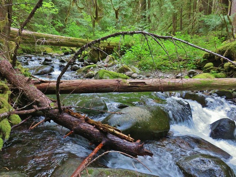 East Fork South Fork McKenzie River
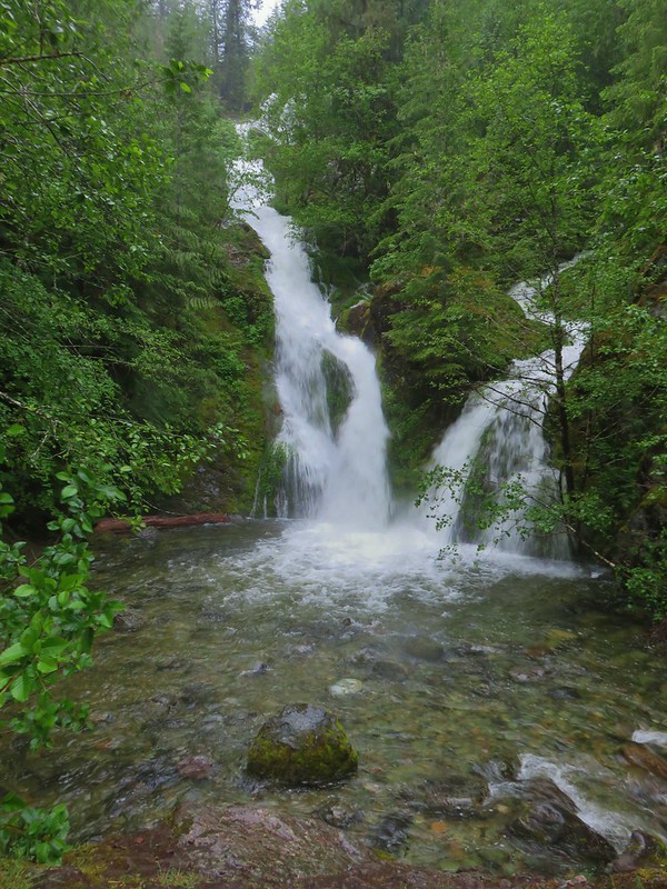 Sullivan Creek Falls*
 Henline Mountain*
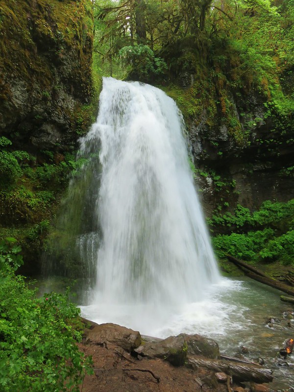 Spirit Falls
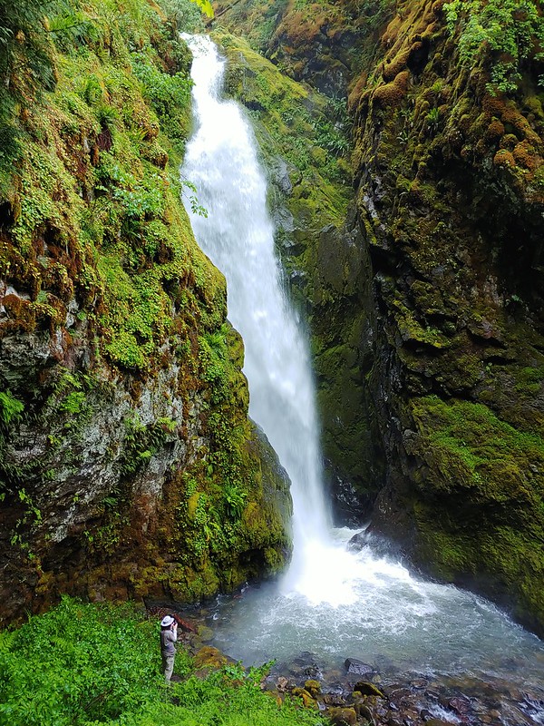 Pinard Falls
 Memaloose Lake*
 Fish Lake
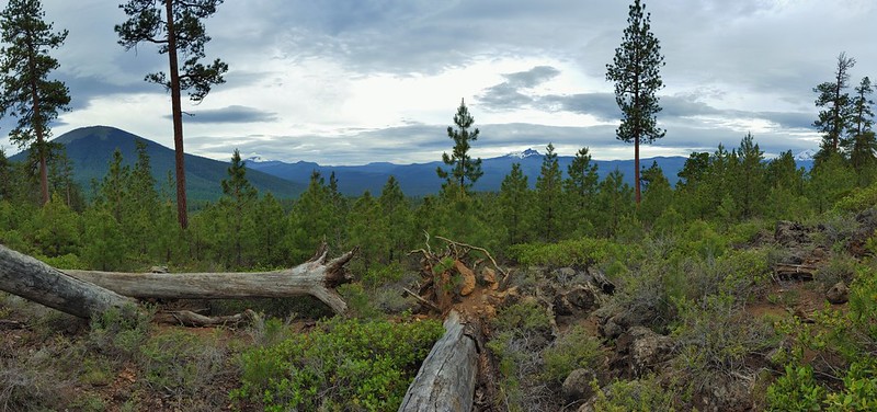 Green Ridge*
 Table Rock Wilderness* (The Riverside fire burned at least the access road and may have encroached into the SW portion of the wilderness.)
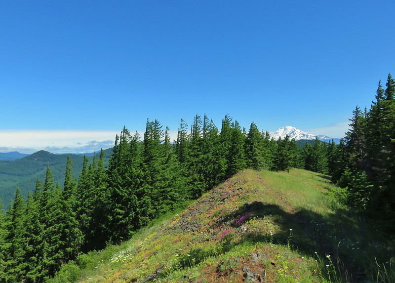 Monte Carlo Trail
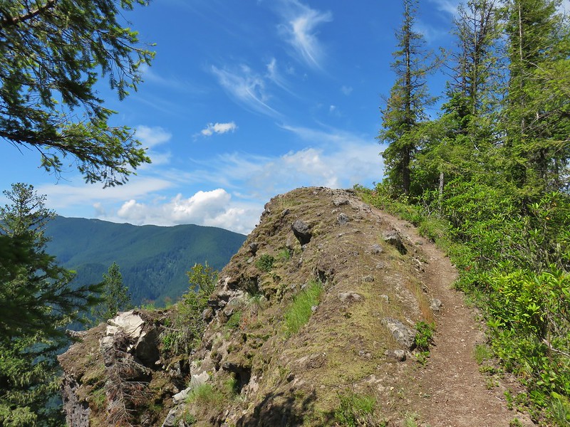 Hunchback Mountain
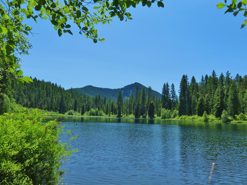 Daly Lake
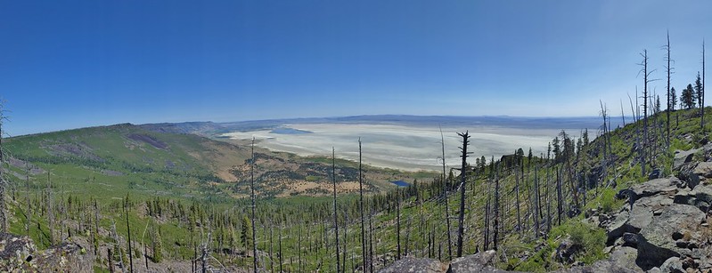 Winter Ridge
 Fence Pass
 Flook Lake
 Hart Mountain Antelope Refuge
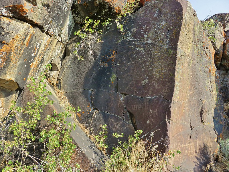 Petroglyphs along Petroglyph Lake
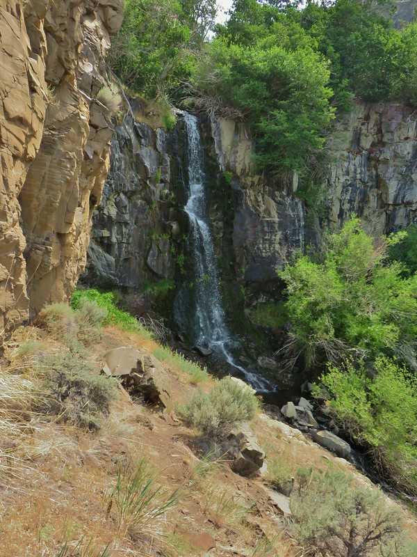 DeGarmo Canyon
 The Palisades in the Gearhart Mountain Wilderness (This was probably our favorite area of the year amid these rock formations.)
 Sleeping Beauty
 Highline Trail
 Cottonwood Creek Falls (This was probably the sketchiest hike we’ve done.)
 Mt. Thielsen* (The Thielsen Creek fire burned a small part of the trails in the area.)
 Bohemia Post Office
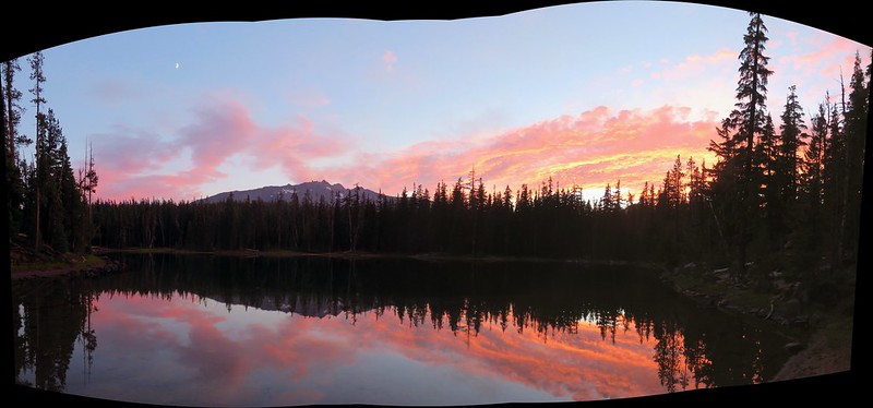 Karen Lake
 Diamond Lake
 Rattlesnake Mountain
 Spruce Run Creek Trail
 Indian Heaven Wilderness
 Wildcat Canyon
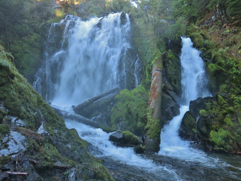 National Creek Falls
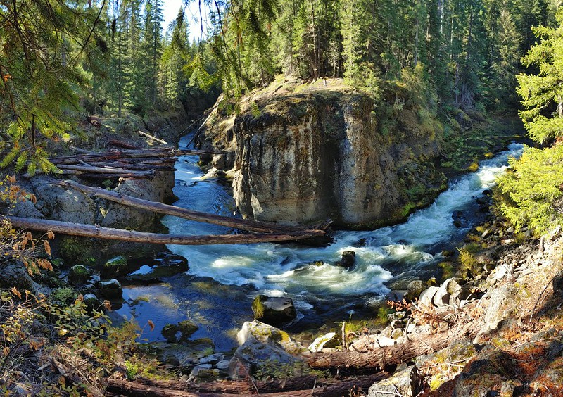 Takelma Gorge
 Hershberger Mountain
 Rabbit Ears
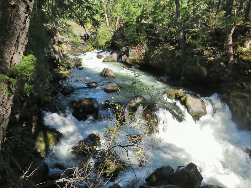 Natural Bridge
 Abbott Butte Lookout
 Forest Park
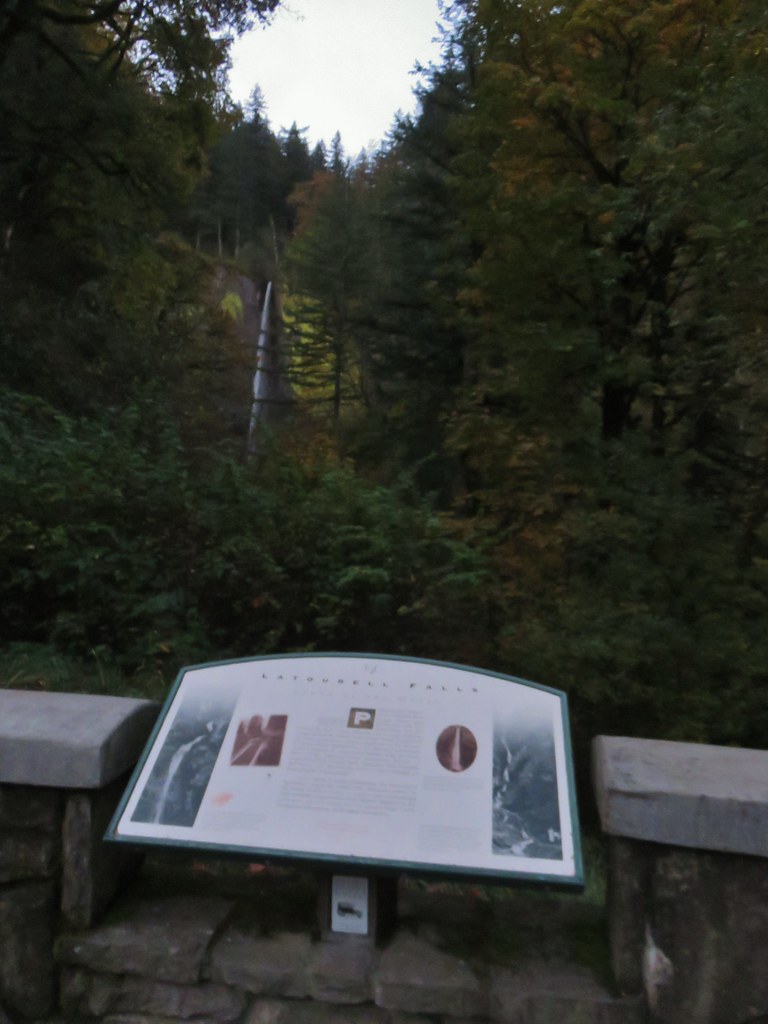
 Upper Latourell Falls
 Larch Mountain
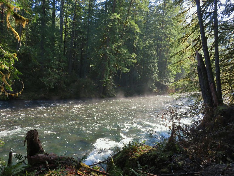 McKenzie River
 Yachats
 Swordfern Trail
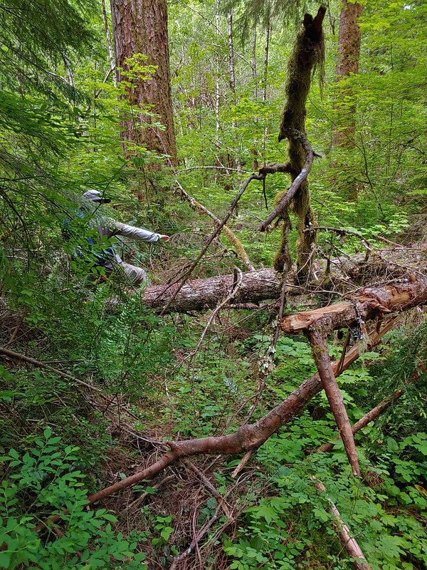 East Fork Trail
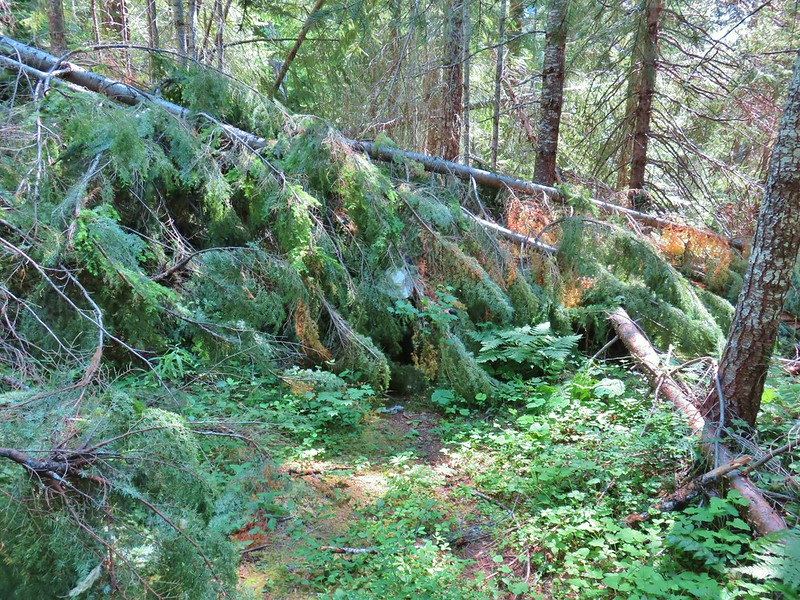 Riggs Lake Trail
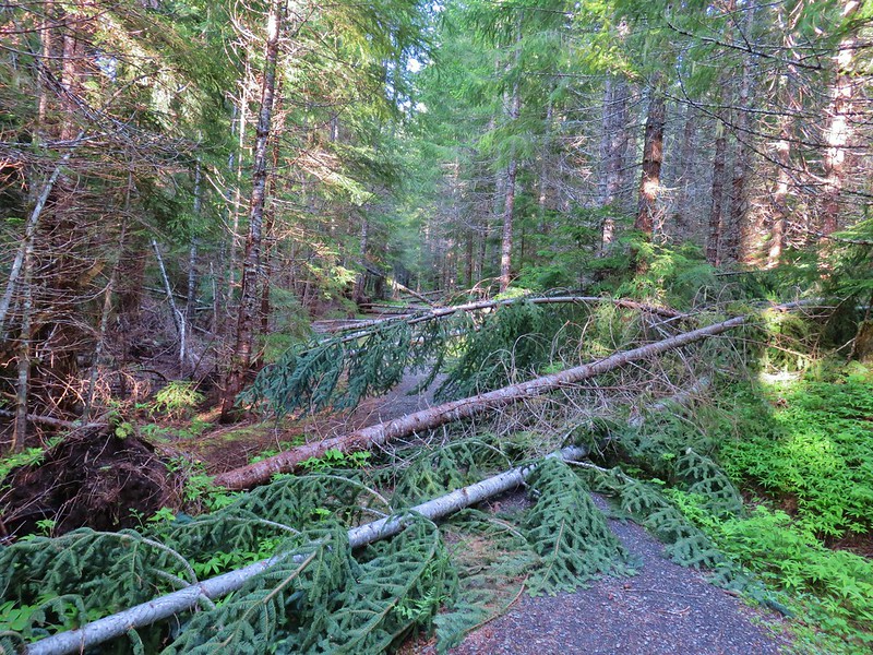 Hackleman Old Growth Loop
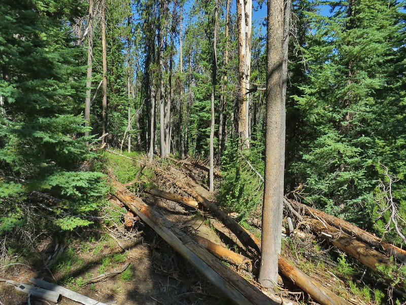 Howlock Mountain Trail
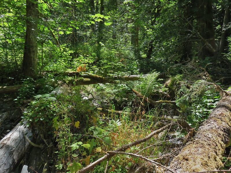 Shale Ridge Trail
 Acker Divide Trail
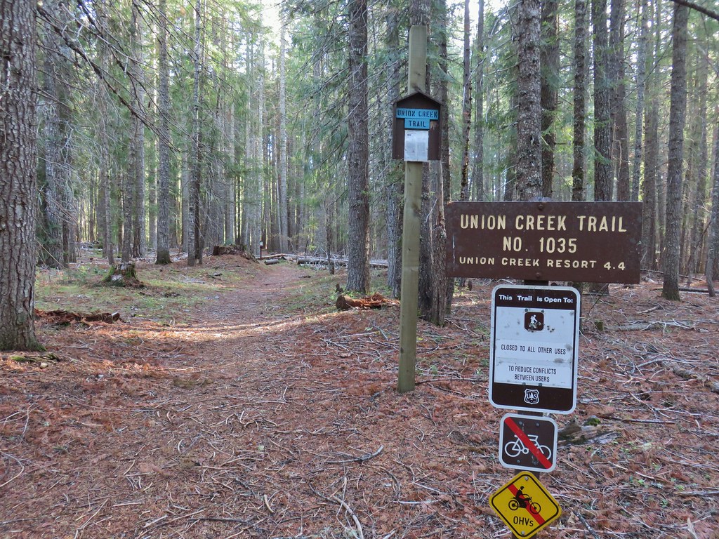
 Union Creek Trail
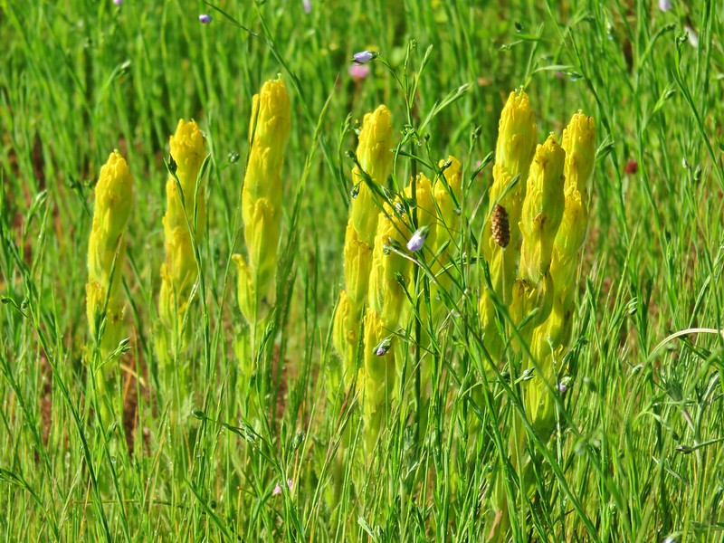 Castilleja levisecta – Golden Paintbrush at Basket Slough Wildlife Refuge (
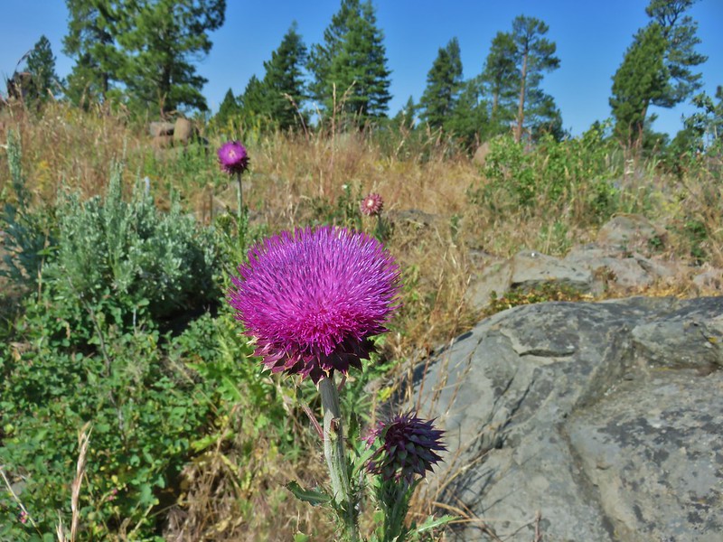 Musk Thistle at Winter Ridge (Unfortunately it’s an invasive but they were impressive.)
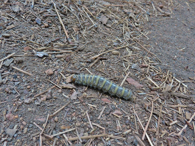 Pandora moth caterpillar at Green Ridge (
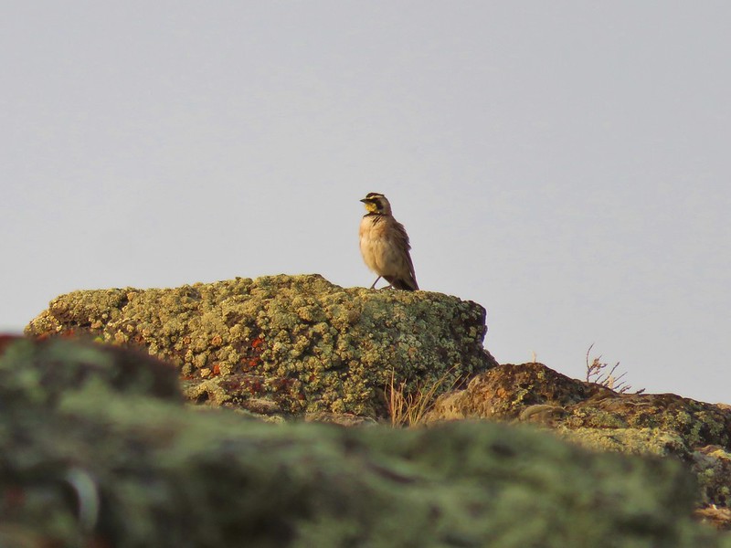 Horned Lark at Flook Lake (
 Gulls and American avocets at Lake Abert
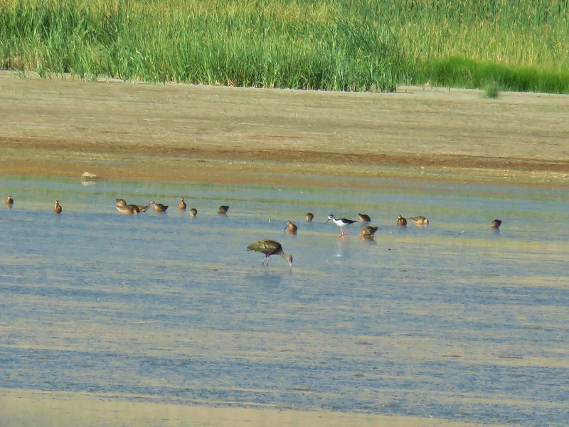 Black necked stilt at Summer Lake
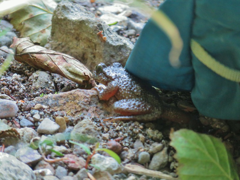 Possibly a coastal tailed frog at Wiley Camp in the Rogue-Umpqua Divide Wilderness (


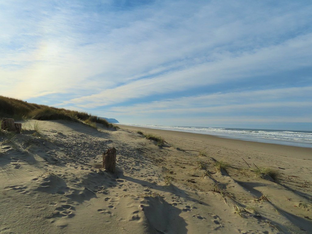
 Looking back south as the sunrise paints the clouds.
 A house on the cliffs.
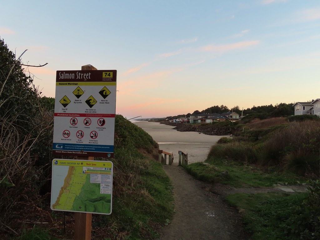

 Seagulls outnumbered people in the early part of the day.


 Vinge Creek, about a mile down the beach, was crossable on small rocks.
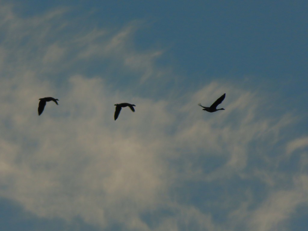 Geese flying overhead, we couldn’t make out what kind.
 At first we thought there were two weather vanes on the houses, a whale on the right and a heron on the left.
 It turned out to be a real great blue heron (but the whale was a vane).
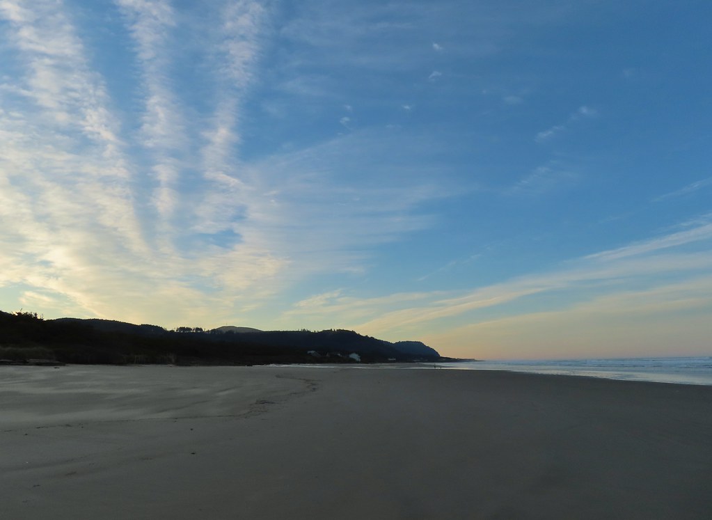 Looking south toward Cape Perpetua (
 View north.
 Sunlight on the wave tops.
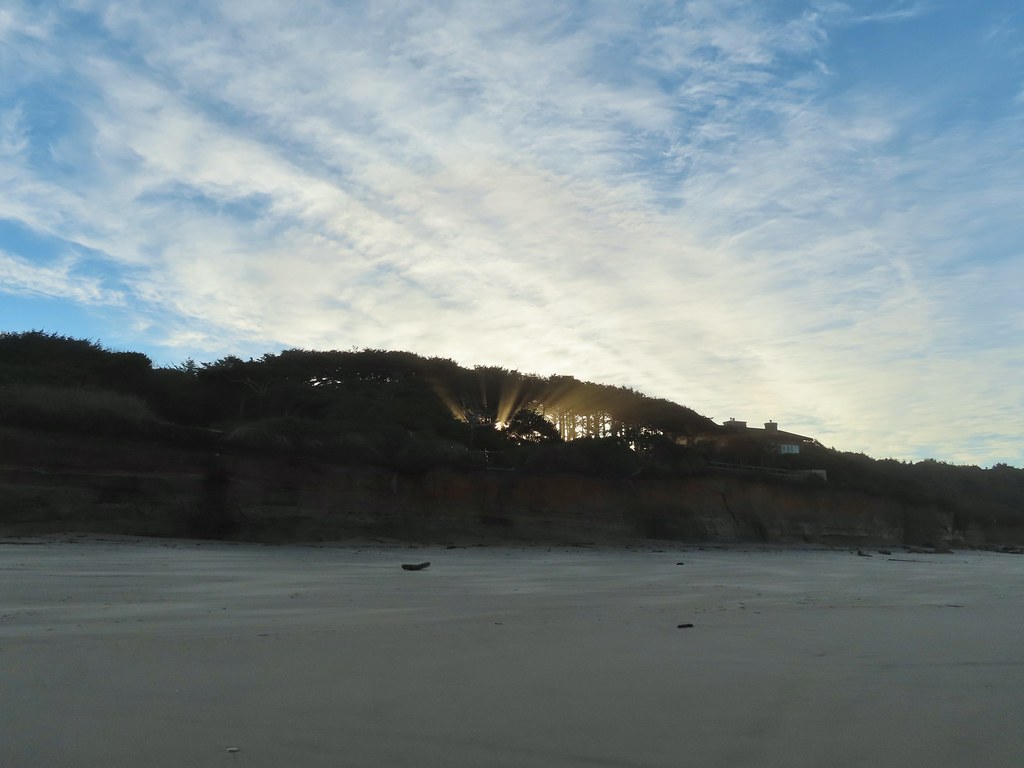 Sunlight bursting through the trees.
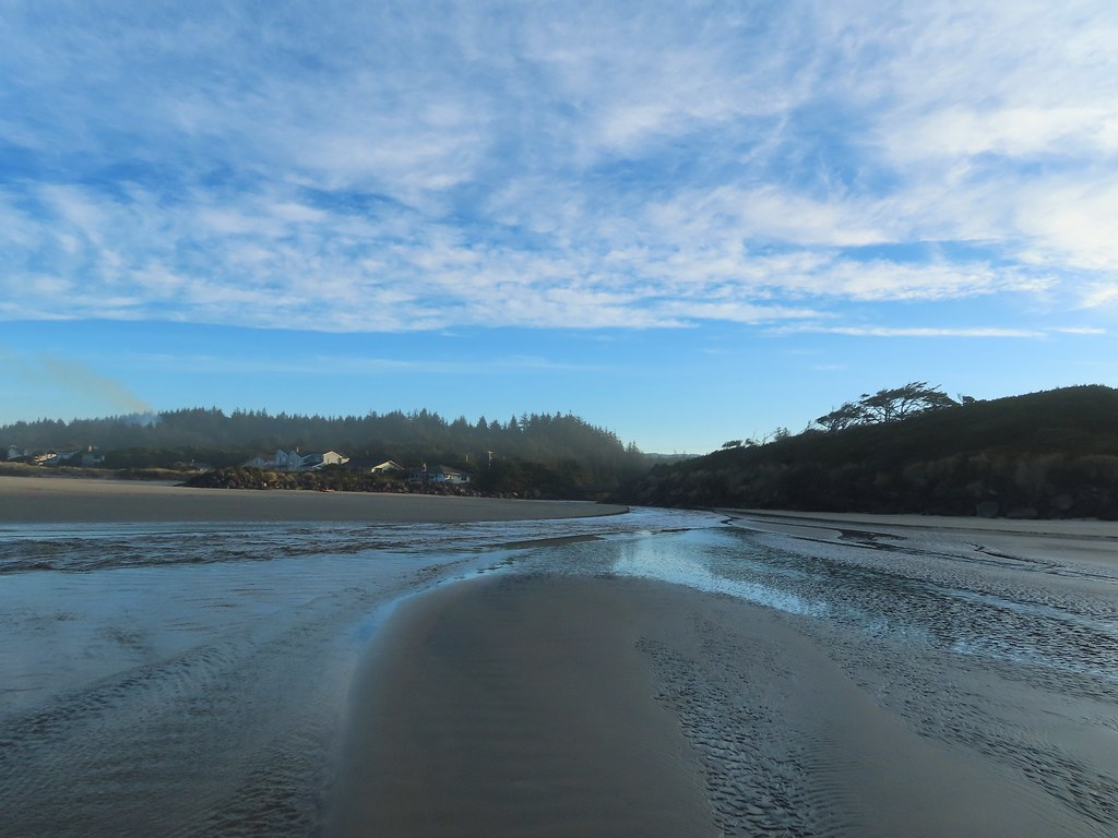
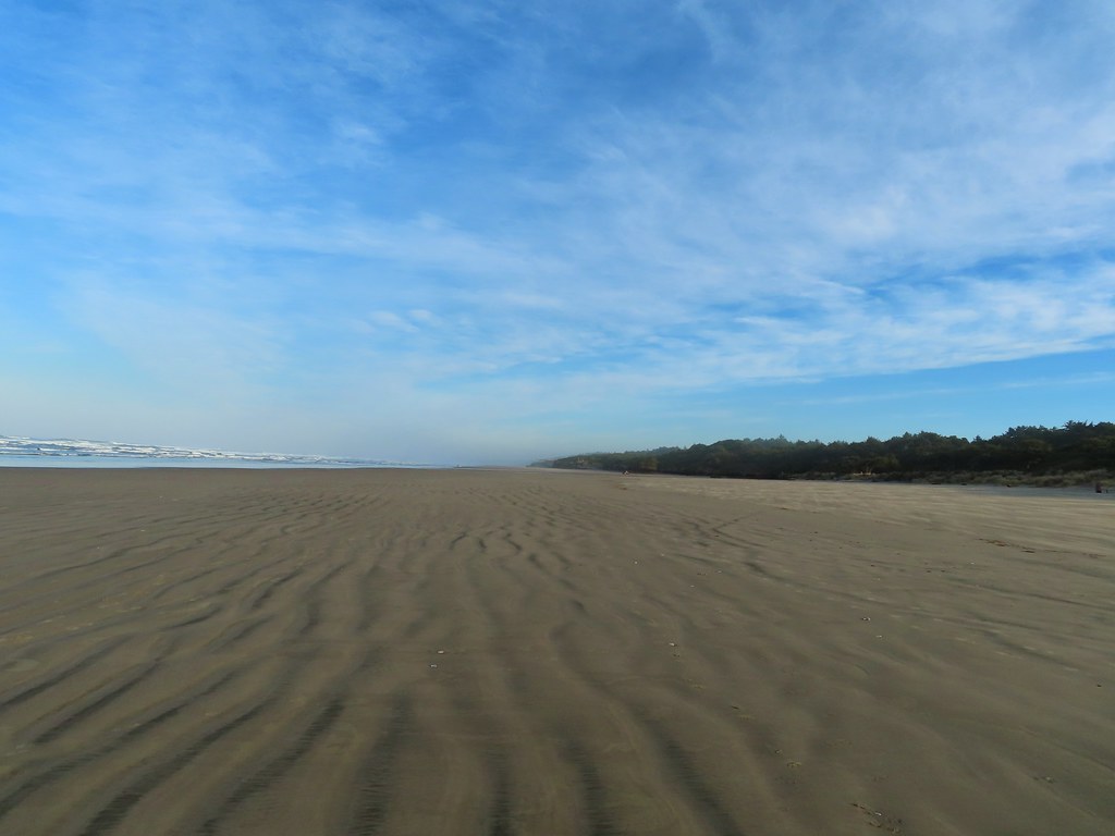 Wavy sand.

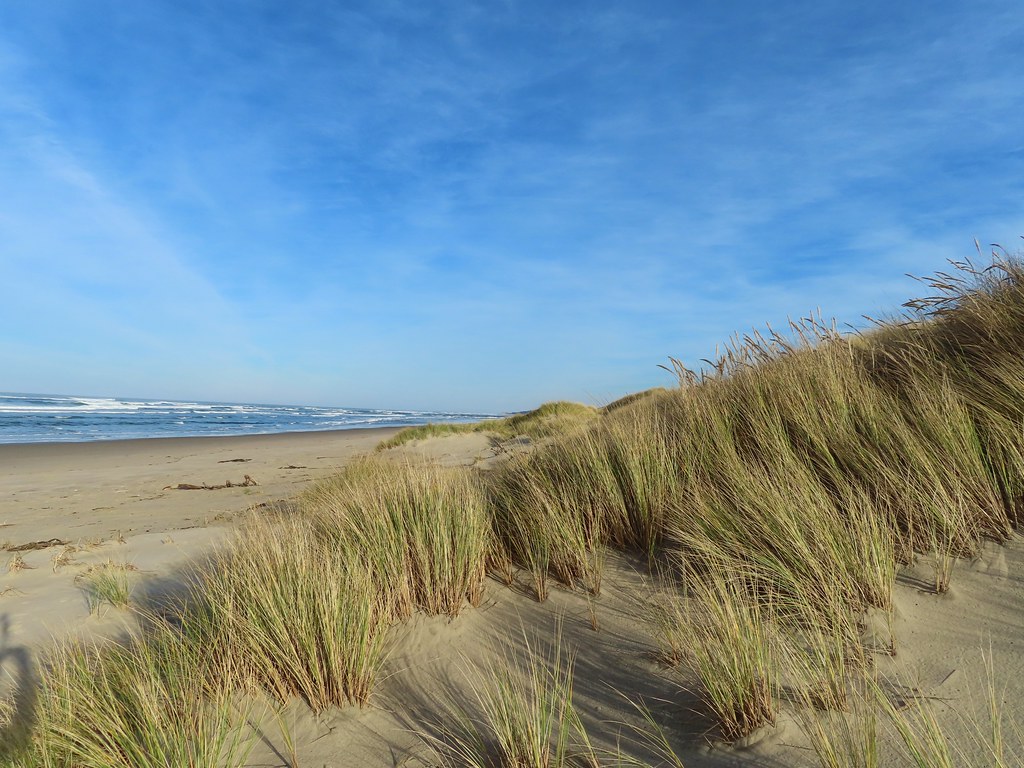
 Cape Perpetua from the dunes.
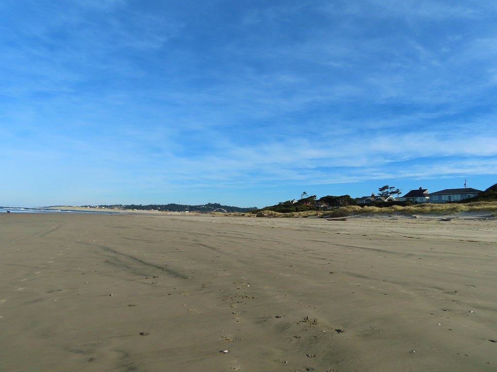
 Testing the 40 zoom feature on the Canon SX740HS.
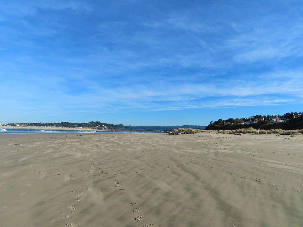 Heading for the log.
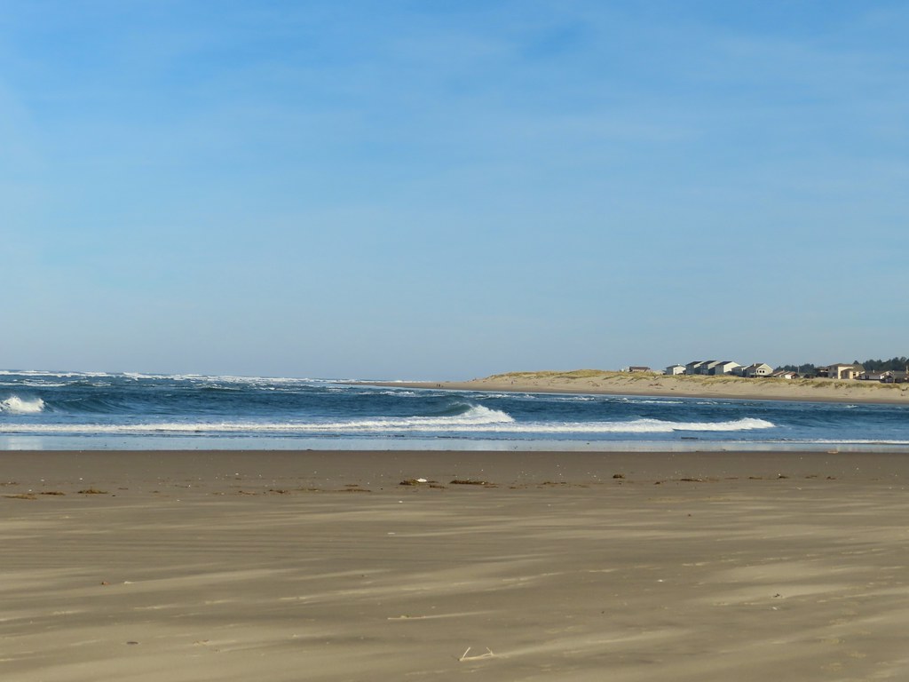
 View from the log.
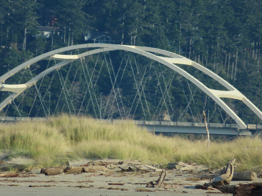
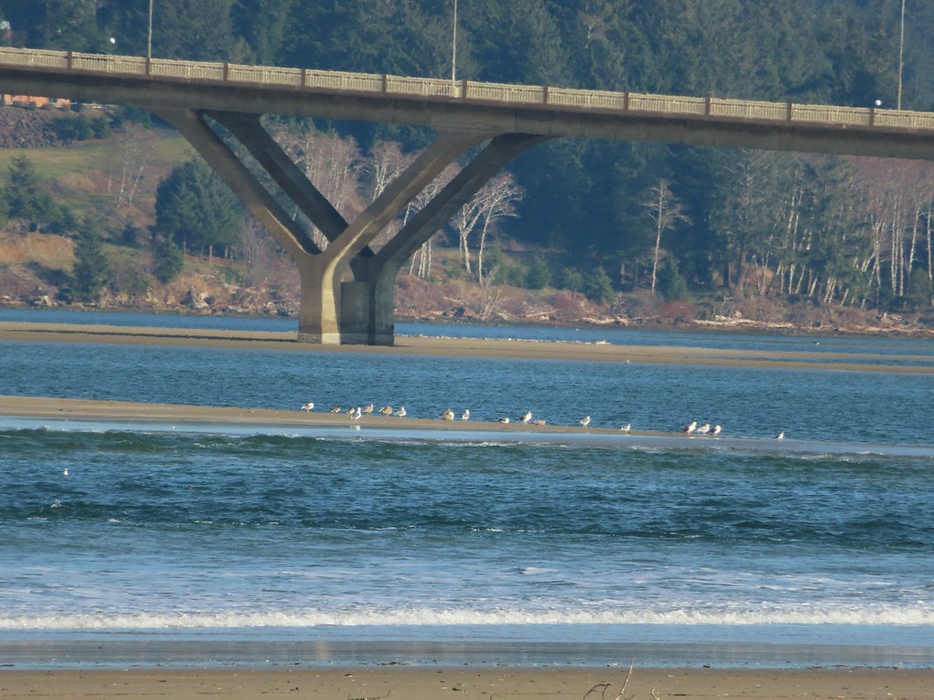 More testing of the zoom function. Seagulls on the near sandbar and seals on the one on the other side of the bridge.
 Looking at the dark cloud bank over the Pacific.
 Seal
Seal A little more cloud cover to the south over Cape Perpetua.
 More cloud action.
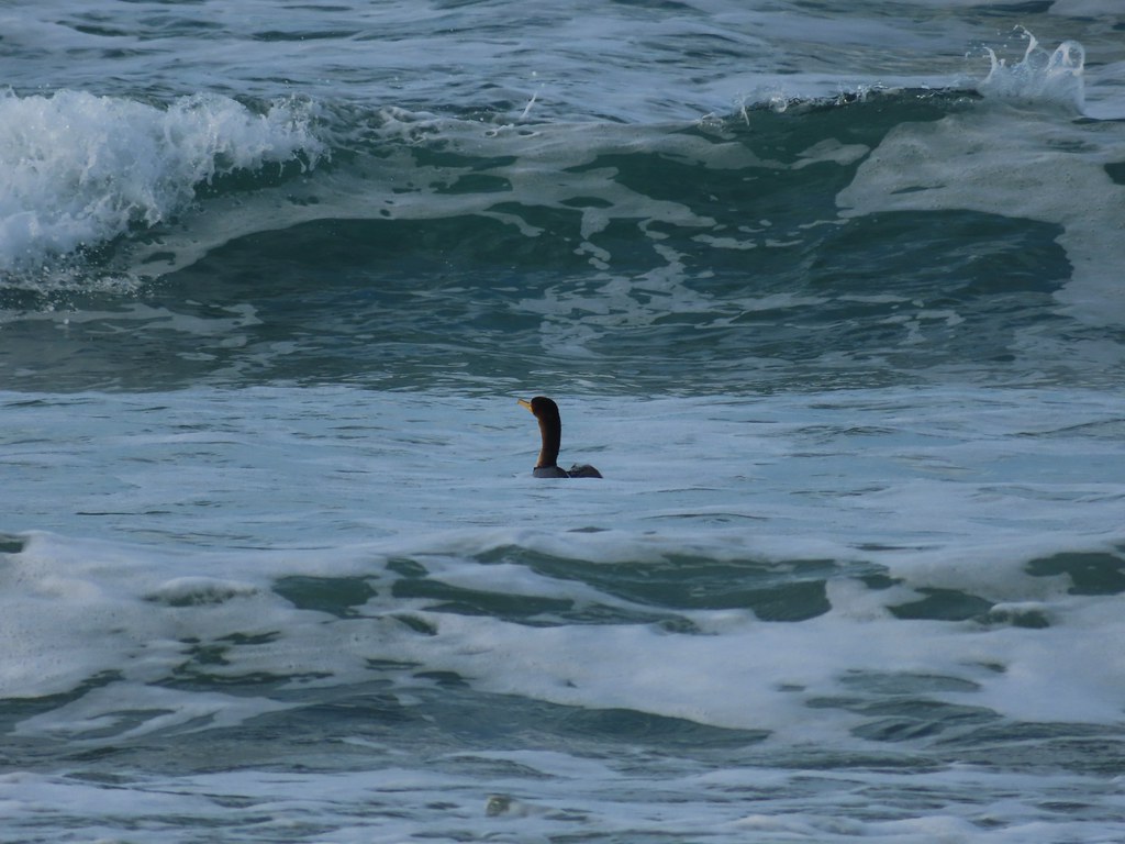 Cormorant
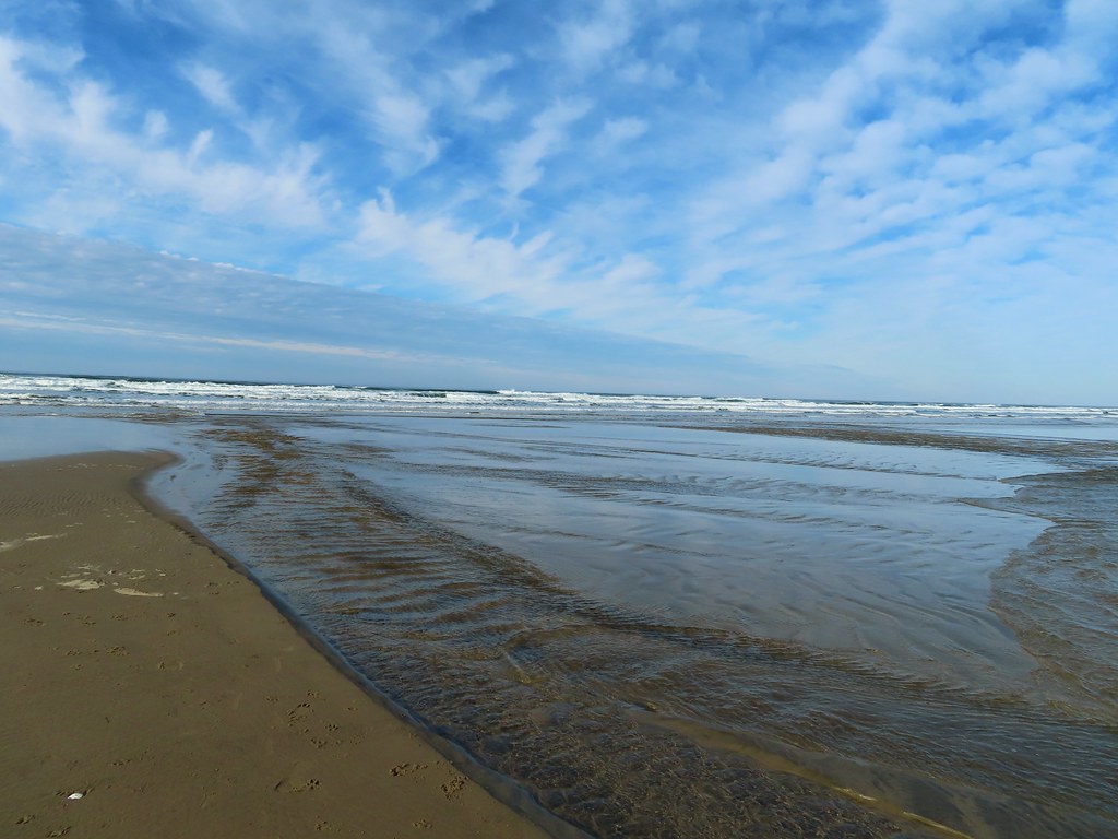 Reynolds Creek after fording.
 Finally starting to feel like it could start raining soon.
 The advancing line of clouds.
 Another look at the arch.
 A kingfisher near the stairs up from the beach.
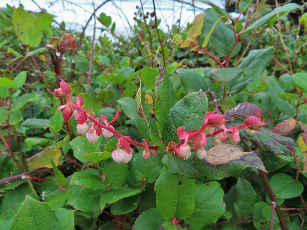 December blossoms on salal along the 804 Trail.


 Forest road crossing.
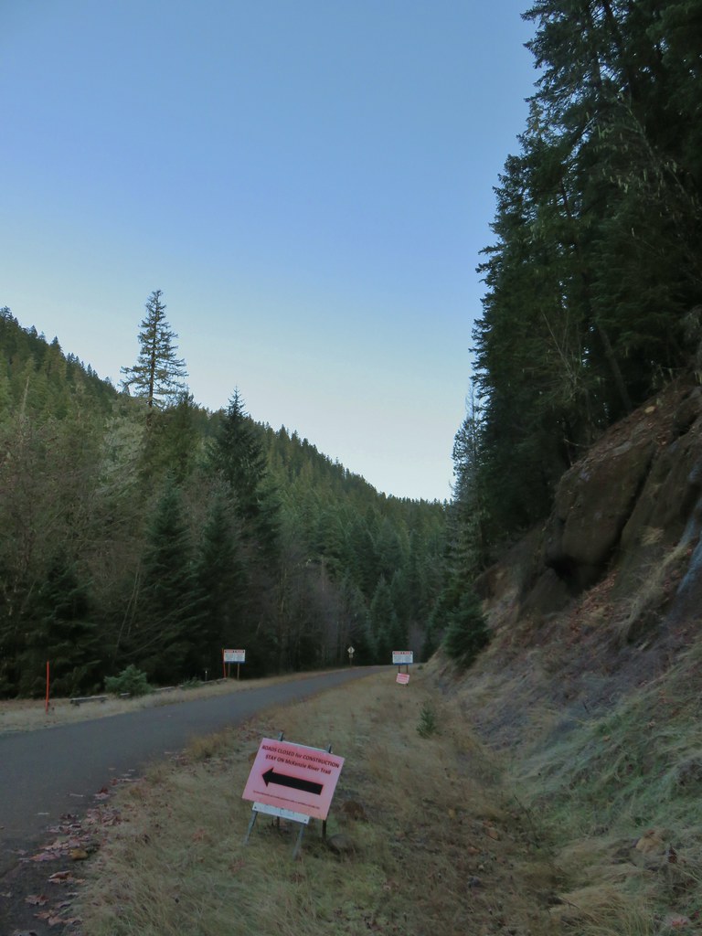


 The top of Three Fingered Jack is visible in the distance.
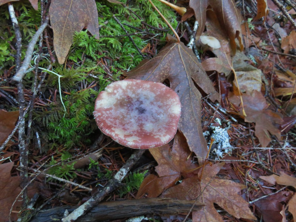
 Fall means mushrooms.


 Anderson Creek joining the McKenzie.
 Olallie Creek across from the trail.
 Turning up Deer Creek to reach the footbridge.
 Up river from Deer Creek Road.
 Deer Creek Hot Springs would be somewhere along the right hand side of the river.
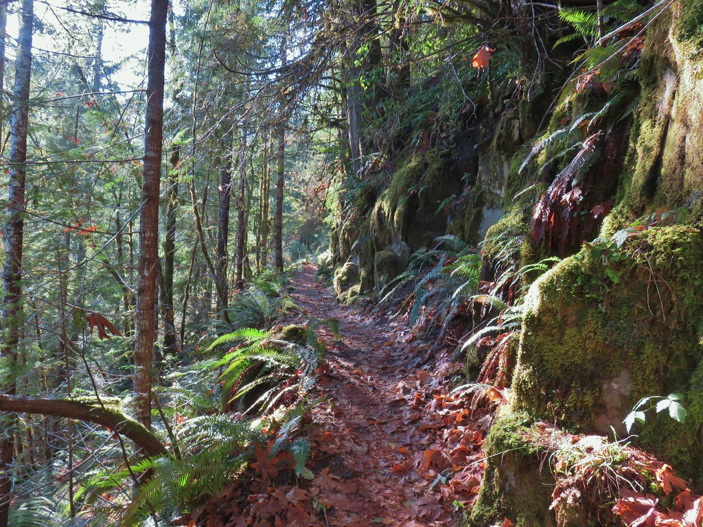
 We had to go around this bridge due to frost and it being at an angle.

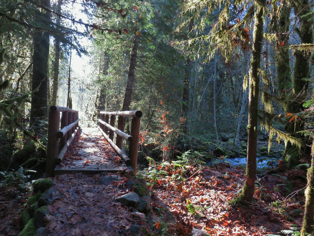 Footbridge over Frissel Creek.
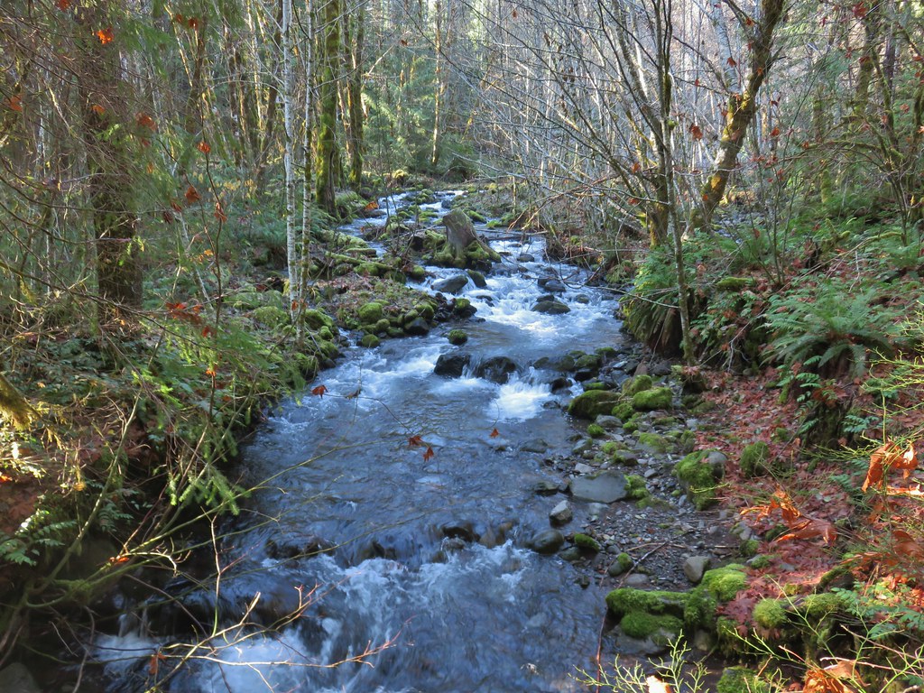
 Sun over the McKenzie River
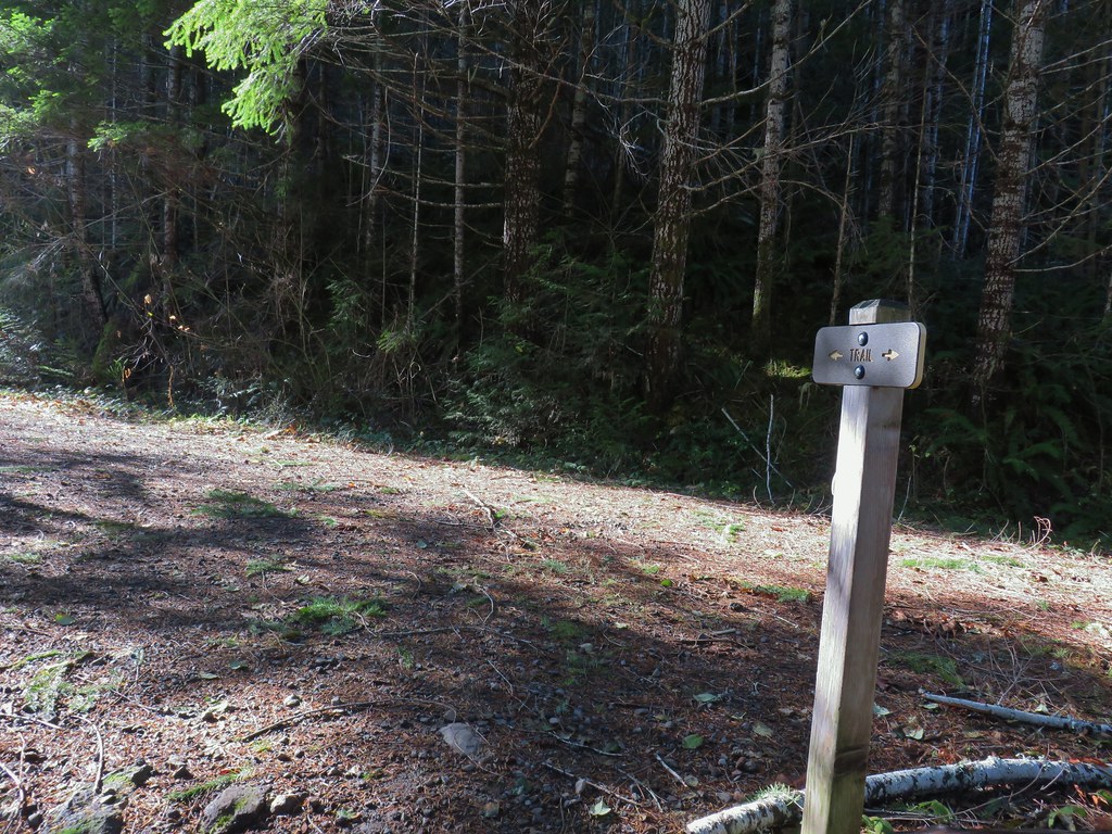 FR 610
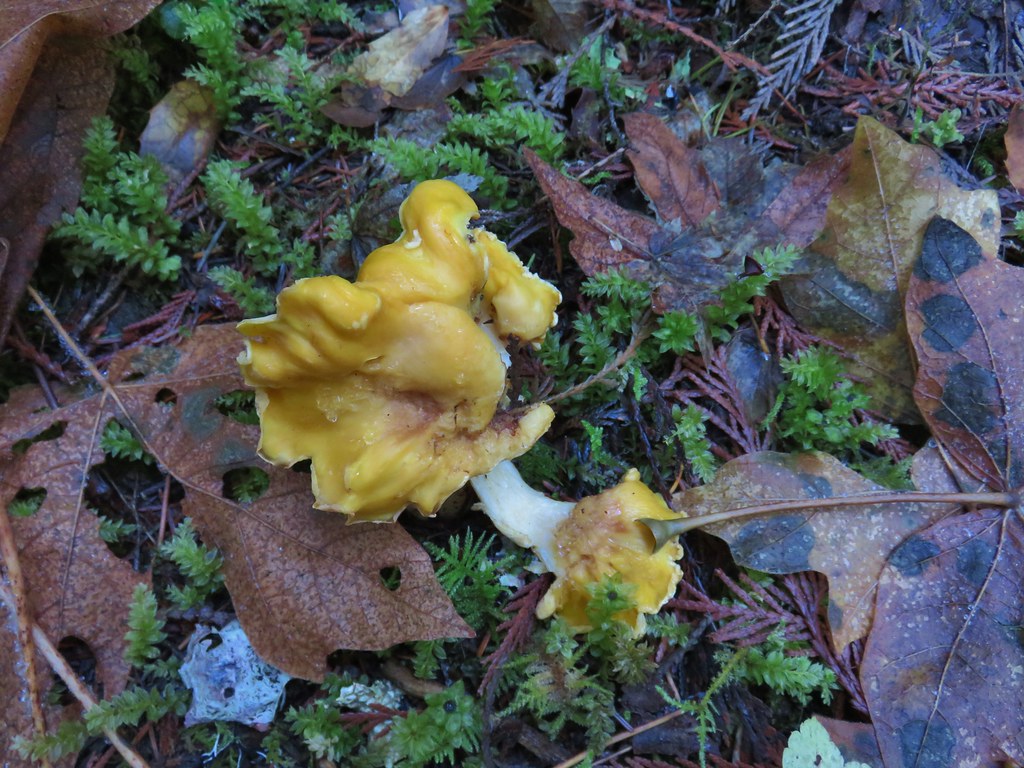

 We missed this sign for slough creek the first time by.
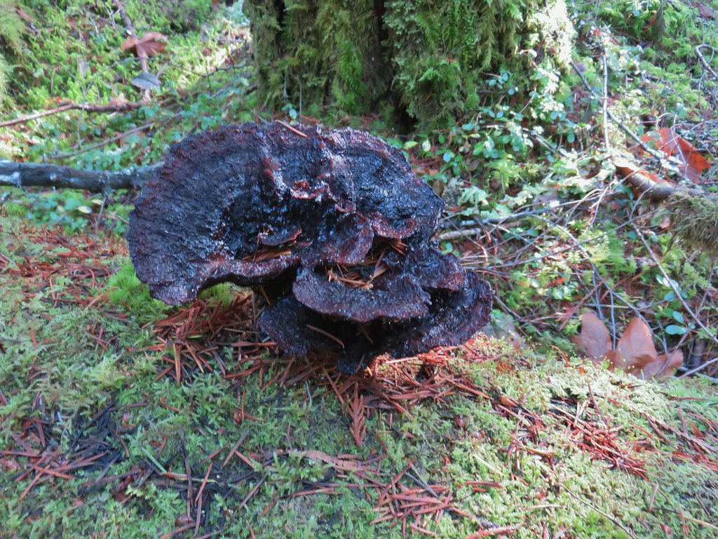

 Missed this survey marker too.
 We also completely missed this sign at Deer Creek.
 Still cold


 Without the use of the zoom on the camera they are hard to make out but the tops of the North and Middle Sister are visible over the hills.


 Silver Star Mountain in the background with the cliffs of Cape Horn (
 Looking east down the Columbia River.
 Looking NW across the Columbia.
 Silver Star Mountain again.


 Looking down toward the corner from the small pullout on the right.


 Multnomah Creek Way Trail.
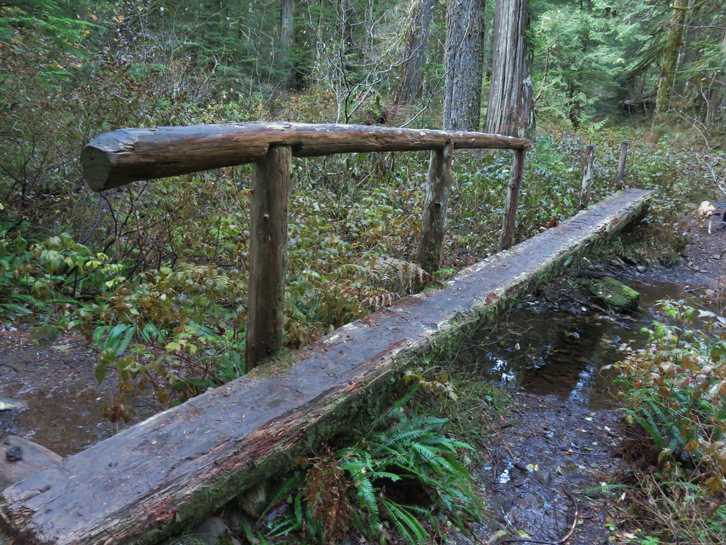


 Larch Mountain from Multnomah Basin

 Mt. St. Helens (behind some tress) and Mt. Rainier.
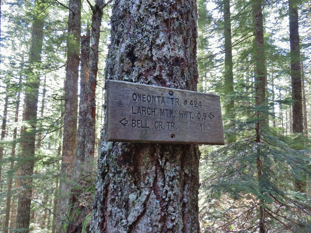
 Signboard near Larch Mountain Road.
 Larch Mountain Road from the end of the Oneonta Trail

 Just a few of the steps up to Sherrard Point.
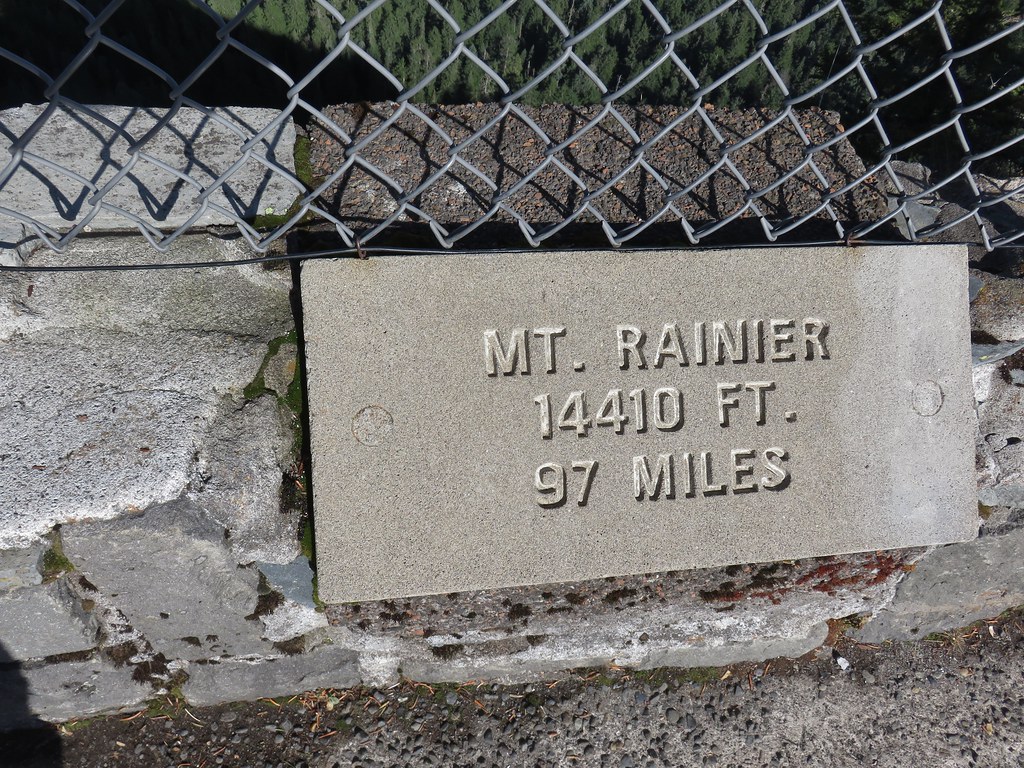
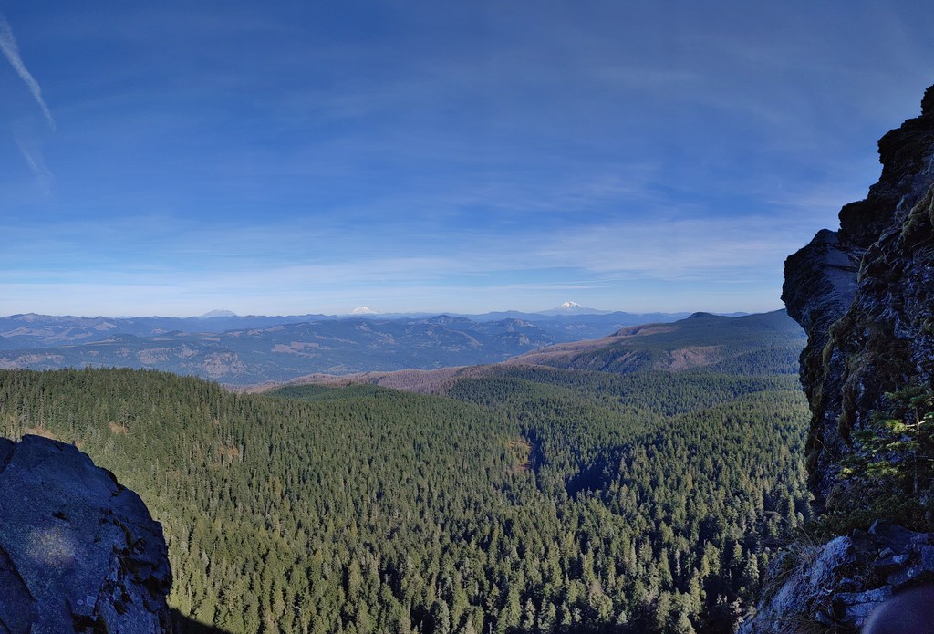 Mt. St. Helens, Mt. Rainier, and Mt. Adams.
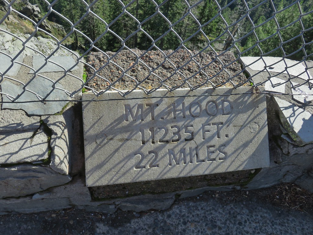
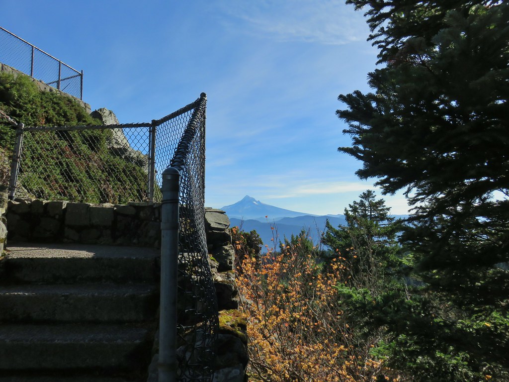 Mt. Hood
 Mt. Hood with Mt. Jefferson to the right.
 Mt. Jefferson
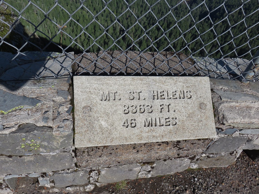


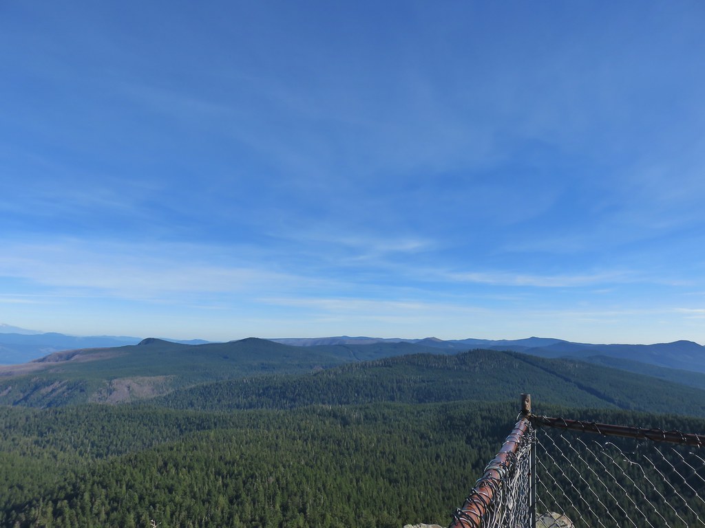 View east from Sherrard Point.


 .
.

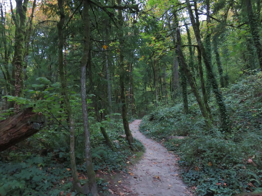
 Switchback along the Wild Cherry Trail.
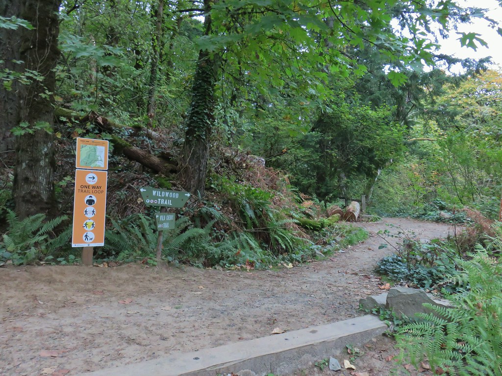


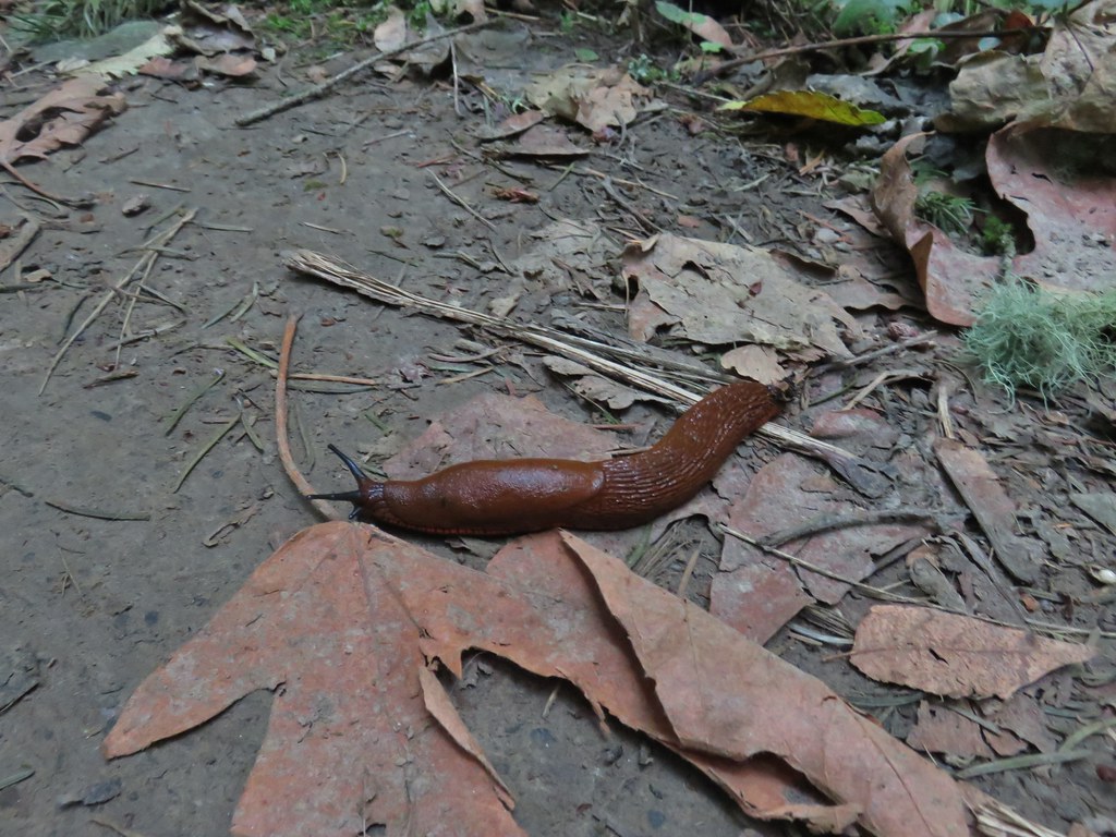 This was the first slug we recall seeing of this color.
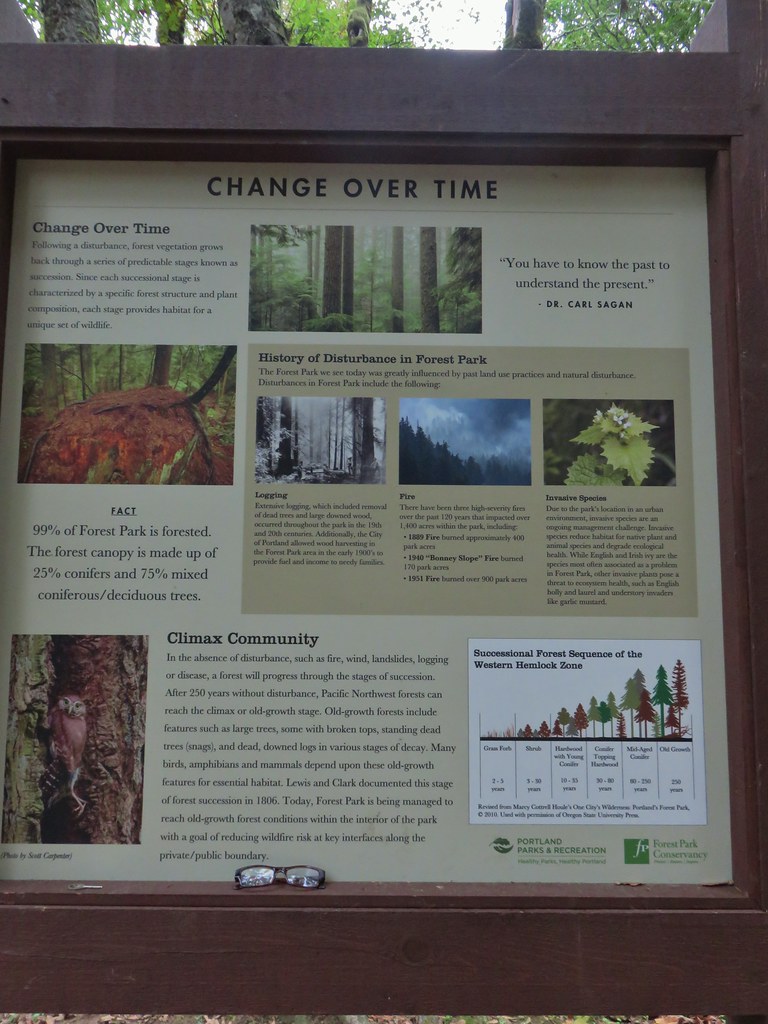 Interpretive sign at the NW 53rd parking area.
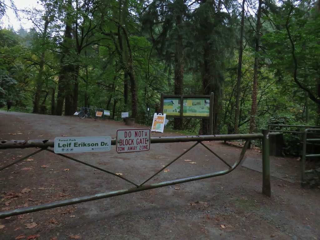
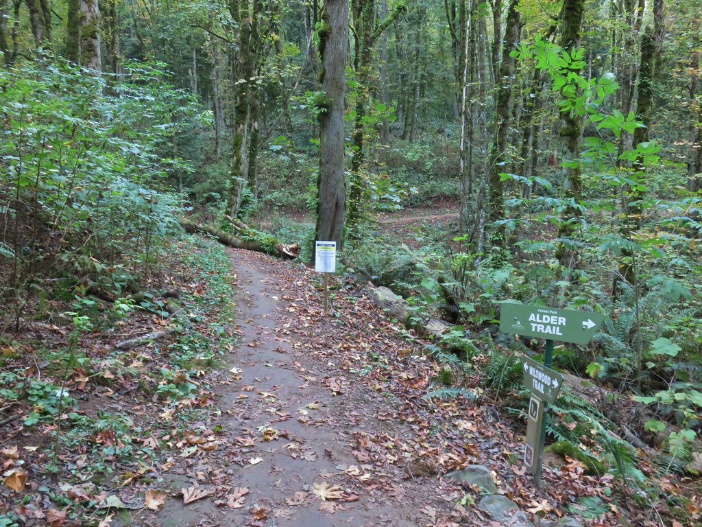


 The bridge damage was not an issue.
 Another bunch of musrhooms.

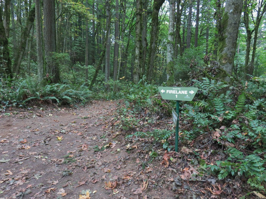 Firelane 1 junction.

 The fork, left was downhill right up.


 Firelane 1
 Somewhere along Leif Erikson there was supposed to be a view of Mt. St. Helens, Mt. Adams and Mt. Hood along the way but the clouds never burned off like the forecast had called for.
 The Alder Trail at Leif Erikson Dr.
 An orange one-way marker along Leif Erikson Drive between the Dogwood and Wild Cherry Trail junctions.
 Union Peak and Mt. McLoughlin on our drive to the trailhead.
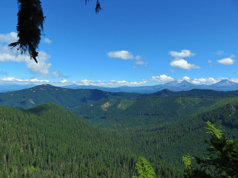
 The peaks of Crater Lake National Park
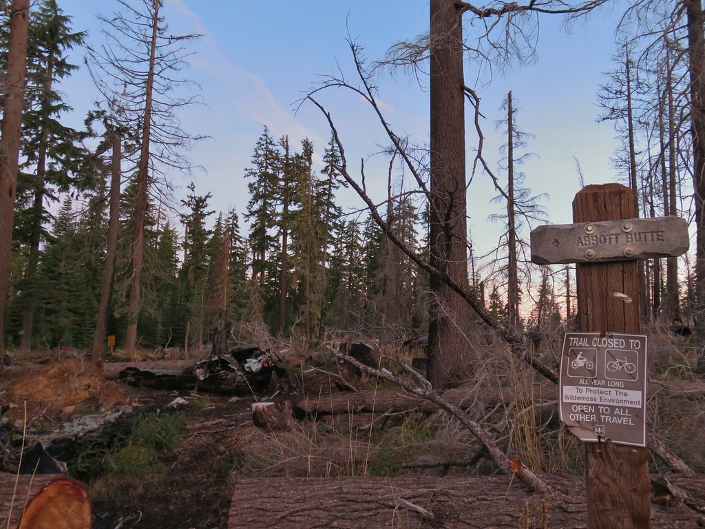 Abbott Butte Trailhead
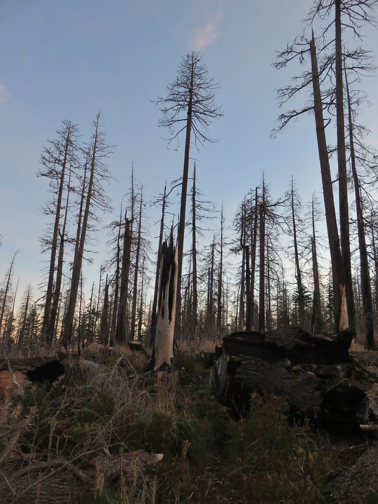
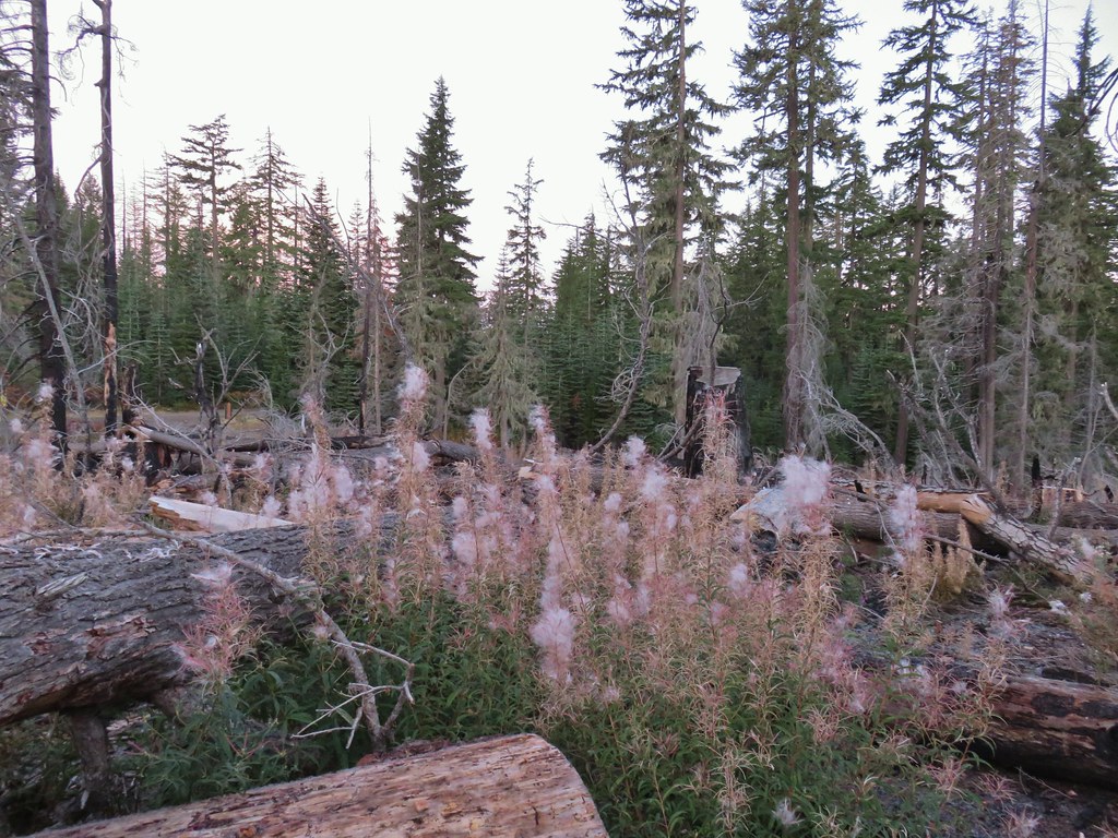
 Huckleberry bushes
 A section of green trees along the trail.
 Quartz Mountain
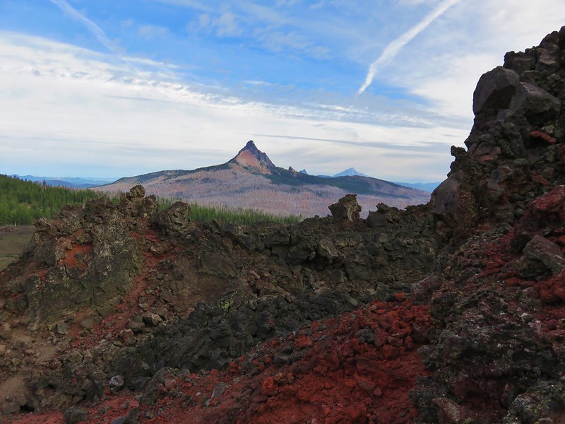
 Passing below Quartz Mountain
 Abbott Butte from the trail.
 On the roadbed
 Pearly everlasting
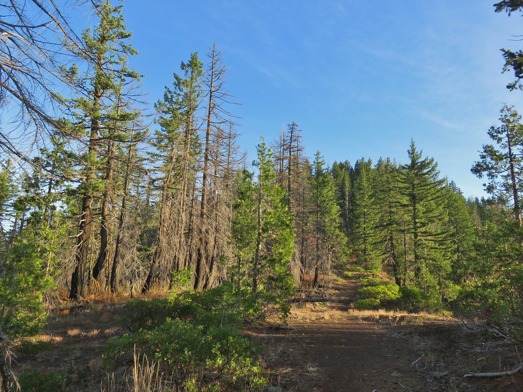
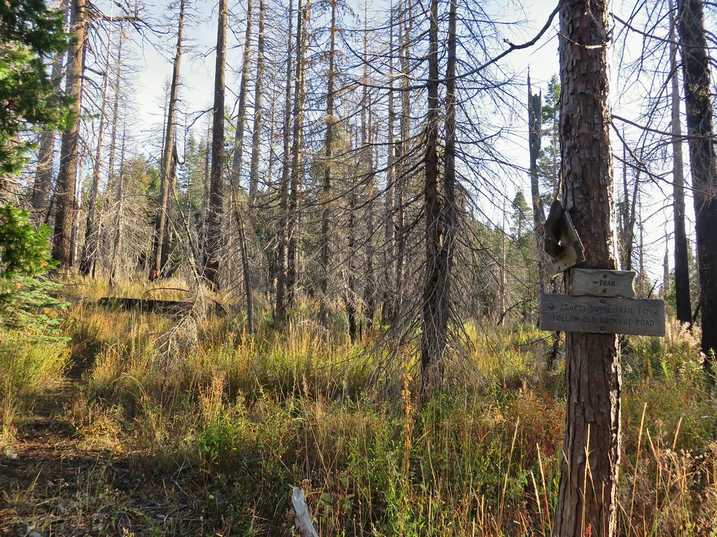
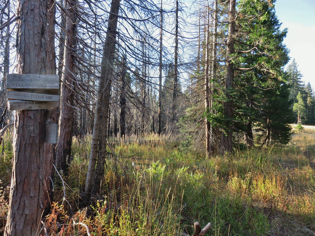 Sign indicating the non-existent trail is not suitable for horses.

 Mt. McLoughlin and Mt. Shasta and a whole lot of other peaks that I should know.
 Mt. Thielsen
 Nearing the summit.
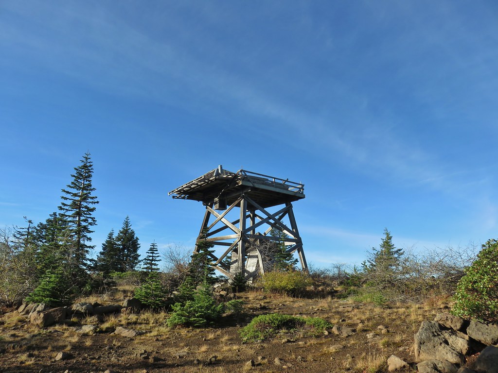 The old lookout on Abbott Butte
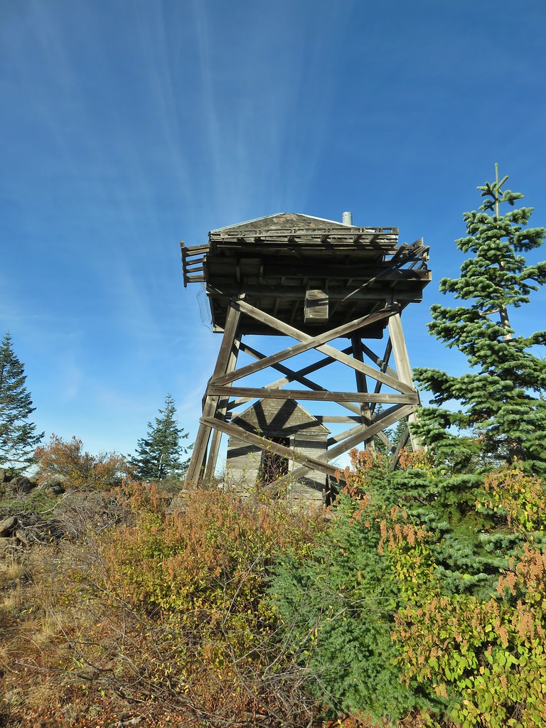
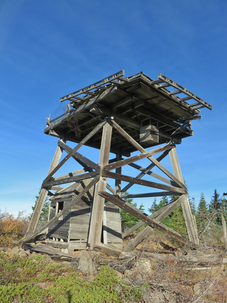
 The old outhouse?
 Mt. Thielsen and the peaks of Crater Lake.
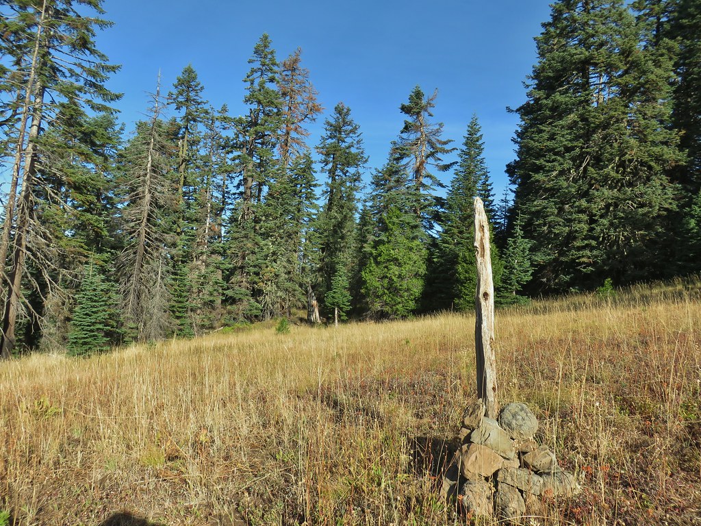
 Flagging marking the route.
 A cairn along the tread ahead.
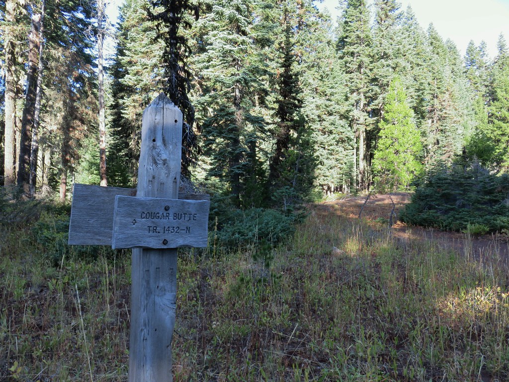
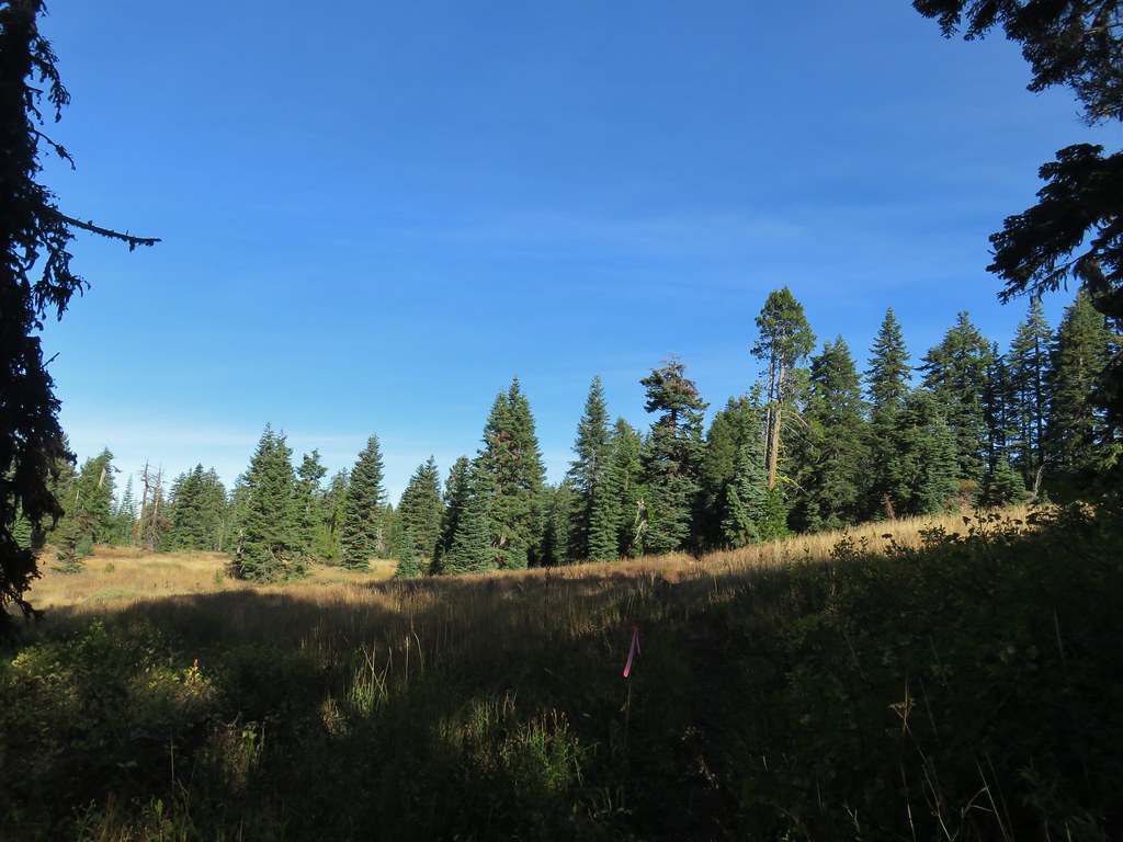
 This meadow is where we heard the voice.
 Another late flower
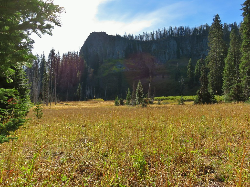
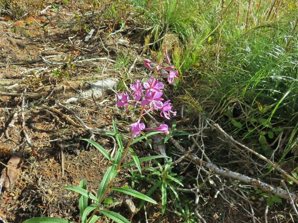 Fireweed that hadn’t gone to seed.
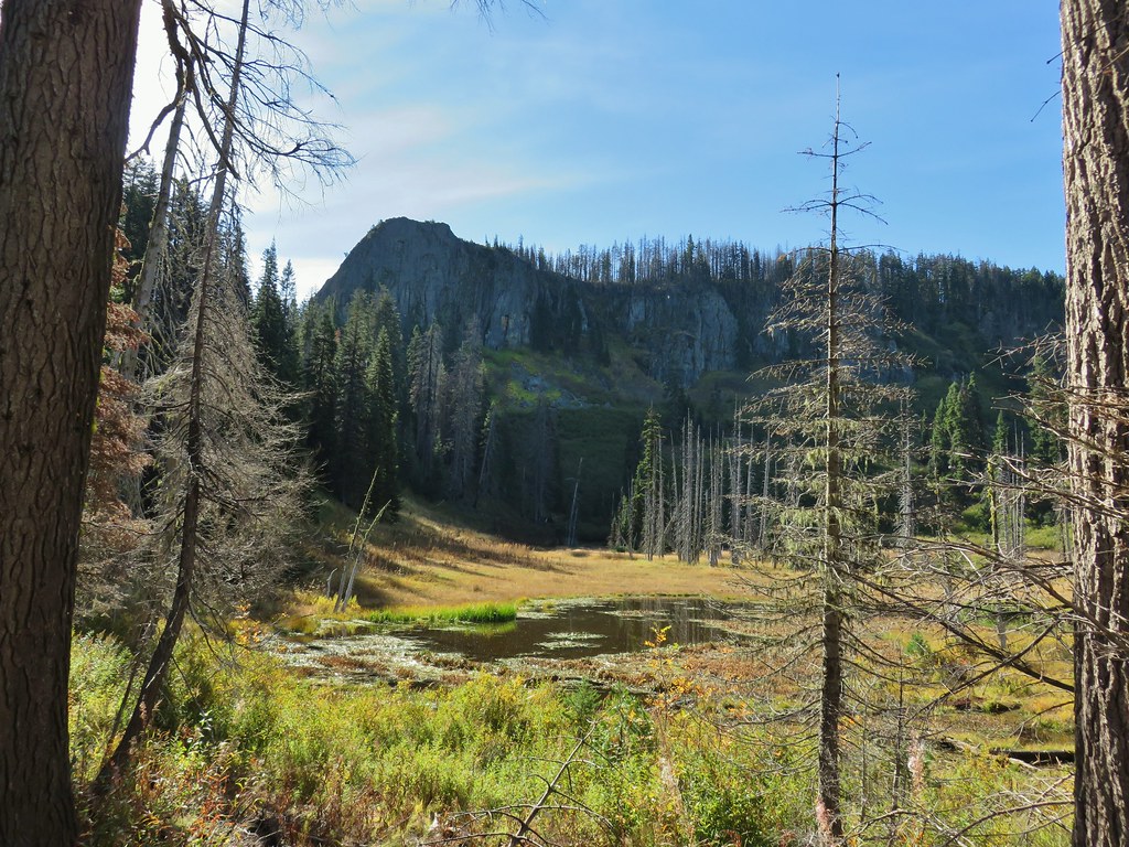
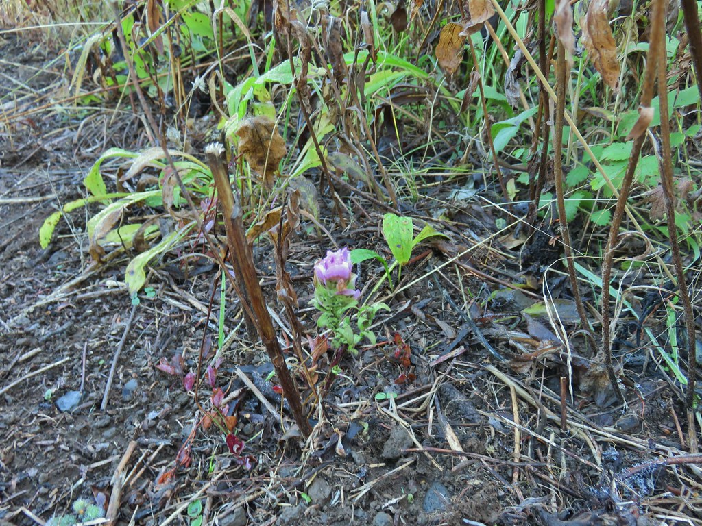 An owl’s clover
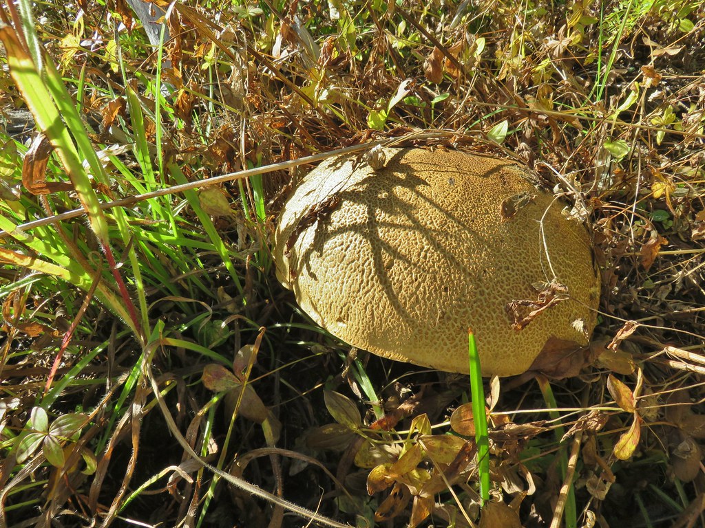 It’s hard to tell from the photo but this mushroom was big.


 The broken zoom function didn’t let me get a good shot but the ouzel is on a rock in the middle of the creek.