**Note the 2020 Lionshead Fire burned the area covered by this hike.**
This week’s Throwback Thursday hike features our second hike to Jefferson Park. Jefferson Park had been the one destination that we had visited each year starting in 2011. Unfortunately that streak ended in 2017 due to the area being closed by the Whitewater Fire. That fire started along the Whitewater Trail which we used in 2011, 2014, and 2015 and also swept over the Woodpecker Ridge Trail which we took in 2016. There are two other approaches for day hikes to Jefferson Park which appear to have escaped the Whitewater Fire for the most part, the South Breitenbush Trail and the Pacific Crest Trail from Forest Road 4220. In 2013 we used the South Breitenbush Trail and on October 7th, 2012 we completed the hike featured in the post.
Of the four approaches we’ve done this was the most scenic in large part due to the dramatic view from Park Ridge. It is also the approach with the worst (by far) drive to the trailhead. Forest Road 4220 aka Oregon Skyline Road can be accessed via Forest Road 46 from the north (Portland) by turning left off of FR 46 21.8 miles beyond Ripplebrook onto FR 4690 for 8.1 miles then turning right onto FR 4220 at a stop sign. As FR 4220 passes the Olallie Lake Resort and Horseshoe Lake Campground it deteriorates. Beyond the Horseshoe Lake Campground the final two miles may be impassable to passenger cars. From the south (Salem or Bend) the trailhead is accessed from the other end of FR 4220. From Detroit, OR we took FR 46 north for 16.9 miles to a junction where we turned right onto FR 4220. The 6.5 mile drive to the trailhead was narrow and rough and can be impassable when wet or snowy. The drive was bad enough that we have no plans to repeat it despite this being a very good hike.
We arrived at the large parking area relieved to be done with the drive.

The large parking area was fairly empty due to it being fairly late in the year so we had the trail to ourselves as we headed south on the PCT.
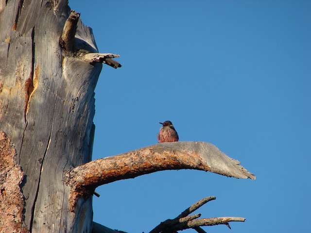
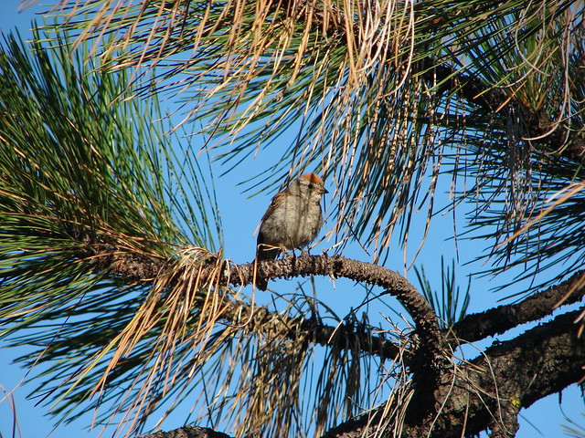
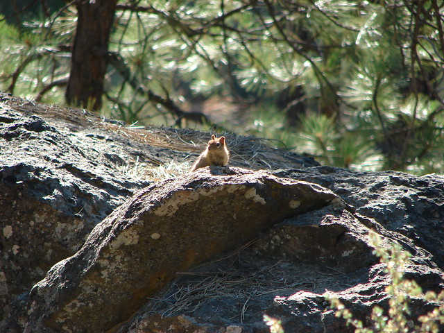
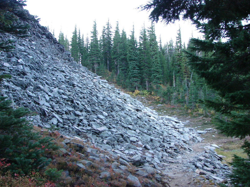
Not far from the trailhead we passed some talus where we spotted a pika for the first time.

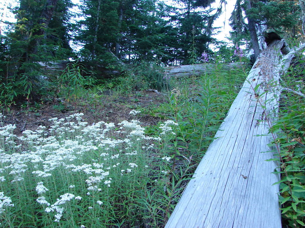
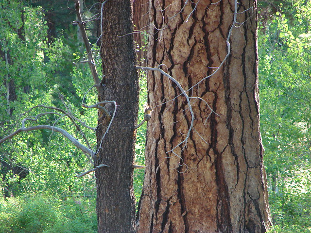
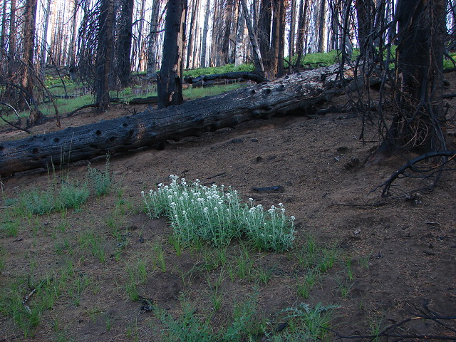
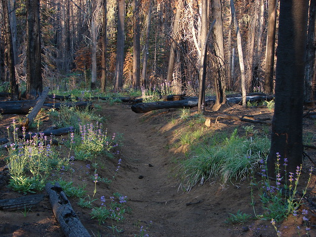
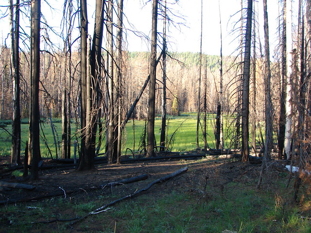
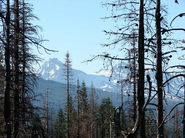
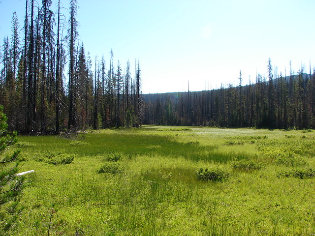
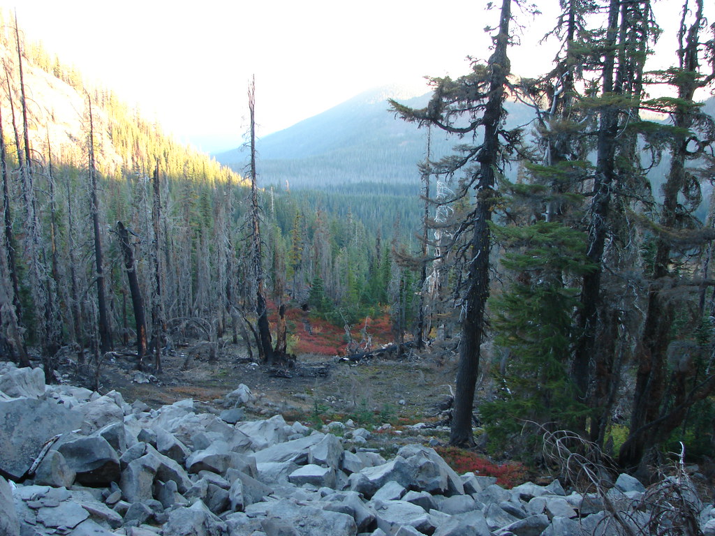
We then passed through a short section of forest burned in the 2010 Pyramid Butte Fire.
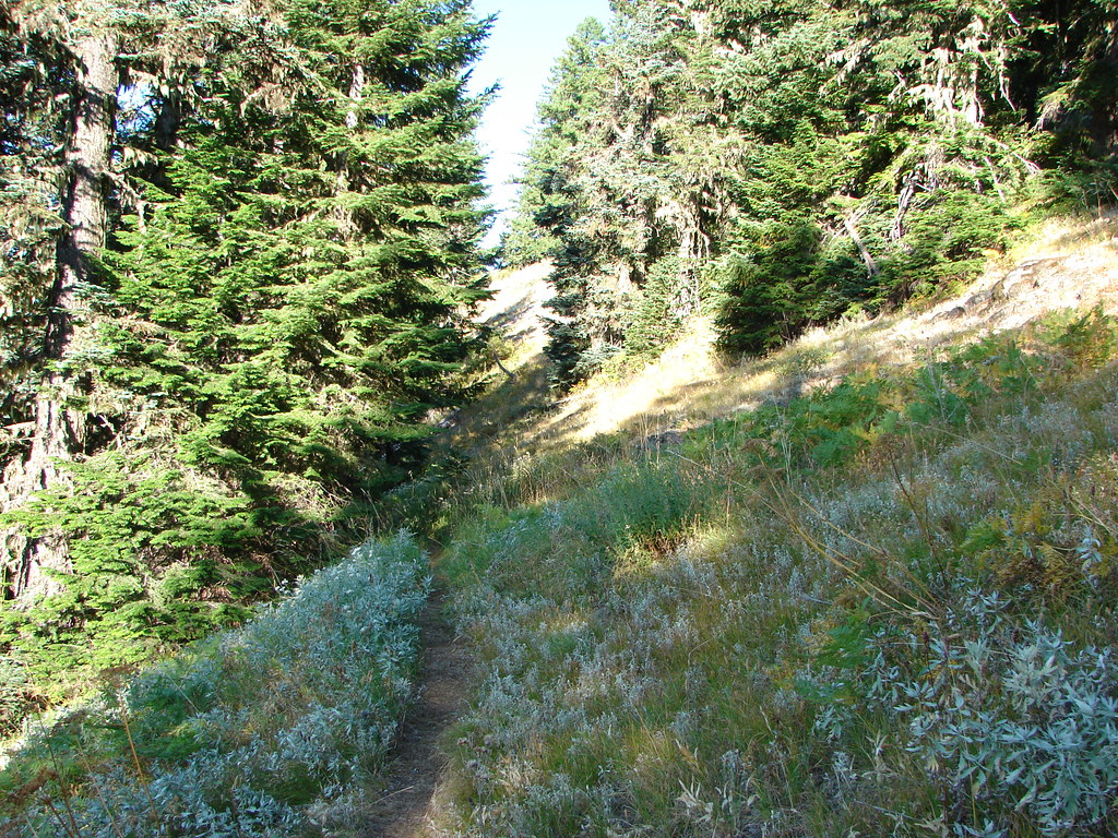
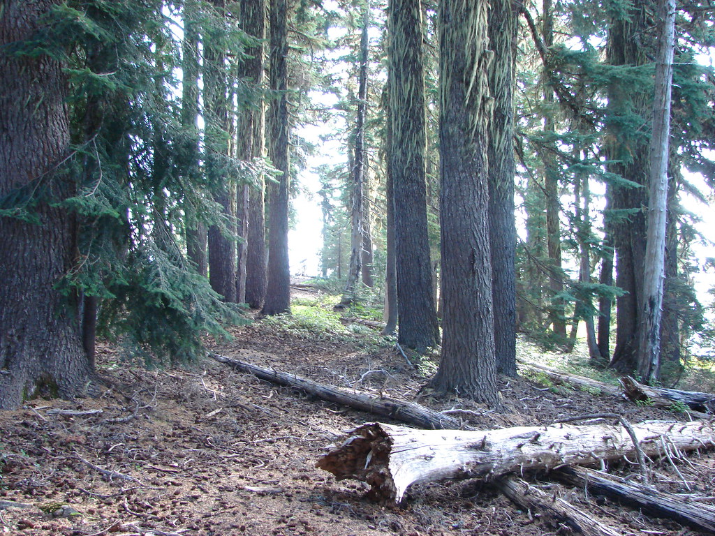
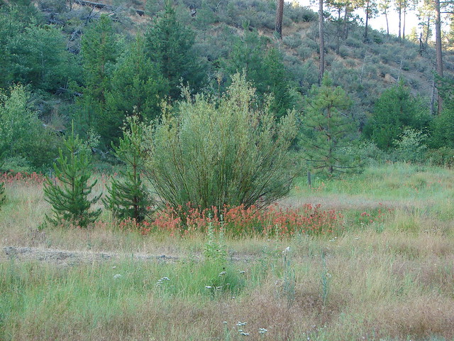
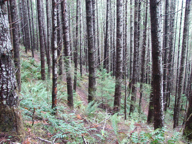
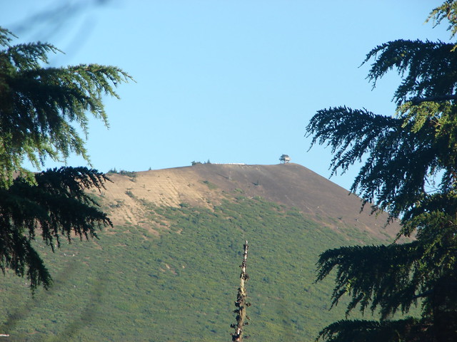
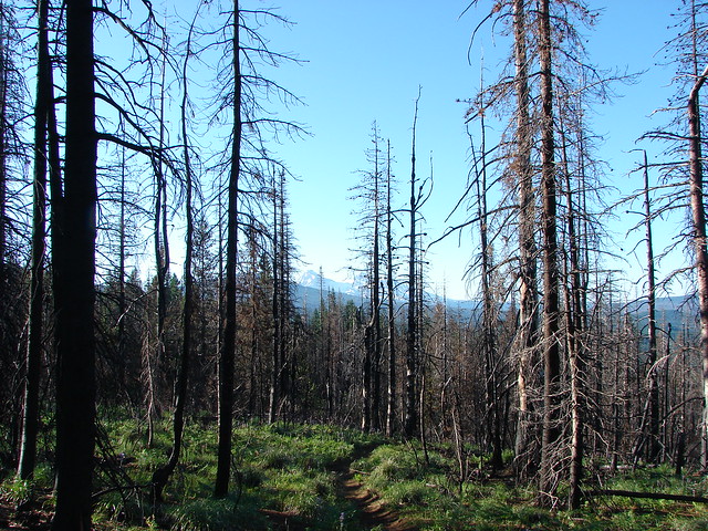
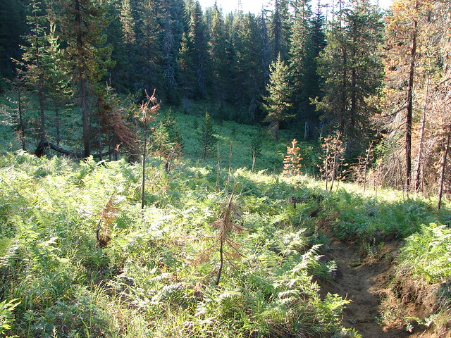
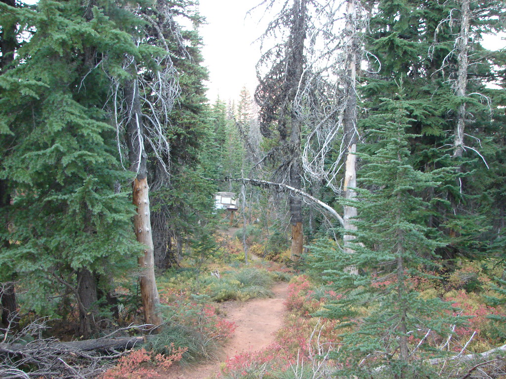
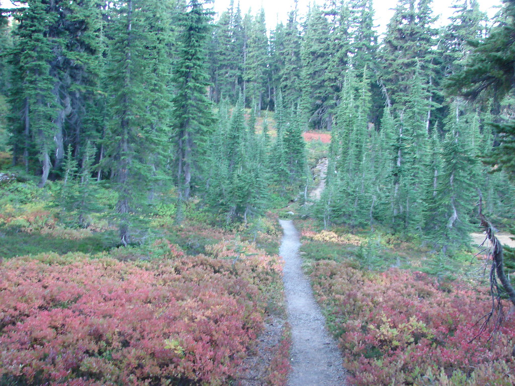
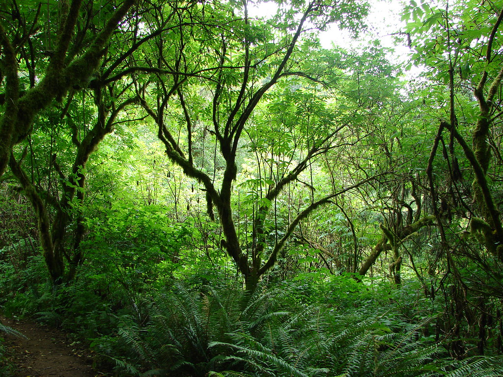
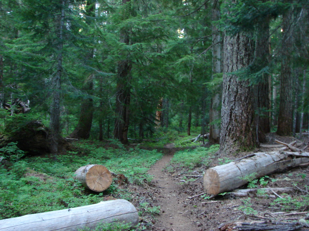
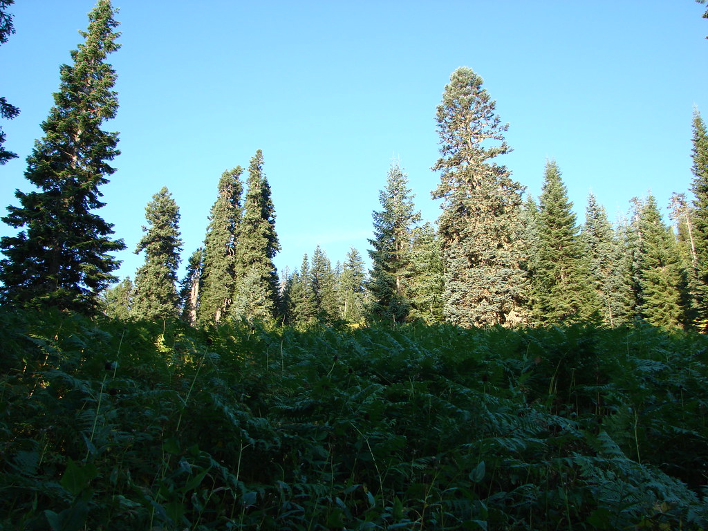
We had planned on taking a side trail to Pyramid Butte as there had been a trail to the top of the butte but the fire had made the area confusing so we decided to stick to the PCT. We were soon out of the burned area and passing through forest colored with red huckleberry leaves.
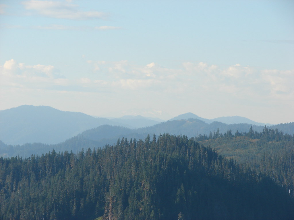
From the trailhead the PCT gained 1400′ in 3.7 miles to its crest on Park Ridge but much of the gain was gradual especially early on. The elevation gain provided for some excellent views to the north where Mt. Hood was visible beyond Pyramid Butte.


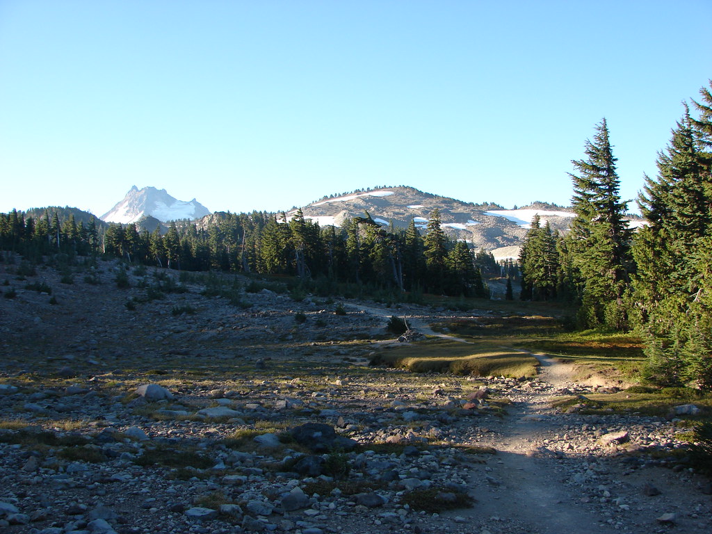
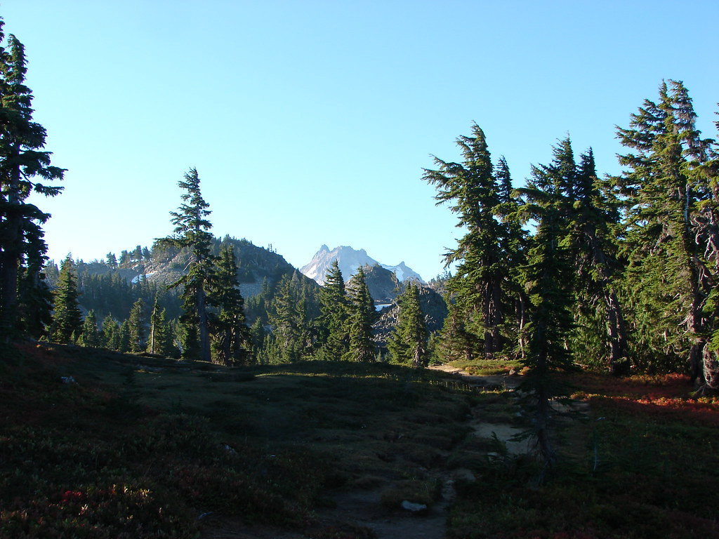
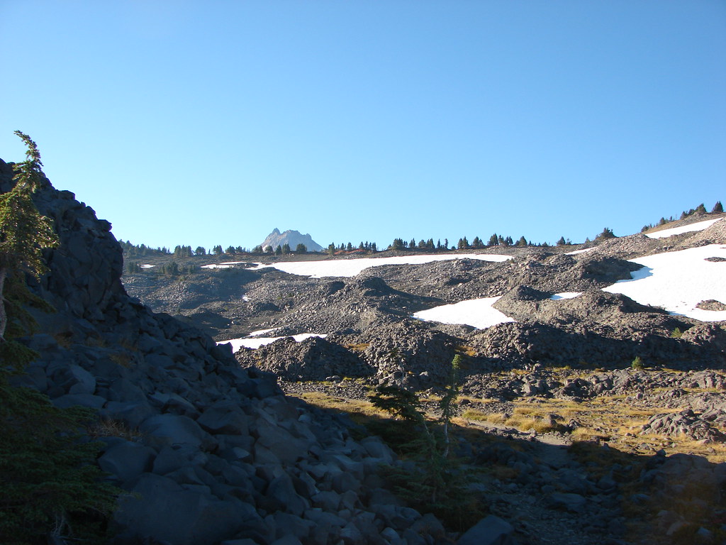
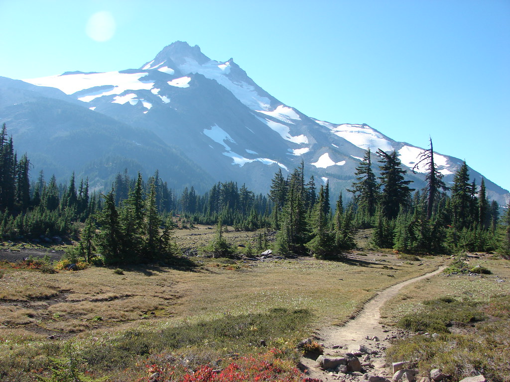
To the south though the much closer Mt. Jefferson merely peaked over the top of Park Ridge.


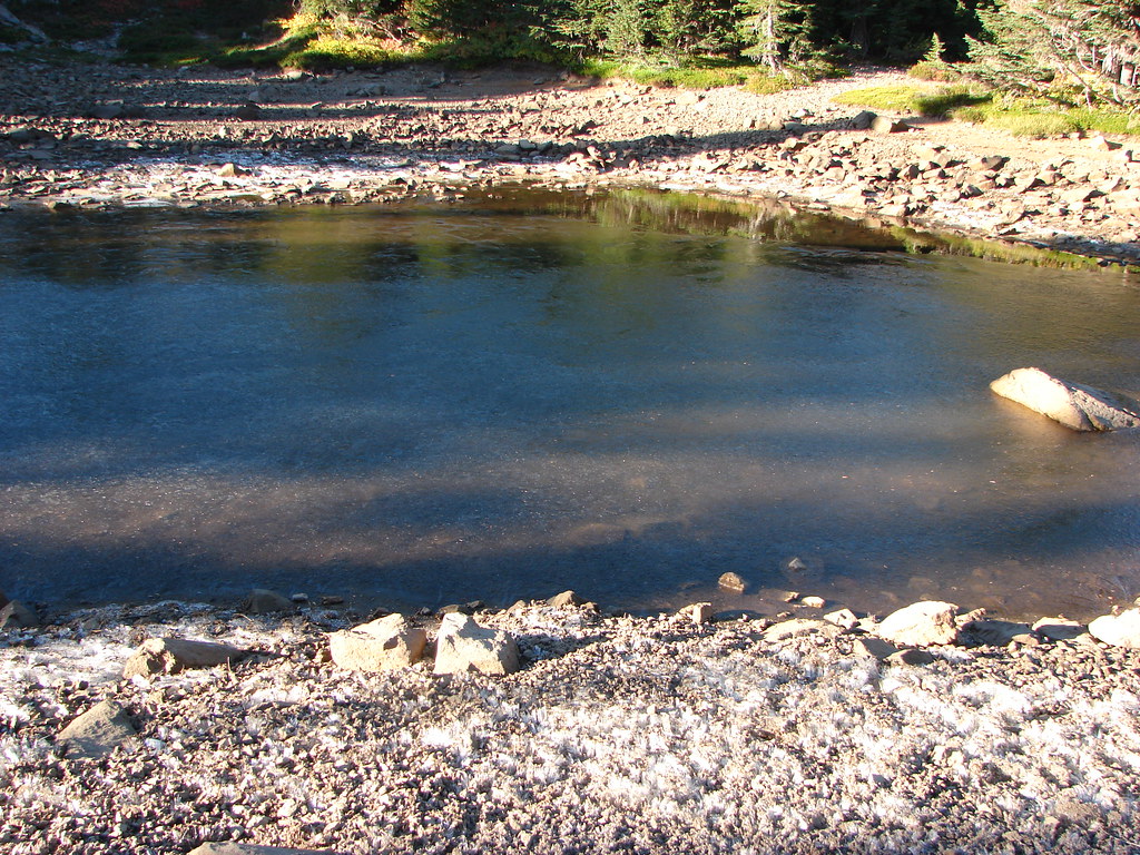
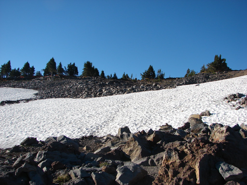
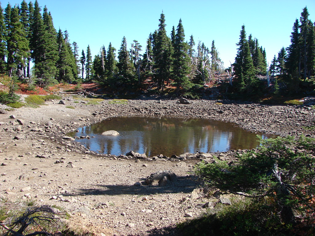
It was a little chilly and got chillier as we approached Park Ridge. Snow patches and partially frozen ponds lined the trail as we began to leave the trees and climb up the ridges northern flank.
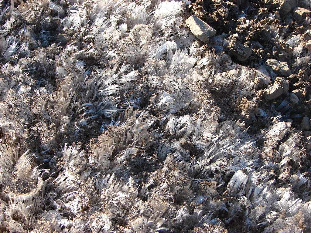

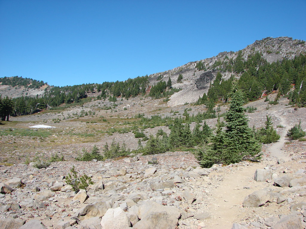
Rock cairns and posts helped mark the way through the rocks which had replaced the meadows and we followed existing footprints through patches of snow.
The view north to Mt. Hood from the open ridge was spectacular.

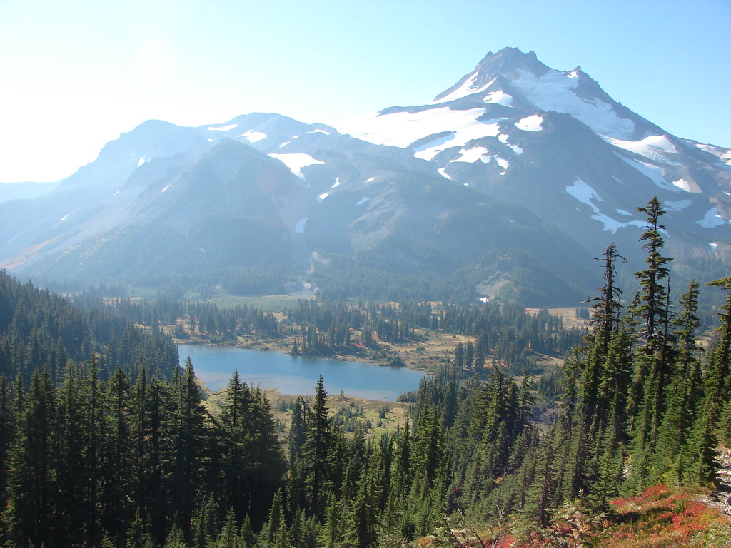
That view was quickly trumped though as we crested the ridge and finally had a full view of Mt. Jefferson with Jefferson Park below.

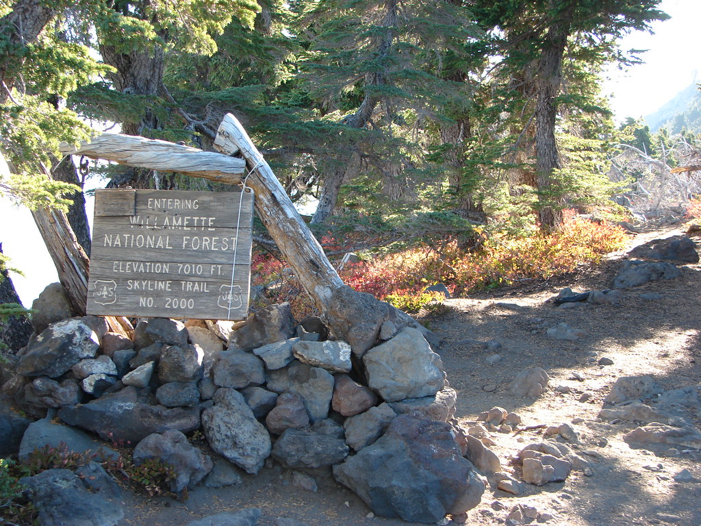
The ridge marks the boundary of the Mt. Hood and Willamette National Forests.

We took a nice long break on top of the ridge enjoying the views. As we rested a couple on horseback rode by stopping momentarily to discuss the beauty of the area. After resting up we headed down toward Jefferson Park.

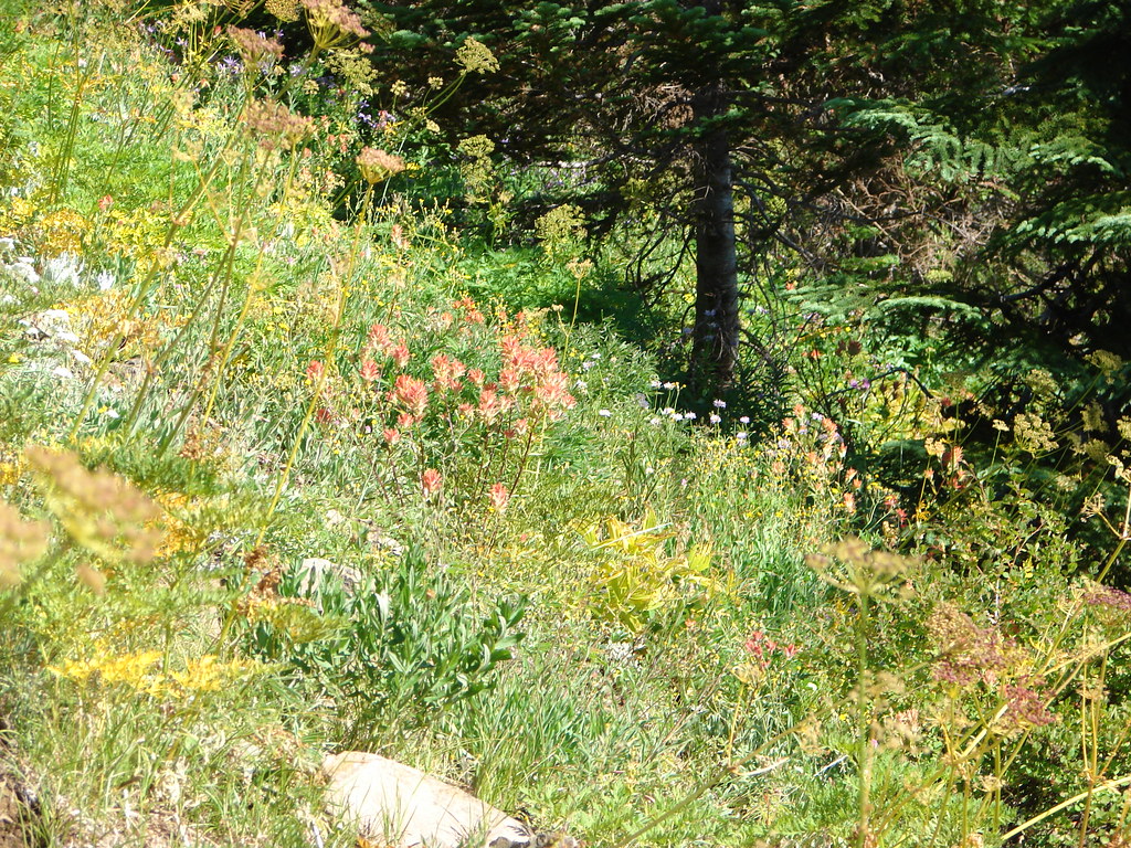
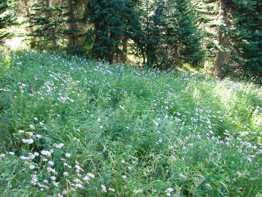
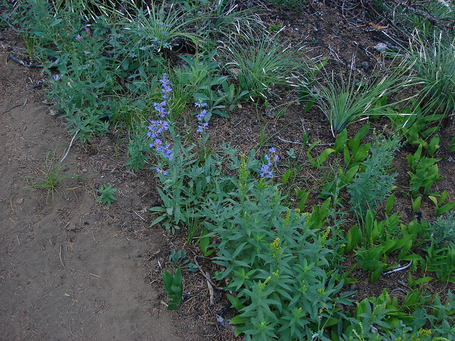
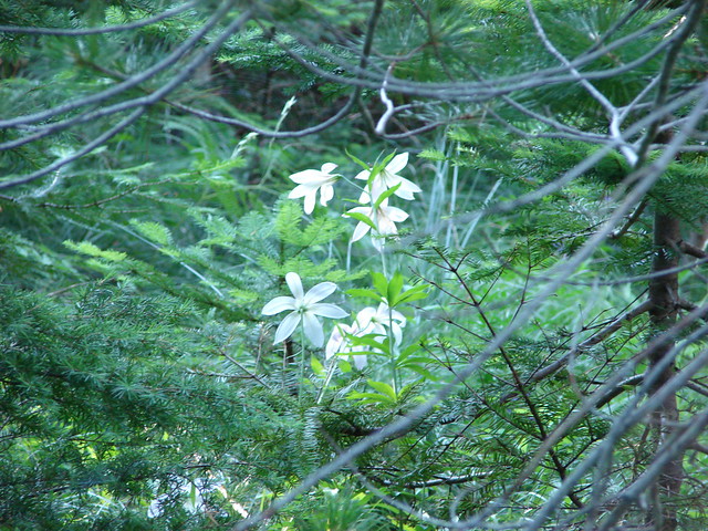
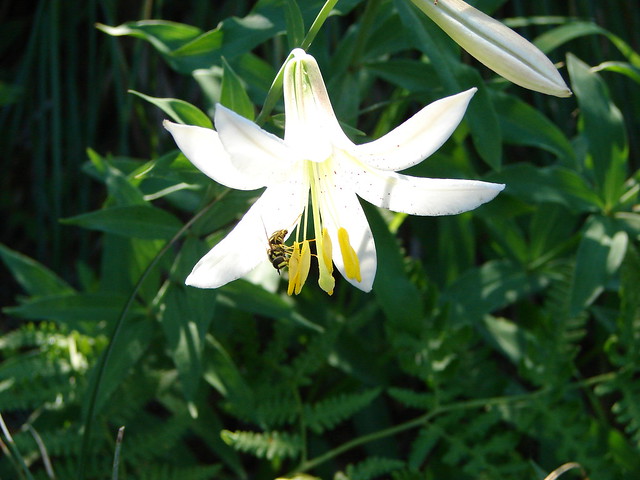
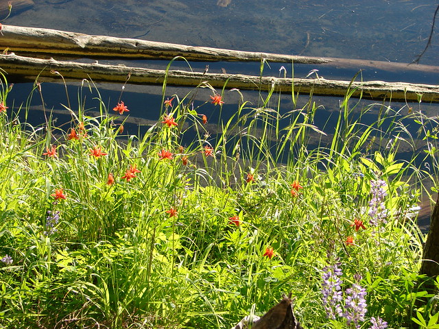
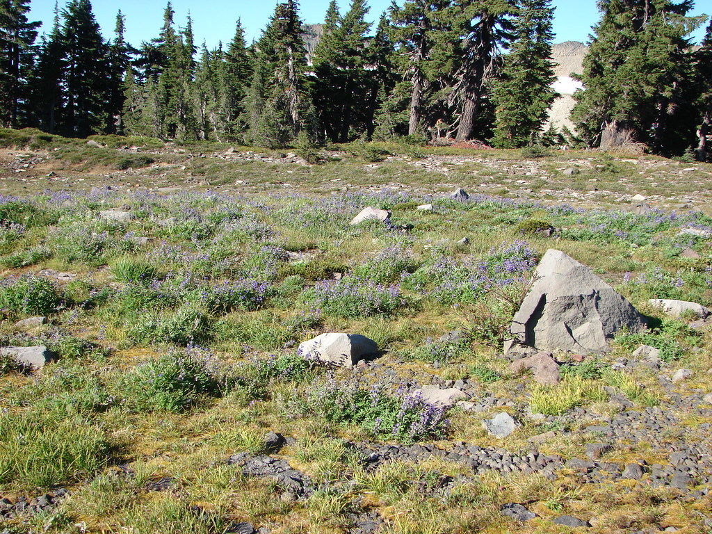
It was just under 2 miles down to Russell Lake. The PCT was a little steeper on this side of Park Ridge as it traversed downhill past springs, red huckleberry bushes and meadows with wildflowers still in bloom.
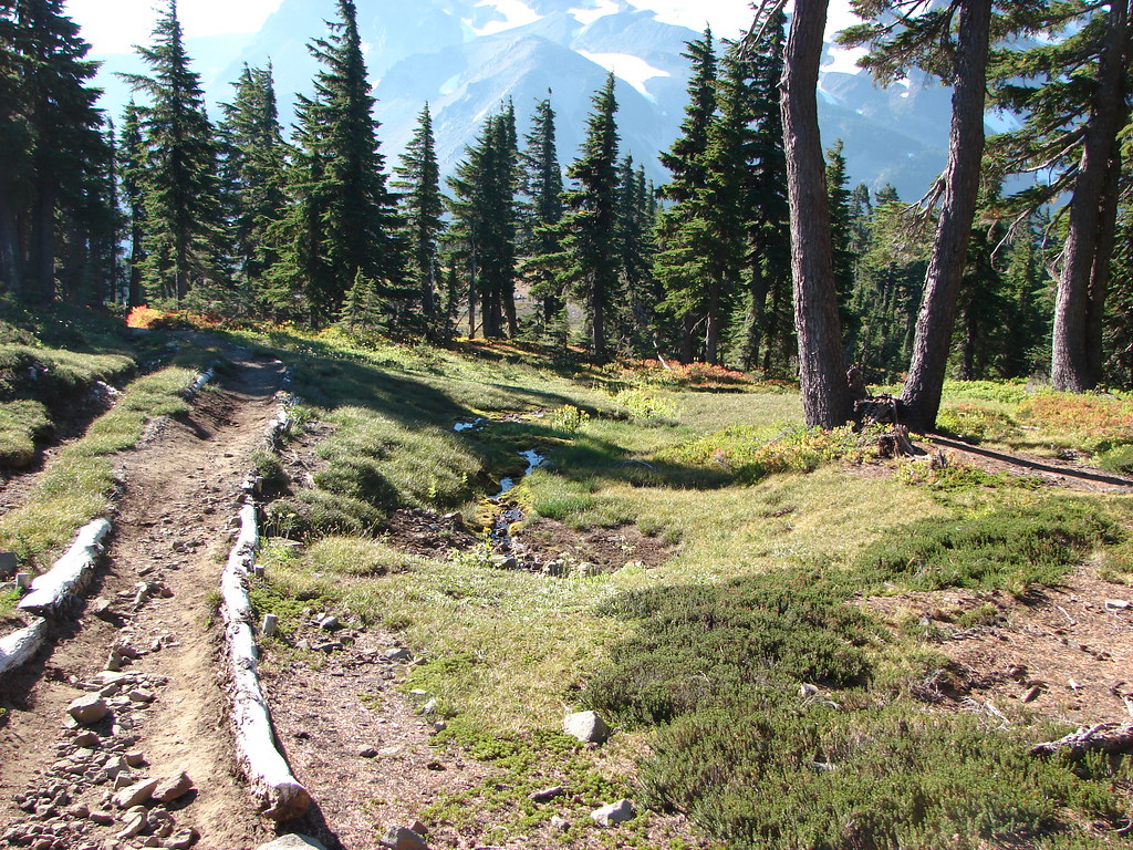


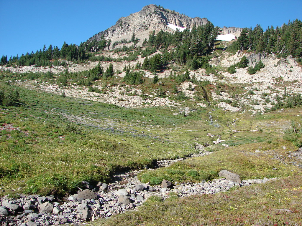
Behind us Park Butte rose from the end of Park Ridge.
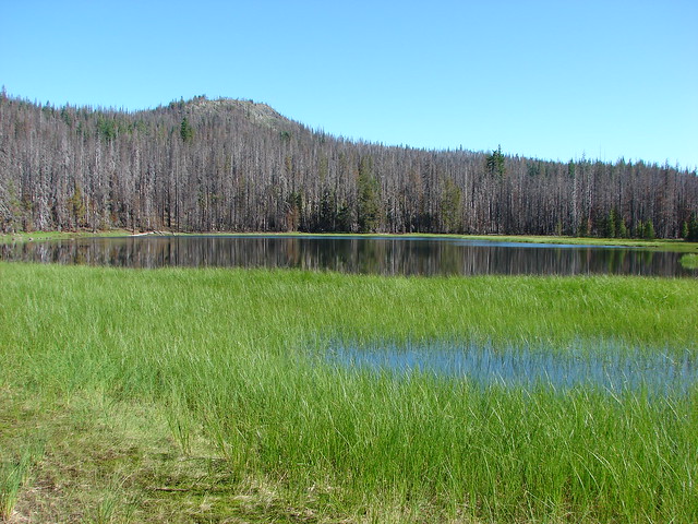
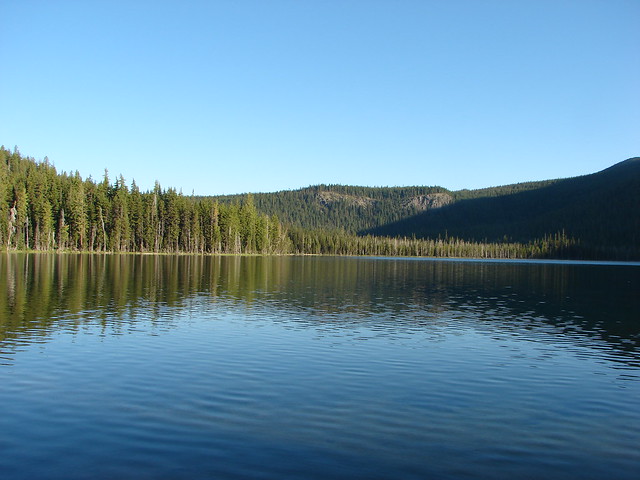
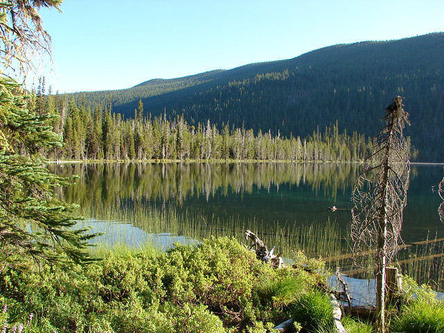
We eventually got a good look at Russell Lake.
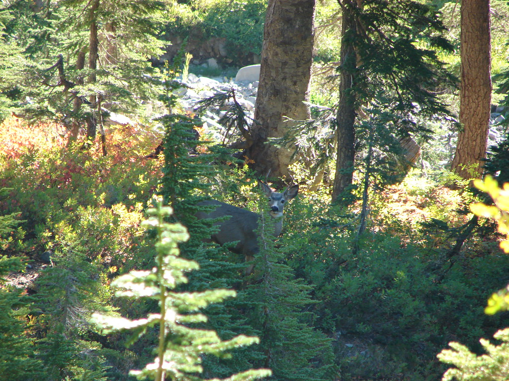
Before we made it down there though we ran into a small buck.
After crossing the dry bed of the South Breitenbush River we turned off the PCT to visit Russell Lake.


After visiting that lake we returned to the PCT and continued south another three quarter miles to Scout Lake.

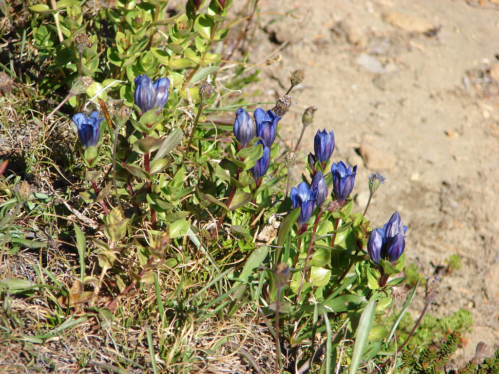
After another short rest we returned the way we’d come. On the way back the remaining gentians were opening up to the sunlight.

We followed the PCT back up Park Ridge where the views were no less impressive.


We cruised back past the now thawed ponds and more blooming gentians to the trailhead where we would once again need to brave FR 4220 in order to get home.

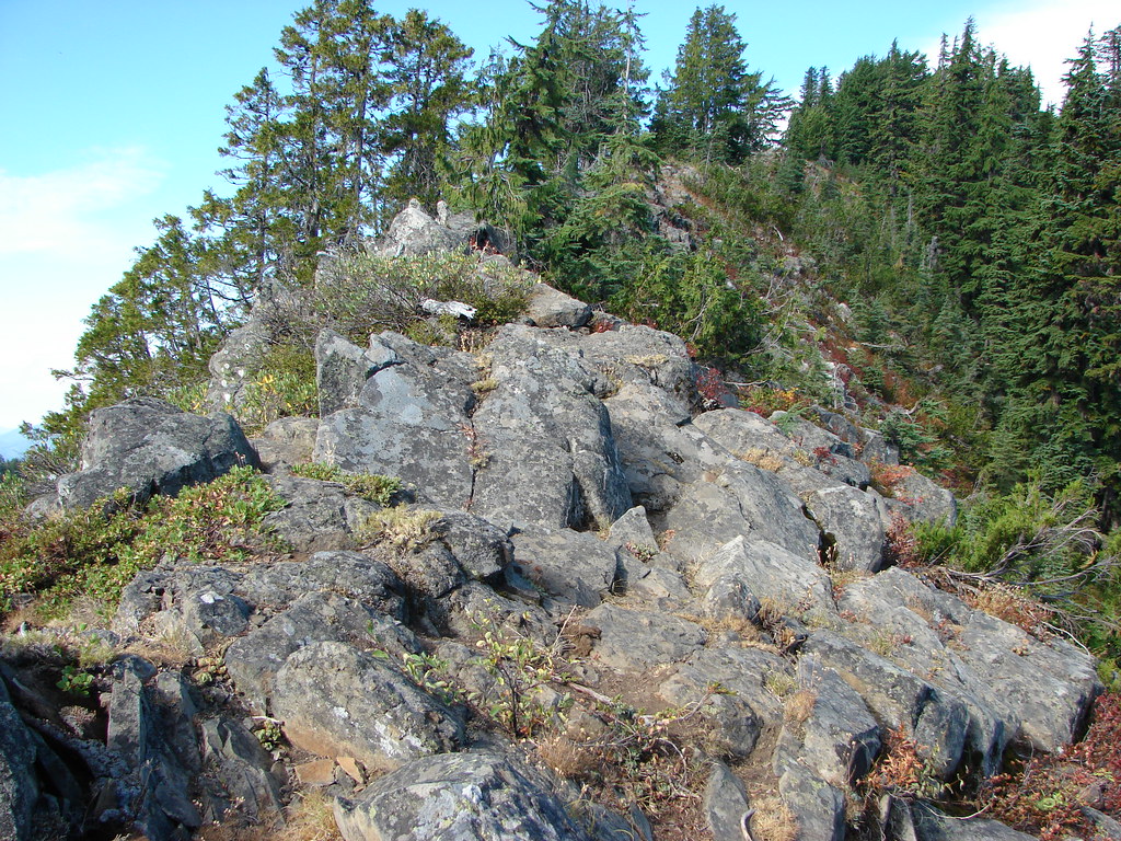
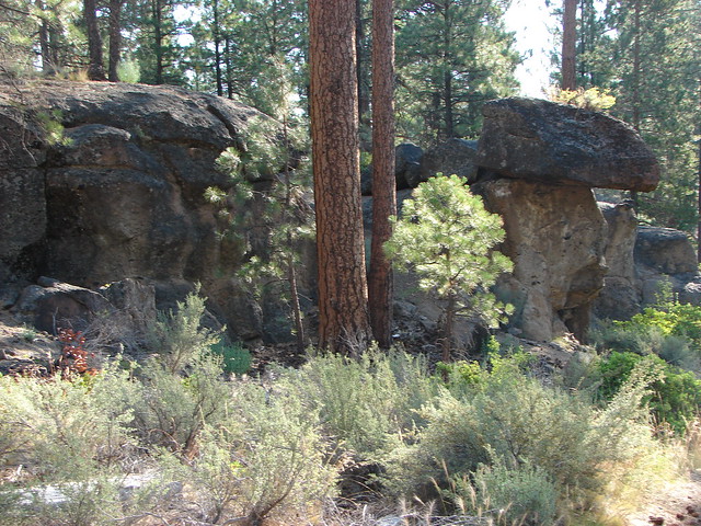
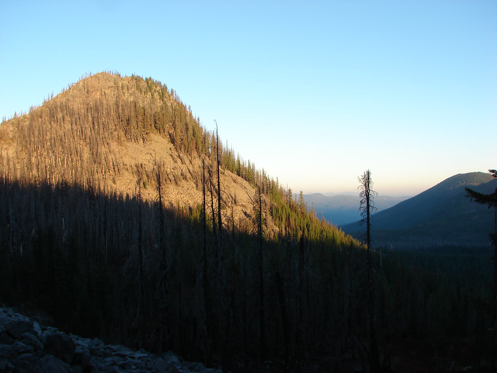
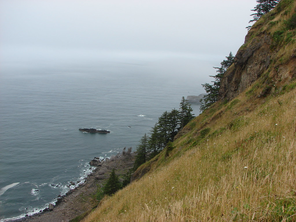
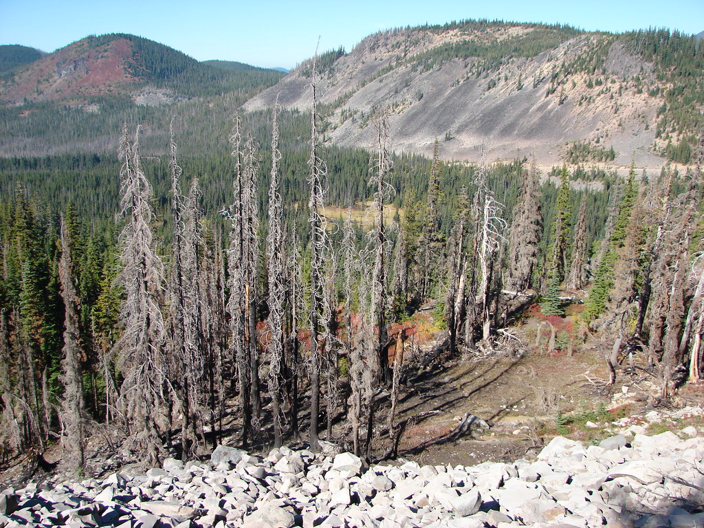 FR 4220 visible below the rocky slope.
We obviously survived the drive back. We hope to get back to Park Ridge someday. We have considered heading up the PCT from Jefferson Park on subsequent visits but have wound up balking at prospect of the 1000′ of elevation gain necessary to get to the top. It will likely be part of a backpacking trip the next time we are up there, until then we have the memories. Happy Trails!
Flickr: Jefferson Park Ridge


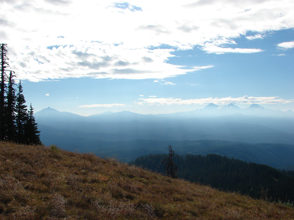
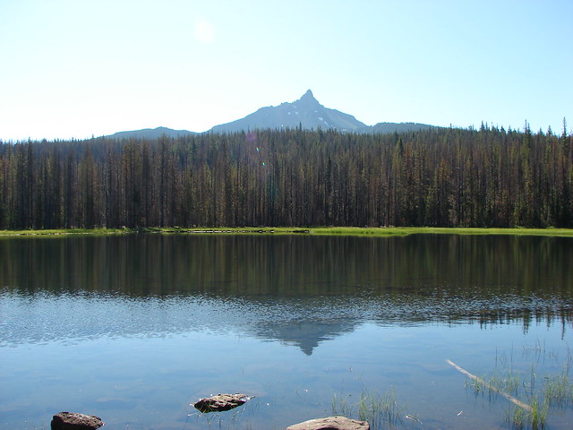
 Mt. Jefferson and Three Fingered Jack
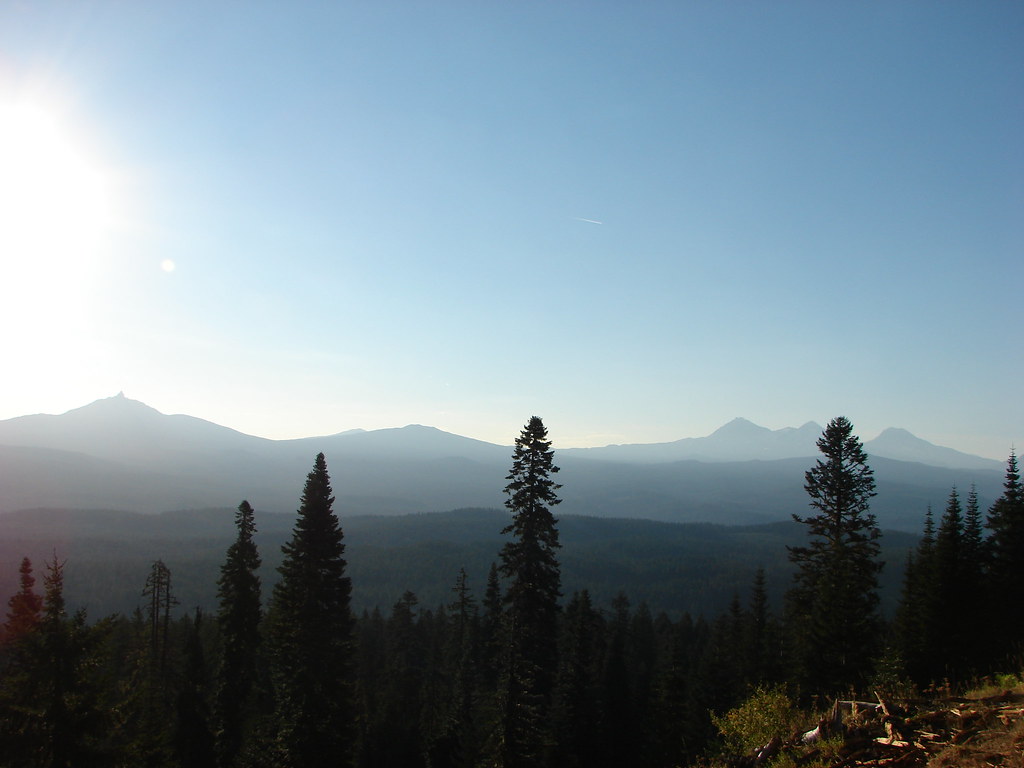 Mt. Washington and the Three Sisters