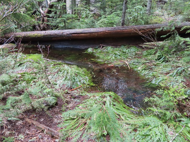
Our original plan for this vacation was to do a pair of hikes on the way down to Roseburg on Monday, Illahee Rock and Twin Lakes but the weather hadn’t cooperated with that plan. Monday was cloudy so doing two viewpoint hikes didn’t make sense. Instead, we had spent Monday visiting various waterfalls along Highway 138 (post). The plan for Tuesday had been a hike along Cow Creek on the way south to Ashland but during one of the many drives between trailheads on Monday we had decided instead to do the Illahee Rock and Twin Lakes hikes on Tuesday, weather permitting, and to save Cow Creek for another year. There were two reasons for this change. First Twin Lakes is one of Sullivan’s featured hikes while Cow Creek is not. The second reason was that we were both still dealing with blisters from our 17.5-mile outing at the Columbian White-Tailed Deer Refuge three days earlier (post) and with at least four creek crossings on the Cow Creek Trail the probability of us having to ford the creek and soaking our feet didn’t sound like the best idea. Before going to sleep Monday, we checked the forecast which was “Becoming Sunny”. I don’t think we’d ever come across that particular forecast, but it sounded hopeful so Tuesday morning we packed up the car and headed east once again on Highway 138.
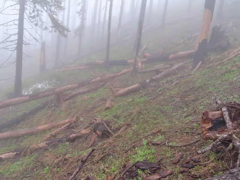
Our first stop was at Illahee Rock, a former featured hike that was hit with fires in both 2017 and 2021. Two lookout towers sit atop Illahee Rock and the Umpqua National Forest website listed the Illahee Lookout Trail as open but gave no update on conditions. We wound up cutting the drive short by three quarters of a mile due to a decent amount of debris in the road due to damage caused by the fires.
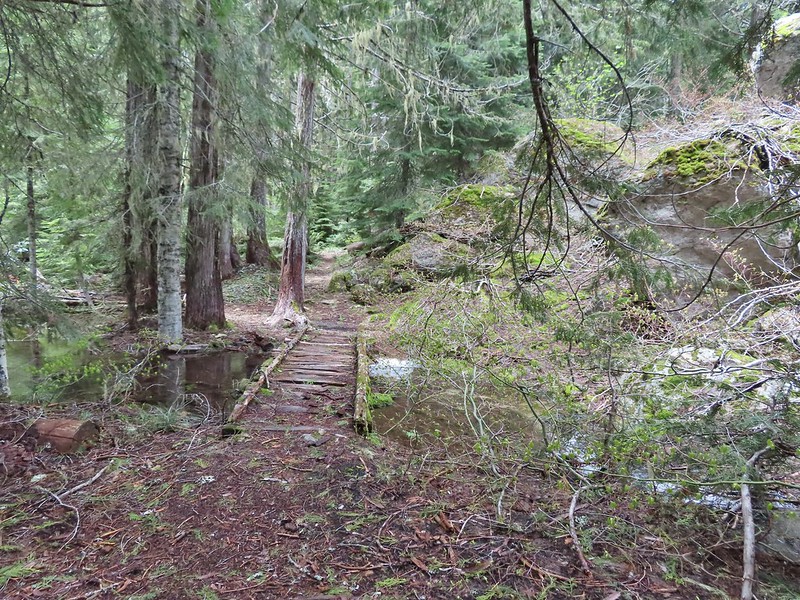
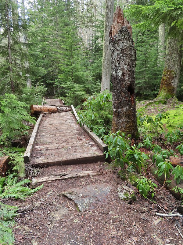
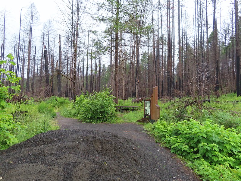
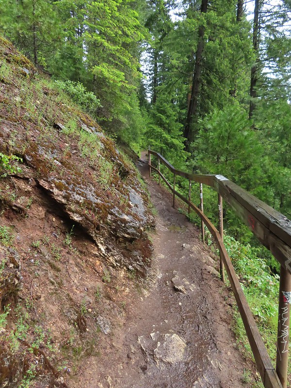
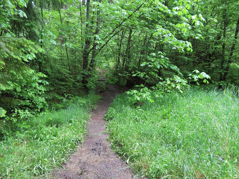
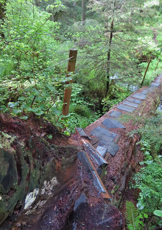
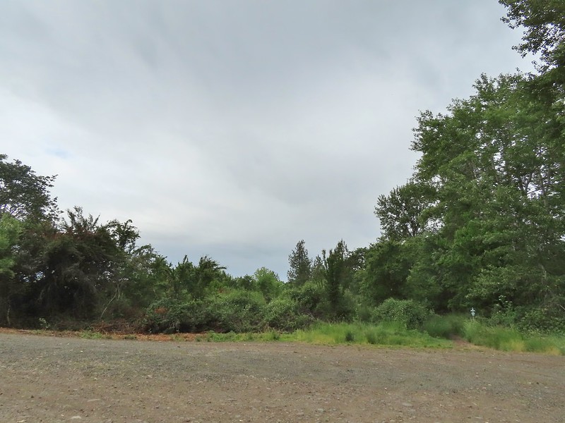
 We parked in a pullout just before this section.
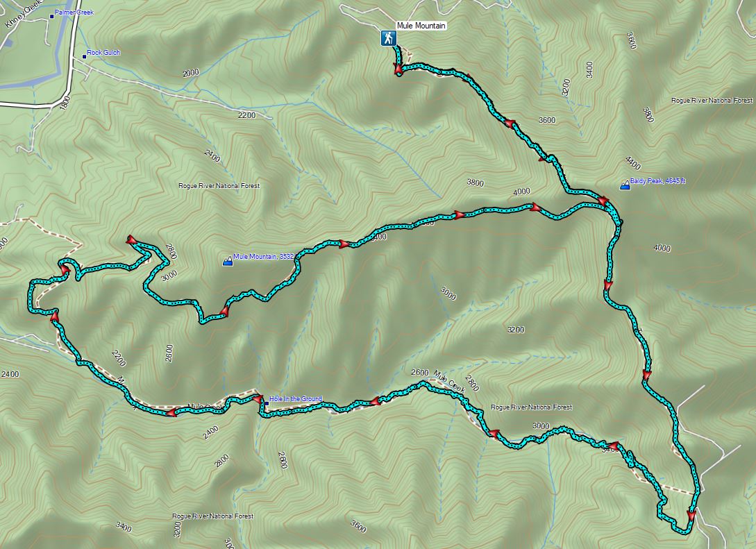
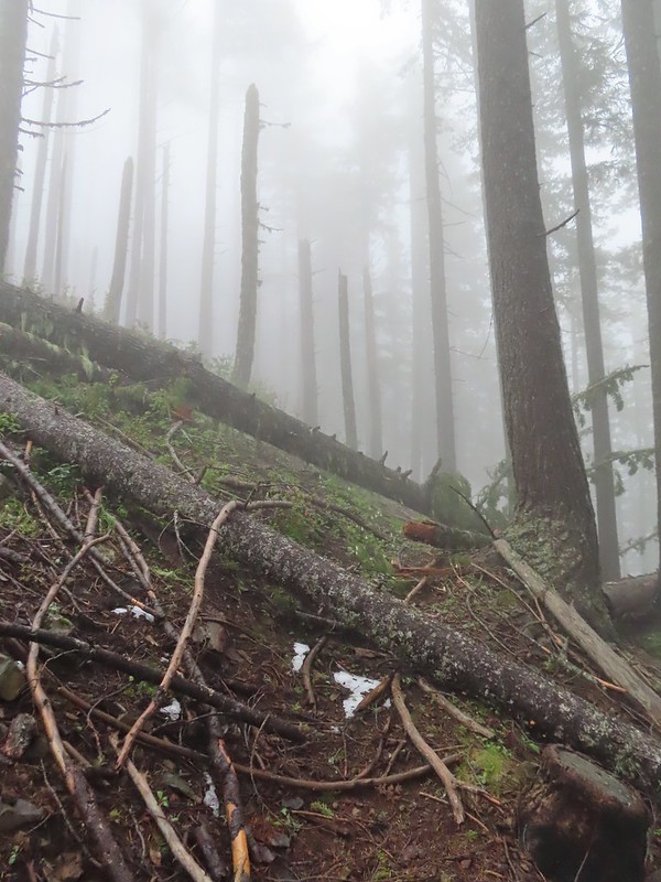
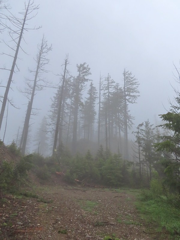
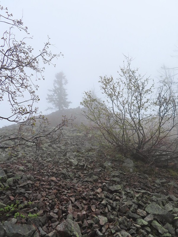
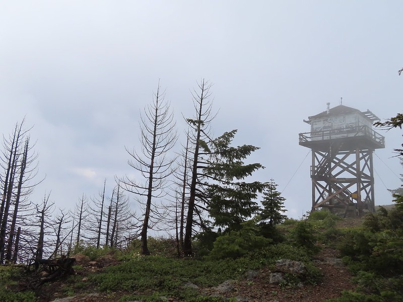
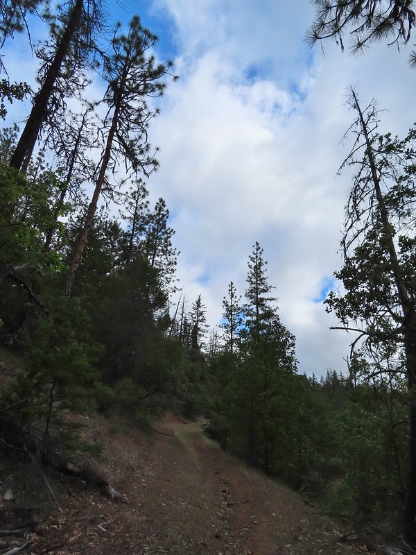
The “becoming sunny” forecast was obviously not for the morning as we found ourselves in heavy fog as we hiked along FR 100.
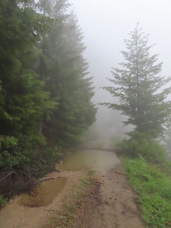
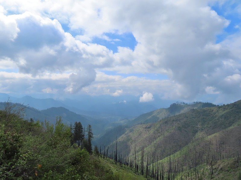
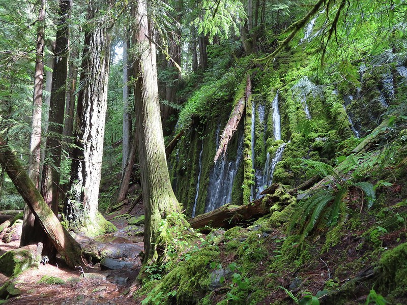
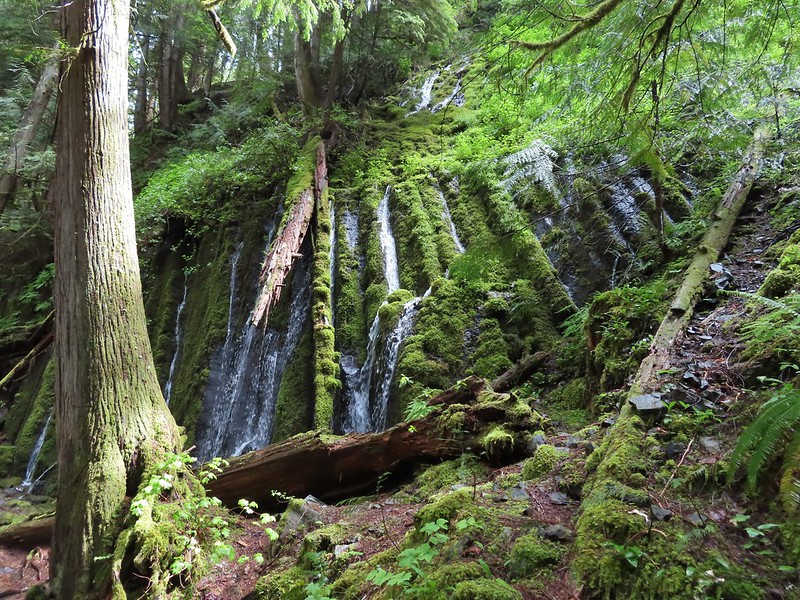
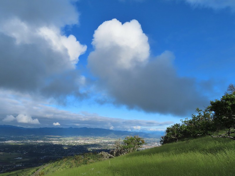
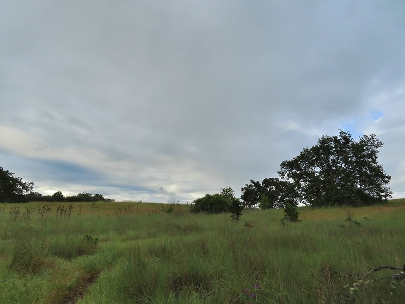
 The Boulder Creek Wilderness (post) under the slowly rising clouds.
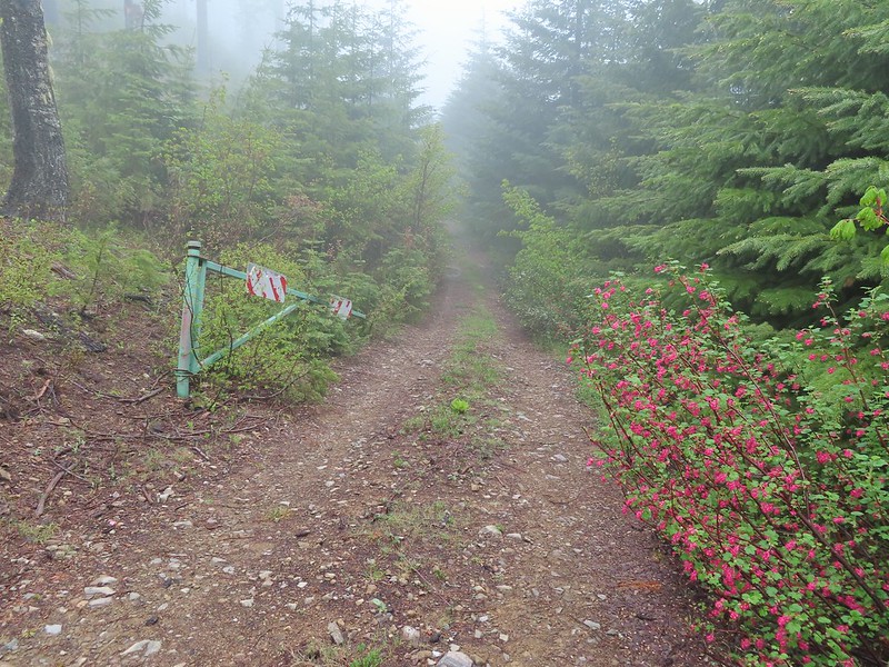
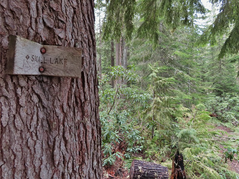
After 0.75 miles on FR 100 we came to FR 104 on the left which led to the Illahee Rock Trailhead. Before heading up to the lookouts though we wanted to make an attempt to reach nearby Wild Rose Point which Sullivan described in his book.
 FR 104
We passed FR 104 and continued on FR 100 for another 0.2 miles to a fork.
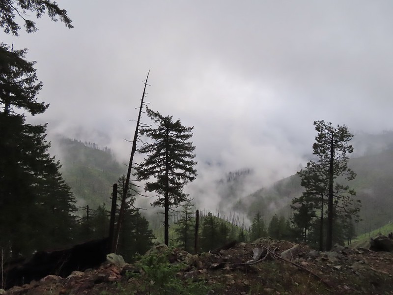
 Rabbit on FR 100
 Lots of fawn lilies along the road and trails.
 Red flowering currant
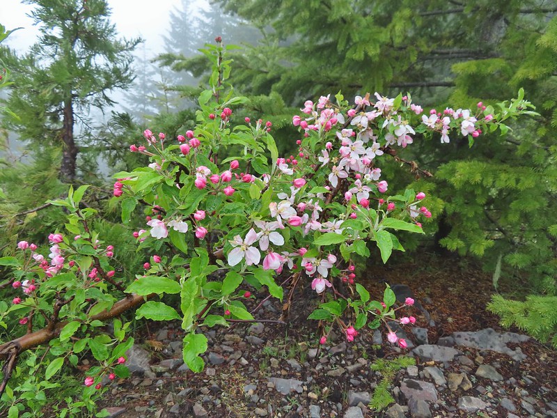 Is this an apple tree? Whatever it is it seemed very out of place.
 FR 105 on the left and FR 100 on the right.
We could see a post for the trail on the hillside in brush but had a bit of trouble figuring out where the trail began at the fork. We first looked for it right at the fork then a bit down FR 100 but it was actually just up FR 105 next to the post for the road.

This little path brought us to the post in the brush where it was already obvious this was going to be an adventure.

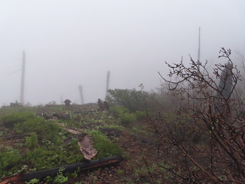
The 2021 fire had burned over this area as well and it didn’t appear that any maintenance had been done aside from some occasional flagging and cairns. We decided to give it a go though since it was under 1.5 miles to Wild Rose Point. We picked our way uphill and found some decent tread in some trees that had been spared by the fire.

Another uphill through a burned area brought us to another short section of better trail before fallen trees began to be a problem. A little over half a mile in near Illahee Spring we decided to turn back. Several larger trees blocked the trail head and looked like more trouble than it was worth to try and navigate around and even if we did manage there wasn’t going to be a view due to the fog.
 A cairn on the left.
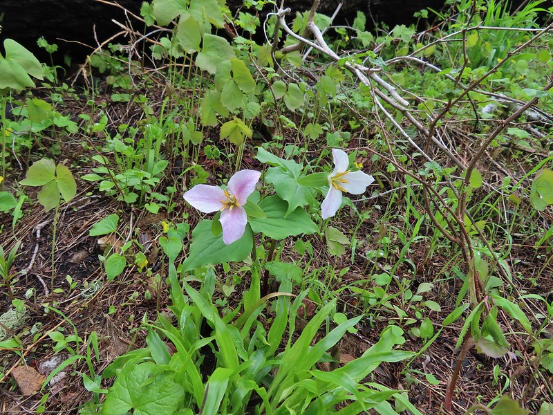
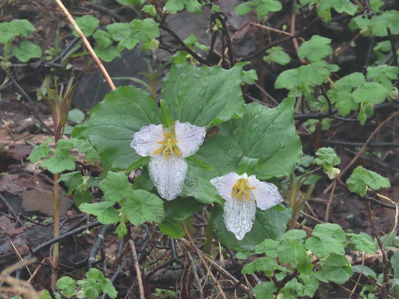 Damp trillium
 Downed trees across the trail near Illahee Spring.
We returned to FR 100 and walked back to FR 104 which we now turned up.
 Gooseberry
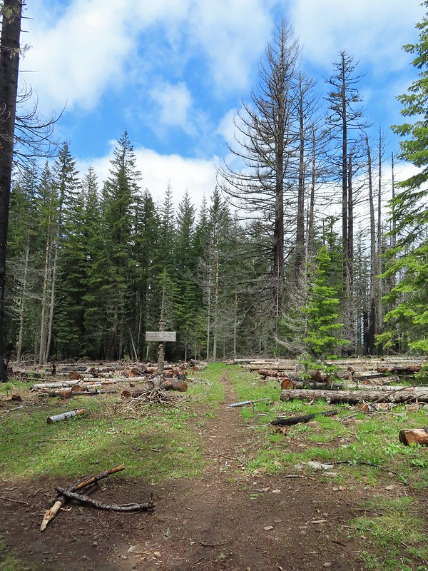
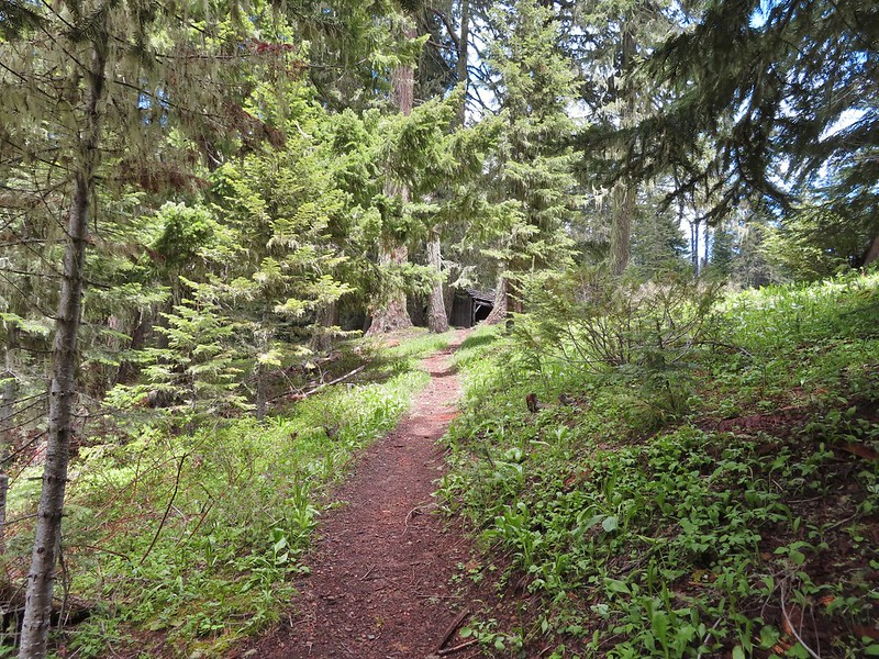
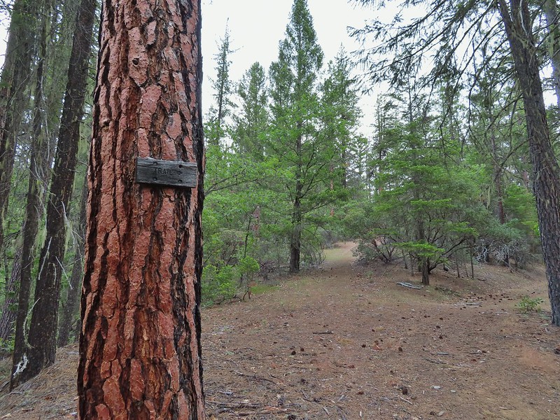
Two tenths of a mile up FR 104 we came to the Illahee Rock Trailhead.
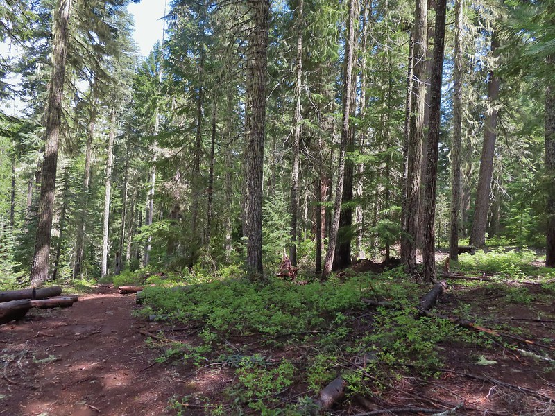
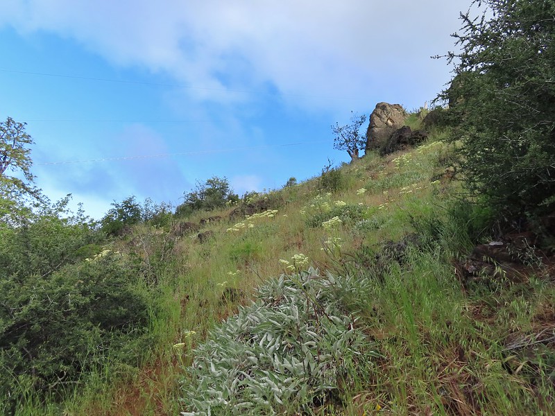
This trail was in much better shape and we had no problem following it the three quarters of a mile up to the lookouts.

 The tread was a little faint but otherwise in good shape.
 Lots of cool rock outcrops along the trail.
 Fawn lilies
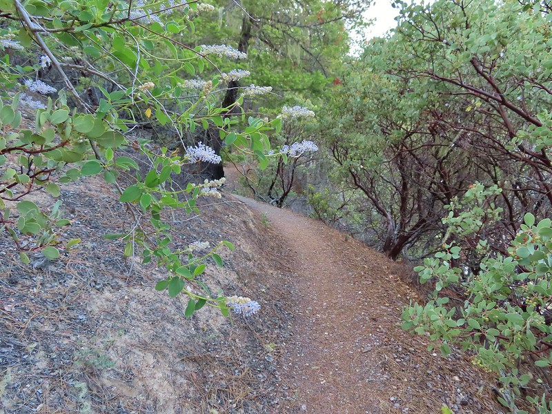
 Typical trail condition.
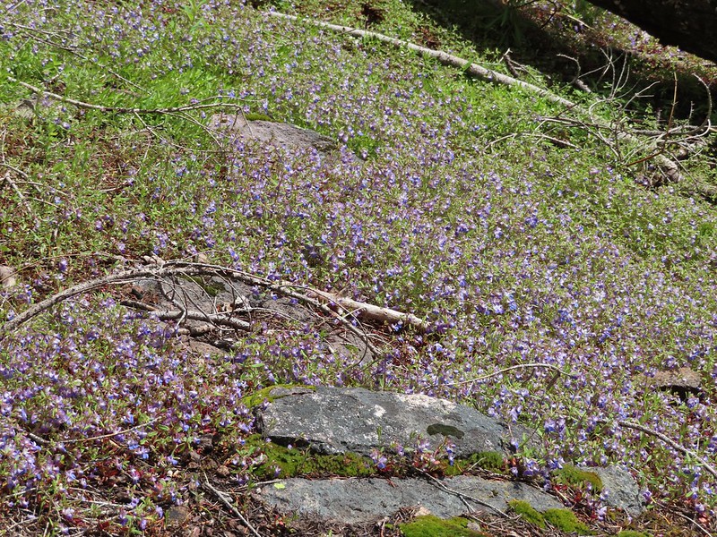
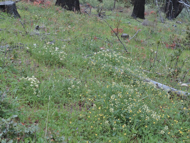
 Ragwort and blue-eyed Mary covered hillside.
 Blue-eyed Mary
 Ragwort
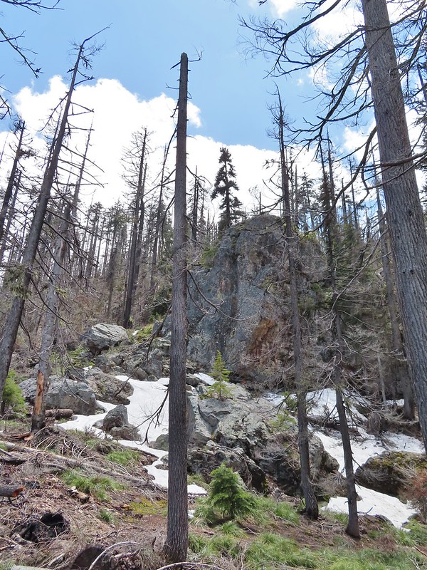
 Rocky hillside below the lookouts.
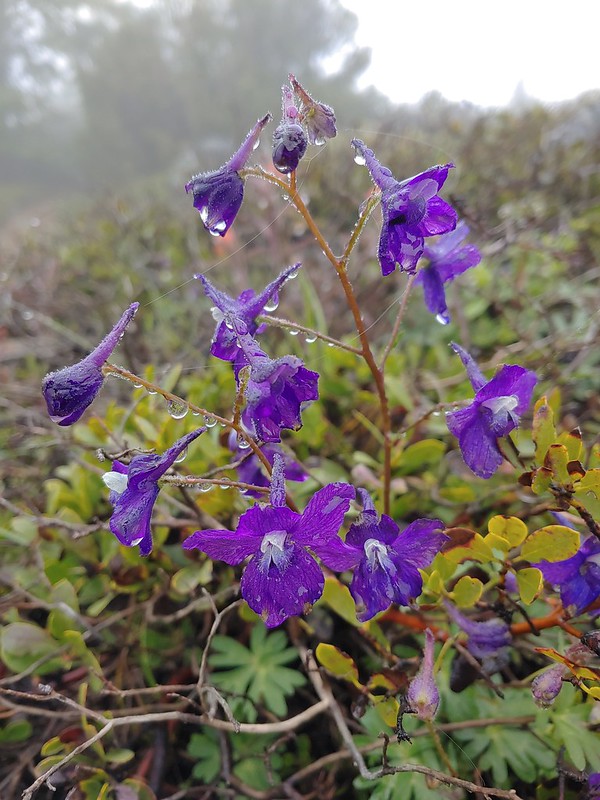 Larkspur
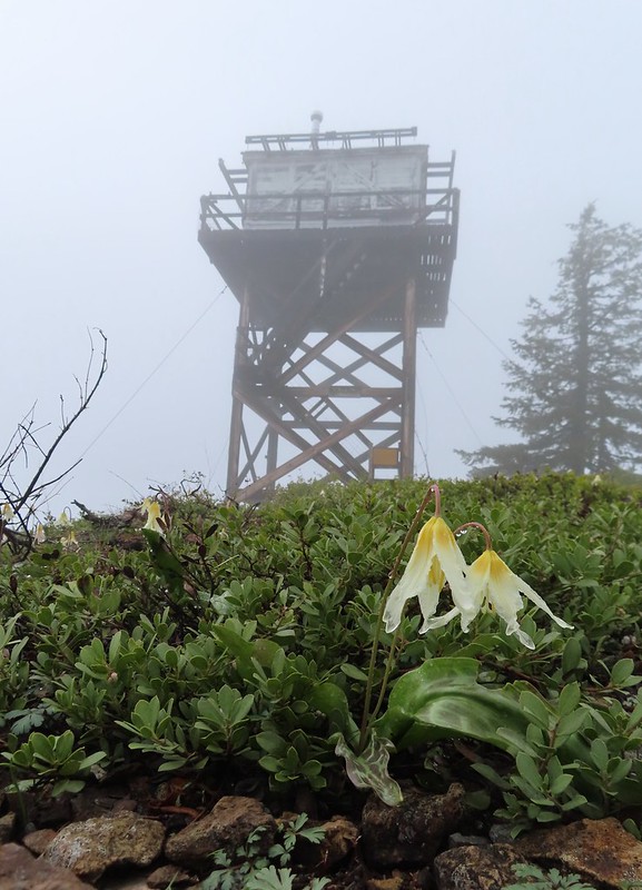
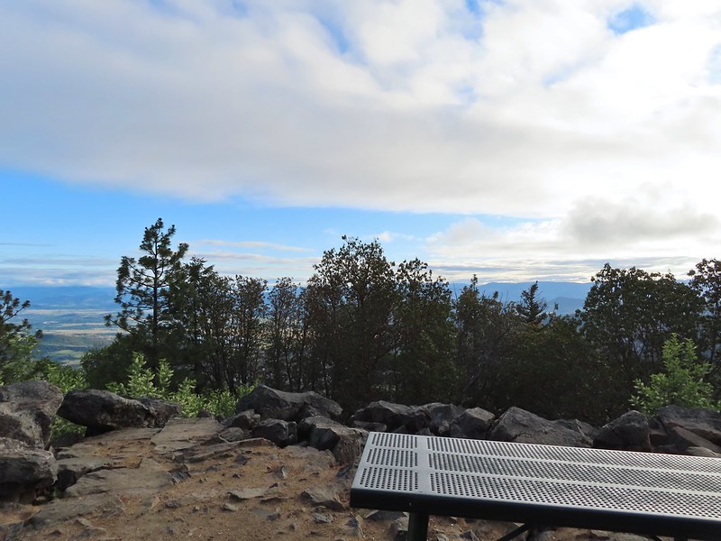
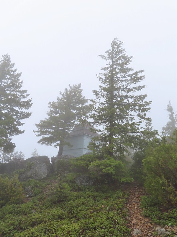 1925 Cupola style lookout.
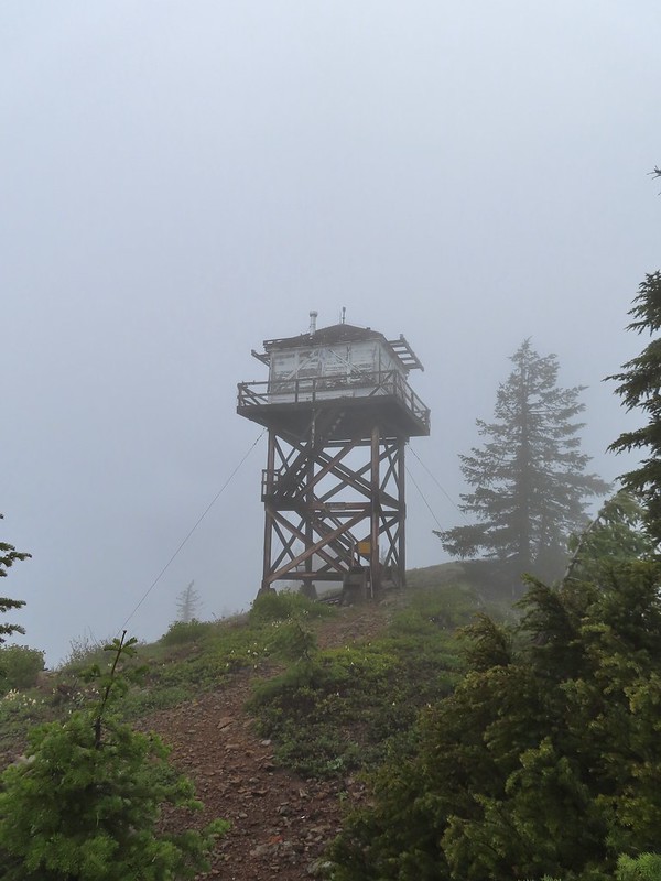 1956 L-4 tower lookout

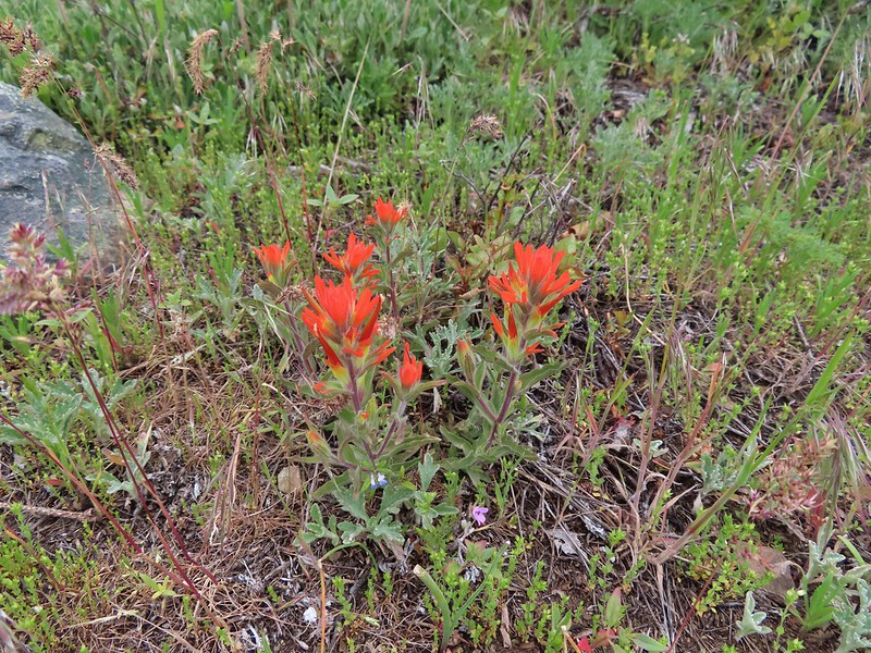
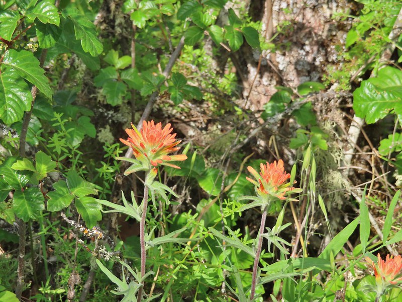
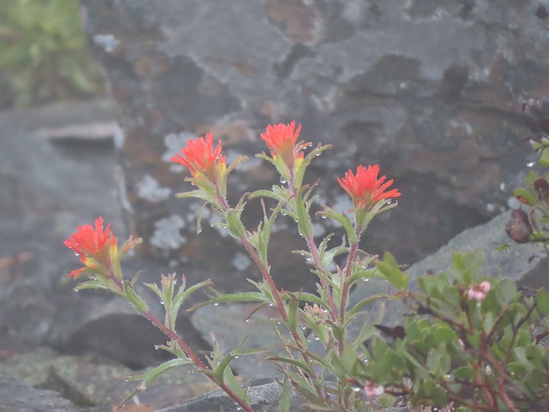 Paintbrush
We spent some time exploring the summit and checking out the lookouts while we waited for it to become sunny. We eventually gave up on that and headed back down.

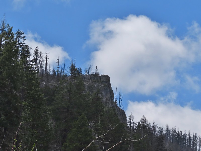
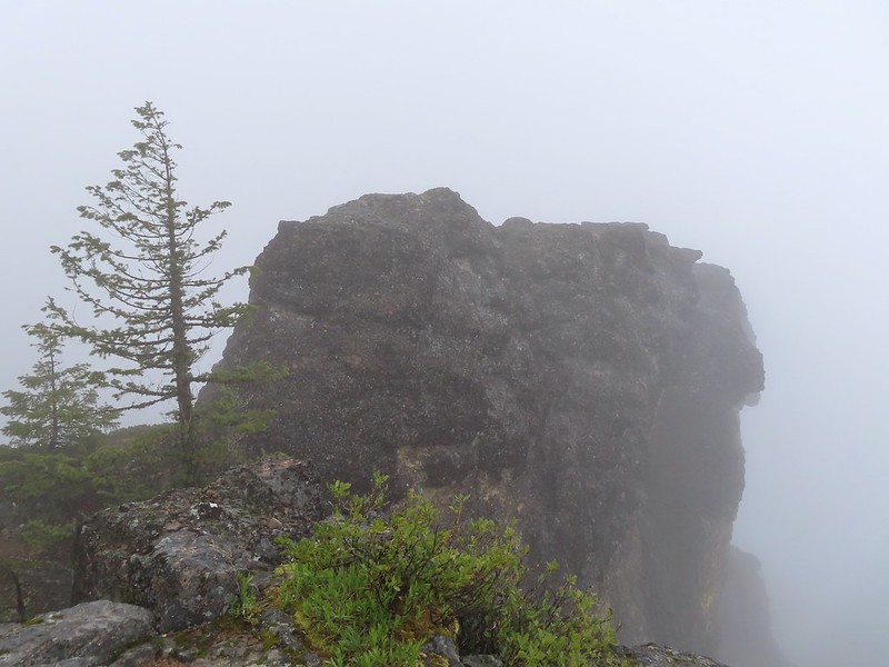 Illahee Rock
 A sliver of hope for blue sky at some point.
It wasn’t more than 10 minutes after we started down before the blue sky started appearing.


 Back at the trailhead.
 On FR 100
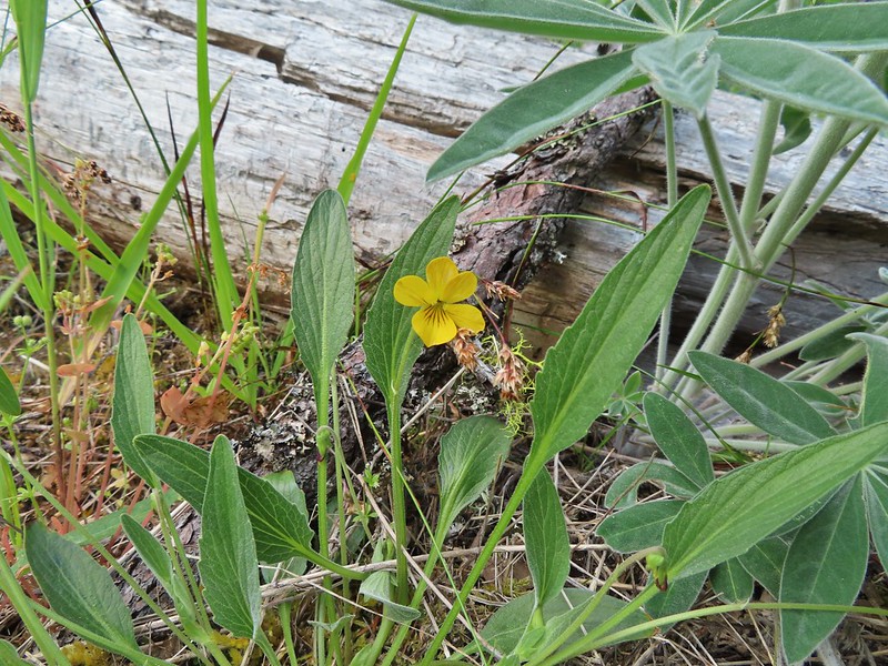
 Wallflower
 The Boulder Creek Wilderness
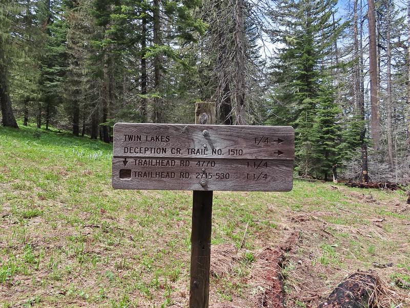
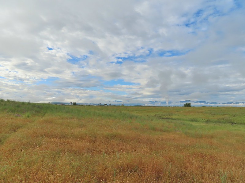
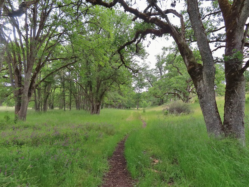
We’d missed out on a view from Illahee Rock but we had another opportunity coming up on our hike to Twin Lakes. We drove back down FR 100 to Highway 138 and turned left (east) for 2.25 miles to FR 4770 where we turned right at a sign for the Twin Lakes and North Umpqua Trail. We followed FR 4770 to the Twin Lakes Trailhead . (The east trailhead not the west.)

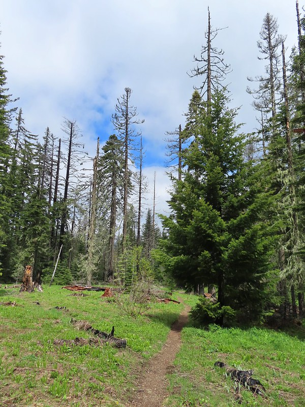
The same 2017 fire that burned Illahee Rock affected the Forest here as well although many large trees did survive. We followed the Twin Lakes Trail for 0.6 miles to a junction.

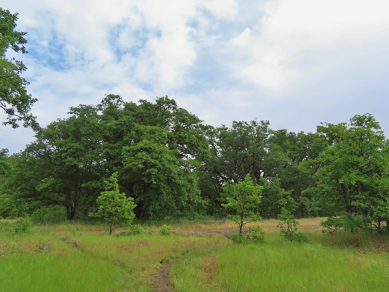
 Meadow along the trail.
 Trillum

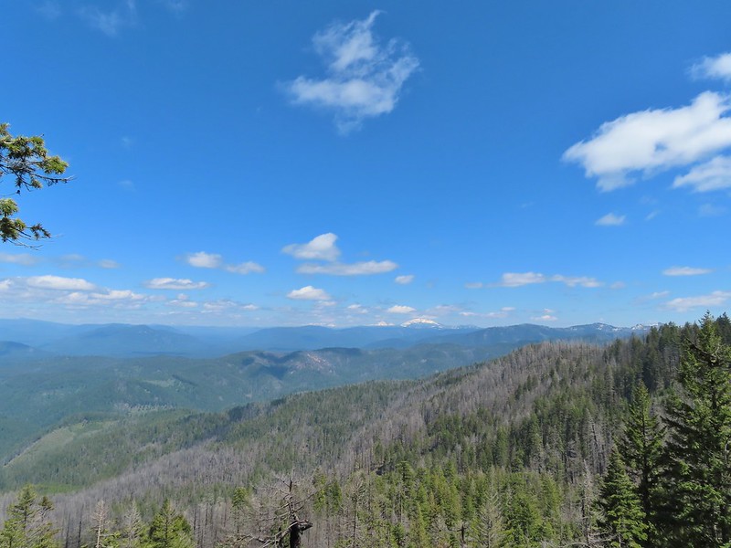
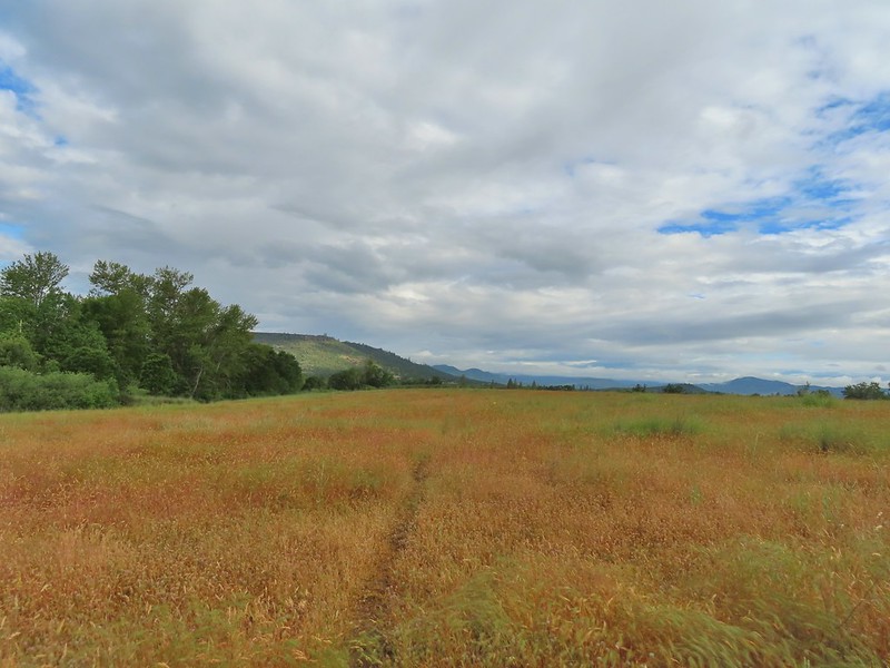
 Becoming sunny in action. From this viewpoint Diamond Peak, Mt. Thielsen, and Mt. Bailey are visible sans clouds.
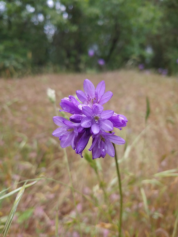
 A carpet of blue-eyed Mary at the viewpoint.
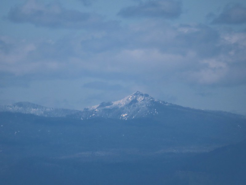
 Illahee Rock was visible from the viewpoint despite the clouds.
 The lookout tower on Illahee Rock.

 Indian plum
 Hellbore starting to sprout in a meadow.
 Waterleaf
 Nearing the junction.
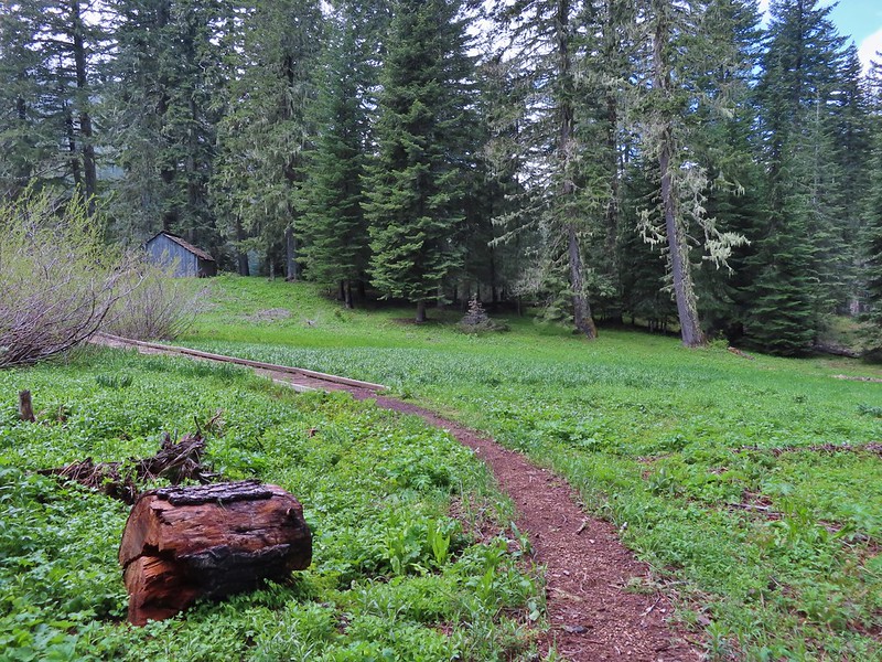
At the first junction we stayed right then veered left at the next, avoiding the Deception Creek Trail, and descended through a meadow to the Twin Lakes Shelter.
 Woodpecker
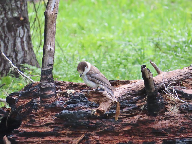 Gray jay
 The second junction where we turned left.


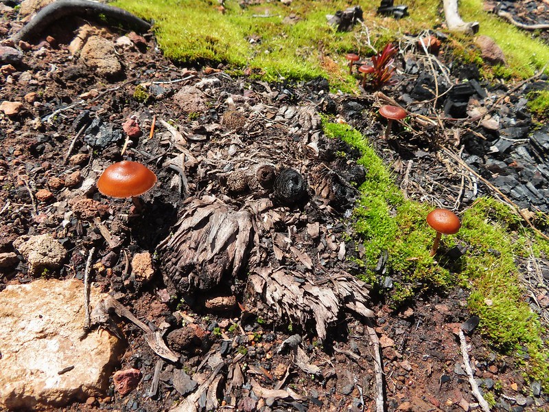
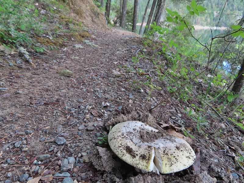
 Mushroom near the shelter.
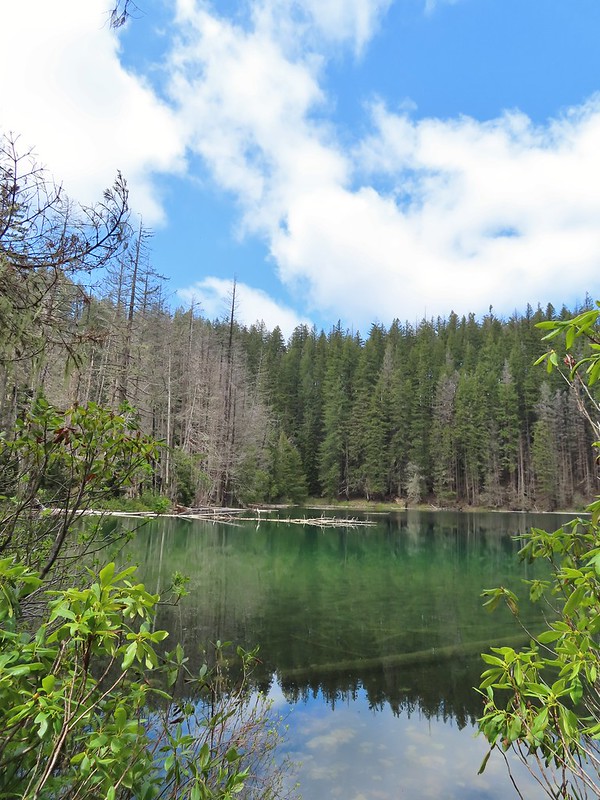
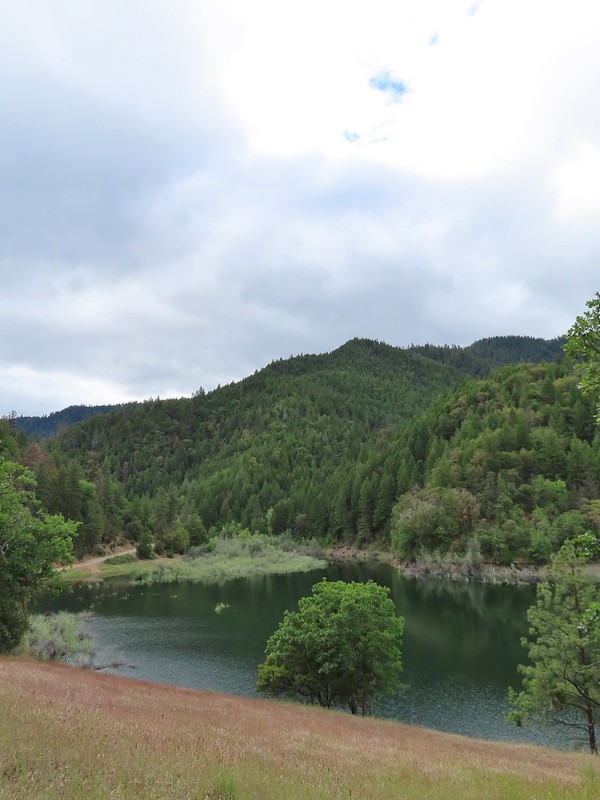
After a short break at the shelter we started around the bigger of the two lakes going counter-clockwise. We passed a walk in campground and continued along the lake shore.


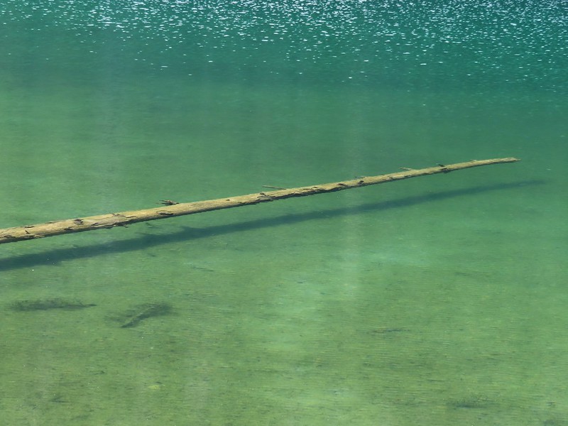
The lake was very colorful and it was easy to see into the water which allowed us to watch fish as they swam around.

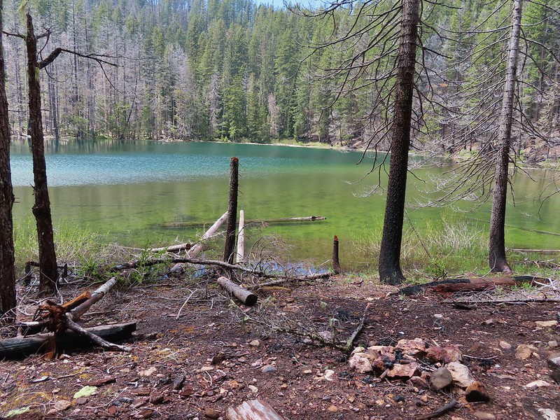
 No fish but it was easy to see them when they were present.
 This big rock added to the scenery.
 We couldn’t decide if that was an old bridge or dock in the water.
 Passing behind the big rock.

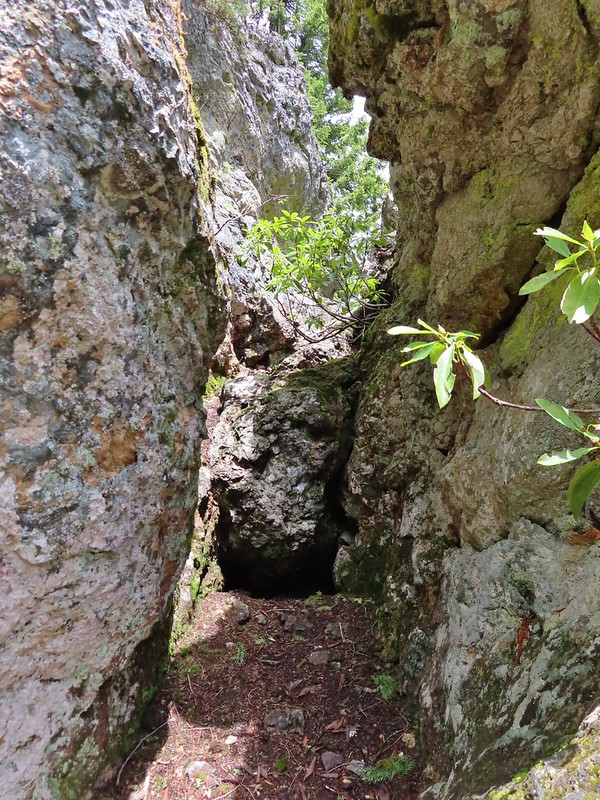 The rock turned out to be split.
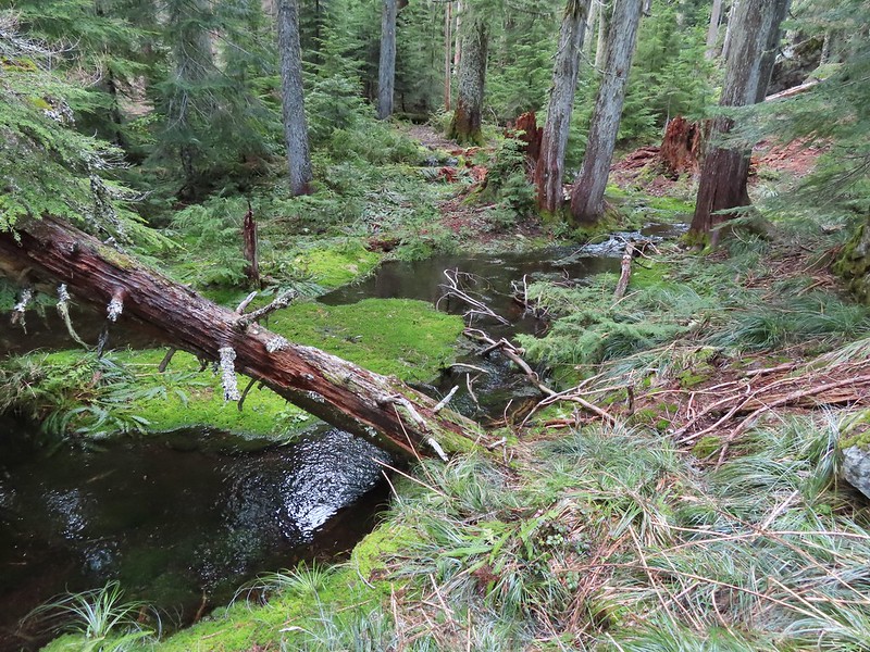
 There was a lot of water in the section between the two lakes. Fortunately there didn’t seem to be any mosquitos which was really surprising but in a good way.

We weren’t entirely sure where the trail between the two lakes was and we started thinking that we’d missed it so when we saw an opportunity we headed cross country toward the smaller lake.
 This looked like it could be a trail.
 How were there not any mosquitos in here.
 A local wondering what we were up to.
We spotted more large rocks with a bit of a shelter underneath and were headed for it when we spotted an actual trail running by the rocks.

We followed this trail to the second lake and made our way around it counter-clockwise as well.
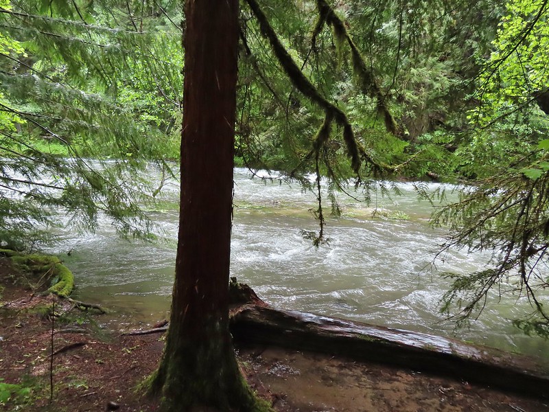
 The outlet creek.
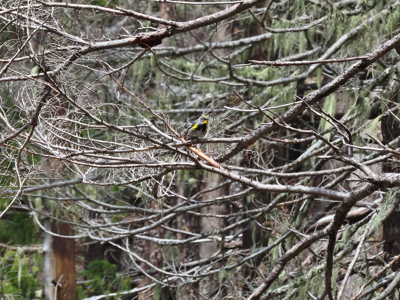 Yellow-rumped warbler

 Red-breasted sapsucker
 Stellar’s jay
There was still snow in the basin on the south side of the lake making this side very wet.


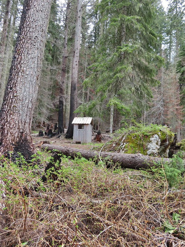
A 1995 log shelter used to be located on this side of the lake but was lost to the 2017 fire. A small outhouse and a whole lot of garbage (people are awful sometimes) is all that was left.
After completing the loop we followed the trail back toward the larger lake passing the boulder shelter and a balancing rock.

 This cracked us up, someone just nailed the planks into the tree that broke the bridge.
This trail led back to the trail around the larger lake.
 A small sign at the junction.
We finished the loop around the larger lake and stopped again at the shelter.


A 1.1 mile climb from the first junction that we’d come to earlier would take us to a viewpoint above the lakes.
We had been waiting to see if it really did become sunny before deciding on this optional side trip but now that there was quite a bit of blue sky overhead we decided to head up.
 Another meadow along the 1.1 mile section.
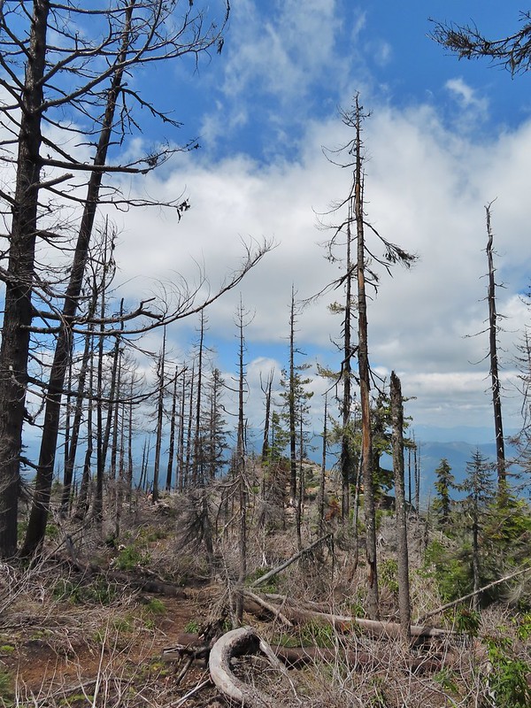
 The 2017 fire hit this section pretty hard.
There was a bit more snow over 5400′ but not enough to cause any problems.

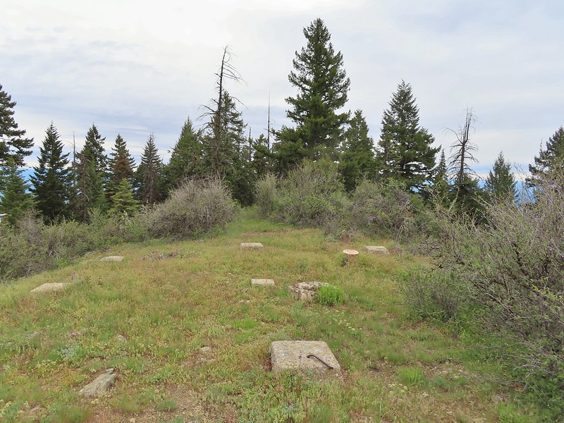
A well established use trail led out to the viewpoint where we met another pair of hikers enjoying the view.
 The larger lake.
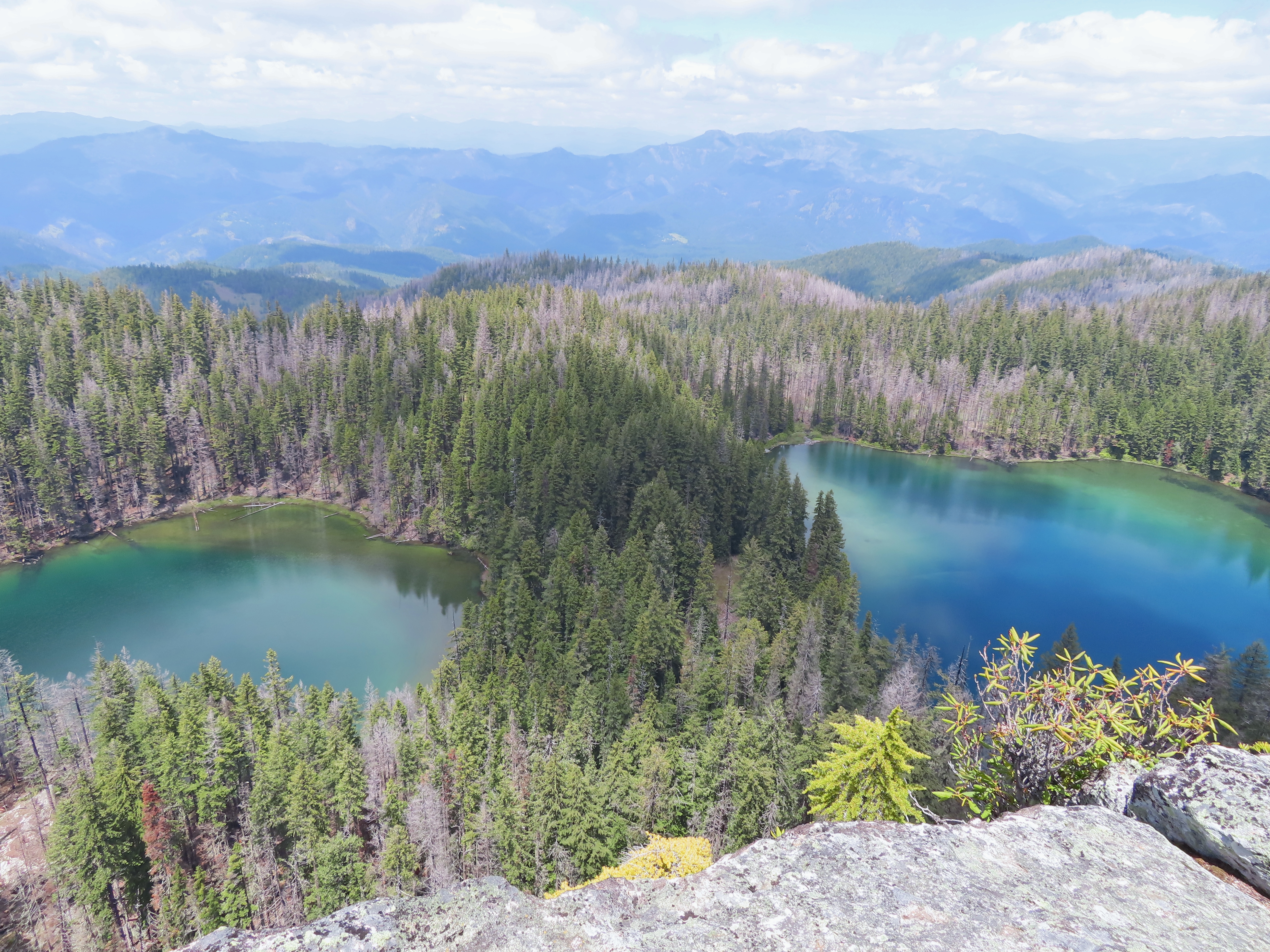
 The smaller lake.
 Illahee Rock from the viewpoint.
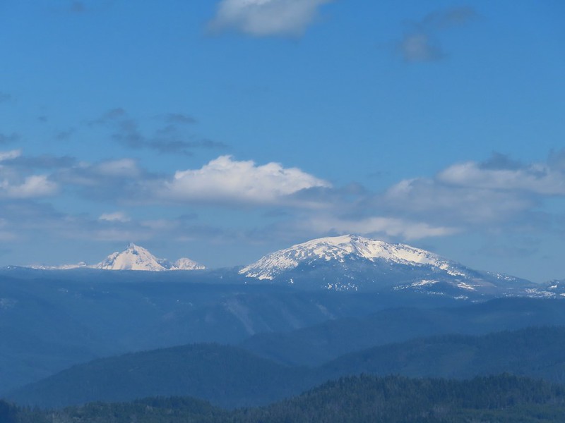
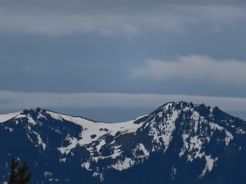
 The lower flanks of Howlock Mountain, Mt. Thielsen (post), and Mt. Bailey (post).
We chatted with the other hikers long enough that we could almost see all of Mt. Thielsen and Mt. Bailey by the time we were headed back.

 Bee on an anemone.
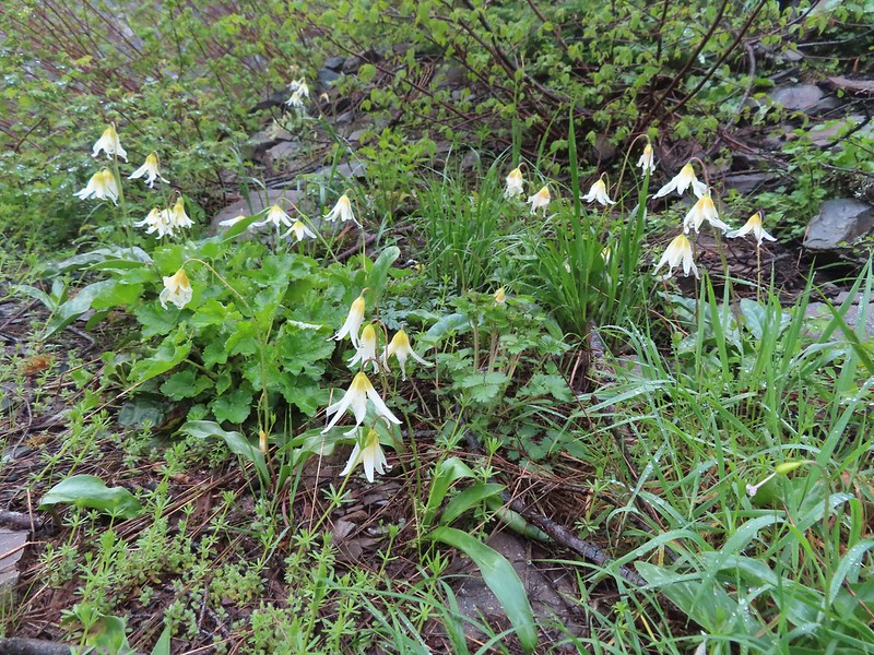
 Glacier lily
 Moth and a violet.
When we passed by the lower viewpoint the views had improved even more.
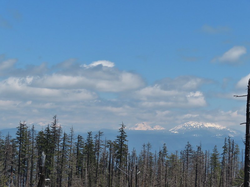
 Mt. Thielsen and Mt. Bailey
 Black Rock on the right.
 Highrock Mountain
 Howlock Mountain
 Cowhorn Mountain (post)
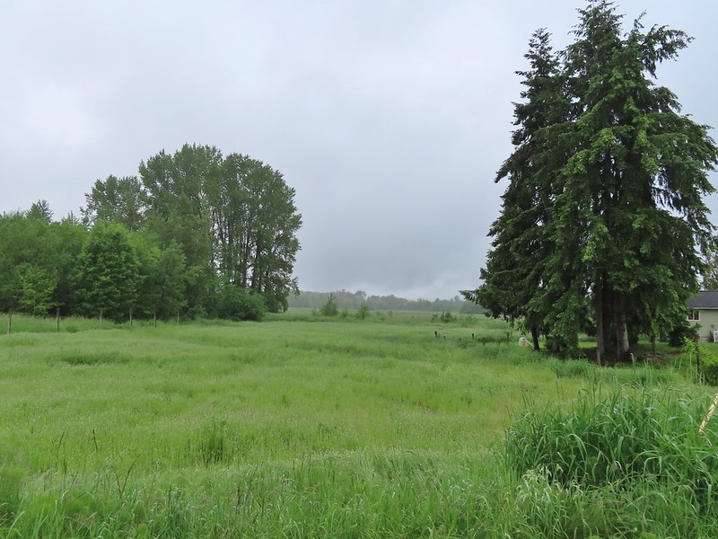
It truly had become sunny and was supposed to stay that way at least for the next couple of days. After driving back to Highway 138 we followed it east to Diamond Lake then took Highway 230 south to Highway 62 and followed it into Medford to I-5 and took the freeway south to Ashland where we would be staying for the next four nights. We’d hoped to stop by Becky’s Cafe in Union Creek but when we drove by it was closed so instead we wound up with Wendy’s after another long day (sigh) of driving.
The hikes were 5.2 miles and 6.2 miles with 650′ and 850′ of elevation gain respectively giving us an 11.4 mile 1500′ day.

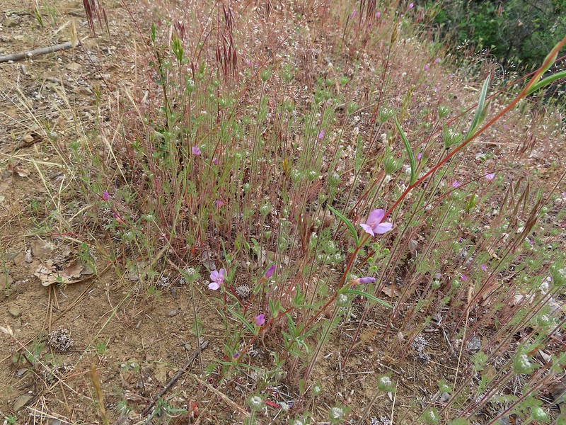
 Checkermallow
 A slug and a bug on a flower.
 Pea
Pea
 Approaching the falls.
 Columbine
 Susan Creek Falls
 Evidence of overnight rains on the trail.
 A very faint rainbow over the North Umpqua River.
 Stairs down to the viewpoint platform.
 Toketee Falls


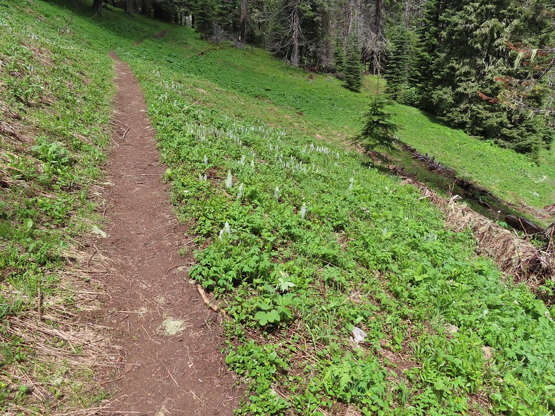
 Candy sticks along the trail.
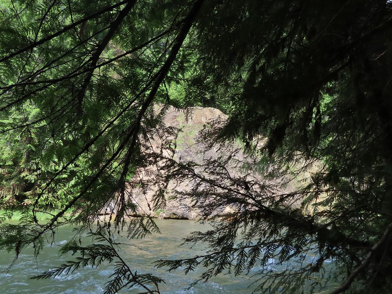
 During lower flow there is another hot spring along the river bank in the area.

 Heading up to the road.
 The North Umpqua Trail on the left leaving the FR 3401.


 The hot springs across the river from Columnar Falls.
 The top of Watson Falls from the trailhead signboard.
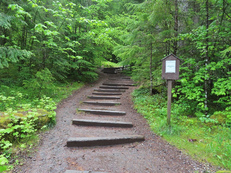
 Watson Falls from below.
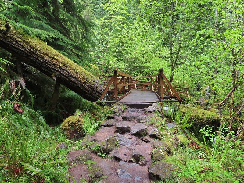 Footbridge over Watson Creek.
 Heather at the viewpoint.
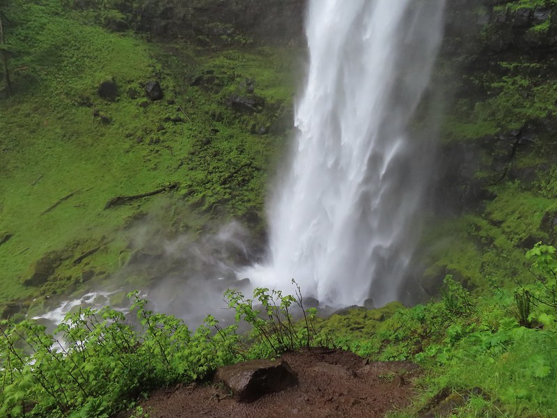 The splash pool.
 Watson Creek at FR 37.
 A little bit of blue sky and sunlight along FR 37.

 Viewing platform above the falls.
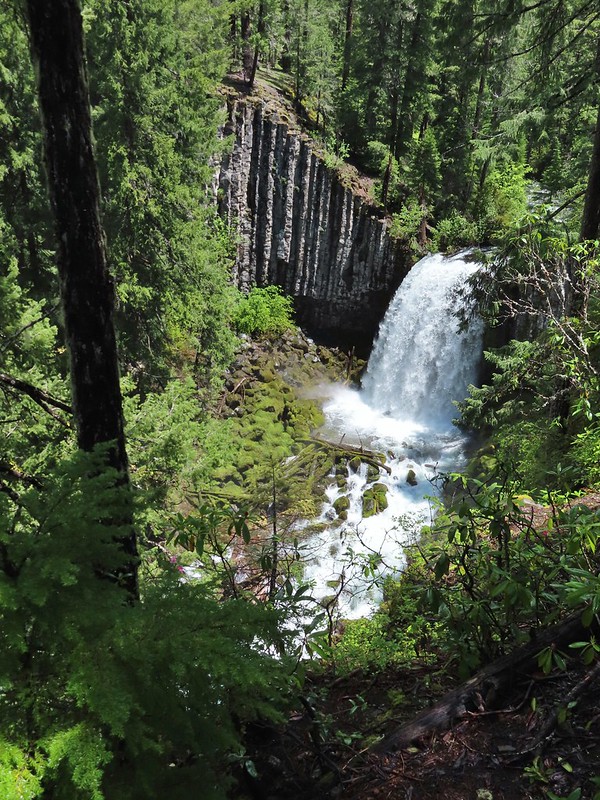 We both really liked the angled basalt cliff on the far side of these falls.
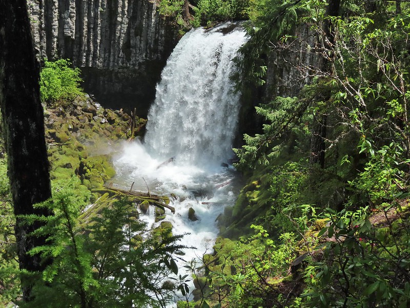
 The canal bridge is 5.6 miles from Highway 138 on FR 2610.
 Sign near the canal bridge.
 The North Umpqua Trail.
 The section between Lemolo Lake and the Umpqua Hot Springs Trailhead is called the “Dread and Terror Segment” but both sections we hiked were beautiful.
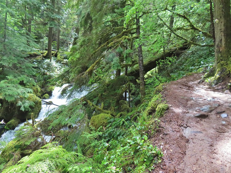
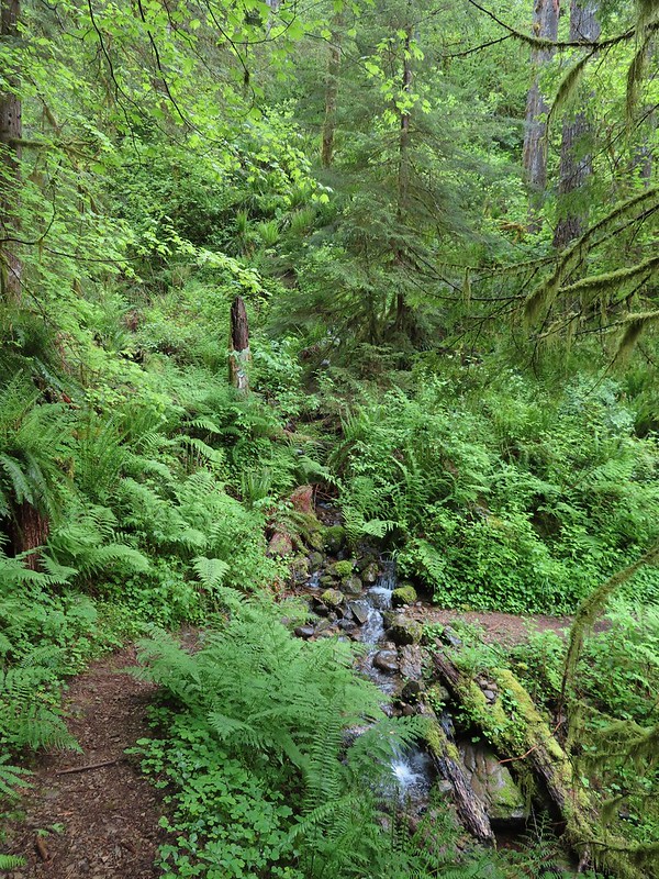
 Numerous seasonal streams and seeps flowed across the trail.
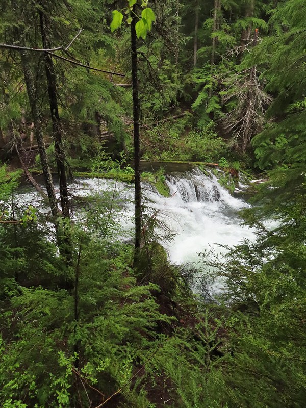
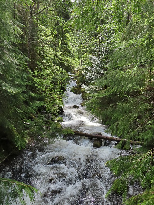
 Unnamed fall along the river.
 Trillium
 Ouzel
Ouzel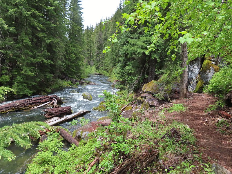
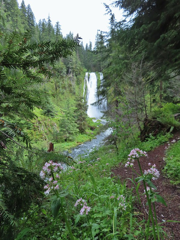
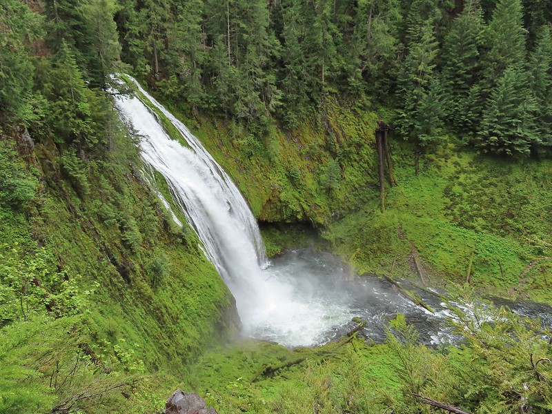 Lemolo Falls
 Red flowering currant along the trail.
 Bleeding heart.
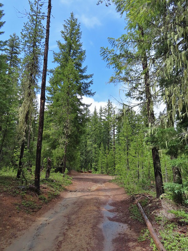 Approaching the trailhead.
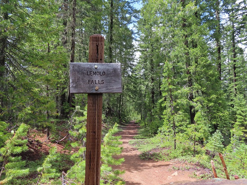

 The former picnic area (Note the picnic table in the trees to the right.)
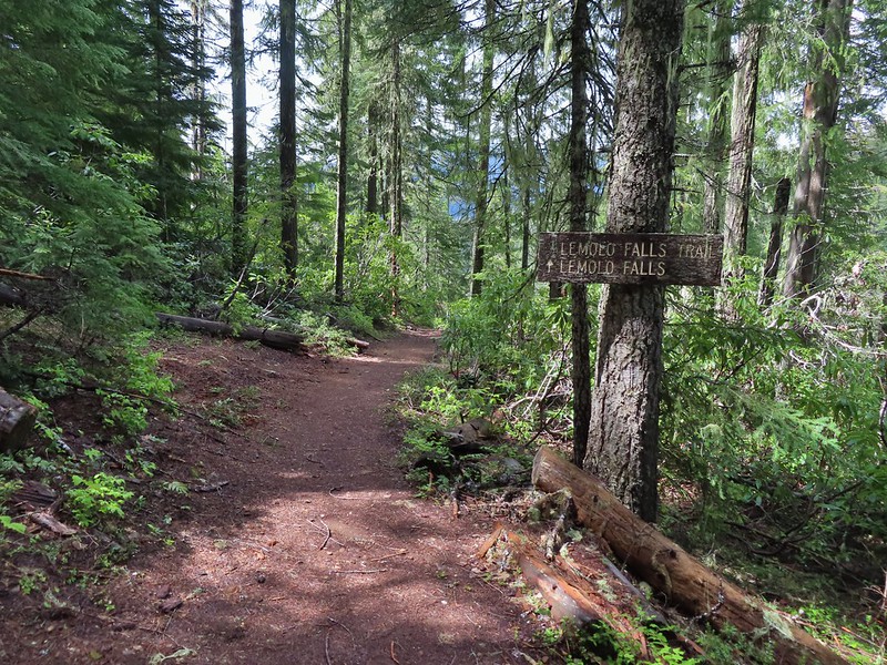
 Valerian along the trail.

 One of many brief appearances of blue sky during the day.


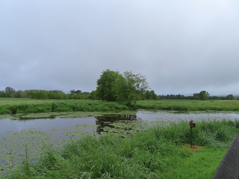 A damp and cloudy morning.
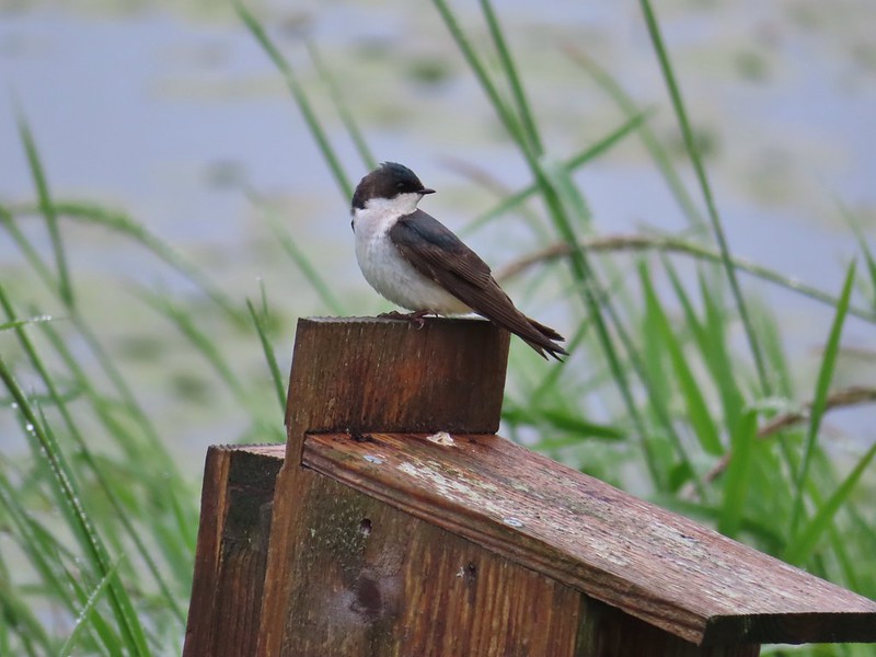 Swallow
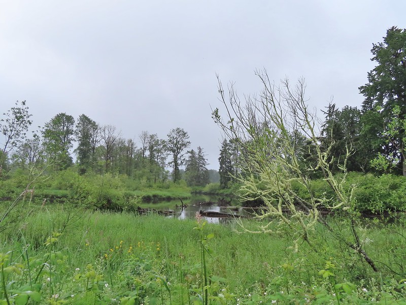
 Indian Jack Slough and the garage from Refuge HQ.
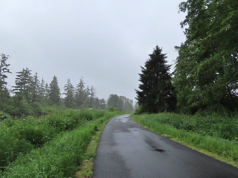
 Elochoman Slough
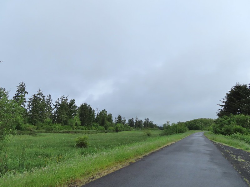 The first of many bald eagles we spotted (atop the dead tree across the slough).
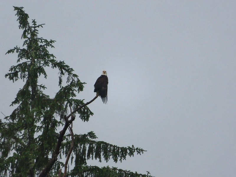 Working on drying out.
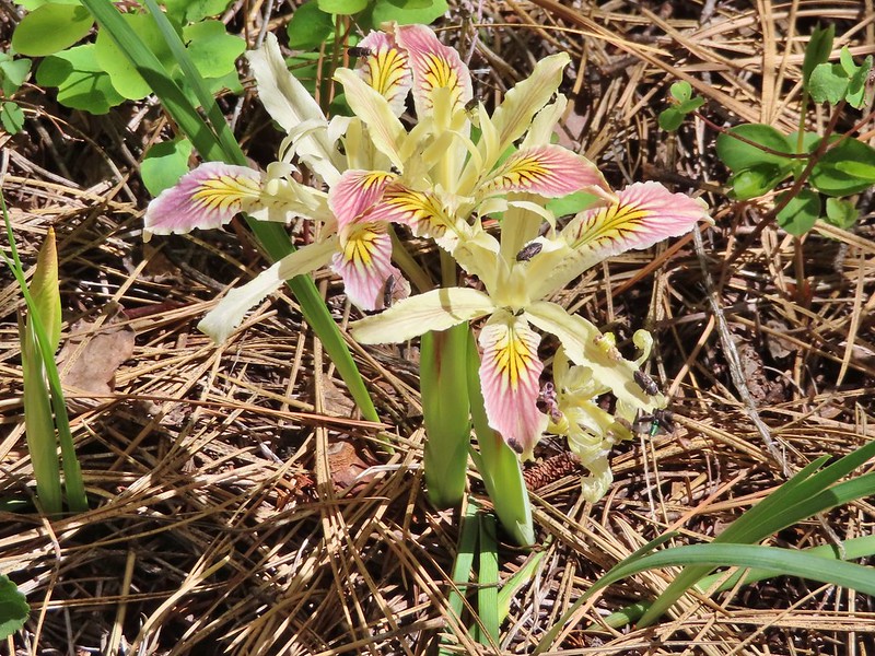
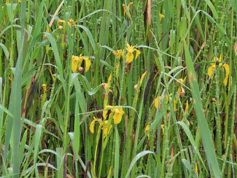 Lots of non-native yellow flag iris in the area.
 Little birds such as this sparrow were everywhere but rarely sat still.
 A different eagle waiting to dry.
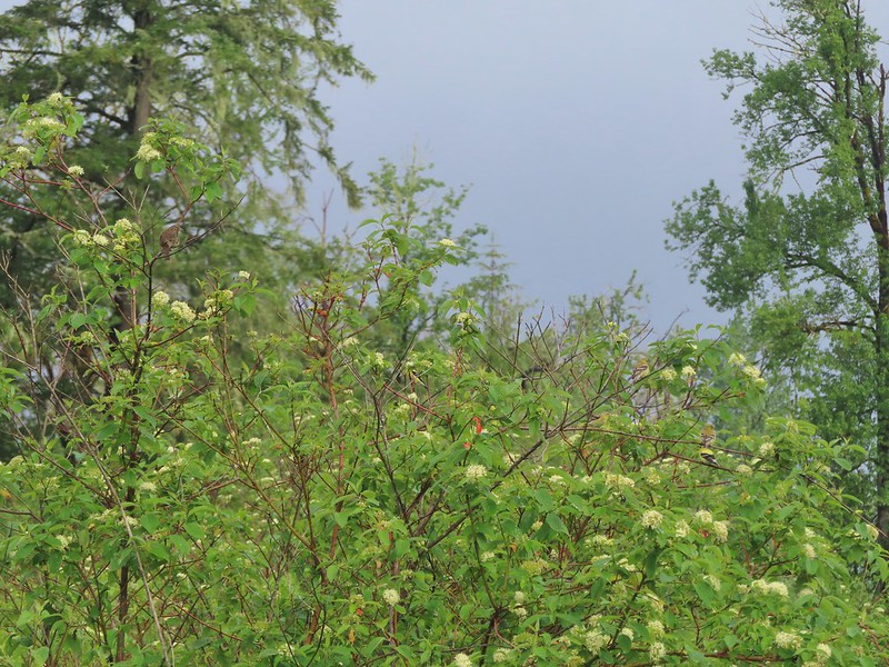 There are at least 5 birds in the tree including four goldfinches.
 A male goldfinch takes off.
 The morning clouds were starting to break up as forecasted.
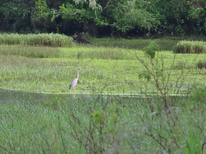 One of many great blue herons.

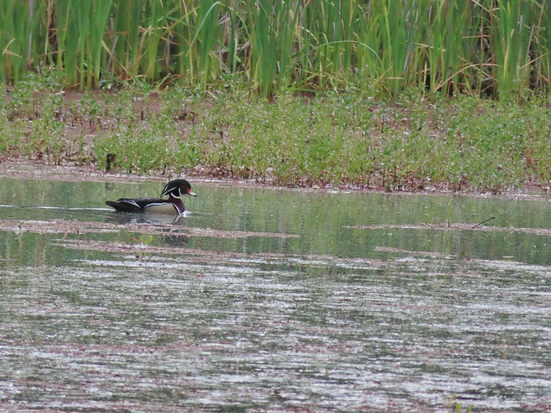
 A male wood duck.
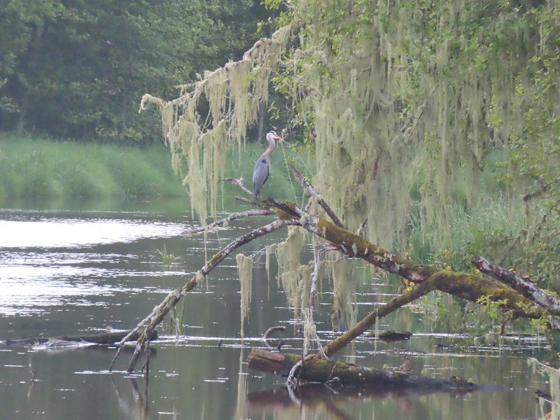 Another great blue heron with the female wood duck on the log below.
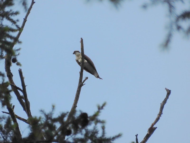
 The first of several osprey.
 Cattle in a field along the road.
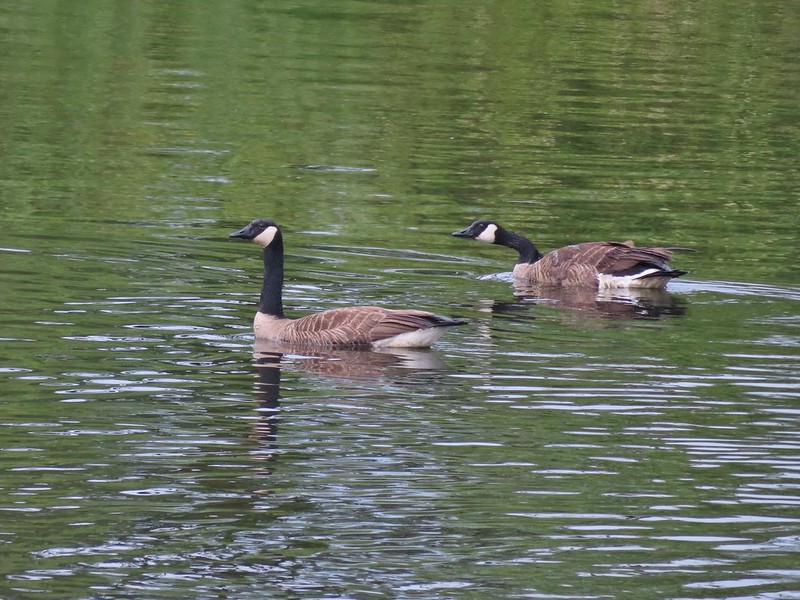 Geese
Geese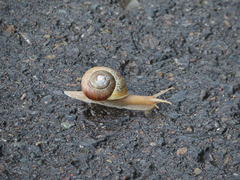 Snail crossing the road.
 Maybe a yellow warbler. I had to use the digital zoom to get between the branches so it’s not the clearest photo.
 There was a pole with a bunch of bird nests hung from it near the start of the trail. We’d never seen one like it before.
 Bald eagle in the same area.
 Slug on lupine
 A different type of lupine.
 Lupine, daisies and yellow gland-weed.
 Bumble bee needing to dry out.


 A look at the white tail. He gave us a better look but in that one he was also doing his business so we stuck with this uncentered, slightly blurry version.

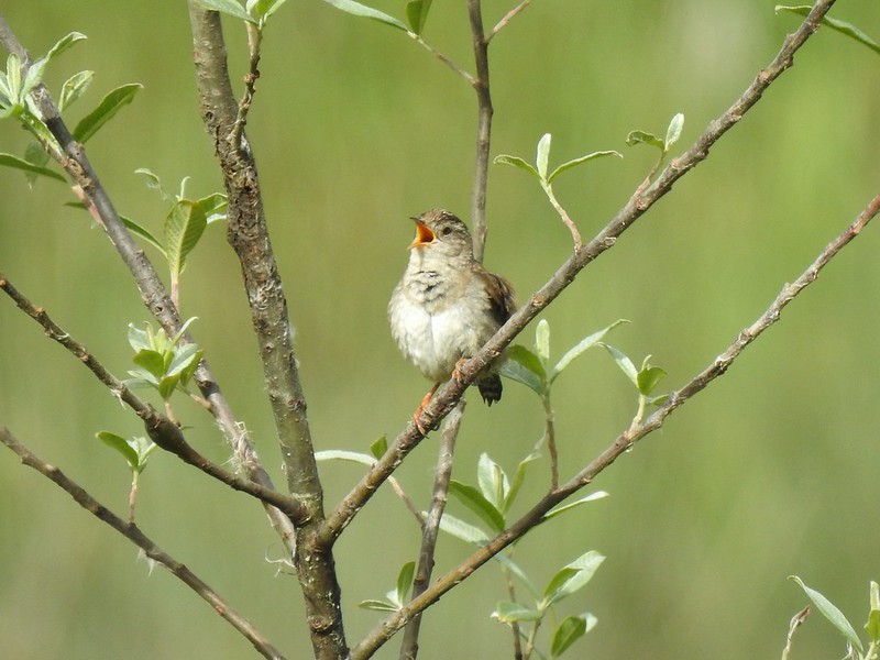
 Guessing marsh wren.
 Ducks
Ducks Goose with goslings.
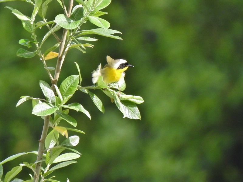 Common yellow throat.
 Male gadwall?
 There was pretty much non-stop bird song throughout the day.
 Traffic on the Columbia River.
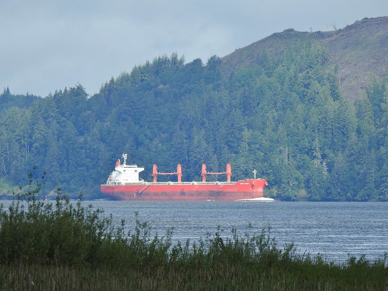 The Santa Maria on the Columbia.
 Female brown-headed cowbird?
 Flowers along the levee.
 American robin
 Red-winged blackbird chasing a heron.
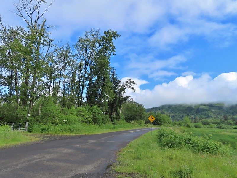

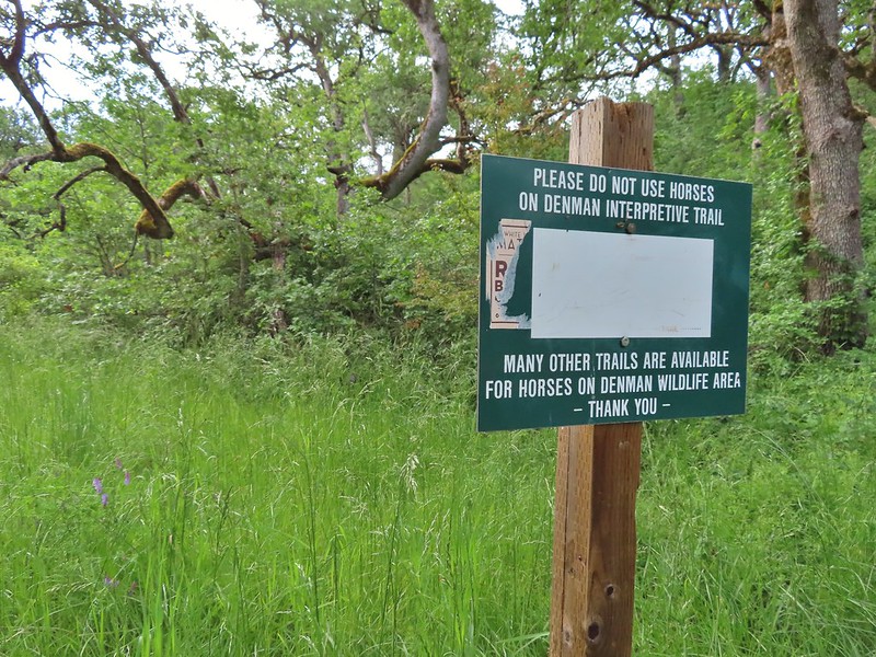
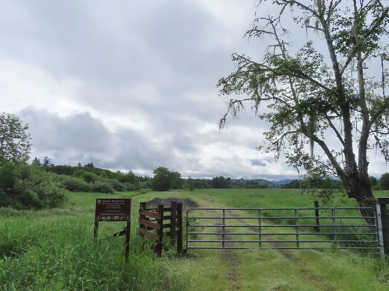 Note the sign does not indicate that you cannot reach the HQ from the road, it simply says it is 5 miles round trip. Online it adds that hikers must exit the trail the way they entered.
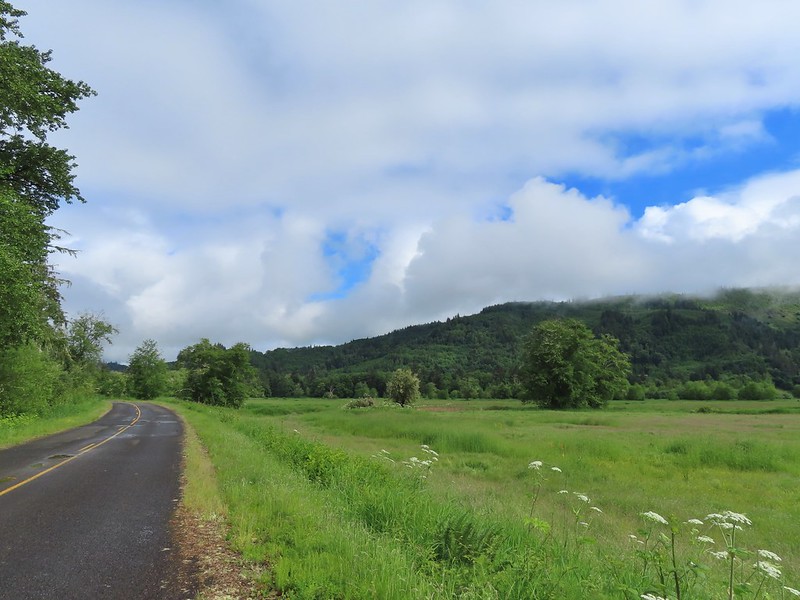
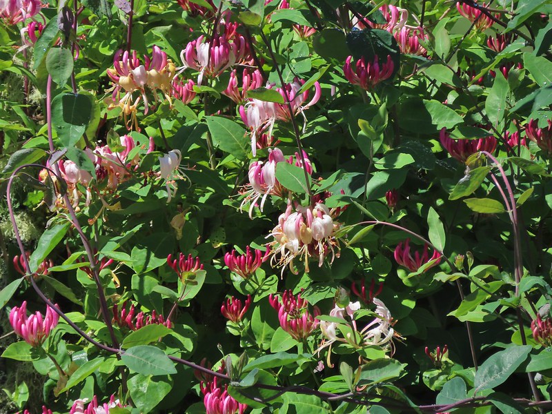
 Roses along the road.
 Muskrat
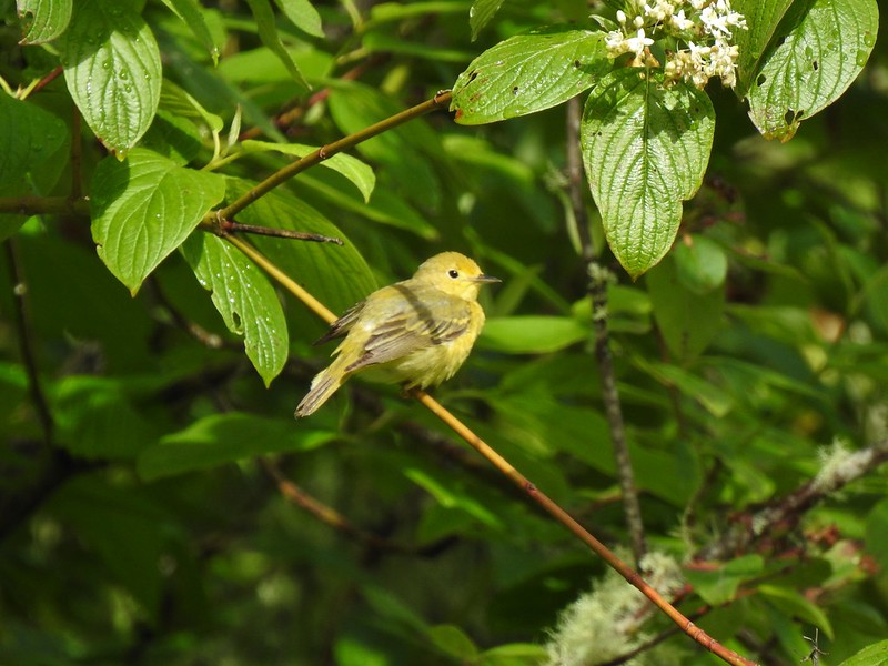 Warbler
 Osprey
 Brooks Slough Road junction.
 Another eagle sitting near the top of the first tall tree on the far side of the slough.
 Interesting shrub along the road.
 The partly sunny skies had indeed materialized.
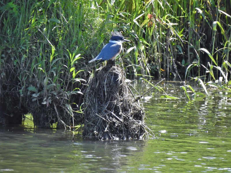 Kingfisher
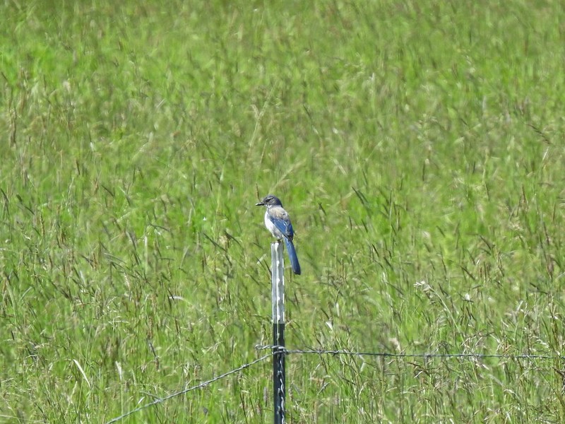 California scrub jay
 White pelicans
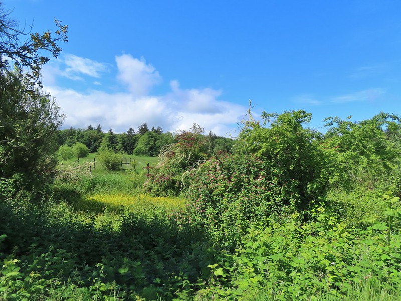
 Some sort of ornamental shrub/tree but it had cool flowers.
 Turkey vulture
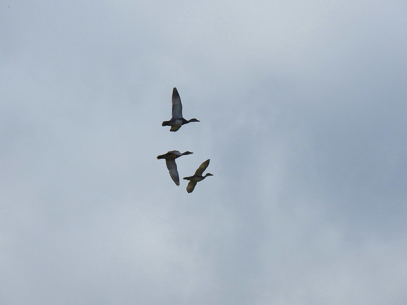 Couldn’t tell what type of ducks they were.
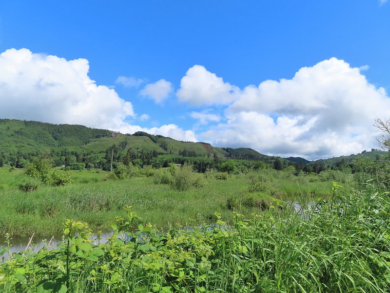 Alger Creek somewhere in the grass flowing into Brooks Slough.
 Pond on the other side of the road.
 Black pheobe?
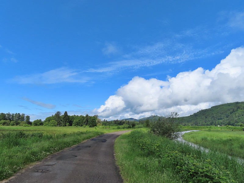
 Red-tailed hawk
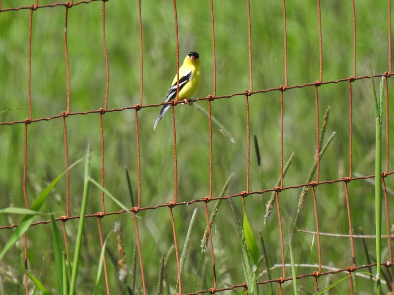 American goldfinch
 Swallowtail
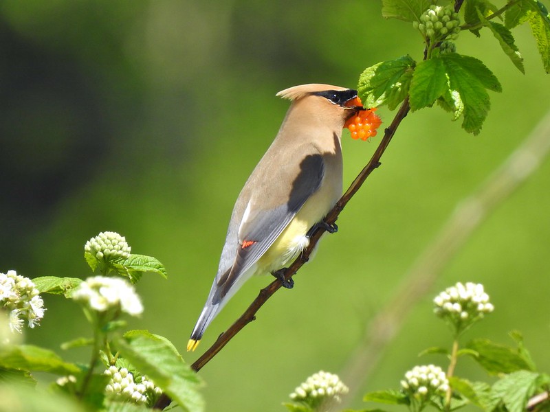 Cedar waxwing with a salmonberry.
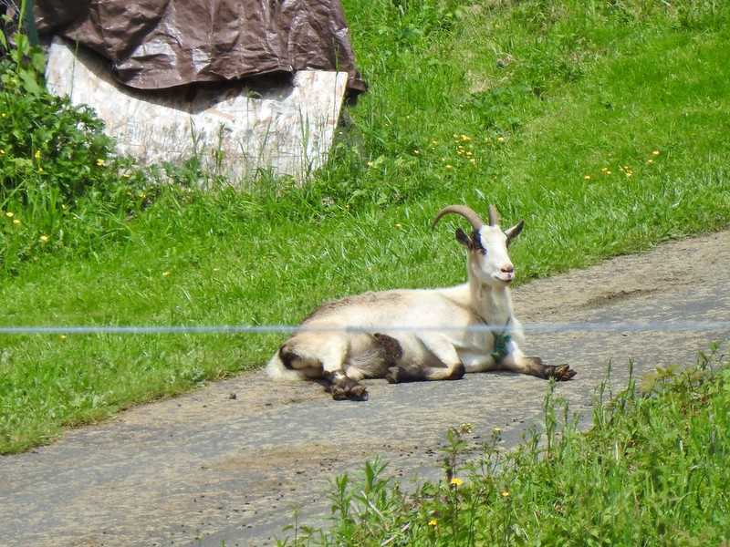 Goat lounging in a driveway across the highway. There had actually been a black goat in nearly the same spot on our first pass.
 Caterpillar
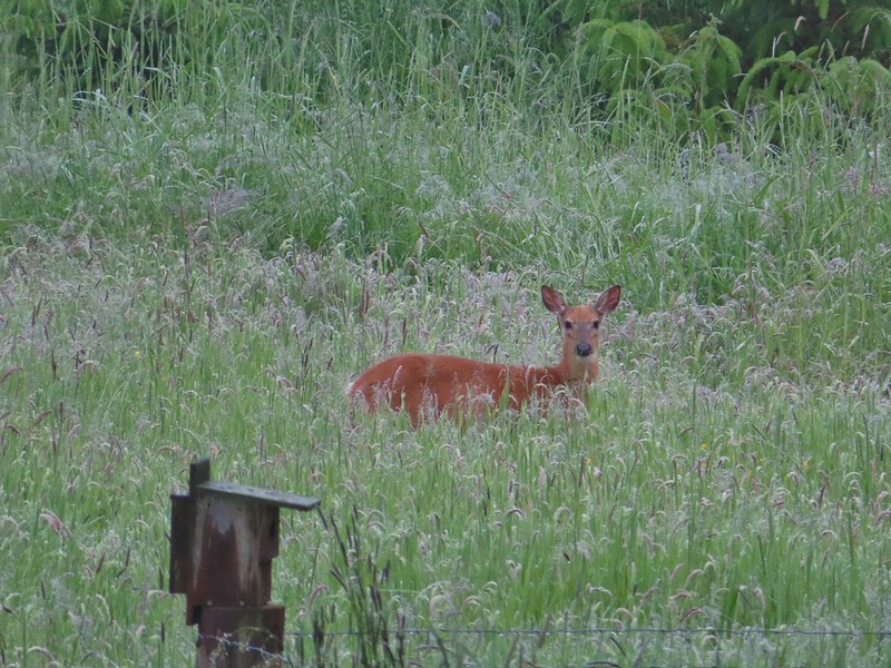
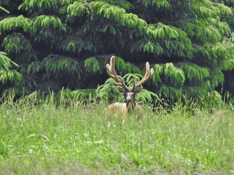
 The elk is in the center of the photo near the tree line.
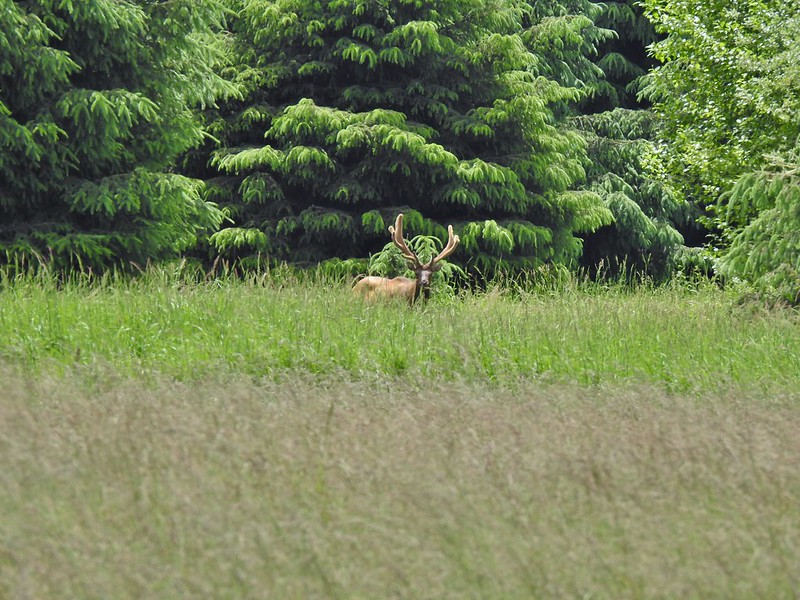


 Here is a not so decent picture of the egrets.
 One of the bitterns in flight.


 Heather spotted this garter snake along Center Road. Another animal to add to the days list.
 Back at the White-tail Trail.
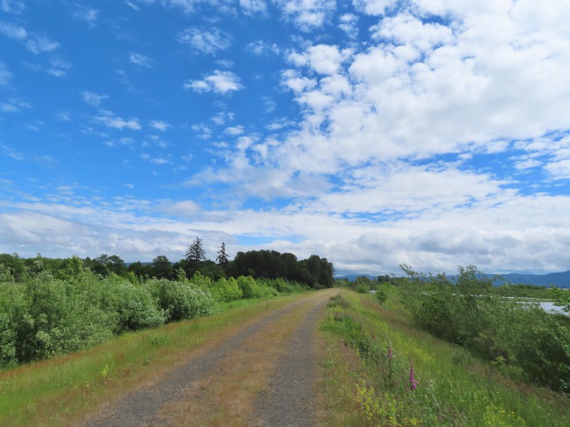 It had cooled down again which provided some relief as we trudged back.
 A second turtle
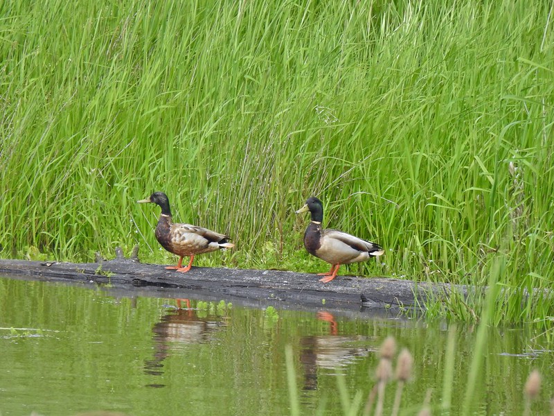 Mallards
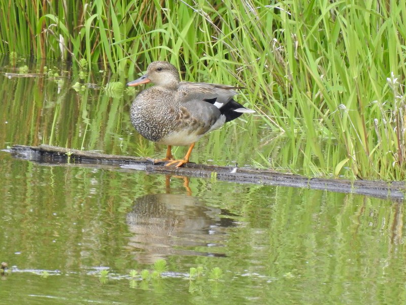
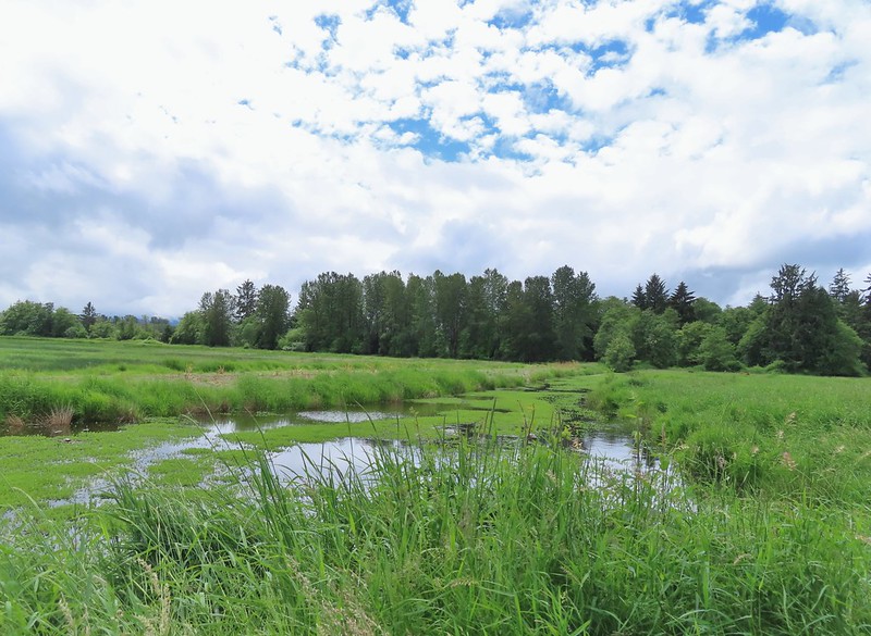
 Way more water in the afternoon.
 Another kingfisher. It was in the same tree as the heron had been earlier that morning when we were watching the bucks.
 Family swim
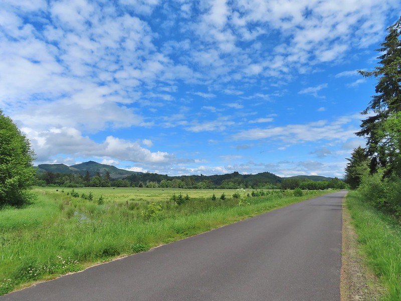 By Steamboat Slough Road we had all kinds of blisters/hotspots on our feet.
 Arriving back at the refuge HQ.
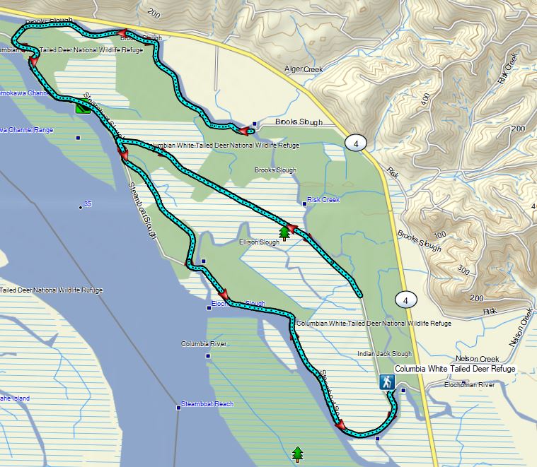


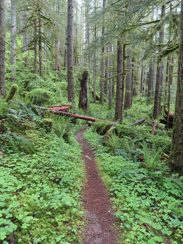
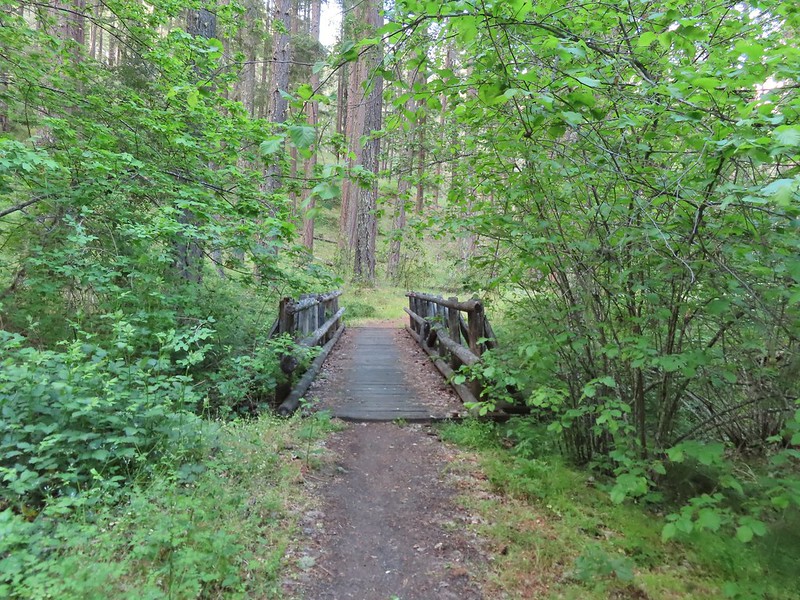
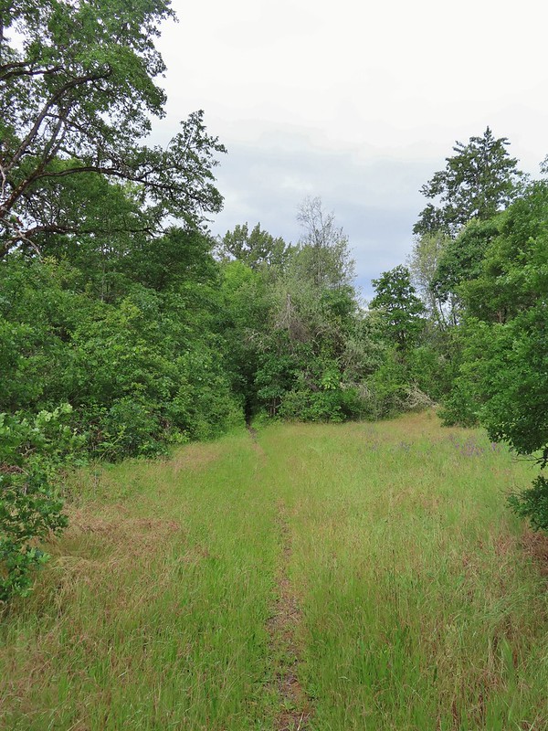
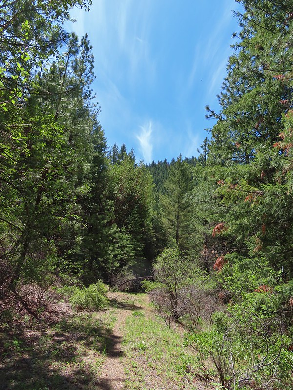
 Dropping into the forest.
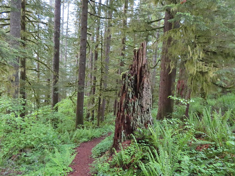
 Anemone
 Vanilla leaf
 Baneberry


 Quite a few snails and slugs along the trail.
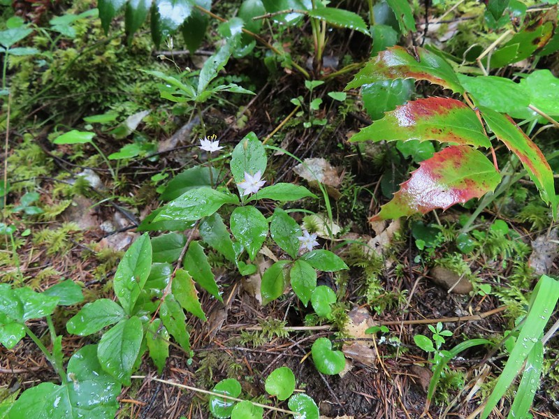 Starflower


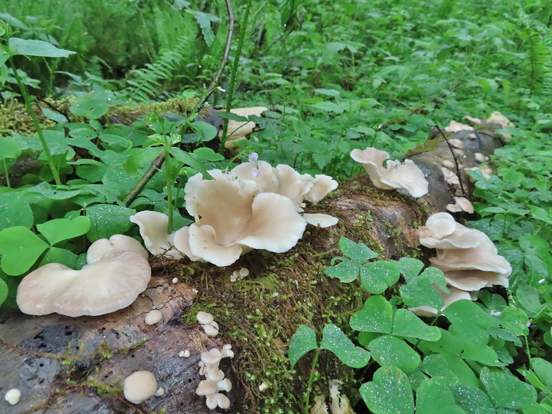
 Some of the logs had had tiles and ropes placed on them to help avoid slipping.
 Surprisingly this was the only rough-skinned newt we spotted all day.
 Foam flower
 Inside-out flower
 There were some huge nursery logs in the forest here.
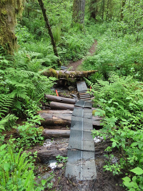 A good example of a makeshift crossing.
 Most of the flowers were white or pale pink but this salmonberry blossom added a splash of bright color.


 Violets
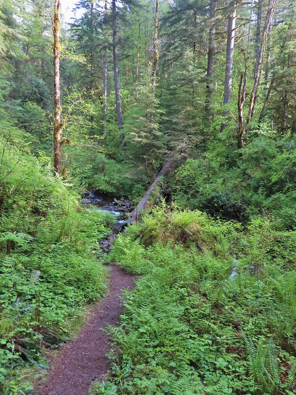 This was an interesting log/bridge.
 Millipedes were everywhere but this one was a color we hadn’t seen before.
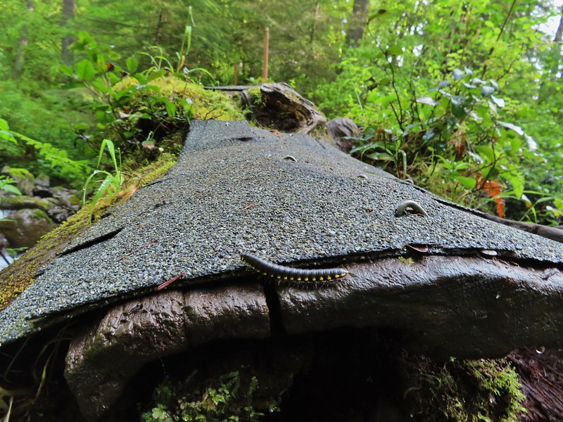 These were the ones we were seeing all over.
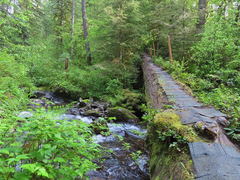
 The dismount was a little awkward but doable.
 Star-flowered solmonseal catching a moment of sunlight.
 Fairybells
 Solomonseal
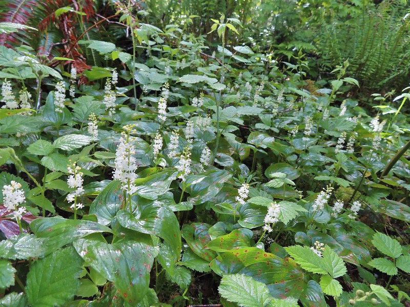 False lily of the valley
 Moss and lichens
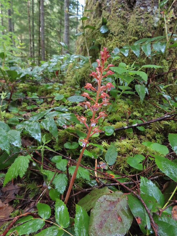 Spotted coralroot
 Bunchberry
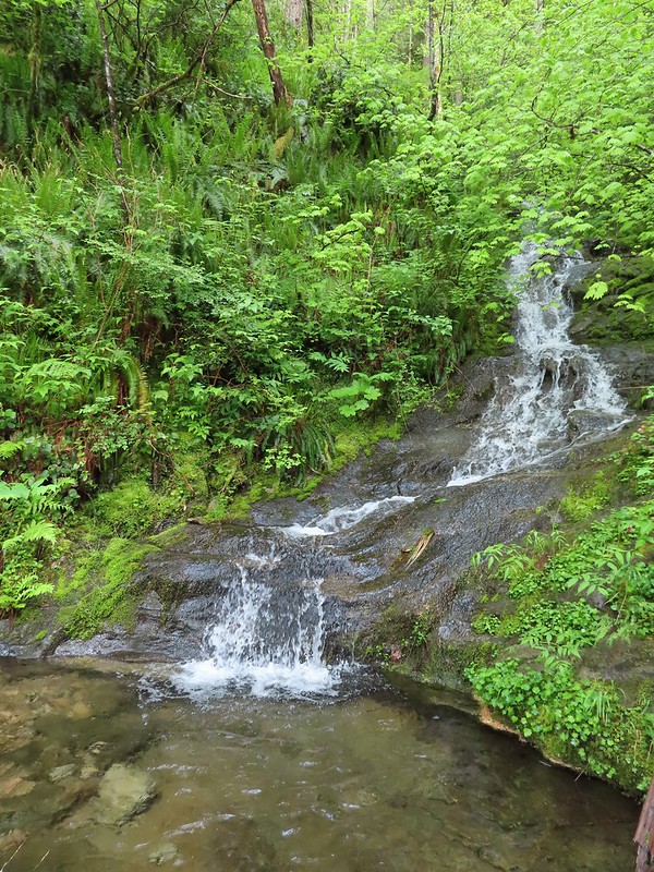 Small fall along the trail.
 Did I mention millipedes were everywhere?
 Another creek crossing.
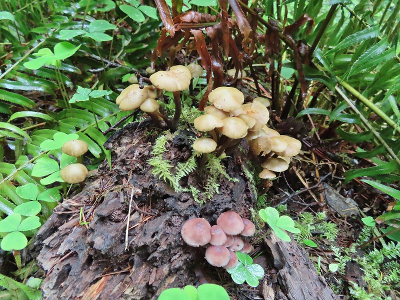

 The reroute
 This was one of the log crossings that looked too slick and high to warrant an attempt so we forded here. The water was ankle deep and we crossed easily.
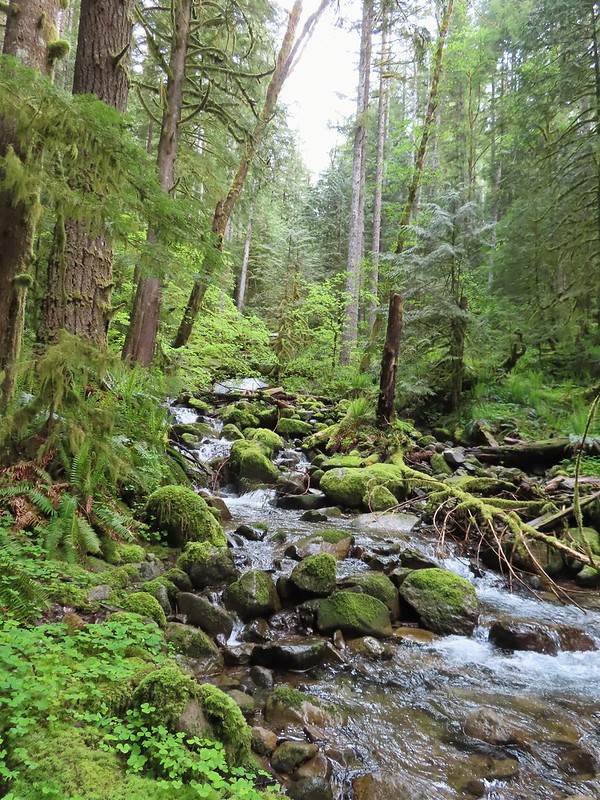 We forded just above the larger rocks in the middle of the creek.
 The lower of the two cascades.
 The upper cascade.
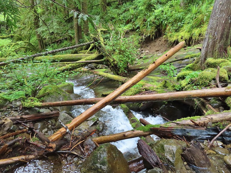 Looking across the old crossing you can see where some of the hillside was washed out.
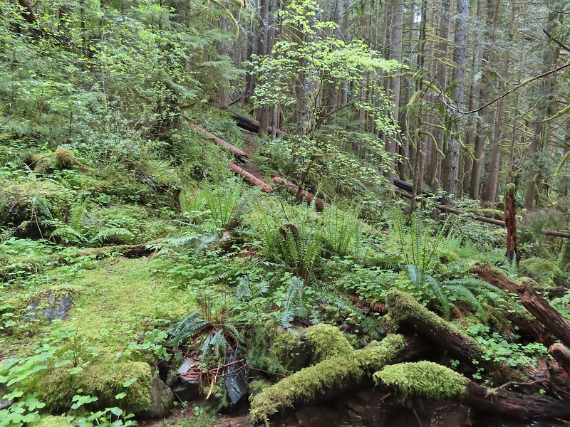 Looking back at the trail from the creek. The large downed tree was the one that was too wide to climb over.
 Most of the downed trees were like this although there was one that required ducking pretty low.
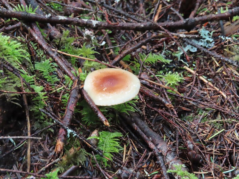
 We could hear the songs of wrens throughout the hike but only caught flitting glimpses of the little singers.
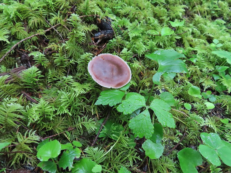

 Two of the footbridges were in a state like this. It held but we had to watch our step to not only avoid the holes but also the millipedes.
 This was another ford/rock hop. There was a log serving as the bridge but it also looked slick. The rope in the picture was connected to the log and I almost didn’t see it (both times by).
 Deep pool near the crossing.

 First view through the trees.
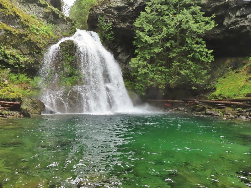 The pool was a beautiful green.
 More cascades and clear pools were located downstream.
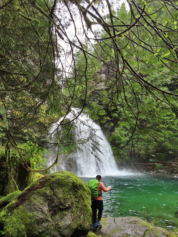 Heather taking in the view.
 Since I was already wet from the fords I waded out in the calf deep creek to get a different angle.
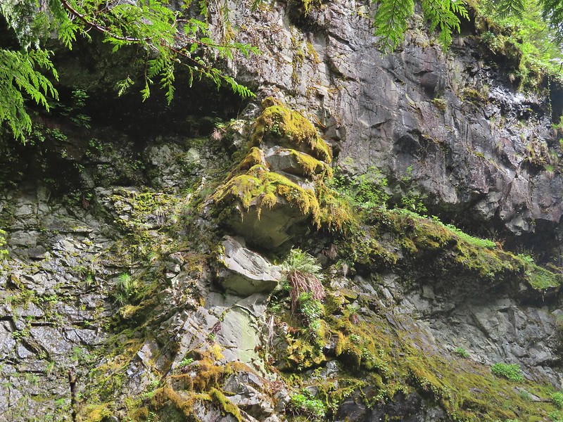
 The right fork heading on toward Mount Mitchell.
 A really long nursery log spanning across this whole depression.
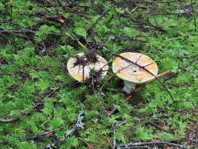 Camouflaged mushrooms.
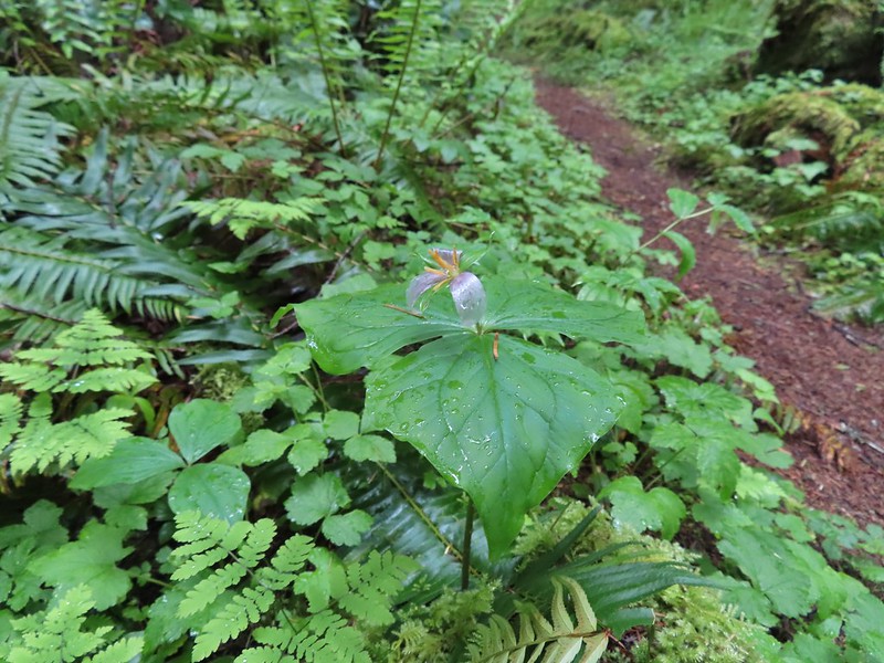 The only trillium that still had its petals.
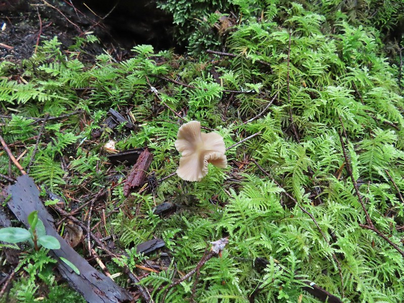
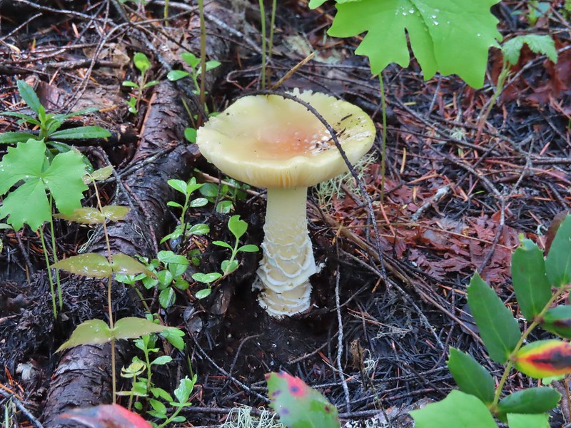
 It looked like someone took a slice of this mushroom.
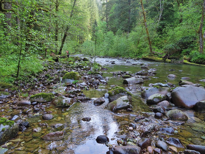
 There weren’t too many views of North Siouxon Creek from the trail but this was a nice one.
 Sour grass
 Youth-on-age
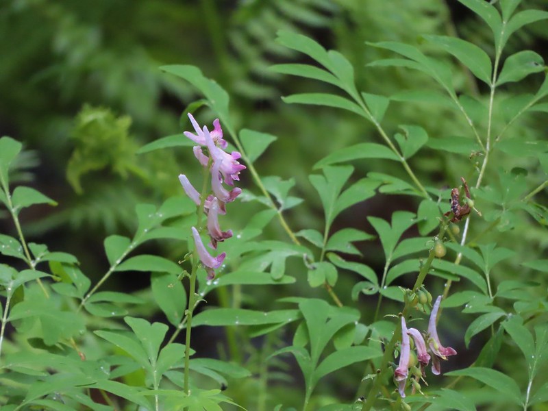 Scouler’s corydalis
 Candy flower

 Setting off at 5:20am from the 1st gate.
 Roxy Ann Peak from the road.
 Jack rabbit
 Coming up on the 2nd gate.
 Sunlight hitting the hillsides on the far side of Medford.
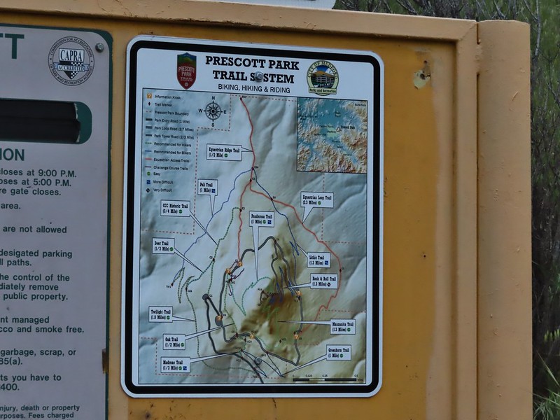
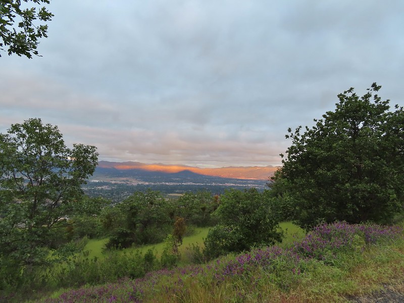 Roxy Ann’s shadow being cast over Medford.
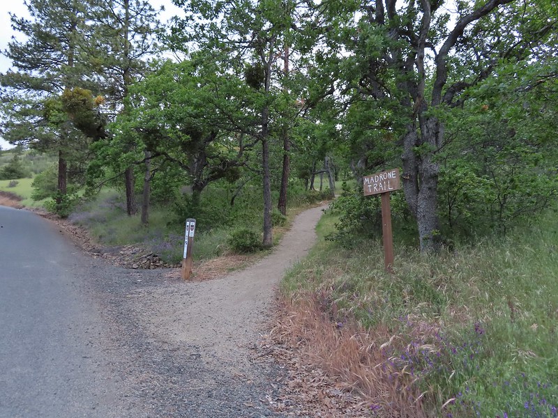
 Lots of purple vetch along the trails.
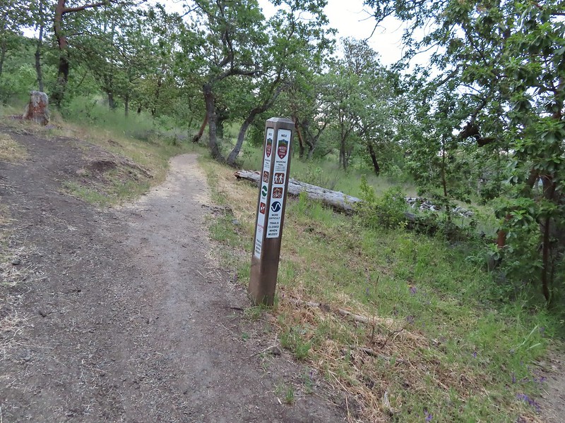 One of the posts used to identify trails.
 Madrones along the Madrone Trail.
 We turned left following the pointer for the Oak Trail.
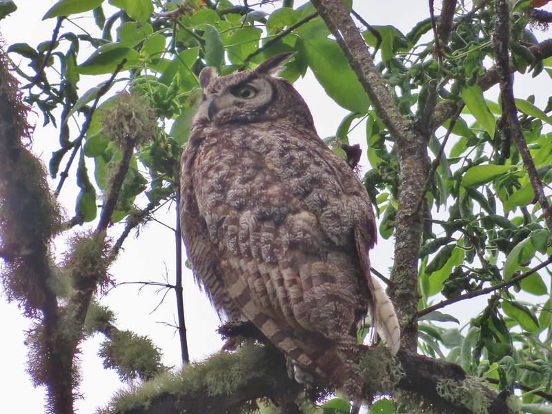
 Juvenile great horned owl along the Oak Trail. We didn’t get a good look at the second owl to the left but it looked to be an adult.
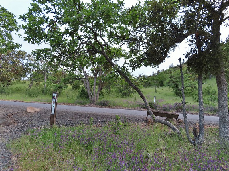 This segment of the Madrone Trail (MD3) ended at Roxy Ann Road with the Oak Trail picking up on the far side.
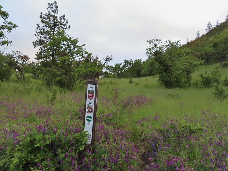 The Oak Trail
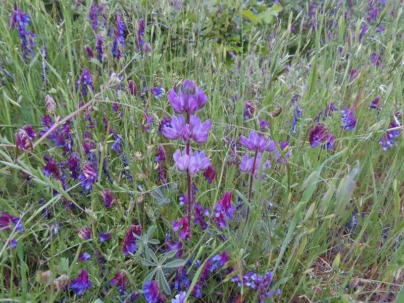 Lupine amid the vetch
 Camas in front of poison oak.
 Carrotleaf horkelia
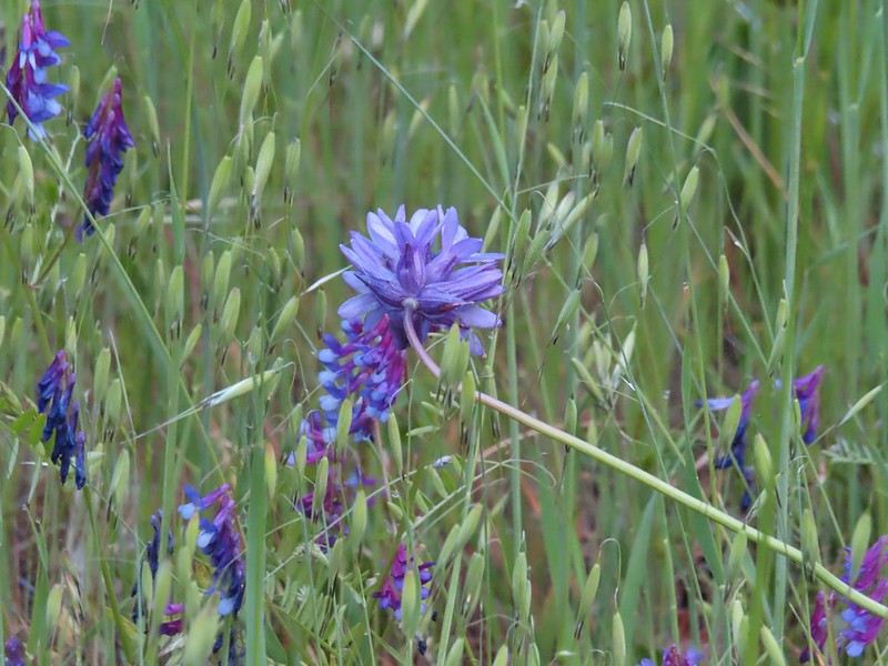 ookow
ookow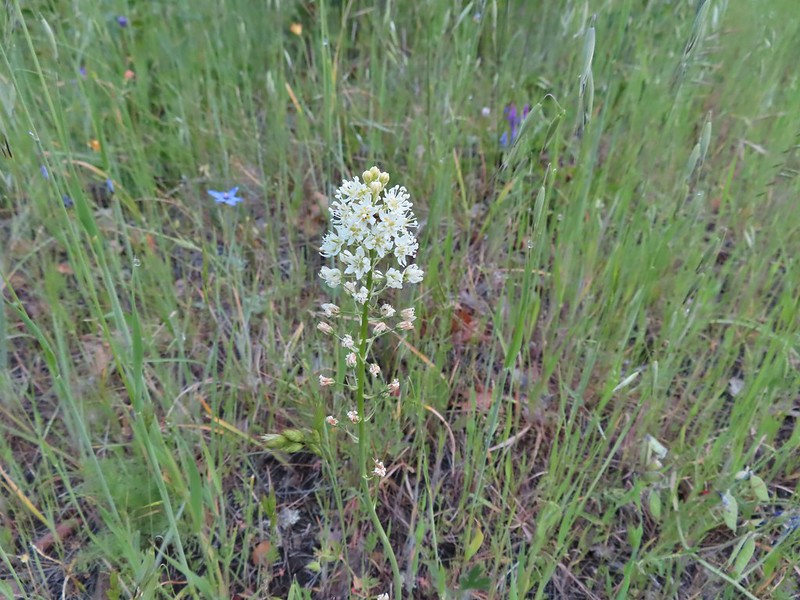 Death camas
 Blue-eyed grass
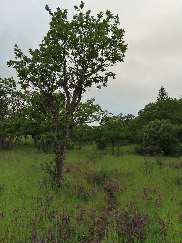 Oak along the Oak Trail.
 Roxy Ann Peak
 Blow wives
 The Oak Trail appeared to be the least used of all the trails we would hike on this day.
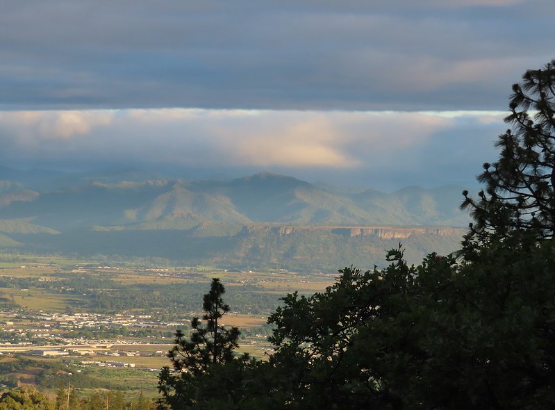 Lower Table Rock (
 The only post we saw that wasn’t helpful.
 Challenge Course just off the Oak Trail.
 Parts of the Challenge Course
 Trail junction near the Challenge Course with the Oak and Ponderosa Trails.
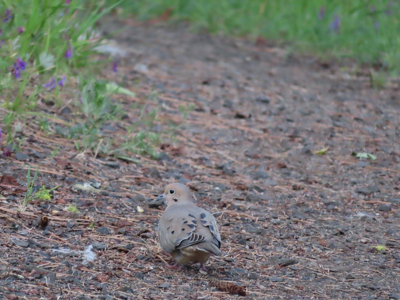 Dove
Dove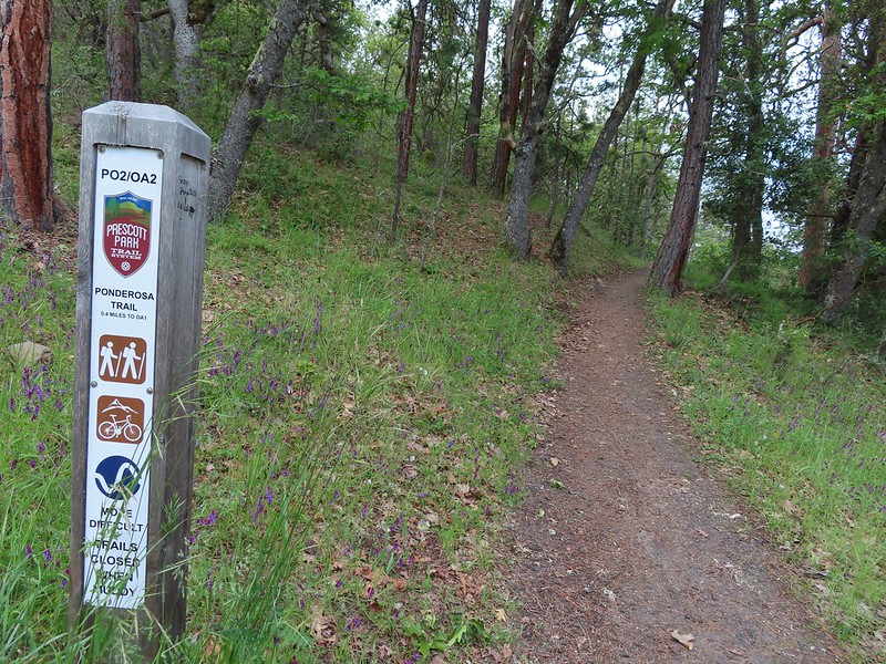 Hopping onto the Ponderosa Trail.
 Mariposa lily
 Lazuli bunting. We saw quite a few of these during our trip but they proved to be very difficult to photograph.
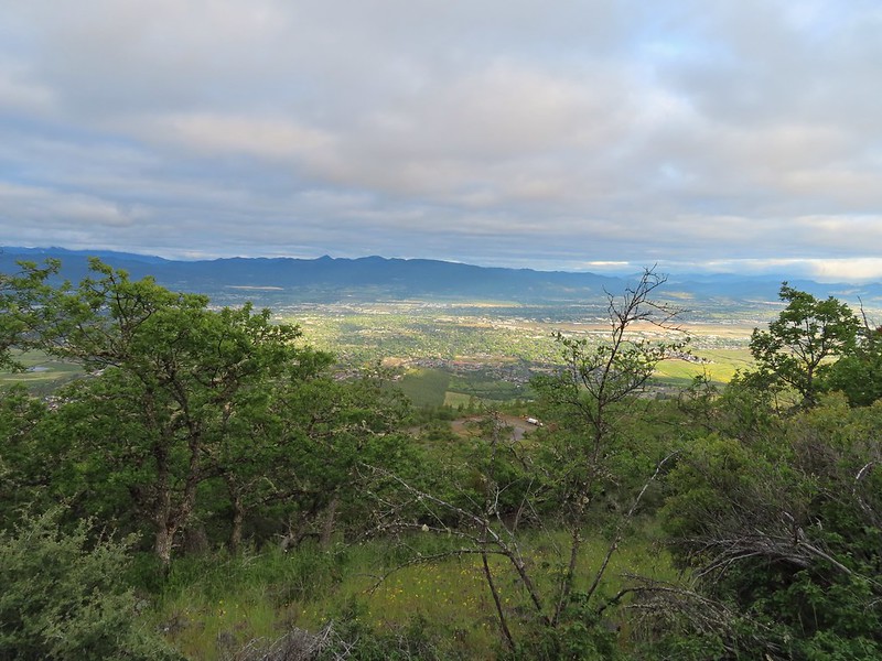 Medford from the Ponderosa Trail.
 Paintbrush
 Madia
Madia Lower Table Rock again.
 A bench and Ponderosa pines along the Ponderosa Trail.
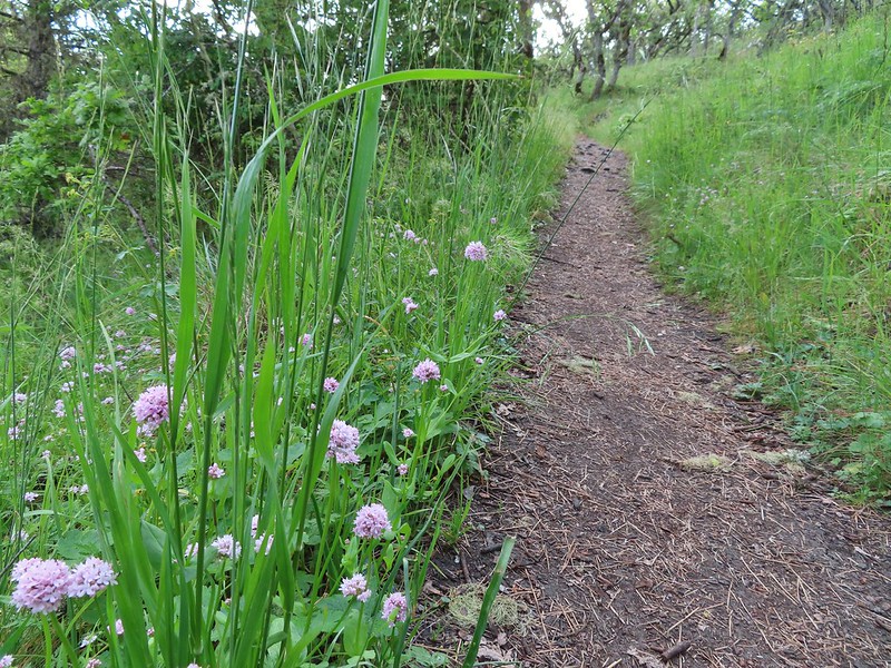 Plectritis
 Two more deer above the trail.
 Deer and balsamroot.
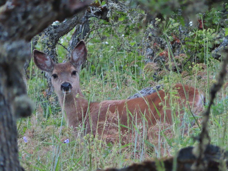 Young deer
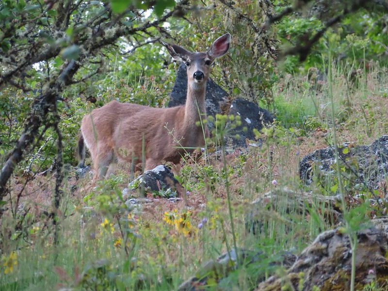 Momma deer
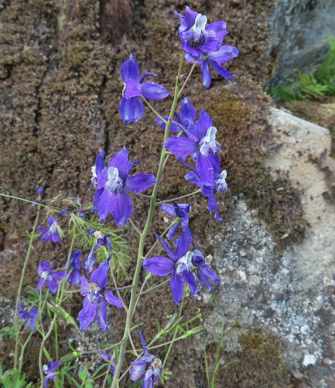 Larkspur
 Nearing Park Tower Road.

 Serenading lazuli bunting.
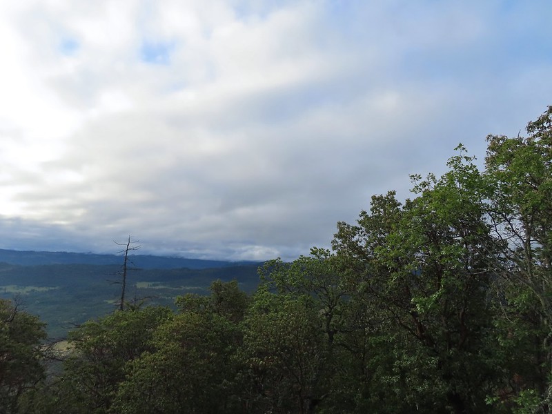 A lot darker clouds toward the Cascades.
 Sign for the Manzanita Trail
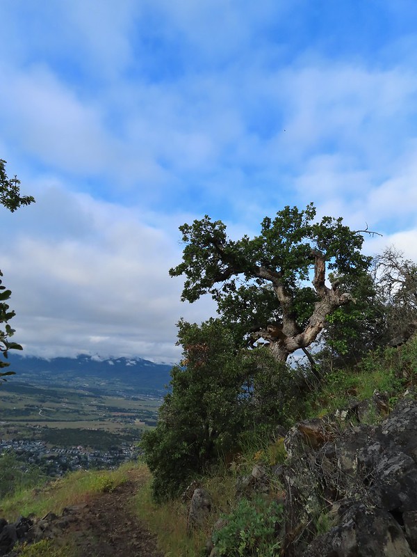
 The lower flank of Grizzly Peak (
 Looking NE from the trail, still a lot of clouds.
 Another bunting, we were on a roll.
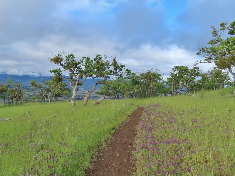
 The clouds were really starting to break up as we descended.
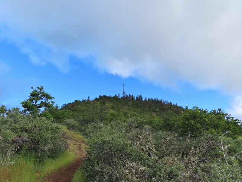
 Arrow-leaf buckwheat on the hillside.
 Roxy Ann Road
 Back on the Madrone Trail.
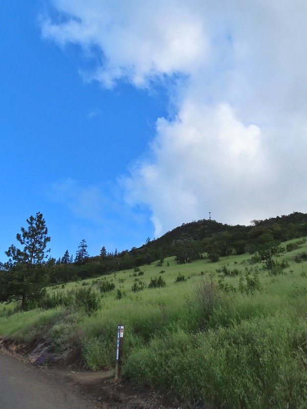 Back on the road walk. The trail post here is for the Greenhorn Trail.
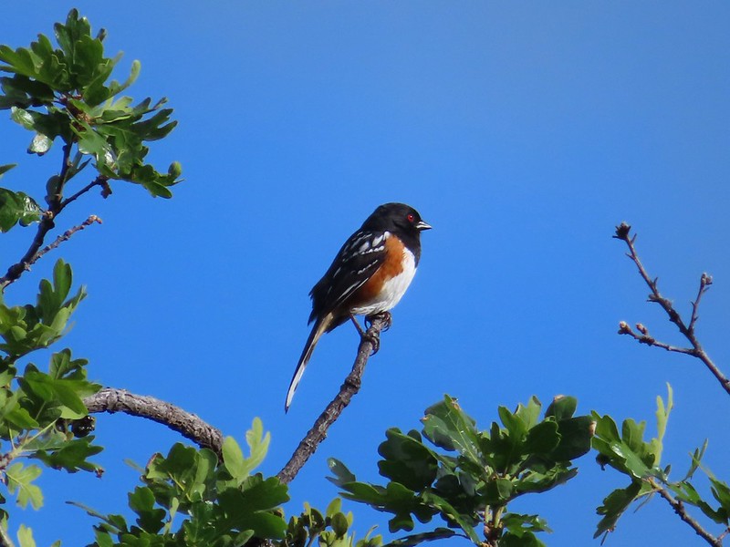 Spotted towhee.
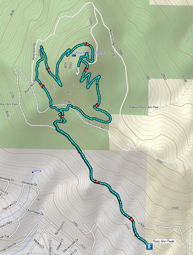


 Walk in campsite at French Gulch.
 French Gulch
 Hooker’s Indian Pink
 White lupine
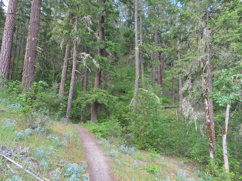
 Violet
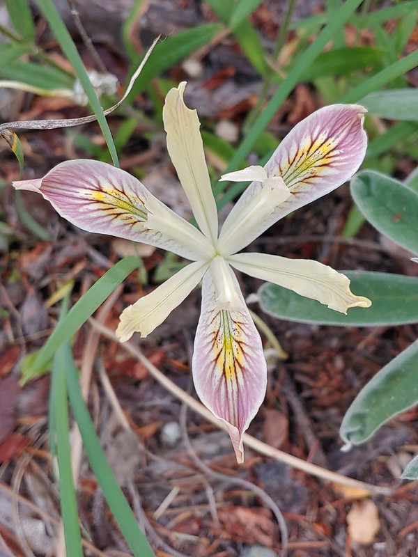 Iris
Iris Pretty face
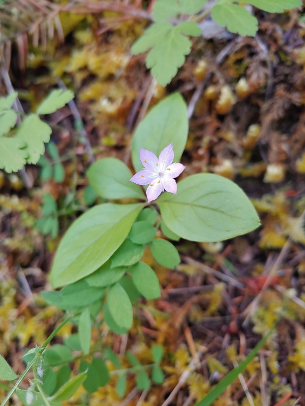 Starflower
 Columbine
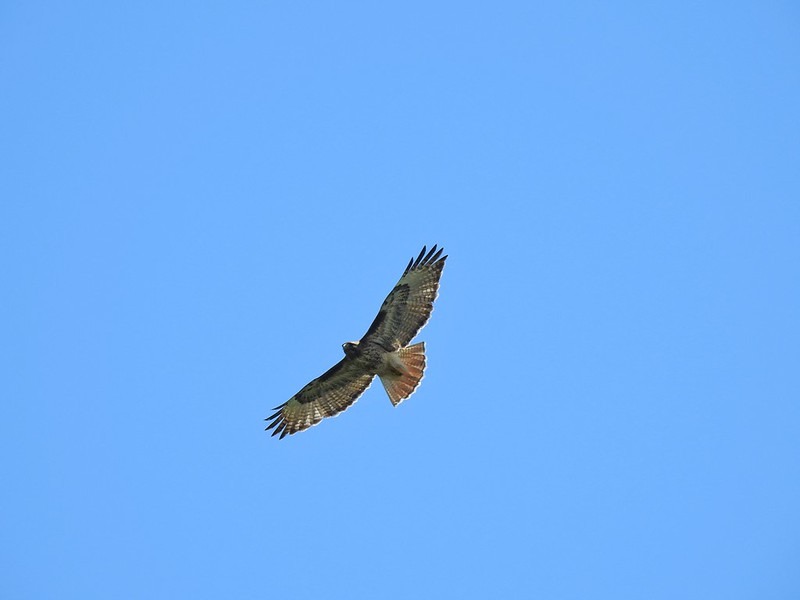
 Osprey
 Ground cone
 Madrones near the the 5-way junction.
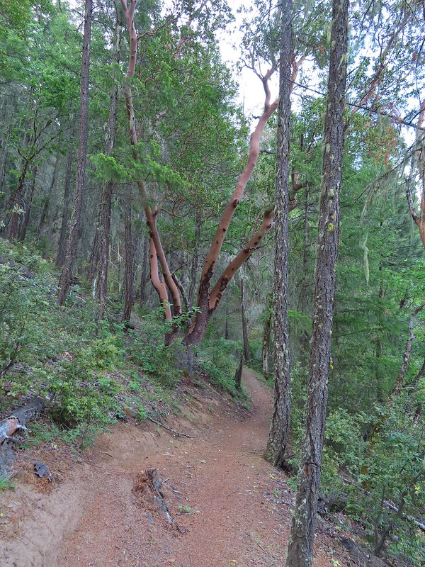
 The side trail to the right.

 Collings Mountain

 Penstemon
 Stricklin Butte in the distance.


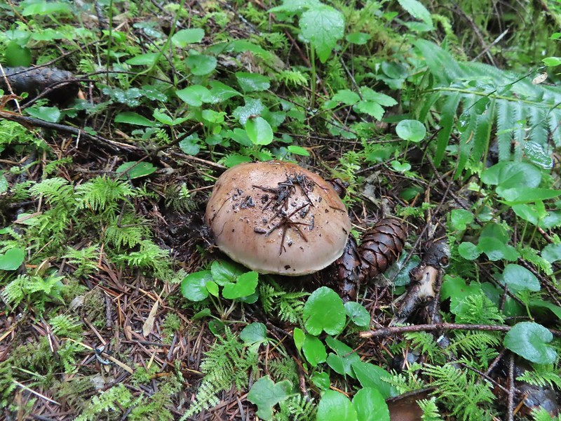
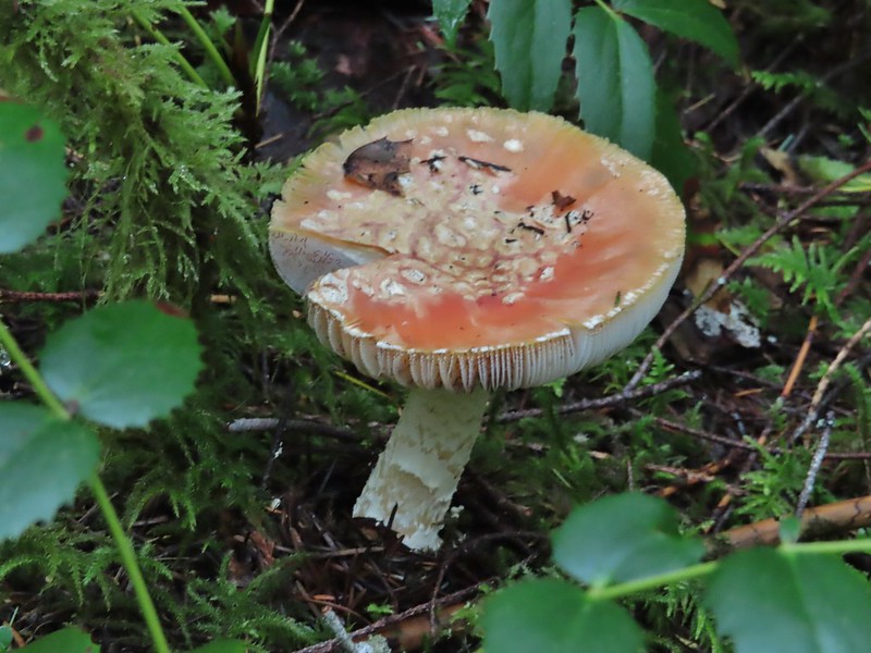
 We didn’t see many mushrooms on the trip but this one was good sized.
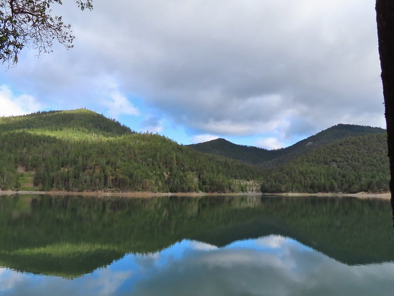 Collings Mountain on the left.
 Deer brush and manzanita along the trail.
 Marble
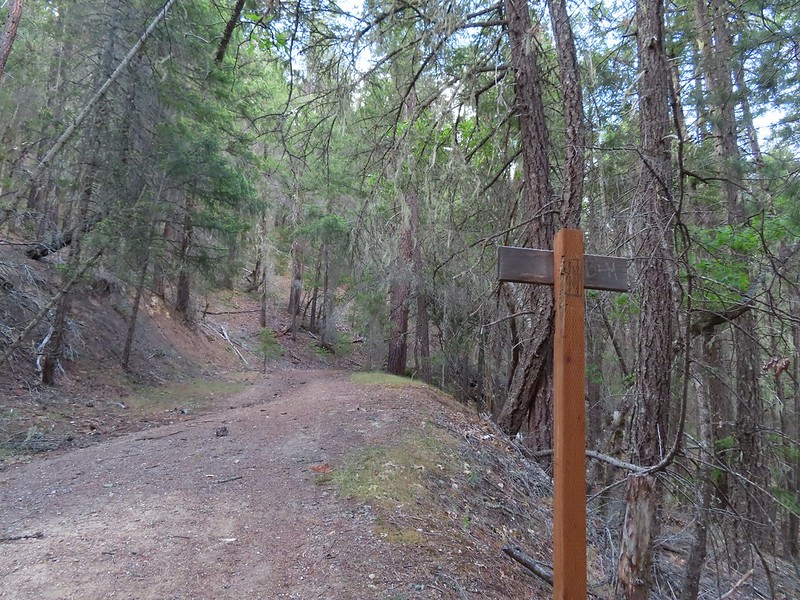 Rejoining the roadbed.
 Oregon sunshine
 Kellog’s monkeyflower
 heart-leaf milkweed
 Blue gilia
 Ookow
Ookow Silverleaf phacelia
 Blow wives?
 Lupine
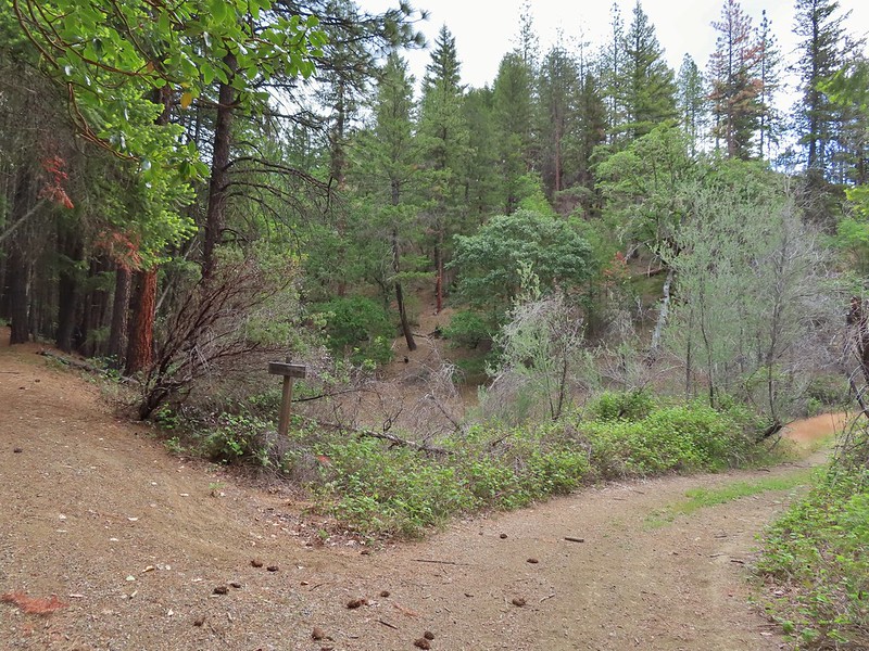 Payette Trail to the left.
 The road vanishing into the lake.
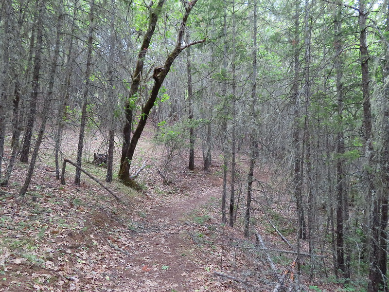 Back on the Payette Trail.
 Mallards
 Clarkia
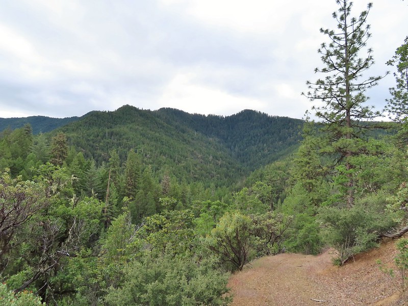 Looking back down the road.
 Mariposa lily
 This obvious trail split off from the road to the left. We’re not sure if it would have led us to the Osprey Trail possibly by old cabin ruins that are in the area or if it would have gotten us nowhere so we stuck to the road.
 The roadbed petered out a short distance from FR 1075 leaving a short cross-country scramble up to a pullout along the road where a section of barbed wire fence had been broken by what appeared to be an off-road vehicle of some sort based on tire tracks down the slope.
 Signboard at the pullout.
 Unintended road walk.
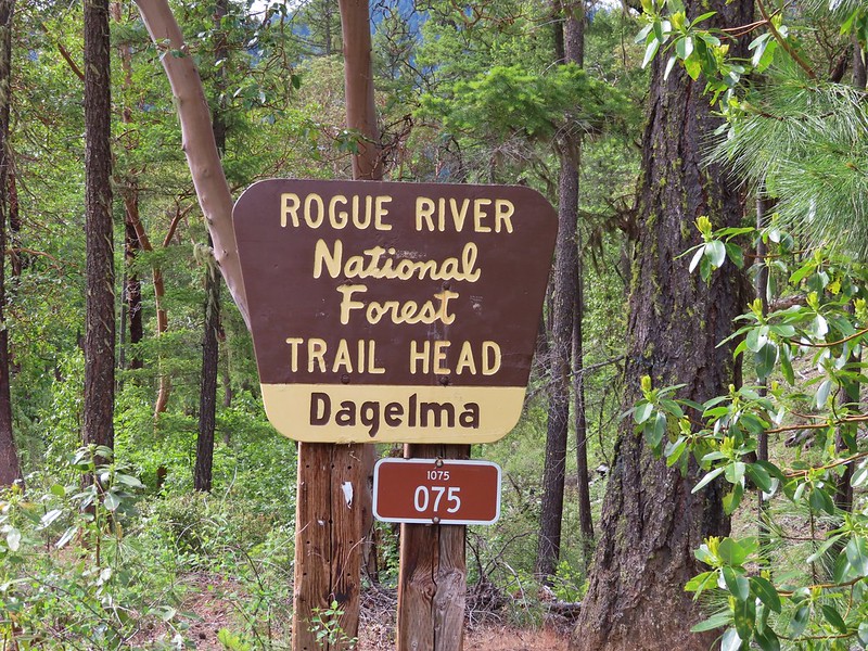
 The Dagelma Trailhead
 These chutes prevent equestrian and motorized users from passing through but also tend to attract poison oak.
 Northern phlox
 The 5-way junction.
 Junco
Junco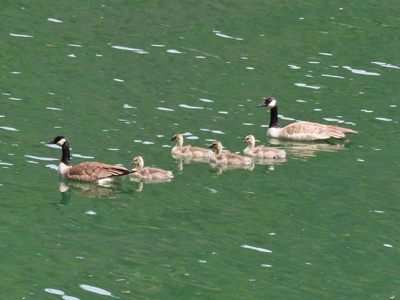 Canada geese in French Gulch.


 Acorns in some of the holes.
 On the nature trail.
 The bridge
 Camas
Camas Ash-throated flycatcher
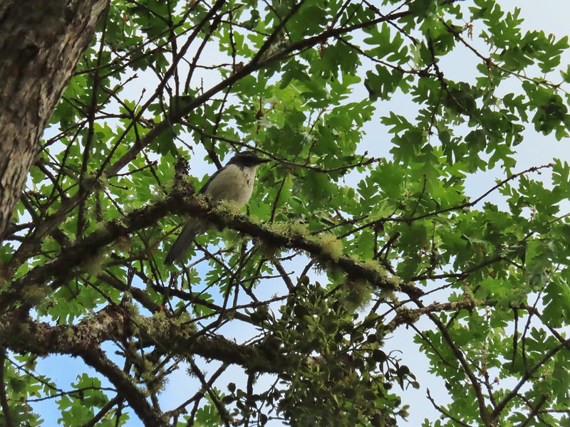 Srub jay
 Acorn woodpecker
 Death camas and vetch
 A second pond with Upper Table Rock (post) behind.
 Mt. McLoughlin
 Common madia with Lower Table Rock (
 Wildflowers near the bench.
 Upper Table Rock
 The viewpoint bench.
 Wood duck
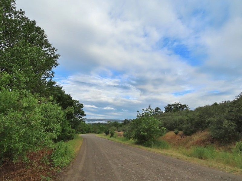
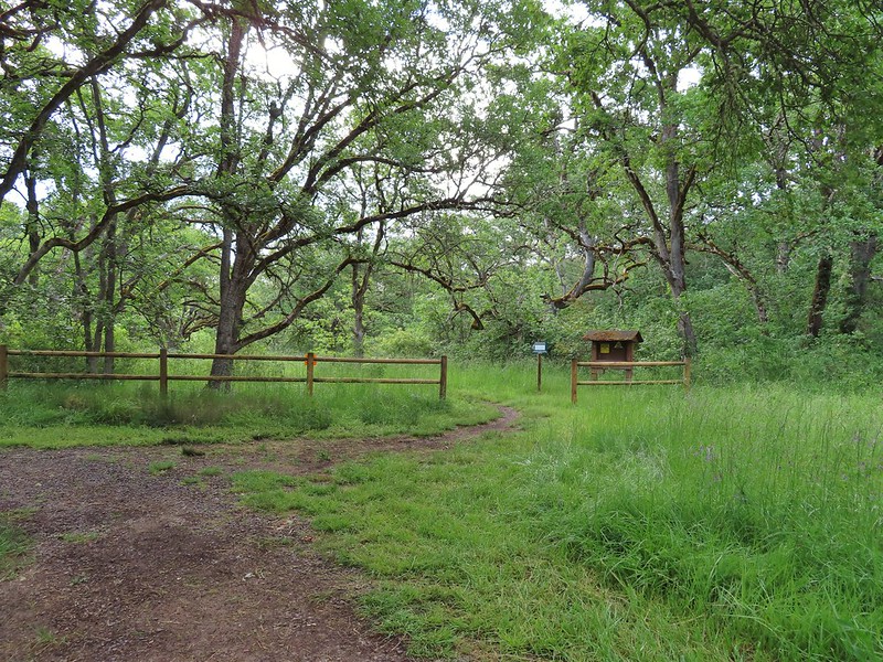
 Denman Trail at TouVille Road.
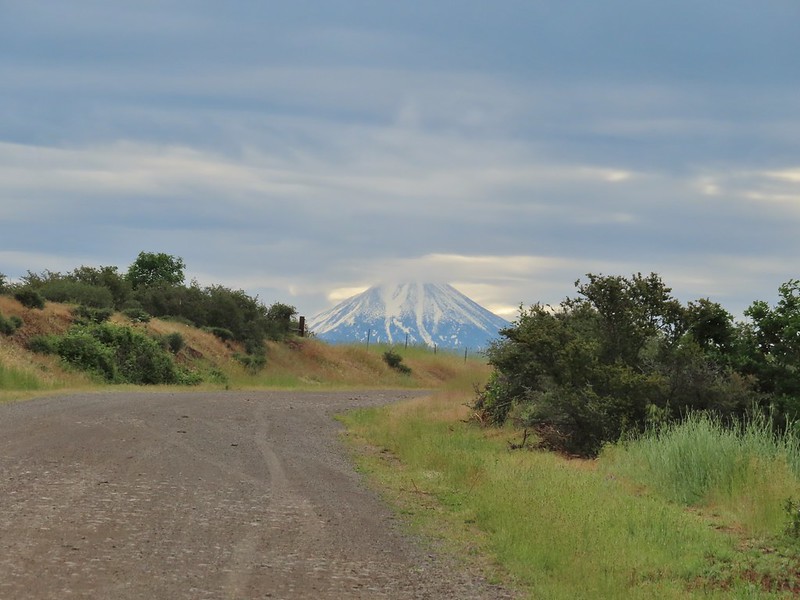 Mt. McLoughlin
 Upper Table Rock from TouVille Road.
 A swallow on a fence post with Mt. McLoughlin behind.
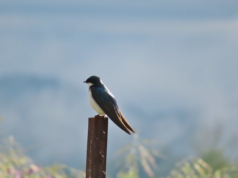 Swallow
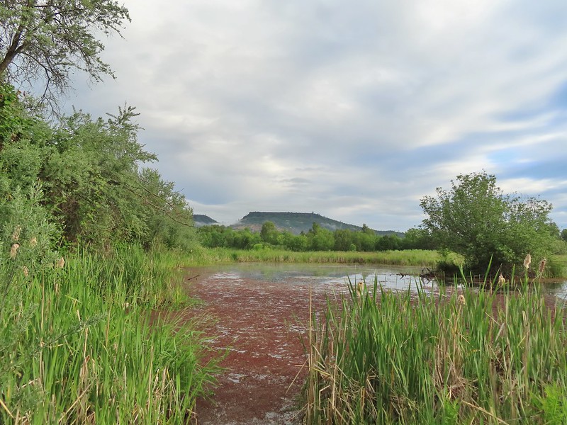
 Yet another pond along Military Slough.
 A kingbird, most likely western.
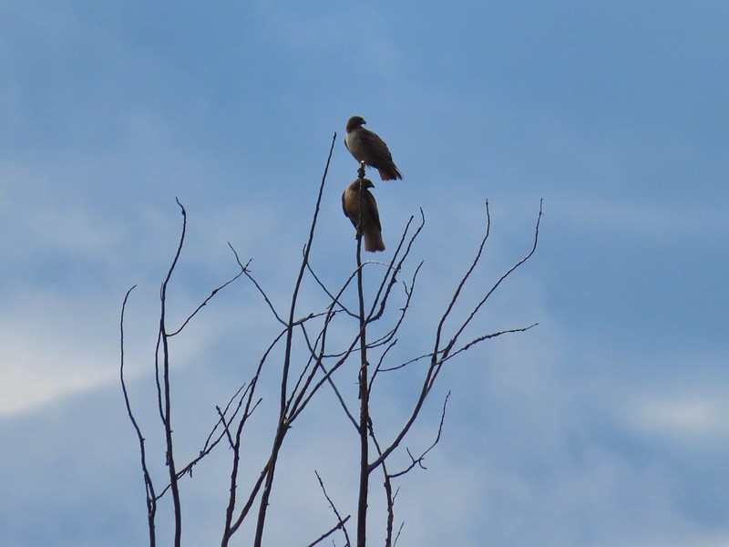 A pair of hawks near the pond.

 I I believe this is a paintbrush, possibly Castilleja tenuis – hairy Indian paintbrush.
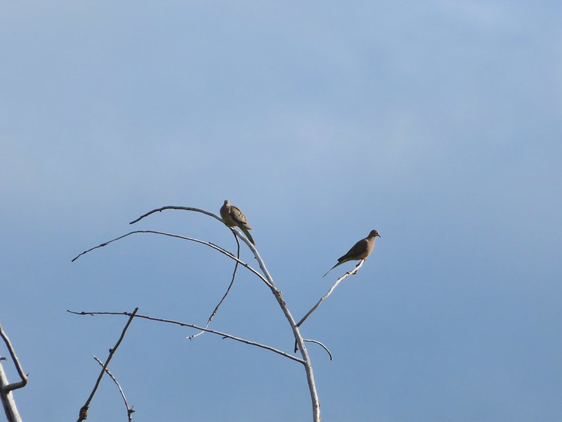 Mourning doves
 Looking back at Upper Table Rock with the stream bed in the trees/brush to the right.
 Mt. Ashland (
 Mt. Ashland
 Ookow
Ookow
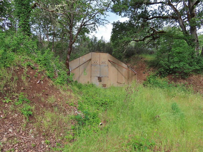 Bunker 6
 Jack rabbit
 Unsure what type of bird this is.
 Trailhead just off TouVille Road.
 The fork where we went left.
 Passing another bunker.
 Lupine
 White tritellia

 Occasional open areas were followed by thick brush with poison oak hidden among the other vegetation.
 This section at least had hoof prints.
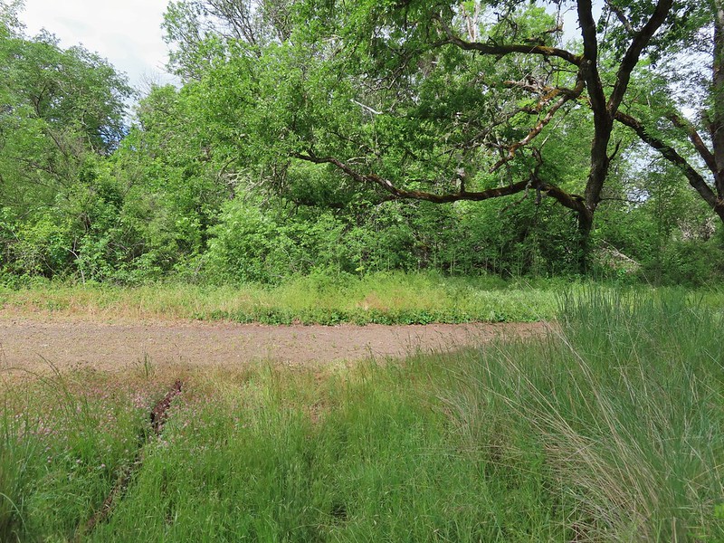
 More ookow
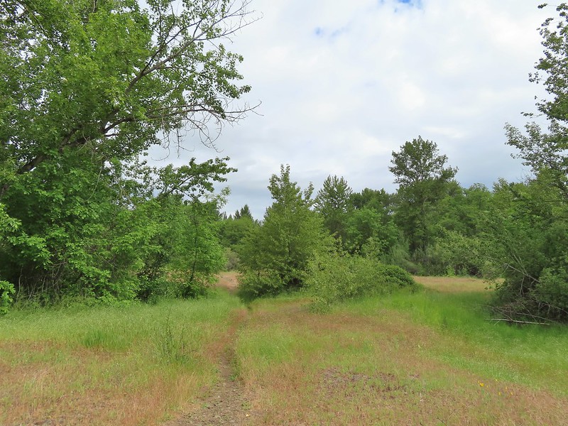 Headed down to the creek.
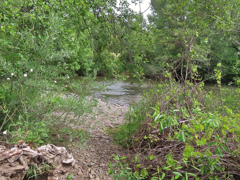
 Little Butte Creek
 Bachelor button near the creek.
 Another bachelor button

 Nookta rose surrounded by poison oak.
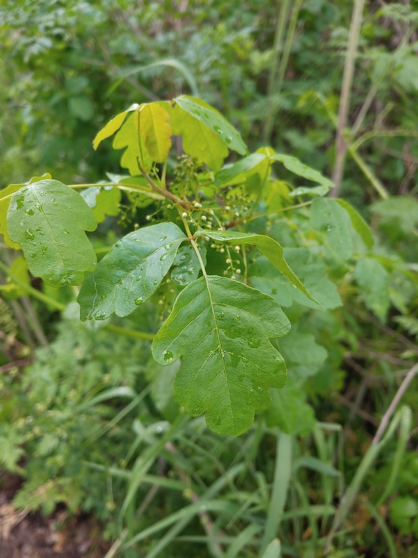 Don’t touch!
 Maiden fly
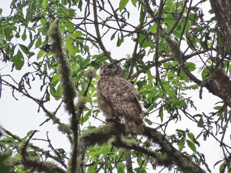
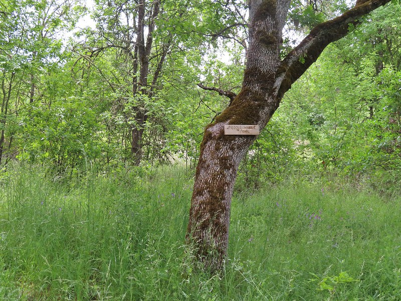 Sign for a Paddle Wheel Trail which we couldn’t really see in the grass.
 TouVille Road
 Bench near the confluence of Little Butte Creek and the Rogue River.
 Rogue River on the left and Little Butte Creek on the right.
 Pale flax
 Exiting the Denman Wildlife Area.
 The Rogue River along the TouVille Interpretive Nature Trial.
 Back to the bridge near the parking area.

 The target shooting area and the OHV track coming down the ridge.
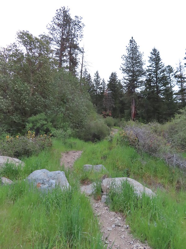 The track going up the ridge between the two roads. We briefly wondered if this had been the BLM’s work to bypass the road walk in between this trailhead and the Greenstone Trailhead but decided it likely wasn’t (good call).
 The “hidden” trailhead sign.
 Despite the empty shell casings and garbage left by the shooters there were some nice flowers along the road.
 Valerian
 Bleeding heart
 The Greenstone Trailhead
 People suck
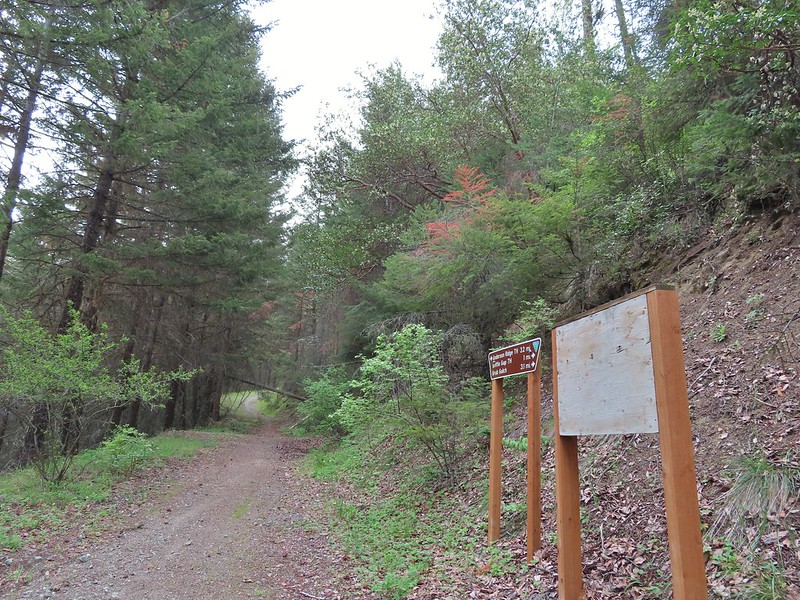 Nicer signs on the other side of the berm.

 Can you spot the insect?
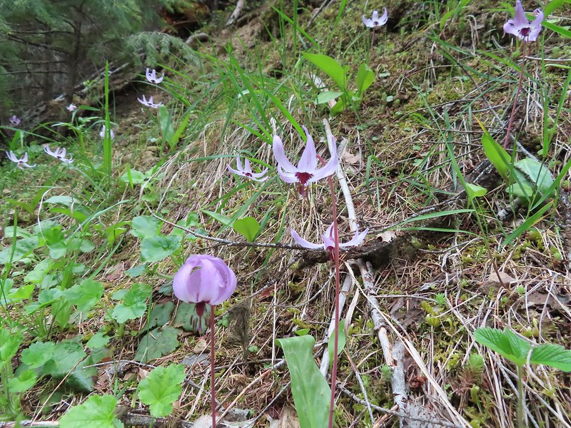
 Trillium

 Milkvetch
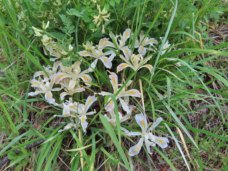 Iris
Iris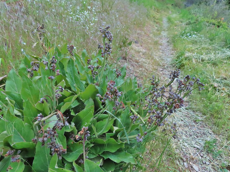 Pacific houndstongue
 We managed to spot a few of the bloodsuckers before they grabbed my pants but we also had to flick 6-8 of the little buggers off.
 Charred tree trunks along the trail.
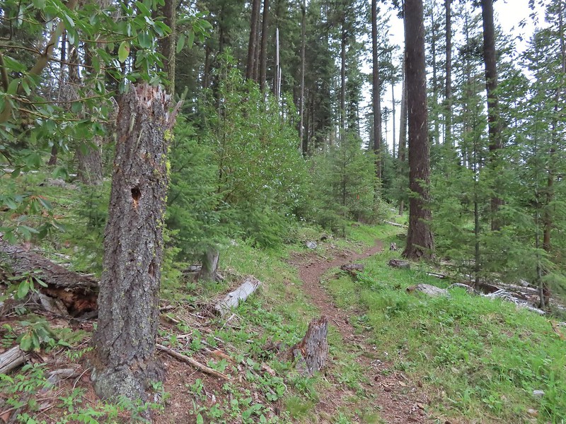
 Snow queen
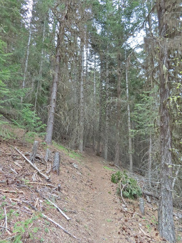 No signs of fire here.

 The Jack-Ash Trail continuing south.
 The trail heading west.
 Balsamroot
 Phlox
Phlox


 Scarlet fritillary – Fritillaria recurva

 Parsley, larkspur, prairie stars and blue-eyed Mary.
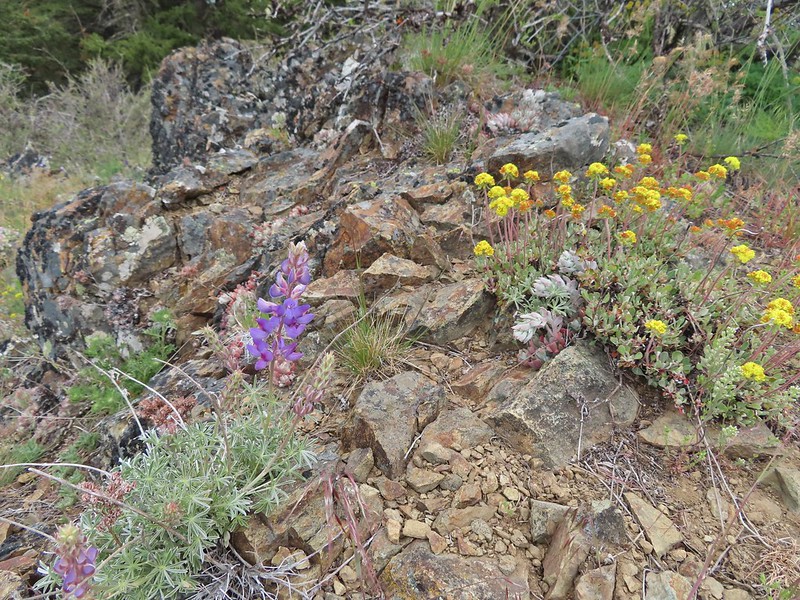 Lupine and buckwheat
 Mt. McLoughlin (
 Zoomed shot of Dutchman Peak
 Zoomed shot of Red Buttes
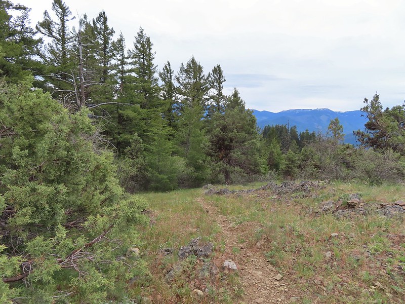
 Paintbrush, blue-eyed Mary, and redstem storksbill
 A stonecrop
 Where we left the roadbed.
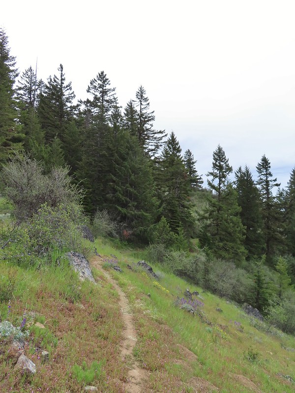 Back on the Jack-Ash.
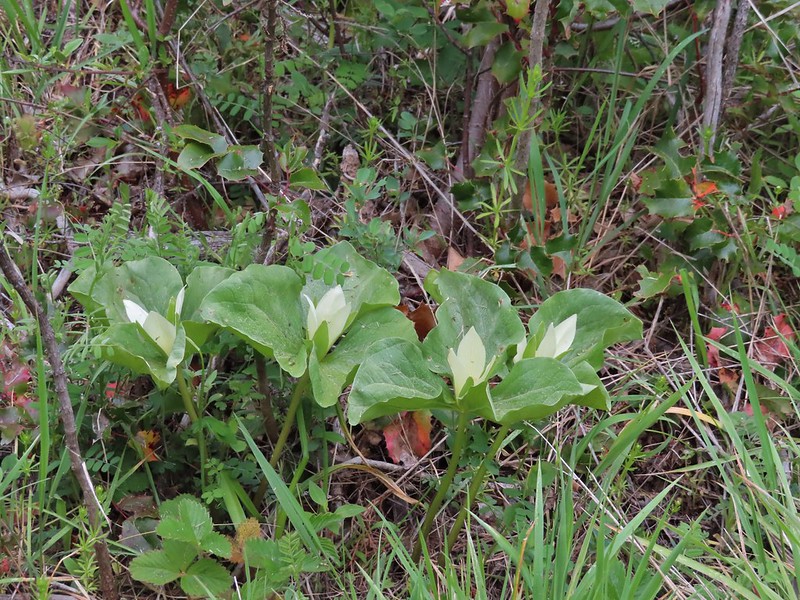 Giant white wakerobbin
 Paintbrush and waterleaf
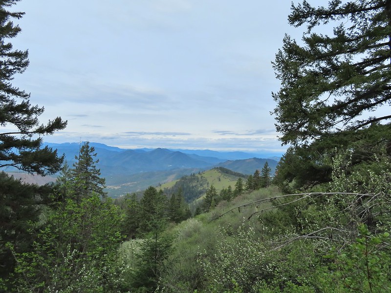 Grayback Mountain to the left with snow.
 The OHV trail crossing the Jack-Ash Trail.
 The OHV trail coming down from the road.
 Lupine
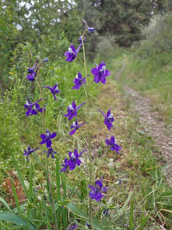 Larkspur
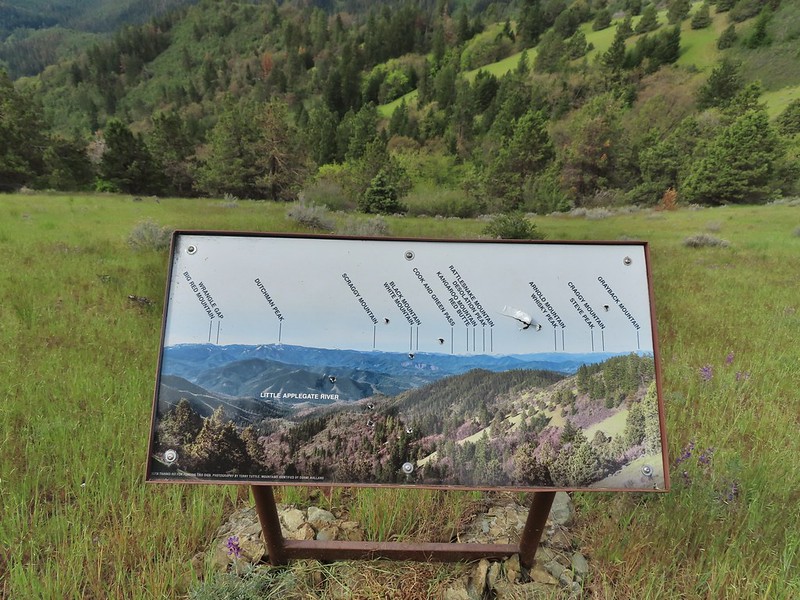 Always appreciate a good mountain locator.
 Mariposa lily
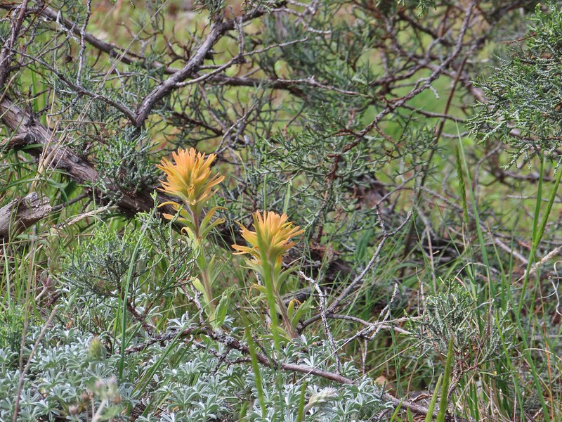 Paintbrush
 Silverleaf phacelia
 Some sort of big thistle on the hillside.
 Some pink lupine.
 Rough eyelash-weed
 Western wallflower with a crab spider.
 Clustered broomrape
 Buckwheat, paintbrush, and lupine
 Plectritis
 Nearing the Anderson Ridge Trailhead.
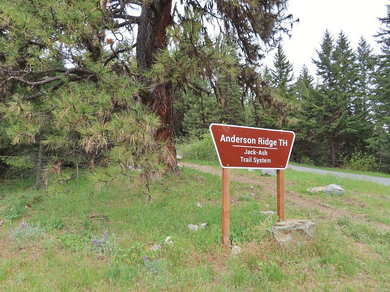


 Miniture lupine
 A ringlet on fiddleneck.
 Post at the OHV trail crossing.
 Salsify
 Yarrow
 The Jack-Ash Trail nearing the saddle where we had turned off to go up Anderson Butte.
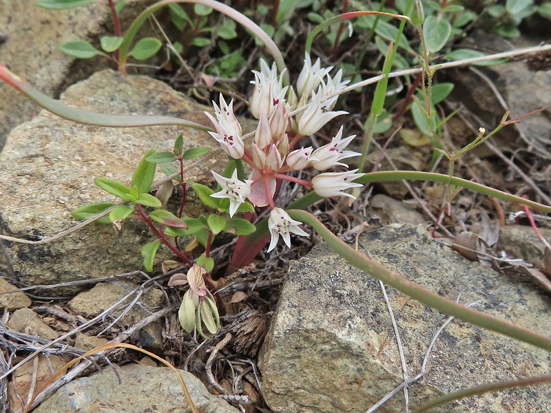 Wild onion (possibly Siskiyou)
 Meadowfoam
 Royal Jacobs-ladder
 Royal Jacobs-ladder
 The berm at the Greenstone Trailhead.


 Acorn woodpecker
 Death camas and vetch
 Carrotleaf horkelia
 Lazuli bunting
 Finch
Finch
 Lupine
 Oregon sunshine
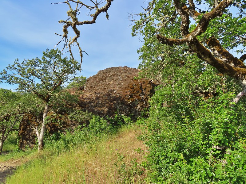 Andestite boulder
 Mt. McLoughlin (
 Ground squirrel having breakfast
 Blow wives
 A clarkia
 Blue dicks
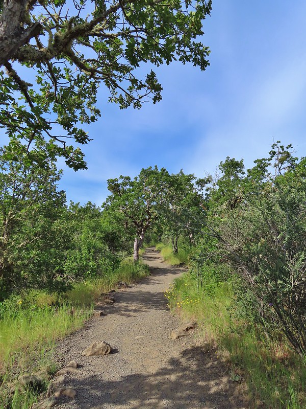
 Paintbrush (and poison oak)
 Could be a cutleaf silverpuff or a hawksbeard
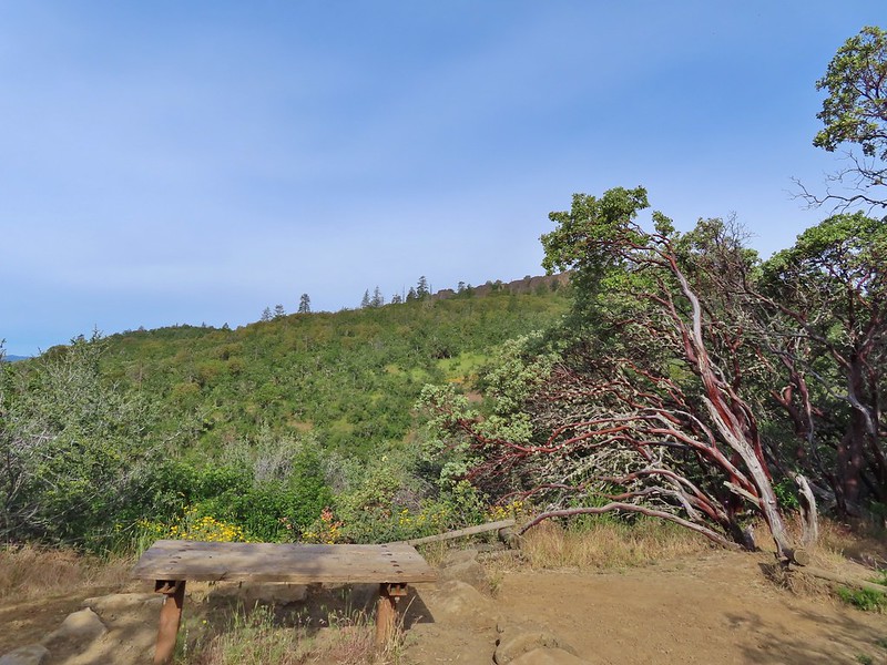 Viewpoint bench at the half mile point.
 Clustered broomrape
 Siskiyou Mountains including Mt. Ashland (
 Another type of clarkia
 Possibly bastard toadflax
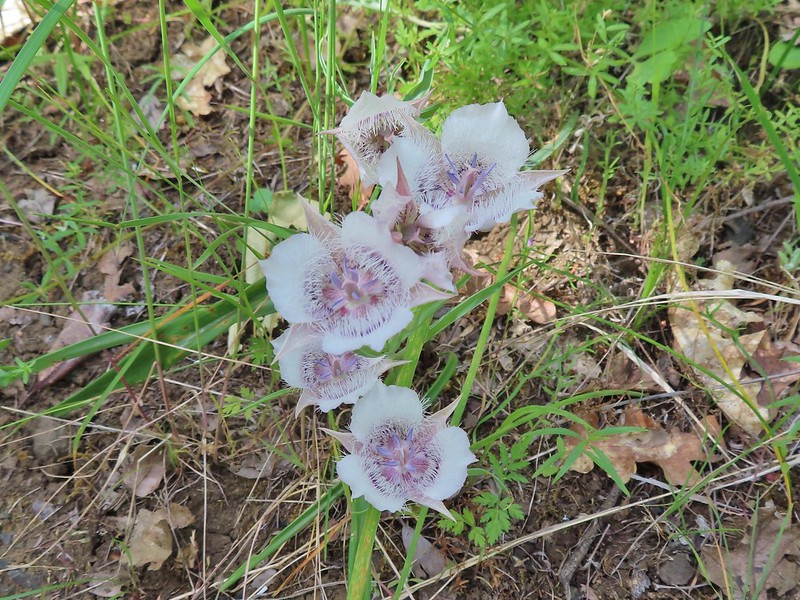 Mariposa lilies
 Balsamroot along the trail.
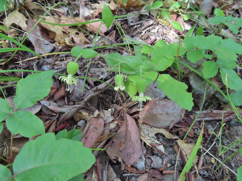 Bell catchfly
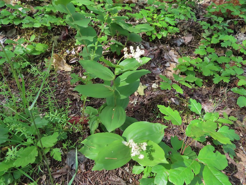 Plumed solomonseal
 Approaching the start of the loop.
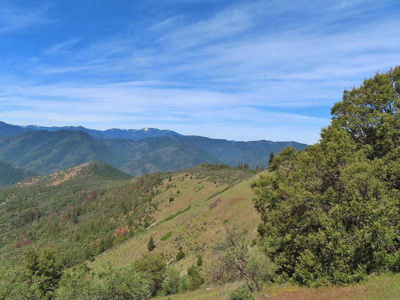
 Looking toward the Siskiyous.
 The Red Buttes (
 Pilot Rock (
 Mt. Ashland (w/snow) and Wagner Butte
 A couple of different wildflowers.
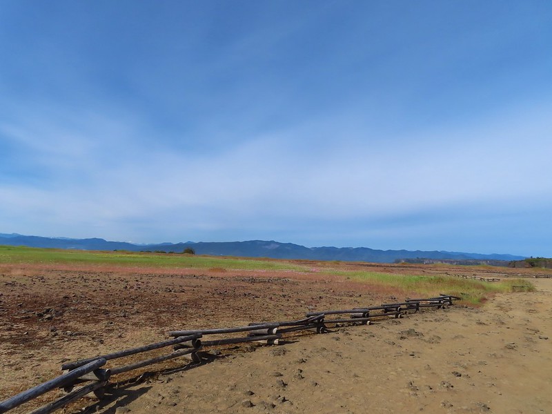 Narrowleaf onion?
 Pincushion plant
 Meadowfoam
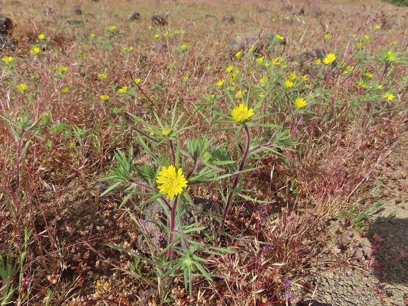 Not sure what these yellow flowers are. Yellow flowers are by far the hardest to figure out.
 Rock wren
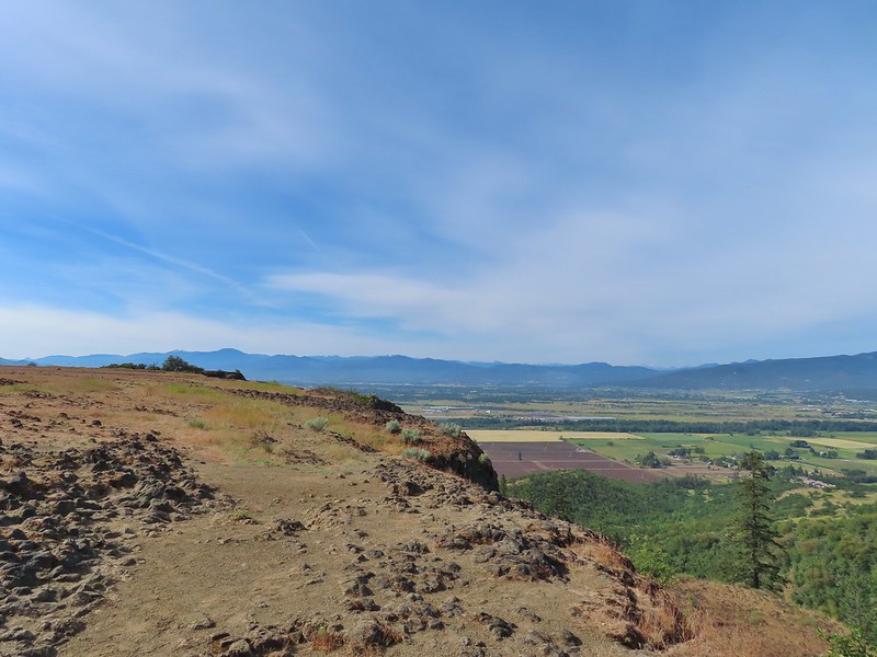
 Turkey vulture in flight with Mt. McLoughlin in the background.
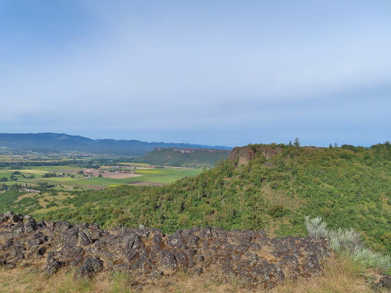 Lower Table Rock beyond the other bench of Upper Table Rock.
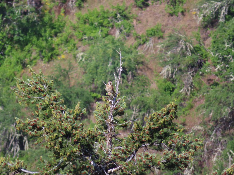 An American kestral atop a tree.
 Lizard
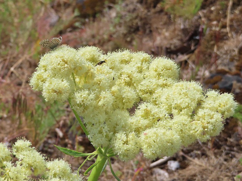 A butterfly and a beetle on arrowleaf buckwheat
 Yarrow
 Chaparral false bindweed
 White tritelia
 Rufous sided hummingbird
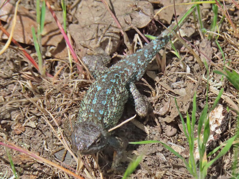 Lizard
 Brown headed cowbird
 Mt. McLoughlin on the way down.


 Mariposa lilies
 Alligator lizard
 Henderson’s stars
 Hooker’s Indian pink
 Fern leaf biscuitroot
 Blue dicks
 Larkspur
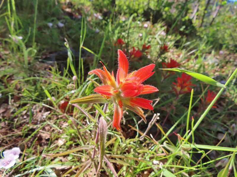 Paintbrush
 Mariposa lily
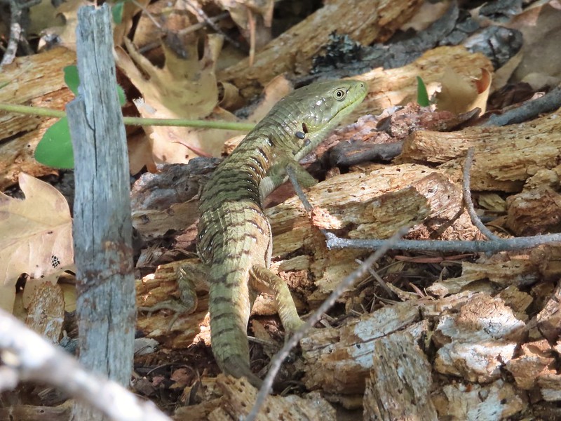 Another alligator lizard. They eat ticks but in this case it appears a couple ticks got the jump on him (or her).
 Lupine
 View from the trail.
 Grayback Mountain to the right in the distance.
 Fiddleneck
 Miniture lupine
 A lupine, clarkia and madia?
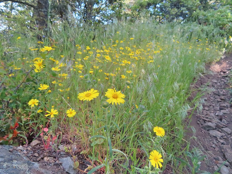 Madia
Madia A molting lizard.
 A lomatium
 Believe this is a female black-headed grosbeak
 The Red Buttes (
 Red bells, these were on a short wish list of wildflowers that we’d yet to see on trail.
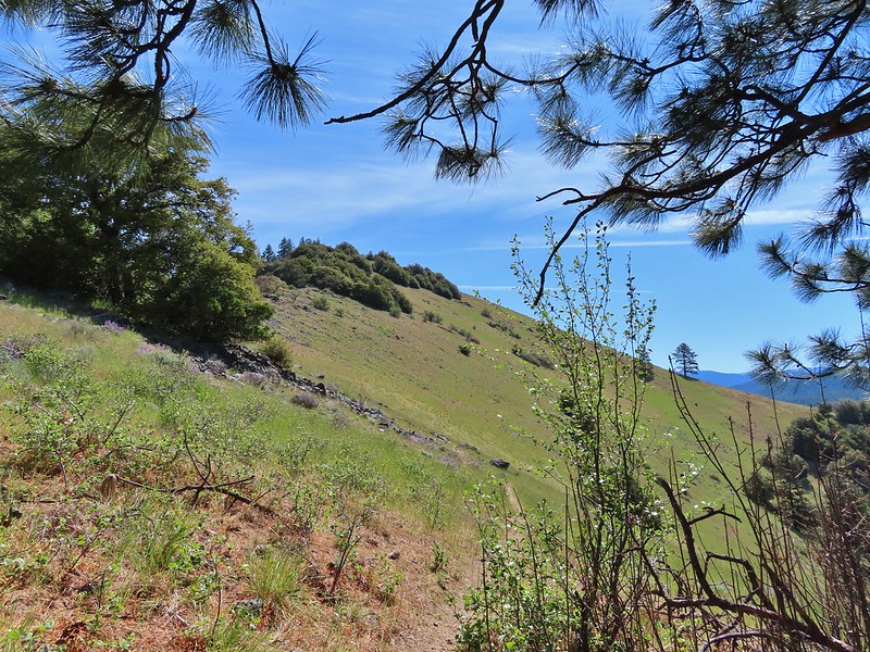
 Poppy
Poppy Scraggy Mountain behind Little Grayback Mountain
 Red Buttes behind Little Grayback Mountain
 Butterfly on scat.

 Mule Mountain is the lower peak along the ridge with the brown left side.
 Lupine
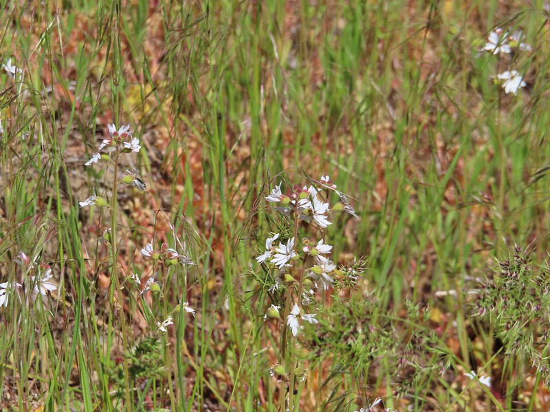 Prairie stars
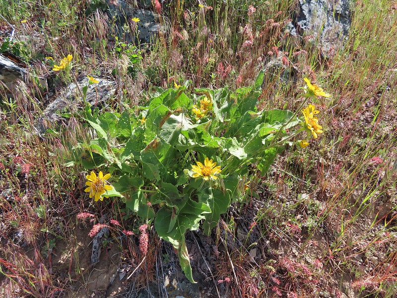 Balsamroot
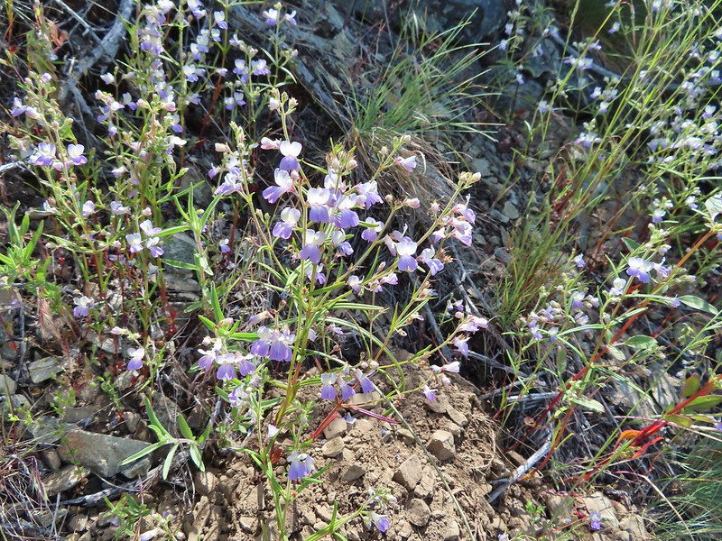 Blue-eyed Mary
 A collection of various small wildflowers.
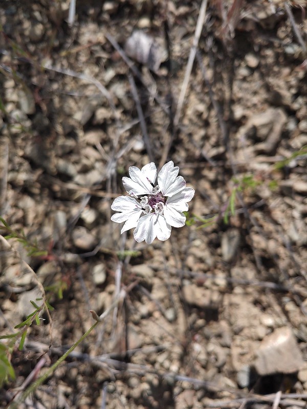 Rough eyelashweed
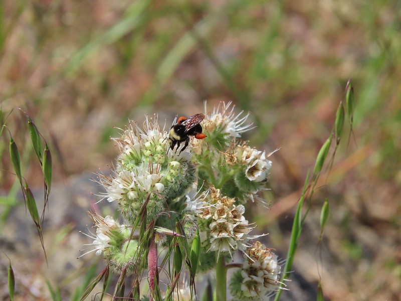 Bee on silverleaf phacelia
 Poppies
 Butterfly on grass
 Blue gilia
 Grayback Mountain behind Mule Mountain
 Yet another lizard
 A colorful moth.
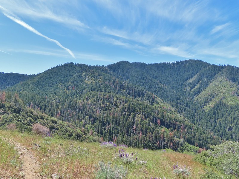 Little Grayback Mountain


 Iris
Iris Approaching the trailhead.
 Looking back at the trailhead from the road.
 Henderson’s fawn lily, another one we could check off our wish list.
 A typical obstacle.
 Overgrown trail.
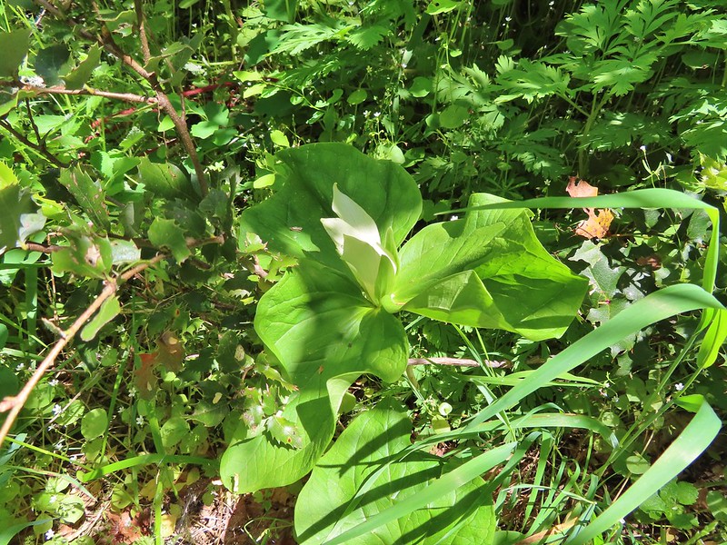 Giant white wakerobbin
 Some flagging on the left and bleeding heart on the right.
 Star flower
 Striped coralroot
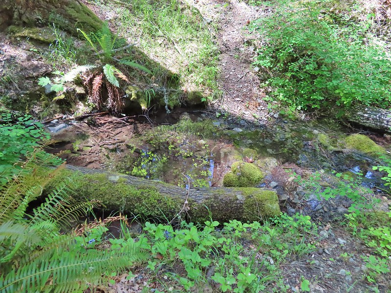 There was a good pool at this crossing where we could have gotten water.
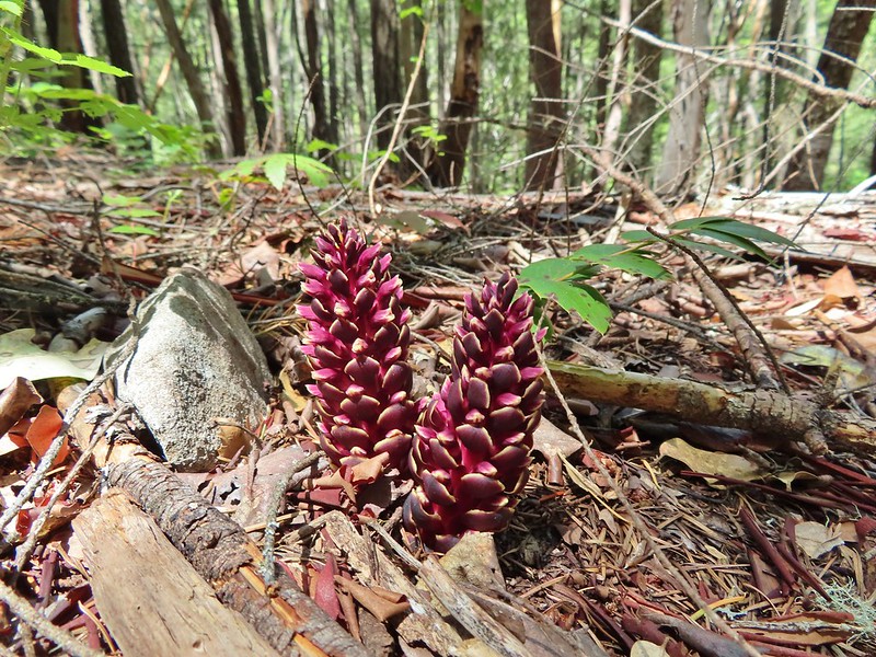 California ground cones.
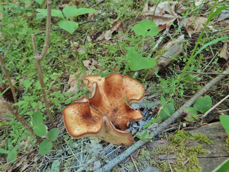 A folded up mushroom.
 A butterfly
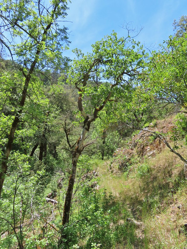
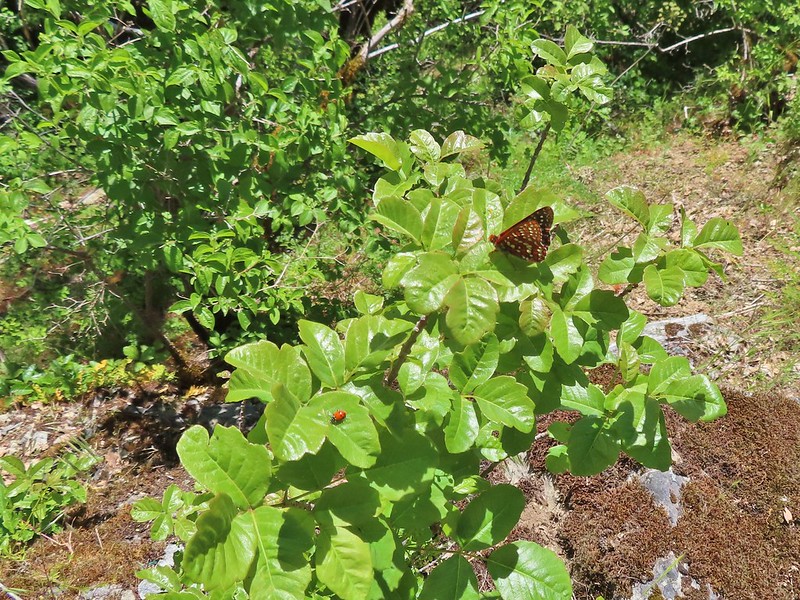 Apparently lady bugs and butterflies don’t care about poison oak.
 The trail got pretty faint at times.
 Arriving at the Mule Mountain Trail.
 White lupine
 Grand collomia
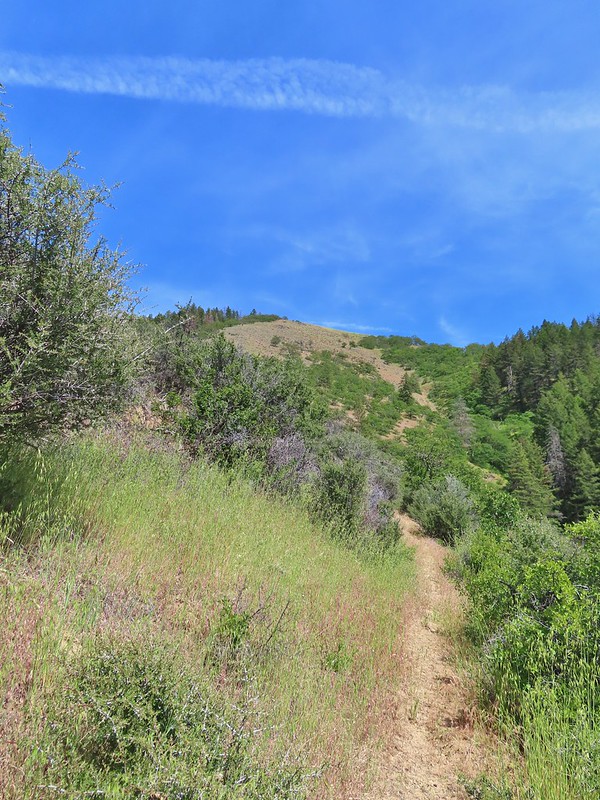
 Penstemon
 A brief section of shade.
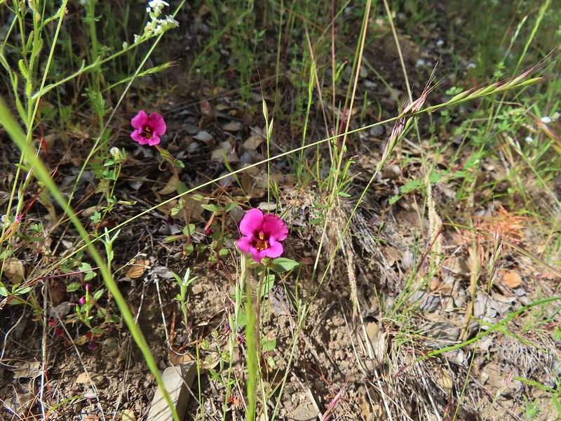 Dwarf purple monkeyflower
 I needed to get just below the lone tree on the ridge in the distance.
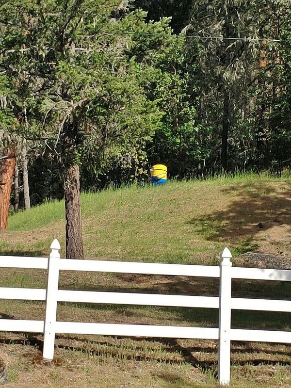 A random Minion in a field.
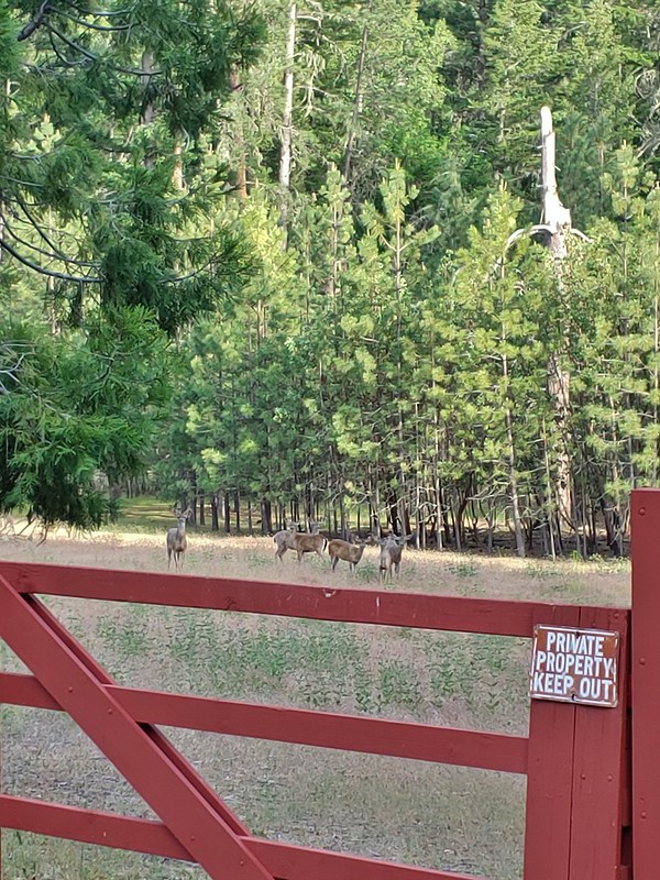 Deer along the road.
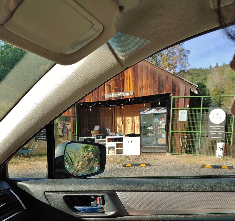 The Twin Pear Farm on the way back by.