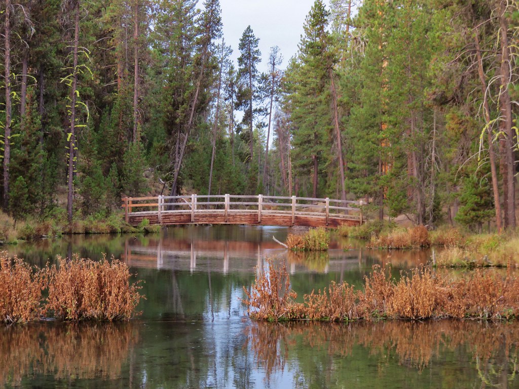
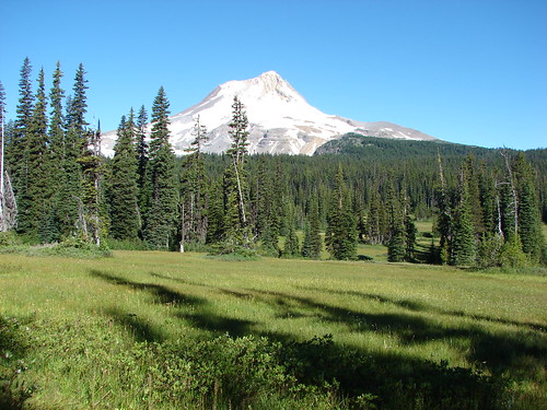
We headed over to Bend for Memorial Day weekend to visit Heather’s parents and get a few more hikes checked off our to do list. On our drive over to Bend we hit three different locations starting with White River Falls.
In order to visit White River Falls we took what we call the long way around to Bend. From Salem we headed north through Portland to I84 then east to Highway 197 in The Dalles which we followed south to Tygh Valley. Our plan was to take Highway 216 four miles east from Tygh Valley to White River Falls State Park then continue on Hwy 216 to Sherars Bridge where we would turn for our second hike. We had about a quarter of a tank of gas left so we tried to stop in Tygh Valley to fill up not knowing for sure when we would see another gas station but the one in Tygh Valley was still closed so we decided to go to the falls then come back for gas before continuing to our second stop.
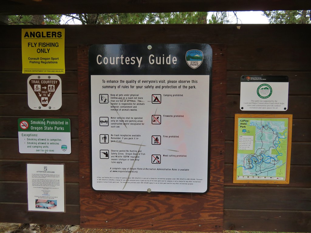
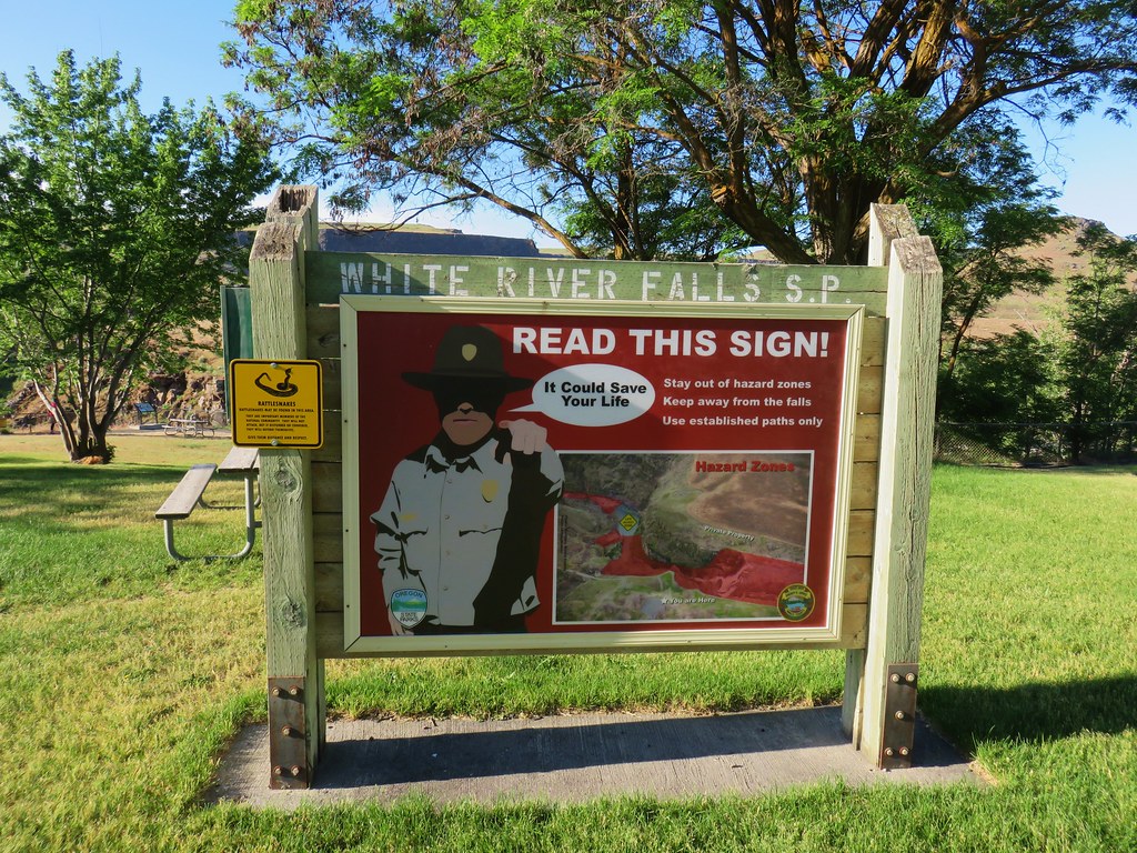
We parked at the good sized day use area and passed a large signboard warning of the dangers of the river (and also the presence of rattlesnakes).
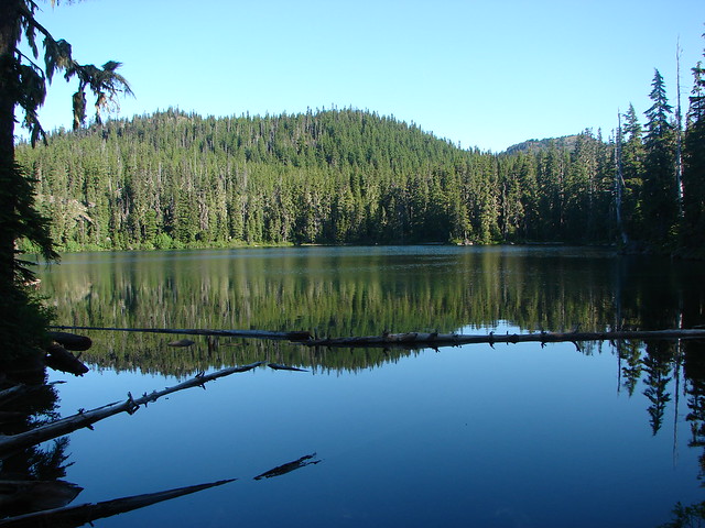
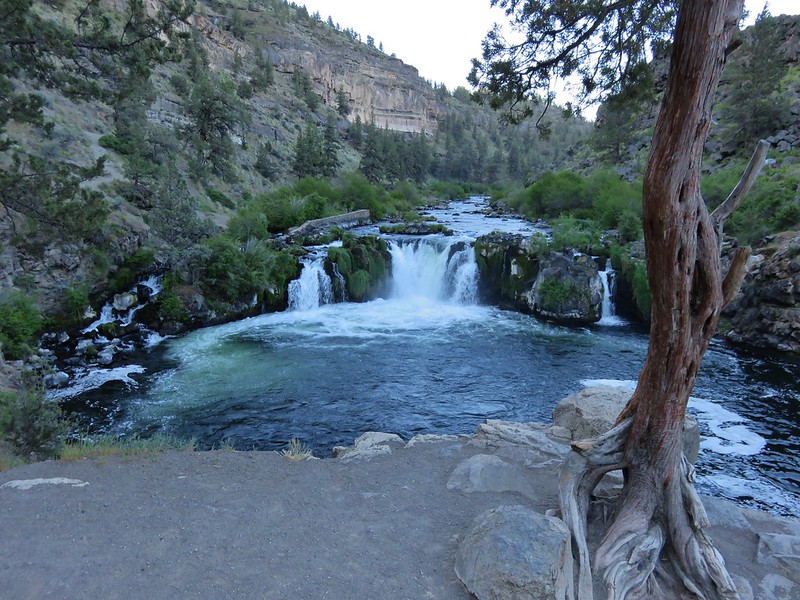
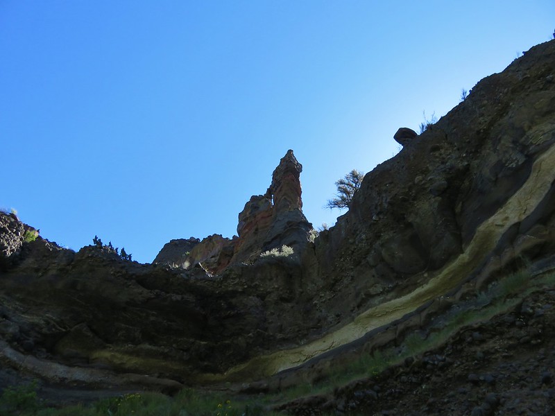
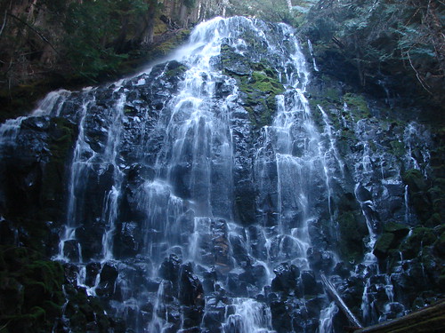
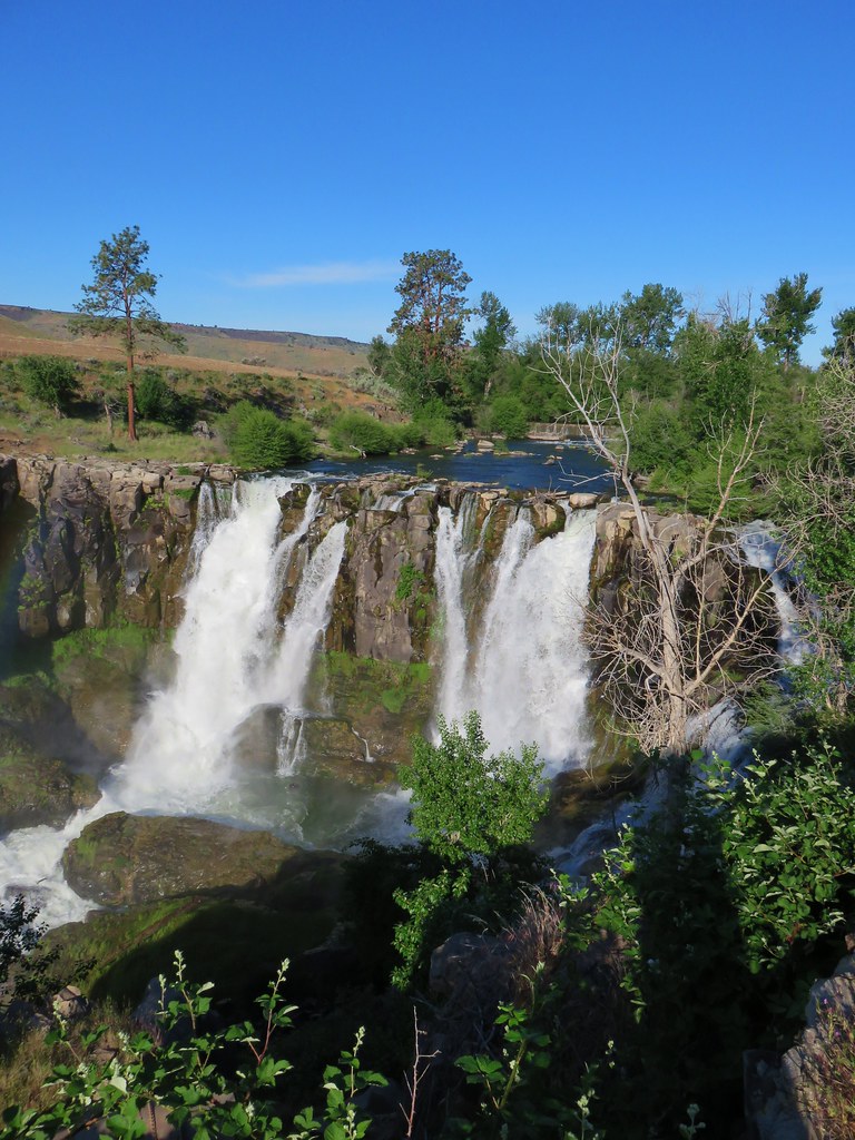
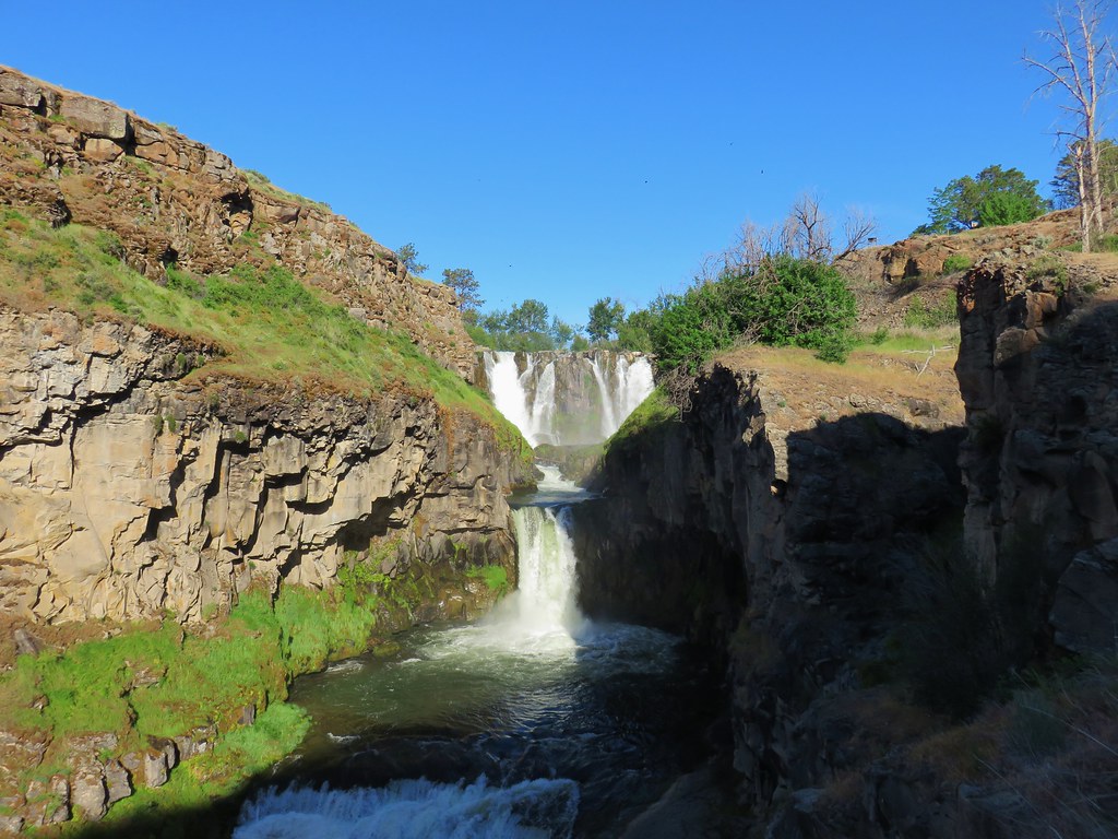
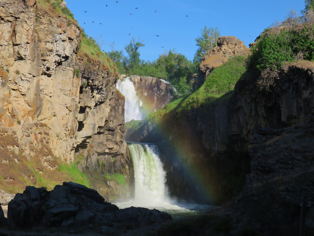
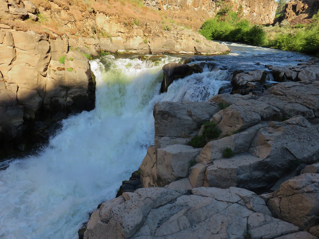
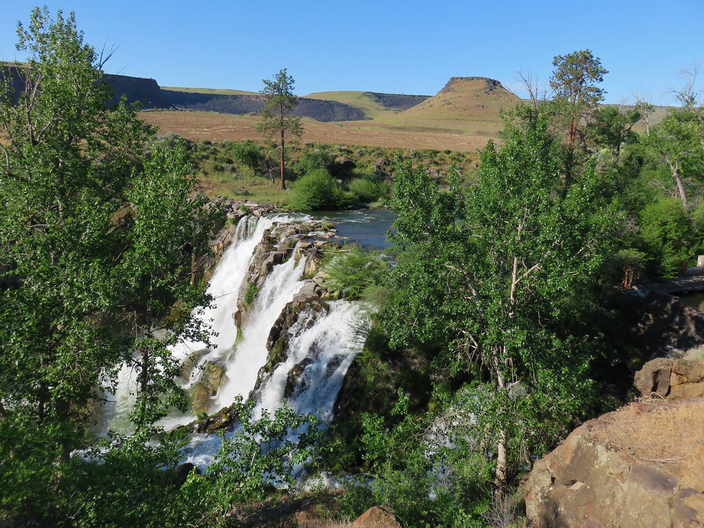
A short paved path led to a railed overlook above White River Falls.
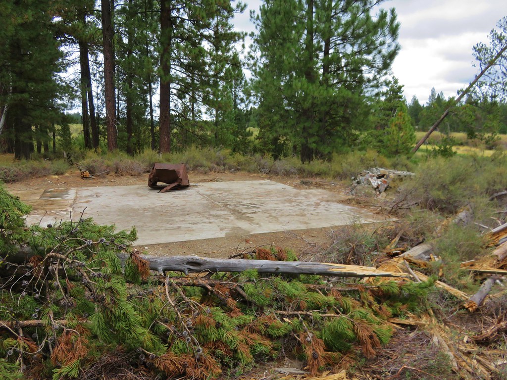
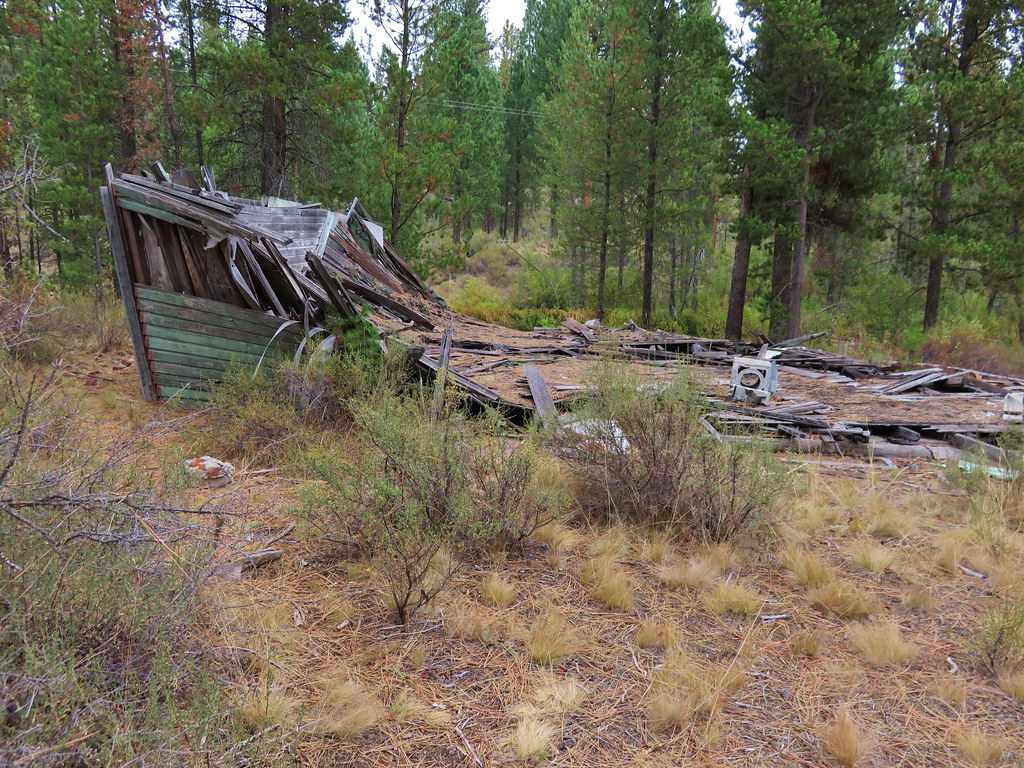
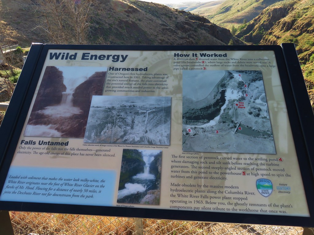
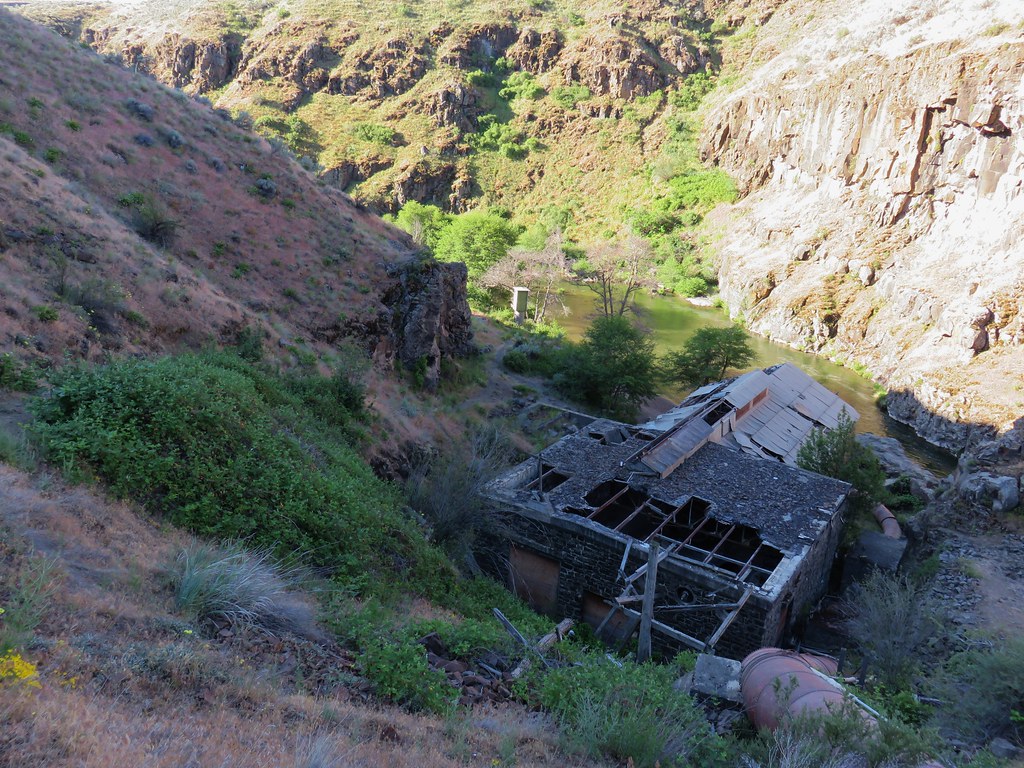
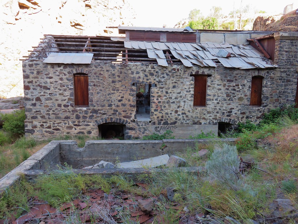
An interpretive sign at the viewpoint told about the 1901 hydroelectric plant that was built here.
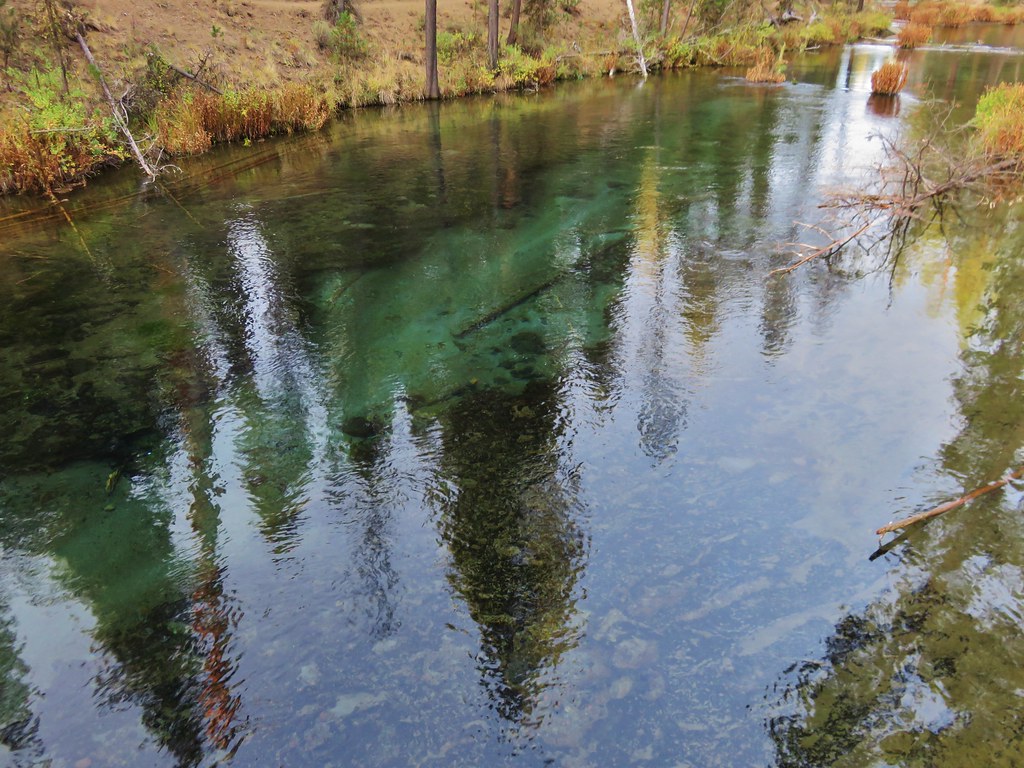
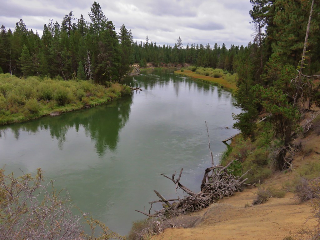
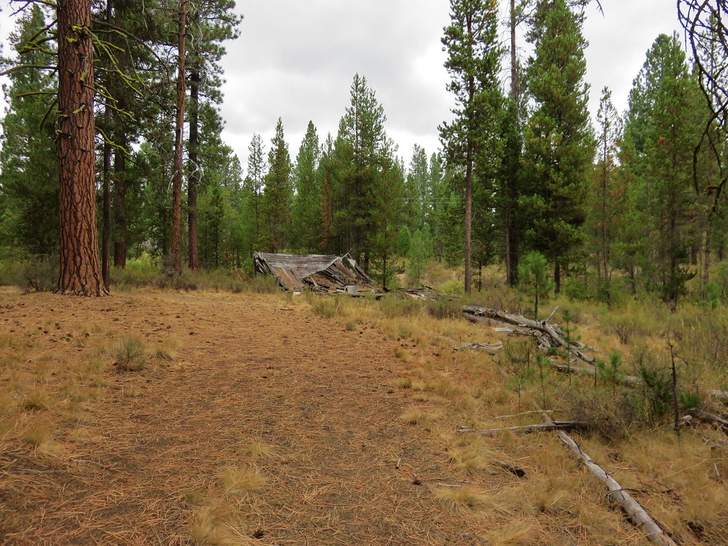
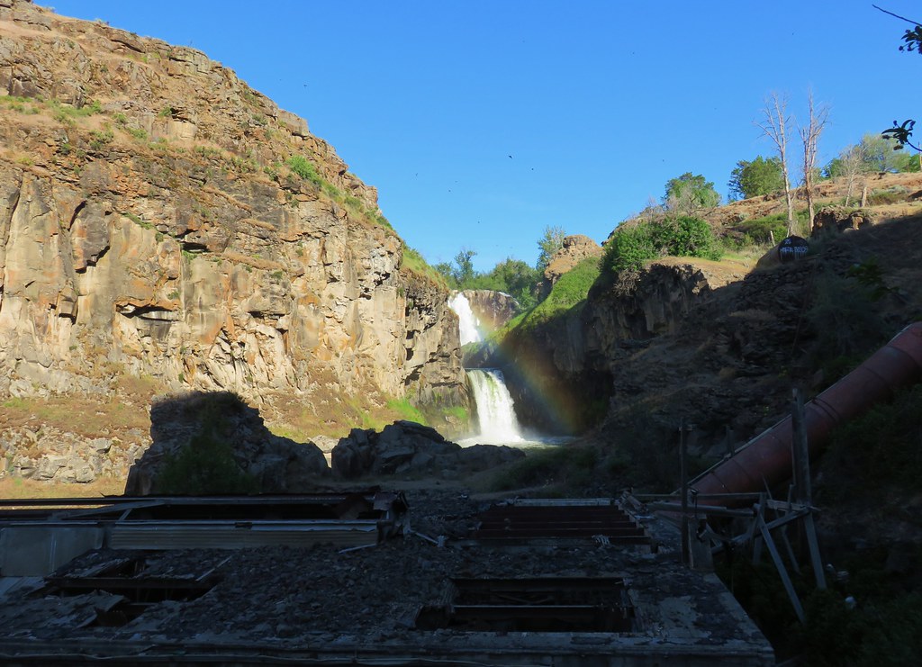
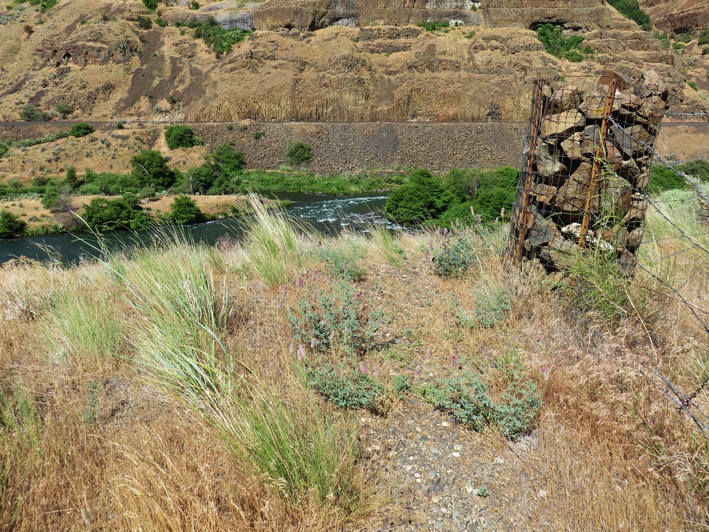
From the viewpoint we could see the remains of the powerhouse in the canyon downstream.
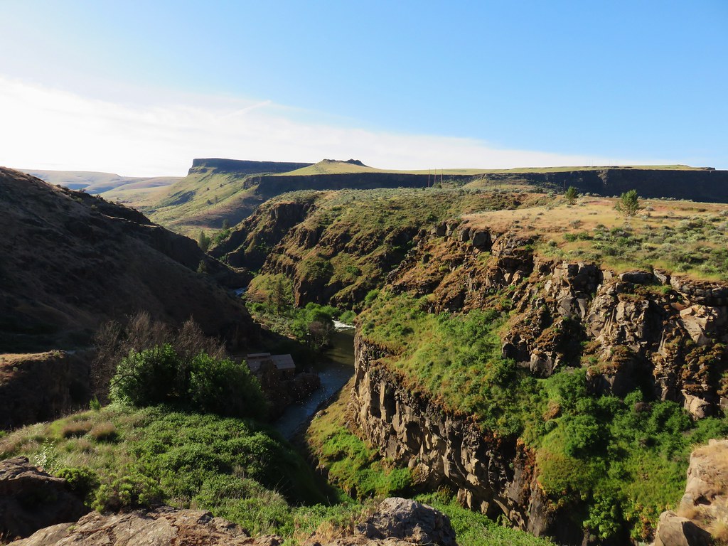
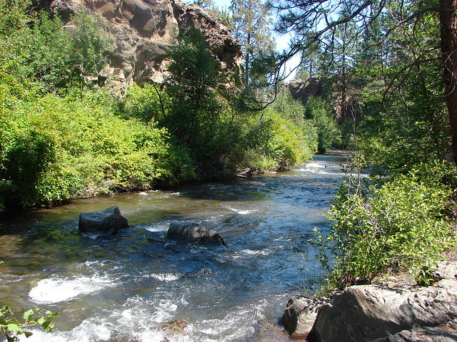
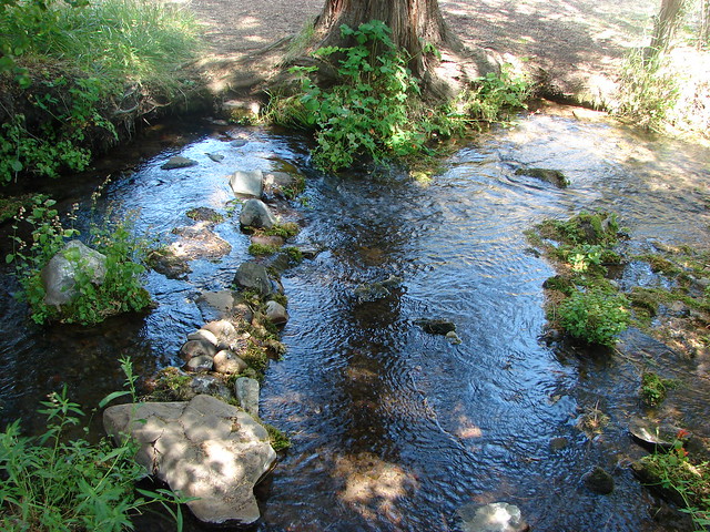
From the viewpoint a path led downhill across a bridge along the settling pond damn and down into the canyon for a view upstream to the falls.


The trail continued downhill past the powerhouse where the view of the falls included a nice rainbow.
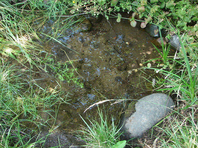
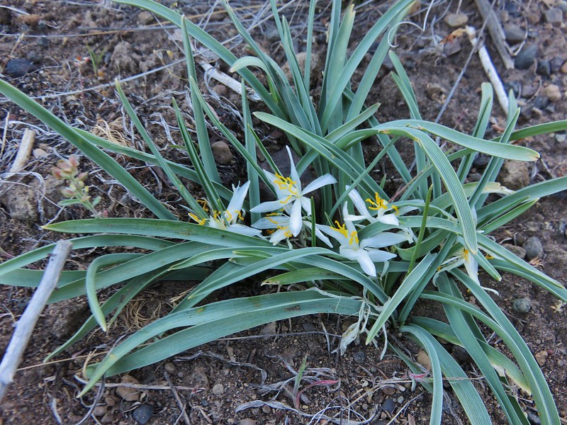
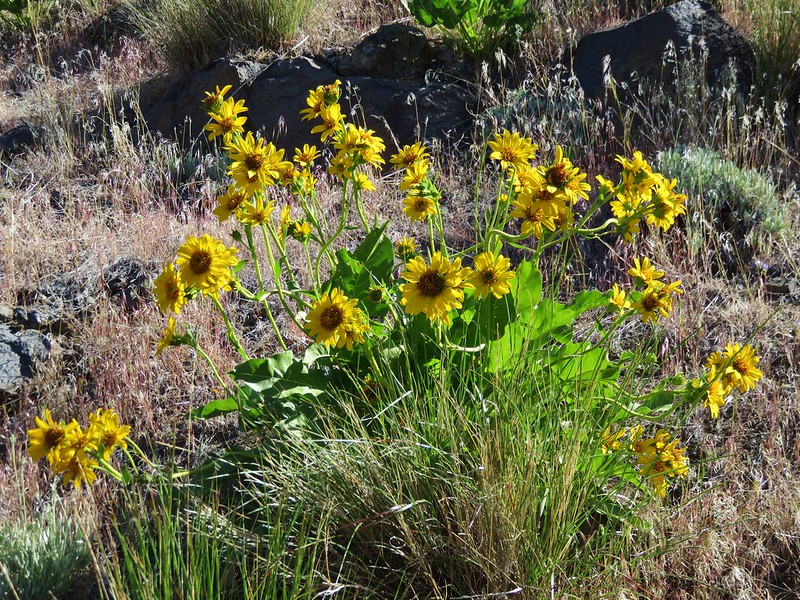
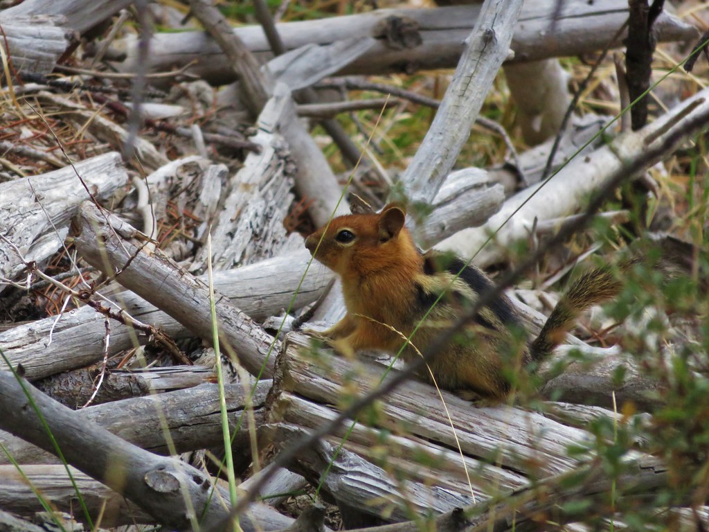
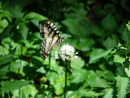
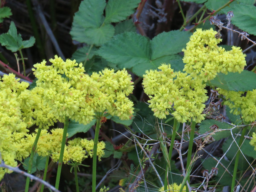
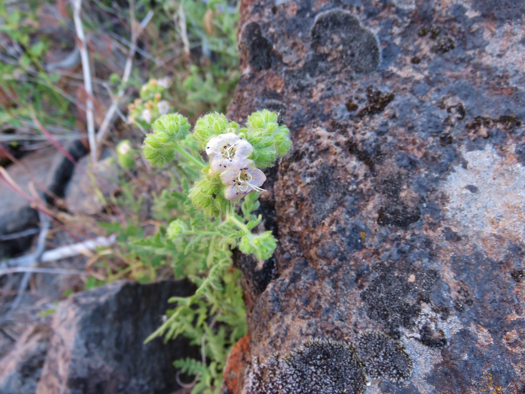
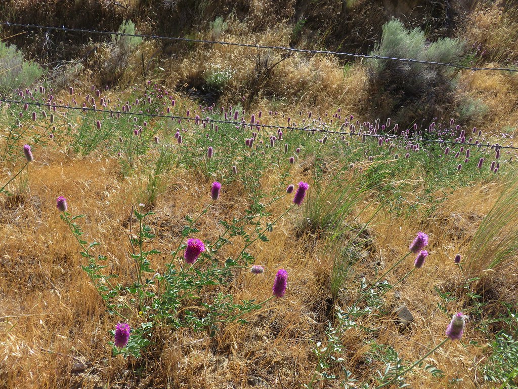
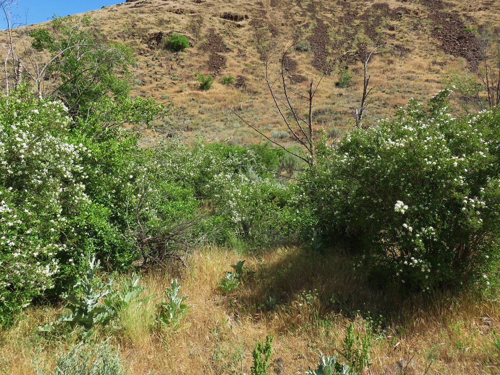
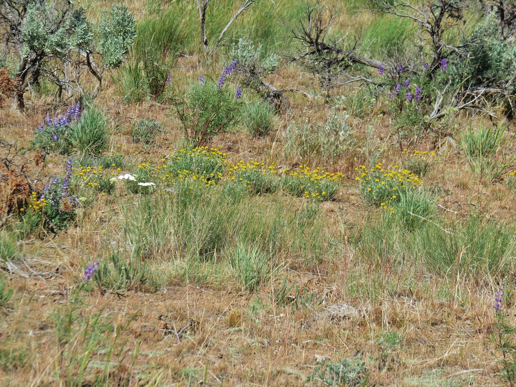
There were a few flowers blooming in the canyon.
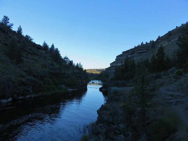
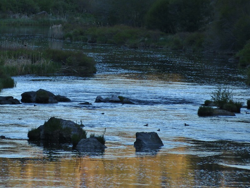
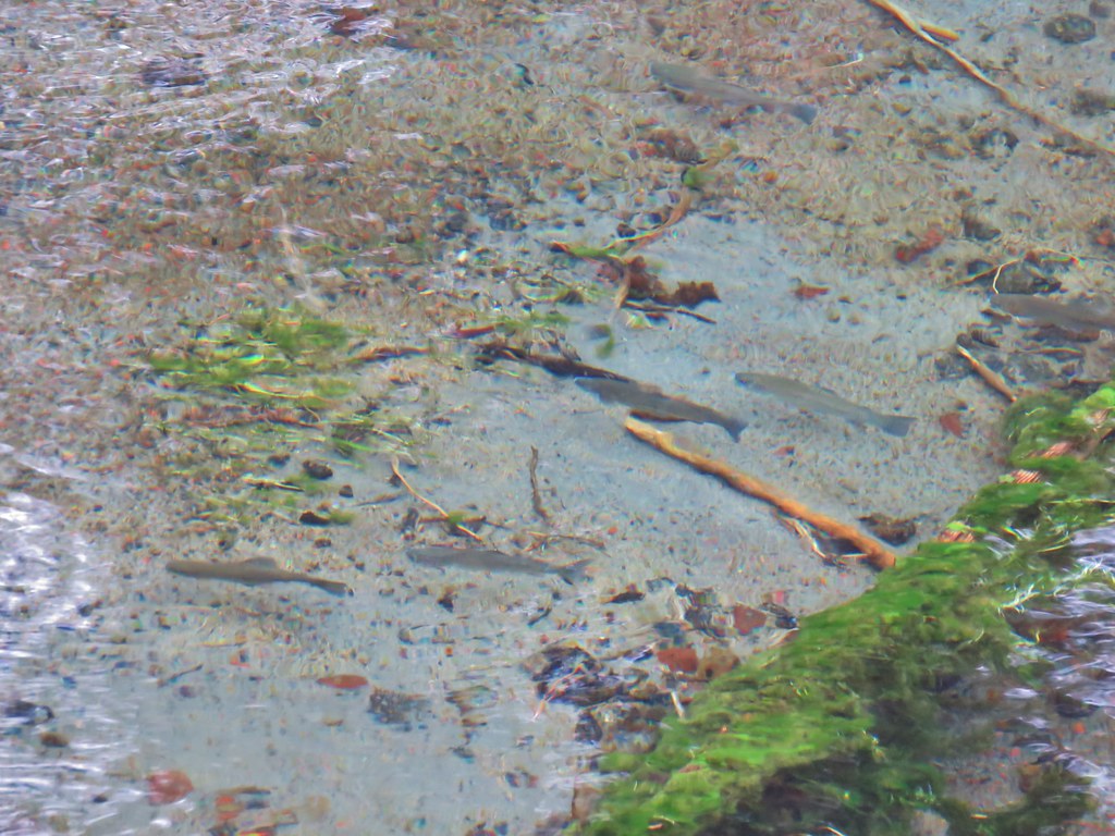
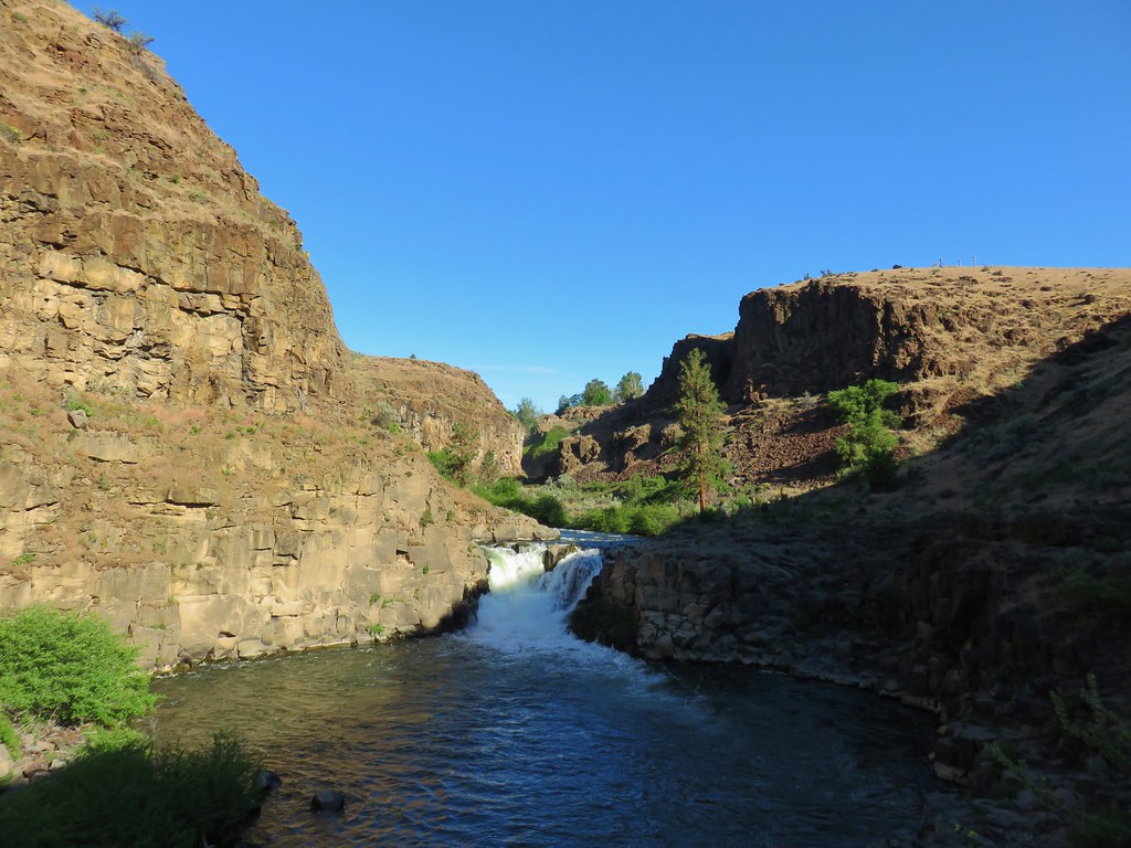
We continued to follow the path downstream a short distance past Celestial Falls.
Beyond Celestial Falls the trail brought us to several rocky viewpoints where we could look back upstream to those falls and also further downstream.

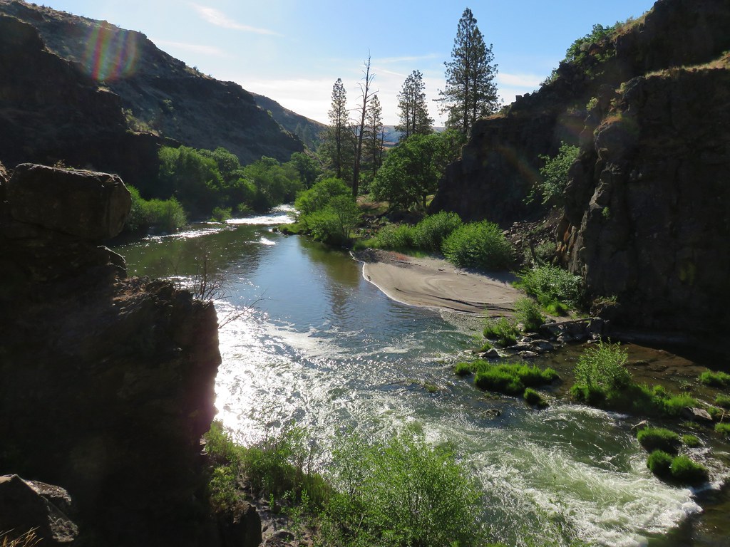
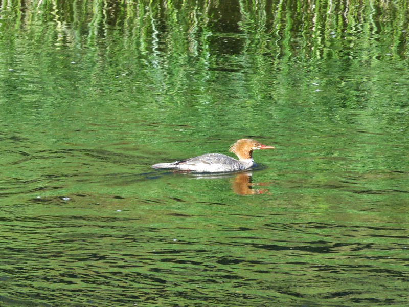
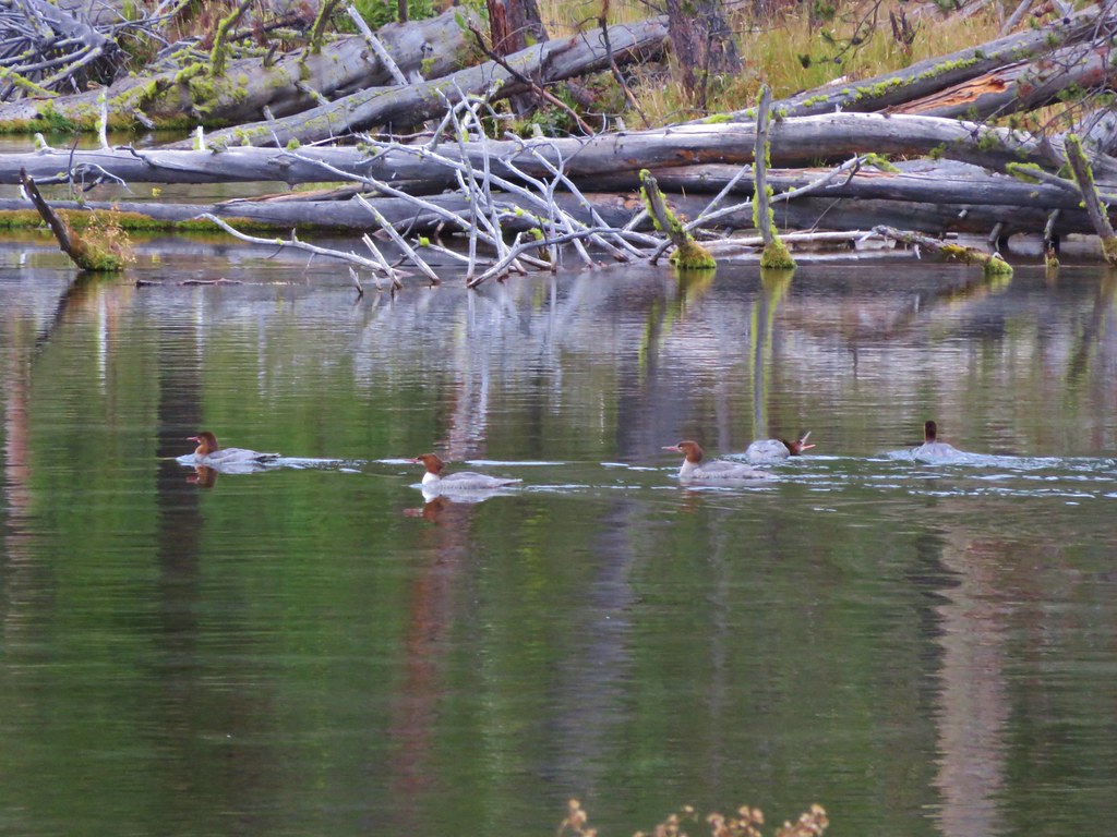
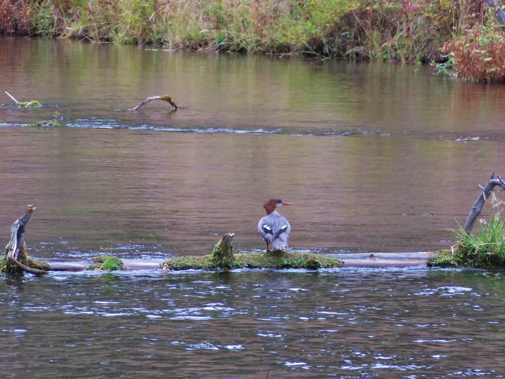
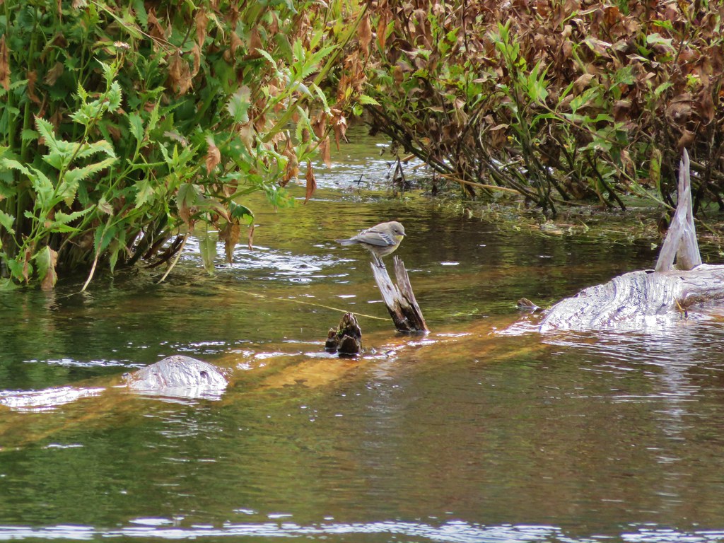
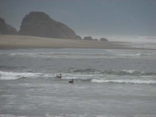
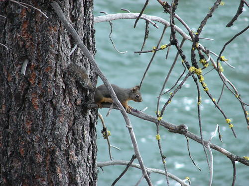
A couple of mergansers were enjoying a beach along the river downstream.

We had gone about half a mile from the viewpoint when we decided to call it good and head back. The path had split where we turned around, one trail stayed up on the canyon hillside above the rocks and the other appeared to be a scramble down to the river. We had seen what we had come for in the falls though and had other hikes to get to, so back we went.
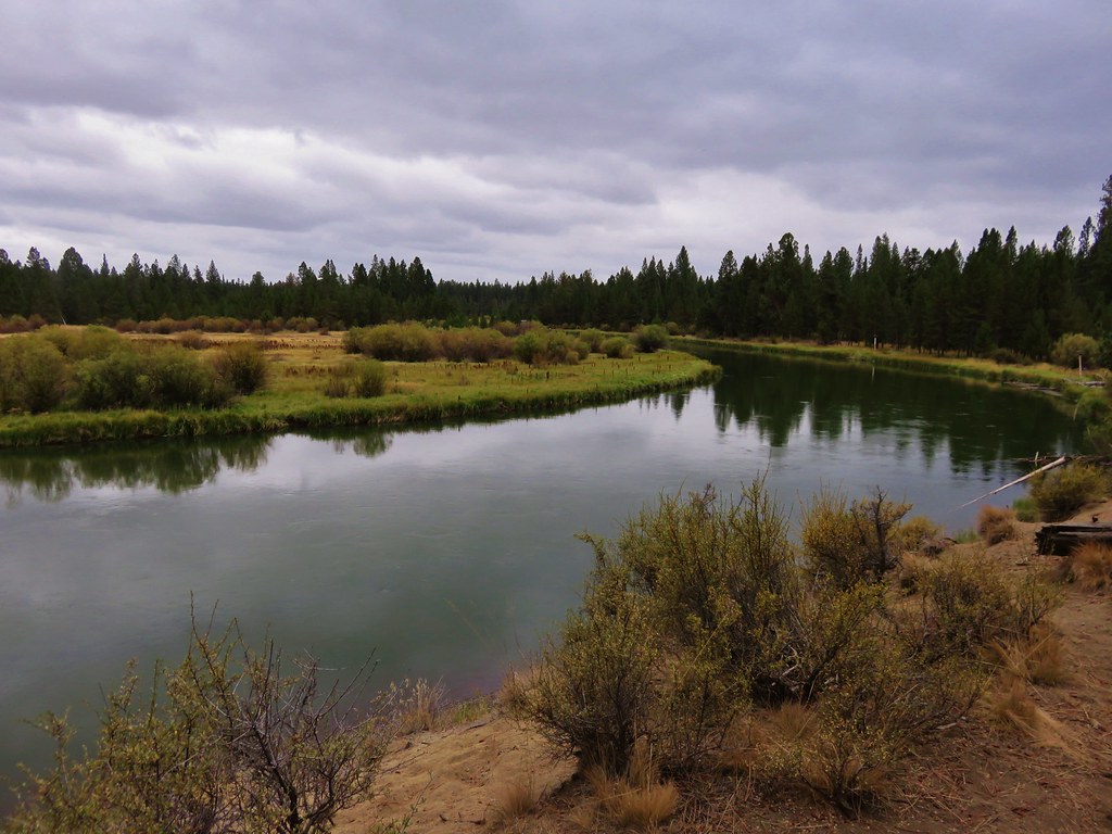
Once we were back at the viewpoint we followed the fence upstream through the grassy day use area to a different view of White River Falls.
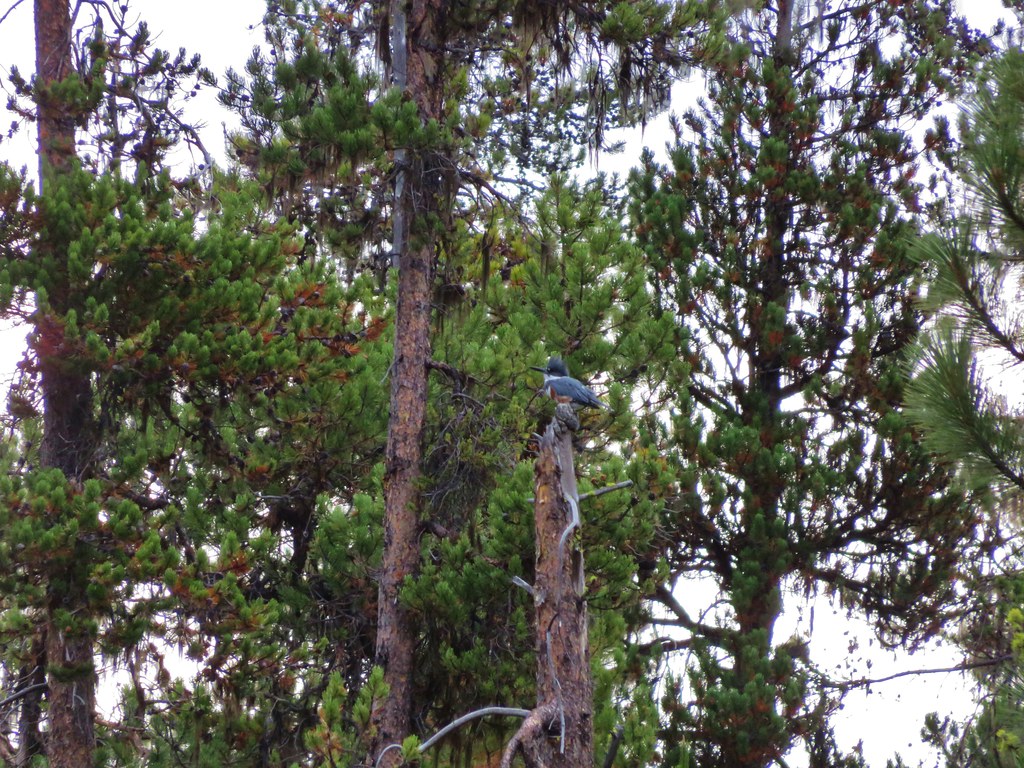
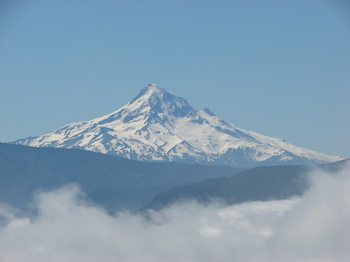
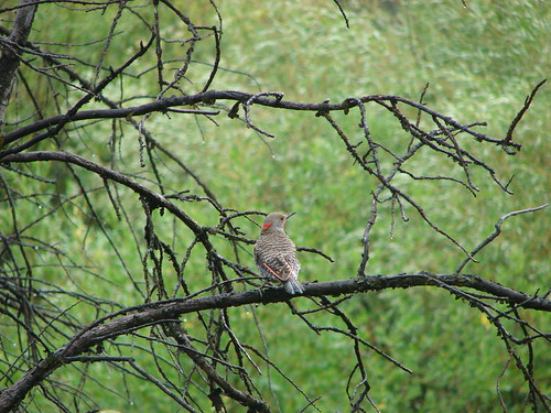
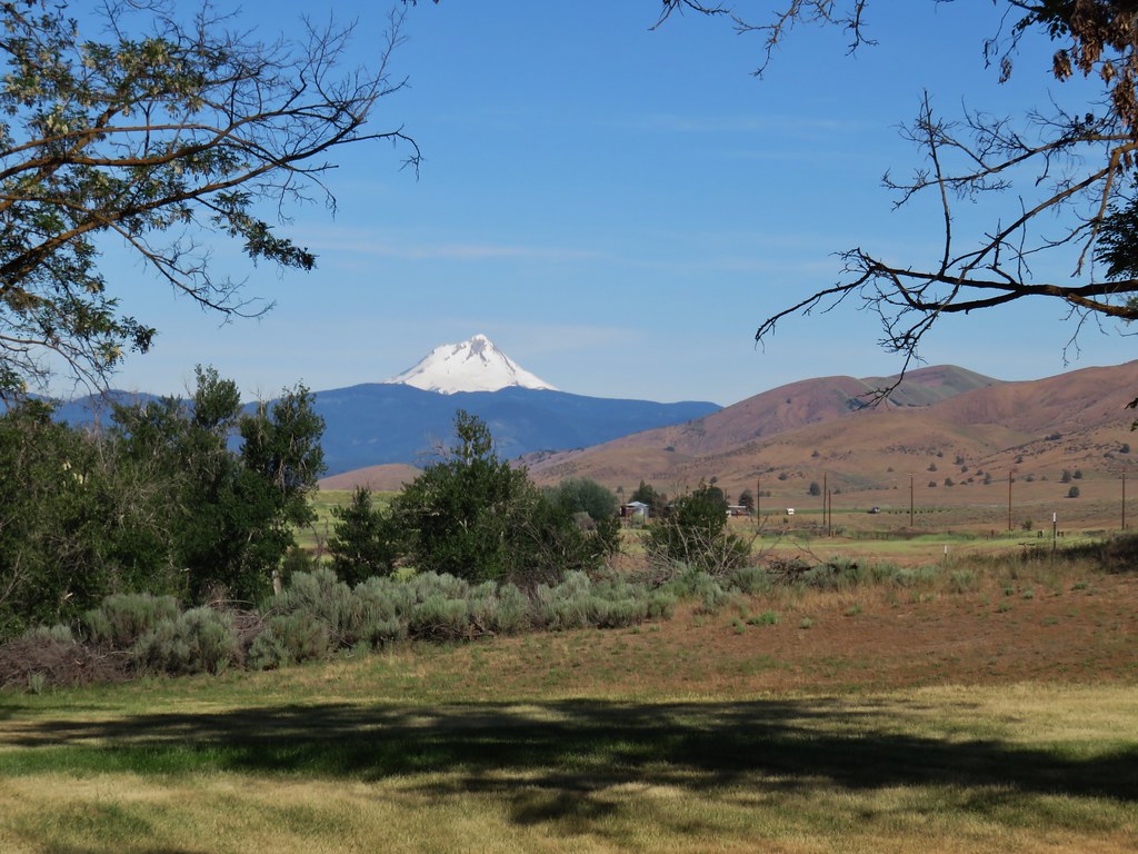
We then cut through the day use area as I had seen a bullock’s oriole after getting out of the car but couldn’t get a picture and was hoping to see it again. We didn’t spot the oriole but there was a nice view of Mt. Hood where the White River originates.

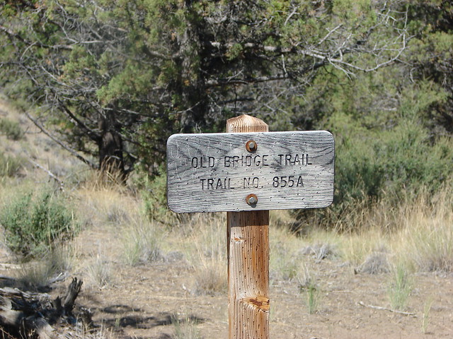
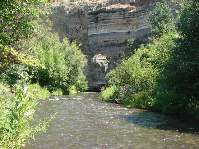
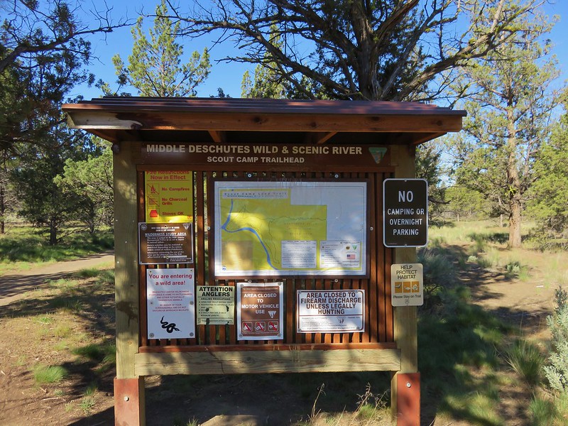
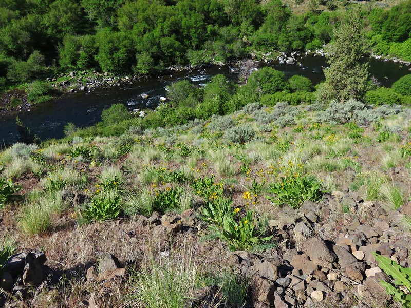
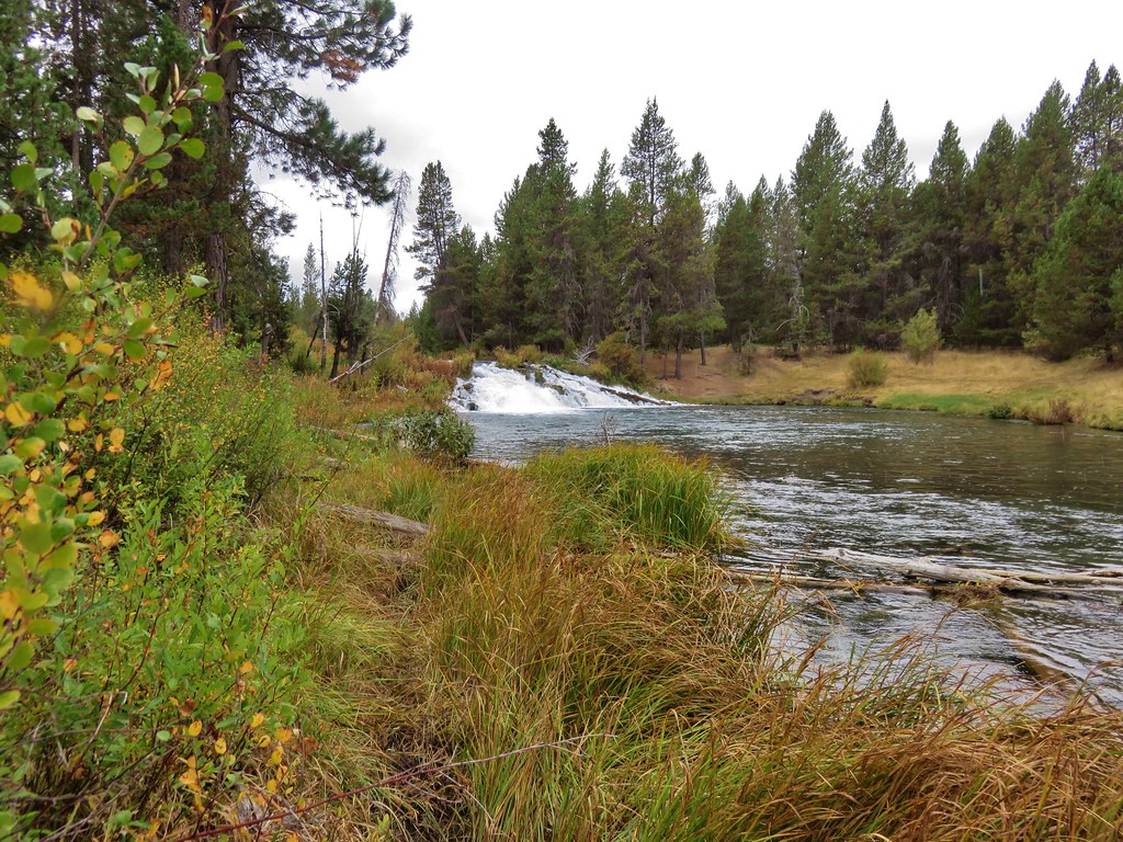
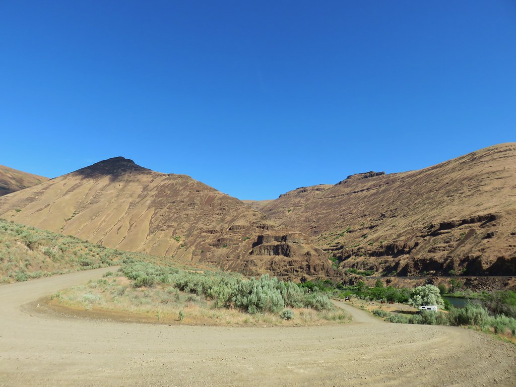
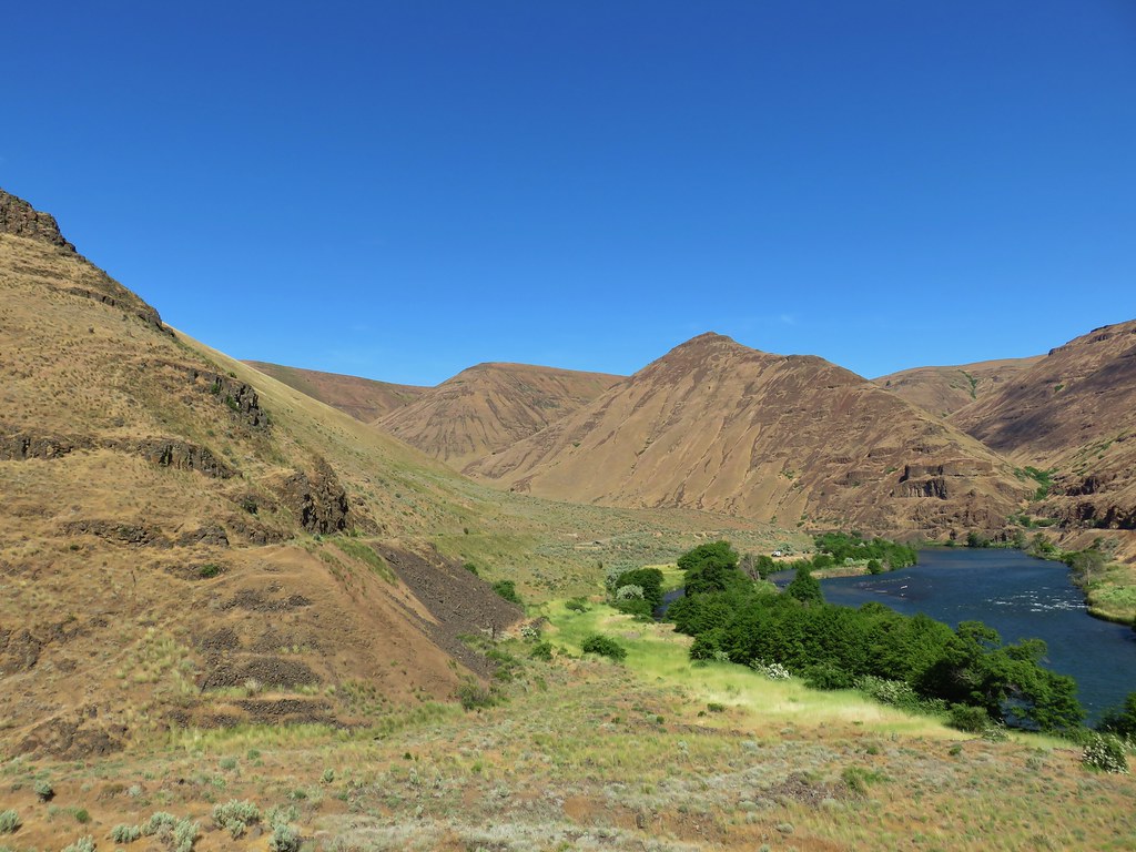
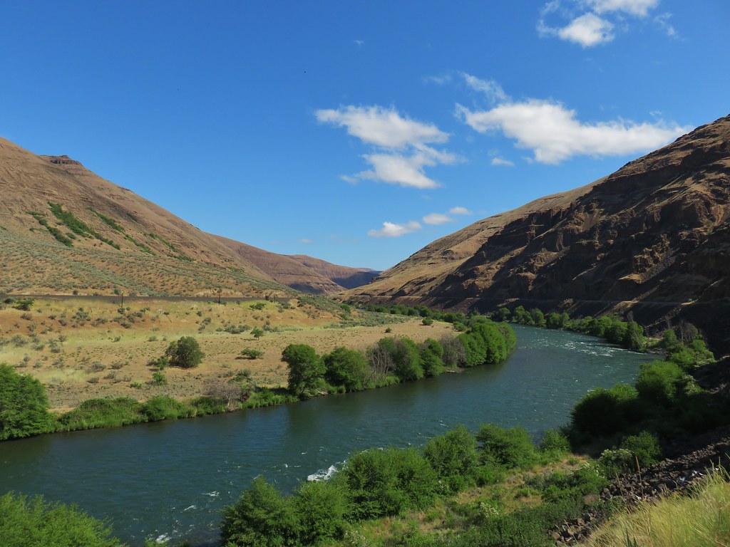
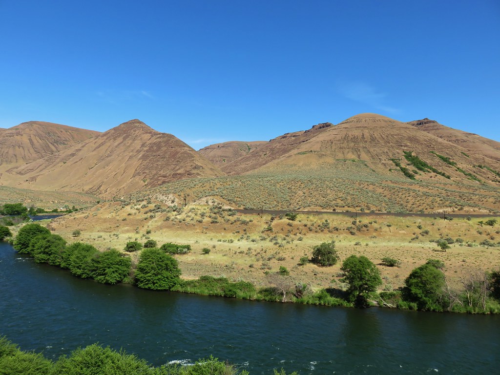
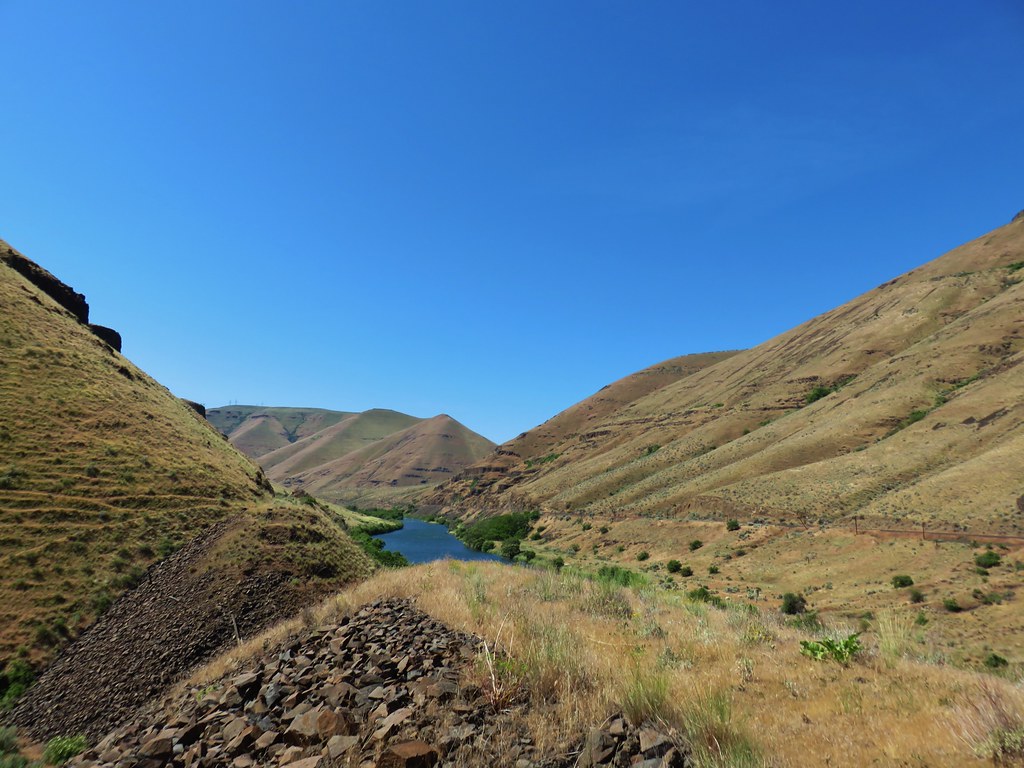
We drove back to Tygh Valley to see if the gas station was open (it was now after 8am) and it was, so we filled up and then drove out Highway 216 again, past White River Falls State Park four miles to Sherars Bridge where we continued across the Deschutes River an additional three quarters of a mile to a left had turn at a Deschutes River Access sign. We followed this mostly gravel, sometimes paved, always 20mph road 17 miles to its end at Macks Canyon Campground. We parked at a small pullout at a hairpin turn just before the road dropped down to the campground.
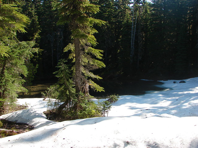
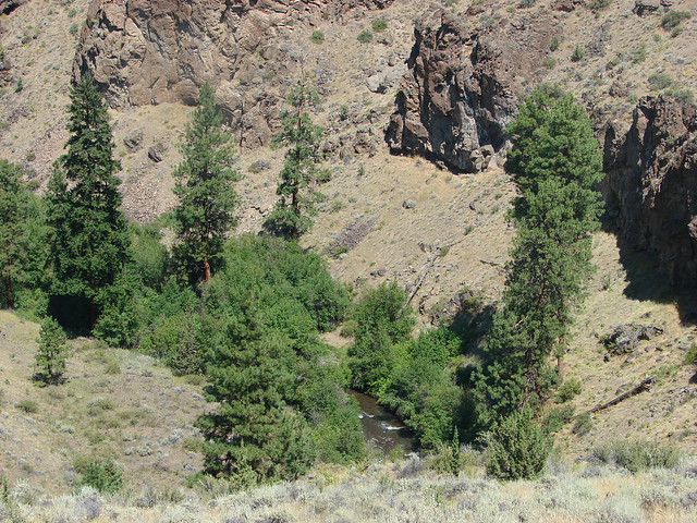
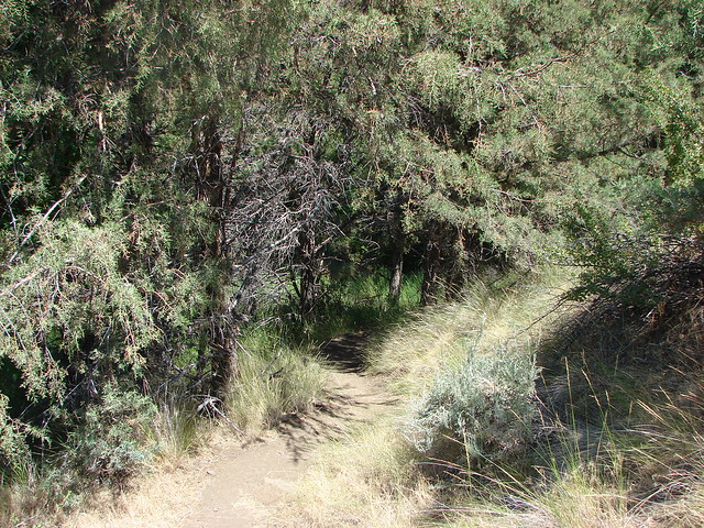
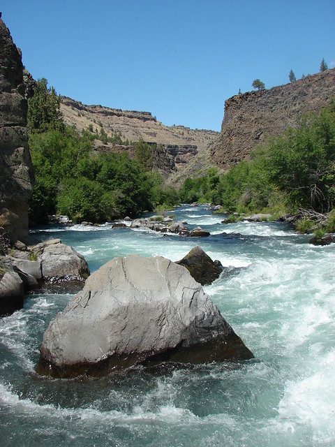
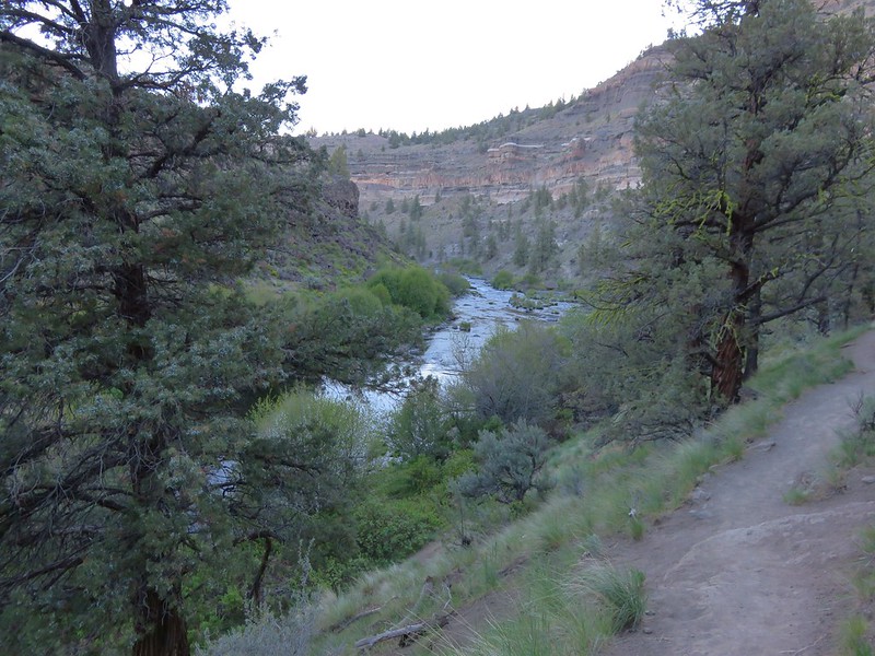
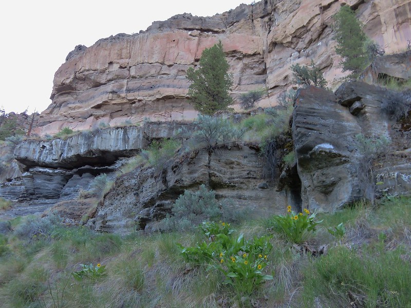
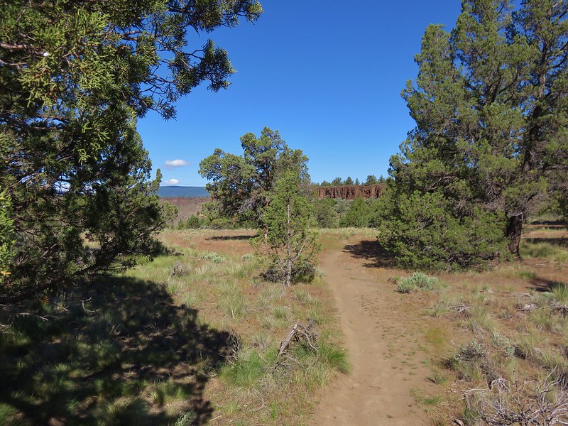
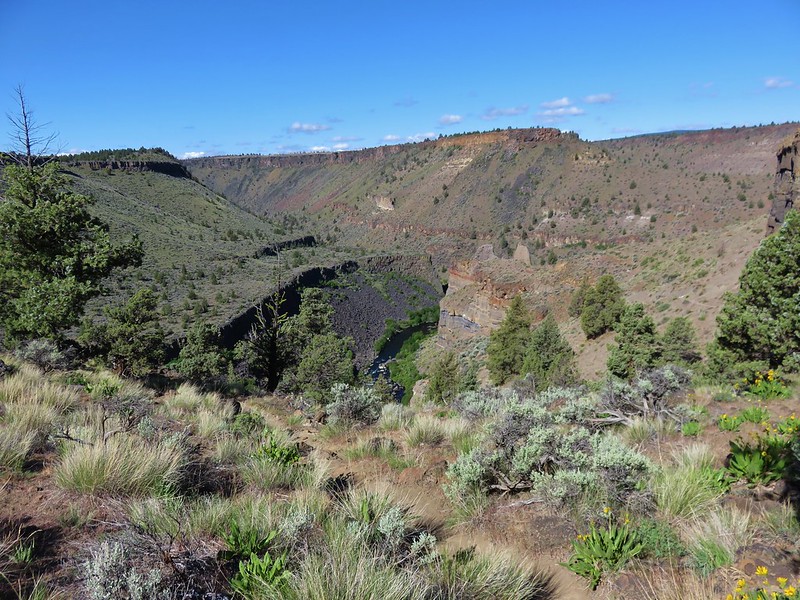
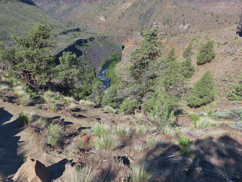
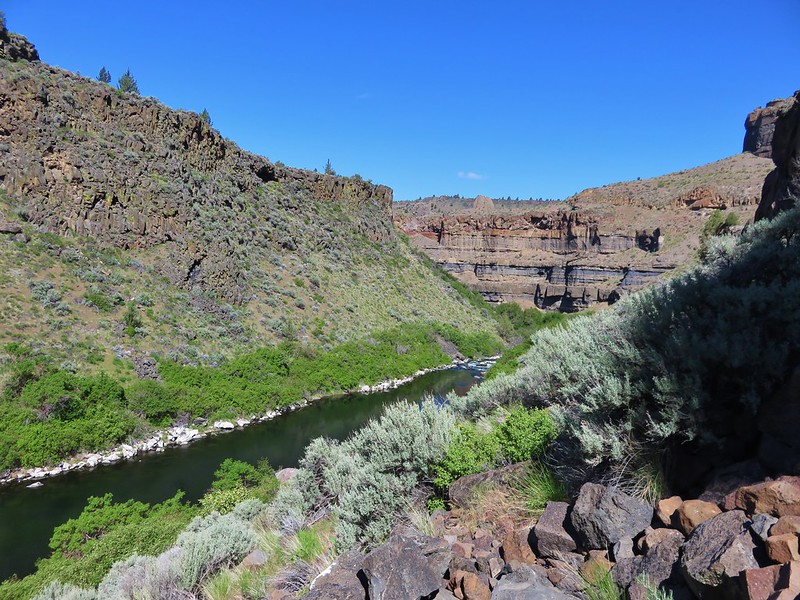
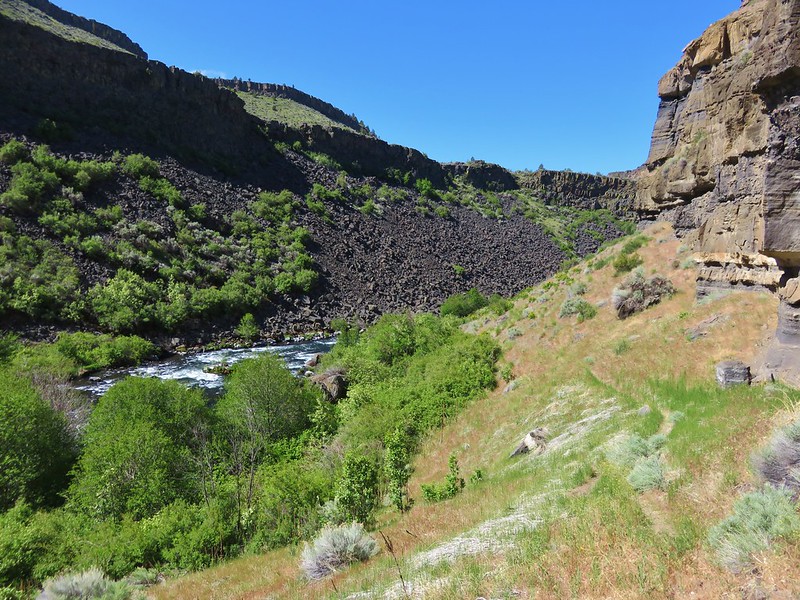
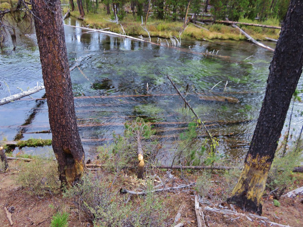
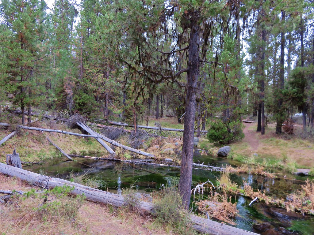
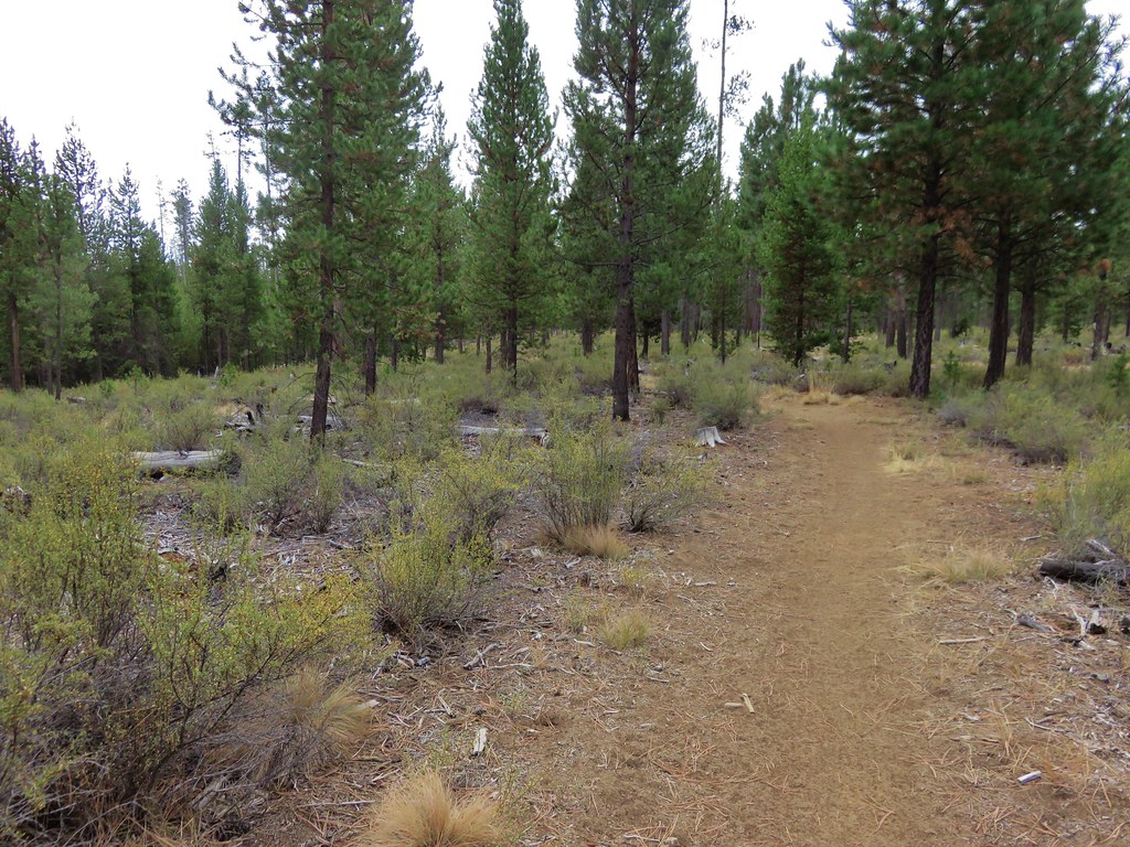
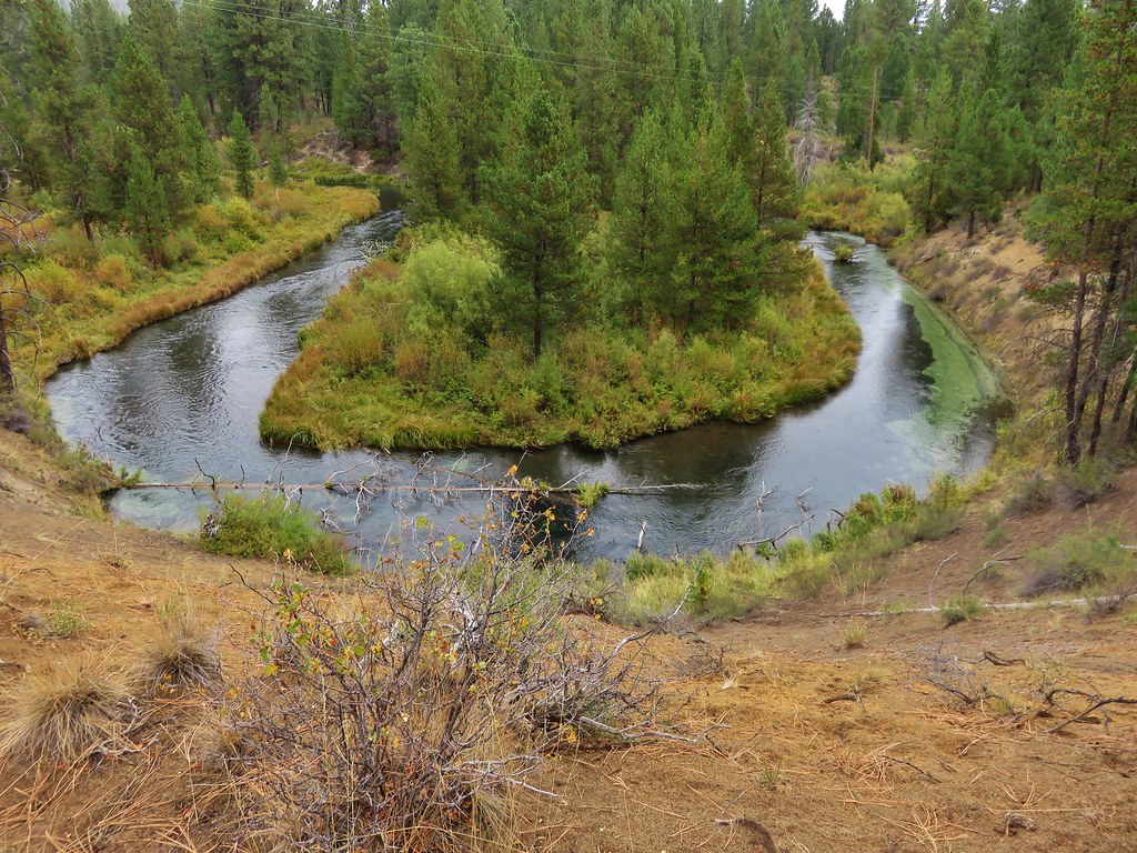
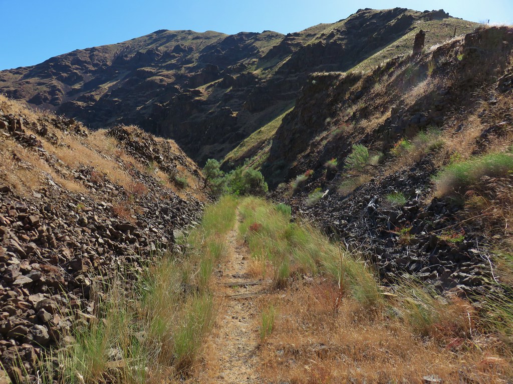
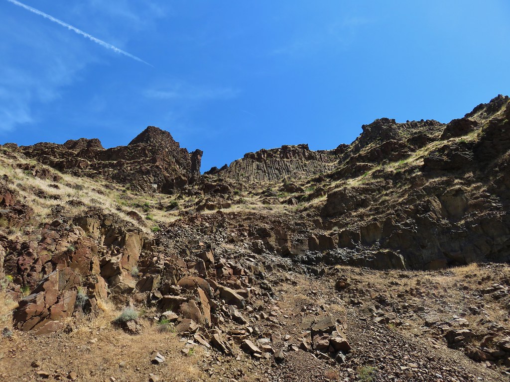
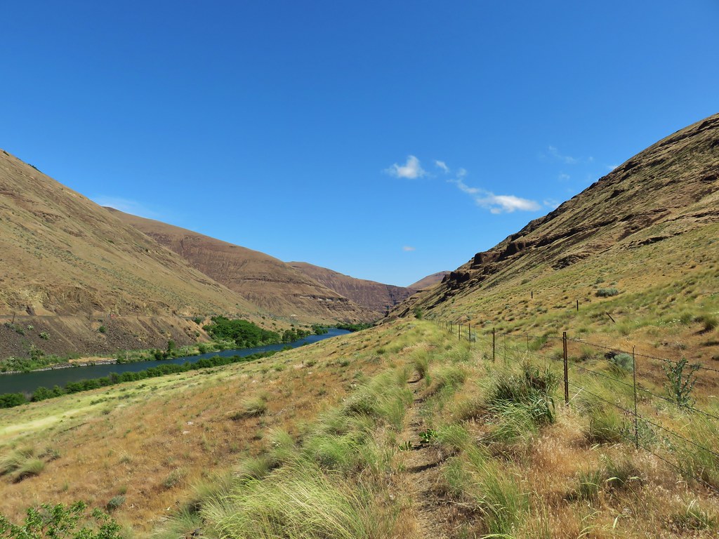
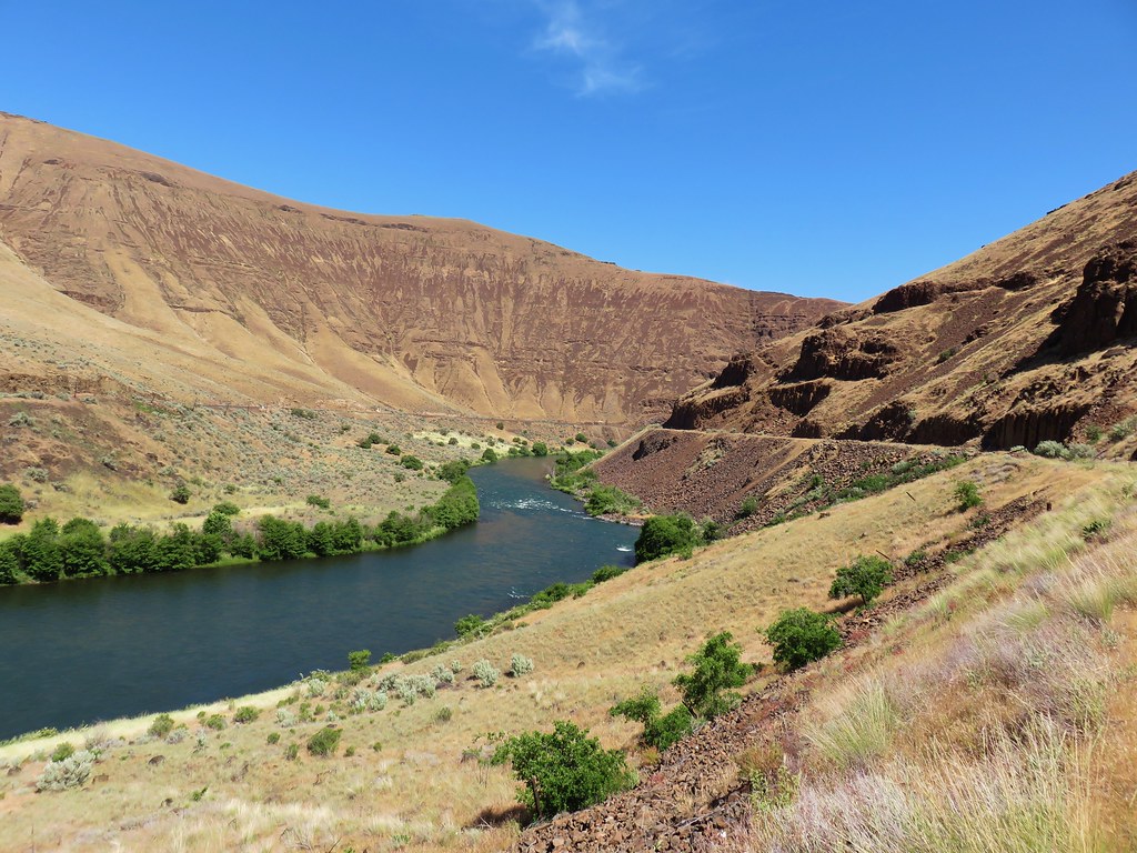
From the road we took an unsigned trail following an old railroad grade into the Deschutes River Canyon.
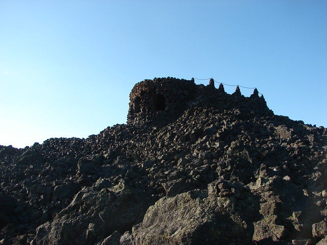
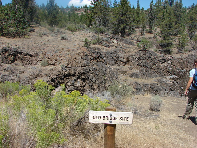
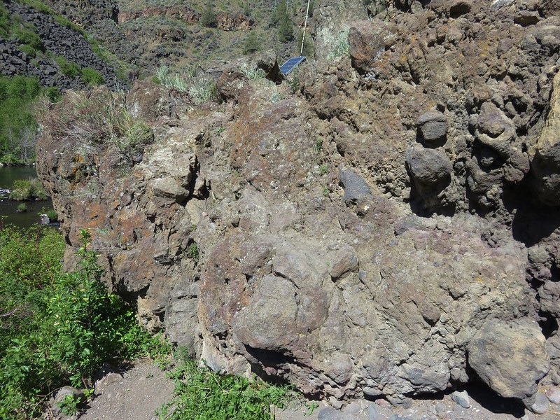
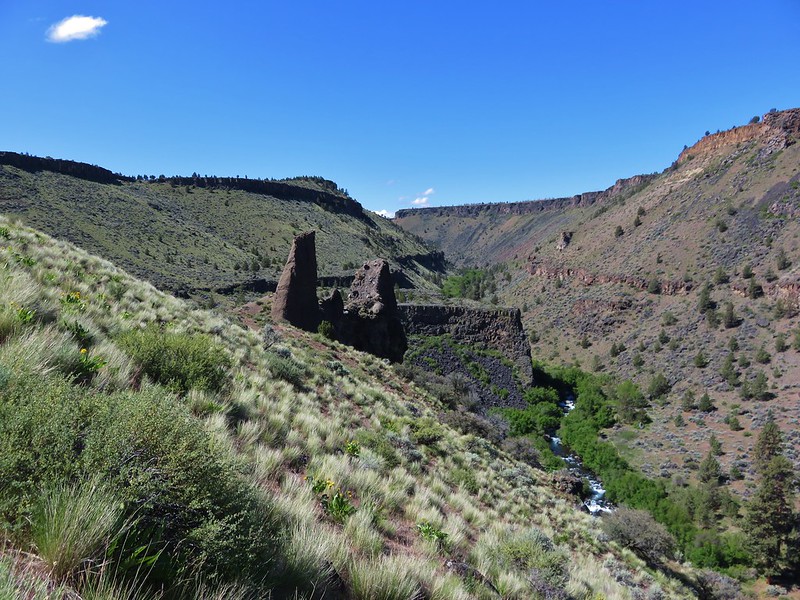
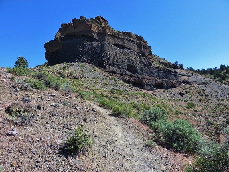
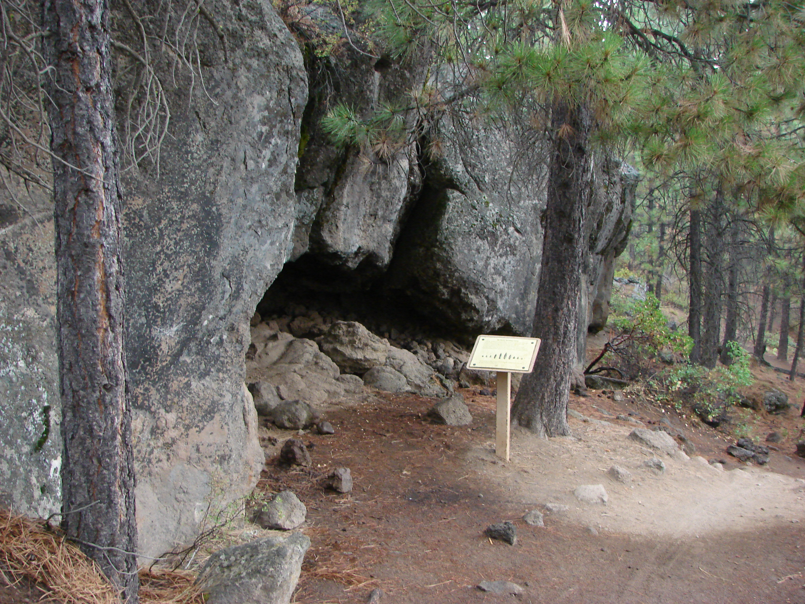
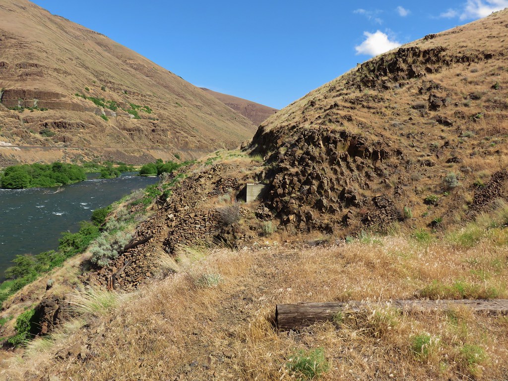
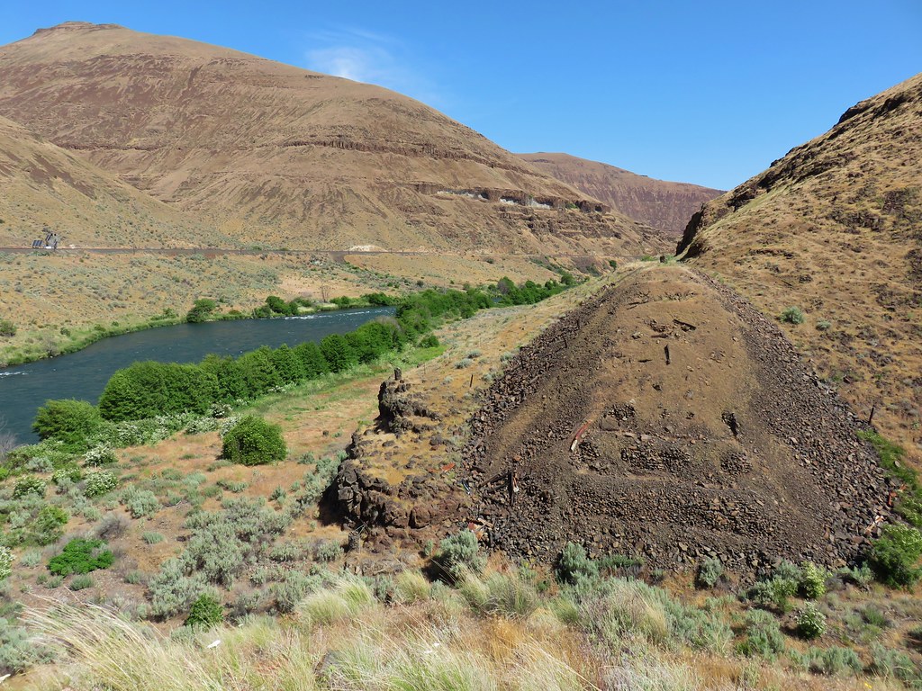
Just a short distance from the pullout we arrived at Macks Canyon where a trestle once spanned the opening.
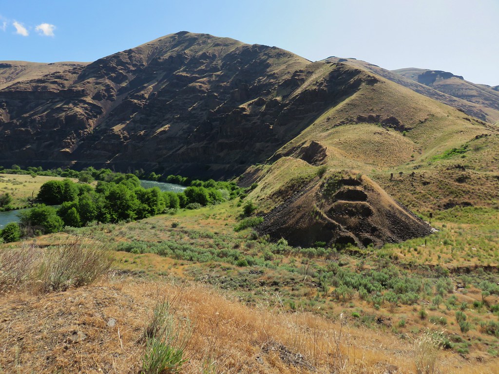
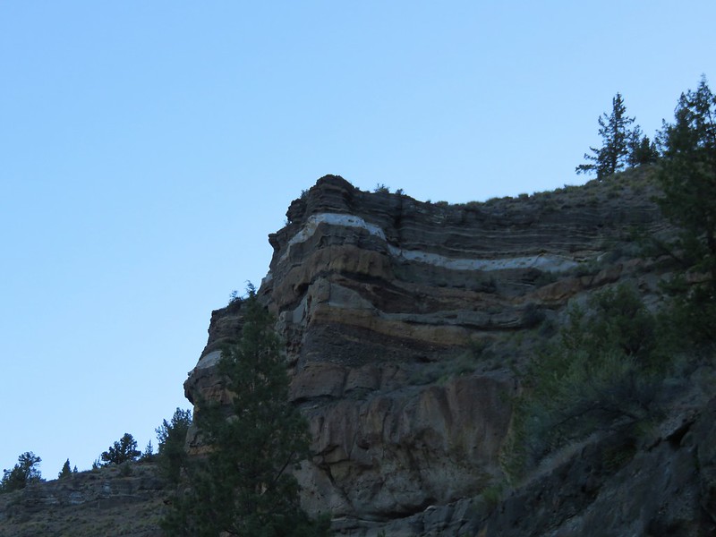
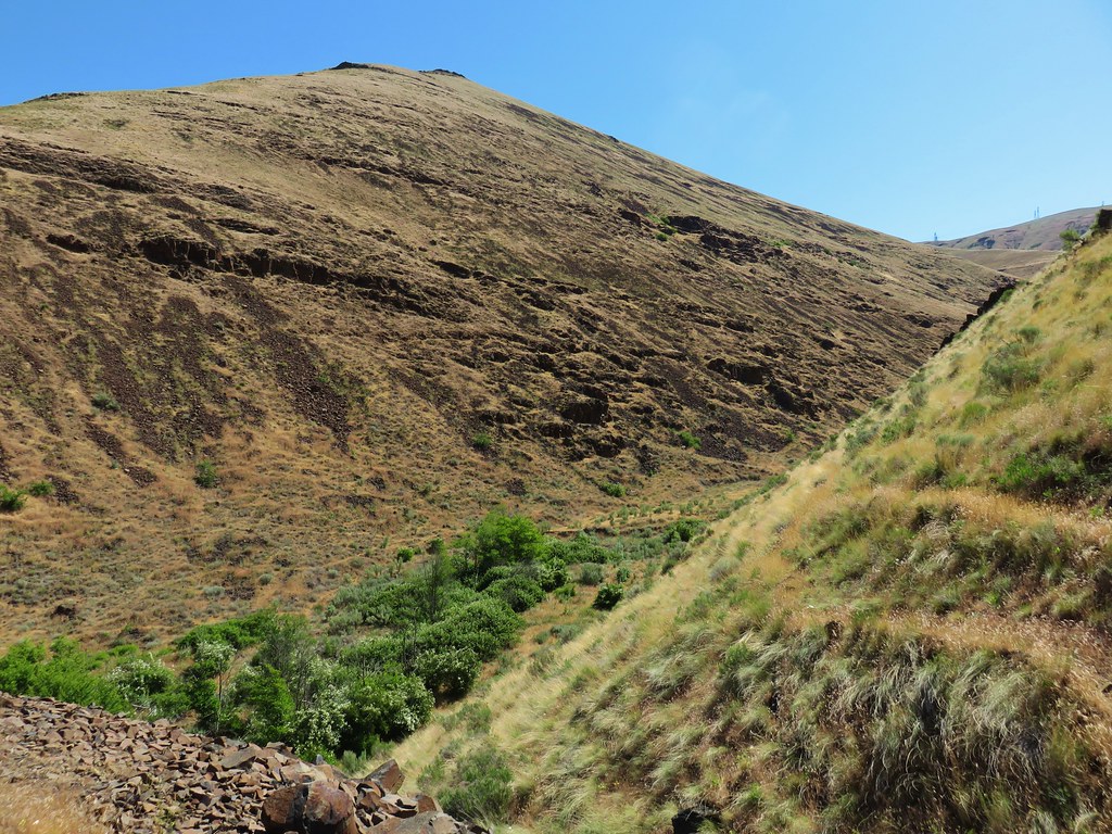
 Looking up Macks Canyon
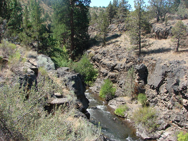
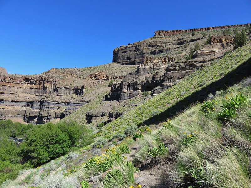
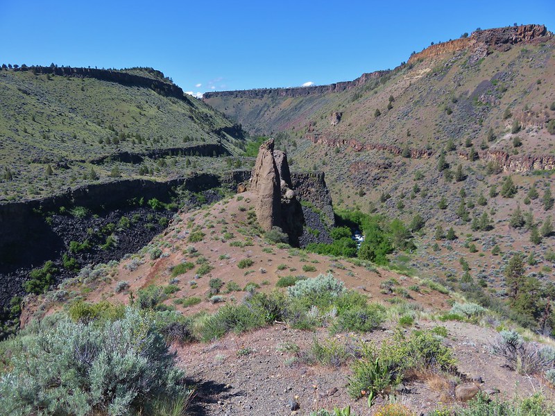
The trail scrambled downhill then crossed the canyon before scrambling steeply back up the other side to the railroad grade.
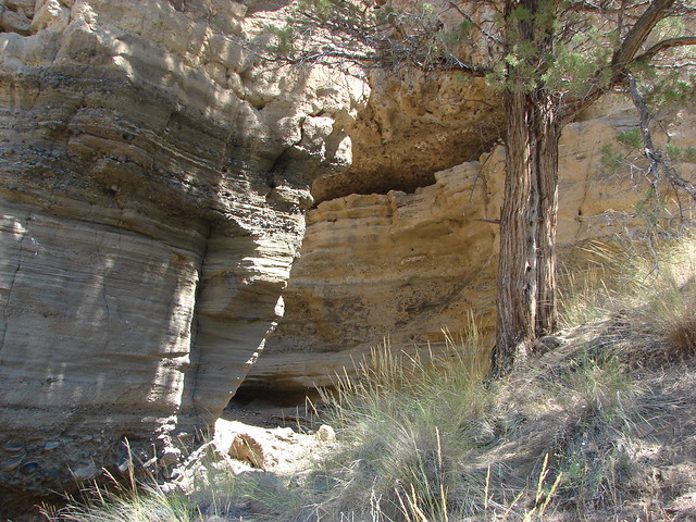
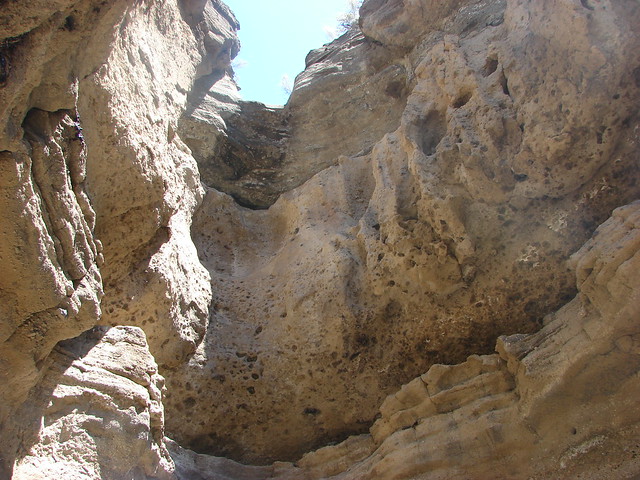
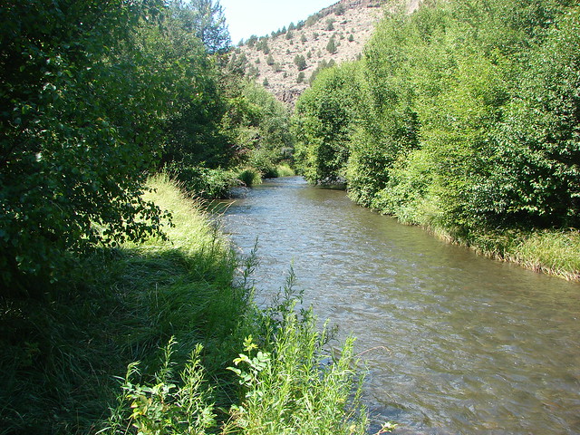
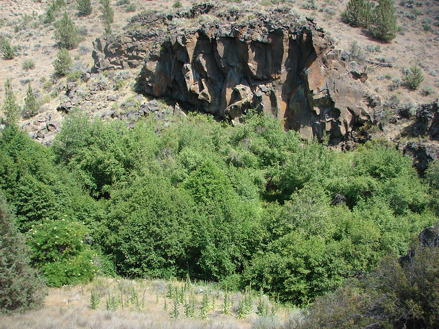
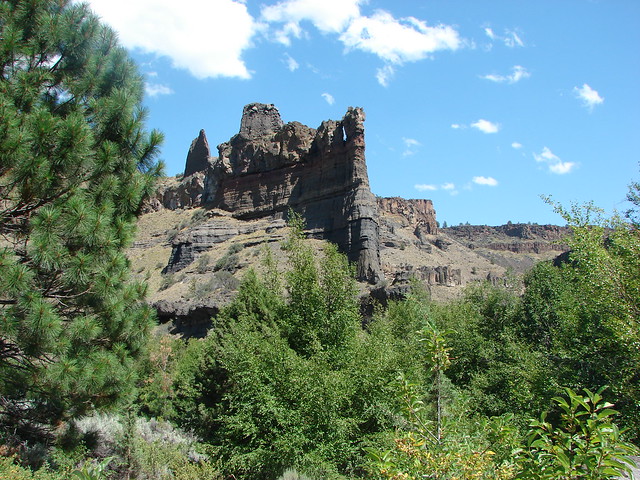
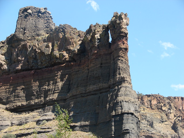
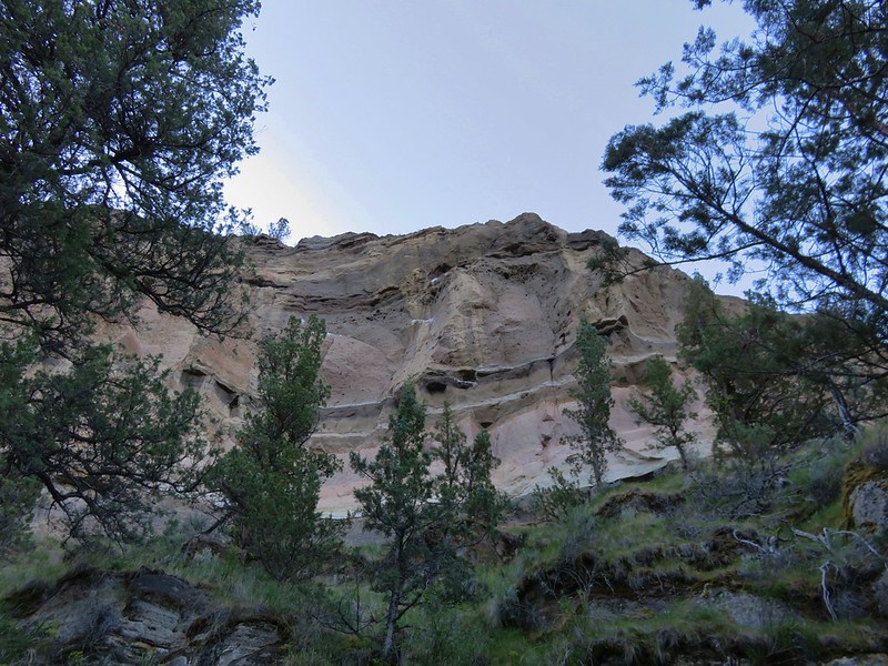
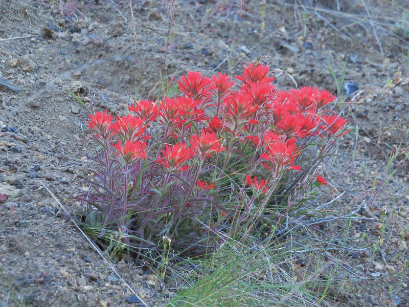
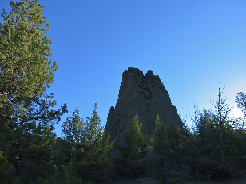
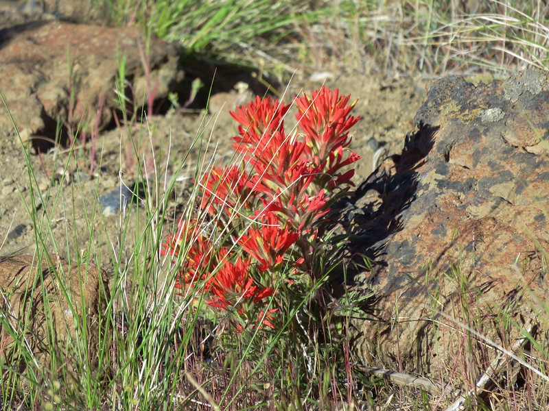
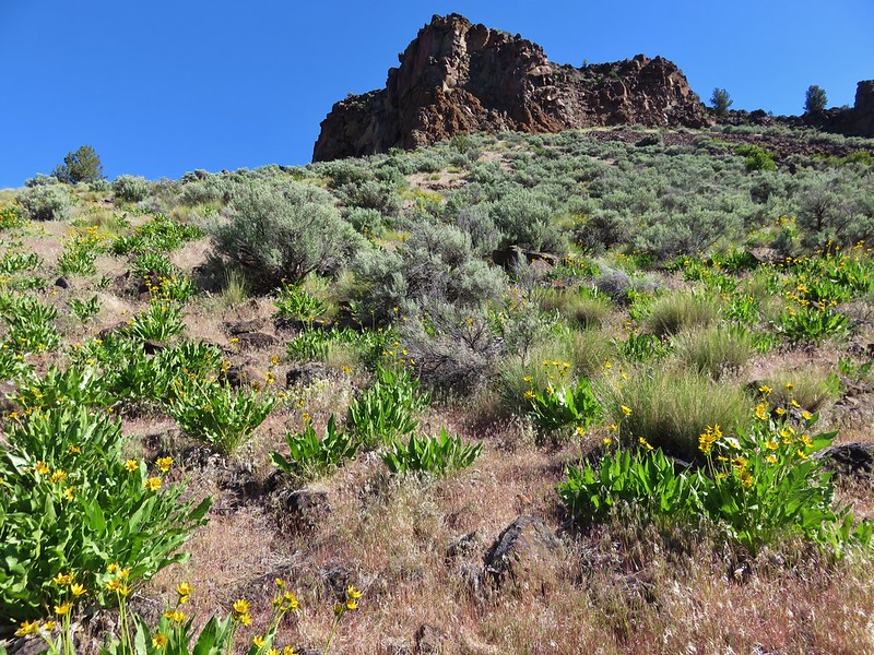
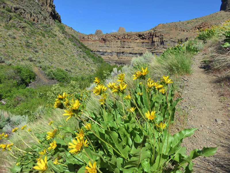
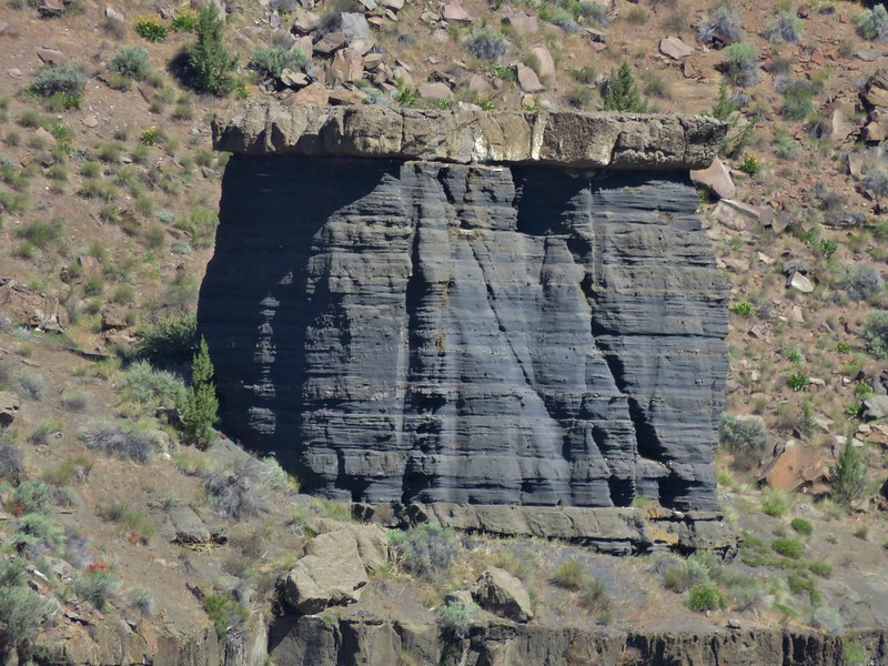
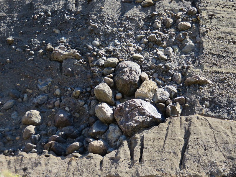
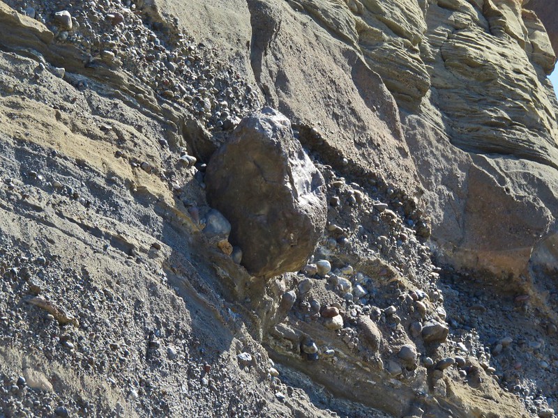
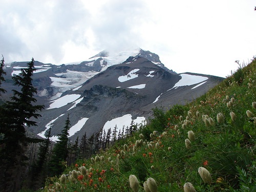
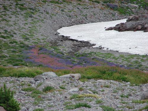
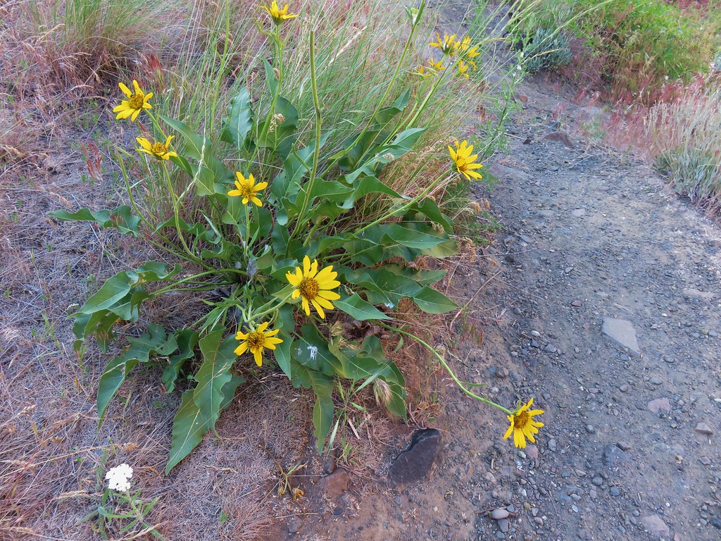
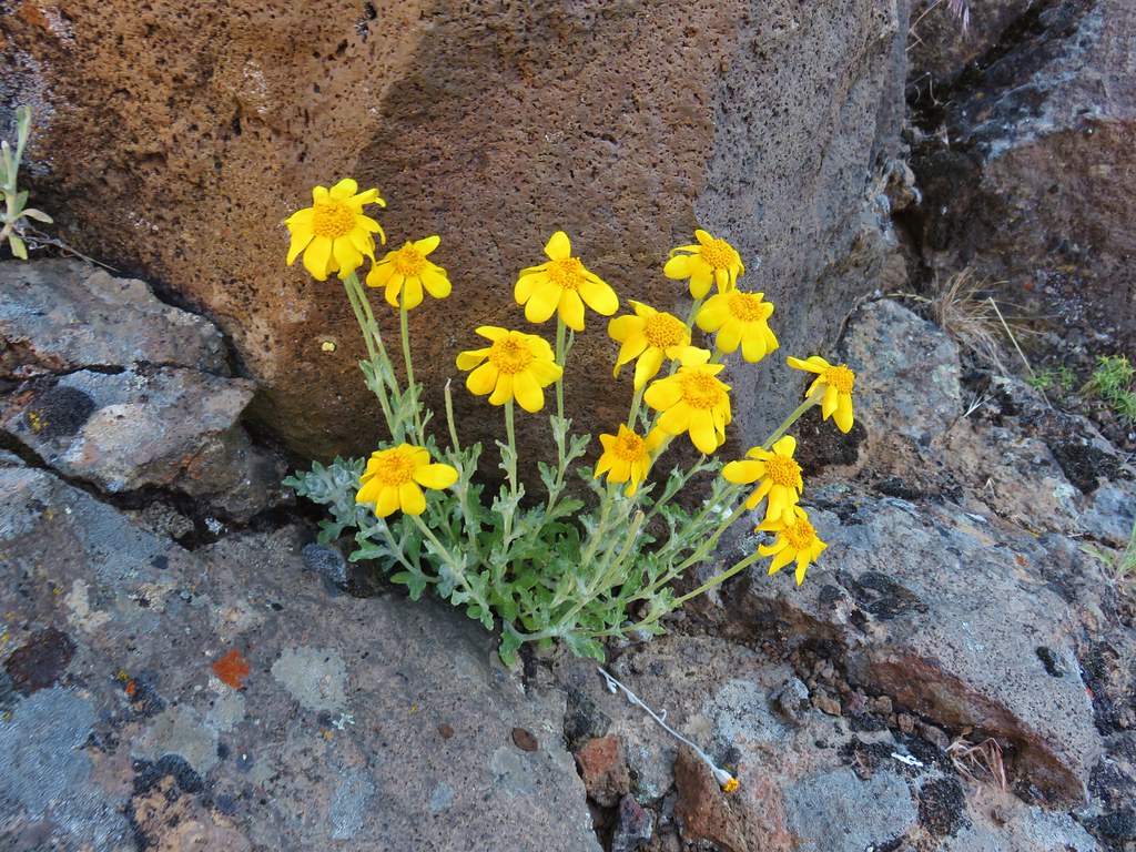
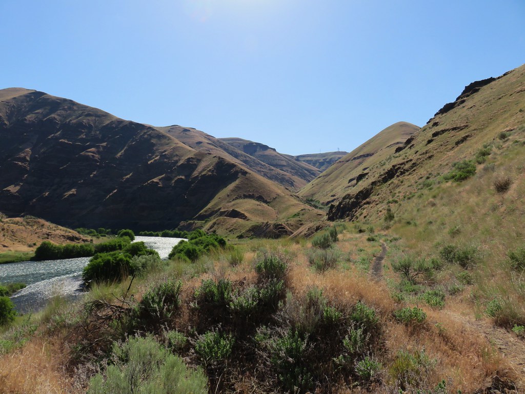
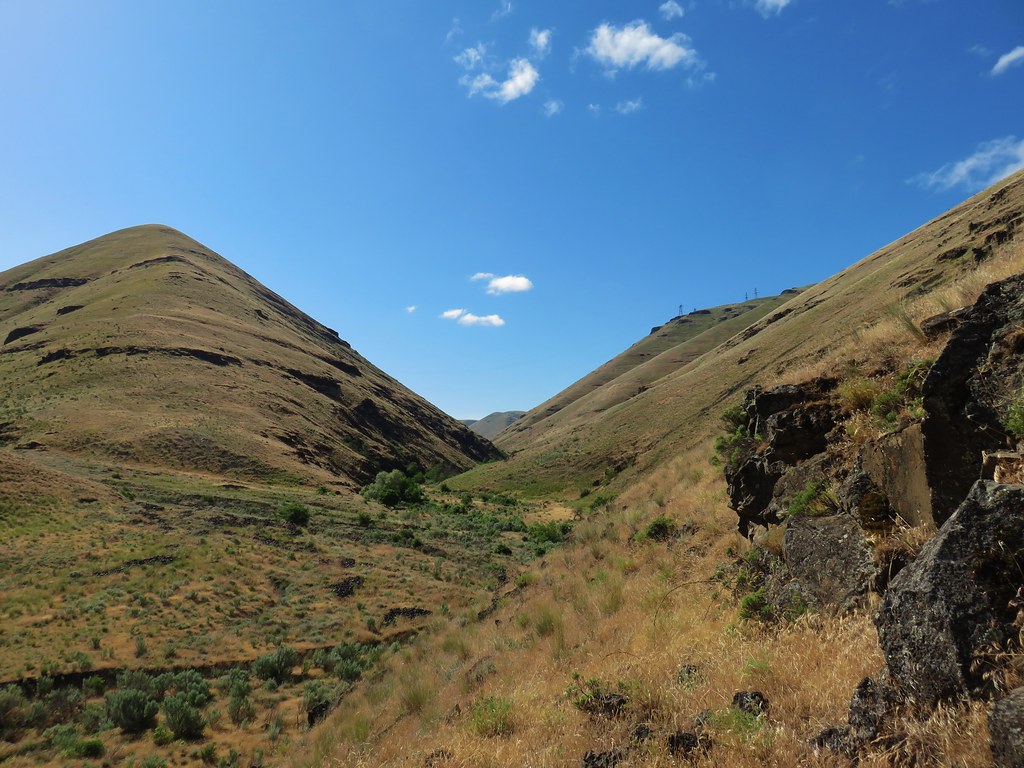
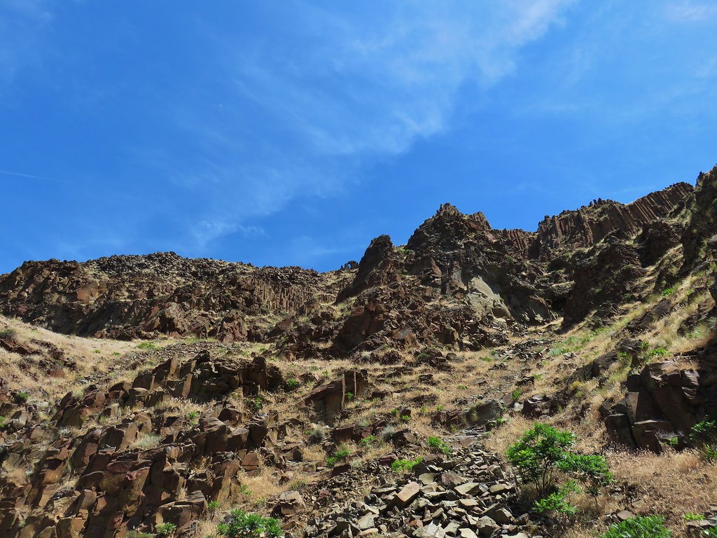
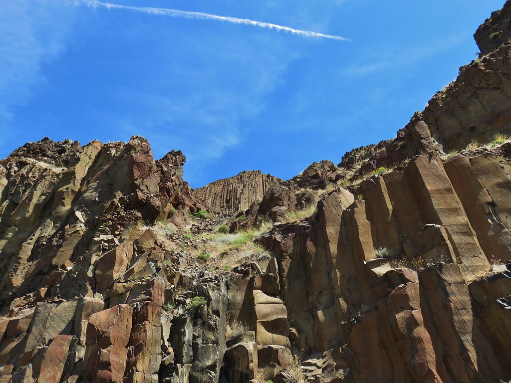
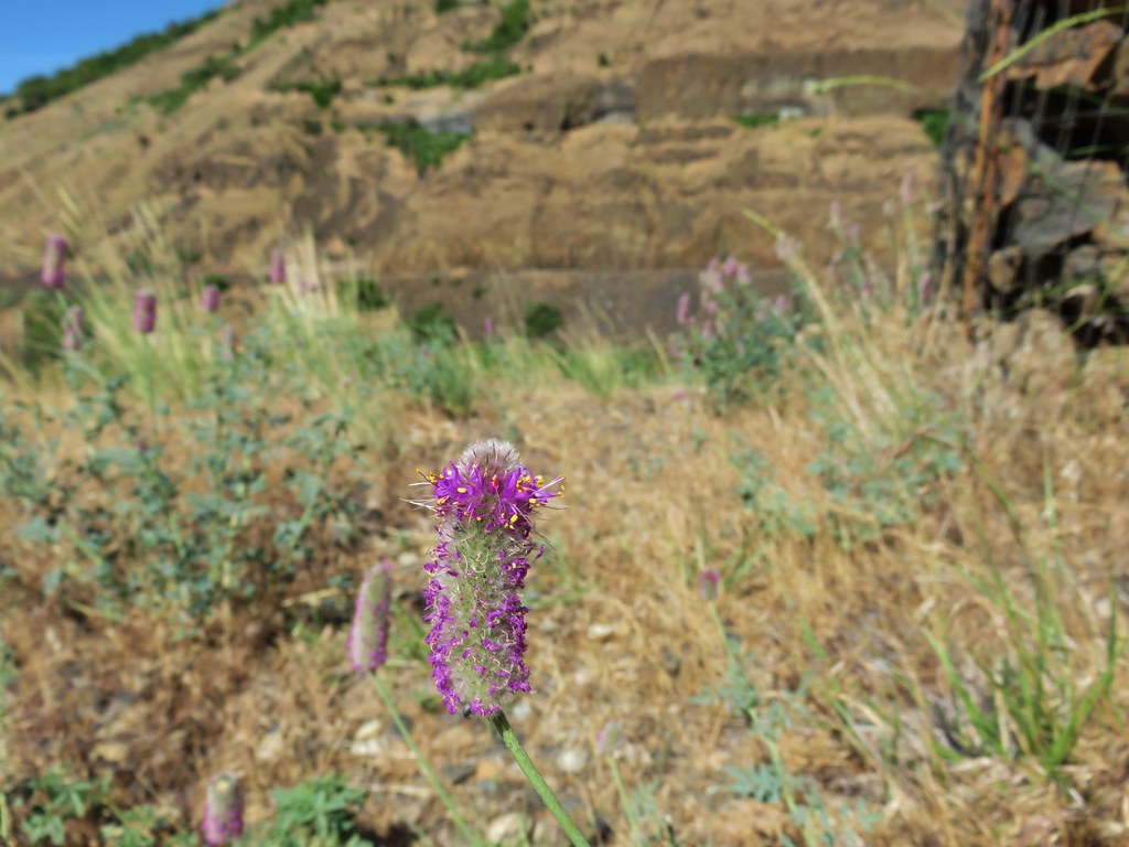
We couldn’t have asked for much better weather, the sky was mostly sunny and although it was warm a fairly steady breeze kept it from feeling to hot. We continued following the trail for nearly another mile to a second long gone trestle. The views along this section were great with some really interesting rock formations along the canyon wall and several different types of wildflowers in bloom.


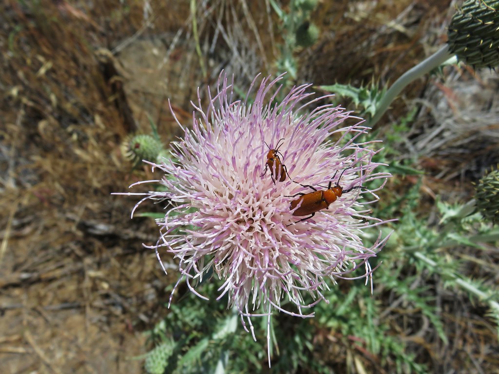
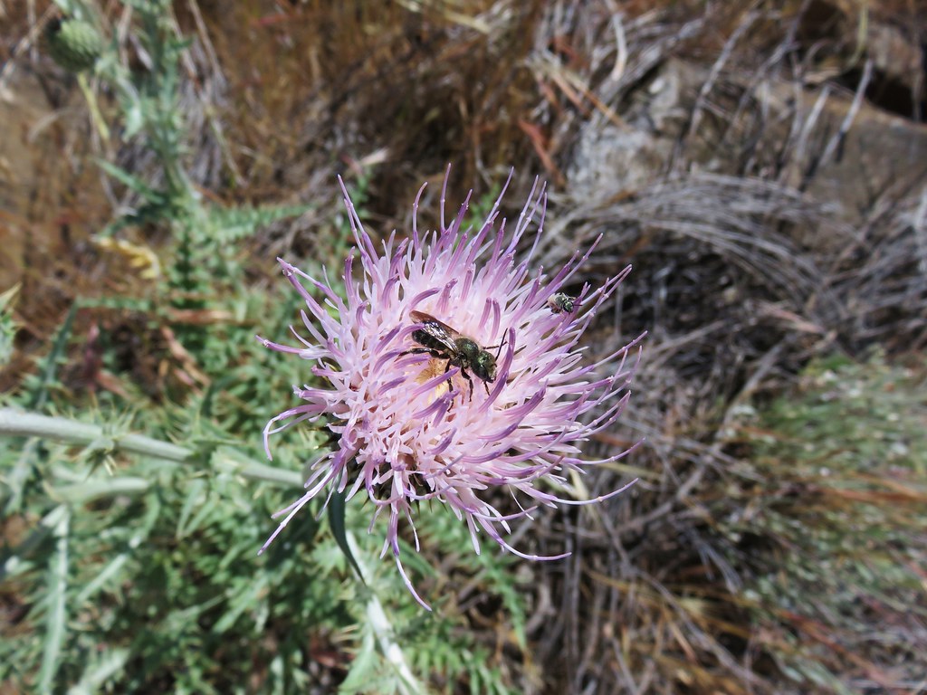
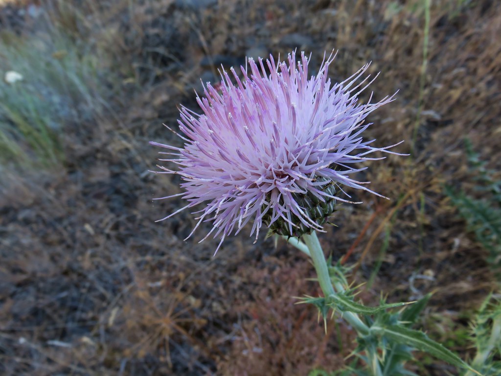 A thistle
 A vetch
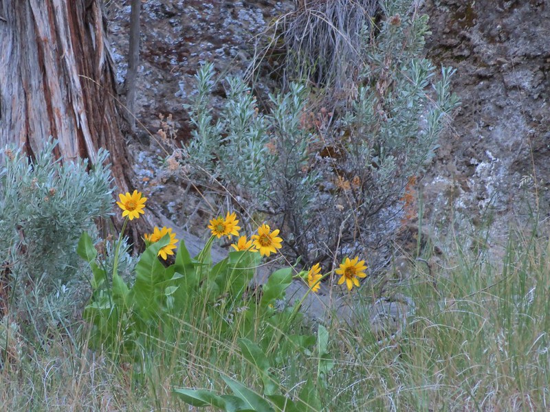
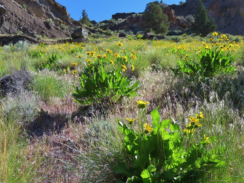
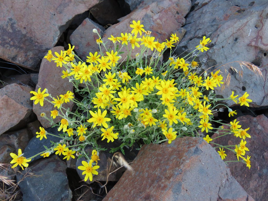 Oregon sunshine
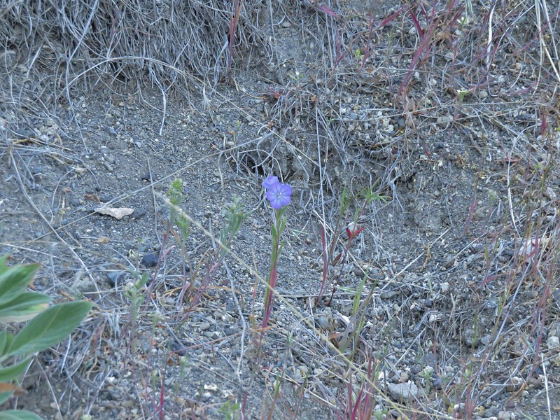
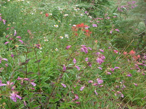
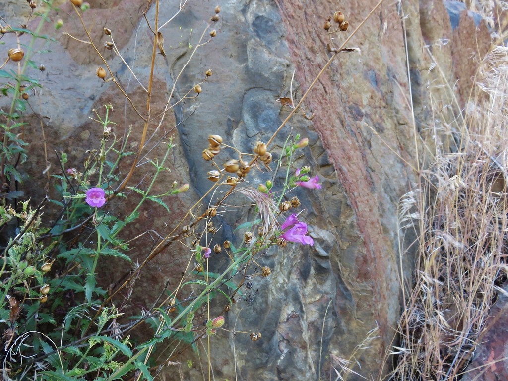 A penstemon
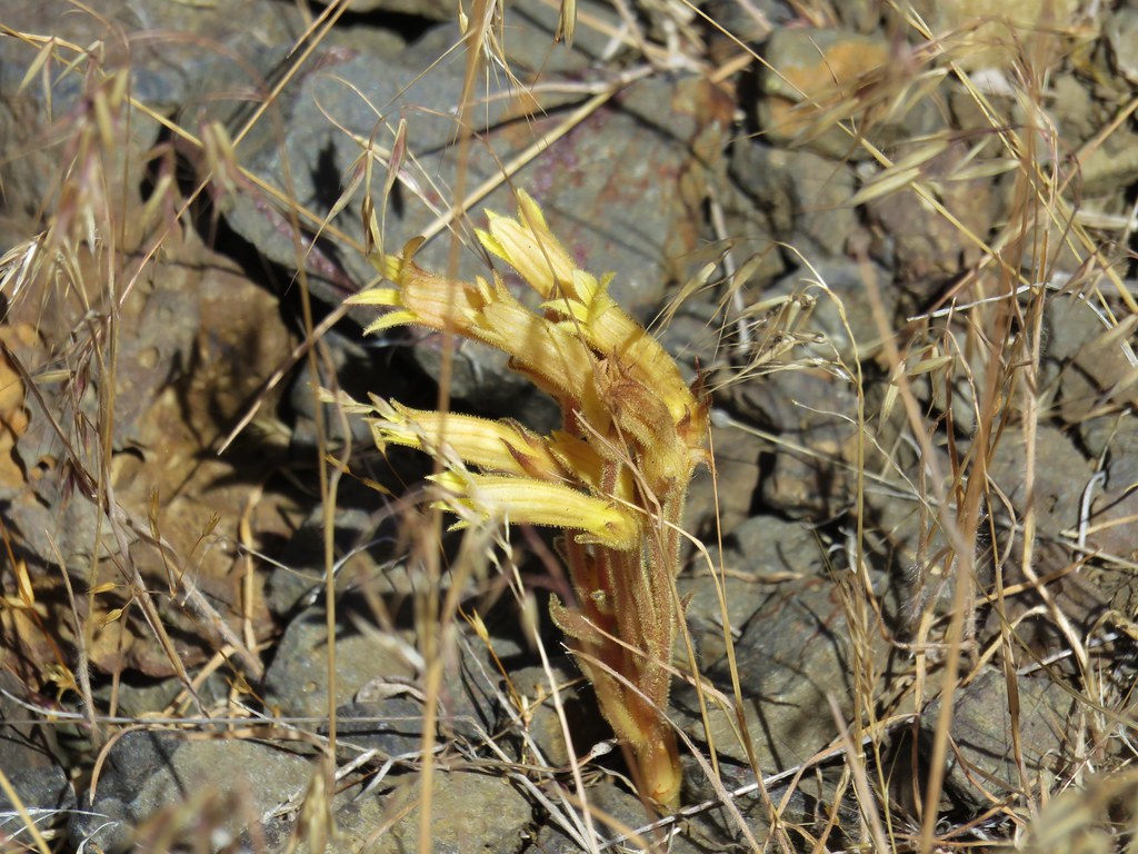 Clustered broomrape
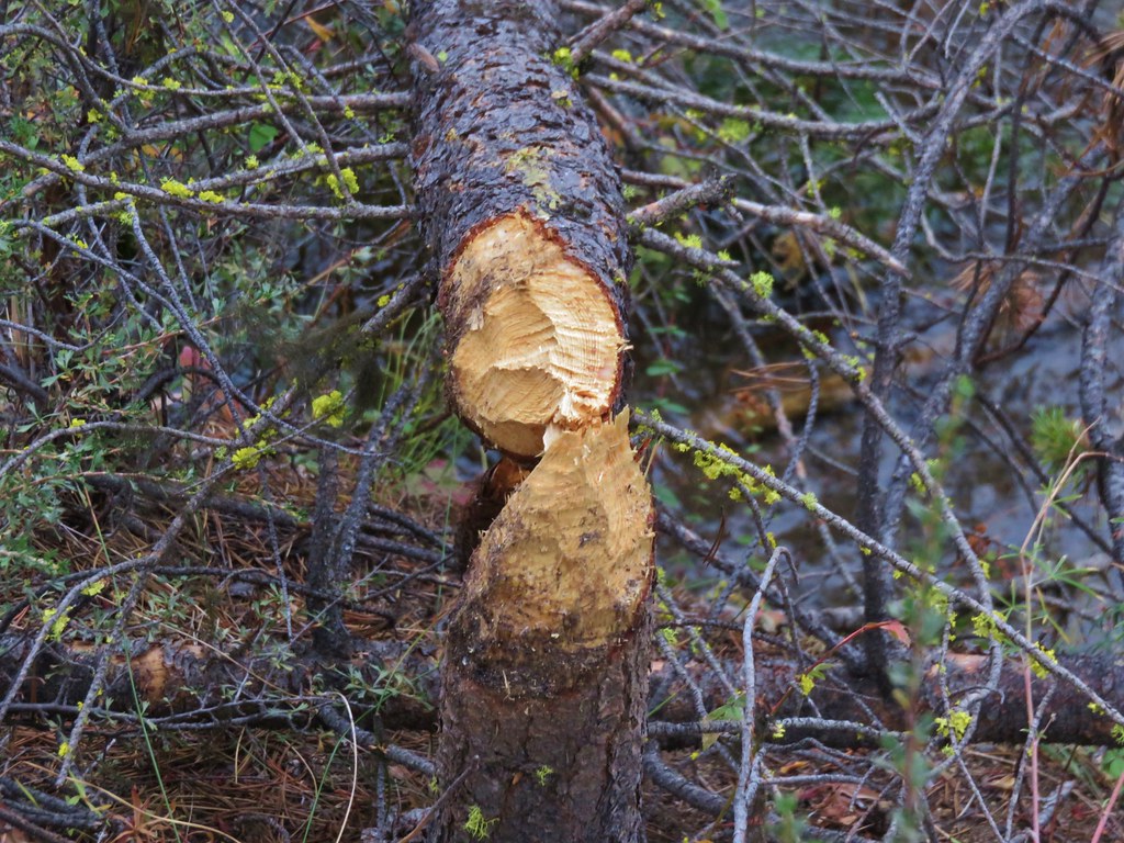
The second missing trestle crossing was quickly followed a third, each of which involved a short scramble into and back out of small canyons.
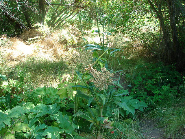
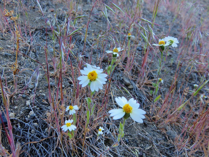
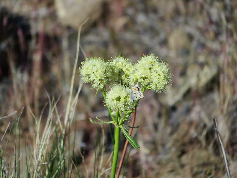
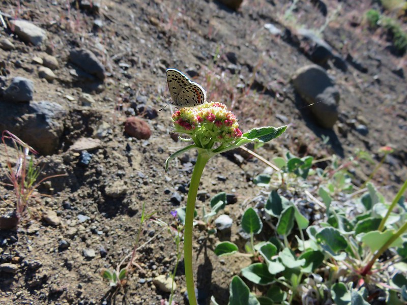
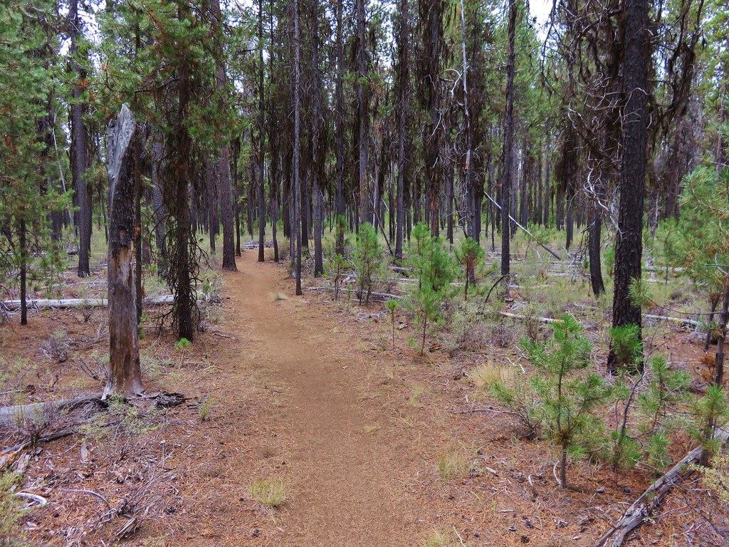
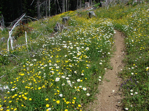
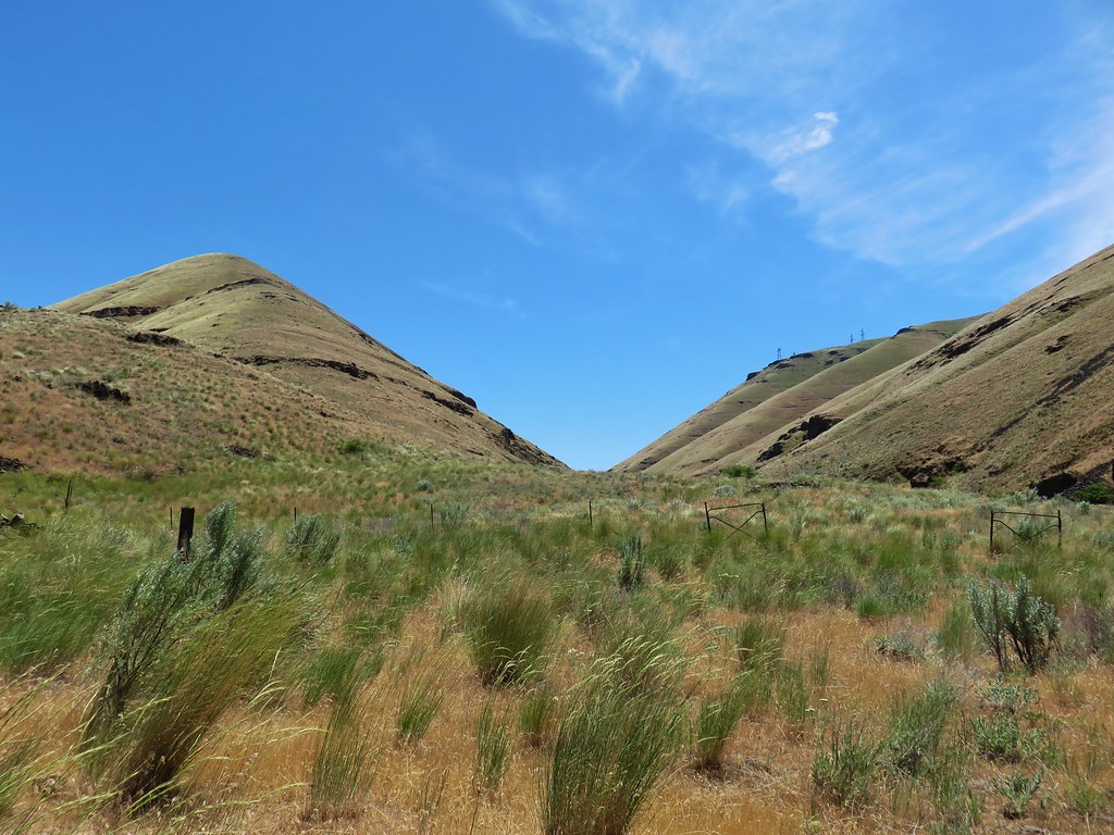
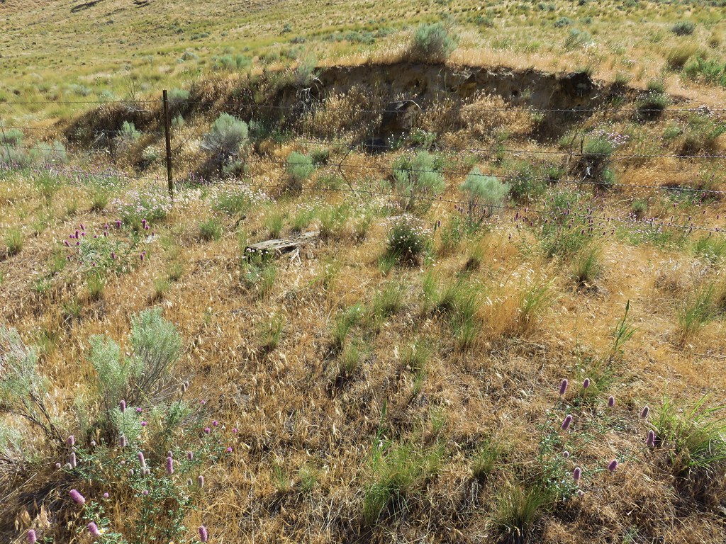
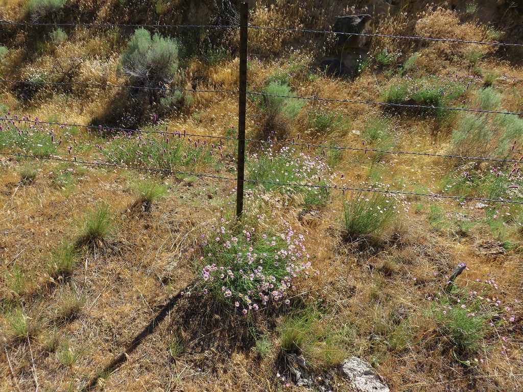
The trail then continued along the railroad grade along a fence where we found some interesting wildflowers.

A little under a mile from the third missing trestle we arrived at a fourth at Sixteen Canyon.
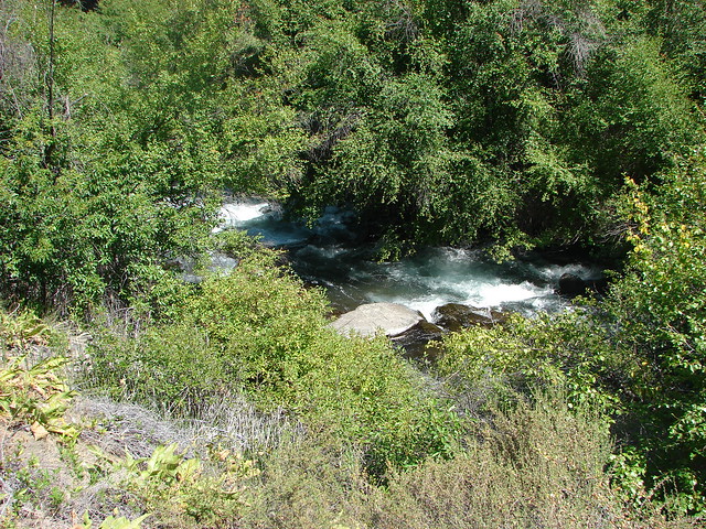
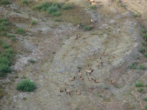
Before heading down into the canyon we watched some of the many rafters float by.

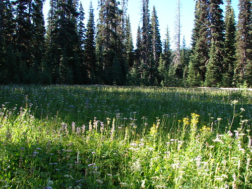
Sixteen Canyon by far had the most vegetation. Some of it was nice like the mock orange which was blooming profusely. The blackberries weren’t so pleasant with their sharp thorns.
We climbed out of Sixteen Canyon and continued on another mile and a half.
At one point we found ourselves on the opposite side of a fence than the river.

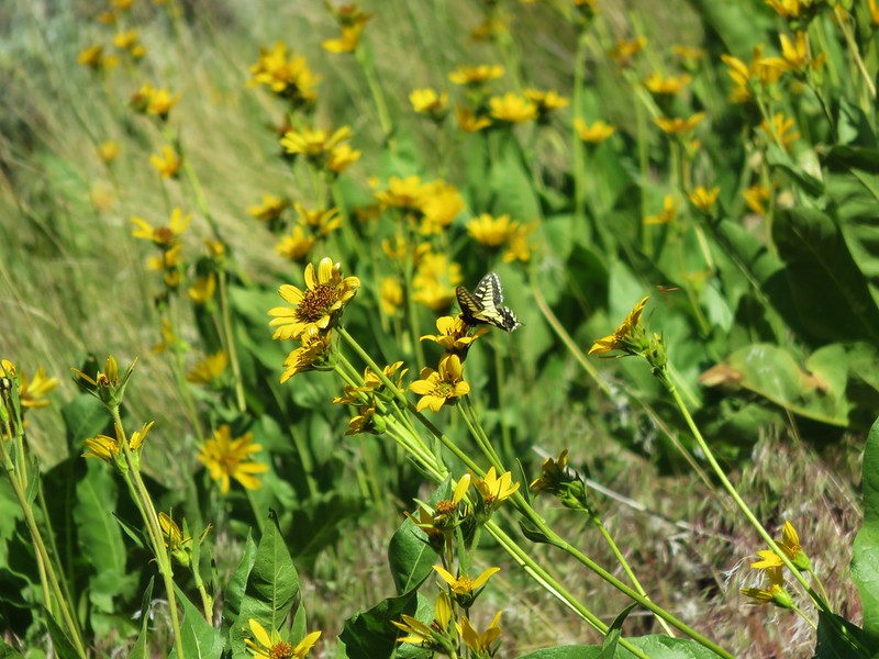
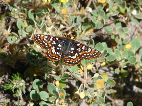
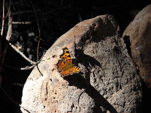
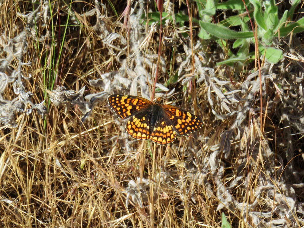
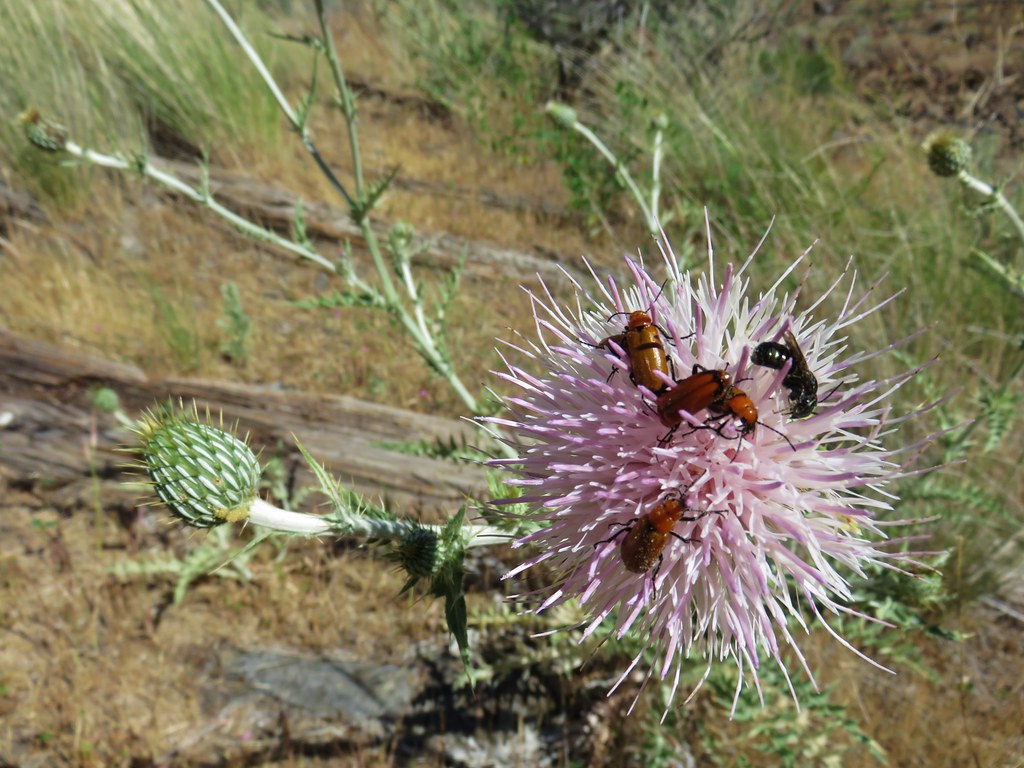
Over this next stretch we did a lot of insect watching. We were seeing quite a variety of beetles and other flying insects, many of which were busying themselves on large thistle blossoms.
We turned around at a bend in the river where the trail passed above a campsite.

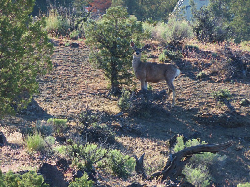
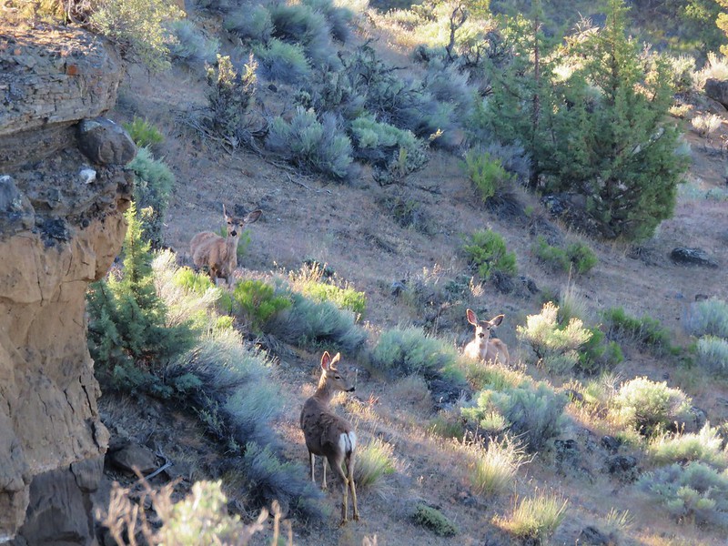
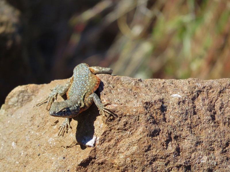
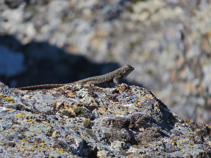
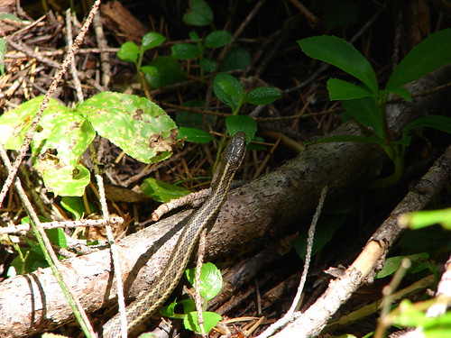
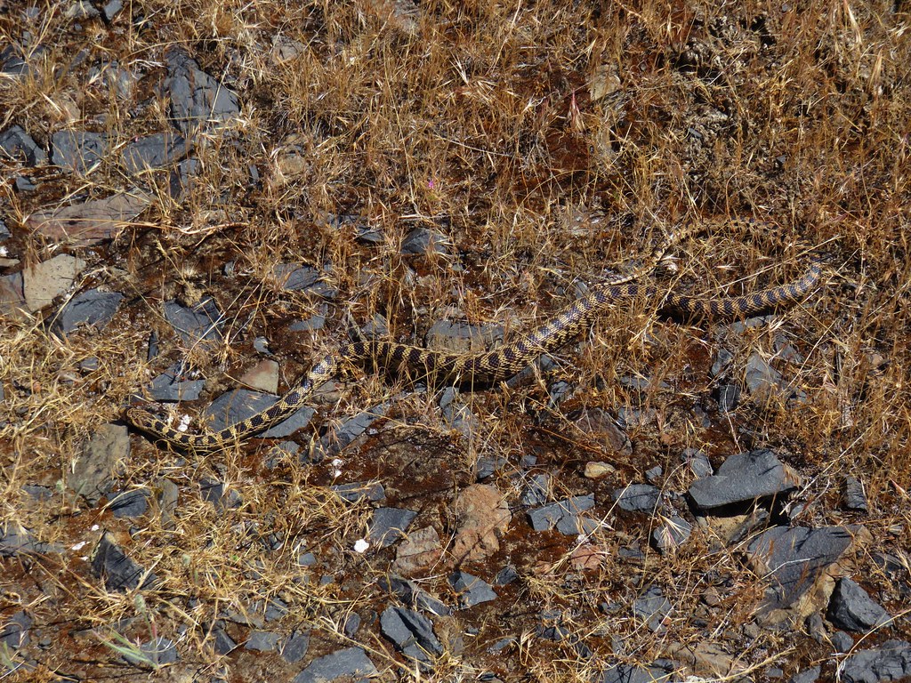
I had seen two snakes earlier on the trail and on the way back a third darted off the trail in front of us. None of them were rattlers though. We hadn’t seen any snakes at White River Falls that morning either but we were keeping our eyes out (or so I thought). I heard Heather gasp behind me only to turn around and see that I had somehow managed to step right over a snake in the middle of the trail and never noticed it. Luckily it was just a harmless gopher snake.
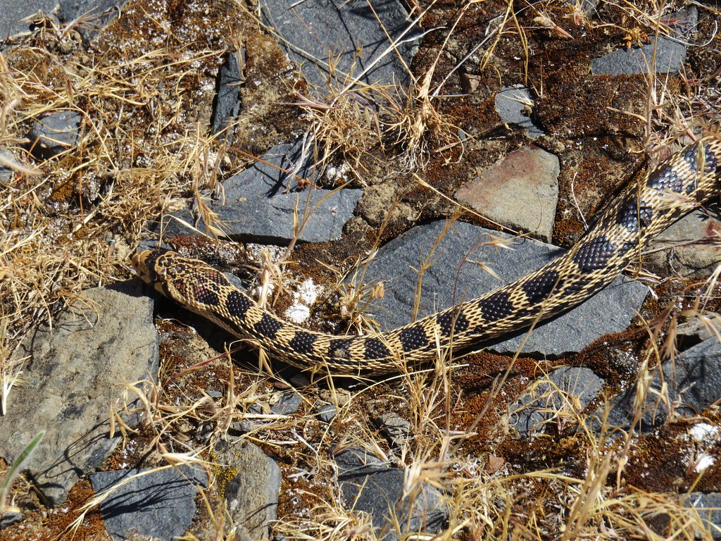
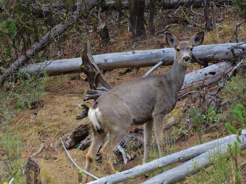
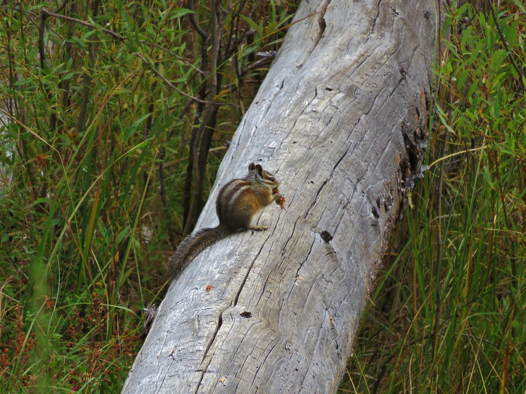
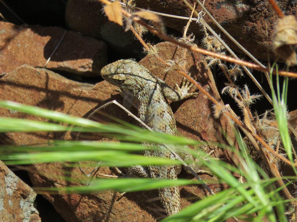
We were even more vigilant after that but the only other reptile we spotted was a lizard.
After returning to the car we headed back toward Highway 216 where we decided to get creative. We could have taken the Hwy 216 back to Hwy 197 and then headed south toward Maupin which was about 18.5 miles away going that route. The Deschutes River Access Road continued south across Hwy 216 though and a sign there indicated that Maupin was only 9 miles that way. We decided to try the access road which lived up to its name offering many access points for the river. The speed limit varied between 20 & 35mph so it was a little slower pace than the Highways would have been but it was more scenic. We ran into trouble though when we reached Maupin. When the access road ended in town, there were no signs that we could see. The road map we had appeared to show the road ending at Highway 197 where we would want to turn left (south). After initially turning right we decided to trust the map and turned around. The road we were on was narrow with tight turns as it climbed up the canyon away from Maupin. That didn’t seem right and neither did the direction we were beginning to head so we turned on our Garmin, that we use hiking, and checked it. Sure enough we were on Bakeoven Road not the highway so we turned around. Looking at the GPS we could see that if we’d have gone just a bit further when we had initially turned right we would have found 197.
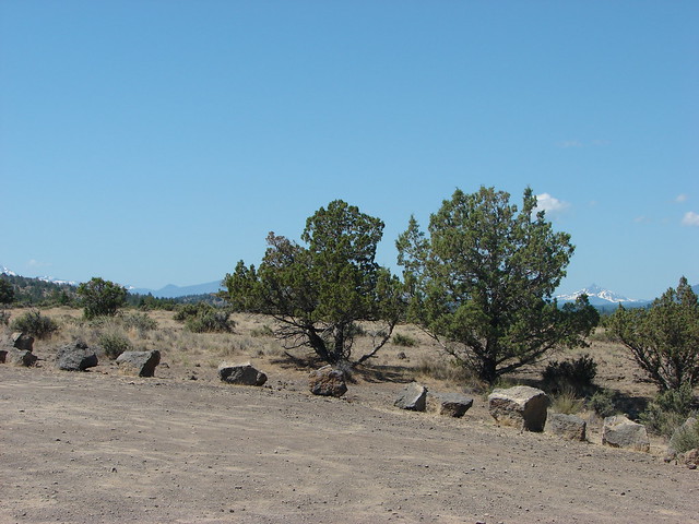
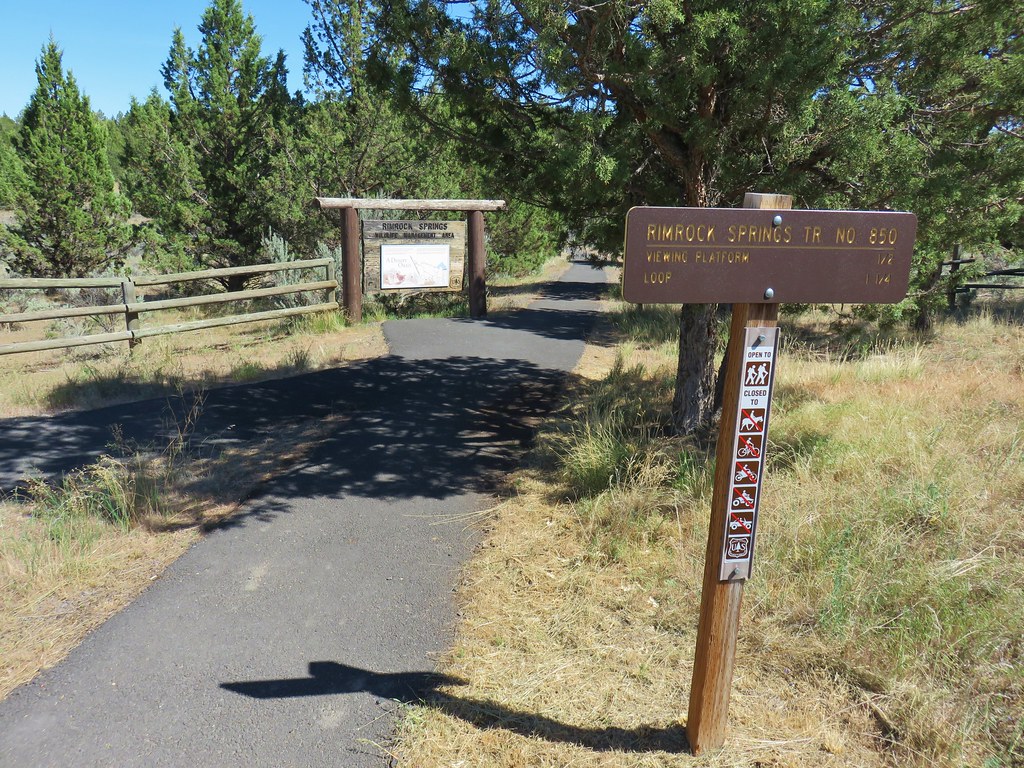
After that little adventure we drove south on Hwy 197 to its junction with Highway97 and followed it to Madras. Highways 97 & 26 join in Madras before splitting again at the other end. We turned onto 26 at the southern end of Madras in order to get to our final stop of the day at Rimrock Springs Wildlife Management Area.
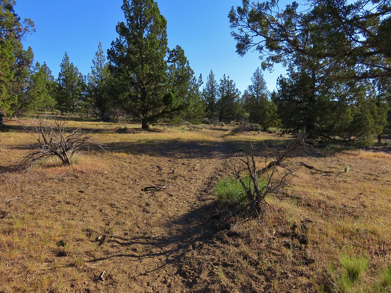
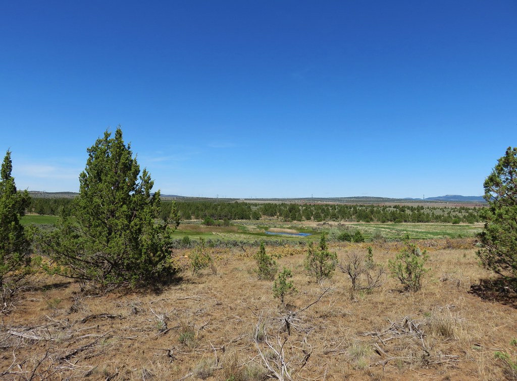
We drove for 9 miles to a rise where a sign pointed to the trailhead turnoff on the left. From the parking area a half mile paved trail began.
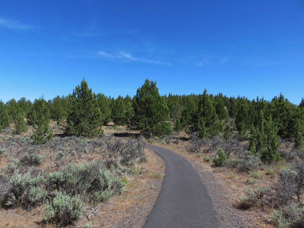
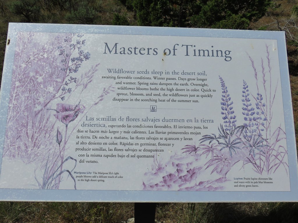
The paved portion of the trail led past interpretive signs to a viewing platform and the start of a mile long dirt trail.
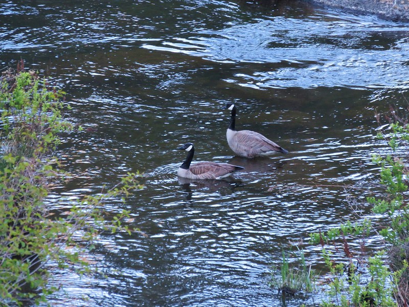
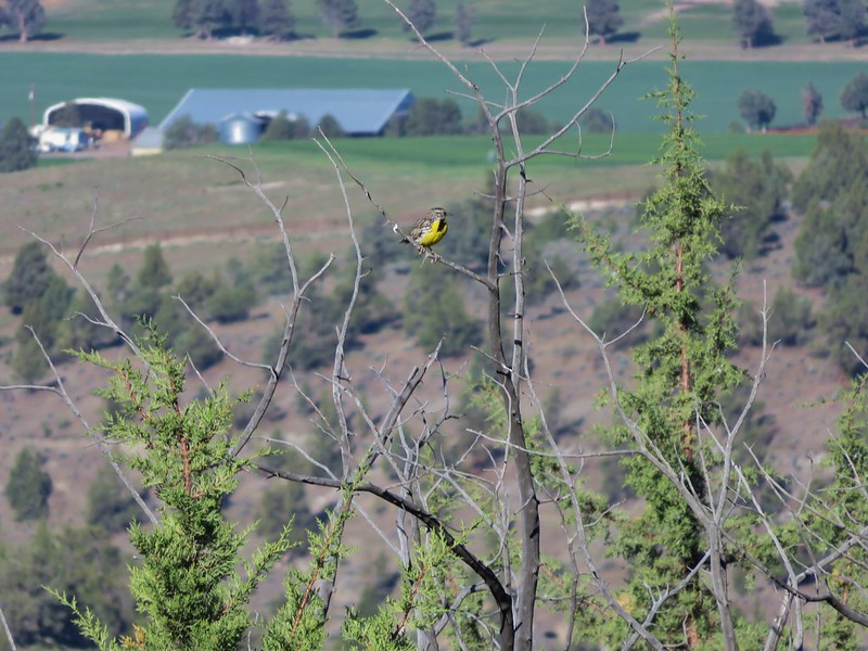
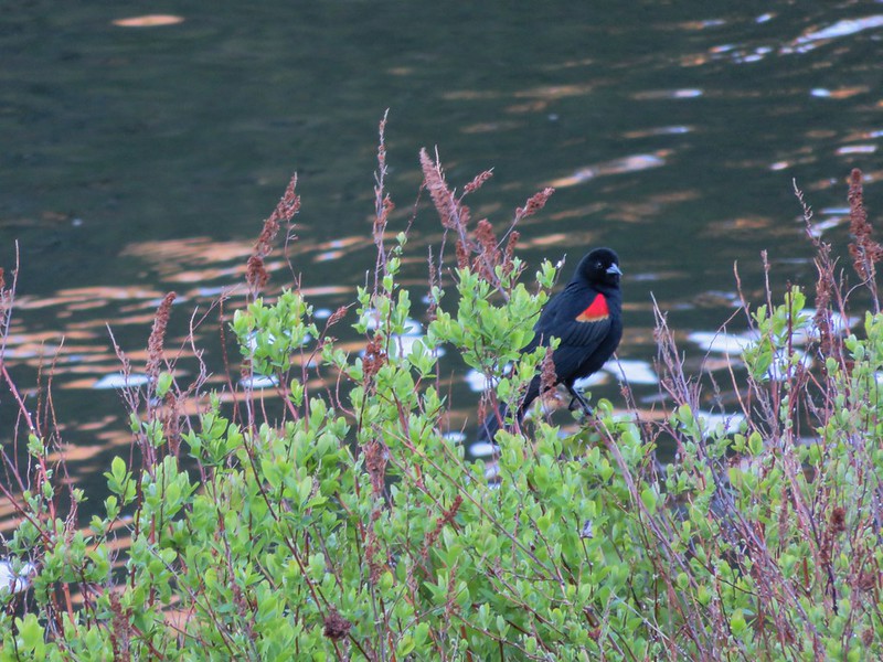
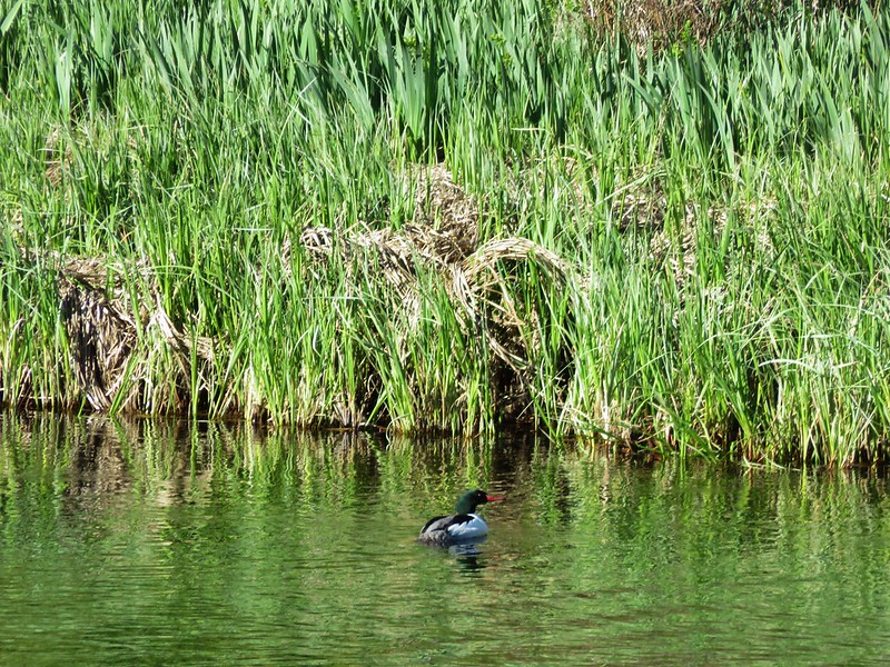
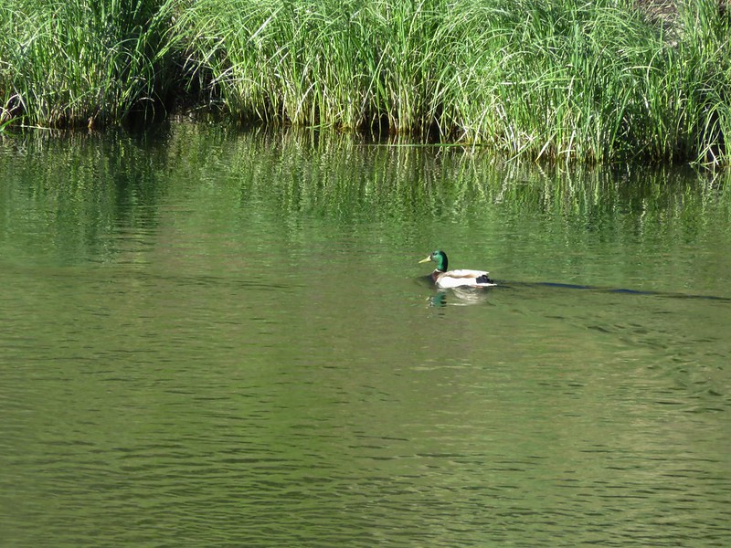
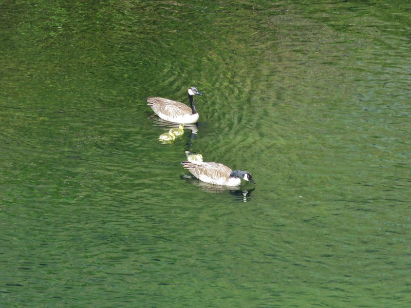
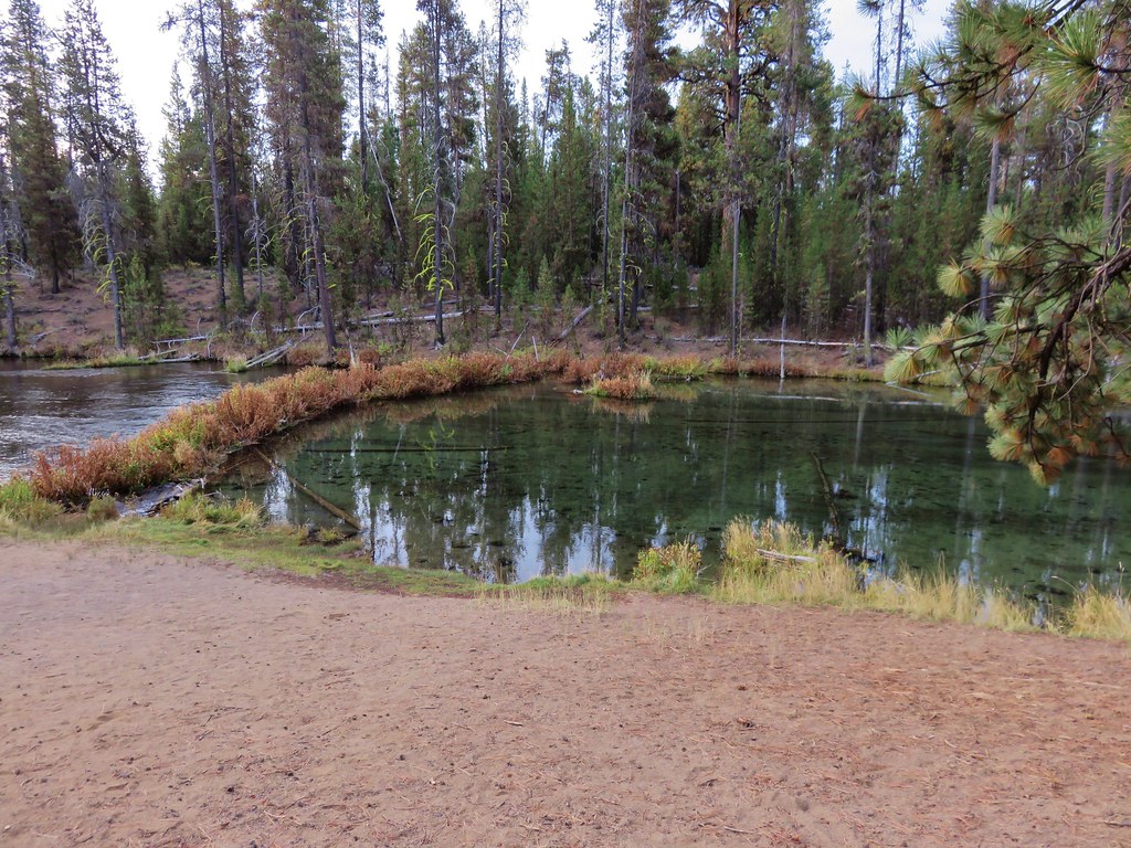
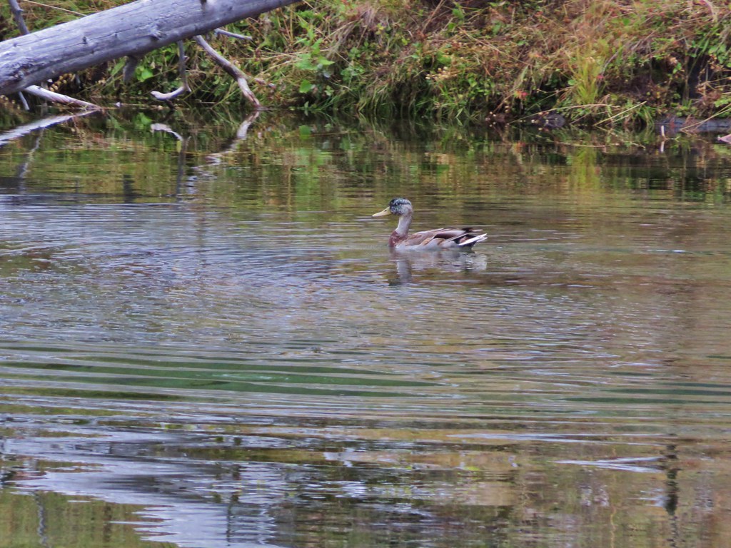
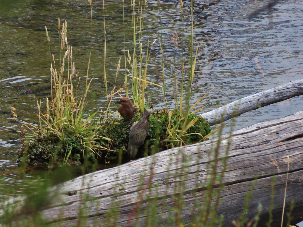
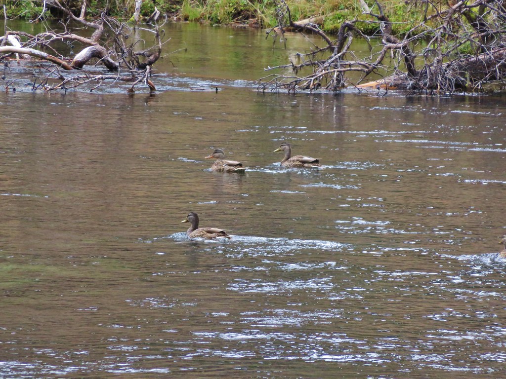
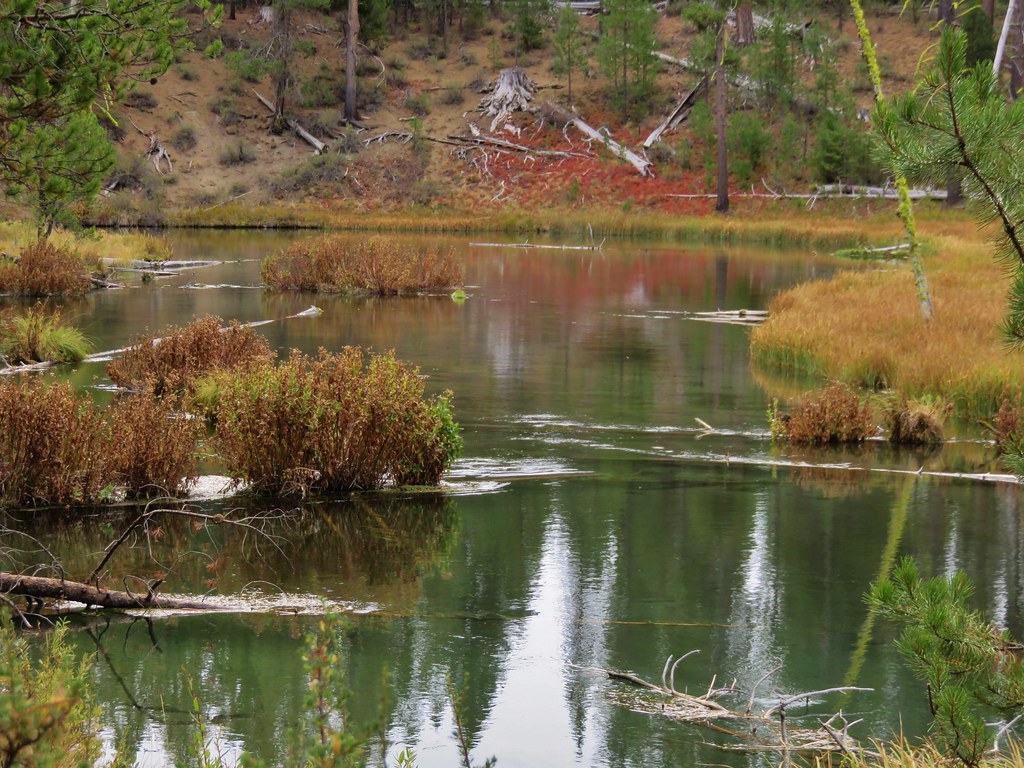
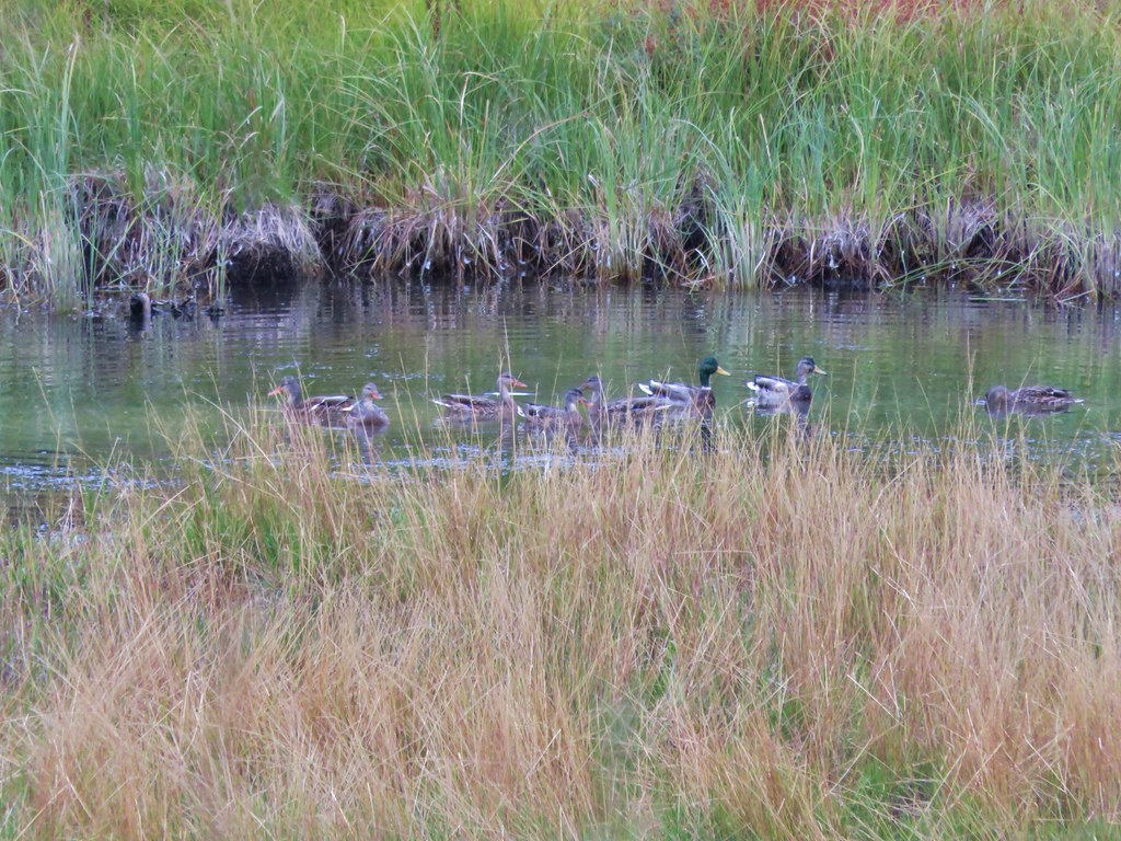
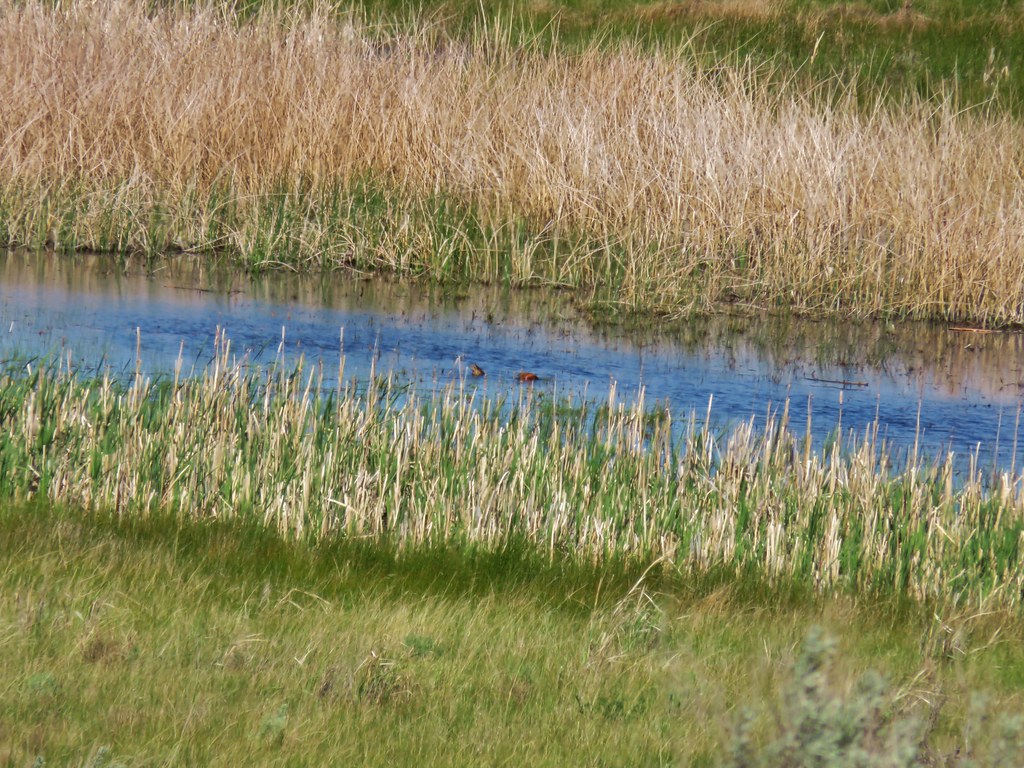
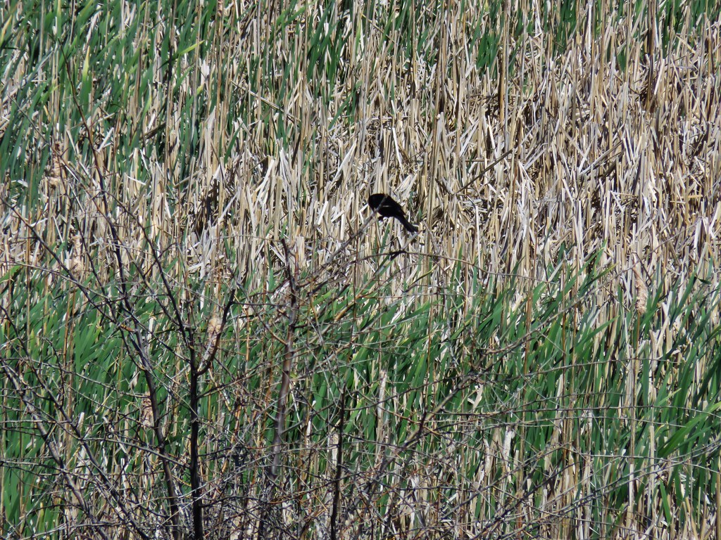
The viewing platform overlooked the wetland where all we saw on this day were a couple of ducks and numerous blackbirds.
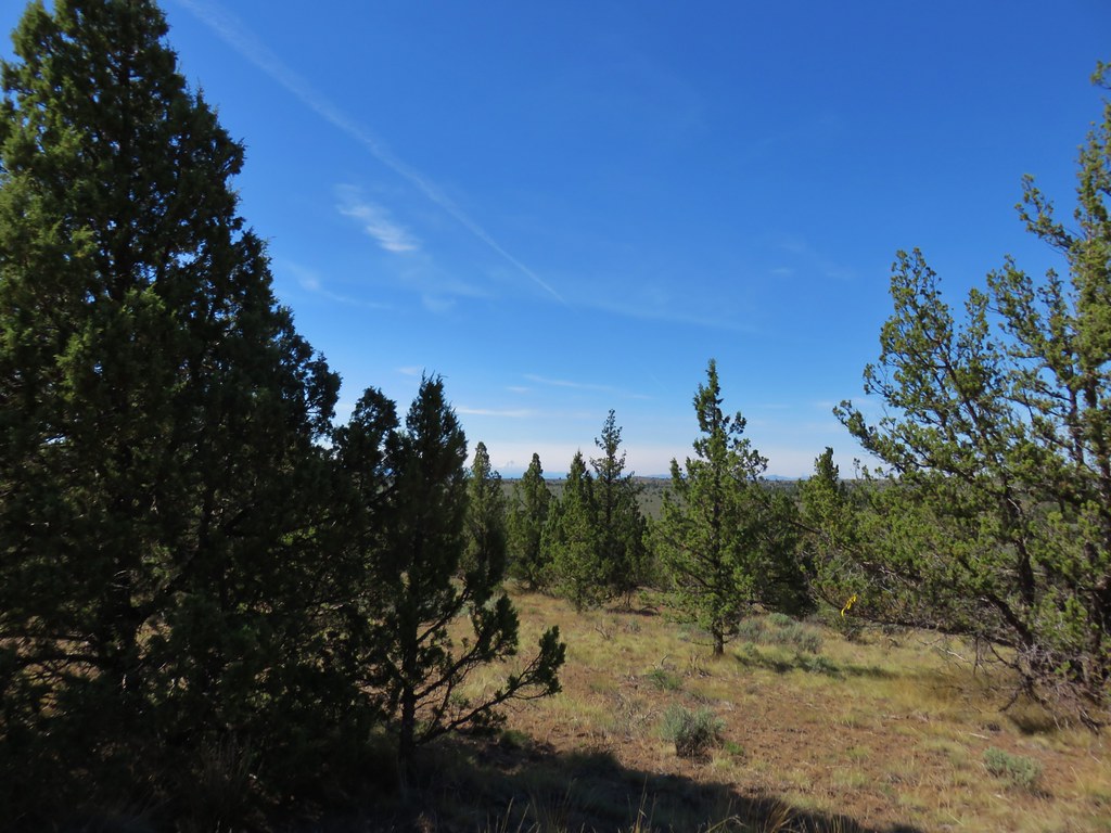
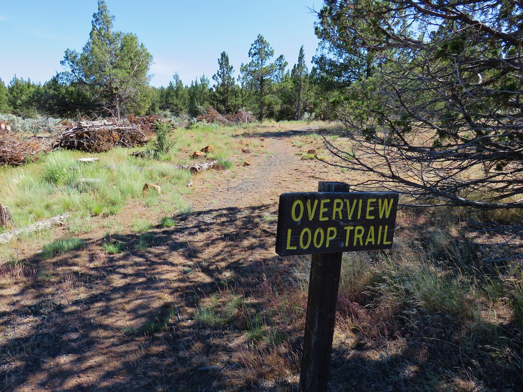
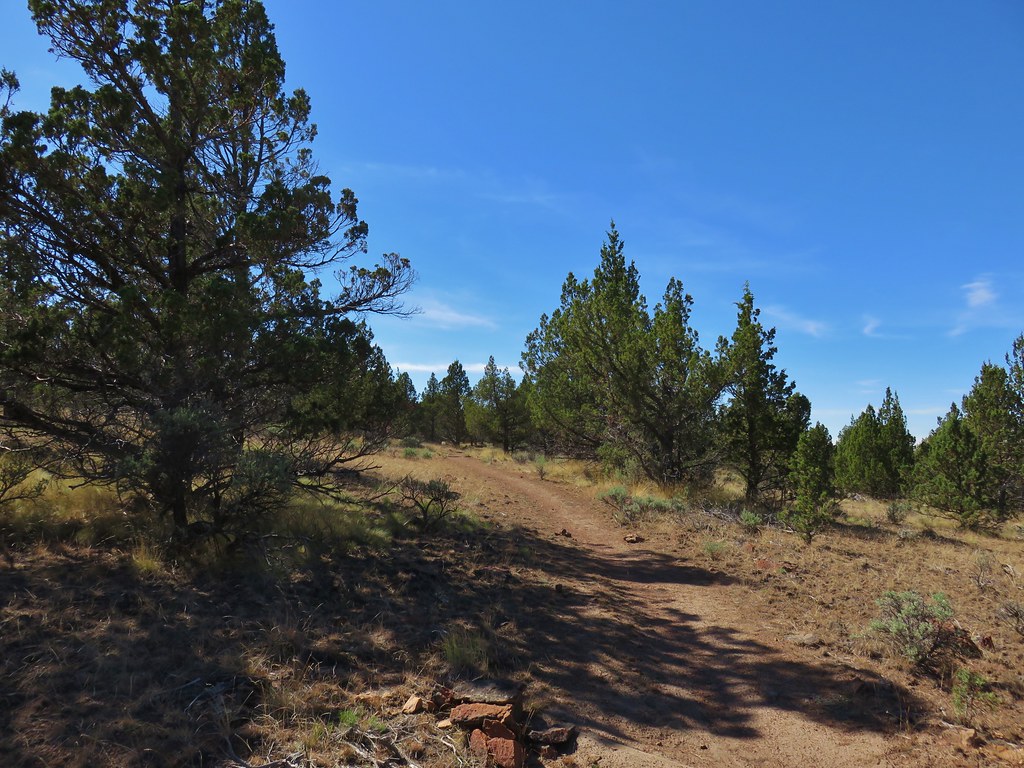
From the platform we took the Overview Trail uphill through the juniper to a spur trail that led to a second platform.

We didn’t spot anything different from the second platform and continued on the loop.
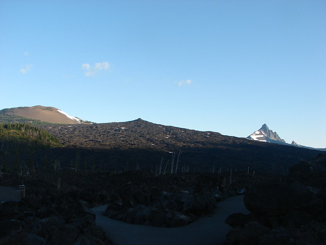
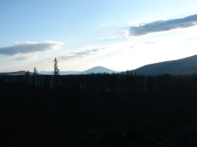
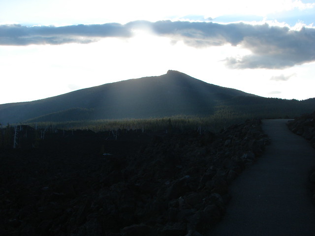
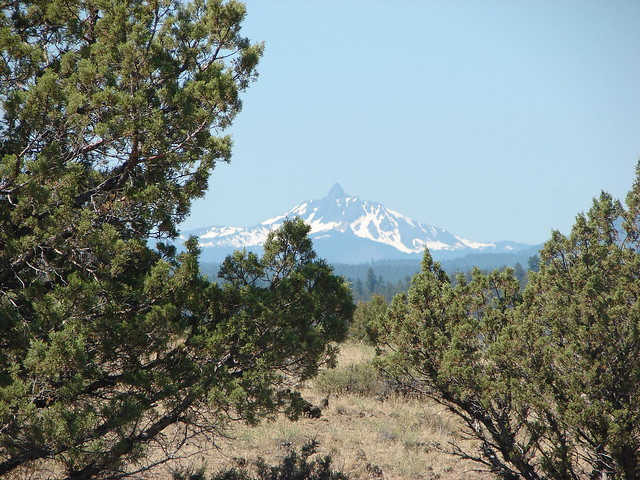
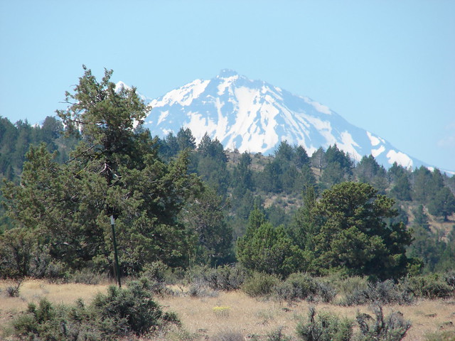
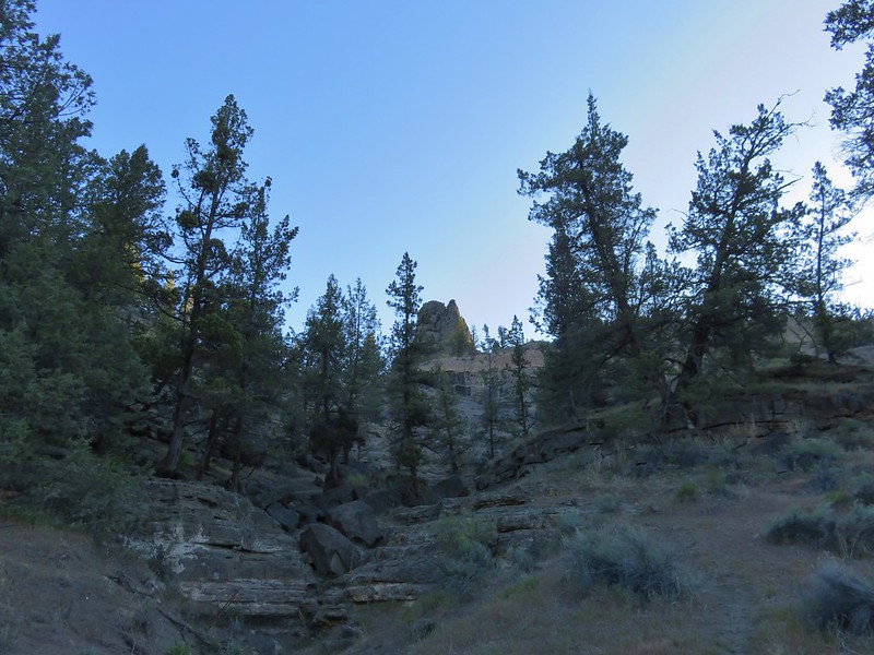
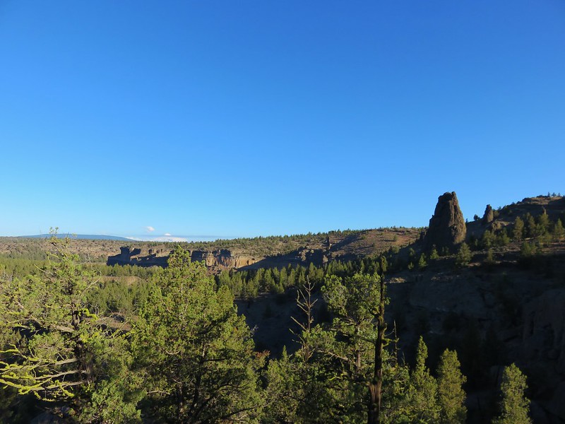
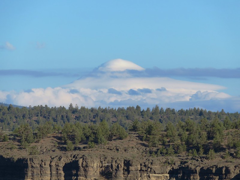
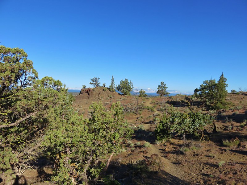
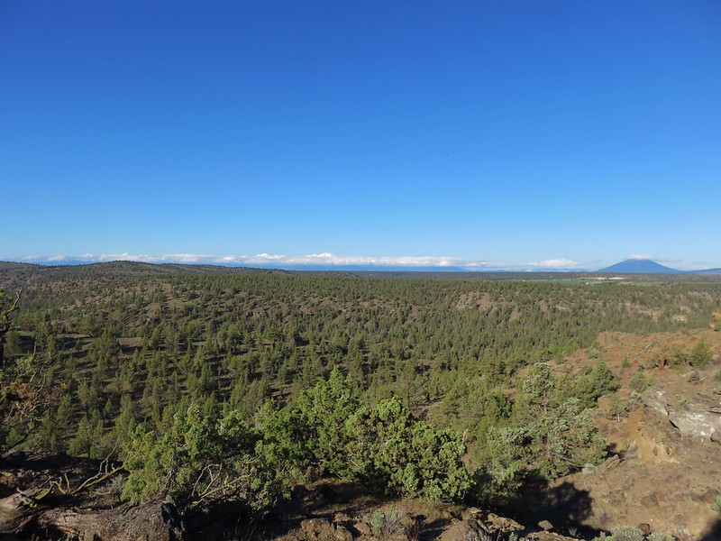
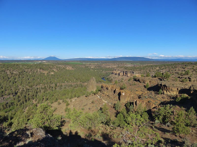
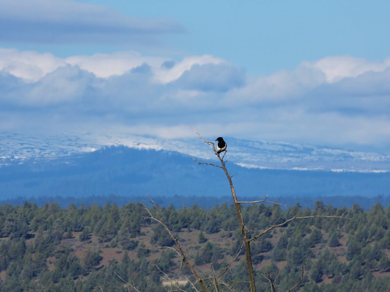
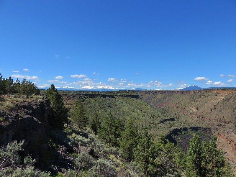
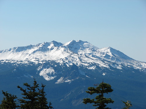
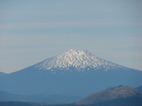
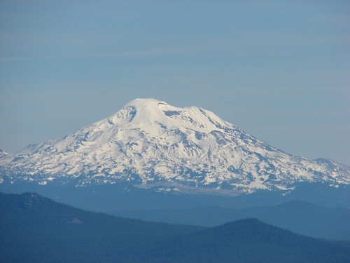
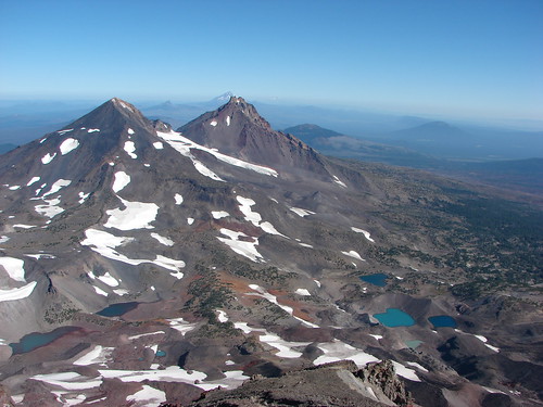
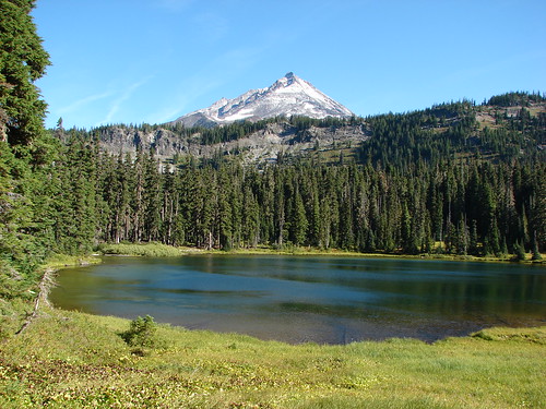
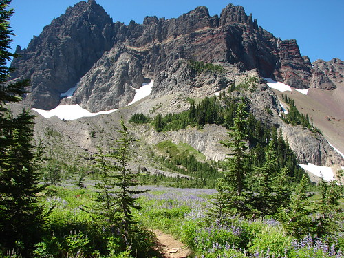
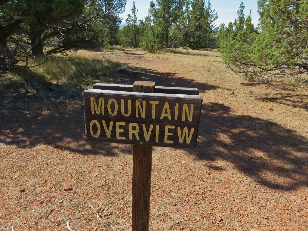
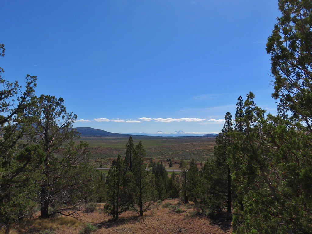
At the crest of the trail we passed a Mountain Overview sign where rock outcrops offered views across the Crooked River Grassland to the Cascade Mountains.
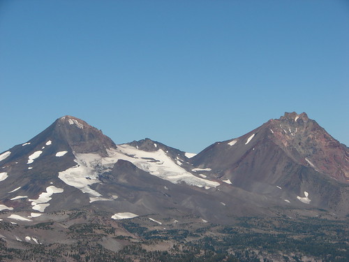
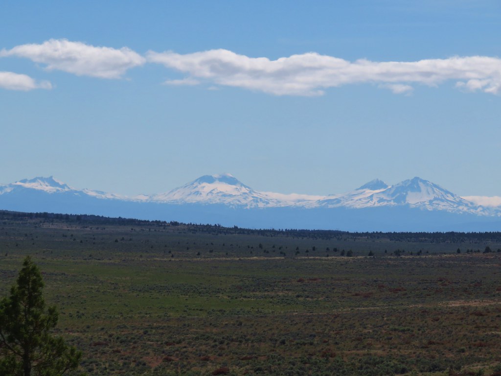 Broken Top and the Three Sisters
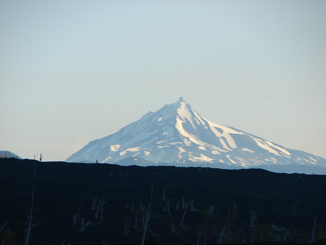
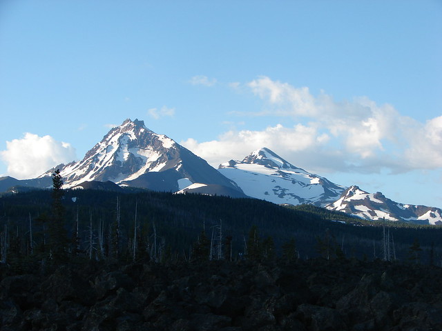
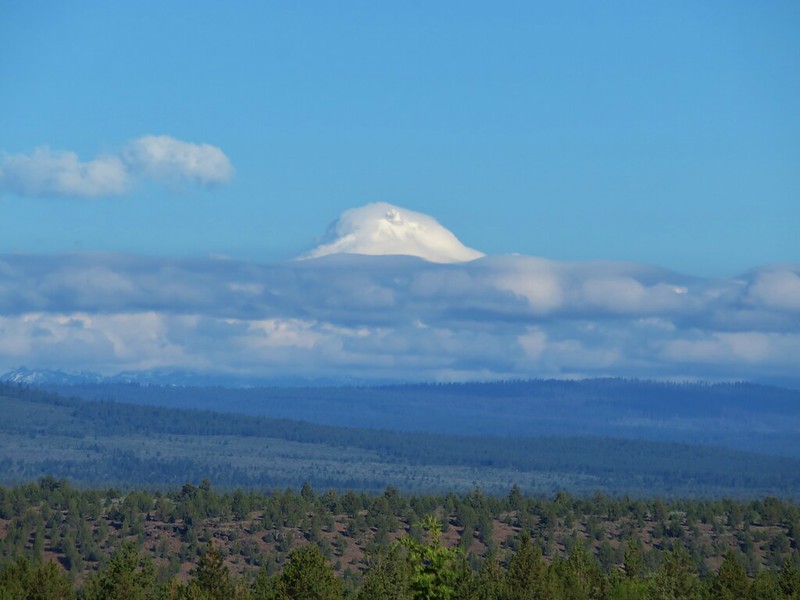
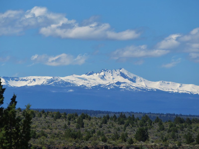
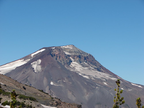
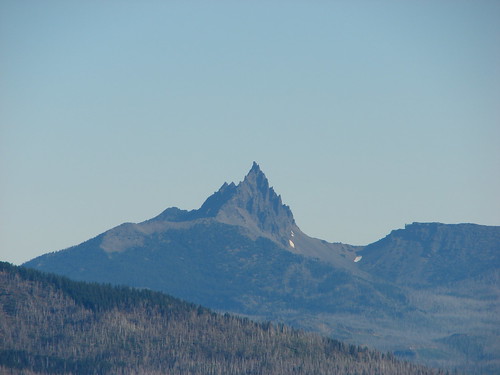
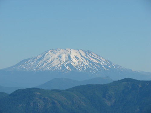
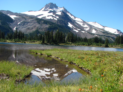
 Mt. Jefferson
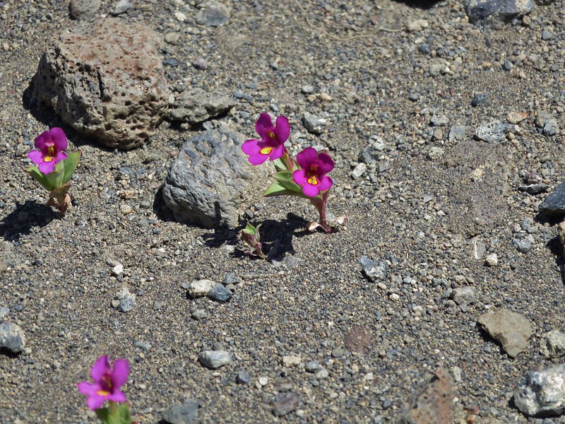
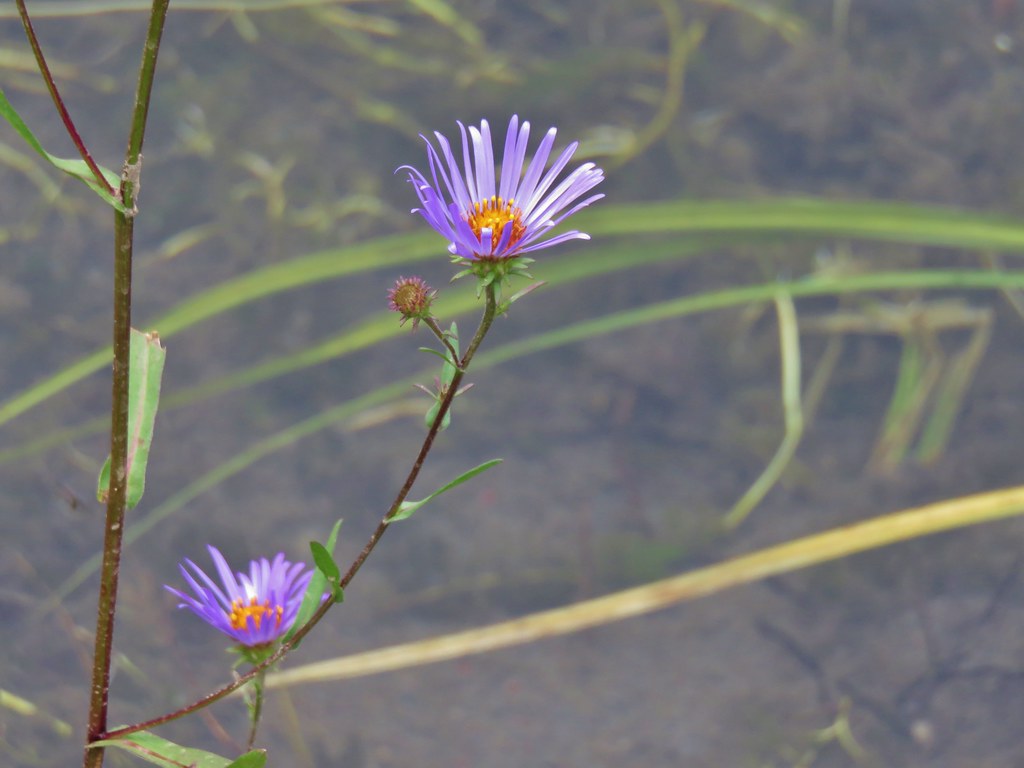
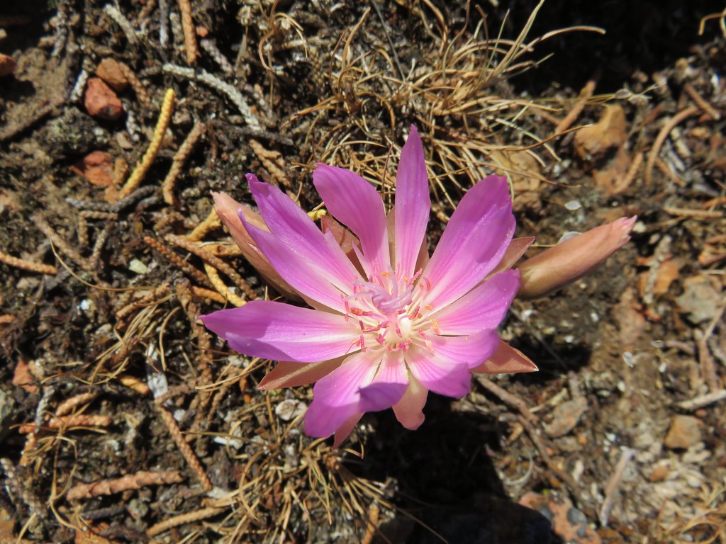
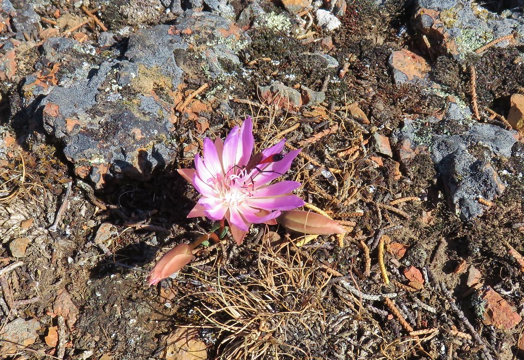
We got a pleasant surprise when Heather spotted a couple of bitterroot flowers blooming in the area.
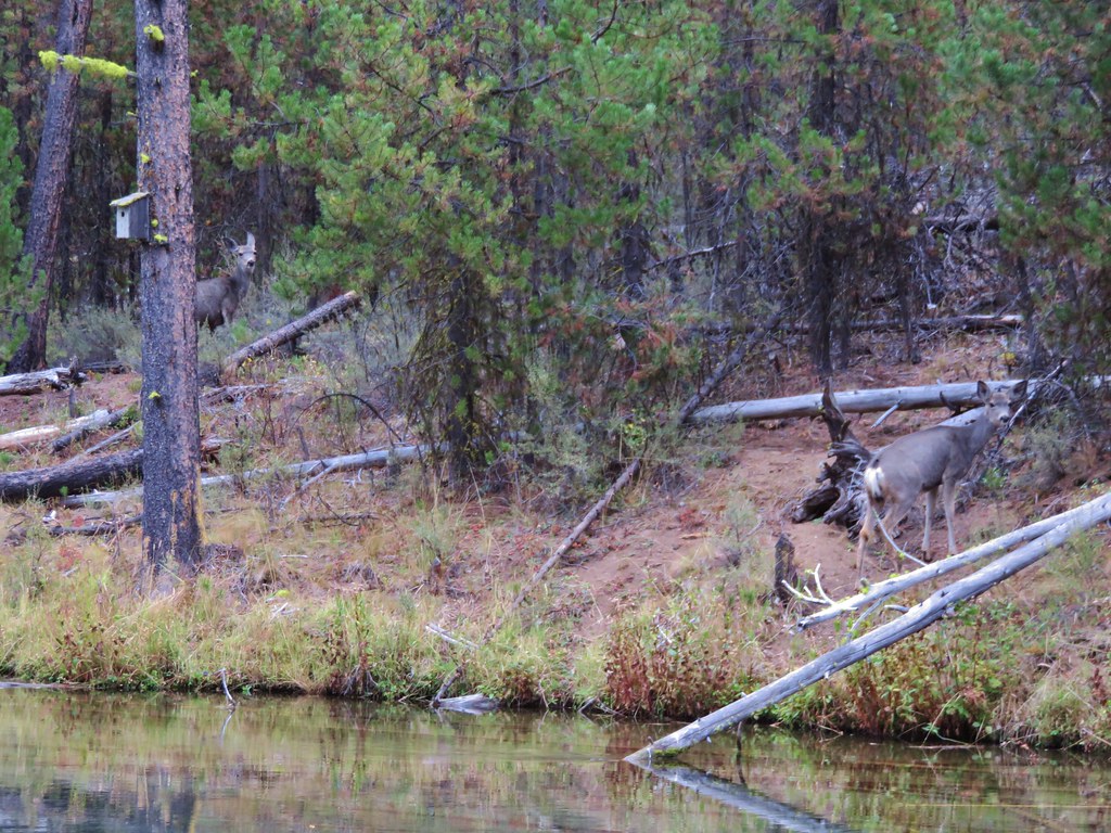
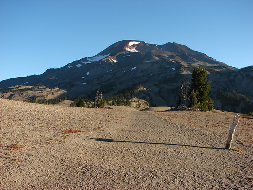
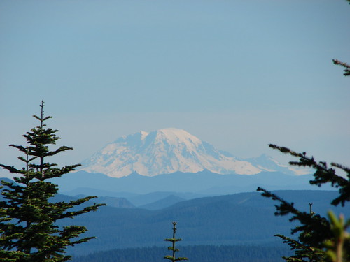
Beyond the overlook the trail descended to the paved path less than a tenth of a mile from the trailhead. Along the final stretch of the Mountain Overlook Trail Mt. Hood could be seen in the distance ending our hikes as we’d begun them looking at the tallest mountain in Oregon. Happy Trails!