Categories
Crater Lake Area High Cascades Hiking Mt. Theilsen/Mt. Bailey Area Throwback Thursday Trip report

Throwback Thursday – Mt. Bailey and The Watchman

Today’s Throwback Thursday hike took place on 8/11/2012 and featured our first summit of one of the Cascade Mountains – Mt. Bailey. The 8368′ summit would also mark the highest elevation we’d reached surpassing that of Paulina Peak.

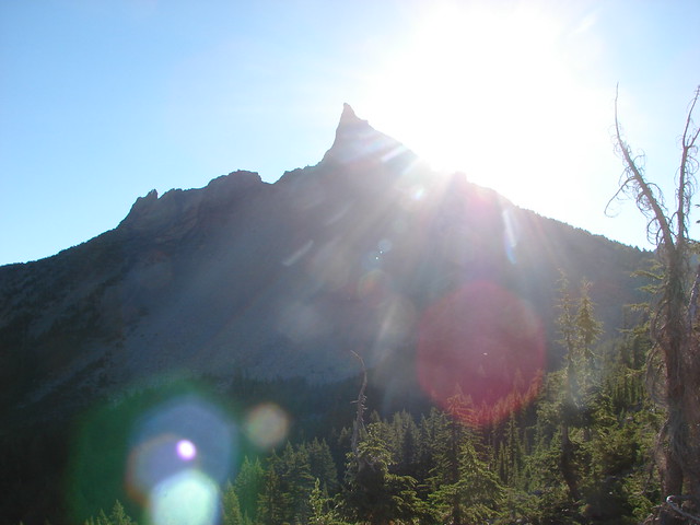
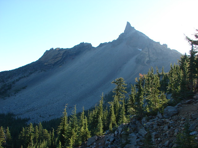
Mt. Bailey is located north of Crater Lake National Park on the west side of Diamond Lake across from the taller, pointier Mt. Thielsen.
Mt. Bailey and Mt. Thielsen

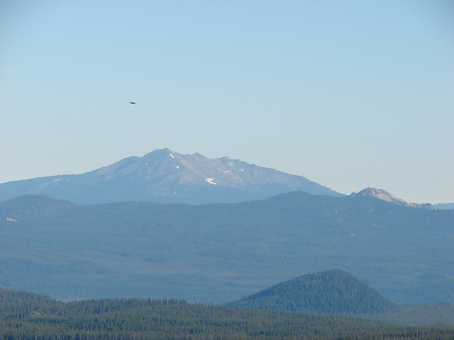
Mt. Bailey to the left of Diamond Lake with Mt. Thielsen on the right as seen from Mount Scott, Crater Lake National Park

There are two trailheads to choose from. From Diamond Lake’s South Shore Picnic Area turn onto Road 4795 and drive just past Silent Creek to Road 300 and turn left. The lower trailhead is just .4 miles further and suitable for passenger vehicles. The road to the upper trailhead was reportedly rough and although starting there would cut 4.4 miles off the hike it would still be under 10 miles round trip from the lower starting point so we parked there and set off.
Mt. Bailey Trailhead

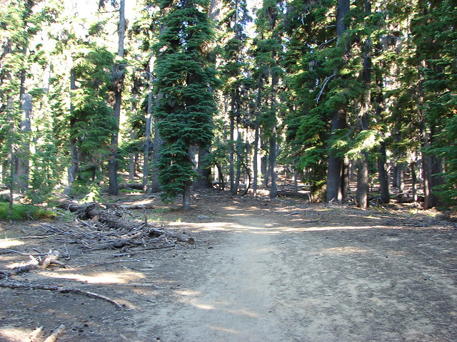
The trail climbed through a somewhat sparse forest, typical for this part of the Cascades due to the presence of a thick layer of ash and pumice which covered the area following the eruption of Mt. Mazama.
Mt. Bailey Trail

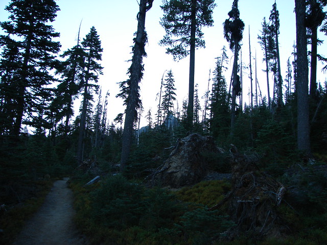
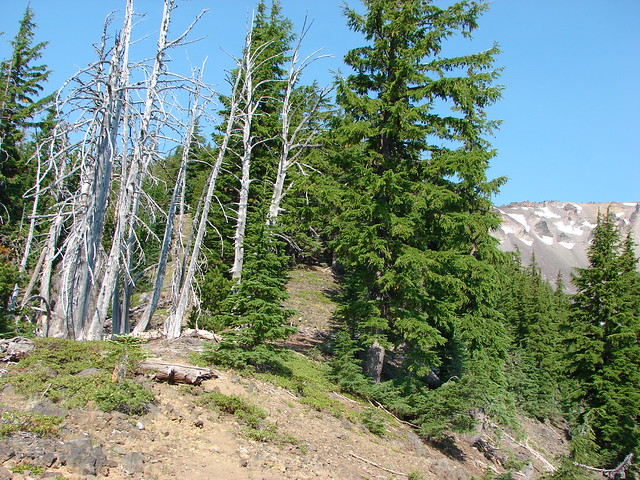
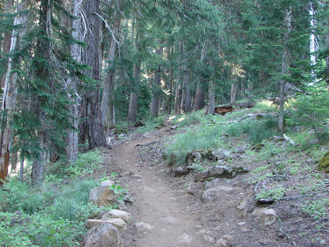
Forest along the Mt. Bailey Trail

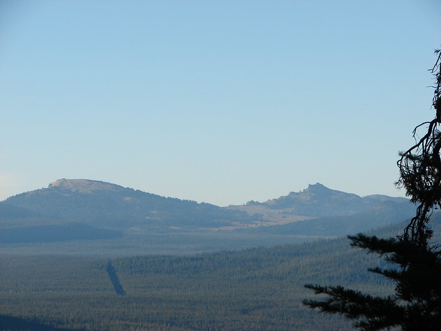
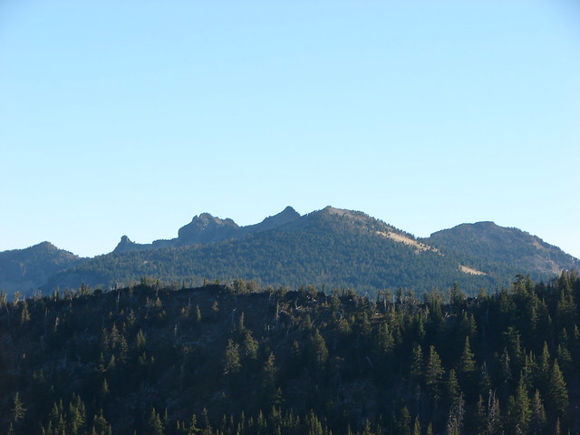
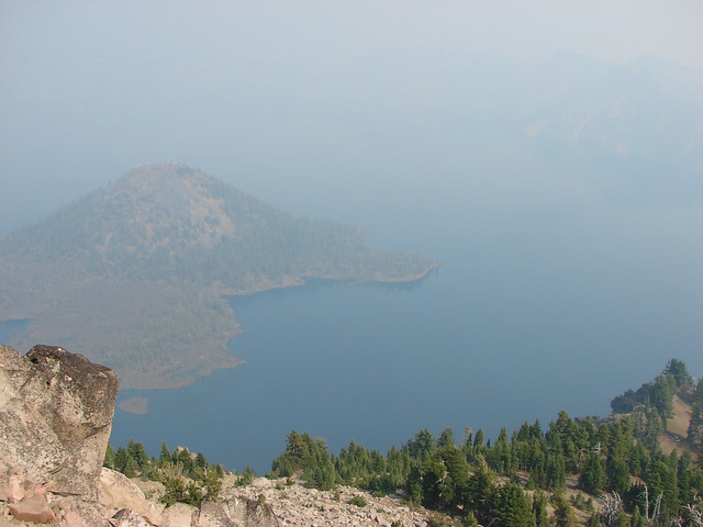
As we neared the 1.5 mile mark a somewhat hazy view of Hillman Peak and The Watchman on the west side of Crater Lake’s rim opened up.
Hillman Peak and The Watchman

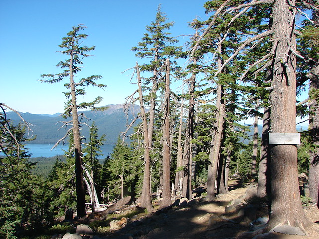
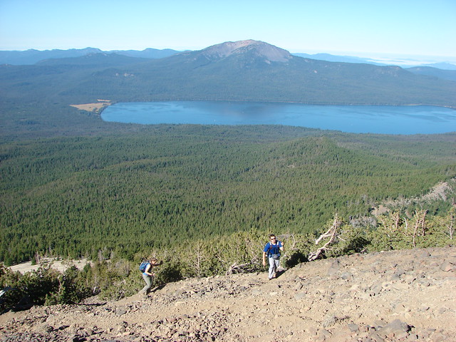
A couple of hundred yards later we came to a viewpoint of Diamond Lake and Mt. Thielsen.
Diamond Lake with Tipsoo Butte, Howlock Mountain, and Mt. Thielsen

Mt. Scott was also visible to the south on the east side of Crater Lake, but the view wasn’t great due to smoke from forest fires.
Mt. Scott

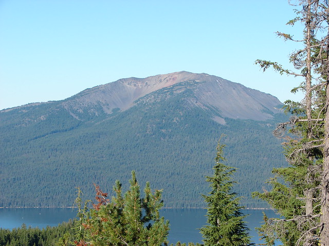
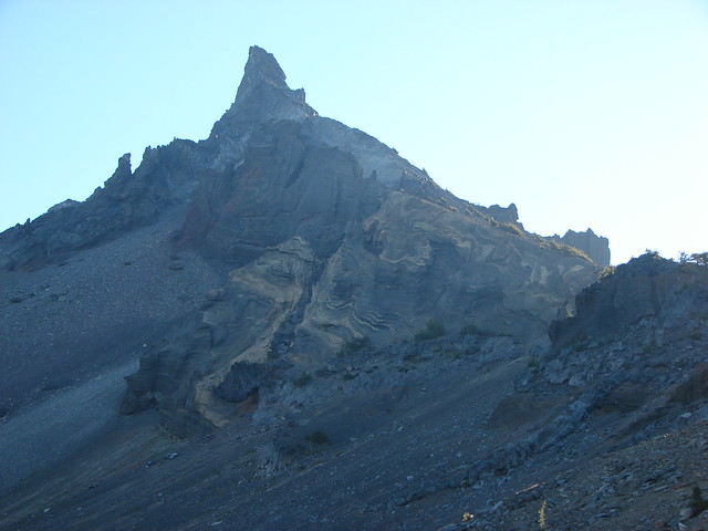
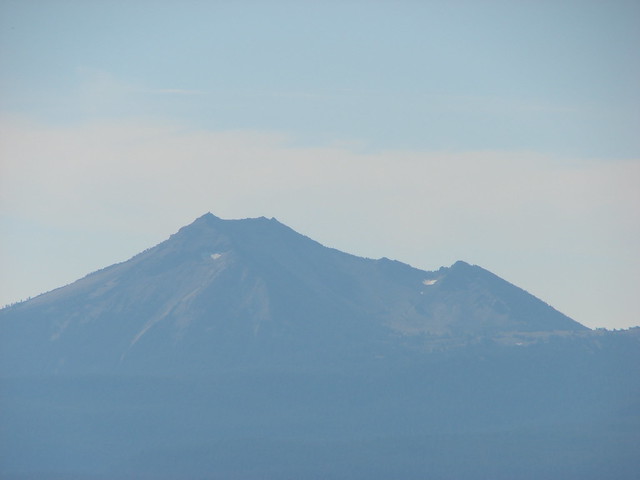
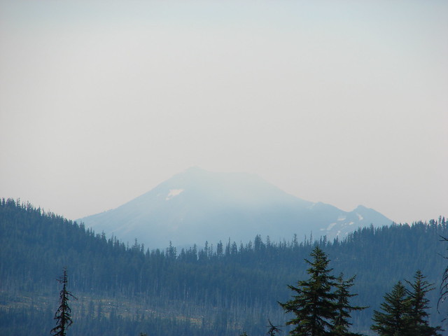
We also had a good look at our ultimate goal, the summit of Mt. Bailey.
Mt. Bailey

The trail had climbed approximately 750′ from the trailhead to the viewpoint but beyond the viewpoint it leveled off for the next .5 plus miles before reaching the upper trailhead. Along the way we kept watch for the Hemlock Butte Shelter which was off-trail on our left. When we spotted it we headed cross country to check it out.
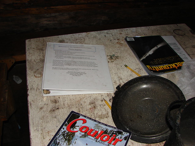
Hemlock Butte Cabin

Inside the Hemlock Butte Cabin

Inside the Hemlock Butte Cabin

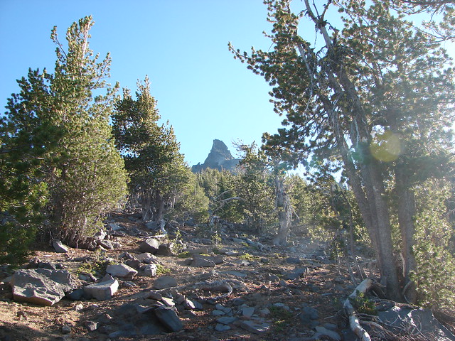
After signing the register in the shelter we made our way to the upper trailhead where the Mt. Bailey Trail began to climb again. At first the trail remained in the hemlock forest but before long we’d reached a ridge crest where the trees thinned and views opened up.
Mt. Bailey Trail

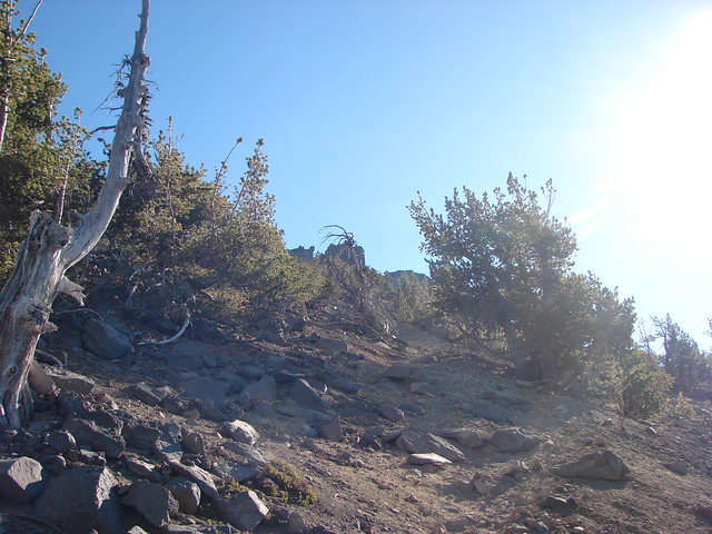
Mt. Bailey Trail

Mt. Thielsen

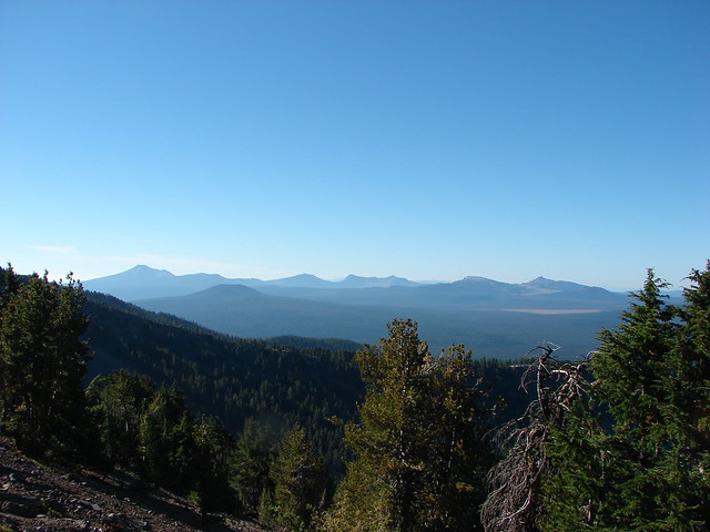
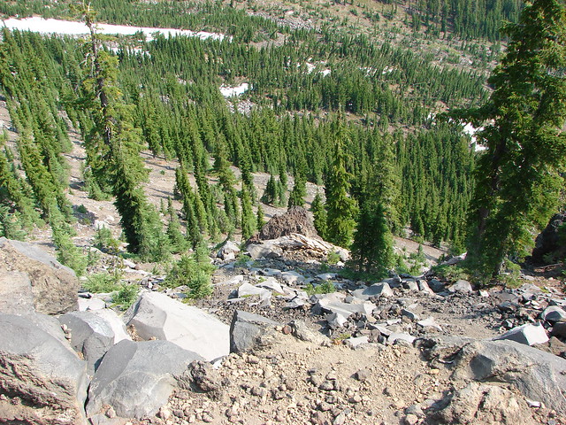
View from the Mt. Bailey Trail

Small meadows along the trail were homes to a few wildflowers.
Paintbrush

Penstemon

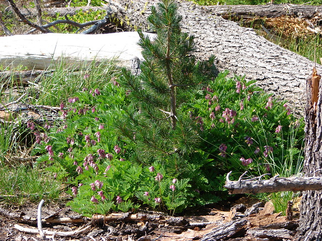
Bleeding Heart

The trail followed the ridge uphill which curved to the NW around a large glacier carved valley on the mountain’s east side. The angle of ridge provided excellent views of the mountain ahead.
Mt. Bailey Trail

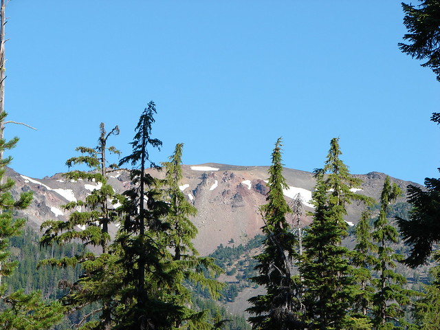
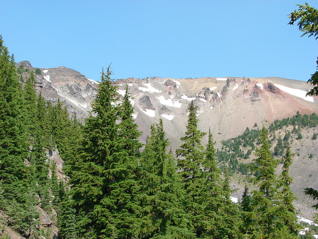
Mt. Bailey

Small patches of snow lingered along the trail at higher elevations and the views opened up even more as we climbed. Unfortunately the smoke was also getting worse further limiting the visibility.
Snow along the Mt. Bailey Trail

Diamond Lake, Tipsoo Peak, Howlock Mountain, and Mt. Thielsen

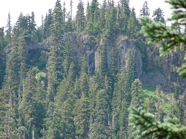
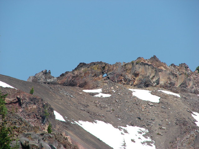
The trail passed a viewpoint down into the glacial-valley and up to a window in a rock wall along the mountain’s summit ridge which we would pass later.
View from the Mt. Bailey Trail

Mt. Bailey

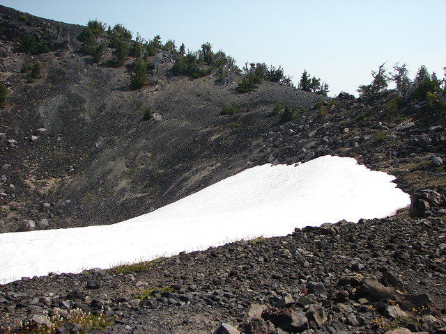
Beyond this viewpoint the trail passed by a 300′ snowy crater as it turned northward nearing the southern summit of the mountain.
Snow field along the Mt. Bailey Trail

Snow field along the Mt. Bailey Trail

From the lower southern summit the actual summit was a half mile away and another 220′ up.
Mt. Bailey Trail

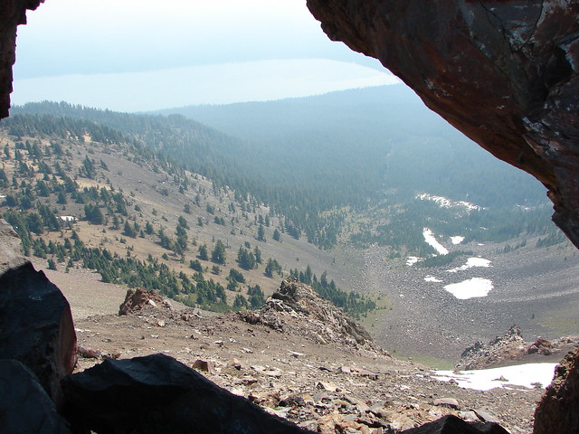
The trail crossed a cinder saddle which wasn’t too narrow but not too wide either. Then we passed along the left side of the rock wall pausing to peep through the window we’d seen from below. The smoke had gotten so bad that Mt. Thielsen was nearly hidden on the other side of Diamond Lake now.
Mt. Bailey Trail

Rock window along the Mt. Bailey Trail

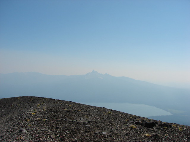
Diamond Lake and a faint Mt. Thielsen

The rock wall was also home to some flowers.
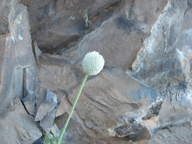
Western Pasque Flower

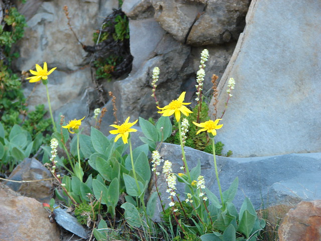
Arnica and partridge foot

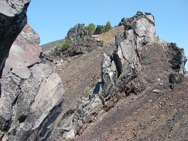
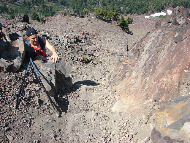
The trail passed over the rock wall on the far end at a low point which did require the us of our hands.
Mt. Bailey Trail

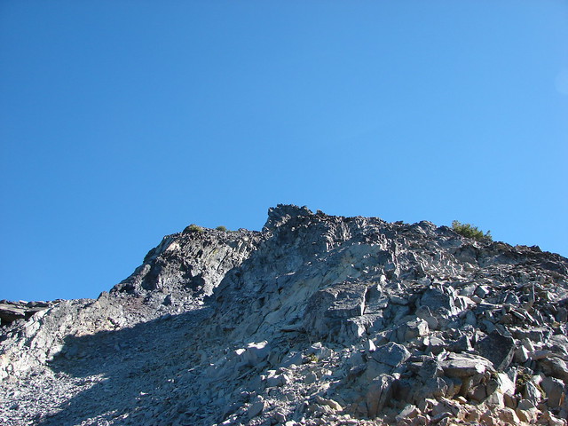
A final steep climb brought us to the bare, rocky summit of Mt. Bailey.
Summit of Mt. Bailey

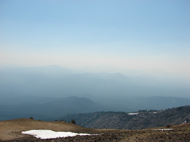
The smoke wasn’t too bad where we were, but with fires burning to both the north and south there was little view to speak of.
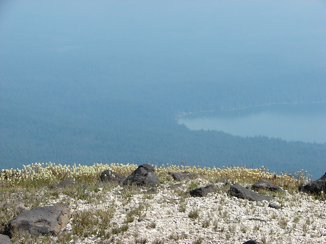
Mt. Thielsen and Diamond Lake from the summit of Mt. Bailey

View from the summit of Mt. Bailey

View from the summit of Mt. Bailey

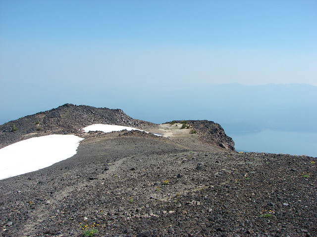
We explored the broad summit which sported some wildflowers and a snowfield.
Summit of Mt. Bailey

Summit of Mt. Bailey

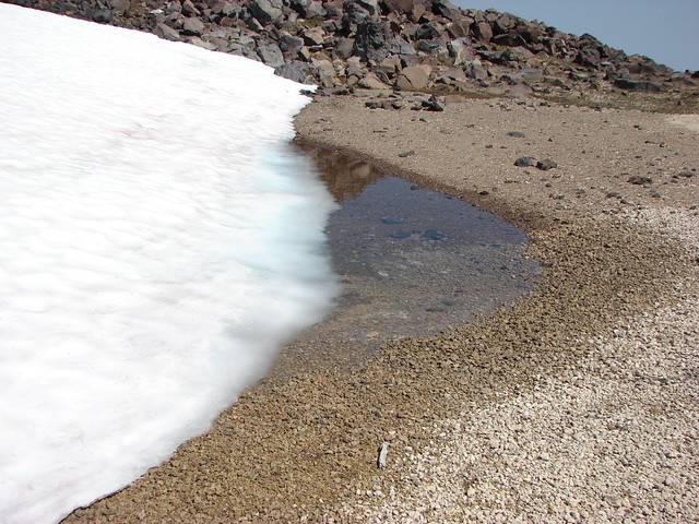
Snowmelt on the summit of Mt. Bailey

View from the summit of Mt. Bailey

Partridge foot

After resting atop the mountain for a bit we returned the way we’d come. When we’d gotten back to the car we decided to drive down to Crater Lake since it was only 15 minutes away. Neither of us had been there for years so why not take advantage of being so close. We parked at a large parking area 2.2 miles after turning right onto Rim Drive from the North Entrance Road.

From here a .8 mile climb led to a lookout tower on The Watchman.
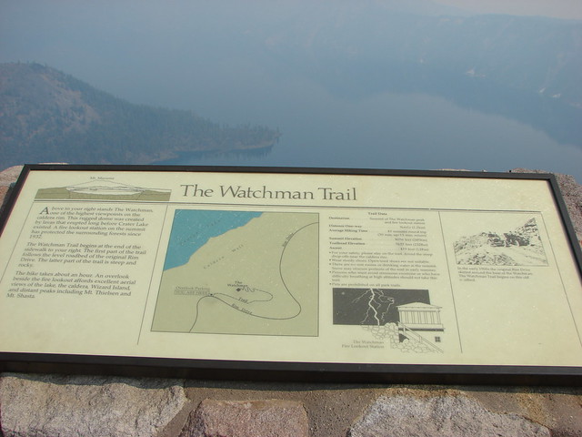
Interpretive sign

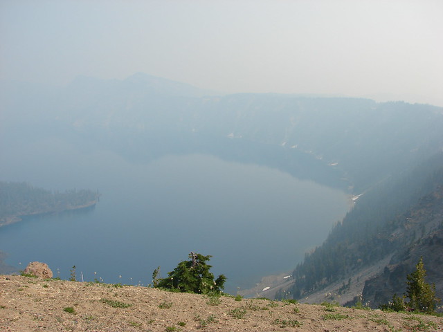
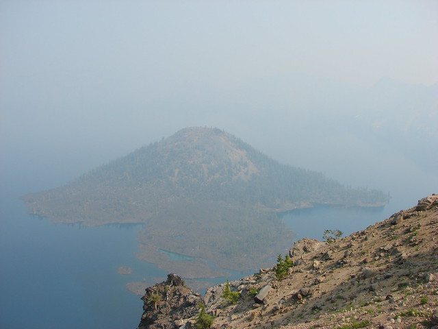
We had really been looking forward to seeing Crater Lake again but the smoke was thick over the water leaving us with a very limited view. At least we could see Wizard Island, a cinder cone that formed after the eruption of Mt. Mazama creating Crater Lake.
Crater Lake

Wizard Island in Crater Lake

The Watchman Trail led right along Rim Drive for .4 miles to a junction where we turned left and began the steep climb to the lookout.
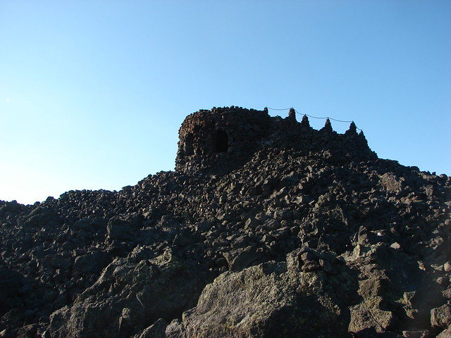
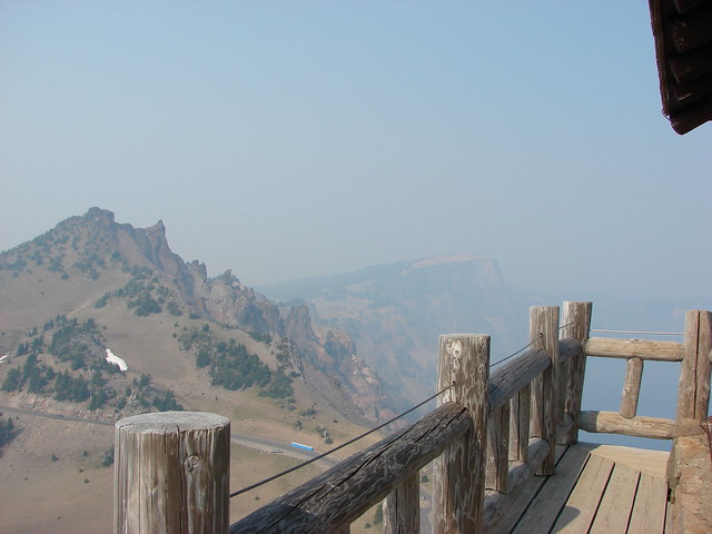
Lookout at the summit of The Watchman

From the lookout Hillman Peak and Wizard Island were about the only landmarks visible. Interpretive signs at the summit showed us what we were missing.
Hillman Peak and Llao Rock

Crater Lake and Wizard Island

Interpretive sign on The Watchman

Sign near the lookout tower on The Watchman

Despite the smoke it was well worth the stop but we did feel bad for the many tourists that might not get another chance to see this amazing place. We knew we’d be back and hopefully the conditions would be better the next time. Happy Trails!

Flickr: https://www.flickr.com/photos/9319235@N02/albums/72157632957911480

Categories
Bend/Redmond Central Oregon Hiking Oregon Throwback Thursday Trip report

Throwback Thursday – Pine Mountain

Welcome to another installment of Throwback Thursday. Today we’re covering a 7/30/2012 visit to Pine Mountain east of Bend. This mostly trail-less hike started at the Pine Mountain Observatory.

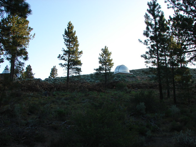
We walked past the domes housing the telescopes and took a trail near the white dome uphill to a stone windbreak.

Pine Mountain Observatory

Pine Mountain Observatory

Stone windbreak on Pine Mountain

The high point of this first hill has an elevation of 6349′, 160′ lower than the actual summit of Pine Mountain. The view from the first shelter was good nonetheless with Mt. Bachelor, Broken Top and the Three Sisters lining the horizon to the NW.

Mt. Bachelor, Tumalo Mountain, Broken Top and the Three Sisters from Pine Mountain

Further north was Black Crater, Mt. Washington, and Three Fingered Jack

Black Crater, Mt. Washington and Three Fingered Jack

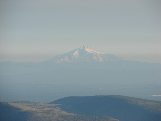
The view extended NW to Mt. Jefferson.

Mt. Jefferson

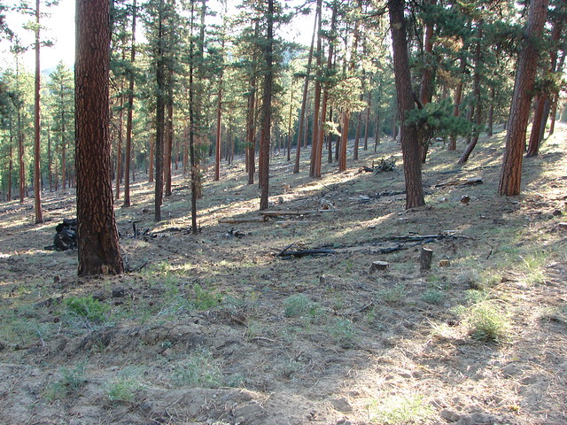
From the stone shelter we followed a faint path downhill to the east (away from the observatory) which brought us to gravel road where we turned left. For the next half mile we remained on the road staying left at all times. The thinned forest along the road was mostly Ponderosa Pines. The open forest allowed us to spot several deer along the way.

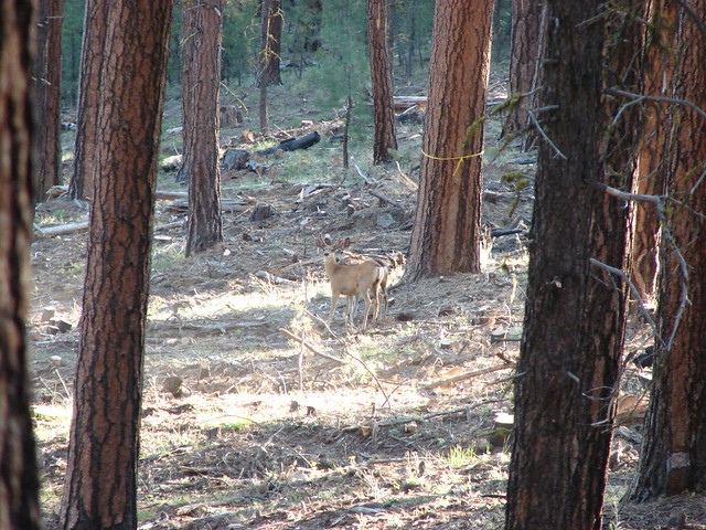
Deer on Pine Mountain

Deer on Pine Mountain

Deer on Pine Mountain

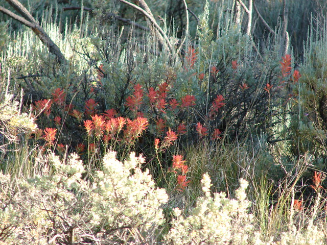
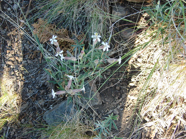
We left the road at a sharp right turn on a wide saddle. When the road turned we stayed straight following faint cattle trails through a level ponderosa forest for approximately 200 yards to a rock knoll. Wildflowers amid the sagebrush here included mountain coyote mint, paintbrush, and catchfly.

Coyote mint on Pine Mountain

Paintbrush

Catchfly

We approached the knoll on it’s right side passing it on a gentle sagebrush covered slope.

Offtrail on Pine Mountain

Rock outcrop on Pine Mountain

Occasionally we would come across a sagebrush mariposa lily as we traveled the 1.2 miles from the road to the true summit.

Mariposa lily

Mariposa Lily

The open ridge crest provided constant views.

Paintbrush on Pine Mountain with Broken Top and The Three Sisters in the distance

Offtrail on Pine Mountain

View from Pine Mountain

View from Pine Mountain

The 6509′ summit of Pine Mountain was marked by a single wooden post.

Pine Mountain summit

View from the summit of Pine Mountain

We continued on from the summit following a ridge NE. Near the base of another rocky outcrop we picked up an old cat track that wound around the left side of the rocks. Here the mountain coyote mint fairly blooming nicely.

wildflowers on Pine Mountain

Wildflowers on Pine Mountain

Buckwheat

Just .7 miles from the summit we reached the top of another rise on the mountain and another wooden post.

View from Pine Mountain

For some reason the view here was a little better than the previous two high points and we could make out a faint Mt. Hood far to the NW.

View from Pine Mountain

Mt. Hood

A ridge extended even further east which we could have followed a little over a mile and a half further to a final hilltop with some radio towers, but we were trying to keep the mileage down and it would have meant an additional 500′ of elevation gain so after a nice break we started back.

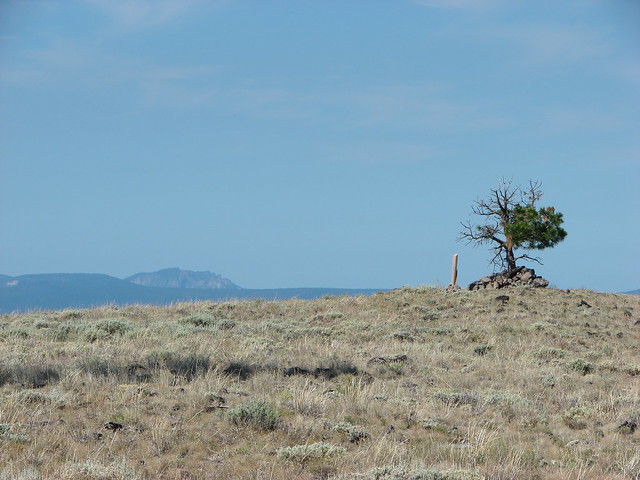
On the way back up to the summit one of my favorite scenes occurred. The wooden post and a single tree stood alone on the sagebrush summit with the rocky face of Paulina Peak on the horizon.

Paulina Peak to the left of the Pine Mountain summit

We returned to the gravel road which we then followed all the way back to the parking lot at the observatory instead of climbing back up and over the first hill. The round trip was a little over 5.5 miles with around 1100′ of elevation gain. We were in the midst of a week long hiking vacation and had wanted something scenic but not too taxing and Pine Mountain had delivered. Happy Trails!

Flickr: Pine Mountain

Categories
High Cascades Hiking Mt. Jefferson Area Oregon Throwback Thursday Trip report

Throwback Thursday – Duffy Lake

We’re going all the way back to July 28, 2010 for this weeks throwback hike. This was our first visit to the Mt. Jefferson Wilderness as well as the first time we attempted an off-trail scramble. We started at the Duffy Lake Trailhead taking the Duffy Lake Trail toward Duffy Lake.

Duffy Lake Trail

The trail followed along the North Santiam River which was running real low but not yet dry for the season.

Wildflowers along the North Santiam River

North Santiam River

We passed the a junction with the Turpentine Trail at the 1.5 mile mark and crossed the river just over a mile later before reaching another junction in a meadow near Duffy Lake. Although we couldn’t see the lake from there Duffy Butte rose above the trees.

Duffy Butte

A number of trails were present in the Duffy Lake area. The first junction after crossing the river was with the Maxwell Butte Trail which forked to the right. Before reaching Duffy Lakes outlet creek we took the next fork to thw right which was a short connector trail to the Santiam Lake Trail which we then turned right on following it for about 3/4 of a mile through wildflower meadows to Santiam Lake and a great view of Three Fingered Jack.

Santiam Lake Trail

Three Fingered Jack and Santiam Lake

Three Fingered Jack from Santiam Lake

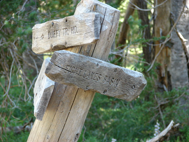
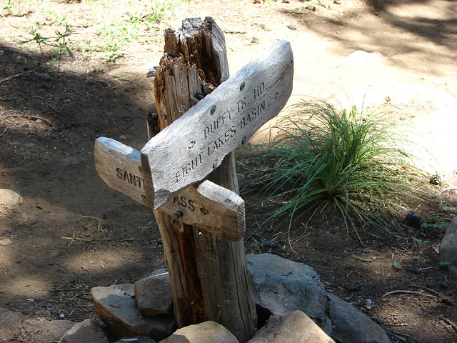
After visiting the lake shore we headed back the way we had come for .6 miles then turning right on the Dixie Lakes Trail at a pointer for the Eight Lakes Basin.

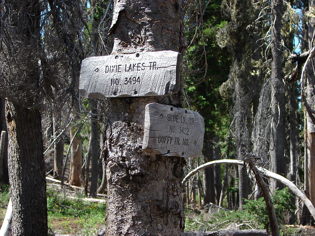
Trail sign at the Dixie Lakes Trail

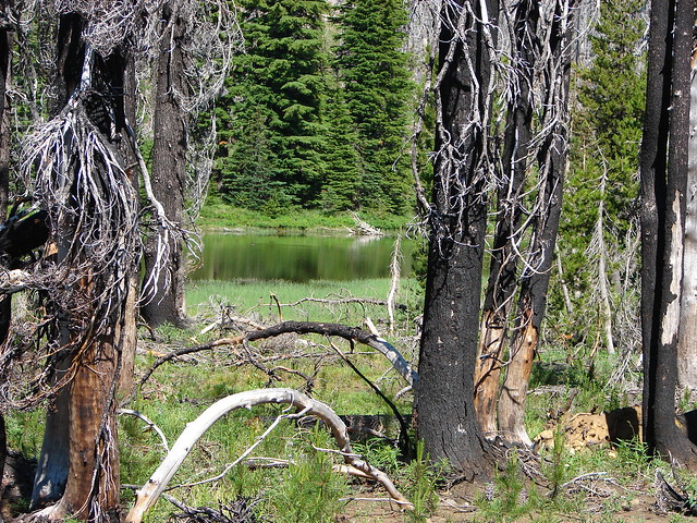
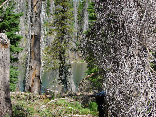
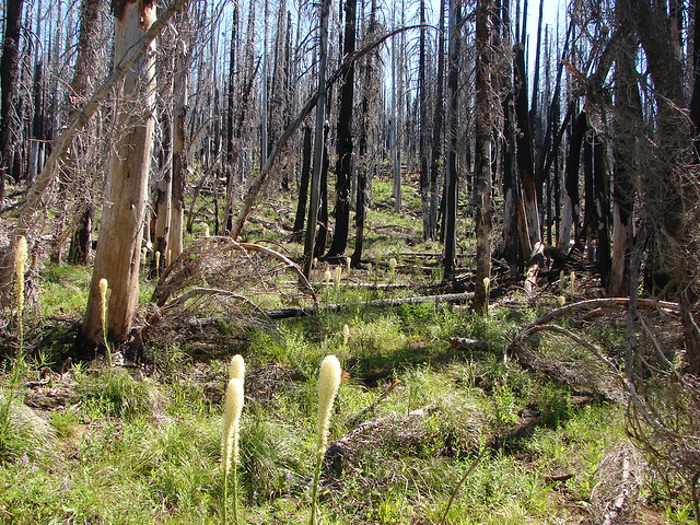
This 1.8 mile trail would lead us pass the small Dixie Lakes before joining the Blue Lake Trail. Much of the trail passed through forest burned in the massive 2003 B&B Fire.

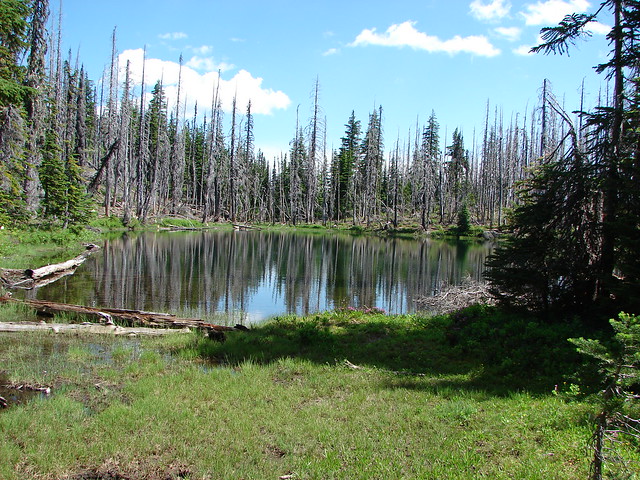
A Dixie Lake

South Dixie Lake

A Dixie Lake

North Dixie Lake

Beargrass

Junction with the Blue Lake Trail

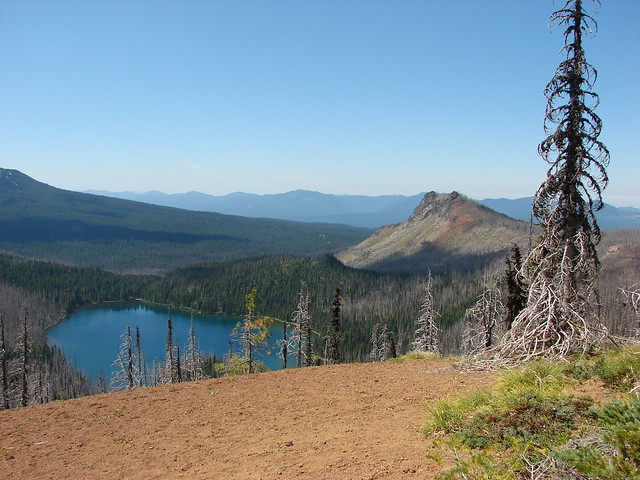
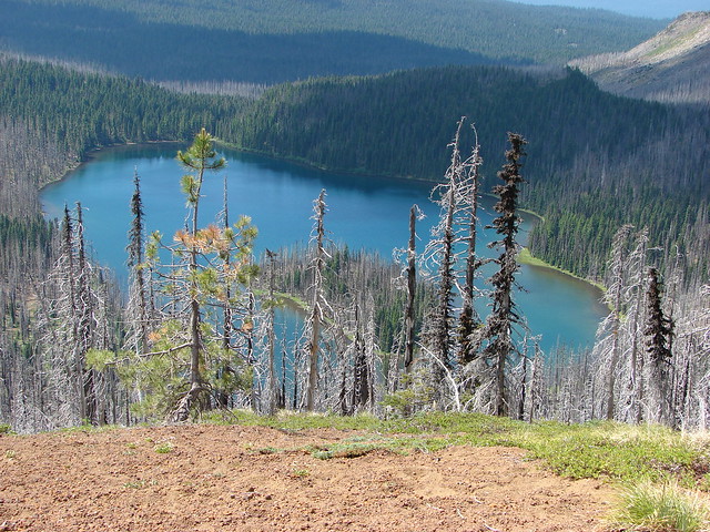
The trail junction was near Alice Lake which was where our off-trail scramble up Red Butte would start.

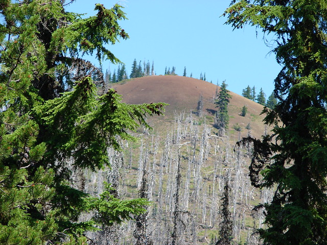
Red Butte

Red Butte

Alice Lake

Alice Lake

Being our first off-trail experience we weren’t exactly sure what we were supposed to be looking for but we knew that the route started on the west side of the lake and headed up the butte. It was quite the adventure. Just when we thought we might be following a use trail we’d lose it. Some of the butte had been burned in the fire so there was plenty of downed trees and limbs to navigate. The good news with that was we knew we could follow the edge of the burn downhill and we’d wind up back on the trail near Alice Lake so we weren’t too concerned with getting lost. As we neared the summit of Red Butte the vegetation began to give way to more and more cinder where it was much easier to pick out the use trail.

Snow on Red Butte

Looking down from the summit we could see little Alice Lake below.

Alice Lake from Red Butte

To the south we had a great view of Three Fingered Jack and beyond that loomed Mt. Washington, North Sister, Middle Sister, and The Husband.

Three Fingered Jack, Mt. Washington, The Three Sisters and The Husband

The Three Sisters and Mt. Washington

Mt. Washington in front of the North & Middle Sister (with the summit of South Sister behind them all)

Around to the north was Mt. Jefferson.

Mt. Jefferson

Just to the SW of Red Butte was Duffy Butte and Mowich Lake.

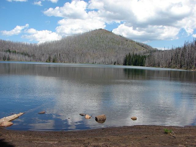
Mowich Lake and Duffy Butte

Mowich Lake

We had a much easier time following the use path on the way down and successfully completed our first scramble. We turned right when we arrived back at the Blue Lake Trail and followed it for a mile to the southern end of Mowich Lake where we could look back across the water to Red Butte.

Mowich Lake

Another 3/4 miles along the trail brought us a junction with the Santiam Lake and Duffy Lake Trails.

Trail junction near Duffy Lake

We took a moment to visit Duffy Lake and Duffy Butte.

Duffy Butte from Duffy Lake

We walked along the lake to its outlet where we picked up the Duffy Lake Trail and headed back toward the trailhead. A nice lollipop loop with a couple of side trips to Santiam Lake and up Red Butte the total distance was a little over 13 miles with approx 2000′ elevation gain. Happy Trails!

Flickr: https://www.flickr.com/photos/9319235@N02/albums/72157632953676368

Categories
Central Coast Coastal Range Hiking Oregon Oregon Coast Trip report

Niagara Falls and Neskowin

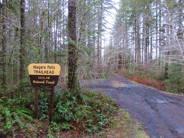
We took advantage of a favorable forecast and headed out for our February hike to visit a pair of coastal waterfalls and then the beach near Neskowin.  We’ve had a lot of snow and rain this winter making it a good time to catch the waterfalls assuming you can reach them.  The storms have left their mark on some of the trails and roads so we weren’t sure what to expect as we prepared to head out, but a quick check of the Forest Service website listed the Niagara Falls Trailhead as open so we were optimistic.

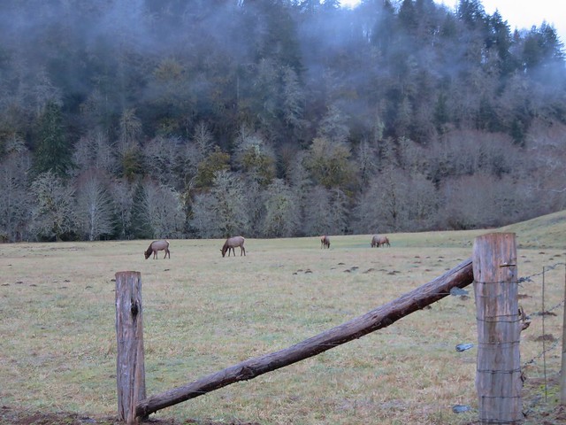
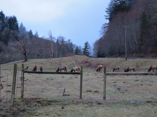
The Niagara Falls Trailhead is located east of Mt. Hebo in the Siuslaw National Forest. There was good signage along the route which took us  5 miles east of Blaine, OR on Upper Nestucca Road (Forest  Road 85) where we turned right onto Niagara Road (Forest Road 8533). A small herd of elk were grazing in the field at this turn.
IMG_8536

IMG_8538

We followed this gravel road for 4.3 miles. The road was in pretty good shape and had obviously been cleared recently. At the 4.3 mile mark we forked right following signs for the trail for another .7 miles to the trailhead.
IMG_8543

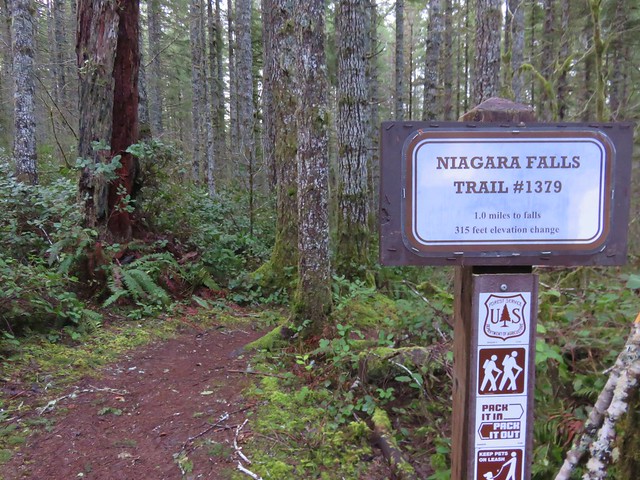
The mile long Niagara Falls Trail led downhill through a fern filled forest crossing a small creek three times on footbridges.
IMG_8545

IMG_8551

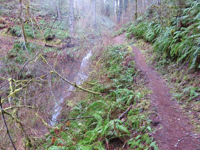
This small creek was flowing well enough to create its own decent, albeit hard to see little fall.
IMG_8553

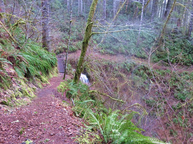
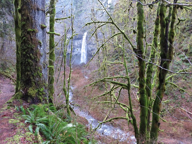
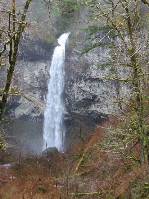
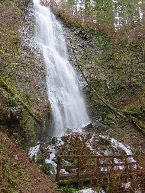
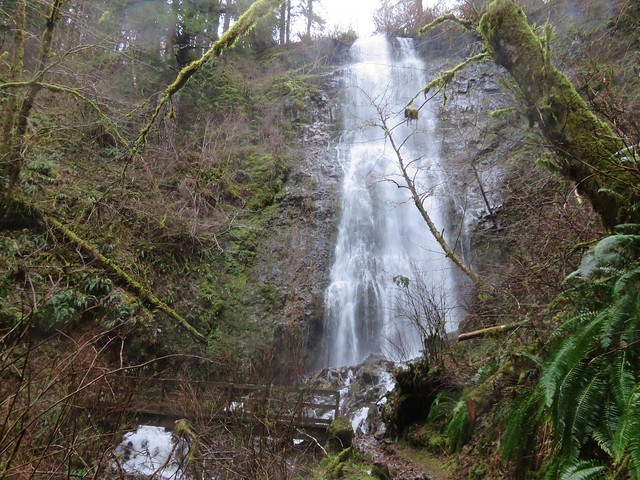
As the trail leveled out along Pheasant Creek the first fall to come into view was Niagara Falls.
IMG_8556

IMG_8563

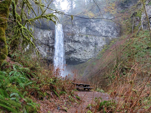
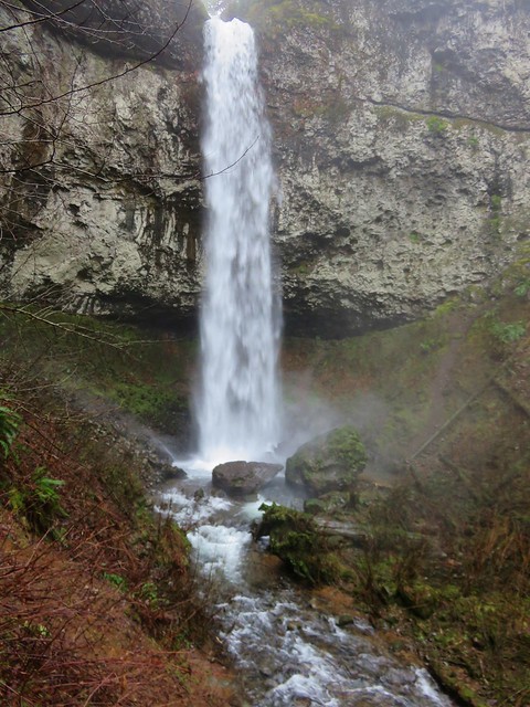
As the trail neared Niagara Falls an opening to the left revealed Pheasant Falls.
IMG_8576

A footbridge below Pheasant Falls brought us to a picnic table at the end of the Niagara Falls Trail.
IMG_8579

IMG_8582

IMG_8590

We returned the way we’d come. The 2 mile hike had been a nice warm up and now we were headed back to Highway 101 and then south to Neskowin.

We stared our second hike of the day at the Winema Road Beach Access which is located near the Wi-Ne-Ma Christian Camp. The beach access can be reached by driving .6 miles on Winema Road which is 4 miles north of Neskowin along Highway 101.
IMG_8604

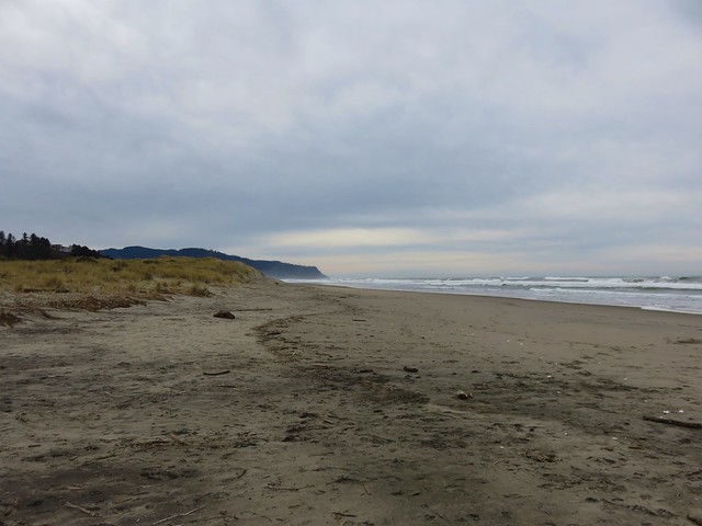
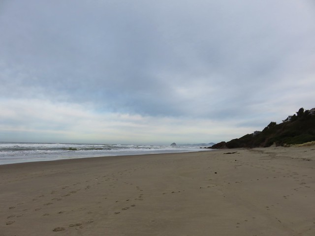
From the beach the view south extended to Cascade Head and to the north to Cape Lookout beyond Haystack Rock.
IMG_8614

IMG_8615

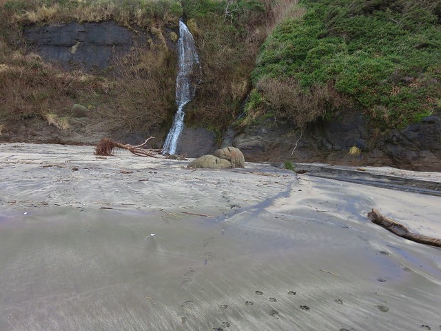
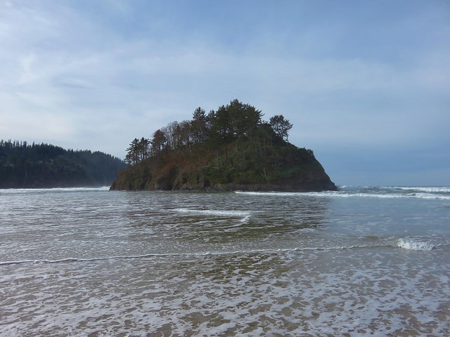
Our timing wasn’t great as it was a little before 10am when we started and high tide would be just after 12:30 so it was already coming in. This meant we would not be getting to a couple of places that would have been accessible at lower tide. We headed north first for .4 miles to some rocks jutting out onto the beach. Along the way we passed a small waterfall that we had not been expecting.
IMG_8618

IMG_8619

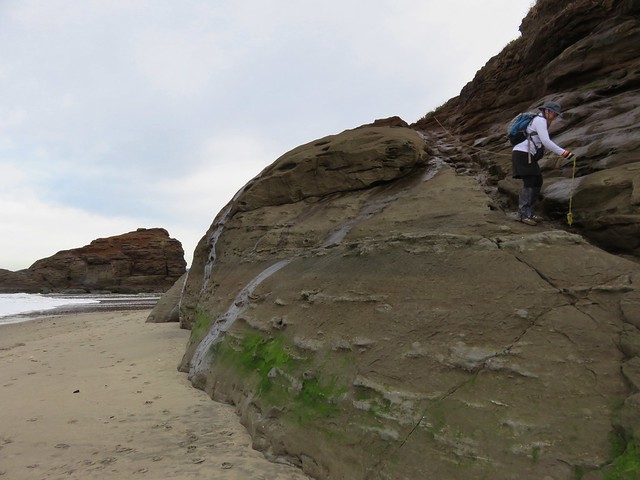
At low tide it is possible to continue .6 miles to the mouth of the Nestucca River across from Bob Straub State Park but the waves were already reaching the rocks and we knew if we continued we’d be stuck until the tide went back out so after playing around on the rocks for a minute we turned around and headed south.
IMG_8621

We hadn’t gone too far to the south when we reached the outlet creek of Daley Lake which wasn’t mentioned in our guidebook. The only way across was to ford the creek, but luckily it was only ankle deep and not too cold.
IMG_8627

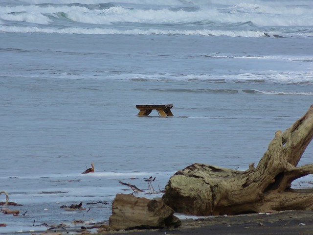
On the other side of creek was a picnic table that seemed really out of place. Heather noted that it appeared to be close enough that the ocean would reach it, although it wasn’t very close at that time. The rest of the sights were pretty typical of a beach walk. Driftwood, rocks, pieces of shells, seaweed, boats, sea birds, and lots of washed up garbage.
IMG_8628

IMG_8633

IMG_8624

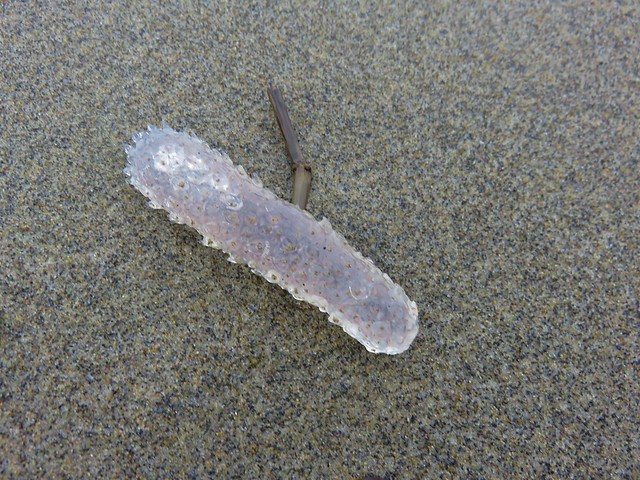
There was something we couldn’t recall seeing before though. Large numbers of pickle shaped jelly fish looking things of various sizes.
IMG_8622

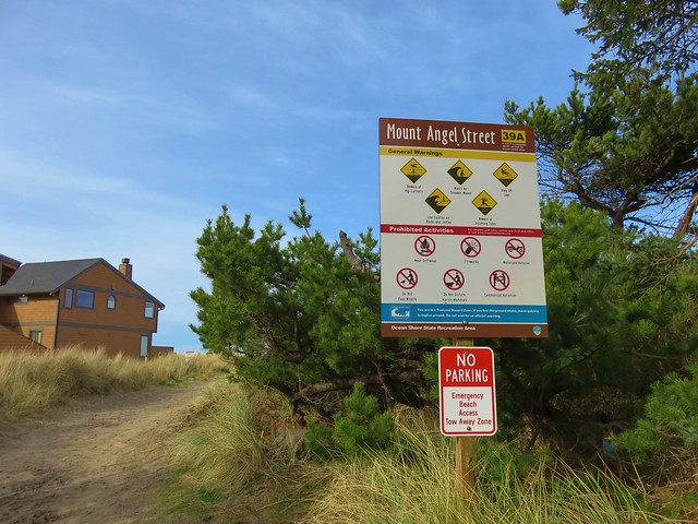
A little under 2.5 miles from the Winema Beach Access the beach became impassable due to the tide reaching the rock wall protecting the houses at Neskowin. Luckily the Mt. Angel St. access was located at the north end of the rock wall so we left the beach and walked inland to Breakers Blvd.
IMG_8634

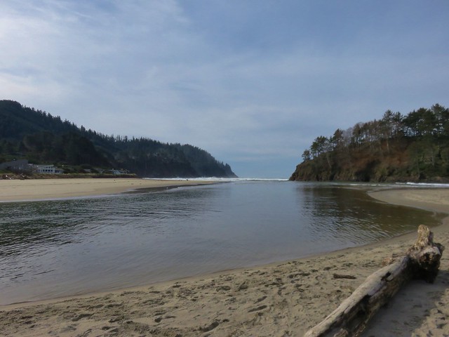
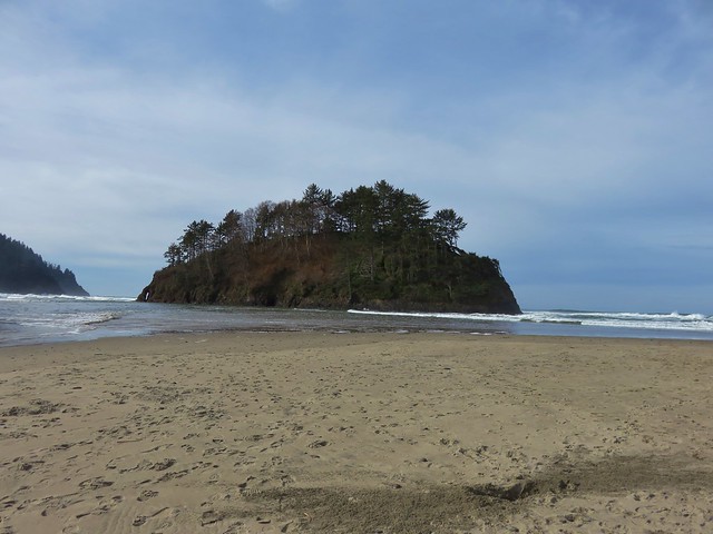
We turned right on the paved street and walked for .7 miles to Carlton Ave. where we turned left toward the Proposal Rock Inn which was on the far side of Neskowin Creek. At the creek we turned right and followed it to Proposal Rock.
IMG_8638

IMG_8639

Our guidebook indicated it was possible to continue another .6 miles south to Cascade Head but the creek was far too swollen for us to ford it. Likewise we were unable to reach Proposal Rock due to it’s being surrounded by water.
IMG_8644

With the tide in we couldn’t walk back along the beach from there so we took the paved streets of Neskowin once again back to the Mt. Angle St. access. We then hiked back along the beach where we discovered that Heather had been right about the ocean reaching that odd picnic table.
IMG_8653

IMG_8654

IMG_8651

You just never know what you’re going to see along the Oregon Coast. Happy Trails!

Flickr: Niagara Falls & Neskowin

Categories
Bend/Redmond Central Oregon Hiking Oregon Throwback Thursday Trip report

Throwback Thursday – Tumalo Falls

On 8/2/2011 during a week of vacation in Central Oregon we did a 6.8 mile loop hike visiting several waterfalls, most notably Tumalo Falls.

We began at an interpretive sign at the end of Tumalo Falls Road (Road 4603) on the North Fork Trail.
Tumalo Falls trailhead

North Fork Trail sign

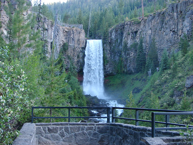
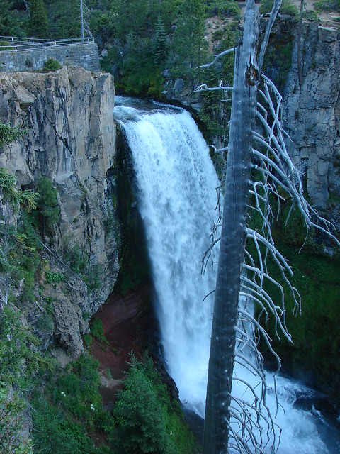
We kept right at junctions passing the lower viewpoint with its straight ahead look at the falls and continued to the upper viewpoint beside the falls which is less than a quarter mile from the trailhead.
Tumalo Falls

Tumalo Falls

Tumalo Falls

Tumalo Falls

The beauty of the falls and the easy access make it a very popular destination but we were there early and had the view to ourselves. Most people turn back after reaching the upper viewpoint but we continued on the North Fork Trail further into the forest.
North Fork Trail

The trail stuck close to Tumalo Creek passing Double Falls after .8 miles followed by Middle Tumalo Falls .9 miles later.
Double Falls

Middle Tumalo Falls

After passing a spring the trail crossed the Middle Fork Tumalo Creek on a footbridge.
North Fork Trail

Smaller fork of Tumalo Creek

Beyond the footbridge we took a brief detour toward the North Fork Tumalo Creek to see Lower North Fork Tumalo Falls.
Lower North Fork Tumalo Falls

After returning to the North Fork Trail we continued to follow the Middle Fork Tumalo Creek passing several more nice waterfalls. The names of some of which we are not certain of.
Small waterfall on Tumalo Creek

Middle Fork Tumalo Falls

Lower Middle Fork Tumalo Falls

Middle Fork Tumalo Falls

Shortly beyond Middle Fork Tumalo Falls we arrived at a junction with the Swampy Lakes Trail which we turned left on and promptly crossed the creek on a log.
Tumalo Creek Crossing

From this trail we could see part of snowy Tam McArthur Rim where the headwaters of Tumalo Creek originate.
Tam McArthur Rim

We followed the Swampy Lakes Trail just over 2 miles from the creek crossing to a junction with the Bridge Creek Trail where we turned left along Bridge Creek to complete the loop. One final waterfall awaited along this final 1.3 mile section – Bridge Creek Falls.
Bridge Creek Falls

A moderate to easy hike the loop is a great option for waterfall lovers spending time in the Bend area. Happy Trails!

Flickr: Tumalo Falls

Categories
Central Coast Hiking Oregon Oregon Coast Trip report

Baker Beach and Rock Creek Wilderness

Since 2013 our first hike of the year has been somewhere along the Oregon Coast.  Often the weather at the coast during January is nicer than other parts of the State making it a great time to visit.  This was certainly the case this year as the first part of January saw near record snows and freezing temperatures over much of the State.  The coast had not escaped the weather entirely but by the time we headed out for our first hike of the year, things were much nicer there than at home in the Willamette Valley.

Our destination was Baker Beach Camp just north of Florence, OR. This was a change (already) to our plans for 2017 but the forecast for the area was just too good to pass up. Mostly sunny skies and a high of 48 degrees was what was being called for so we left 23 degree Salem early in the morning and headed down to Eugene then west to Florence on Highway 126.

Baker Beach Camp is located at the end of Baker Beach Road, 7 miles north of Florence along Highway 101.  The only signage along the highway was a small green street sign which I noticed just as we passed by it. After quickly turning around we turned onto the gravel road and followed it .5 miles to the camps parking area.
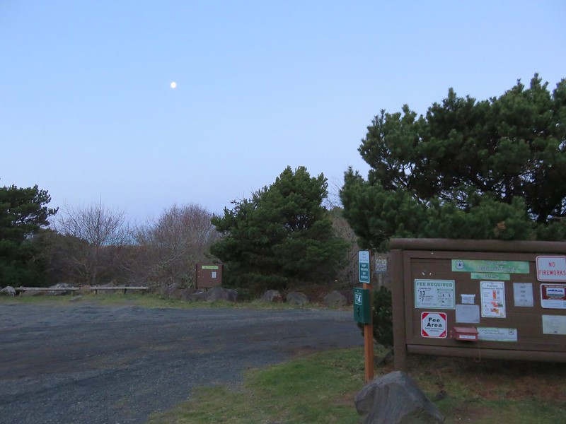
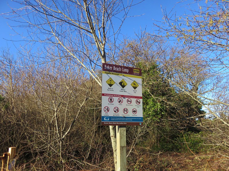
Baker Beach Camp

Baker Beach Camp sign

To start our hike we walked a short distance back along the road and turned left at a trail sign for the Lily Lake Loop.
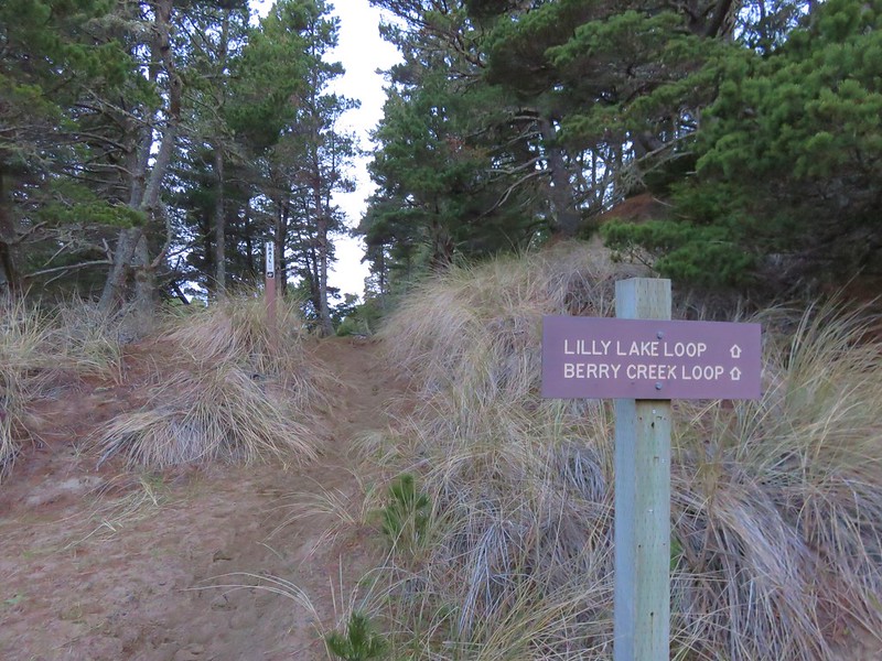
Start of the Lily Lake Loop

A short sandy climb brought us to a trail junction at the top of a sandy ridge.
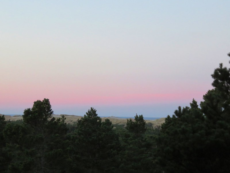
Pacific Ocean from the Lily Lake Loop Trail in the morning

The Pacific Ocean was visible beyond Baker Beach and the sand dunes.
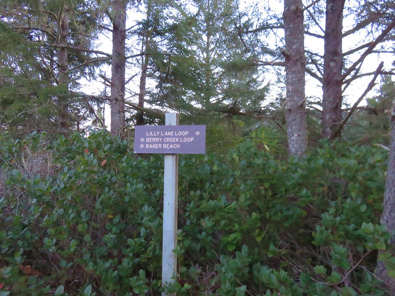
Trail signs along the Lily Lake Loop

The Berry Creek Loop would have kept us up on the sandy ridge while the Lily Lake Loop dropped down and passed near Lily Lake before climbing back up to the ridge top and rejoining the Berry Creek Loop Trail. We wanted to see the lake so we followed the Lily Lake pointer passing through a salal filled forest before things opened up along the lake.
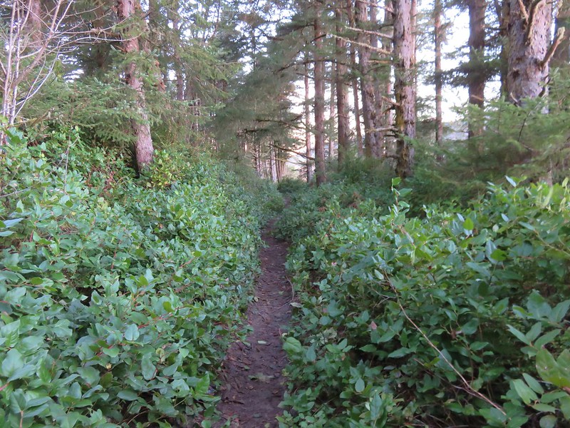
Lily Lake Loop Trail

Trail along Lily Lake

We stayed on the paths closest to the lake thinking that one would bring us right to it but instead the lake remained mostly hidden behind first a row of trees then by a reed filled marsh near it’s outlet.
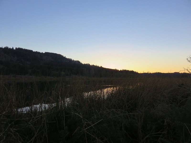
Lily Lake

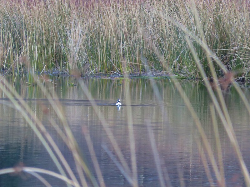
We could see that there was quite a bit of activity on the lake with several types of ducks and some Canada geese floating on the water, but it was hard to get any clear photos with the vegetation in the way.
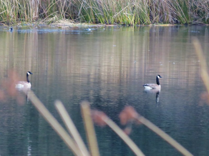
Canada geese on Lily Lake

Bufflehead

Bufflehead on Lily Lake

From the lake we climbed back up to the top of the Sandy Ridge which overlooked a small pond and Berry Creek flowing out toward the Pacific.
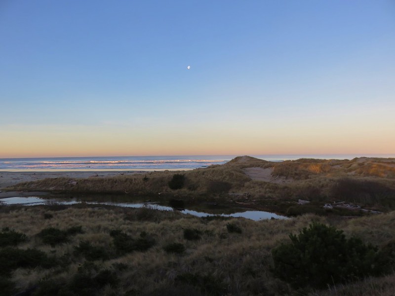
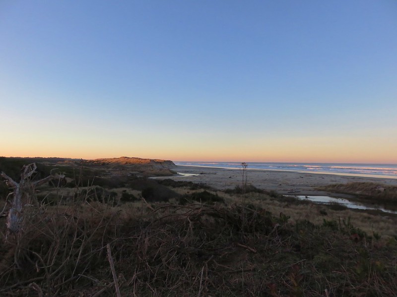
Moon over the Pacific Ocean

Berry Creek flowing toward the Pacific

There was no sign here and we could have followed the sandy ridge back to the junction we’d been at earlier, but instead we followed a path down to the base of the ridge which led us back to the start of the Baker Beach Trail at Baker Beach Camp. This little loop was just under 1.5 miles.

Baker Beach Trail

Here we turned right following the pointer for Baker Beach. (The Lily Lake/Berry Creek Loop continued from this junction creating an additional 1.7 mile loop to the north of the camp.)

The trail passes through a deflation plain behind the beaches foredune for .4 miles.
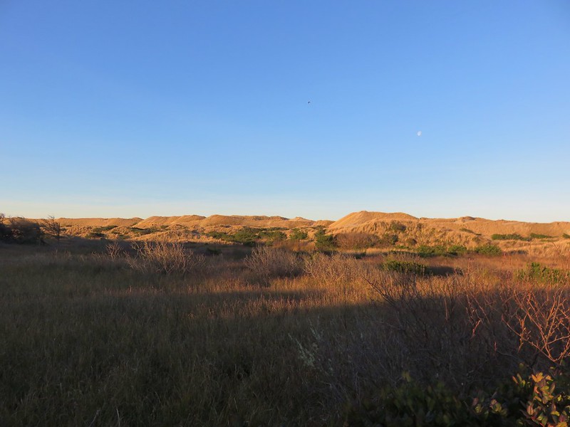
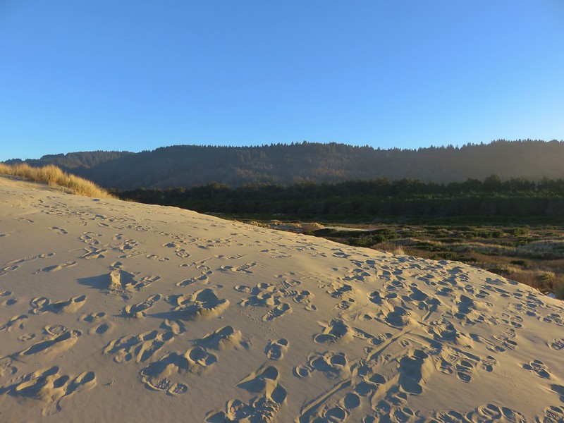
Foredune at Baker Beach

Looking north along the Baker Beach Trail

The deflation plain is the result of the dunes no longer expanding due to the loss of additional sand being blown from the beach. European bunchgrass which was introduced in the early 1900’s to help stabilize jetties but spread along the beaches and began stopping the blowing sand from leaving the beach which created the foredunes denying the dunes further inland any additional sand.
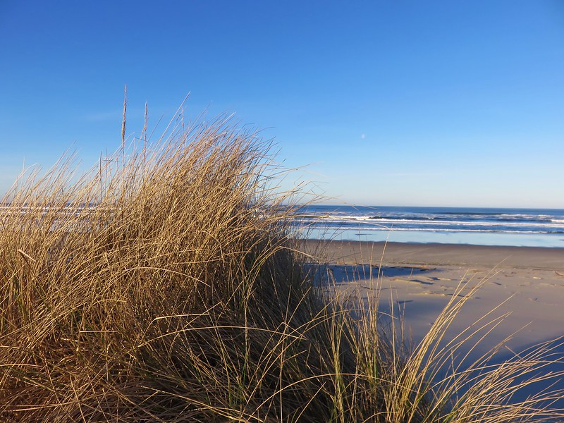
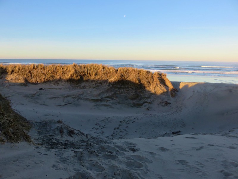
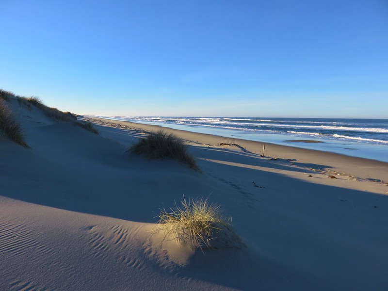
Baker Beach

Pacific Ocean from the foredune at Baker Beach

Cape Mountain from the foredune at Baker Beach

When we reached the beach we turned south heading toward Sutton Creek which was 3 miles away. Aside from a few birds we had the beach to ourselves.

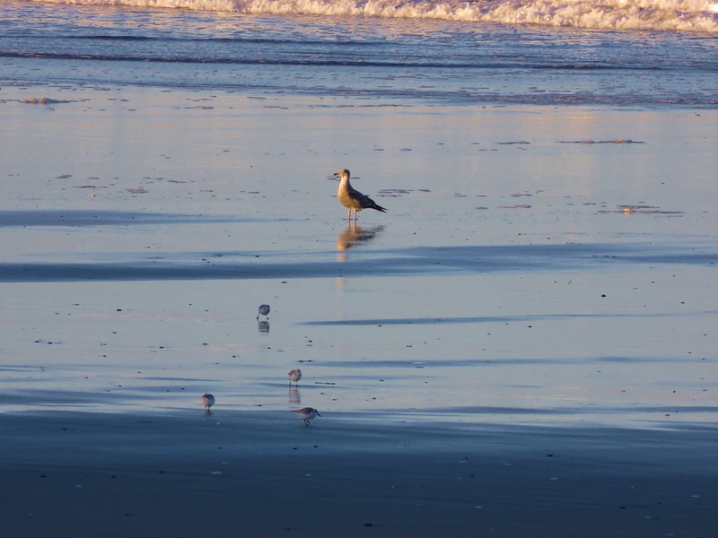
Sanderlings on Baker Beach

Seagull and sanderlings

After about 3/4 of a mile along the beach we climbed back up the foredune to get a look at Sutton Creek which we had visited the previous February.
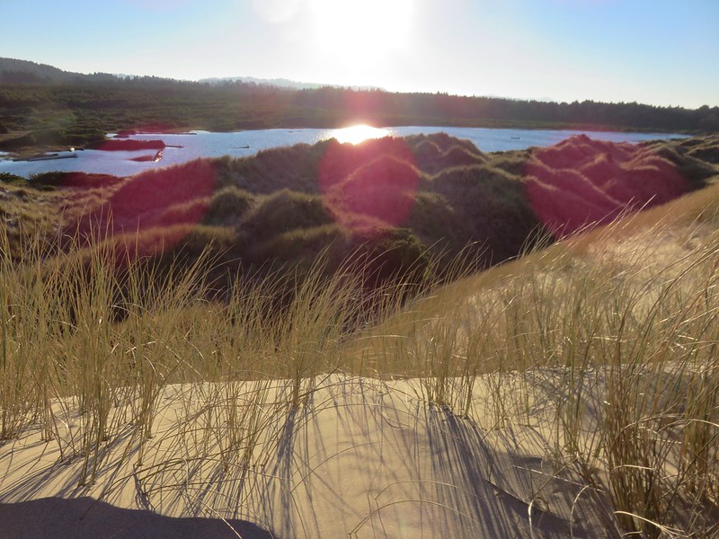
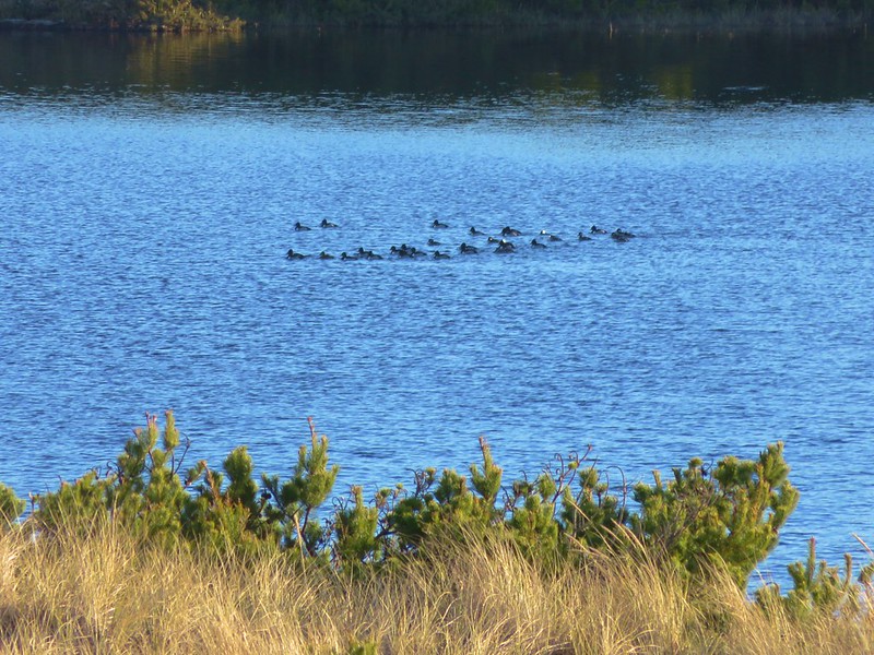
Sutton Creek behind the foredune

Ducks on Sutton Creek

We traveled along the foredune for a bit before dropping back down to the beach.
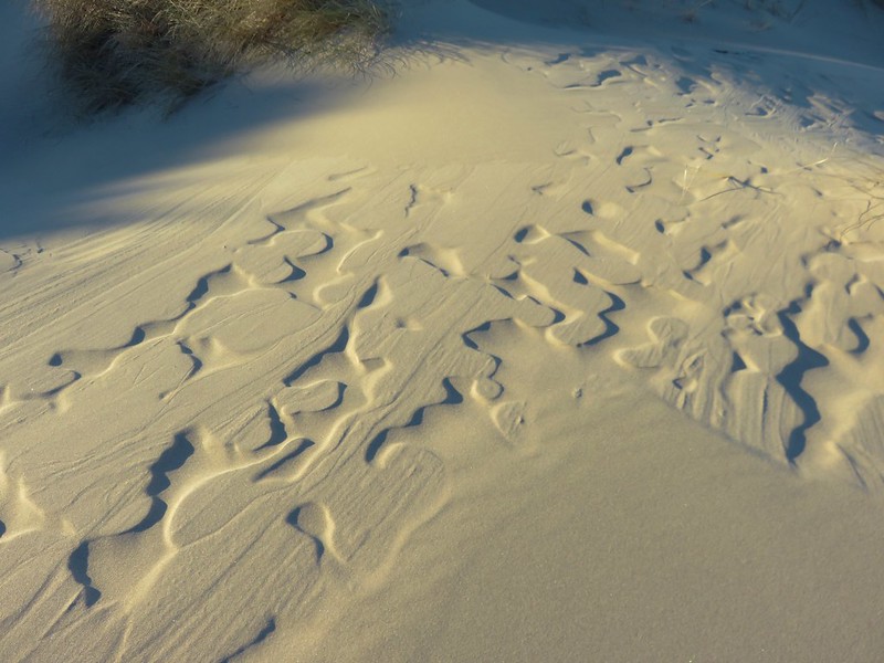
Patterns in the sand

Baker Beach

We had been considering crossing Sutton Creek and continuing south along Heceta Beach another 2.5 miles to the Siuslaw River but the creek was wide and it wasn’t that warm out.

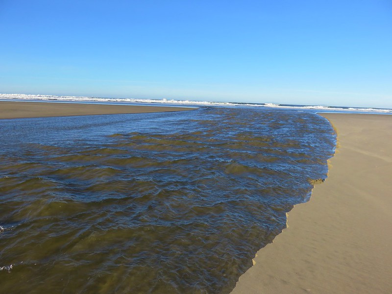
Sutton Creek

Sutton Creek

After watching several large chunks of sand fall into the creek we headed back with the Heceta Head Lighthouse blinking in the distance to the north.

Heceta Head Lighthouse from Baker Beach

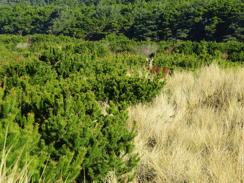
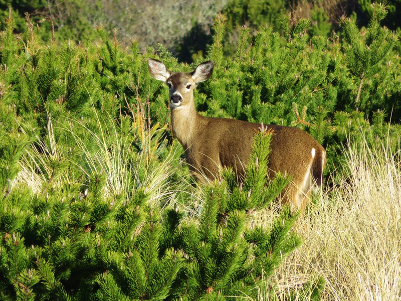
As we were recrossing the deflation plain we spotted a doe amid the grass and pines.
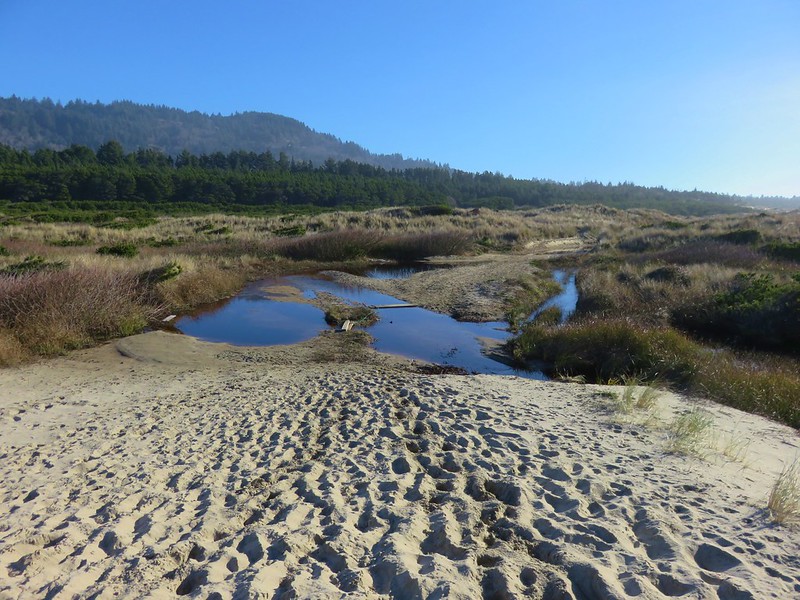
Heading back toward Baker Beach Camp

Doe

Doe

Since we’d cut our hike short (8.2 miles instead of the 13.2 planned) we had time to do another. We could have hiked Heceta Beach like we had planned by driving back to Florence and parking at the end of South Jetty Road, but we had noticed that that beach was already busy when we were at Sutton Creek earlier. We preferred something a little less crowded which led us to the Rock Creek Wilderness.

This was one of the wilderness areas that we had yet to visit and it was just another 8 miles north on Highway 101 from Baker Beach Road. We hopped in our car and drove to the gated entrance to the Rock Creek Campground.

Rock Creek Campground sign along Highway 101

The campground was closed for the season so we had to walk along the paved entrance road for approximately .4 miles.
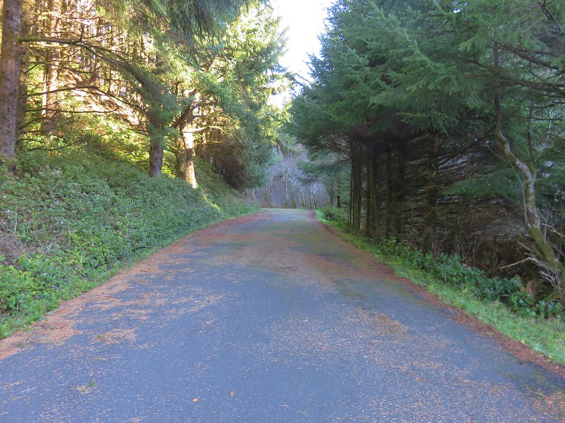
Road to Rock Creek Campground

There had been one other vehicle parked at the gate and we passed it’s owner on his way back up from the campground area. The little campground was located right along Rock Creek.

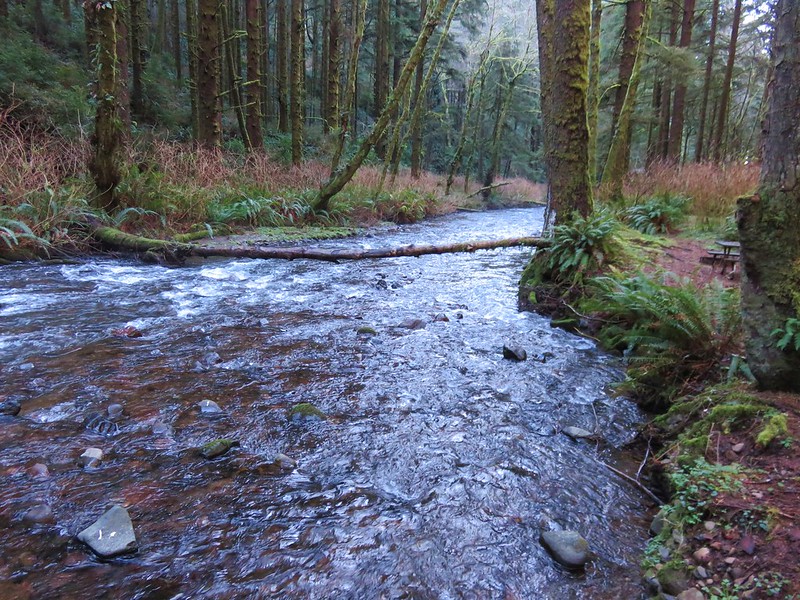
Rock Creek

Rock Creek

The 7,486 Rock Creek Wilderness was designated as such in 1984 and has no Forest Service developed or maintained trials. That being said there is a use trail leading from the end of the Rock Creek Campground that can be followed into the wilderness.
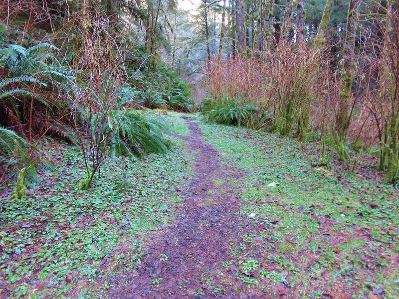
Use trail leading from the Campground into the Rock Creek Wilderness

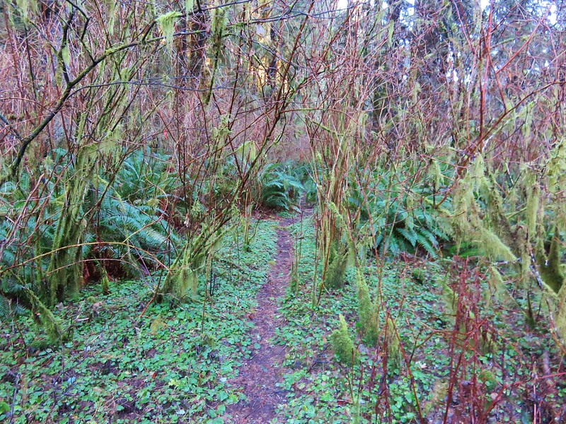
The path was brushy and narrow but passable as it followed along the creek.
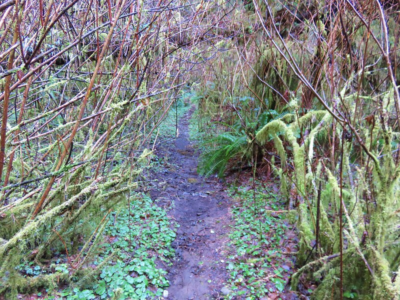
Use trail in the Rock Creek Wilderness

Rock Creek Wilderness

Rock Creek

Occasional flagging was present but really unnecessary as the brush was so thick that we had to follow the path in order to keep moving forward. The only real obstacle to speak of was a large downed tree that had fallen over the best path, but game trails led around the root ball.
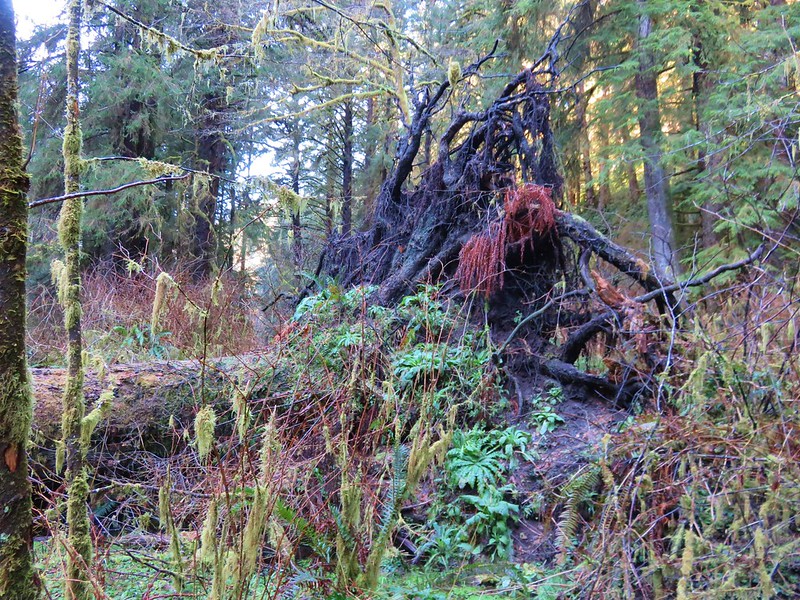
BIg tree down in the Rock Creek Wilderness

Without an official trail there were no signs to mark the beginning of the wilderness area so we just followed the path as long as we could. After awhile the path led into a frosty meadow where the canyon widened.
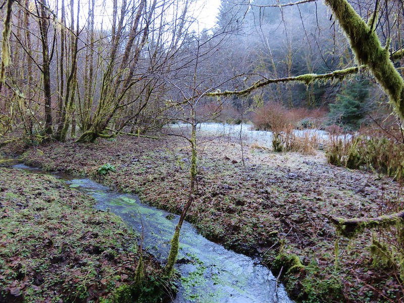
Frosty meadow in the Rock Creek Wilderness

It was a muddy in spots but enough of the ground was still frozen to make it passable. Elk and deer sign were everywhere. It was a beautiful spot with the white frost contrasted against the green of a coastal forest while rays of sunlight attempted to penetrate the canopy.

Frosty meadow in the Rock Creek Wilderness

Sunlight through the trees in the Rock Creek Wilderness

The sound of water flowing on every side only added to the ambiance. There was more flagging at the far end of the meadow and some on the far side of Rock Creek but again this wasn’t a day for fording creeks so we declared victory here and turned around.
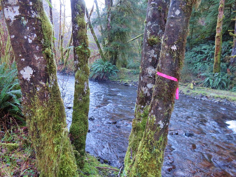
Our turn around point (too cold to ford the creek today)

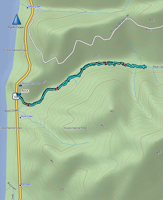
When we got home I wanted to make sure we’d actually made it into the wilderness so I pulled up the interactive map on Wilderness.net. The actual wilderness boundary bows away from the Rock Creek Campground making it further up along the creek than I had thought, but comparing our GPS track to that map showed we had managed to get about .4 miles into the Rock Creek Wilderness.

The Wilderness.net map
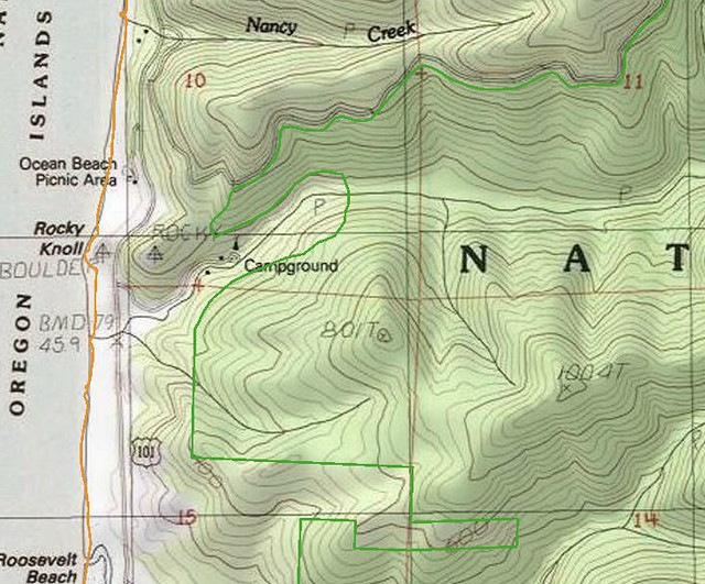
Rock Creek Wilderness

Our GPS track

Rock Creek Wilderness Track

On a warmer day when you don’t mind spending some time in the creek it’s possible to get further into the wilderness as this trip report indicates.a href=”http://www.cascadiahiking.com/2012/08/rock-creek-wilderness-no-trail-no.html” target=”_blank”>Cascadia Hiking

Our adventure was only 2.2 miles round trip including the road walk to and from the campground but the solitude and remote feeling of the Rock Creek Wilderness made it seem much more removed from civilization.

With that our 2017 hiking year is officially under way. We checked off our 27th Oregon Wilderness Area and still have 18 to go, 4 more of which are planned this year. Happy Trails!

Flickr: https://www.flickr.com/photos/9319235@N02/albums/72157679106715756
Categories
Year-end wrap up

The Hikes of 2016 – A Look Back
It’s hard to believe that it’s already time to recap our 2016 hiking year, and what a great year for hiking it turned out to be! I spent our off-season (Nov-Apr) putting together a 7 year plan (yes I have an issue) to help us achieve two of the goals we’ve set for ourselves. One is to hike each of the featured hikes in each of William L. Sullivan’s five “100 Hikes/Travel Guide” books and the second is to visit each of Oregon’s 45 designated wilderness areas. (There are 47 but the Oregon Islands and Three Arch Rocks Wilderness Areas are off-limits.) In previous years I had only put together a schedule for the upcoming year, but by looking further ahead I was able to make sure we weren’t going to miss any hikes and they were scheduled at what should be good times to visit. We also now had a handy list of options, laid out by the best times to visit, to pick from if we needed to change plans for any reason. The schedule remains a work in process but as it stands today we will finish visiting all the wilderness areas with Grassy Knob in 2022 and 460 of the 500 featured hikes in Sullivan’s books by the end of 2023. The remaining 40 hikes are too far away for day trips so they are incorporated into vacations that will need to happen further down the road.
The first draft of our 2016 hikes was completed on 12/18/15 and consisted of 57 days worth of hikes totaling 624.4 miles. History had shown that those numbers (and the hikes themselves) would change as the year played out, but it was a solid starting point. That again proved to be the case as 10 of the original hikes were swapped out for others and 4 additional hikes were added, and the total mileage rose by over 150 miles to end at 792.8. We visited 8 wilderness areas for the first time knocking 7 more off the Oregon list. They were the Oregon Badlands, Kalmiopsis, Menagerie, Eagle Cap, Mountain Lakes, Sky Lakes, and Lower White River Wildernesses in Oregon and the Marble Mountain Wilderness in California. In addition to the new areas we hiked in the Mt. Hood, Mt. Jefferson, Three Sisters, Mt. Washington, and Mark O. Hatfield Wildernesses as well as the the John Day Fossil Beds National Monument and the Mt. St. Helens Volcanic National Monument.

Our travels took us on hikes further to the west (Cape Sebastian State Park), east (West Fork Wallowa Trail – Eagle Cap Wilderness), and south (Cliff Lake – Marble Mountain Wilderness) than ever before. Our trips to the Marble Mountain and Eagle Cap Wilderness areas were our first 5 day/4 night backpacking trips which proved to be just about the limit on how long we can stay out given our current gear.

The weather was exceptional for nearly all of our hikes. Early winter storms left a more normal snow pack which helped make 2016 a pretty good wildflower year and we only ran into two weather related issues. The first was a slight chance of rain for our vacation week in May during which we’d planned on visiting the desert in SE Oregon. Any precipitation in that area would have made it impossible to reach our planned trailheads so we put that vacation off and headed to the Southern Oregon Coast instead which wound up being a great plan B. The second was a July hike on Scar Ridge in the Old Cascades which was swapped for Fifteenmile Creek on the east side of the Mt. Hood National Forest due to probable thunderstorms.

Although the weather conditions were almost always great the same couldn’t be said for the condition of a few of the trails. During our May vacation we encountered a host of ticks along the Illinois River Trail. Later in the year it was blowdown that proved to be the biggest obstacle. In the Sky Lakes Wilderness a section of the Badger Lake Trail to the Pacific Crest Trail was a mess.
Blowdown over the Badger Lake Trail

This was also the case along much of the Bowerman Lake Trail in the Mt. Jefferson Wilderness.
Bowerman Lake Trail

As well as the Hand Lake Trail in the Mt. Washington Wilderness.
More blowdown over the Hand Lake Trail

The one consistent regardless of the location, weather, or trail conditions was the beauty and diversity that makes the Pacific Northwest so special. From west to east starting with the Oregon Coast:
Tillamook Head to the South of the Fort-To-Sea Trail
Tillamook Head from the Fort-to-Sea Trail

Lone Ranch Beach from Cape Ferrelo

View from the Oregon Coast Trail near Secret Beach
View from the Oregon Coast Trail in Samuel H. Boardman State Park

Past the Klamath Mountains in Southern Oregon and Northern California:
Little Vulcan and Vulcan Lake below Vulcan Peak

Kalmiopsis Wilderness

Black Marble Mountain
Marble Mountain Wilderness

and the Coast Range to the north:
Old Growth Ridge Trail
Old Growth Ridge Trail in the Siuslaw National Forest

Sweet Creek Falls
Sweet Creek Falls

across the Willamette Valley:Trail in Minto-Brown Island Park
Minto-Brown Island Park

Bald Hill
Bald Hill

into the Old Cascade Mountains:
Coffin Mountain
Coffin Mountain from Bachelor Mountain

Rooster Rock
Rooster Rock in the Menagerie Wilderness

over the Cascade Mountains:
Mt. McLoughlin
Mt. McLoughlin

Diamond Peak from the Pacific Crest Trail
Diamond Peak

The Three Sisters from a meaow along the Rebel Rock Trail
The Three Sisters

Mt. Washington
Mt. Washington

Three Fingered Jack beyond the Eight Lakes Basin
Three Fingered Jack

Mt. Jefferson from Jefferson Park
Mt. Jefferson

Mt. Hood and the Eliot Glacier
Mt. Hood

Coldwater Peak and Snow Lake
Coldwater Peak and Snow Lake – Mt. Margaret Backcountry, Mt. St. Helens Volcanic National Monument

into the High Desert of Central Oregon:
Badlands Rock
Badlands Rock – Oregon Badlands Wilderness

Deschutes River
Deschutes River

Painted HIlls
Painted Hills – John Day Fossil Beds National Monument

NE to the Wallowa Mountains:
Ice Lake
Ice Lake and the Matterhorn

Glacier Lake
Glacier Peak and Eagle Cap from Glacier Lake

Eagle Cap Wilderness

Here is a look at the locations of our hikes. The hiker symbols are the trailheads and the yellow house icon denotes the approximate location of our campsites.
2016 Hikes
An interactive version can been accessed here and includes all of our previous hikes.

In addition to the spectacular views the areas provided a wonderful variety of wildlife and vegetation.

Elk
Elk

Nutria
Nutria

Bald eagle
Bald Eagle

Chukars
Chukar

Coyote
Coyote

Pronghorn
Pronghorn

Deer
Deer

Rabbits
Rabbit

Snowshoe hare

Mountain Goats
Mountain goat along the Lakes Trail

Mountain goat along the Boundary Trail

Bear
Black bear in a wildflower meadow

Grouse
Sooty grouse

Sooty Grouse

Grouse

Dragonflies
Dragonfly

Dragon Fly

Dragon fly

We encountered a number of flowers for the first time this year.
Sea fig
Sea fig

Cows clover
Cows clover

Bigelow's sneezeweed
Bigelow’s Sneezeweed

Cut-leaf anemone
Cut-leaf anemone

Western blue clematis

Yellow Columbine
Yellow Columbine

Pretty Face
Pretty Face

Farewell-to-Spring
Farewell-to-Spring

Mountain coyote mint

Yellow coralroot
Yellow coralroot

Sea fig
Sea fig

California Lady Slippers

California Yerba Santa

Grass widows
Grass widows

sticky monkey-flower

Catchfly
Some sort of catchfly

Sea thrift
Sea thrift

beach morning-glory
beach morning-glory

Yellow sand-verbena
Yellow sand-verbena

California pitcher plant (Darlingtonia californica)

Scarlet pimpernel
Scarlet pimpernel

Dutchman's breech
Dutchman’s breech

Hedgehog cactus
Hedgehog cactus

Golden Bee Plant
Golden Bee Plant

White mariposa lily
White mariposa lily

Siskiyou lewisia
Siskiyou lewisia

kalmiopsis leachiana

Muhlenberg's centaury
Muhlenberg’s centaury

Bridges' brodiaea
Bridge’s brodiaea

There were just too many sights to fit into a year end wrap up so to see a sample from each of our hikes this album contains a few photos from each hike which attempt to show the beauty of each trail. There are a lot of photos (793 – One for each mile hiked) but then again there is a lot of beauty in God’s creation.

Happy Trails in 2017 and beyond!

Categories
Bend/Redmond Central Oregon Hiking Oregon Trip report

Flatiron Rock – Oregon Badlands Wilderness

We thought our hikes were done for the year after visiting Chip Ross Park and Dimple Hill earlier this month, but a rare opportunity to hike with our Son on Christmas Eve couldn’t be passed up.  We were heading to Bend to celebrate Christmas with our families and after driving over Santiam Pass  we met up with Dominique and drove to the Flatiron Rock Trailhead on Highway 20 east of town.

Flatiron Rock Trailhead

Our plan was to repeat part of a 22.6 mile hike we had done this past May. This time around we were shooting for a 7 mile hike out to Flatiron Rock and back.

We followed the same course as on our previous visit starting out on the 1.9 mile Ancient Juniper Trail. Unlike last time there was a few inches of snow on the trail and more along side it.
Trail sign in the Oregon Badlands Wilderness

Ancient Juniper Trail - Oregon Badlands Wilderness

It was a beautiful day with temperatures just below freezing. The sagebrush and junipers were covered in snow and robins sang as they gobbled up juniper berries.
Ancient Juniper Trail - Oregon Badlands Wilderness

Snow covered sagebrush

Robin catching snow?

When we arrived at the Ancient Juniper Trail junction with the Flatiron Rock Trail things were a litter whiter than last time.
Trail junction in the Oregon Badlands Wilderness

Trail junction in the Oregon Badlands Wilderness

At the junction we turned left onto the Flatiron Rock Trail and followed it 1.6 more miles to Flatiron Rock at a junction with the Castle Trail.
Flatiron Rock from the Flatiron Rock Trail

Flatiron Rock from the Flatiron Rock Trail

Flatiron Rock Trail junction with the Castle Trail

The number of hikers who had been through the snow before us had been dwindling and at Flatiron Rock it appeared that no one had ventured up into the rock itself since the last snow.
Flatiron Rock

I reached the rock first and headed inside its passageways to get a birds eye view of Heather and Dominique coming up the trail.
View from Flatiron Rock

View from Flatiron Rock

Flatiron Rock Trail

Although a few clouds limited the views from Flatiron Rock they were better than they had been on the cloudy day in May as both the Middle and North Sister appeared on the horizon.
Middle and North Sister from Flatiron Rock

Middle and North Sister from Flatiron Rock

In addition to those 10,000′ peaks Black Butte, Gray Butte, and Powell Butte rose above the high desert.
Black Butte

Gray Butte

Powell Butte

Several passages on Flatiron Rock allow for a nearly half mile loop past colorful lichen and interesting rock formations including a couple of arches.
Inside Flatiron Rock

Lichen on the rocks

Rock arch in Flatiron Rock

Rock arch in Flatiron Rock

Various animal tracks could be seen in the snow but the only ones we saw were the robins which seemed to particularly like the rock.
Robins (at least 14) at Flatiron Rock

After completing the loop we retraced our steps to the junction with the Ancient Juniper Trail where we remained on the Flatiron Trail for 1.2 miles to the trailhead. Between the passing clouds and the lowering of the Sun the light began to soften along this final stretch sometimes leaving the snow with a beautiful blueish color.
Flatiron Rock Trail

Flatiron Rock Trail

Flatiron Rock Trail

After finishing the hike we drove to my parents house and relaxed waiting for them to return with my brother and his family. It was the perfect way to kick of Christmas weekend and to cap off our 2016 hiking year all in one. Happy Trails (and Holidays)!

Flickr: https://www.flickr.com/photos/9319235@N02/albums/72157674546328223

Categories
Corvallis Hiking Oregon Trip report Willamette Valley

Chip Ross Park and Dimple Hill

A week of snow and icy conditions had kept us indoors much of the week so when the forecast for Sunday looked promising we decided to cash in our December hike and make the short drive down to Chip Ross Park in Corvallis.  The park offers a 1.5 mile loop trail as well as access to the more extensive trail network in Oregon State University’s McDonald-Dunn Research Forest.

It was a foggy morning when we arrived at the parking area at the end of Lester Rd.
Chip Ross Park Trailhead

Chip Ross Park had been closed part of the year as the City of Corvallis attempts to restore the area to it’s natural oak habitat. Many trees have been removed and some of the trails closed or rerouted. A small section of the loop remains closed but should be reopened in early 2017.
Chip Ross Park

We headed left along a wide tract passing many piles of debris left over from the tree removal.
Chip Ross Park<

After a quick half mile climb we arrived at a signboard and trail map for the McDonald-Dunn Research Forest.
Infromational signboard for McDonald-Dunn Research Forest

McDonald-Dunn Research Forest Trail Map

We had visited the forest in October when we hiked to the summit of McCulloch Peak and really enjoyed that hike so we were looking forward to checking out some of the other trails.

We set off on Lower Dan’s Trail following it through the forest just under a mile to a road crossing.
Lower Dan's Trail

Lower Dan's Trail

Road crossing of Lower Dan's Trail

We then took Upper Dan’s Trail which began on the far side of the road.
Upper Dan's Trail

This trail crossed Jackson Creek on a footbridge before climbing up toward the summit of Dimple Hill.
Upper Dan's Trail

Upper Dan's Trail

Junctions along the way were well signed making it fairly easy to stay on track.
Upper Dan's Trail

Trail map in the McDonald-Dunn Research Forest

As we followed Upper Dan’s Trail to the 1493′ summit of Dimple Hill we began to catch some glimpses of blue sky above the fog.
Blue sky above the trees

McDonald-Dunn Research Forest

Approximately 2.5 miles from the road crossing we arrived at the summit of Dimple Hill.
Dimple Hill summit

The summit was above the clouds and we had a great view of Mary’s Peak to the south.
Clouds below Dimple Hill

Mary's Peak from Dimple Hill

Mary's Peak from Dimple Hill

Mary's Peak from Dimple Hill

We took a short rest on the summit bench soaking in the sunshine before continuing on.
Bench on Dimple Hill

Trees on Dimple Hill

Frozen grass on Dimple Hill

We took Road 650 down and around the NE side of Dimple Hill where we found quite a bit more snow than there had been at the summit.
Looking west from Dimple Hill

Snowy trees on Dimple Hill

The combination of snow, fog, and sunlight created some beautiful scenery.
Sunlight in the McDonald-Dunn Research Forest

McDonald-Dunn Research Forest

At a fork in the road we headed right on Road 600 a.k.a. Patterson Road.
Road junction in McDonald-Dunn Research Forest

After about three quarters of a mile on Patterson Road we turned downhill on the Upper Horse Trail
Upper Horse Trail

This trail switchbacked downhill eventually reentering the fog.
Upper Horse Trail

At another junction we followed a pointer for the Lower Horse Trail.
Lower Horse Trail

We continued to follow pointers for the Lower Horse Trail passing a private residence in a meadow before turning right briefly on the road to that house.
Lower Horse Trail

Meadow along the Lower Horse Trail

Short road walk along the Lower Horse Trail

We forked left on this road which crossed Jackson Creek before leading us back to Lower Dan’s Trail at the road crossing. We then headed back to Chip Ross Park where we checked out it’s summit benches which were still in heavy fog.
Bench in Chip Ross Park

Bench in Chip Ross Park

The total hike was 9.1 miles with approximately 1650′ elevation gain. The view on Dimple Hill was wonderful and just what the doctor had ordered after the spell of bad weather we’d had. For what was possibly our final hike of 2016 it was a great way to end the year. Happy Trails!

Flickr: https://www.flickr.com/photos/9319235@N02/albums/72157678011347405

Categories
High Cascades Hiking Mt. Hood Area Oregon Trip report

Lower White River Wilderness and Twin Lakes Loop

We took advantage of a favorable weather forecast and ended our “hiking season” with a pair of hikes south of Mt. Hood in two separate wilderness areas. Our first hike was in the Lower White River Wilderness.

Designated a wilderness area in 2009, the 4 square mile Lower White River Wilderness has no official trails. The narrow wilderness SE of Mt. Hood covers a portion of the White River and it’s canyon on either side from Keeps Mill Forest Camp for approximately 7.5 miles. A use trail from the forest camp follows the river a short distance and this was our planned route into the wilderness.
Lower White River Wilderness Sign

Keeps Mill Forest Camp is located at the end of Road 2120 which is accessed from Highway 216. The narrow dirt road is poorly maintained along the final mile and a half making it suitable only for high clearance vehicles. Instead of driving all the way down to the camp we parked at a pullout near the Camas Trail which crosses Road 2120 on it’s way from Camas Prairie to Keeps Mill Forest Camp.
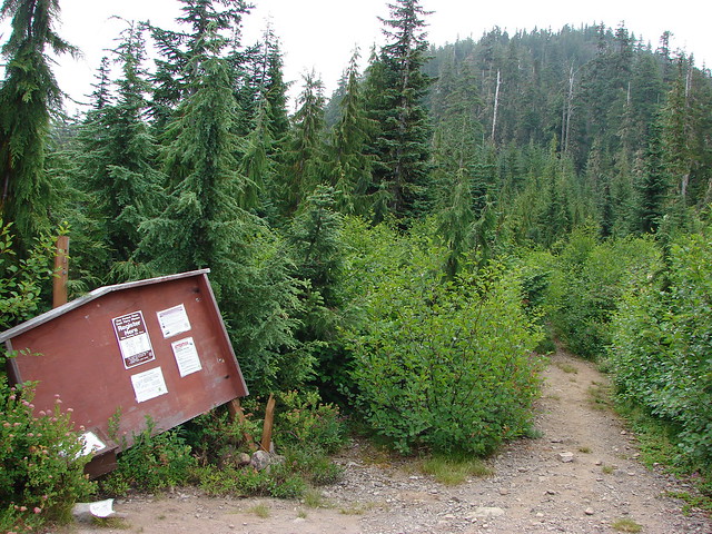
Camas Trail sign along Road 2010

We followed the Camas Trail down to the campground. It was still pretty dark and also fairly foggy when we arrived back on Road 2120 near the entrance of Keeps Mill Forest Camp.
Keep's Mill Forest Camp

The campground is located near the confluence of Clear Creek and the White River.
Clear Creek
Clear Creek

White River
White River

We found the use trail along the river and followed it for about half a mile where it appeared to become fairly brushy.

Lower White River Wilderness

White River

Lower White River Wilderness

The trail had been traveling between the river and a talus slope where the remains of an old flume could be seen amid the rocks.
Talus slope with the remains of an old flume

Old flume remains in the Lower White River Wilderness

We turned around here having accomplished our goal of hiking into the wilderness and seeing some of the flume remains and headed back to the campground and up the Camas Trail.
Camas Trail

Fog and a little blue sky over the talus slope along the Camas Trail

When we got back to where we’d parked Heather spotted a doe that quickly fled into the forest. The hike had been just under 2 miles with approximately 250′ of elevation gain climbing up the Camas Trail.

We hopped back into the car and headed toward Mt. Hood turning off Highway 26 at the Frog Lake Sno-Park for our next hike.
Frog Lake Sno-Park sign

Our planned hike here was a loop visiting Palmateer Point, the Twin Lakes, Frog Lake Butte, and Frog Lake. We began by heading north from the large parking lot on a short connector trail that brought us to the Pacific Crest Trail.
Pacific Crest Trail near the Frog Lake Sno-Park

We turned right on the PCT at a sign for Barlow Pass.
Trail sign for Barlow Pass

Pacific Crest Trail

After 1.4 miles we arrived a trail junction with the Twin Lakes Trail.
Pacific Crest Trail near the Mt. Hood Wilderness boundary

Turning right on the Twin Lakes Trail would have led past Lower then Upper Twin Lake before returning to the PCT 1.4 miles to the north after traveling a total of 3.1 miles. We had a longer loop planned so we stuck to the PCT and entered the Mt. Hood Wilderness.
Pacific Crest Trail entering the Mt. Hood Wilderness

There were no views along this section of the PCT but it was a pleasant forest walk and we kept busy spotting all the different mushrooms along the trail.
Mushroom

Mushrooms

Mushrooms

Mushrooms

Mushrooms

Mushroom along the Pacific Crest Trail

We passed the other end of the Twin Lakes Trail sticking to the PCT for another 3/4 miles to the Palmateer Trail.
Twin Lakes Trail

Palmeteer Trail

We turned onto the Palmateer Trail and followed it for nearly a mile passing a junction with the Devil’s Half Acre Trail along the way.
Palmateer Trail

Trail sign along the Palmateer Trail

We forked left at a post after .9 miles.
Spur trail to Palmateer Point

This .3 mile spur trail led up to Palmateer Point.
Heading to Palmateer Point

View along the spur trail to Palmateer Point

We were hoping for a close up view of Mt. Hood but found that a jumble of clouds were preventing that.
Mt. Hood behind clouds from Palamteer Point

We took a break on the point watching a pair of hawks soaring nearby and admiring the golden larches in the valley below.
One of two hawks flying around Palmateer Point

Hawk on Palmateer Point

Larches

Larches

This was our first good look at the larches, the only deciduous conifers, sporting their fall colors.

After getting a brief glimpse of Mt. Hood’s summit we headed back down to continue our loop.
Mt. Hood hiding behind clouds from Palmateer Point

We passed in and out of small patches of fog for the next .6 miles to a junction with a .2 mile tie-trail that would have led to the Twin Lakes Trail.
Sunrays in the Mt. Hood Wilderness

Trail sign along the Palmateer Trail

This was the route equestrians would need to take, but we stuck to the Palmateer Trail heading for another viewpoint.
Palmateer Trail

Mt. Hood was still mostly hidden when we arrived at the small rocky viewpoint so it was once again the larches that were the highlight.
Mt. Hood from the Palmateer Trail

Larches in the valley below the Palmateer Trail

Larches

We followed the Palmateer Trail to it’s end at the Twin Lakes Trail along Upper Twin Lake.
Upper Twin Lake

Mt. Hood was starting to reveal more of itself as the day went on.
Mt. Hood from Upper Twin Lake

We followed trails counter-clockwise around the lake getting an even better view of the mountain’s snowy summit from the lake’s southern end.
Upper Twin Lake

Mt. Hood from Upper Twin Lake

Mt. Hood from Upper Twin Lake

When we arrived back at the Twin Lakes Trail we headed south down to Lower Twin Lake which was .7 miles away.
Trail junction near Upper Twin Lake

The lower lake is just off the Twin Lakes Trail and is accessed from the direction we were coming from by the Frog Lake Butte Trail.
Frog Lake Butte Trail sign near Lower Twin Lake

Lower Twin Lake

Again we did a counter-clockwise loop around the lake.
Lower Twin Lake

The quickest way back to the sno-park would have been to return to the Twin Lakes Trail and follow it back to the Pacific Crest Trail for a 9.1 mile loop (not counting the loops around the lakes). By being willing to do an extra 4 miles though we could visit one more viewpoint and another lake by taking the Frog Lake Butte Trail.
Frog Lake Butte Trail

This trail led 1.3 miles to a junction on a saddle with the Frog Lake Trail.
Frog Lake Butte Trail

At the junction we turned uphill toward Frog Lake Butte climbing steeply for .7 miles to the summit.
Cell tower on Frog Lake Butte

The final portion of the trail followed Frog Lake Butte Road past a communications tower to a viewpoint where Mt. Hood was now mostly visible.
Mt. Hood from Frog Lake Butte

Mt. Hood from Frog Lake Butte

We stayed at the viewpoint for awhile watching as the clouds slowly passed by.
Mt. Hood from Frog Lake Butte

When we were satisfied that we’d gotten about as good a view as we were going to get we headed back down to the Frog Lake Trail and continued downhill on it.
Frog Lake Butte Trail

This trail crossed Frog Lake Butte Road before entering what appeared to be an old clear cut where we had a nice view of Mt. Jefferson to the south.
Frog Lake Butte Trail

Mt. Jefferson from the Frog Lake Butte Trail

Mt. Jefferson from the Frog Lake Butte Trail

After 1.3 miles we arrived at the Frog Lake Campground where we detoured briefly to get a look at Frog Lake.
Frog Lake

Frog Lake

A .7 mile walk along Frog Lake Butte Road brought us back to the sno-park and our waiting car.
Frog Lake Butte Road

The loop came to 14.1 miles which was nicely broken up into shorter sections by the various sights and trail junctions. It was a very enjoyable hike on a great weather day and a perfect end to our 2016 hiking season. We’ll try and get out on a trail at least once a month until next year’s season starts. For now – Happy Trails!

Flickr: https://www.flickr.com/photos/9319235@N02/albums/72157672250482753