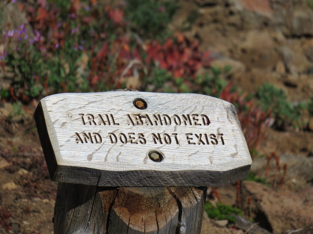
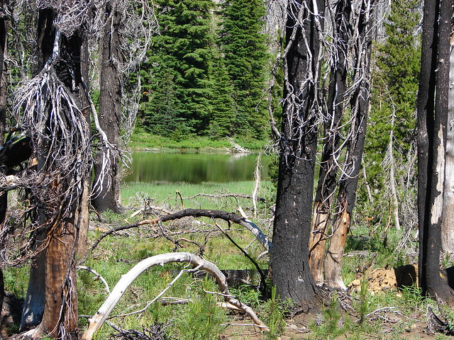
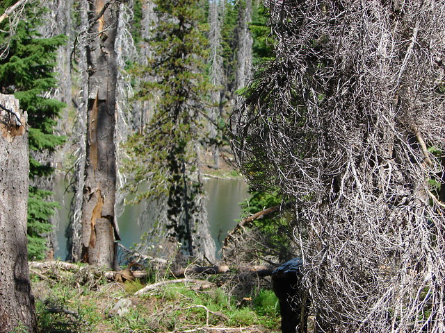
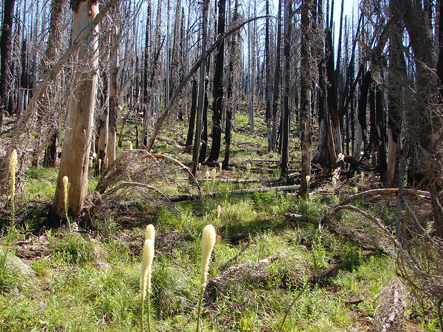
**Note the 2024 Bingham Fire burned a portion of this hike.**
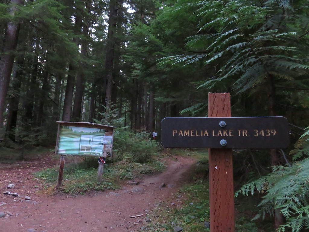
After a week back at work it was time to hit the trails again. We once again turned to Matt Reeder’s “101 Hikes in the Majestic Mount Jefferson Region” for inspiration choosing the Bingham Ridge Trail as our destination.
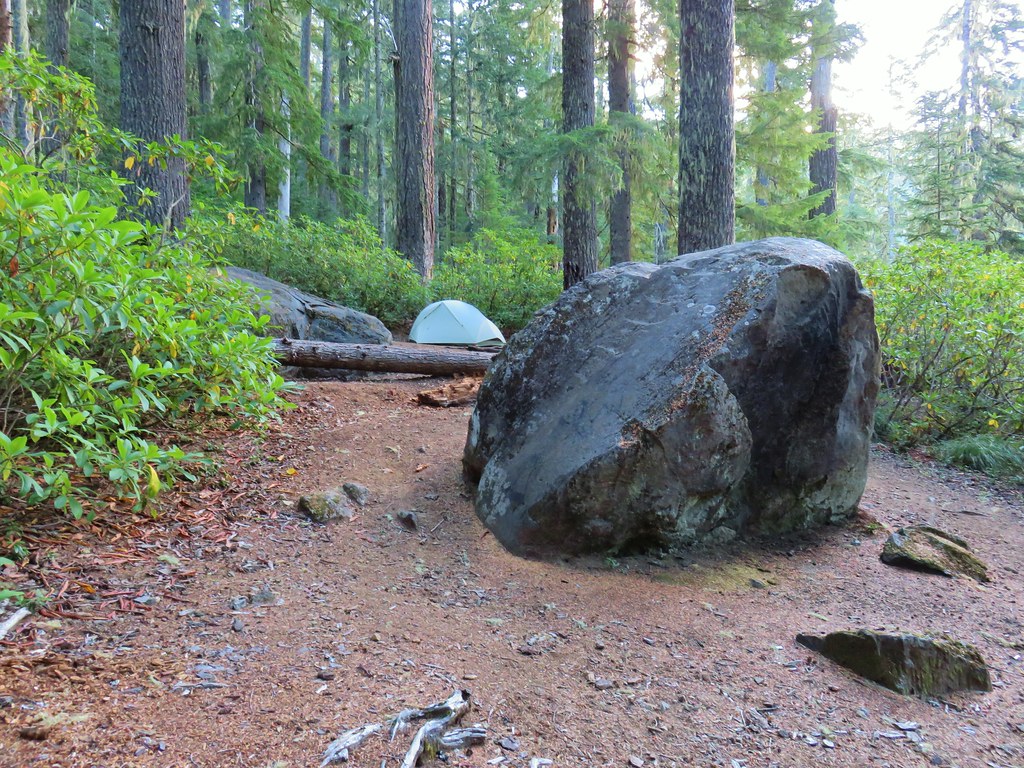
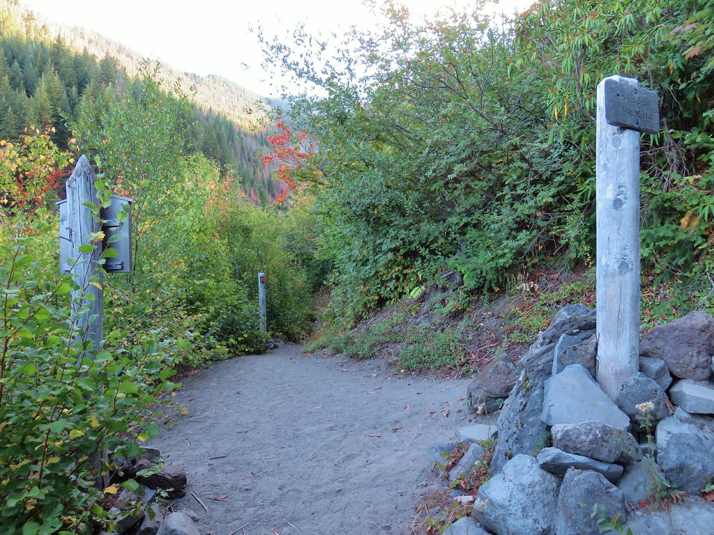
The Bingham Ridge Trailhead is located 5 miles up Forest Road 2253 aka Minto Road. That road is just 17 miles east of Detroit, OR and was in great shape except for some water damage in the first quarter of a mile. Beyond that short stretch it was a good gravel road all the way to the parking area just before the road was gated.
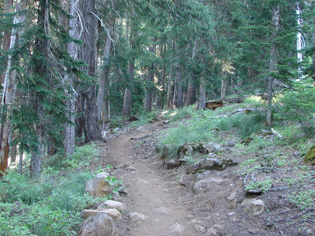
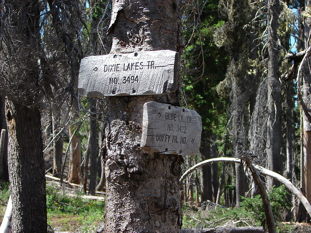
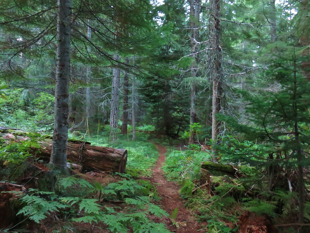
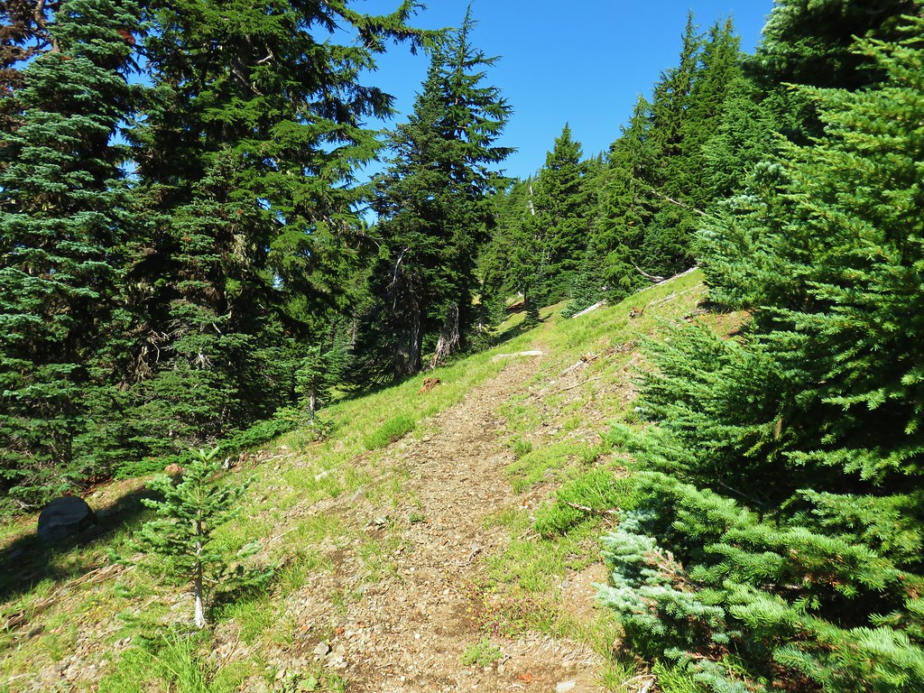
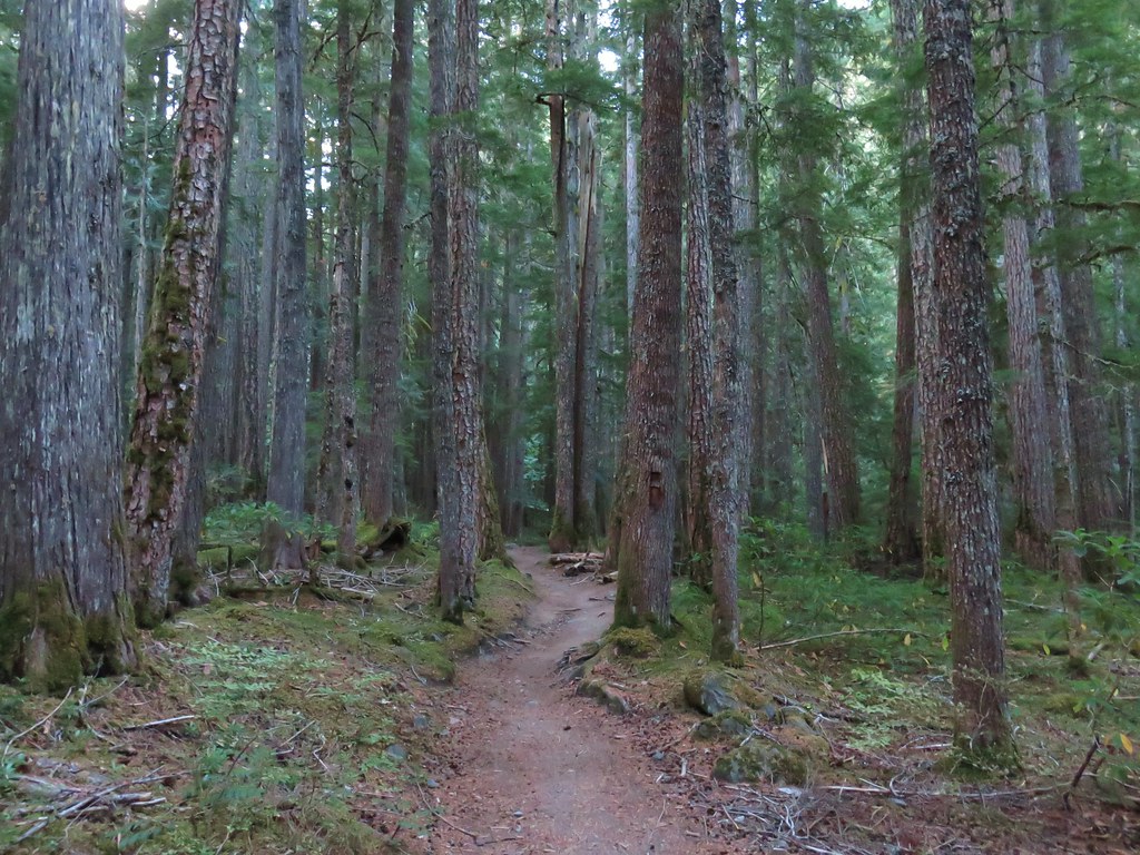
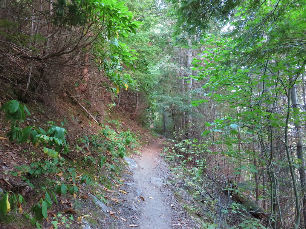
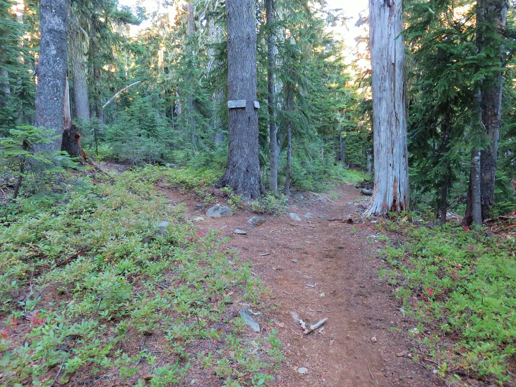
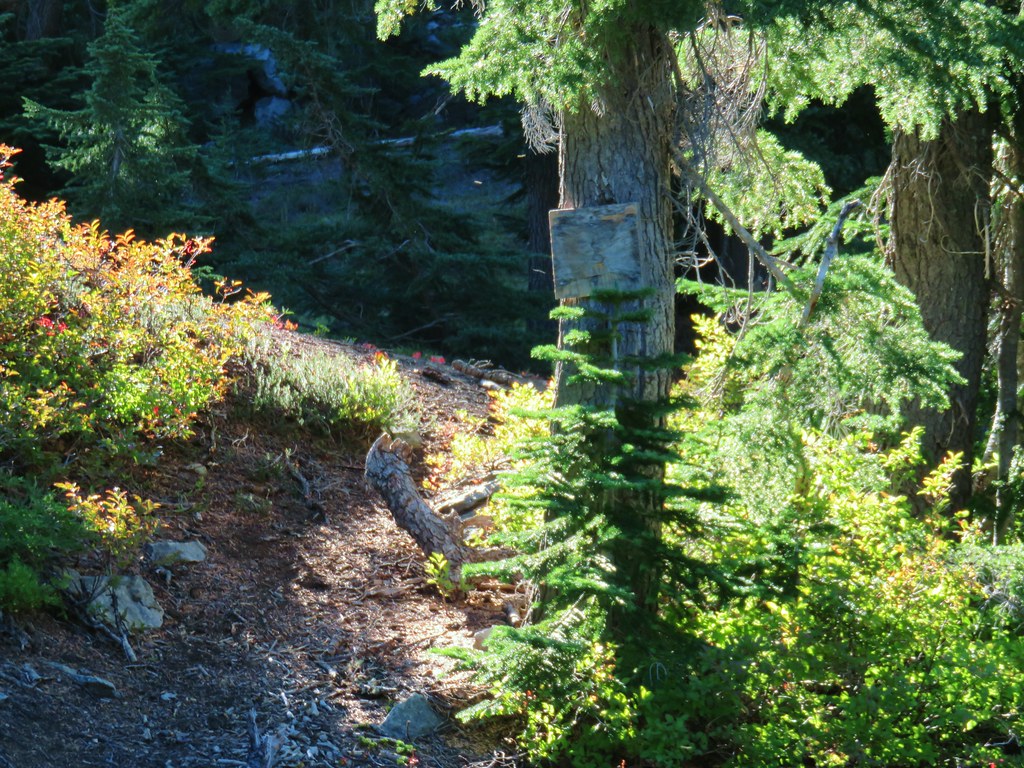
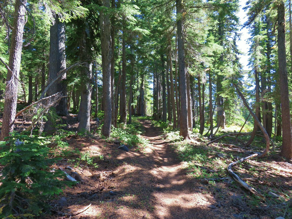
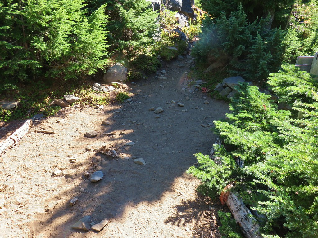
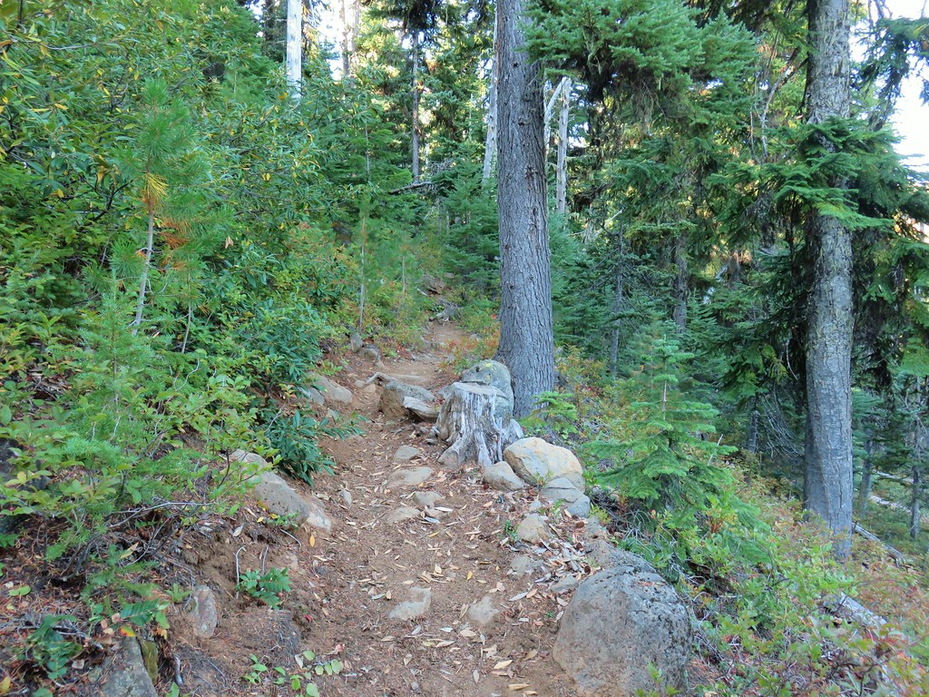
The trail began opposite the little parking area where we had parked along side two other vehicles.


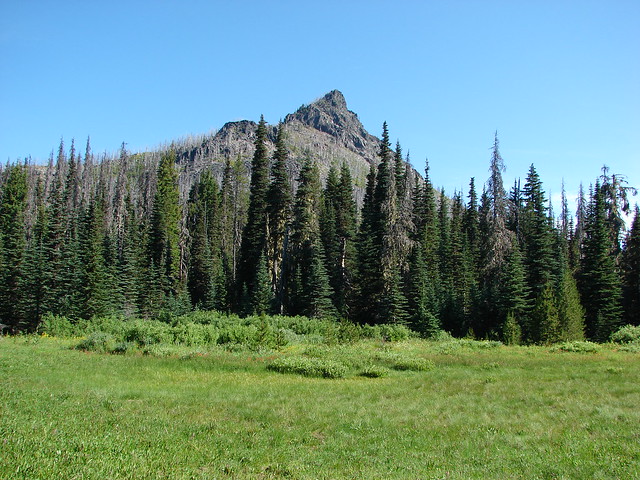
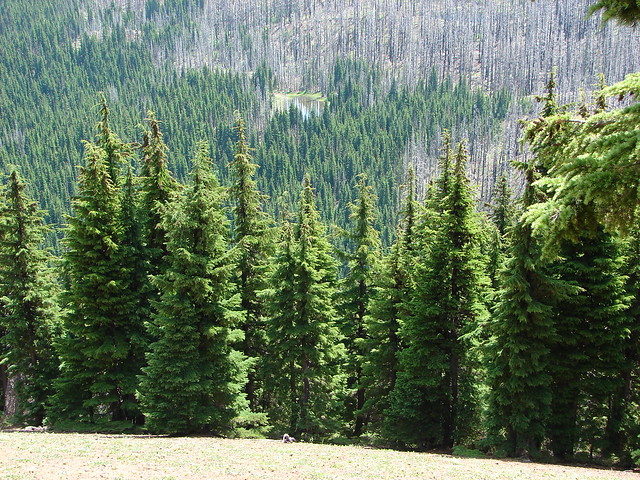
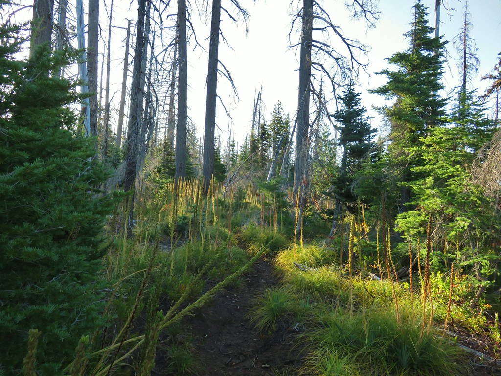
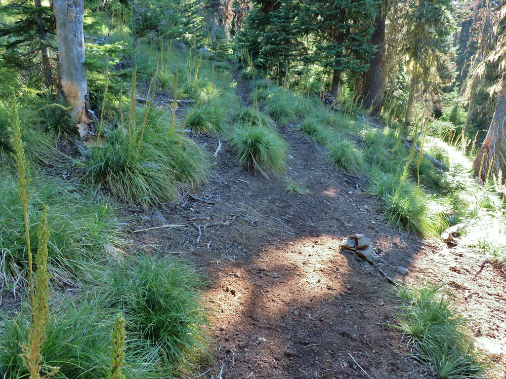
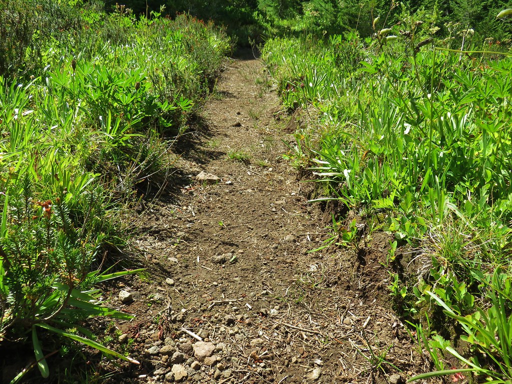
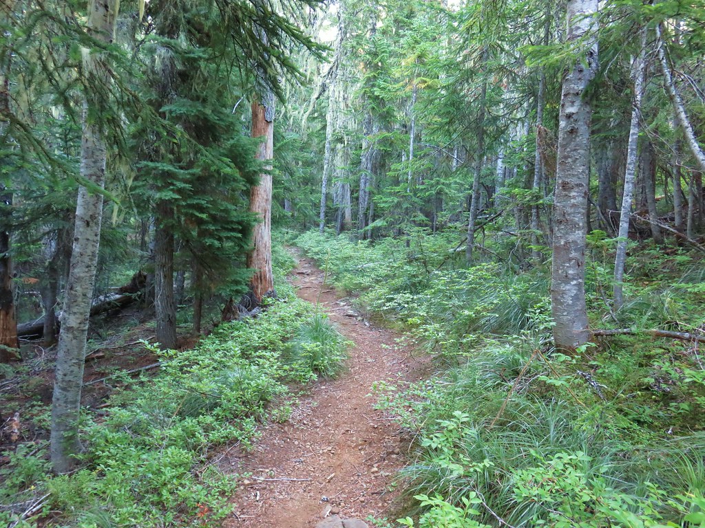
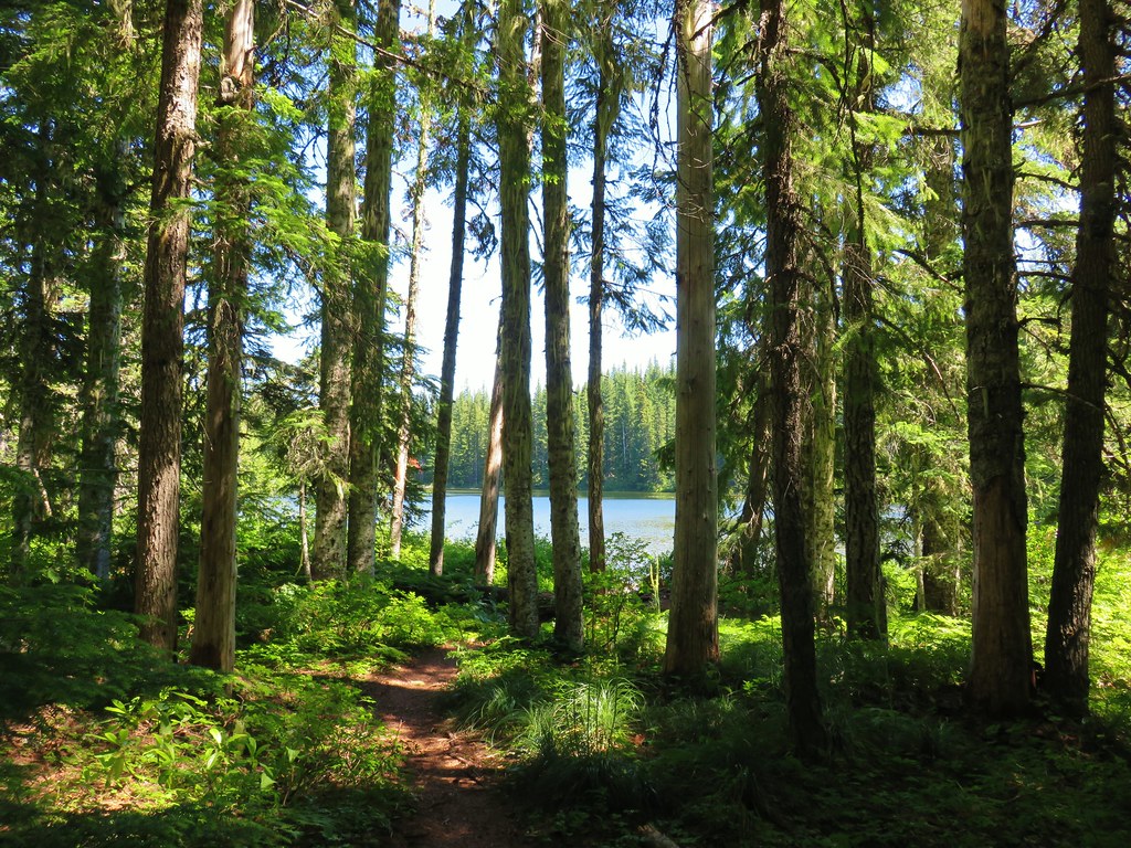
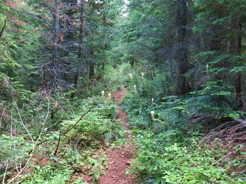
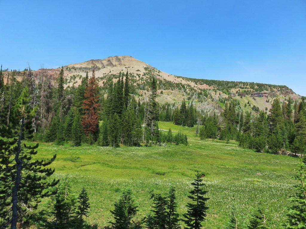
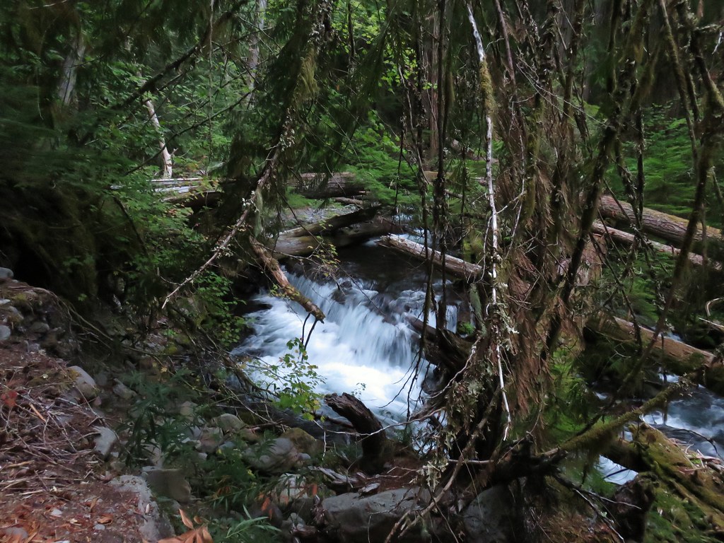
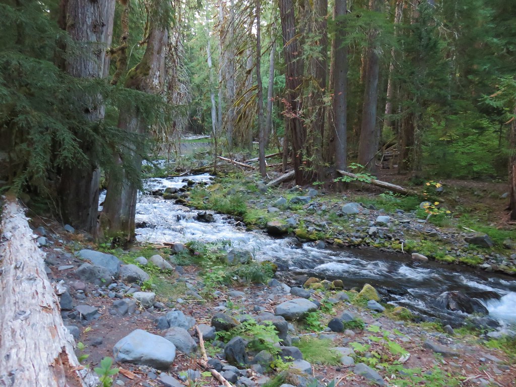
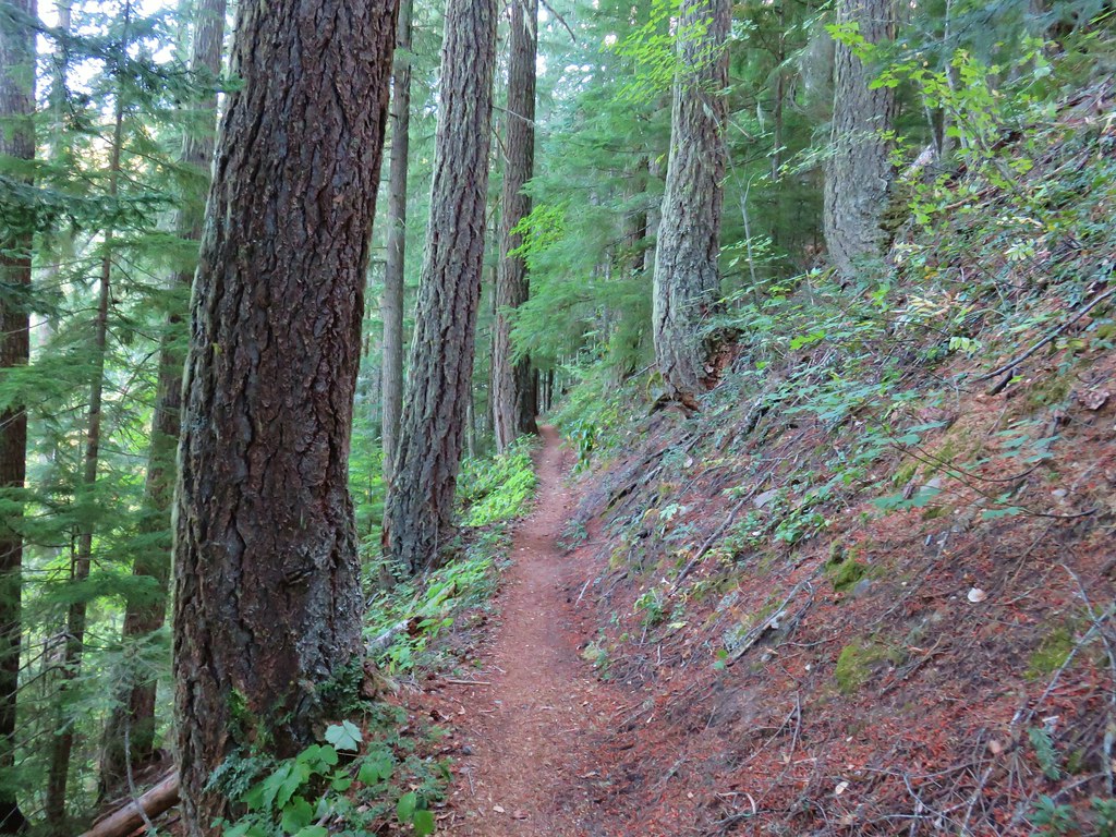
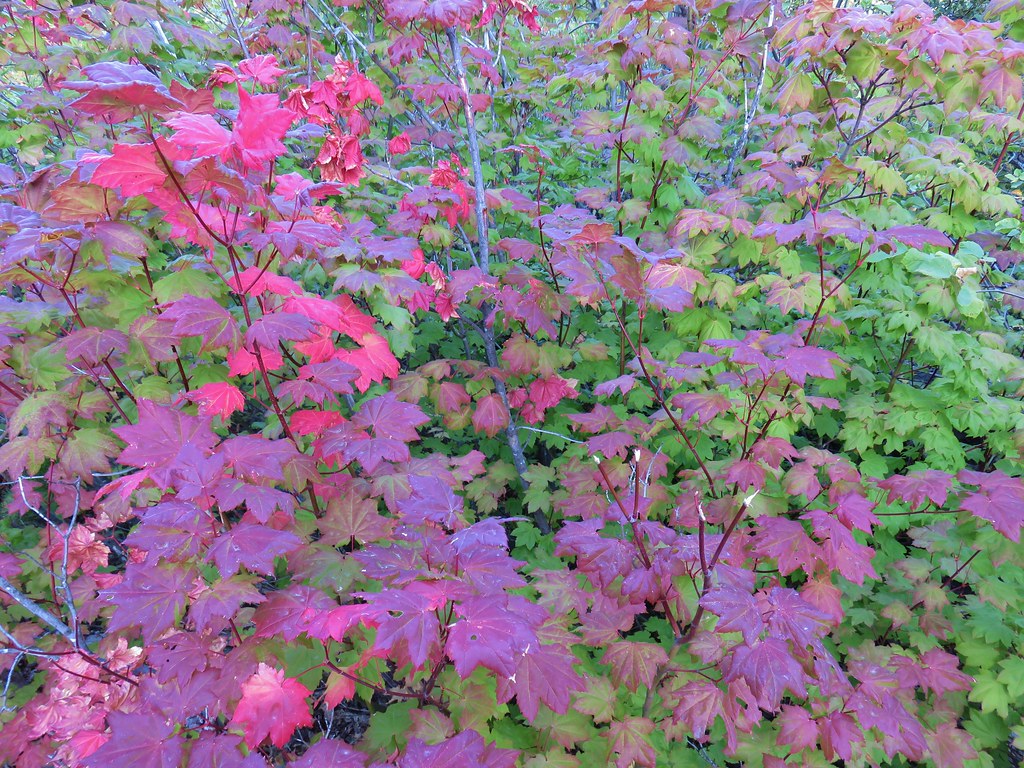
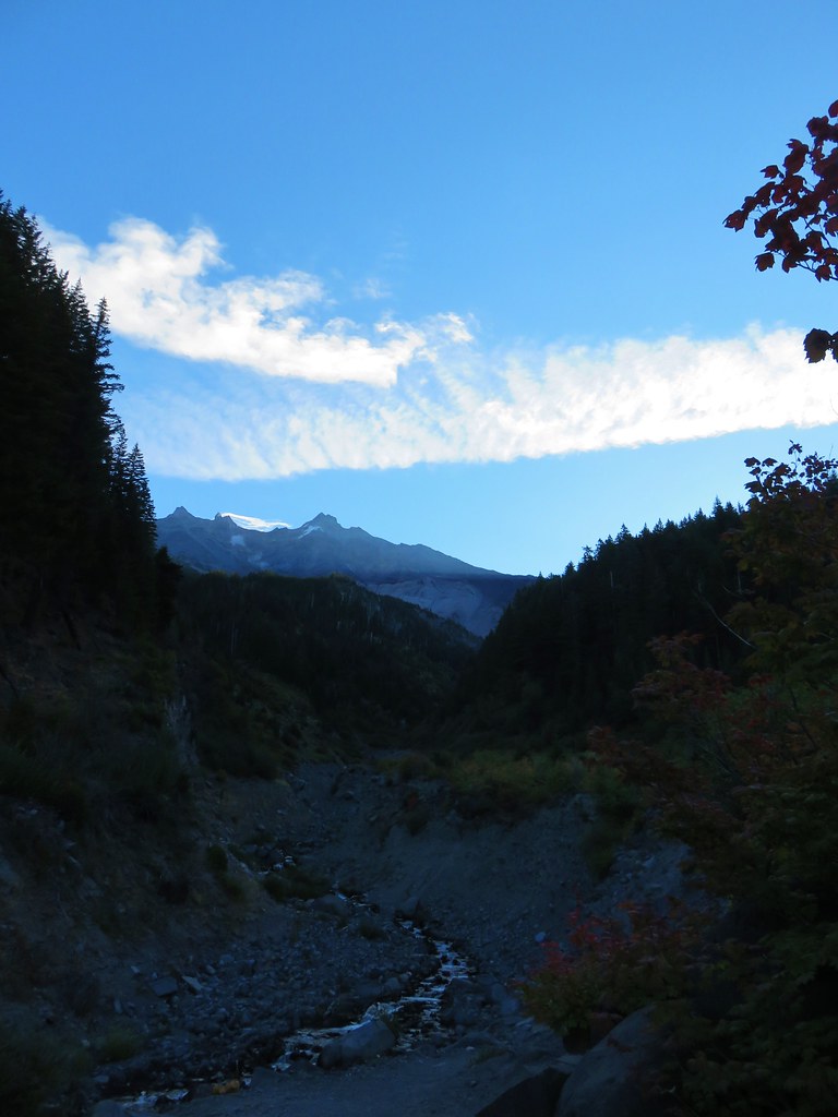
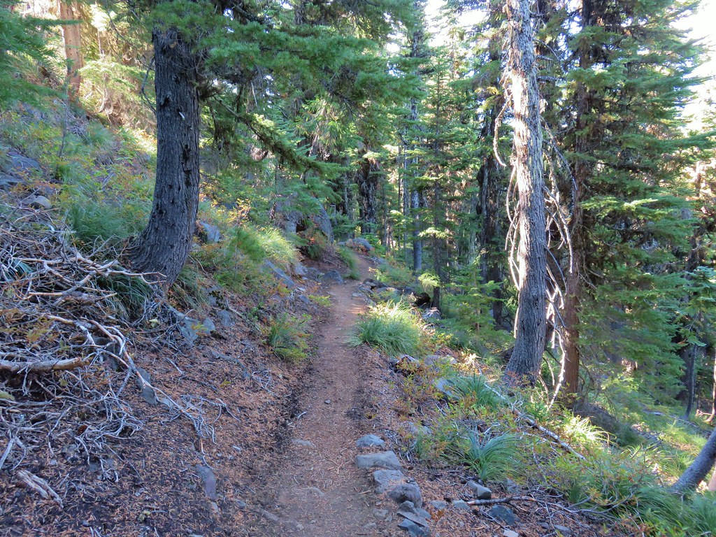
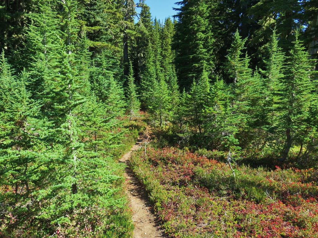
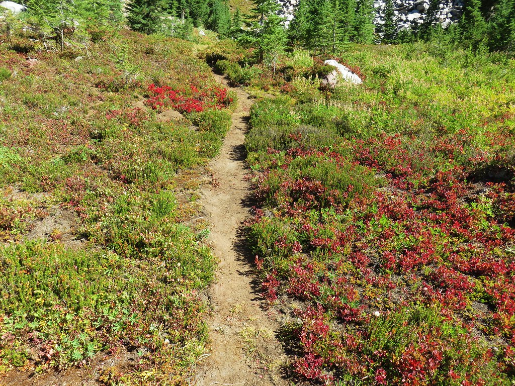
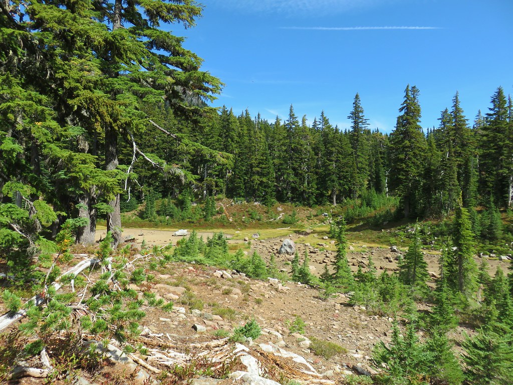
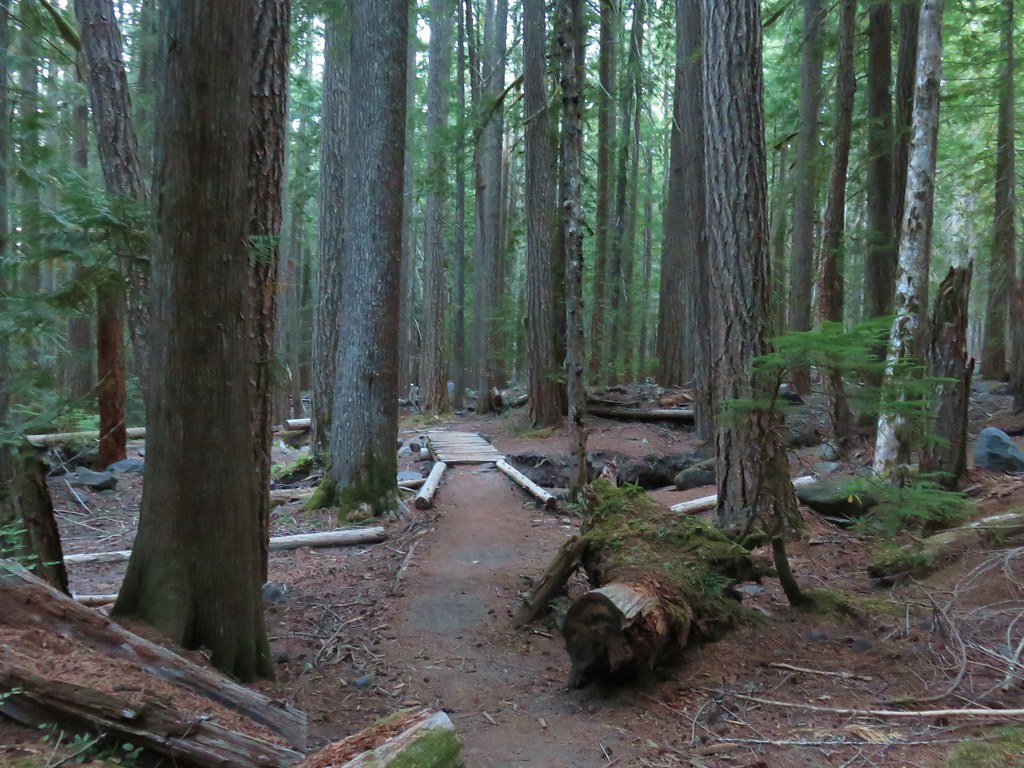
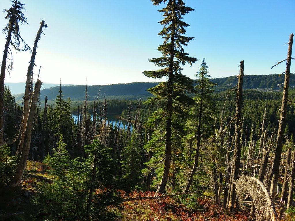
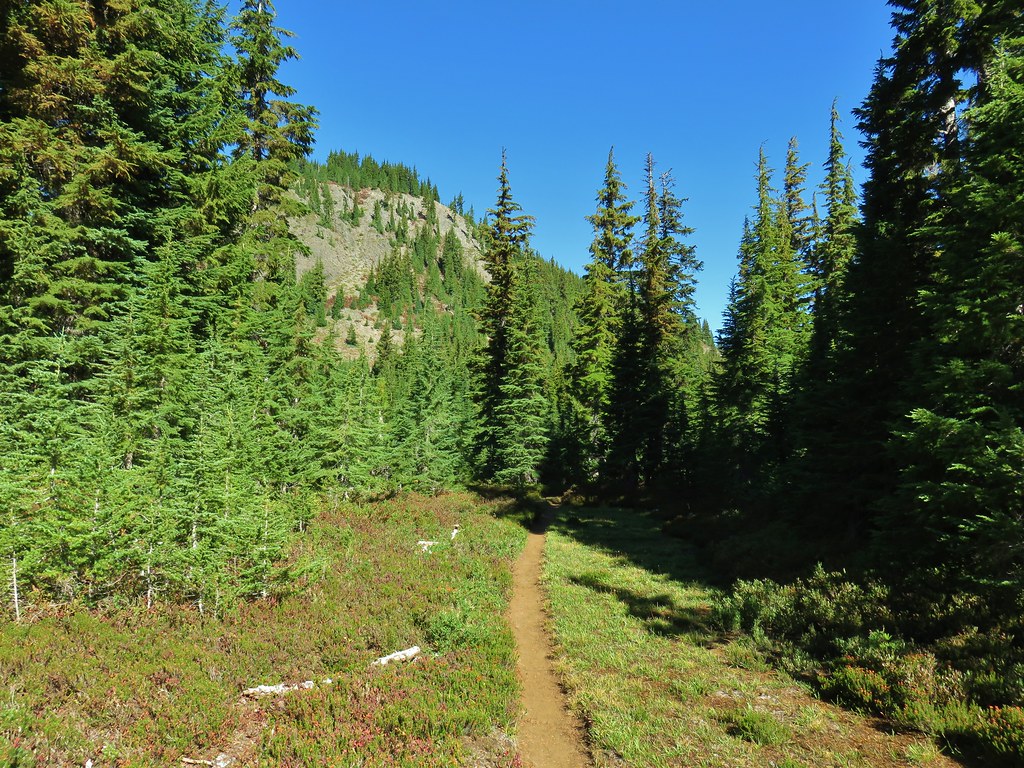
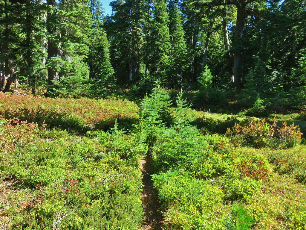
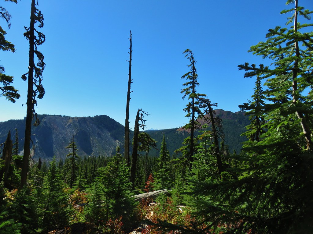
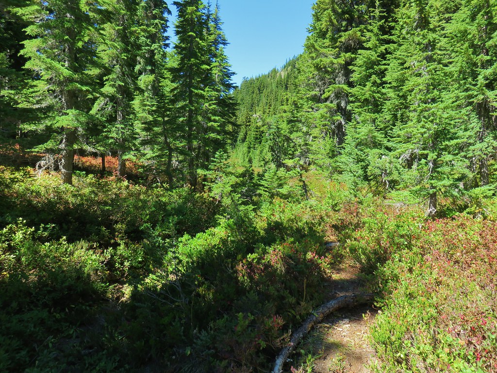
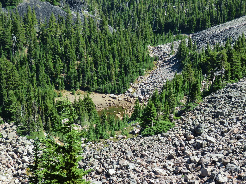
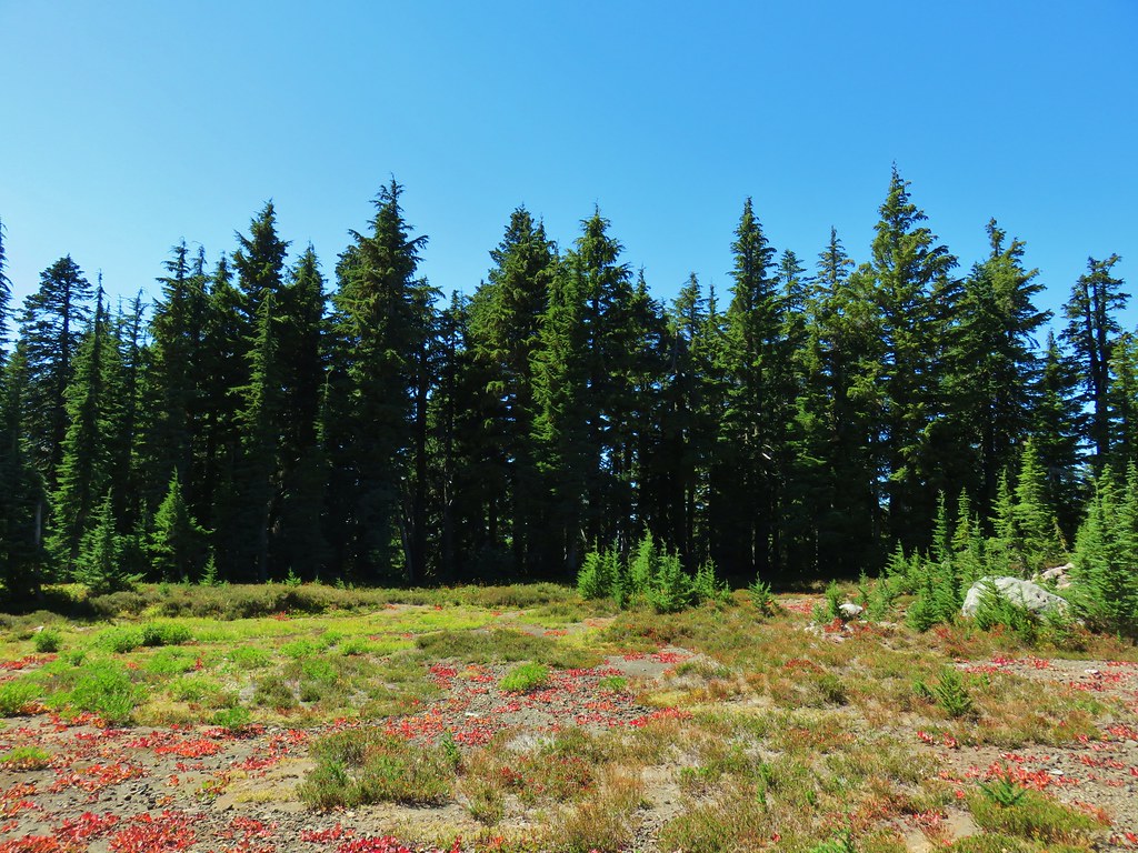
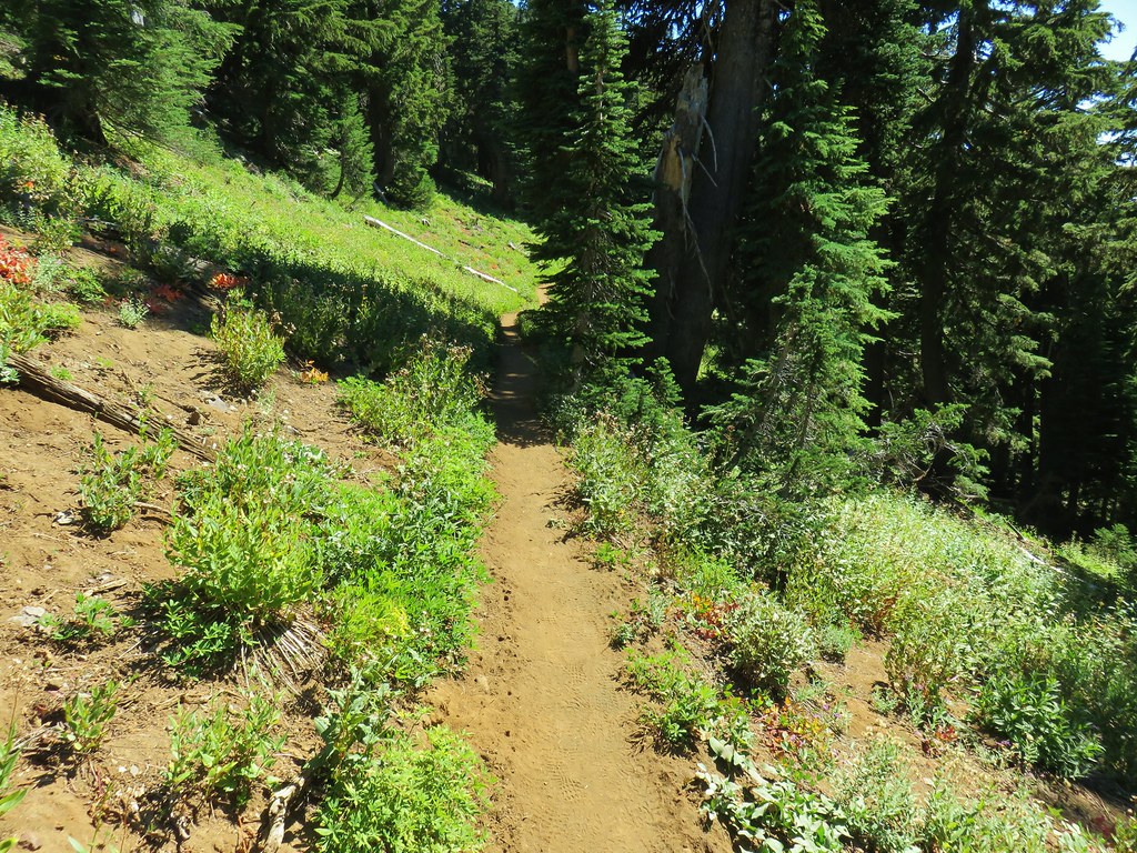
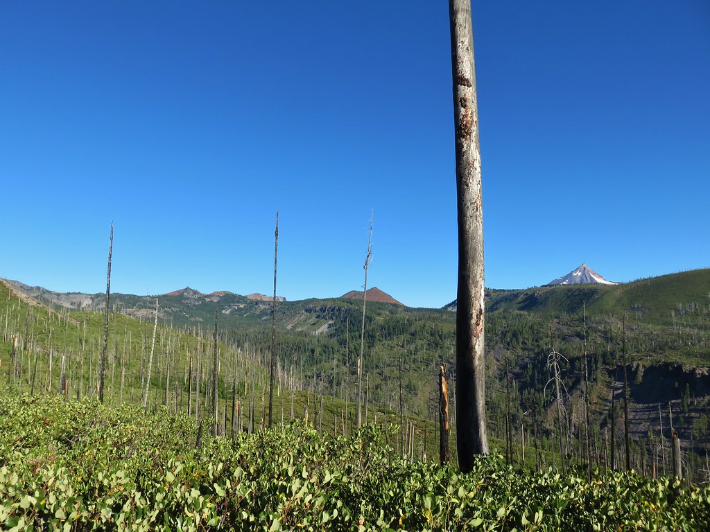
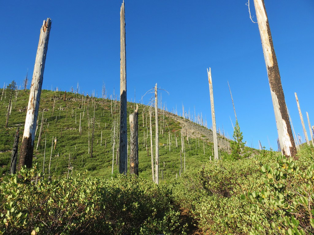
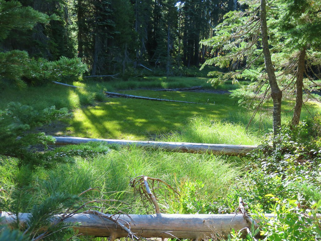
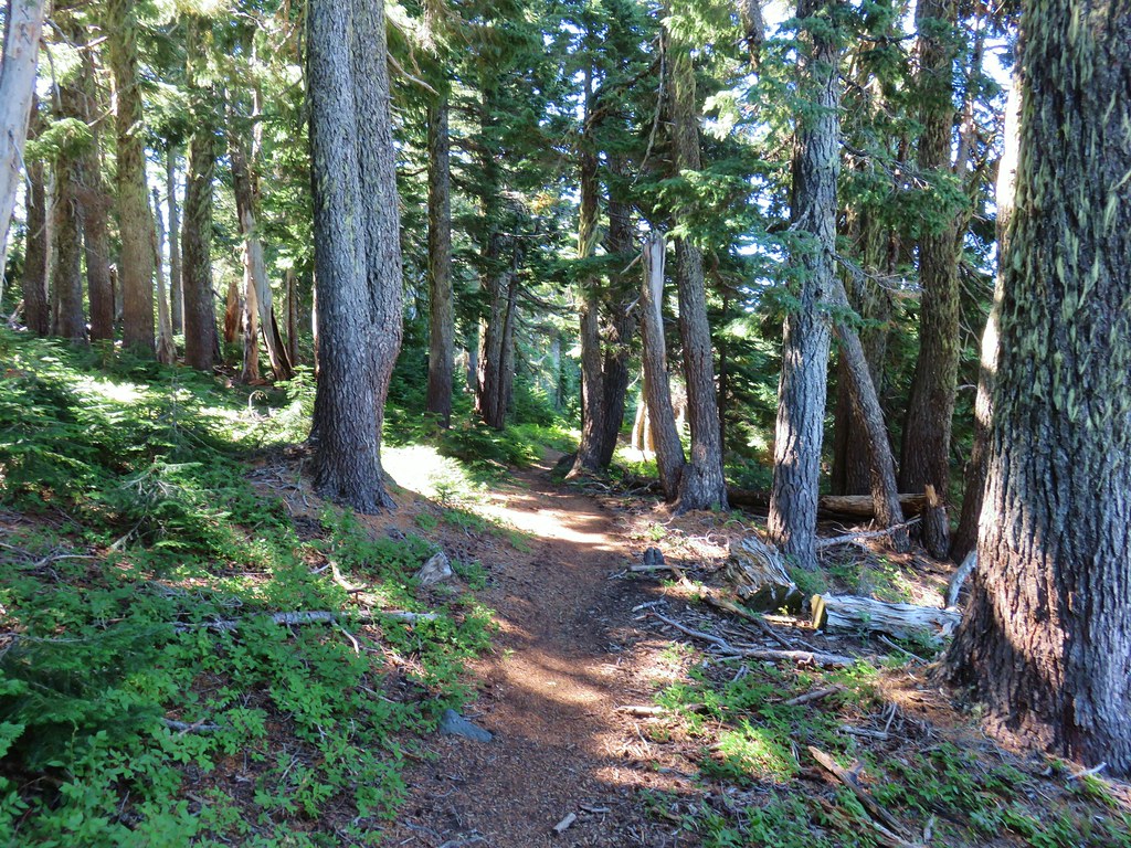
The trail climbed through a green forest along the dry bed of Willis Creek before briefly passing through the edge of a clear-cut.

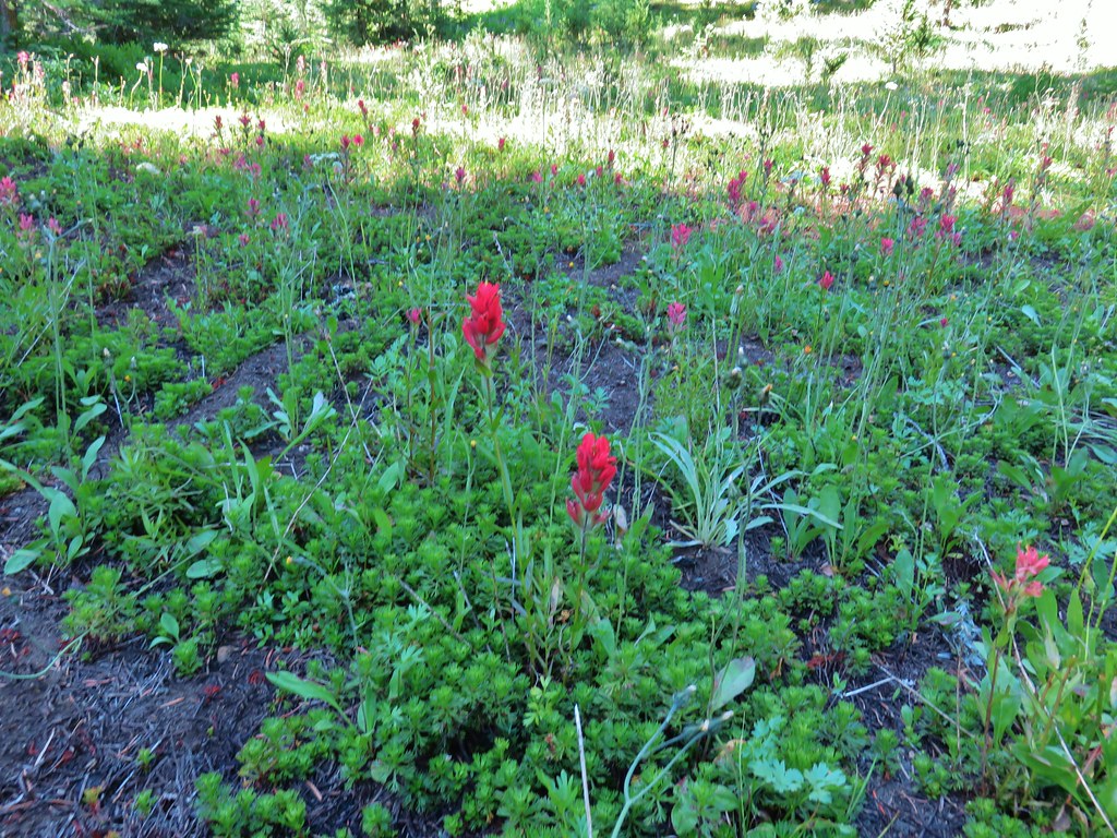
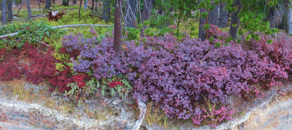
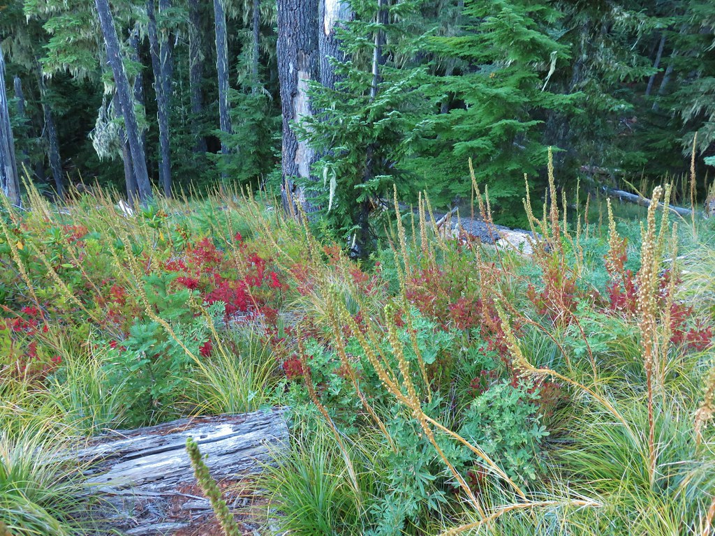 Huckleberry bushes and beargrass in the clear-cut.
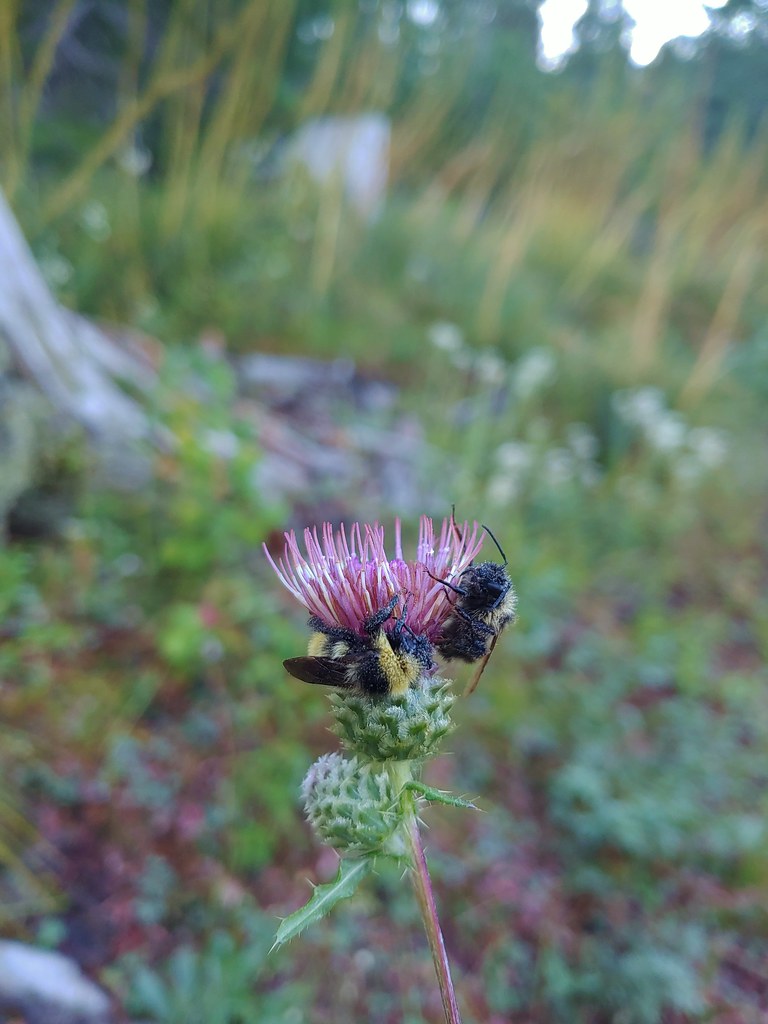 Sleeping bees on some thistle.
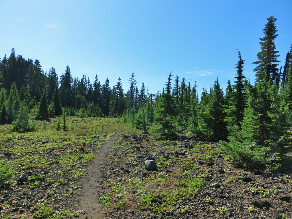
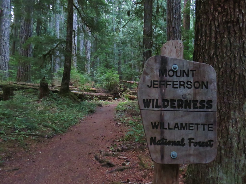
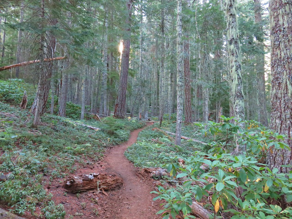
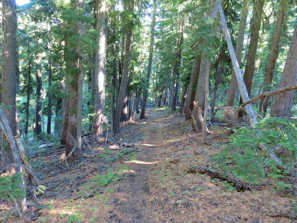
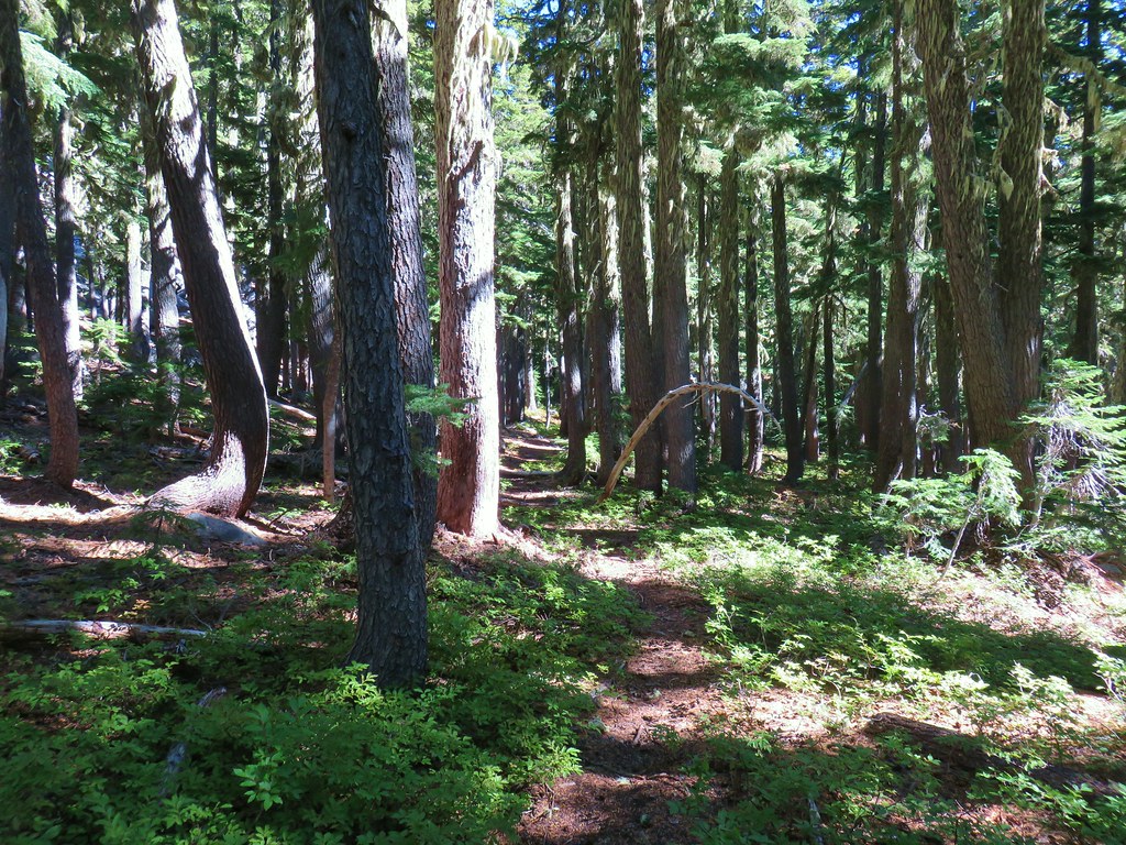
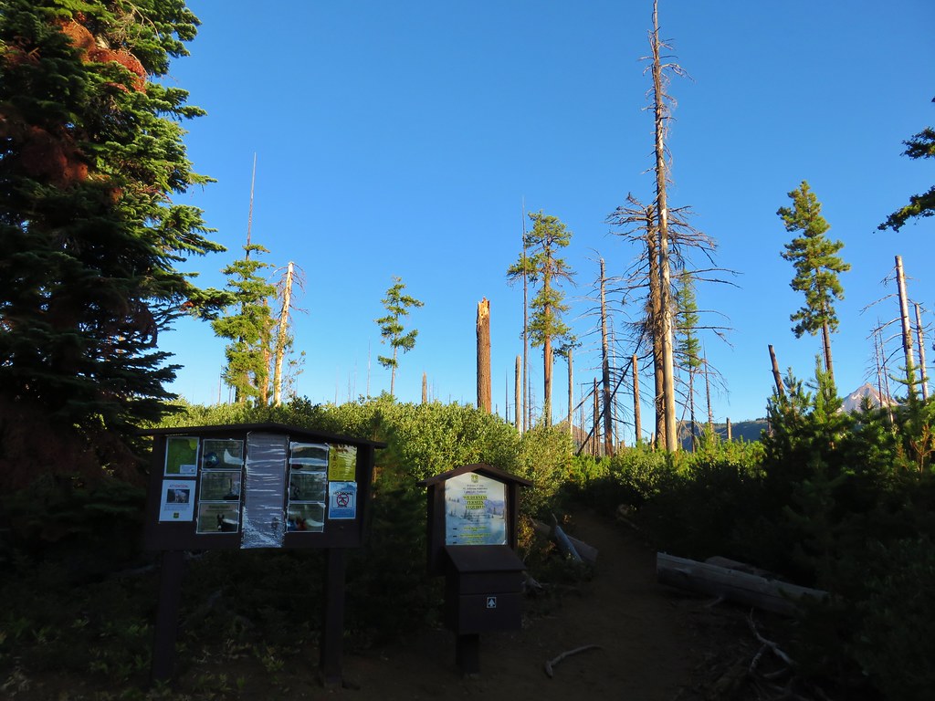
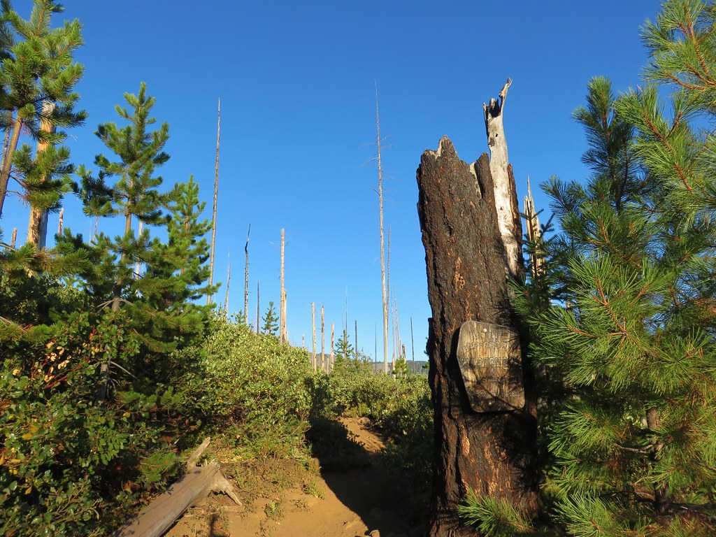
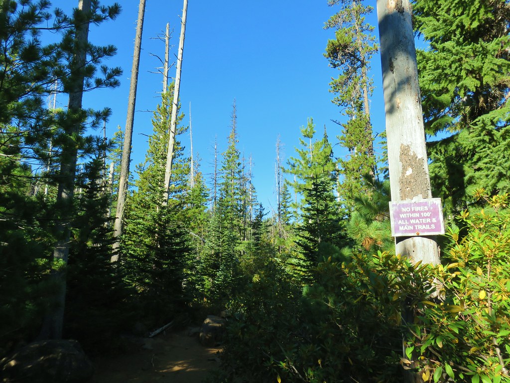
The trail soon reentered the trees and then passed into the Mt. Jefferson Wilderness.

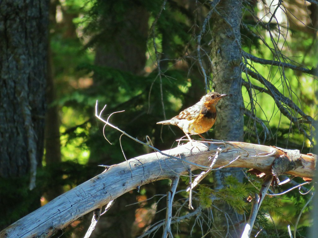
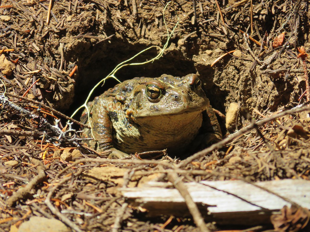
 The bees on the thistle may have been asleep but a western toad was out and about.
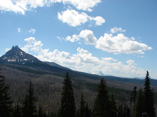
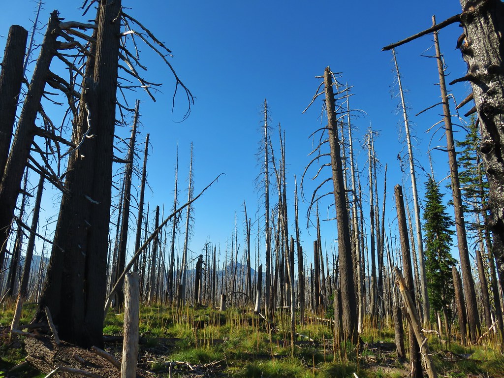
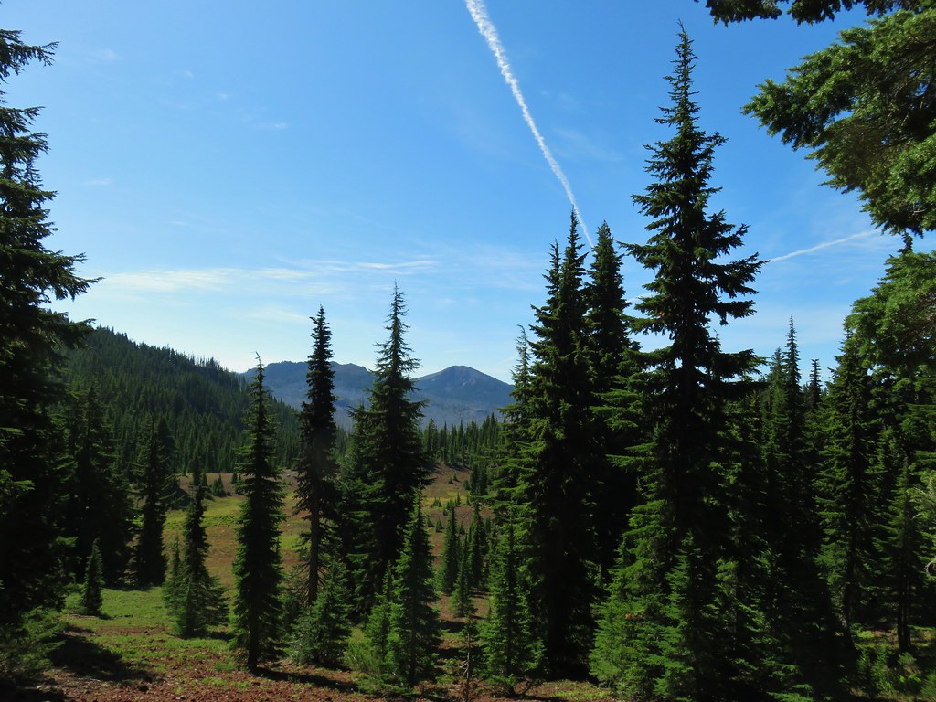
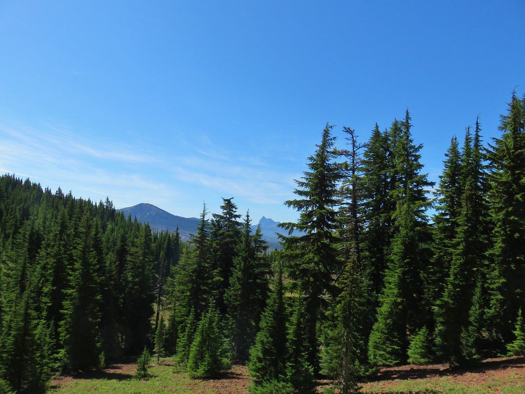
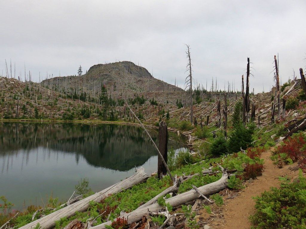
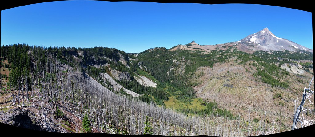
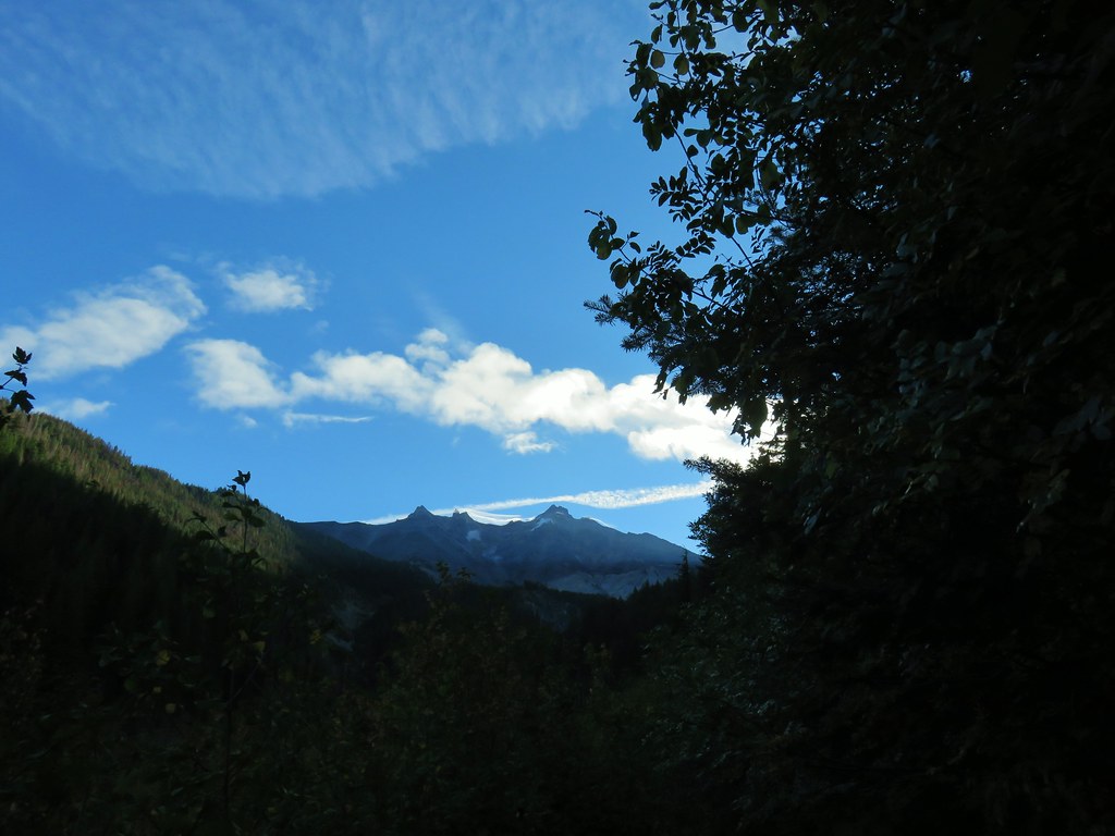
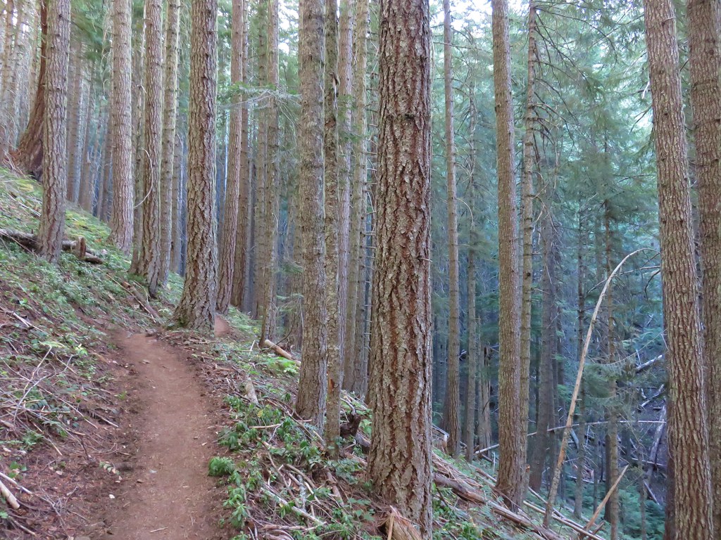
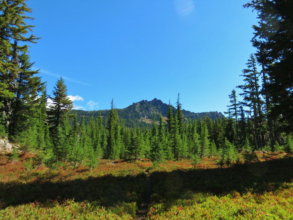
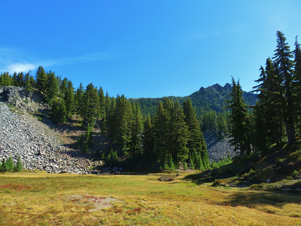
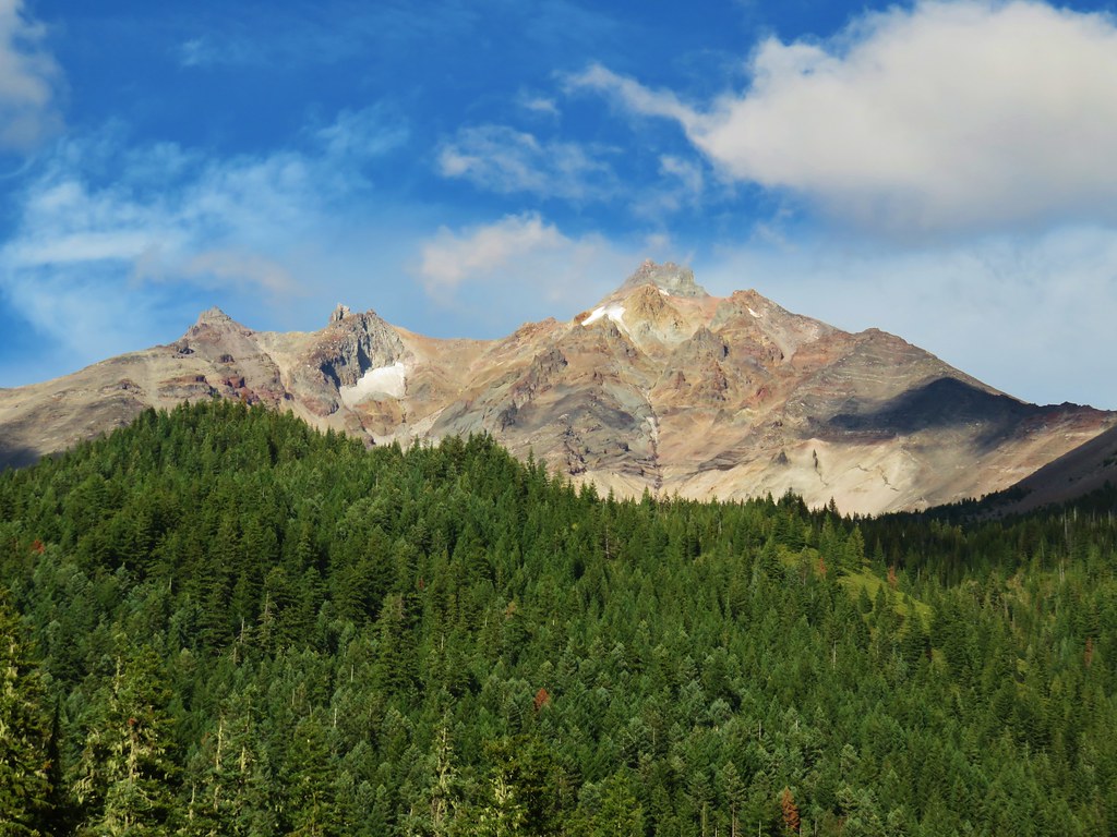
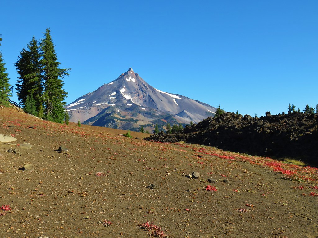
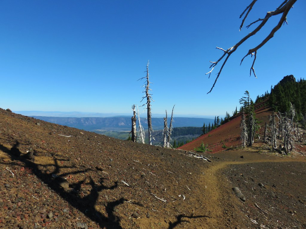
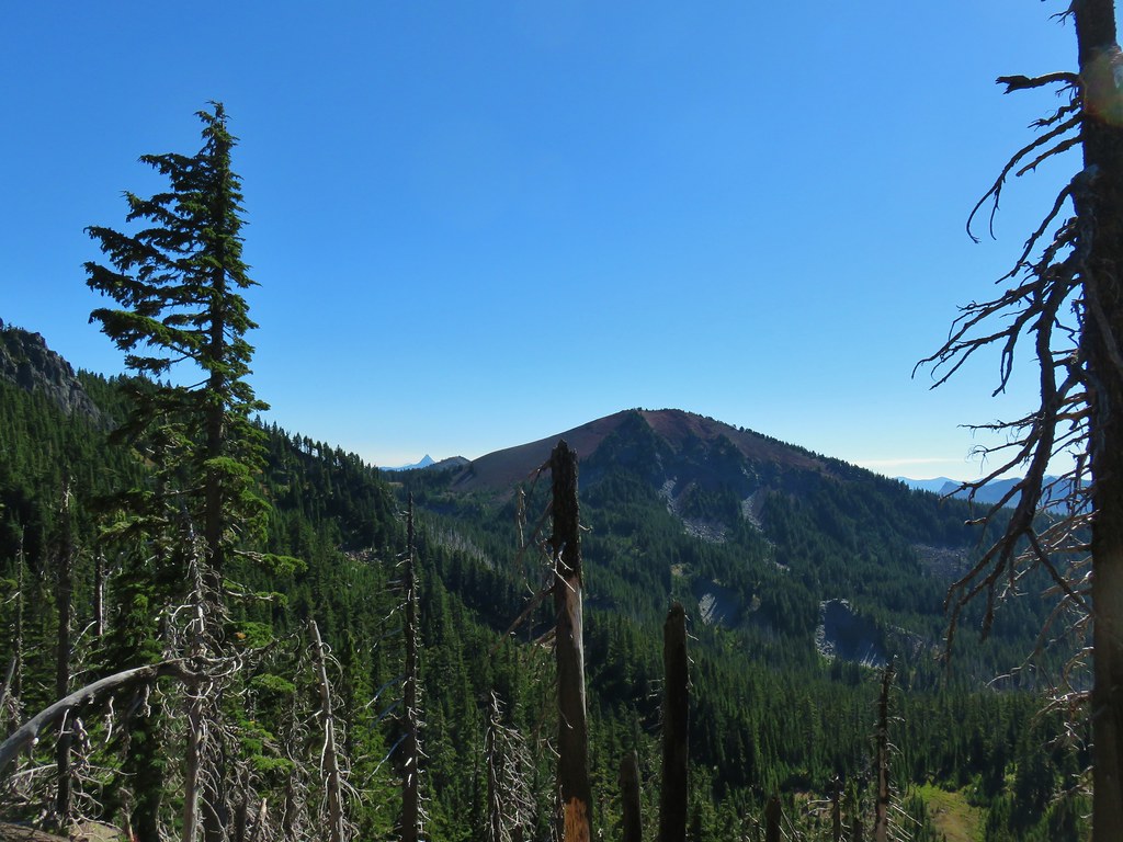
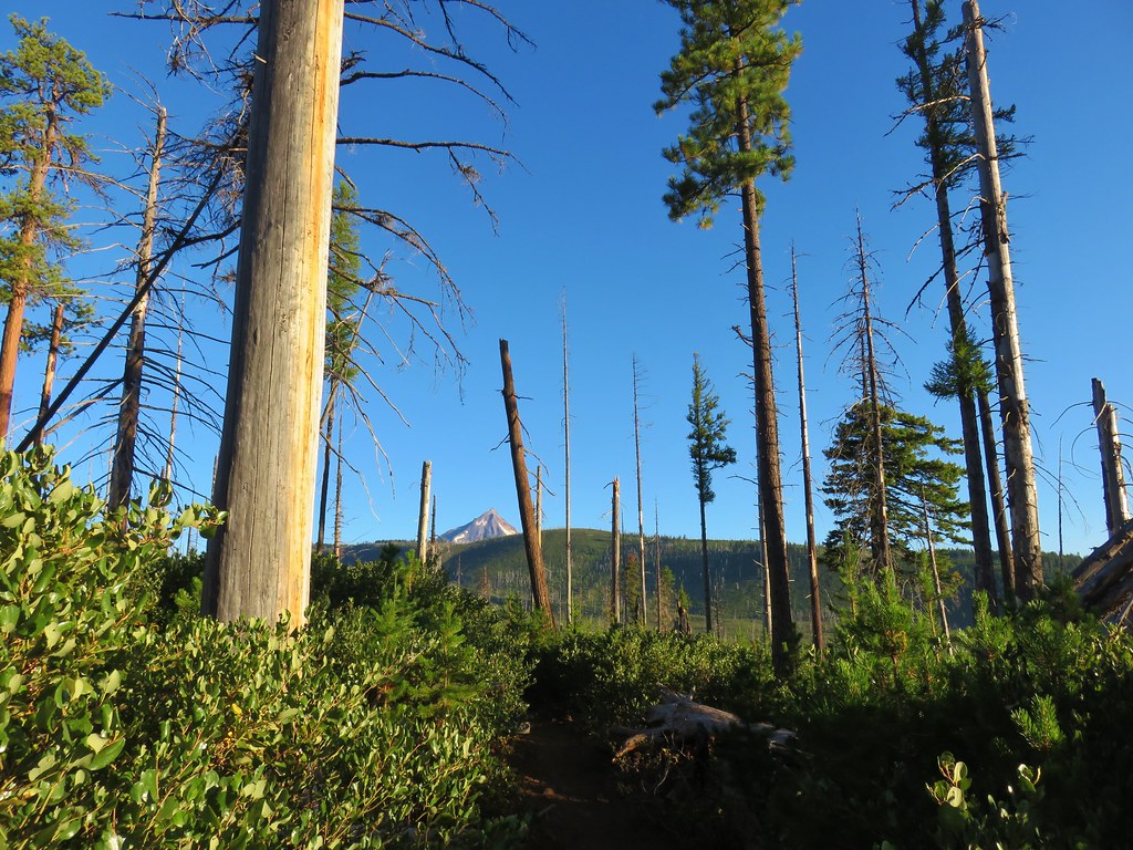
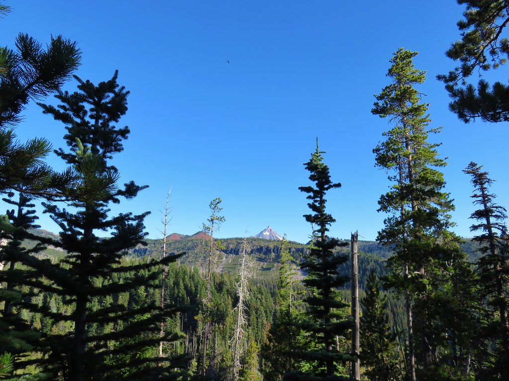
After entering the wilderness the trail continued to climb very gradually as it passed through alternating sections of green trees and forest scarred by the 2006 Puzzle Creek Fire.
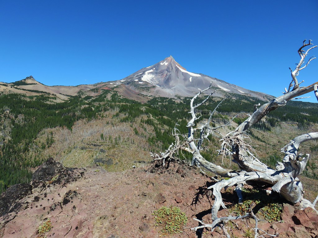
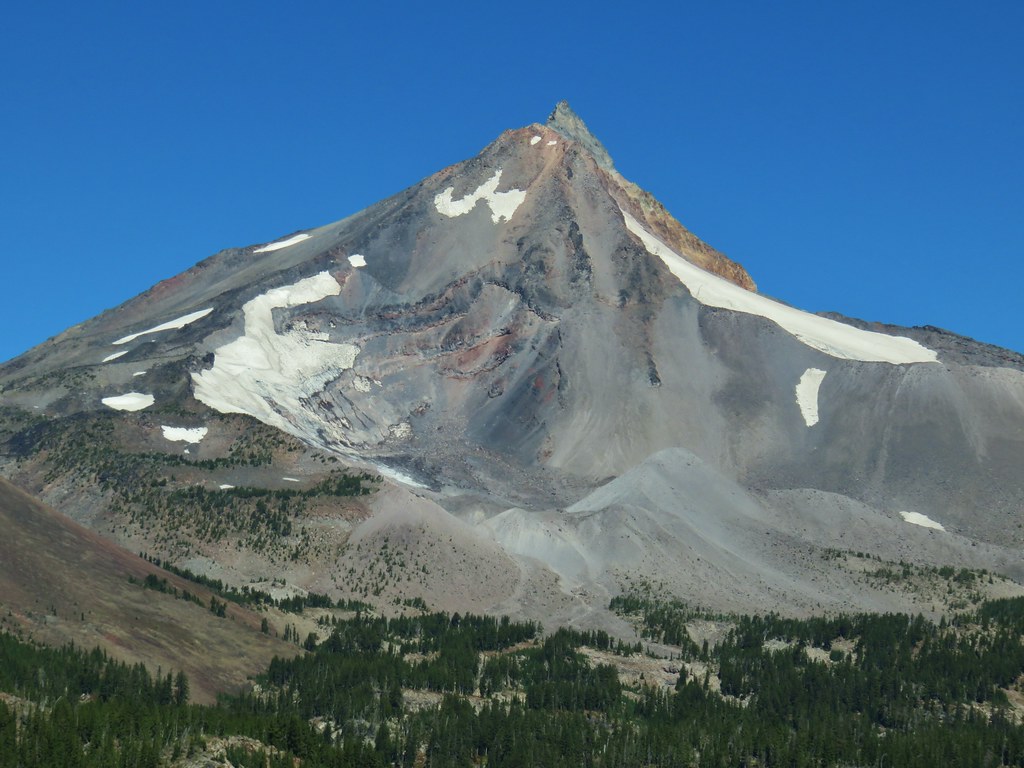
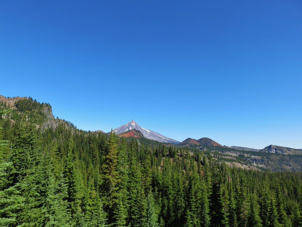
 Mt. Jefferson through the burned trees.
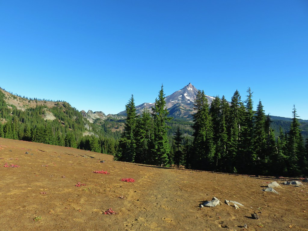
 Back in the green.
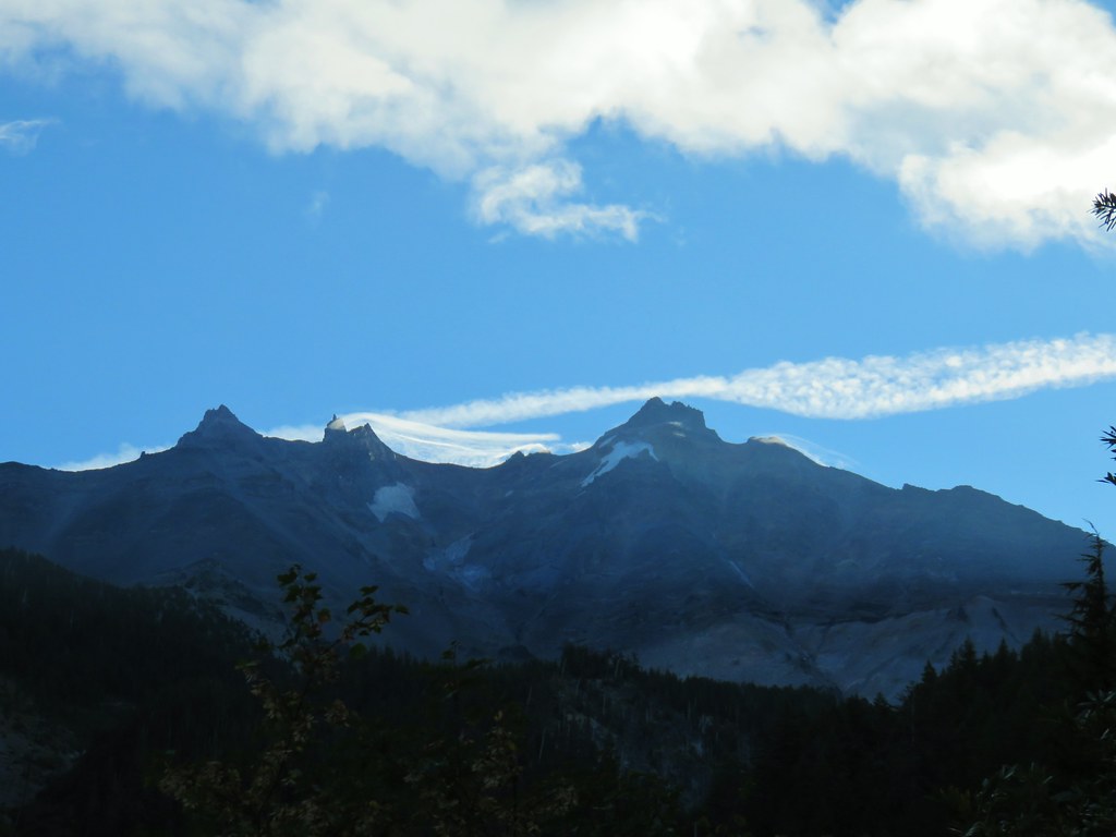
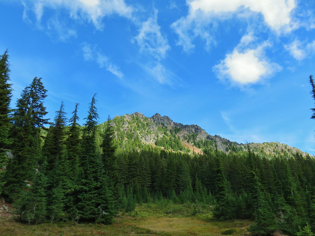
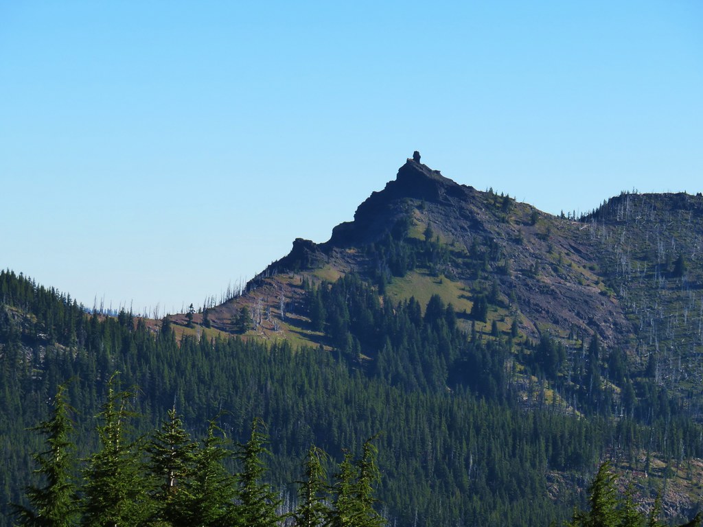
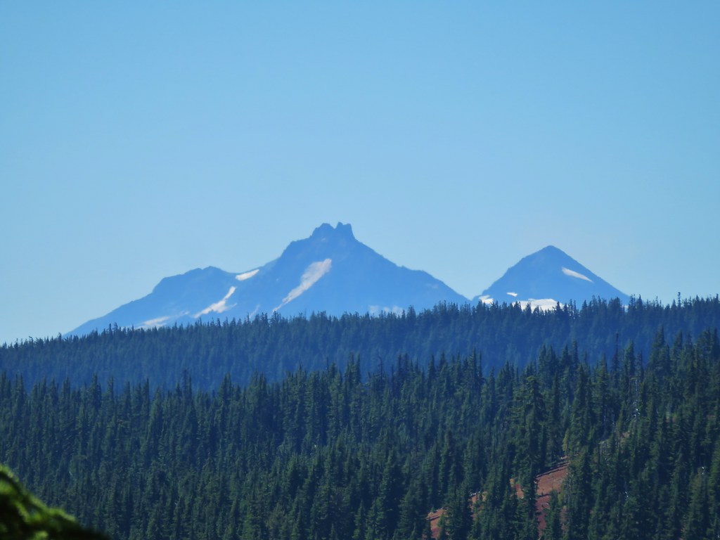
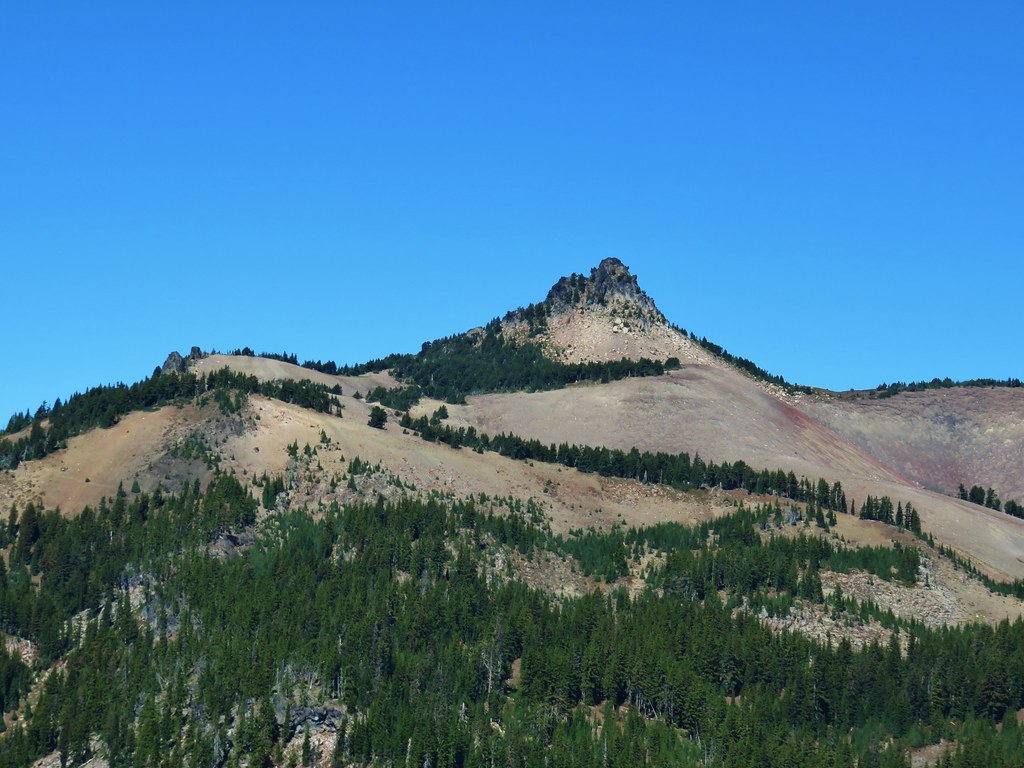
 Three Fingered Jack through the burned trees.
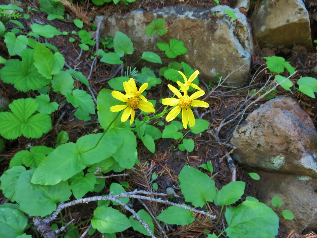
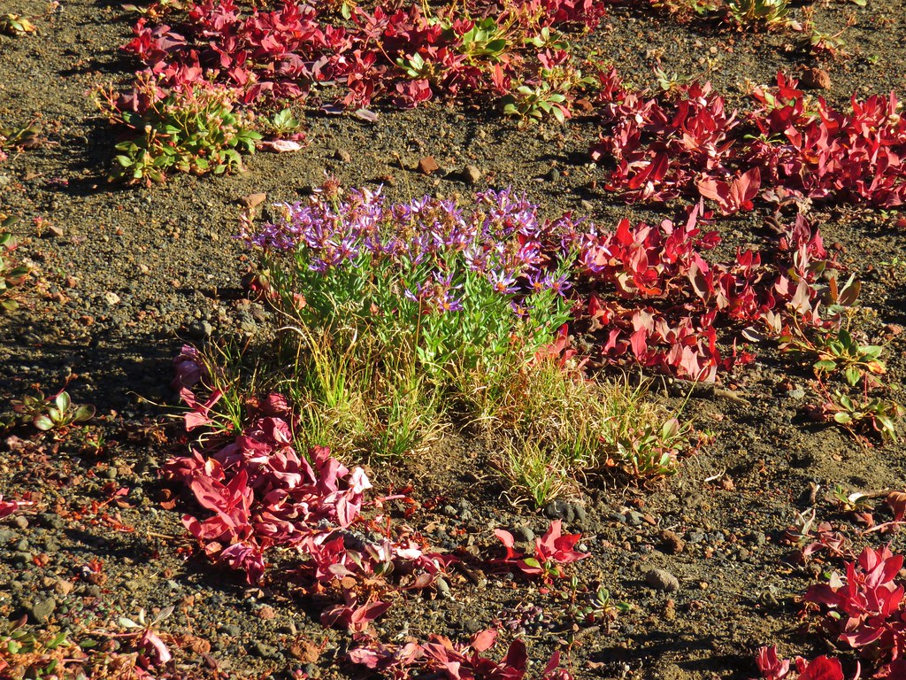
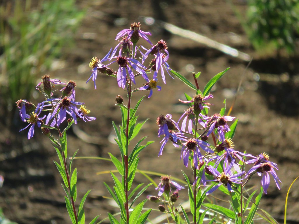 Aster
Aster
 Pearly everlasting
 Fireweed
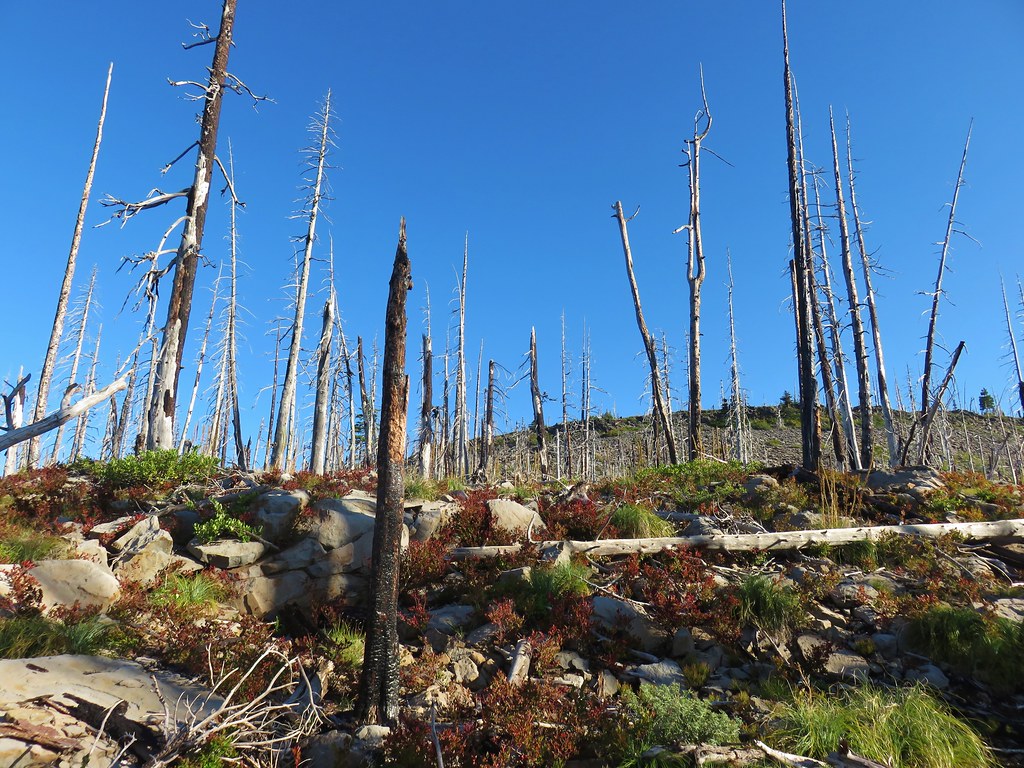
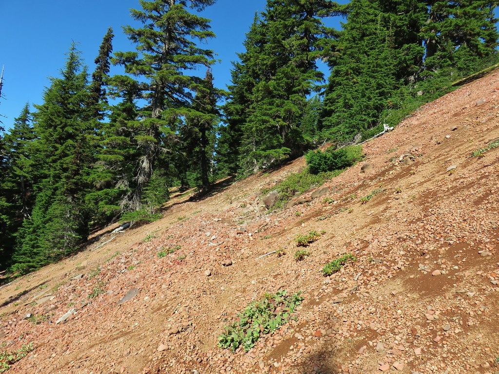
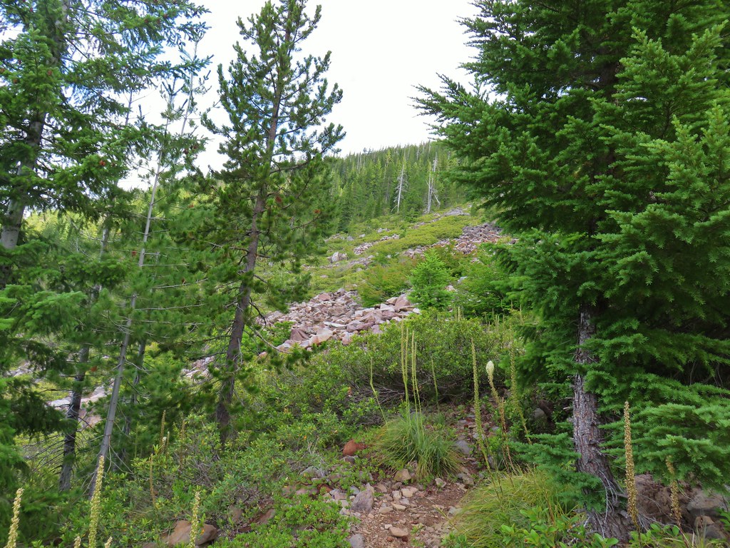
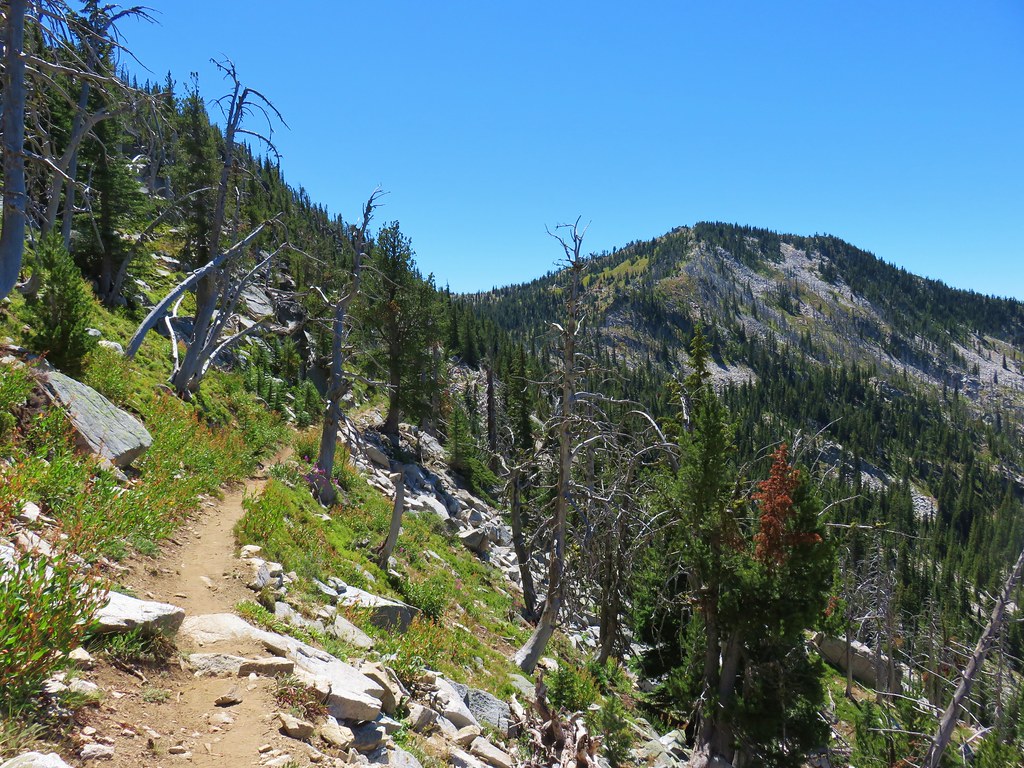
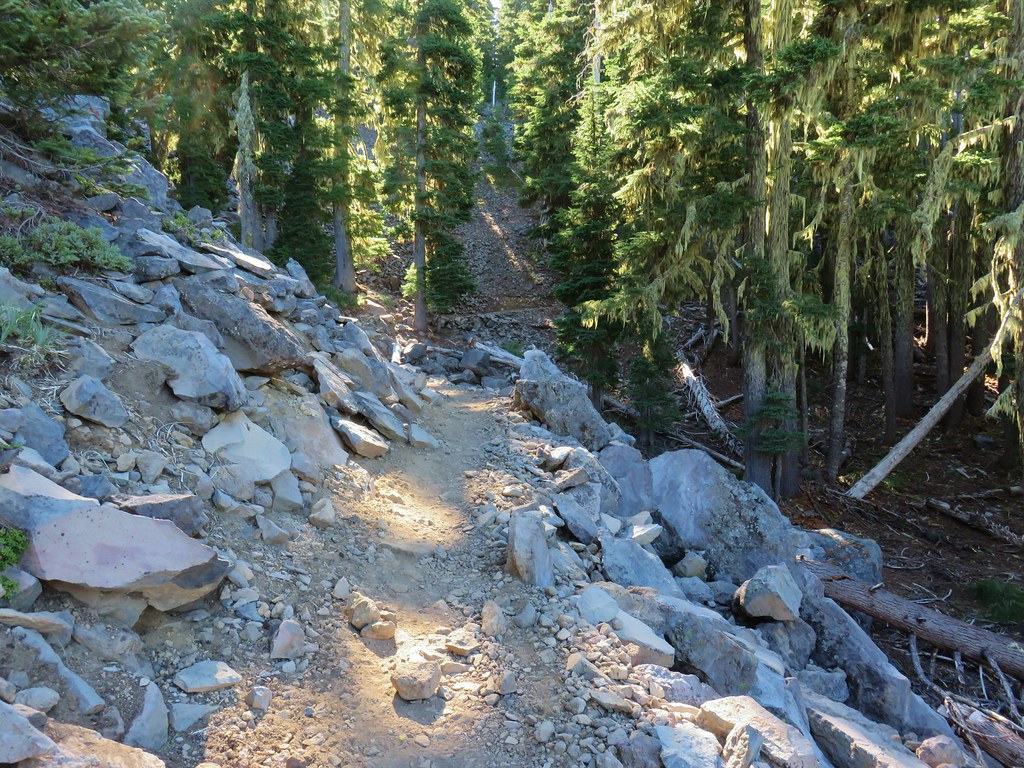
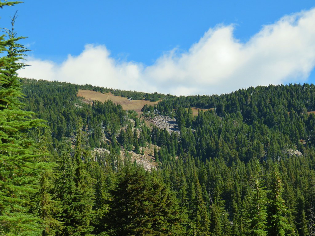
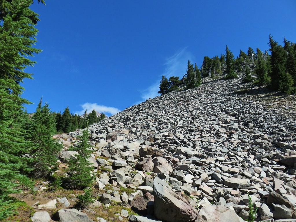
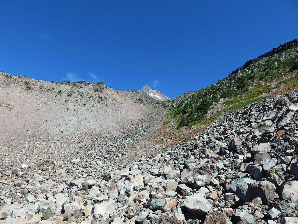
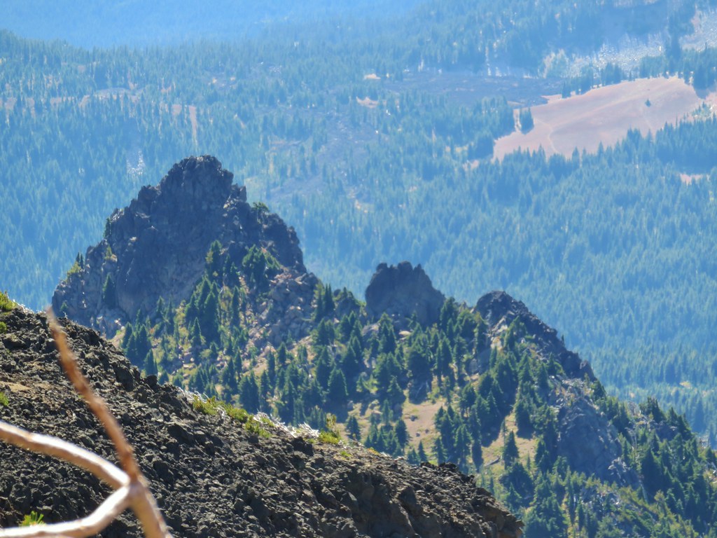
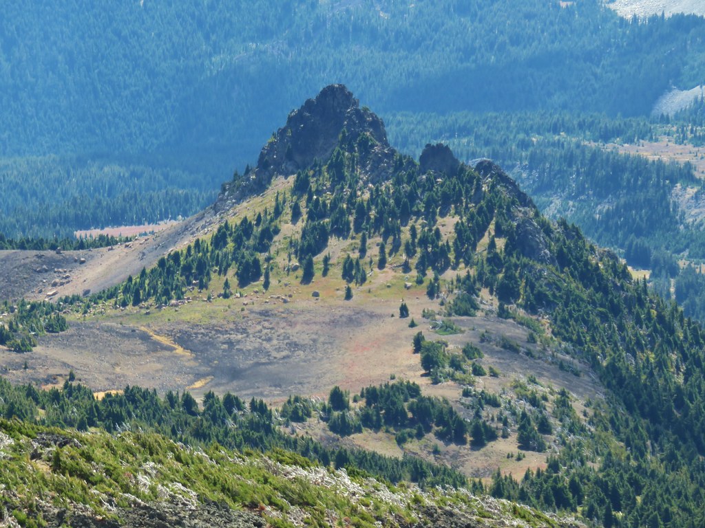
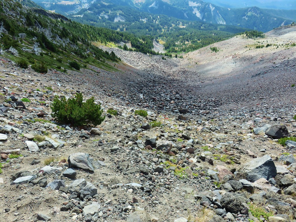
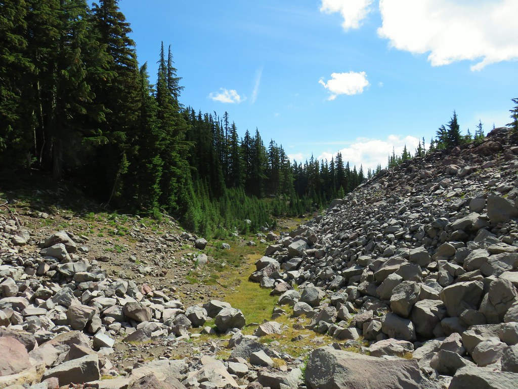
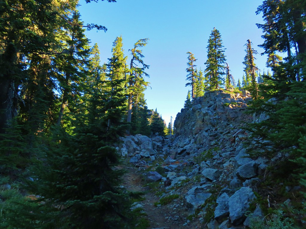
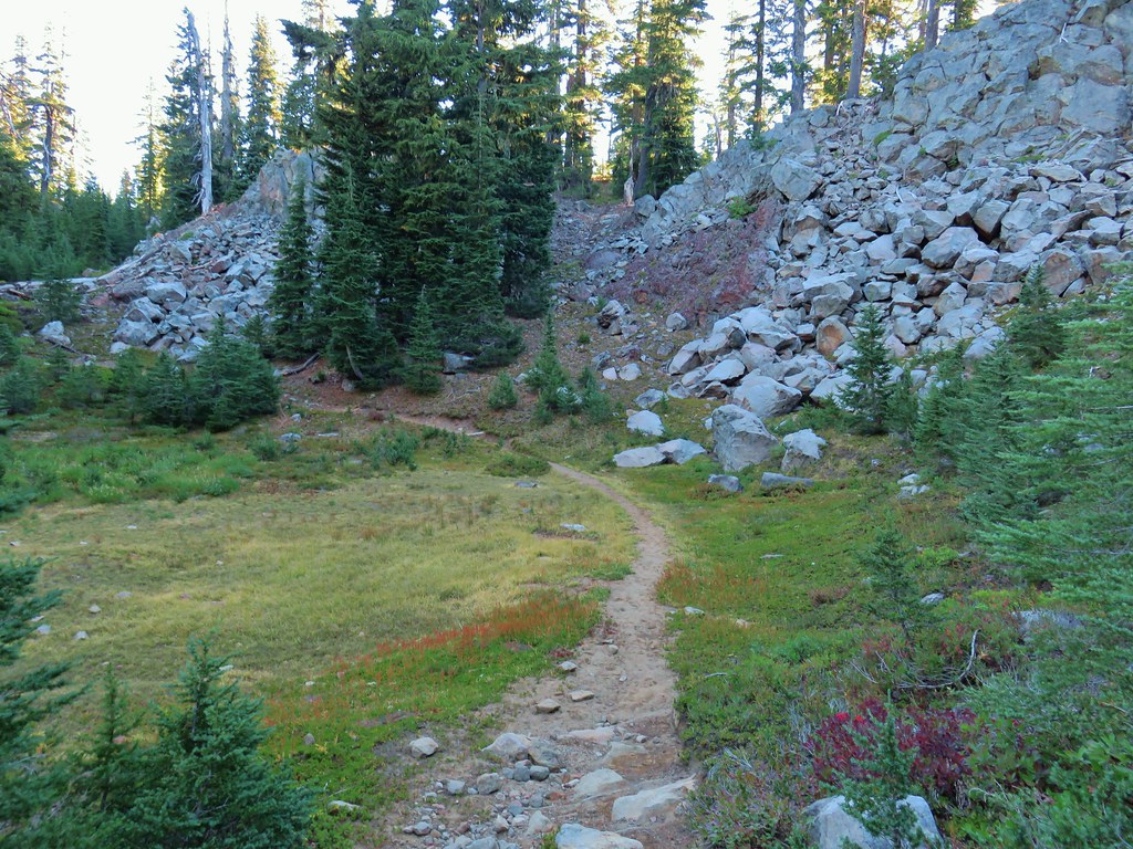
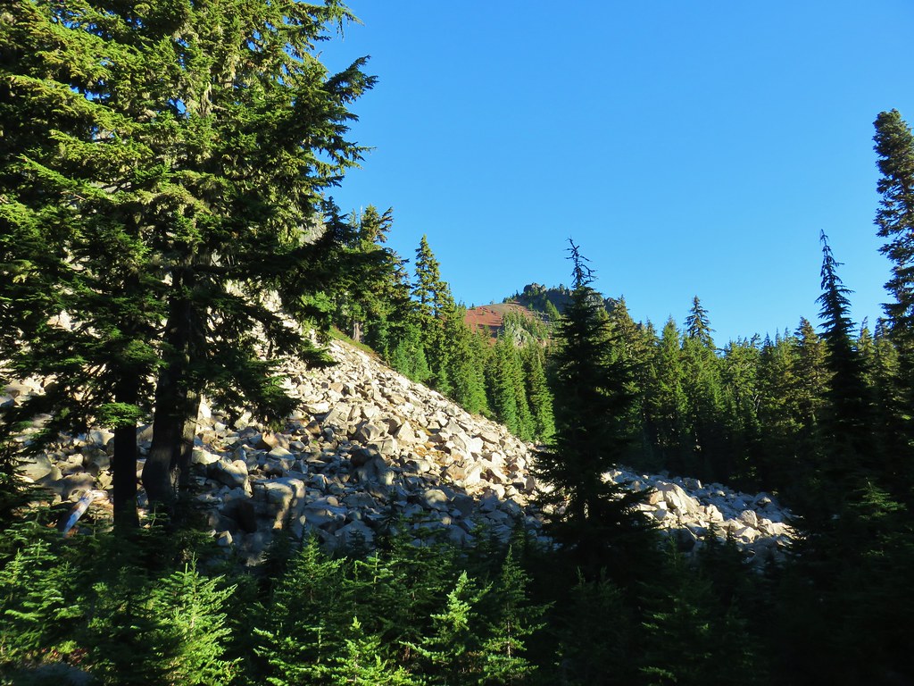
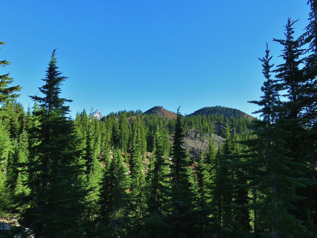
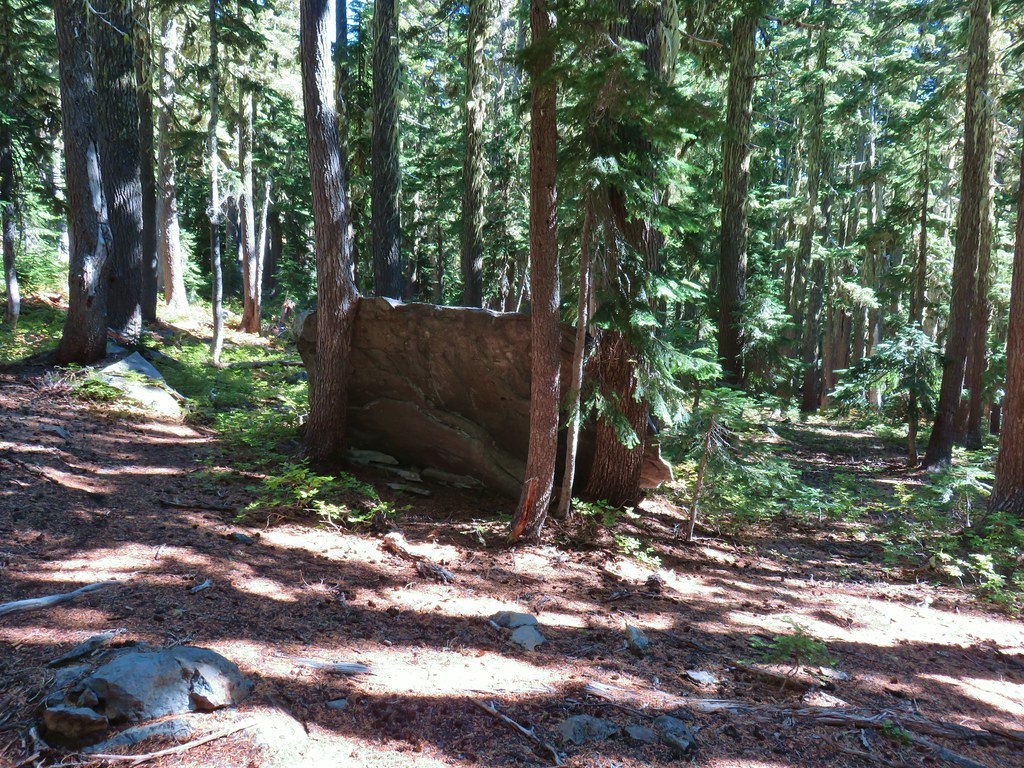
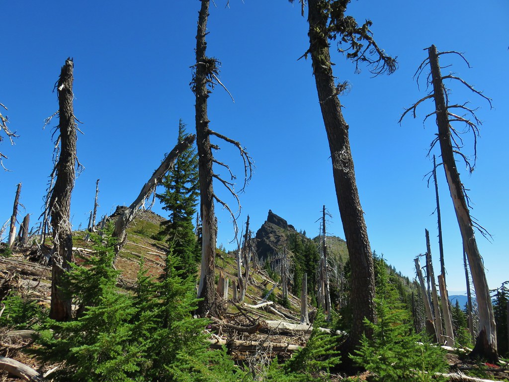
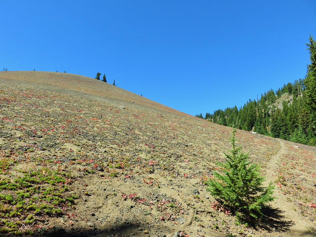
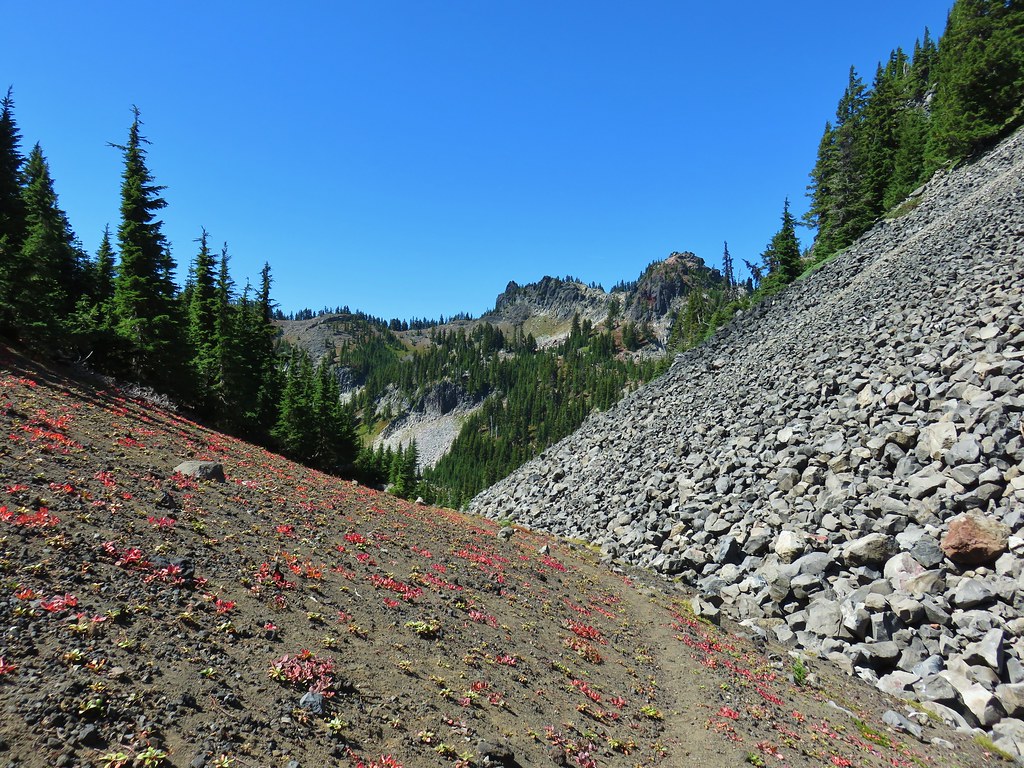
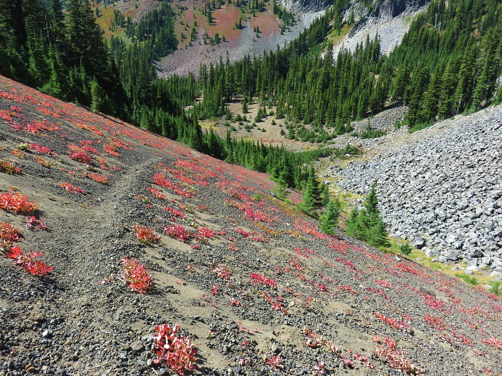
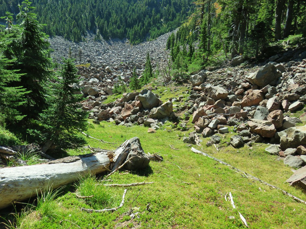
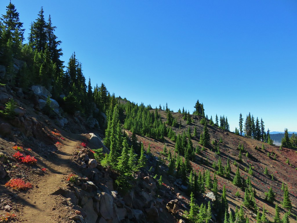
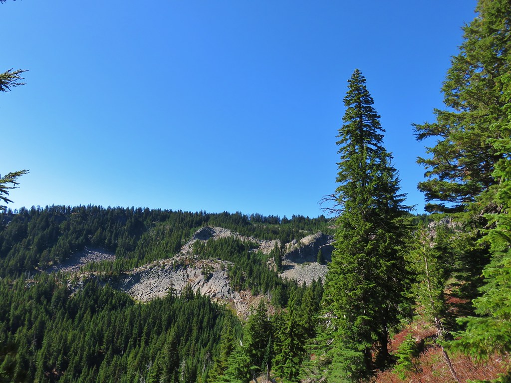
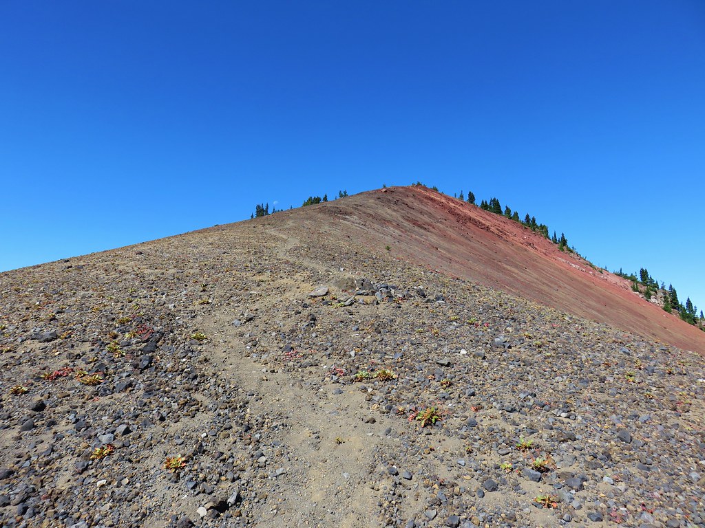
The longest stretch through burned forest occurred as the trail passed to the right of a rocky rise along the ridge.
 Three Fingered Jack

 The rock covered rise.
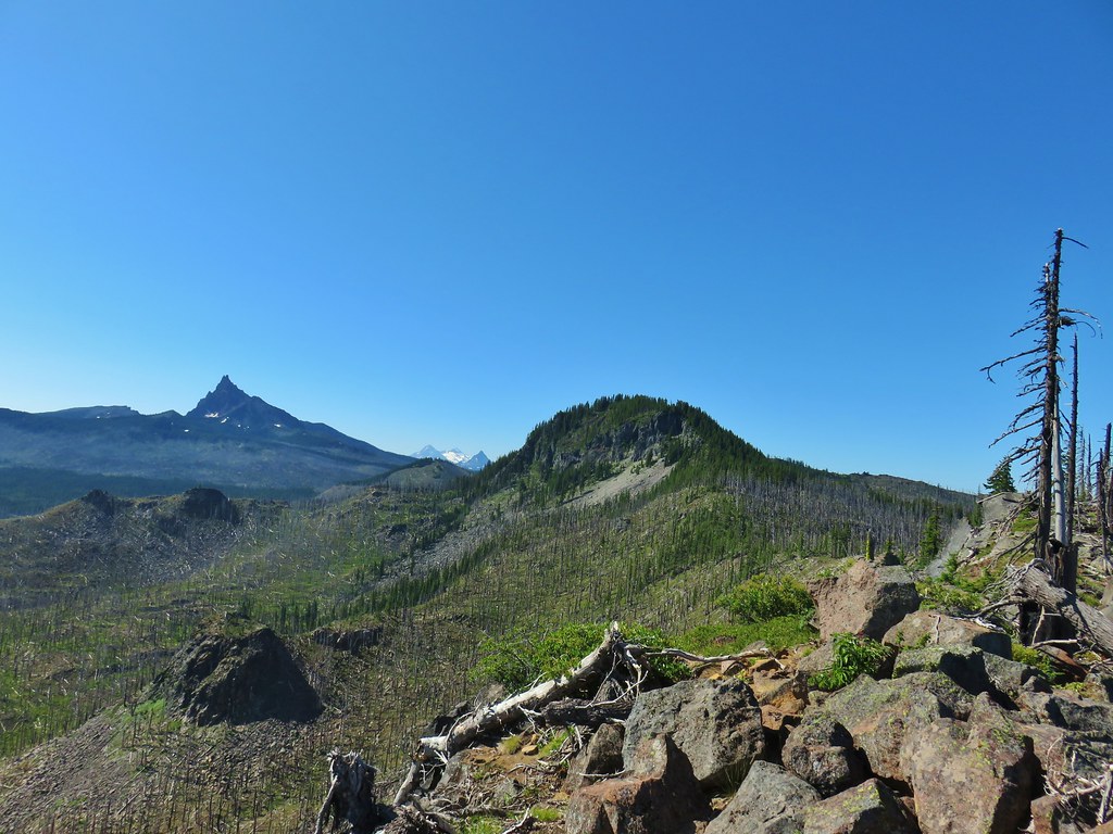
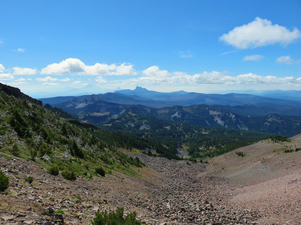
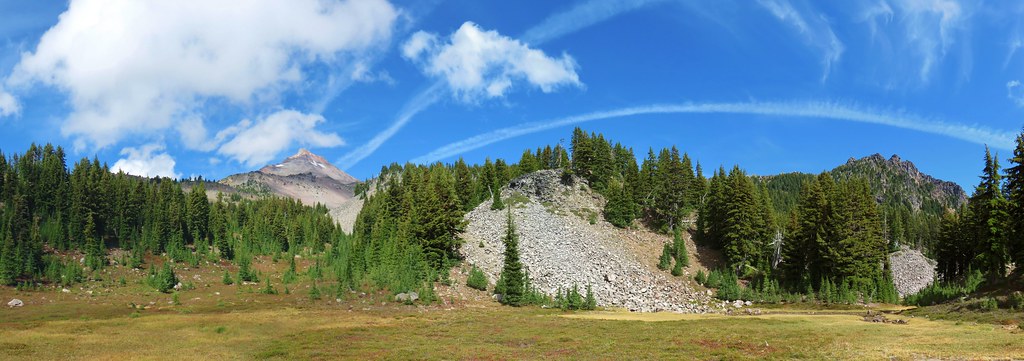
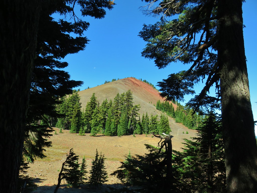
 South Cinder Peak (post) to the left and Three Fingered Jack to the right.
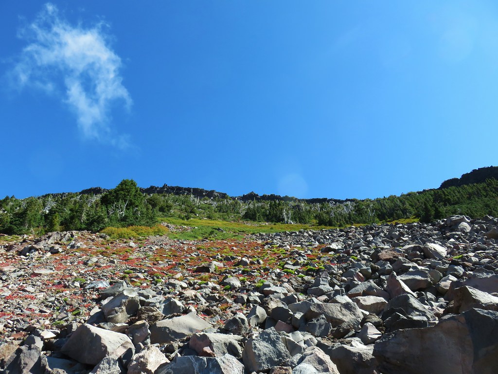
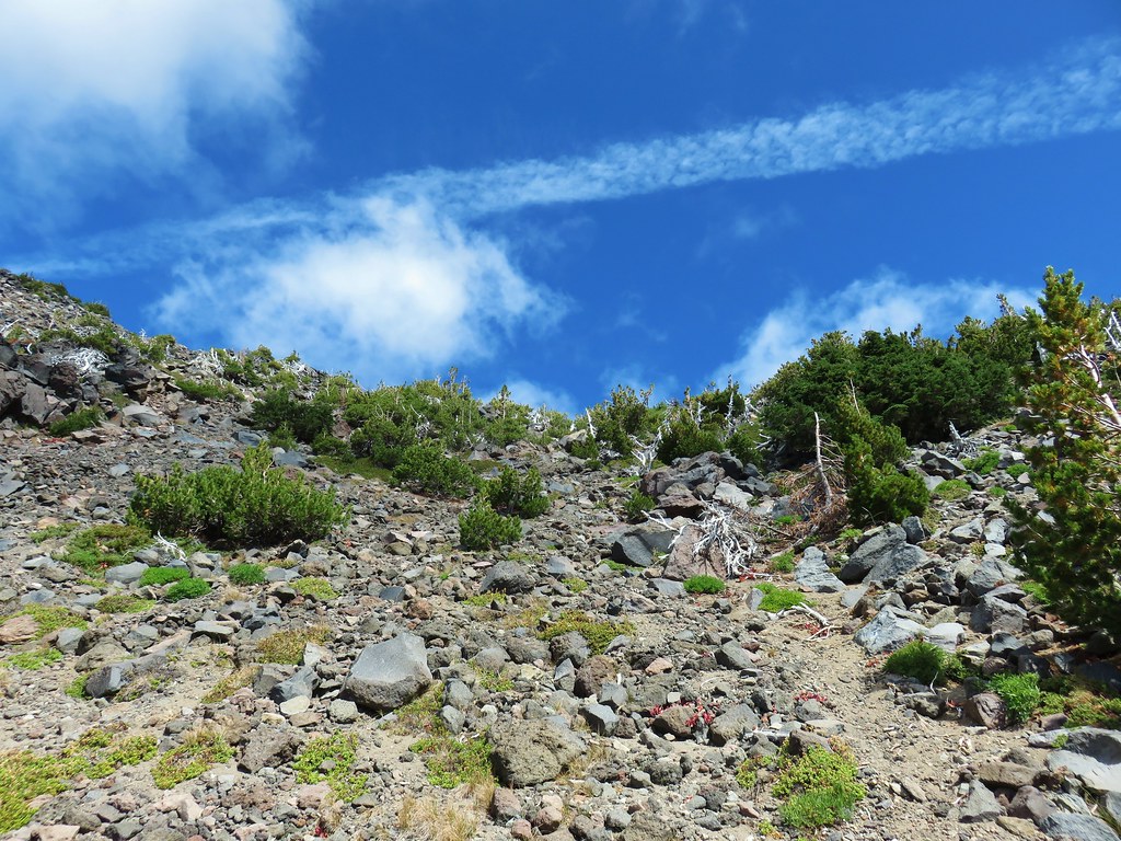
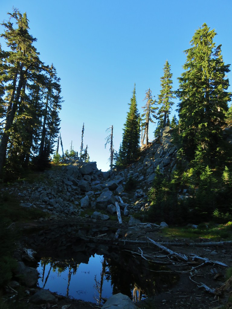
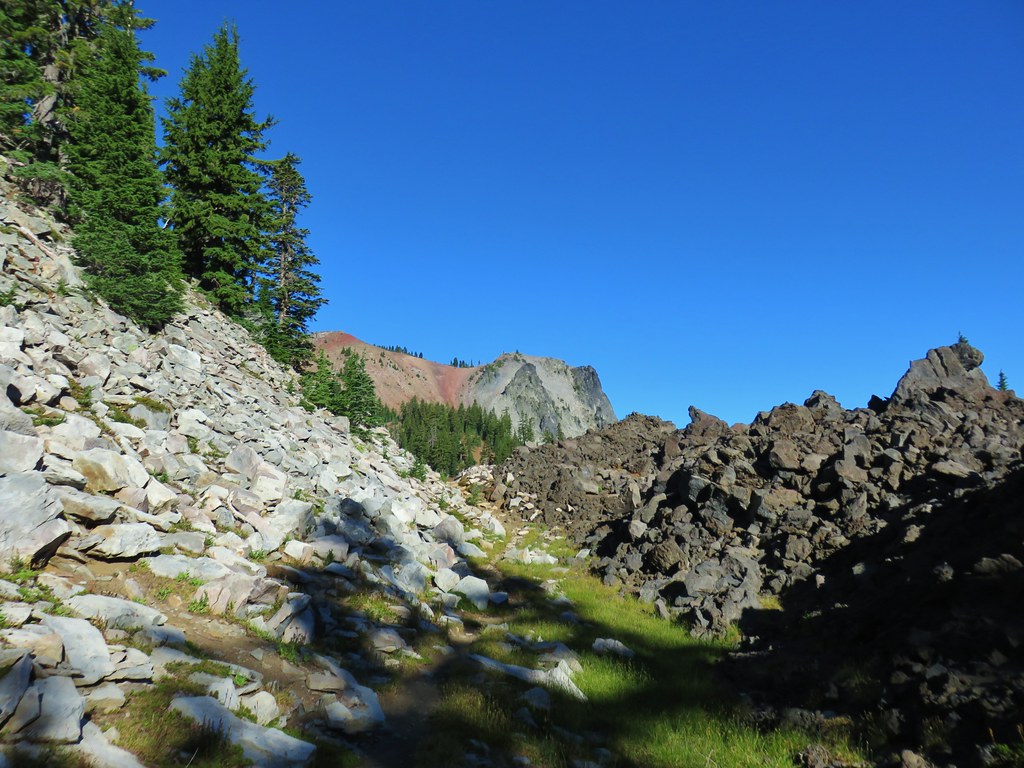
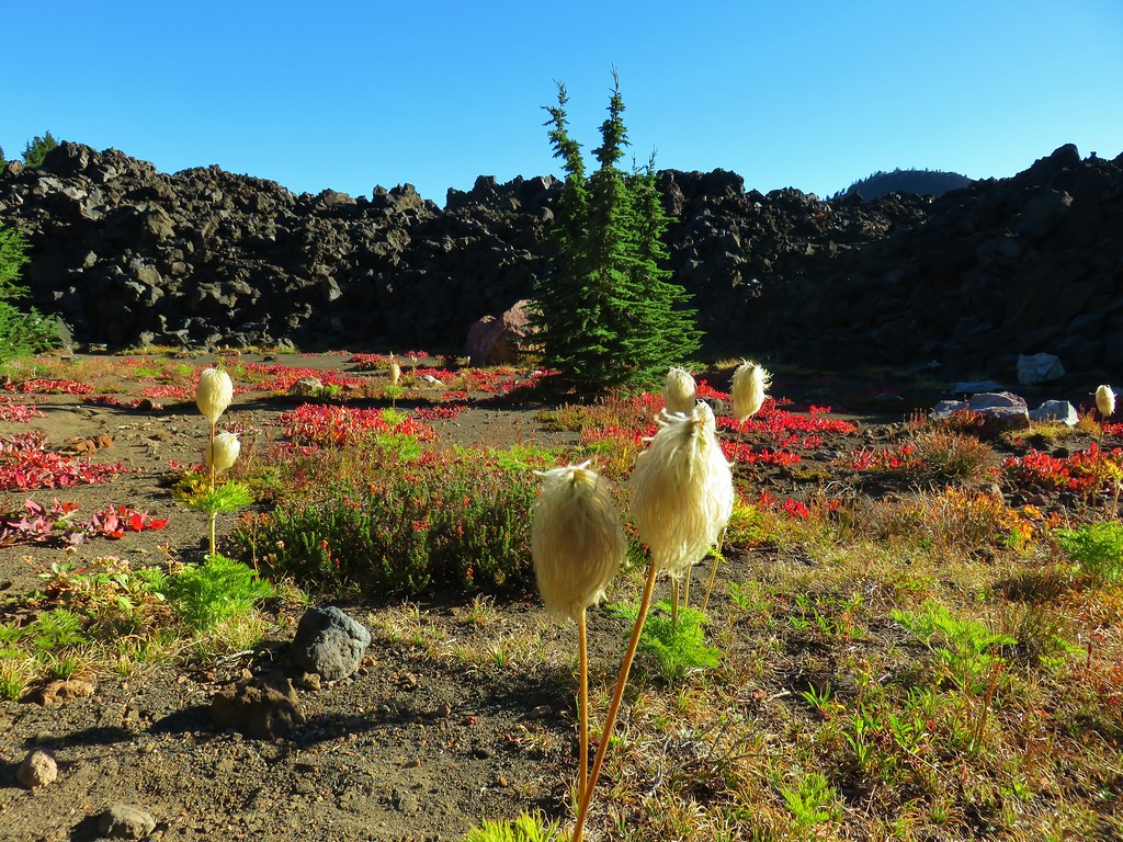
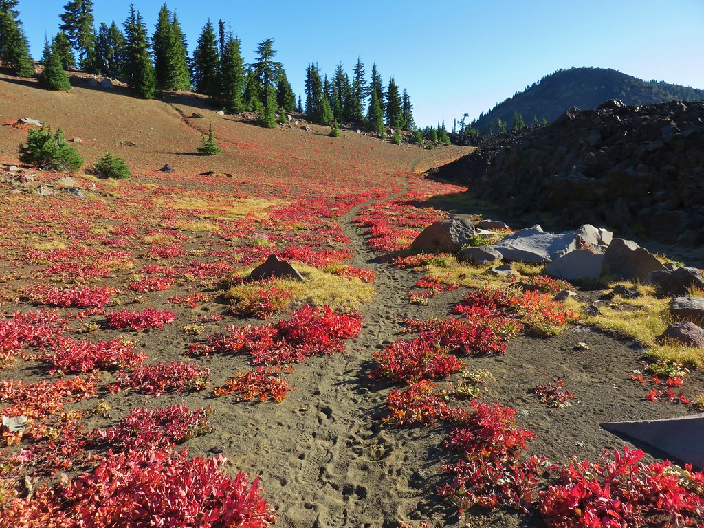
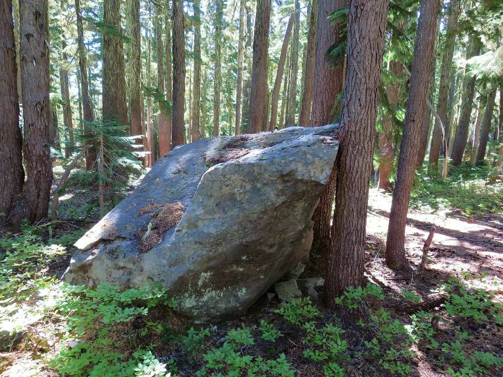
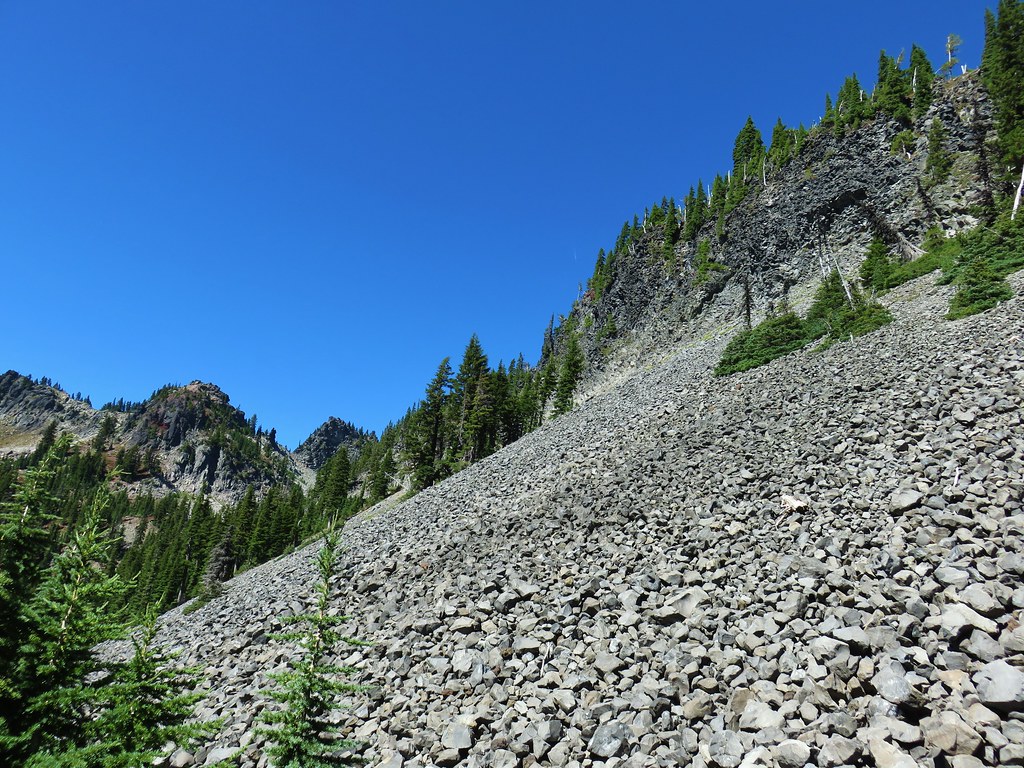
 Still passing the rocks.
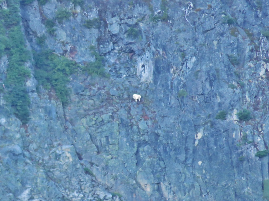
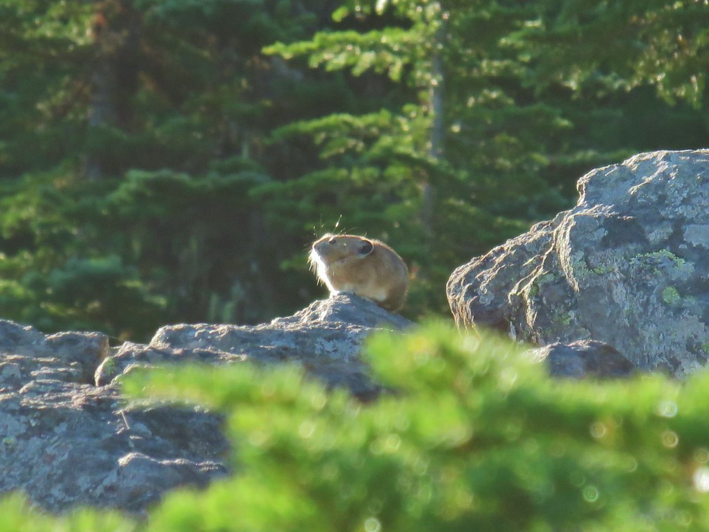
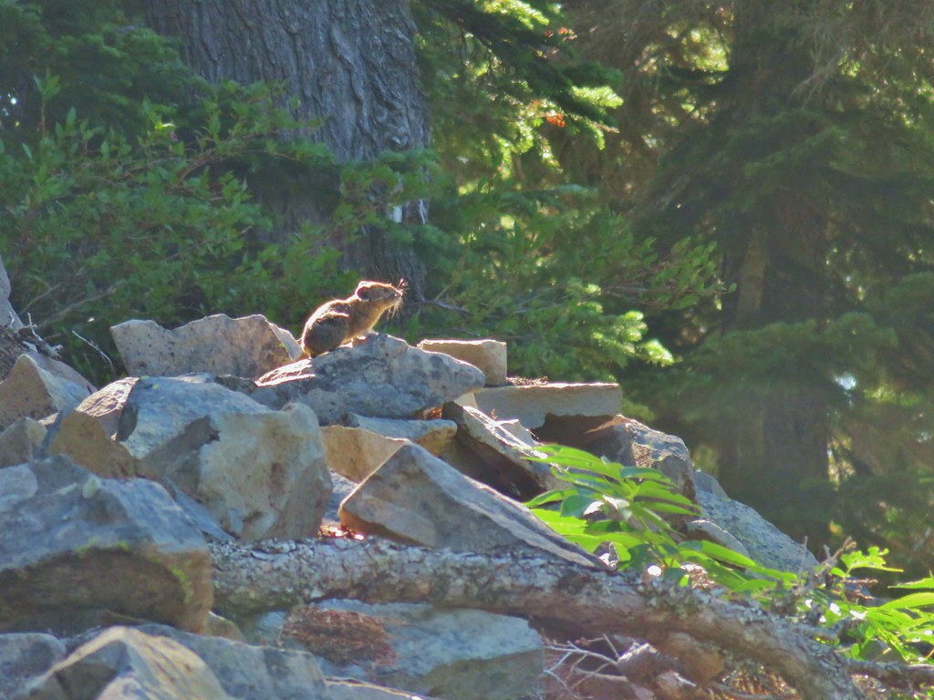
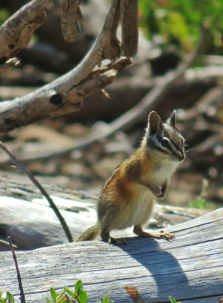
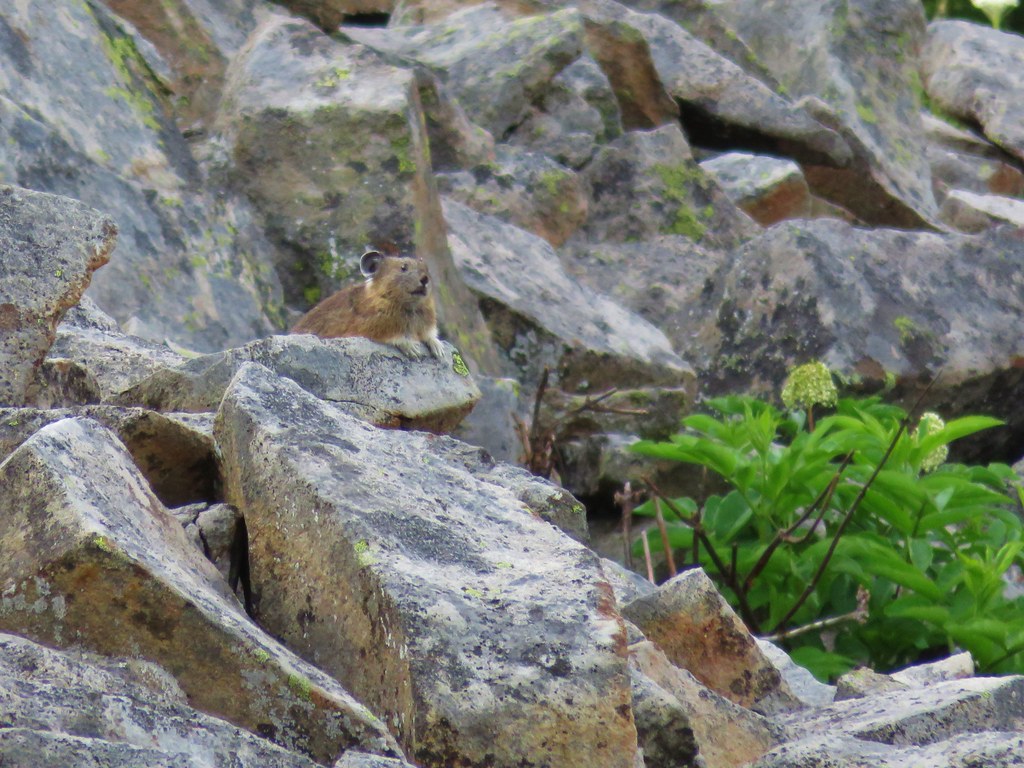
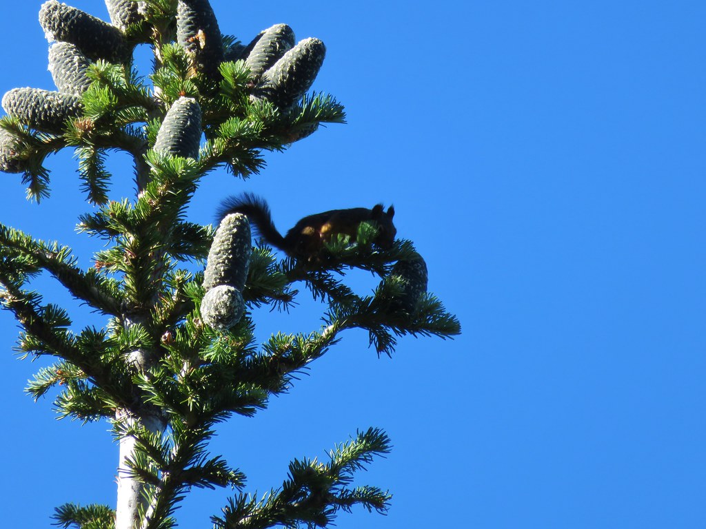
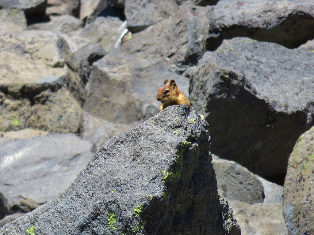
We heard a couple of “meeps” from pikas in the rocks but we only managed to spot a golden-mantled ground squirrel.

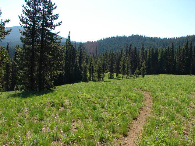
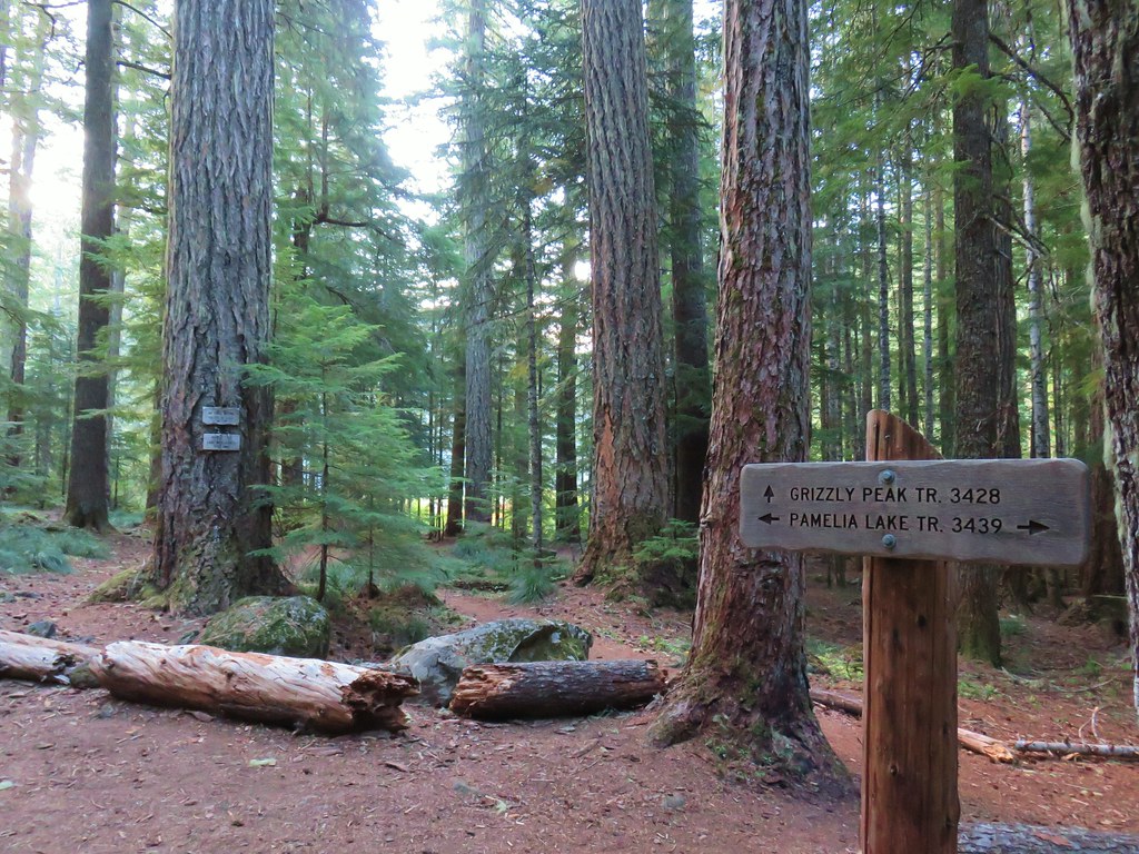
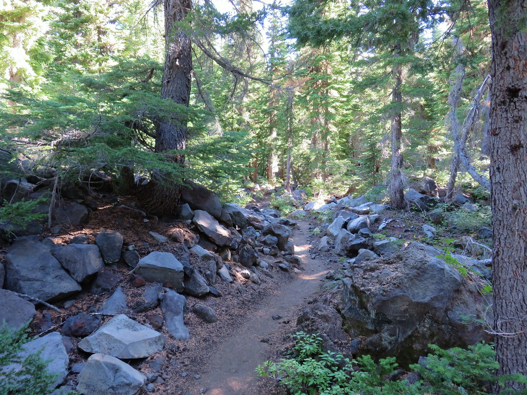
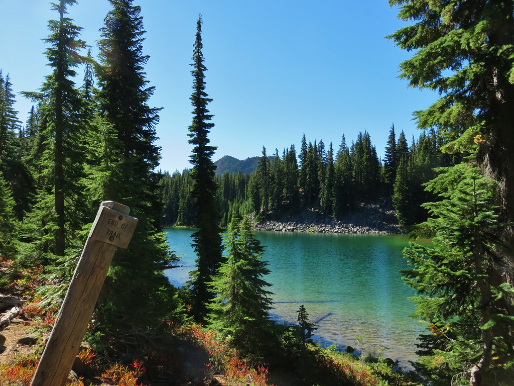
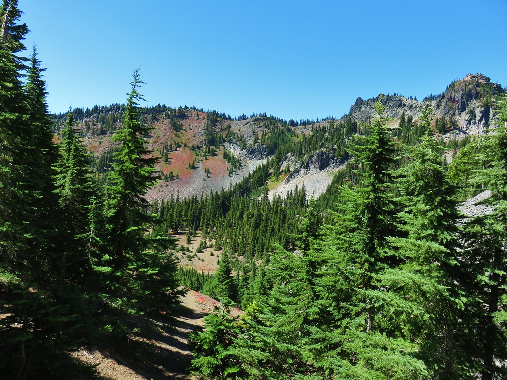
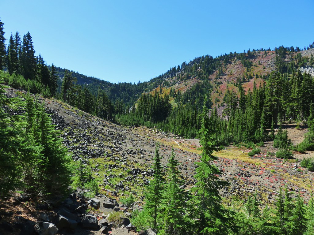
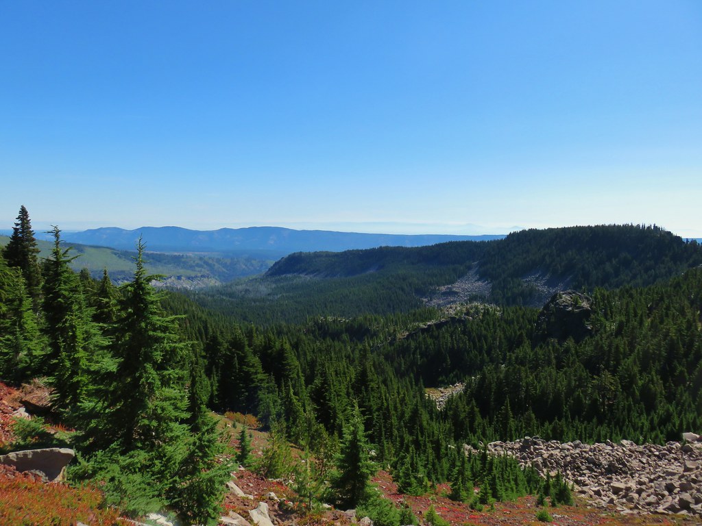
As the trail passed around the rocky rise we reentered green forest and quickly came to the end of the Bingham Ridge Trail at a junction with the Lake of the Woods Trail 3.7 miles from the trailhead.
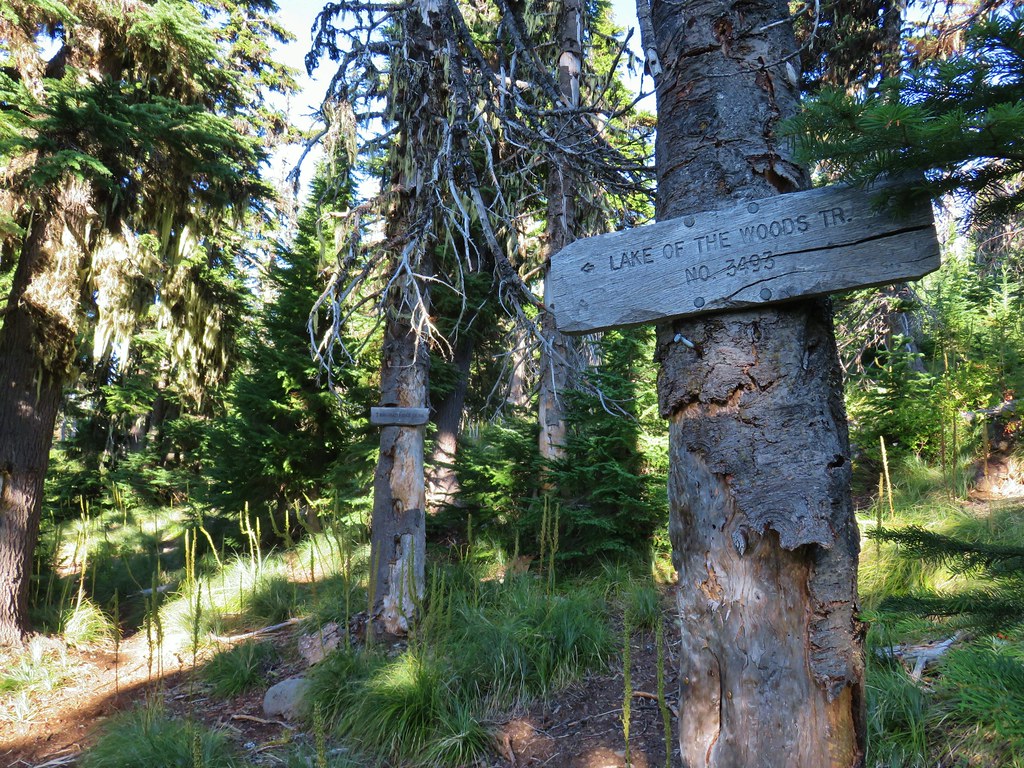
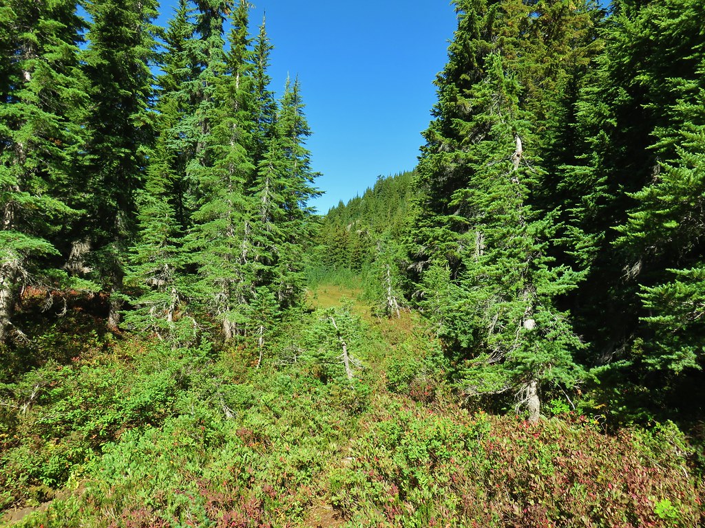
The Lake of the Woods Trail runs north-south between the Pamelia Limited Entry Area and Marion Lake (post). We turned left (north) onto this trail which promptly crossed over the ridge at a low saddle and began to traverse a forested hillside.
 The low saddle.
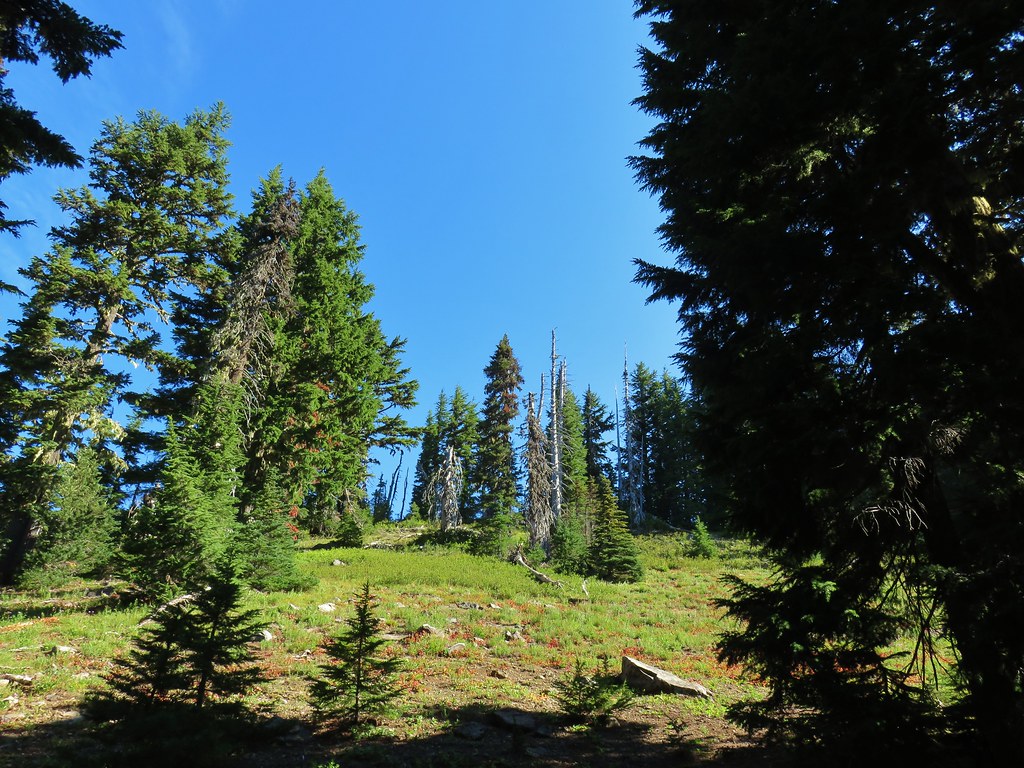
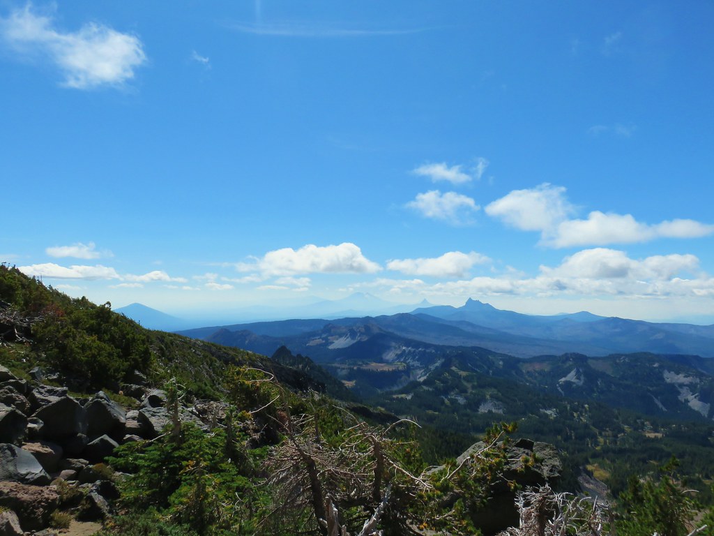
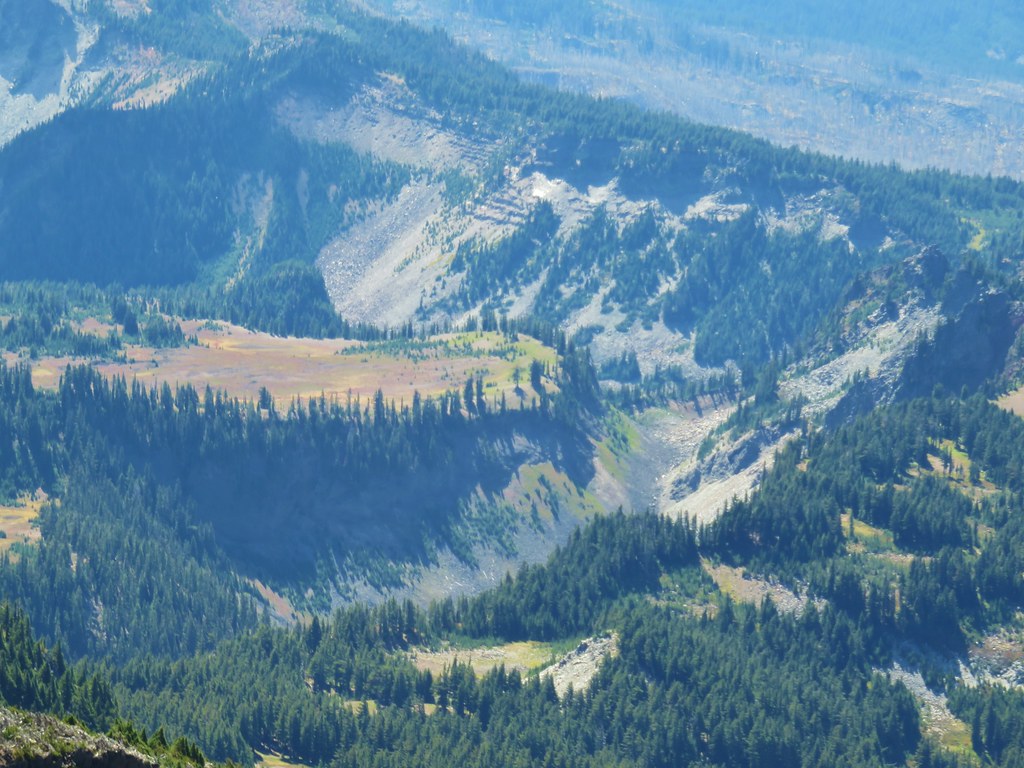
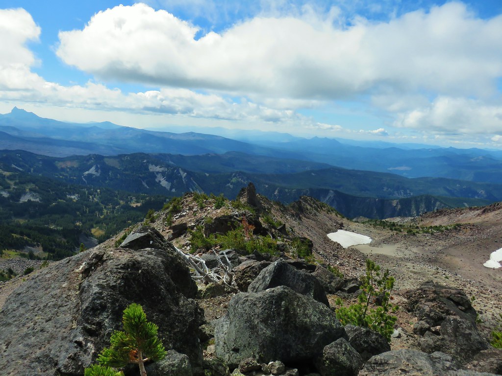
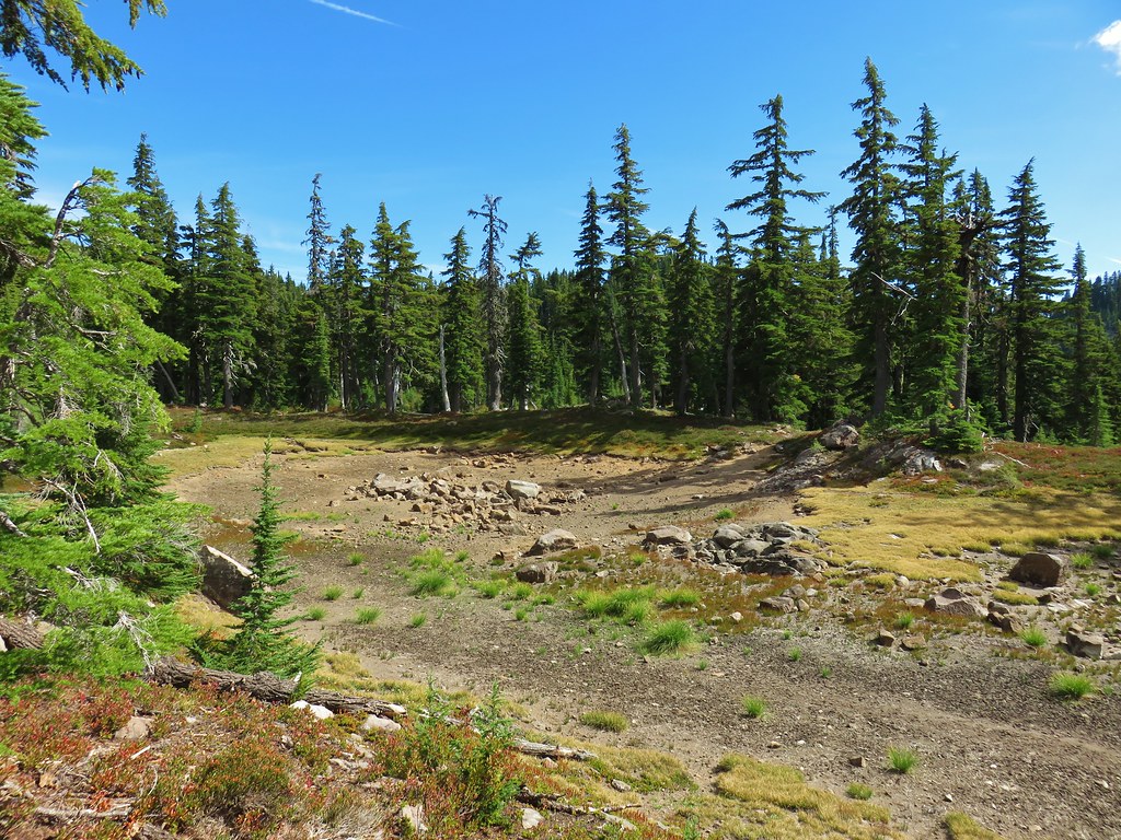
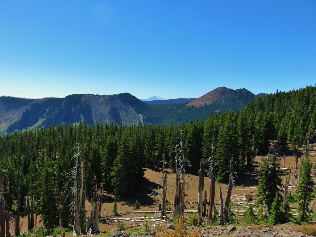
The trail wound around the basin arriving at a ridge end viewpoint where we had hoped to get a view of Mt. Jefferson but soon realized that we hadn’t come far enough around yet and we were looking west not north.
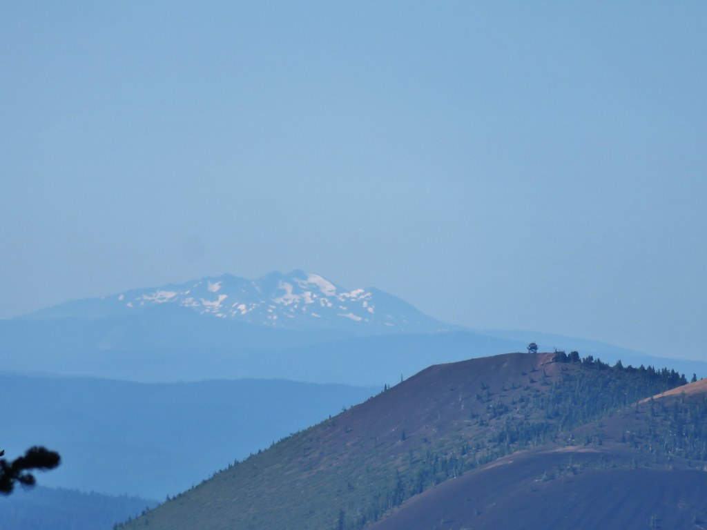
 Coffin and Bachelor Mountains (post).
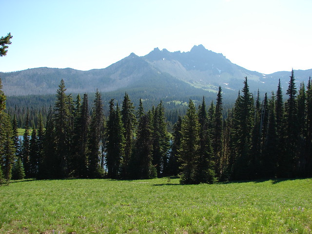
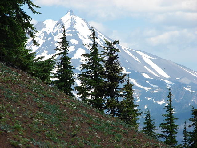
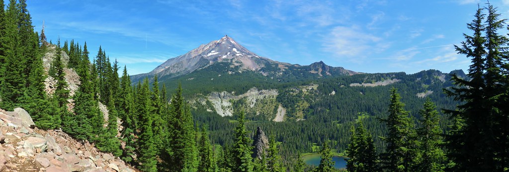
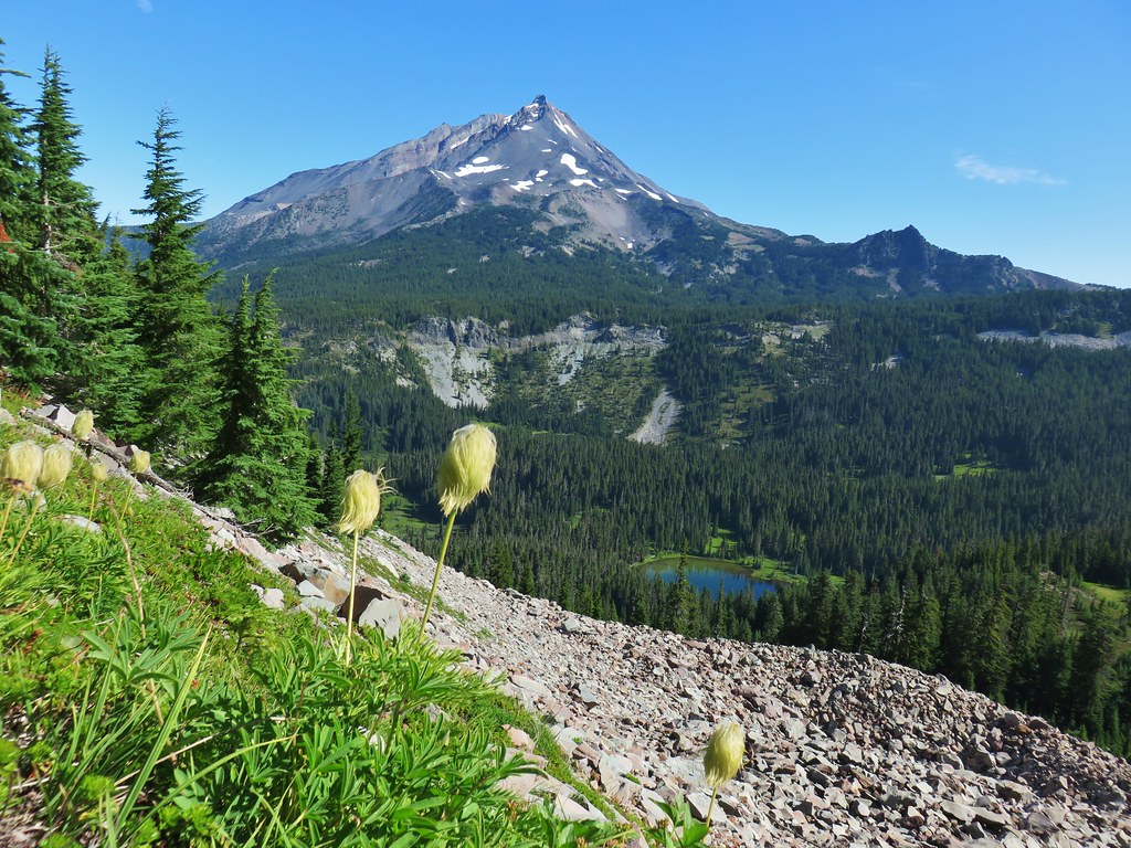
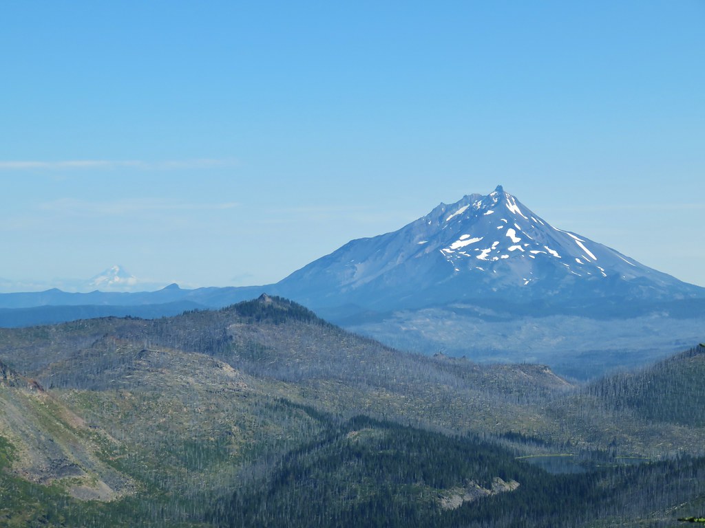
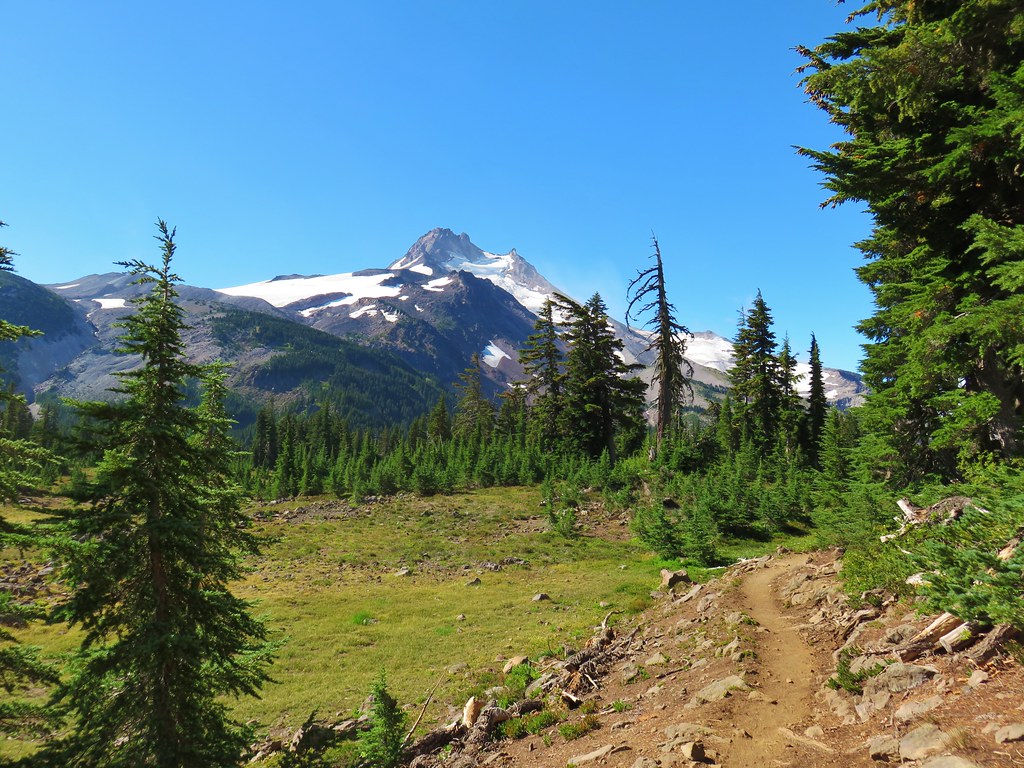
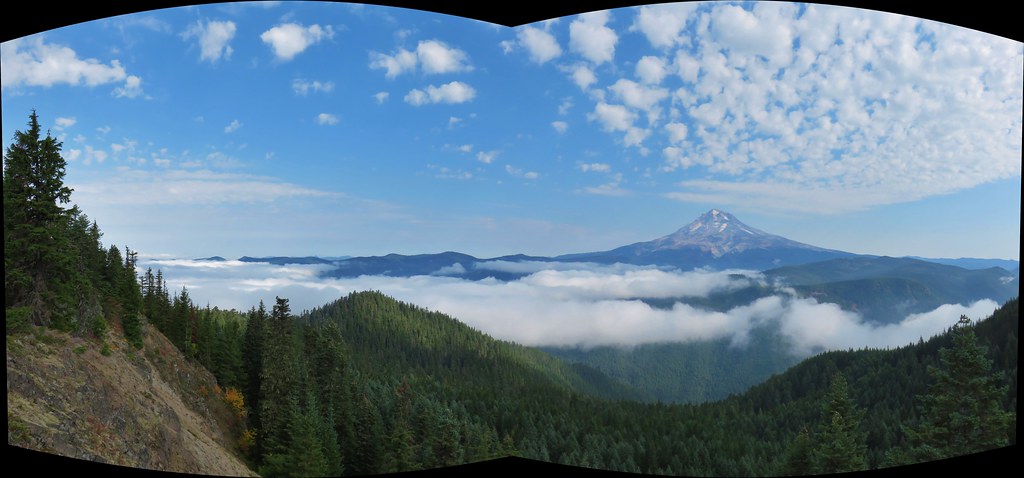
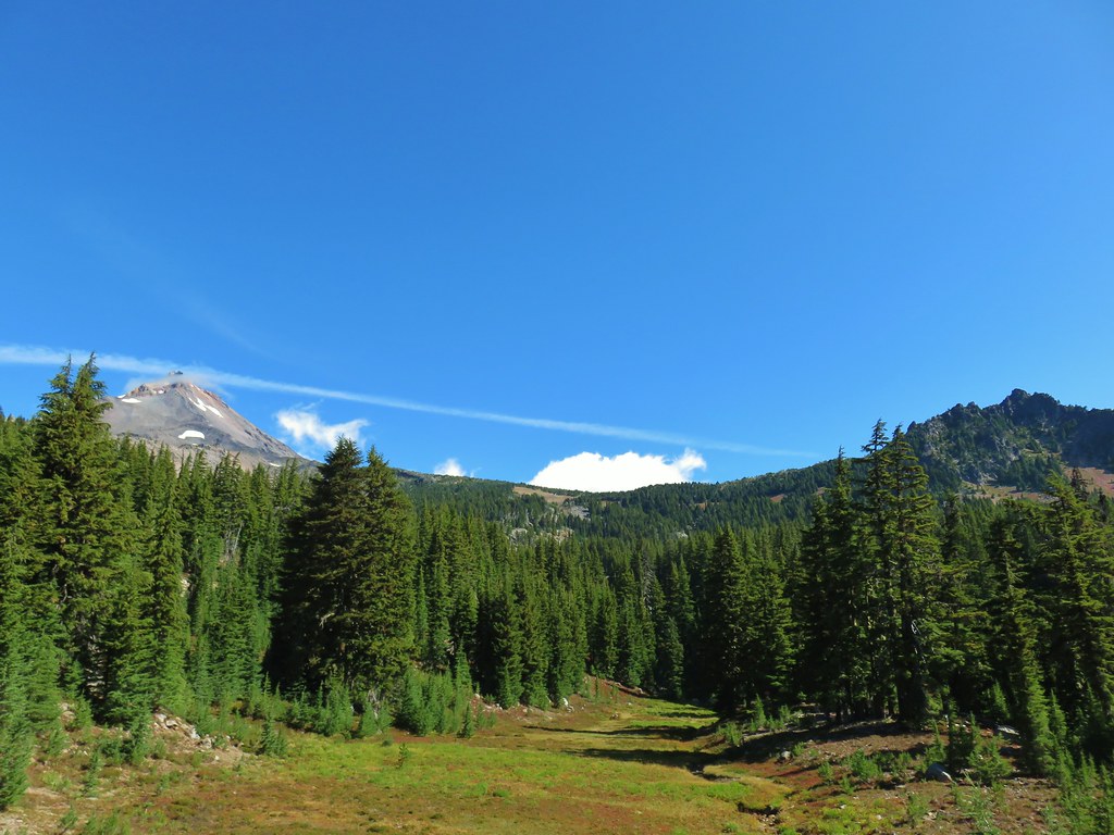
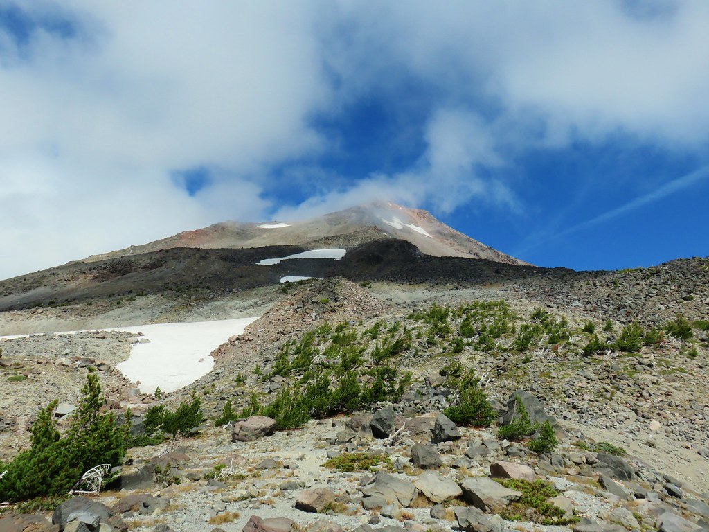
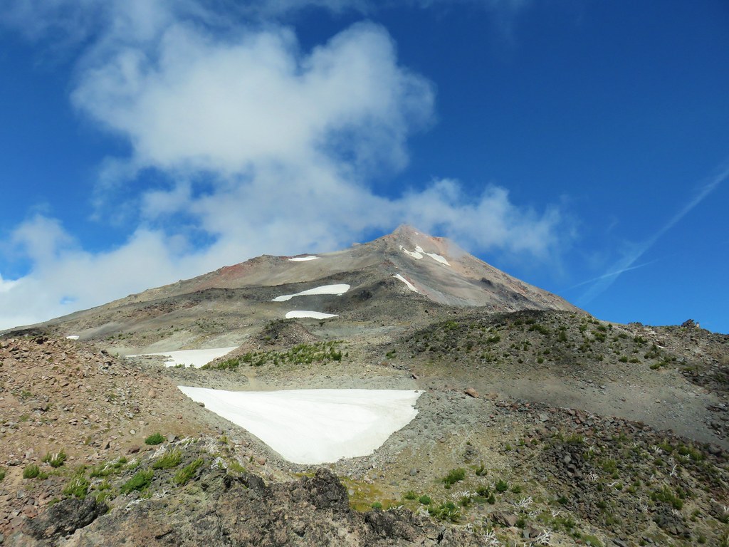
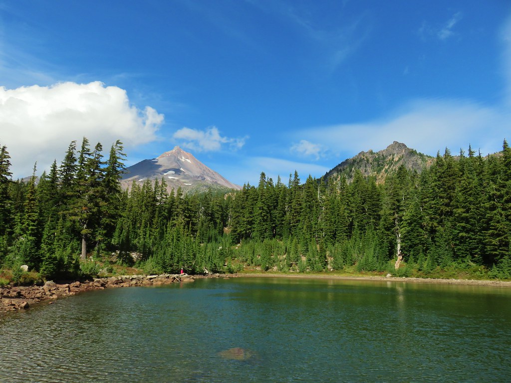
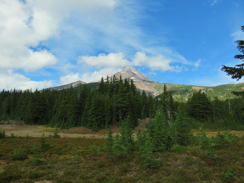
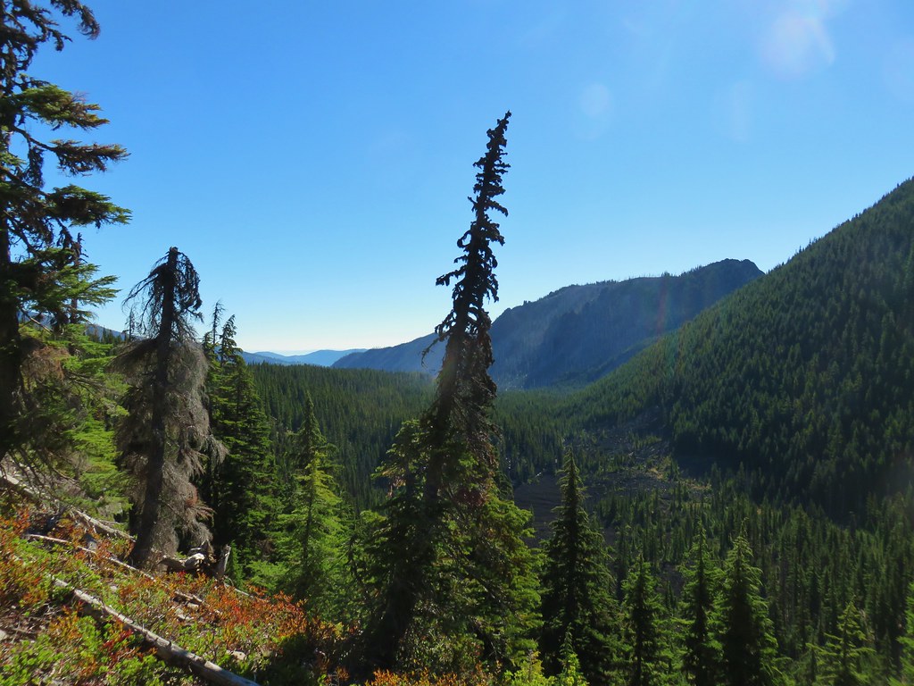
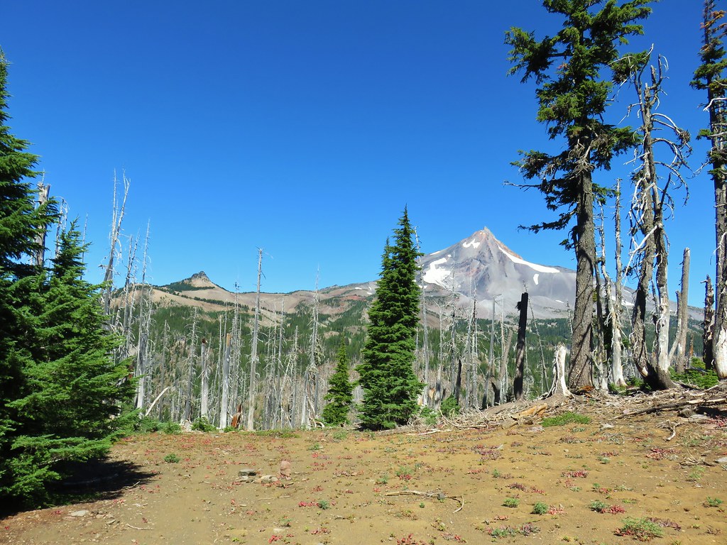
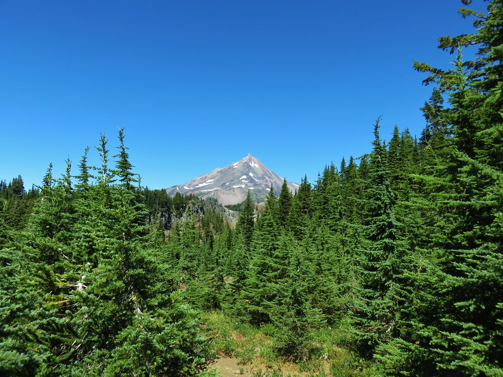
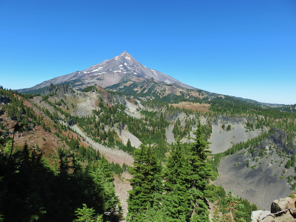
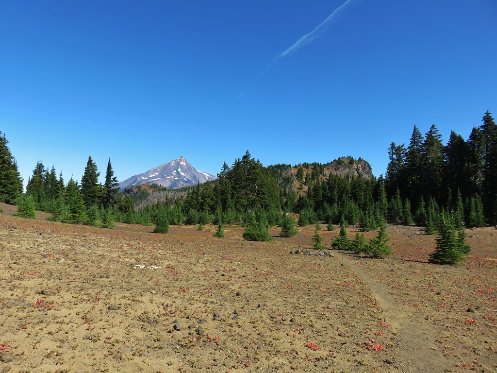
We continued along the hillside finally coming far enough around to get a look at Mt. Jefferson.

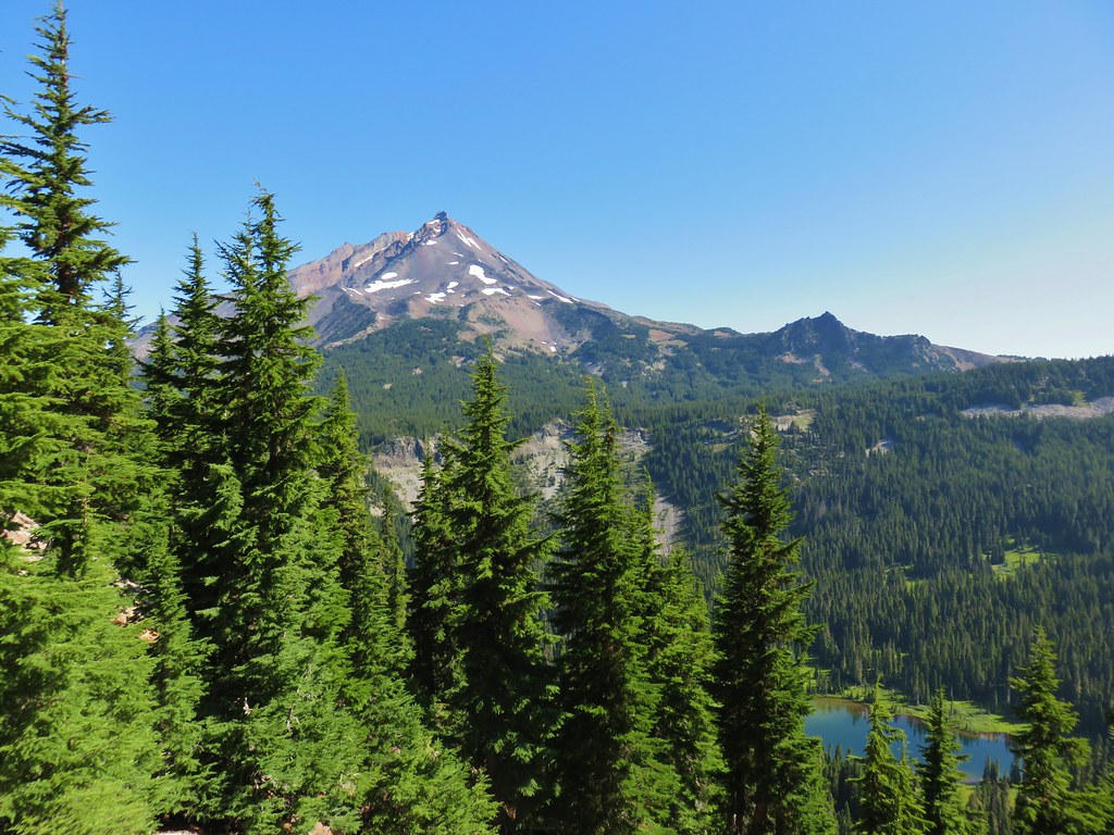
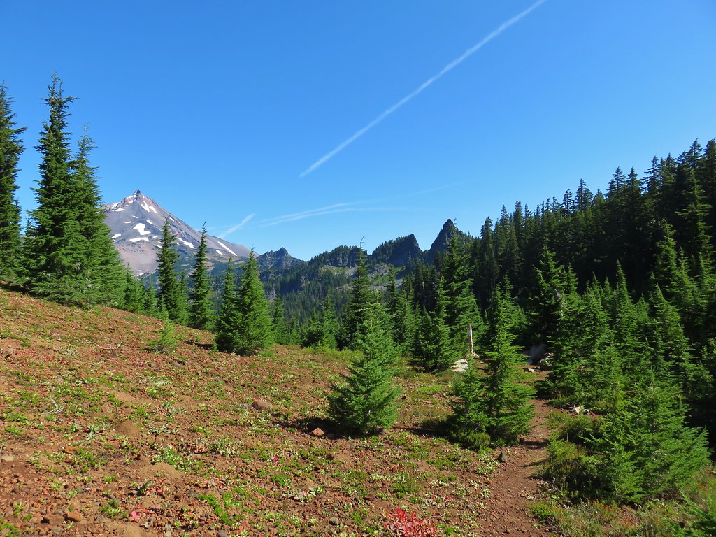
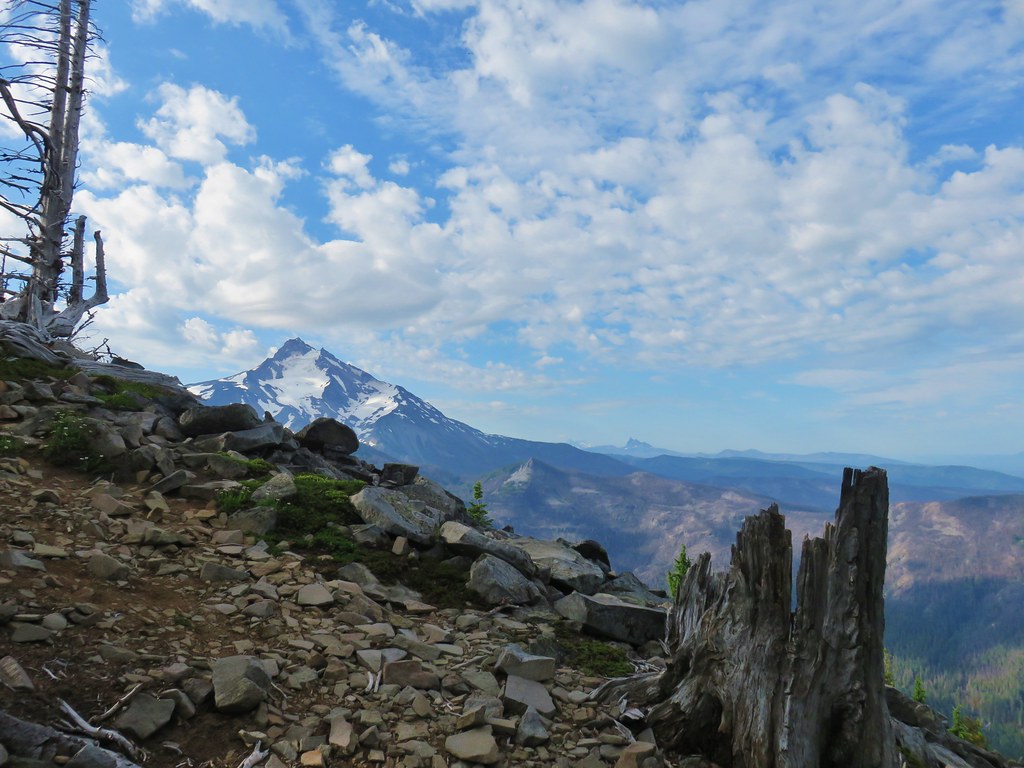
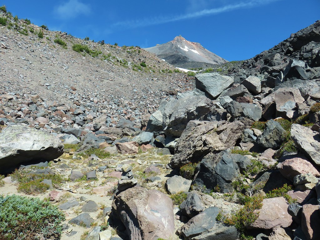
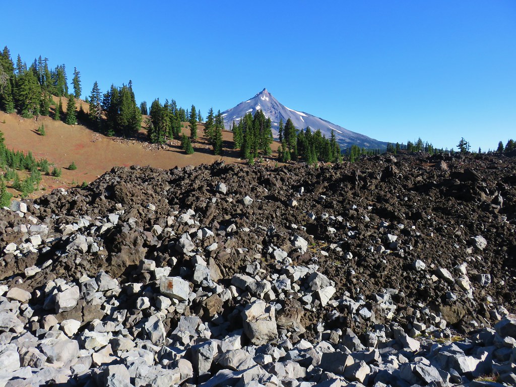
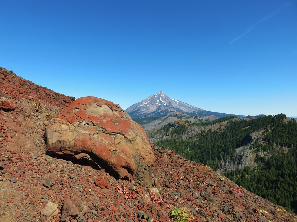
Just a little further along we arrived at Reeder’s turn around point for the 8.8 mile hike described in his book. A cinder viewpoint of Mt. Jefferson across the Bingham Basin.


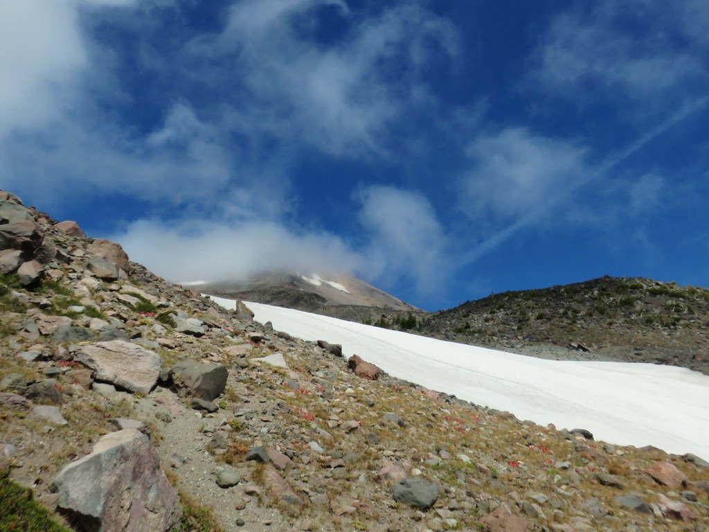
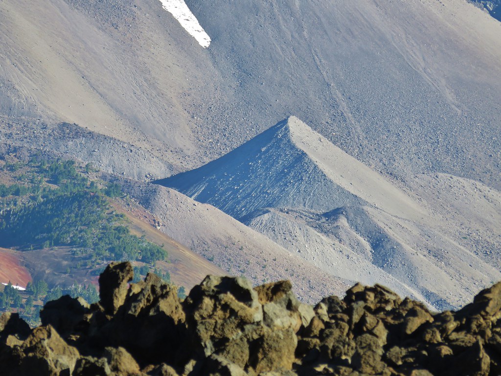
There was a strange group of clouds hanging out on the top of the mountain. We could see them moving in what appeared to be a SE direction but despite seeing the movement it never really appeared that they were going anywhere.

As we stood at this rocky viewpoint we could hear more pikas and then Heather spotted one sitting on top of some rocks, maybe enjoying the same view we were.
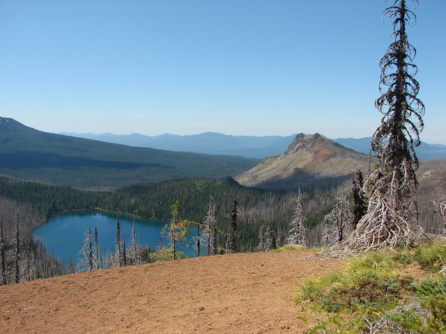
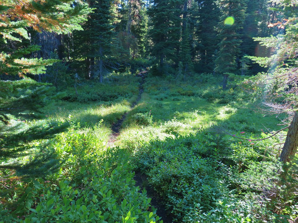
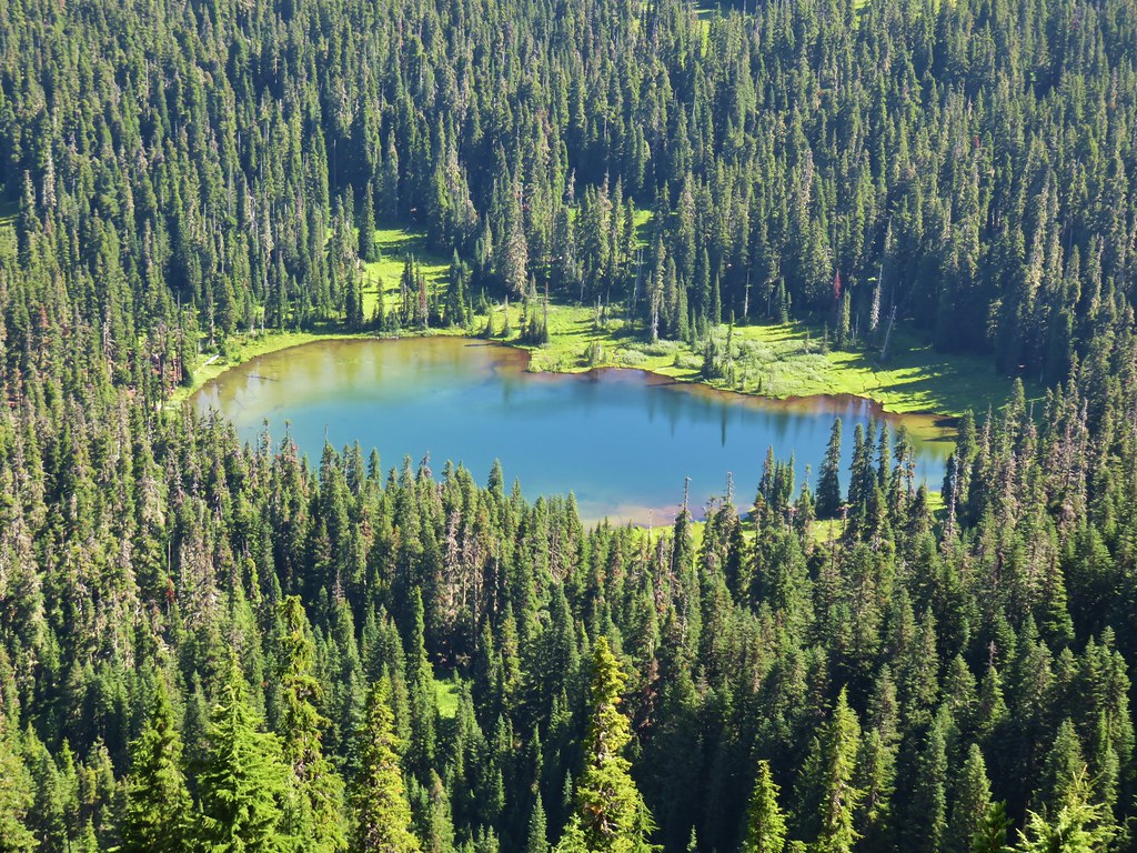
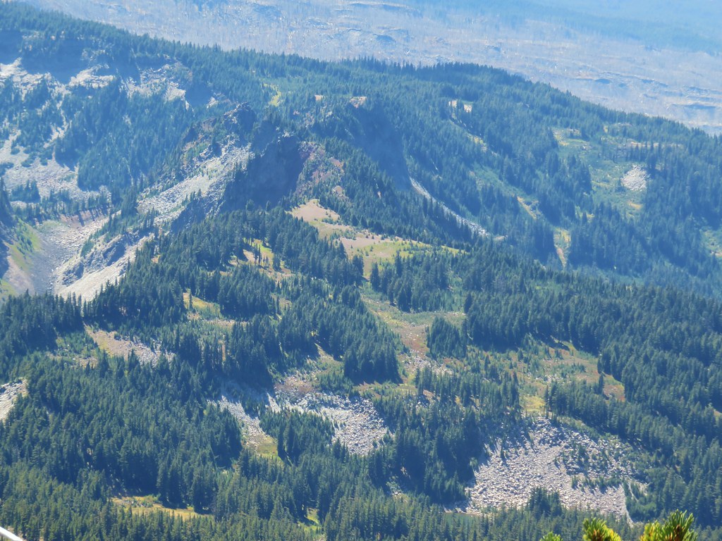
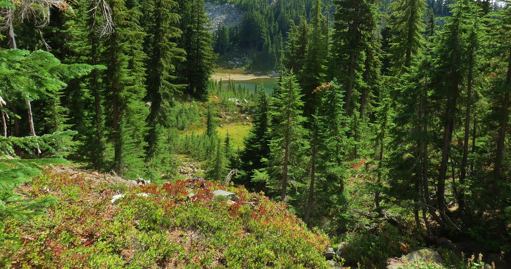
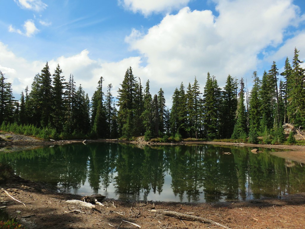
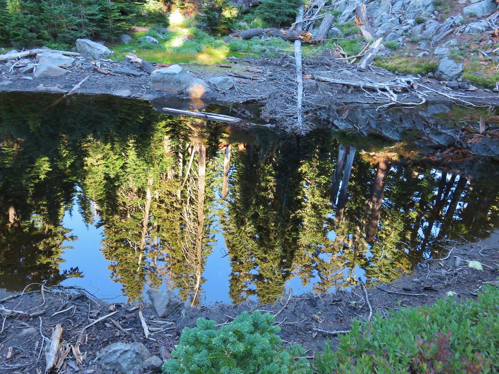
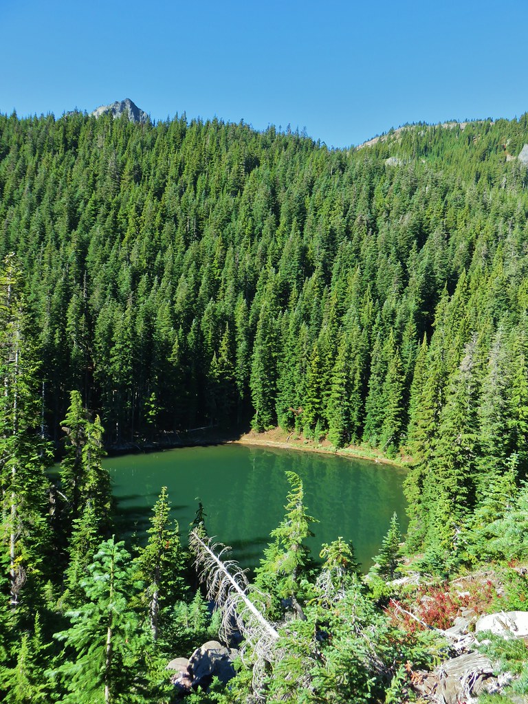
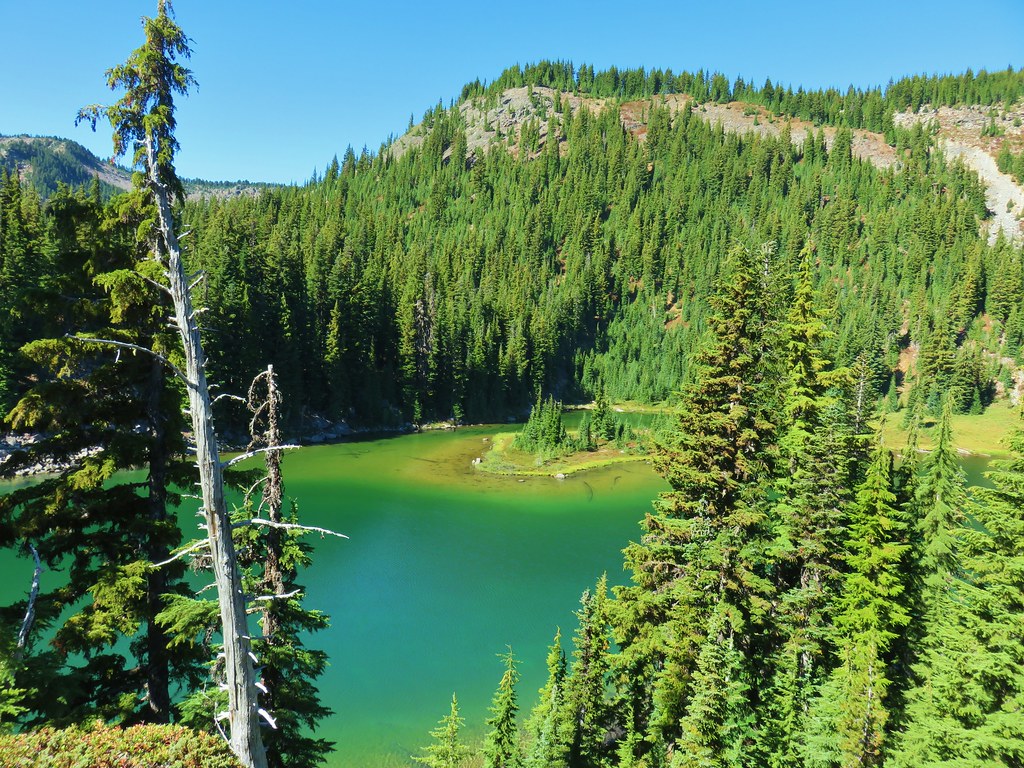
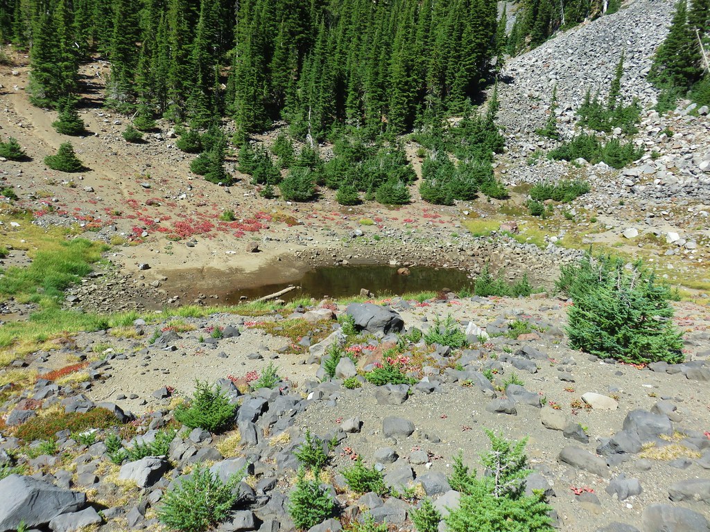
Even though Reeder calls this viewpoint “the most logical stopping point for dayhikers” he does provide information for those wishing to continue. Since logic sometimes goes out the window with regards to hiking we continued on. The trail dropped just a bit to a fairly level bench where it passed through a couple of meadows before arriving at an unnamed lake with a view of Mt. Jefferson on the left.
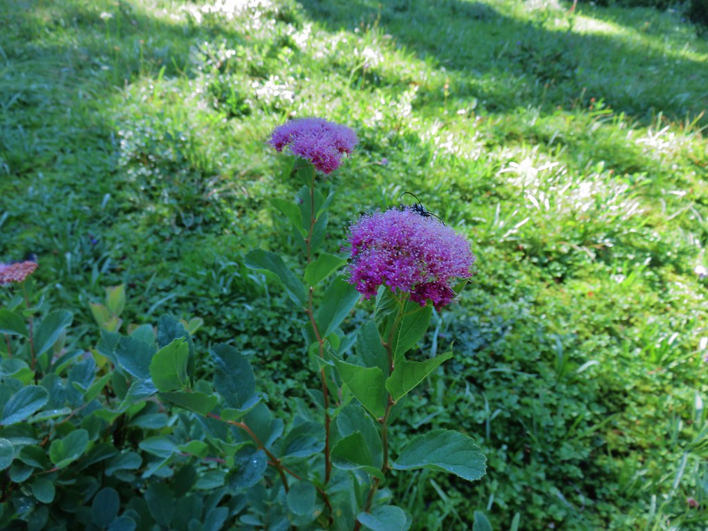 Spirea with a beetle.
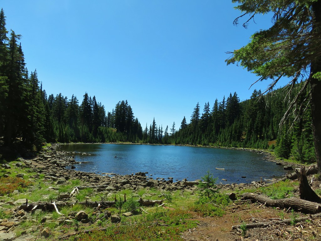
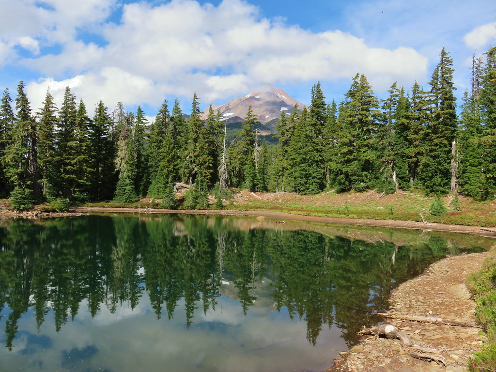
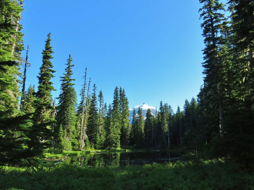 Unnamed lake with Mt. Jefferson (and those pesky clouds).
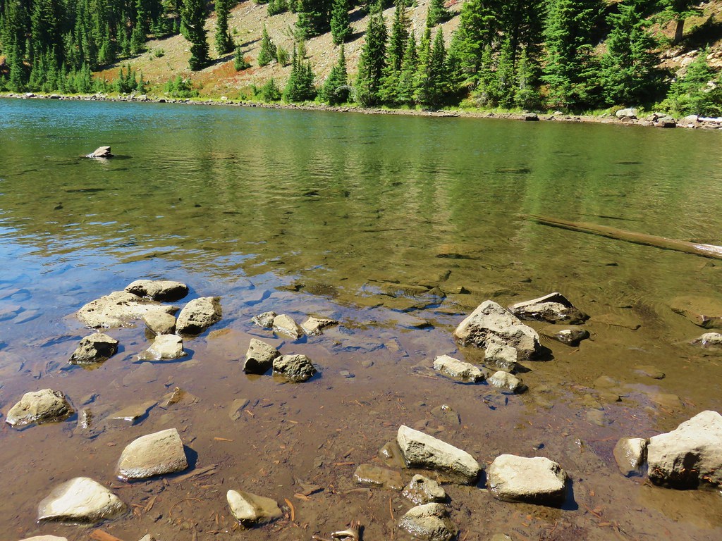
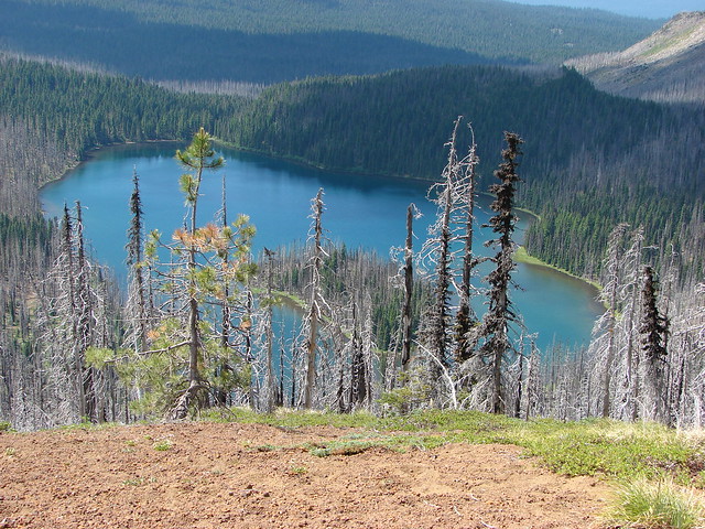
 From the opposite side of the lake.
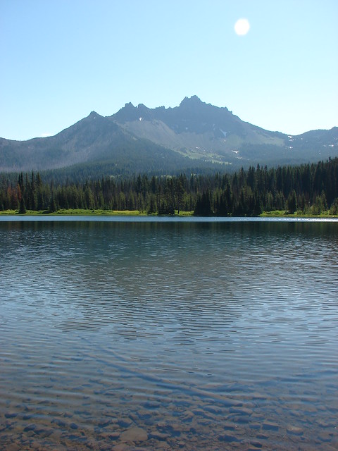
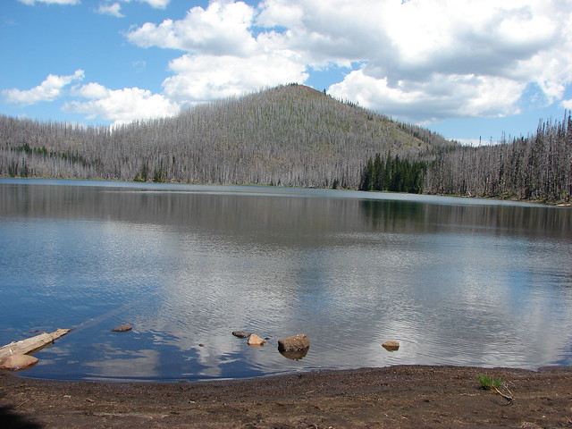
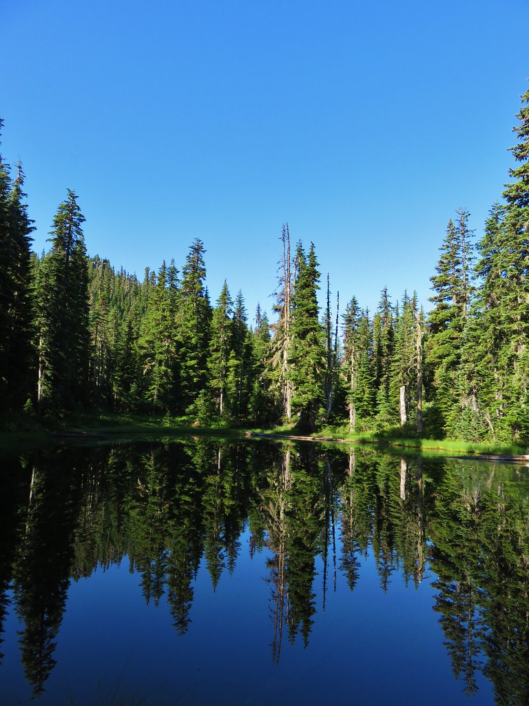
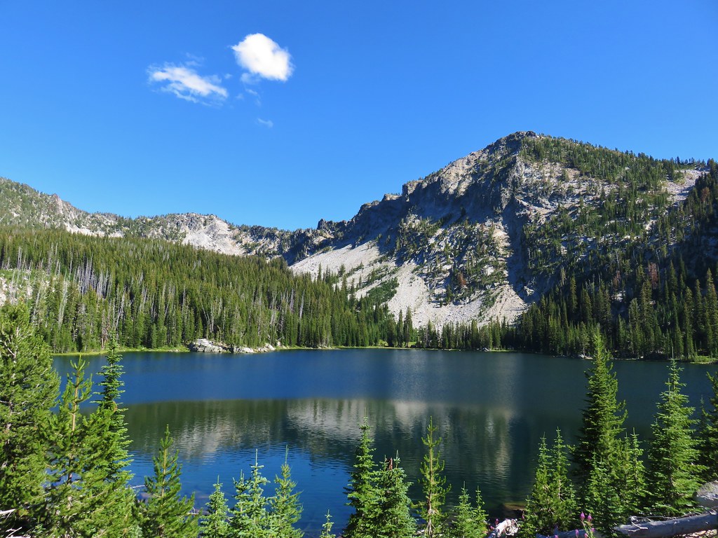
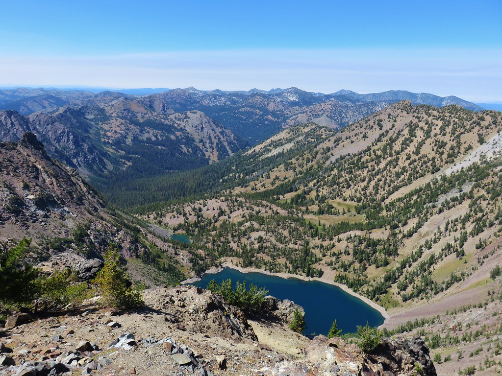
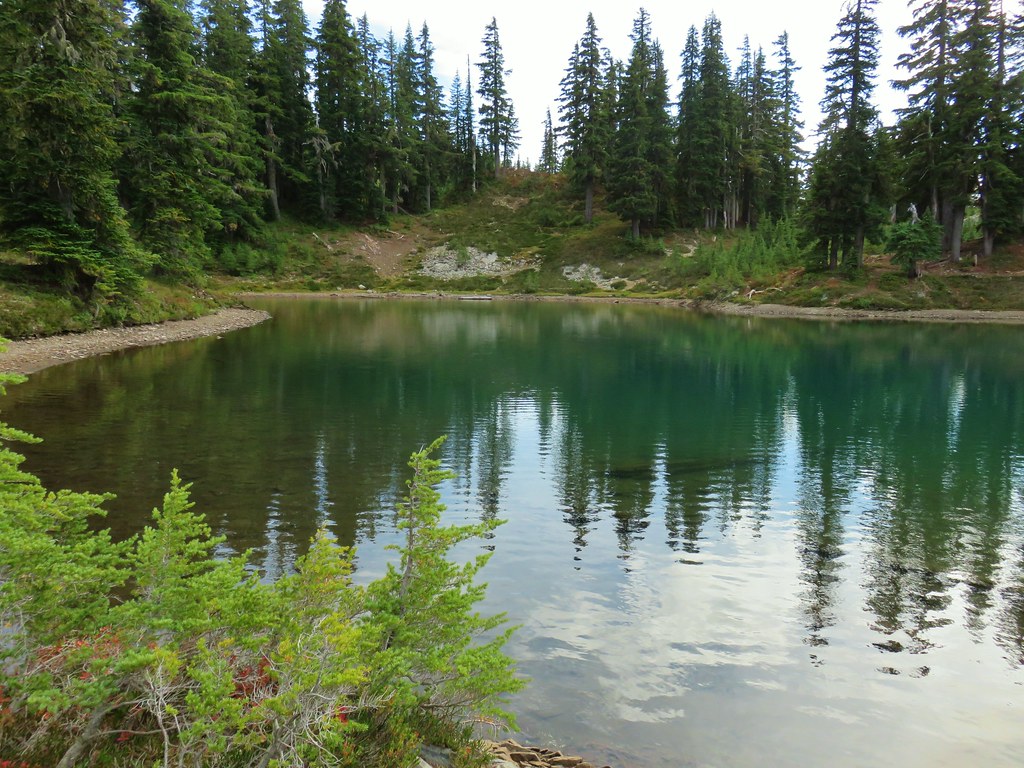
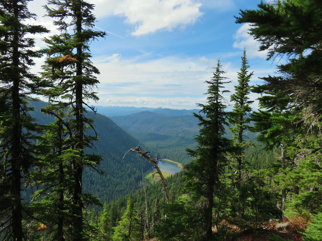
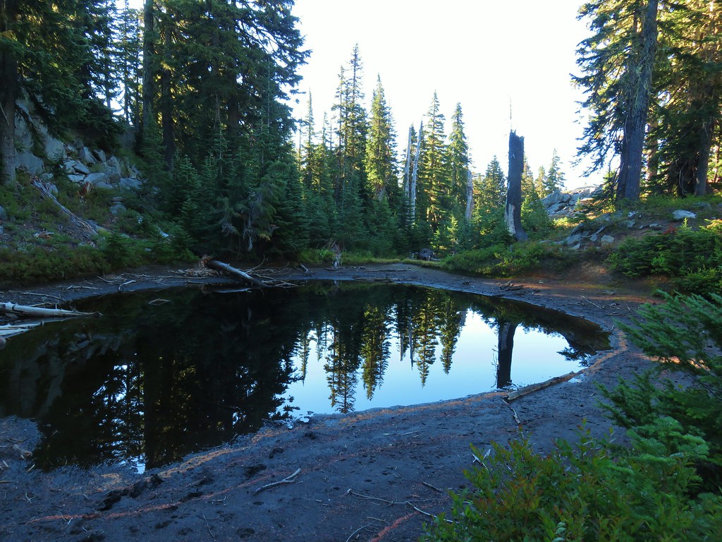
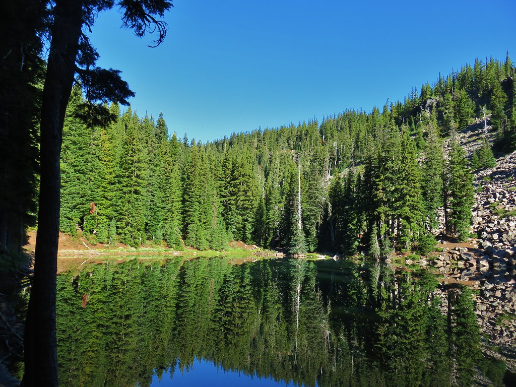
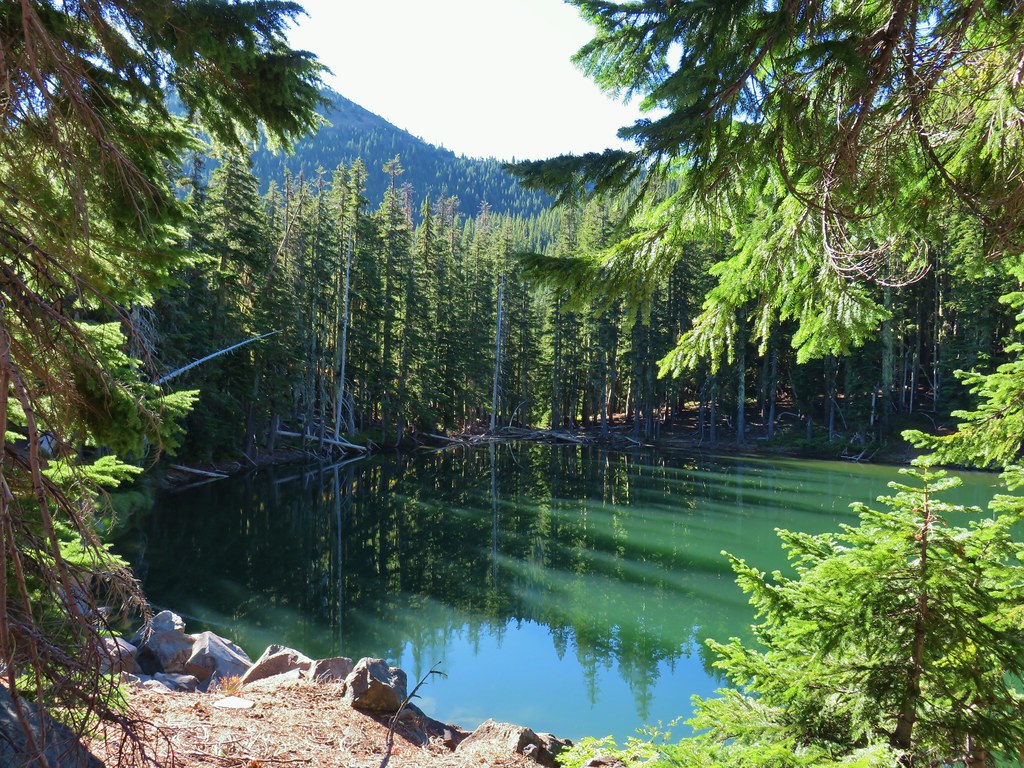
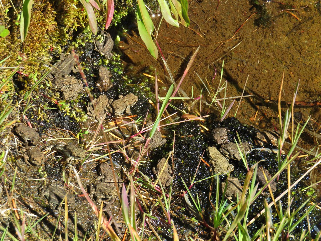
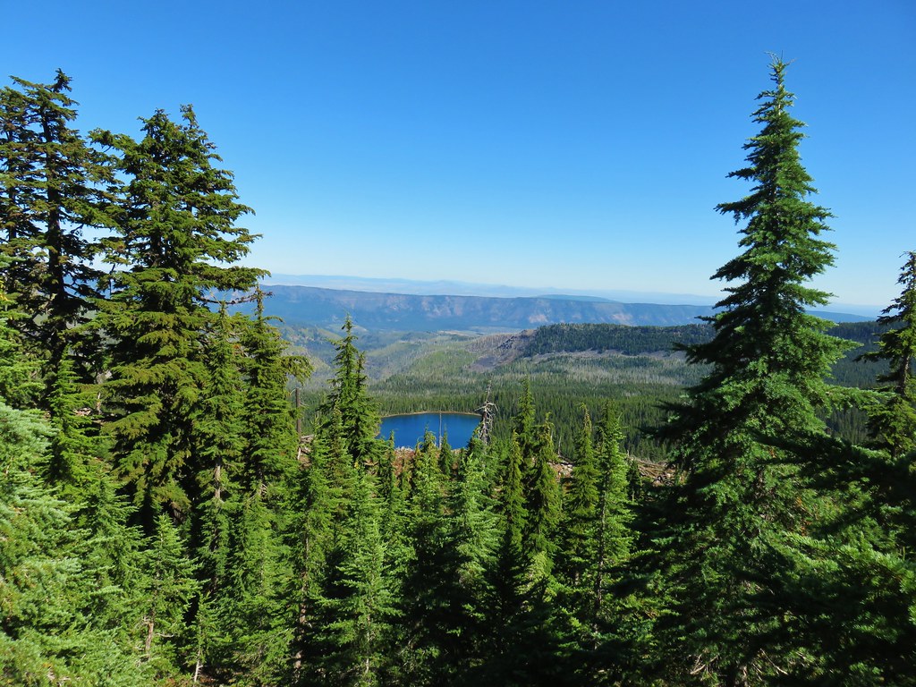
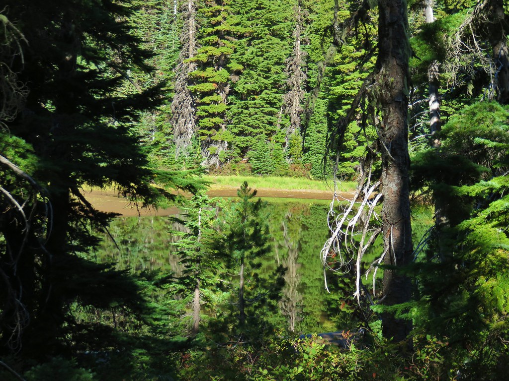
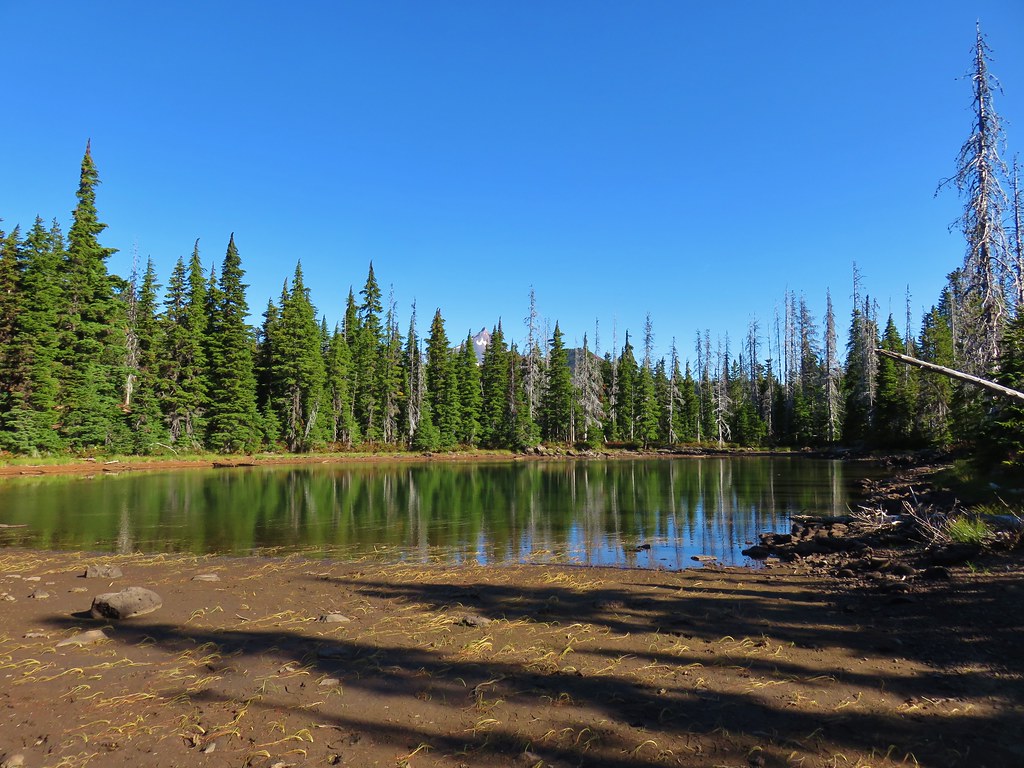
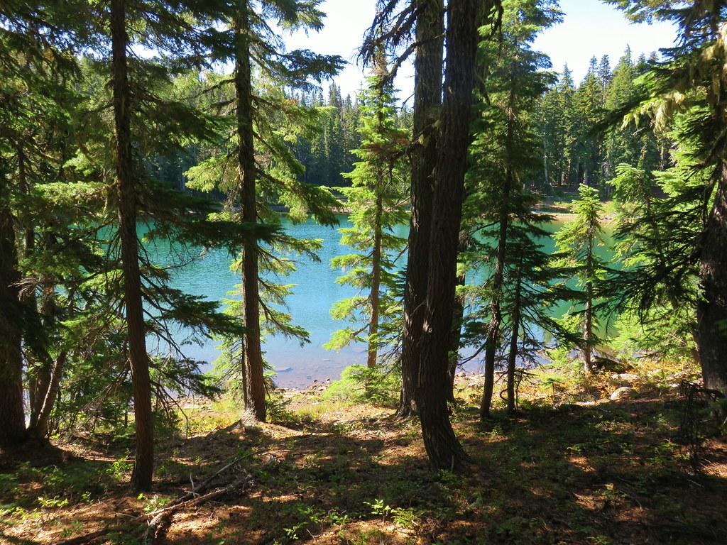
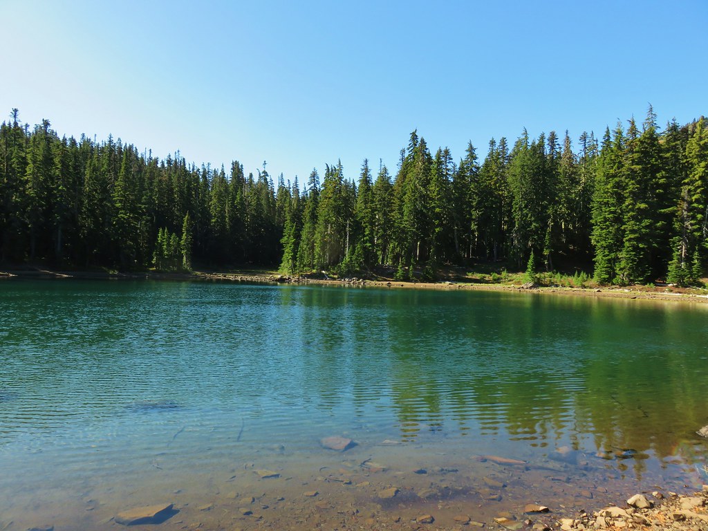
A half mile later (or just under 2 miles from the Bingham Ridge Trail junction) we arrived a Papoose Lake.


The mountain was mostly hidden by trees from this lake but there were several frogs to watch and a short scramble up a rockpile on the east side of the lake did provide another look at Mt. Jefferson.

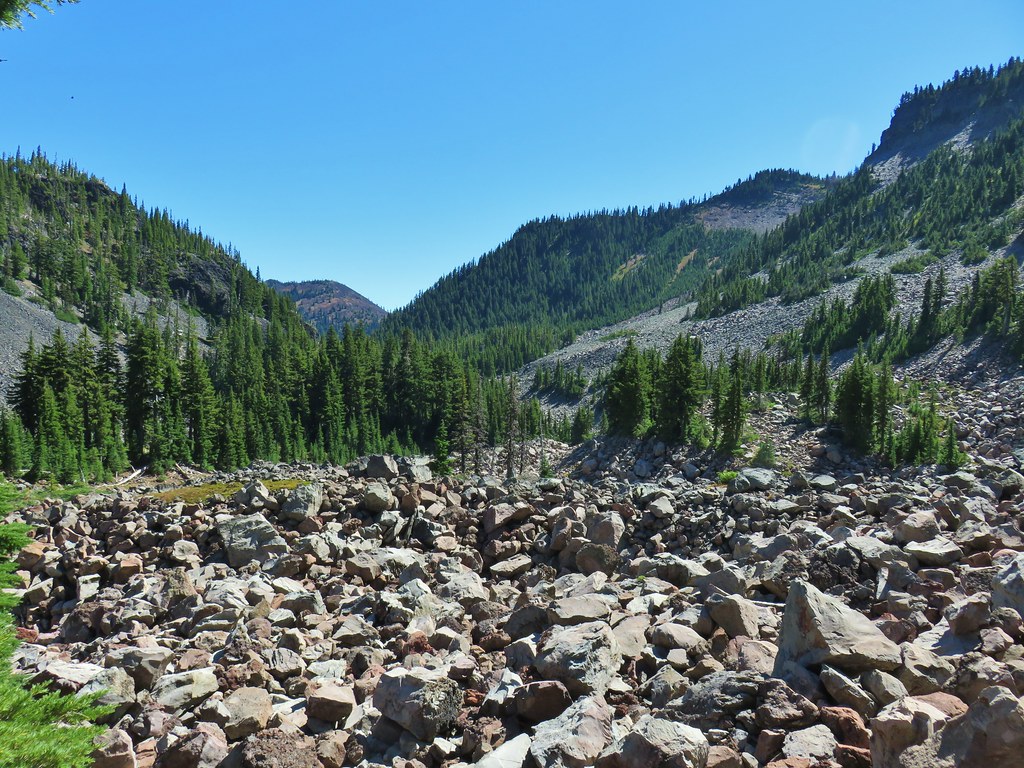
It was actually a really impressive amount of boulders here and although we didn’t spot any, we could hear a number of resident pikas.
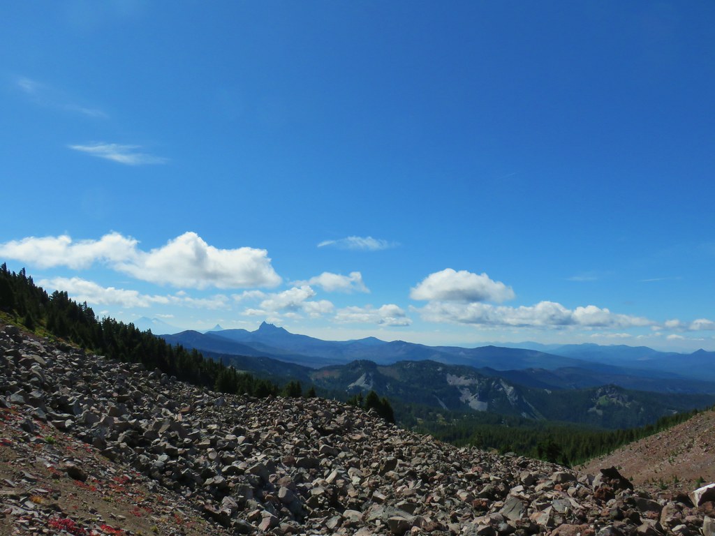
 Looking south over the rock field.
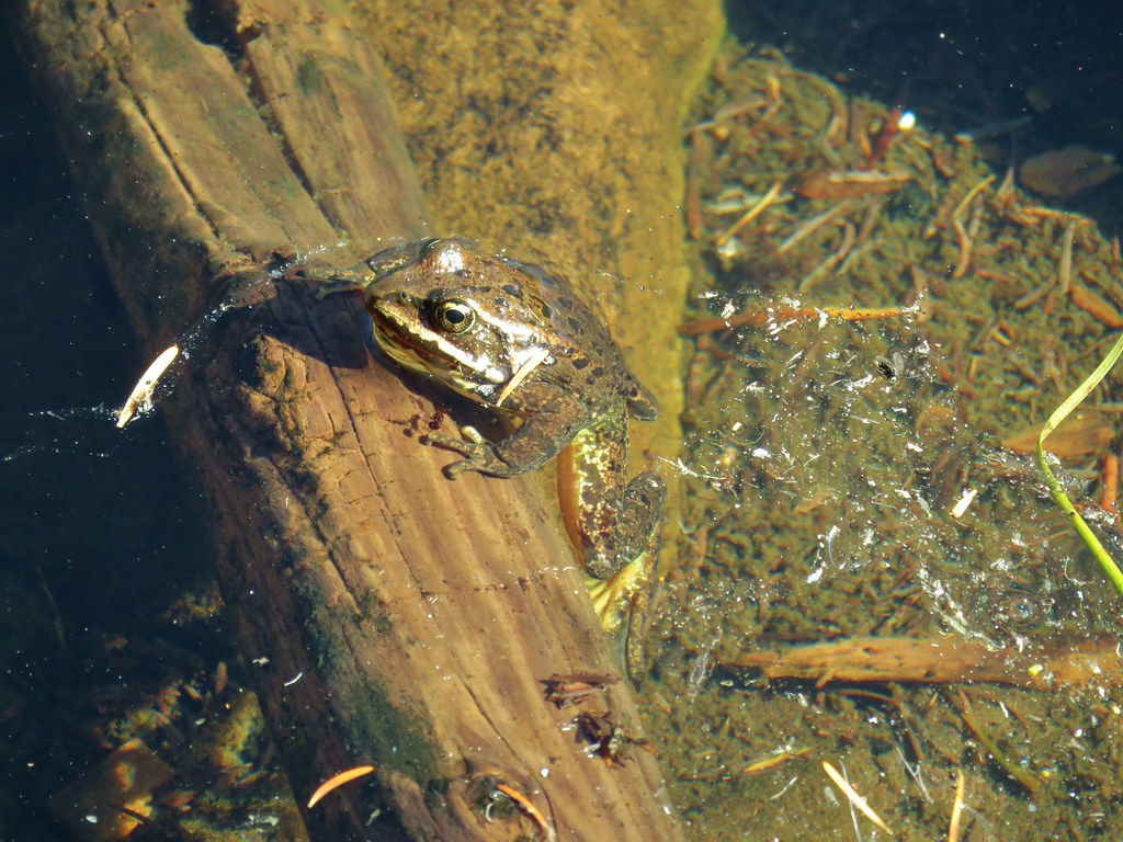
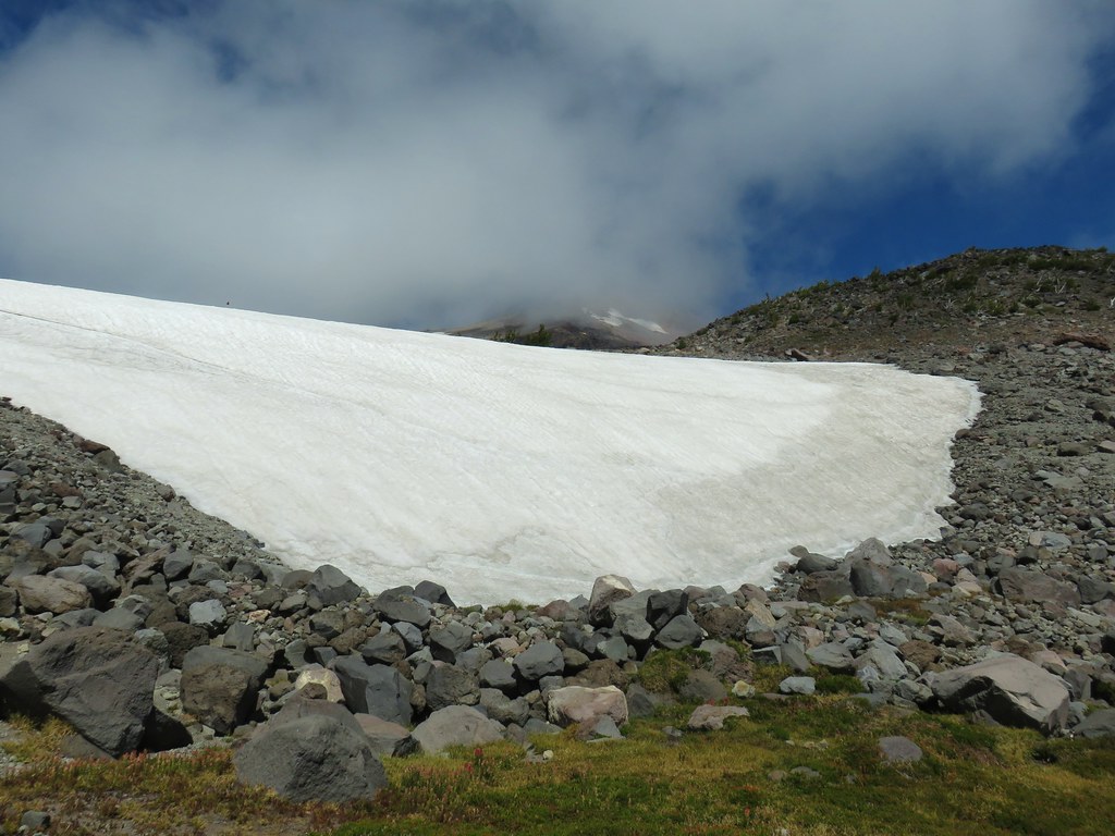
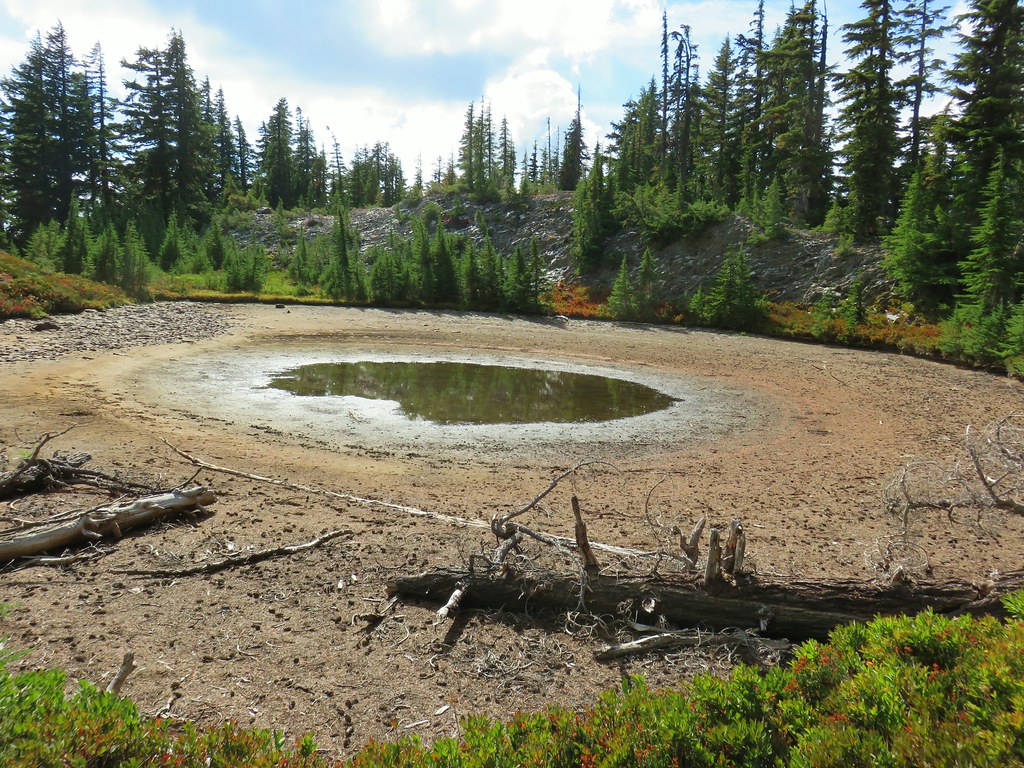
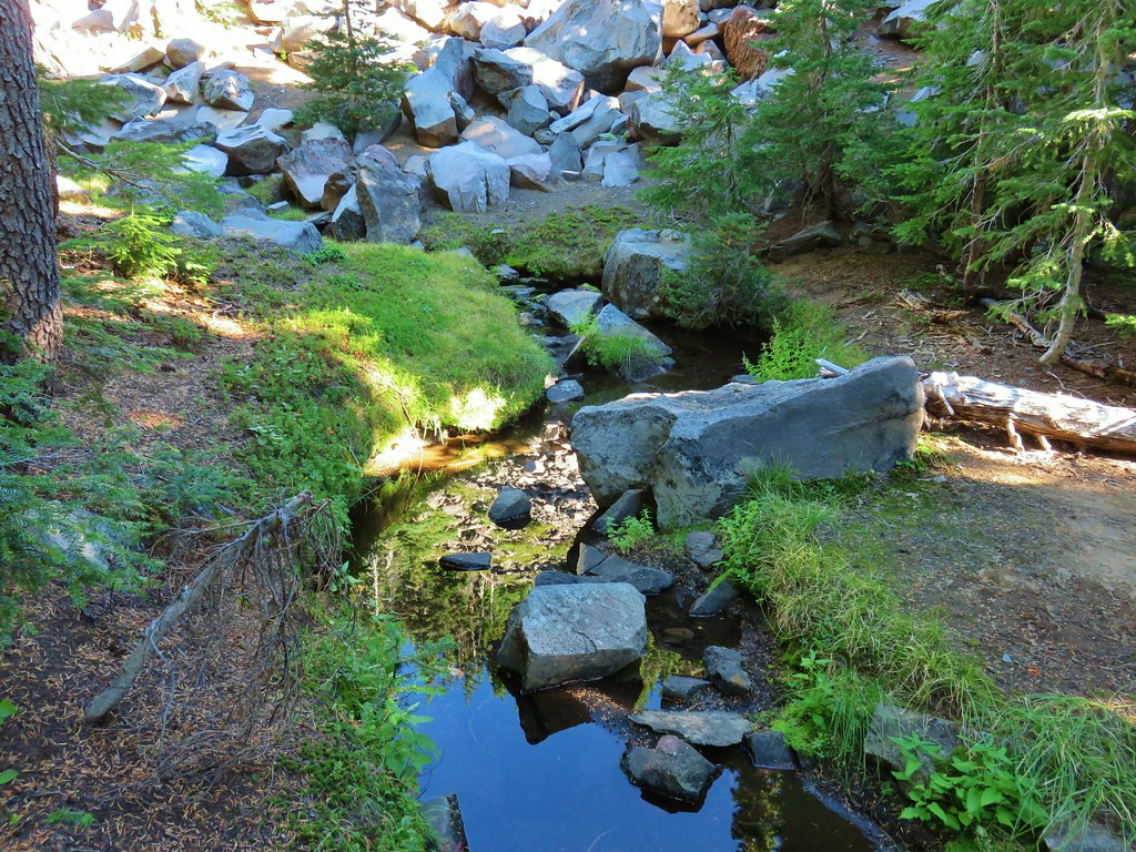
Turning back here would have put the hike in the 11.5 mile range, but we had our sights set on a further goal – the Pacific Crest Trail. Beyond Papoose Lake the Lake of the Woods Trail passed several seasonal ponds which were now meadows where we had to watch out for tiny frogs.

 One of the frogs.

 Frog in the trail.

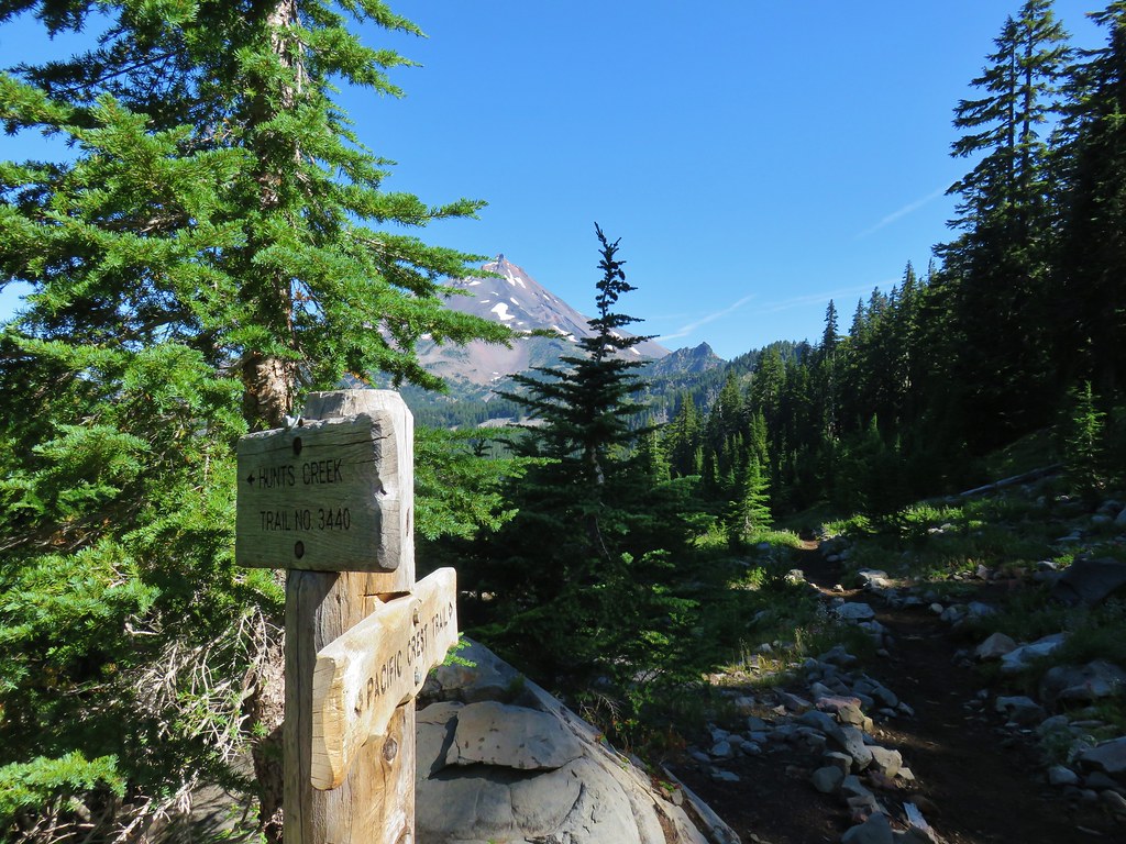
Just under three quarters of a mile from Papoose Lake (6.3ish from the trailhead) we arrived at the northern end of the Lake of the Woods Trail where it met the Hunts Creek Trail (post).
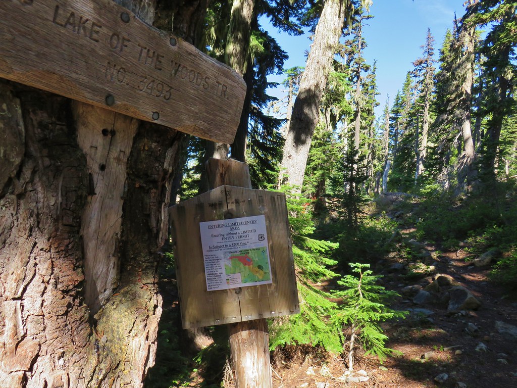
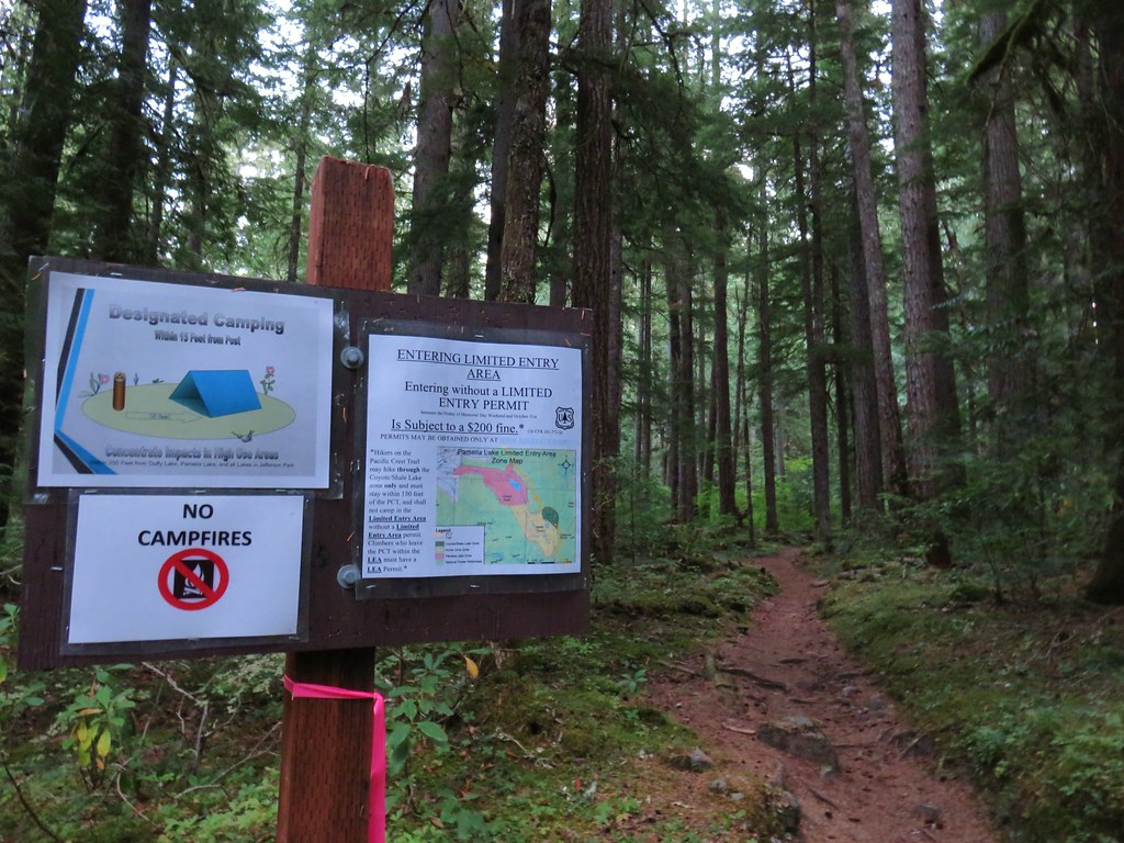
A left on this trail would lead us into the Pamelia Limited Entry Area for which we did not have a permit, but to the right the trail remained out of the limited area as it headed to the Pacific Crest Trail.

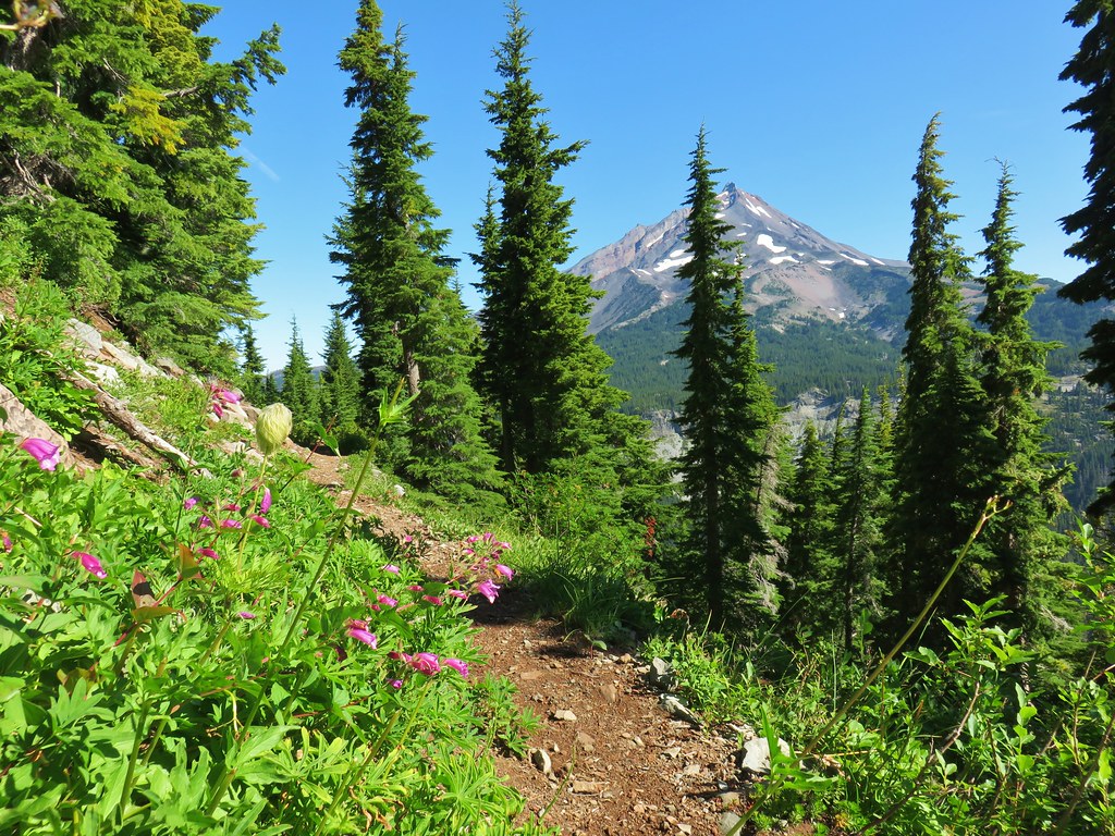
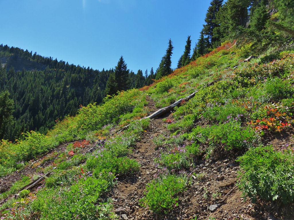
In his book Reeder describes this section of trail as “spectacular” which is what prompted us to abandon logic in the first place. We turned right and continued the theme of gradual climbs as the trail passed a hillside dotted with a few asters.

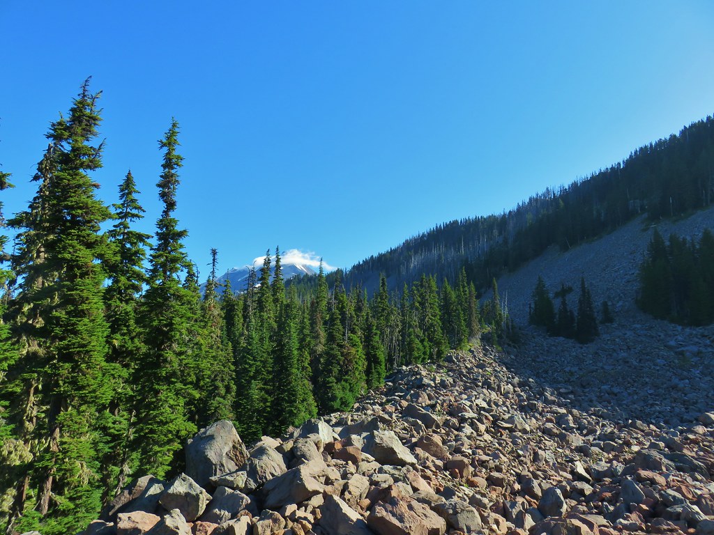
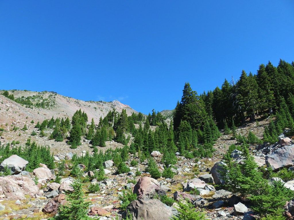
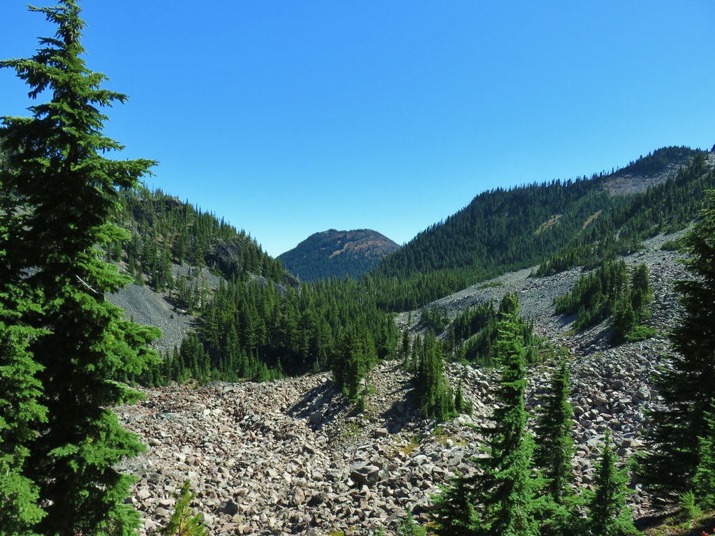
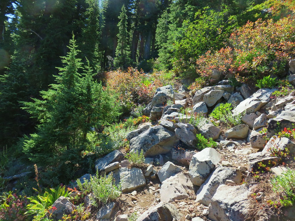
After little over a quarter of a mile we found ourselves beneath a large talus slope (by the sound of it filled with a pika army).

Here we embarked on possibly the most significant climb of the day as the trail switchbacked up through the rocks to a saddle.
 Apparently the trail was rerouted at some point because we could see tread that we never used.
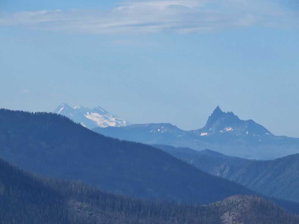
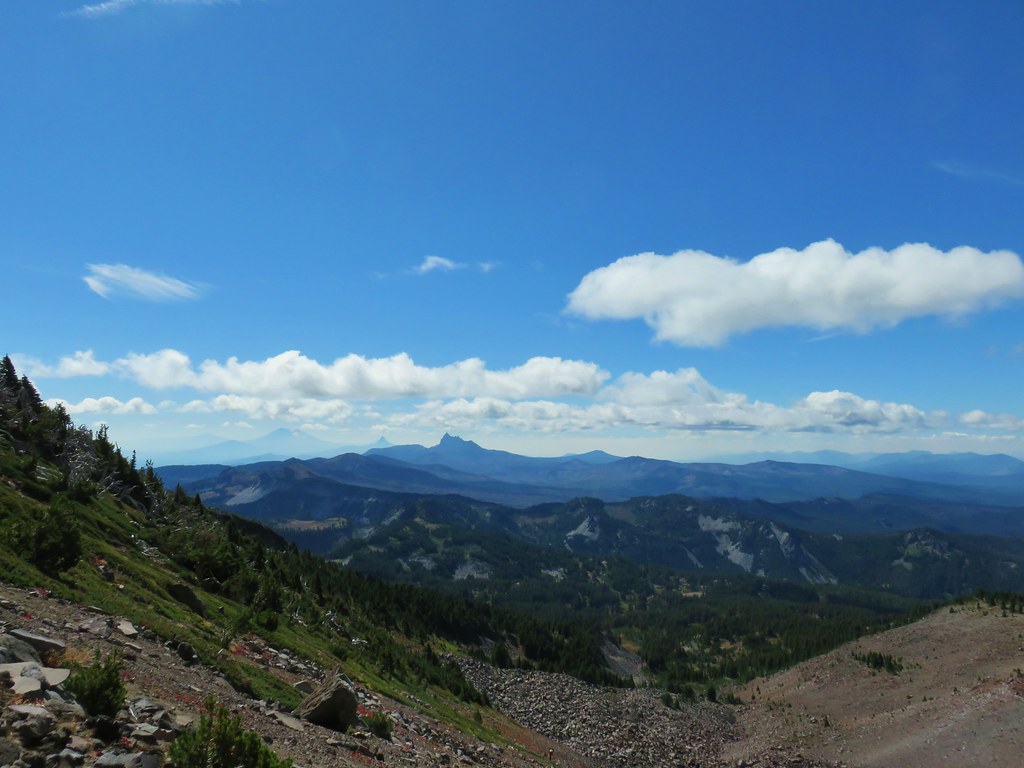
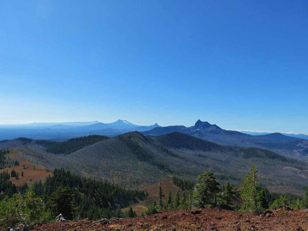
 The Three Pyramids beyond Bingham Ridge.
As we neared the saddle we spotted what must have been the pika lookout.

There was more talus on the opposite side of the saddle, and more pikas too!


We spotted at least 4 pikas (it’s hard to keep track when they are running in and out of the rocks) and heard many more. The only thing that could tear us away from our favorite wildlife critters was the view of Mt. Jefferson looming over Hunts Cove.
 (the clouds had finally vanished)
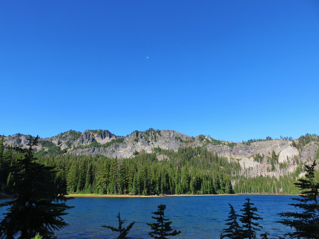
Continuing away from the saddle just a bit provided an excellent view of the mountain and Hanks Lake with a bit of Hunts Lake visible as well.
 Hanks Lake
 Hunts Lake
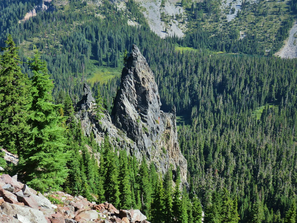 Rock fin above Hunts Cove.
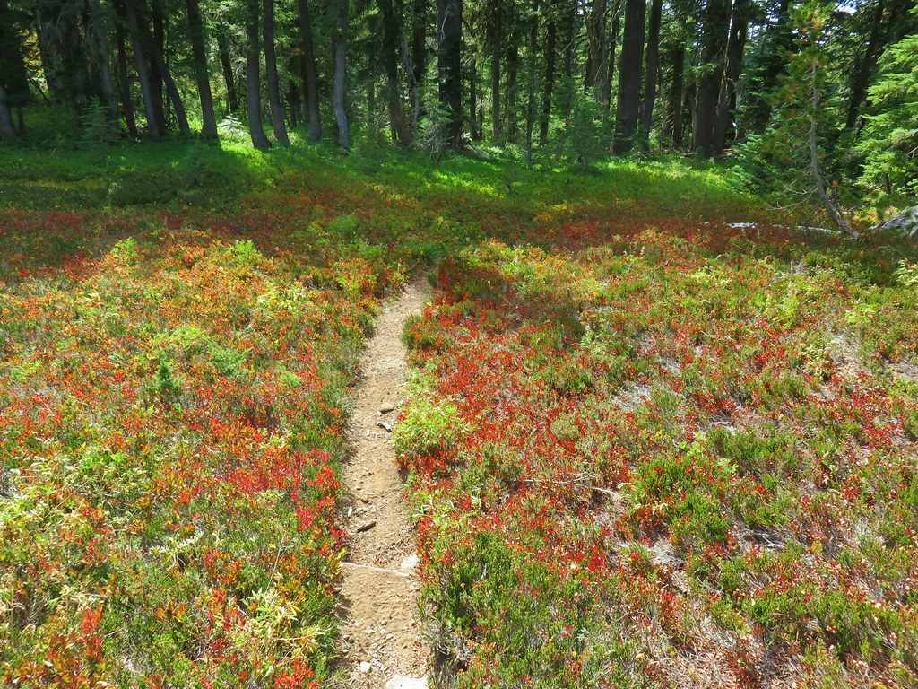
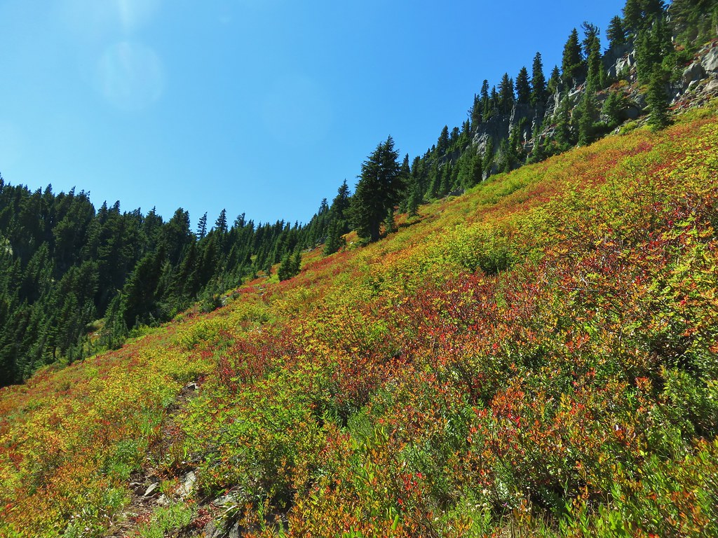
Reeder hadn’t exaggerated by using spectacular to describe this section of trail. The views of Mt. Jefferson were amazing and a variety of wildflowers (past peak) lined the trail.
 Penstemon and a western pasque flower.
 Western pasque flower seed heads.
 Hippie-on-a-stick


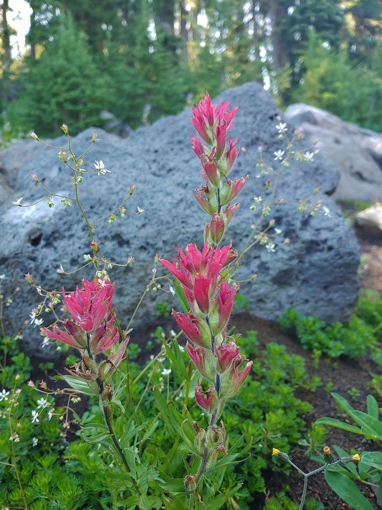
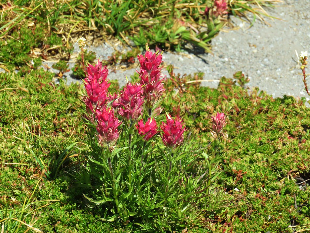
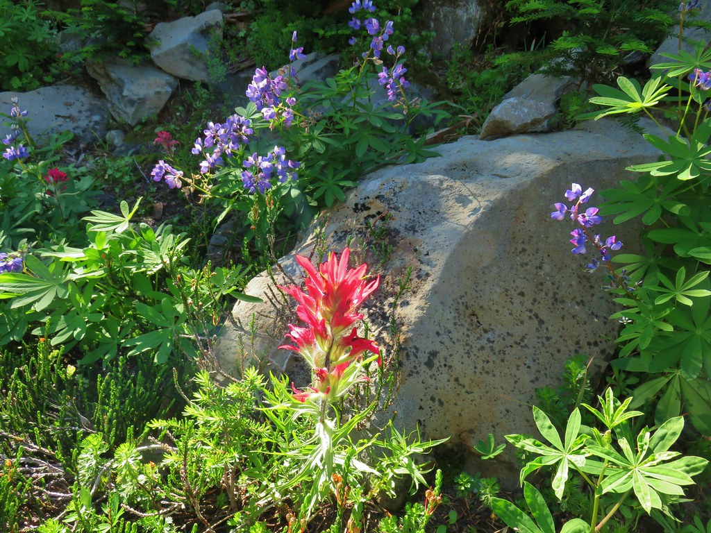 Paintbrush and lupine
 Patridge foot
 Mt. Jefferson, Goat Peak (behind the tree) and the Cathedral Rocks.
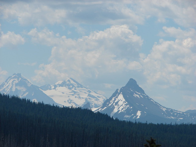
As the trail crossed a cinder field glimpses to the south between trees reveled the Three Sisters (among others).
 South Cinder Peak
 The Three Sisters
 Three Fingered Jack
The trail briefly lost sight of Mt. Jefferson as it passed around a butte, losing a little elevation as it did so.

 Paintbrush in a meadow behind the butte.
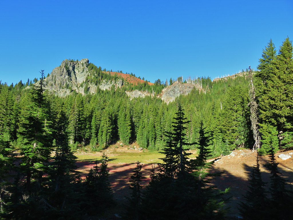
Although the view of Mt. Jefferson was temporarily gone the view was still good. There was a large basin full of meadows just below the trail and occasional views of South Cinder Peak and Three Fingered Jack.
 South Cinder Peak
 Three Fingered Jack
The trail gained a little of the elevation back as it came around the butte regaining a view of Mt. Jefferson in the process.
After passing another sign for the Pamelia Limited Entry Area at a now abandoned (but still used) portion of the Hunts Creek Trail we arrived at the Pacific Crest Trail.

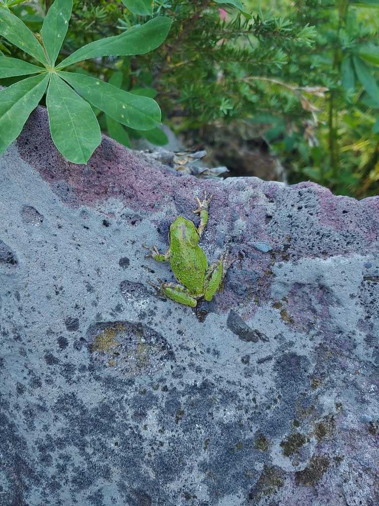
We sat on some rocks here and rested. We were now at least 8 miles (that is the mileage Reeder assigns but with some extra exploring we’d done a bit more) from the Bingham Ridge Trailhead and needed a good break. Up until this point we’d only run into one other person, a bow hunter along the Bingham Ridge Trail. As we rested in the shade a pair of backpackers heading south on the PCT stopped briefly to talk. After they continued on we did little bit of exploring in the immediate area since there were a few flowers about and at least one tree frog.
 Mostly past lupine
 Paintbrush
We returned the way we’d come enjoying the views just as much on the way back as we had the first time by. We didn’t see anyone else the rest of the day and we didn’t see anymore pikas, but as always there were a few things we spotted on the way back that we hadn’t seen or noticed earlier.
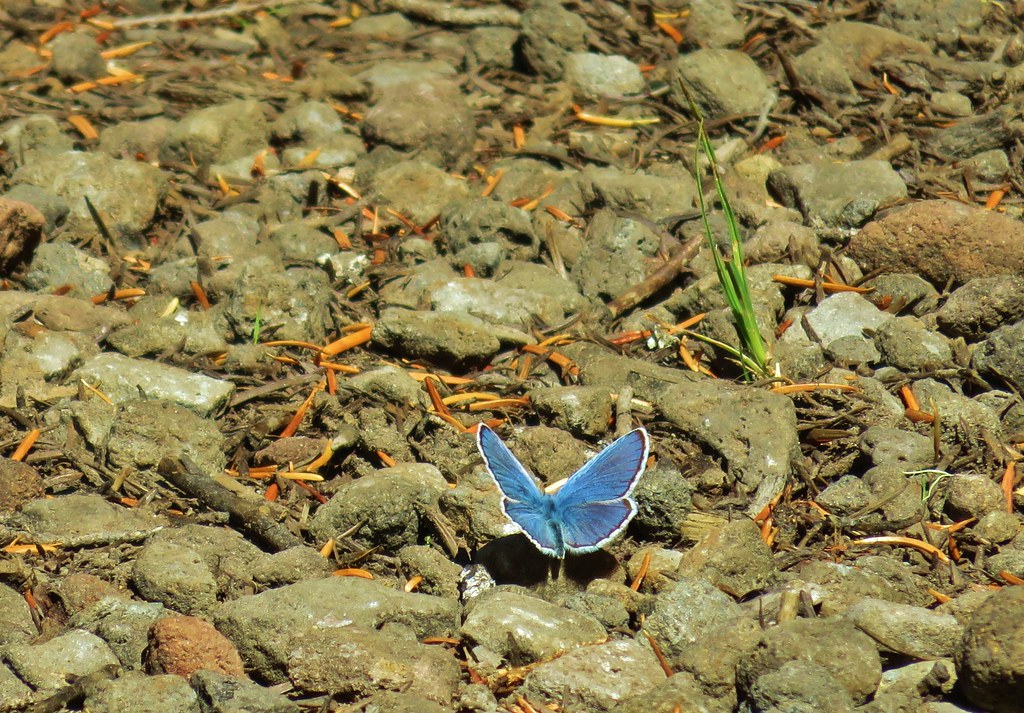
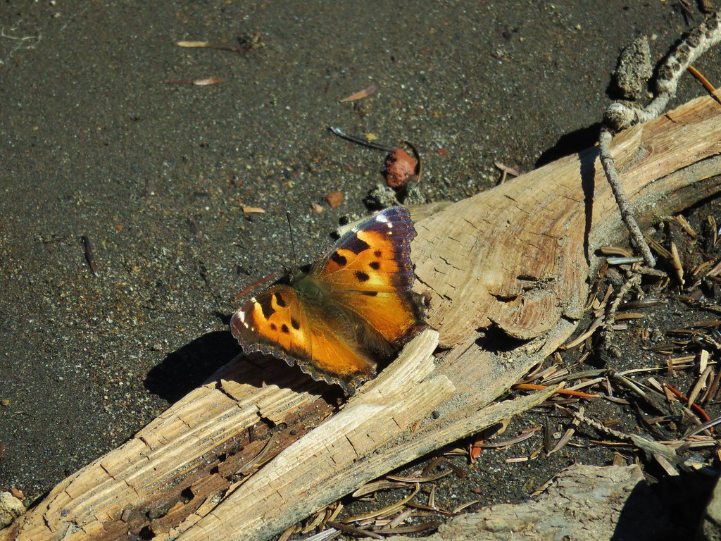
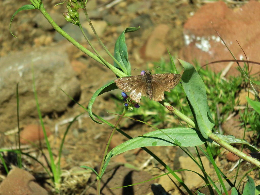
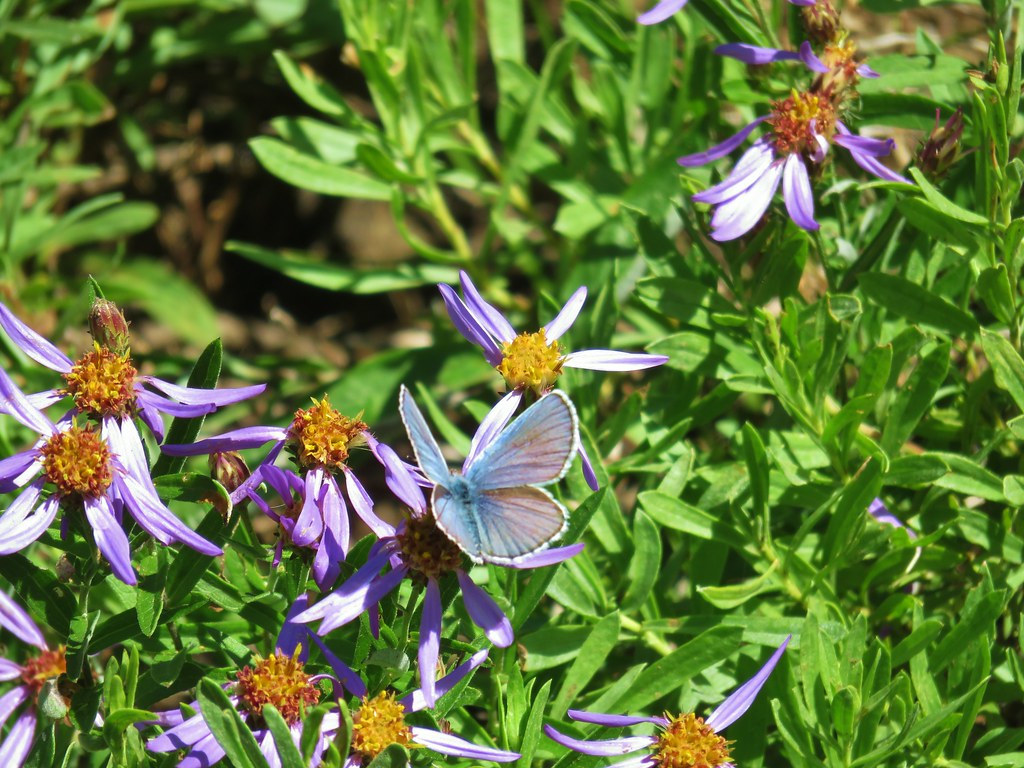
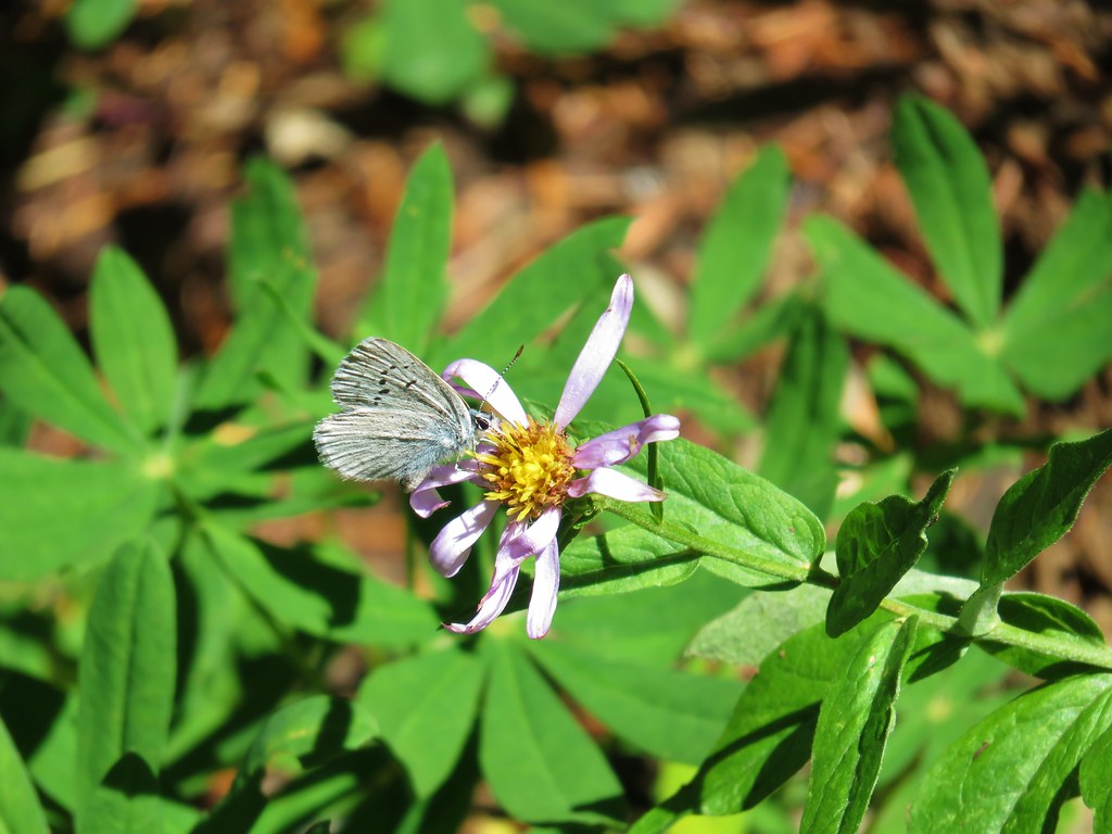 Butterfly on an aster.
 Never seen one of these looks so clean and smooth, it almost looked fake.
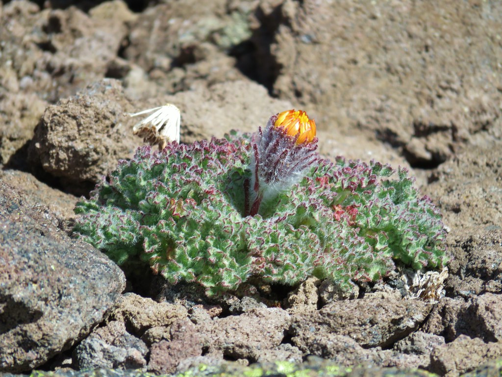
 We don’t know if this was just a stunted wallflower or something we’d never seen before.
We ended the day nearly out of water (luckily for us the temperatures stayed below 70 so it wasn’t too warm) and with some sore feet. Our GPS devices both showed us having traveled nearly 17 miles which was further than we’d planned but all the little side trips and exploring can really add up. Depsite the distance this was a great hike with varied scenery, good wildlife, and a reasonable elevation gain made better by the trails having such gradual grades. Of course any trail where we see multiple pikas is going to be aces in our minds. Happy Trails!
Flickr: Bingham Ridge


 The wilderness sign in 2015.

 2015
2015
 2015
2015

 2015
2015
 Penstemon
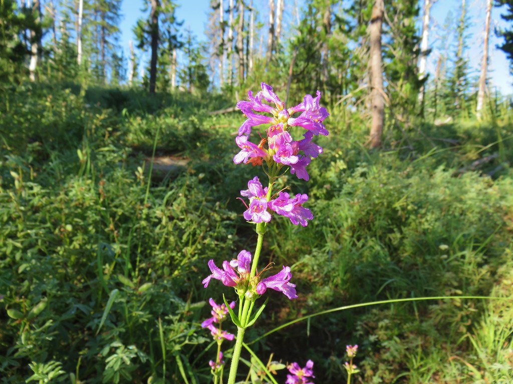
 Lousewort
 Scarlet gilia
 A couple of short (and late) beargrass plumes.
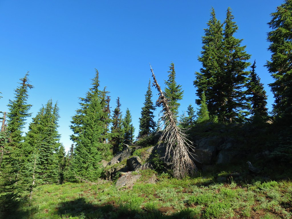

 This looked like prime pika habitat to us.


 Hogg Rock (near left), flat topped Hayrick Butte next to Hoodoo Butte, Mt. Washington with Broken Top behind left and the Three Sisters behind right.
 Mt. Hood in the distance to the left of Mt. Jefferson.

 Mt. Jefferson and Three Fingered Jack with Santiam Lake in the forest below.
 The view south.
 Broken Top, Mt. Washington, and the Three Sisters with Hayrick Butte in the forefront.
 Santiam Lake
 Duffy Lake (
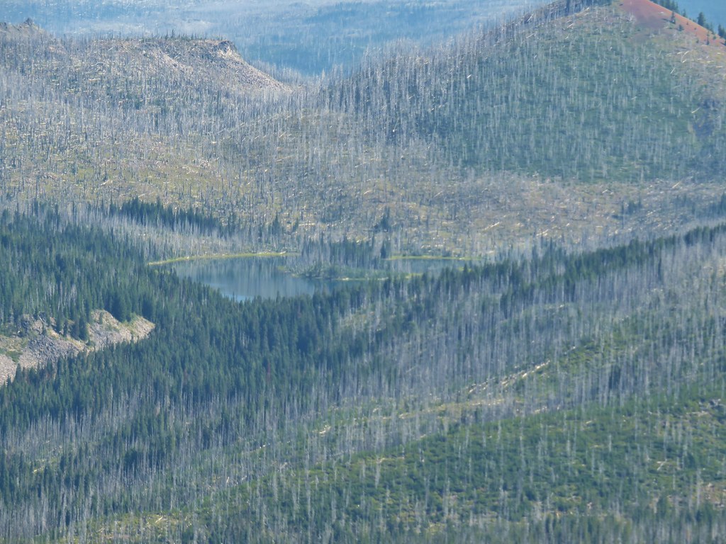 Mowich Lake
 Paintbrush in the crater.


 Pika
Pika Golden-mantled ground squirrel in the same rocky area as the pika.


 Turpentine Peak
 Washington lily
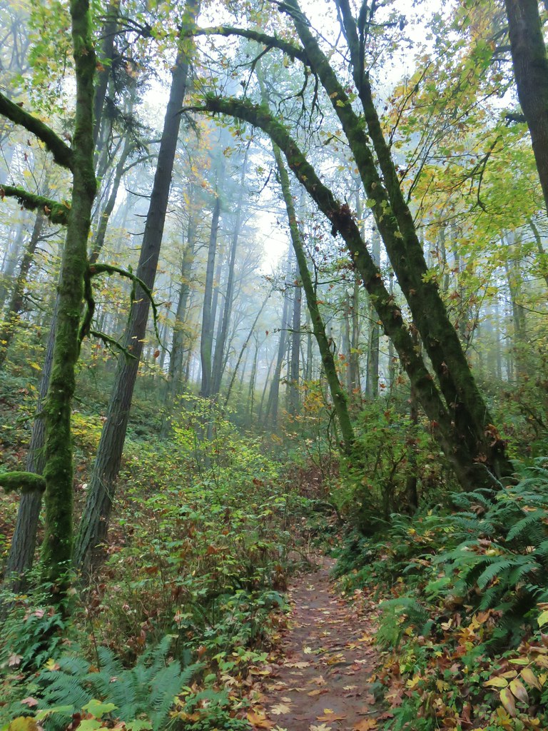
 Unburned forest
 Mt. Jefferson from the Pine Ridge Trail.
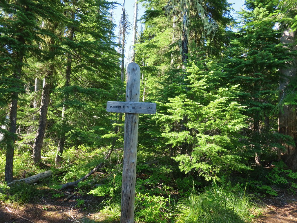
 Mt. Jefferson and Marion Lake (
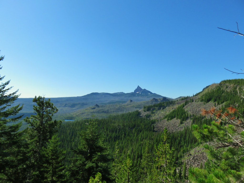 Three Fingered Jack
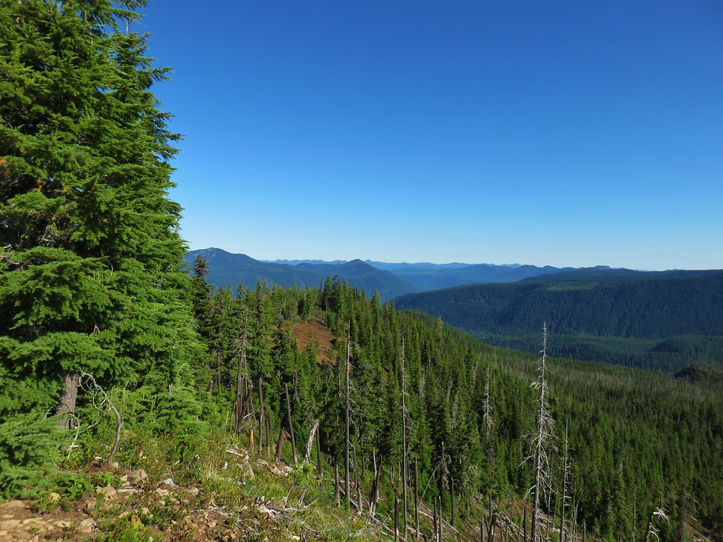 The cinder viewpoint from Marion Mountain.

 Three Fingered Jack
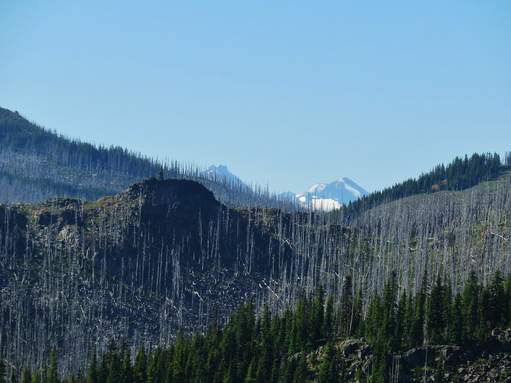 Tops of the Three Sisters.
 Coffin Mountain (
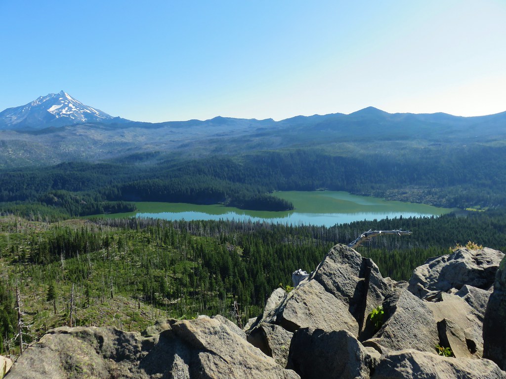 South Cinder Peak is the high point along the ridge.

 The saddle that we didn’t want to drop down to.
 Three Fingered Jack with the Three Sisters and Mt. Washington in the gap.
 The Three Sisters and Mt. Washington beyond Red Butte (
 Jenny and Melis Lake
 Marion Mountain at the end of the ridge.
 Bear Point (
 Turpentine Peak along the ridge.
 Black Butte (
 Stonecrop
 Prince’s Pine
 Penstemon
 Washington lily


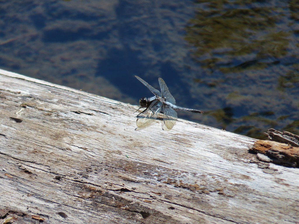 Dragon fly


 Lots of spent beargrass along the trail.

 Thimbleberry bushes near the spring.
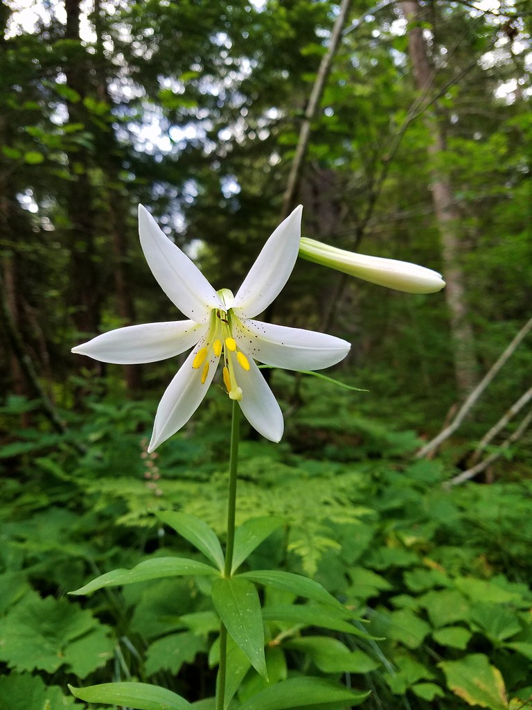 Washington lily
 Spring near the trail.

 Spotted the first pika of the day at this switchback (it’s on one of the red rocks)
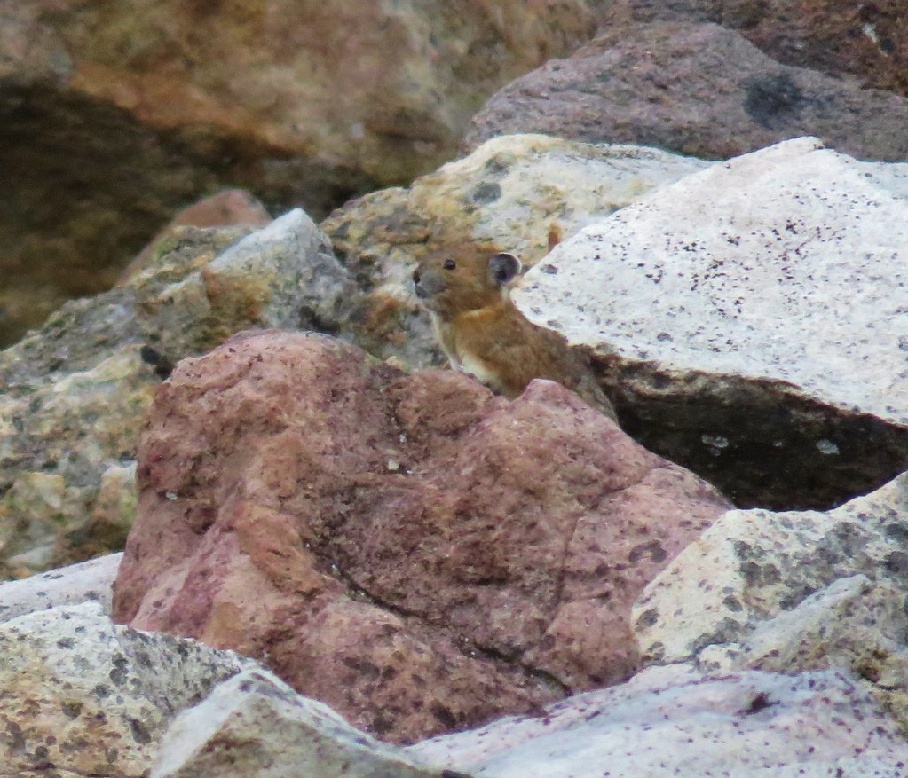


 The Three Pyramids, Bachelor Mountain, and Coffin Mountain in the distance with Triangulation Peak in a cloud shadow along the near ridge to the right.
 Mt. Jefferson with Three Fingered Jack now fully visible.
 Three Fingered Jack
 Grouse in the brush to the left of the trail.
 Grouse
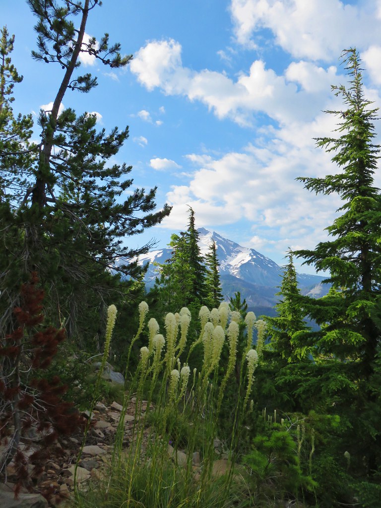


 Almost to the top.
 Bear Point summit.
 The Three Sisters and Three Fingered Jack
 Mt.Jefferson
 Park Ridge (
 Bear Lake, Dinah-Mo Peak, and Park Ridge
 Triangulation Peak and Devils Peak
 Boca Cave below Triangulation Peak (
 Devils Peak (high point to the right of the ridge), which we had just hiked to a couple of weeks earlier (
 Mt. Hood and Olallie Butte (The Breitenbush Cascades are also out there amid the trees.)
 Mt. Hood with Slideout and Mildred Lakes in the forest below.
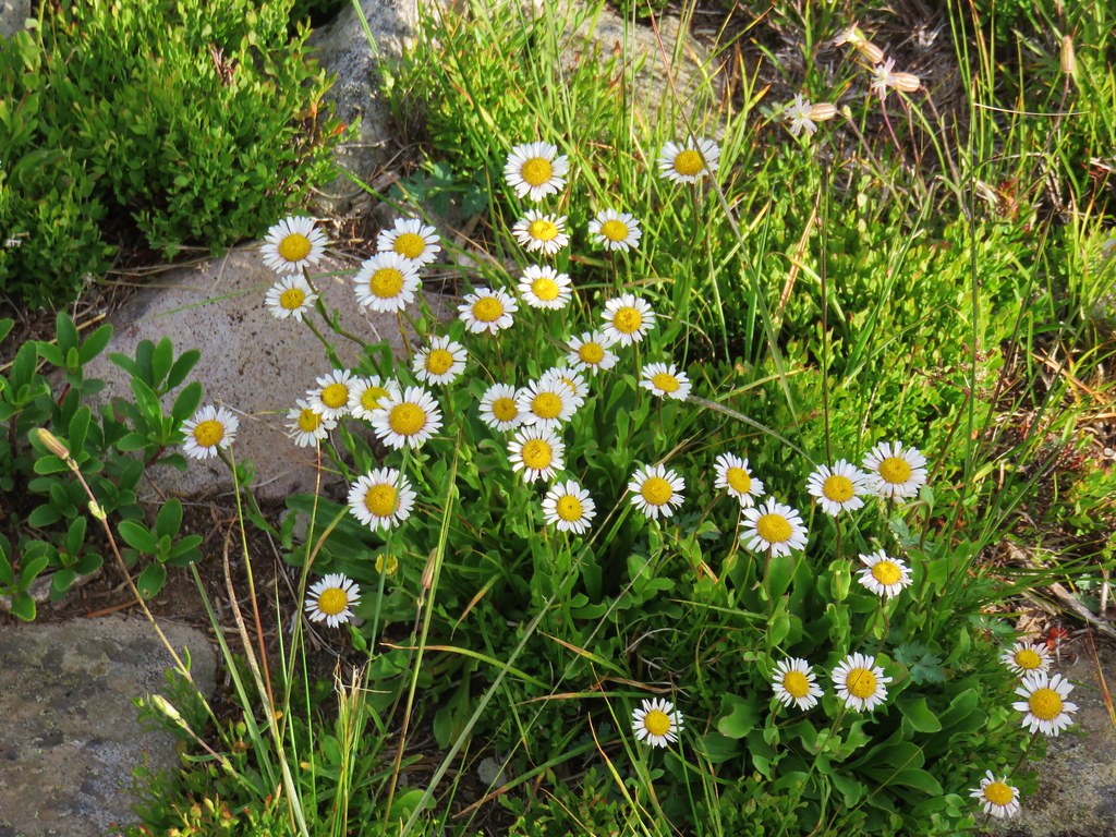 Fleabane
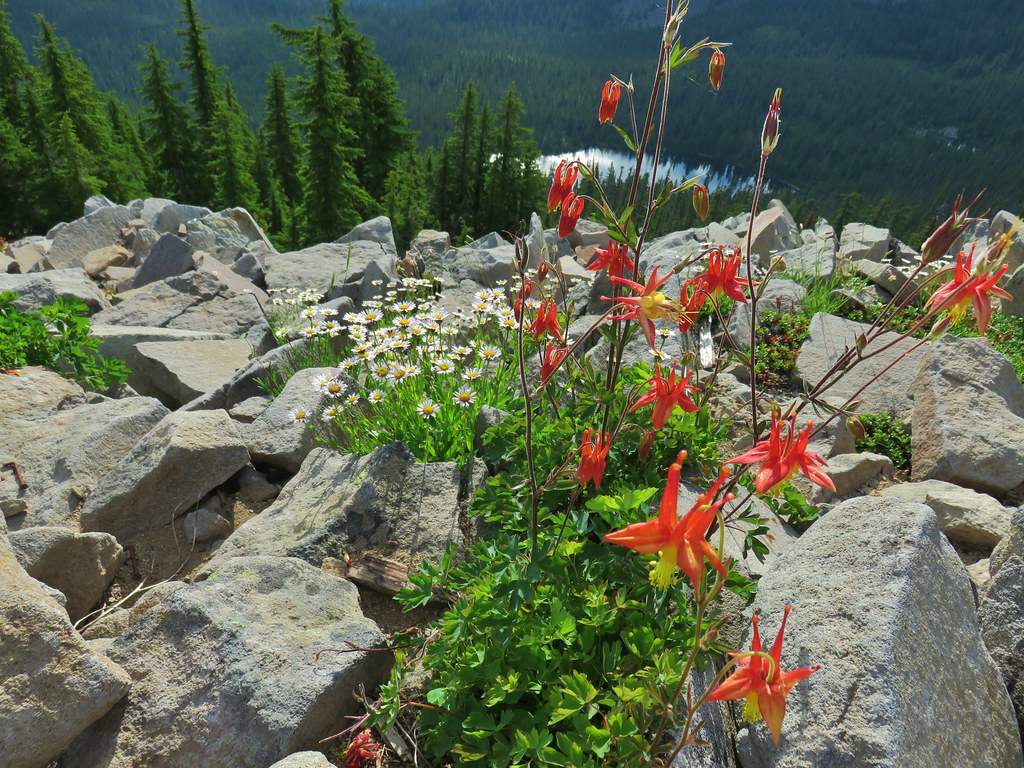 Columbine and fleabane with Bear Lake in the background.
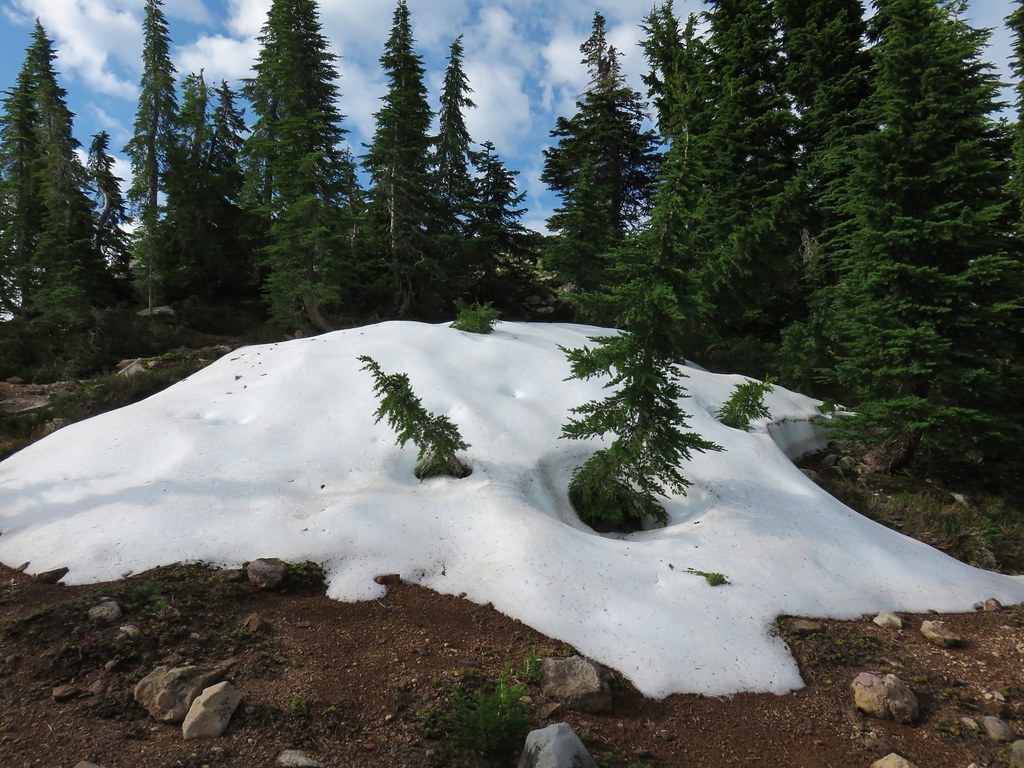 Snow patch near the summit.
 Typical terrain, it’s hard to tell here but this was a steep hillside.
 There were tons of these butterflies around.
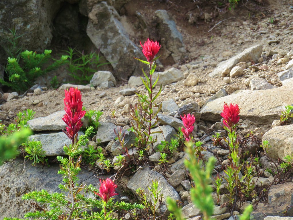 Paintnbrush
 Crossing a talus slope.
 More typical conditions.
 Pond near the lake.
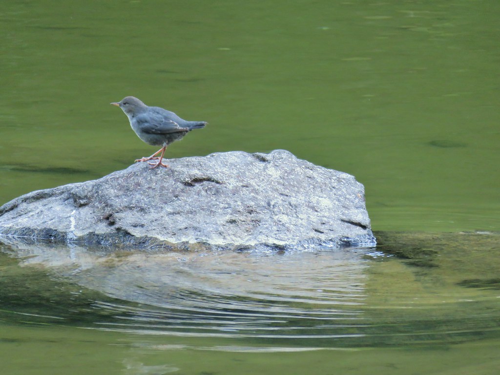
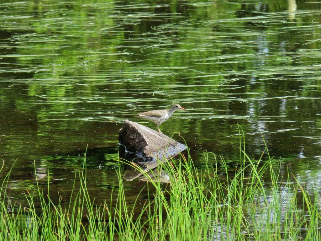 Bird at the pond.
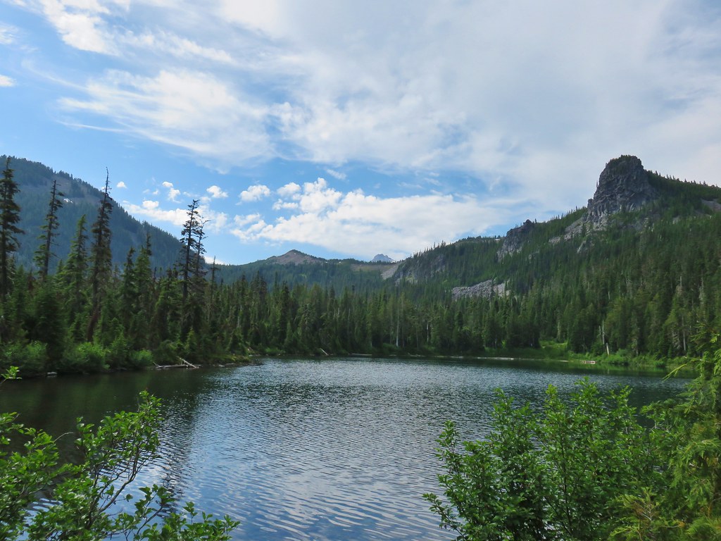 The lake
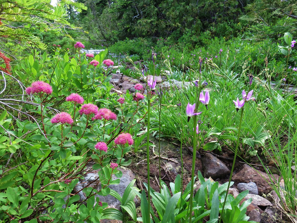 Spirea and shooting stars
 Crab spider with a bee
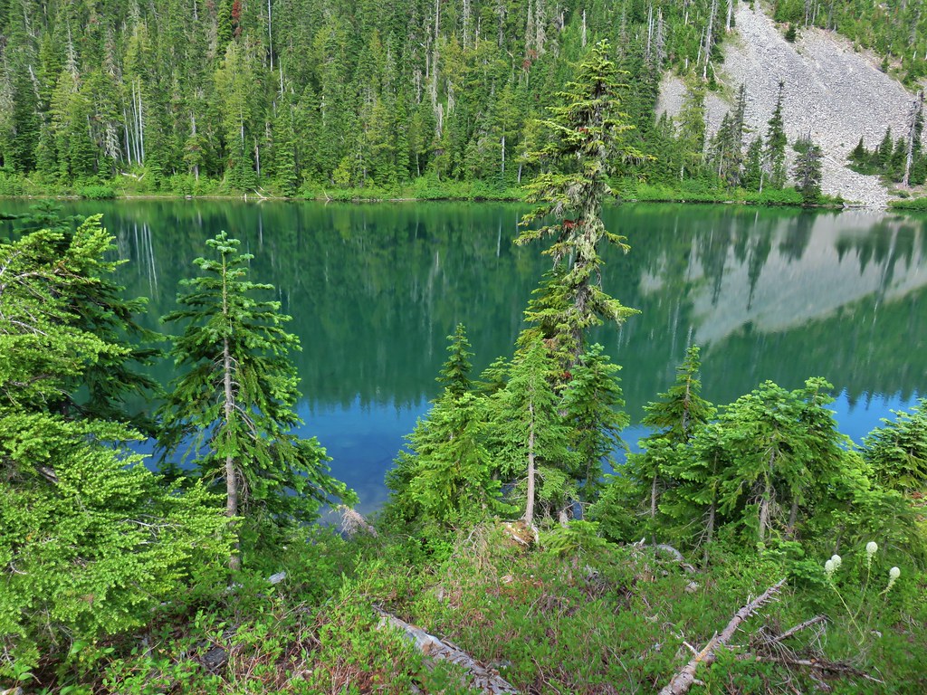 The lake
 Aster
Aster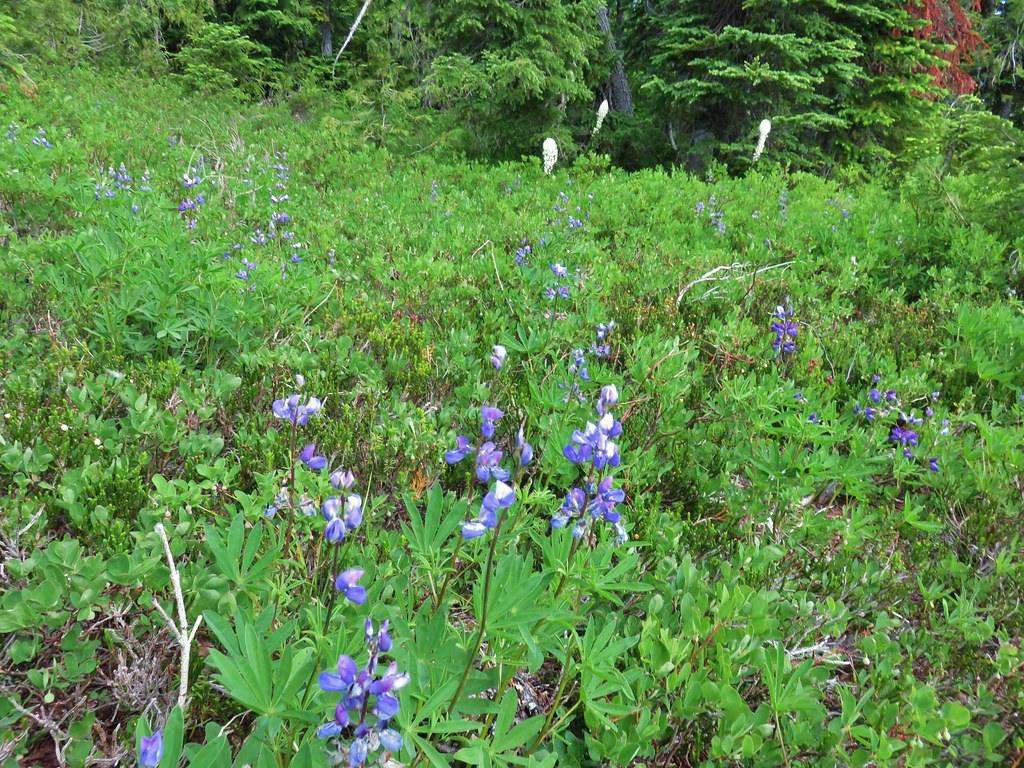 Lupine and beargrass
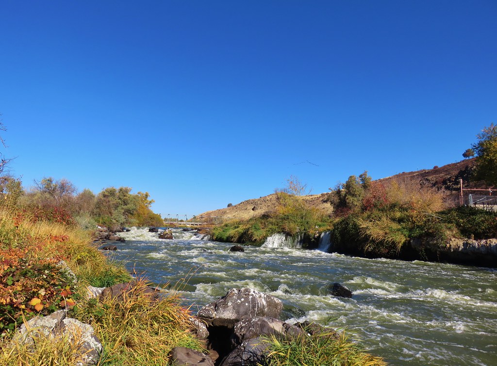
 Battle Ax Creek – 2014
 Mt. Jefferson from Russell Lake – 2016
 Drift Creek – 2010
 Mt. Washington from the Pacific Crest Trail – 2015
 The Three Sisters – 2014
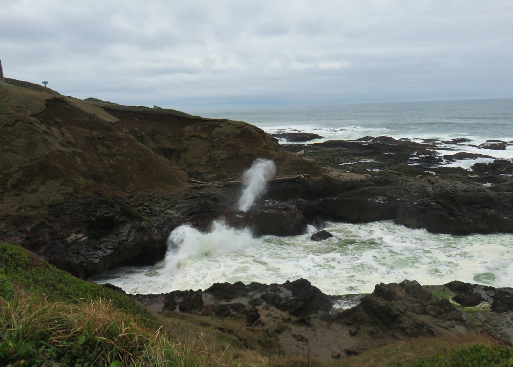
 Three Arch Rocks from Cape Meares – 2018
 Triple Falls – 2012
 Mt. Hood – 2015
 Bandon Islands – 2018
 Twin Pillars – 2011
 Howlock Mountain and Mt. Thielsen – 2014
 Table Rock – 2015
 Frustration Falls – 2018
 Trapper Creek – 2014
 View from Fuji Mountain – 2013
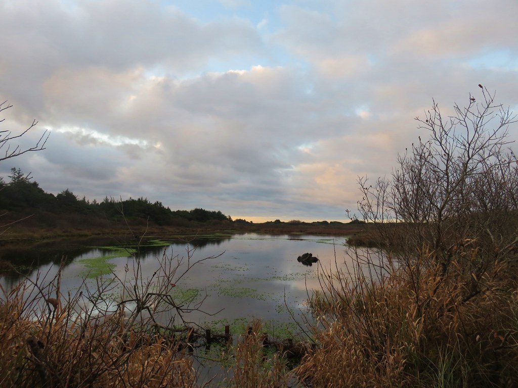
 Serene Lake – 2013
 Badger Creek Wilderness – 2014
 Donaca Lake – 2014
 Emerald Pool – 2018
 View from Boccard Point – 2015
 Red Buttes – 2015
 Oregon Badlands Wilderness – 2016
 Vulcan Lake – 2016
 Rooster Rock – 2016
 Glacier Lake – 2016
 View from Aspen Butte – 2016
 Mt. McLoughlin from Freye Lake – 2016
 White River – 2016
 Rock Creek – 2017
 Hedgehog Cactus – 2017
 Bridge Creek Wilderness – 2017
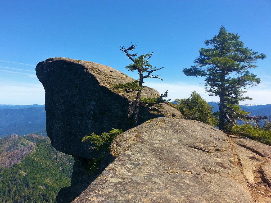 Hanging Rock – 2017
 View from Grassy Knob – 2017
 Big Bottom – 2017
 Baldy Lake – 2017
 Cummins Ridge Trail – 2017
 Hummingbird Meadows – 2018
 View along the Pine Creek Trail – 2018
 Slide Lake – 2018
 Barklow Mountain Trail – 2018


 Mt. Jefferson and Forked Butte poking up over the trees.
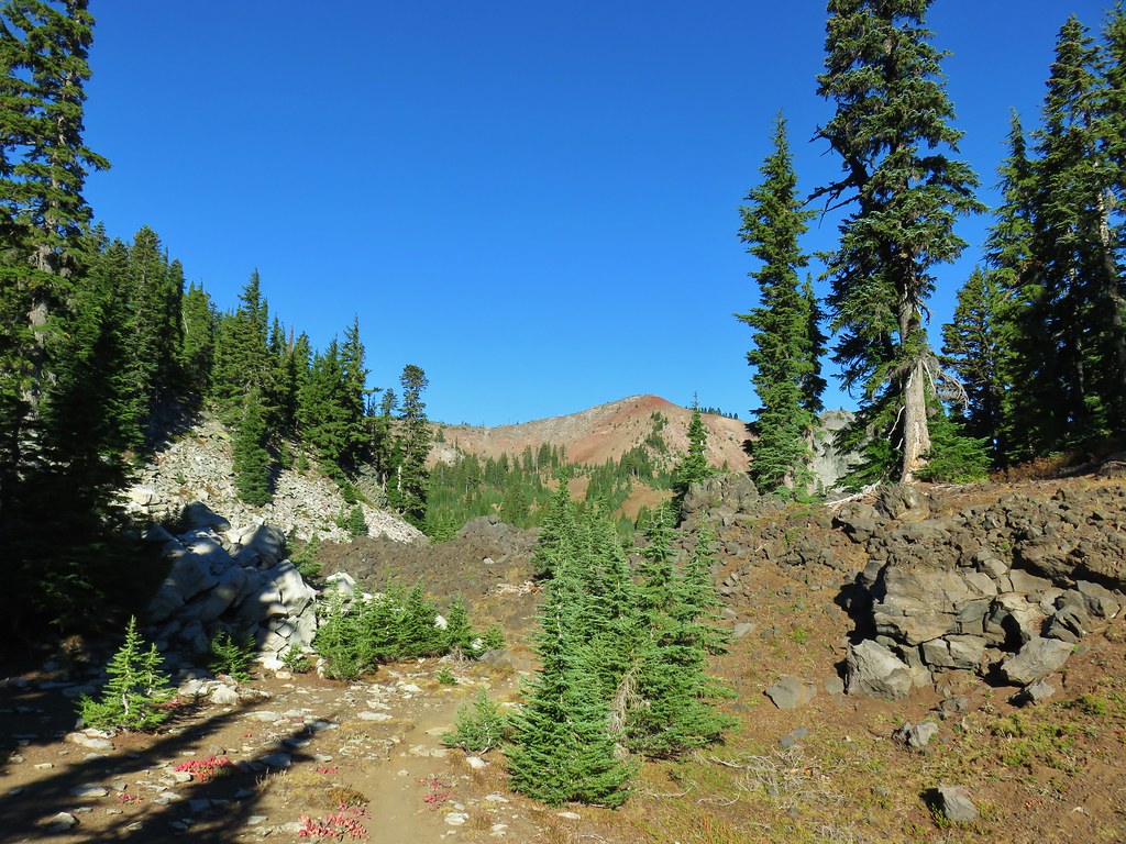 North Cinder Peak
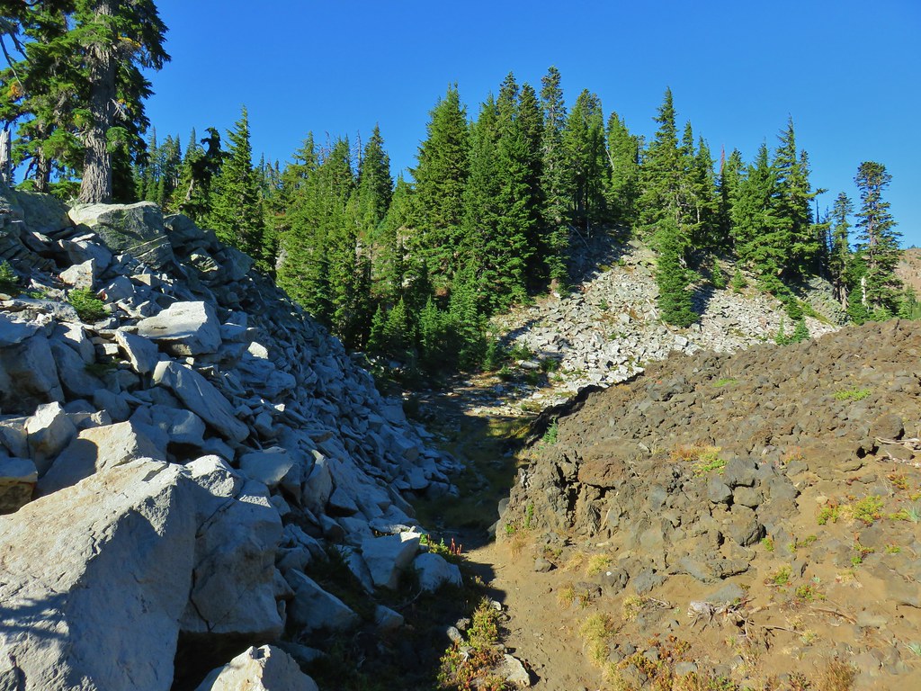

 Moraine below the Waldo Glacier on Mt. Jefferson.
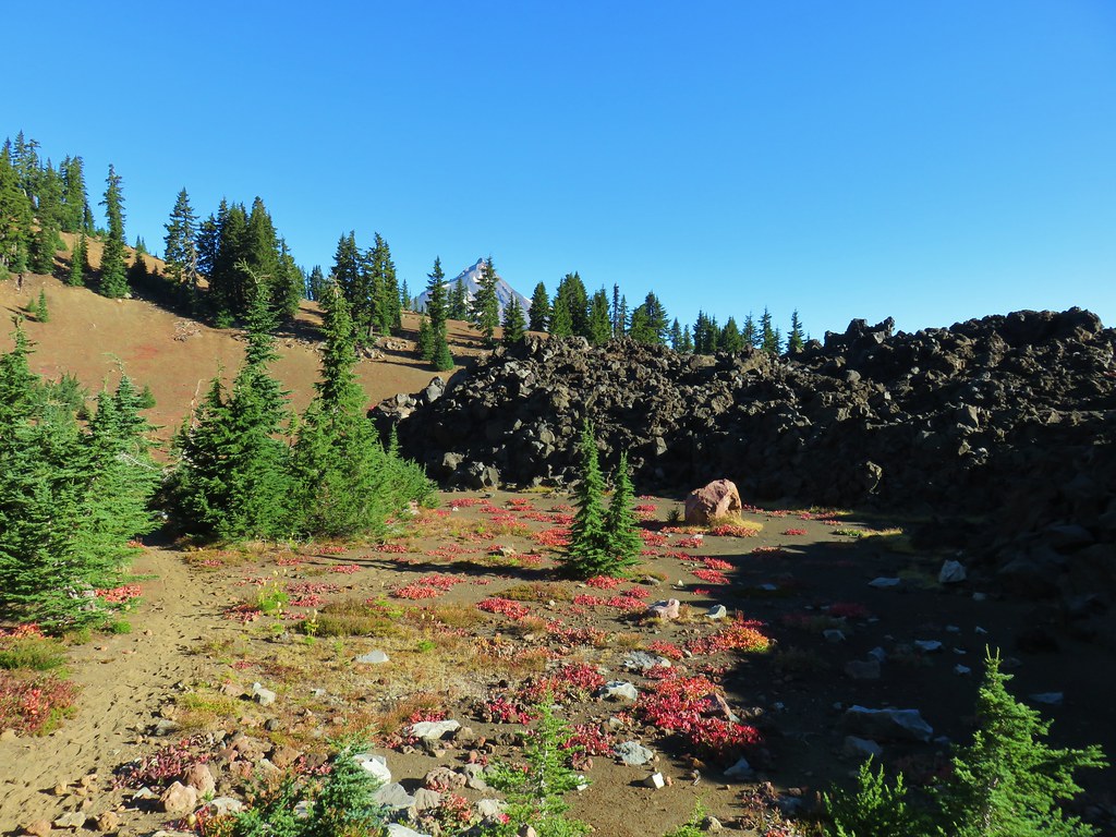


 The Jefferson Lake Trail used to come up this valley.

 The end of The Table to the left of the trail.
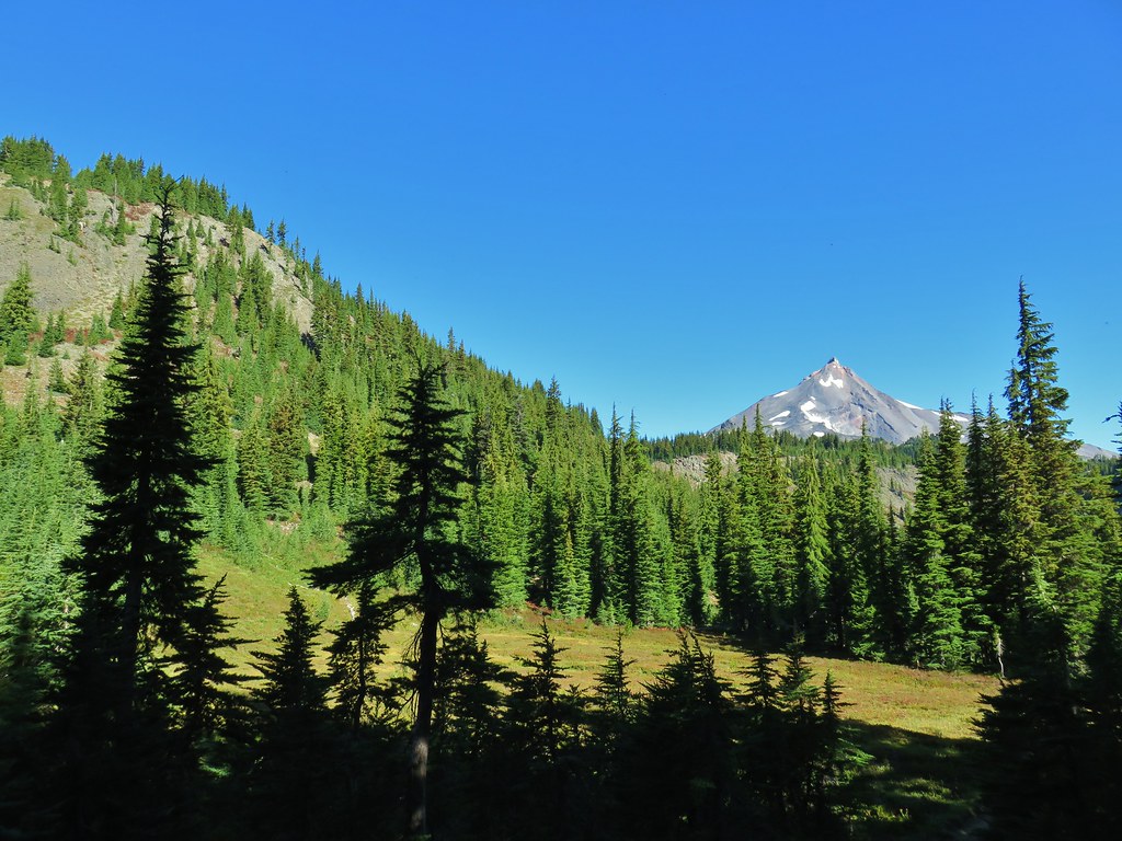
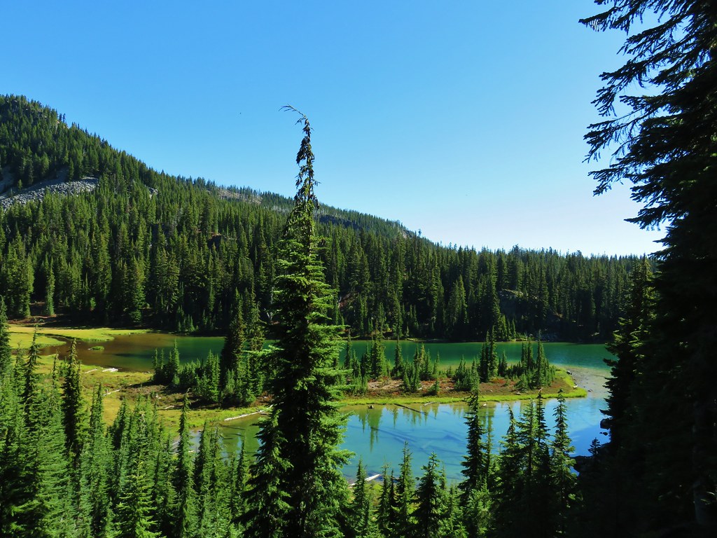
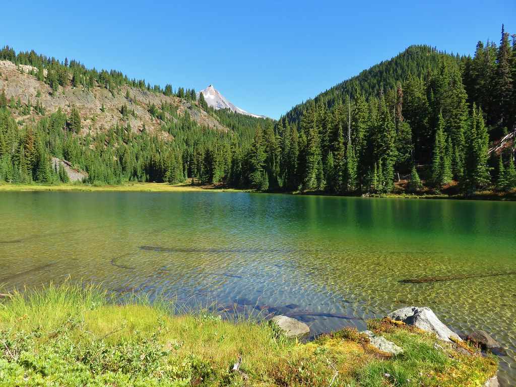
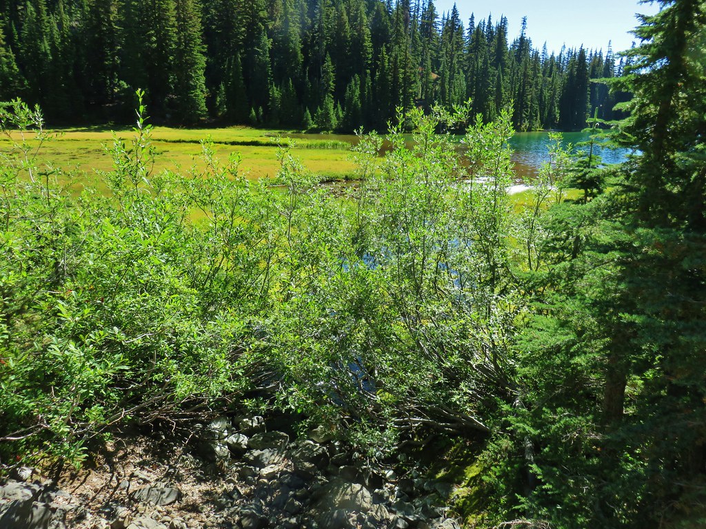
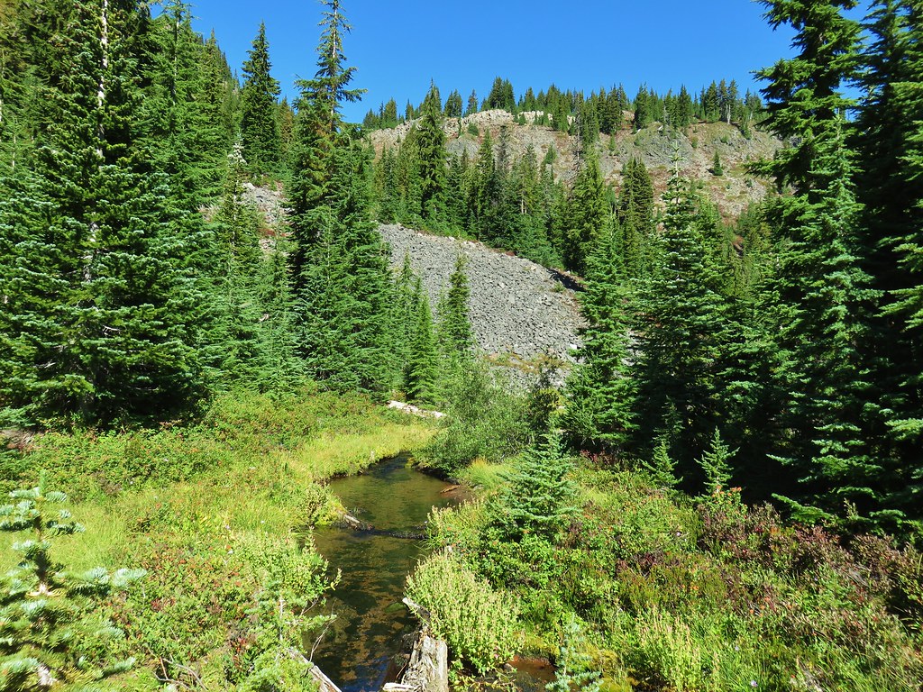
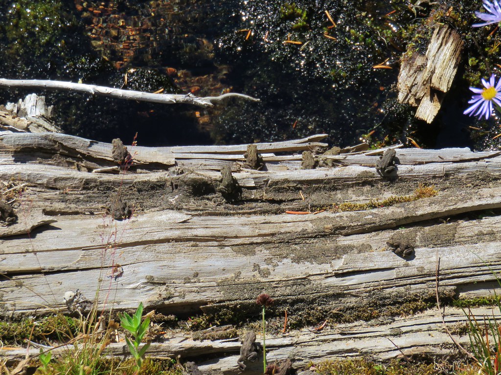
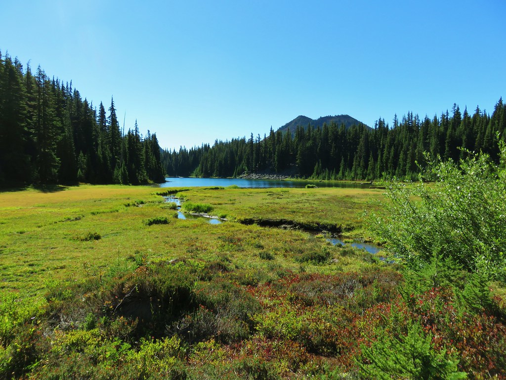 Table Lake and Forked Butte
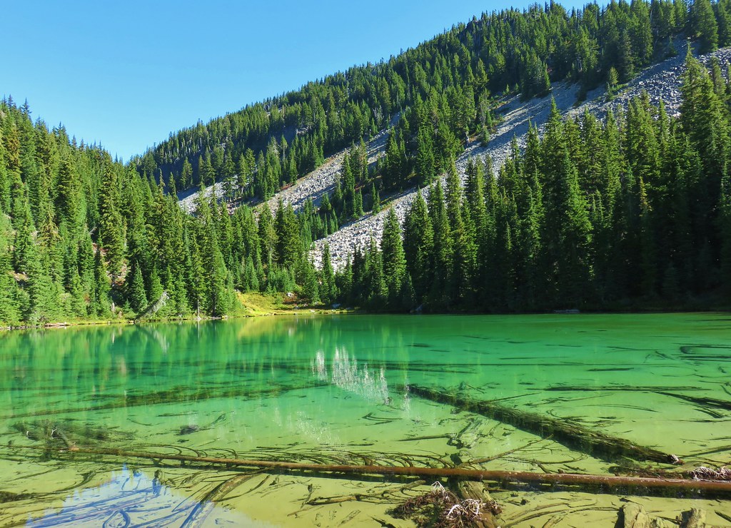


 First pond on the right.
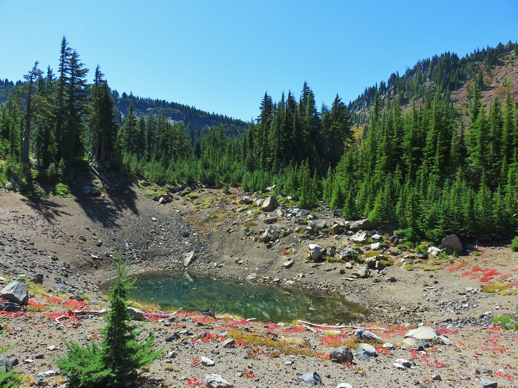
 Bear Butte
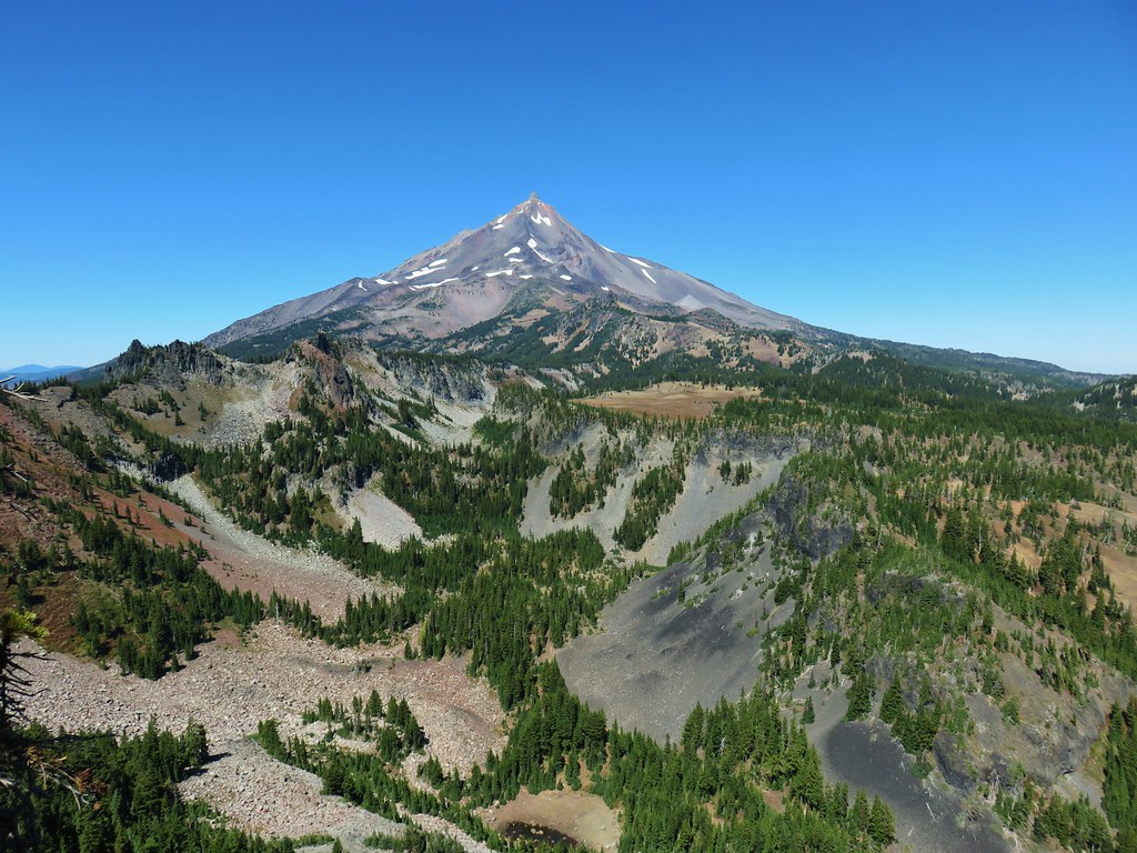 Another viewpoint overlooking the valley we climbed out of.
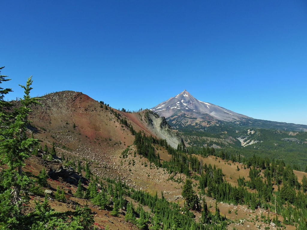 North Cinder Peak and Mt. Jefferson
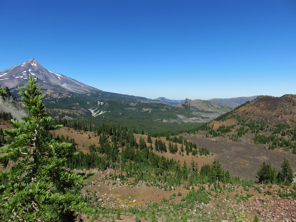 Cabot Lake Trail along the Forked Butte Lava Flow
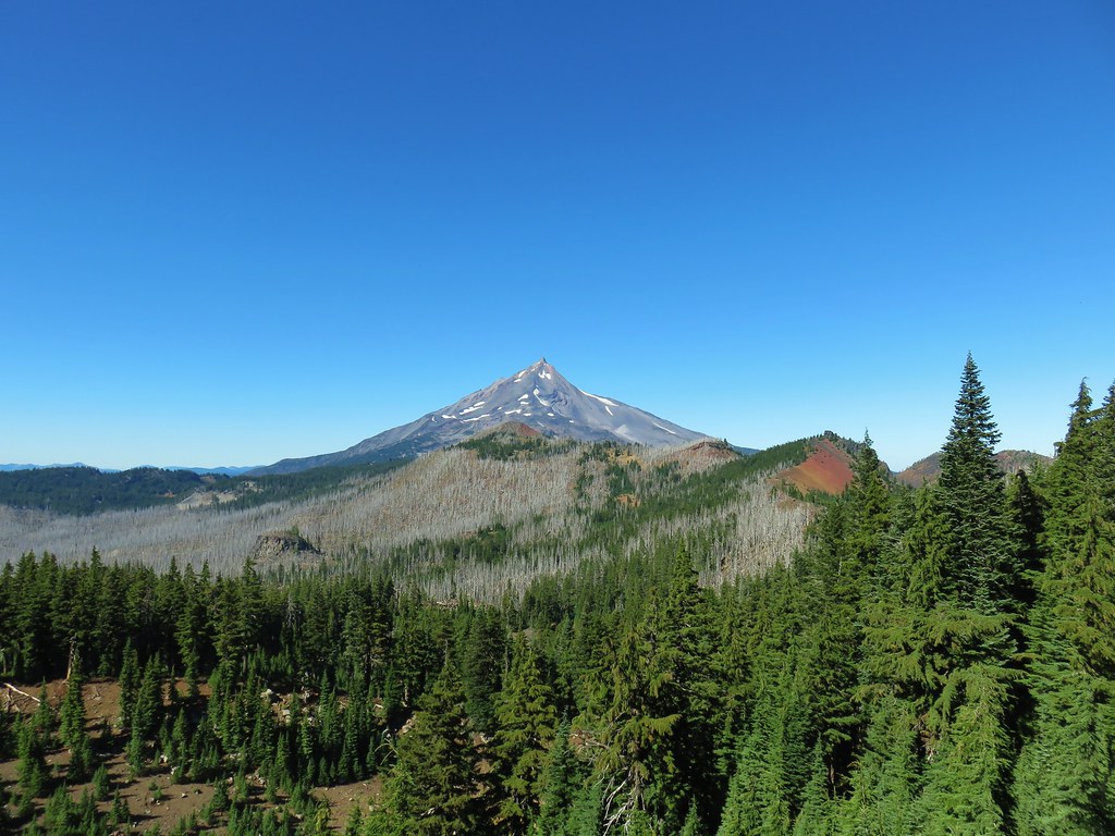


 Cabot Lake in the trees below and Mt. Jefferson in the distance.
 From left to right – North Cinder Peak, Forked Butte, and Mt. Jefferson
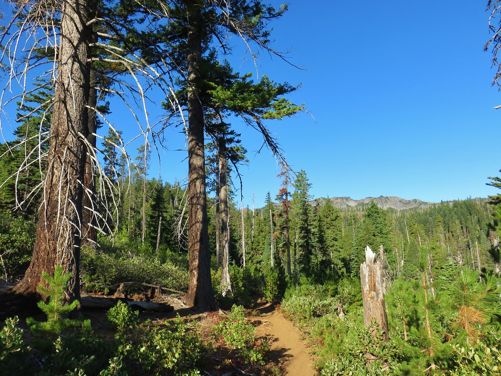

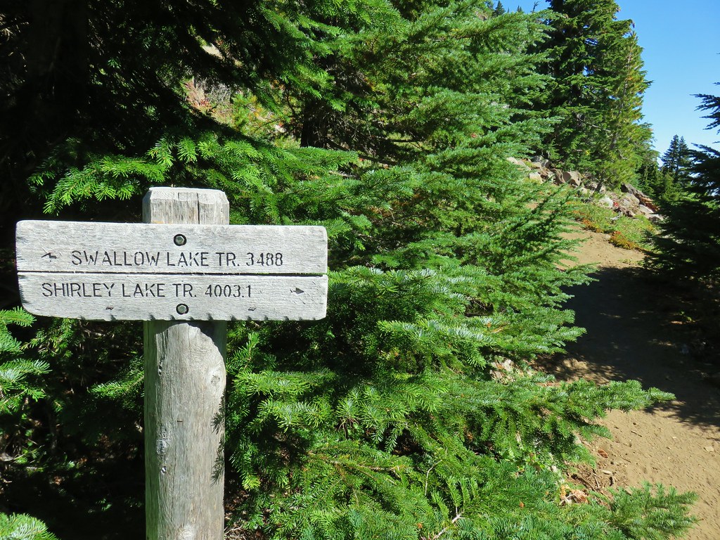
 Mt. Jefferson and the Swallow Lake Trail
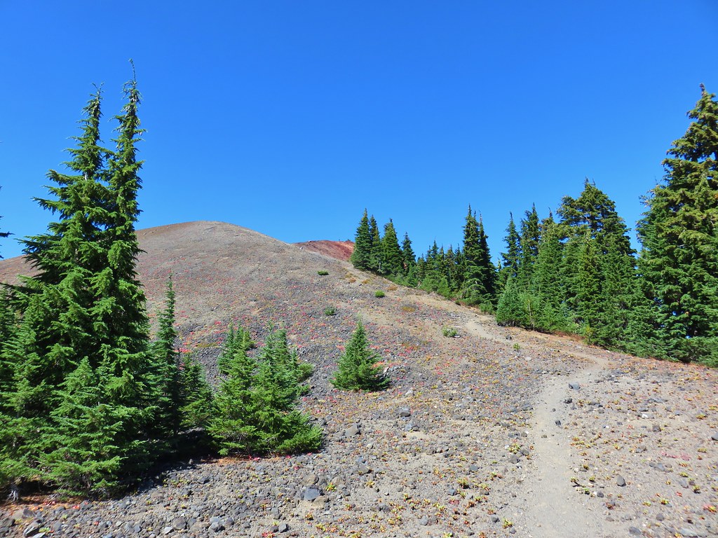
 Broken Top, The Three Sisters, Mt. Washington, and Three Fingered Jack to the south.
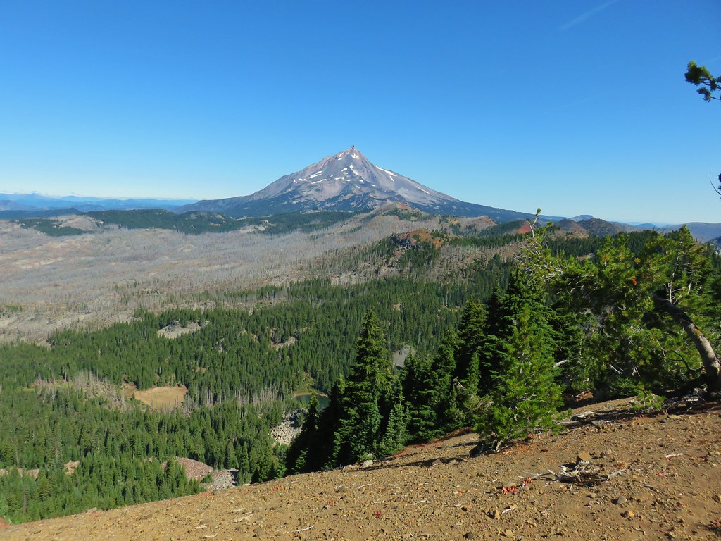 Mt. Jefferson to the north.
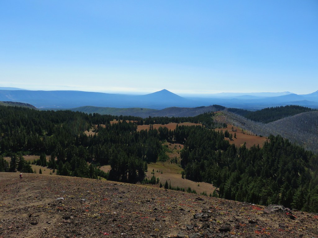 Black Butte to the SE
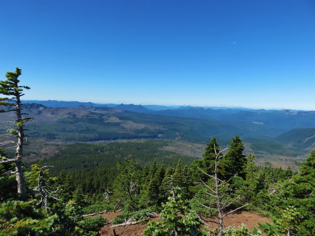 The Three Pyramids and Marion Lake to the west
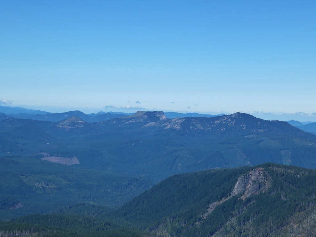 Coffin Mountain and Bachelor Mountain to the NW
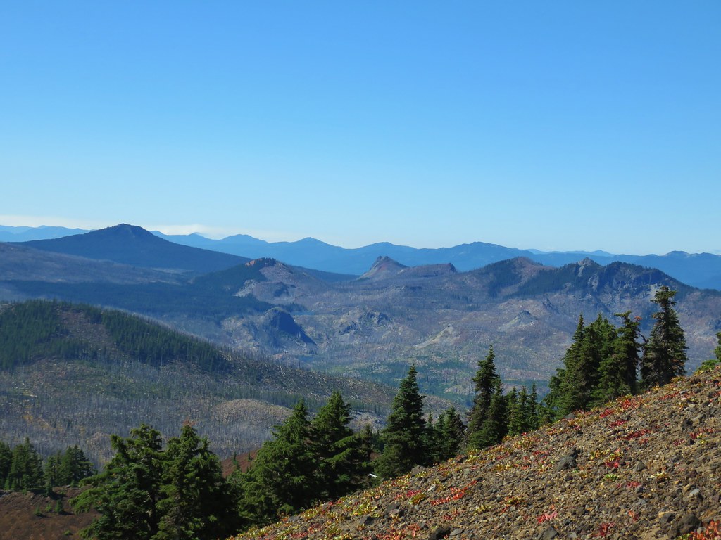 Maxwell Butte, Red Butte, and Duffy Butte to the SW
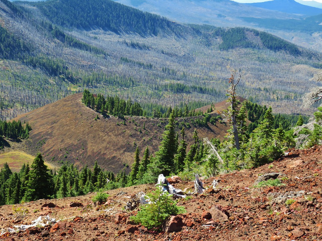 Cinder cone below South Cinder Peak