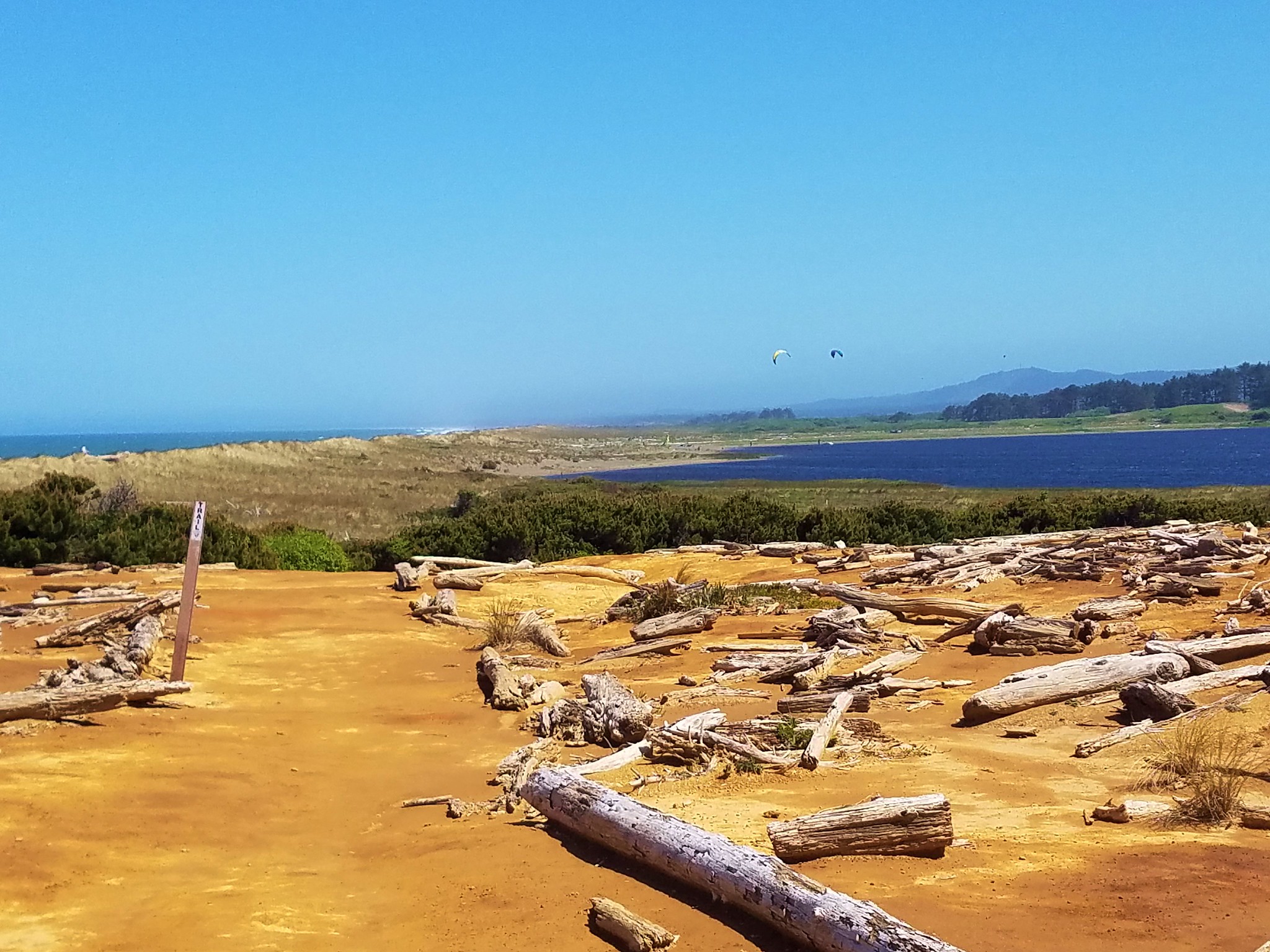
I’ve already done a lot of shuffling on our hiking schedule this year due to the high amount of snow that fell over the winter/early spring that doesn’t seem to be in any hurry to melt off. We are currently in the midst of some 90+ degree days so that should help but for our latest outing the original plan to visit Lost Lake had been scrapped over a month ago and we were off to the replacement hike – Bald Butte.
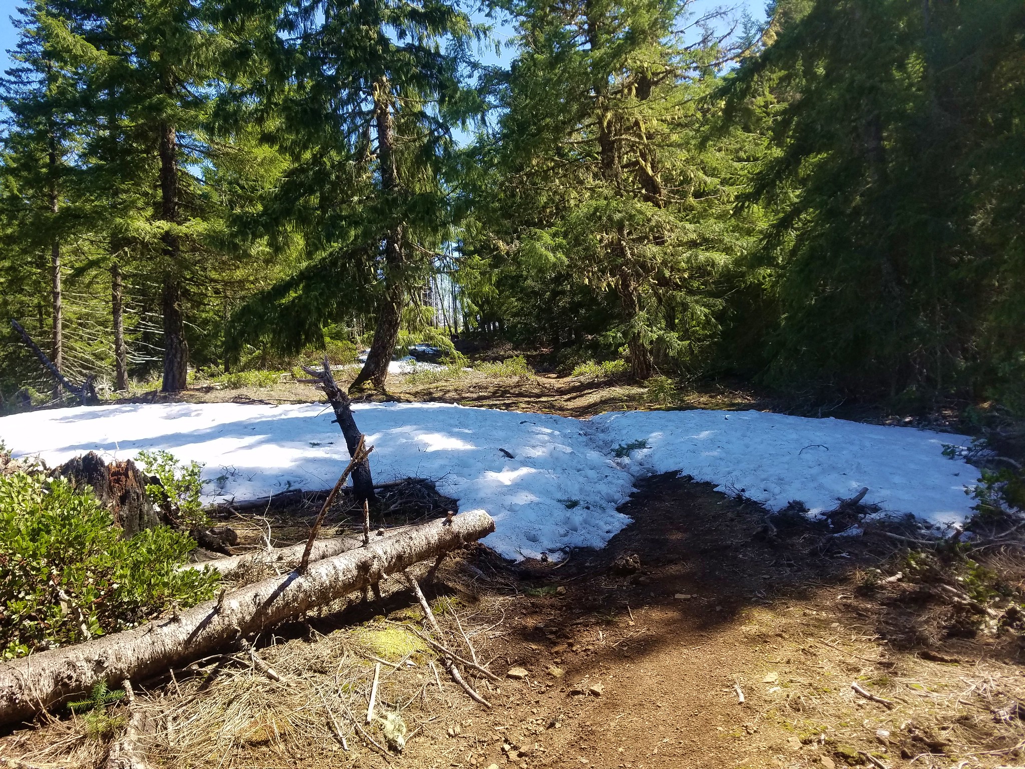
Interestingly this hike was less than 15 miles (as the crow flies) from Lost Lake with the high point on Bald Butte coming in at 3770′ while the lake sits a little under 3200′. Location, location, location. In any event the snow coverage maps showed plenty of snow around the lake and none on the butte the day before our visit.
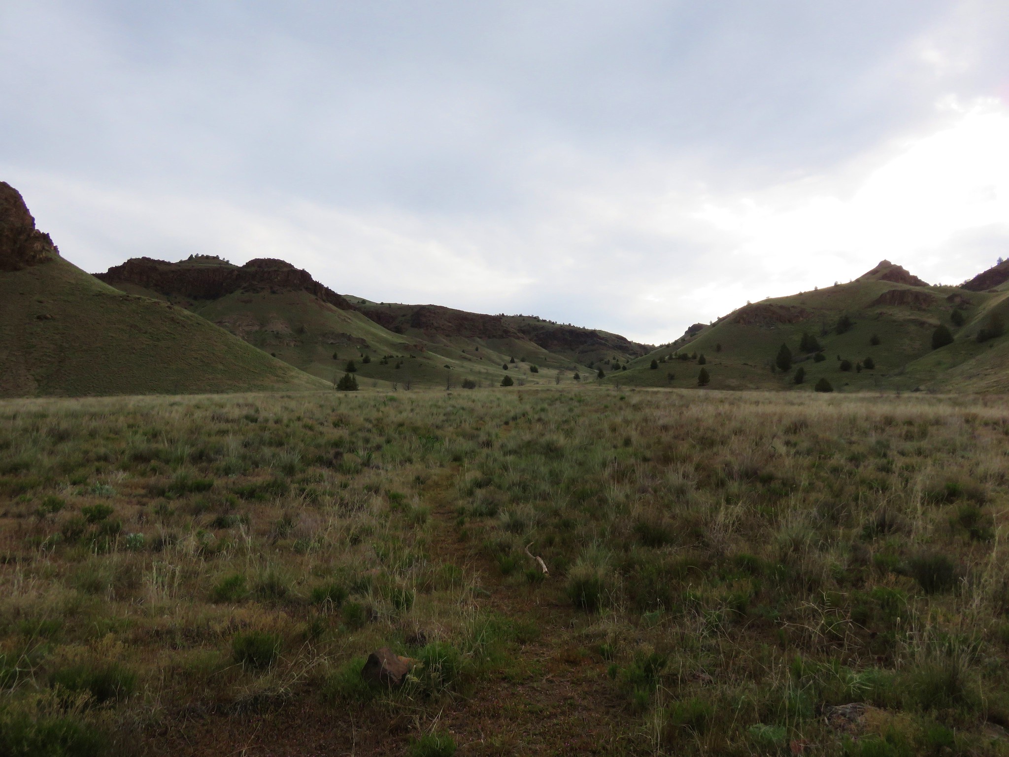
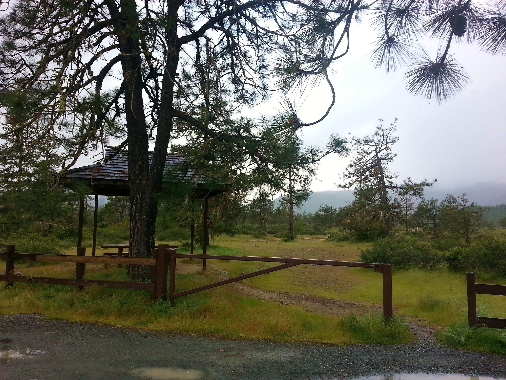
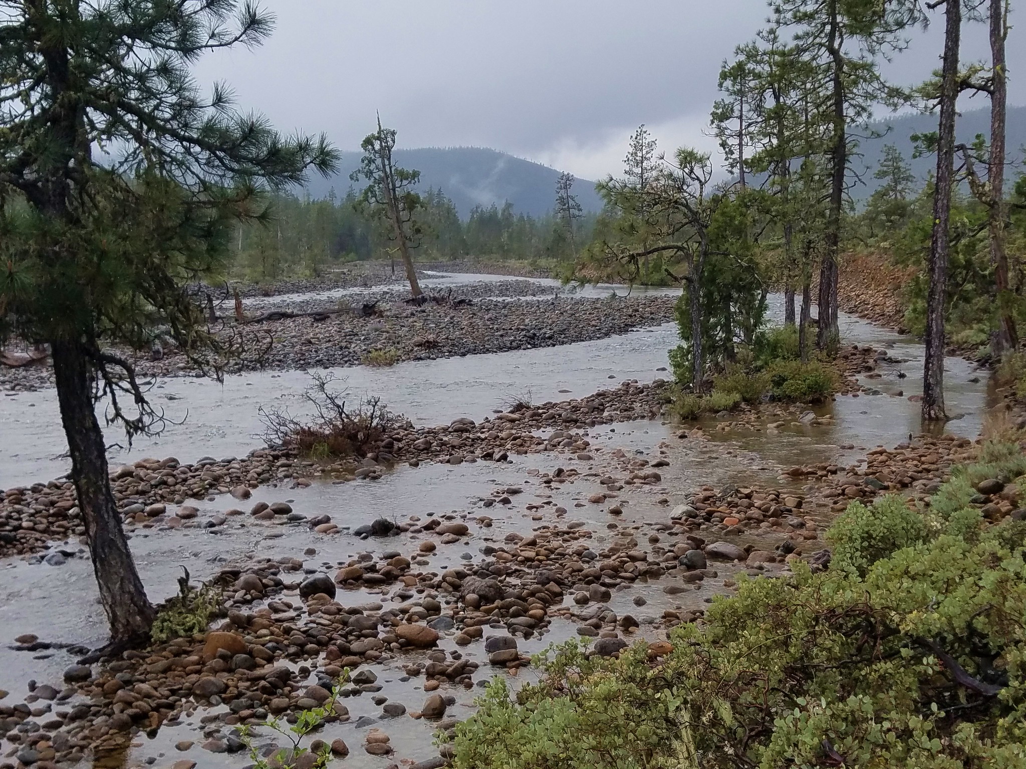
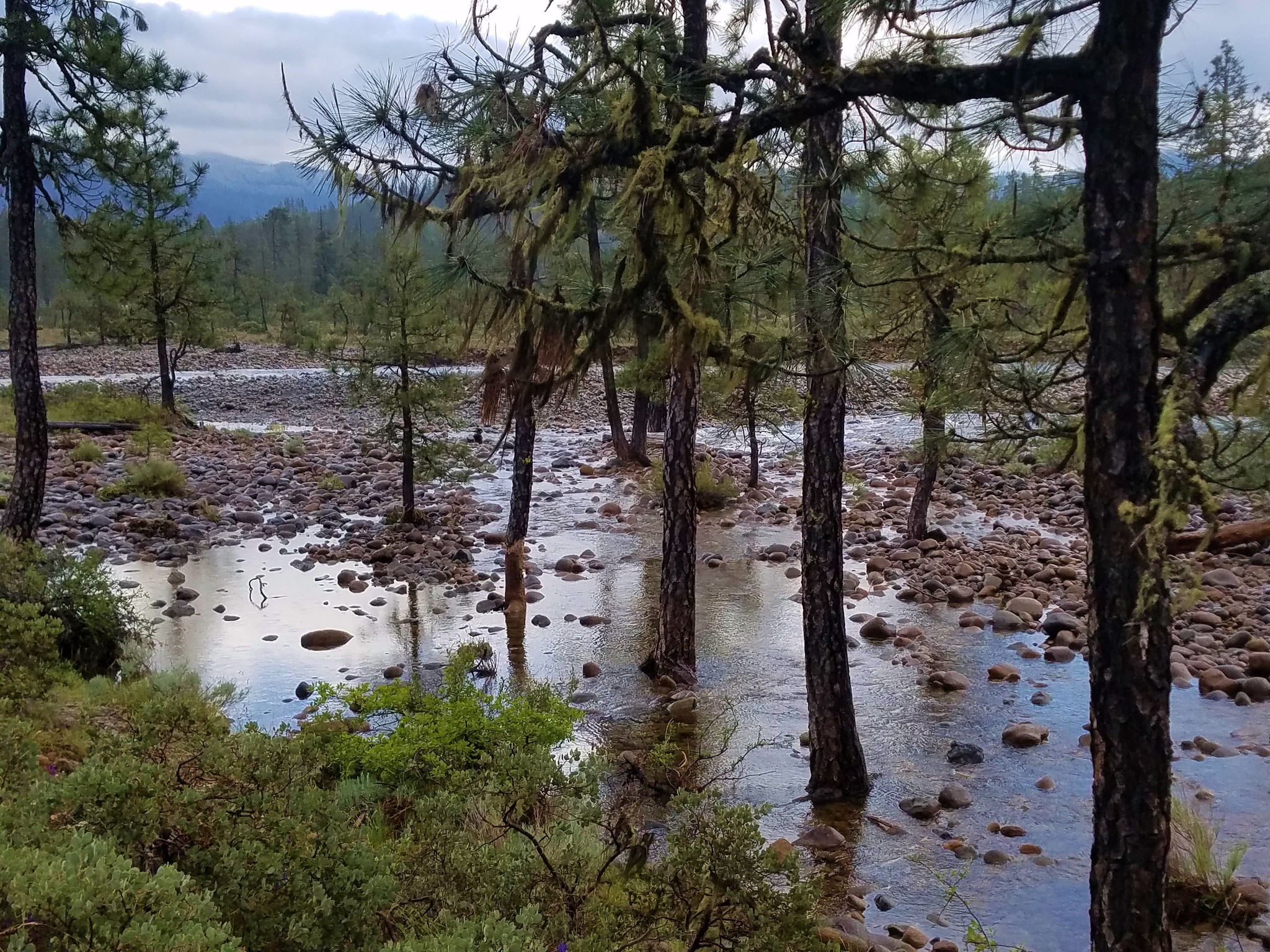
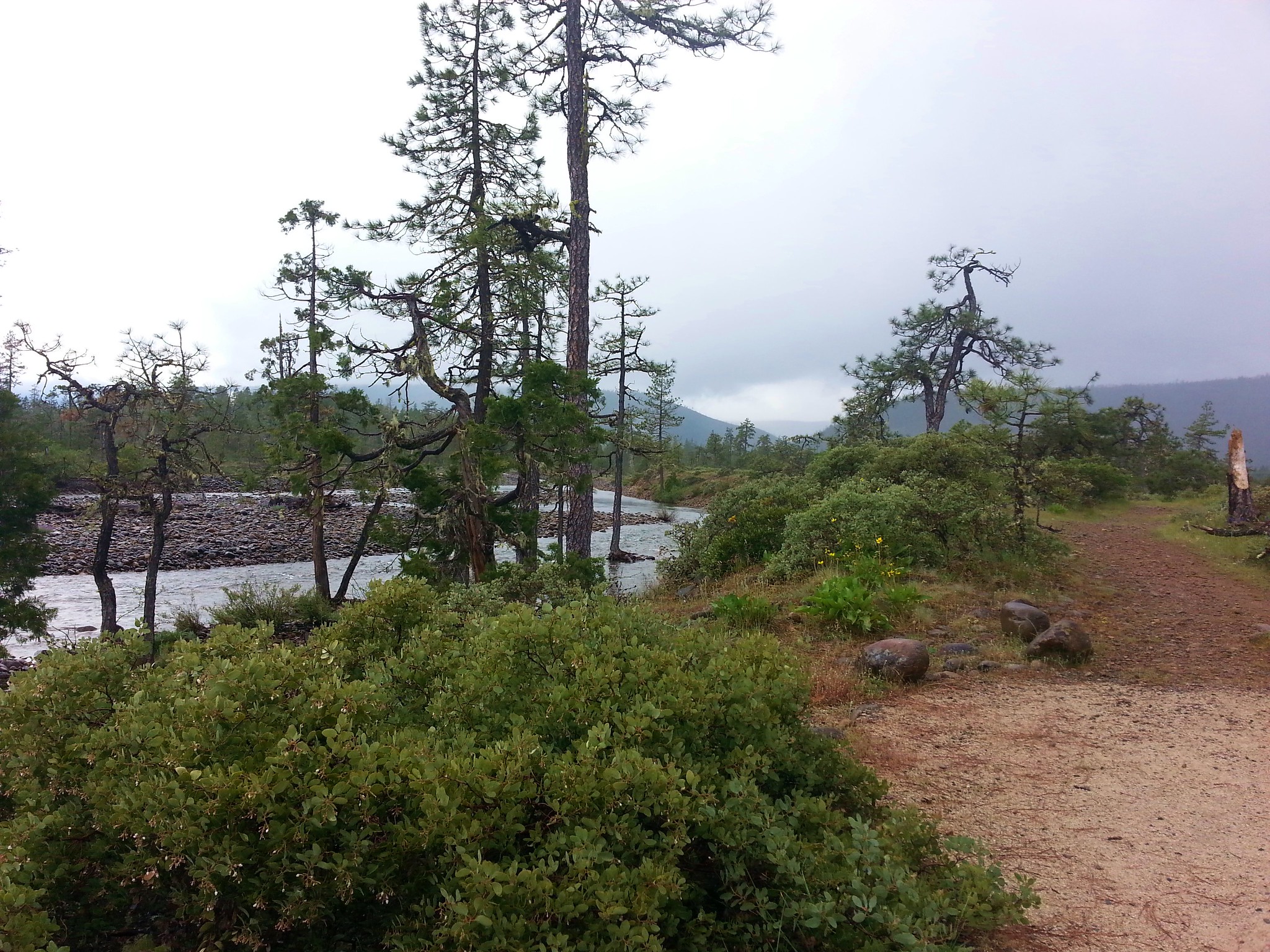
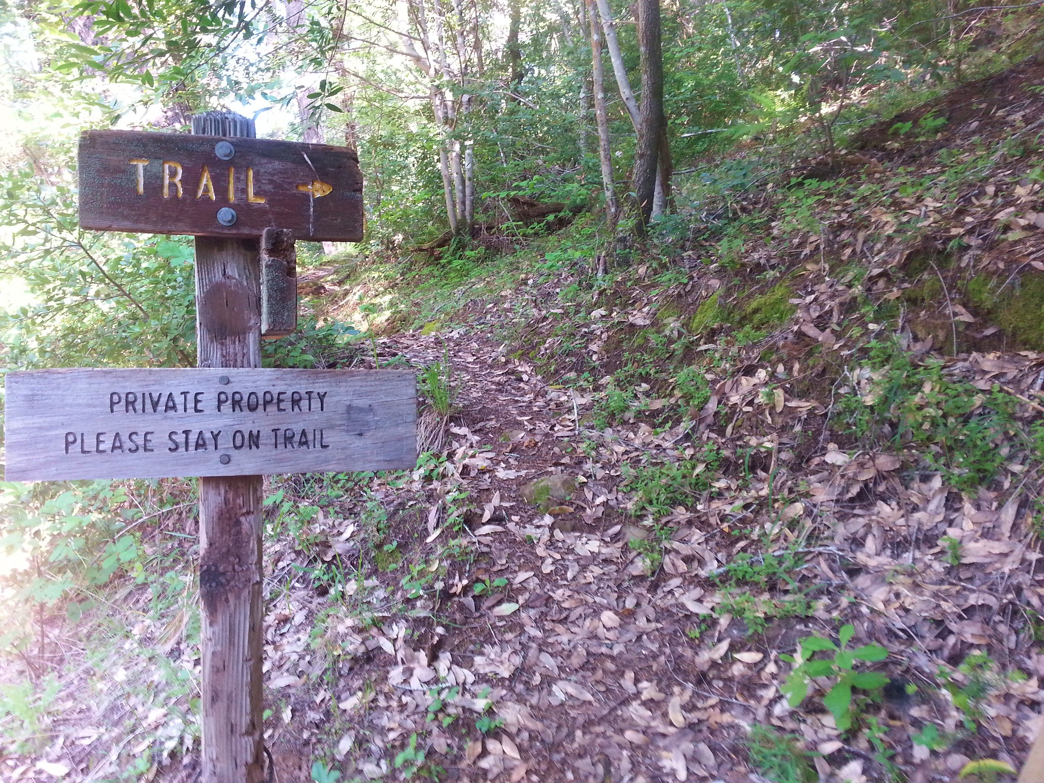
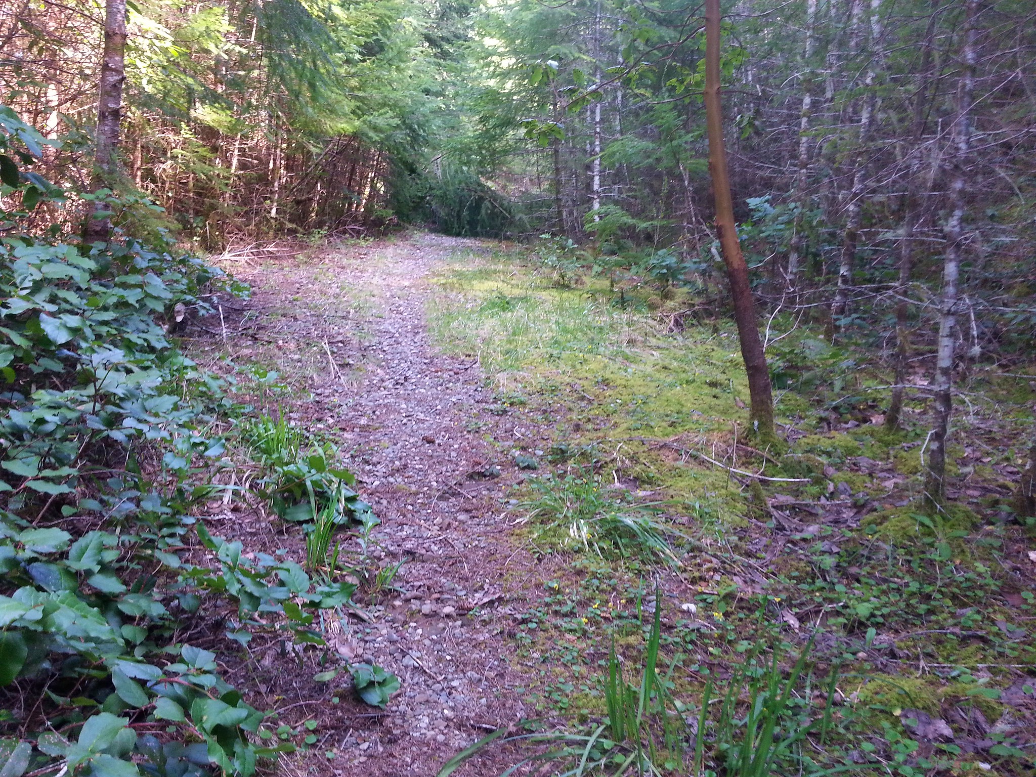
We began our hike at the Oak Ridge Trailhead. To reach the trailhead turn west on Smullen Road off of Highway 35 approximately 14.4 miles south of Hood River, OR. At a sharp right turn take a left off of Smullen Road onto a short dirt road to the parking area. The trail starts on the far side a small footbridge.
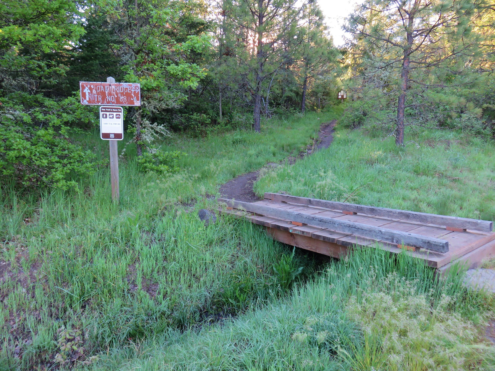
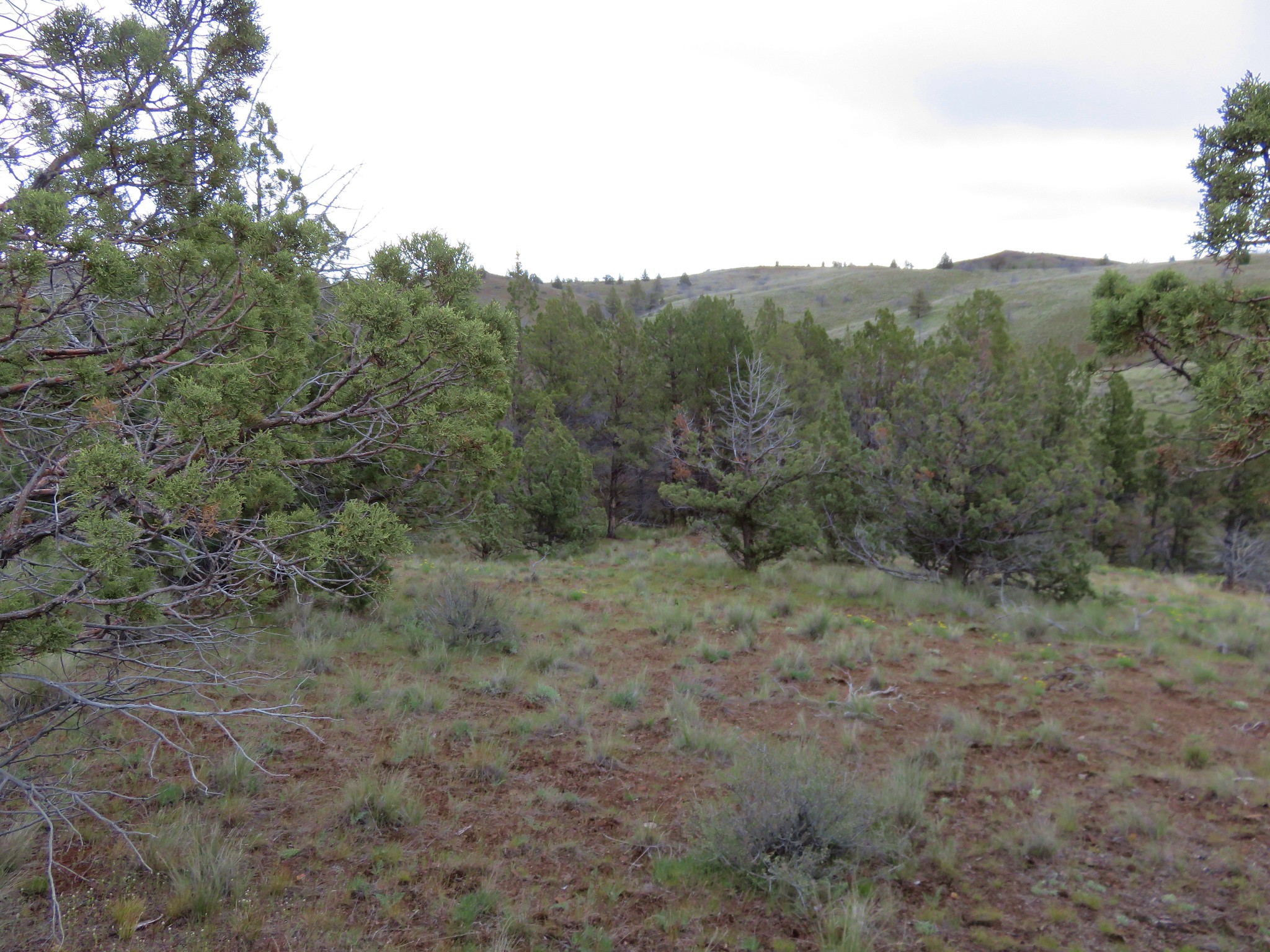
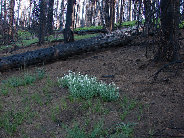
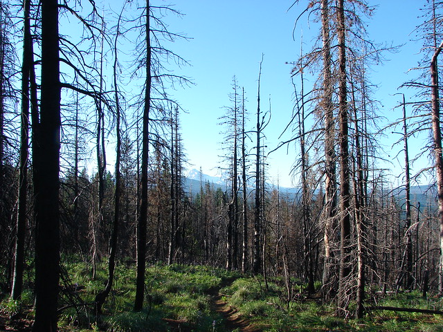
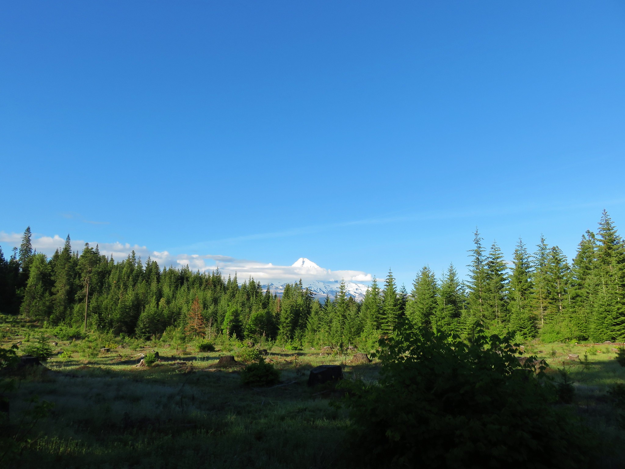
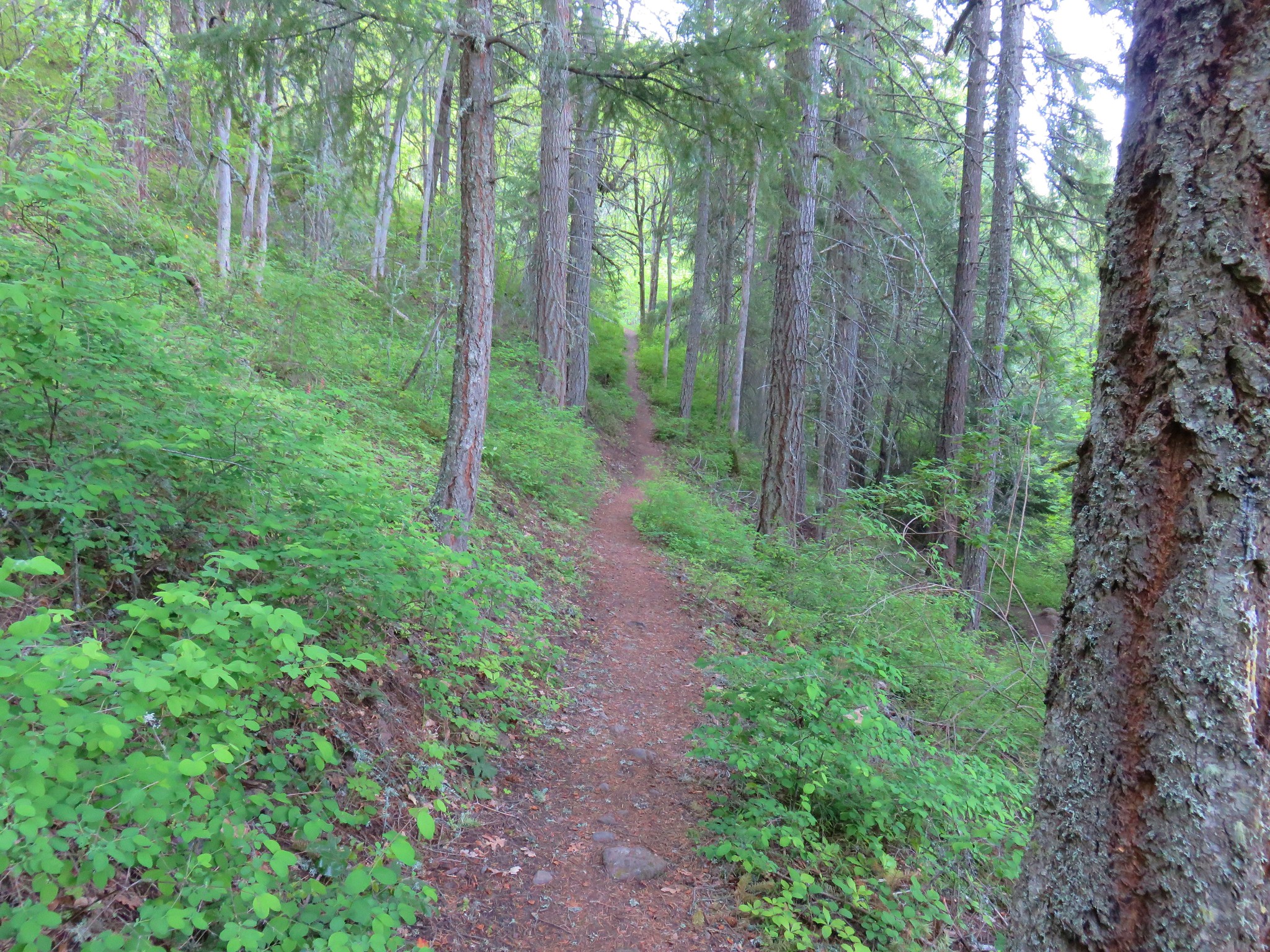
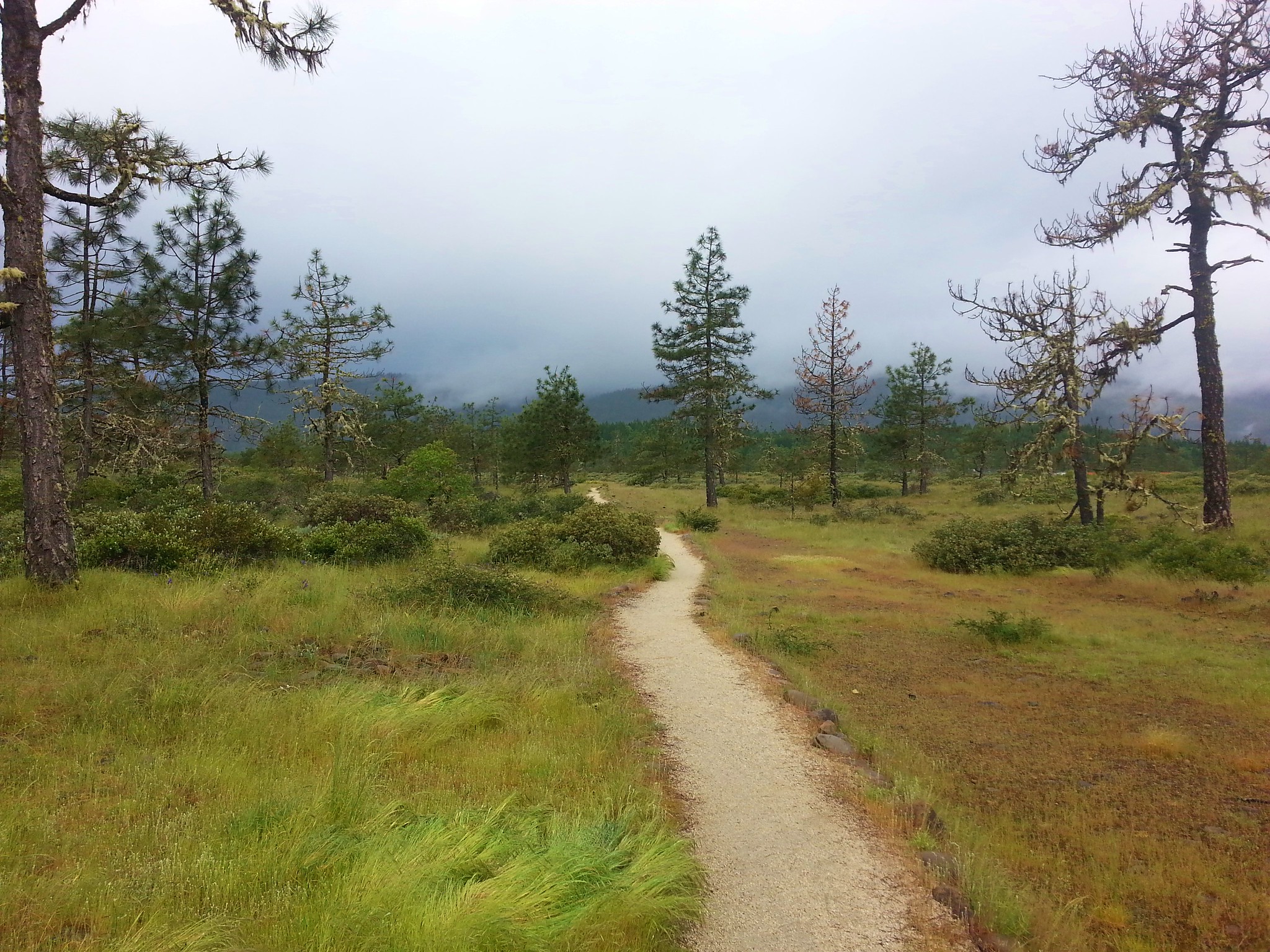
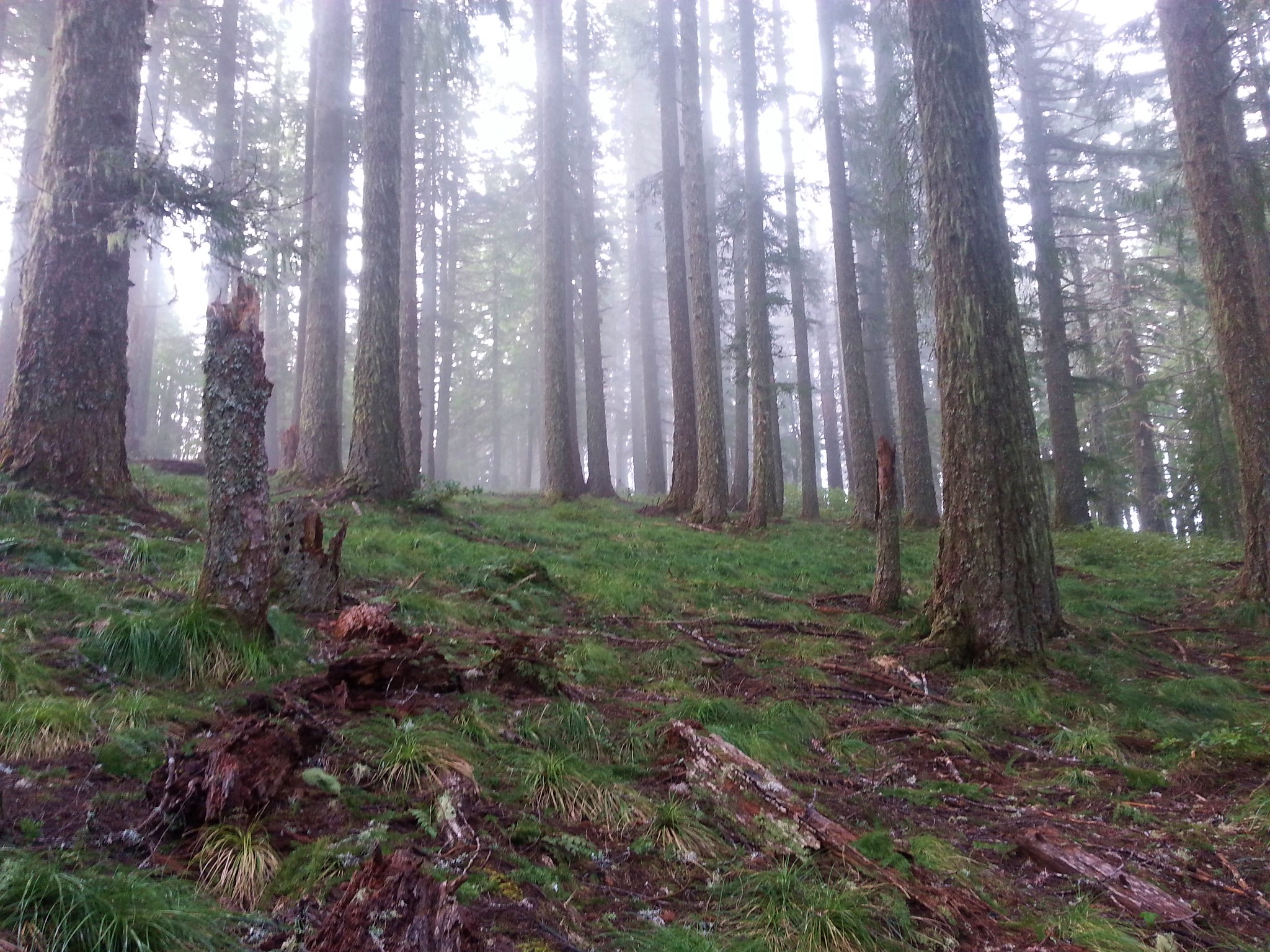
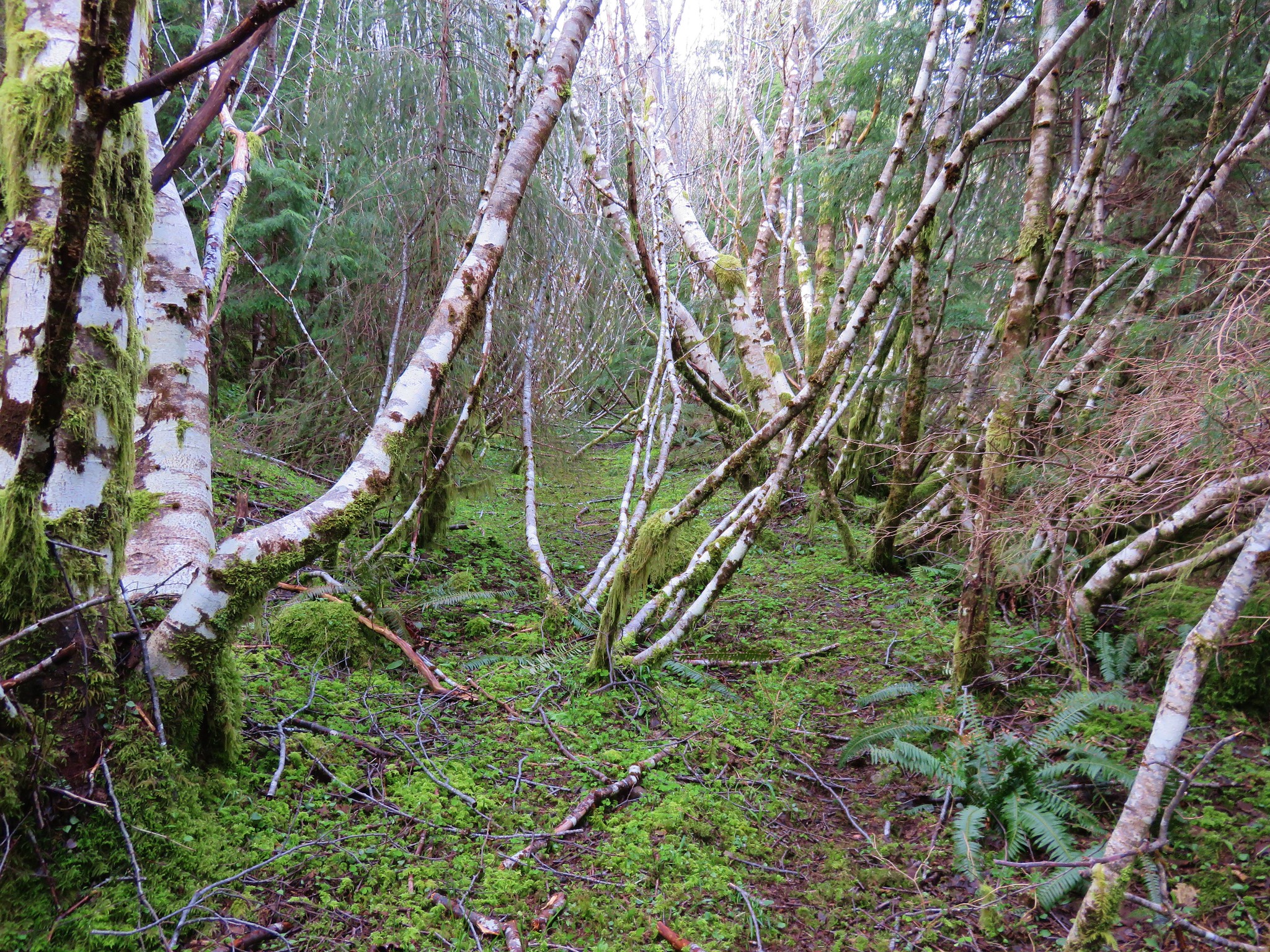
The Oakridge Trail is 2.4 miles long and gains almost 2000′ as it climbs from the trailhead to the Surveyor’s Ridge Trail which runs north/south for 16.4 miles. The trail was fairly level at first passing through an old clearcut with a view of Mt. Hood.
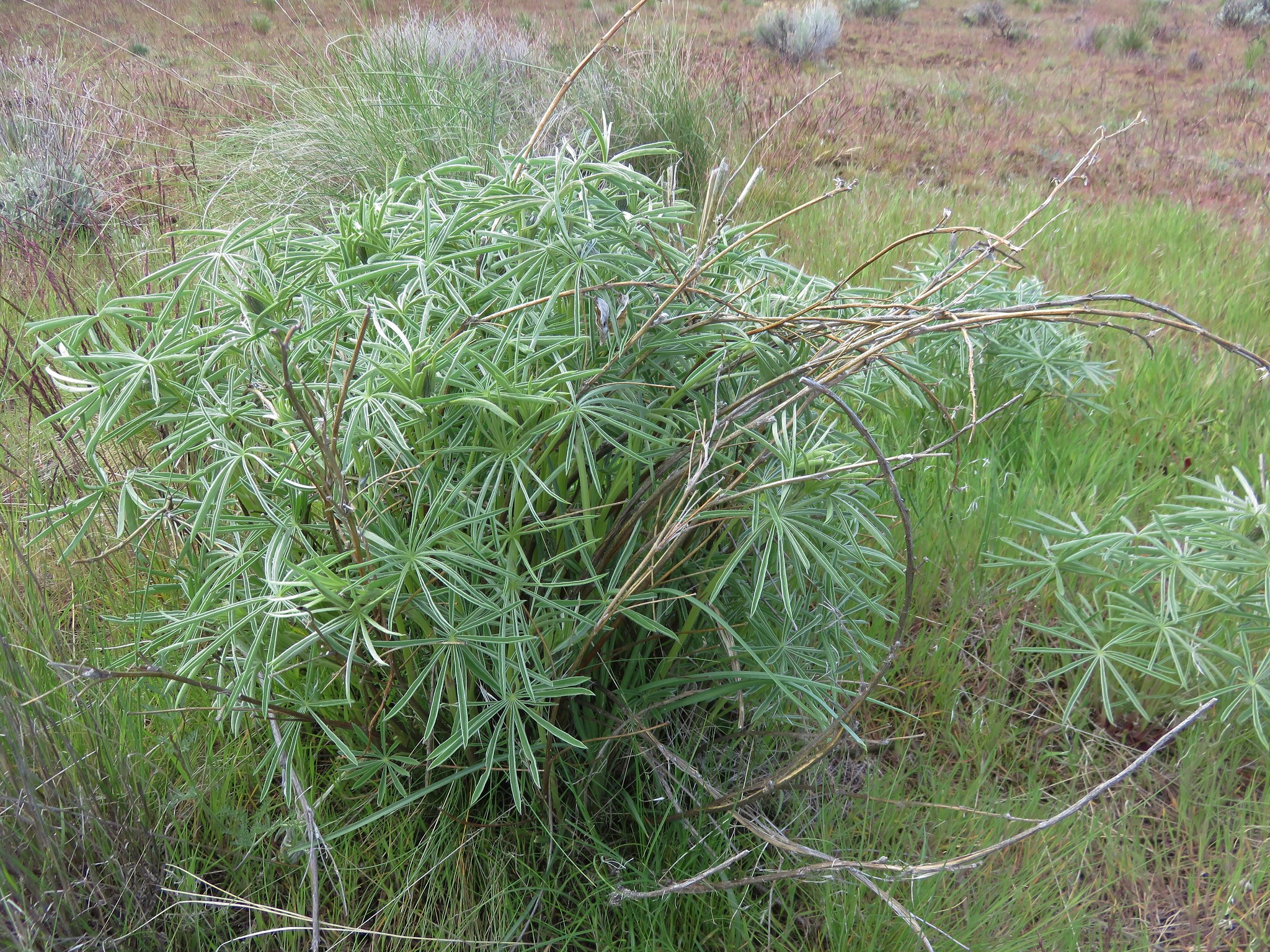
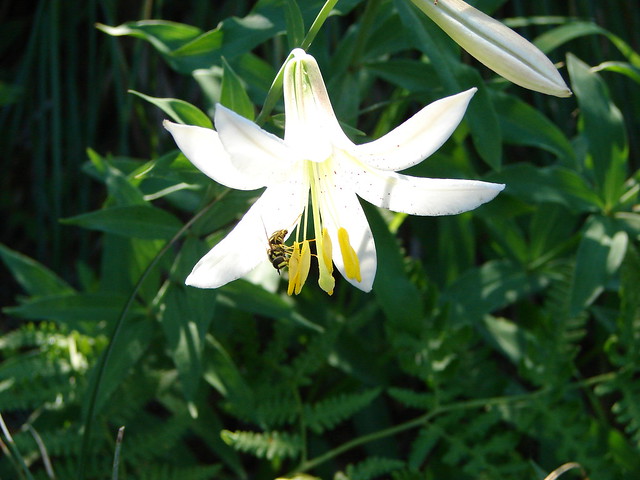
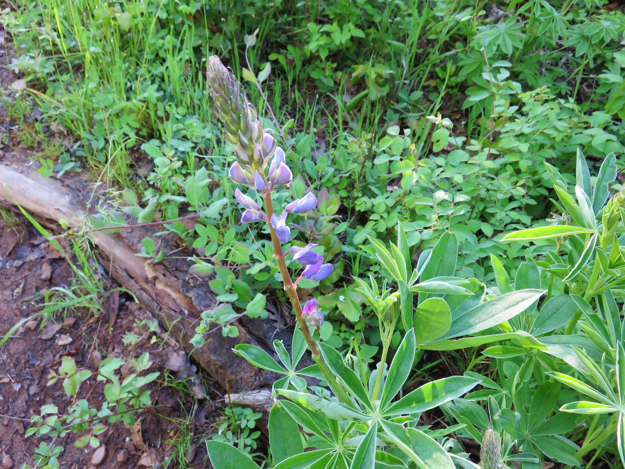
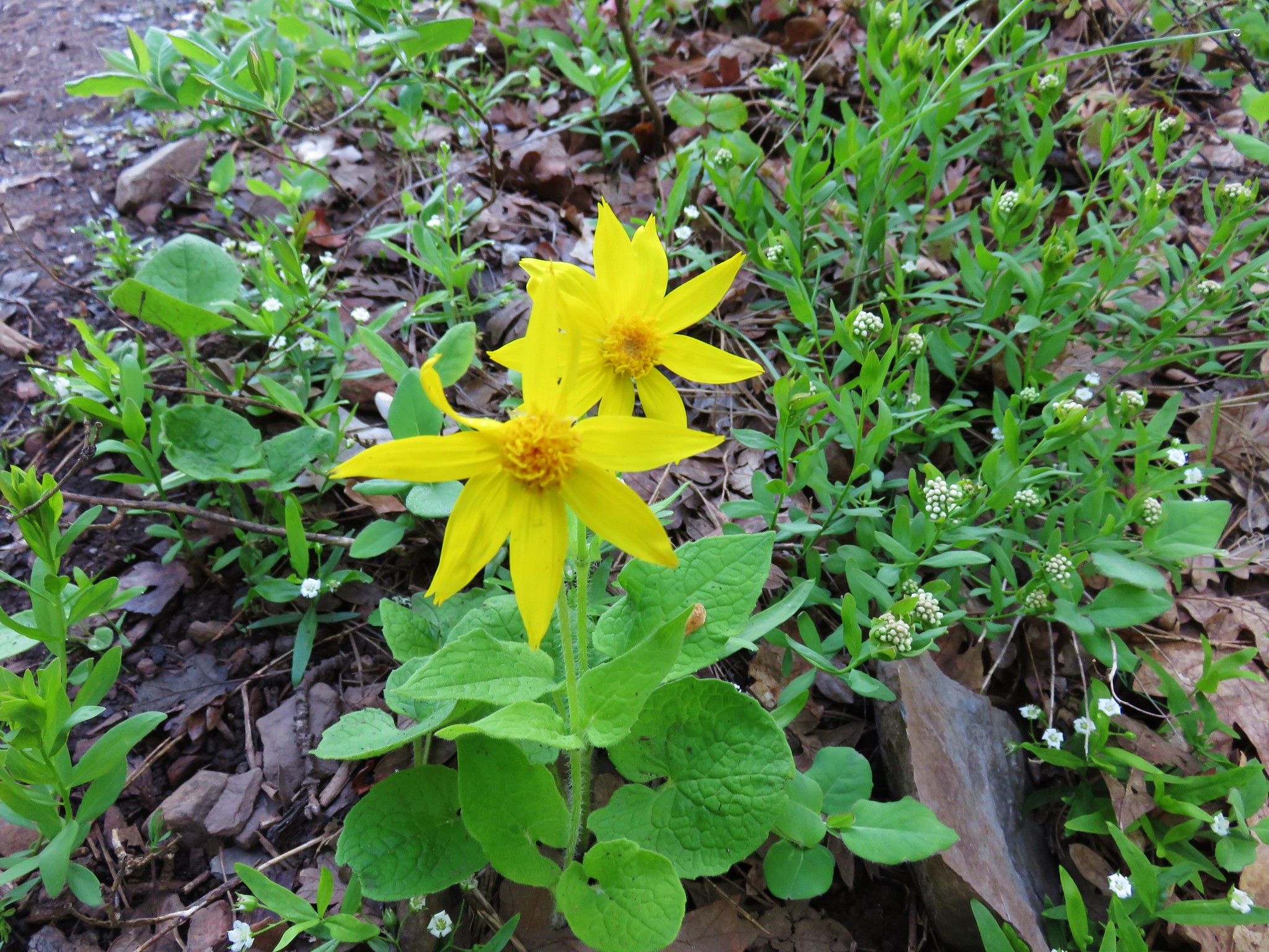
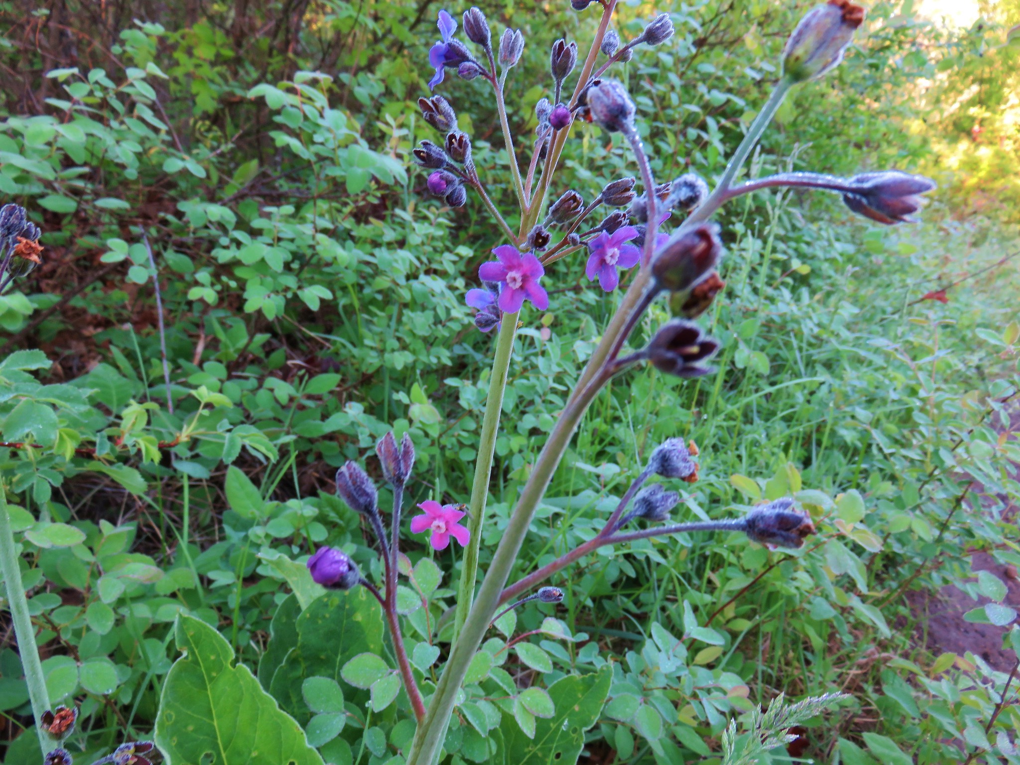
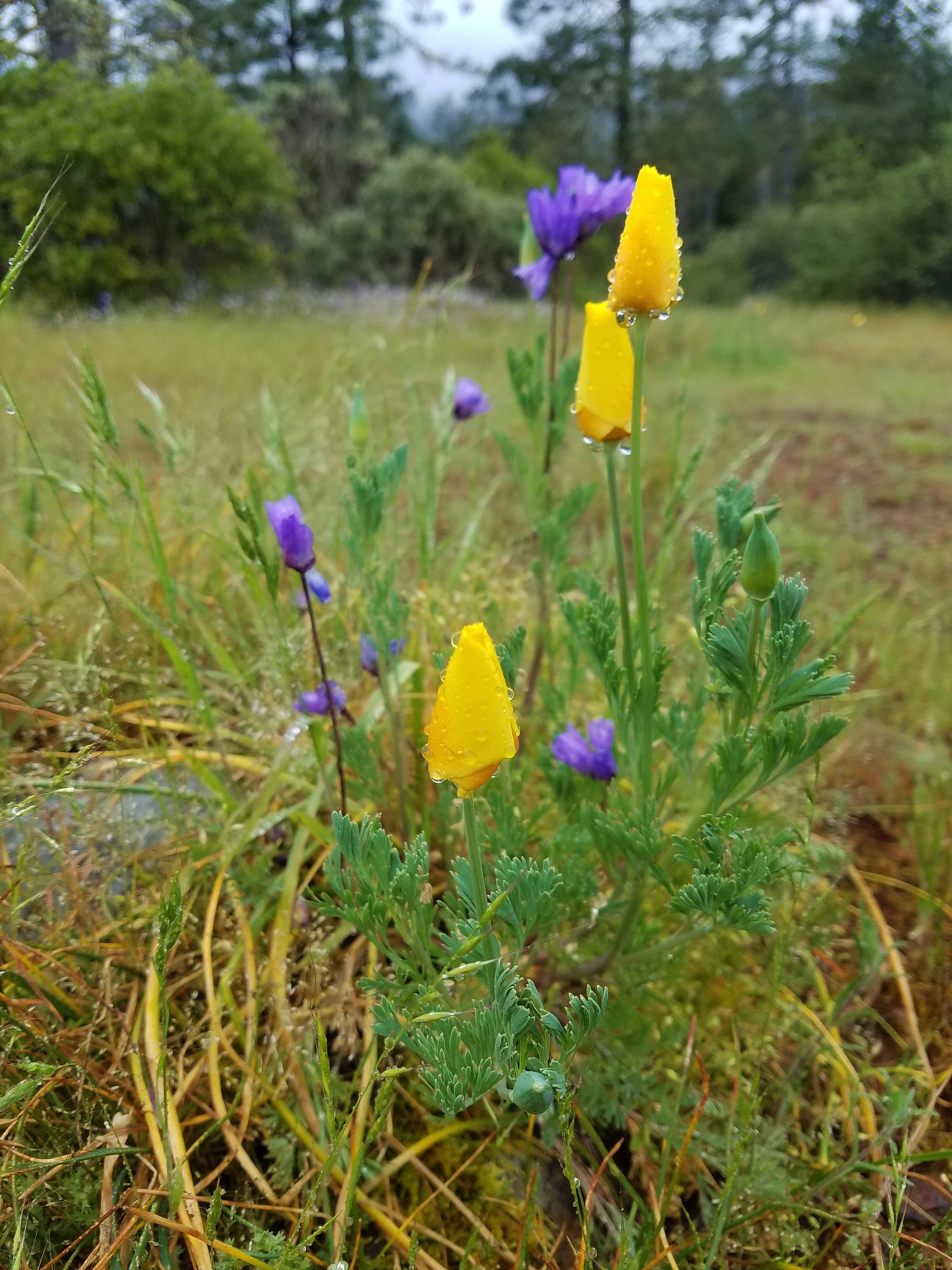
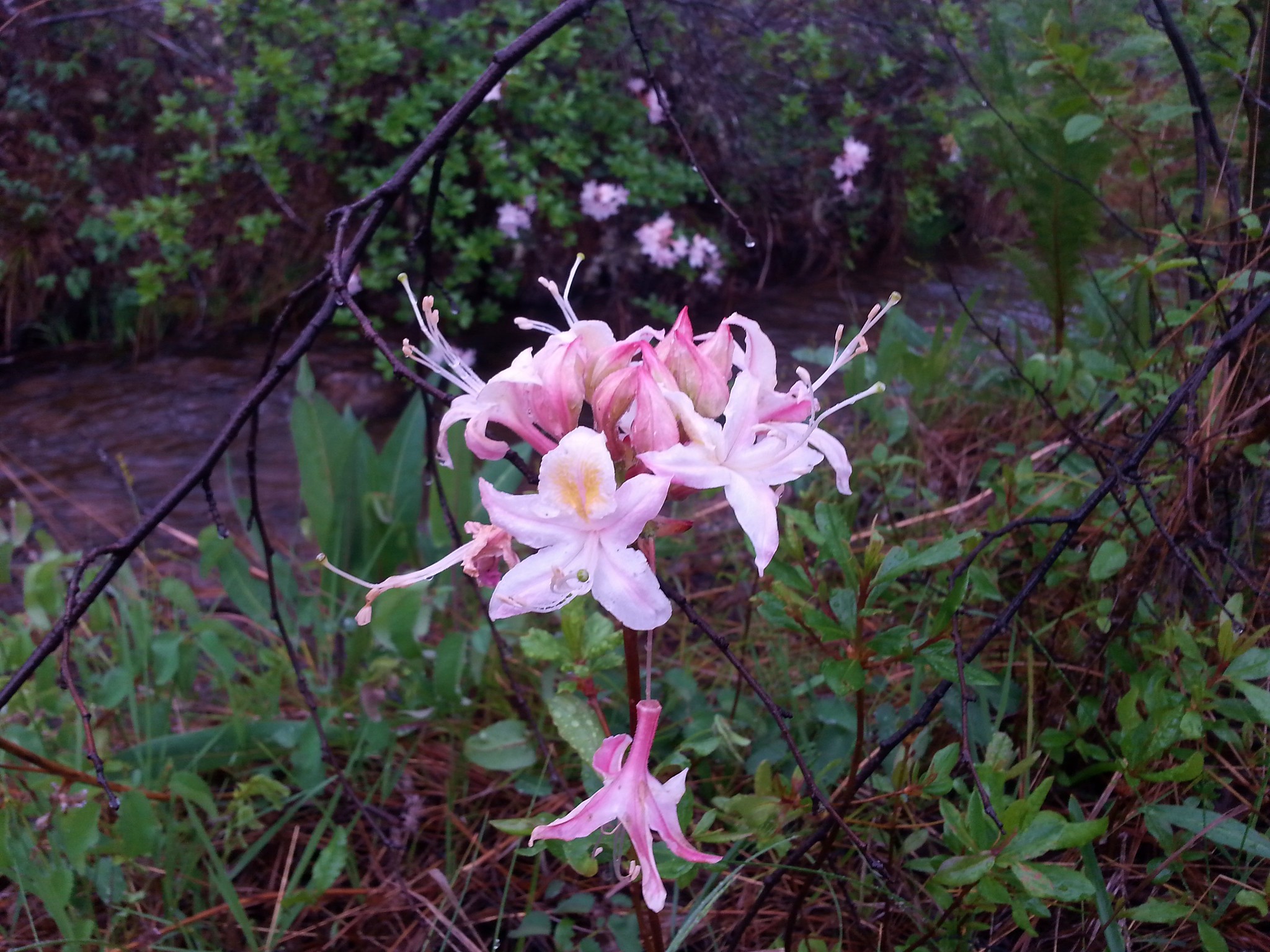
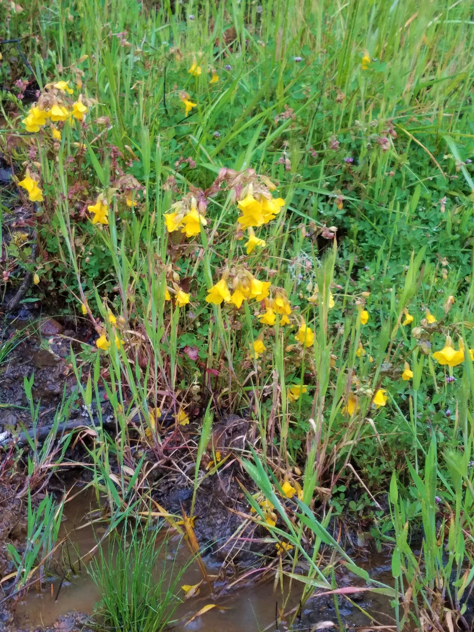
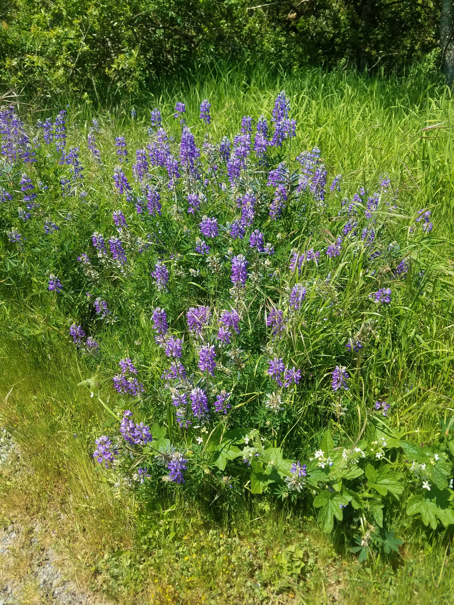
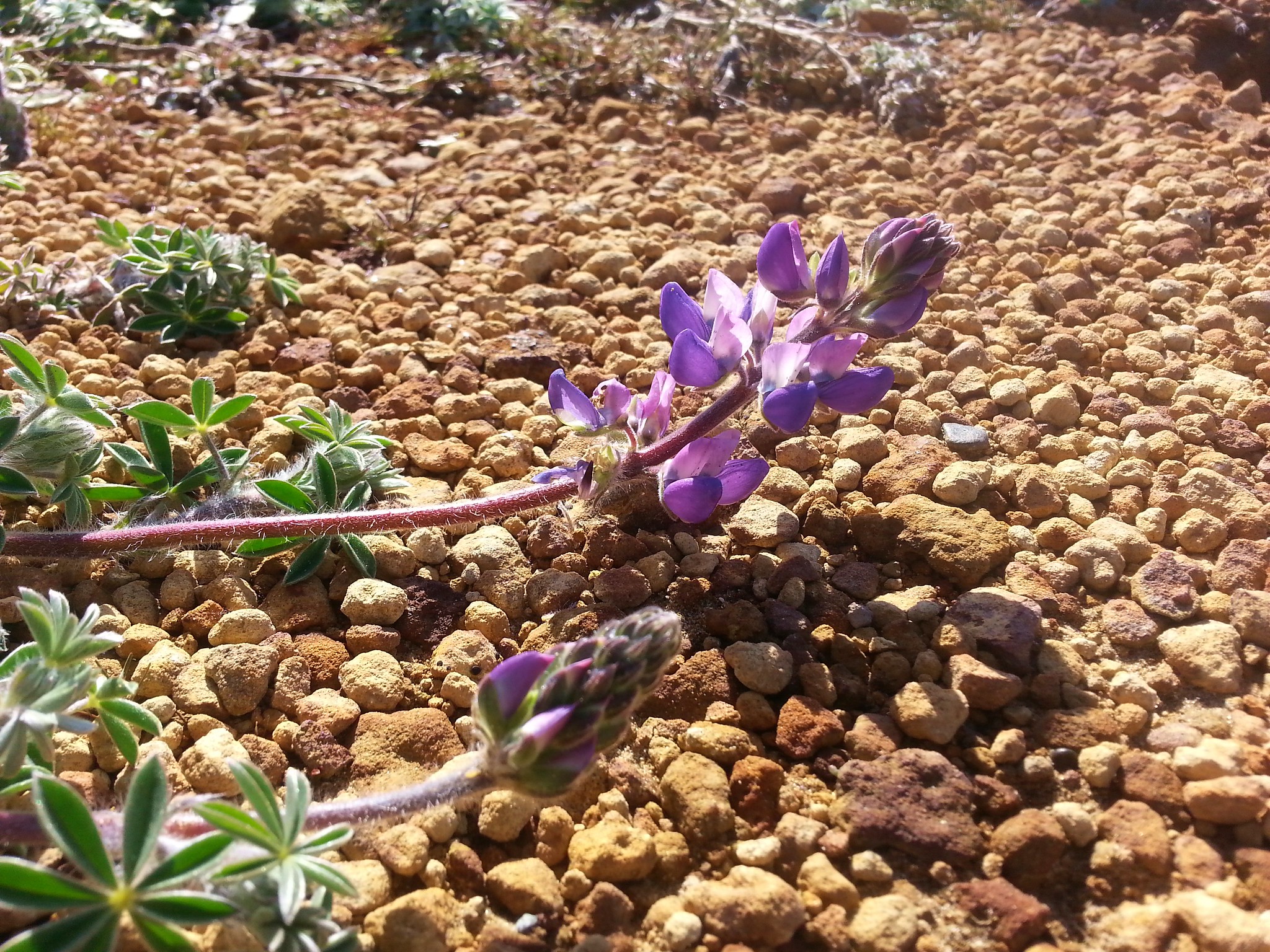
Flowers blooming along this stretch included lupine, arnica and some nice hound’s tongue.
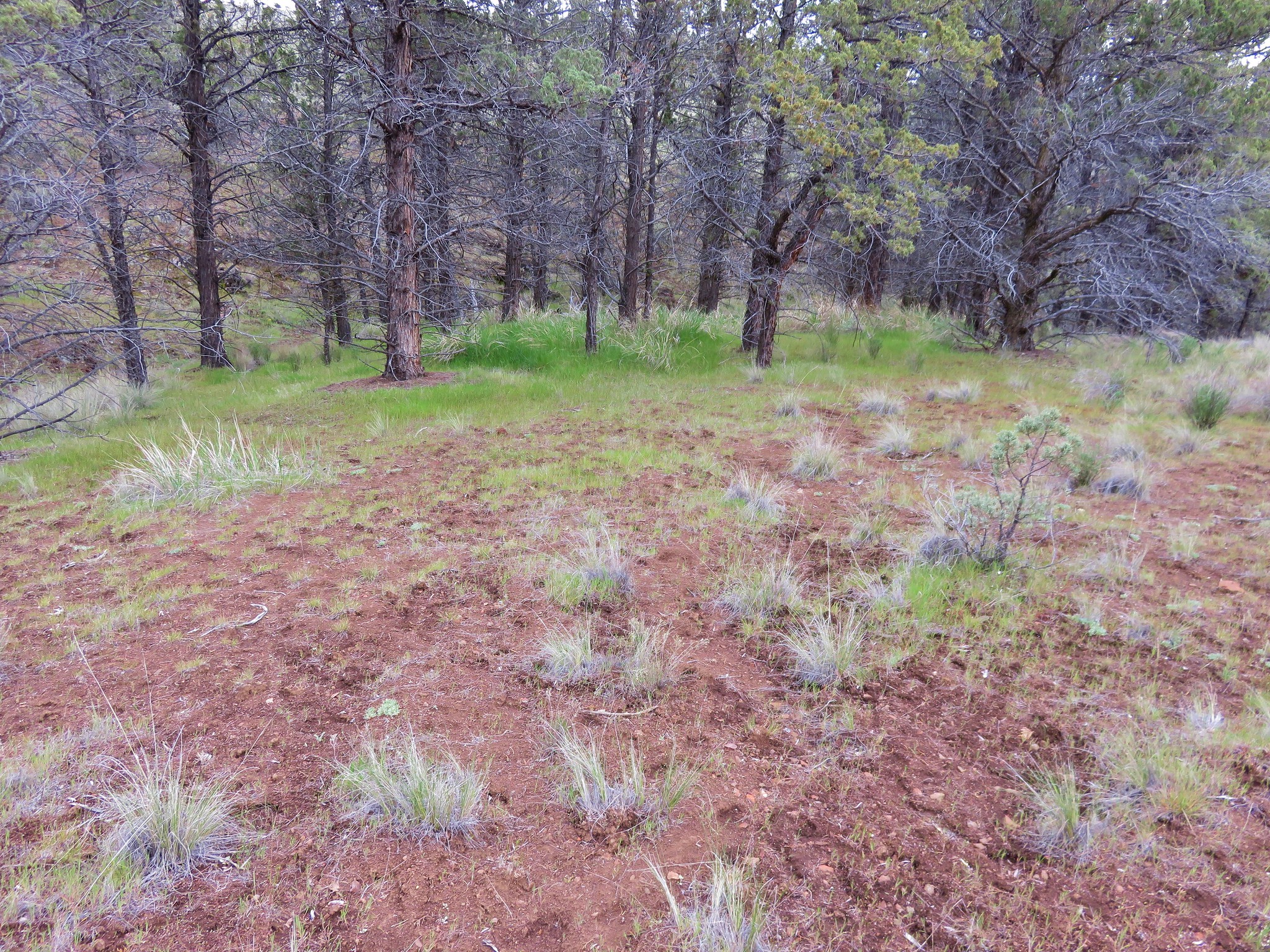
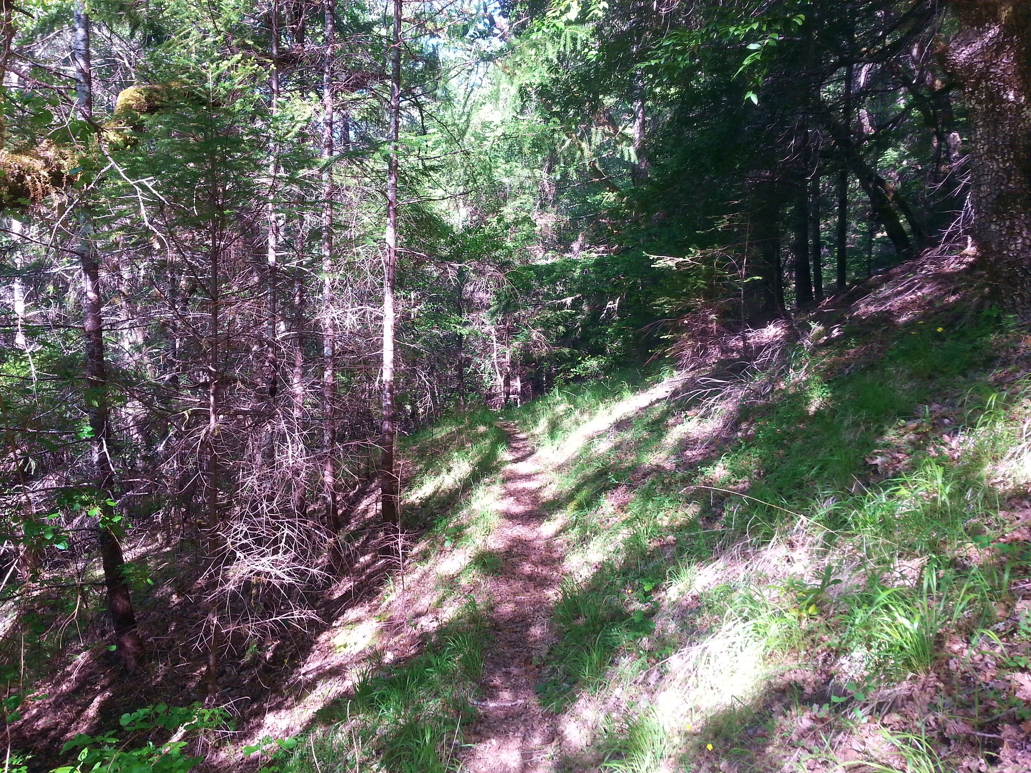
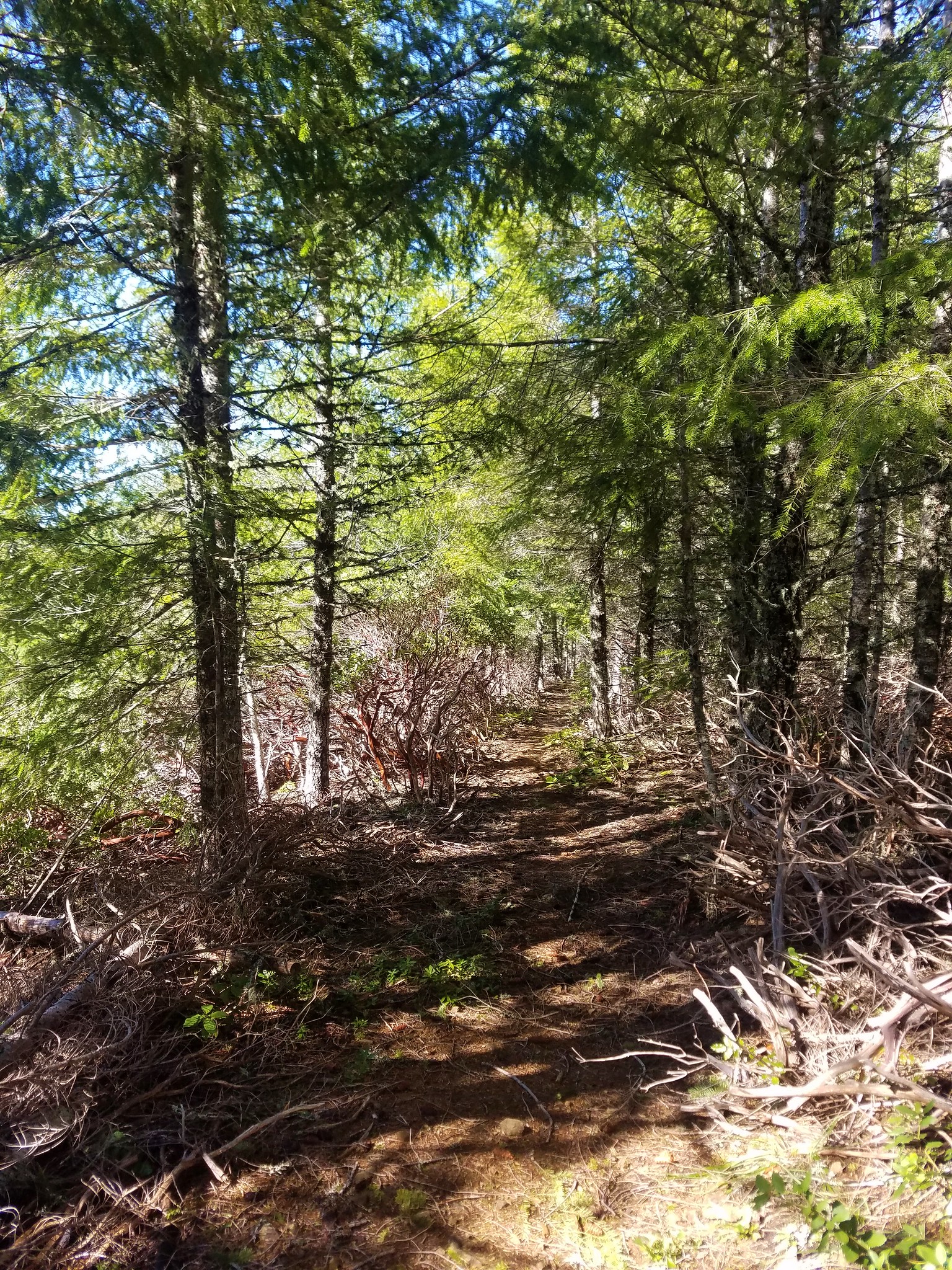
We began to climb after the clearcut as the trail entered the trees.
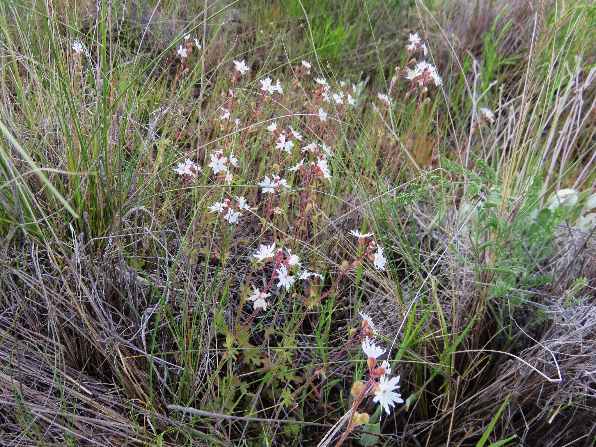
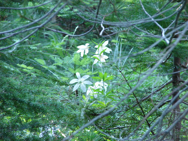
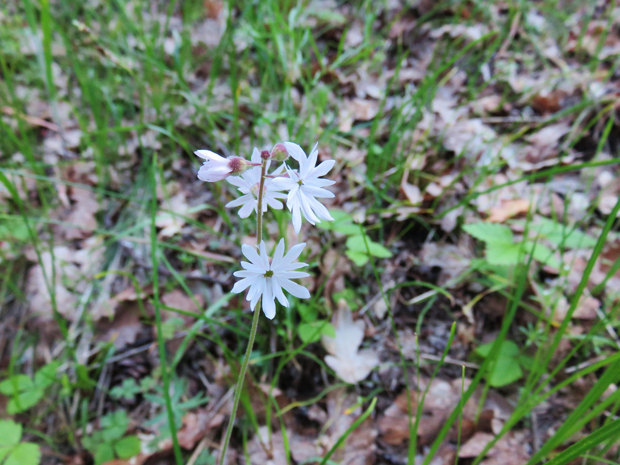
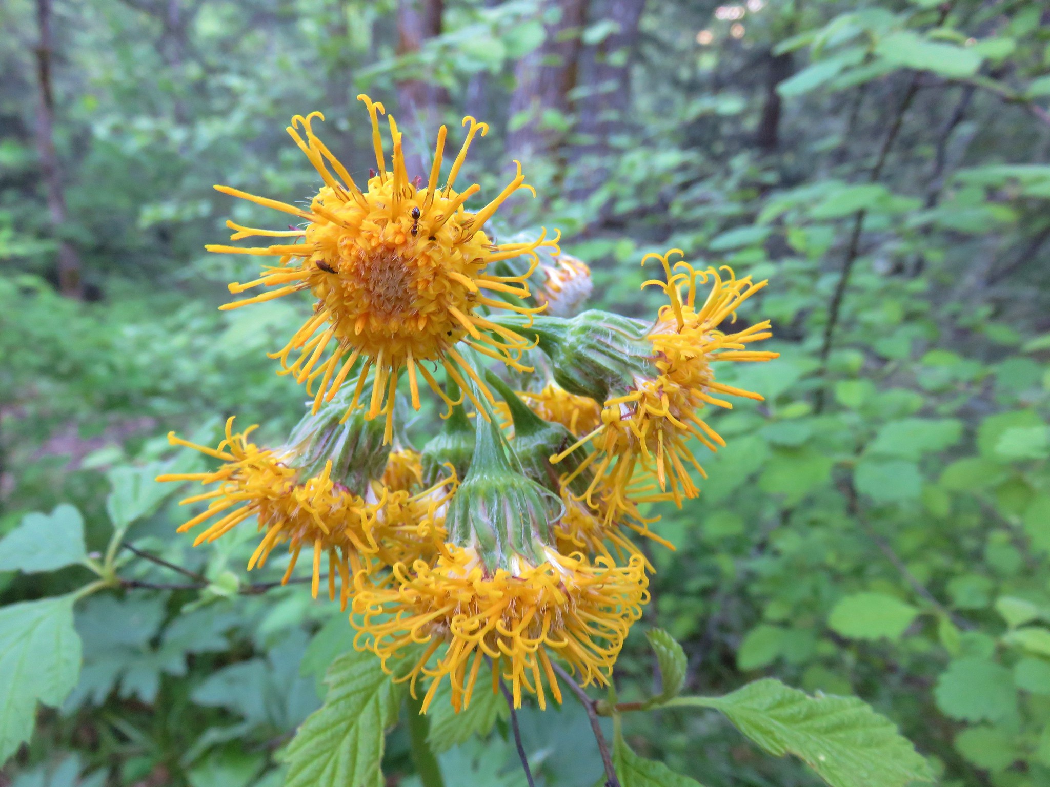
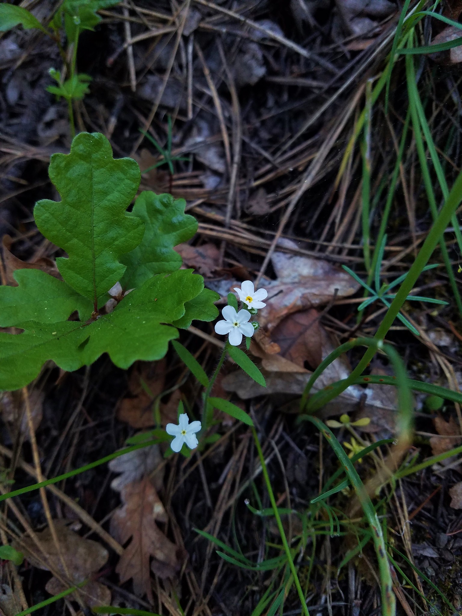
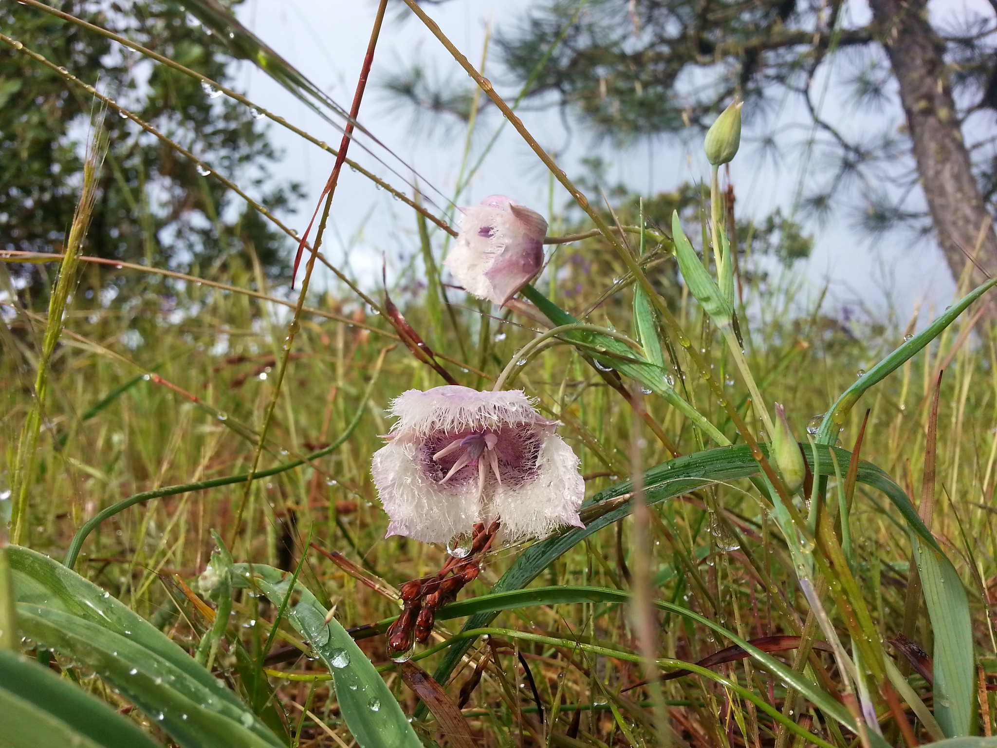
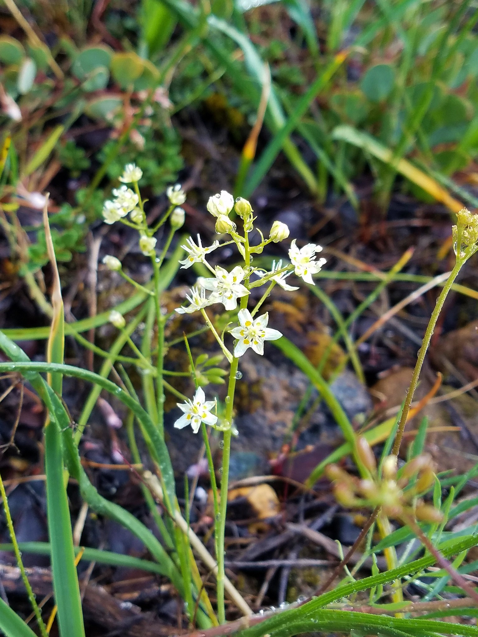
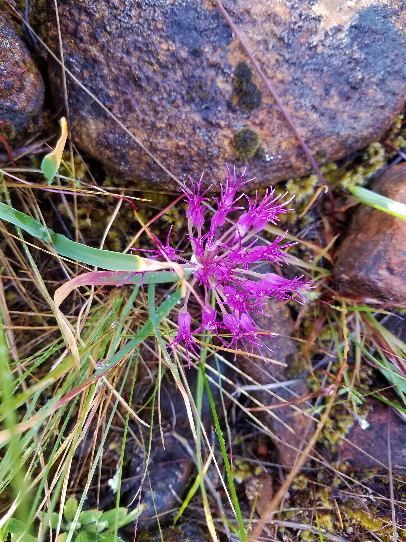
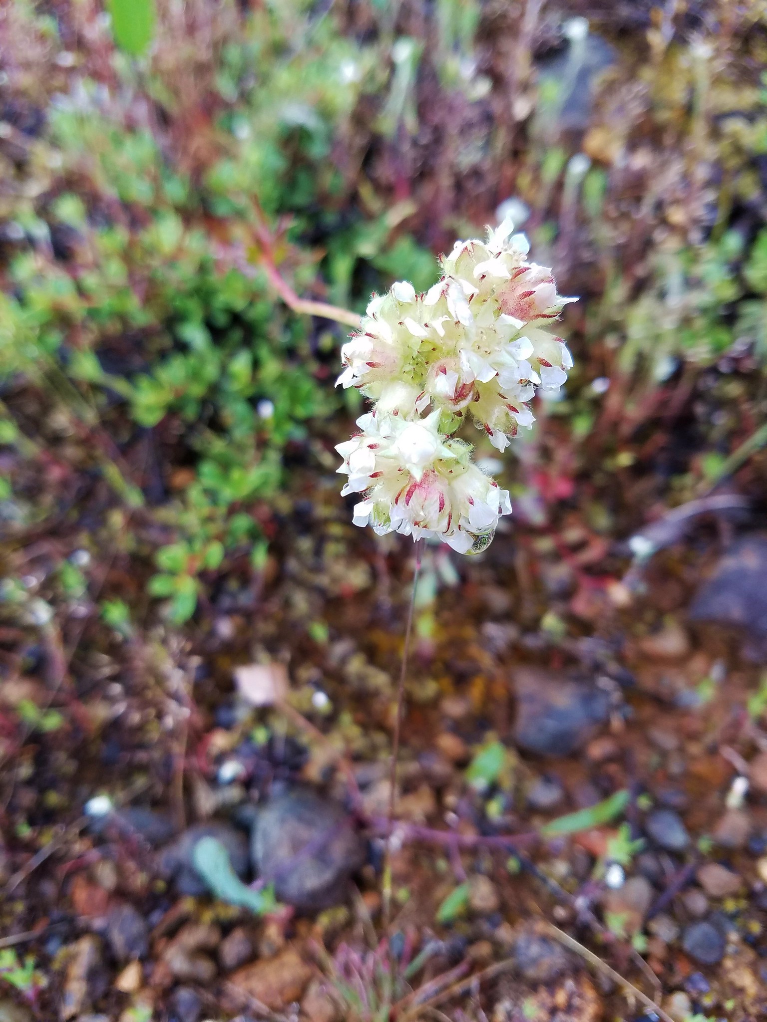
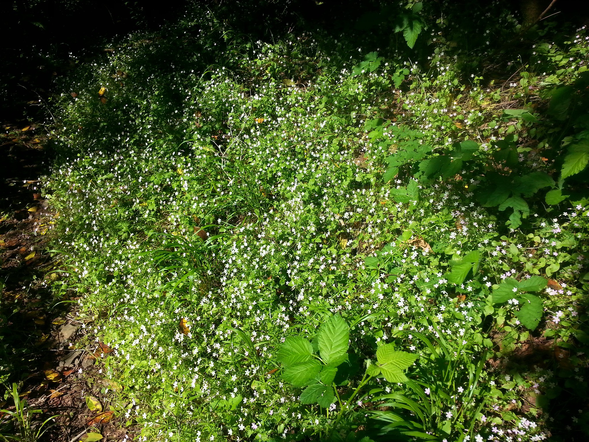
Additional flowers were blooming here including a few chocolate lilies, woodland stars, silvercrown, and various white flowers.
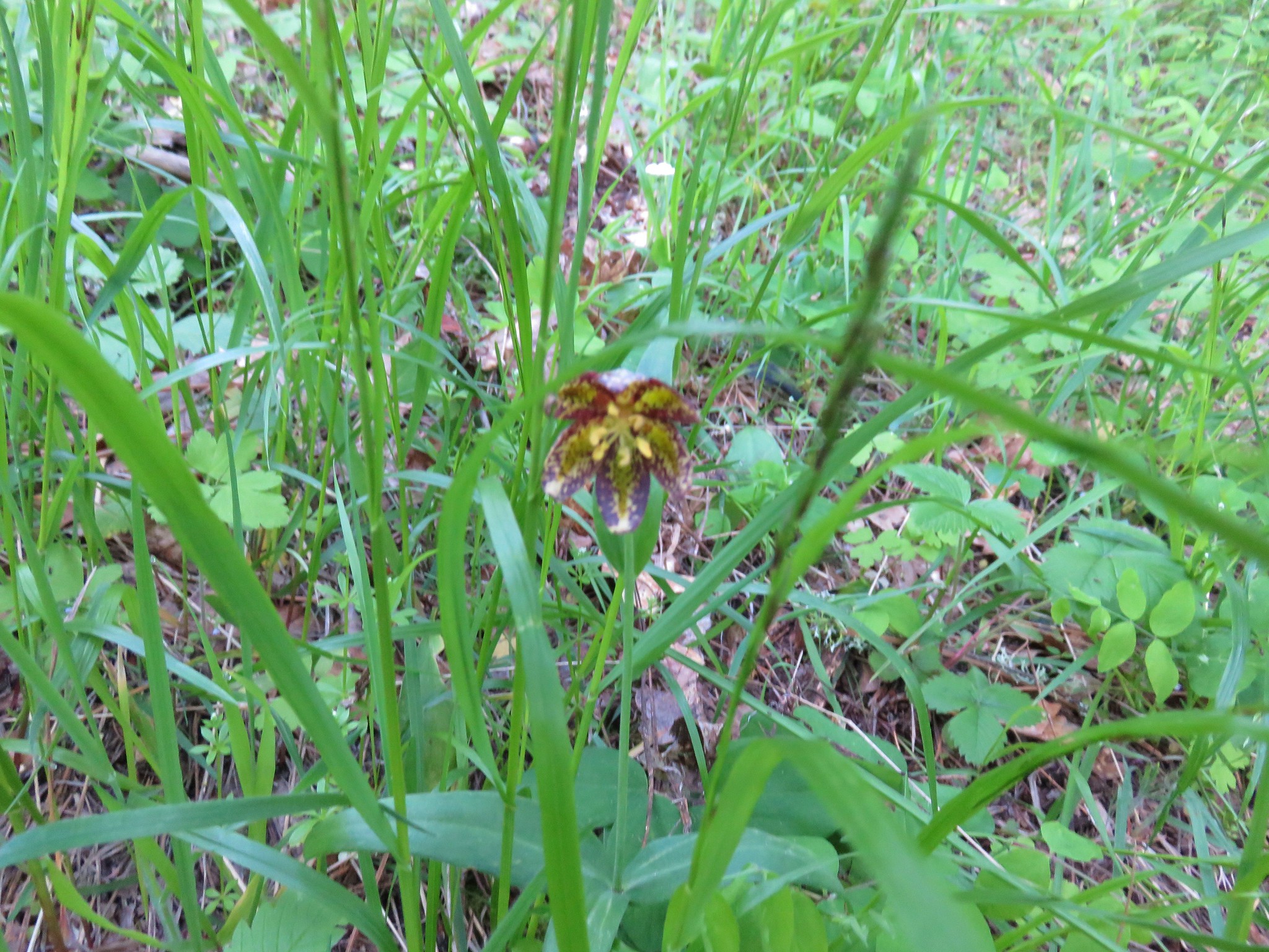

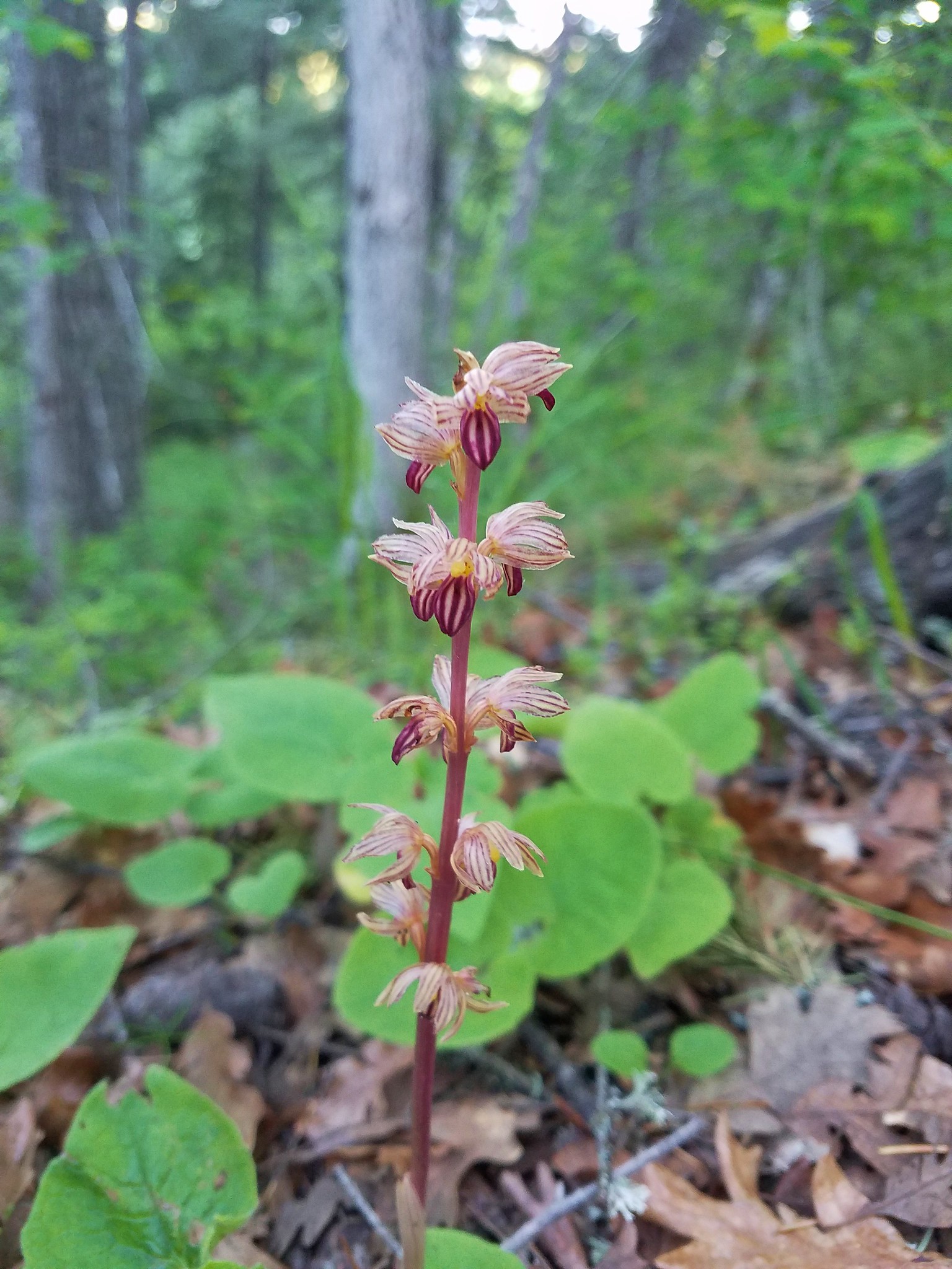
Heather spotted a nice striped coralroot.
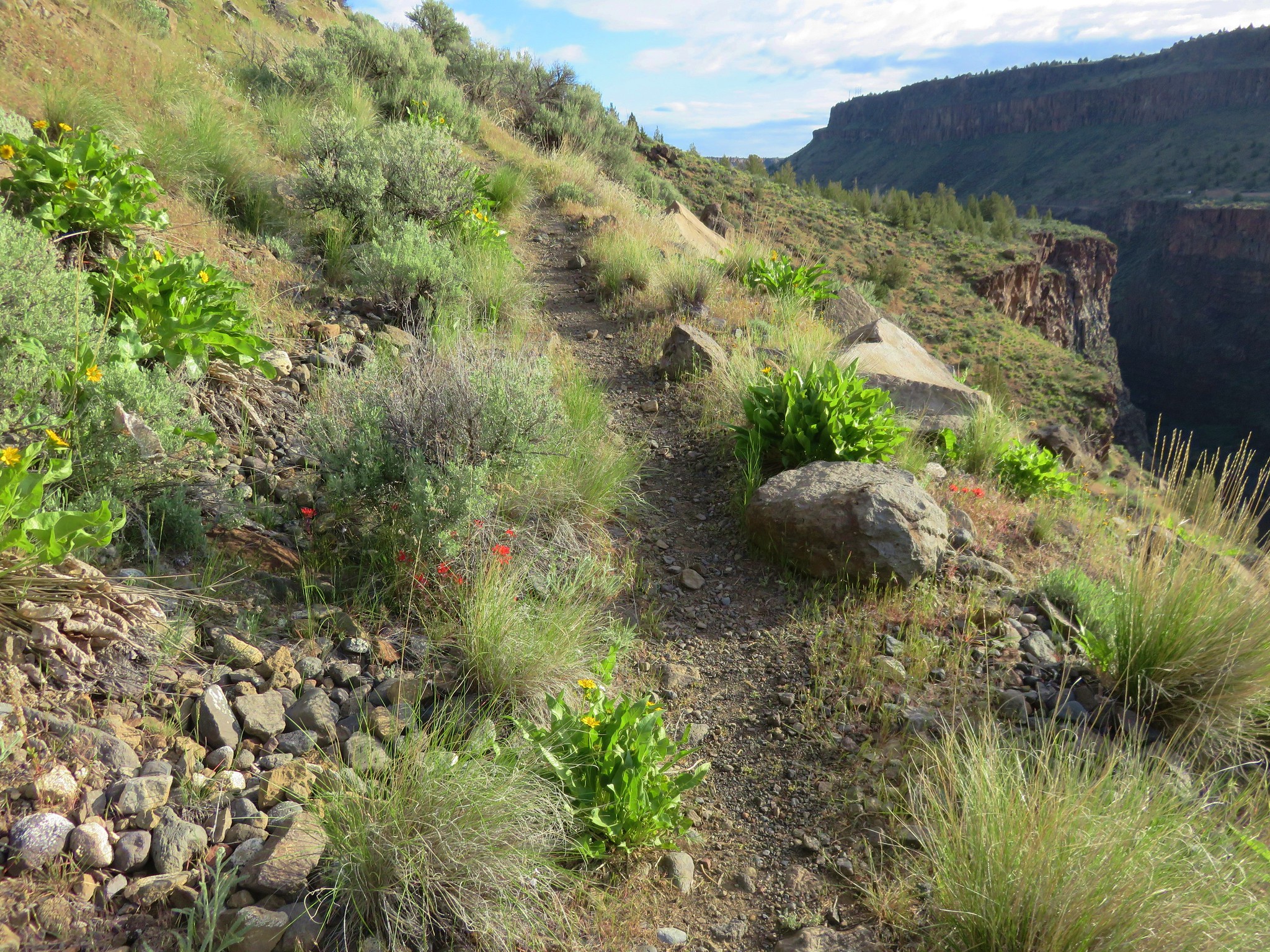
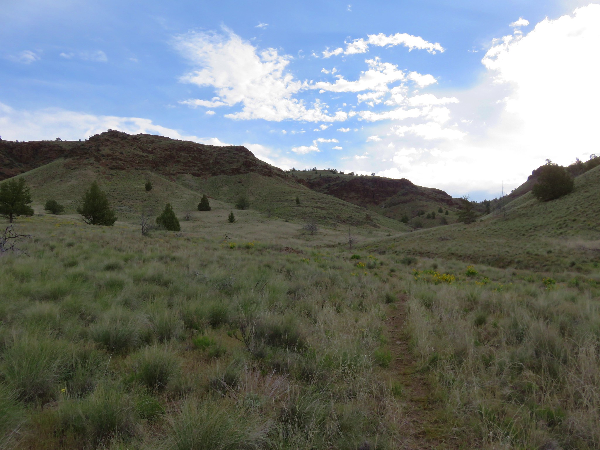
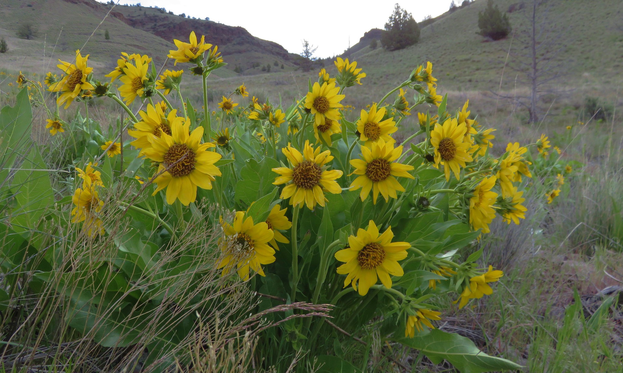
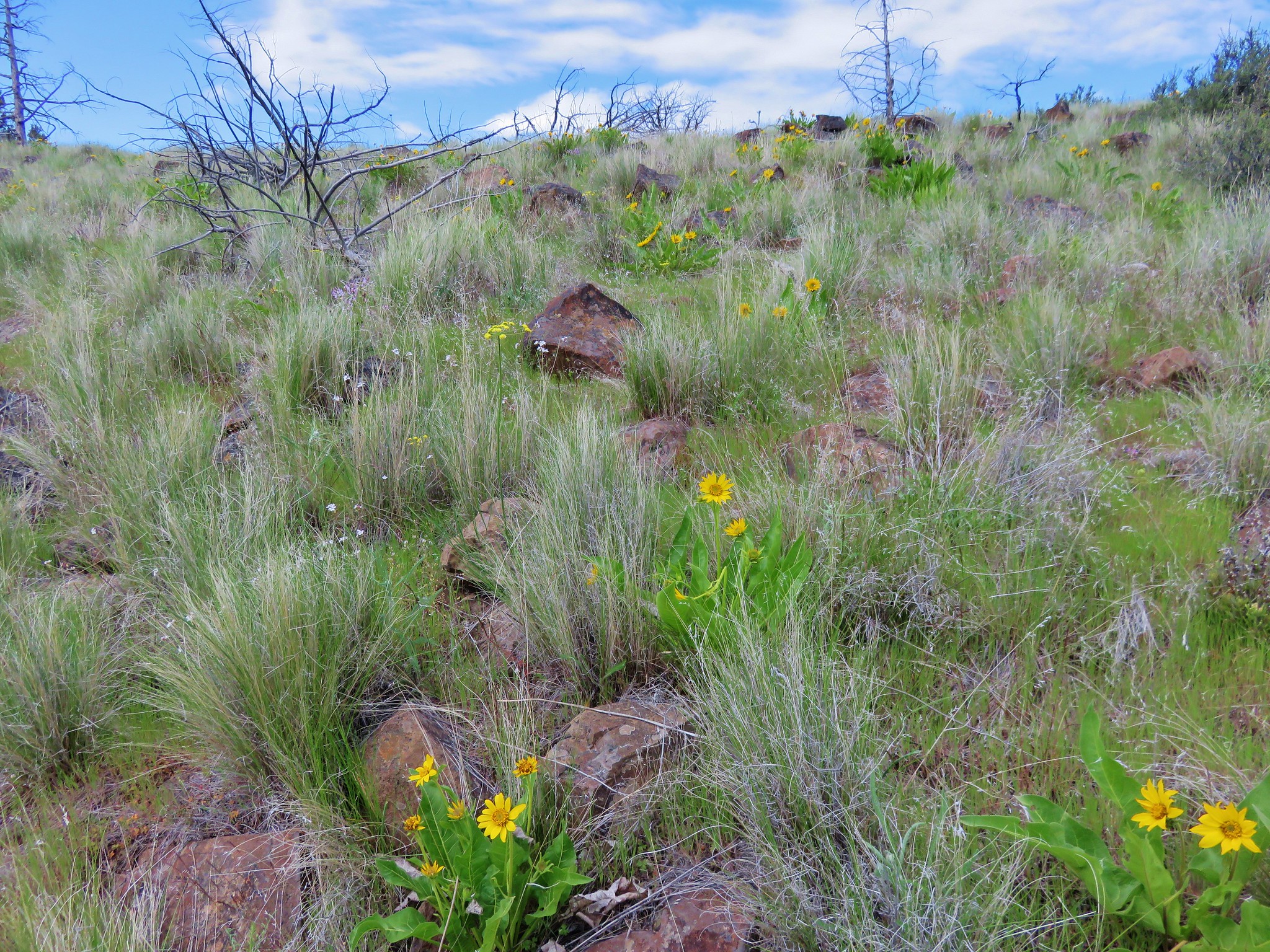
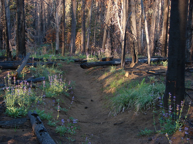
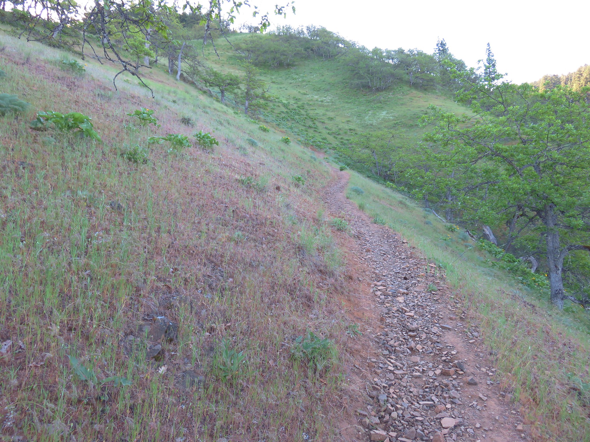
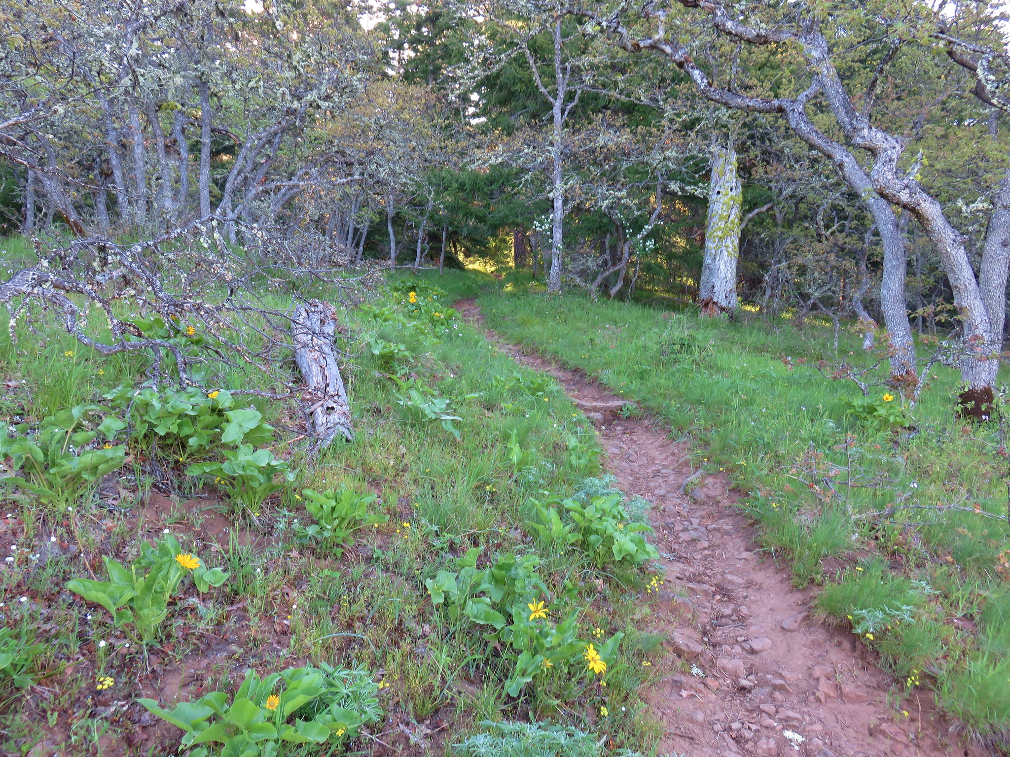
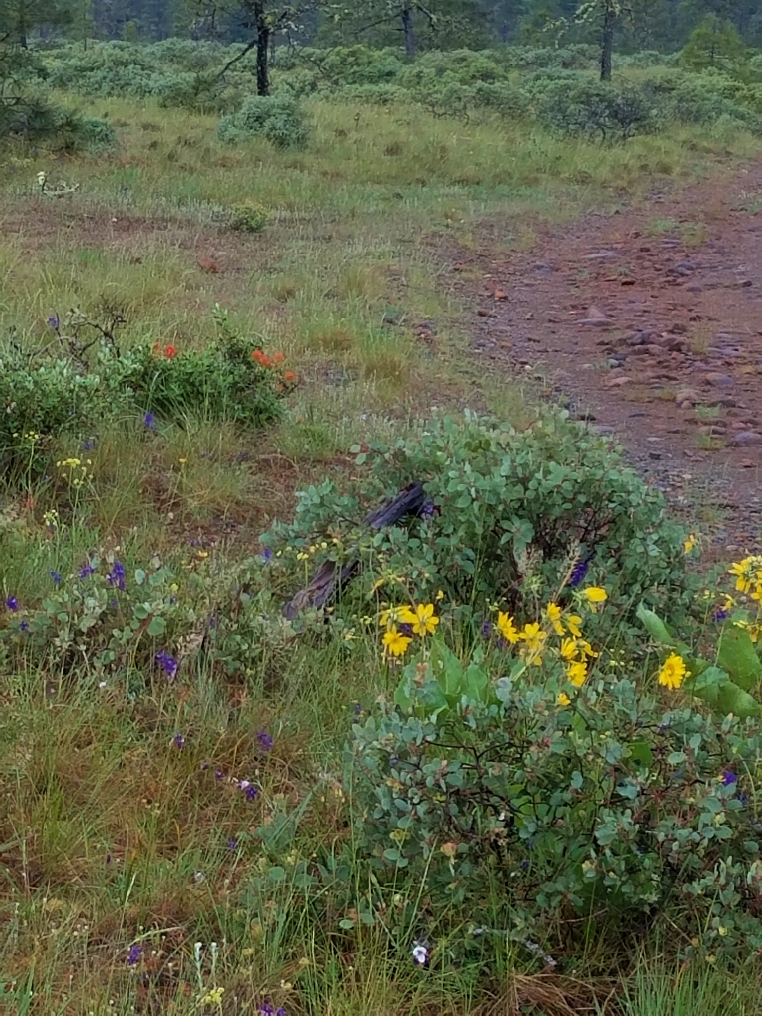
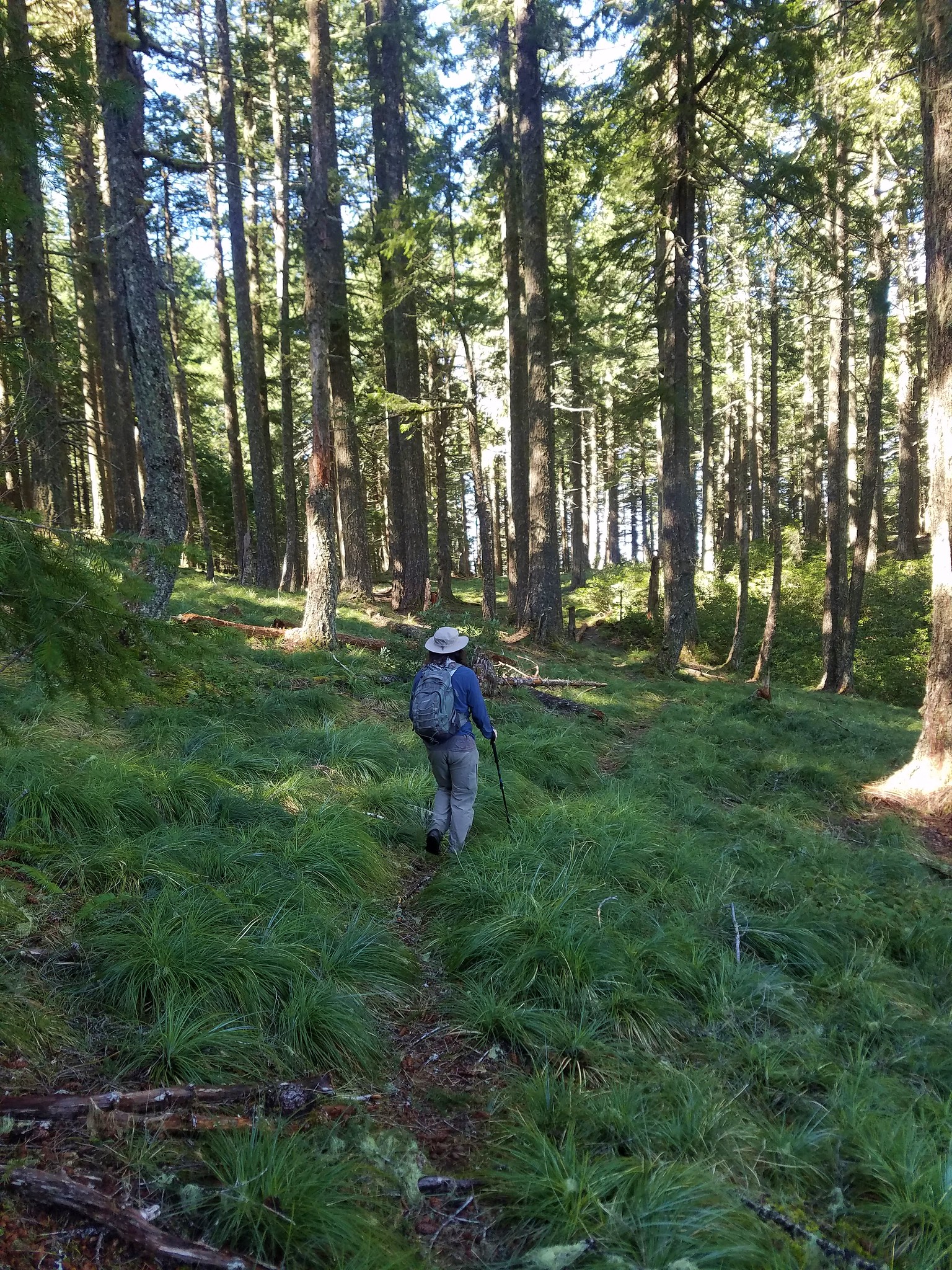
Switchbacks made the climb less strenuous than it could have been and soon we entered oak grasslands with even more flowers.


One of the benefits of gaining elevation on a hike is that doing so typically creates more variety in the flowers seen which was certainly the case here.
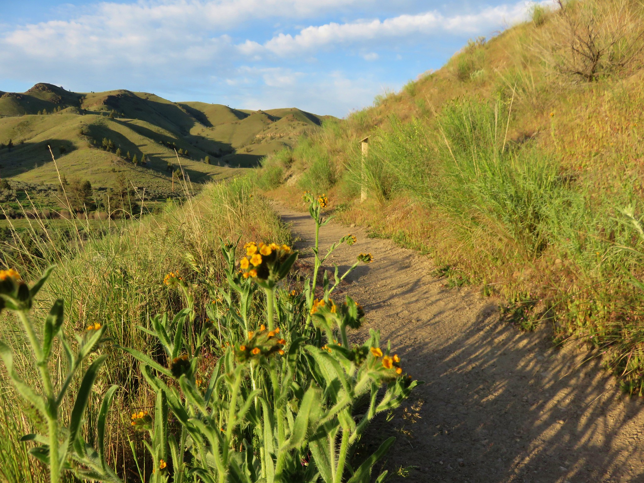
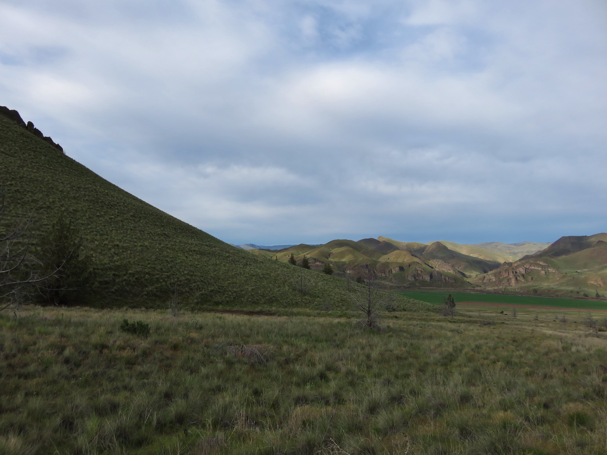
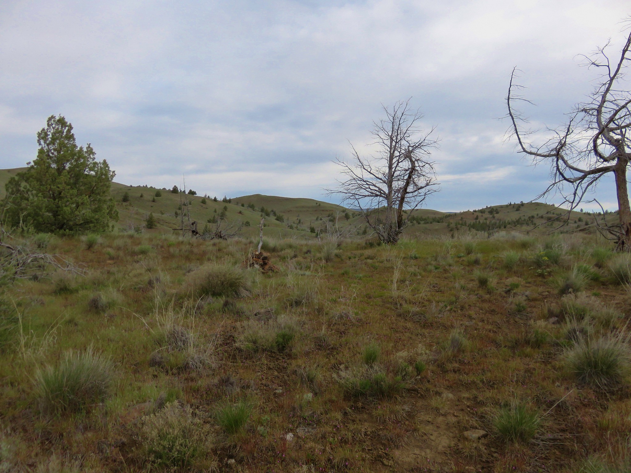
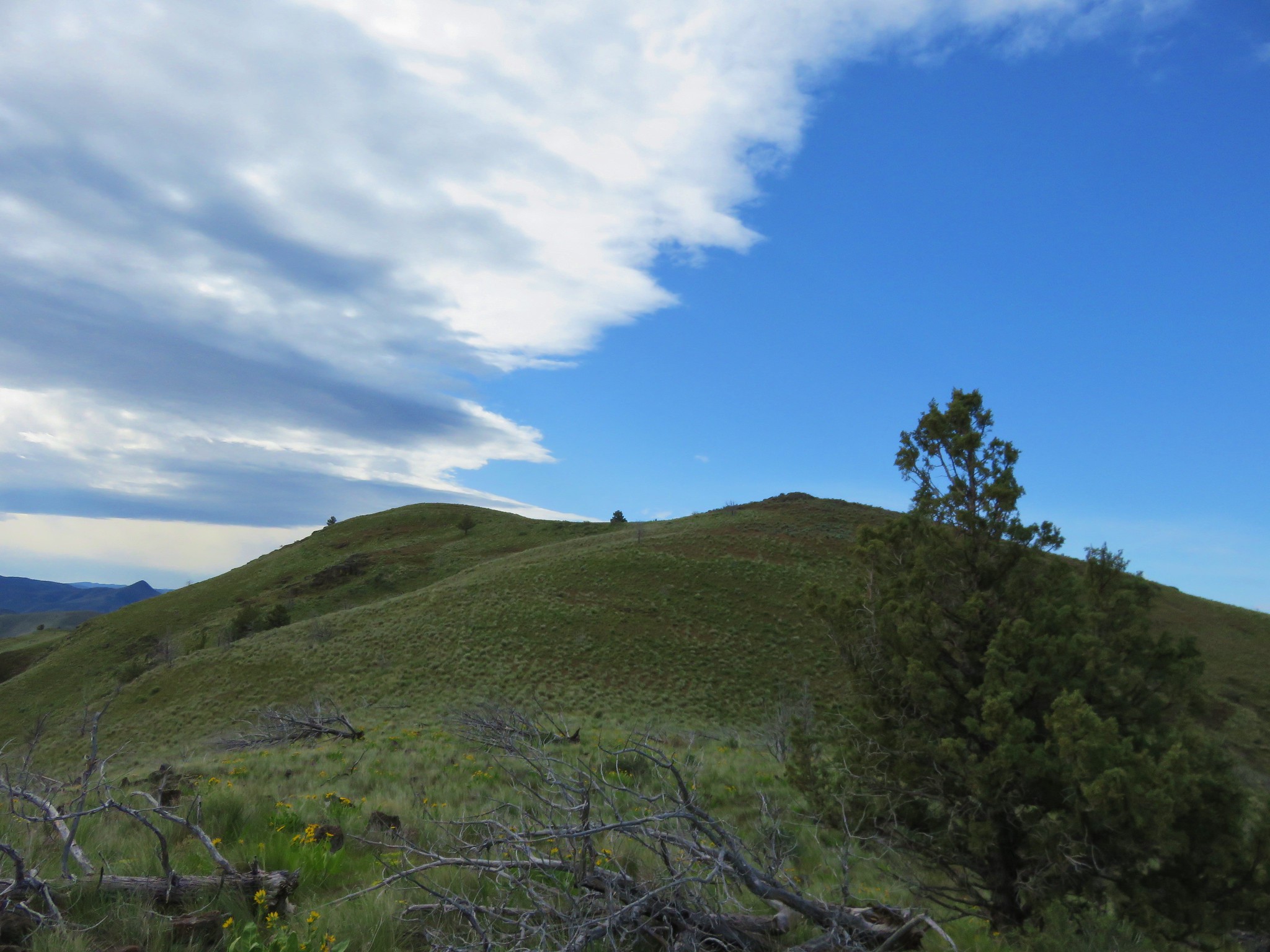
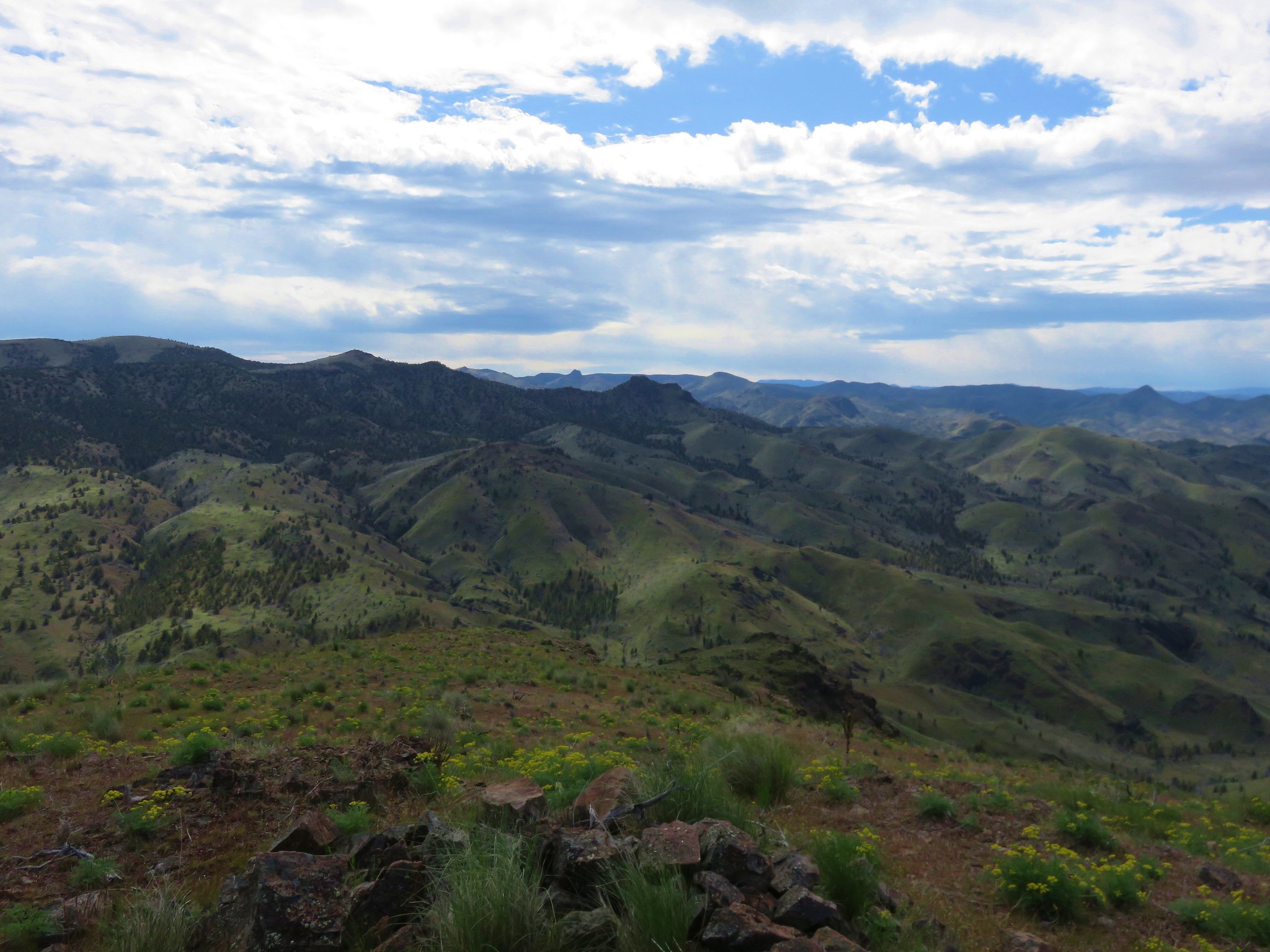
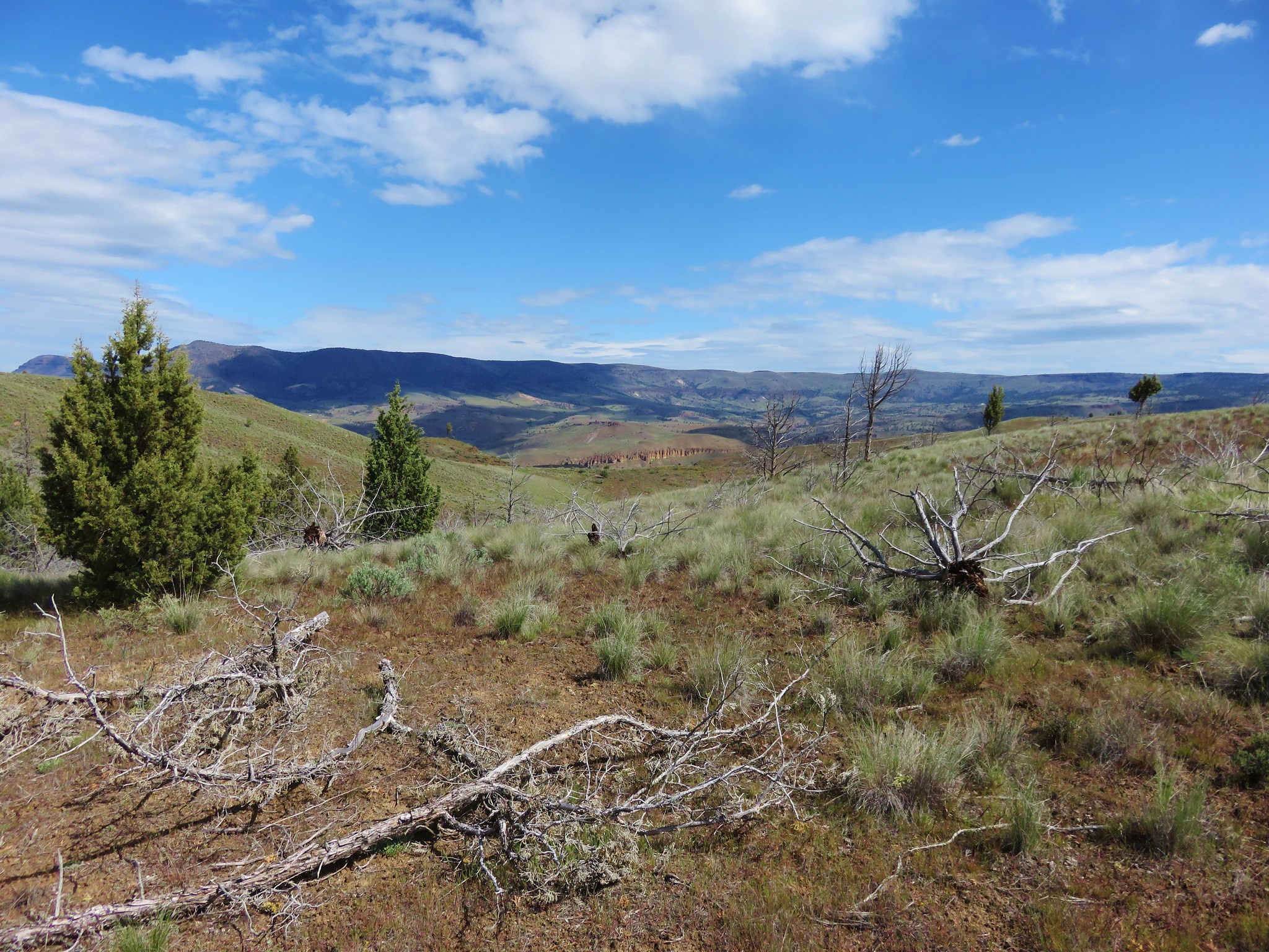
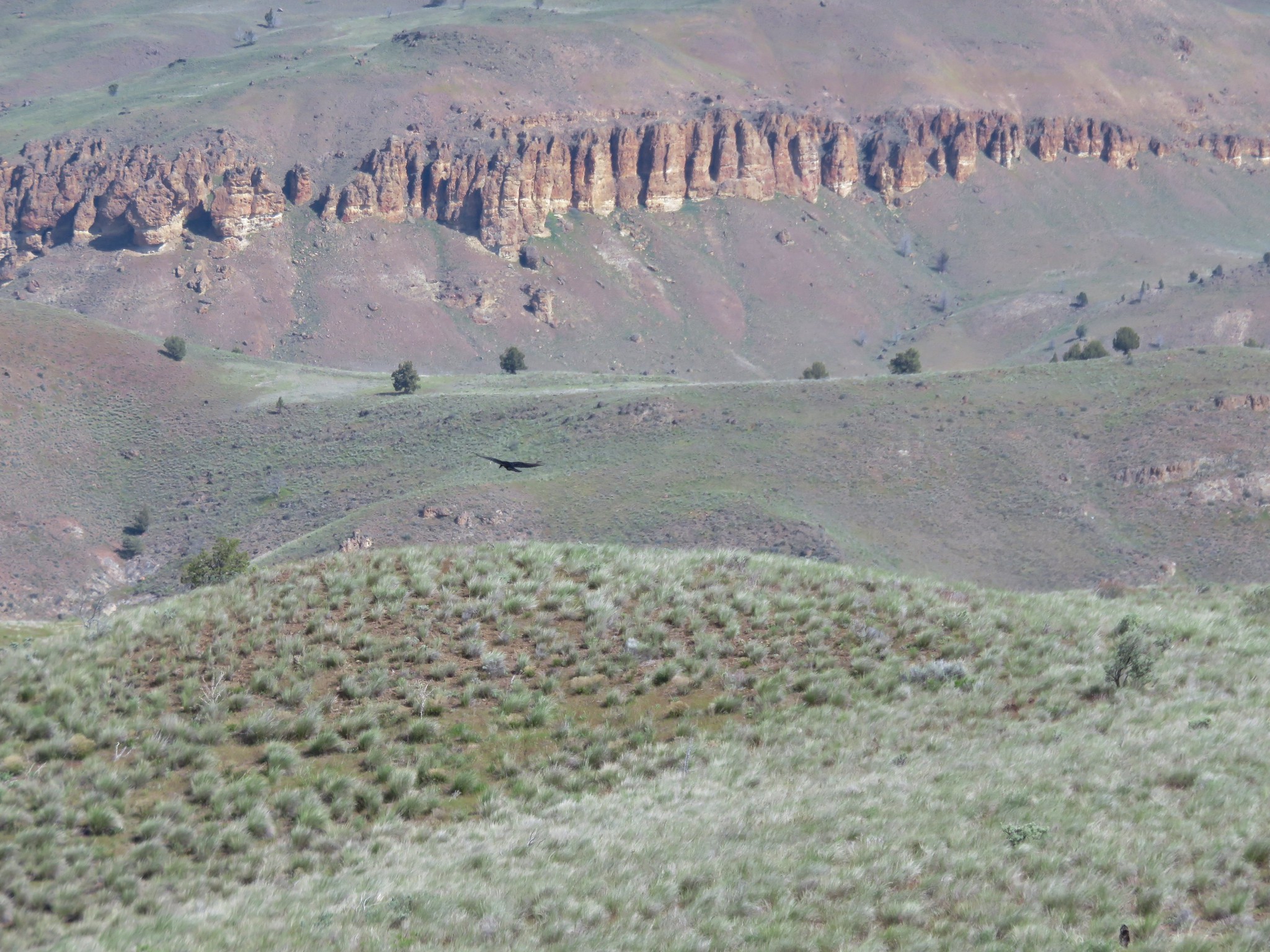
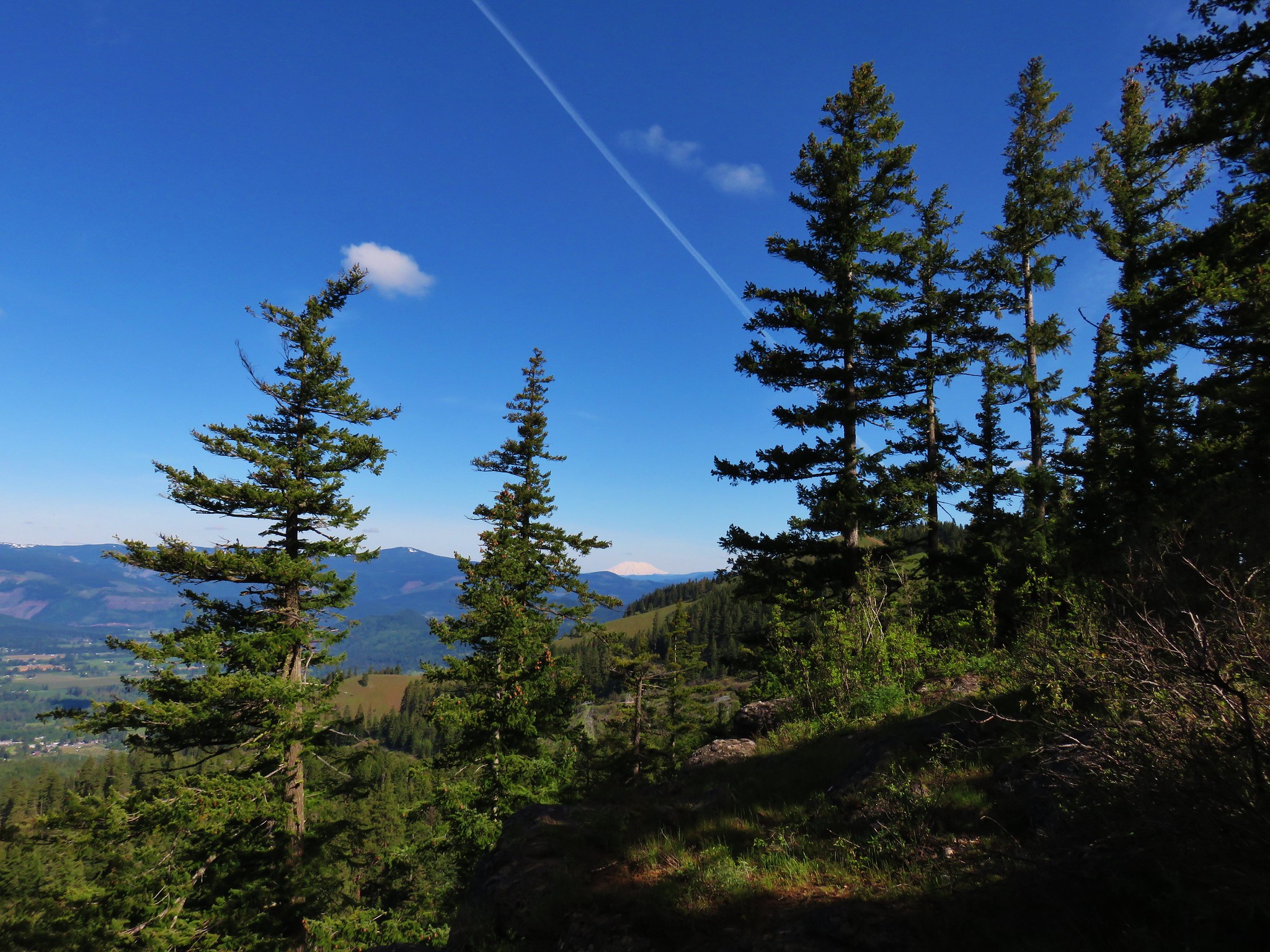
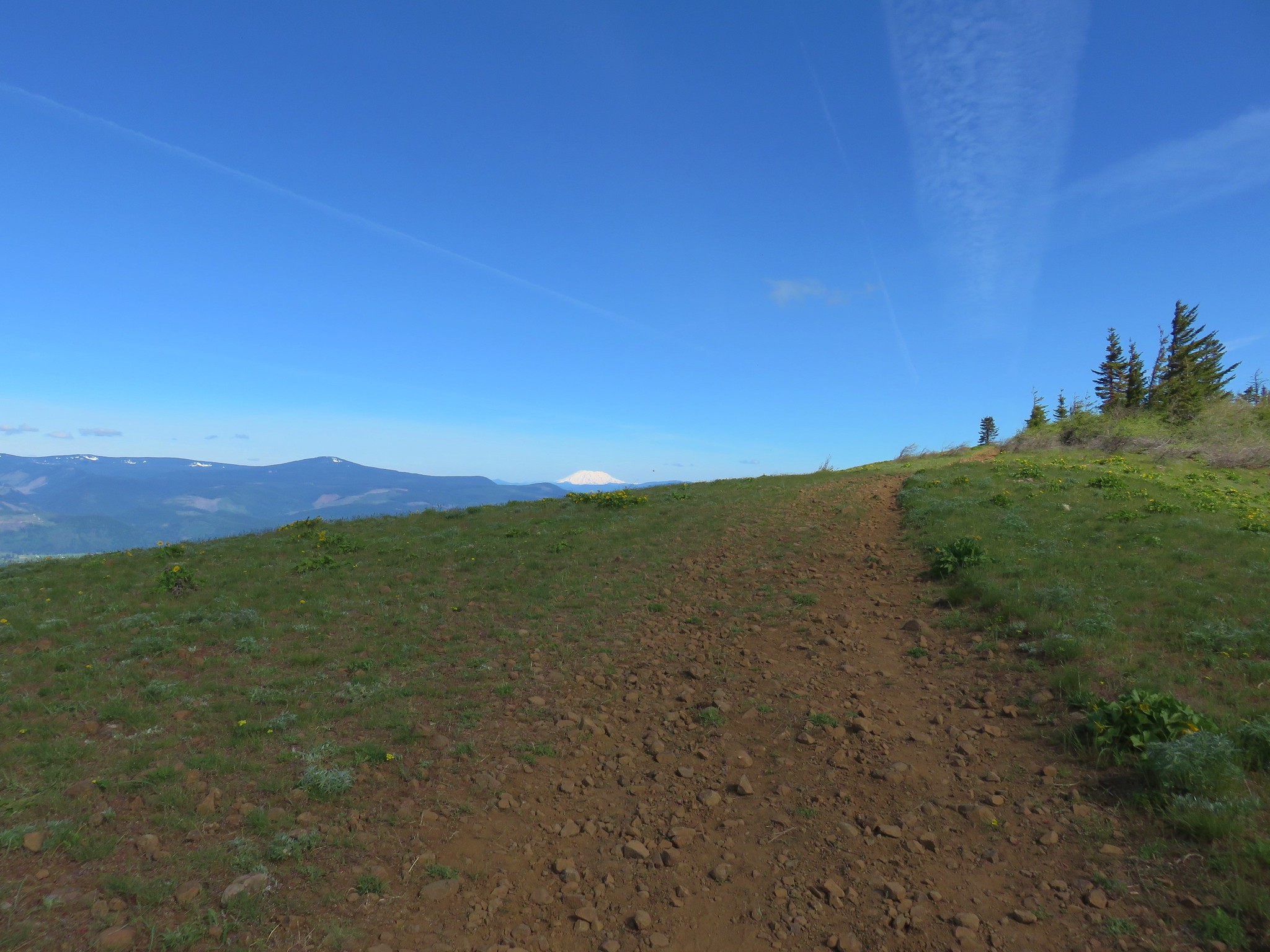
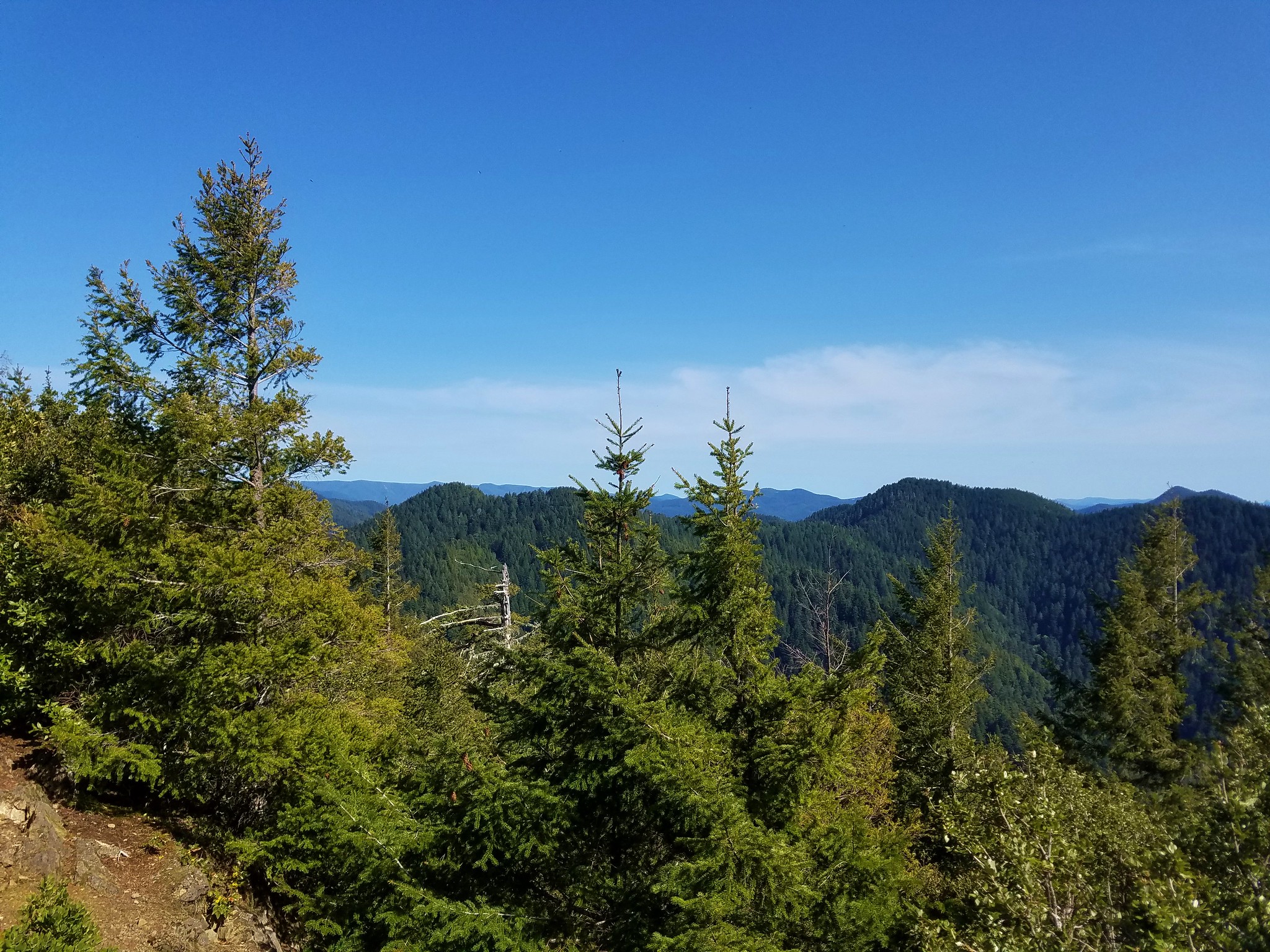
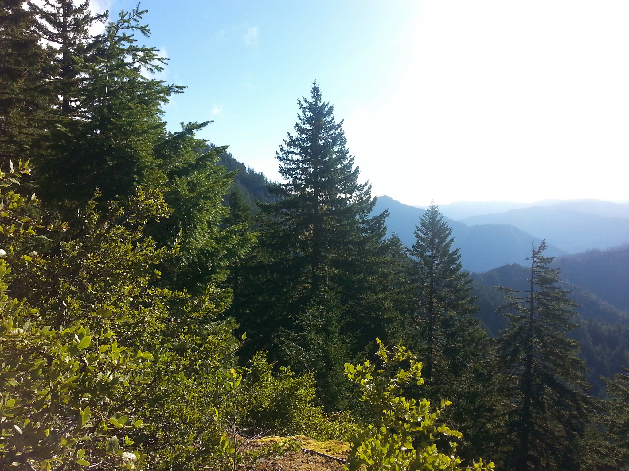
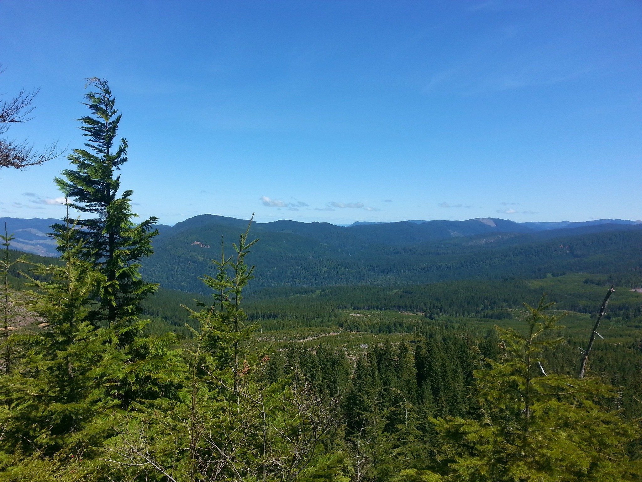
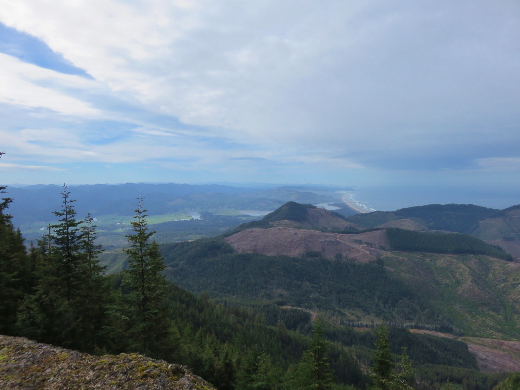
The trail continued to switchback up through increasingly open grasslands allowing for some nice views.

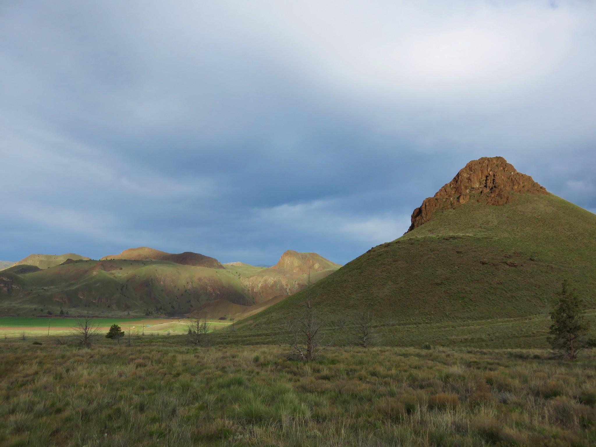
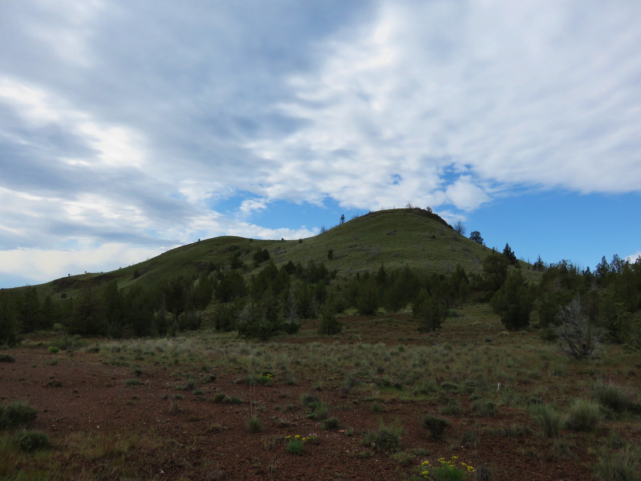
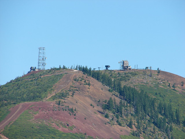
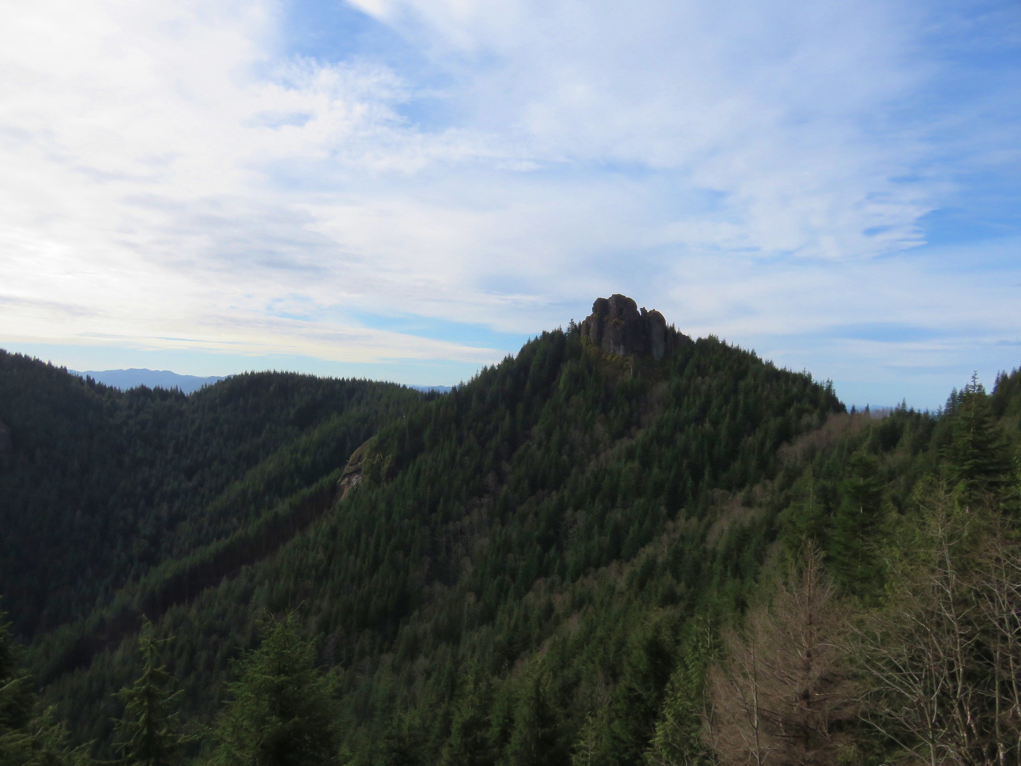
Bald Butte from the Oak Ridge Trail
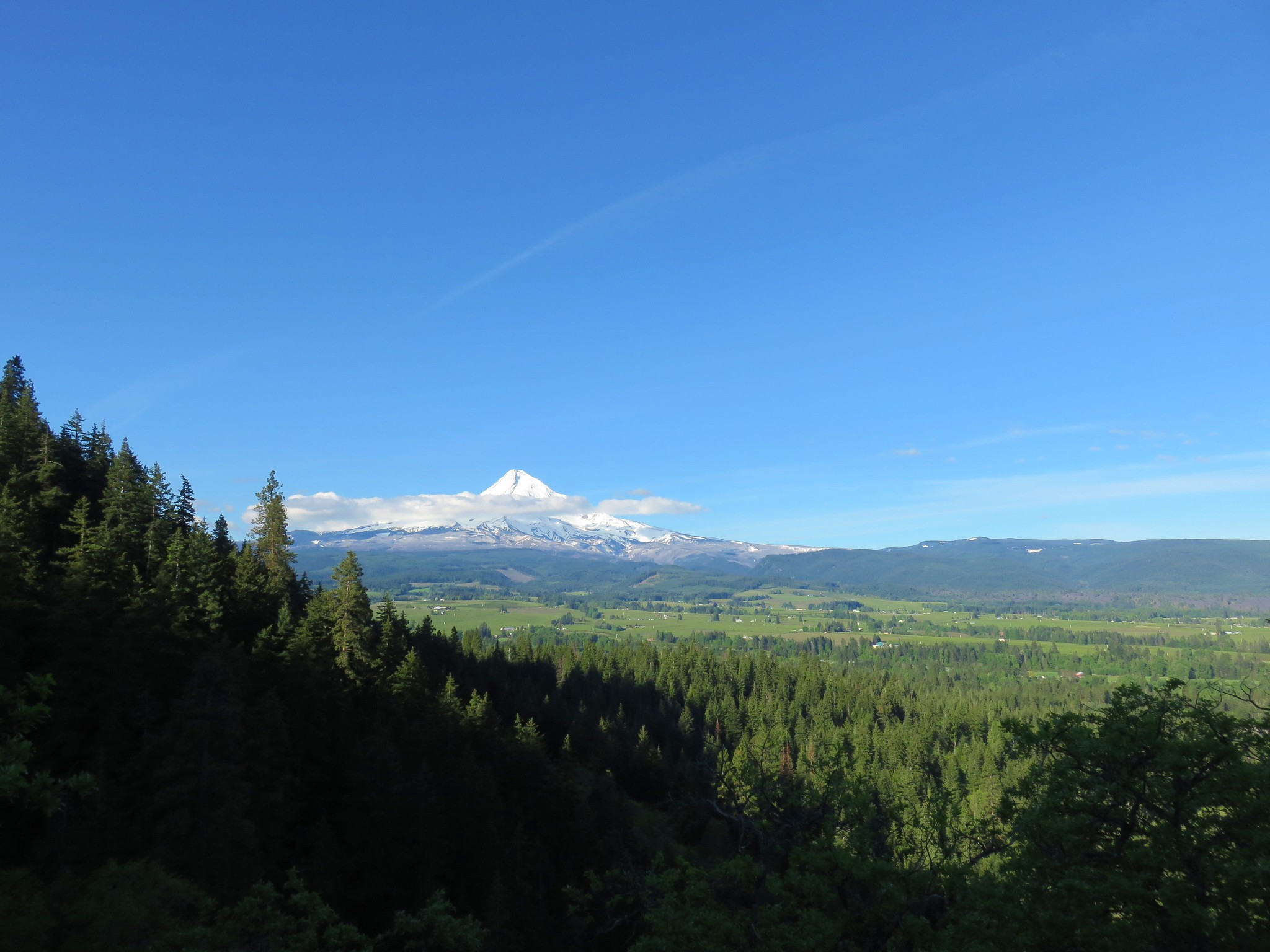
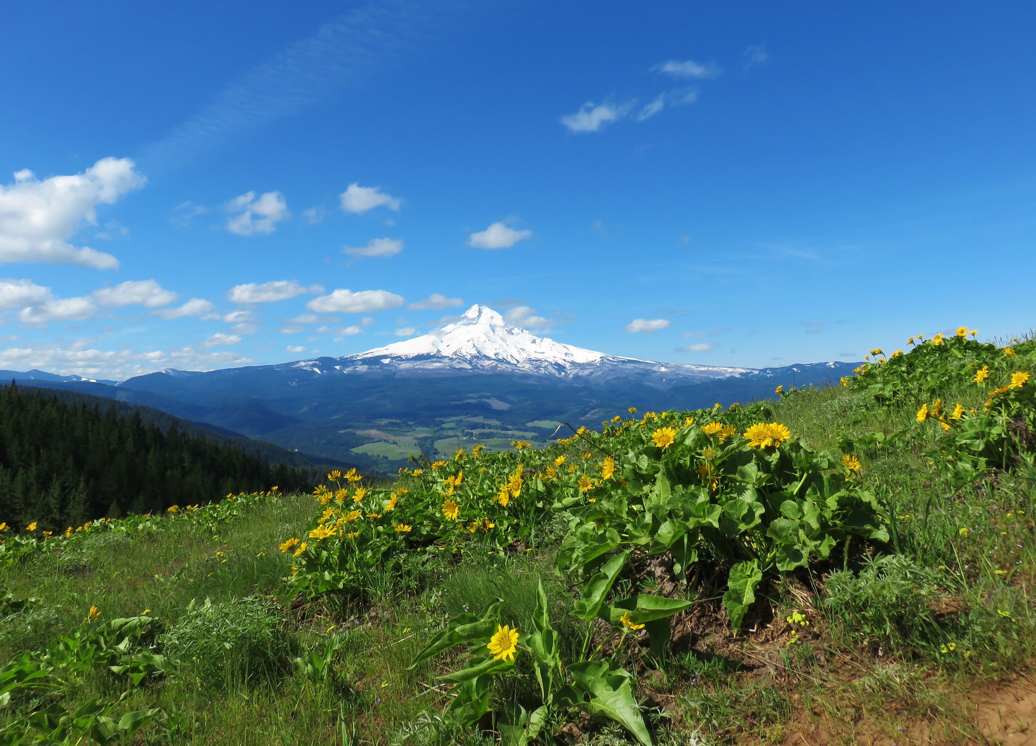
Mt. Hood

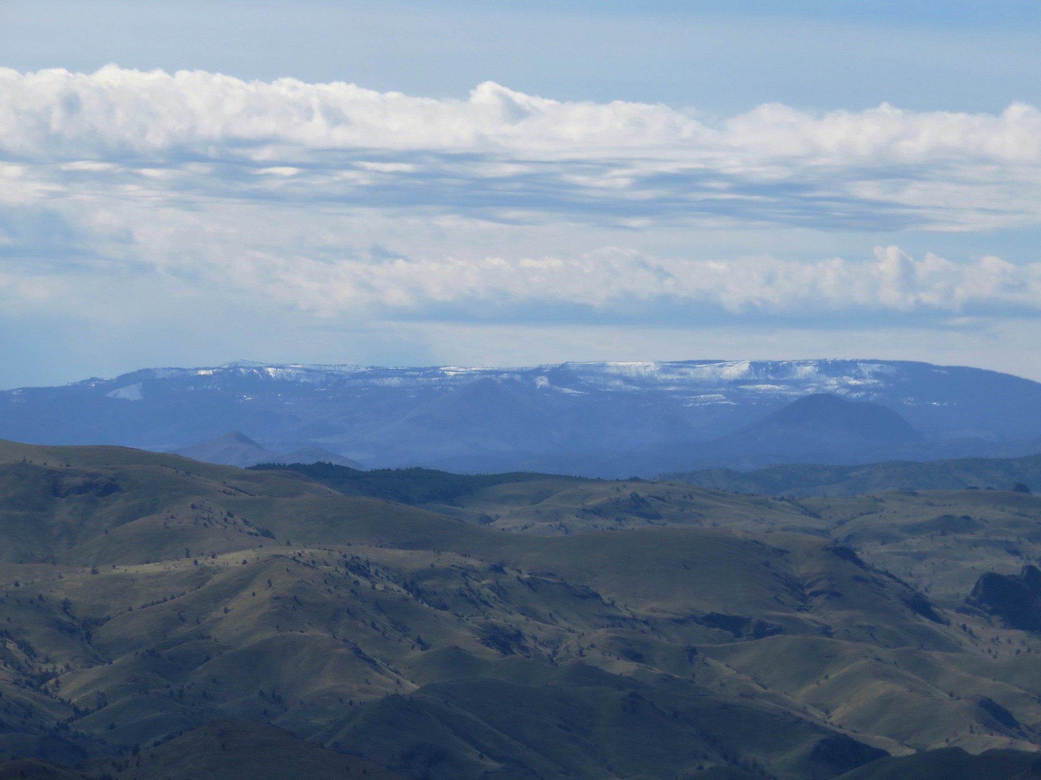
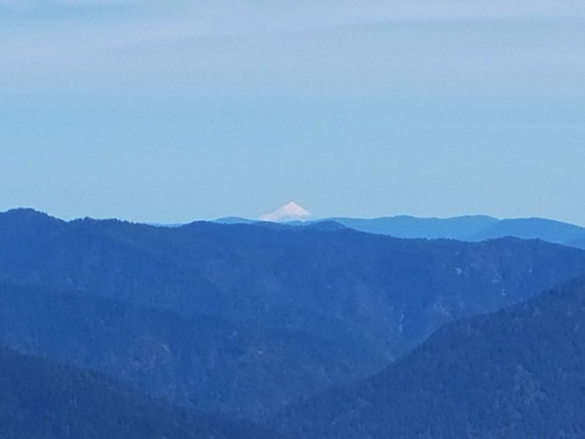
Mt. Rainier in the distance.
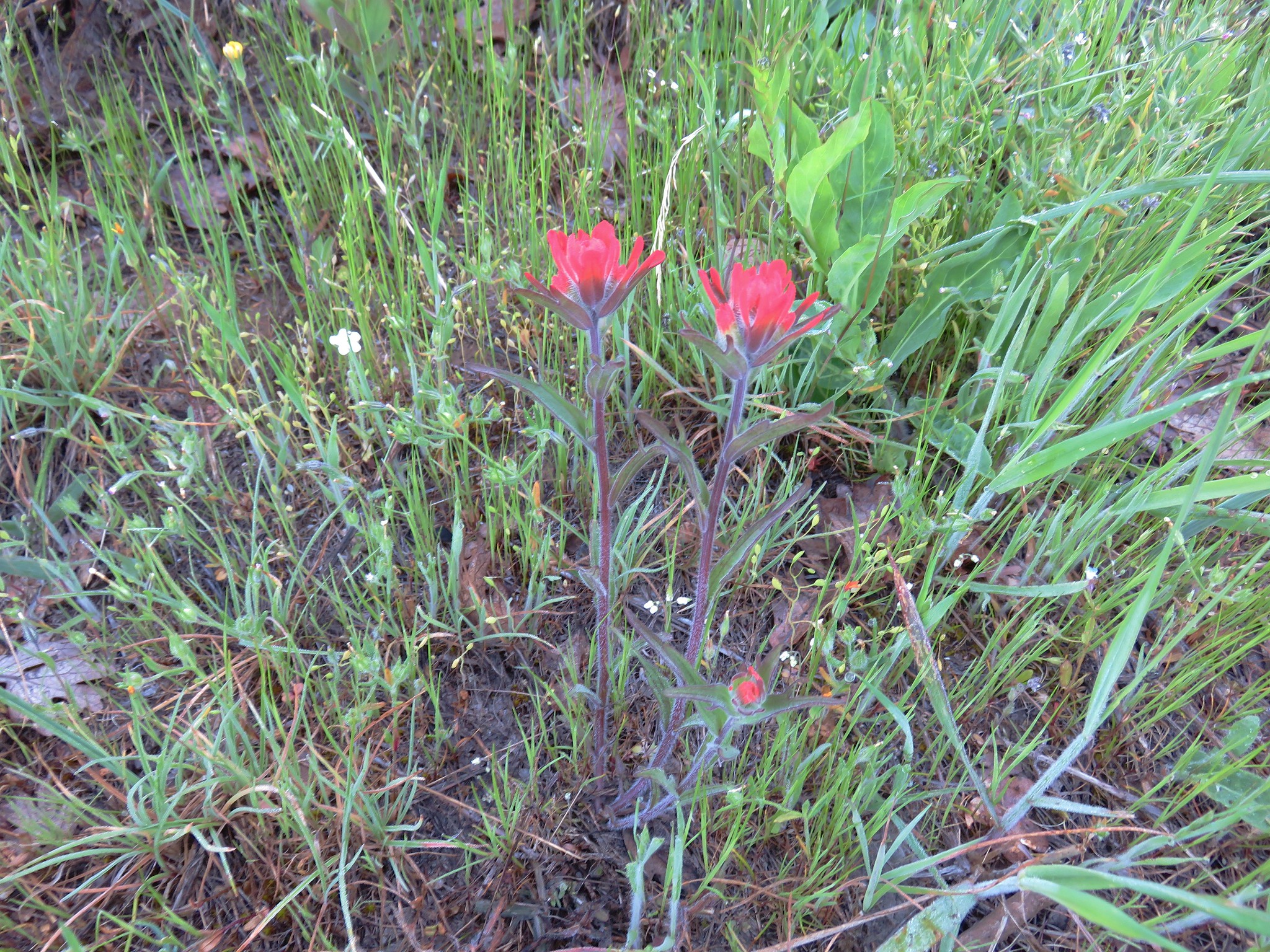
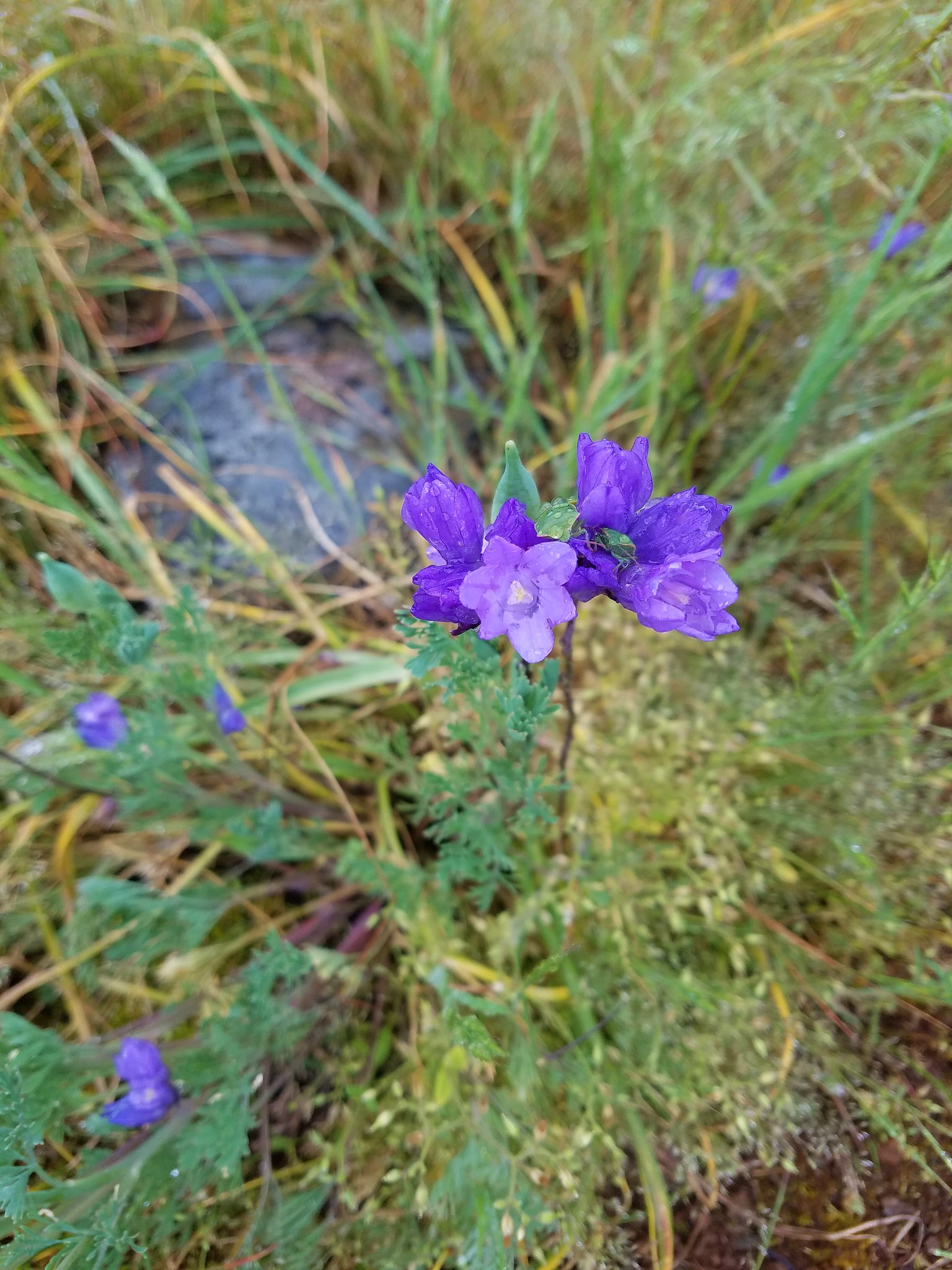
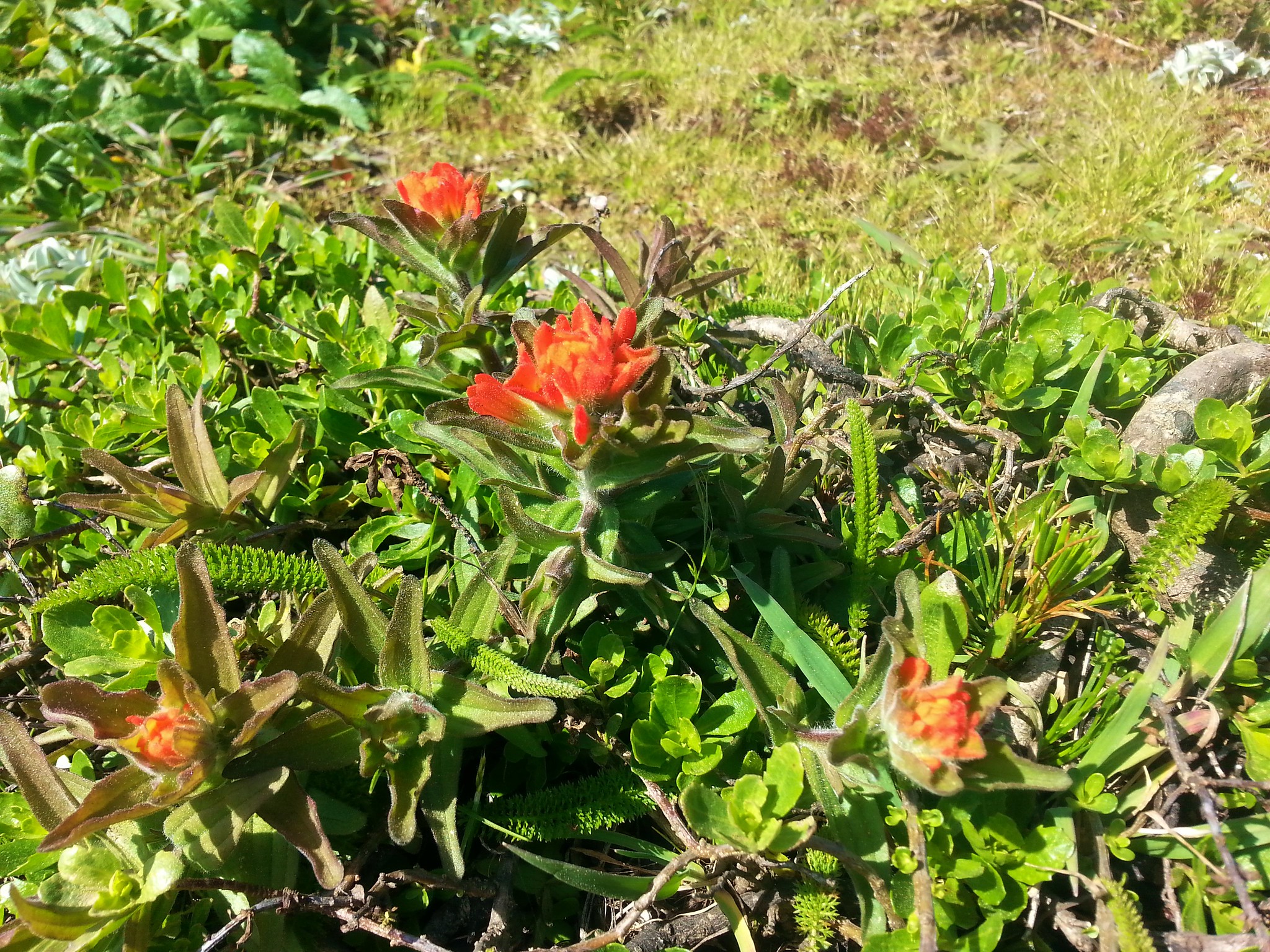
Just before reentering the forest we ran into a small patch of paintbrush.

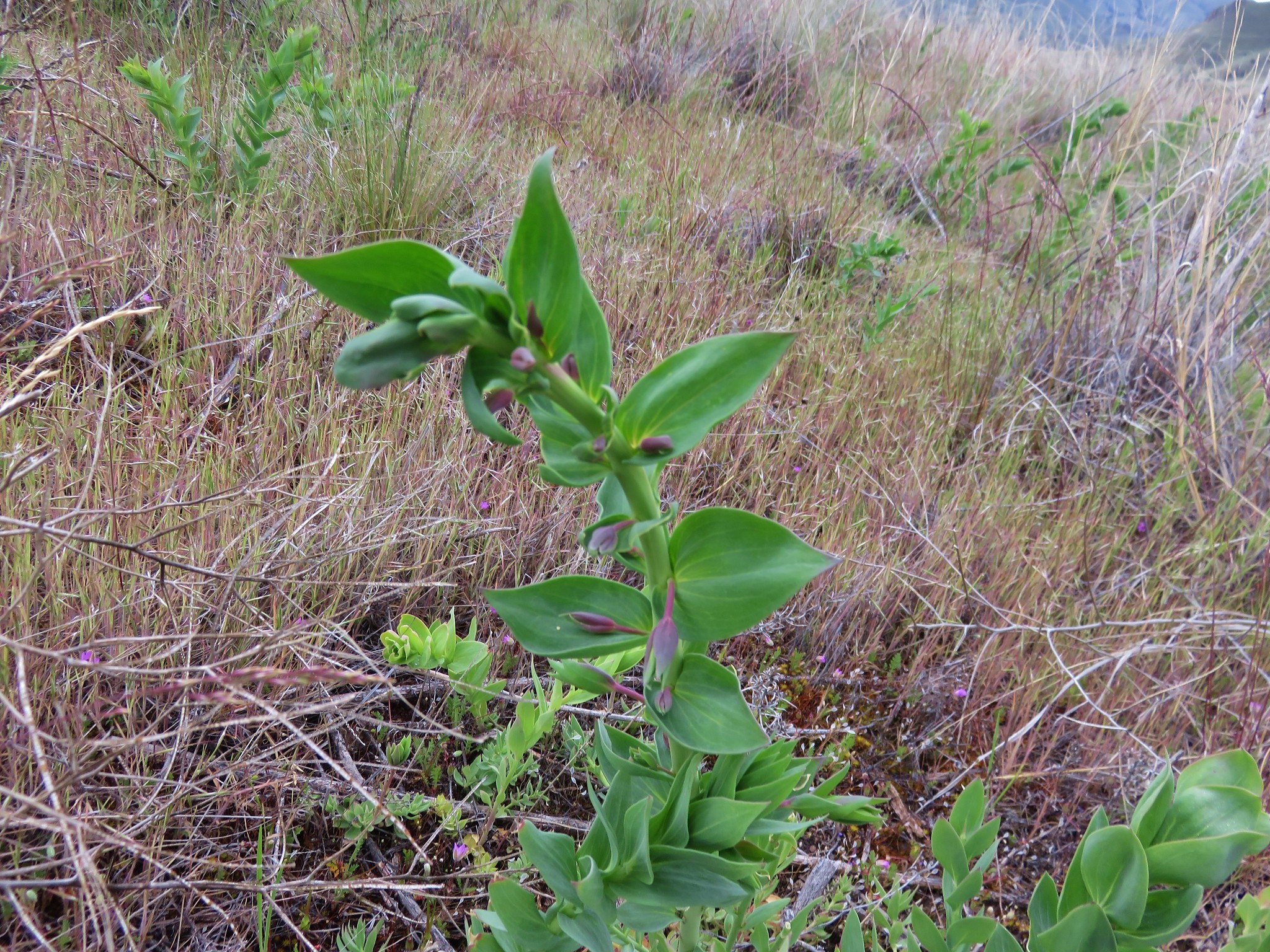
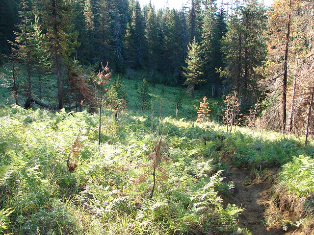
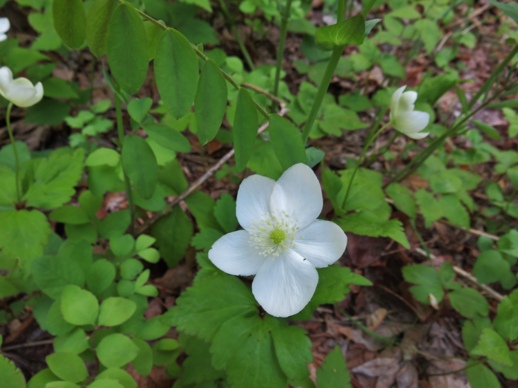
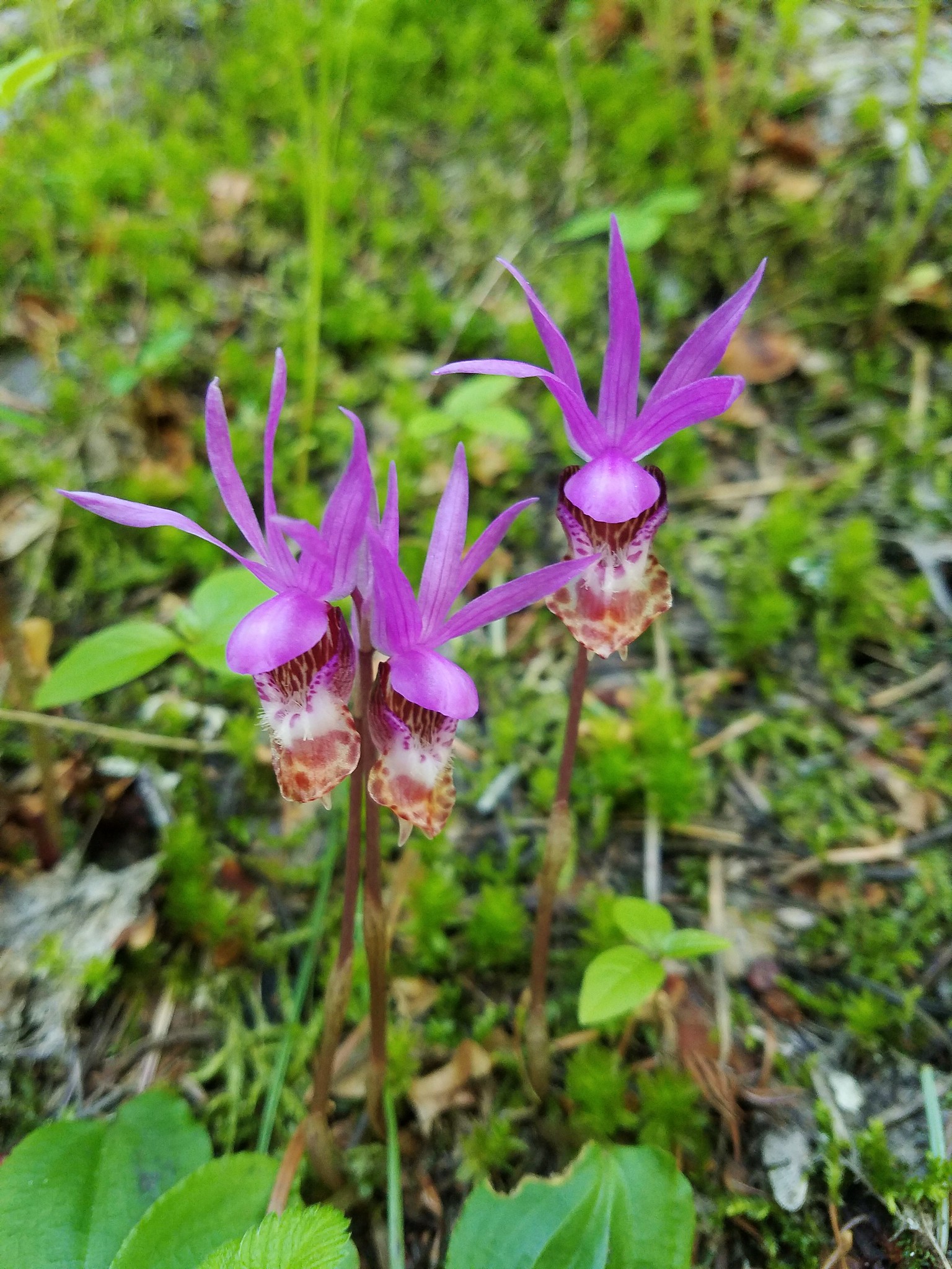
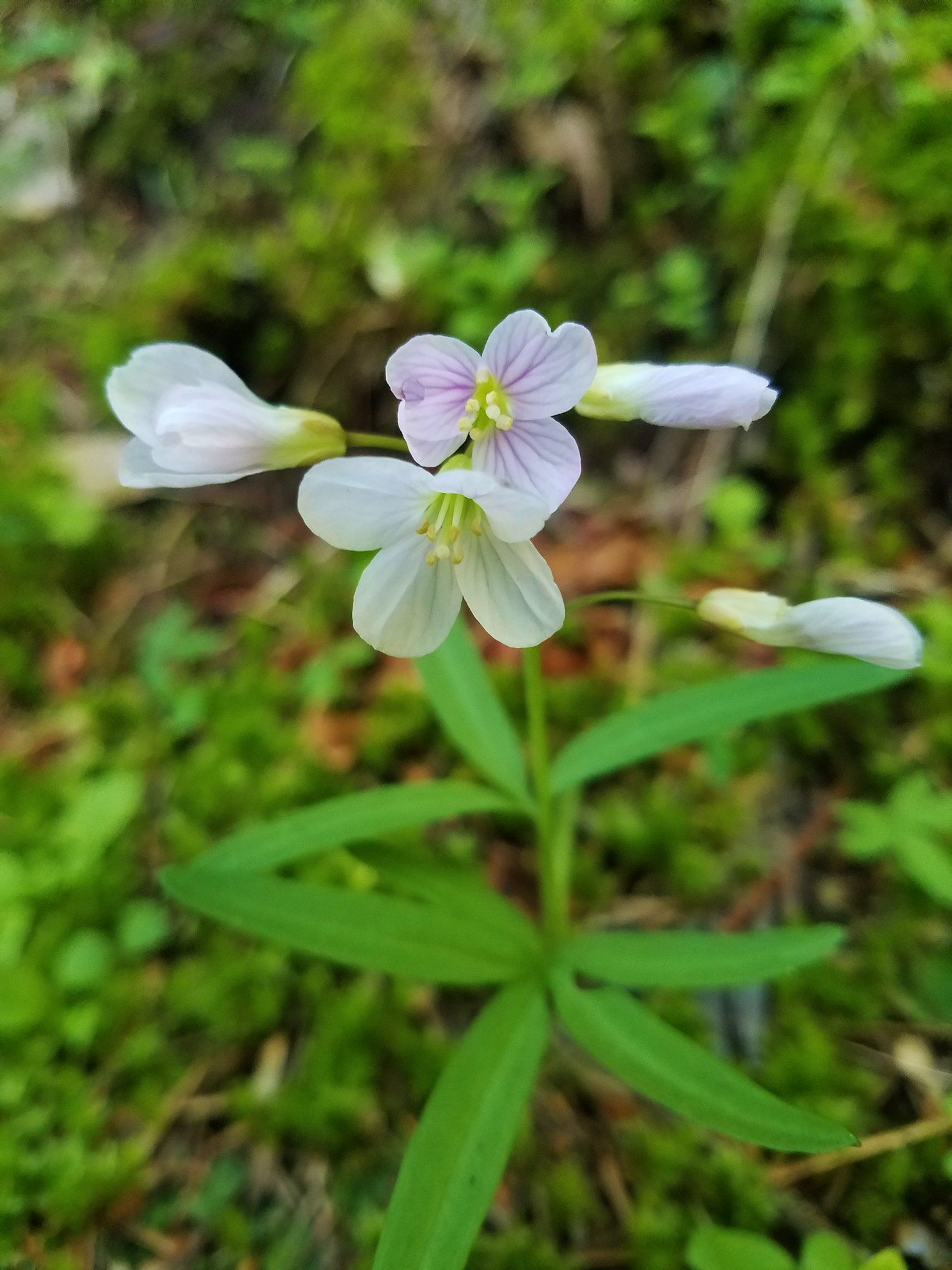
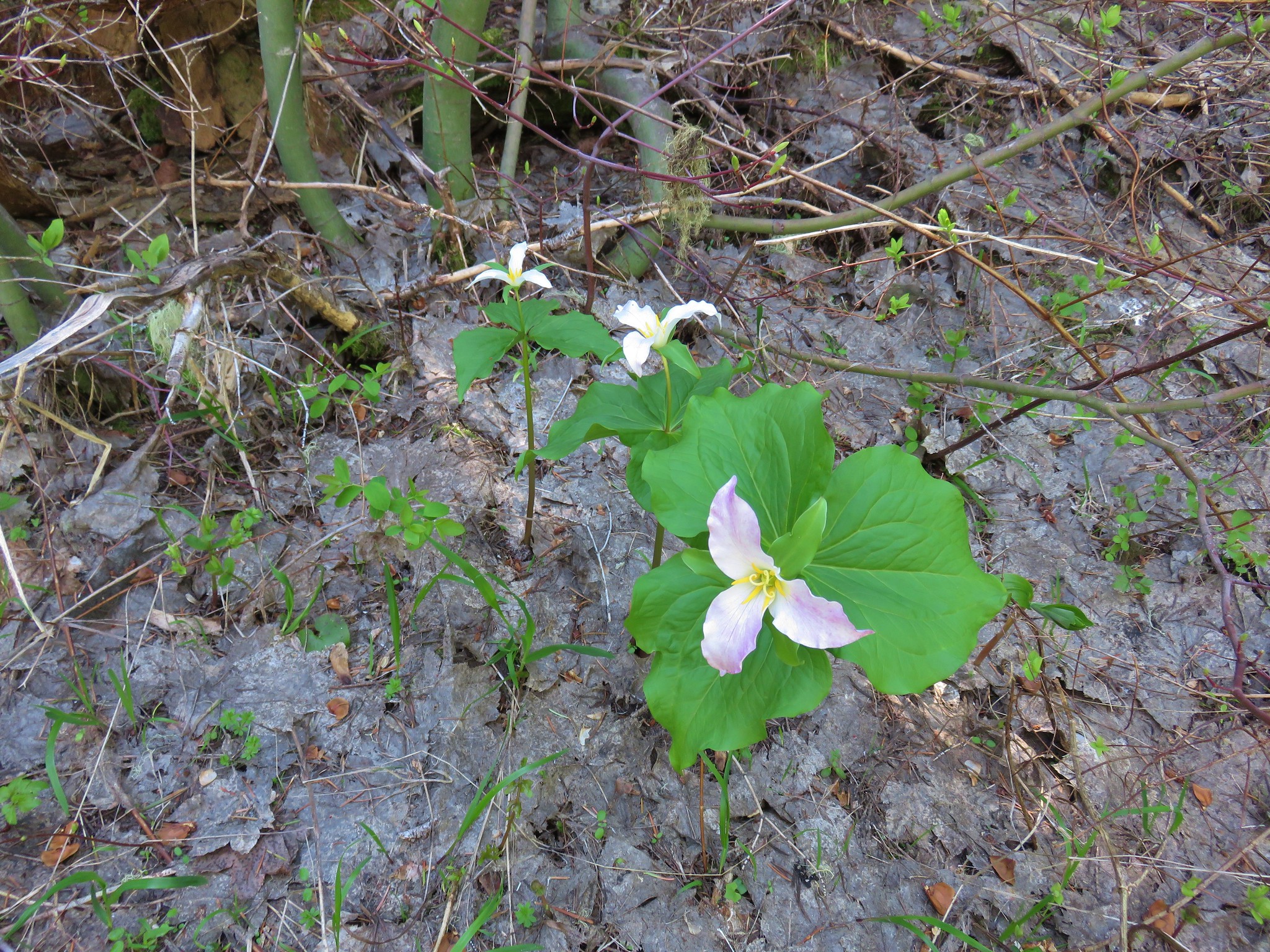
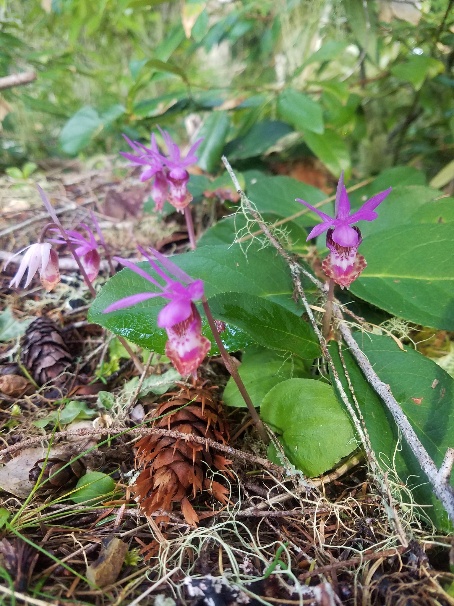
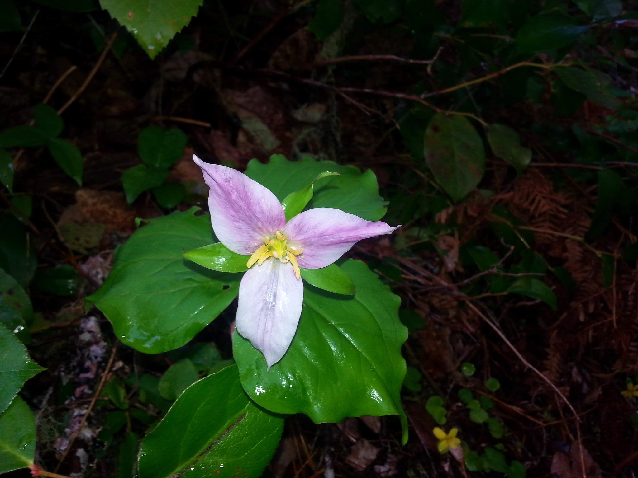
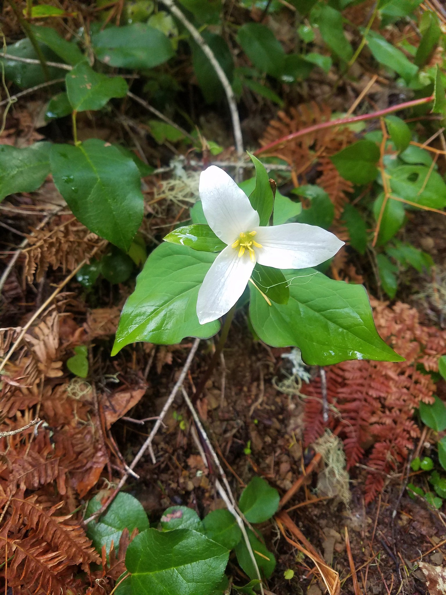
At this elevation the flowers in the forest included fairy slippers, toothwort, and trillium.
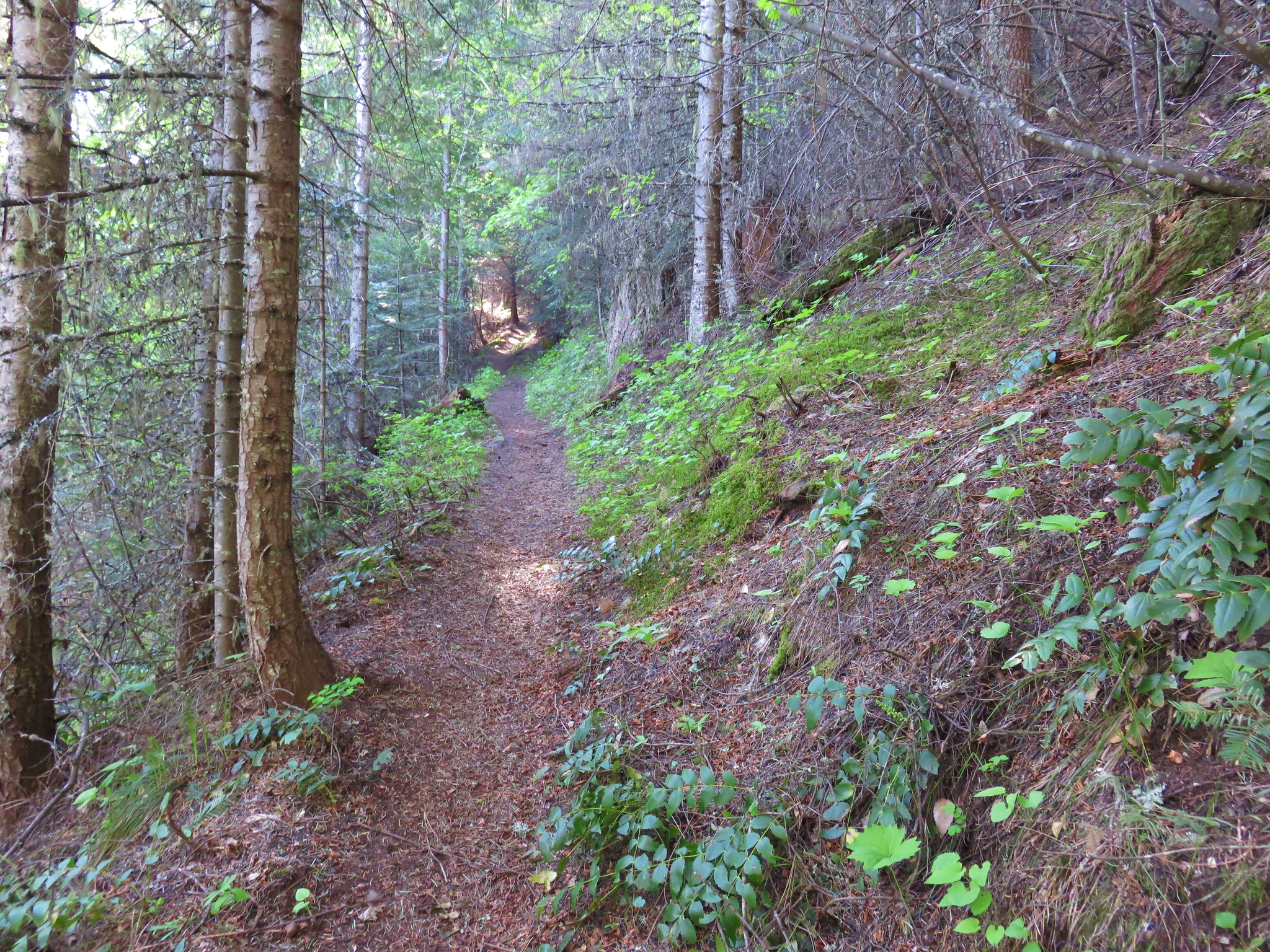
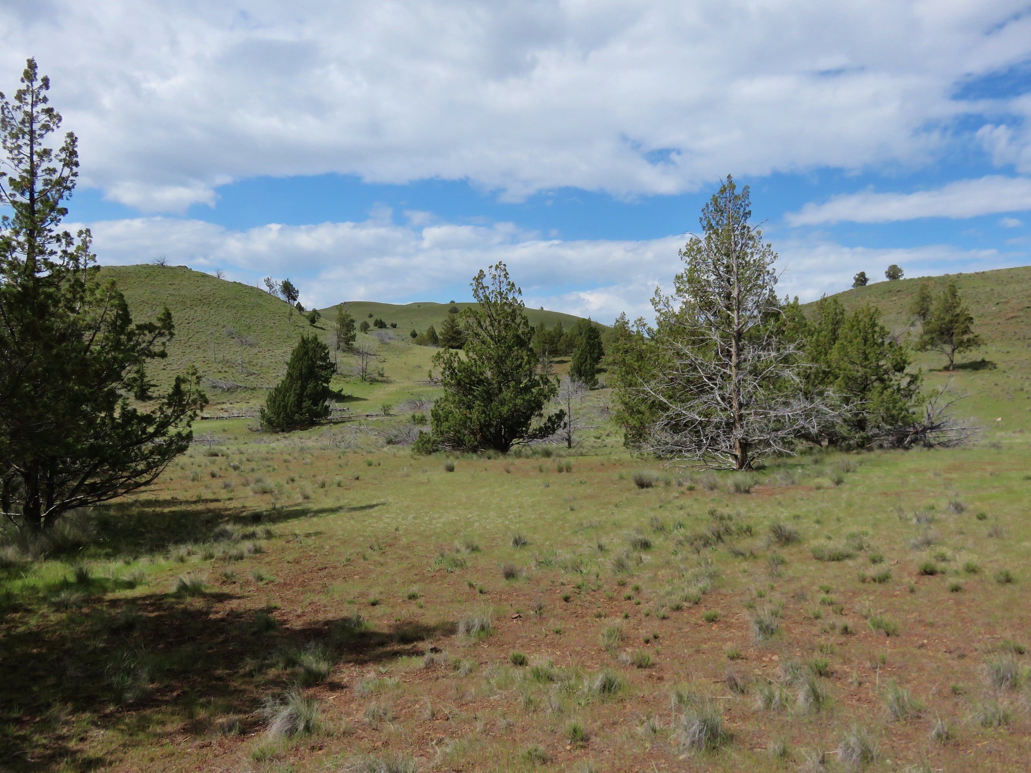
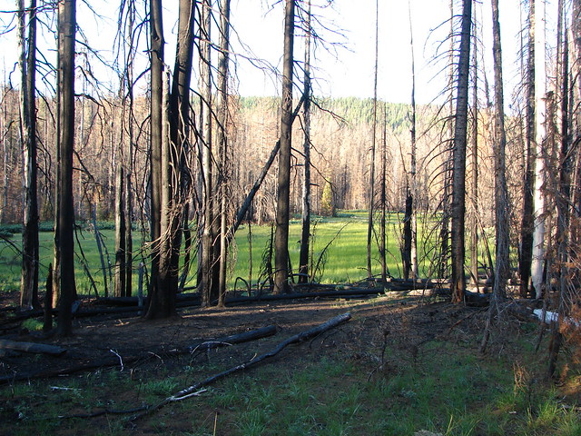
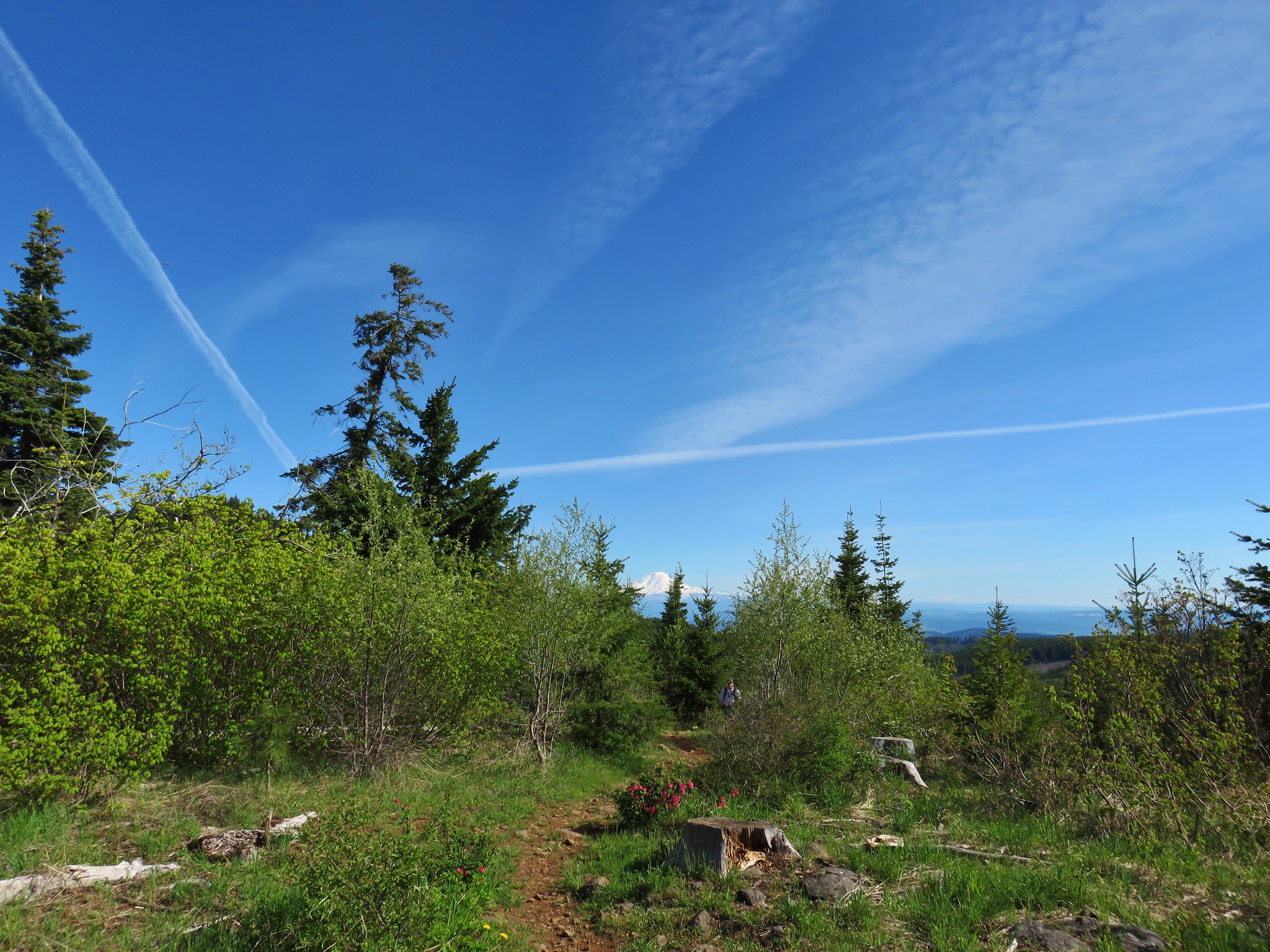
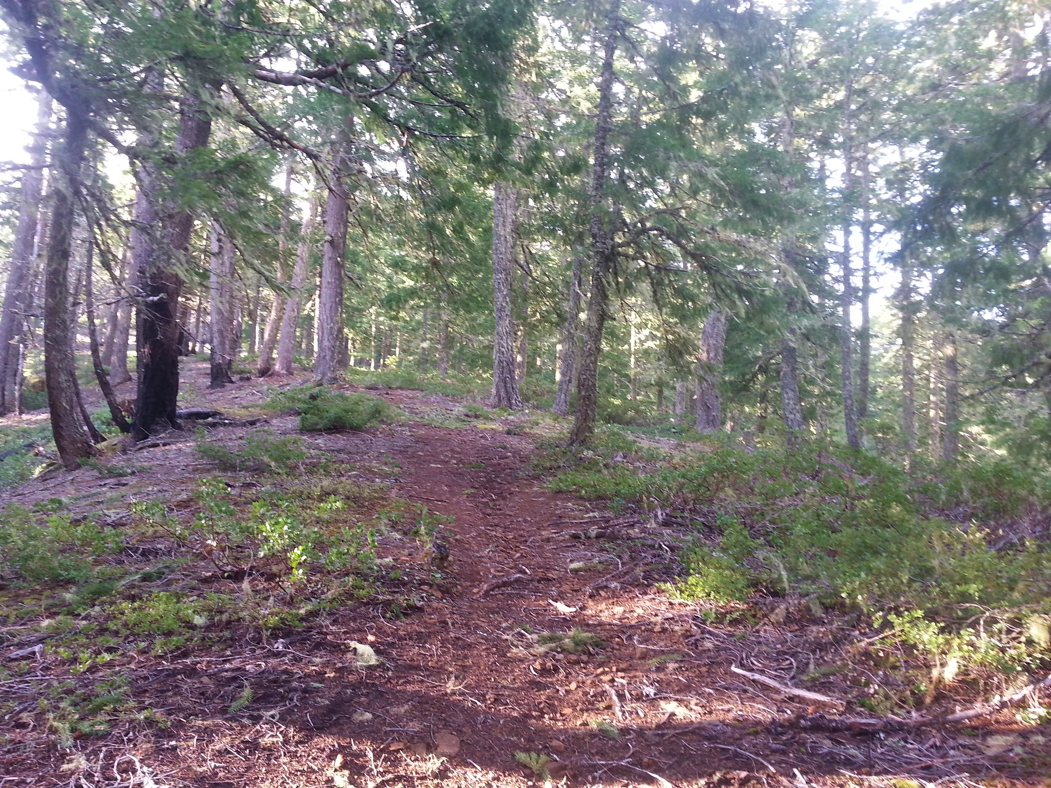
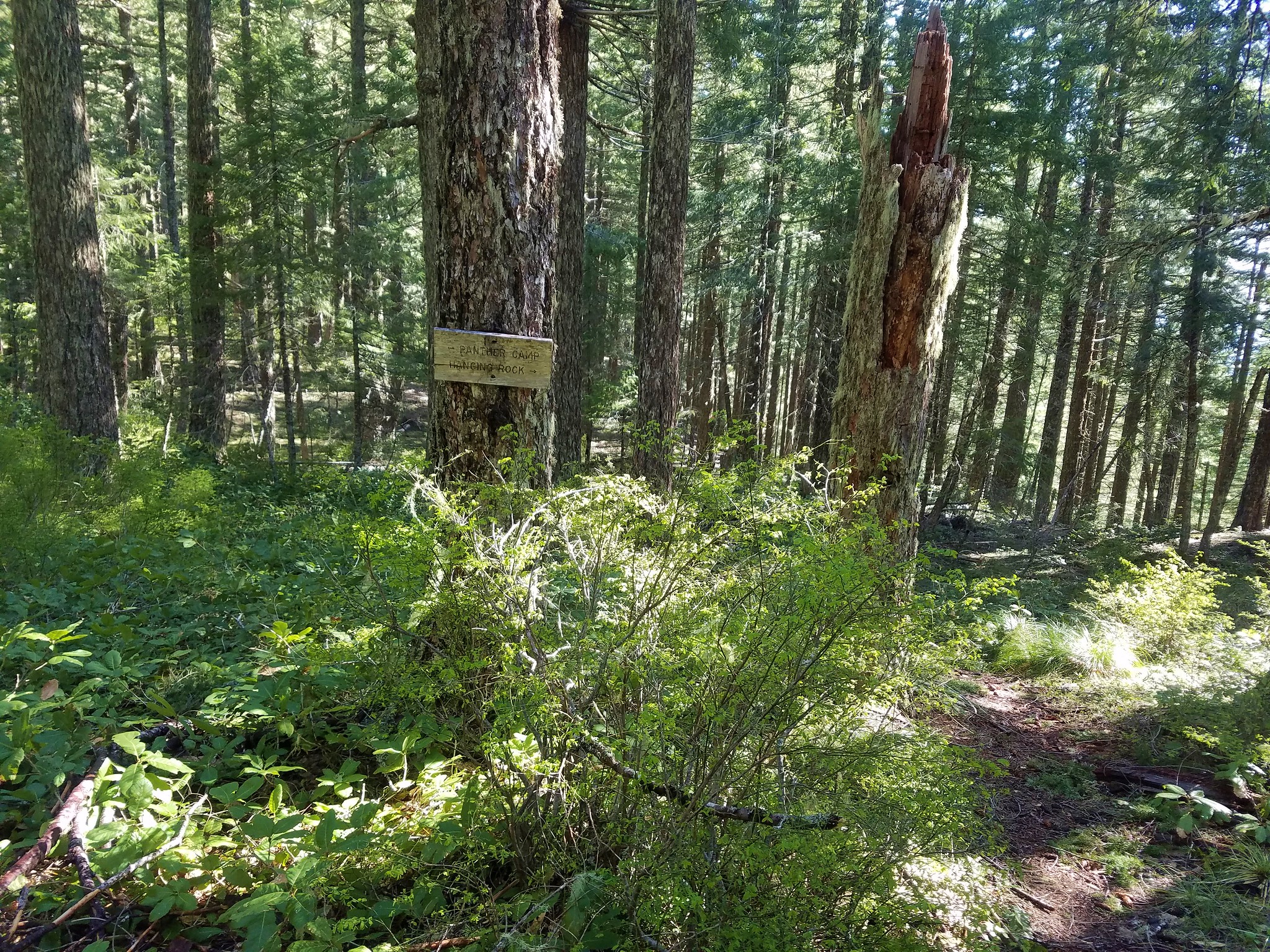
The trail leveled out somewhat once it was back in the forest and we soon arrived at the junction with the Surveyor’s Ridge Trail.

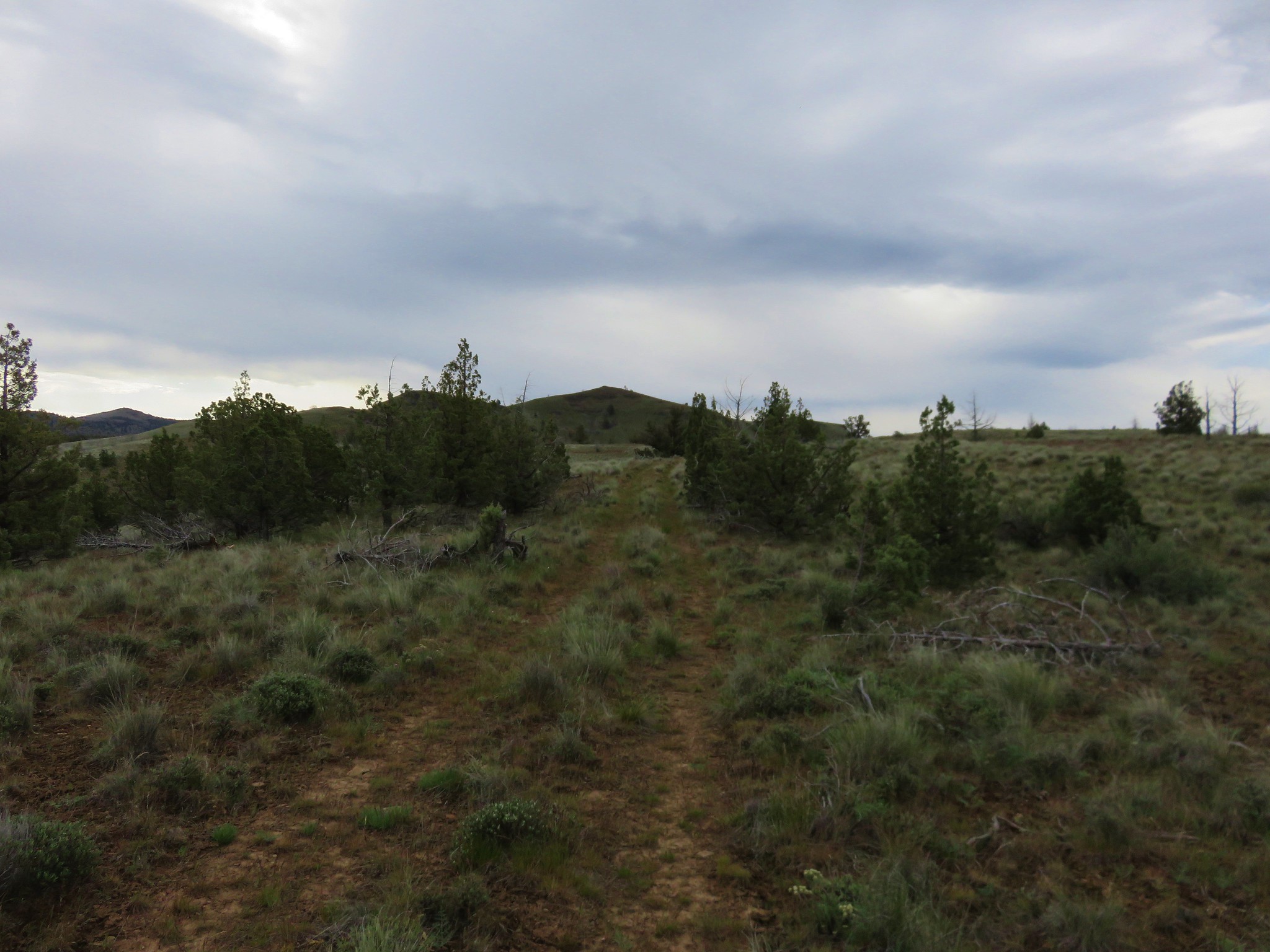
We turned left following a pointer for Bald Butte which was 2 miles away.

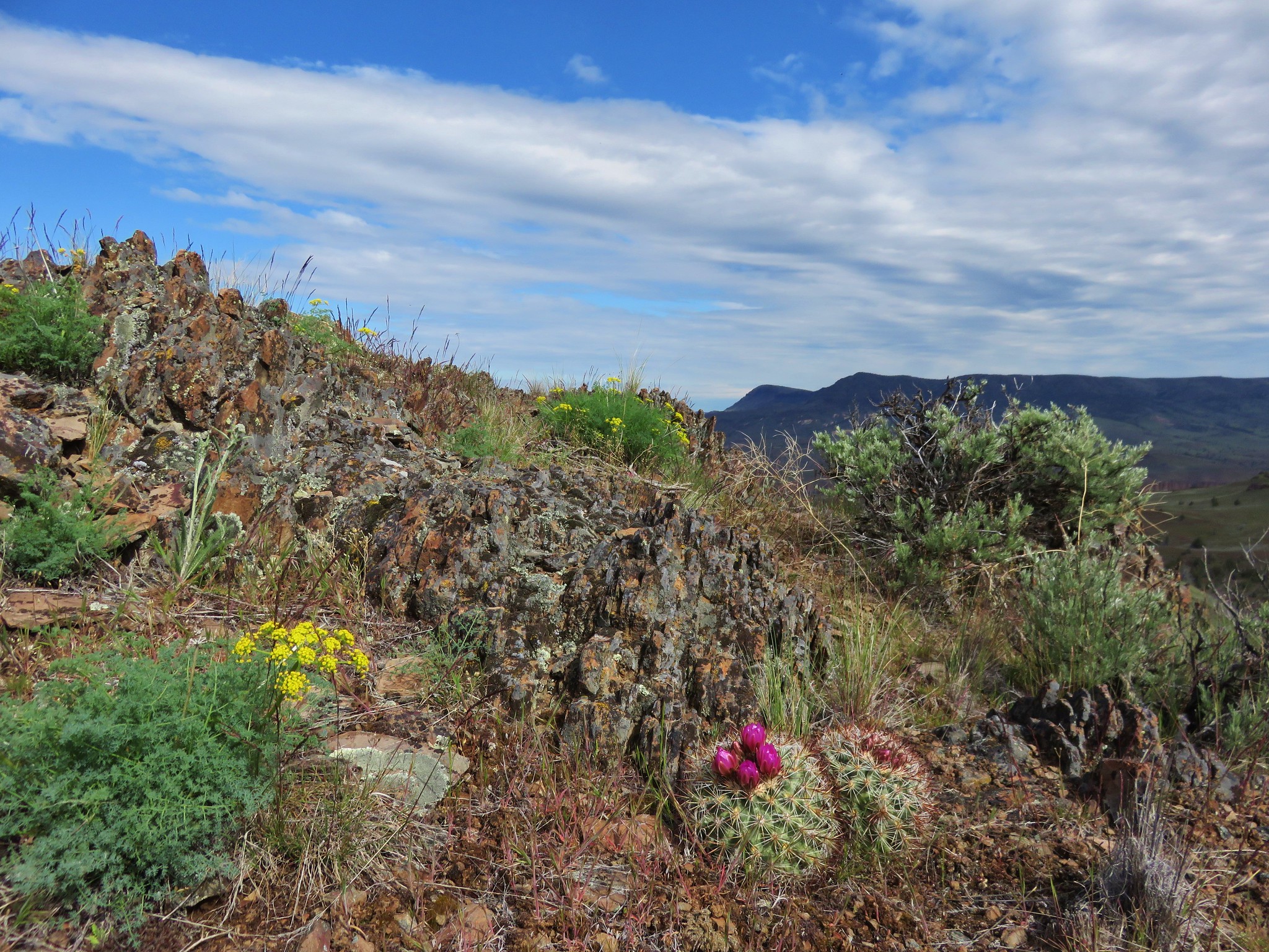
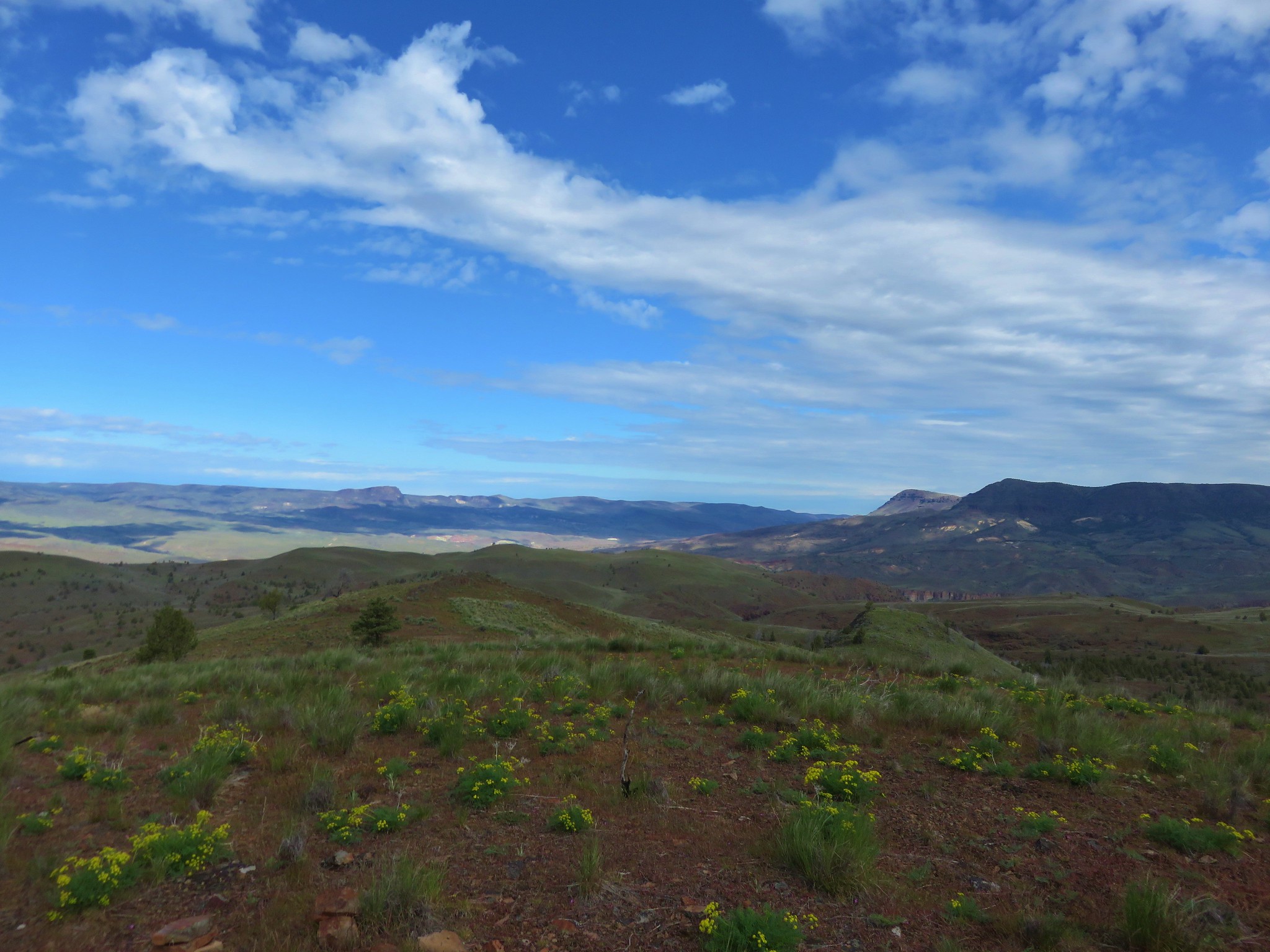
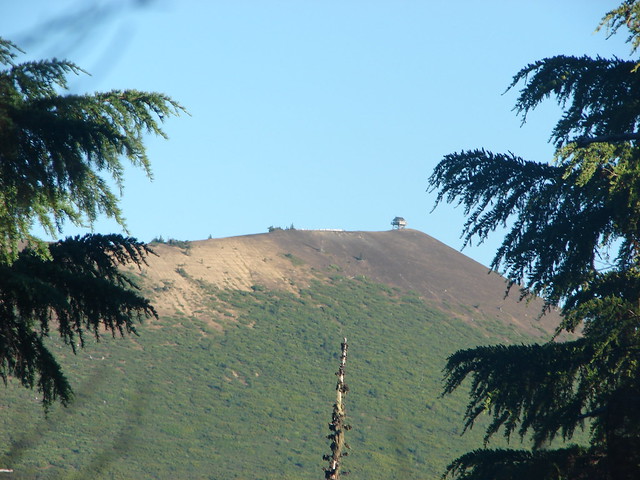
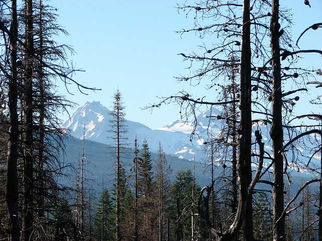
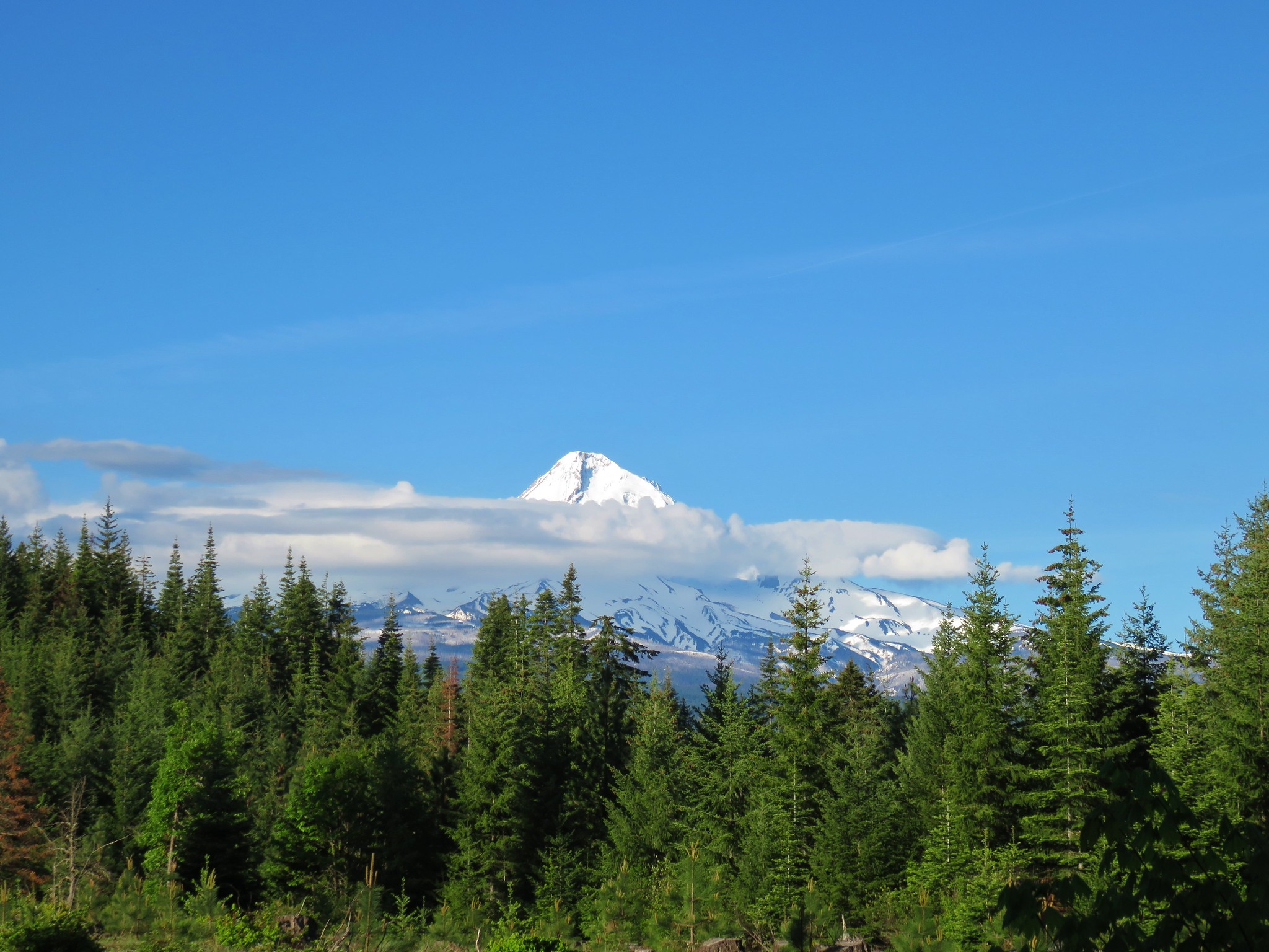
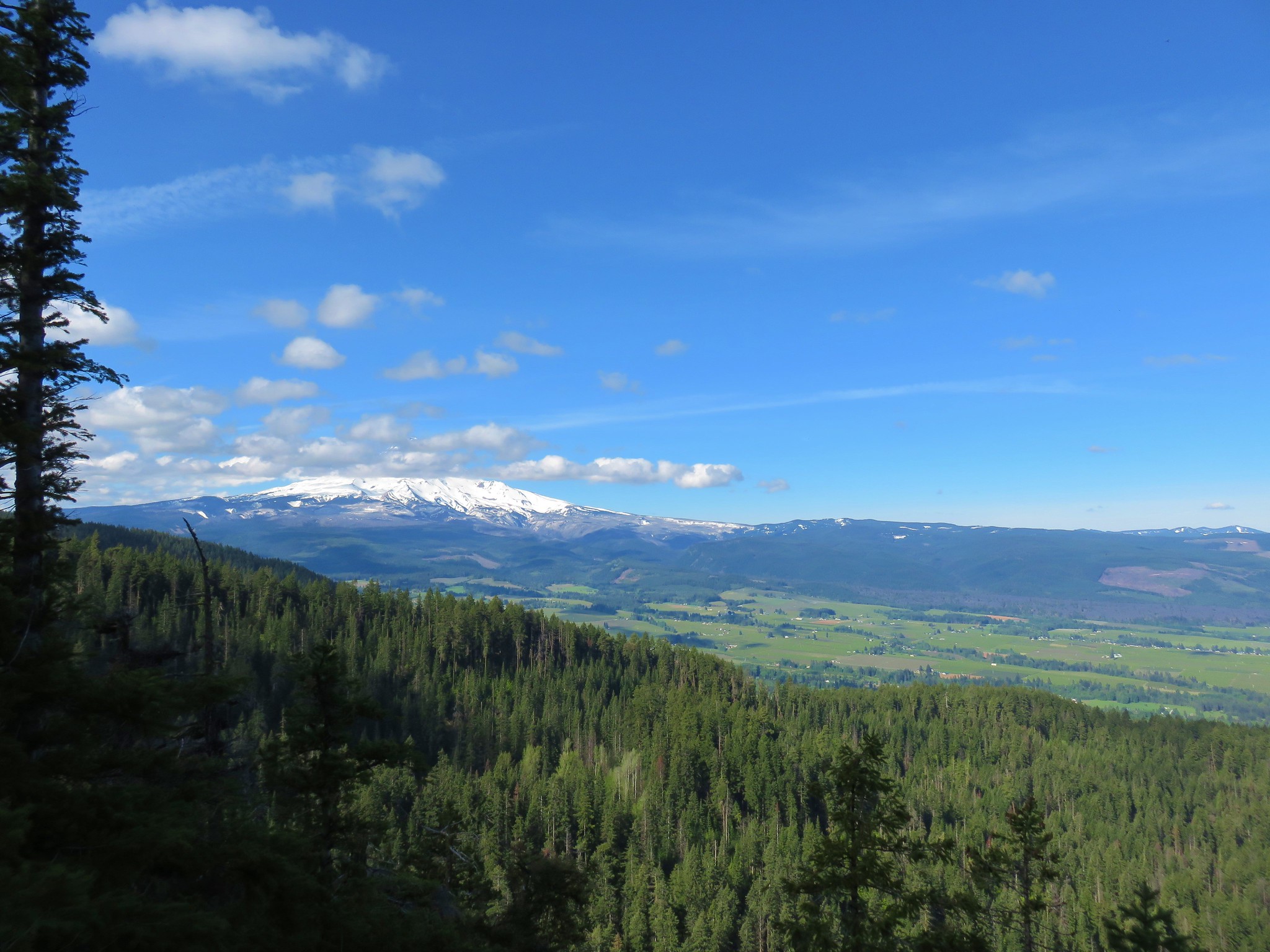
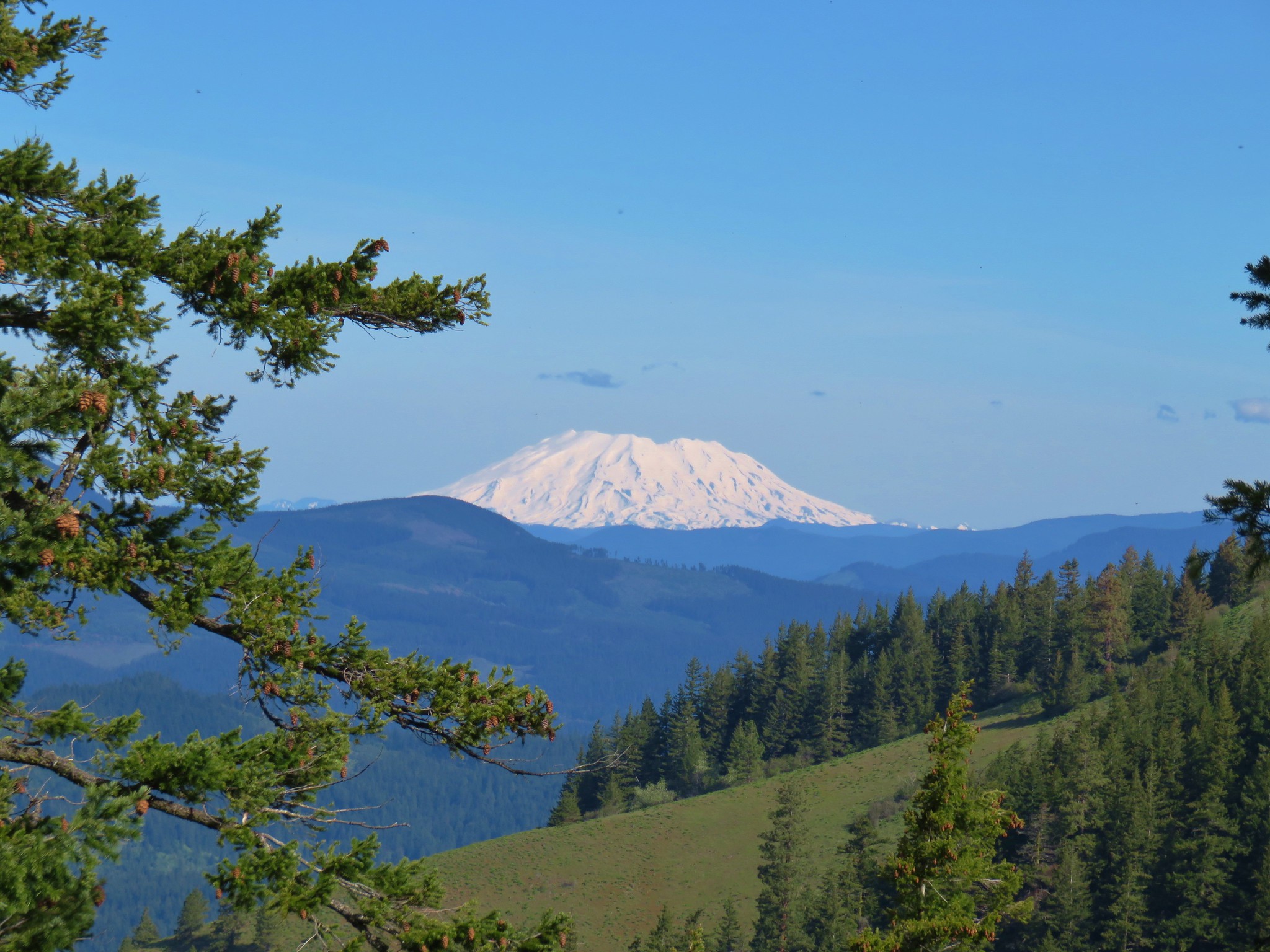
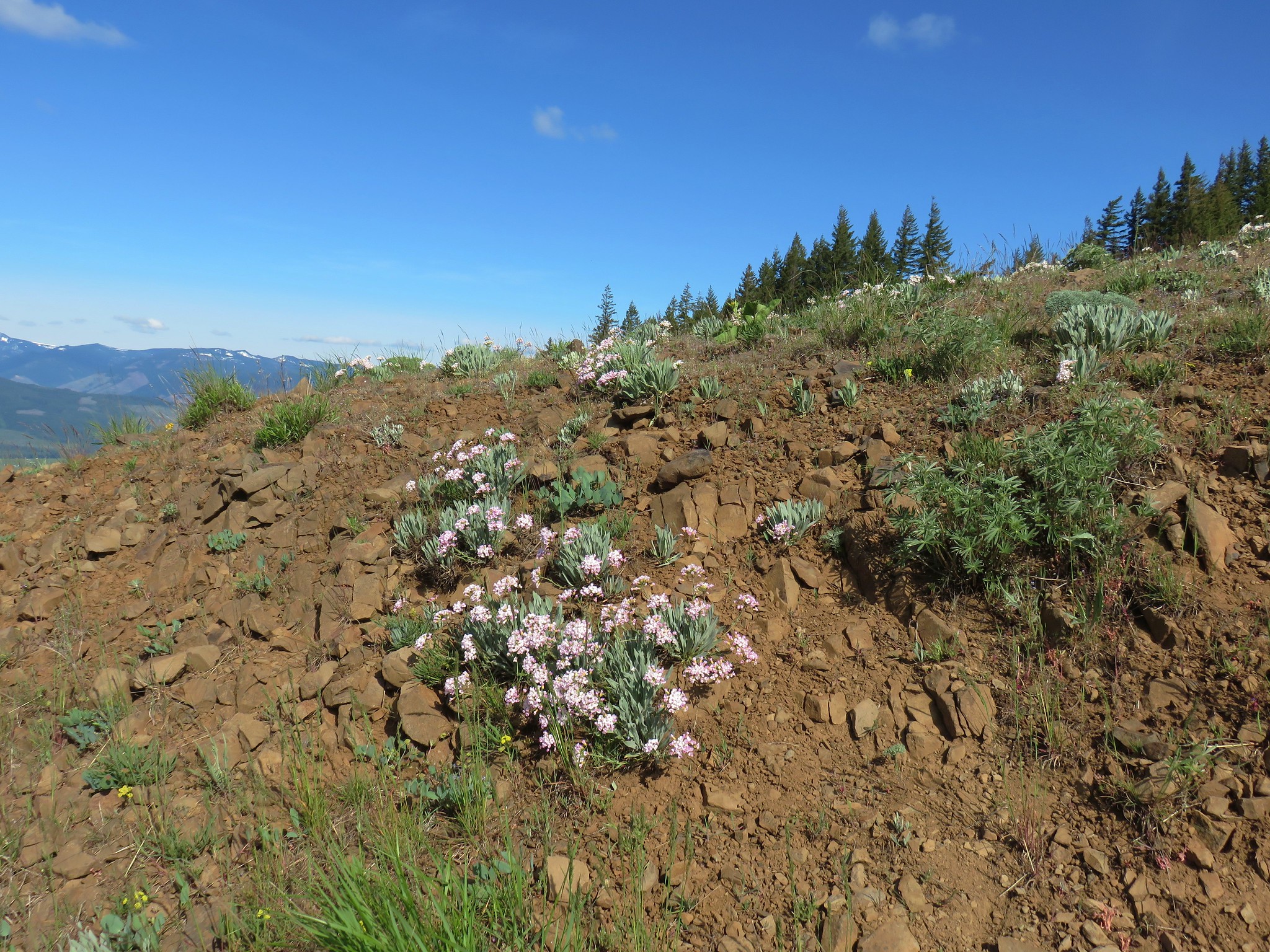
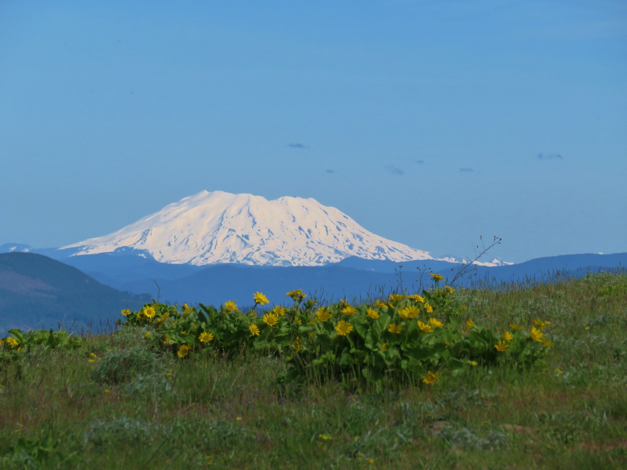
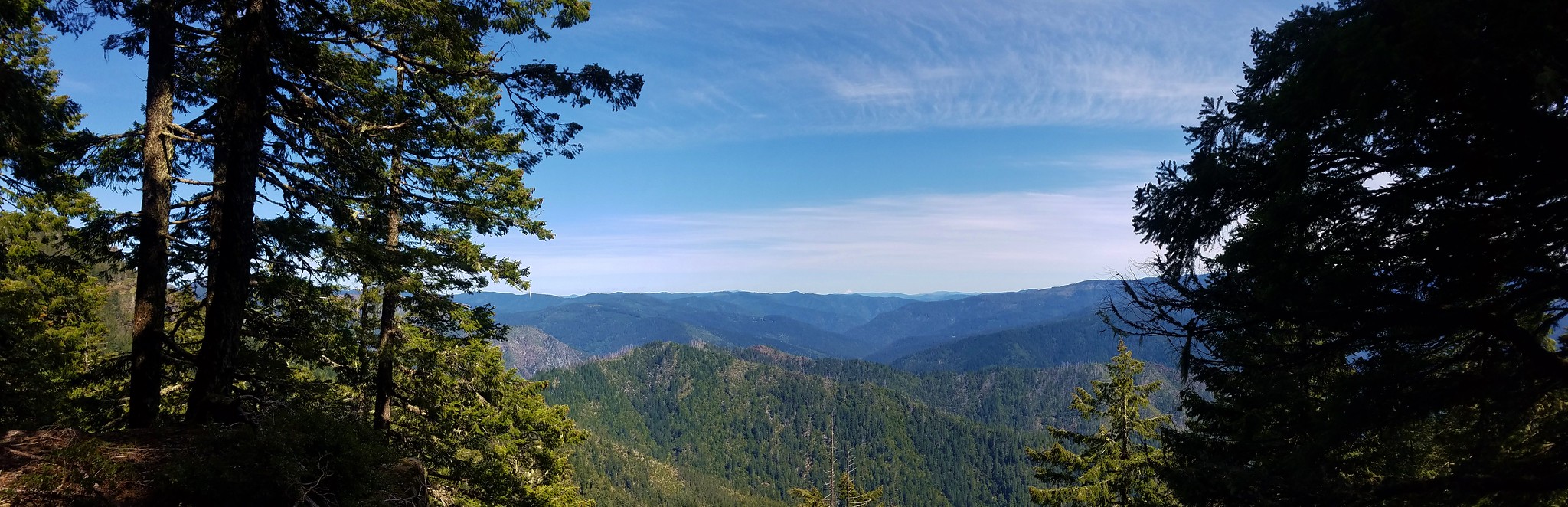
After passing a “Leaving National Forest” sign the ridge became rocky and more open which once again provided views of Mt. Hood and now Mt. St. Helens joined the skyline.

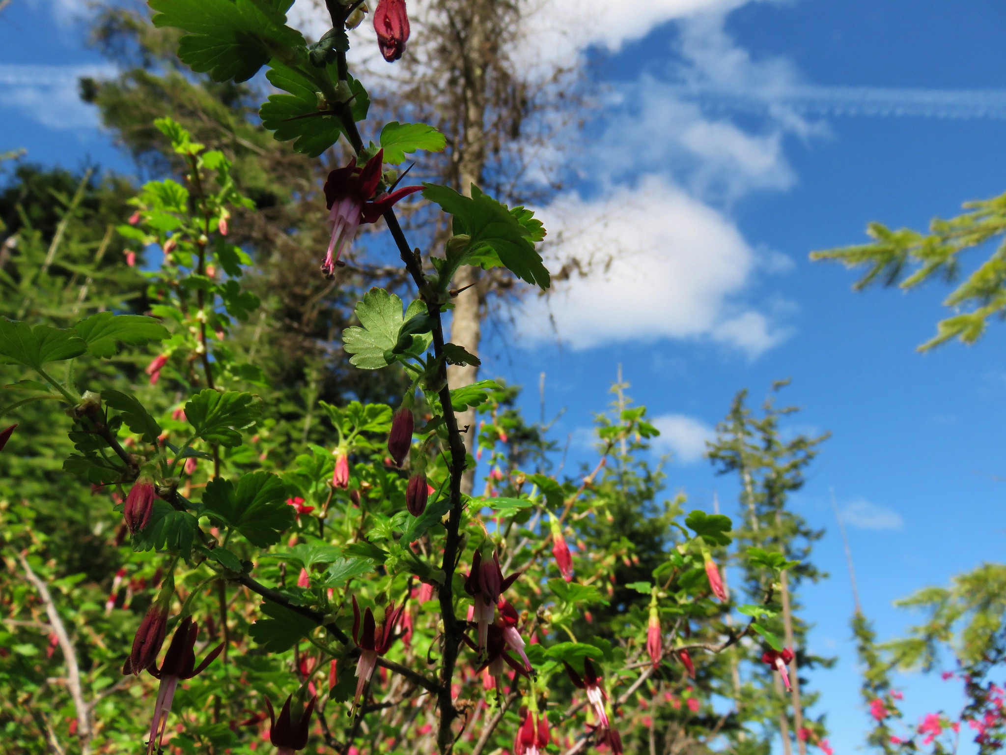
Red flowering currant was profuse along this stretch and we also spotted a gooseberry bush.


Mt. Adams also made a brief appearance.
The trail dropped slightly to a saddle where power lines and another possible trailhead sat beneath a hill.

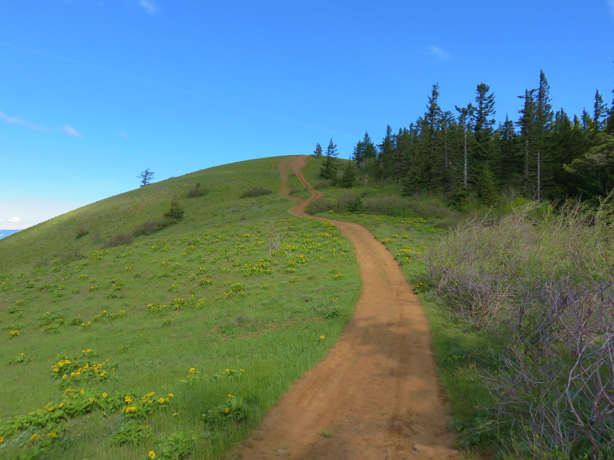
The trail so far had been off-limits to motorized vehicles but the final section is popular with dirt bike and ATV riders. We followed a steep dirt track under the power lines and up the hill.

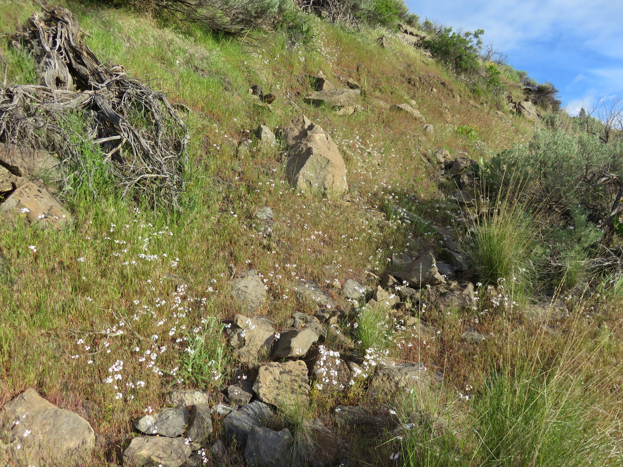
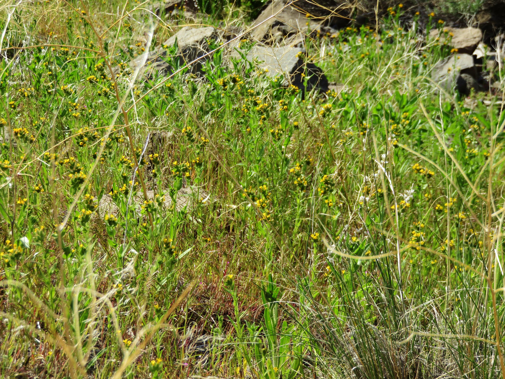
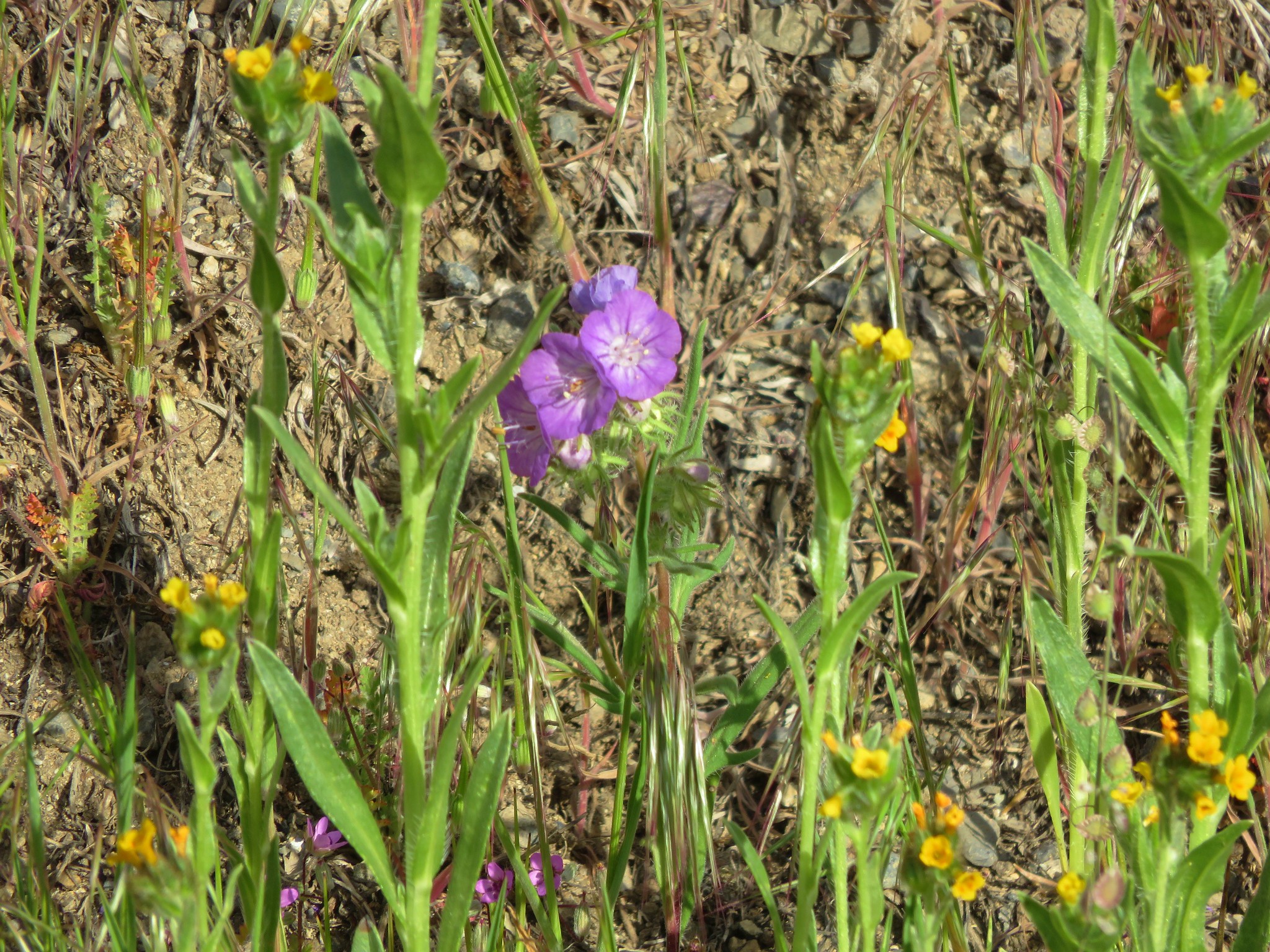
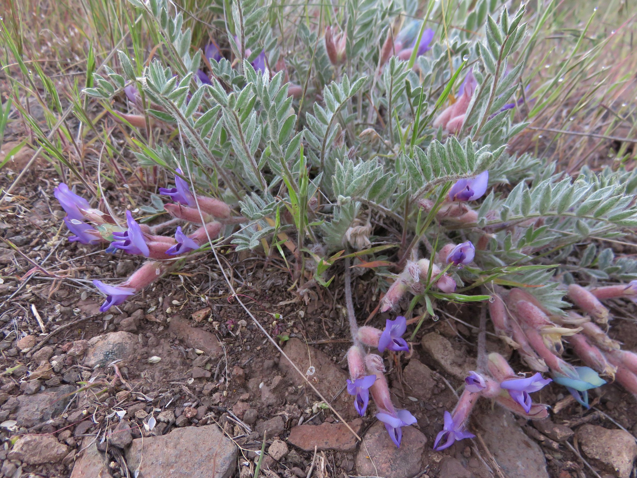
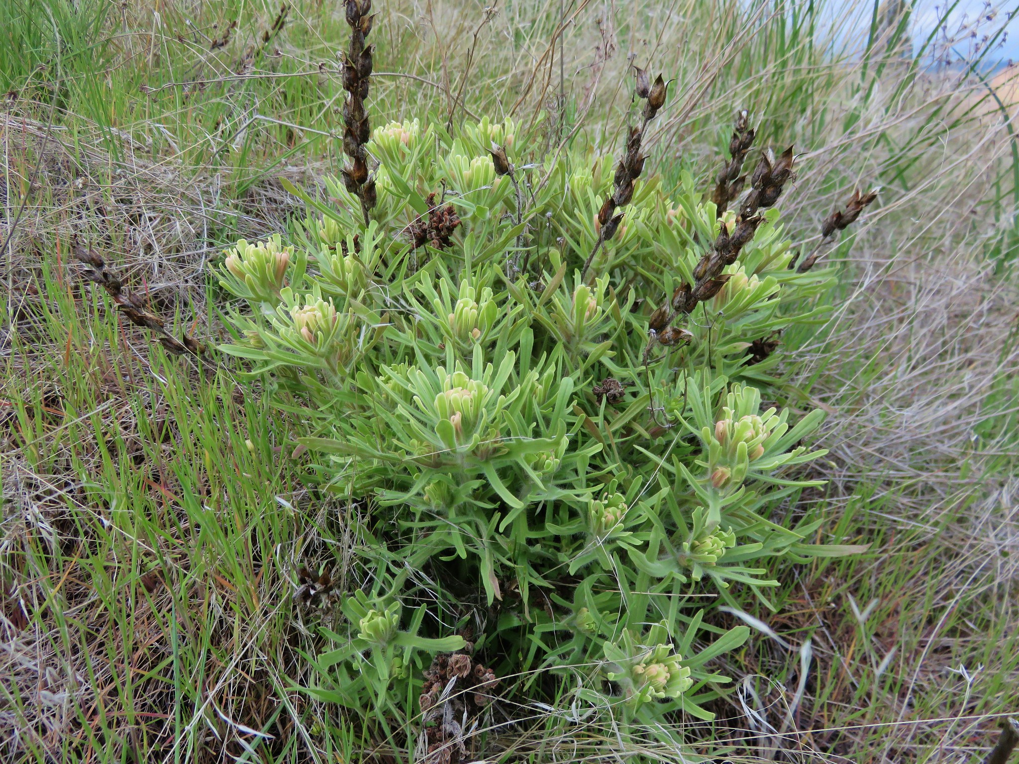
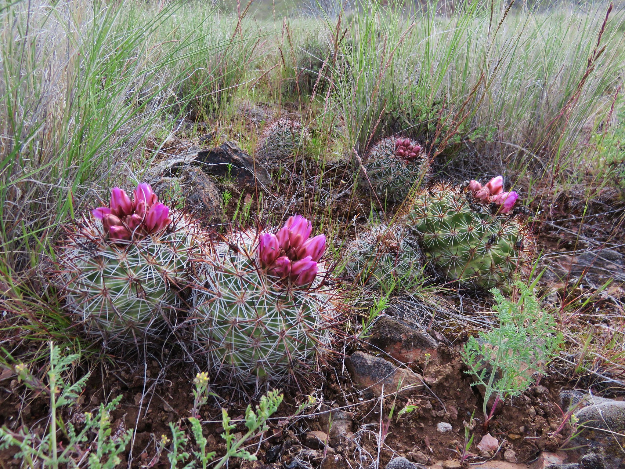
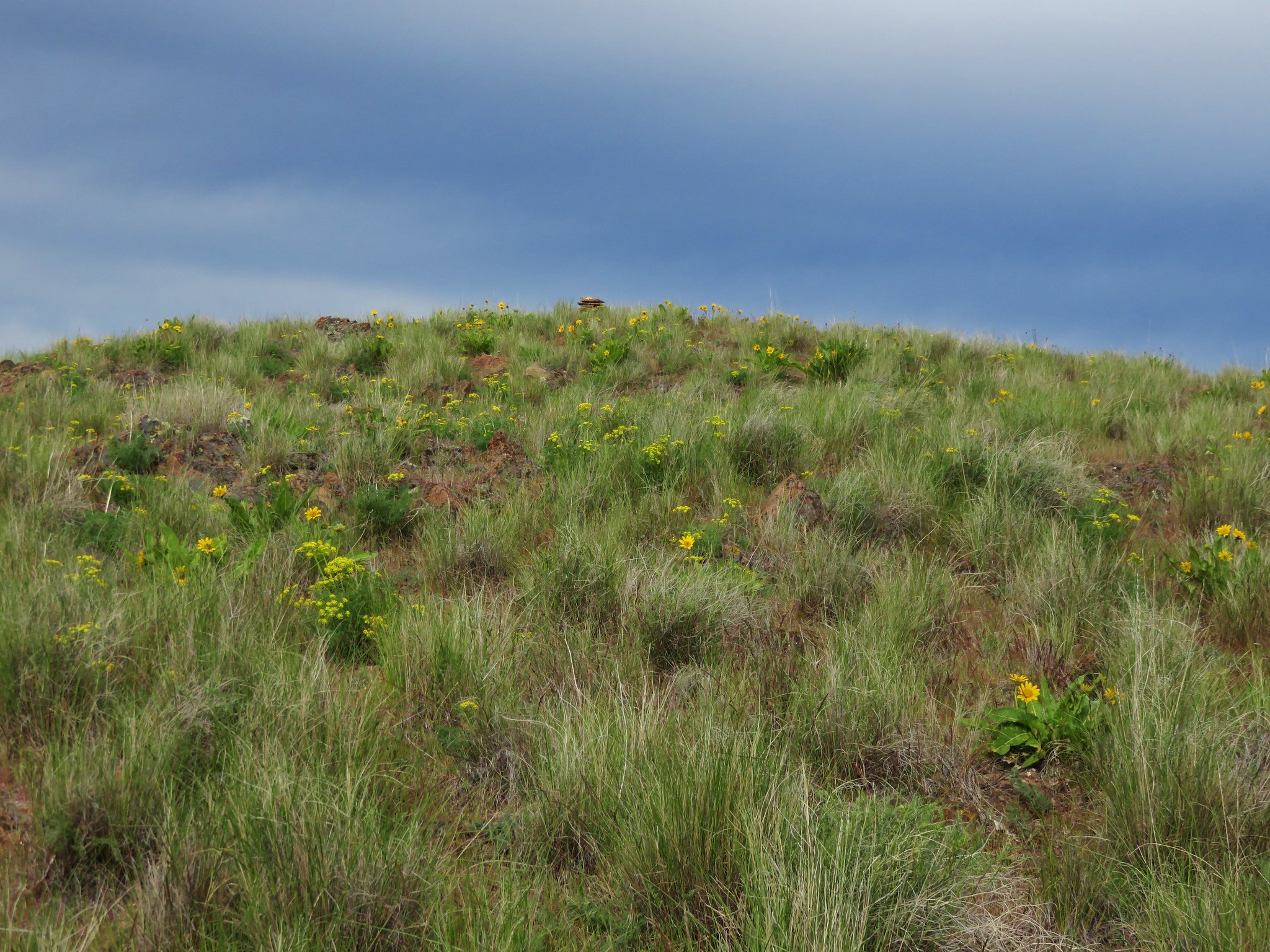
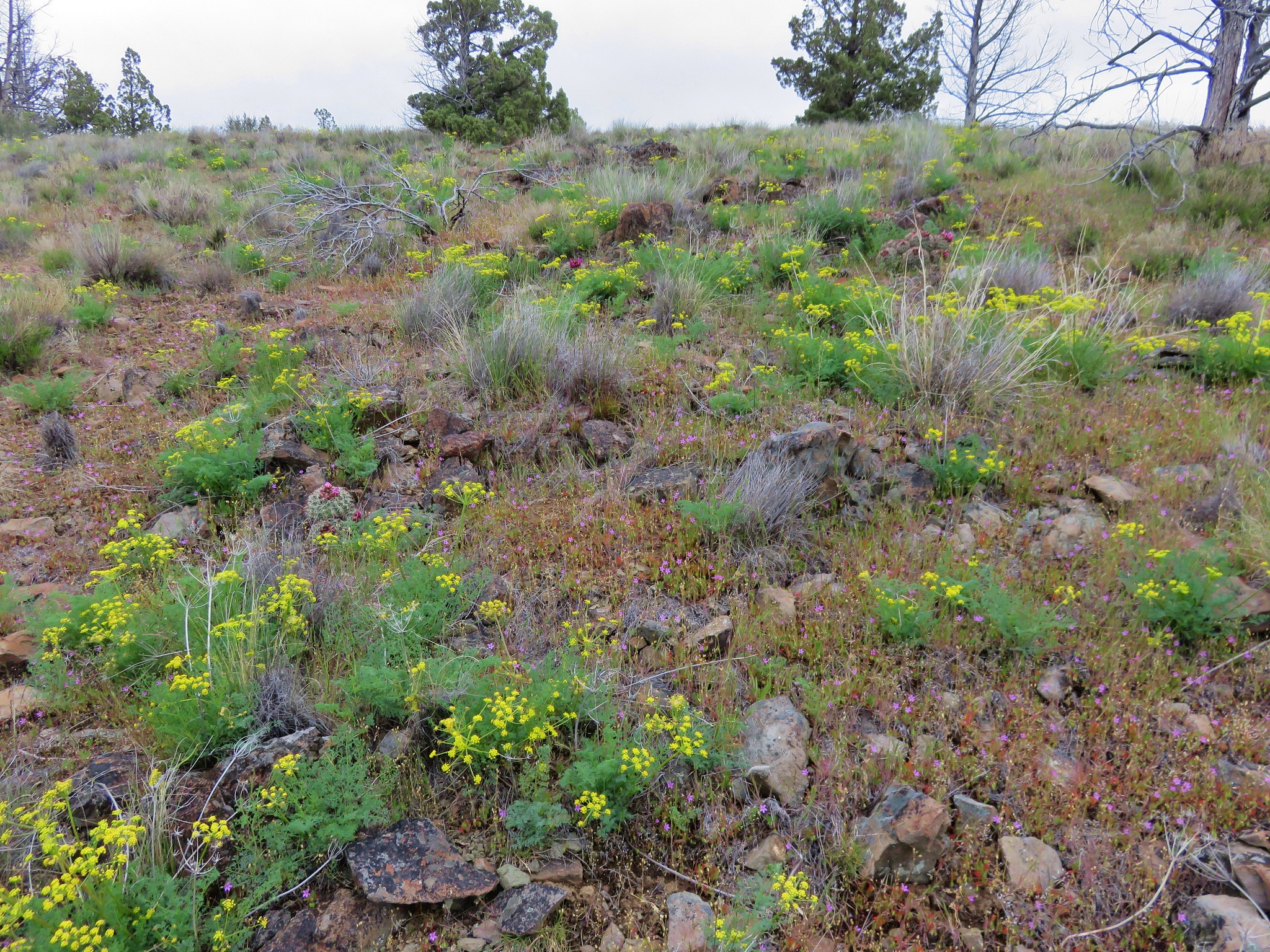
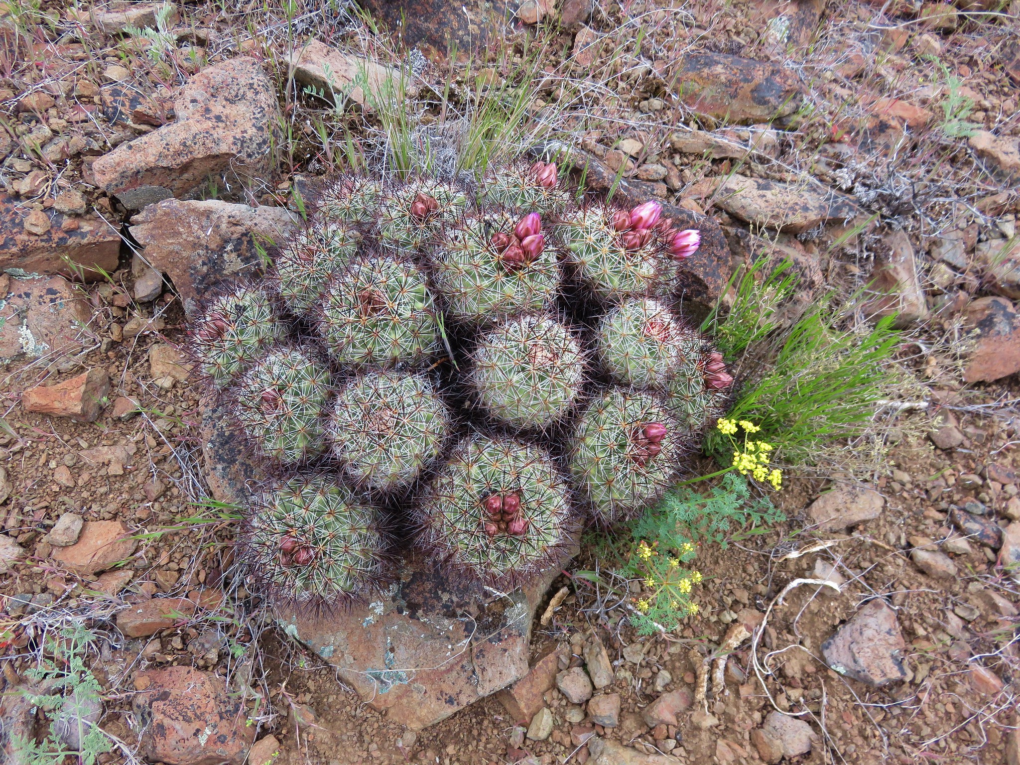
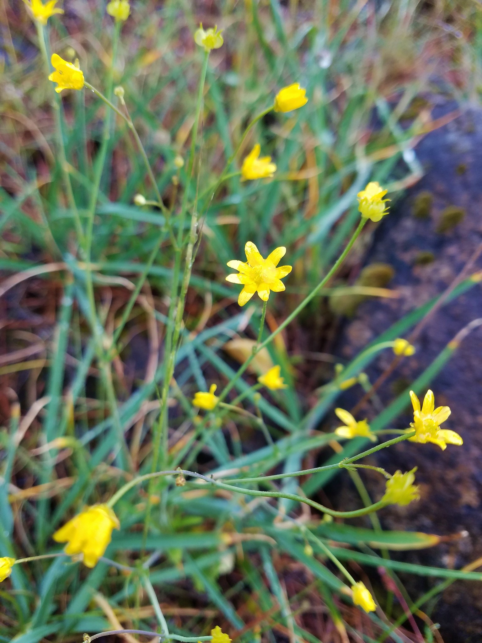
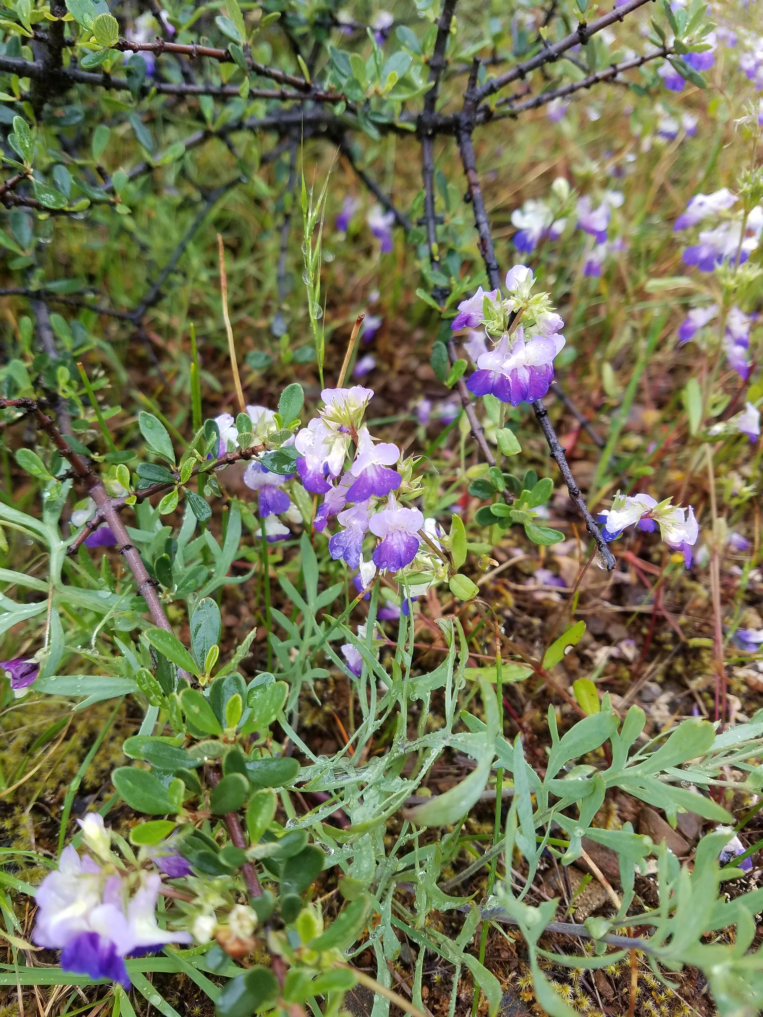
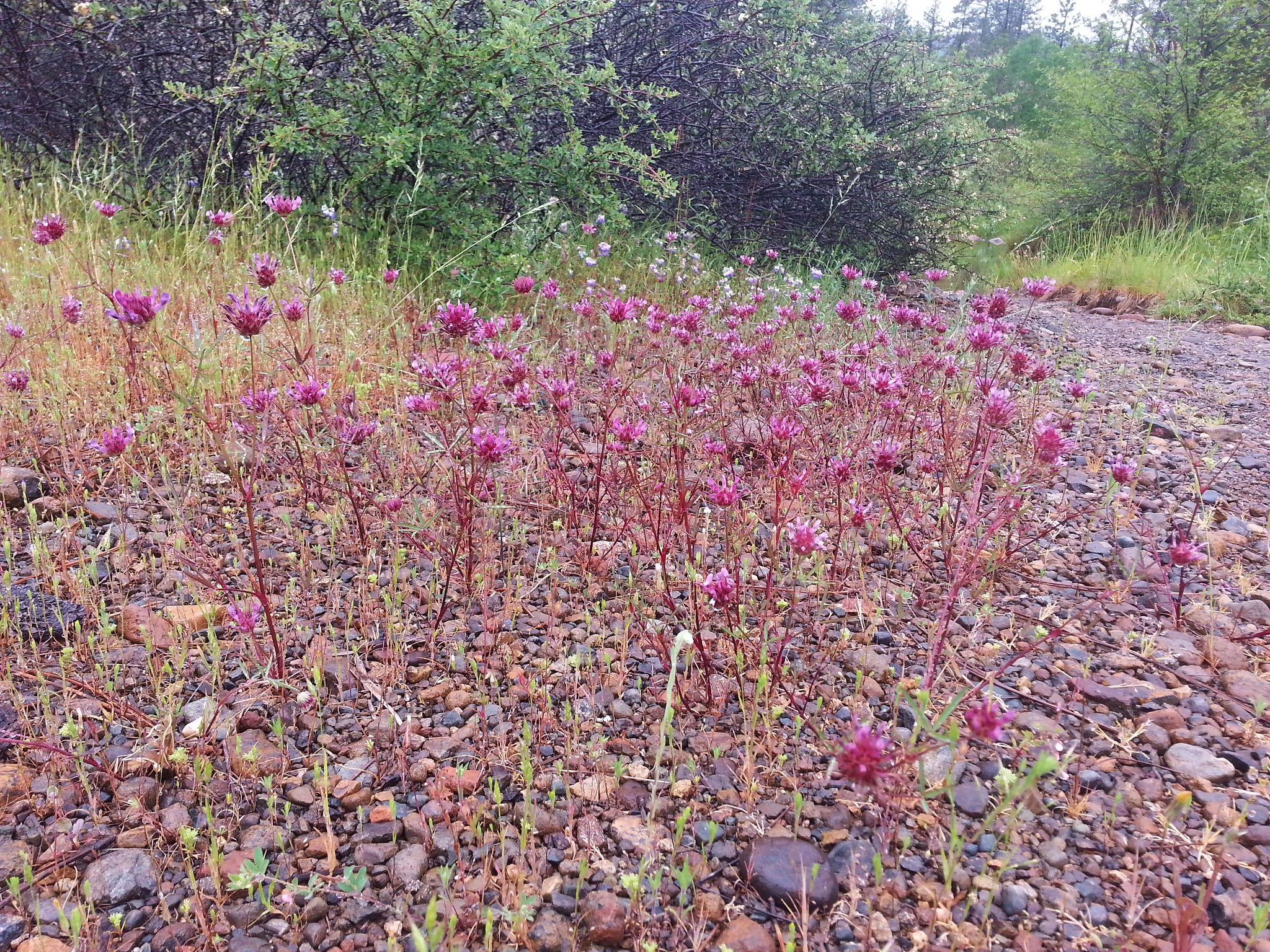
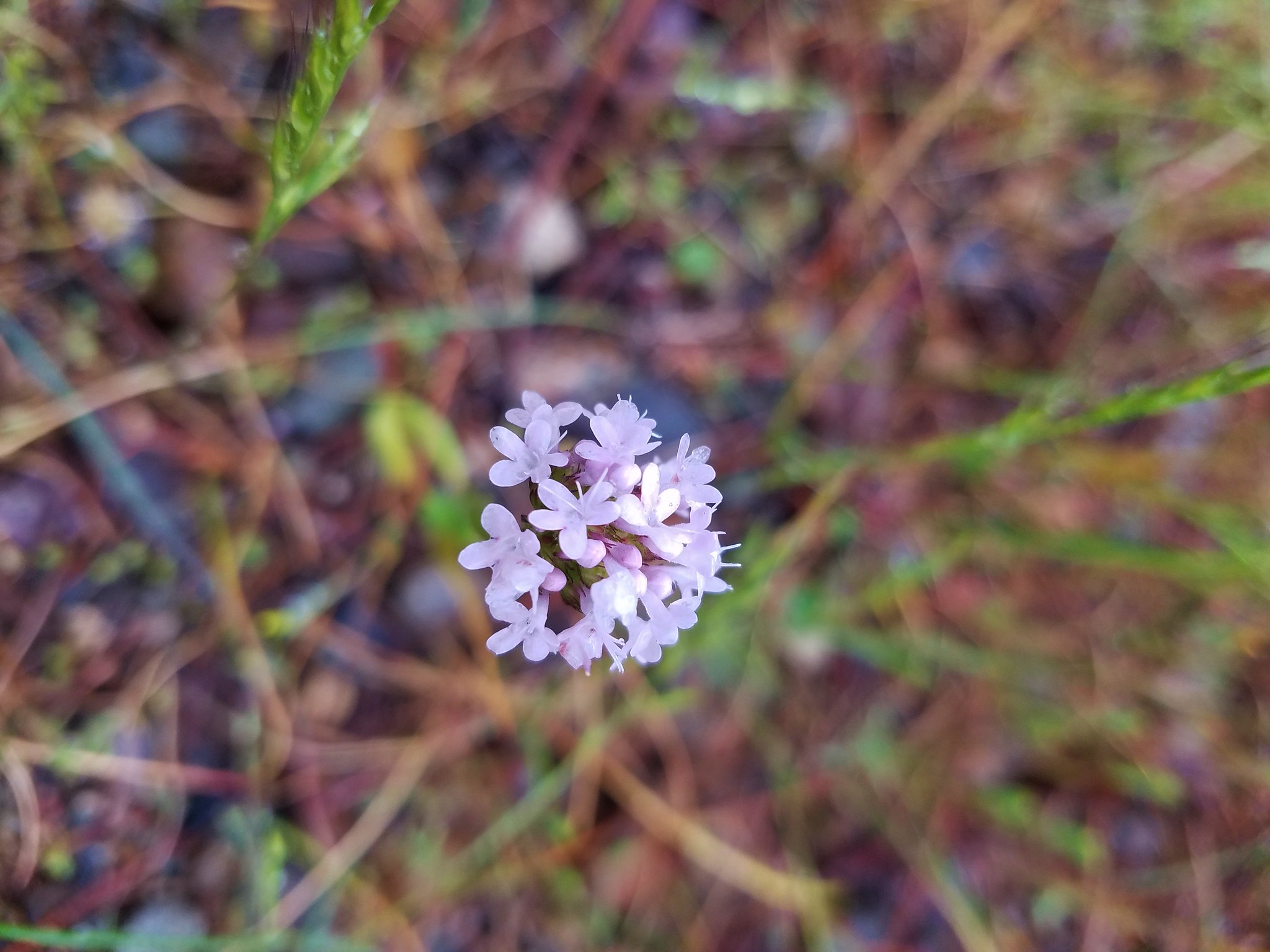
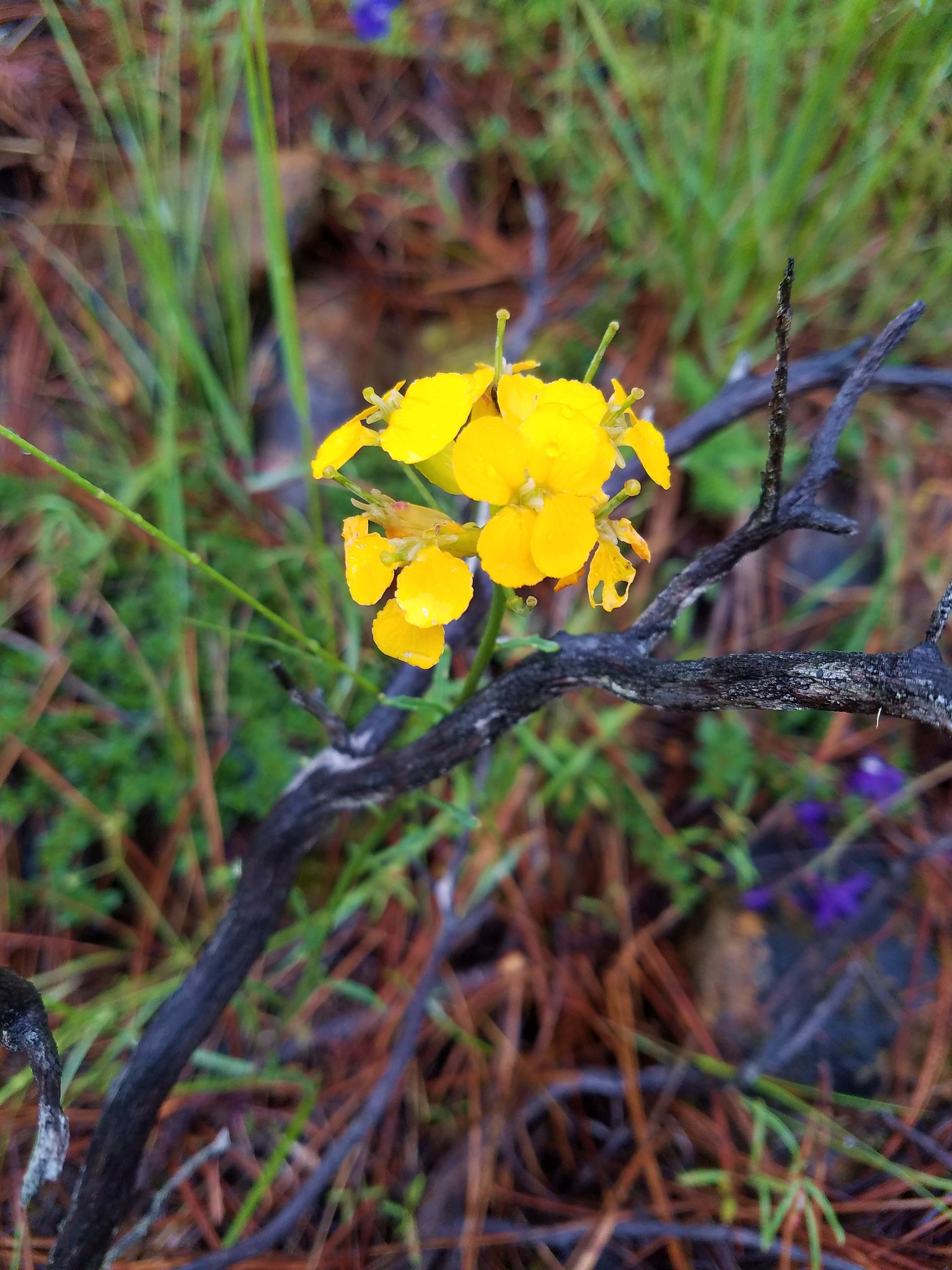
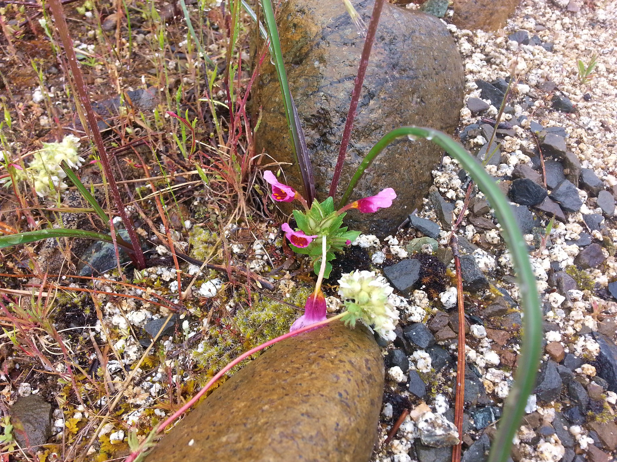
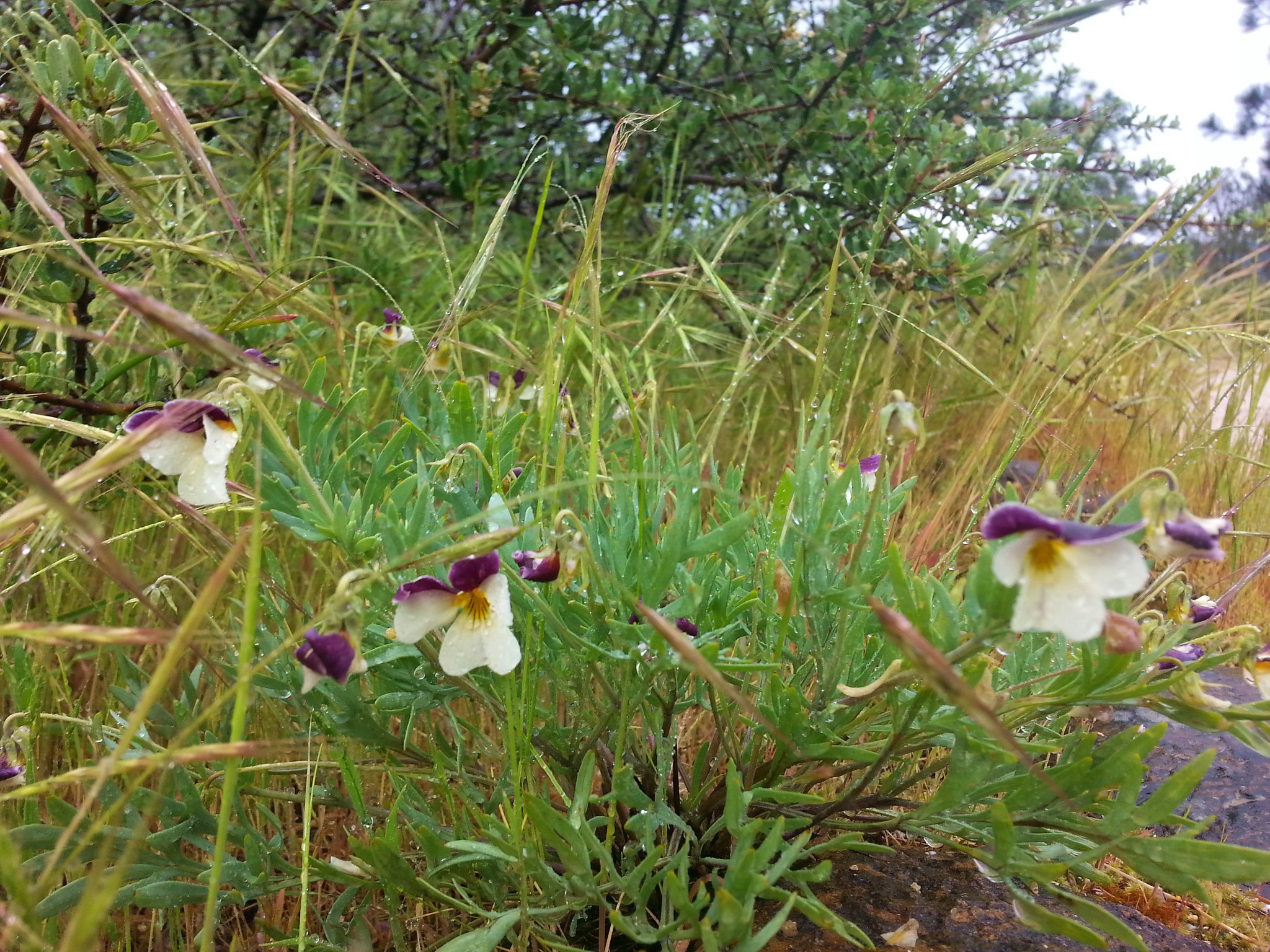
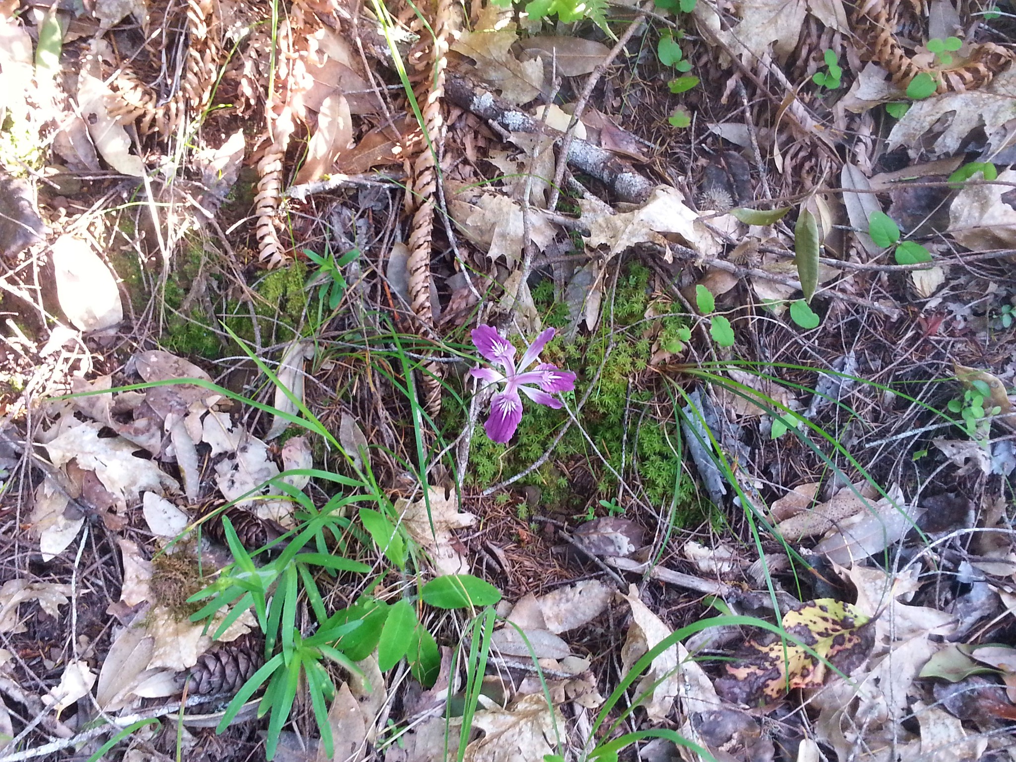
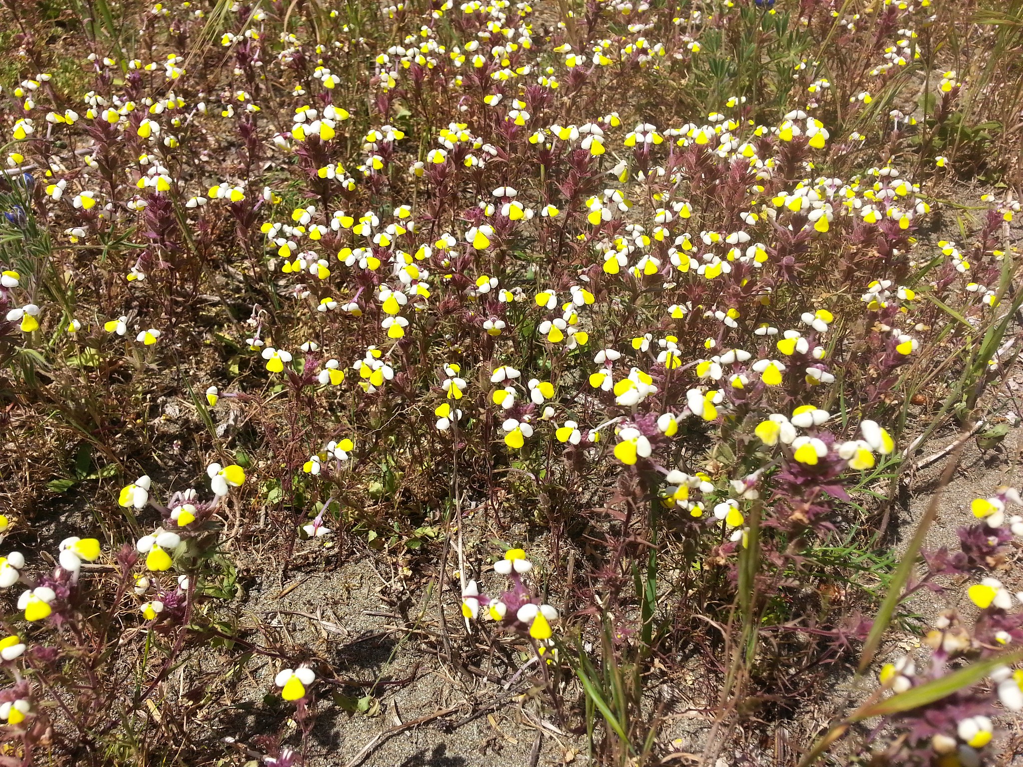
There were quite a few flowers in bloom with more to come in the following weeks.

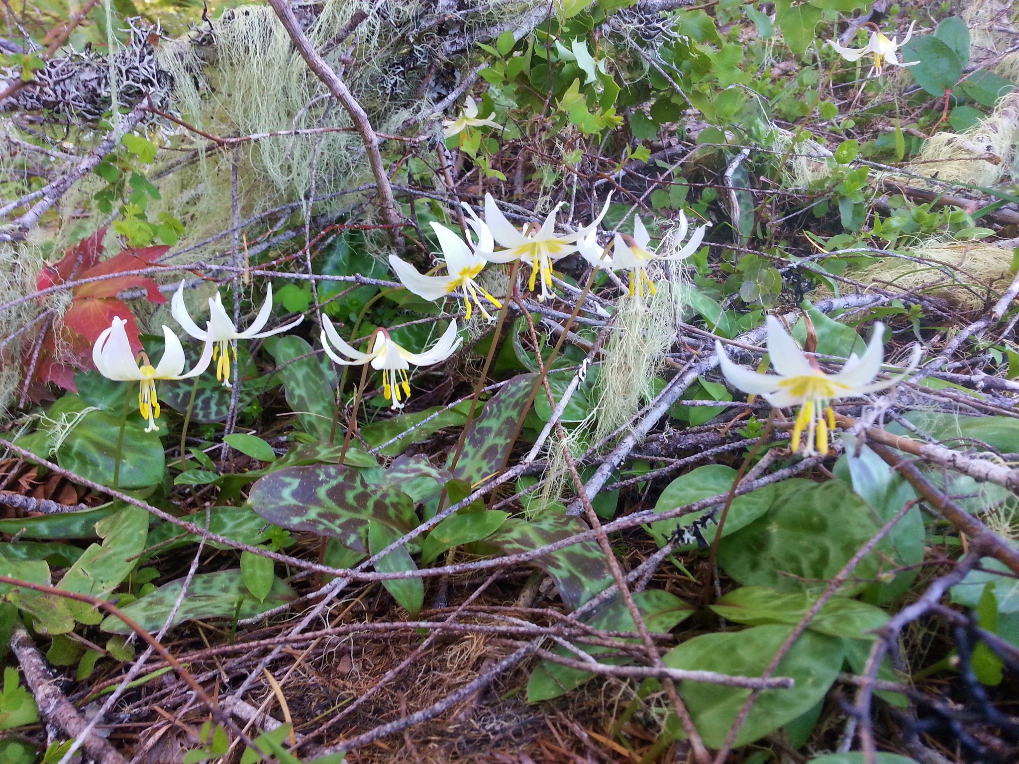
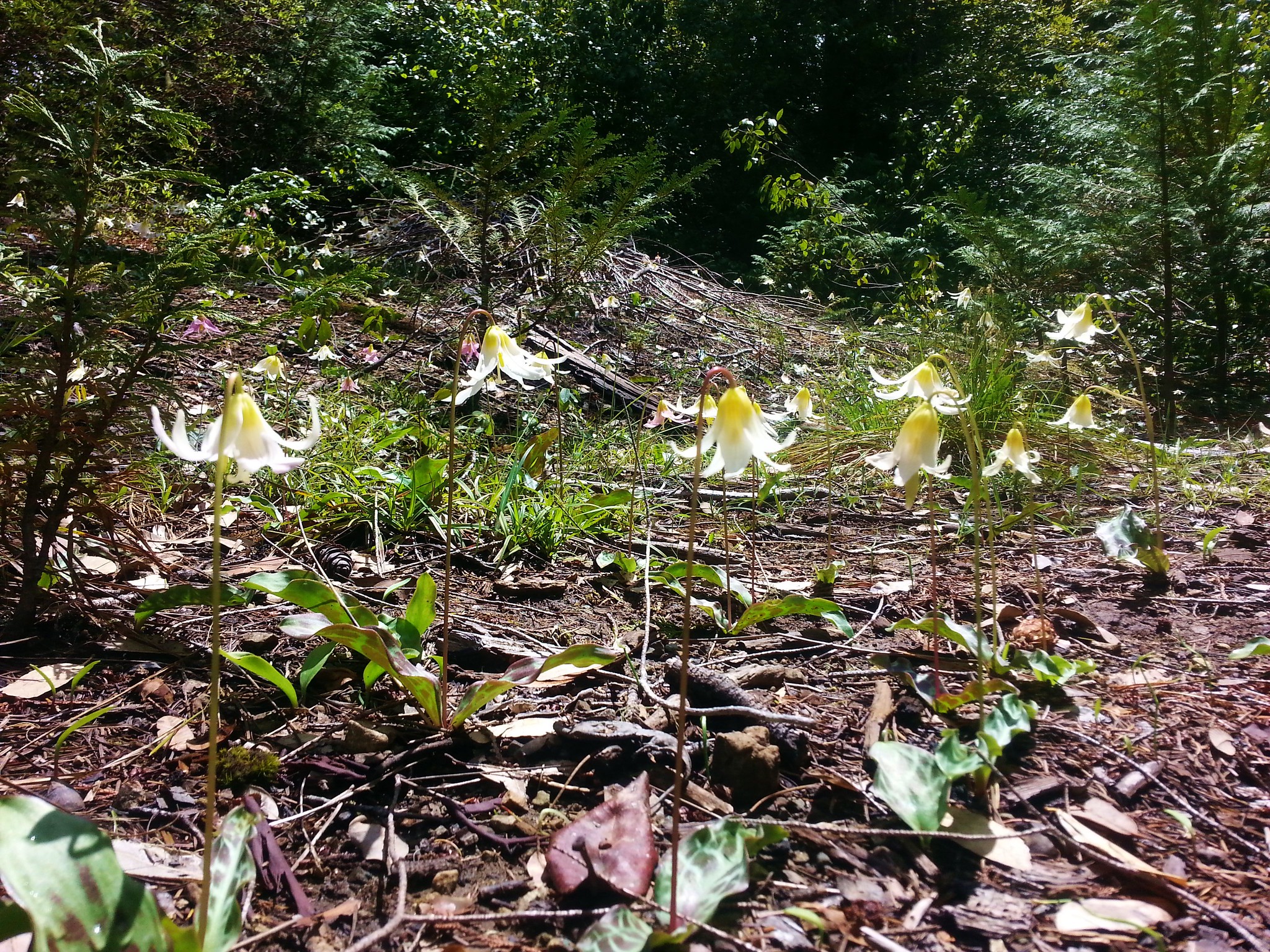
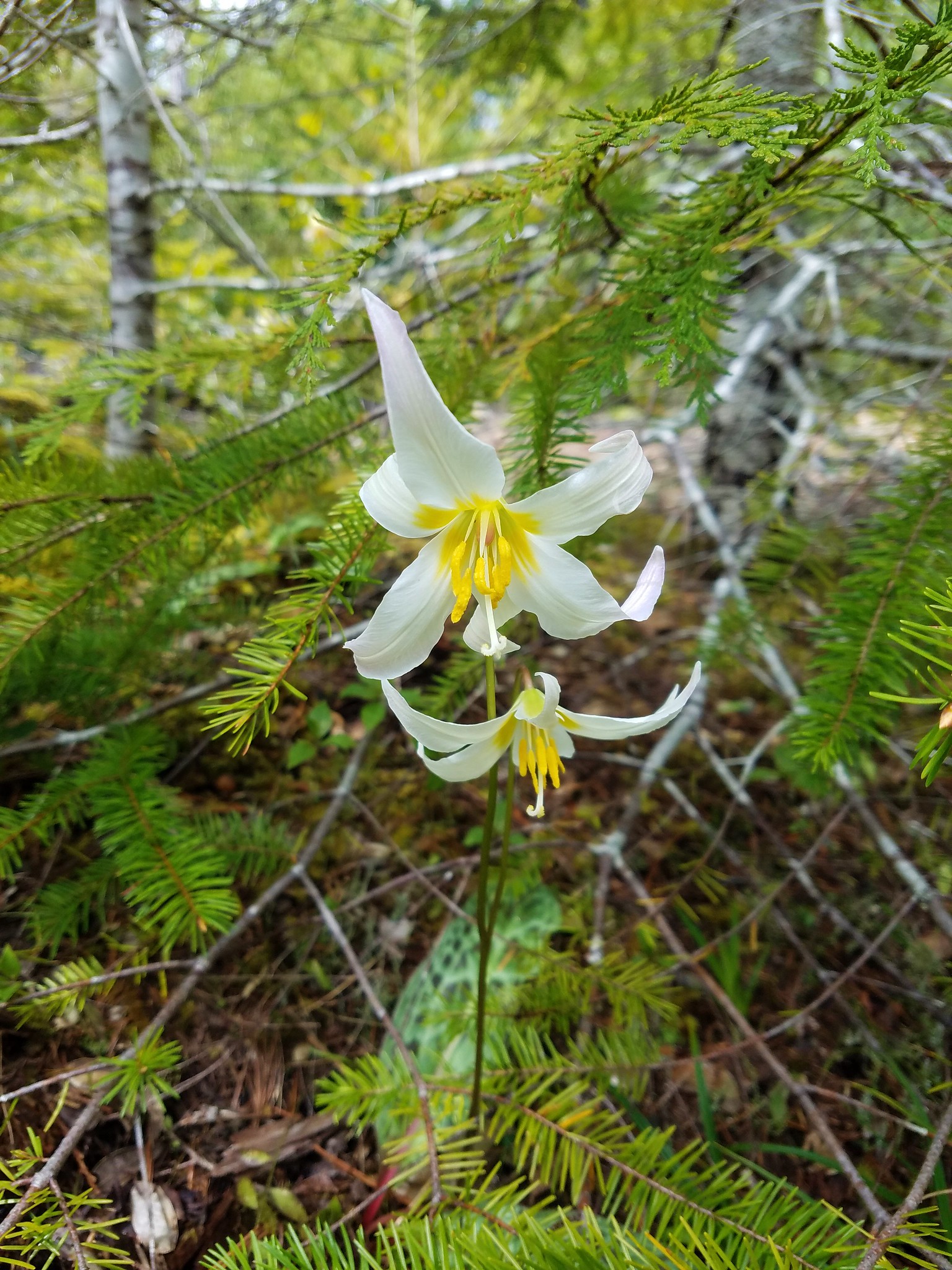
Near the crest of the hill we found one glacier lily still blooming.


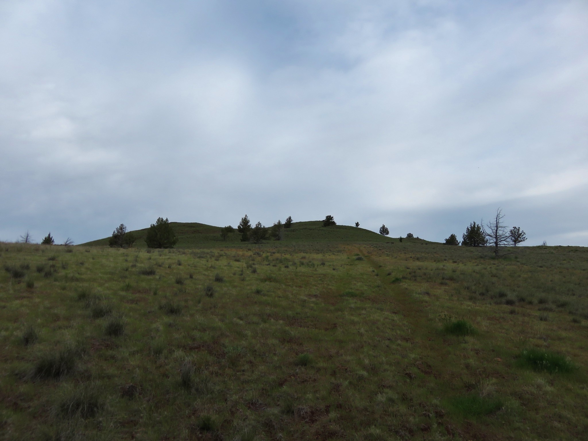
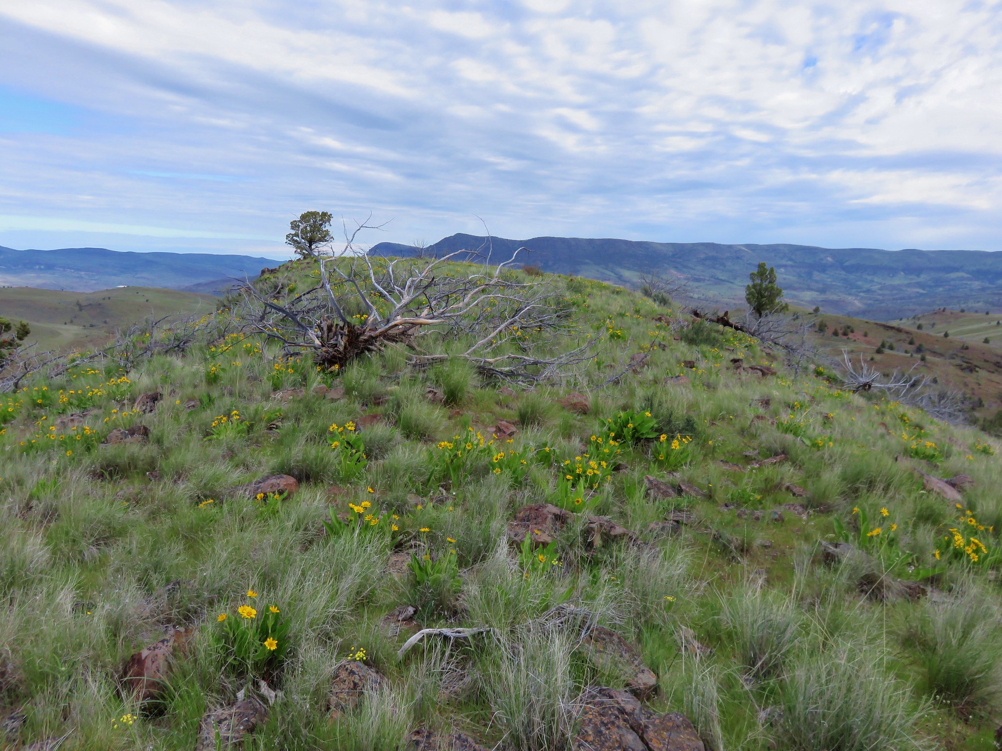
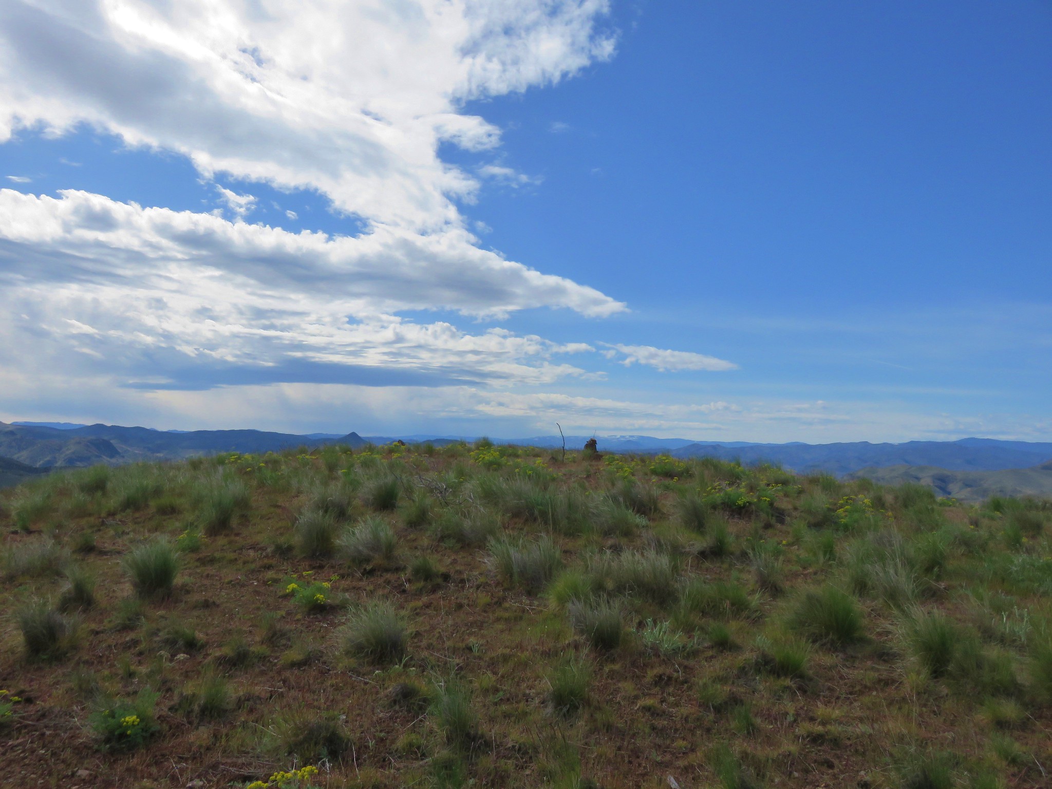
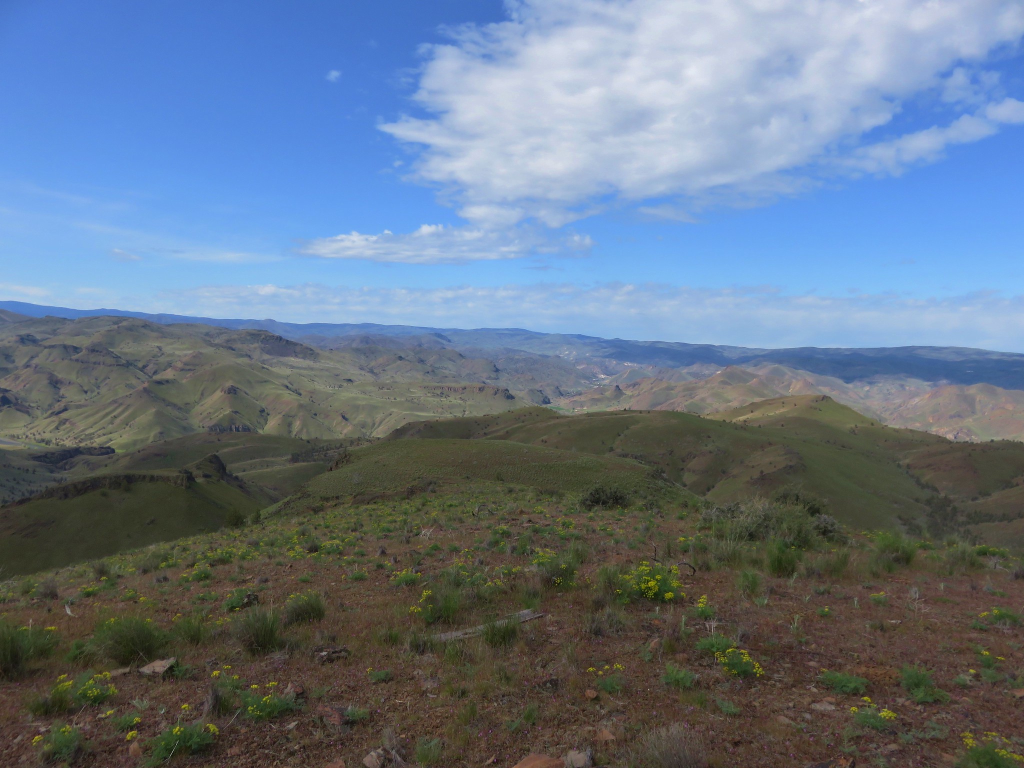
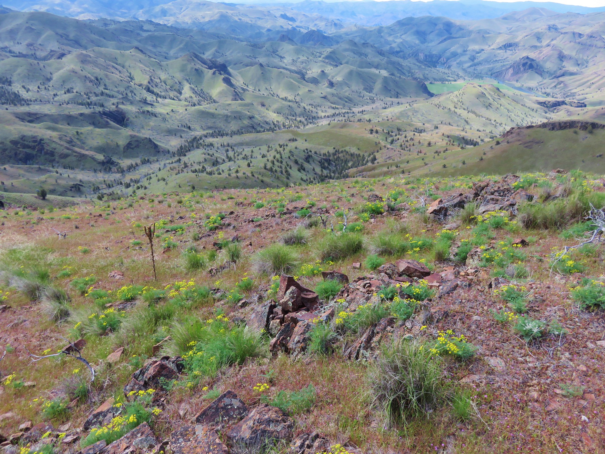
After dipping into another saddle we faced the final somewhat steep climb to the summit of Bald Butte.
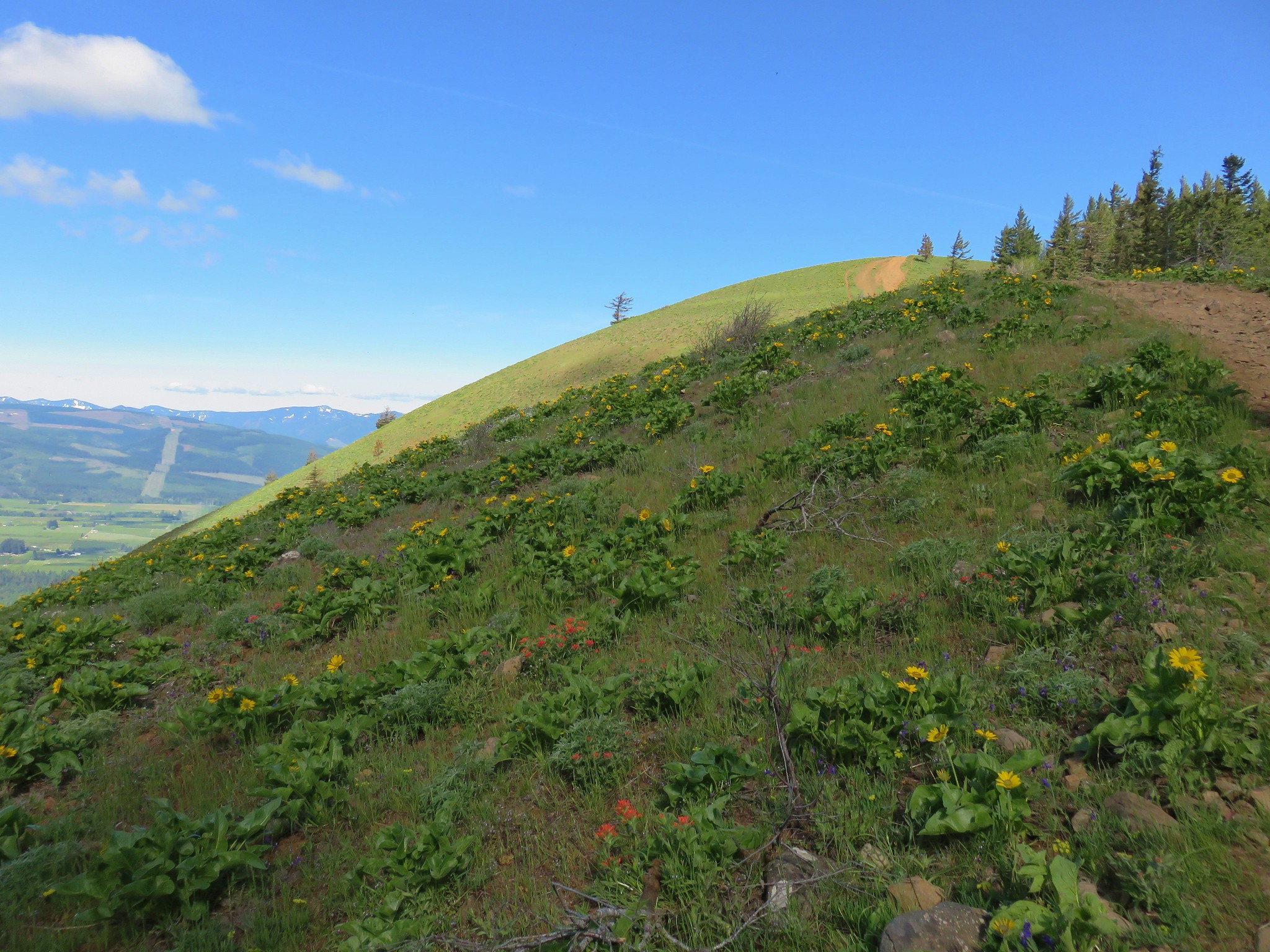
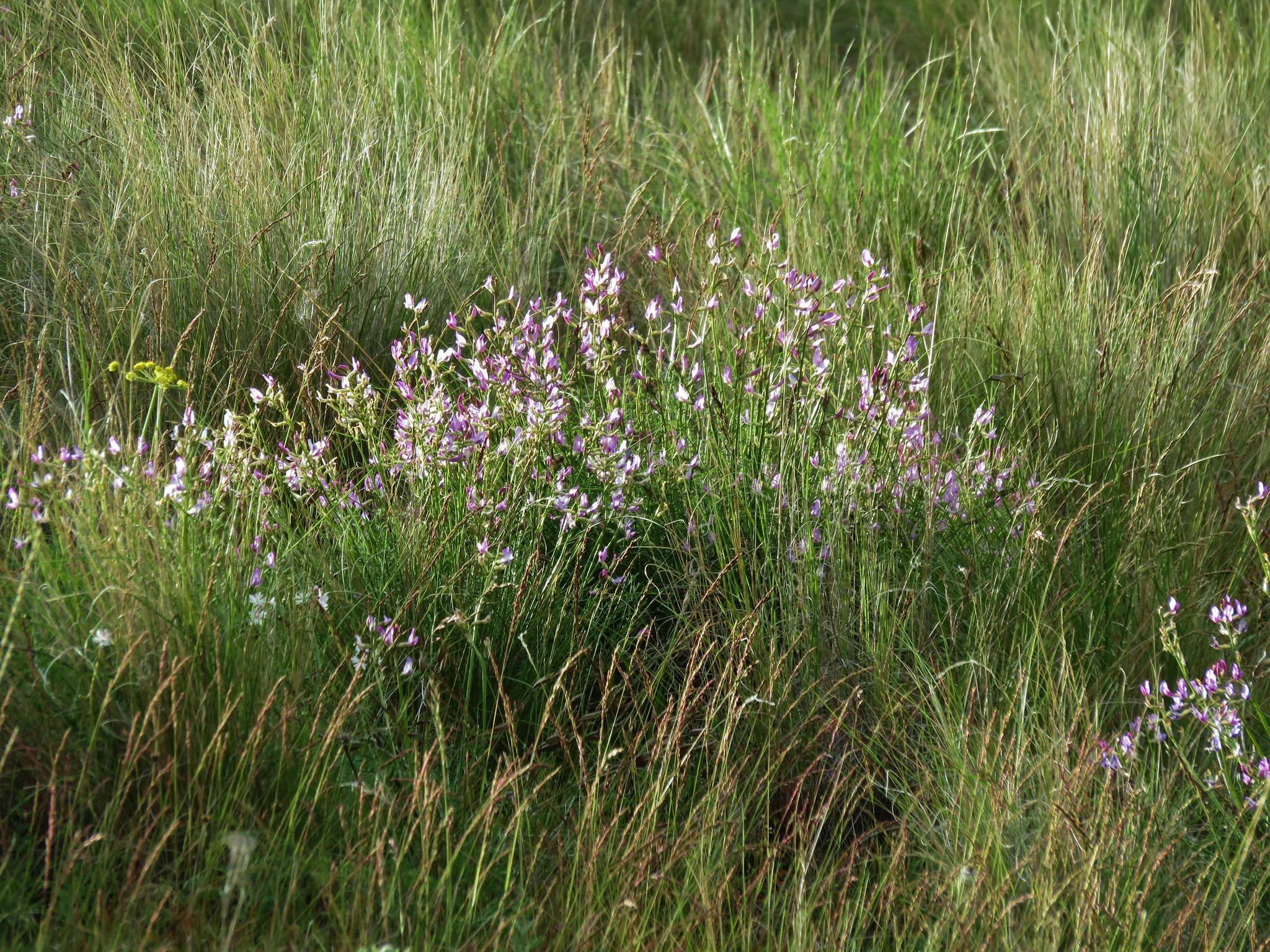
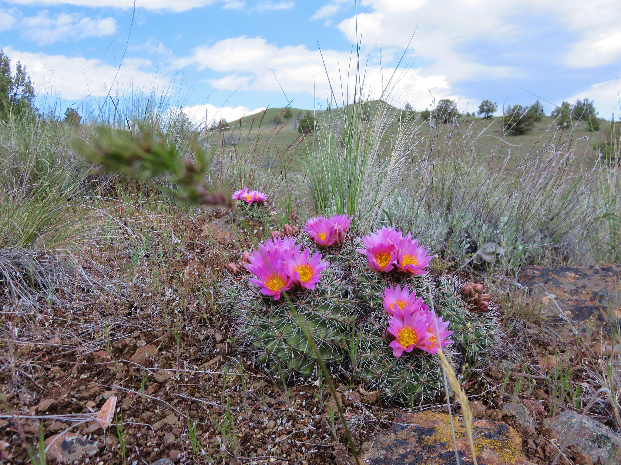
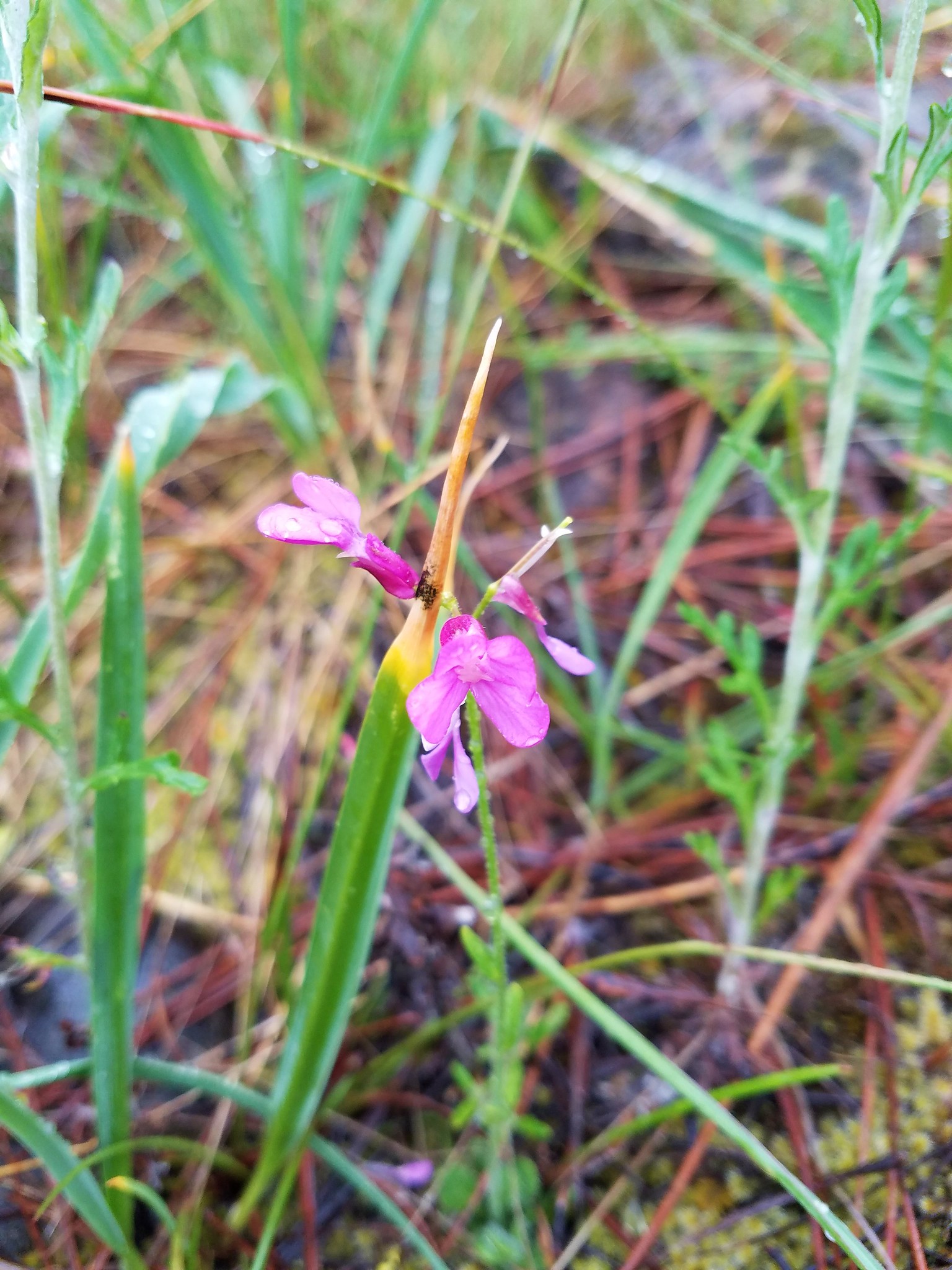
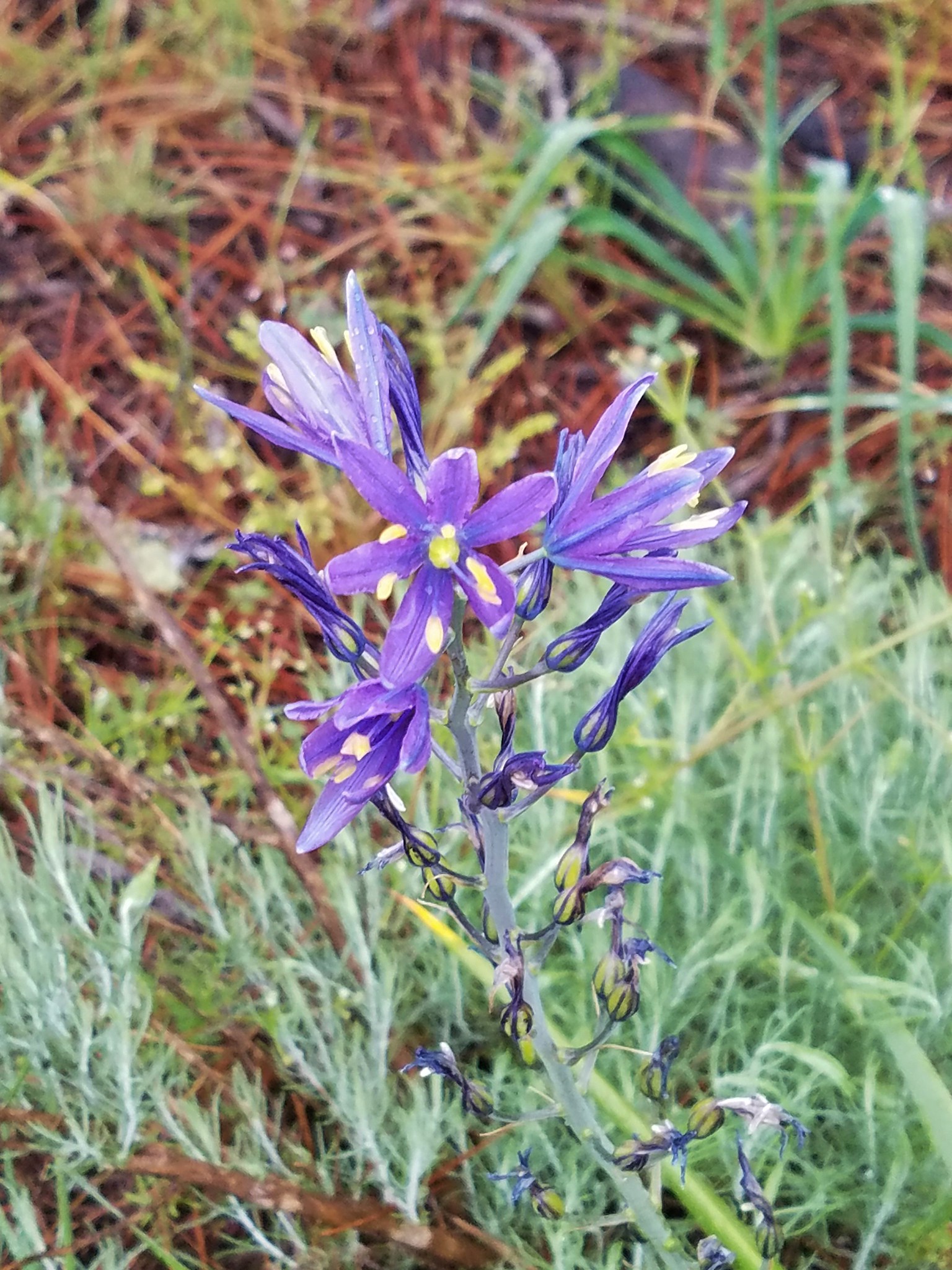
There was a nice display of wildflowers blooming along the way.


There had been a pesky line of clouds in front of Mt. Hood all morning and although it was still present it did seem to be slowly improving.

As we neared the summit Mt. St. Helens came into view followed by Mt. Rainier and most of Mt. Adams.


We had run into one dirt bike rider as we were coming up Bald Butte, he was headed slowly back down with a flat front tire. A second rider arrived as we were exploring the far end of the butte hoping for a clearer view of Mt. Adams (there wasn’t one). We were a little put off when the rider took his bike out into the wildflowers instead of leaving it in the dirt next to the road and more so when he started it back up while he was still out in the meadow. It was totally unnecessary and that’s all I have to say about that.
Mt. Hood was indeed becoming increasingly visible as we began our hike back to the trailhead.
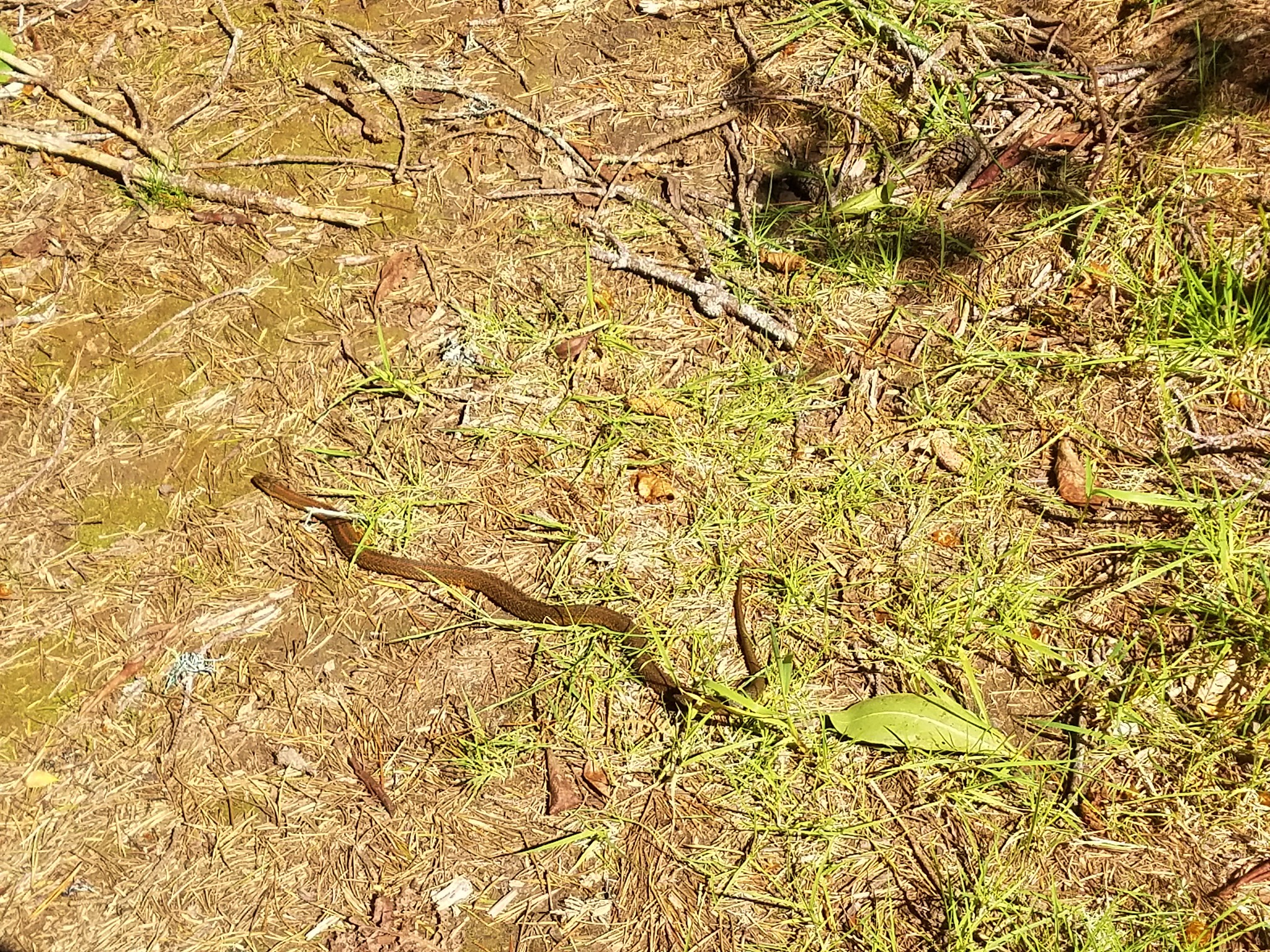
As we were nearing the power line saddle we spotted a snake along the trail.
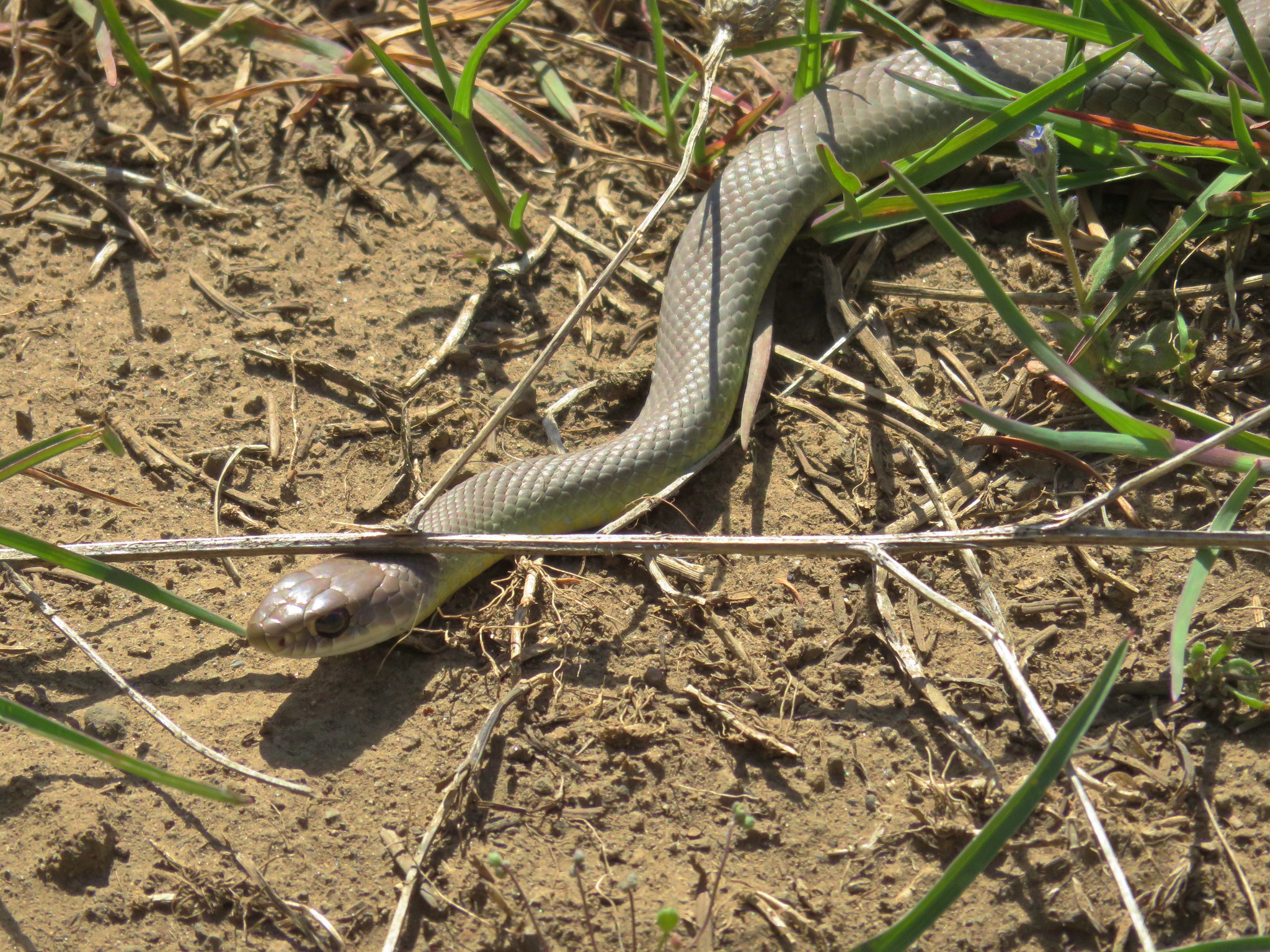
The snake wasn’t the only one out now that the day had gotten later. We had seen two other hikers that morning but passed a good deal more on our descent.
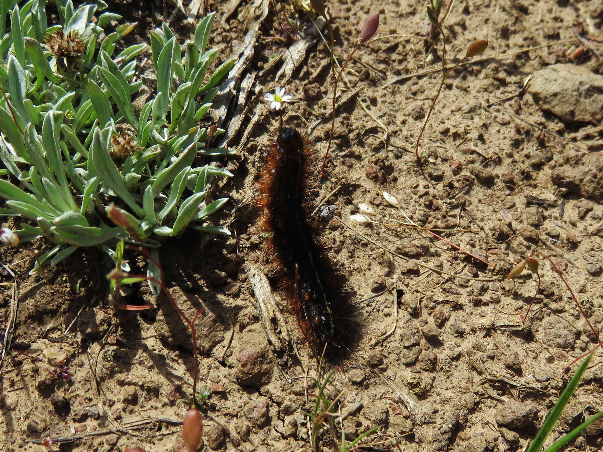
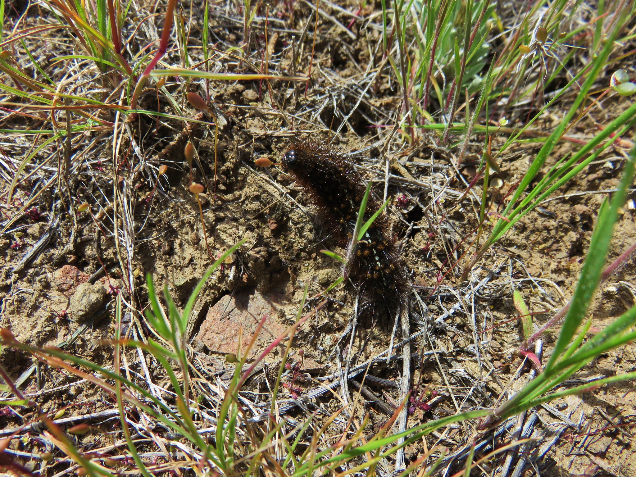
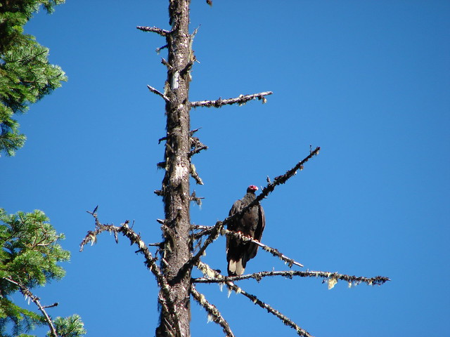
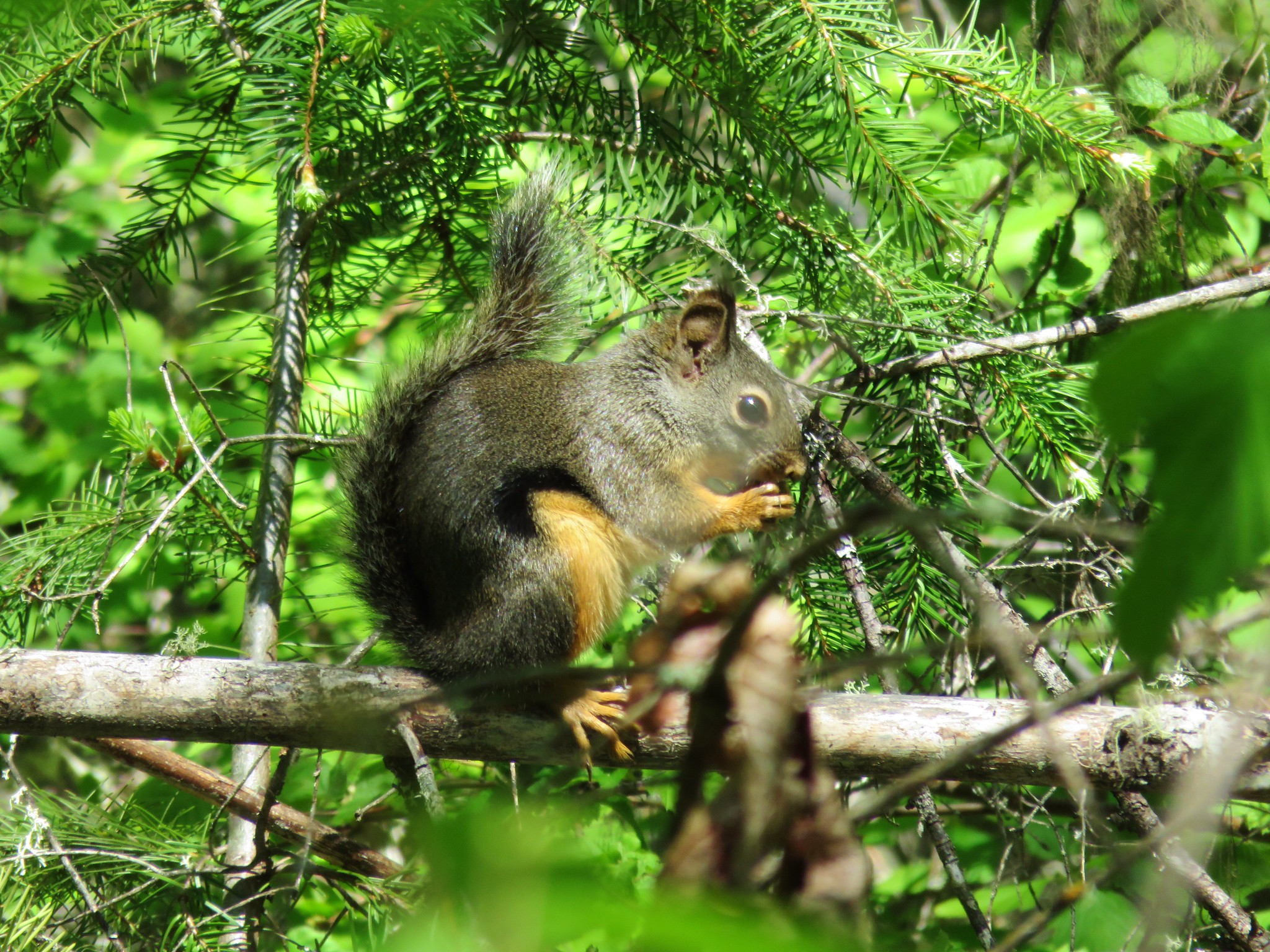
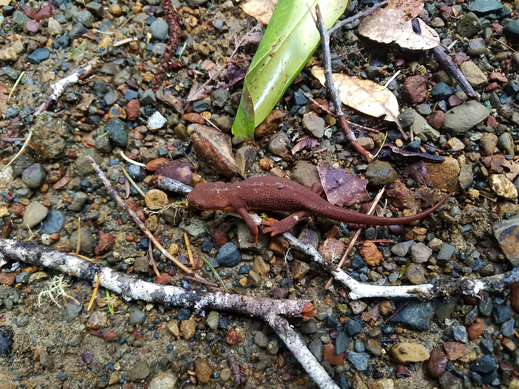
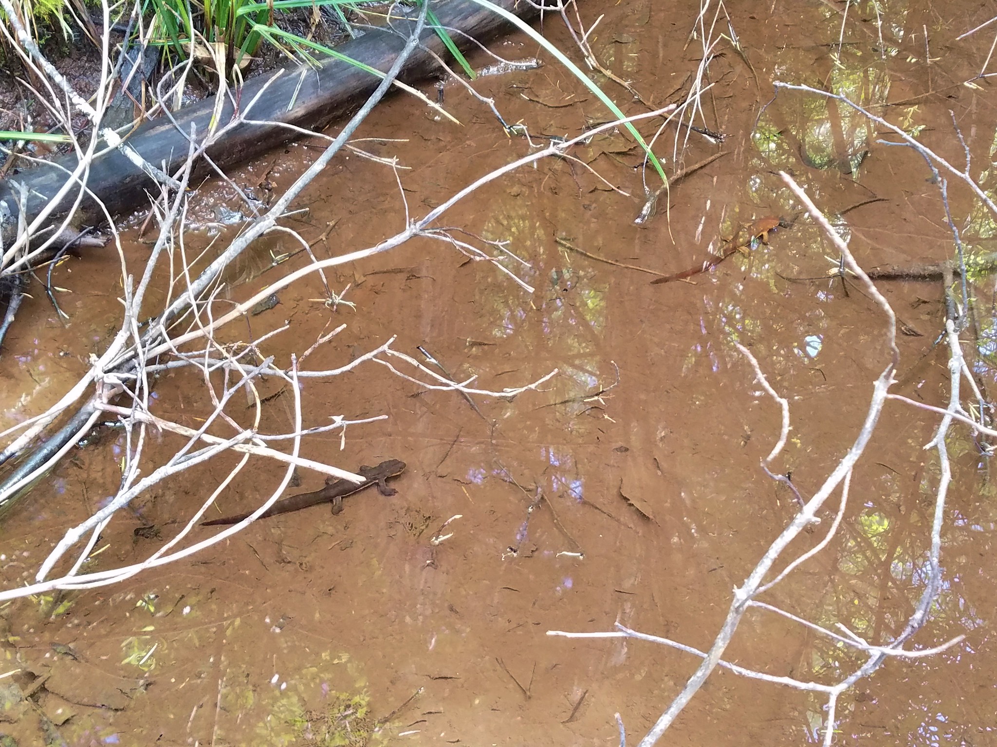
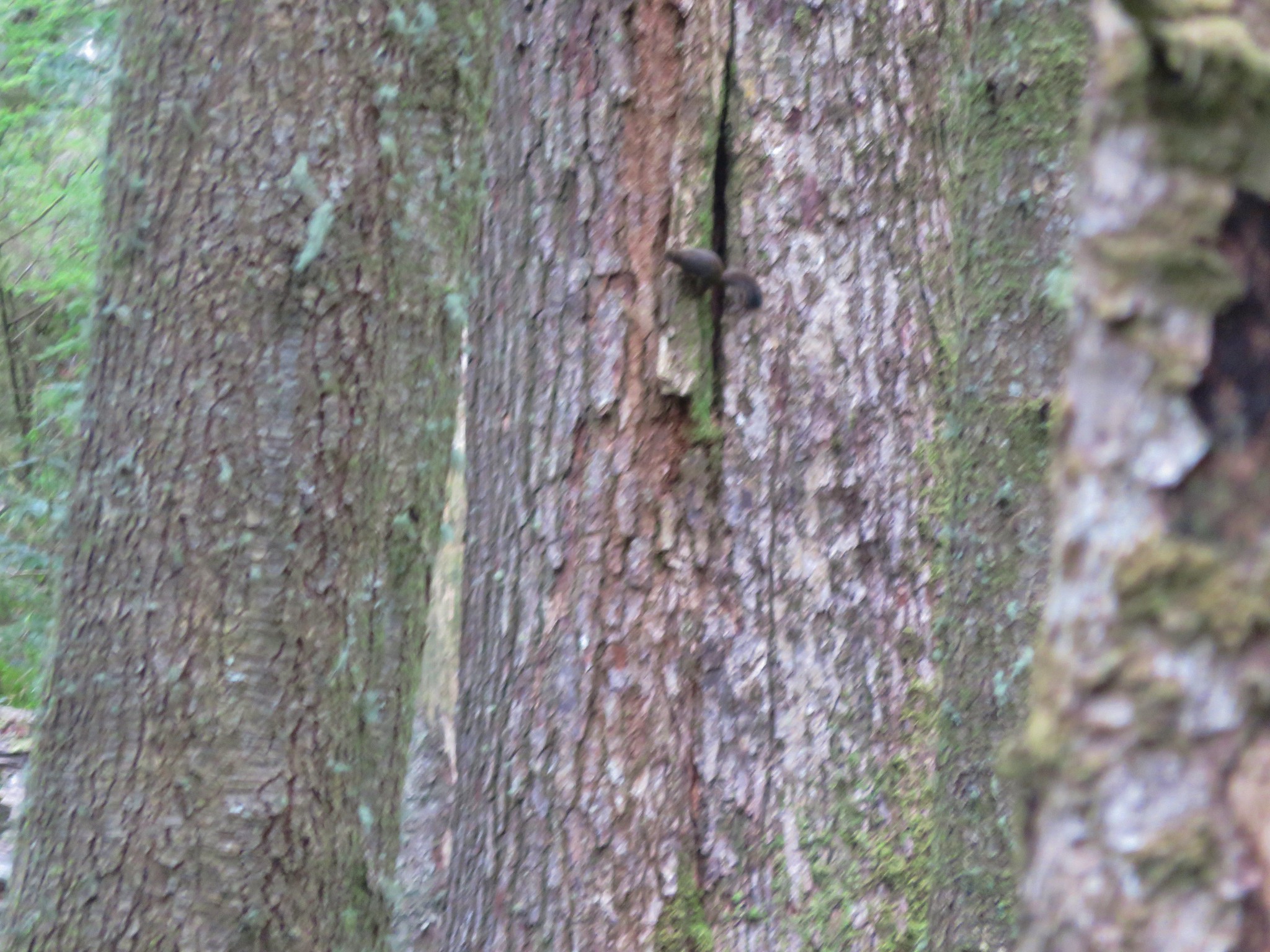
Back in the grassland a number of lizards scurried about.

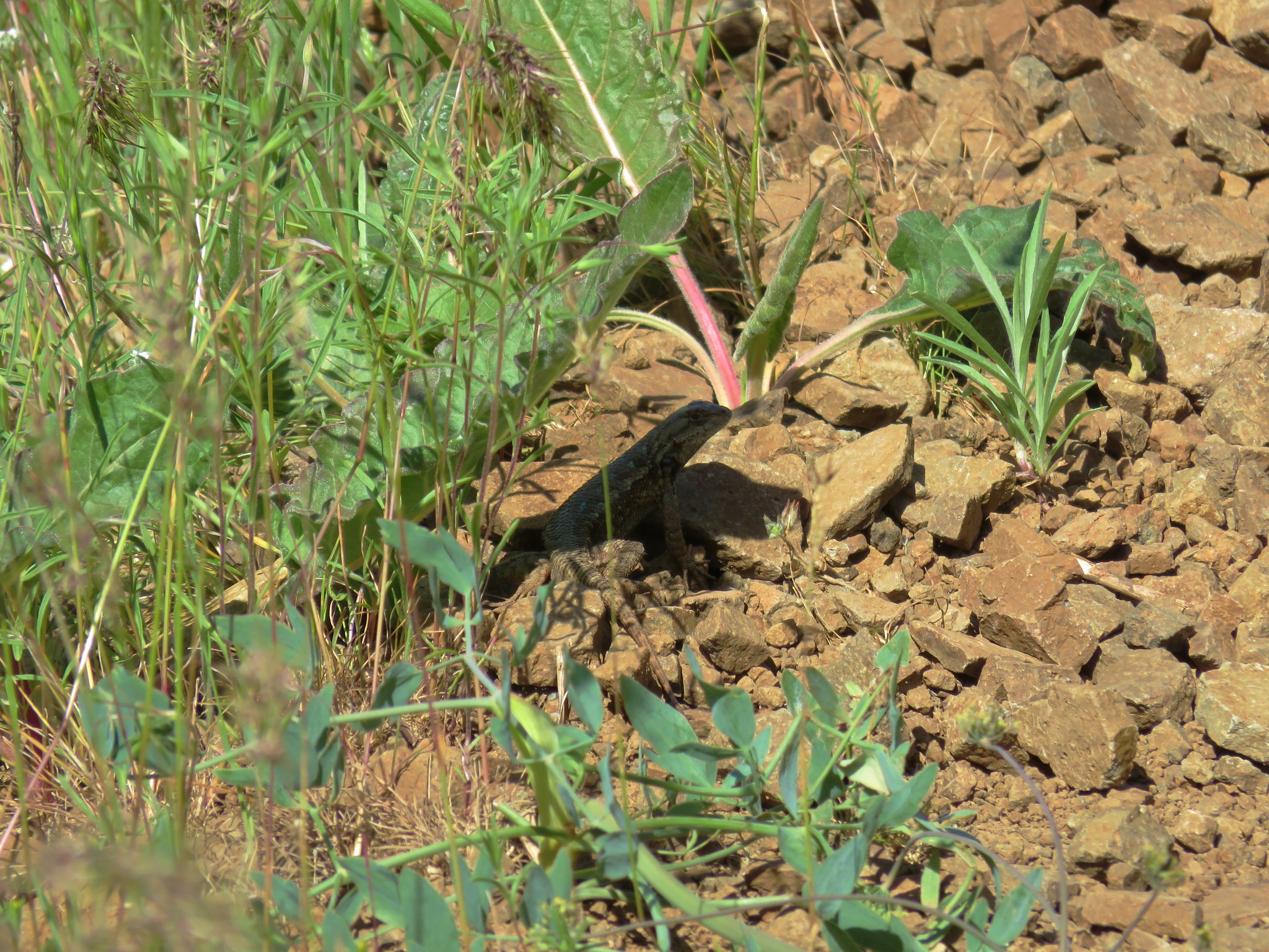
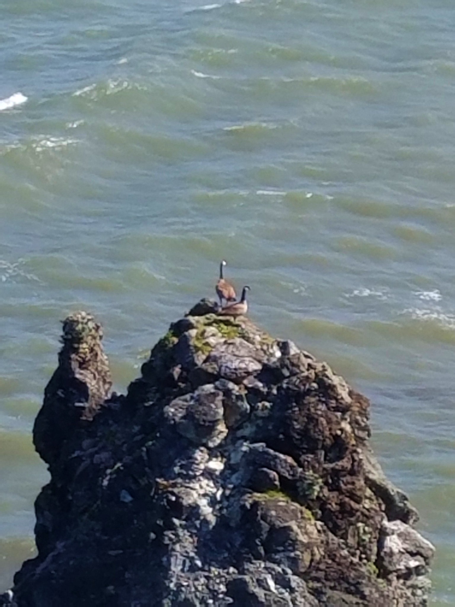
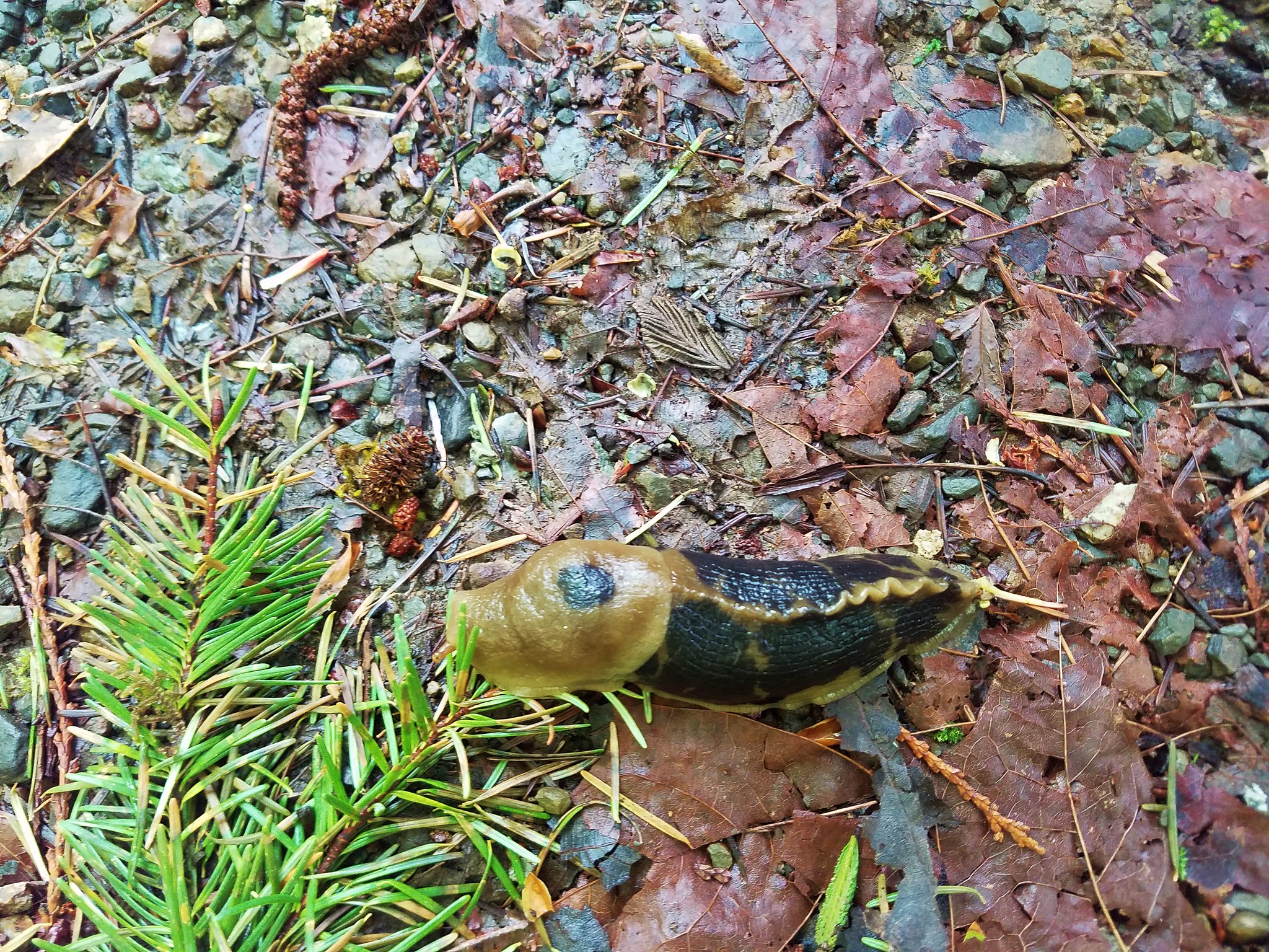
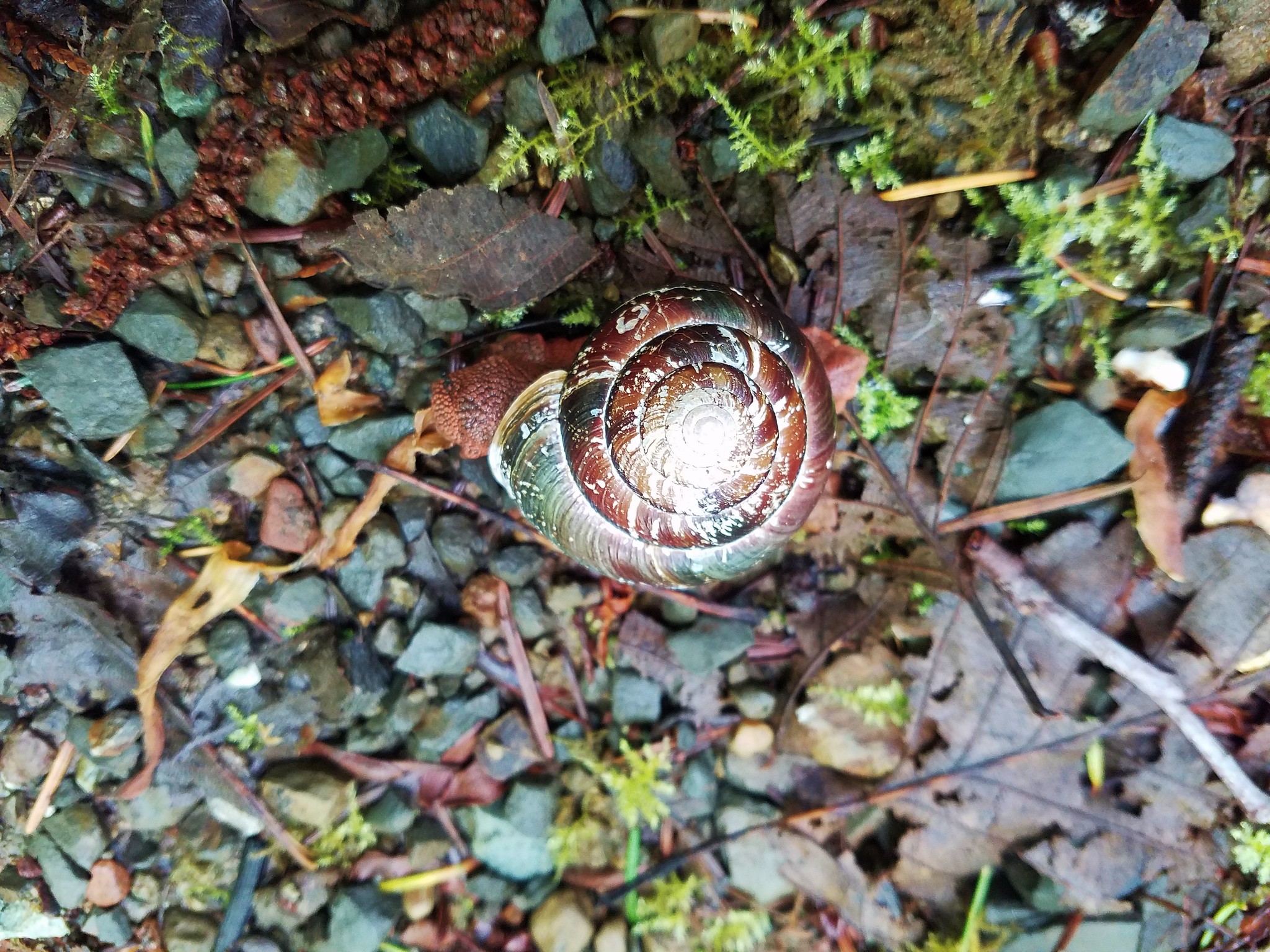
It was nice to once again have a camera able to zoom in on the wildlife which came in handy one last time near the trailhead.
It was a little over 80 degrees back at the car and for the first time in a long while there was hope that summer was indeed coming. Happy Trails!
Flickr: Bald Butte


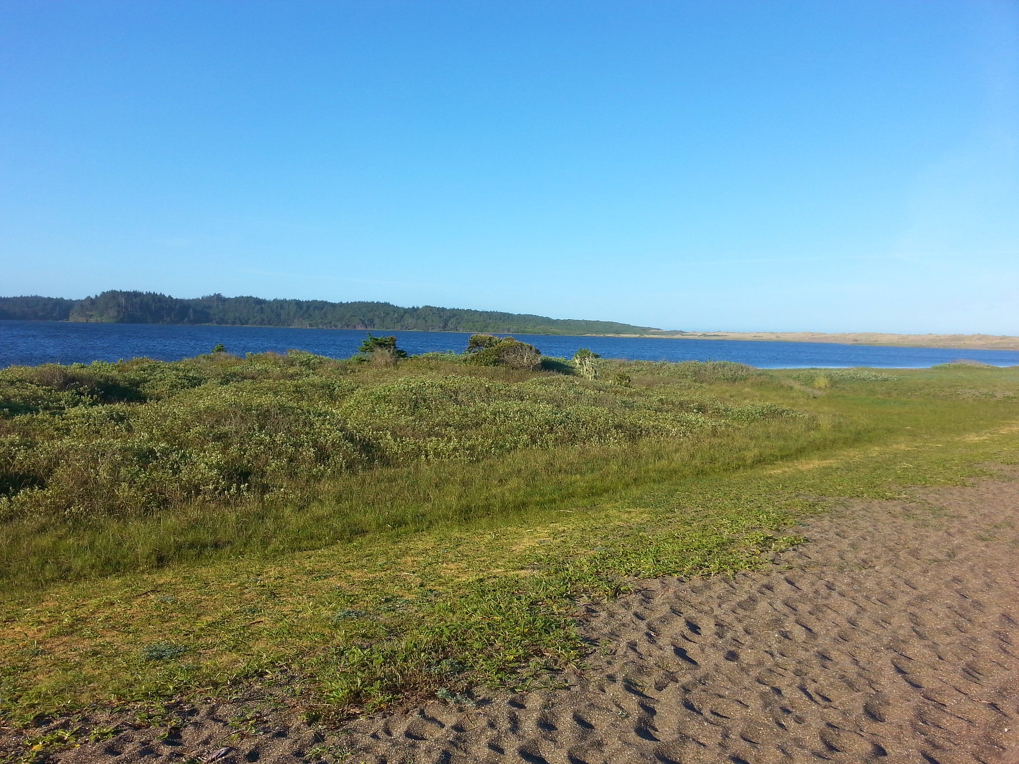
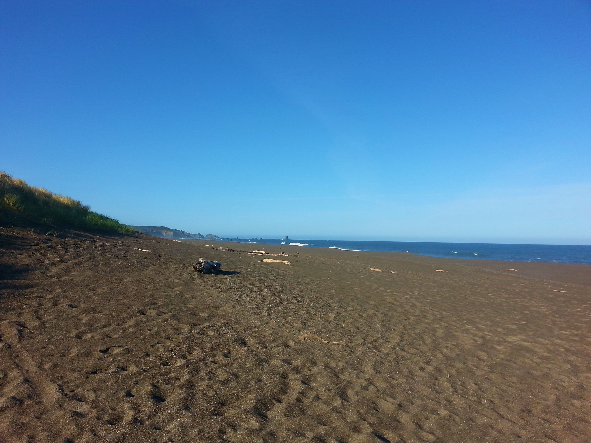

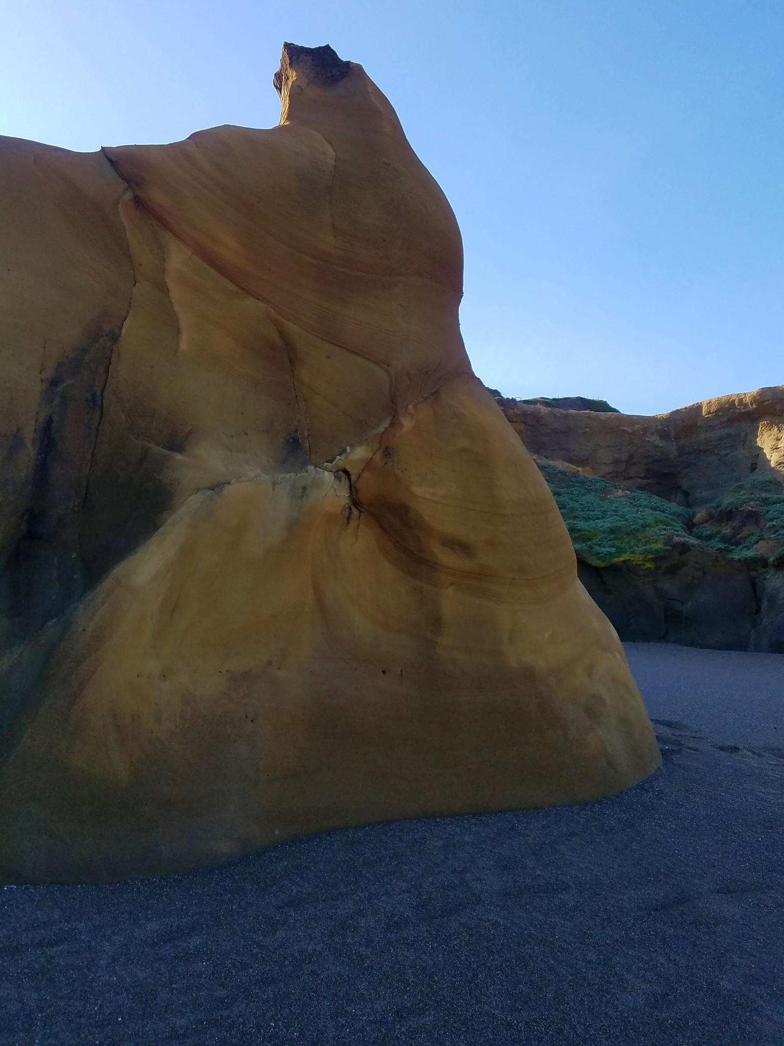


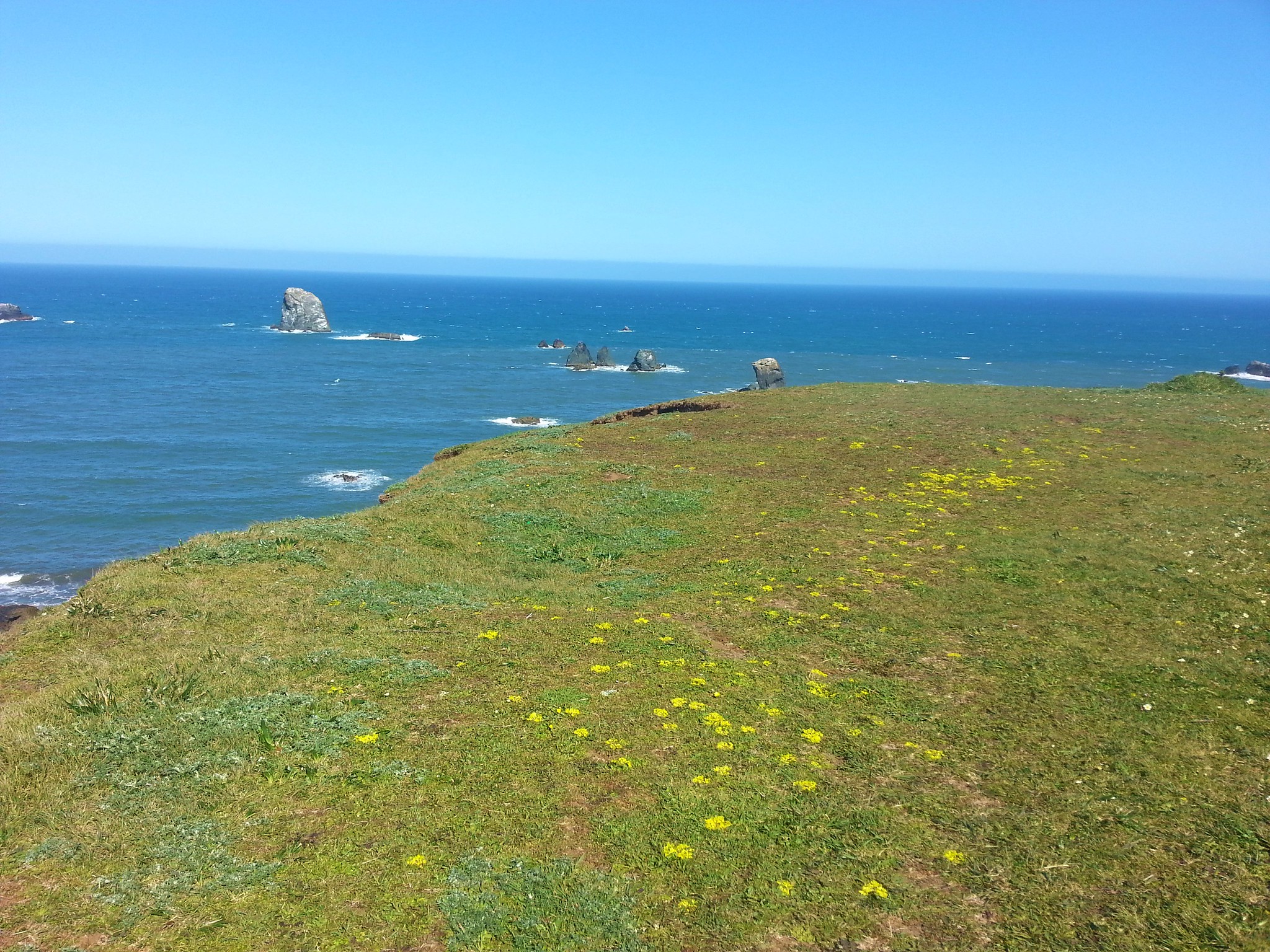
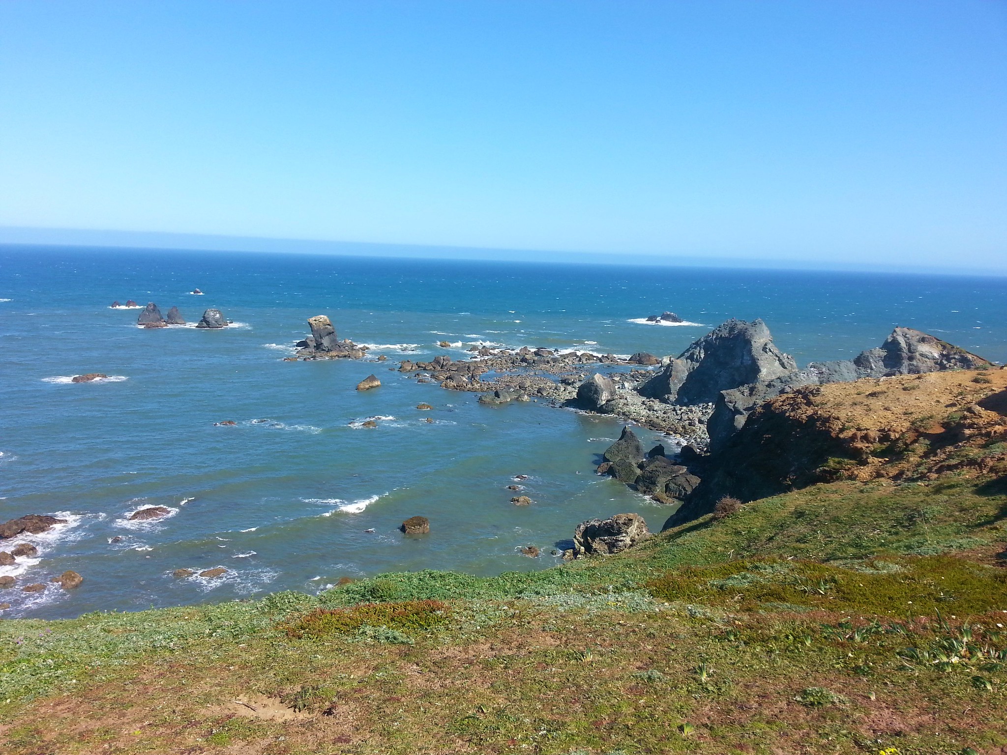
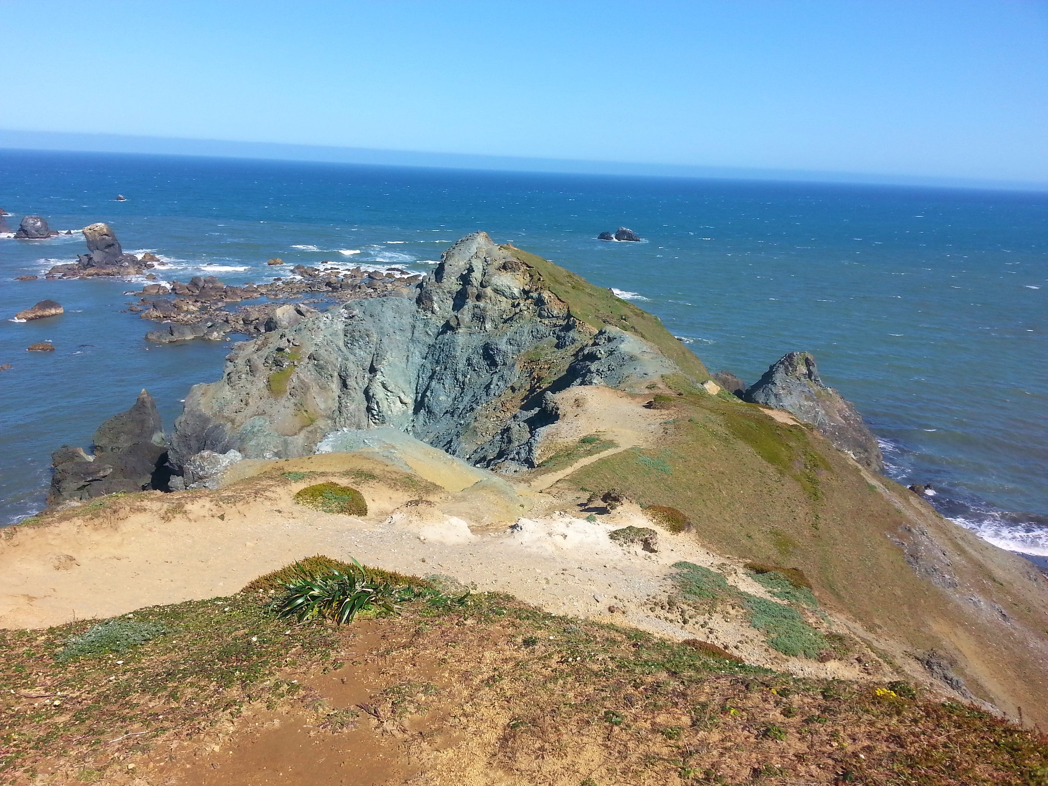


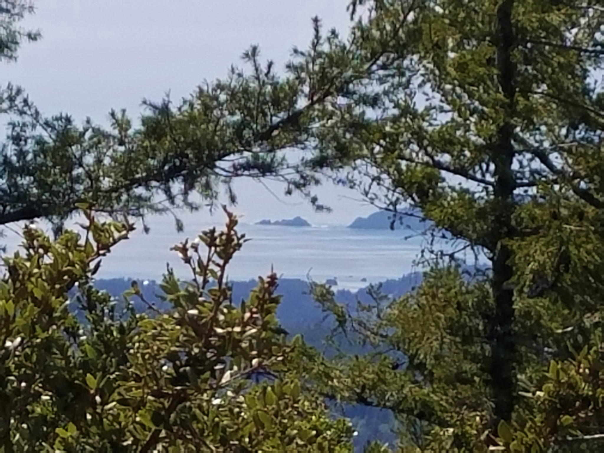


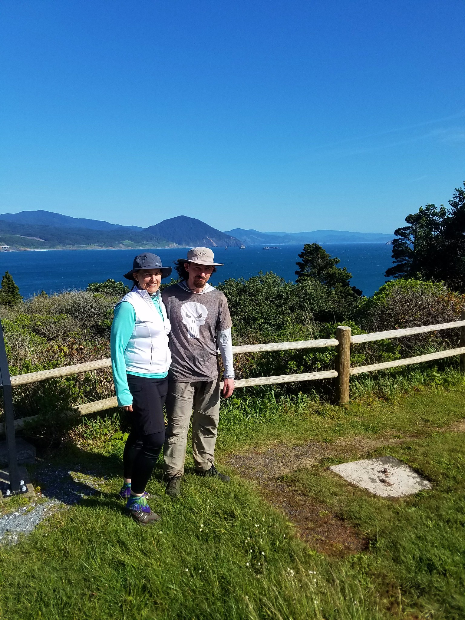


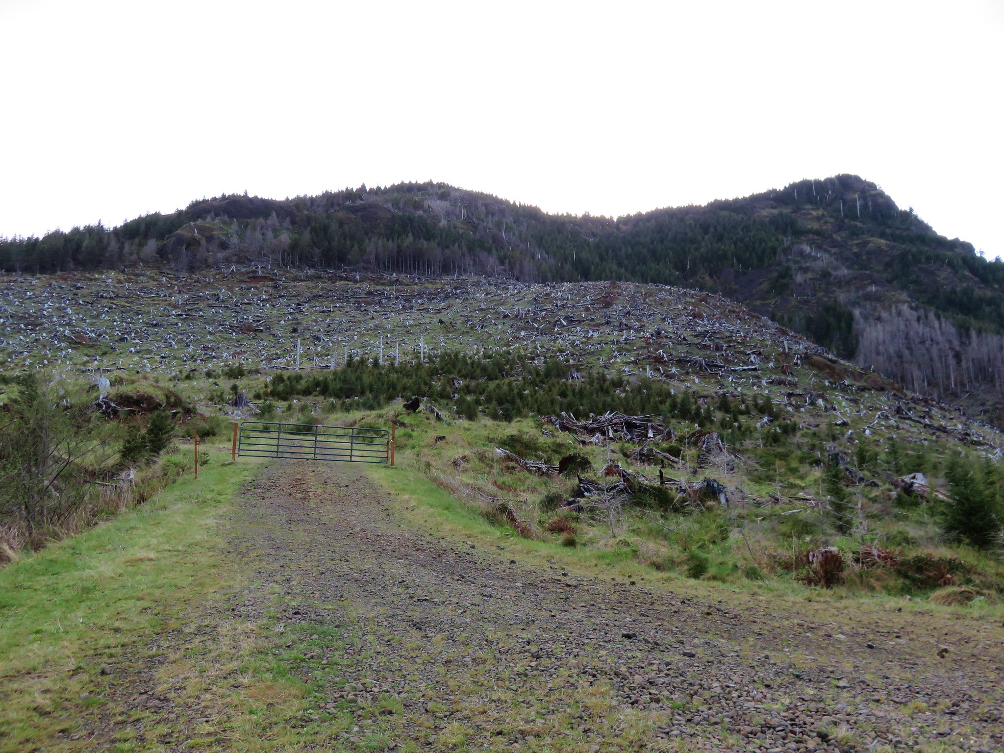
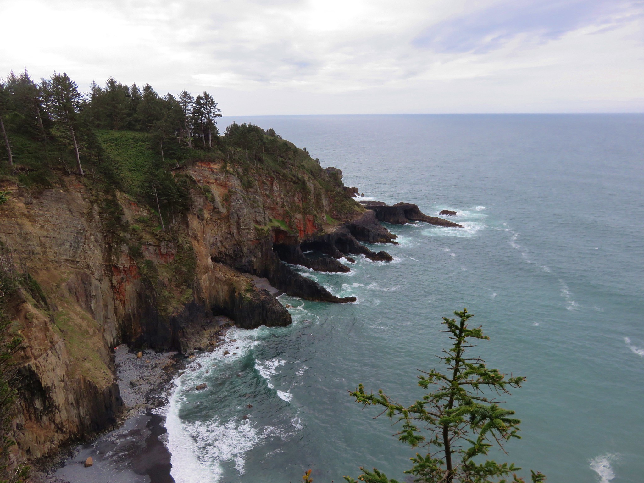
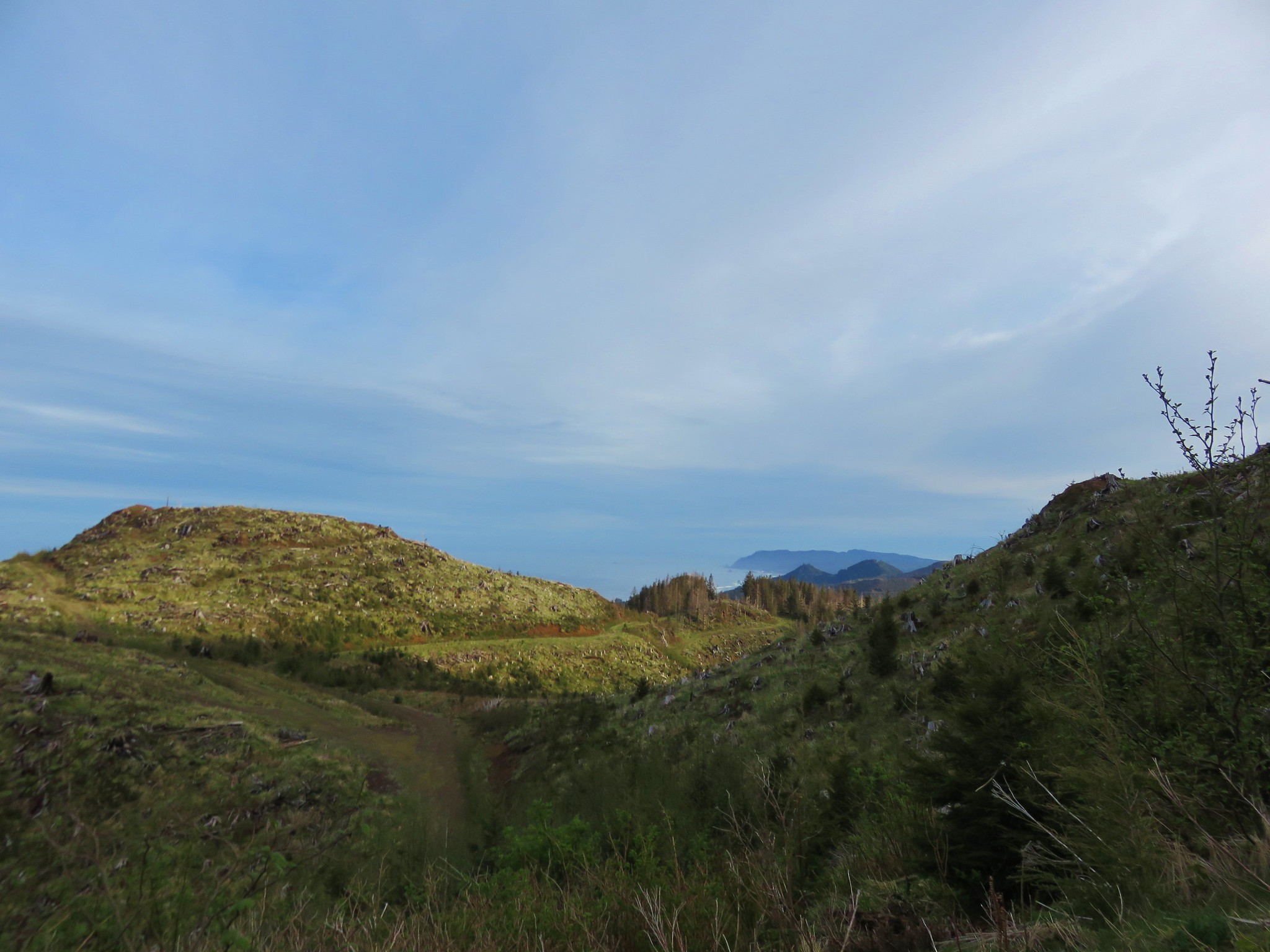 Tillamook Head
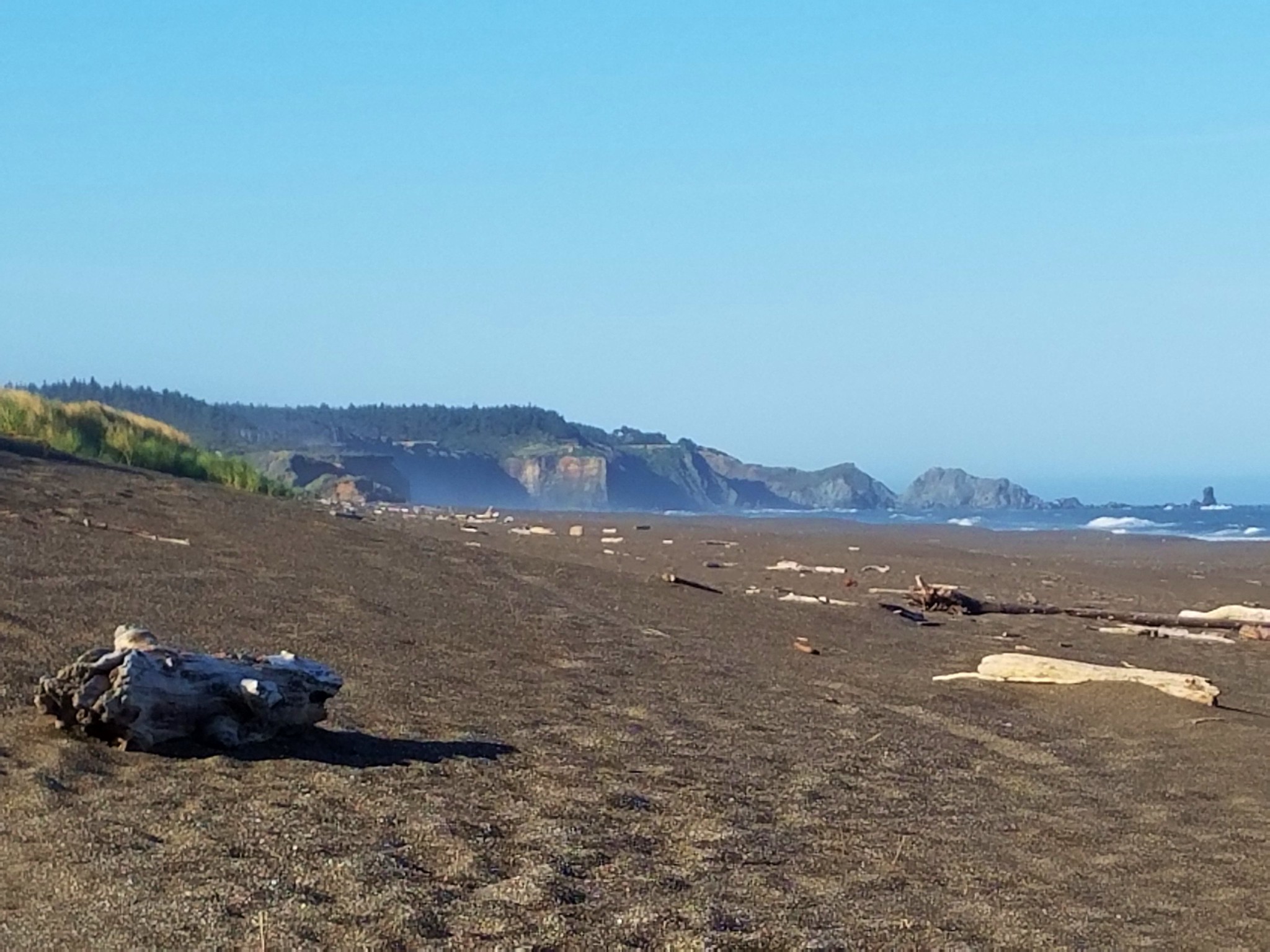
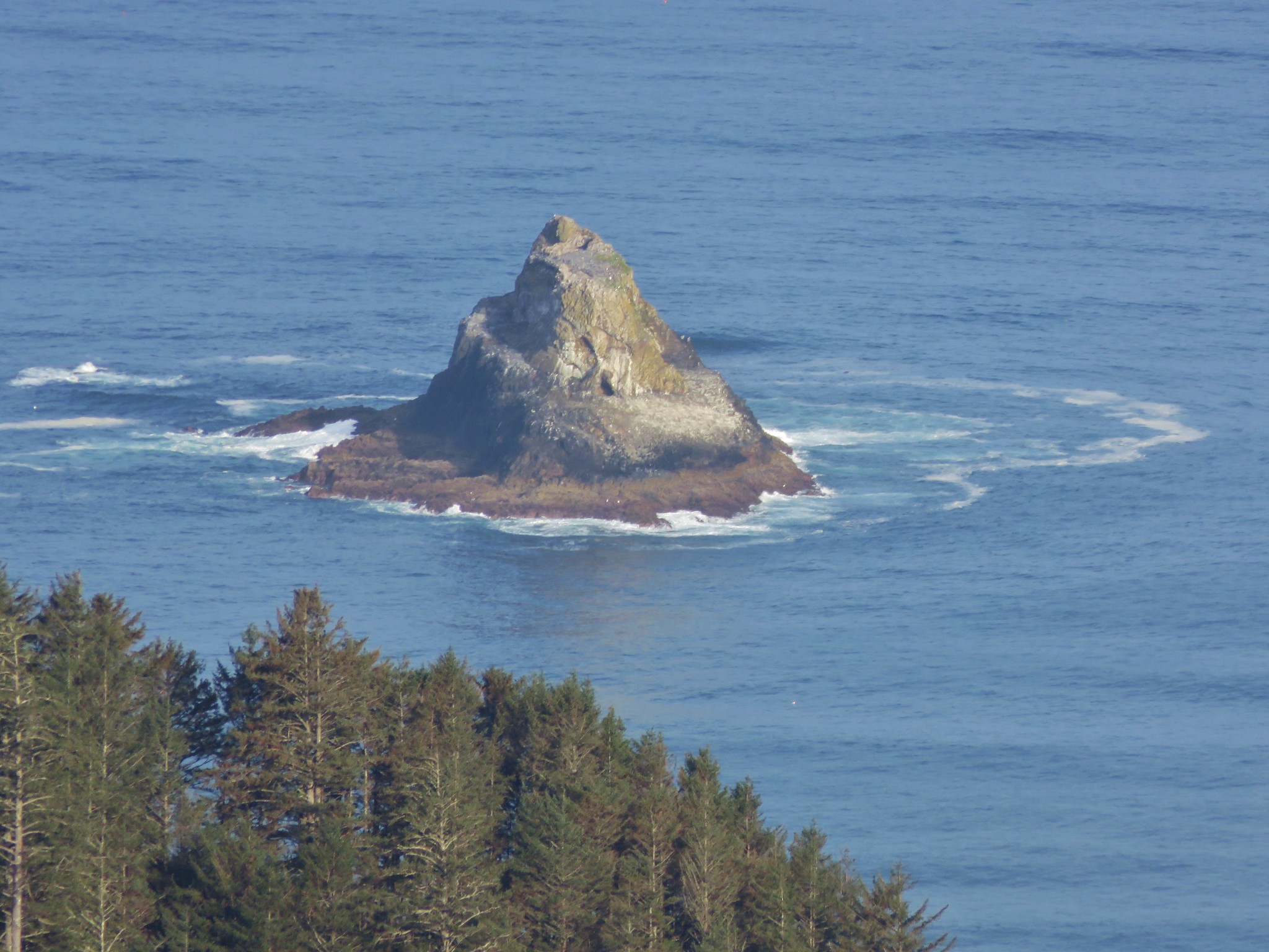
 Tillamook Rock and Tillamook Head
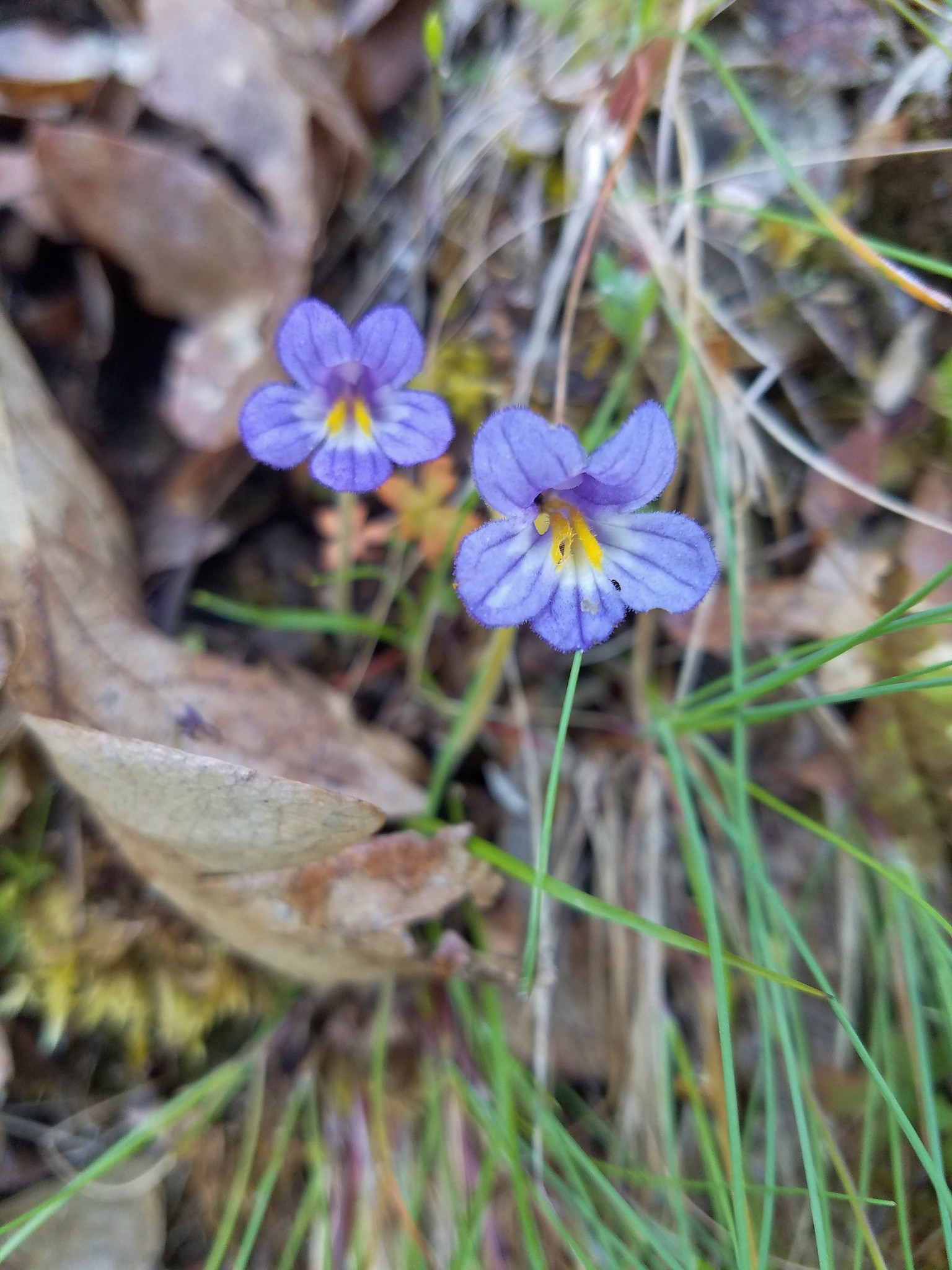
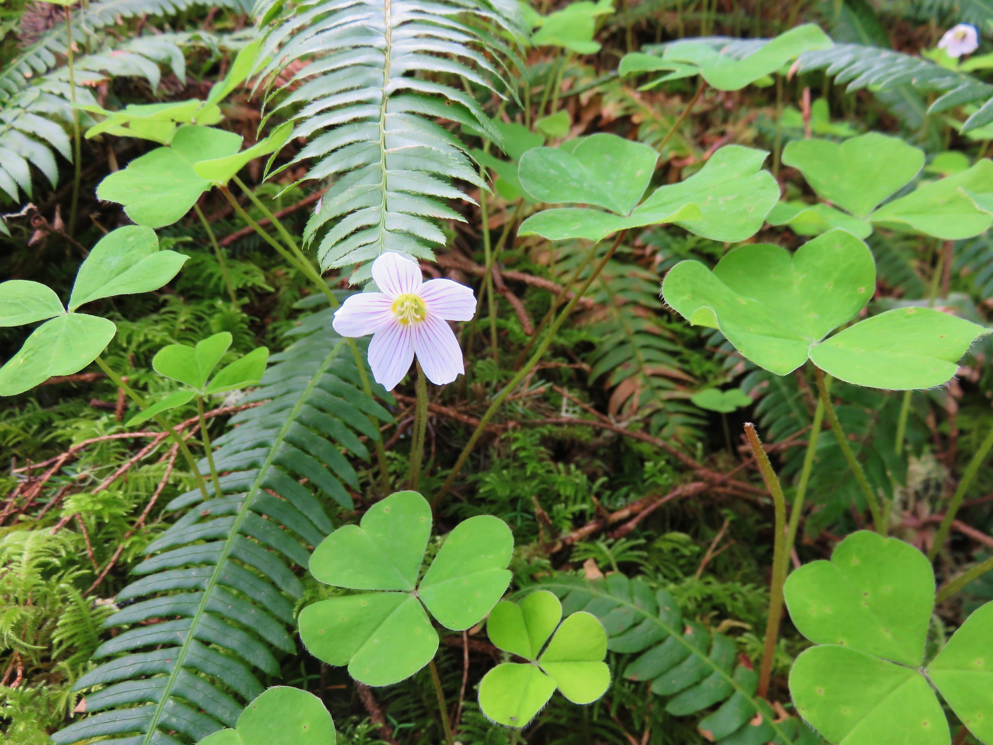
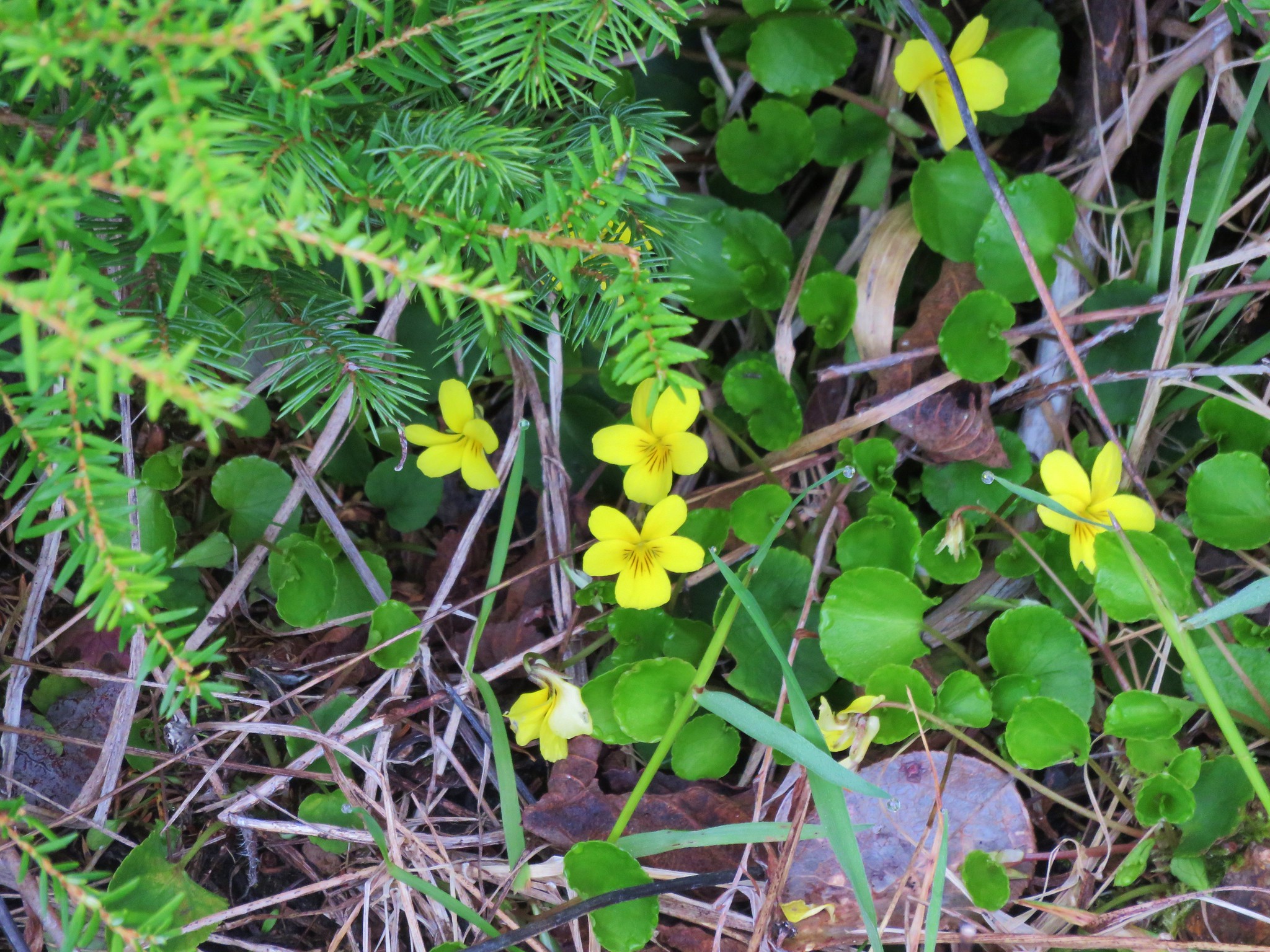 Violets
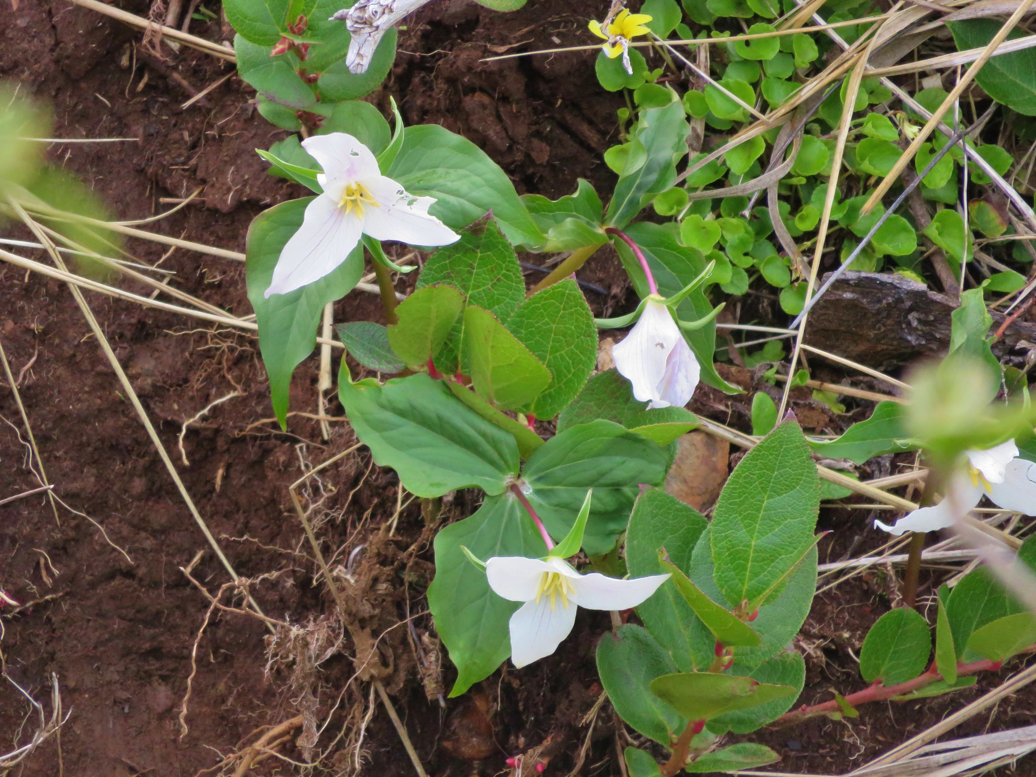 Trillium
 Paintbrush
 Salmonberry
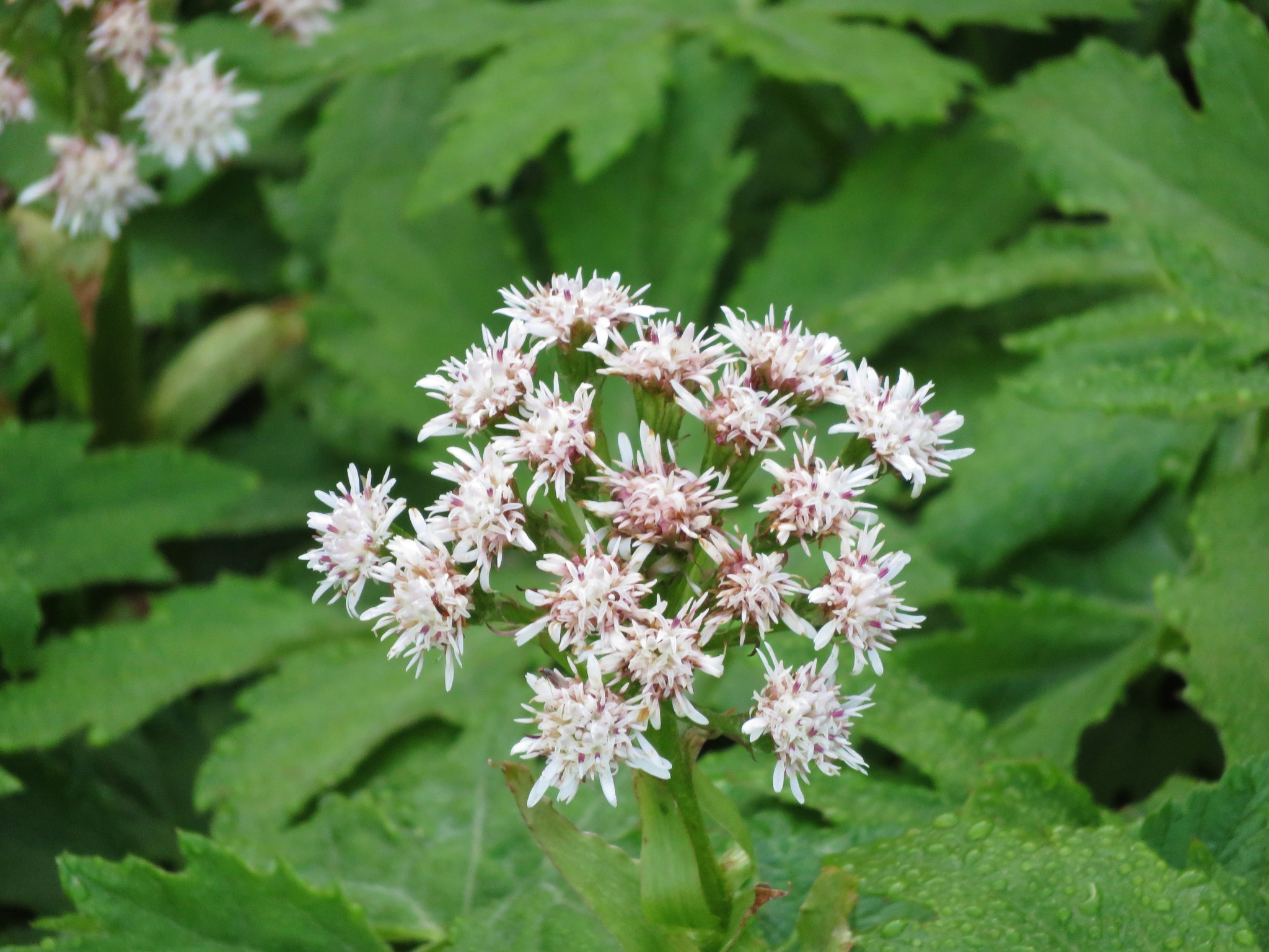 Coltsfoot
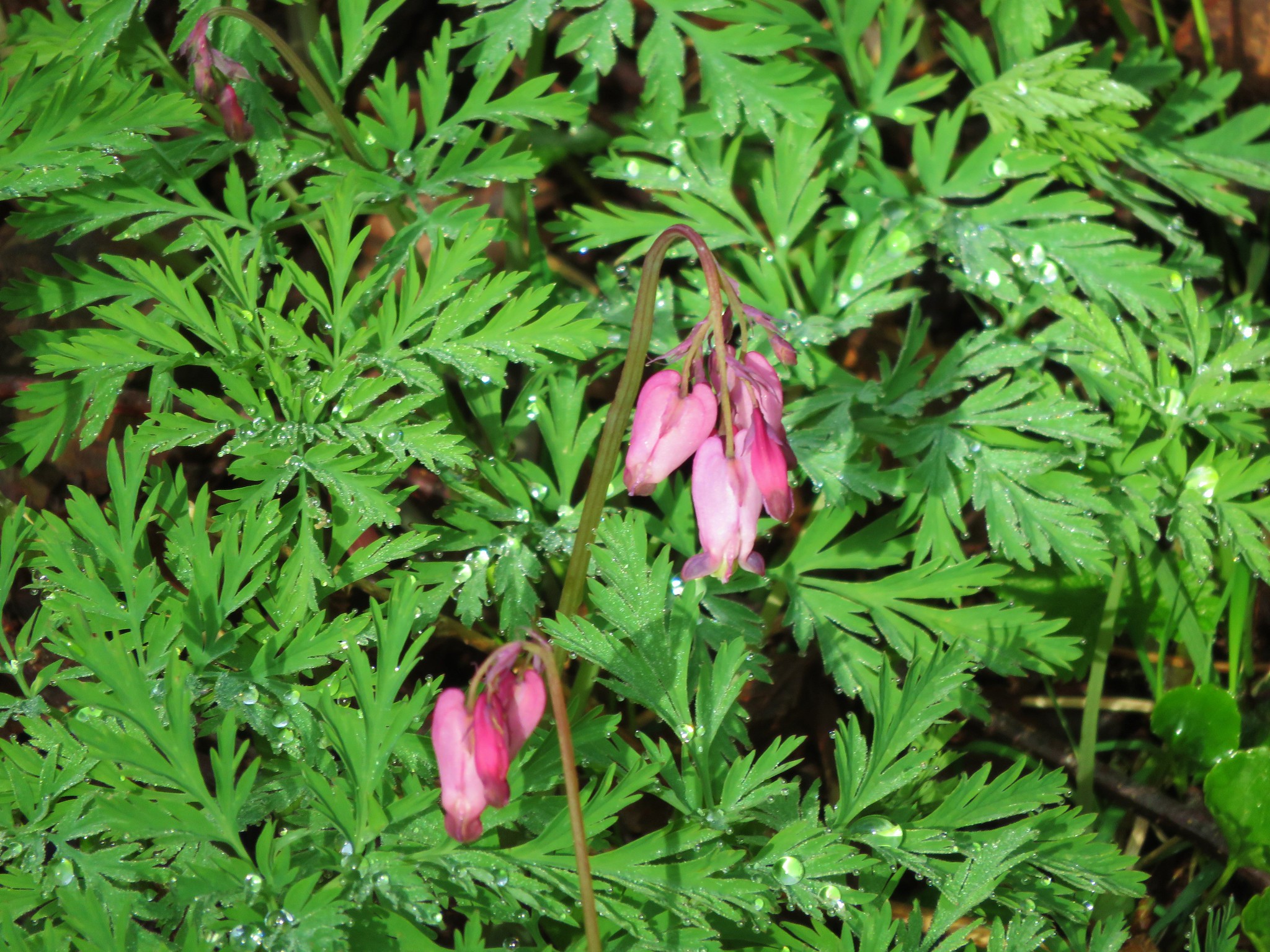 Bleeding heart
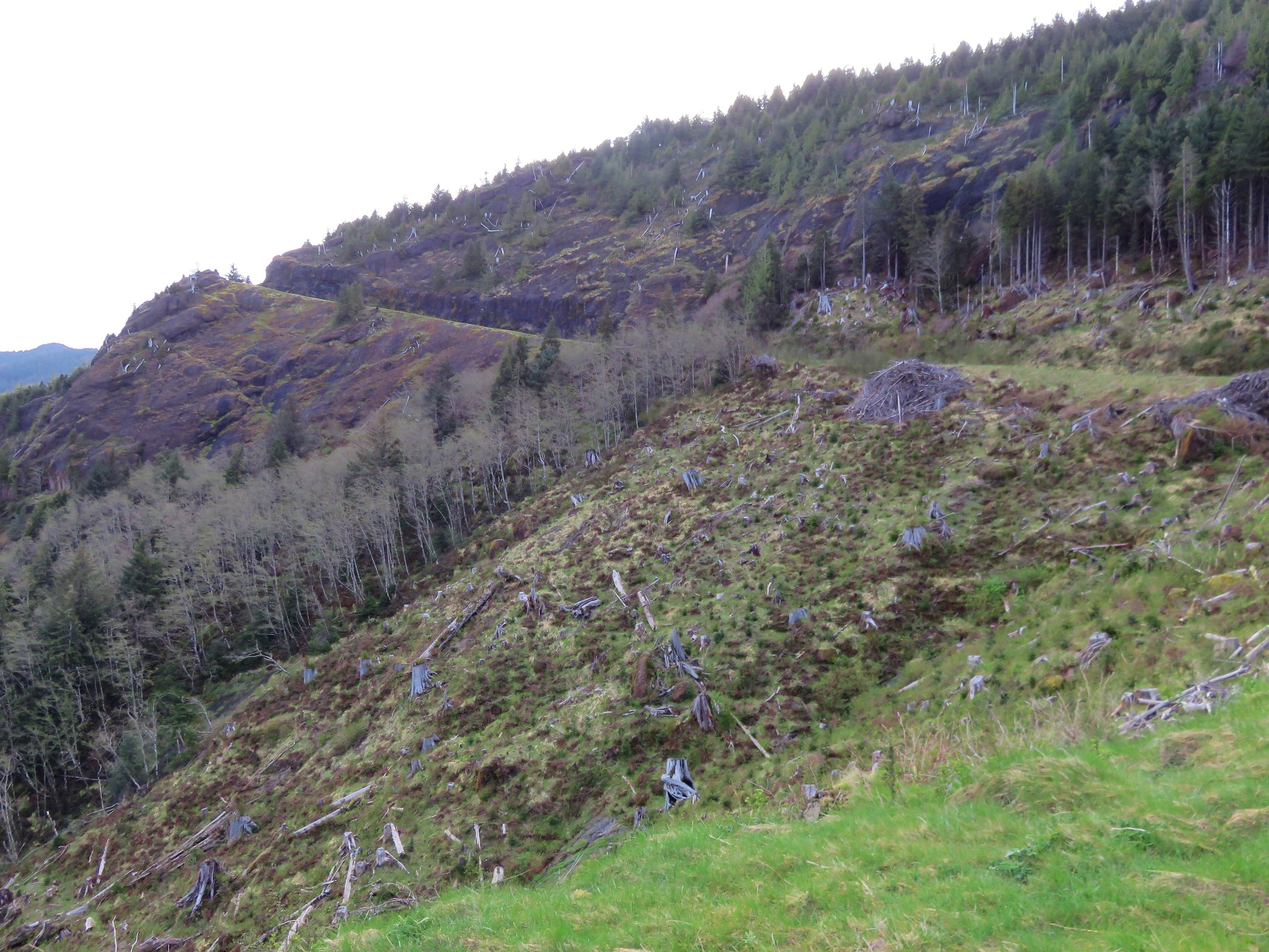


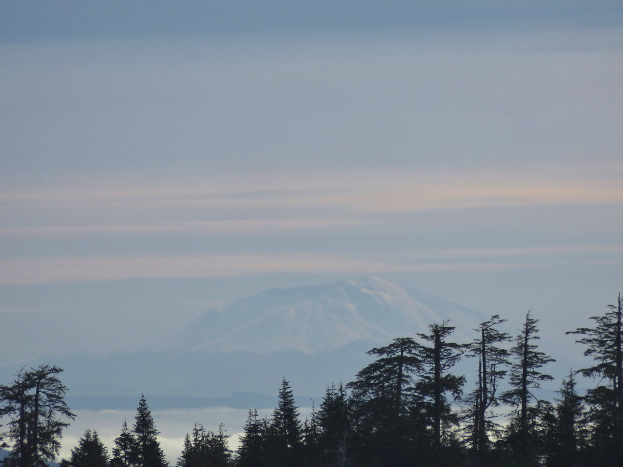 Mt. St. Helens


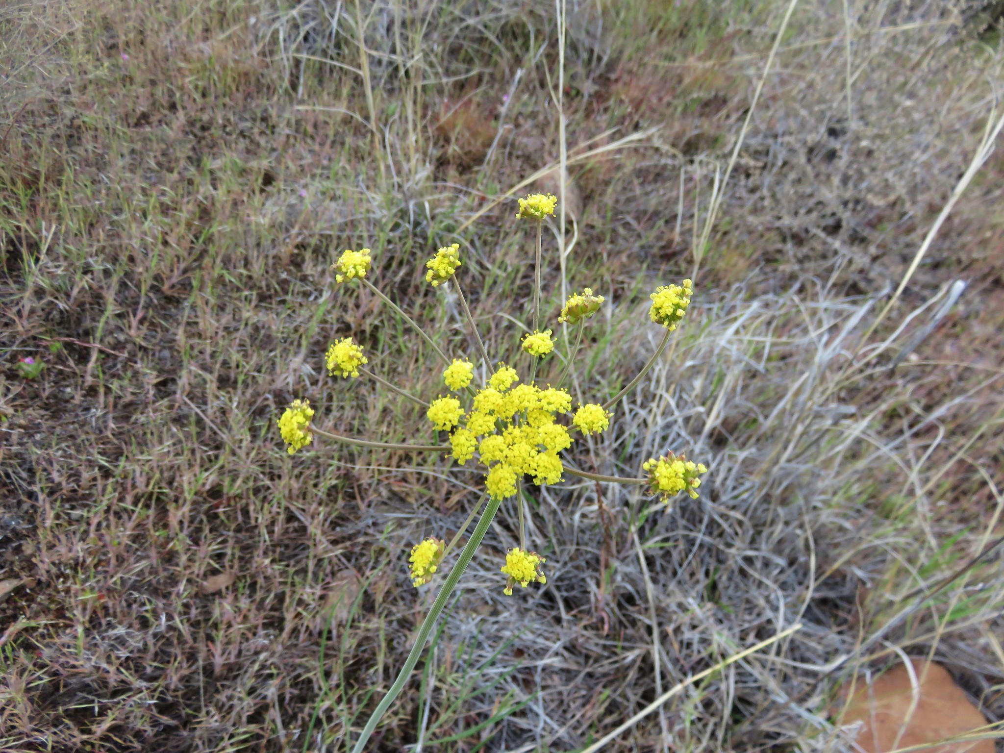
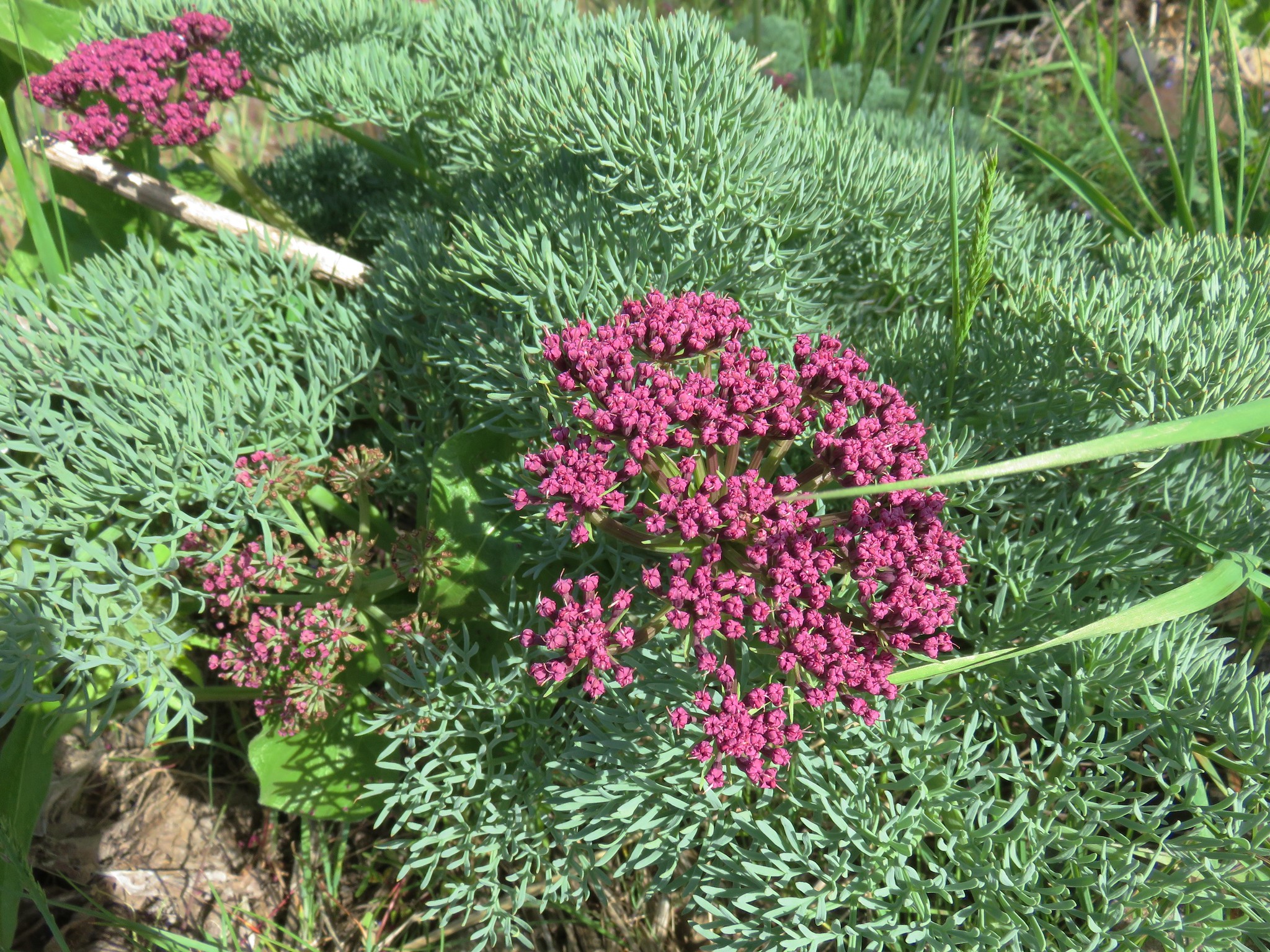
 Biscuitroot
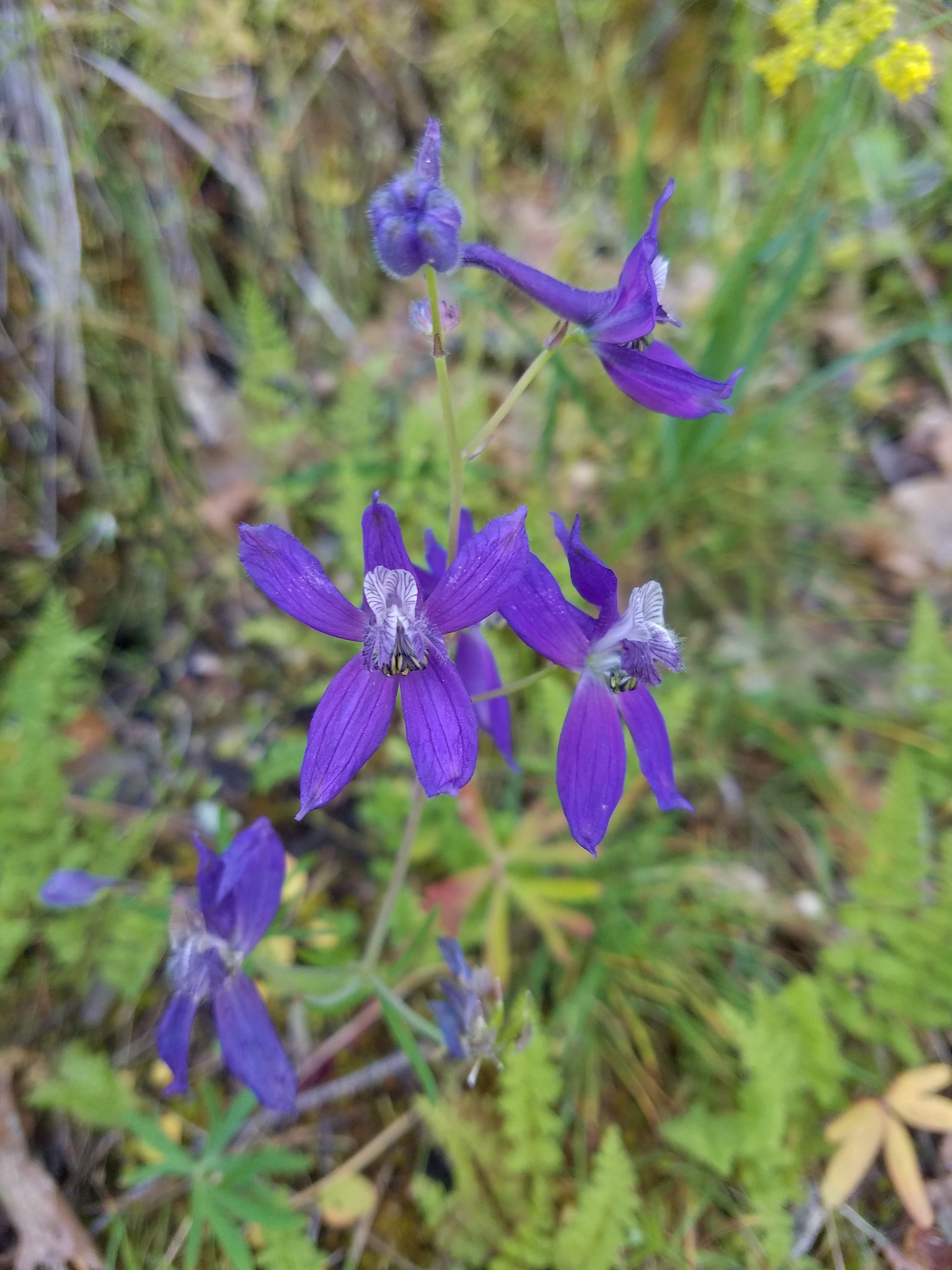
 Larkspur
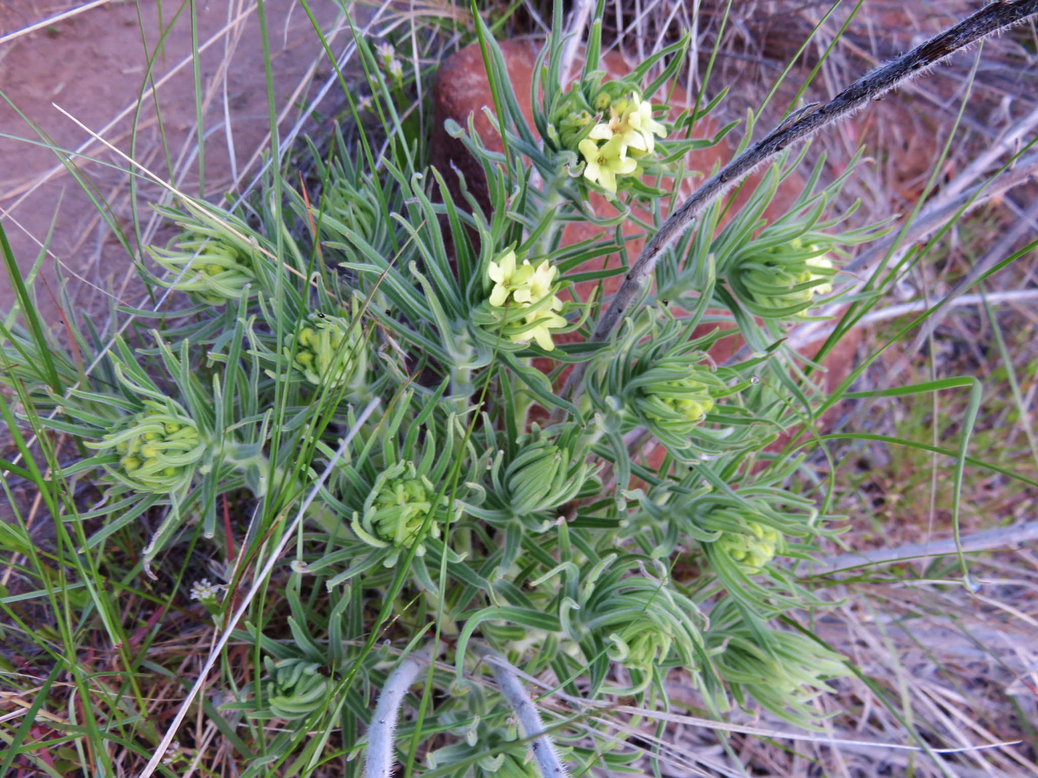 Western stoneseed
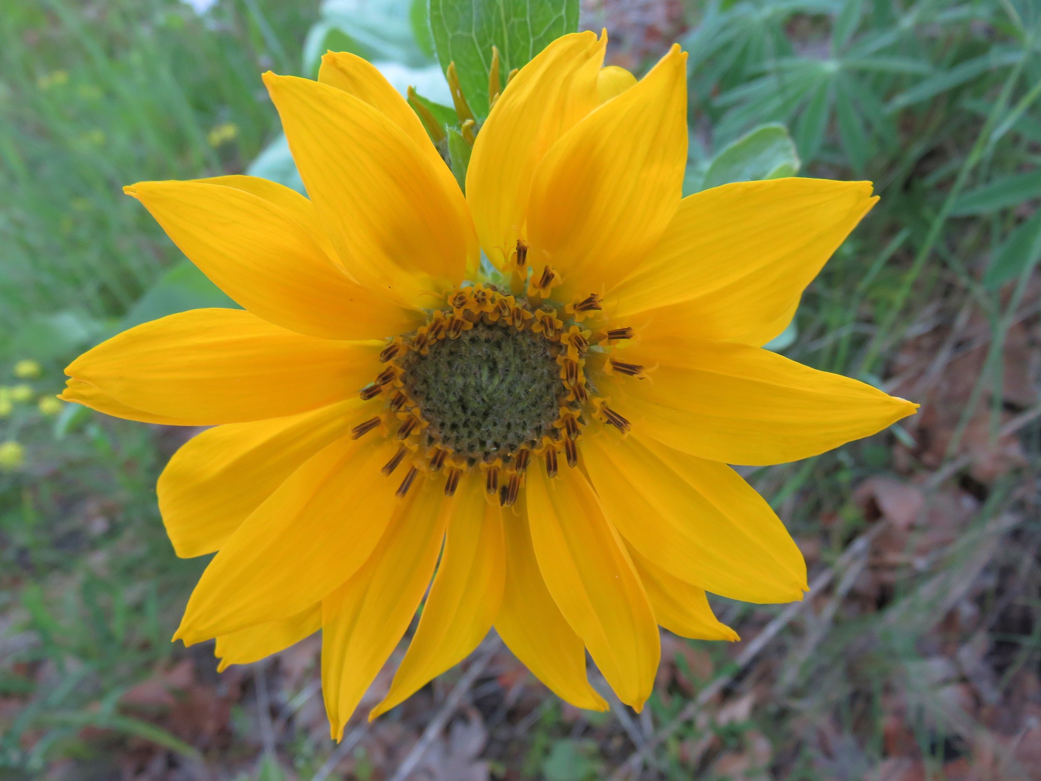
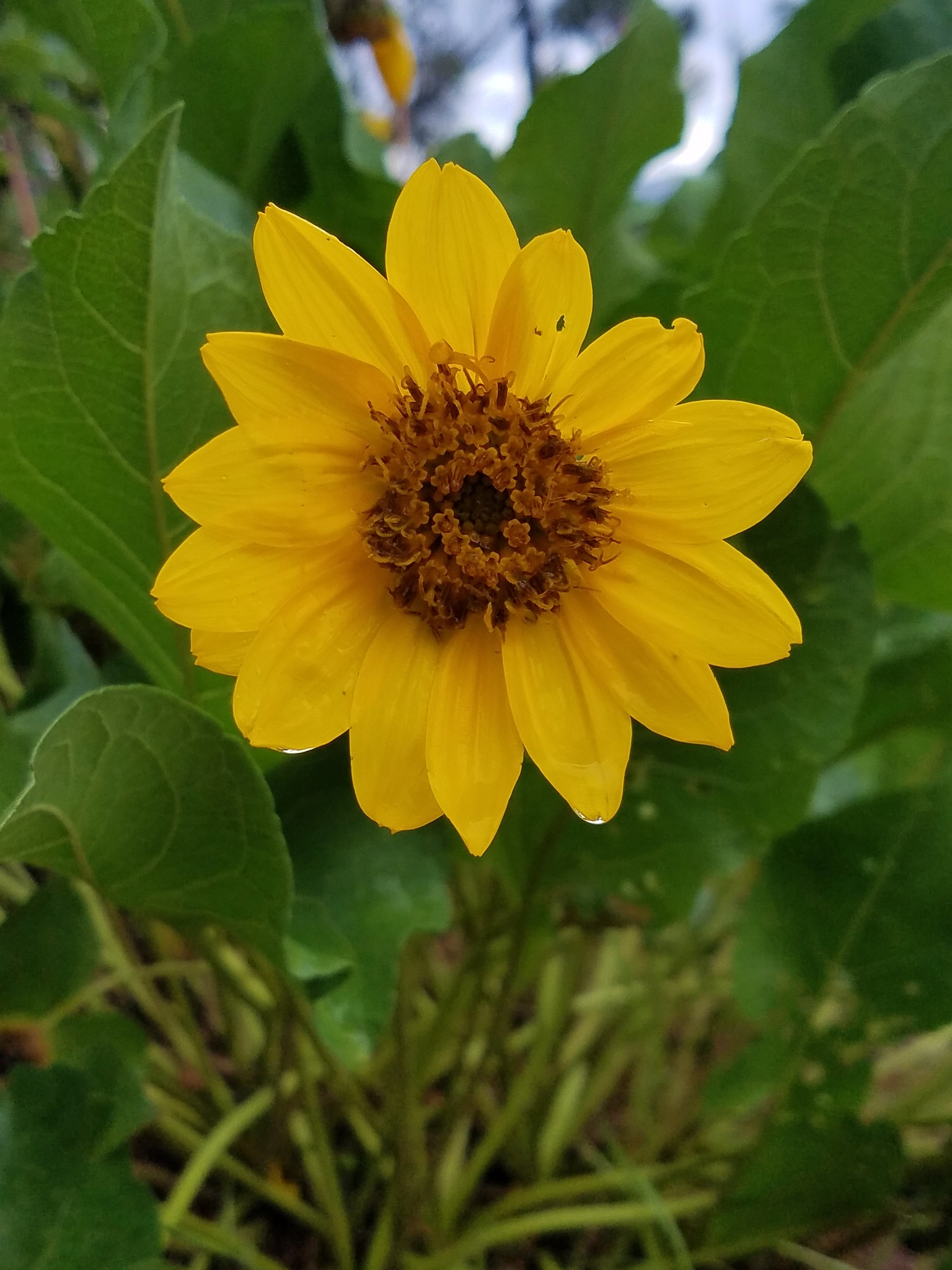
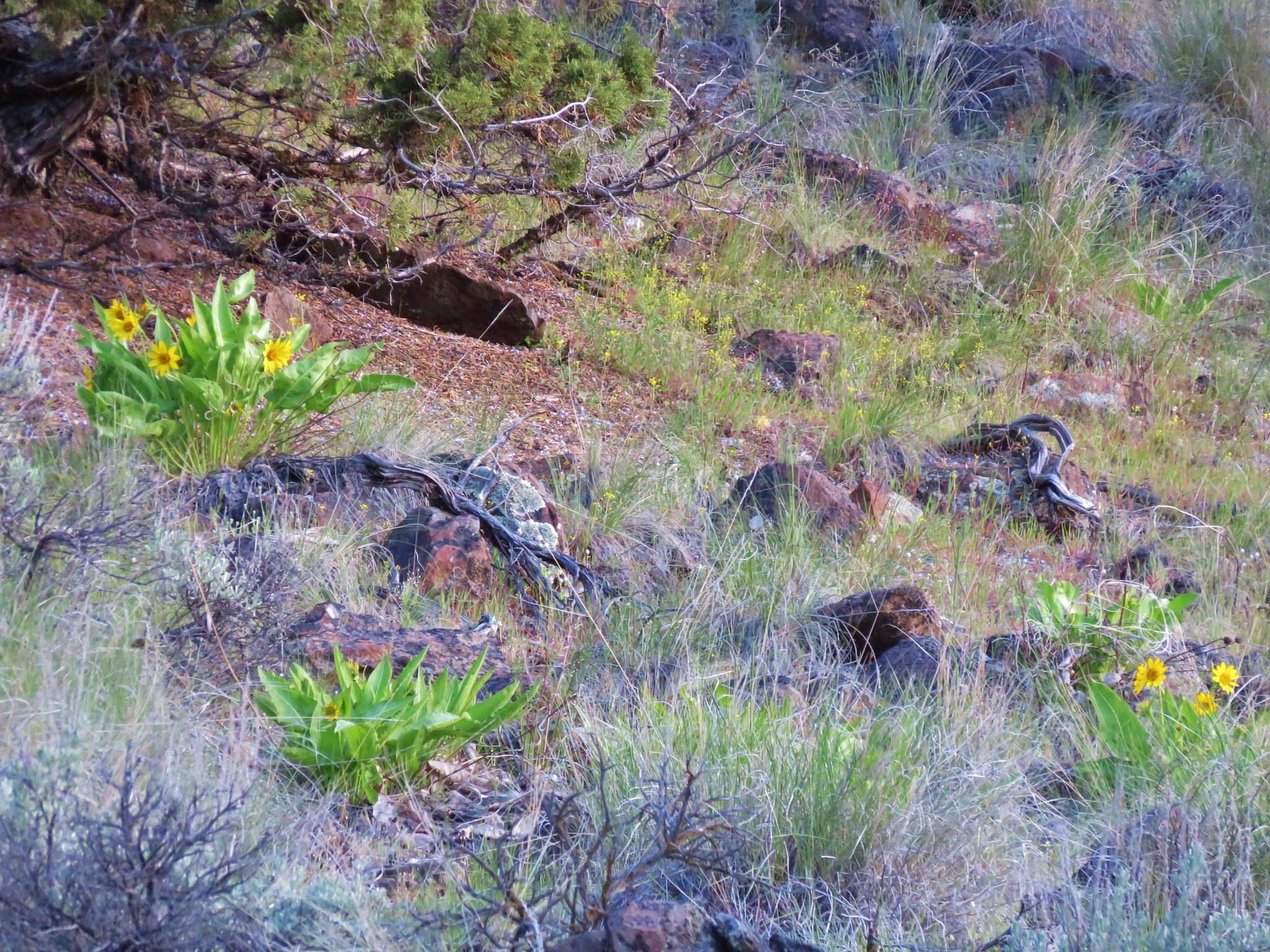 Balsamroot
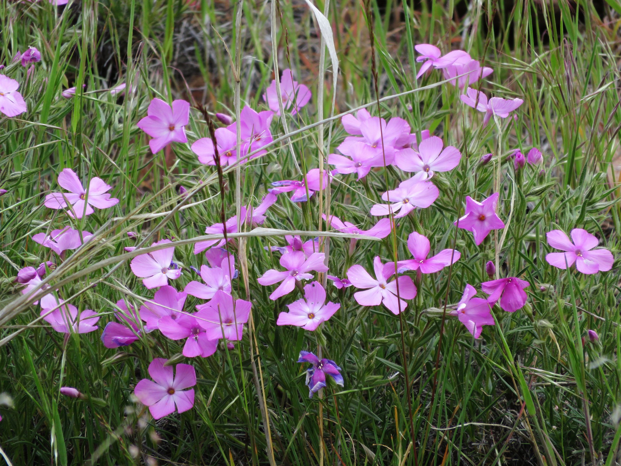
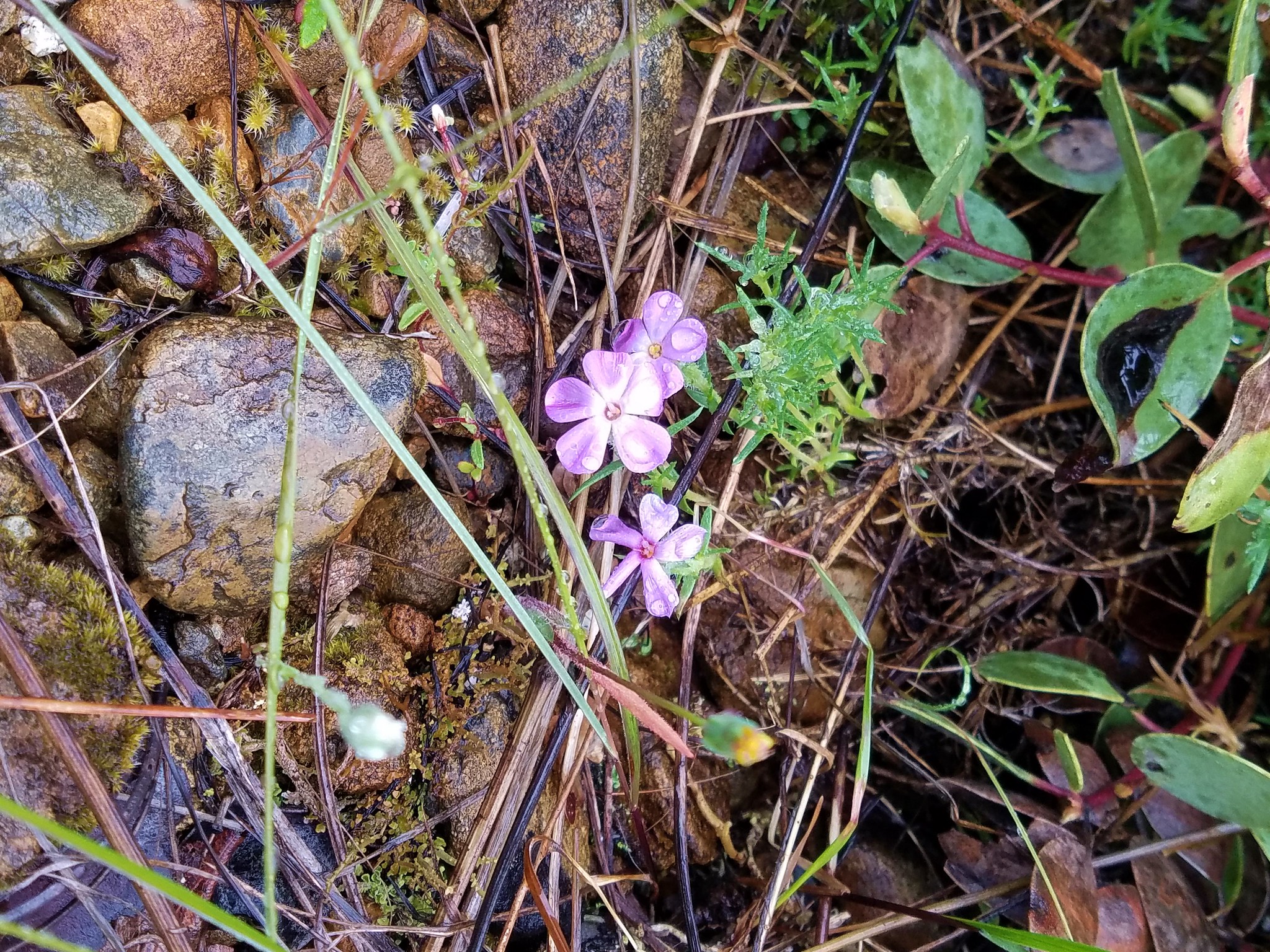
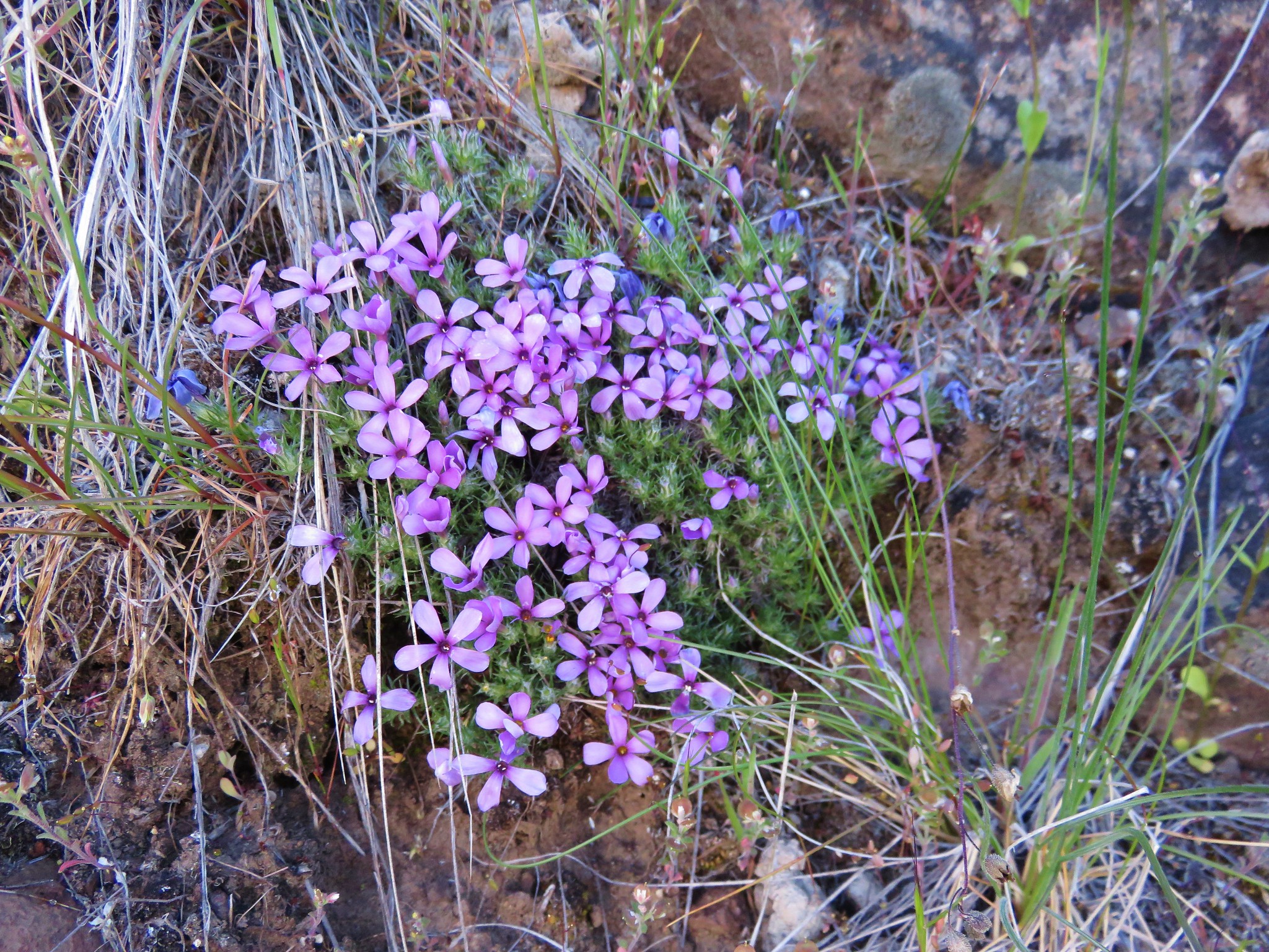 Phlox
Phlox