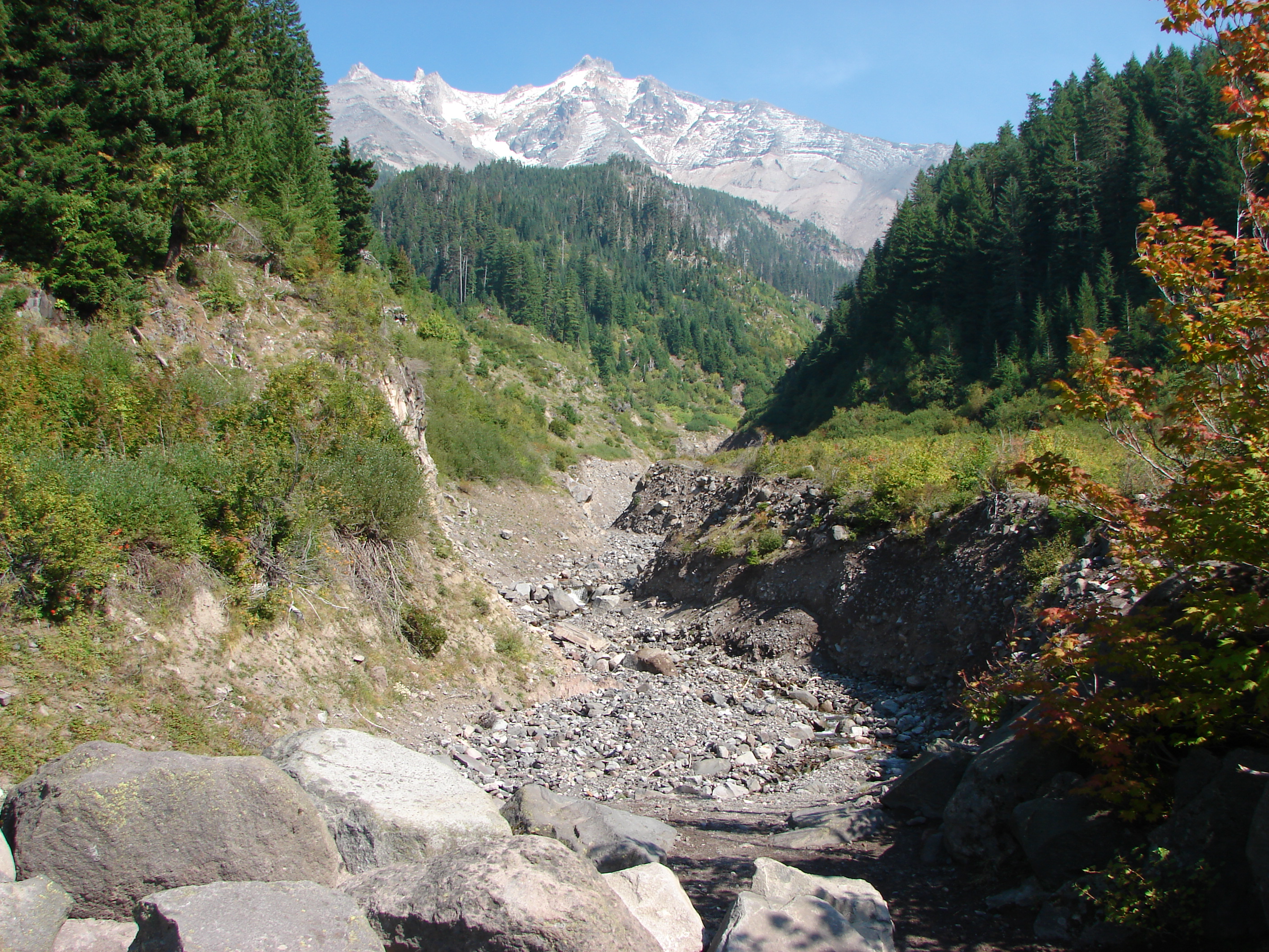
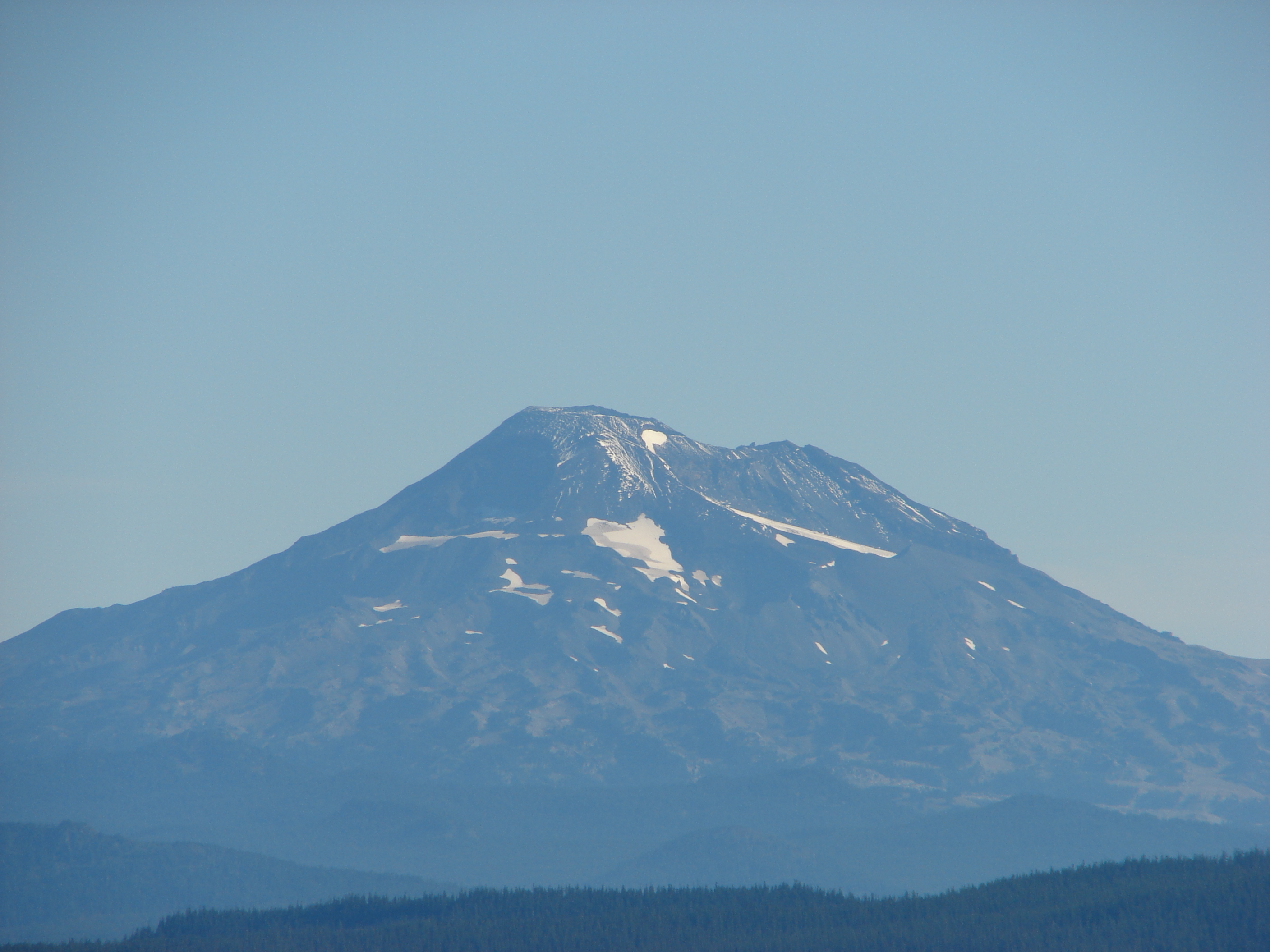
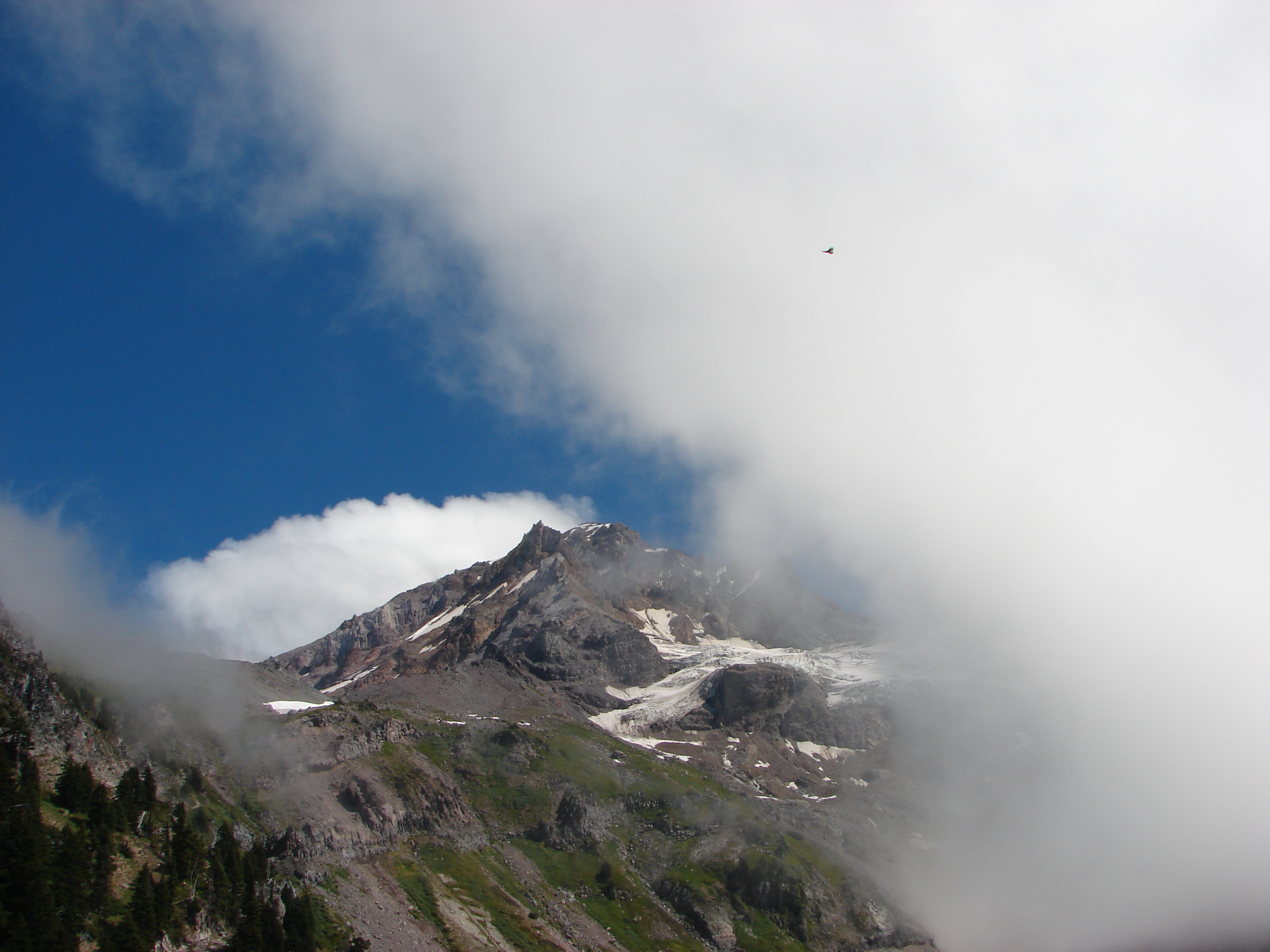
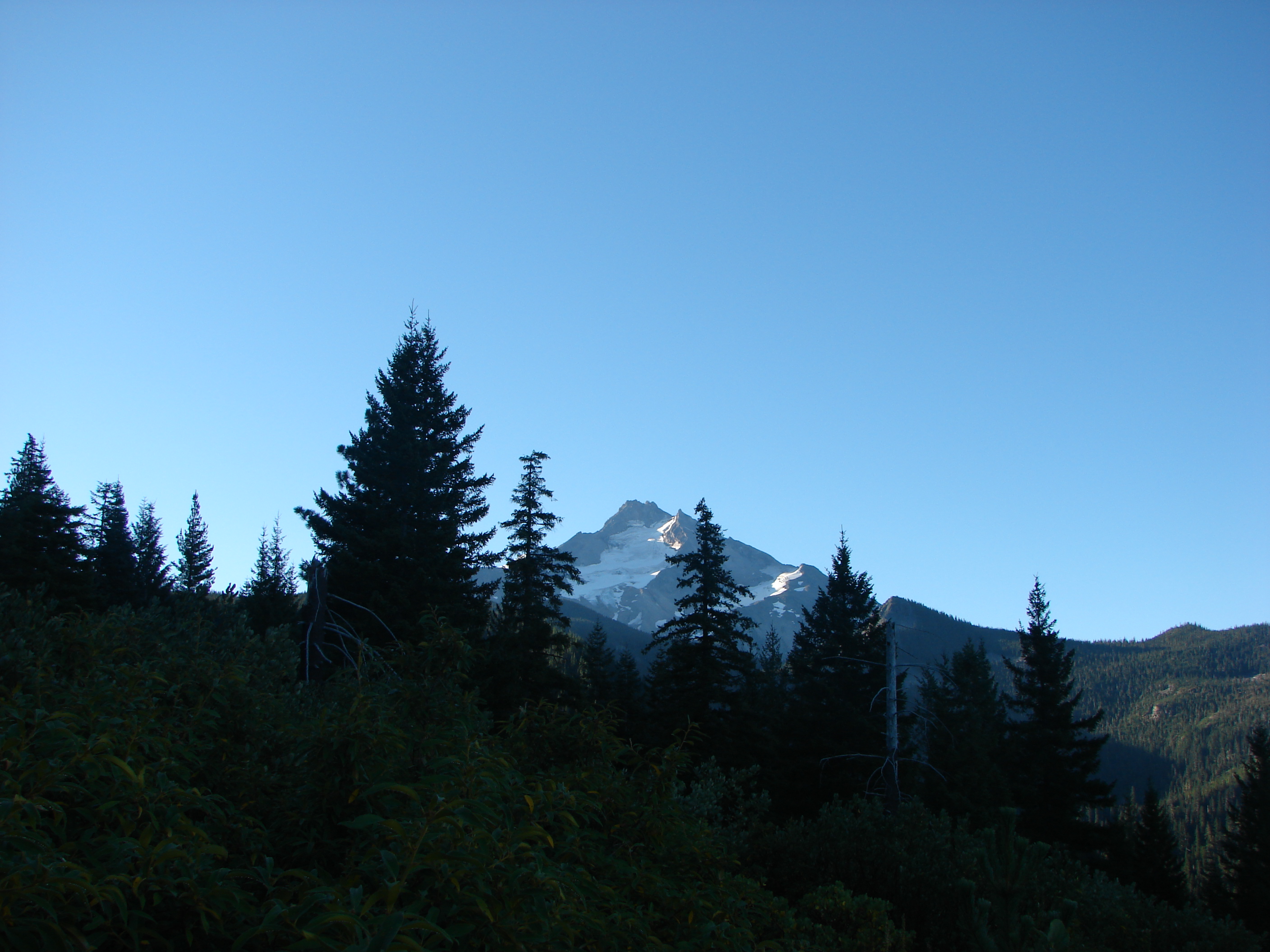
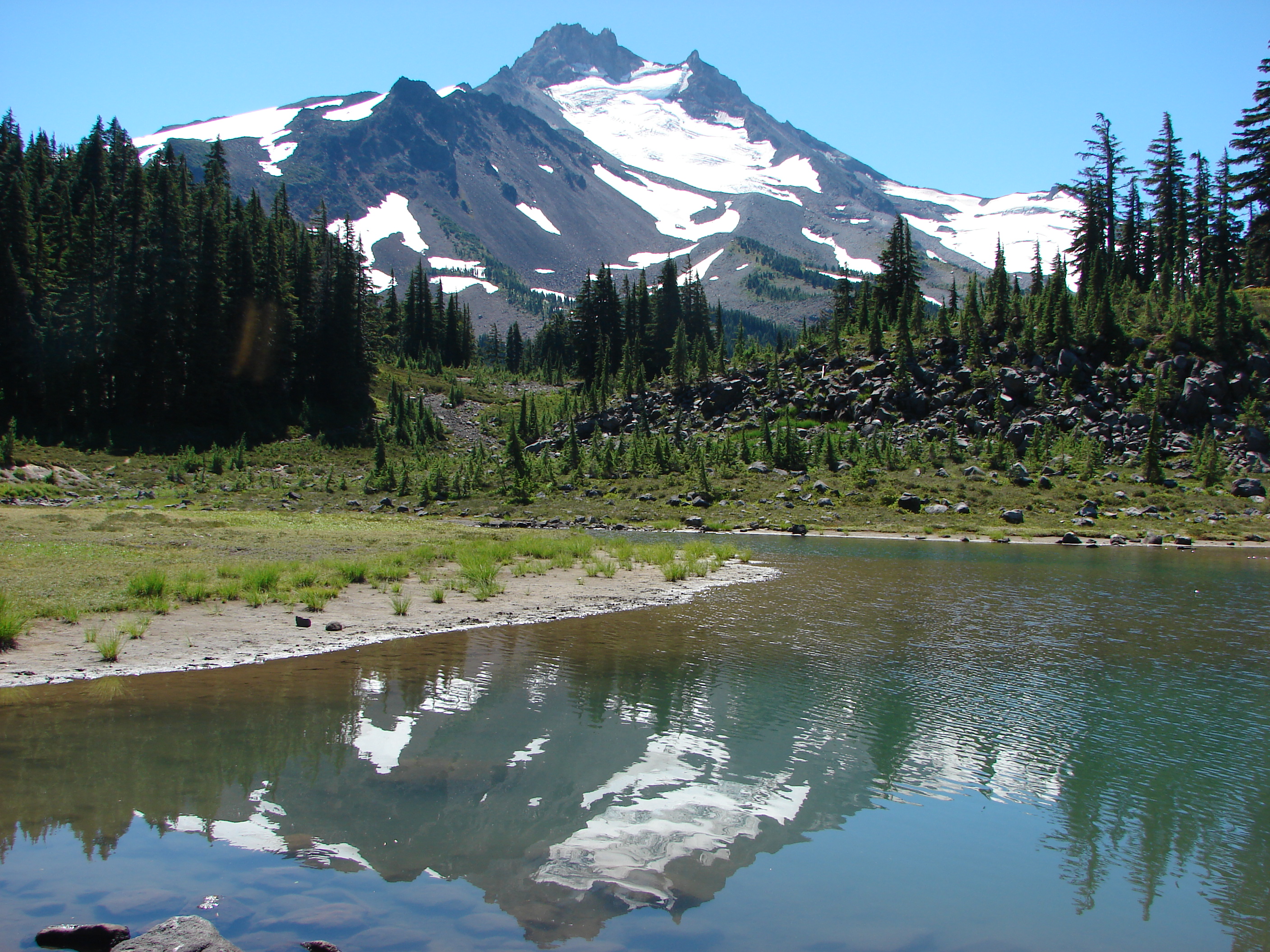
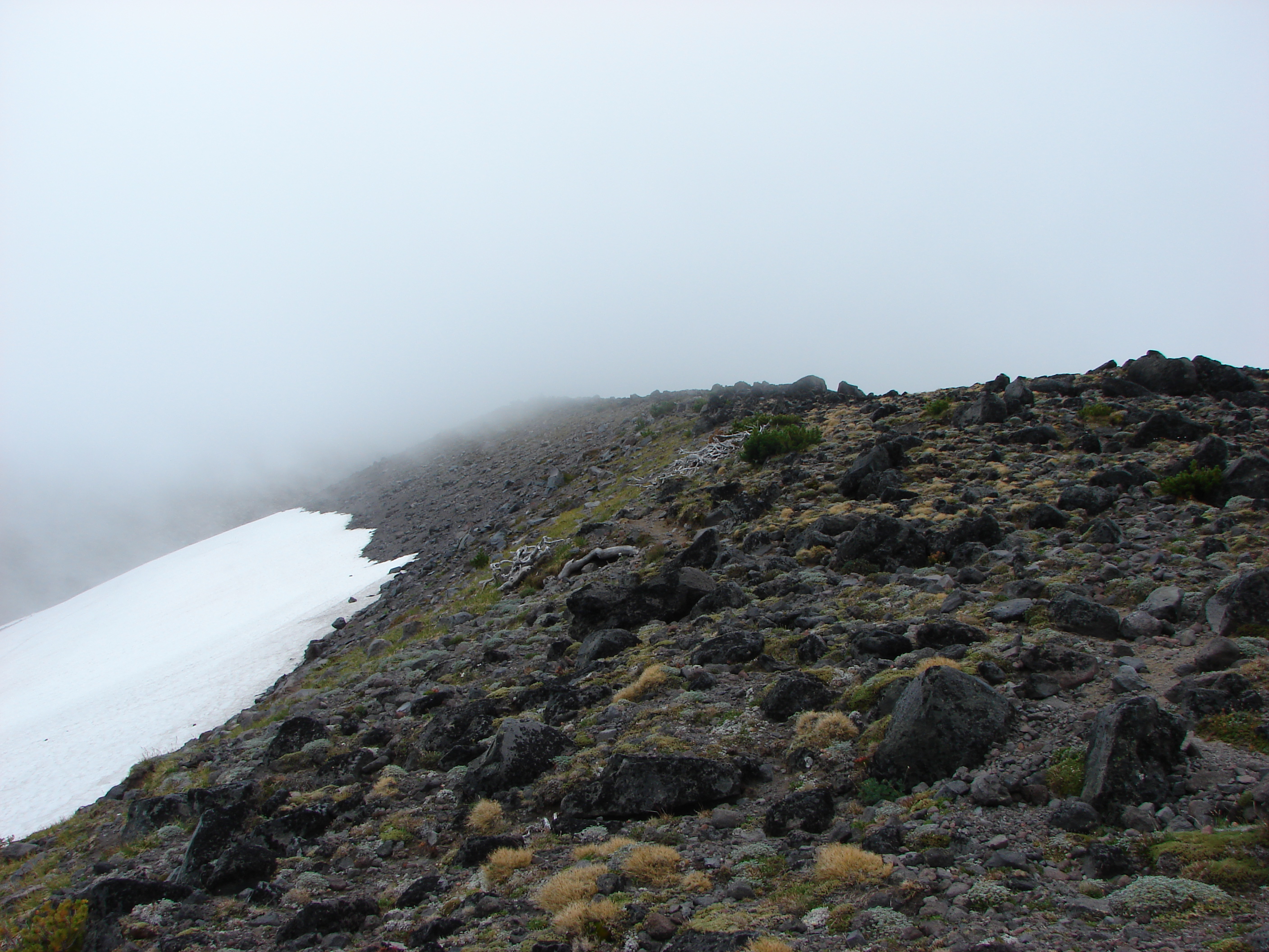
We headed out on the first day of Autumn for our first post Summer hike and boy did Fall arrive in full force. We headed to the Roaring River Wilderness to check out several lakes on a loop hike. There was a possible view of Mt. Hood and several Washington snow peaks, but it was obvious from the forecast that any views were unlikely. The Roaring River Wilderness is part of the Mt. Hood National Forest and one we had yet to visit. We began our hike at the Shellrock Lake trail head under cloudy skies and a light mist.
After donning our rain gear for the first time in months we decided to do a “warm up” hike to Hideaway Lake in the opposite direction of our planned hike. The trail to Hideaway Lake started on the opposite side of the road from the Shellrock Lake trail. A short .5 miles path brought us to the lake which we then circled on a 1 mile loop. After completing the loop we returned to the parking area and set off toward Shellrock Lake.
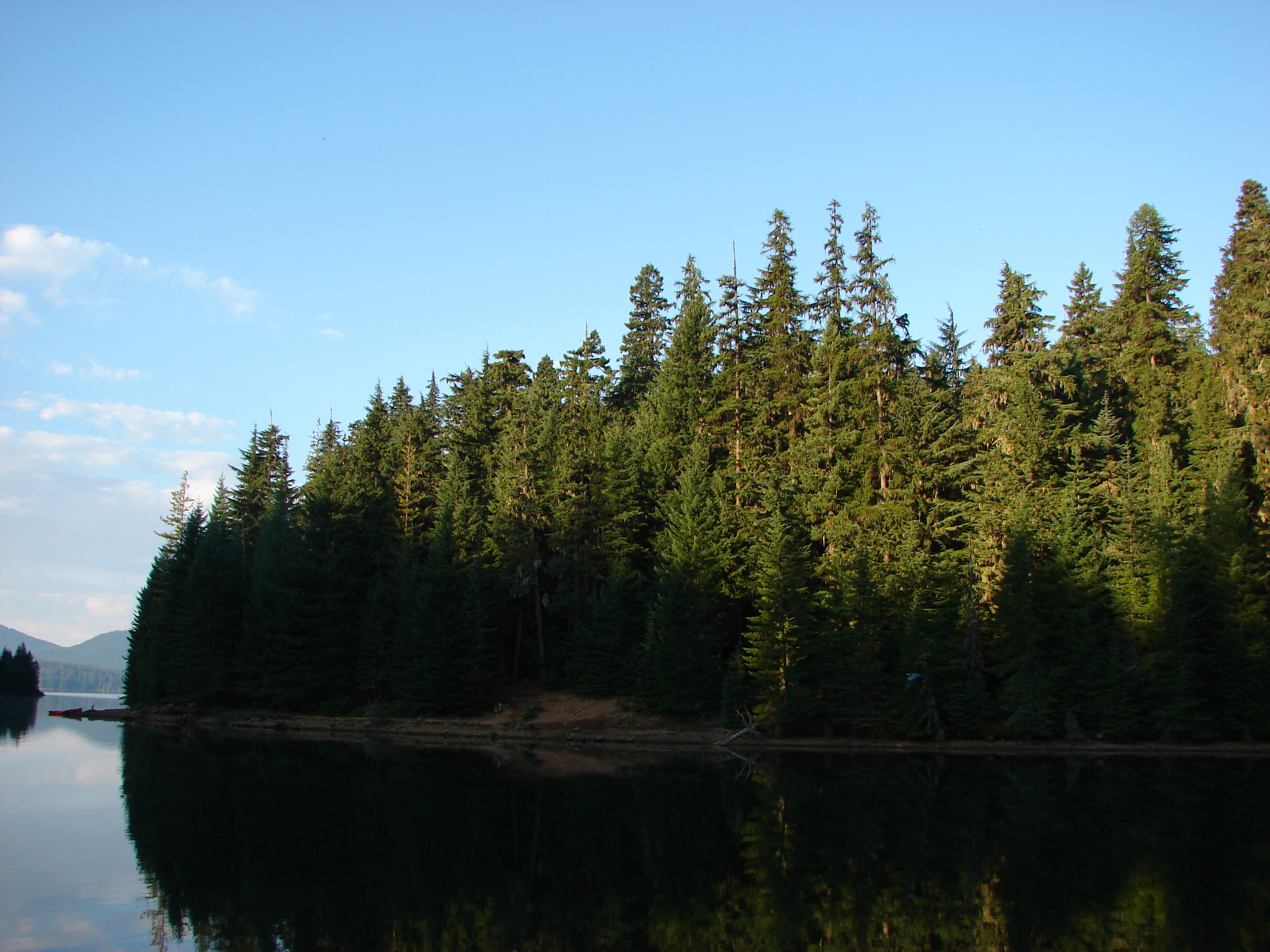
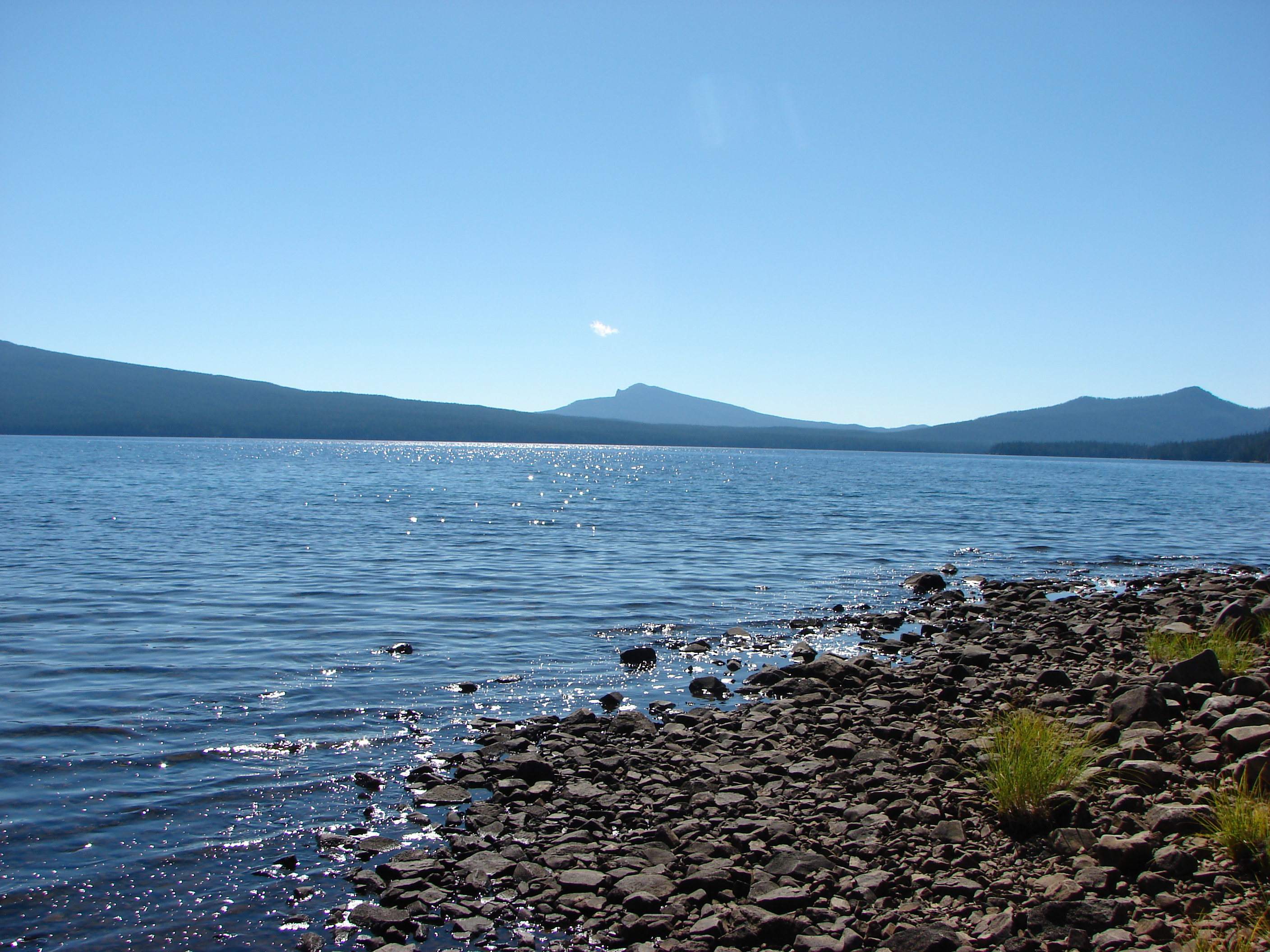
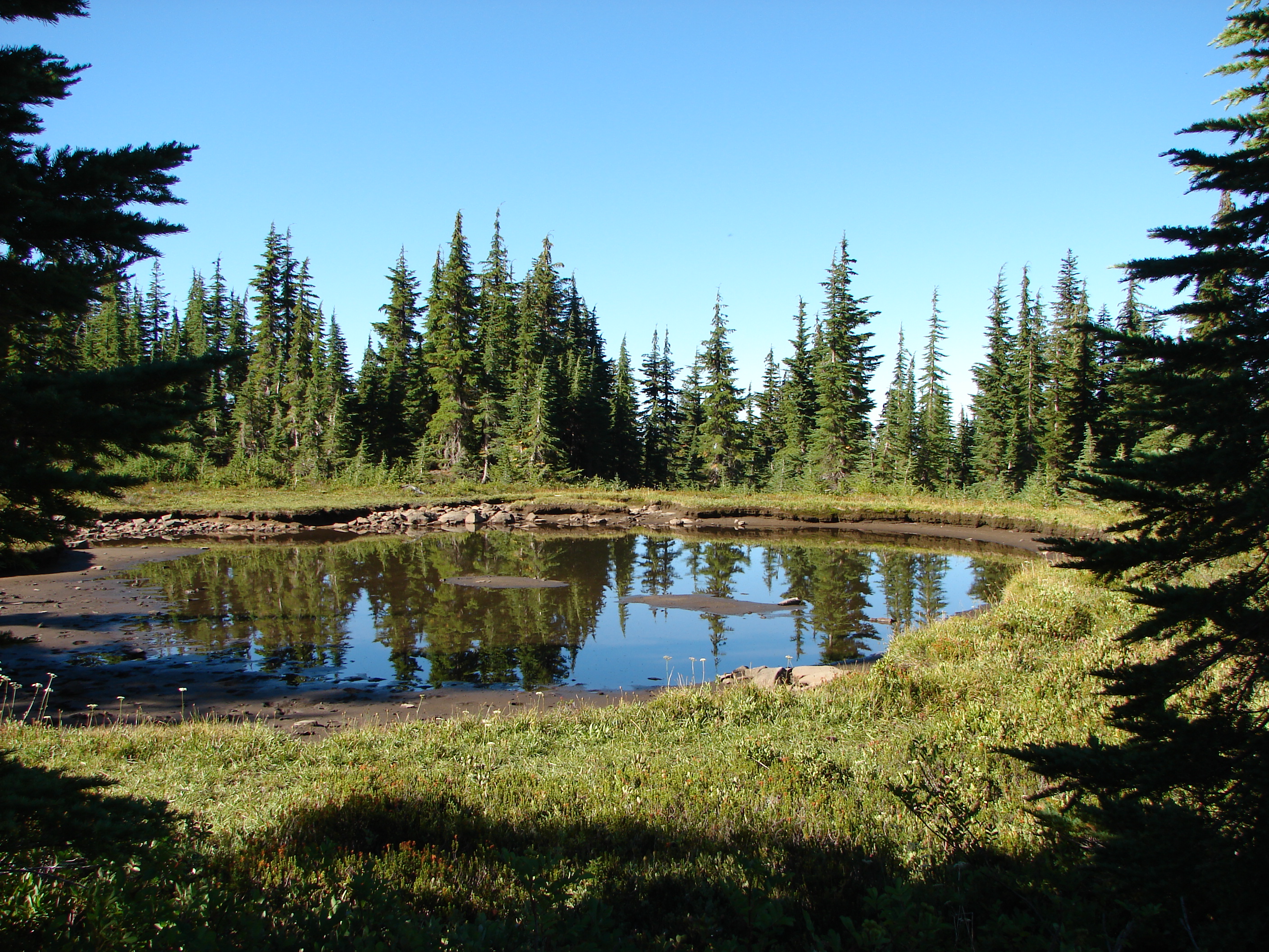
The Shellrock Lake trail quickly entered the Roaring River Wilderness and just a short while later we arrived at Shellrock Lake. Fog drifted over the water at this peaceful lake which had plenty of campsites but no campers.

We passed by the lake and began climbing at a sign for the Frazier Turnaround. This portion of the trail was fairly steep and rocky and also full of rough skinned newts. After 1.3 miles of climbing we arrived at Frazier Turnaround where we could have parked if we’d been willing to try the terrible access road.
From Frazier Turnaround the loop portion of our hike started. We followed a sign pointing to Serene and the Rock Lakes. Our first destination was Middle Rock Lake. We took the quarter mile path to the lake where we spotted numerous crawdads and a frog.


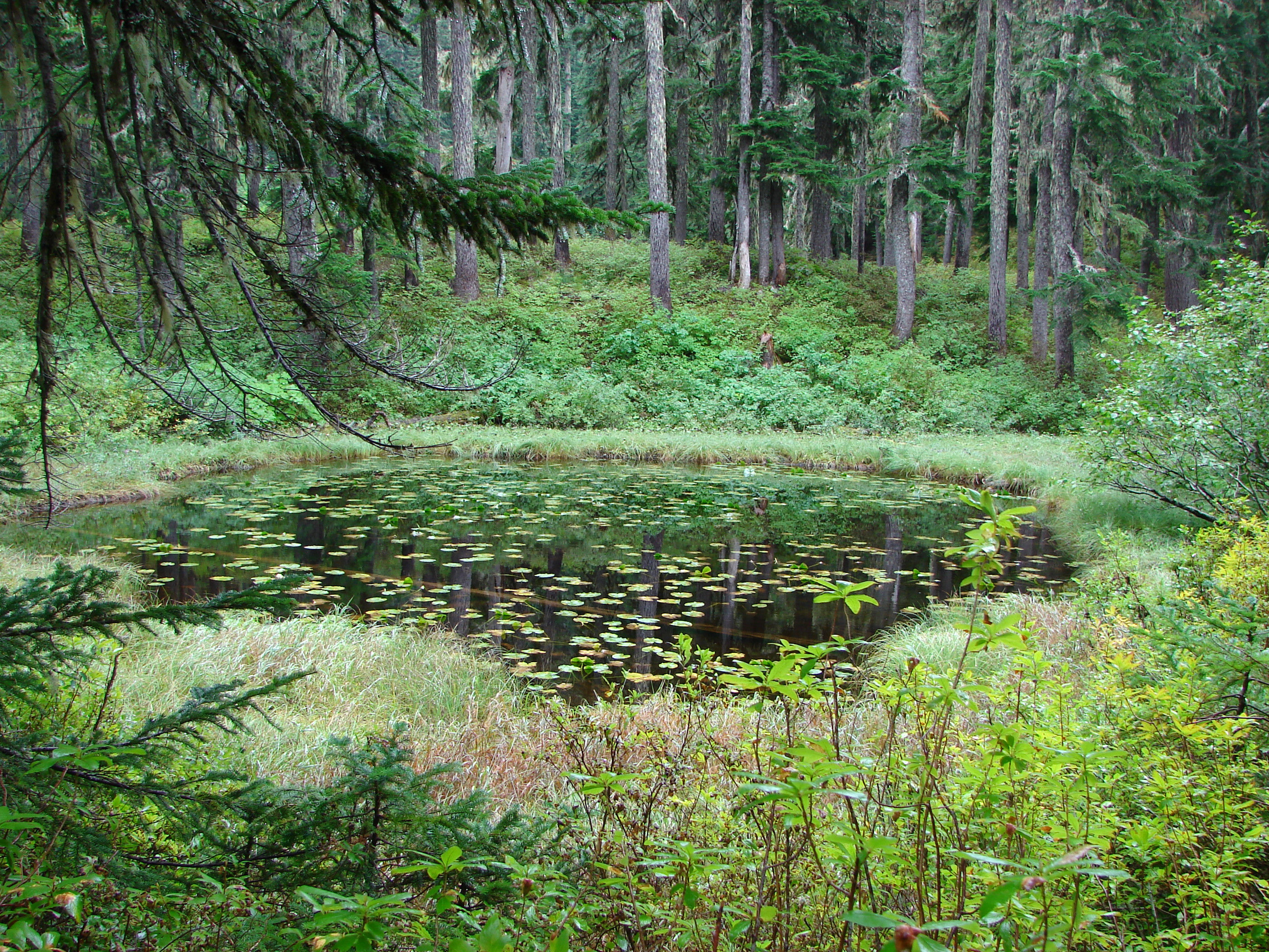
The trail continued along Middle Rock Lake and was supposed to take us to Upper Rock Lake. We ran into a little bit of an issue as we attempted to follow this portion of the trail when it appeared to veer away from the lake. We followed this faint path uphill where it was becoming increasingly overgrown until it finally disappeared at several fallen trees. Thinking the trees had blocked the path we worked our way around them and picked up what appeared to be the continuation of the faint path which quickly ended below a rock slide with no lake in sight. It was time to break out the Garmin (again) which revealed that we were too far to the right of Upper Rock Lake so we set off cross country through the wet brush. We passed a pair of scenic lily pad ponds before finally reaching Upper Rock Lake and finding a good trail leading to it’s shore.

We followed the good trail down and discovered the source of our confusion. A tree had fallen along the shore of Middle Rock Lake which had hidden the trail and obscured the view of the single pink flagging that indicated the correct path. We had turned right at the uprooted base of this tree on the only visible path to us at the time.
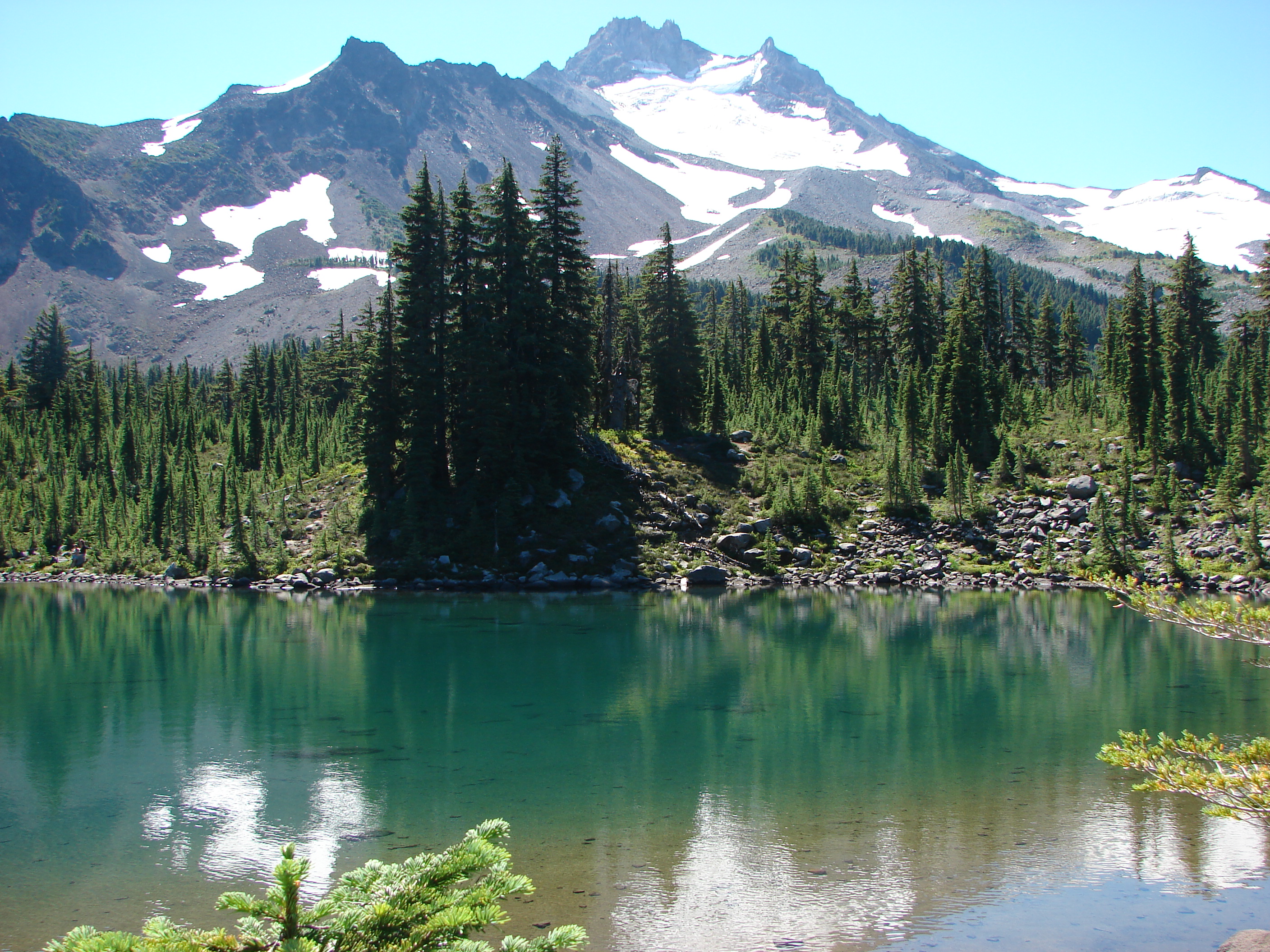
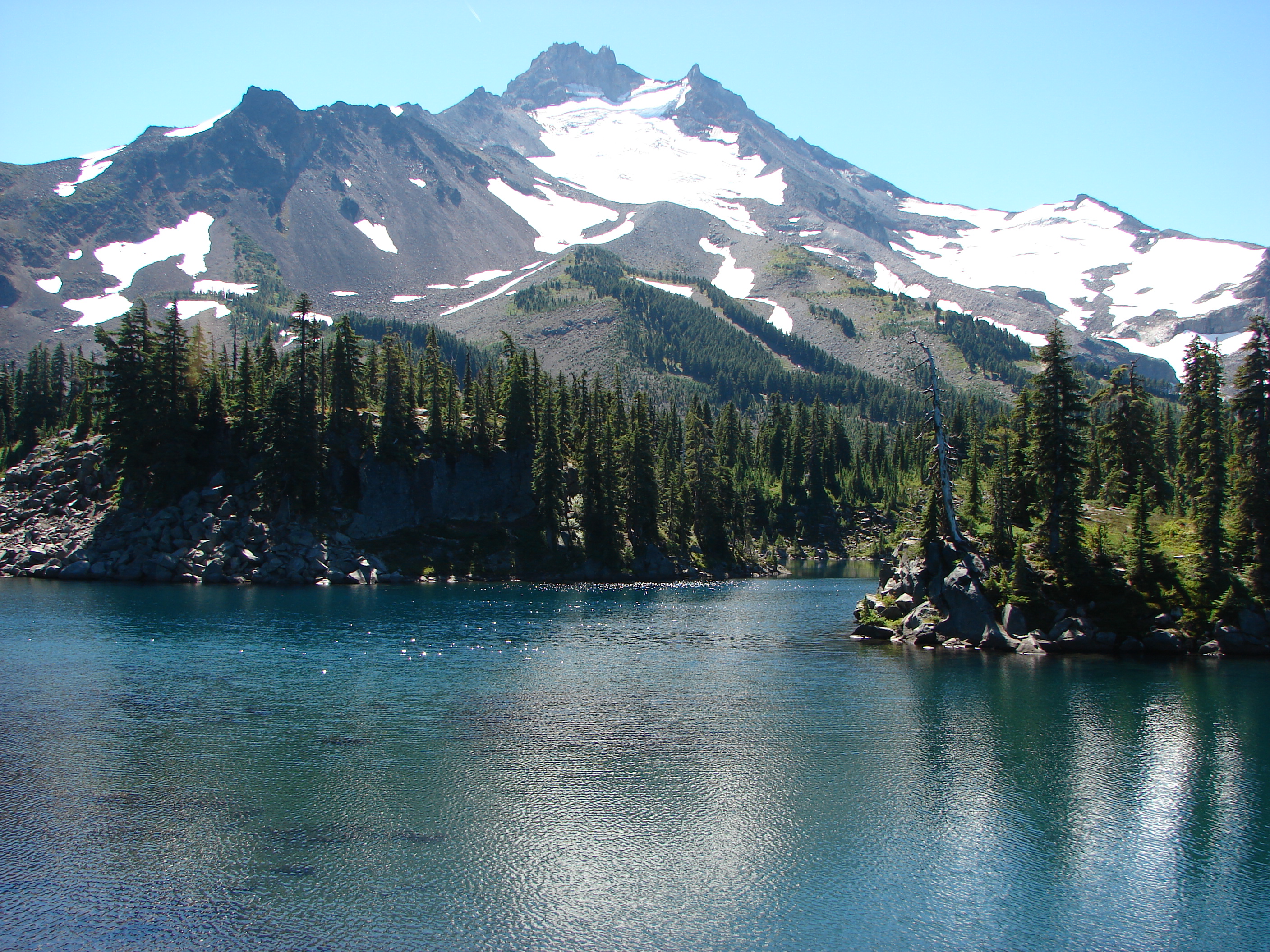
We had one more of the Rock Lakes to visit, Lower Rock Lake, which was on the other side of the loop trail so we returned the way we came and went down to visit this last one. There wasn’t much to see there, just a nice little forest lake so we quickly returned to the Serene Lake trail and continued our loop. The trail had dropped down to the Rock Lakes but now we were climbing up through a nice forest. After several switchbacks the trail leveled out and arrived at Serene Lake. This was the deepest lake of the day and was surrounded by rocky slopes and forest. Clouds drifted up over the hillsides surrounding the lake while we had a snack on it’s shore.

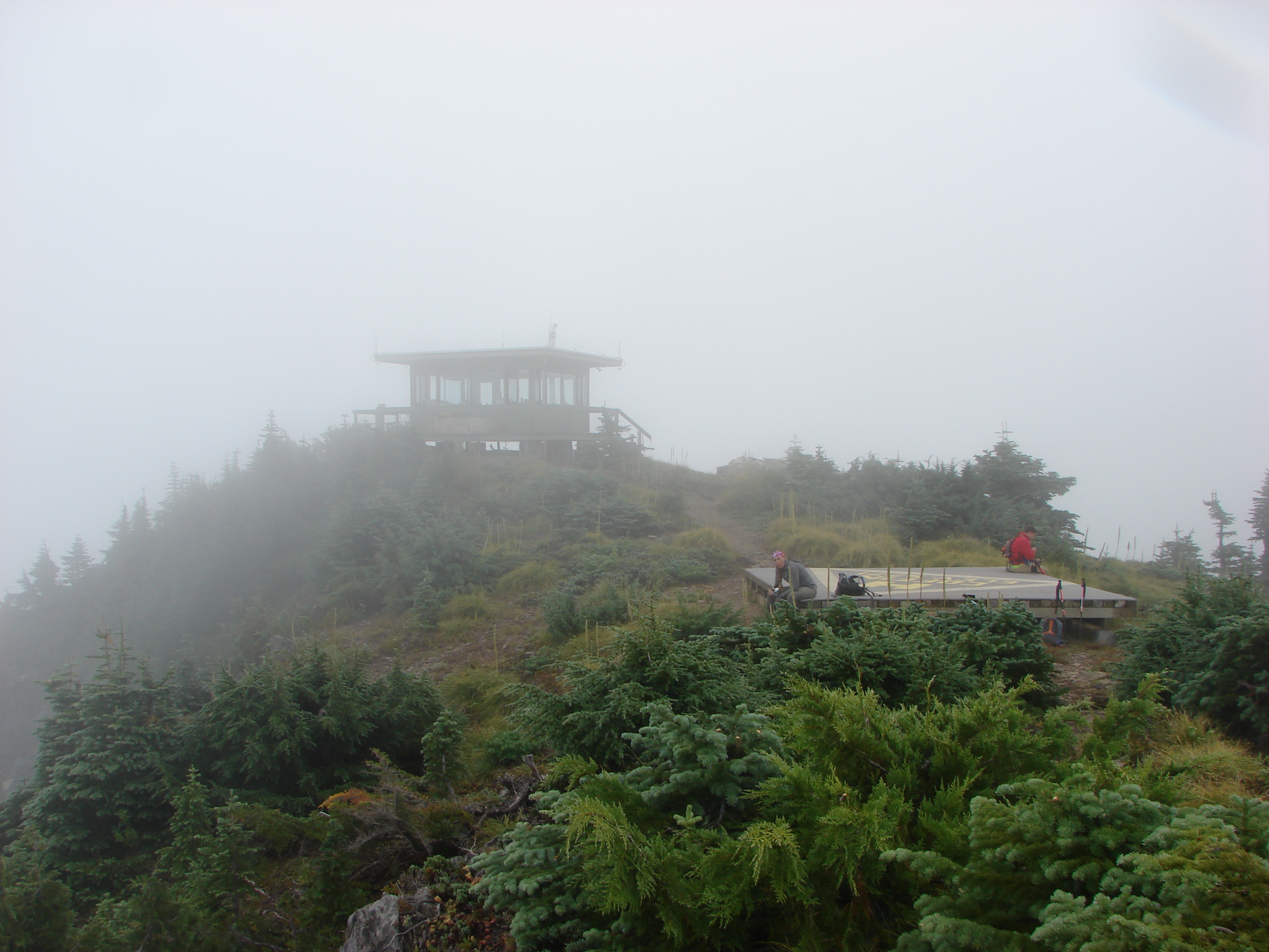
We left Serene Lake and headed for our last point of interest, Cache Meadow. The trail continued to climb as we continued on until finally leveling off on a plateau above Serene Lake. Here would have been the mountain views with Serene Lake below but the weather had not cooperated and only Serene Lake was barely visible below.

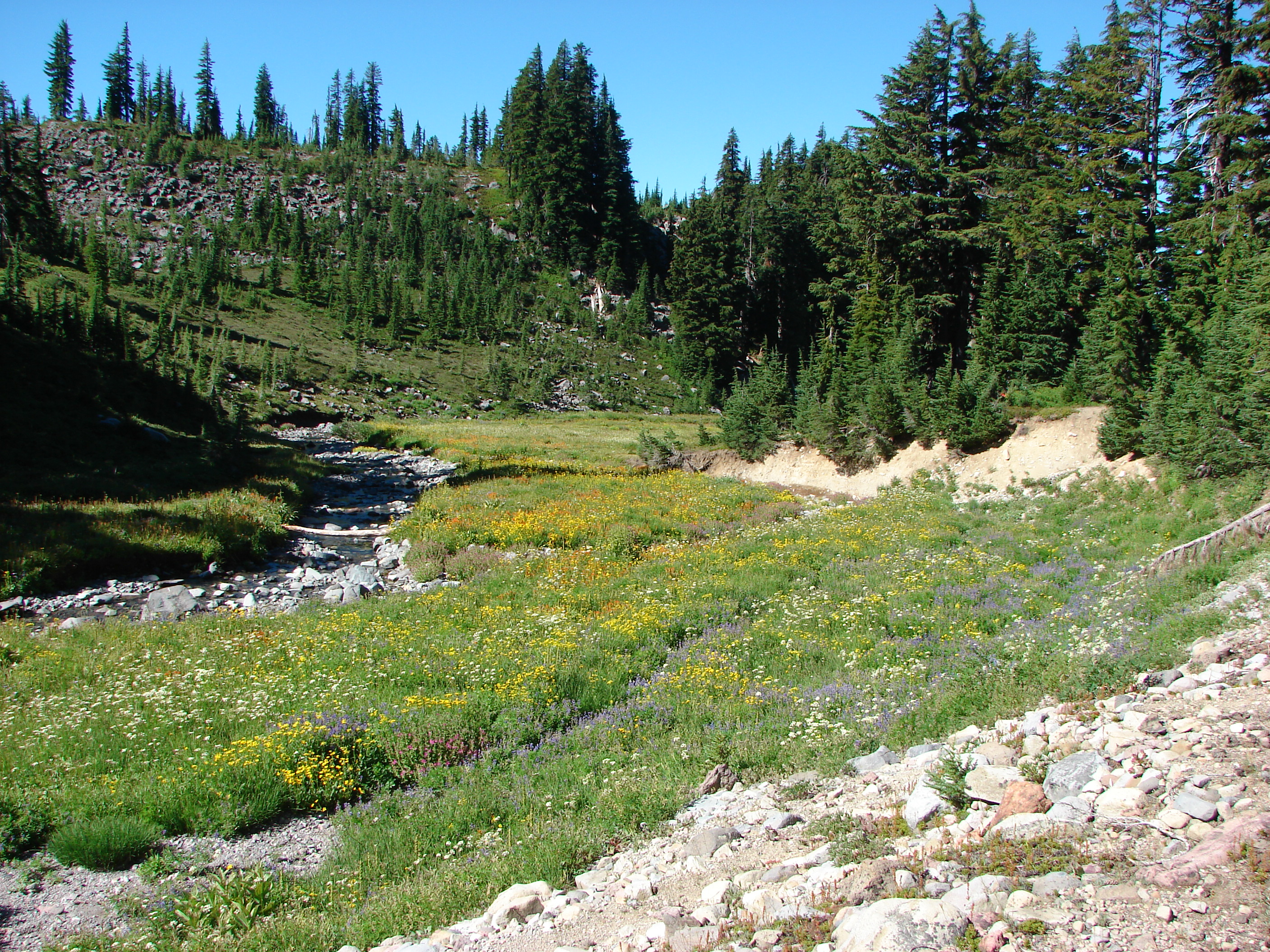
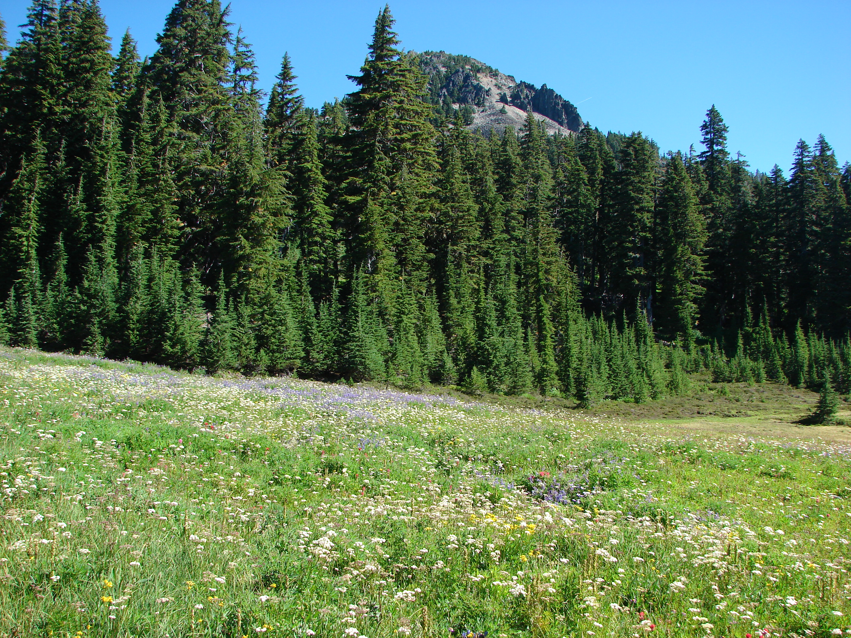
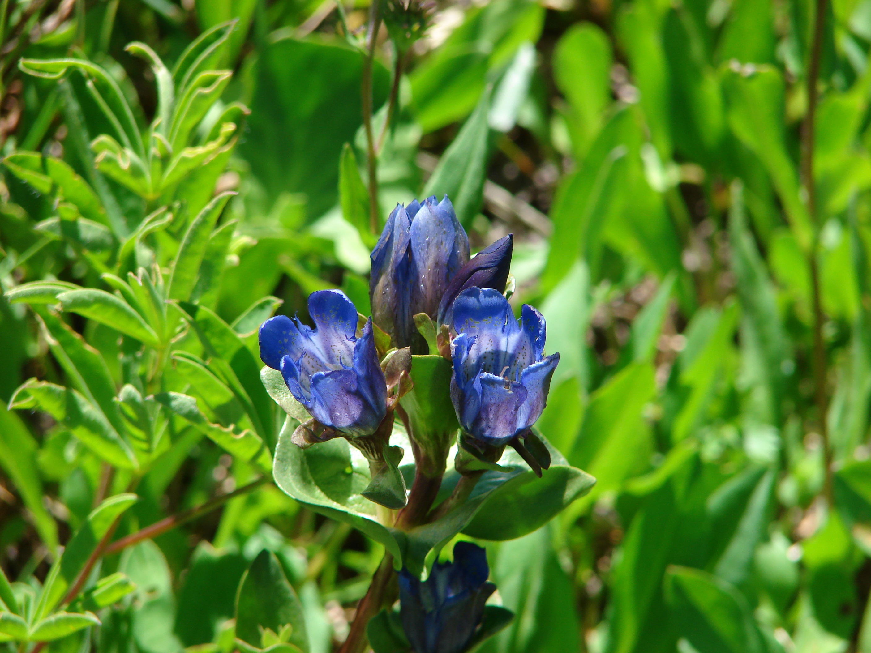
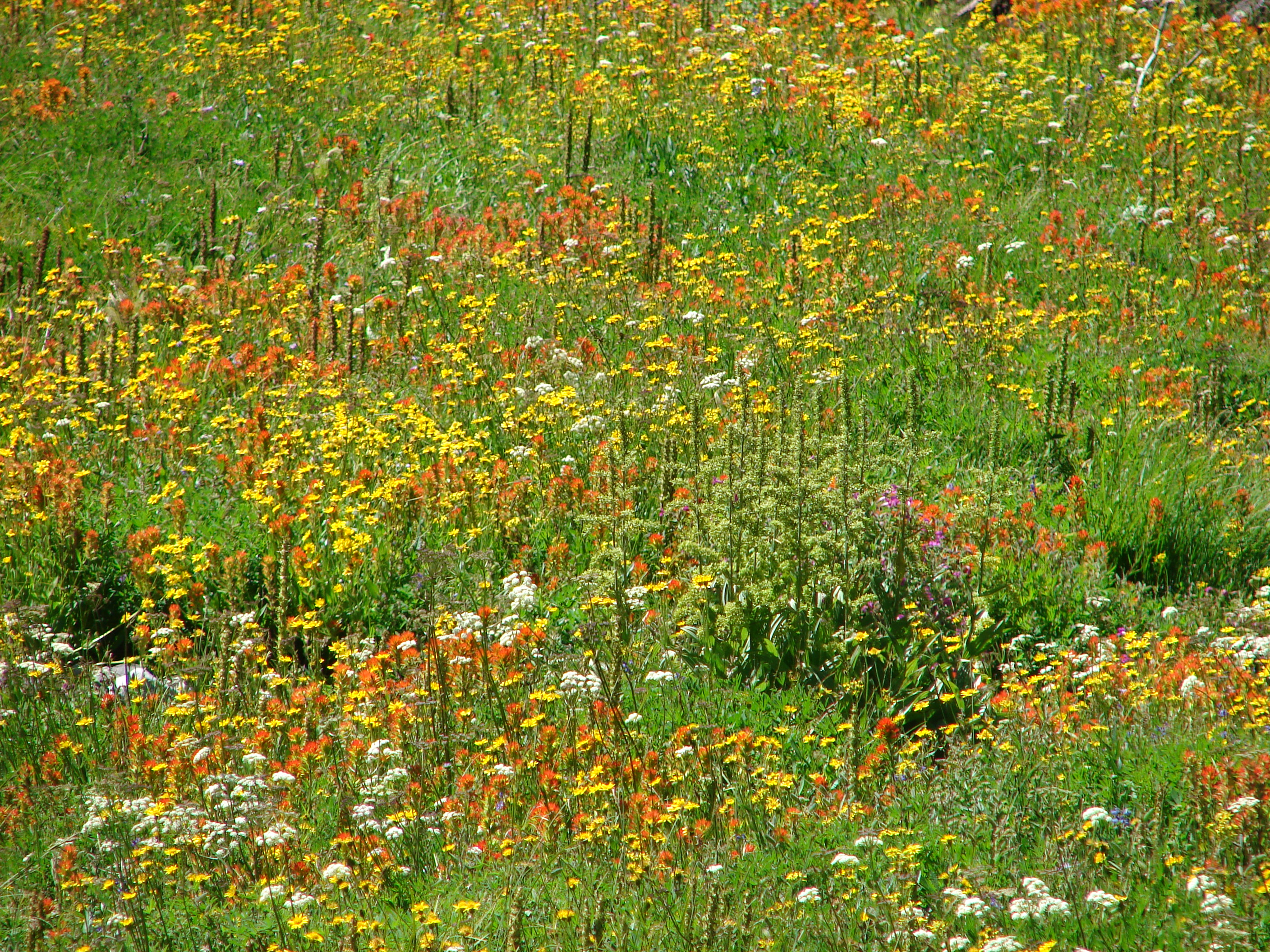
The rain began to pick up as we approached Cache Meadow. The meadow was larger than I had expected and the remains of a vast display of flowers covered the ground. Now only a few aster held some lingering petals. A small unnamed lake filled one end of the meadow but we didn’t explore much due to the increasing rain.

The next four plus miles was through the rain as we completed the loop back to Frazier Turnaround and then descended back to Shellrock Lake. The rain did let up as we left the wilderness area long enough for us to change into dry clothing before driving home. The only thing missing was a cup of hot chocolate 🙂 Happy Trails
Facebook photos: https://www.facebook.com/deryl.yunck/media_set?set=a.10202227553437454.1073741858.1448521051&type=1
Flickr: http://www.flickr.com/photos/9319235@N02/sets/72157635784902576/