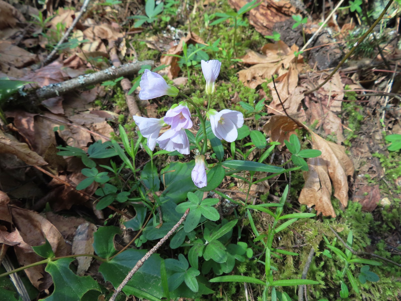
In 2018 we began a tradition of posting a collection of the variety of flowers that we encountered during the years hikes. It’s always a bit shocking to see just how many different varieties we actually saw over the course of the year. It appears that the total in 2023 was between 300 and 350. We are still learning to identify the flowers and are a long way from being able to tell some of the different species apart. That doesn’t take away from our ability to enjoy the flowers though, so with that in mind here are some (but not all) of the flowers we saw this past year. (Any IDs provided are best guesses and any corrections or additional IDs are greatly appreciated.)
The first wildflowers we spotted were snow queen during a March 11th hike at Fitton Green Natural Area near Corvallis.

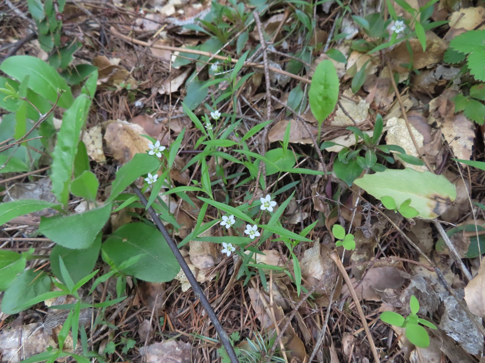
Here are the others in no particular order. I’ve tried to identify non-natives as well as indicate if this was our first time (that we know of) seeing a particular flower. Locations are all in Oregon unless noted as WA.
 Allumroot – 6/12/23, Imnaha River Trail, Eagle Cap Wilderness
 Alpine pennycress – 5/4/23, Forest Road 011, Rogue River-Siskiyou National Forest
 American saw-wort – 8/14/23, Main Eagle Creek Trail, Eagle Cap Wilderness
 Anemone – 6/12/23, Imnaha River Trail, Eagle Cap Wilderness
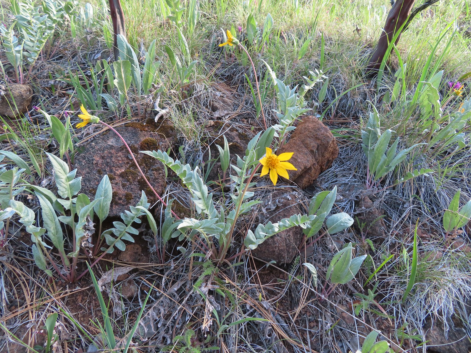
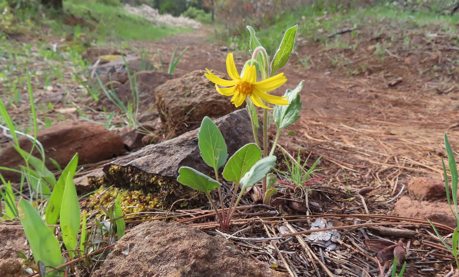 Serpentine arnica – 5/4/23, Eight Dollar Mountain Boardwalk, BLM Grants Pass Resource Area
 Arnica – 6/12/23, Imnaha River Trail, Eagle Cap Wilderness
 Arnica – 7/31/23, Garfield Peak Trail, Crater Lake National Park
 Spear-leaf arnica – 7/31/23, Garfield Peak Trail, Crater Lake National Park
 Arnica? – 8/16/23, Tombstone Lake Trail, Eagle Cap Wilderness
 Avalanche lilies – 7/15/23, Plaza Trail, Salmon-Huckleberry Wilderness
 Fawn lily – 4/13/23, Baskett Slough National Wildlife Refuge, Rickreall
 Henderson’s fawn lily – 5/2/2023, Sterling Mine Ditch Trail System, BLM Medford District
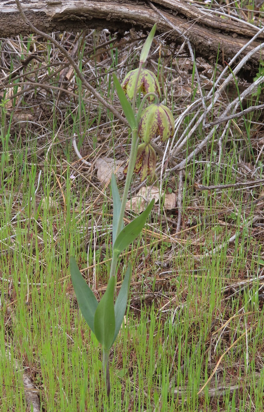 Checker lily – 5/4/23, Forest Road 011, Rogue River-Siskiyou National Forest
 Azalea – 5/4/23, Eight Dollar Mountain Boardwalk, BLM Grants Pass Resource Area
 Rhododendron – 7/15/23, Tumala Mountain, Mt. Hood National Forest
 Ball-head waterleaf – 6/12/23, Imnaha River Trail, Eagle Cap Wilderness
 Pacific waterleaf – 5/2/2023, Sterling Mine Ditch Trail System, BLM Medford District
 Balsamroot – 5/27/23, Metolius Preserve, Camp Sherman
 Hoary balsamroot – 6/15/23, Buckhorn Lookout, Wallowa-Whitman National Forest
 Silky balsamroot – 5/4/23, Little Falls Trail Loop, Rogue River-Siskiyou National Forest (first time seeing)
 Deltoid balsamroot – 5/2/2023, Sterling Mine Ditch Trail System, BLM Medford District
 Beargrass – 7/4/23, Rockytop Trail, Santiam State Forest
 Bigelow sneezweed – 10/7/2023, Sturgis Fork Trail, Rogue River-Siskiyou National Forest
 Field bindweed (non-native) – 6/14/23, Eureka Bar, Hells Canyon National Recreation Area
 Bindweed (non-native) – 8/26/23, Old Growth Cedar Trail, Rockaway Beach
 Biscuitroot – 5/4/23, Little Falls Trail Loop, Rogue River-Siskiyou National Forest
 Biscuitroot – 5/13/23, Tualatin River National Wildlife Refuge, Sherwood
 Biscuitroot – 6/12/23, Imnaha River Trail, Eagle Cap Wilderness
 Bistort – 7/31/23, Castle Crest Wildflower Trail, Crater Lake National Park
 Blanket flower – 6/14/23, Eureka Bar, Hells Canyon National Recreation Area
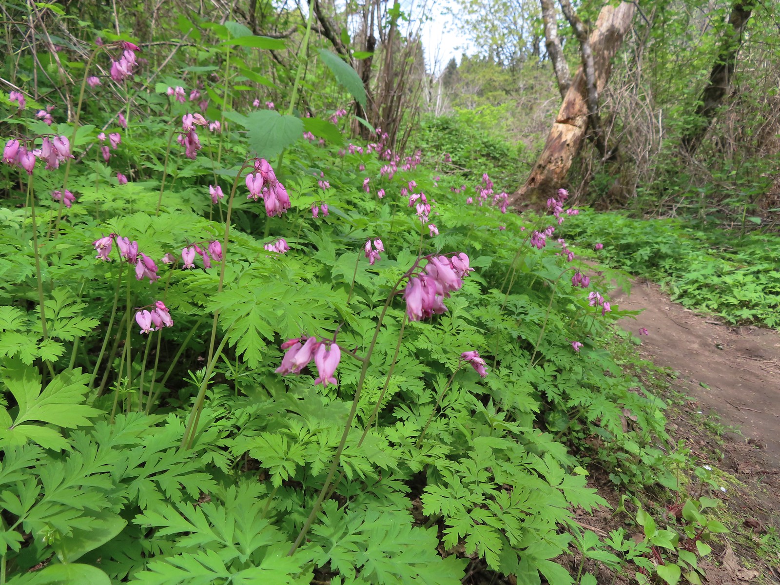
 Bleeding heart – 4/29/23, Canemah Bluff, Oregon City
 Blue dicks – 5/1/23, Rogue River National Recreation Trail, BLM Medford District
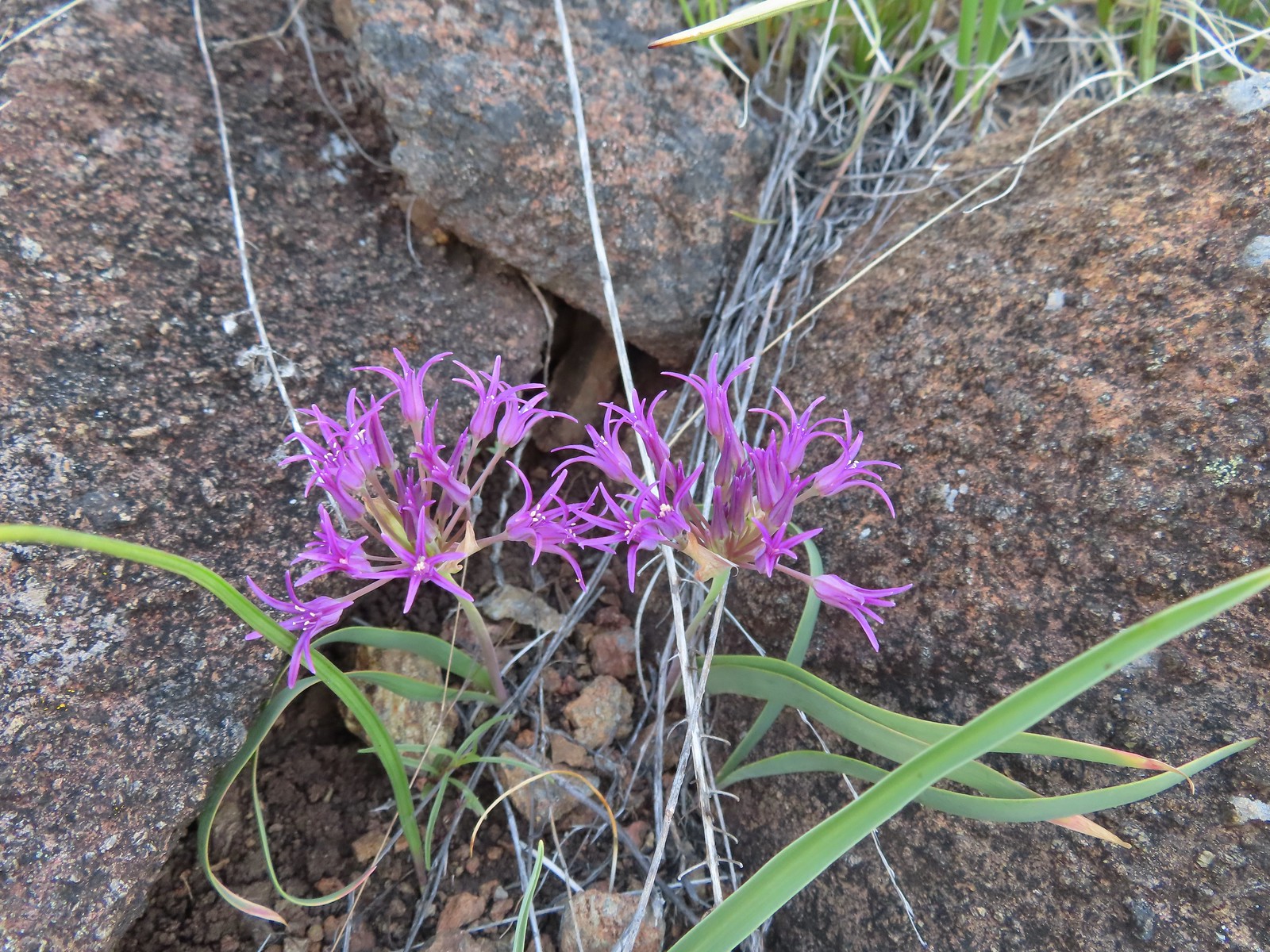
 Ookow – 6/3/23, Buck Creek Trail, Husem, WA
 Large-flower tritelia – 6/12/23, Imnaha River Trail, Eagle Cap Wilderness
 Bluebells of Scotland – 7/15/23, Sheepshead Rock, Salmon-Huckleberry Wilderness
 Tall bluebells – 6/12/23, Imnaha River Trail, Eagle Cap Wilderness
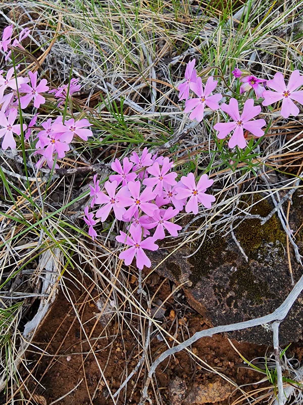
 Scouler’s bluebell – 7/4/23, Natural Rock Arch Trail, Santiam State Forest
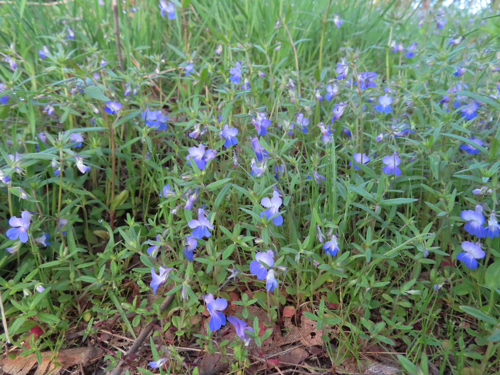
 Blue-eyed Mary – 5/2/23, Cathedral Hills, Grants Pass
 Giant blue-eyed Mary – 4/29/23, Canemah Bluff, Oregon City
 Bog orchid – 7/31/23, Castle Crest Wildflower Trail, Crater Lake National Park
 Phantom orchid – 6/3/23, Buck Creek Trail, Husem, WA
 Bolander’s yampah – 6/15/23, Nee-Mee-Poo National Historic Trail, Hells Canyon National Recreation Area
 Broad-leaved pepperweed (non-native) – 6/11/23, Hat Rock State Park, Hermiston
 Brown’s peony – 6/12/23, Imnaha River Trail, Eagle Cap Wilderness
 Buckwheat – 5/28/23, Criterion Tract, BLM Prineville District
 Buckwheat – 5/28/23, Criterion Tract, BLM Prineville District
 Buckwheat – 7/31/23, Garfield Peak Trail, Crater Lake National Park
 Buckwheat – 7/30/23, Crater Peak Trail, Crater Lake National Park
 Buckwheat – 6/3/23, Nestor Peak, Husem, WA
 Wickerstem buckwheat – 9/3/23, Threemile Canyon, BLM Burns District
 Bunchberry – 7/4/23, Santiam State Forest
 Buttercups – 4/29/23, Canemah Bluff, Oregon City
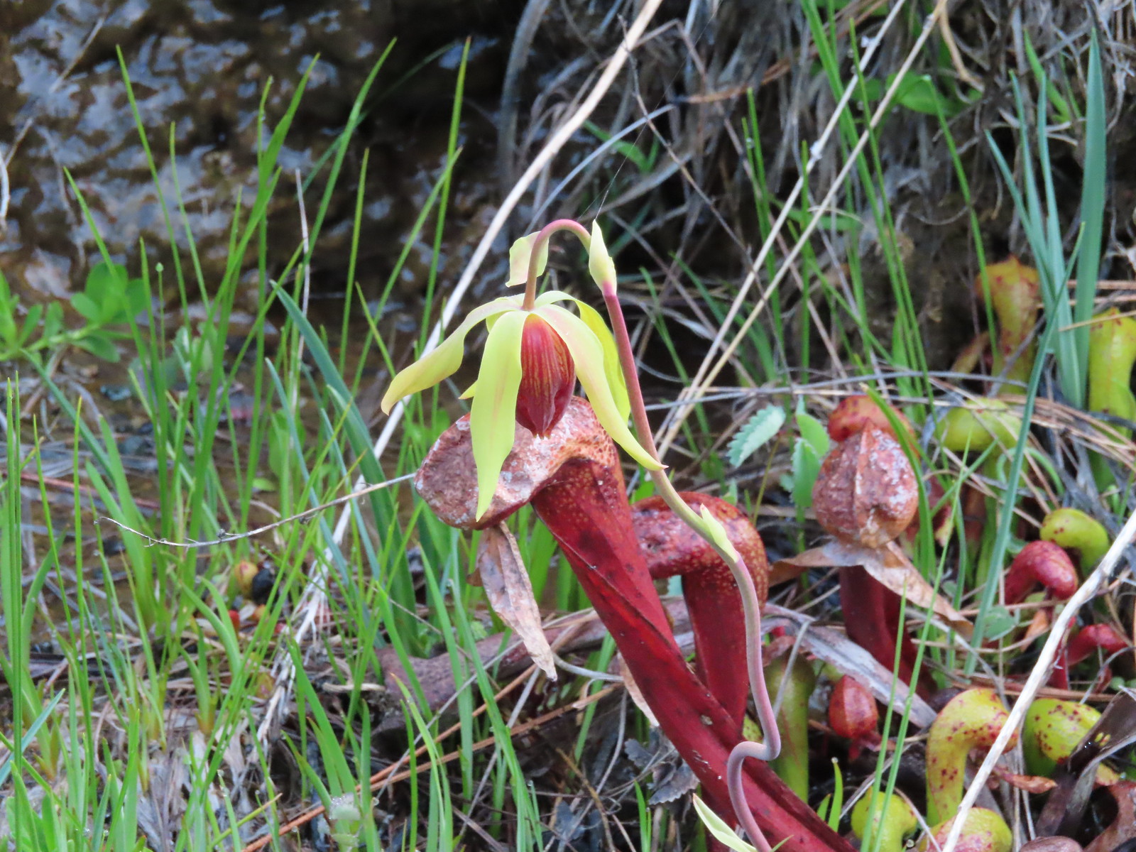 California darlingtonia – 5/4/23, Eight Dollar Mountain Botanical Area, Rogue River-Siskiyou National Forest
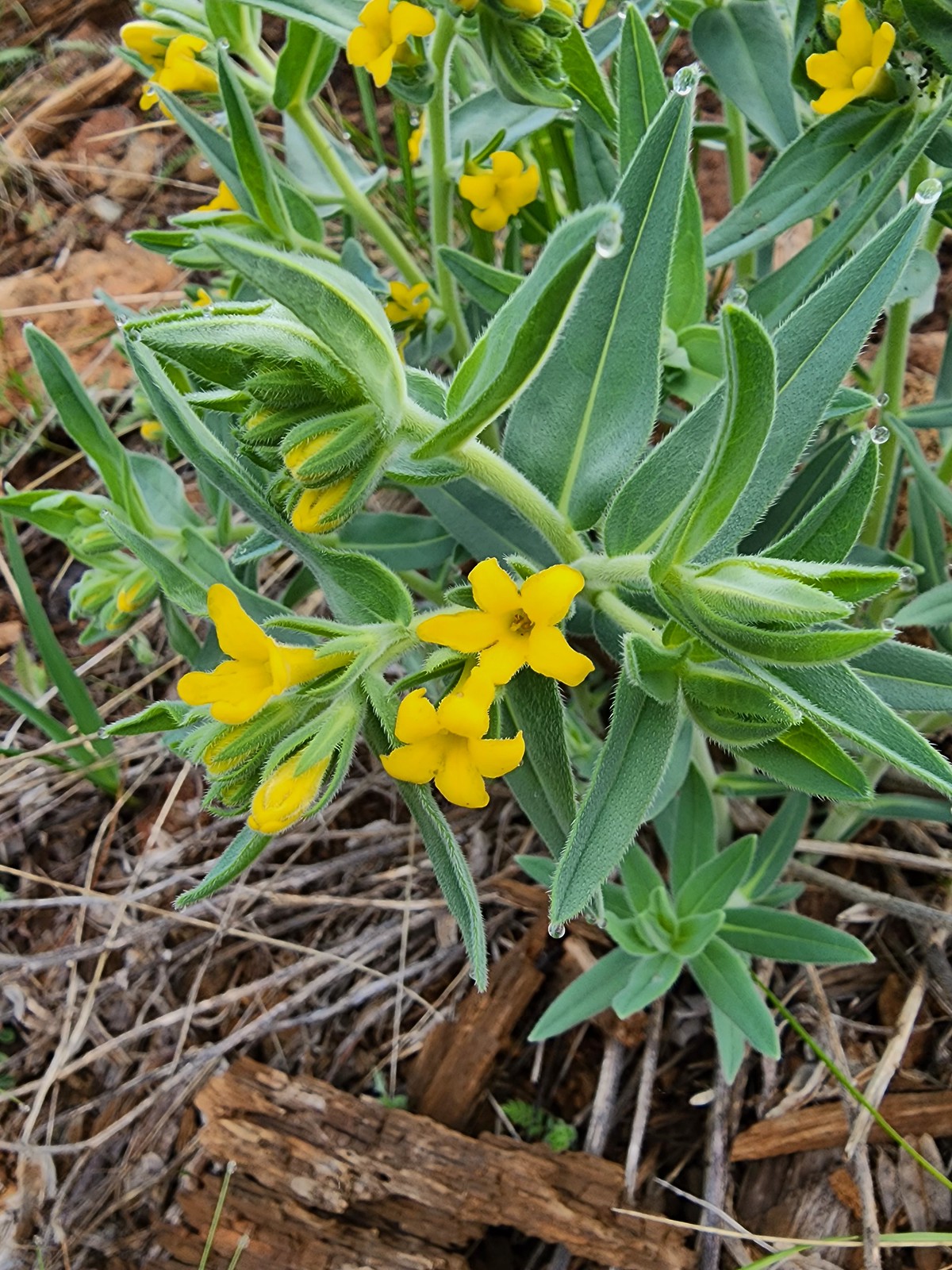 California gromwell – 5/4/23, Eight Dollar Mountain Botanical Area, Rogue River-Siskiyou National Forest
 Western stoneseed – 5/27/23, Metolius Preserve, Camp Sherman
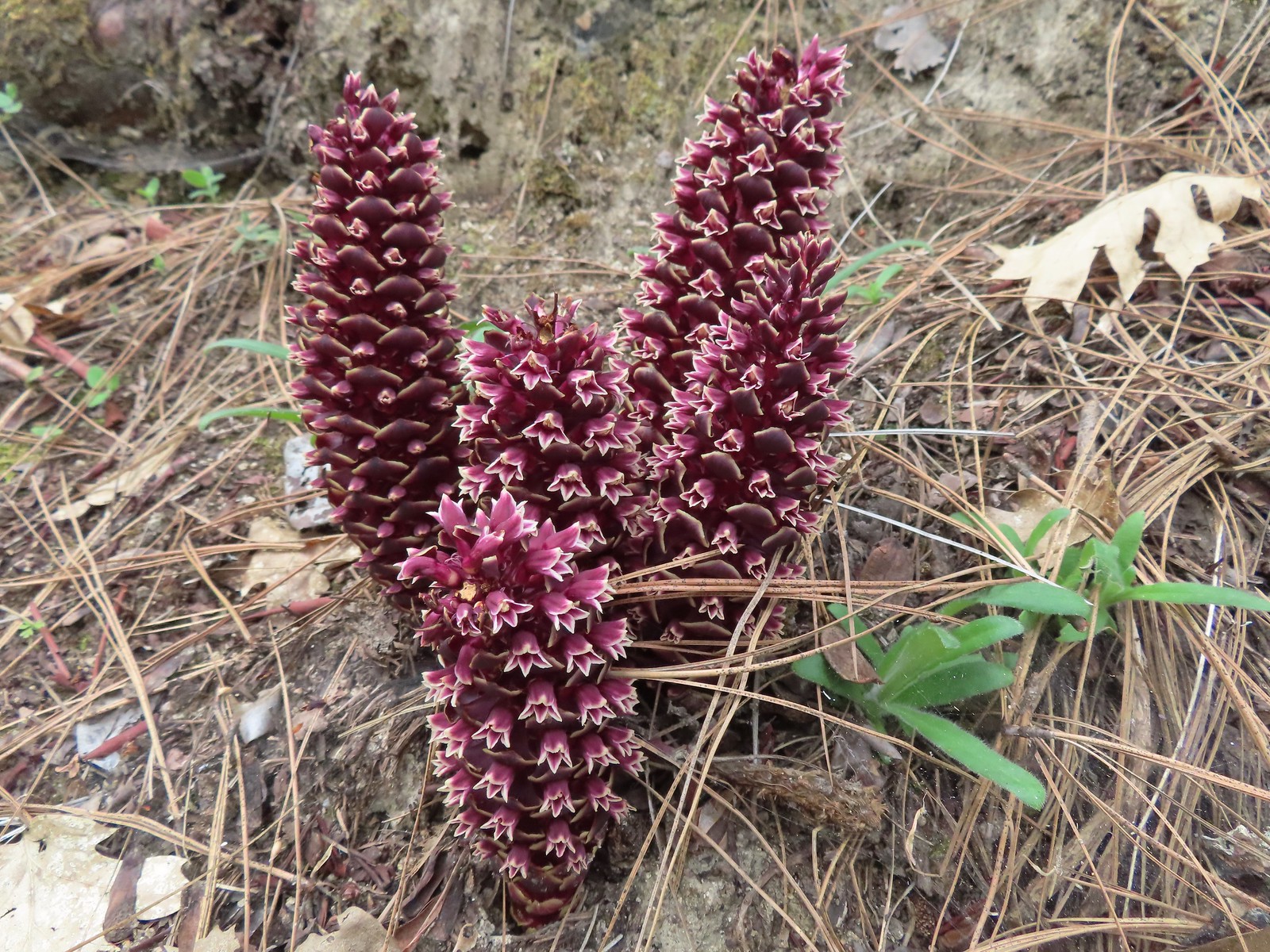 California groundcones – 5/3/23, Dollar Mountain, Grants Pass
 California harebells – 6/25/23, North Umpqua Trail, BLM Roseburg District
 California poppies – 6/13/23, Highway 351, Joseph
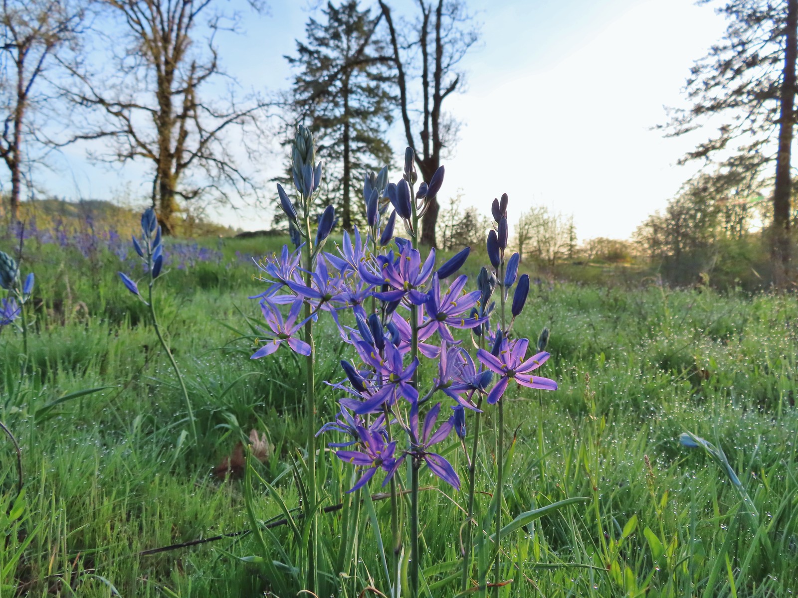 Camas – 4/29/23, Canemah Bluff, Oregon City
 Death camas – 5/4/23, Eight Dollar Mountain Boardwalk, BLM Grants Pass Resource Area
 Mountain death camas – 8/14/23, Main Eagle Creek Trail, Eagle Cap Wilderness
 Candy flower – 5/3/23, Waters Creek Interpretive Trail, Rogue River-Siskiyou National Forest
 Candysticks – 7/8/23, Santiam Wagon Road, Willamette National Forest
 Carolina bugbane – 7/15/23, Old Baldy Trail, Salmon-Huckleberry Wilderness
 Cascade lily – 7/4/23, Natural Rock Arch Trail, Santiam State Forest
 Catchfly – 7/4/23, Rockytop Trail, Santiam State Forest
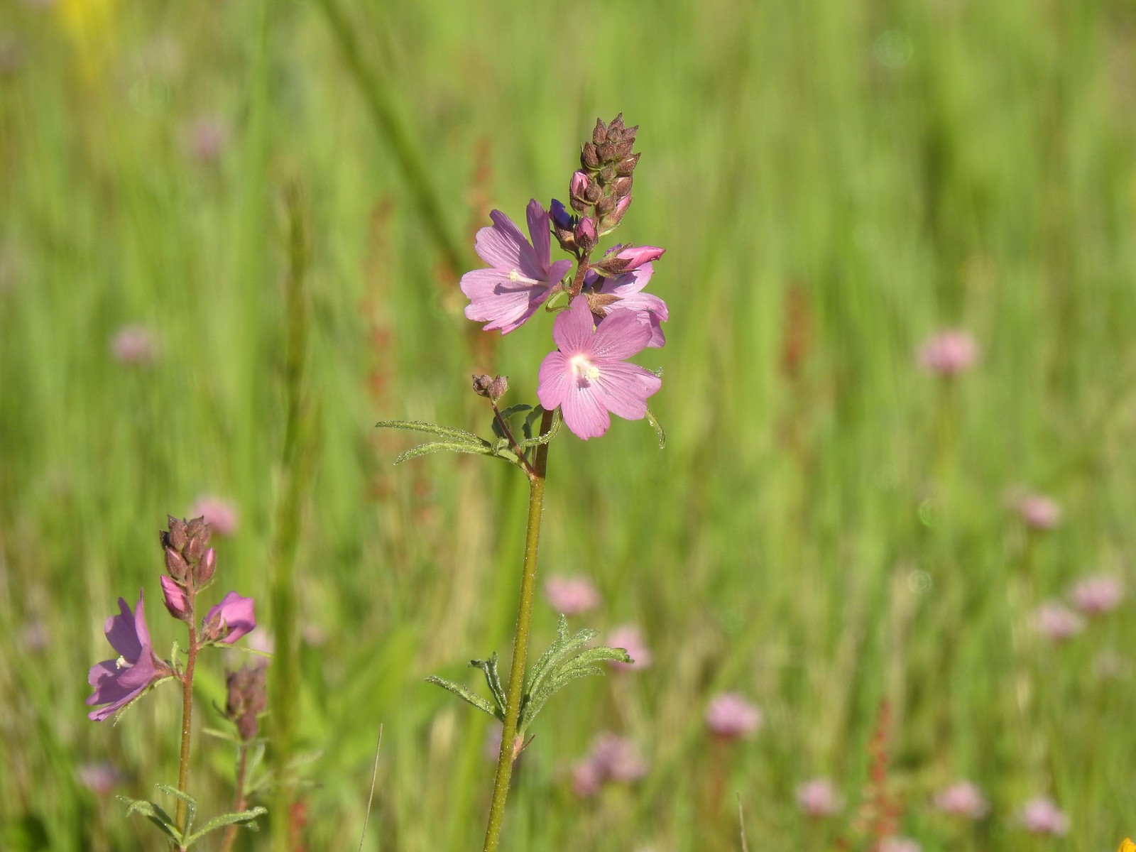 Checker-mallow – 5/13/23, Tualatin River National Wildlife Refuge, Sherwood
 Checker-mallow – 5/13/23, Graham Oaks Nature Park, Wilsonville
 Checker-mallow – 6/25/23, North Bank Habitat, BLM Roseburg District
 Orange globe mallow – 6/14/23, Eureka Bar Hells Canyon National Scenic Area
 Chicory (non-native) – 6/14/23, Imnaha Trail, Hells Canyon National Recreation Area
 Chokecherry – 5/30/23, Riley Ranch Preserve, Bend
 Mallow ninebark – 6/15/23, Hells Canyon National Scenic Area, Wallowa-Whitman
 Cinquefoil – 6/12/23, Imnaha River Trail, Eagle Cap Wilderness
 Shrubby cinquefoil – 8/14/23, Main Eagle Creek Trail, Eagle Cap Wilderness
 Clarkia – 6/3/23, Buck Creek Trail, Husem, WA
 Elkhorn clarkia – 6/15/23, Hells Canyon National Scenic Area, Wallowa-Whitman National Forest
 Tomcat clover – 5/13/23, Cooper Mountain Nature Park, Beaverton
 Clover (possibly Beckwith’s?) – 6/15/23, Hells Canyon National Scenic Area, Wallowa-Whitman National Forest
 Twin clover – 6/15/23, Hells Canyon National Scenic Area, Wallowa-Whitman National Forest (first time seeing)
 Large-head clover – 6/15/23, Hells Canyon National Scenic Area, Wallowa-Whitman National Forest
 Wooly-head clover – 6/15/23, Hells Canyon National Scenic Area, Wallowa-Whitman National Forest
 Owl’s clover – 6/15/23, Hells Canyon National Scenic Area, Wallowa-Whitman National Forest
 Clustered broomrape – 6/15/23, Hells Canyon National Scenic Area, Wallowa-Whitman National Forest
 Naked broomrape – 5/1/23, Rogue River National Recreation Trail, BLM Medford District
 Coast flat stem onion – 5/4/23, Jeffrey Pine Loop Trail, BLM Medford District
 Swamp onion – 8/14/23, Main Eagle Creek Trail, Eagle Cap Wilderness
 Tolmie’s onion – 6/15/23, Hells Canyon National Scenic Area, Wallowa-Whitman National Forest
 Coltsfoot – 4/15/23, Enchanted Valley, Siuslaw National Forest
 Columbian lewisia – 6/15/23, Hells Canyon National Scenic Area, Wallowa-Whitman National Forest
 Threeleaf lewisia – 6/12/23, Imnaha River Trail, Eagle Cap Wilderness
 Columbine – 7/4/23, Rockytop Trail, Santiam State Forest
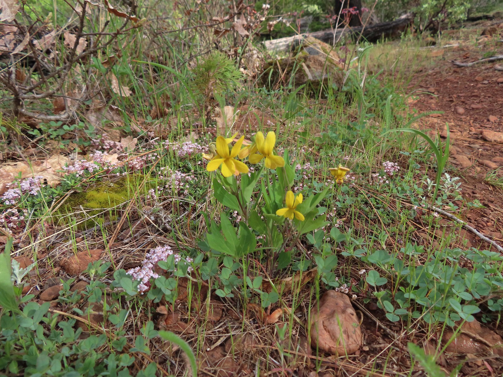
 Yellow columbine – 8/17/23, West Eagle Trail, Eagle Cap Wilderness
 Coneflower – 8/16/23, West Eagle Trail, Eagle Cap Wilderness
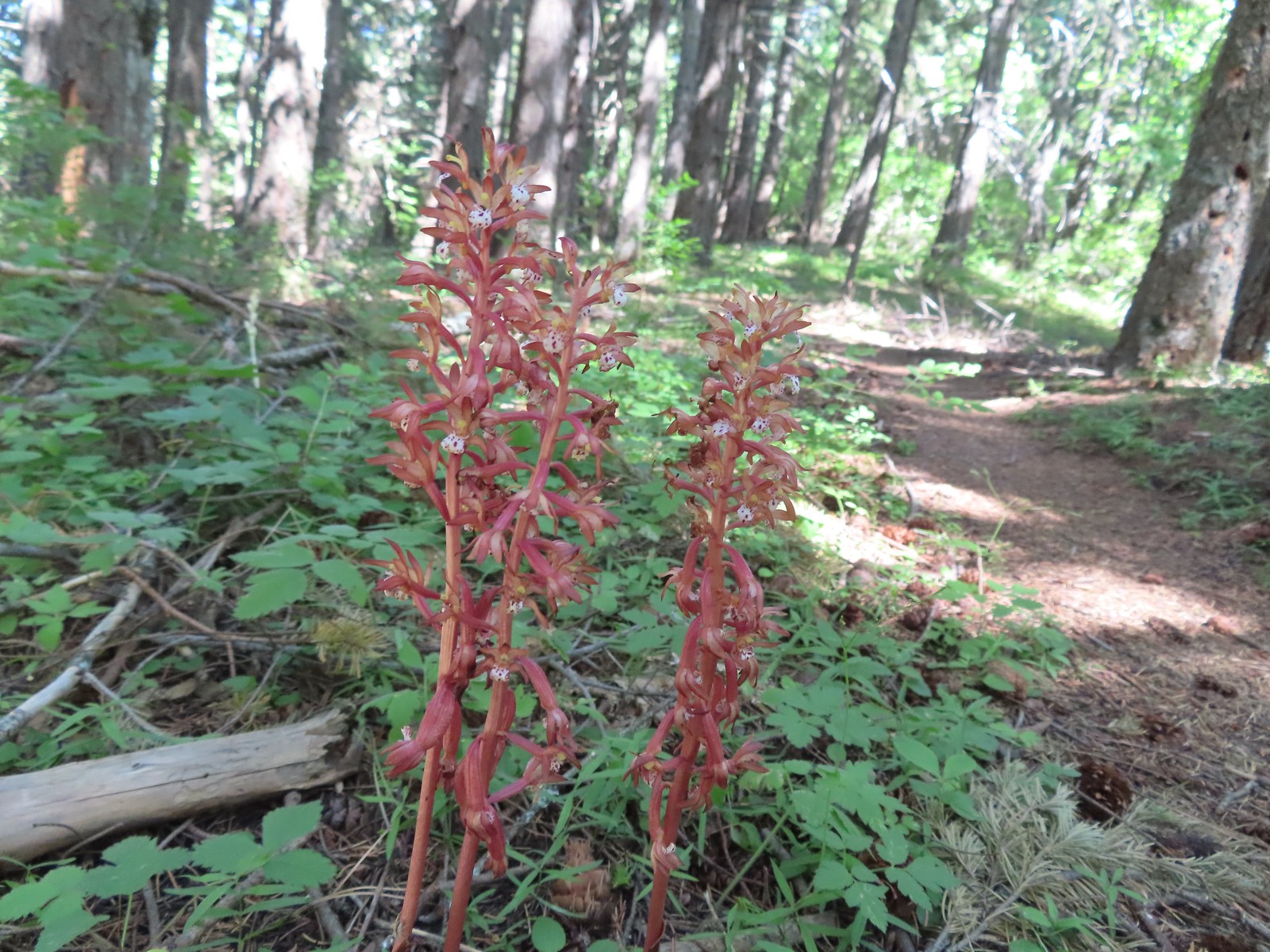
 Pacific Coralroot – 7/15/23, Plaza Lake Trail, Salmon-Huckleberry Wilderness
 Spotted coralroot – 6/3/23, Buck Creek Trail, Husem, WA
 Crater Lake collomia – 9/9/23, Cliff Lake Trail, Sky Lakes Wilderness
 Grand collomia – 5/28/23, Criterion Tract, BLM Prineville District
 Variable-leaf collomia – 6/24/23, Rogue River National Recreation Trail, Wild Rogue Wilderness
 Tiny trumpet – 6/15/23, Hells Canyon National Scenic Area, Wallowa-Whitman National Forest (first time seeing)
 Creeping wirelettuce – 7/29/23, Stuart Falls Trail, Crater Lake National Park
 Currant – 6/12/23, Imnaha River Trail, Eagle Cap Wilderness
 Red flowering currant – 4/14/23, Minto-Brown Island Park, Salem
 Cusick’s speedwell – 8/15/23 Bear Lake Trail, Eagle Cap Wilderness
 Daffodils (non-native) – 4/13/23, Baskett Slough National Wildlife Refuge, Rickreall
 Dalmation toadflax (non-native) – 6/16/23, Copper Creek Day Use Area, Hells Canyon National Recreation Area
 Deer vetch – 7/22/23, Shut-In Trail, Deschutes National Forest
 Idaho milk-vetch – 5/28/23, Criterion Tract, BLM Prineville District
 Rogue River milk-vetch – 5/2/2023, Sterling Mine Ditch Trail System, BLM Medford District
 Woolly-pod milk-vetch – 5/2/2023, Sterling Mine Ditch Trail System, BLM Medford District
 Vetch – 5/13/23, Cooper Mountain Nature Park, Beaverton
 Vetch – 6/12/23, Imnaha River Trail, Eagle Cap Wilderness
 Pea (non-native) – 6/24/23, Rogue River National Recreation Trail, Wild Rogue Wilderness
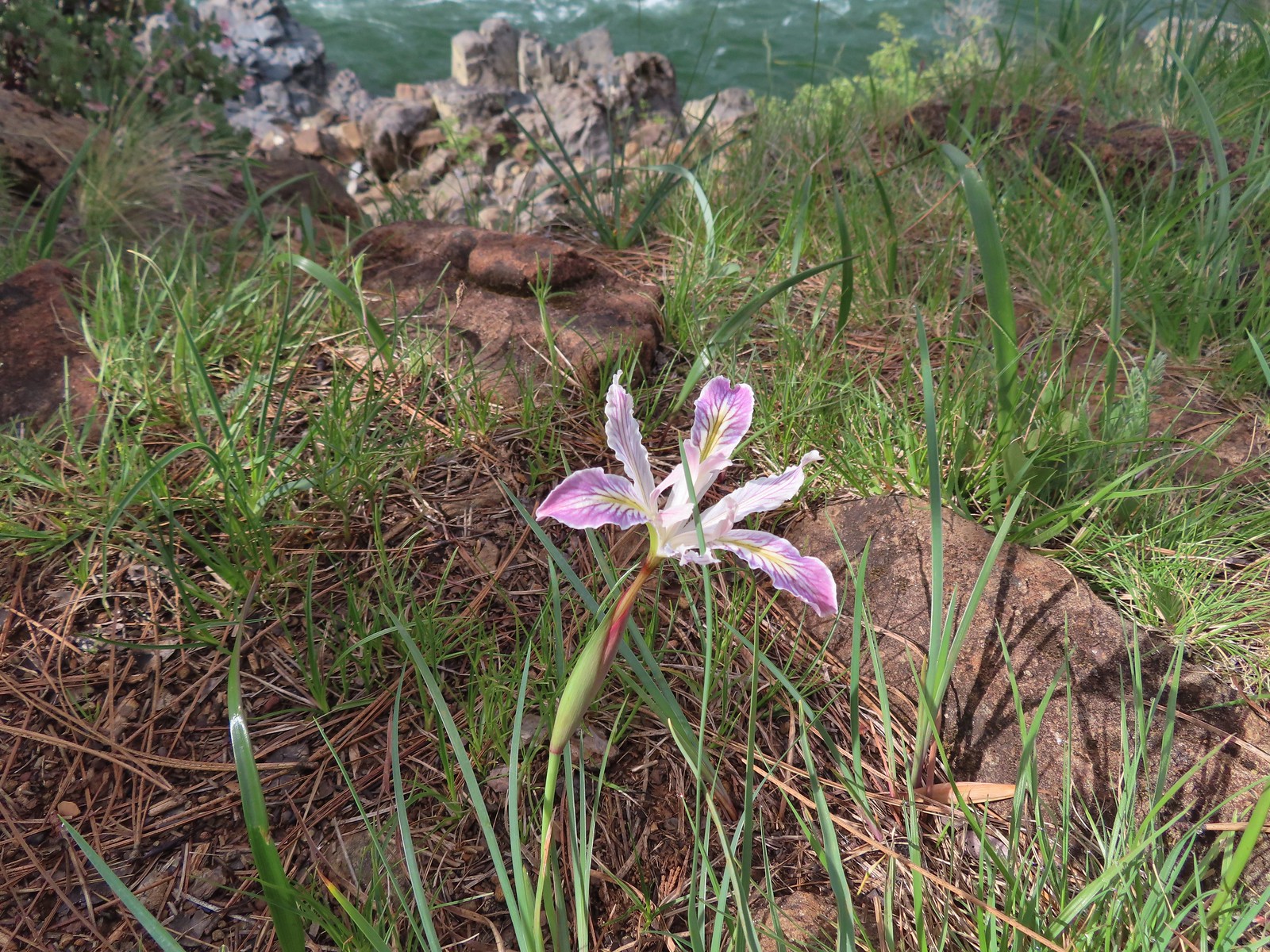
 Del Norte iris – 5/1/23, Rogue River National Recreation Trail, BLM Medford District
 Tough leaf iris – 5/13/23, Cooper Mountain Nature Park, Beaverton
 Iris – 5/4/23, Little Falls Trail Loop, Rogue River-Siskiyou National Forest
 Diffuse-flower evening primrose surrounded by blue-eyed Mary – 6/12/23, Imnaha River Trail, Eagle Cap Wilderness
 Drummond’s anemone – 7/30/23, Crater Peak Trail, Crater Lake National Park
 Western pasque flower – 7/8/23, Sand Mountain, Willamette National Forest
 Western paque flower (seedheads) – 7/31/23, Garfield Peak Trail, Crater Lake National Park
 Dwarf ceanothus – 5/3/23, Limpy Botanical Trail, Rogue River-Siskiyou National Forest
 Elegant brodiaea – 6/24/23, Rogue River National Recreation Trail, Wild Rogue Wilderness
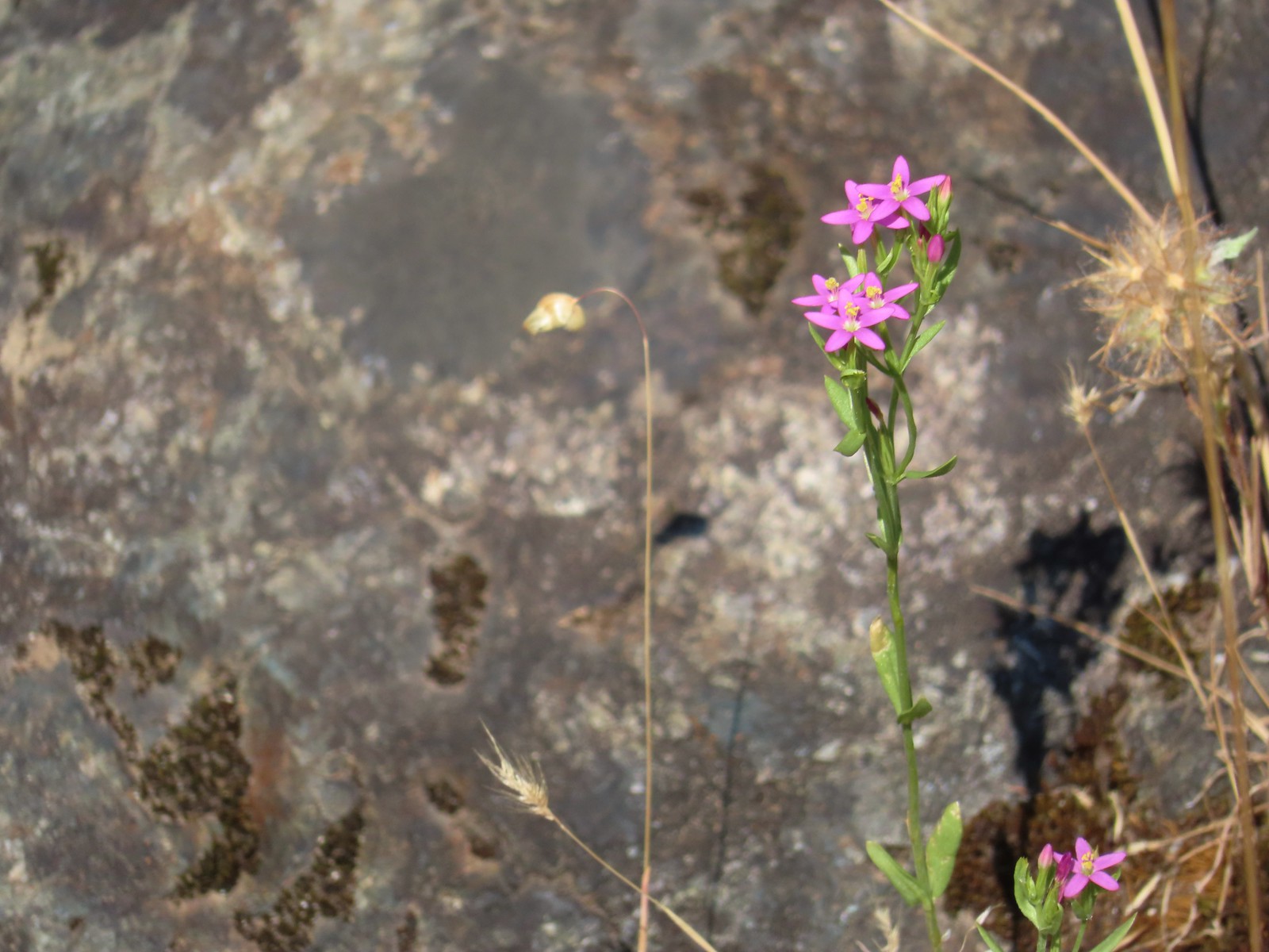
 European centaury (non-native) – 6/25/23, North Bank Habitat, BLM Roseburg District
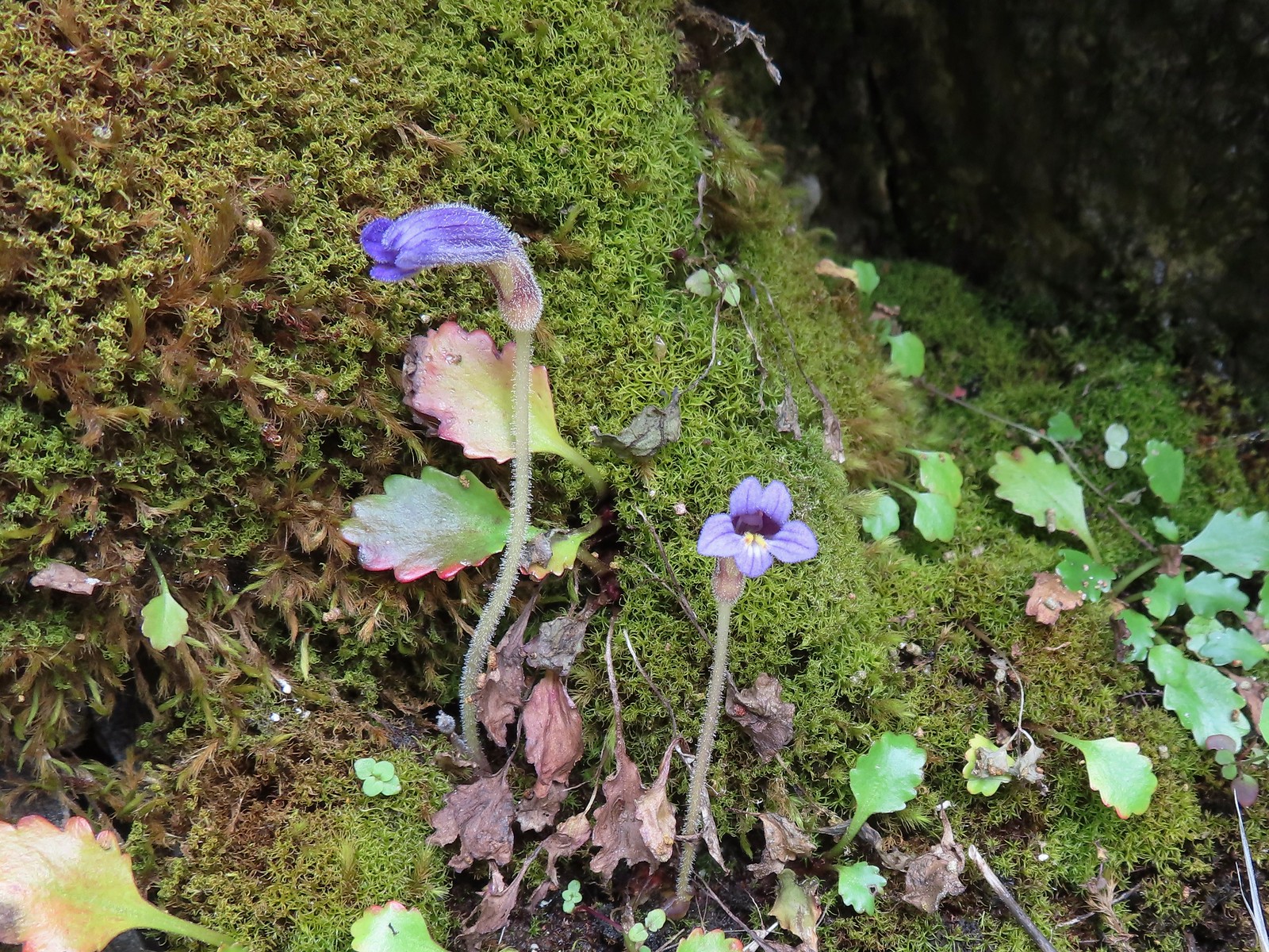
 Fairy slippers – 5/3/23, Limpy Botanical Trail, Rogue River-Siskiyou National Forest
 Mountain lady slipper – 6/3/23, Buck Creek Trail, Husem, WA
 Fiddleneck – 5/2/2023, Sterling Mine Ditch Trail System, BLM Medford District
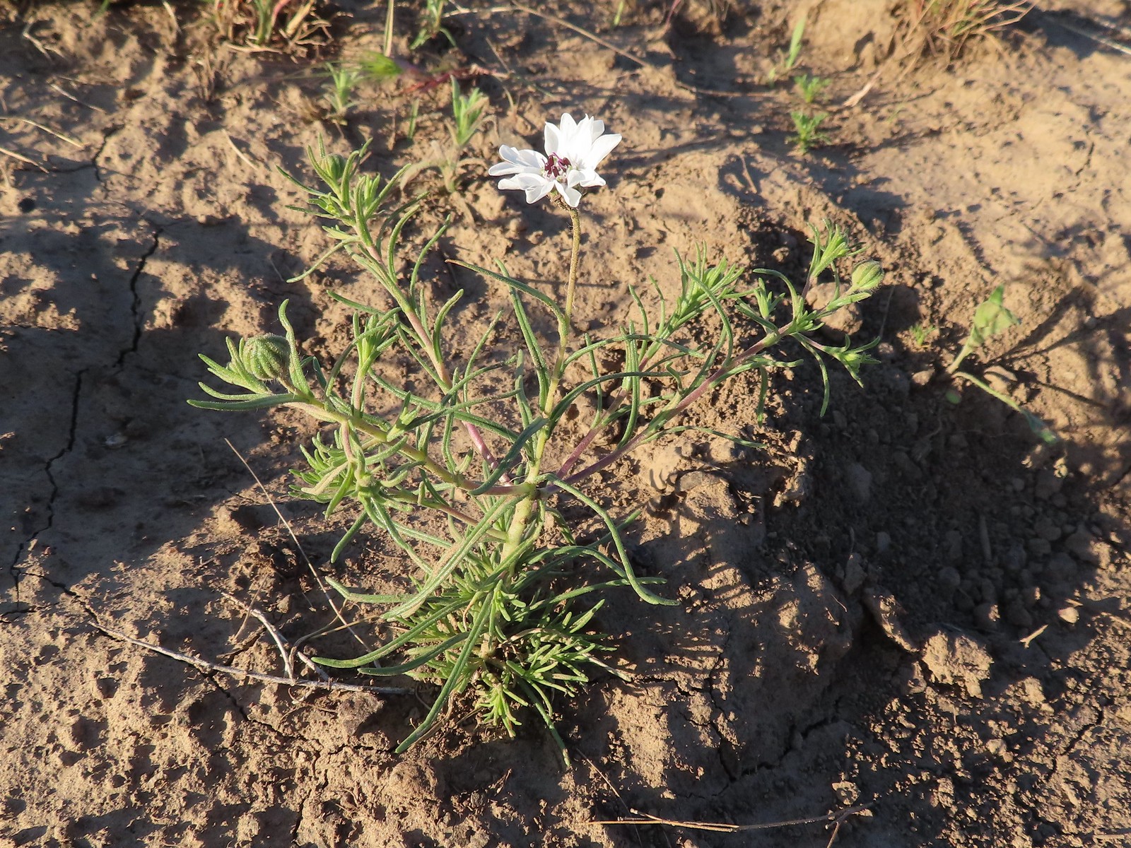
 Field chickweed – 5/4/23, Forest Road 011, Rogue River-Siskiyou National Forest
 Fireweed – 6/25/23, North Umpqua Trail, BLM Roseburg District
 False hellebore – 7/31/23, Garfield Peak Trail, Crater Lake National Park
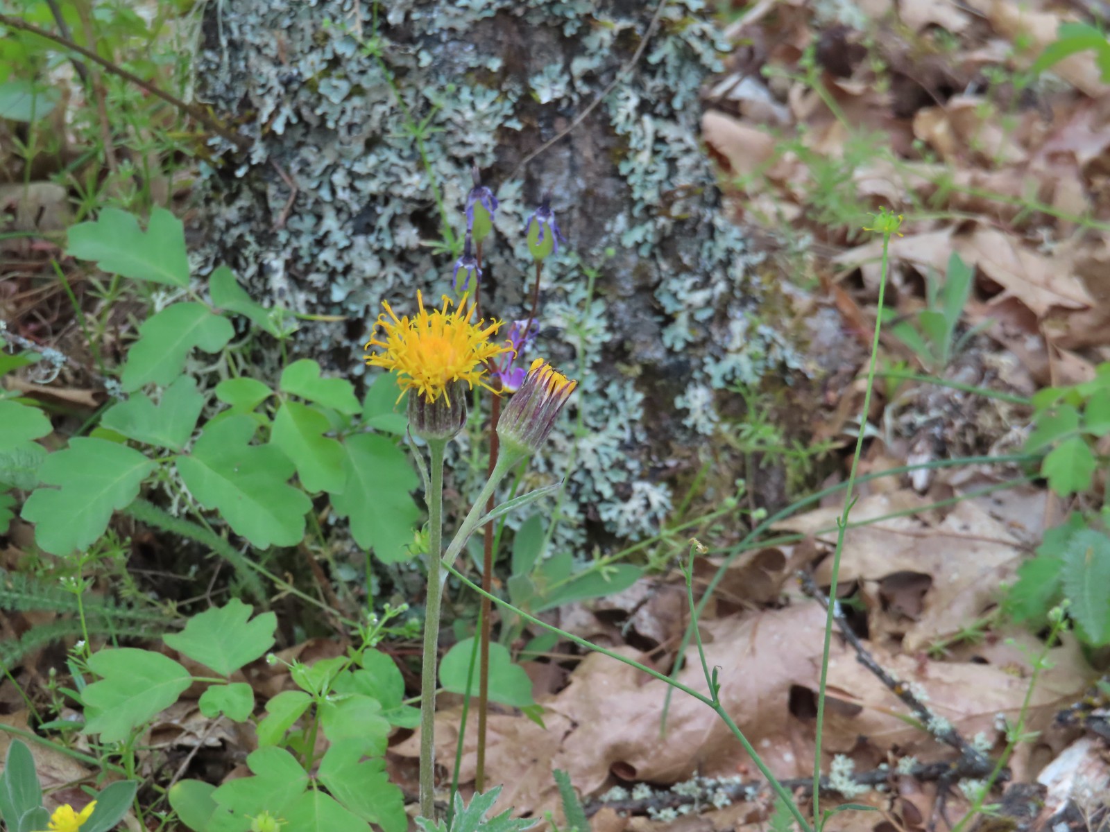
Dipping into fleabanes, asters and/or daisies, possibly the hardest to differentiate. These are my best guesses but I could be way off.
 Desert yellow fleabane – 5/28/23, Criterion Tract, BLM Prineville District
 Sub-alpine fleabane – 10/7/23, Forest Road 600, Rogue River-Siskiyou National Forest
 Fleabane? – 6/14/23, Eureka Bar, Hells Canyon National Recreation Area
 Fleabane? – 6/11/23, Hat Rock State Park, Hermiston
 Not even going to guess, could be a non-native. – 5/13/23, Graham Oaks Nature Park, Wilsonville
 Diasy? – 7/4/23, Niagra Heights Road, Santiam State Forest
 Hairy golden aster – 6/14/23, Eureka Bar, Hells Canyon National Recreation Area
 Oregon sunshine – 5/28/23, Criterion Tract, BLM Prineville District
 Oregon sunshine – 6/3/23, Nestor Peak, Husem, WA
 Sunflower – 9/3/23, Threemile Canyon, BLM Burns District
 Foam flower – 8/5/23, McGee Creek Trail, Mt. Hood Wilderness
 Foxglove (non-native) – 7/4/23, Natural Rock Arch Trail, Santiam State Forest
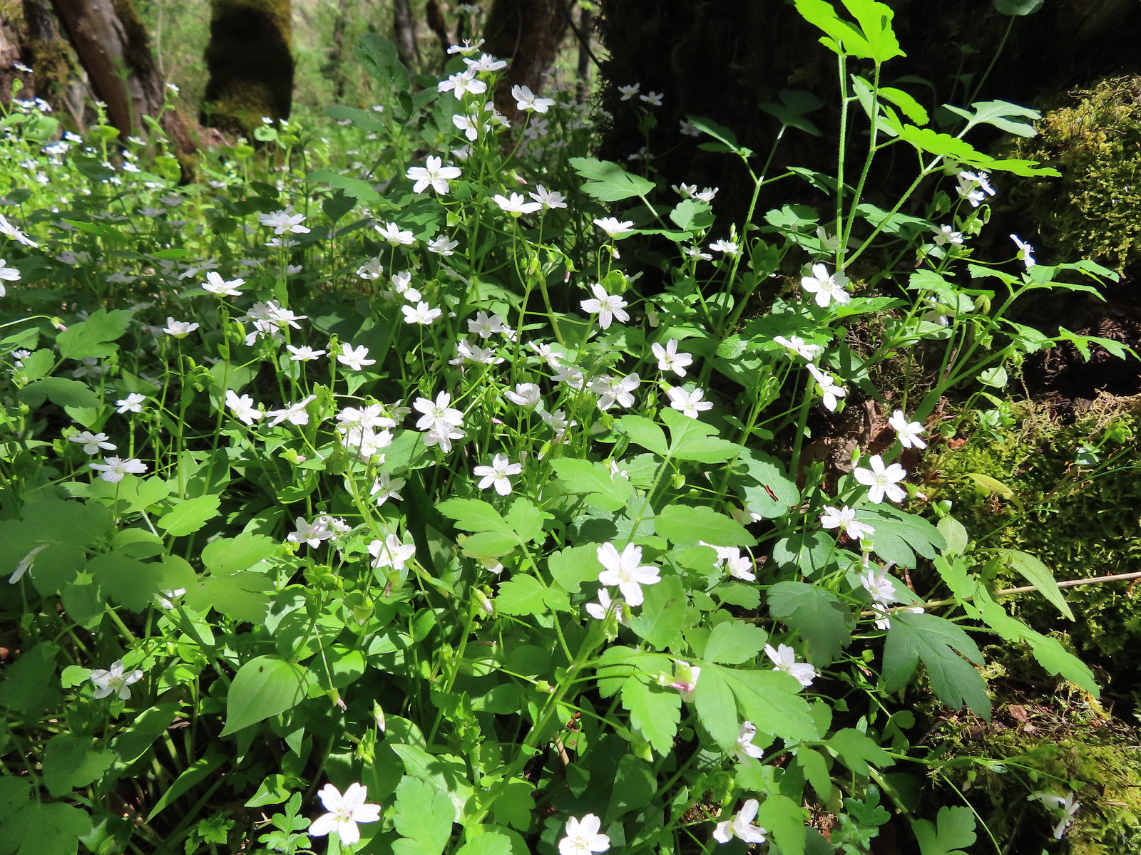
 Fringecup – 5/13/23, Tualatin River National Wildlife Refuge, Sherwood
 Gentians – 8/16/23, Tombstone Lake Trail, Eagle Cap Wilderness
 Gold stars? – 5/2/23, Cathedral Hills, Grants Pass
 Goldenrod – 7/22/23, Metolius River Trail, Deschutes National Forest
 Grass-of-parnassus – 9/9/23, Pacific Crest Trail, Sky Lakes Wilderness
 Gray sagewort (among others) – 8/14/23, Main Eagle Creek Trail, Eagle Cap Wilderness
 Groundsel – 6/3/23, Buck Creek Trail, Husem, WA
 Groundsel – 7/30/23, Plaikni Falls Trail, Crater Lake National Park
 Heatleaf spring beauty – 6/12/23, Imnaha River Trail, Eagle Cap Wilderness
 Hedgenettle – 7/22/23, Shut-In Trail, Deschutes National Forest
 Honeysuckle – 5/13/23, Cooper Mountain Nature Park, Beaverton
 Honeysuckle – 6/25/23, North Bank Habitat, BLM Roseburg District
 Twinberry honeysuckle – 6/12/23, Imnaha River Trail, Eagle Cap Wilderness
 Utah honeysuckle – 6/12/23, Imnaha River Trail, Eagle Cap Wilderness
 Twinflower honeysuckle – 7/22/23, Metolius River Trail, Deschutes National Forest
 Horkelia – 7/22/23, Metolius River Trail, Deschutes National Forest
 Houndstongue – 6/13/23, Iwetemlaykin State Heritage Site, Joseph
 Pacific houndstongue – 5/2/2023, Sterling Mine Ditch Trail System, BLM Medford District
 Jessica’s stickseed – 6/12/23, Imnaha River Trail, Eagle Cap Wilderness
 Hooker’s Indian pink – 5/3/23, Dollar Mountain, Grants Pass
 Hooker’s fairy bells – 4/29/23, Canemah Bluff, Oregon City
 Huckleberry – 6/12/23, Imnaha River Trail, Eagle Cap Wilderness
 Indian plum – 4/13/23, Baskett Slough National Wildlife Refuge, Rickreall
 Mountain snowberry – 6/15/23, Hells Canyon National Scenic Area, Wallowa-Whitman
 Salmonberry – 4/8/23, Minto-Brown Island Park, Salem
 Salal – 6/25/23, North Umpqua Trail, BLM Roseburg District
 Oregon grape – 4/8/23, Minto-Brown Island Park, Salem
 Serviceberry – 5/13/23, Cooper Mountain Nature Park, Beaverton
 Strawberry – 4/29/23, Canemah Bluff, Oregon City
 Thimbleberry – 6/3/23, Buck Creek Trail, Husem, WA
 Large-flower hawksbeard – 5/28/23, Criterion Tract, BLM Prineville District

Golden Paintbrush (Castilleja levisecta) – 5/13/23, Tualatin River National Wildlife Refuge, Sherwood
 Hairy Indian paintbrush (Castilleja tenuis) – 6/15/23, Hells Canyon National Scenic Area, Wallowa-Whitman
 Paintbrush – 6/15/23, Hells Canyon National Scenic Area, Wallowa-Whitman
 Paintbrush – 6/15/23, Hells Canyon National Scenic Area, Wallowa-Whitman
 – 6/3/23, Buck Creek Trail, Husem, WA
 Cobwebby paintbrush (Castilleja arachnoidea) – 7/31/23, Rim Trail, Crater Lake National Park
 Cobwebby paintbrush (Castilleja arachnoidea) – 7/31/23, Rim Trail, Crater Lake National Park
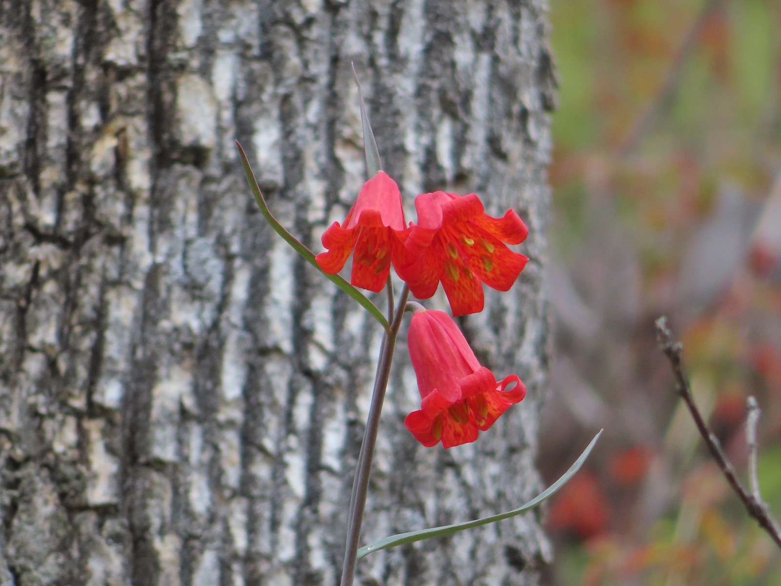
 Yellow Wallowa Indian paintbrush (Castilleja chrysantha) – 8/15/23, Lookingglass Lake Trail, Eagle Cap Wilderness
 Rosy paintbrush – 8/16/23, Tombstone Lake Trail, Eagle Cap WildernessFph
 Indian warrior (Pedicularis densiflora) – 5/2/23, Cathedral Hills, Grants Pass (first time seeing)
 Inside-out flower – 7/4/23, Natural Rock Arch Trail, Santiam State Forest
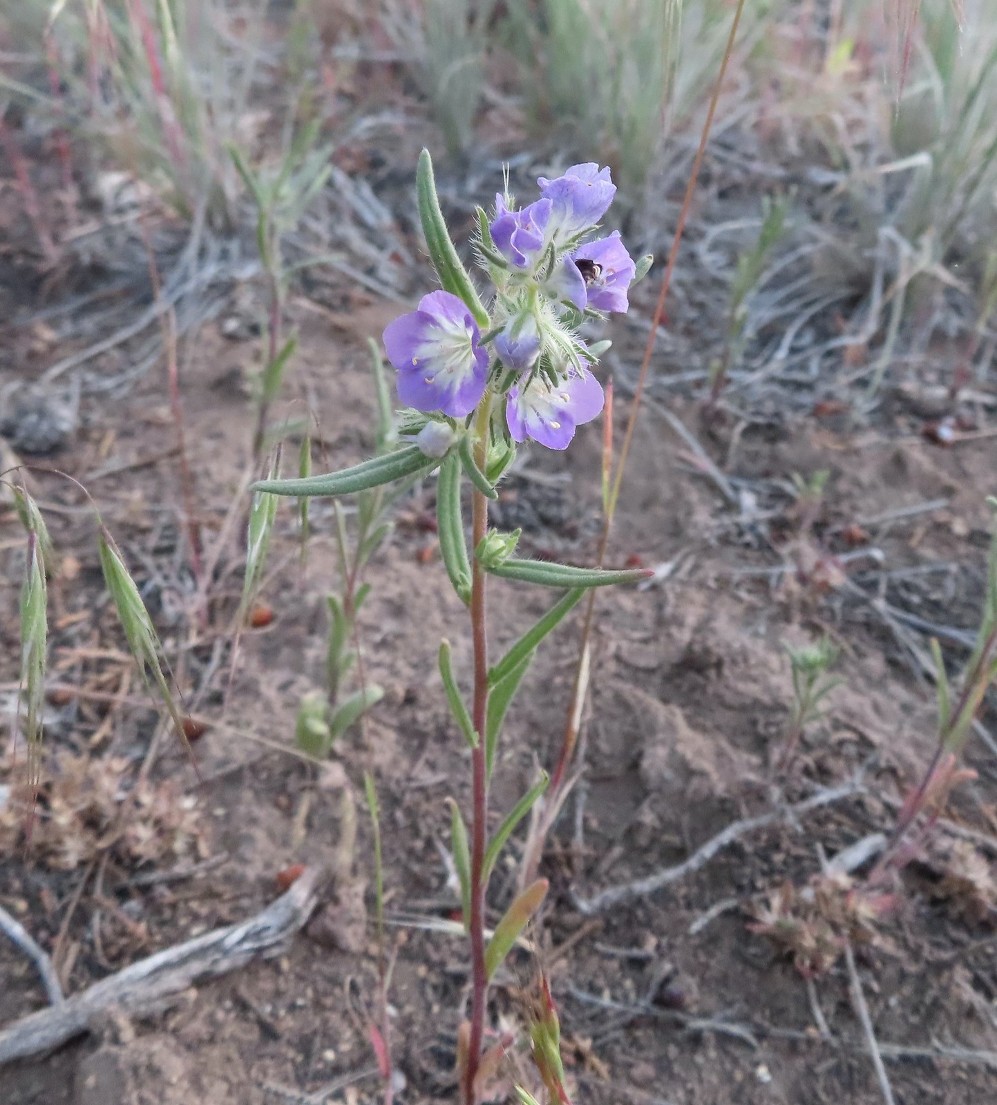
 Jaccob’s ladder – 8/16/23, West Eagle Trail, Eagle Cap Wilderness
 Larkspur – 6/12/23, Imnaha River Trail, Eagle Cap Wilderness
 Larkspur – 5/1/23, Rogue River National Recreation Trail, BLM Medford District
 Red larkspur – 5/1/23, Rogue River National Recreation Trail, BLM Medford District (first time seeing)
 Tall mountain larkspur – 8/14/23, Main Eagle Creek Trail, Eagle Cap Wilderness
 Dwarf lupine – 7/8/23, Santiam Wagon Road, Willamette National Forest
 Miniature lupine – 5/2/2023, Sterling Mine Ditch Trail System, BLM Medford District
 Lupine – 5/28/23, Criterion Tract, BLM Prineville District
 Lupine (non-native colors) – 5/13/23, Graham Oaks Nature Park, Wilsonville
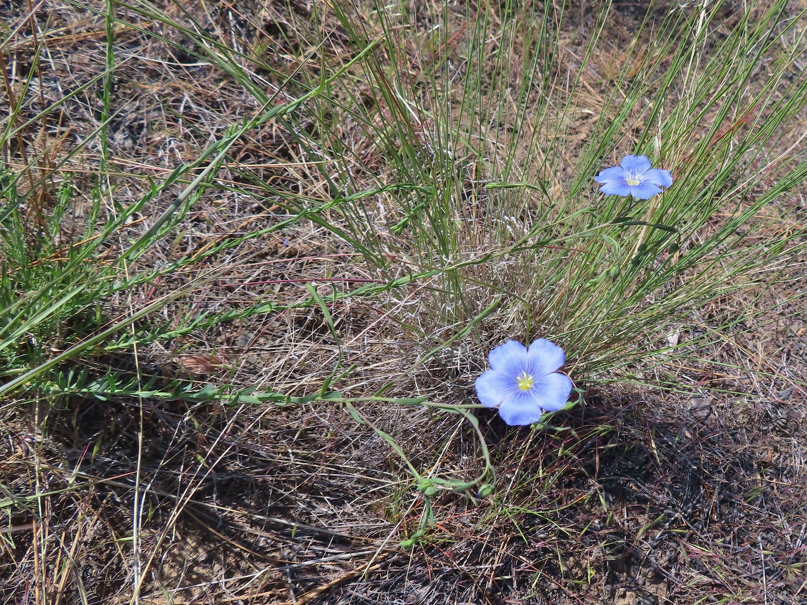 Flax – 5/30/23, Riley Ranch Preserve, Bend
 Coiled lousewort – 8/16/23, Tombstone Lake Trail, Eagle Cap Wilderness
 Sickletop lousewort – 8/16/23, West Eagle Trail, Eagle Cap Wilderness
 Sea blush (plectritis) – 4/29/23, Canemah Bluff, Oregon City
 Longhorn plectritis – 5/30/23, Riley Ranch Preserve, Bend
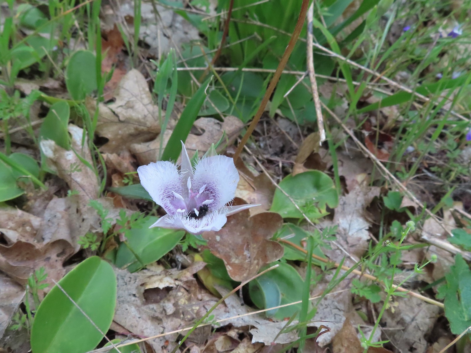
 White mariposa lily – 8/14/23, Main Eagle Creek Trail, Eagle Cap Wilderness
 Sagebrush mariposa lily – 6/14/23, Eureka Bar, Hells Canyon National Recreation Area
 Mariposa lily (possibly a white sagebrush) – 6/14/23, Eureka Bar, Hells Canyon National Recreation Area
 Sub-alpine mariposa lilies – 6/3/23, Buck Creek Trail, Husem, WA
 Tolmie’s mariposa lily – 5/3/23, Dollar Mountain, Grants Pass
 Manyflower tonella – 6/15/23, Hells Canyon National Scenic Area, Wallowa-Whitman
 Small-flowered tonella – 4/29/23, Canemah Bluff, Oregon City (first time seeing)
 Lewis monkefylower – 7/30/23, Plaikni Falls Trail, Crater Lake National Park
 Monkeyflower – 5/1/23, Rogue River National Recreation Trail, BLM Medford District
 Monkeyflower – 6/3/23, Conboy Lake National Wildlife Refuge, Trout Lake, WA
 Milk kelloggia (Kelloggia galioides) – 7/31/23, Garfield Peak Trail, Crater Lake National Park
 Monkshood – 7/30/23, Plaikni Falls Trail, Crater Lake National Park
 Moth mullein (non-native) – 6/14/23, Imnaha Trail, Hells Canyon National Recreation Area
 Mountain heather – 8/5/23, Timberline Trail, Mt. Hood Wilderness
 Mock orange – 7/4/23, North Santiam Park, Mill City
 Mountain ash – 6/12/23, Imnaha River Trail, Eagle Cap Wilderness
 Showy milkweed – 6/14/23, Eureka Bar, Hells Canyon National Recreation Area
 Western clematis – 6/16/23, Trail 1890, Hells Canyon Wilderness
 Western blue clematis – 6/12/23, Imnaha River Trail, Eagle Cap Wilderness
 Nightshade (non-native) – 6/14/23, Imnaha Trail, Hells Canyon National Recreation Area
 A knotweed? – 6/15/23, Hells Canyon National Scenic Area, Wallowa-Whitman
 Shasta knotweed – 7/31/23, Rim Trail, Crater Lake National Park
 Nettle-leaf giant hyssop – 6/15/23, Hells Canyon National Scenic Area, Wallowa-Whitman
 Nuttal’s linanthus – 8/15/23 Bear Lake Trail, Eagle Cap Wilderness
 One-sided wintergreen – 7/29/23, Stuart Falls Trail, Sky Lakes Wilderness
 Wintergreen – 7/30/23, Plaikni Falls Trail, Crater Lake National Park
 Orange agoseris – 7/15/23, Sheepshead Rock, Salmon-Huckleberry Wilderness
 Partridgefoot – 7/31/23, Garfield Peak Trail, Crater Lake National Park
 Pearly everlasting – 7/29/23, Stuart Falls Trail, Sky Lakes Wilderness
 Granite prickley-phlox – 7/31/23, Garfield Peak Trail, Crater Lake National Park
 Phlox – 5/4/23, Little Falls Trail Loop, Rogue River-Siskiyou National Forest
 Showy phlox – 5/4/23, Eight Dollar Mountain Boardwalk, BLM Grants Pass Resource Area
 Slender phlox – 6/12/23, Imnaha River Trail, Eagle Cap Wilderness
 Phlox – 7/31/23, Rim Trail, Crater Lake National Park
 Phlox? – 6/14/23, Eureka Bar, Hells Canyon National Recreation Area
Penstemons is another genus that I have a really hard time telling apart.
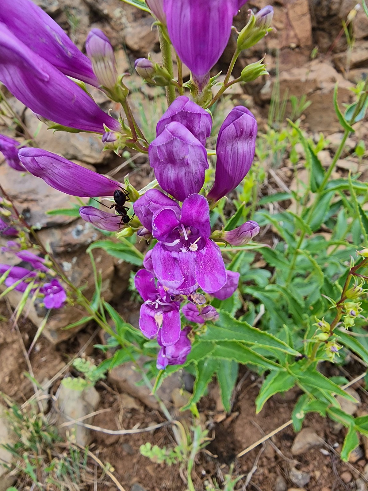
 Woodland beardtongue – 7/4/23, Rockytop Trail, Santiam State Forest
 Globe penstemon – 8/15/23 Bear Lake Trail, Eagle Cap Wilderness
 Royal? penstemon – 5/30/23, Riley Ranch Preserve, Bend
 Finetooth? penstemon – 6/3/23, Buck Creek Trail, Husem, WA
 Shrubby penstemon – 6/12/23, Imnaha River Trail, Eagle Cap Wilderness
 Wilcox’s? penstemon – 6/12/23, Imnaha River Trail, Eagle Cap Wilderness
 Scabland penstemon – 6/12/23, Imnaha River Trail, Eagle Cap Wilderness
 Unknown penstemon – 6/15/23, Hells Canyon National Scenic Area, Wallowa-Whitman
 Glaucous? beardtongue – 7/4/23, Niagra Heights Road, Santiam State Forest
 Silverleaf phacelia – 5/28/23, Criterion Tract, BLM Prineville District
 Threadleaf phacelia – 5/30/23, Riley Ranch Preserve, Bend
 A phacelia? – 8/16/23, Tombstone Lake Trail, Eagle Cap Wilderness
 Pinedrop – 7/22/23, Metolius River Trail, Deschutes National Forest
 Prairie smoke – 6/15/23, Hells Canyon National Scenic Area, Wallowa-Whitman
 Prickly pear cactus – 6/15/23, Hells Canyon National Scenic Area, Wallowa-Whitman (first time seeing)
 Prince’s pine – 7/8/23, Santiam Wagon Road, Willamette National Forest
 Pussypaws – 7/8/23, Santiam Wagon Road, Willamette National Forest
 Pussytoes – 7/30/23, Crater Peak Trail, Crater Lake National Park
 Rosy pussytoes – 6/12/23, Imnaha River Trail, Eagle Cap Wilderness
 Queen’s cup – 7/15/23, Old Baldy Trail, Salmon-Huckleberry Wilderness
 Ragwort (non-native) – 8/26/23, Fort Yamhill State Heritage Area, Grand Ronde
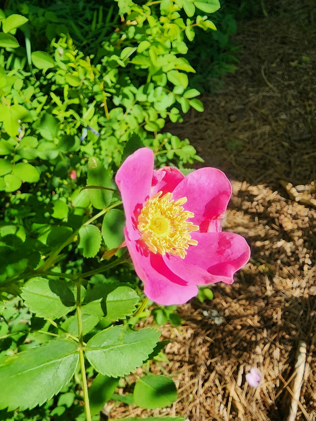 Wild rose – 6/3/23, Conboy Lake National Wildlife Refuge, Trout Lake, WA
 Rose campion (non-native) – 6/16/23, Hells Canyon National Recreation Area, Wallow-Whitman National Forest
 Rough eyelashweed – 5/28/23, Criterion Tract, BLM Prineville District
 Sagebrush false dandelion – 7/30/23, Crater Peak Trail, Crater Lake National Park
 Sandwort – 6/12/23, Imnaha River Trail, Eagle Cap Wilderness
 A saxifrage – 7/4/23, Niagra Heights Road, Santiam State Forest
 A saxifrage – 7/15/23, Sheepshead Rock, Salmon-Huckleberry Wilderness
 A saxifrage – 7/31/23, Rim Trail, Crater Lake National Park
 Silvery raillardella – 7/31/23, Rim Trail, Crater Lake National Park
 Scarlet gilia – 6/15/23, Hells Canyon National Scenic Area, Wallowa-Whitman
 Scarlet fritillary – 5/2/2023, Sterling Mine Ditch Trail System, BLM Medford District
 Siskiyou fritillary – 5/3/23, Limpy Botanical Trail, Rogue River-Siskiyou National Forest
 Self-heal – 6/25/23, North Umpqua Trail, BLM Roseburg District
 Shooting star – 5/2/23, Cathedral Hills, Grants Pass
 Scouler’s woollyweed – 7/29/23, Stuart Falls Trail, Crater Lake National Park
 Silvercrown – 5/3/23, Dollar Mountain, Grants Pass
 Skullcap – 5/2/23, Cathedral Hills, Grants Pass
 Skunk cabbage – 4/15/23, Enchanted Valley, Siuslaw National Forest
 Douglas spirea – 10/7/2023, Sturgis Fork Trail, Rogue River-Siskiyou National Forest
 Mountain spirea – 7/4/23, Niagra Heights Road, Santiam State Forest
 White spirea – 6/15/23, Hells Canyon National Recreation Area, Wallowa-Whitman National Forest
 Spreading dogbane – 7/22/23, Metolius River Trail, Deschutes National Forest
 St. John’s wort (non-native) – 6/14/23, Imnaha Trail, Hells Canyon National Recreation Area
 Solomonseal – 5/27/23, Blowout Arm, Detroit Lake
 Star-flower solomonseal – 6/12/23, Imnaha River Trail, Eagle Cap Wilderness
 Star flower – 5/13/23, Cooper Mountain Nature Park, Beaverton
 Sticky purple geranium – 6/15/23, Hells Canyon National Recreation Area, Wallowa-Whitman National Forest
 Tasselflower brickellbush – 8/14/23, Main Eagle Creek Trail, Eagle Cap Wilderness
 Tiger lily – 7/4/23, Rockytop Trail, Santiam State Forest
 Leopard lilies – 7/29/23, Stuart Falls Trail, Sky Lakes Wilderness
 Toothwort – 4/15/23, Enchanted Valley, Siuslaw National Forest
 Trillium – 4/15/23, Enchanted Valley, Siuslaw National Forest
 Giant white wakerobin – 5/2/23, Cathedral Hills, Grants Pass
 Twinflower – 7/8/23, Santiam Wagon Road, Willamette National Forest
 Thistle (wavy-leaf?) – 6/15/23, Hells Canyon National Recreation Area, Wallowa-Whitman National Forest
 Thistle (Palouse?) – 6/15/23, Hells Canyon National Recreation Area, Wallowa-Whitman National Forest
 Snowy thistle – 6/24/23, Rogue River National Recreation Trail, Wild Rogue Wilderness
 Thistle (Canadian? if so non-native) – 6/25/23, North Umpqua Trail, BLM Roseburg District
 Stonecrop – 7/30/23, Crater Peak Trail, Crater Lake National Park
 Stonecrop – 6/15/23, Hells Canyon National Recreation Area, Wallowa-Whitman National Forest
 Stonecrop – 8/16/23, Tombstone Lake Trail, Eagle Cap Wilderness
 Valerian – 6/12/23, Imnaha River Trail, Eagle Cap Wilderness
 Goosefoot violet – 5/27/23, Metolius Preserve, Camp Sherman
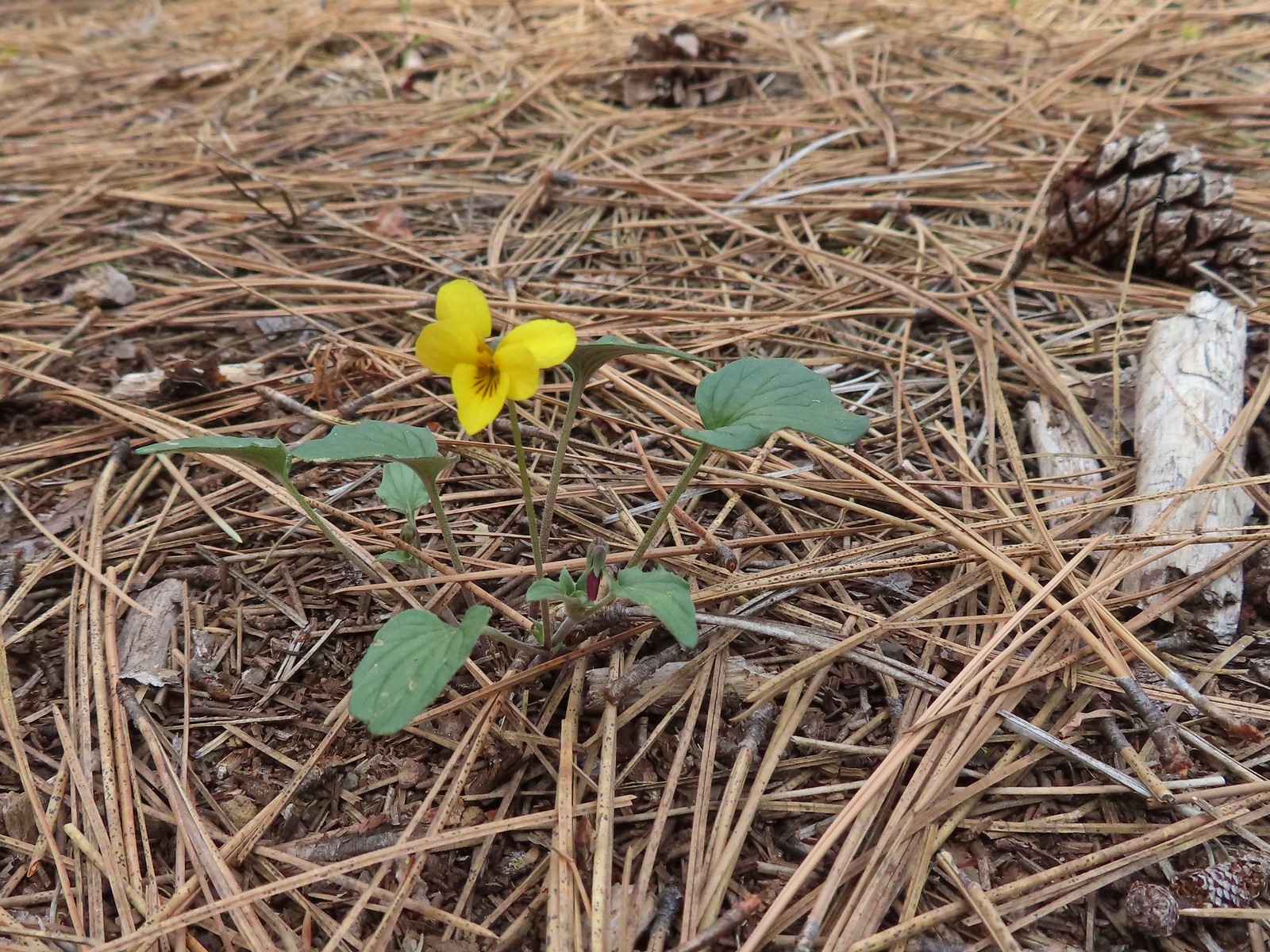
 Hookedspur violet – 6/12/23, Imnaha River Trail, Eagle Cap Wilderness
 Marsh violet – 6/12/23, Imnaha River Trail, Eagle Cap Wilderness
 Violet – 6/12/23, Imnaha River Trail, Eagle Cap Wilderness
 Violet – 4/15/23, Enchanted Valley, Siuslaw National Forest
 Violet – 6/3/23, Conboy Lake National Wildlife Refuge, Trout Lake, WA
 Violets – 5/4/23, Little Falls Trail Loop, Rogue River-Siskiyou National Forest
 Wedgeleaf violet – 5/4/23, Eight Dollar Mountain Boardwalk, BLM Grants Pass Resource Area
 Wallflower – 5/30/23, Riley Ranch Preserve, Bend
 Western meadowrue – 6/12/23, Imnaha River Trail, Eagle Cap Wilderness
 Western snakeroot – 8/16/23, West Eagle Trail, Eagle Cap Wilderness
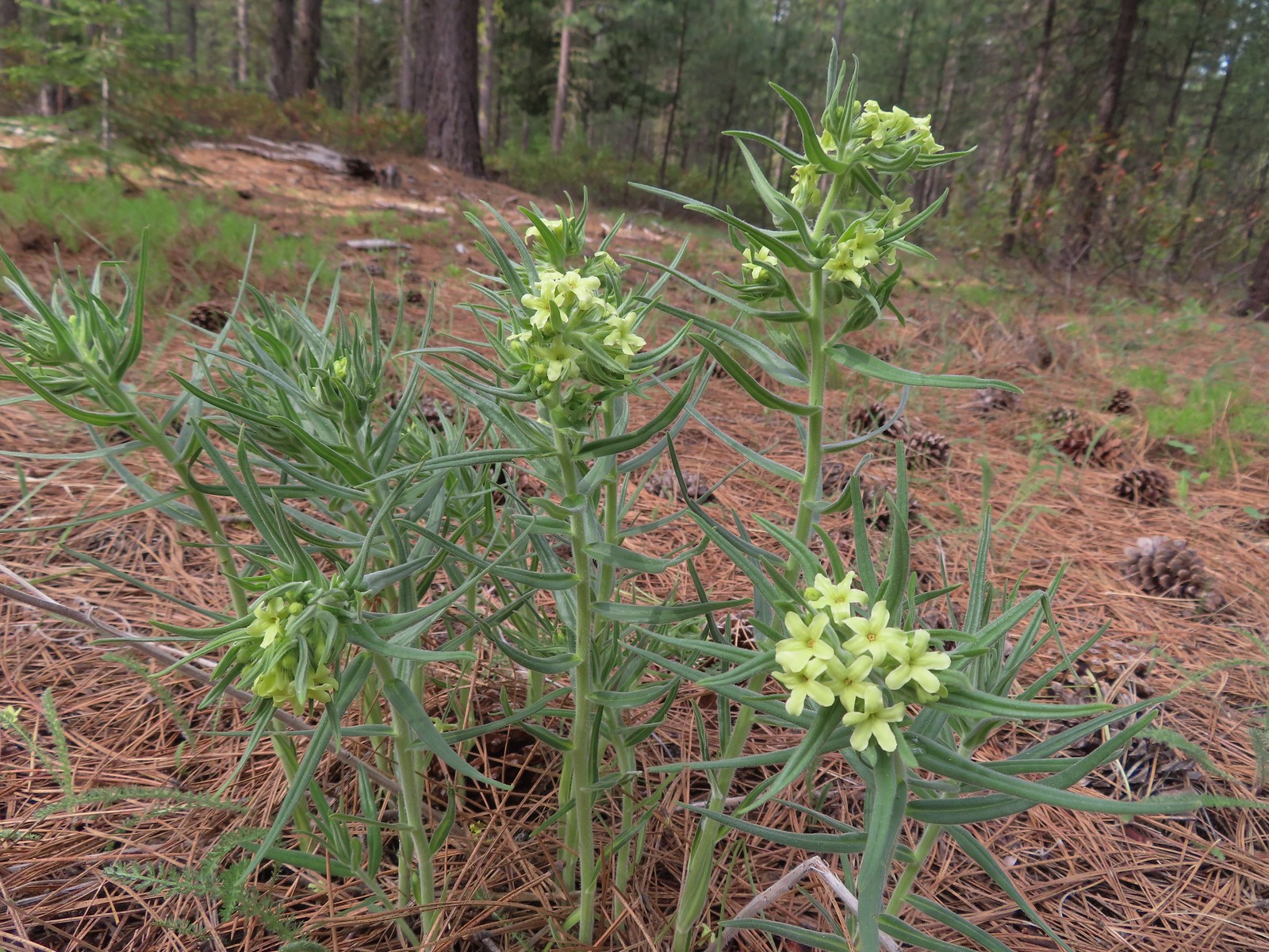
 White-stemmed frasera – 6/15/23, Hells Canyon National Recreation Area, Wallowa-Whitman National Forest
 Woodland-stars – 6/12/23, Imnaha River Trail, Eagle Cap Wilderness
 Yarrow – 6/14/23, Eureka Bar, Hells Canyon National Recreation Area
 Youth-on-age – 4/29/23, Canemah Bluff, Oregon City
 Common bugloss (non-native) – 6/14/23, Eureka Bar, Hells Canyon National Recreation Area
 White campion (non-native) – 6/14/23, Eureka Bar, Hells Canyon National Recreation Area
 Unknown – 7/4/23, Rockytop Trail, Santiam State Forest
 Unknown – 8/5/23, McNeil Point scramble trail, Mt. Hood Wilderness
 Best guess is a popcorn flower but? – 6/3/23, Conboy Lake National Wildlife Refuge, Trout Lake, WA
 Unknown, possibly non-native – 6/15/23, Nee-Mee-Poo National Historic Trail, Hells Canyon National Recreation Area
 Unknown, possibly non-native – 6/13/23, Iwetemlaykin State Heritage Site, Joseph
 Unknown, probably non-native – 6/14/23, Imnaha Trail, Hells Canyon National Recreation Area
 Unknown, probably non-native – 8/26/23, Old Growth Cedar Trail, Rockaway Beach
The last flower we saw was a non-native in December.
 Unkown. probably non-native – 12/16/23, Mt. Tabor Nature Park, Portland


 In July we took the Wallowa Lake Tramway up Mount Howard (post).
 In August we traveled by boat to Wizard Island in Crater Lake National Park (post).
 The Town Gulch Fire near Carson, OR was dangerously close to blocking our access to one of the featured hikes we needed to do to finish our goal (post).
 January – Corvallis to Sea Trail
 February – Sunrise from Maple Creek Road
 March – Mary’s Peak from Fitton Green
 April – Bridal Veil Falls
 May – Fishhawk Falls
 May – Willow Creek Trail
 May – Juniper Hills Preserve (The trails here were/are closed so we simply parked along the road and took pictures.)
 May – Madison Butte
 June – Cook Hill
 June – Deception Butte Trail
 June – Mt. Adams from Big Huckleberry Mountain
 June – Grasshopper Meadow (Unfortunately this area burned by the Young Grasshopper Fire in September.)
 July – Horsepasture Mountain
 July – Nasty Rock Trail
 July – Lower Bonny Lake
 July – Minam Lake
 July – Mount Howard
 August – The Pinnacles
 August – Downing Creek Falls
 August – Schneider Cabin
 August – Pine Lakes Trail
 August – Laverty Lake
 August – Aneroid Lake
 September – Hidden Lake
 September – Mt. Jefferson from Sprague Lake
 September – Black Wolf Meadows
 October – White River Canyon
 October – Kinzel Lake
 October – Sawtooth Trail
 October – William L. Finely National Wildlife Refuge
 October – Gold Lake Shelter
 November – Silver Falls State Park
 December – McKenzie River Trail
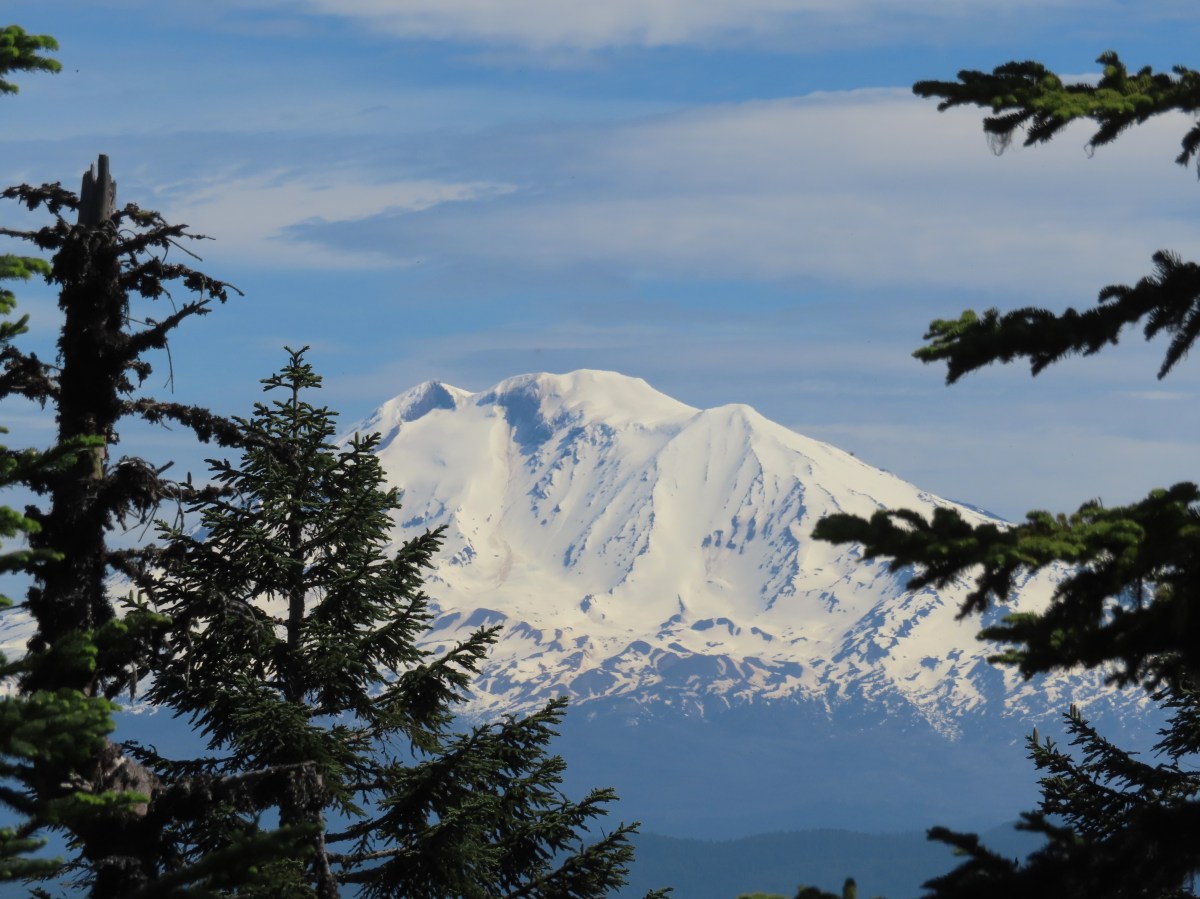
 Looking down at the pullout from the PCT on the way back.


 Phantom orchid
 Spotted coralroot
 Finetooth beardtongue
 Mt. Hood through a window in the trees.
 Finetooth beardtongue along the trail.
 White spiraea
 Bluehead gilia
 Paintbrush
 Some yellow balsamroot along the trail.
 Columbine
 Inside-out flower
 Queen’s cup
 Bunchberry
 Vanilla leaf
 Arnica
 Approaching the landslide area.
 Starting at the green up to the left is Augspurger Mountain (
 Mt. Hood from the viewpoint.
 Lomatium, bluehead gilia, and arrowleaf buckwheat in the bowl.
 Honeysuckle


 Wild onion mixed in with bluehead gilia.
 Bluehead gilia
 Lupine
 Catchfly
 Arnica and beargrass in the forest.
 Nearing one of the little meadows.

 Sub-alpine mariposa lilies
 Bluehead gilia
 Sub-alpine mariposa lilies
 A closer look shows why these are also known as cat’s ear lilies.
 Buckwheat
 Onion
Onion
 Bastard toadflax behind a cat’s ear lily.
 Rosy pussytoes
 Yarrow
 Looking back from the meadow.
 I believe these are some type of microseris.
 Boundary sign for the
  Broadleaf arnica
 Star-flowered false solomonseal
 The Cedar Creek Trail coming up from the right.
 Anemones
 Wallflower
 White groundsel
 Cliff beardtongue
 Cliff beardtongue
 Wild rose
 Larkspur
 Mt. Hood from the viewpoint.
 Spotted coralroot
 Oregon sunshine and wild onions
 Chickweed
 Arriving at another small clearing with flowers.
 Phlox, penstemon, lomatium, onion, and mariposa lilies.
 Another little meadow.
 Larkspur and balsamroot
 This was the only time we spotted Mt. St. Helens on the hike.


 Mt. Adams from the former lookout site.
 There was a lot of phlox in bloom.
 Table Mountain (
 Mt. Hood
 Mt. Hood with Mt. Jefferson behind to the right.
 Balsamroot and groundsel
 Mt. Adams
 Phlox
Phlox
 Paintbrush and cliff beardtongue
 Another view of Mt. Hood.

 Sandwort
 Chickweed
 Balsamroot
 Some of the smaller flowers present on the summit.
 Finetooth beardtongue
 Wallflower
 Wild onion
 The end of the ridge is about three quarters of a mile from the lookout site.
 Heather on the outcrop.
 Painted lady
 Larkspur
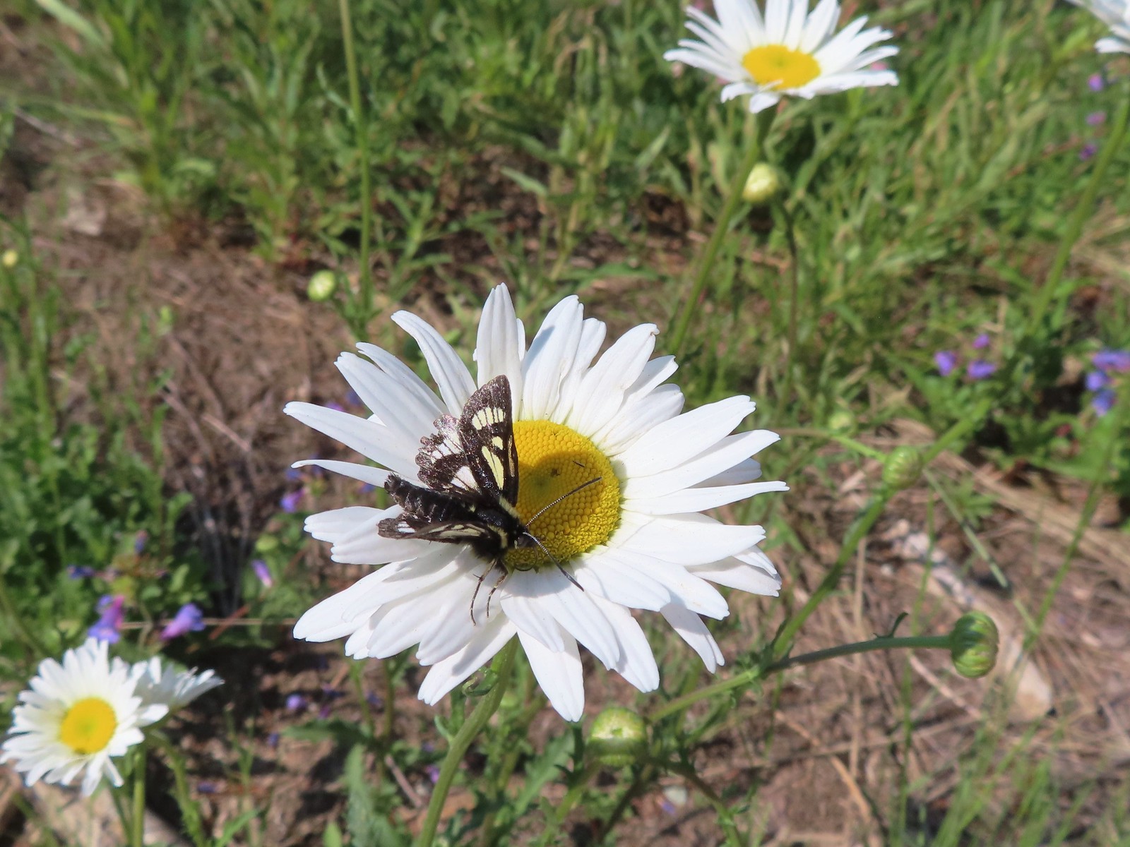
 Swallowtail
 Chickweed in some phlox.

 Wallflower
 Colubmine
 Bluehead gilia
 Beargrass along the PCT.
 Heading down to the trailhead.

 The trailhead is just a large gravel pullout along Cook-Underhill Road.
 There is no parking for the trail anywhere along Jackson Rd.


 Ookow surrounded by poison oak.
 Mt. Defiance (
 Large-flower triteleia
 Monkeyflower along the road.
 Ookow
Ookow
 Small waterfall through the vegetation.
 The first of two crossings of this unnamed creek.
 There was a lot of spotted coralroot along the road.
 Most of the trees had been cleared from the road, those that remained were easily stepped over.
 Anemones
 The second creek crossing.
 Lupine
 White groundsel
 Small spring near the junction with the start of the loop.
 Reeder mentioned a rock cairn at the start of the loop which was still present, but now there were signs too.
 Going counterclockwise seemed to be preferred direction based on trip reports. This was also the shorter distance to the summit at 1.6-miles.
 The clockwise sign listed the summit as 2.8-miles away in that direction.
 Arriving at the lower meadow.
 Balsamroot
 Groundsel and balsamroot
 Lupine
 Death camas
 The rocks up ahead made for some nice seats to take in the view from.
 Mt. Hood peaking over the ridge to the left with Mt. Defiance to the right.
 Mt. Hood
 Vanilla leaf
 Starflower
 Fairybells
 The start of the long upper meadow.
 Larkspur
 Violets
 Slender phlox and blue-eyed Mary
 Phlox
Phlox Balsamroot surrounded by larkspur and coastal manroot.
 Coastal manroot
 Groundsel
 Dog Mountain from the meadow.
 Chocolate lily
 This was the closest lupine to blooming in the upper meadow.
 Chickweed
 Oregon sunshine yet to boom.
 Mt. Hood from the meadow.
 Woodland stars, larkspur, and lomatium.
 Yellow buttercups lining the trail.
 Mt. Hood and Mt. Defiance
 Mt. Hood
 Mt. Defiance
 Alpine pennycress
 Larkspur and lomatium

 Chocolate lily eating a buttercup.
 Largeleaf sandwort
 The final stretch of the upper meadow.
 Violets
 Phlox
Phlox Dog Mountain
 Mt. Hood and Mt. Defiance from the upper meadow.
 Table Mountain (
 Phlox, paintbrush, and lomatium


 Mt. Adams from between trees.
 Arnica
 The final stretch of the steep descent was through this forest with no understory.
 Vine maple overhanging the trail.
 It’s hard to tell from the photo but these were huge paintbrushes.
 Another view of Mt. Hood and Mt. Defiance.
 Dogwood
 Trillium
 The first tower.

 Looking toward Mt. Adams from beneath the powerlines.
 Mt. Adams
 Wind Mountain (
 The faint roadbed heading left back toward the forest.

 Wild ginger
 Candyflower
 The trail passed under a talus slope where a fair number of flowers were present.
 Lupine and yarrow
 Stonecrop
 Bee visiting penstemon.
 The talus slope.
 Descending to the junction.
 Ookow and bachelor buttons along the trail.
 Bachelor button
 Heather spotted this arctic skipper on some vetch.
 Clarkia. It wasn’t open yet when we’d passed by in the morning.
 There were a lot of phantom orchids starting along the lower portion of the hike, but this was the only one with any flowers opened.
 Cook-Underhill Road from Jackson Road.

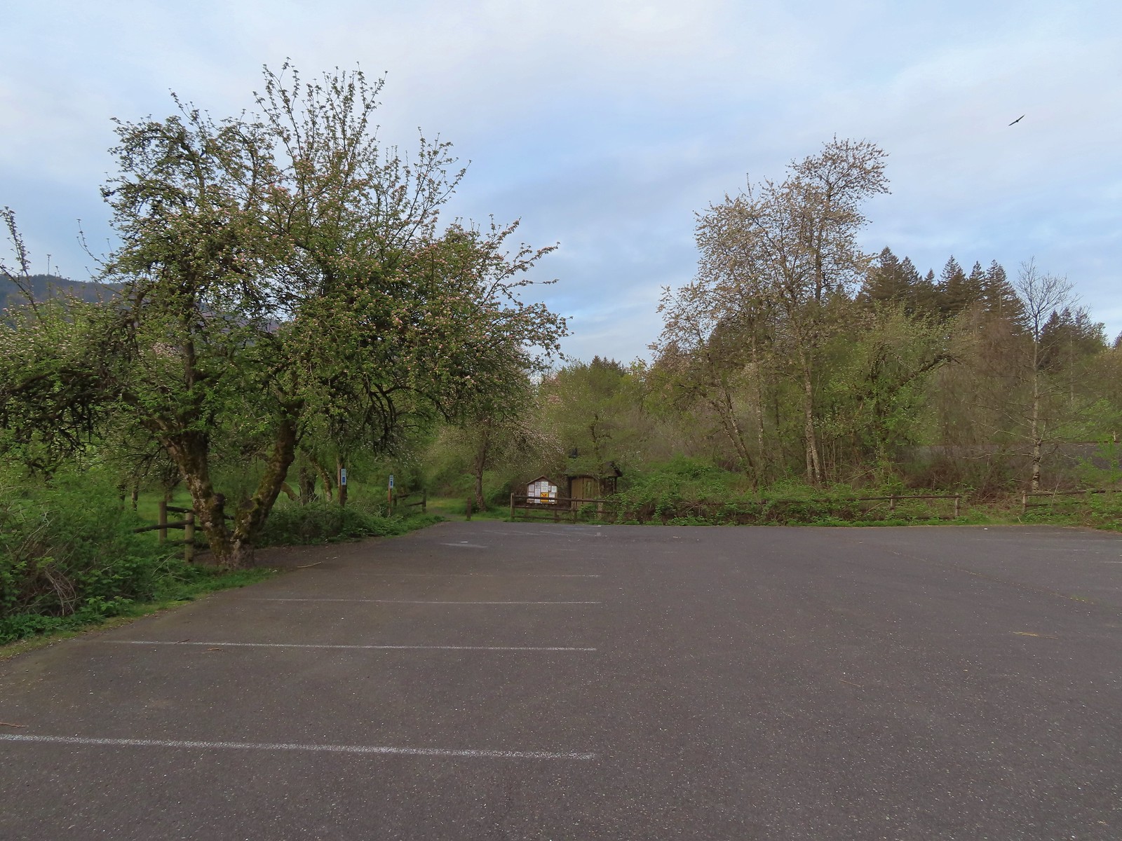
 The brown strip in the grass near the center of the photo is the trail.
 The trail entering the woods.
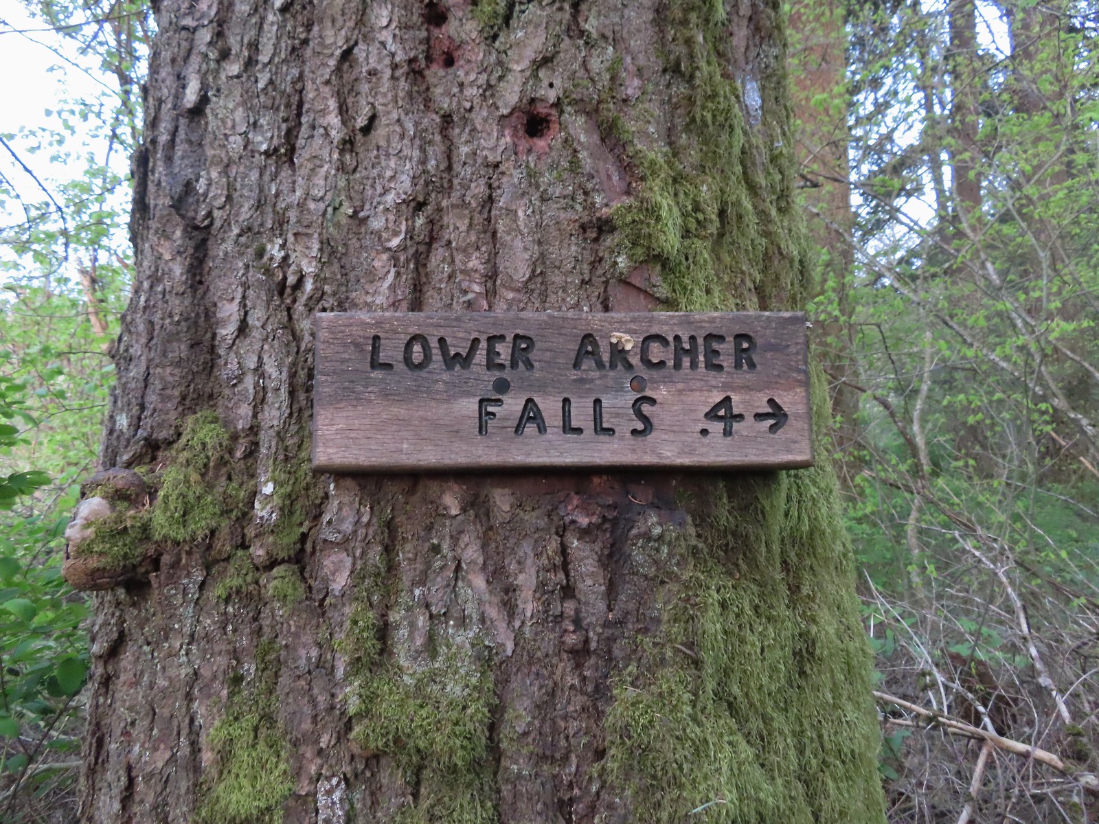 Pointer for Lower Archer Falls.
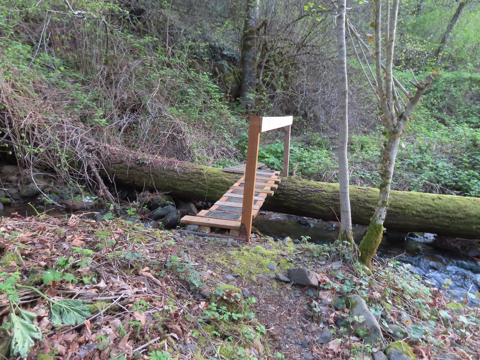 Bridges over Gable Creek.
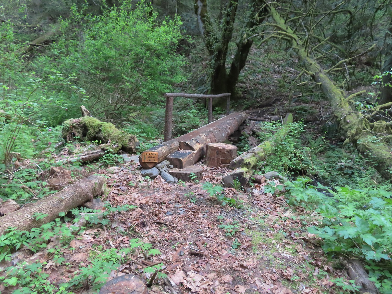 Big Doug Bridge (Jan 23) over Archer Creek.
 Archer Creek
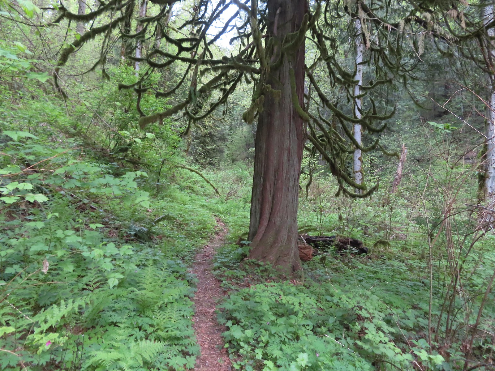
 After crossing the creek the trail did a short climb gaining approximately 150′ of elevation.
 Trillium along the trail.
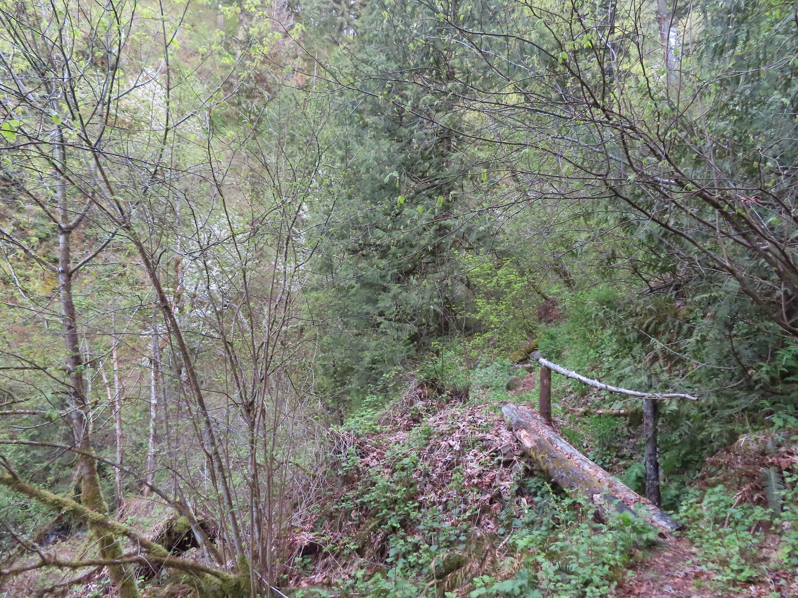 One of several of these style bridges on the way to the falls.
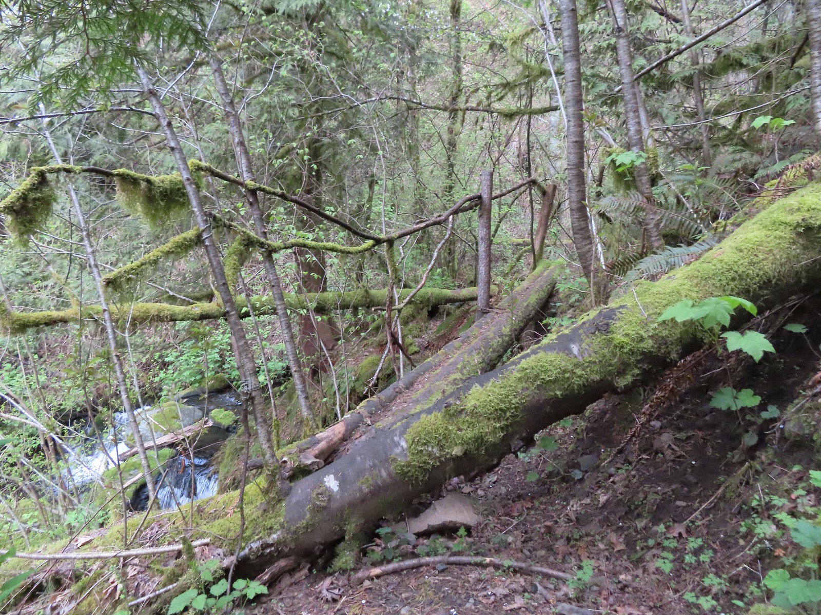 The “sketchy” bridge. It felt pretty solid underfoot, but the rail seemed ornamental only.
 The final footbridge before the falls.
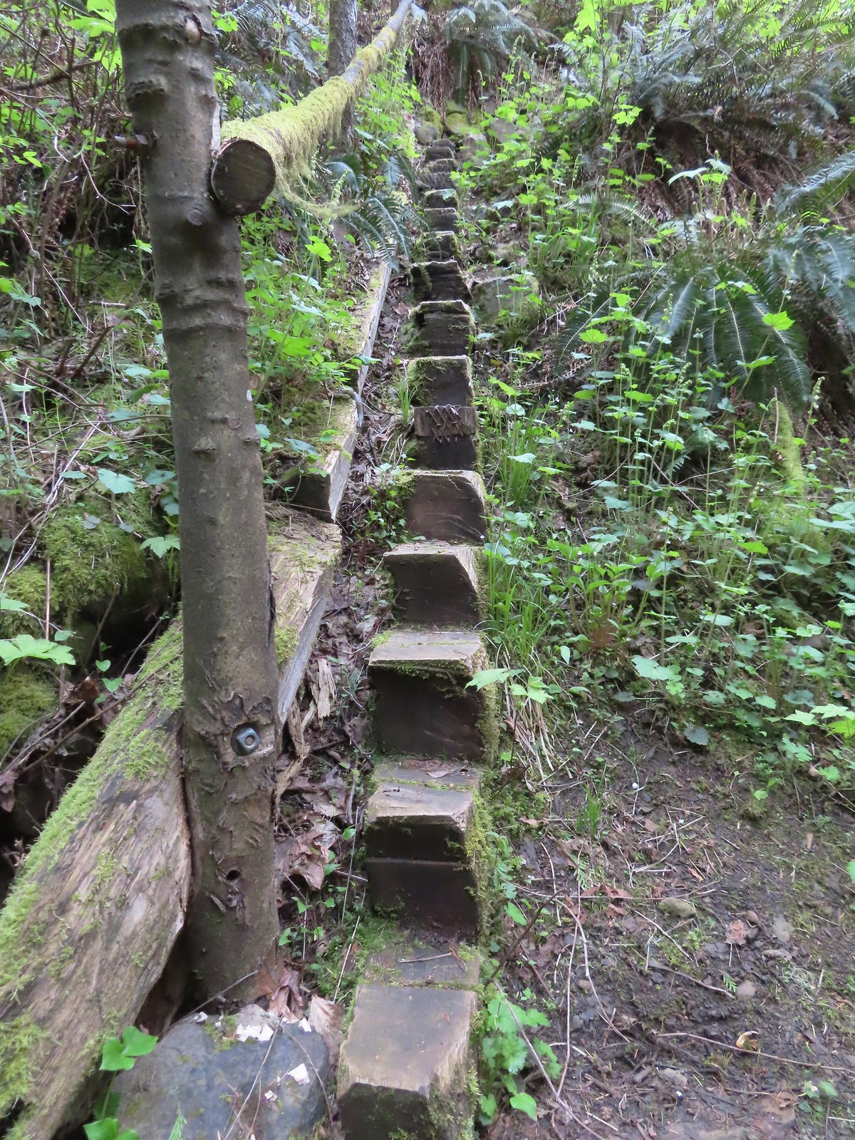 Steps leading up from Lower Archer Falls.
 Trillium
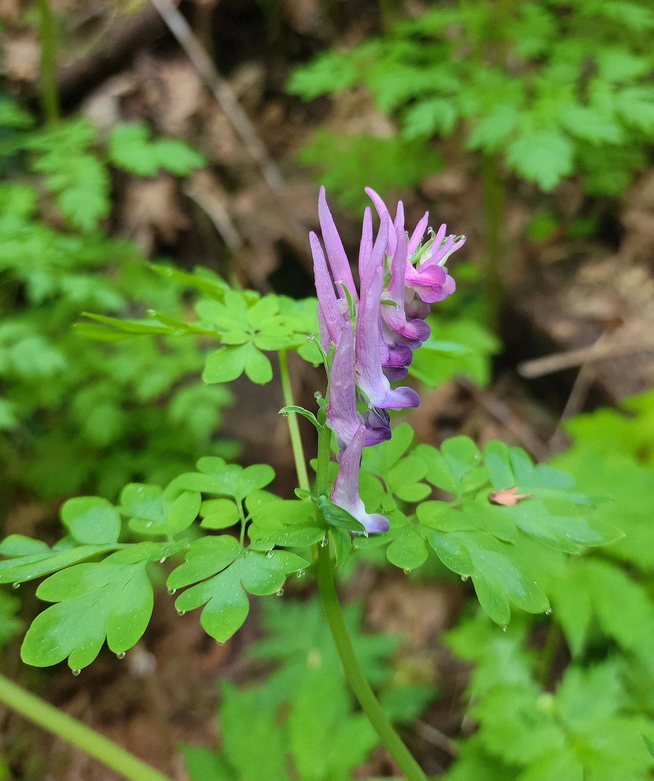 Scouler’s corydalis
 Bleeding heart
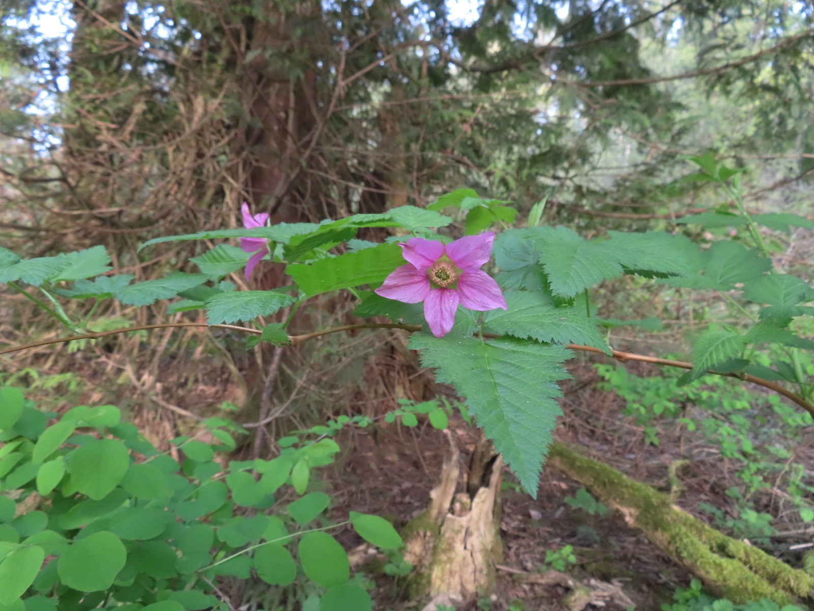 Salmonberry
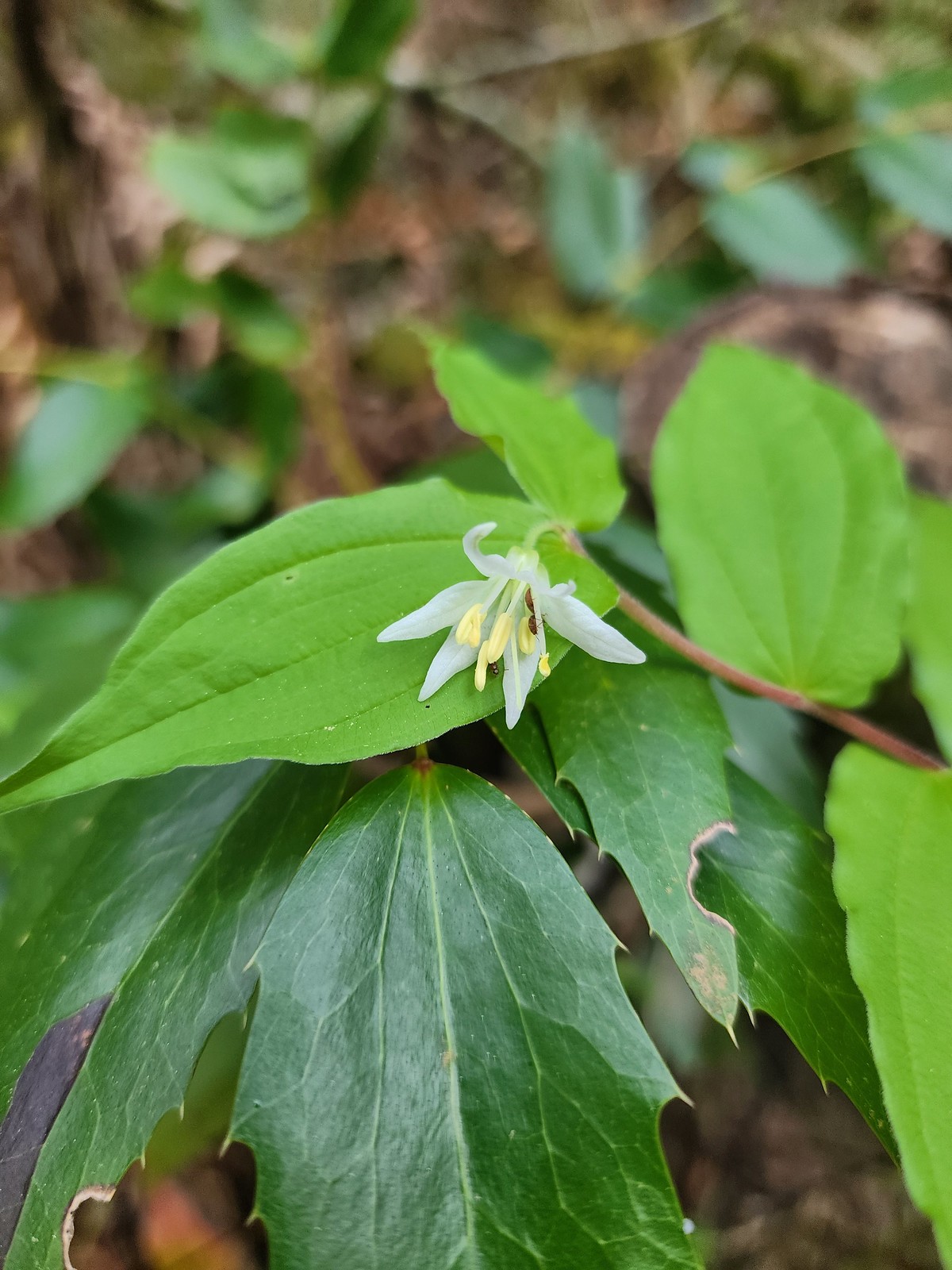 Fairy bell
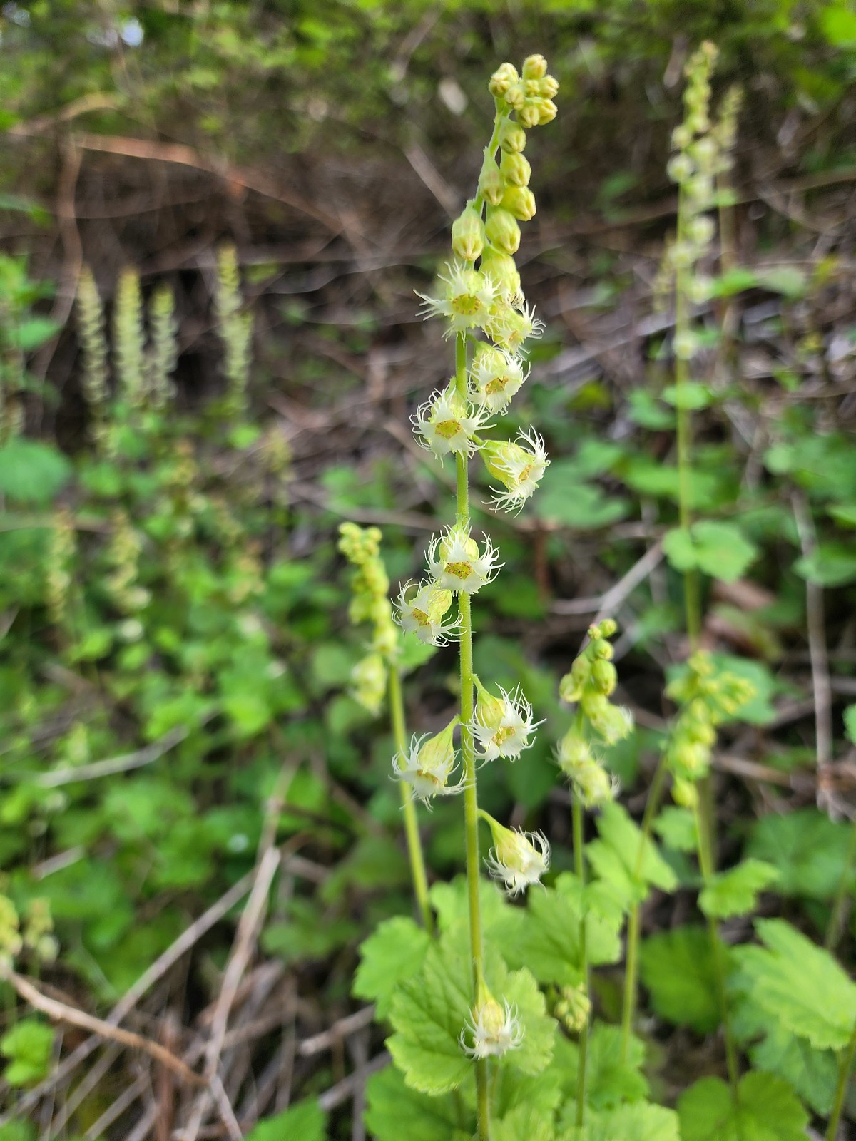 Fringecup
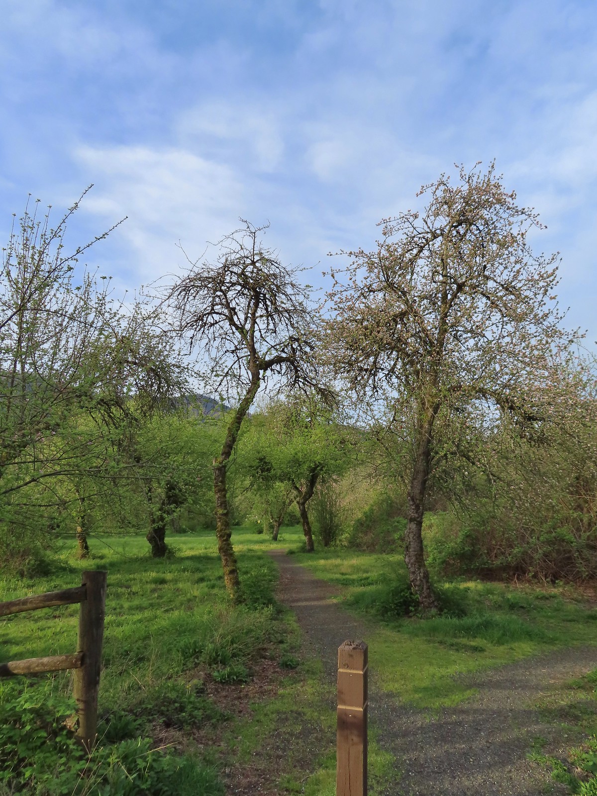 The start of the loop.
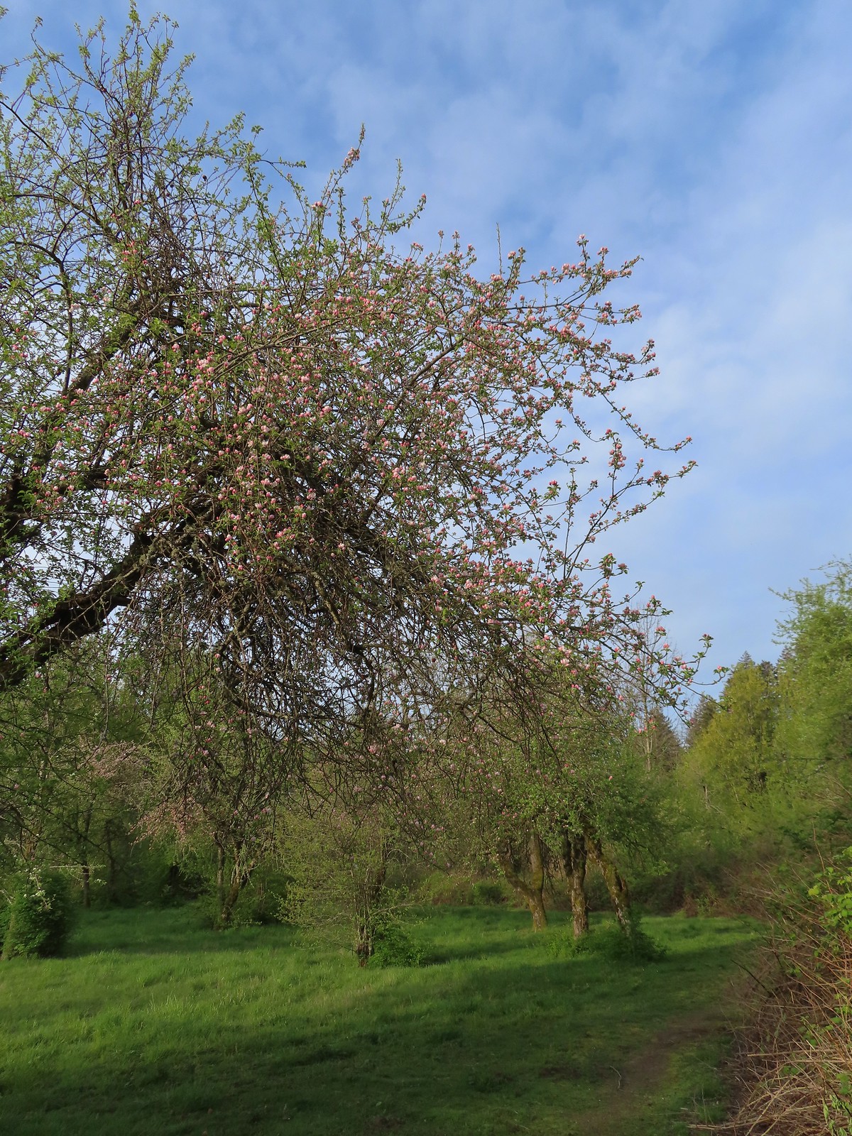 The trail loops around a former apple orchard.
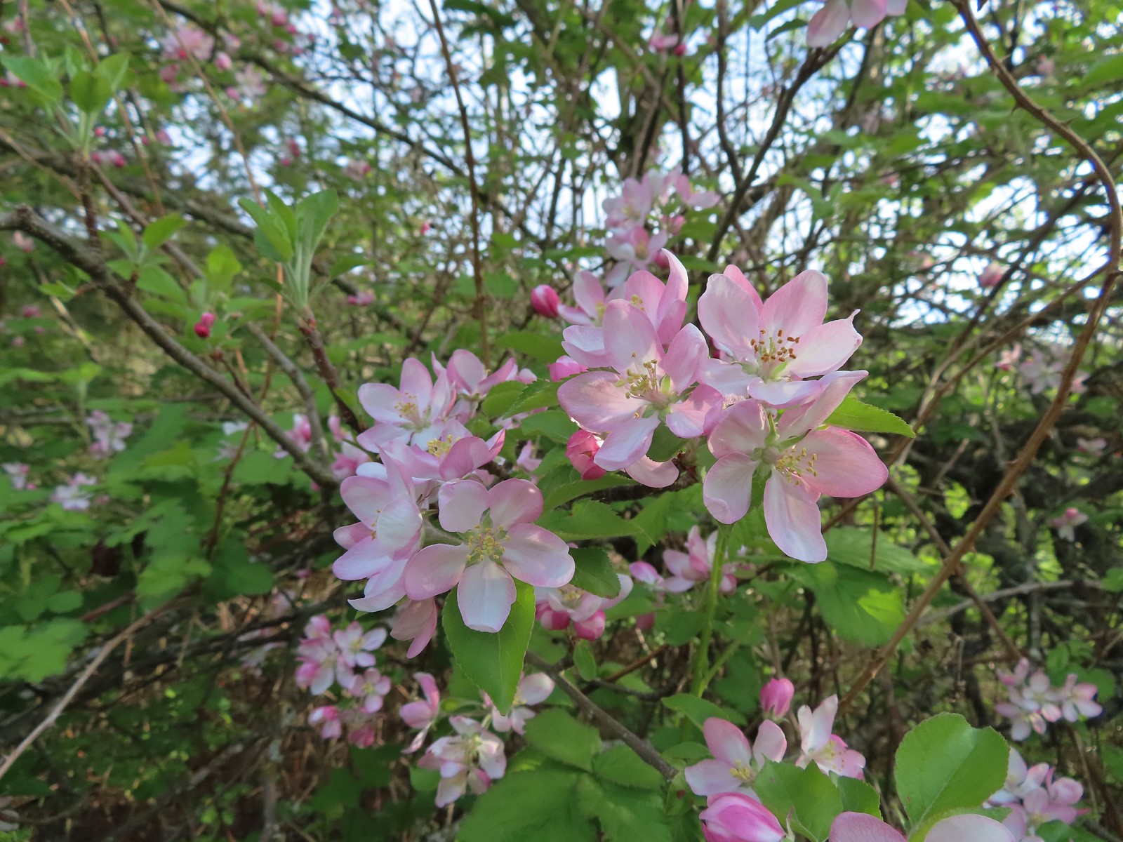 Apple blossoms
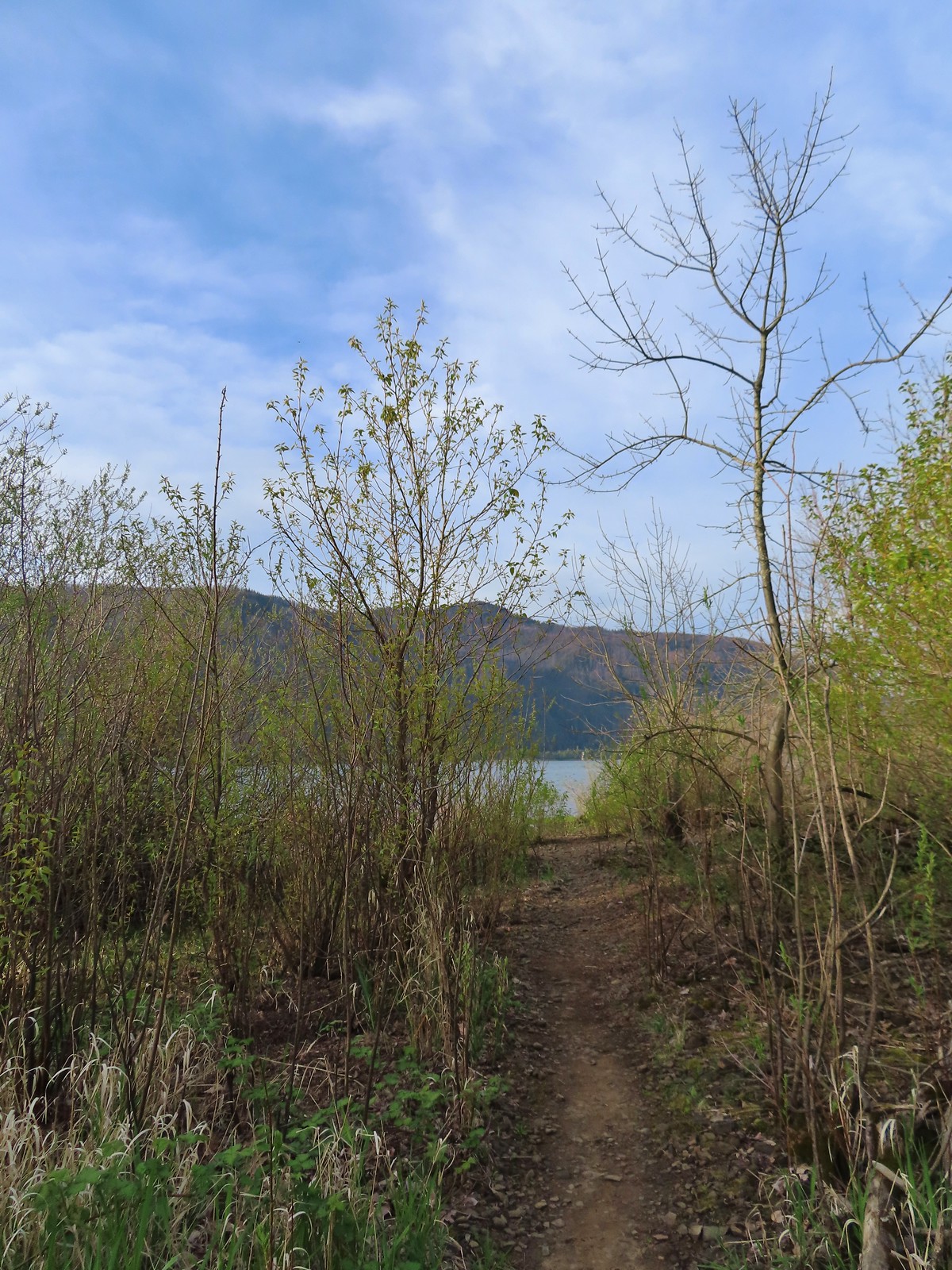 A spur trail leading down to the Columbia River.
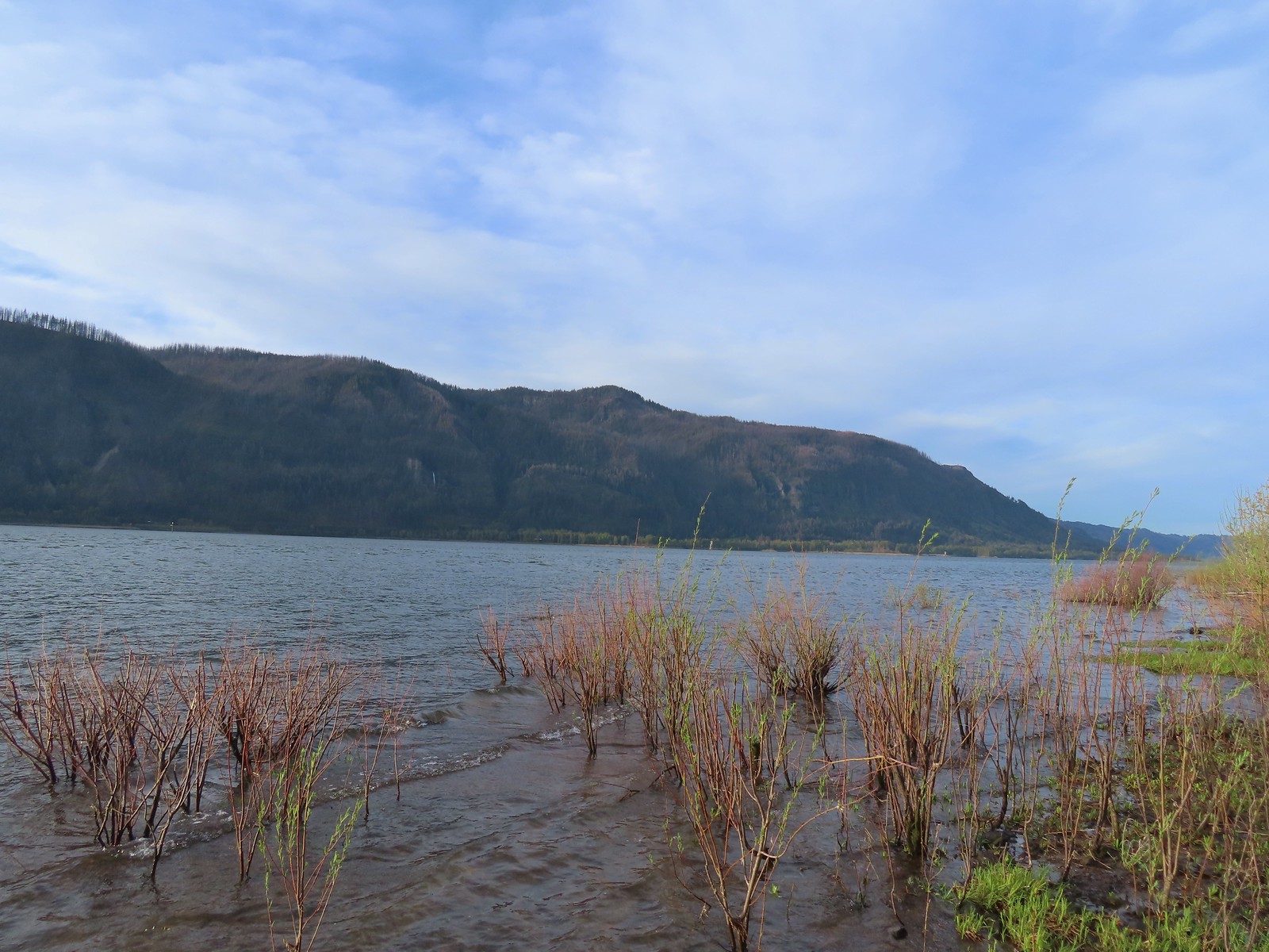 Devil’s Rest and Multnomah Falls (
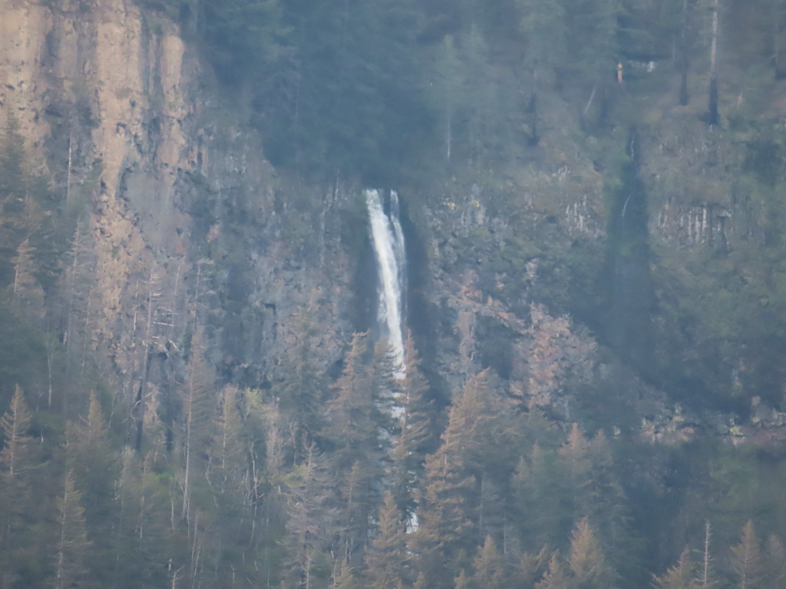 Multnomah Falls
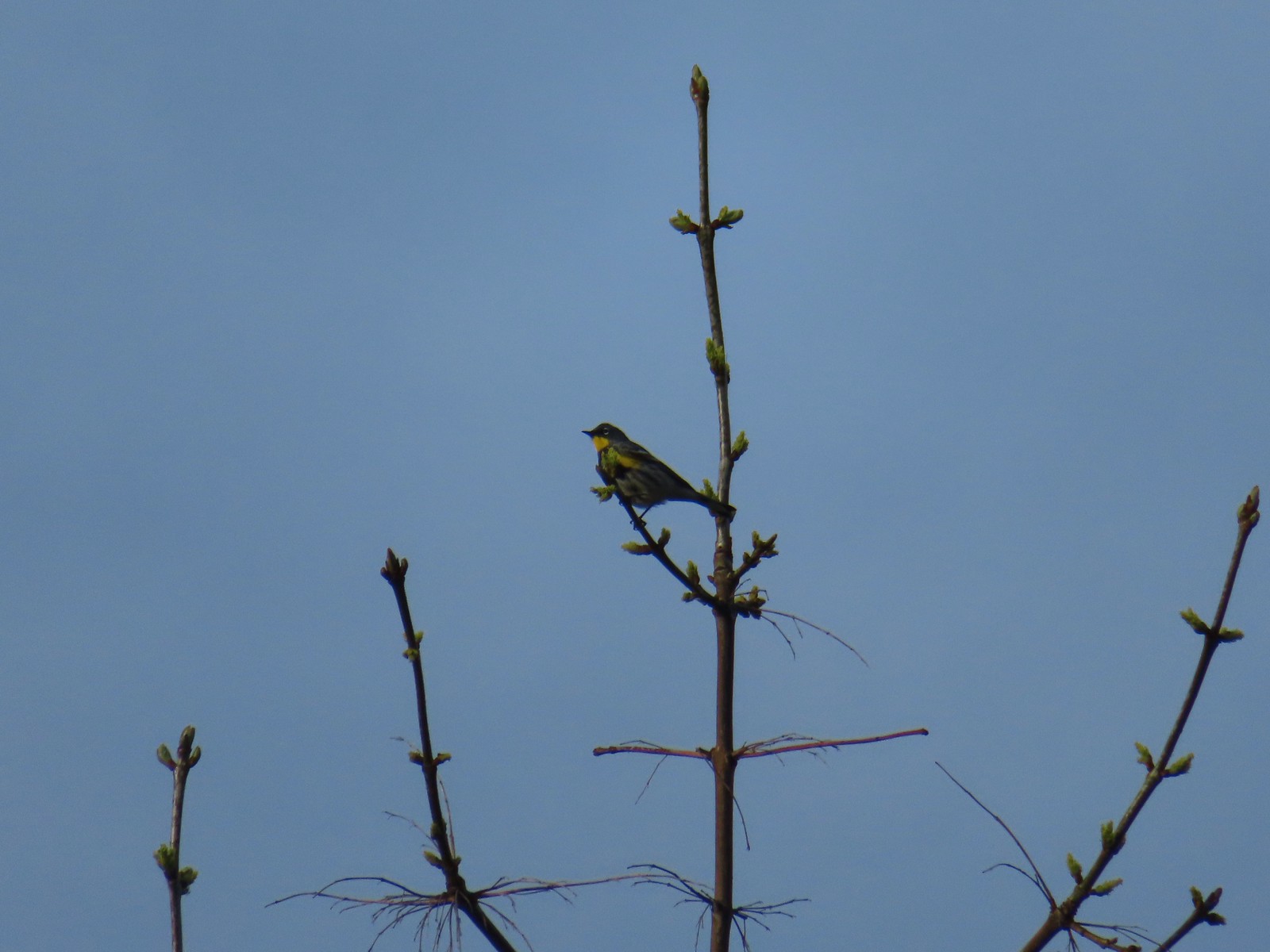 Yellow-rumped warbler.
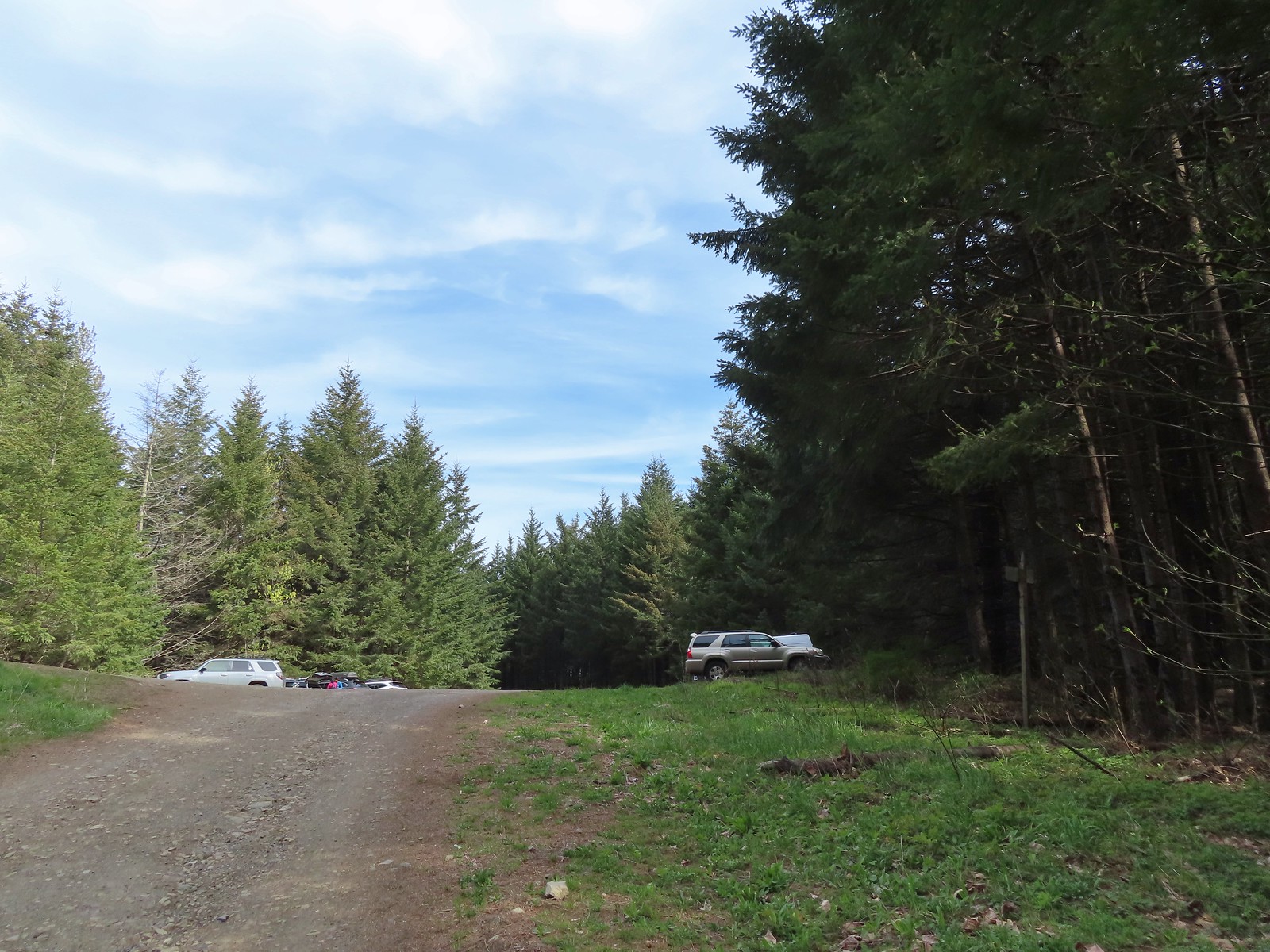 The quarry later in the morning.
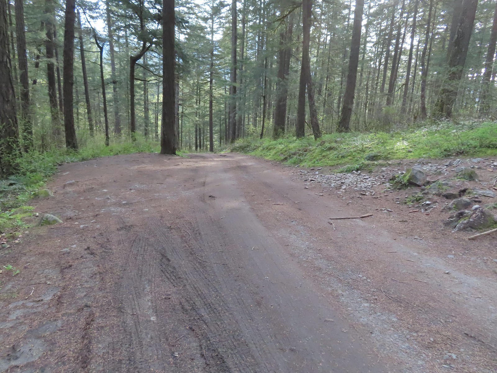 Pullout at the actual trailhead.
 The Wind Mountain Trail at the trailhead.
 Slender toothwort
 Trillium
 Red flowering currant
 Close up of red flowering currant
 Pioneer violet
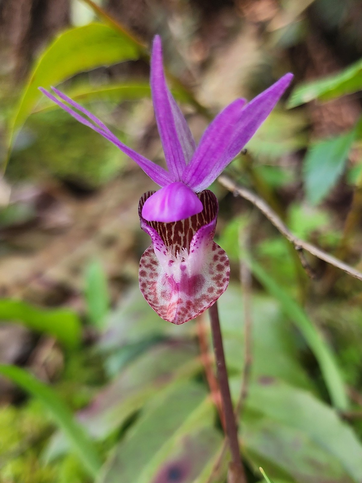 Fairy slipper
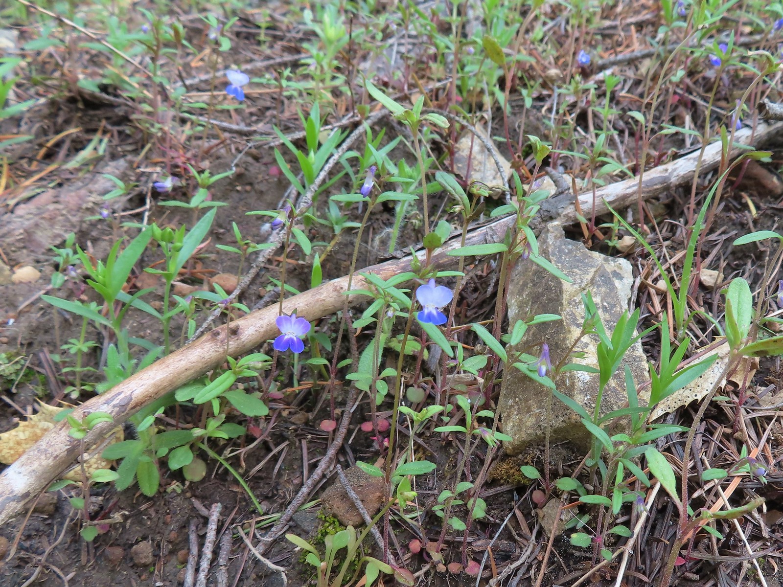 Blue-eyed Mary
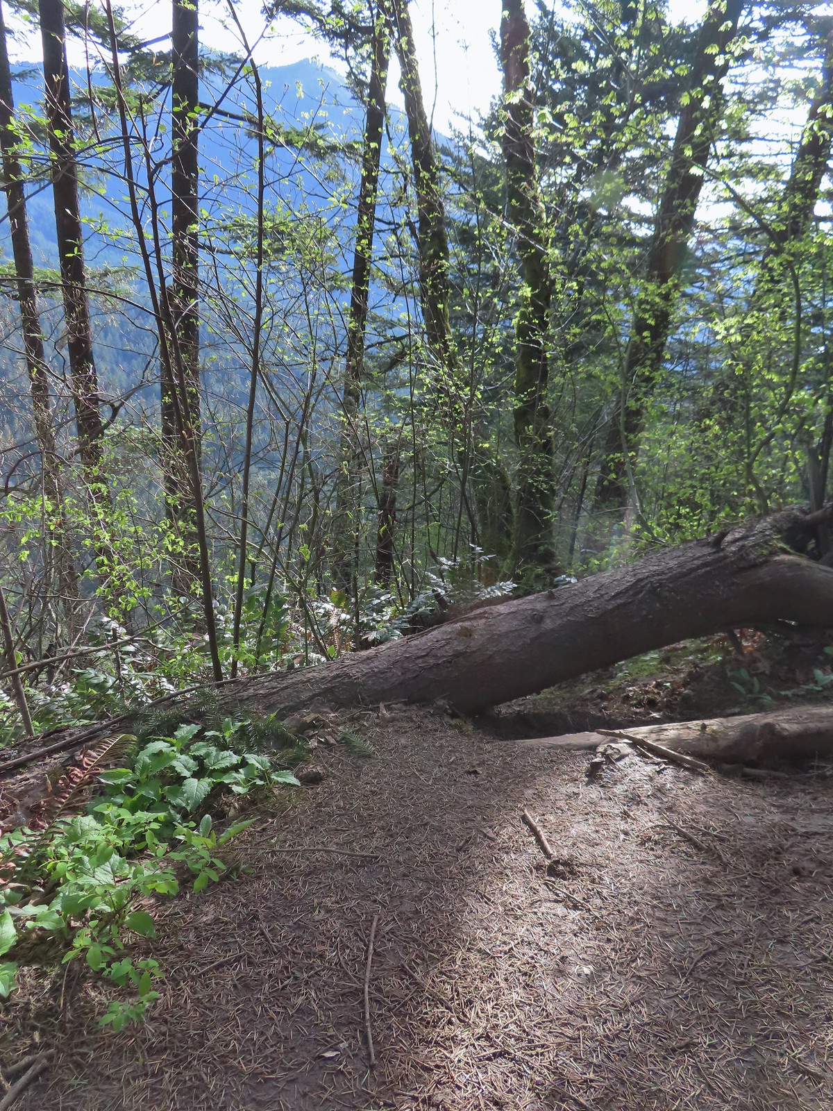 The spur trail down to the outcrop.
 Serviceberry
 Augspurger Mountain (
 Dog Mountain (
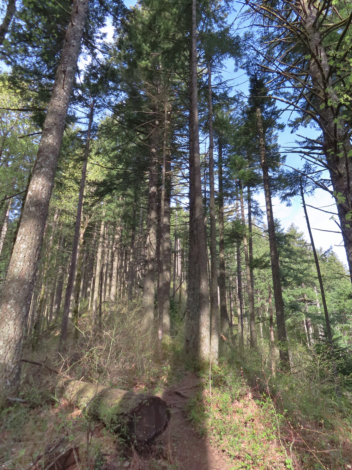
 Largeleaf sandwort
 Talus slope on Wind Mountain.
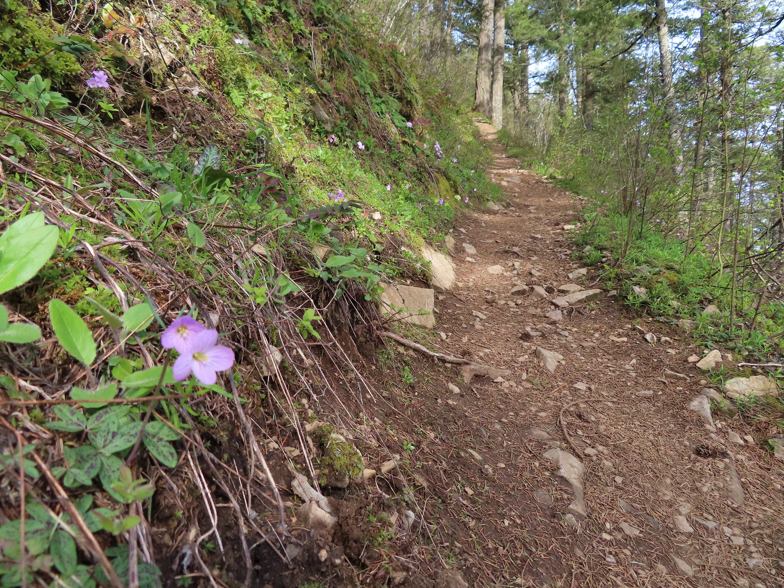 Slender toothwort along the trail.
 One of the signs near the summit.
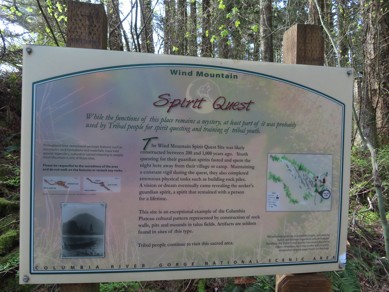 Interpretive sign with a map of the areas open to hikers.
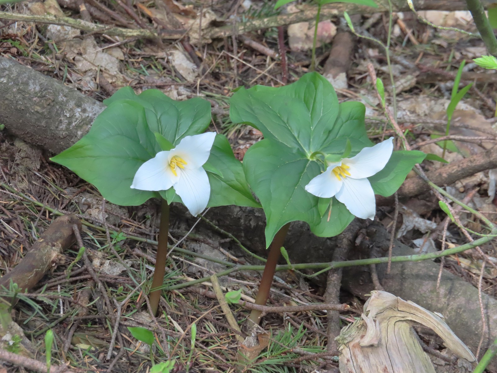 Trillium
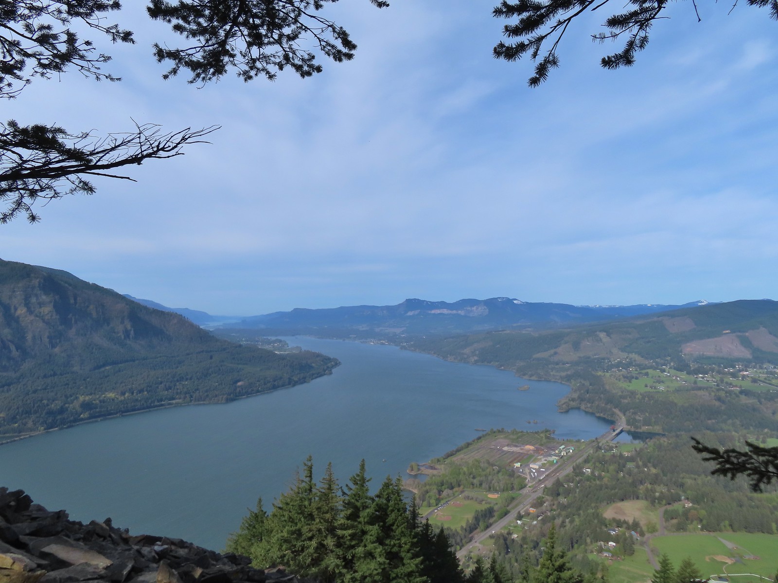 View west down the Columbia River. Hamilton Mountain (
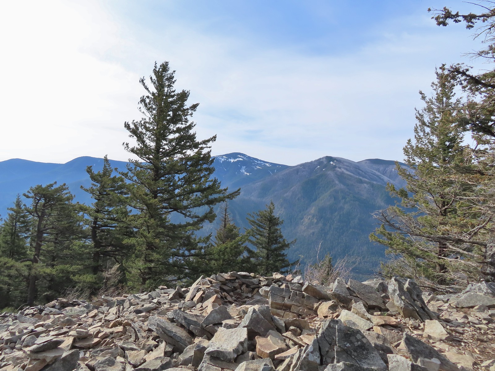 Mt. Defiance (
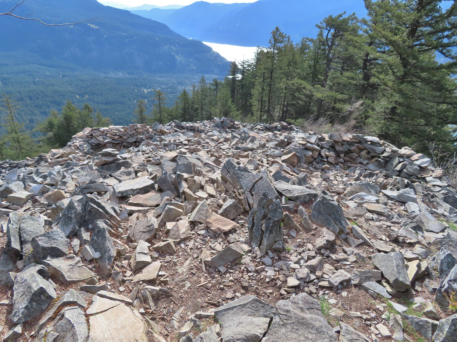 Vision quest pits on Wind Mountain.
 Mt. Adams beyond Augspurger Mountain.
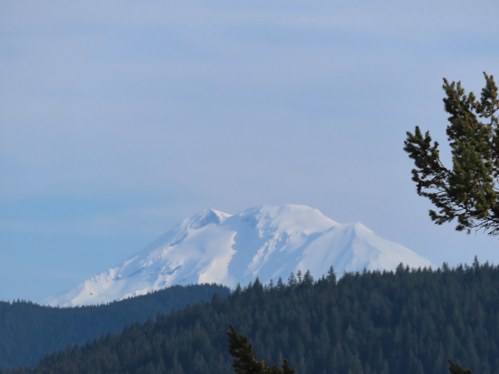 Mt. Adams
 Looking across the Columbia River.
 The first split where we went right.
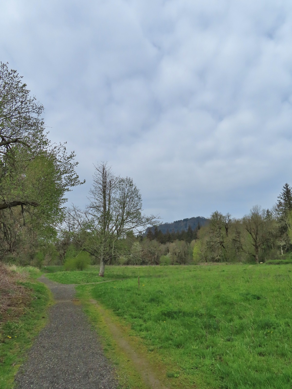 To continue on the counterclockwise loop we should have turned right at the junction ahead.
 We turned right at the junction now doing the loop clockwise.
 Coming up on one of the picnic tables along the loop.
 The Columbia River from the picnic table.
 Horsetail Falls (
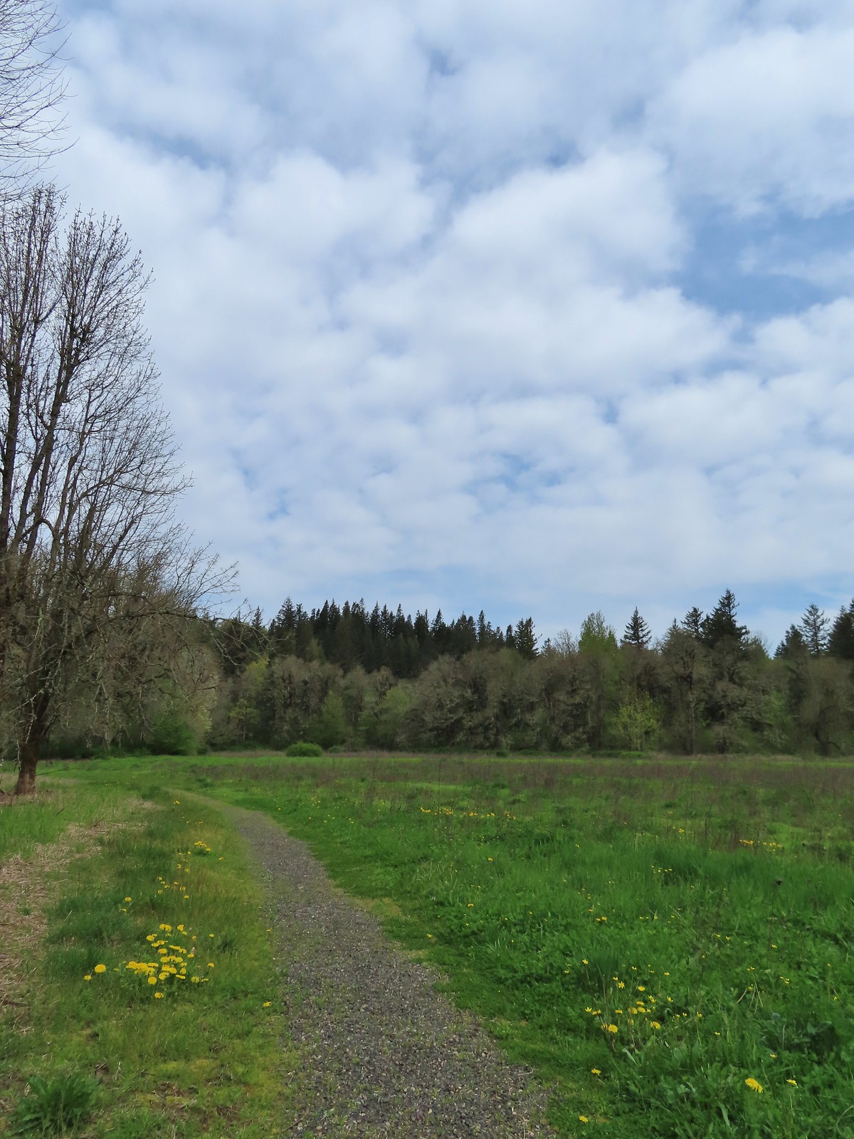
 Chipping sparrow
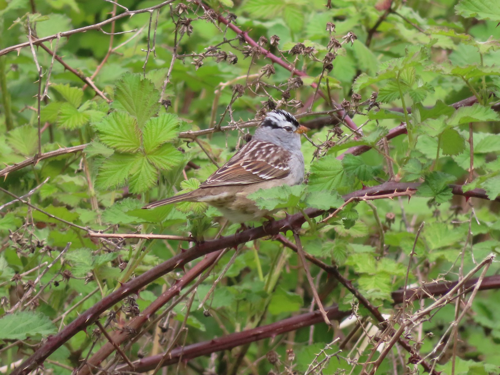 White-crowned sparrow
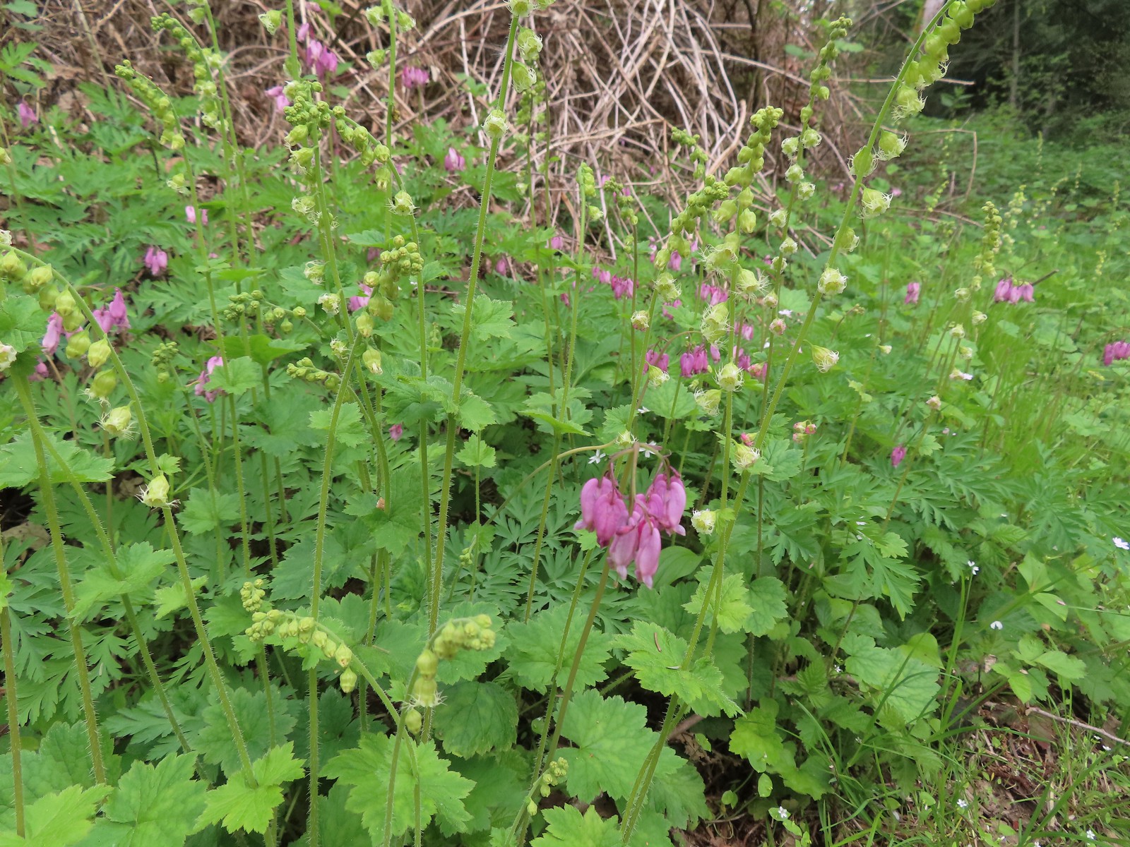 Bleeding heart and fringecup
 The cedar grove
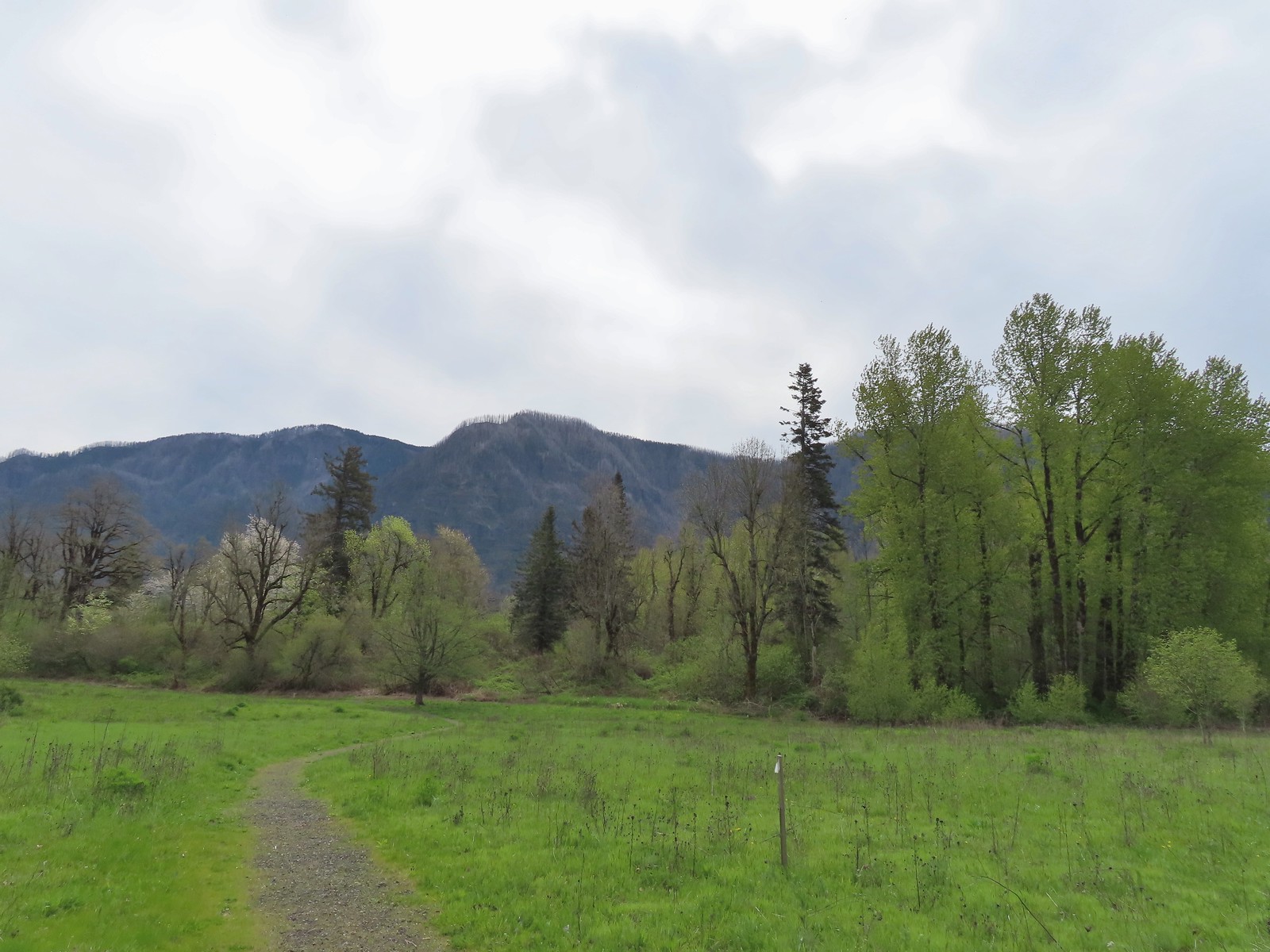 Completing the first loop.
 Spider on perriwinkle
 Kiosk at Doetsch Ranch.
 Beacon Rock (
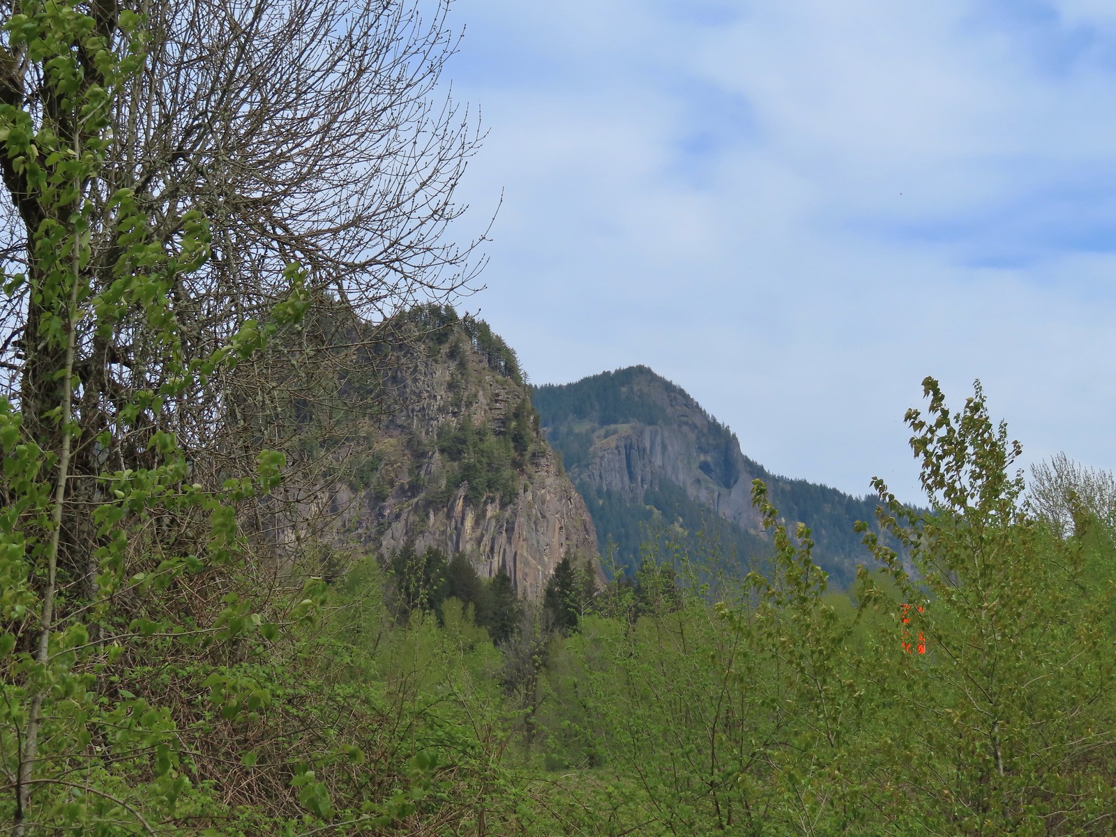 Beacon Rock and Hamilton Mountain.
 Coming up on the other parking area.
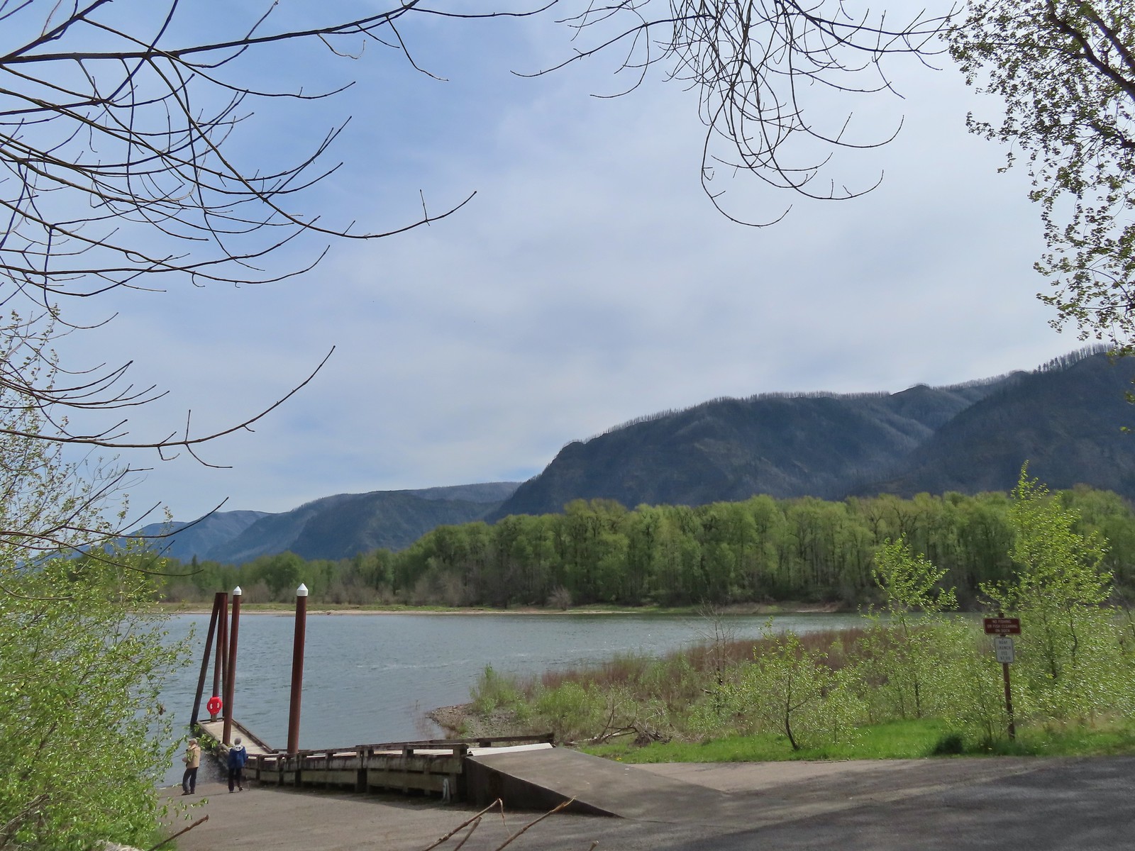

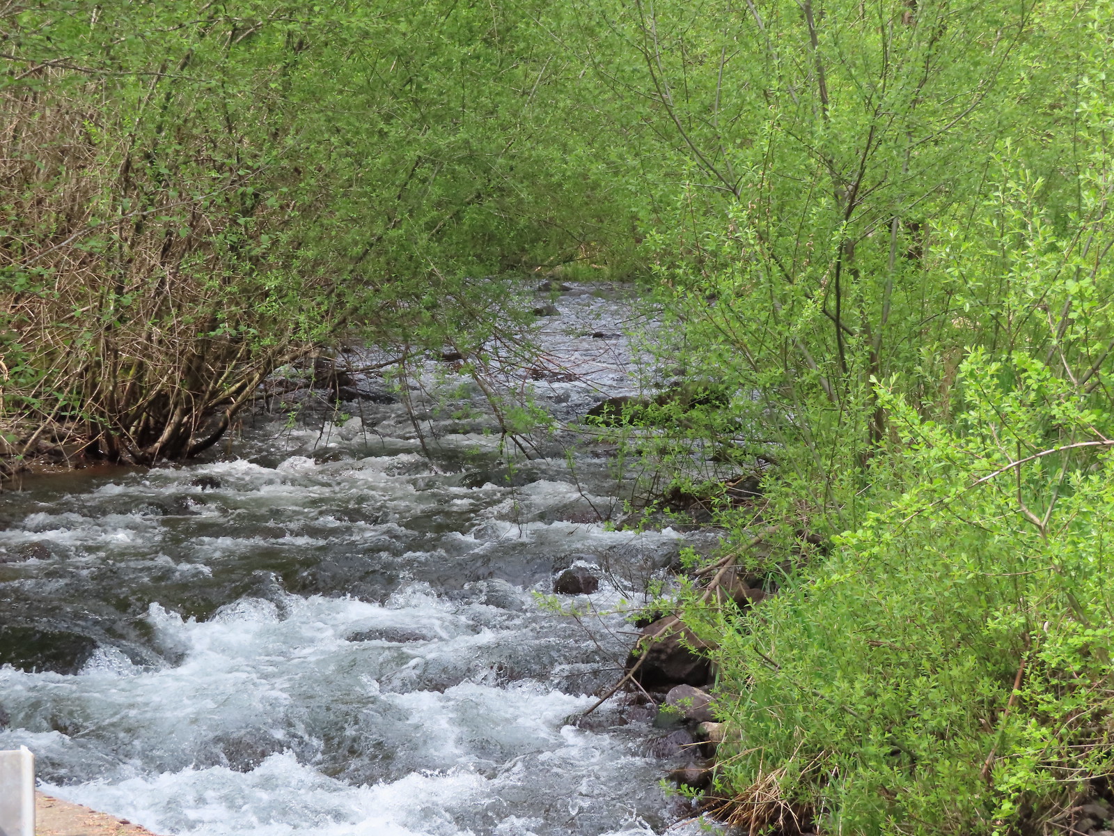 Woodward Creek
 Fairy bells, vine maple, and fringecup
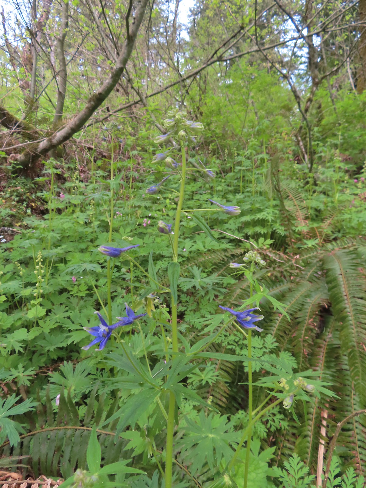 Columbian larkspur
 Trillium and voilets
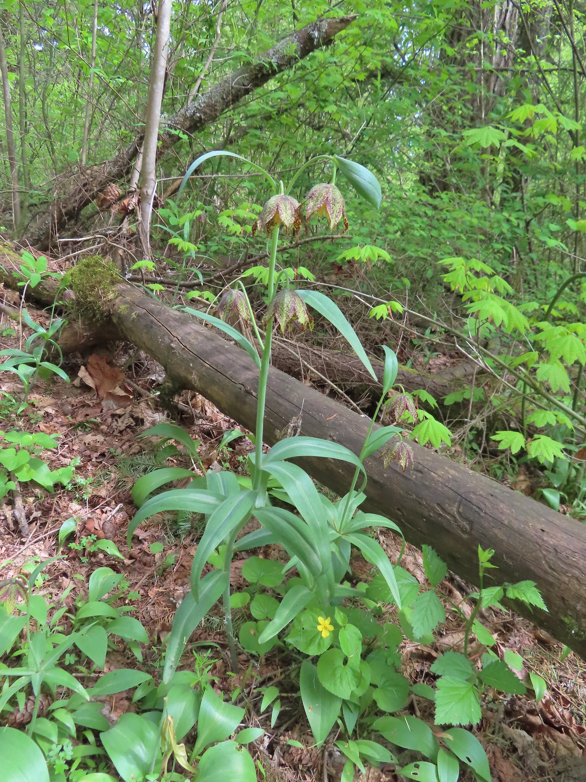 Checker (chocolate) lilies

 Bleeding heart
 This was just one part of the best display of chocolate lilies we’d ever seen.
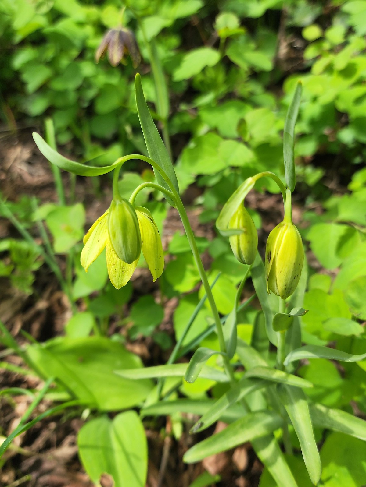 There were a couple of lilies with this coloration which was new to us.
 Riddle Lake
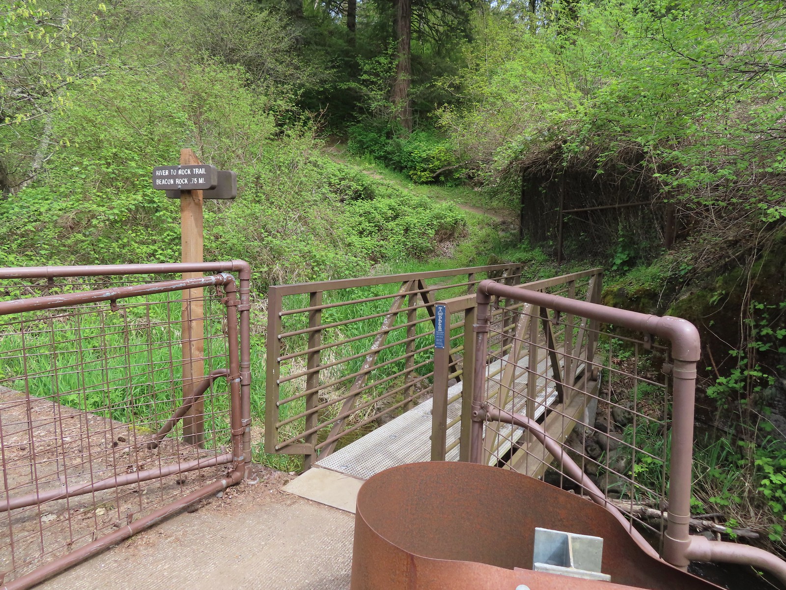
 Dropping down to the River to Rock Trailhead.
 Looking back up the River to Rock Trail.
 Passing back by the large patch of chocolate lilies.
 Our first butterfly of 2024, an echo azure.
 Completing the loop.
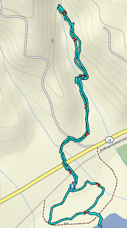 St. Cloud and Lower Archer Falls
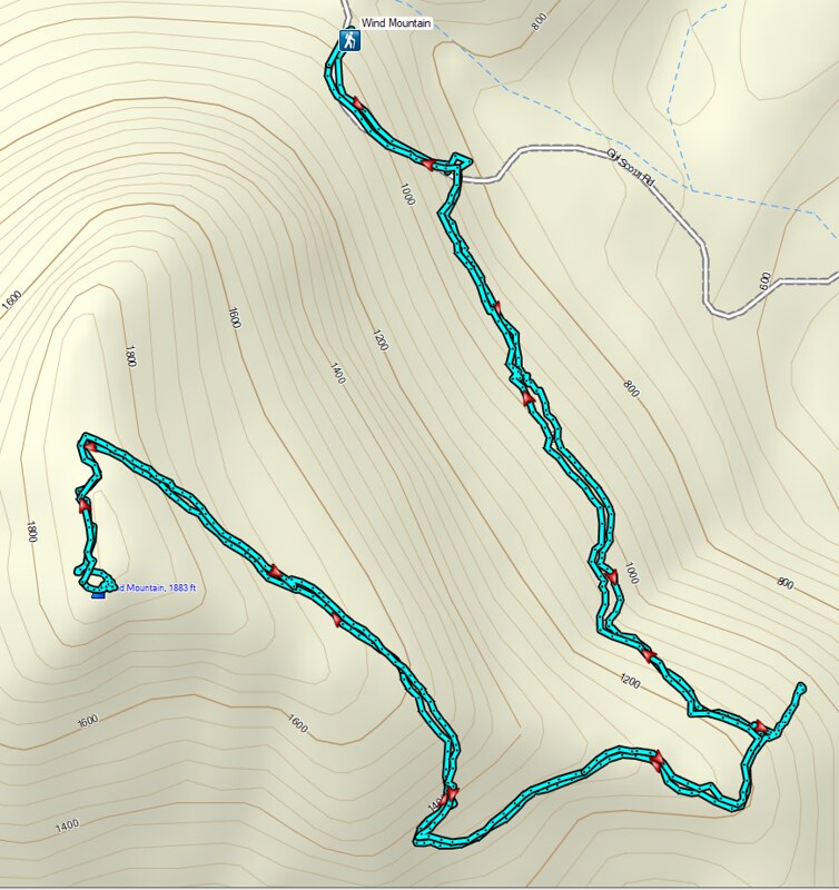 Wind Mountain
 Sams-Walker
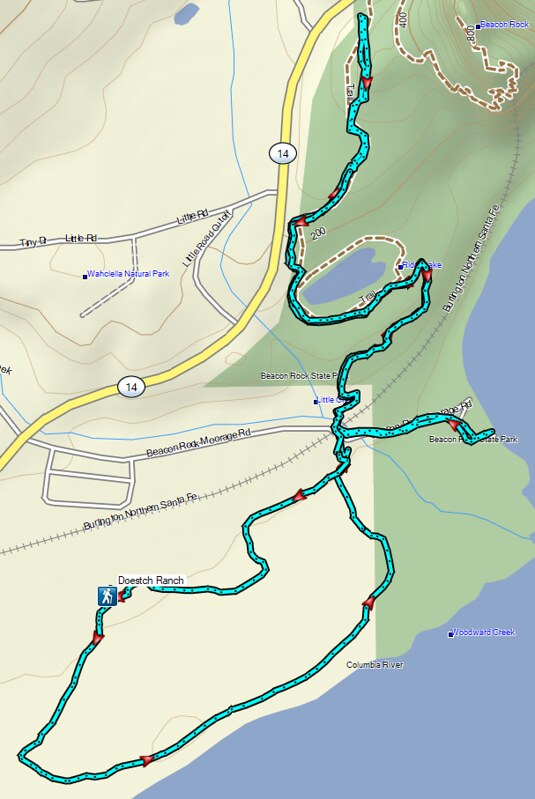 Doetsch Ranch
 Harvester ants – 5/29/23, Riley Ranch Preserve, Bend
 Crab spider on a California harebell – 6/25/23, North Umpqua Trail, BLM Roseburg District
 Bee – 9/3/23, Threemile Canyon, BLM Burns District
 Bees – 7/8/23, Sand Mountain, Willamette National Forest
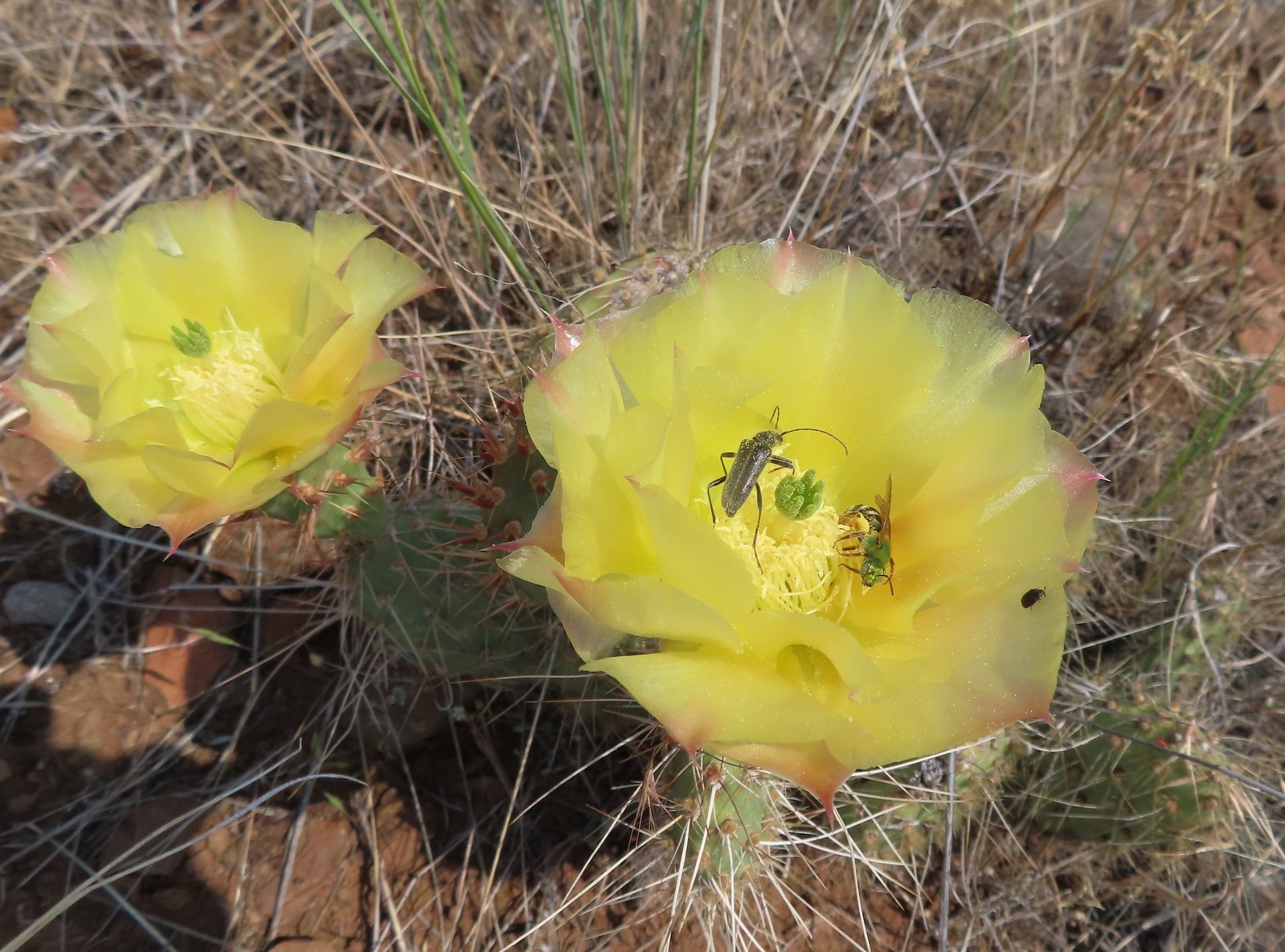 Sweat bee? and a beetle on a prickly pear cactus – 6/15/23, Hells Canyon National Recreation Area, Wallowa-Whitman National Forest
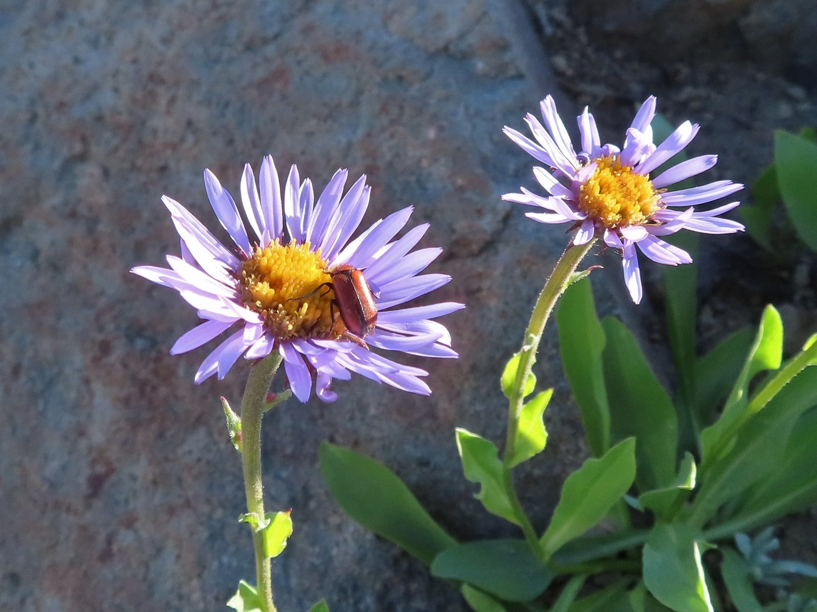 Beetle – 7/31/23, Garfield Peak Trail, Crater Lake National Park
 Beetle – 7/29/23, Stuart Falls Trail, Crater Lake National Park
 Beetle and another bug on spirea – 7/4/23, Rocky Top Trail, Santiam State Forest
 Ladybug on a daisy – 7/4/23, Natural Arch Trail, Santiam State Forest
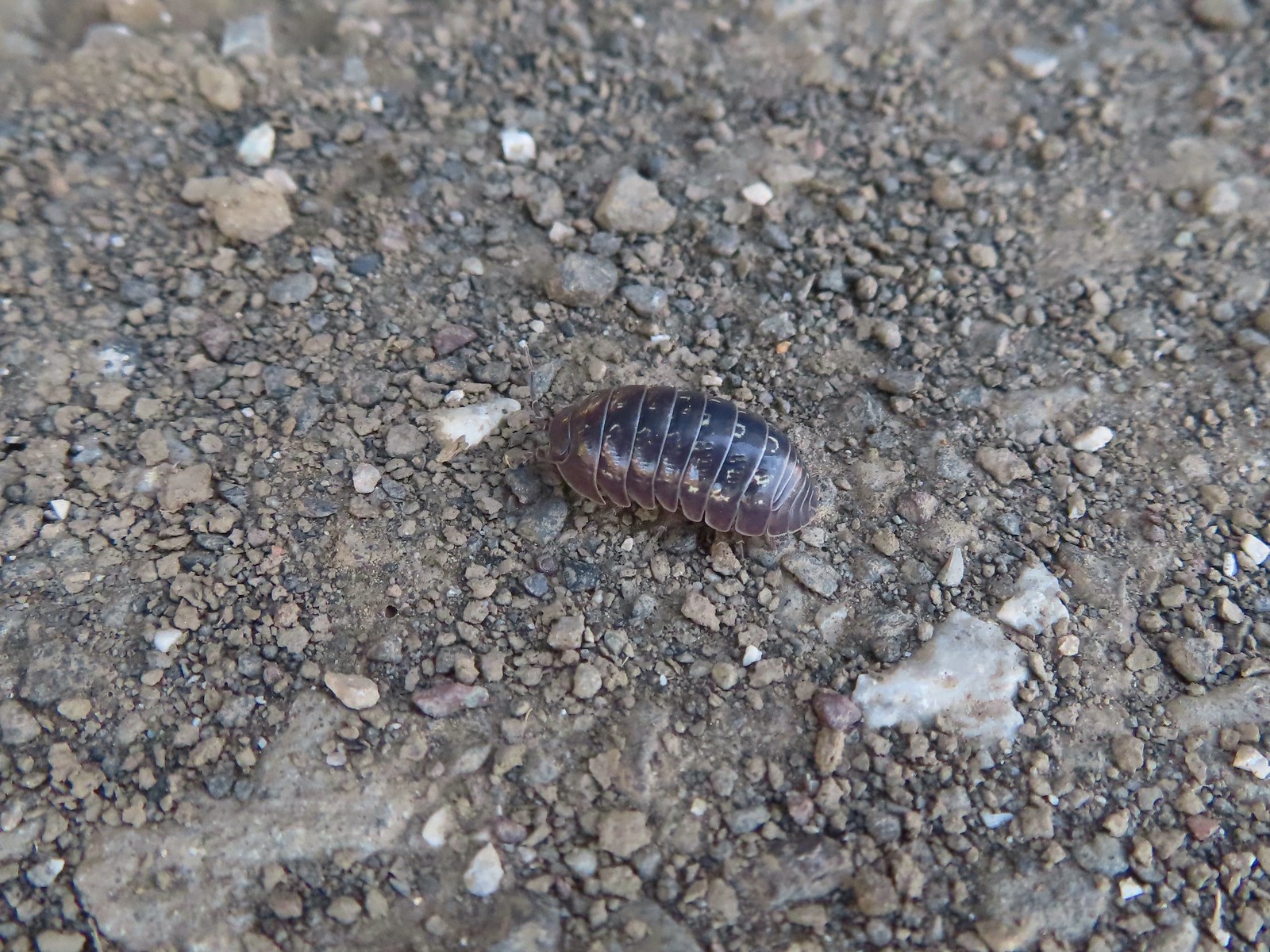 Common pill-bug – 6/25/23, North Bank Habitat, BLM Roseburg District
 Beetle – 5/28/23, Criterion Tract, BLM Prineville District
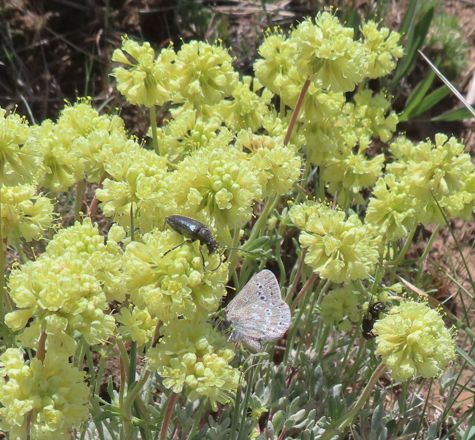 Beetle and a butterfly on buckwheat – 5/28/23, Criterion Tract, BLM Prineville District
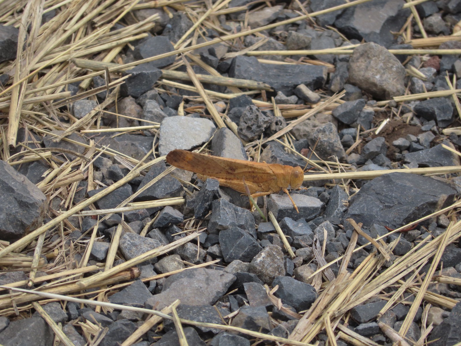 Grasshopper – 9/3/23, P Ranch, Malheur National Wildlife Refuge
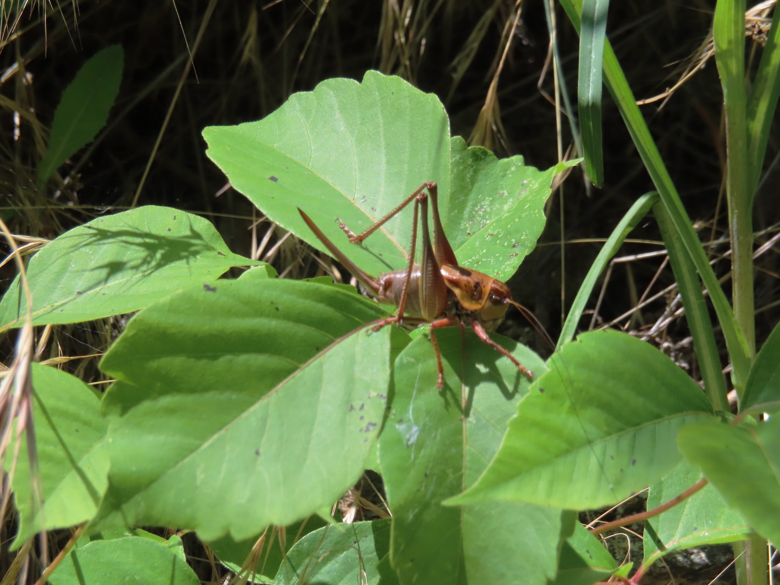 Cricket – 6/14/23, Imnaha Trail, Hells Canyon National Recreation Area
 Caterpillar – 5/28/23, Criterion Tract, BLM Prineville District
 Caterpillar – 7/1/23, Hummocks Trail, Mt. St. Helens National Volcanic Monument, WA
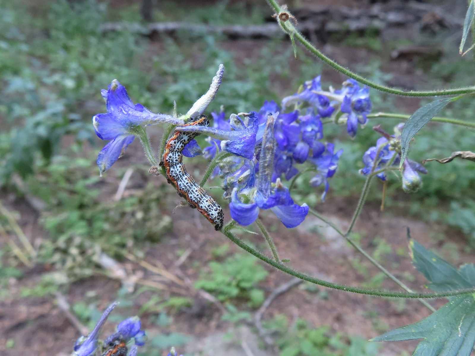 Caterpillar – 8/16/23, West Eagle Trail, Eagle Cap Wilderness
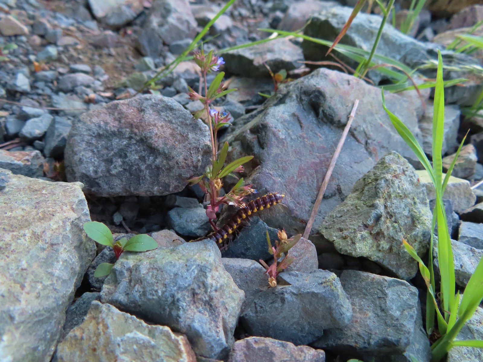 Millipede – 6/12/23, Imnaha River Trail, Eagle Cap Wilderness
 Millipedes – 6/12/23, Imnaha River Trail, Eagle Cap Wilderness
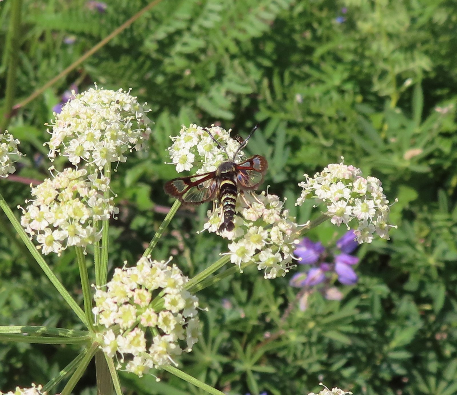 Fireweed Clearwing Moth (Albuna pyramidalis) – 7/4/23, Niagra Heights Road, Santiam State Forest
 Moth – 7/4/23, Niagra Heights Road, Santiam State Forest
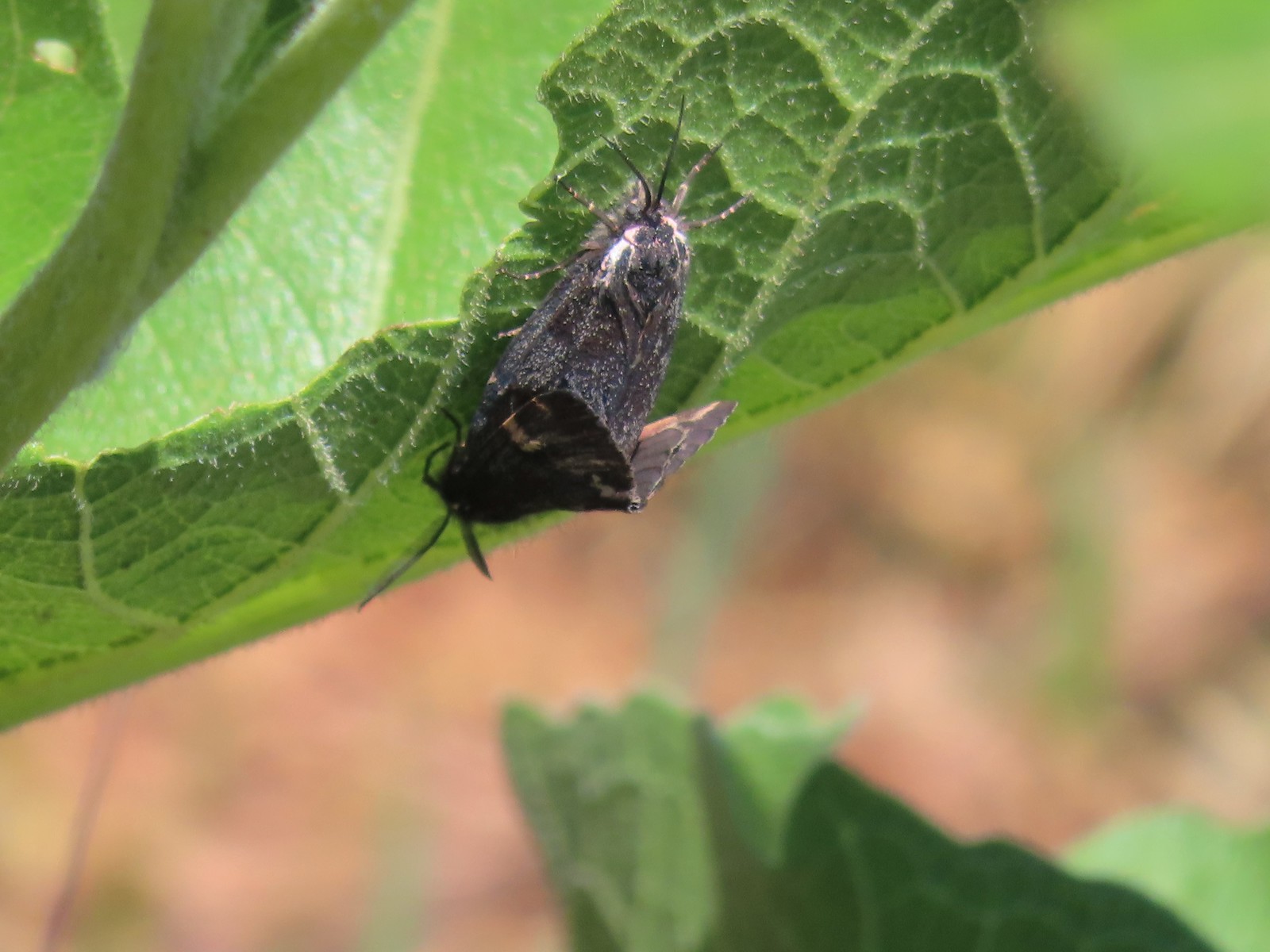 Moths – 6/3/23, Buck Creek Trail, Husum, WA
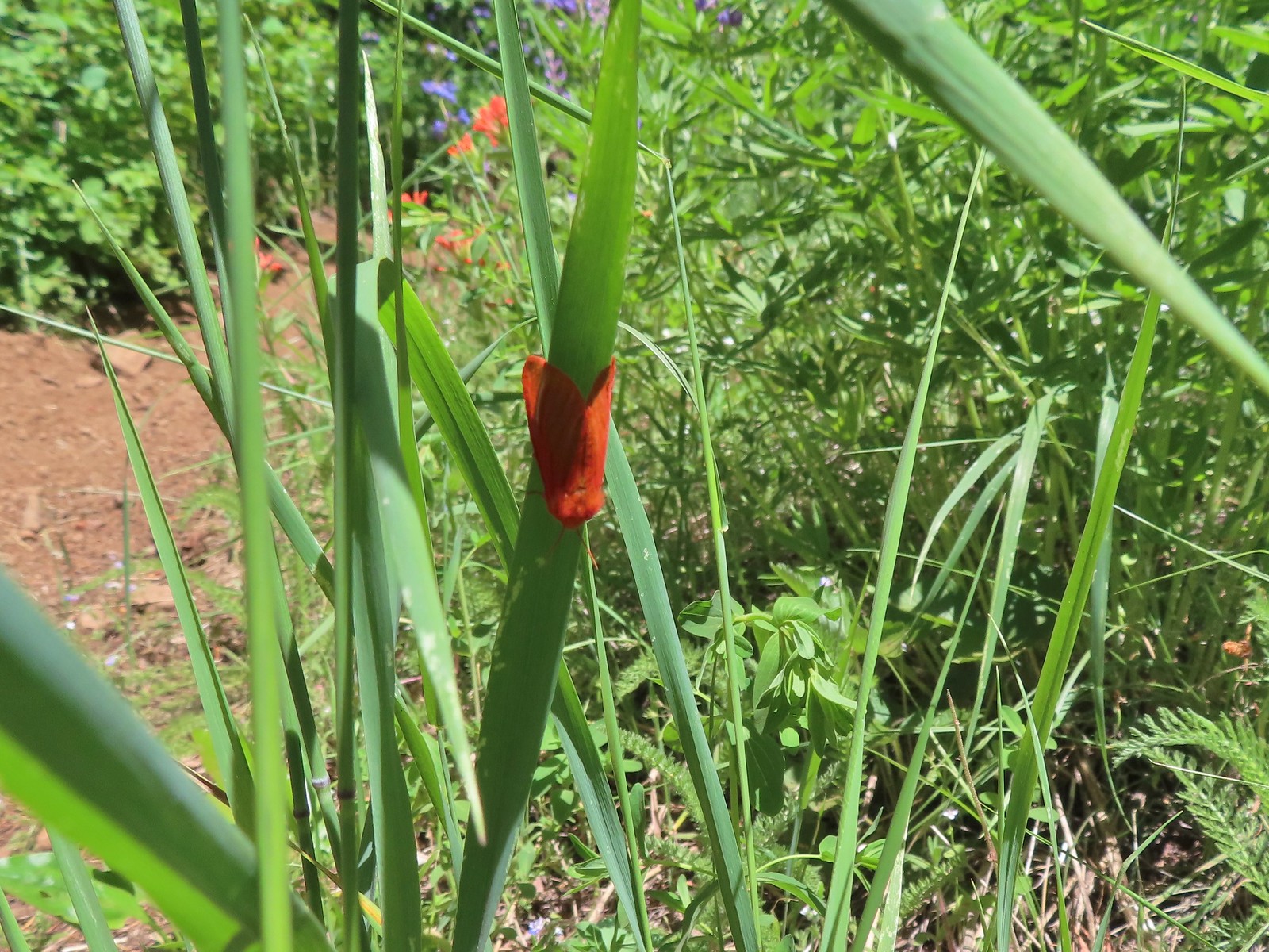 Moth – 6/3/23, Buck Creek Trail, Husum, WA
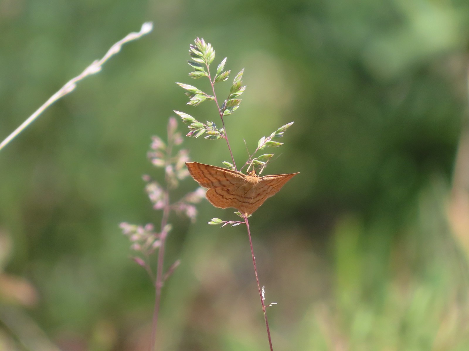 Moth – 6/3/23, Buck Creek Trail, Husum, WA
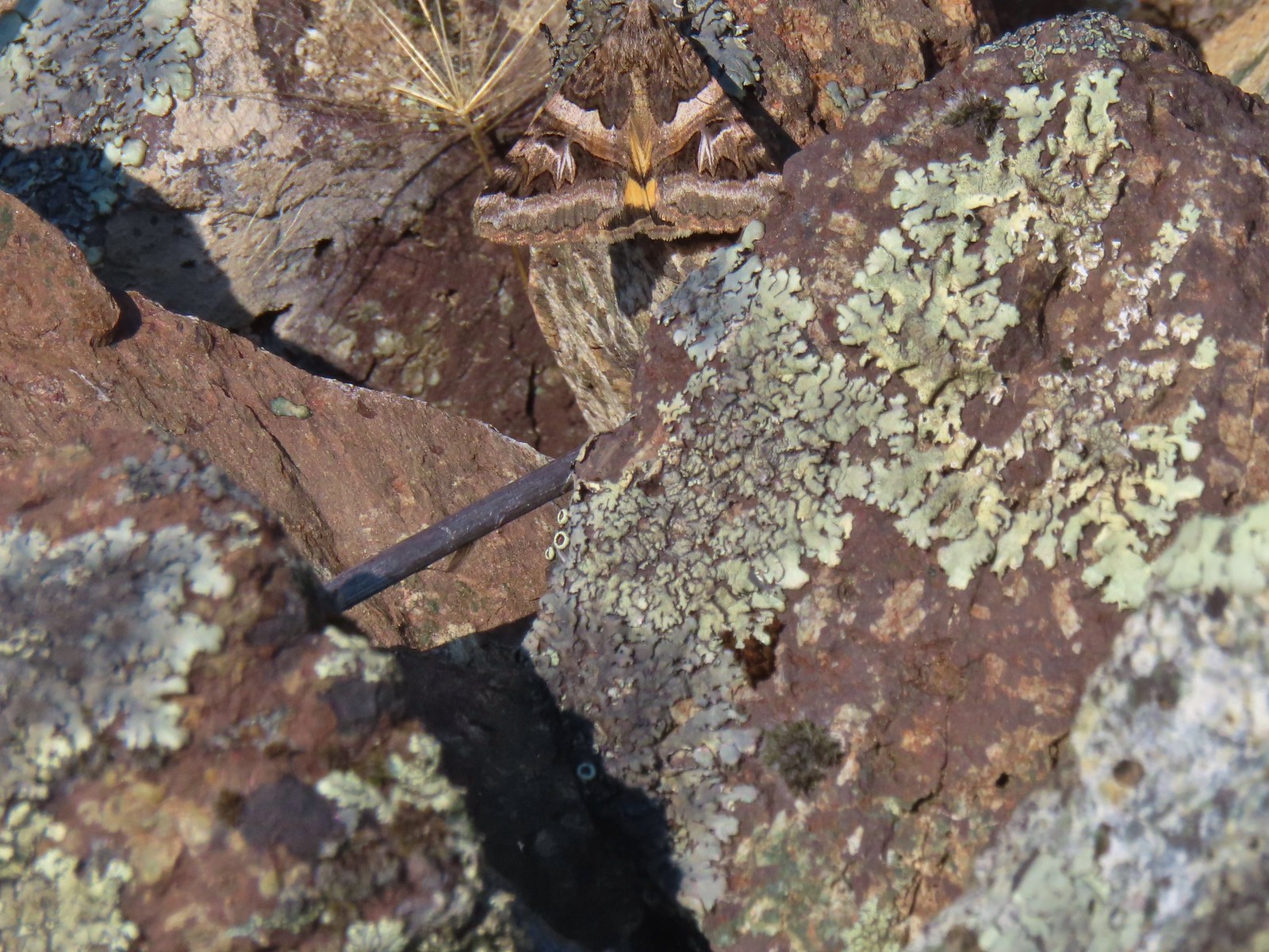 Moth – 6/16/23, Trail 1890, Hells Canyon National Recreation Area
 Moth – 7/4/23, Rocky Top Trail, North Santiam State Park
 Moth – 6/25/23, North Umpqua Trail, BLM Roseburg District
 Moth – 6/12/23, Imnaha River Trail, Eagle Cap Wilderness
 Moth – 6/24/23, Rogue River National Recreation Trail, Wild Rogue Wilderness
 Moth – 7/8/23, Santiam Wagon Road, Willamette National Forest
 Sphinx moth – 8/17/23, West Eagle Trail, Eagle Cap Wilderness
 Fly and butterfly – 5/28/23, Criterion Tract, BLM Prineville District
 Boisduval’s blues? – 6/3/23, Buck Creek Trail, Husum, WA
 Acmon blue? – 5/28/23, Criterion Tract, BLM Prineville District
 Butterfly in the Lycaenidae family – 5/2/23, Sterling Mind Ditch Trail System, BLM Medford District
 Butterfly in the Lycaenidae family – 5/28/23, Criterion Tract, BLM Prineville District
 Butterfly in the Lycaenidae family – 6/15/23, Hells Canyon National Recreation Area, Wallowa-Whitman National Forest
 Butterfly in the Lycaenidae family – 6/13/23, Iwetemlaykin State Heritage Site, Joseph
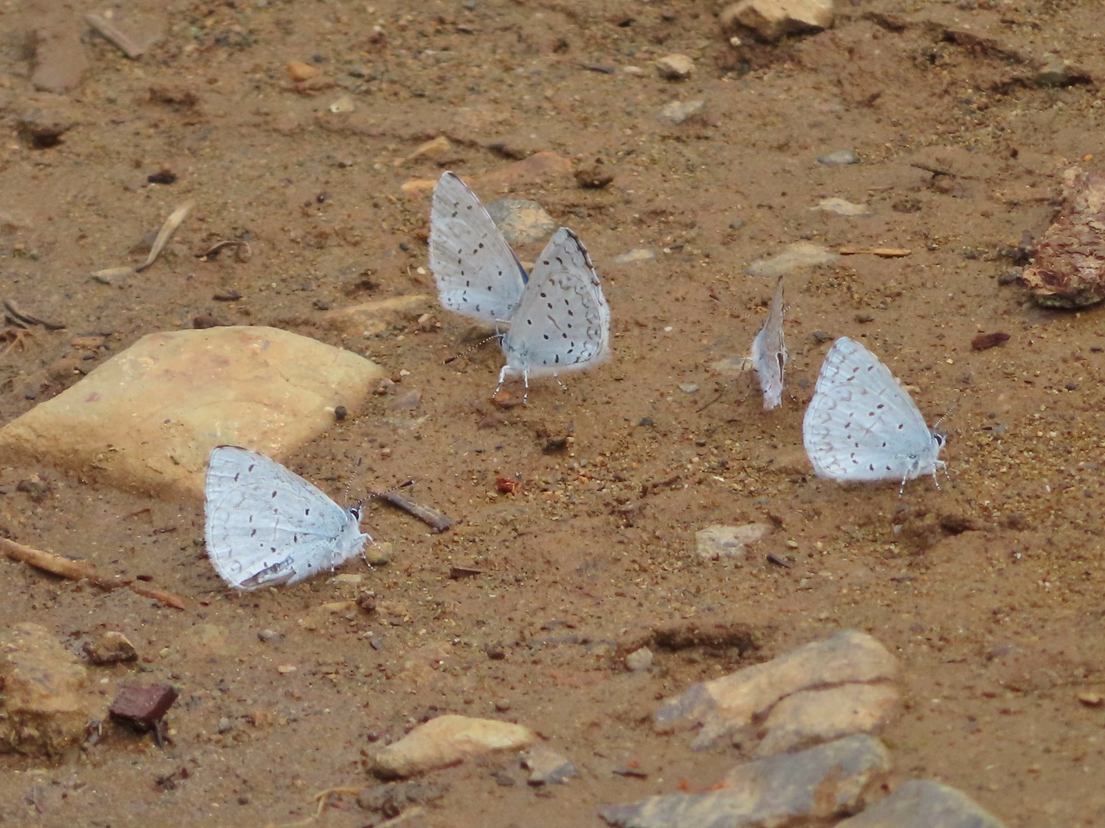 Echo azures? – 5/4/23, Forest Road 011, Rogue-River Siskiyou National Forest
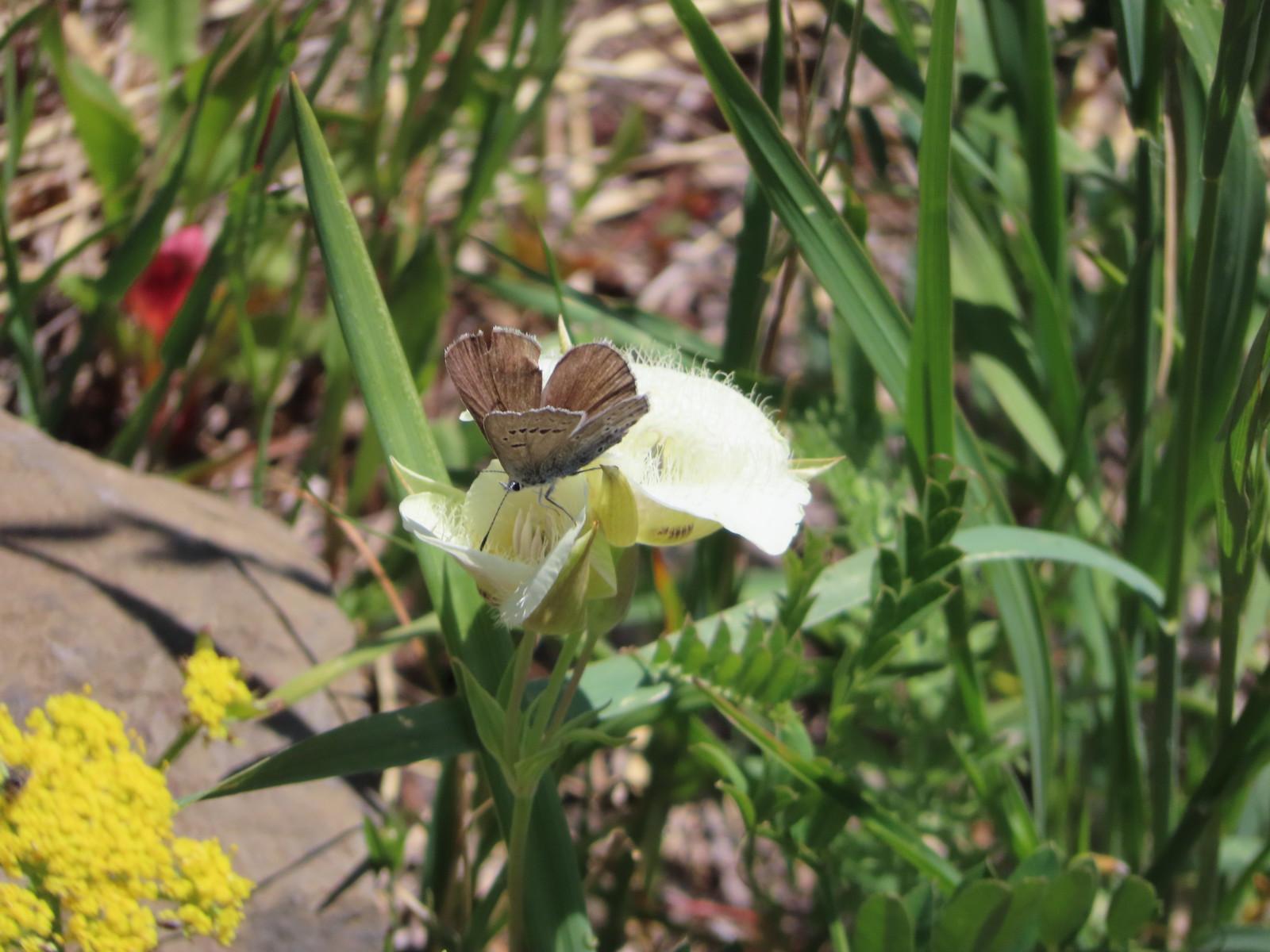 Butterfly in the Lycaenidae family – 6/3/23, Buck Creek Trail, Husum, WA
 Butterflies in the Lycaenidae family – 7/4/23, Niagra Heights Road, Santiam State Forest
 Gray hairstreak – 6/11/23, Lewis & Clark Trail, Hermiston
 Thicket hairstreak? – 7/8/23, Sand Mountain, Willamette National Forest
 A hairstreak – 6/3/23, Buck Creek Trail, Husum, WA
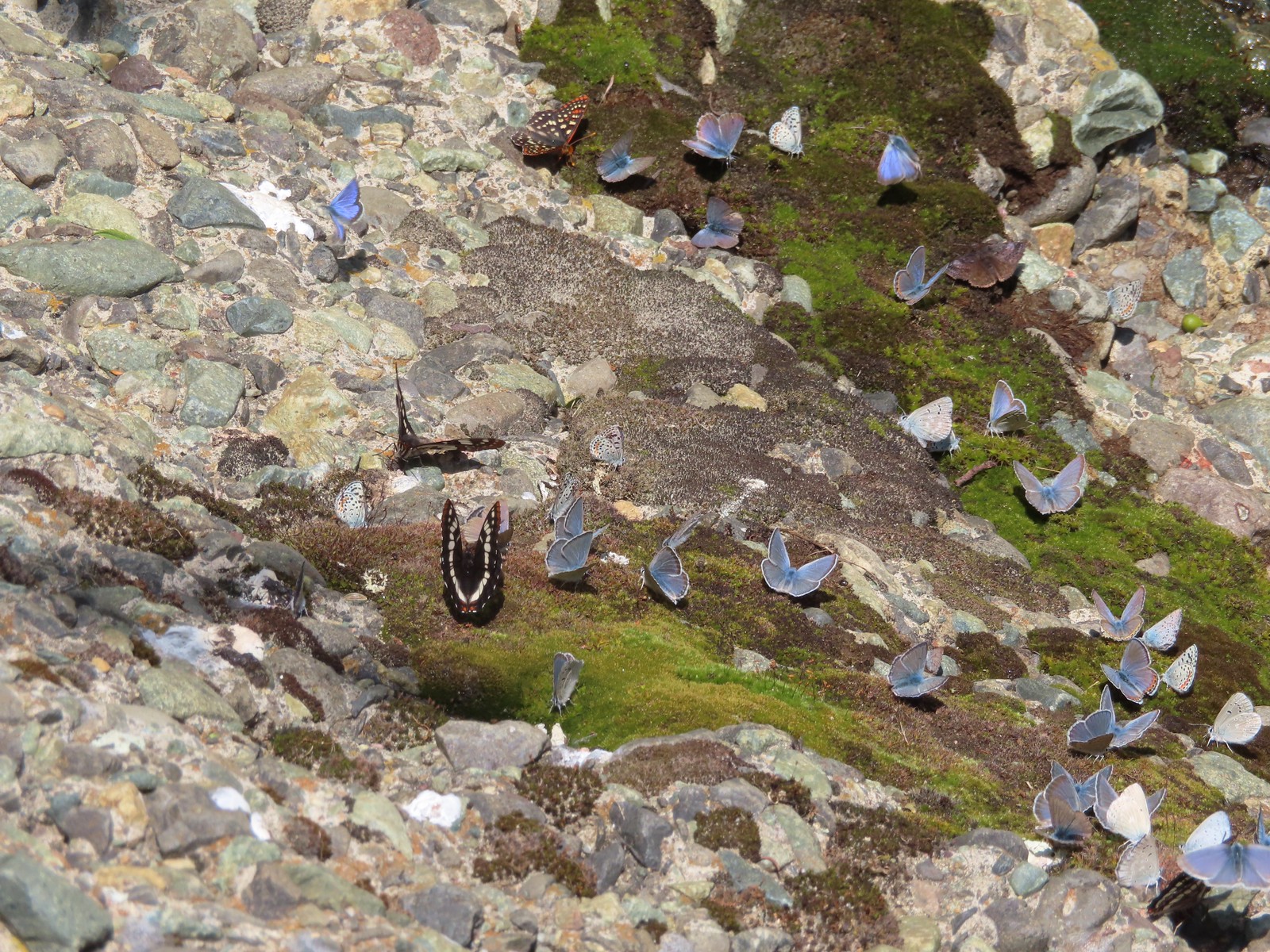 Various butterflies – 6/16/23, Deep Creek Stairway Trail, Payette National Forest, ID
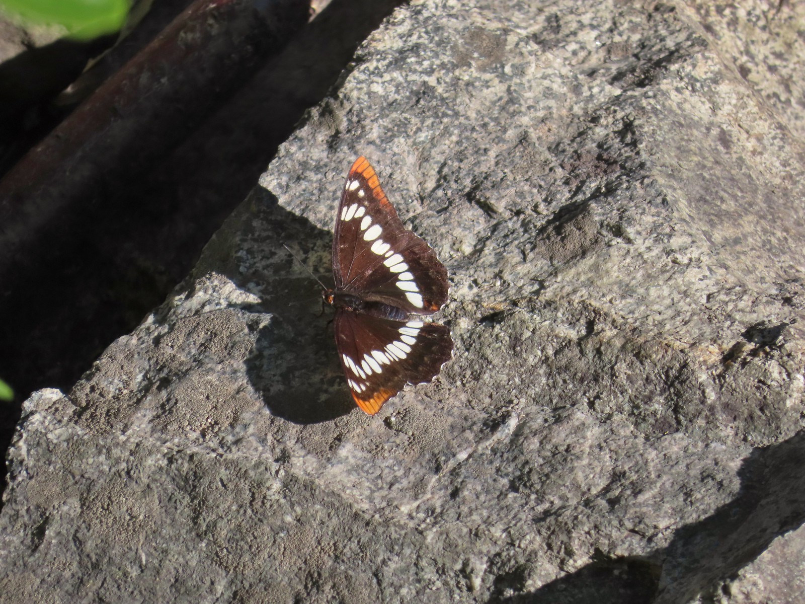 Lorquin’s admiral – 6/14/23, Imnaha Trail, Hells Canyon National Recreation Area
 Red admiral – 7/23/23, Metolius River Trail, Deschutes National Forest
 California sister – 10/8/23, Forest Road 041, Rogue River-Siskiyou National Forest
 Painted lady – 6/12/23, Imnaha River Trail, Eagle Cap Wilderness
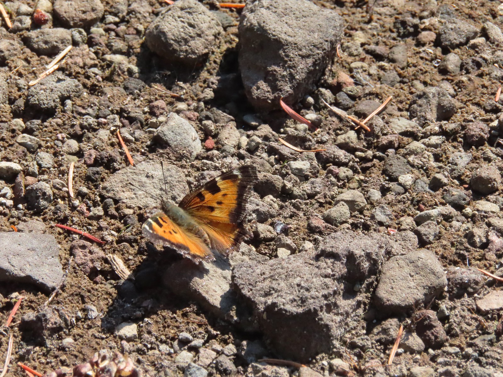 California tortoiseshell – 9/16/23, Fish Lake Trail, Mt. Hood National Forest
 Milbert’s tortoiseshell – 8/14/23, Main Eagle Creek Trail, Eagle Cap Wilderness
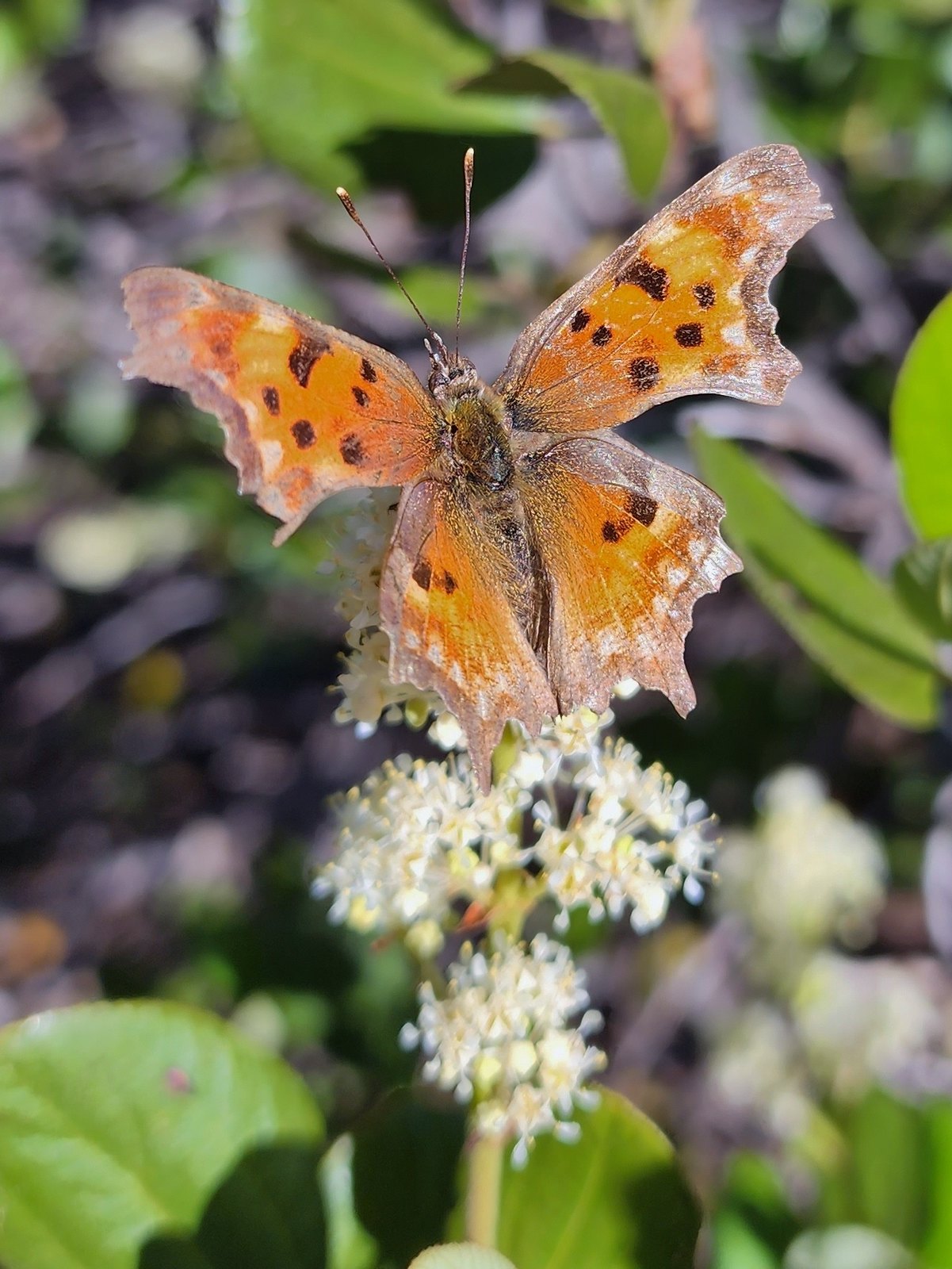 Hoary comma – 7/8/23, Sand Mountain, Willamette National Forest
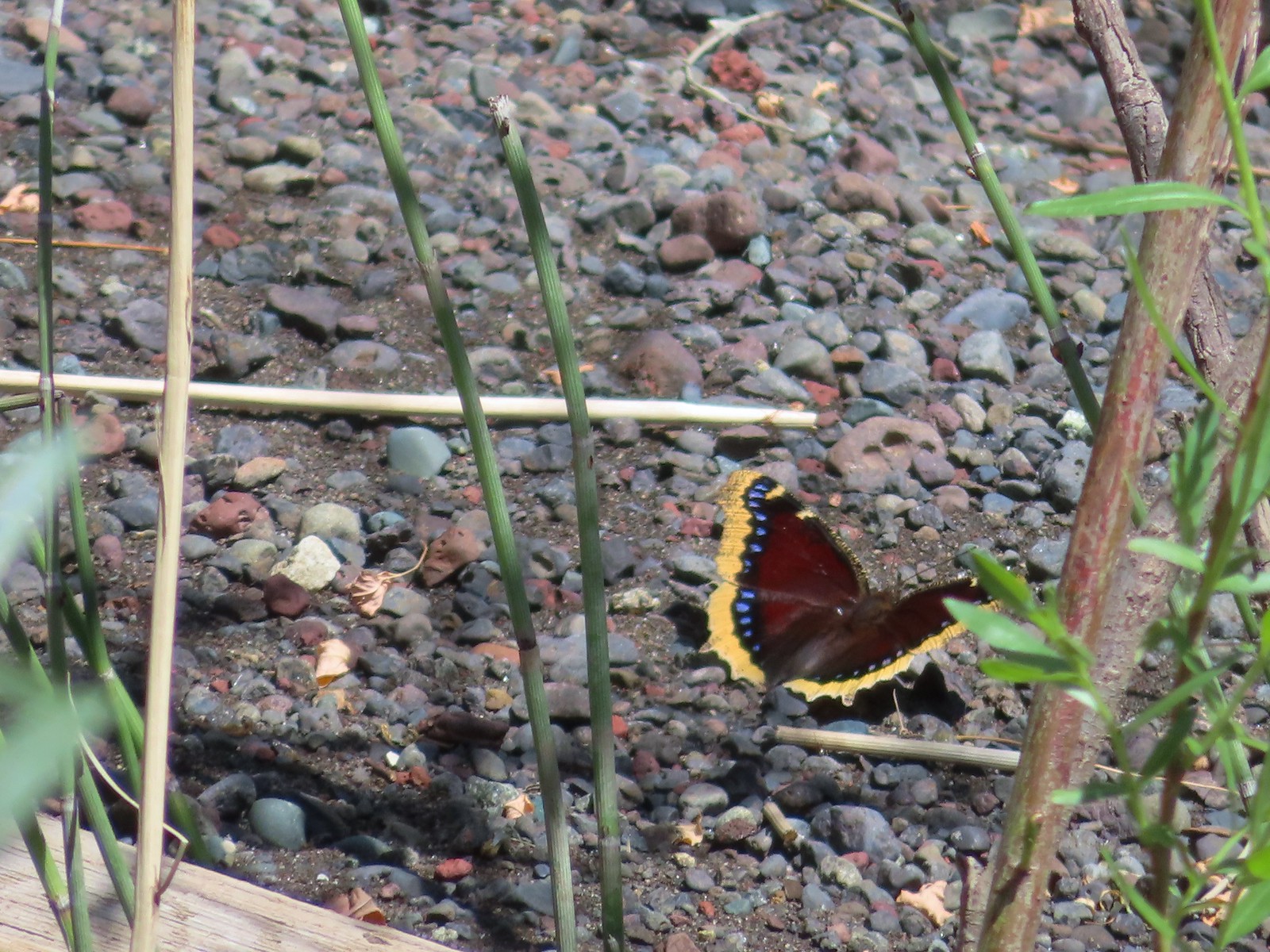 Mourning cloak – 6/14/23, Imnaha Trail, Hells Canyon National Recreation Area
 Common wood nymph – 6/15/23, Hells Canyon National Recreation Area, Wallowa-Whitman National Forest
 Ochre ringlet – 5/28/23, Criterion Tract, BLM Prineville District
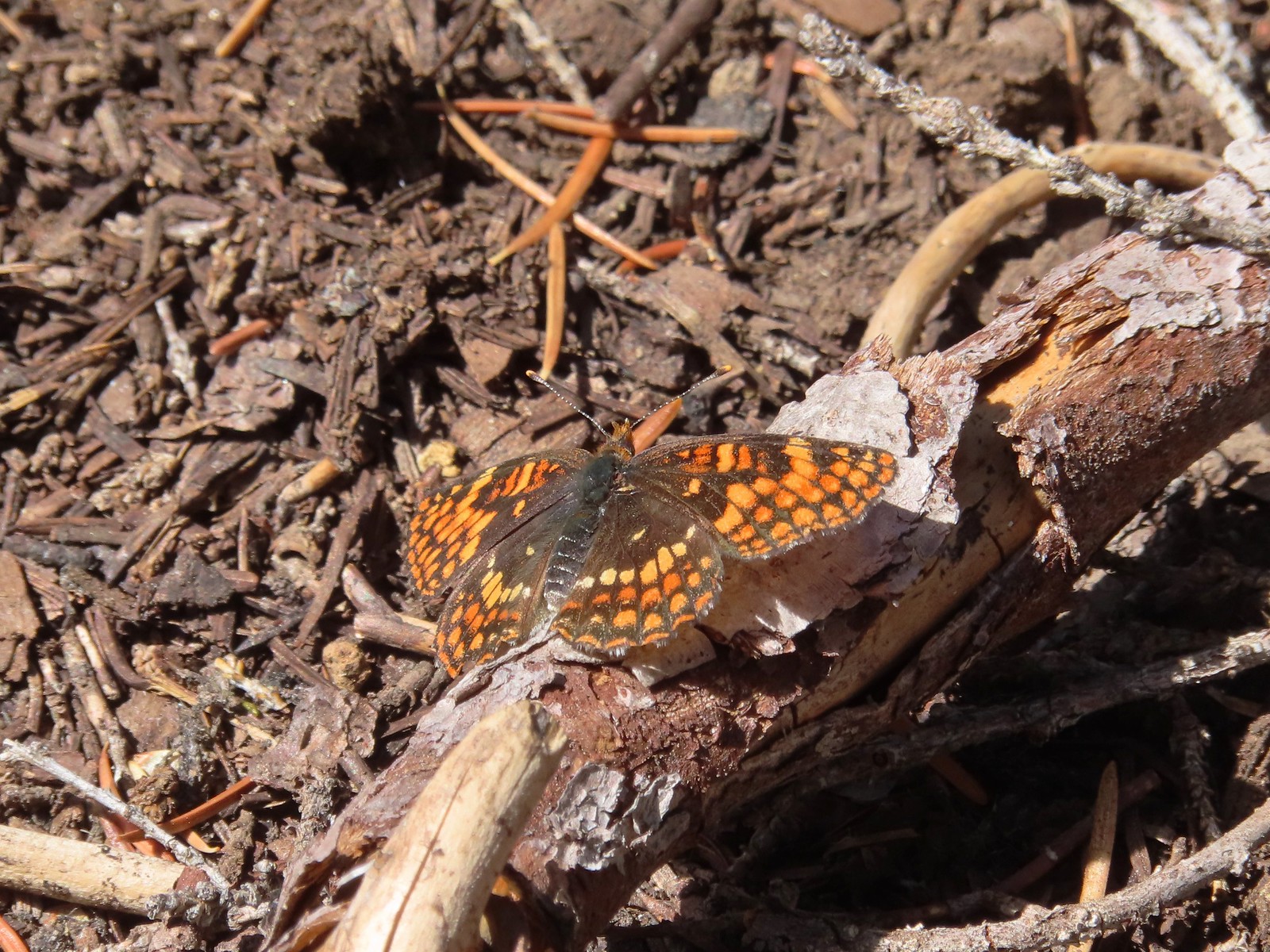 Checkerspot – 7/29/23, Stuart Falls Trail, Crater Lake National Park
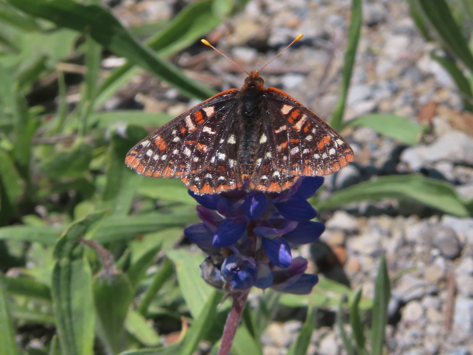 Checkerspot – 7/1/23, Boundary Trail, Mt. St. Helens National Volcanic Monument, WA
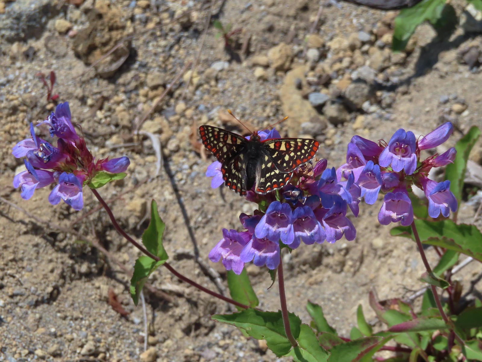 Snowberry checkerspot – 7/1/23, Boundary Trail, Mt. St. Helens National Volcanic Monument, WA
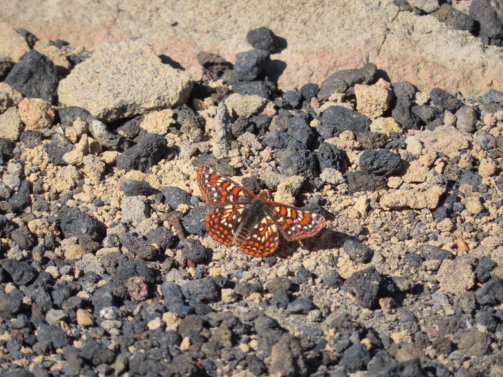 Edith’s checkerspot – 7/8/23, Sand Mountain, Willamette National Forest
 Mylitta crescent – 6/15/23, Hells Canyon National Recreation Area, Wallowa-Whitman National Forest
 A crescent? – 5/13/23, Graham Oaks Nature Park, Wilsonville
 Fritillary butterflies – 5/28/23, Criterion Tract, BLM Prineville District
 A fritillary – 7/4/23, Rocky Top Trail, Santiam State Forest
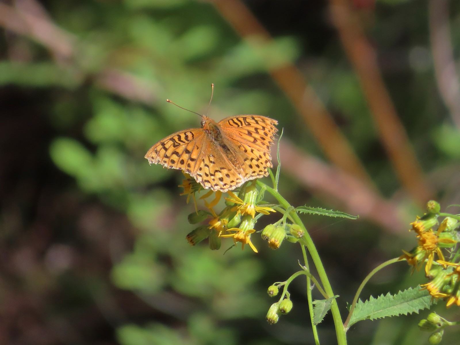 A fritillary – 7/15/23, Forest Road 4610, Mt. Hood National Forest
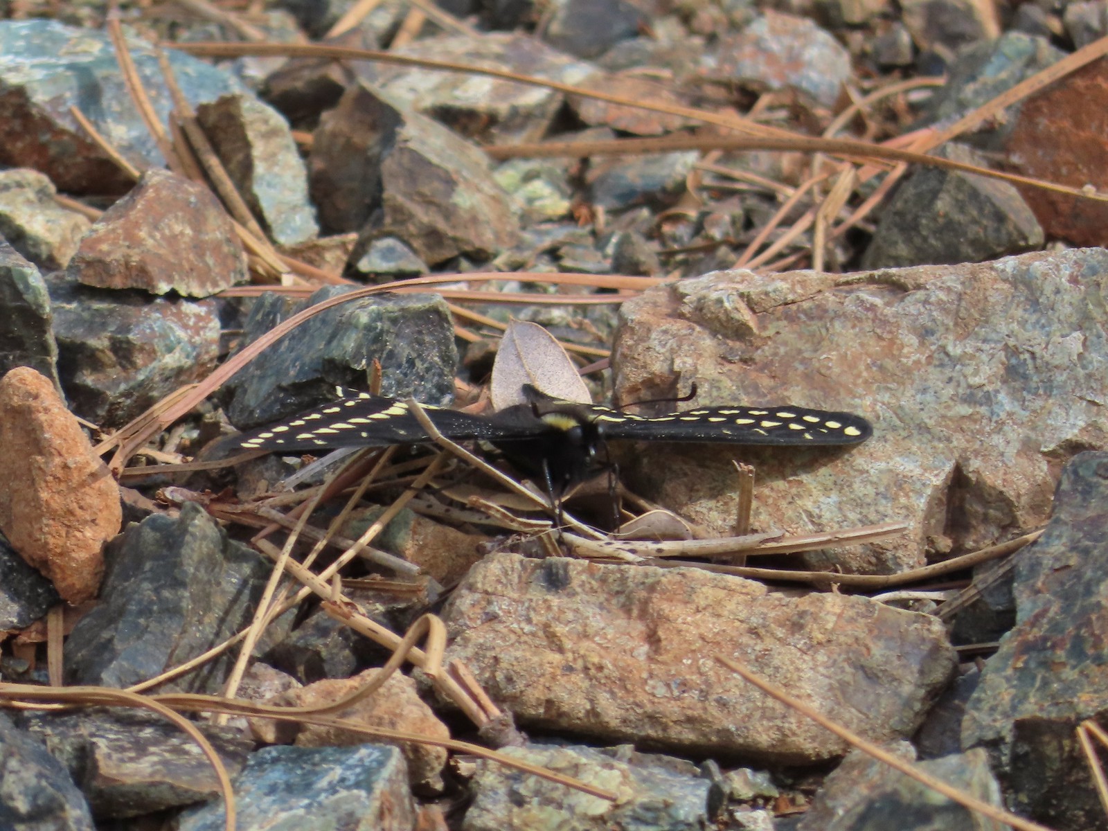 Indra swallowtail – 5/4/23, Kerby Flat Trail, Rogue River-Siskiyou National Forest
 Oregon swallowtail? with ladybug – 5/28/23, Criterion Tract, BLM Prineville District
 Swallowtail – 6/3/23, Conboy Lake National Wildlife Refuge, Trout Lake, WA
 Western swallowtails – 6/12/23, Imnaha River Trail, Eagle Cap Wilderness
 Swallowtail – 6/12/23, Imnaha River Trail, Eagle Cap Wilderness
 A sulphur – 9/9/23, Alta Lake Trail, Sky Lakes Wilderness
 Large marble – 5/28/23, Criterion Tract, BLM Prineville District
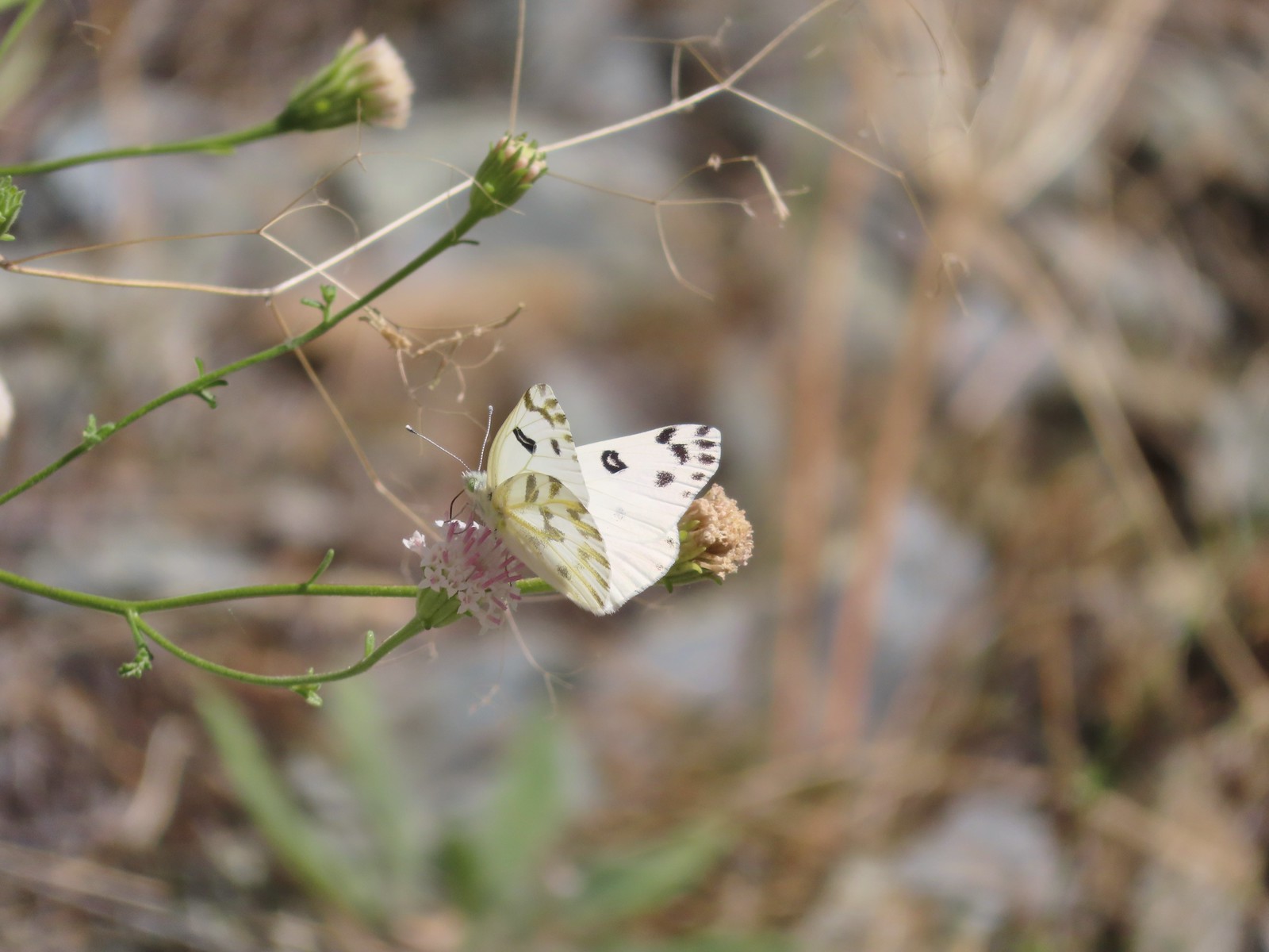 Becker’s white – 6/14/23, Imnaha Trail, Hells Canyon National Recreation Area
 Male margined white? – 8/29/23, Newell Creek Canyon Nature Park, Oregon City
 Mountain parnassian – 6/15/23, Hells Canyon National Recreation Area, Wallowa-Whitman National Forest
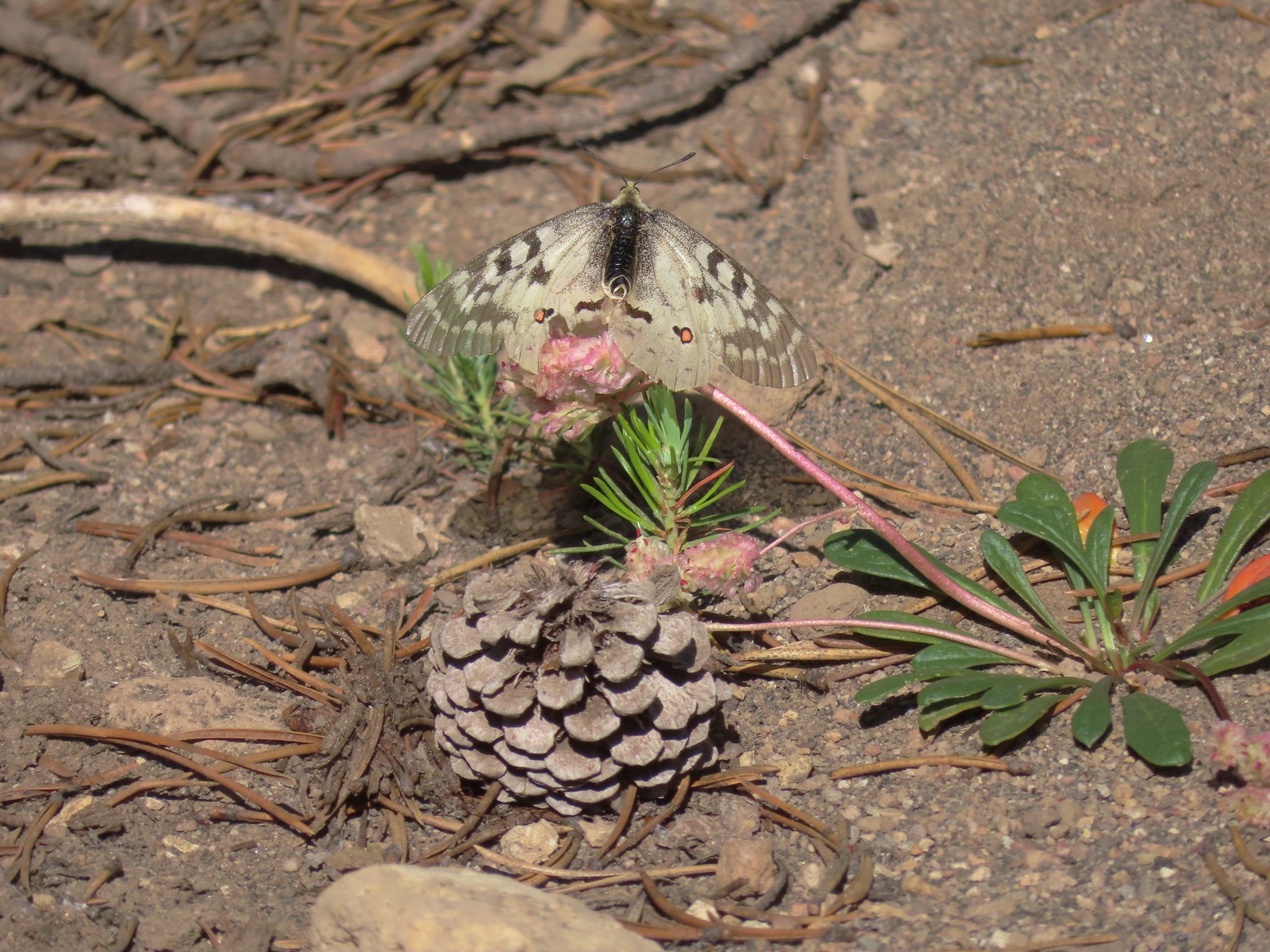 Clodius parnassian – 7/29/23, Pumice Flat Trail, Crater Lake National Park
 A skipper – 5/28/23, Criterion Tract, BLM Prineville District
 A skipper – 6/12/23, Imnaha River Trail, Eagle Cap Wilderness
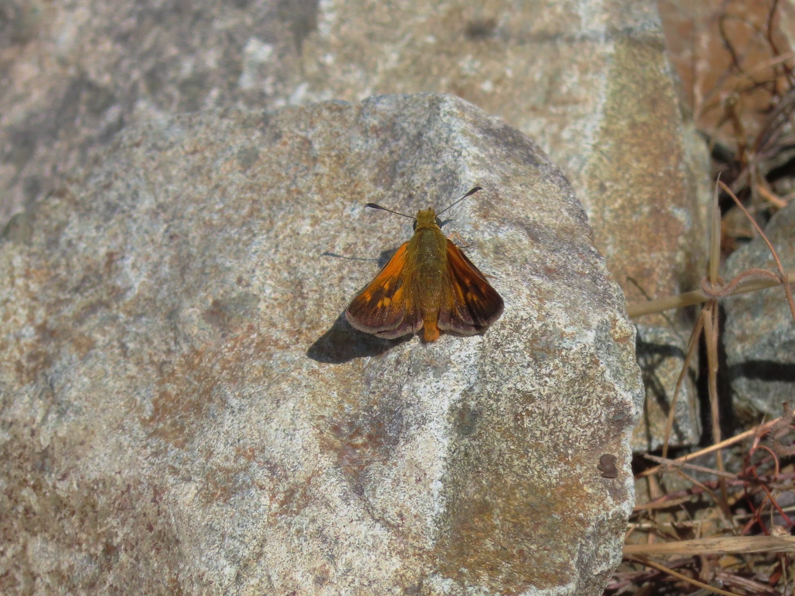 A skipper – 6/24/23, Rogue River National Recreation Trail, Wild Rogue Wilderness
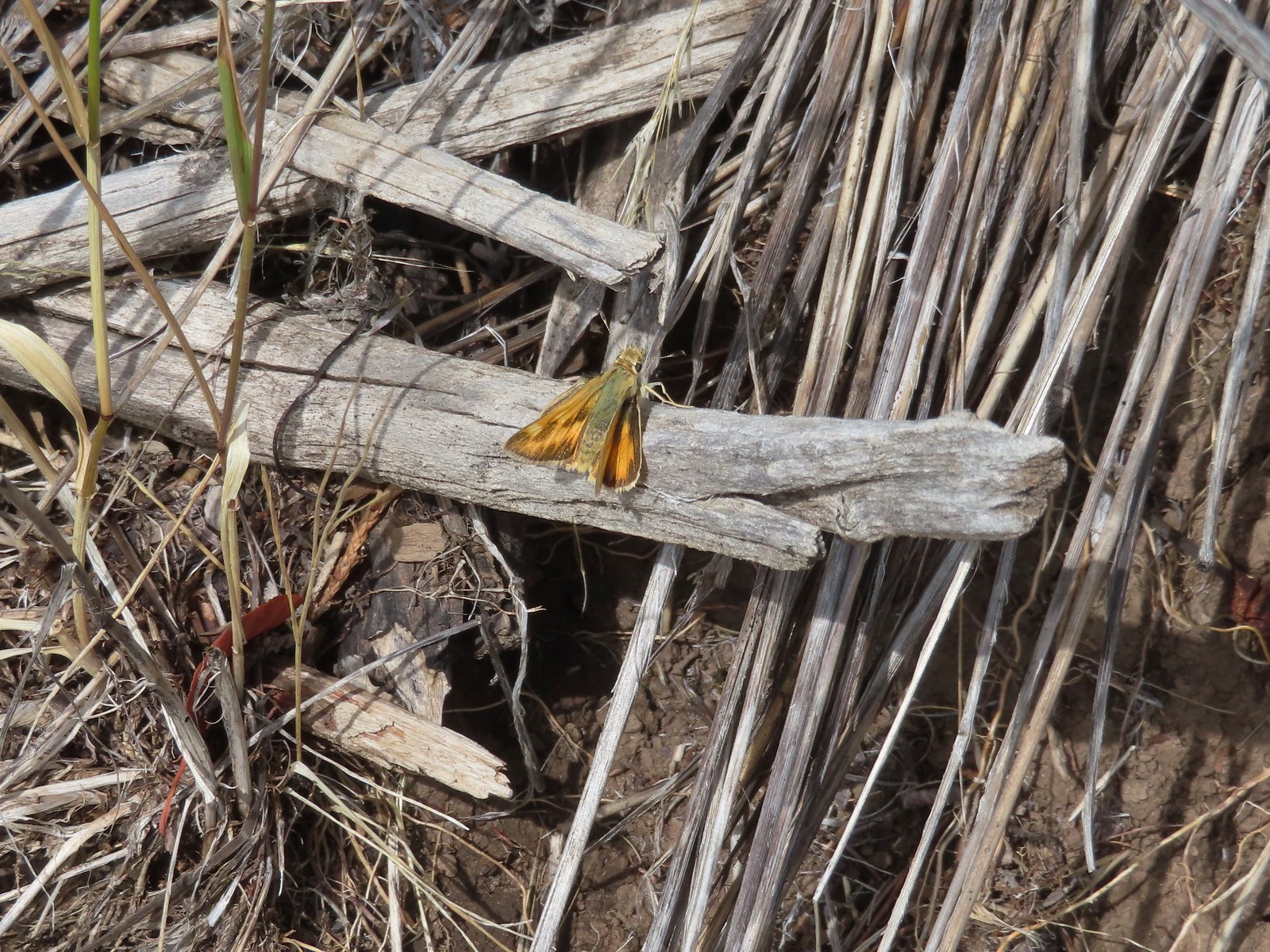 A skipper – 9/3/23, Threemile Canyon, BLM Burns District
 Skipper on a sagebrush mariposa lily – 7/23/23, Metolius River Trail, Deschutes National Forest
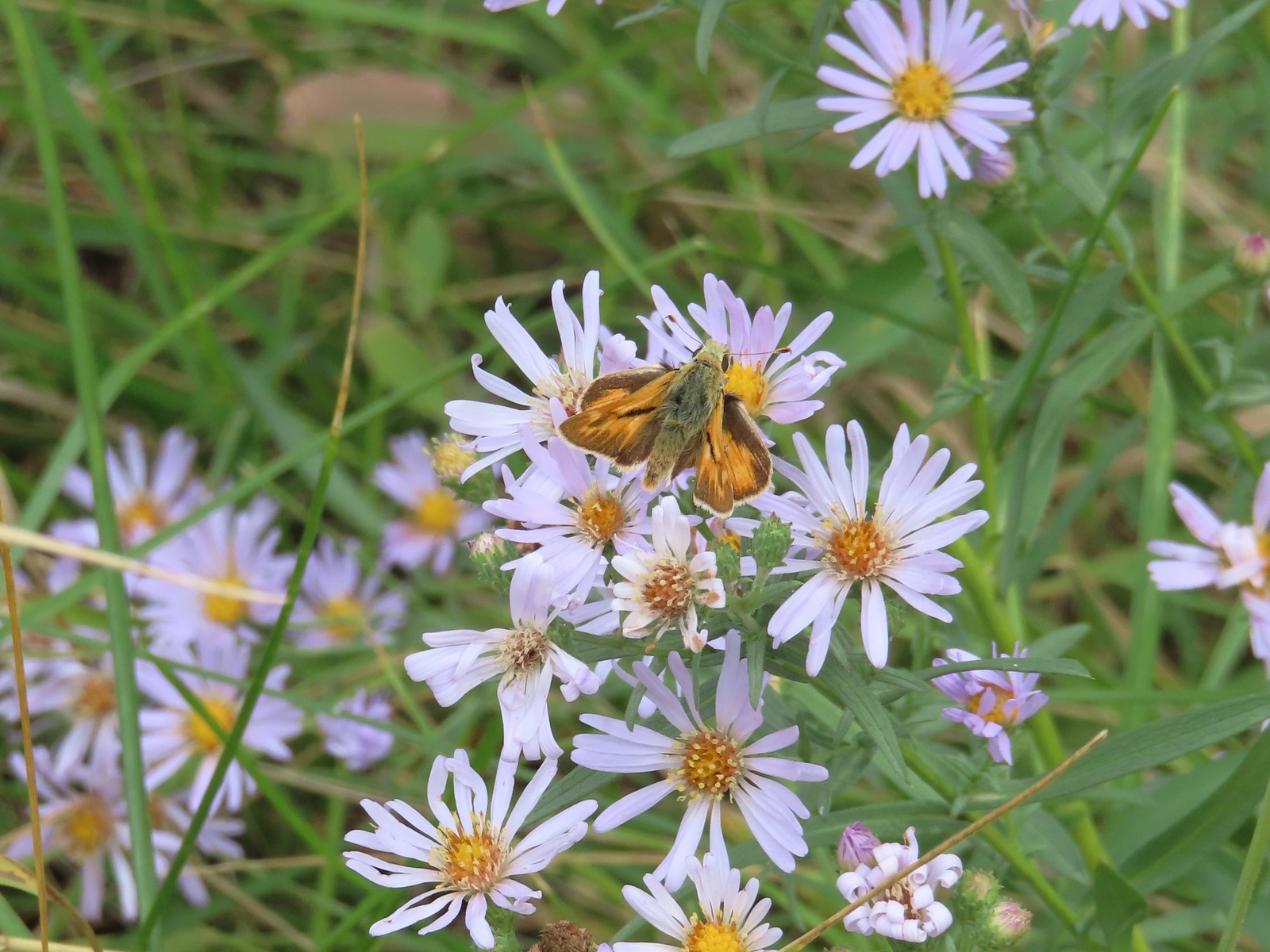 A skipper – 9/3/23, P Ranch, Malheur National Wildlife Refuge
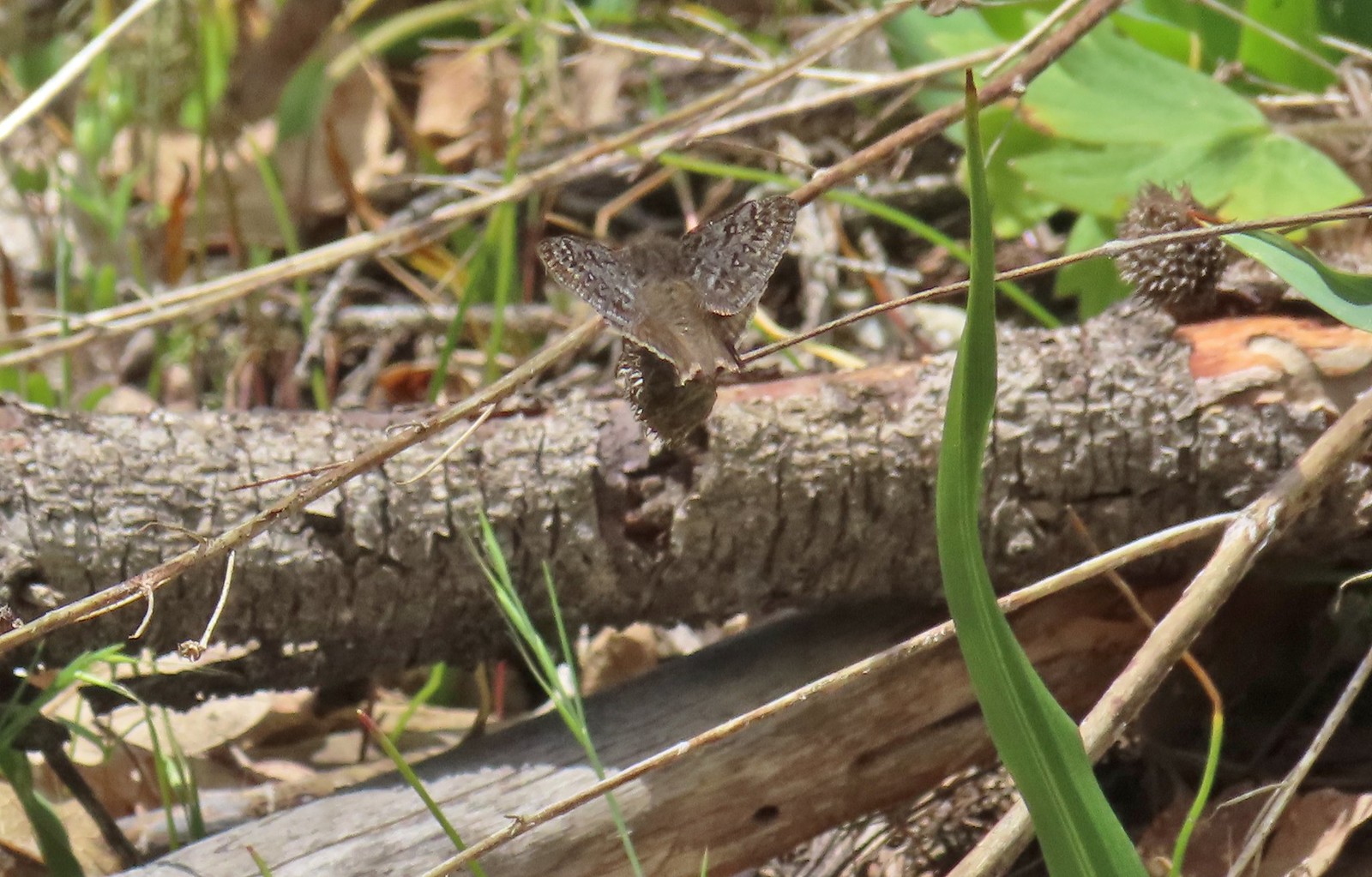 Duskywing – 5/3/23, Waters Creek Interpretive Trail, Rogue River-Siskiyou National Forest
 Dreamy duskywing – 6/12/23, Imnaha River Trail, Eagle Cap Wilderness
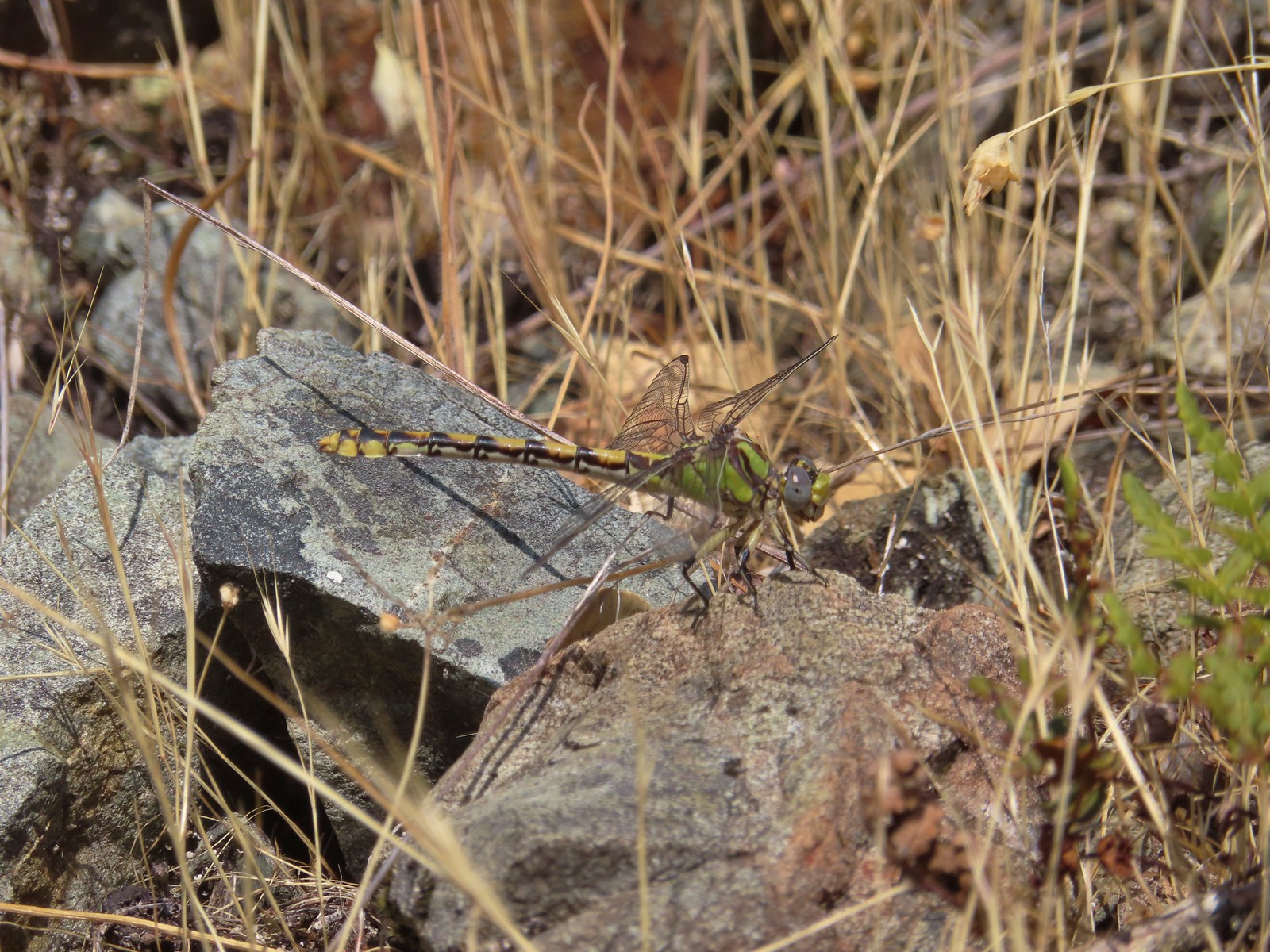 Dragonfly – 6/24/23, Rogue River National Recreation Trail, Wild Rogue Wilderness
 Dragonfly – 7/1/23, Hummocks Trail, Mt. St. Helens National Volcanic Monument, WA
 Dragonfly – 7/15/23, Plaza Lake, Salmon-Huckleberry Wilderness
 Dragonfly – 7/31/23, Godfrey Glen Trail, Crater Lake National Park
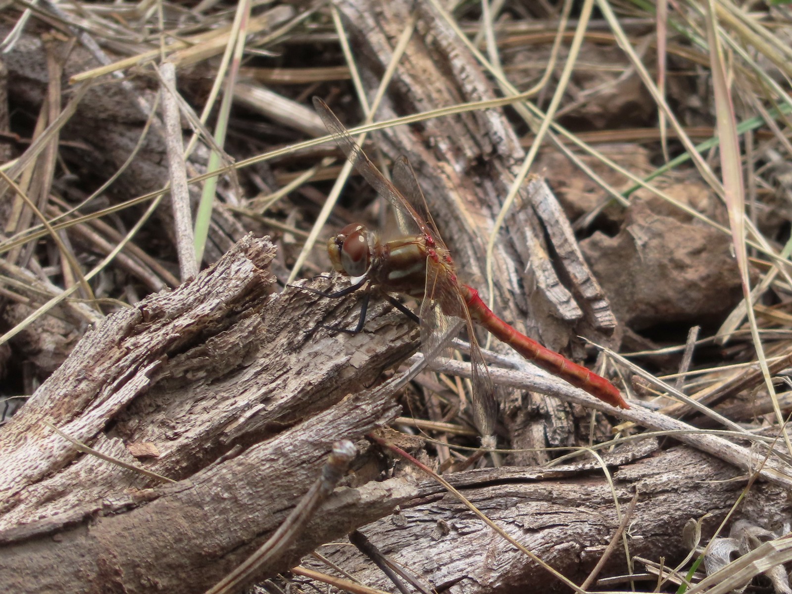 Dragonfly – 9/2/23, Idlewild Loop Trail, Malheur National Forest
 Slug – 4/29/23, Canemah Bluff Nature Park, Oregon City
 Snail – 4/15/23, Enchanted Valley Trail, Siuslaw National Forest
 Rough skinned newt – 4/15/23, Cape Mountain, Siuslaw National Forest
 Tadpoles – 9/9/23, Pacific Crest Trail, Sky Lakes Wilderness
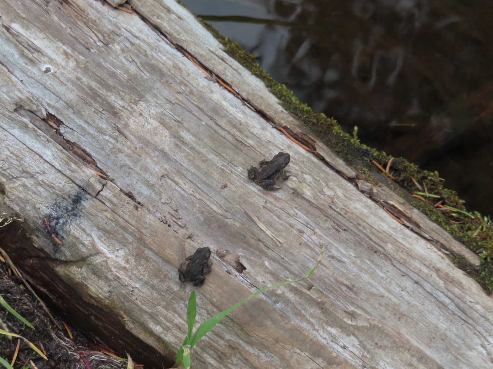 Western toads – 9/9/23, Pacific Crest Trail, Sky Lakes Wilderness
 Full grown western toad – 9/9/23, Pacific Crest Trail, Sky Lakes Wilderness
 Cascade frog – 9/9/23, Pacific Crest Trail, Sky Lakes Wilderness
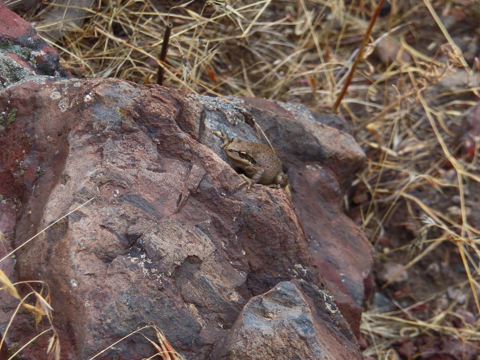 Pacific treefrog – 9/3/23, Threemile Canyon, BLM Burns District
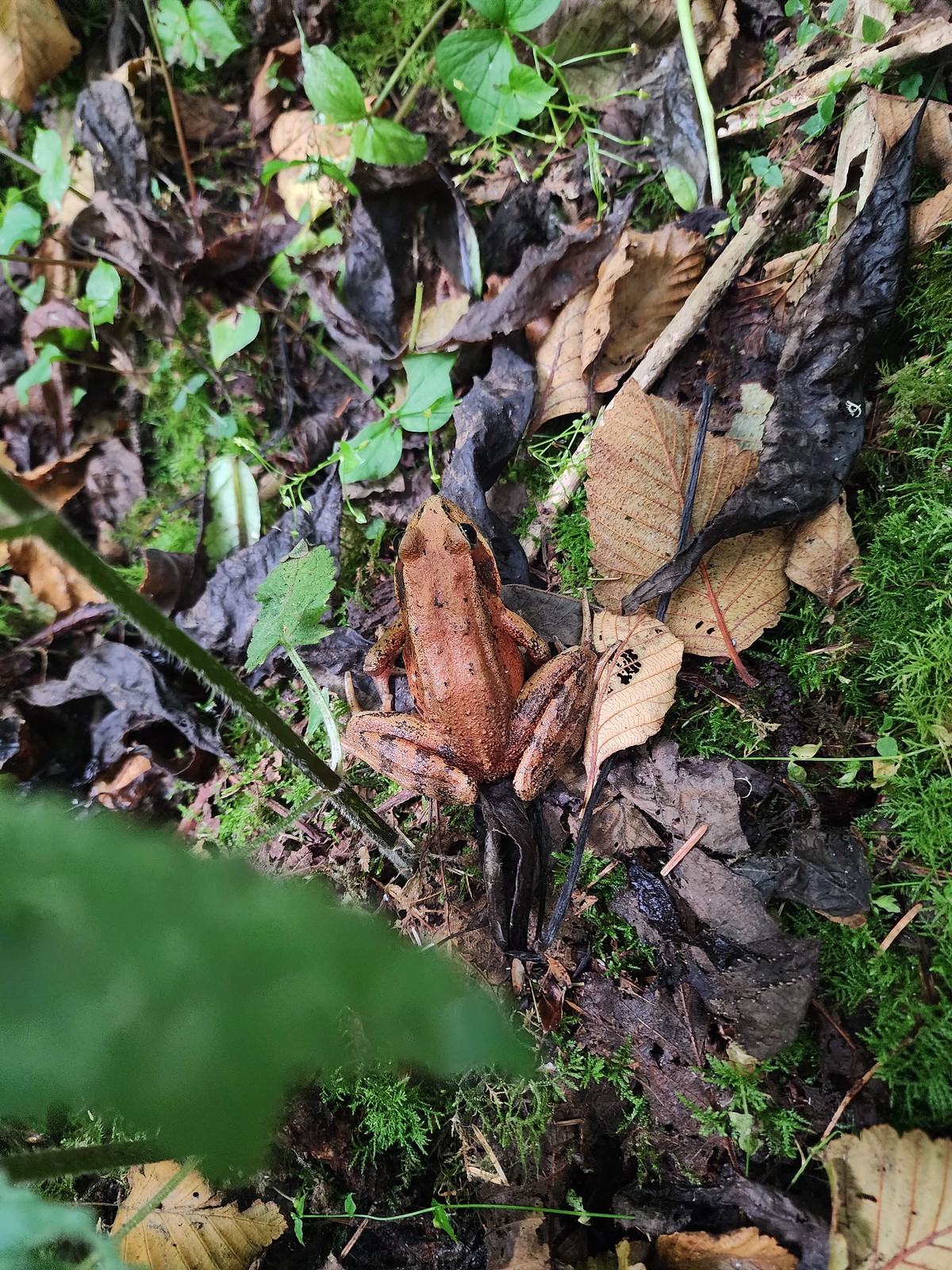 Northern red-legged frog – 8/26/23, Nestucca Bay National Wildlife Refuge, Cloverdale
 Bullfrog (invasive) – 4/22/23, Talking Water Gardens, Albany
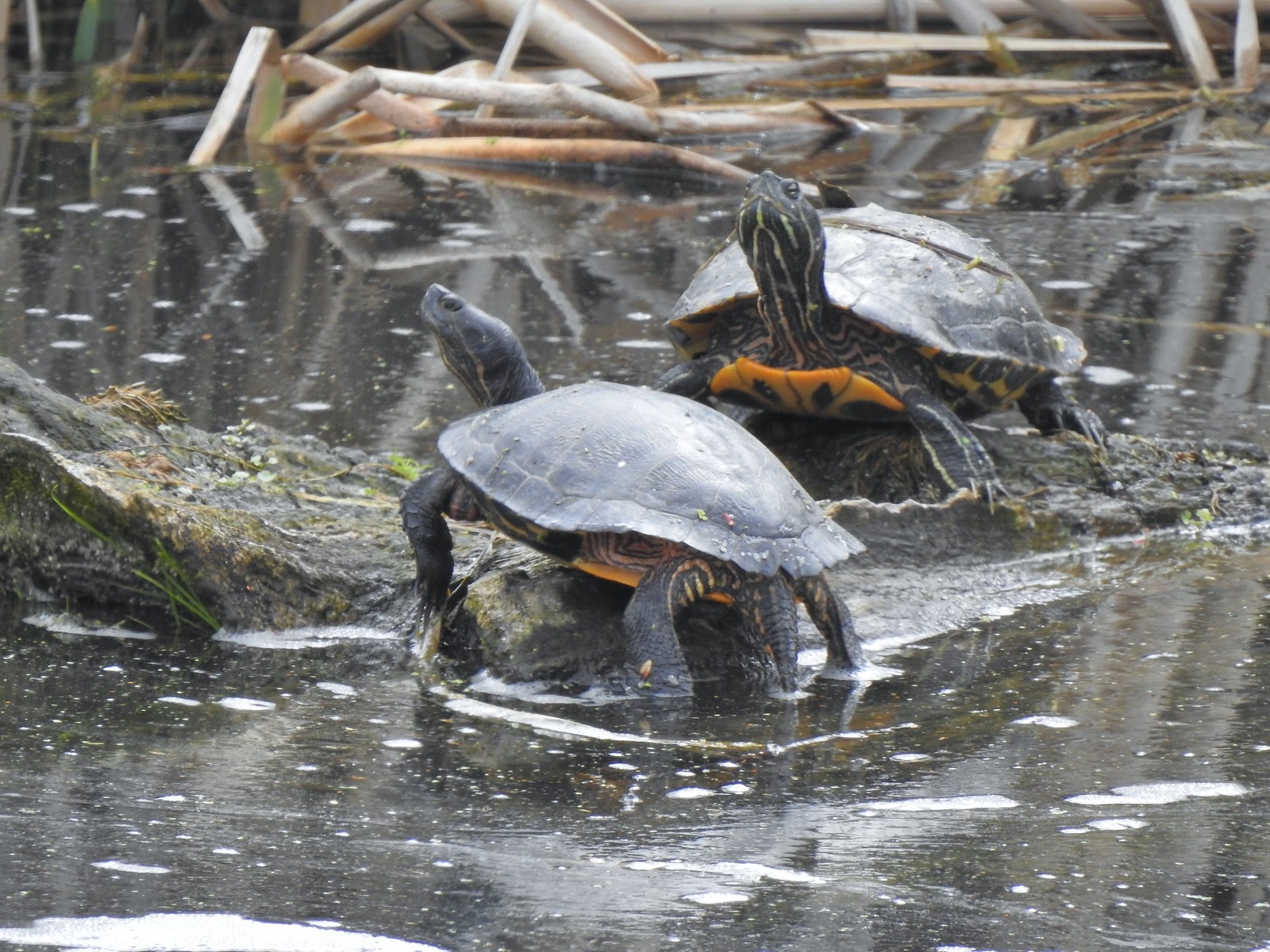 Western pond turtles – 4/22/23, Talking Water Gardens, Albany
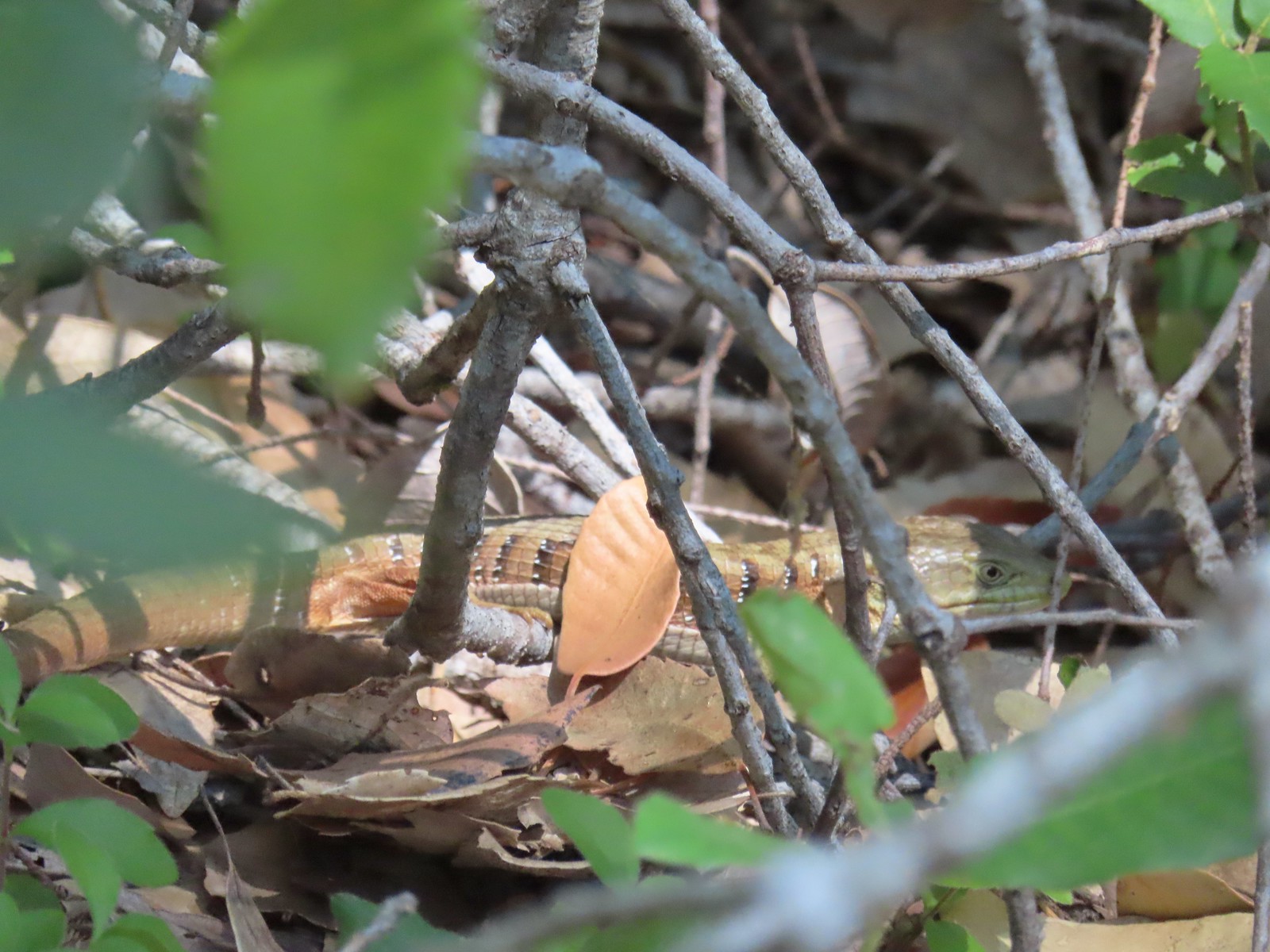 Southern alligator lizard – 6/24/23, Rogue River National Recreation Trail, Wild Rogue Wilderness
 Western fence lizard – 5/3/23, Waters Creek Interpretive Trail, Rogue River-Siskiyou National Forest
 Sagebrush lizard – 7/22/23, Shut-In Trail, Deschutes National Forest
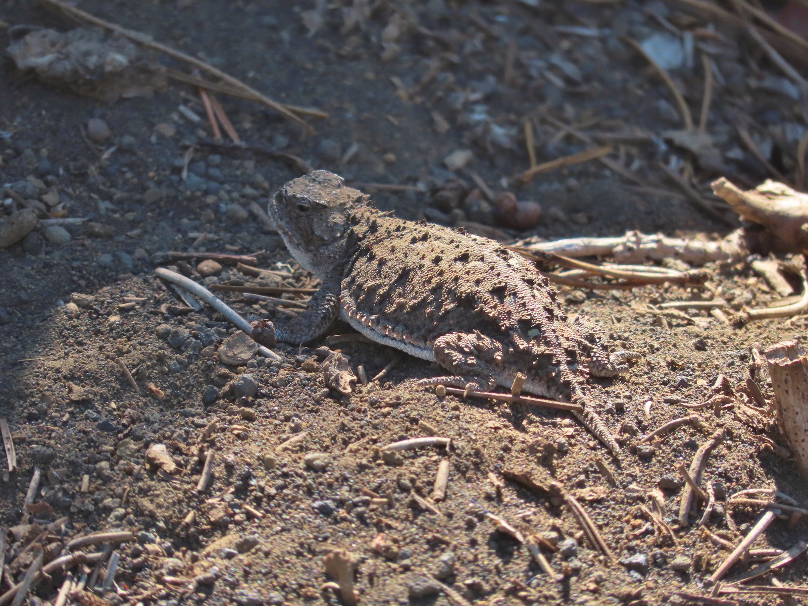 Pygmy short-horned lizard – 7/8/23, Santiam Wagon Road, Willamette National Forest
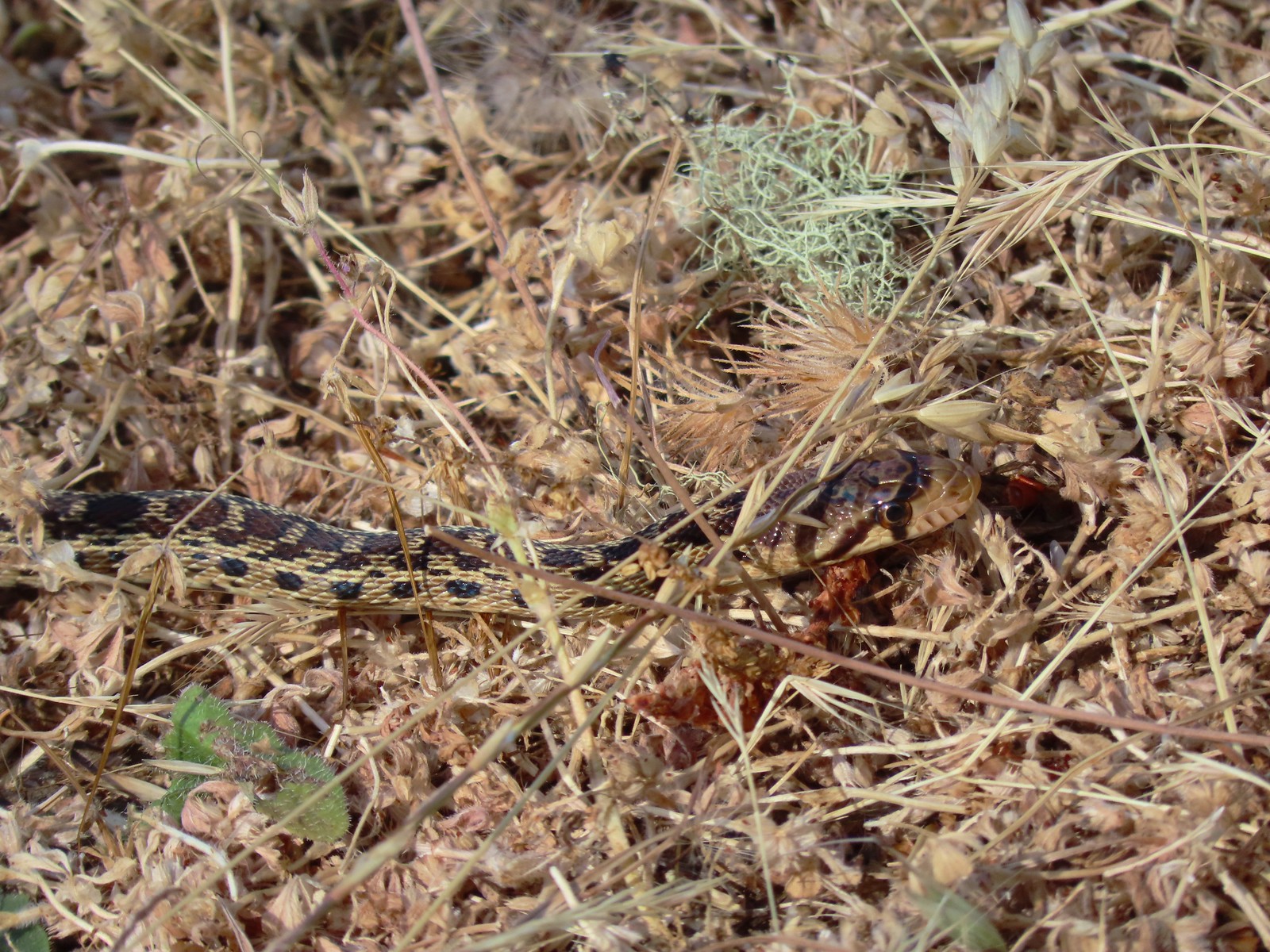 Gopher snake – 6/25/23, North Bank Habitat, BLM Roseburg District
 Garter snake – 4/22/23, Dave Clark Riverfront Path, Albany
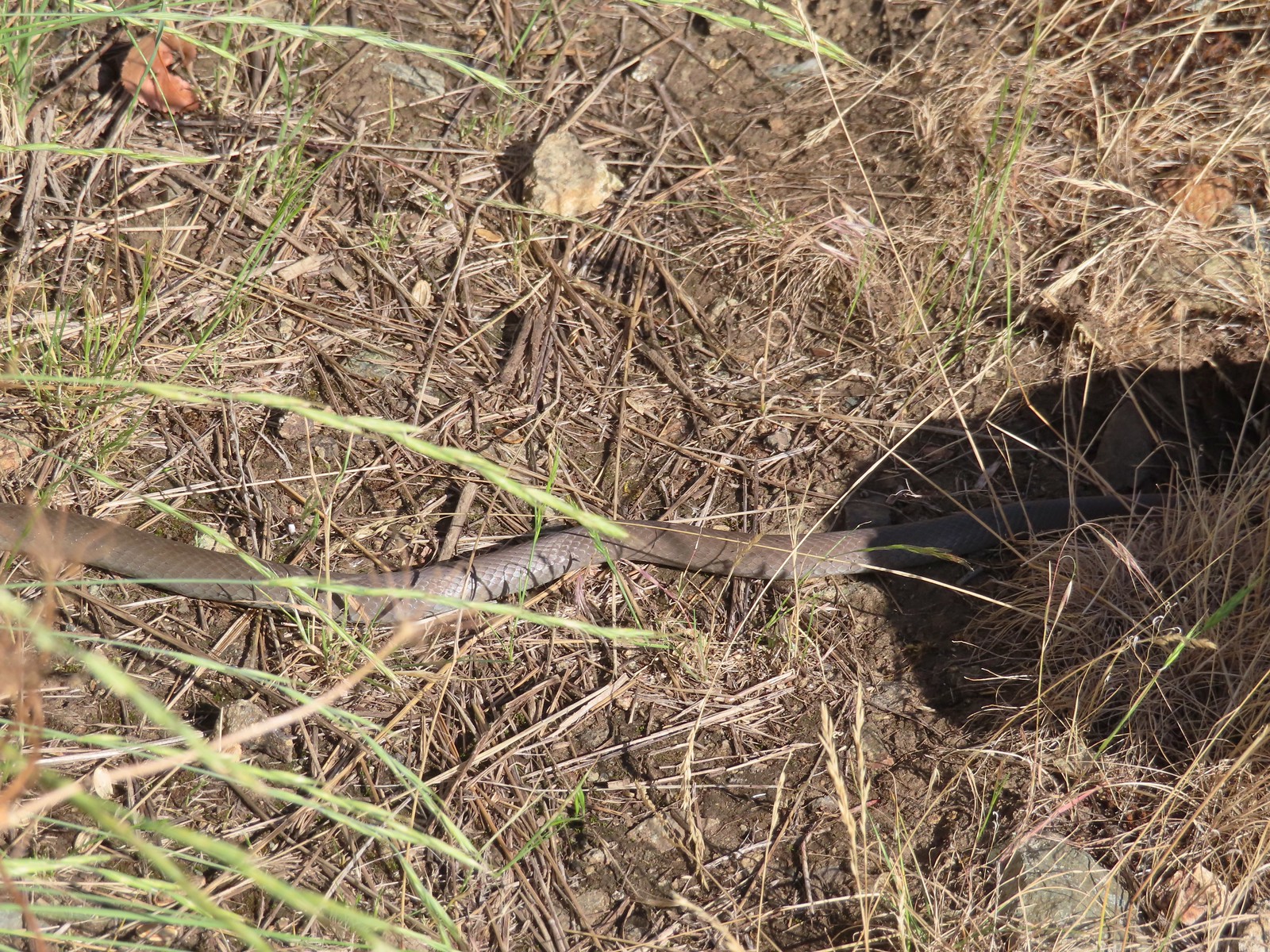 Rubber boa? – 6/14/23, Imnaha Trail, Hells Canyon National Recreation Area
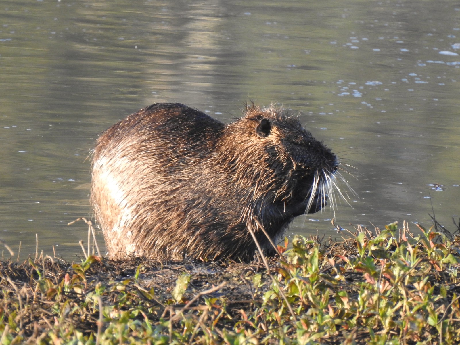 Nutria (invasive) – 5/13/23, Tualatin River National Wildlife Refuge, Sherwood
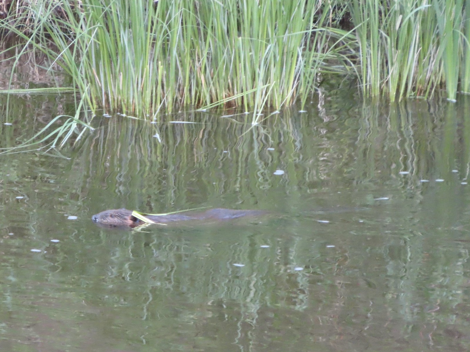 Beaver – 5/29/23, Riley Ranch Preserve, Bend
 Yellow-bellied marmot – 7/31/23, Garfield Peak Trail, Crater Lake National Park
 Gray squirrel – 4/22/23, Dave Clark Riverfront Path, Albany
 Douglas’ squirrel – 4/22/23, Dave Clark Riverfront Path, Albany
 Eastern fox squirrel? – 4/29/23, Newell Creek Canyon Nature Park, Oregon City
 Columbian ground squirrel – 8/16/23, Tombstone Lake Trail, Eagle Cap Wilderness
 Golden-mantled ground squirrel – 7/31/23, Garfield Peak Trail, Crater Lake National Park
 Chipmunk – 8/5/23, McNeil Point scramble trail, Mt. Hood Wilderness
 Pika – 8/5/23, McNeil Point Trail, Mt. Hood Wilderness
 Rabbit – 5/13/23, Tualatin River National Wildlife Refuge, Sherwood
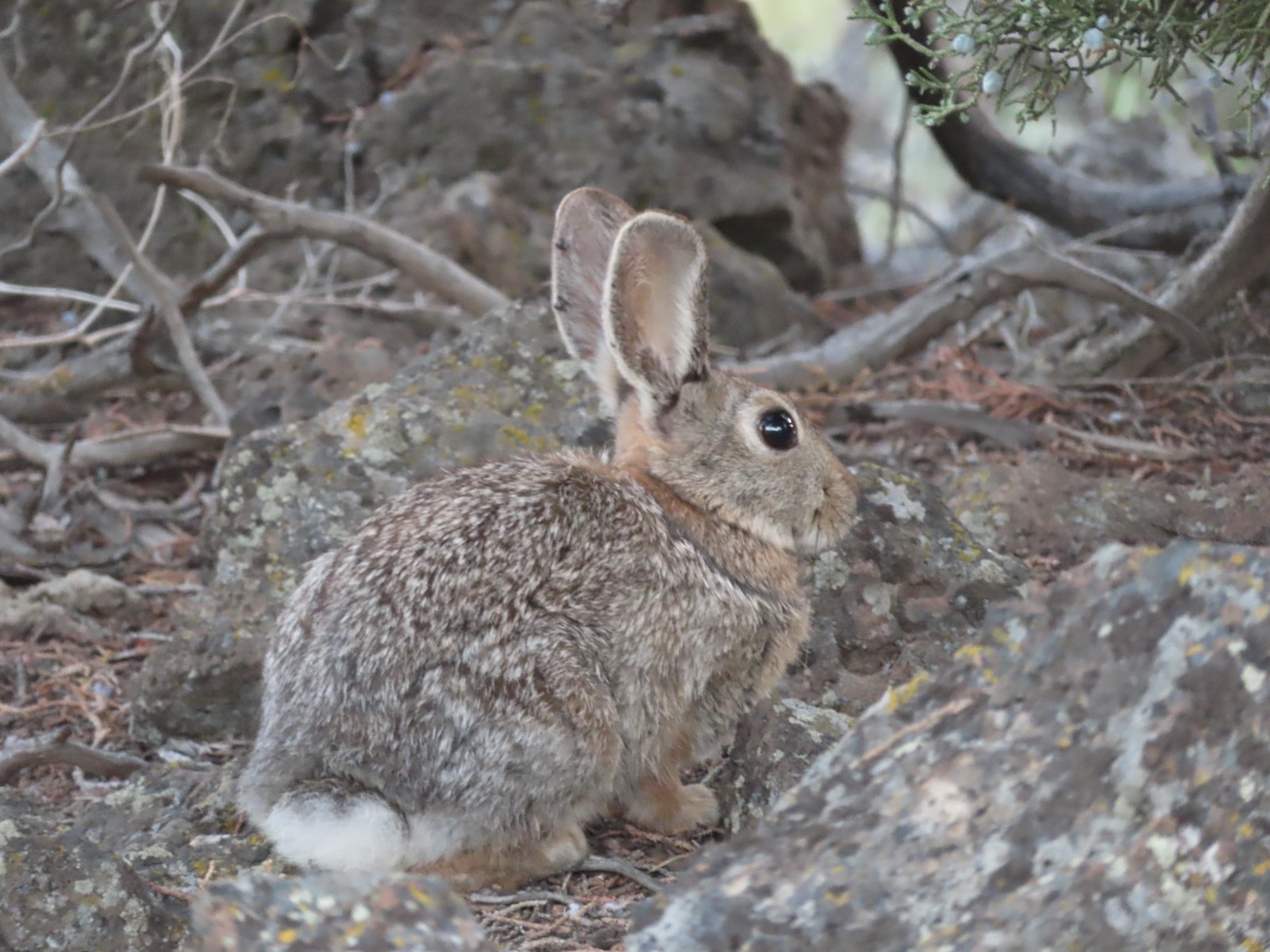 Mountain cottontail – 5/29/23, Riley Ranch Preserve, Bend
 Fawns – 7/31/23, Garfield Peak Trail, Crater Lake National Park
 Doe – 5/20/23, Steigerwald Lake National Wildlife Refuge, Washougal, WA
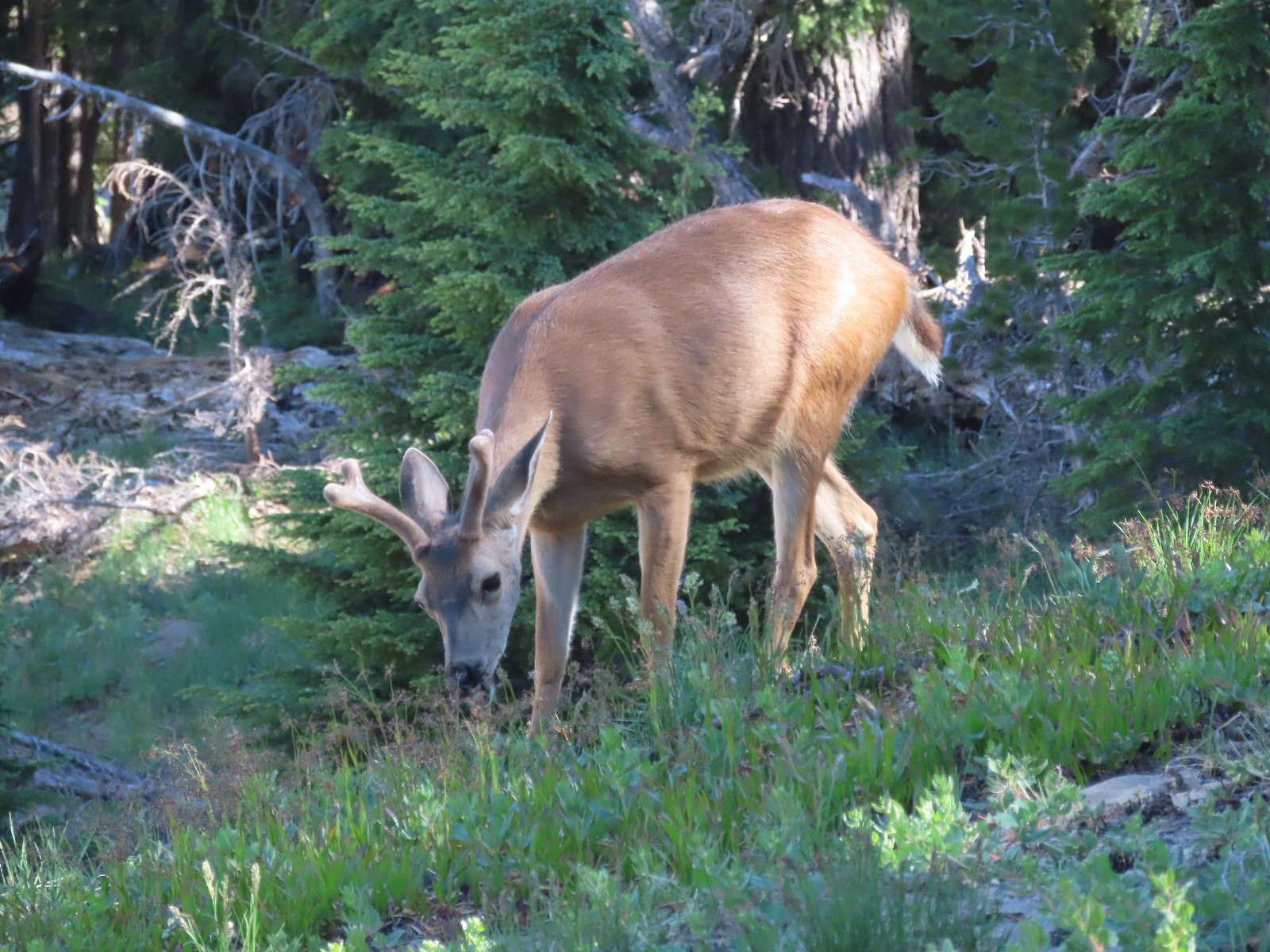 Buck – 7/31/23, Rim Trail, Crater Lake National Park
 Elk – 6/15/23, Buckhorn Road (FR 46), Wallowa-Whitman National Forest
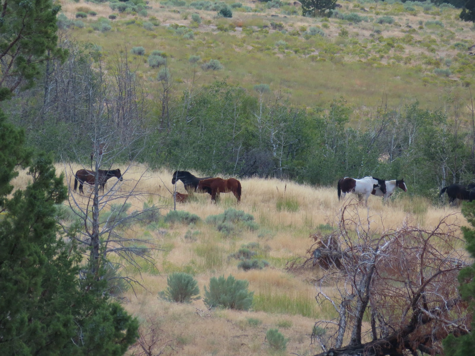 Horses – 9/3/23, Threemile Canyon, BLM Burns District
 Bat -5/2/23, Sterling Mine Ditch Tunnel, BLM Medford District
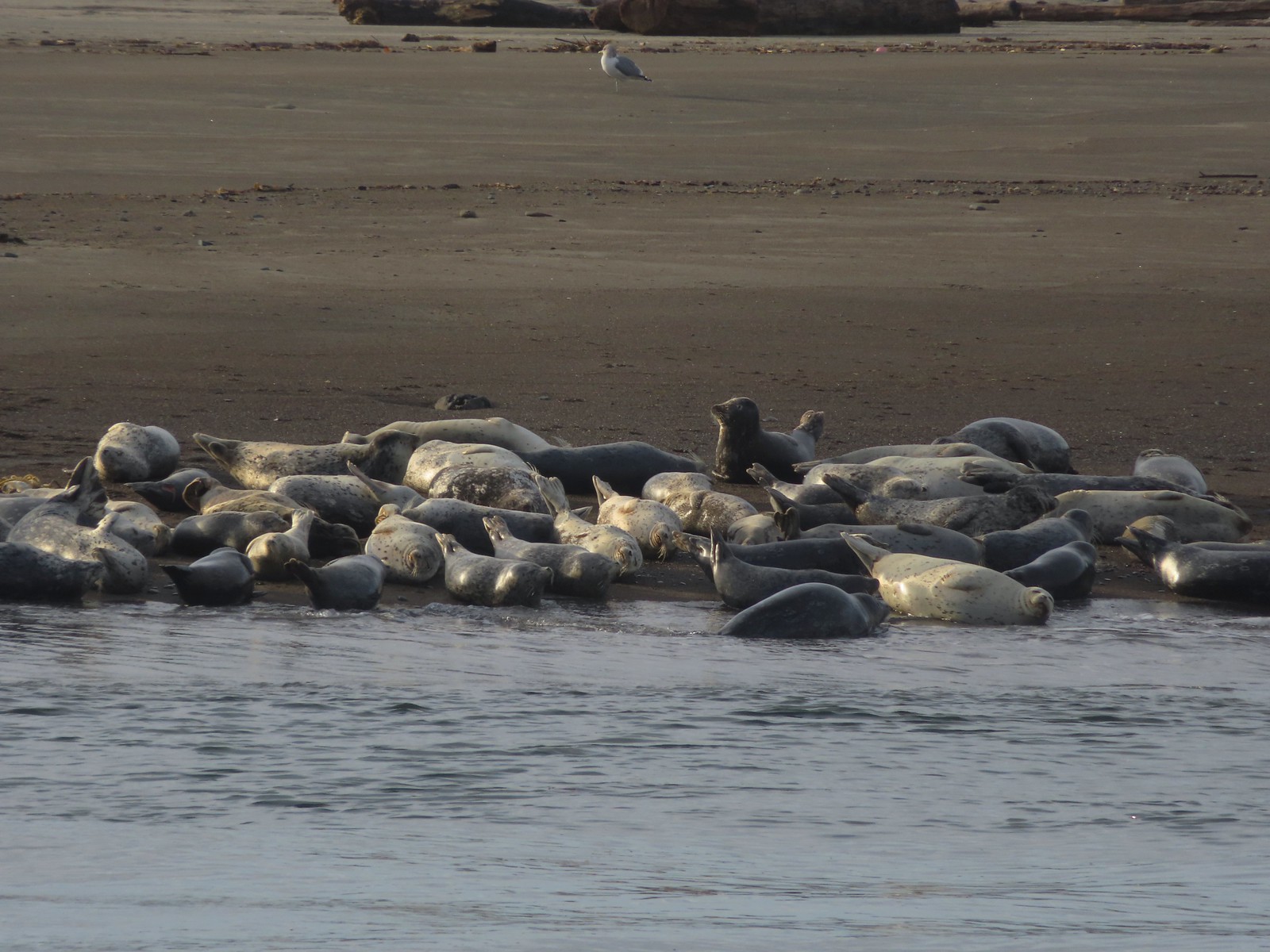 Seals – 11/18/23, Siletz Bay, Lincoln City
 Shell with inhabitant – 11/18/23, Nelscott Beach, Lincoln City
 Starfish – 10/28/23, Short Beach, Oceanside
 Trout – 8/16/23, Tombstone Lake, Eagle Cap Wilderness
 Fish – 6/16/23, Hells Canyon Reservoir, Hells Canyon National Recreation Area
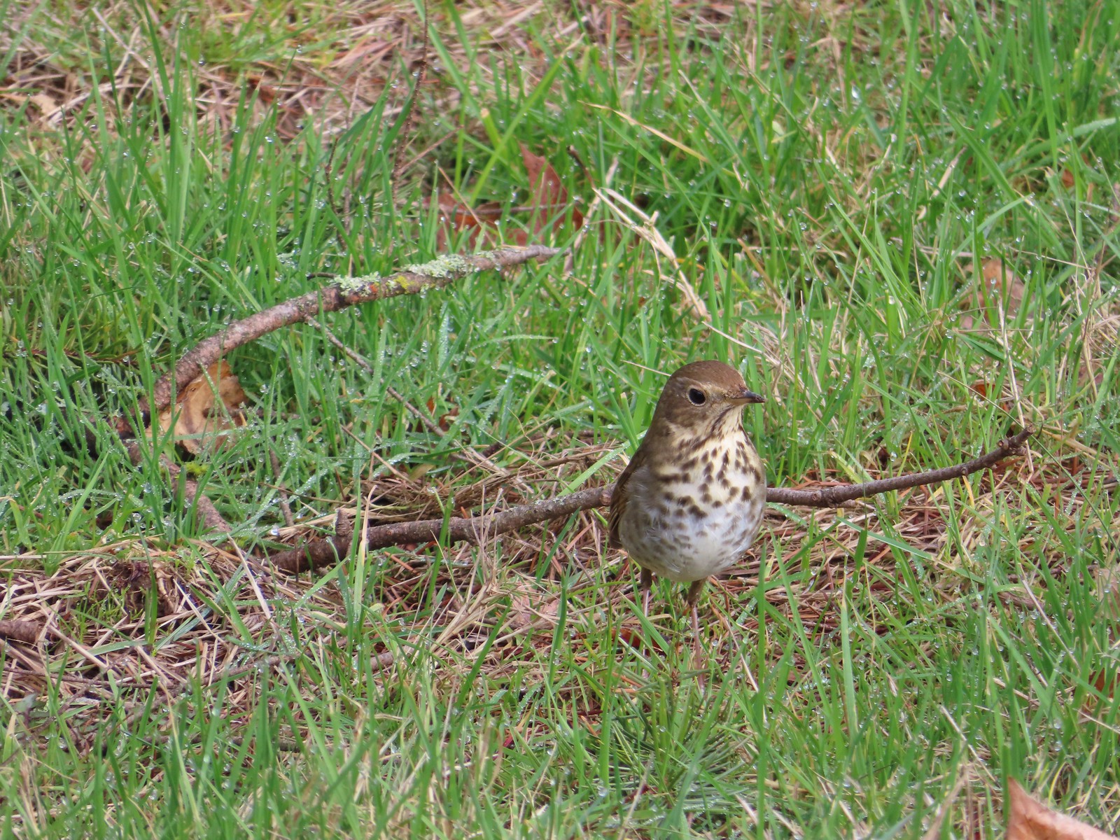 Hermit thrush – 2/11/23, Council Crest Park, Portland
 Pied billed grebe – 3/19/23, Minto-Brown Island Park, Salem
 Ring-necked duck – 3/25/23, Minto-Brown Island Park, Salem
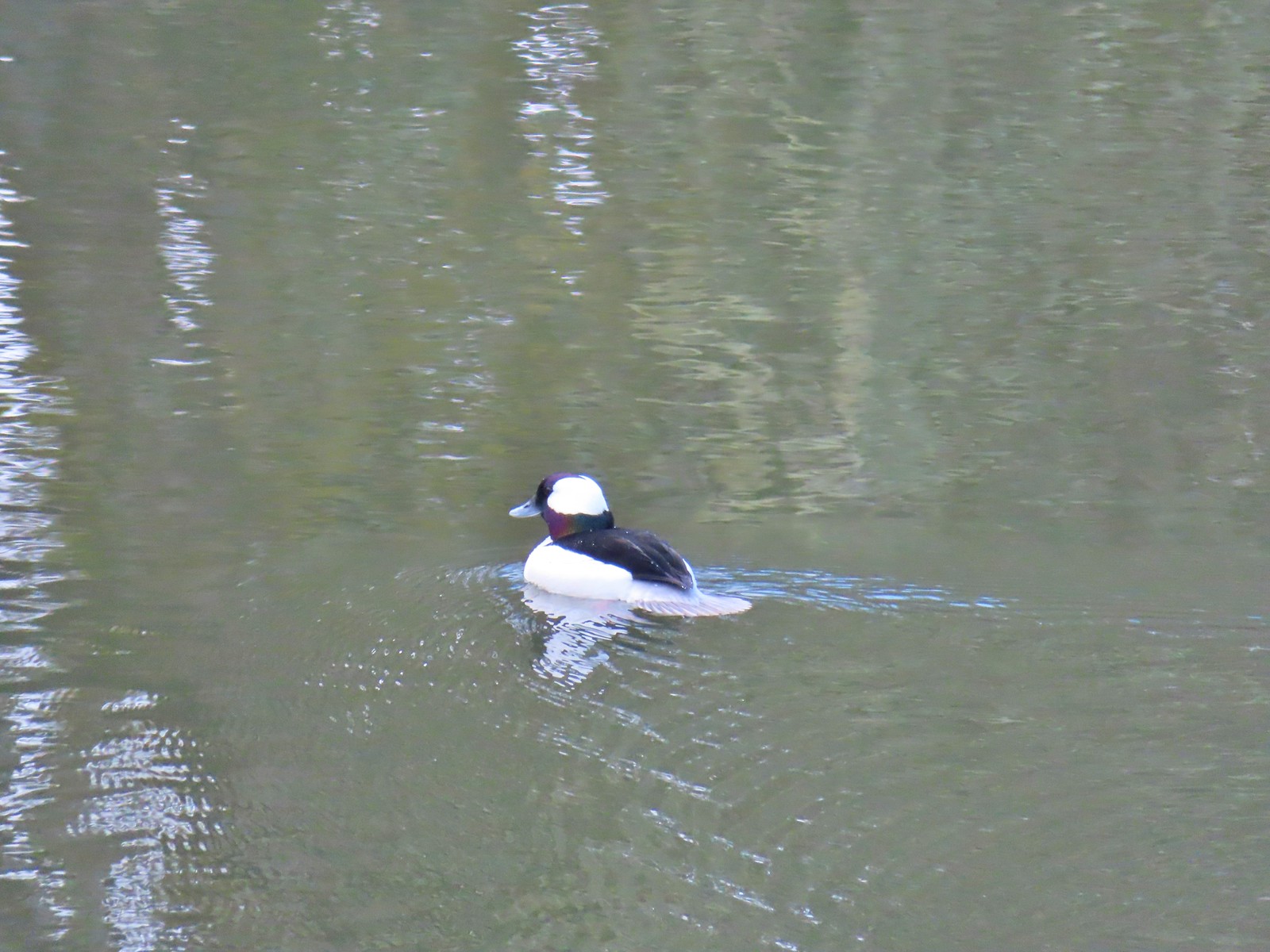 Bufflehead – 3/25/23, Minto-Brown Island Park, Salem
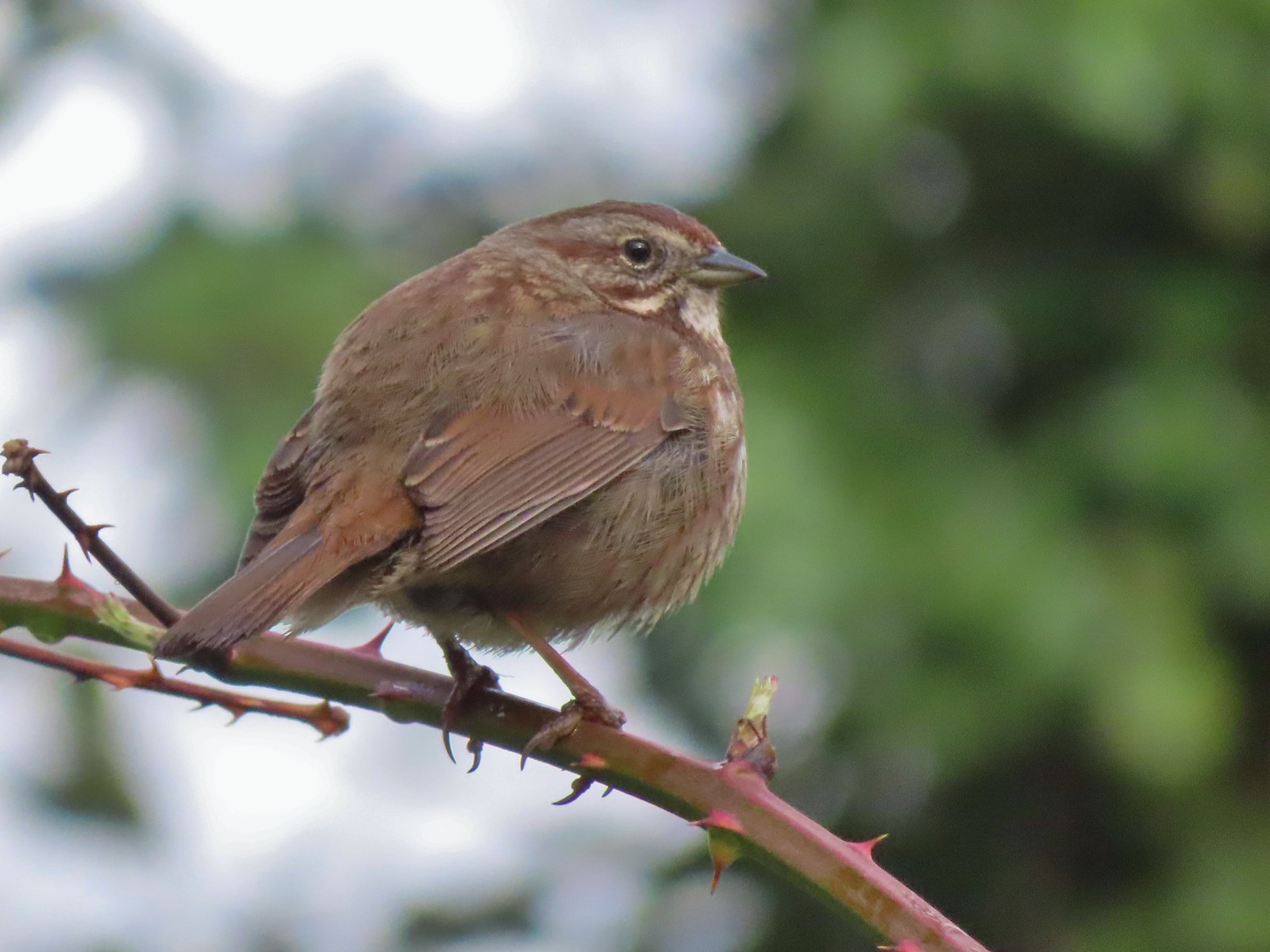 Sparrow – 3/25/23, Minto-Brown Island Park, Salem
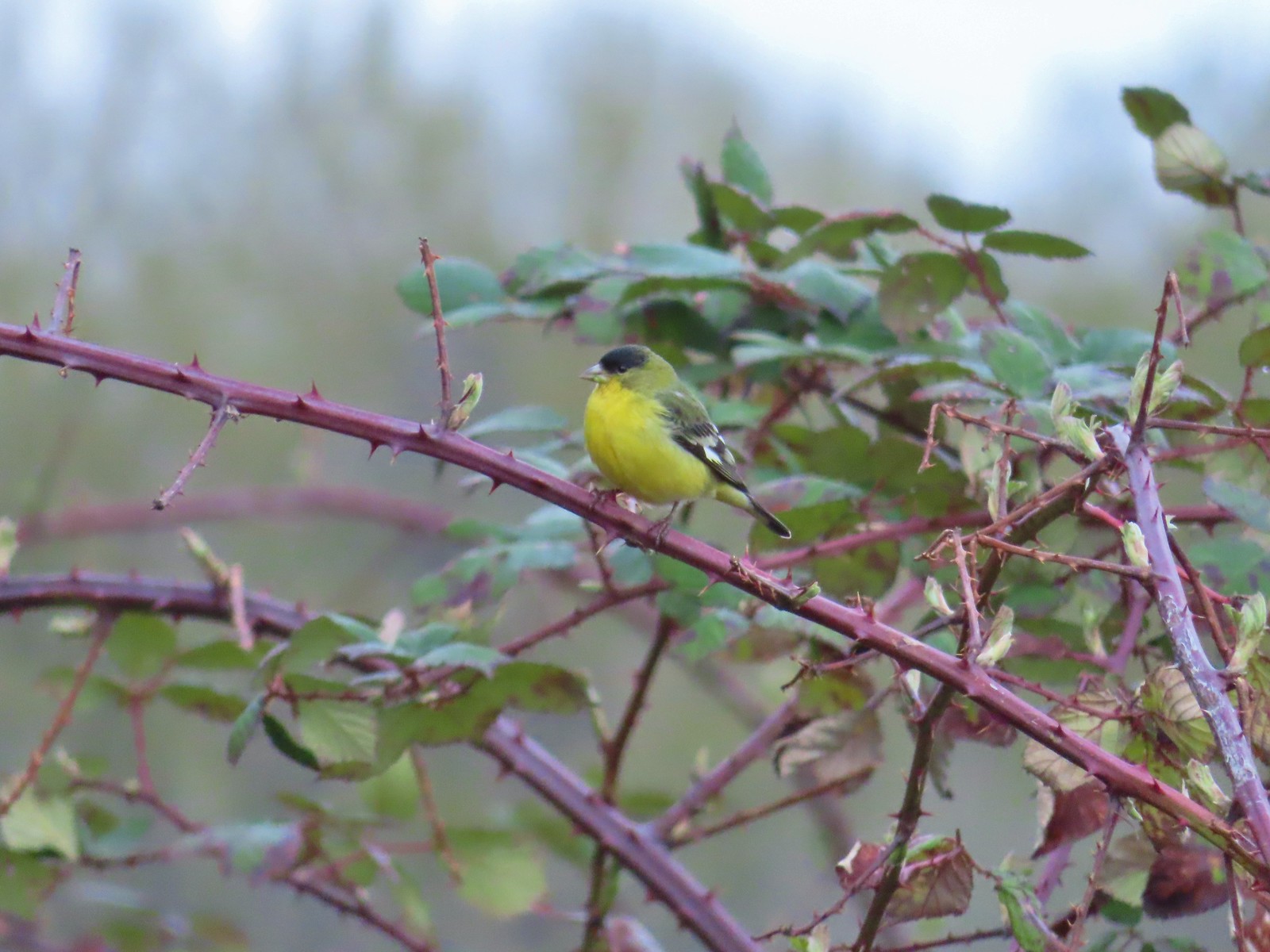 Lesser goldfinch – 4/8/23, Minto-Brown Island Park, Salem
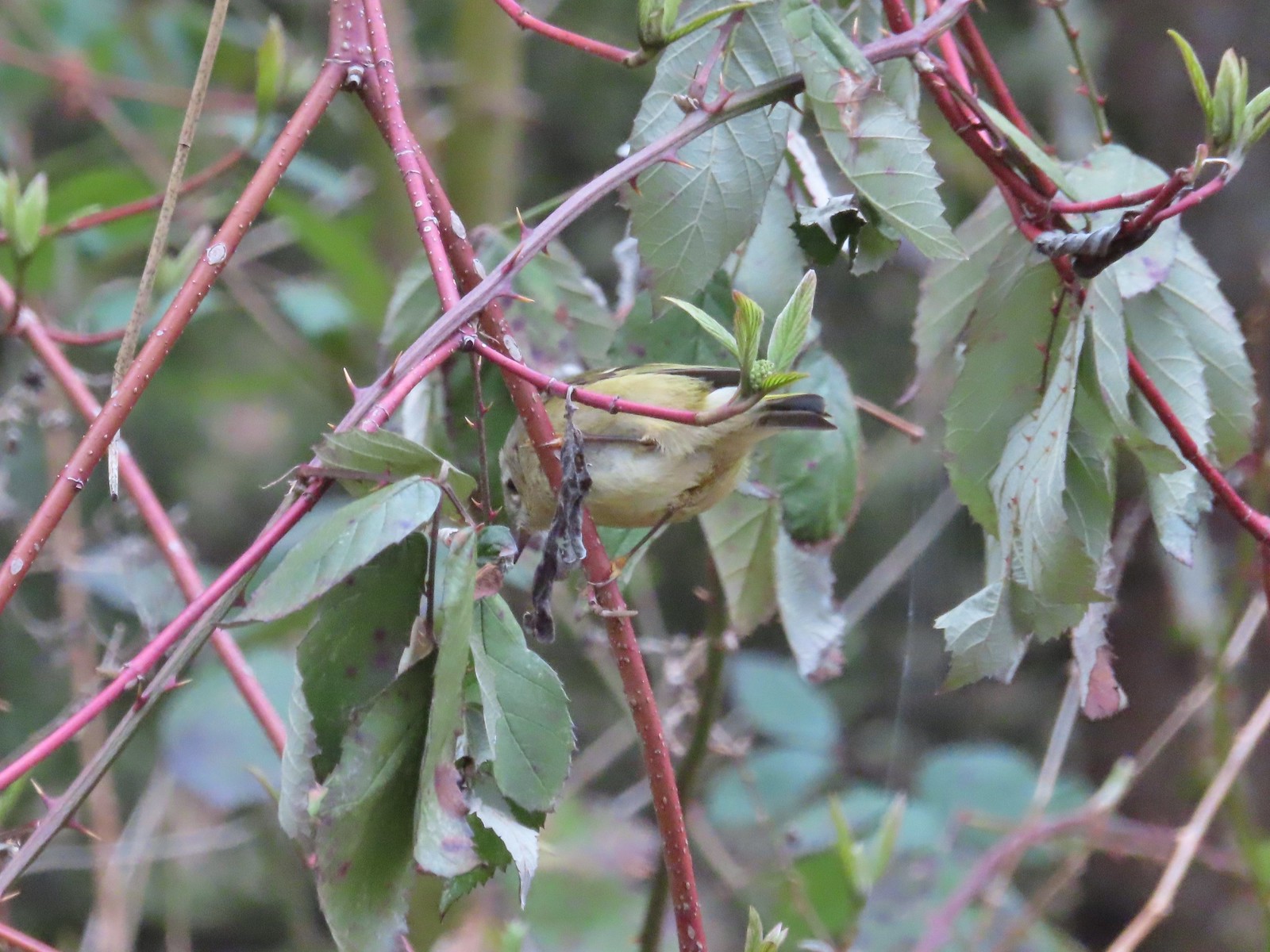 Ruby-crowned kinglet? – 4/8/23, Minto-Brown Island Park, Salem
 Egret – 4/8/23, Minto-Brown Island Park, Salem
 Marsh wren – 4/13/23, Baskett Slough National Wildlife Refuge, Rickreall
 Geese, I believe both cackling and Canada – 4/13/23, Baskett Slough National Wildlife Refuge, Rickreall
 California quail – 4/13/23, Baskett Slough National Wildlife Refuge, Rickreall
 Northern shoveler – 4/13/23, Baskett Slough National Wildlife Refuge, Rickreall
 Western meadowlark (Oregon’s state bird) – 4/13/23, Baskett Slough National Wildlife Refuge, Rickreall
 Red-winged blackbird – 4/13/23, Baskett Slough National Wildlife Refuge, Rickreall
 Ruddy duck – 4/13/23, Baskett Slough National Wildlife Refuge, Rickreall
 Savannah sparrow – 4/13/23, Baskett Slough National Wildlife Refuge, Rickreall
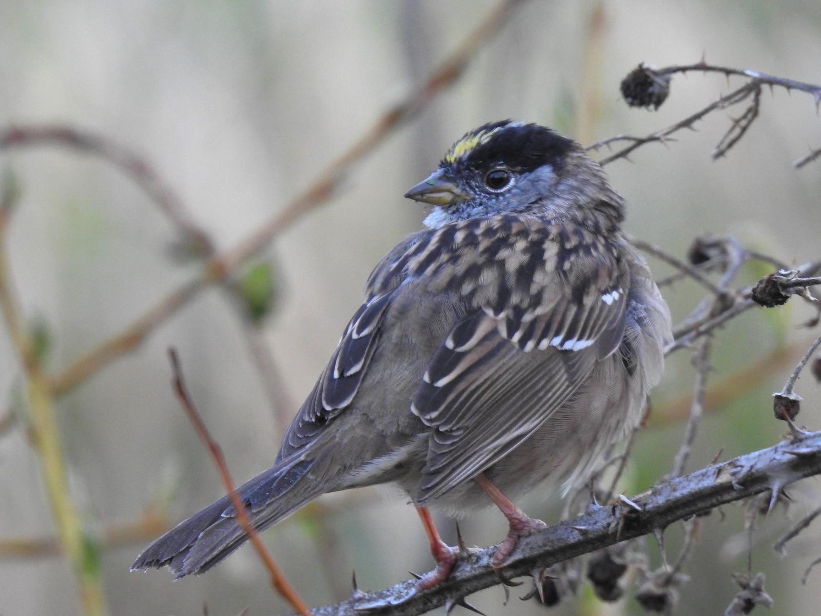 Gold-crowned sparrow – 4/14/23, Minto-Brown Island Park, Salem
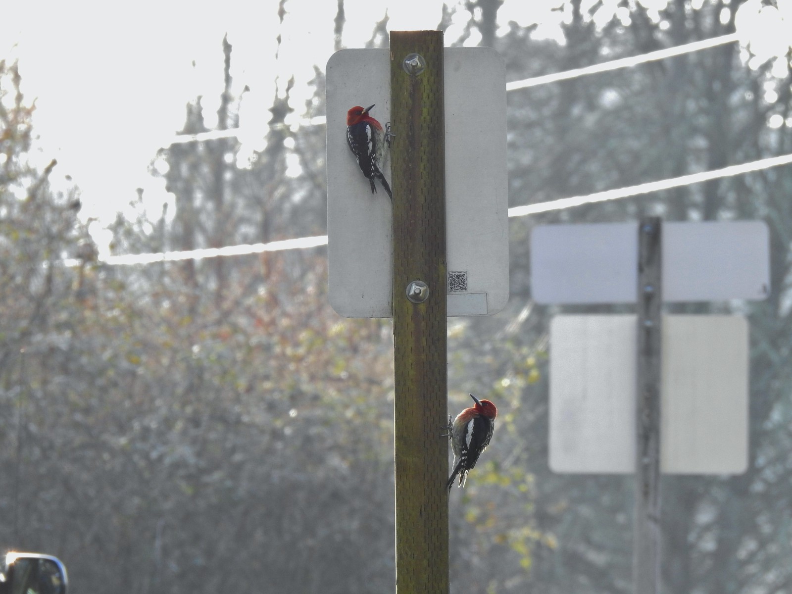 Red-breasted sapsuckers – 4/14/23, Minto-Brown Island Park, Salem
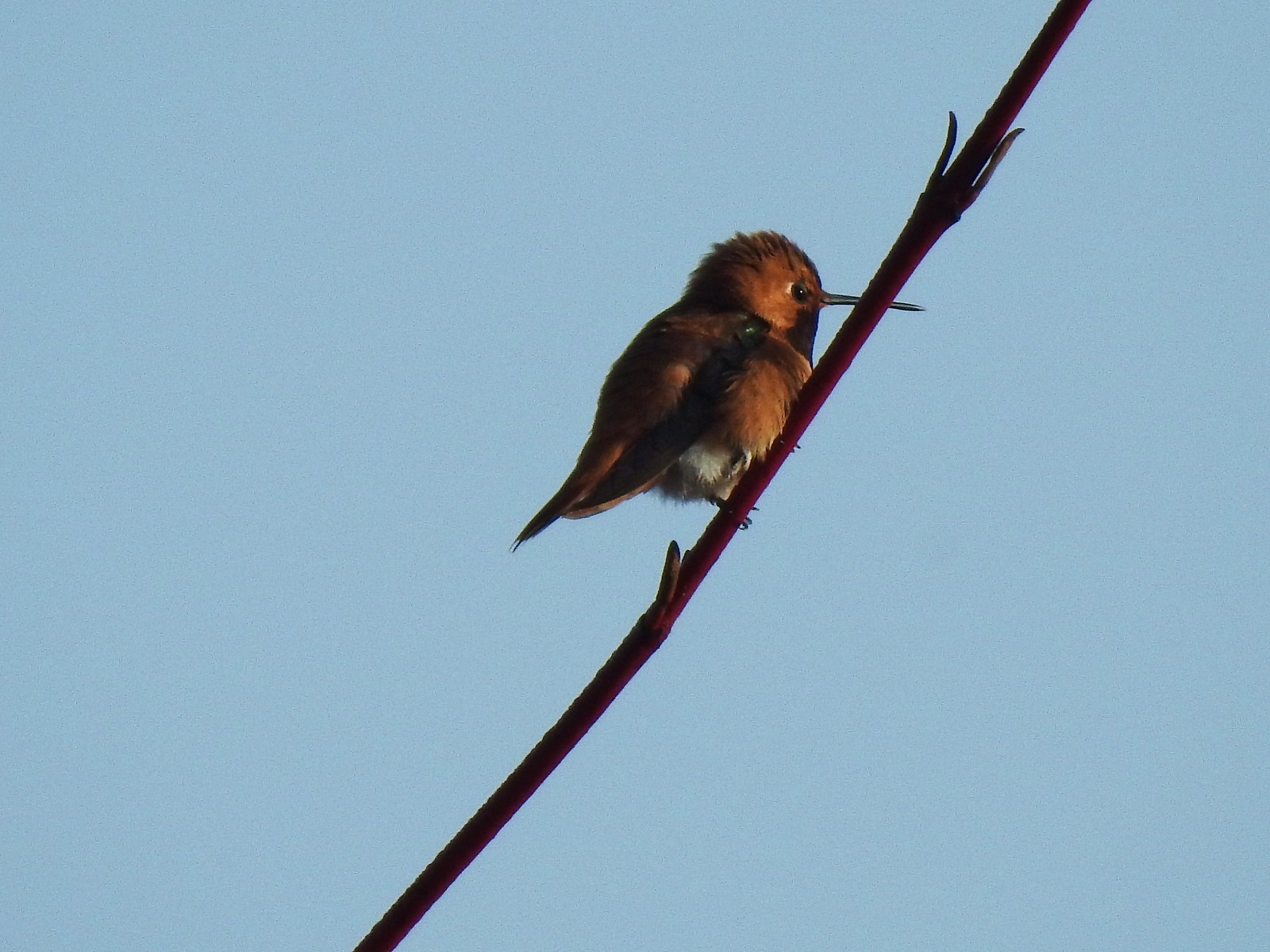 Hummingbird (Rufous?) – 4/14/23, Minto-Brown Island Park, Salem
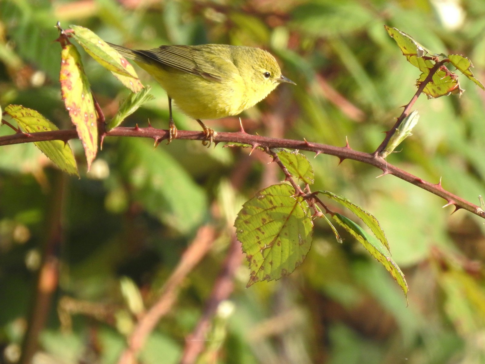 Orange-crowned warbler – 4/14/23, Minto-Brown Island Park, Salem
 Dark-eyed junco – 4/14/23, Minto-Brown Island Park, Salem
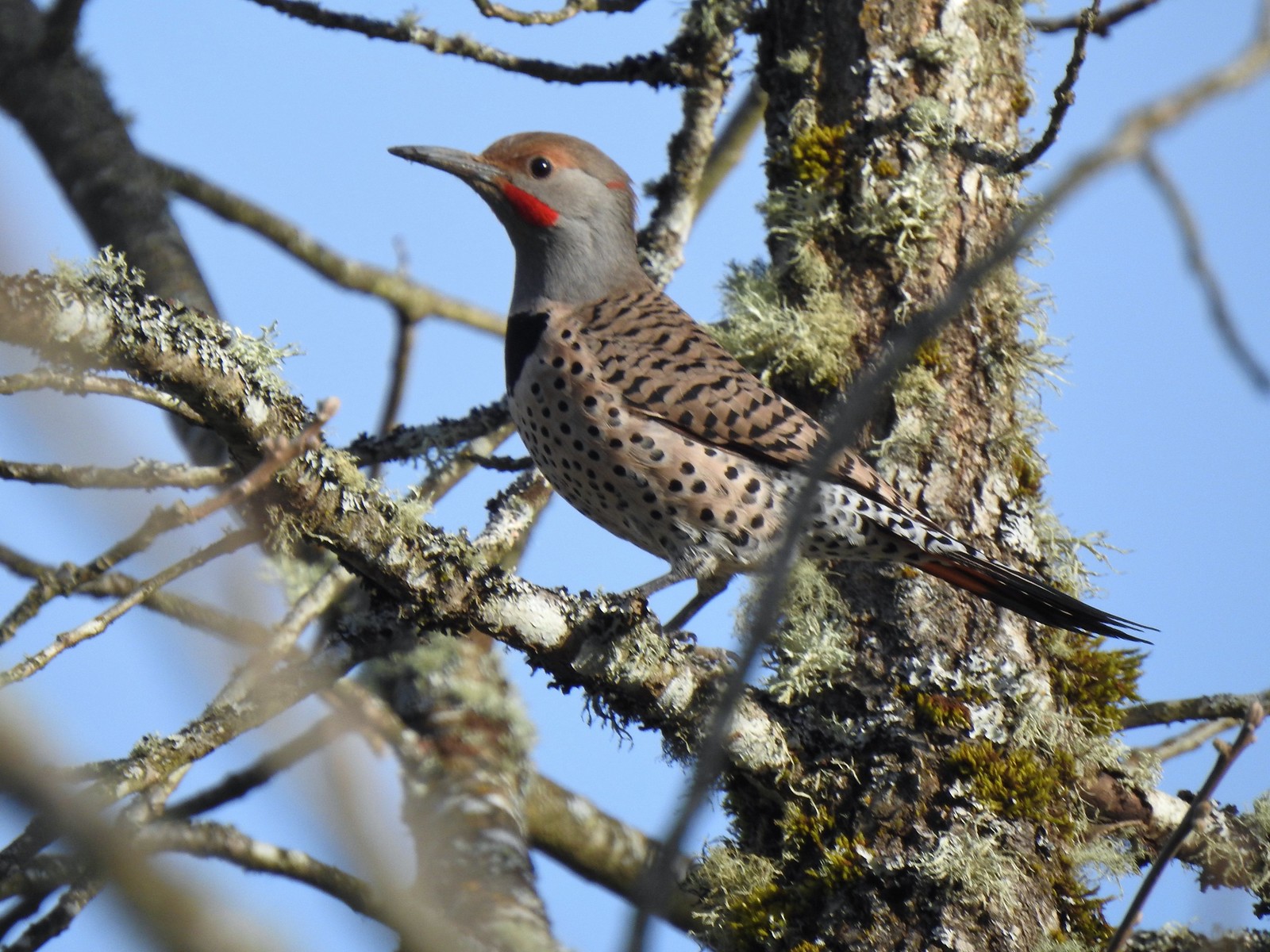 Northern flicker – 4/14/23, Minto-Brown Island Park, Salem
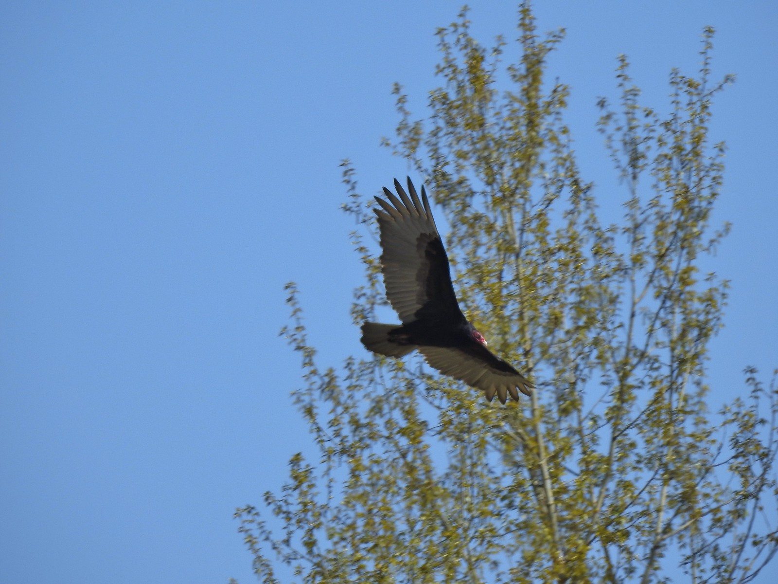 Turkey vulture – 4/14/23, Minto-Brown Island Park, Salem
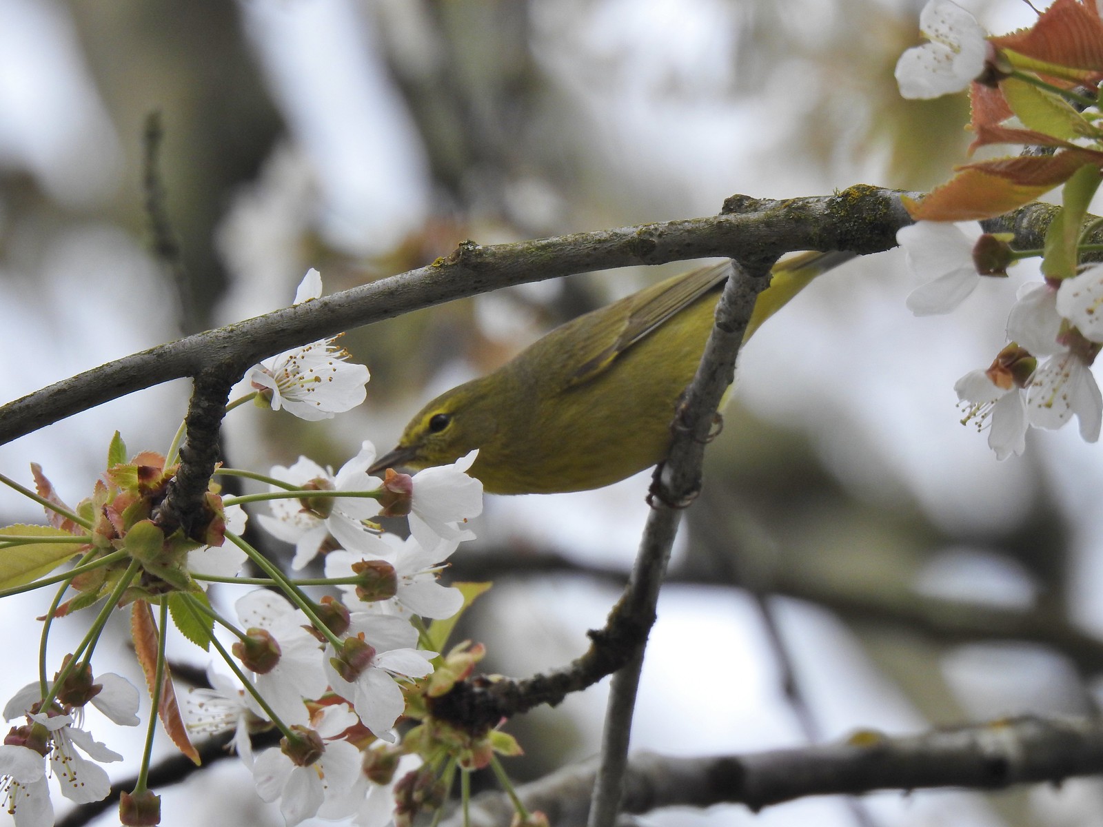 Warbler? – 4/22/23, Dave Clark Riverfront Path, Albany
 Osprey – 4/22/23, Dave Clark Riverfront Path, Albany
 Cormorant – 4/22/23, Dave Clark Riverfront Path, Albany
 Red-winged blackbird (female) – 4/22/23, Talking Water Gardens, Albany
 Green-winged teal – 4/22/23, Talking Water Gardens, Albany
 Yellow-rumped warbler (Audubon’s) – 4/22/23, Talking Water Gardens, Albany
 Black phoebe – 4/22/23, Talking Water Gardens, Albany
 Acorn woodpecker – 4/22/23, Talking Water Gardens, Albany
 Hawk – 4/22/23, Talking Water Gardens, Albany
 Mallards – 4/22/23, Talking Water Gardens, Albany
 Chickadee (chestnut-backed?) – 4/22/23, Talking Water Gardens, Albany
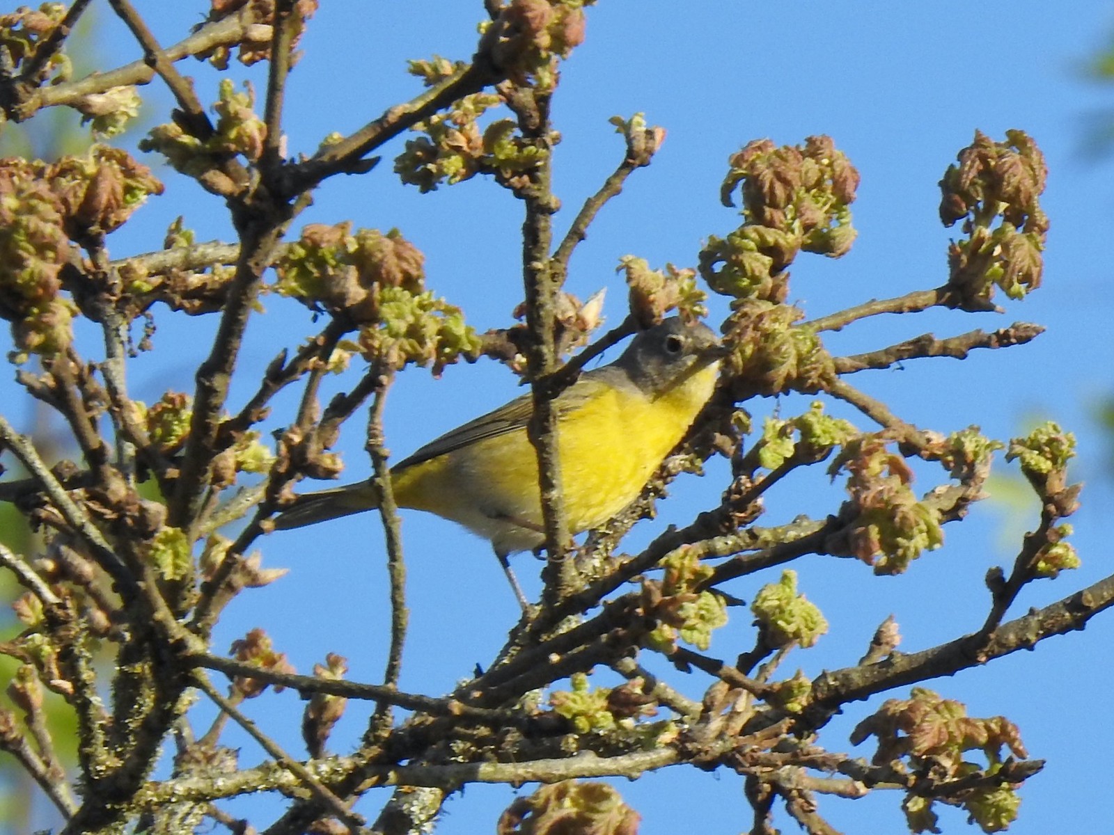 Nashville warbler – 4/29/23, Canemah Bluff Nature Park, Oregon City
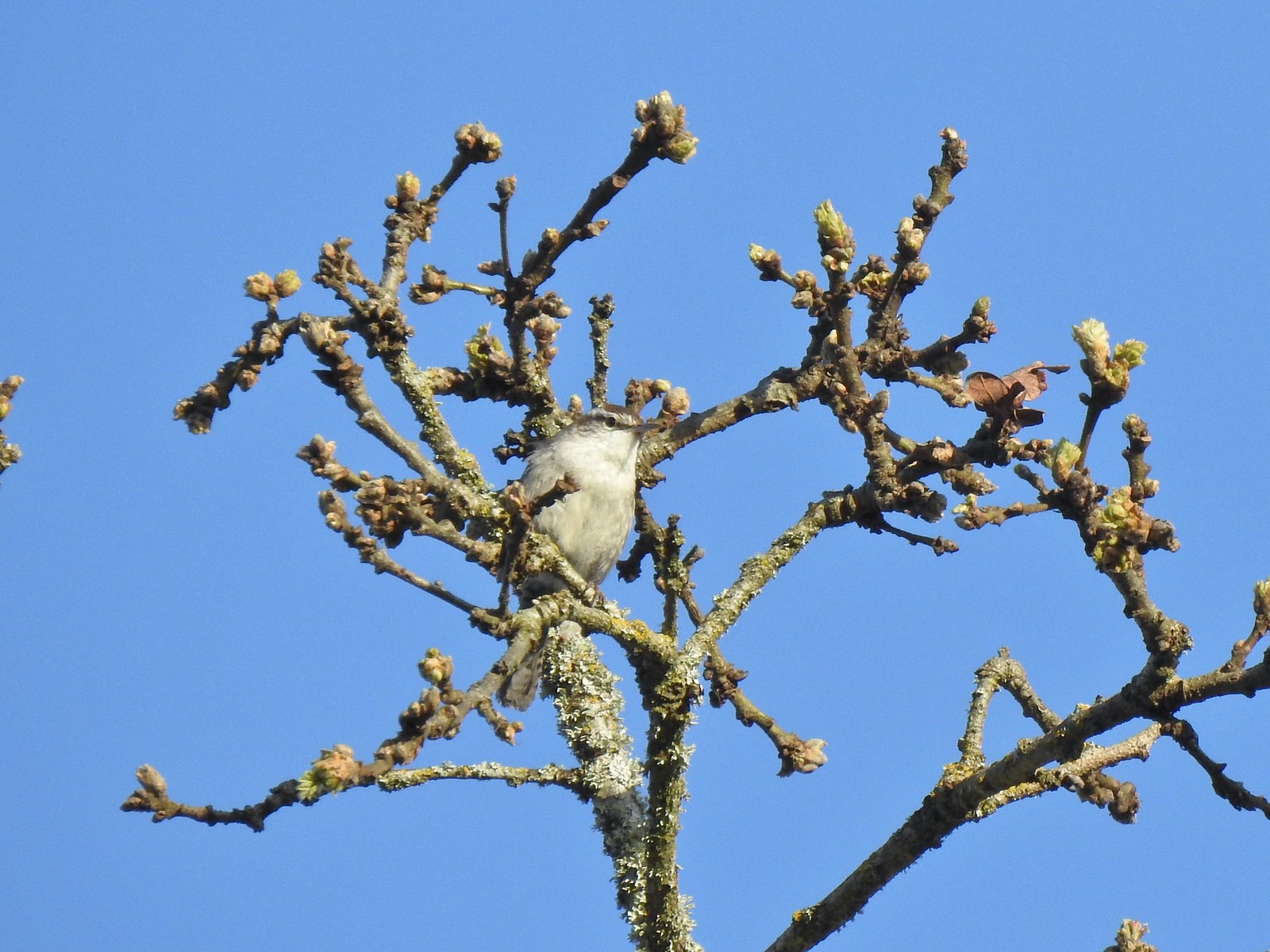 Bewick’s wren – 4/29/23, Canemah Bluff Nature Park, Oregon City
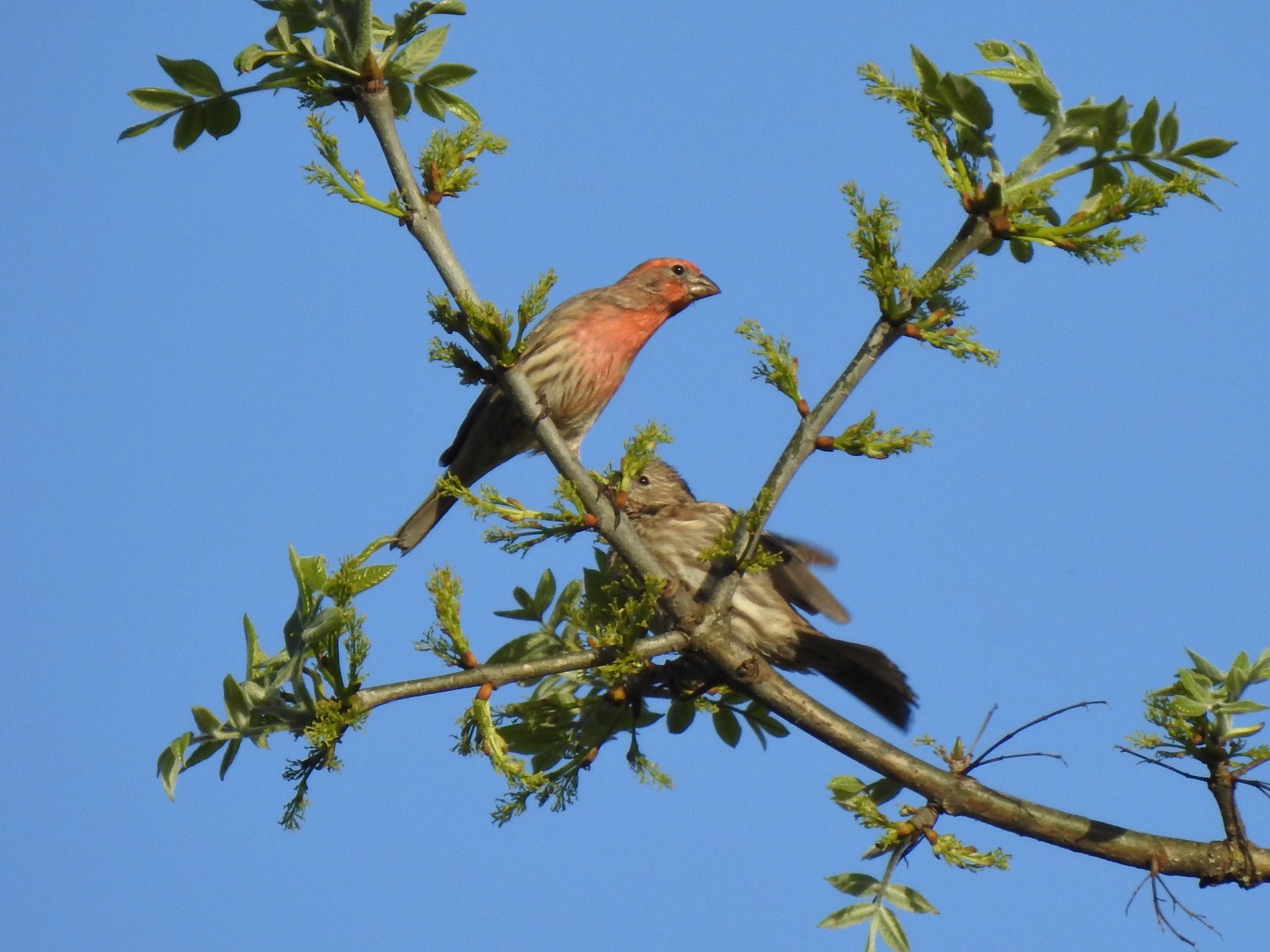 House finches – 4/29/23, Canemah Bluff Nature Park, Oregon City
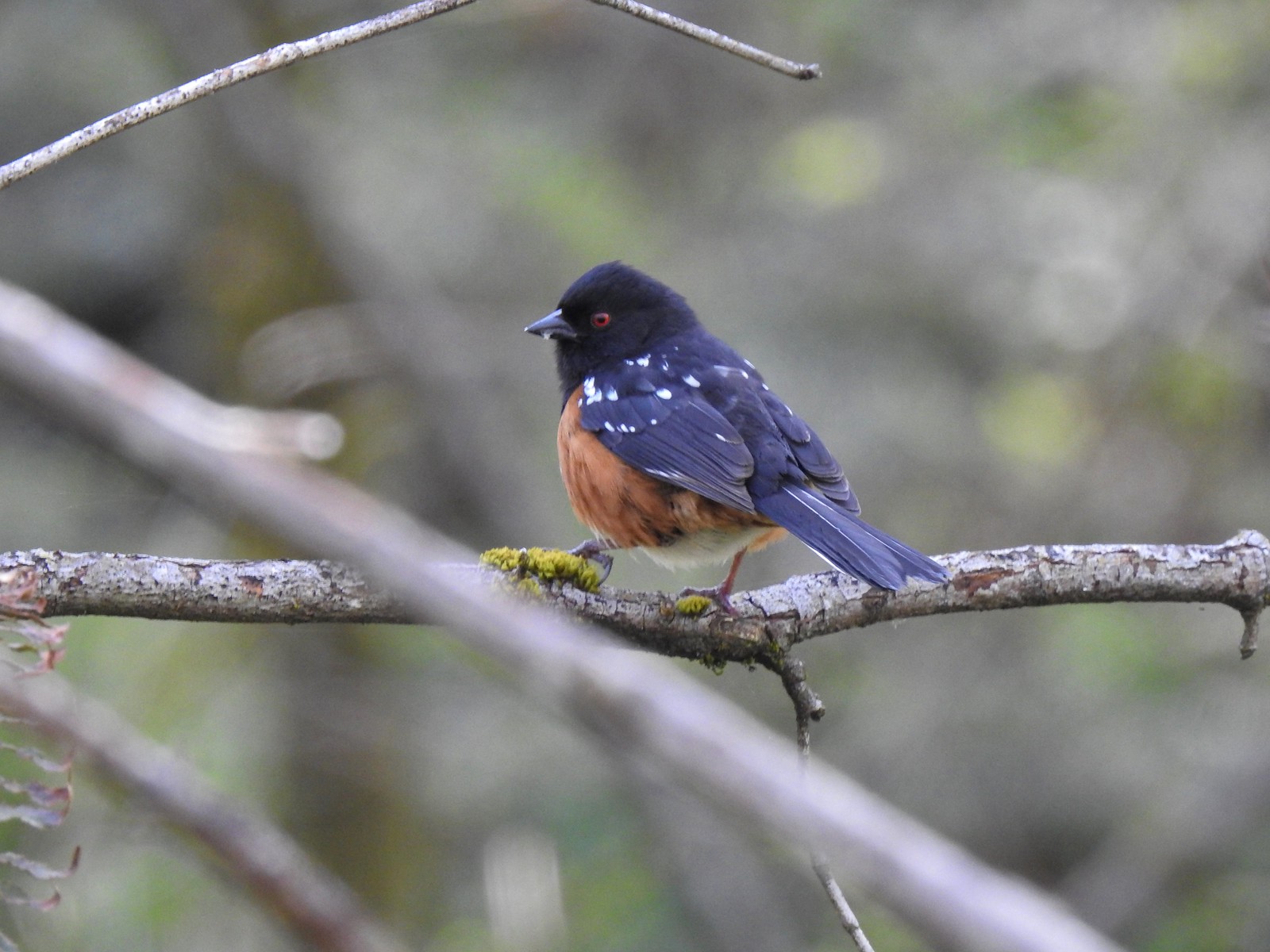 Spotted towhee – 4/29/23 Newell Creek Canyon Nature Park, Oregon City
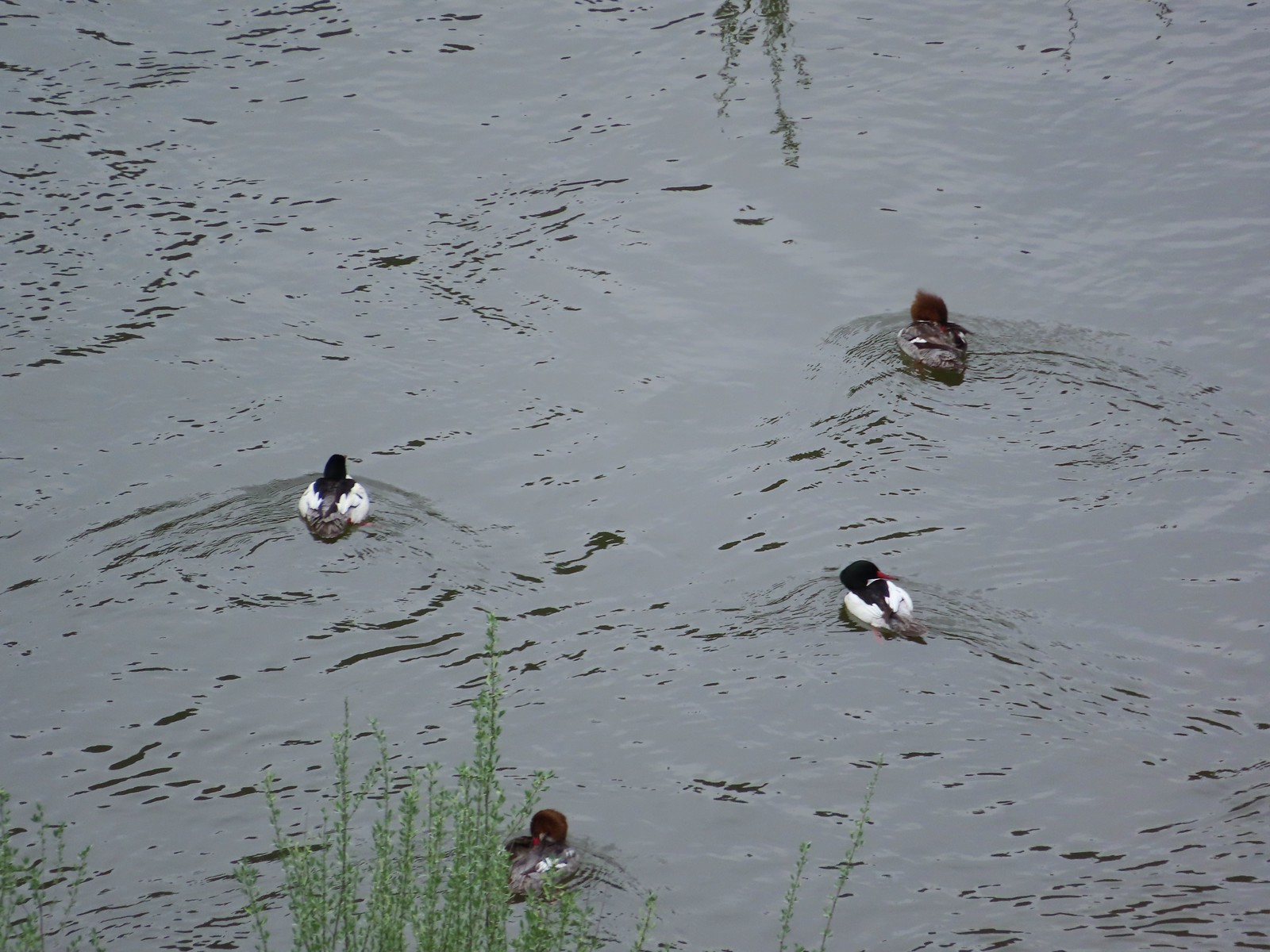 Common mergansers – 5/1/23, Rogue River National Recreation Trail, BLM Medford District
 Bullock’s oriole – 5/1/23, Rogue River National Recreation Trail, BLM Medford District
 American robin – 5/1/23, Rogue River National Recreation Trail, BLM Medford District
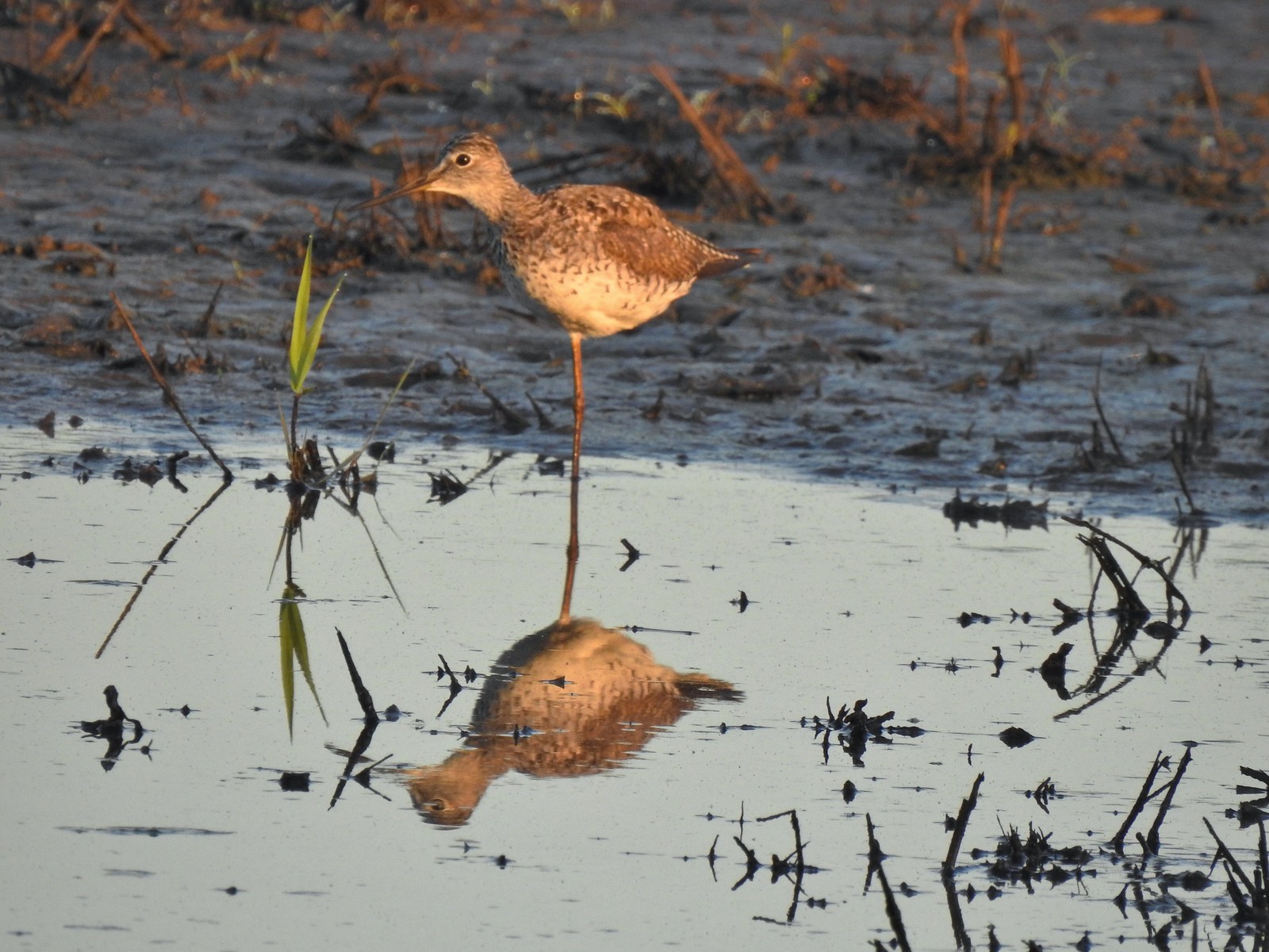 Greater yellowlegs – 5/13/23, Tualatin River National Wildlife Refuge, Sherwood
 Mourning dove – 5/13/23, Tualatin River National Wildlife Refuge, Sherwood
 Gadwall – 5/13/23, Tualatin River National Wildlife Refuge, Sherwood
 Killdeer – 5/13/23, Tualatin River National Wildlife Refuge, Sherwood
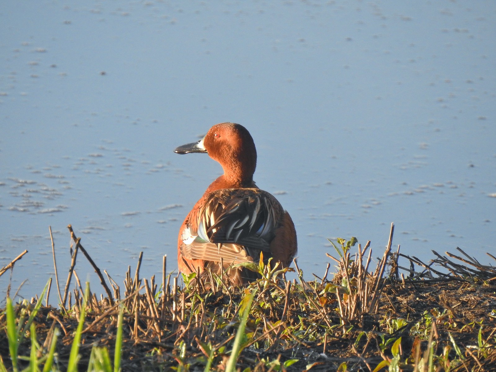 Cinnamon teal – 5/13/23, Tualatin River National Wildlife Refuge, Sherwood
 Anna’s hummingbird – 5/13/23, Tualatin River National Wildlife Refuge, Sherwood
 American kestral – 5/13/23, Graham Oaks Nature Park, Wilsonville
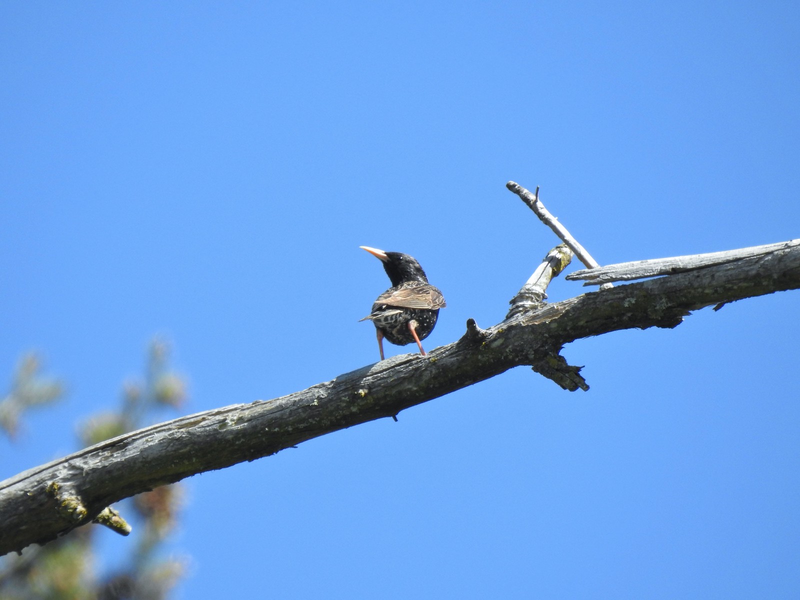 European starling – 5/13/23, Graham Oaks Nature Park, Wilsonville
 Wood duck – 5/23/23, Stigerwald Lake National Wildlife Refuge, Washougal, WA
 Belted kingfisher – 5/23/23, Stigerwald Lake National Wildlife Refuge, Washougal, WA
 American goldfinch – 5/23/23, Stigerwald Lake National Wildlife Refuge, Washougal, WA
 Spotted sandpiper – 5/23/23, Stigerwald Lake National Wildlife Refuge, Washougal, WA
 Purple martin – 5/23/23, Stigerwald Lake National Wildlife Refuge, Washougal, WA
 Common yellowthroat – 5/23/23, Stigerwald Lake National Wildlife Refuge, Washougal, WA
 American bittern – 5/23/23, Stigerwald Lake National Wildlife Refuge, Washougal, WA
 Lark sparrow – 5/28/23, Criterion Tract, BLM Prineville District
 Horned lark – 5/28/23, Criterion Tract, BLM Prineville District
 Mountain bluebird – 5/28/23, Criterion Tract, BLM Prineville District
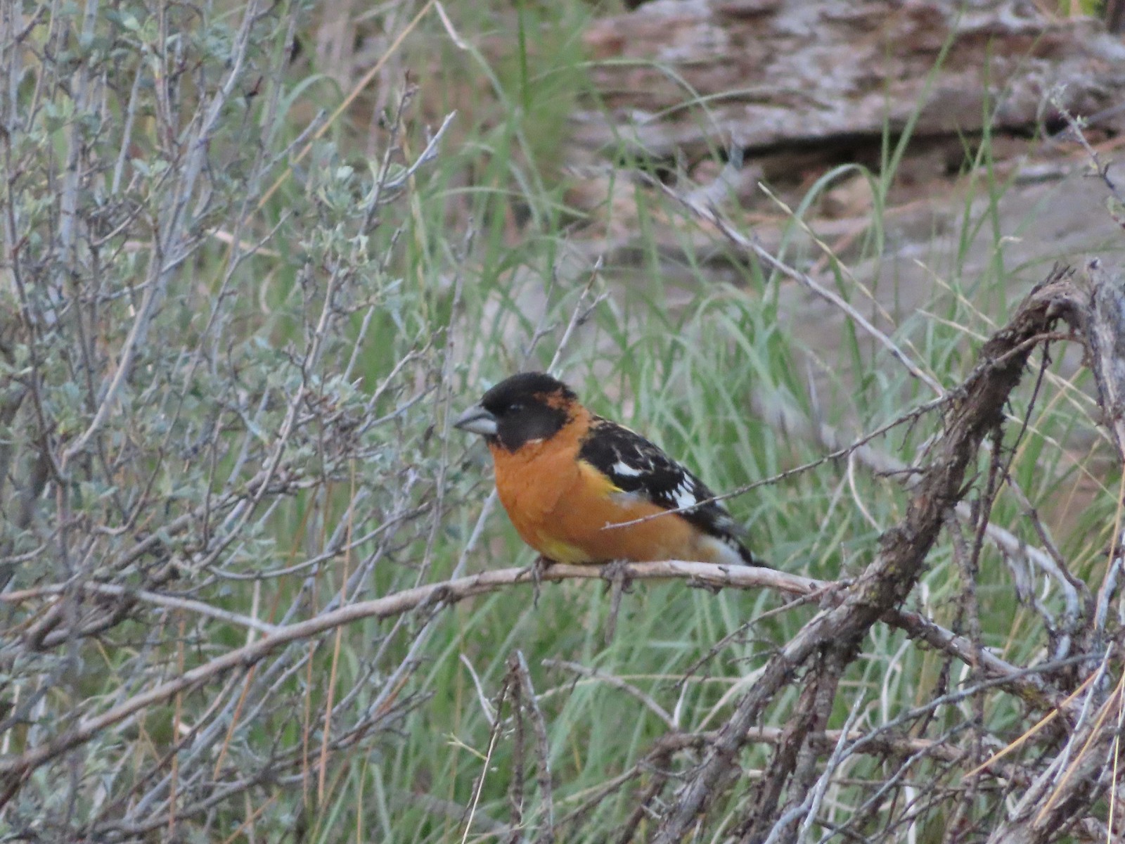 Black-headed grosbeak – 5/29/23, Riley Ranch Preserve, Bend
 Lewis’s woodpecker – 5/29/23, Tumalo State Park, Bend
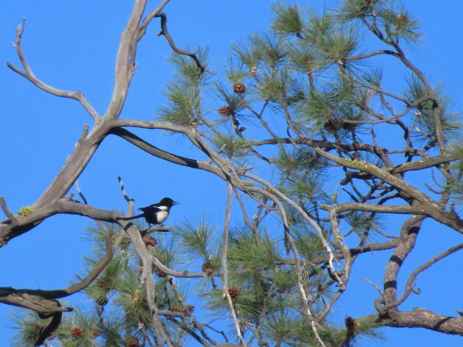 Magpie – 5/29/23, Tumalo State Park, Bend
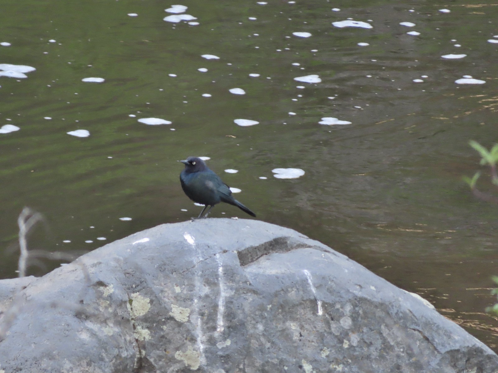 Black-headed cowbird – 5/29/23, Tumalo State Park, Bend
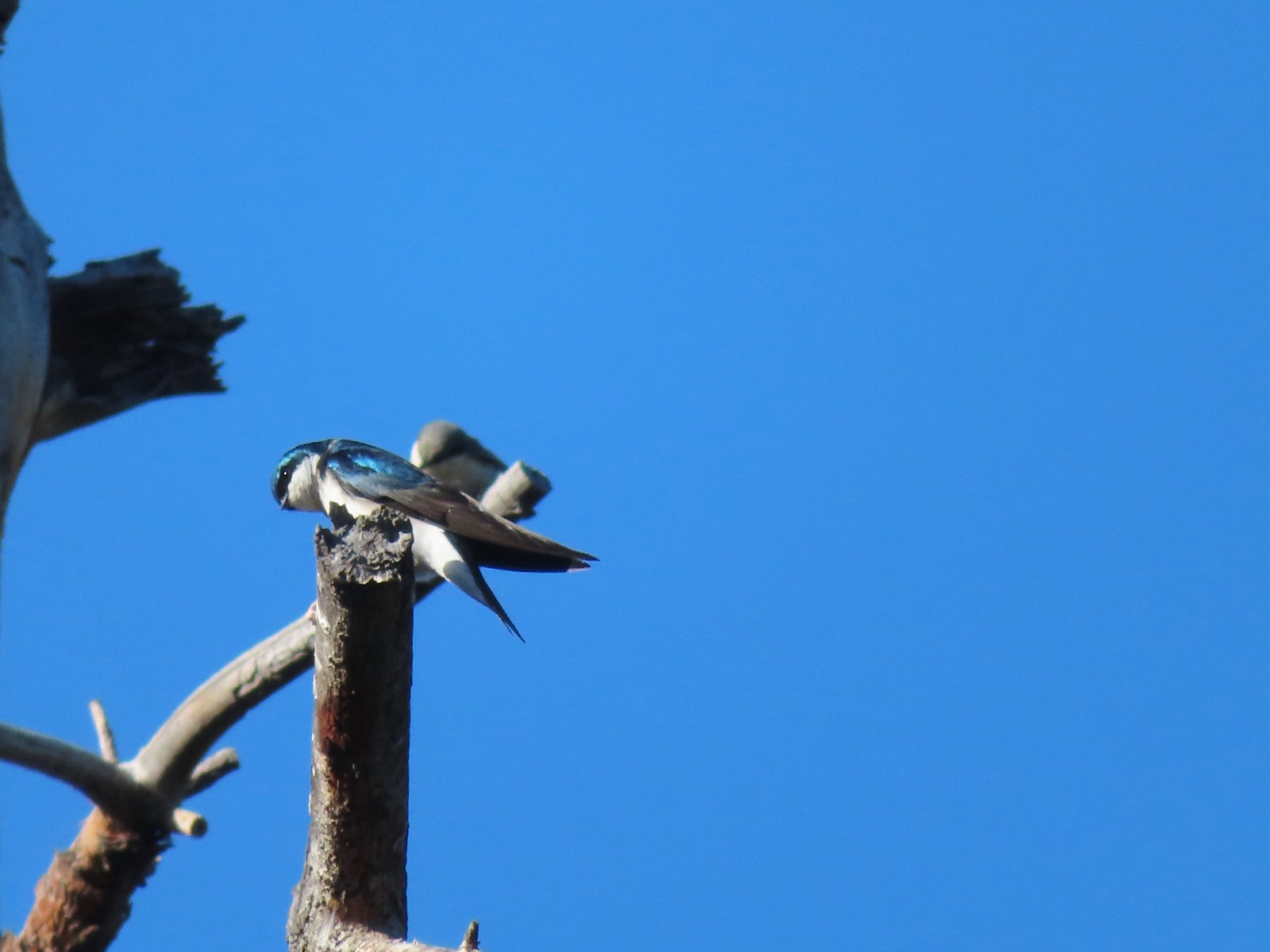 Tree swallow – 5/29/23, Tumalo State Park, Bend
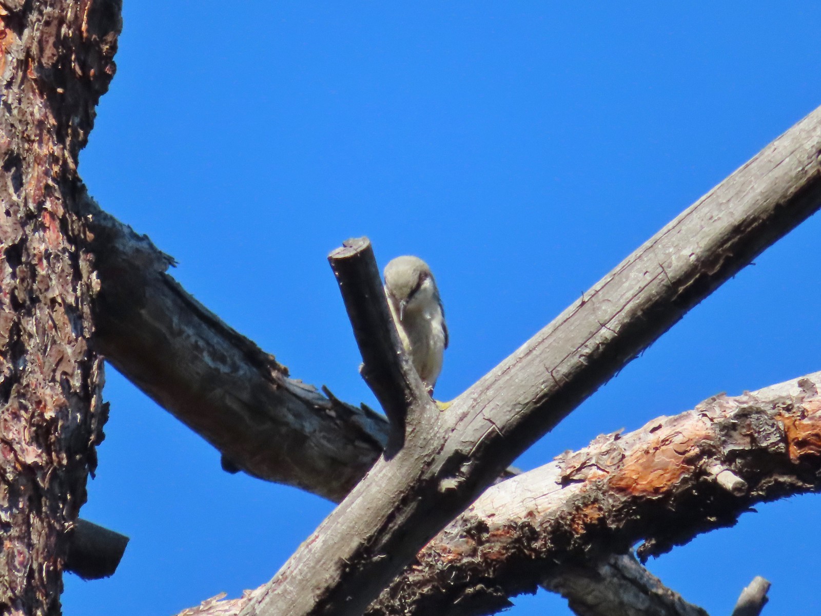 Pygmy nuthatch? – 5/29/23, Tumalo State Park, Bend
 Lazuli bunting – 6/3/23, Conboy Lake National Wildlife Refuge, Trout Lake, WA
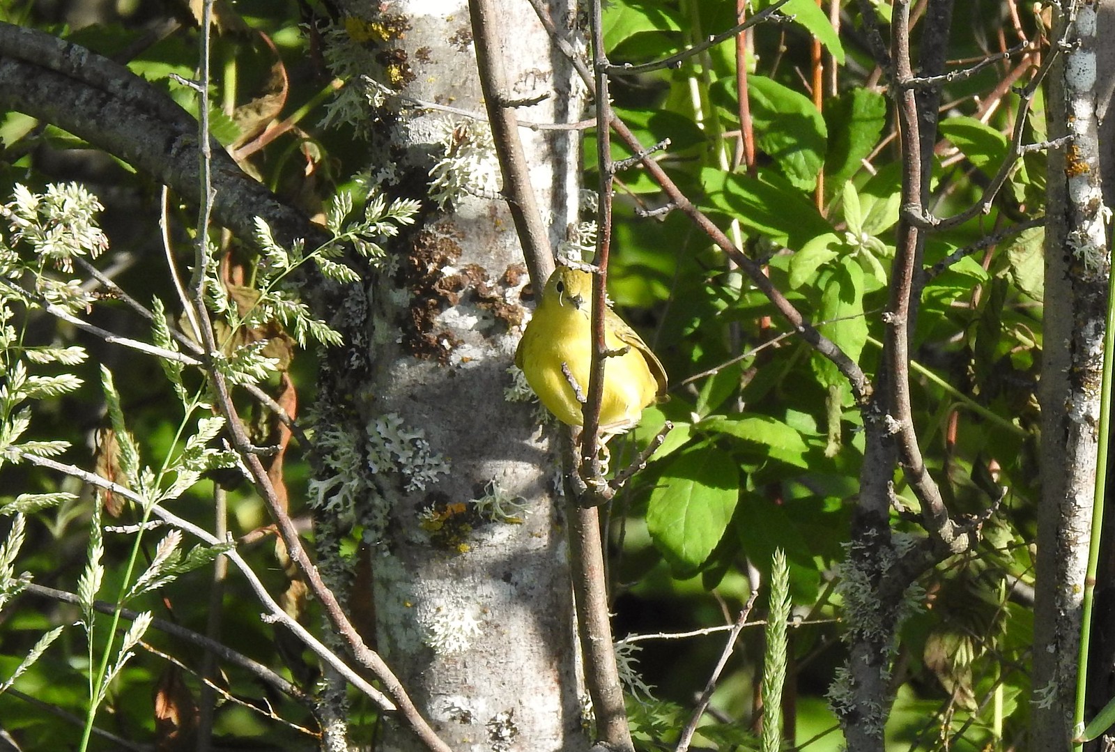 Yellow warbler – 6/3/23, Conboy Lake National Wildlife Refuge, Trout Lake, WA
 Western bluebird – 6/3/23, Conboy Lake National Wildlife Refuge, Trout Lake, WA
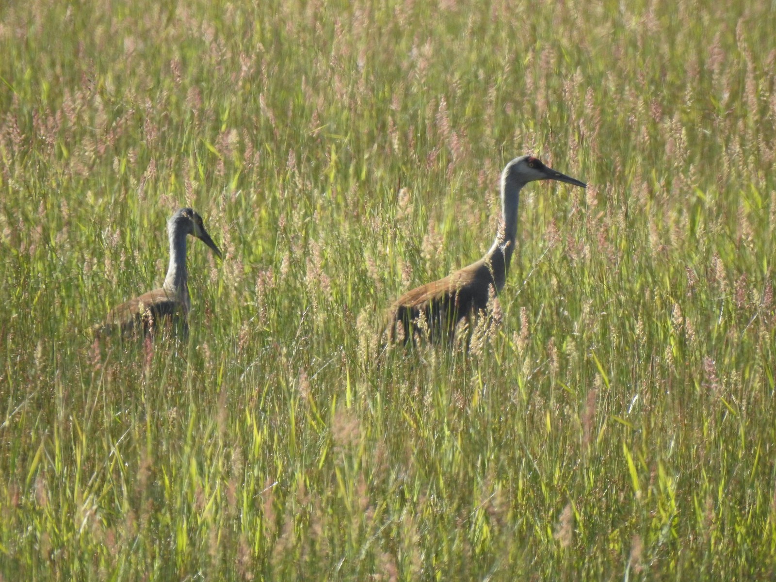 Sandhill cranes – 6/3/23, Conboy Lake National Wildlife Refuge, Trout Lake, WA
 Warbling vireo – 6/3/23, Conboy Lake National Wildlife Refuge, Trout Lake, WA
 Raven – 6/11/23, Lewis & Clark Trail, Hermiston
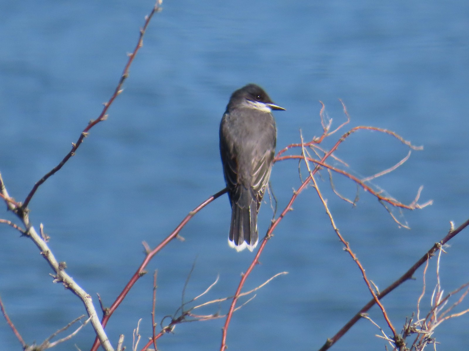 Eastern kingbird – 6/11/23, Lewis & Clark Trail, Hermiston
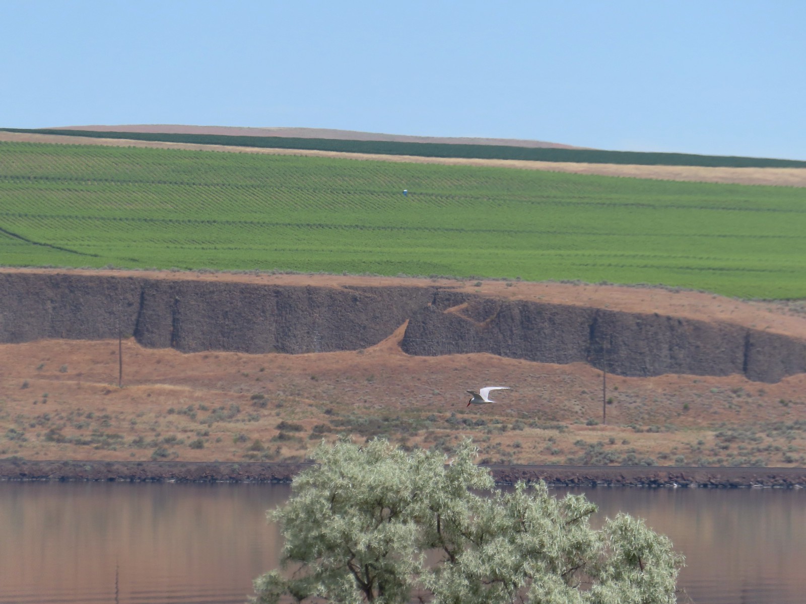 Caspian tern – 6/11/23, Lewis & Clark Trail, Hermiston
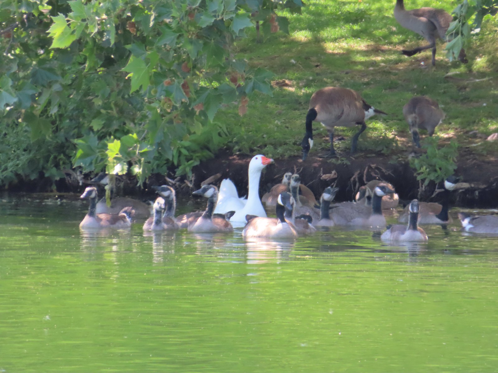 Geese – 6/11/23, Hat Rock State Park, Hermiston
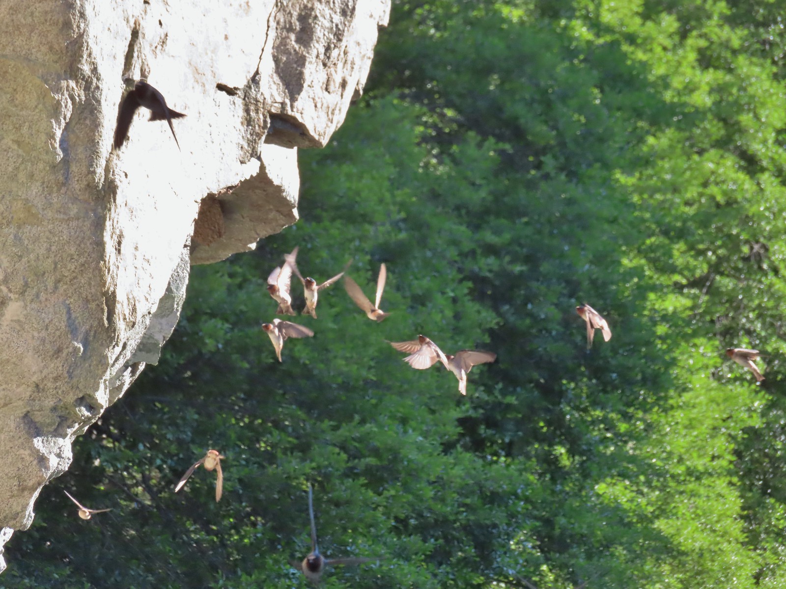 Cliff swallows – 6/14/23, Imnaha Trail, Hells Canyon National Recreation Area
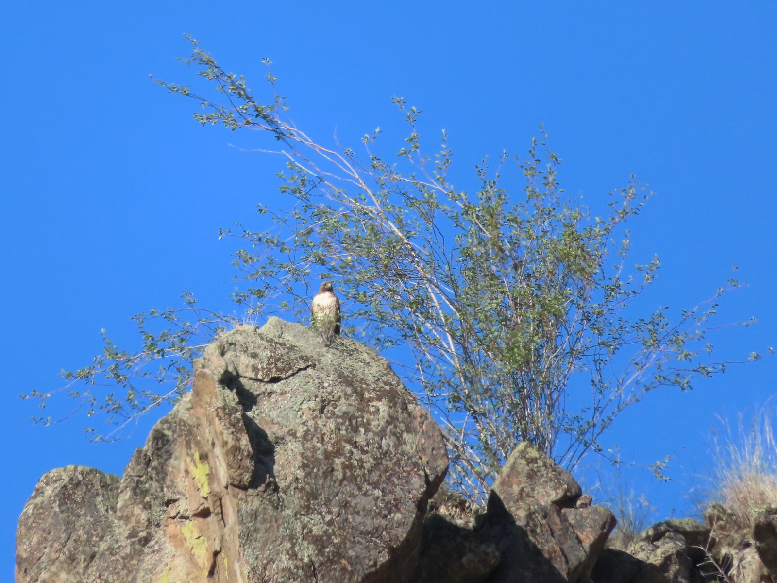 Hawk – 6/14/23, Imnaha Trail, Hells Canyon National Recreation Area
 Common nighthawk – 6/15/23, Hells Canyon National Recreation Area, Wallowa-Whitman National Forest
 Chipping sparrow – 6/15/23, Hells Canyon National Recreation Area, Wallowa-Whitman National Forest
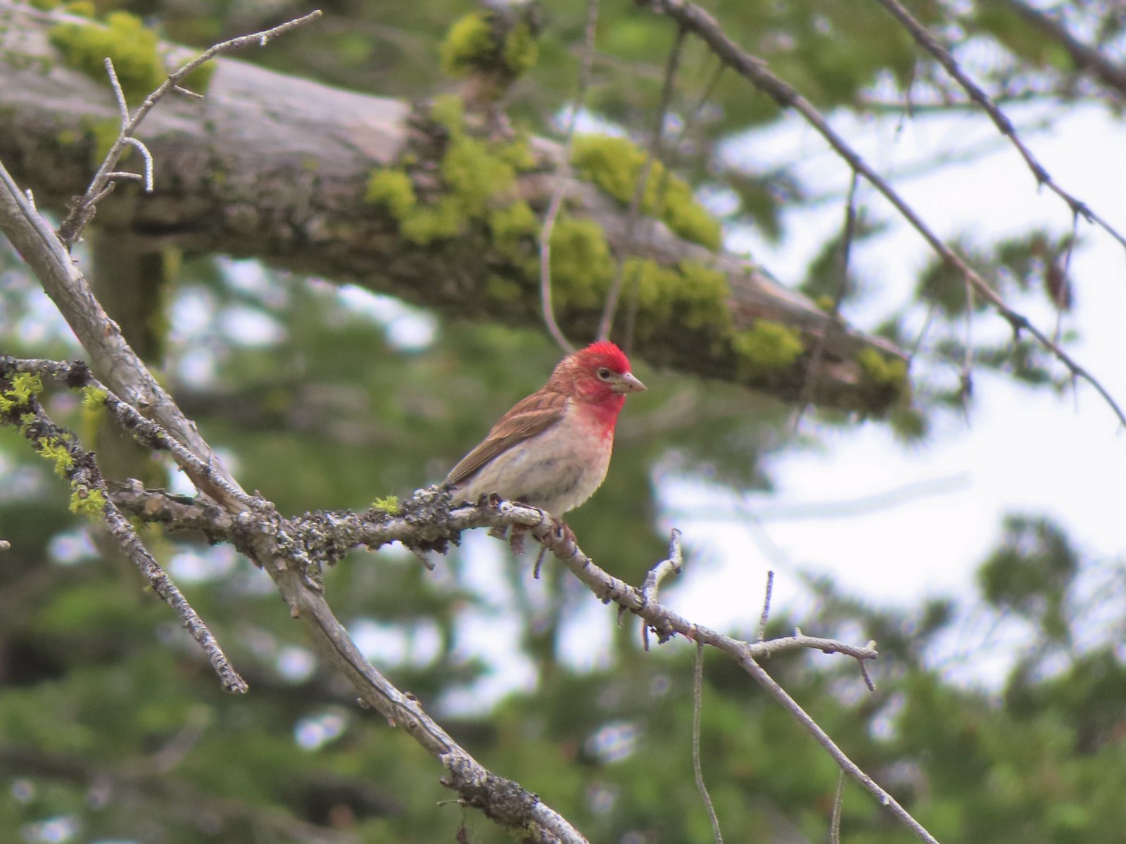 Cassin’s finch – 6/15/23, Hells Canyon National Recreation Area, Wallowa-Whitman National Forest
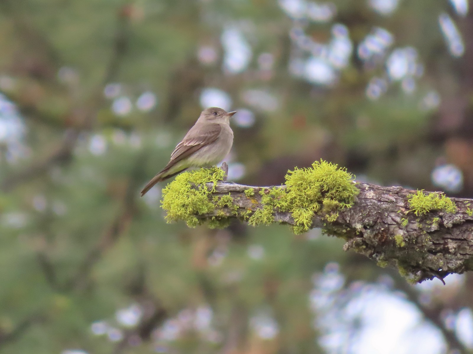 Western wood pee-wee – 6/15/23, Hells Canyon National Recreation Area, Wallowa-Whitman National Forest
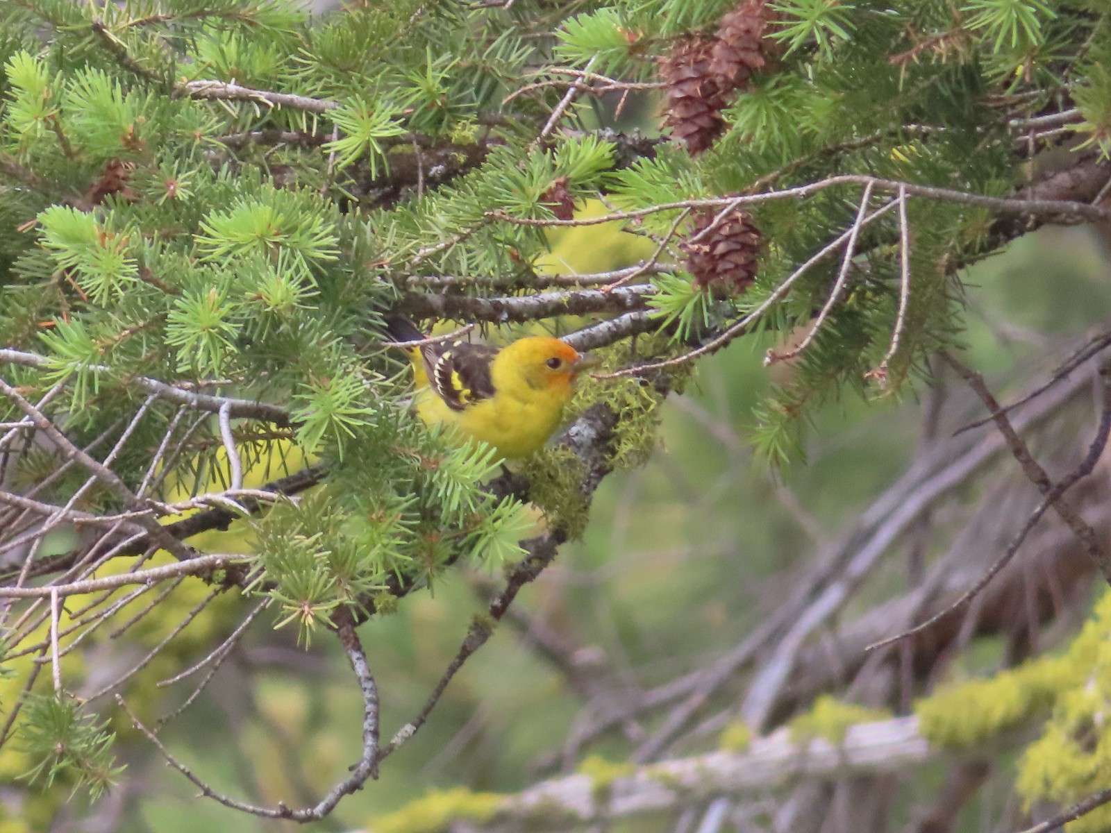 Western tanager – 6/15/23, Hells Canyon National Recreation Area, Wallowa-Whitman National Forest
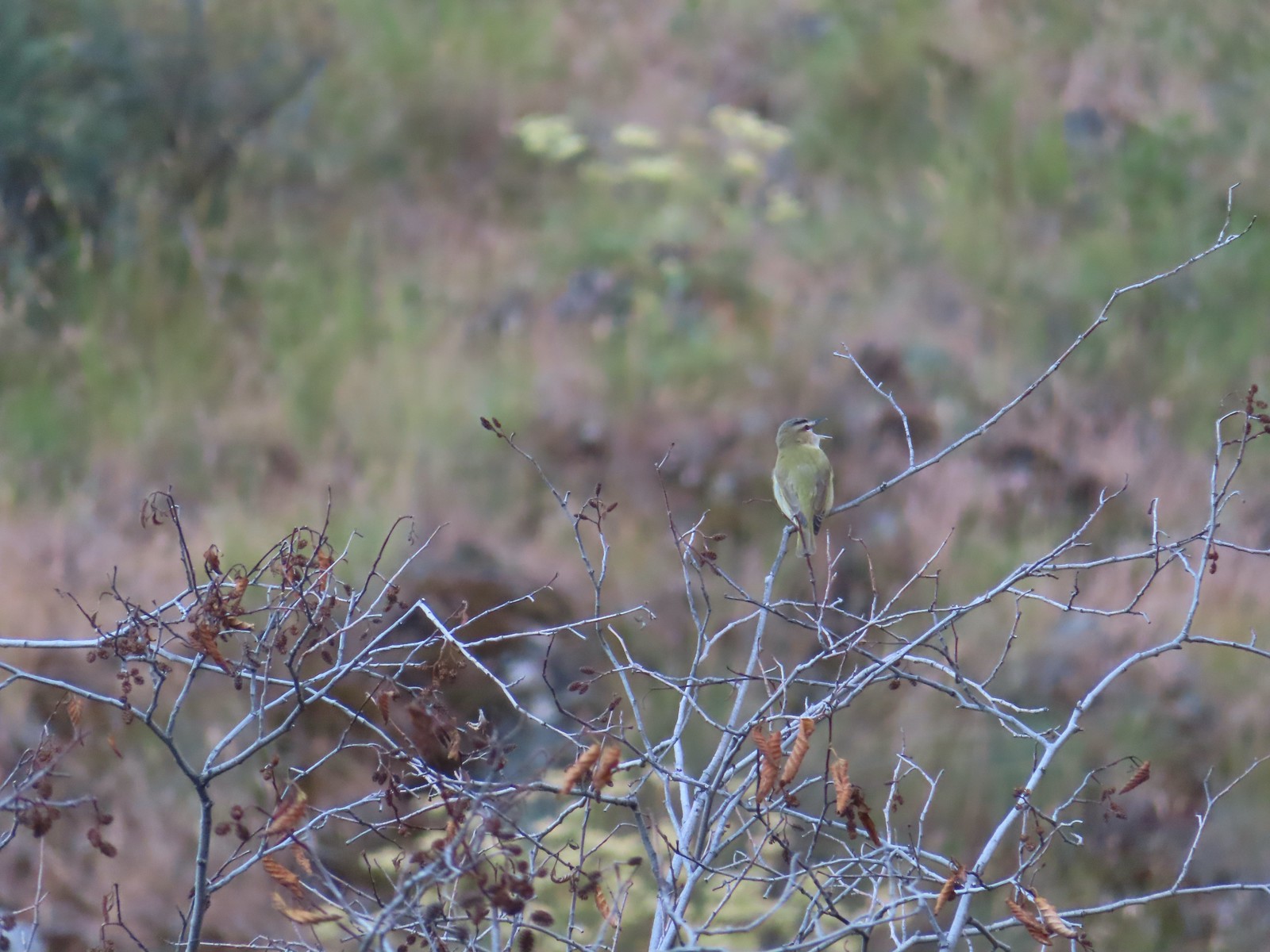 Red-eyed vireo – 6/16/23, Trail 1890, Hells Canyon Wilderness
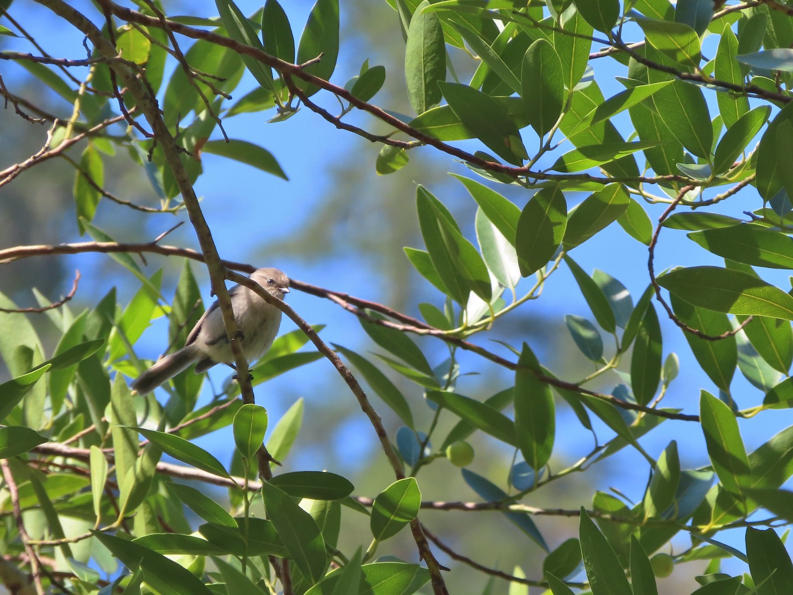 Bushtit – 6/24/23, Rogue River National Recreation Trail, Wild Rogue Wilderness
 Macgillivray’s warbler? – 6/25/23, North Umpqua Trail, BLM Roseburg District
 Woodpecker – 6/25/23, North Umpqua Trail, BLM Roseburg District
 Hawk – 6/25/23, North Bank Habitat, BLM Roseburg District
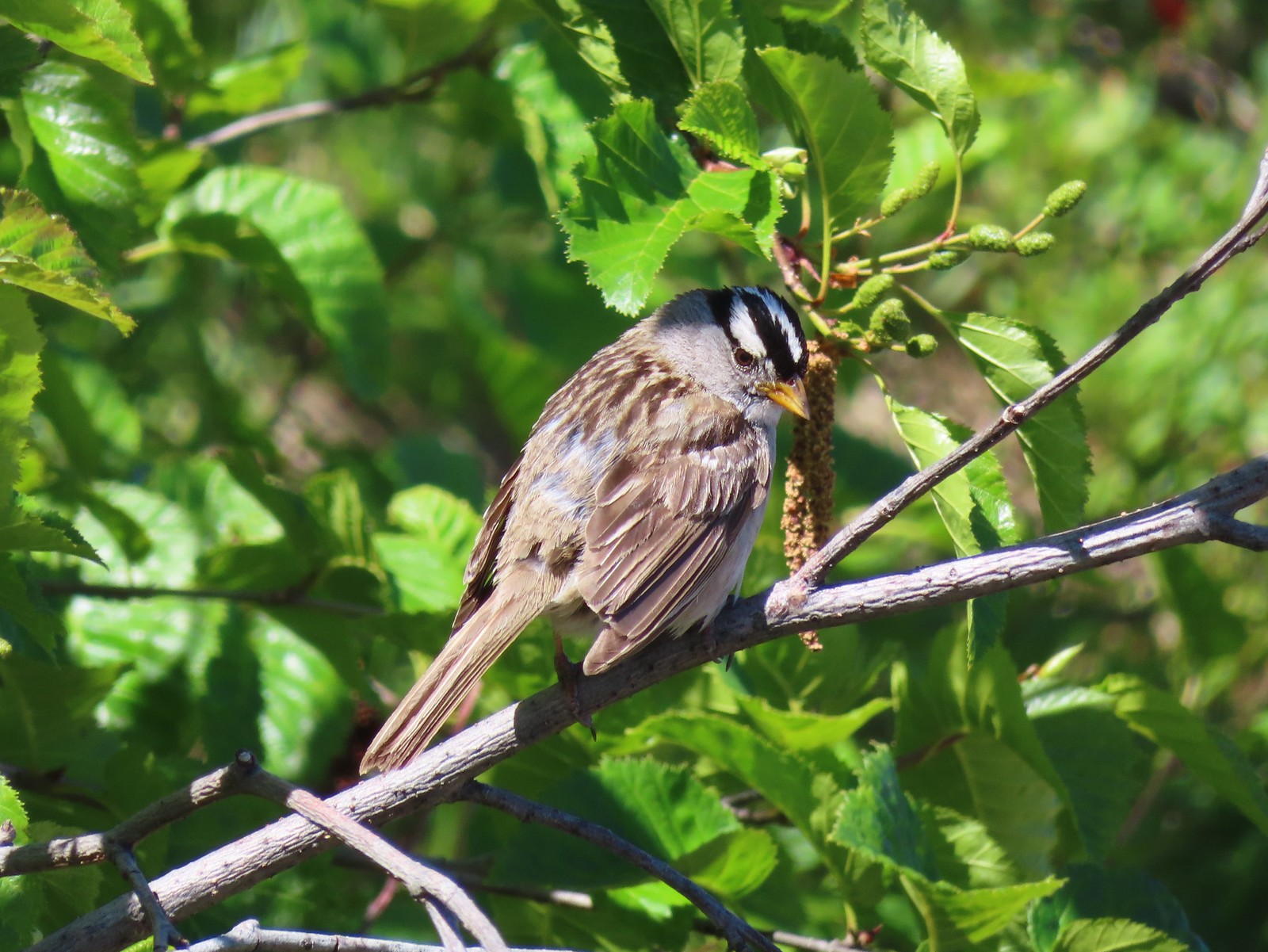 White-crowned sparrow – 7/1/23, Boundary Trail, Mt. St. Helens National Volcanic Monument
 Cedar waxwings – 7/1/23, Boundary Trail, Mt. St. Helens National Volcanic Monument
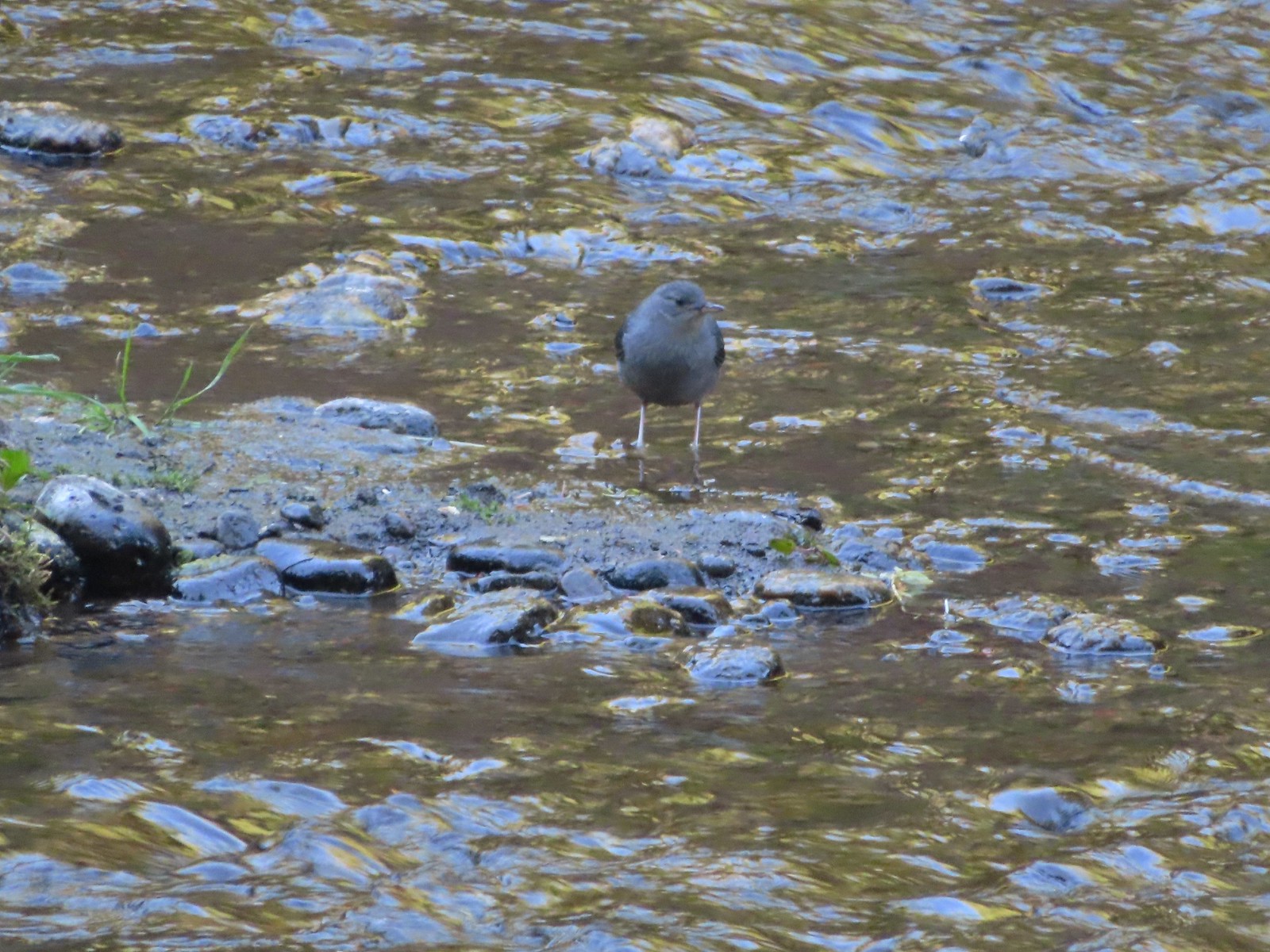 Ouzel – 7/22/23, Metolius River Trail, Deschutes National Forest
 Sooty grouse – 7/22/23, Metolius River Trail, Deschutes National Forest
 Canada jay – 8/5/23, Timberline Trail, Mt. Hood Wilderness
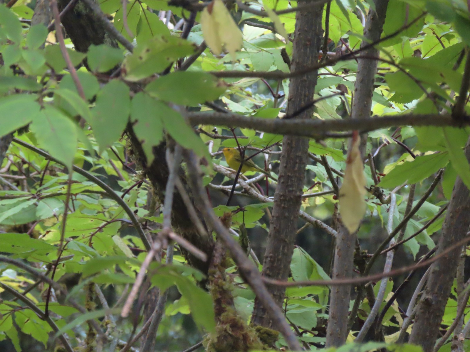 Wilson’s warbler? – 8/29/23, Nestucca Bay National Wildlife Refuge, Cloverdale
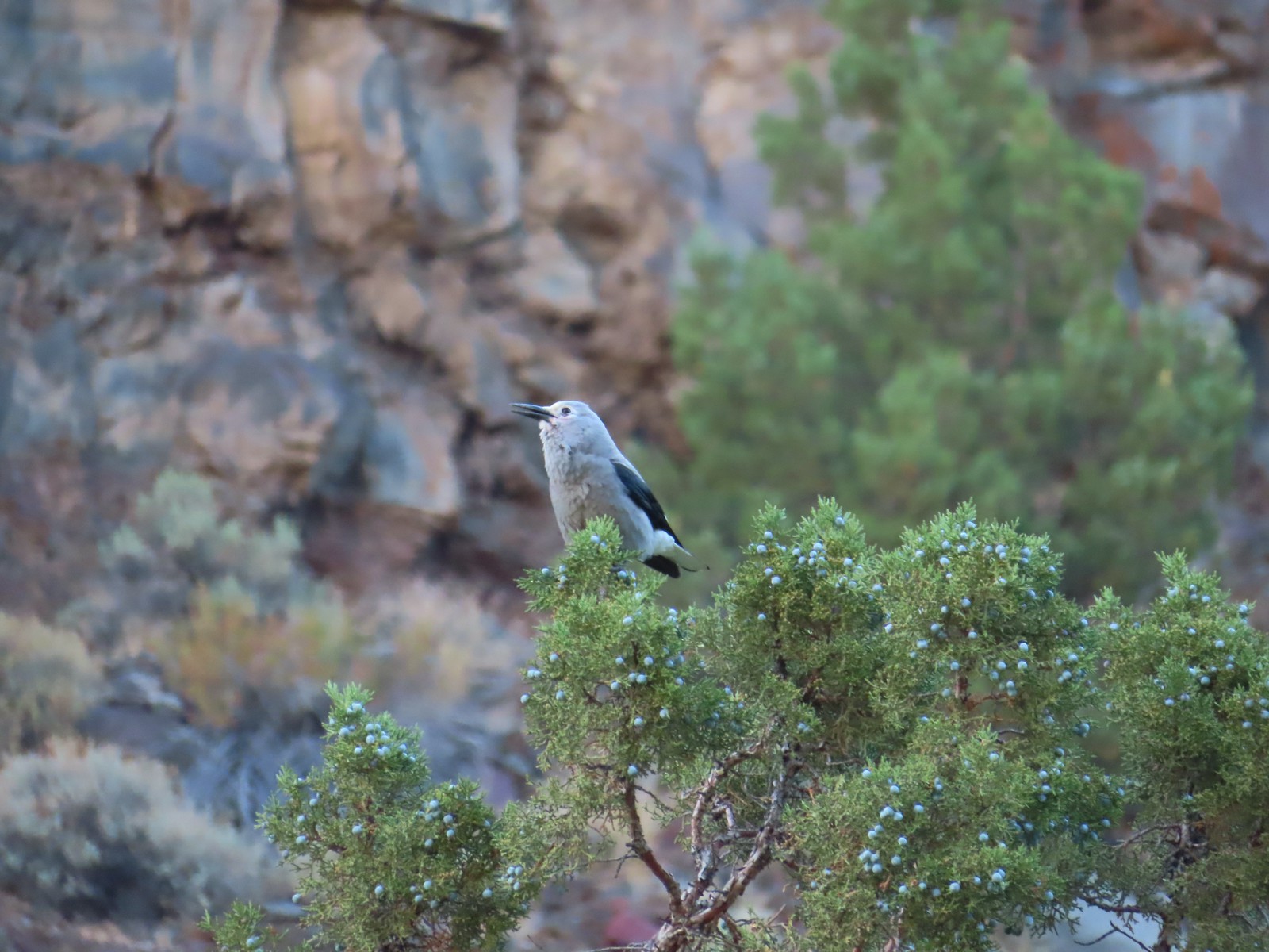 Clark’s nutcrakcer – 9/2/23, Dry River Canyon, BLM Prineville District
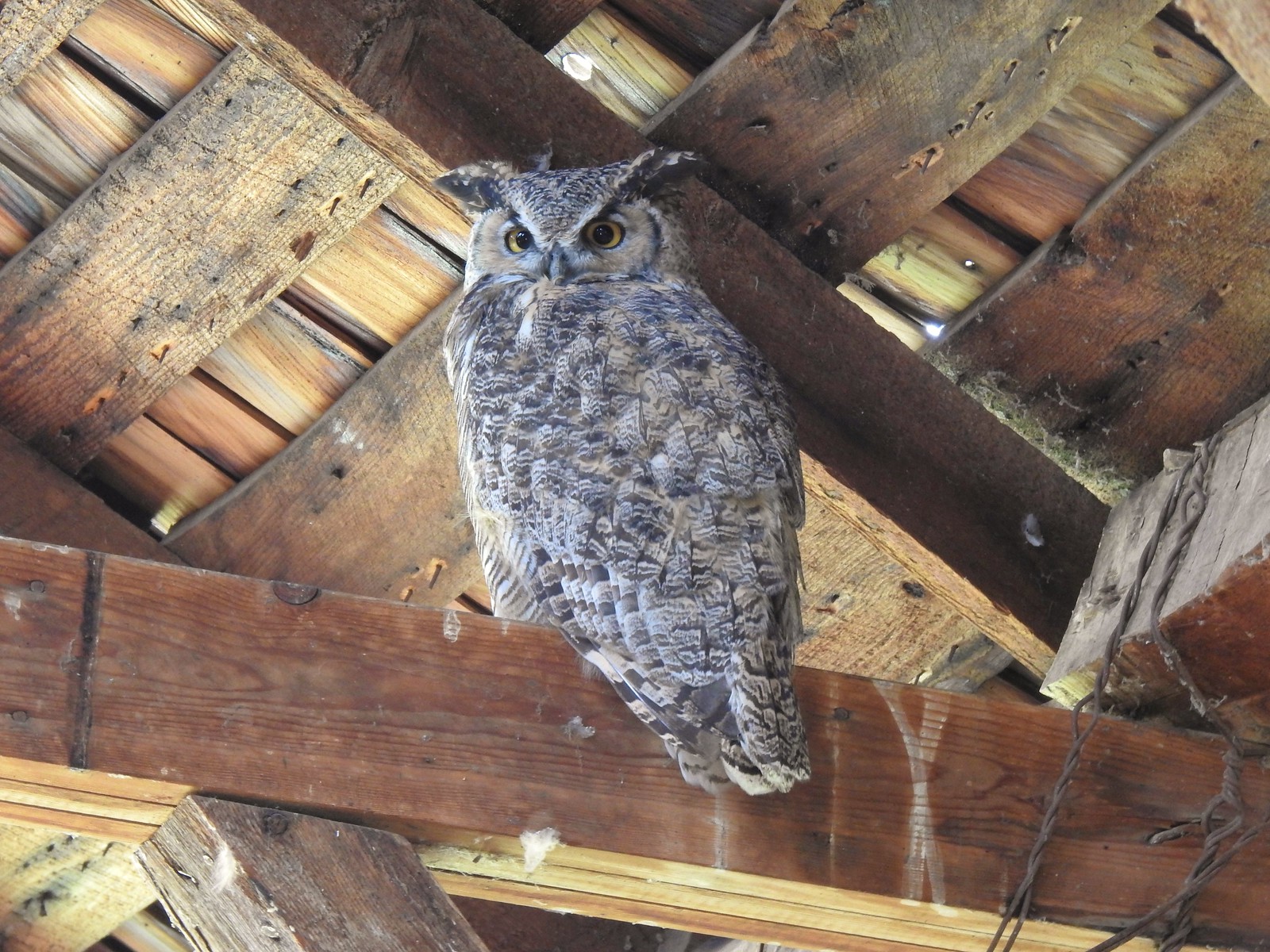 Great horned owl – 9/3/23, P Ranch, Malheur National Wildlife Refuge
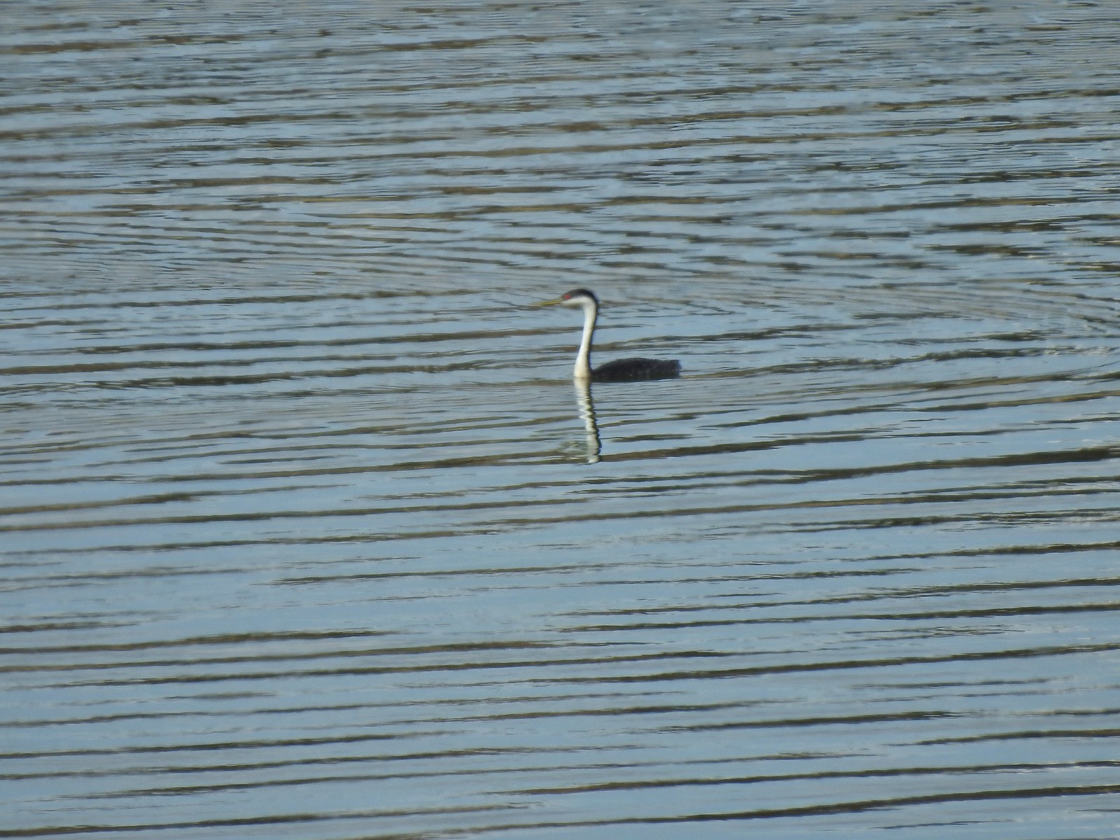 Western grebe – 9/3/23, Krumbo Reservoir, Malheur National Wildlife Refuge
 Unidentified bird – 9/3/23, Krumbo Reservoir, Malheur National Wildlife Refuge
 White-faced ibis – 9/3/23, Cental Patrol Road, Malheur National Wildlife Refuge
 Ring-necked pheasant – 9/3/23, Central Patrol Road, Malheur National Wildlife Refuge
 Townsends solitaire – 9/4/23 Fryrear Canyon, BLM Prineville District
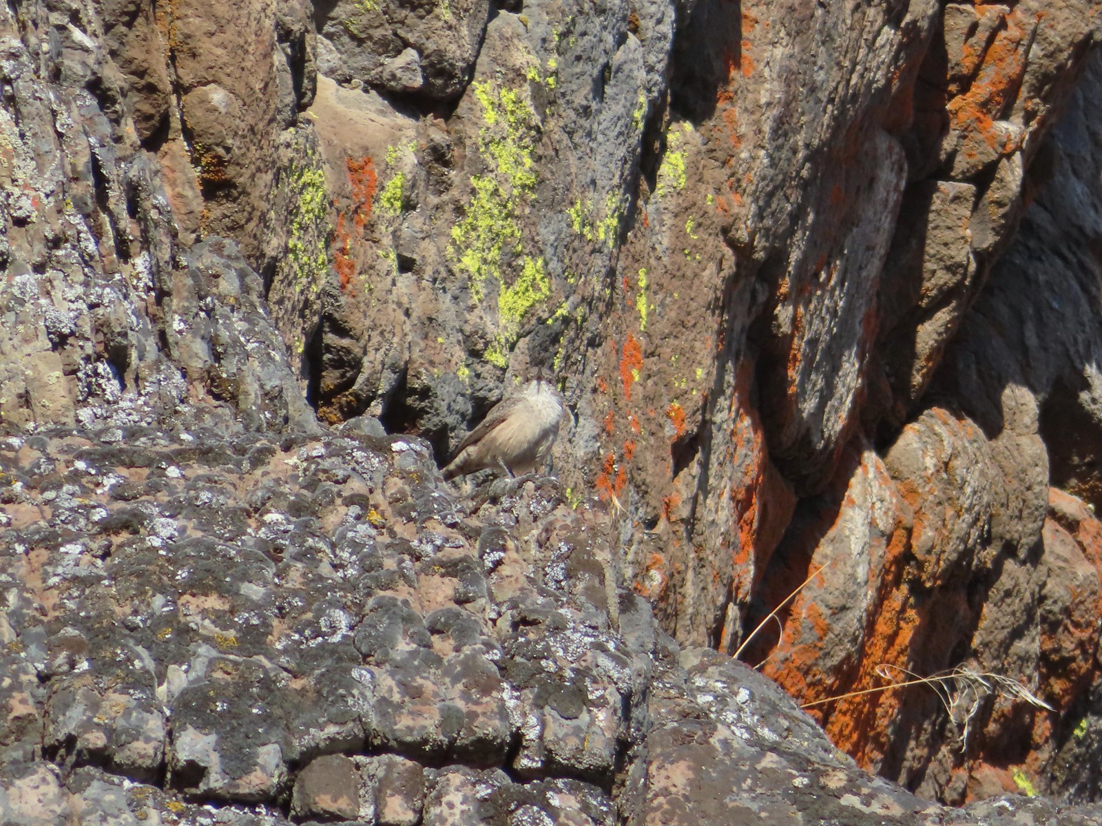 Rock wren? – 9/4/23 Fryrear Canyon, BLM Prineville District
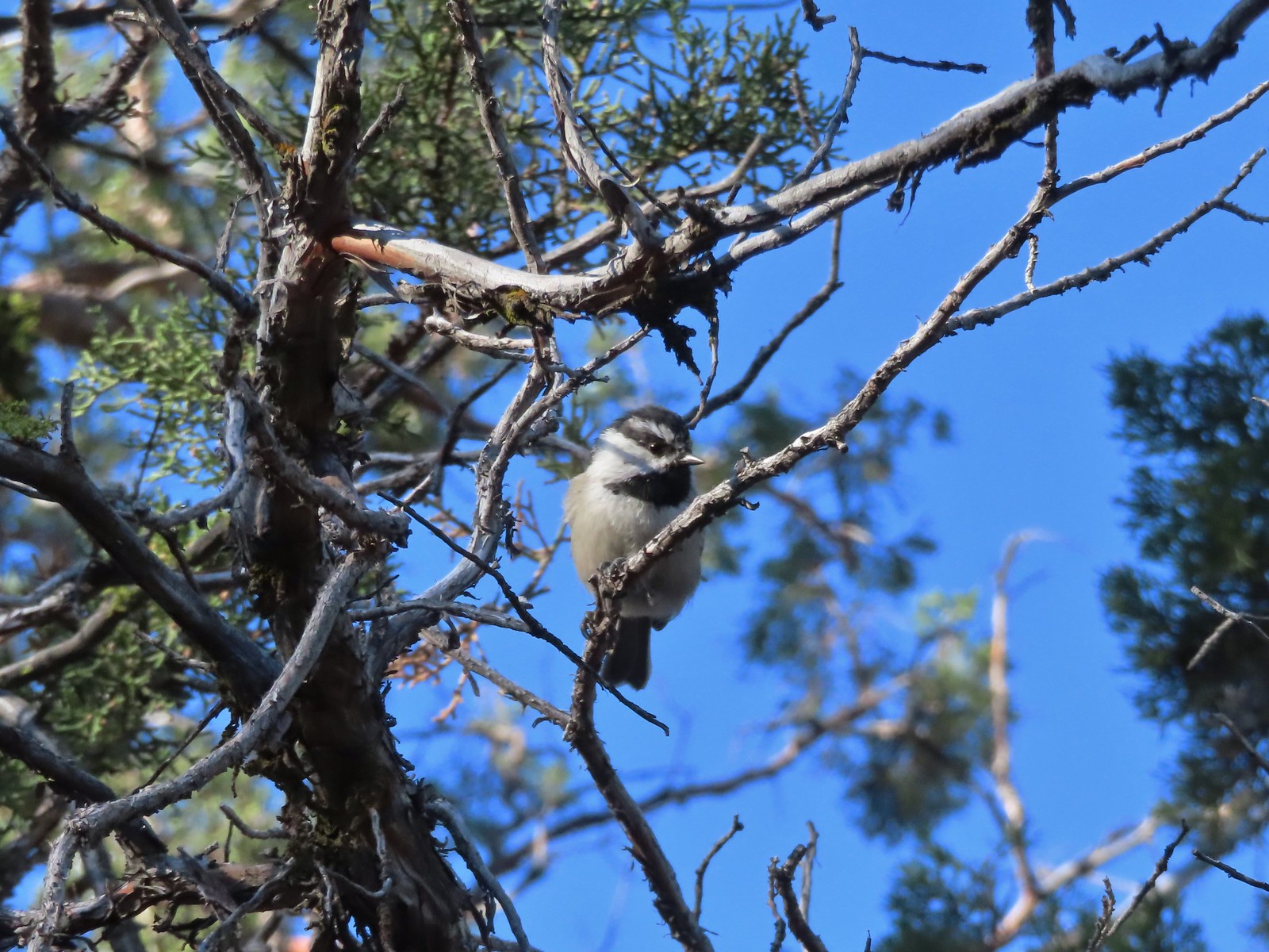 Mountain chickadee – 9/4/23 Fryrear Canyon, BLM Prineville District
 Black-backed woodpecker – 9/9/23, Pacific Crest Trail, Sky Lakes Wilderness
 American pipit – 9/9/23, Devil’s Peak, Sky Lakes Wilderness
 Golden eye – 9/16/23, Fish Lake, Mt. Hood National Forest
 White-breasted nuthatch – 9/16/23, Fish Lake Trail, Mt. Hood National Forest
 Stellar’s jay – 9/30/23, Big Creek Park, Newport
 Red-tailed hawk – 9/30/23, Strom Boulder Ridge, Burnt Woods
 Varied thrush – 10/9/23, Babyfoot Lake Trail, Kalmiopsis Wilderness
 Seagull – 10/28/23, Oceanside Beach, Oceanside
 Great blue heron – 10/28/23, Oceanside Beach, Oceanside
 Red-throated loon – 10/28/23, Pacific Ocean, Oceanside
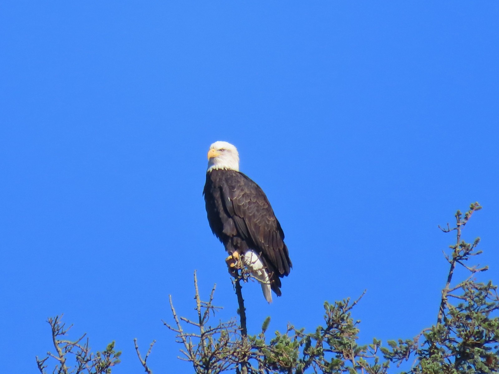 Bald eagle – 10/28/23, Tillamook Wetlands, Tillamook
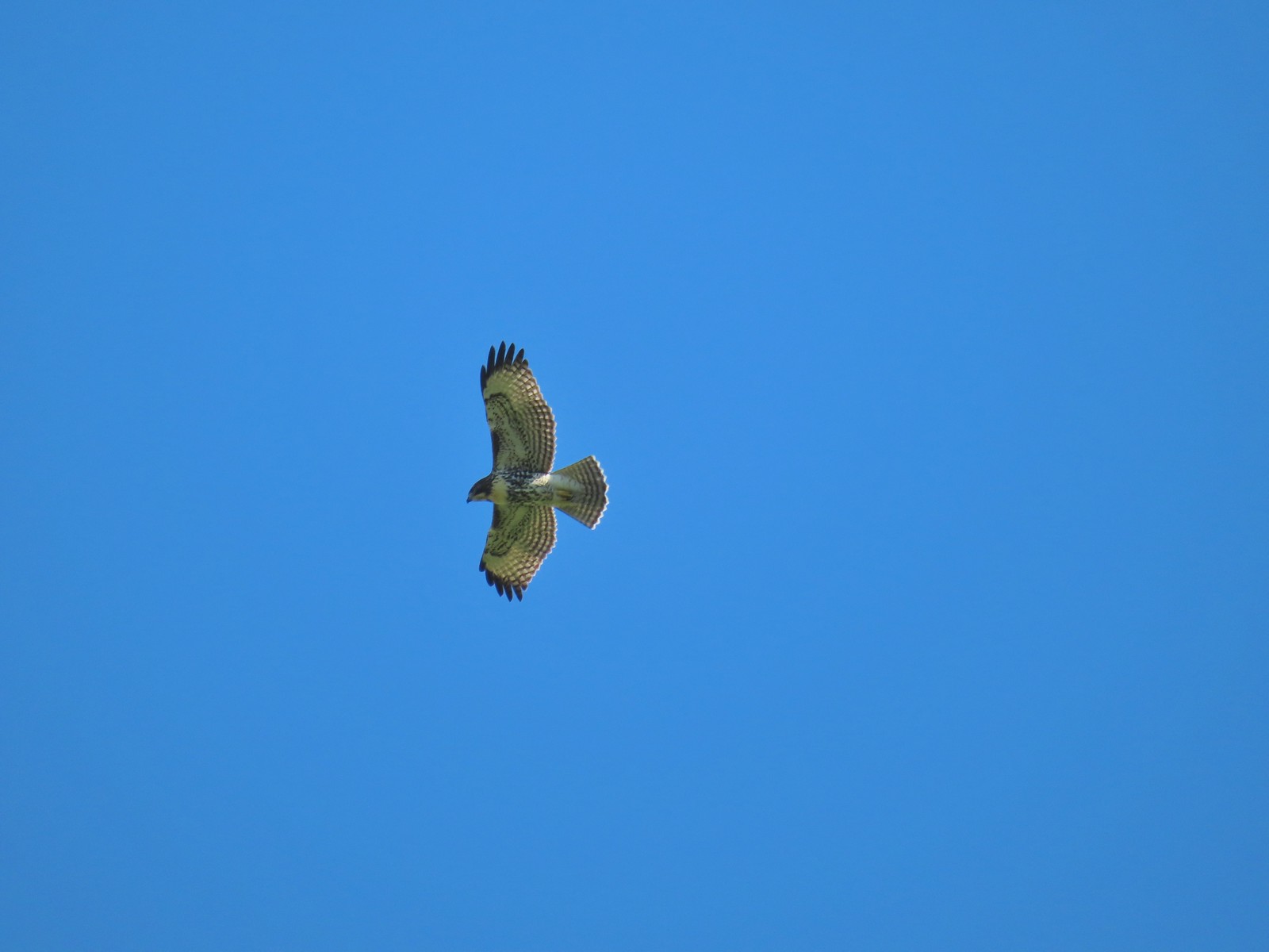 Hawk – 10/28/23, Tillamook Wetlands, Tillamook
 Hooded merganser – 11/18/23, D River, Lincoln City
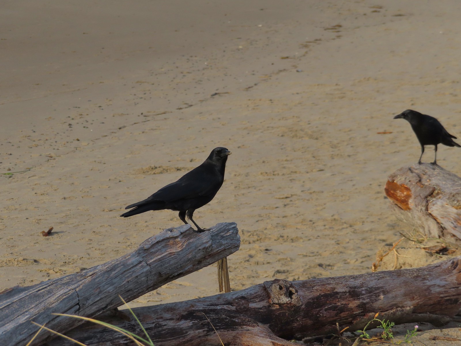 Crows – 11/18/23, Siletz Bay, Lincoln City
 Brown pelicans – 11/18/23, Siletz Bay, Lincoln City


 While the loop did come in at 2.5-miles it was a little over 3/4 of a mile to the Boundary Trail.
 Lupine
 One of several ponds along the trail.
 A “Student Stop” marker surrounded by dwarf lupine. We aren’t sure what the these meant or what program they are related to.
 An interpretive sign along the trail facing some of the hummocks.
 Penstemon
 Mt. St. Helens as we neared the Boundary Trail junction.
 Trail guide marker #3 and an interpretive sign at the junction.
 The lower left map shows the current closure area and open trails. In a nutshell, all the trails are open but everything off-trail to the side facing SR504 is currently closed.
 The views of Mt. St. Helens were great.
 The trail began to climb as it squeezed between a gap in the hillsides ahead.
 View back to the hummocks from the gap.
 Trees in the gap.
 After exiting the gap we got another good view of the mountain before the trail veered left turning away from the mountain.
 Heading away from Mt. St. Helens to start the climb.
 Dwarf lupine was profuse below the ridge.
 Scouler’s bluebell
 Thimbleberry blossoms
 Castle Peak above Castle Lake with Spud Mountain to the right and the North Fork Toutle River below.
 Horned lark
 Tiger lily
 Savannah sparrow
 Heading back toward Mt. St. Helens.
 The North Fork Toutle River flowing between Spud Mountain (left) and Elk Rock (right).
 Castle Peak and Castle Lake
 Elk Rock on the left and Coldwater Lake on the right.
 Coldwater Lake
 Mountain bluebird.
 At one point quite a bit of dust? kicked up from the South Fork Toutle River canyon.
 Cardwell’s penstemon

 Coldwater Peak with Mt. Adams to the far right of the photo. The hiker ahead to the left of Coldwater Peak was from Belgium. He was here on work but using the weekends to explore the area. We would see him two more times, once from the observatory as he continued on the Boundary Trail and then as we were exiting the trailhead. He had done a loop using the Coldwater Trail (
 Mt. Adams from the viewpoint on our way back. The angle of the Sun earlier caused the mountain to look pretty washed out.
 Mt. St. Helens from the viewpoint.
 Variable-leaf collomia
 The Loowit Viewpoint on the ridge ahead.
 Paintbrush covered hillside.
 Mt. St. Helens from the Loowit Viewpoint.
 Mt. St. Helens crater.
 Golden mantled-ground squirrel. These brazen con-artists often convince visitors they would starve without humans help. While this is definitely not the case and
  A single plant.
 A lot of paintbrush.

 Daisies and paintbrush
 Penstemon, yarrow, and Scouler’s woolyweed along with the paintbrush.
 Paintbrush and penstemon along the trail.

 Passing by the Johnston Ridge Observatory.
 Before and after photos of the 1980 eruption.
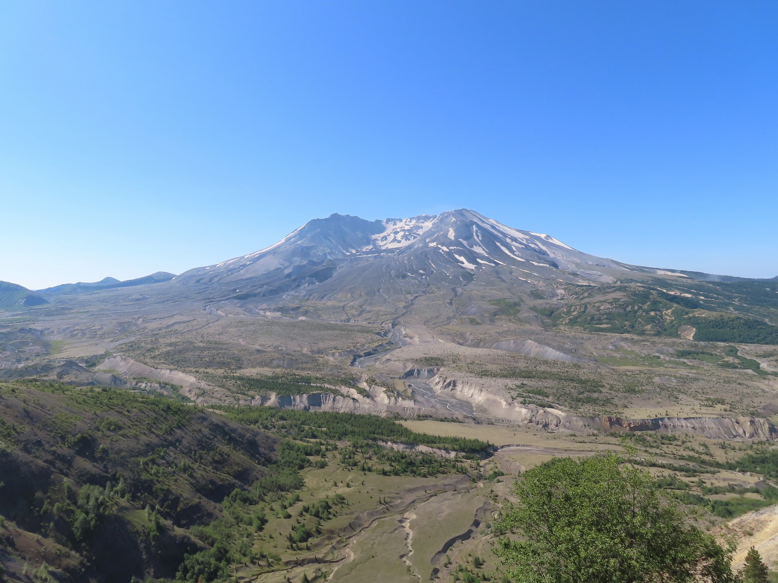

 Mt. Adams peaking over the ridges with Spirit Lake also visible (center).
 Spirit Lake
 The mountain identifier ahead on the left.
 We could see where the repair work was happening on SR504 from this trail.
 The rounded peak to the right is Goat Mountain (
 Goat Mountain with a few patches of snow still showing up.
 Rock Arch near Coldwater Peak.
 Memorial for the lives lost in the 1980 eruption.
 Junction with the Boundary Trail.
 Pussypaws


 Another view of the washout.

 Our turn around spot. You can see the trail on far side of the saddle veering left behind the ridge.
 Coldwater Peak from our turnaround spot.
 The Johnston Ridge Observatory from the trail. We hadn’t realized how much elevation we’d lost until we turned around.
 Castle Peak and Spud Mountain on the left and the observatory above some colorful cliffs.
 Penstemon
 Boundary Trail leaving the Loowit Viewpoint.


 Mt. St. Helens and the North Fork Toutle River.
 The same view in May 2014.
 Same spot, different angle 2014.
 Monkeyflower
 Maybe a yellow-rumped warbler.
 Pearly everlasting
 Arriving back at the Hummocks Trailhead.

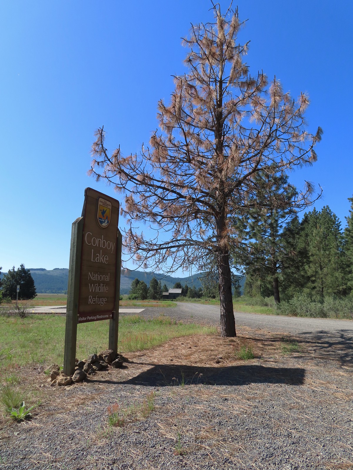
 The path to the cabin on the right.
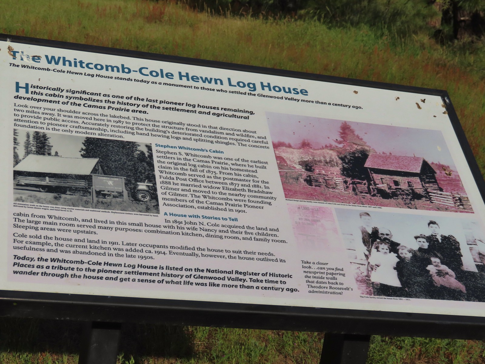 Built in 1875 the cabin was moved from its original location in 1987.

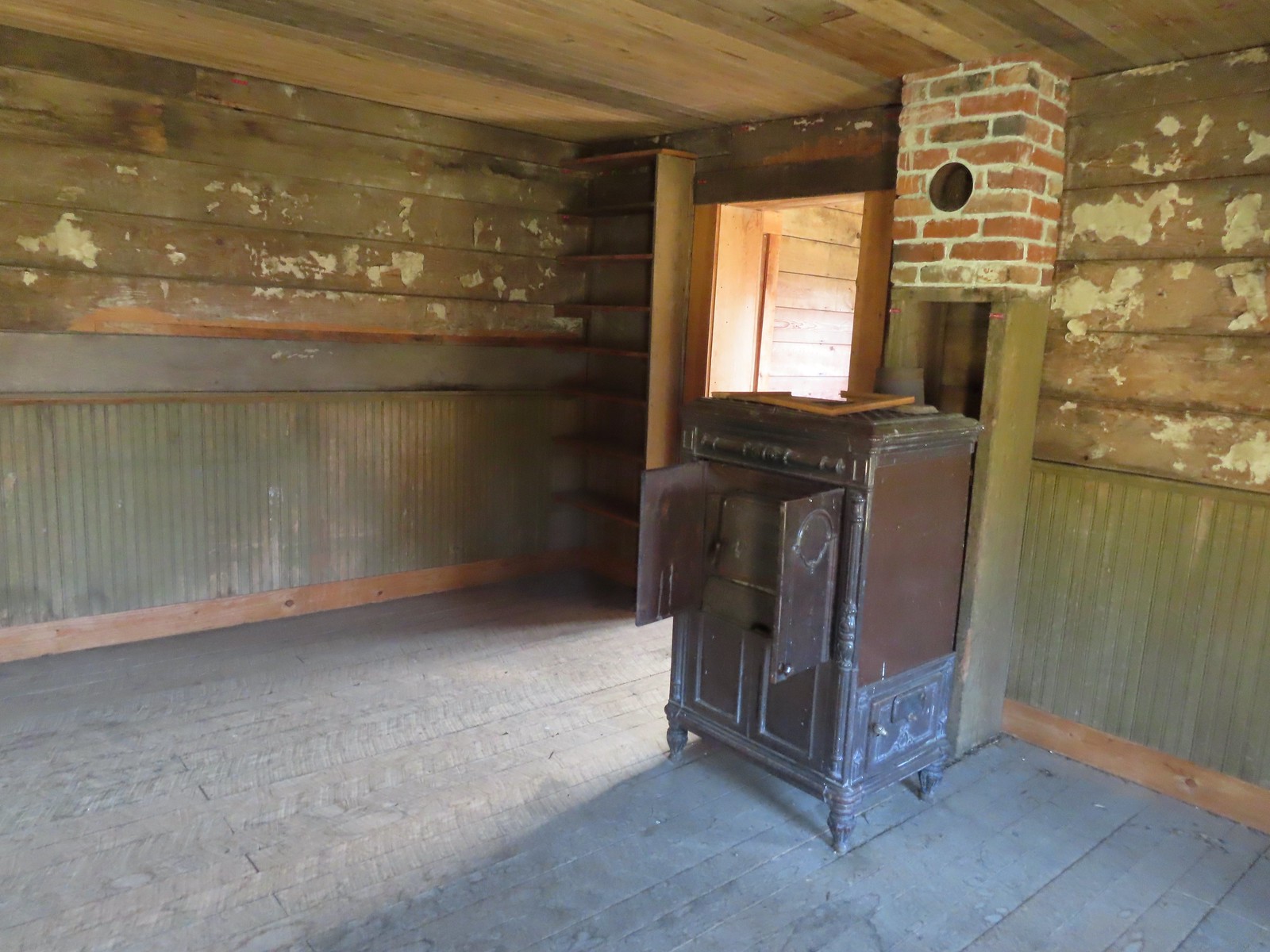
 The snowy top of Mt. Hood from the cabin.

 Lupine along the ditch.
 Robin
Robin Red-winged blackbird
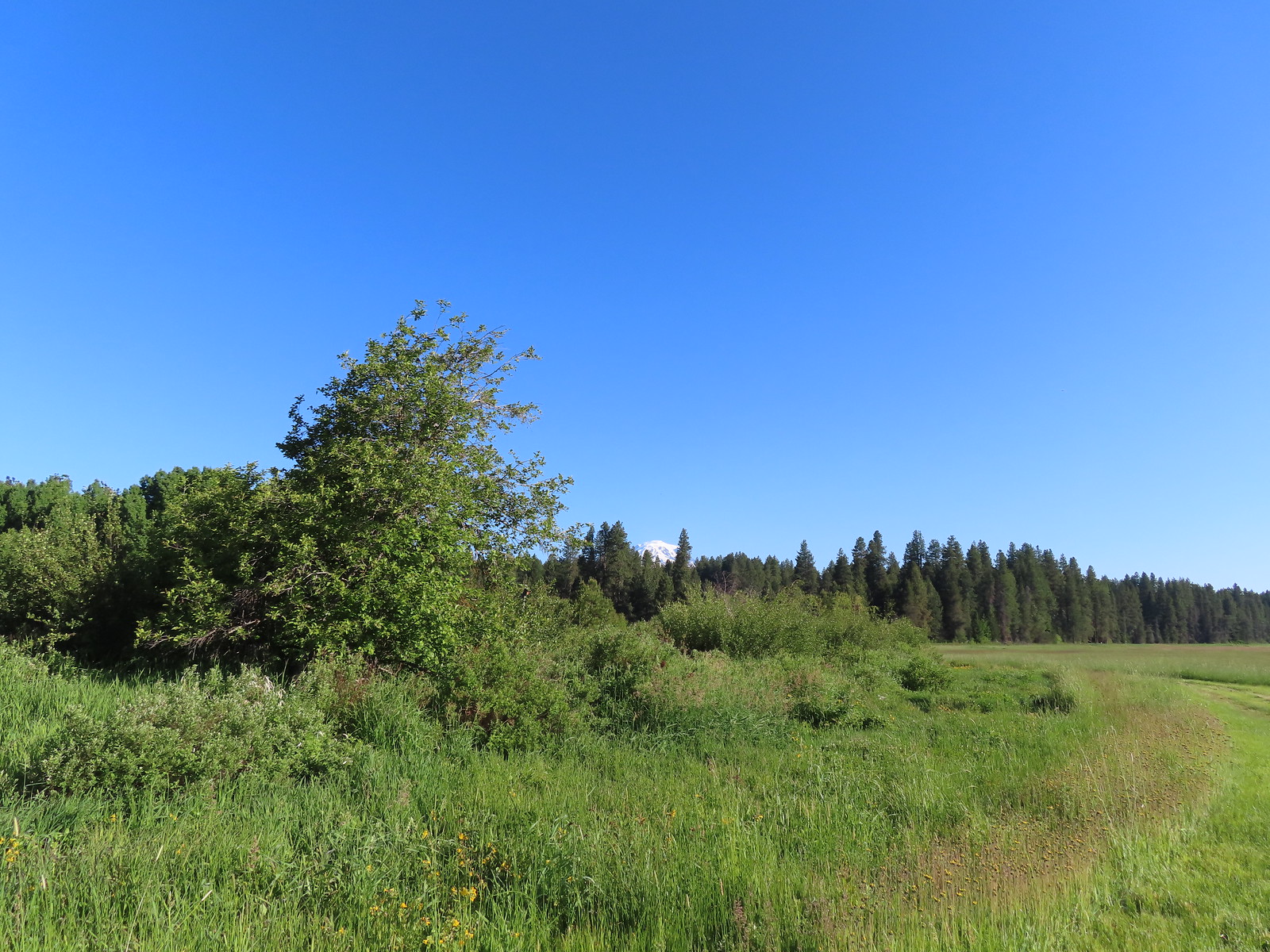 The top of Mt. Adams above the trees.

 Swallow

 Honeysuckle
 Columbine


 Continuation of the Willard Springs Trail behind the sign.


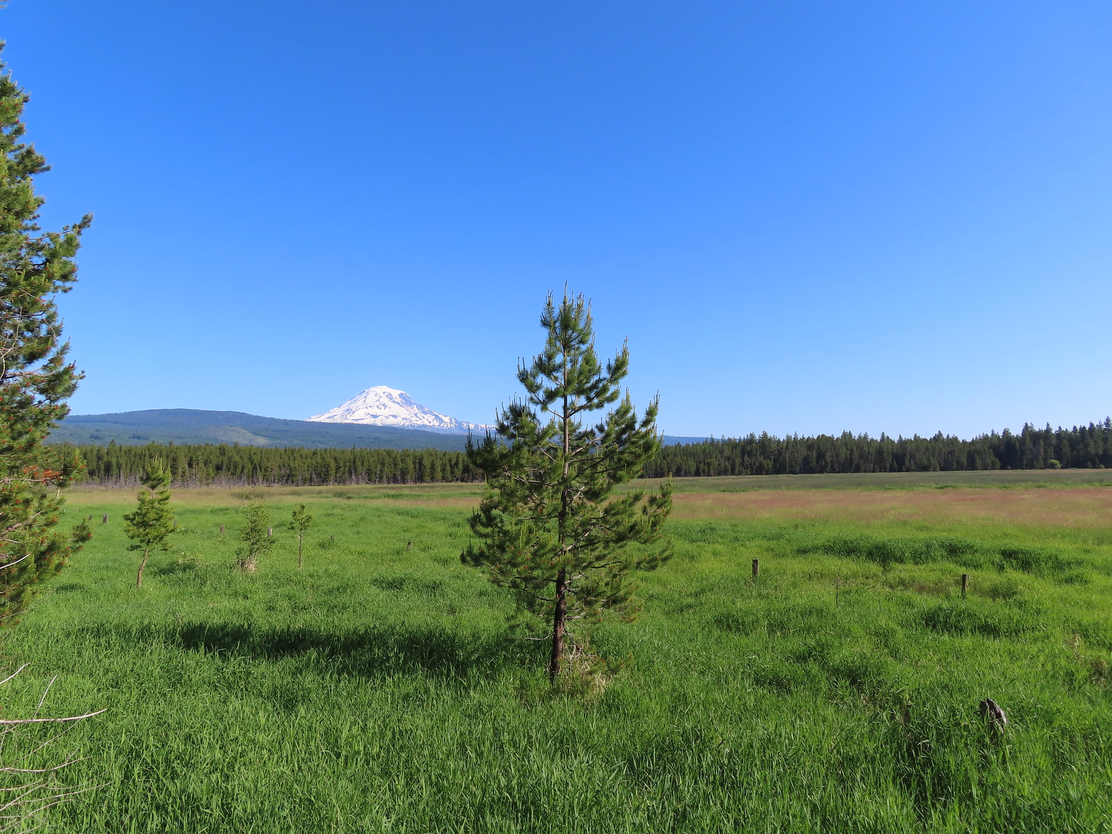

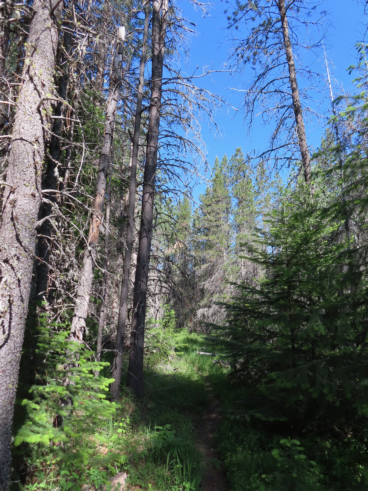
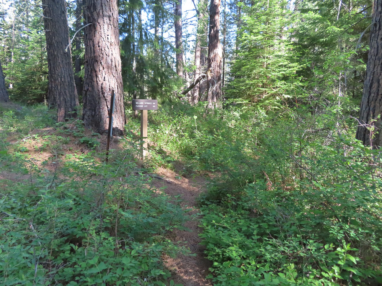


 Willard Sprins hidden in the vegetation. We could hear them better then we could see them.
 A healthy lupine near the springs.
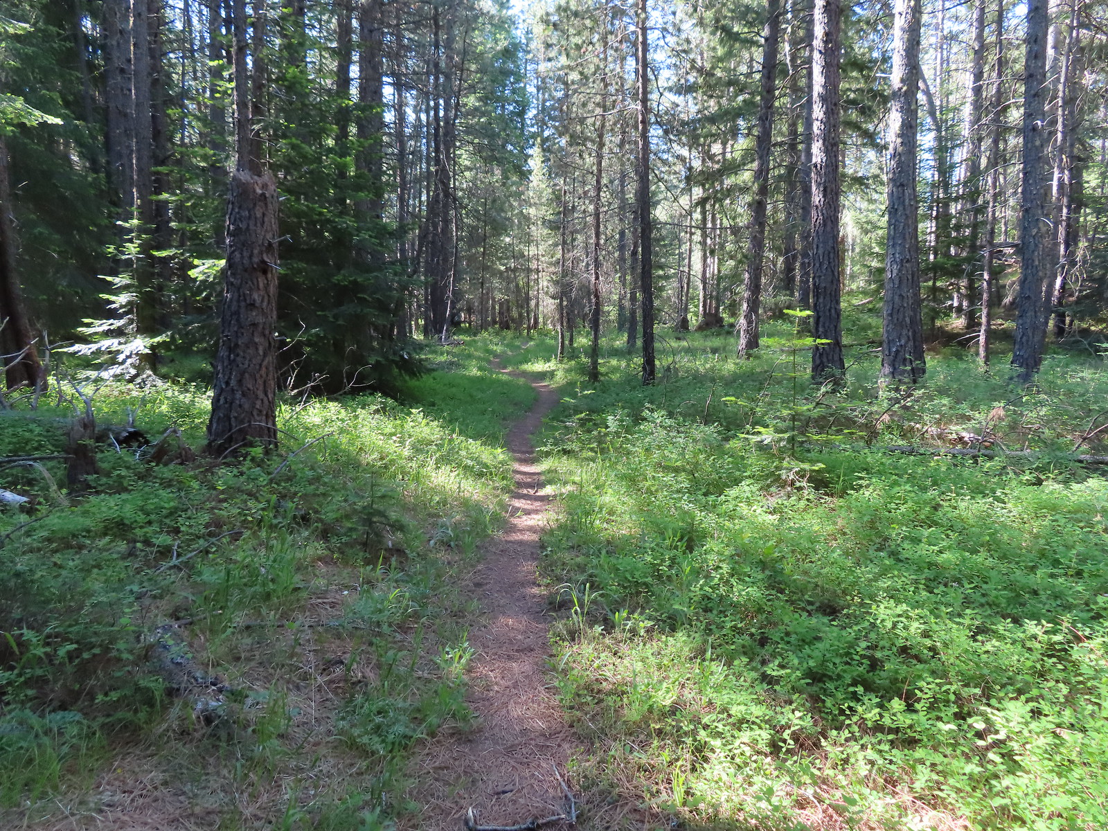
 Cat’s ear lily
 Hitchhiker
 Lupine along the trail.
 Golden-mantled ground squirrel
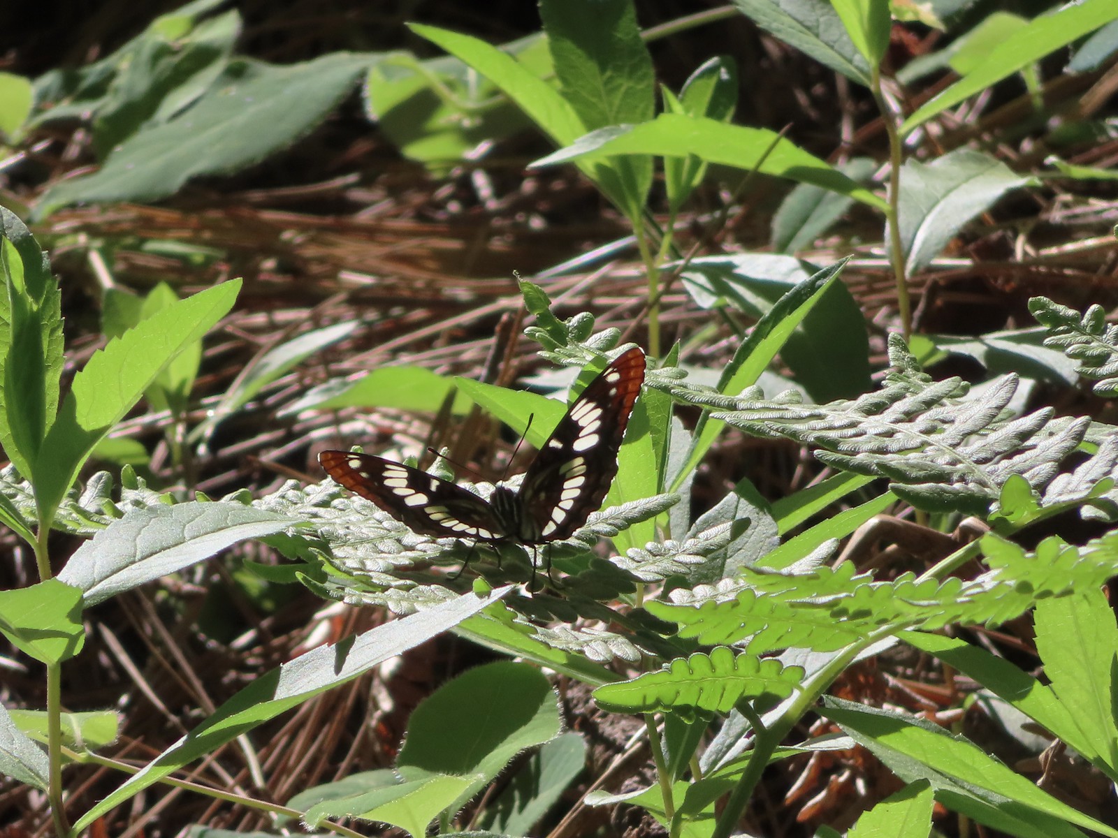 Lorquin’s admiral
 Arriving back at the refuge headquarters.
 Trail map at the trailhead.


 Wallflower


 One of only two trees that were down over the trail, both were easily manageable.
 The one small stream crossing.
 There was enough sunlight getting through to really heat up the trail.
 While there wasn’t much there we did occasionally see poison oak throughout most of the lower 2/3rds of the hike.
 Sign above the switchbacks warning mountain bikers that they were ahead.
 Buck Creek Trail to the left near the roads end.
 More spotted coralroot.

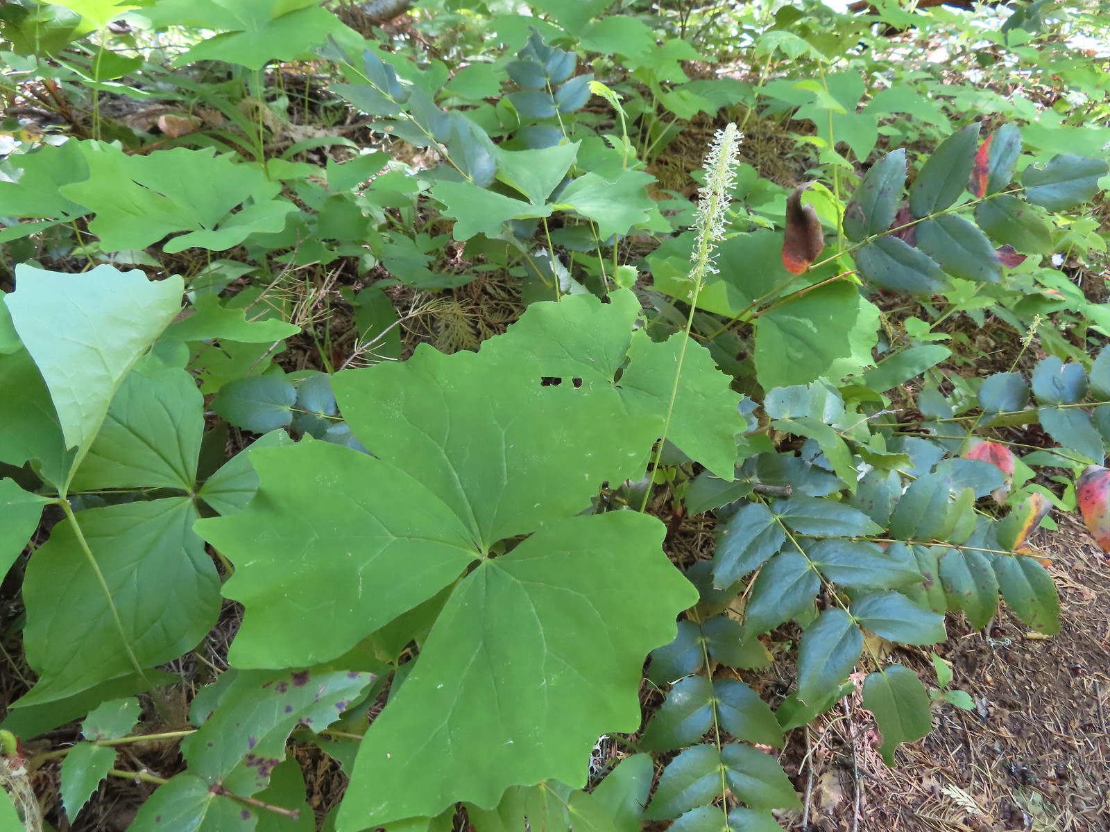 Vanilla leaf
 Queen’s cup
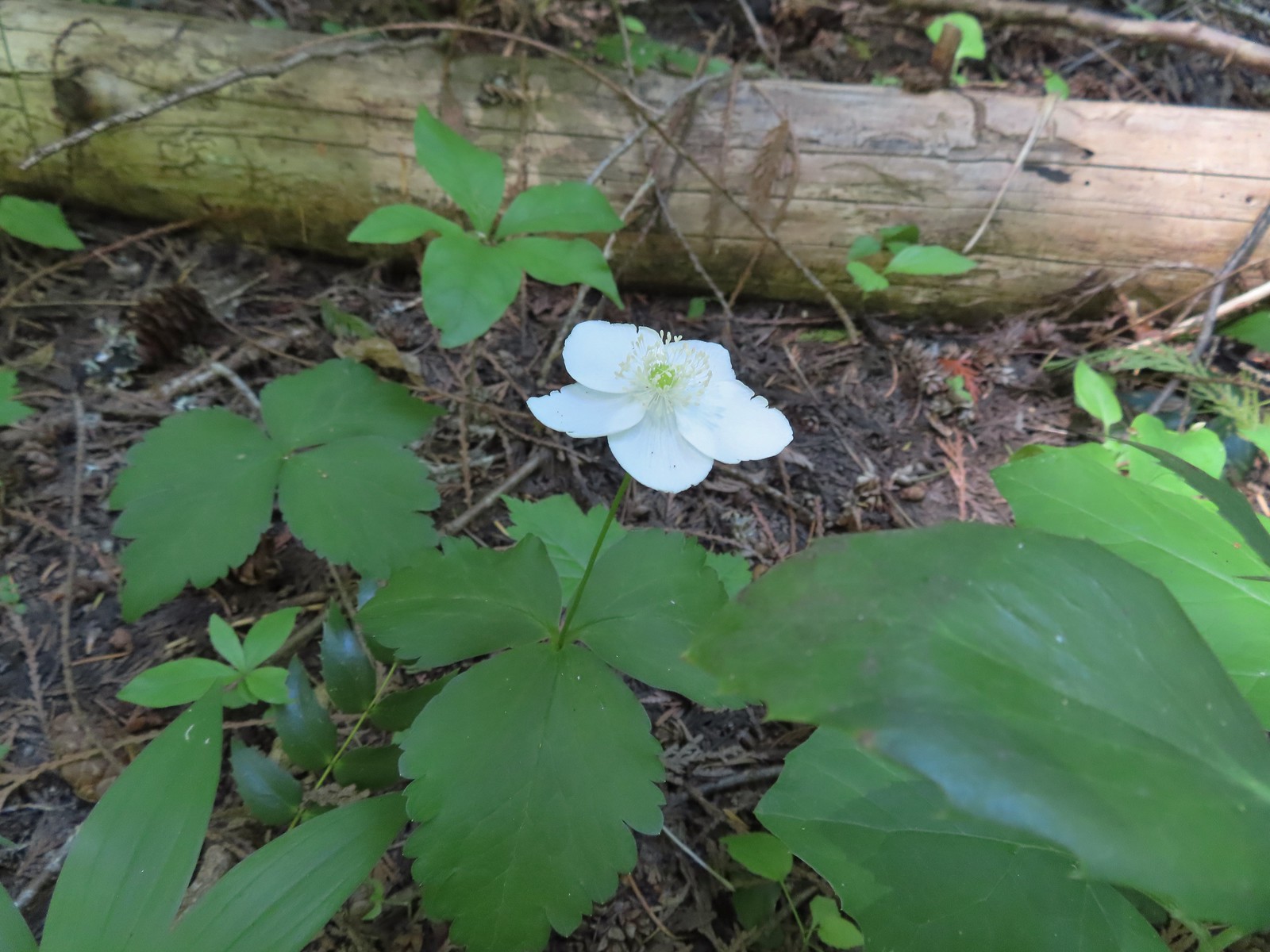 Anemone
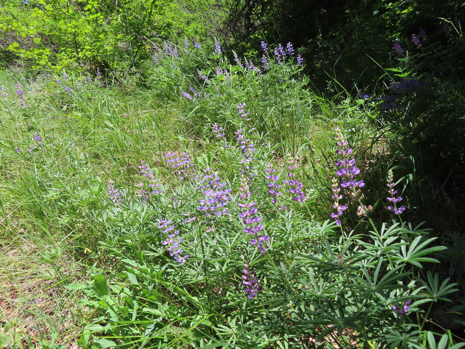 Lupine
 Mt. Hood from the Buck Creek Trail.
 Mt. Hood
 Cedar hairstreak on yarrow.
 Paintbrush, lupine, penstemon, and balsamroot.
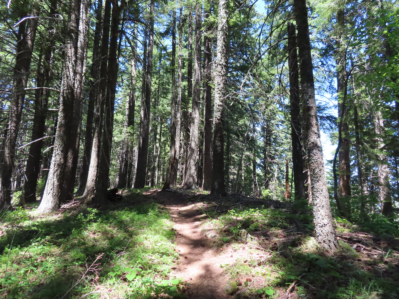 Gaining the ridge.
 Paintbrush
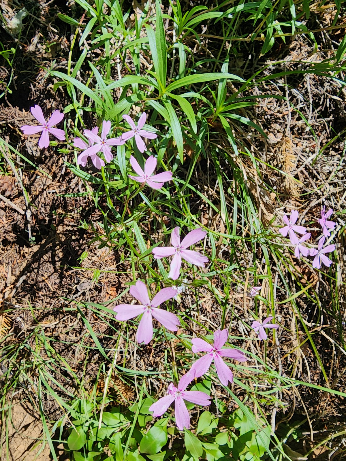 Showy phlox
 Approaching the start of the final climb.
 Sub-alpine mariposa lily
 Showy phlox
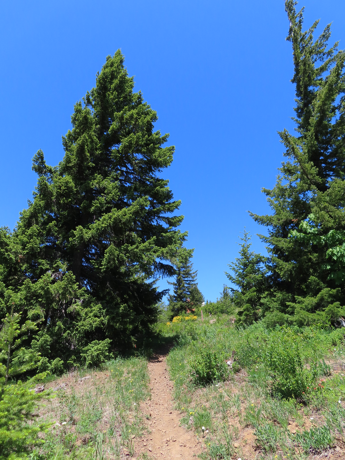
 Road N-1600.

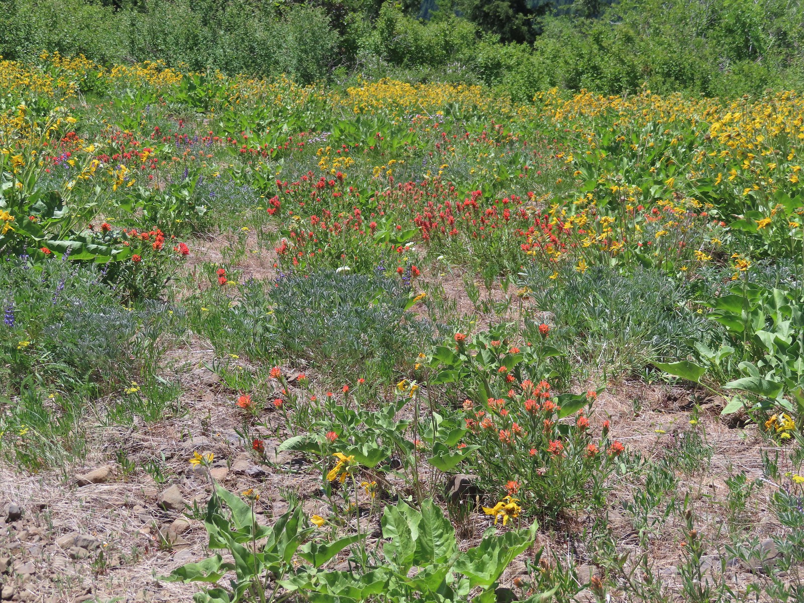
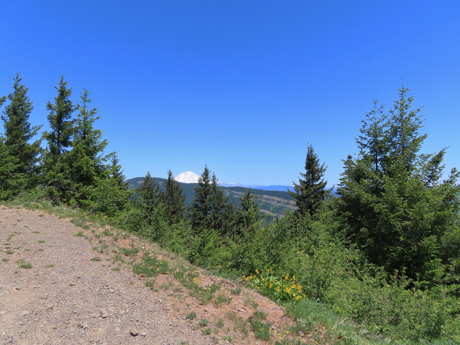
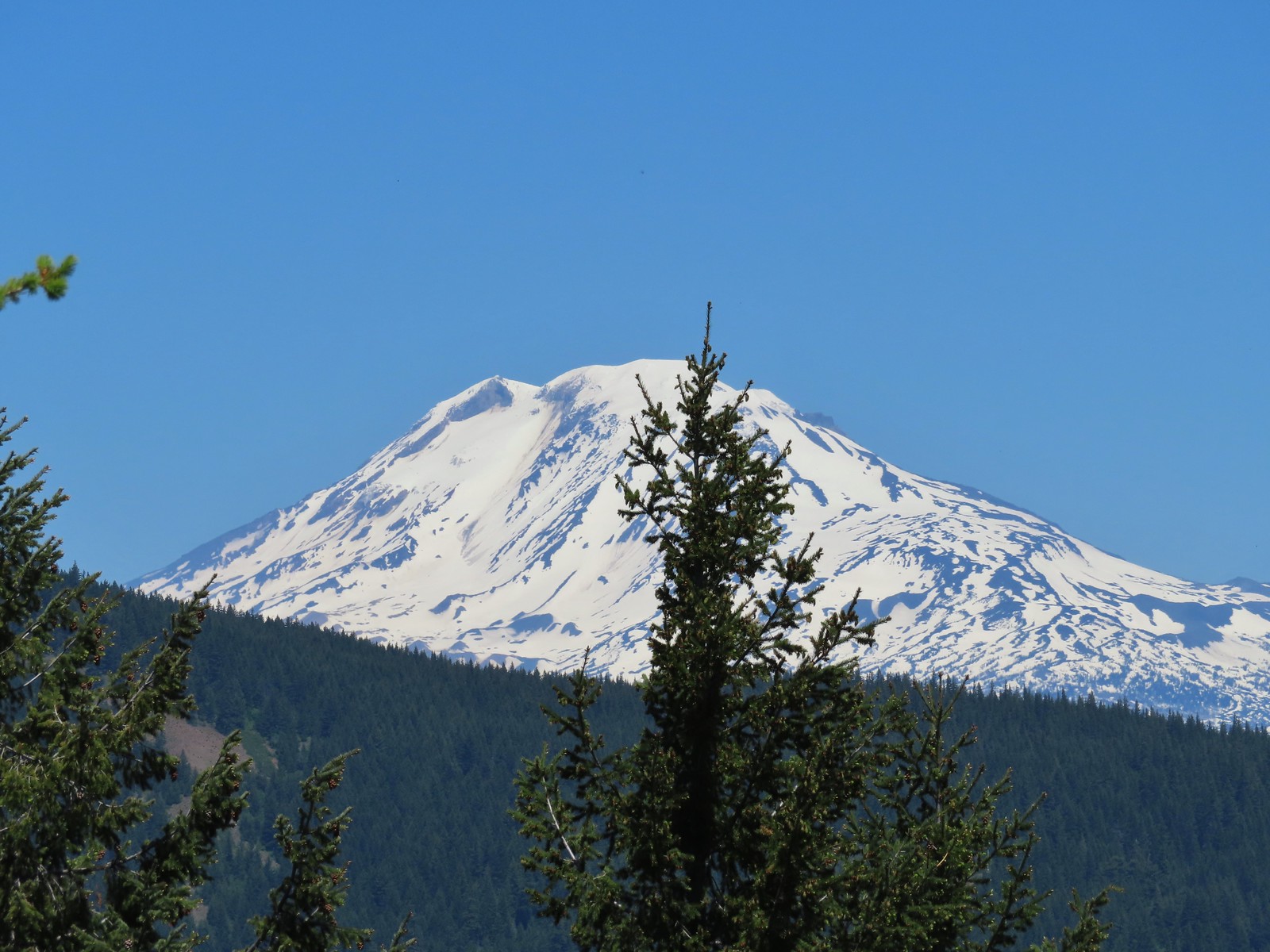

 Unfortunate amount of graffiti on the old shed.
 Mt. Hood and balsamroot.
 Mt. Hood
 Duskywing
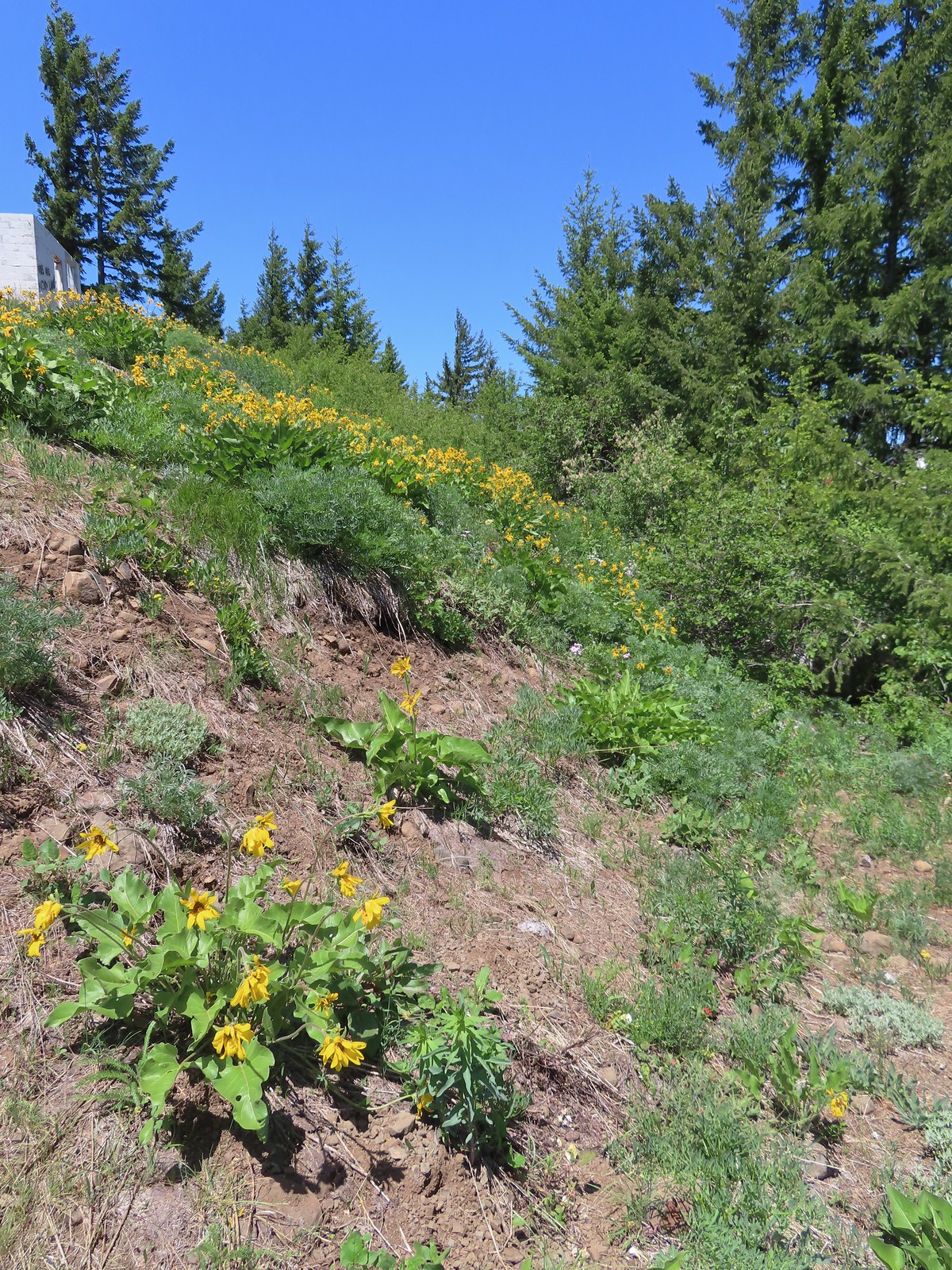 Balsamroot
 Lupine
 Woodland stars
 Paintbrush
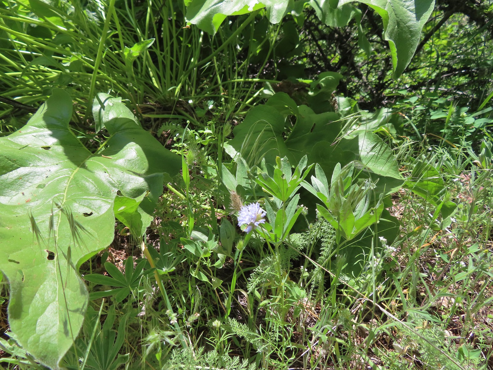 Blue-head gilia
 Ookow
Ookow

 The Mountain View Trail is named so because of the view of Mt. Hood, which on this morning was hiding behind the clouds on the left side of the photo.
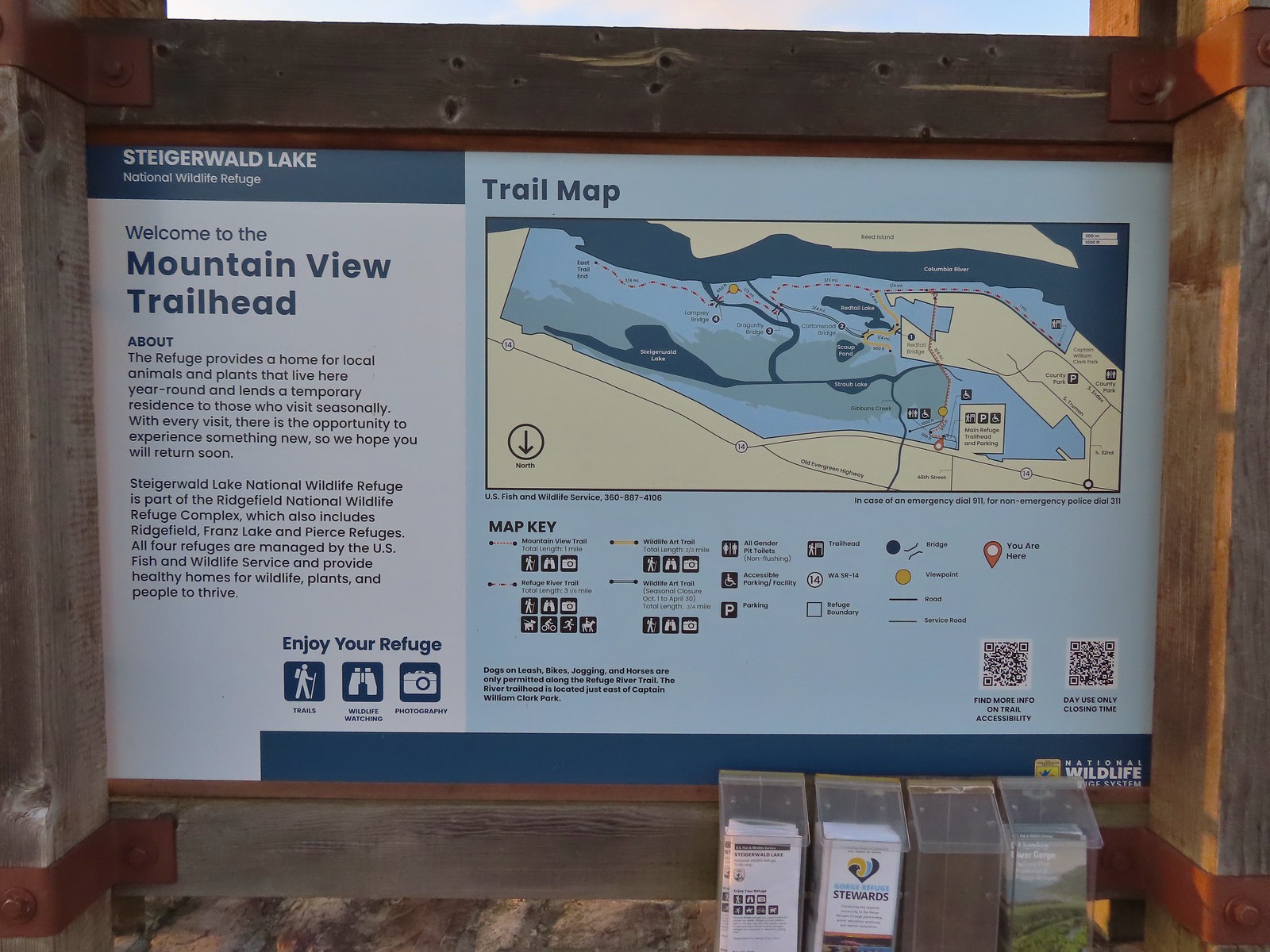 Map and information at the trailhead.
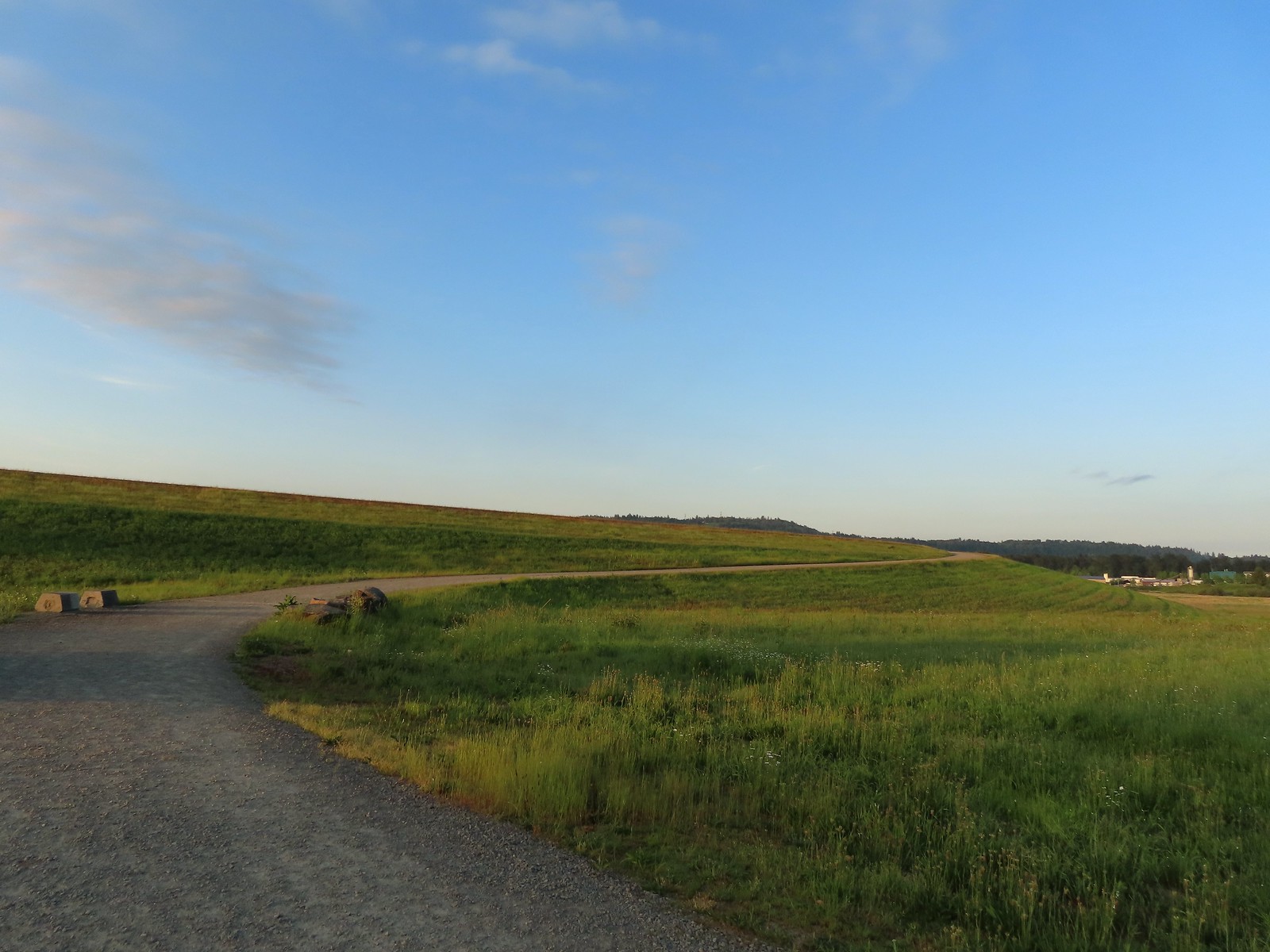
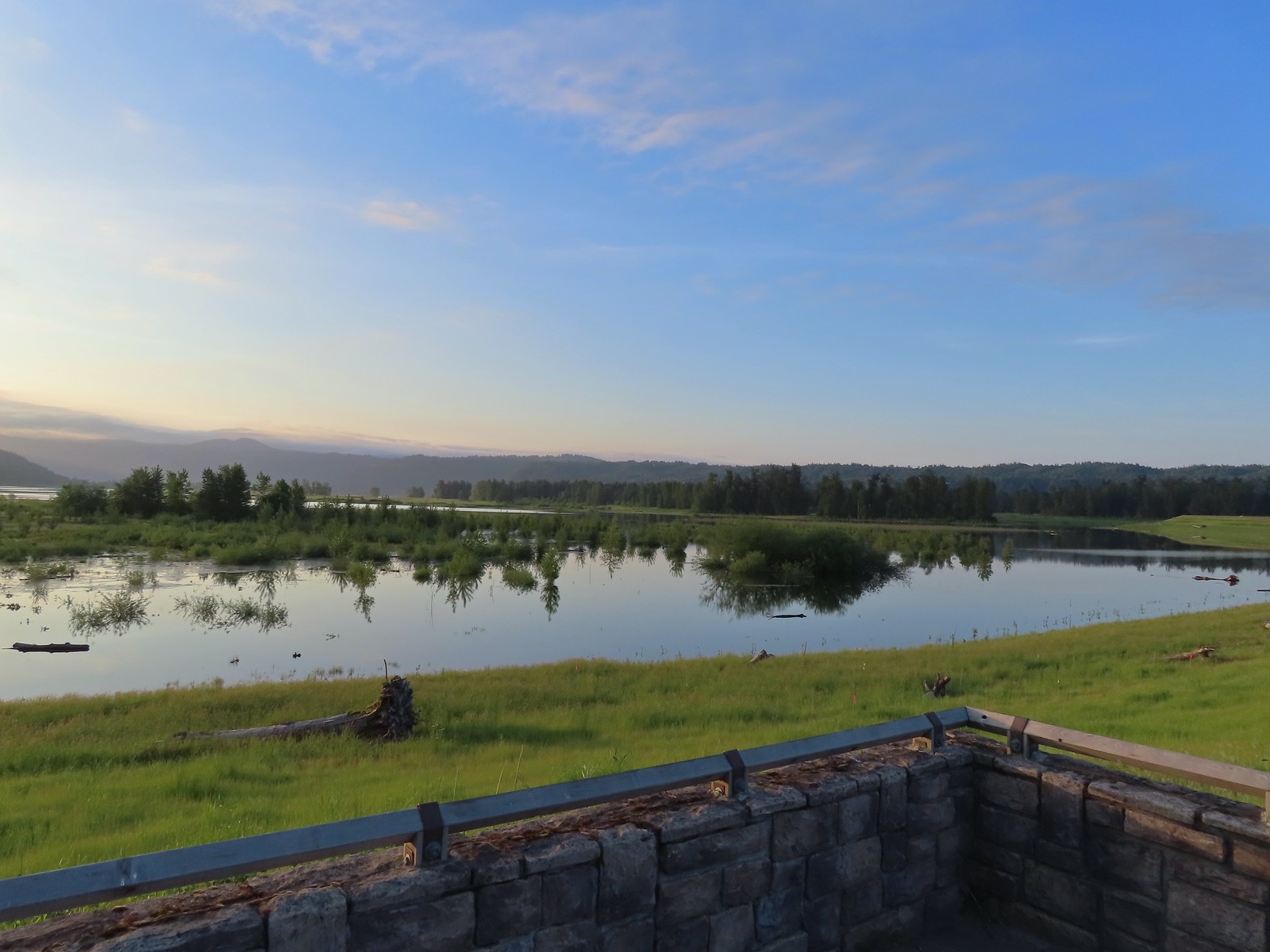 View to the East.
 Looking West toward Washougal.
 Mallards
 A duck and a goose sharing a log.
 A mallard and an egret in a channel to the West.
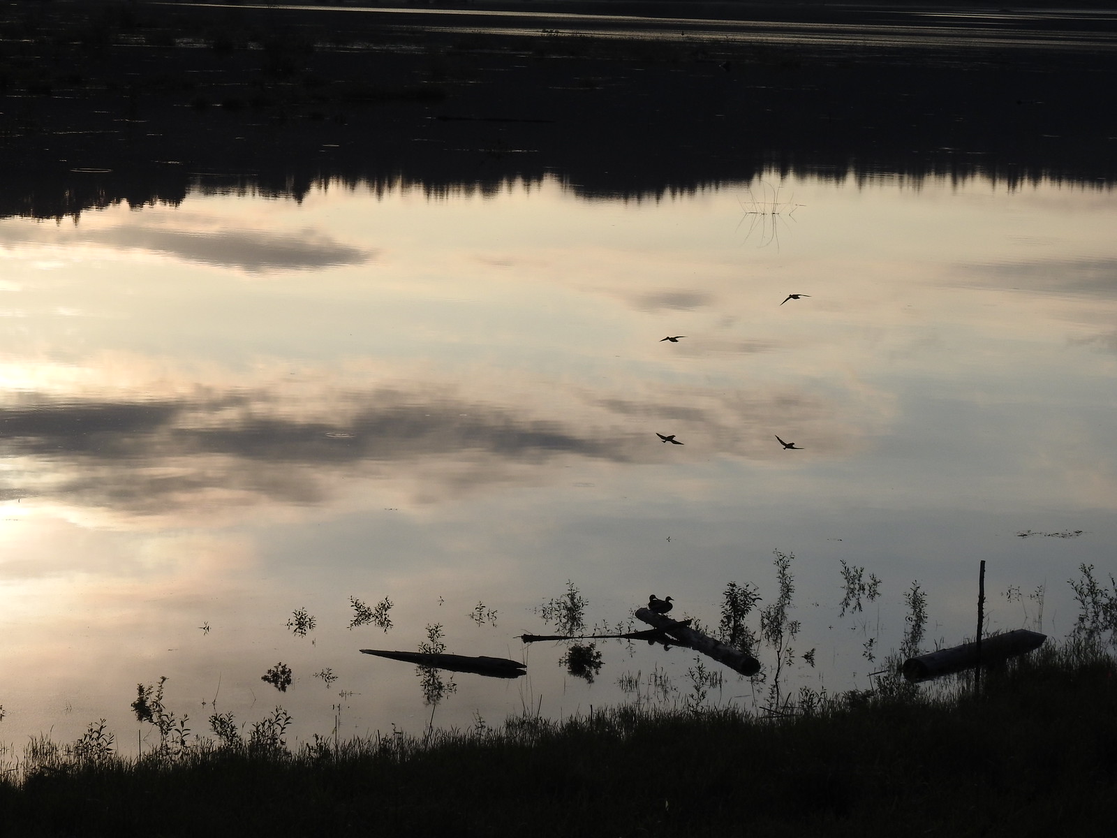 Ducks flying over the wetlands casting clear reflections.
 Water dripping from a mallards bill.
 One of several rabbits we spotted to the West.
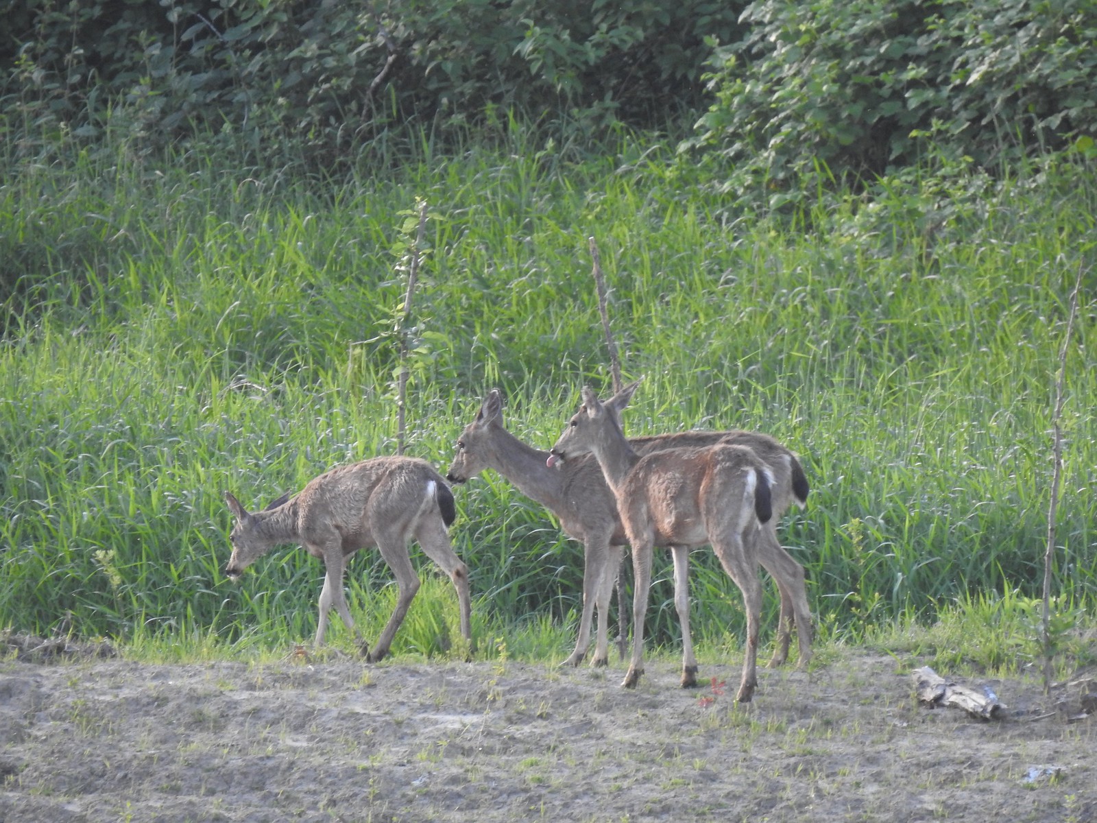 Deer across the wetlands. (The young buck may have been sticking his tongue out at us.)
 Families of geese.
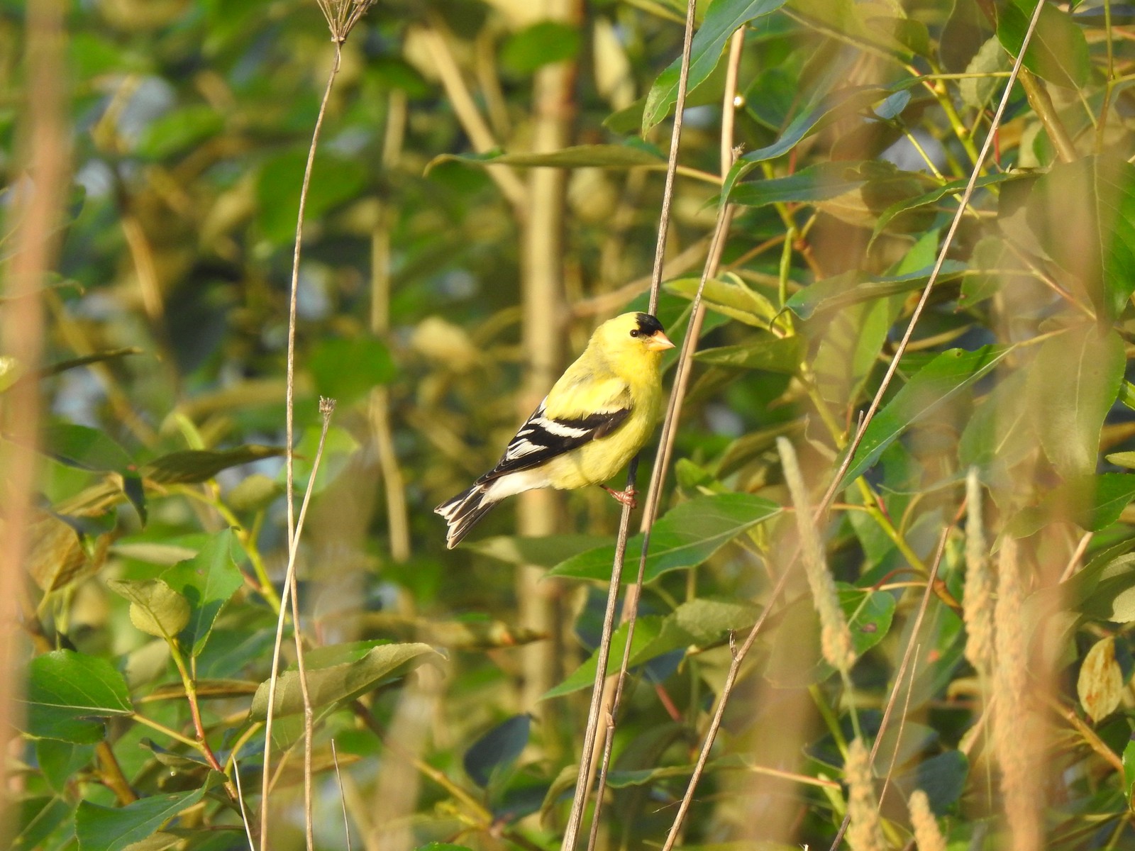
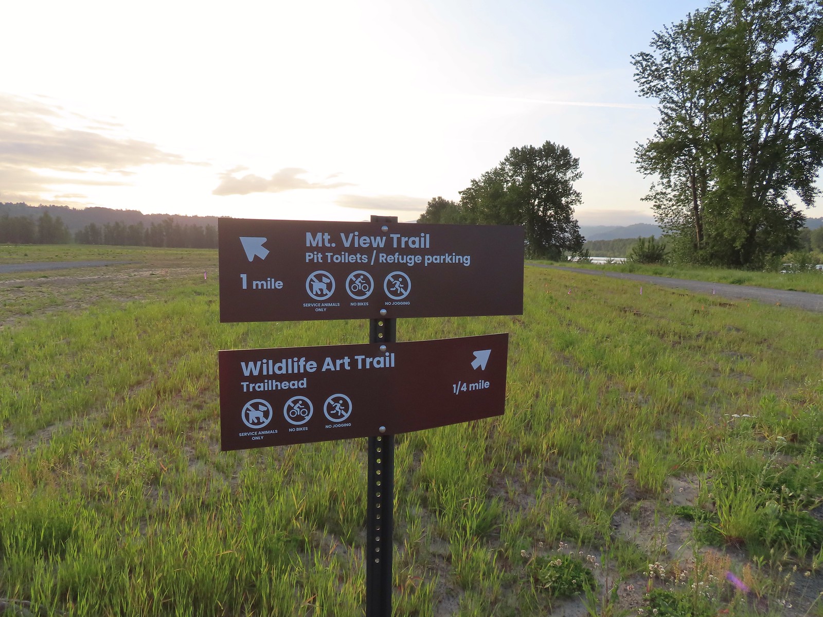 Trail sign at the junction with the Refuge River Trail.
 Sparrow
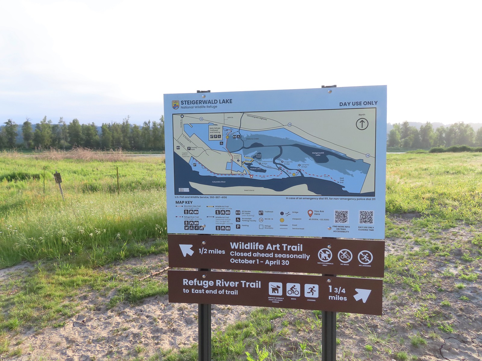
 Coming in for a landing.
 Red Tail Lake to the right of the Wildlife Art Trail.
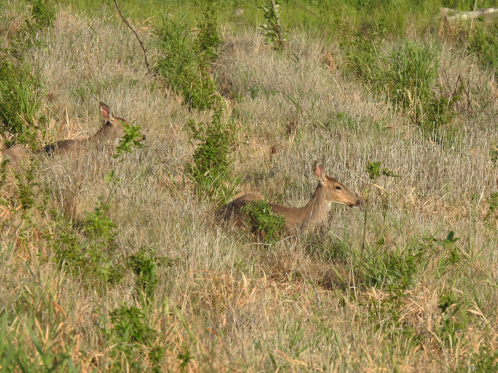 Pretty sure these are the same three we saw from the Mountain View Trail.
 This deer laying along the shore of Red Tail Lake was new though.
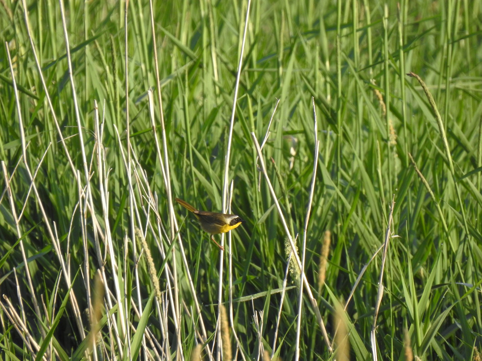 Common yellow throat
 One of many great blue herons that we watched fly overhead throughout the day.
 The Wildlife Art Trail passing around Redtail Lake.
 Gibbons Creek is in that grass somewhere with at least one deer.
 Killdeer along Redtail Lake.
 Turns out the deer laying on the lake shore wasn’t alone.
 Roses
Roses Purple martins
 Just beyond the Cottonwood Bridge the trail forks. To the right is the seasonal section of the loop open May 1st through September 30th. The left-hand fork dead-ends in a tenth of a mile overlooking the wetlands.
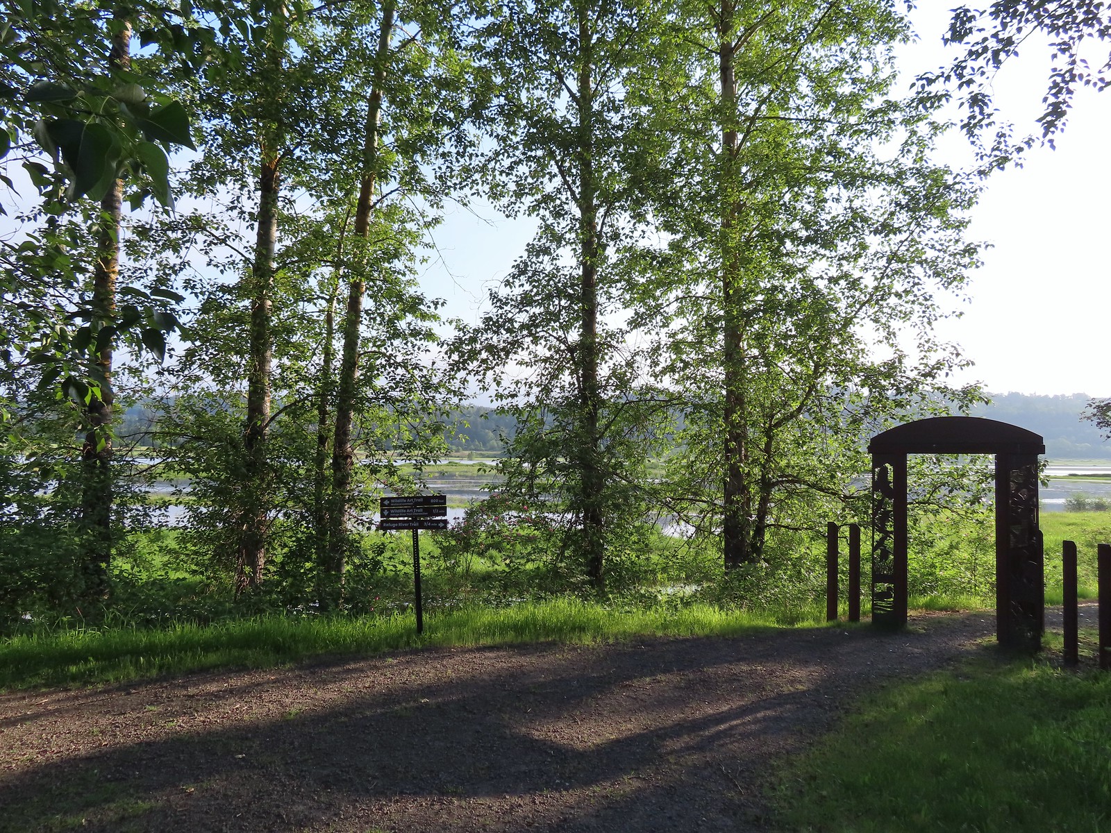 We headed left to the overlook before continuing on the loop.
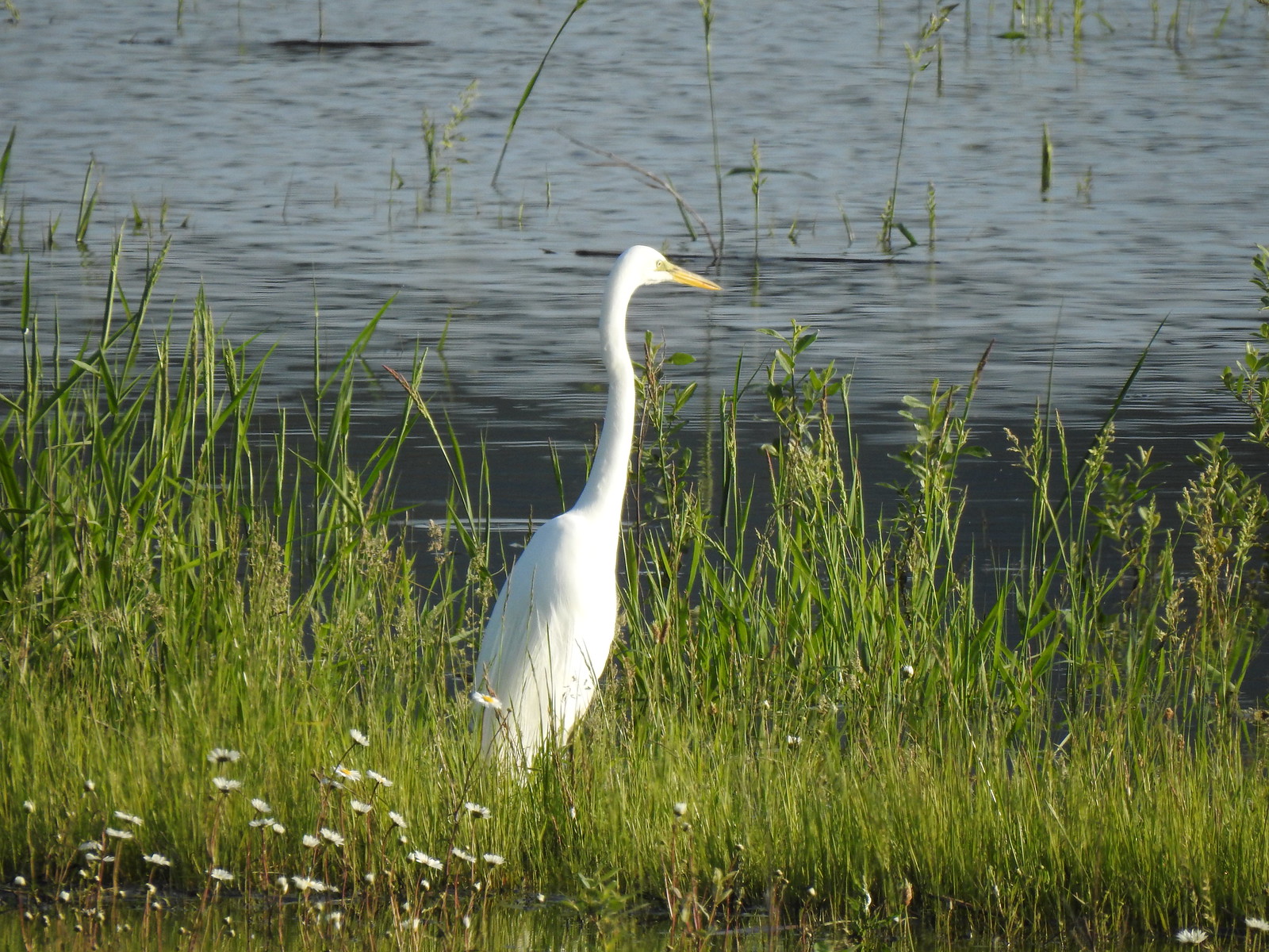 Egret at Scaup Pond.
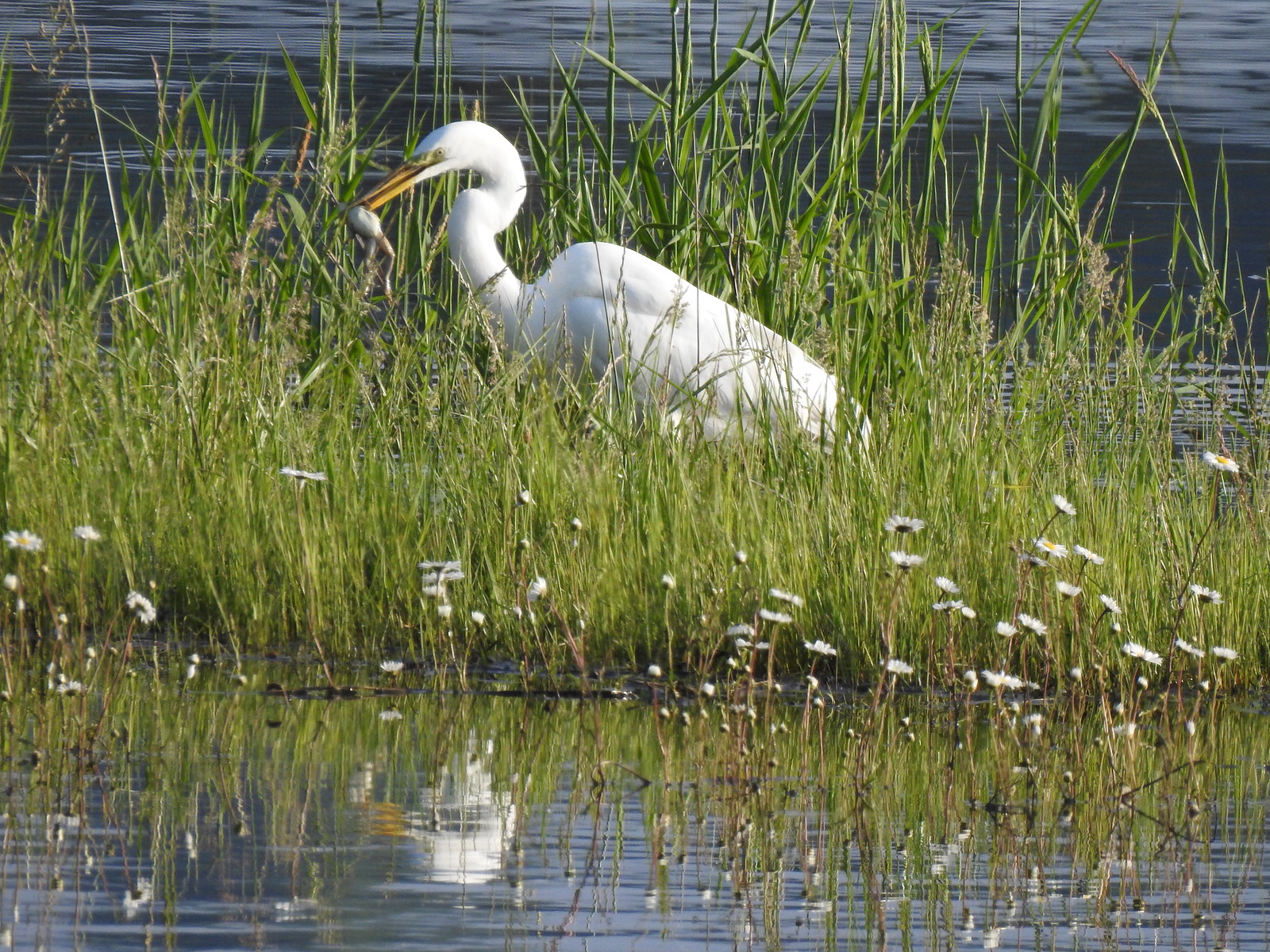 Egret with a frog meal.
 Mushrooms
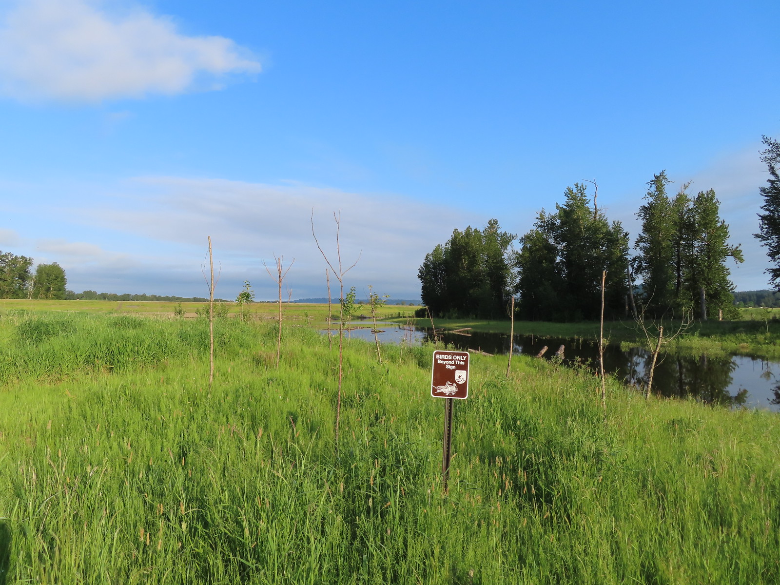 We got a kick out of the “Birds Only Beyond This Sign”.
 We’ve only seen two bitterns on our hikes and both times we only spotted them as they flew off from the grassy cover that they’d been hiding in so I was pretty disappointed when I realized I’d been duped, but kudos to the artist because it looked real at first glance to me.

 You have something in your teeth.
 Spotted towhee
 At least two deer in the grass.


 Spotted sandpiper
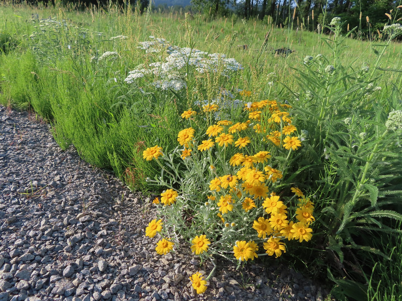 Oregon sunshine and yarrow
 The Columbia River ahead.
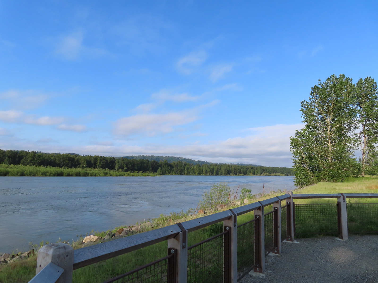 Viewpoint along the Columbia River.
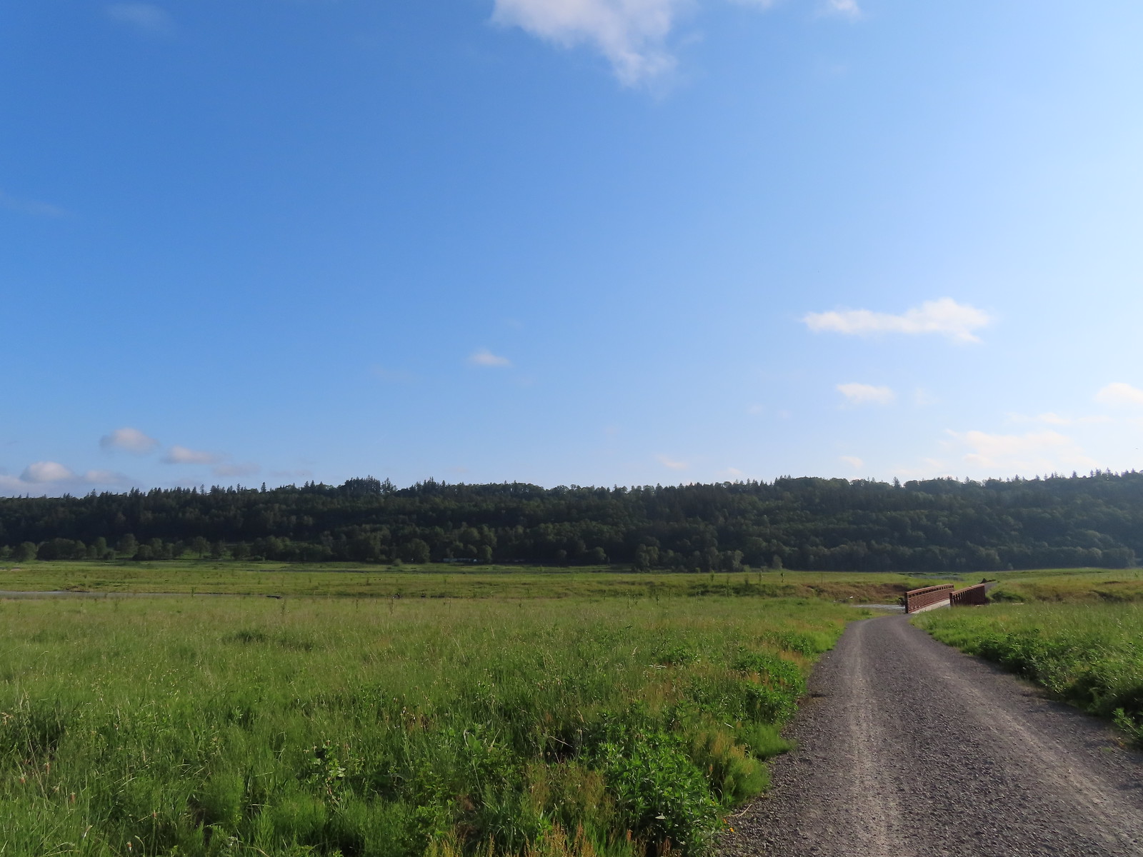 Approaching the Lampray Brdige.
 Looking back from across the bridge there was a bald eagle in the dead snag along the river.
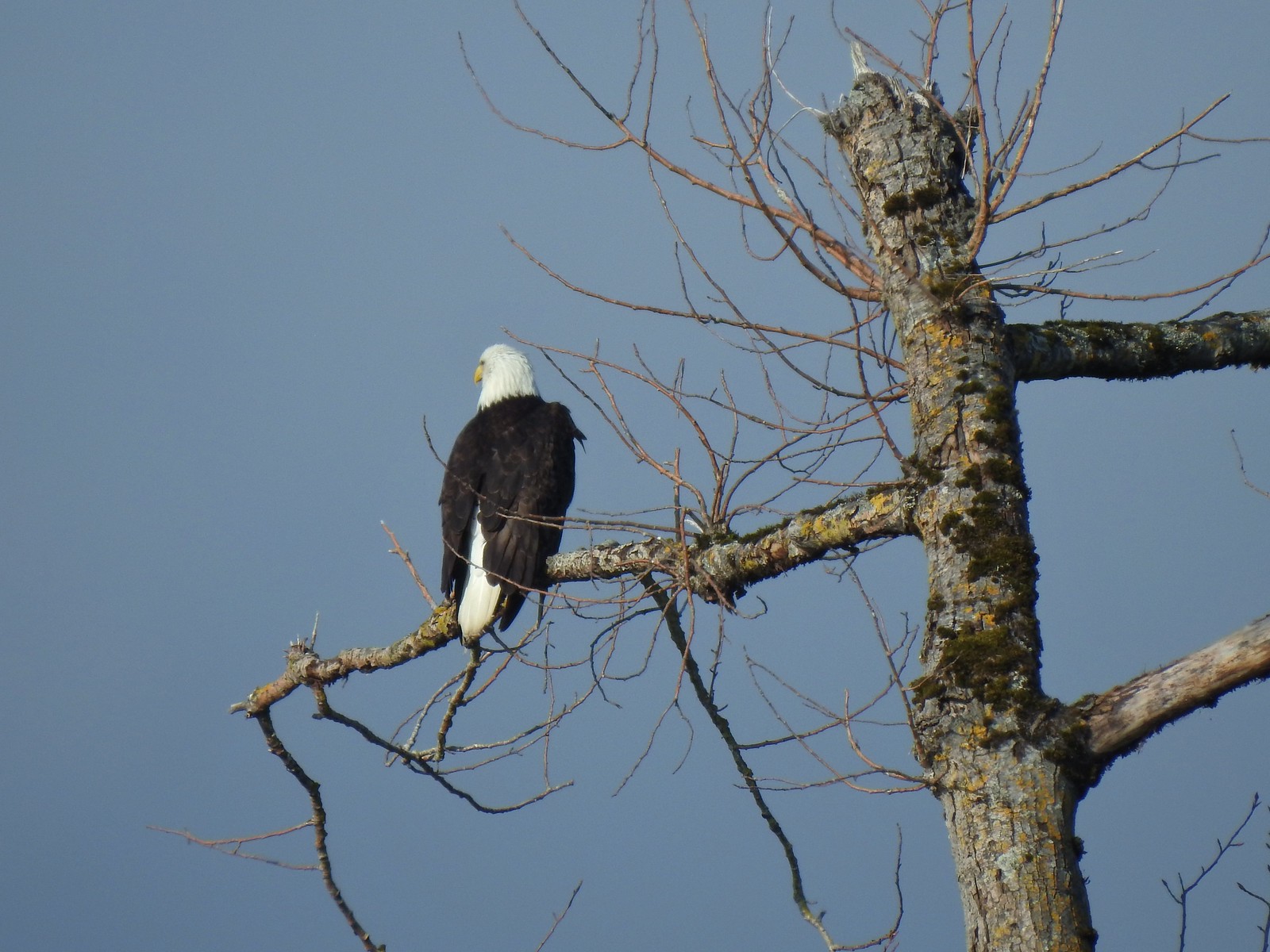
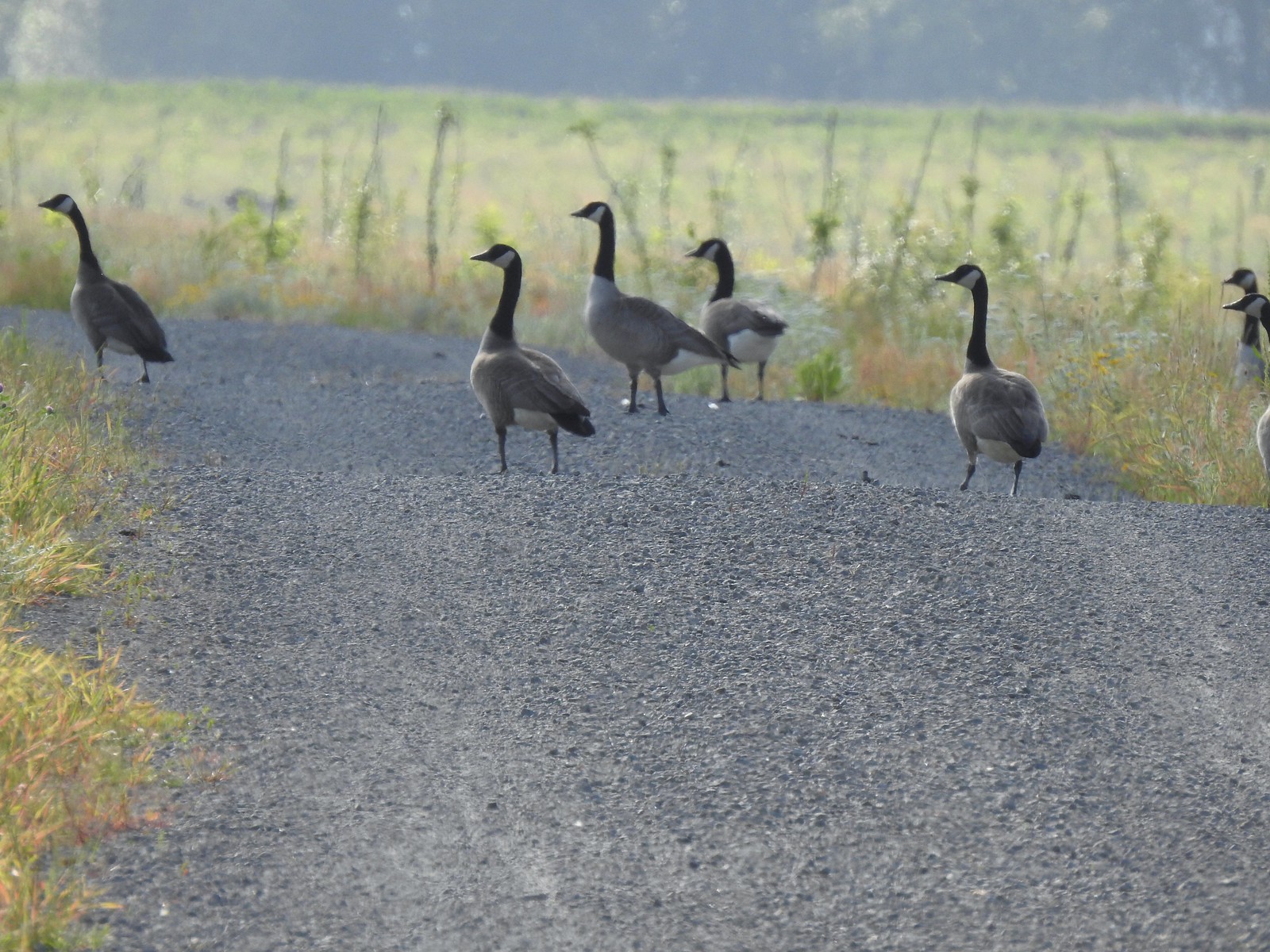 There were lots of geese along this section of trail.
 Red clover in some Oregon sunshine
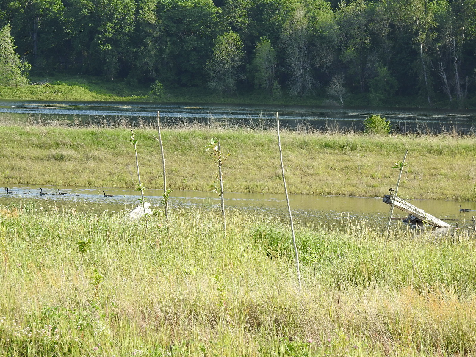 Steigerwald Lake in the distance with a family of geese and crow on a log in the near channel.
 End of the trail.
 It was about 8:15am when we turned around and it was already feeling fairly warm, but there was relief on the way in the form of some clouds coming in from the Pacific.
 Savannah sparrow
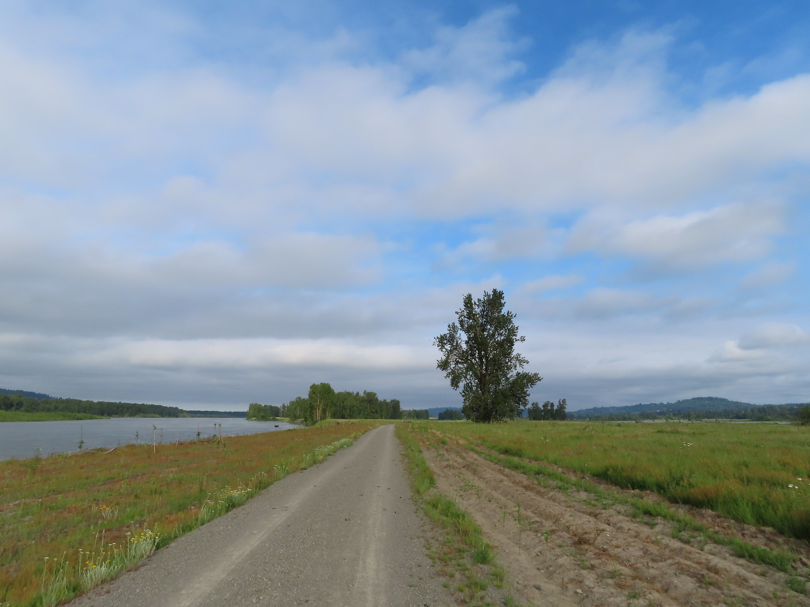 Here come the clouds.
 Double the eagles.
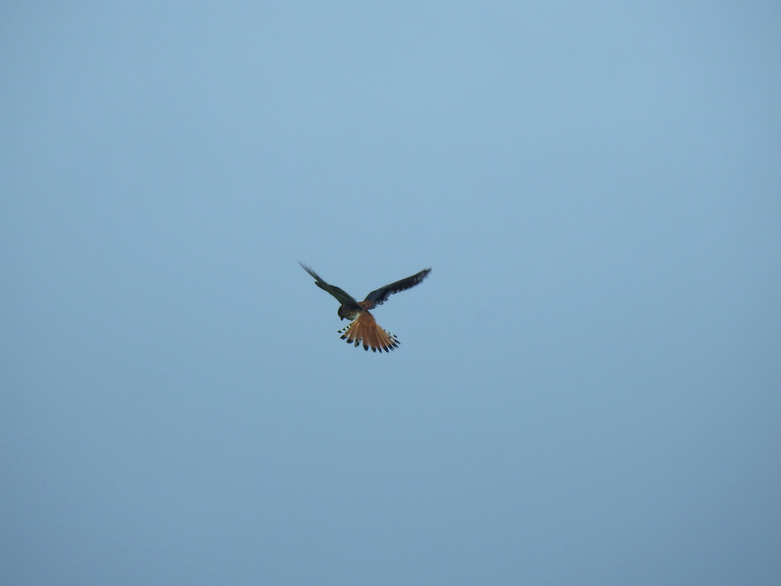 For the second week in a row we got to watch an American Kestral on the hunt.
 Arriving back at the Dragon Fly Bridge and the junction with the Wildlife Art Trail.
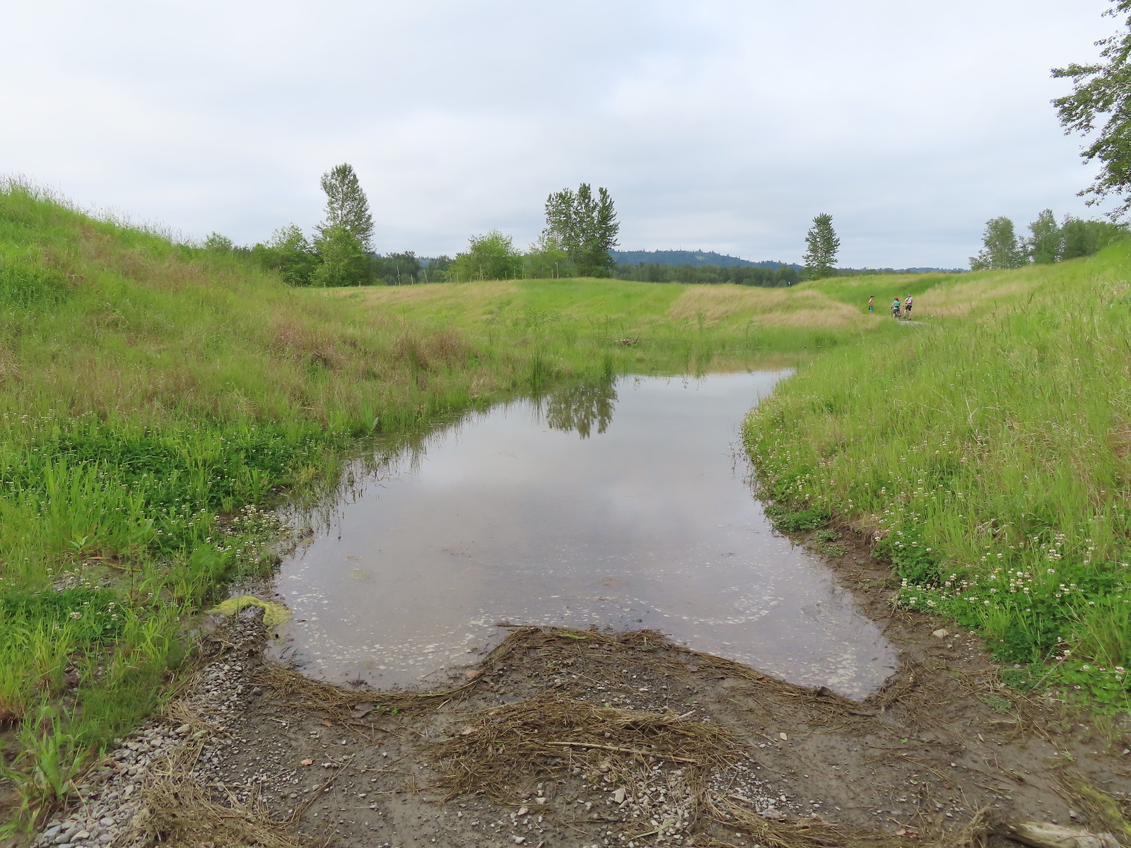

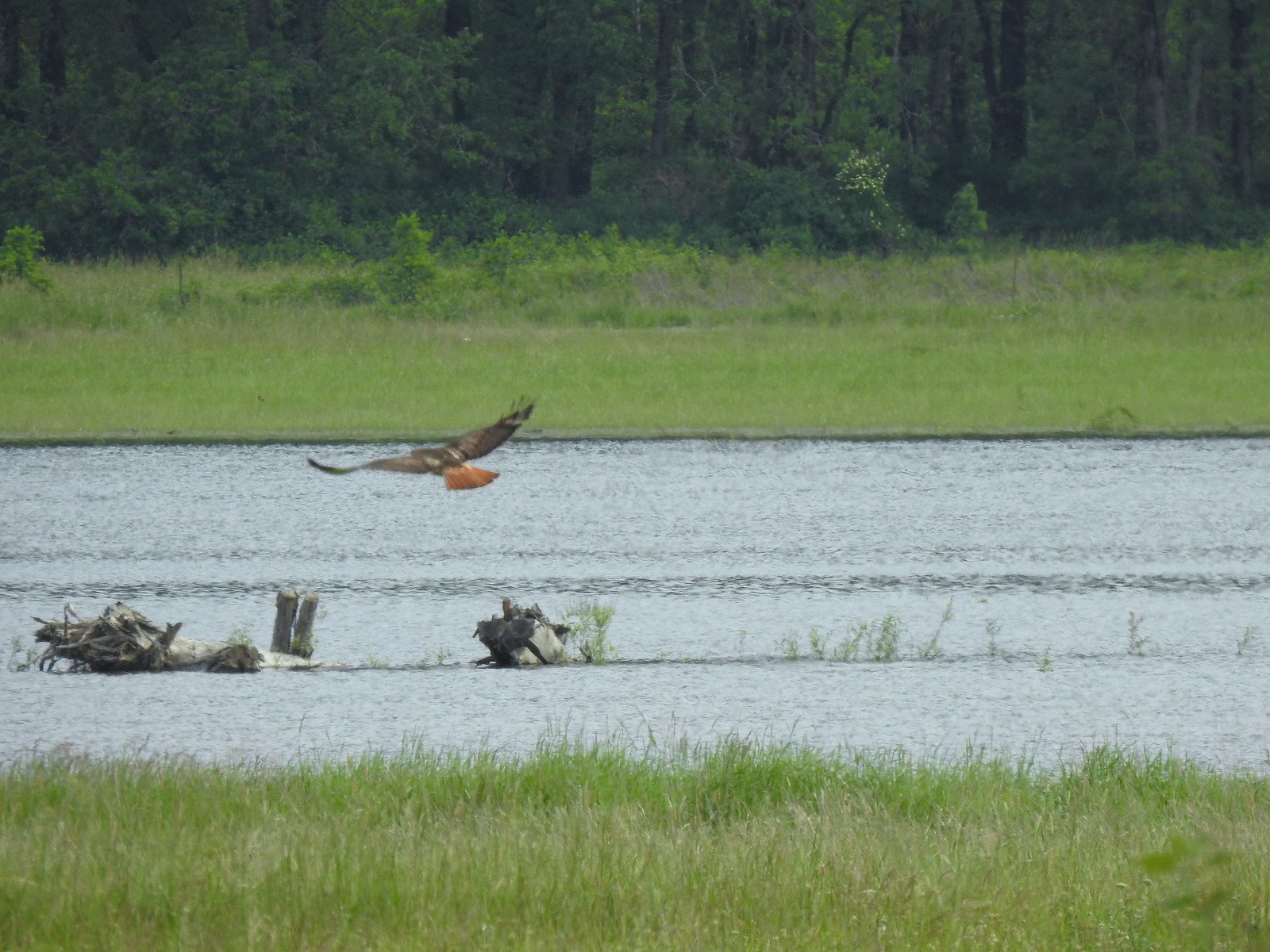 Red tailed hawk
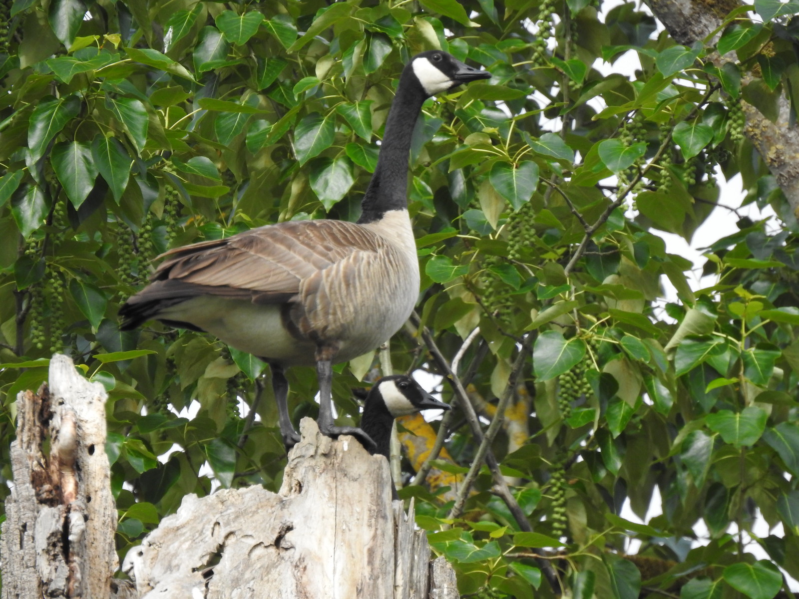 Geese nesting atop a snag.
 More deer in the grass along Gibbons Creek.
 Egret at Redtail Lake.
 Great blue heron at Redtail Lake.
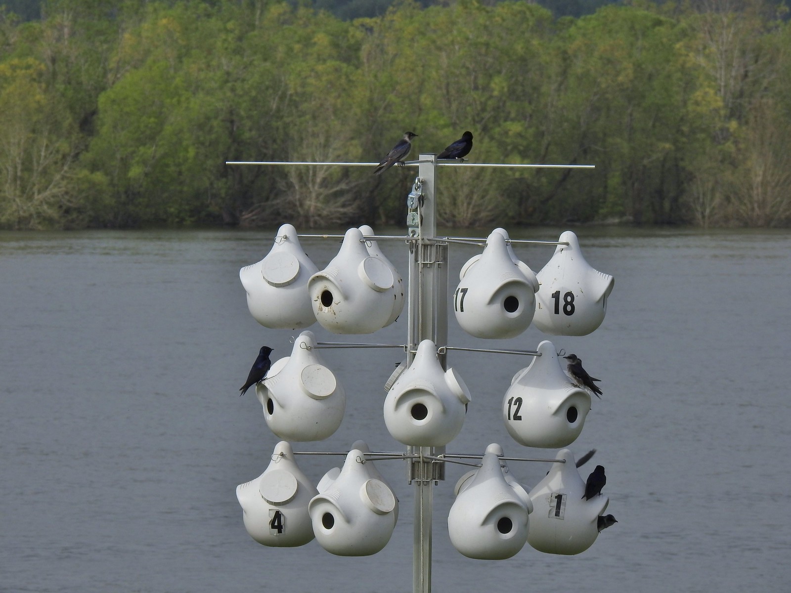 Purple martins
 House finch
 A mile from the Mountain View Trail we arrived at the refuge boundary with Captain William Clark Park.
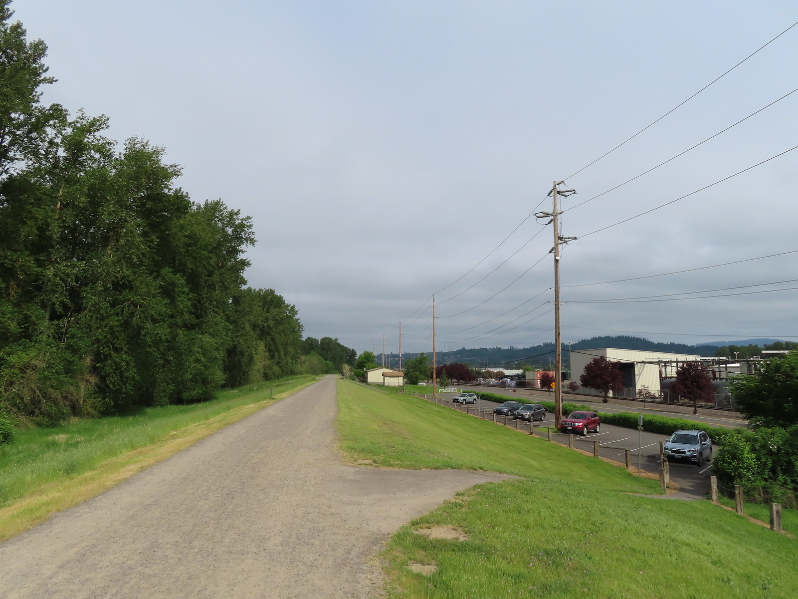 The trail follows a dike to Steamboat Landing.
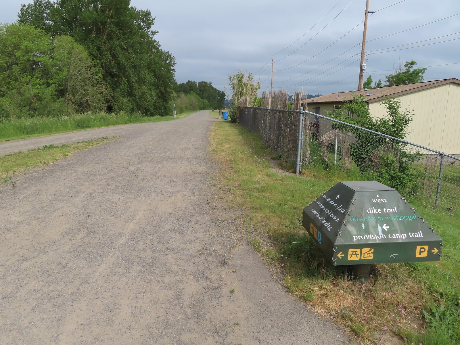
 The Provision Camp Trail


 Northern flicker
 Flooded trail ahead.
 Black headed grosbeak
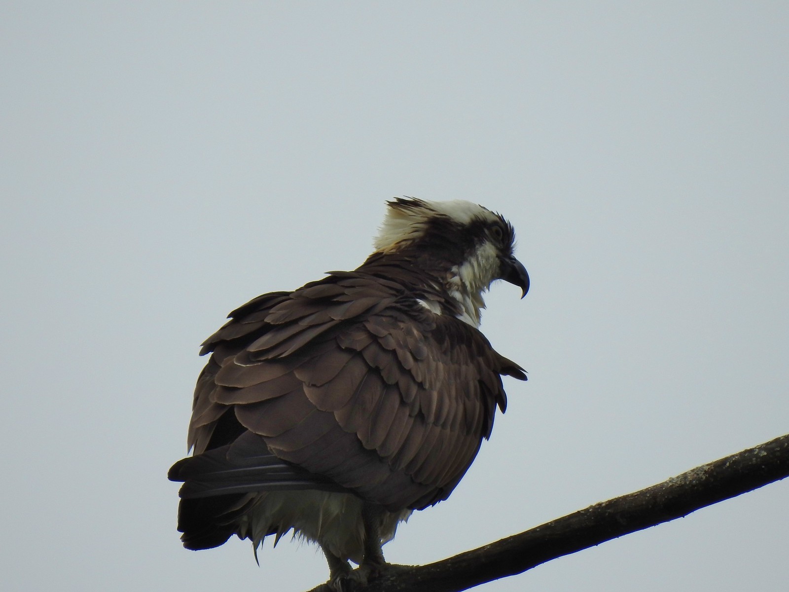 Osprey
 Back on the dike.
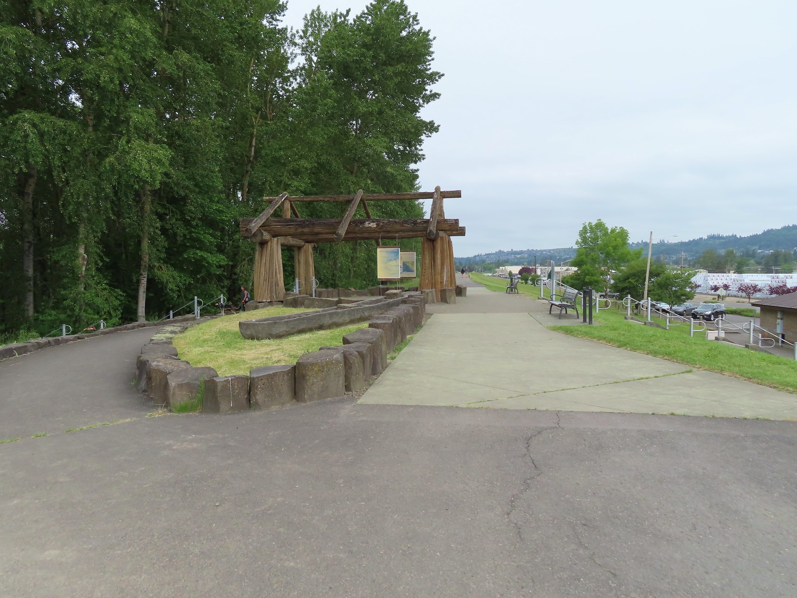
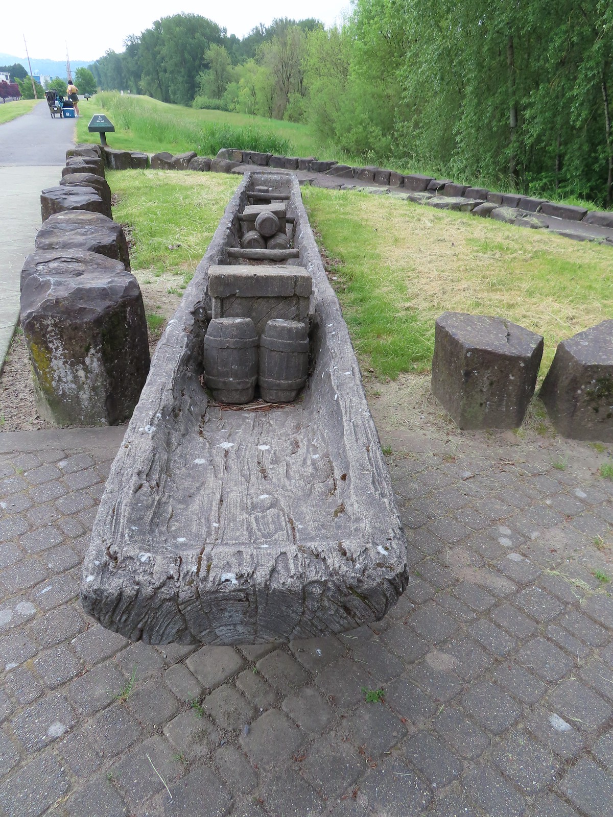

 The flooded section of trail from above.
 Turtles!
 Another turtle
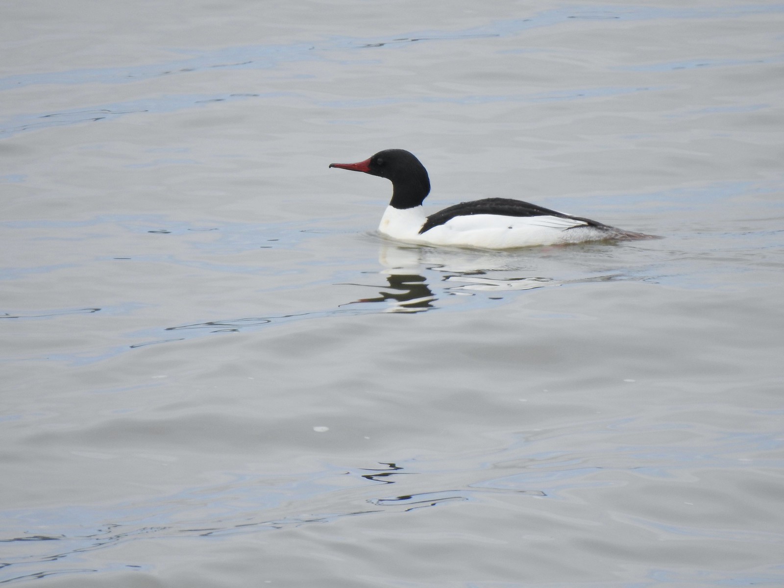 Common merganser
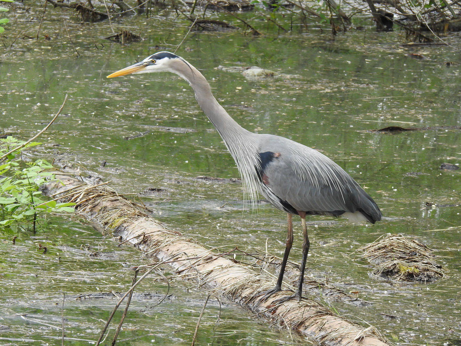 Great blue heron
 Steamboat Landing
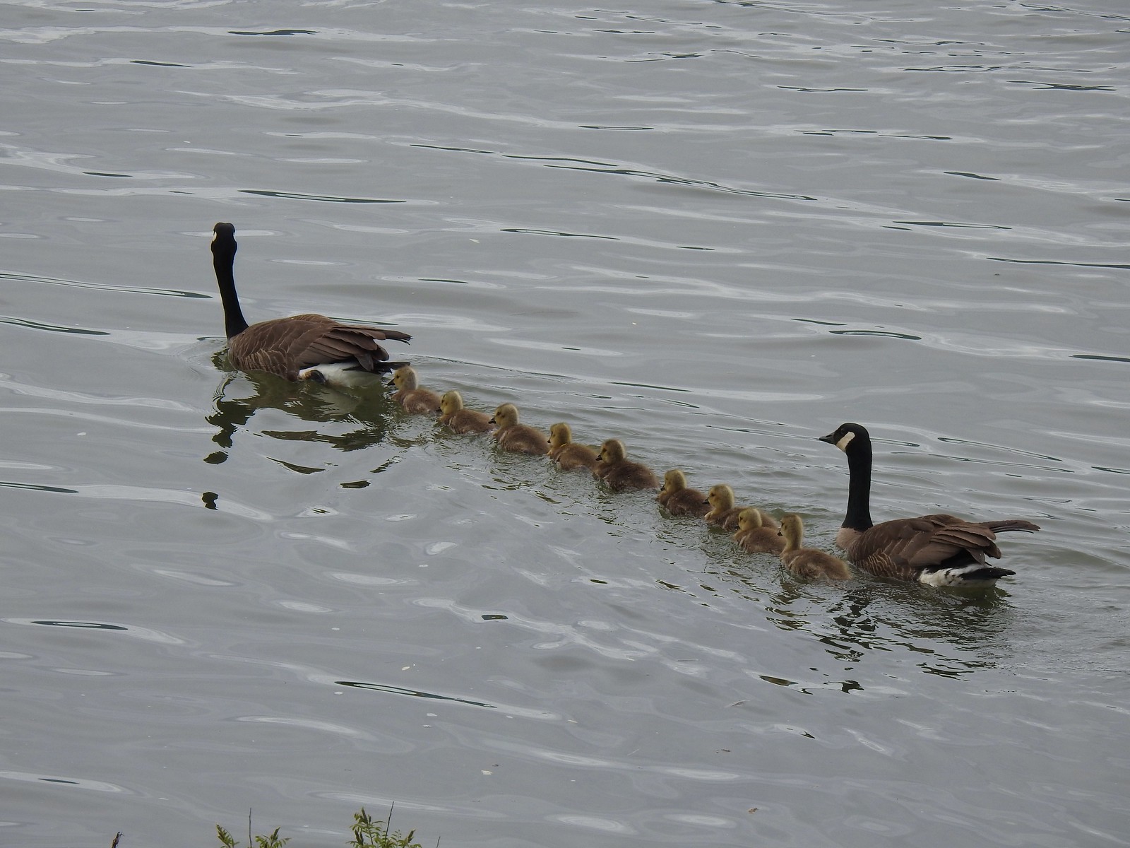 A family of geese out for a float.
 The large “hump” ahead is Larch Mountain (
 Grainy proof of Mt. Hood’s existence.
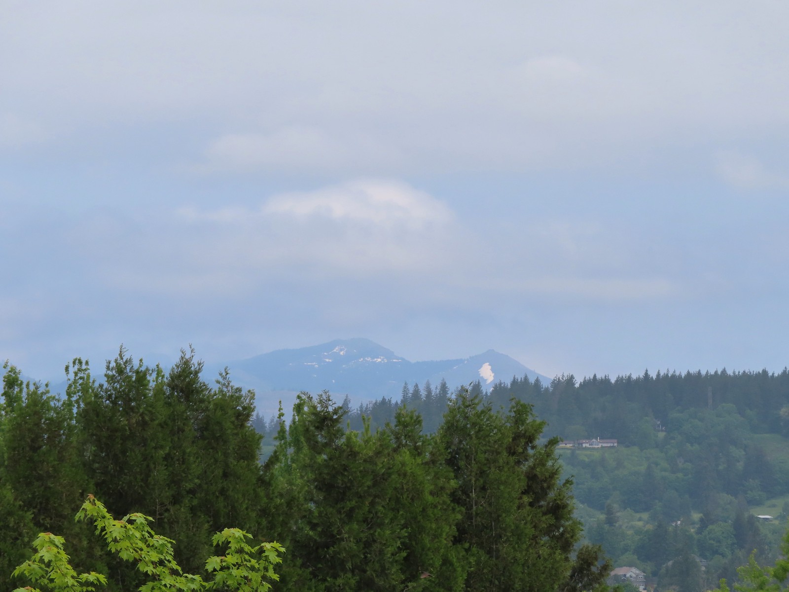 Silver Star Mountain (
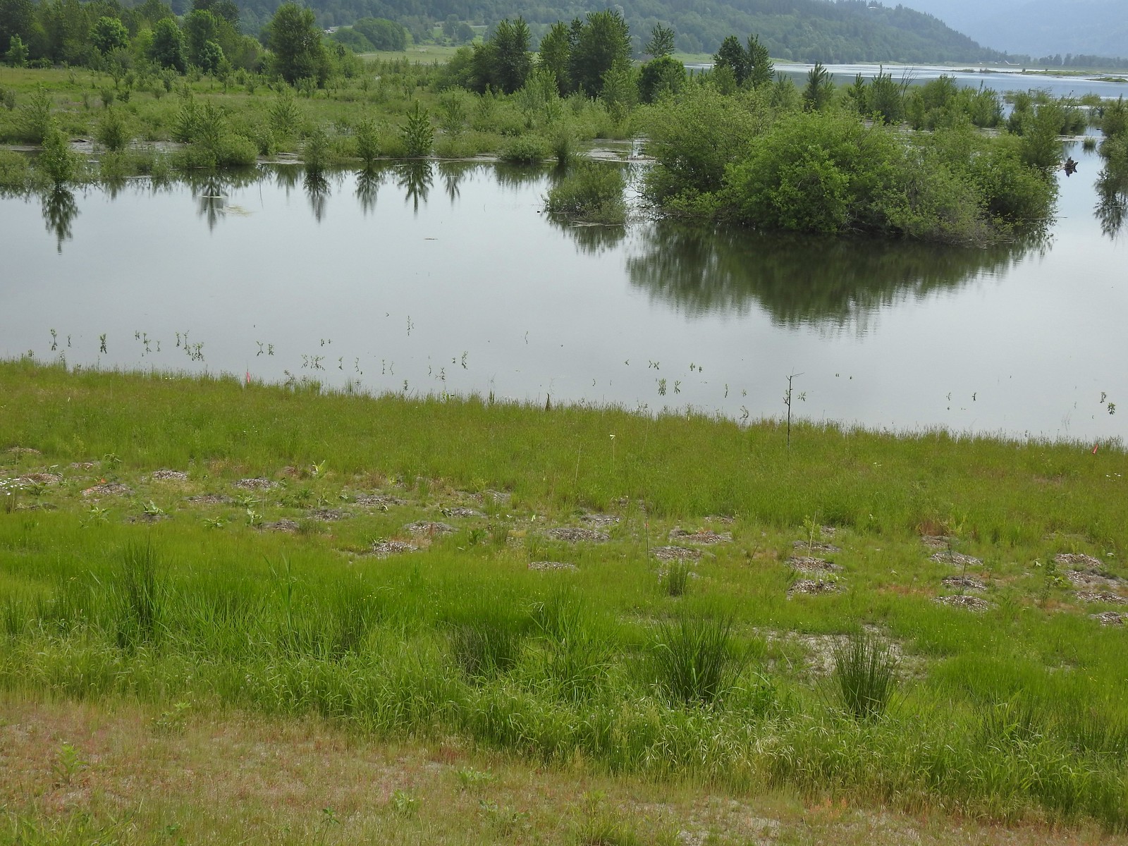 The American bittern in the grass.
 We’d been the first car in the lot that morning.

