
**Note the 2024 Elk Lane Fire burned a small portion of the Willow Creek Trail near where we turned around.**
Our primary hiking goal for 2024 is to finally finish our quest to hike at least part of all 100 featured hikes in William L. Sullivan’s “100 Hikes” guidebooks (post). Sullivan separates Oregon into five regions: Oregon Coast, NW Oregon, Central Cascades, Southern Oregon, and Eastern Oregon. We’ve focused on one specific edition for each region and have now managed to finish all but an Eastern Oregon edition. We had been focused on the third edition of his “100 Hikes/Travel Guide Eastern Oregon” but switched to his first edition “100 Hikes Eastern Oregon” last year after deciding we weren’t willing to attempt the drive to Dug Bar in Hells Canyon (post). Sullivan had removed Dug Bar from the featured hikes along with six other hikes which we had already completed. (Note that we went from a 3rd to a 1st edition. This is due to Sullivan dropping “Travel Guide” from his book’s titles even though they still contain lots of helpful travel information.)
Four of the new featured hikes were in, or near, Central Oregon. More specifically the Prineville area, so we decided to book a room there for Memorial Day Weekend. One of these new featured hikes posed a problem though. New hike 18 – Juniper Hills is on land owned by The Nature Conservancy and at some point, after the book was published, public access to the area was closed. An email prior to us leaving confirmed the closure which left us without a way to legally do the hike. We weighed our options, reverting to the previous edition and daring the drive to Dug Bar, or driving to Juniper Hills and taking pictures from the would-be trailheads. We decided on the latter with hopes that someday public access may be restored, possibly by permit and/or reservations.
We had originally planned on doing two of the featured hikes on Saturday before checking into our room, Willow Creek and Juniper Hills. With hiking being out at Juniper Hills we added a third stop to the day to check out Barnes Butte in Prineville. Our first stop was in Madras, OR at the Willow Creek Trailhead which wound up being one of the sketchiest trailheads we’ve been to.


There was a large homeless camp along Willow Creek beyond the large gravel parking area and several people just mulling about with no other cars around. According to recent news reports the city will be removing the camp on or around June 11th. We decided to go ahead and chance leaving the car rather than trying to find a different starting point based off of the city maps online. We crossed the creek on a footbridge and followed the paved trail just over half a mile to a fork above SW Canyon Road. We forked left and descended to a crosswalk then began climbing “M Hill”.

 M Hill from the trail.
 The crosswalk on SW Canyon Road.
 Kiosk at the bottom of the hill.
The trail climbed for a half mile to the identifier.

 The “M” on the side of the hill.


It was a little cloudy on top, but we could make out several snowy cascades and most of the lower peaks to the SE.
< Gray Butte (post), Haystack Butte, and Juniper Butte to the left. Broken Top and the Three Sisters are the snow-covered peaks to the right.
 Broken Top and the Three Sisters to the left with Mt. Jefferson to the right.
 Broken Top and the Three Sisters
 Mt. Jefferson
After taking in the view we returned to the fork and took a left to head into the Willow Creek Canyon. The trail made a quick climb then dropped to another crossing of SW Canyon Road.
 Ash-throated flycatcher


On the far side of the road the trail became gravel before giving way to dirt.

 Passing under a trestle and a siphon pipe.
We continued approximately 2.5-miles after crossing the road turning around at a junction with the former Willow Creek Road. The scenery was great in the canyon with lots of flowers and birds and we didn’t see any snakes.

 Lupin
Lupin
 A lomatium
 Ringlet

 Ground squirrel
 Marmot
 Crossing the dry bed of Willow Creek.
 Fiddleneck
 Hawk
Hawk
 Desert yellow fleabane
 Small cascade flowing into Willow Creek.


 cut-leaf thelypody
 Carey’s balsamroot
 Rocky Mountain iris

 Lazuli bunting
 Taper-tip onion

 Bullock’s oriole near the top of the photo.
 Silverleaf phacelia
 Paintbrush


Just before reaching the old roadbed we spotted several deer making their way up the hillside.

 Our turnaround spot. The deer were watching us from just right of the largest rock outcrop.

We returned the way we came passing only two other hikers before reaching SW Canyon Road.
 Yarrow and silverleaf phacelia above Willow Creek.
 Rock wren
 Raven nest
 This appears to be hound’s tongue.
The car windows were all still intact when we got back to the trailhead which we were thankful for. Aside from the trailhead anxiety this was a lovely 7.4-mile hike with around 500′ of elevation gain.

From Madras we drove to Prineville then continued to the Juniper Hills Preserve by taking Highway 380 through Post, Oregon which is near the geographic center of Oregon. We parked along the shoulder of the highway at a “Private Property No Trespassing” sign with a view of Oregon’s other painted hills. (The official Painted Hills (post) are part of the John Day Fossil Beds National Monument.)


After admiring the painted hills we drove back toward Prineville 1.4-miles and pulled off next to another former trailhead at the Preserve.


Since getting out of the car and walking up to the closed gates was all that was possible at this time we are counting this visit toward the 100. If access is ever restored we will be back but for now we’re just happy that some of the painted hills were visible from the highway.
We made the 35-mile drive back to Prineville and headed for the Barnes Butte Trailhead.

The Barnes Butte Recreation Area has been developed by the Central Oregon Trails Alliance and the City of Prineville on city and Bureau of Land Management land.

A paved loop trail begins at the trailhead and connects to numerous other mixed-use trails (open to biking and hiking). I had found a couple of hiking routes online but both the Oregonhikers and AllTrails maps did not include all of the recently developed trails, so we studied the map at the trailhead and came up with our own route.
Our plan was to begin on the Calumet Trail then turn right at a 4-way junction to cross the paved trail and take the Baby Burma Trail up Barnes Butte to The Meadow Trail. From there we would make the side trip to the summit then descend via The Meadow to the Canal Trail. We could take the Canal Trail most of the way back to the trailhead before it would drop us onto the Paved Trail 0.3 of a mile from the trailhead. This would minimize our time on pavement and save our feet for the rest of the weekend’s hikes.
Of course we immediately chose the wrong path and forked left from the signboard on a wide dirt path when we should have gone right on a narrower dirt path. After a tenth of a mile we found ourselves at the canal and had to turn around and take the correct path.
 Grizzly Mountain from the wrong path.
 Barnes Butte from the Calumet Trail.
The Calumet Trail wound through the grassland for nearly a mile before arriving at the unsigned 4-way junction.


 Threadleaf phacelia

 Barnes Butte from the 4-way junction.
We turned right and after 0.2-miles crossed the Paved Trail to a Baby Burma sign.


The Baby Burma Trail climbed an old roadbed for half a mile gaining nearly 300′ to a signed junction at a saddle.


 Penstemon
 Milkvetch
 Phlox
Phlox
 Mt. Jefferson beyond Gray Butte.
 Rock outcrop below Barnes Butte.
 Cinnabar Mine
 A skipper and flies on a groundsel.
 A sulphur

We turned left onto The Meadow then forked right to climb Barnes Butte. Reaching the summit required scrambling up a couple of rocky slopes where I was forced to use my hands. Heather opted not to follow.
 The trail to the summit.


 Bench at the summit.
The summit provided a 360-degree view.
 L to R: Black Butte (post), Smith Rocks, Gray Butte, Mt. Jefferson, and Grizzly Mountain with Barnes Butte Reservoir below.
 Round Mountain to the east (post).
 Powell Buttes to the SW with Mt. Bachelor, Broken Top and the Three Sisters beyond.
 Mt. Bachelor (post)
 Broken Top and the Three Sisters
After taking in the view I descended to where Heather was waiting, and we headed down The Meadow.
 Of course by heading down it meant we started with a slight climb on The Meadow.


 Viewpoint along The Meadow.
 Orange globe-mallow
 Buckwheat


When we arrived at a sign for the Canal Trail we turned left on a dirt track following a former ditch.

 A hairstreak
 The Canal Trail running parallel to the Pave Trail.
 Mountain identifier
 Coming up on the end of the Canal Trail.
 Lizard
 Arriving back at the trailhead.
We ended up with an extremely disfigured figure-eight here consisting of 3.9-miles and 550′ of elevation gain.

We were a bit surprised at just how enjoyable the hike at Barnes Butte had been. This is a really nice area and seemed to be quite popular, yet it never felt busy. It had been much more than just a time killer while we waited for check-in time. Speaking of which it was now a little after 3pm so we headed for our motel, got checked in and cleaned up, then headed next door to Club Pioneer where we met up with Heather’s family for a wonderful dinner. Happy Trails!

 The first signboard near the small parking area.
 Elk Creek Road from the small parking area.


 Bleeding heart
 Salmonberry
 Fairy lanterns
 Largeleaf avens
 Scouler’s corydalis
 Coastal monkeyflower


 Trillium
 Star flower
 The well graded trail uses a combination of switchbacks and long traverses to climb over 1000′.
 Looking down at the trail below.


 Anemone
 Western buttercup


 Paintbrush, parsley, and blue-eyed Mary


 Fairy lanterns and paintbrush
 Lupine was just beginning to bloom along the road.
 On the way back down.
 West Fork Elk Creek to the left and Elk Creek to the right from the bridge.
 The junction with the Elk Creek Trail.
 We missed a section of leafy mitrewort on our earlier pass.
 The small parking area from the trail.


 Thimbleberry
 Coming up on the start of the boardwalk.
 Scouler’s corydalis at the base of the boardwalk.
 The boardwalk junction.

 The base of Cathedral Tree.
 One of two benches near the 300+ year old stika spruce.
 Cathedral Tree

 Beyond the boardwalk the trail was a bit rougher.
 Trail markers were present at times to help identify the correct route.
 Pacific waterleaf
 The Astoria Columnn.
 Megler Bridge


 Young’s River on the left and the Lewis & Clark River on the right
 The early bird.


 The spiral staircase.

 Young’s River
 Traffic on the Columbia River.
 Looking out toward the Pacific beyond Astoria.
 Deer in the grass below the Astoria Column.
 Heather below the column.


 This was a spur trail 0.2-miles from the column (0.6-mile from the trailhead) that also leads down to Irving Street and could be used for a loop if you don’t mind some street walking. We opted to pass and did the hike as an out-and-back.
 False lily-of-the valley
 The last trillium?
 Fringecup
 The start of the short trail to the falls.
 Interpretive signs near the start of the trail.
 The falls were noted during Lewis and Clark’s stay at nearby Fort Clatsop (
 This was a tough one to photograph due to the amount of spray being blown straight at us by the force of the water.
 We pulled over onto the shoulder of Hwy 202 to snap a picture of these bulls.

 Bleeding heart
 Fairybells
 Scouler’s corydalis


 I was joined by a pair of ouzels at the falls.
 Looking back at Heather on the other side of Fishhawk Creek.
 Me through the trees below the falls.
 Please note that you need a permit to park at the refuge.
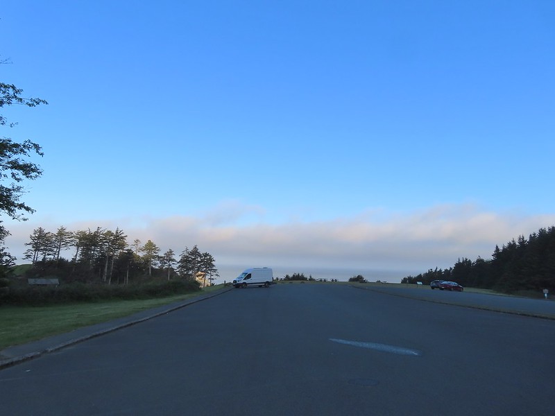
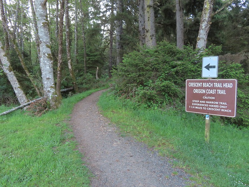 The trail begins near the restrooms.
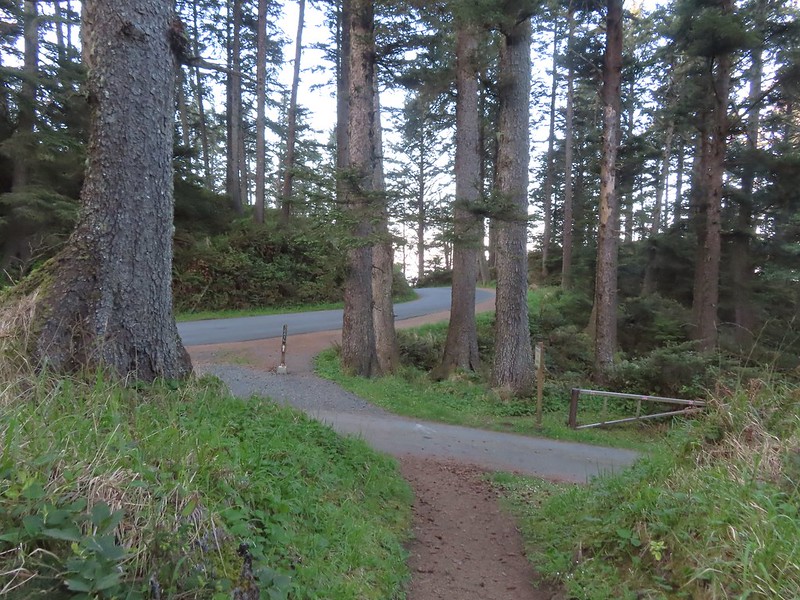 Ecola Park Road.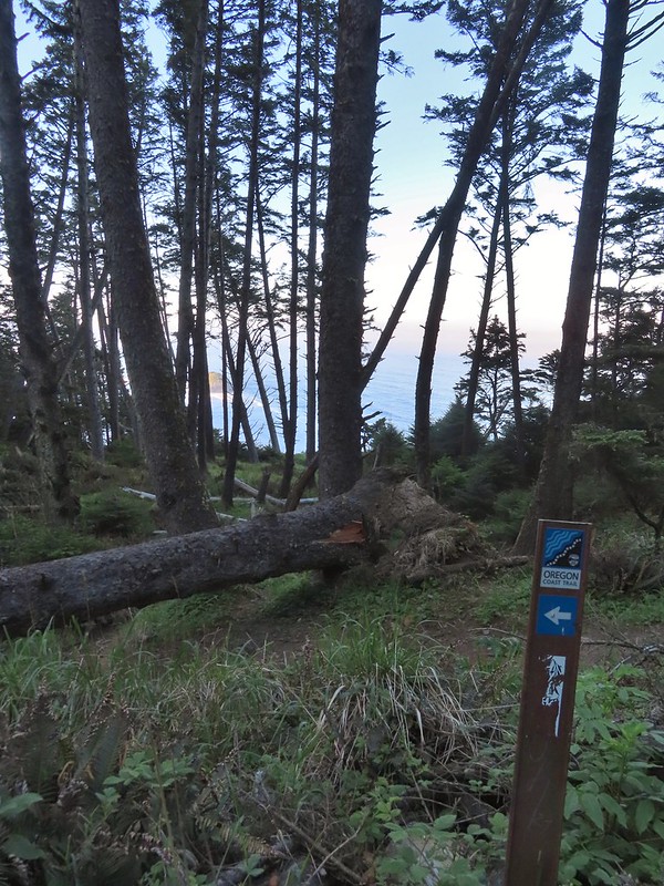
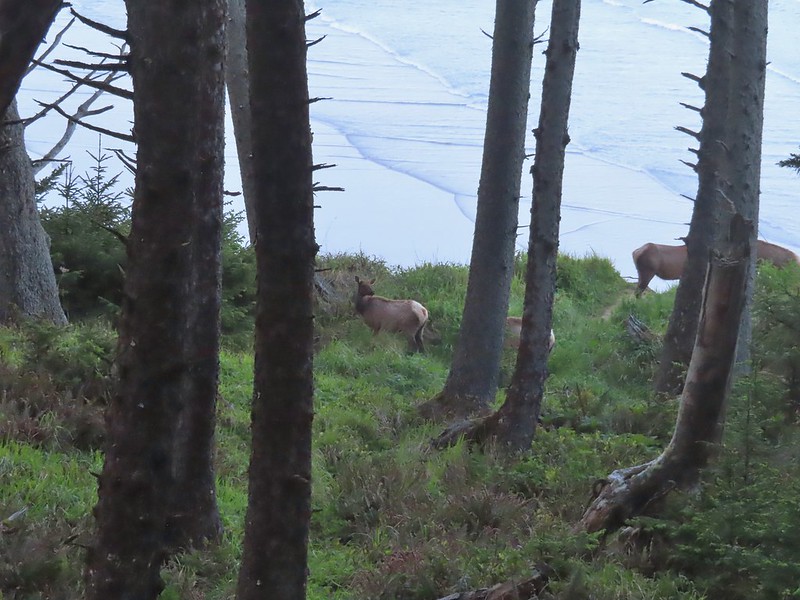
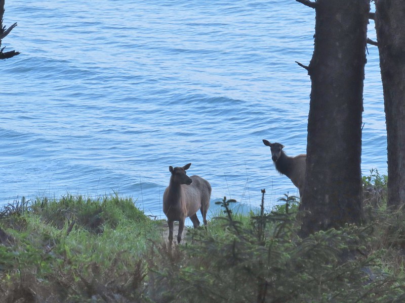
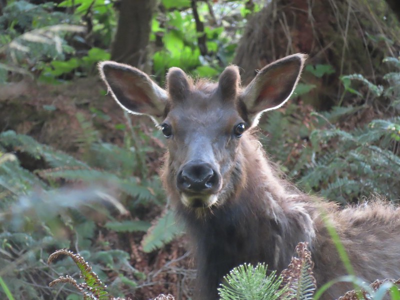
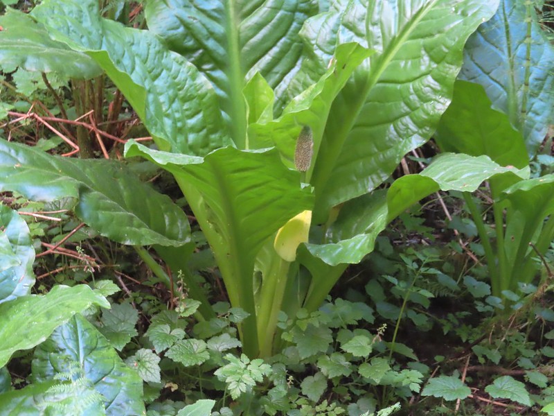 Skunk cabbage
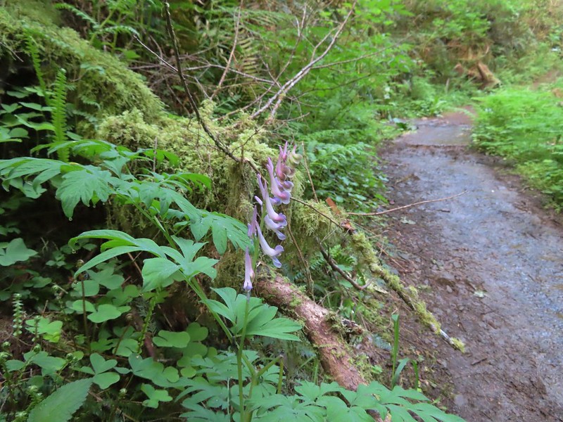 Scouler’s corydalis
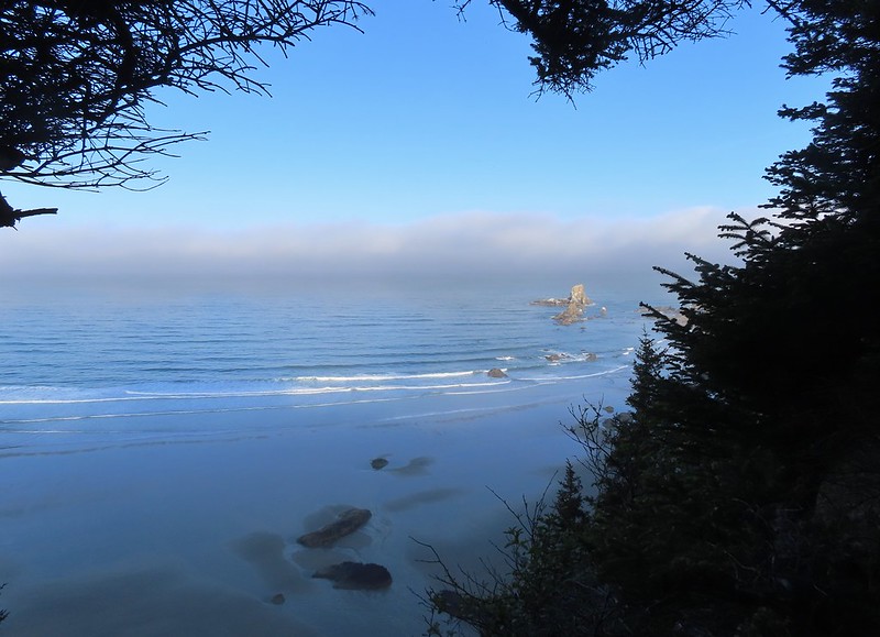 Window to the Pacific.

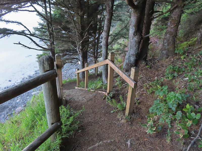
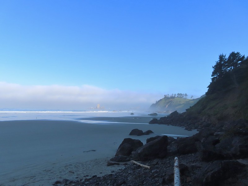 Ecola Point
 Chapman Point and Bird Rocks
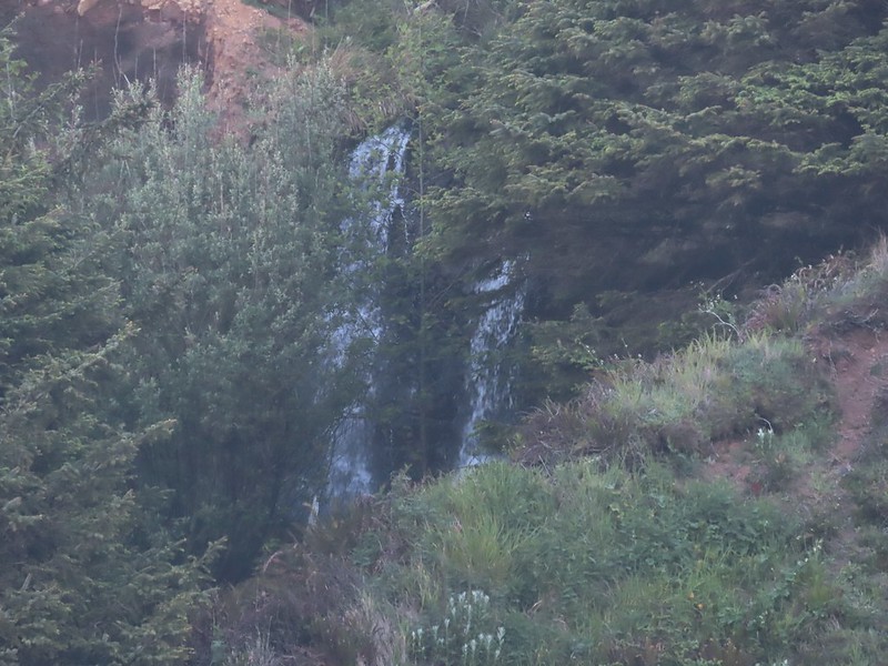 The upper falls.
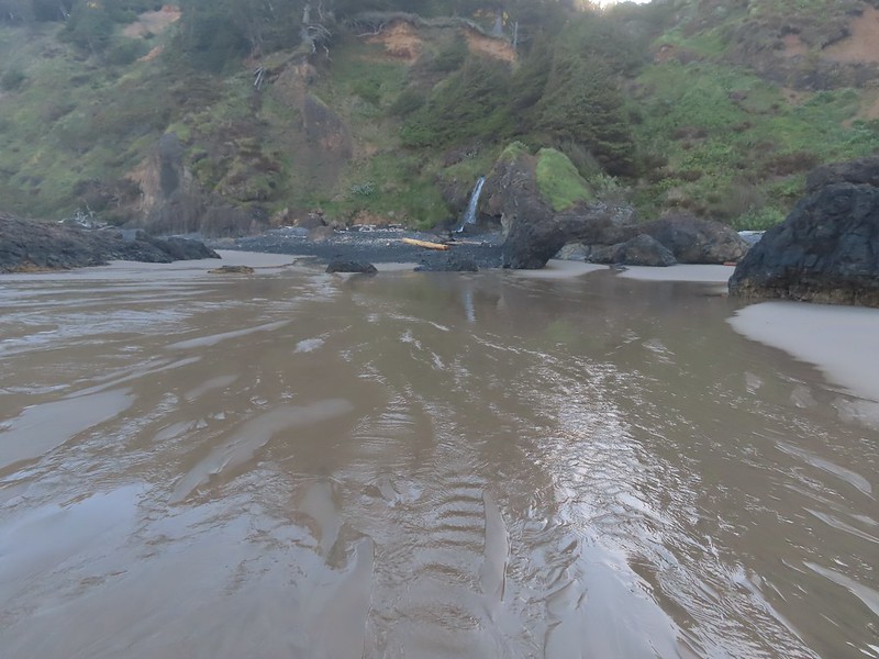 Waterfall Creek
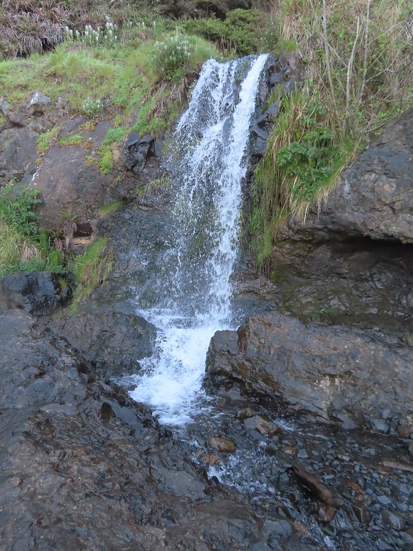 The lower falls.
 The tide pools from Waterfall Creek.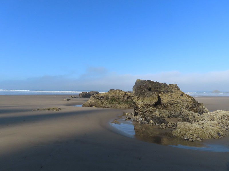
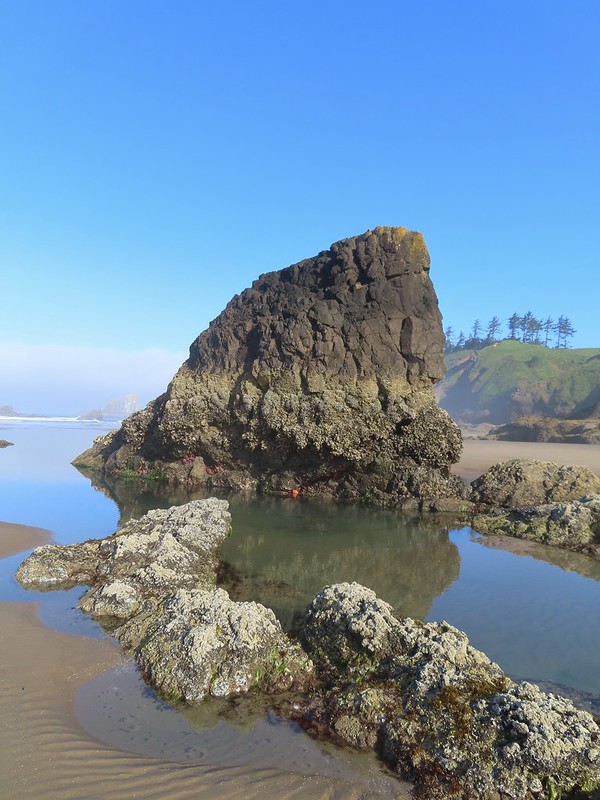
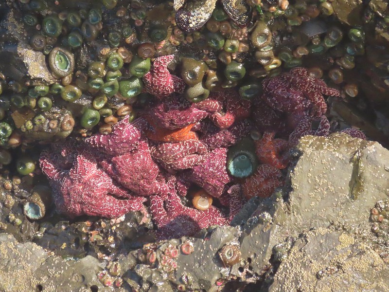

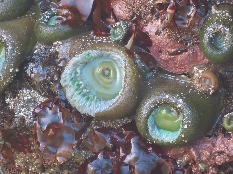
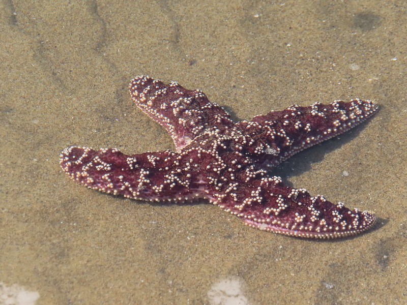
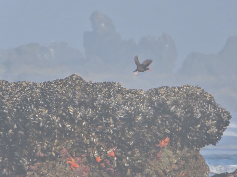
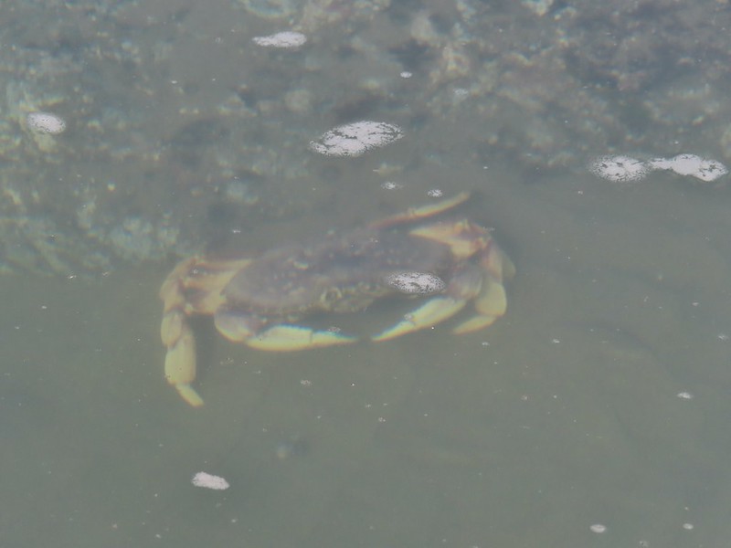
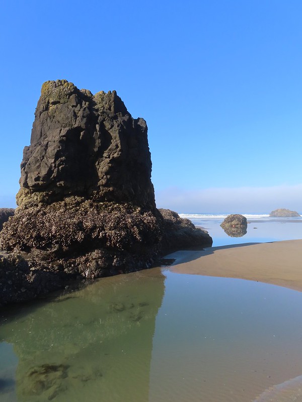
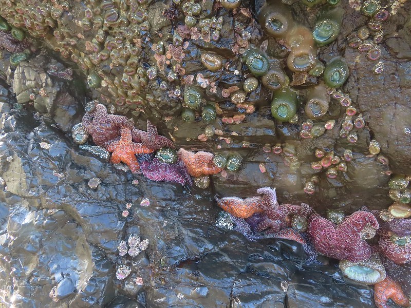

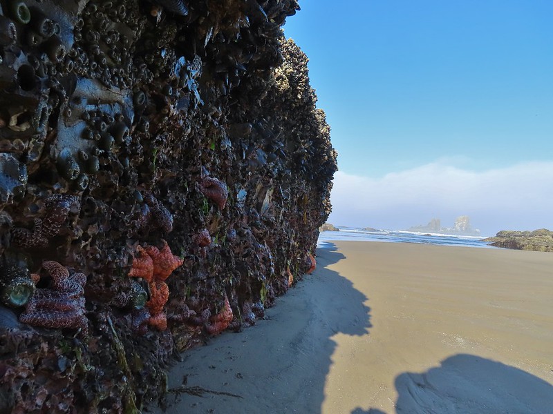

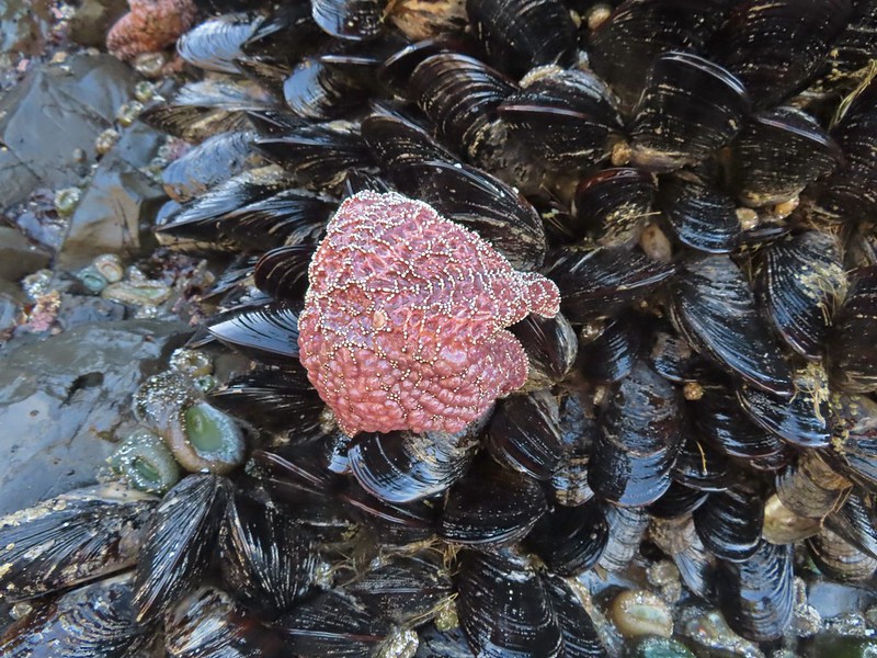
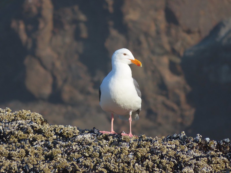
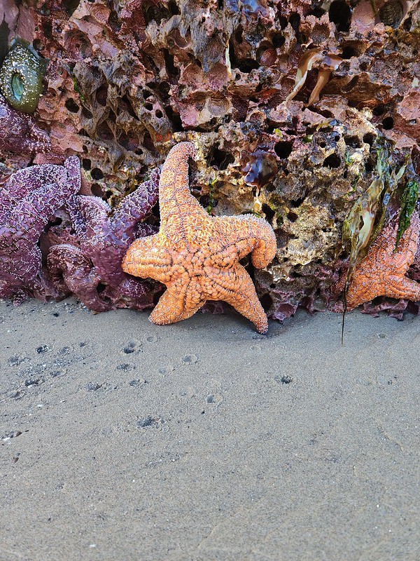 We found Patrick from Spongebob!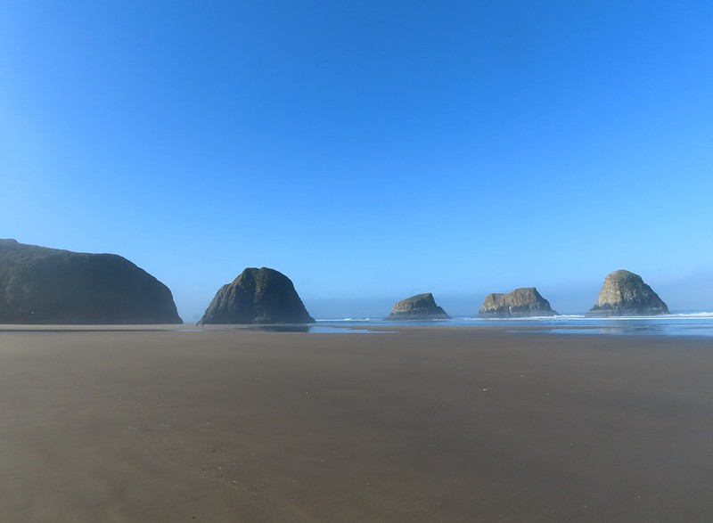
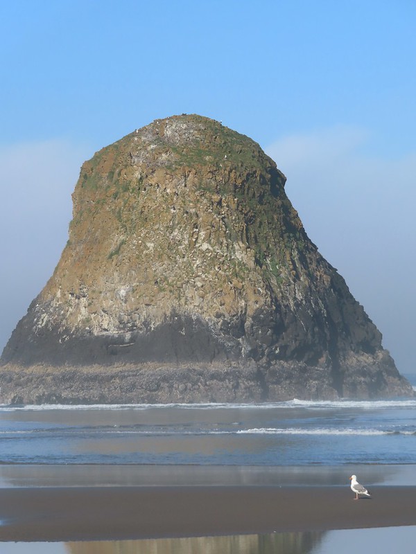
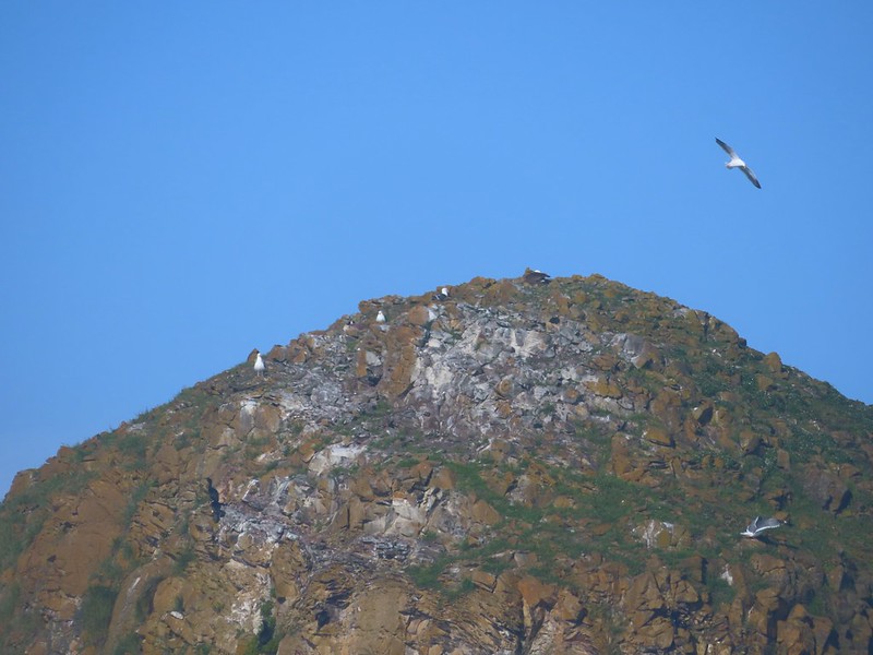
 We were curious as to what forces carved out the backside of this rock.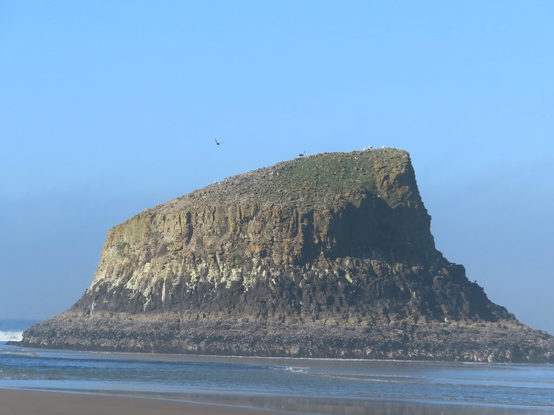
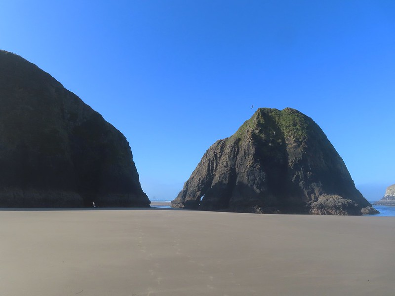 Chapman Point is only passable at certain low tides. On the far side is Cannon Beach (
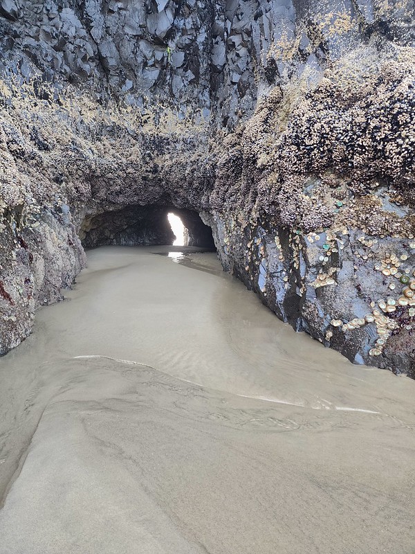 This cave through Chapman Point was flooded at the far end.
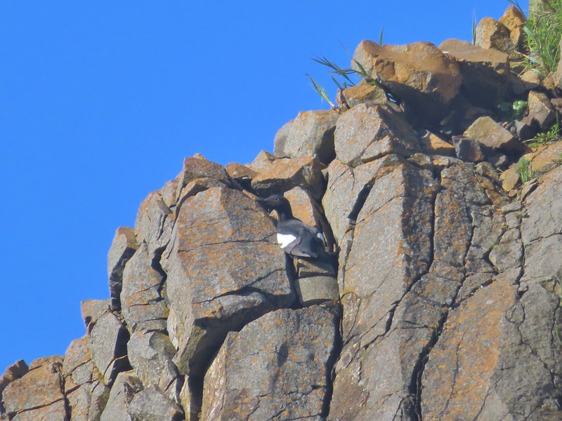 Pigeon guillemot
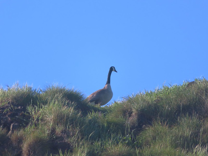 Goose
Goose
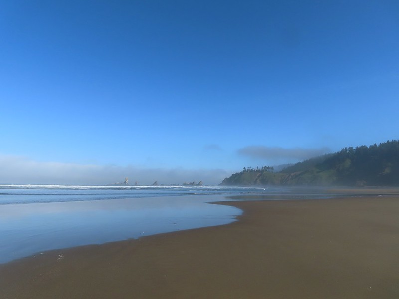

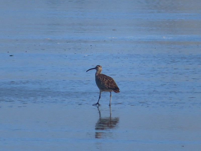 Whibrel
 Seaside bittercress
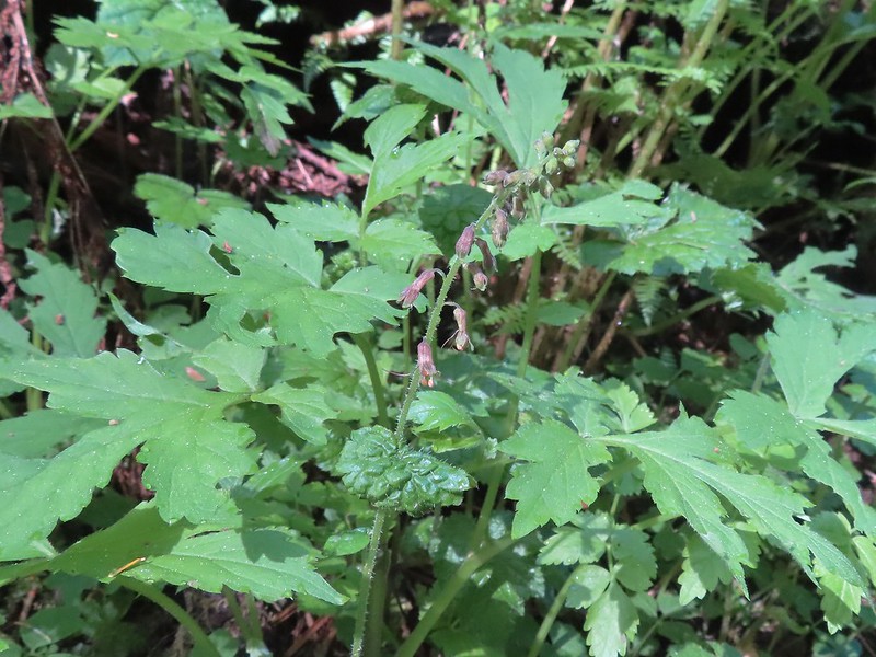 Youth-on-age
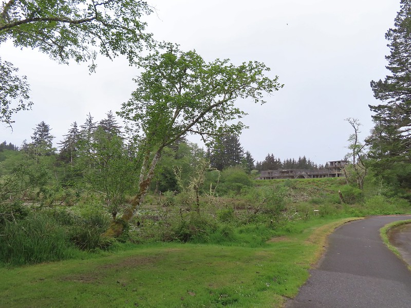 Battery Russell from the lot.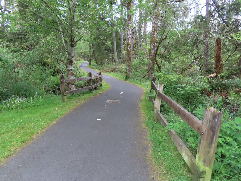

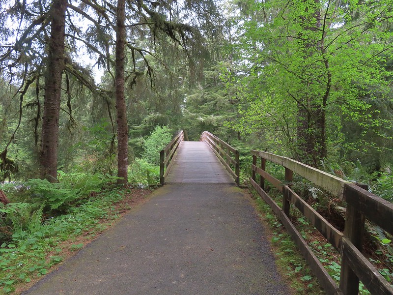 The overpass


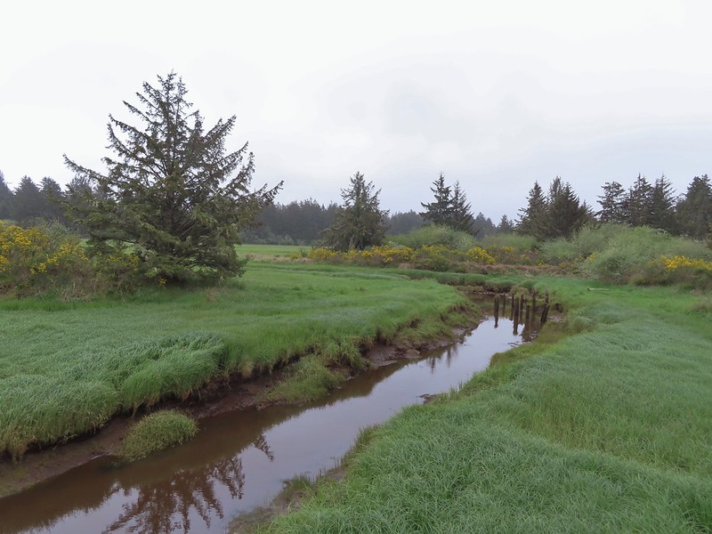 Looking out toward Swash Lake from the bridge.
 The gate to the Historic Area is locked in the evening.
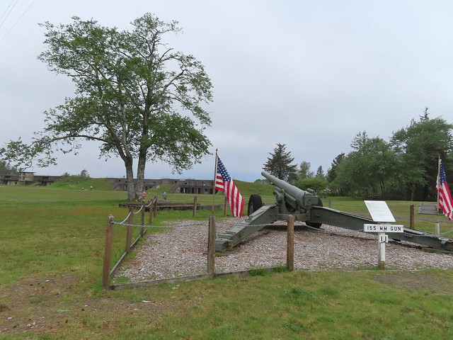
 Visitor’s center


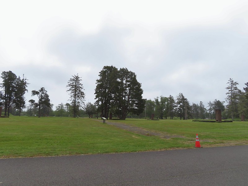
 The guardhouse on the left.
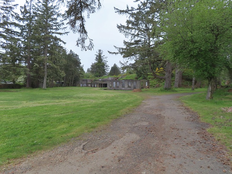 Battery Clark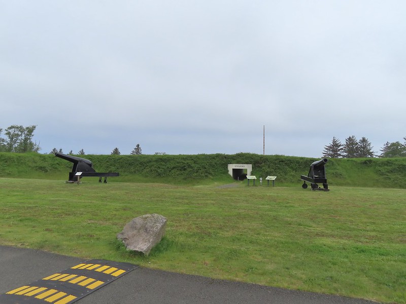
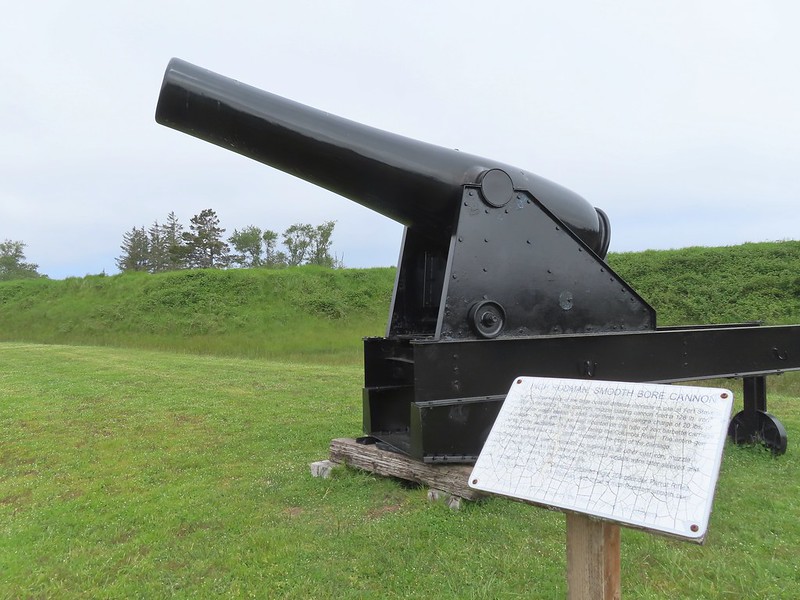


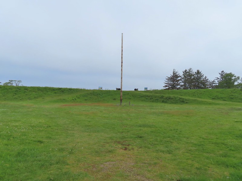 Fort Stevens Earth Works.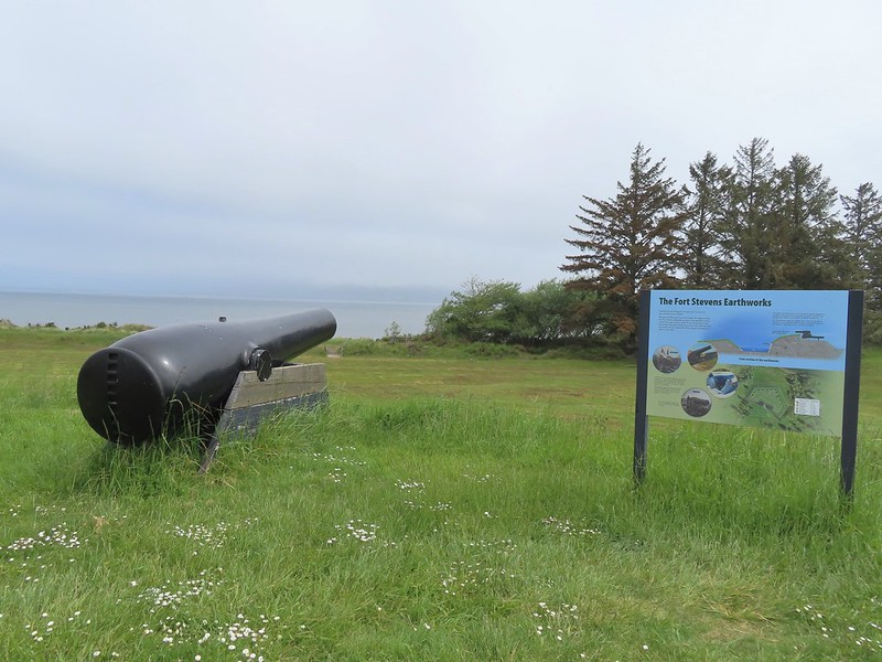
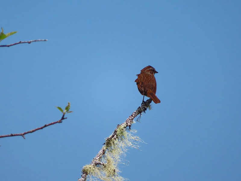
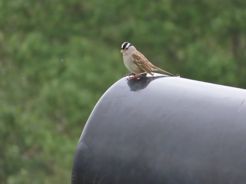 White-crowned sparrow
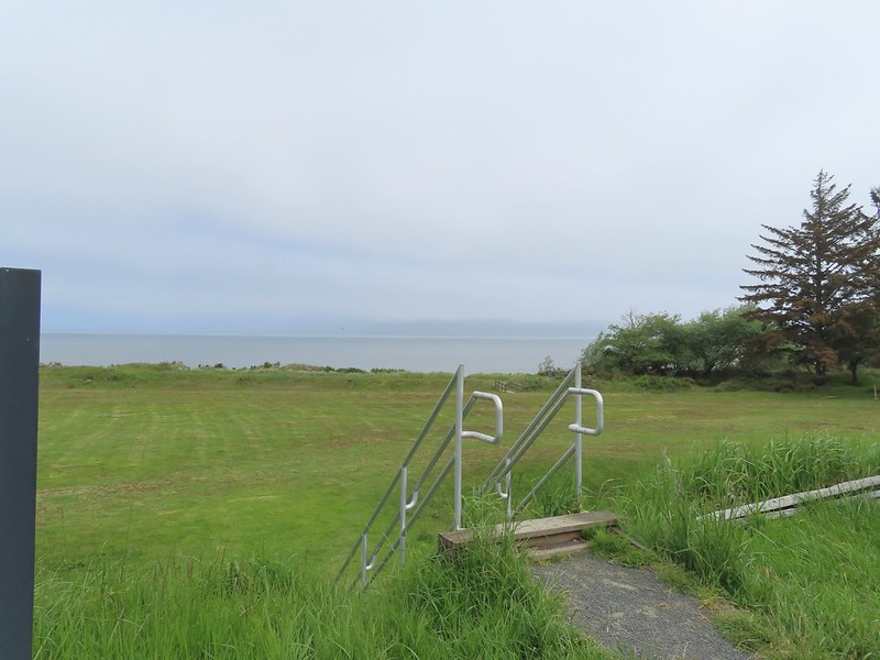 We cut across the grass below to the footbridge in the distance.
 Columbia River
 Looking west toward the Pacific.
 Battery Smur
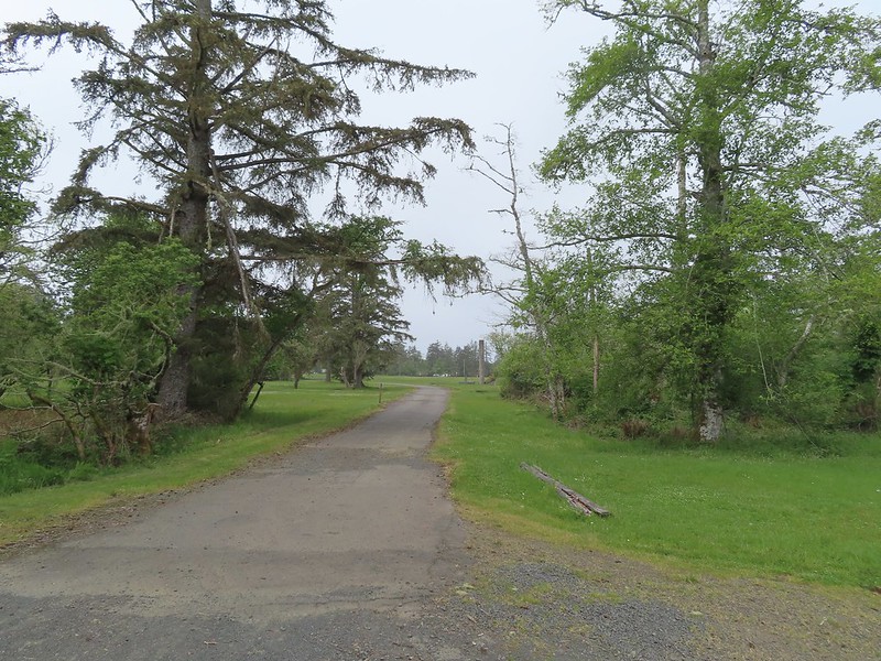 The roadbed coming in from the former barracks site.
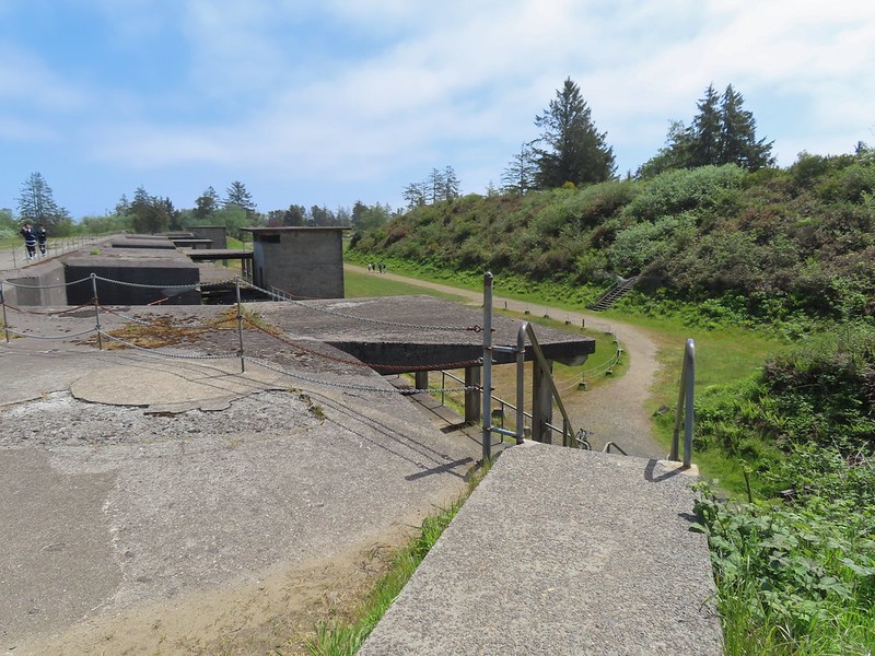
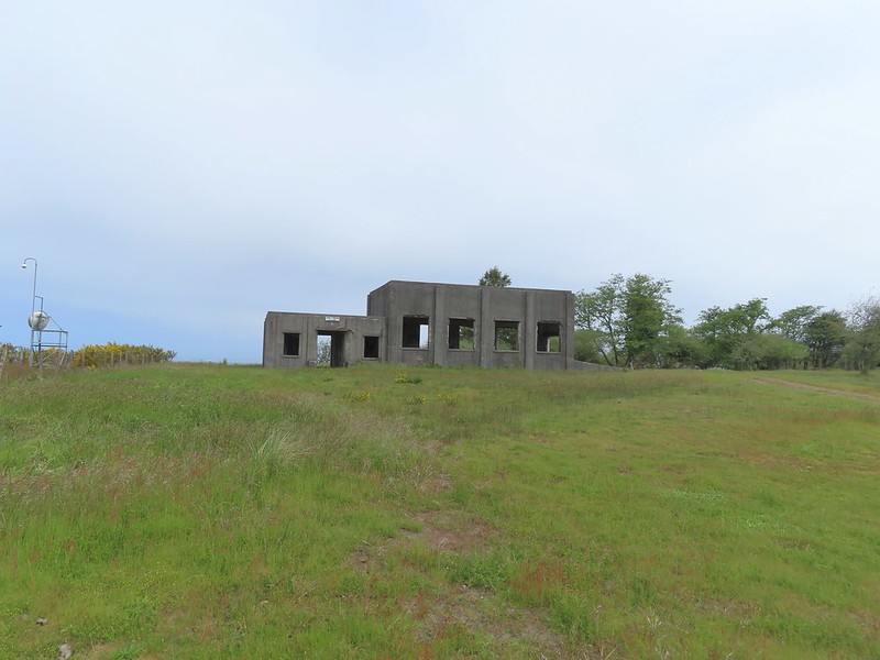 Mine Loading Building
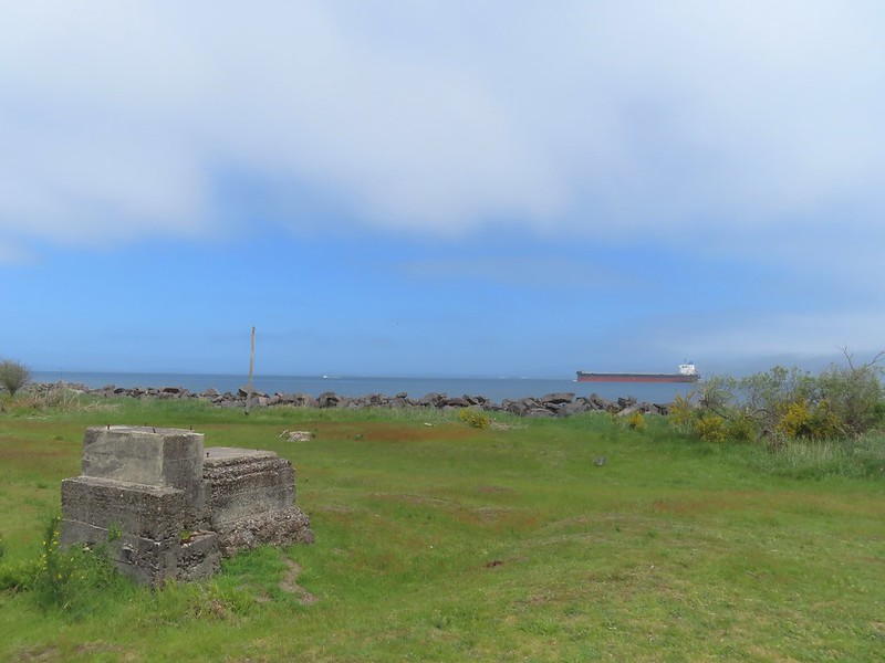
 Searchlight Generator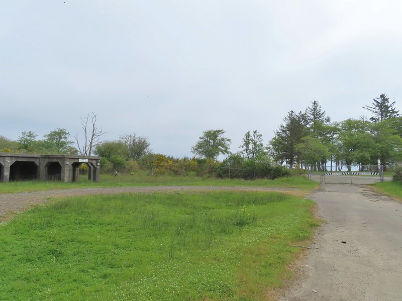
 Torpedo Loading Room
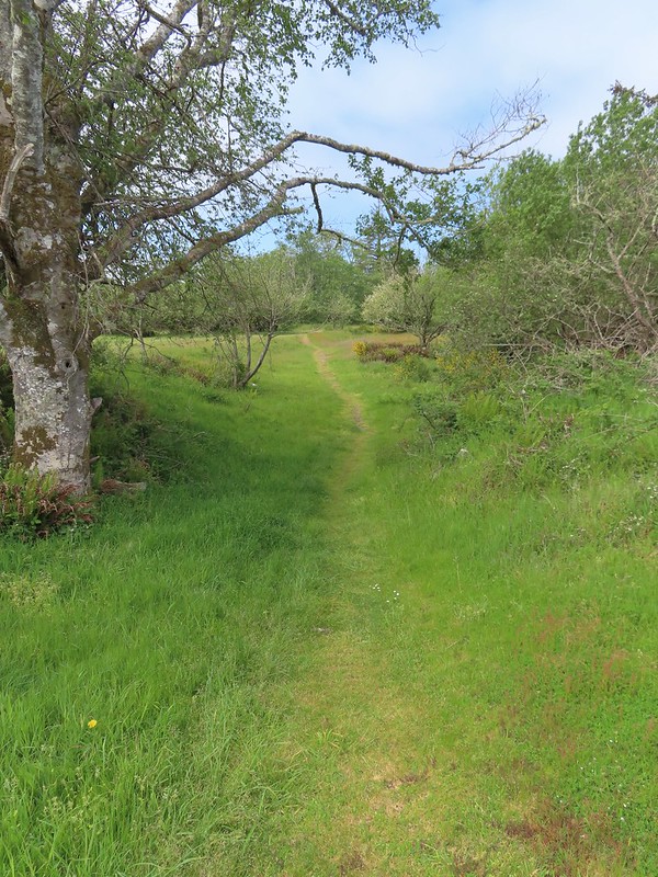


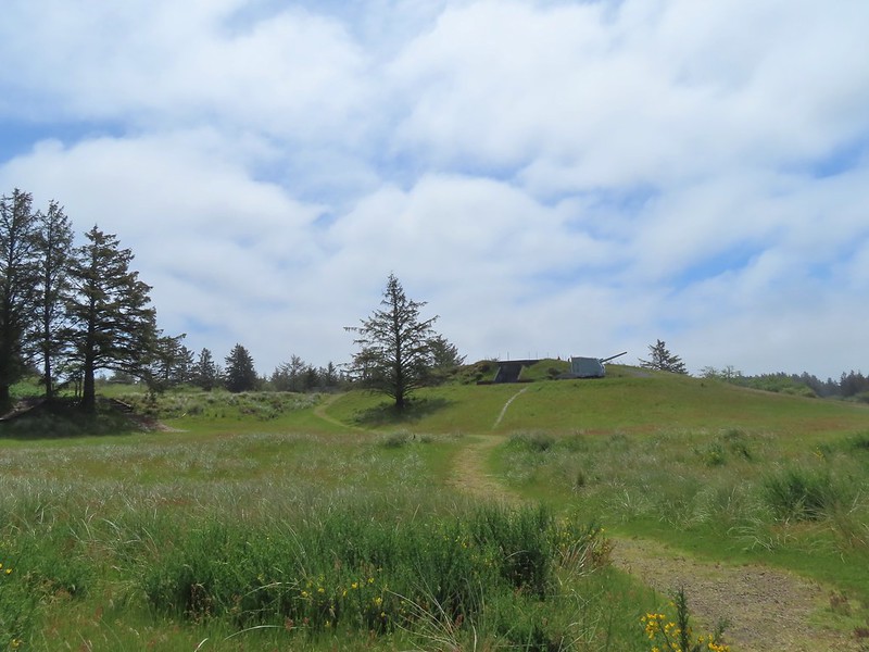 Battery 245



 Sign for the Lil’ Oozlefinch Putting Course.
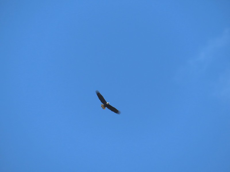 Bald eagle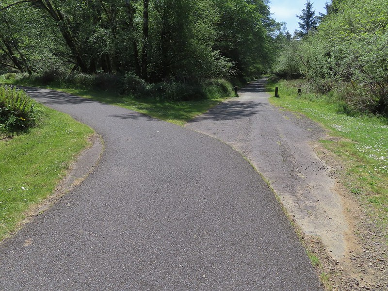
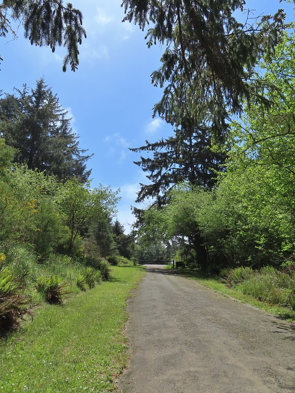 Gate near Jetty Road.
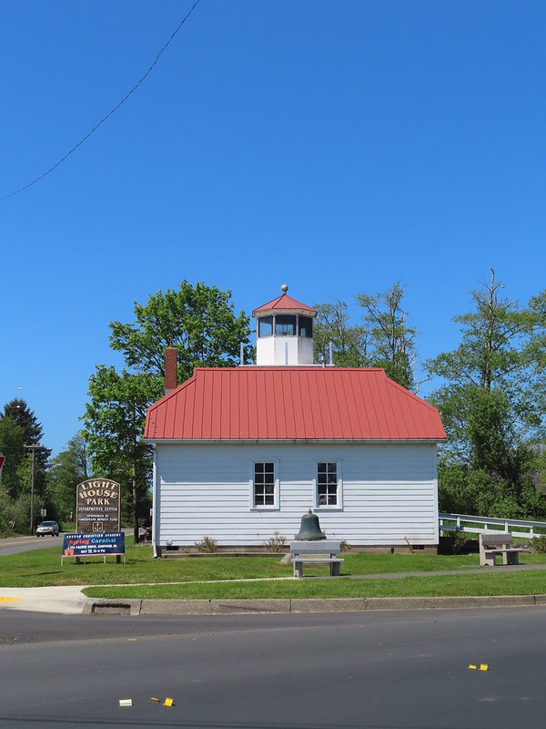
 The parking lot at the park.
 Emerging from the underpass.
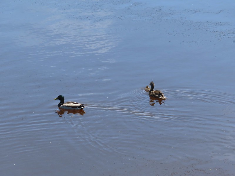 Mallard family
 Sign at the park.
 Eighth Street Dam from the grassy track.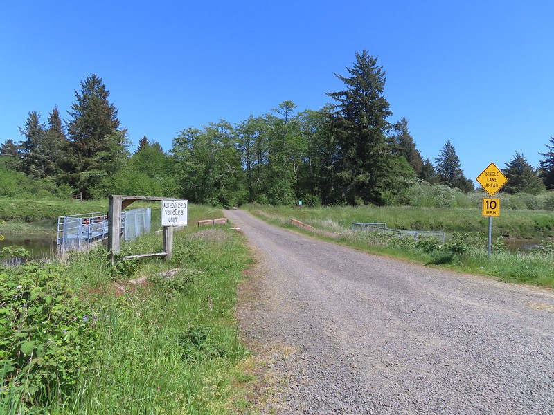
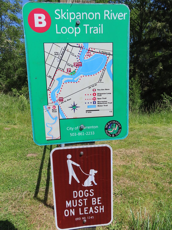 Until we saw this sign we’d been thinking that maybe the trail didn’t exist any longer. We were also questioning how the loop was supposed to get back across the river at the other end since the only bridge across the river there was Harbor Drive. Until seeing this we were thinking of turning around at the dam, but instead we decided that we’d do the loop with Heather getting a table at Nisa’s while I recrossed the river to retrieve the car.

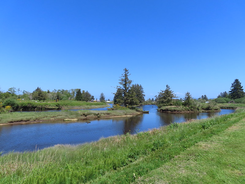
 Not the clearest picture but I think this is a greater scaup based on the head shape. We’ve seen a number of lesser scaups, but this would be our first greater.
 Great blue heron
 Cormorant
 A brief paved section.
 Nisa’s Thai Kitchen across Harbor Drive.
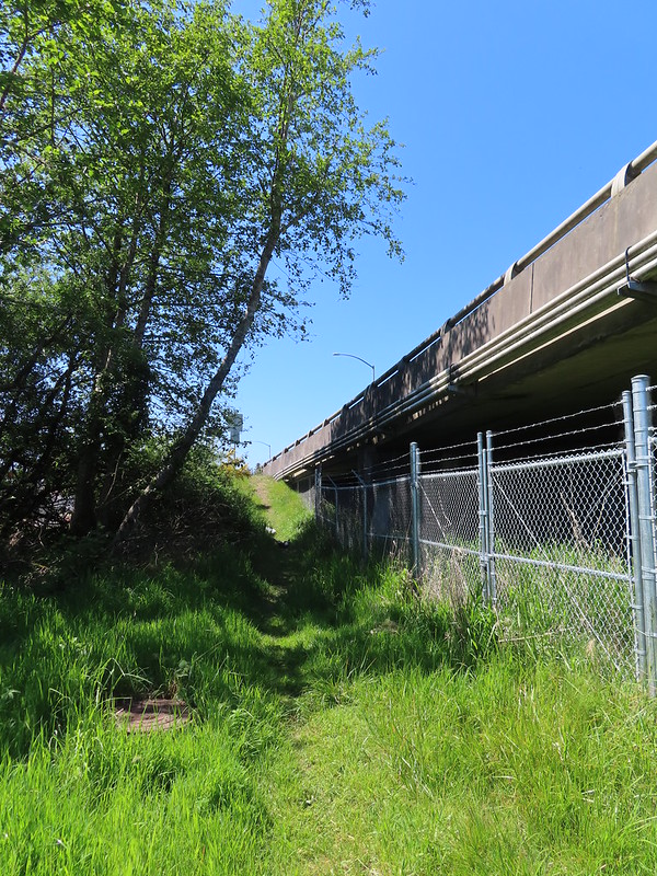 Looking back up the path from Harbor Drive.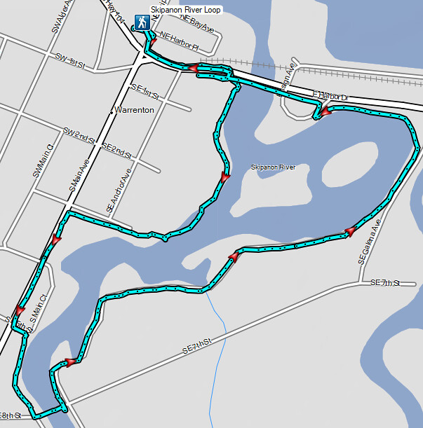

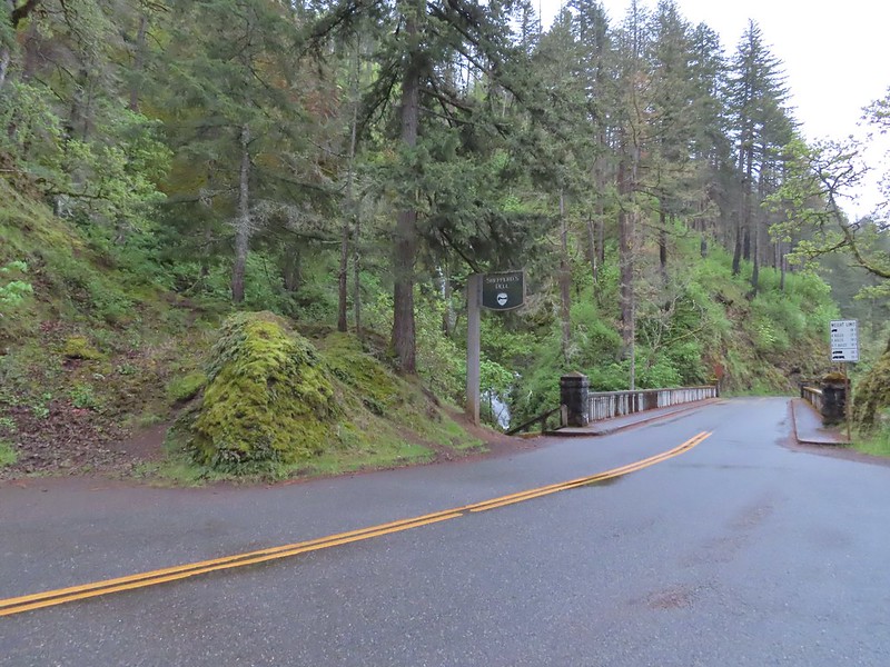 The trailhead at 6:15am.
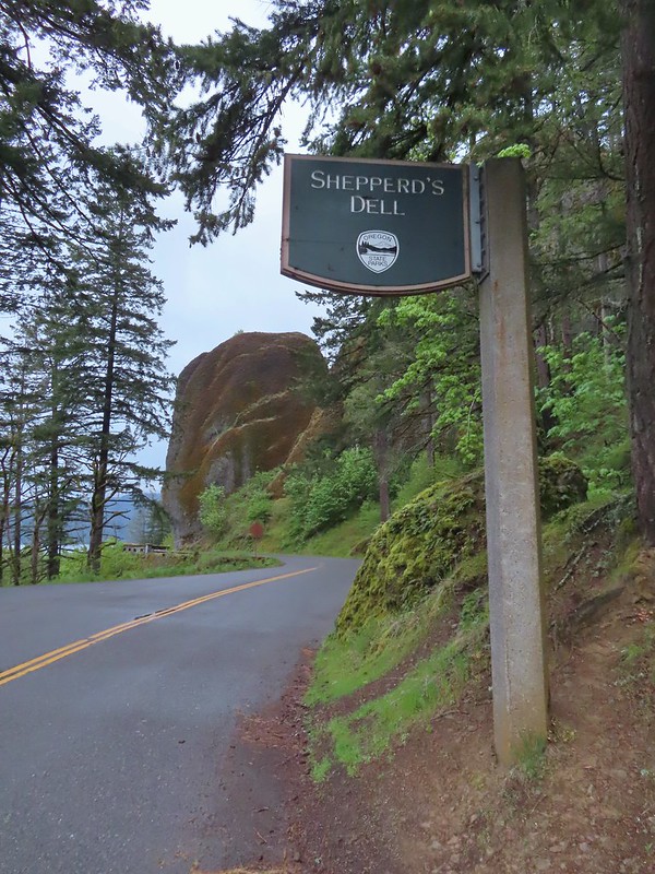 The Bishops Cap along Highway 30.
 The stone railed trail can be seen along the cliff above the lower falls.
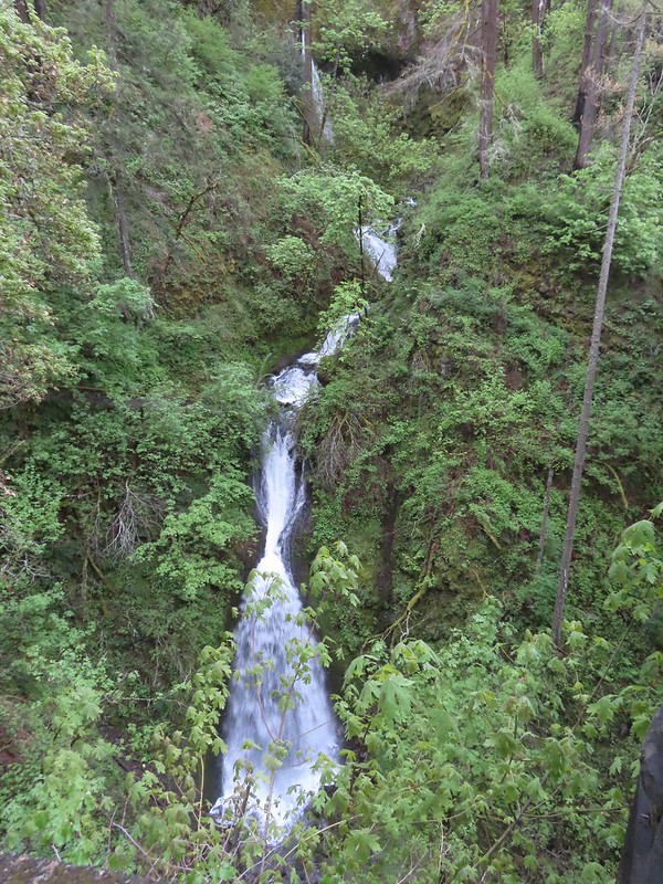 The upper falls can be seen through the trees with the lower falls more visible.
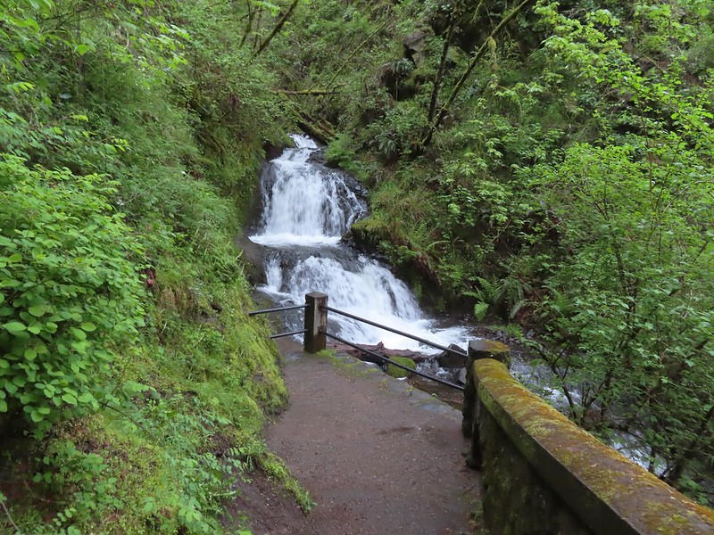 End of the trail.
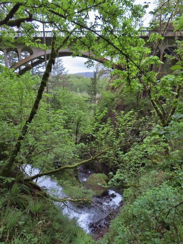 The bridge from the trail.
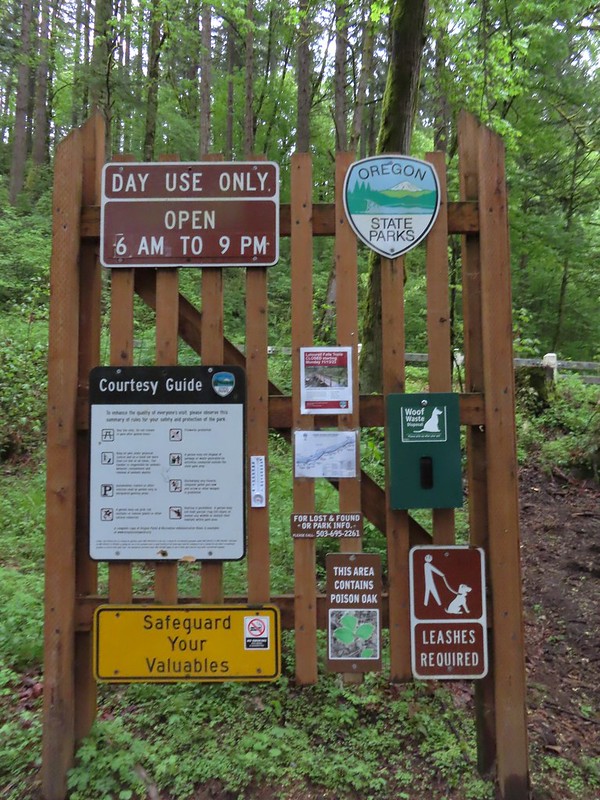 Informational signboard at the trailhead.
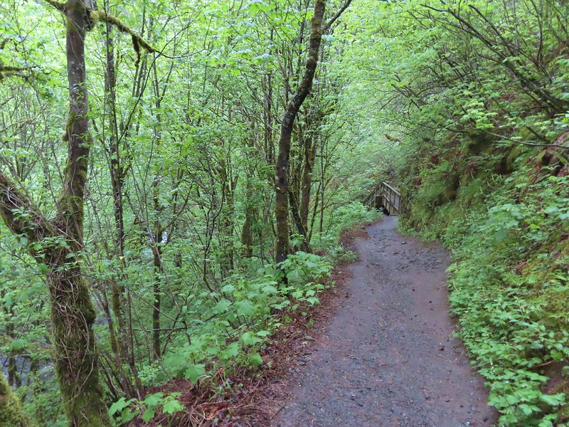
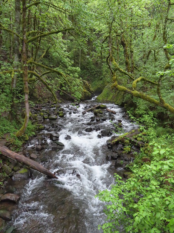
 Bridal Veil Creek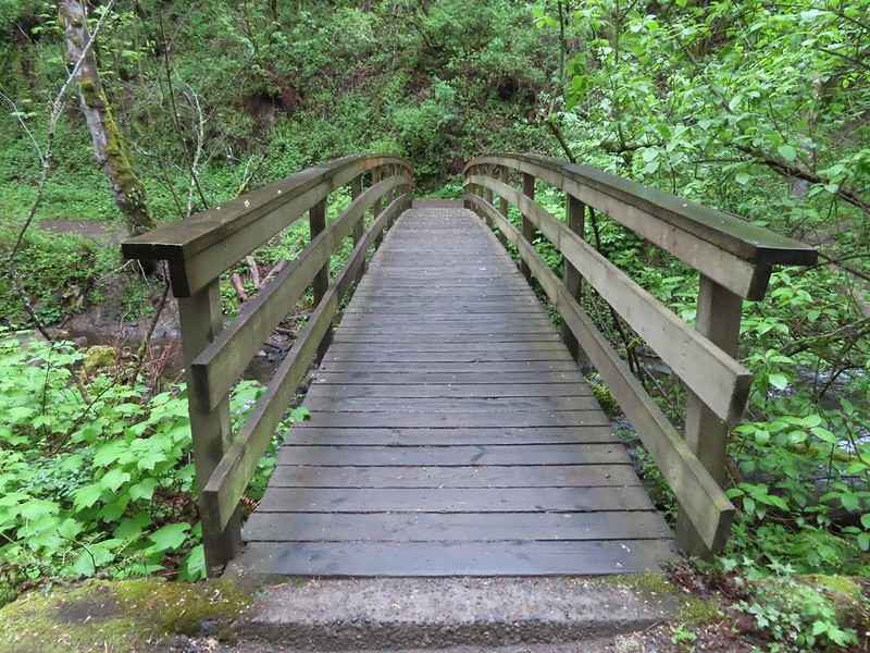
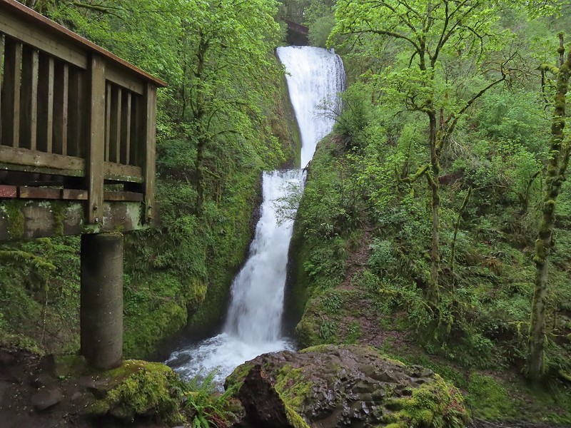 The 120′ two-tiered Bridal Veil Falls.
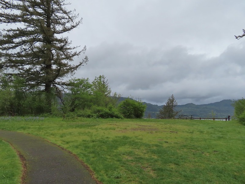
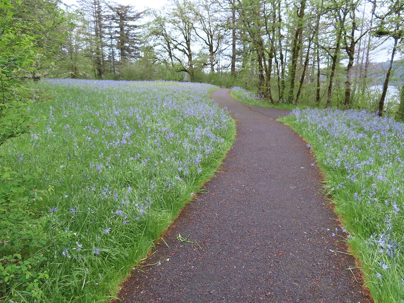
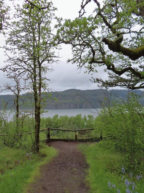 Cape Horn (
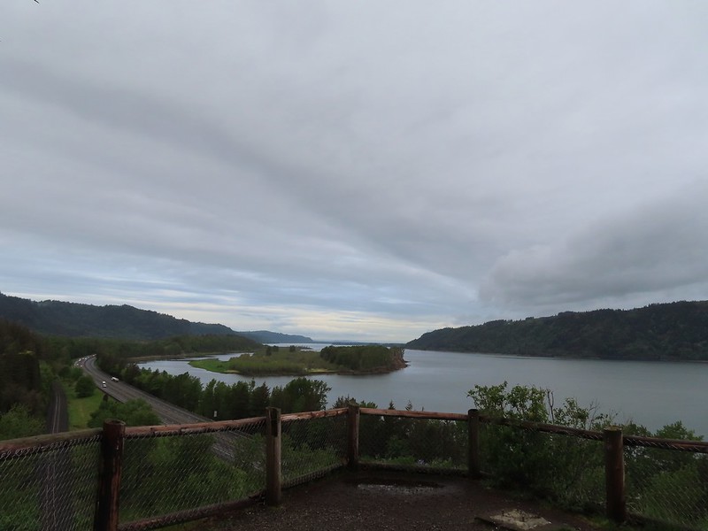 Sand Island to the west.
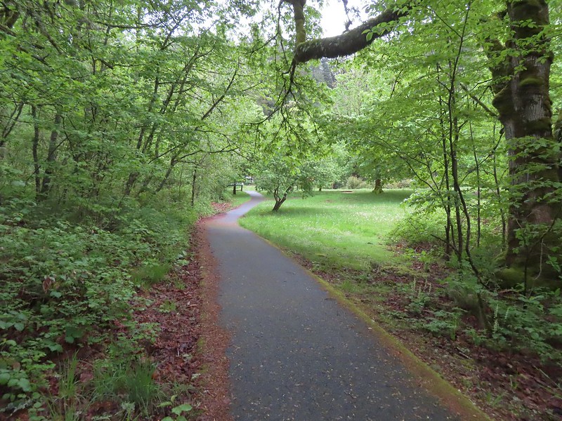 The Overlook Loop arriving back at the trailhead parking area.
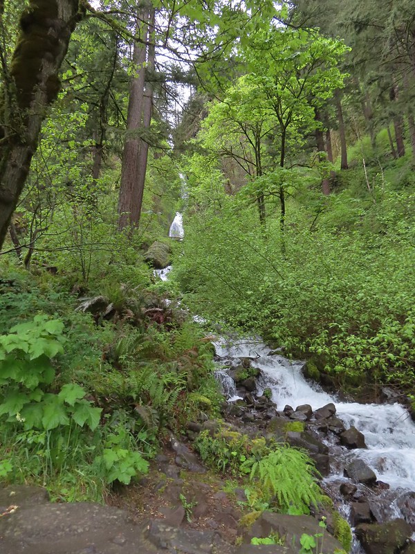
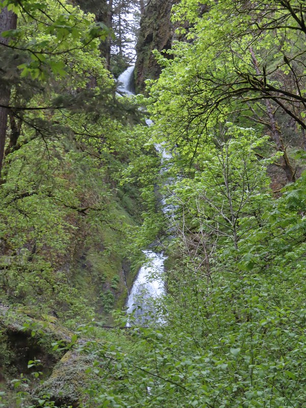 While the Wahkeena Trail passes just below the falls the upper portion of the falls is only visible from a distance.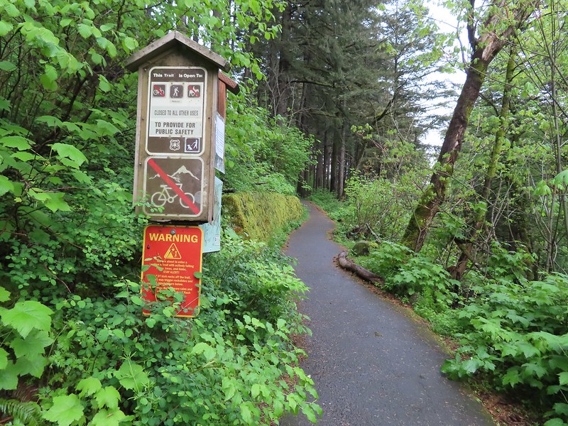
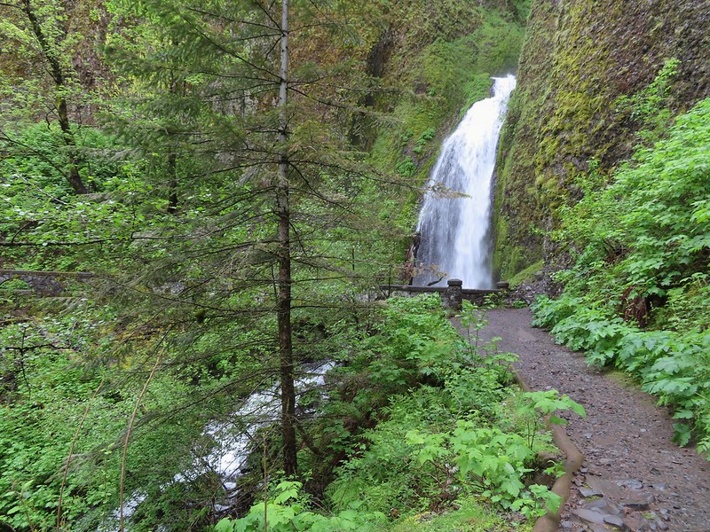
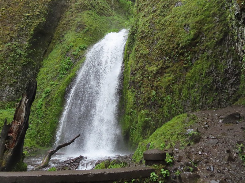
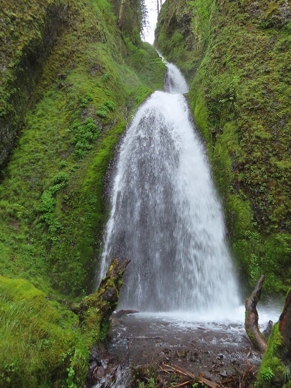
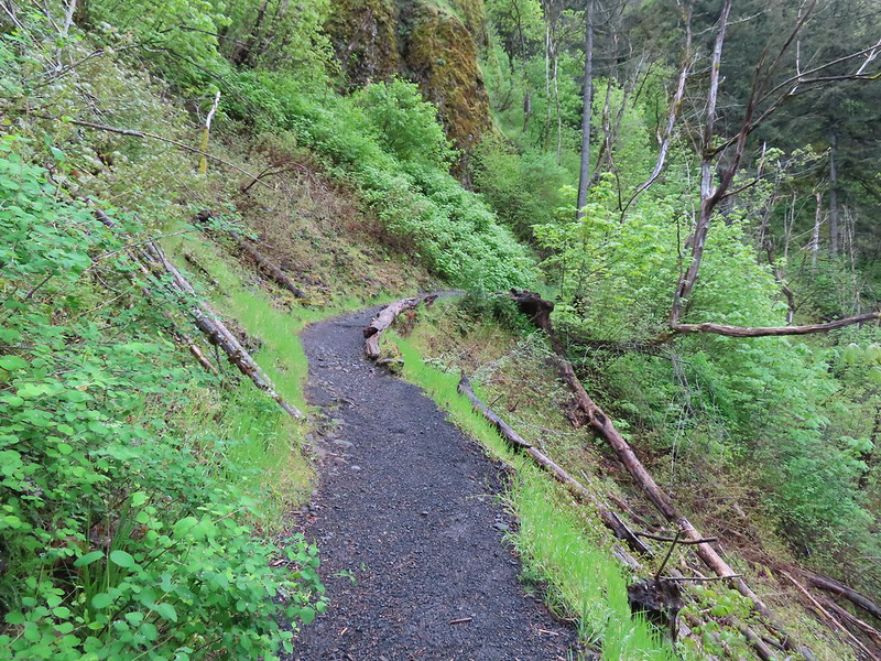
 The Wahkeena Trail switchbacking up to the Lemmon Viewpoint junction.
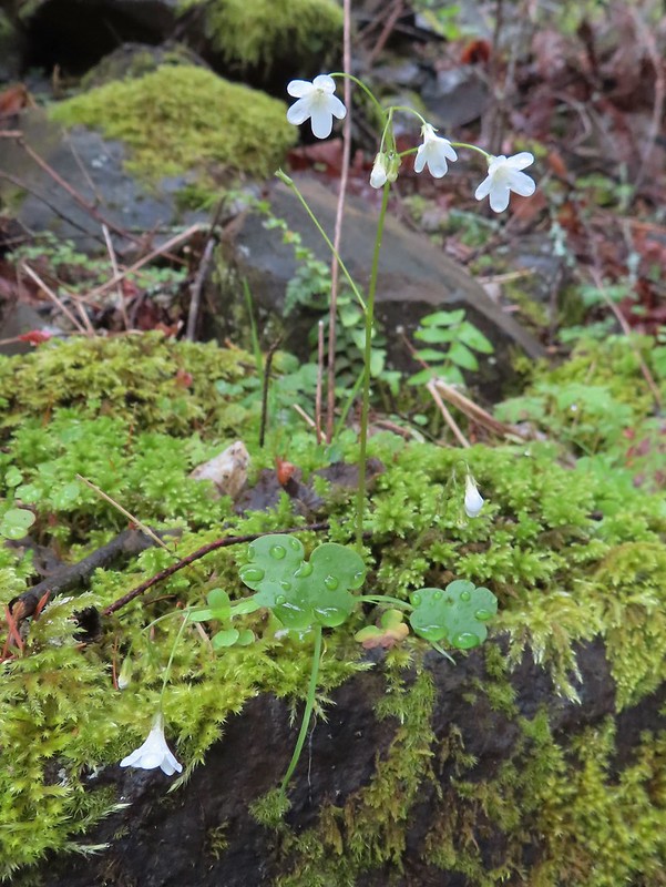 Sitka mist-maidens
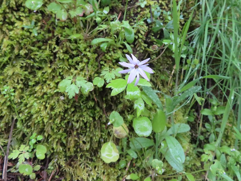 Woodland-star
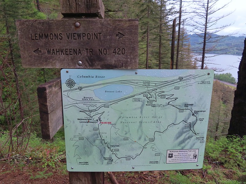 The Forest Service includes maps at junctions involving official USFS trails. Note that the map does not extend to Devil’s Rest or include the Foxglovia area.
 Our first paintbrush sighting for the year was at the Lemmons Viewpoint.
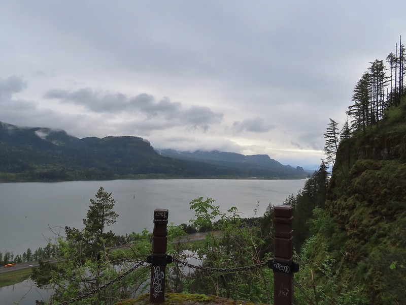 Archer Mountain in the foreground with Hamilton Mountain (
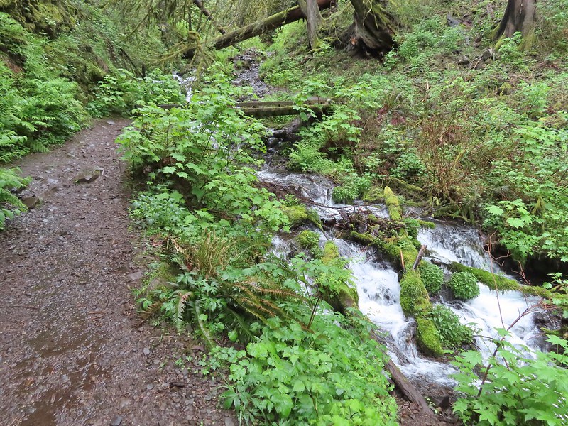 The first crossing of Wahkeena Creek.
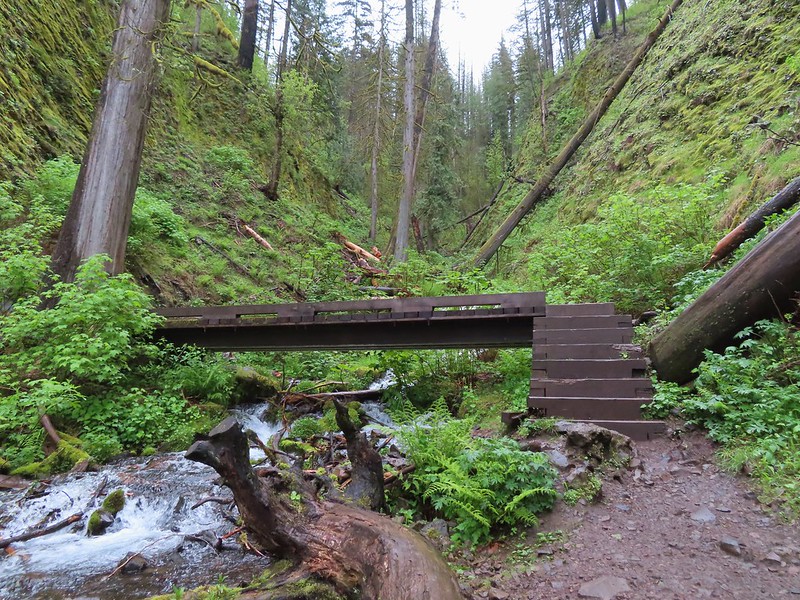 Second footbridge.
 This was the first sketchy new obstacle. The large tree is cutting across a switchback rerouting the trail steeply uphill. While there were some footholds the steepness combined with muddy conditions required caution.
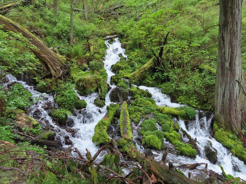 Wahkeena Creek
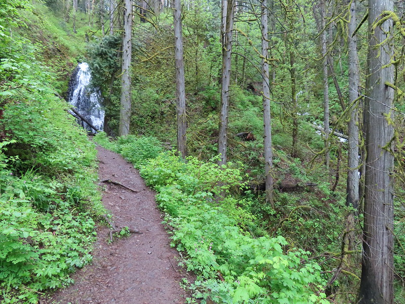 Fairy Falls with Wahkeena Creek through the trees on the right.
 Fairy Falls
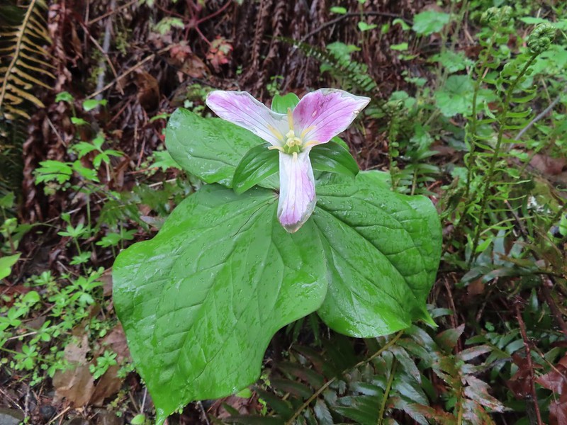 Trillium
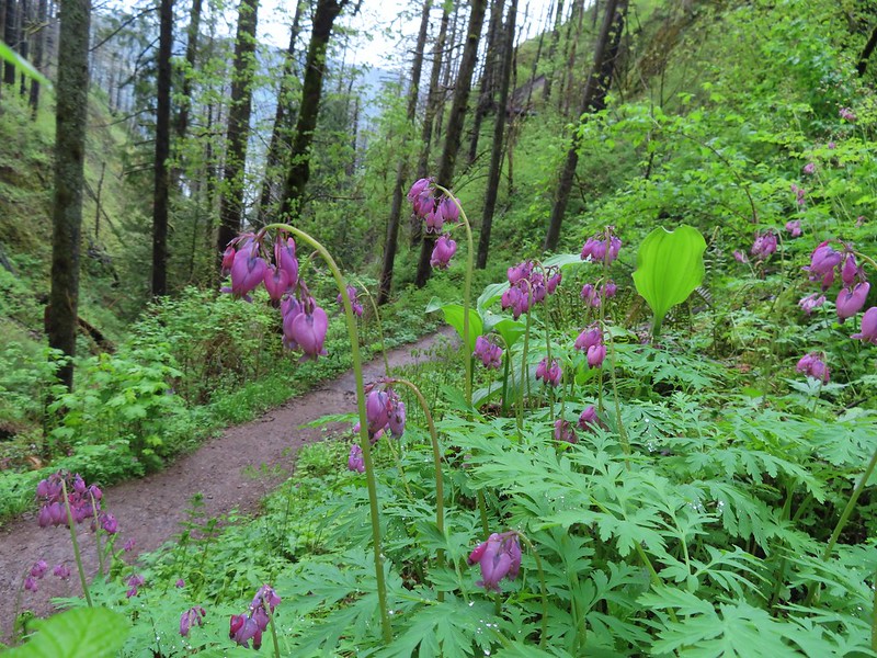 Bleeding heart
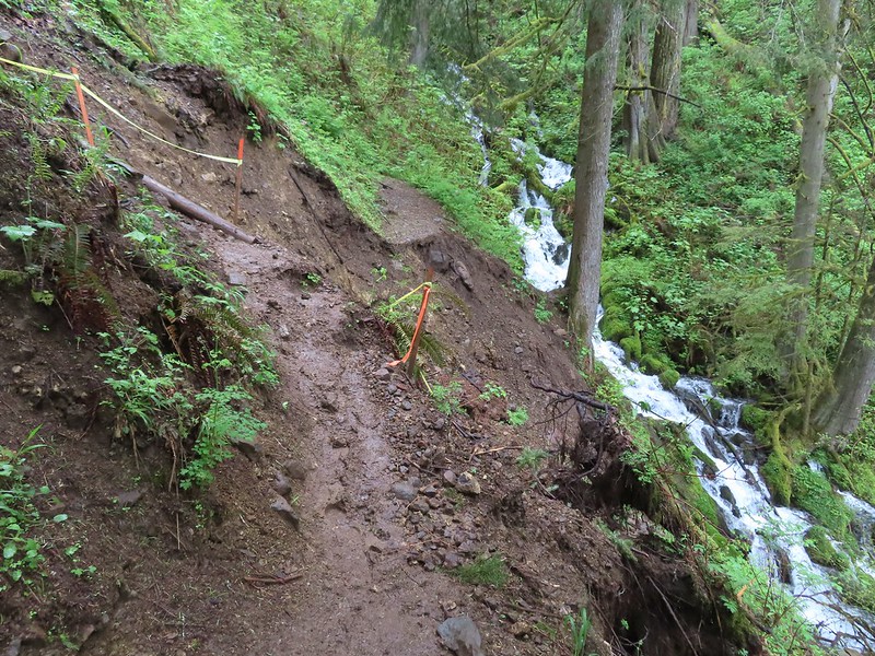 The worst slide took out a section of trail just before a switchback.
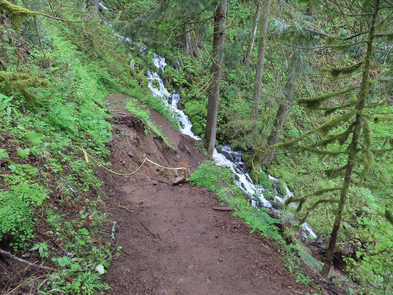 Looking down the washout.
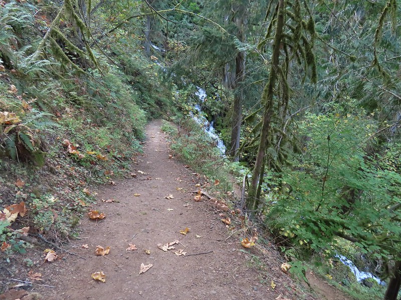 The switchback in 2022.
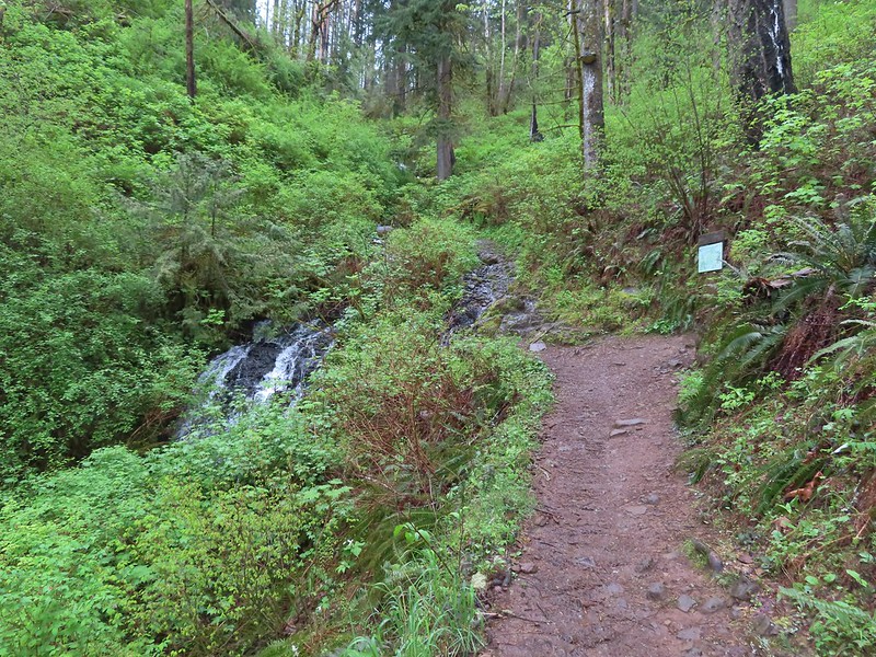 Coming up on the lower end of the Vista Point Trail.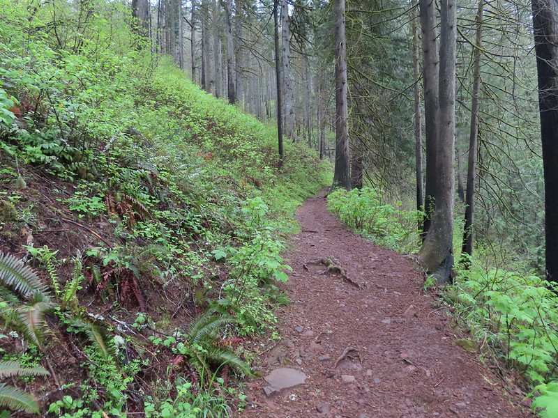
 The Angel’s Rest Trail junction.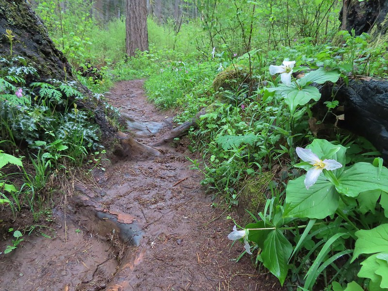
 Signs at the junction with upper end of the Vista Point Trail.

 Coltsfoot along the trail.
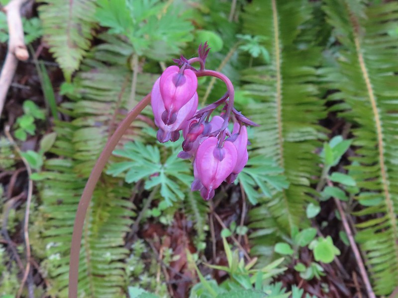 Bleeding heart
 Violets lining the trail.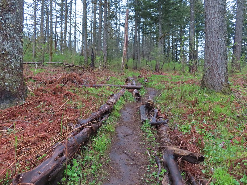
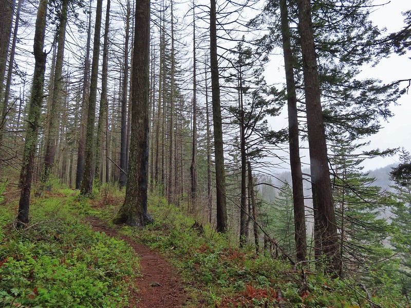 Traveling along the rim of the Wahkeena Bowl.
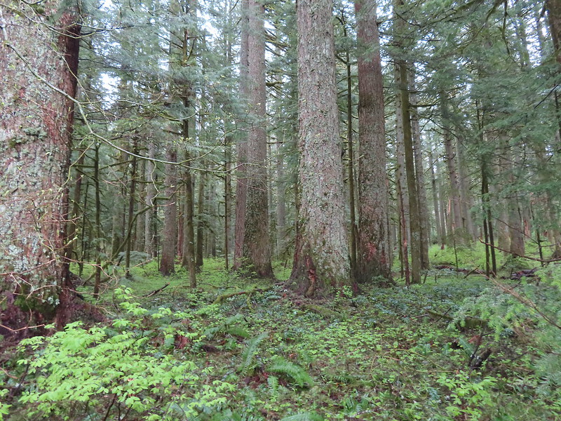 A small pocket of forest that escaped the Eagle Creek Fire.
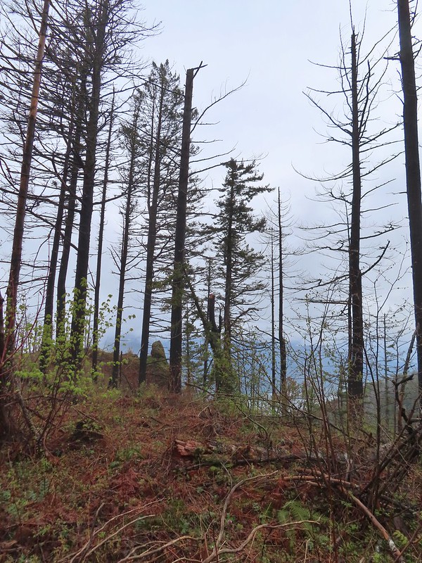
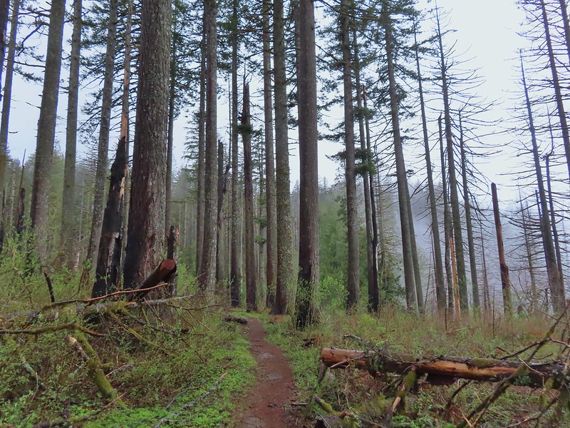 Devil’s Rest looking a little foggy from below.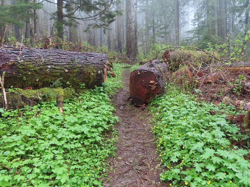
 There were a lot of trillium along the rim.
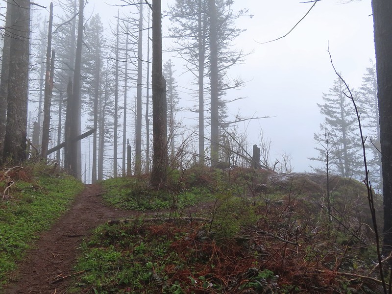 The first viewpoint was slightly off the trail.
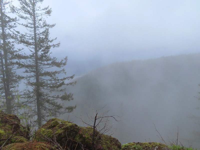 We could at least make out the Columbia River below.
 We were going in and out of fog ever few minutes.
 Archer Mountain making an appearance.
 A trail led to the second outcrop which had a rock sticking up.
 Company at the viewpoint.
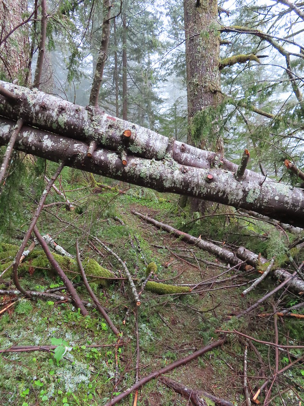 Something for the trail crew to work on.
 Nearing Devil’s Rest.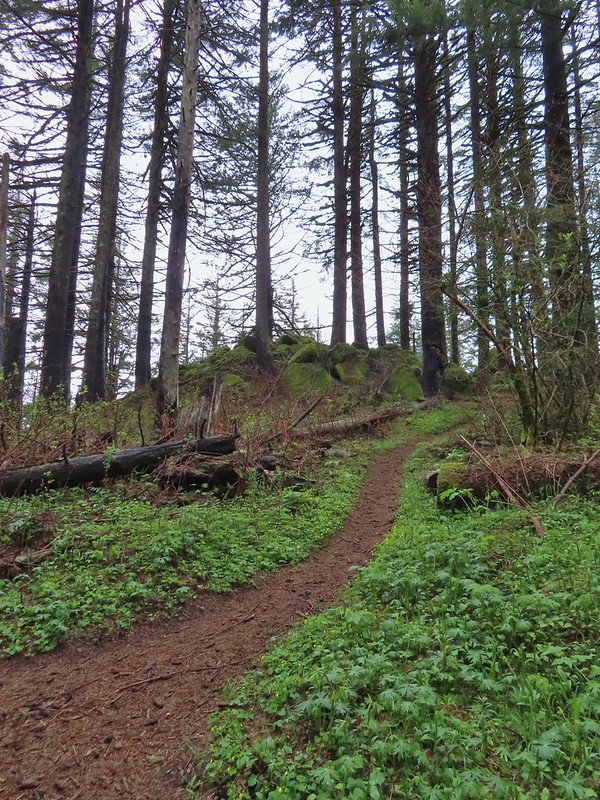
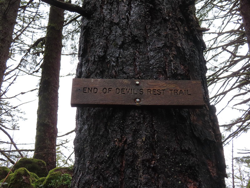

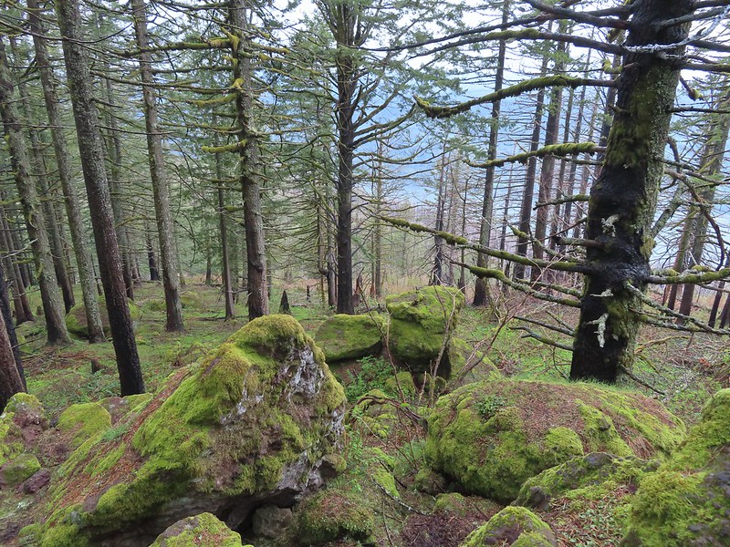
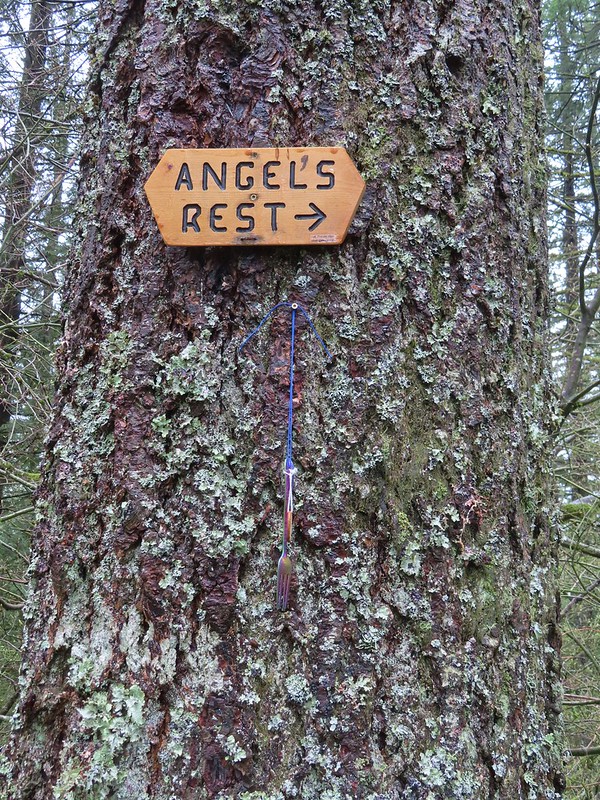
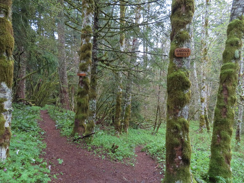
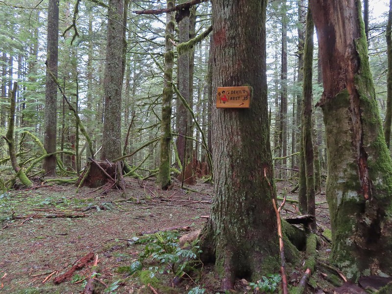
 The pointer says “To She Devil Trail” with Red Shorts Cut at the bottom but AllTrails and some more recent Oregon Hikers maps label this section the She Devil Trail.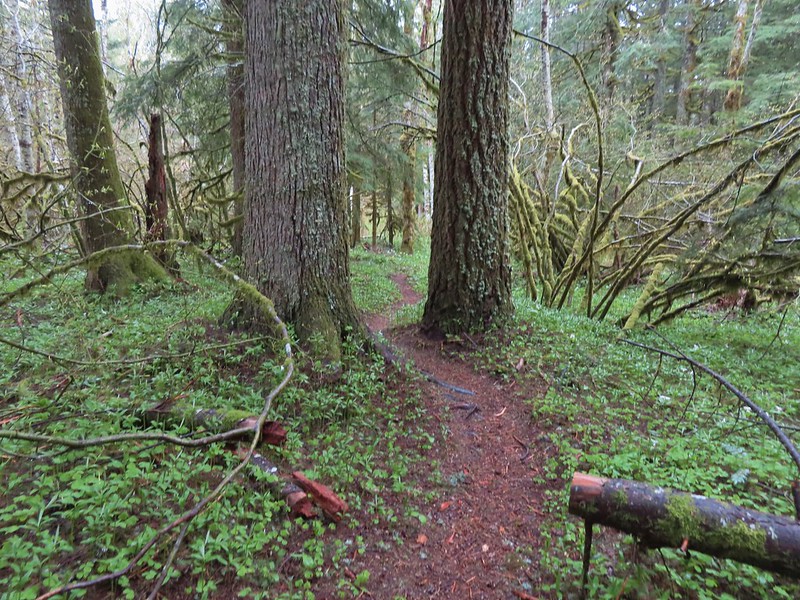

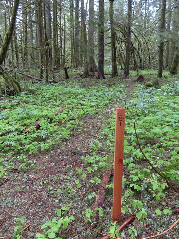


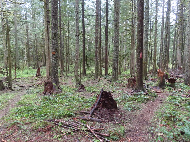 The pointer on the left is for Smith Road. We didn’t see any signs for the right-hand fork.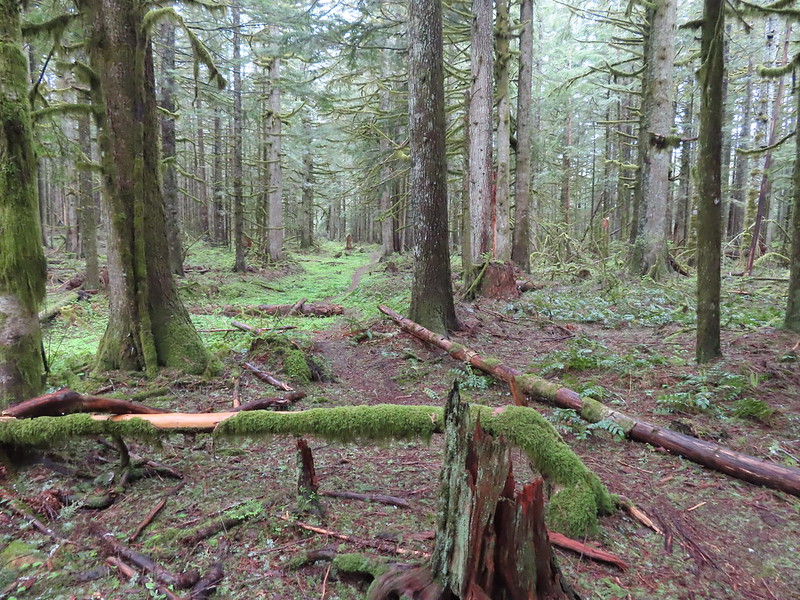
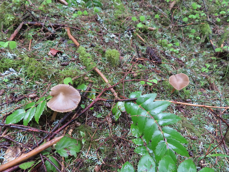 Mushrooms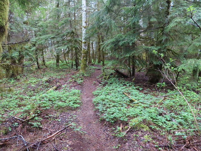

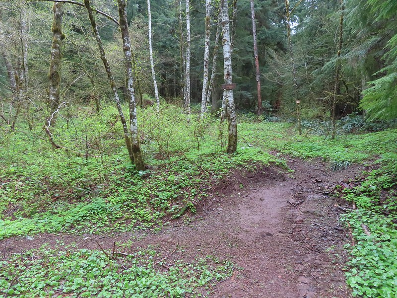

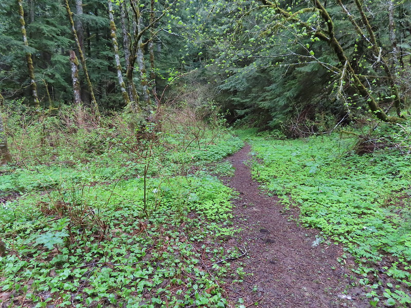

 The Devil’s Cut-off Trail on the right.
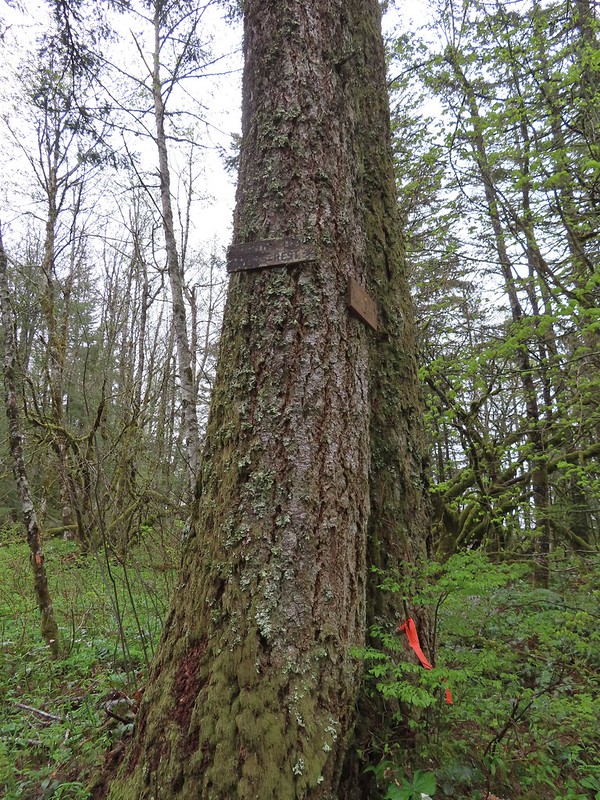
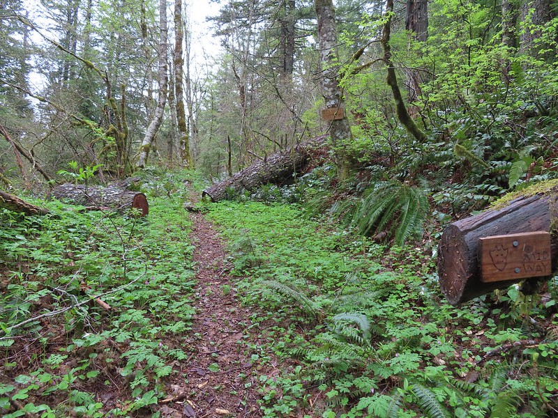 Signage on the Devil’s Cut-off Trail.
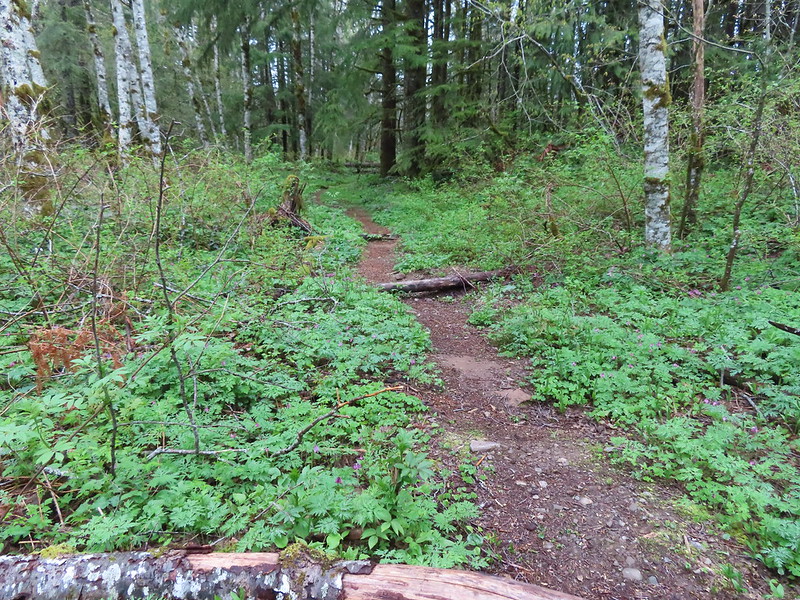
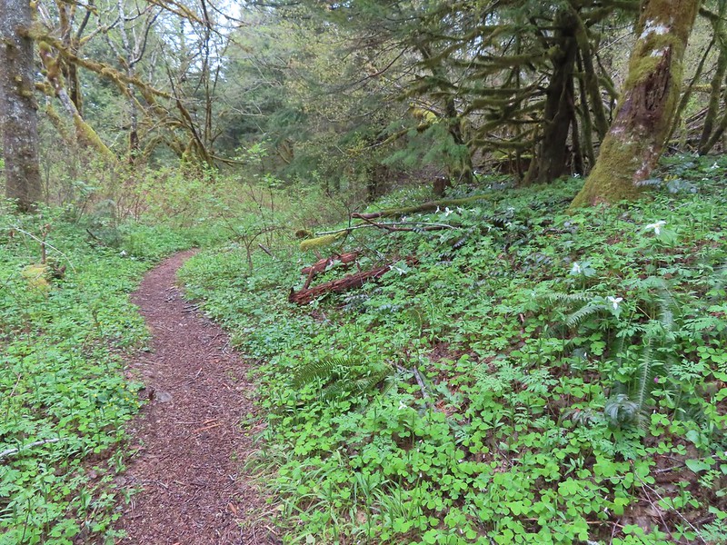
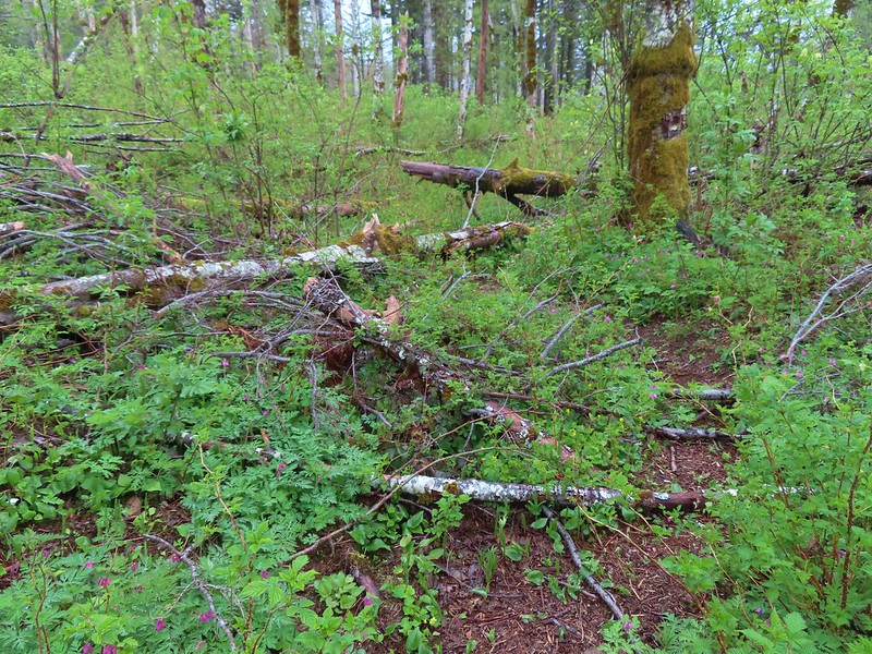 This was honestly the most debris/blowdown we encountered on the user-maintained trails.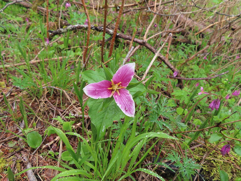
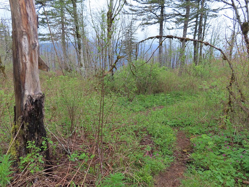
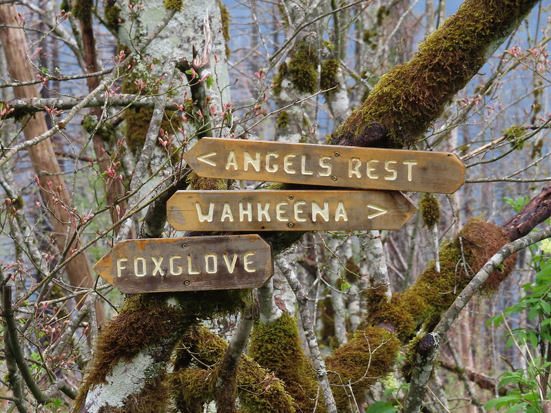 Pointers at the junction with the Lily’s Lane Trail.
 Devil’s Fork Trail signs at the junction.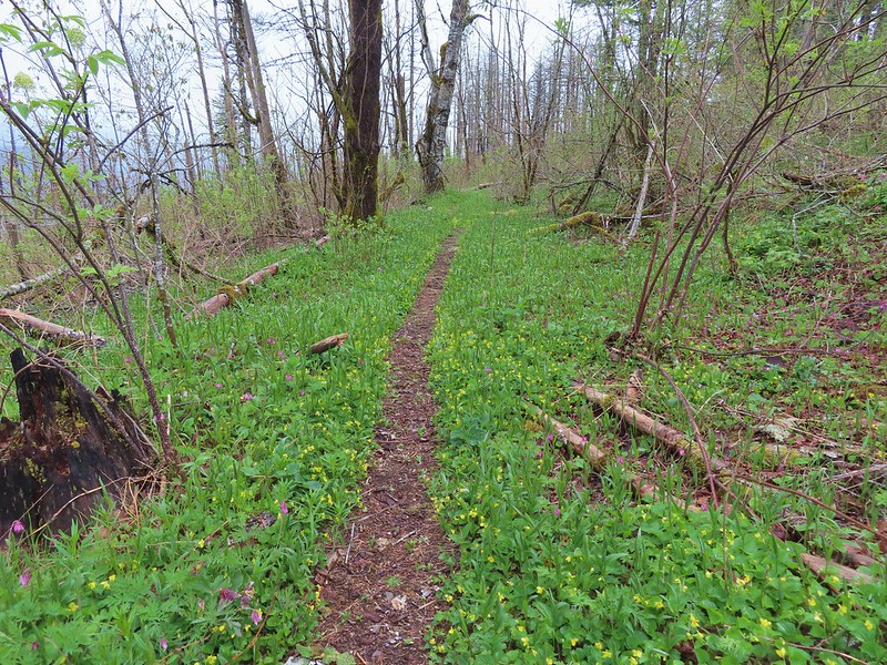
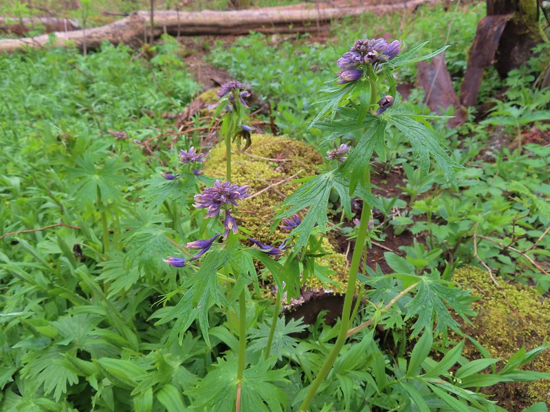 Columbian larkspur getting ready to bloom.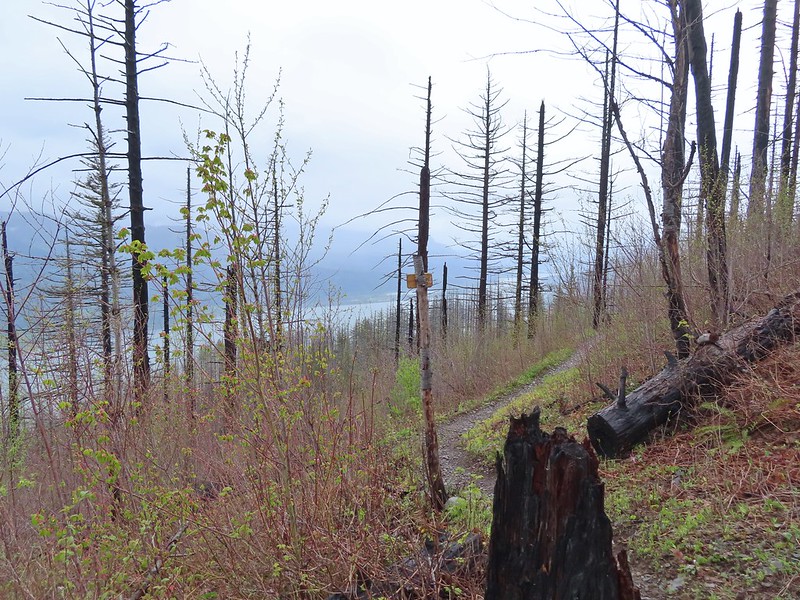
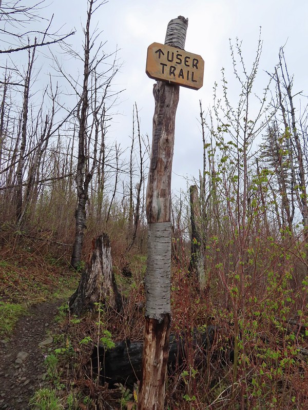 Sign at the Lily’s Lane/Angel’s Rest Trail junction.
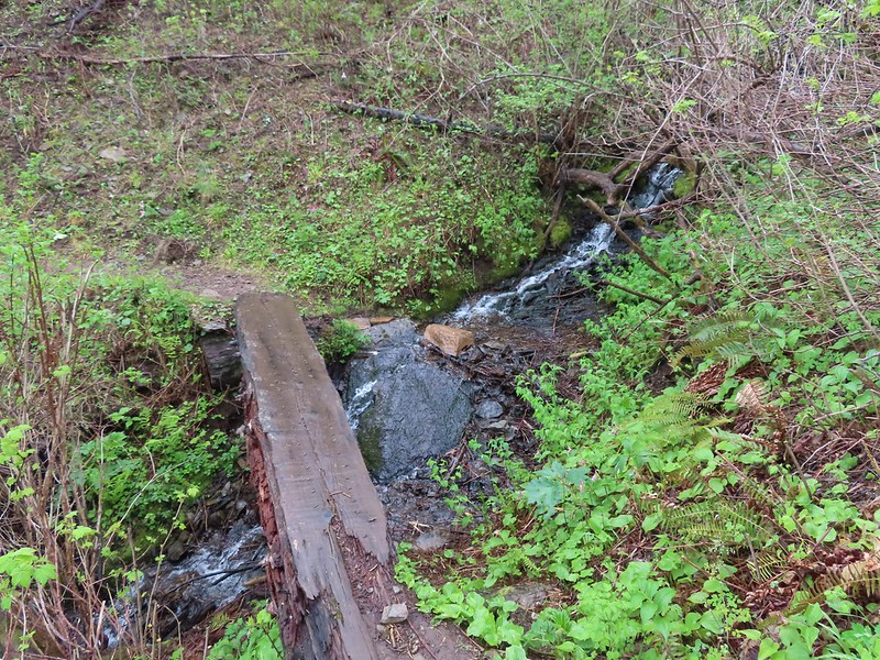 Mist Creek Footbridge.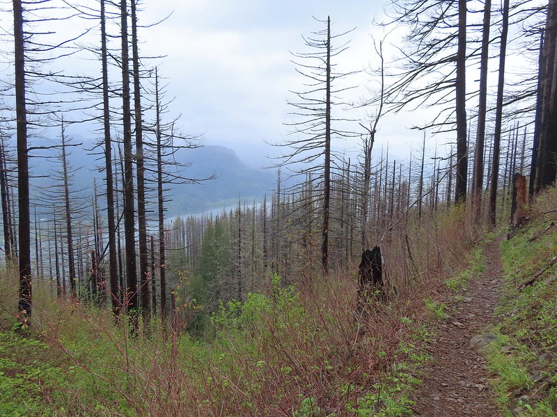
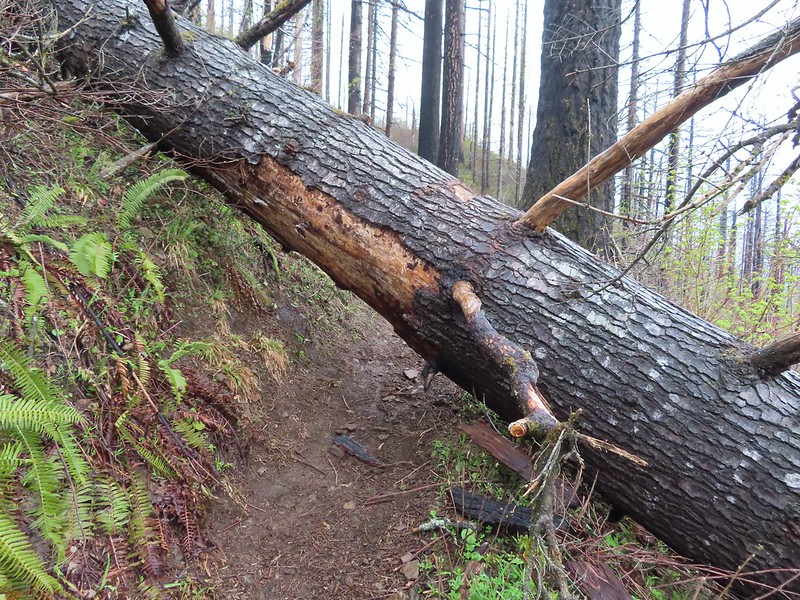 The first of two logs that required crawling under.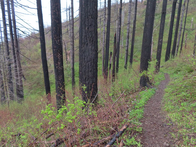
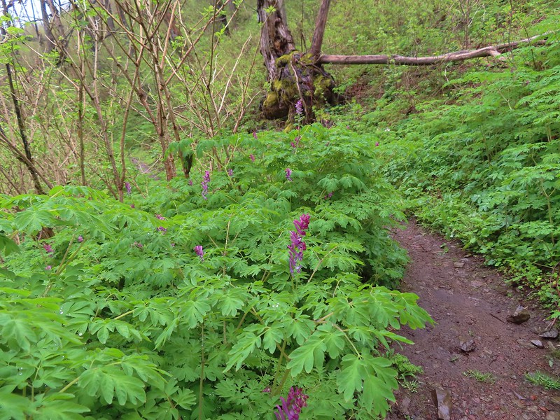 There was a short section filled with Scouler’s corydalis.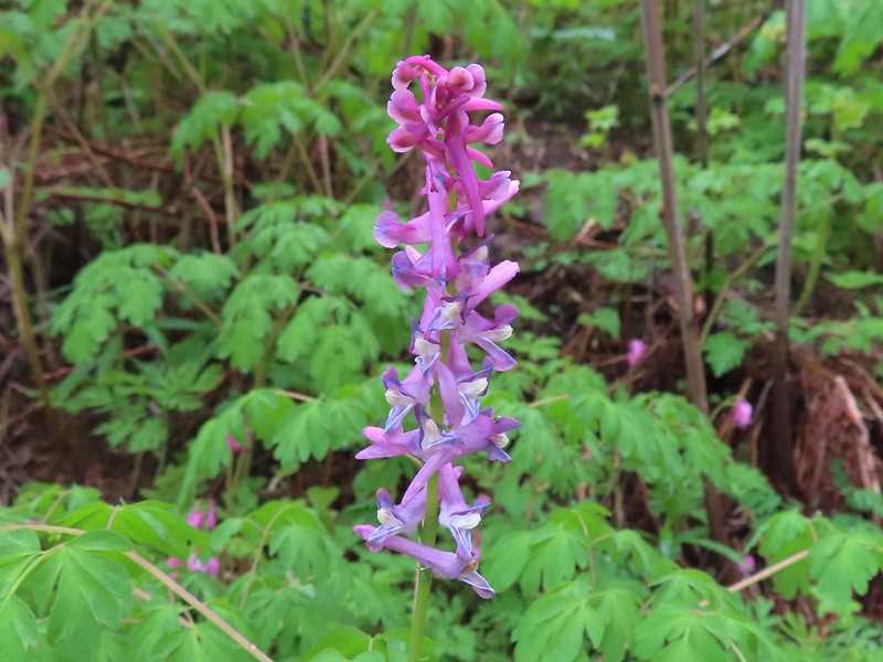
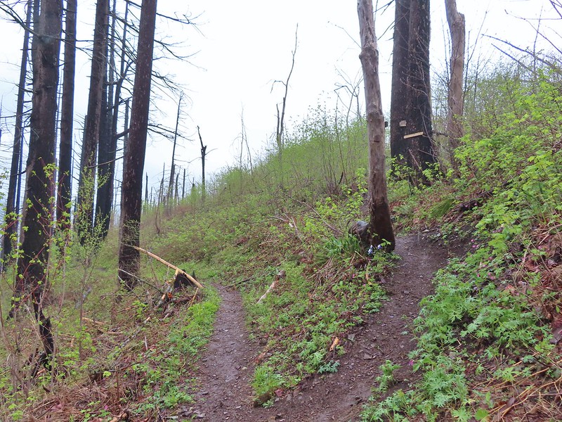 The Primrose Path joining from the right.
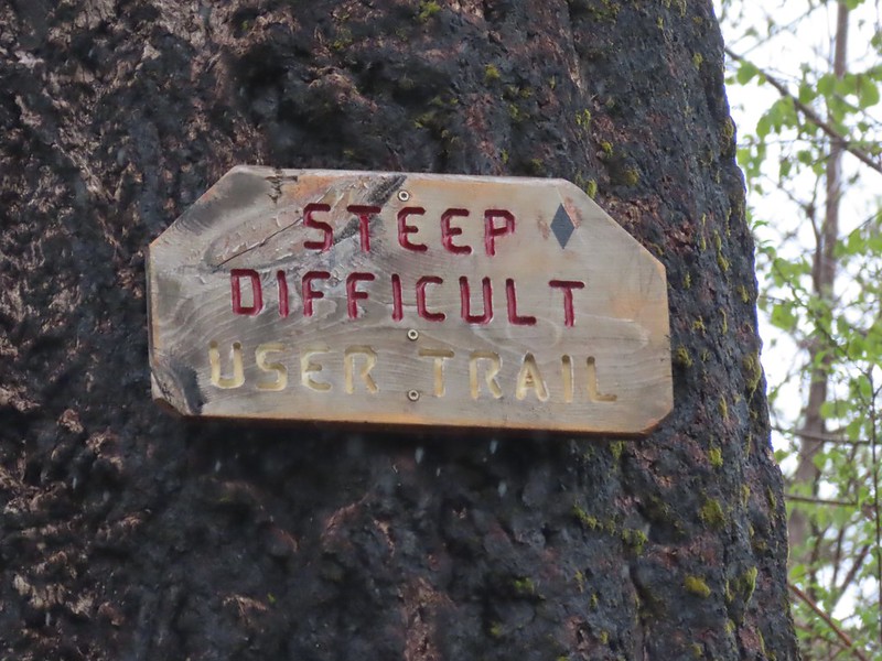 Primrose Path warning.
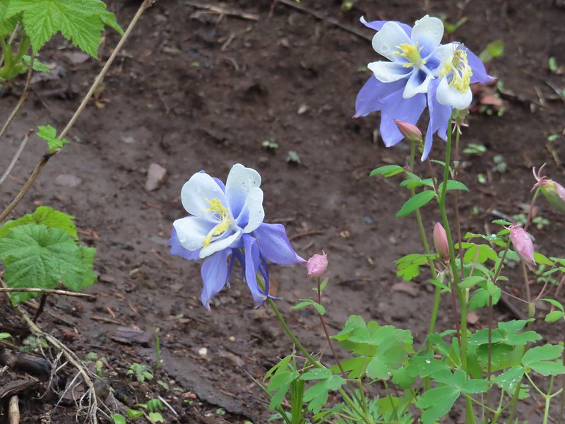 Does anyone know the story of this columbine at the Primrose junction? It has to be non-native.
 Wahkeena Creek from the Angel’s Rest Trail.
 Valerian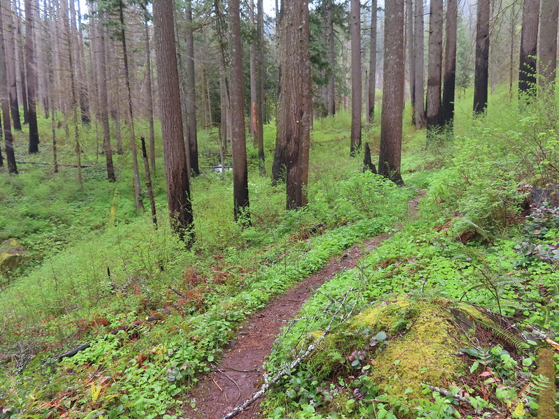
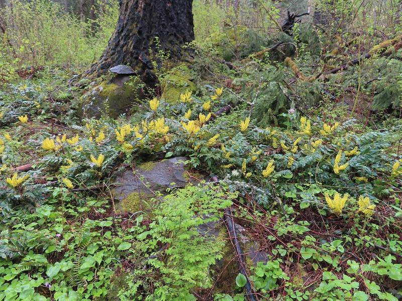 Nice display of Oregon grape near Wahkeena Springs.
 Arriving at Wahkeena Springs.
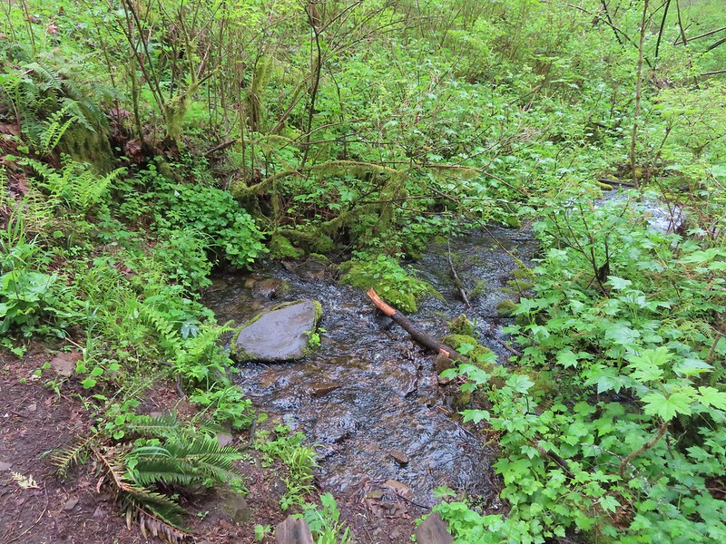 Wahkeena Springs
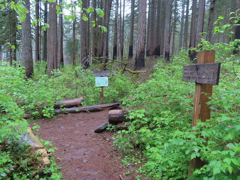 The Wahkeena Trail junction is a very short distance from Wahkeena Springs.
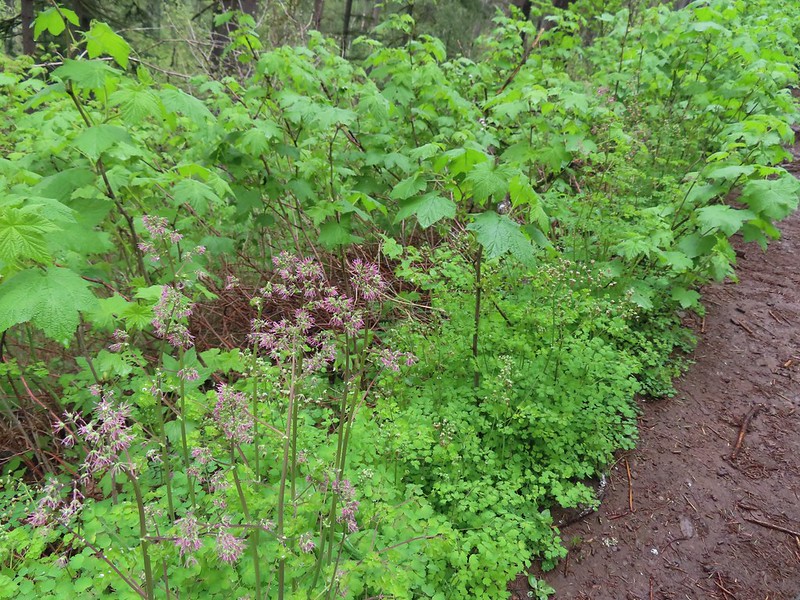 Both female and male versions of western meadowrue. Today was by far the most meadowrue we’d ever seen on a hike.
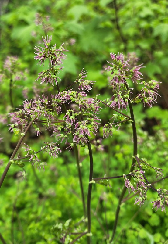 Female
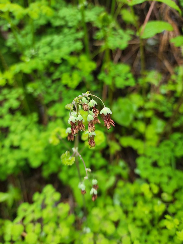 Male
Male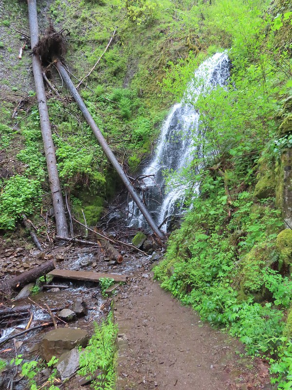 Fairy Falls
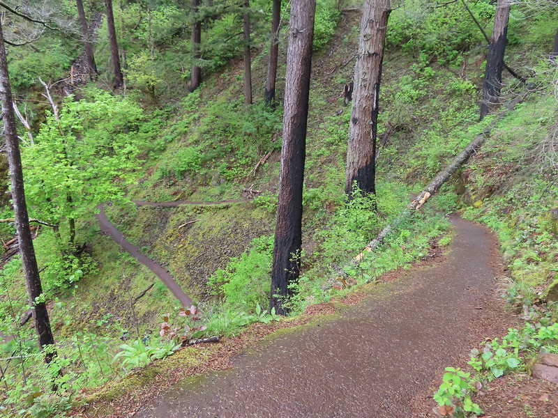 Starting down the switchbacks.
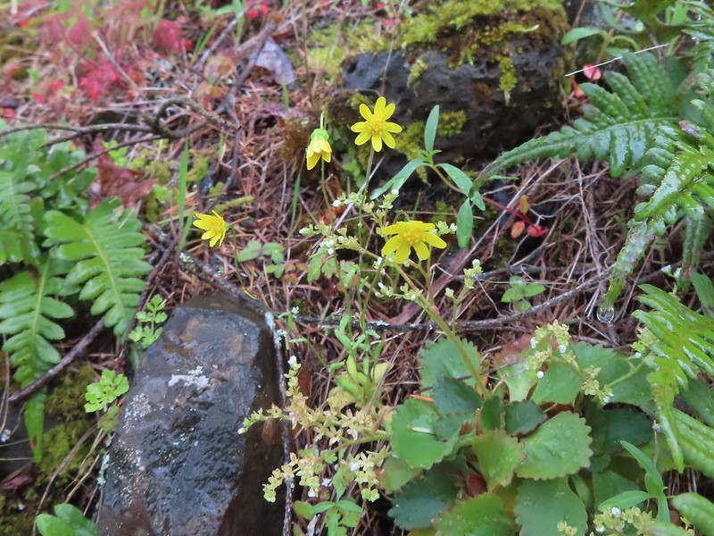 Gold stars
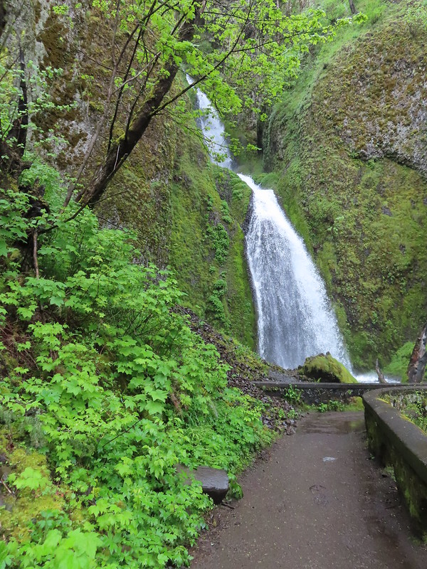 Wahkeena Falls.


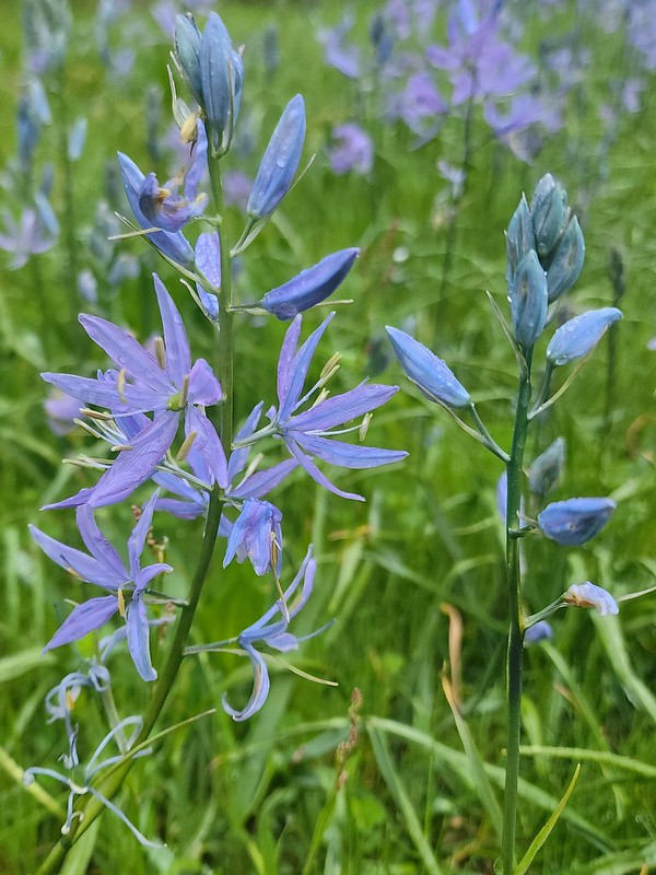
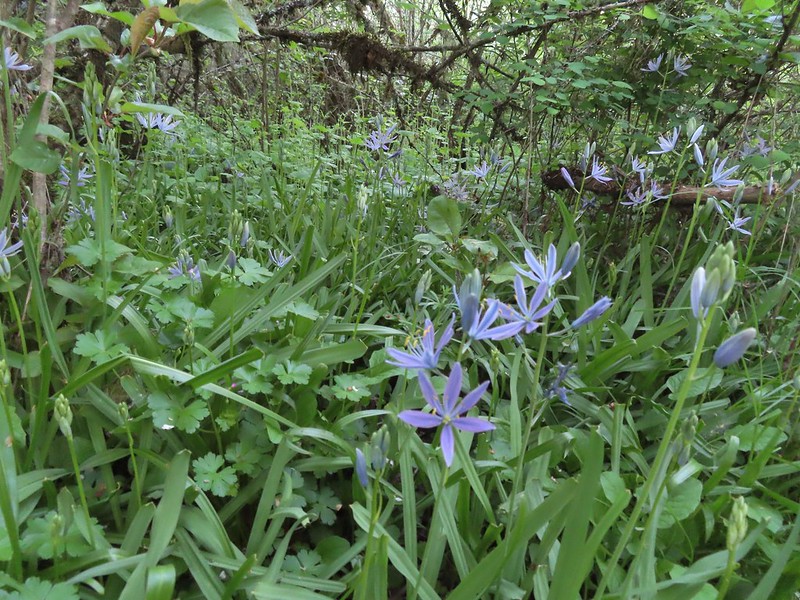 Camas
Camas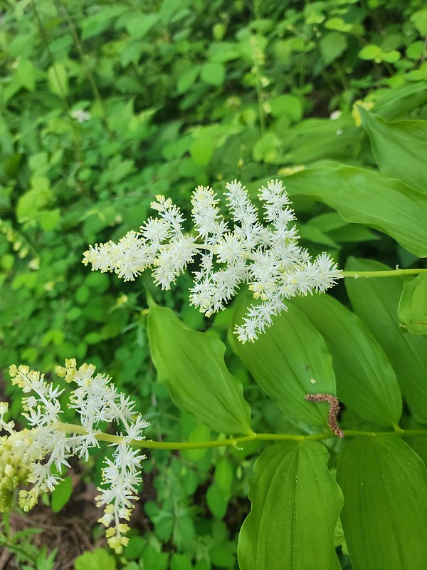 Solomonseal
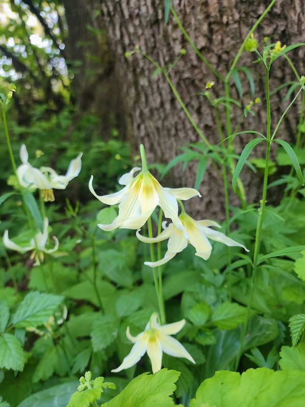 Fawn lilies
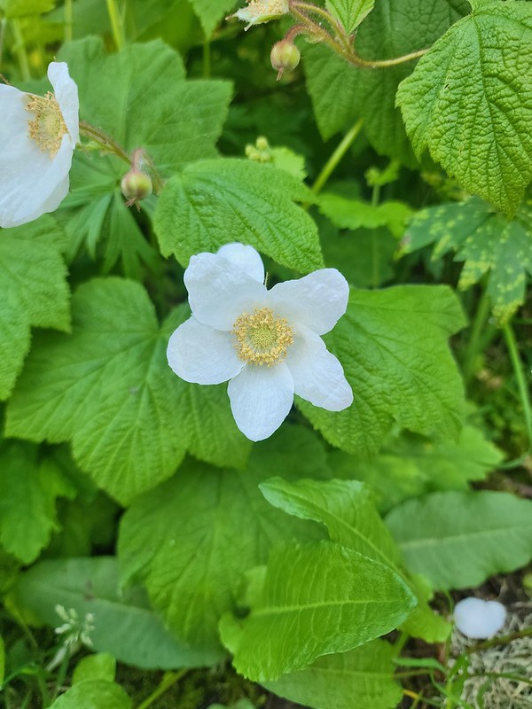 Thimbleberry
 Giant purple wakerobin
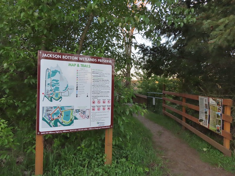
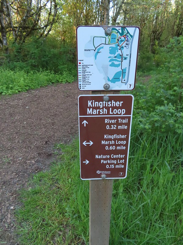 The trail signs were very helpful in keeping us on track.
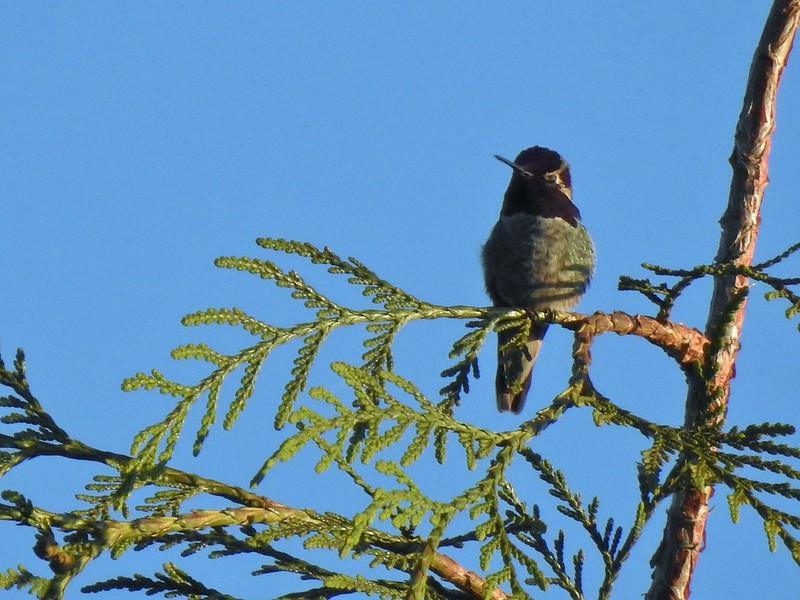 Anna’s hummingbird
 Viewpoint overlooking Kingfisher Marsh.
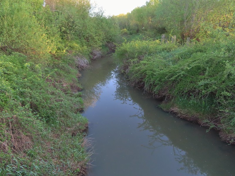 The trail crossed Jackson Slough on a footbridge.
 Pintail Pond Loop
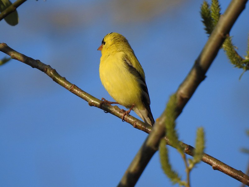 American goldfinch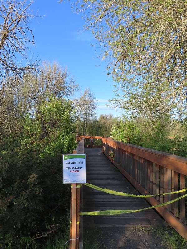
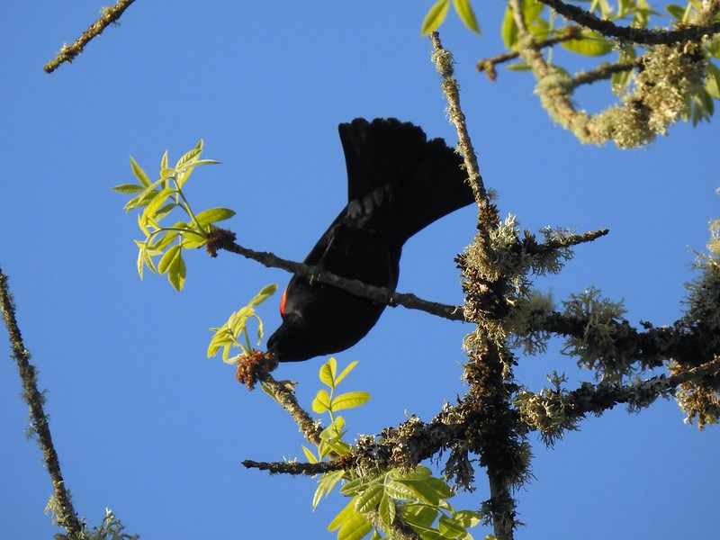 Red-winged blackbird
 Sparrow
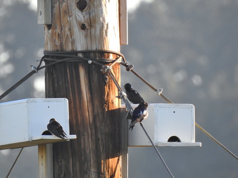 Purple martins
 American robin
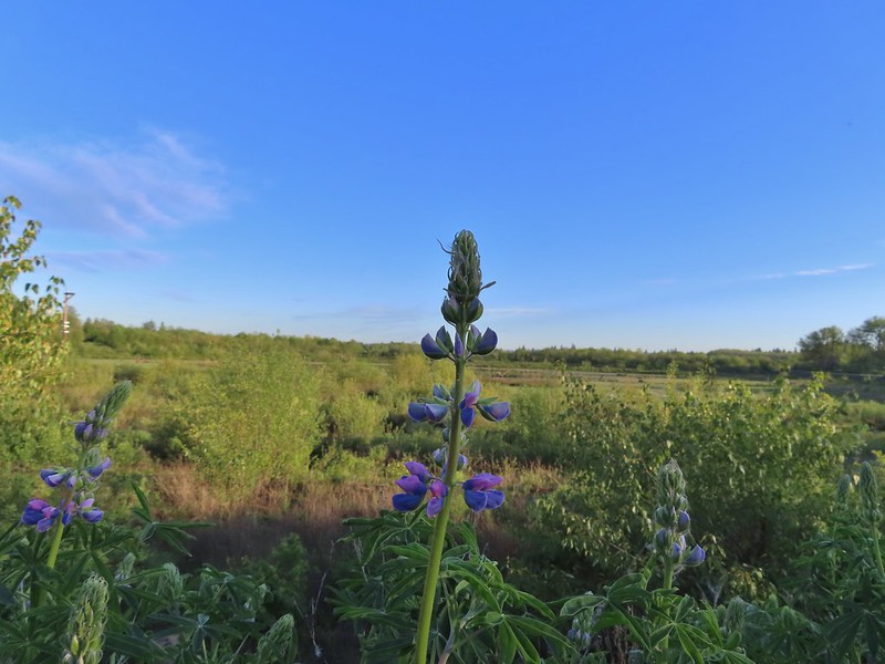 There is a lot of lupine in the preserve but only a few had started blooming.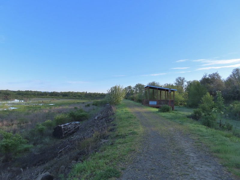


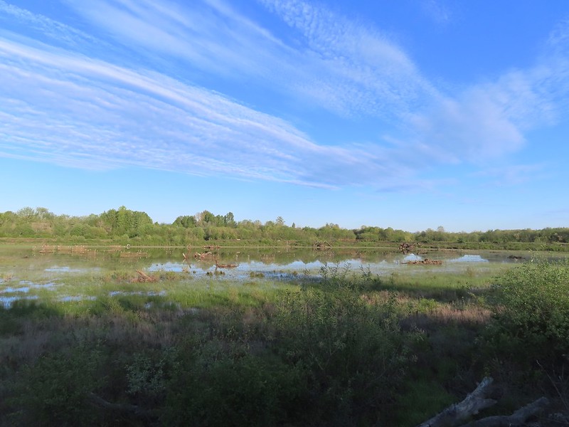 Pintail Pond
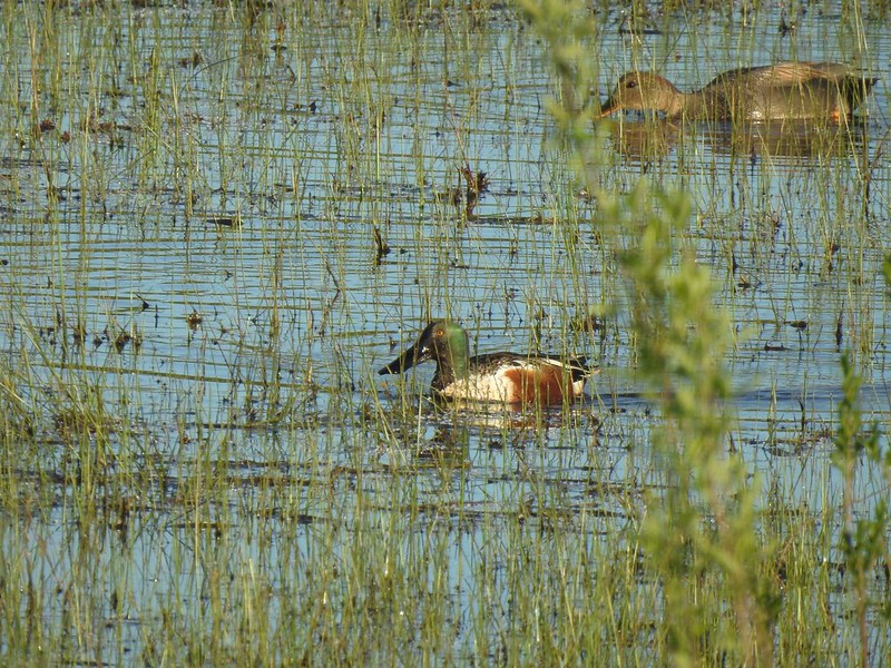 Northern shoveler drake and a gadwall
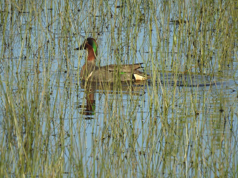 Green-winged teal
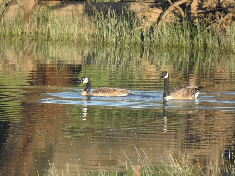 Geese
Geese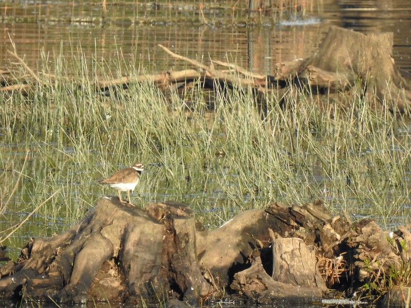 Killdeer
 More camas
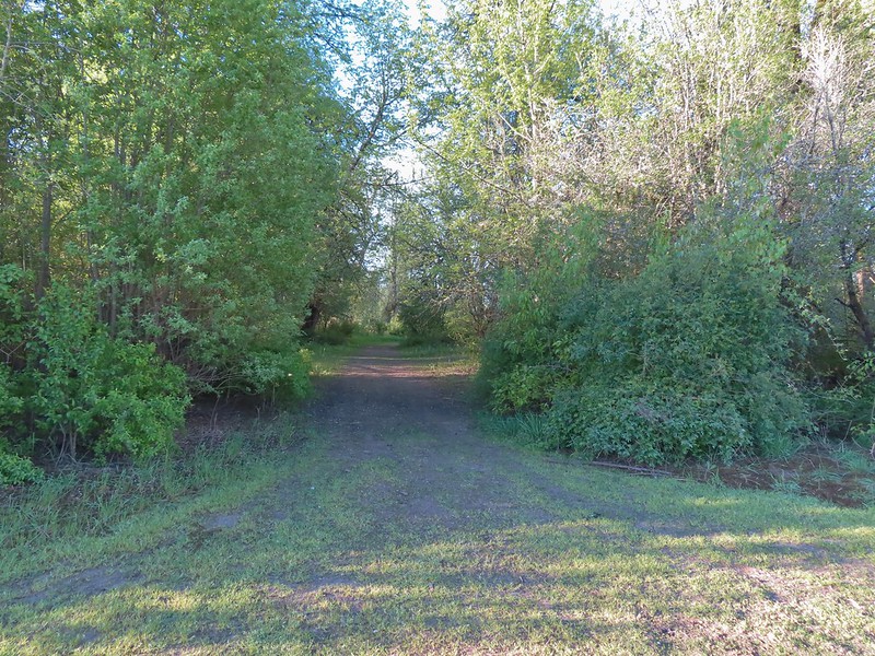 The Ash Trail.
 Orange-crowned warbler
 Jackson Bottom Wetlands
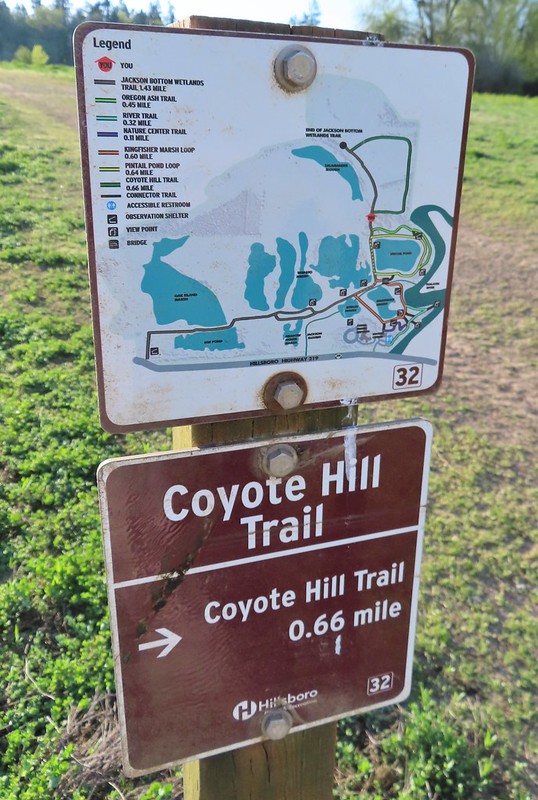 Can’t emphasize enough how helpful the map/pointer combinations are.
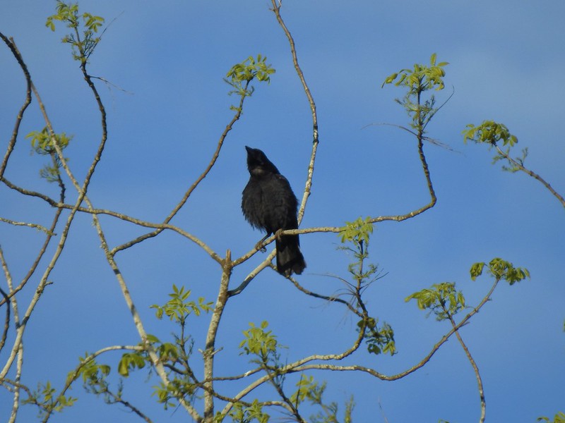 Noisy crow
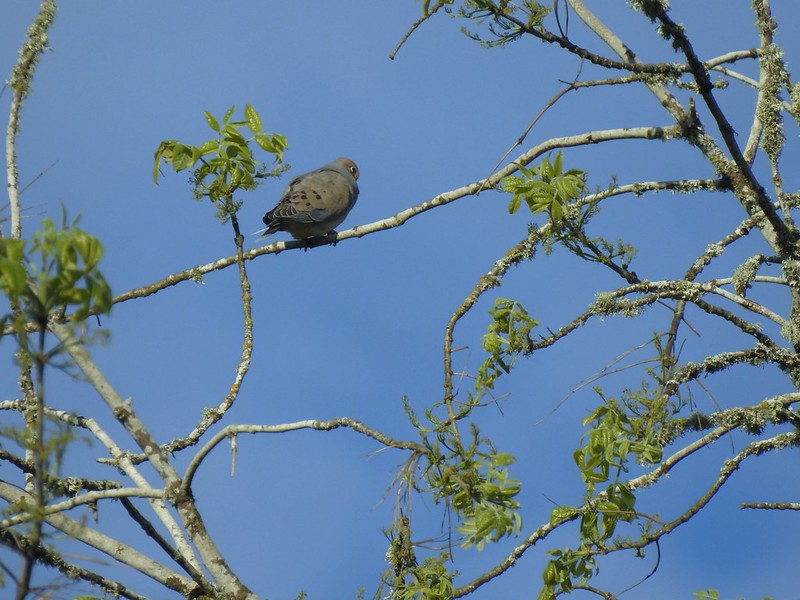 Mourning dove
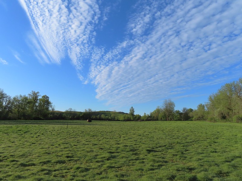 Our assumption was that that is Coyote Hill in the distance.
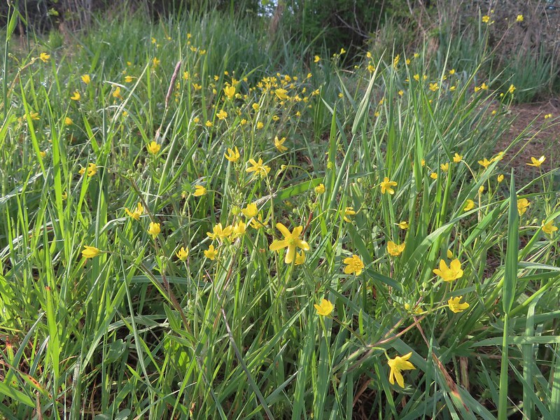 Western buttercups
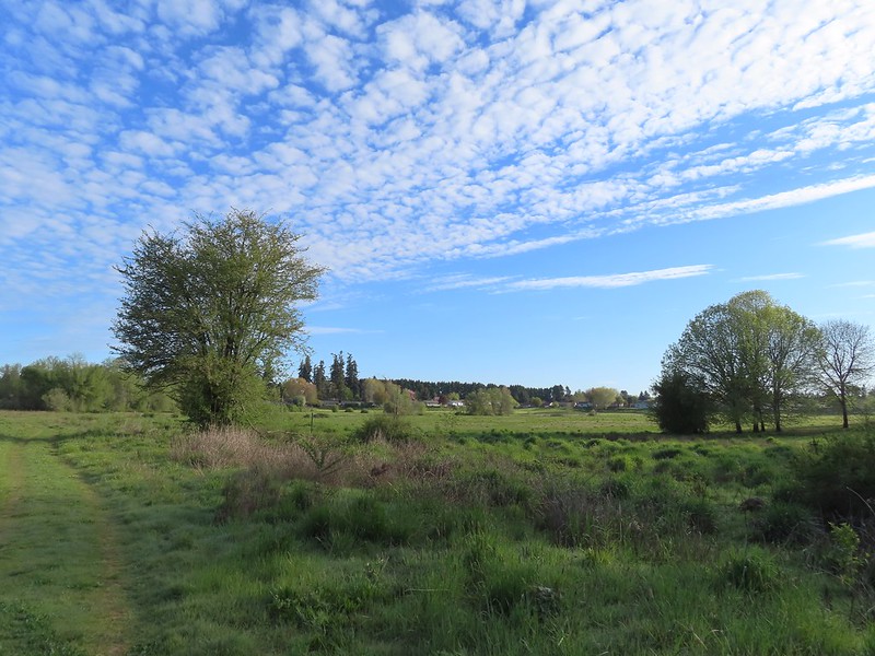 Some houses on the wetlands border.
 Golden-crowned sparrow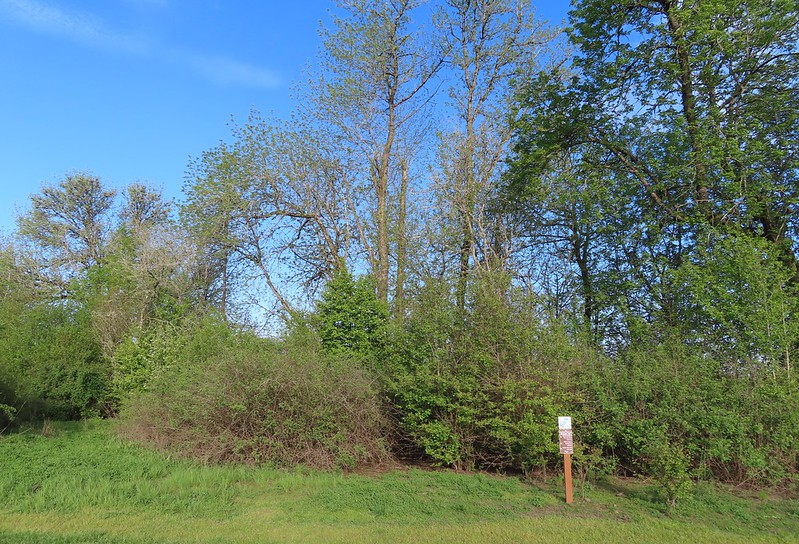
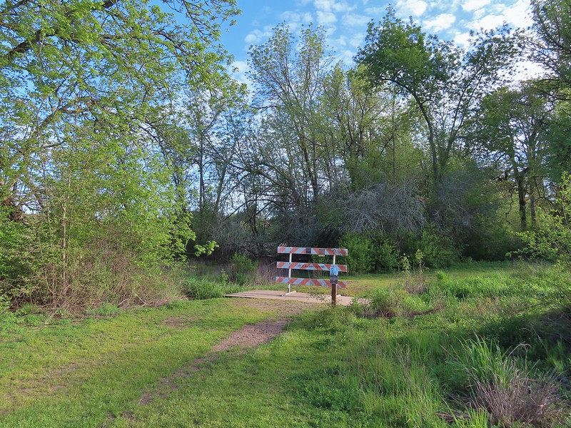 End of the trail.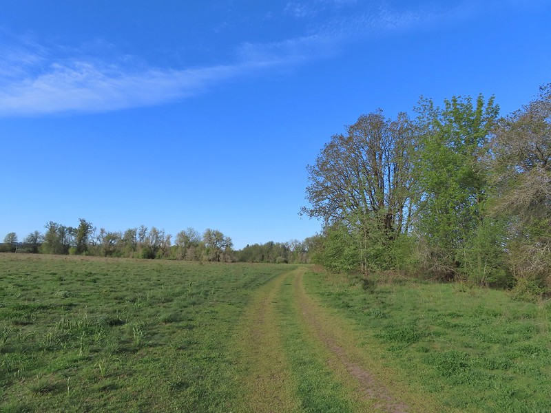
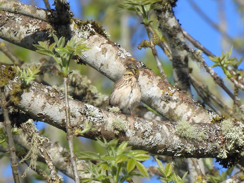 Savannah sparrow
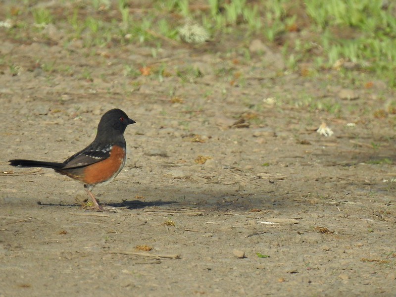 Spotted towhee
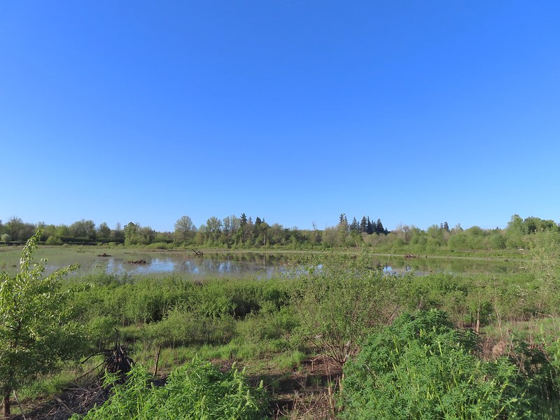 Passing Pintail Pond.
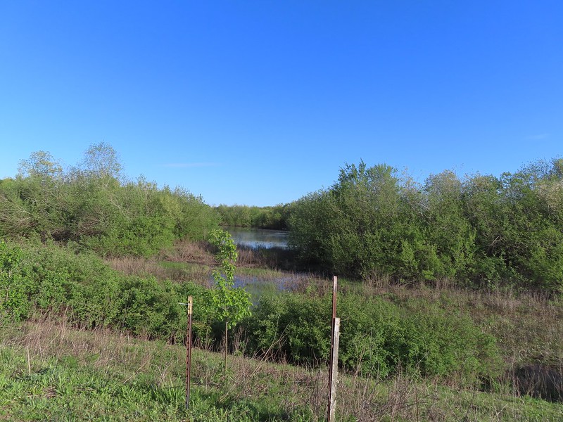 Wapato Marsh
 White-crowned sparrow
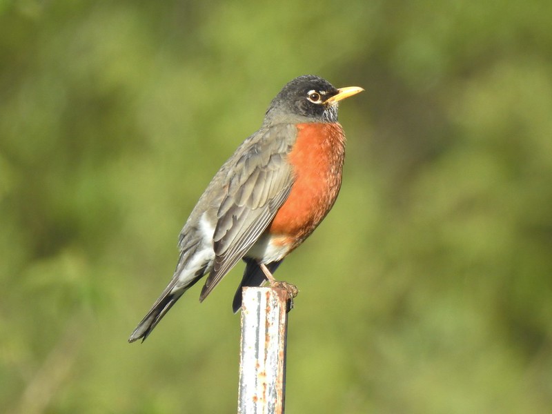 American robin
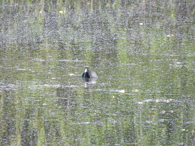 American coot
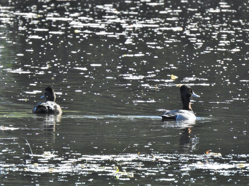 Ring-necked ducks
 Wapato Marsh
 Cormorants
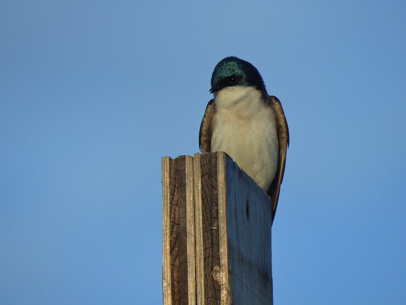
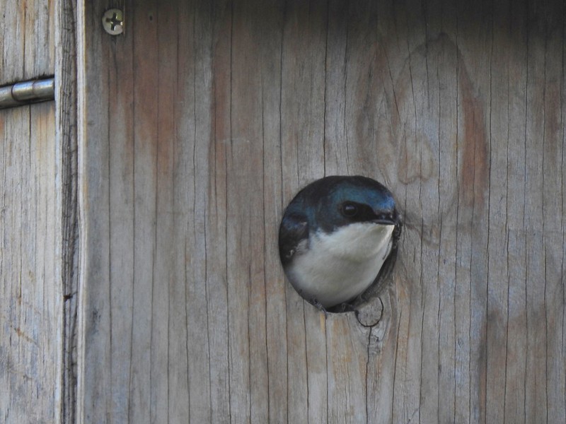
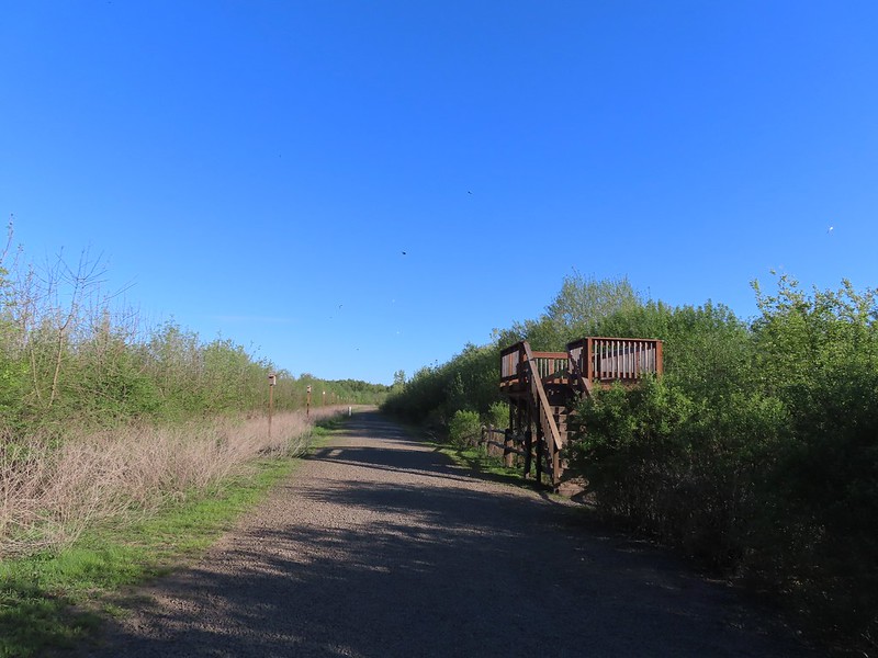 Raised viewing platform with many tree swallow photobombs.
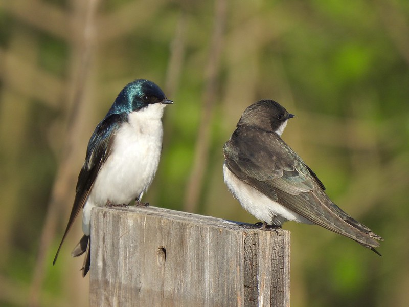 This couple was having quite the discussion.
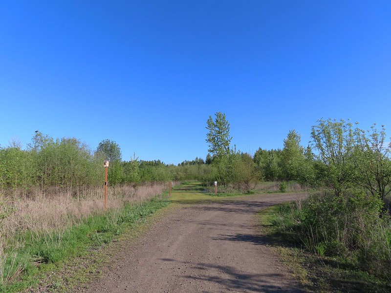 The Bobcat Marsh Trail on the left.
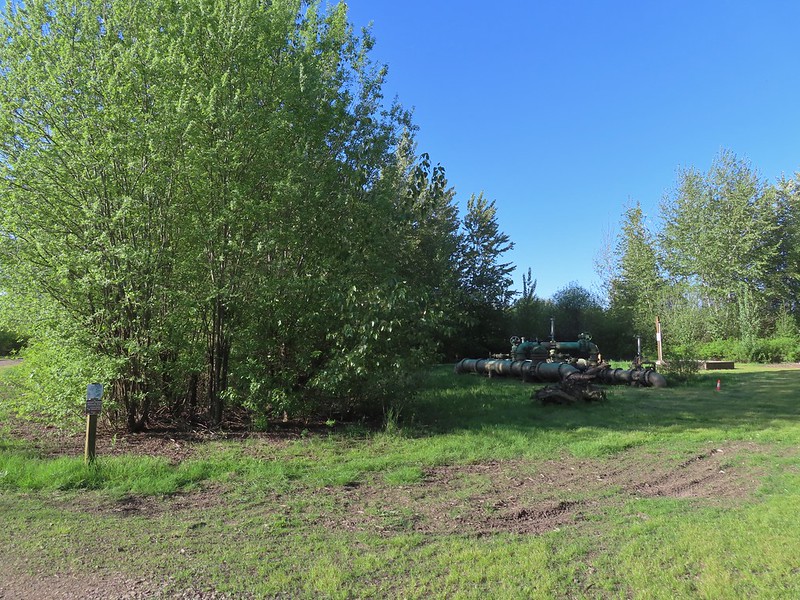 Water treatment pipes at the other end of the Bobcat Marsh Trail.
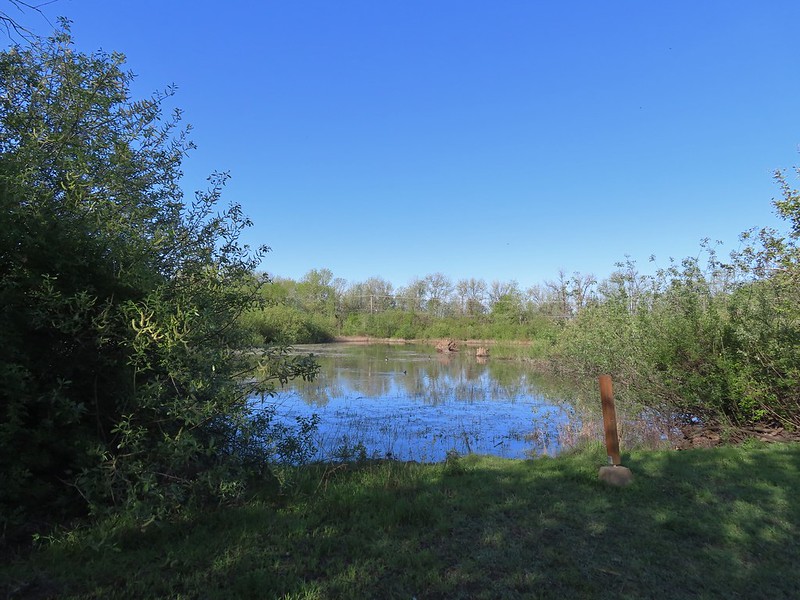 NW Pond
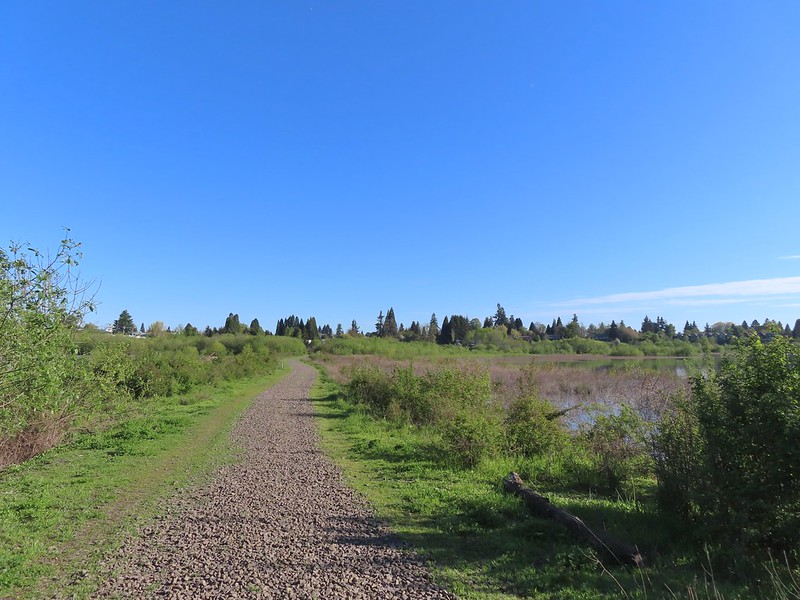 The trail passed between the NW Pond on the left and Oak Island Marsh on the right.
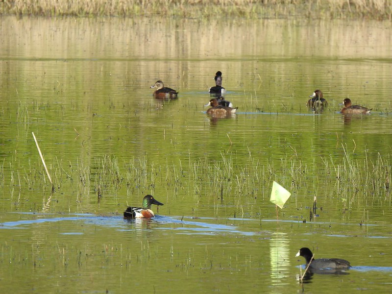 NW Pond had a variety of waterfowl. This is a northern shoveler drake, ring-necked duck pair, four lesser scaups, and an American coot.
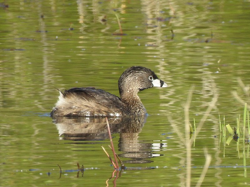 Pied-billed grebe in NW Pond
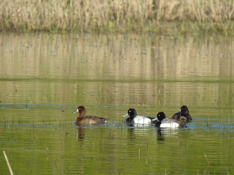 Lesser scaups
 Goose and mallards
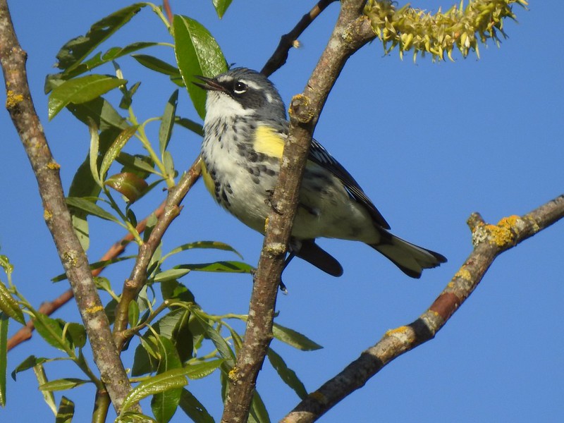 Yellow-rumped warbler
 The northern trailhead.
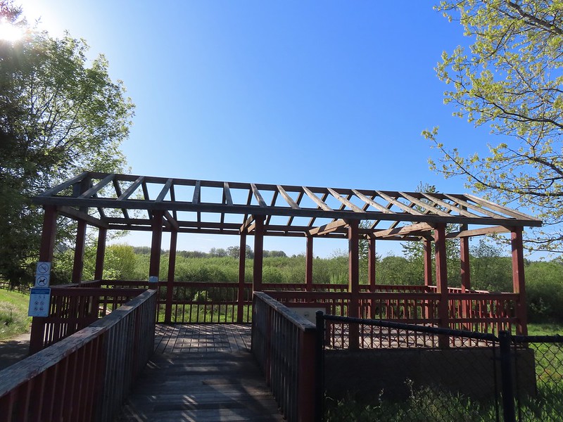 Viewing platform at the trailhead.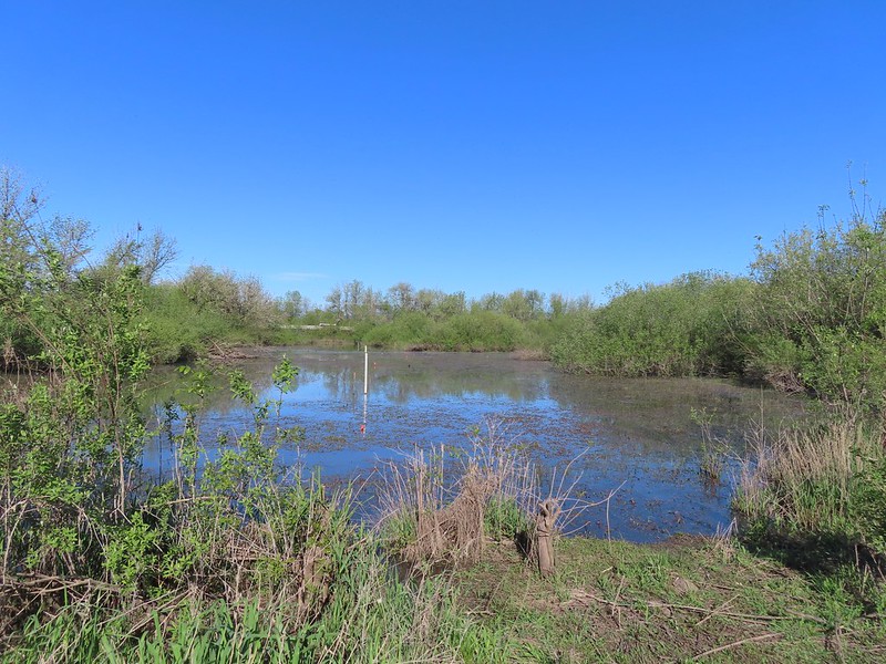
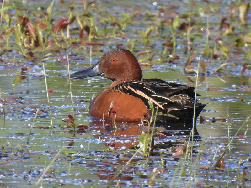 Cinnamon teal on Meadow Mouse Marsh

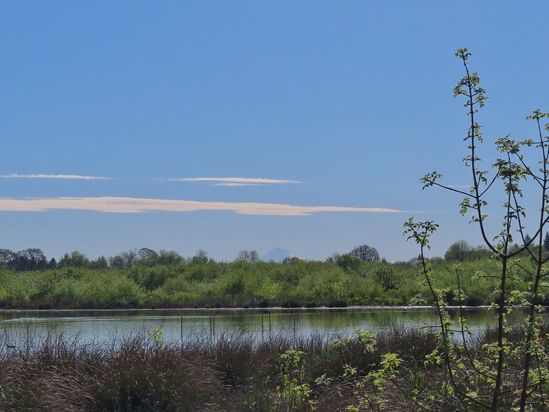 Mt. Hood beyond Wapato Marsh
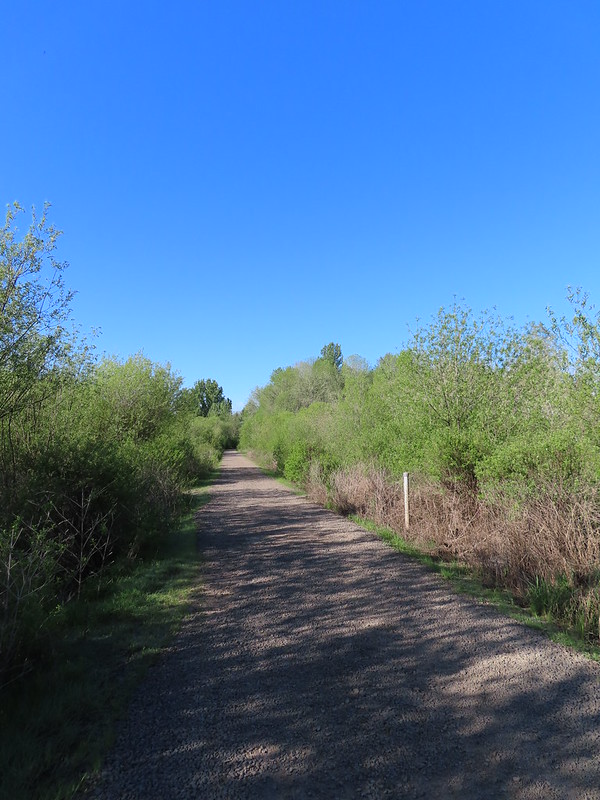 Back on the Kingfisher Marsh Loop.
 The Kingfisher Marsh Loop turned left here.
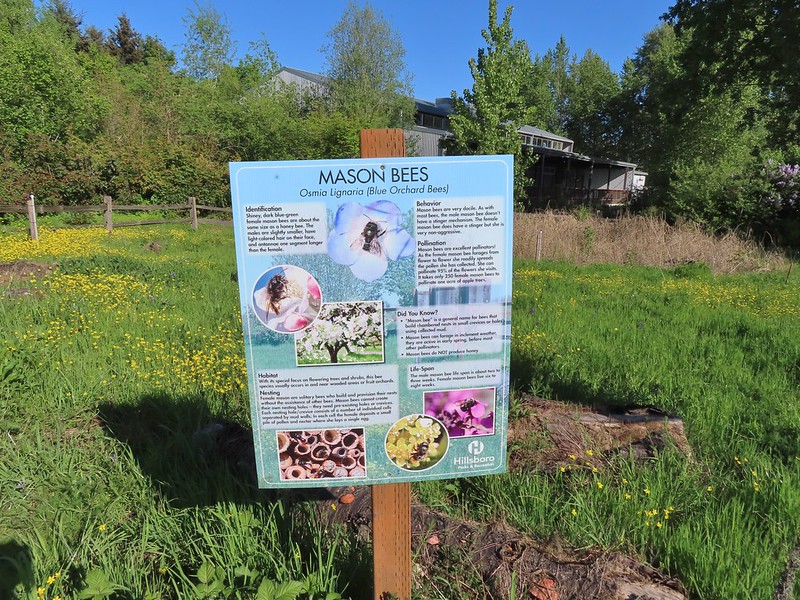
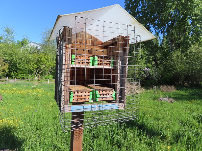 Mason bee house
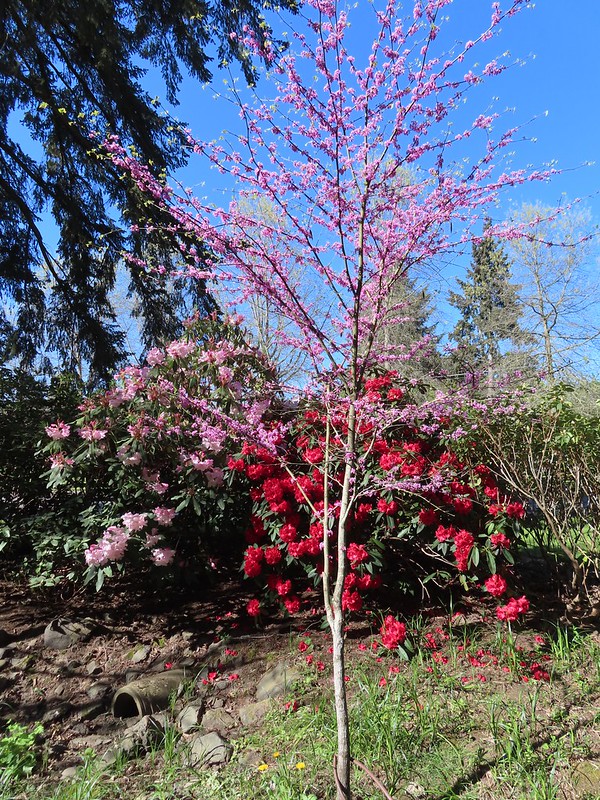
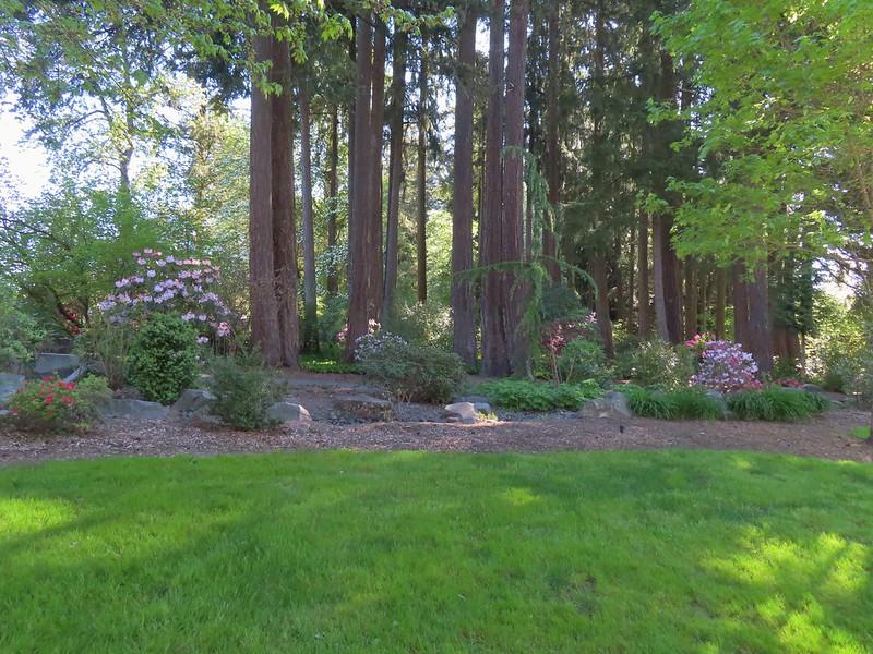
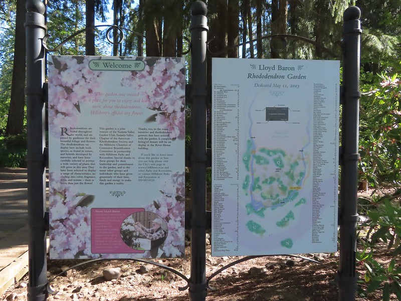 Sign for the rhododendron garden.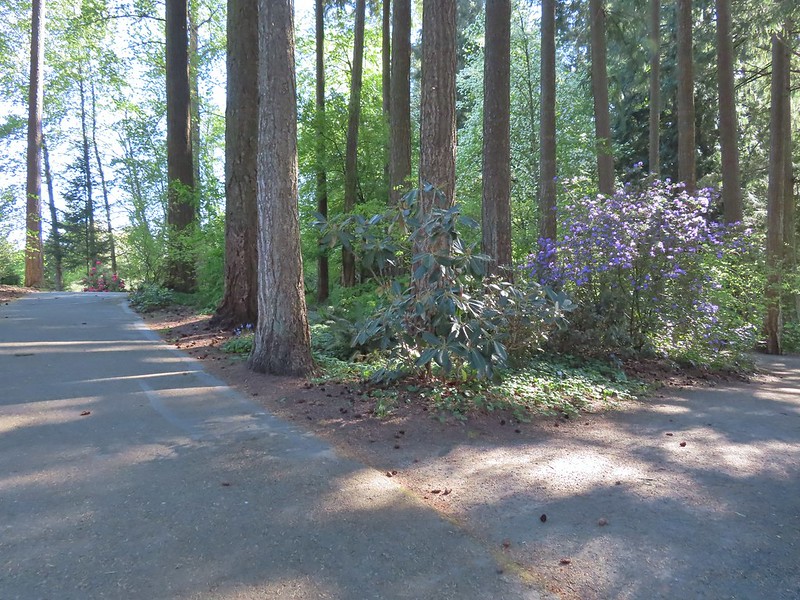
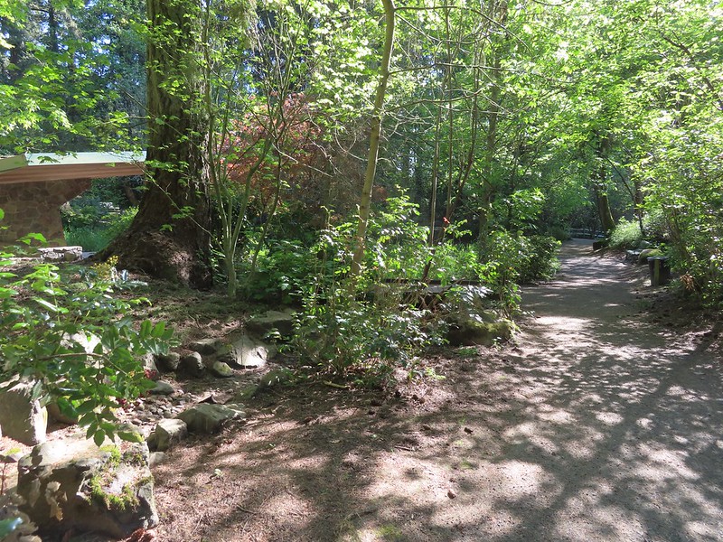
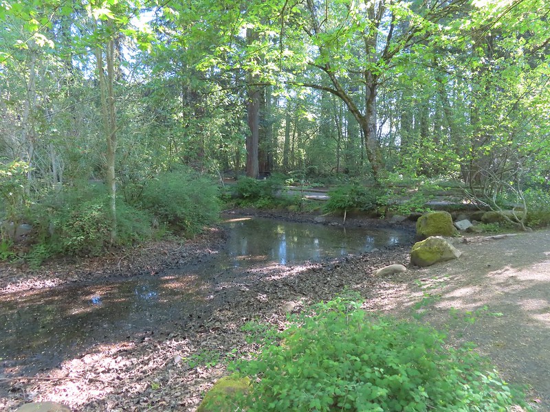 The Woodland Pond
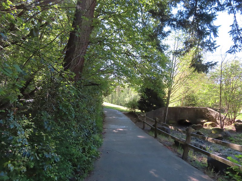 Heading for the Rock Creek Trail.
 Rock Creek from the Rock Creek Trail.
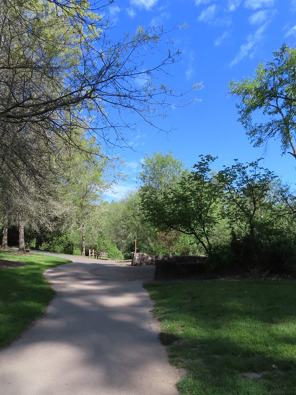
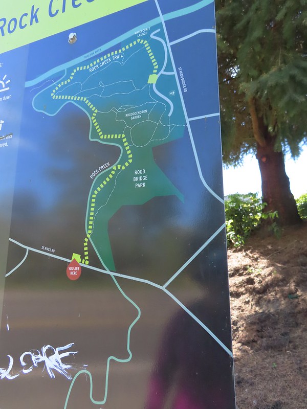
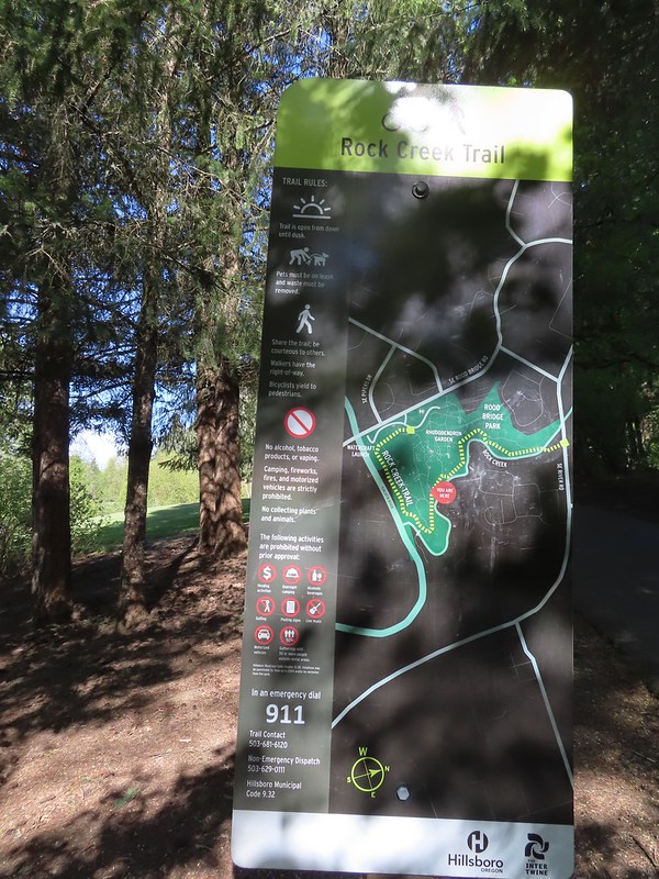 The maps for the park were a little tougher to follow as most of the trails weren’t named and there were a lot of interconnected short segments.
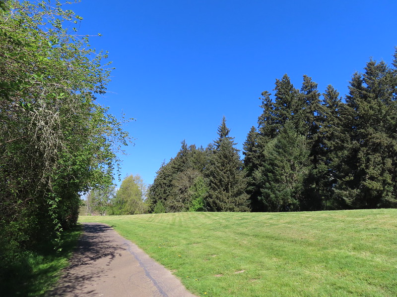
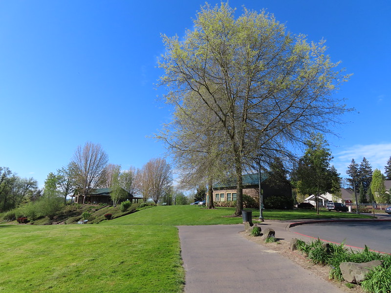 The junction ahead is where the Rock Creek Trail beings/end according to the Rock Creek Trail maps. Maps of Rood Bridge Park simply refer to this as part of the “Main Trail Loop”, if they label it at all.

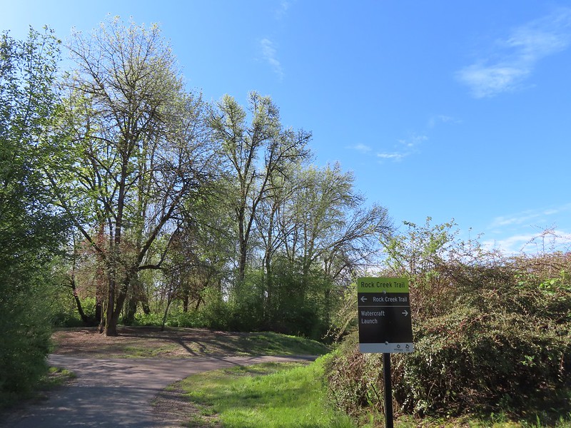
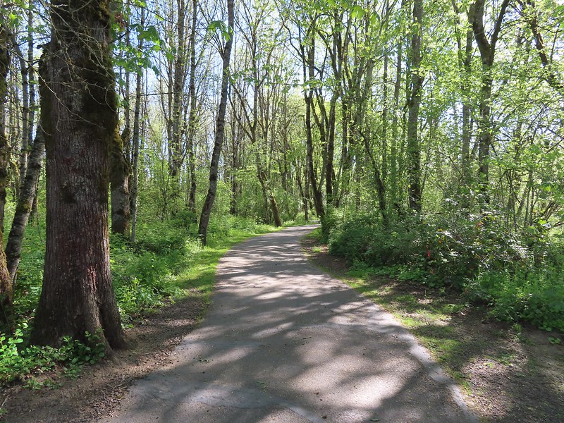
 Mallards
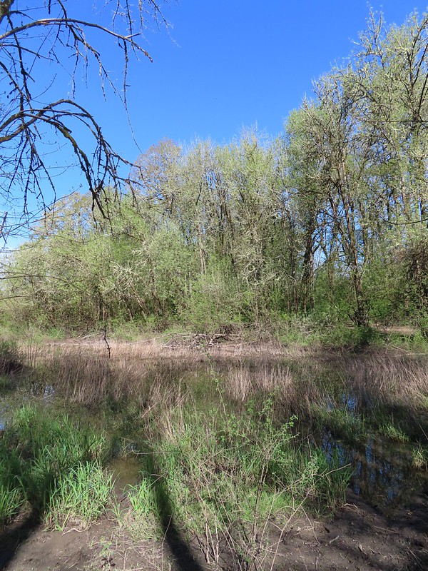
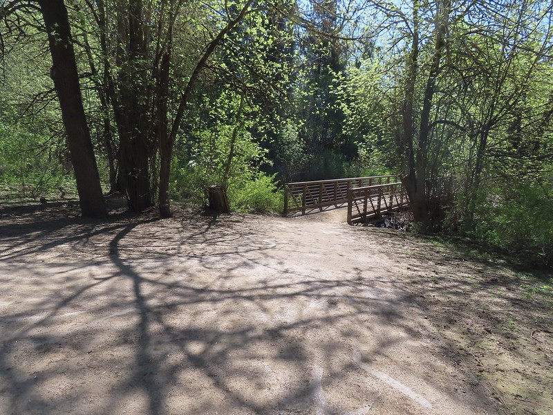 Footbridge at the start of the Lollipop Loop.

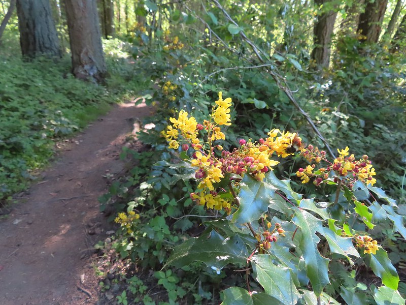 There was a fair amount of Oregon grape as well.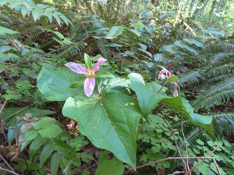

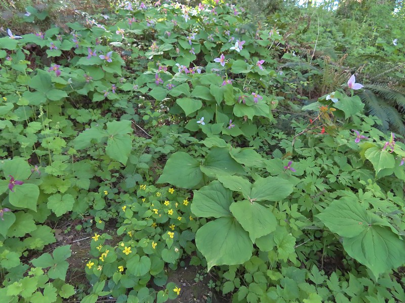 Violets and trillium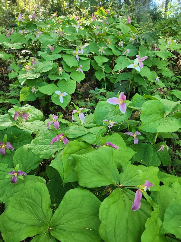
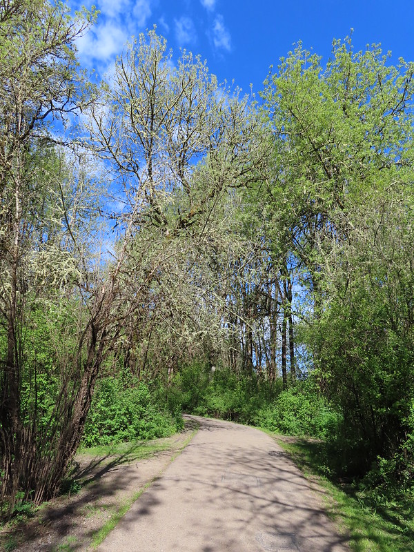
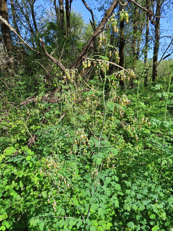 Western meadowrue
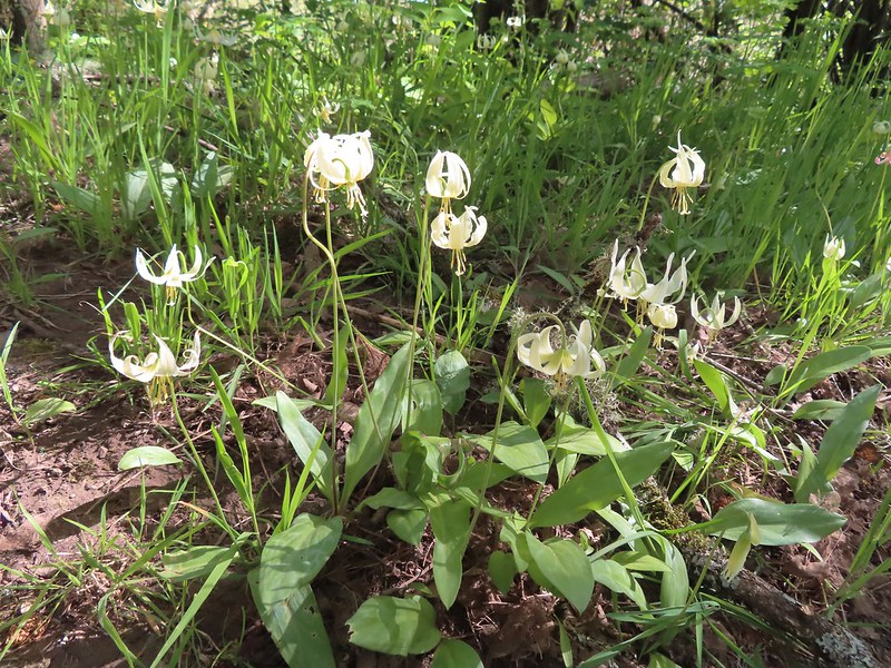 Fawn lilies

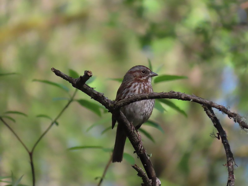 Sparrow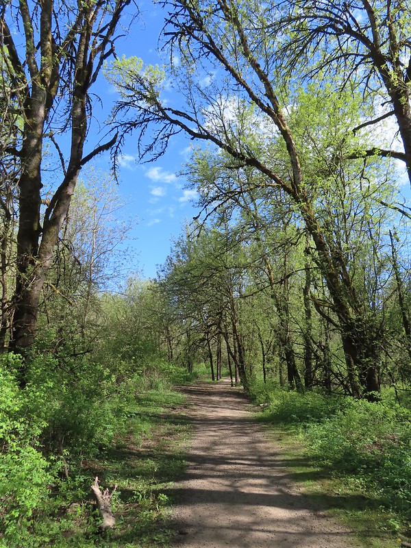
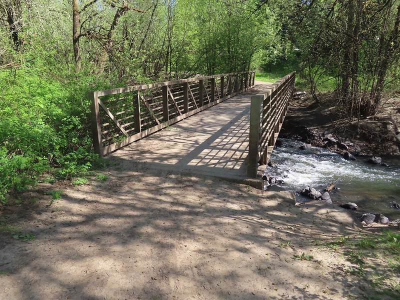 Footbridge over Rock Creek.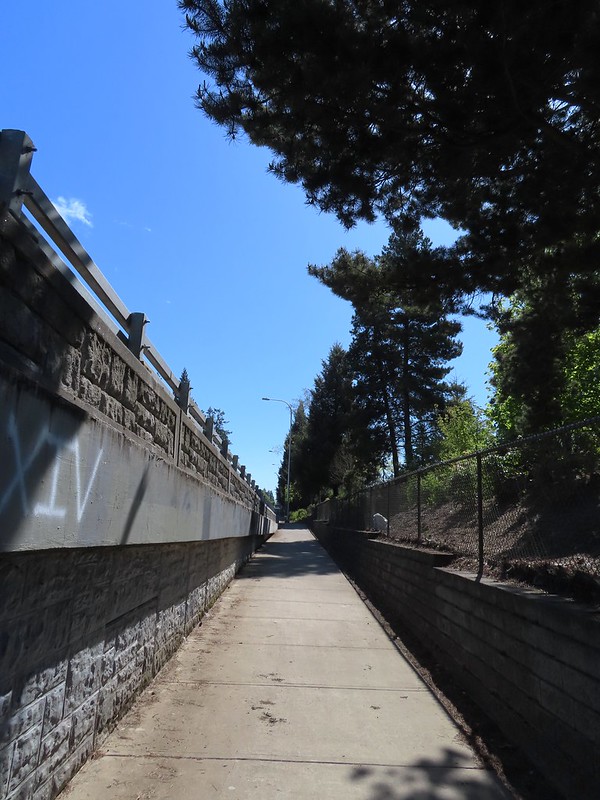
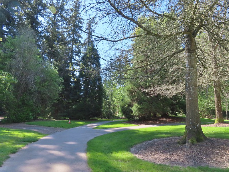 Left is the dirt path we’d taken earlier, straight is the Rock Creek Trail, and right led to the Rhododendron Garden.


 Jackson Bottom on the left and Rood Bridge to the right.
 The brown strip in the grass near the center of the photo is the trail.
 The trail entering the woods.
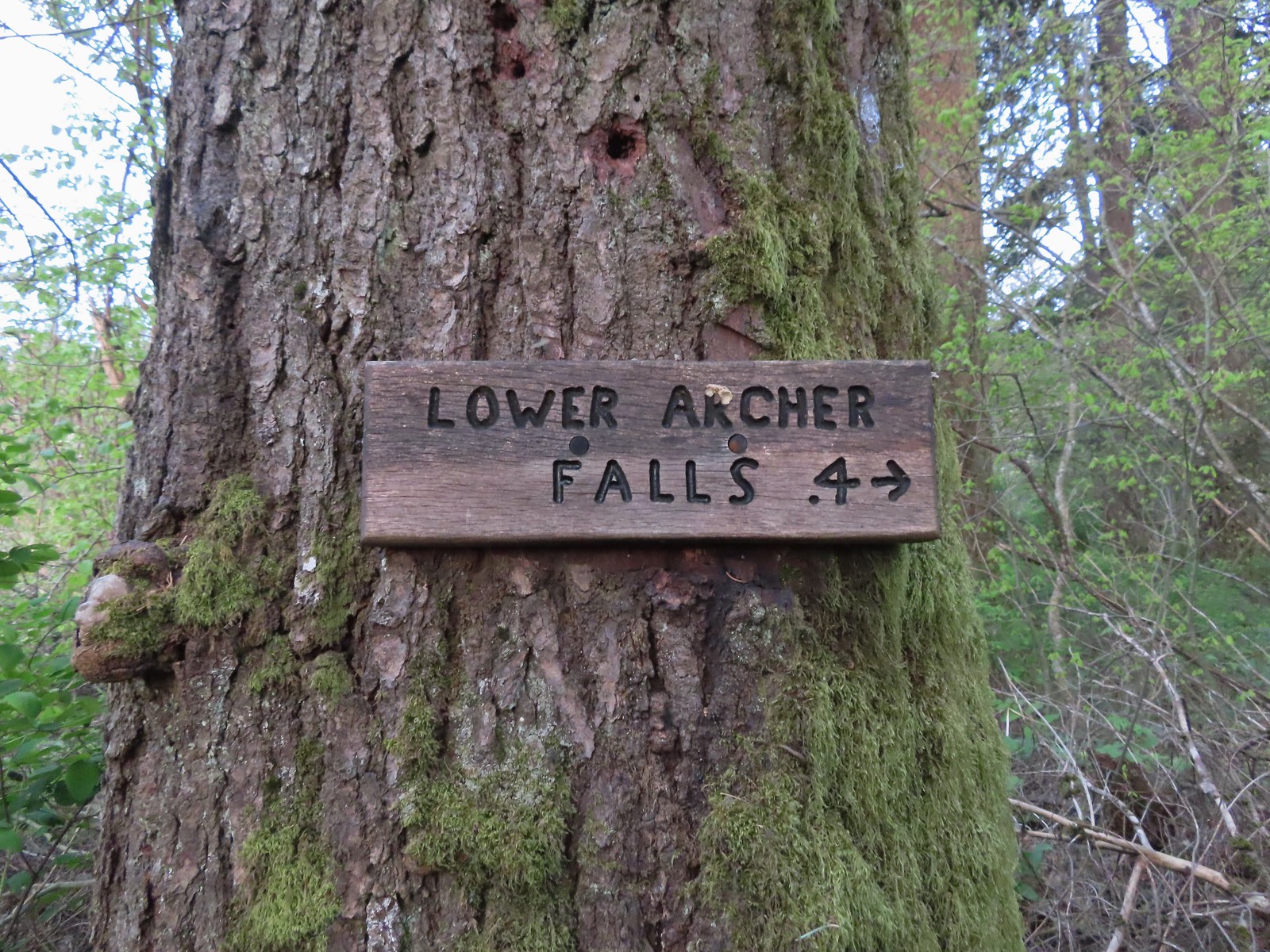 Pointer for Lower Archer Falls.
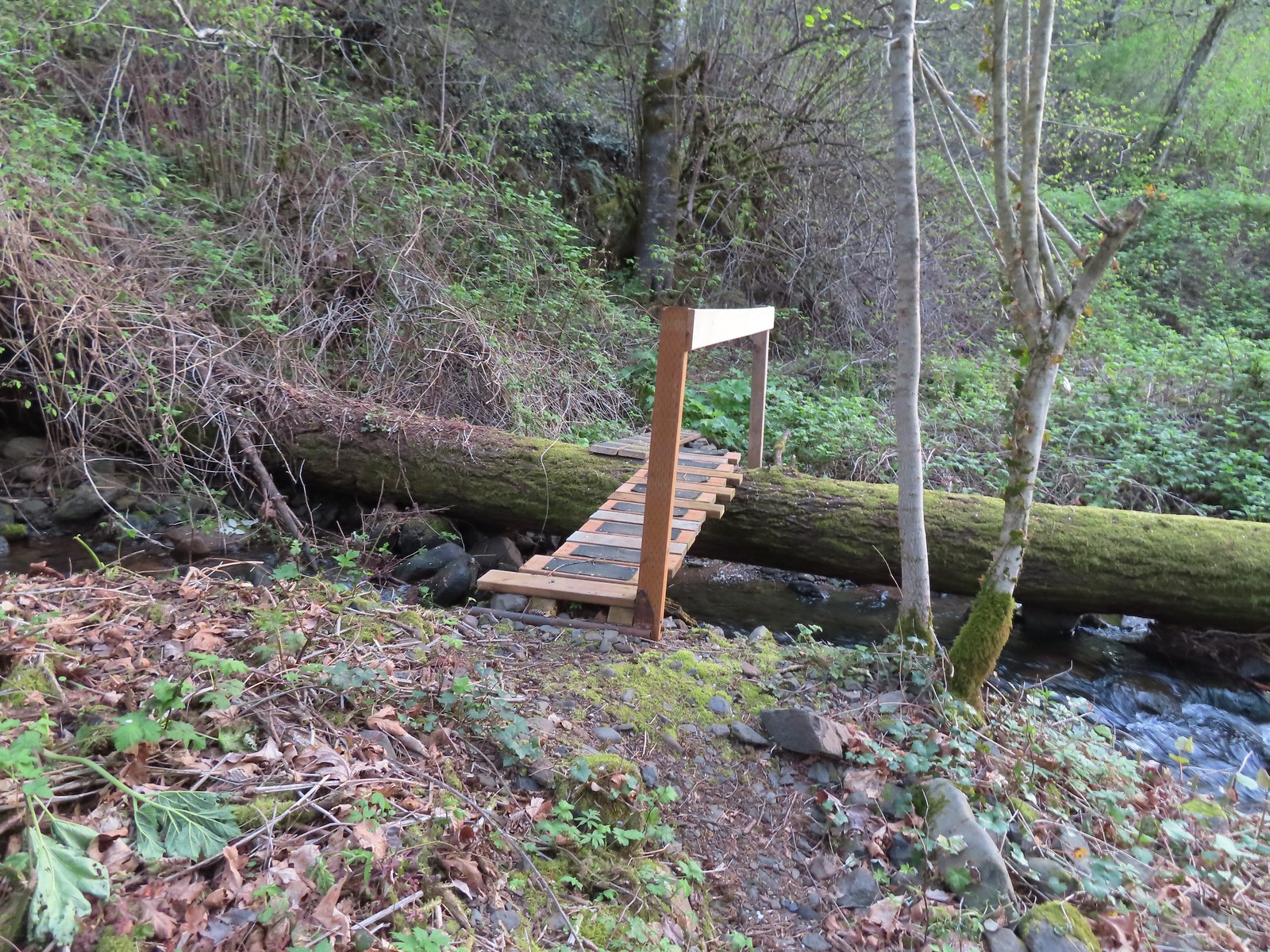 Bridges over Gable Creek.
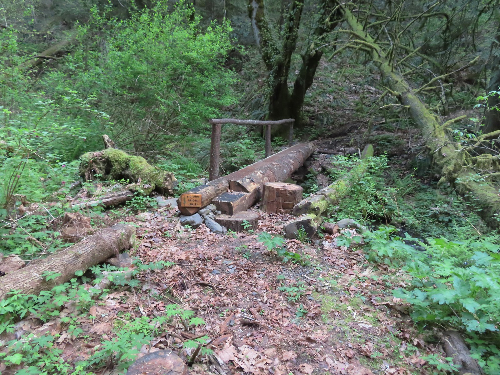 Big Doug Bridge (Jan 23) over Archer Creek.
 Archer Creek
 After crossing the creek the trail did a short climb gaining approximately 150′ of elevation.
 Trillium along the trail.
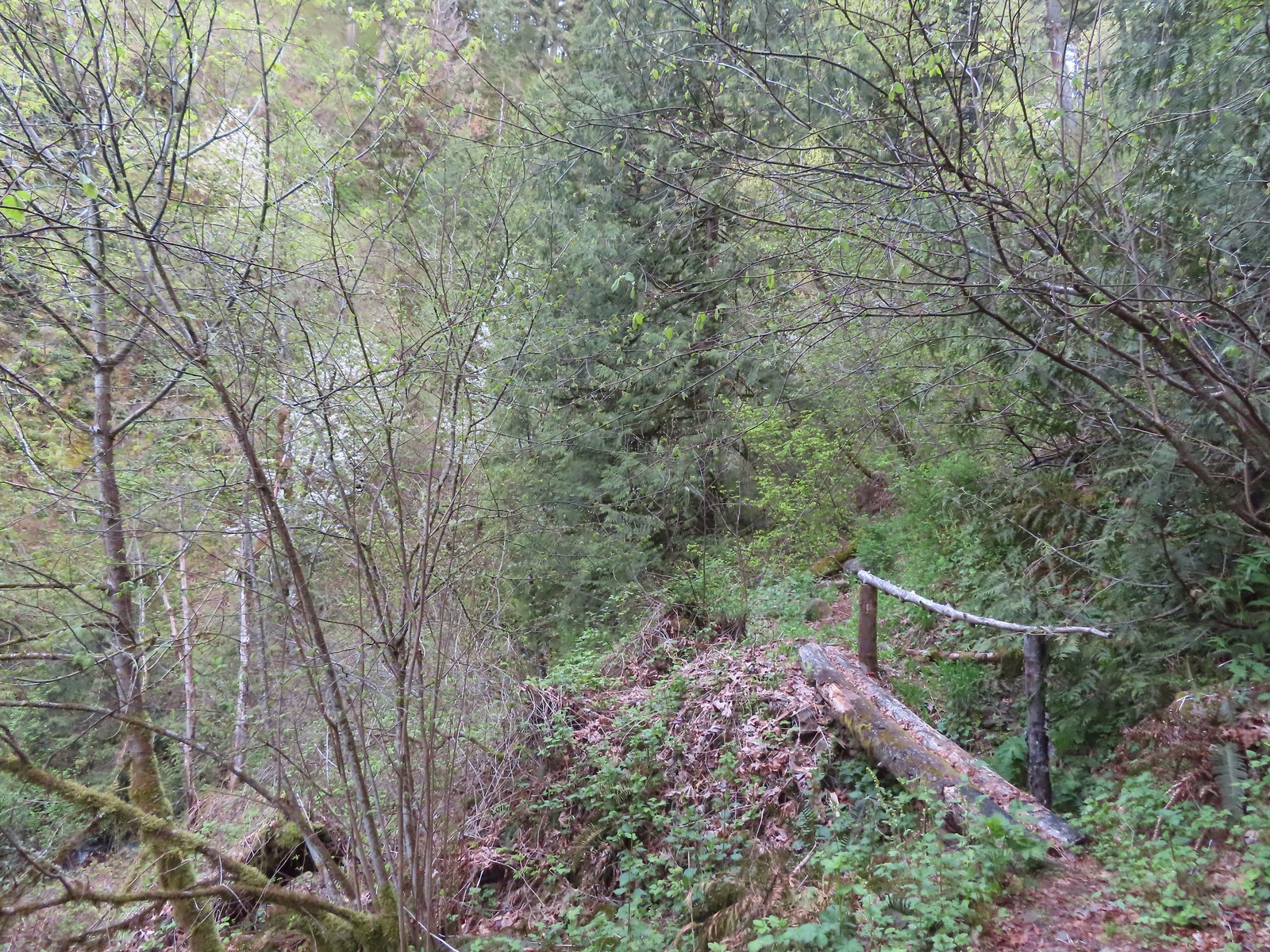 One of several of these style bridges on the way to the falls.
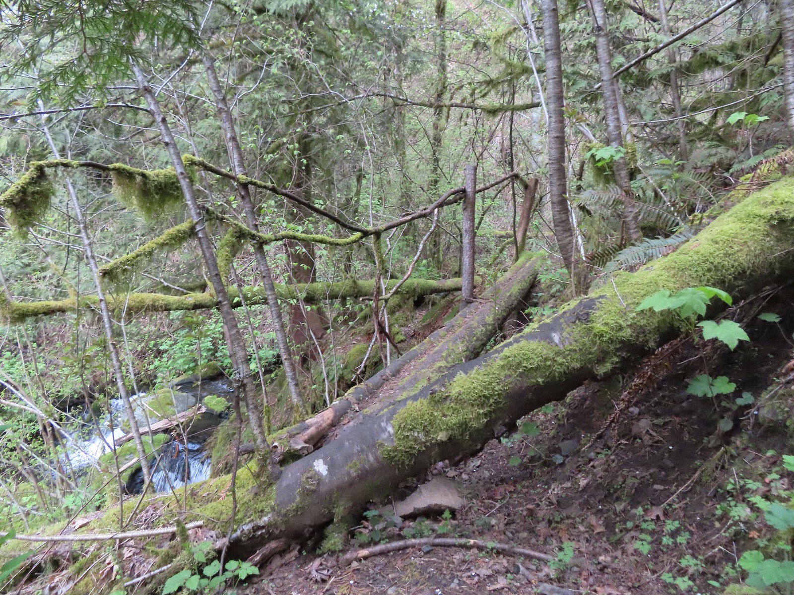 The “sketchy” bridge. It felt pretty solid underfoot, but the rail seemed ornamental only.
 The final footbridge before the falls.
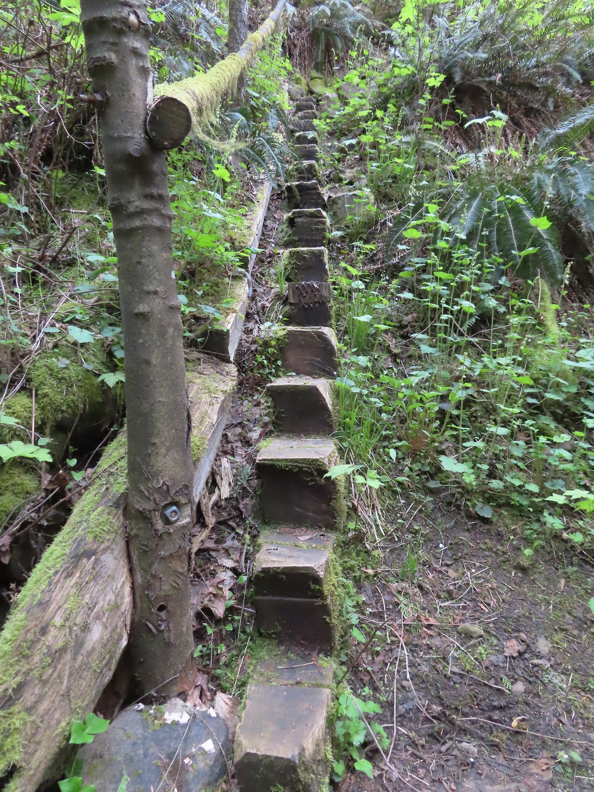 Steps leading up from Lower Archer Falls.
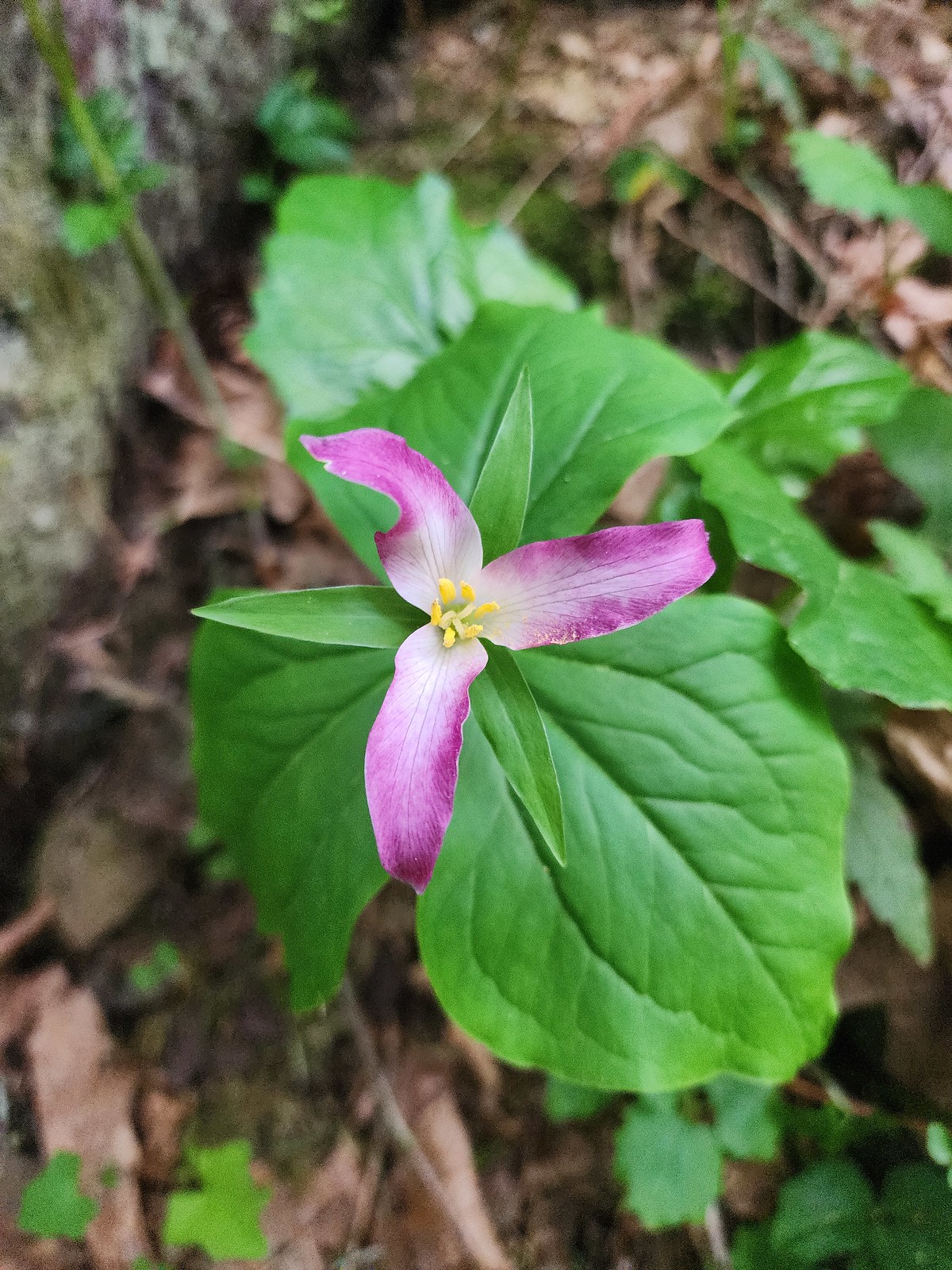 Trillium
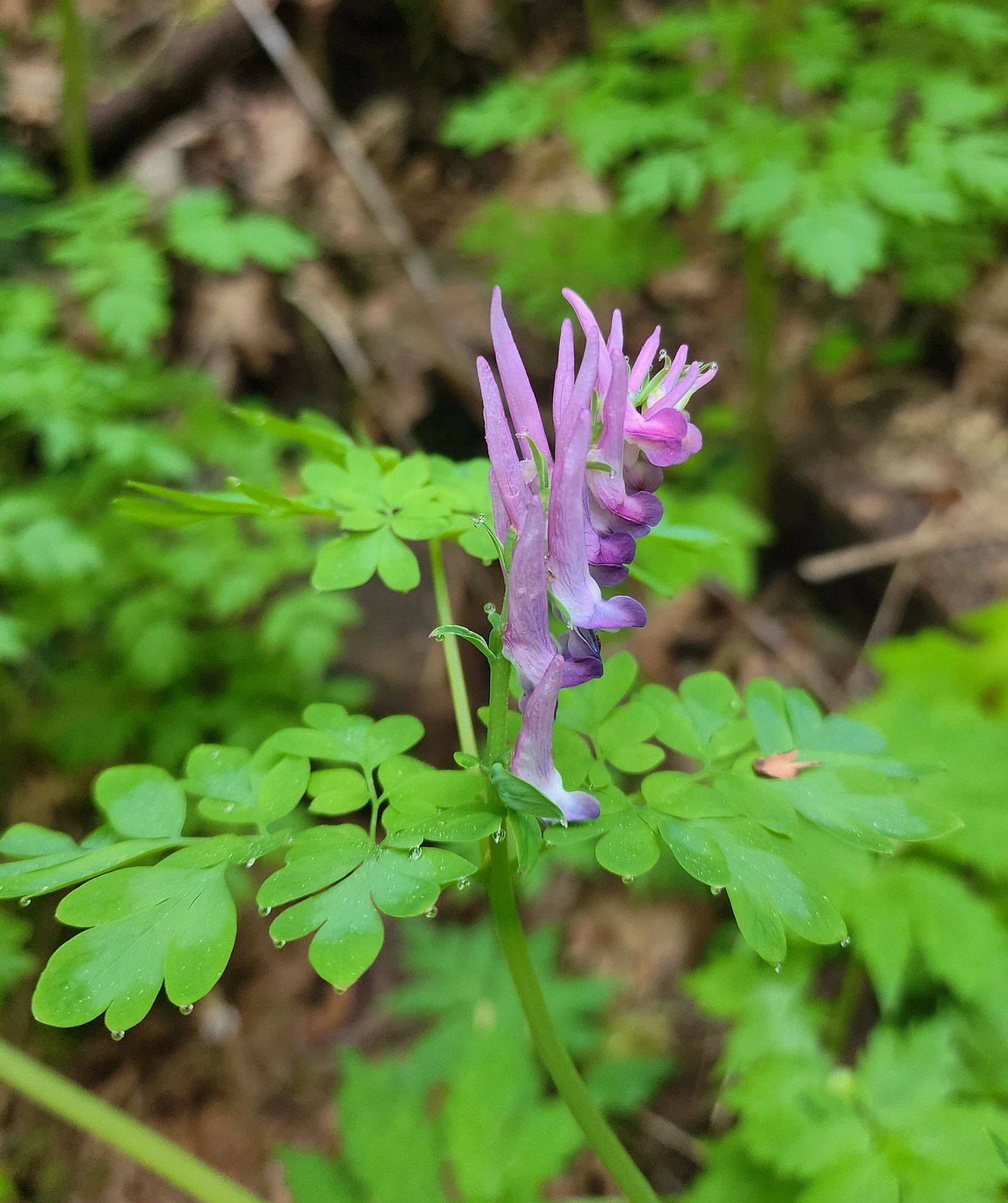 Scouler’s corydalis
 Bleeding heart
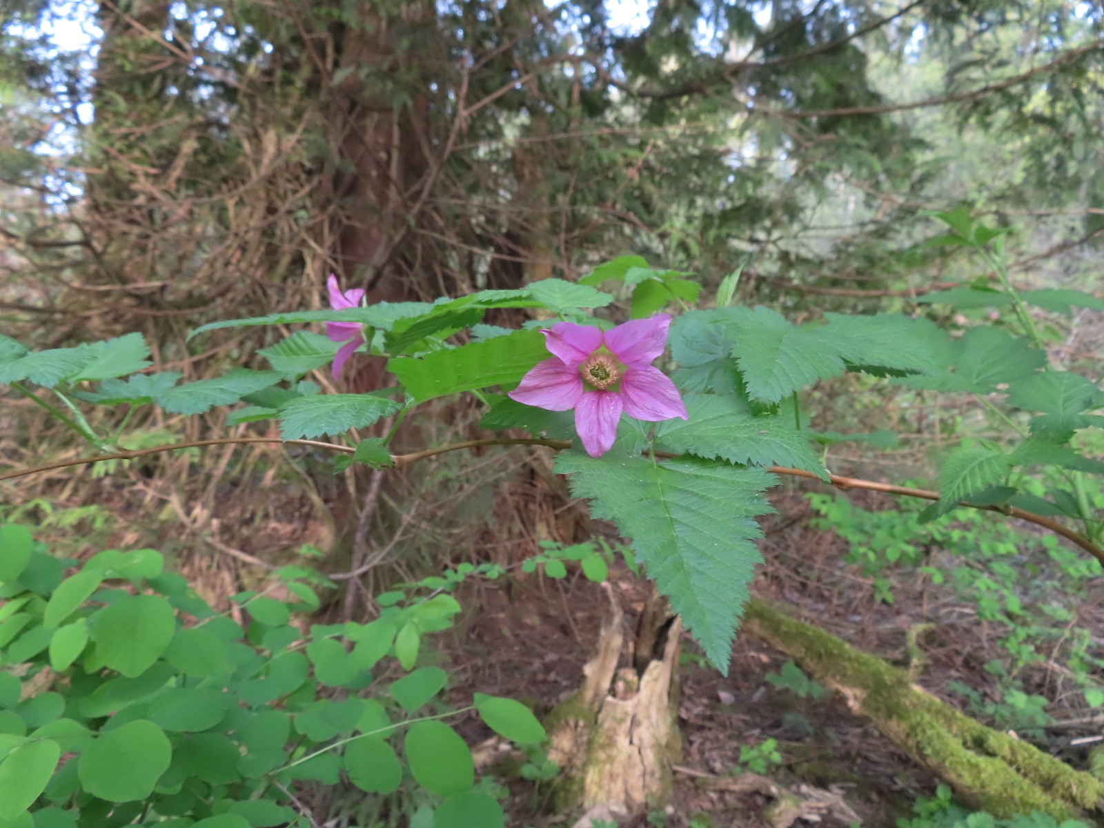 Salmonberry
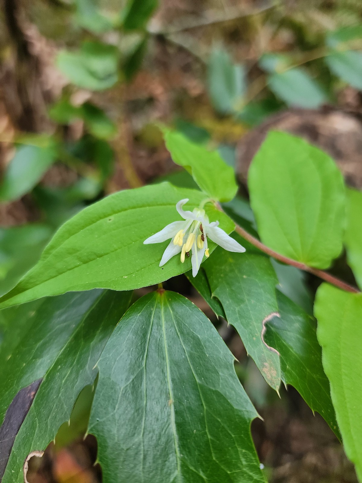 Fairy bell
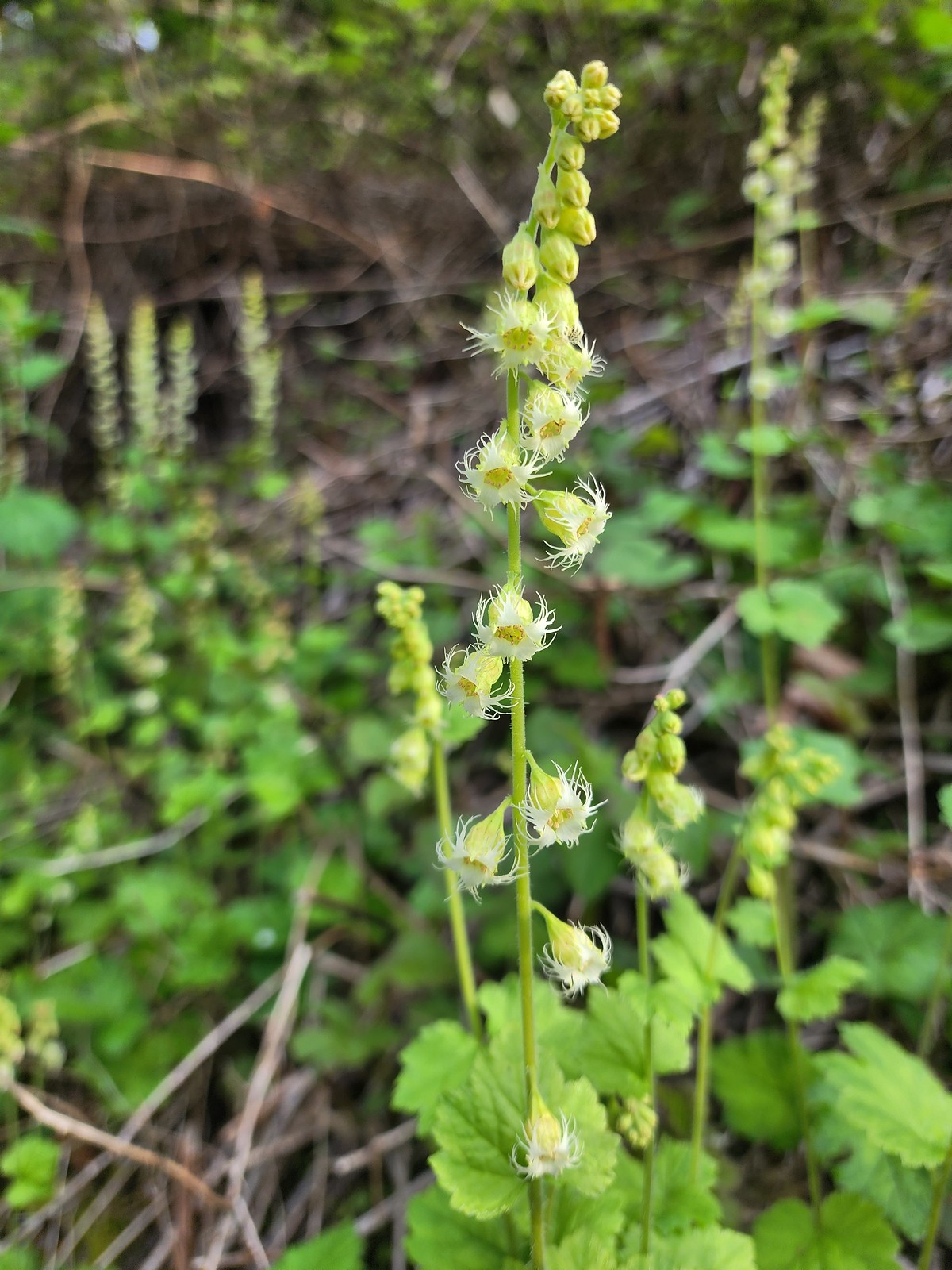 Fringecup
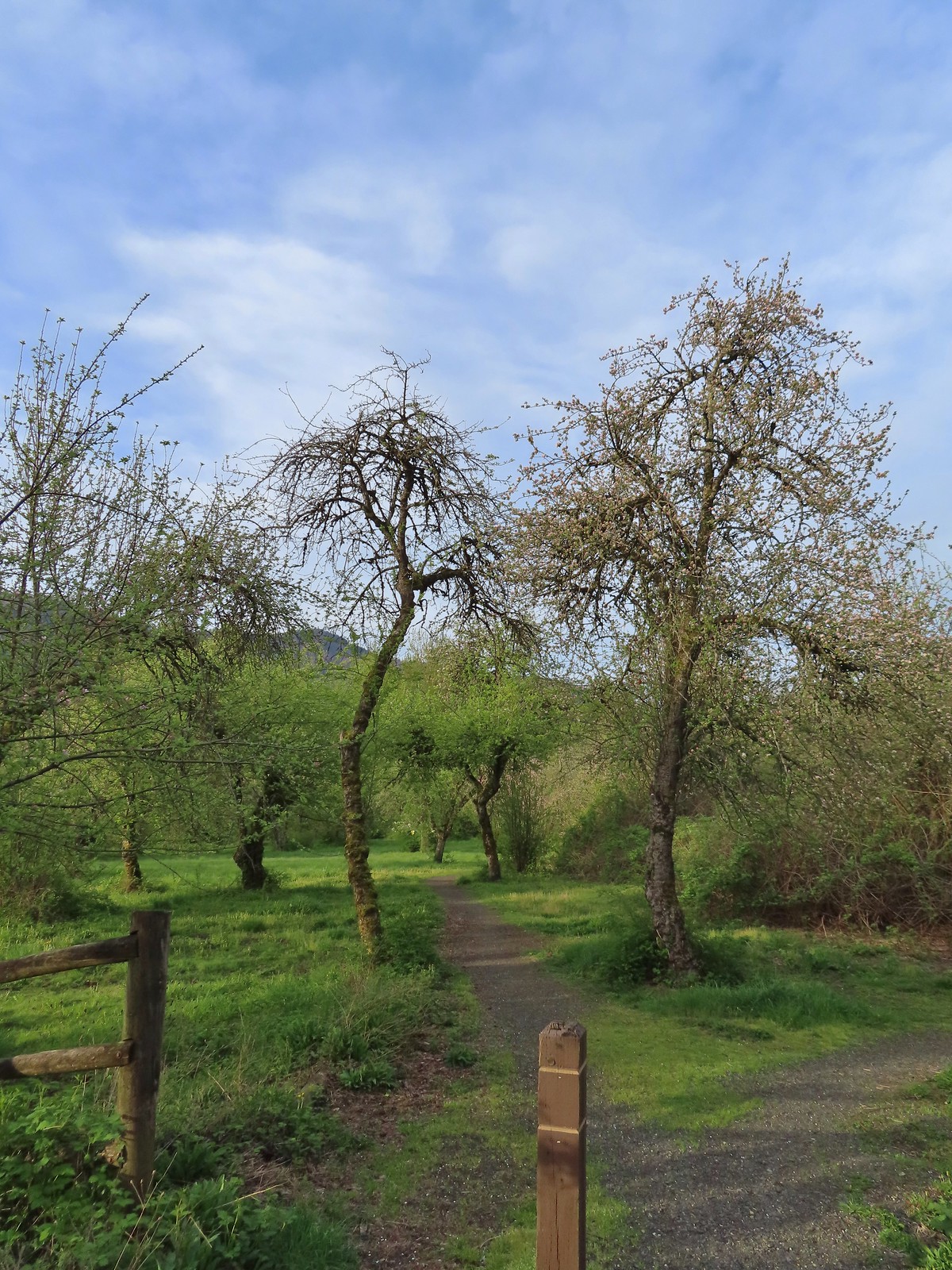 The start of the loop.
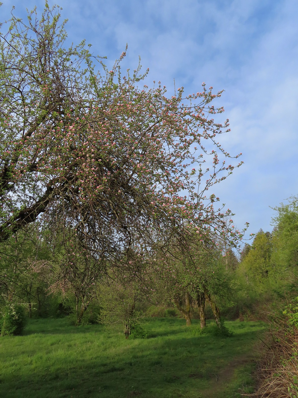 The trail loops around a former apple orchard.
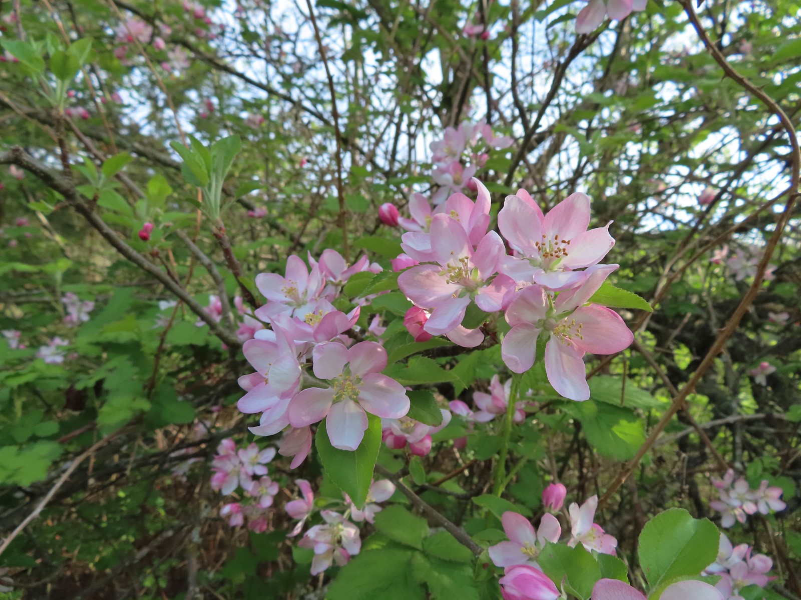 Apple blossoms
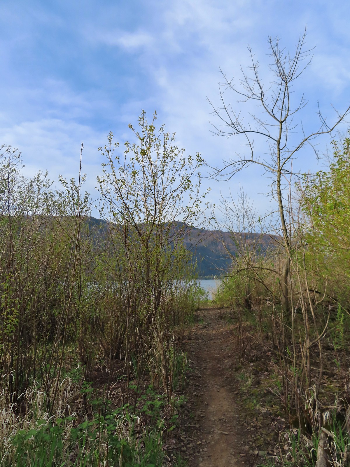 A spur trail leading down to the Columbia River.
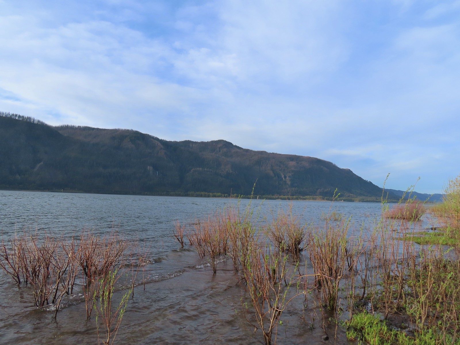 Devil’s Rest and Multnomah Falls (
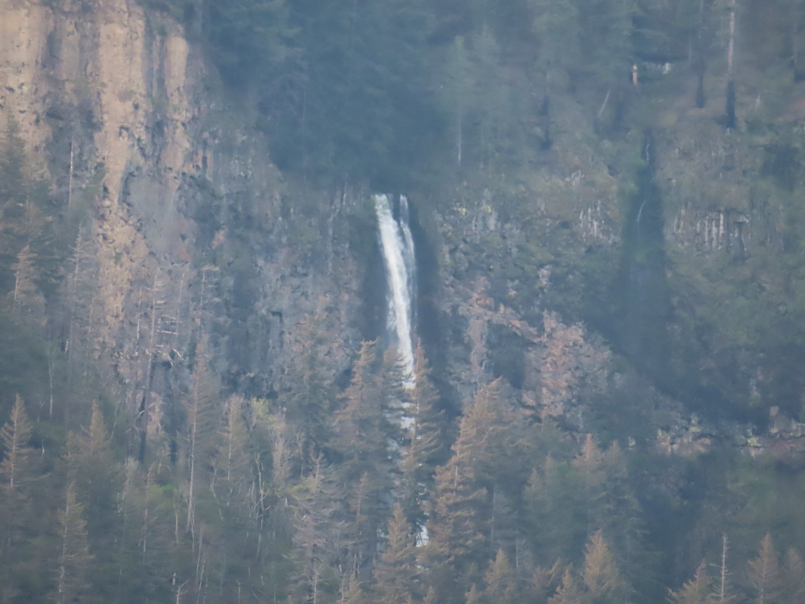 Multnomah Falls
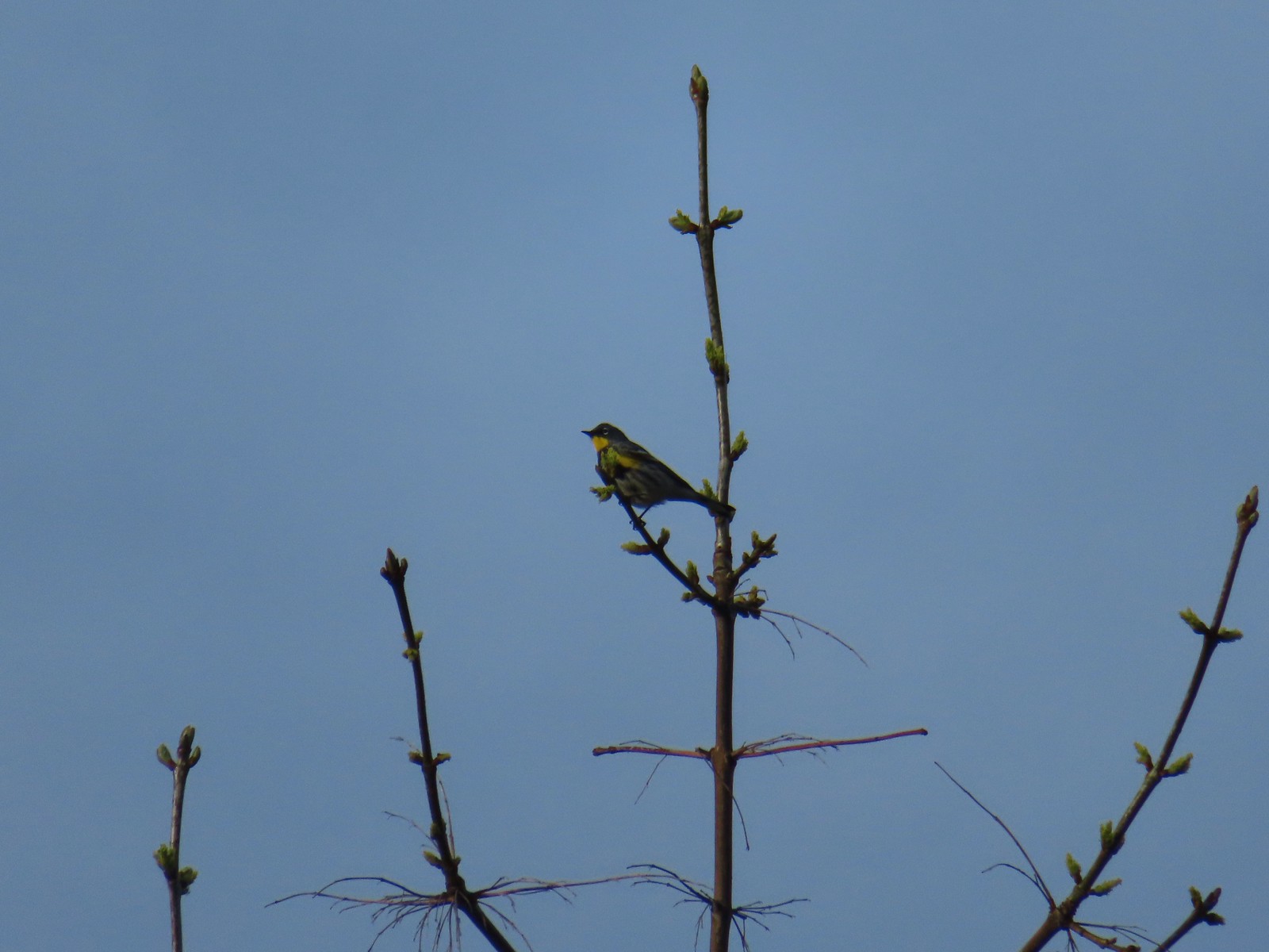 Yellow-rumped warbler.
 The quarry later in the morning.
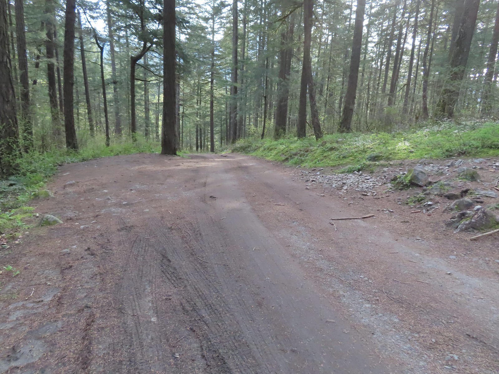 Pullout at the actual trailhead.
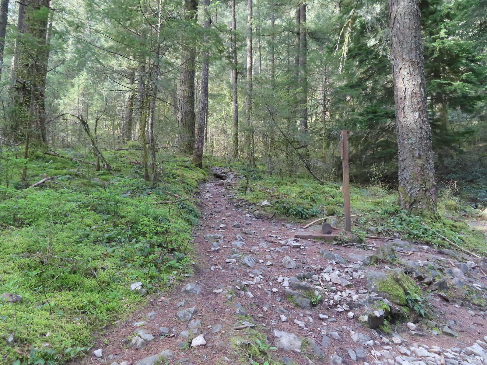 The Wind Mountain Trail at the trailhead.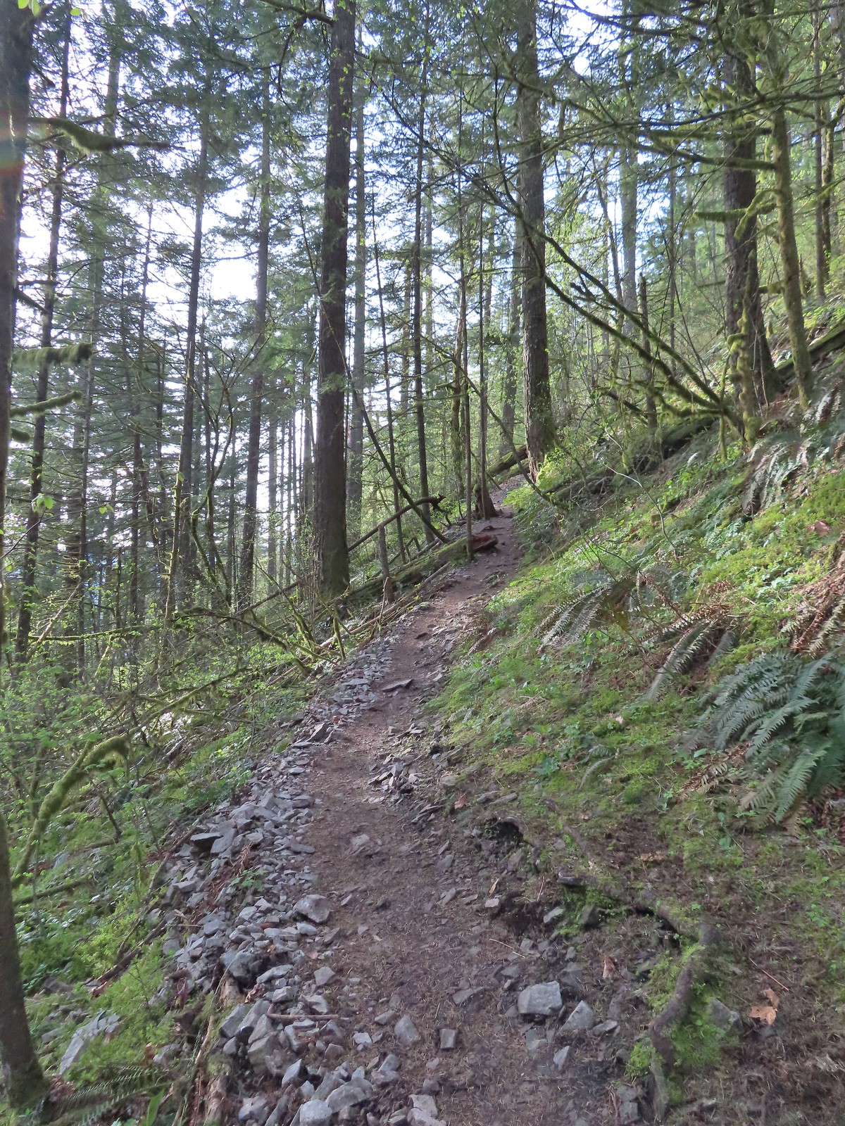
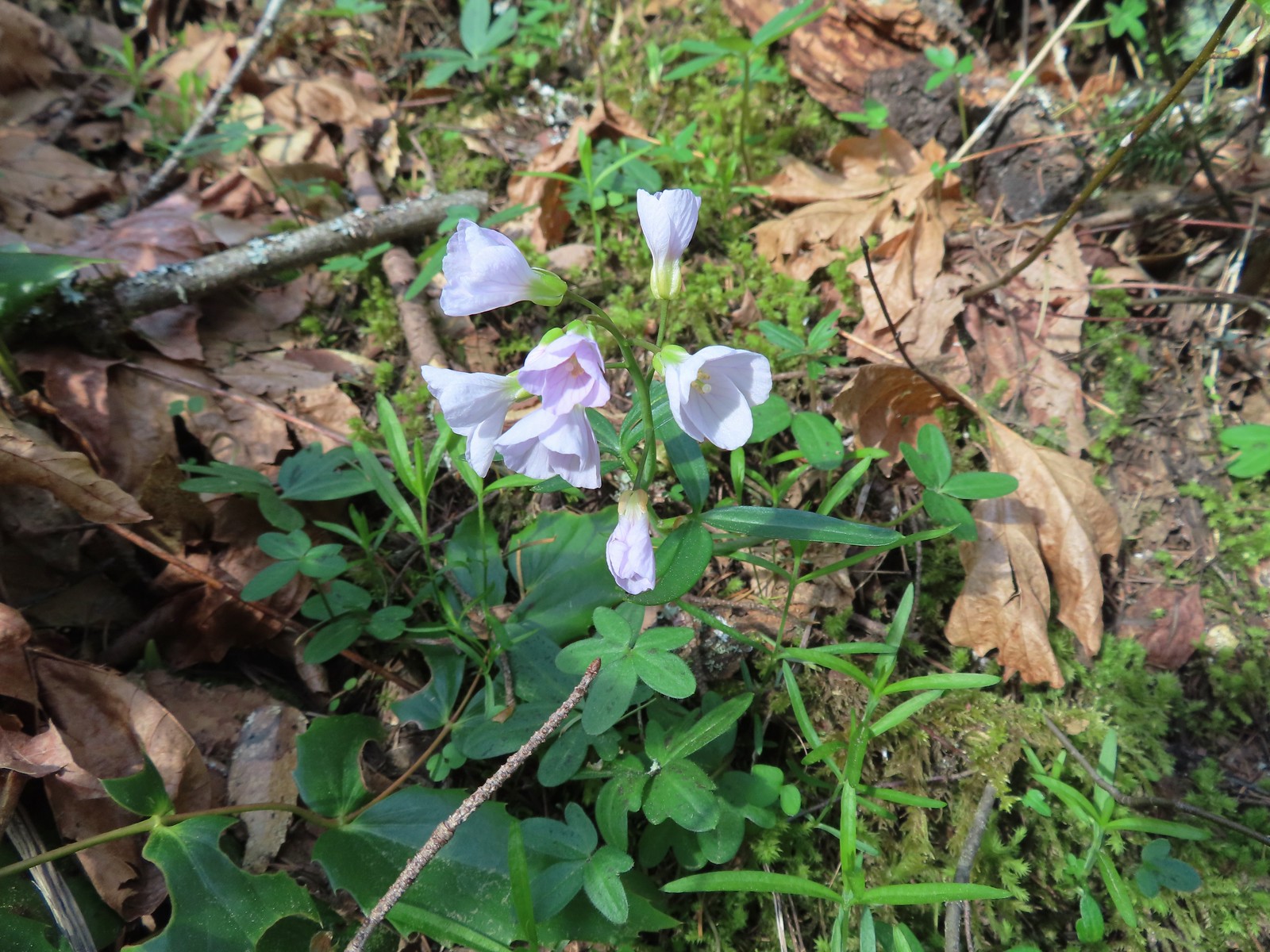 Slender toothwort
 Trillium
 Red flowering currant
 Close up of red flowering currant
 Pioneer violet
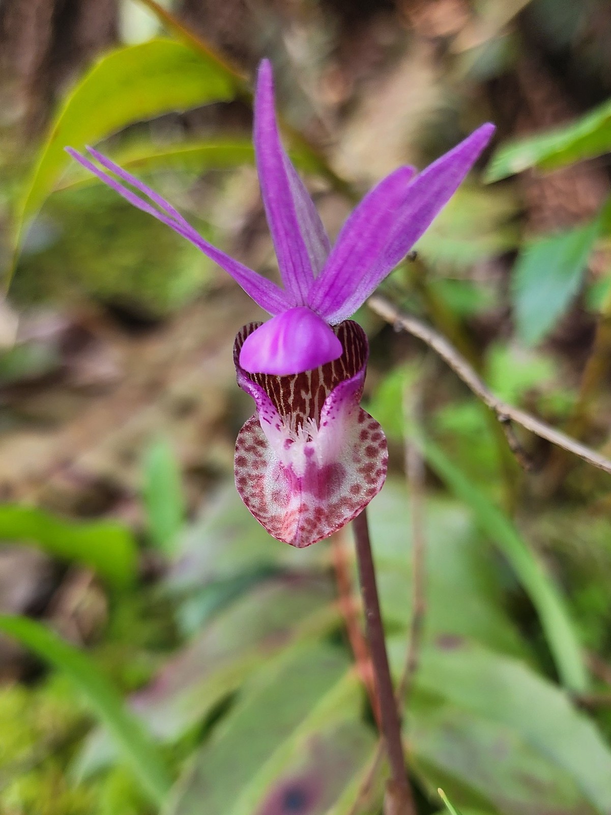 Fairy slipper
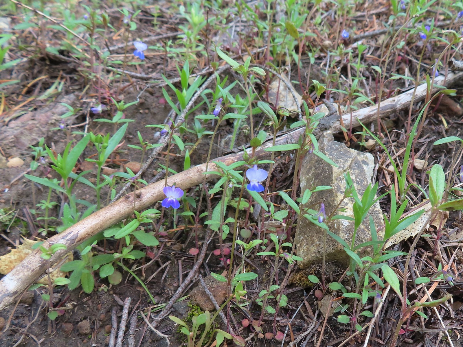 Blue-eyed Mary
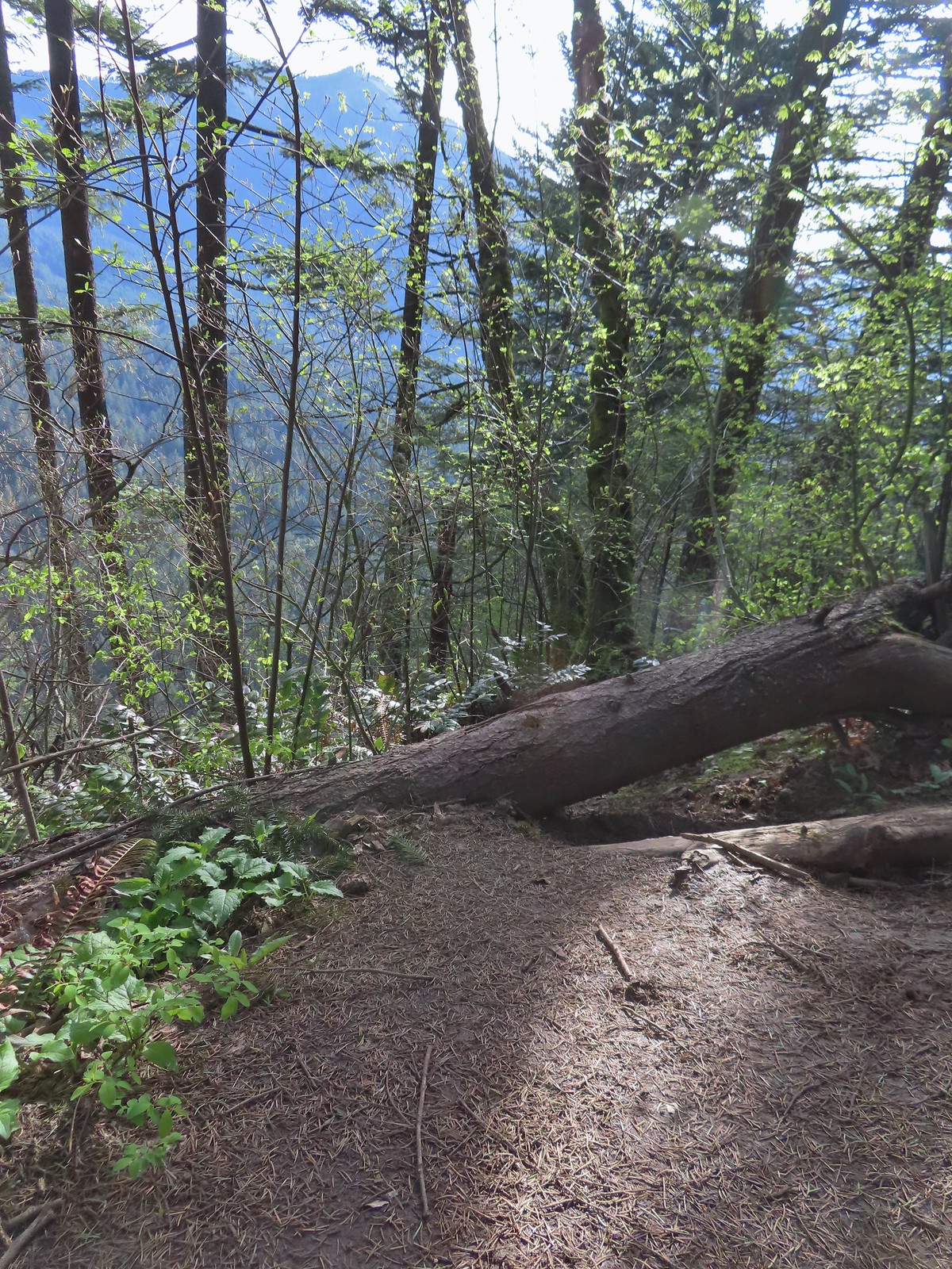 The spur trail down to the outcrop.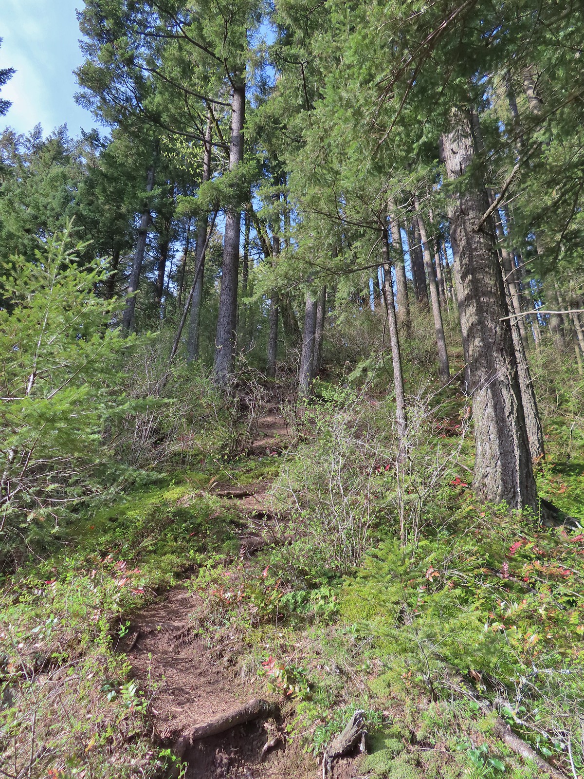
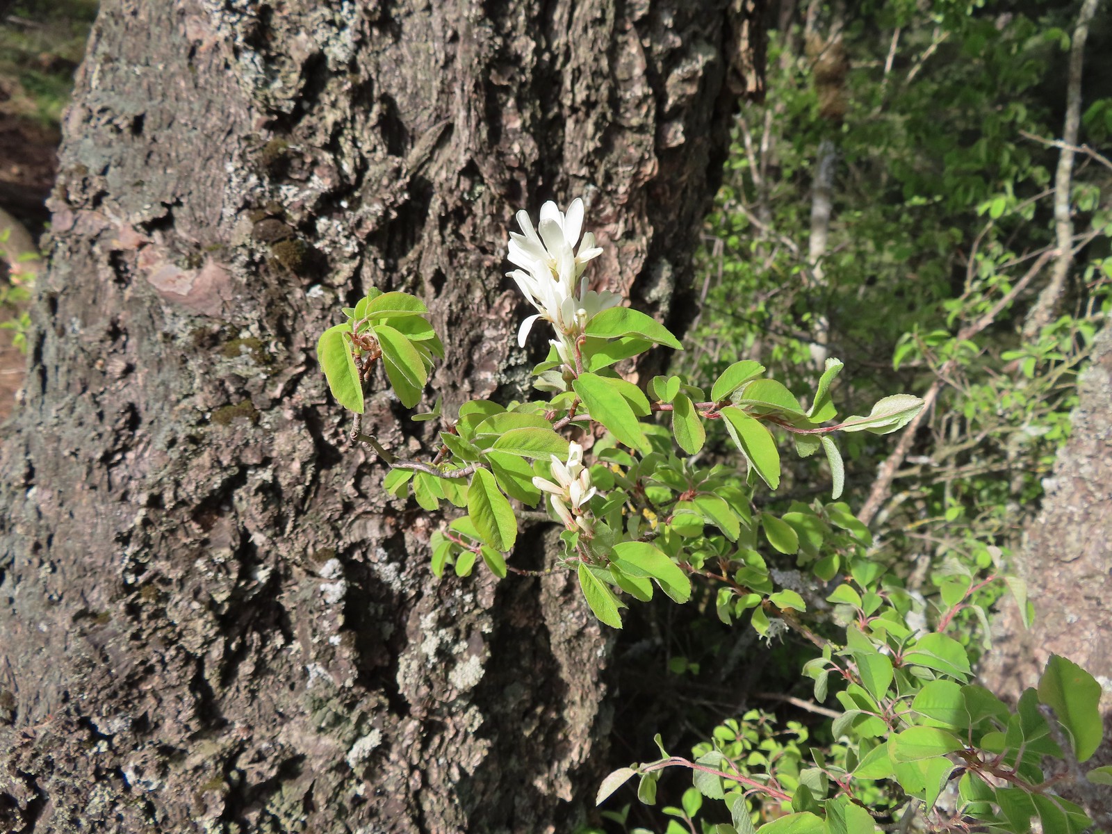 Serviceberry
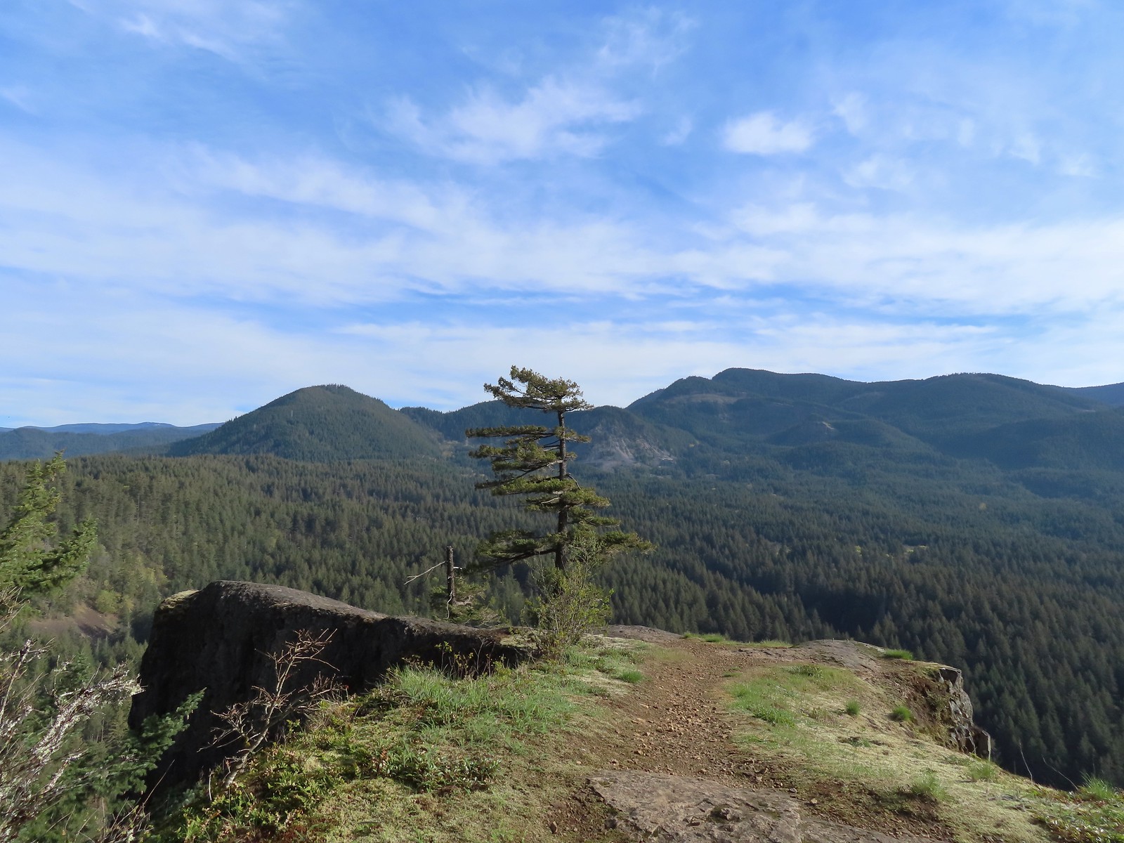 Augspurger Mountain (
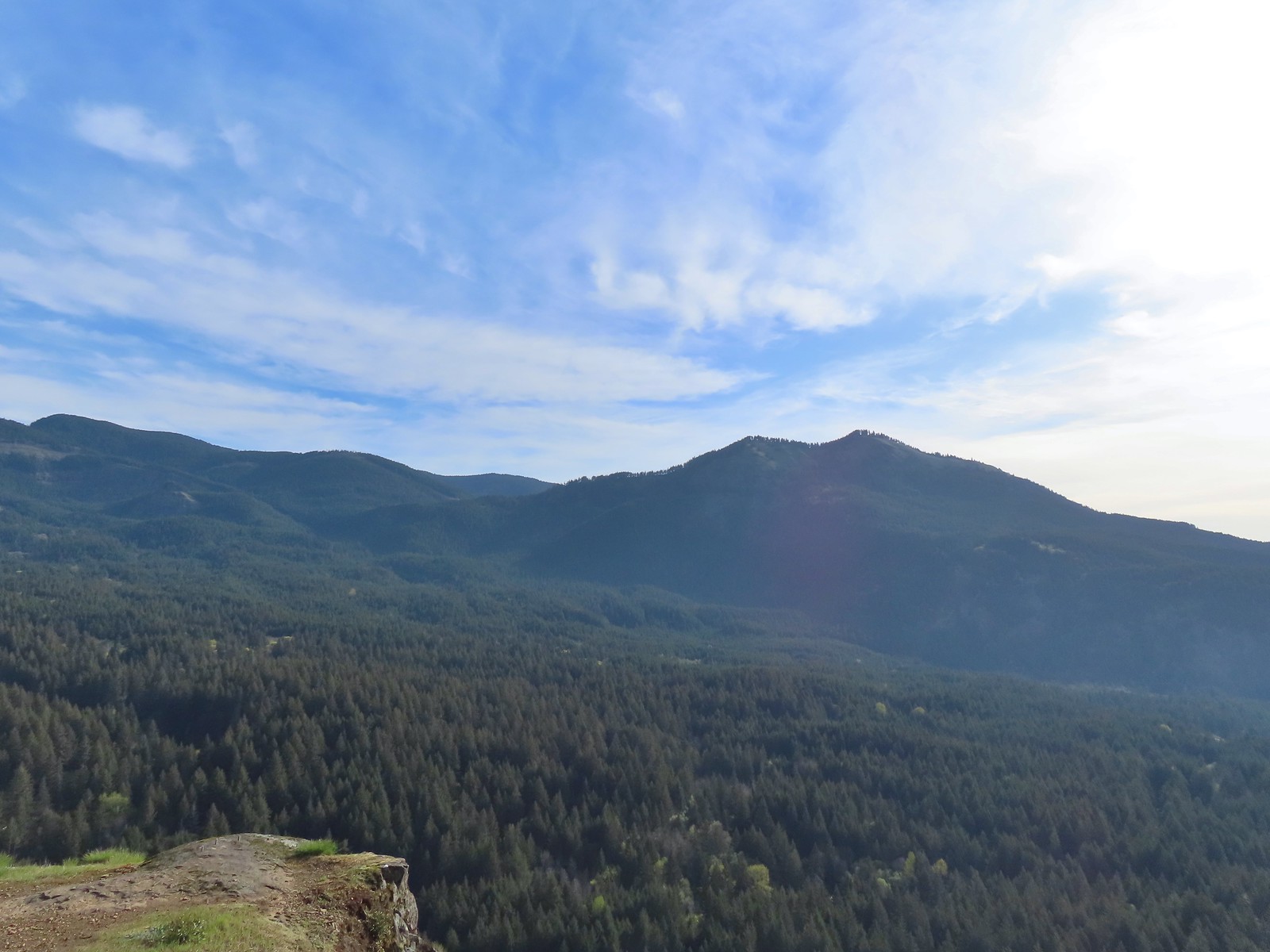 Dog Mountain (
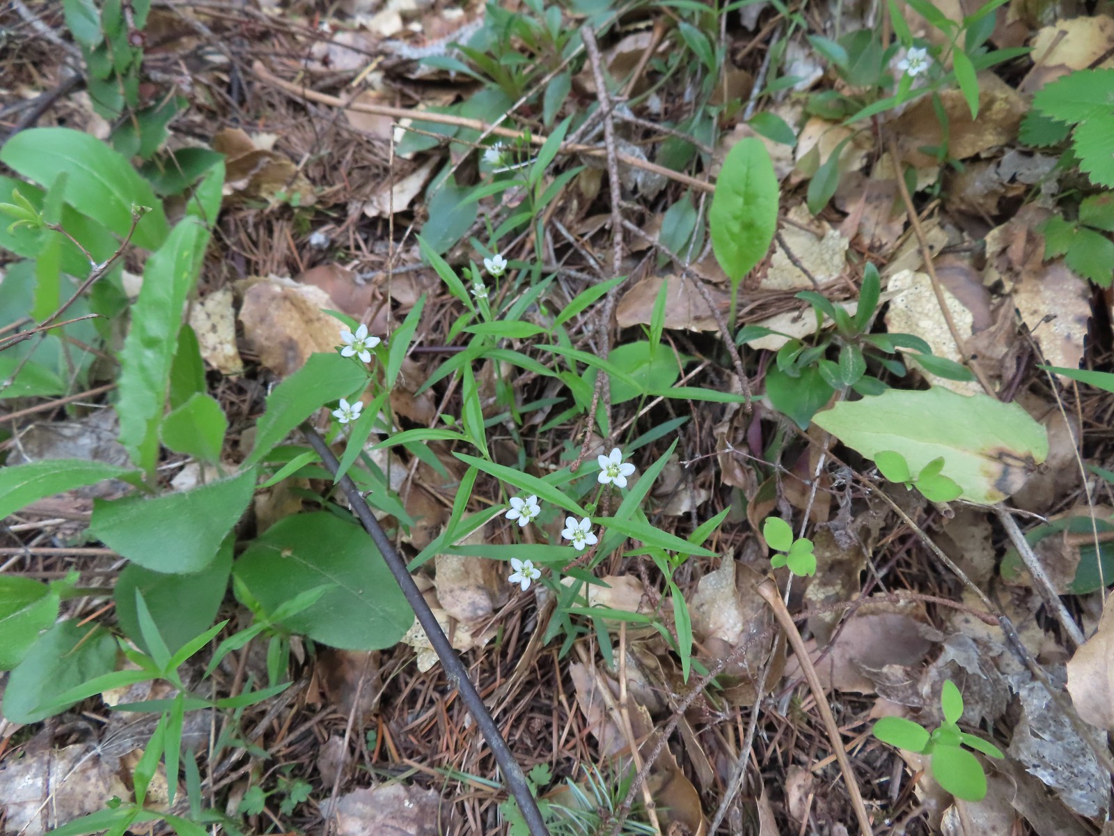 Largeleaf sandwort
 Talus slope on Wind Mountain.
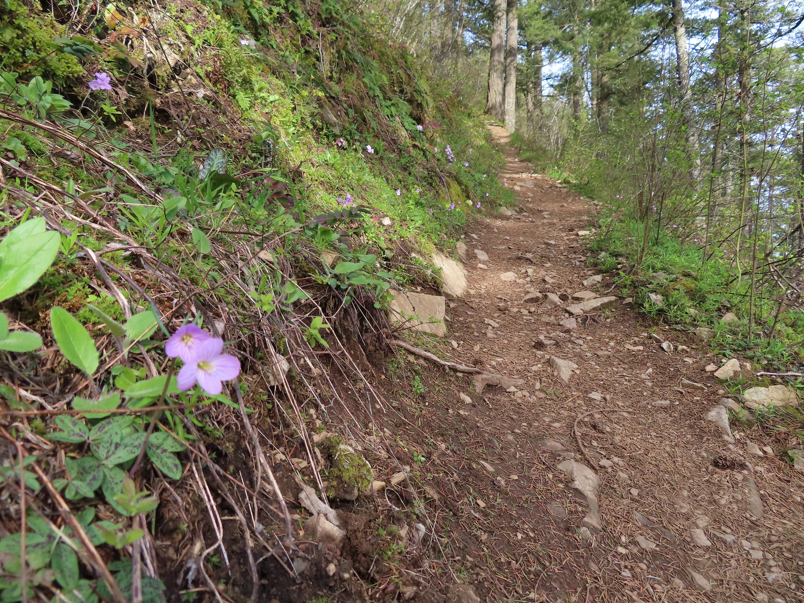 Slender toothwort along the trail.
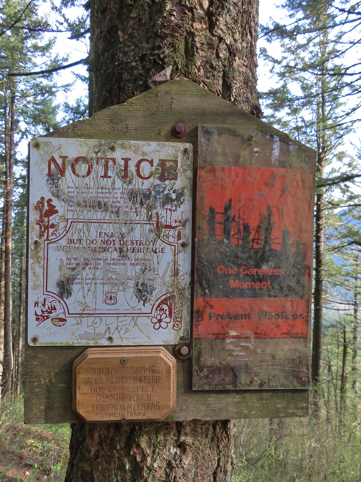 One of the signs near the summit.
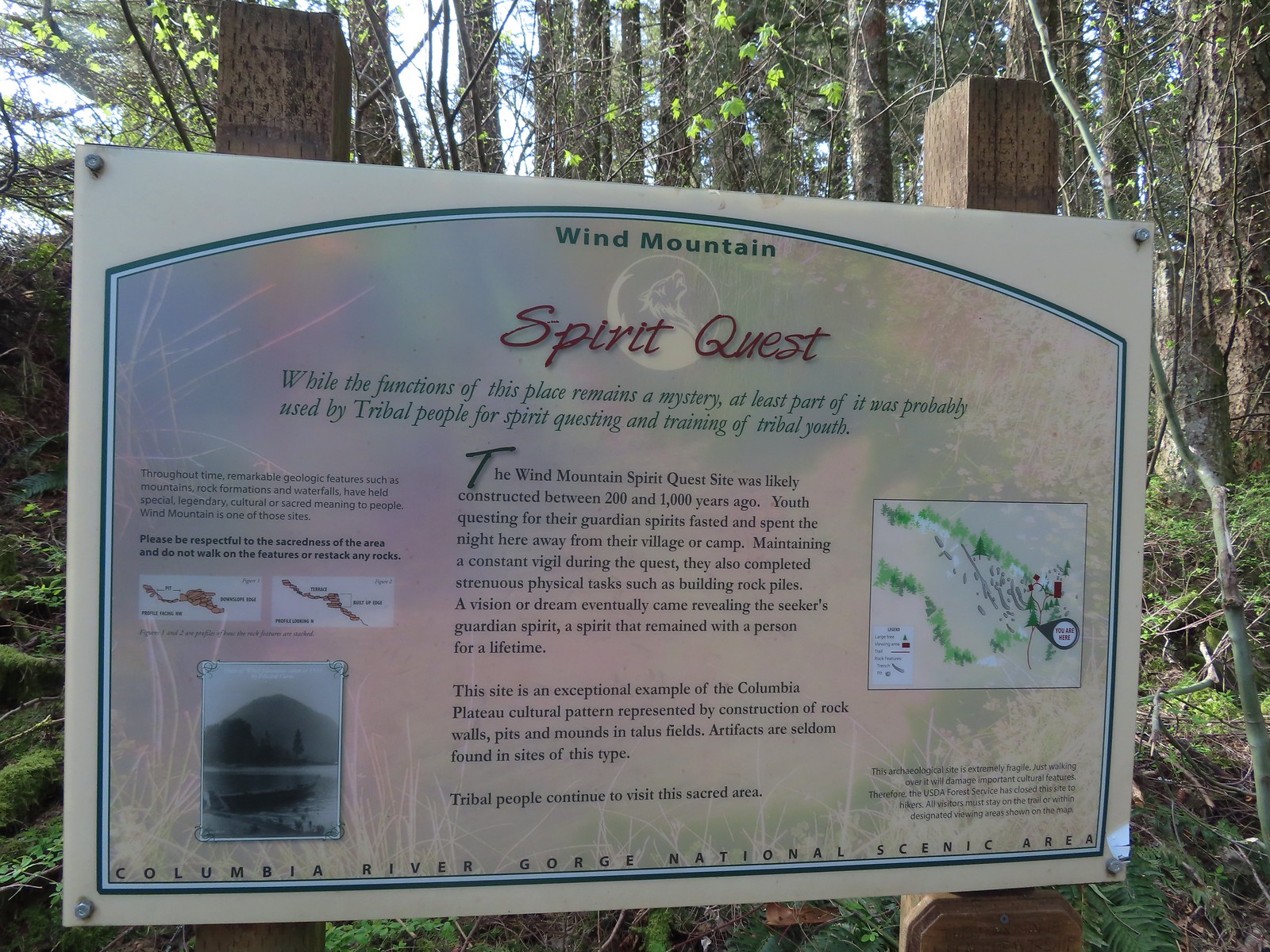 Interpretive sign with a map of the areas open to hikers.
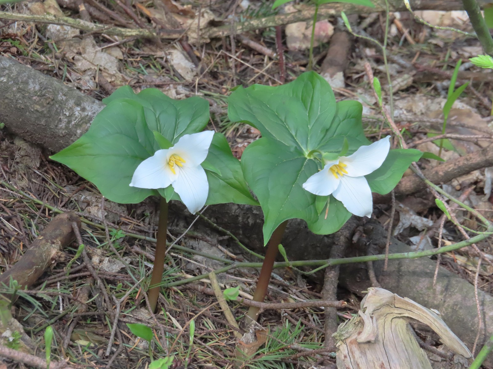 Trillium
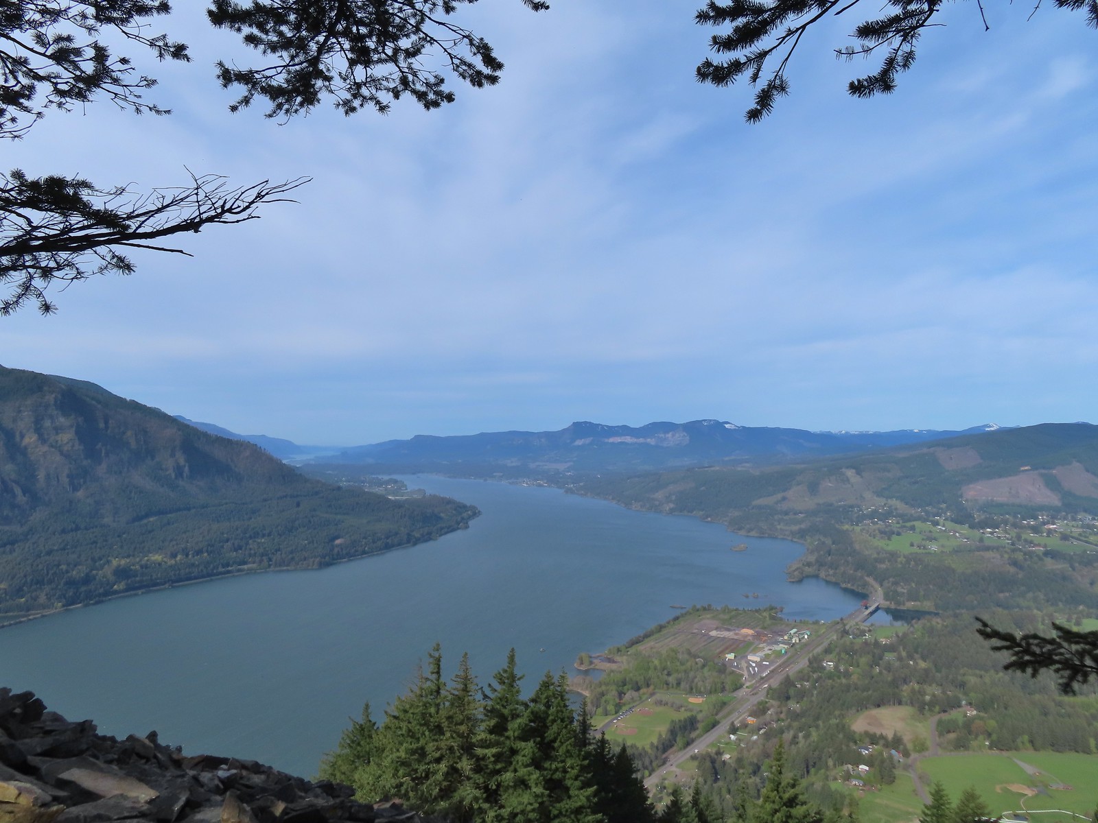 View west down the Columbia River. Hamilton Mountain (
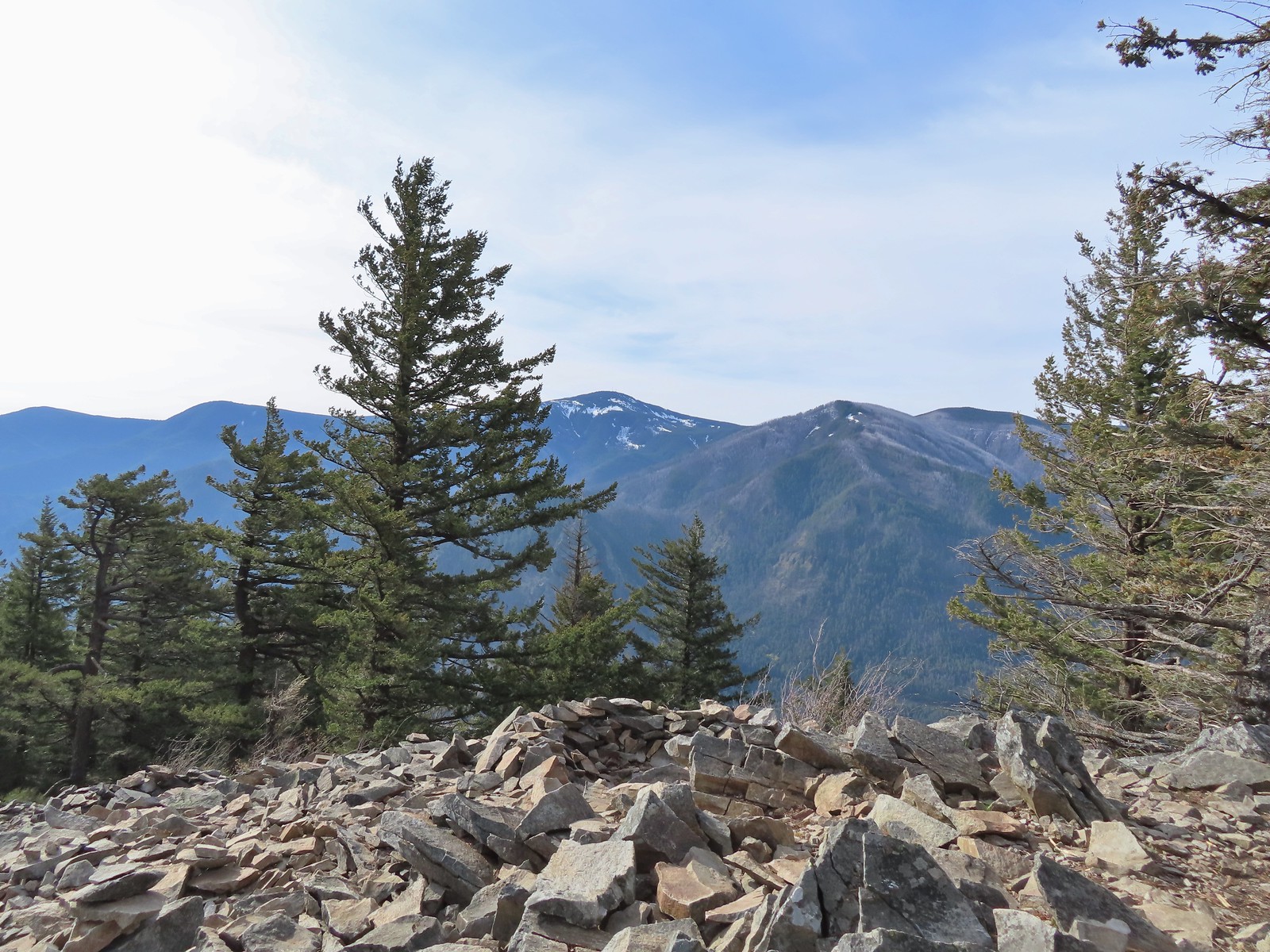 Mt. Defiance (
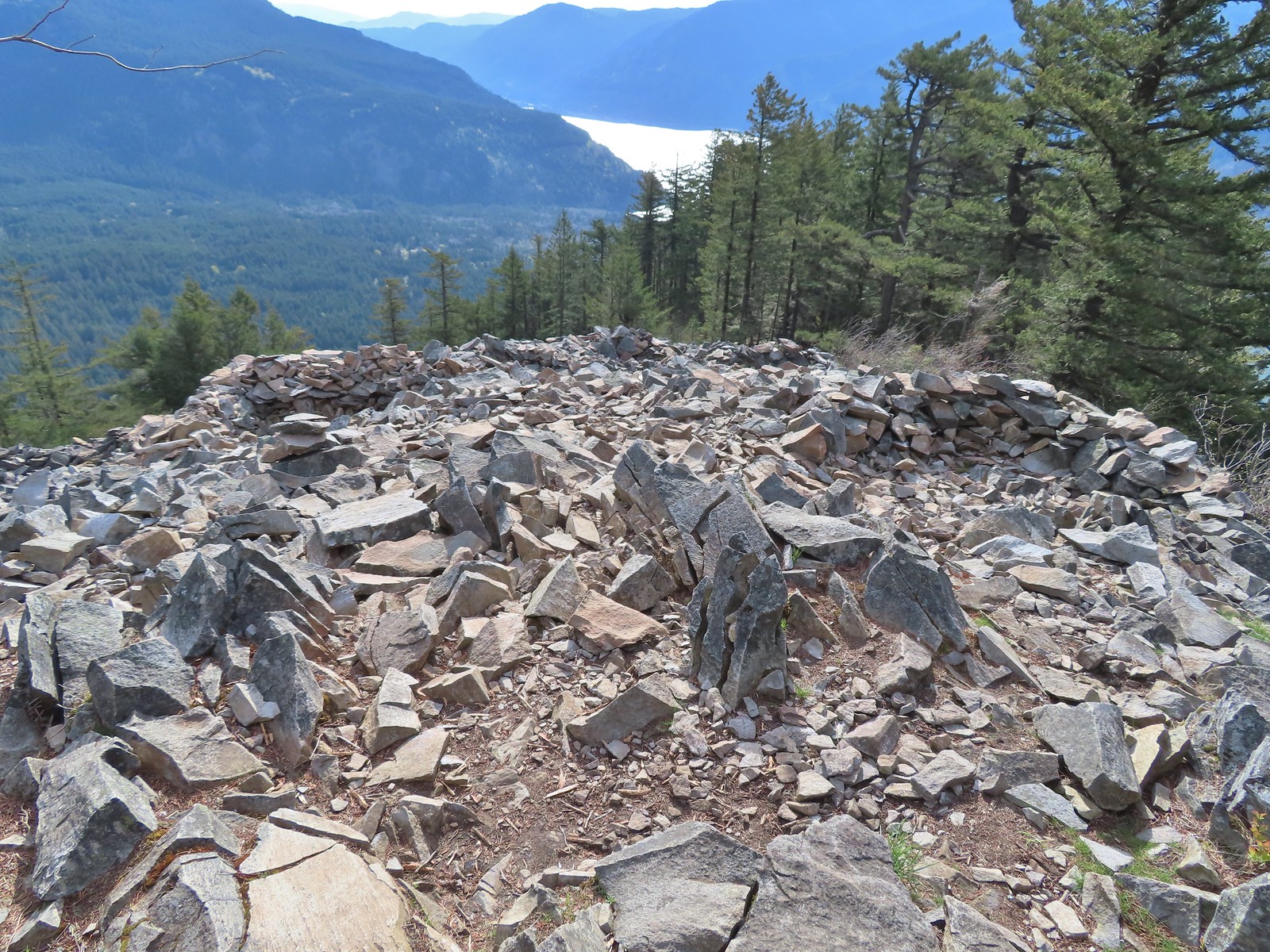 Vision quest pits on Wind Mountain.
 Mt. Adams beyond Augspurger Mountain.
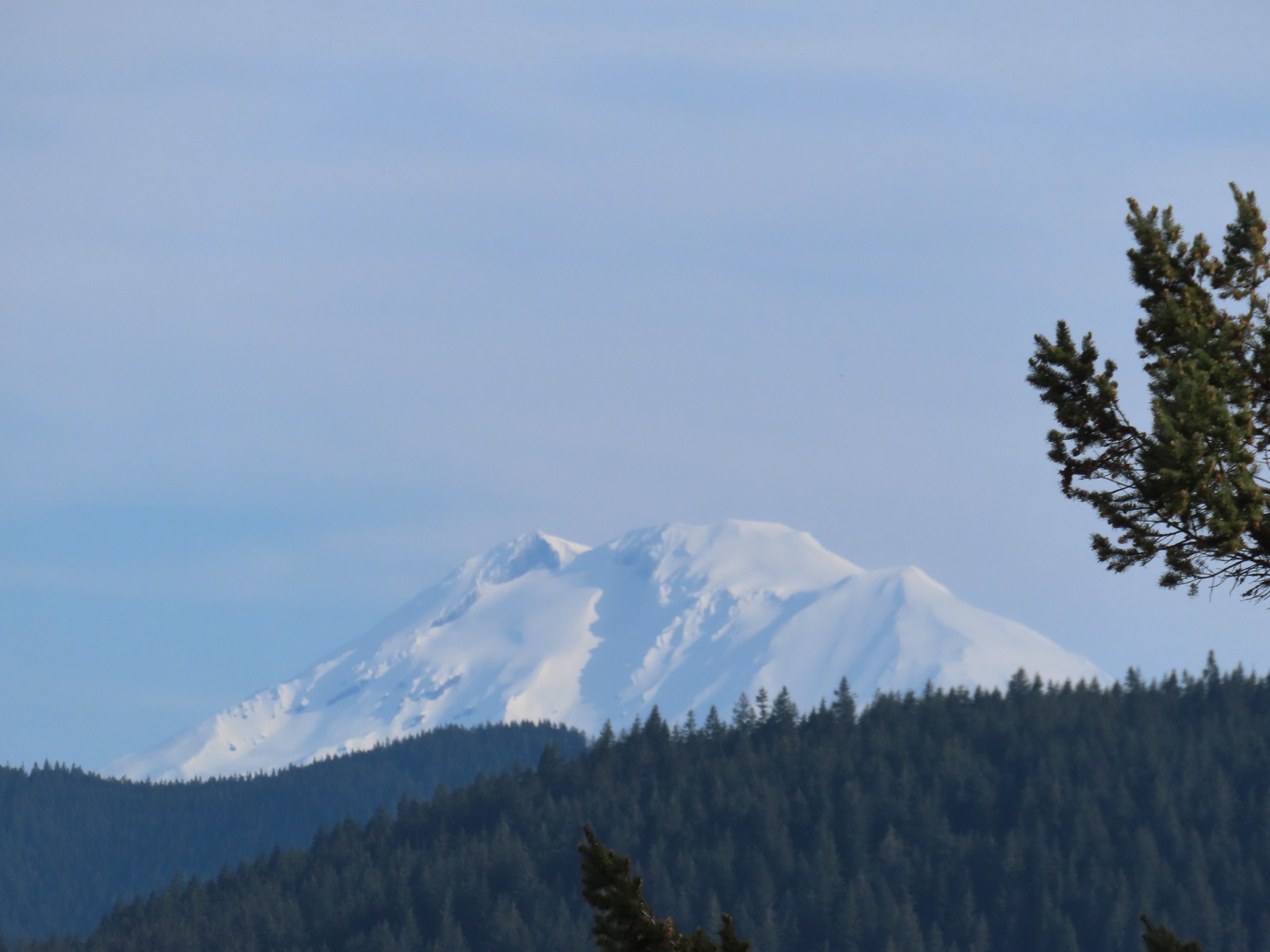 Mt. Adams
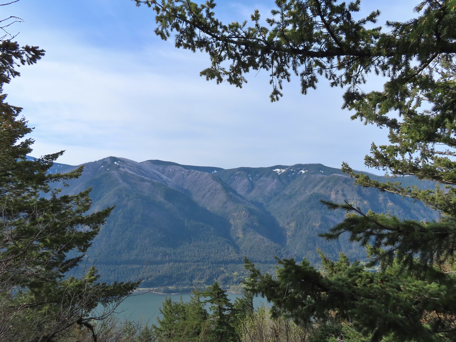 Looking across the Columbia River.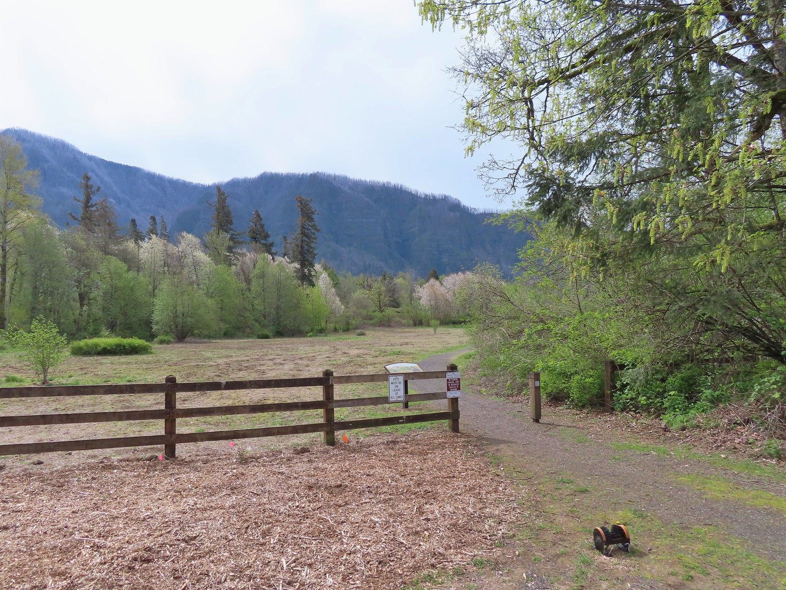
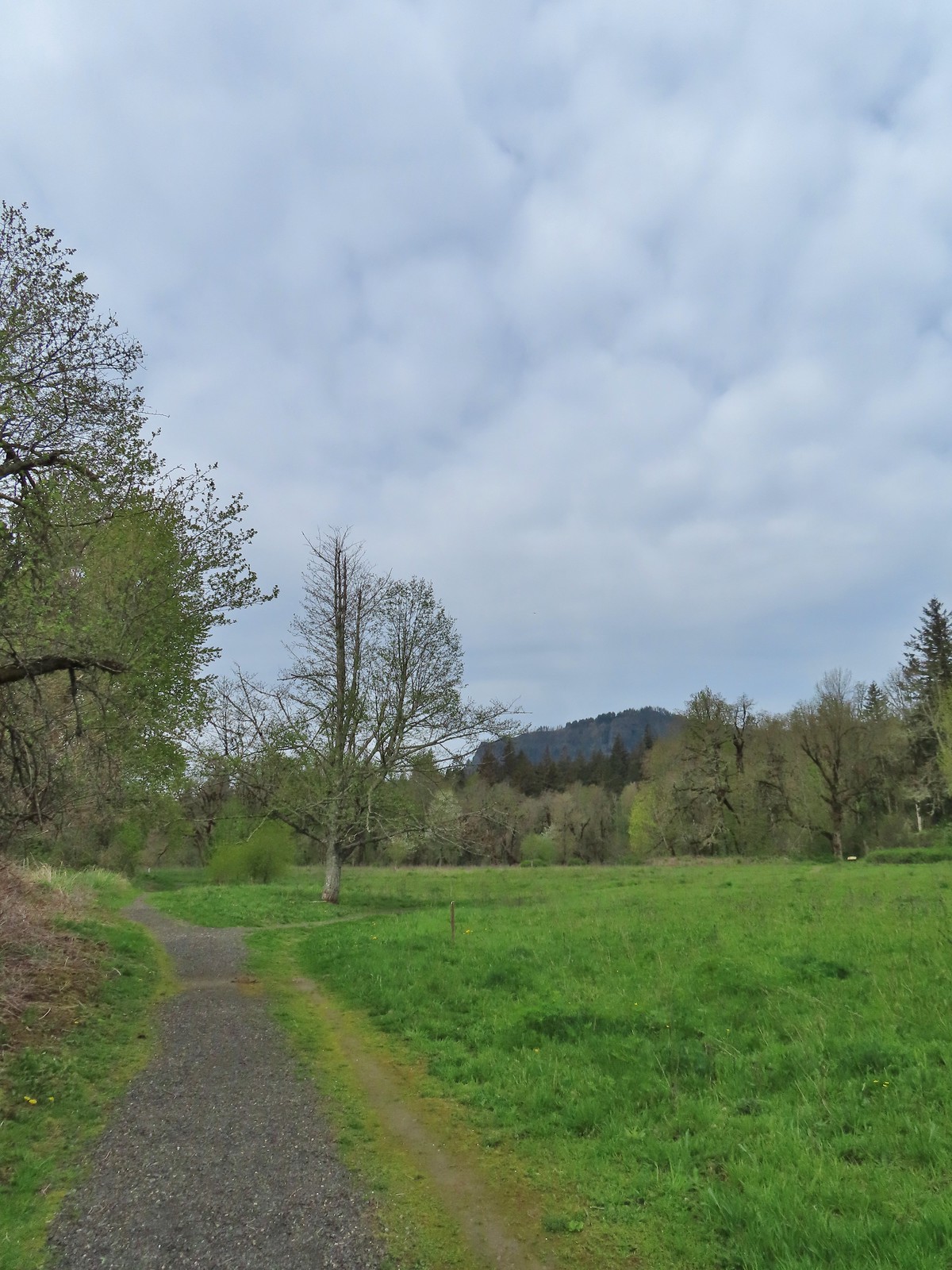
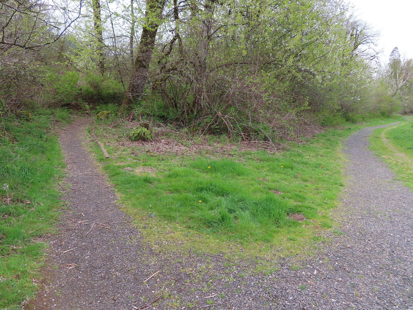 The first split where we went right.
 To continue on the counterclockwise loop we should have turned right at the junction ahead.
 We turned right at the junction now doing the loop clockwise.
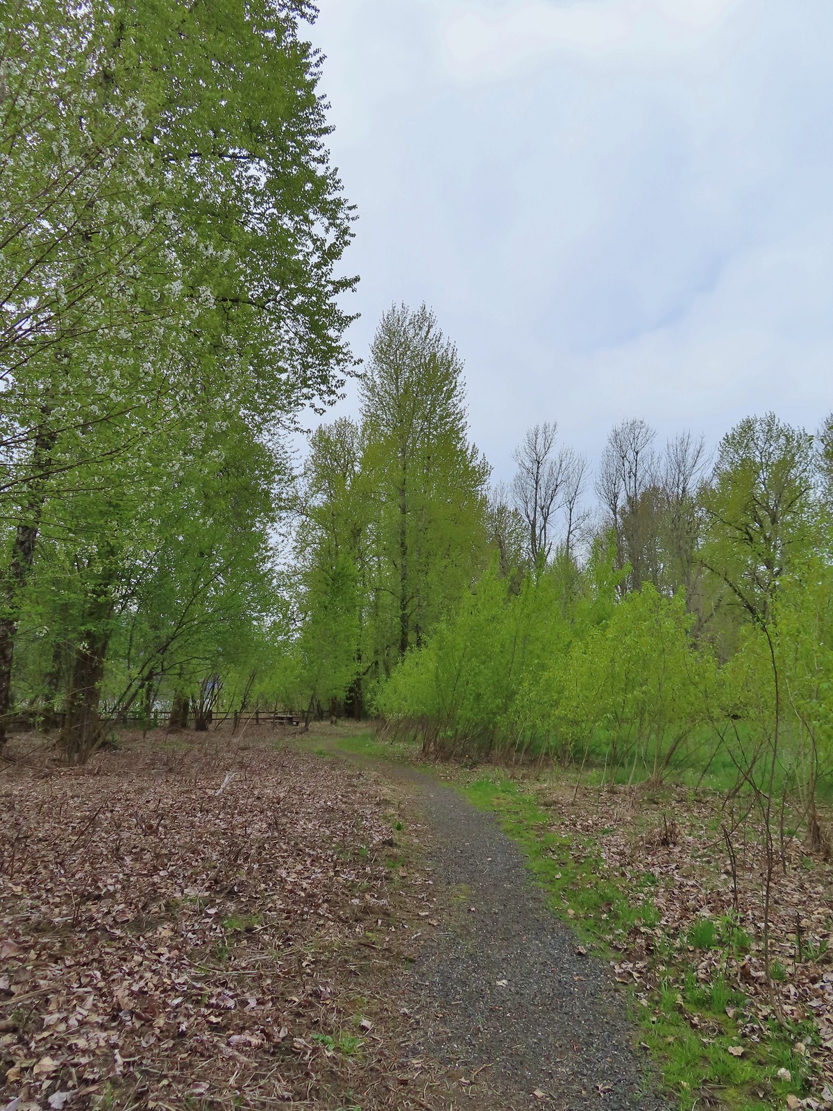 Coming up on one of the picnic tables along the loop.
 The Columbia River from the picnic table.
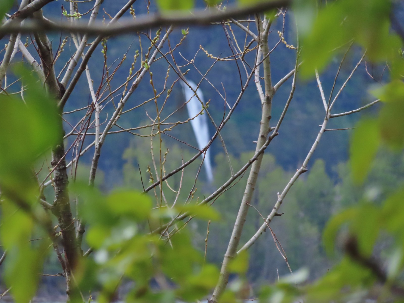 Horsetail Falls (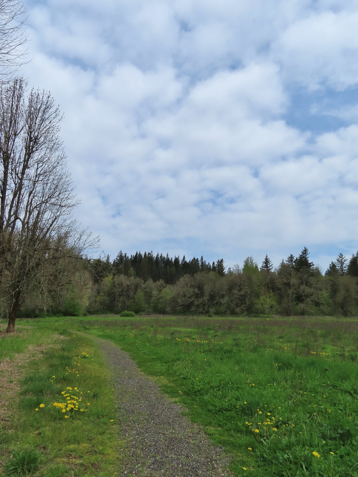
 Chipping sparrow
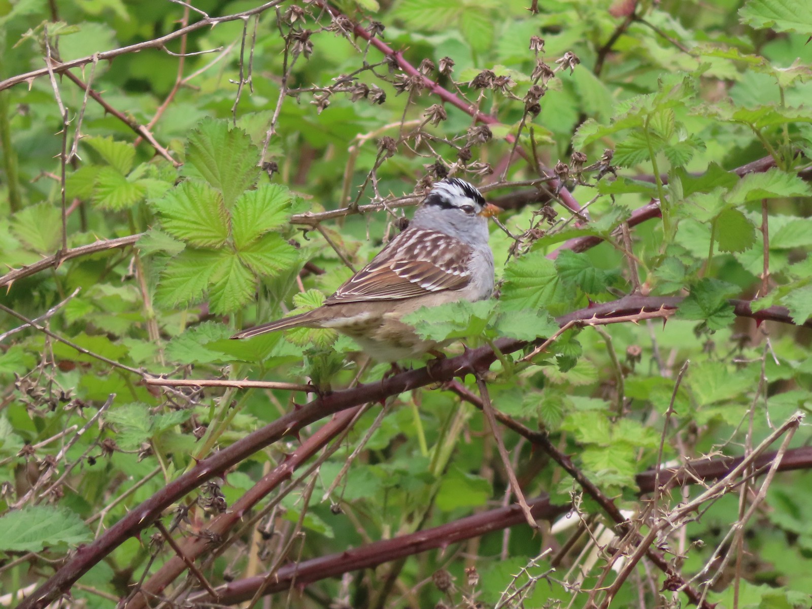 White-crowned sparrow
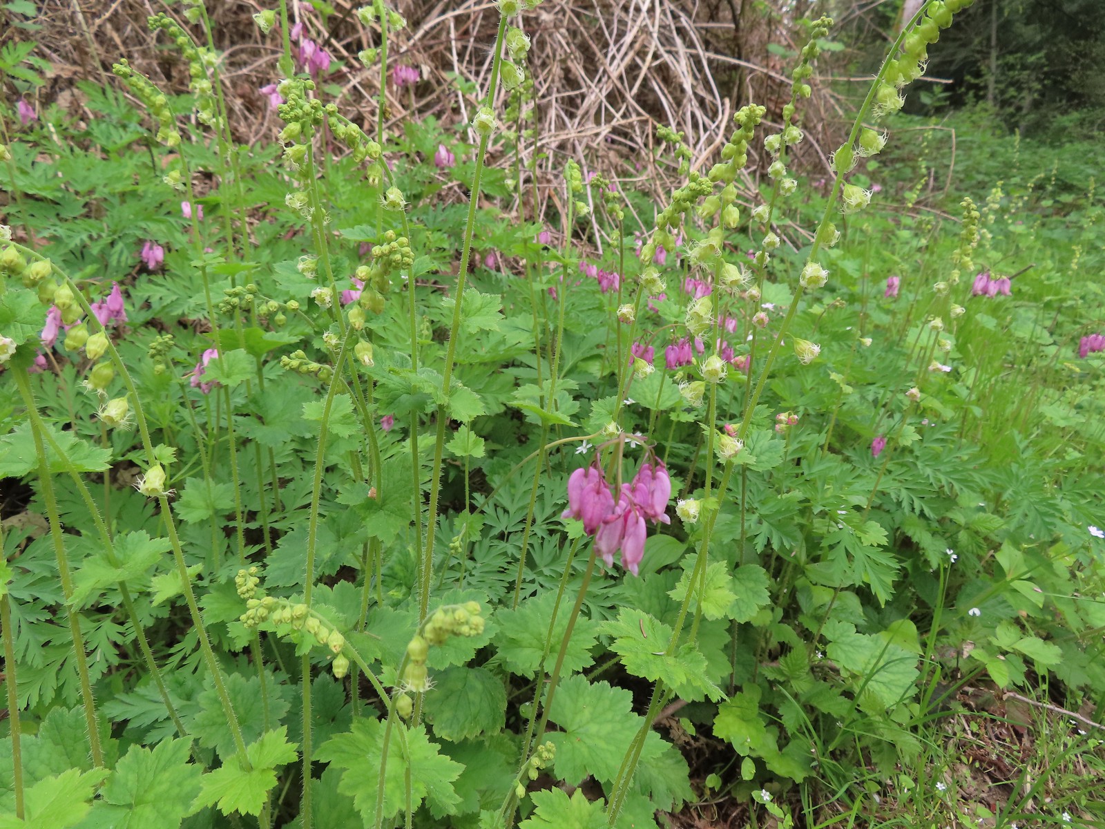 Bleeding heart and fringecup
 The cedar grove
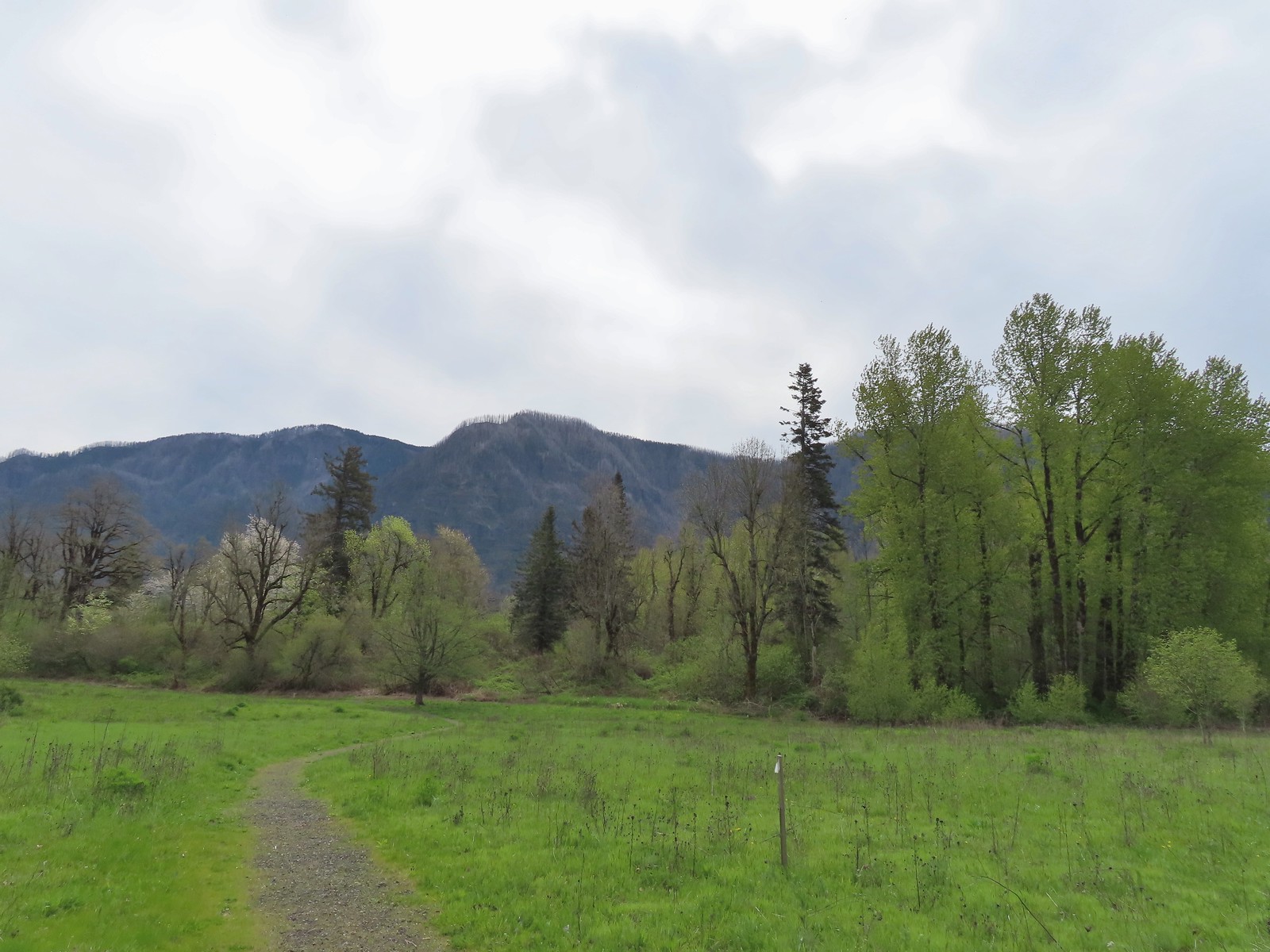 Completing the first loop.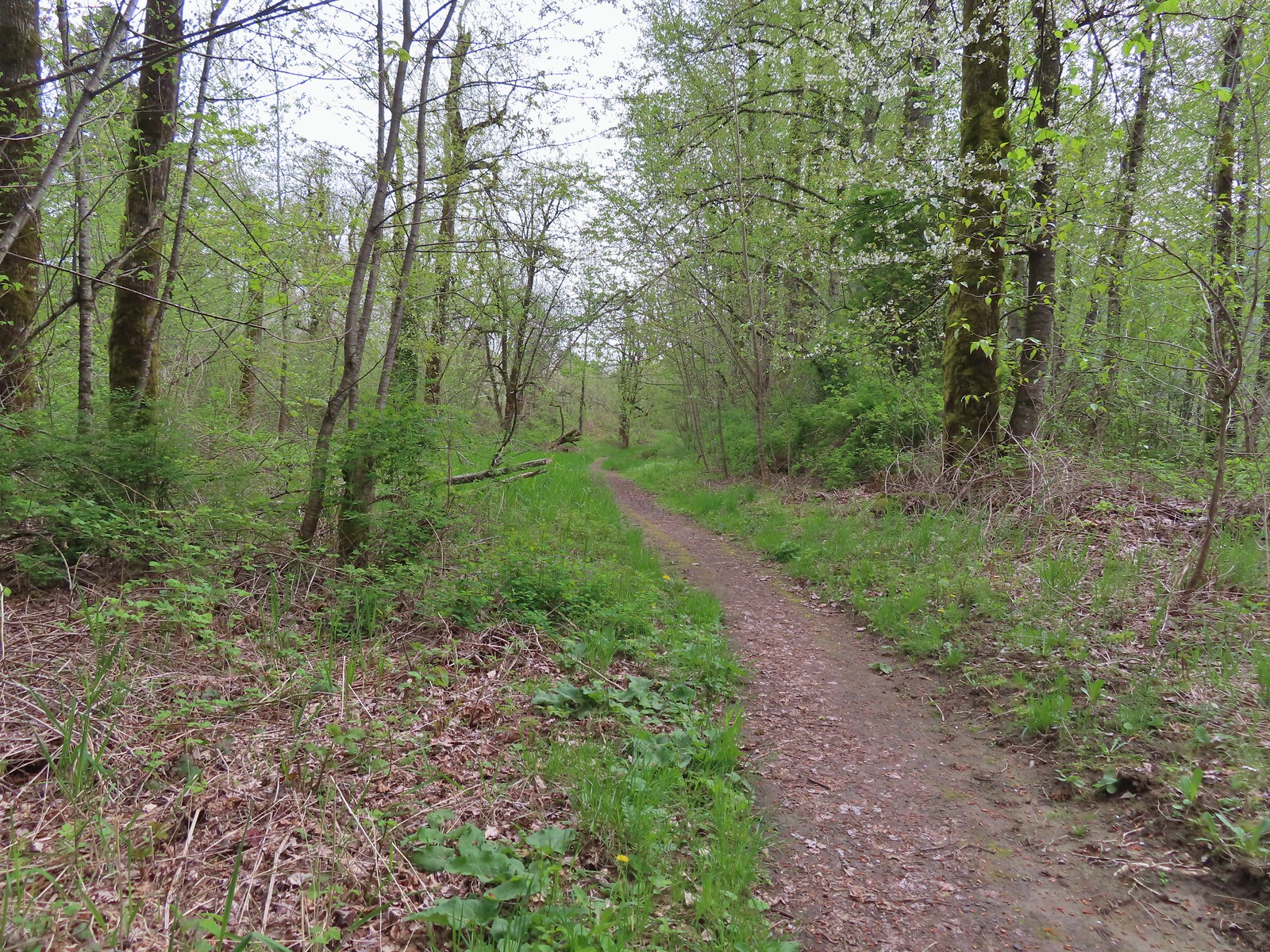
 Spider on perriwinkle
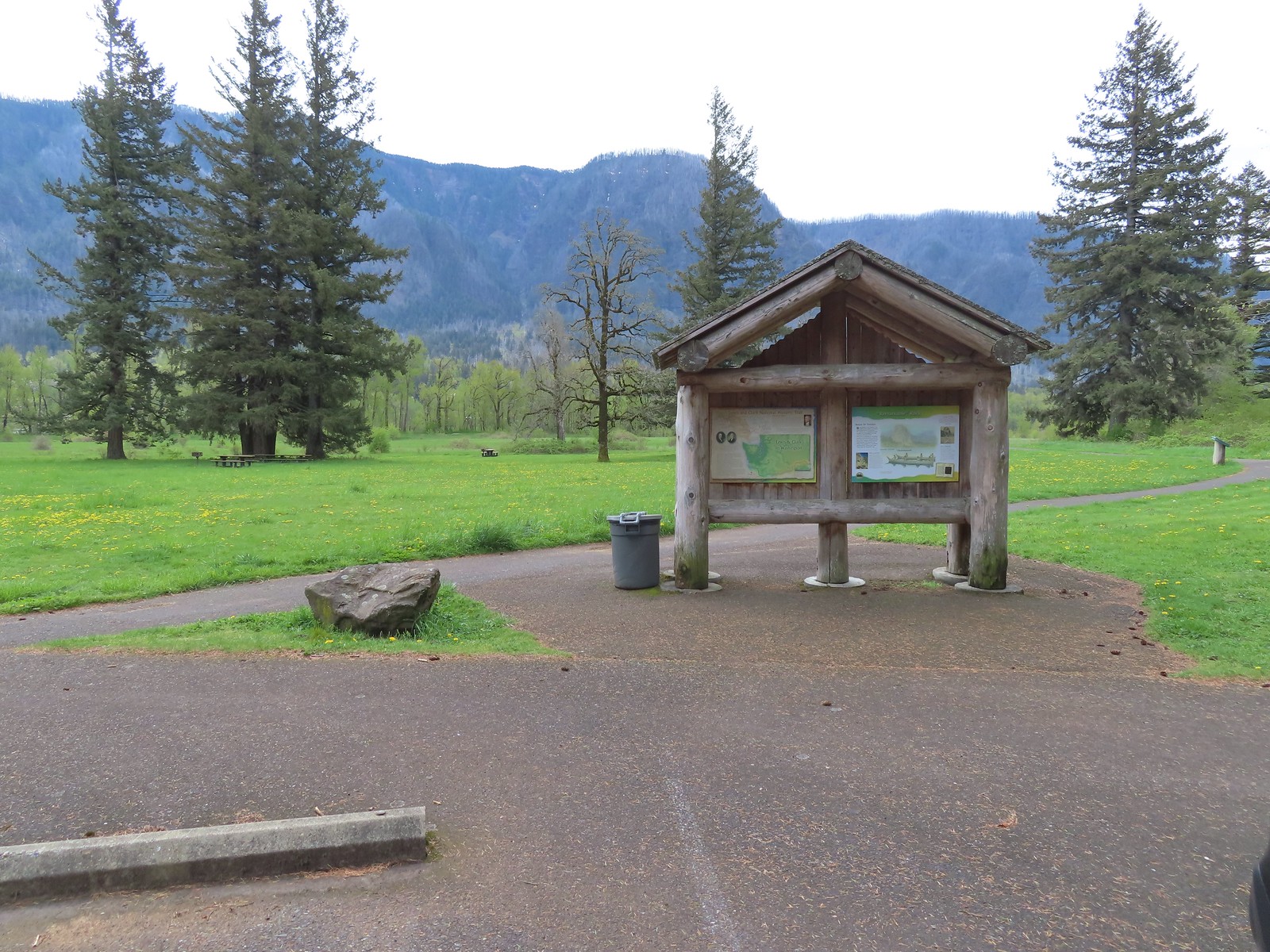 Kiosk at Doetsch Ranch.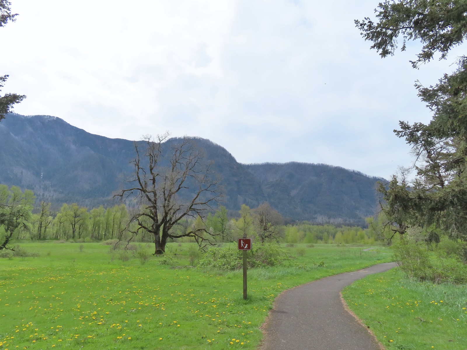
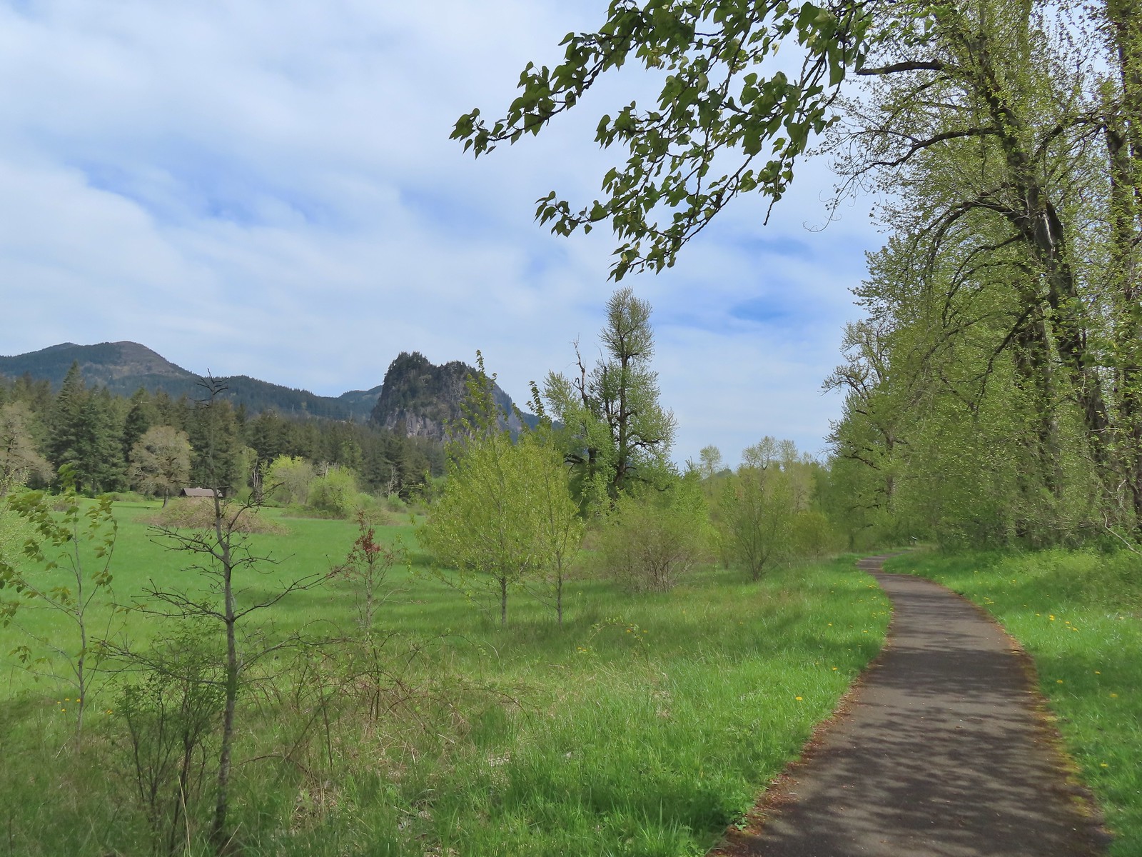 Beacon Rock (
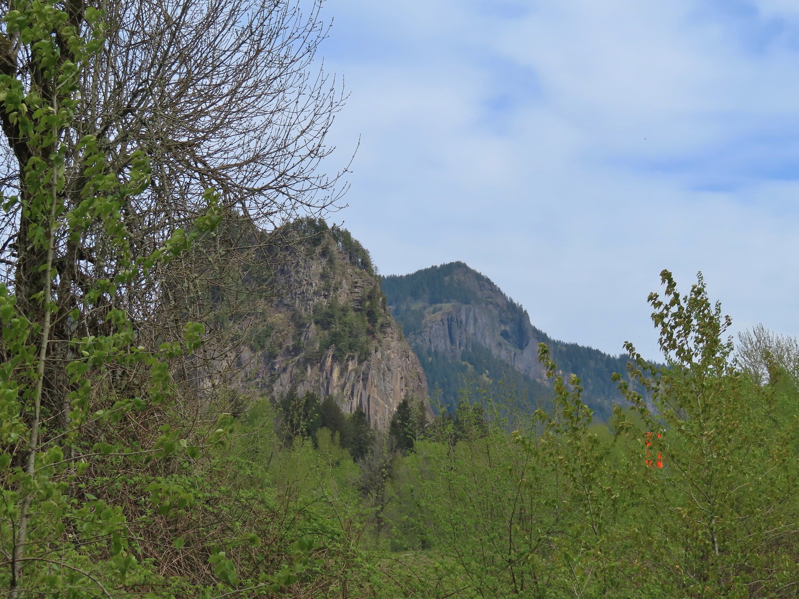 Beacon Rock and Hamilton Mountain.
 Coming up on the other parking area.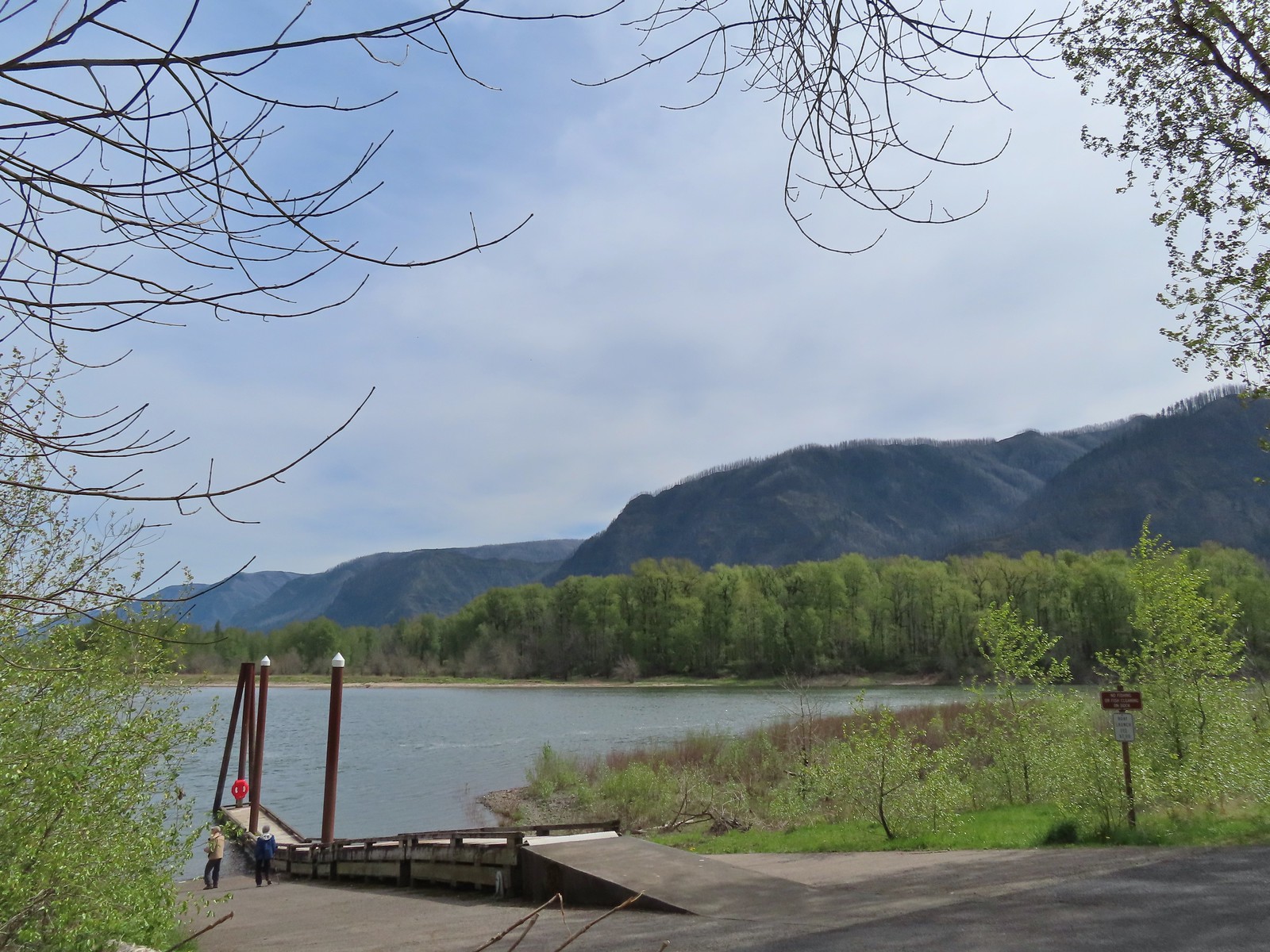

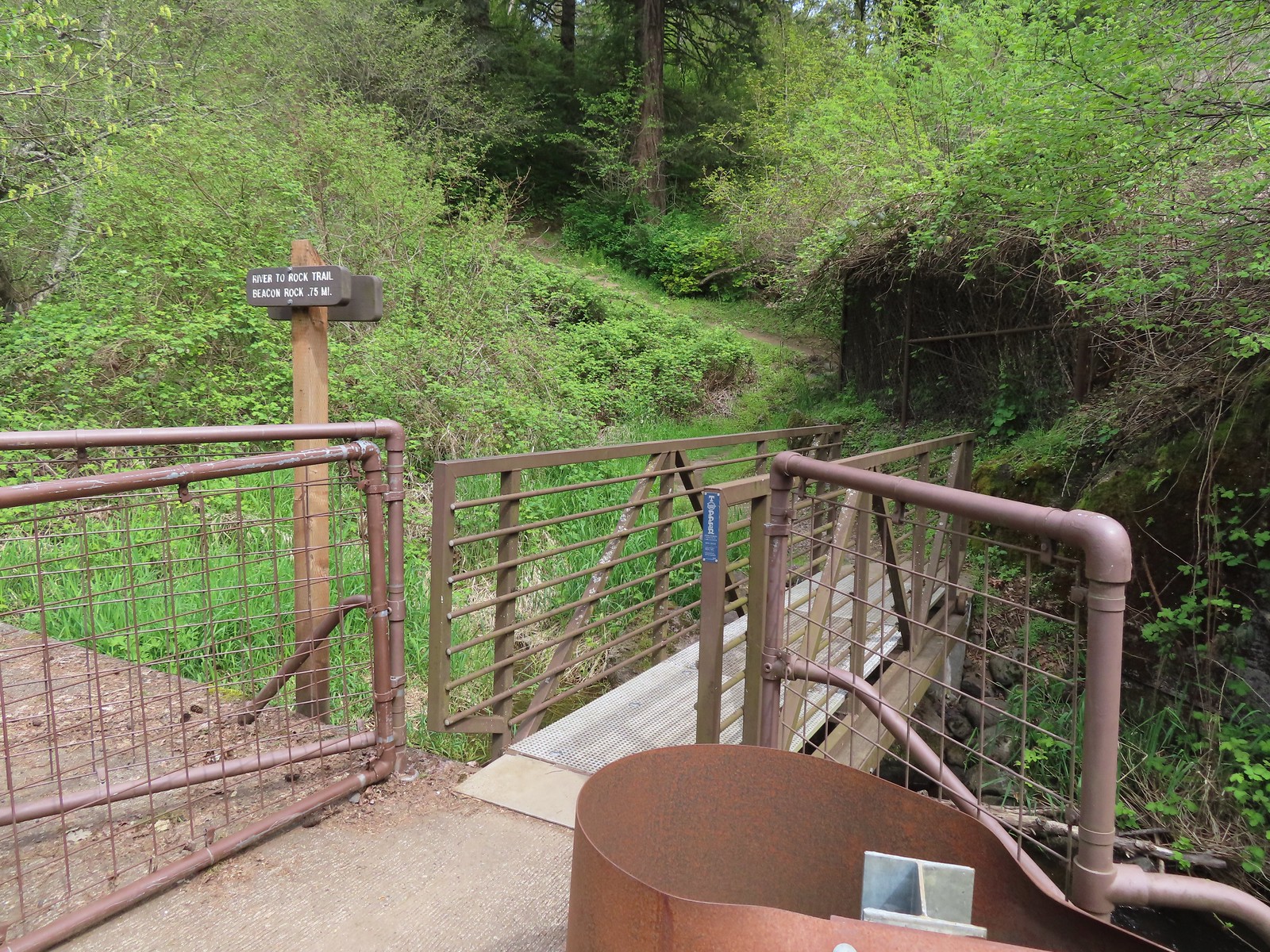
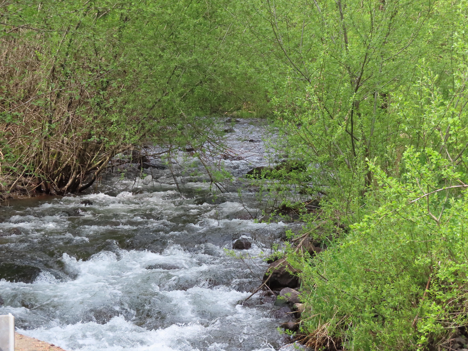 Woodward Creek
 Fairy bells, vine maple, and fringecup
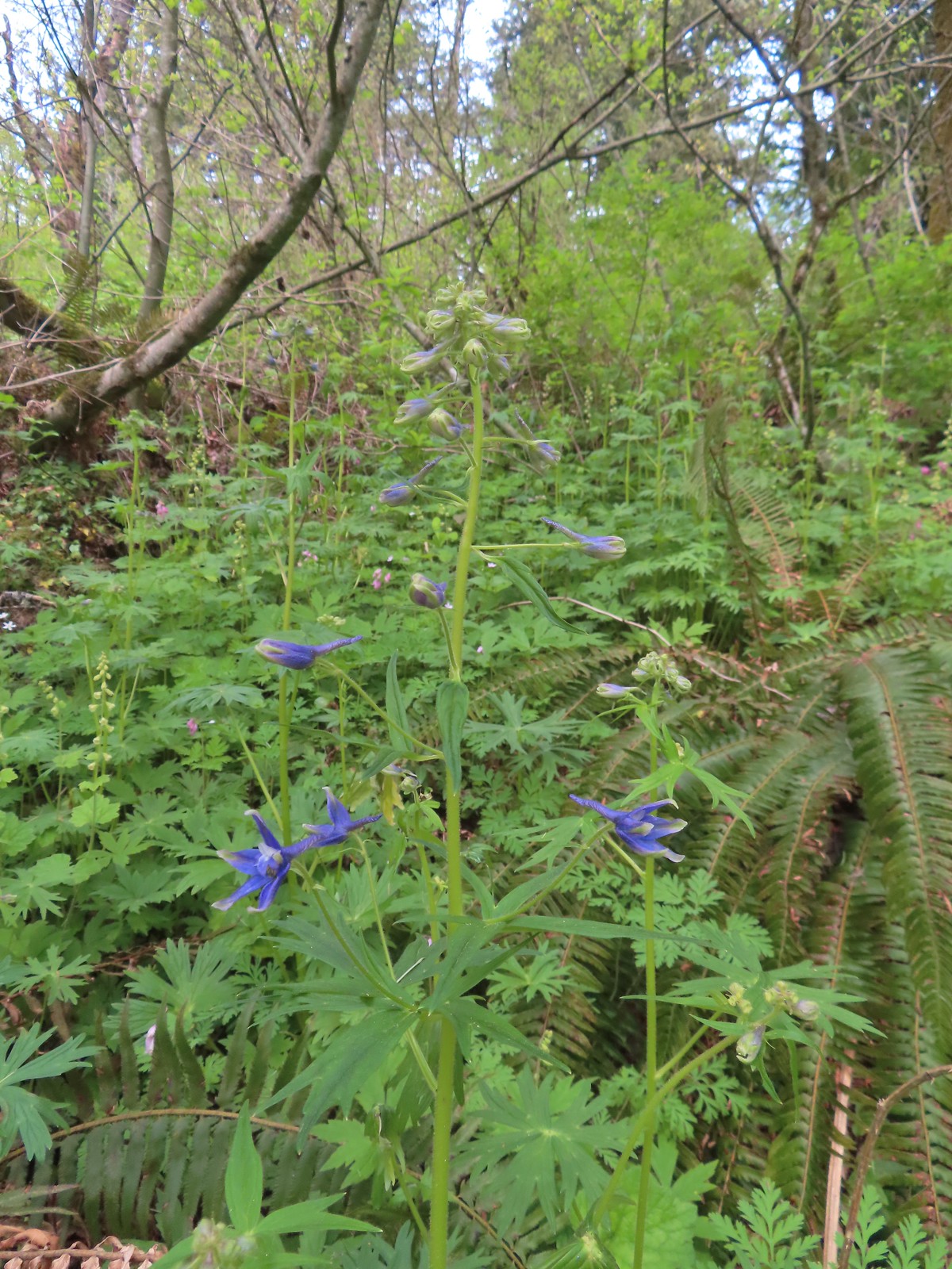 Columbian larkspur
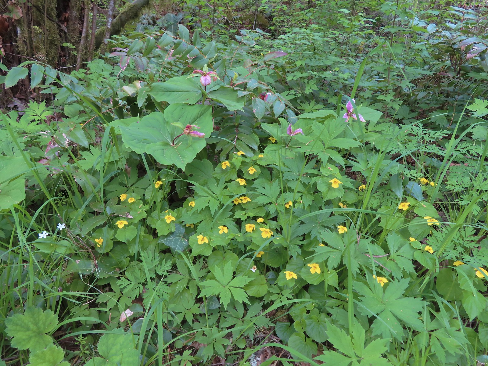 Trillium and voilets
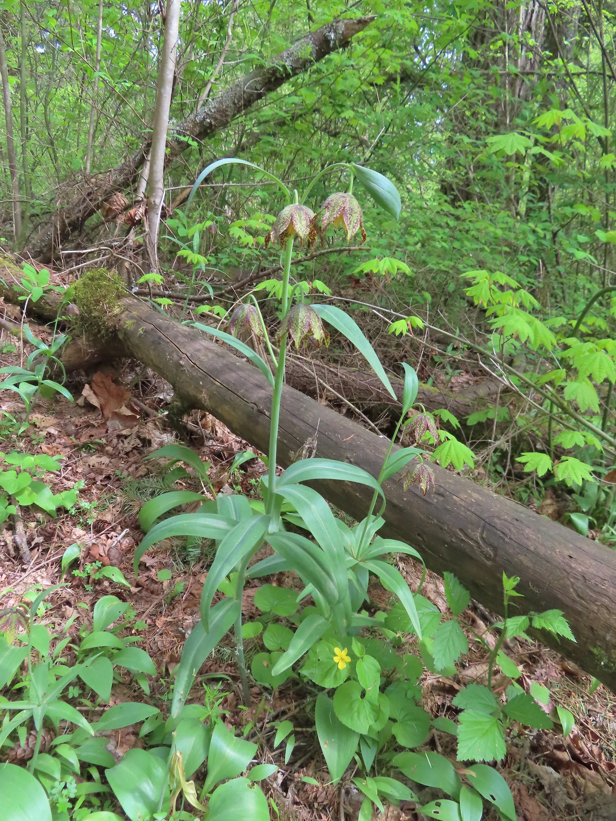 Checker (chocolate) lilies

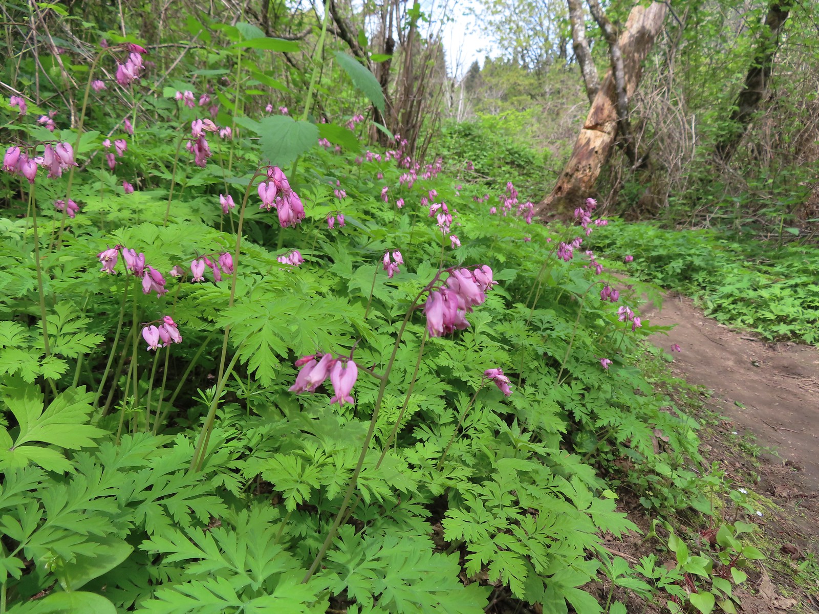 Bleeding heart
 This was just one part of the best display of chocolate lilies we’d ever seen.
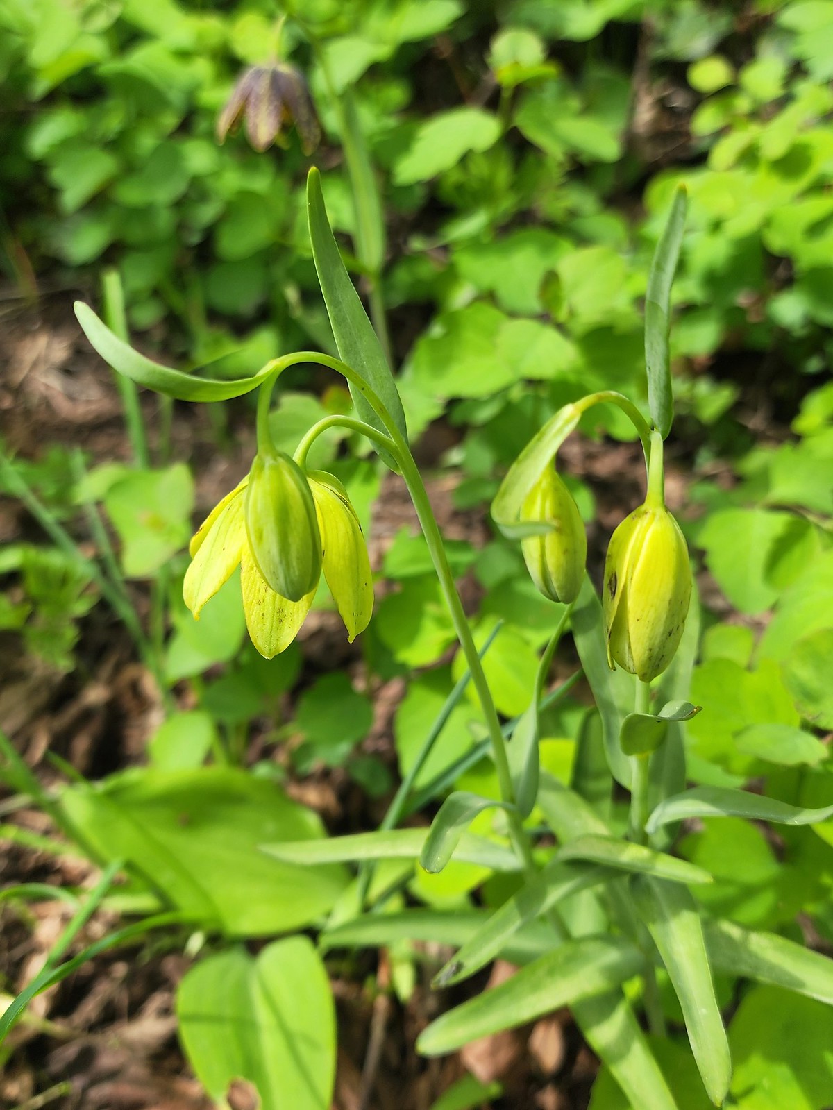 There were a couple of lilies with this coloration which was new to us.
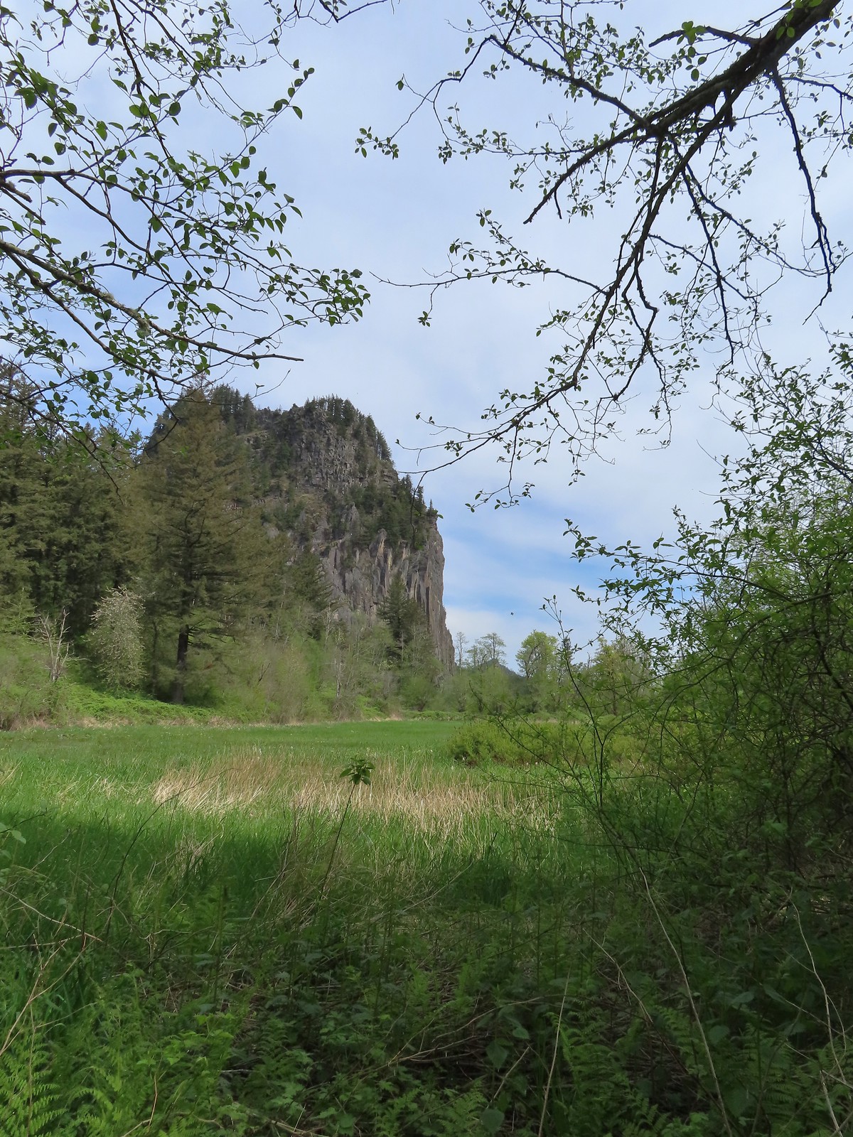 Riddle Lake
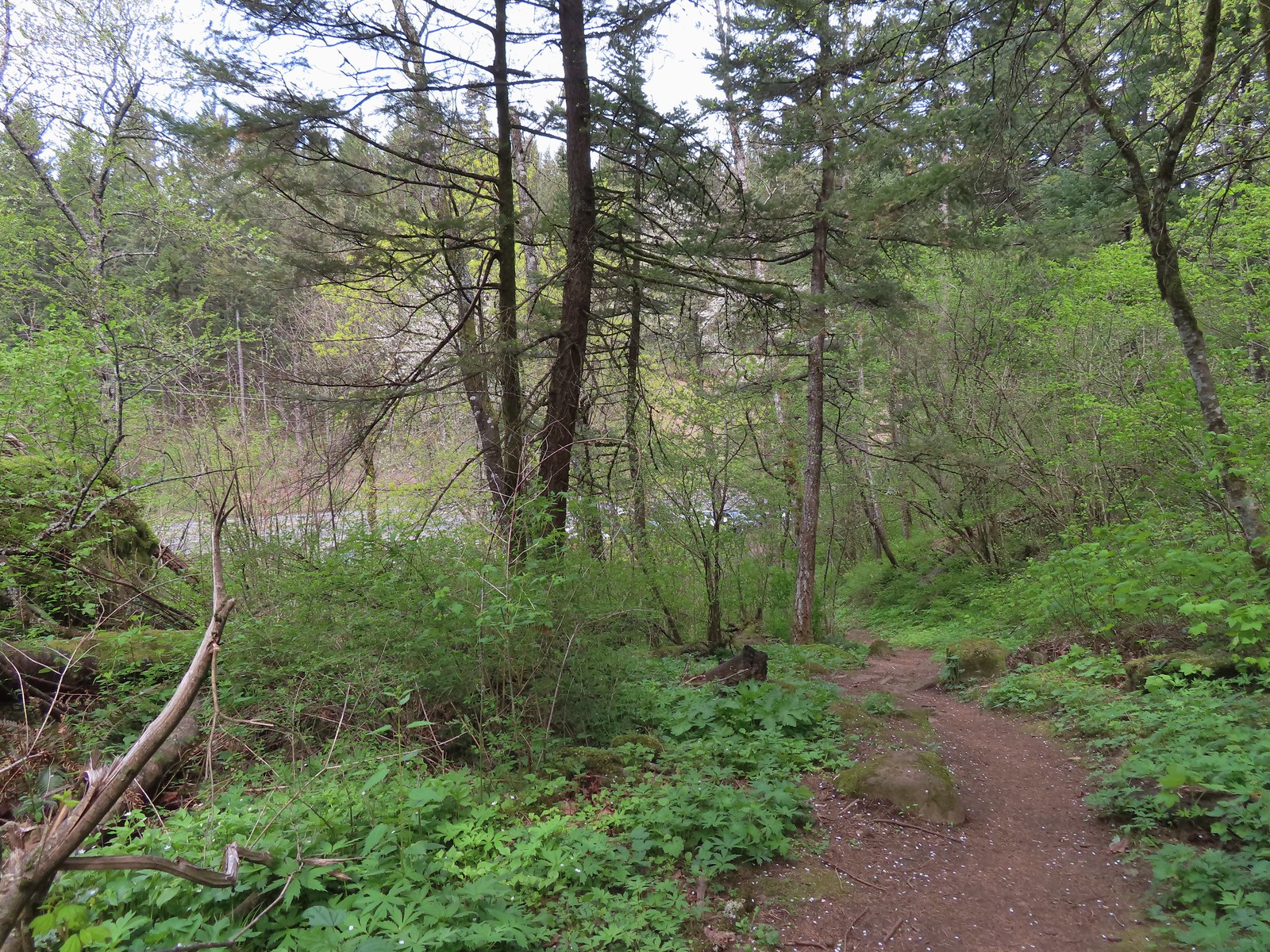 Dropping down to the River to Rock Trailhead.
 Looking back up the River to Rock Trail.
 Passing back by the large patch of chocolate lilies.
 Our first butterfly of 2024, an echo azure.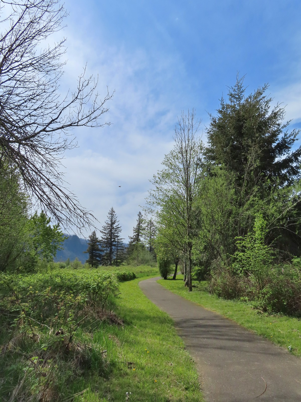
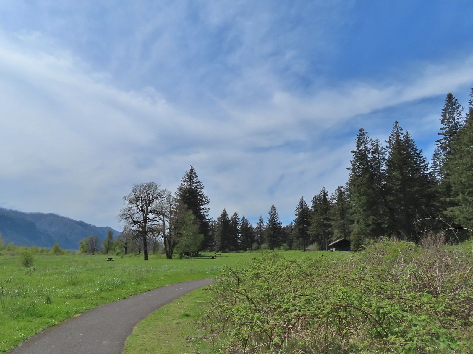 Completing the loop.
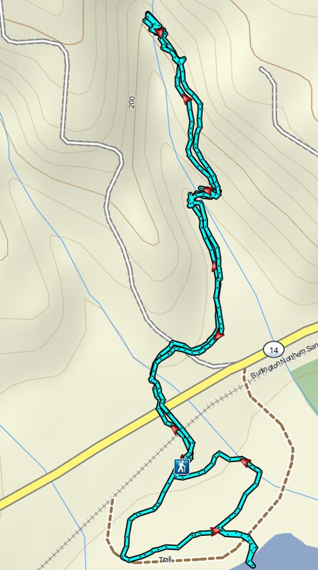 St. Cloud and Lower Archer Falls
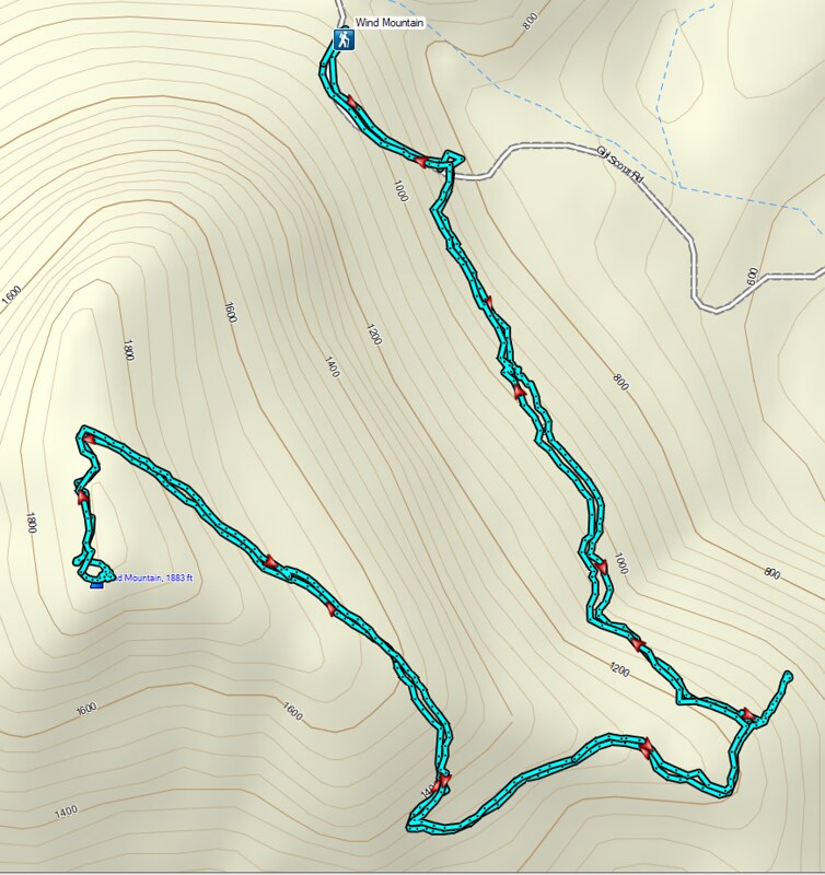 Wind Mountain
 Sams-Walker
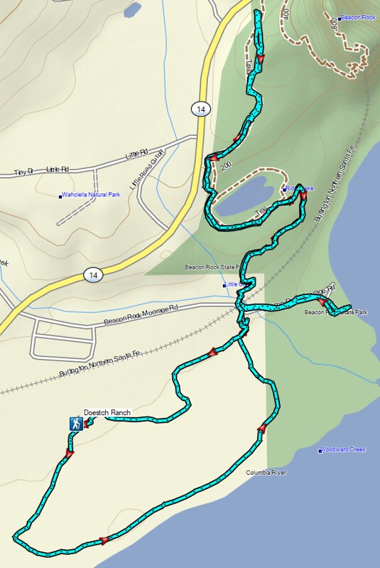 Doetsch Ranch
 A footbridge along the paved path crosses Frazier Creek.
 Kiosk at the start of the Bob Frenkel Boardwalk.
 The start of the loop. We went counterclockwise.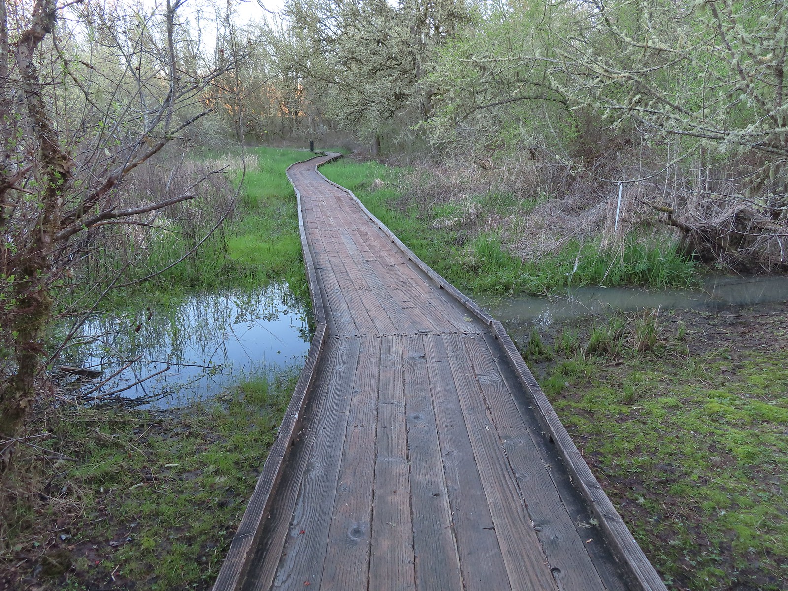
 Northern flicker
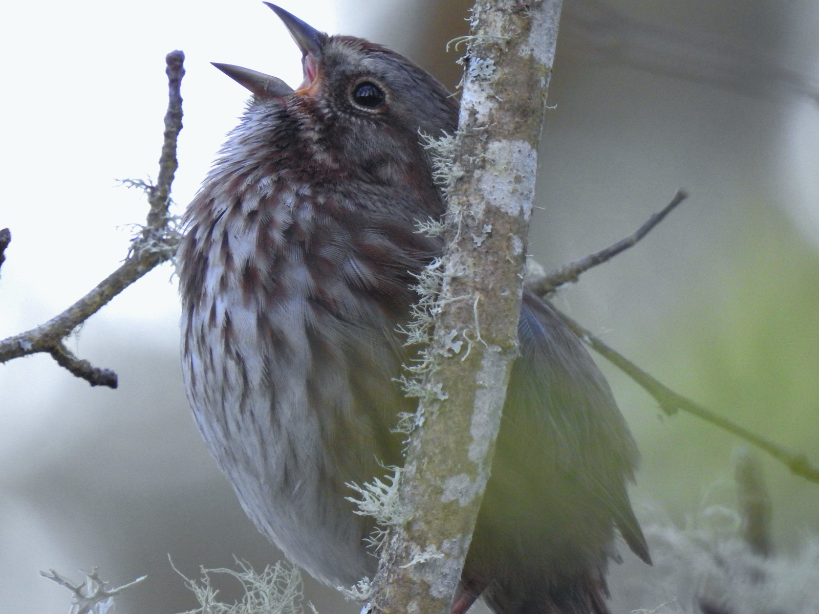 We listened to this sparrow sing for a bit. It was putting on quite the performance.
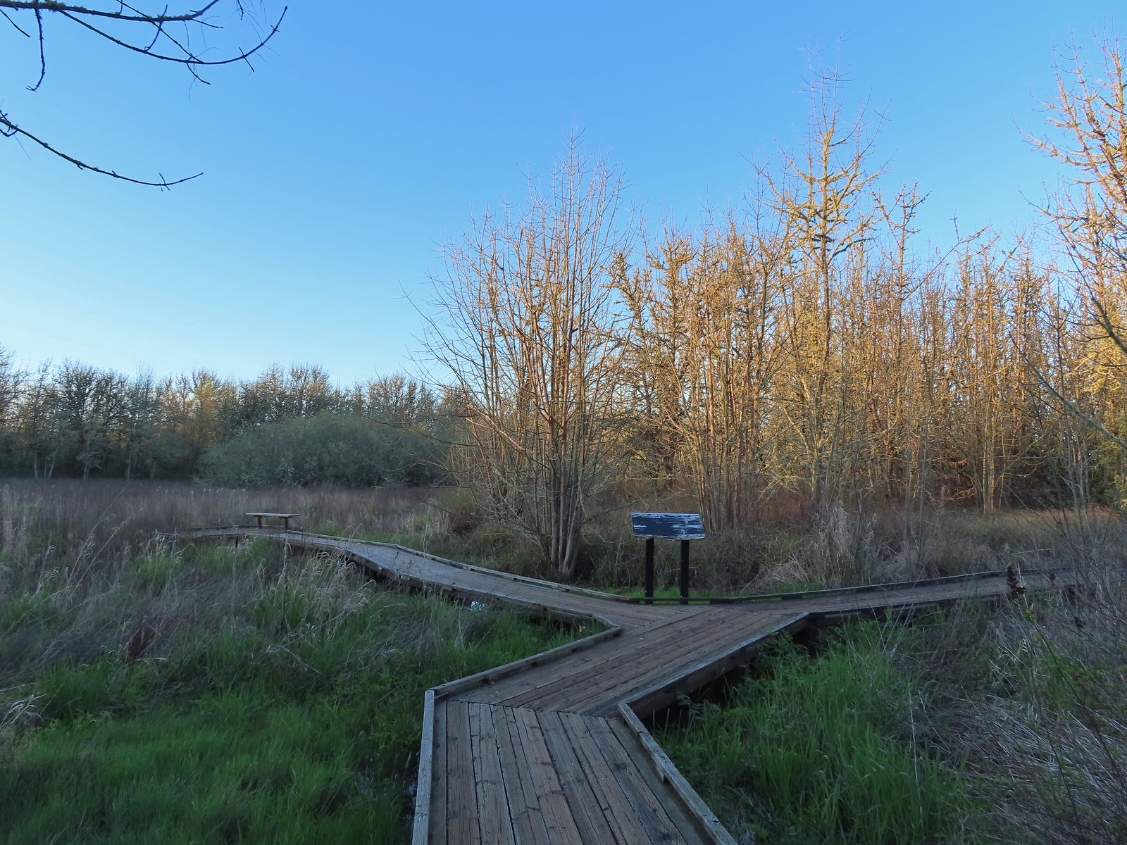 One of a couple viewing platforms off the main boardwalk.
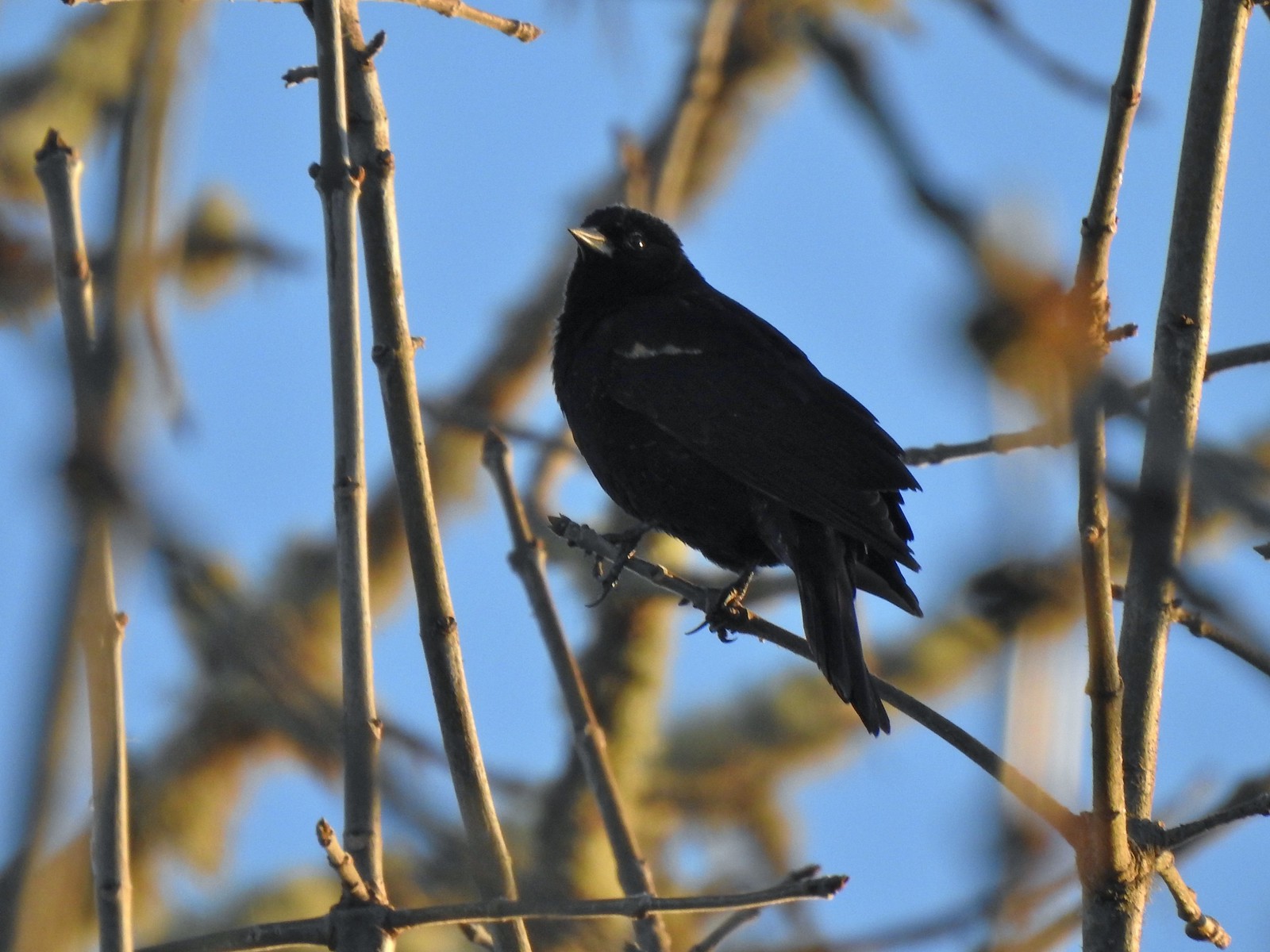 Blackbird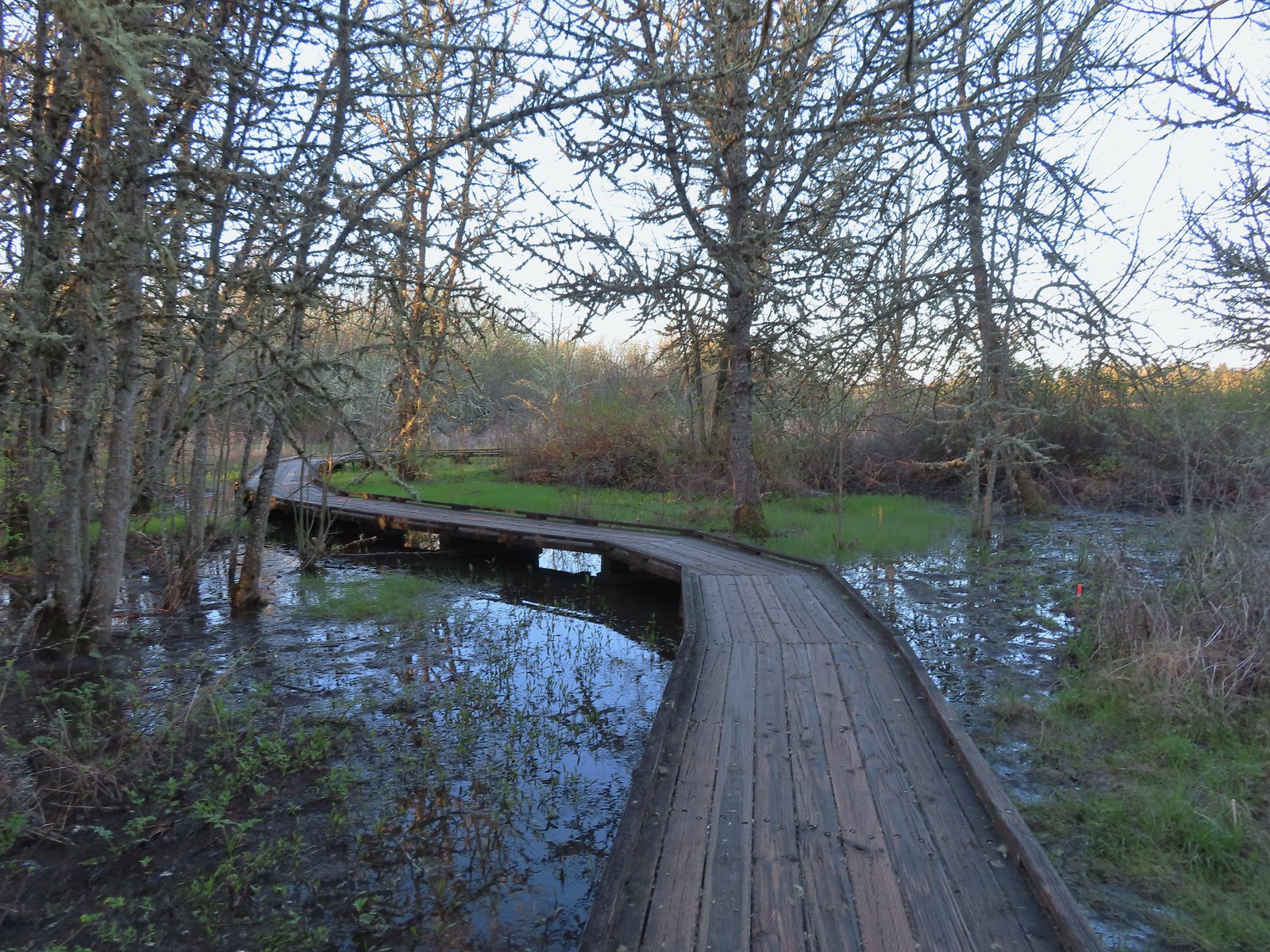
 Robin in the morning sunlight.
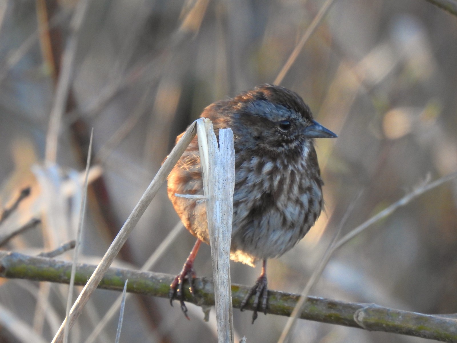 Sparrow
 Hummingbird
 Easter rabbit?
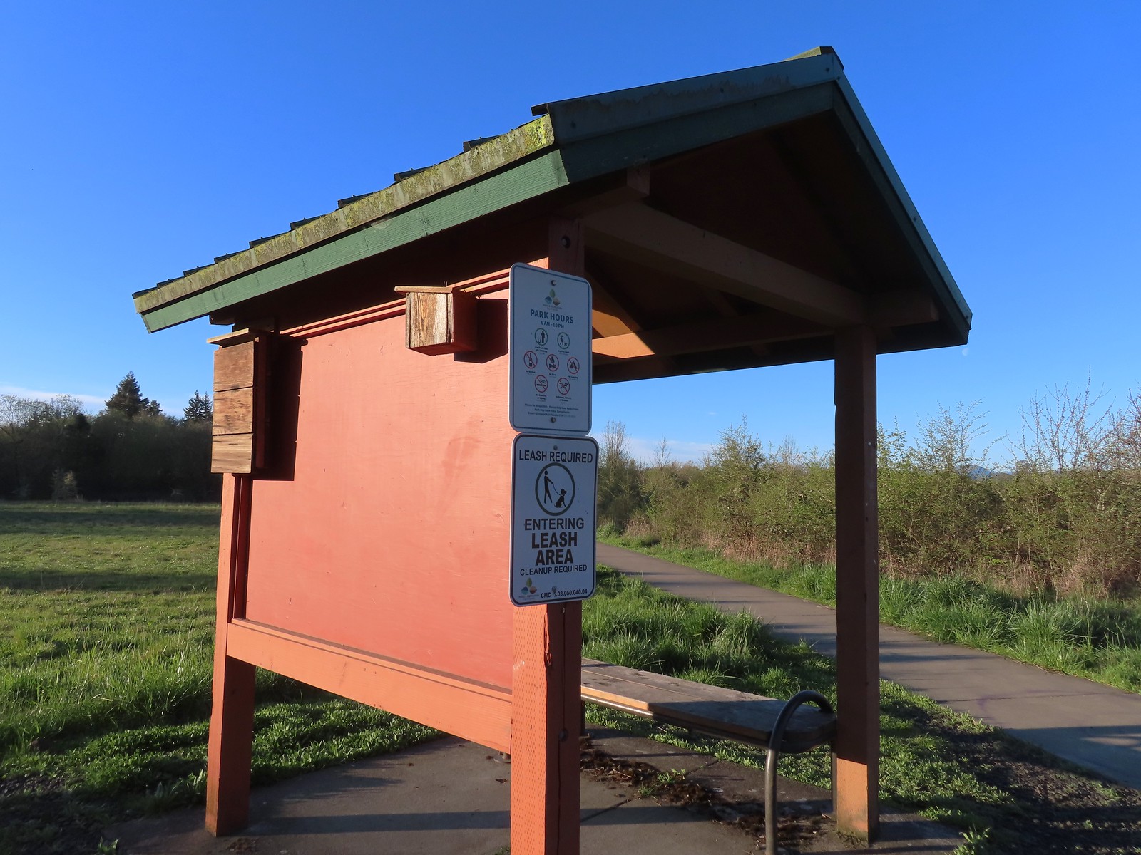 Kiosk at the trailhead.
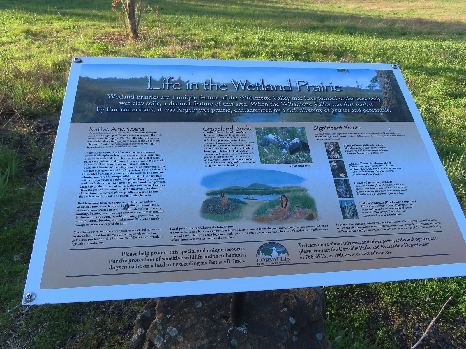 Interpretive sign along the path.
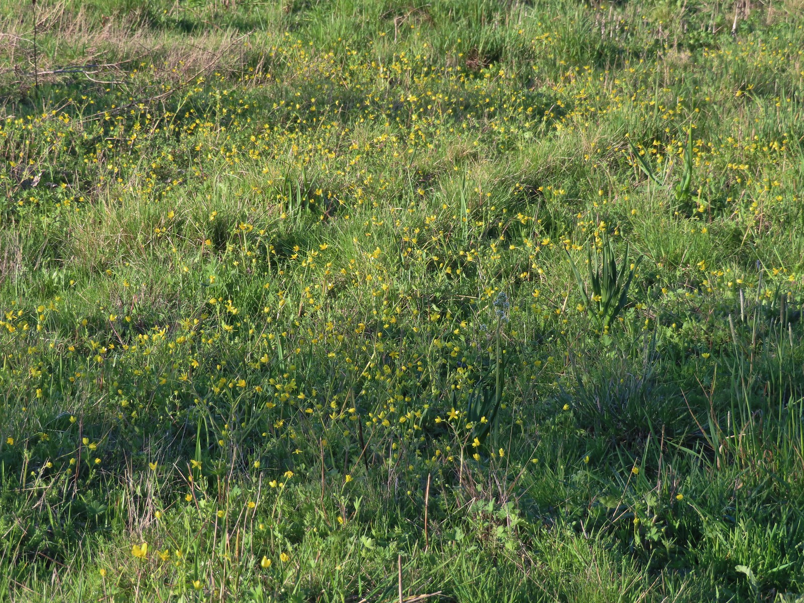 Buttercups and a bog saxifrage
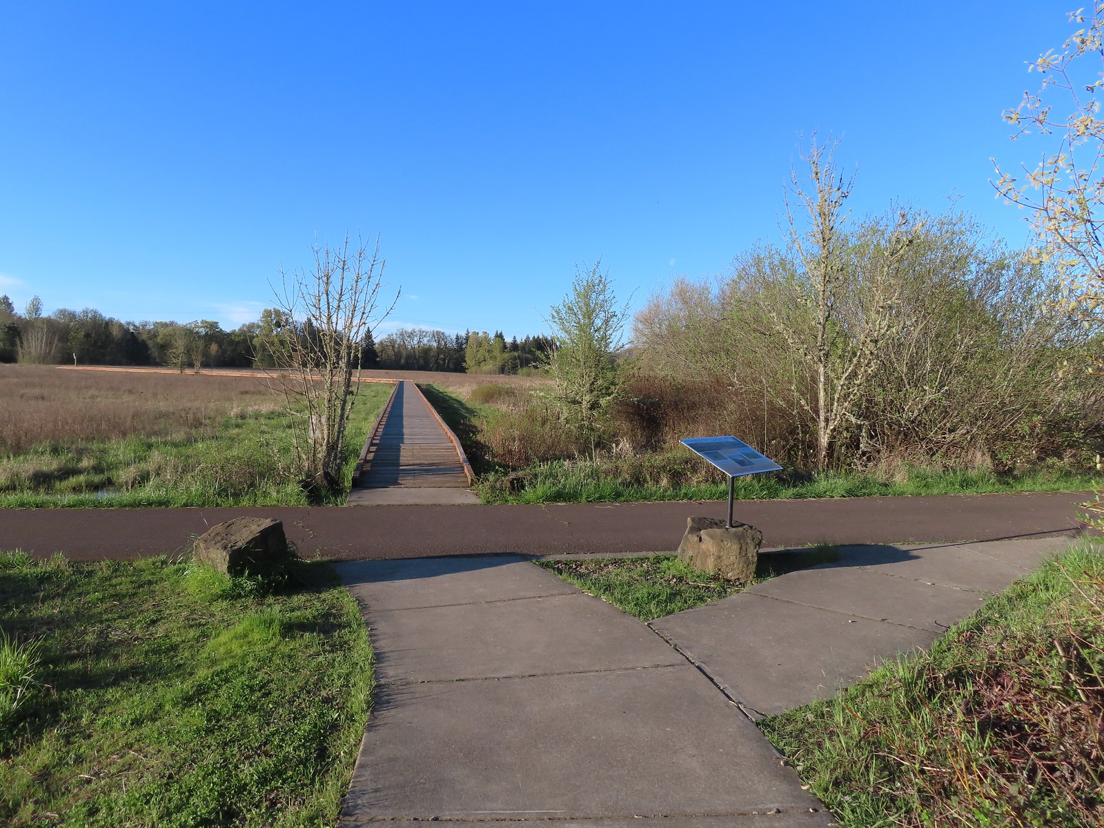 The start of the boardwalk.
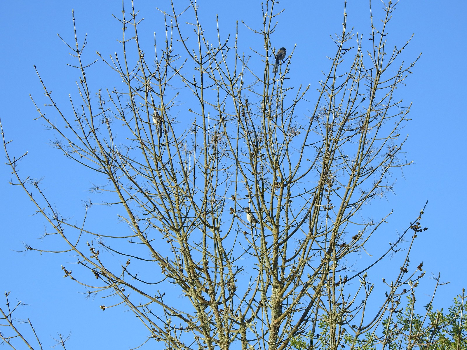 Three California scrub-jays
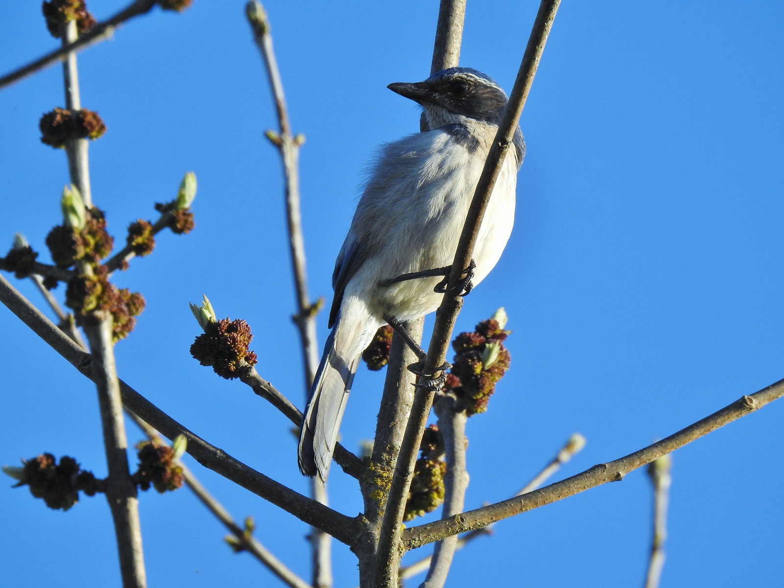 One of the scrub-jays up close.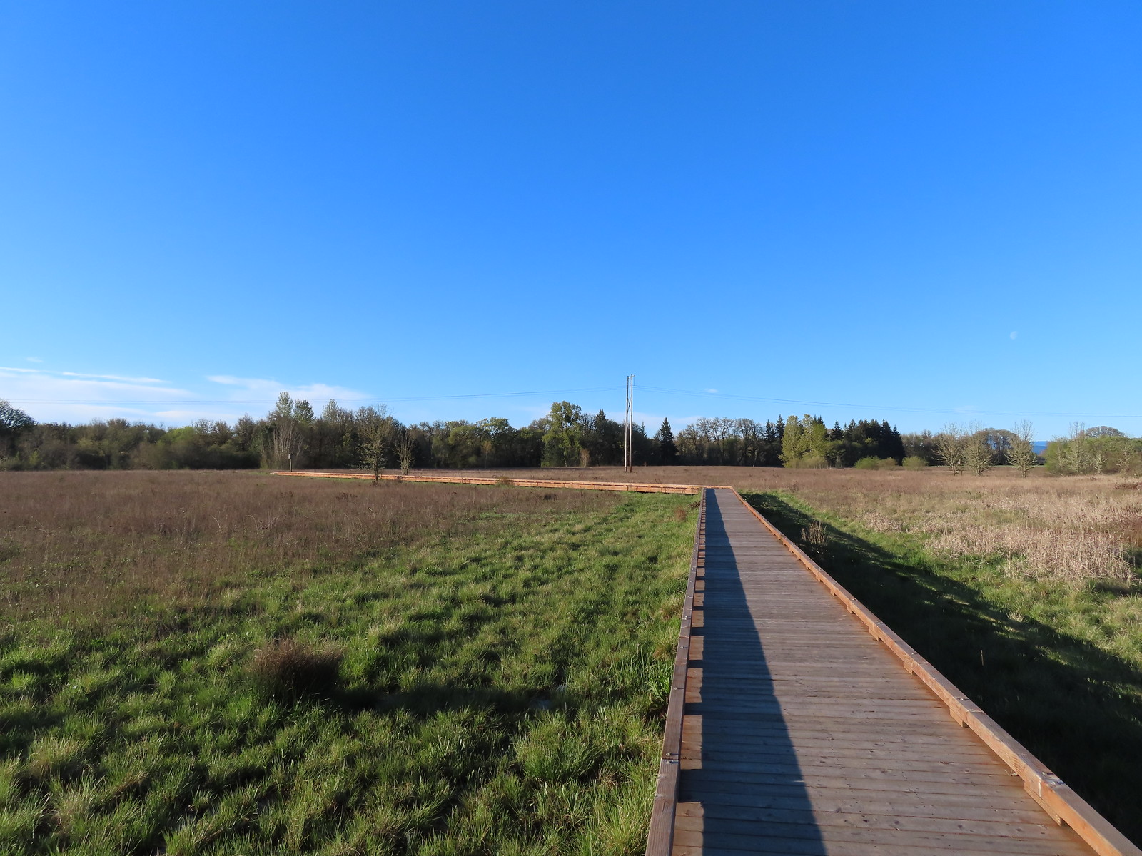
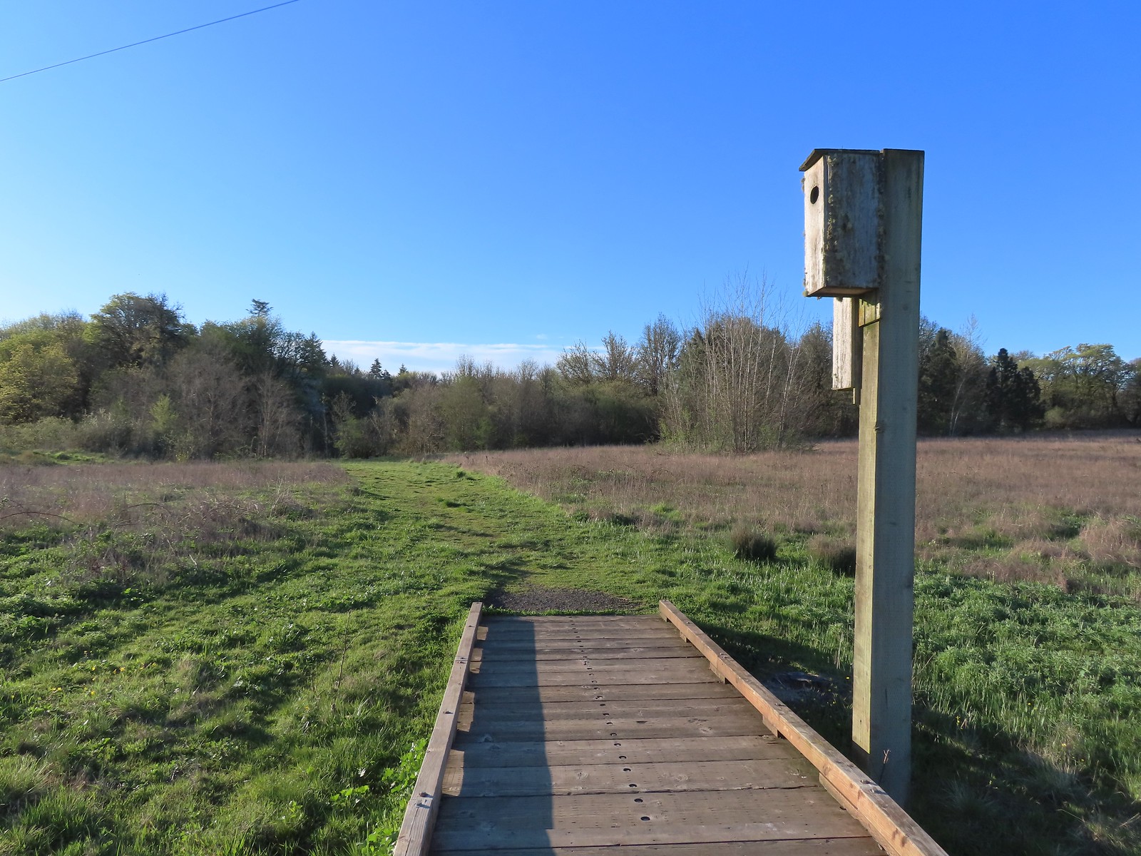 We walked a short distance from the end of the boardwalk to visit Mary’s River.
 Swollen Mary’s River. It did appear that it might be possible to make this a loop in the dry season by following a grassy track, but it was too wet and muddy to even attempt that today.
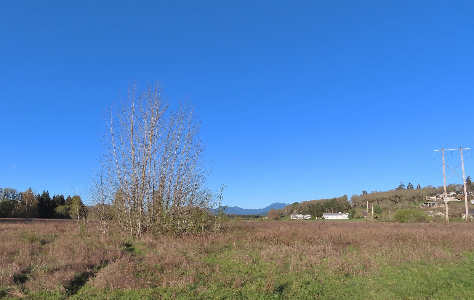 Mary’s Peak (
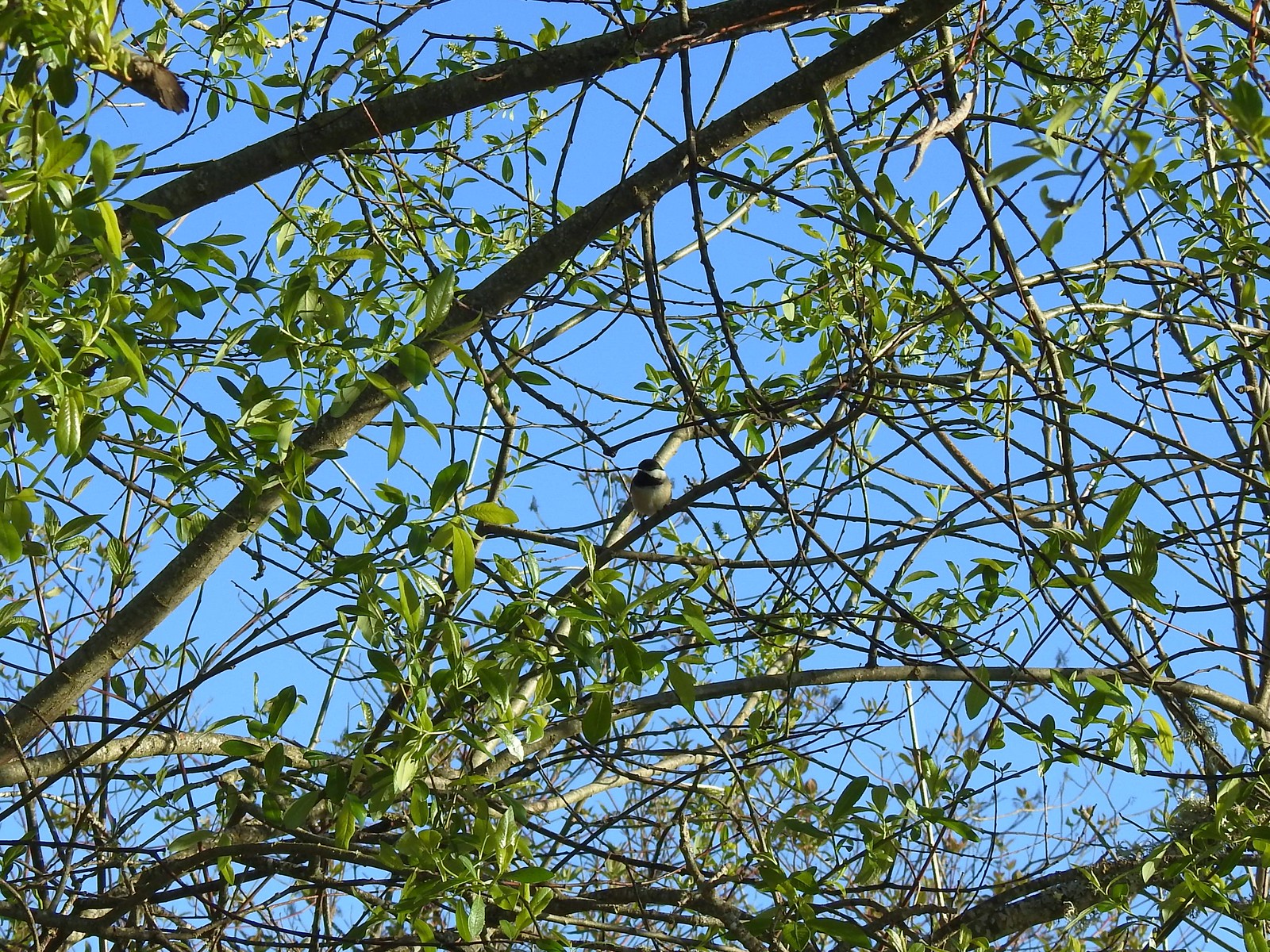 Black-capped chickadee
 Anna’s hummingbird
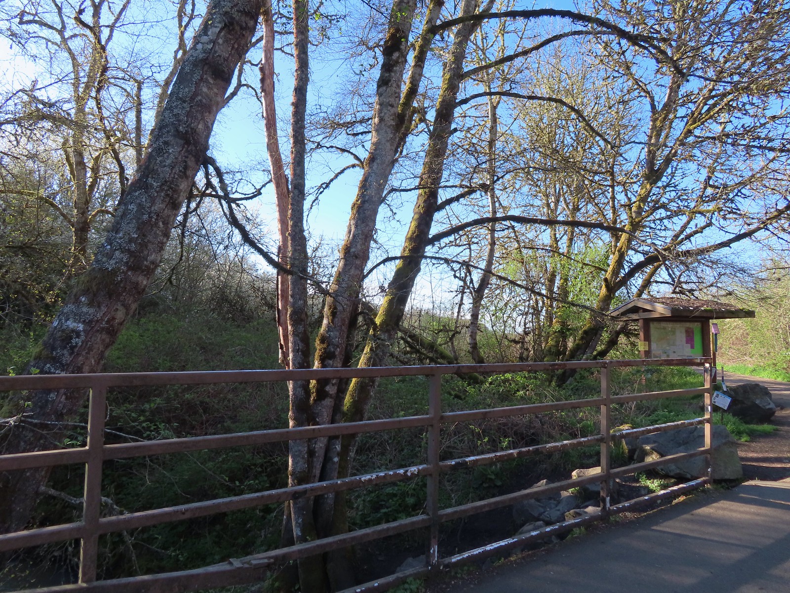 Kiosk just on the other side of Oak Creek from the trailhead parking lot.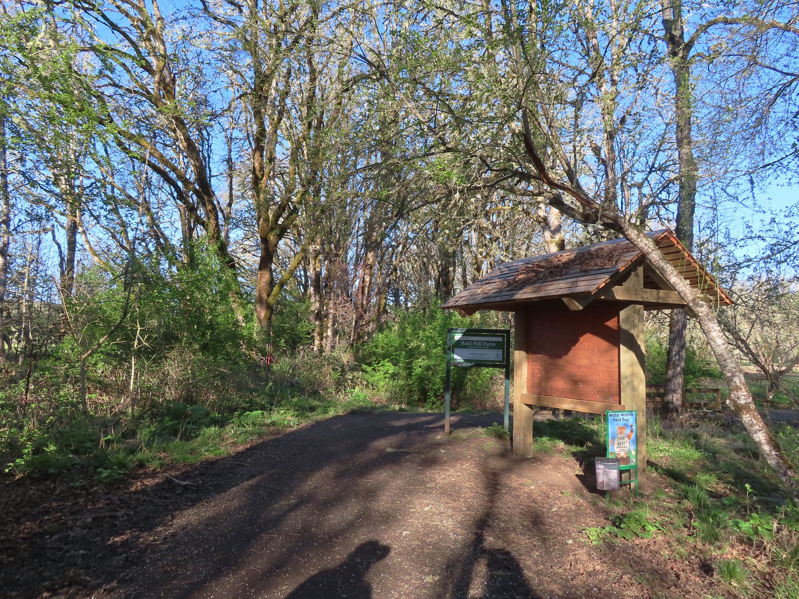
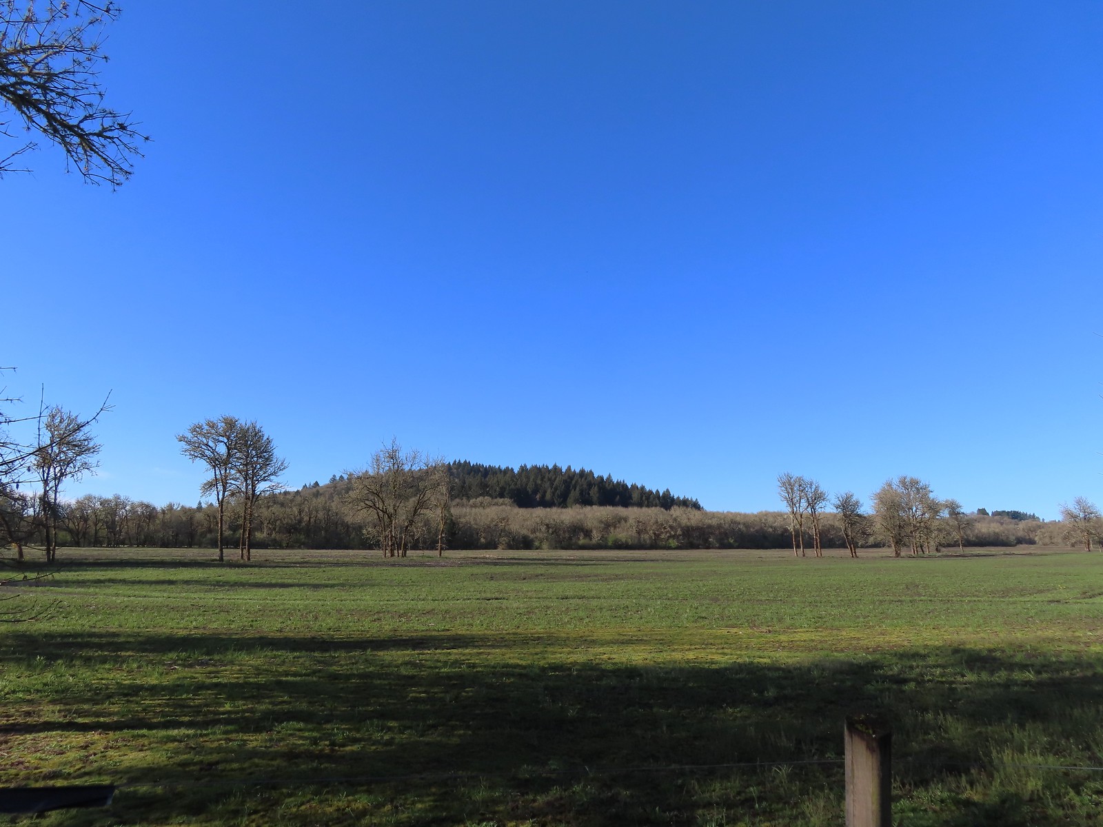 Bald Hill from the trail.
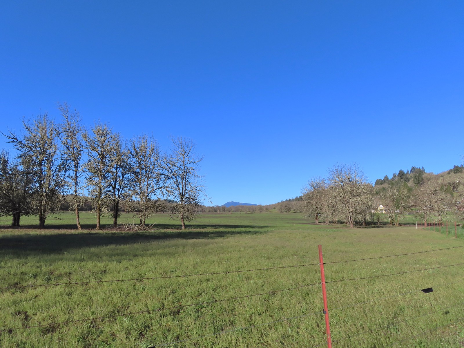 Mary’s Peak
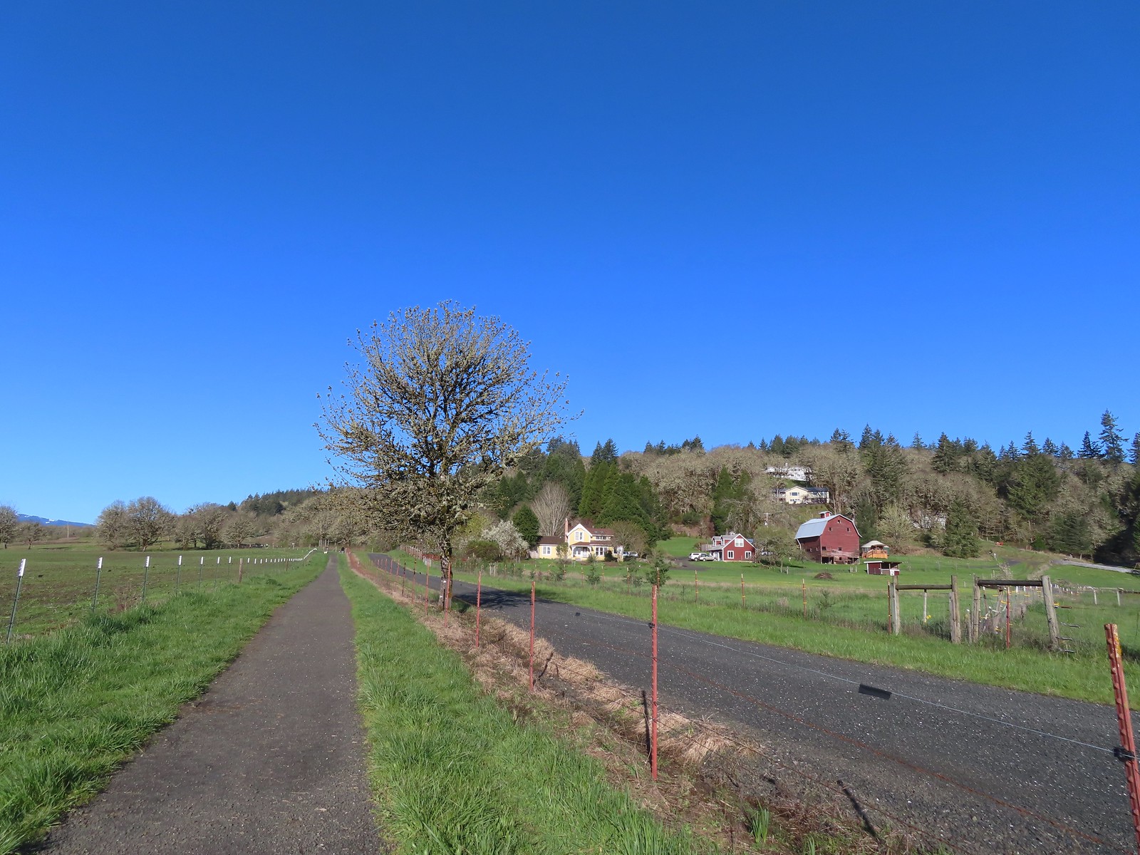 The barn across the gravel road.
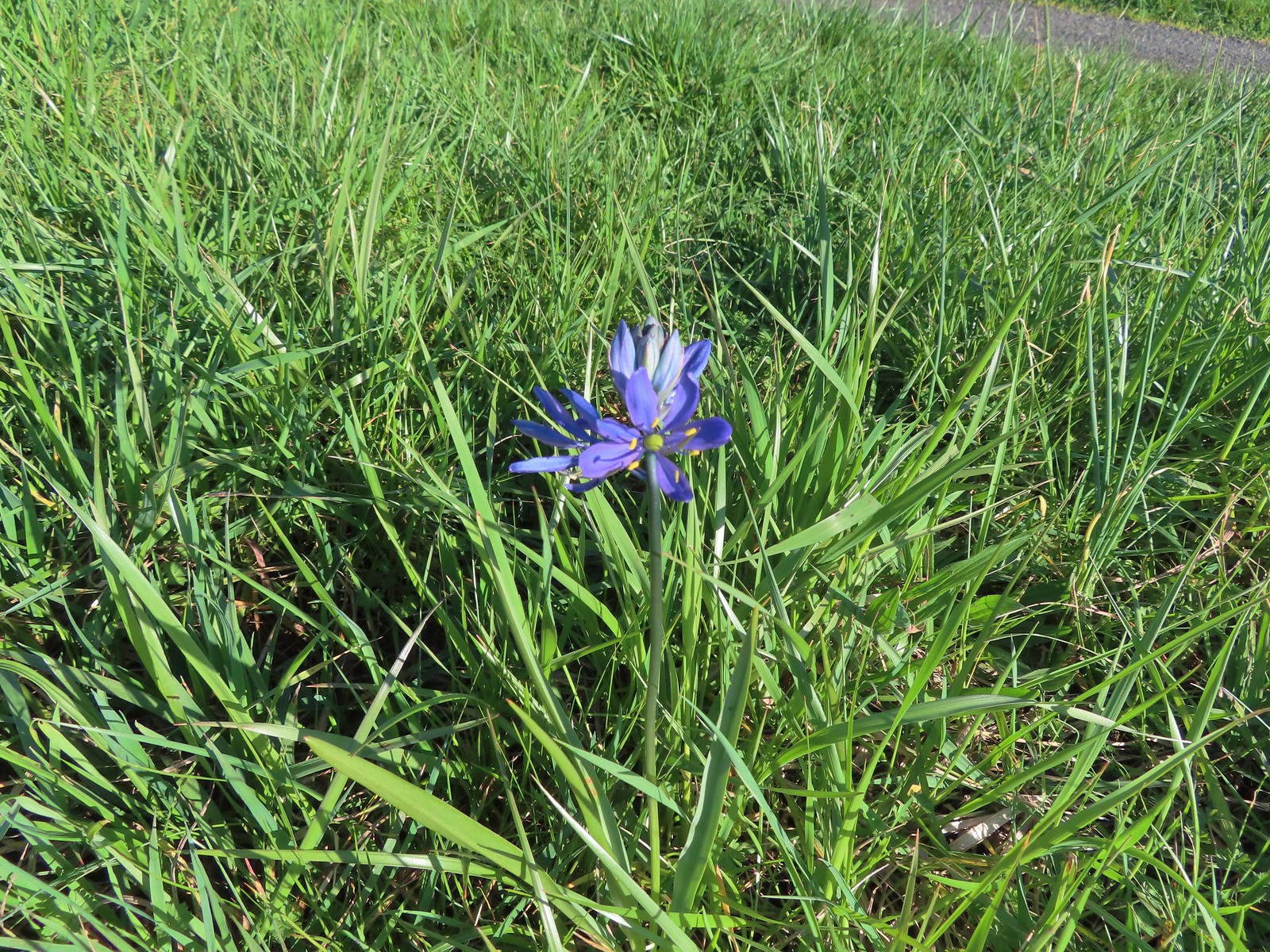 Our fist camas sighting of the year. The only one in bloom that we’d see all day.
 We’d turned left here on our 2016 Bald Hill hike.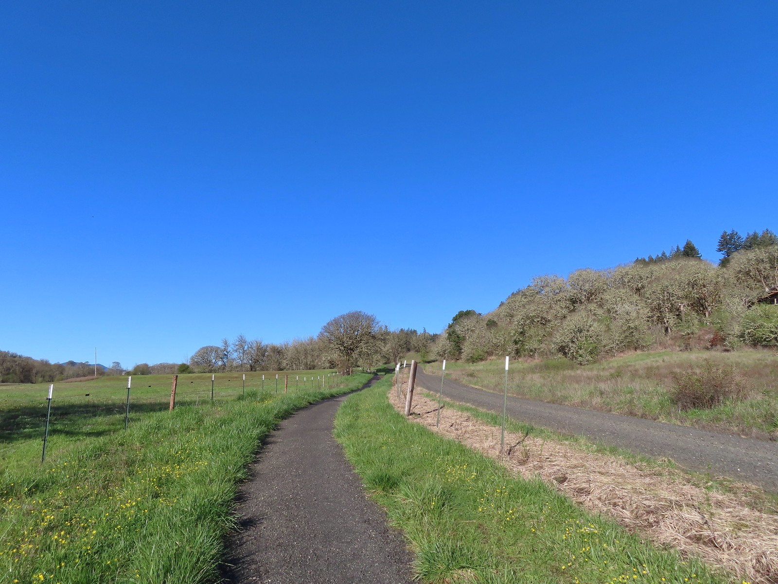
 Crossing the farmhouse road to join the gravel road.
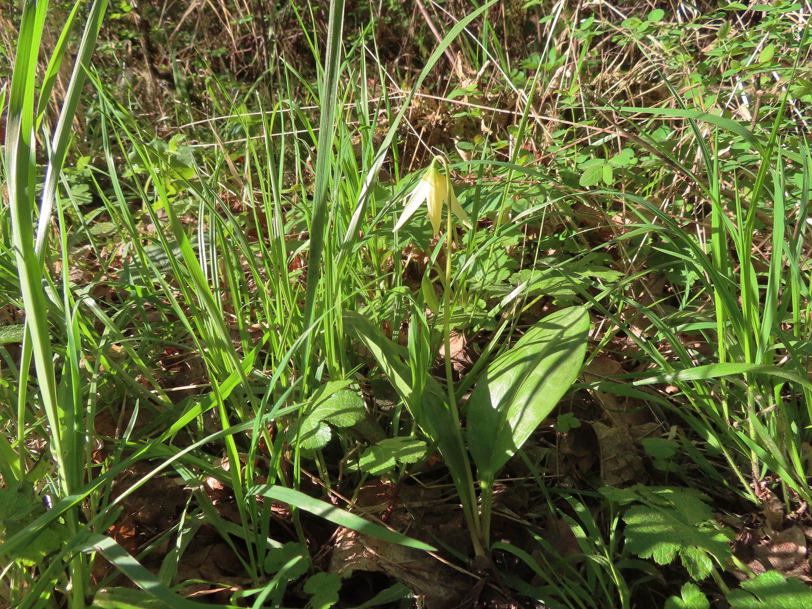 The first of many fawn lilies we’d see.
 Giant white wakerobin
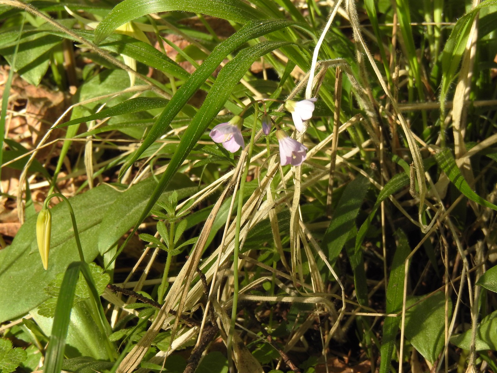 Toothwort
 More fawn lilies
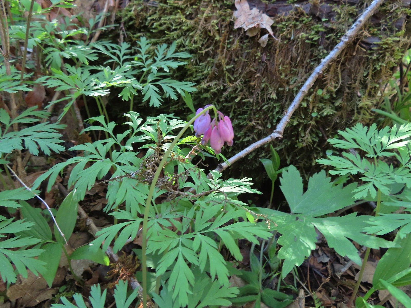 Bleeding heart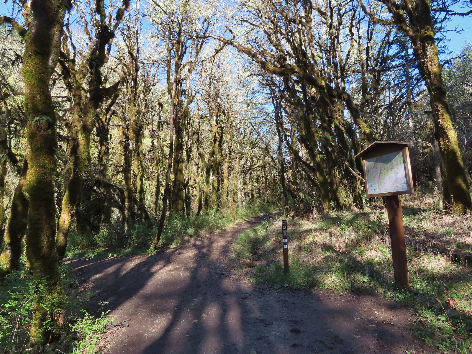
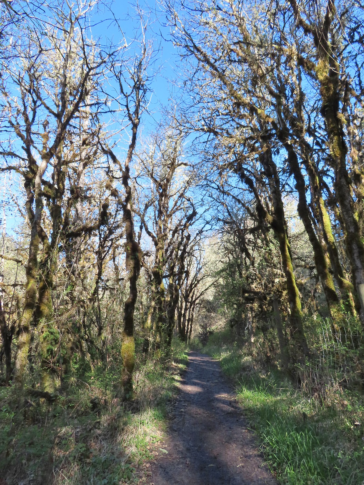
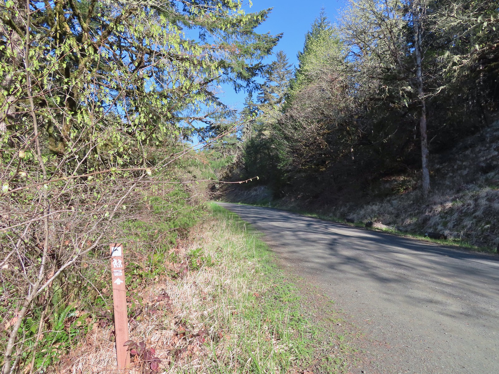 Trail pointer at Wynoochee Drive.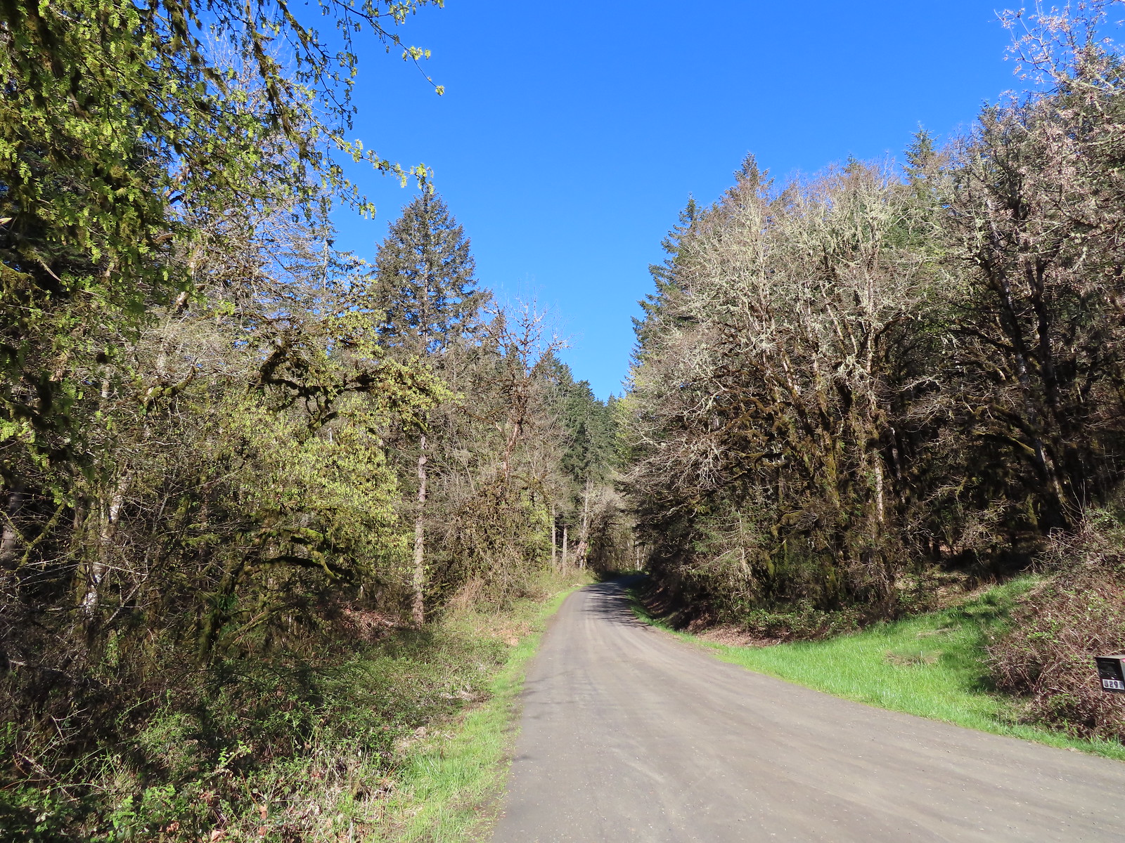
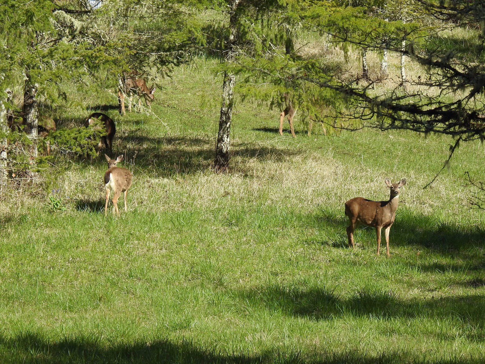 I count six in this photo.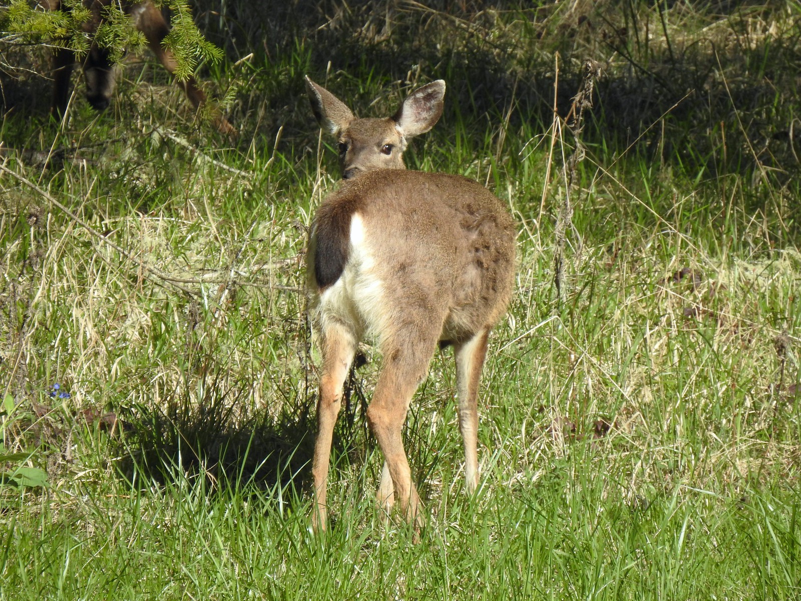

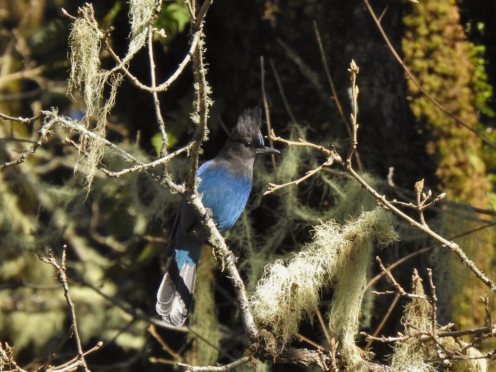 While most of the jays wouldn’t sit still in the open long enough for a decent photo this one at least cooperated.
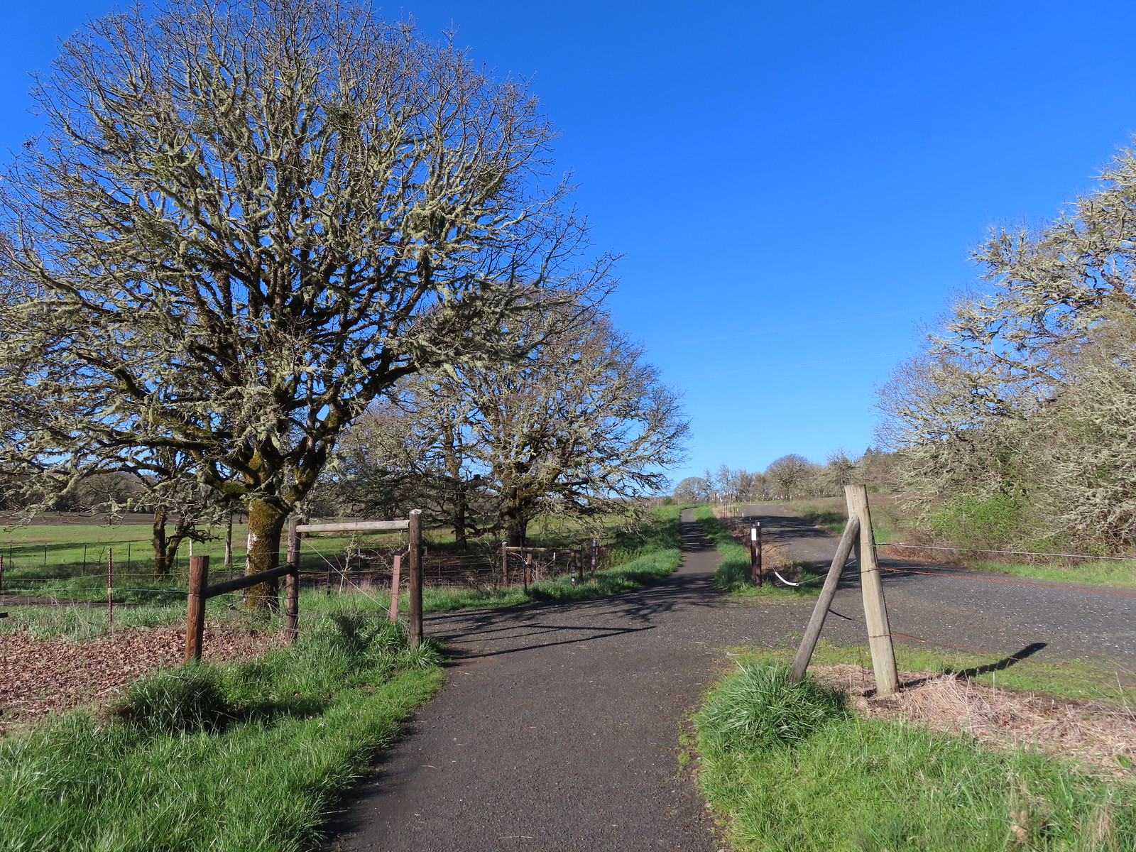
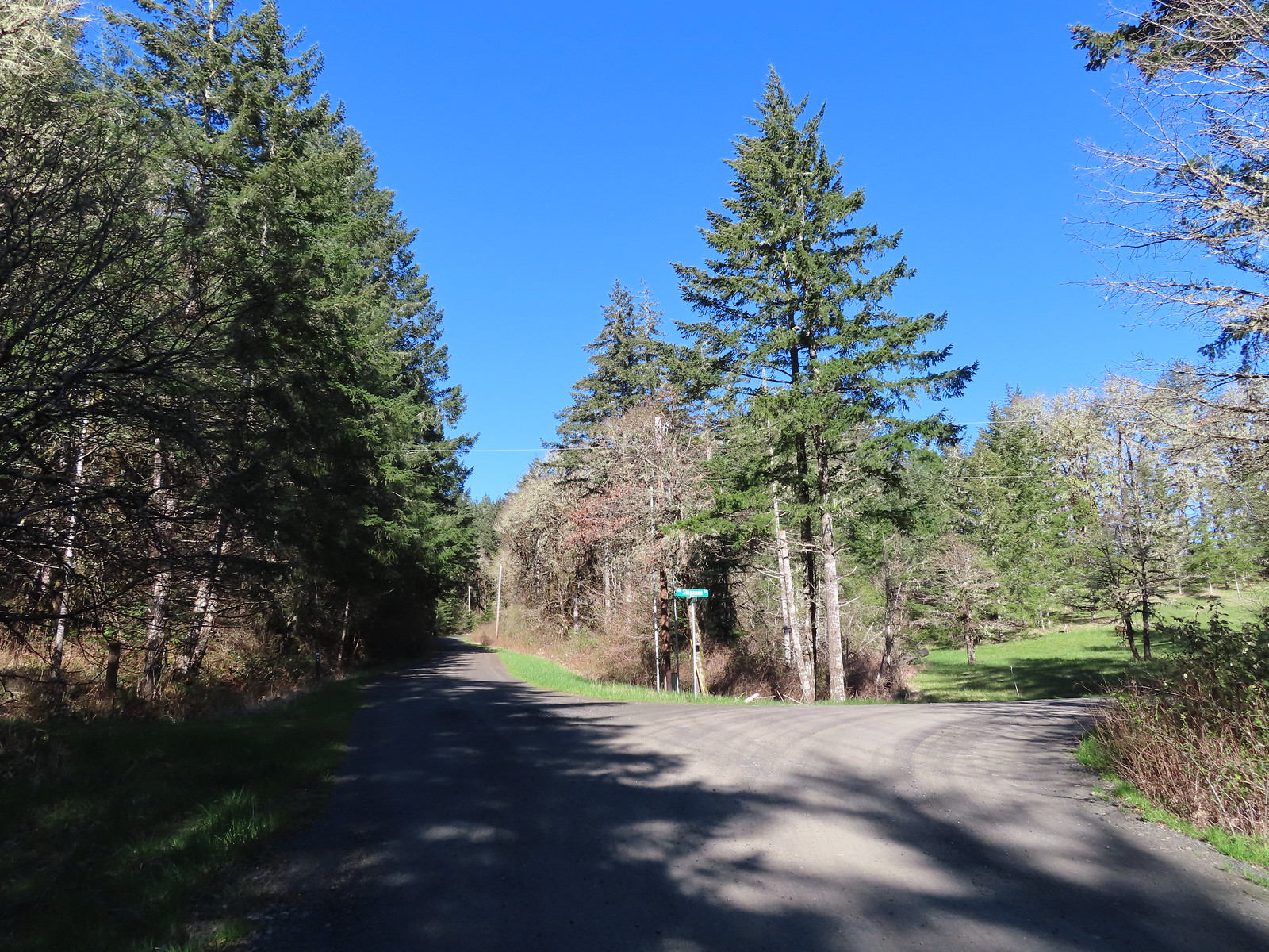
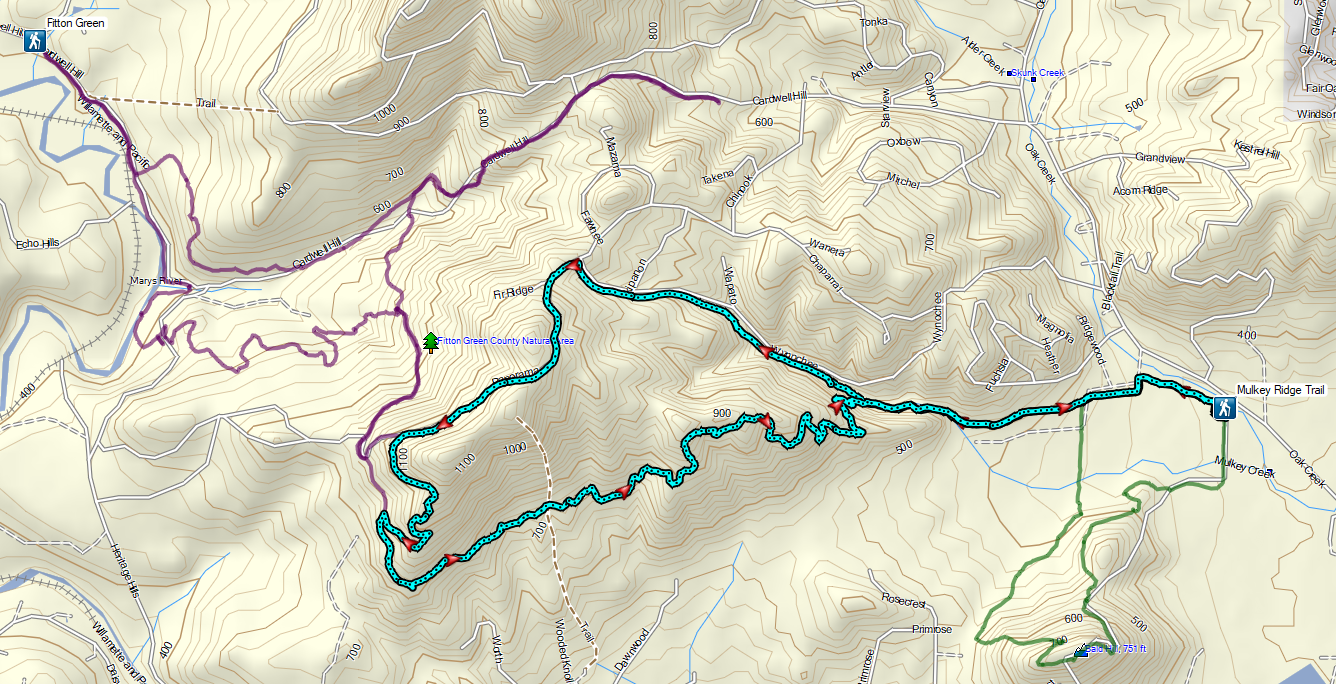
 Sign for the Fitton Green Natural Area at the intersection with Panorama Drive.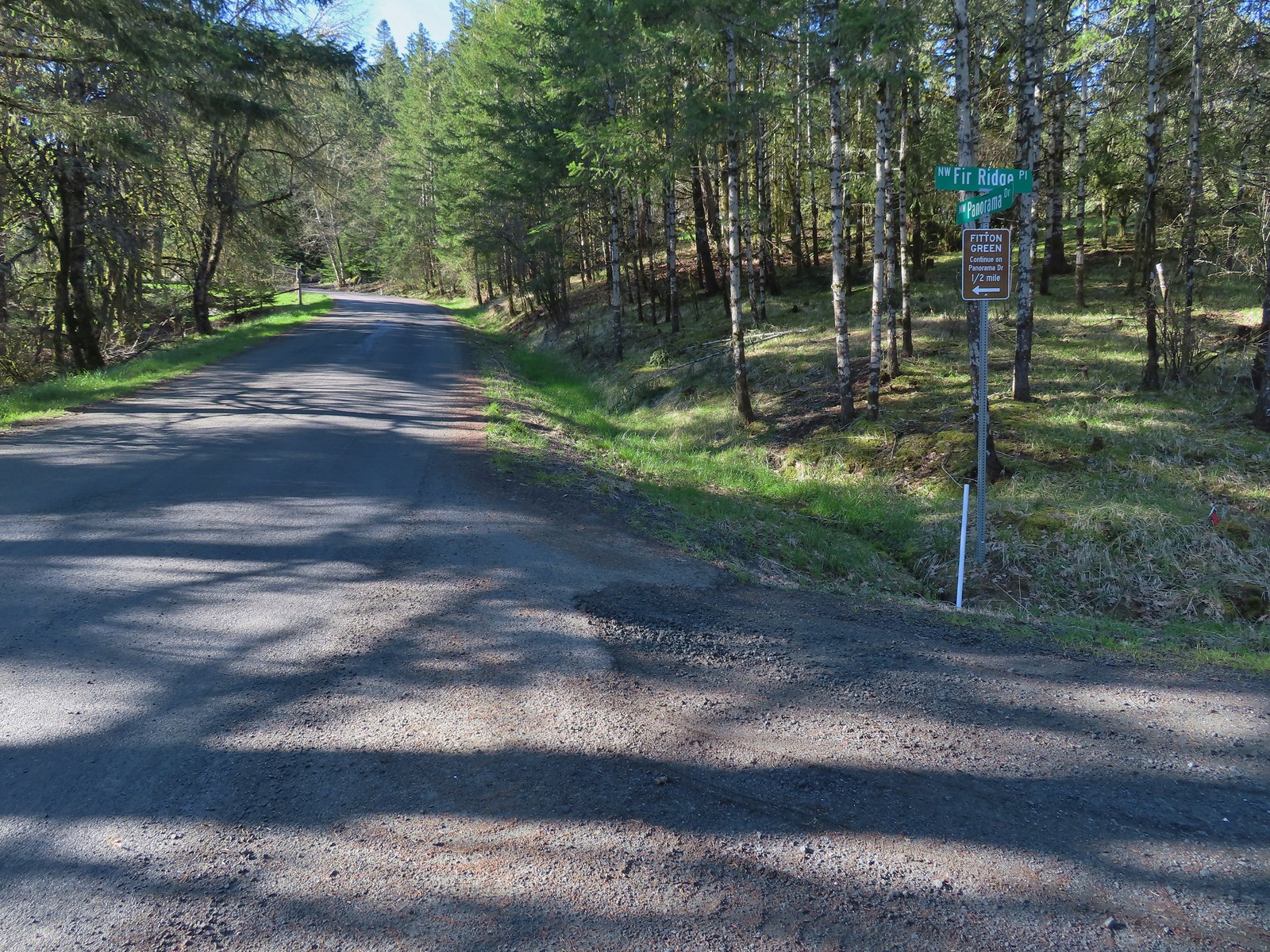
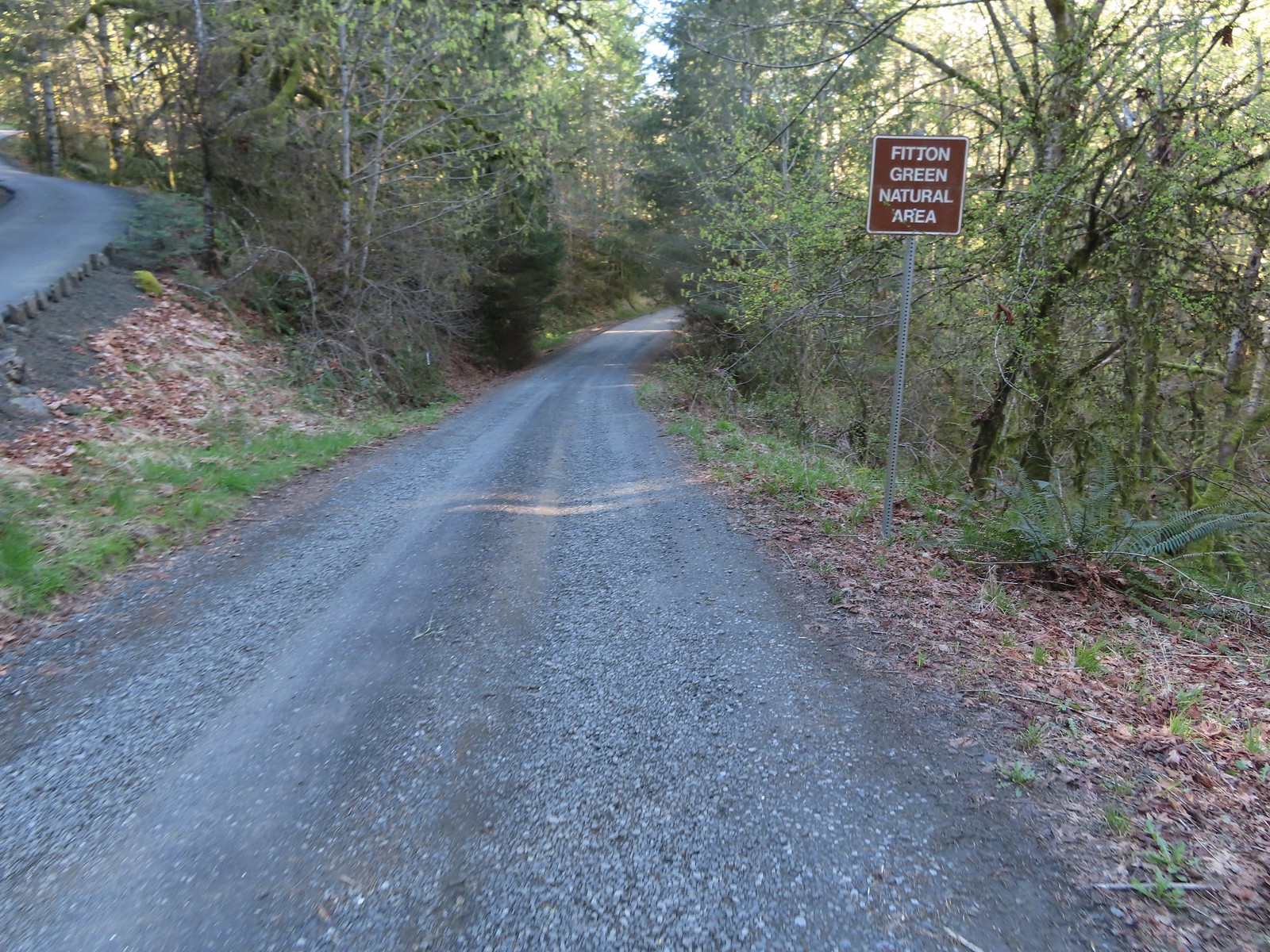 The road turned to gravel shortly before arriving at the trailhead.
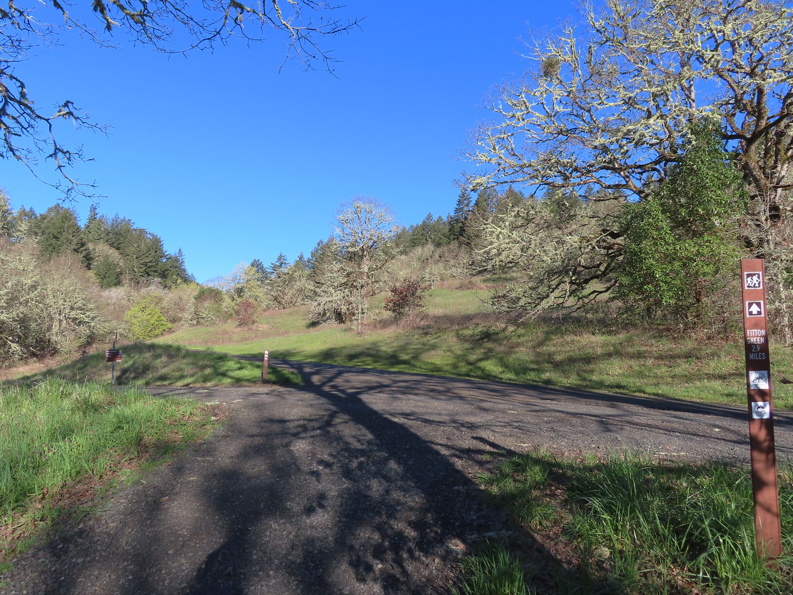
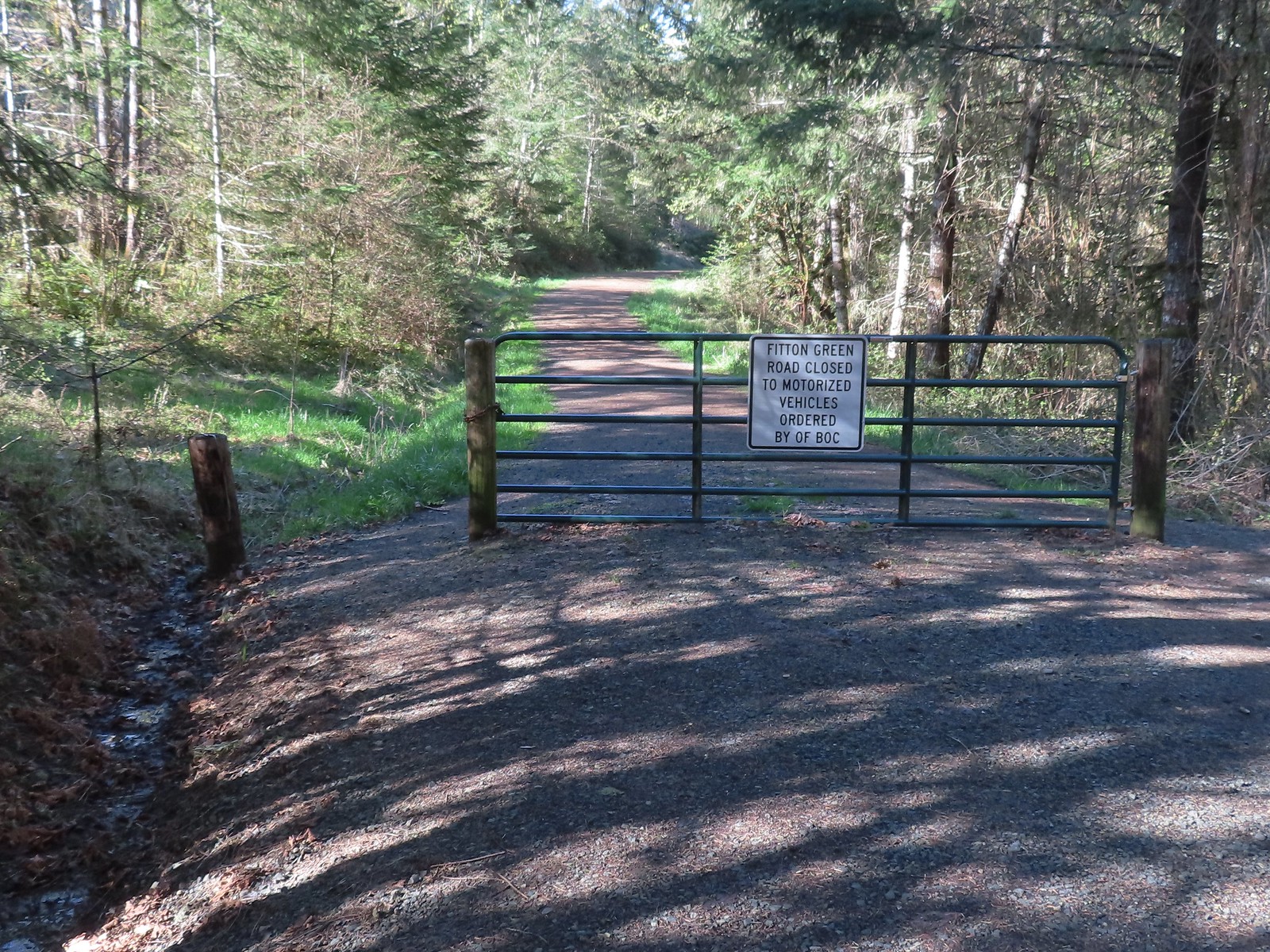 Gate at the trailhead.
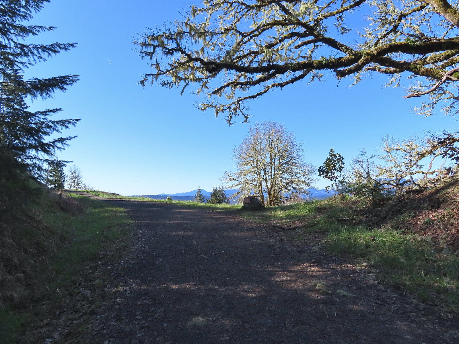
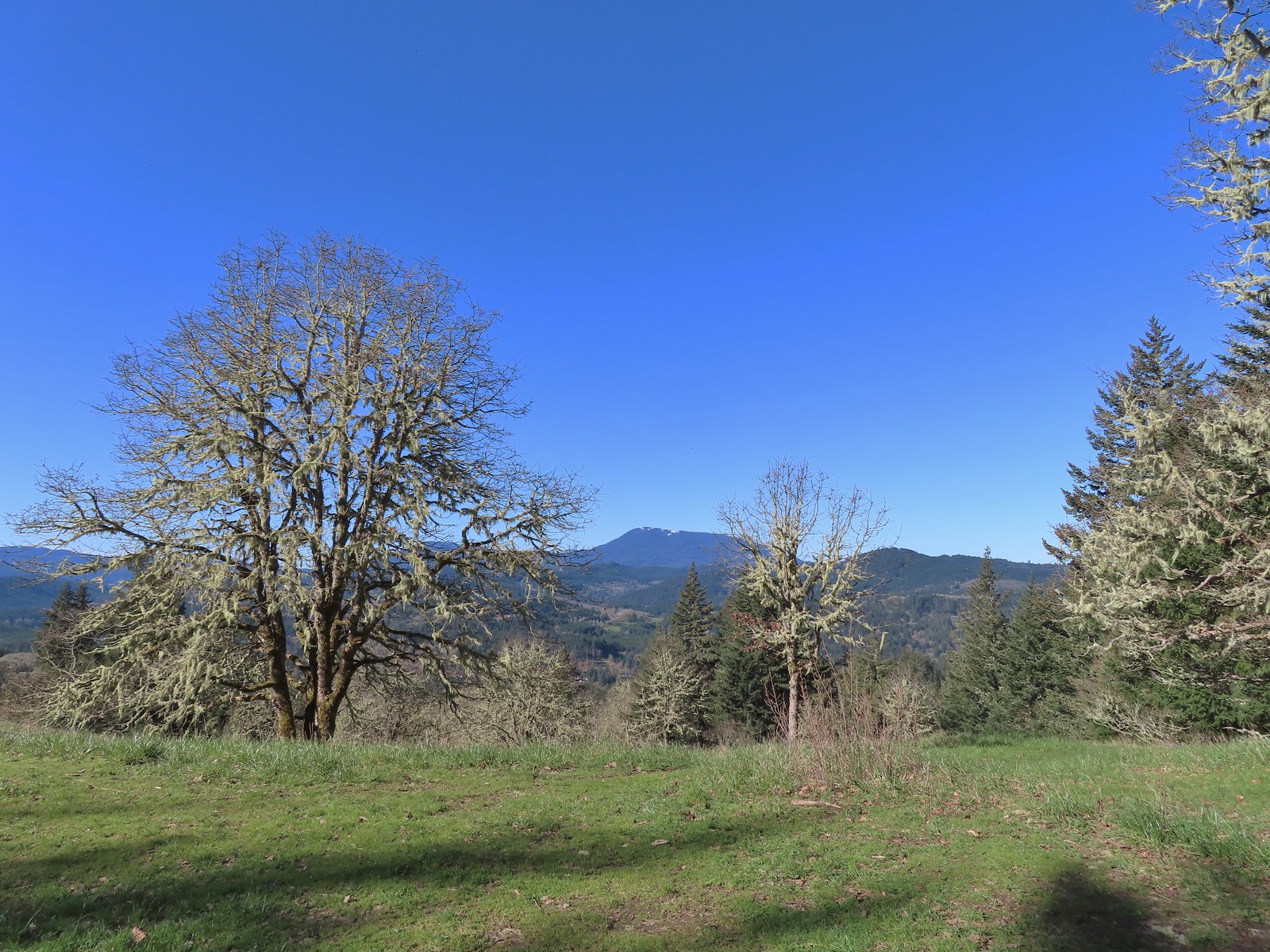
 Mary’s Peak still sporting a decent amount of snow.
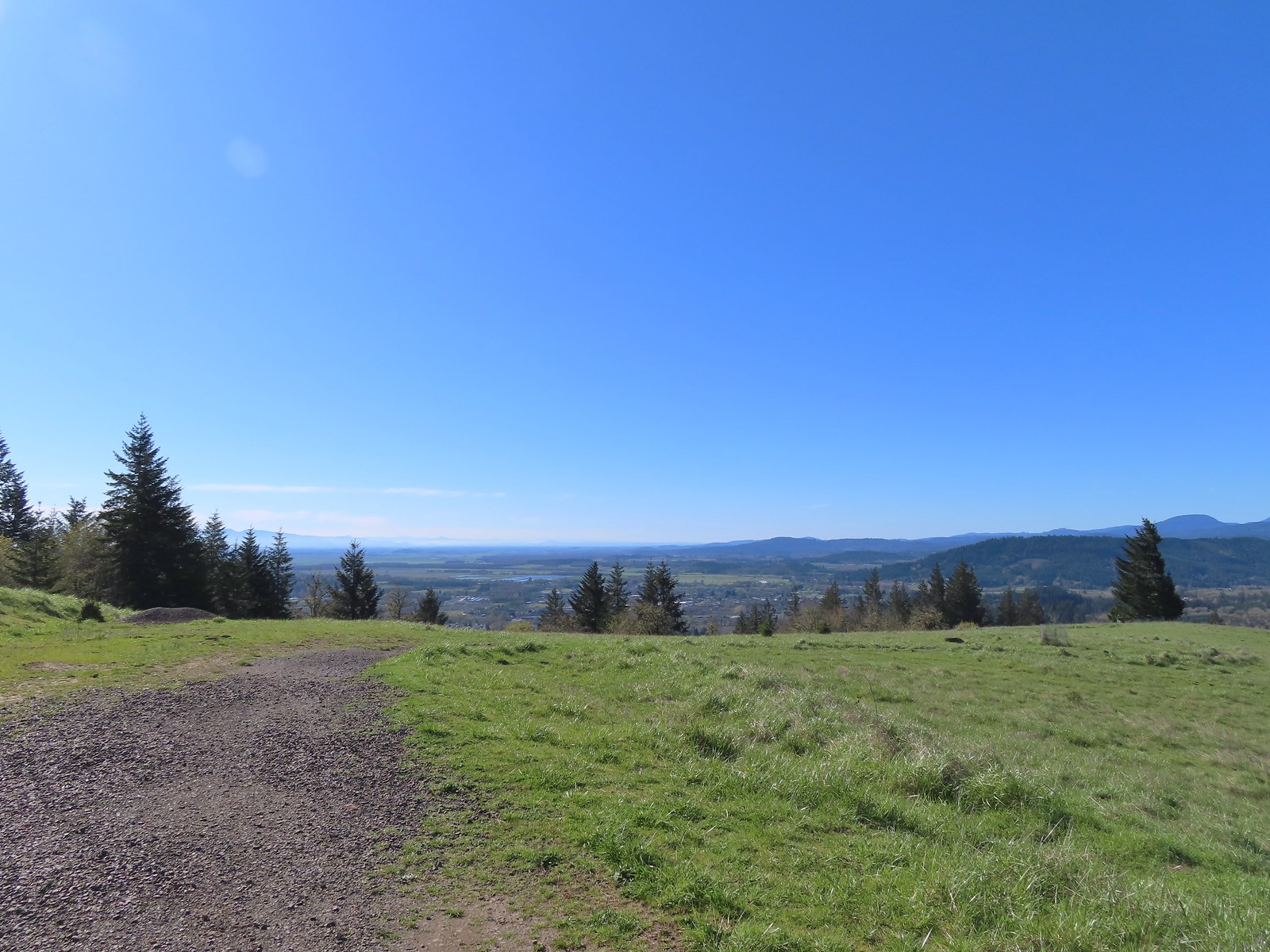 Looking SE towards Corvallis
 Looking West towards the Coast Range.
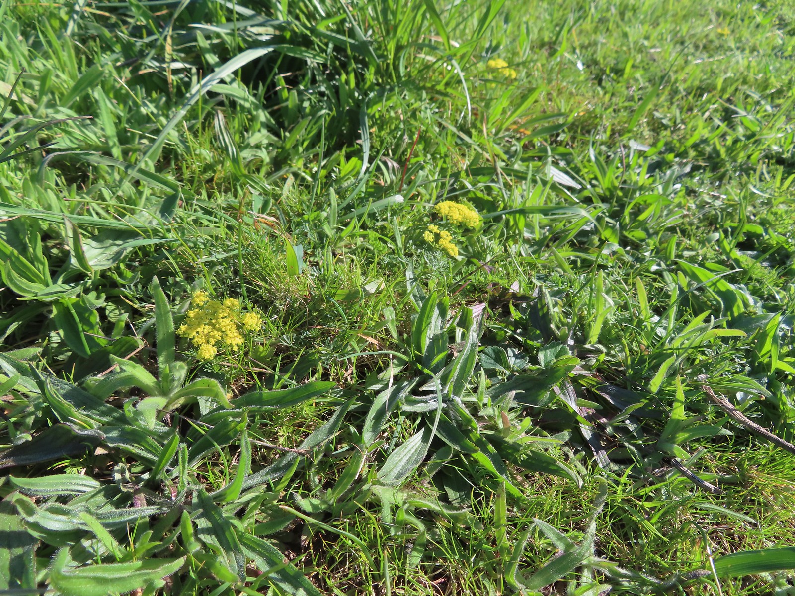 Common lomatium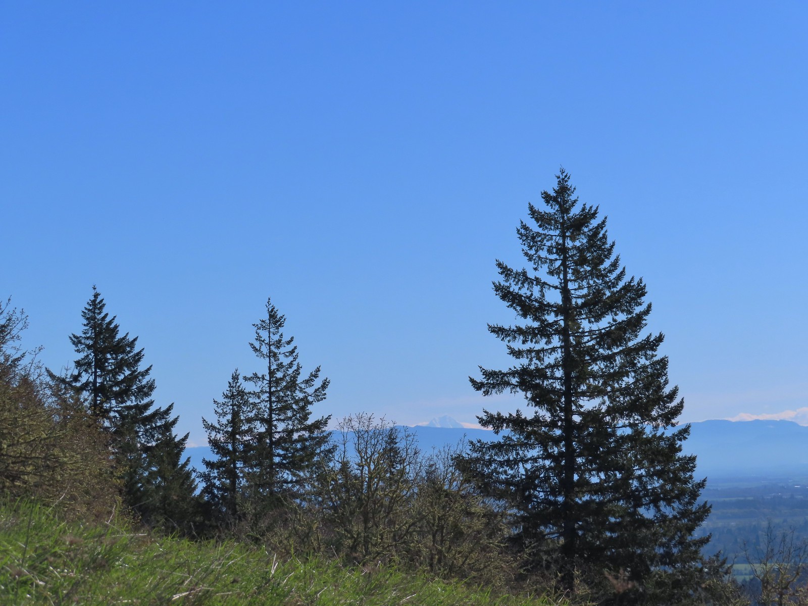
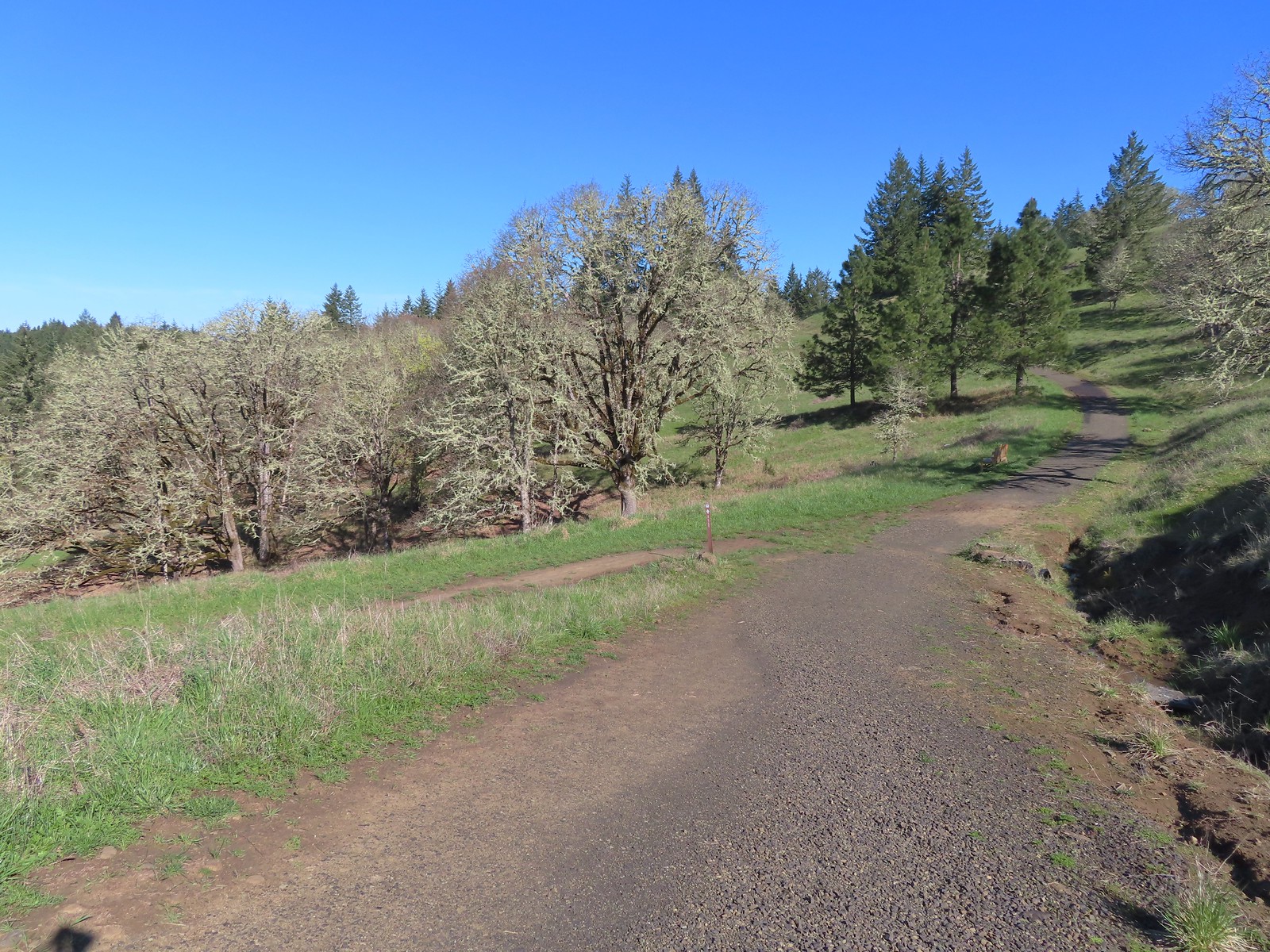 The Mulkey Ridge Trail below to the left arriving at the Allen Throop Loop.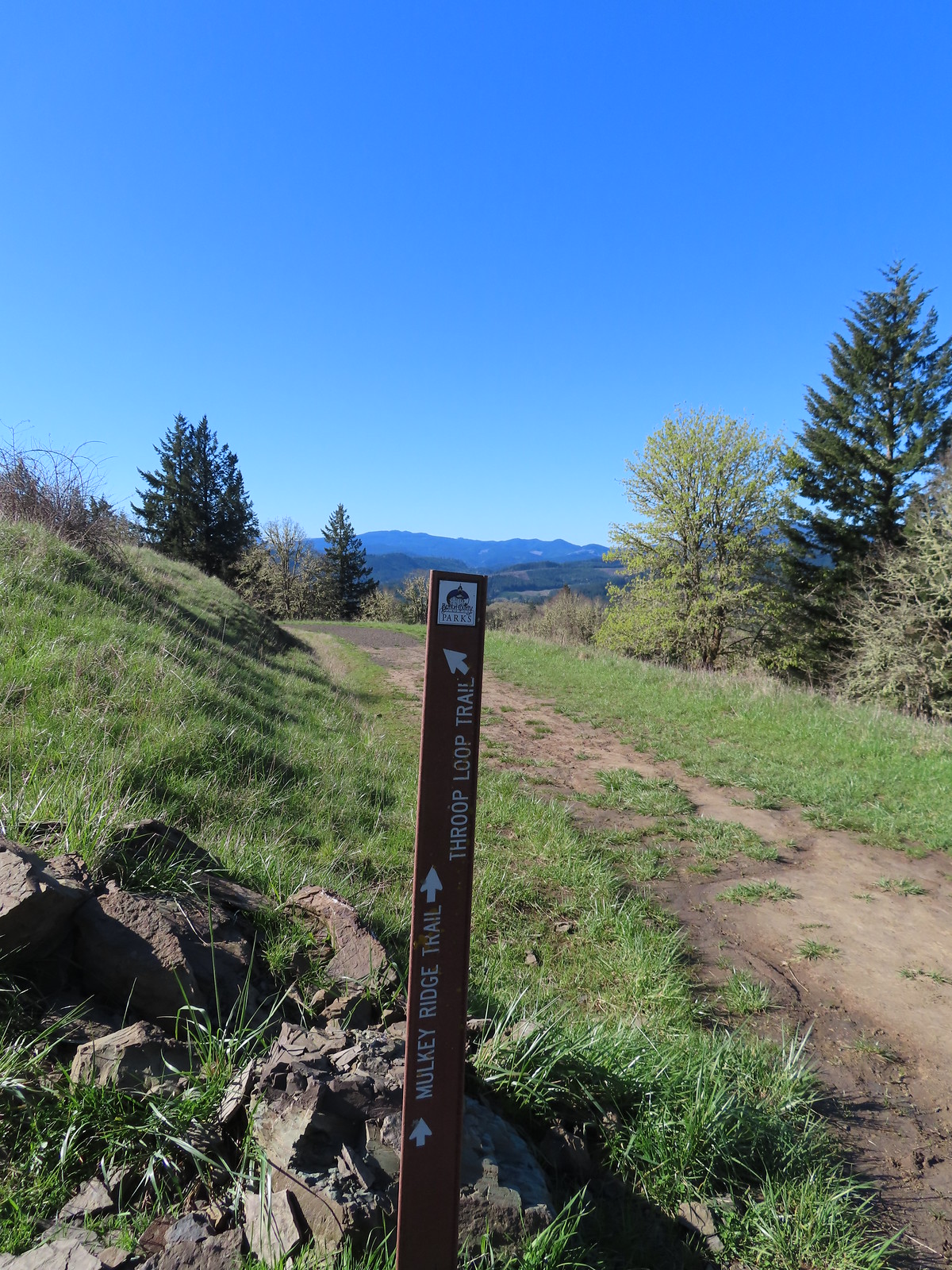
 Strawberry
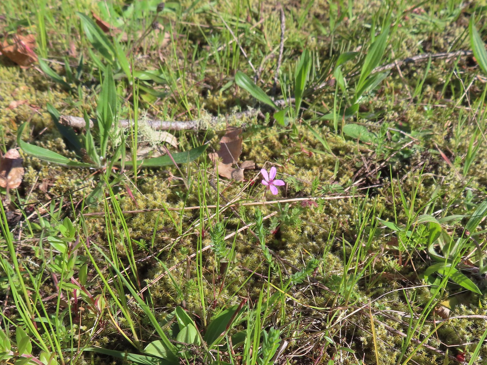 Redstem storksbill
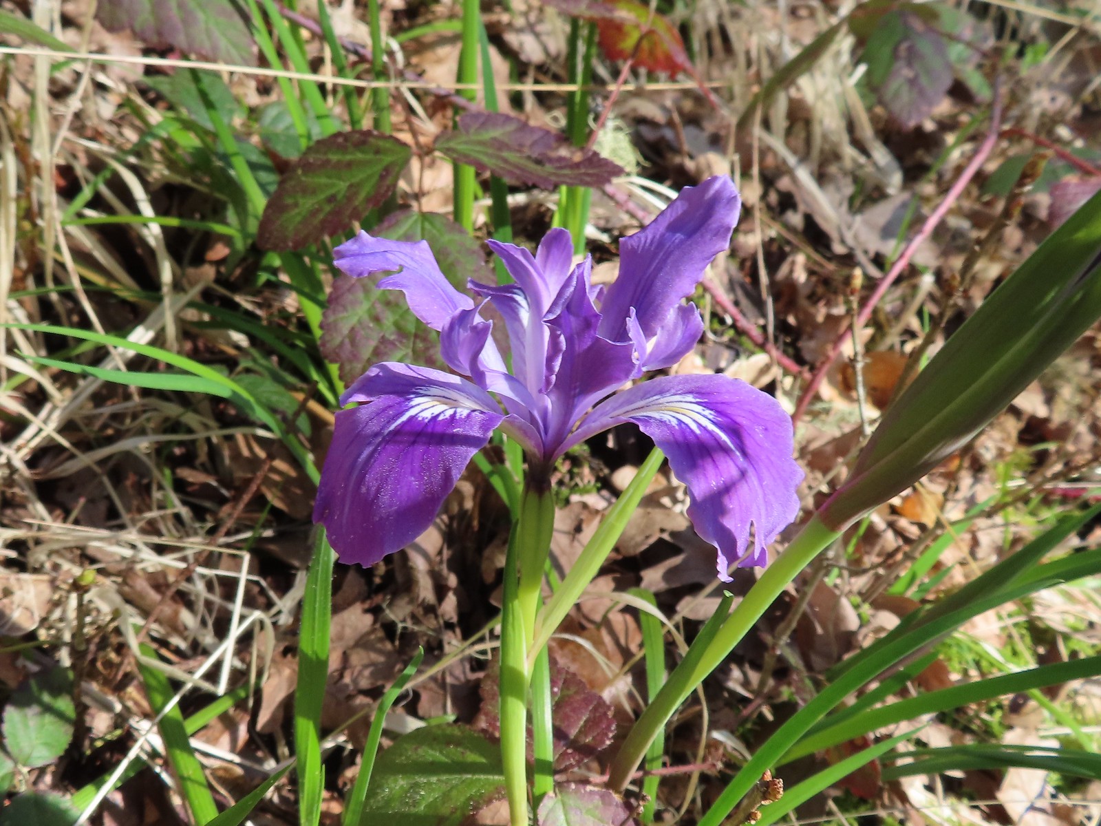 Wild iris
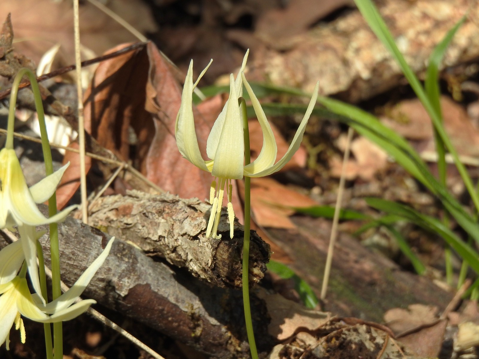 More fawn lilies
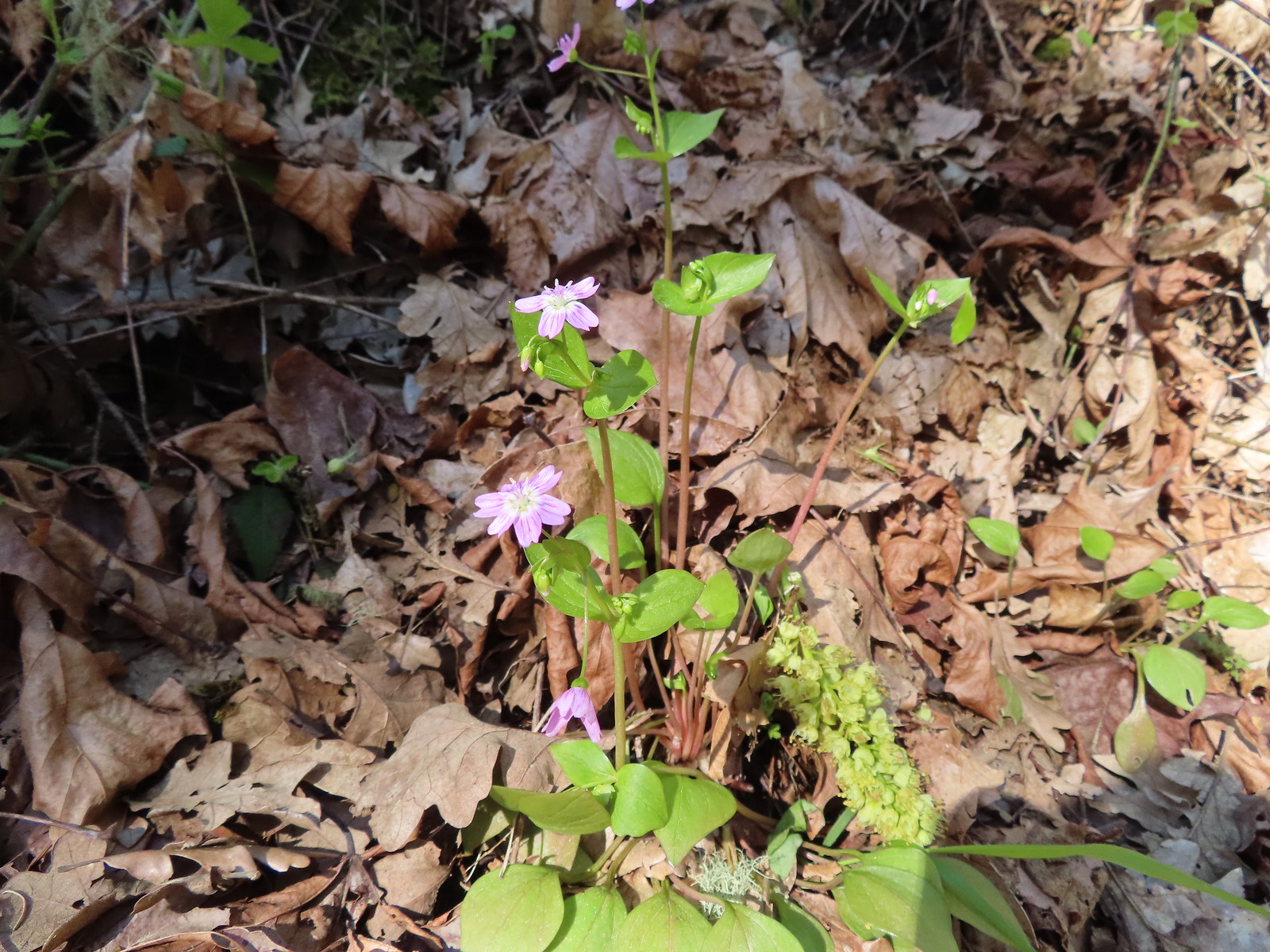 Candy flower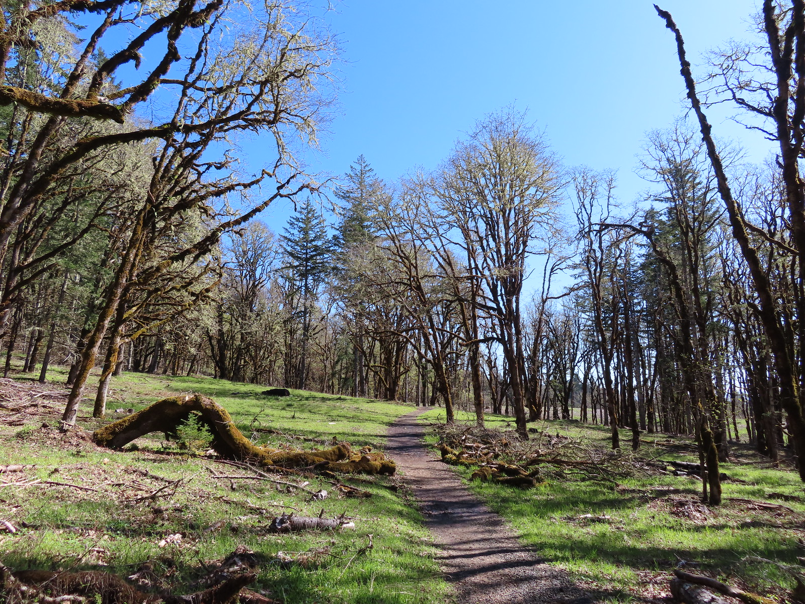
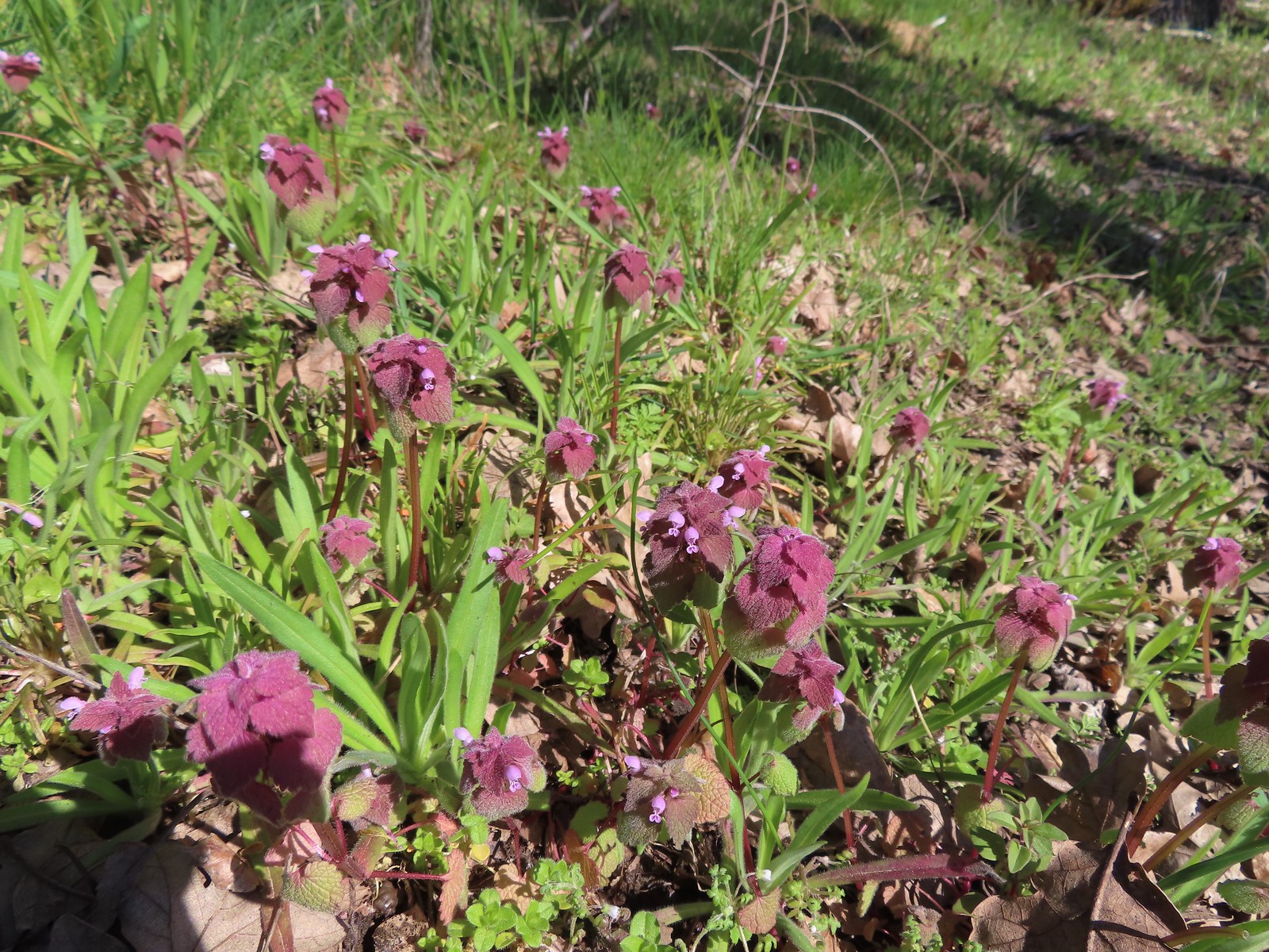 Purple deadnettle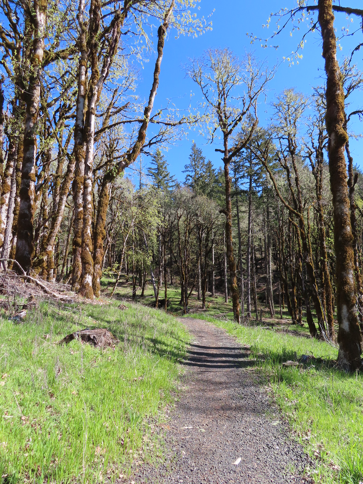
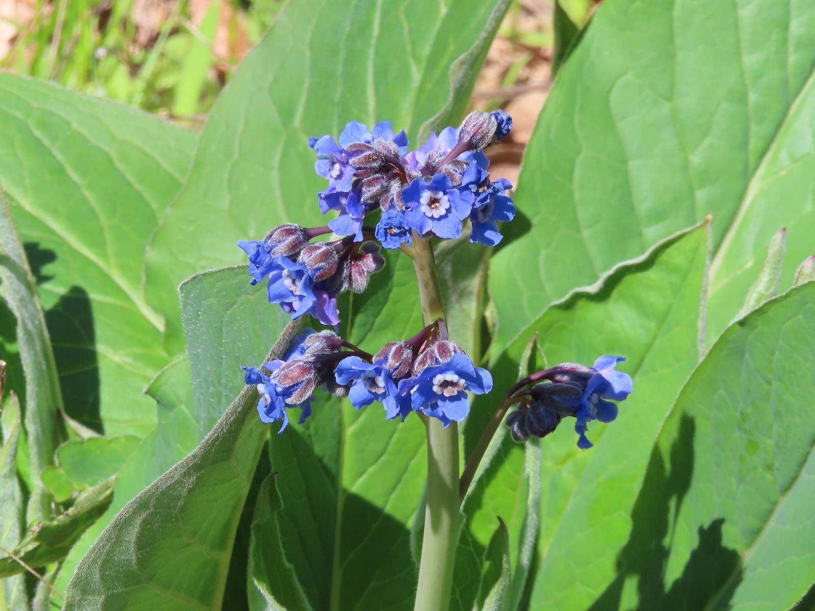 Pacific hound’s tongue
 Colorful turkey tails
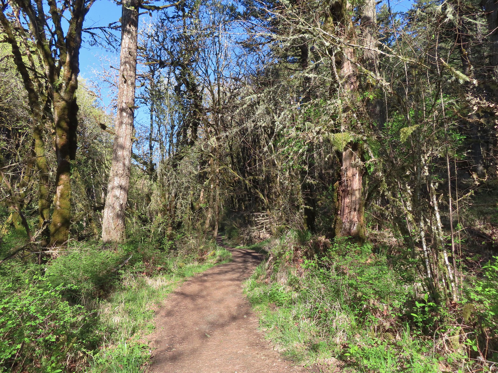
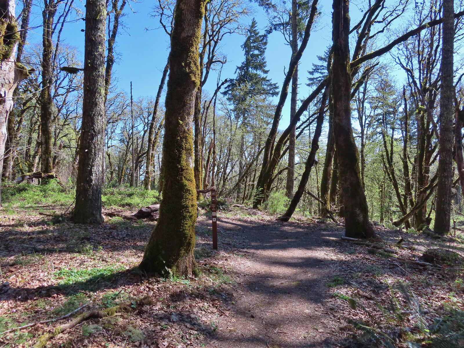 The trail splits briefly along a ridge marking what used to be the end of trail from the Oak Creek Trailhead.
 Dark-eyed junco
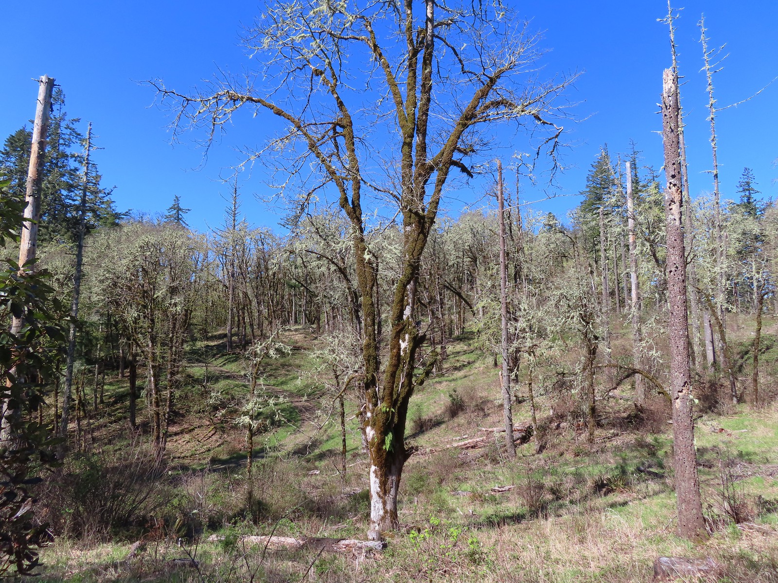 There were a pair of acorn woodpeckers in this area that we stopped to watch.
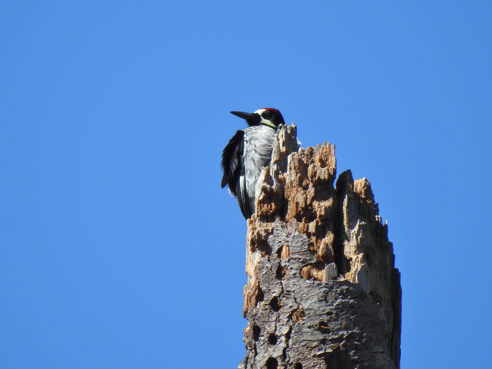 This tree was full of holes that the woodpeckers use to store their acorns in.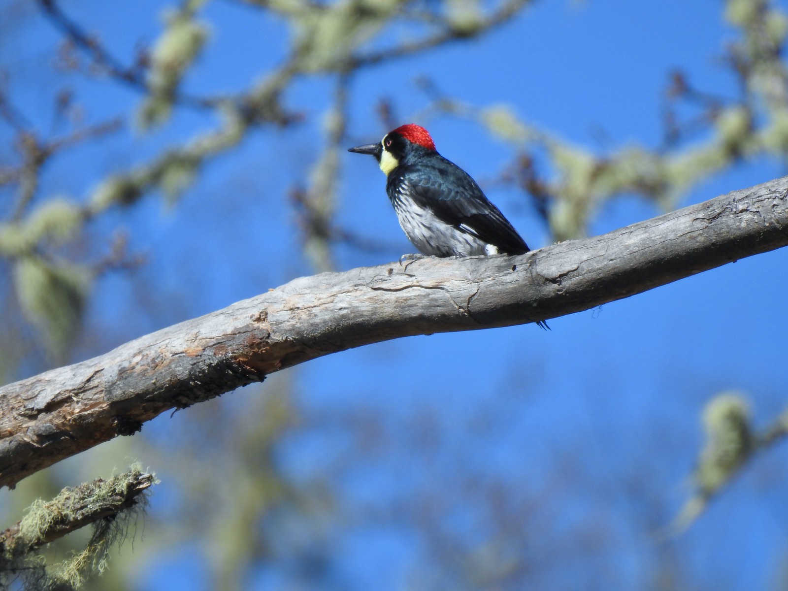
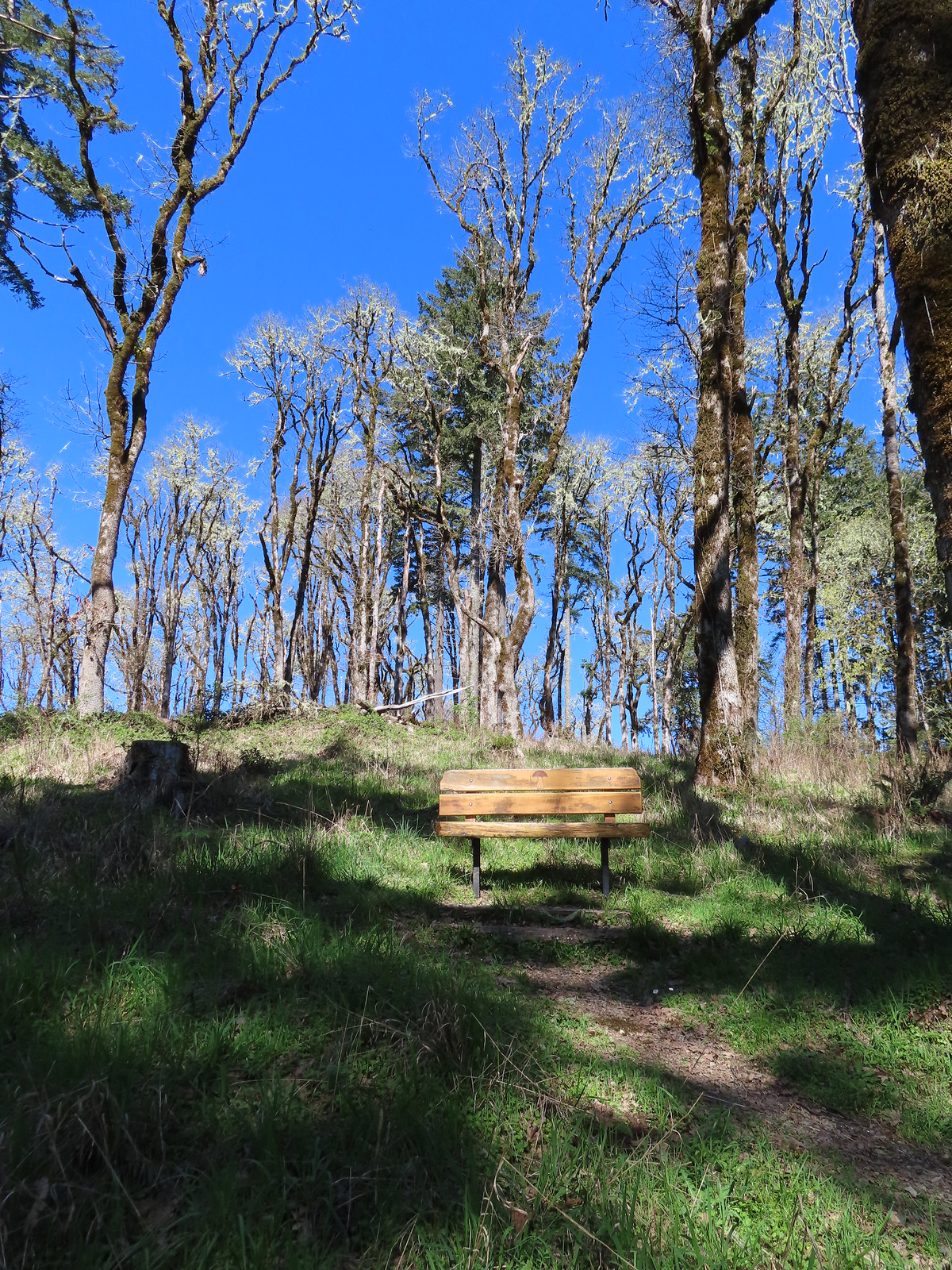 One of several benches along the trail.
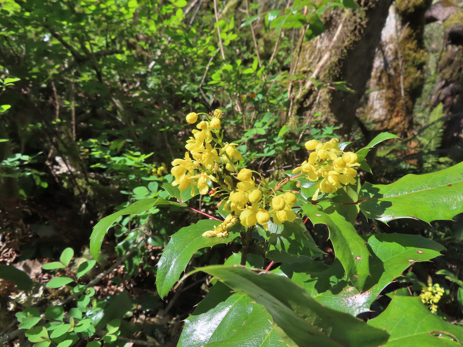 Oregon grape
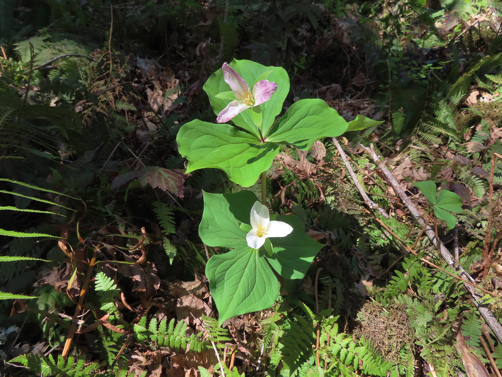 Trillium
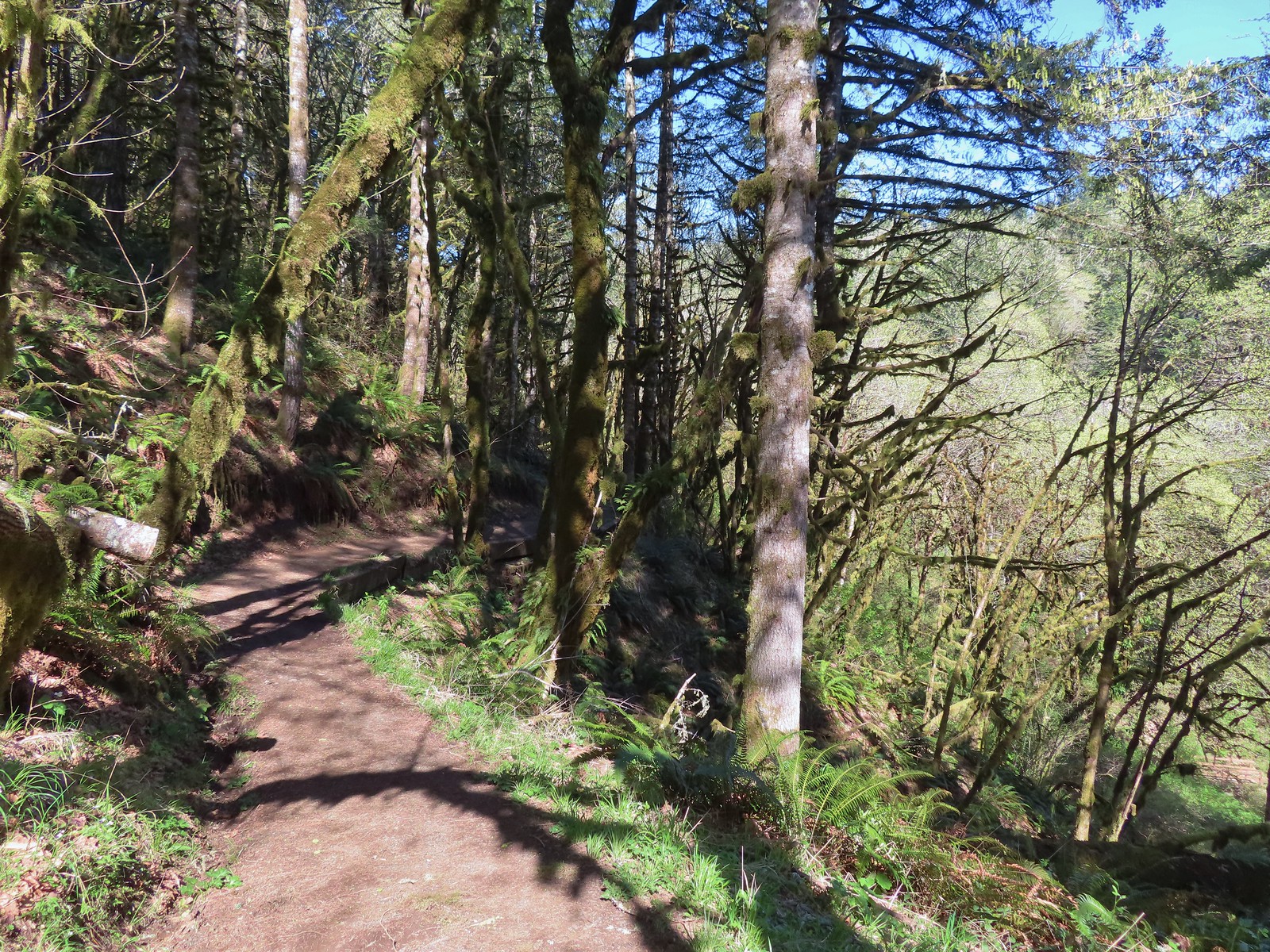 The Mulkey Ridge Trail descending to Mulkey Creek. (Note the footbridge in the lower right-hand corner.)
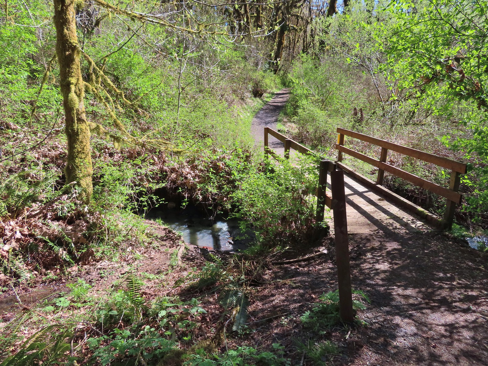 Footbridge over Mulkey Creek.
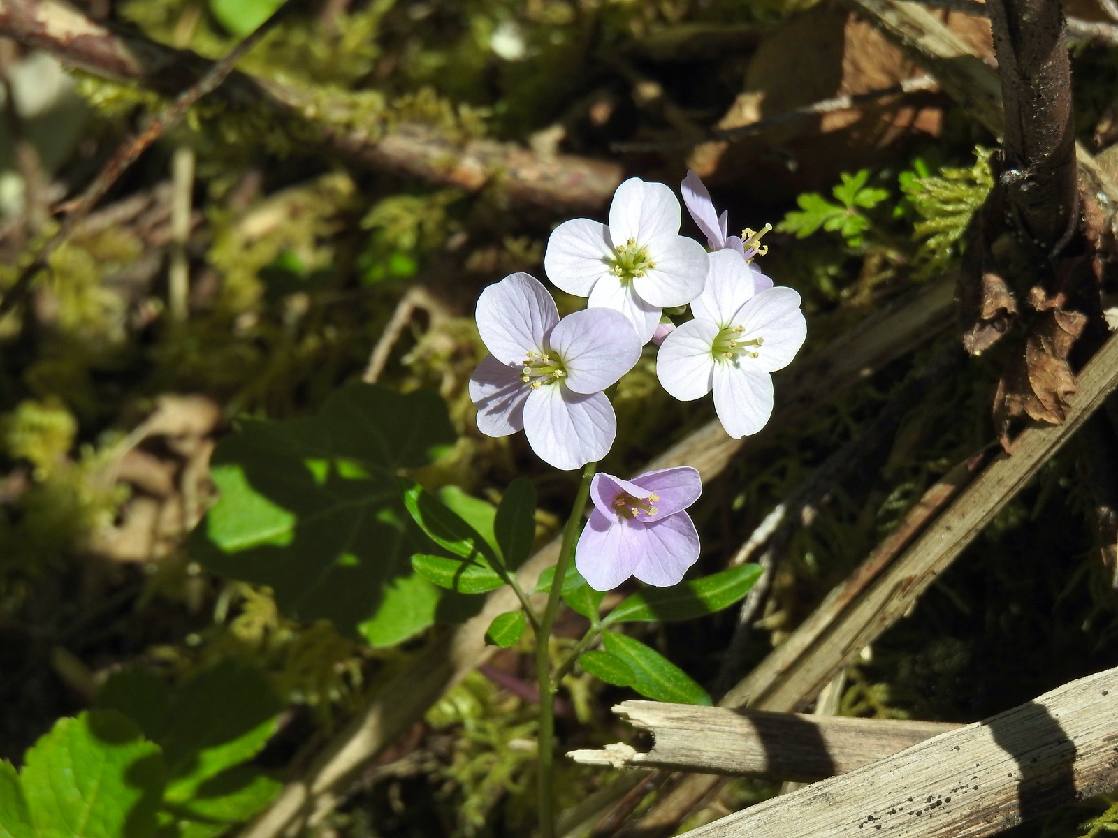 Toothwort
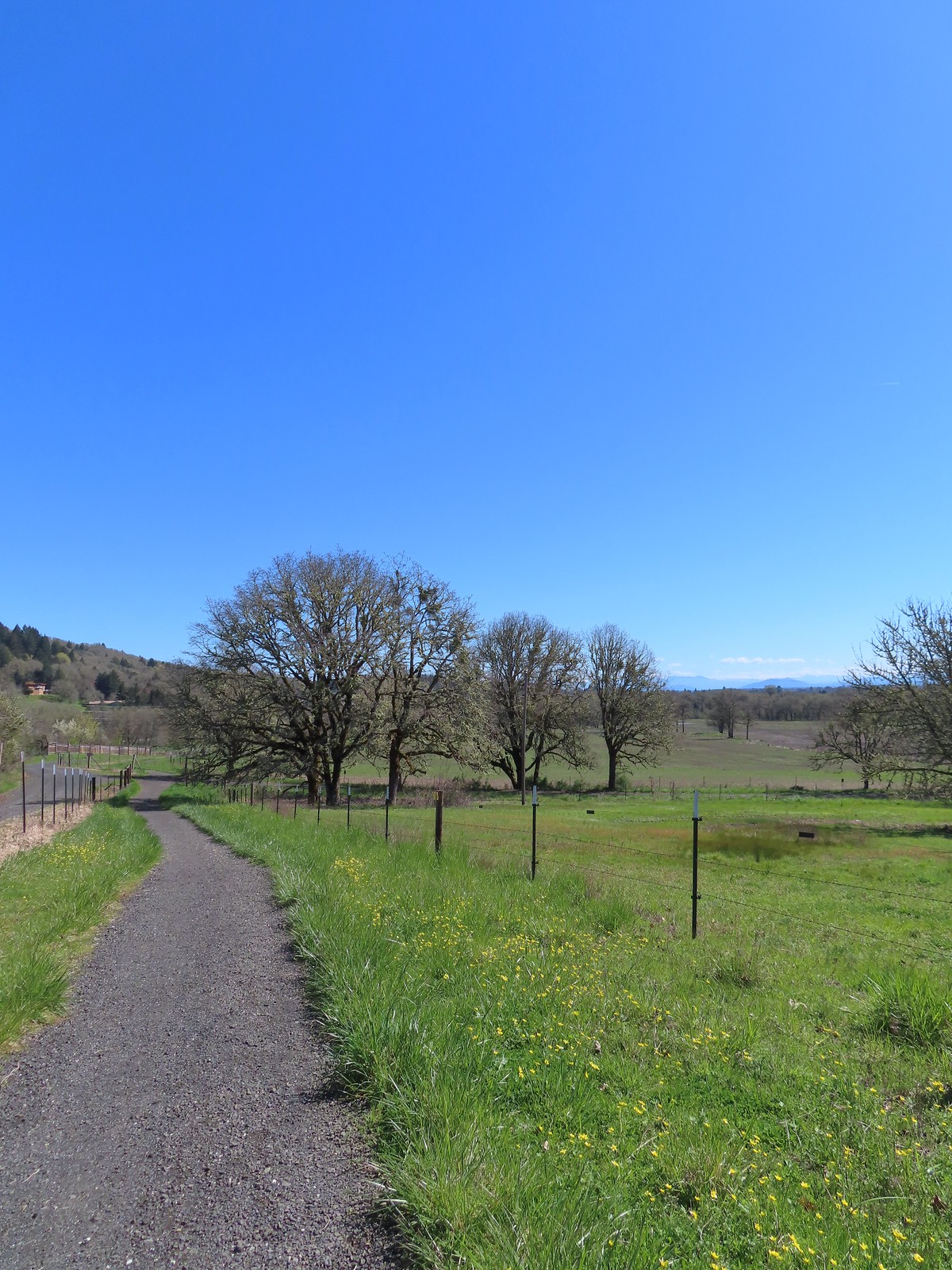 Western buttercups along the trail on our way back.

 Signboard at the trailhead.
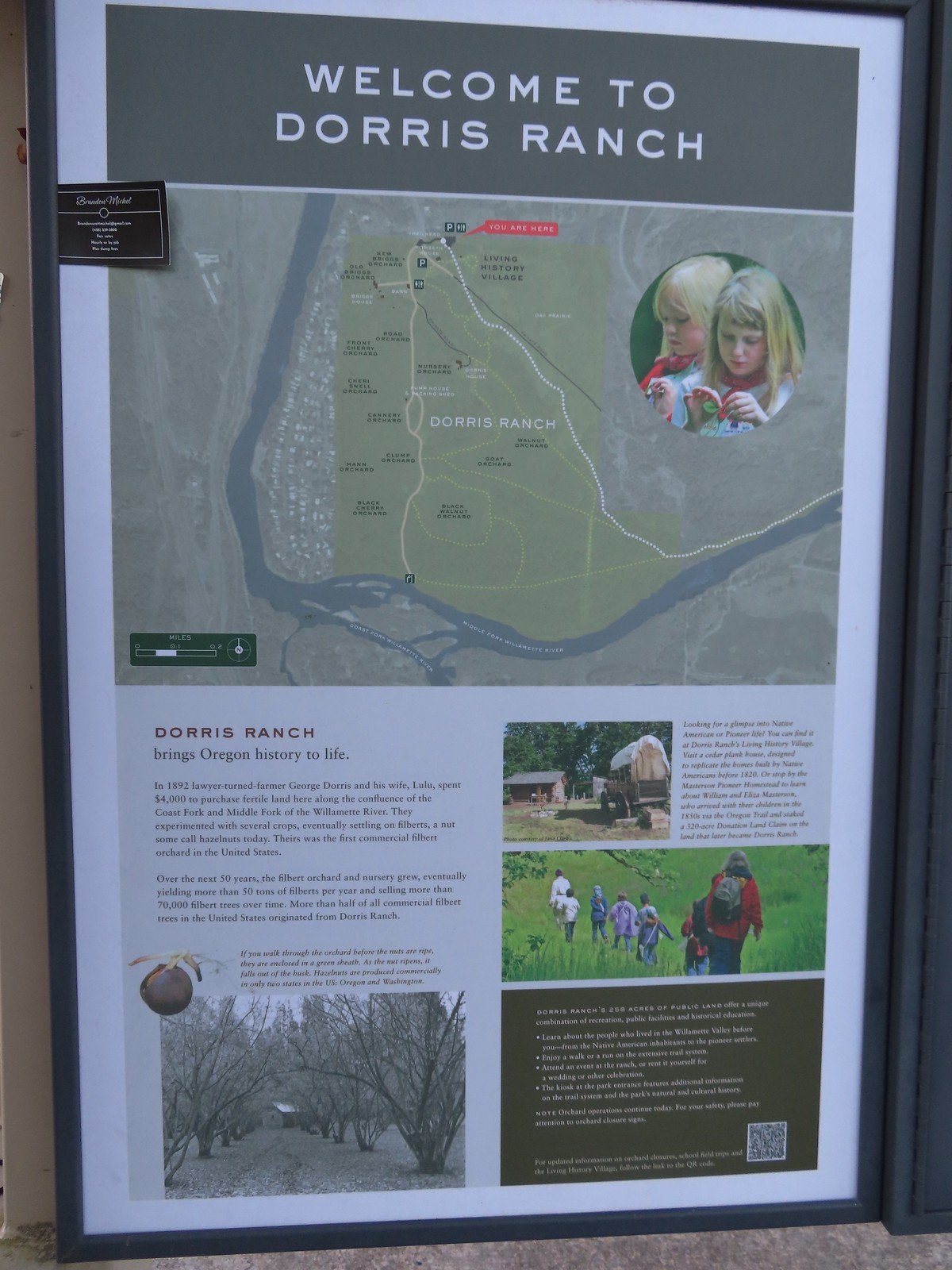 Map of the trails at Dorris Ranch.
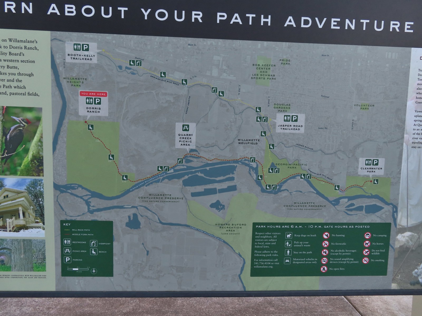 Map of the Middle Fork Path (red) and
 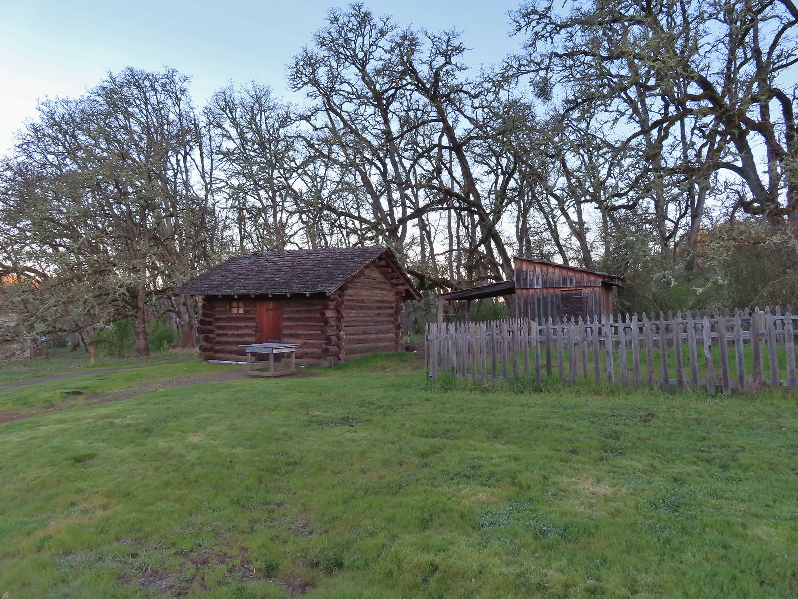 The Masterson cabin replica. They were a family of ten when they moved out.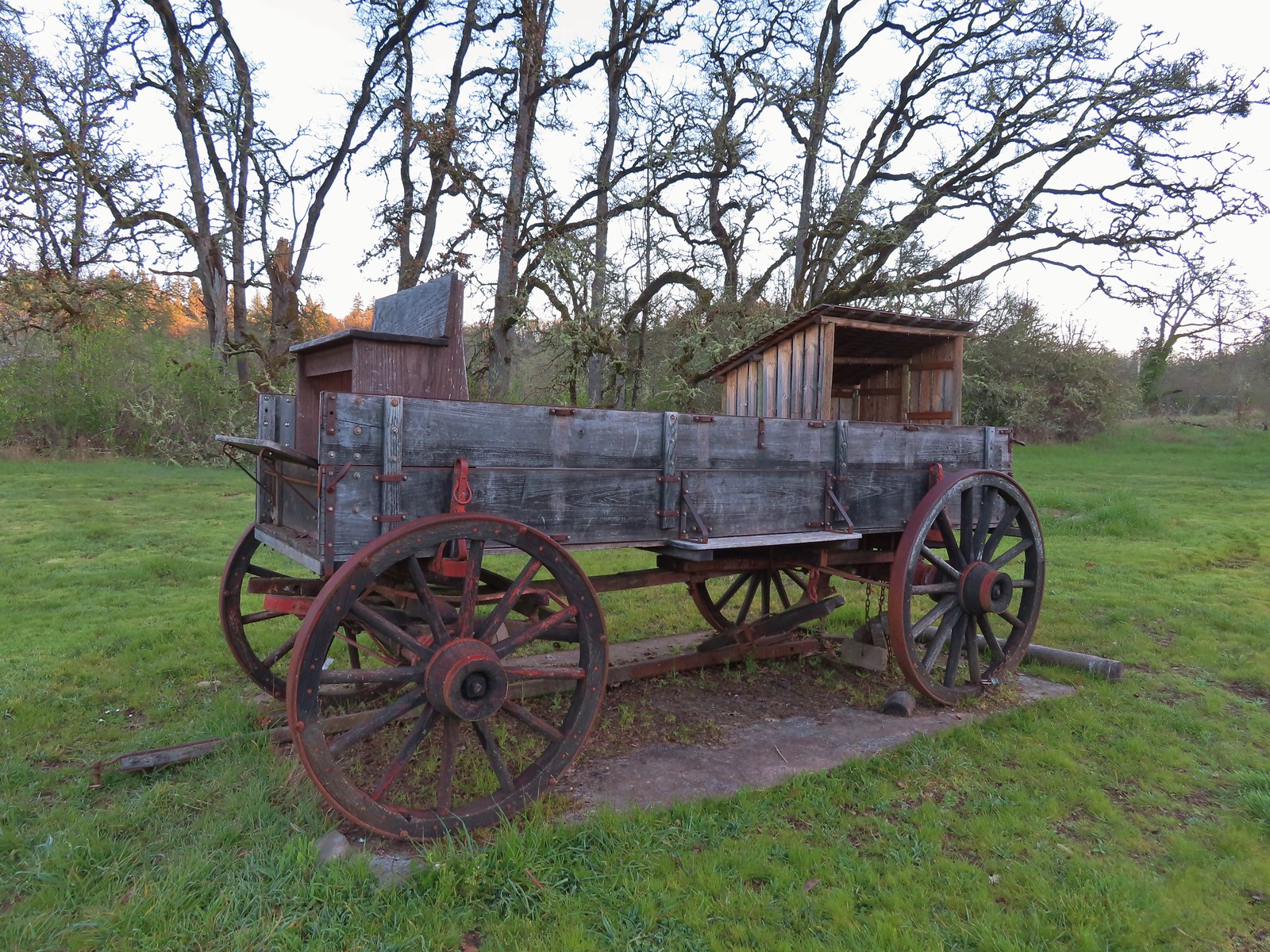
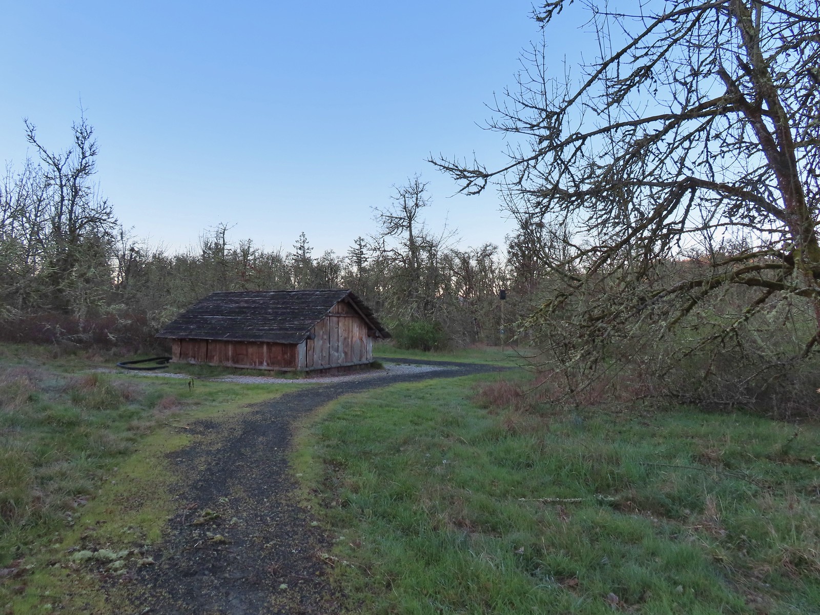
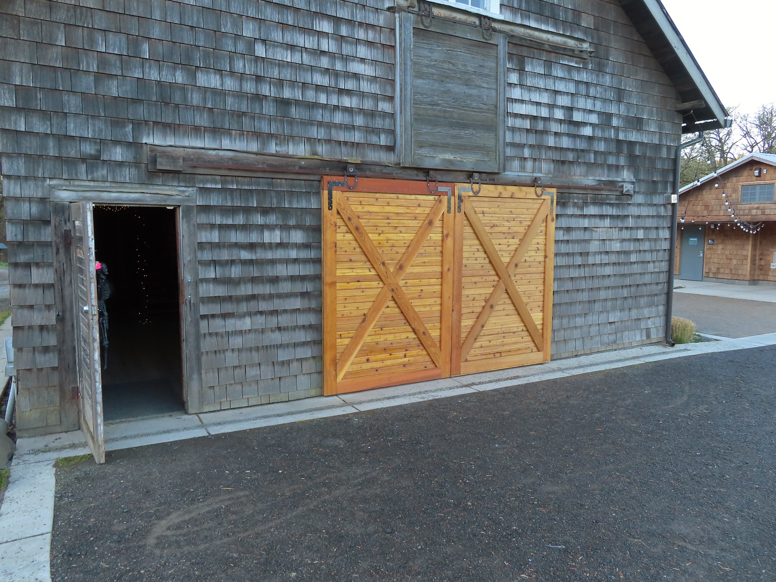 These cedar doors were installed earlier this month replacing a broken door.
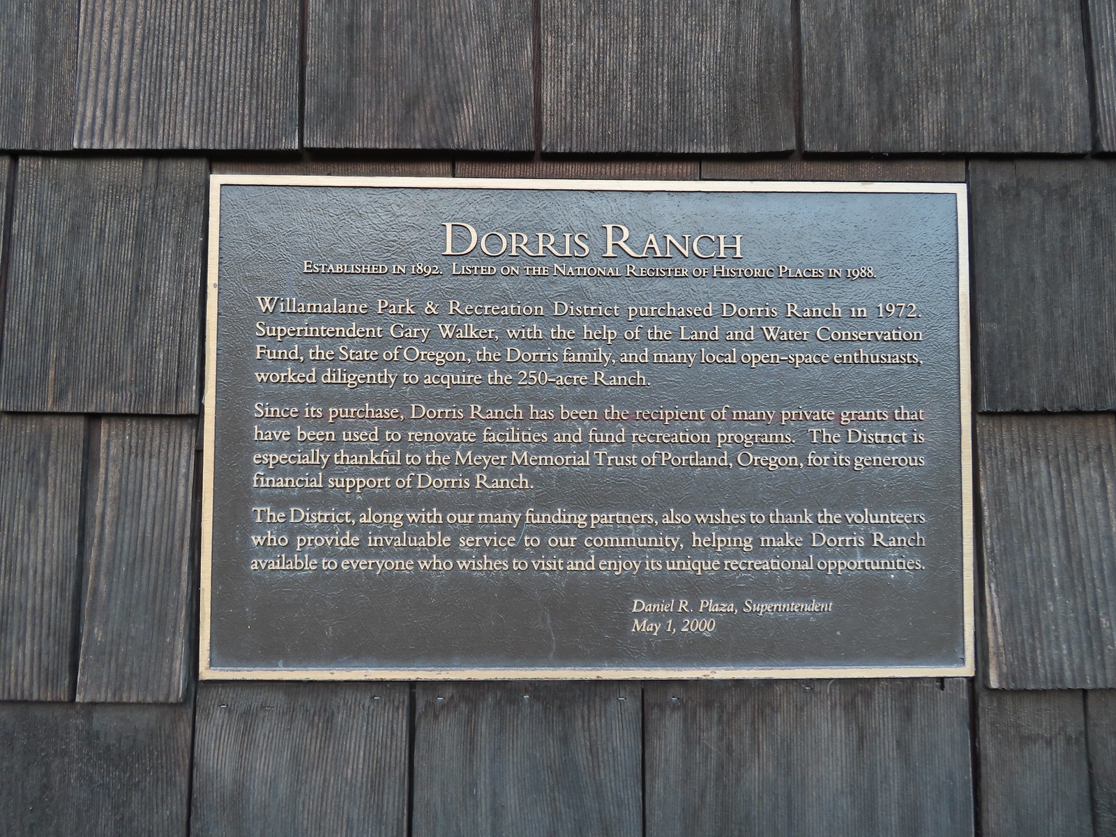 Plaque on the barn.
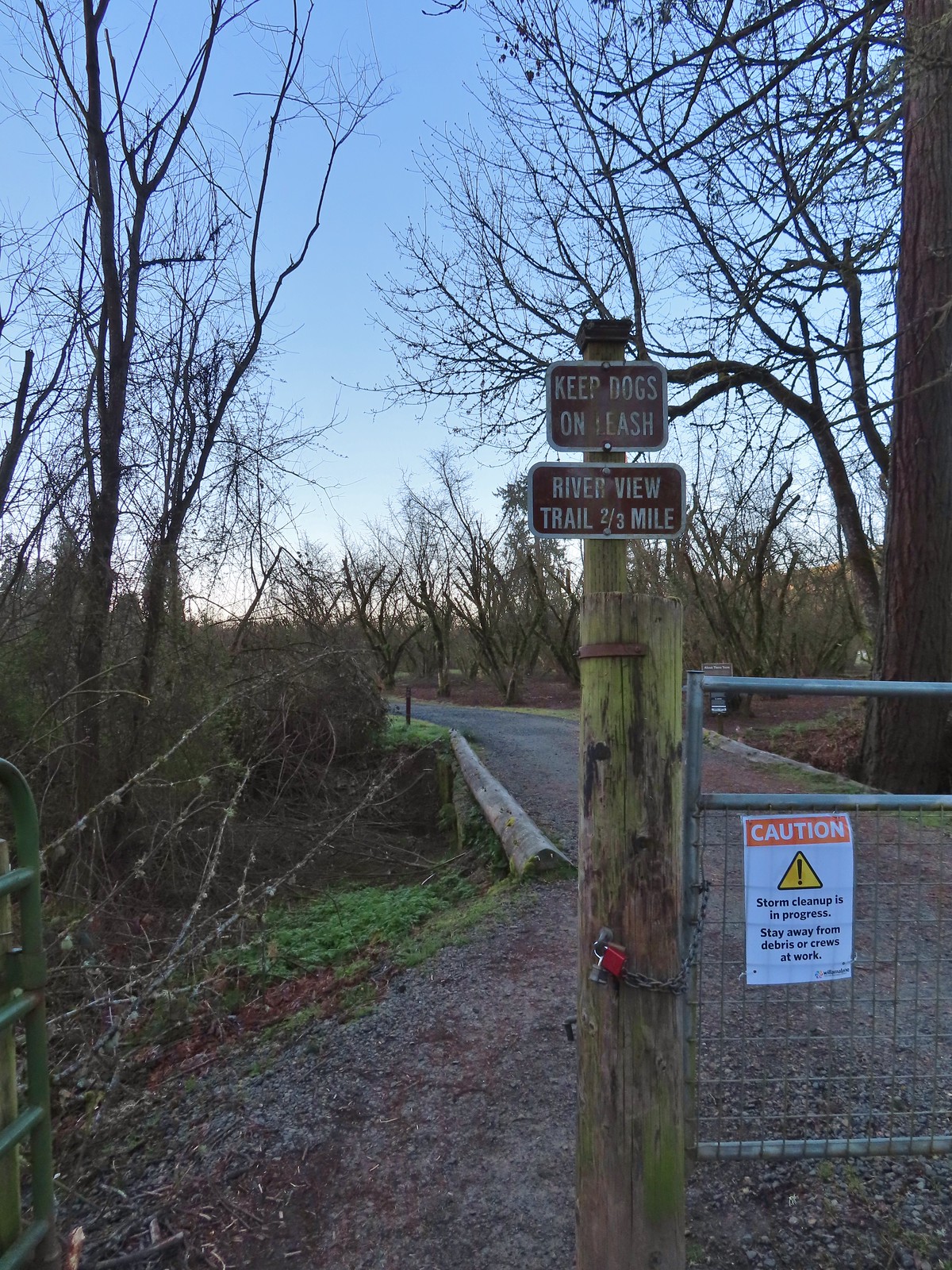 A January 16th ice storm hit the area hard and damaged a number of trees at the ranch and along the Middle Fork Path.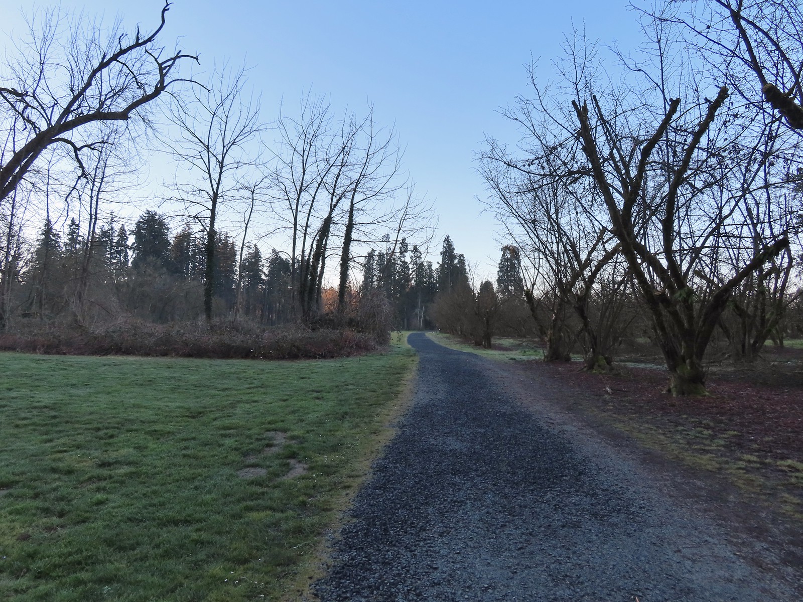
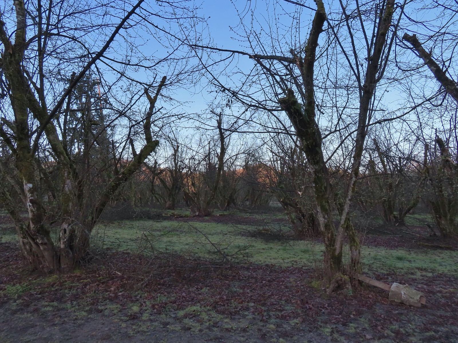 Some signs of the ice storm damage.
 Large trees around the pump house and packing shed.
 An American kestrel with an unlucky frog atop a tall tree.
 Oregon grape near the packing shed.
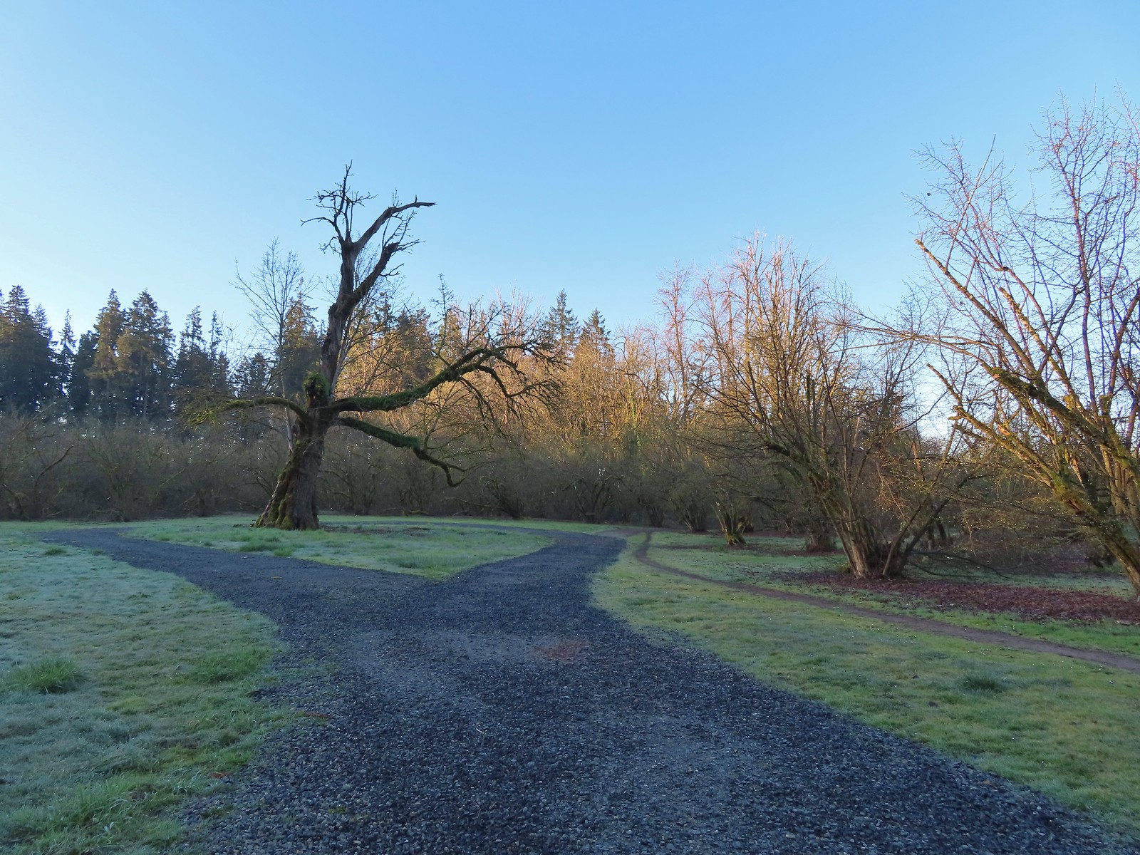 Old oak tree along the path.
 Purple deadnettle beneath the old oak.
 Black walnut orchard just past the oak tree.
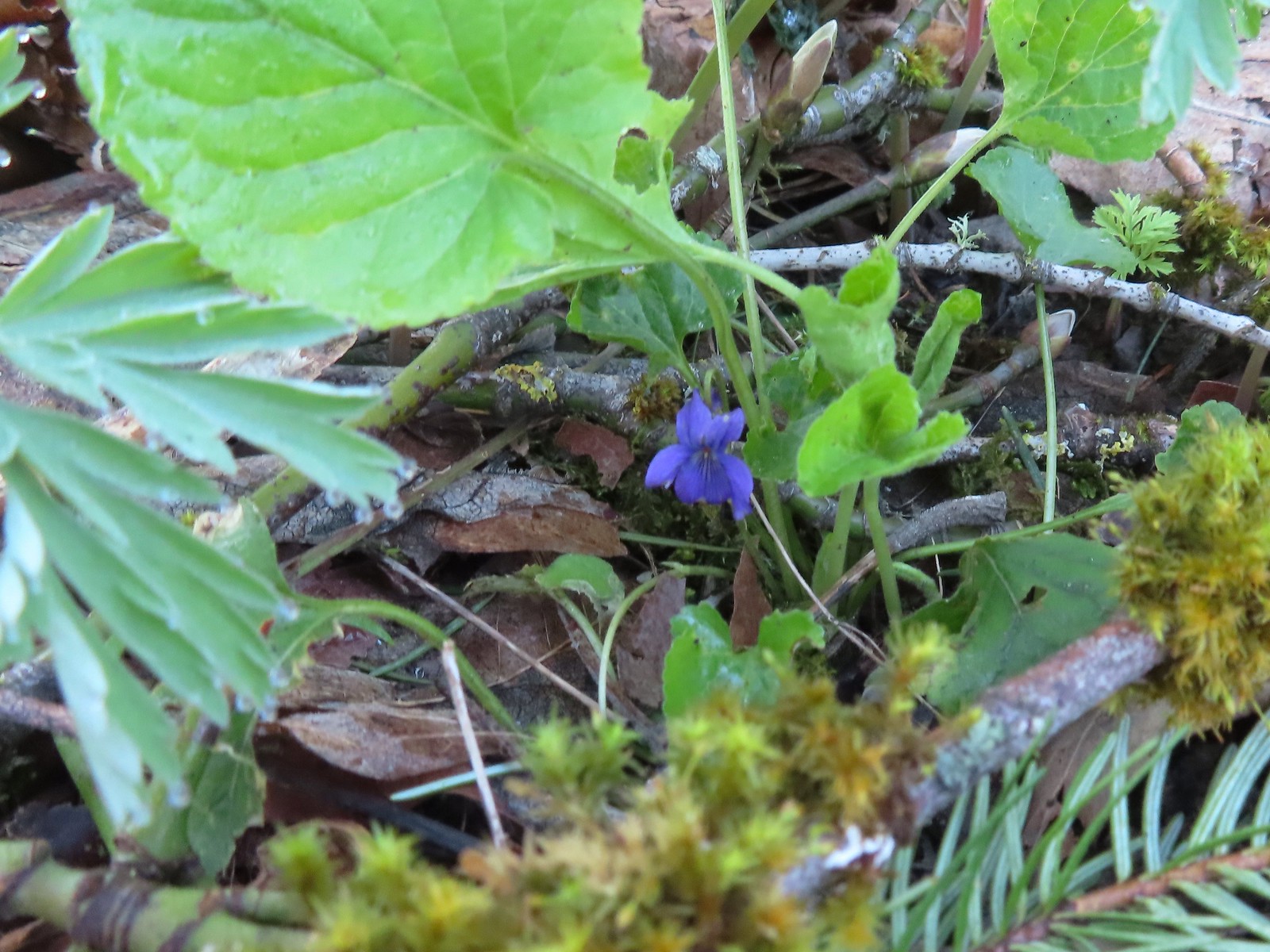 Violet
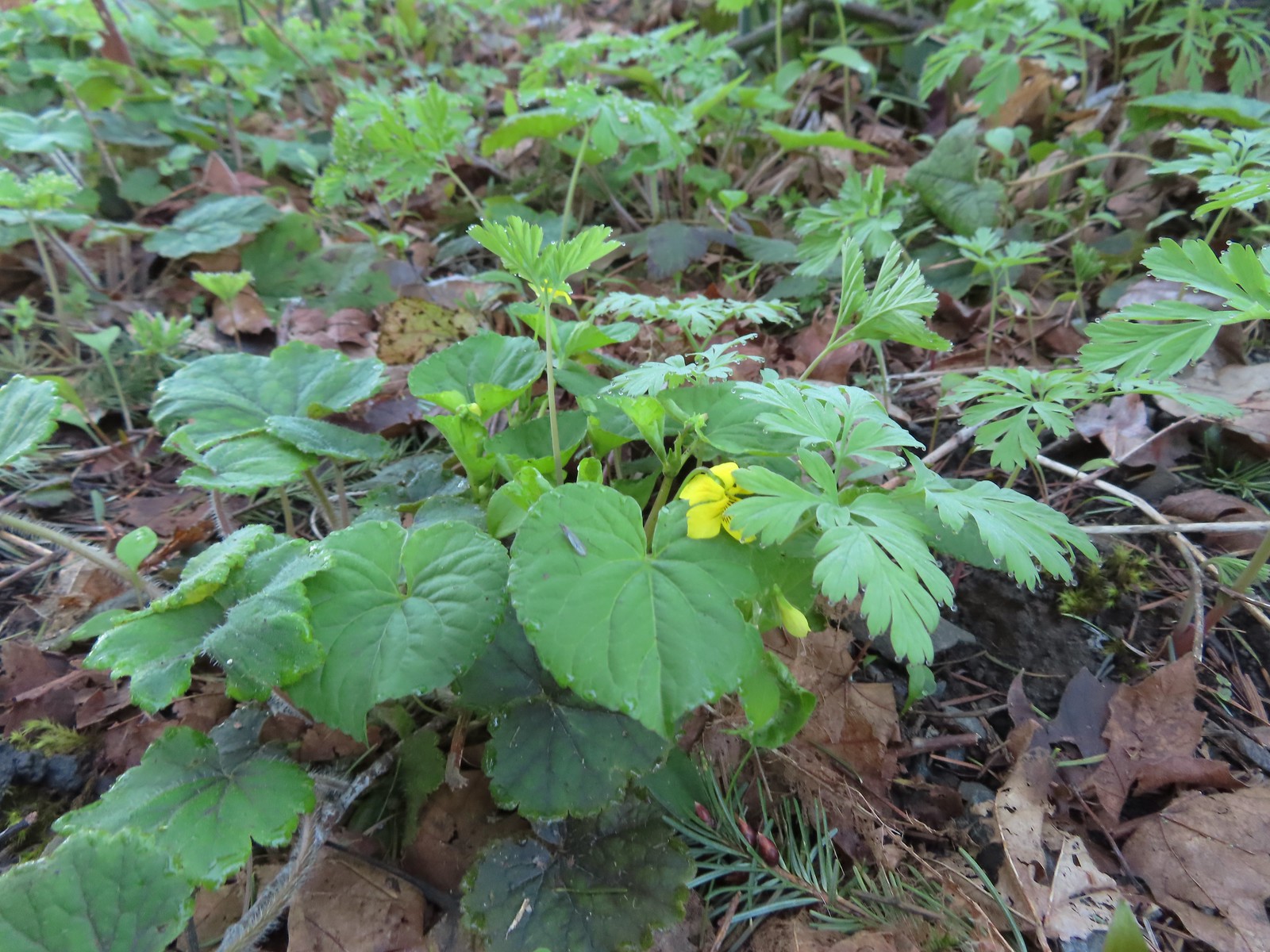 Violet
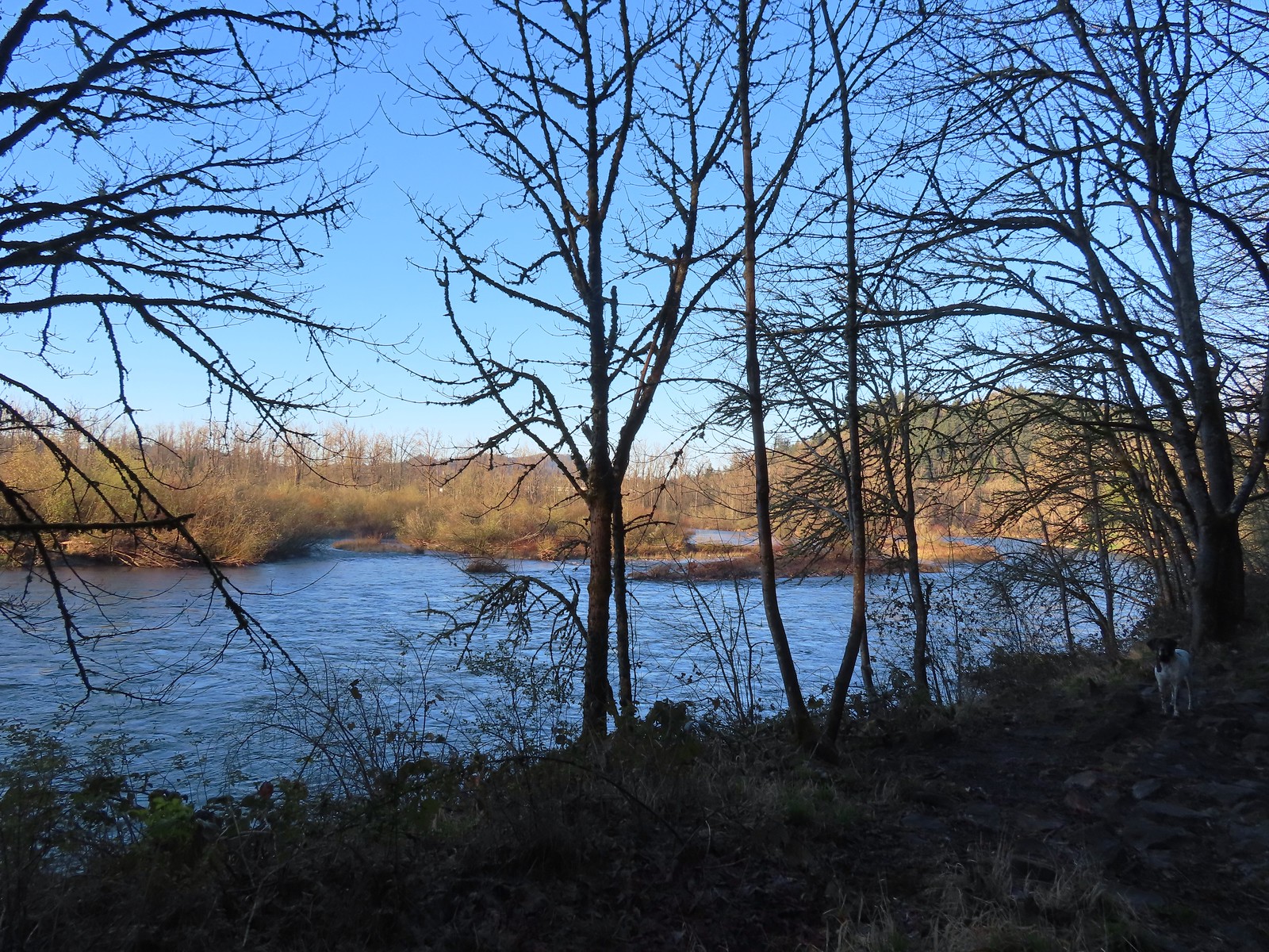 The confluence.
 Middle Fork Willamette River
 Mallards
 Hooded mergansers
 Slender toothwort
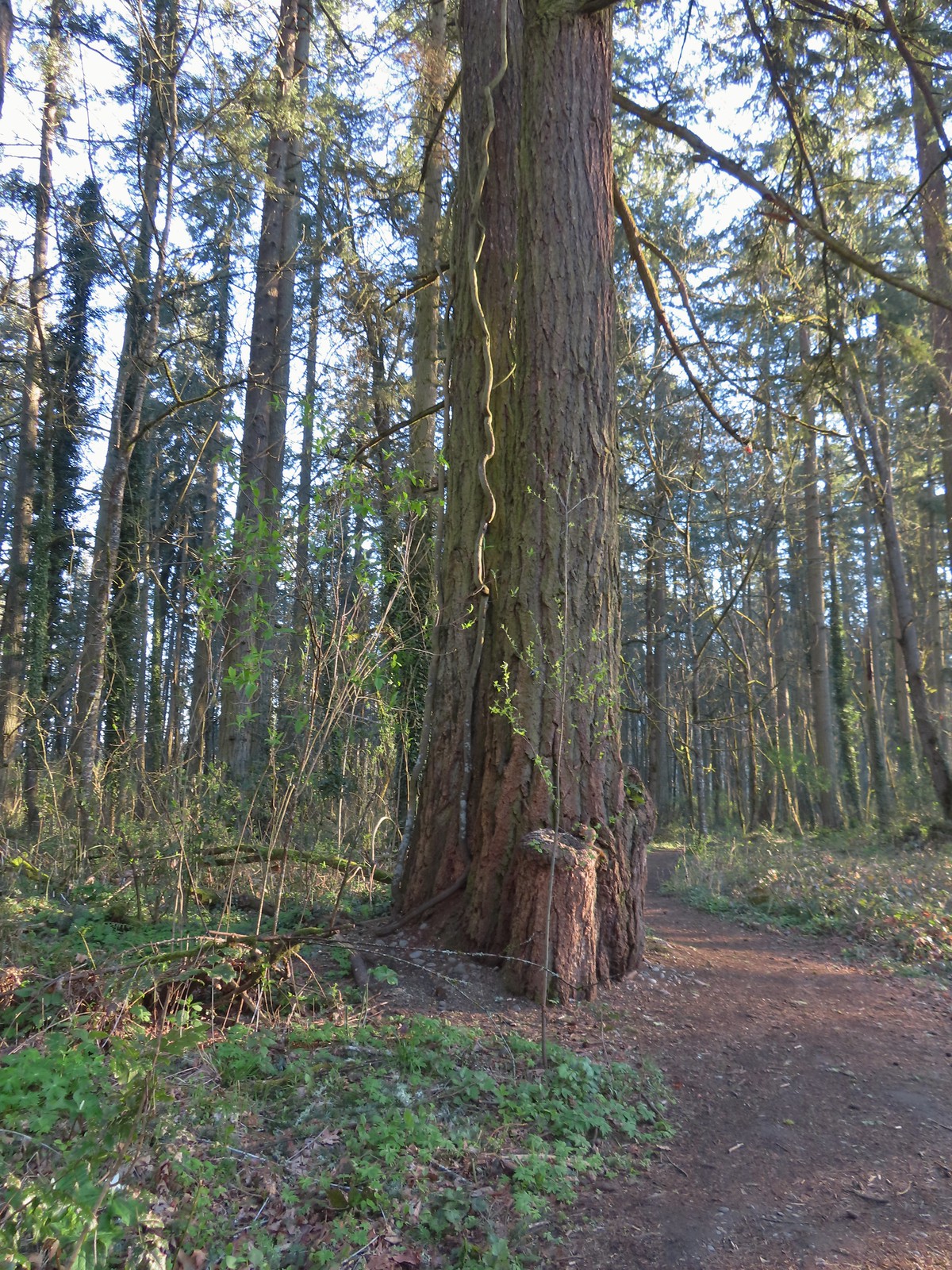 Someone had left some seeds and nuts on this tree. While it’s not LNT compliant it was attracting a variety of wildlife.
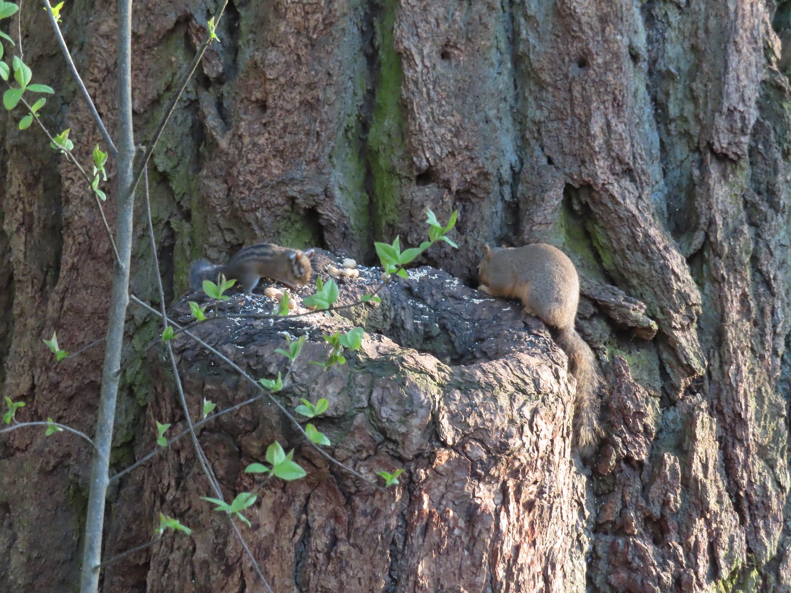 Chipmunk and squirrel
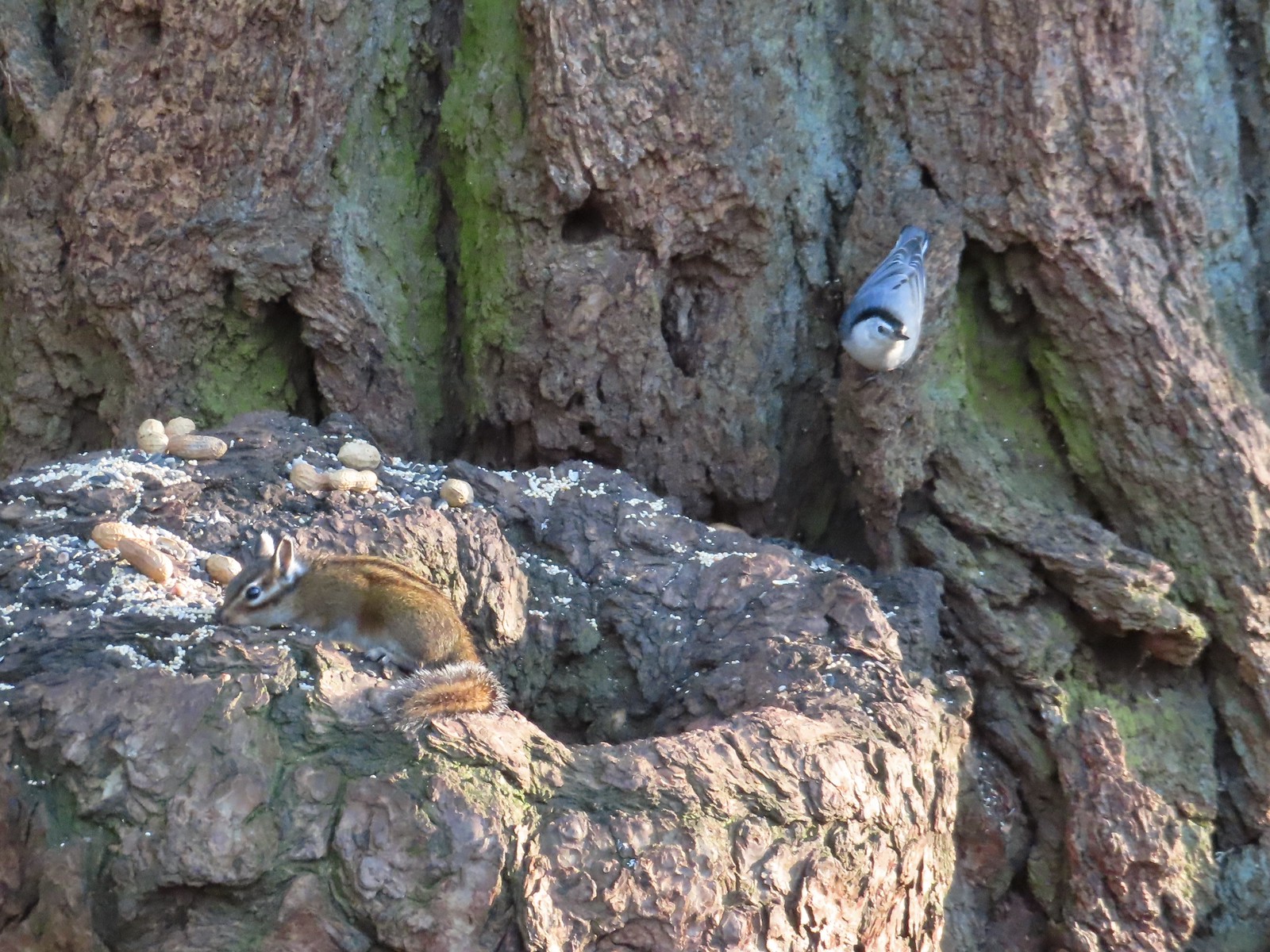 Chipmunk and white-breasted nuthatch
 Giant White Wakerobin, Trillium albidum
 The paved Middle Fork Path dead ahead.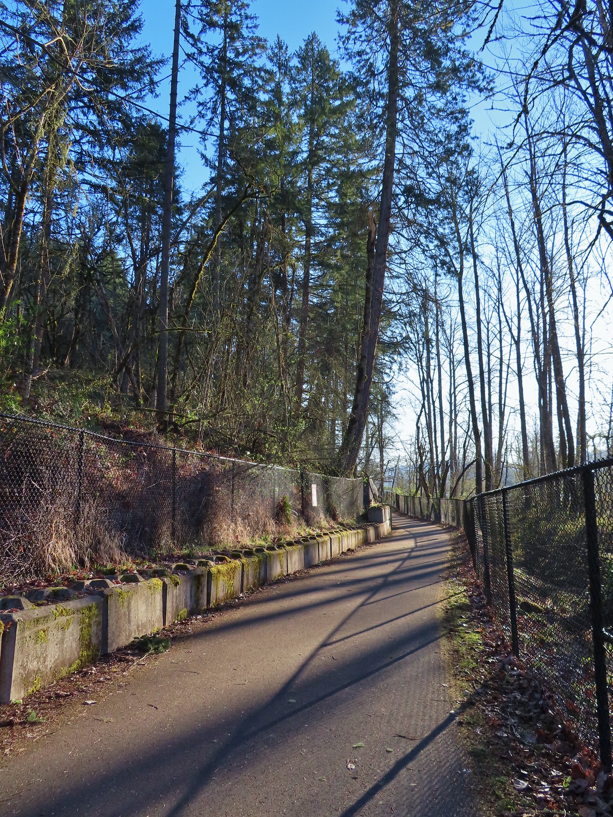
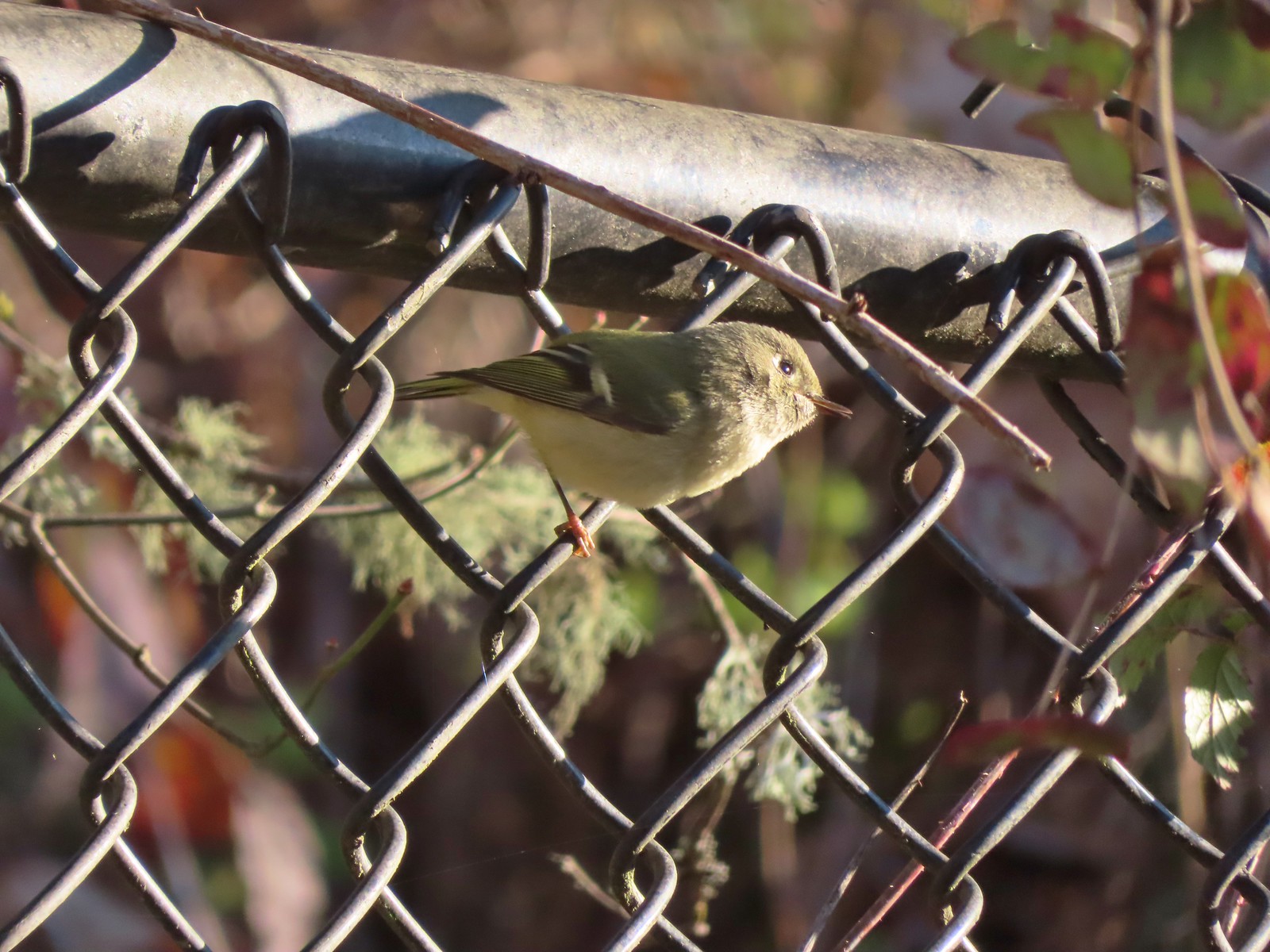 Ruby-crowned kinglet
 Wren
Wren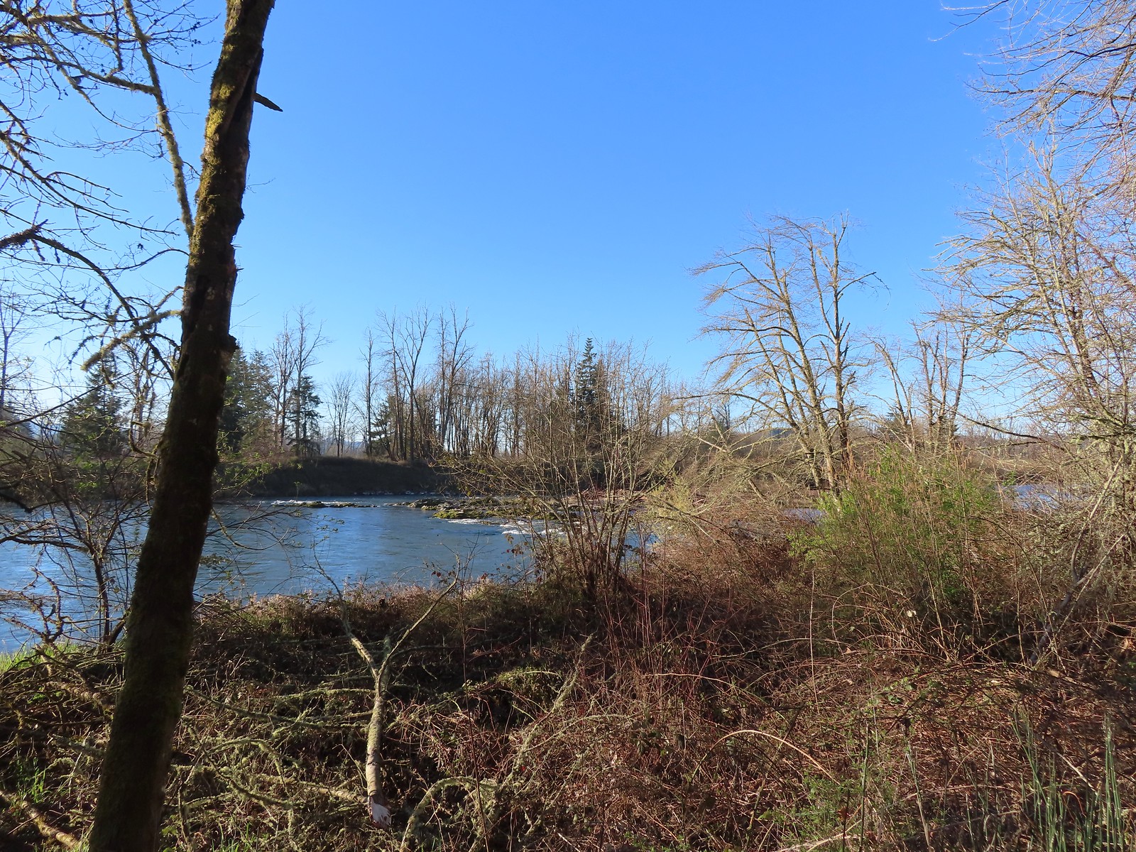 Middle Fork Willamette River
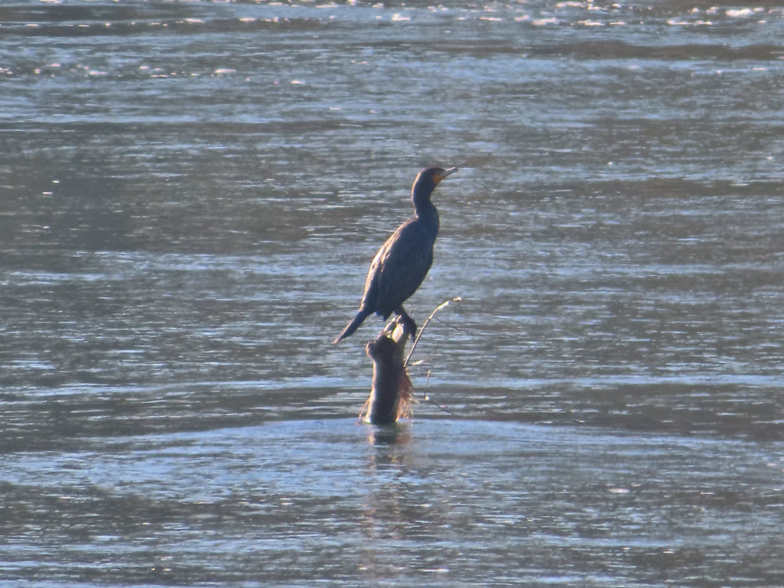 Double-breasted cormorant
 Pacific hound’s tongue
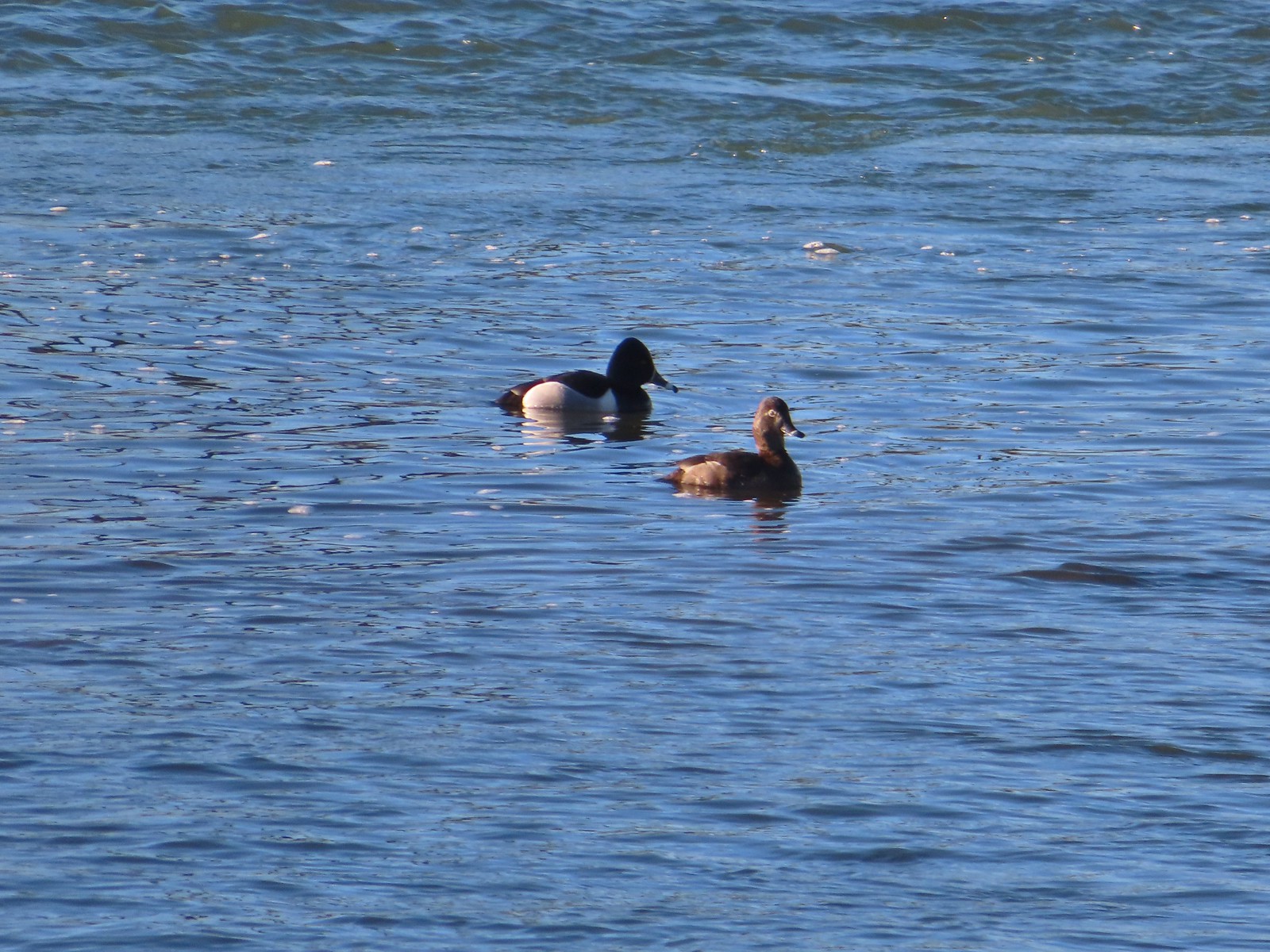 Ring-necked ducks
 Goose
Goose Arriving at the Quarry Creek picnic area.
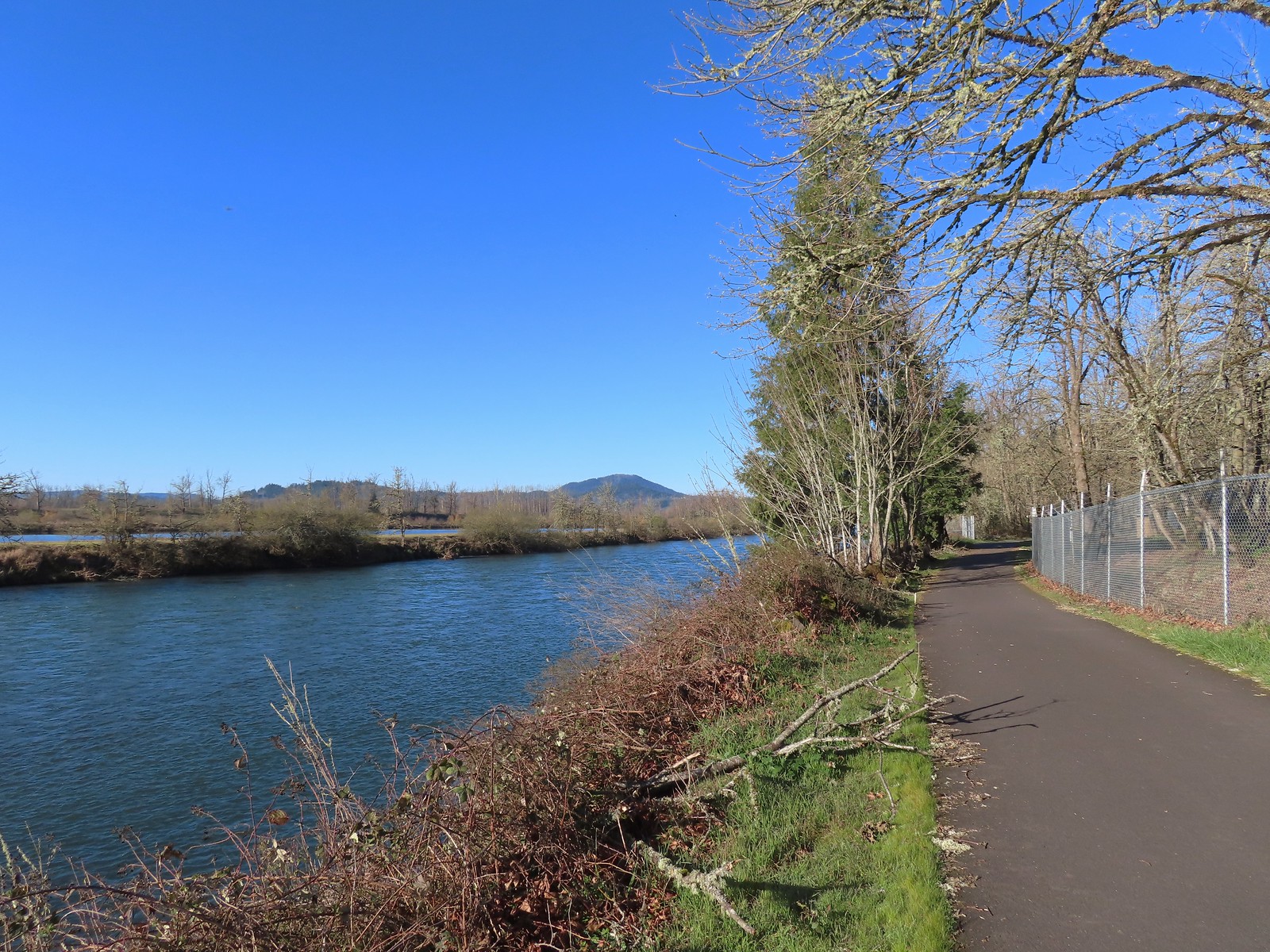 Looking back at Spencer Butte (
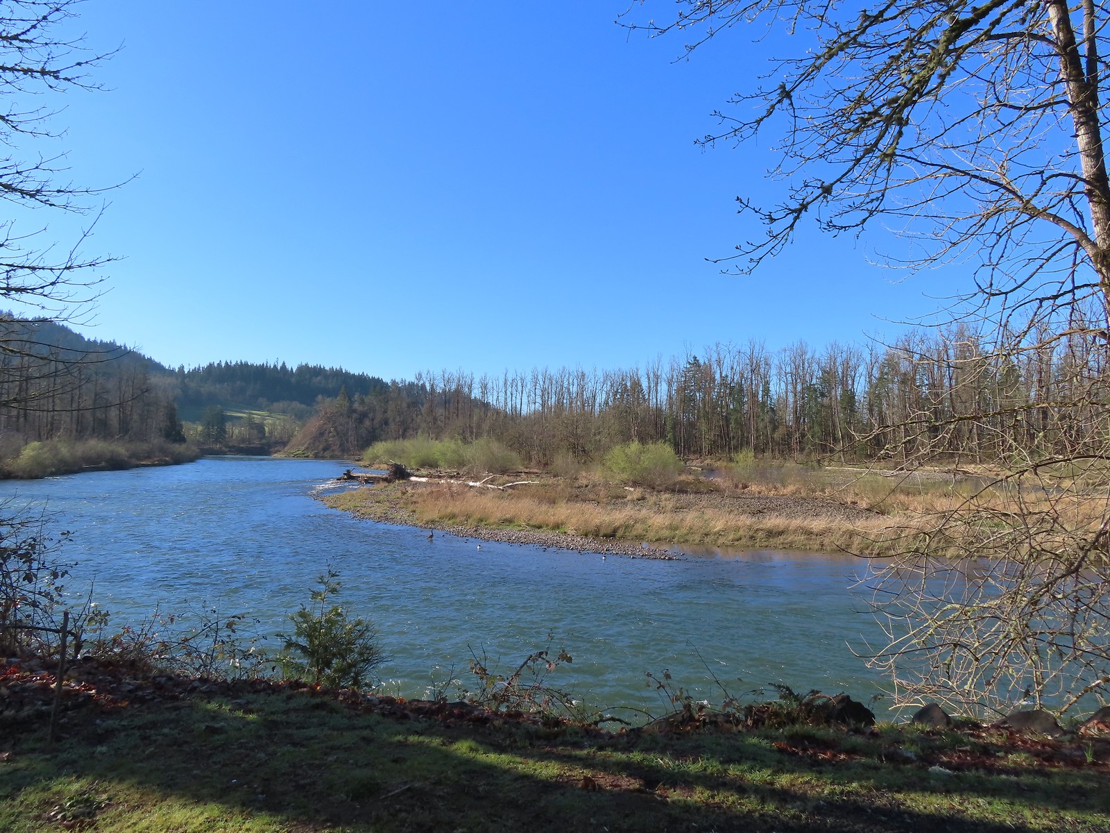 A goose and a couple of common mergansers in the river.
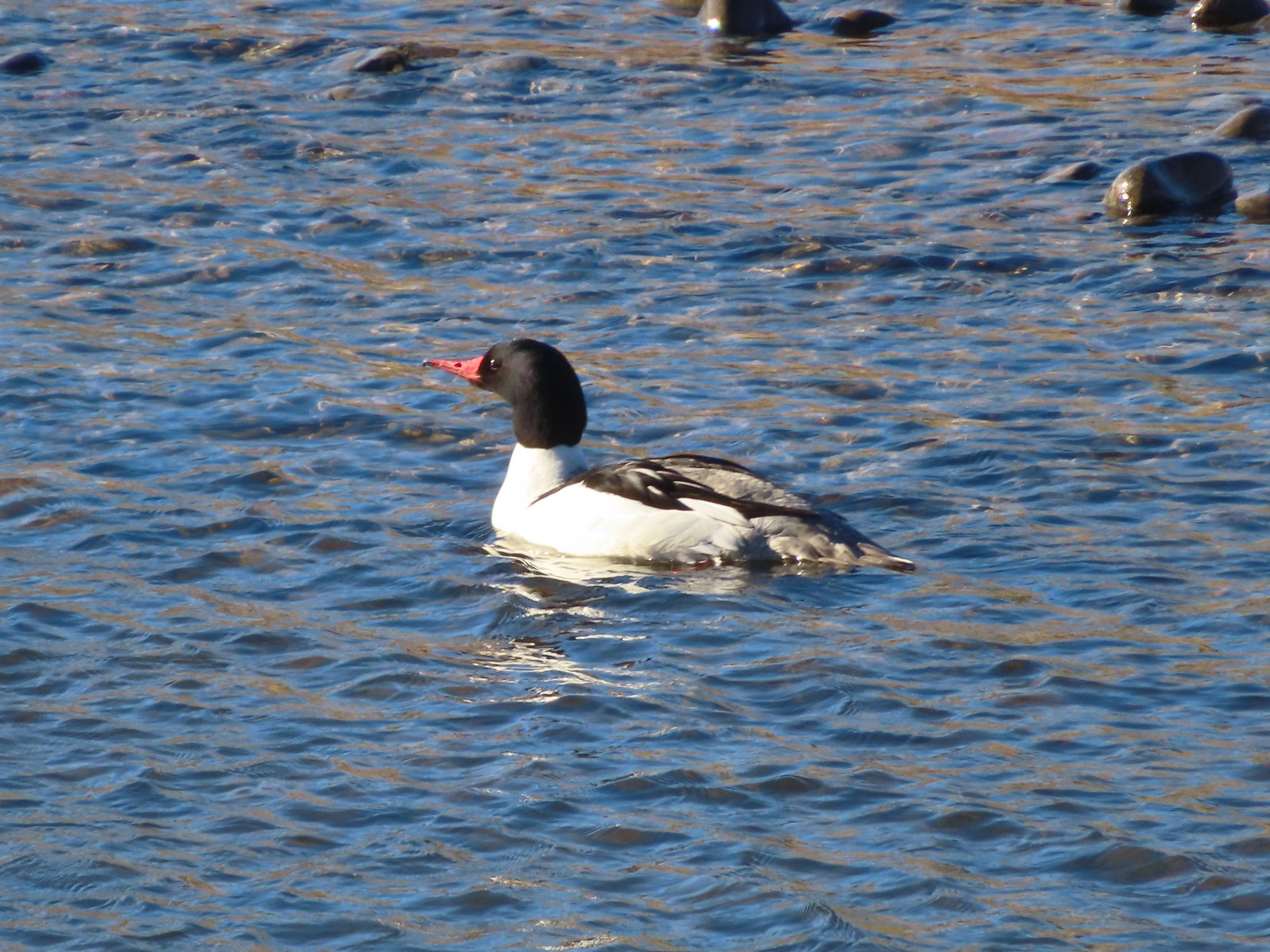 Common merganser drake
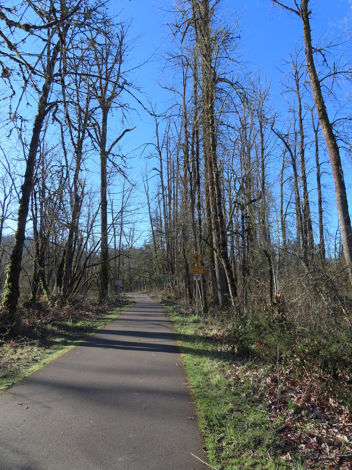 Approximately 2.75-miles from Dorris Ranch we came to the junction with the 3-mile-long Mill Race Path. An adventure for another day.
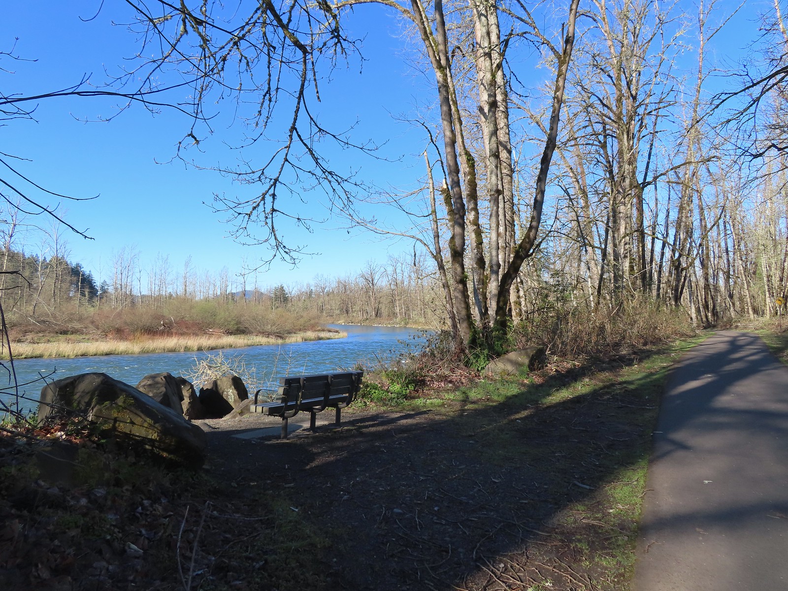 There were plenty of benches along the path.
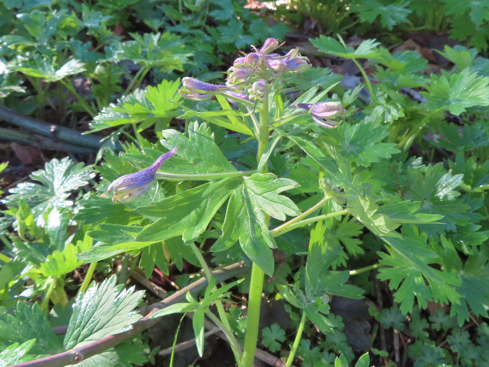 Larkspur starting to bloom.
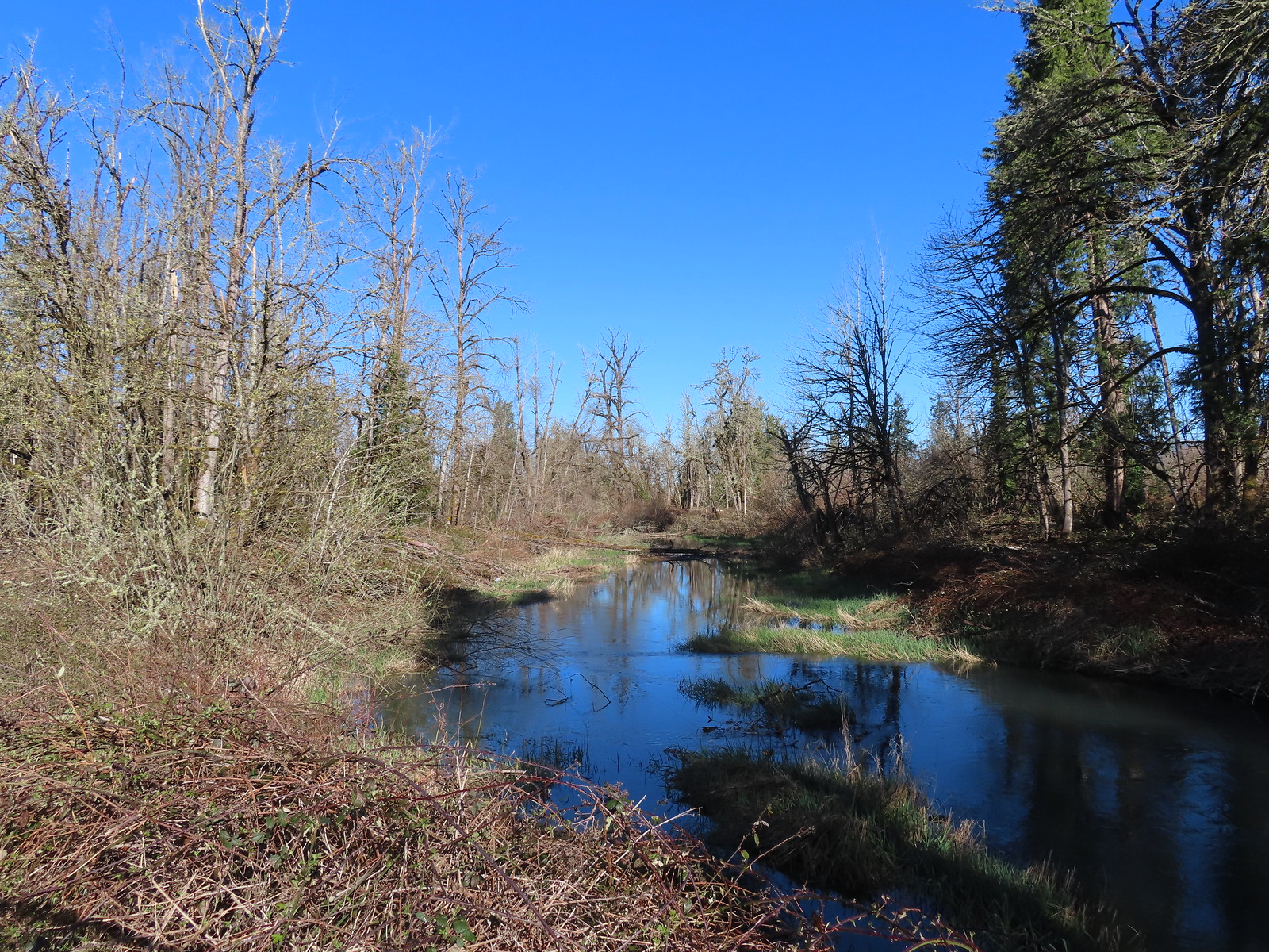 Springfield Mill Race
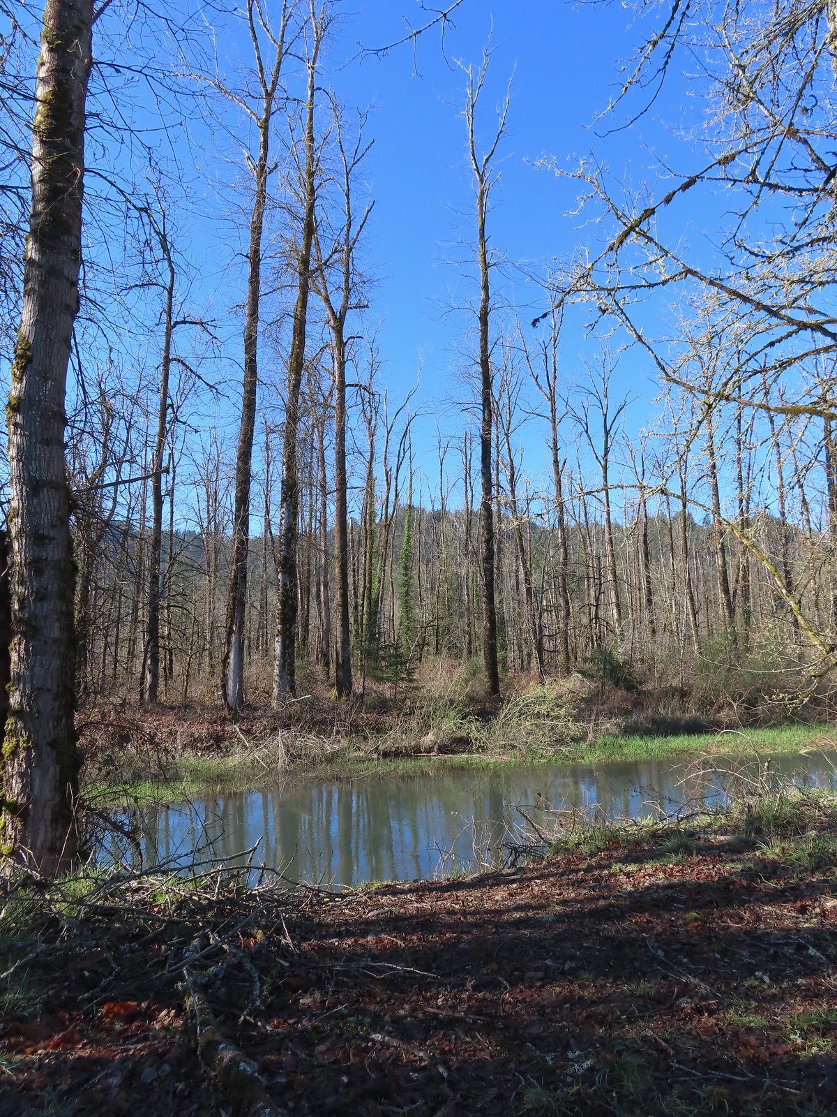 Mt. Pisgah (
 Disc golf course at Clearwater Park.
 Nearing the parking lot at Clearwater Park.
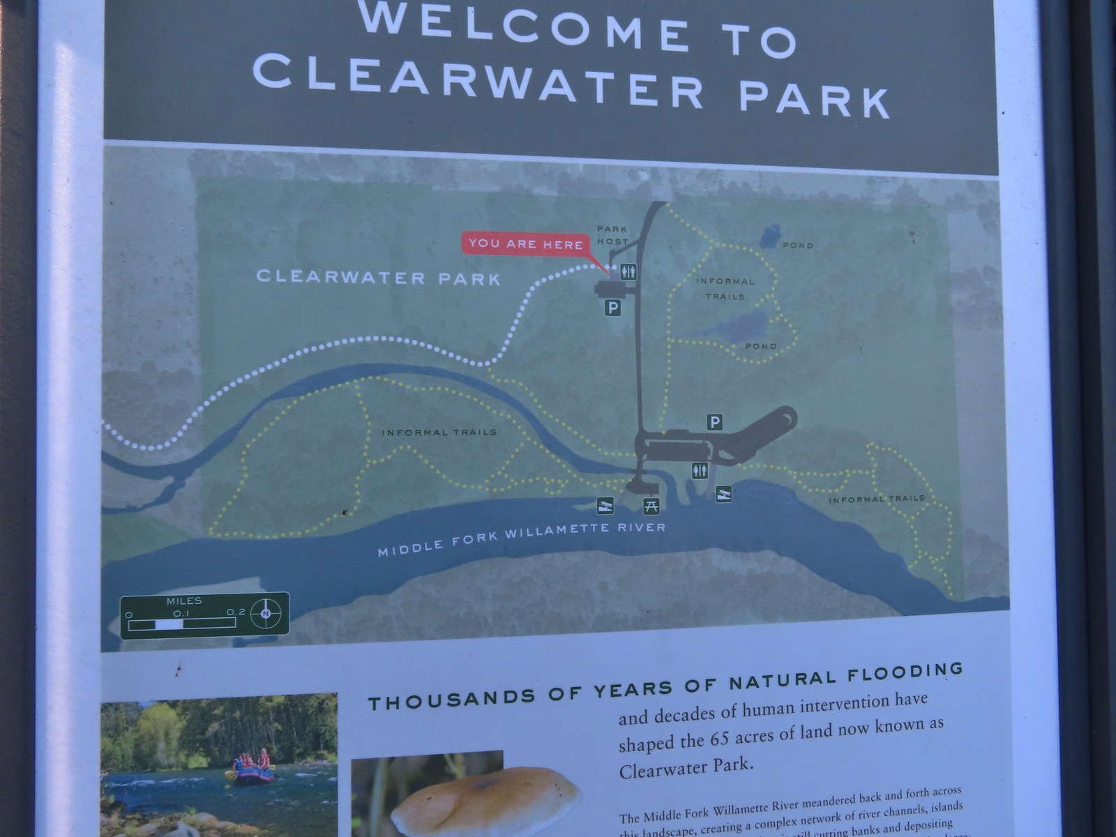 Map of the trails at Clearwater Park.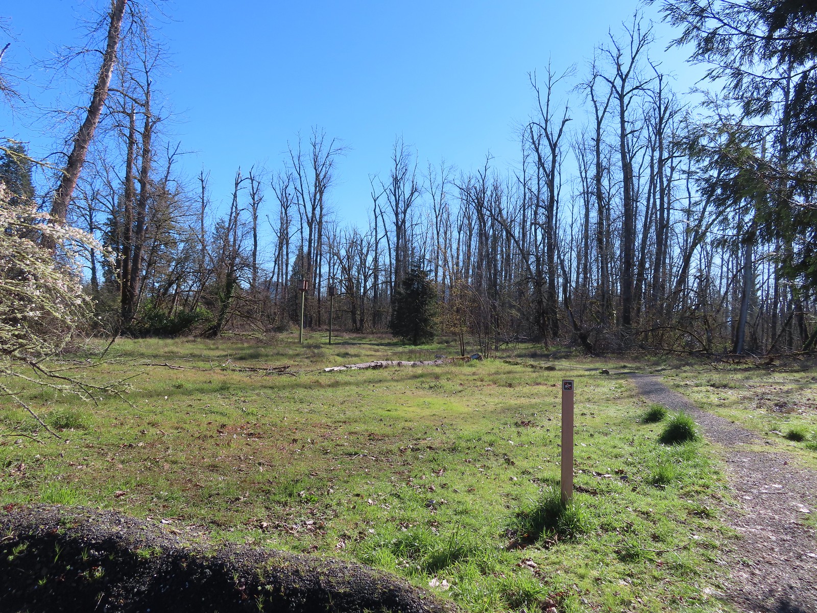
 Turkey vultures. We’d seen our first turkey vulture of the year a little earlier on the Middle Fork Path. I’d been on the lookout for one of these scavengers for the last couple of weeks knowing that their arrival in the Willamette Valley coincides with the onset of Spring.

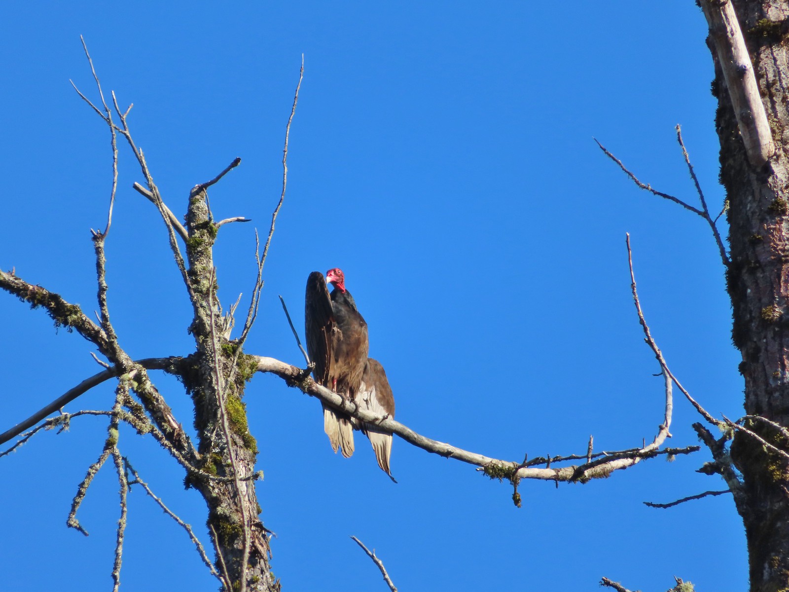 Turkey vulture enjoying the sunshine.
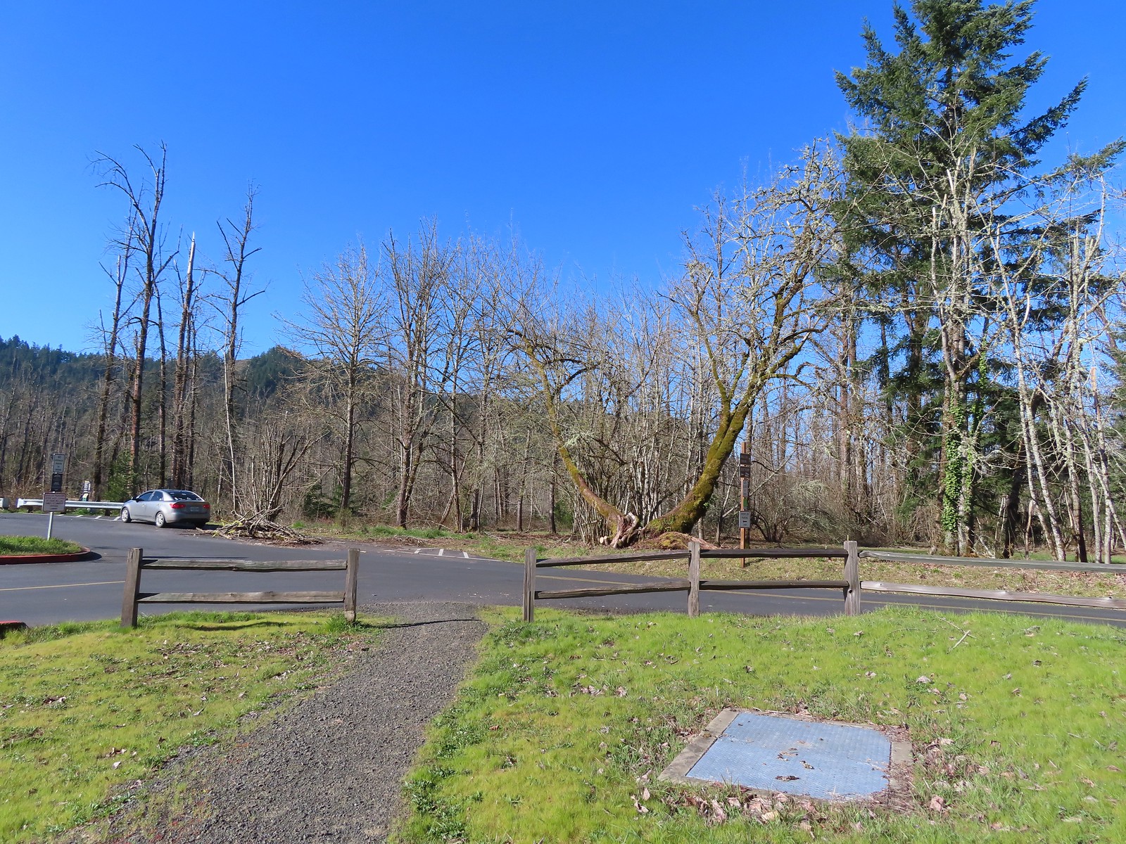 Arriving at the boat launch area.
 Heading back to the Middle Fork Path.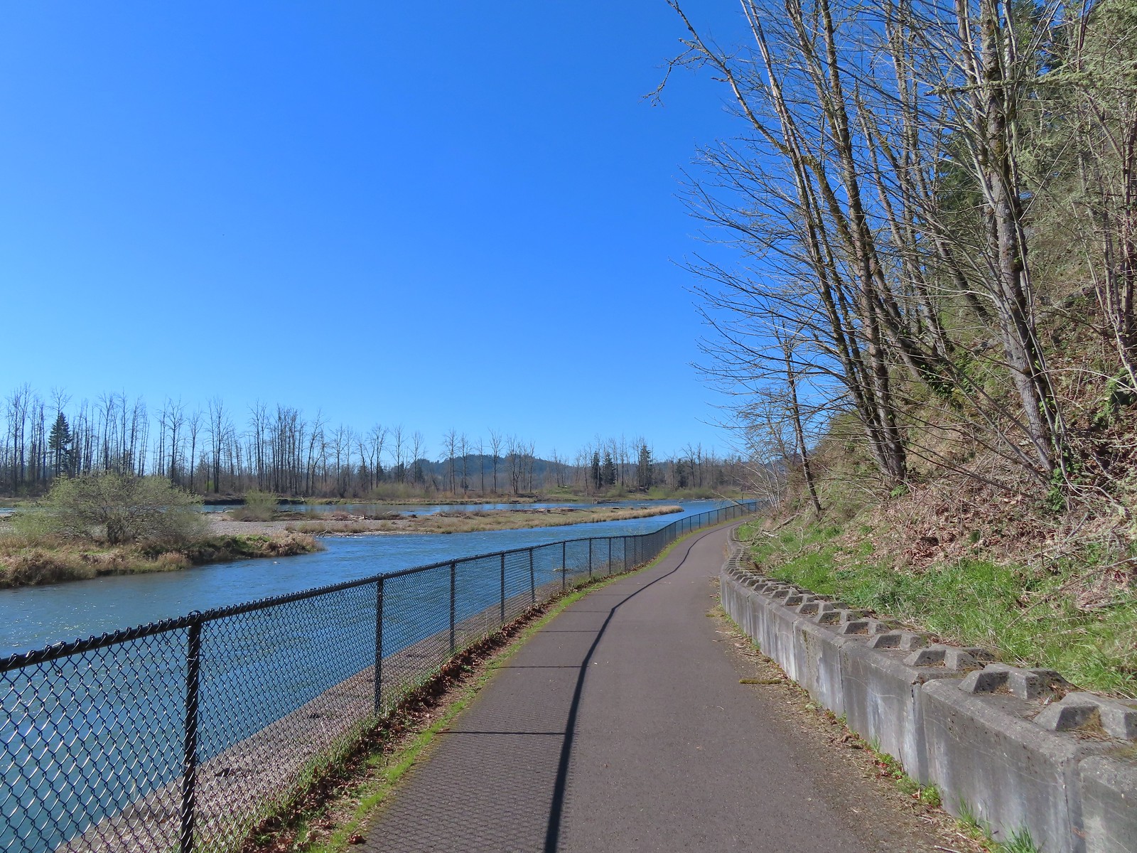
 Back at Dorris Ranch. The trail we’d taken earlier that morning is to the left just before the bench.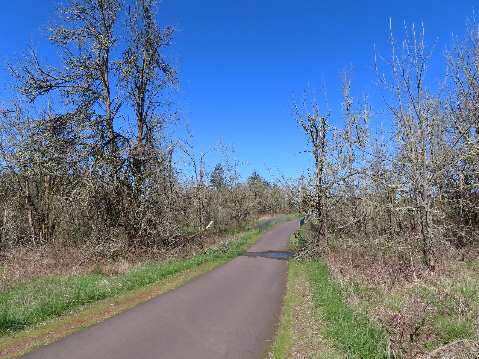
 Western bluebirds
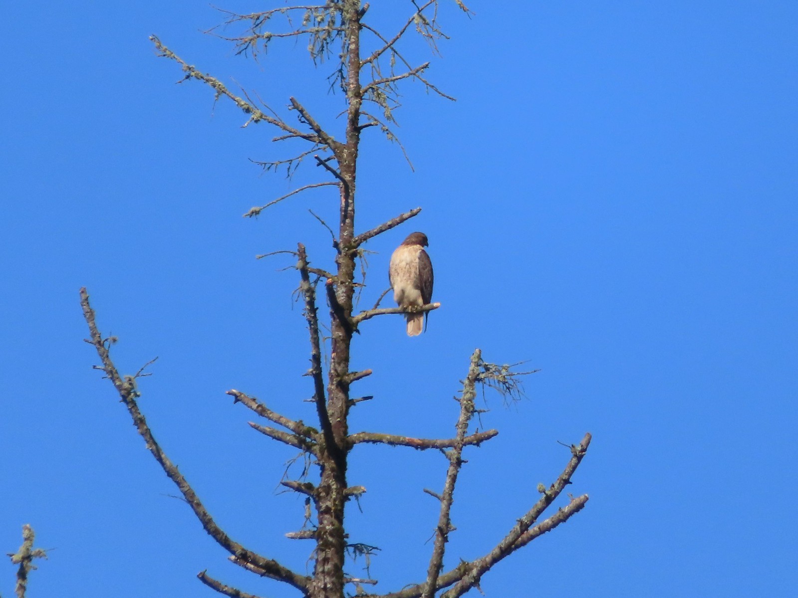 I believe this is a Cooper’s hawk.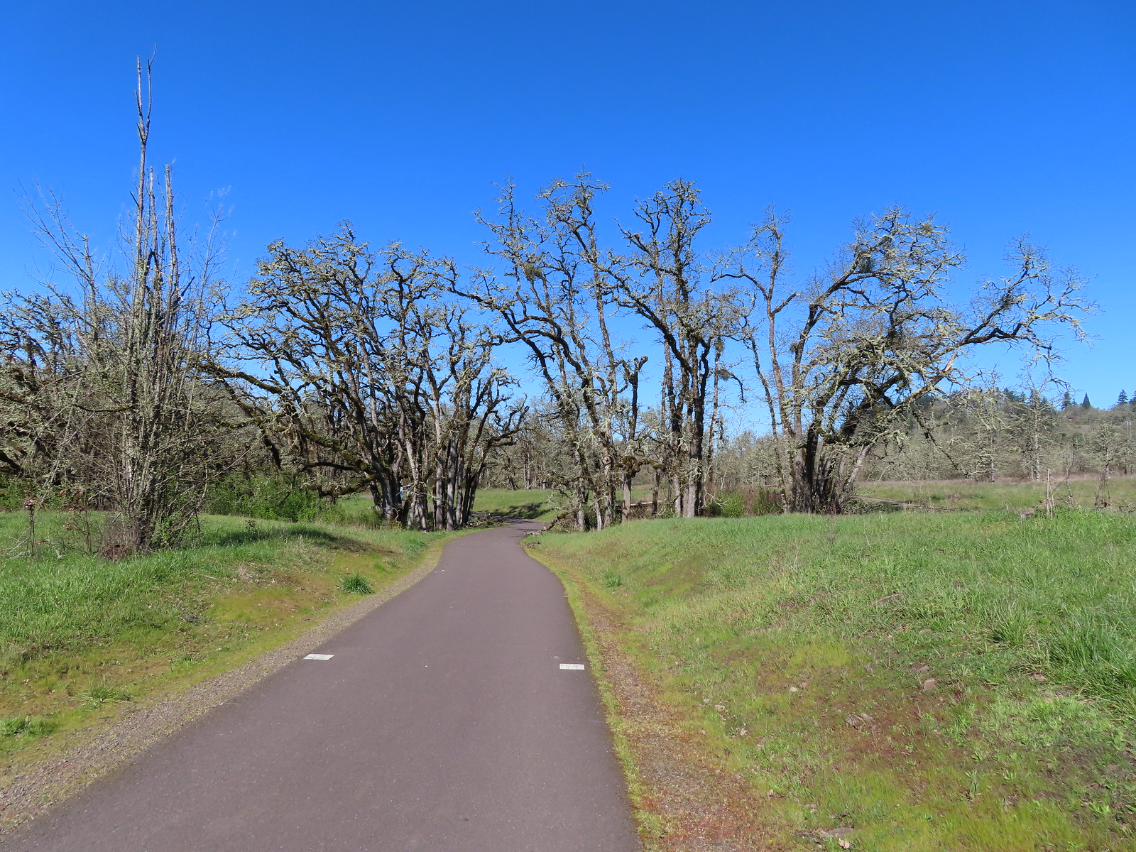
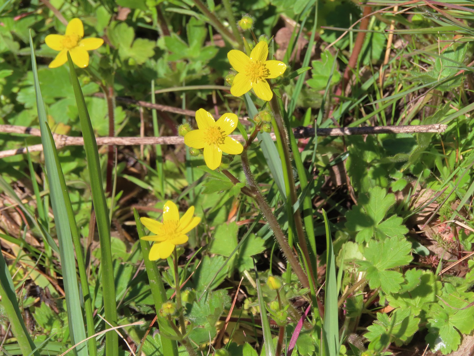 Western buttercups
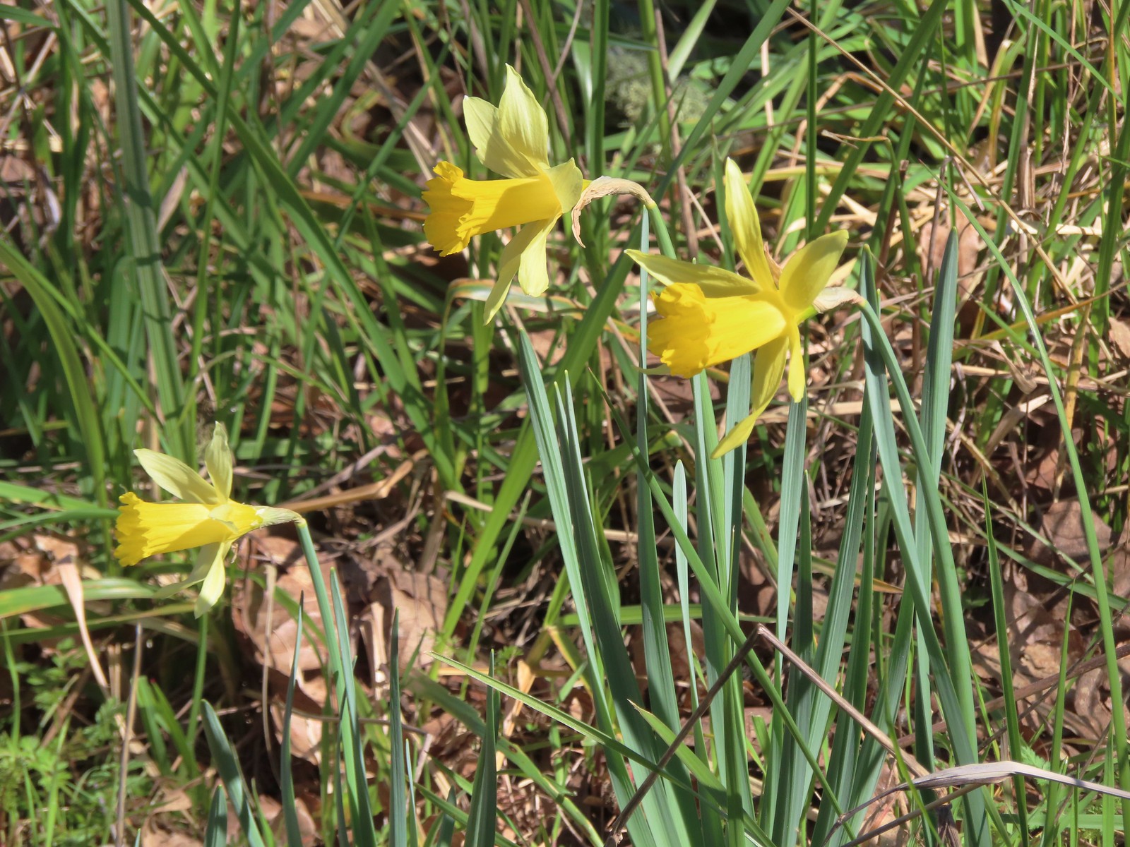 Daffodils

 Sunrise from the trailhead.
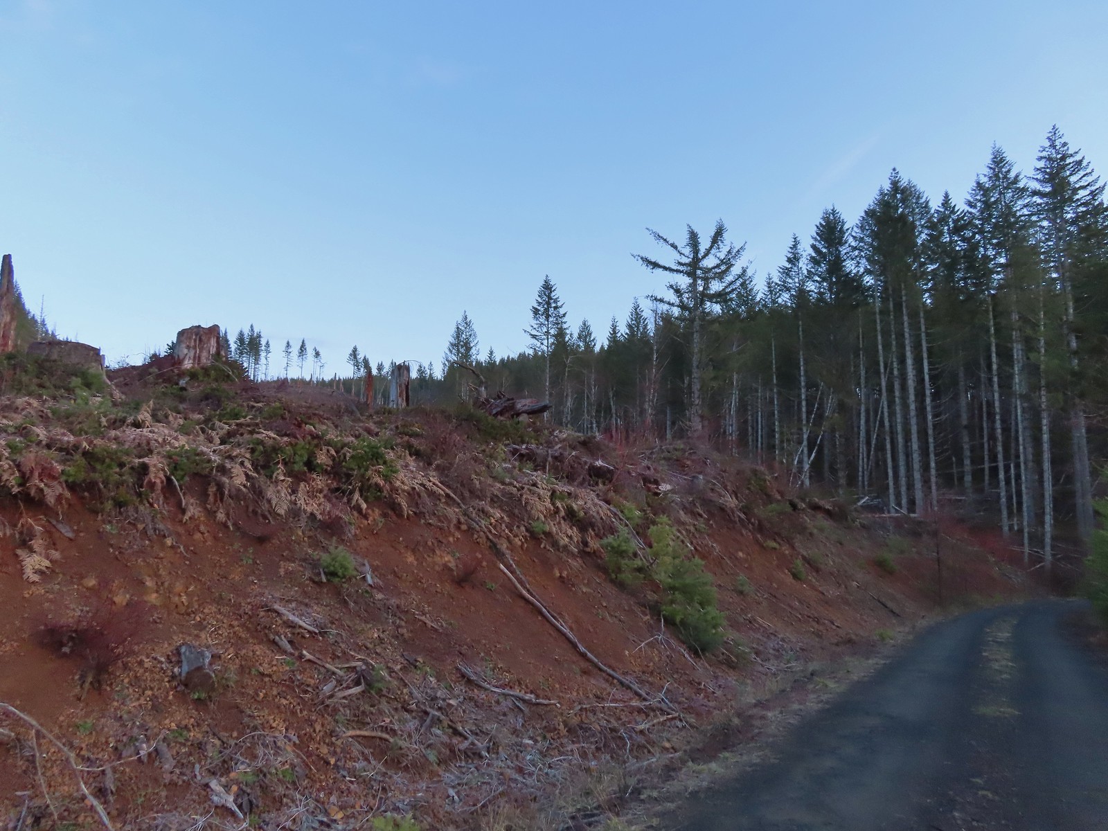 Clear cut at the trailhead.
 This was the view through the forest from Maple Creek Road around the 80-yard mark.
 We could hear the Tualatin River in the valley below and I managed to get far enough down the hill to get a glimpse of the water. I had descended from a pullout with a fire ring about 50-75′ looking for the old roadbed, but I still couldn’t make out where it actually was and had been slipping a lot on wet wood.
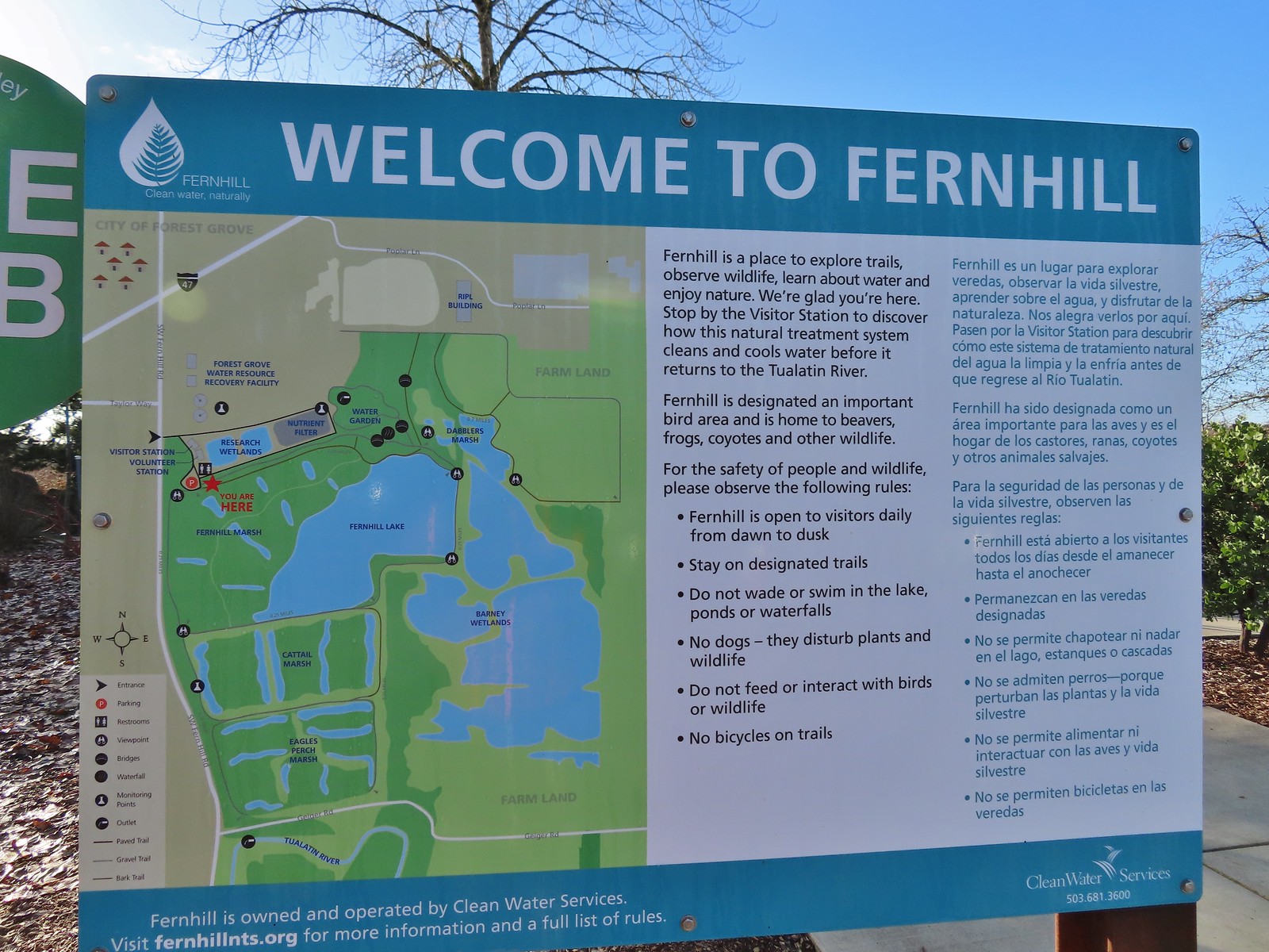 Map and information at the trailhead.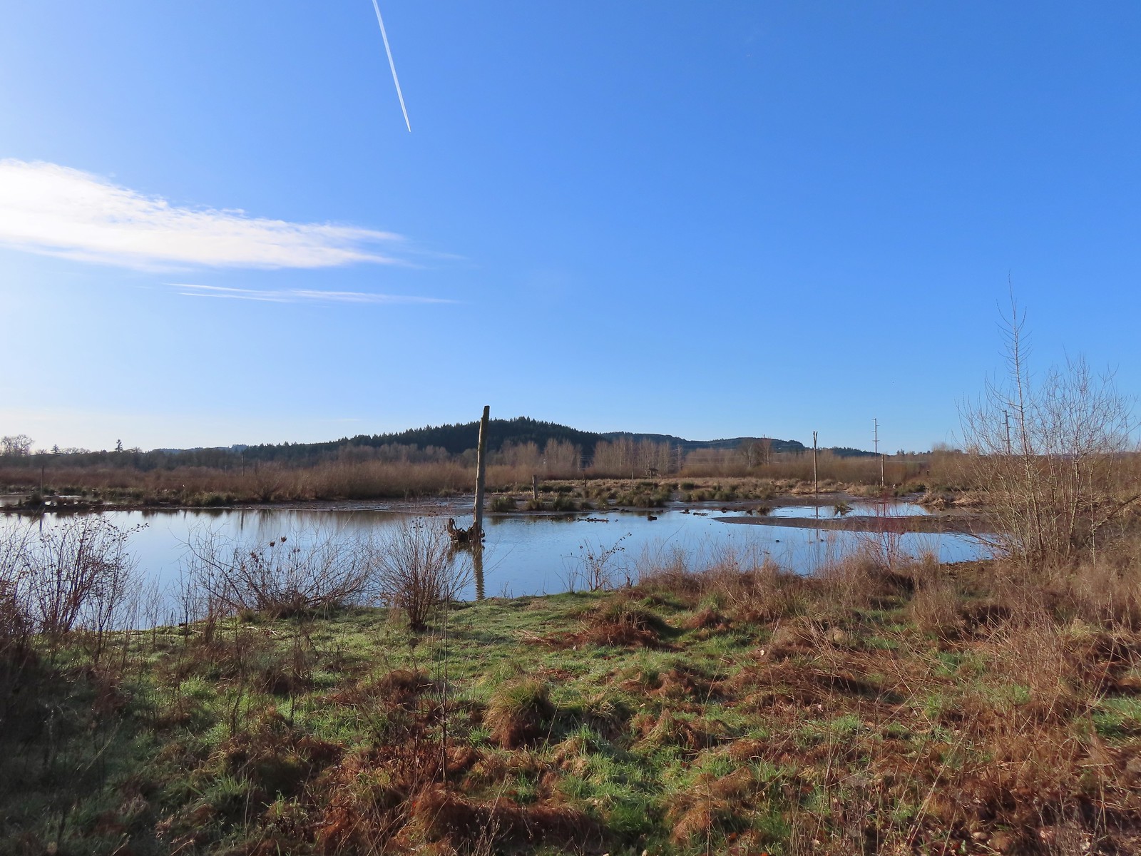
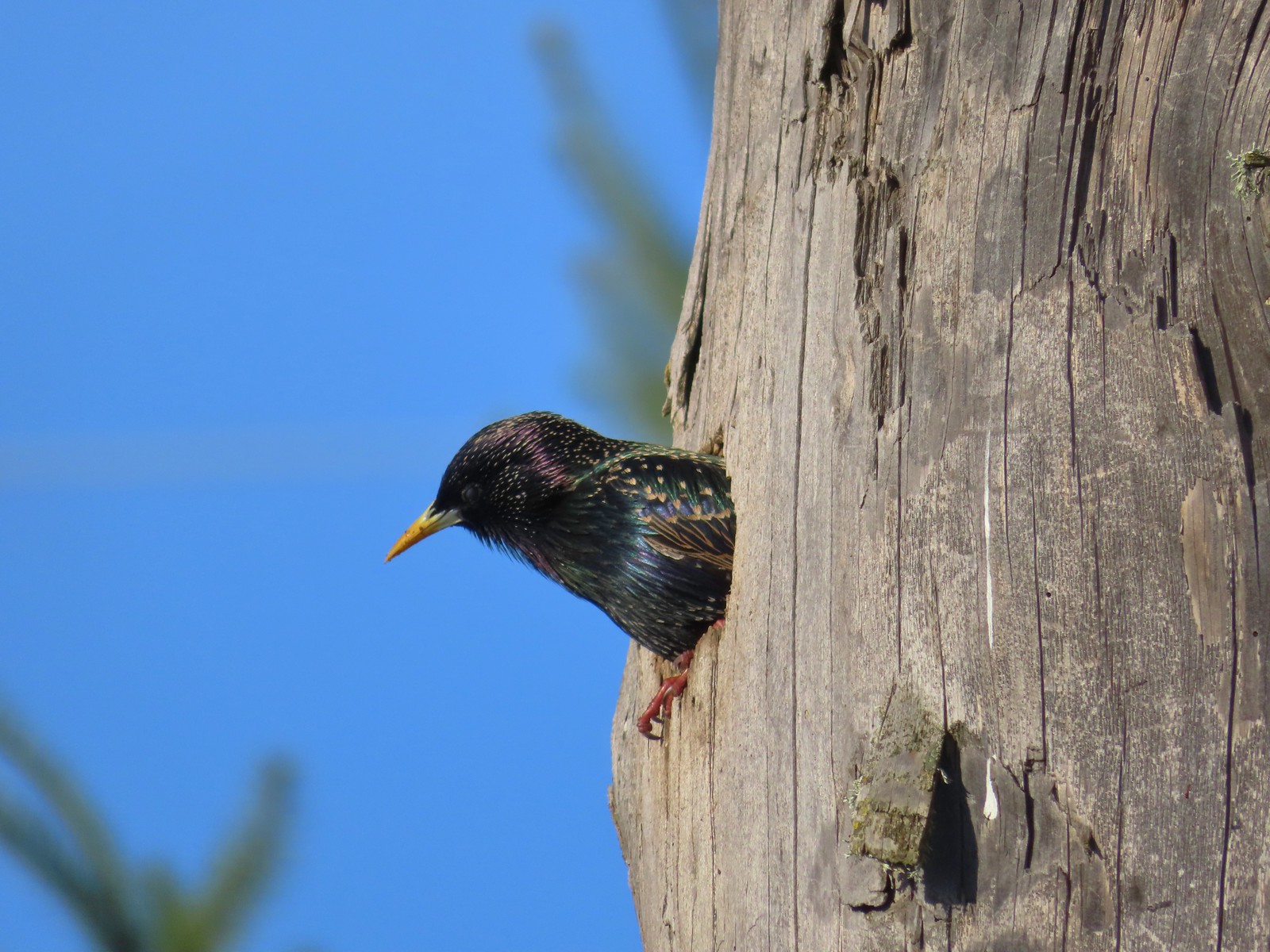 Starling
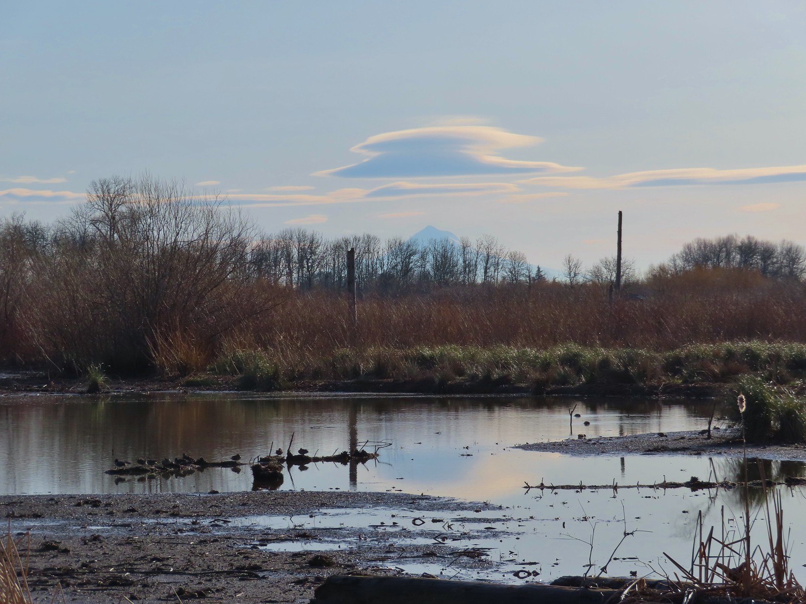 Lenticular clouds over Mt. Hood in the distance.
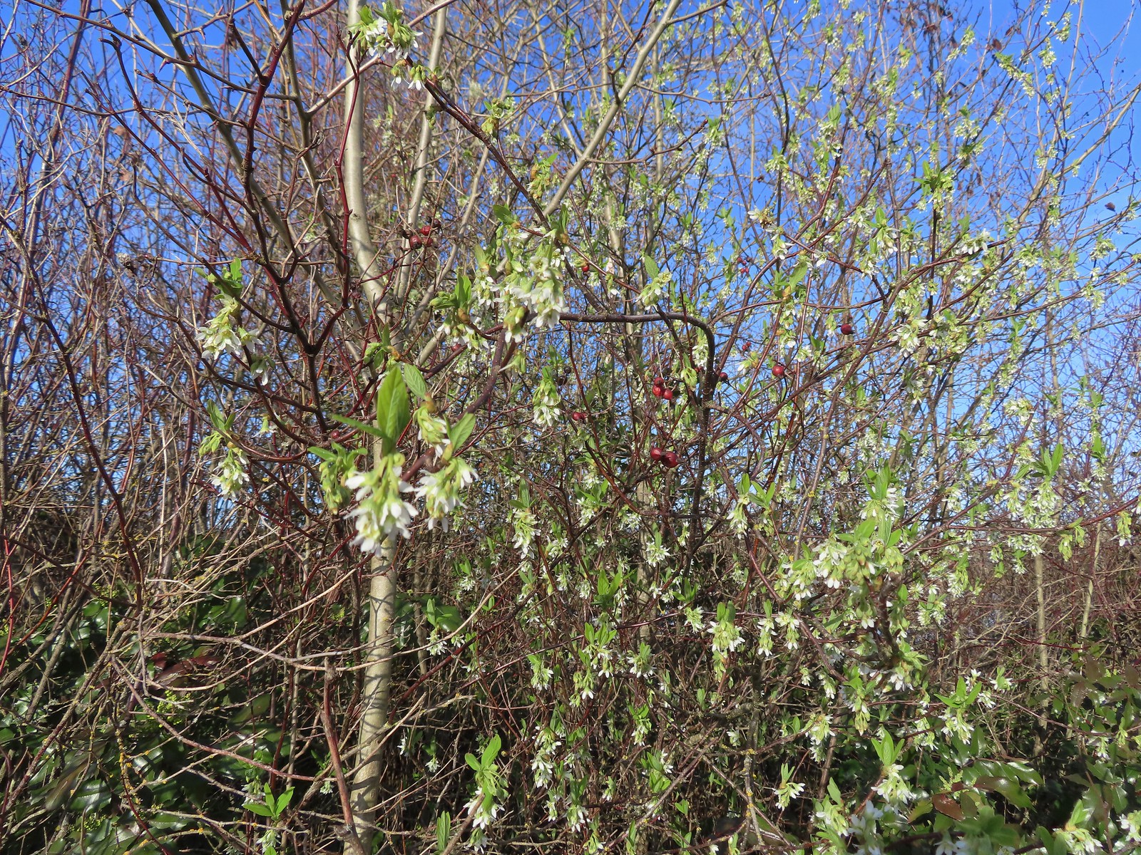 Our first wildflower of the year is Indian plum in 2024.
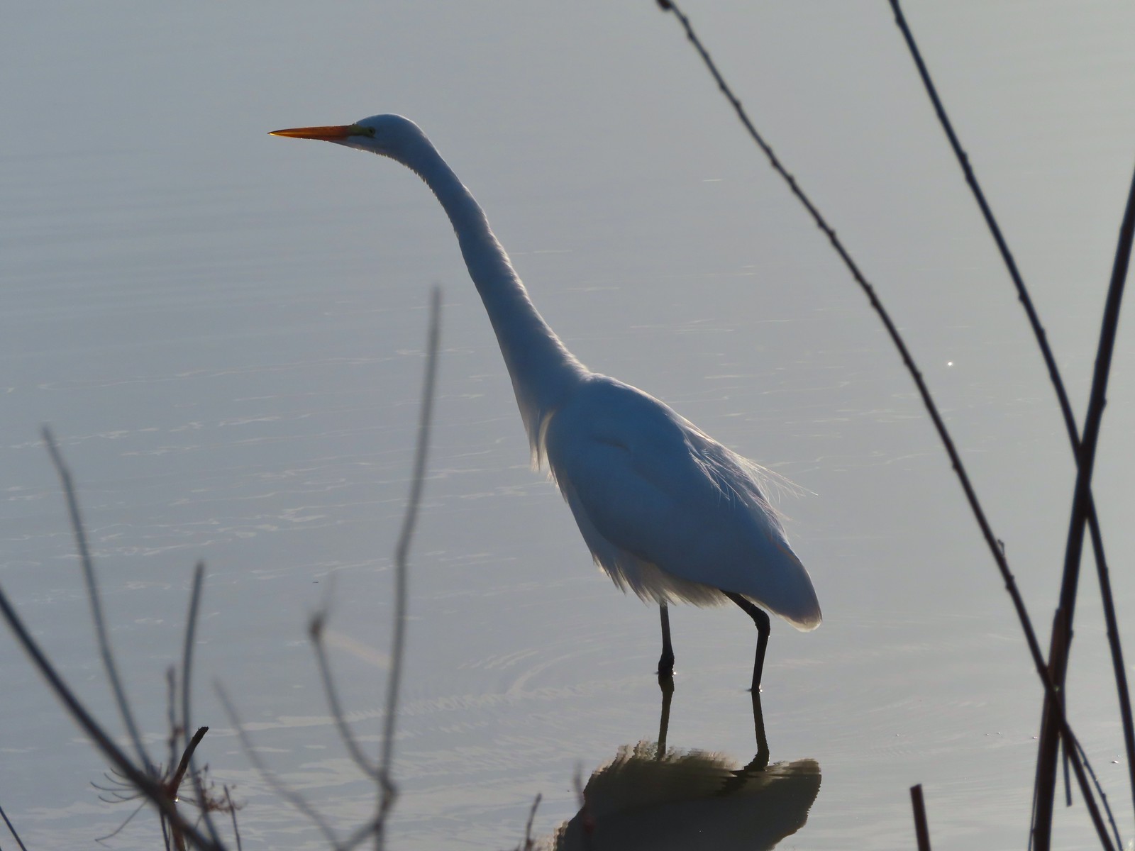 Egret
Egret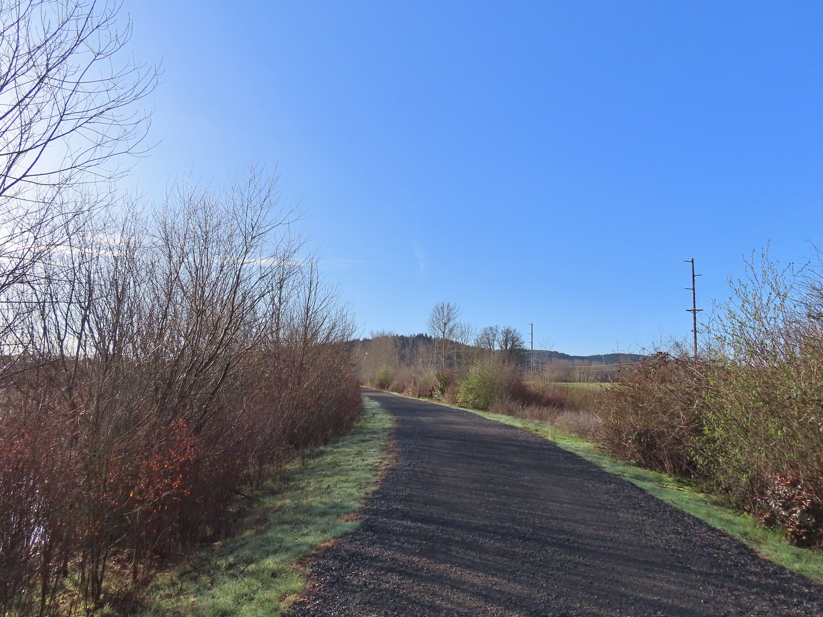 Path at Fernhill Wetlands.
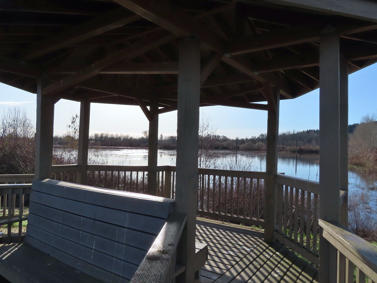 Gazebo overlooking Cattail Marsh.
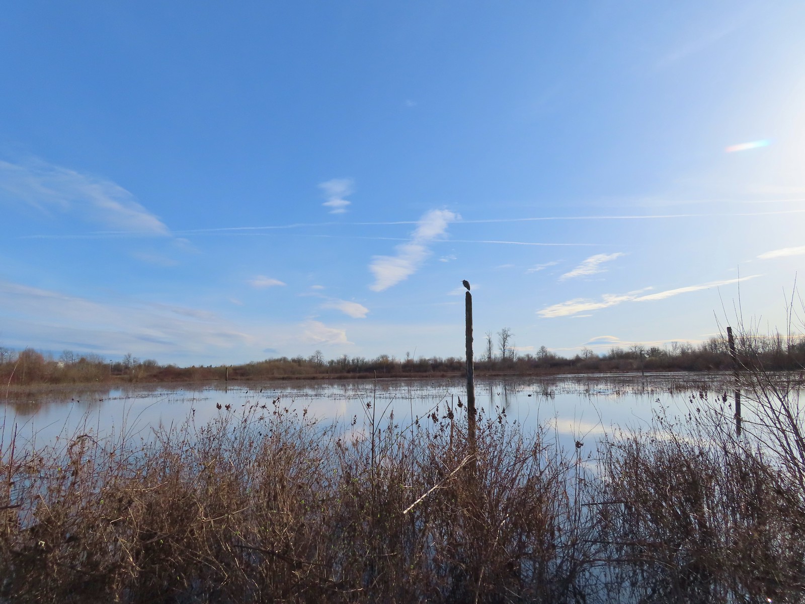 Great blue heron on a post above Cattail Marsh.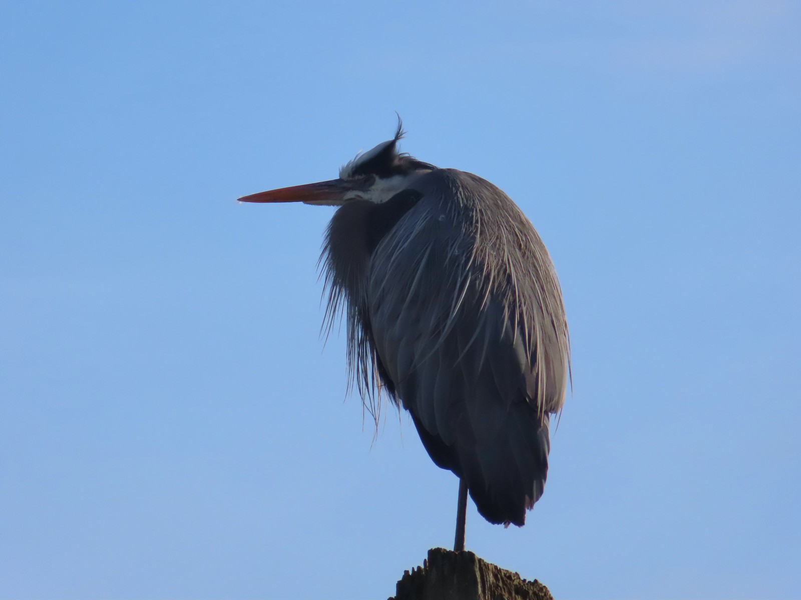
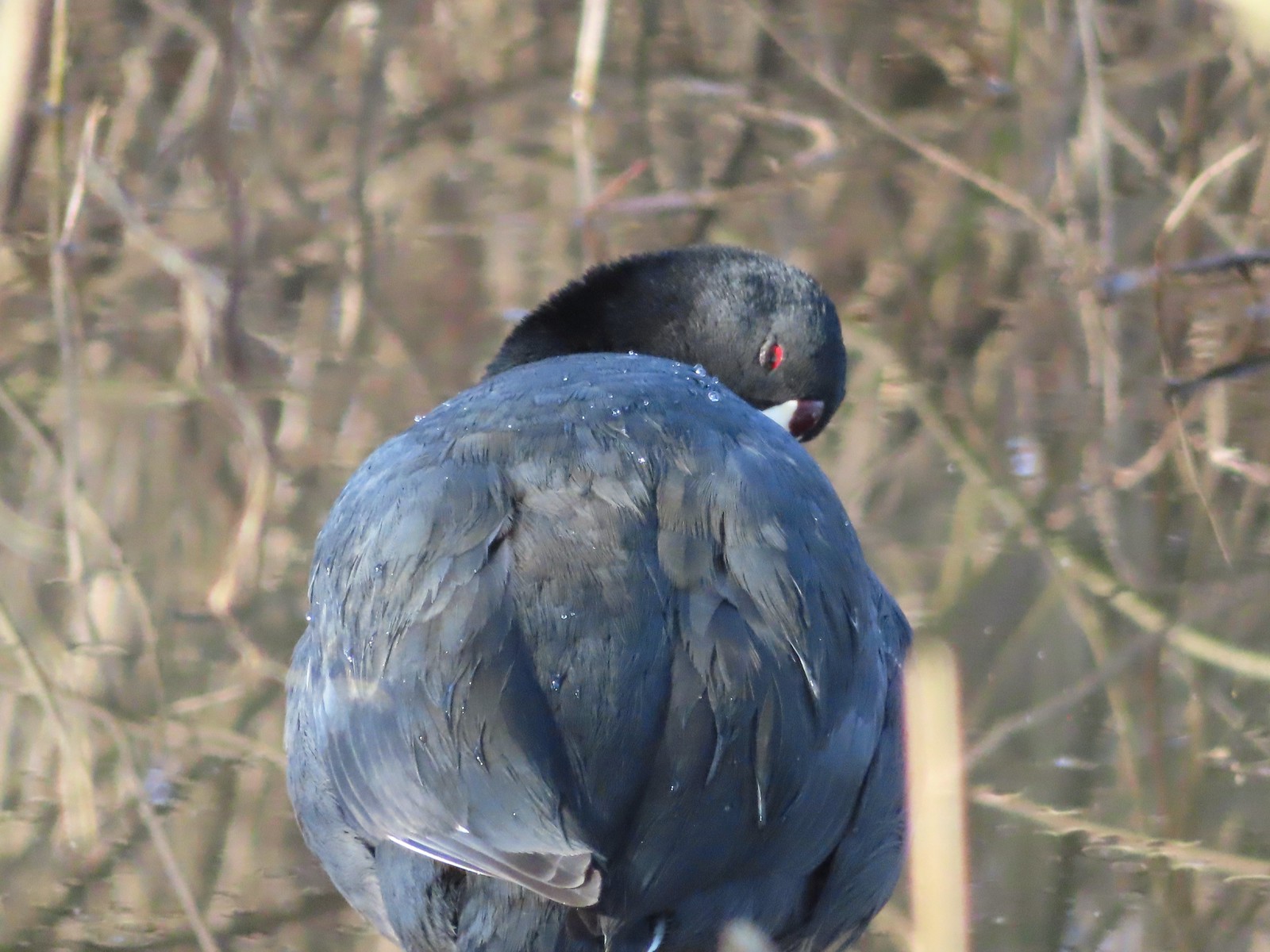 American coot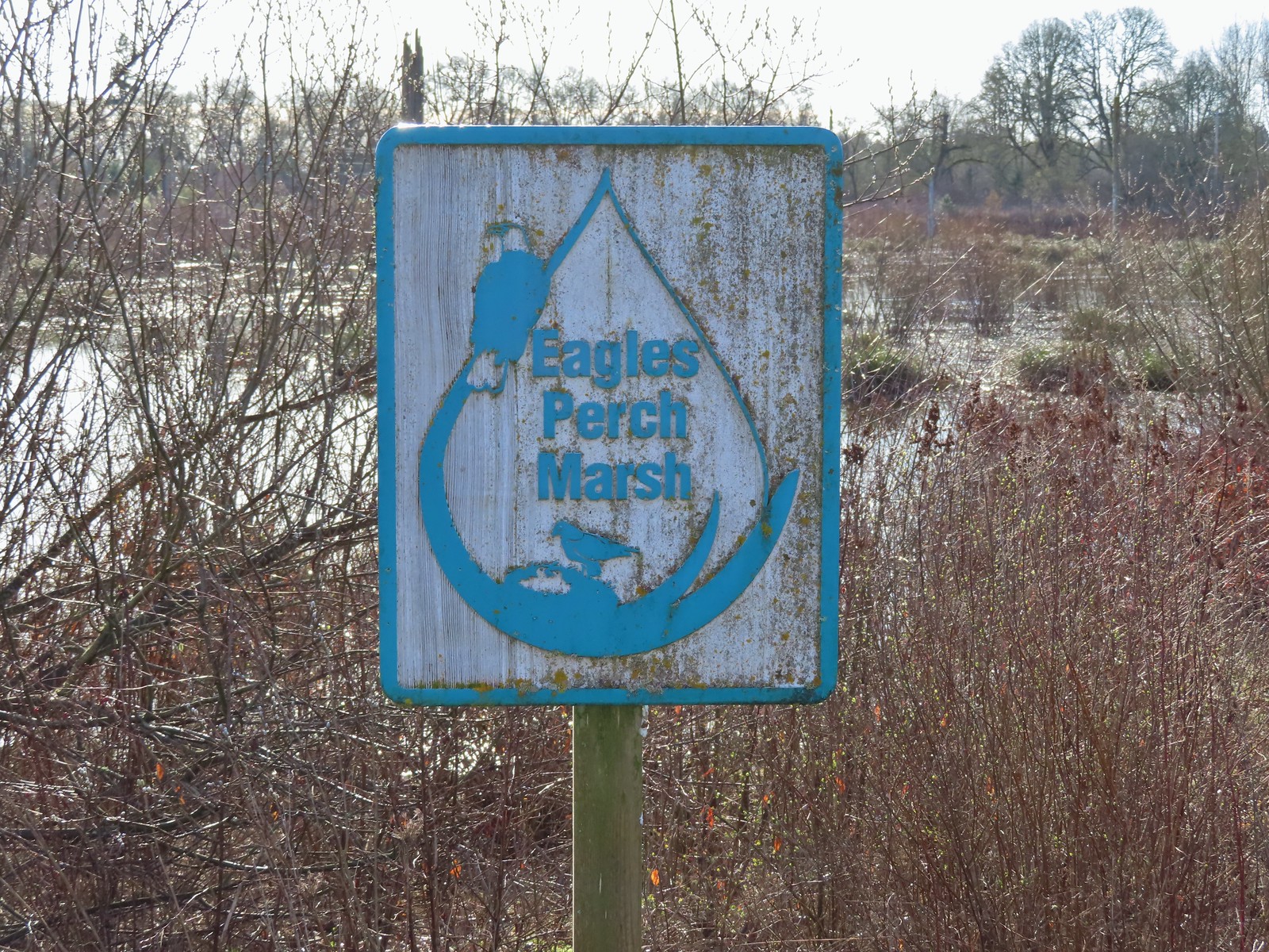
 Another great blue heron.
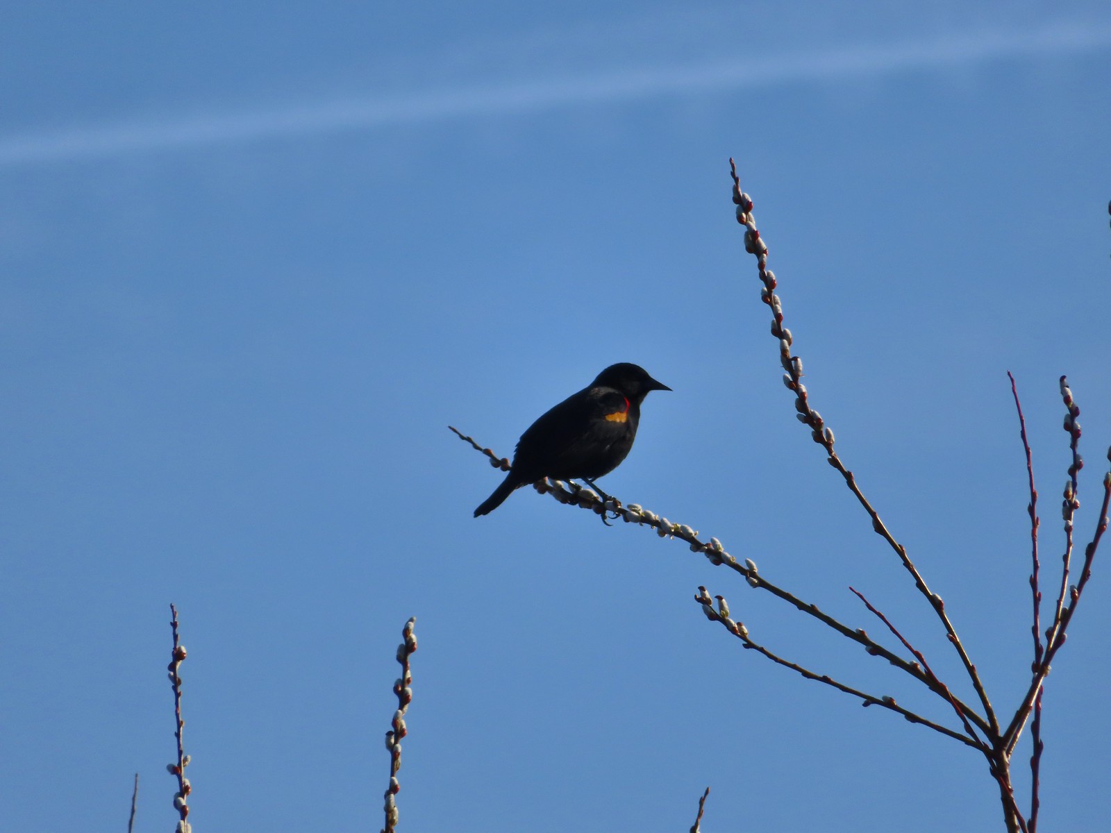 Red-winged blackbird
 Hawk flying over Eagles Perch Marsh.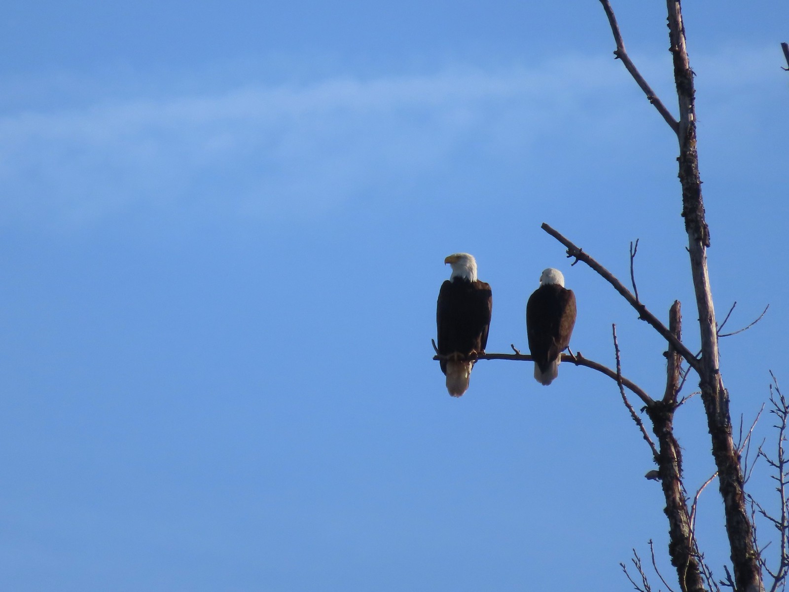

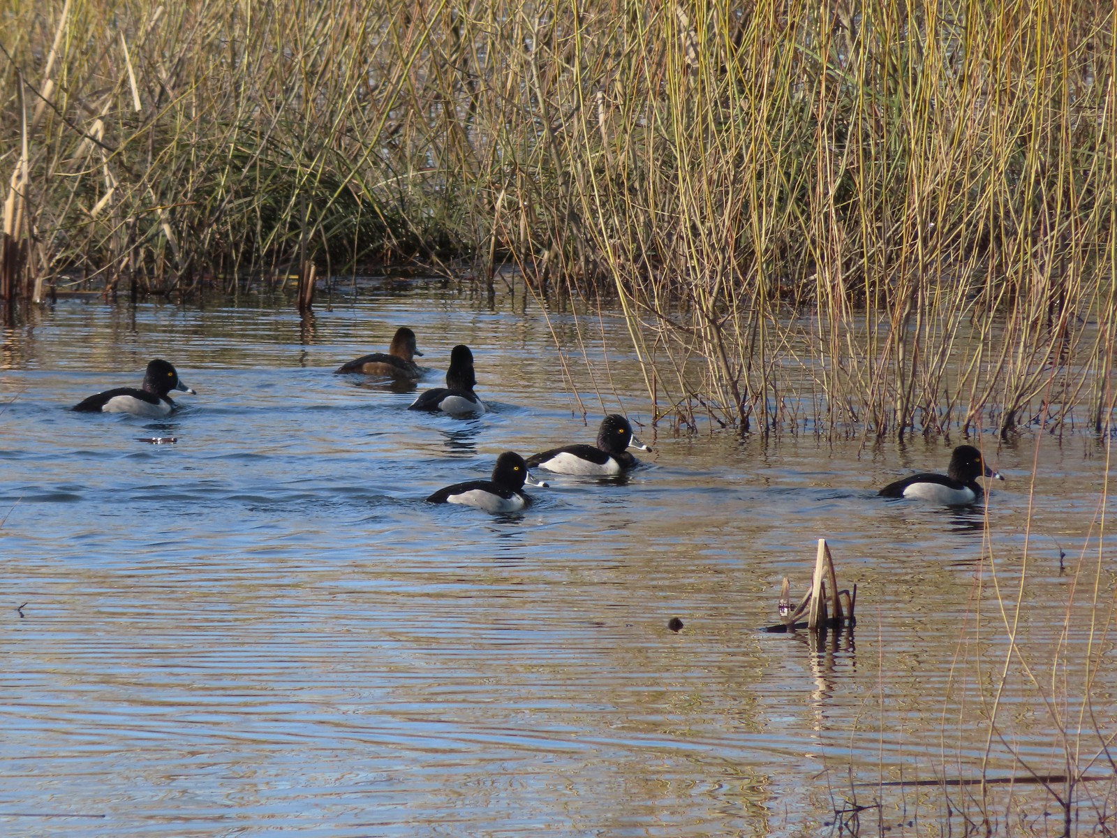 Ring-necked ducks
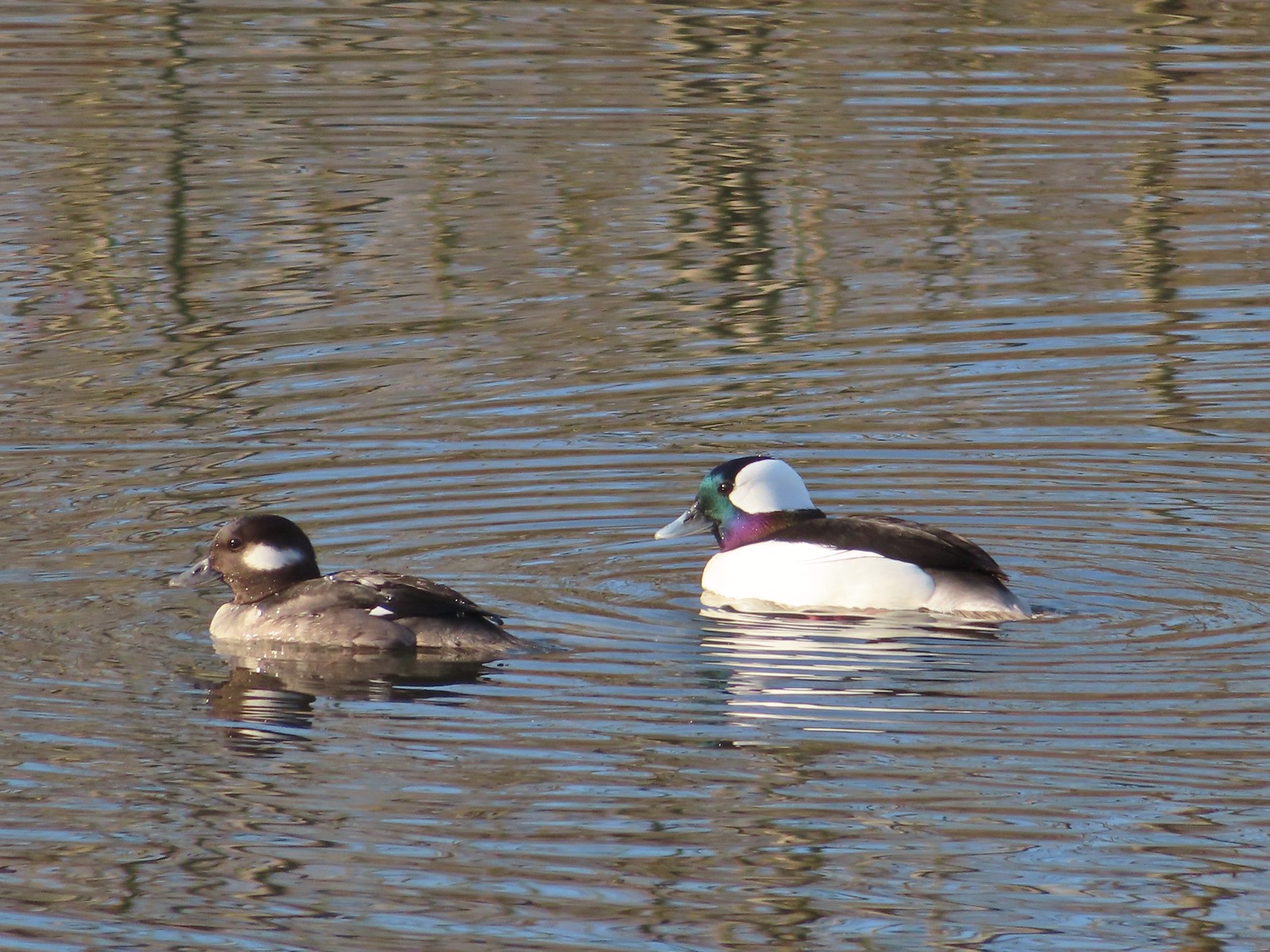 Buffleheads
 This one might be a hooded merganser?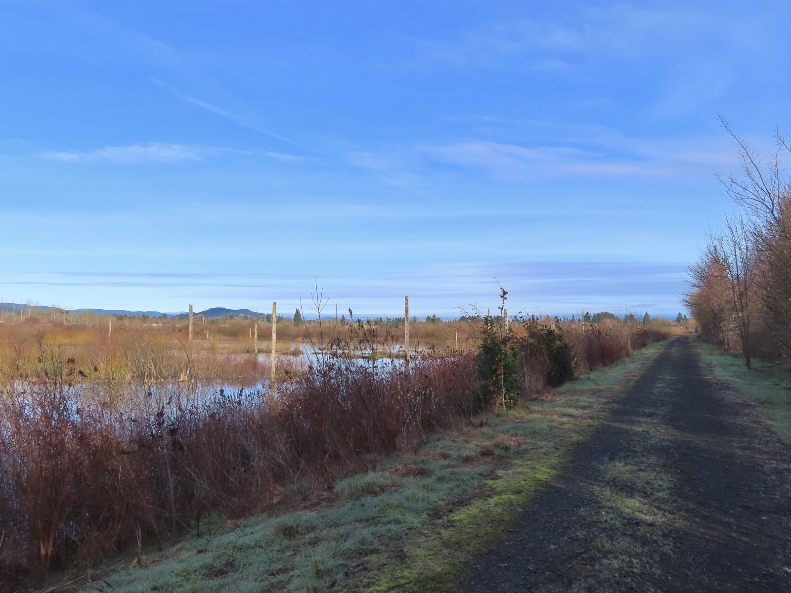
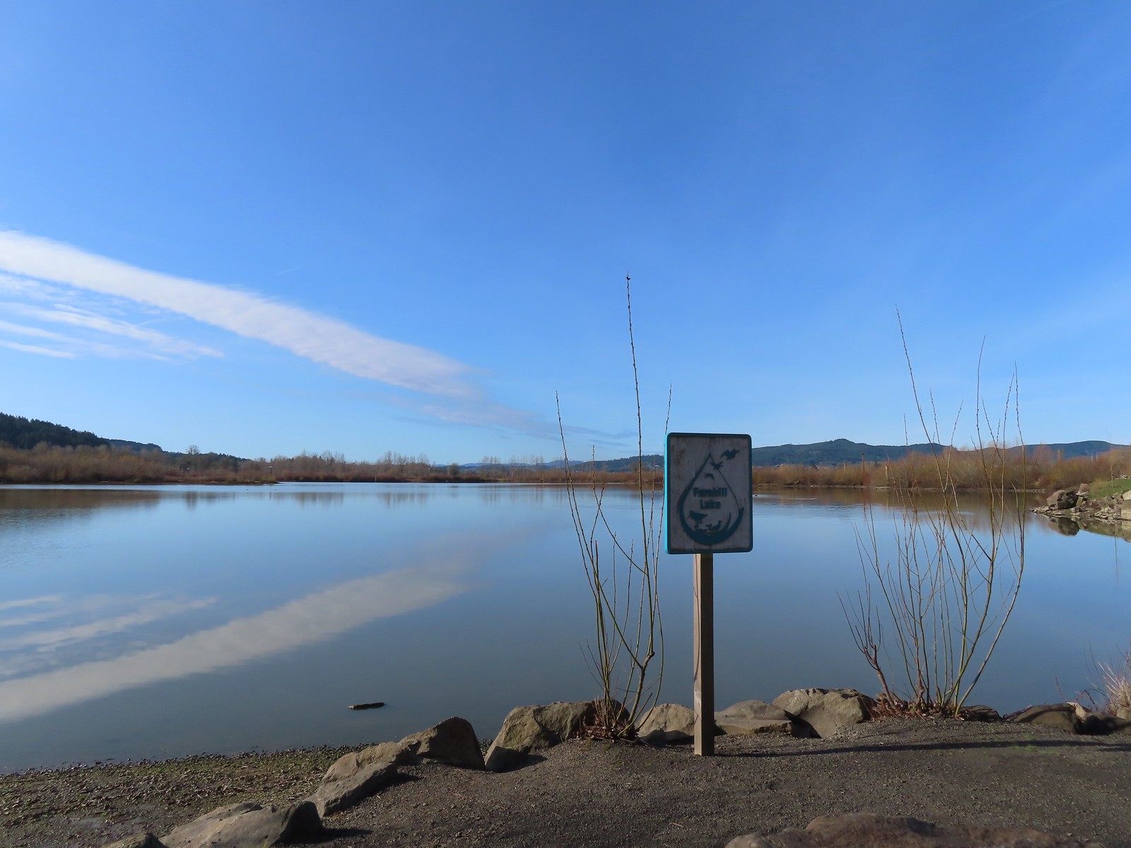
 Fernhill Lake
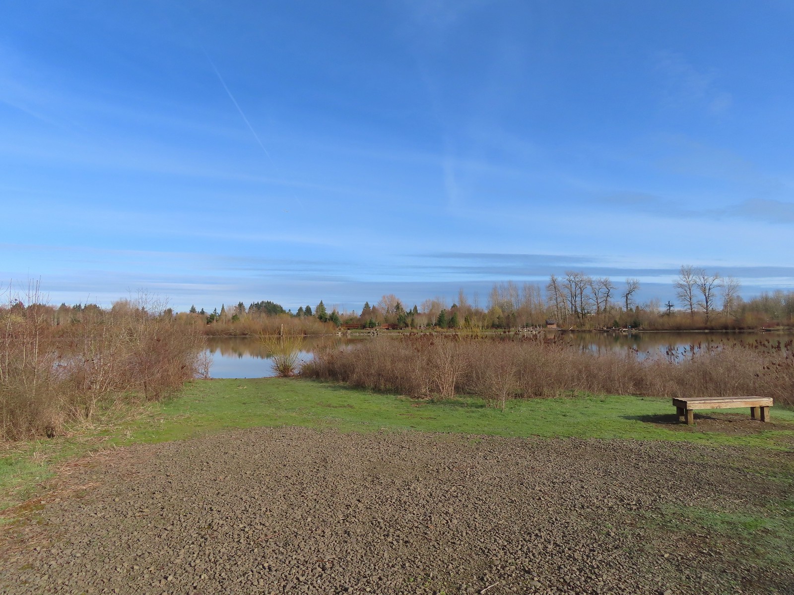 This is where the trail turned east (for obvious reasons).
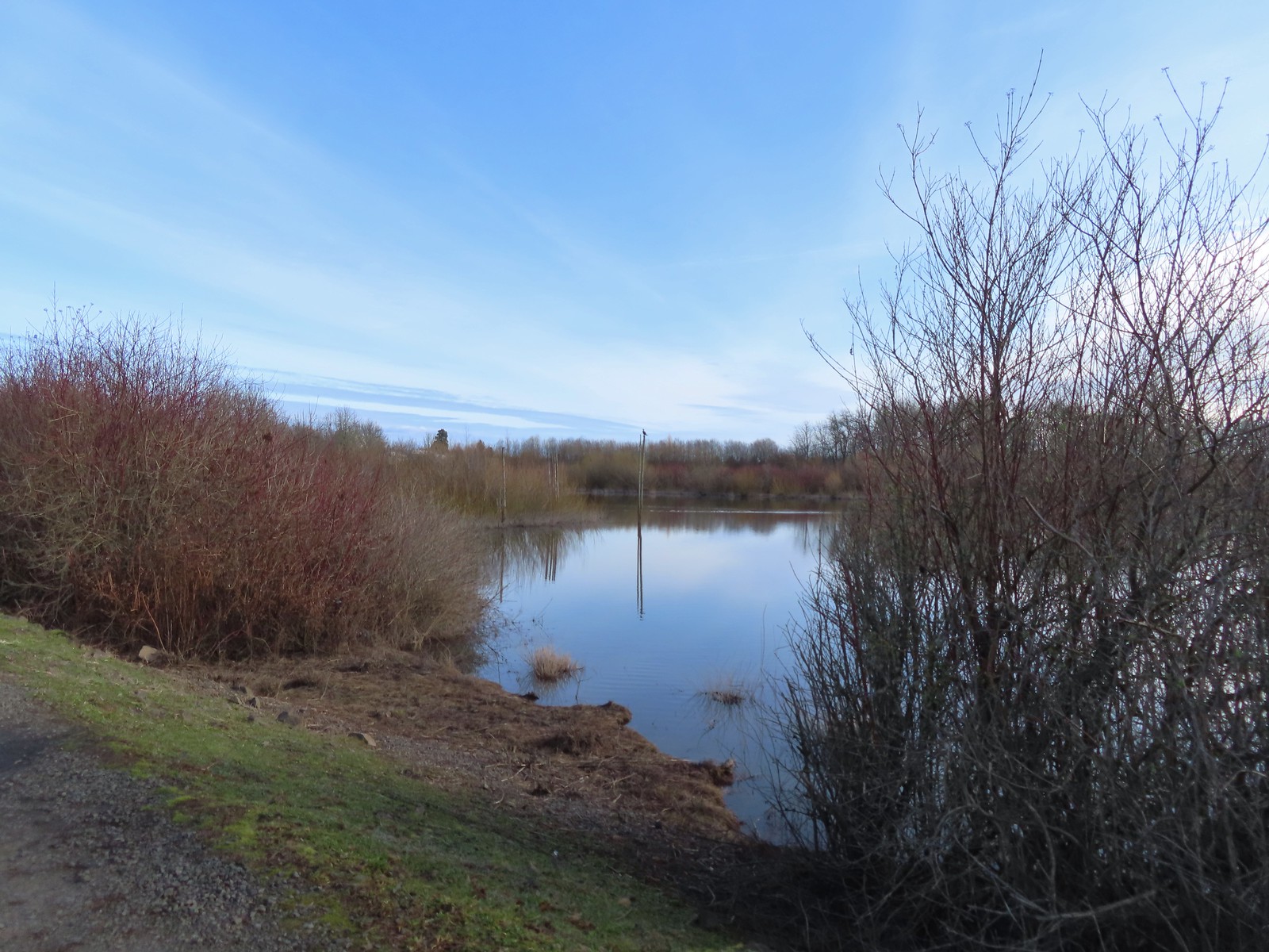
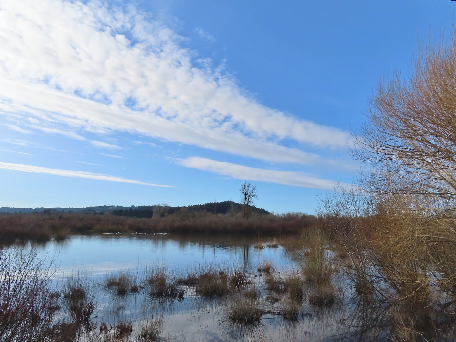 Barney wetlands



 Double-crested cormorant on a post in Barney Wetlands.
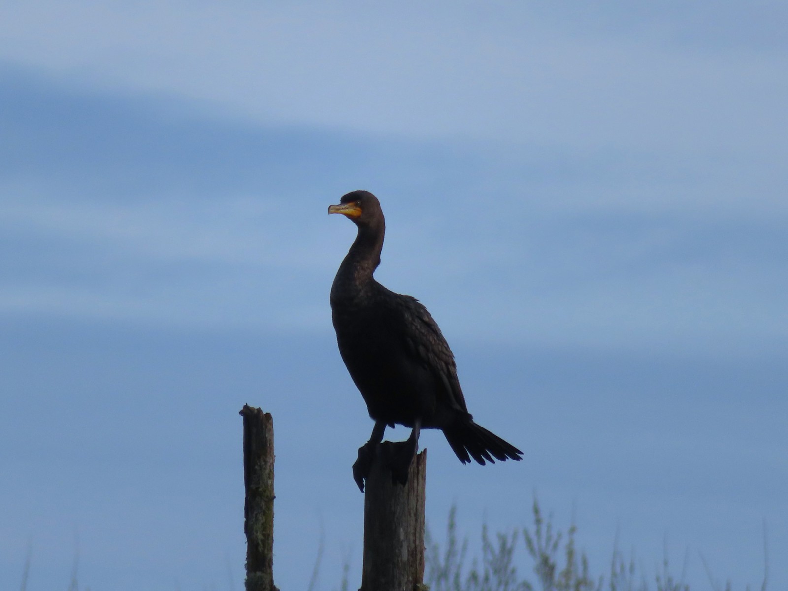 Double-crested cormorant
 Drying off in the sun.
 Nurtia at a bench near Dabblers Marsh
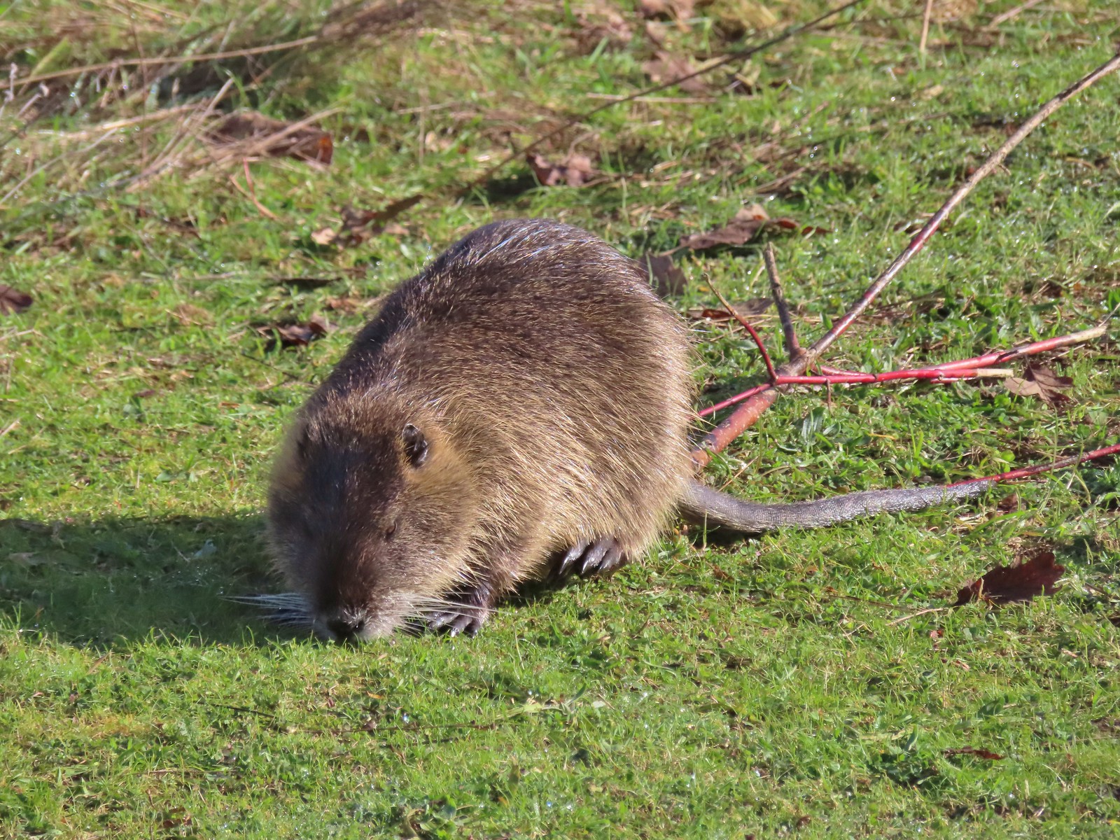 Nutria
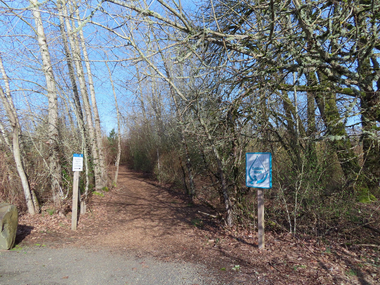
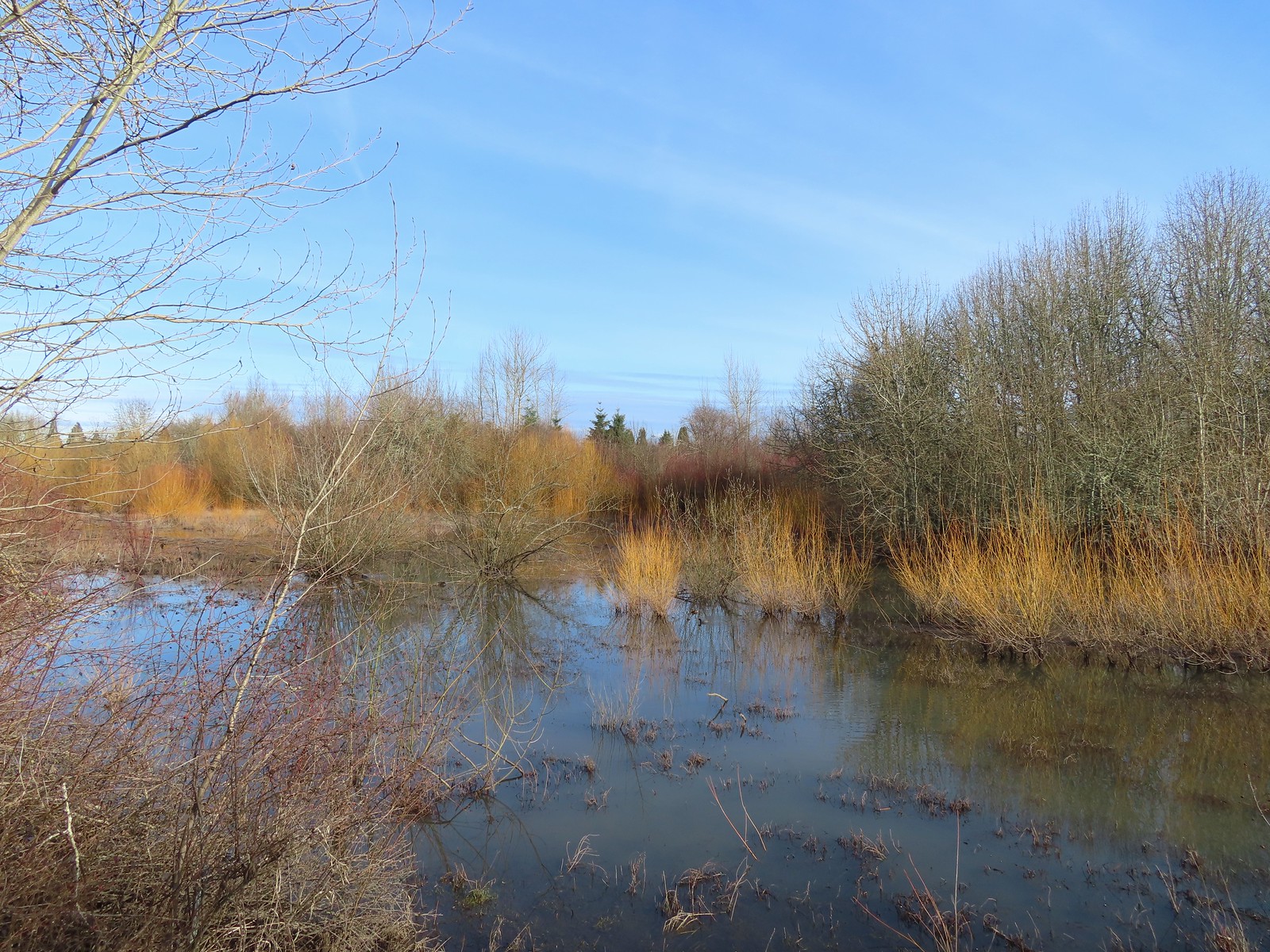 Dabblers Marsh
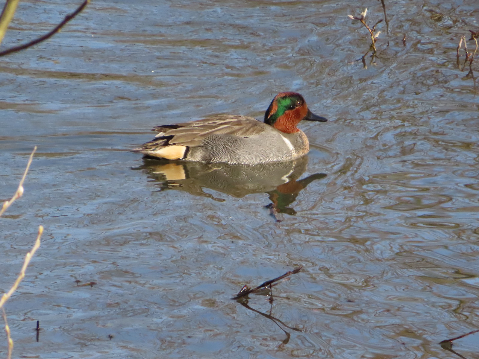 Green-winged teal
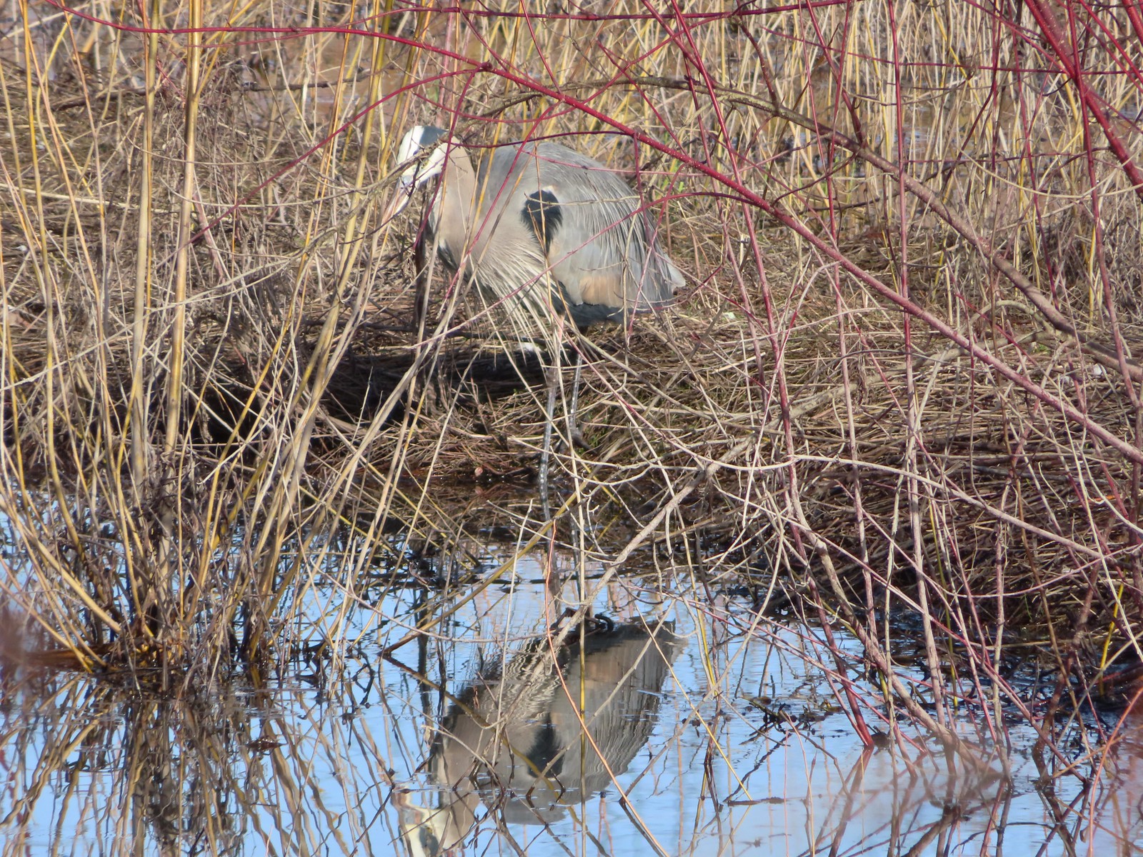 Great blue heron
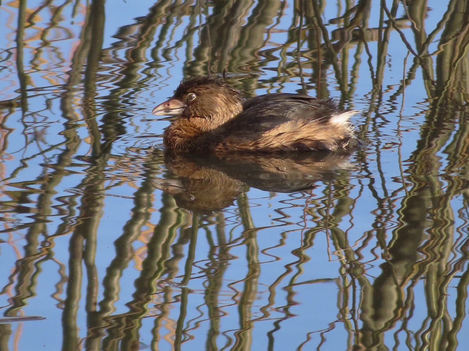 Pie-billed grebe
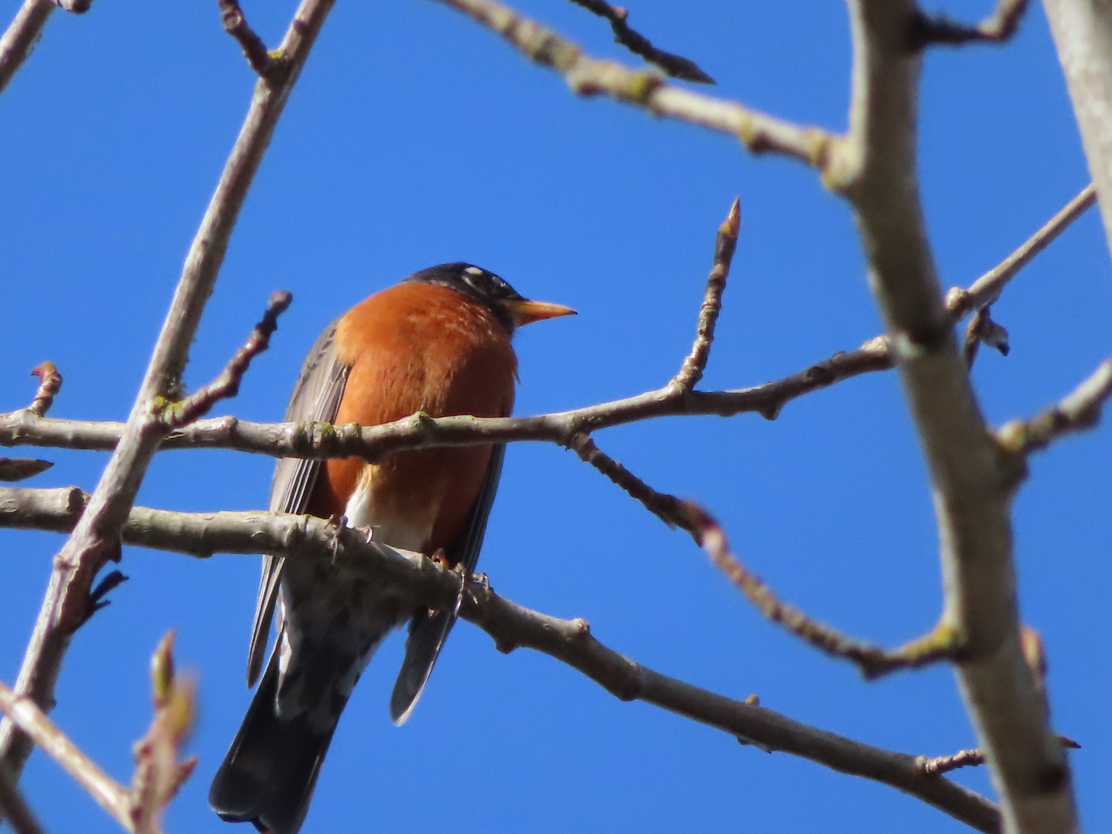 Robin
Robin
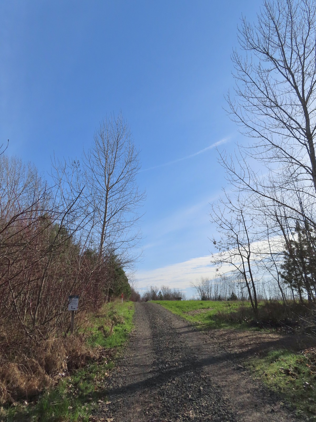 The start of the loop at the edge of the farmland. We stayed left opting to hike the loop clockwise.
 Anna’s hummingbrid
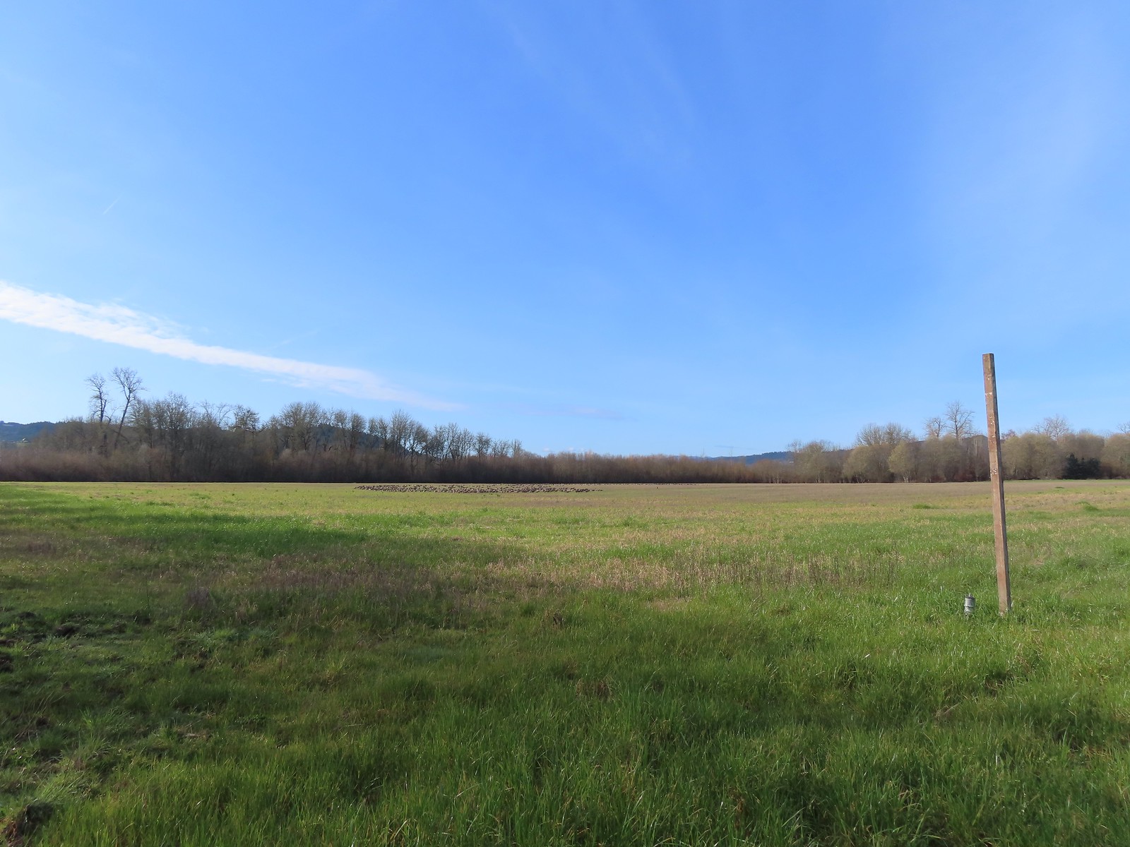 A gaggle of geese in the field.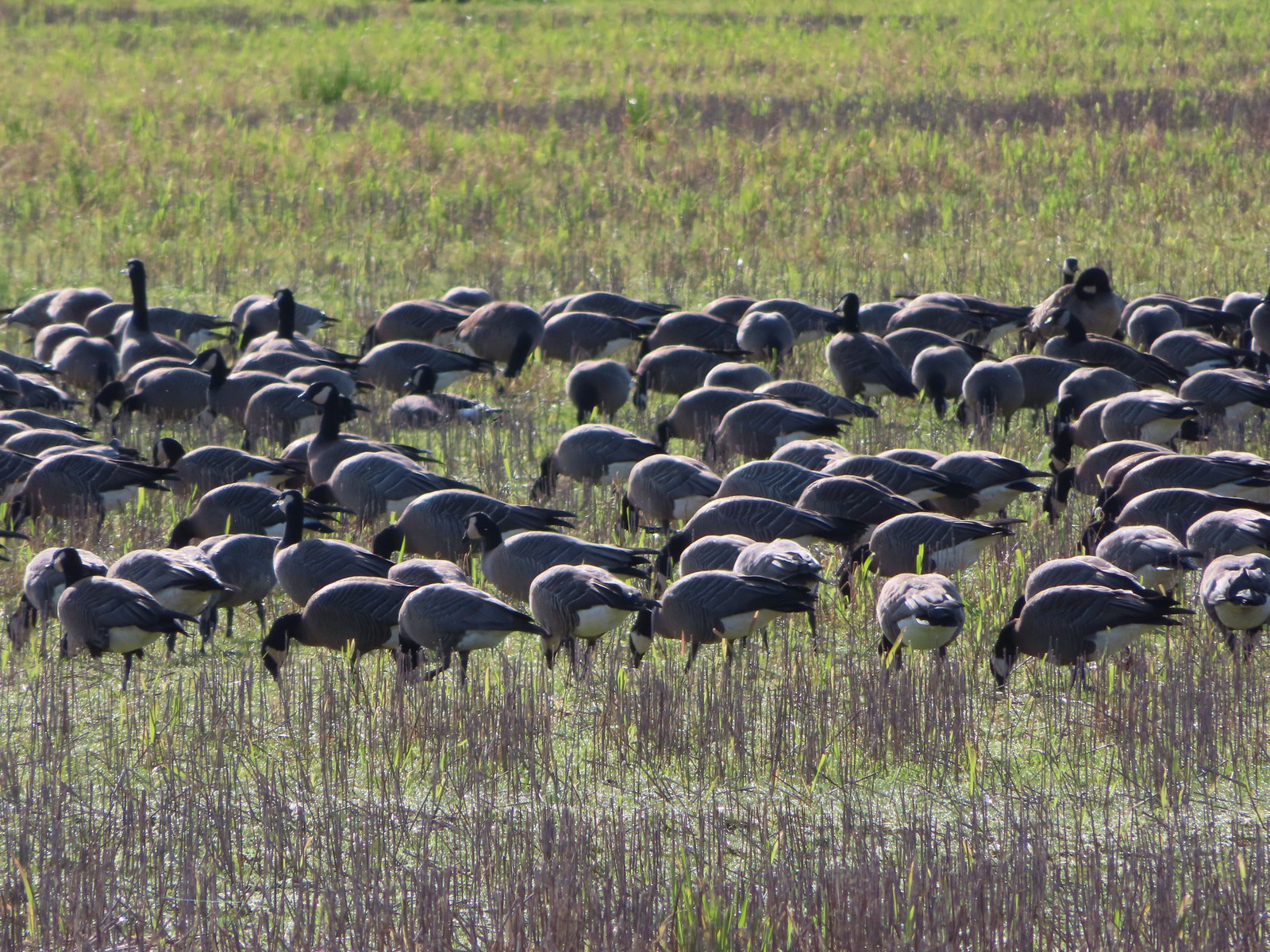
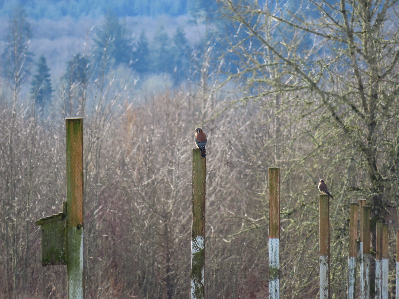 American kestrels manning their posts.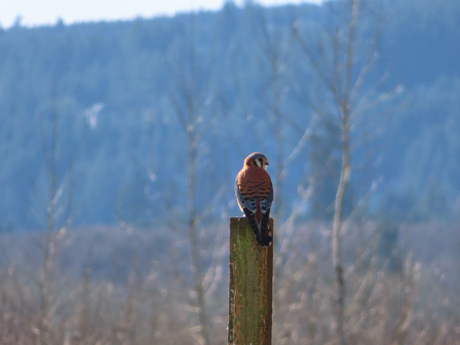
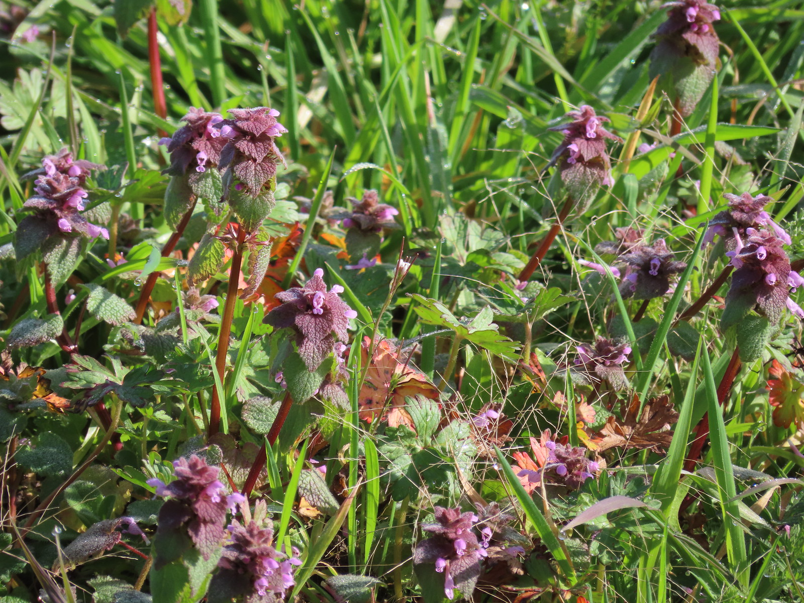 Purple dead-nettle
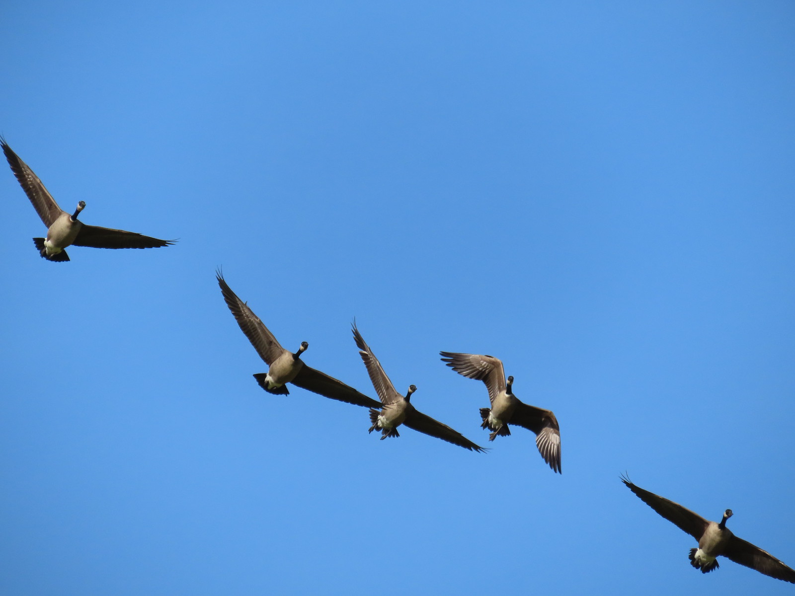 More geese coming in for a landing.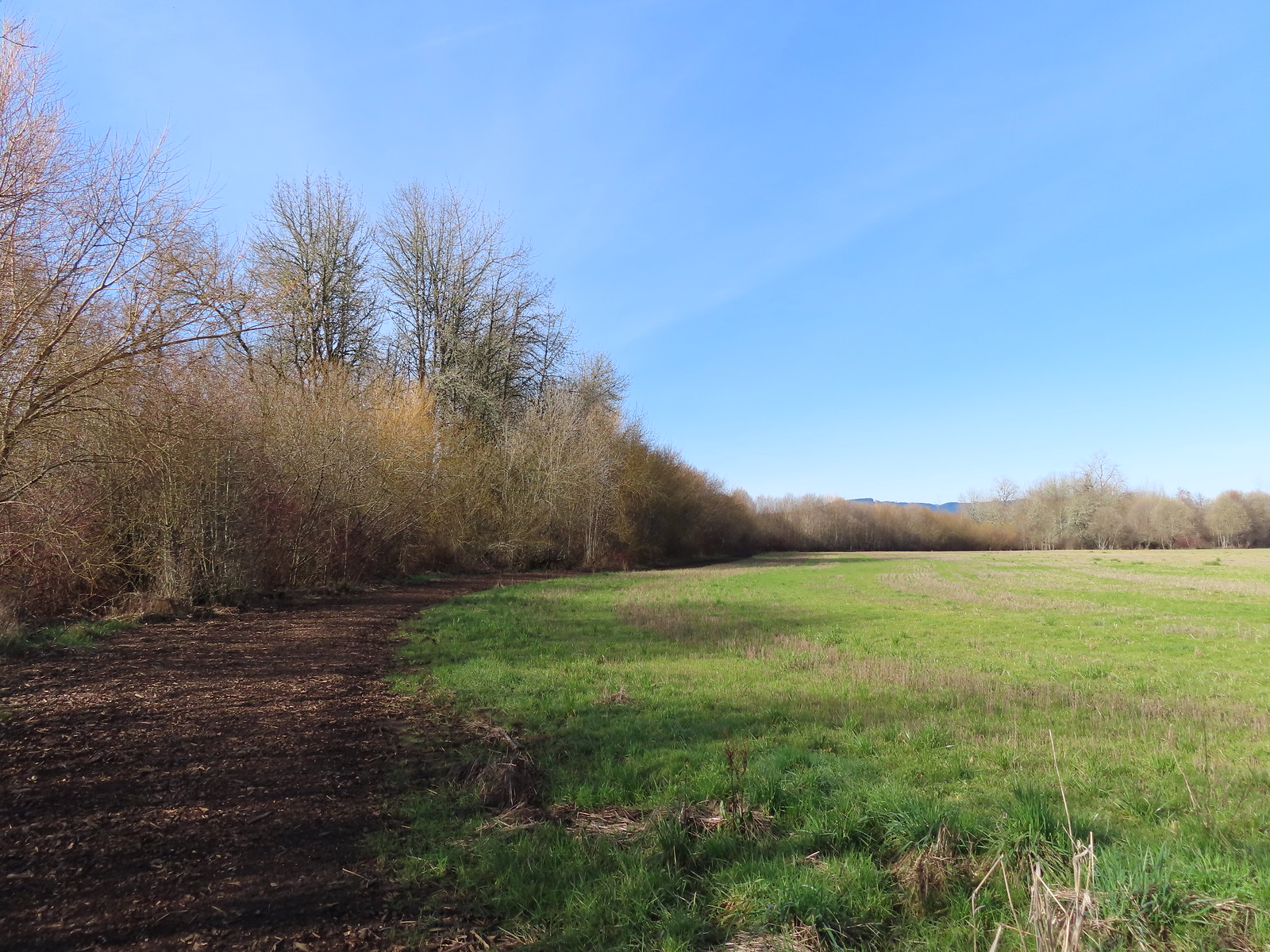
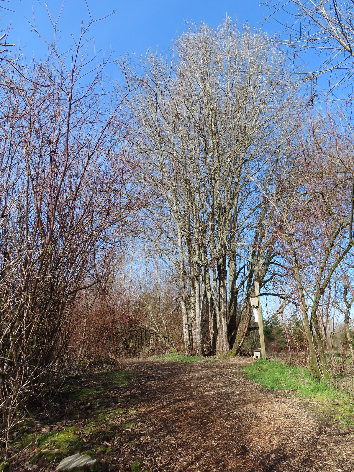 Near the end of the loop the trail left the field along Dabblers Marsh.
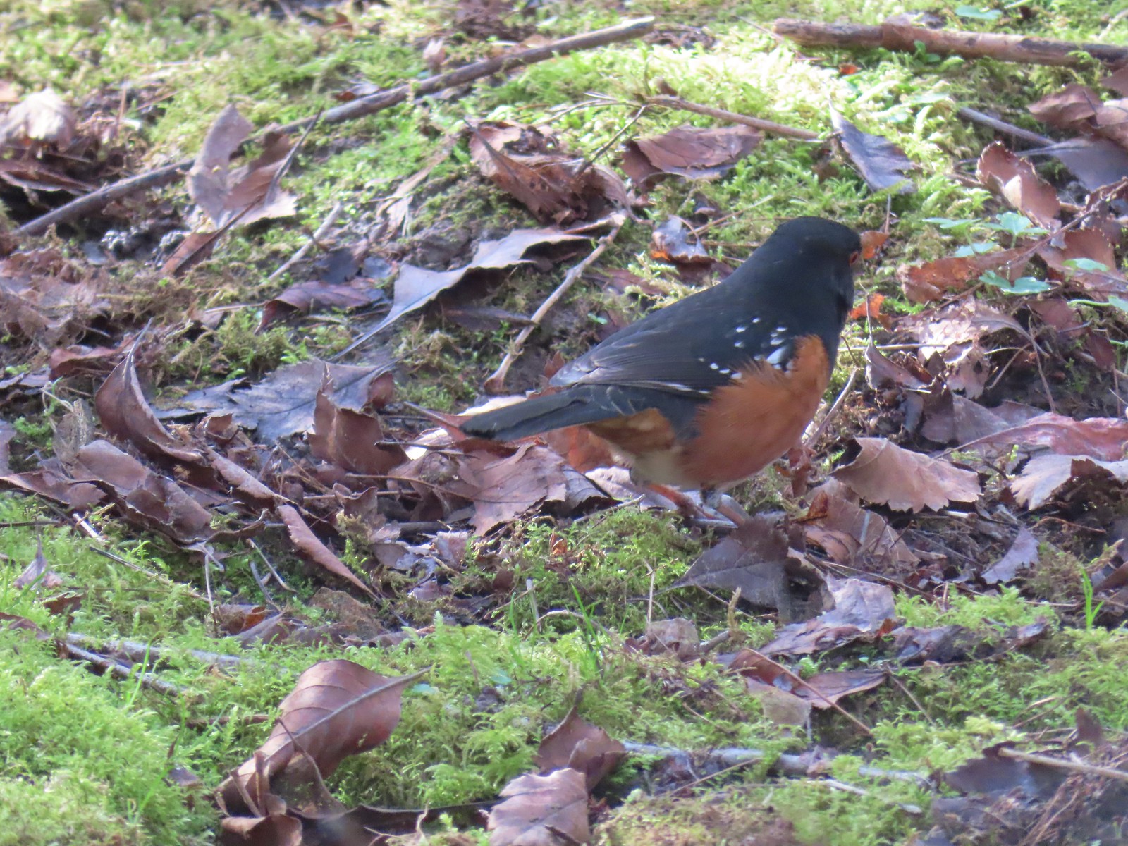 Spotted towhee
 Rabbit
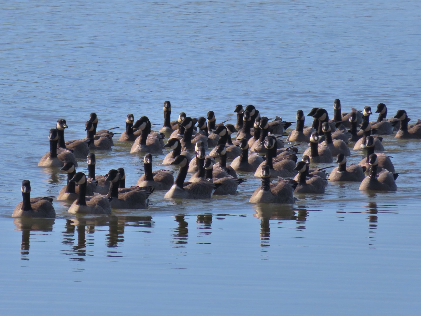 Geese on Fernhill Lake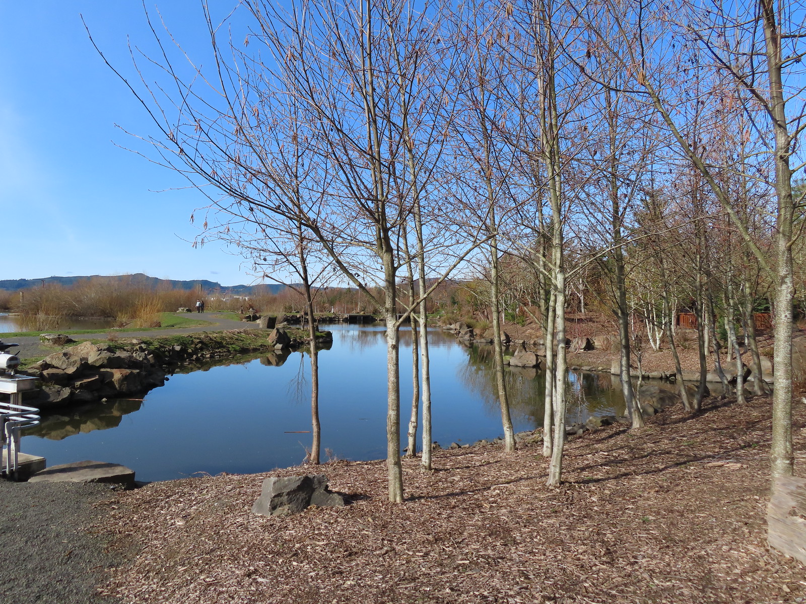
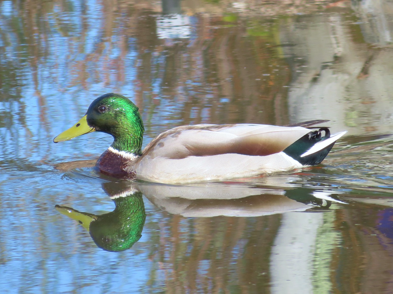 Mallard drake
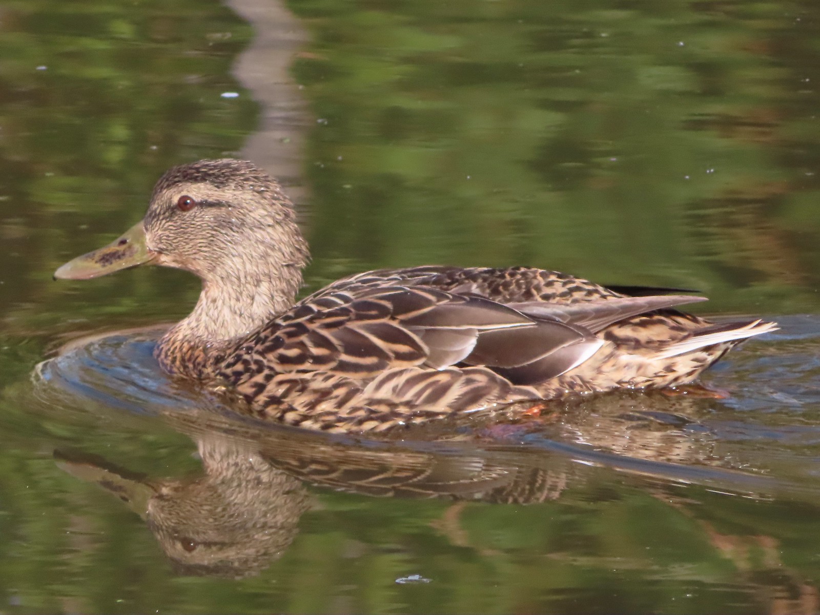 Mallard female
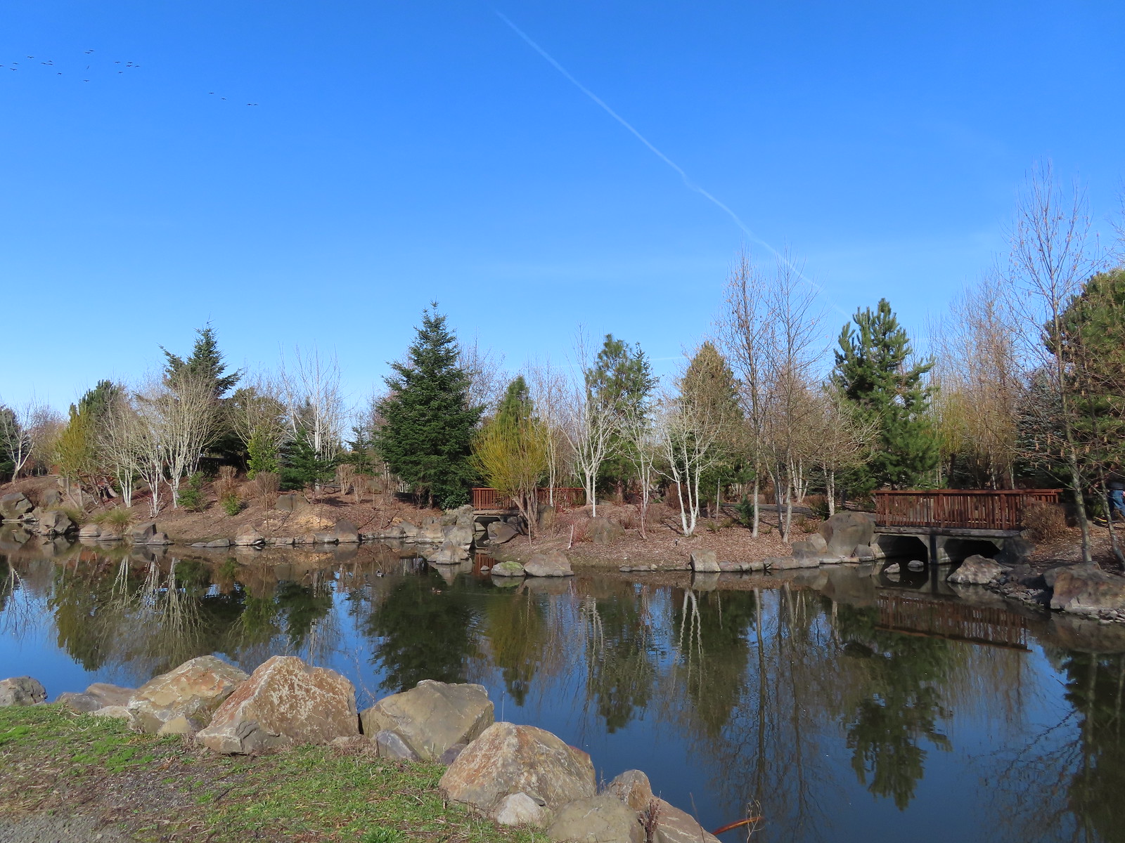 Water Gardens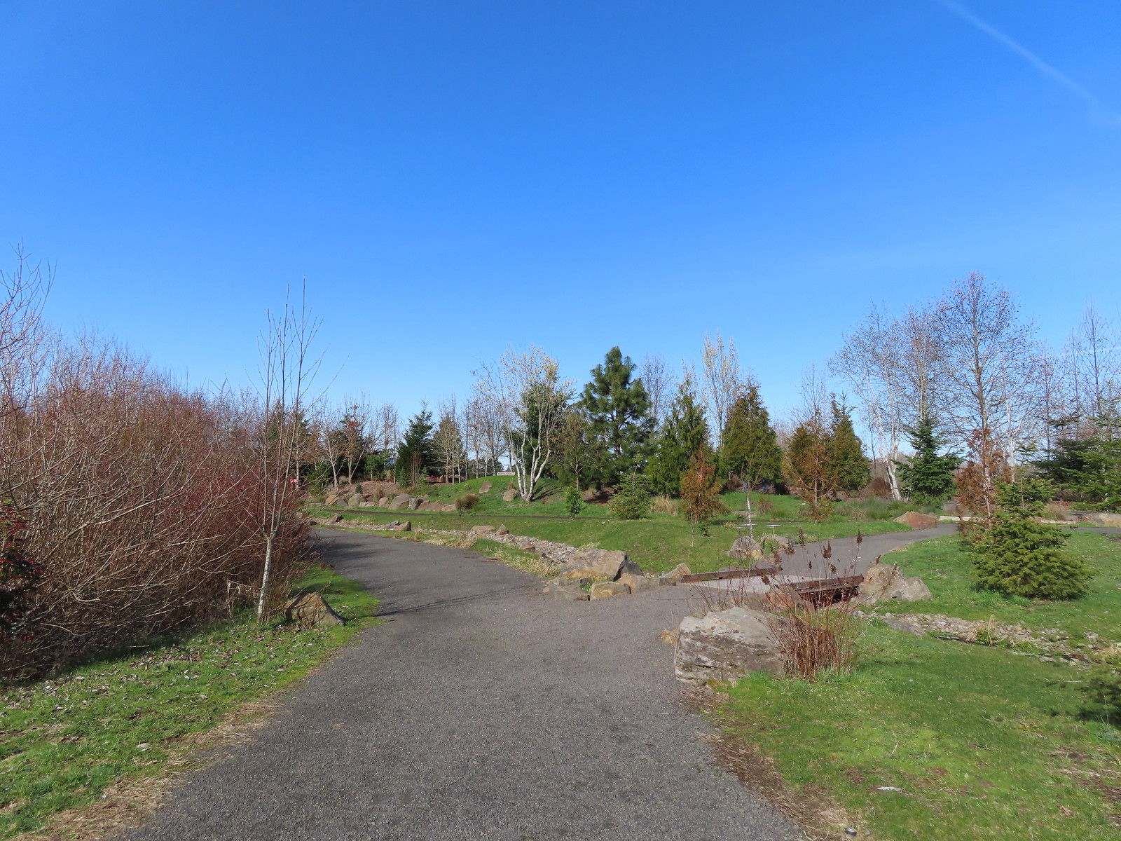

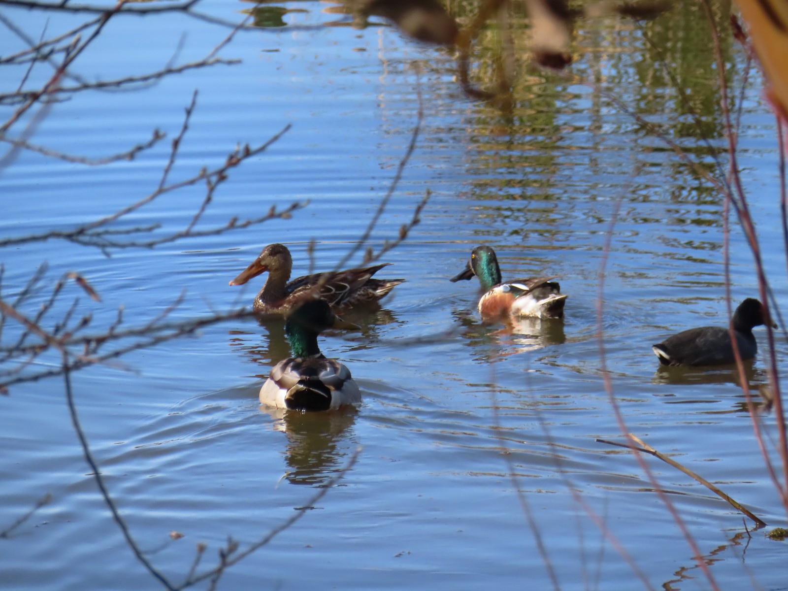 Northern shovelers, a mallard, and a coot.
 Oregon grape beginning to bloom.
 Northern shoveler
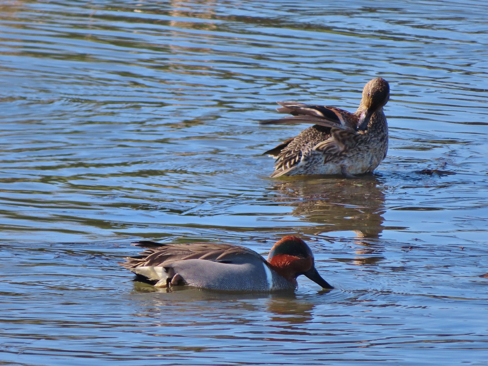 Green-winged teal pair
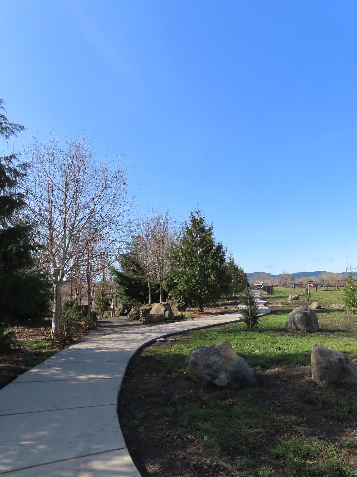 Path along the Research Wetlands.
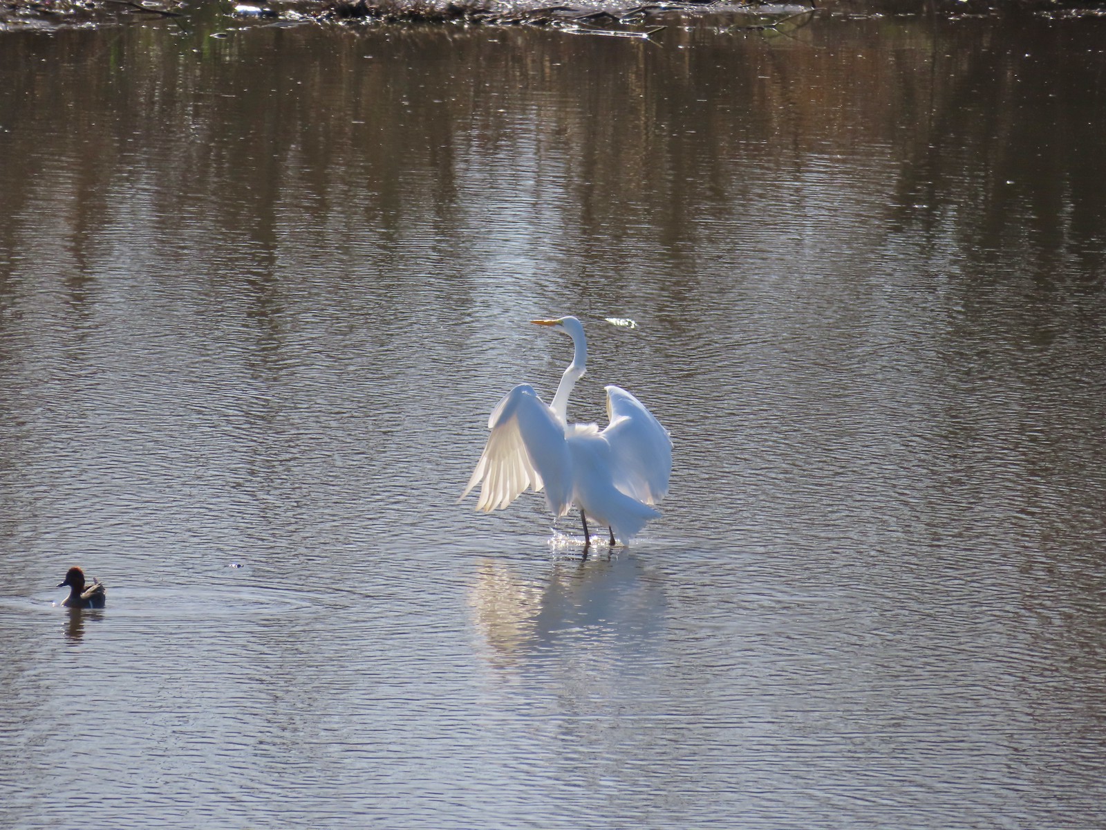 Egret near the parking lot at Fernhill Marsh
 Looking back at the Research Wetlands from the near the trailhead.

