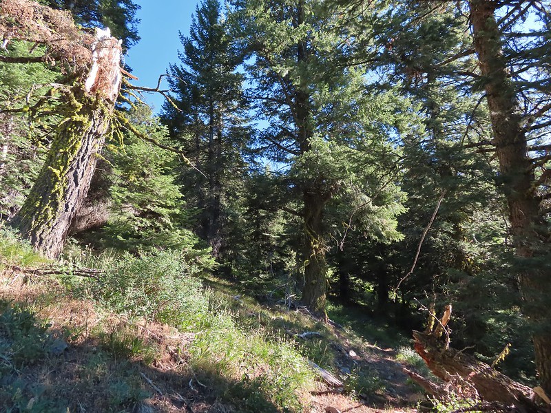
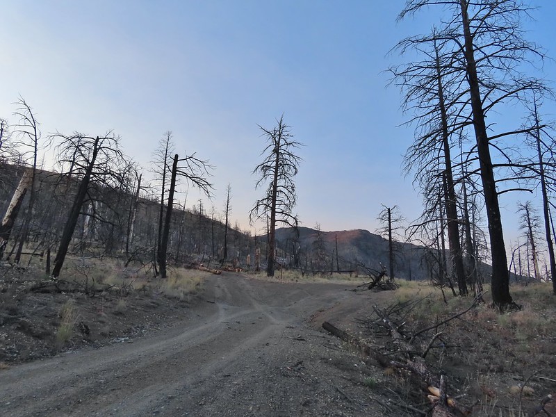
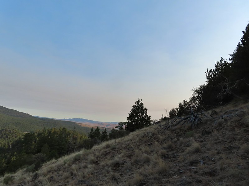
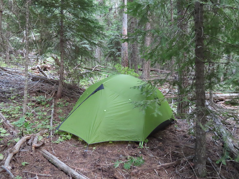
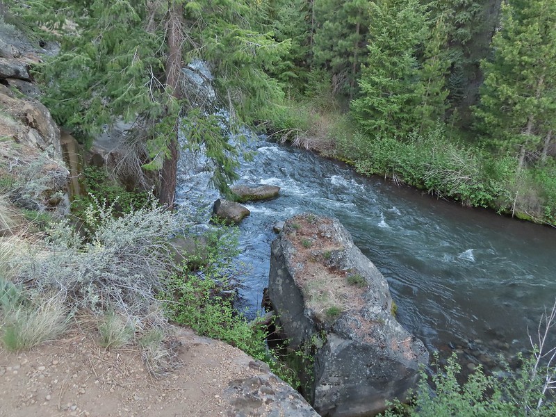
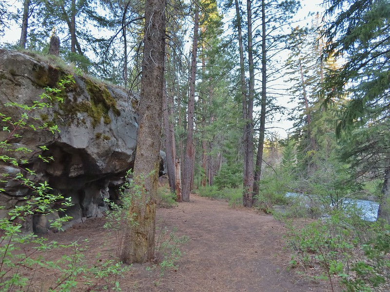
After missing a week of hiking due to heavy rains arriving for the one weekend we’d obtained a Central Cascade Wilderness Overnight Permit we were heading to Bend to celebrate Heather’s parents 50th wedding anniversary (congratulations again). That was possibly the first time we were excited to have to cancel our hiking plans as the rain (and snow on the mountains) continues to be greatly needed. Saturday was set aside for the anniversary party but we planned on getting a quick hike in Sunday morning before driving home.
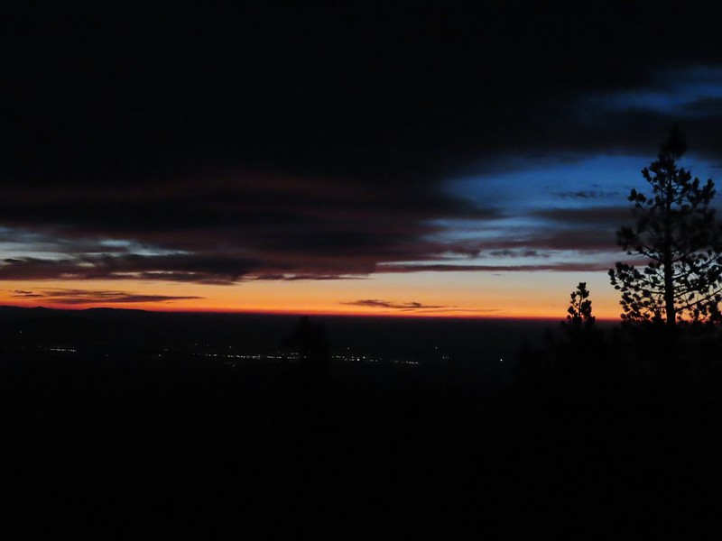
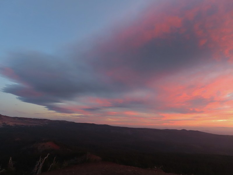
In 2014 we attempted a to catch the sunrise from Tumalo Mountain (post) but were thwarted by low clouds which provided almost zero viability. Nearly seven years later (9/26/21 vs 9/27/14) we returned for another attempt and this time were rewarded with a colorful show. We arrived at the Dutchman Sno-park/Trailhead just after 5am and got ready to head out using our headlamps. Things already looked more promising than on our previous trip as the Moon was visible over Mt. Bachelor.


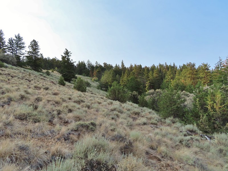
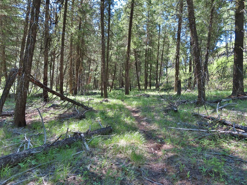
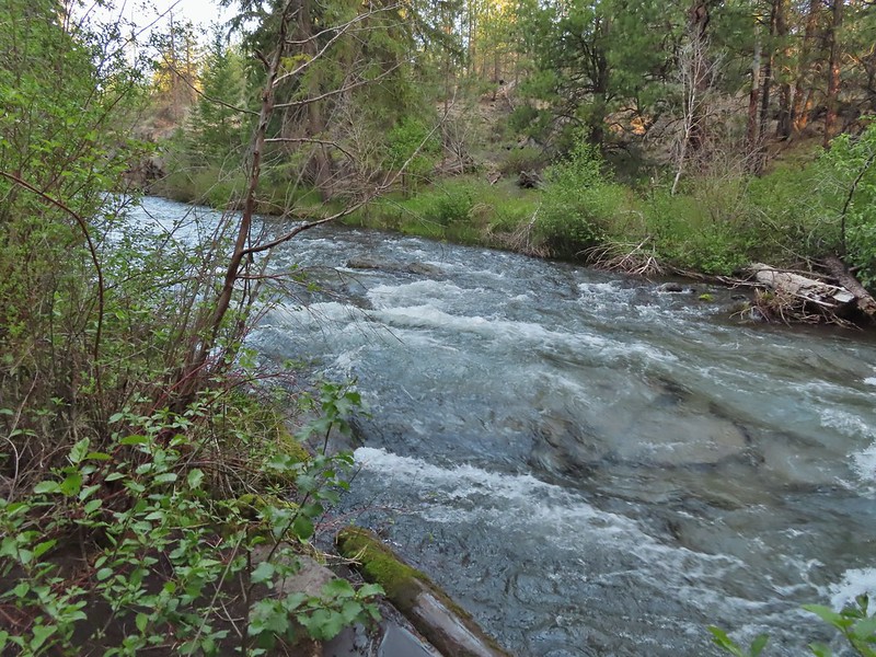
The Tumalo Mountain Trail gains 1425′ in two miles to the site of a former lookout tower. I hustled up to the lookout site as fast as my legs would allow and arrived a little after 6am to catch the first strip of color to the east beyond Bend.

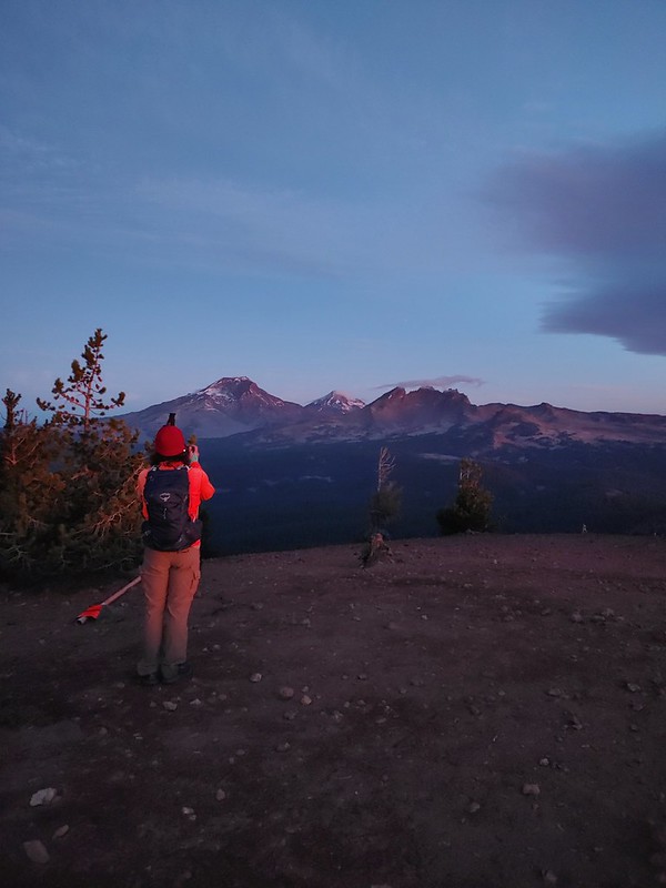
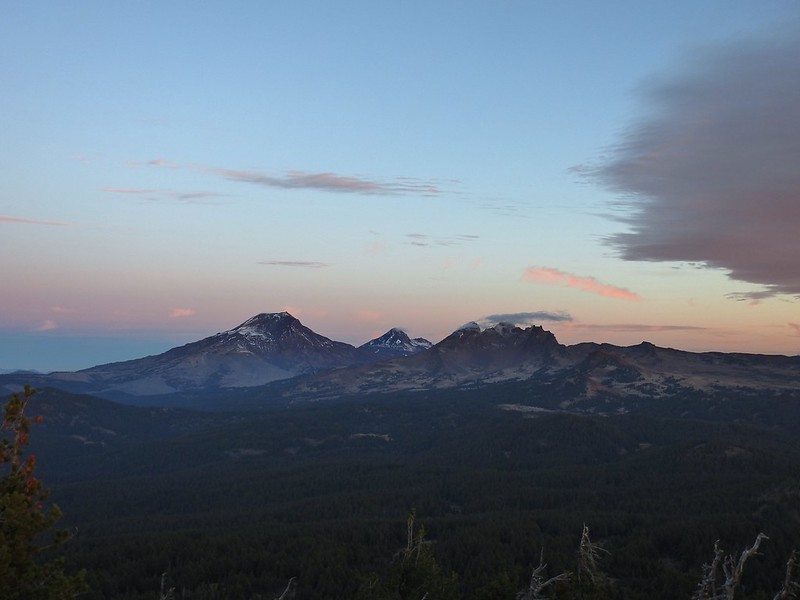
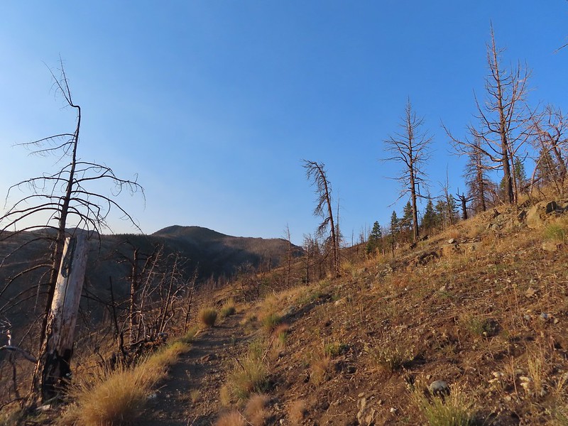
After Heather joined me we continued further along the broad summit to the northern end where the view included Mt. Bachelor to the south and the Three Sisters and Broken Top immediately to the NW.
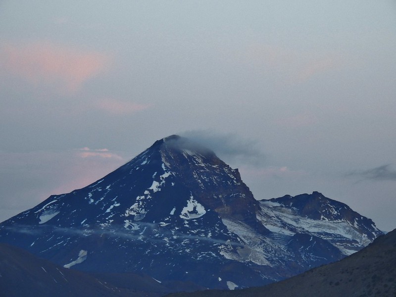
 Mt. Bachelor
 The Three Sisters and Broken Top
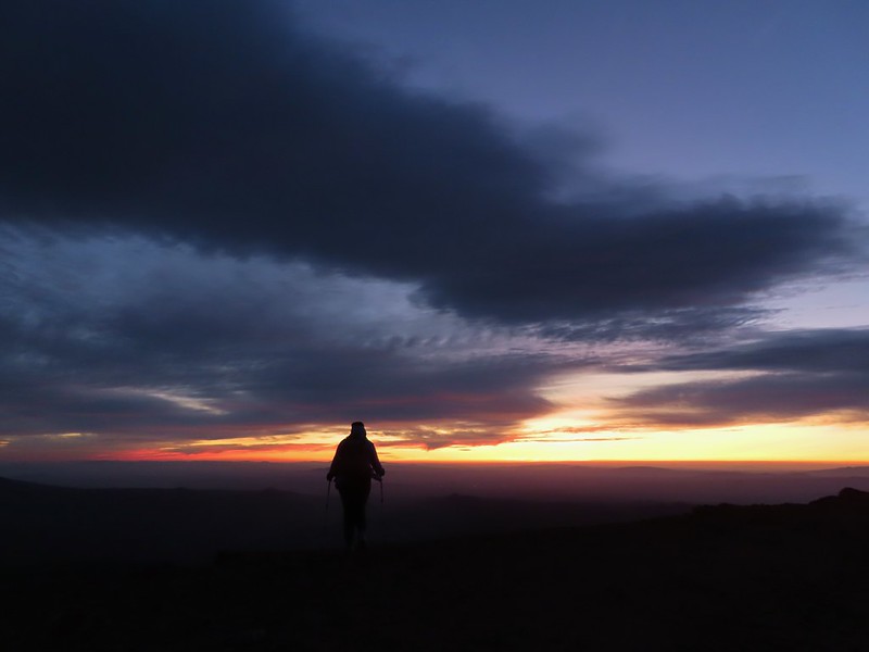
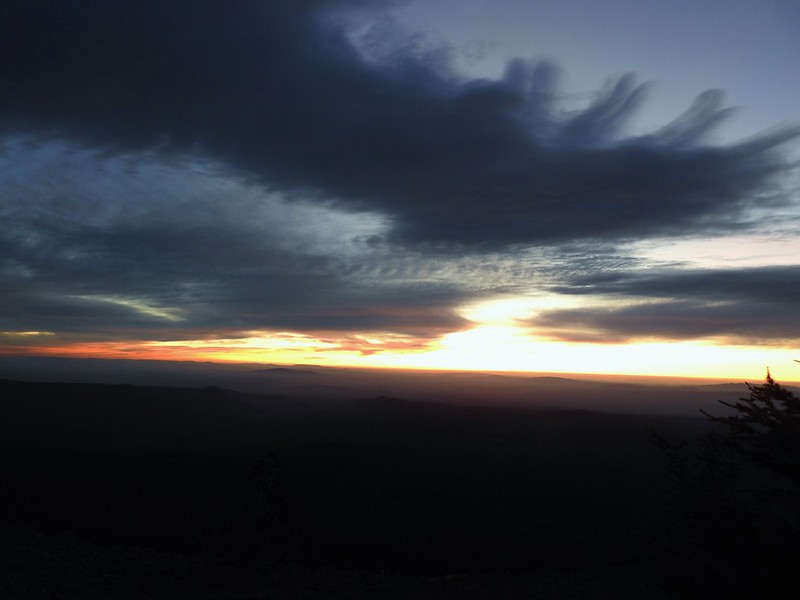
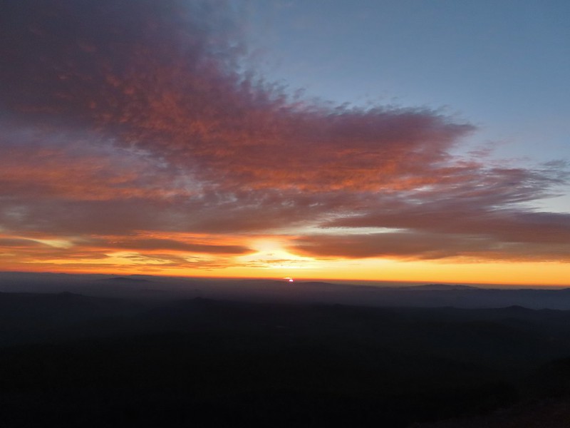
We spent the next half an hour watching the changing light and colors as we waited for the Sun to rise. We had brought an extra camera which I had been using the day before to photograph the anniversary. This proved interesting as each of the cameras we were using captured the sights in their own ways. As I’ve mentioned before I basically have no idea what I’m doing as far as photography and mostly I just rely on getting lucky once in awhile if I take enough photos. My usual camera is a Canon SX740HS, a small point and shoot with 40x optical zoom. Heather was using her phone, an LGE LM-G820, and the other camera, a Nikon Coolpix P900, belongs to my parents.
 Mt. Bachelor via the Nikon.
 Heather watching the show taken with the Canon.
 The Three Sisters with the Canon.
 Canon
Canon
 Nikon
Nikon
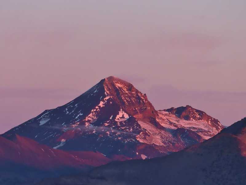
 Mt. Bachelor (post) with the Canon.
 Canon shortly before the Sun became visible.
 Canon shortly before the Sun became visible.
 The Three Sister just before sunrise with the Nikon.
 The Three Sister just before sunrise with Heather’s phone.
 Canon moments before sunrise. A line of wildfire smoke on the horizon gave it a red tint.
 Canon
Canon
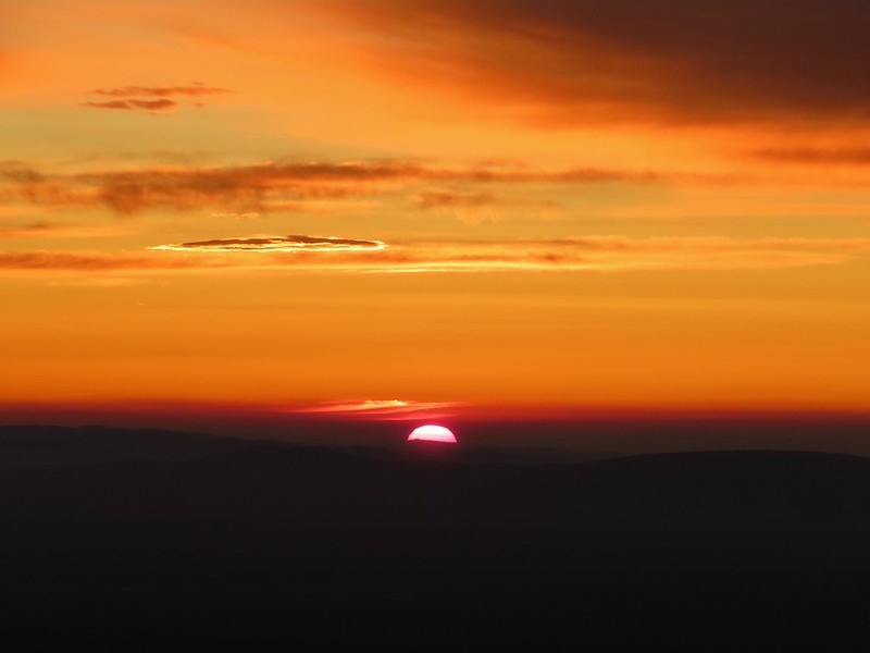
 Canon catching the Sun.
 Canon
Canon
 The Three Sisters and Broken Top (Nikon)
 South Sister (post) (Nikon)
 Middle and North Sister (Nikon)
 Broken Top (post) (Nikon)
 Aline glow hitting the mountains. (Canon)
 South Sister (Canon)
 Middle and North Sister (Canon)
 Broken Top (Canon)
 Mt. Bachelor (Canon)
We started back down as soon as the sun was up.

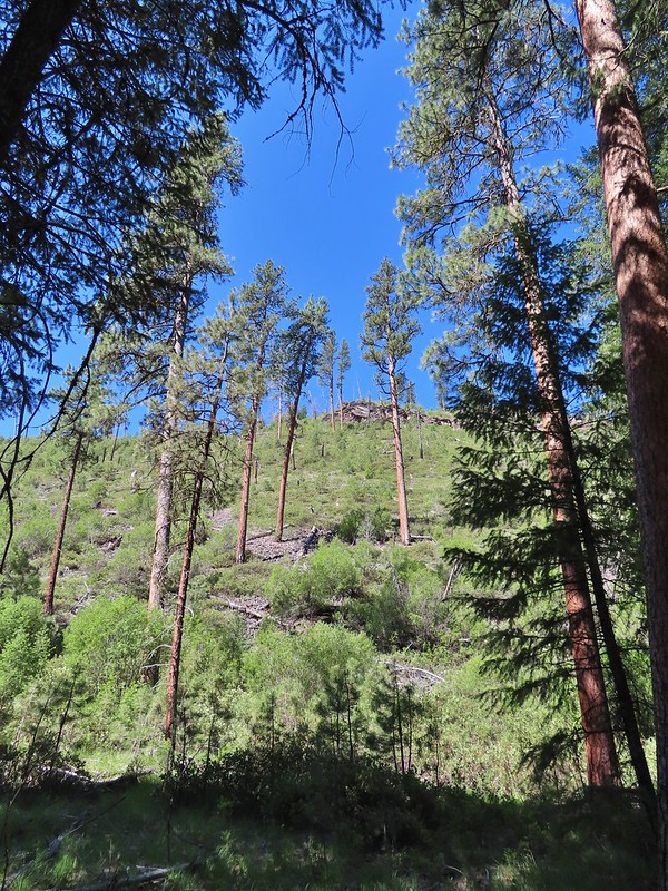
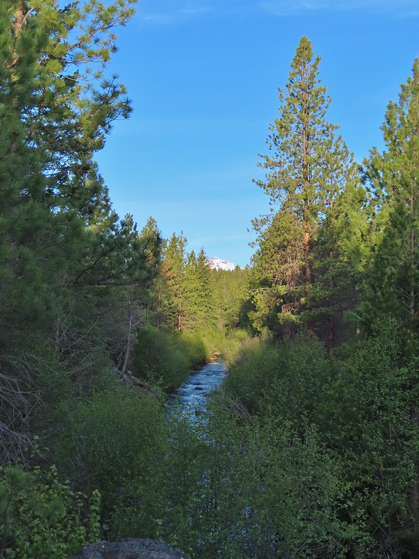
There were lots of views of Mt. Bachelor on the way down and we could also make out Mt. Thielsen (post) and Mt. Scott (post) further south.
 Mt. Scott to the left and Mt. Thielsen to the right.

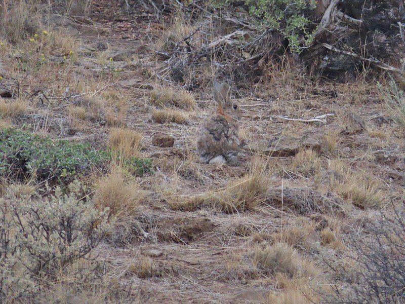
 Grouse
 Chipmunk
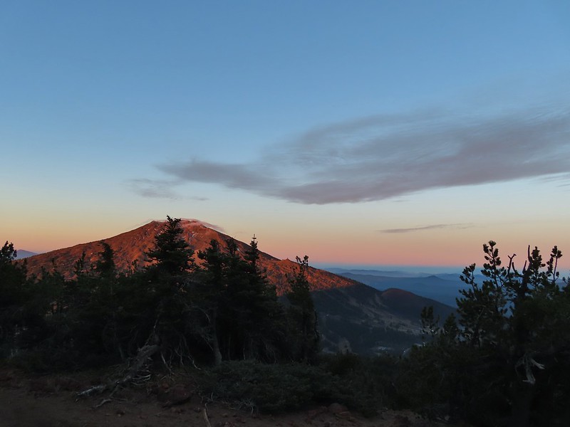
 Mt. Bachelor as we arrived back at the snow-park.
We finished our hike just after 7:45am and headed back to Salem. The hike had been everything we could have hoped for. There were just enough clouds in the sky to create some beautiful colors (the lingering smoke even added a bit although we would rather it wasn’t in the air) and the mountains were all clearly visible. My GPS showed a total of 4.7 miles which made sense given it was too cold to simply sit while we waited for the sunrise, spending over half an hour wandering around at the summit.

There were two other groups of hikers watching the sunrise with us and we passed many more as we descended. Tumalo Mountain is a great choice for a short hike with spectacular views. It is also just outside the Three Sisters Wilderness meaning that a Cascade Wilderness Permit is not needed. Happy Trails!
Flickr: Tumalo Mountain
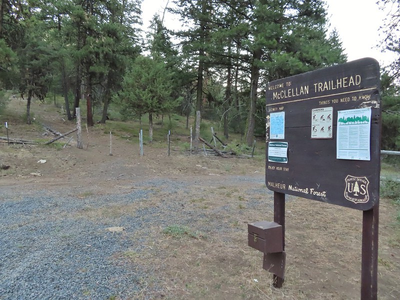
 Trailhead sign at the south end of the rest stop. Brochures were located in the small box under the sign.
 Map on the trailhead sign.
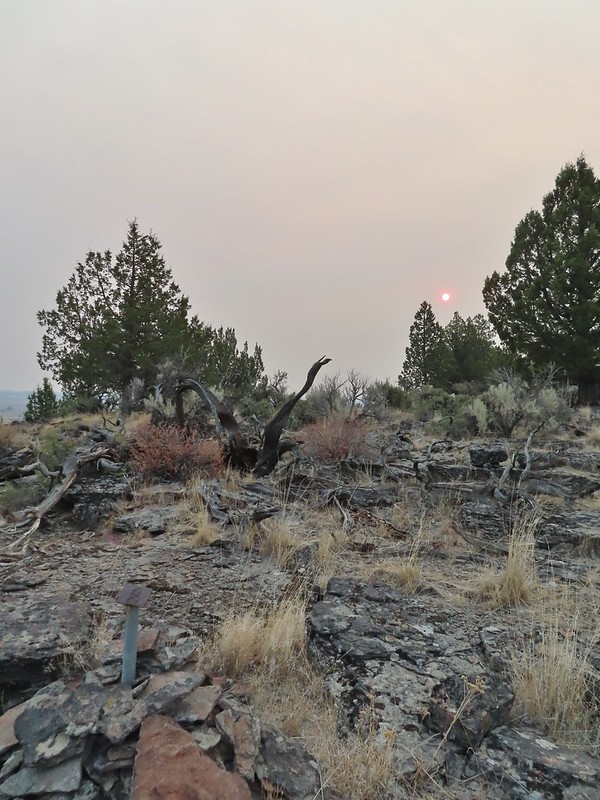
 Red Sun through the smoke.

 The Harney Valley to the east.
 This stop was for a juniper that was blown apart by a lightning strike.
 The rest area from the loop.
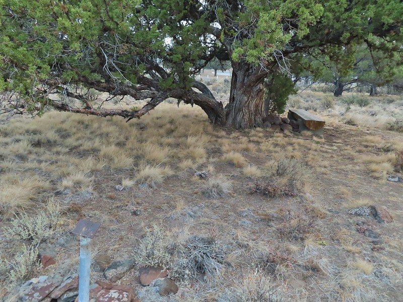 The last stop was to discuss the relationship between the junipers and the Idaho fescue that grows underneath.
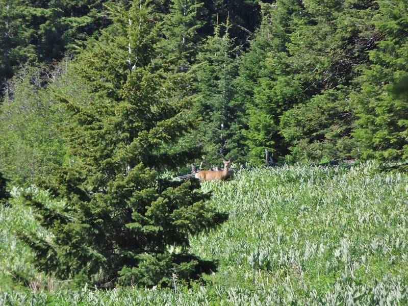
 Deer in the nearly dry Marshall Pond
 Yellow headed blackbird
 California quail
 Owl
Owl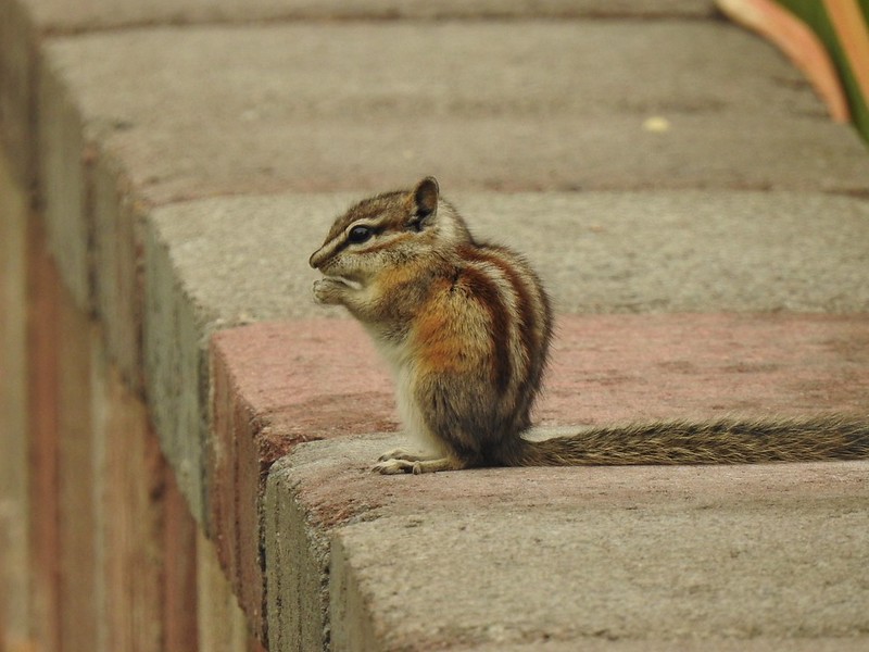 Chipmunk
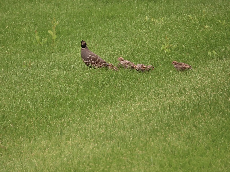 More quail
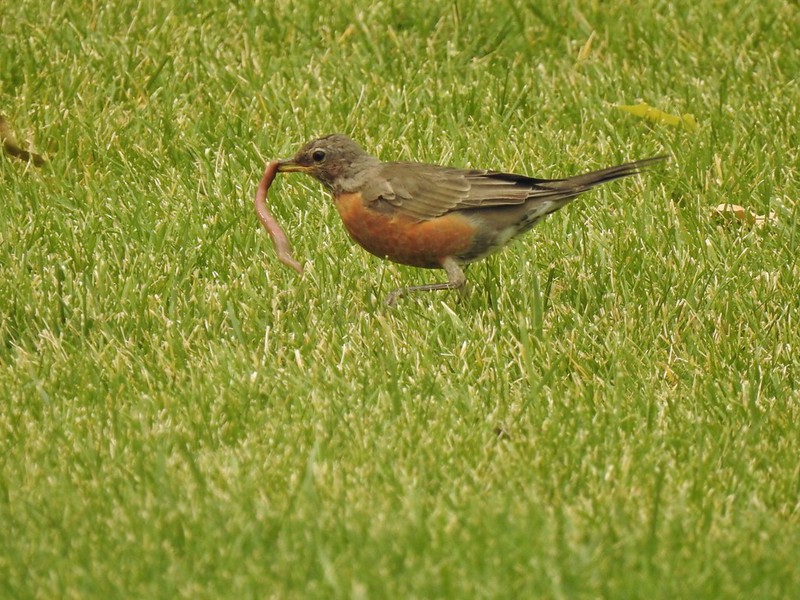 The early bird
 Hummingbird
 Little bird on a feeder
 Shrike
 Hawk and a magpie
 Osprey
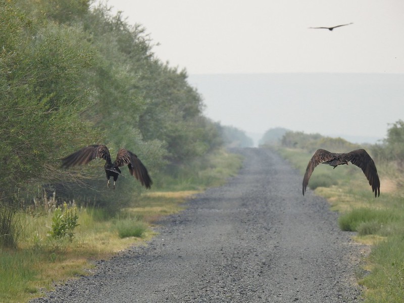 Turkey vultures
 Coyote
 Mourning doves
 Egrets and ducks at Benson Pond
 Old cabin at Benson Pond
 Another owl
 Another turkey vulture
 Grasshopper
 White faced ibis
 Great blue heron amid the ducks.
 A couple types of egrets it appears.
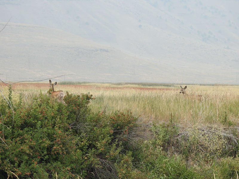 Deer that were in the Blitzen River
 Bounding fawn
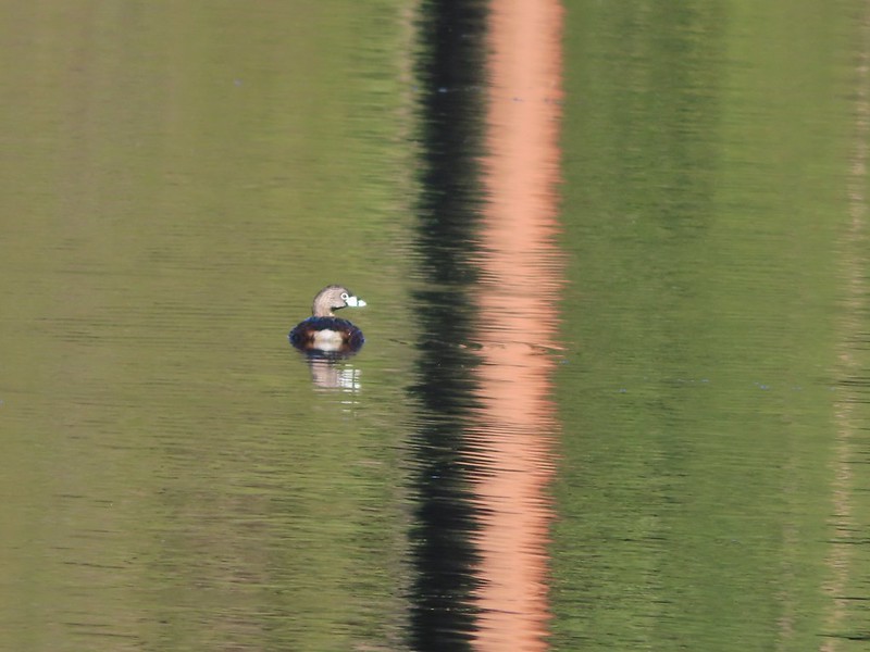
 Ducks and coots at Knox Pond


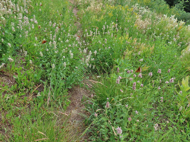
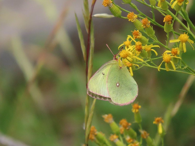
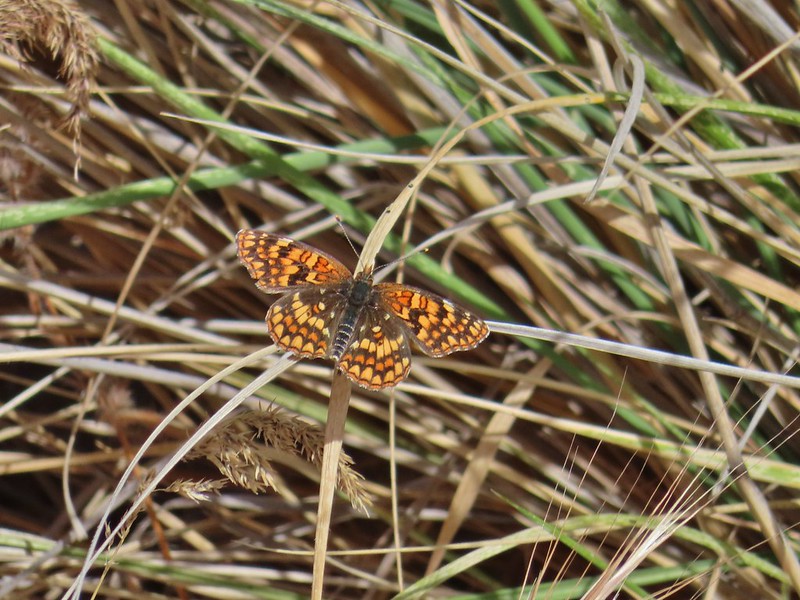
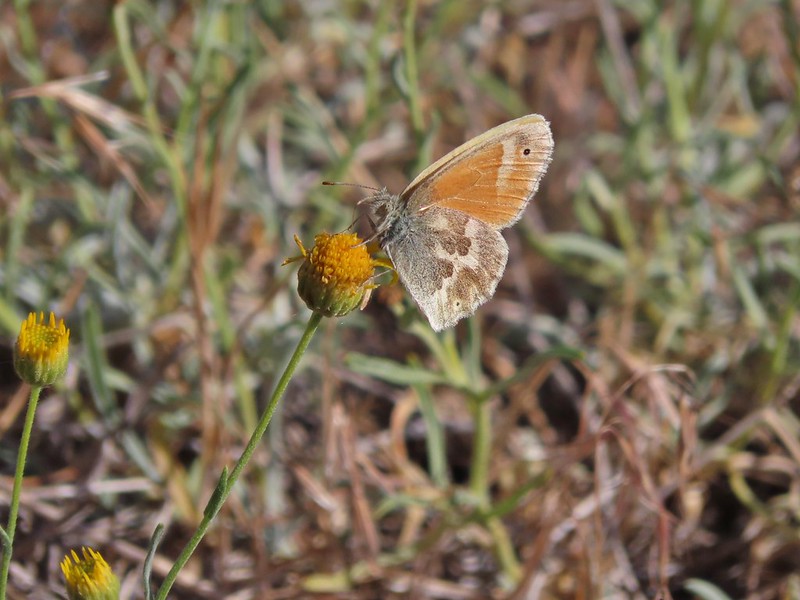
 Bee and a butterfly
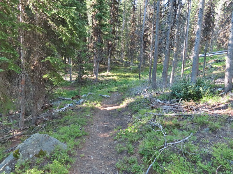
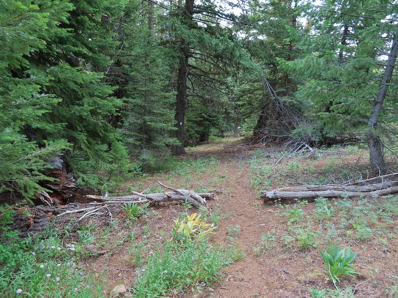
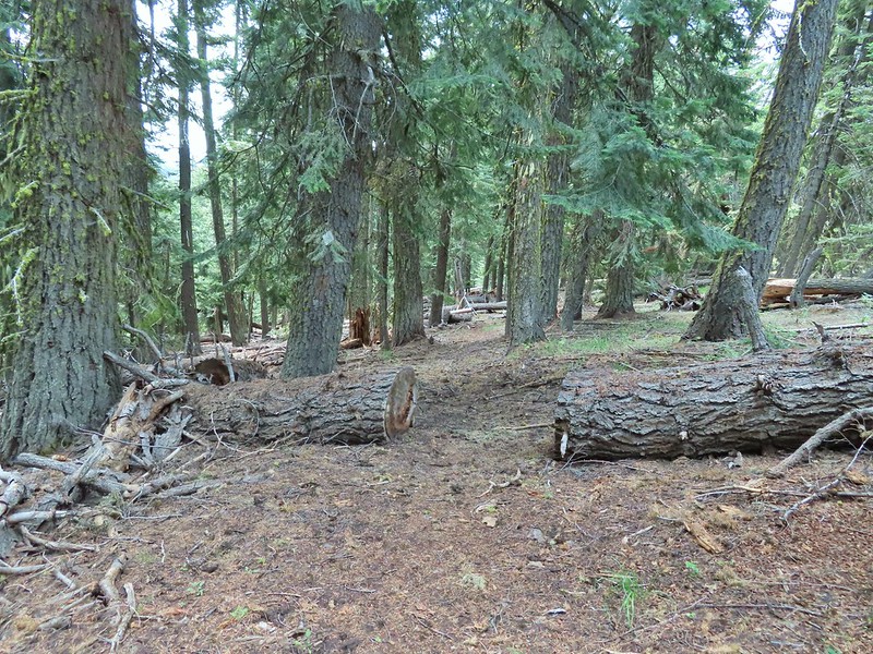
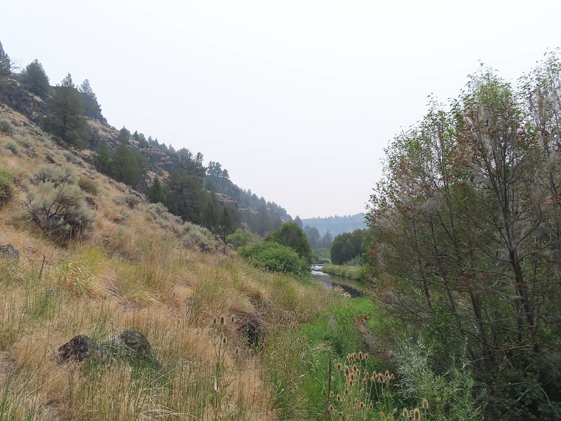 A brushy section.
 A bee and a skipper
 Praying mantis
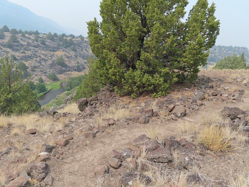
 The “other” trail on the hillside at the 0.7 mile mark.
 A wren?
 Fence crossing
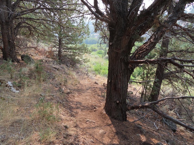 Rejoining the Donner und Blitzen Trail at the 0.4 mile mark.


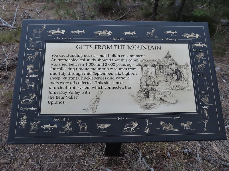 A lone interpretive sign near the beginning of the trail.
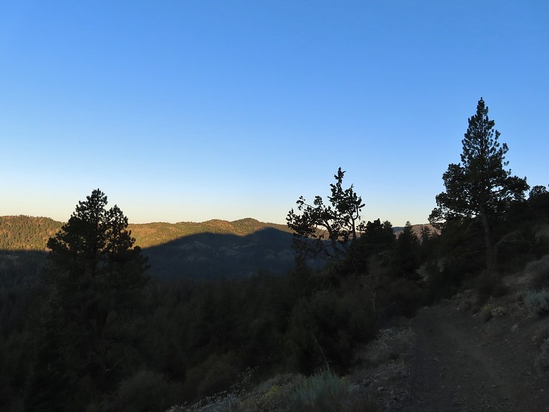
 The saddle
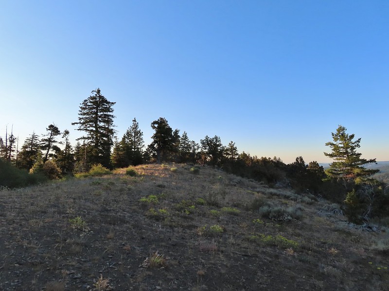
 Fields Peak from the saddle.
 Heather arriving at the saddle.
 A rare level section.
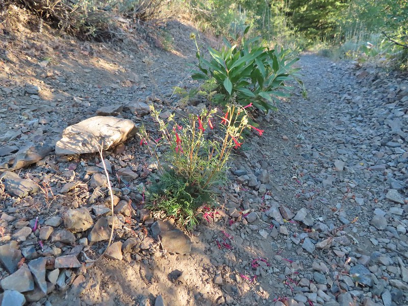 Scarlet gilia in the middle of the OHV track.
 Nearing the trail junction.
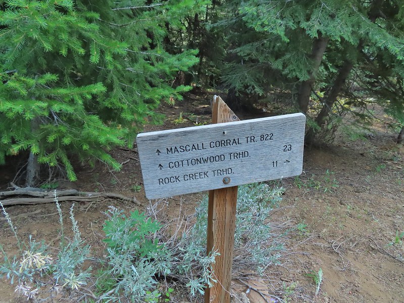
 The McClellan Mountain Trail to the right.
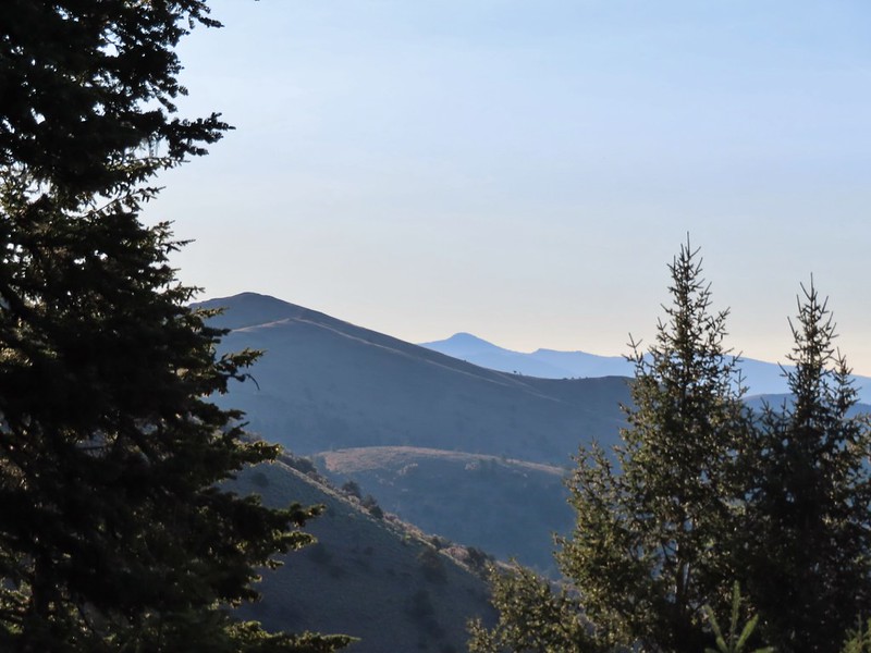 A peak east to McClellan Mountain and the more distant Strawberry Mountain (
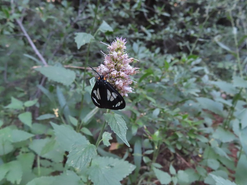 We saw a number of these moths sleeping on the hyssop.
 Hyssop and sunflowers
 Paintbrush
 Looking up Fields Peak.
 Mountain coyote mint
 Shadow of Fields Peak
 Buckwheat
 A few trees near the top.
 Final steep pitch to the summit.
 View west, Aldrich Mountain is the high point to the near right.
 View north
 McClellan Mountain and the Strawberry Mountain Range to the east.
 Logan Valley to the SE.
 The view south.

 More moths
 Hillside above the trail.
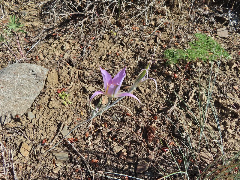 Sagebrush mariposa lily
 Approaching the saddle where we would cross the the north side of the hill ahead.
 The first saddle with Moon Mountain behind.
 Looking back along the trail.
 Looking back from the saddle.
 The north side had a few more trees.
 Looking back toward Fields Peak
 We passed through a rocky section near the second saddle.
 McClellan Mountain from the second saddle.
 Approaching the third saddle.
 Moon Mountain
 Fields Peak (center).
 McClellan Mountain as we approached the fourth saddle.
 Looking back you can sort of make out the trail angling down the near hillside.
 Looking up McClellan Mountain.
 In the middle of the center hill to the left of the tree in the foreground is the line of what turned out to be 5 bull elk.
 Blurry due to the elk moving and the deep zoom.
 Four of the bulls stopped to look back at us.
 The fifth and largest bull on top of the ridge waiting for the rest.
 An old fence line on the hill.
 Fields Peak on the left, an unnamed peak in the center and Moon Mountain on the right.
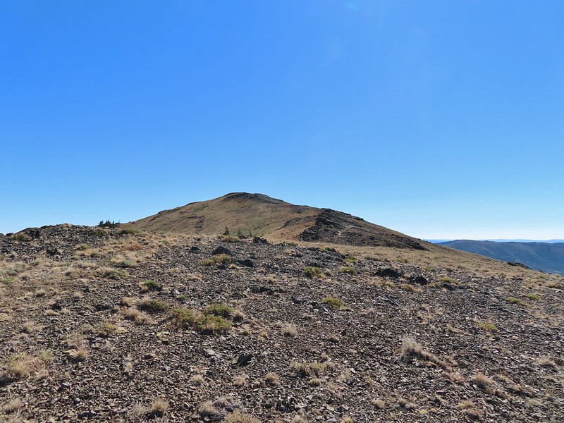 False summit (there’s always at least one). After some debate we went to the left of the rock outcrop which worked out well.
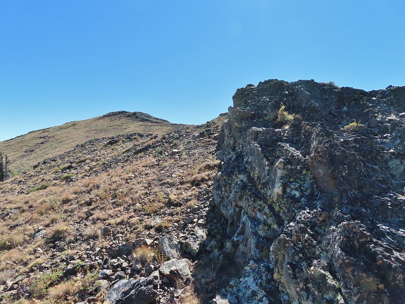 Passing the rock outcrop.
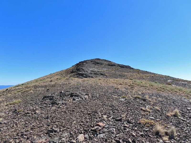 Almost there.
 The Greenhorn Mountains, Elkhorns, Dixie Butte and the Strawberry Mountains from left to right in the distance.
 Looking back at Fields Peak
 The John Day River Valley.
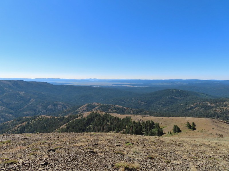 Logan Valley
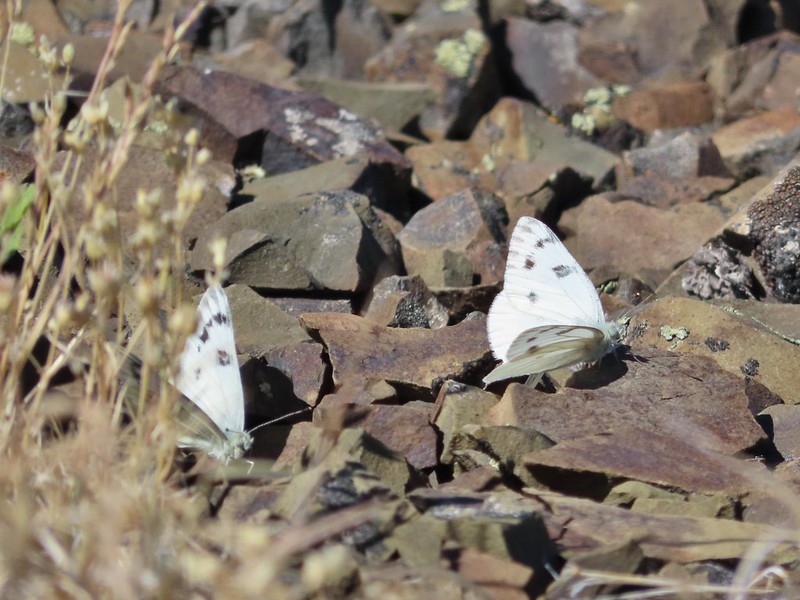 Company at the summit.
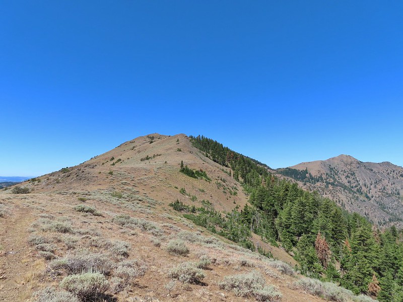 Passing back through Phlox Saddle.
 A better look at the rocky section of trail.
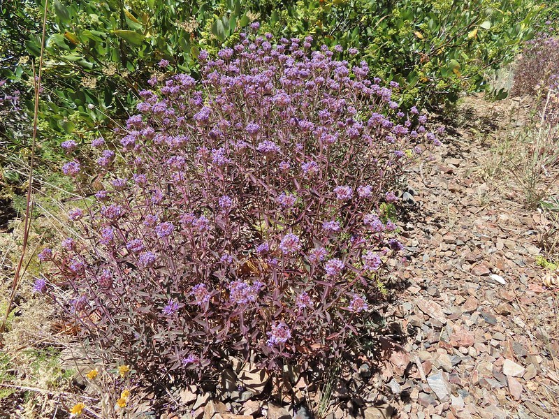 Mountain coyote mint, one of only a couple with this coloration on the stems.
 Butterfly and a beetle.
 Sagebrush mariposa lily
 Ruffed grouse
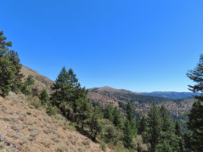 A final look at McClellan Mountain.
 I had started up to the left at the saddle but it was steep with gullies and some debris so we carefully turned around and parked below.
 Little Canyon Mountain from the saddle. A wildfire burned the area in 2015 and the trail up to Dog Creek.
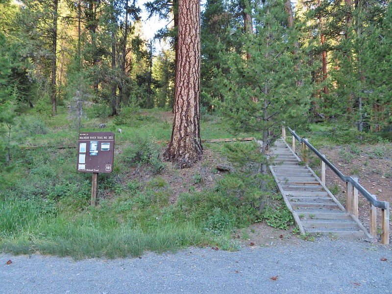
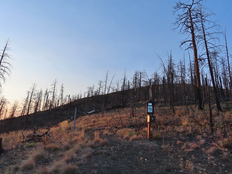 The actual trailhead.
 Little Pine Creek flowed down this valley below Canyon Mountain.
 Yarrow along the trail.
 Fireweed
 Paintbrush
 Paintbrush and pearly everlasting
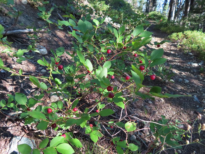
 Raspberries
 We don’t recall seeing a penstemon with leaves like this before.
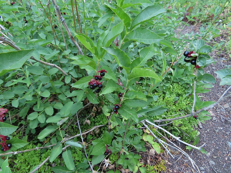 Twinberry (we did NOT sample)
 Sitka burnett (white)
 Little Pine Creek at the crossing.
 Prince’s pine
 Mountain death camas
 Fringed grass of parnassus
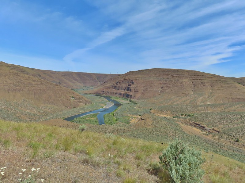
 John Day below.
 Little Canyon Mountain behind the ridge we’d come around earlier.
 The Aldrich Mountains to the west, our destination for the next day’s hike.
 Canyon Mountain
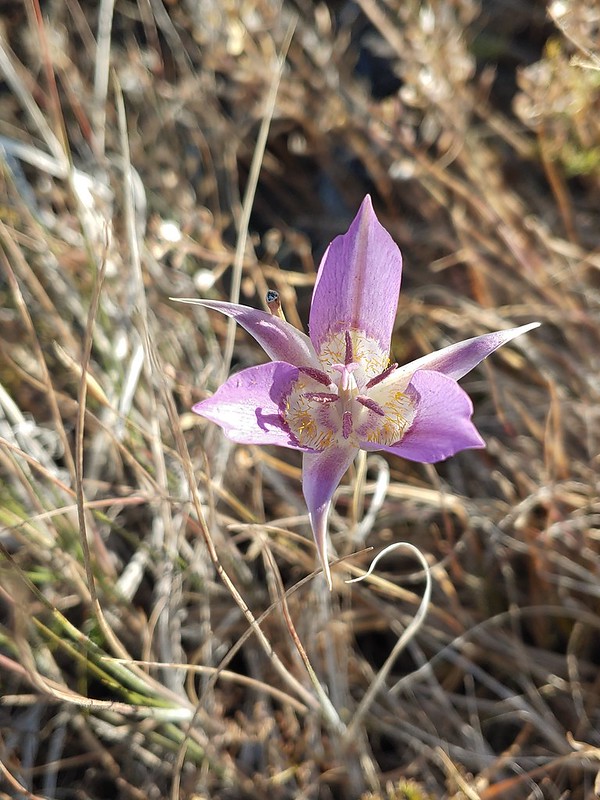 One of the sagebrush mariposa lilies.
 Dixie Butte and the Greenhorn Mountains to the NE
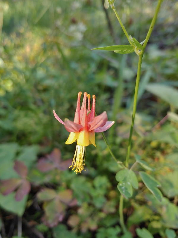 Columbine
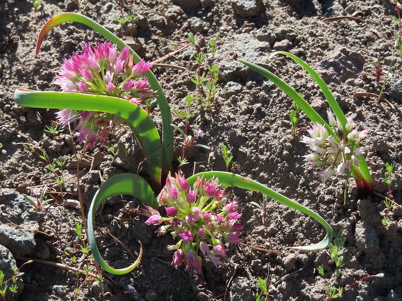
 Swamp onion
 Flowers at Dog Creek
 Twinflower
 There was a lot of elk sign along this section of the trail.
 A lot of sign.
 Looking back toward Canyon Mountain.
 The trail crossed over the ridge in a saddle with quite a bit of mountain coyote mint.
 Mountain coyote mint
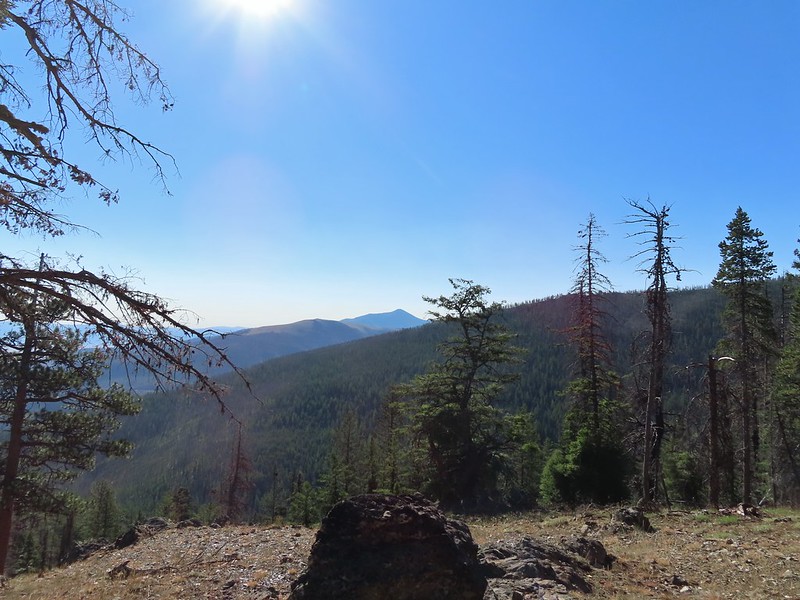 Strawberry Mountain (
 Heading toward Dean Creek now.
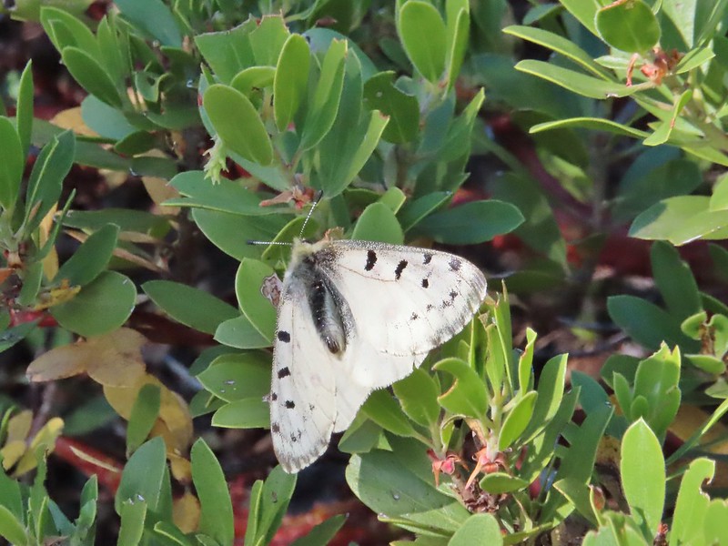
 Green Mountain on the left and Canyon Mountain on the right.
 A smaller raptor, it wouldn’t look at us so I’m not sure what type it was.
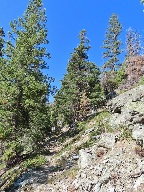
 Butterflies on western snakeroot. Side note we didn’t see a single snake or lizard all week which was really surprising to us.
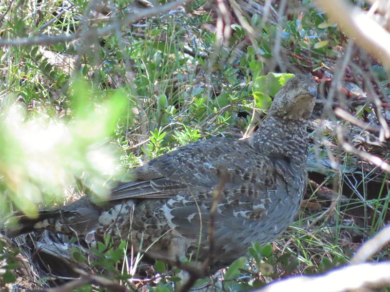 We did however see quite a few grouse.
 The trail got a little brushy nearing Dean Creek.
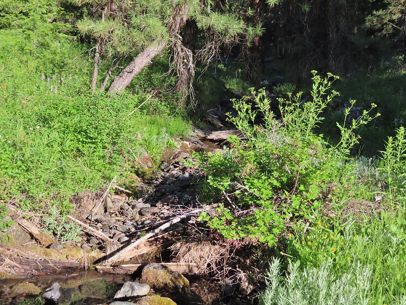
 There wasn’t much water in Dean Creek but there was enough for a small cascade.
  Wildflowers next to a small pool.
 Dean Creek
 Butterfly near the pool.
 Canyon Mountain
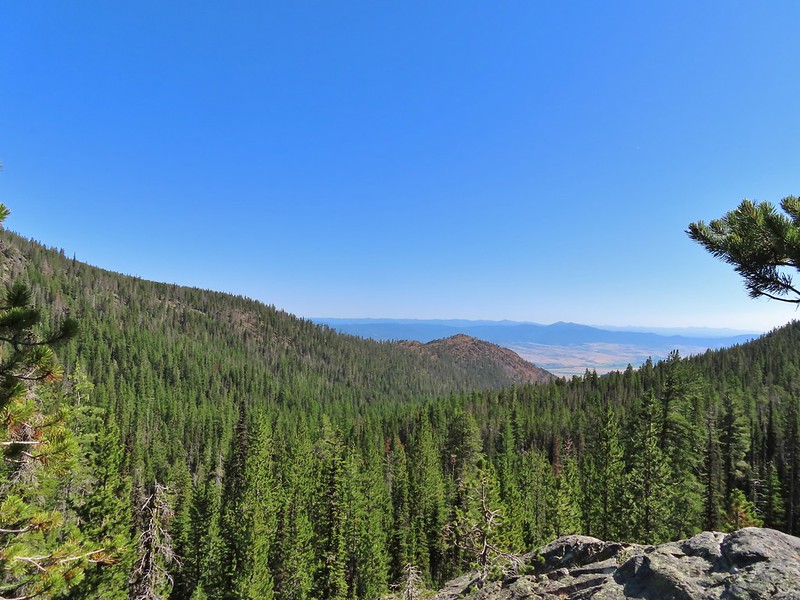 Dixie Butte with the Greenhorns on the left and the Elkhorns (
 Cones
Cones Lousewort
 Pearly everlasting, yellow flowers, and fireweed.
 An eagle?
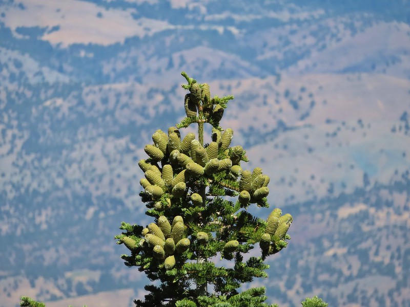 More cones
 Dragon fly
 A sulphur butterfly
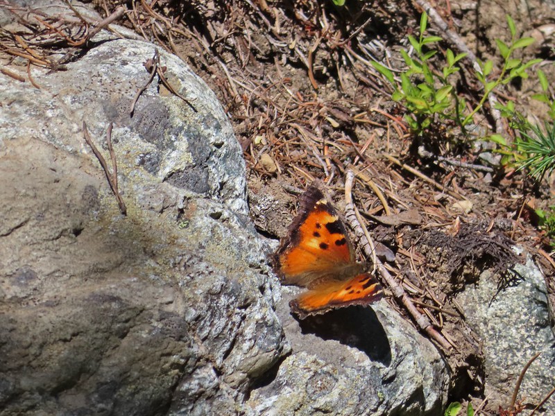 California tortoiseshell
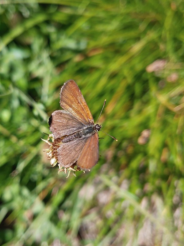
 Grouse
 Maiden fly
 Skipper
 Woodpecker
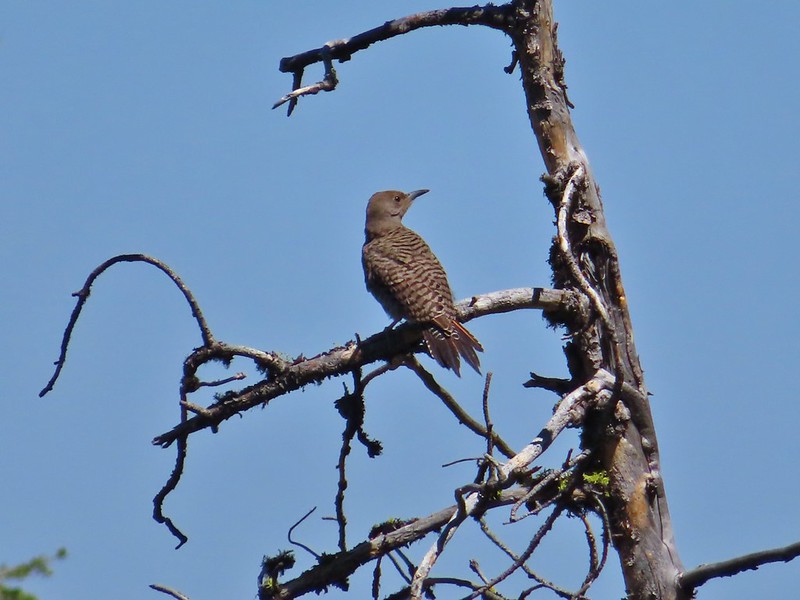 Northern flicker
 Mountain bluebird
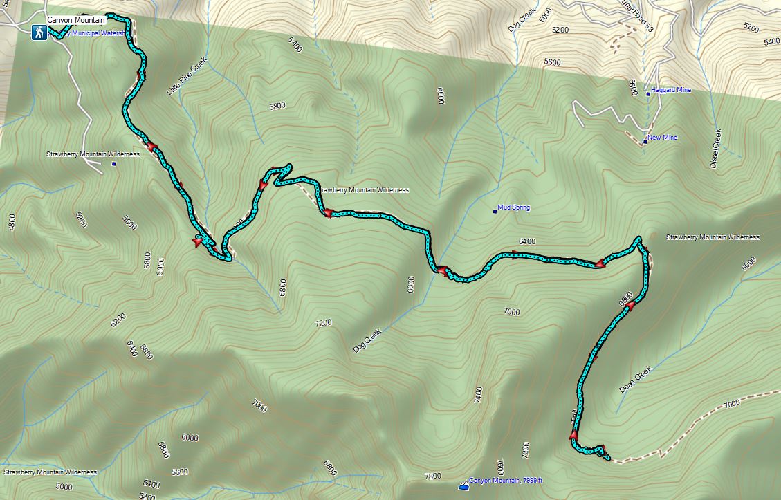
 Continuing along the Waterman Ditch.
 If this trail sign was marking a junction it wasn’t clear where the other trail was.
 Campsite at the saddle.
 The Rim Trail sign on a tree trunk.


 Rock Creek Lake
 Gaining the ridge.

 View from the rim.
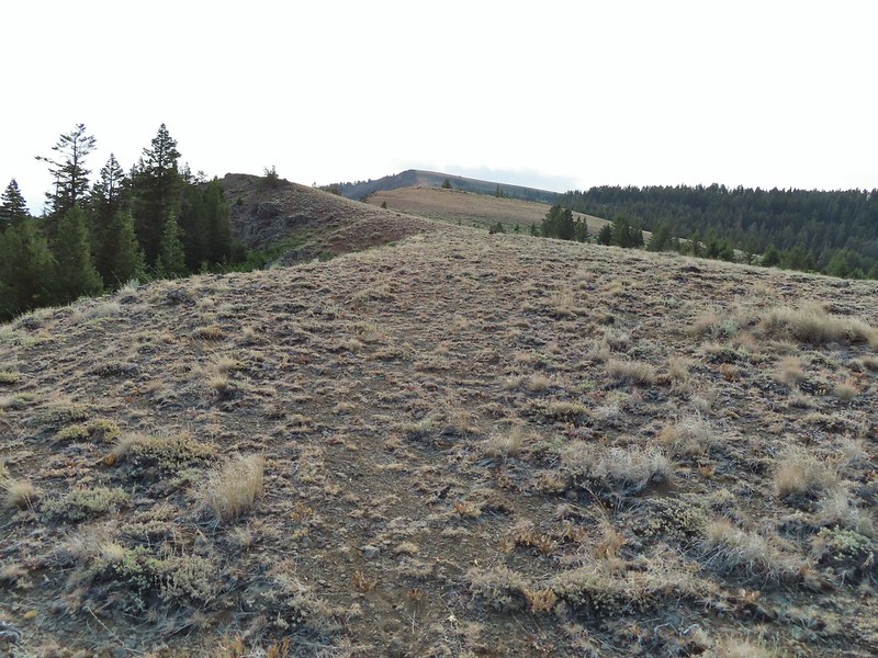 Spanish Peak
 A local
 Astter
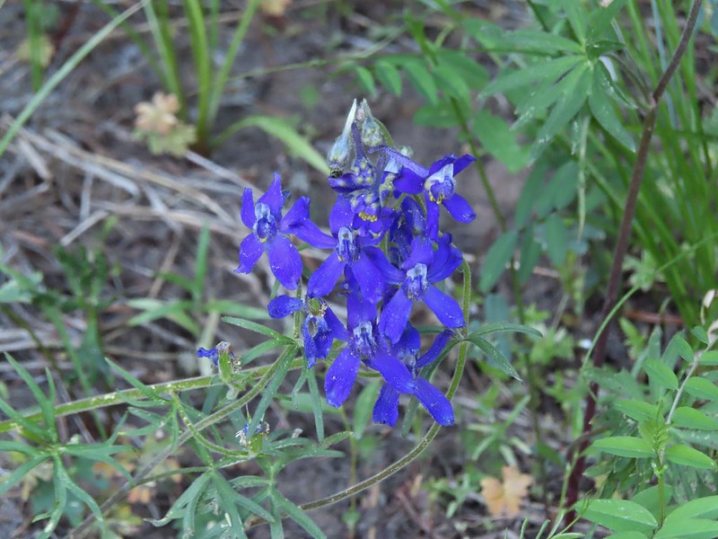
 Some sort of delphinium I think.
 Downed trees across the trail ahead.
 Interestingly camouflaged beetle on the upper onion.
 Lupine
 A checkermallow
 Some more downed trees that we had to go around.


 We left the trail here, note the small cairn on the left.
 Heading uphill.
 Scarlet gilia
 Paintbrush
 The site of the former lookout.
 Looking out toward the John Day River valley.
 SE to Windy Point.
 West to Rock Creek Lake and on the horizon the flat topped Lookout Mountain (
 NE to the John Day River Valley.
 Lookout and Round Mountain and the rim that we had hiked up below Spanish Peak.
 The Pisgah Lookout on the far side of the Bridge Creek Wilderness (
 A hazy Mount Hood to the NW.


 Baldy Creek was on our left.
 Red-tailed hawk
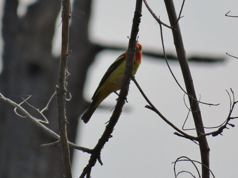
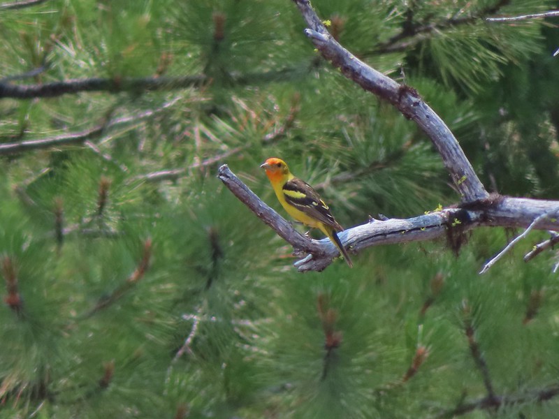 Western tanager
 Arriving at the trailhead.
 Signage at the trailhead.
 Baldy Creek below FR 3820.
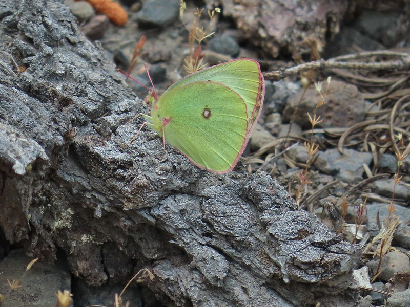 A sulphur butterfly of some sort.
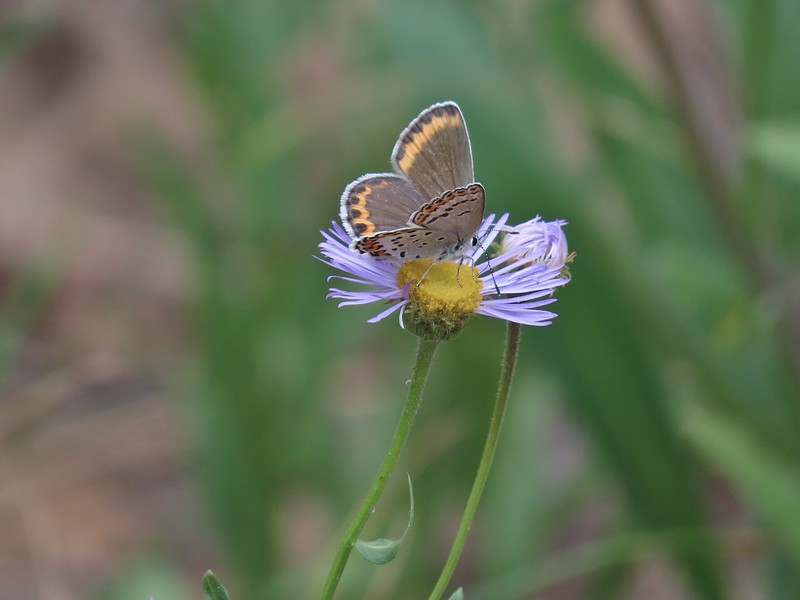
 A watermellon or June bug as we called them growing up.
 FR 3820 meeting Arvid Nelson Road.
 Spanish Peak from Arvid Nelson Road.
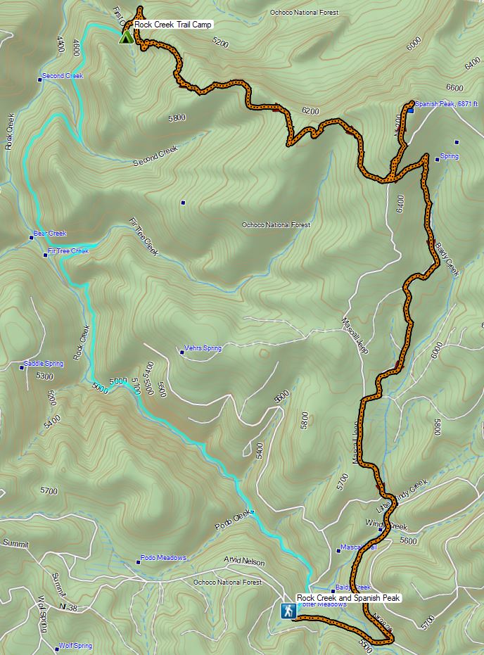


 Aster, paintbrush, and fireweed.
 Fireweed, aster, and pearly everlasting.
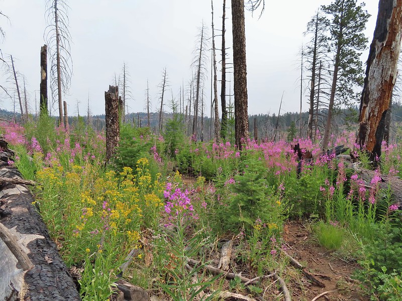
 Clouds and smoke mixing in the sky made it hard to tell if any thunderstorms might be developing.
 We never heard any thunder but we did briefly get sprinkled on.
 Ground squirrel.
 Columbine
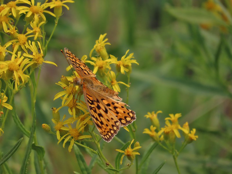 Fritillary butterfly
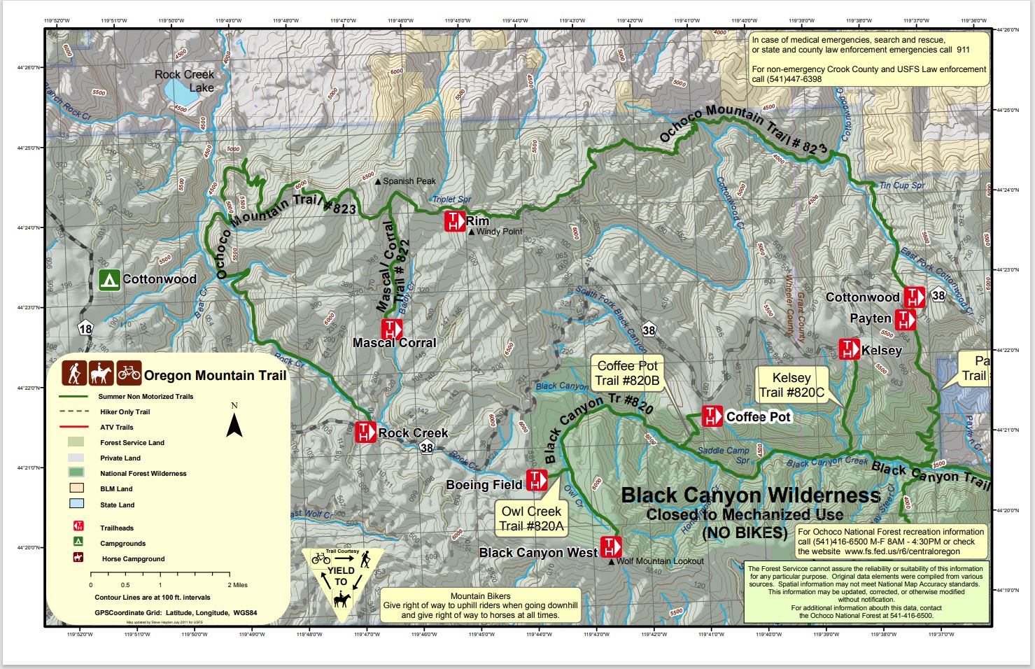
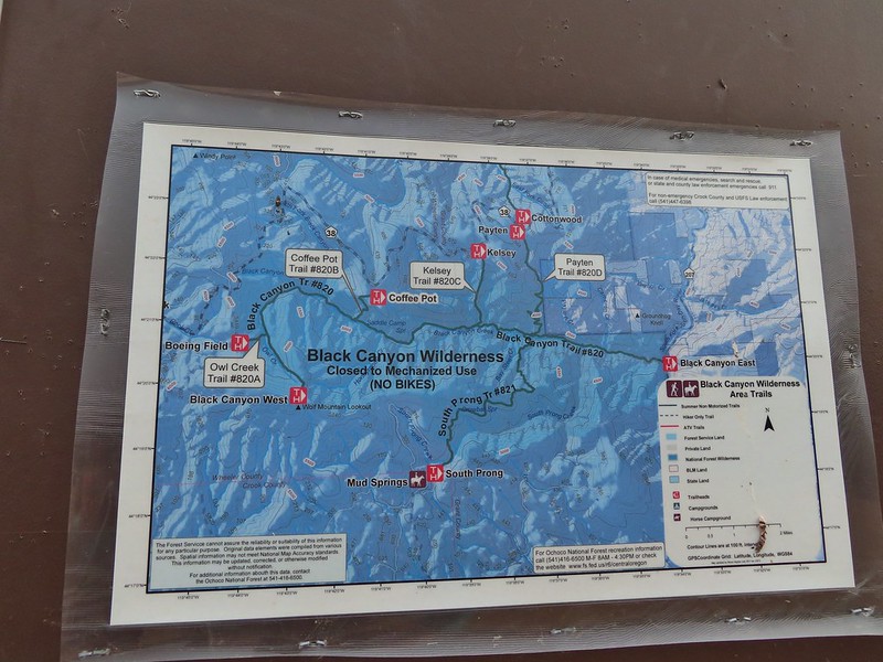
 Black Canyon Trail junction.


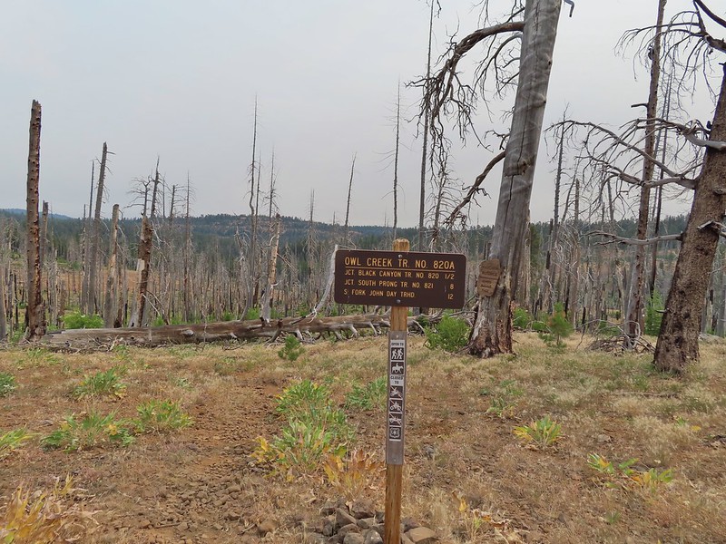
 Owl Creek crossing approximately 1.5 miles from the junction.
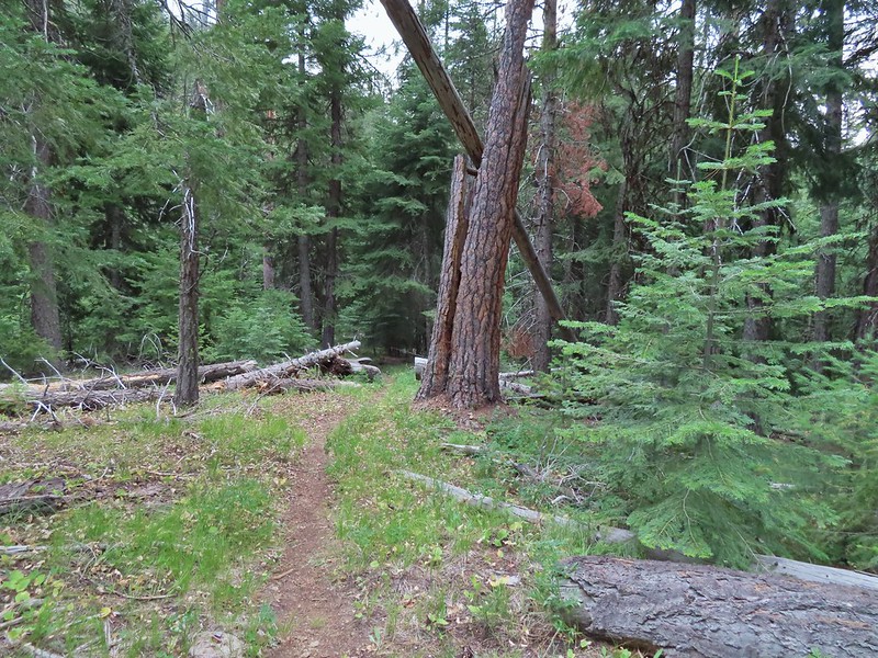


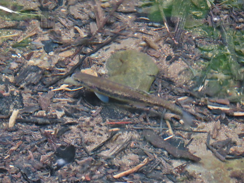 Fish in Black Canyon Creek
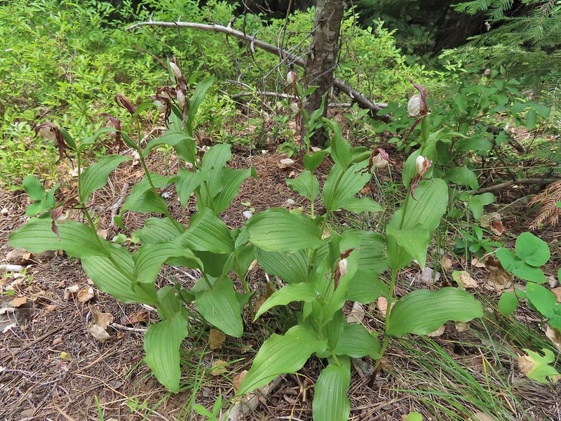


 Western Tanager

 California tortioseshell
 Western Jacob’s ladder
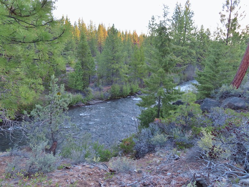
 Black Canyon Creek


 The number of insects on the blossoms and their size differences were fascinating.
 Snacks

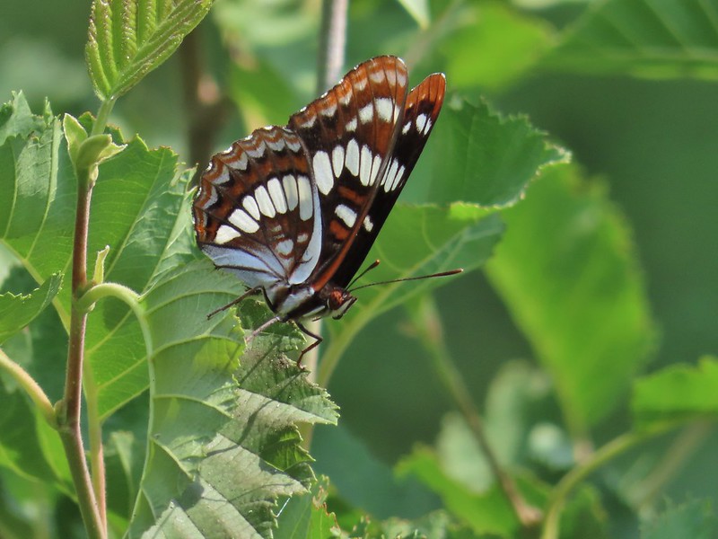 Lorquin’s adrmiral

 A little light on the tread in this section.
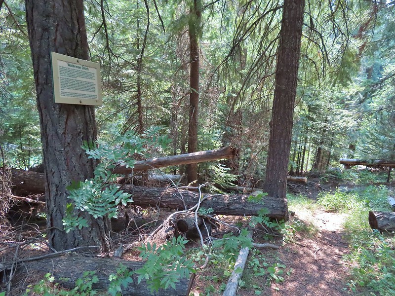


 Fir Tree Creek
 Butterflies on coneflower
 The cabin ruins.
 Coming around a ridge end toward Second Creek.
 Monkshood at Second Creek
 This little guy oversaw our water pumping.


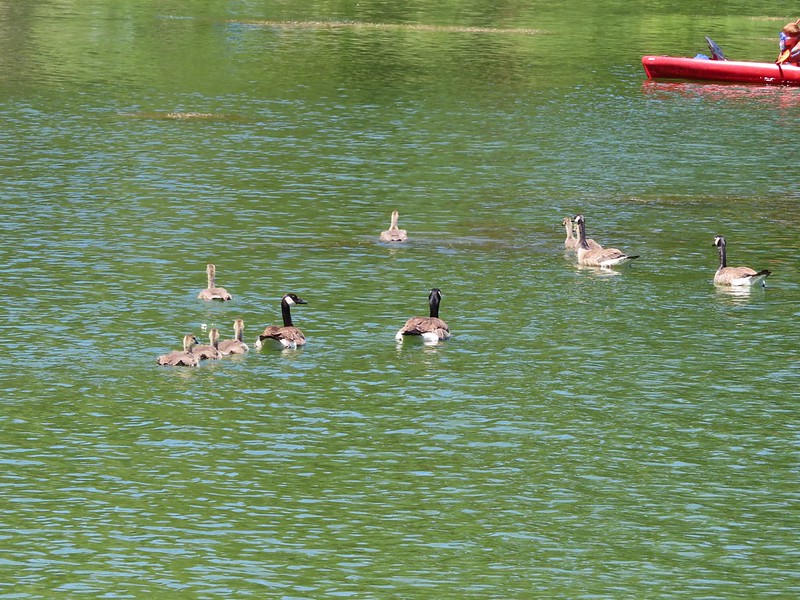
 American coot and a duck family.
 Spotted sandpiper
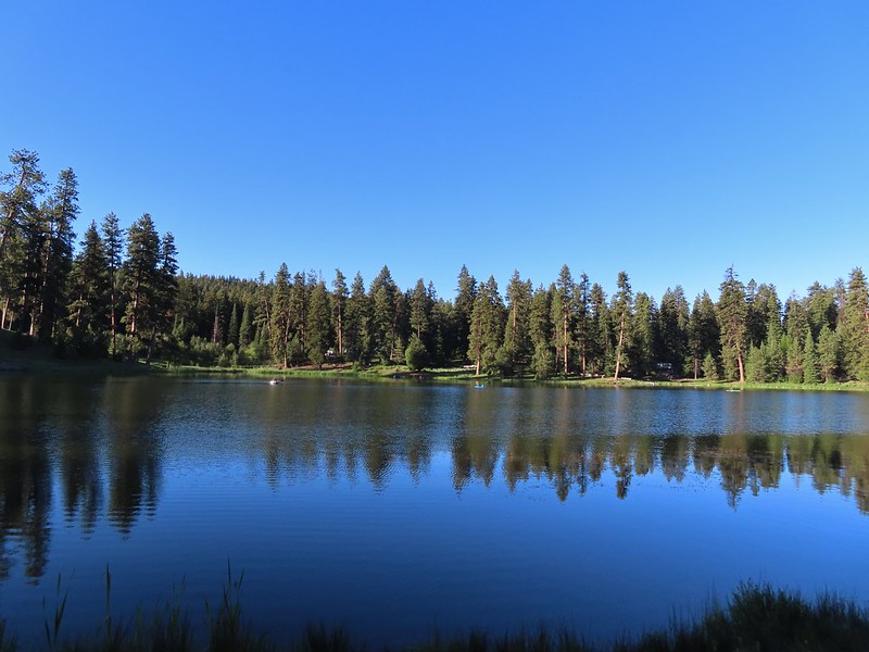
 Pied billed grebe


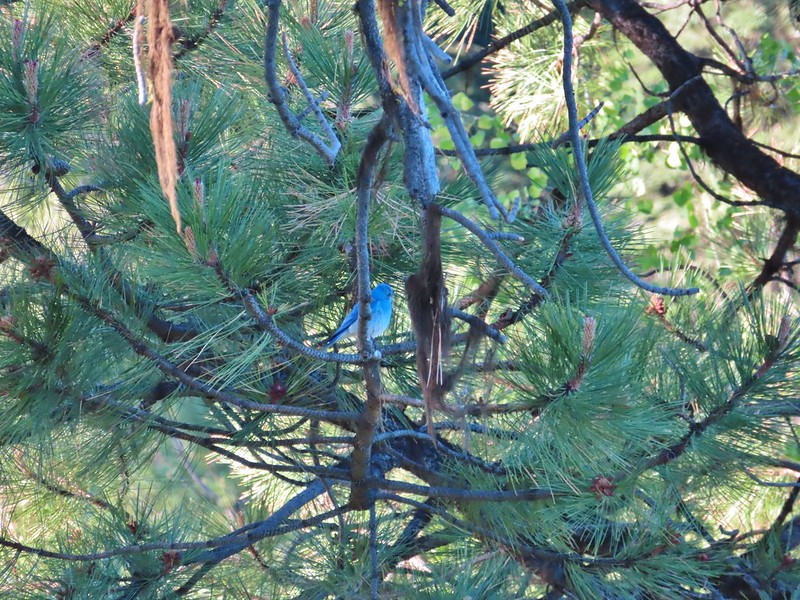 Mountain bluebird
 The spur of the Walton Lake Trail that leads to the Round Mountain Trail.


 A saxifrage.


 Larkspur


 Chocolate lily
 The rocky plateau with Round Mountain to the right.
 Death camas
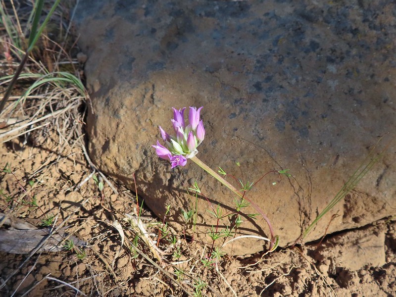 A wild onion
 Yarrow
 Paintbrush
 Valerian along the trail.
 California tortoiseshell on valerian.
 Mt. Jefferson from the trail.
 Maybe a miterwort?
 Milbert’s tortoiseshell
 Scissors Spring
 A fleabane
 Geranium

 Woodpecker
 Another doe
 A comma butterfly of some sort.
 Possibly some sort of phlox?
 Another wild onion
 Mountain bluebells
 Threeleaf lewisia
 Butterfly on Jessica stickseed
 A larkspur, Jessica stickseed, and hyssop
 Robin
Robin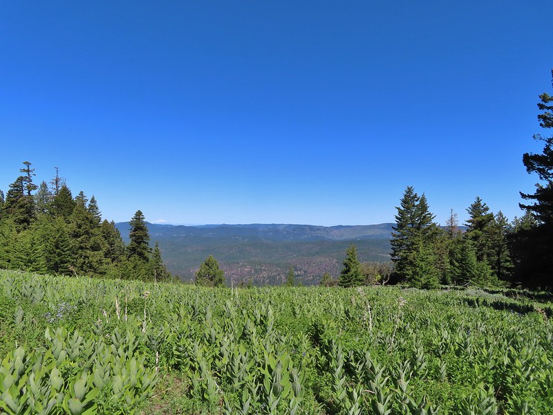 Mountain view from a meadow.
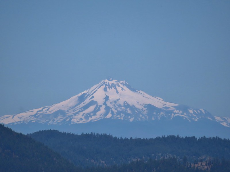 Mt. Jefferson
 Mt. Hood
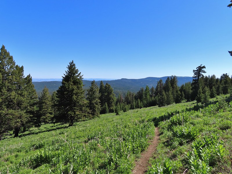
 Viewpoint at one of the switchbacks. Cascade Mountains from Diamond Peak to Mt. Jefferson.
 Diamond Peak
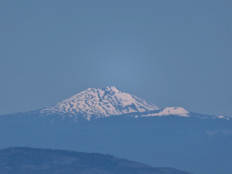 Mt. Bachelor
 Ball Butte and Broken Top
 Three Sisters
 Mt. Washington
 Three Fingered Jack
 Mt. Jefferson
 The trail sign along Round Mountain Road up the hill.
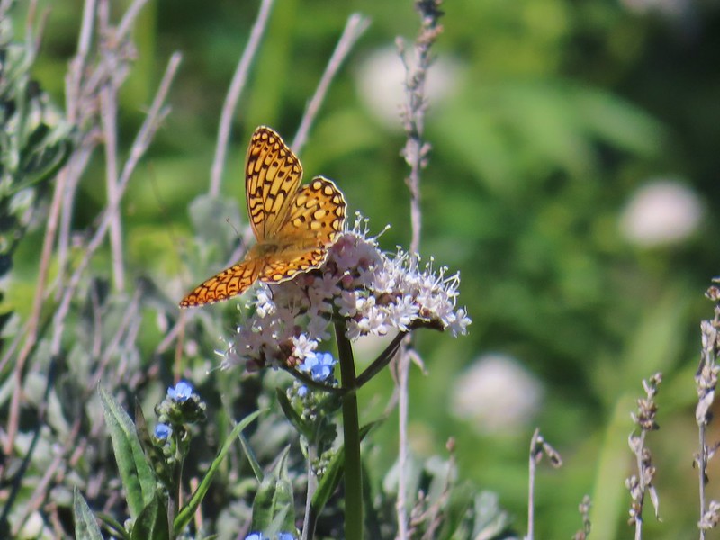 Fritillary butterfly
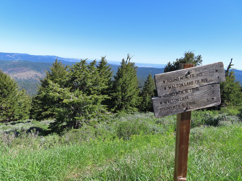
 Silky phacelia
 Prairie smoke
 Balsamroot
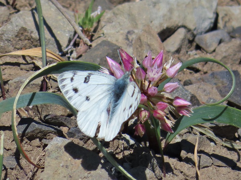 Butterfly on an onion
 Ladybug on lupine
 Round Mountain summit
 And occasionally land.
 Big Summit Prairie
 Lookout Mountain (
 Mt. Hood
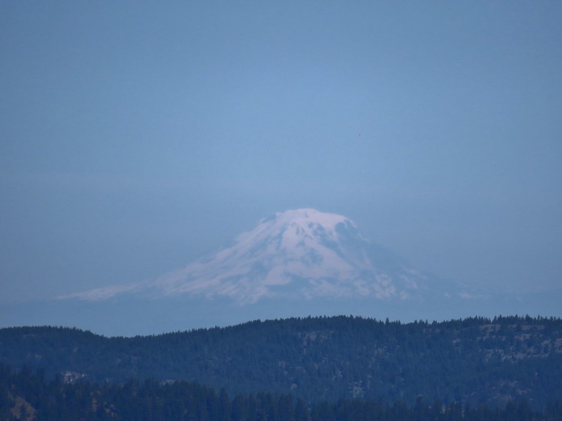 Mt. Adams
 Not too horrible of a photo of the orangetip on one of its many passes.
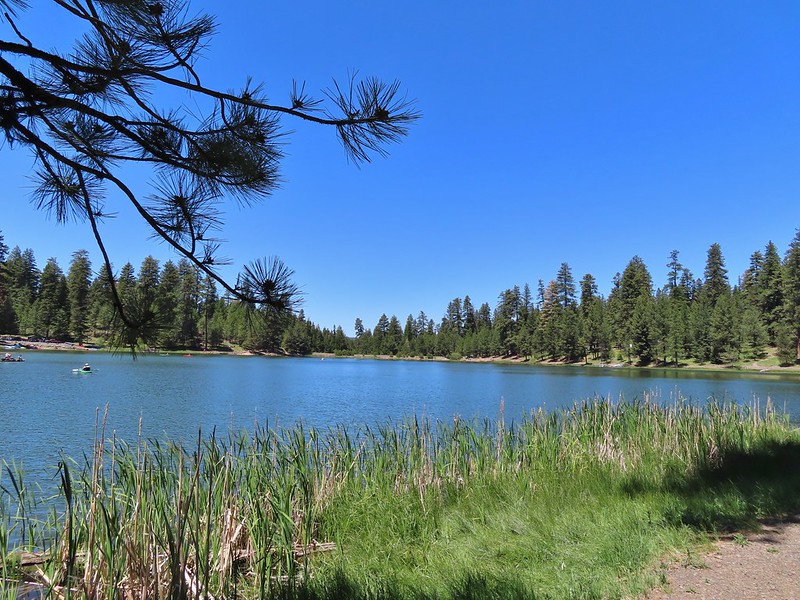
 A coot, a spotted sandpiper and ducks.
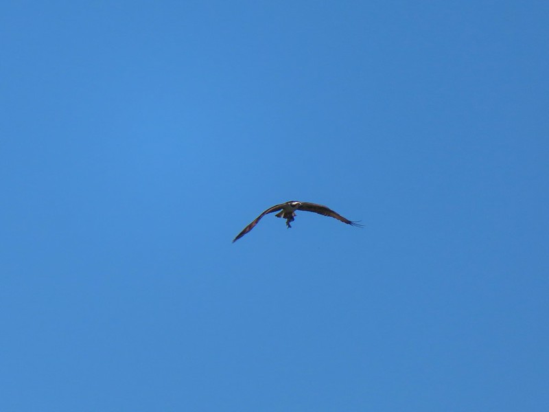 Osprey with a recently caught fish (we got to see the dive)
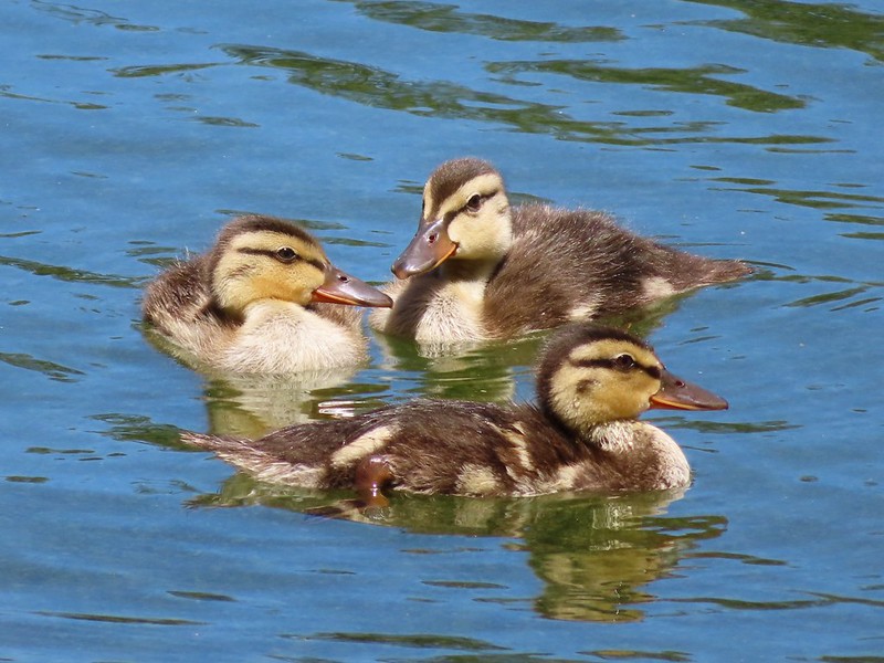 Ducklings
 Bench near the trailhead.
 Lupine along the trail.
 There was plenty of river access along the way.
 Currant
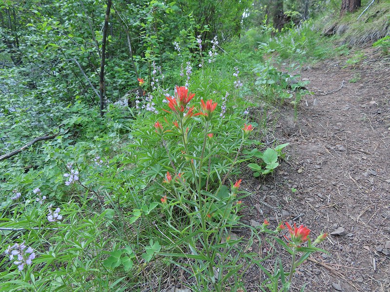 Paintbrush and lupine along the trail.
 Geraniums
 Ponderosa pines
 First 1
 Second 1
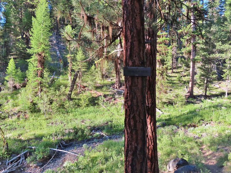
 Camas
Camas Balsamroot, columbine, geraniums and paintbrush.
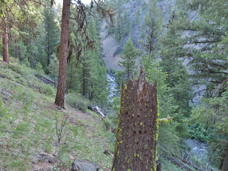
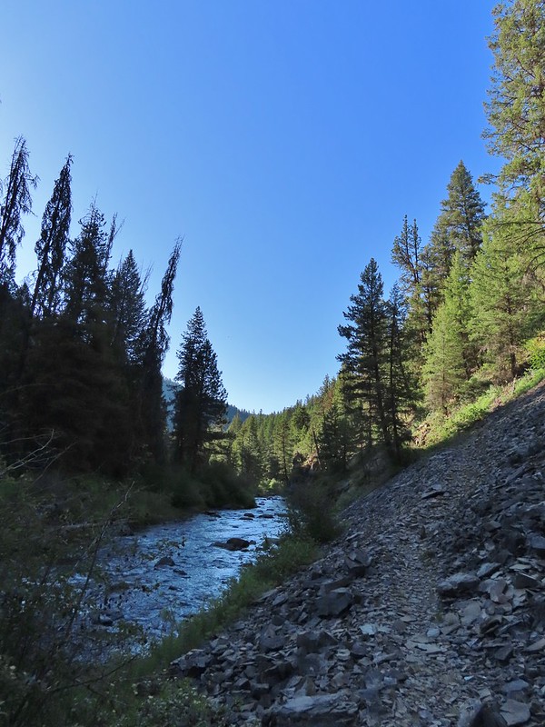
 Photo from the afternoon on the way back.
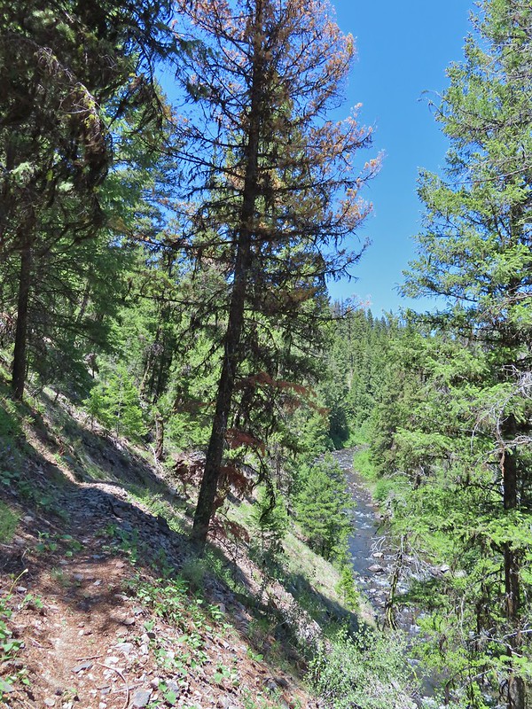 Photo from the afternoon on the way back.
 Tree marking mile 2.
 Typical “obstacles” that were present along the trail.
 Columbine
 Cusick’s sunflower?
 Balsamroot or mule’s ears?
 Woodland stars
 Mile 4

 Salsify and geraniums
 Sticky cinquefoil
 Swallowtail on scarlet gilia
 Geranium
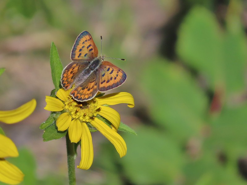 Some sort of copper butterfly
 A checkerspot
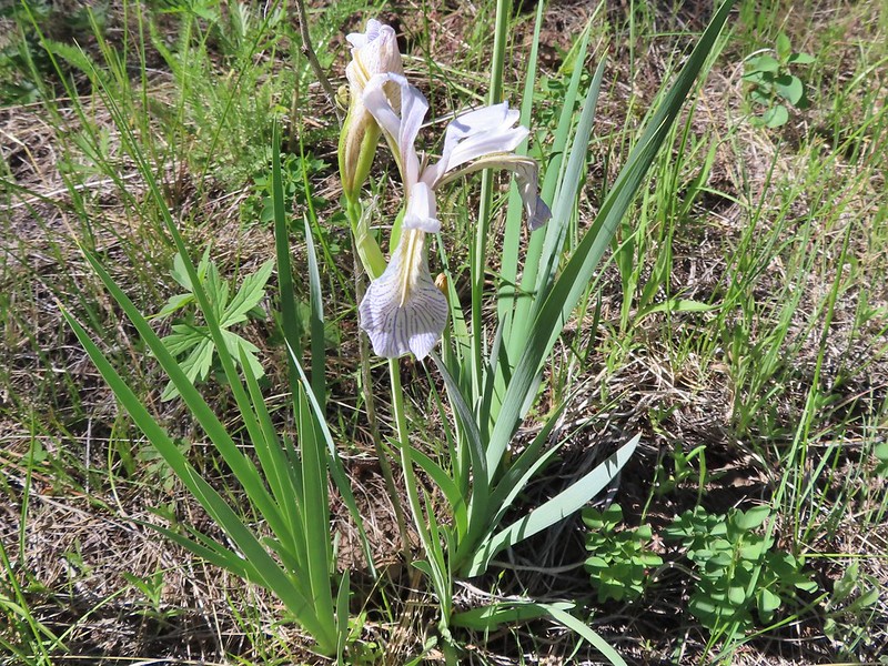 Iris
Iris Balsamroot (or mule’s ears)
 A fleabane
 A different type of fleabane.
 Larkspur
 Rosy pussytoes
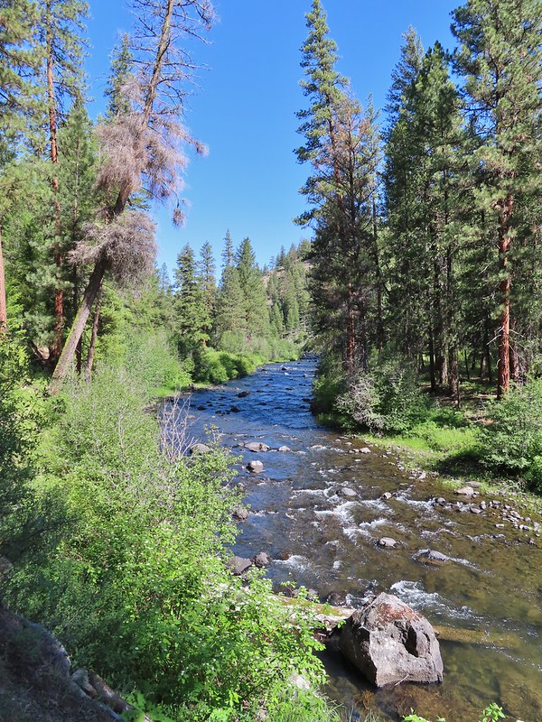
 Hog Flat is up on top of the hillside.
 Mile 6 markers.
 Cracked egg in the trail.
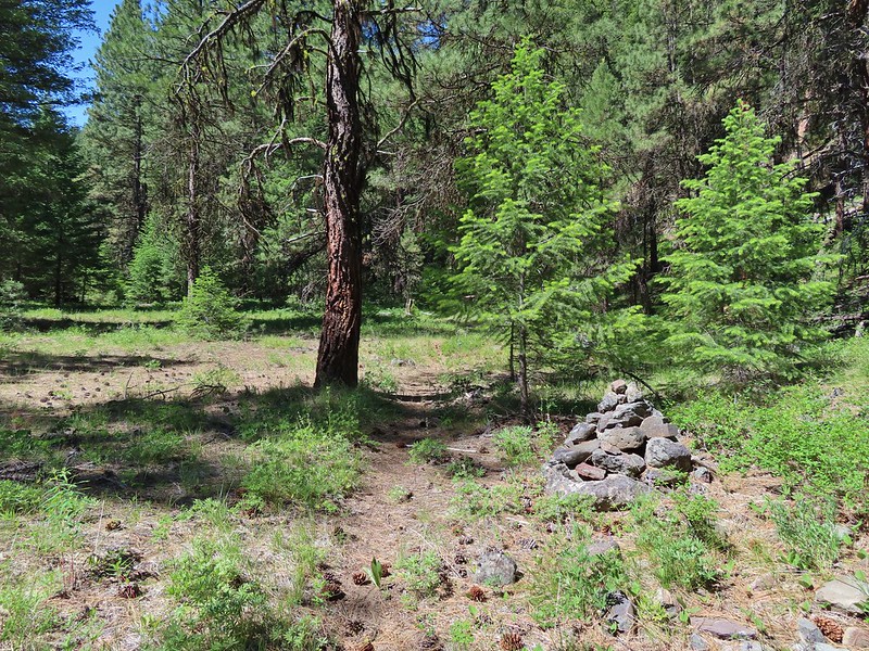 We passed this cairn around the 6.5 mile mark.
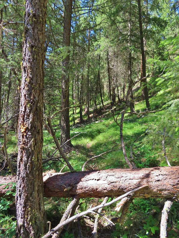 We turned around here shortly after passing the cairn. It appeared the trail was beginning it’s climb and we took the cairn and downed tree as signs that it was time to turn around. We did just that and headed back keeping our eyes open for the mile 3 and 5 markers.
 A fritillary butterfly on an iris.
 Found 5
 This was a particularly tricky little muddy spot to stay dry crossing.
 And there’s “3”.
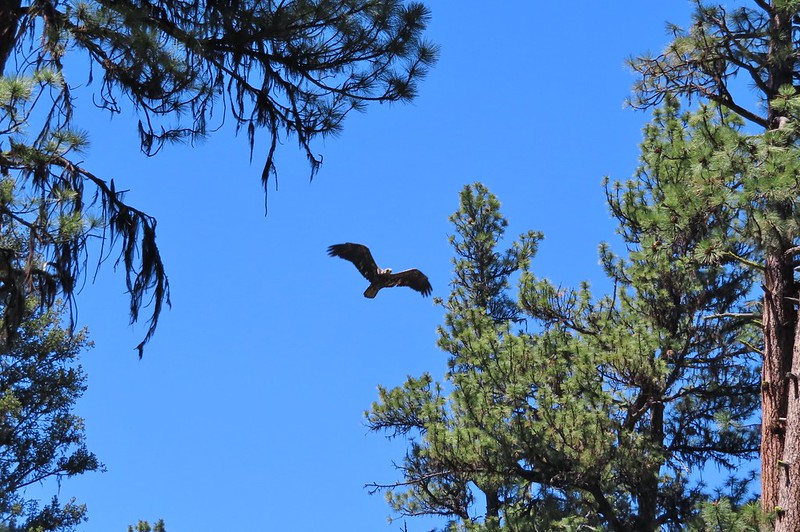 Immature bald eagle. We saw it on the way out in the same area but couldn’t get a photo. This time it flew right by me, and I think it was giving me the stink eye.
 Back at the trailhead.
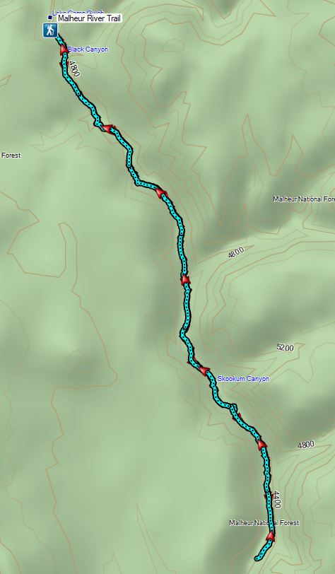


 North Sister in the distance.
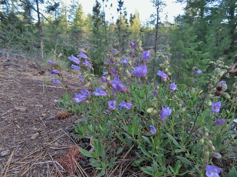 Penstemon
 Chocolate lily
 Sand lily
 Paintbrush
 Balsamroot
 A Penstemon
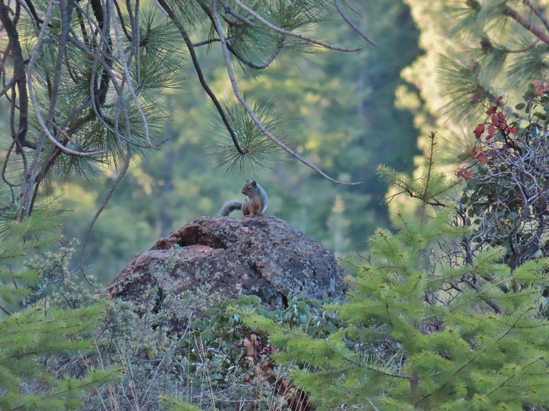 Squirrel!
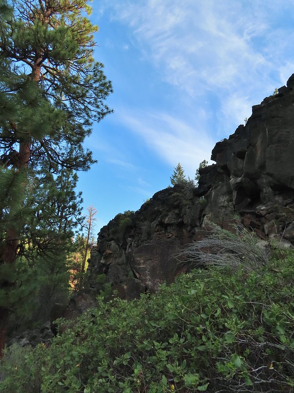
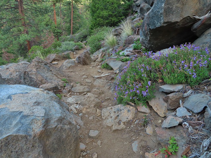

 The penstemon really liked the cliff area.


 Mt. Hood sighting.
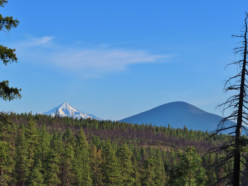 Mt. Jefferson and Black Butte
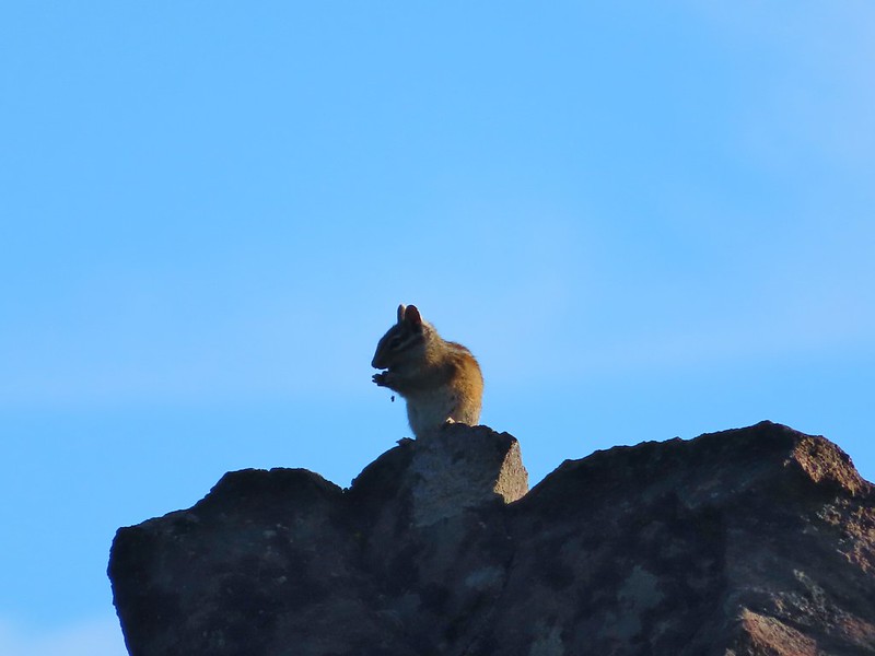 Chipmunk
 White breasted nuthatch
 Golden mantled ground squirrel
 Broken Top and the Three Sisters (bonus points for spotting the golden mantled ground squirrel)
 Lewis flax at the overlook.
 Buckwheat and penstemon
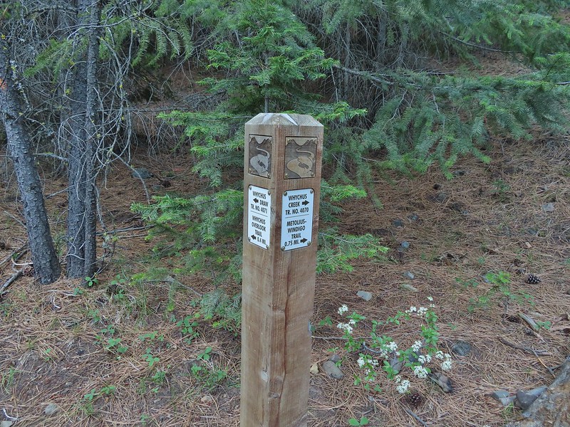
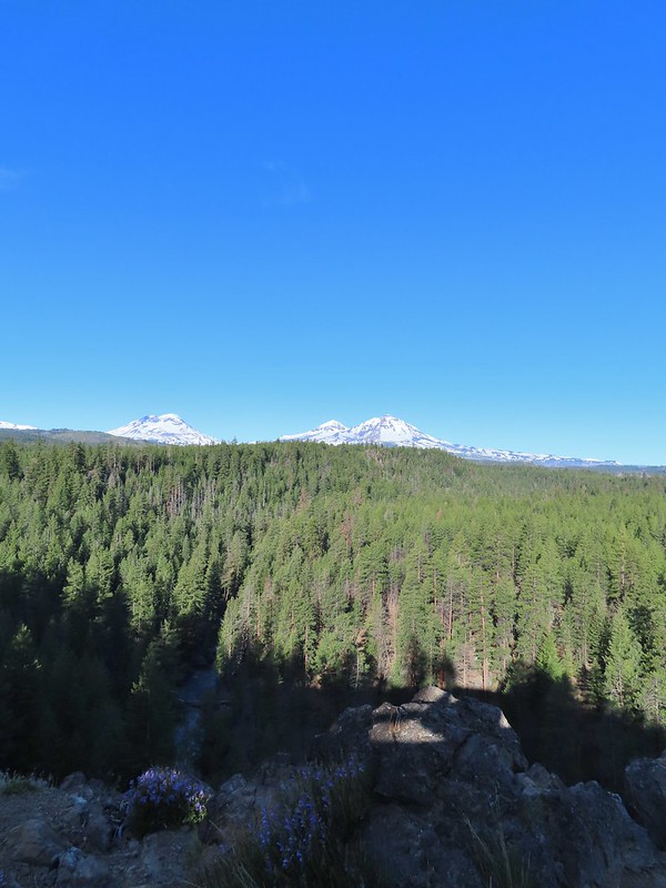 Whychus Creek below with the Three Sisters on the horizon.
 Tam McArthur Rim (
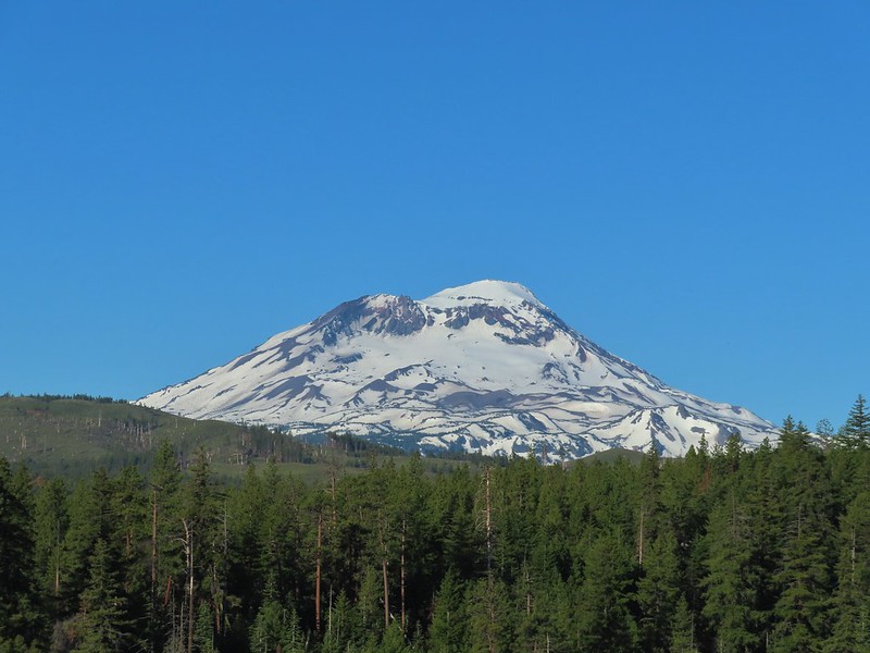 South Sister
 Middle and North Sister
 Mt. Washington
 Three Fingered Jack
 Mt. Jefferson
 Chickadee

 Interpretive sign along the trail.
 Mt. Washington, Three Fingered Jack, Mt. Jefferson, and Black Butte

 Afternoon photo of the start of the trail.
 This section was so nice I did it twice.
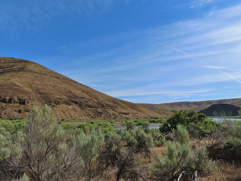
 Cottonwood Canyon State Park main area across the river.
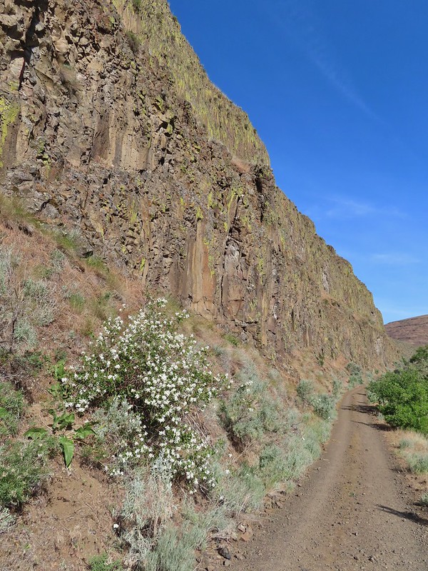
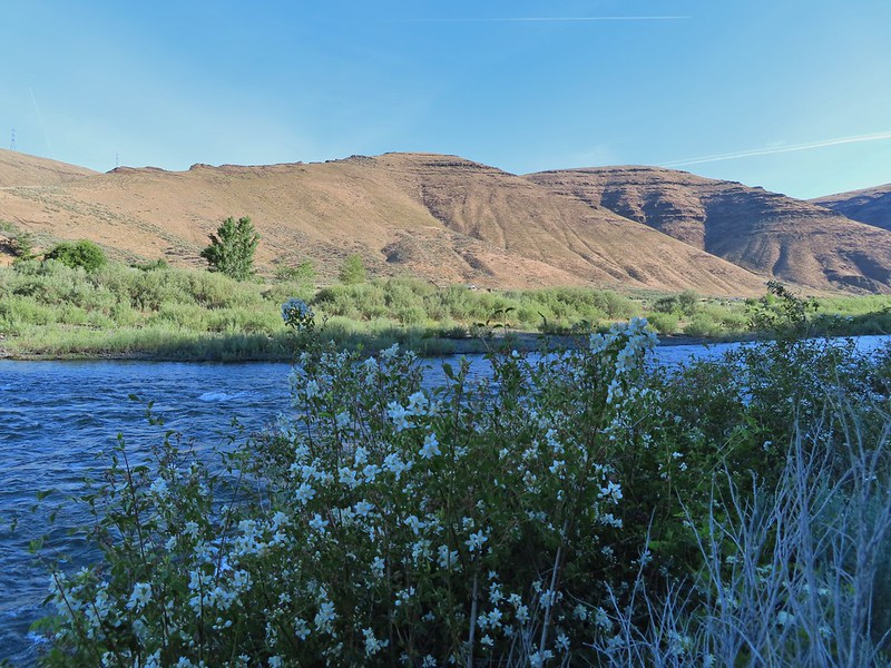 One of the exceptions was mock orange which was blooming profusely along the trail.
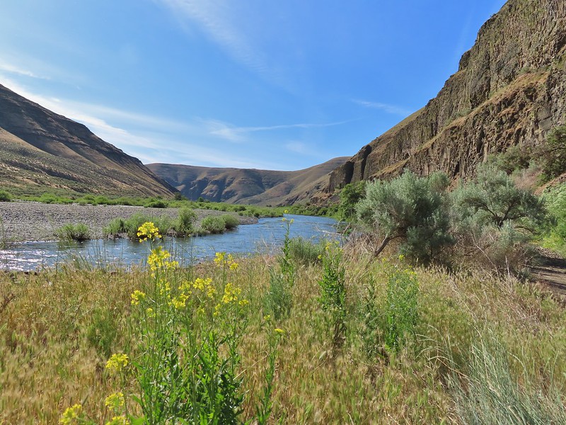
 Dalmation toadflax and yarrow.
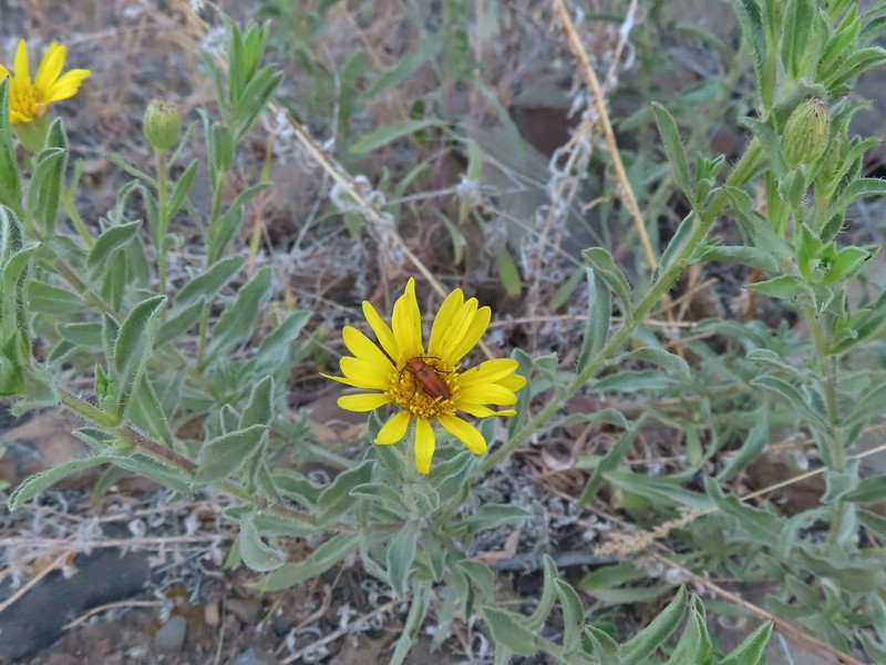 Beetle on what might be hairy golden aster
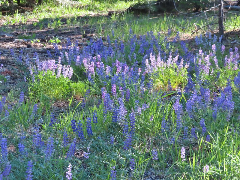
 A lupine


 More mock orange along the trail.
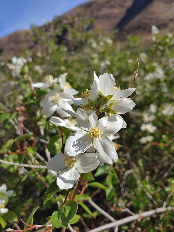 Close up of the mock orange.
 Butterfly on western clematis
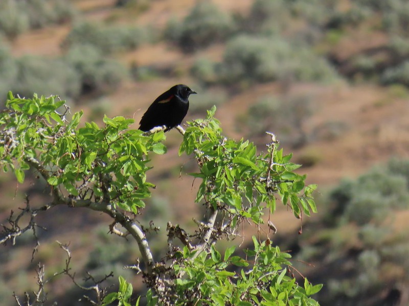 This red winged blackbird cooperated for a photo op.
 Salsify
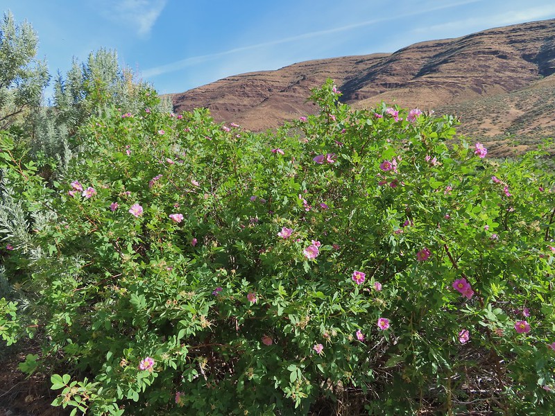 Wild roses
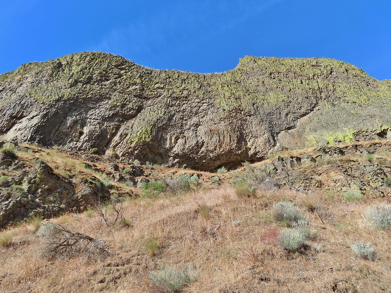


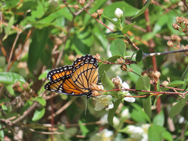 We saw this viceroy on the way back to the car.
 Magpie dive bombing a hawk.
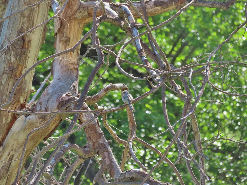
 Coming up on the second bench.
 The otter or whatever it was was right in this area.
 Cedar waxwings
 The Pinnacles
 Ducks
Ducks Esau Loop Trail sign.
 Looking back at The Pinnacles from the Esau Loop Trail.
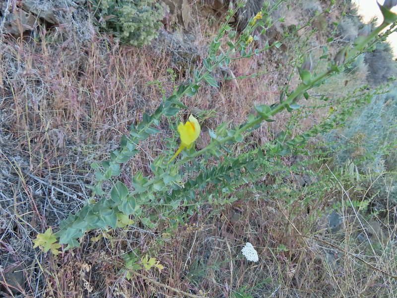
 Unknown flower
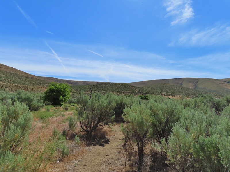
 Sagebrush mariposa lilies
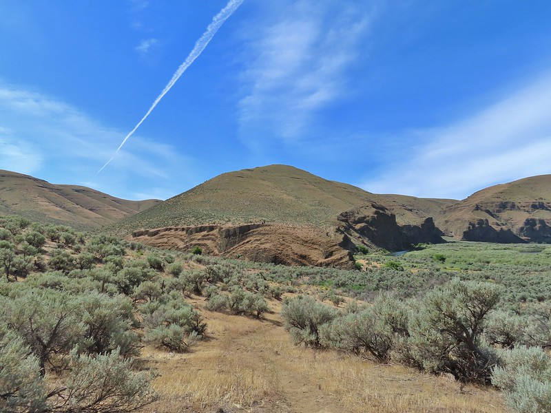

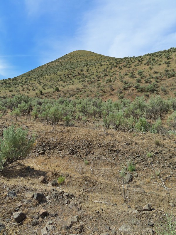
 The more open looking hillside to the right of the cliffs was deceptively steep so we followed the road to the left until the the terrain appeared more hospitable.
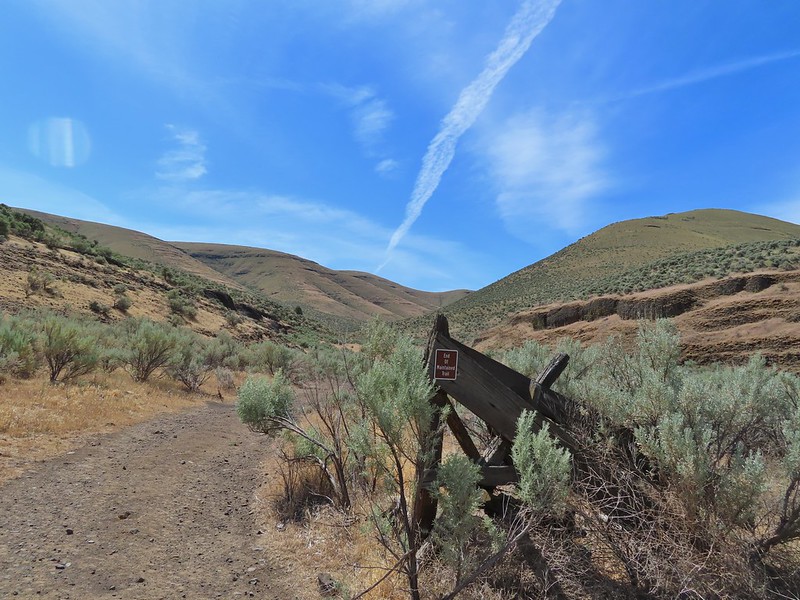
 We set off from the roadbed here.
 Have these gone to seed or blossoms?
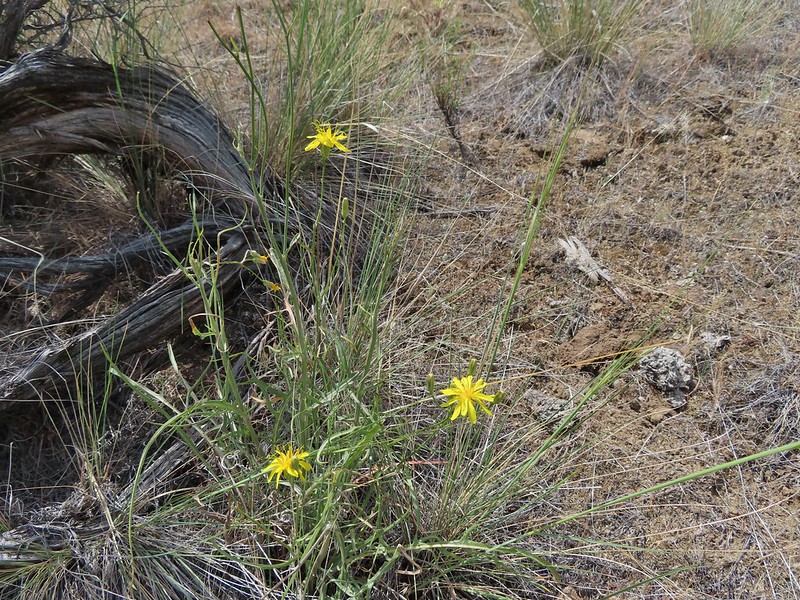 Possibly a hawksbeard
 Sagebrush mariposa lily

 Found the fence line.
 I took this photo at 10:35, it looks like I’m close to the top.
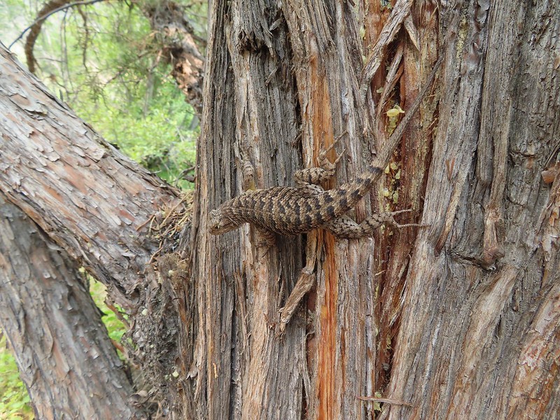
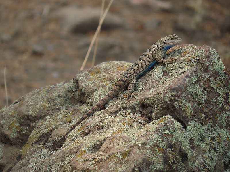
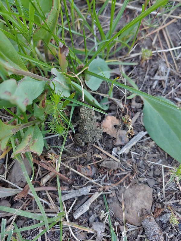
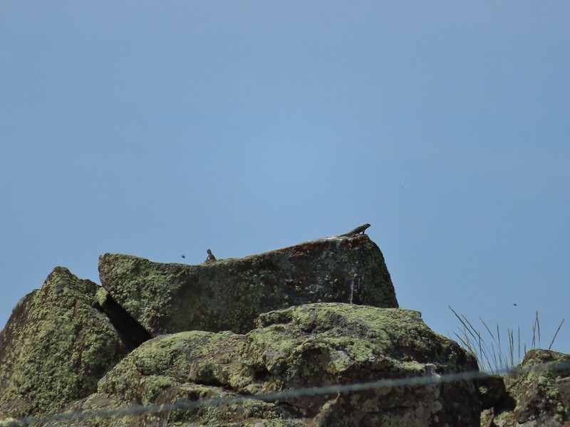 These two lizards beat us to the top.
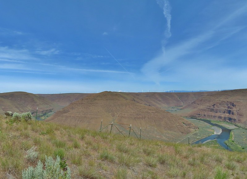

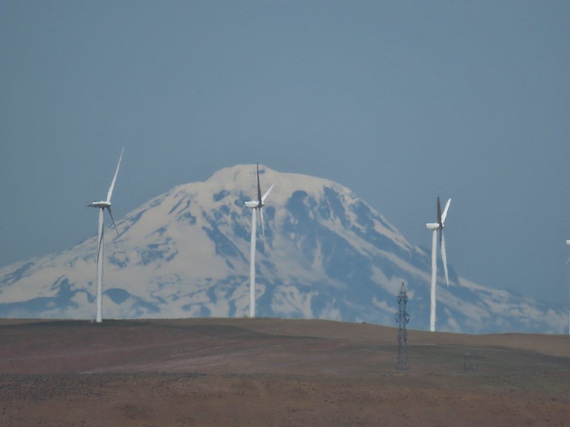
 The very top of Mt. Rainier was also visible (barely)
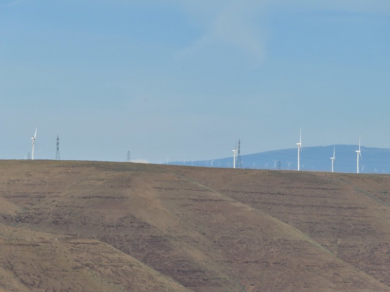
 View SE
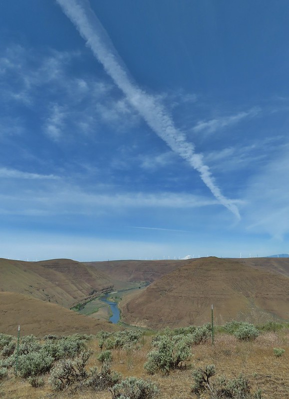
 Descending into Esau Canyon on the jeep track.


 Second climb over the fence.
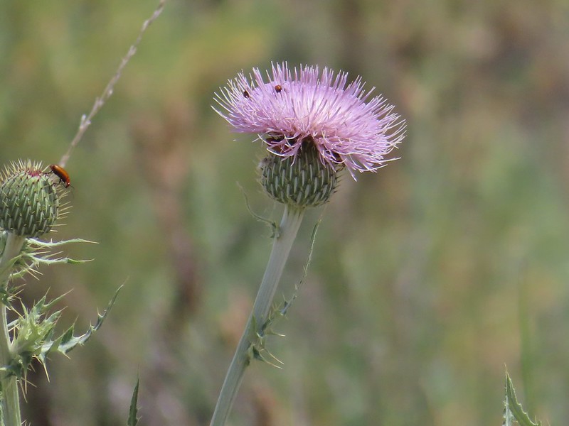 Beetles on thistle.
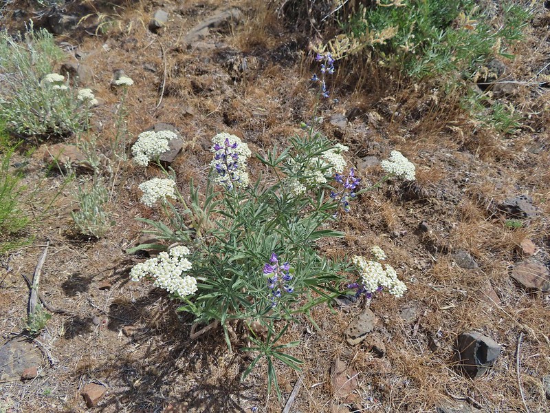 Yarrow and lupine
 Western meadowlark
 The Lost Corral Trail where it passes the cliff at the ridge end.
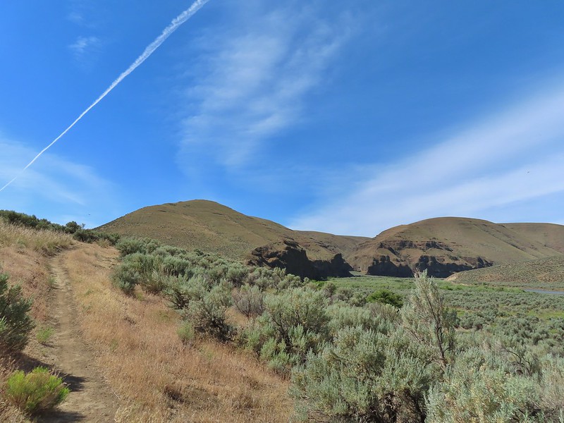
 Cottonwood Canyon State Park in the afternoon.
