Our first couple of planned backpacking trips didn’t happen for one reason or another but we really wanted to get at least one overnight trip in before August. We’d picked up some new gear that we hoped to give a test run before a longer outing we have planned for August.
Recent reports of a heavy mosquito presence at our plan “A” location forced us to look for a plan “B”. We turned to one of the early trips that hadn’t happened, a hike along the Metolius River starting from the Lower Bridge Campground. Matt Reeder describes 10.1-mile hike to a former trailhead that once served the Shut-In Trail in his “101 Hikes in the Majestic Mount Jefferson Region”. By all accounts the Shut-In Trail was a brushy mess, at least beyond a mile from the former trailhead. Our plan was to set up camp at the old trailhead and then explore the Shut-In Trail as far as it was passable.
Reeder mentioned that ticks could be a nuisance in the Spring but by this time they and most of the mosquito’s wouldn’t be a problem. The downside of visiting this time of year though would be the heat with highs forecast in the upper 80s. The temperature was pleasant when we arrived at the trailhead just after 7am. We parked at a small trailhead across from the Lower Bend Campground.

We’d hiked through this trailhead during a 2012 hike starting from the West Metolius Trailhead (post). Lower Bridge which we’d used to cross the river had been the northern end of that hike. For this trip we would be heading further North and then East as we rounded Green Ridge (post) at the Horn of the Metolius.
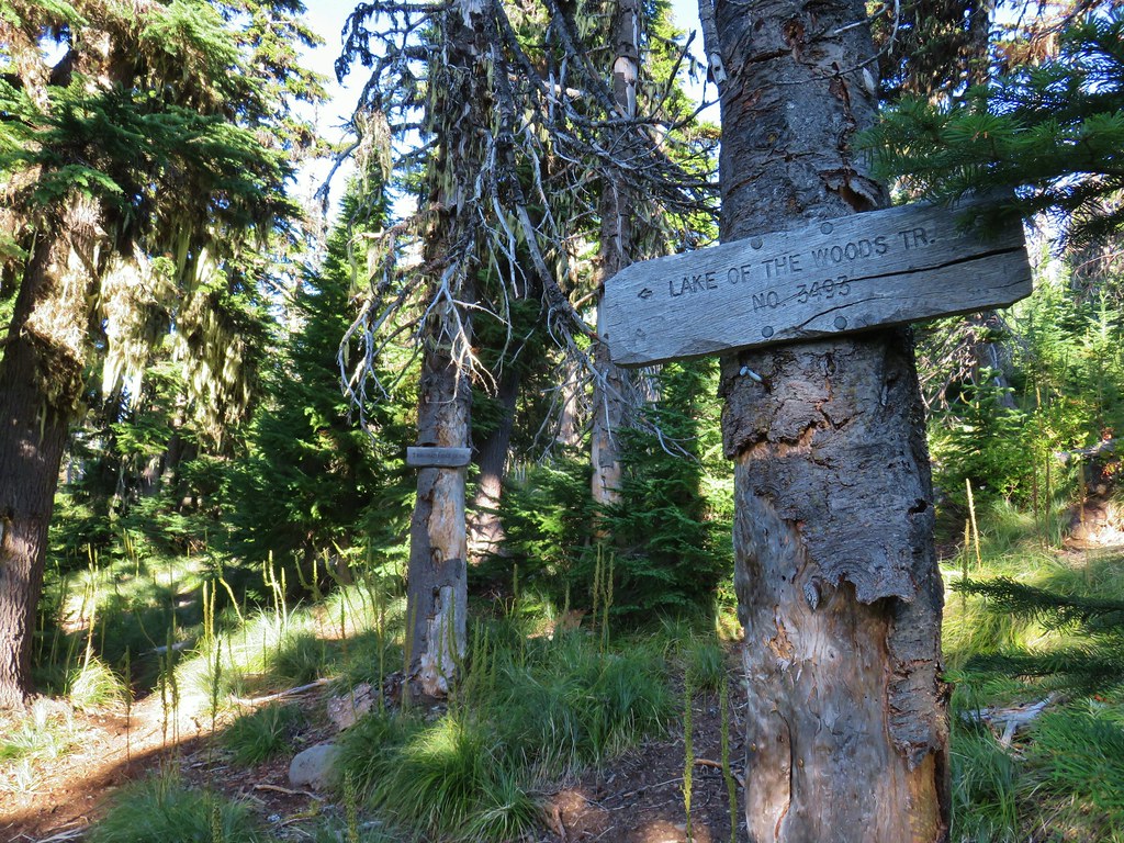
To reach the trail we had to walk through the campground to the top of its loop and pass between a couple of occupied camp sites to a trail sign.

 The sign is visible from the campground road.
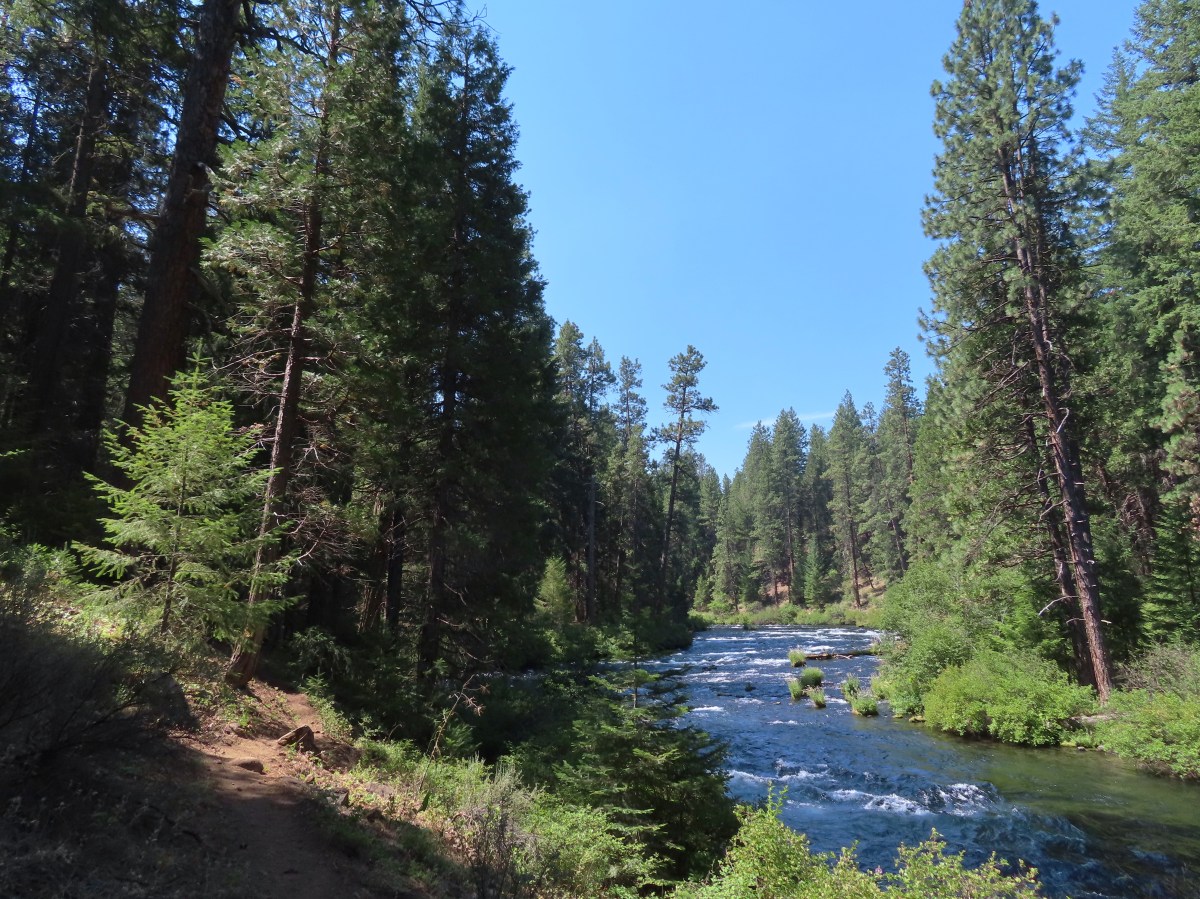
The trail quickly reached the banks of the Metolius. This 23-mile river is fed primarily by a series springs and spring fed creeks beginning with the Head of the Metolius (post). The river ends at Lake Billy Chinook (post) where it joins waters from the Crooked and Deschutes Rivers. The spring fed water is cold and clear which makes the Metolius a beautiful river.


The trail passes a number of large campsites early on with numerous side trails for fly fishers to access the river. Reeder mentioned the trail petering out just over a mile and a half from the campground across the river from the Candle Creek Campground and recommended veering away from the river there and joining the Lower Metolius River Road.


 Common mergansers

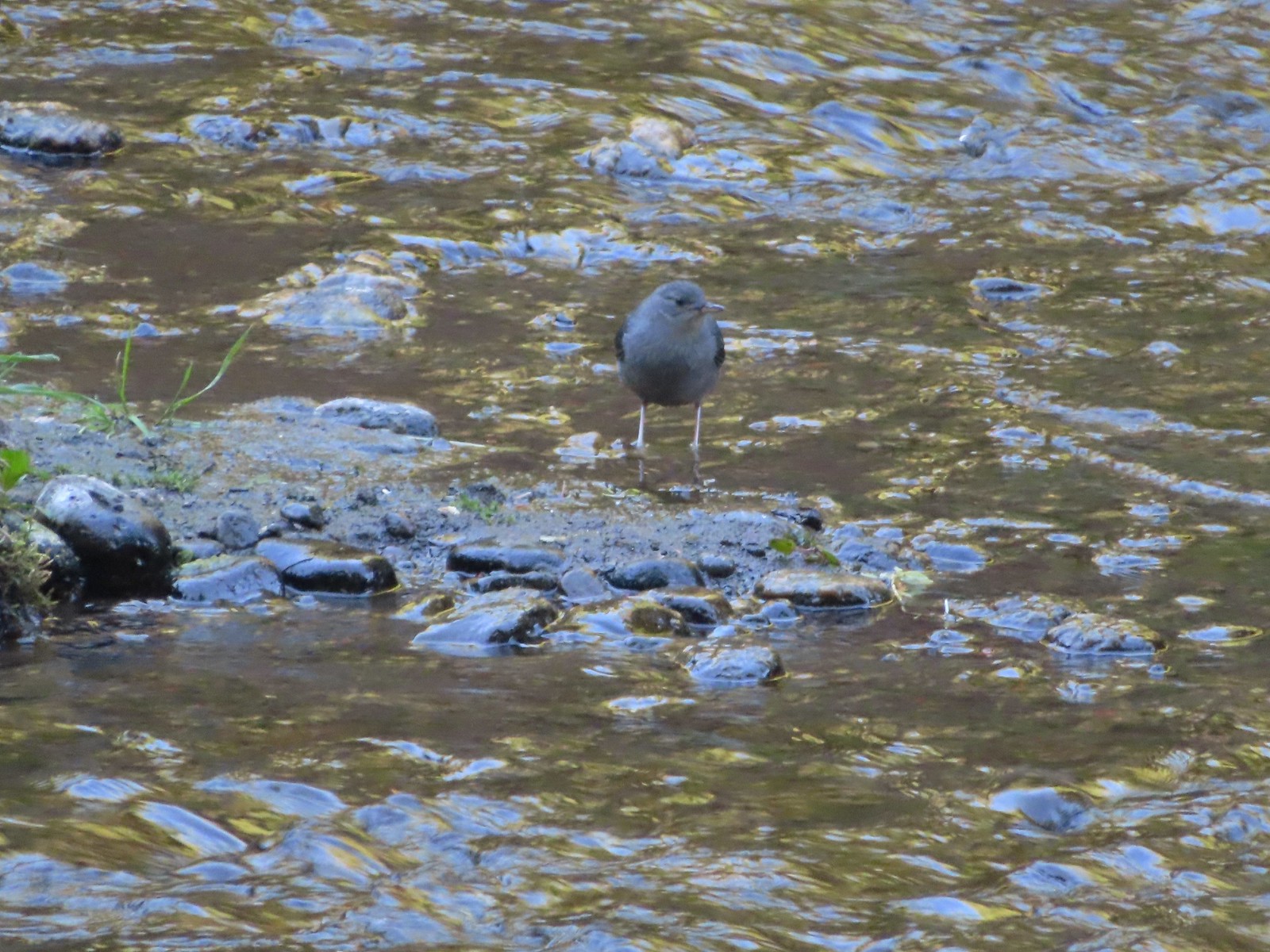 Ouzel
Ouzel
 Goldenrod
 Passing some of the campsites.
 The Candle Creek Campground across the Metolius.
The trail seemed to be in pretty good shape as we passed the campground so instead of detouring to the road we stuck to the trail which was now more of a braided fisherman’s trail than a hiker trail, but it was passable without too much effort. That is until the final 100′ where we nearly lost the trail in brush before finding a very steep trail leading up to the road.

 We actually went left below the stump here but, on the way back wound up coming downhill by the stump.
 More campsites.
 As we got further from the campground we encountered more and more brushy sections.

 Another section with an increased number of obstacles.
 Getting a bit brushier.
 We left the river for the road at this bend.
 Heading up to the road.
 The use trail from the road.
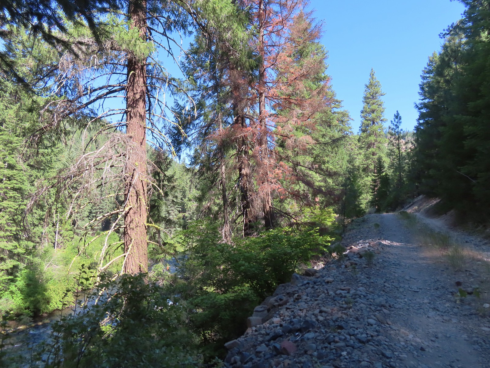
Several opportunities to head for the road prior to this had us deciding that we would look for one of those on the way back instead of returning exactly the way we came. We followed this road a total of 6.2 miles to where the GPS showed the road ending and the Shut-In Trail beginning. We actually were passed by a gentleman in an SUV who was heading for one a small number of private cabins located approximately 3.7 miles from where we’d joined the road. He stopped to ask where we were headed and wished us a good hike.

 We wondered what this post signified.
 They were way past blooming but there were several mountain lady slippers along the road.
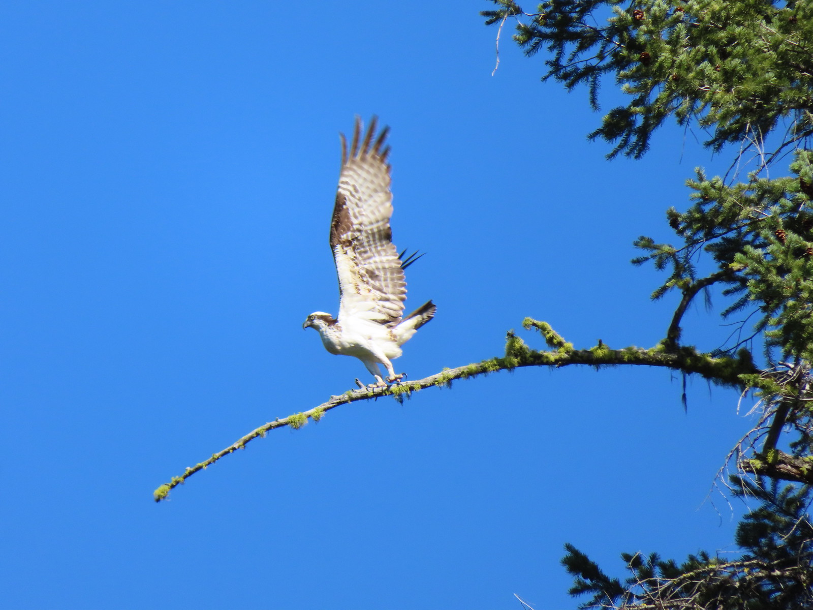
 Osprey nest

 Rock spire on lower section of Green Ridge. There are several interesting rock features higher up on the northern end of Green Ridge that were not visible from the road.
 Orchid
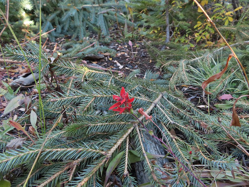
 Scarlet gilia
 Some of the private cabins from the road.


 A couple more cabins.
Based on the Oregonhikers field guide we had expected the road beyond the private cabins to have downed trees but instead found they had all been cut and there were even tire tracks, bicycle most likely, all the way to the Shut-In Trail.
 The end of the private land.
 The clear water allows for nice views of the rocks making up the riverbed.

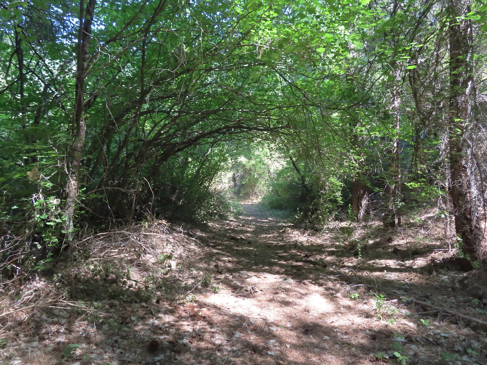
 Even though it had received maintenance the road was not in good enough condition for larger vehicles.


 Pink monkeyflower


 Lorquin’s admiral
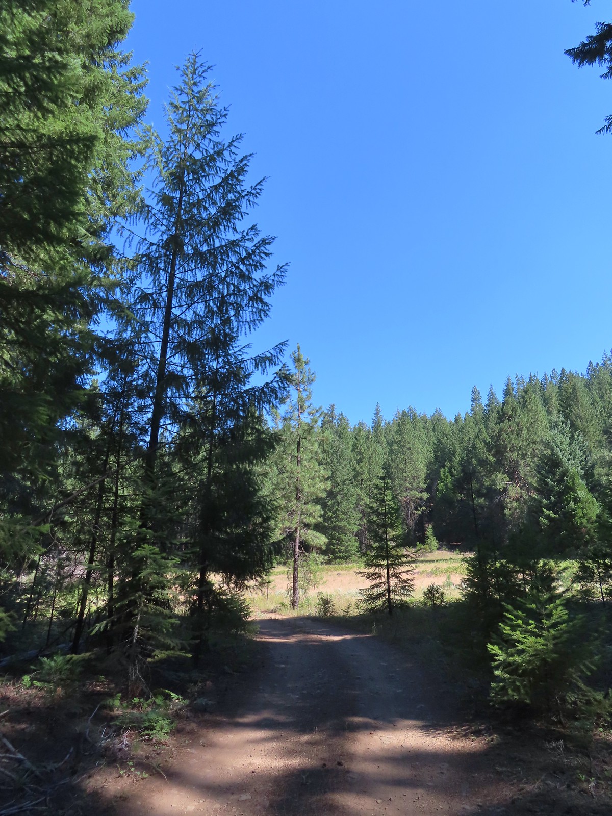
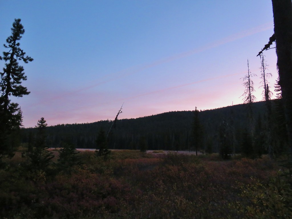
 The forest opened up near the end of the road where we set up camp.

 Campsite
 Yellow monkeyflower
We had arrived at our campsite a little before 12:15pm and it was really heating up, so we broke out our camp chairs and rested for several hours near the river before fixing an early dinner and setting off on the Shut-In Trail.
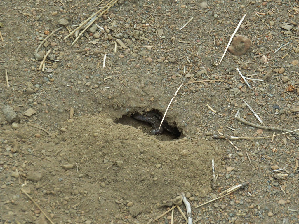
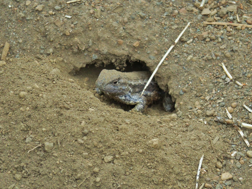
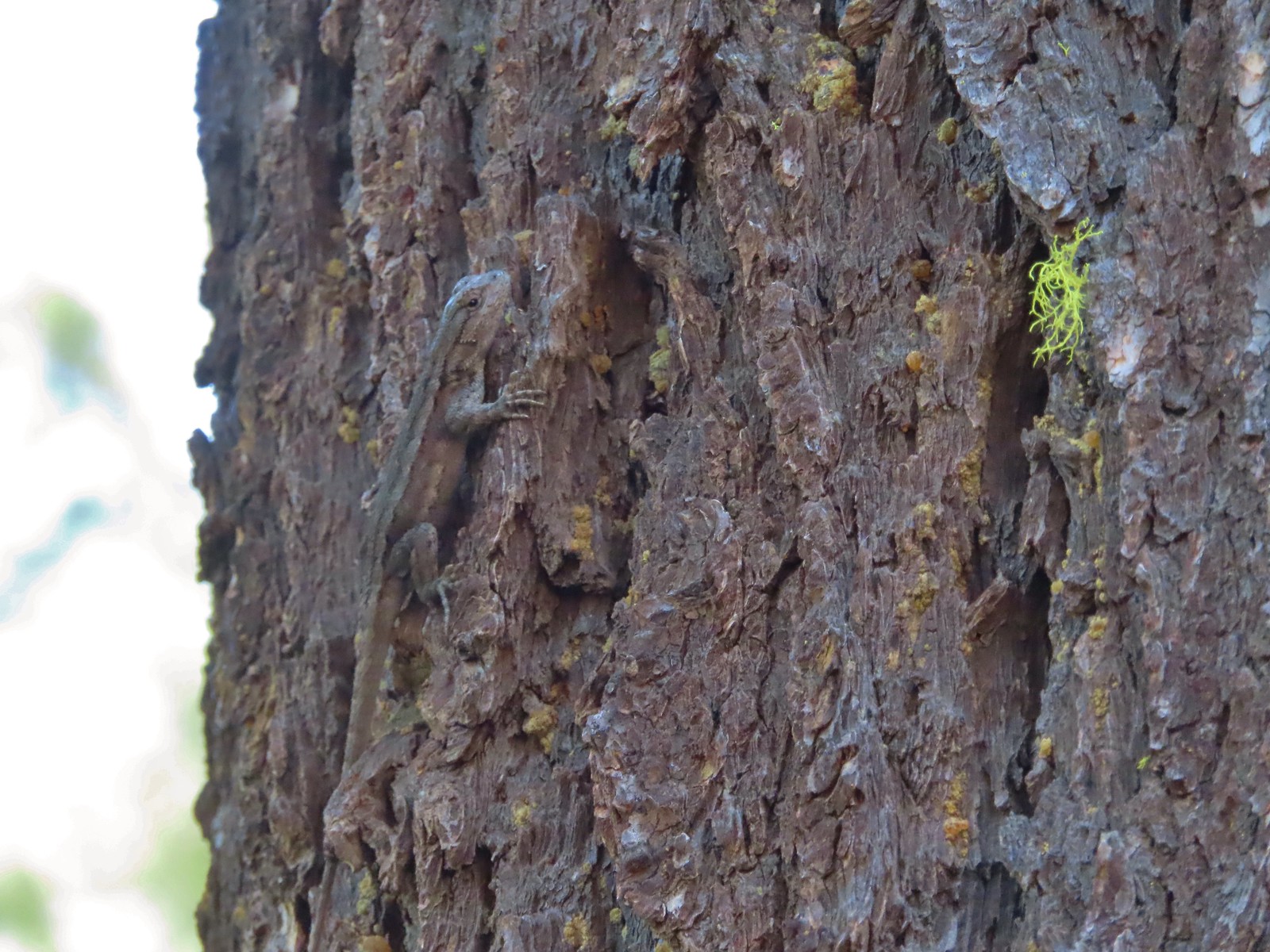 Lizard hanging out near the campsite.
After an early dinner we set off on the Shut-In Trail which we were surprised to find had seen some recent maintenance.


 Grouse
 The answer to the questions is yes bears do.
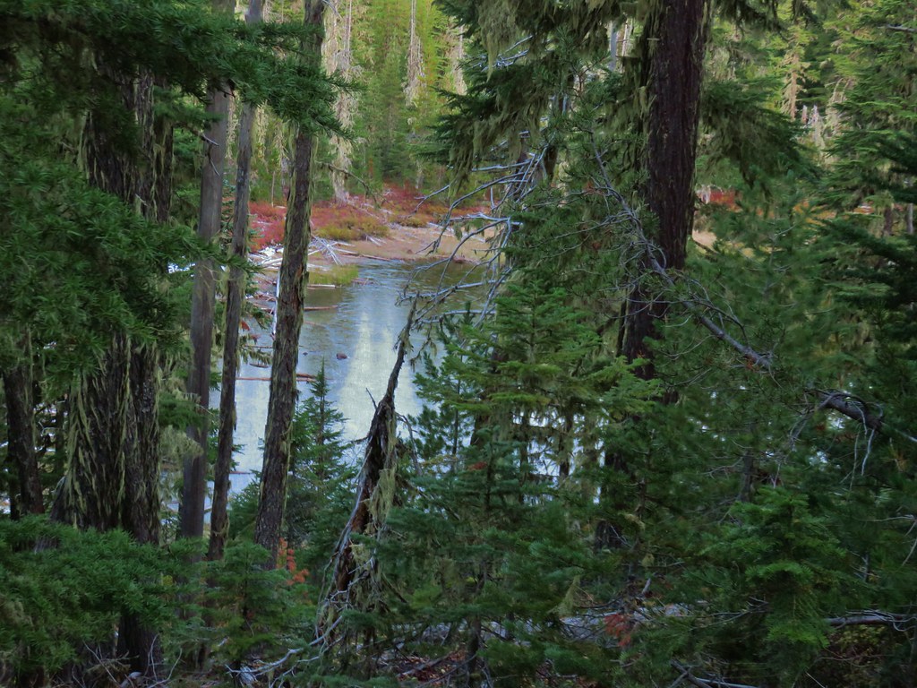
 The Metolius through the trees.
 Sagebrush mariposa lily. There also tire tracks in the trail behind.

 Recent brushing had been performed through this area.
 Looking up the end of Green Ridge.
 This large tree had been cut fairly recently.
 Flagging marking a reroute around a downed tree.
After a little more than a mile and a half of good trail things began to deteriorate.
 Starting to get brushy.
 View across the river to the Warm Springs Indian Reservation.
 Flowers along the Metolius.

 The Whitewater River was behind the rock formation on the far side. The Whitewater River begins at the Whitewater Glacier on Mt. Jefferson and flows roughly 7.5 miles through the Warm Springs Reservation to the Metolius.
 More clear water.
 Fireweed
 Thimbleberries provided us with a few after dinner snacks.
 Hedgenettle
 The Shut-In Trail traveled right along the riverbank at times.
There was one section along the hillside that had experienced some pretty significant erosion.
 There was a small set of boards nailed together to assist with crossing the sketchiest part, but they were just lying on the hillside and not anchored in any way.
Just under two and a half miles from our camp we arrived at County Road 64. One could continue along this closed road for 4.6 miles to a gate just beyond the Monty Campground. A seasonal gate is located another 1.7-miles from the campground along the Metolius arm of Lake Billy Chinook.
 The Shut-In Trail from CR-64.
 CR-64
CR-64
After a short break at the road we headed back.

 Frog on a skunk cabbage leaf. There were a few wet areas along the Shut-In Trail which meant a few mosquitos were present.
 The Sun going down as we approached camp.
Our first day wound up being 15.3-miles, 10.5 to reach camp and a 4.8-mile round trip on the Shut-In Trail. The elevation gain was only about 800′ total.
We woke up early the next morning hoping to stay ahead of the heat. After breakfast and packing up we followed the Lower Metolius River Road a total of 8-miles before cutting down to the trail along the river.

 Pinedrops
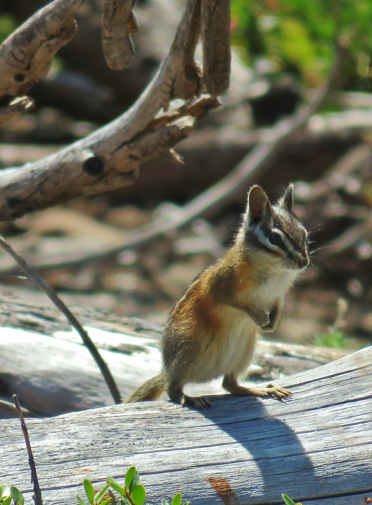
 Squirrel
 Bee sleeping on thistle.
 Large boykinia
The gentleman that had driven passed us the day before passed us again on his way into the cabins shortly before we turned off the road.
 We turned off the road here on a well-established use trail down to the water.
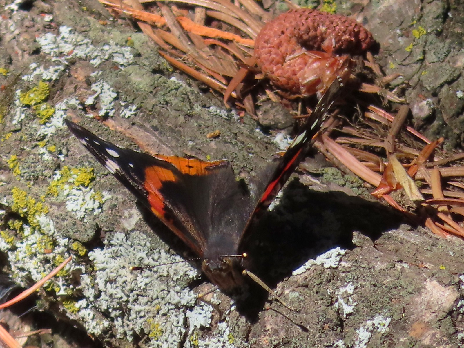 Red admiral. As far as I know this is the first one of this species of butterfly that we’d seen.

 Common wood nymph
 Across from the Candle Creek Campground.
 Green Ridge through some smoke. A couple of new fires, one on the Warm Springs Reservation and one East of Eugene had started over the weekend.
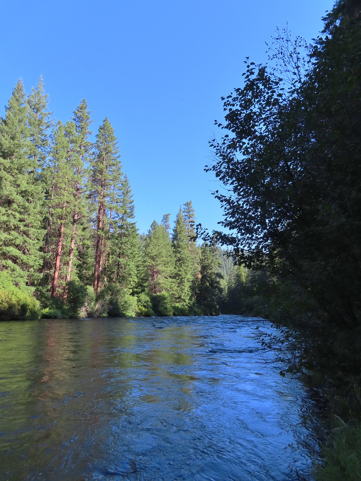
 Love the colors of the Metolius.
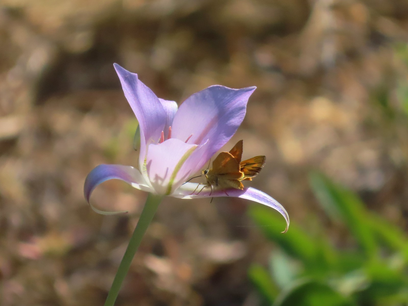 Skipper on a mariposa lily.

 Lower Bridge Campground is ahead to the left in the trees.
Our return hike came in at 10.1-miles which was the distance Reeder indicated between the trailhead and Shut-In Trail. The elevation gain was under 500′ of very gradual uphill, mostly along the road.

Red is our return to the trailhead.
Heat aside this turned out to be a great backpacking trip. Over the two days we only passed one fly fisher (near Lower Bridge Campground), the private landowner (2x in his car), and a pair of hikers (again near Lower Bridge Campground). There were people across the river at Candle Creek Campground and in Lower Bridge Campground itself, but it was about as much solitude as we could have asked for. The condition of the trails was also better than we’d expected despite the rough end of the Shut-In Trail toward CR-64. It was a successful test run of our new gear as well and we now feel ready for our longer trip coming up in August. Happy Trails!
Flickr: Middle Metolius River


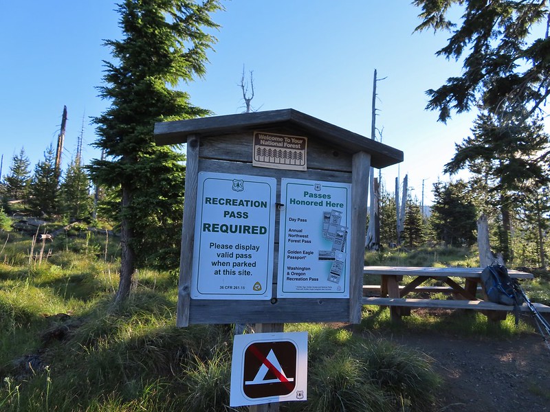
 This was at least the third posted notice so there is no claiming you weren’t aware that a permit is needed.
 Pamelia Creek
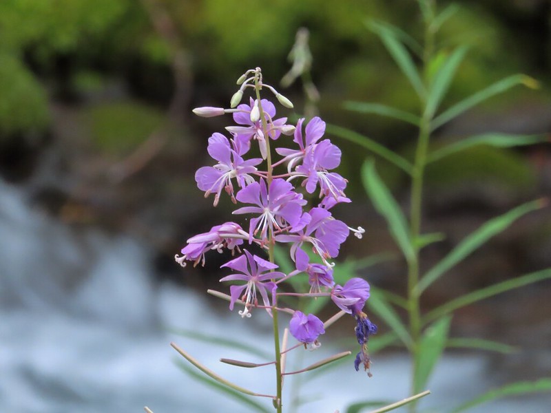 Fireweed along the creek.

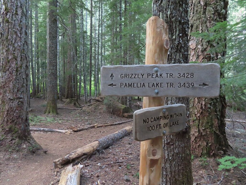
 Pamelia Creek only flows underground here much of the year.
 Heading up.
 A glimpse of Mt. Jefferson.
 That might be Woodpecker Hill, it was hard to tell exactly which ridge we could see with nothing else visible to help orient.
 This looked like it might be a nice little waterfall with enough water.
 That’s not enough water.
 Heather below one of several switchbacks.
 Turning up the ridge.
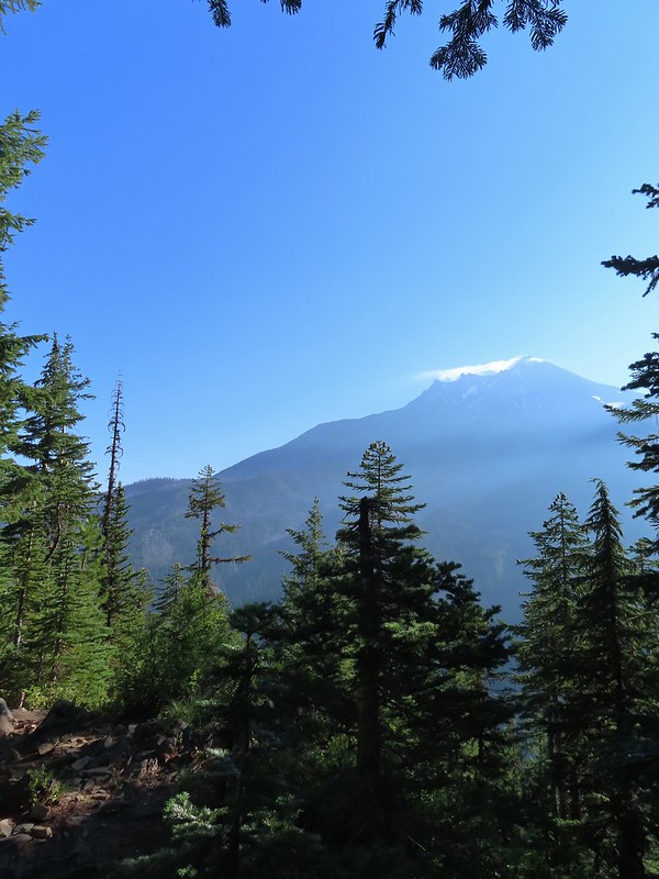 The haze was probably a combination of morning cloud/fog and smoke from the Cedar Creek Fire near Waldo Lake.
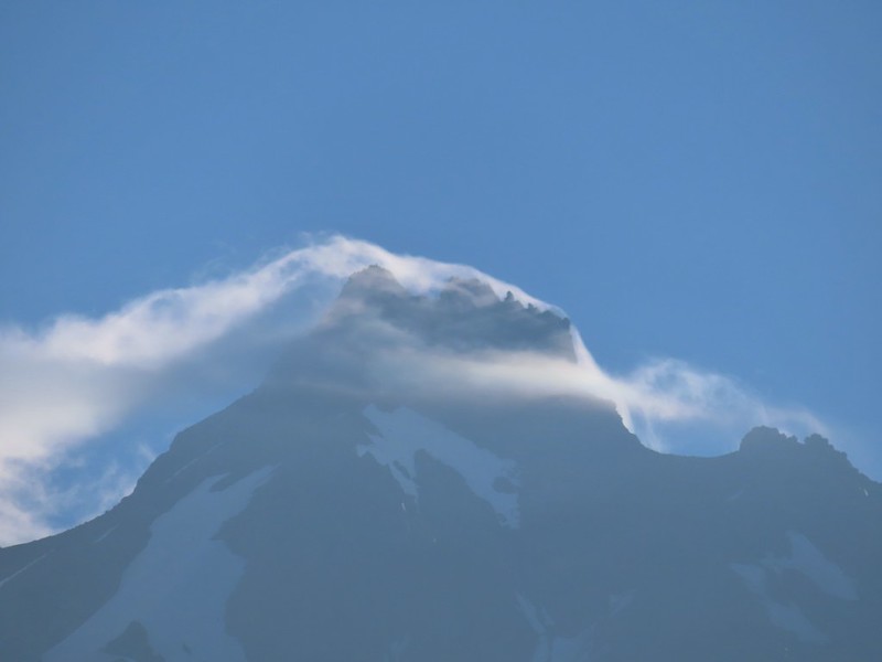
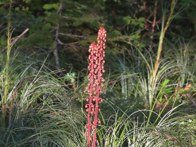 Pinedrops
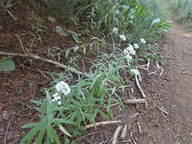 We were too late for most of the flowers but there were a few pearly everlasting going.
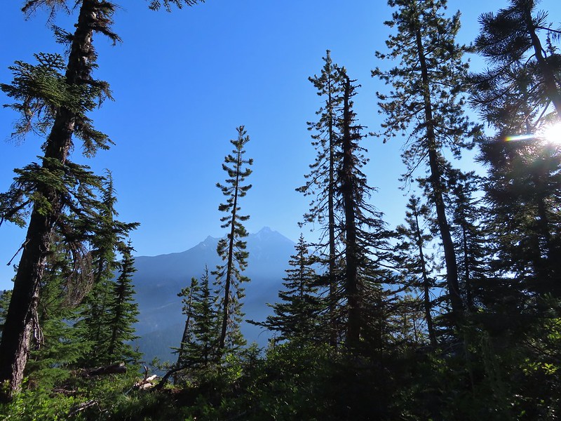 There’s that pesky Sun again.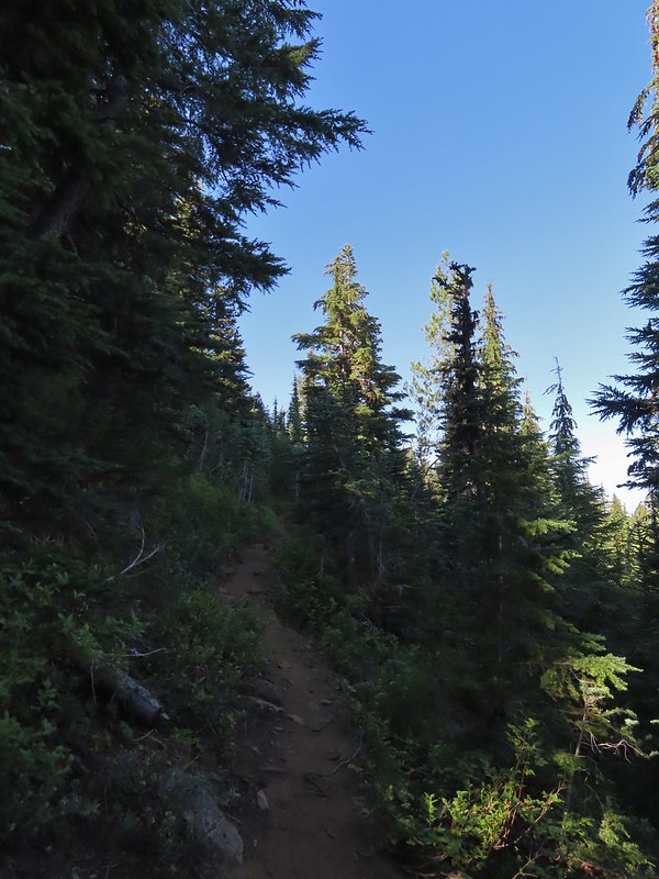
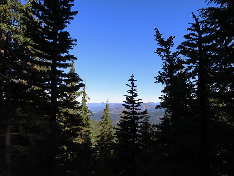
 Aster
Aster Lousewort
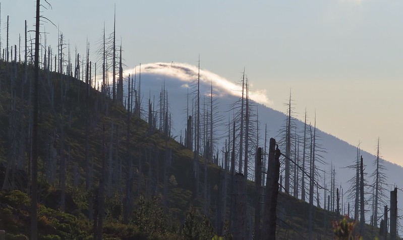
 Lots of burnt forest out there.
 Triangulation Peak and Boca Cave (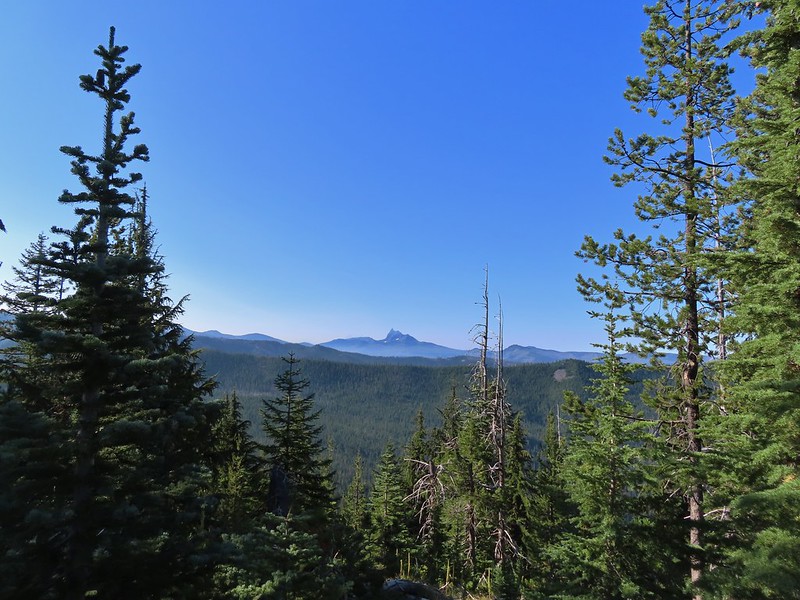
 Broken Top to the far left blending into the haze and Three Fingered Jack to the right with the Three Sisters in between.
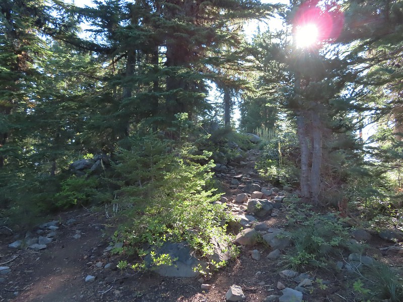 Just below the summit.
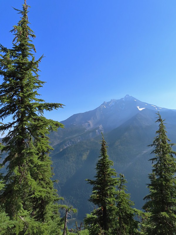 Pamelia Lake below Mt. Jefferson.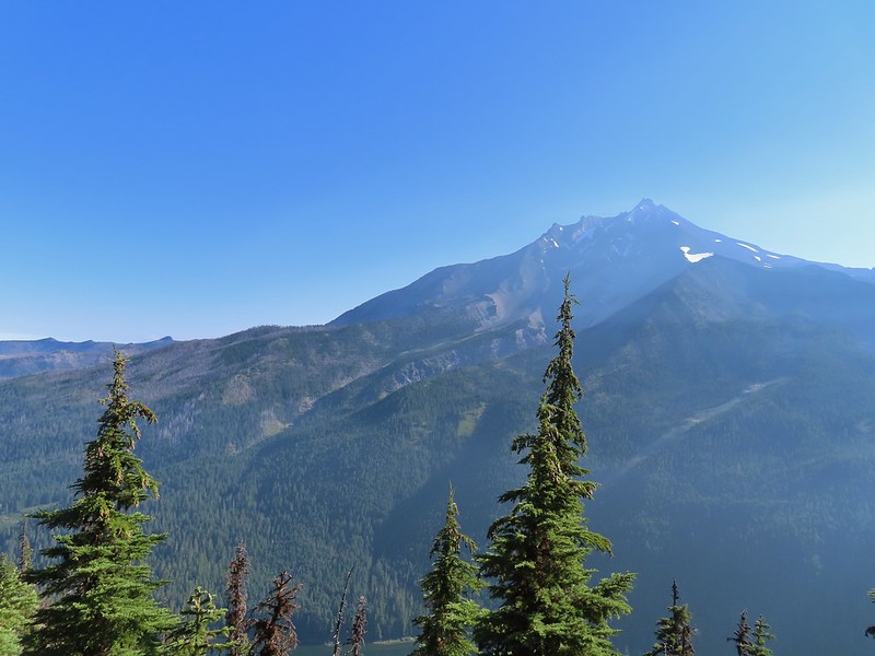
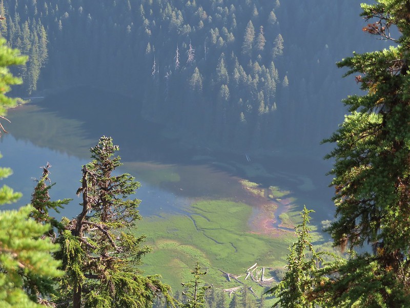 Hunts Creek flowing into Pamelia Lake.
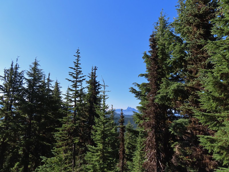 Had to hunt for a view of Three Fingered Jack.
 A hard to make out Mt. Hood beyond the far ridge which consists of Bear Point to the left (
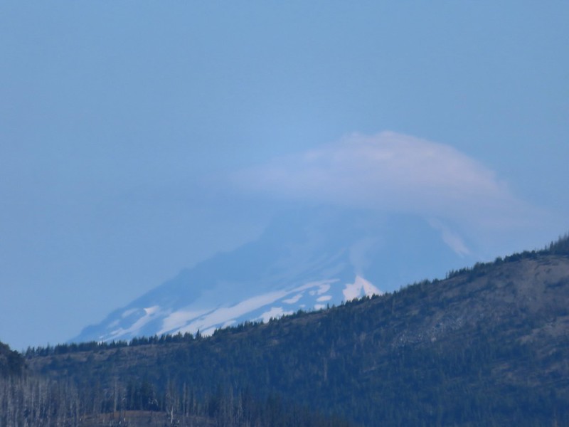 Mt. Hood
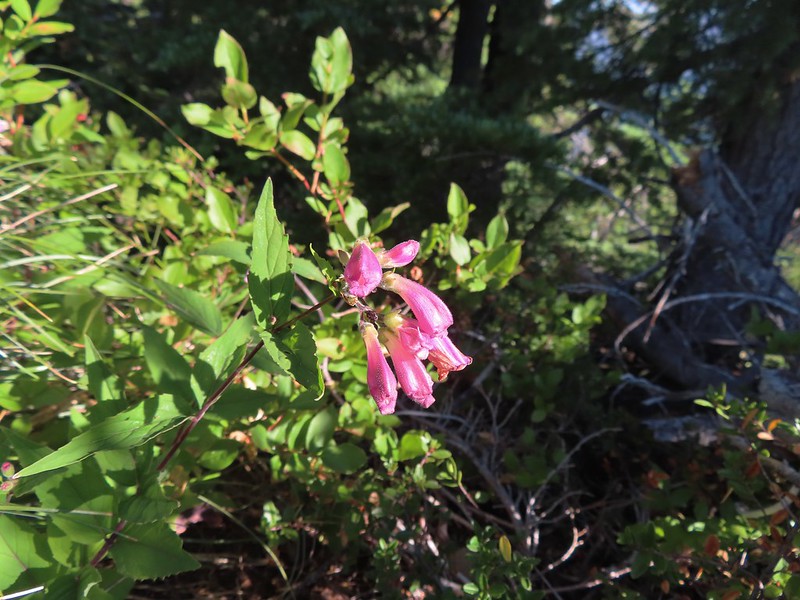 Beardtongue
 A fritillary butterfly.
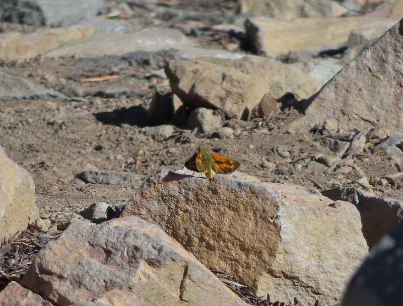 A skipper
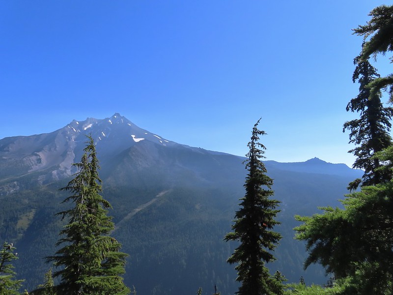 Goat Peak is to the right of Mt. Jefferson.
 Mt. Jefferson and Pamelia Lake from one of the viewpoints along the ridge.
 Cascade toad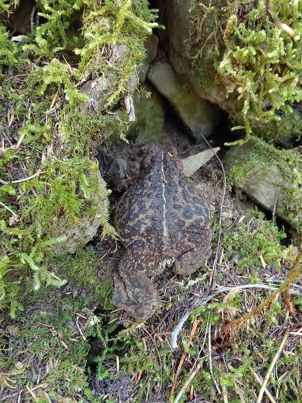

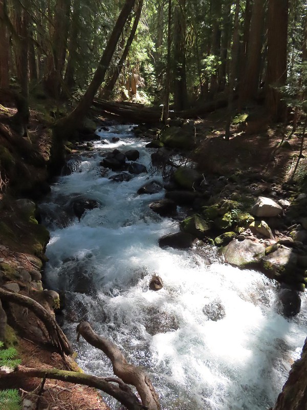 One more of Pamelia Creek.

 Black Crater (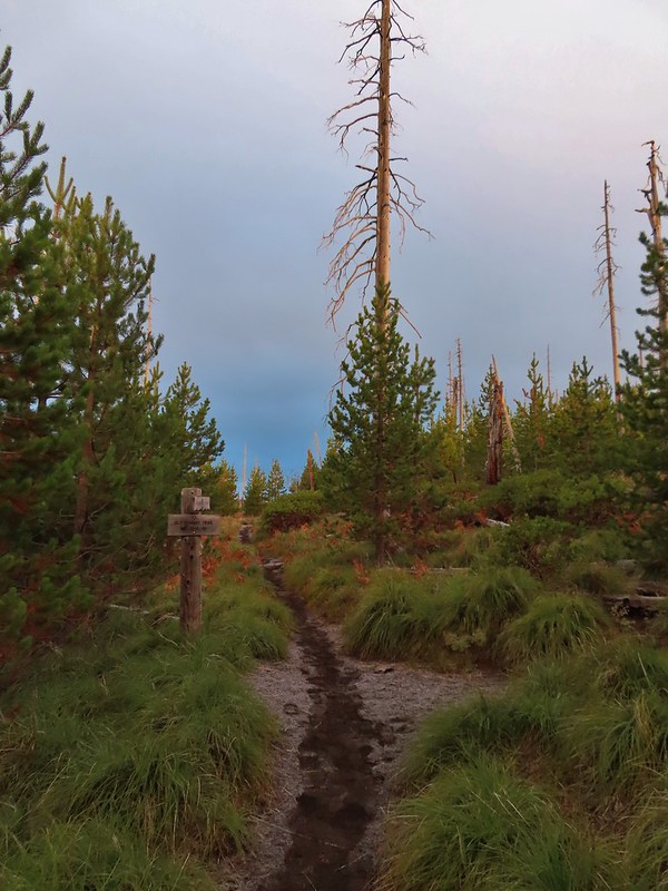

 Black Crater and North Sister
 Black Crater, the top of Broken Top, some of the Sisters, and part of Mt. Washington.
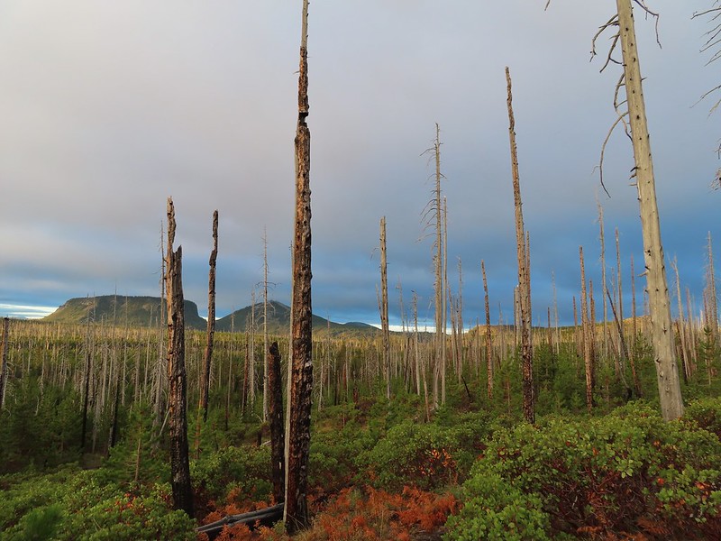 Hayrick and Hoodoo
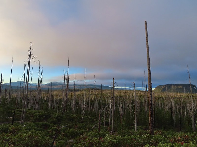 Between Mt. Washington and Hayrick Butte is Scott Mountain (
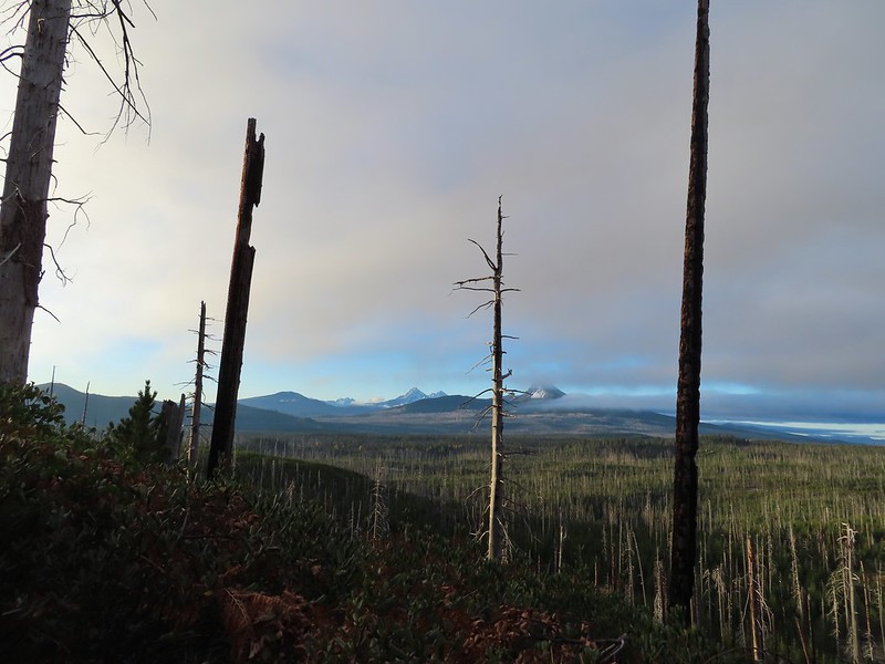 Cache Mountain is the high point furthest to the left.
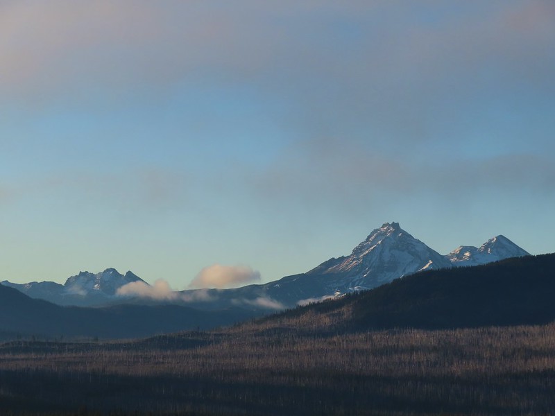 Broken Top and the Three Sisters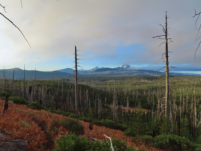
 Mt. Washington
 The Three Sisters. The summit of South Sister is between North and Middle Sister behind 9321′
 Black Butte (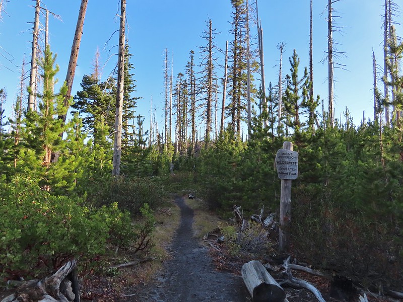
 A different angle from 2012.

 One white rump with a black tail amid the ferns near the center of the photo (good luck).
 The only paintbrush we would see all day.
 The top of Mt. Washington is just visible on the other side of Square Lake.

 Mt. Washington’s spire again.
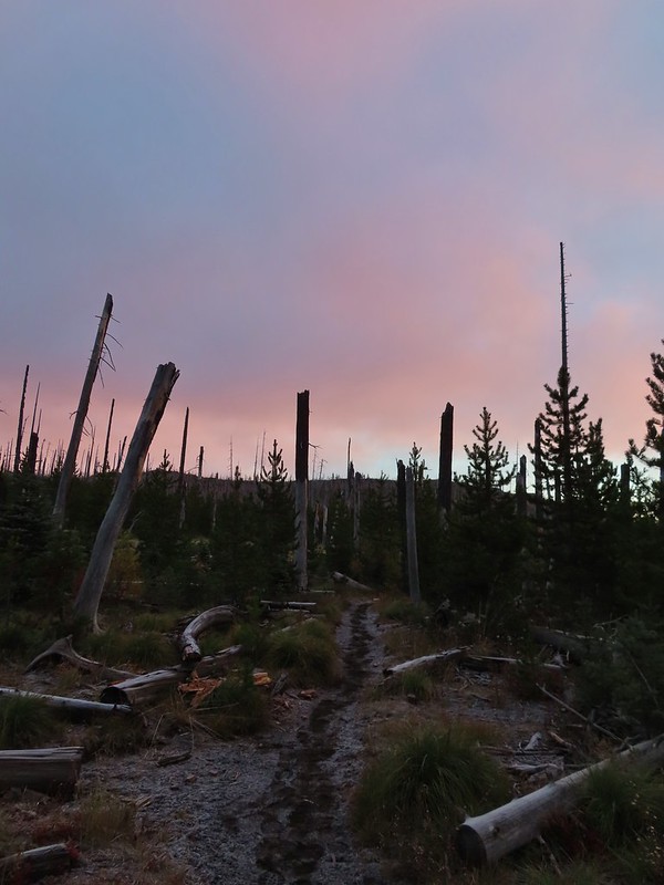
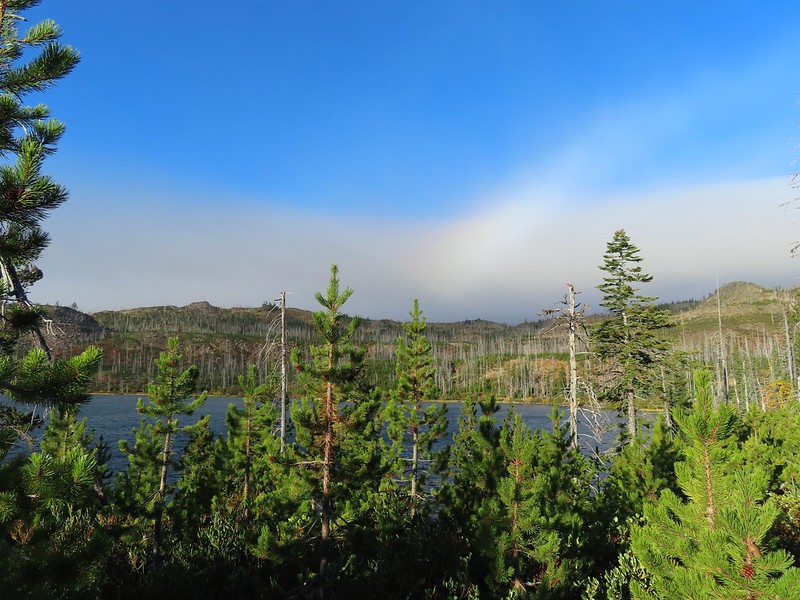 A rainbow was trying to form to the west.

 Lodgepole pine seeds require fire in order to be released from their tight cones.
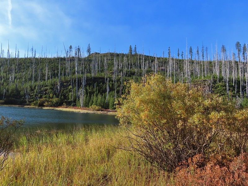
 Our first sighting of Long Lake (zoomed in).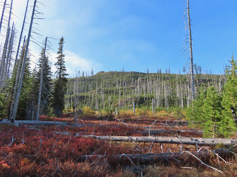

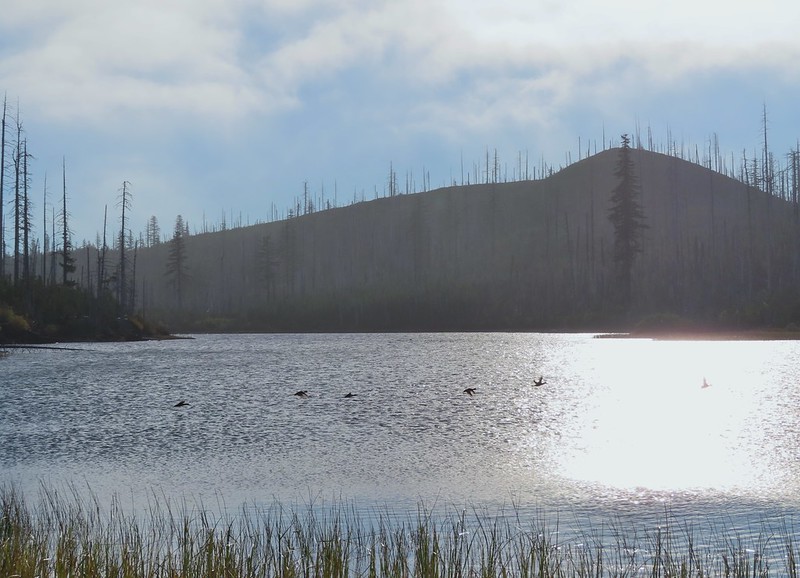 Ducks taking off from Long Lake.
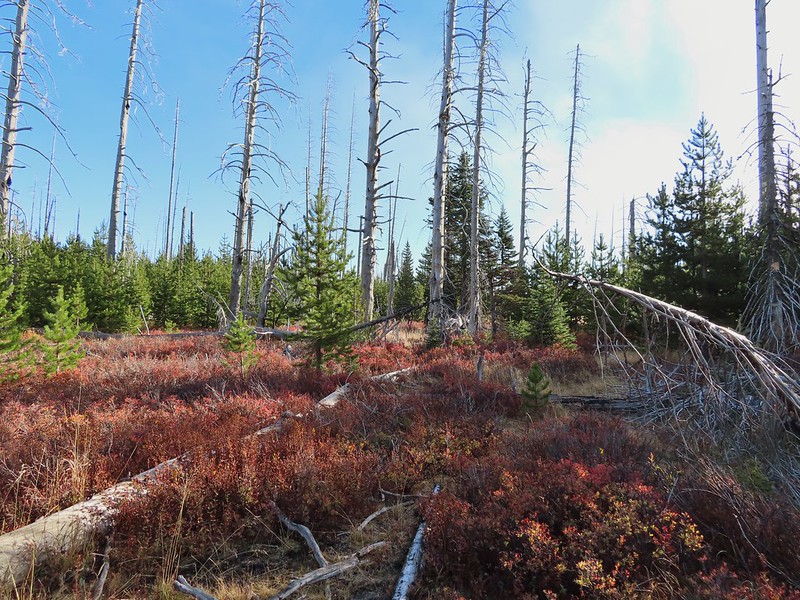
 This is one of the areas that we could see getting pretty muddy/wet.
 Rainbow
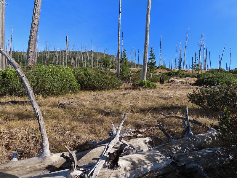 The Round Lake Trail just on the other side of the downed tree.
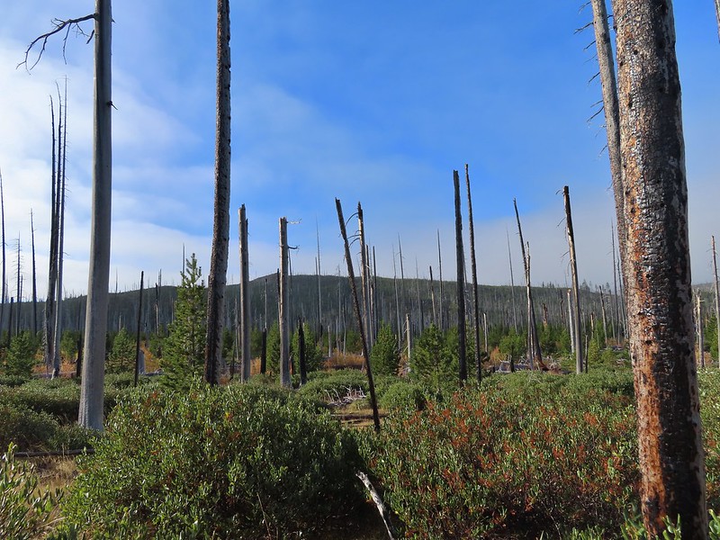 Long Lake is back down that way somewhere.
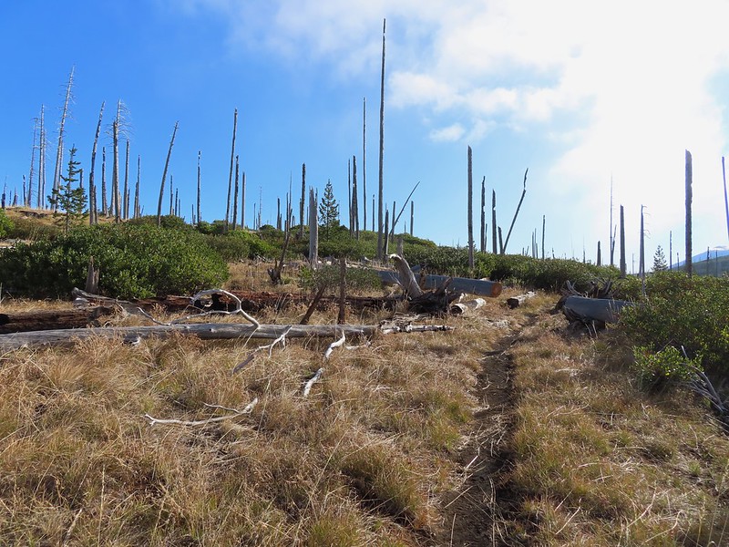 Back on the Round Lake Trail.
 Black Butte shedding the morning clouds.
 The top of Three Fingered Jack behind some thin clouds.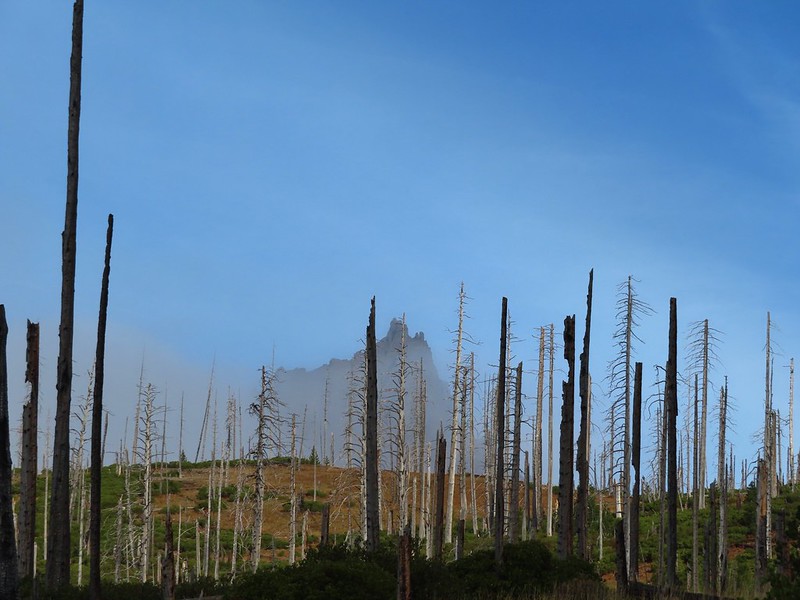
 Green Ridge (
 A better look at Three Fingered Jack.
 First glimpse of Round Lake.
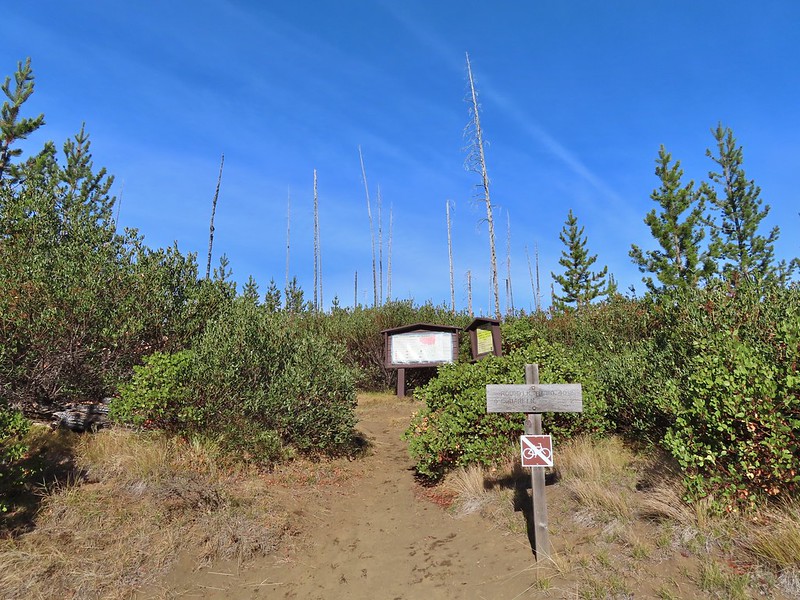

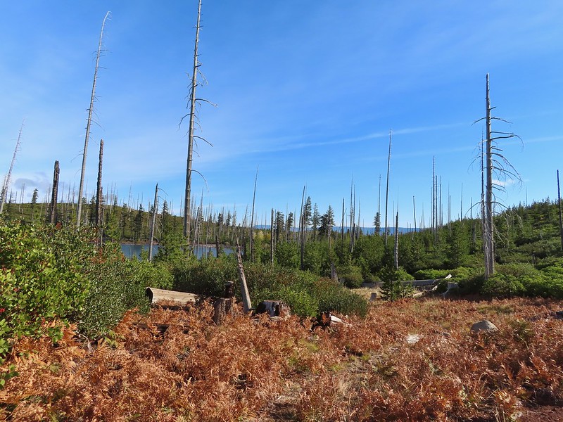

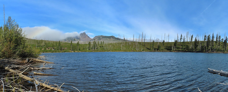


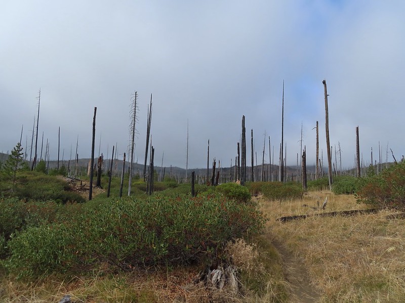
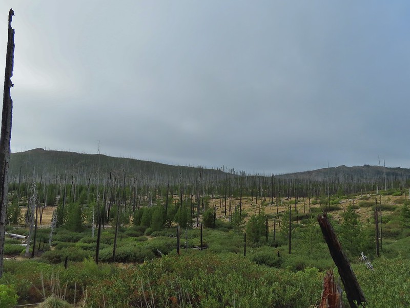 Starting to look kind of grey.
 A mountain bluebird adding a splash of blue to the green backdrop.
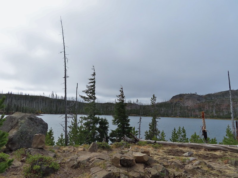 Clouds over Square Lake.
 A few scarlet gilia blossoms.
 The unnamed lake is about halfway up the far hillside.
 Black Butte and Long Lake from the trail.
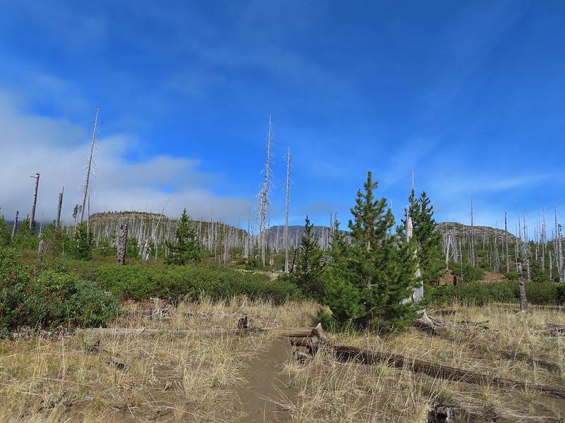 Heading toward Three Fingered Jack we got back under blue skies.
 Square Lake still under a clouds,
 The unnamed lake that drew our attention.
 Similar view from 2012.
 The trail at the gap. It was grey and cloudy to the west.
 Still at the gap, it was blue skies to the east.
 There is Three Fingered Jack.
 A good look at Green Ridge.
 A lupine that was late to the party.
 Booth Lake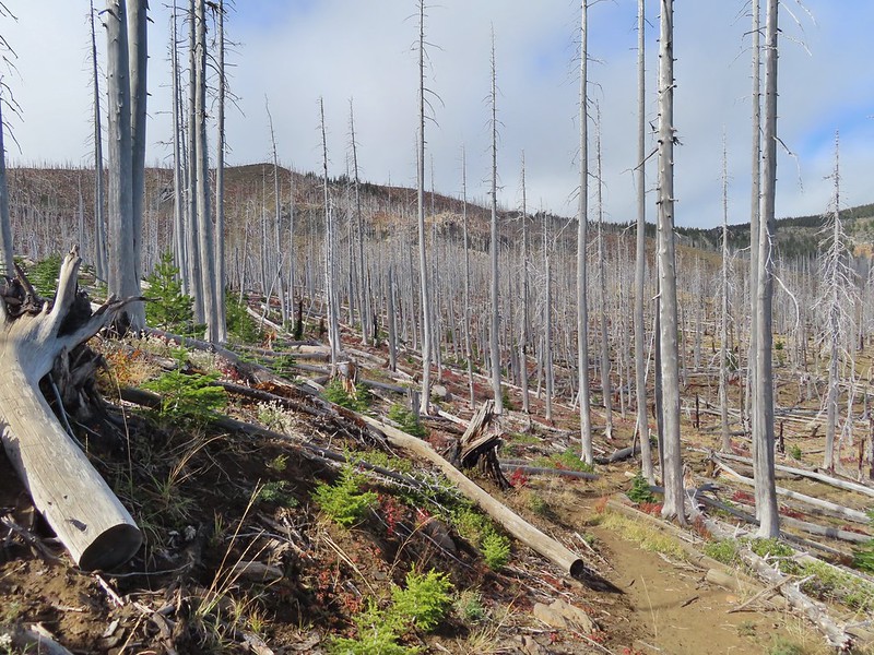
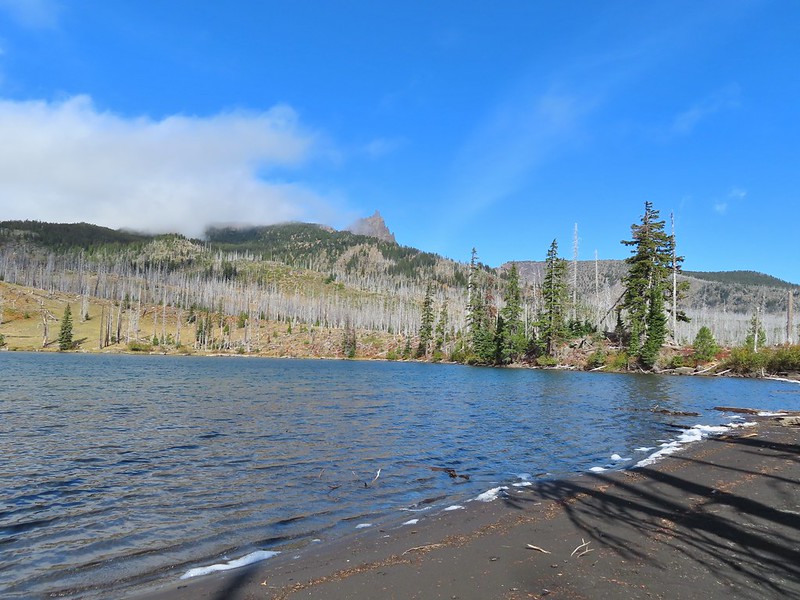


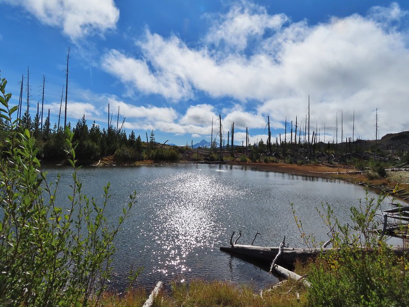
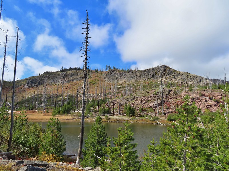
 The trail cut on the far hillside.
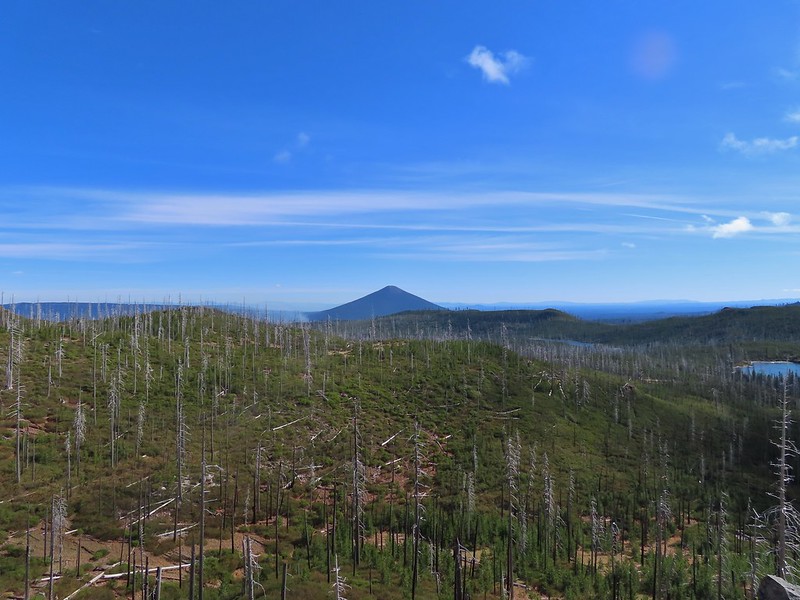 Black Butte, Long Lake, and part of Square Lake.
 Square Lake along with Broken Top and the Three Sisters (Mt. Washington was hiding in the clouds still).
 Part of the rock ledge.
 Three Fingered Jack had once again disappeared.
 Where’s Heather.

 View climbing away from Square Lake.
 Similar view in 2012.
 2012
2012
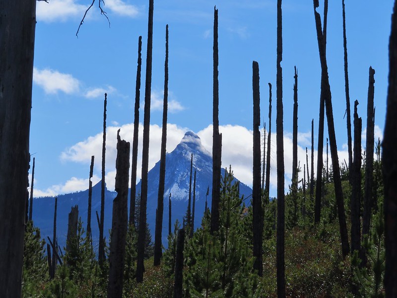

 Finally clear!
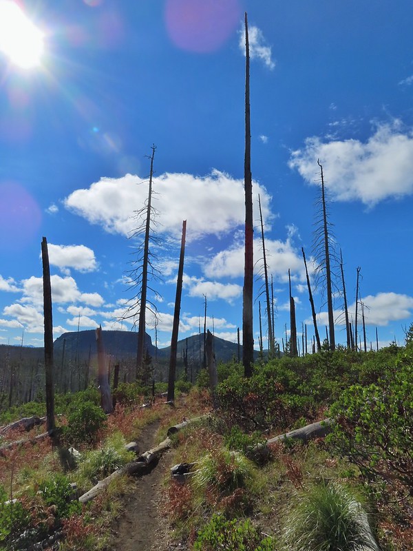 Hayrick Butte and Hoodo as we neared the trailhead.


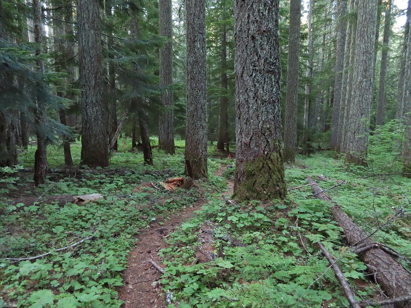
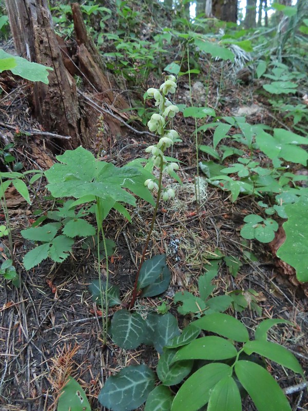


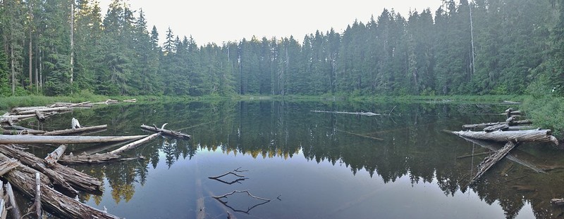
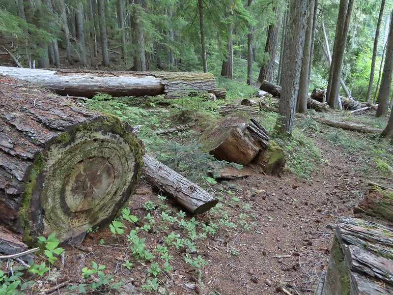
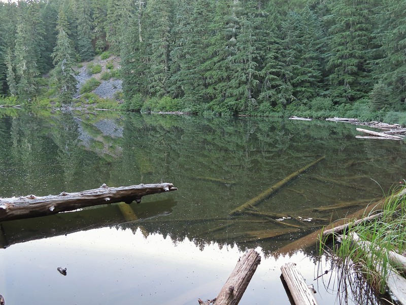
 Unnamed lakelet/pond between Pika and Fir Lakes.
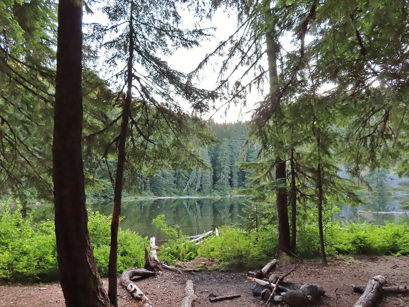 Fir Lake
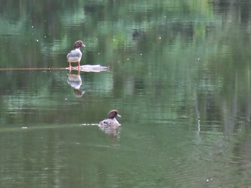 Goldeneyes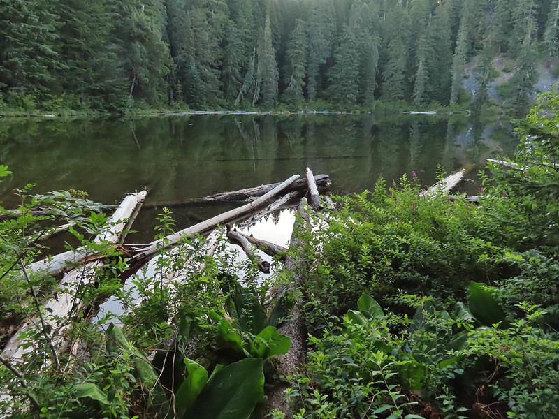



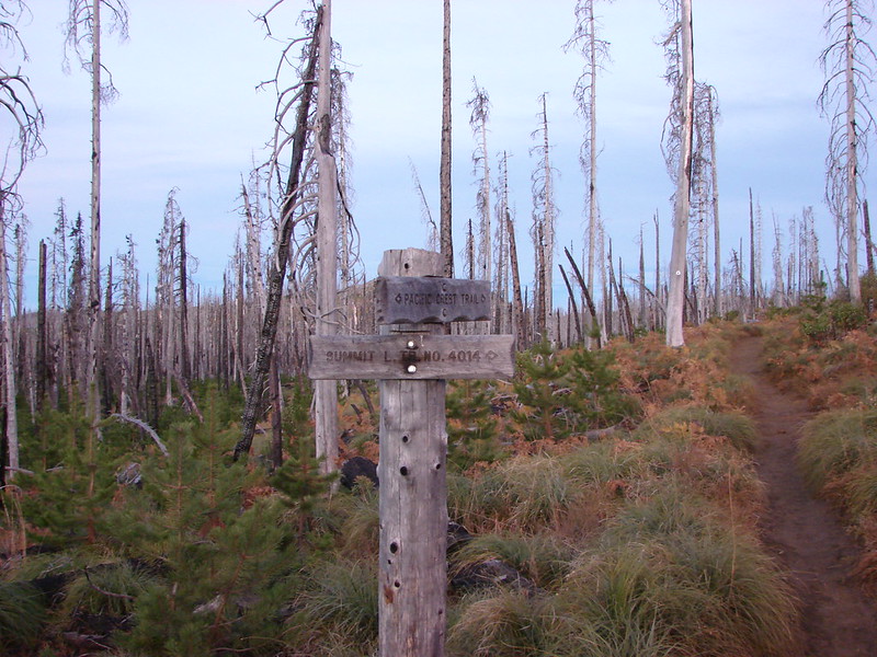 Trail sign at the junction on 10/13/2012.
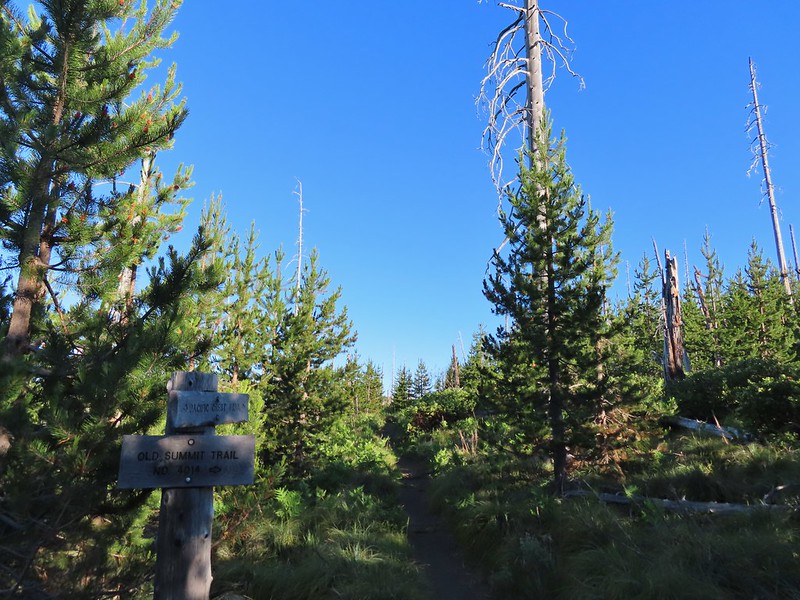 Trail sign at the junction on 07/03/2021.
 Entering the Mt. Jefferson Wilderness in 2012 (0.3 miles from the TH).
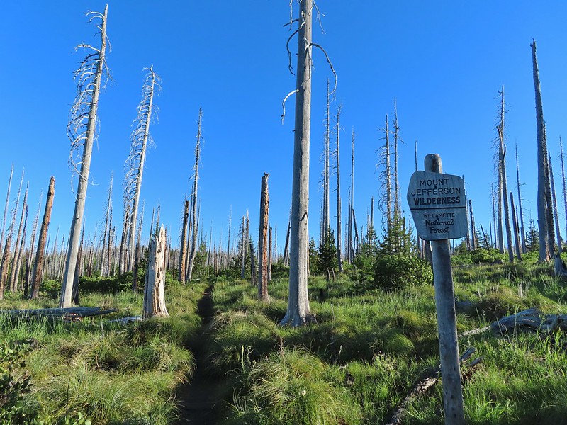 Entering the wilderness in 2021.
 Cache Mountain, Black Crater (post), Tam McArthur Rim & Broken Top (post), North & Middle Sister, Mt. Washington, and Hayrick Butte (flat top on the right).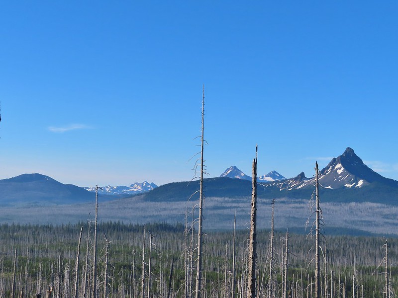

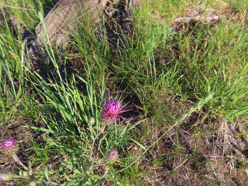 A thistle
 Penstemon
 Bleeding heart
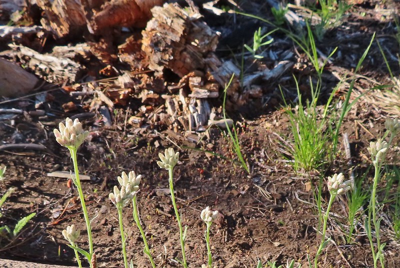 Pussytoes
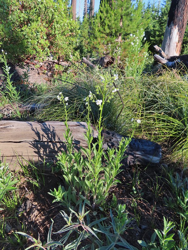 California stickseed
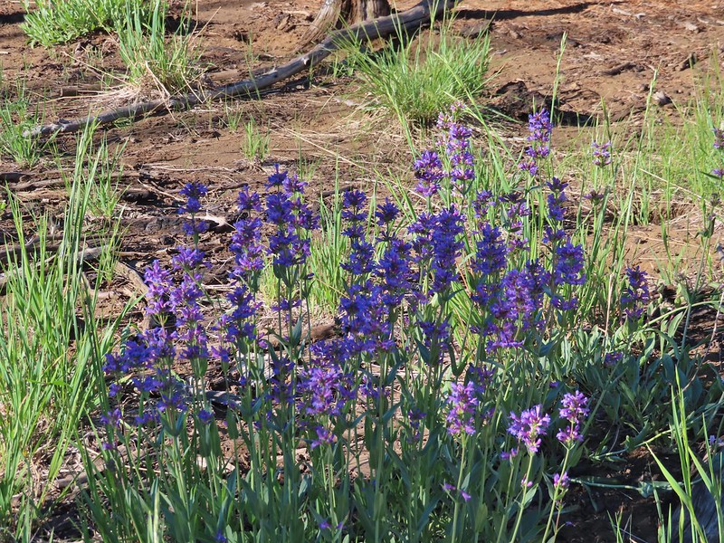 Another penstemon
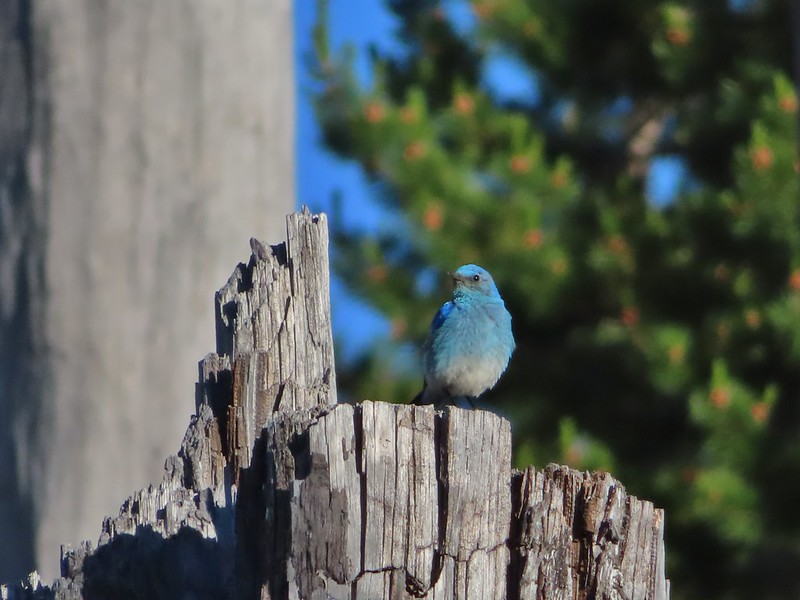 Mountain bluebird by the lake.

 There was a good amount of scarlet gilia blooming along this section of trail.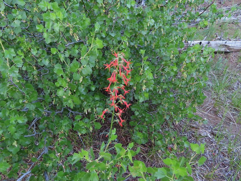
 Three Fingered Jack
 One of the ponds.
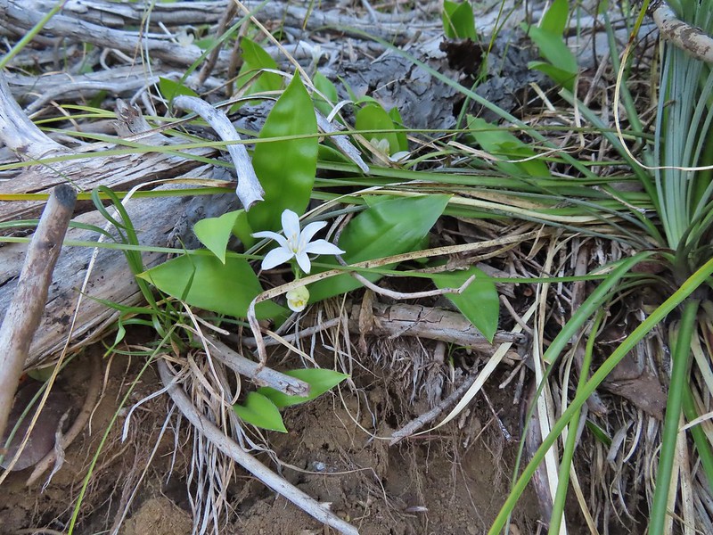 Queen’s cup
 Another pond with Maxwell Butte (
 Unnamed lake along the trail with Maxwell Butte behind.
 Lupine
 Dark-eyed junco
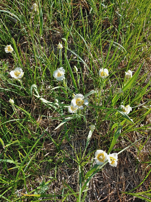 Sub-alpine mariposa lilies
 Woodpecker
 The view south.

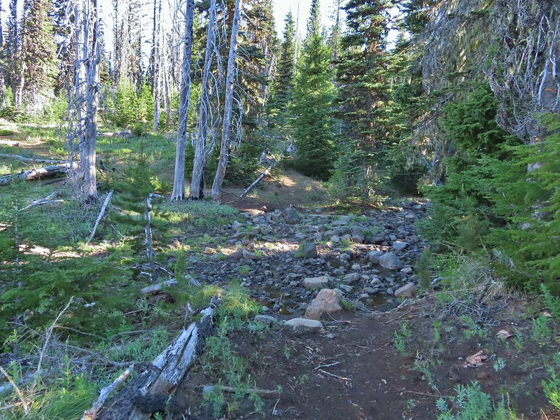
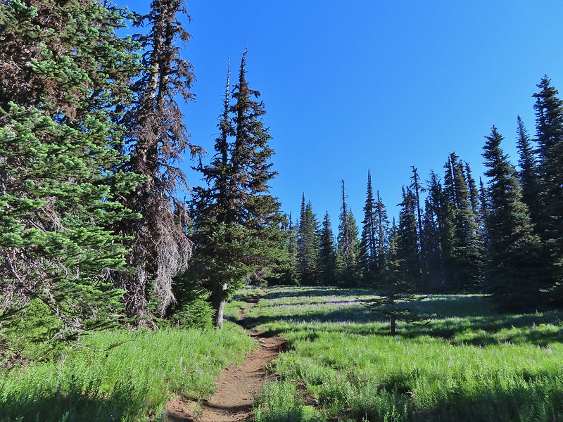


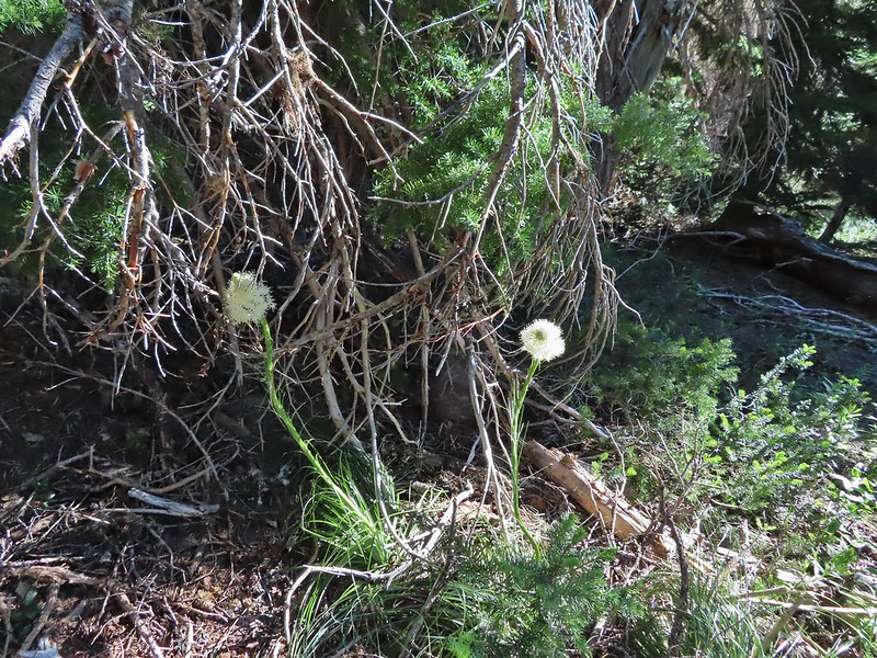 Beargrass
 Recent snow melt is another recipe for mosquitos.
 Another creek crossing.
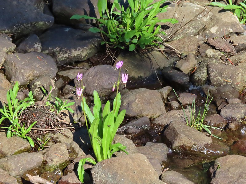 Shooting star
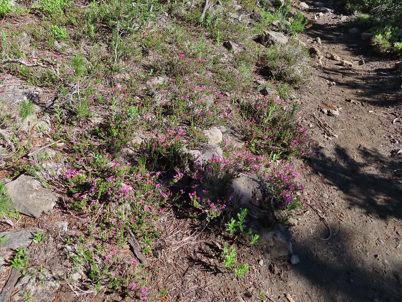 Mountain heather. Typically if we see this blooming we expect there to be mosquitos.
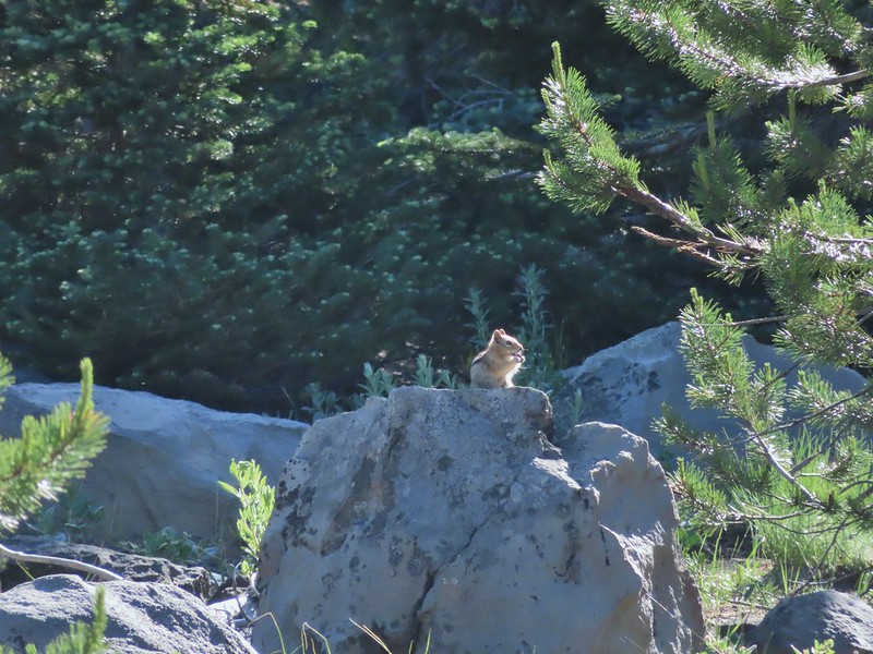
 A sulphur
 Alpine false dandelion
 One of several snow patches at the tree line.
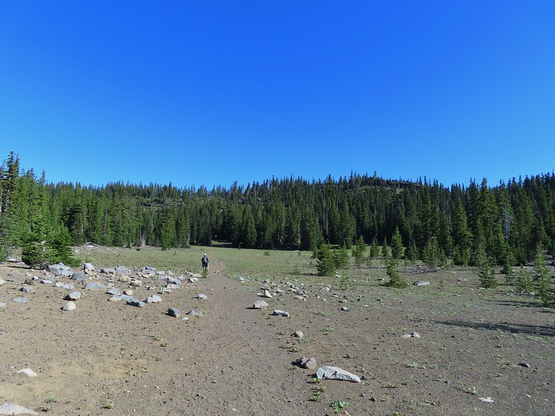 Nearing the end of the opening.
 More snow in the trees.
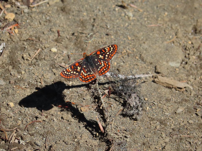
 A checkerspot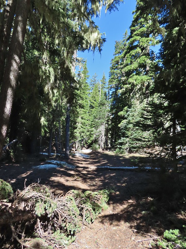
 Trees & melting snow = more mosquitos.
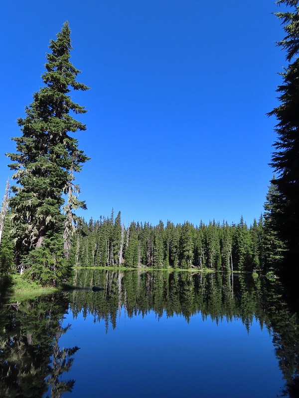 Not Santiam Lake but a very pretty unnamed lake just to the left of the trail approximately 0.4 miles from Santiam Lake.
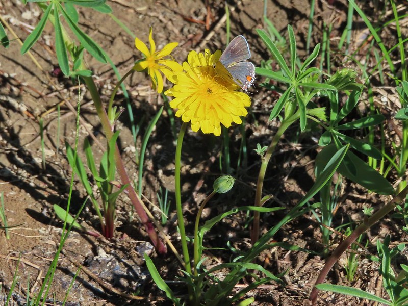 Not sure what type this is but the orange on the wing was pretty.
 Mt. Jefferson behind Red Butte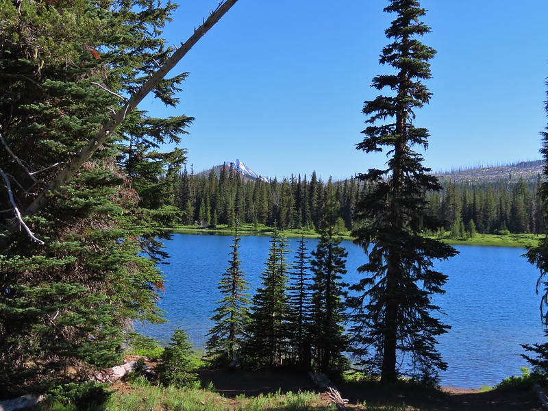
 Duffy Butte on the left.
 Three Fingered Jack
 Paintbrush, shooting stars, and buttercups.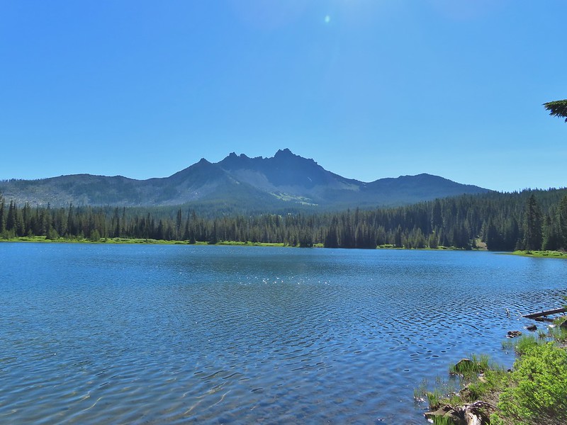
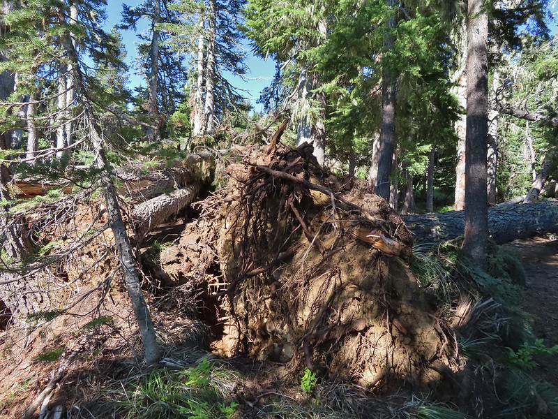 Just one of several large uprooted trees along the shore.

 The “topographic feature” ahead on the right where we planned on turning for Lower Berley Lake.
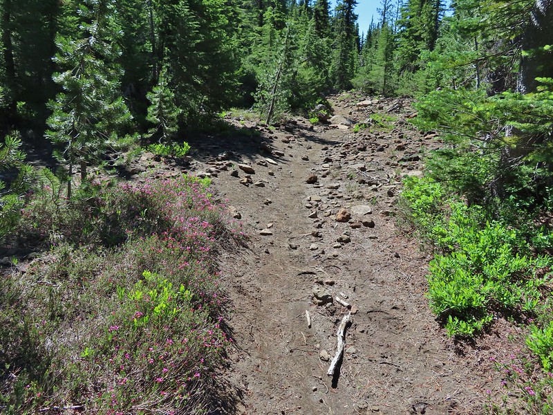 Mountain heather along the trail, it was warm and sunny enough that the mosquitos weren’t as bad this time by.
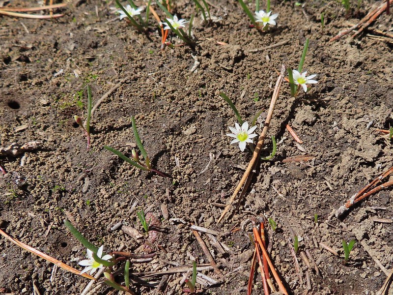 Threeleaf lewisia
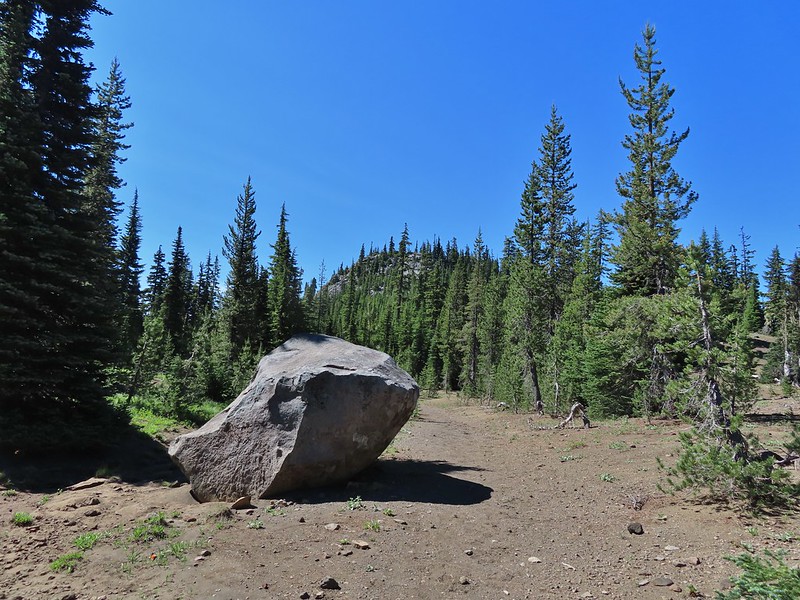 Getting closer to the hill where we planned on turning.
 California tortoiseshell butterflies in the bed of Lost Lake Creek.


 Three Fingered Jack from the rocks.
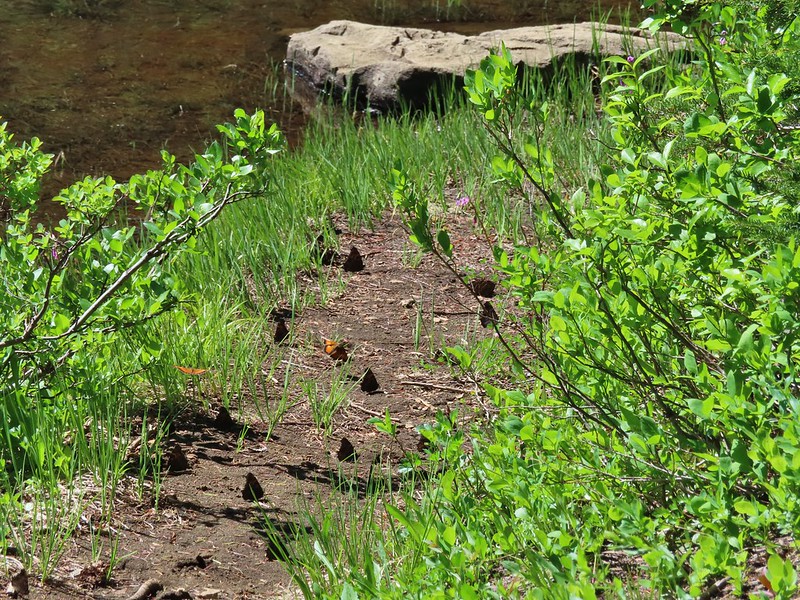 More tortoiseshells
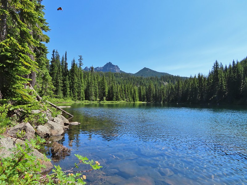 A butterfly photo bomb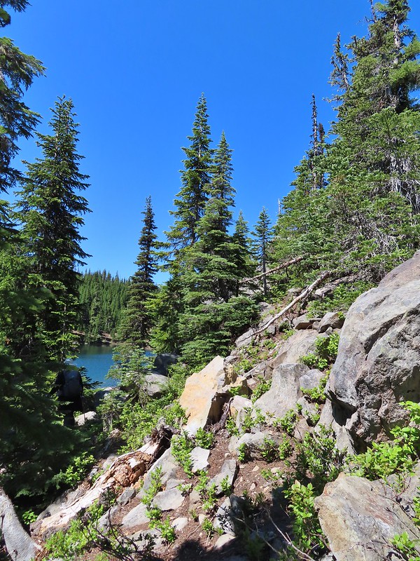


 The bed was popular with the butterflies.
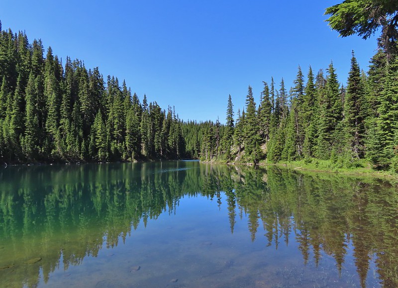
 Cross country to Upper Berley Lake, the doe was in this meadow and headed in the direction of the patch of snow at the far end.
 Upper Berley Lake
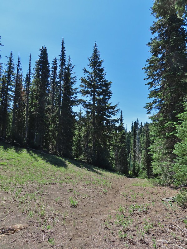 We wound up finding the same “user trail” and followed it down to the lower lake.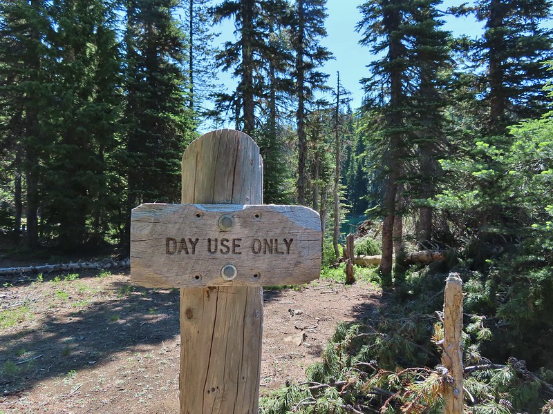
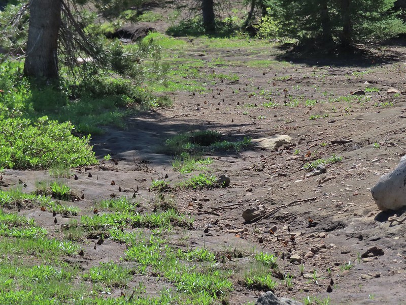 California tortoiseshell butterflies along Lower Berley Lake.
 Three Fingered Jack and about a half dozen butterflies.
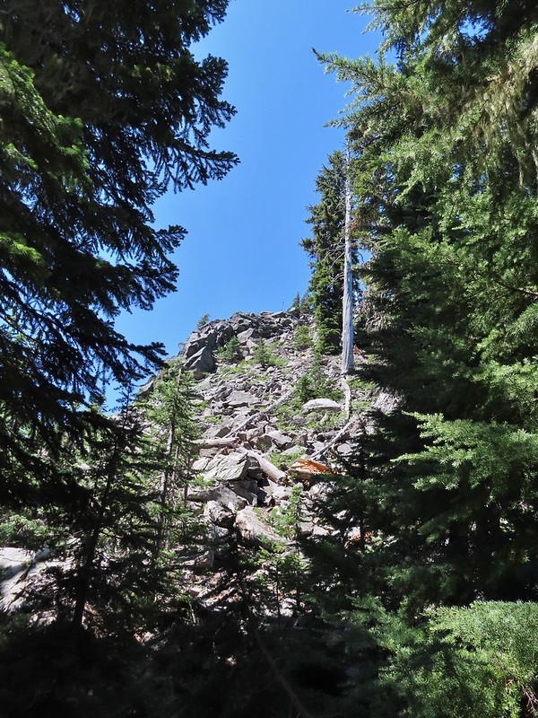 The hillside on the right was rocky.
 The trail dropping down from the saddle with Mt. Washington and the North Sister ahead.

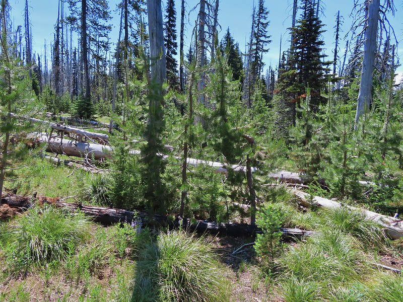
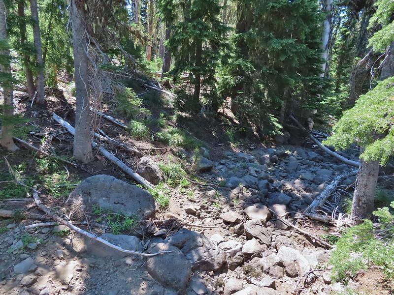
 Found it!


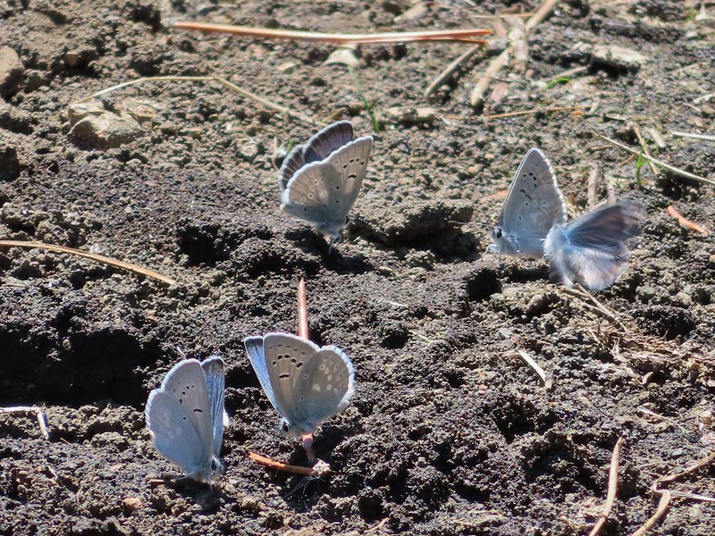
 Yellow beetle on lupine.
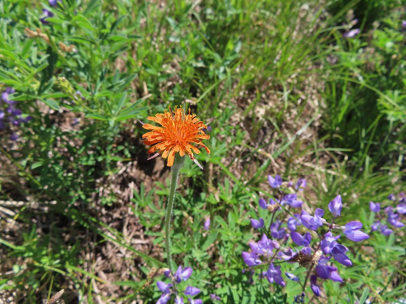 Orange agoseris
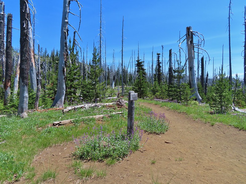 Back at the PCT.
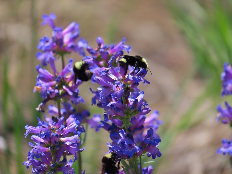 Bumble bees on penstemon.
 Cicada in the grass.
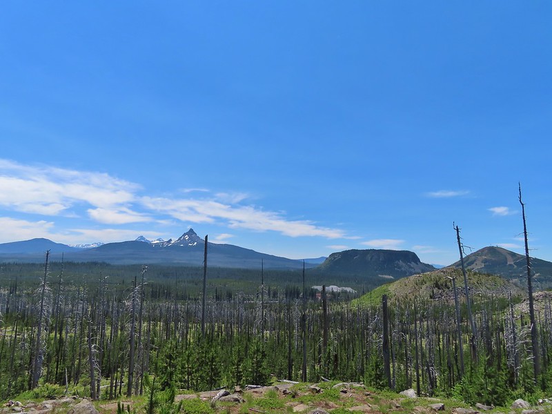 Black Crater, Broken Top, North & Middle Sister, Mt. Washington, Hayrick Butte, and Hoodoo Butte from the viewpoint.


 Paintbrush
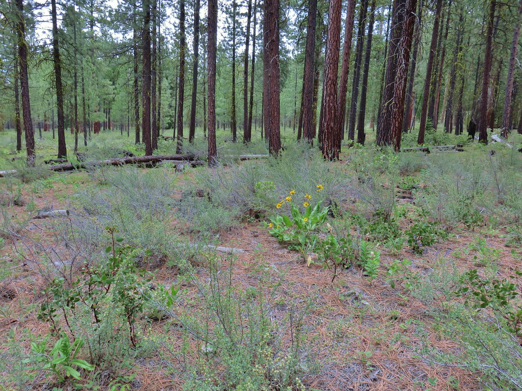 Balsamroot
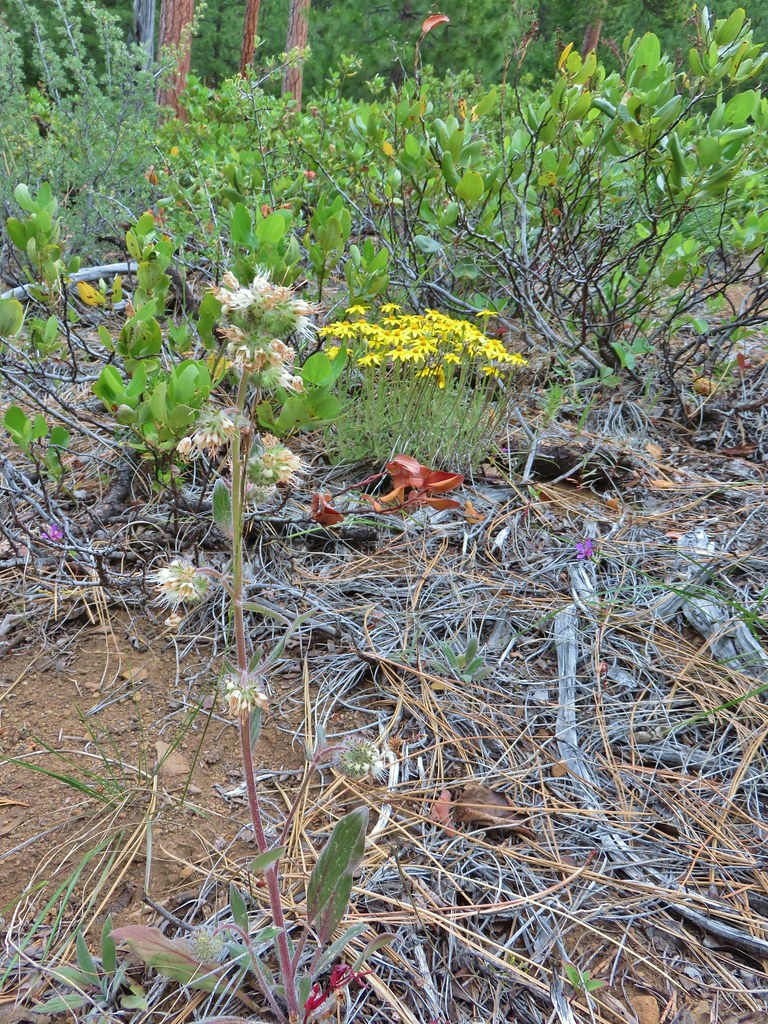 A phacelia, Oregon sunshine, and a little pink diamond clarkia.
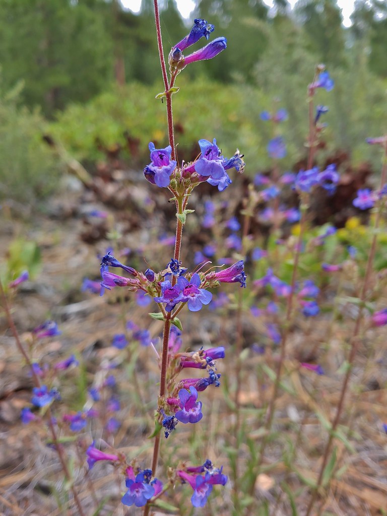 A penstemon
 Washington lily
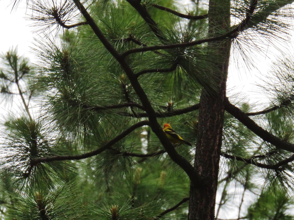 I couldn’t get a good shot of this western tanager but he was really colorful.
 Buckwheat
 Bird with breakfast
 Three Fingered Jack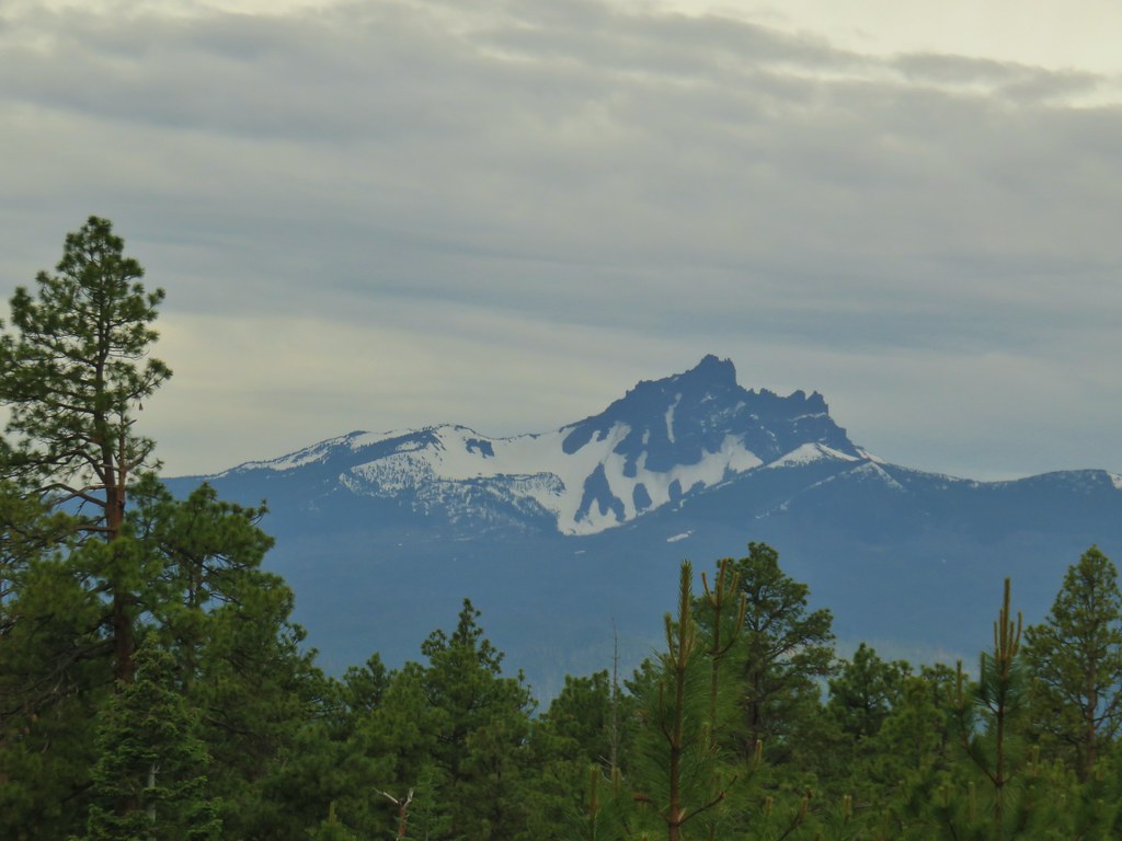
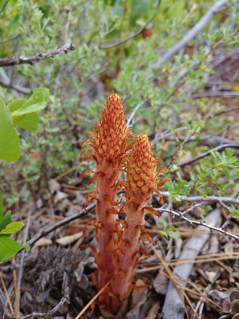 Pinedrops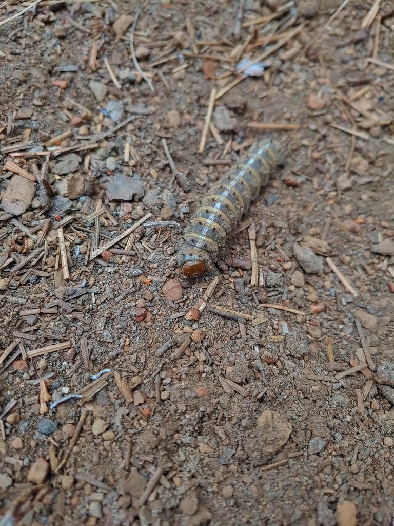
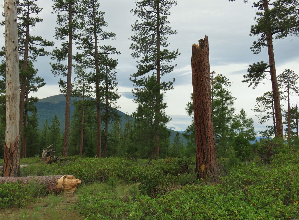



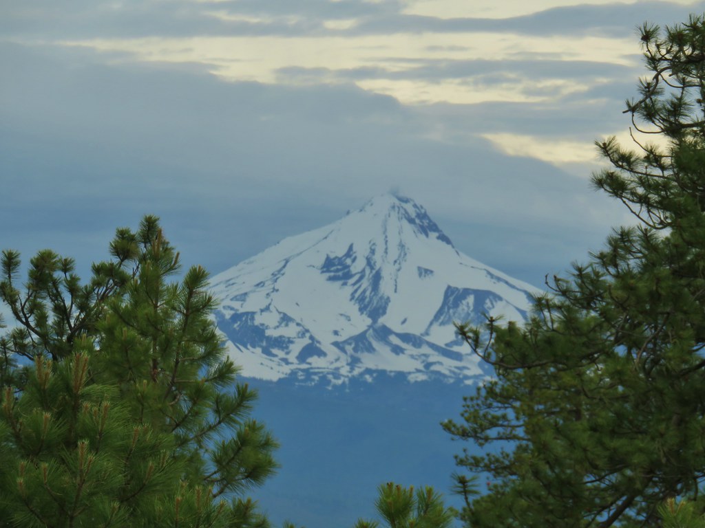

 South Cinder Peak (
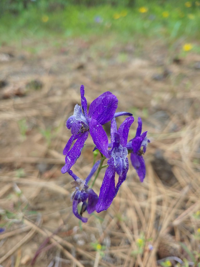


 Lupine
 Columbine
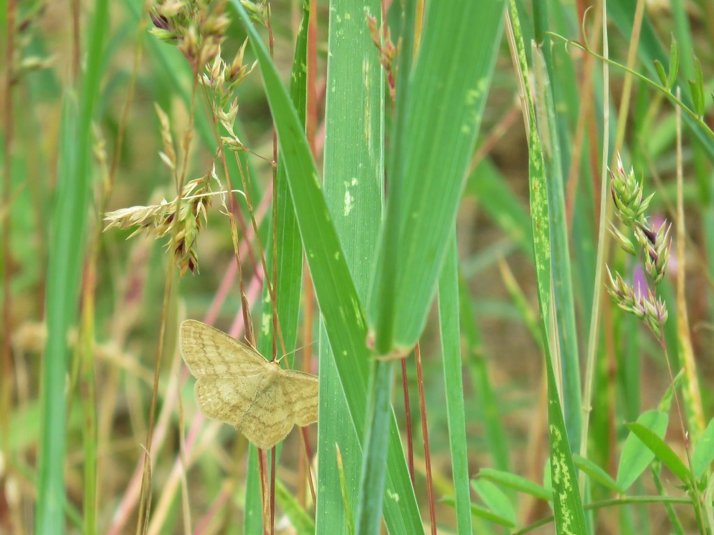 A moth but not a Pandora moth. 🙂
 Sticky cinquefoil
 Salsify
 Tortoiseshell butterfly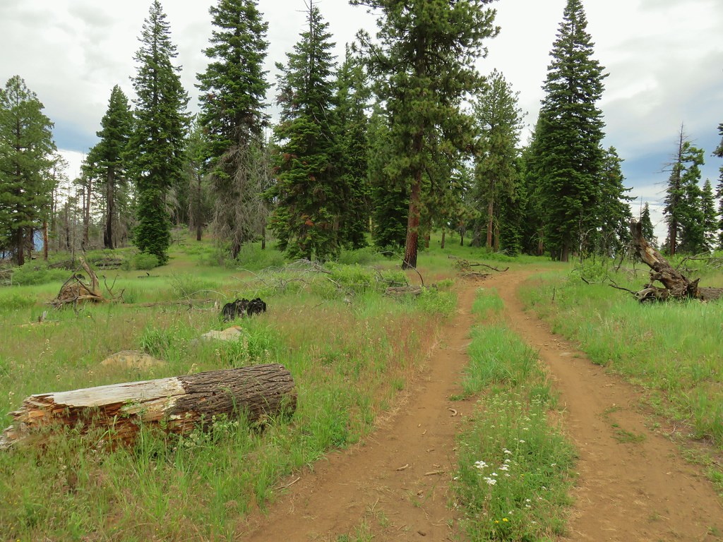
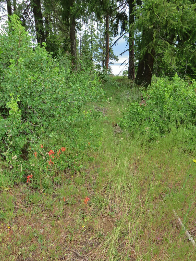
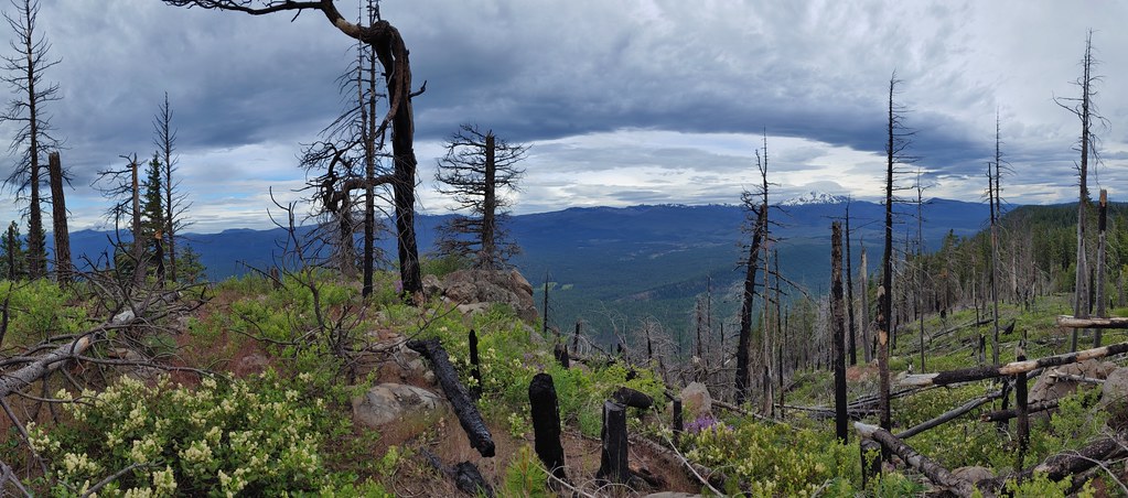

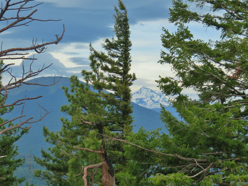 Black Butte and the North Sister
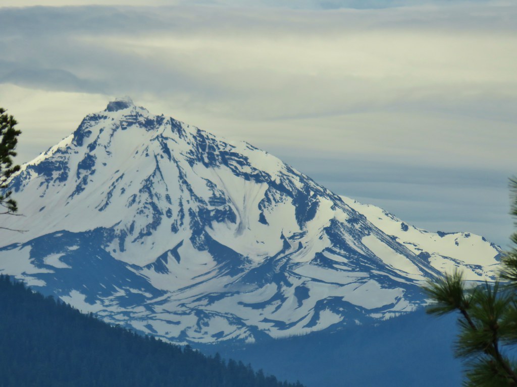 North Sister
 Three Fingered Jack
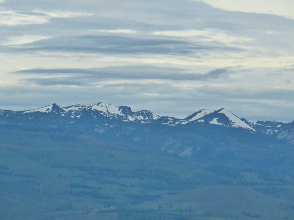 North Cinder Peak and Forked Butte (
 Mt. Jefferson
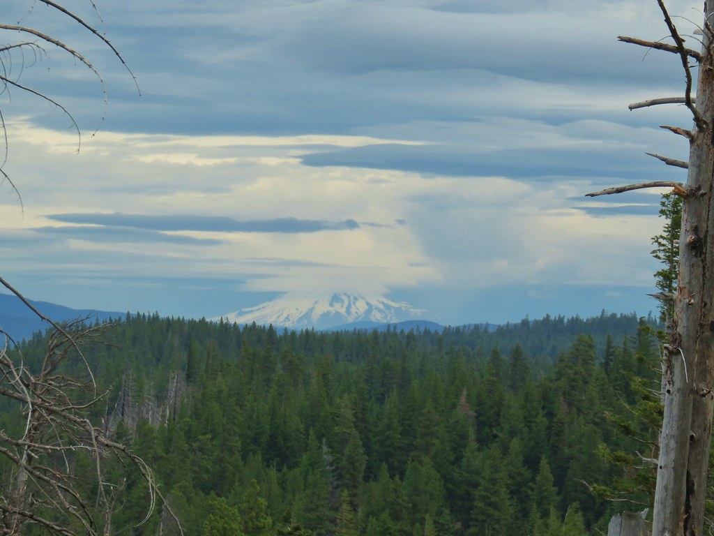 Mt. Hood

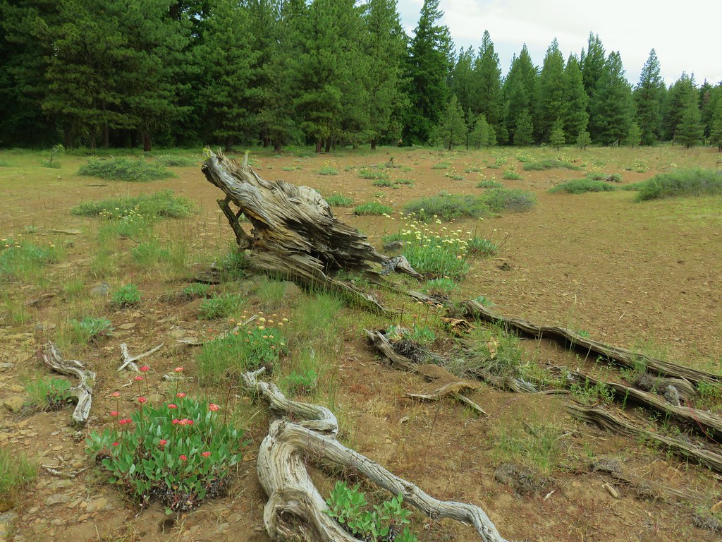 Buckwheat in the center.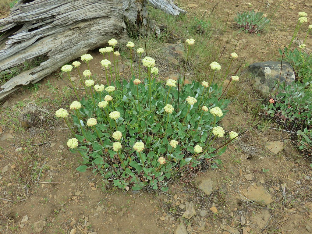

 Balsamroot near the trees.


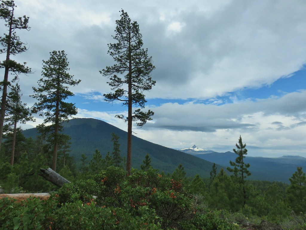 A sliver of blue sky over Black Butte and Mt. Washington.
 Mt. Washington
 Three Fingered Jack with some blue sky.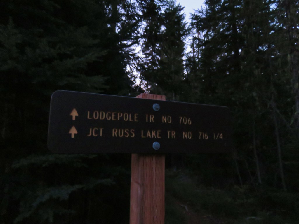








 Olallie Butte

 Mt. Jefferson
 Olallie Lake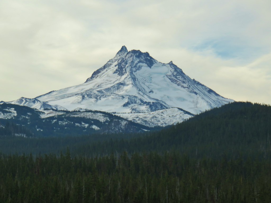

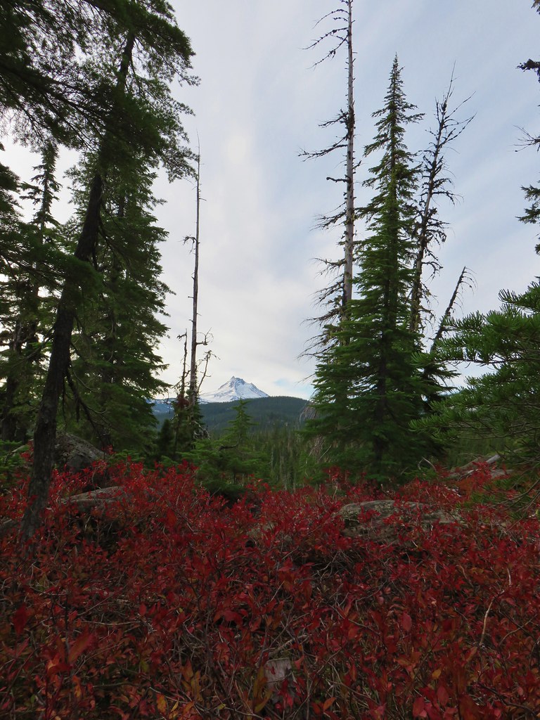 Mt. Jefferson
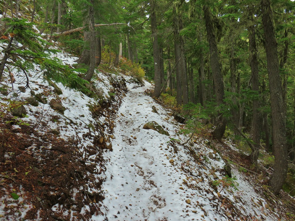
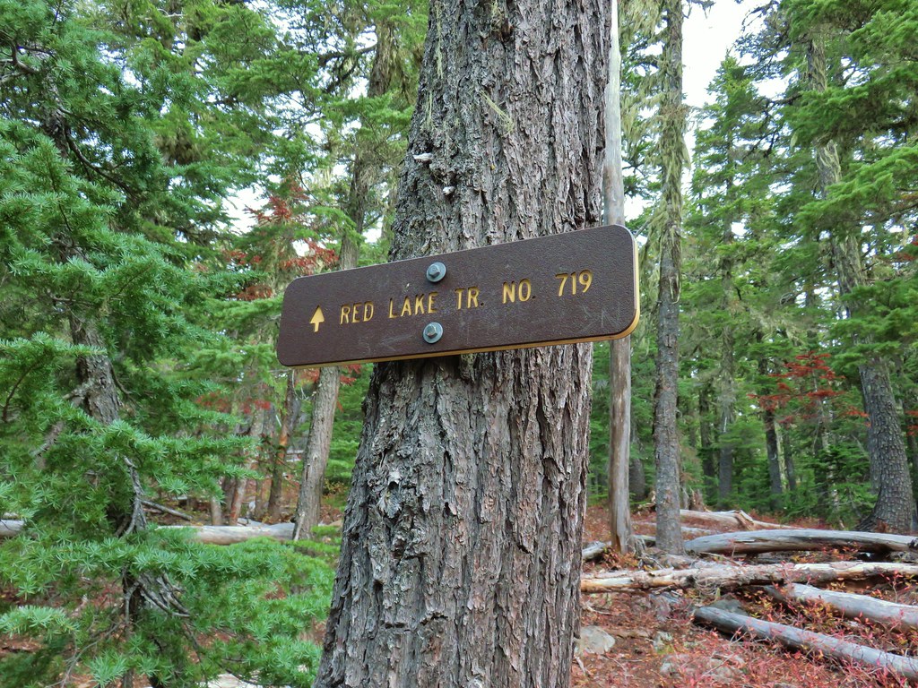
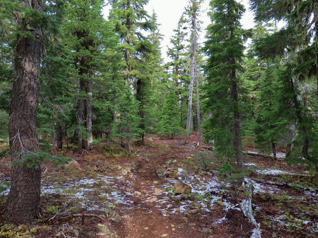


 Potato Butte ahead.
 Lodgepole Trail junction.
 One of the causes of the noisy steps.
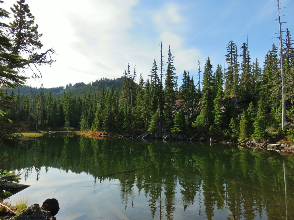 Twin Peaks on the other side of Middle Lake.
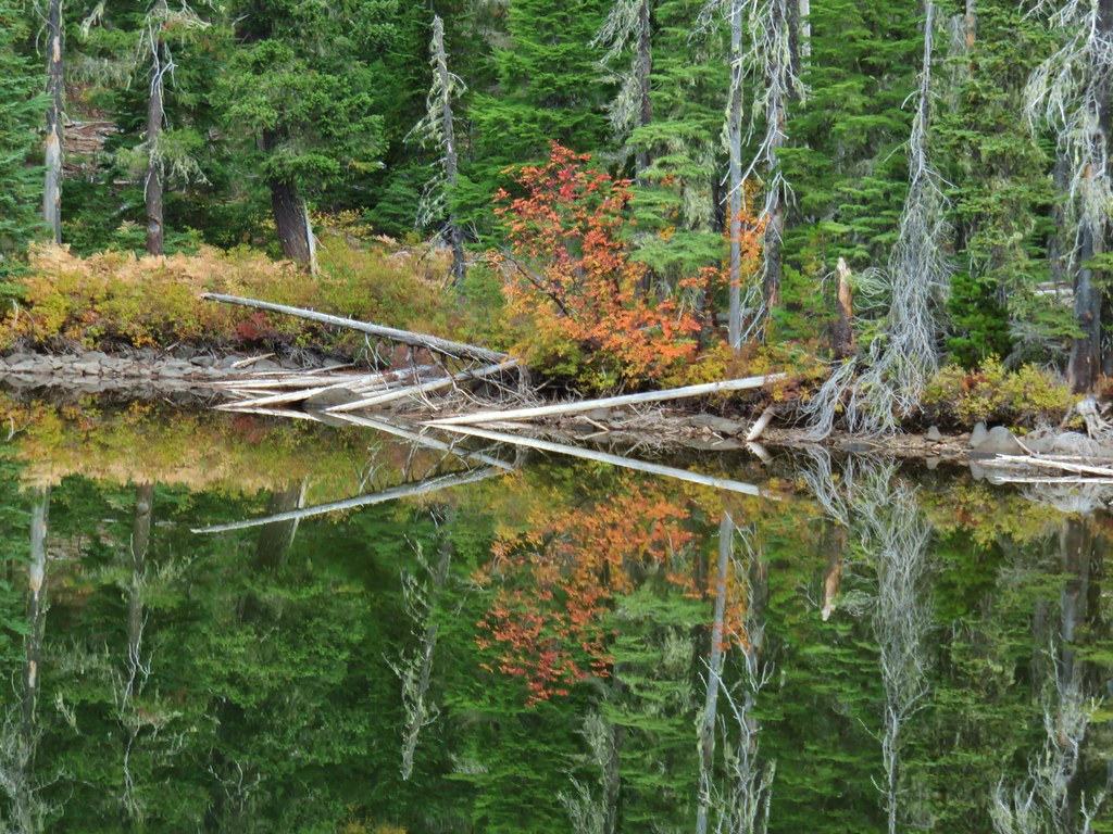
 Colors along Middle Lake.

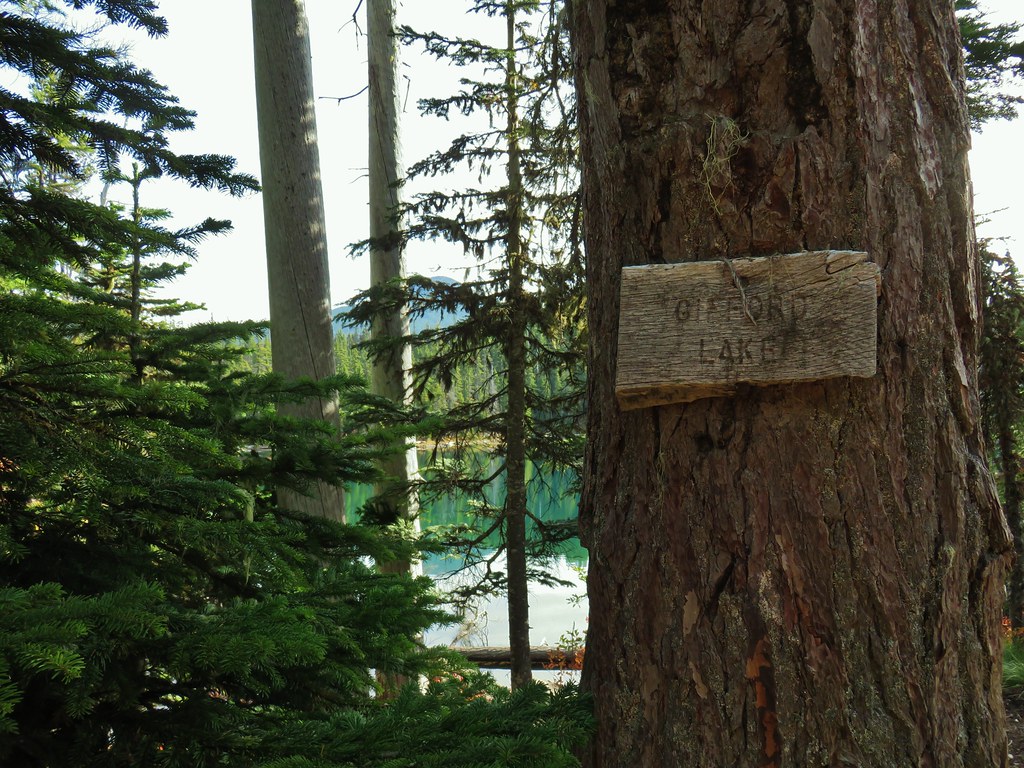
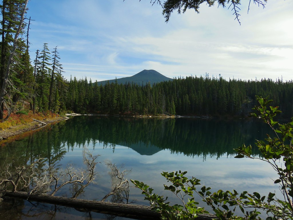 Olallie Butte
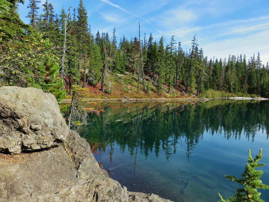
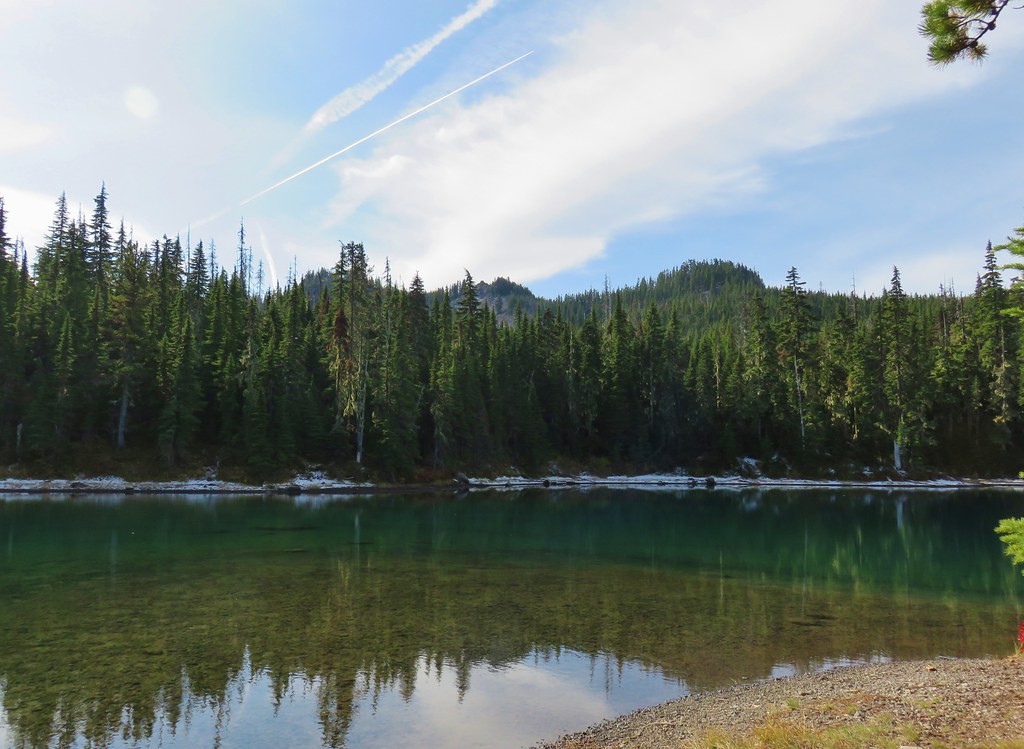 Twin Peaks from Gifford Lake.


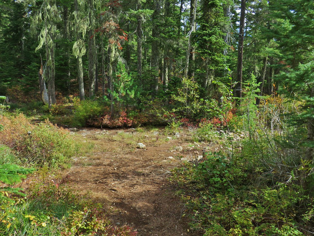
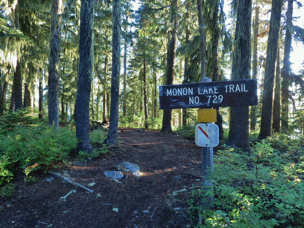
 Sign for the Fish Lake Trail.
 Lower Lake
 Olallie Butte
 Sign for the Lodgepole Trail.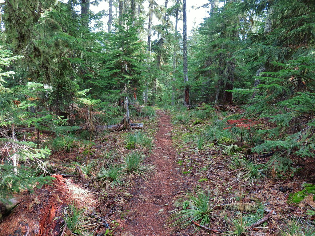
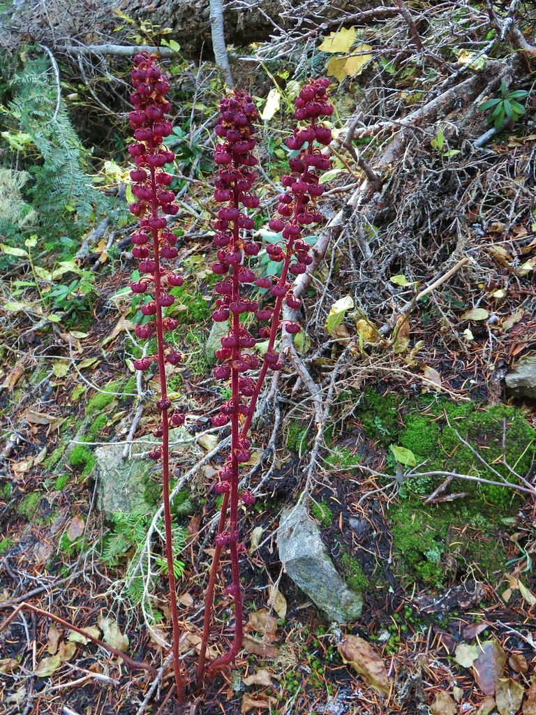 Pinedrops
 The trail was actually the fainter track to the left leading to the bridge, but that wasn’t obvious until we reached the trees.
 A lone yarrow.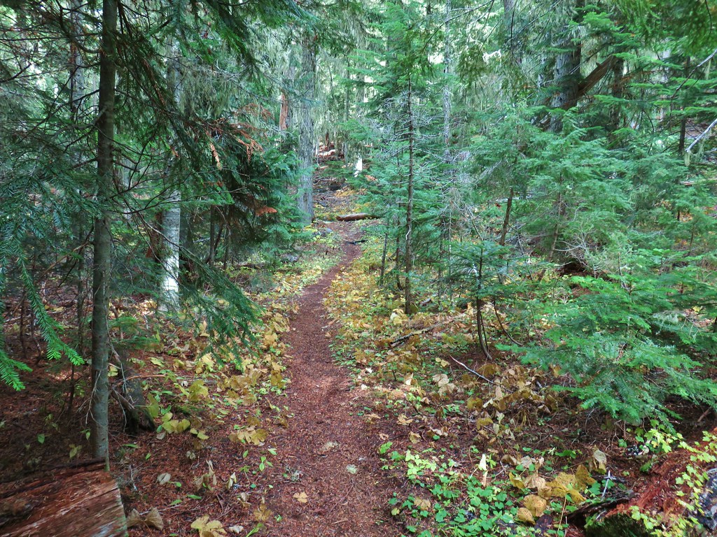


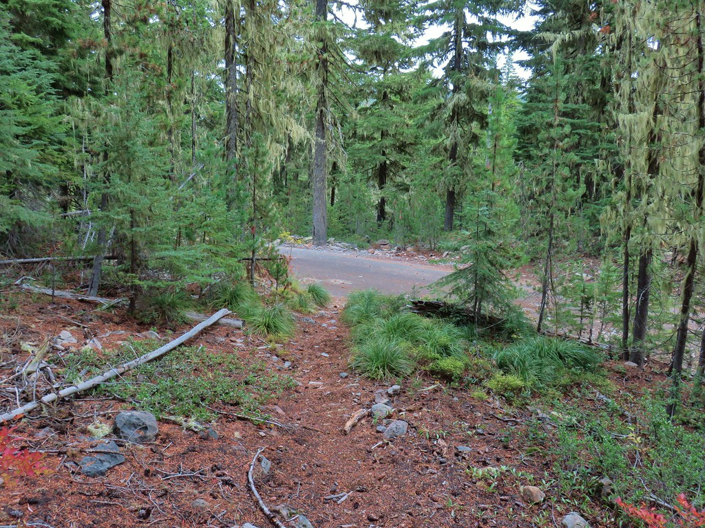
 Approaching the junction.
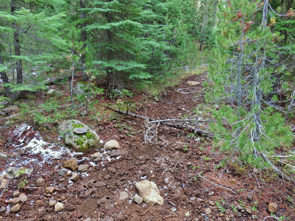 Quite the camouflage isn’t it?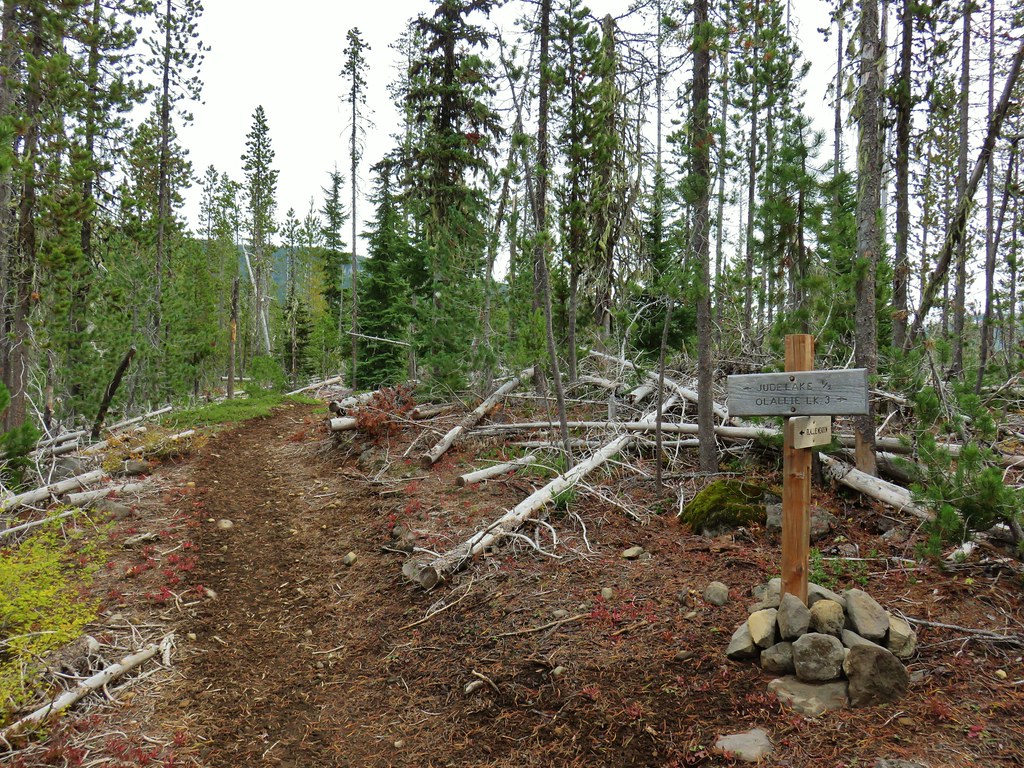

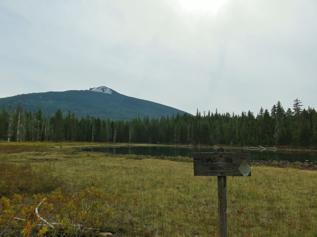
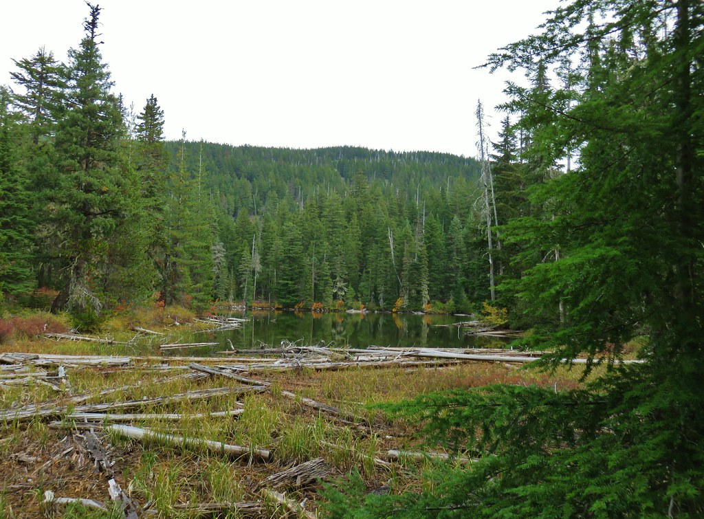 Jude Lake
 Jude Lake
 Jude Lake
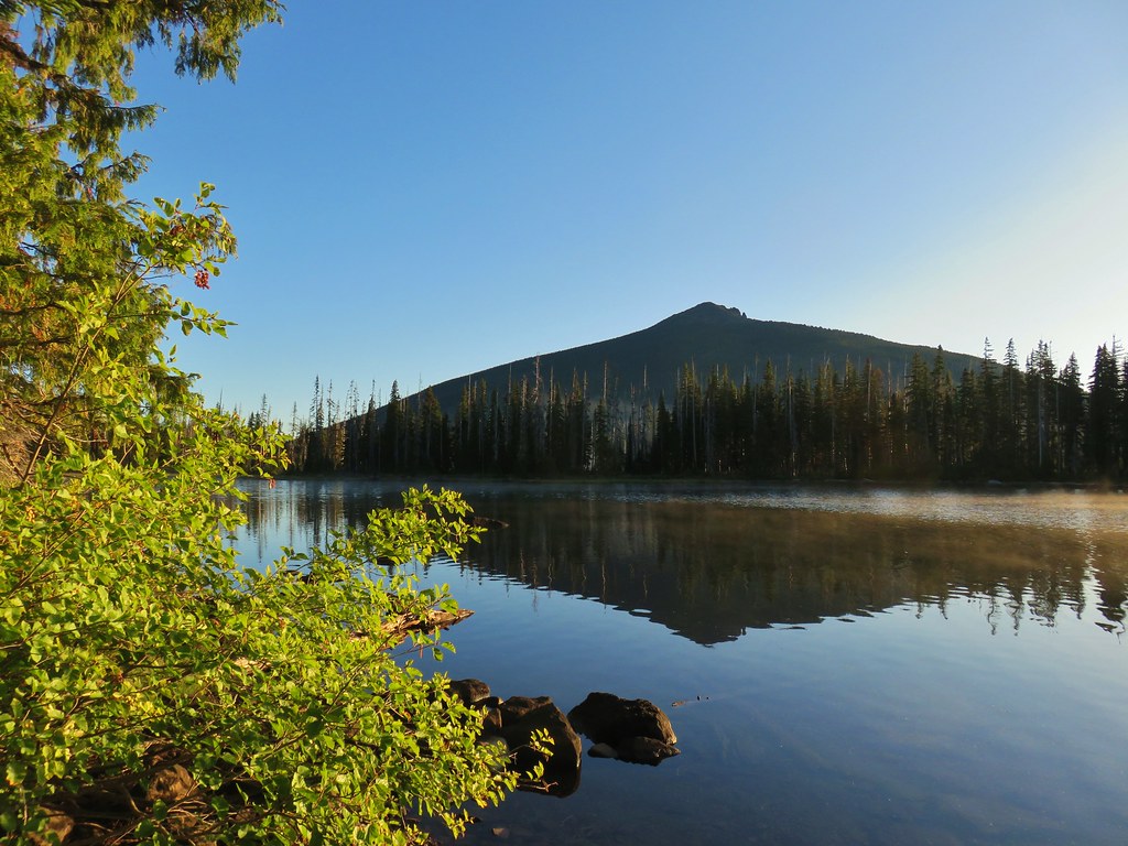
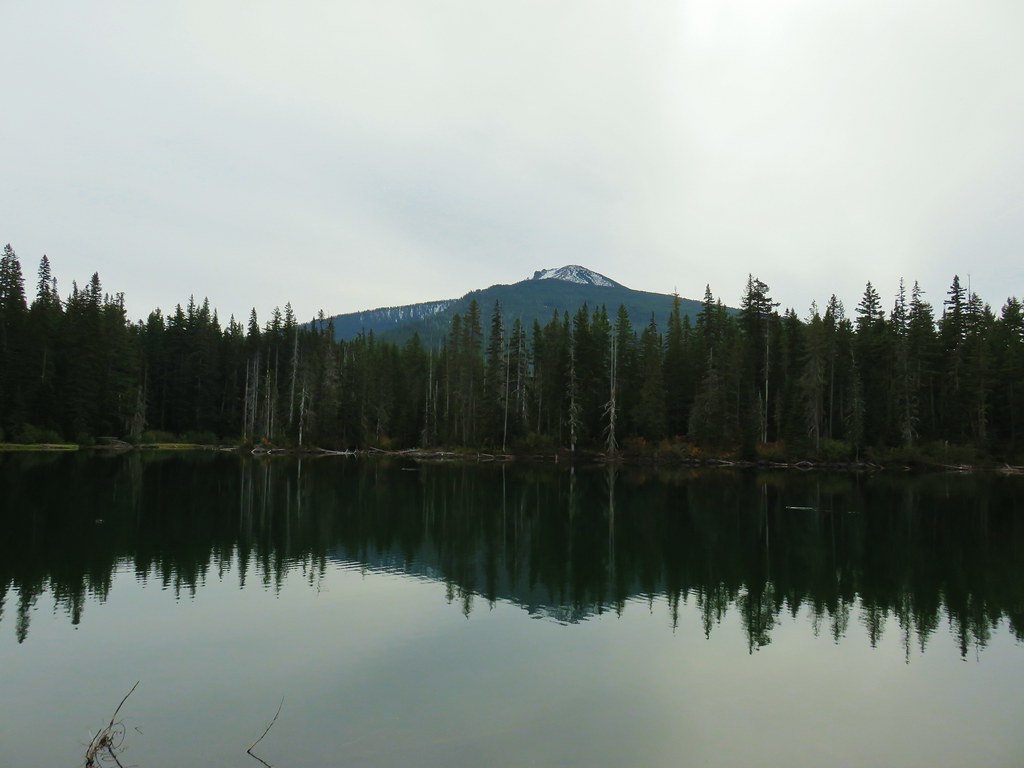 Russ Lake



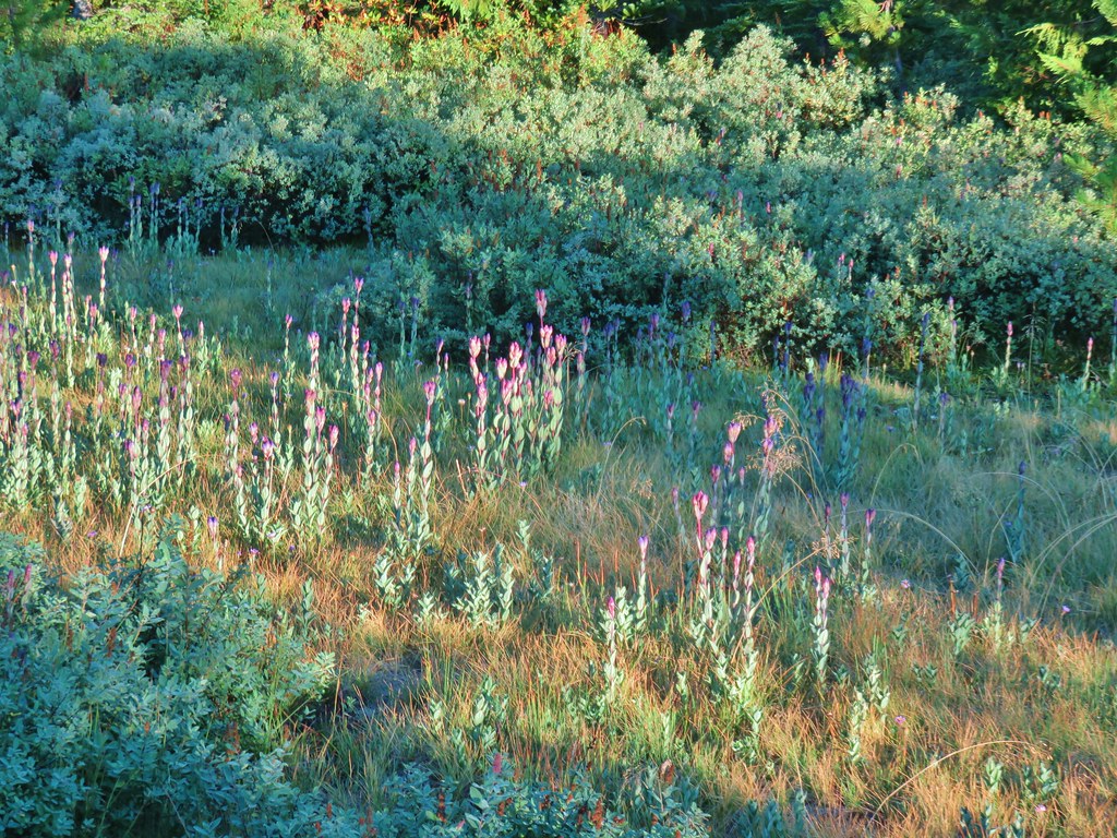 Fading gentians
 A few gentians still holding their blue color.
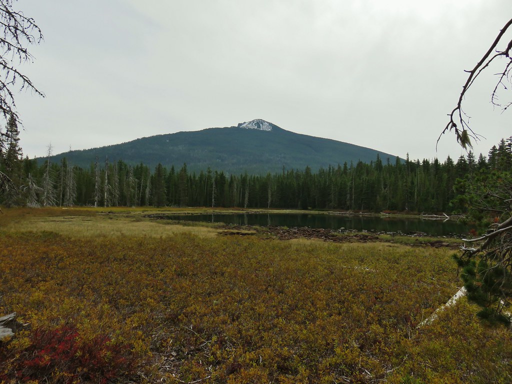
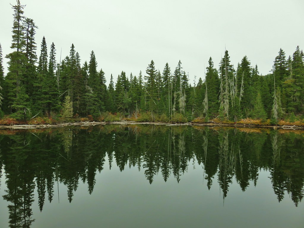
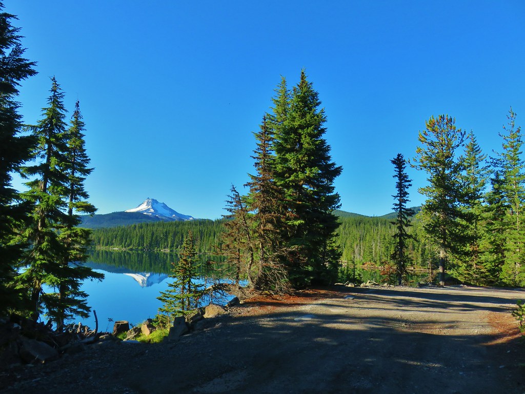
 Olallie Butte and the unnamed lake.
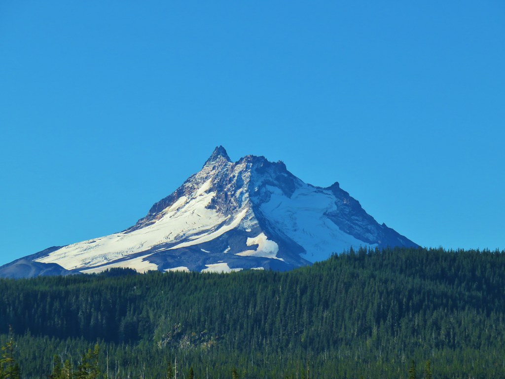
 The tip of Mt. Jefferson sticking up above the high point on the ridge.
 Dusting of new snow on Mt. Jefferson
 Duck on the lake.
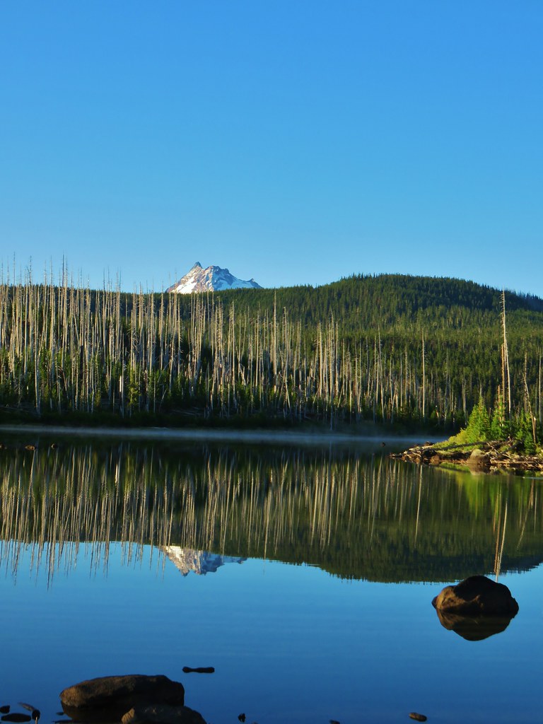 A little more of Mt. Jefferson showing.
 View from atop the rocks.
 The small rock cairn coming from the opposite direction on the Monon Lake Trail later in the day.
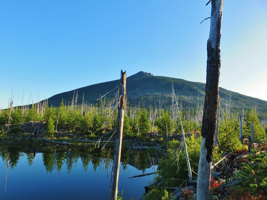

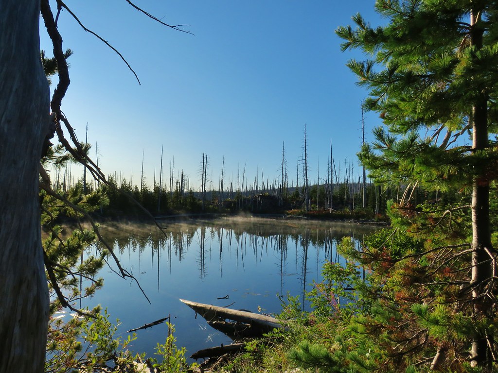


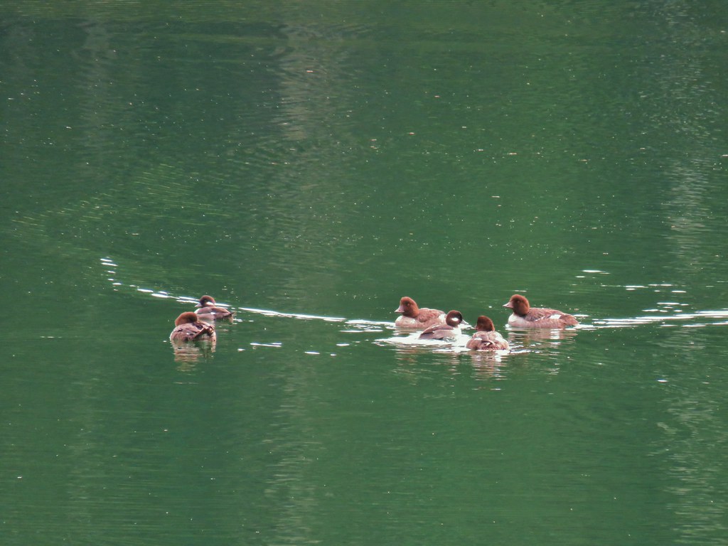
 Mergansers




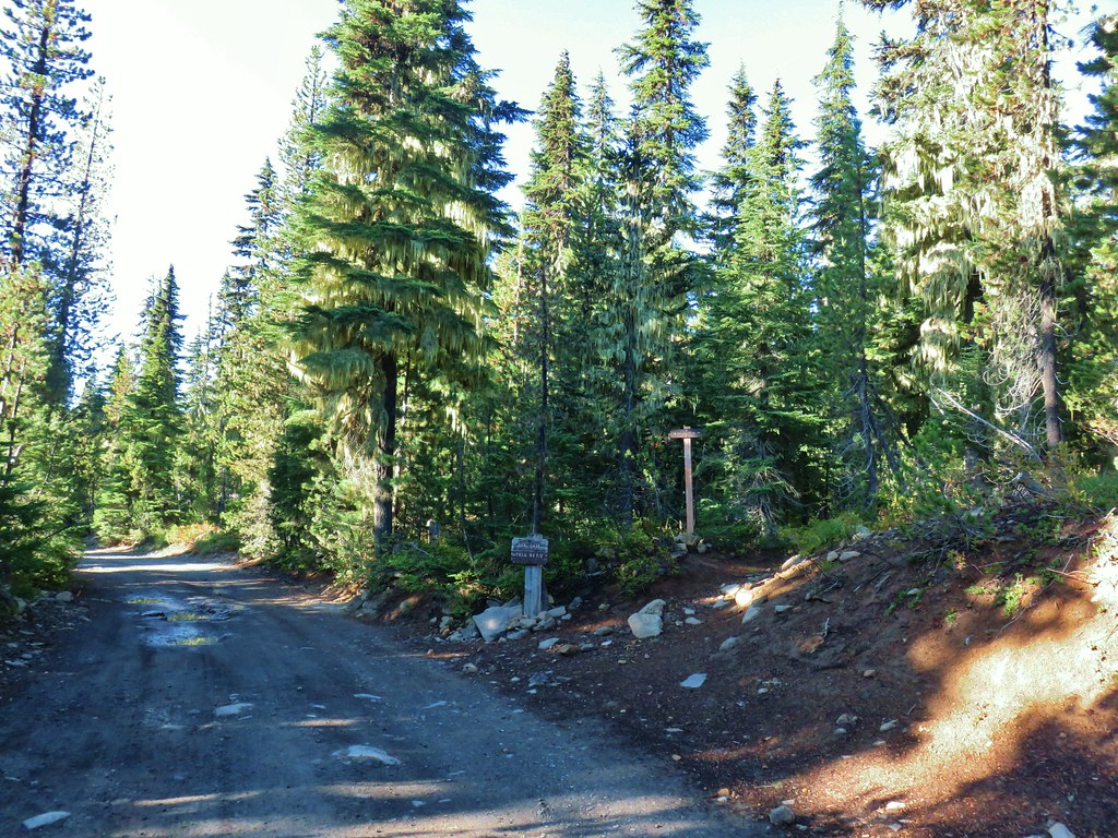





 Rock cairn along the PCT marking the connector trail.
 PCT lookout.
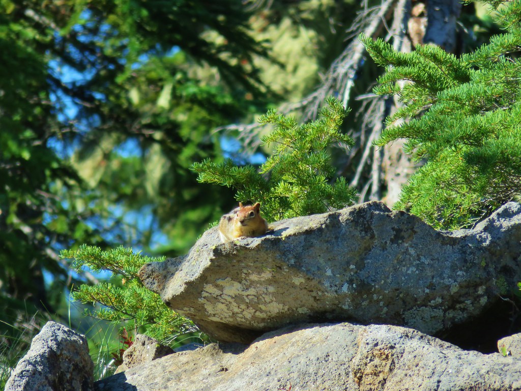
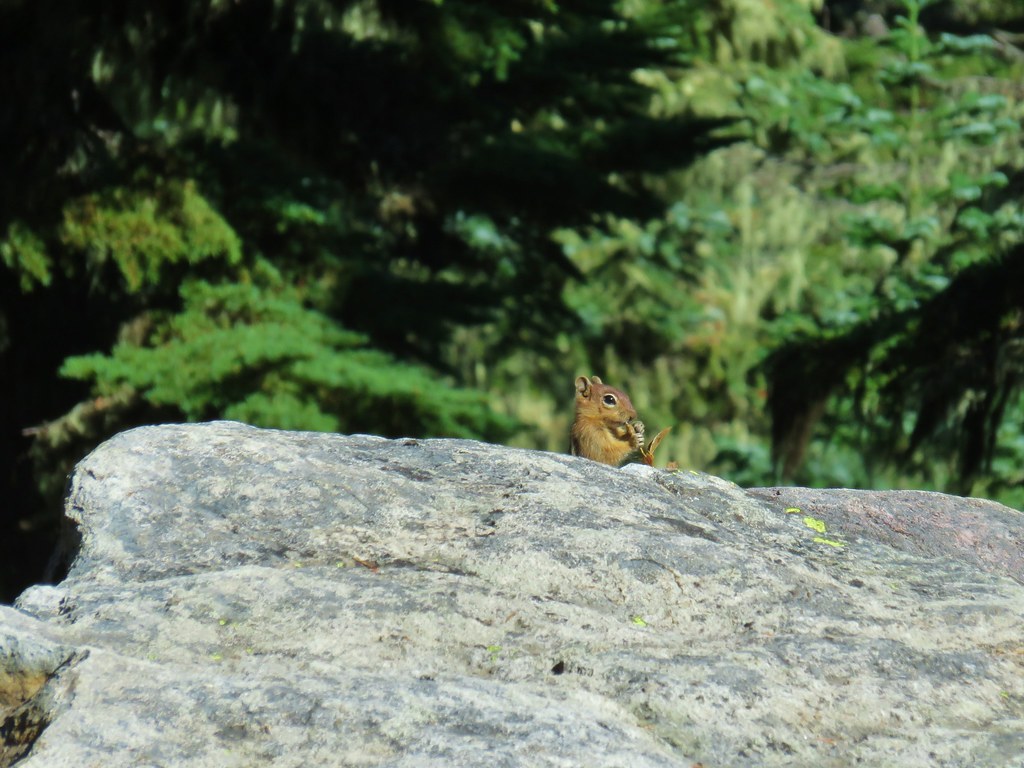
 Golden-mantled ground squirrels at Cigar Lake.
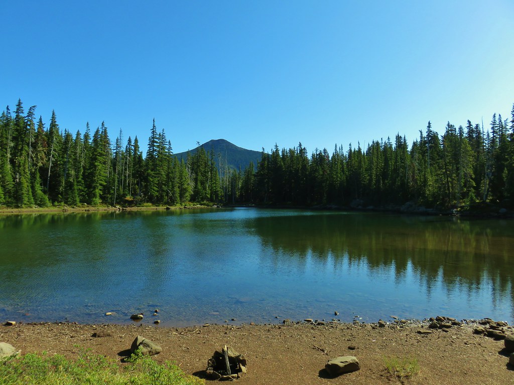
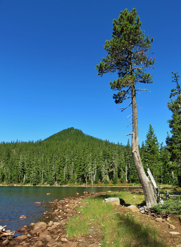 Double Peaks from Upper Lake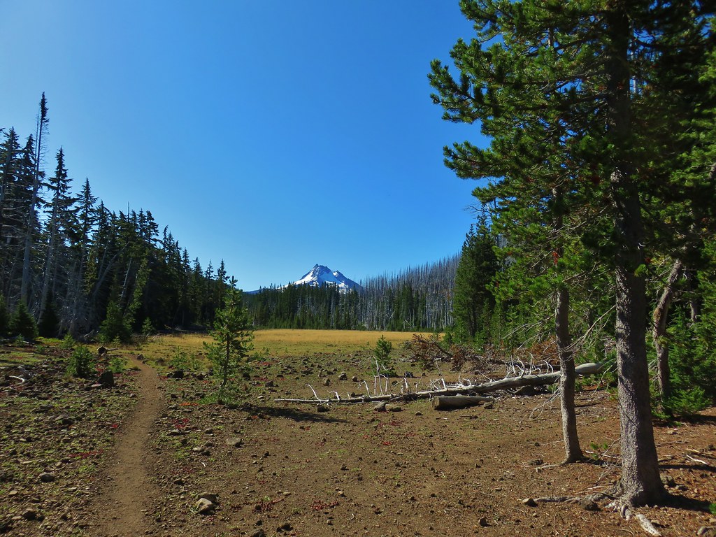

 Company at the viewpoint.
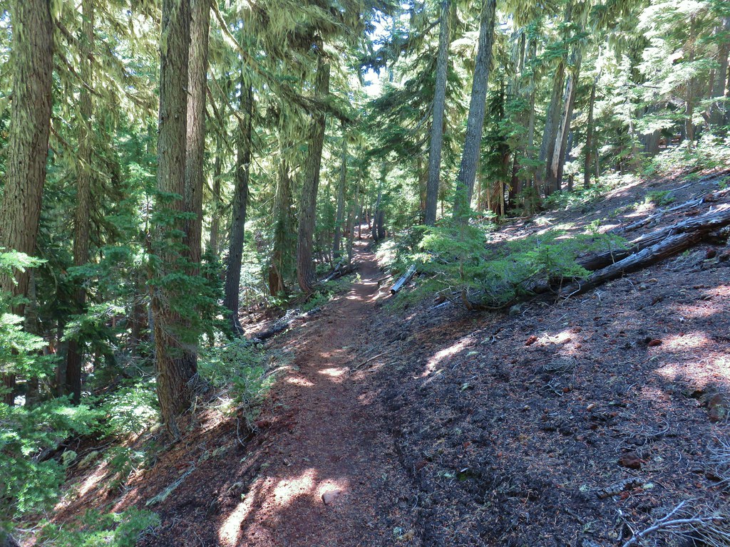 Approximate location when we heard the “elk” bugle.


 Flat topped Battle Ax Mountain to the left to the fire scarred summit of Schreiner Peak to the right.
 Battle Ax (
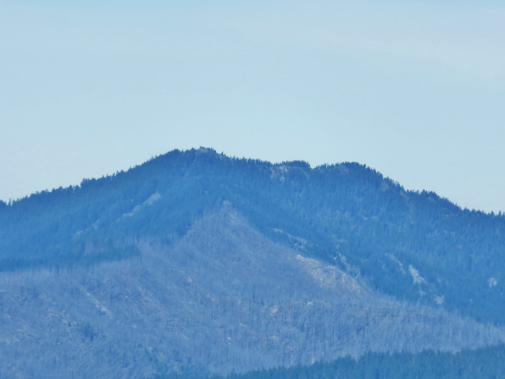 Bull of the Woods (














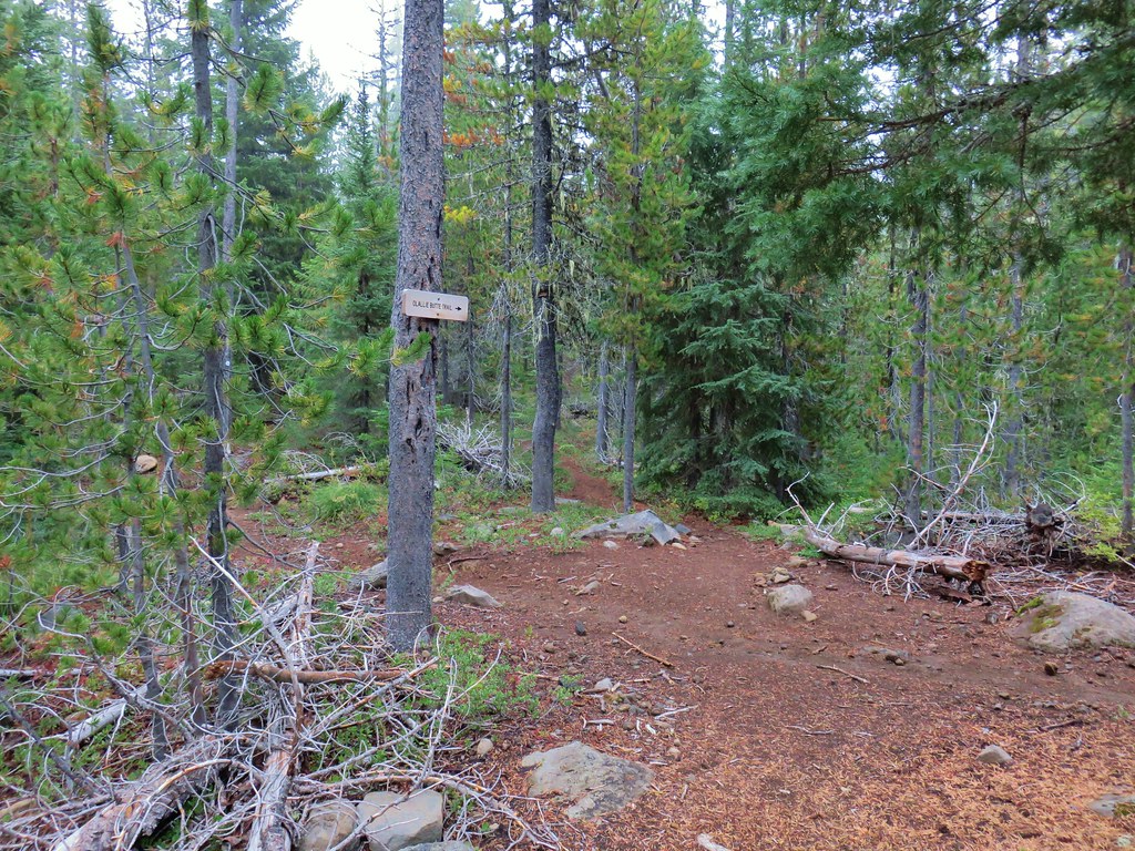
 Trail sign with the PCT heading north behind it.
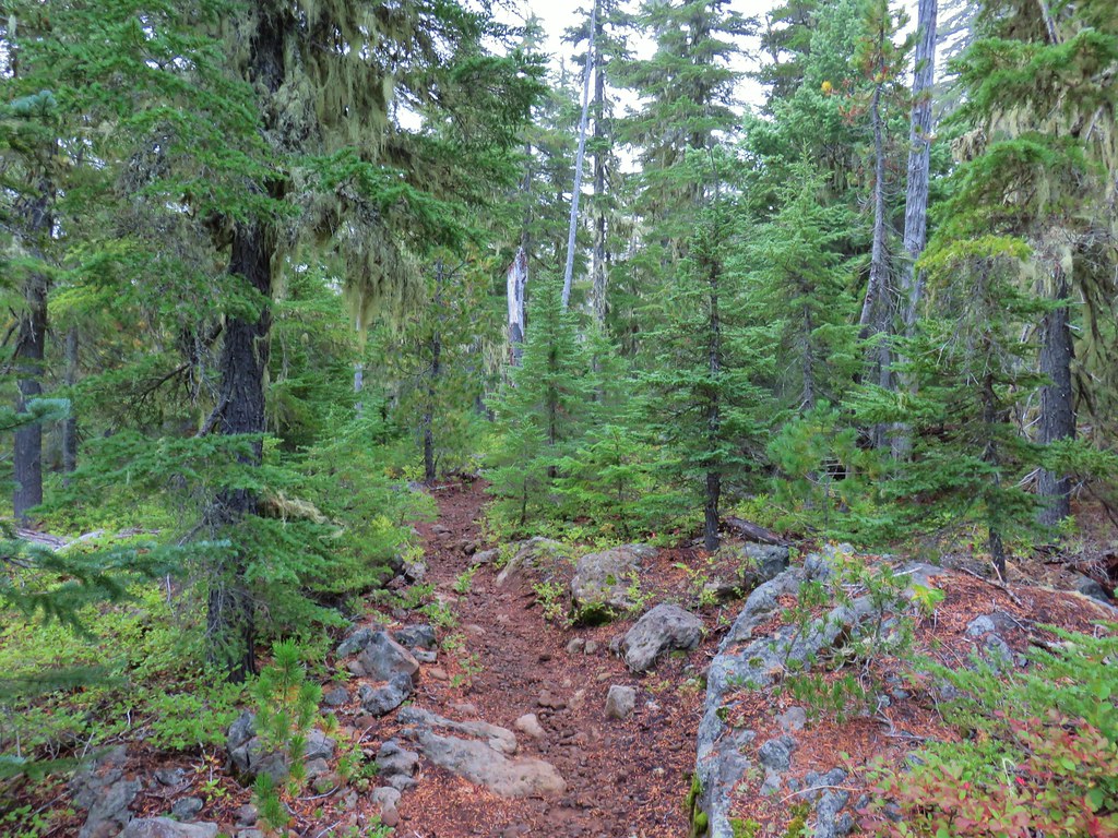


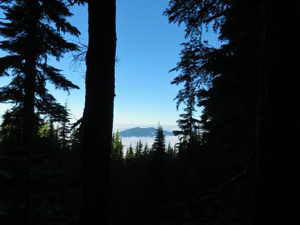 Sisi Butte
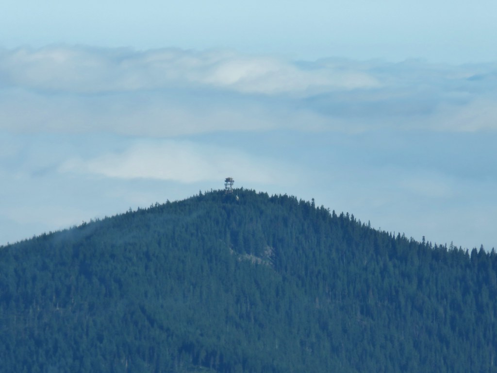 Lookout tower on Sisi Butte
 Mt. Hood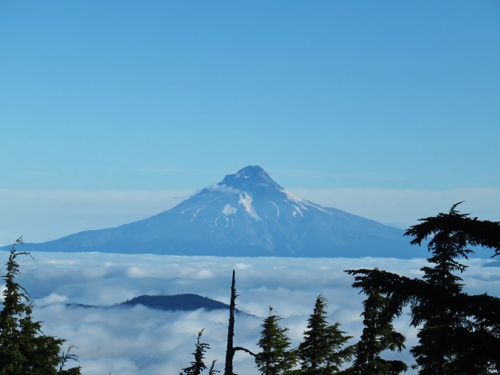




 Olallie Lake
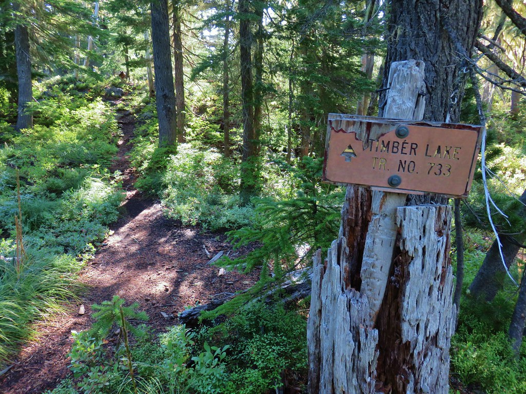
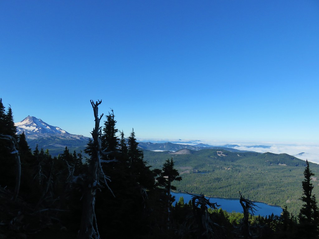
 Monon Lake just beyond Olallie Lake (Timber Lake is the smaller lake in the trees to the west.
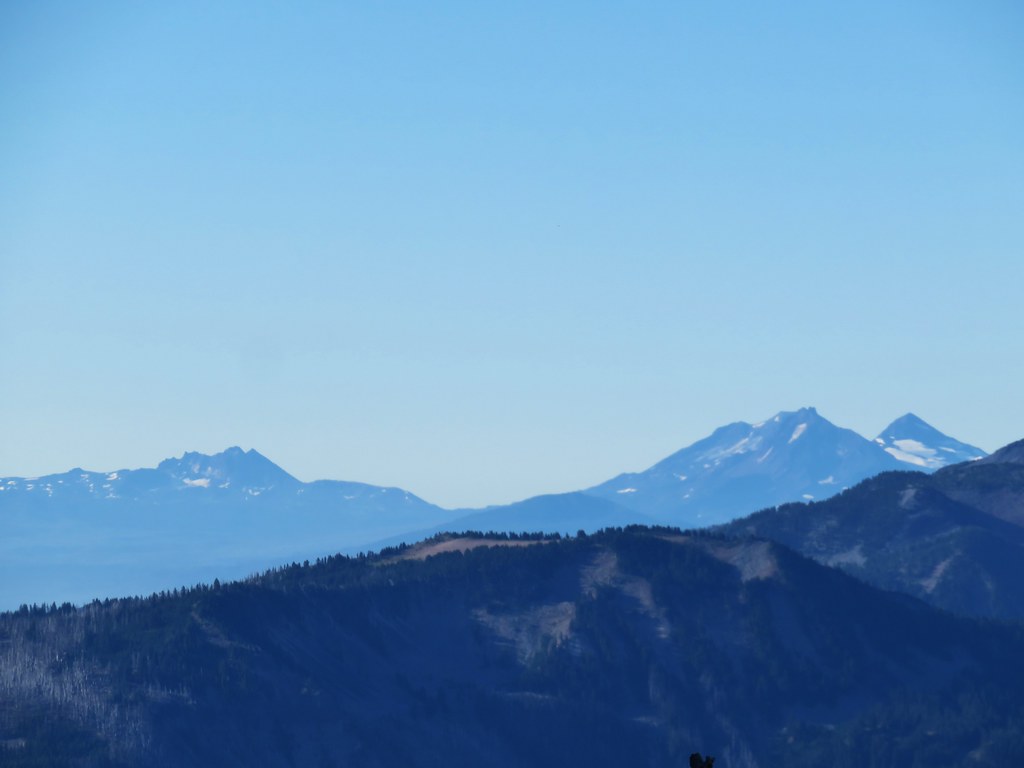 Broken Top and The Three Sisters
 Dinah-mo Peak and Bear Point (
 Bear Point
 Lookout tower remains

 Starting from the left – Trout Lake with Boulder Lake beyond, Island Lake, Dark Lake, Long Lake. The three smaller lakes are Lake Mary (closest), Lake Marie (middle), and Lake Alice (furthest). Lake Hazel is the small lake up and to the right of those three. All of these lakes are part of the Warm Springs Reservation and off-limits unless a permit to visit has been obtained.
 Monon, Olallie, and Timber Lakes in the Mt. Hood National Forest to the west.
 Mt. Jefferson


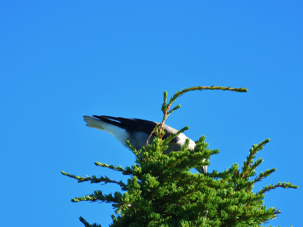

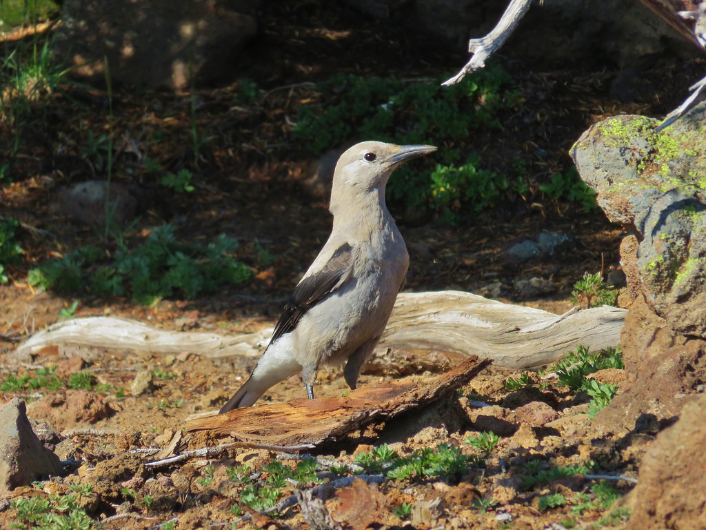

 Mt. St. Helens as a dark spot on the horizon.
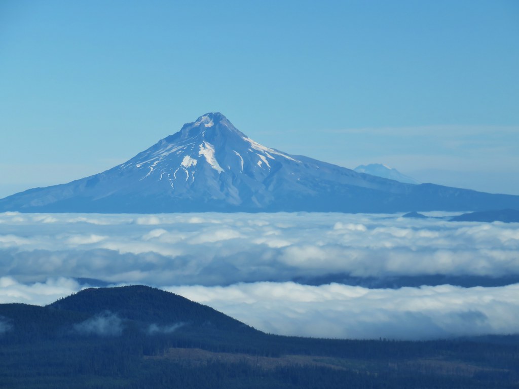 Mt. Adams beyond Mt. Hood
 Mt. Jefferson from the lookout site.



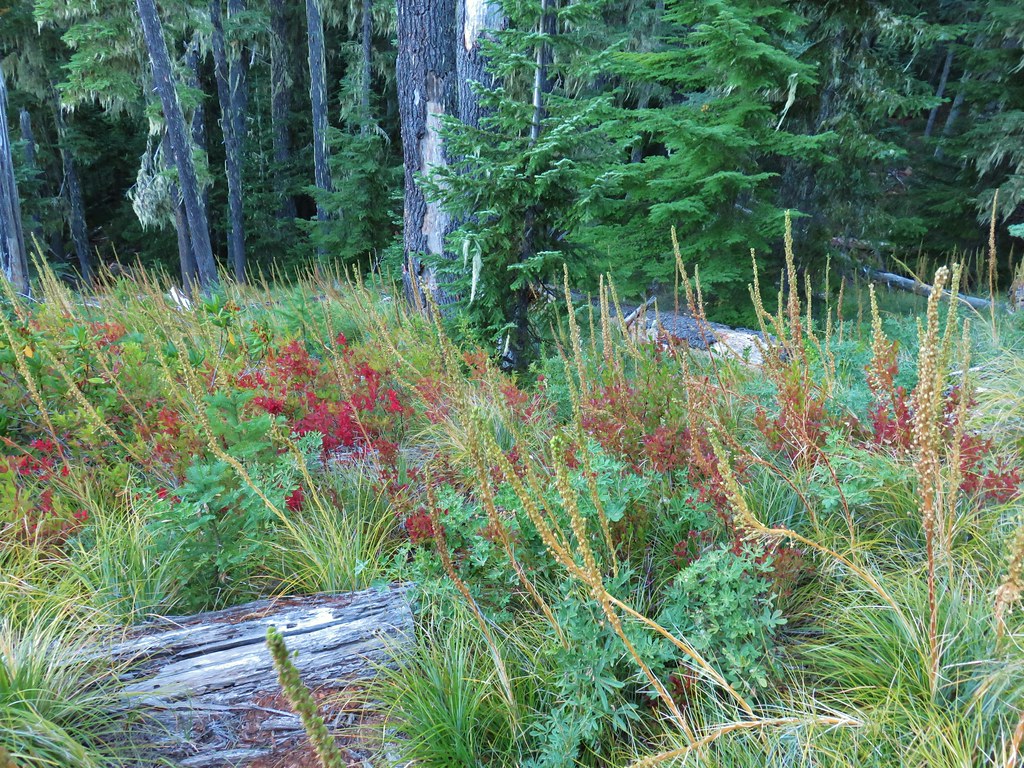 Huckleberry bushes and beargrass in the clear-cut.
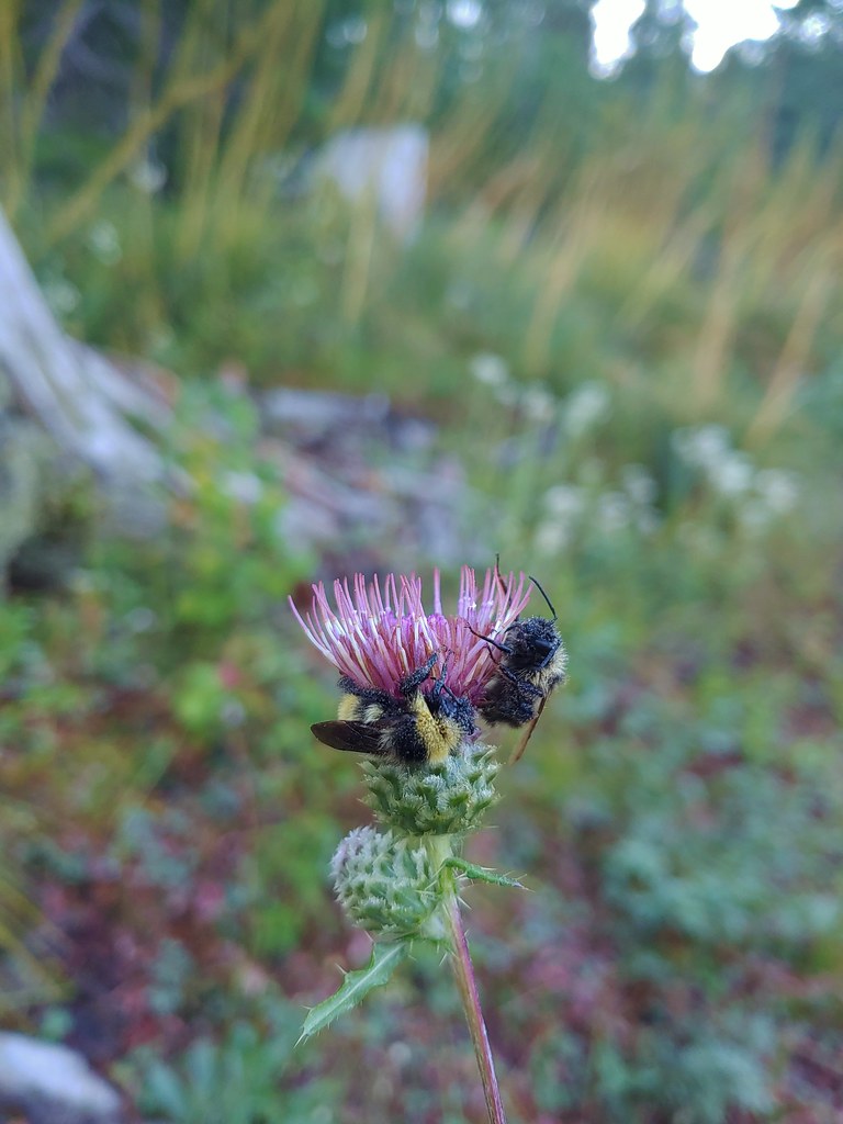 Sleeping bees on some thistle.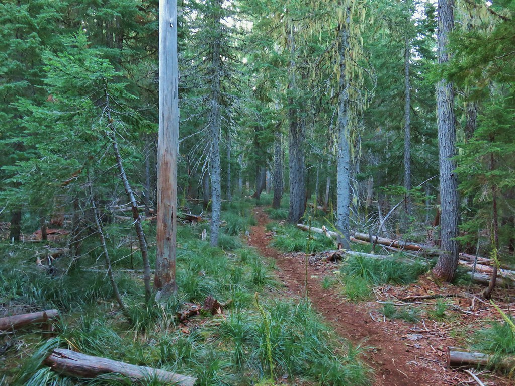

 The bees on the thistle may have been asleep but a western toad was out and about.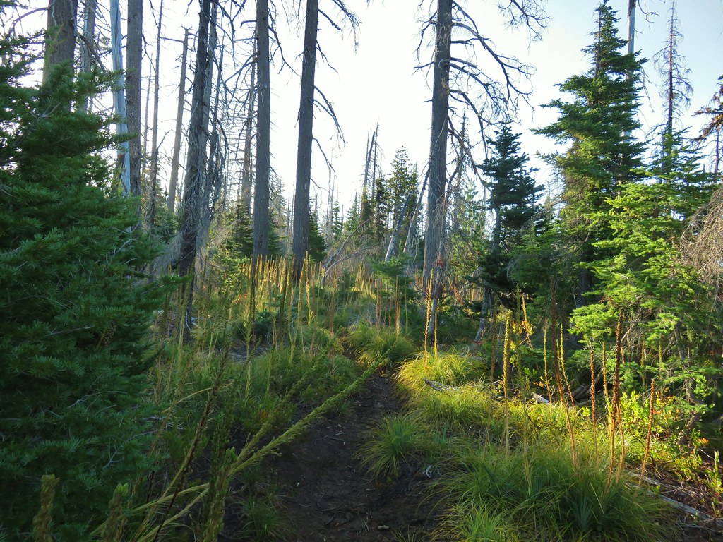
 Mt. Jefferson through the burned trees.
 Back in the green.
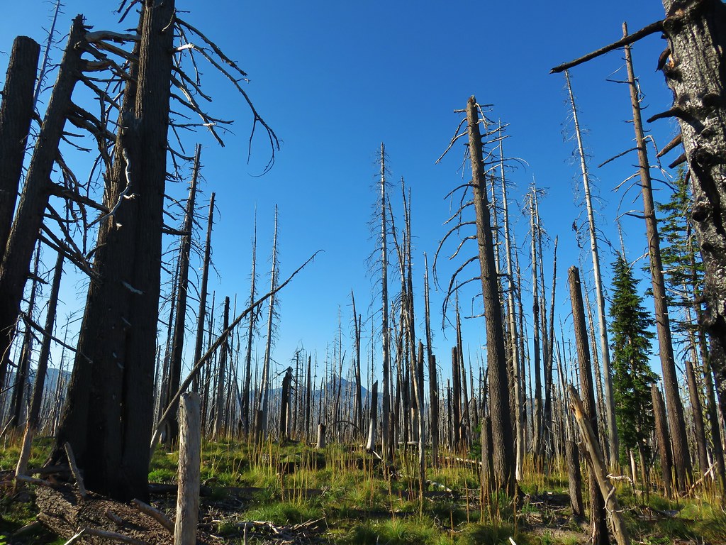 Three Fingered Jack through the burned trees.
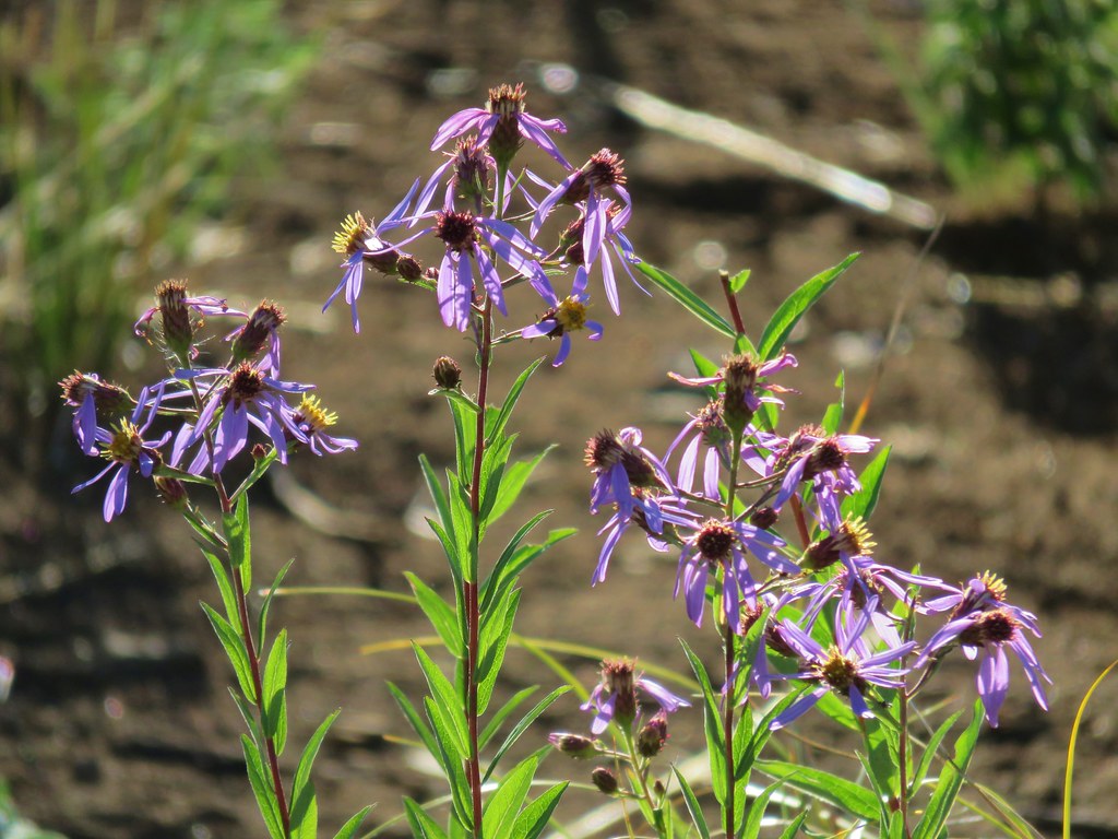 Aster
Aster Pearly everlasting
 Fireweed
 Three Fingered Jack
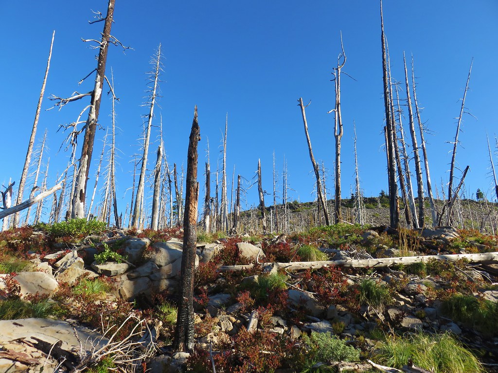 The rock covered rise.
 South Cinder Peak (
 Still passing the rocks.
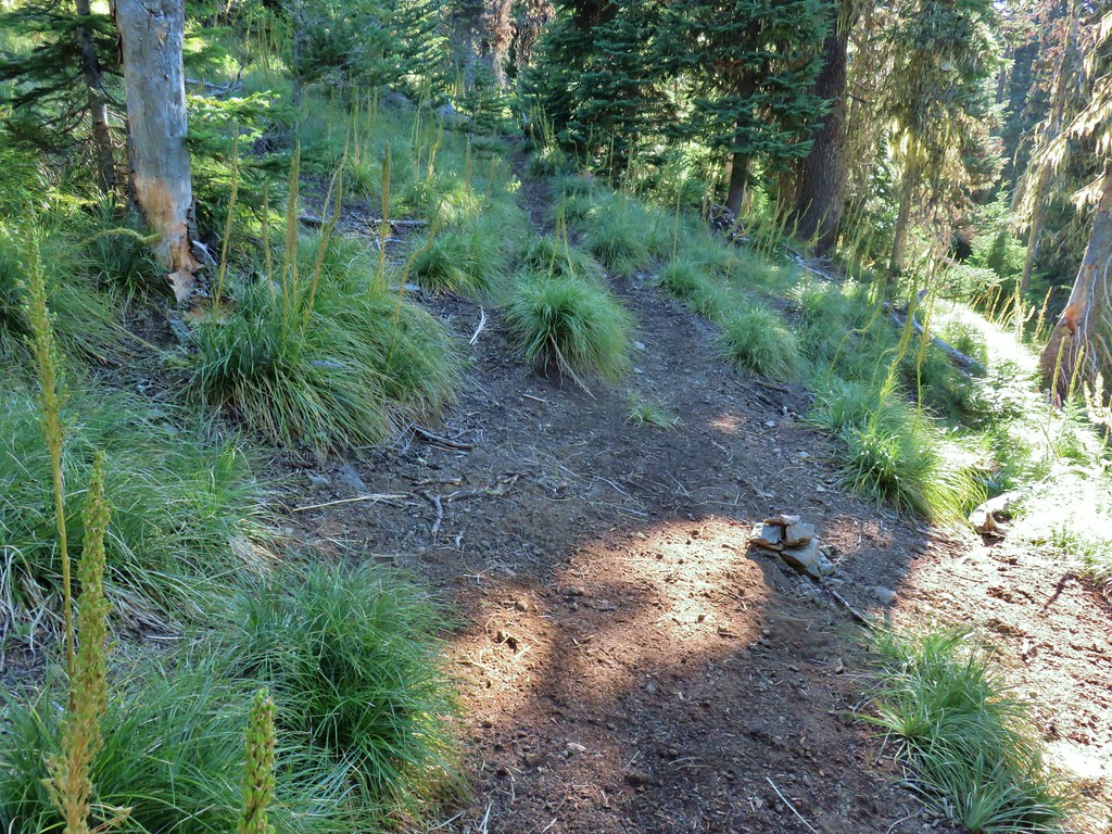
 The low saddle.
 Coffin and Bachelor Mountains (


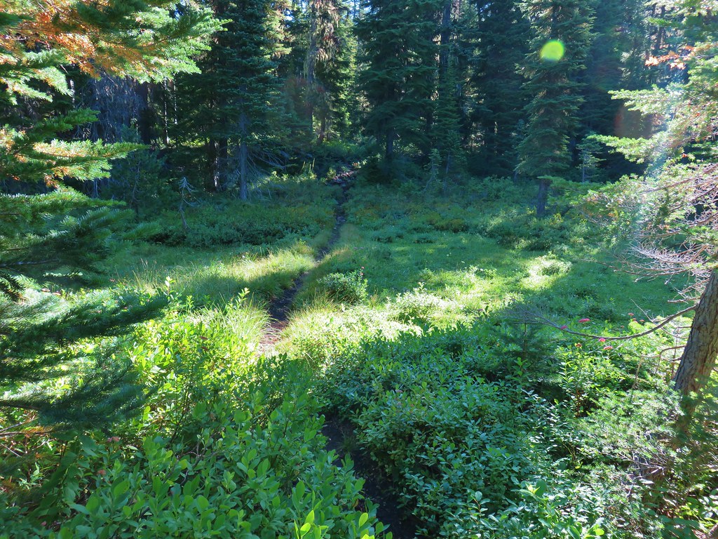
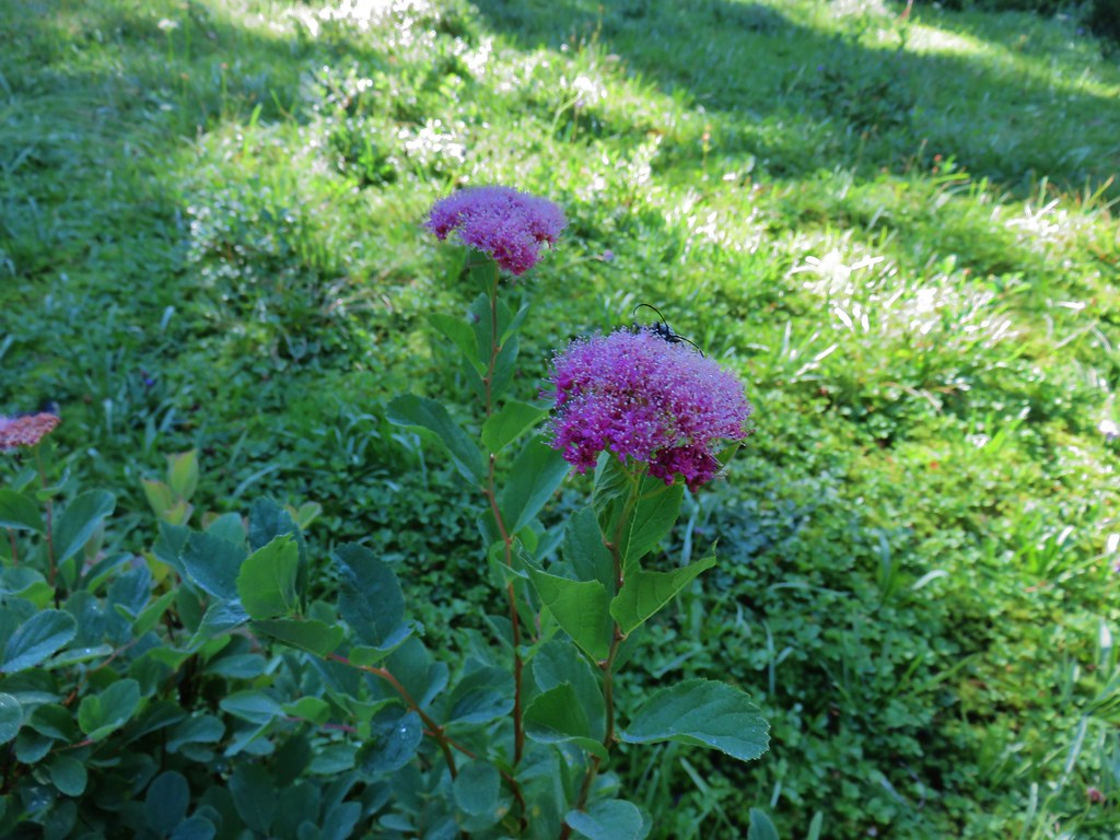 Spirea with a beetle.
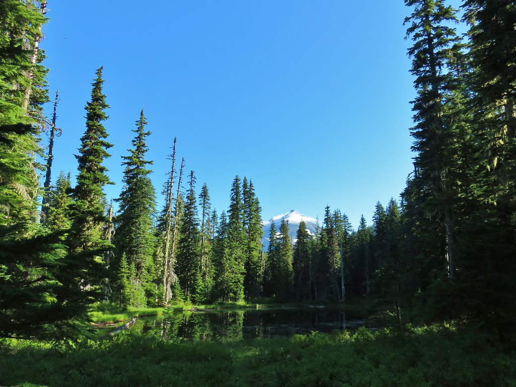 Unnamed lake with Mt. Jefferson (and those pesky clouds).
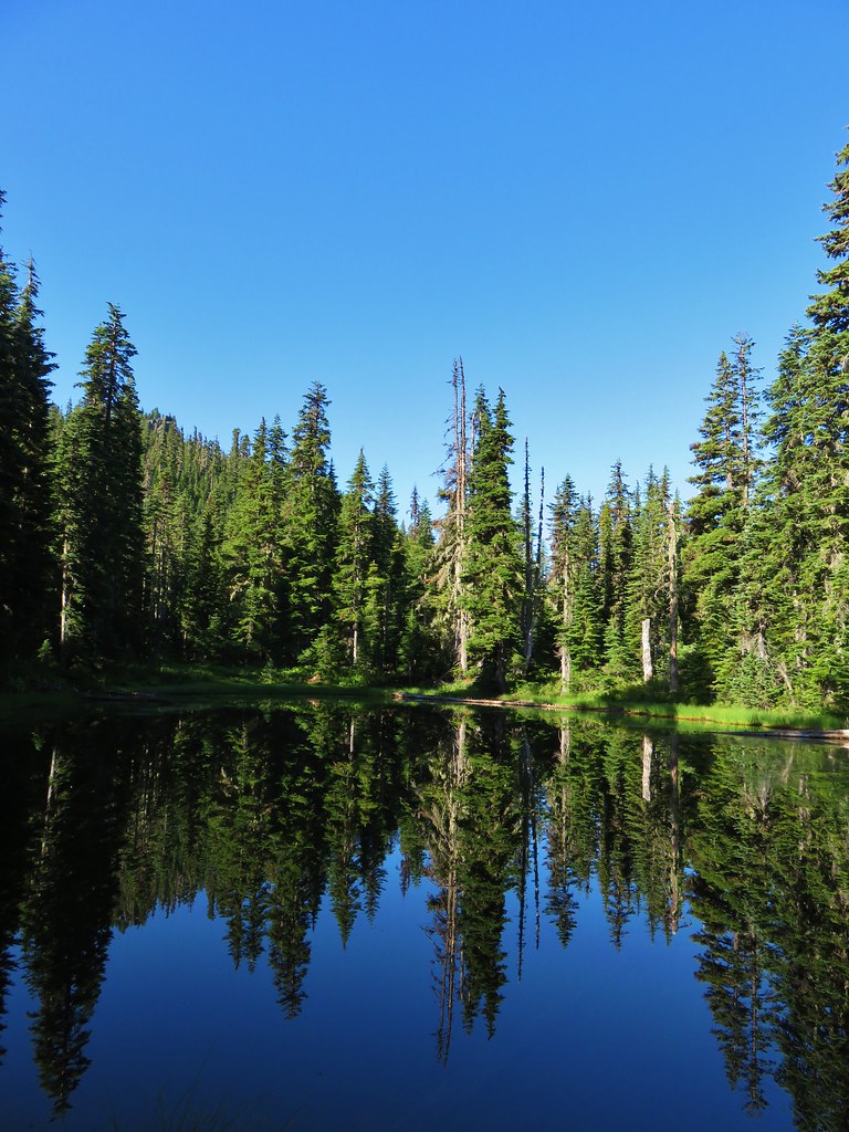 From the opposite side of the lake.


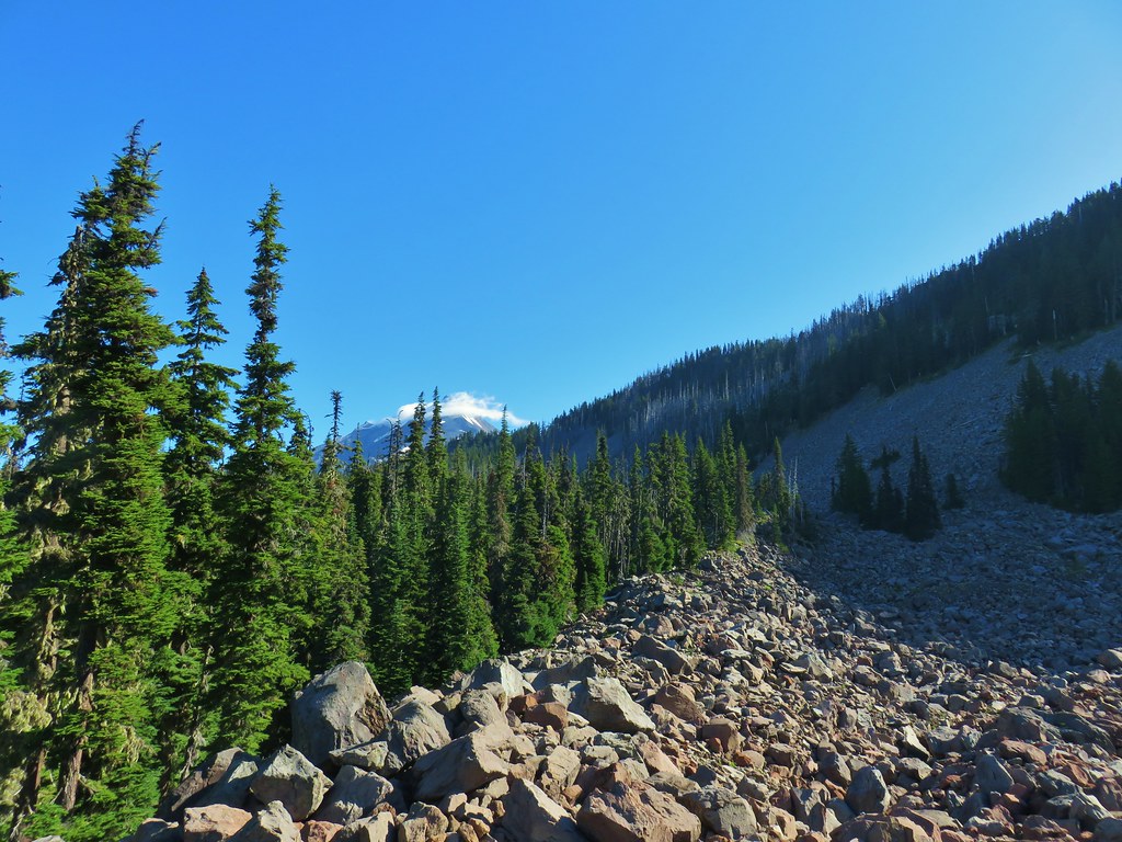
 Looking south over the rock field.
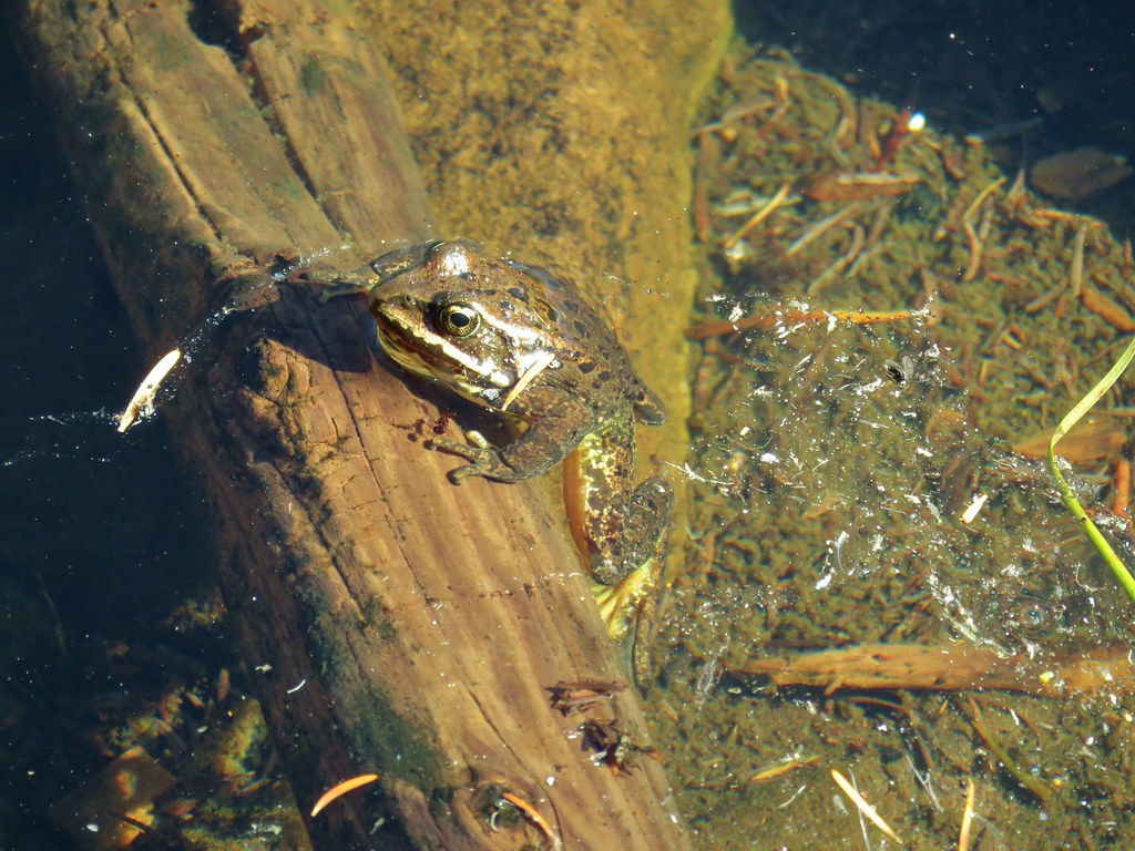
 One of the frogs.
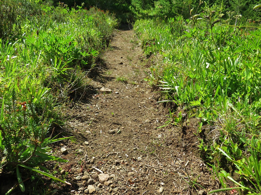 Frog in the trail.
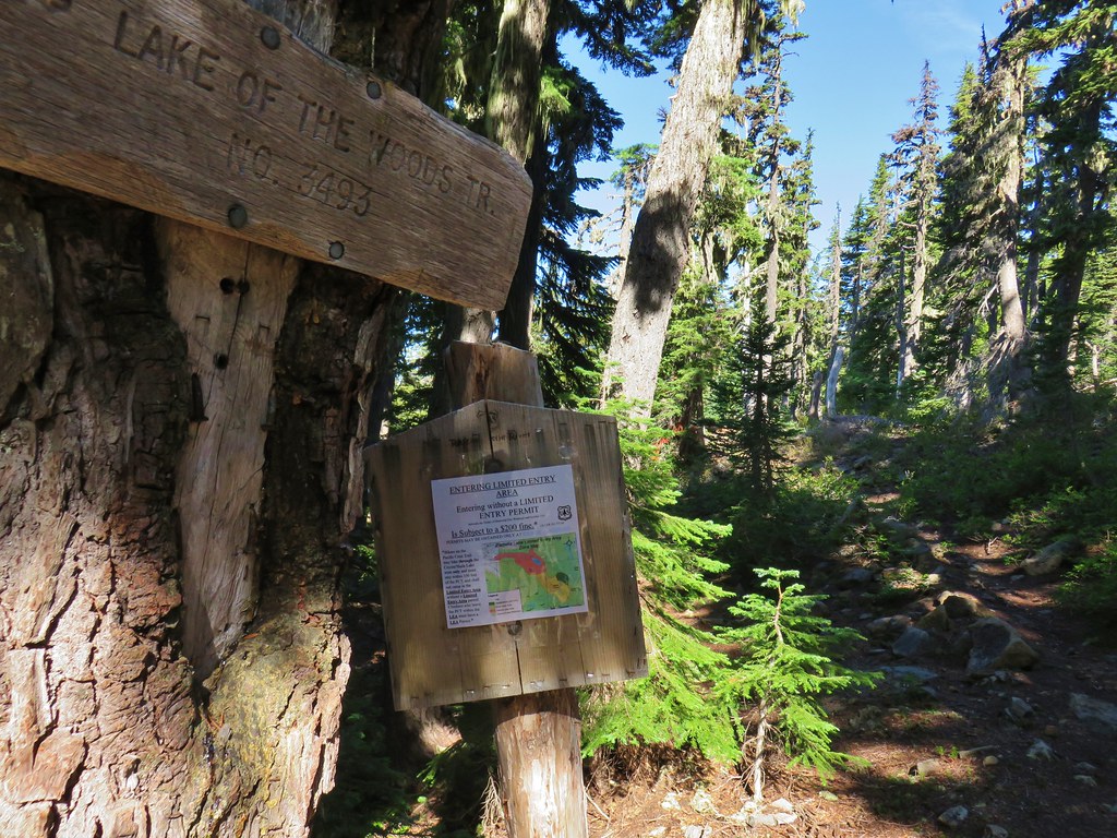

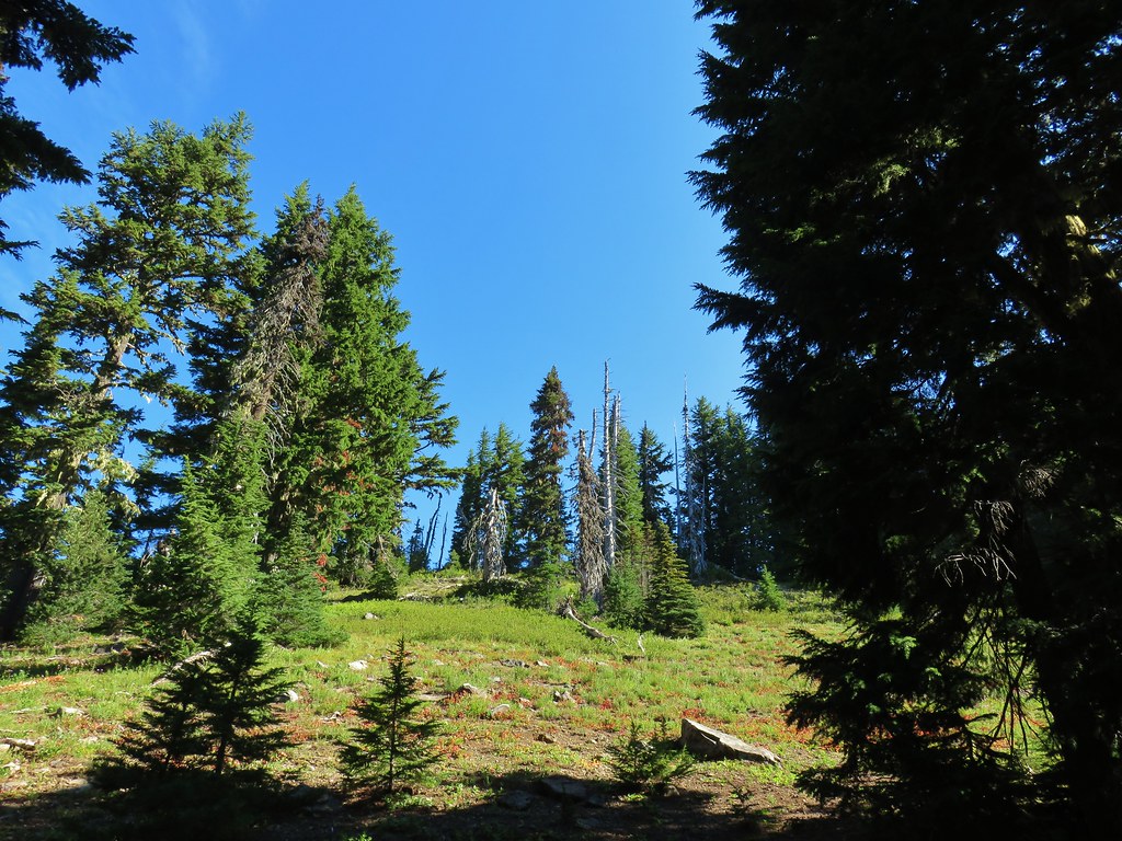


 Apparently the trail was rerouted at some point because we could see tread that we never used.
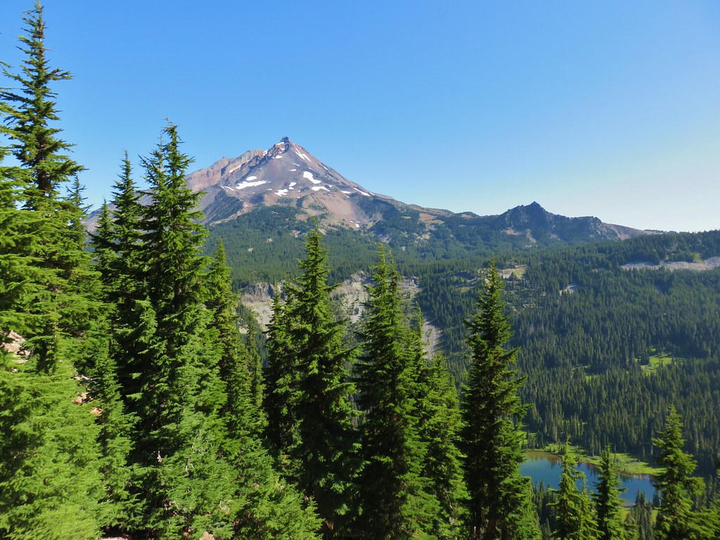
 The Three Pyramids beyond Bingham Ridge.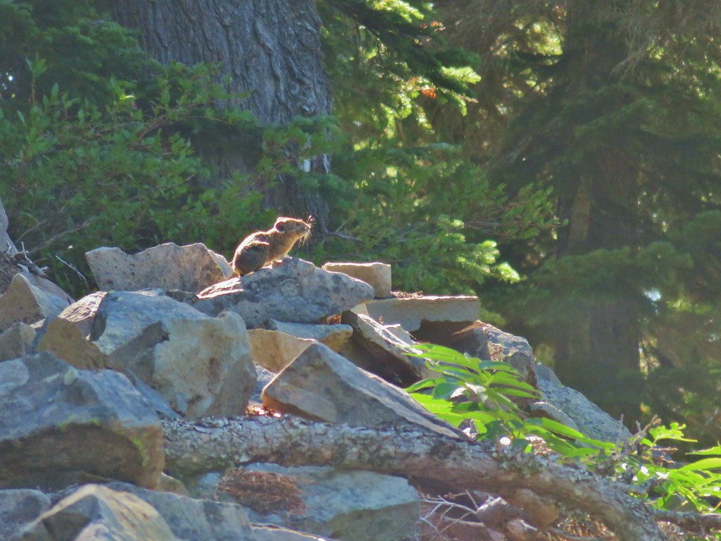


 (the clouds had finally vanished)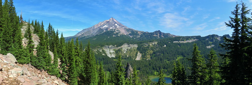
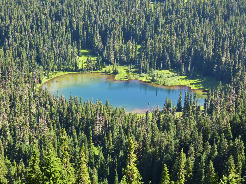 Hanks Lake
 Hunts Lake
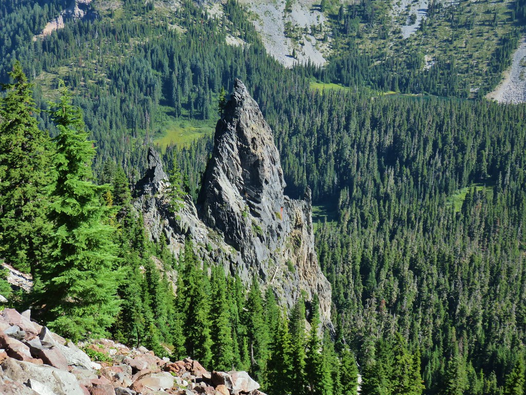 Rock fin above Hunts Cove.
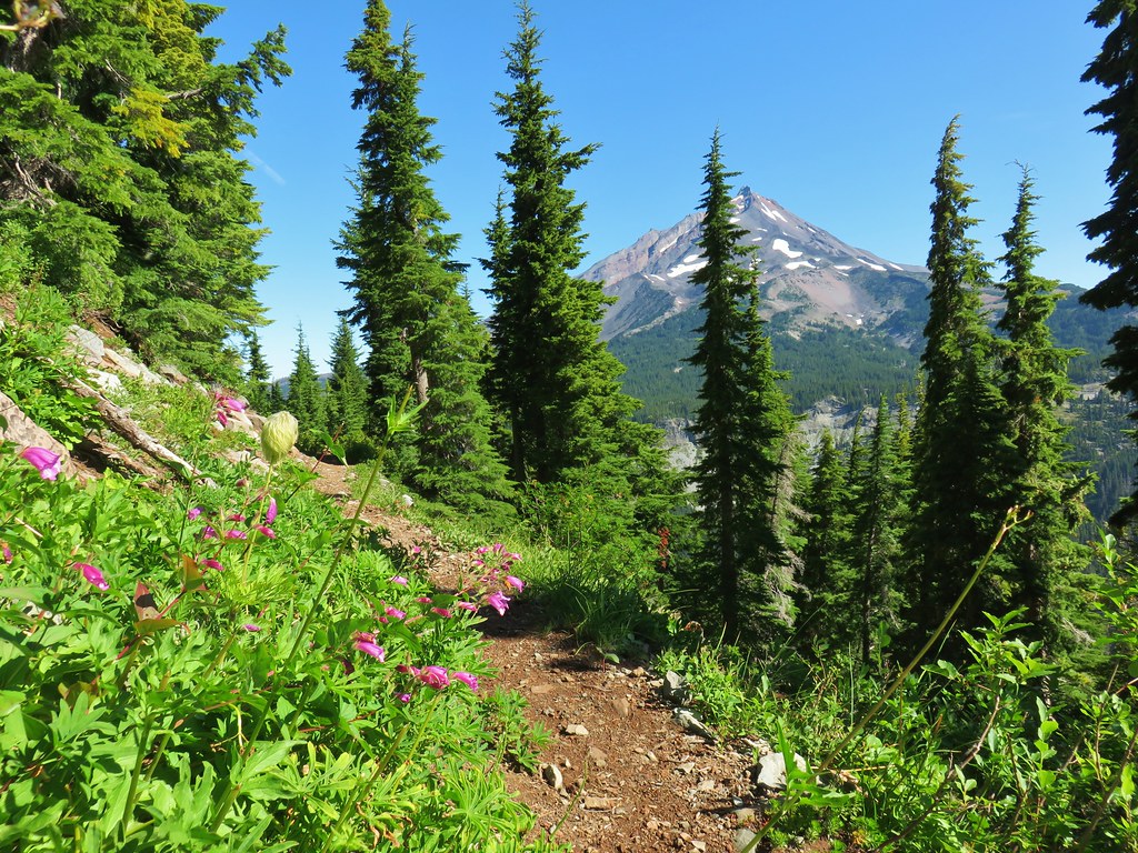 Penstemon and a western pasque flower.
 Western pasque flower seed heads.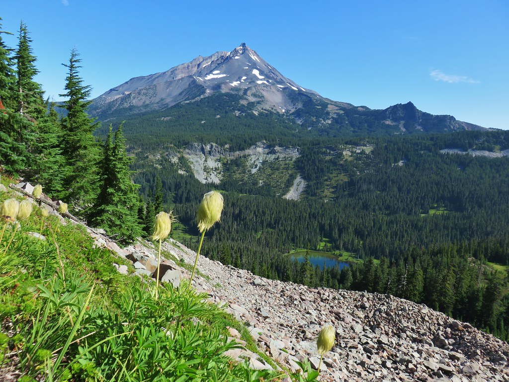
 Hippie-on-a-stick

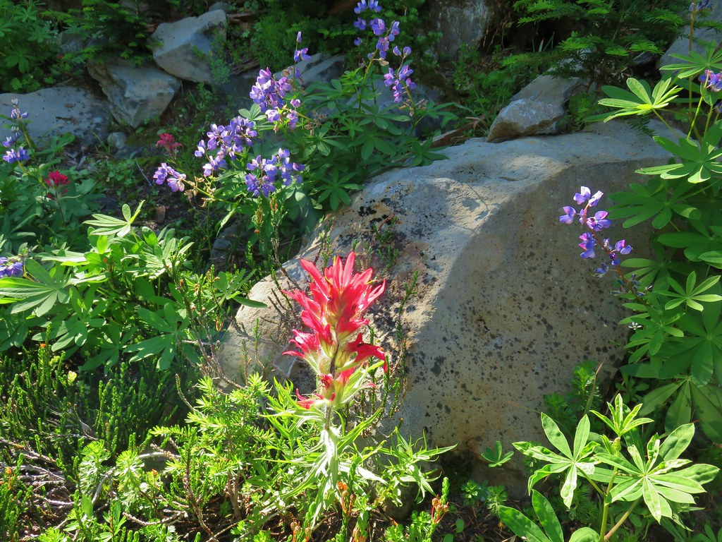 Paintbrush and lupine
 Patridge foot
 Mt. Jefferson, Goat Peak (behind the tree) and the Cathedral Rocks.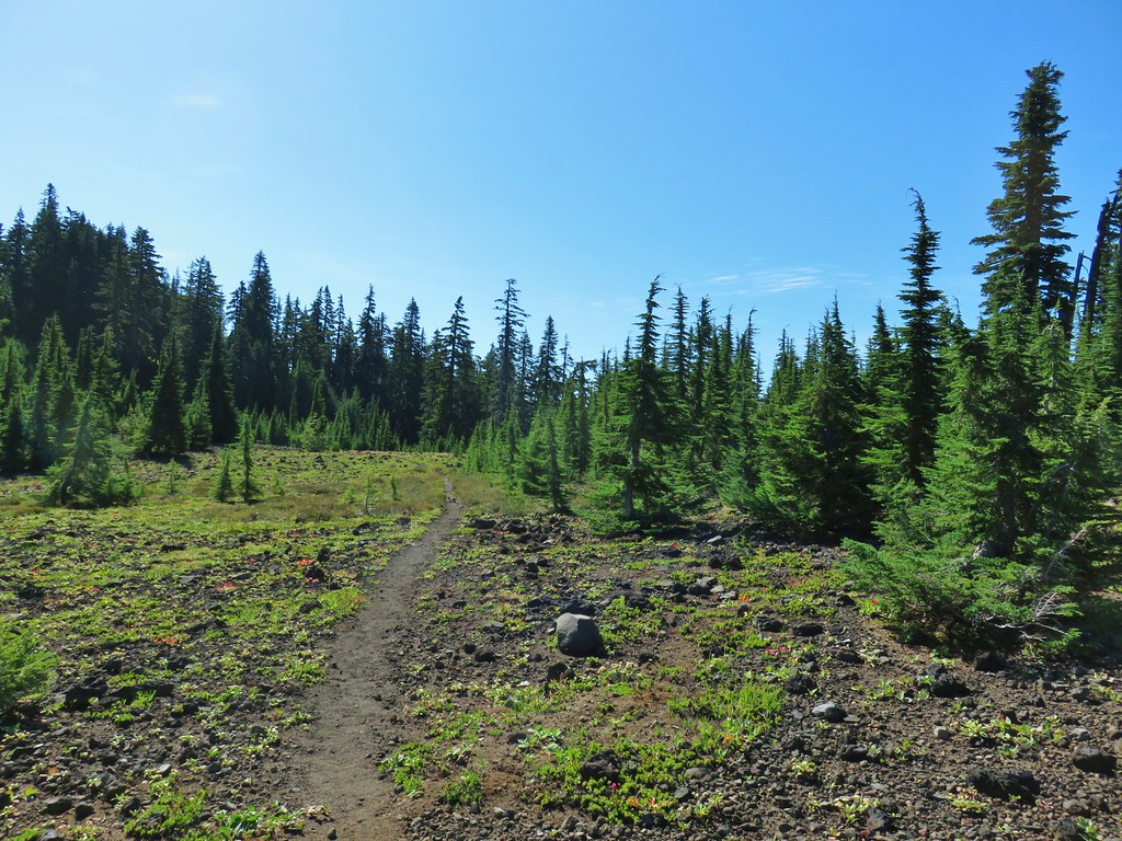
 South Cinder Peak
 The Three Sisters
 Three Fingered Jack
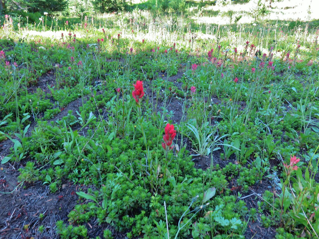 Paintbrush in a meadow behind the butte.
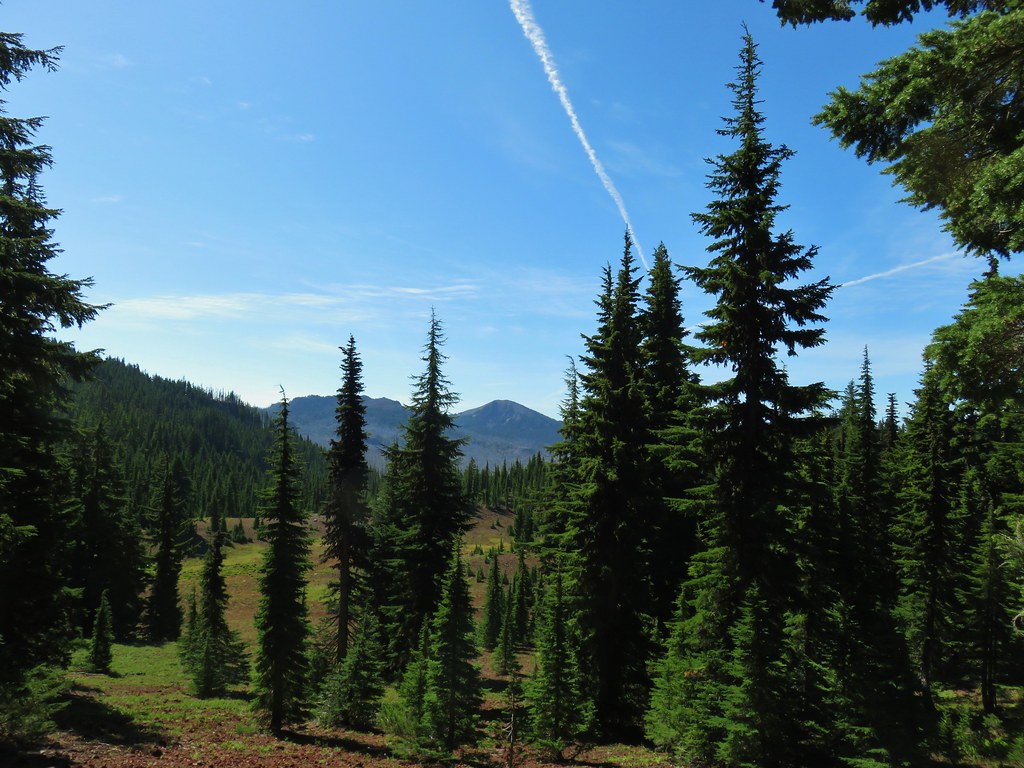 South Cinder Peak
 Three Fingered Jack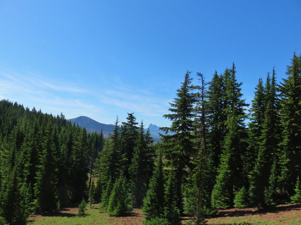
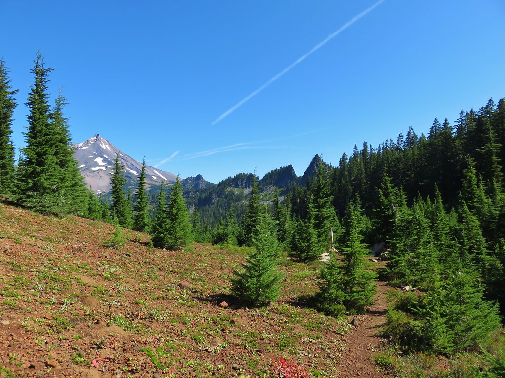
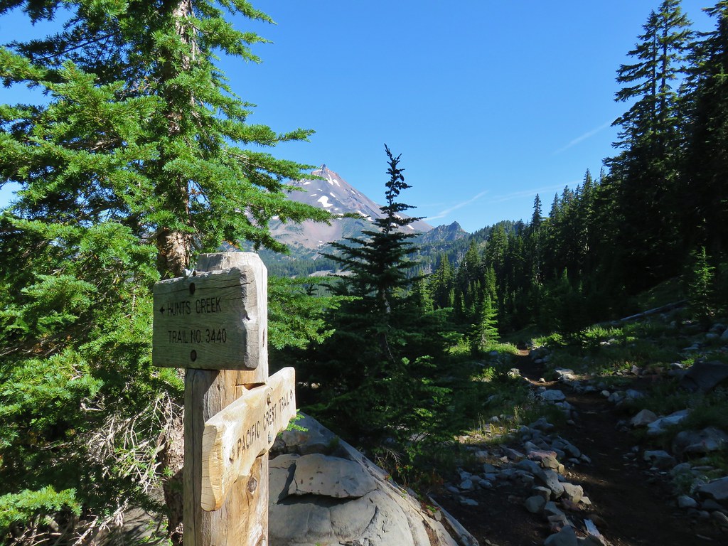

 Mostly past lupine
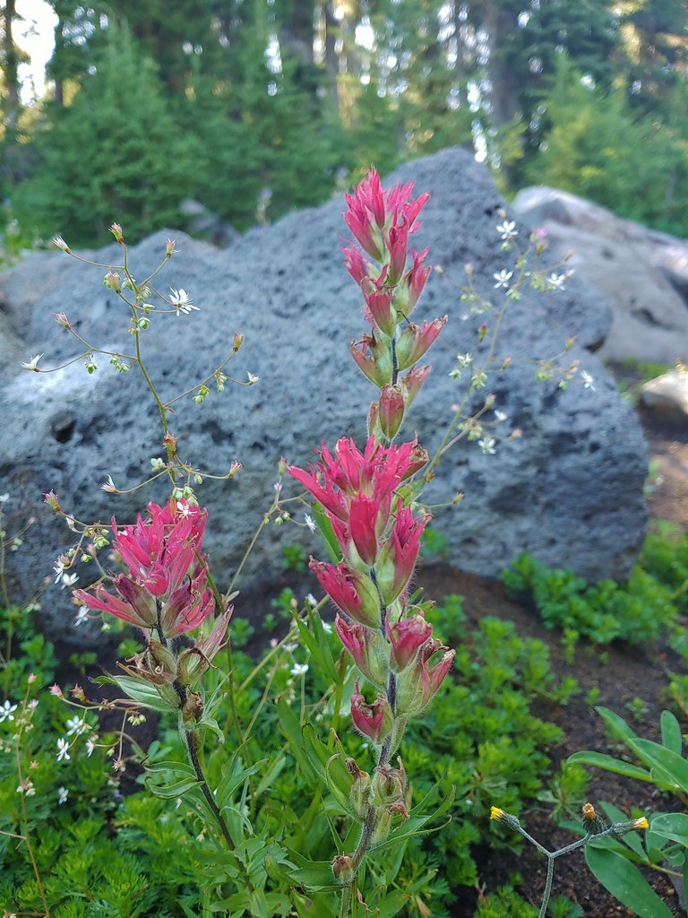 Paintbrush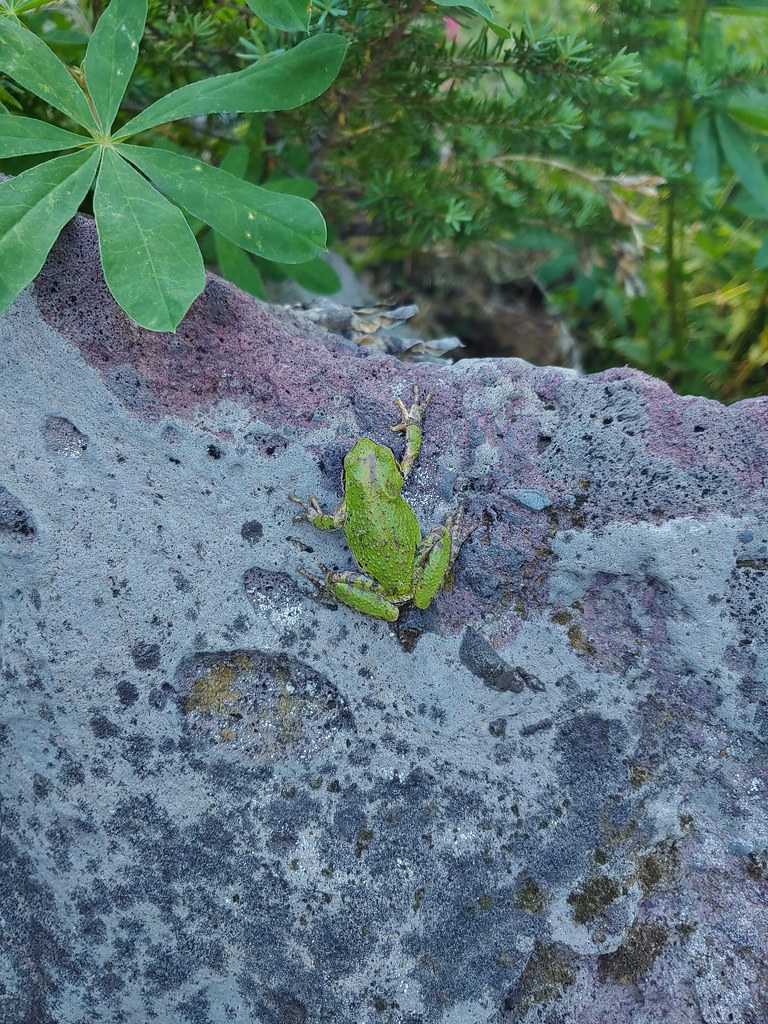
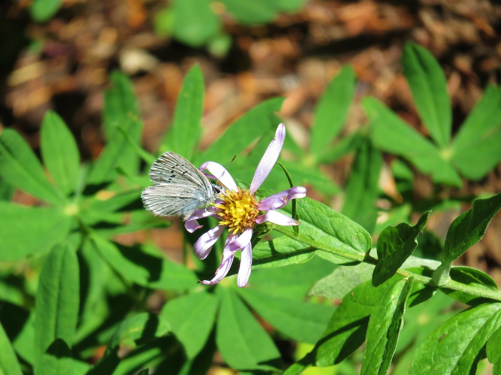 Butterfly on an aster.
 Never seen one of these looks so clean and smooth, it almost looked fake.
 We don’t know if this was just a stunted wallflower or something we’d never seen before.