September is one of the trickier months for picking hikes. The transition to Fall has begun meaning most of the wildflowers are done while the Fall colors are just getting started. Rain begins returning (and sometimes snow at higher elevations), but many of the waterfalls are still running low. Finally, wildfire smoke has often been a problem in recent years.
The hike to Park Meadow and Golden Lake seemed a good option as it isn’t a big wildflower hike and there aren’t a lot of plants known for their Fall colors. We had visited the meadow and Golden Lake during a 2014 backpacking loop around the South Sister (post). That visit was enough for us to count having hiked part of Sullivan’s featured hike in his “100 Hike/Travel Guide Central Oregon Cascades” (post), but it meant we’d skipped the five miles of trail between the Park Meadow Trailhead and Park Meadow.
With a forecast of mostly smoke and cloud free skies we made the two-and-a-half-hour drive to the trailhead.

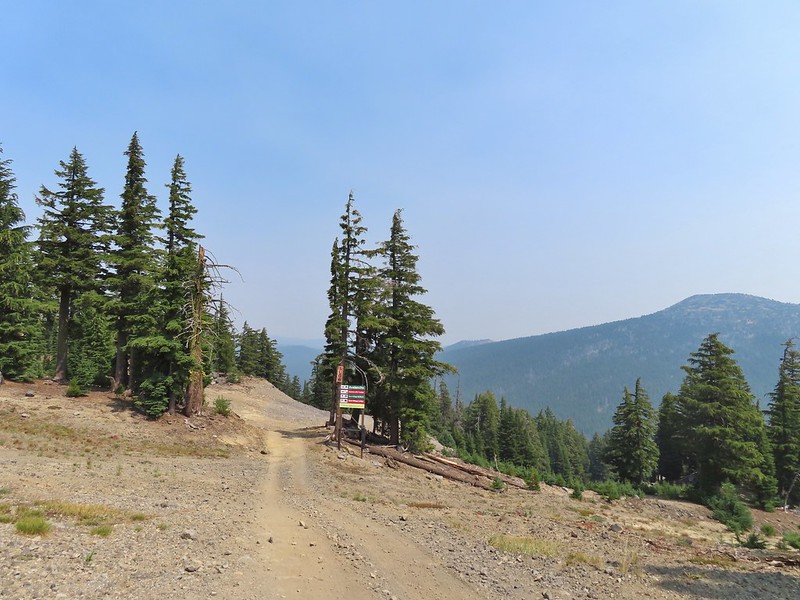
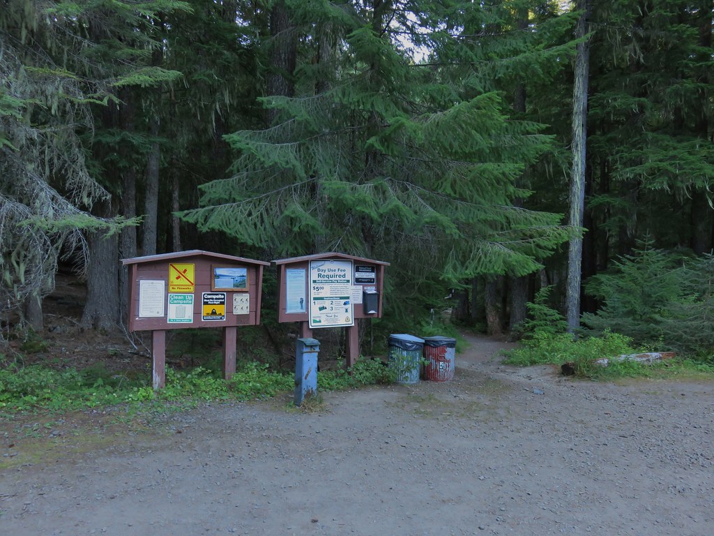
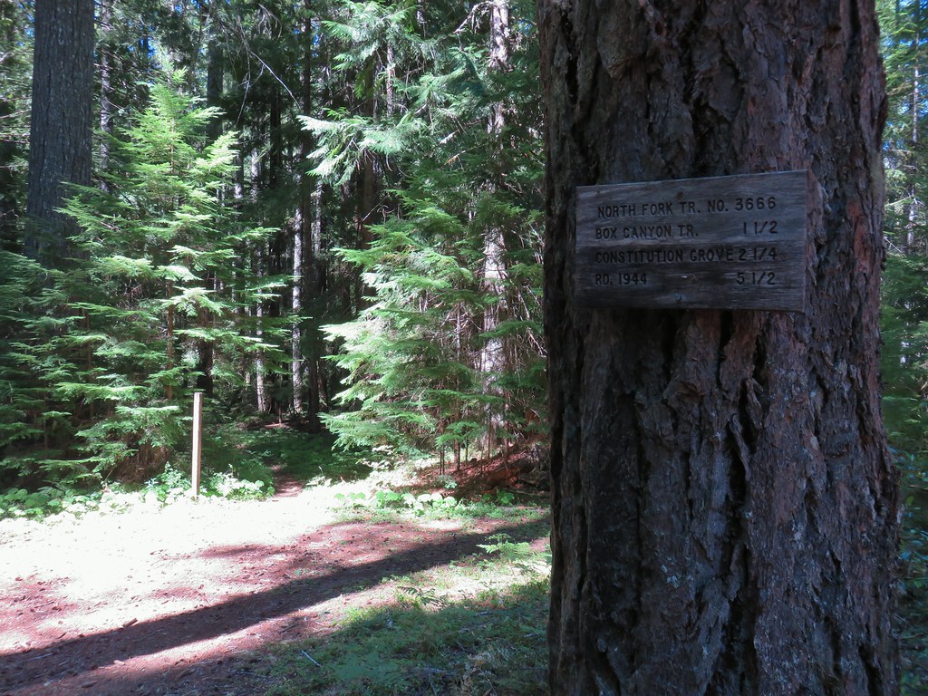
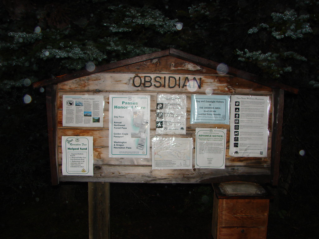
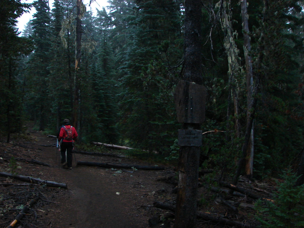
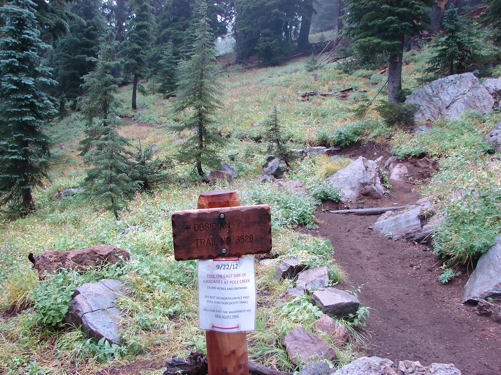
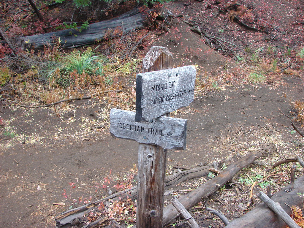
The trail begins across Forest Road 16 from the trailhead at a signboard and wilderness permit box.

Currently for day hikes the only permit currently required is the free self-issued wilderness permit that we filled out at the signboard. For overnight trips a Central Cascades Wilderness Permit is required.

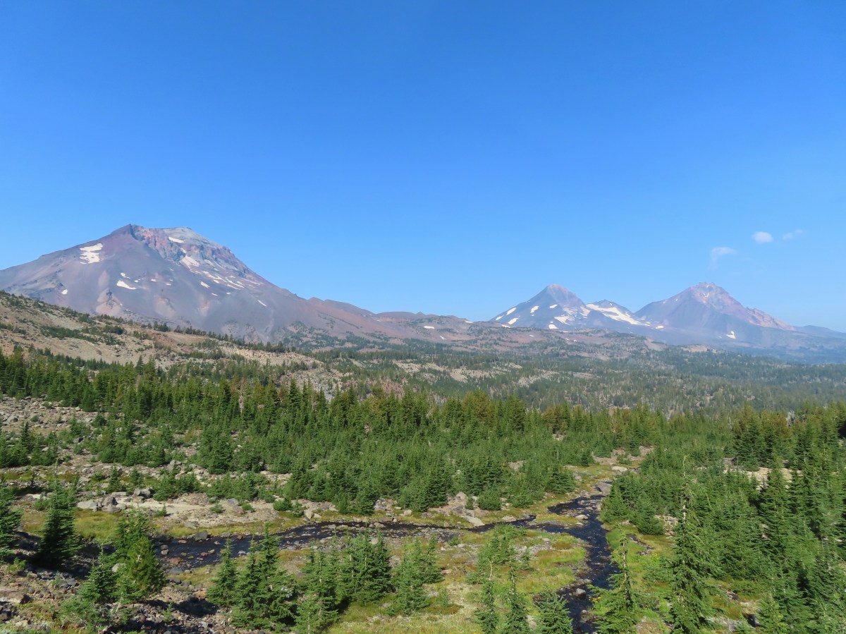
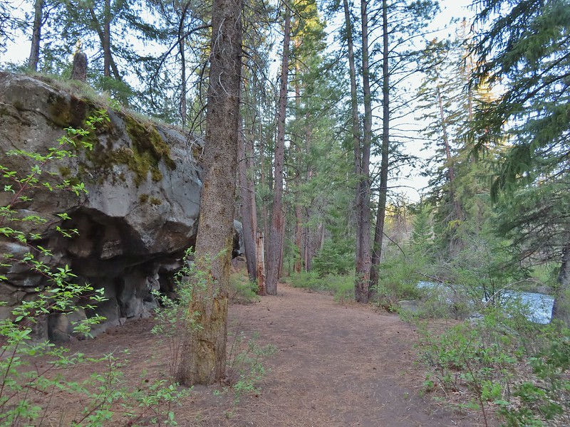
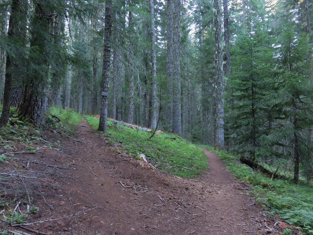
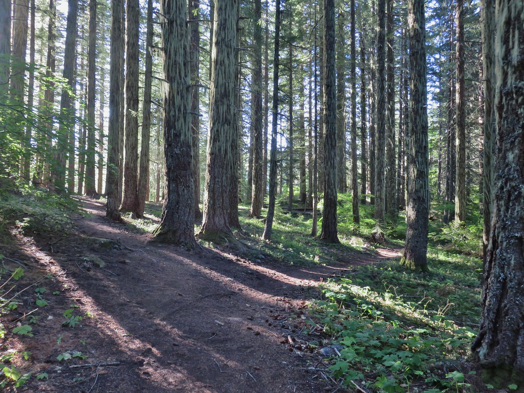
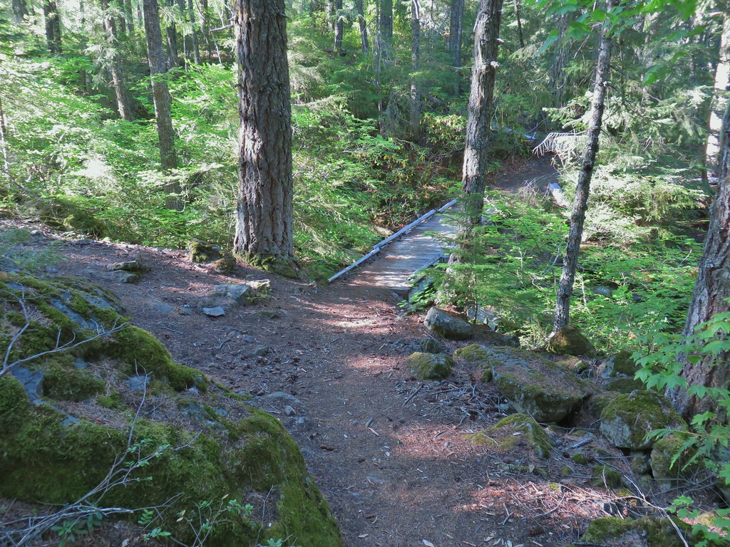
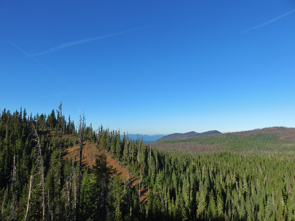
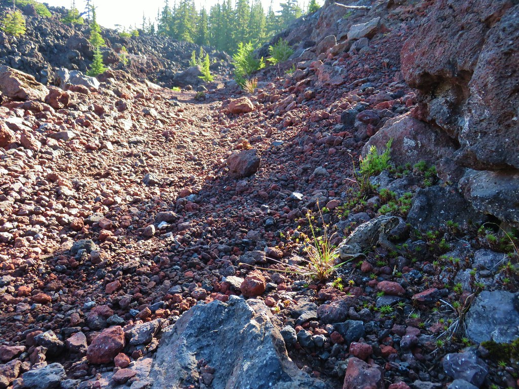
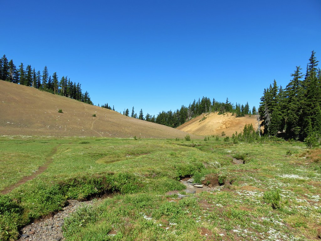
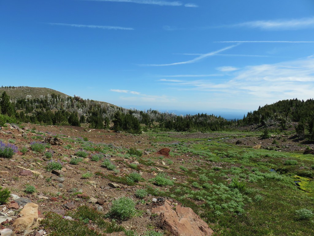
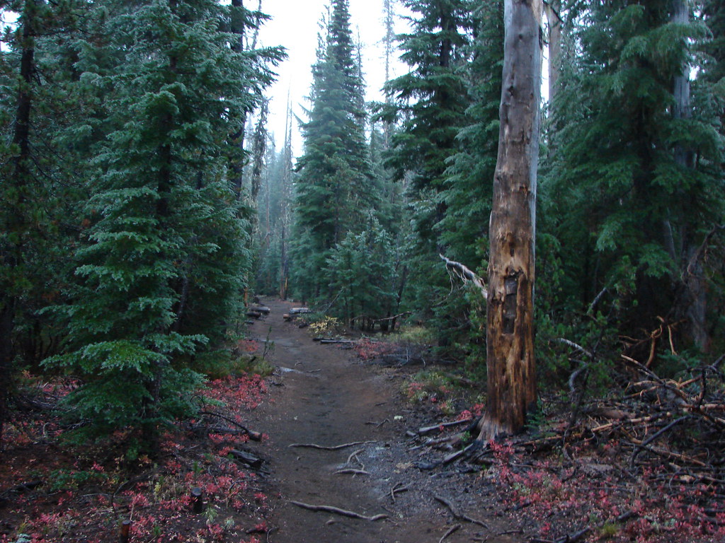
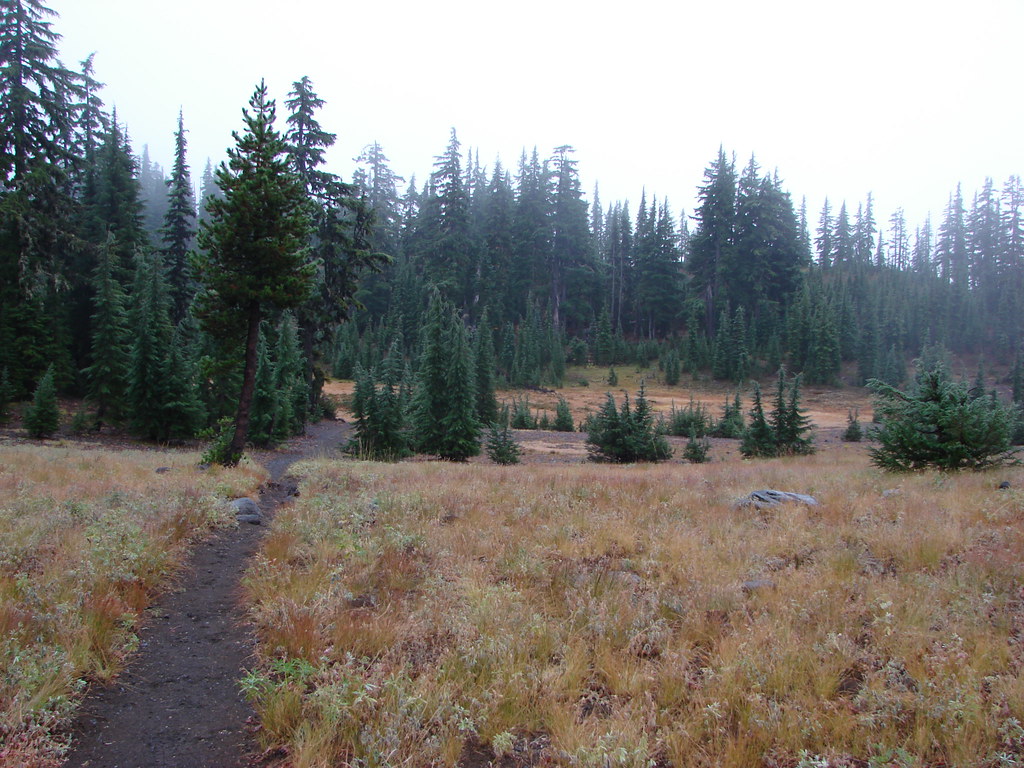
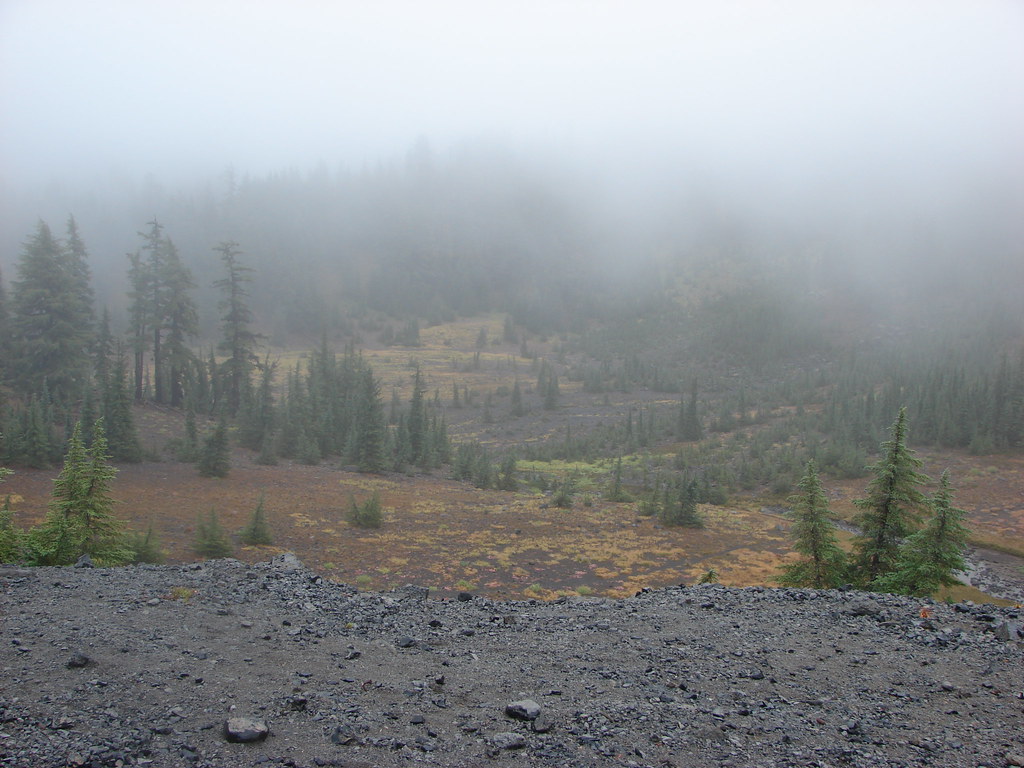
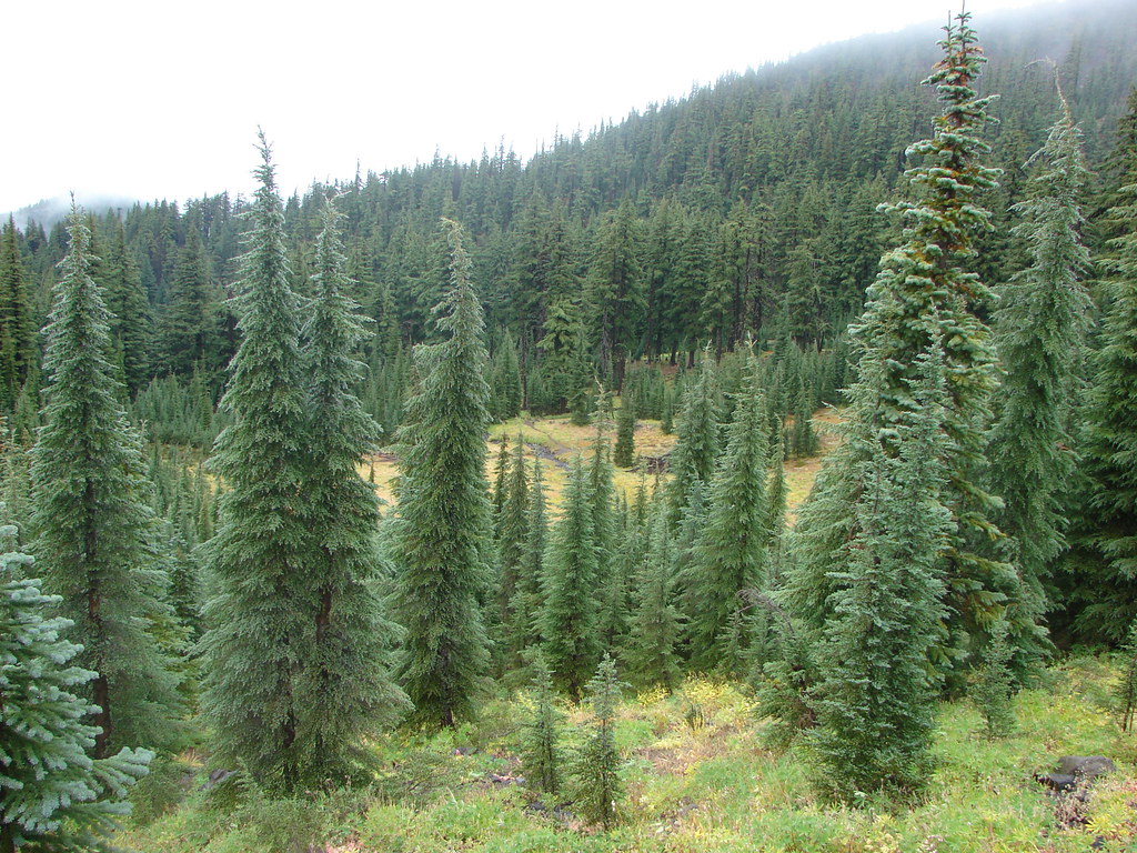
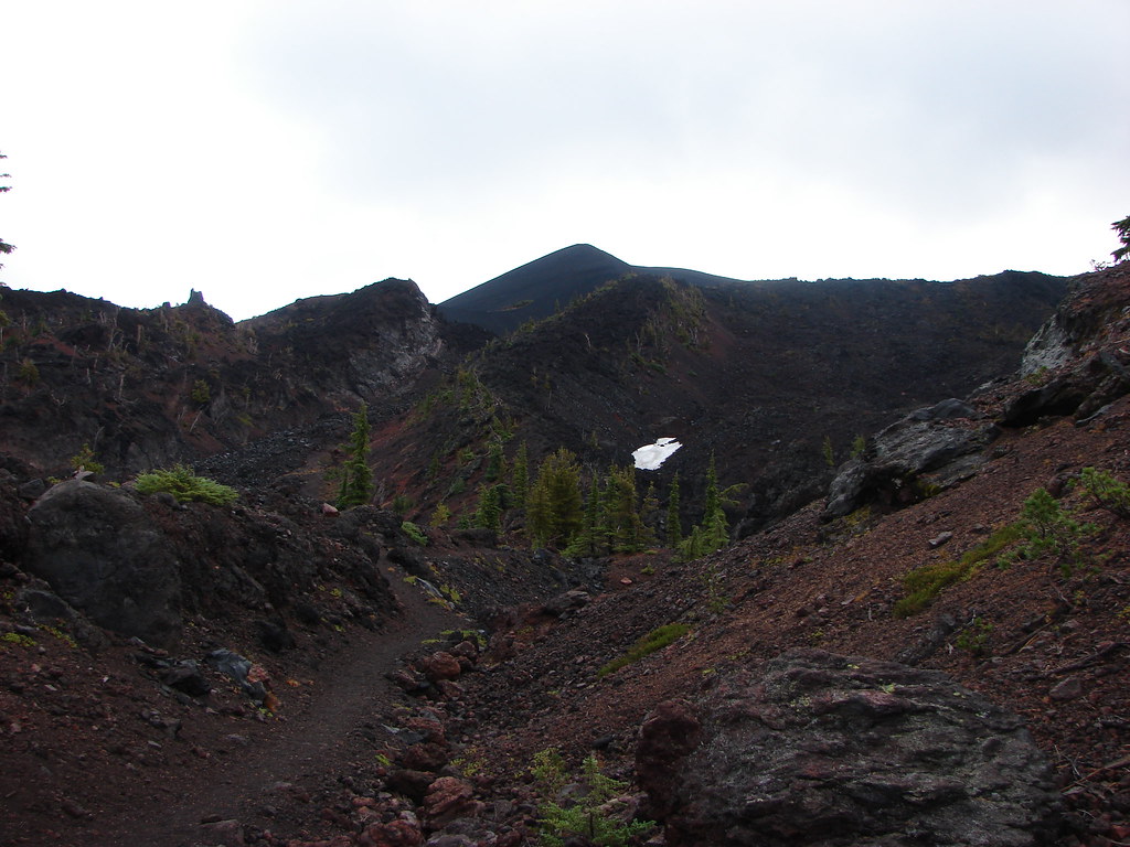
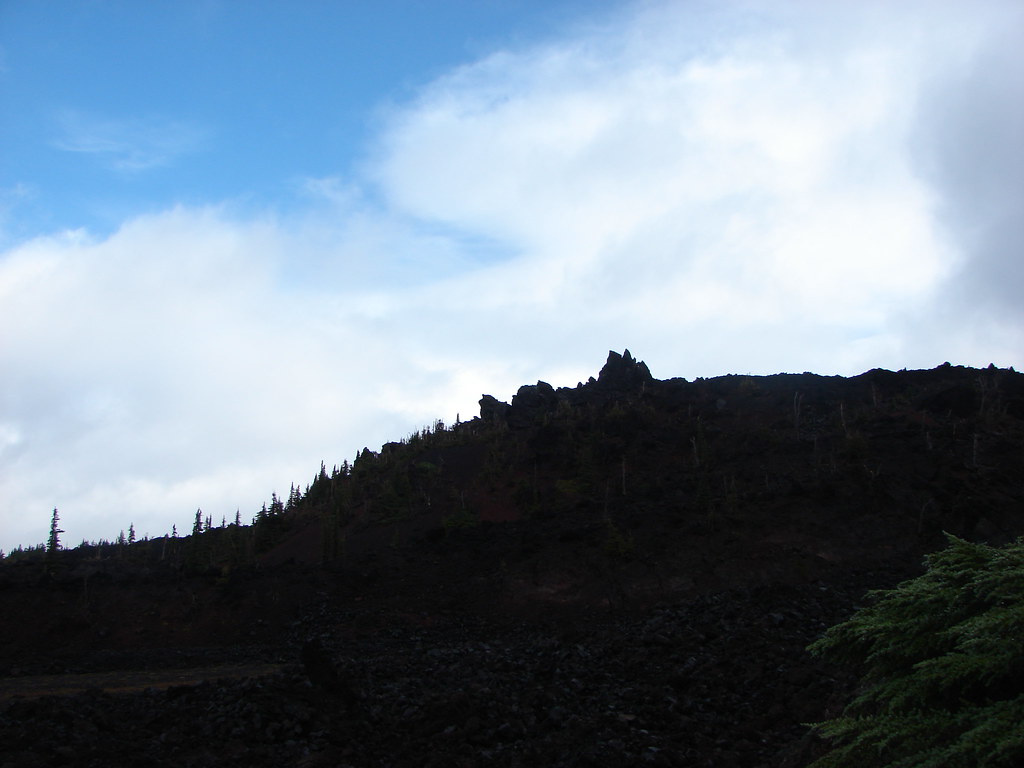
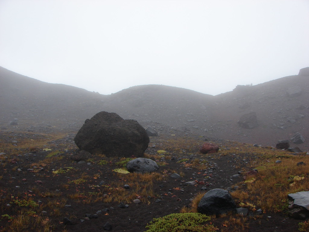
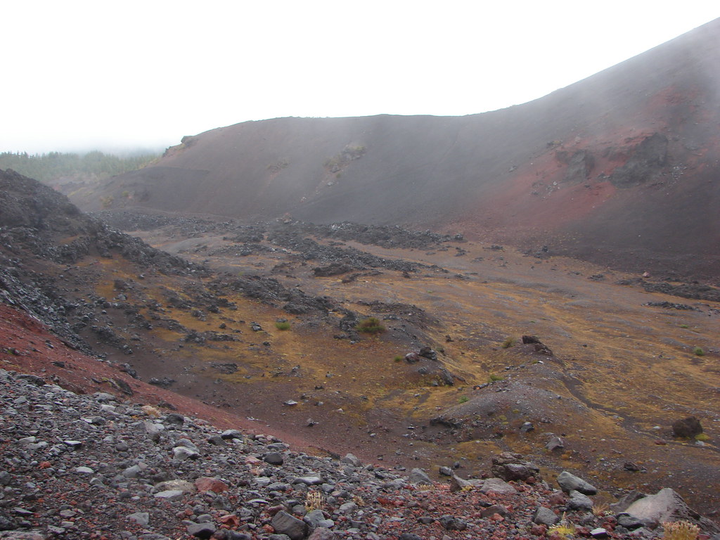
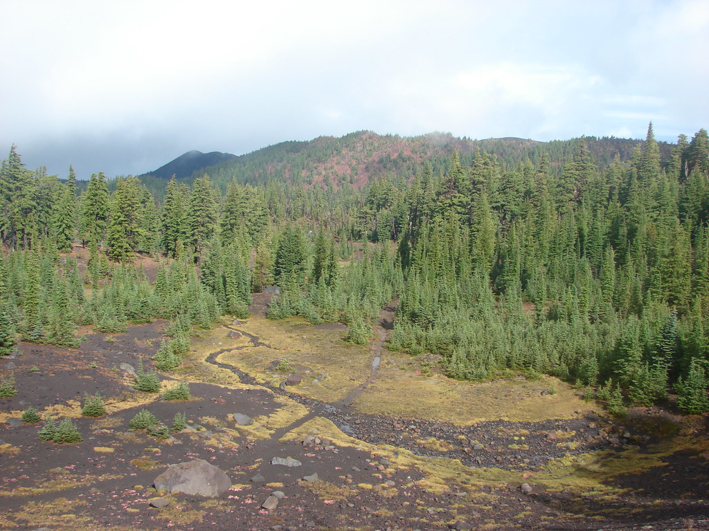
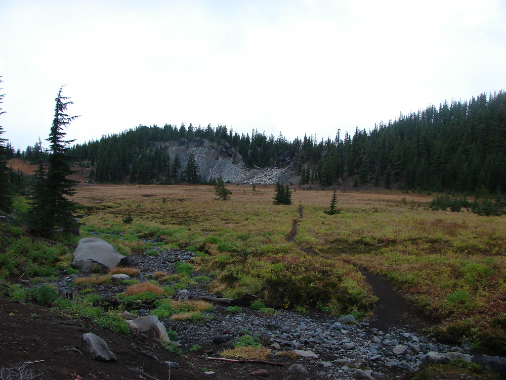
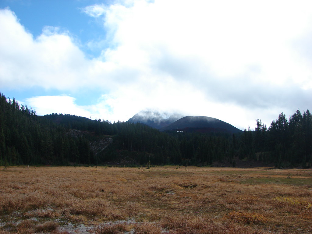
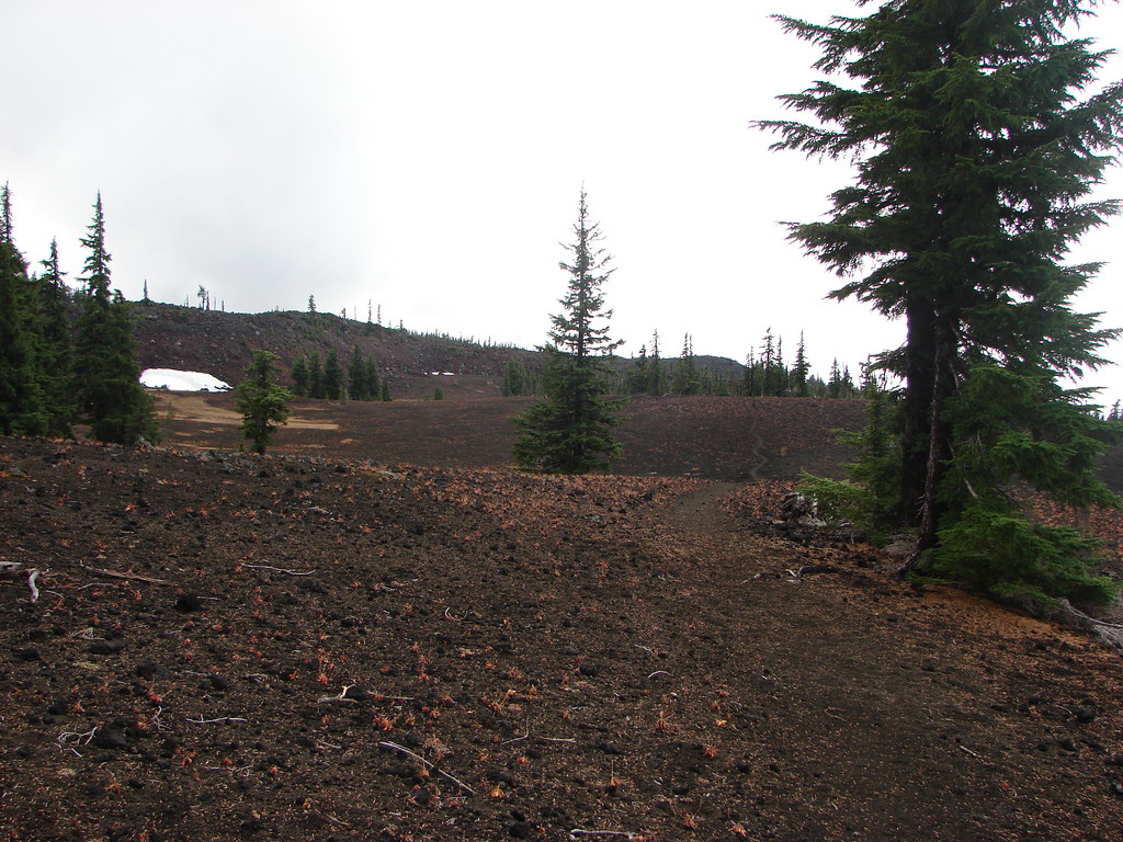
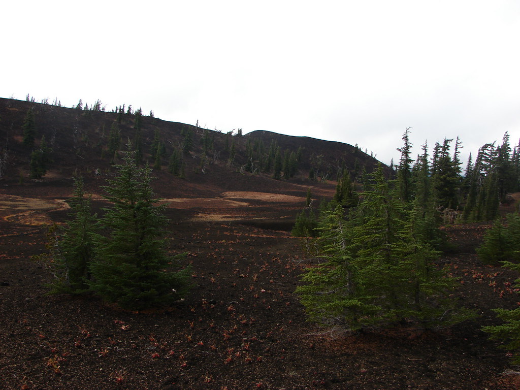
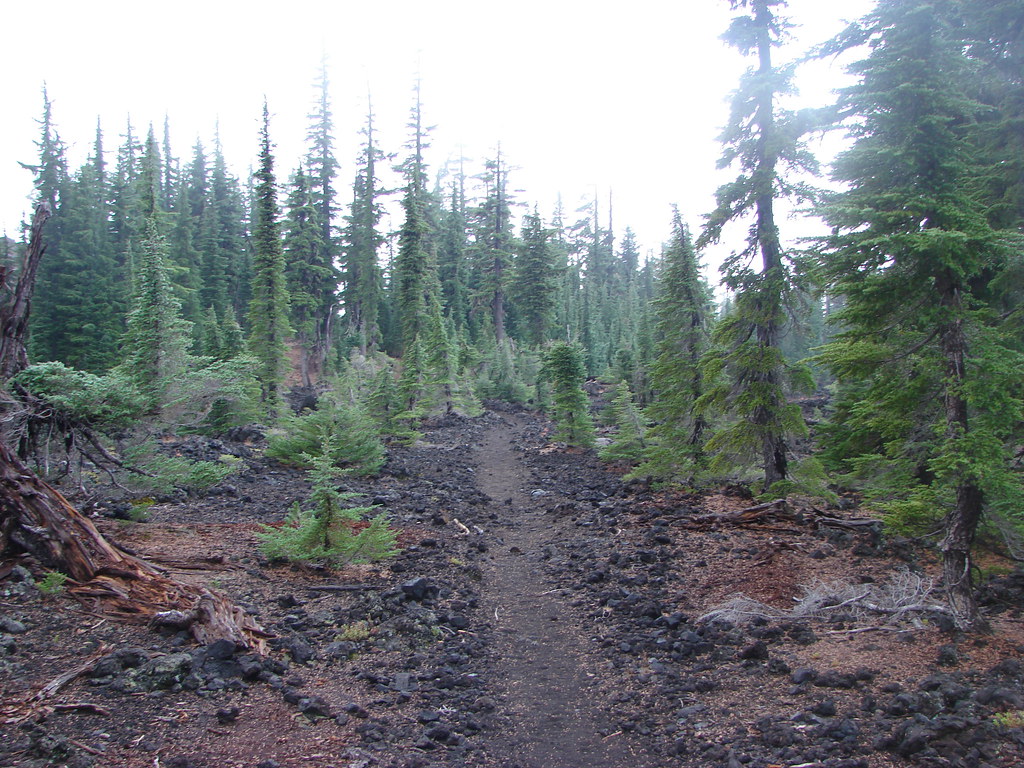
The Park Meadow Trail spends most of its time in the 2012 Pole Creek Fire scar which burned nearly all the trees leaving views of the Three Sisters and Broken Top through the snags. The trail also loses 350′ of elevation for the first 3.9-miles to Wychus Creek.


Junco

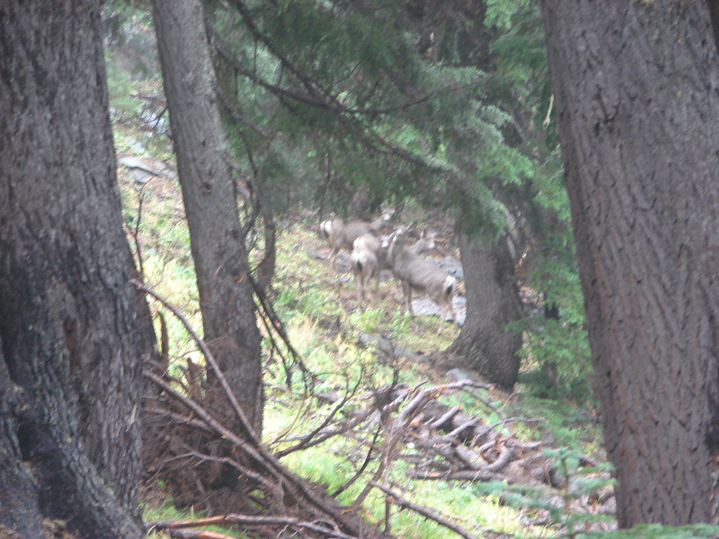
Heather spotted three deer on the rise in the distance.


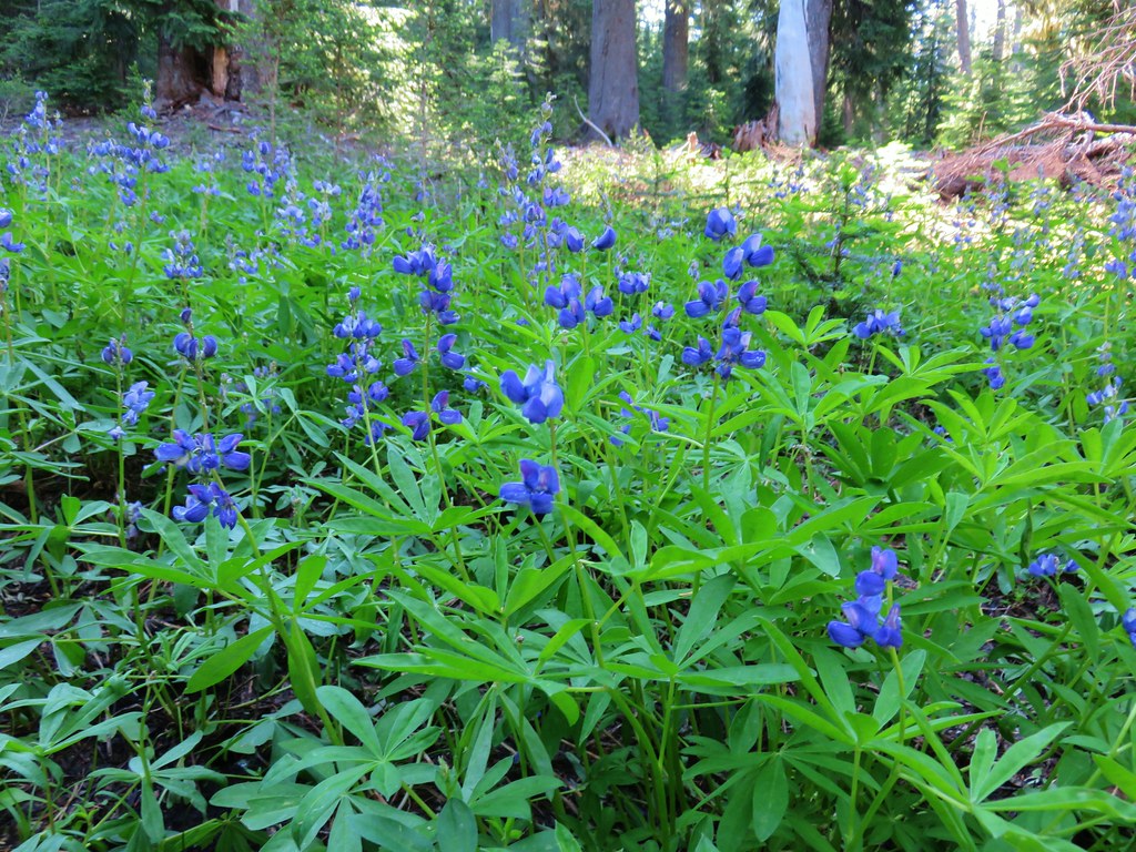
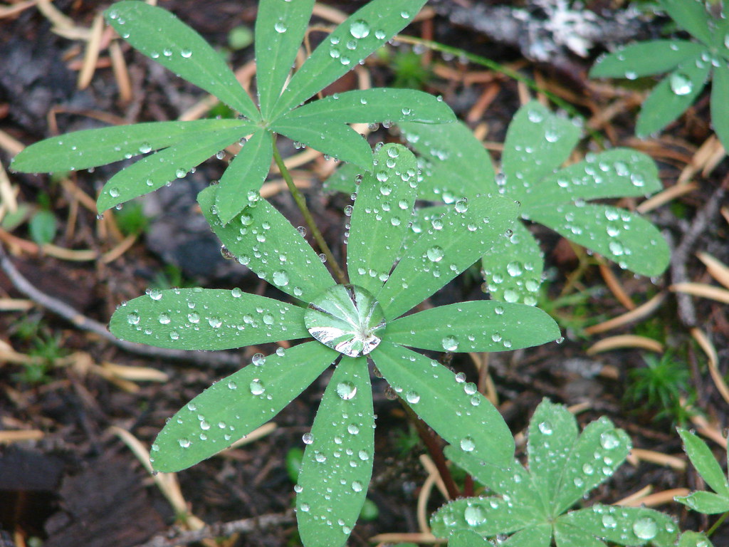
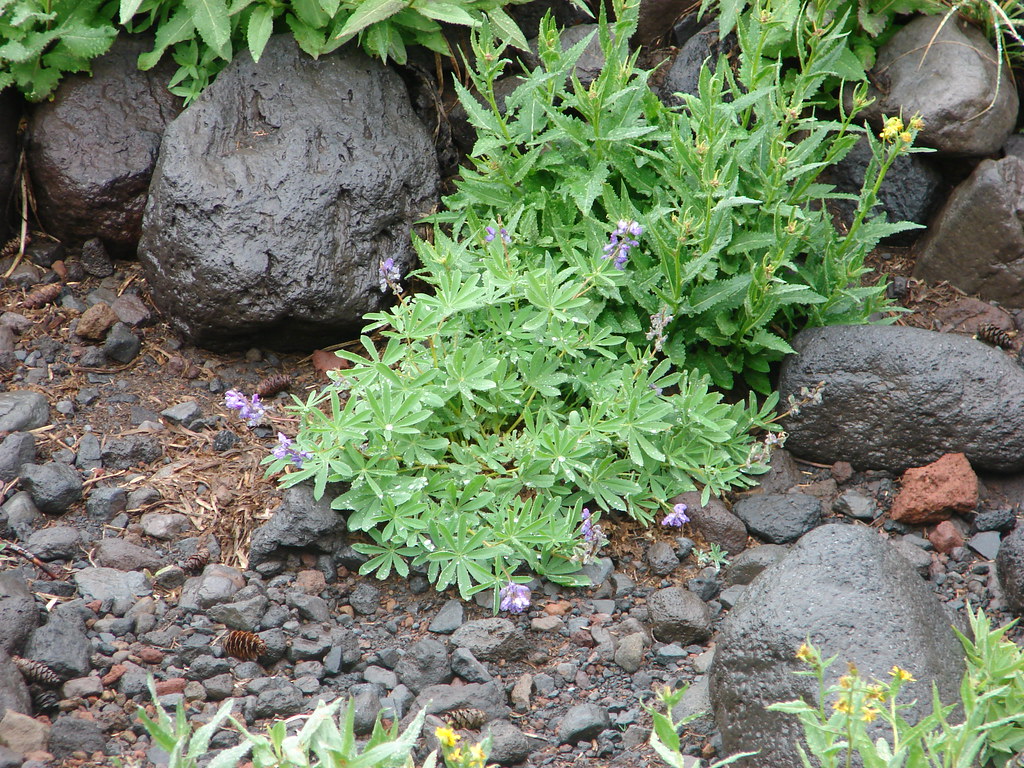
Lupine

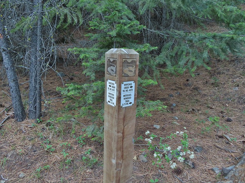
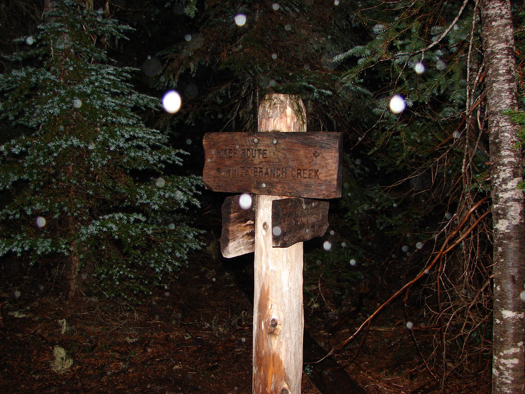
At the 0.25-mile mark the trail arrives at junction with the Metolius-Windigo Trail. We stayed straight following the pointer for “JCT. PARK MEADOW TR.”

The Three Sisters on the horizon.

Sparrow

Fireweed


Northwestern rabbit-tabacco

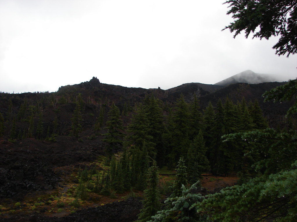
Broken Hand along Tam McArthur Rim (post) on the left with the tip of Broken Top above the hill on the right.


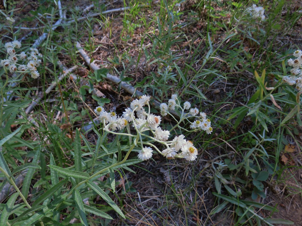
Pearly everlasting
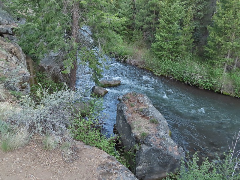
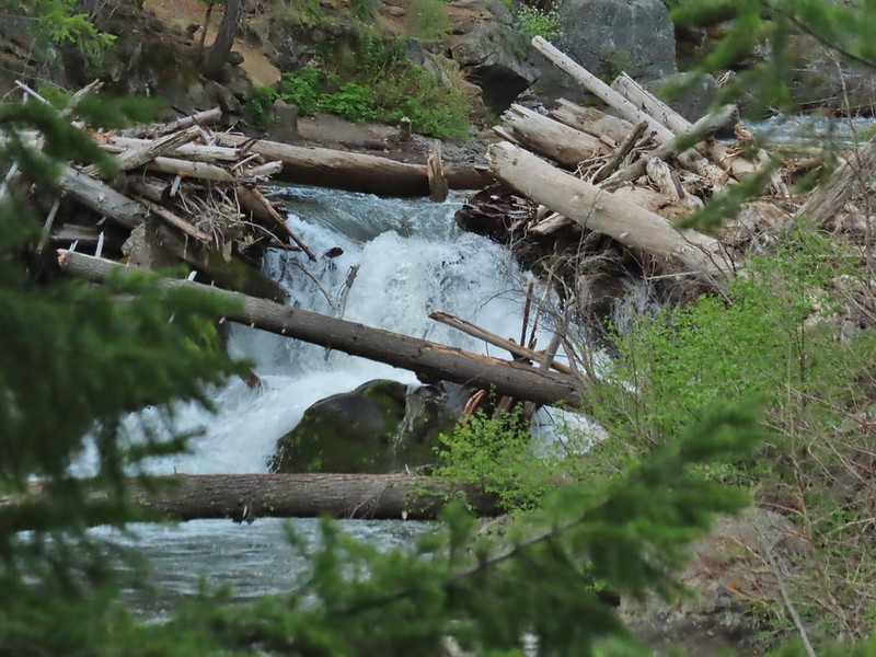
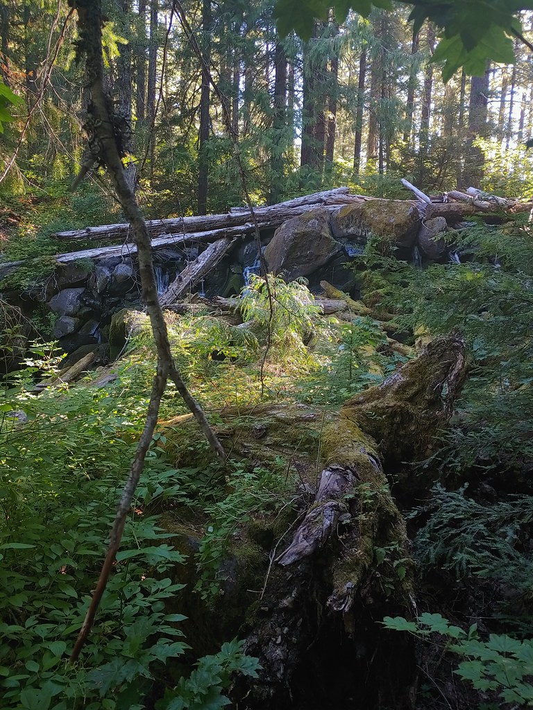
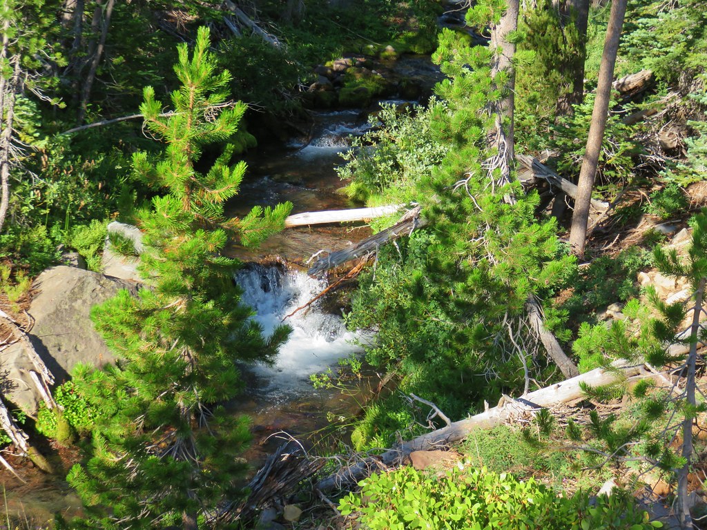
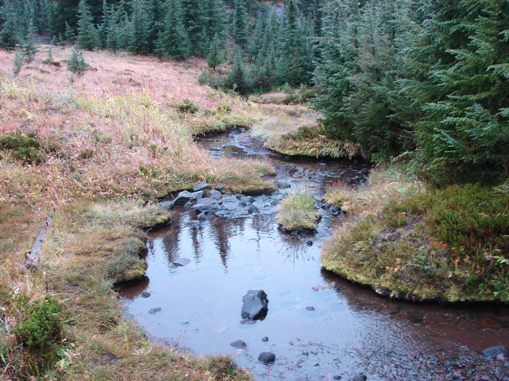
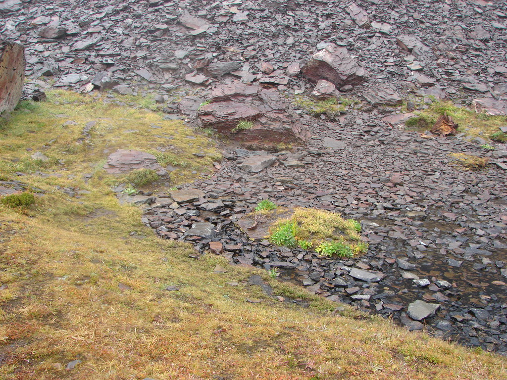
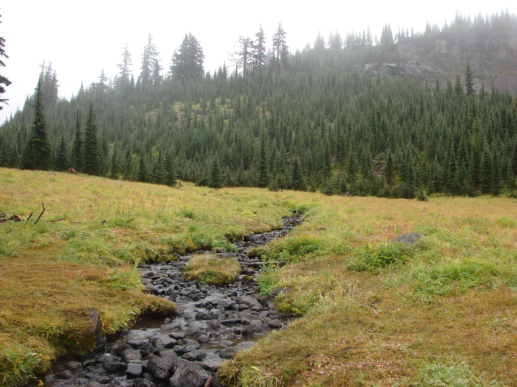
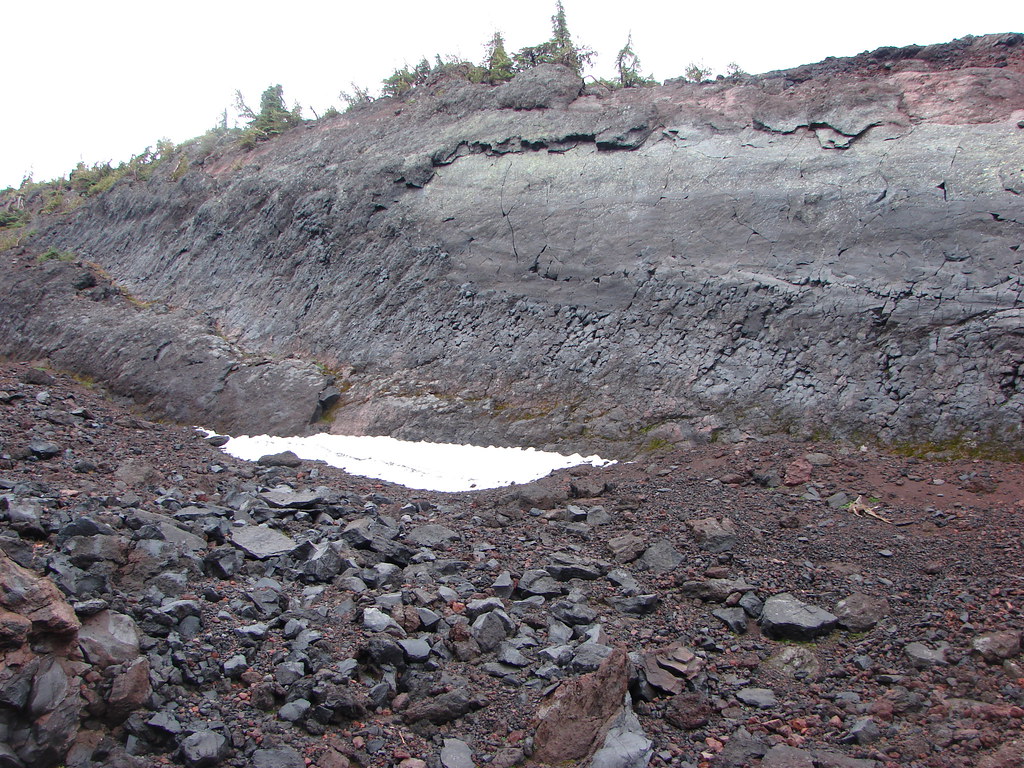
Just over two miles from the trailhead we arrived at an unnamed stream near the second junction with the Metolius-Windigo Trail.


Reflection in the stream.
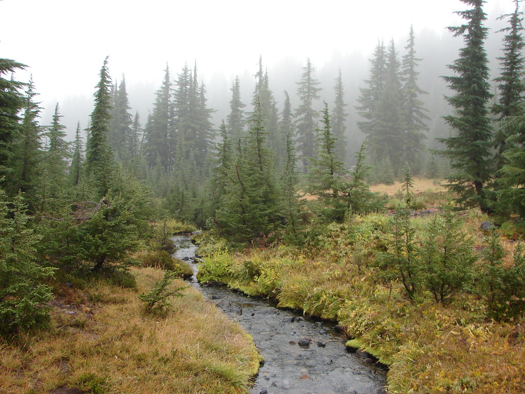
We again stayed straight continuing on the Park Meadow Trail which soon came to a crossing of Snow Creek at the border of the Three Sisters Wilderness.


Pearly everlasting along Snow Creek.

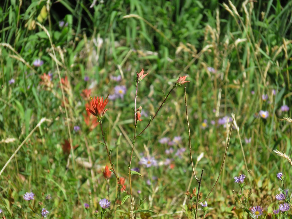
Paintbrush

Sweet bee on milk kelloggia

We spotted a pair of ravens in the snag tops ahead.

Raven

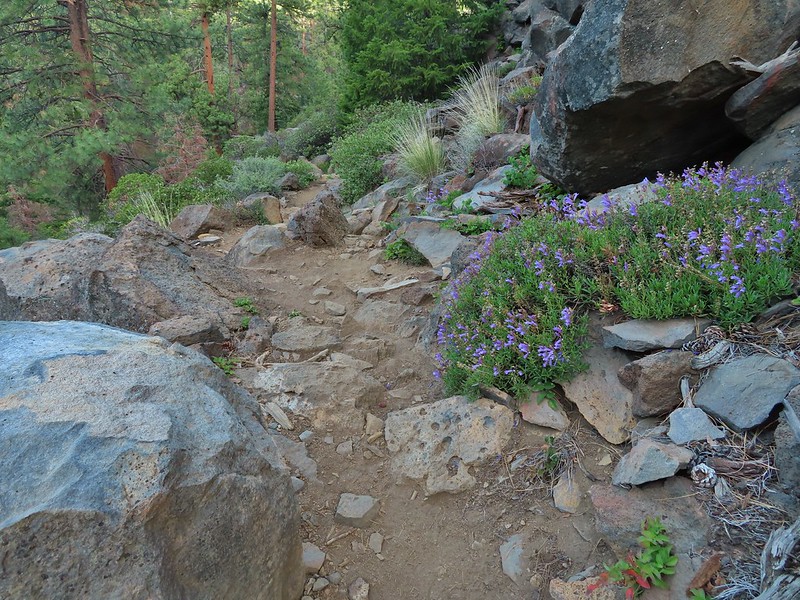
Penstemon

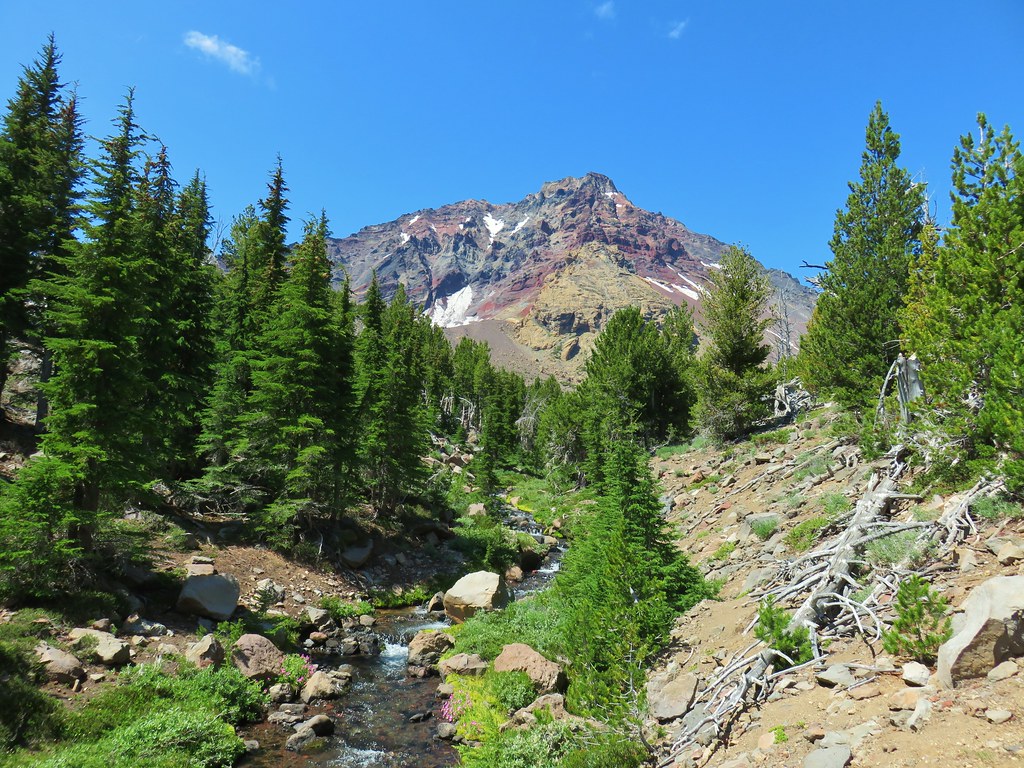
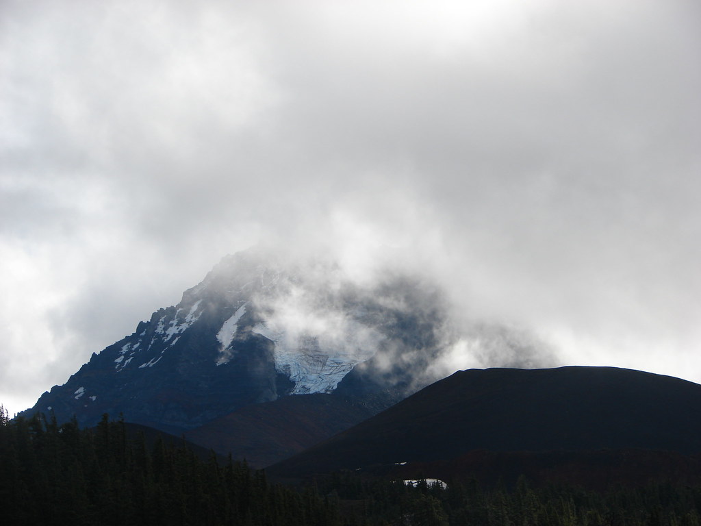
Broken Top and South Sister (post).

Broken Top

South Sister

Woodpecker from below.
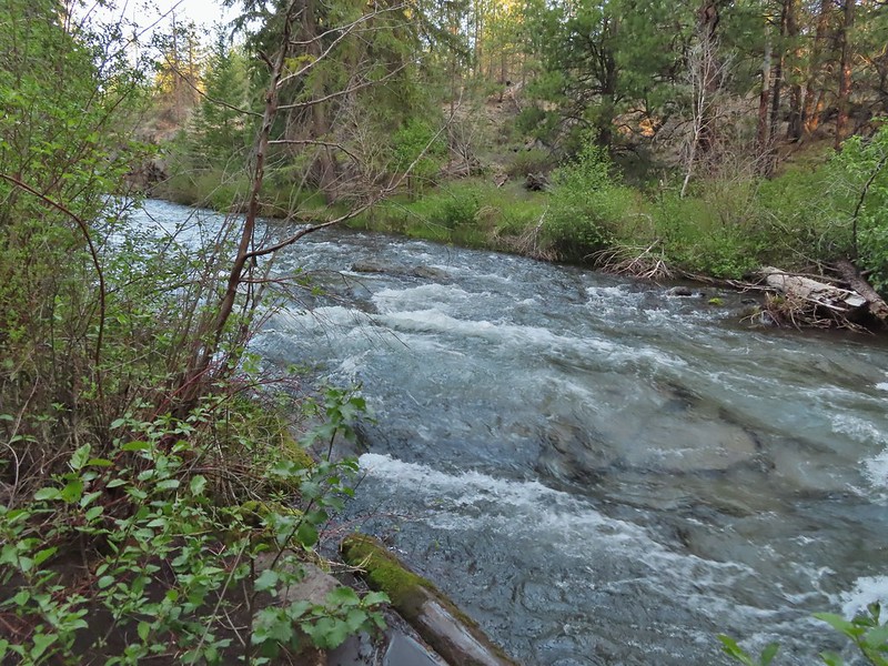
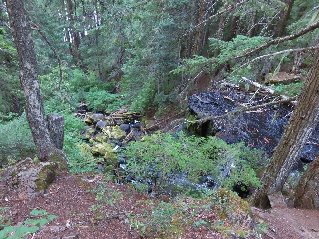
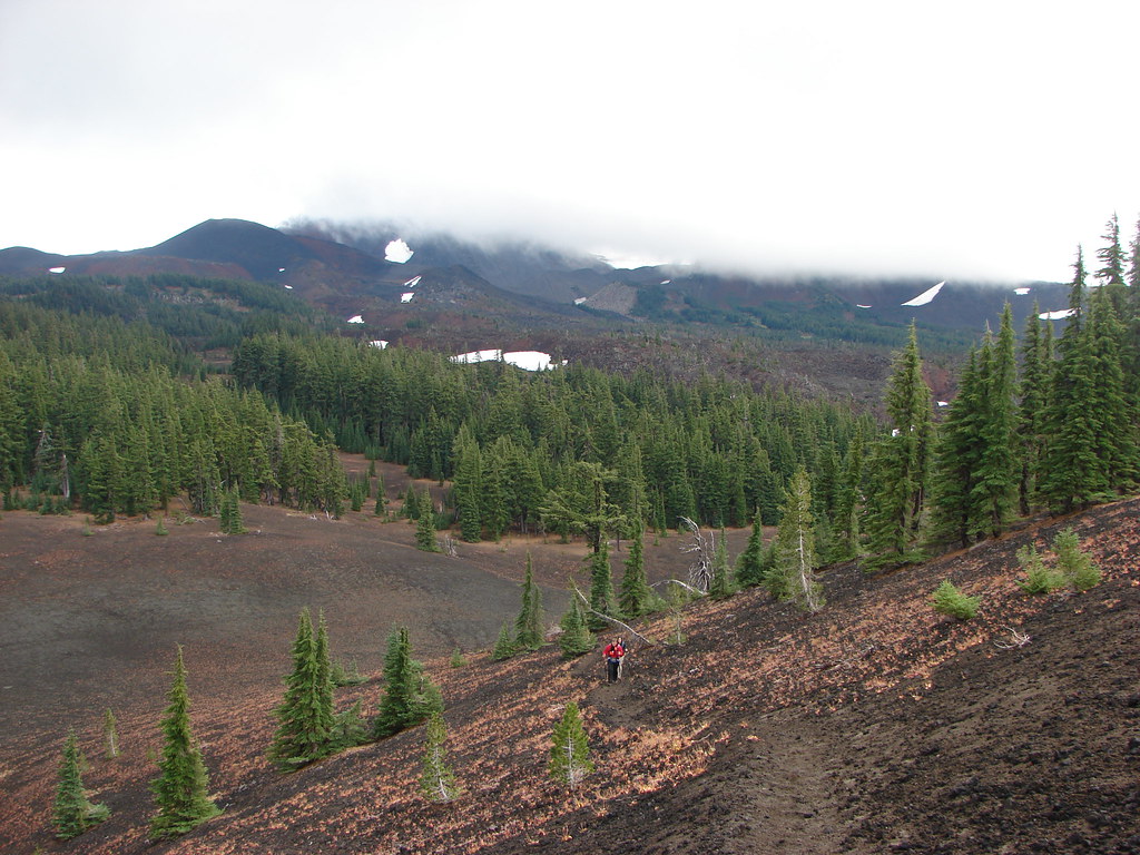
Near the 4-mile mark we arrived at Wychus Creek. At 6000′ this was the lowest elevation of the hike.

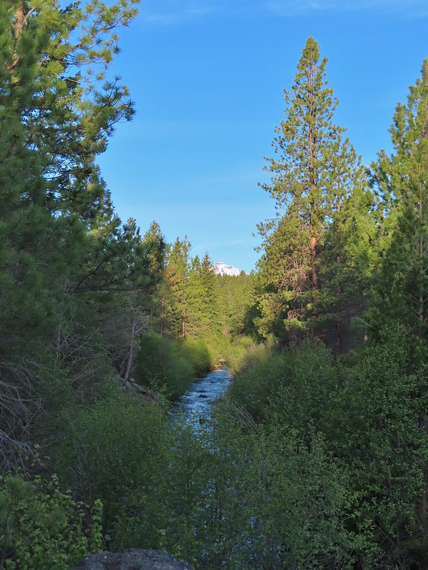
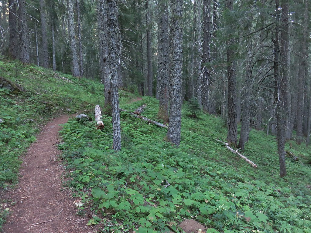
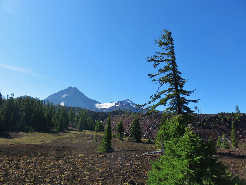
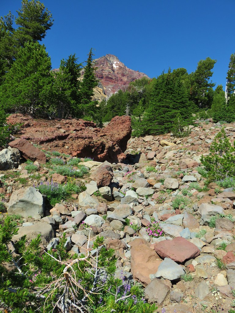
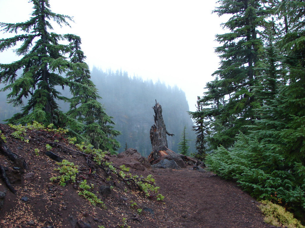
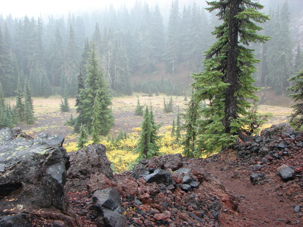
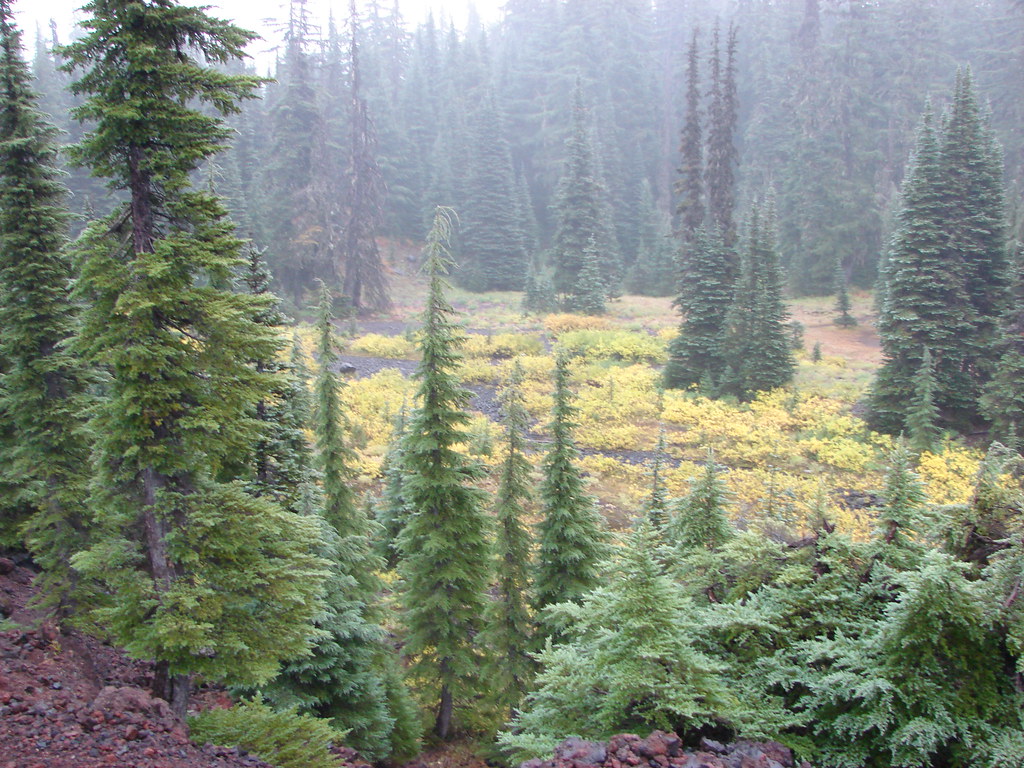
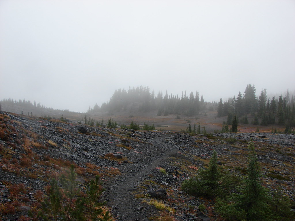
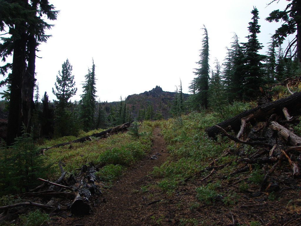
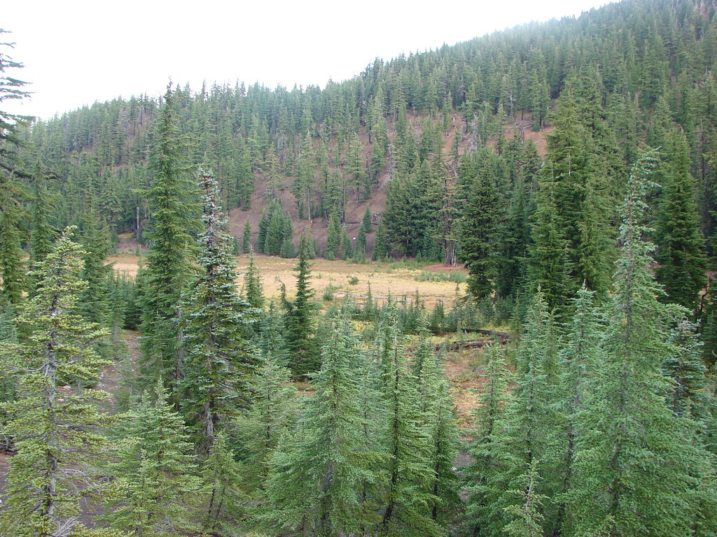
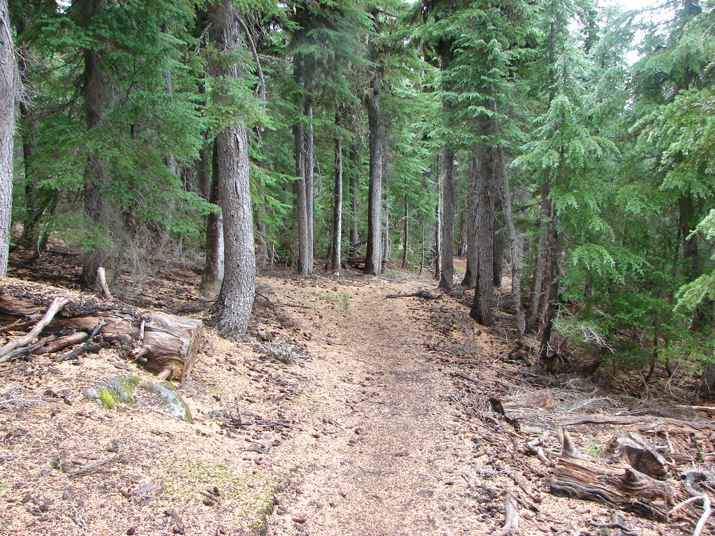
From Wychus Creek it is just over a mile to Park Meadow. Shortly before reaching the meadow the trail leaves the fire scar.

Cinquefoil

Aster


Orange sulphur

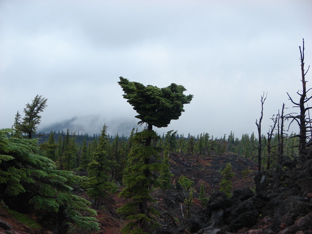
Entering unburned forest.
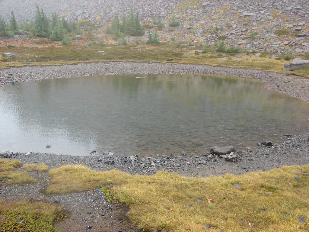
South Sister from a pond at the end of Park Meadow.


Red-tailed hawk

Broken Top from Park Meadow

Park Creek crossing.

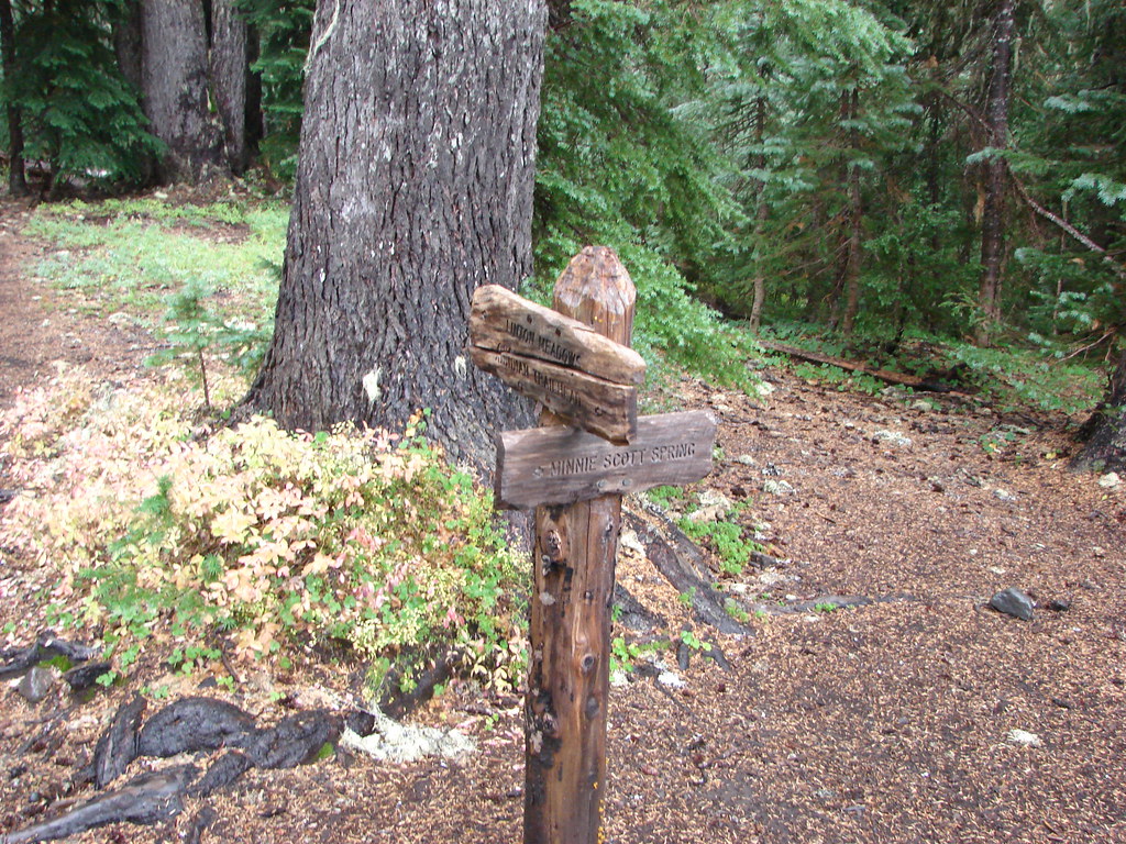
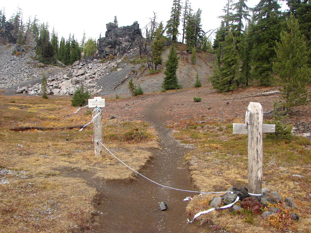
Park Meadow junction with the Green Lakes Trail.
On our backpacking loop we used the Green Lakes Trail to reach the meadow from the Camp Lake Trail making this junction the point at which we completed Sullivan’s entire featured hike. I arrived here first because Heather and I had split up back at Wychus Creek. She had decided against pushing on to Golden Lake which was another 1.7-miles and 500′ in elevation gain away.
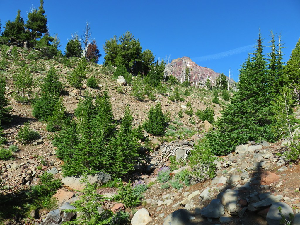
I hiked through the meadow which was filled with alpine gentians and then began to climb through the forest to the unmarked junction with the use trail to Golden Lake.


Alpine gentians


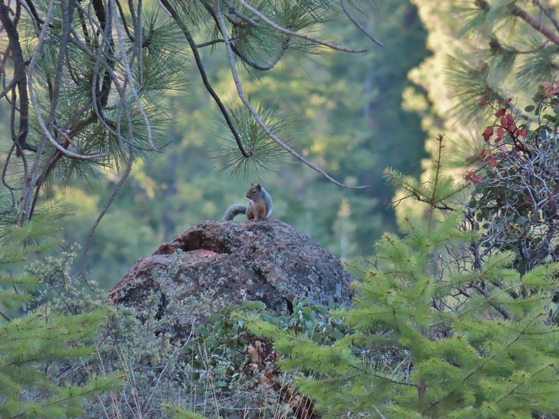
Golden-mantled ground squirrel


Townsend’s solitaire

Small cairn and bandana marking the use trail. This is approximately 1-mile from the junction in Park Meadow.
I veered left up the use trail which quickly leveled out and brought me to Golden Lake in 0.7-miles.

South Sister from the use trail.

Broken Top from the trail. If you look down the trail on the right between the trees, you can see a deer crossing the trail.

While it isn’t an official trail there is no camping allowed within 250′ of Golden Lake. In addition, throughout the Three Sisters Wilderness building, maintaining, attending, or using a fire, campfire, or stove fire above 5700′ is prohibited. Stoves must be fueled with liquid or compressed gas.

The Moon above south sister.

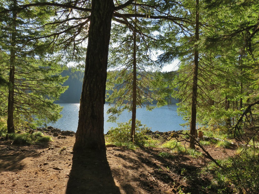
Golden Lake and Broken Top with some September haze. There is a crossing of the outlet that leads to the eastern shore.

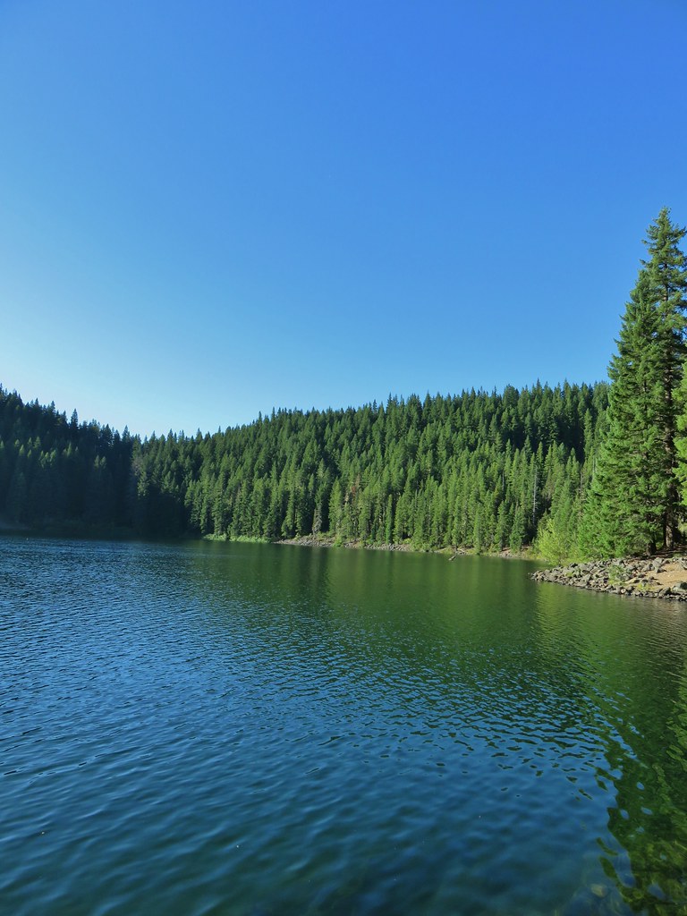
The Three Sisters from Golden Lake.
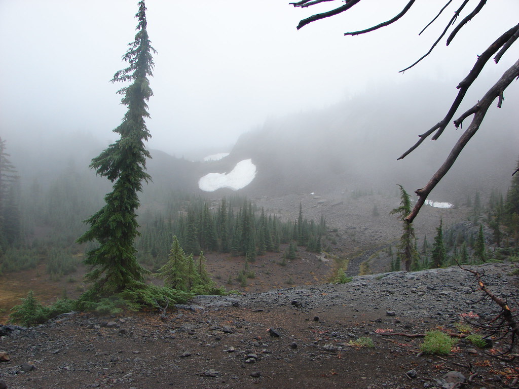
I wasn’t planning on going beyond Golden Lake, but I had left that option open depending on time and how I was feeling. On our backpacking trip we had continued up to a tarn almost a mile (and another 500′) and set up camp. We wound up not staying there though when we got spooked by the sudden arrival of smoke and a visible smoke column on the far side of South Sister. It was a rookie mistake as the fire wound up being over 40-miles away. Now that I was back 11 years later I couldn’t pass up the opportunity to visit the tarn and our almost campsite again. I followed a path along the eastern shore to the outlet creek then headed uphill.

Looking back along the path along the eastern shore.

Uphill along the inlet.

Pink monkeyflower

I believe the purple is an aster, red a paintbrush, and yellow Buek’s groundsel.


Aster and pink monkeyflower

Tilling’s monkeyflower

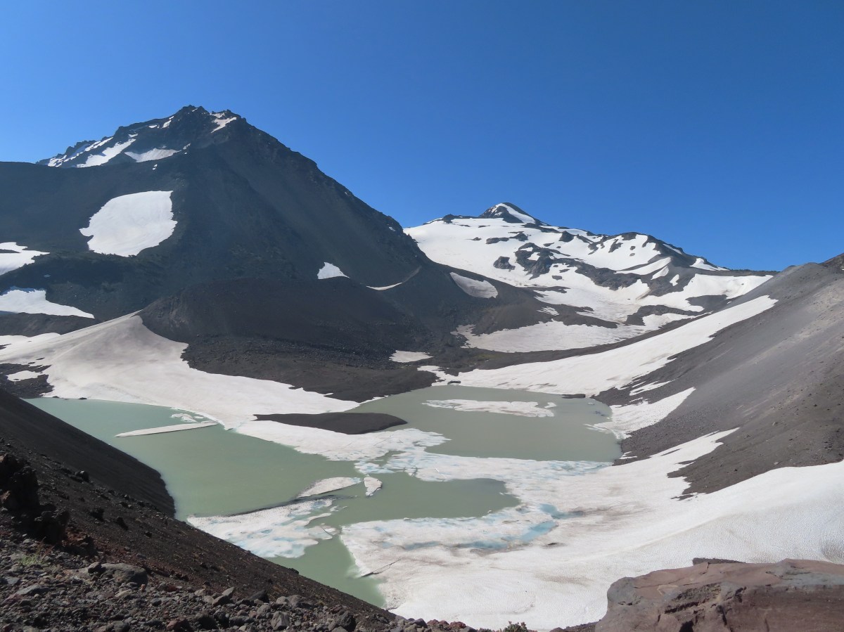
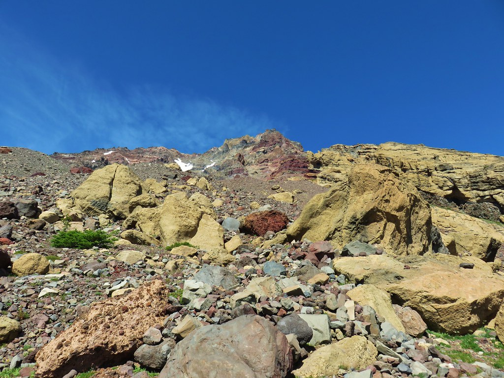
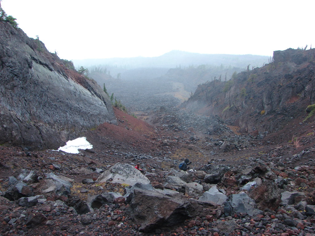
The creek emerges from springs at the base of a moraine.
The final push to the tarn is a steep climb up a glacial moraine.

The Three Sisters and the creek from the moraine.

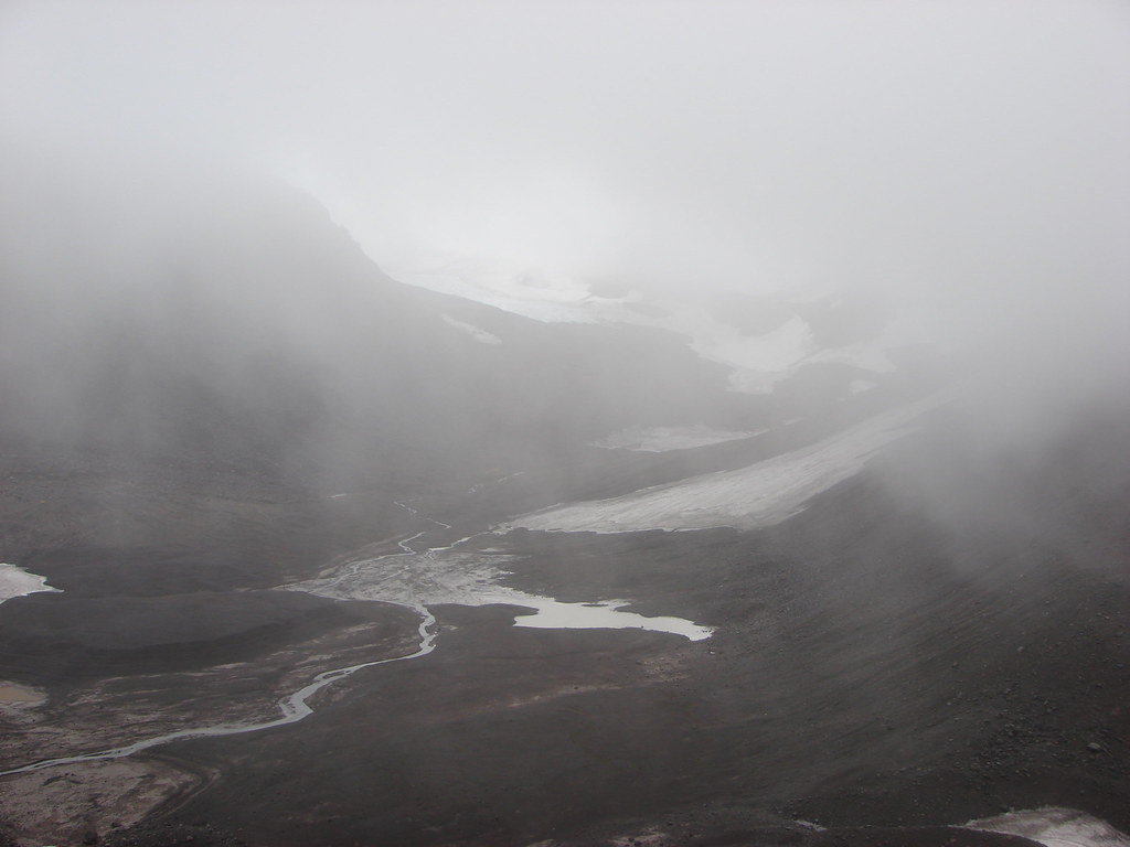
The tarn.

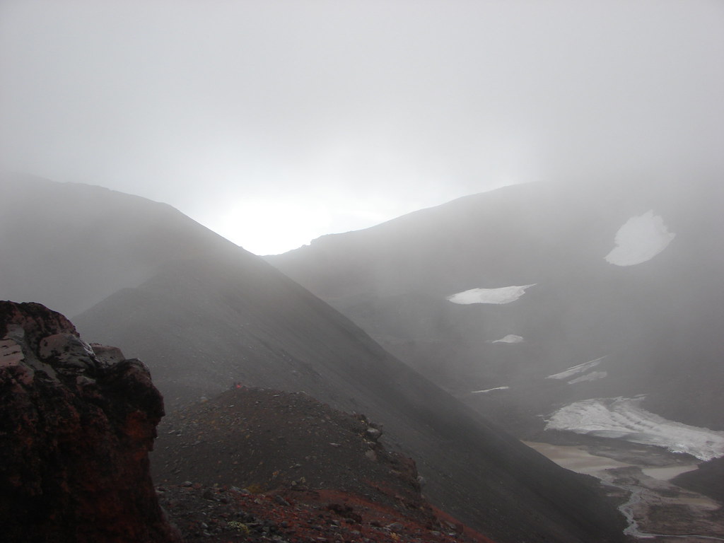
Due to the position of the Sun and the smoke getting a good picture of Broken Top from the tarn was impossible.

South and North Sister from the tarn. Middle Sister is behind the clump of trees which is where we had set up our tent in 2014.
I made my way around the tarn and stopped at the 2014 campsite to take a break.

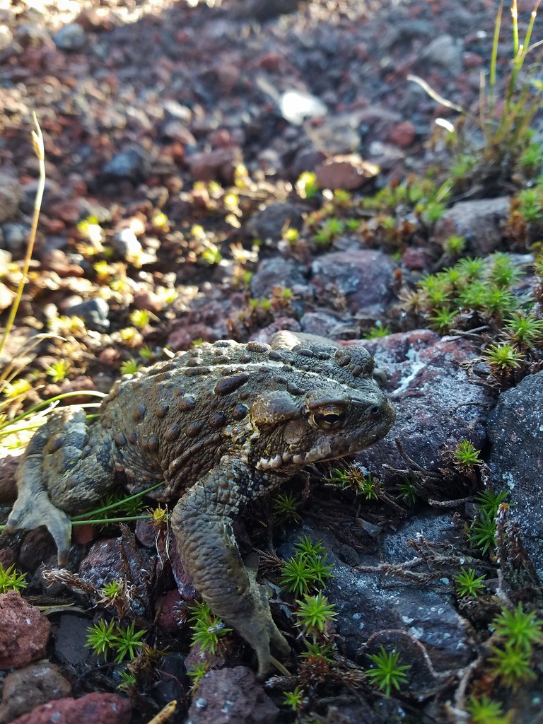
California tortoiseshell


Another attempt at Broken Top.

Fireweed along the smaller tarn.

Campsite

Middle and North Sister from the campsite.
After a snack and a change of socks I headed back down. It was just before 11am when I made my way back down the moraine and then by Golden Lake again.

South Sister

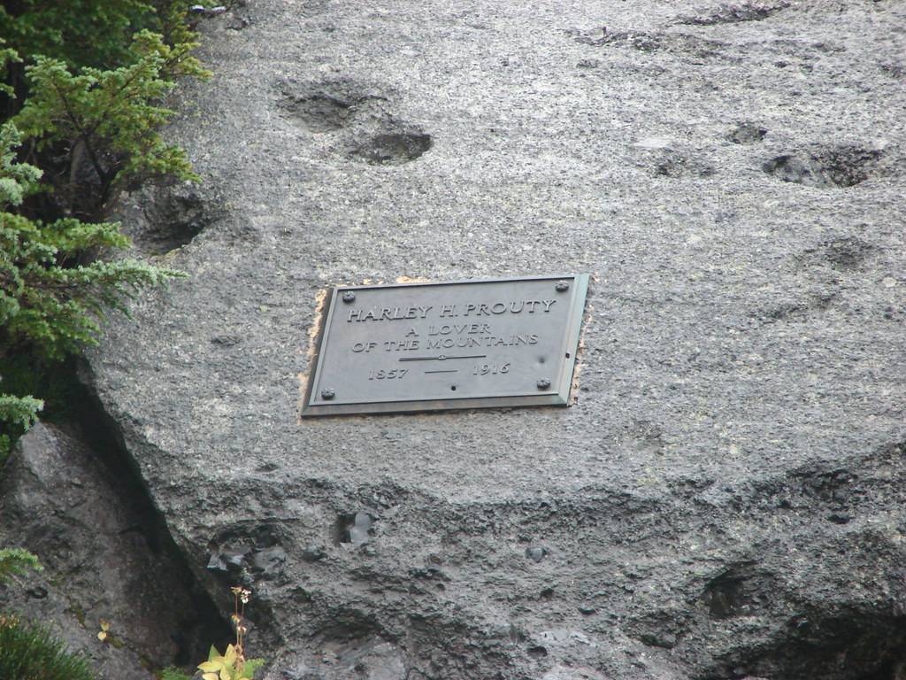
Middle Sister and Prouty Point

North Sister

Arnica and paintbrush near one of the springs feeding the creek.

Alpine speedwell

Lupine


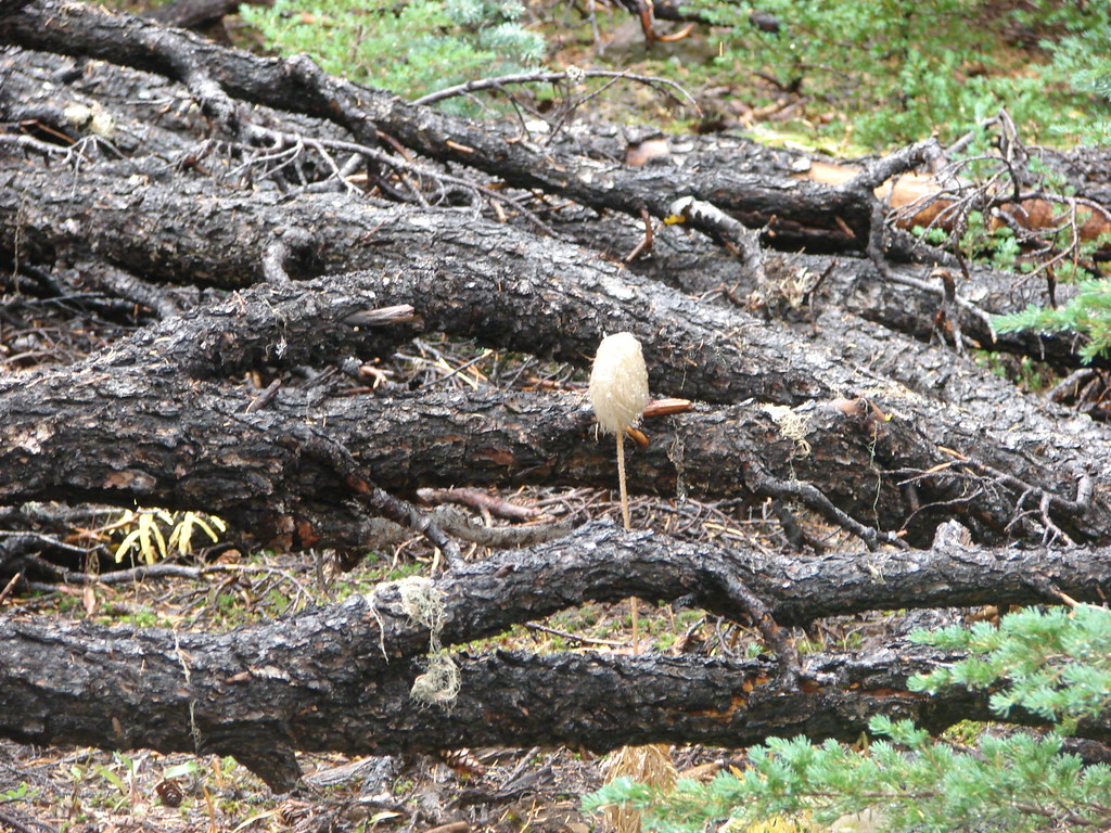
Mushroom


The inlet creek crossing ahead.
I simply retraced my steps from here back to the trailhead. There were a few more wildlife sightings along the way and a few more trail users. The elevation gains after Wychus Creek were a mean trick given it was now warmer while I was heading uphill but there was an occasional cool breeze and it wasn’t too hot of a day to begin with (low 60’s).

Northern flicker


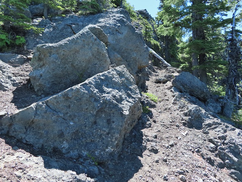
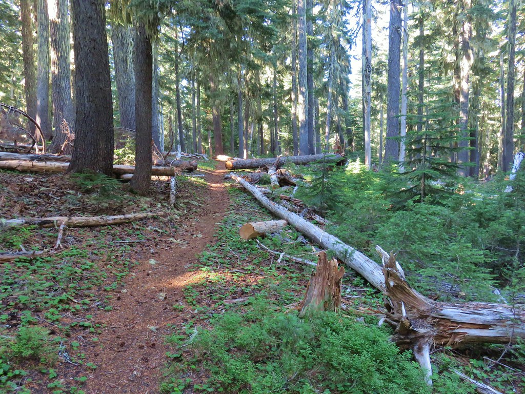
The trails were all in good shape. This was the “worst” obstacle encountered.

Mushroom

Park Creek

Common wood nymph in pearly everlasting.

One of the numerous small uphill sections on the way back to the trailhead.

A little more haze and a couple more clouds on the way back.

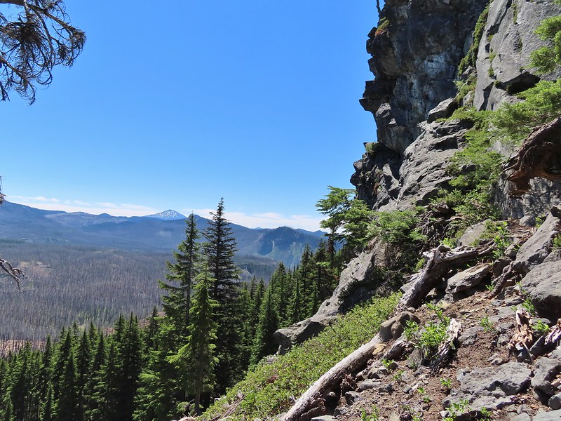
Black Crater (post)

Another uphill and more clouds forming overhead.

The post on the right marks the site of the former trailhead. This is approximately 1.2-miles from the current trailhead.
I arrived back at the trailhead a little after 1:30pm and found Heather waiting in her camp chair.

My hike to the tarn above Golden Lake came in at 15.2-miles with 1800′ of cumulative elevation gain. Heather’s to Park Meadow was a little over 10-miles with 800′ of elevation gain.

This was indeed a good time for this hike. There were no mosquitos or yellow jackets to speak of. The former are a problem in July and early August and the latter can get aggressive later in the Fall. While most of the wildflowers had passed there were still some blooming and it wasn’t too hot. The lack of tree cover combined with the uphill on the way back wouldn’t be a lot of fun on a hot summer day. Happy Trails!
Flicker: Park Meadow to Golden Lake


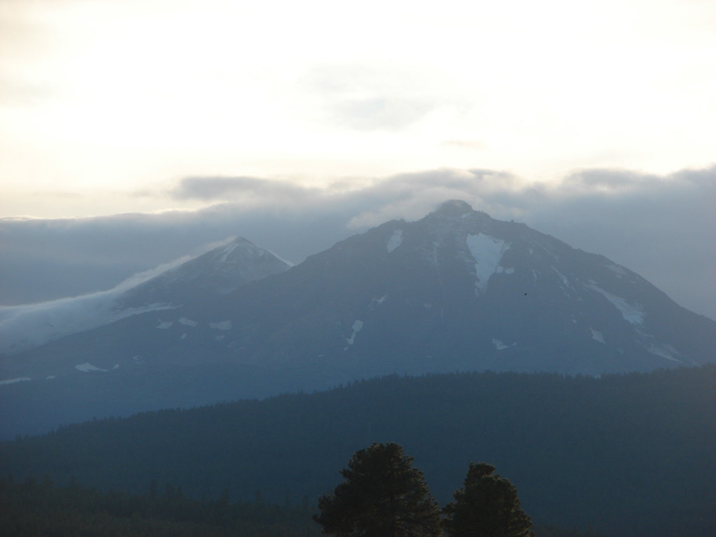
 Mt. Bachelor
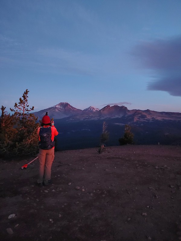 The Three Sisters and Broken Top
 Mt. Bachelor via the Nikon.
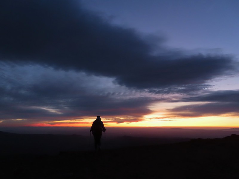 Heather watching the show taken with the Canon.
 The Three Sisters with the Canon.
 Canon
Canon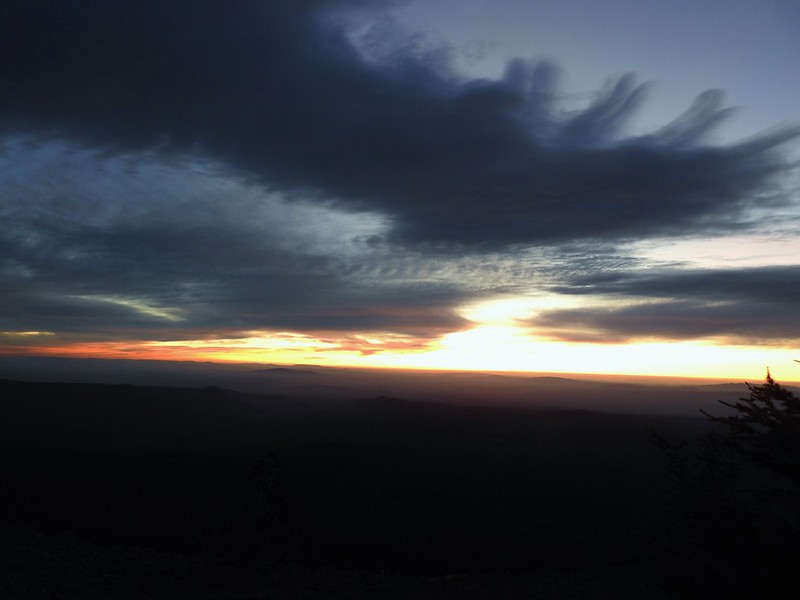 Nikon
Nikon Mt. Bachelor (
 Canon shortly before the Sun became visible.
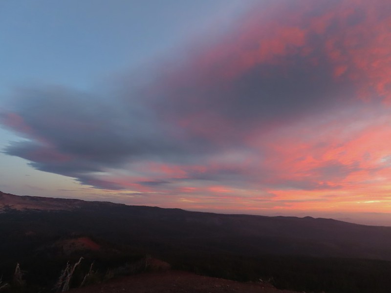 Canon shortly before the Sun became visible.
 The Three Sister just before sunrise with the Nikon.
 The Three Sister just before sunrise with Heather’s phone.
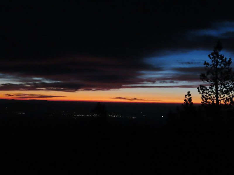
 Canon moments before sunrise. A line of wildfire smoke on the horizon gave it a red tint.
 Canon
Canon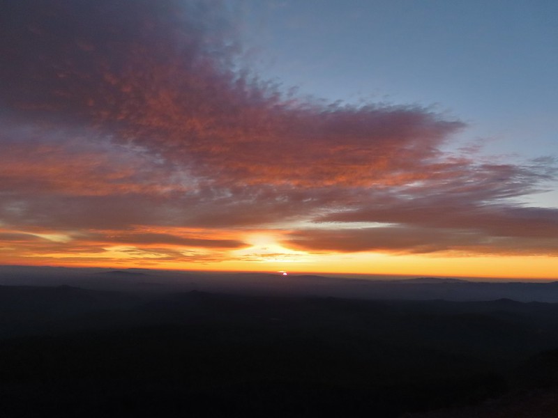 Canon catching the Sun.
 Canon
Canon The Three Sisters and Broken Top (Nikon)
 South Sister (
 Middle and North Sister (Nikon)
 Broken Top (
 Aline glow hitting the mountains. (Canon)
 South Sister (Canon)
 Middle and North Sister (Canon)
 Broken Top (Canon)
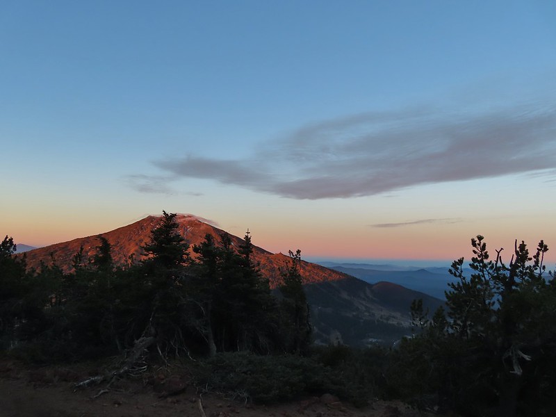 Mt. Bachelor (Canon)

 Mt. Scott to the left and Mt. Thielsen to the right.
 Grouse
 Chipmunk
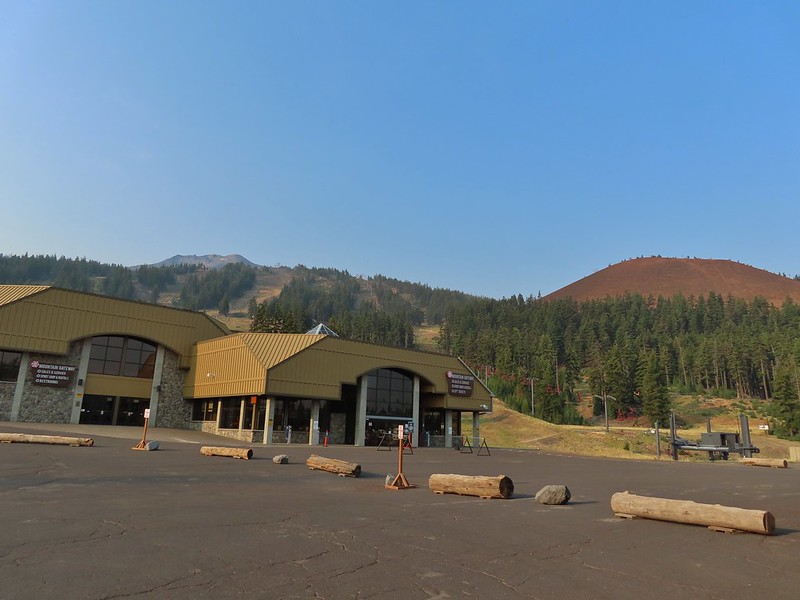
 Mt. Bachelor as we arrived back at the snow-park.

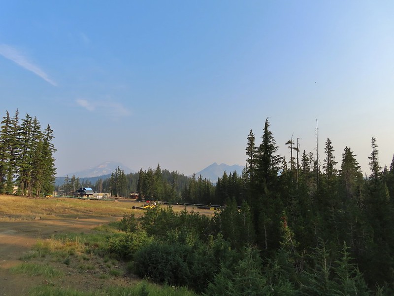 A hazy look at the South Sister and Broken Top.

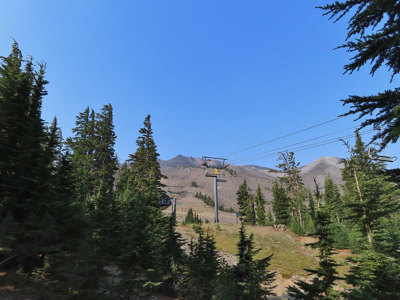
 Passing under the Skyliner Express
 The ski runs gave us a good look at the top of the mountain.
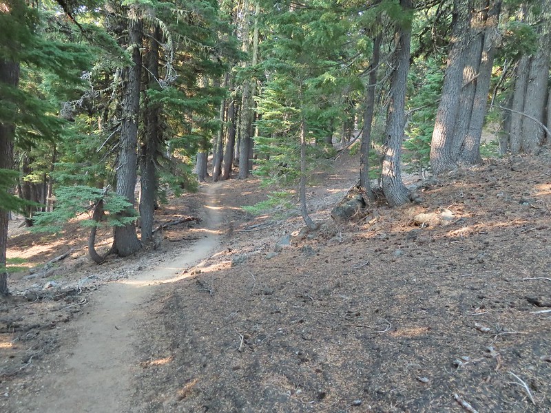

 Turning uphill
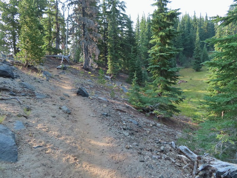 Spotted a grouse hen and her chicks in this little meadow.
 Two of the chicks.
 Passing under the Sunrise lift.
 Nearing the top of the Sunrise lift.
 Another hazy look at the nearby mountains.
 South and Middle Sister through the haze.
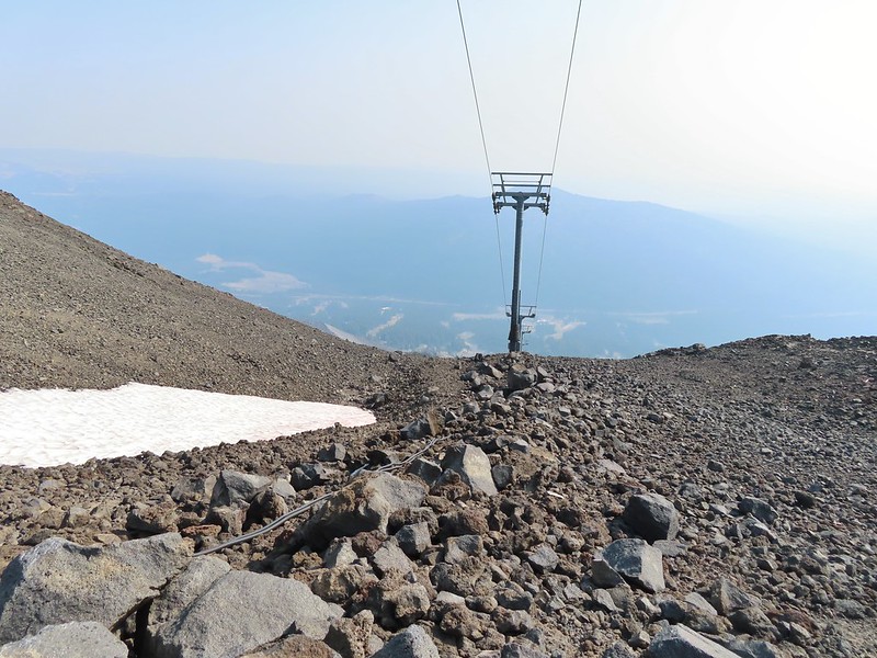
 The top of Sunrise and the bottom of the Summit lifts.
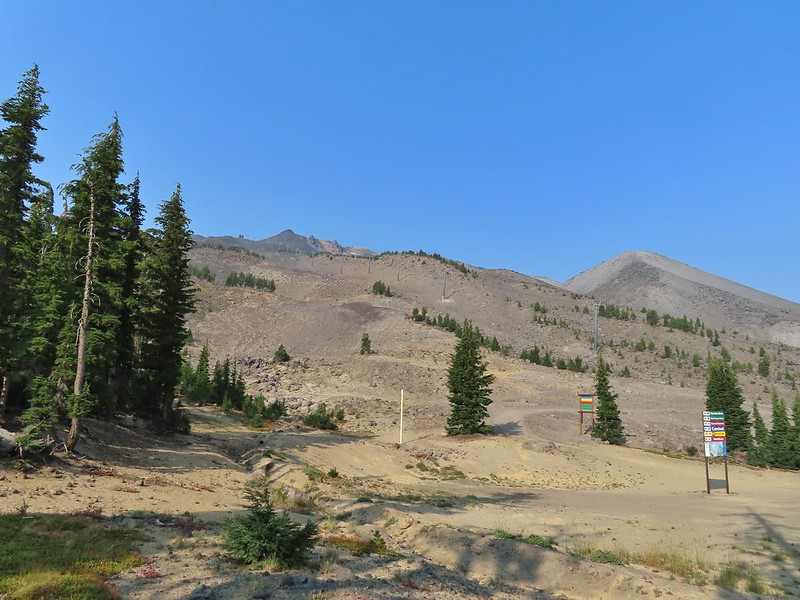 Looking up from the top of Sunrise.
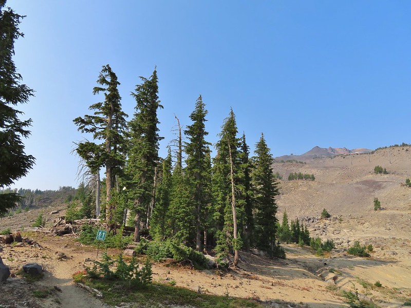


 A few saxifrage blossoms still left.
 Alpine buckwheat and paintbrush
 The first patch of snow we passed.
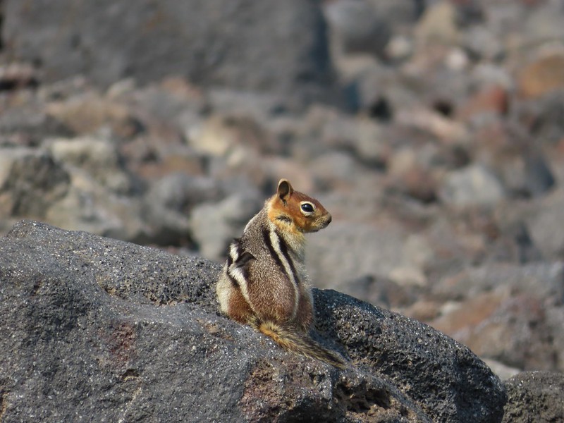 Golden mantled ground squirrel
 Tumalo Mountain (
 Looking down from beneath the Summit Express.
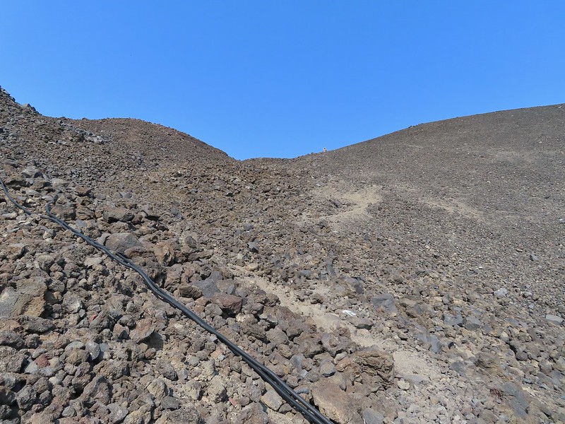 We could really feel the elevation affecting our breathing and by this point we were both sucking wind.
 Dwarf alpinegold
 Looking back at the Summit Express.
 Heading for the high point.
 A mountain bluebird near the summit.
 South Sister and Broken Top with Sparks Lake (

 It’s our rule not to feed the wildlife but it was obvious that many don’t adhere to that LNT principle. I had to put my pack back on to avoid having a hole chewed through my pocket.
 View of the summit.
 Broken Top, the Pine Marten Lodge halfway up the mountain, the West Village Lodge and parking area below and Tumalo Mountain across the Cascade Lakes Highway.

 A little better view of Broken Top and Tumalo Mountain on the way down.
 Clark’s nutcracker

 Left leads up to the Pine Marten Lodge atop the Pine Marten Express, right to the West Village Lodge.
 A decent look at Tumalo Mountain
 Warning sign for a bike crossing.
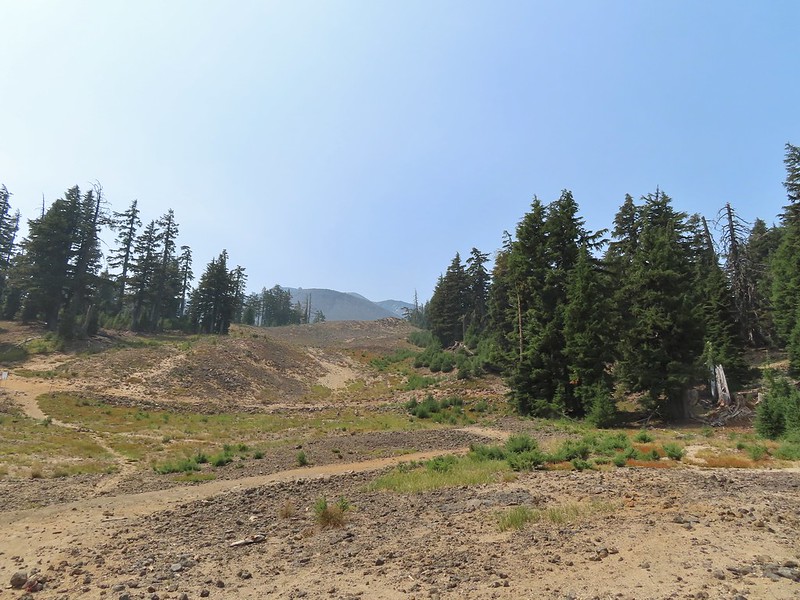 A look at some of the mountain bike trails and some haze moving in overhead.
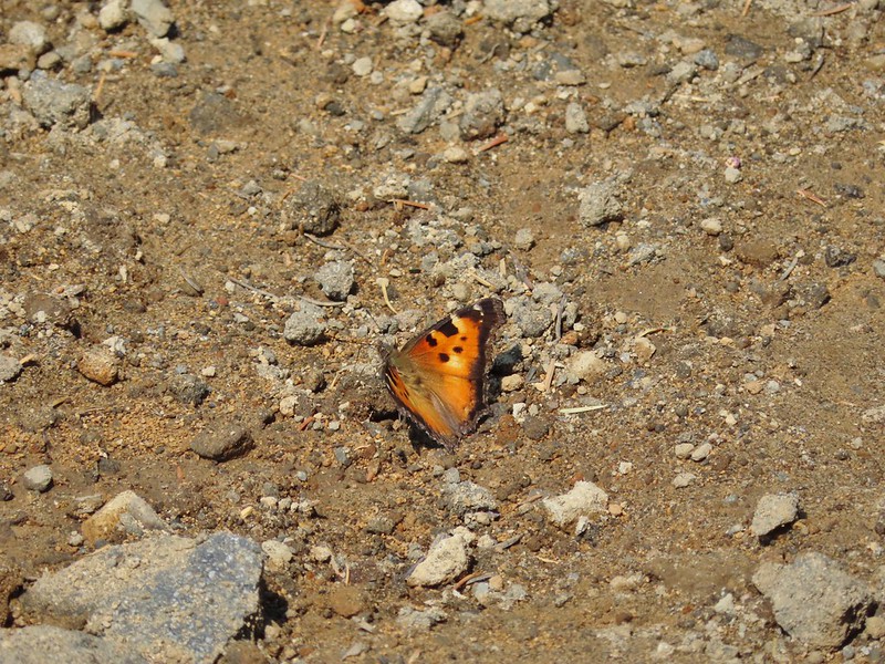 A tortoiseshell butterfly on the road.

 At least we could see the mountains a little better from here.


 One of two phantom orchids we saw along the trail.
 Newish looking wilderness sign.
 Maples overhanging the trail.
 Madrone trunks
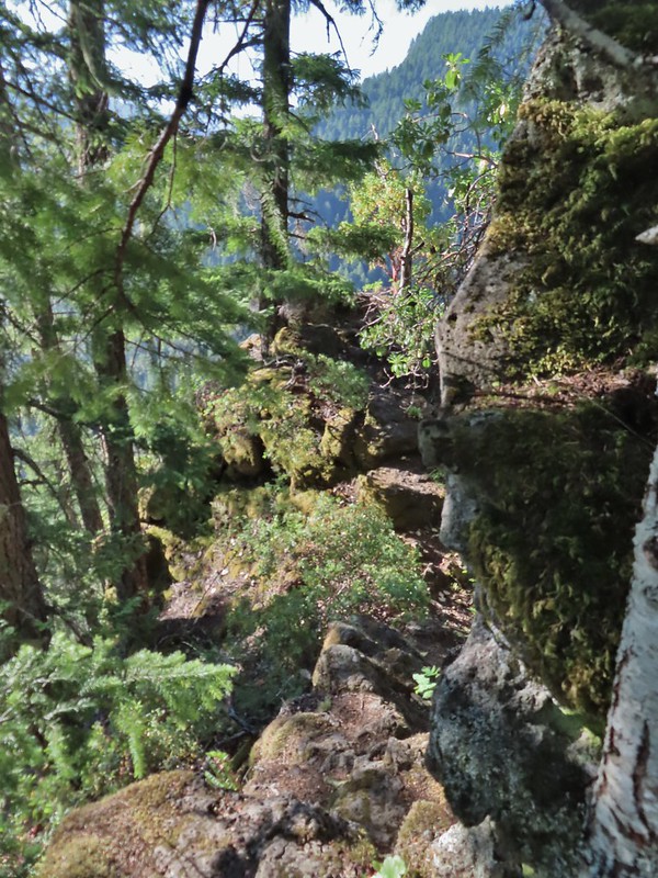 It’s a pretty narrow scramble so probably not for kids or those uncomfortable with heights.
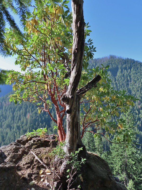 A lone madrone at the end of the fin.
 Looking toward the falls. (The North Sister is back there too but not visible due to the lighting.)
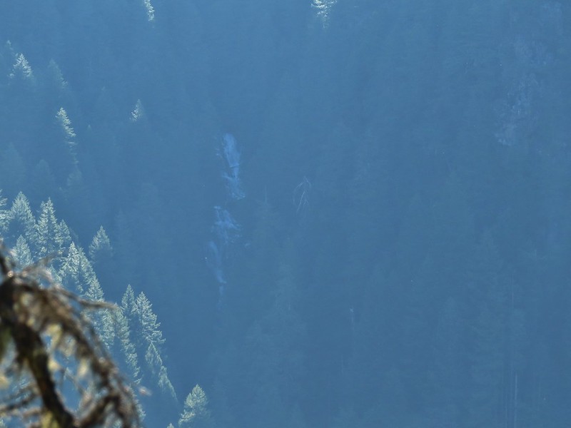 Rainbow Falls on Rainbow Creek
 The best I could do with the lighting.
 Looking up Separation Creek.
 Looking back up along the rocks.

 Pink pyrola
 Crossing of Gold Creek which was nearly dry but it hosted a fair number of mosquitos.
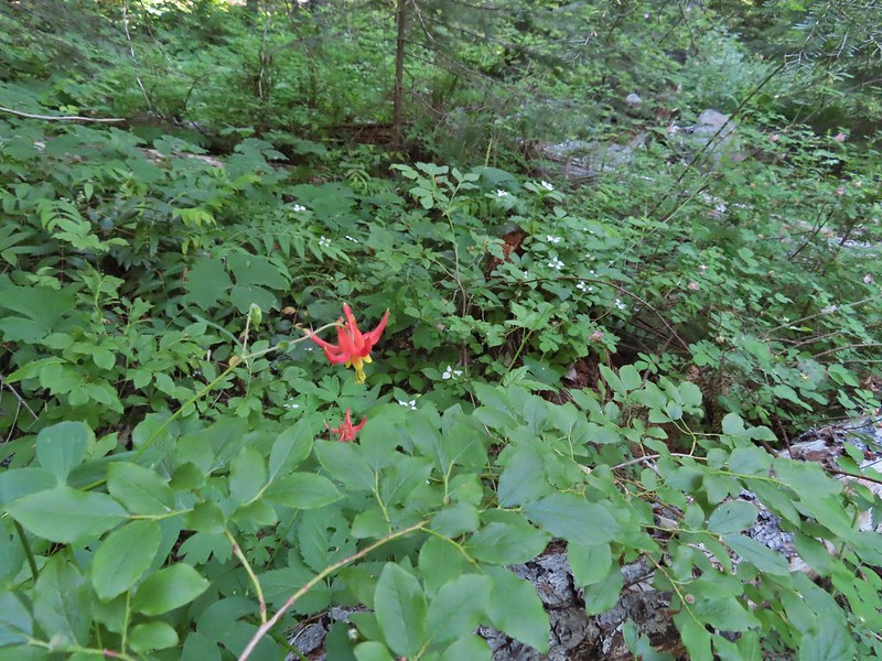 Columbine, bunchberry, and wild roses.
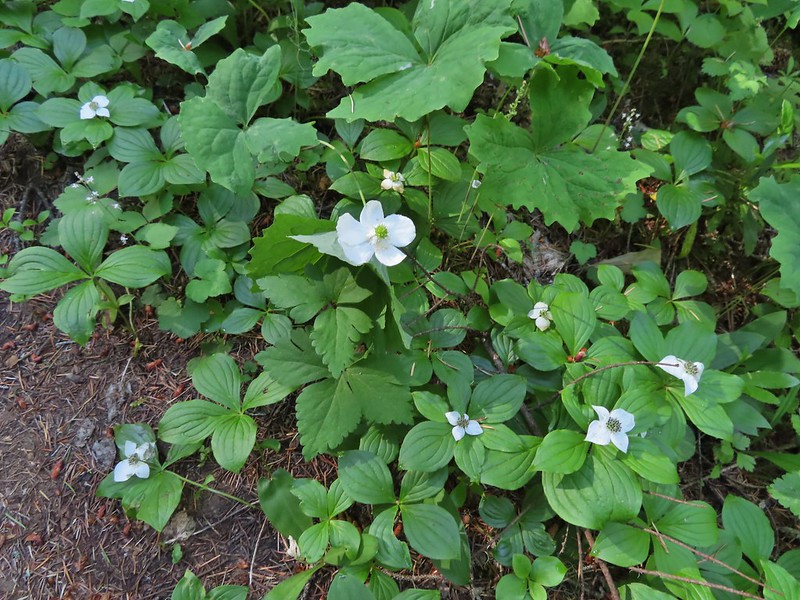 An anemone with some bunchberries
 Entering the Three Sisters Wilderness
 Queen’s cup
 Beargrass
 Candy sticks
 Rhododendron
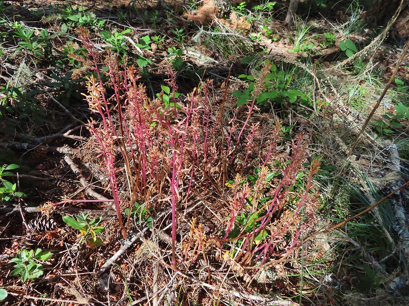 Pacific coralroot
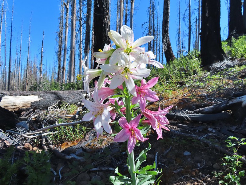
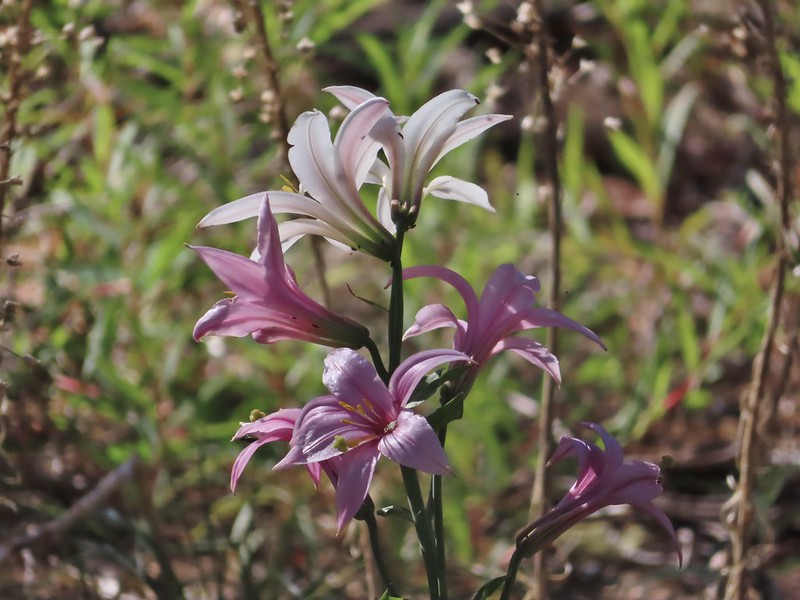 Washington lily
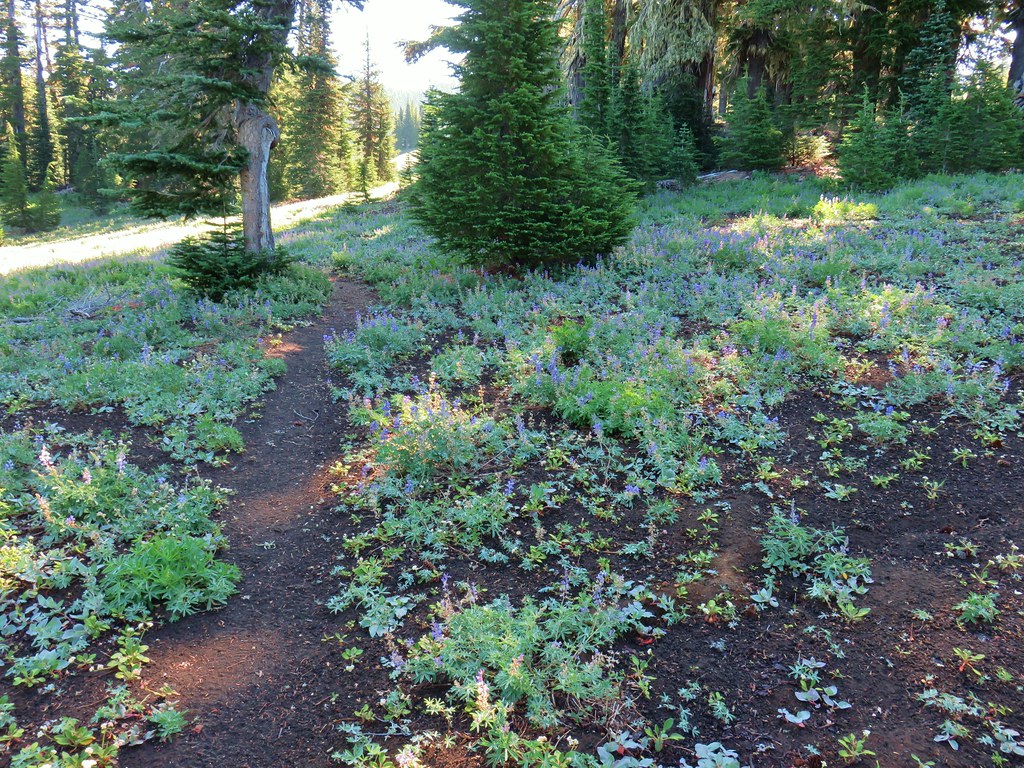
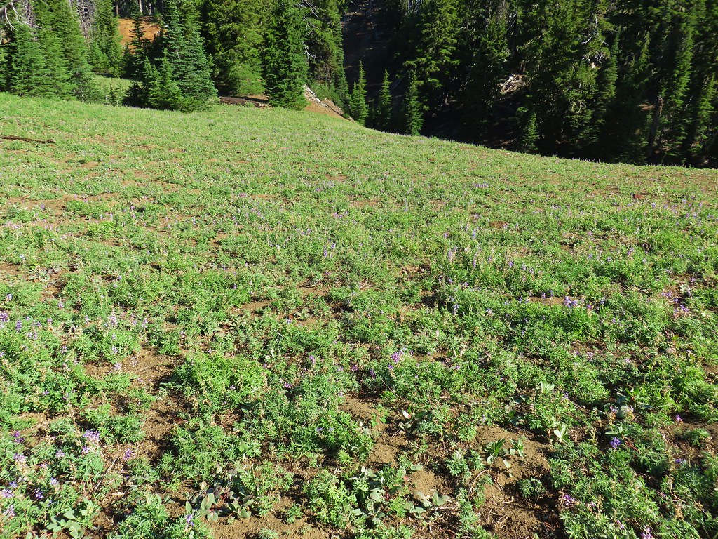
 Lupine
 Squirrel
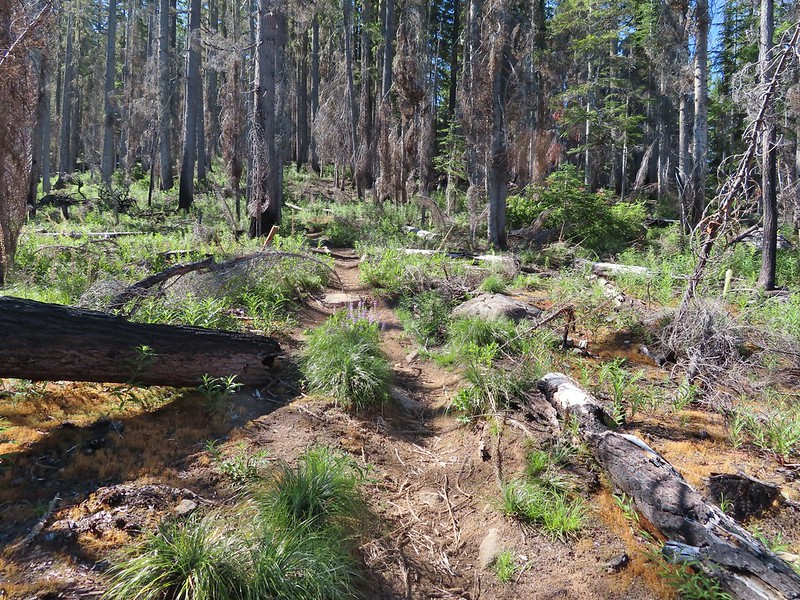
 Tiger lily
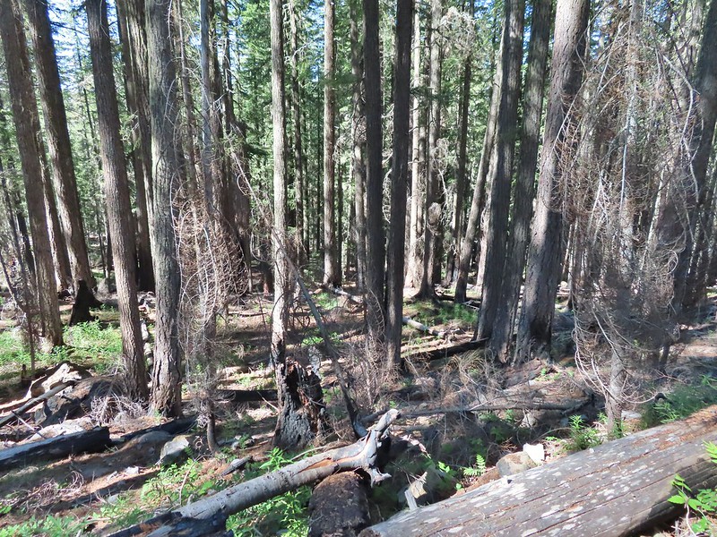
 Twinflower
 Leaving the green trees behind.
 Washington lilies
 They smell as good as they look too!
 This one was a monster.
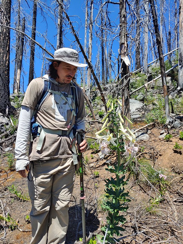 Chest high
 Crab spider on the lower left petal.
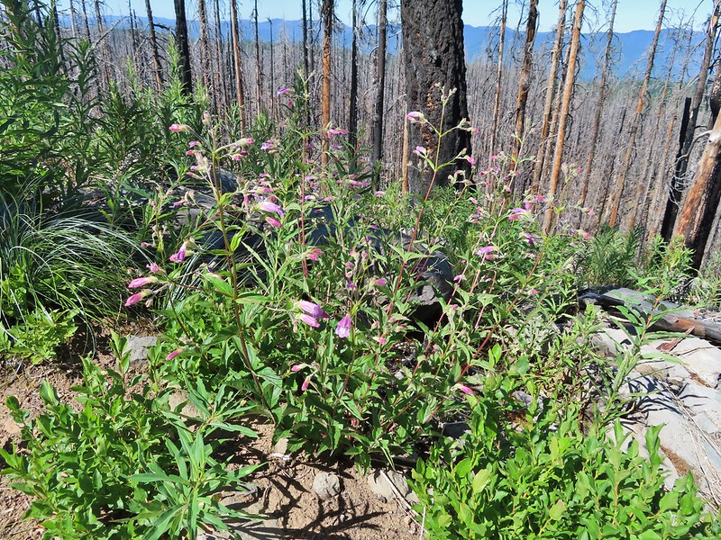 Penstemon
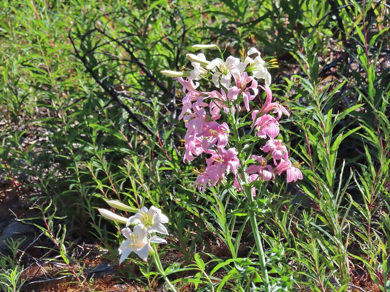 Earlier in the week I had been reading that the blossoms turn pink after being pollinated.
 Clodius parnassian
 Pretty moth
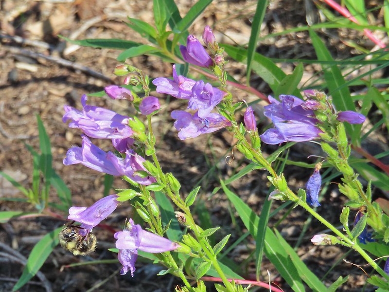 Penstemon
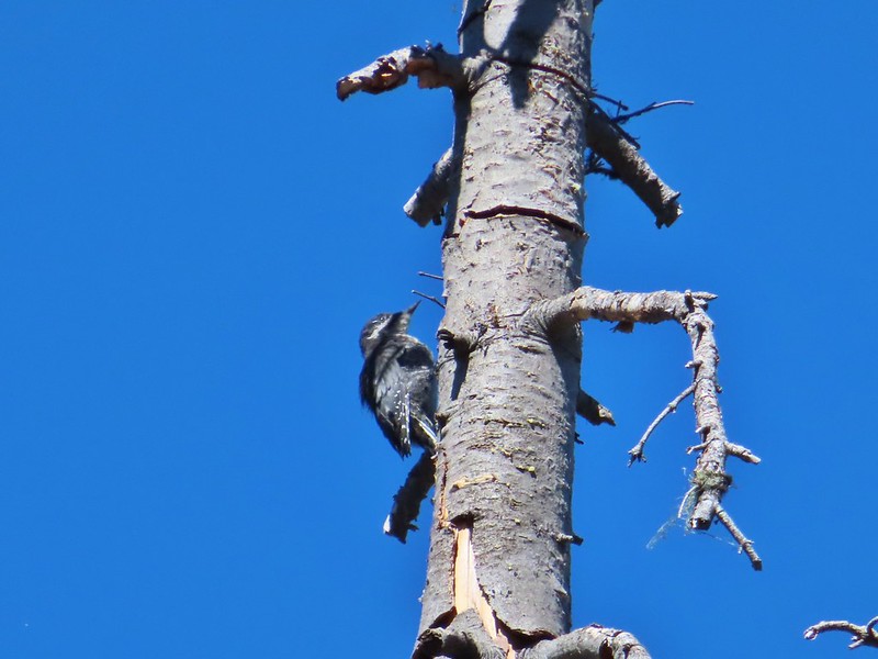 Woodpecker
 Pond along the trail.
 Water lilies
 Looking toward Proxy Point
 The Husband, South Sister, and the shoulder of Substitute Point.
 Frog along the trail.
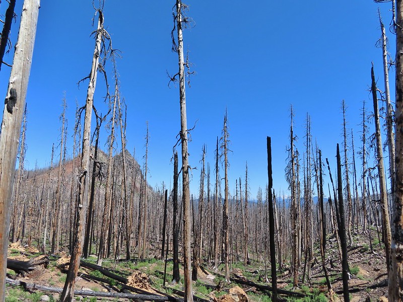 Proxy Point, Scott Mountain (
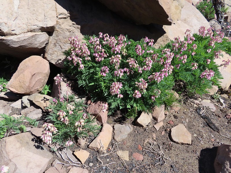 Bleeding heart
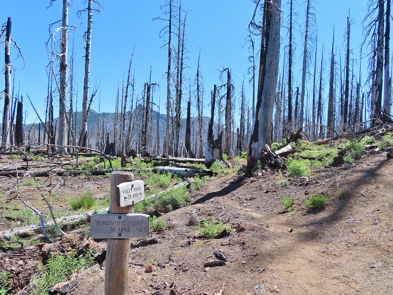 The Husband from the junction.
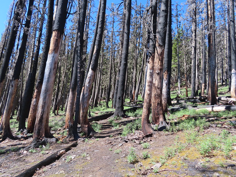
 This was sort of a mean trick, the trail entered these green trees then almost immediately switched back into the burn.
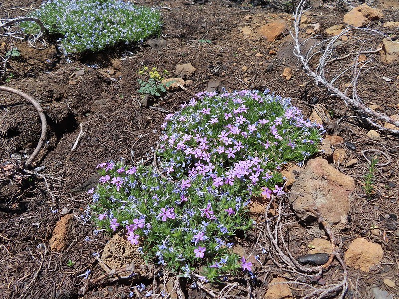 Phlox
Phlox
 Mt. Bachelor from the trail.
 Proxy Point
 Some unburned forest and a view of Diamond Peak.
 Diamond Peak (
 The Little Brother and North & Middle Sister behind The Husband with South Sister to the right.
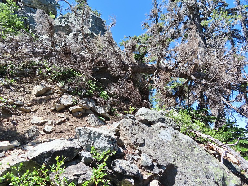
 The trail leading up.
 The summit of Substitute Point
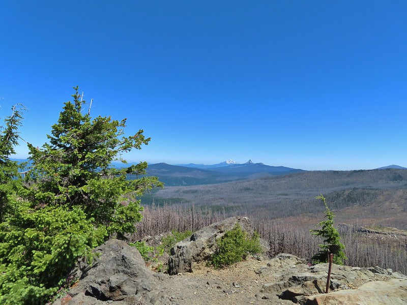 Scott Mountain, Three Fingered Jack, Mt. Jefferson, Mt. Washington, and Belknap Crater (
 Proxy Point and Scott Mountain.
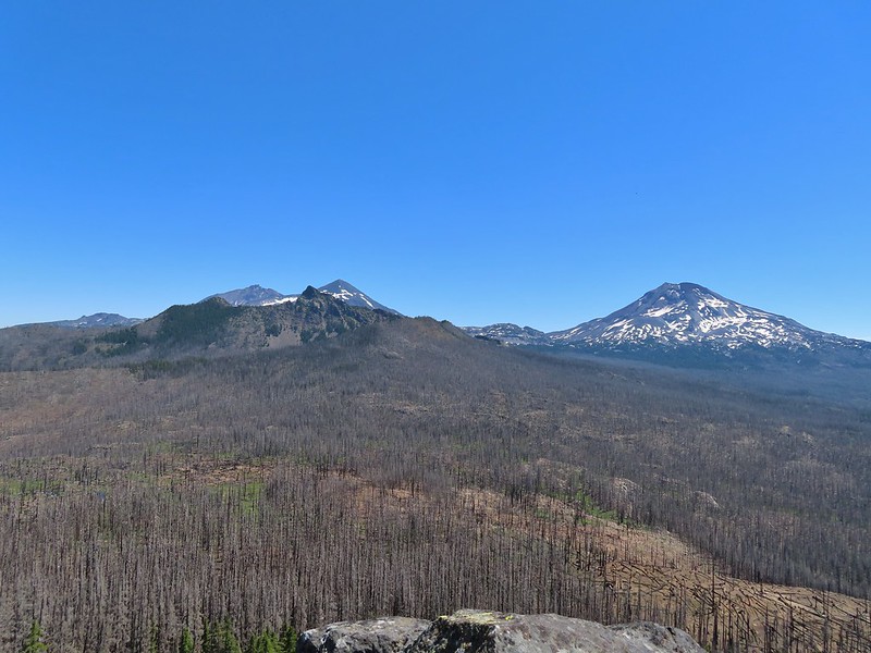 The Three Sisters, Little Brother and The Husband
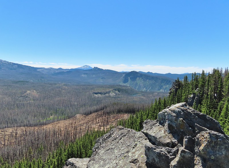 Mt. Bachelor, The Wife, and Sphinx Butte.
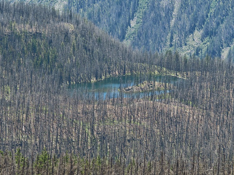 Kidney Lake
 Mt. Bachelor and The Wife
 North and Middle Sister behind The Husband
 Three Fingered Jack, Mt. Jefferson and Mt. Washington
 A swallowtail and two whites (maybe clodius parnassians) in flight.
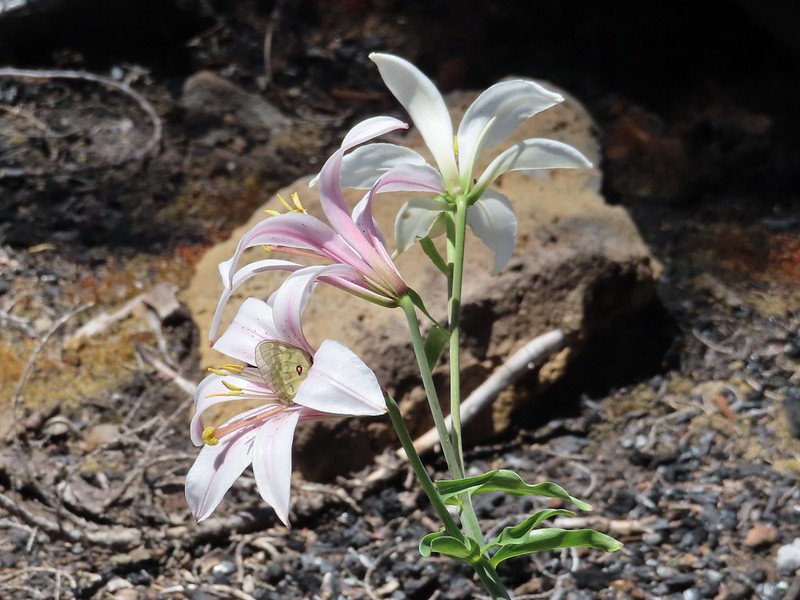 Clodius parnassian in a blossom.
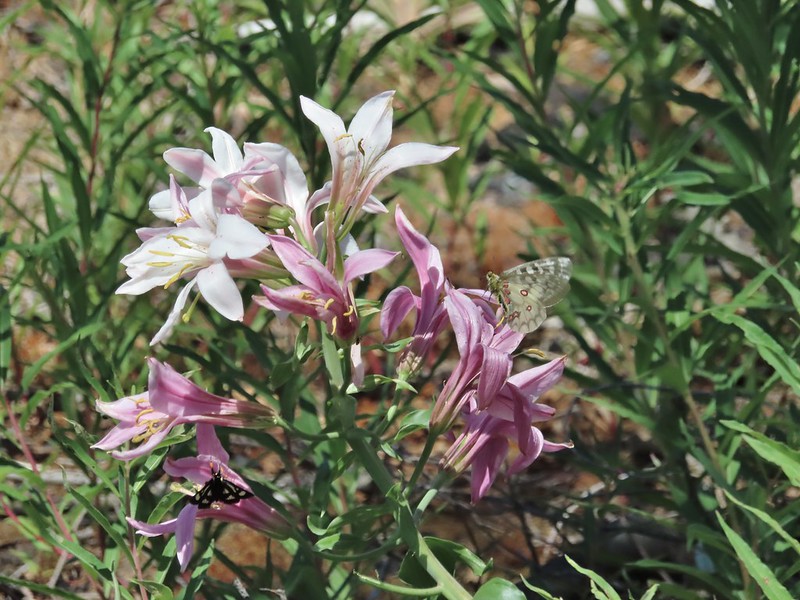 Moth and a parnassian.


 North Sister in the distance.
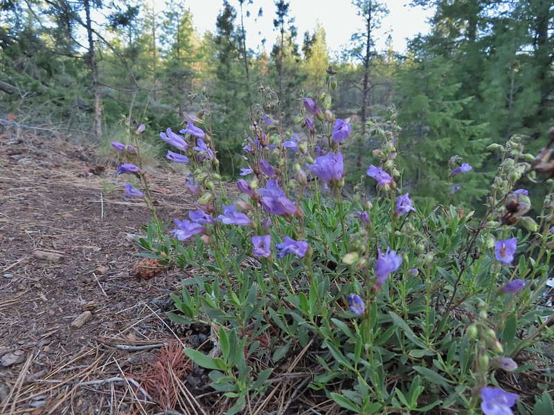 Penstemon
 Chocolate lily
 Sand lily
 Paintbrush
 Balsamroot
 A Penstemon
 Squirrel!

 The penstemon really liked the cliff area.


 Mt. Hood sighting.
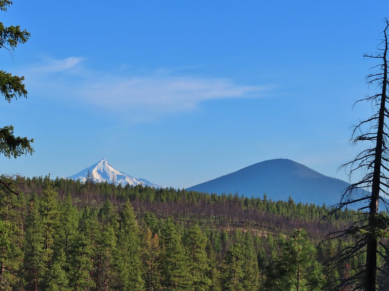 Mt. Jefferson and Black Butte
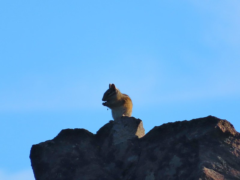 Chipmunk
 White breasted nuthatch
 Golden mantled ground squirrel
 Broken Top and the Three Sisters (bonus points for spotting the golden mantled ground squirrel)
 Lewis flax at the overlook.
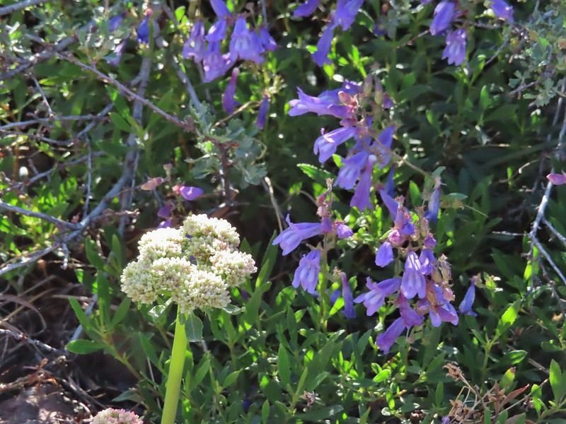 Buckwheat and penstemon
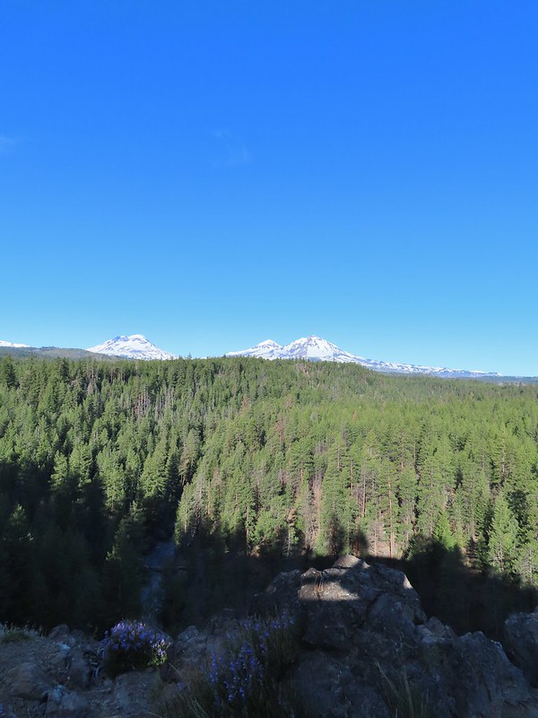 Whychus Creek below with the Three Sisters on the horizon.
 Tam McArthur Rim (
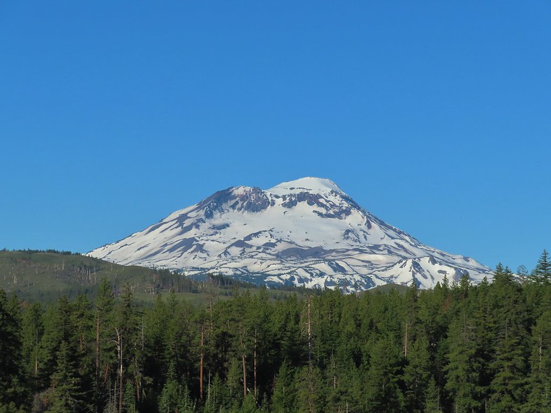 South Sister
 Middle and North Sister
 Mt. Washington
 Three Fingered Jack
 Mt. Jefferson
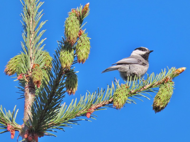 Chickadee

 Interpretive sign along the trail.
 Mt. Washington, Three Fingered Jack, Mt. Jefferson, and Black Butte


 Lower Erma Bell Lake from the climb.
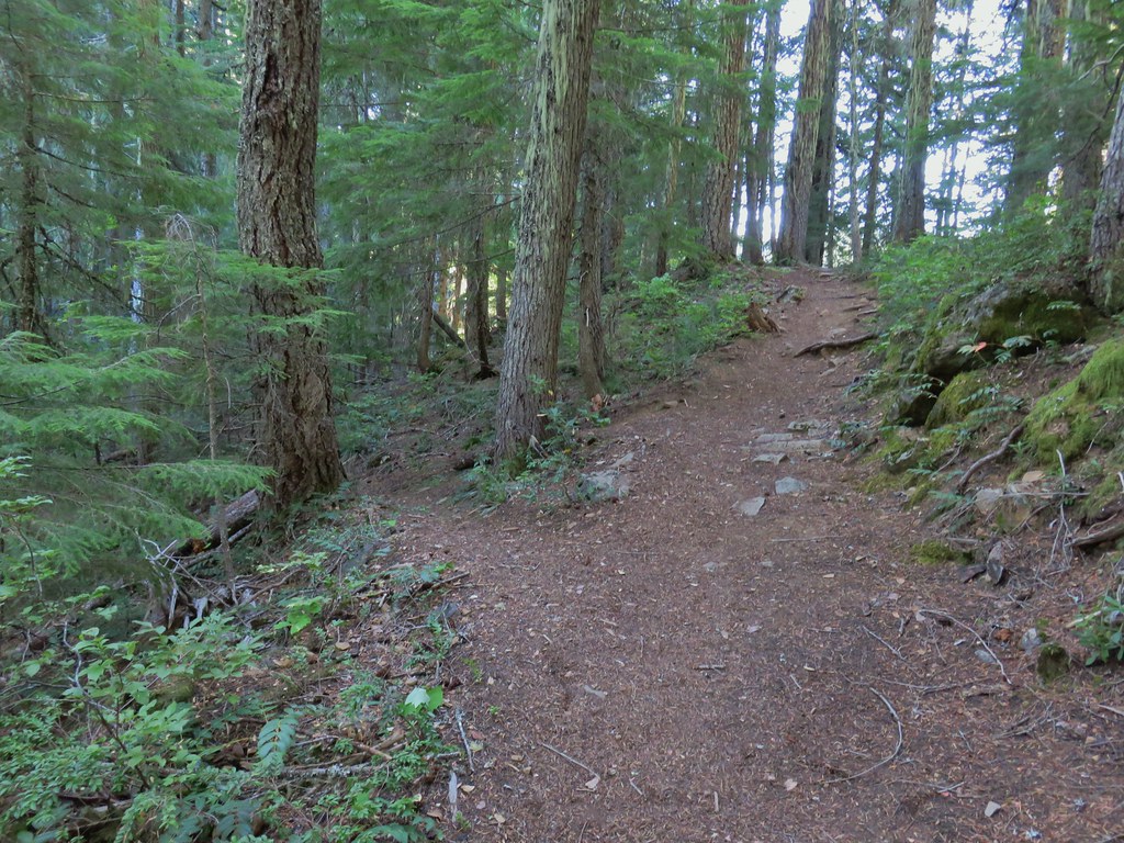
 Above the falls.

 Ouzel
Ouzel Ducks
Ducks Pond along the trail.
 Spur trail on the right to Upper Erma Bell Lakes.
 Paintbrush and aster along the lake shore.
 Upper Erma Bell Lake
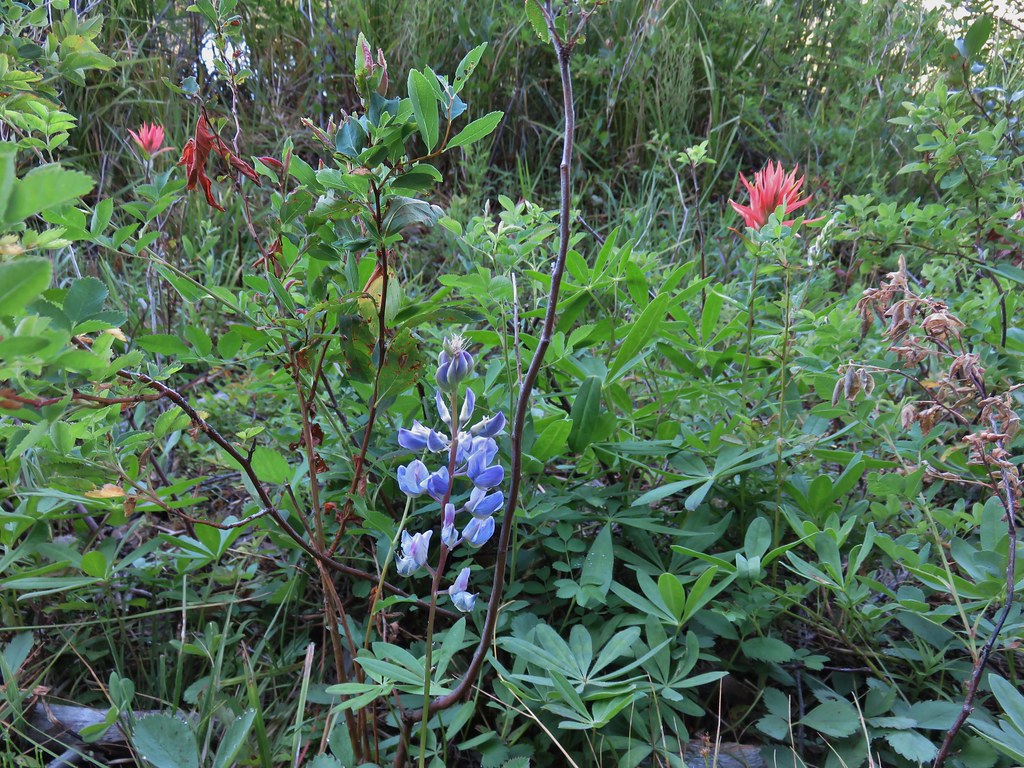 Lupine and paintrbush
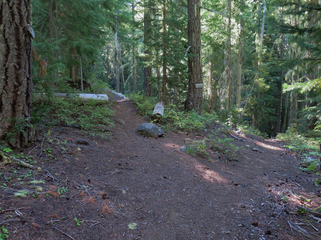 Judy Lake Trail on the right.
 Williams Lake Trail joining from the right.
 Grouse giving us the what for from a tree.
 Williams Lake
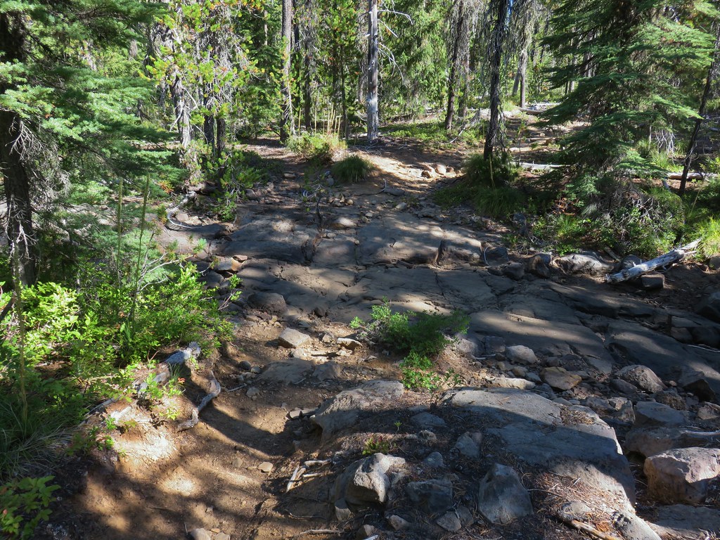 Dry creek bed near Williams Lake.

 Pearly everlasting
 Fleabane
 Prince’s pine
 Mushroom
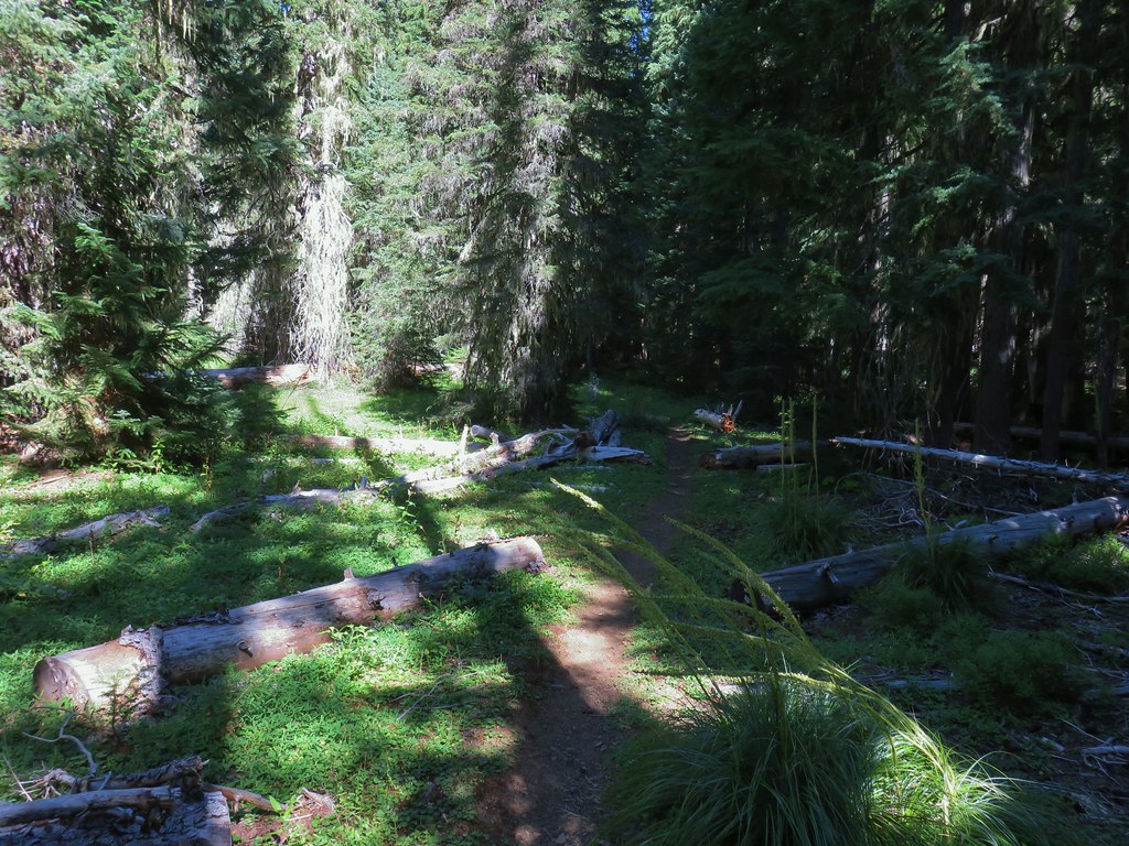
 Aster
Aster
 Coneflower
 Paintbrush
 Paintbrush
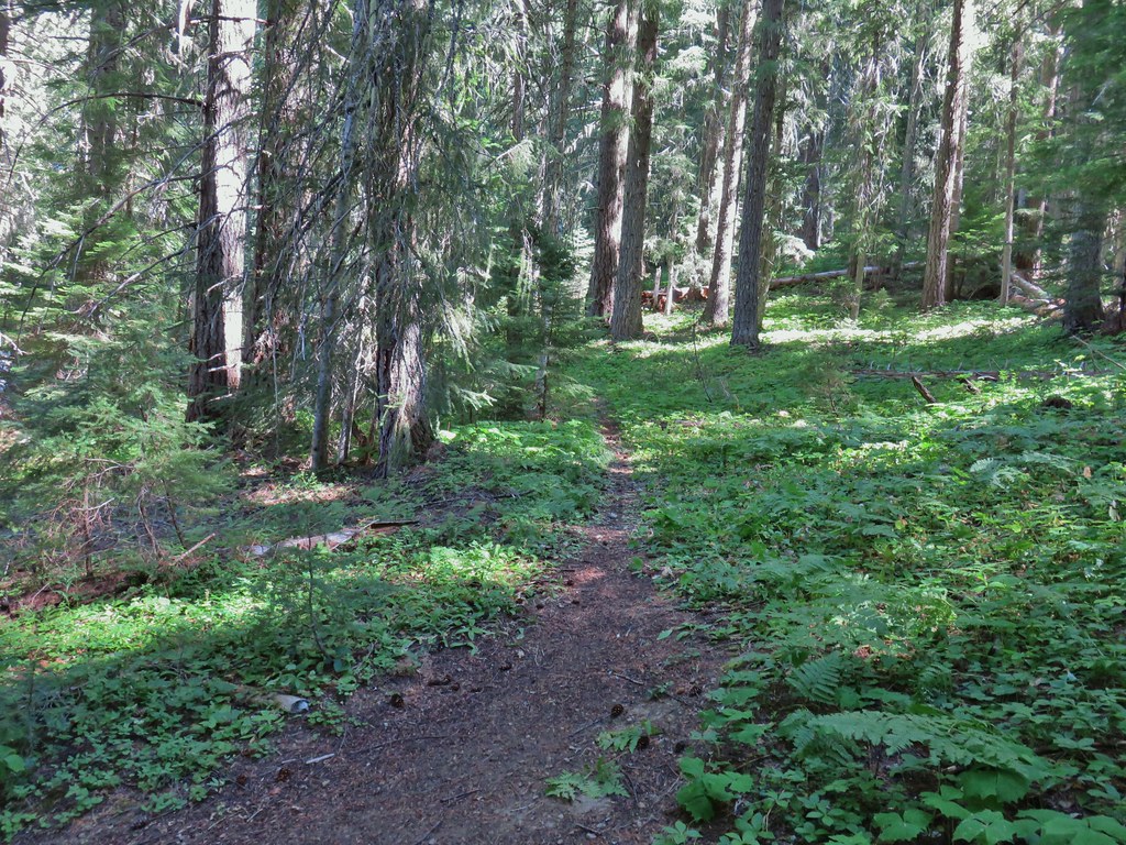

 Curious dragonfly
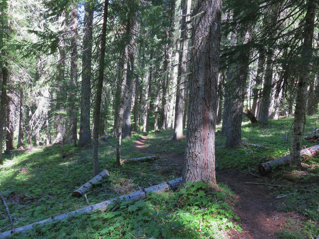


 Ghost Pipe aka Indian Pipe


 Arriving at Cedar Bog.
 One of a couple dry channels.
 North Fork Middle Fork
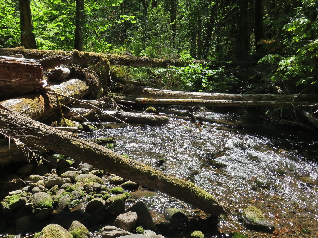 Flagging on a downed tree marking the continuation of the Shale Ridge Trail.
 North Fork Middle Fork at Cedar Bog
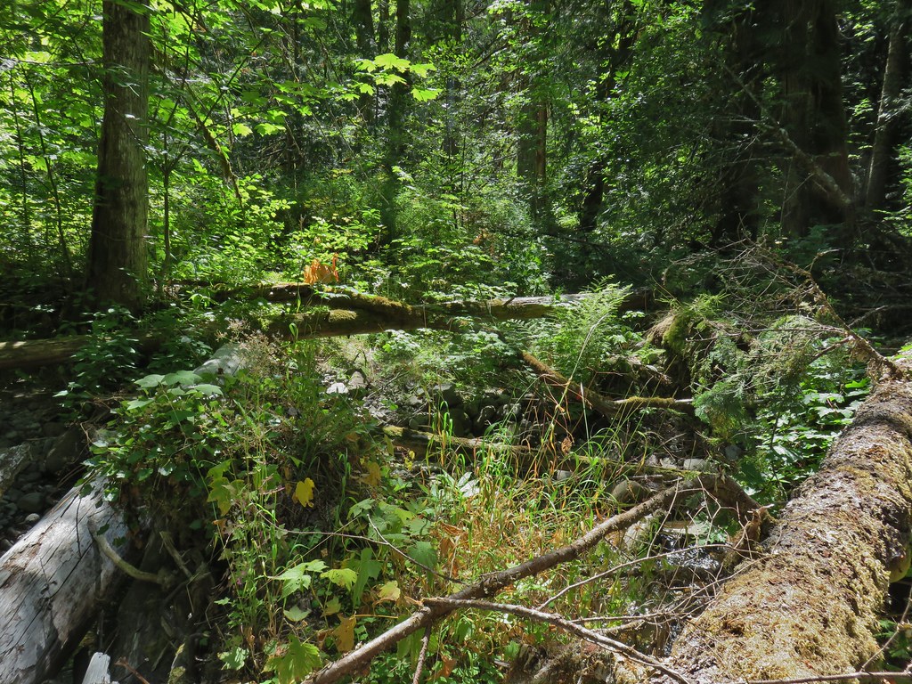 Orange flagging on the far side of the river.
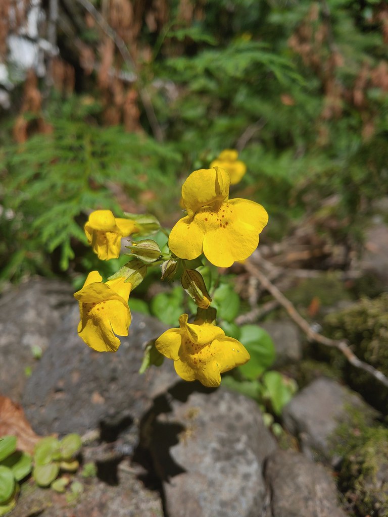 Monkeyflower at Cedar Bog
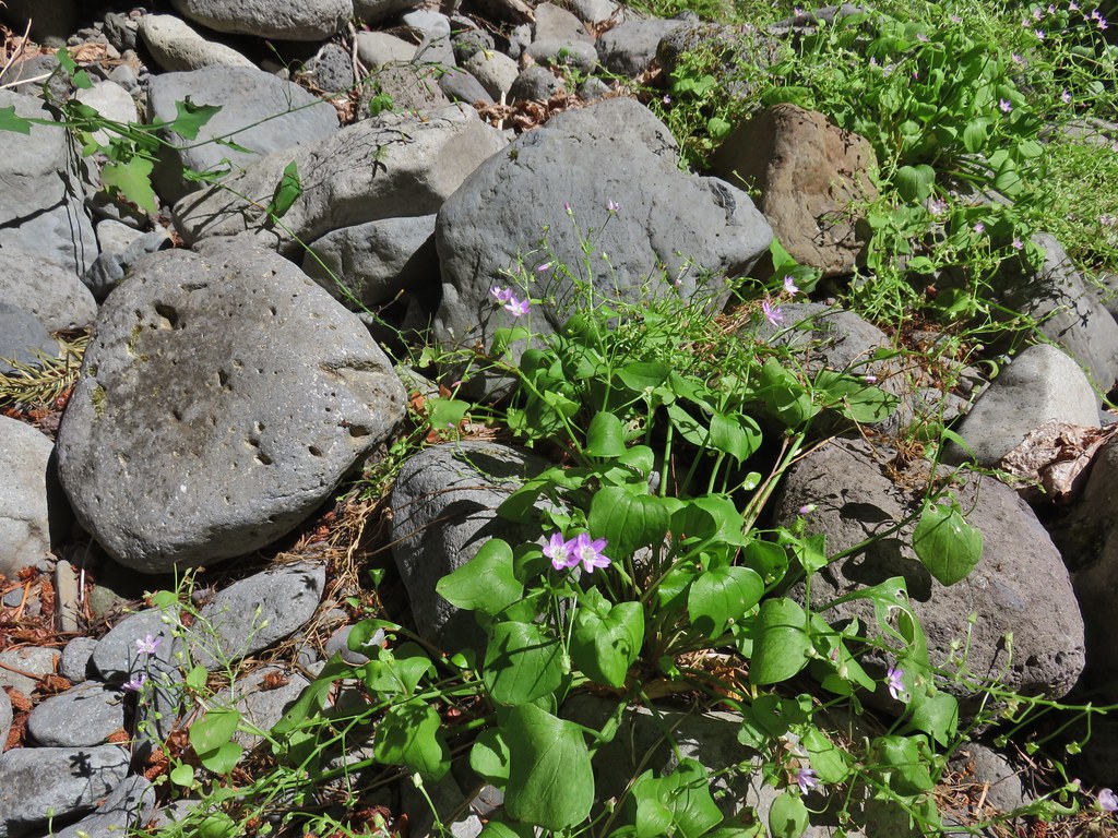 Candy flower


 Pinesap
 A very blurry deer spotted through the trees.


 North Sister
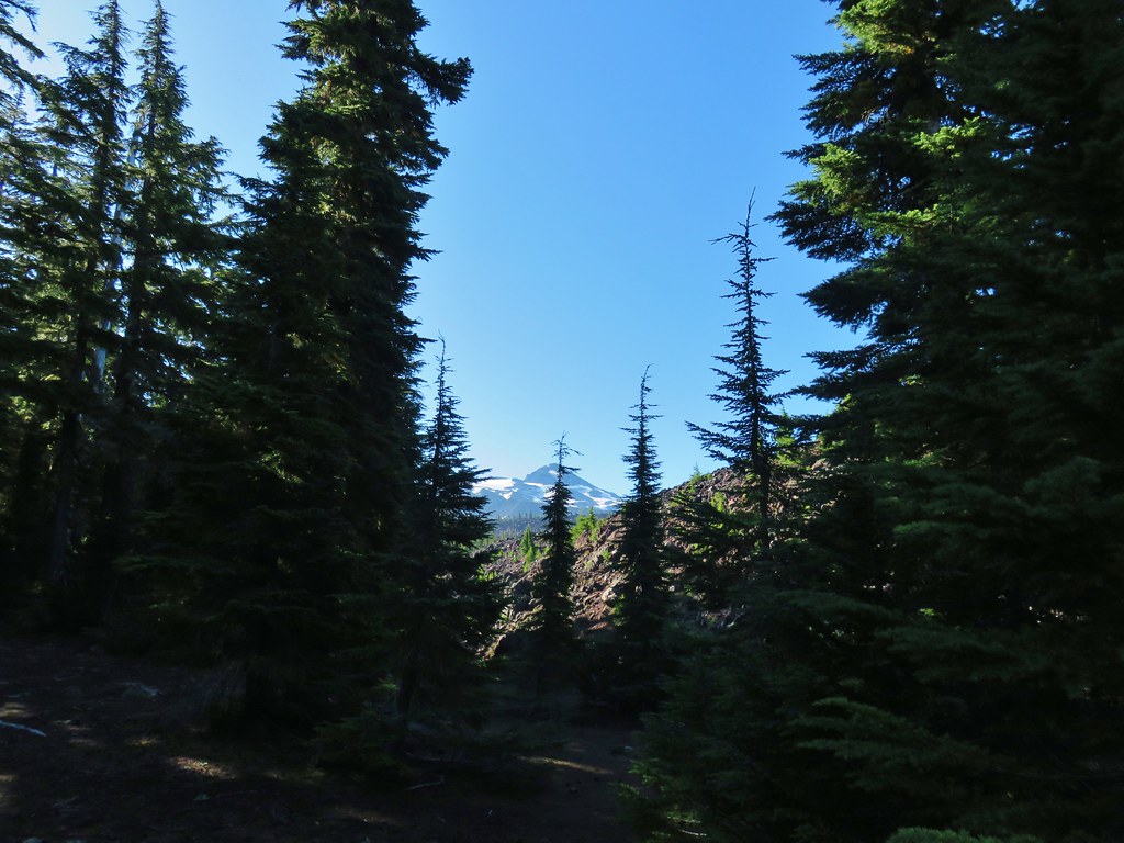 Middle Sister
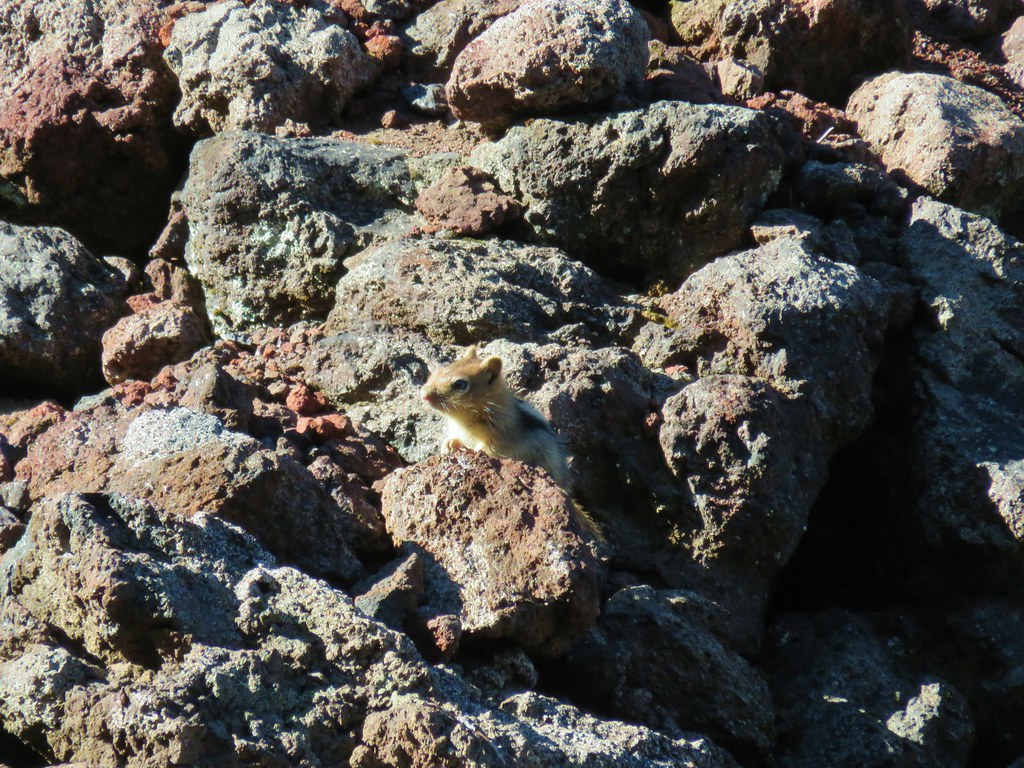 More spies watching us.
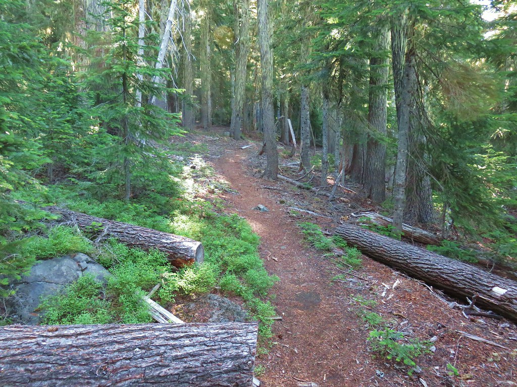


 North and Middle Sister behind the Little Brother.
 Mt. Jefferson beyond Four-In-One Cone
 Mt. Hood over the right shoulder of Mt. Jefferson.
 Mt. Washington’s spire behind the cone with Three Fingered Jack and Mt. Jefferson.

 Scott Meadow


 North Sister, Middle Sisters behind Little Brother and The Husband.
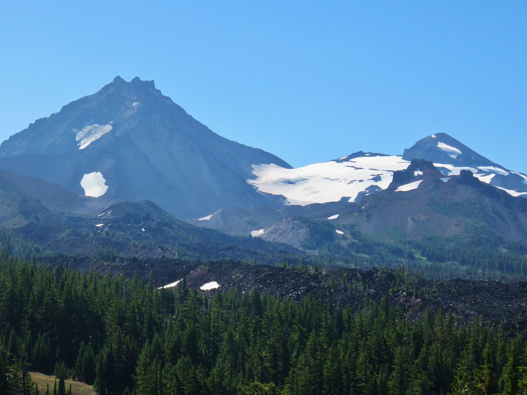 North Sister with Collier Cone in front and South Sister behind Little Brother.
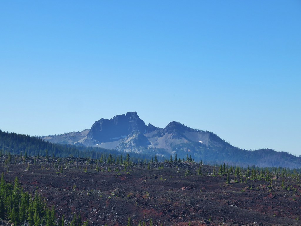 The Husband
 Scott Mountain (
 One of the craters.
 Mt. Washington, Three Fingered Jack, Mt. Jefferson, Mt. Hood, and Black Crater (
 Looking back south.
 Belknap Crater (
 Mt. Washington beyond Little Belknap Crater with Three Fingered Jack behind.
 Mt. Jefferson and Mt. Hood
 Middle and North Sister
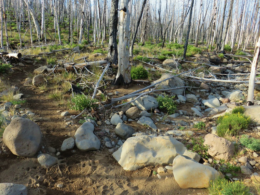 Dry bed of Pole Creek.
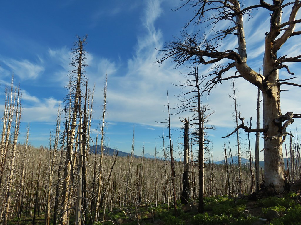 Black Crater, Mt. Jefferson, and Black Butte to the north.
 Entering the Three Sisters Wilderness.
 A few survivors amid the snags.
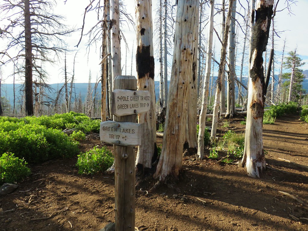 Green Lakes Trail junction.
 Broken Top and the South Sister
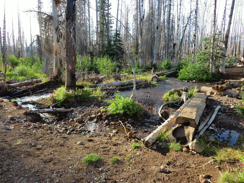
 Monkeyflower along Soap Creek
 Soap Creek
 View of the North Sister that would not have been there pre-fire.
 Soap Creek and the Middle and North Sister
 Monkshood
 Might be a trail in there, might not.
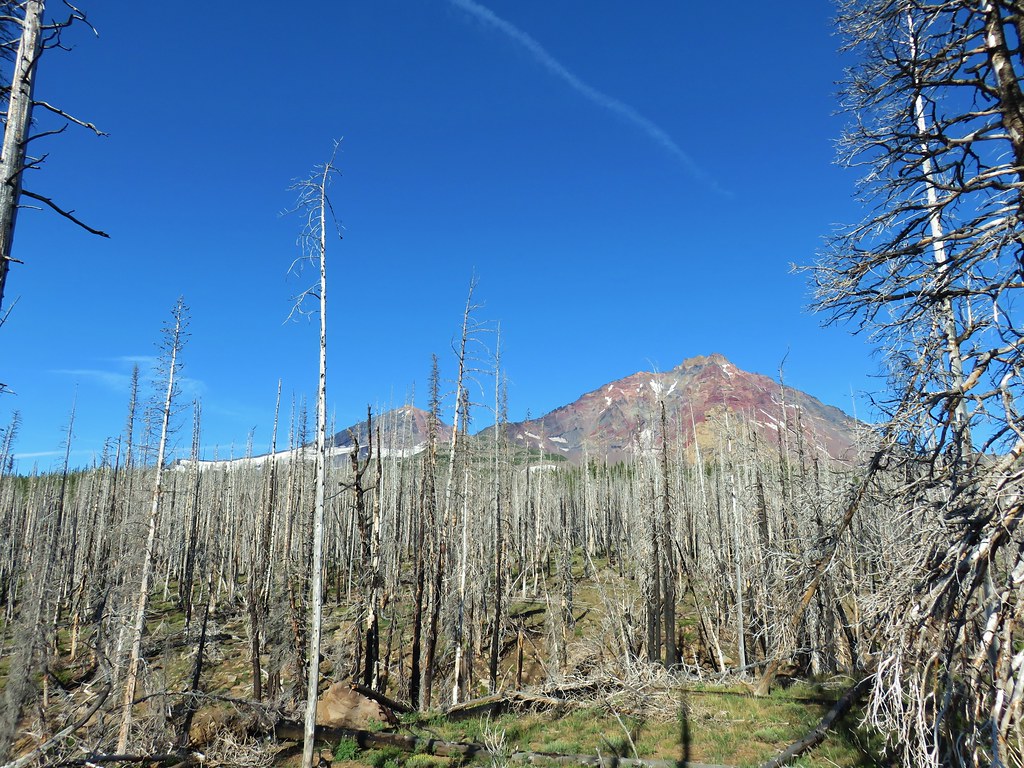 Decent look at the yellow bulge on North Sister.
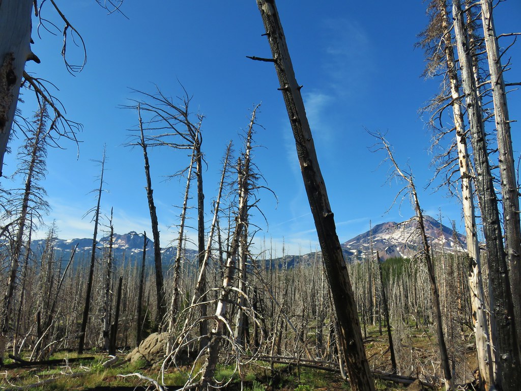 Broken Top and South Sister
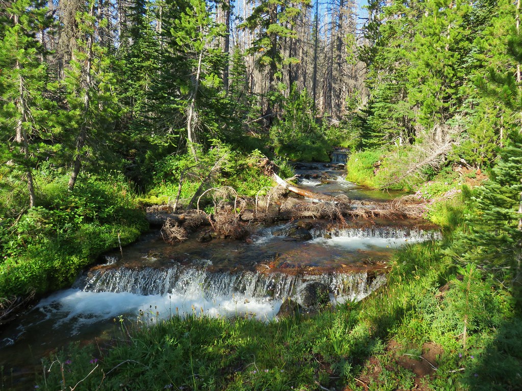 Soap Creek
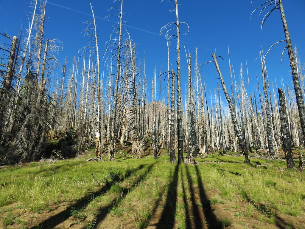 Meadow where there was no discernible trail apparent.
 Typical cross country obstacles.
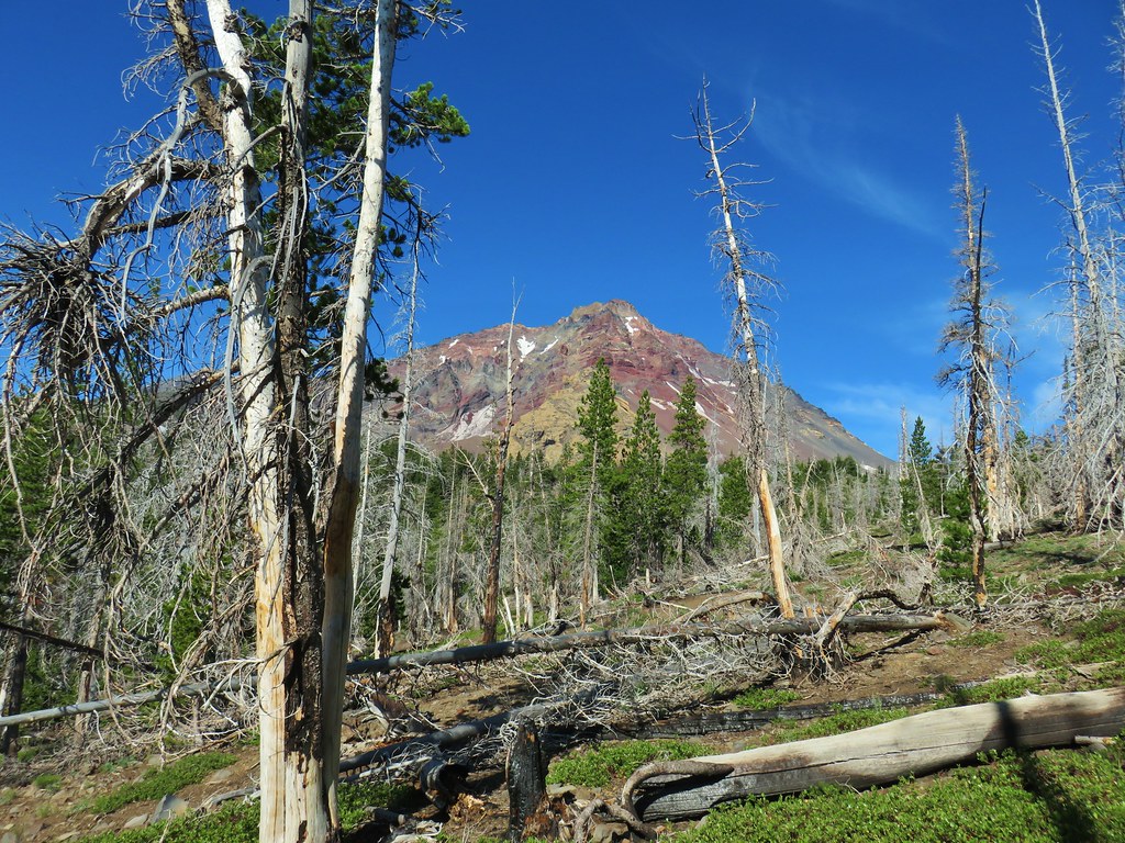
 Dry creekbed.
 Elephants head
 The moraine to the left of the bulge.
 A clump of Monkeyflower
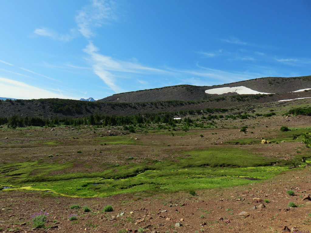

 Penstemon
 Our shady spot.
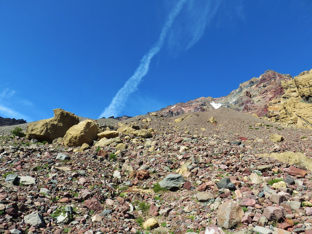
 Paintbrush growing on the moraine.
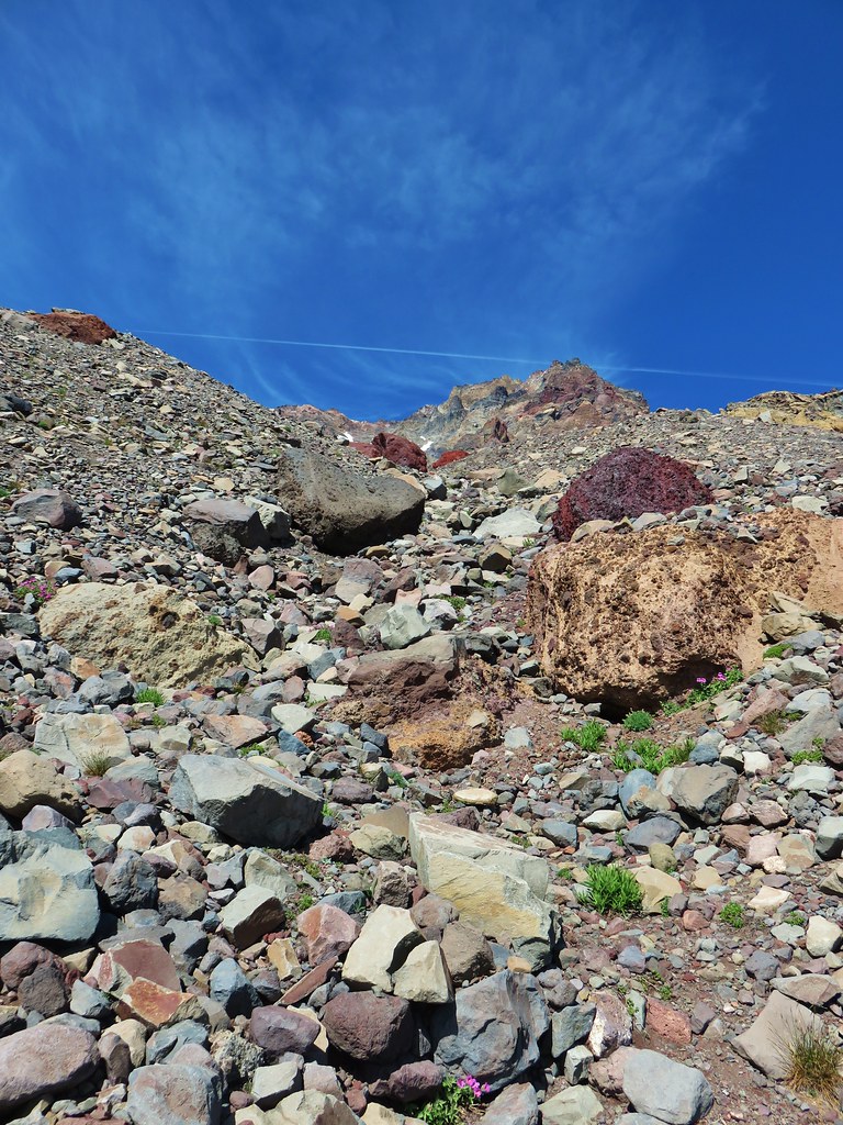
 More flowers amid the rocks.


 The yellow bulge, Mt. Hood, Black Crater and Black Butte to the north.
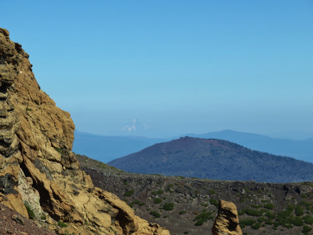 Mt. Hood
 Broken Top to the north.
 The rim above Thayer Lake.
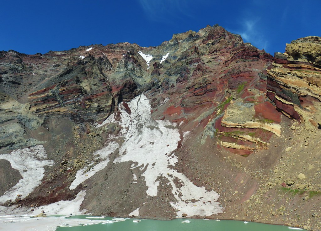 North Sister and the Thayer Glacier
 Heather near some large boulders in the lake.
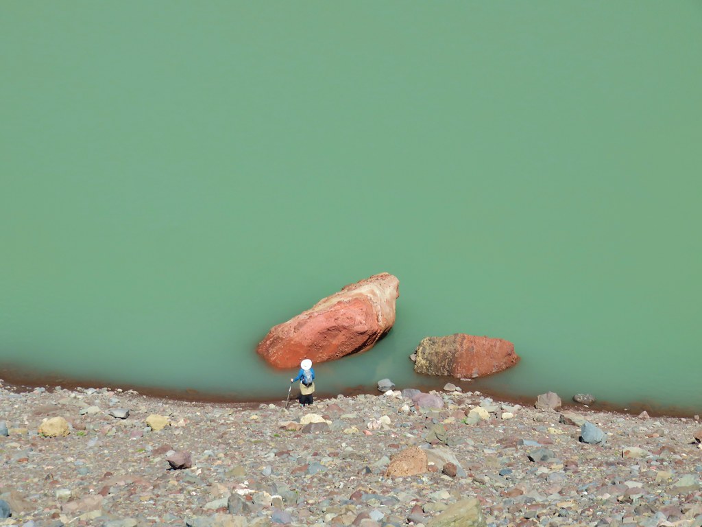


 Starting to get too narrow and the topographic map showed it getting more so further downstream.
 Climbing out of the gully.
 Broken Top and South Sister from the ridge.


 Sister Spring
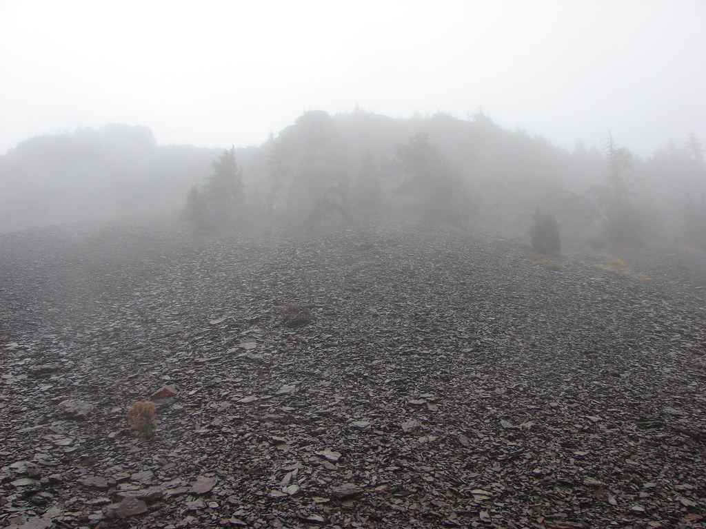
 North Sister and the Collier Cone
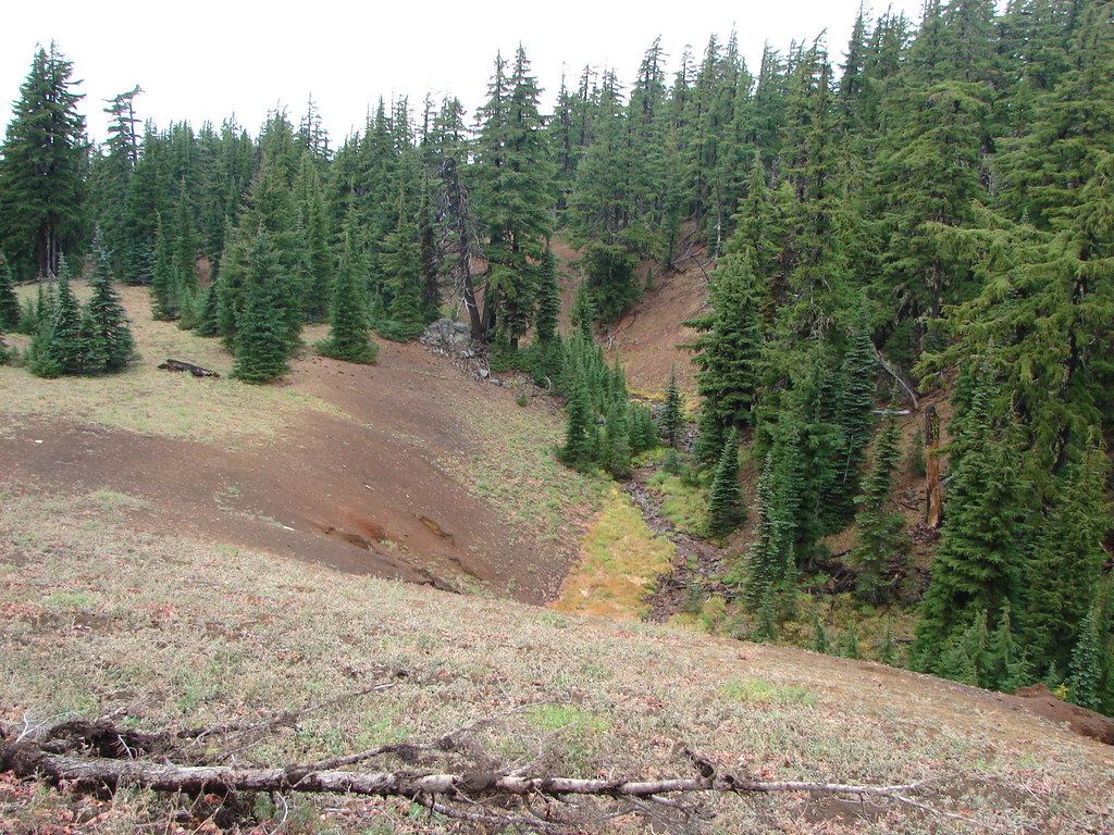
