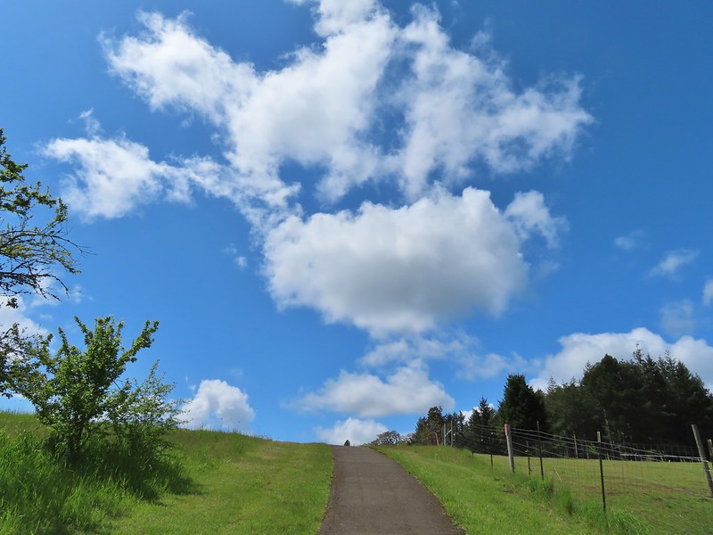
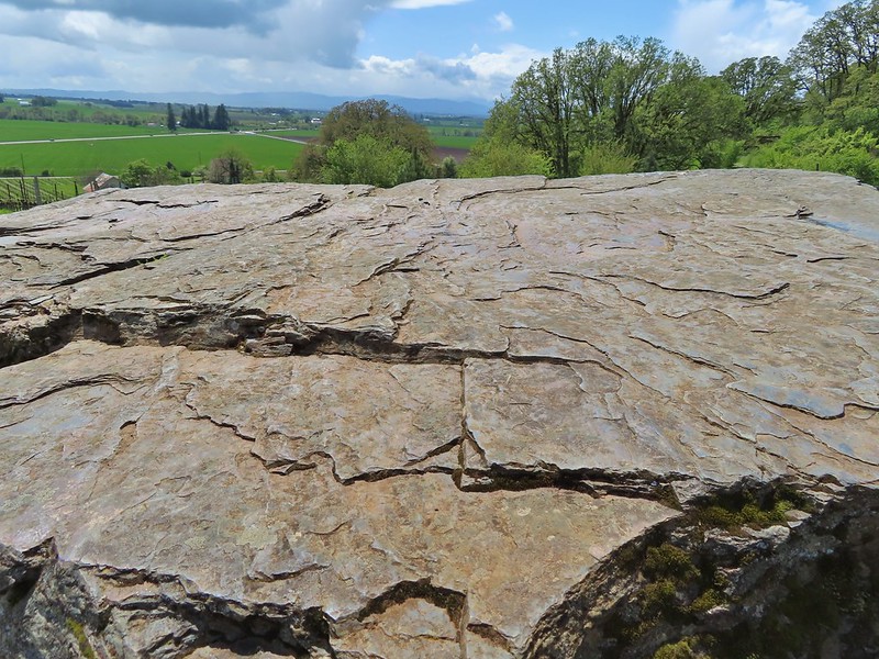
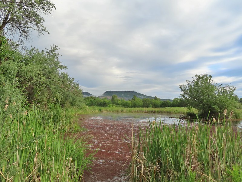
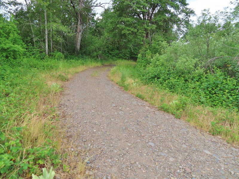
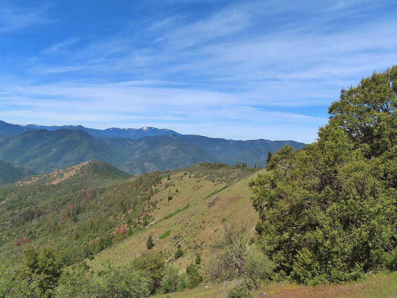
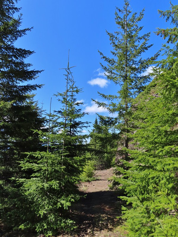
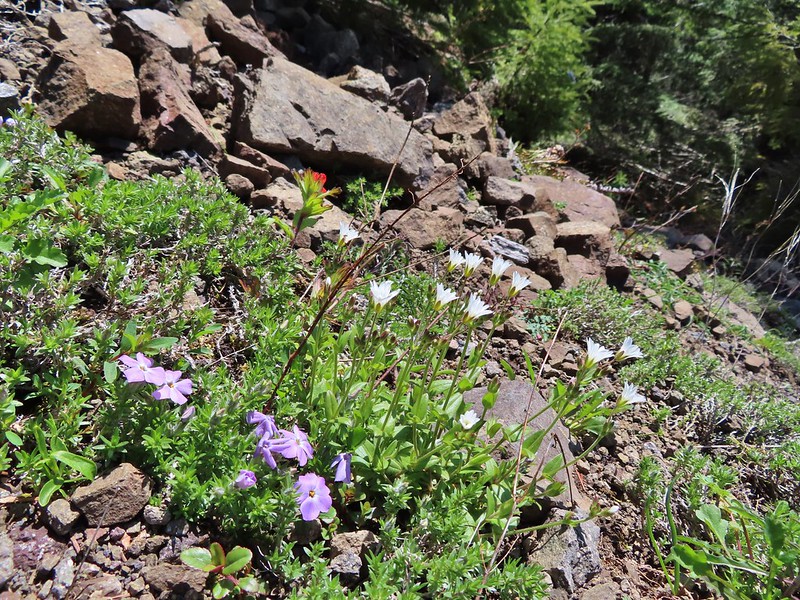
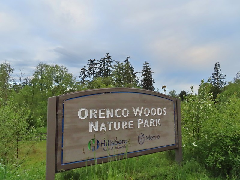
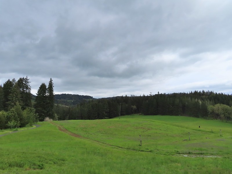
The last two years have created a bit of urgency to our goal of completing the 100 featured hikes in all five areas covered by William L. Sullivan in his 100 hikes guidebook series (post). Between the pandemic and 2020 wildfire season it became clear that taking our time could create issues down the road so starting last year we refocused our efforts on finishing the 500 hikes as soon possible. As we started 2022 we were down to just the Eastern and Southern Oregon (and Northern CA) areas to complete (post). The majority of the remaining hikes were from the southern book where a number of planned trips had been canceled in recent years due to weather and/or the effects of wildfires. We spent a week in Medford earlier in June checking off Roxy Ann Peak (post) and the Jack-Ash Trail (post) and we headed back south a couple of weeks later to hopefully check off more.
A cool and wet Spring has left parts of Oregon, in particular the northern and central Cascade Mountains with a lot of lingering snow. Many trails and trailheads in those areas that in recent years would be open are still snowed in but Southern Oregon had been dealing with an extreme drought, so the recent weather has not had as much of an impact leaving trails accessible. While accessibility wasn’t an issue the weather forecast was a bit of one. More wet weather was forecast for the start and end of our six-day trip with the possibility of snow at higher elevations. After some substituting and rearranging of hikes we settled on a tentative plan that gave us some flexibility in case the forecast tried to pull a fast one on us. Since Monday was supposed to be mostly cloudy with a chance of showers off and on all day we decided to combine a number of stops east of Roseburg along Highway 138 to check out seven different waterfalls.
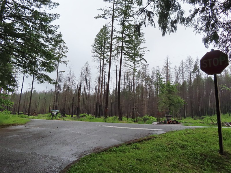
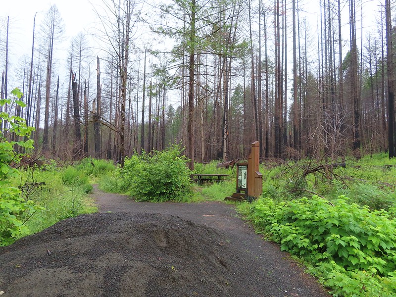
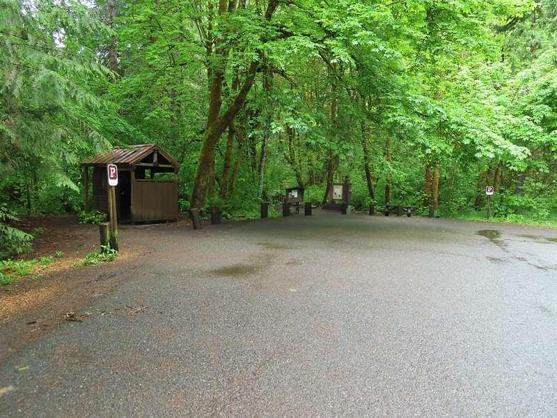
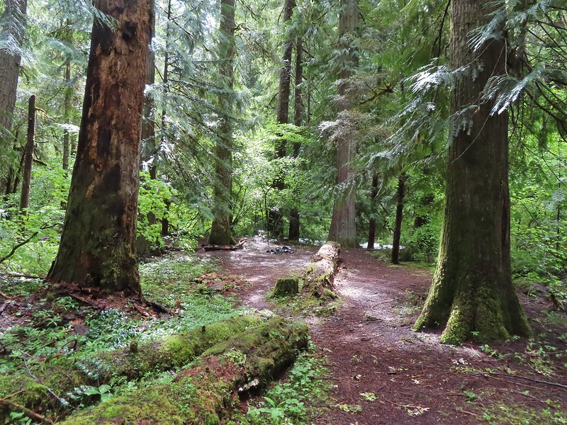
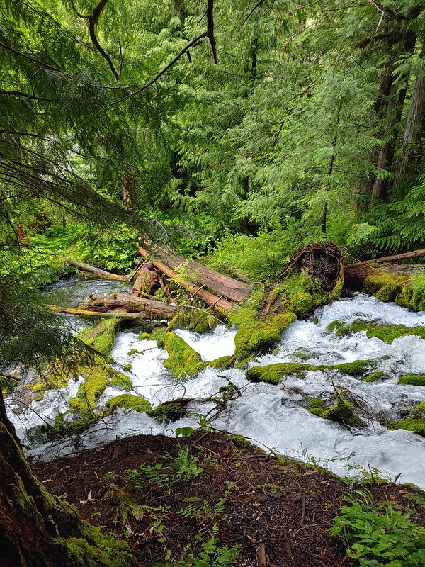
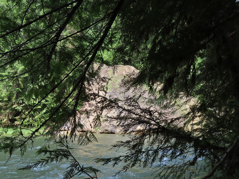
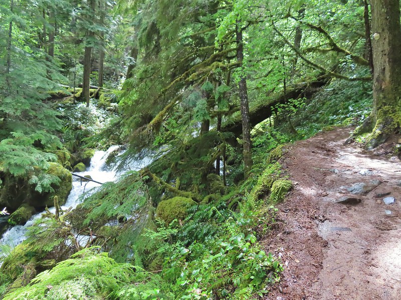
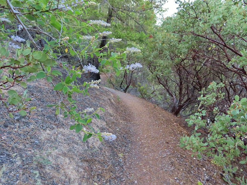
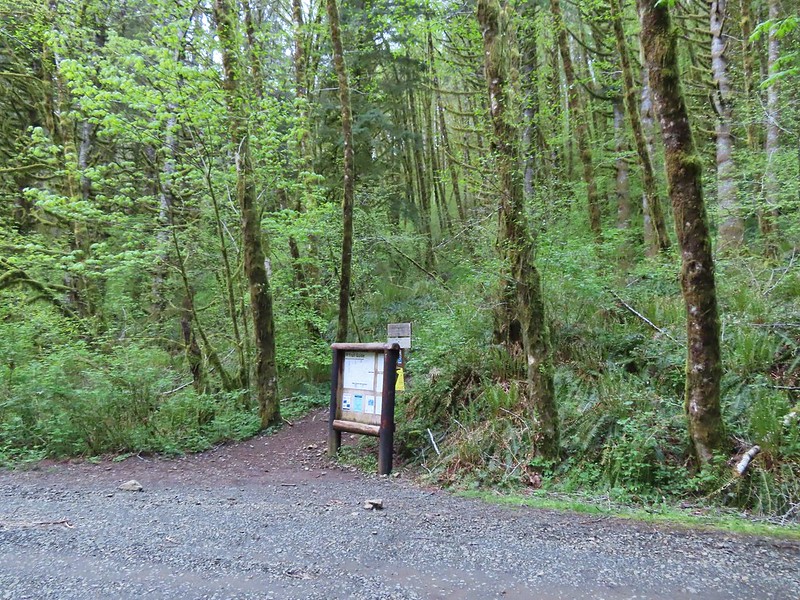
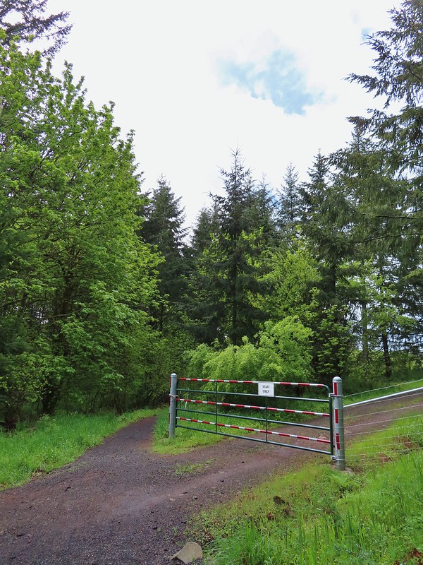
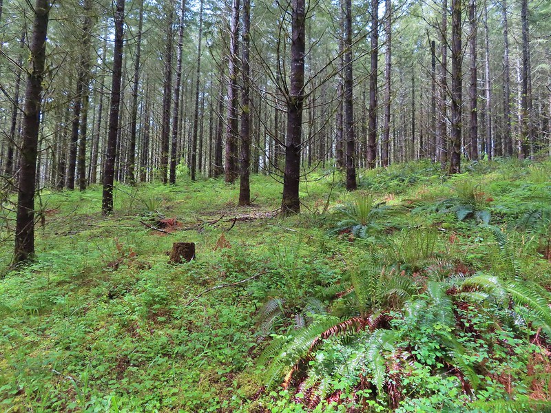
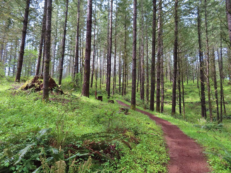
We started our morning off at Susan Creek Falls. This waterfall is one of three stops listed in featured hike #2, Fall Creek Falls (4th edition). This area was burned in the 2020 Archie Creek Fire and to date the other two stops at Fall Creek Falls and the Tioga Segment of the North Umpqua Trail remain closed. The BLM has managed to get the 0.7 mile Susan Creek Trail open although the trailhead on the north side of the highway was full of logs forcing us to park across the street at the Susan Creek Picnic Area.
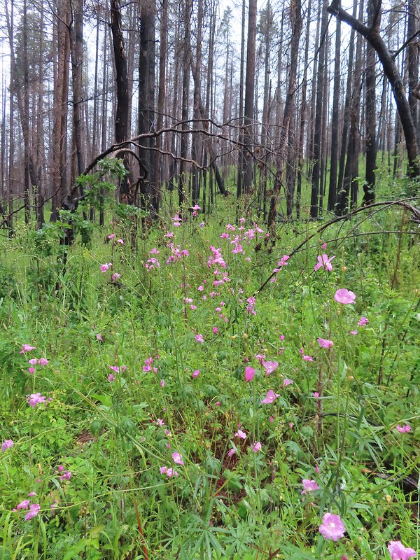
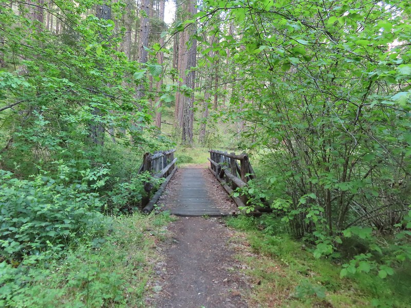
After dashing across the highway we set off on the trail through the burned forest.
 Checkermallow
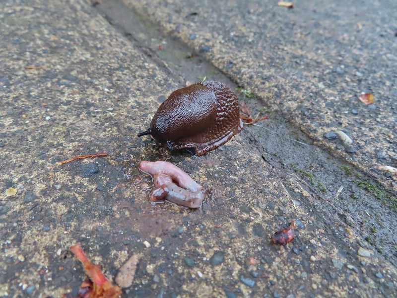
 A slug and a bug on a flower.
 Pea
Pea

 Approaching the falls.

 Columbine
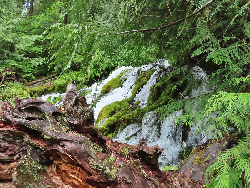
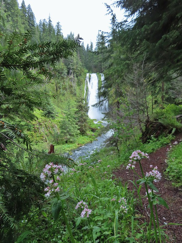
 Susan Creek Falls
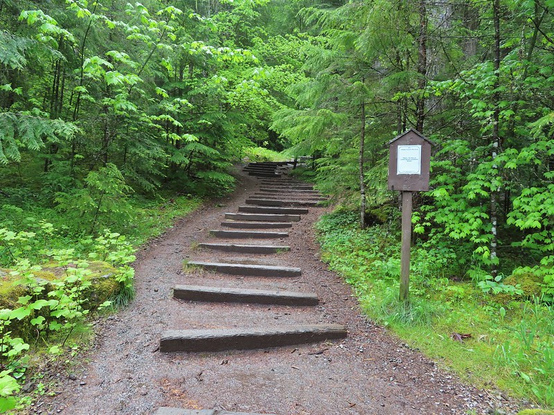
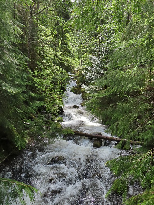
This short trail only gained about 150′ and was a nice leg stretcher after the drive down from Salem. After admiring the falls we returned to the car and continued east on 138 to milepost 59 and turned left onto Forest Road 34 to the Toketee Falls Trailhead. One of two stops that make up featured hike #9 (edition 4.2) a 0.4 mile trail leads to a platform above the falls which spill out of gap in basalt cliffs.
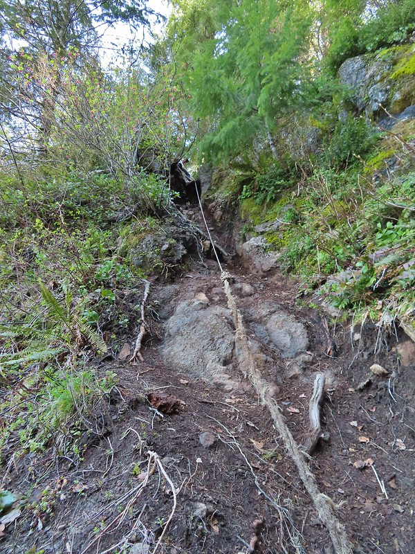
 Evidence of overnight rains on the trail.
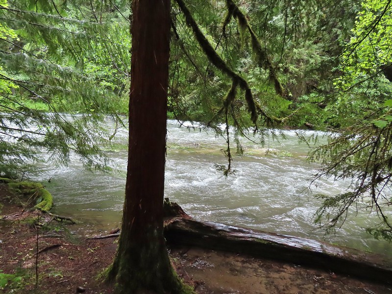
 A very faint rainbow over the North Umpqua River.
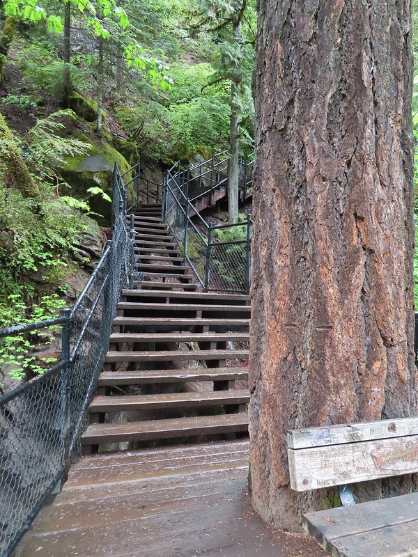 Stairs down to the viewpoint platform.
 Toketee Falls
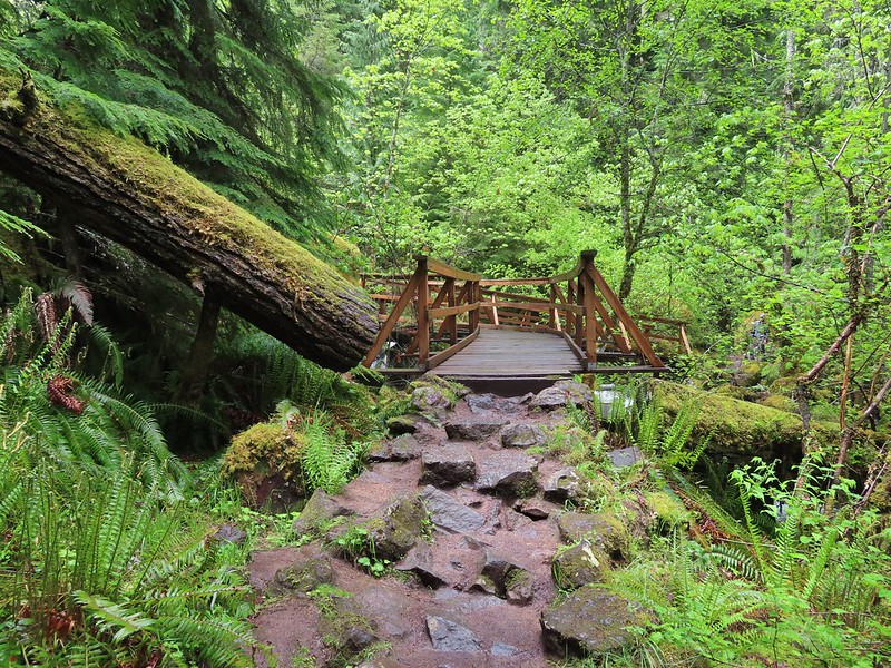
We spent some time admiring this waterfall which is one of Oregon’s more recognizable falls before returning to the car and continuing on FR 34 to FR 3401 and following it to the Umpqua Hot Springs Trailhead.

The hike starting here is not the second part of featured hike #9 but rather its own entry (featured hike #8, edition 4.2). Sullivan gives two 0.6 mile round trip options starting from this trailhead. The first is a 120′ climb to Umpqua Hot Springs overlooking the North Umpqua River. To reach the hot springs we crossed the river on a footbridge and turned right to make the climb up to the springs.


 Candy sticks along the trail.
Just before the hot springs I veered downhill on a side trail to visit the river.
 During lower flow there is another hot spring along the river bank in the area.
I climbed back up to find Heather sitting near the springs. There were a number of people enjoying a soak and with clothing being optional pictures were very limited.


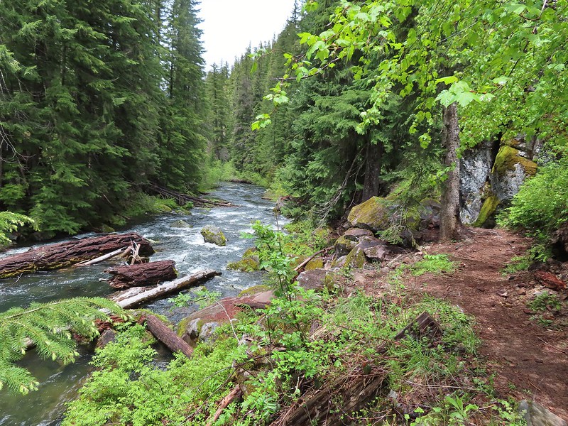
We climbed down from the hot springs and returned to the trailhead where we took a short trail up to FR 3401 and turned left following a short distance to the resumption of the North Umpqua Trail.
 Heading up to the road.
 The North Umpqua Trail on the left leaving the FR 3401.

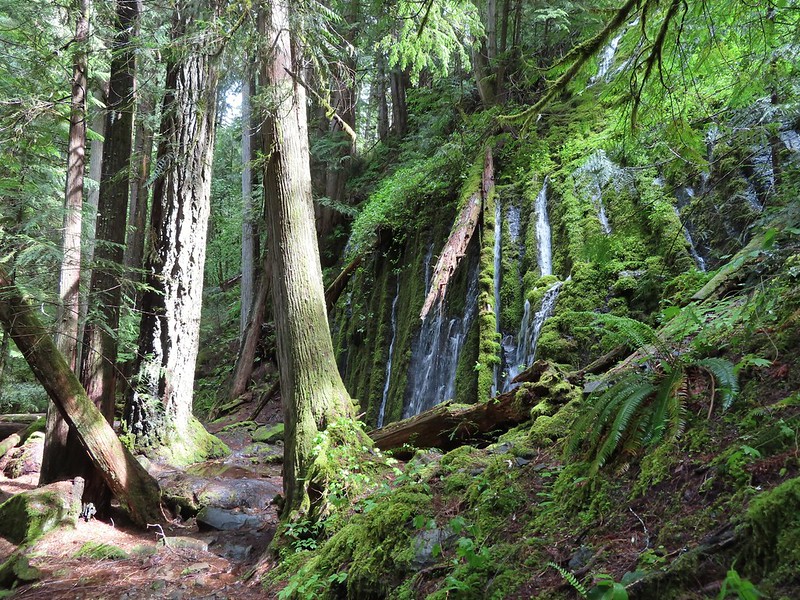
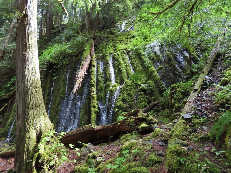
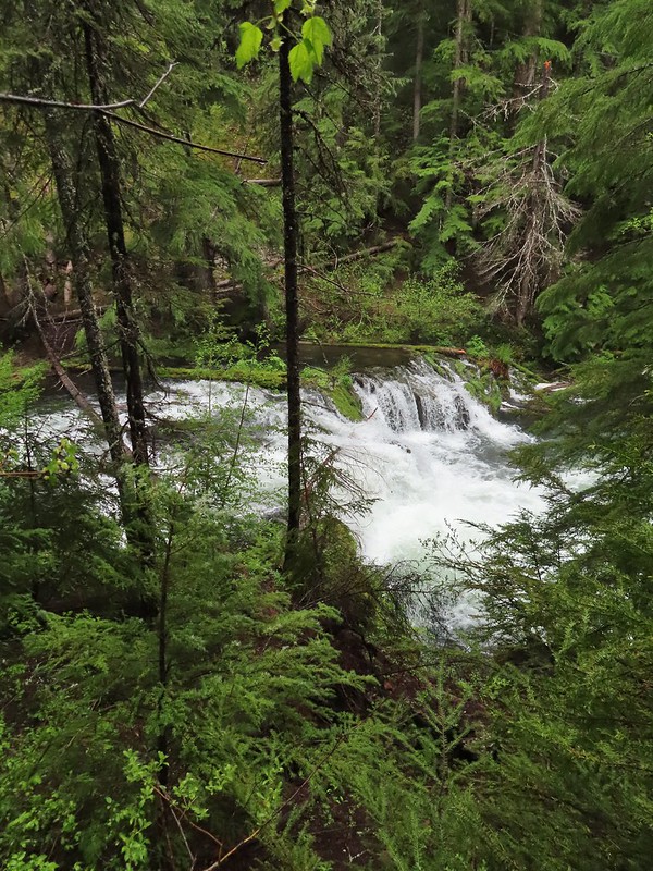
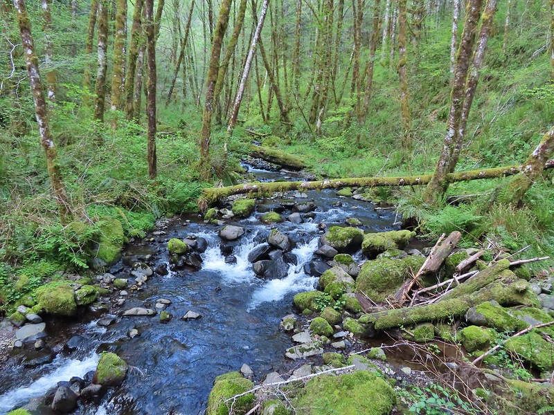
Approximately a quarter mile along this segment we arrived at Surprise Falls, a cascade created by cold springs bursting from the hillside below the trail.
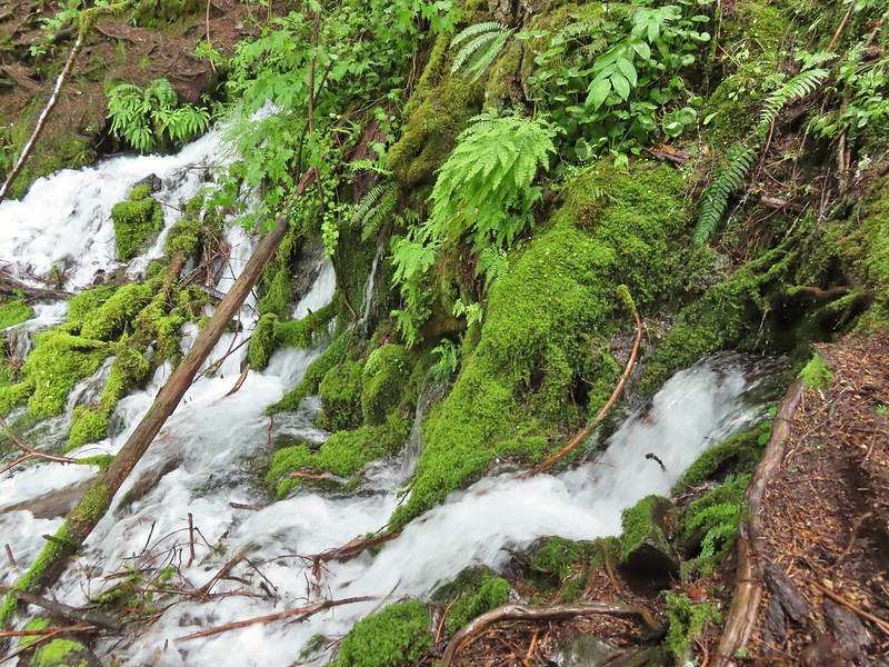

The mossy cascade was beautiful and we spent quite a while enjoying the lush green surroundings. A very short distance further we arrived at our turn around point at another spring fed waterfall, Columnar Falls.
This fall gets its name due to the columnar basalt that the water both cascades down and spouts right out of.

 The hot springs across the river from Columnar Falls.
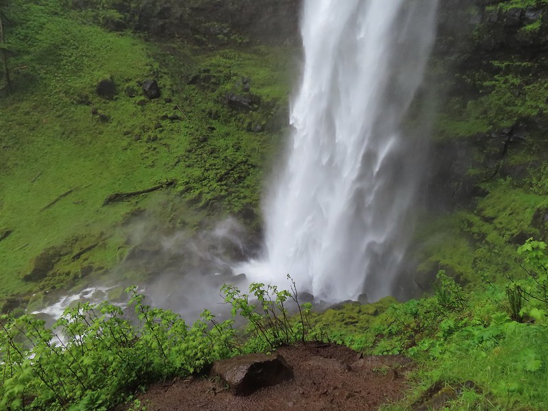
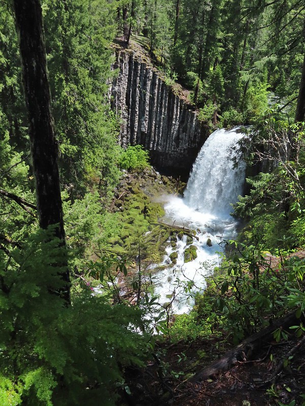
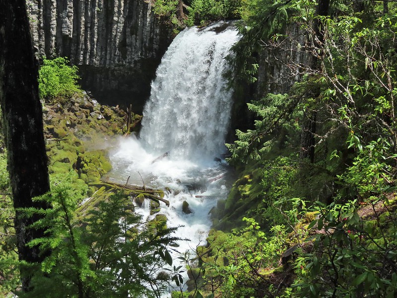
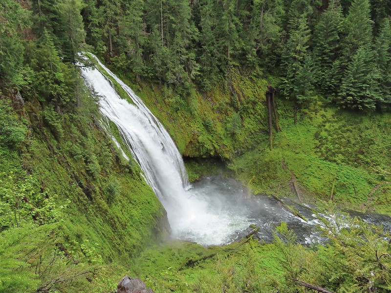
We returned the way we’d come and hoped back into our car and drove back to Highway 138 where we again turned east. Our next stop was the second waterfall in featured hike #9, Watson Falls. Another short (0.4 mile) trail leads from the Watson Falls Trailhead to Southern Oregon’s tallest waterfall.
 The top of Watson Falls from the trailhead signboard.
This trail gains 300′ as it climbs to a viewpoint part way up the 272′ waterfall.
 Watson Falls from below.
 Footbridge over Watson Creek.

 Heather at the viewpoint.
 The splash pool.
On the way back down we took the loop back trail which splits off just before the creek crossing.

This trail follows Watson Creek down to FR 37 where a right turn and short road walk completes the loop.
 Watson Creek at FR 37.
 A little bit of blue sky and sunlight along FR 37.
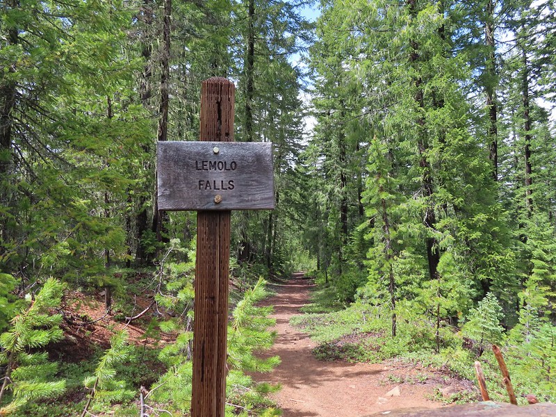
Once again we returned to Highway 138 and continued east. Our next three stops were in the Lemolo Lake Recreation Area so we turned off of the Highway onto FR 2610 at a pointer for the Recreation Area. Our first stop was at the Warm Springs Trail.

Yet another short trail (0.3 miles) that led to a scenic waterfall.

 Viewing platform above the falls.
 We both really liked the angled basalt cliff on the far side of these falls.
This waterfall surprised us a bit with how much we both liked it. We headed back to the car and drove back the way we’d come until reaching a canal bridge along FR 2610 where we turned across it to the North Umpqua Trail.
 The canal bridge is 5.6 miles from Highway 138 on FR 2610.
 Sign near the canal bridge.
 The North Umpqua Trail.
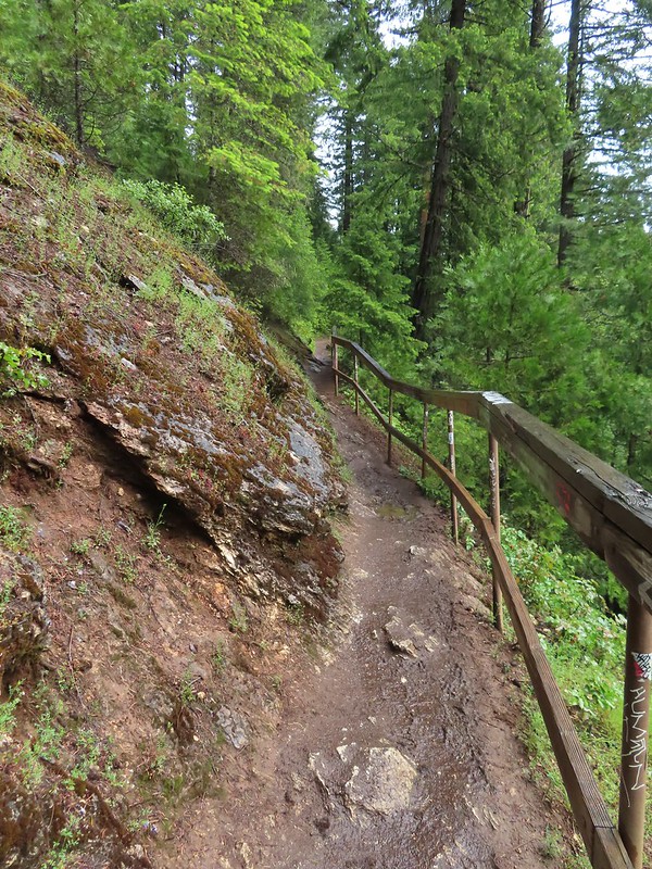
 The section between Lemolo Lake and the Umpqua Hot Springs Trailhead is called the “Dread and Terror Segment” but both sections we hiked were beautiful.
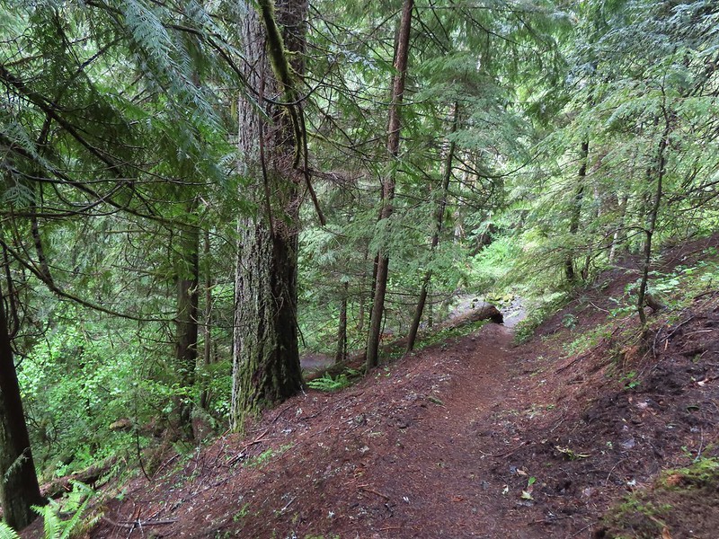
This would be our longest hike of the day at 3.5 miles round trip. The trail followed the North Umpqua River providing numerous views while losing 400′ to a viewpoint above Lemolo Falls.

 Numerous seasonal streams and seeps flowed across the trail.
 Unnamed fall along the river.
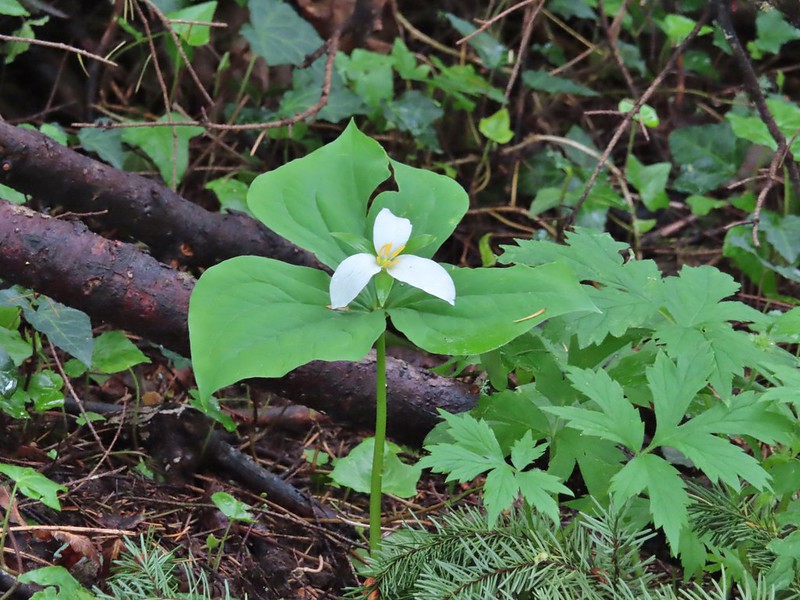
 Trillium

 Ouzel
Ouzel
 Lemolo Falls
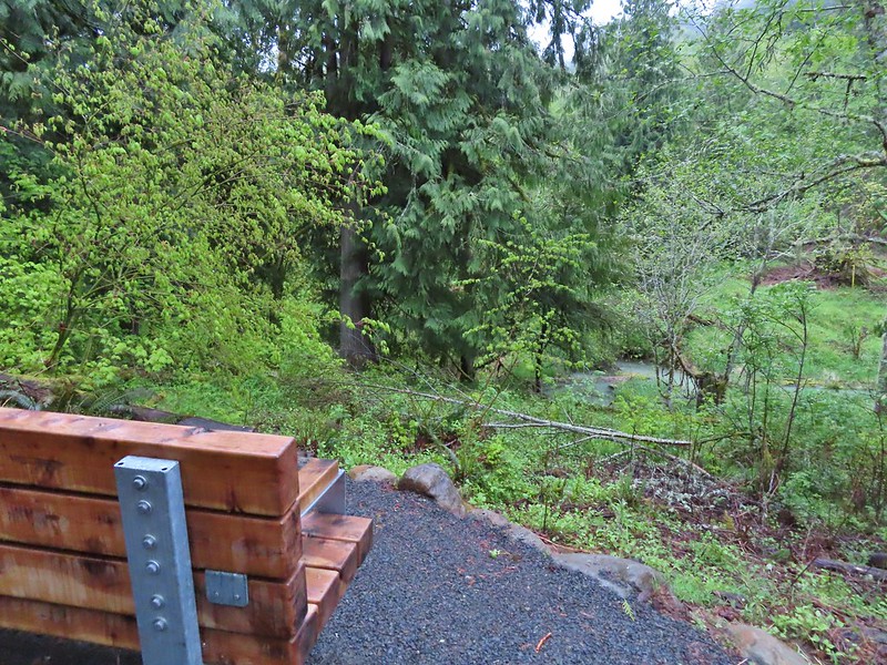
We took a short break at the viewpoint then headed back. We had one final stop to make on the other side of the river to visit a better viewpoint below Lemolo Falls.
 Red flowering currant along the trail.
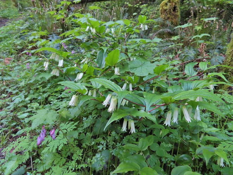
 Bleeding heart.
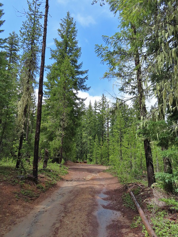
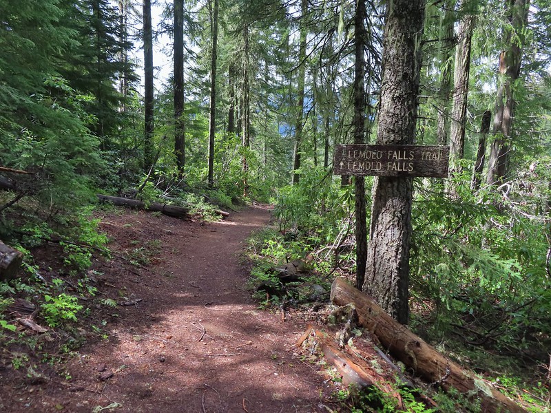
From the canal bridge we drove back toward Lemolo Lake crossing the dam then in half a mile turned right on FR 3401 for another half mile to FR 800 where we again turned right. We followed FR 800 for 1.6 miles to a spur road (FR 3401-840). The trailhead is located approximately a quarter-mile down this road but we parked as soon as we had a chance due to this road being in the worst condition we’d experienced this day.
 Approaching the trailhead.
This old trail/trailhead was recently reopened and aside from the poor access road the trail was in good shape. The first 0.6 miles follows an old roadbed to a former picnic area where the Lemolo Falls Trail used to begin. Three quarters of a mile later the trail arrives at the North Umpqua River below Lemolo Falls.

 The former picnic area (Note the picnic table in the trees to the right.)
 Valerian along the trail.


 One of many brief appearances of blue sky during the day.
This was by far the superior view and a great way to end the day. We climbed back up the 500′ that we’d descended to the falls and called it a day. Our seven stops was a new personal record (previously six on a trip down the Oregon Coast). With most of the hikes being rather short our mileage for the day was just a smidge over 11 miles with a little over 1800′ of cumulative elevation gain. It was a long day made longer by a couple of delays due to road construction so it was later than we’d planned when we pulled into our motel in Roseburg but we had managed to finish three more featured hikes (and one third of a fourth) and although it had sprinkled off and on all day we’d also had a few sun breaks which made it a perfect day for chasing waterfalls. Happy Trails!
Flickr: Highway 138 Waterfalls

 Setting off at 5:20am from the 1st gate.
 Roxy Ann Peak from the road.
 Jack rabbit
 Coming up on the 2nd gate.
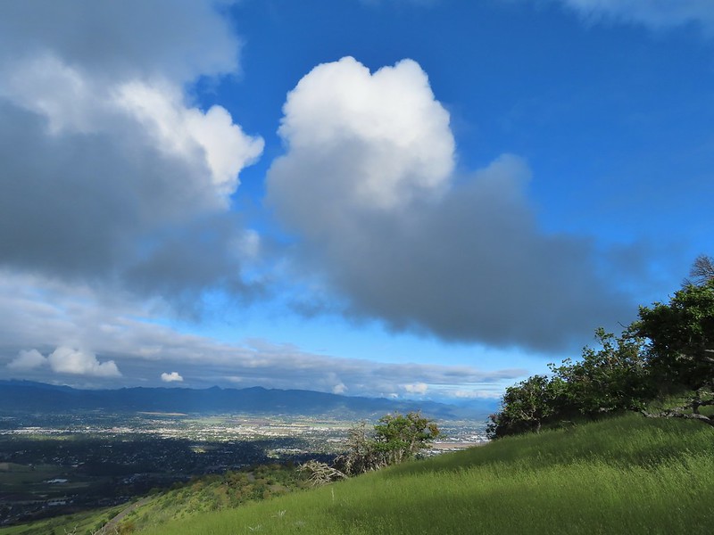
 Sunlight hitting the hillsides on the far side of Medford.
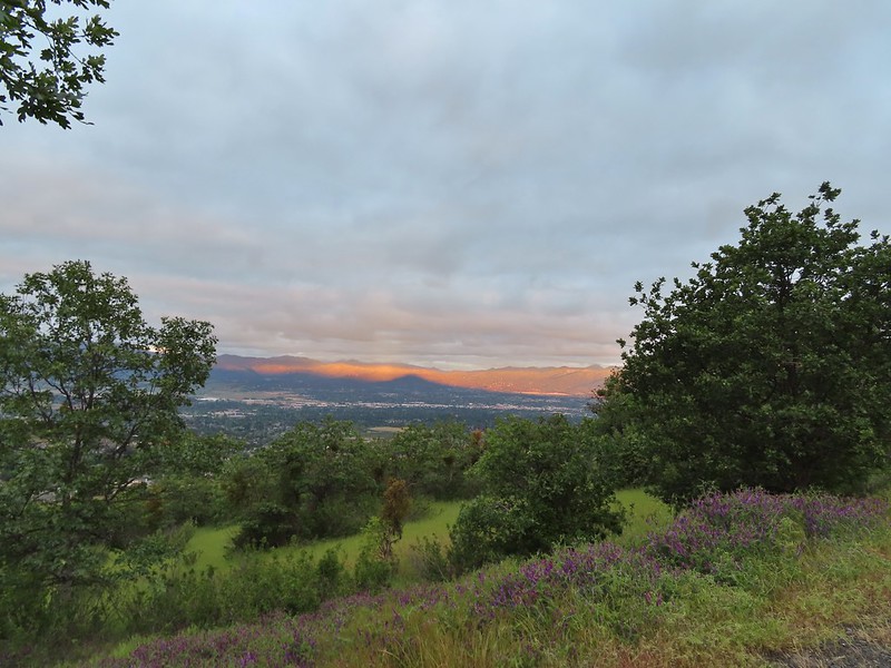 Roxy Ann’s shadow being cast over Medford.
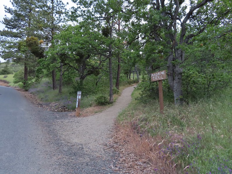
 Lots of purple vetch along the trails.
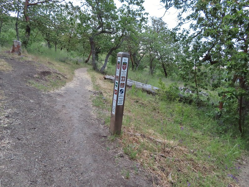 One of the posts used to identify trails.
 Madrones along the Madrone Trail.
 We turned left following the pointer for the Oak Trail.
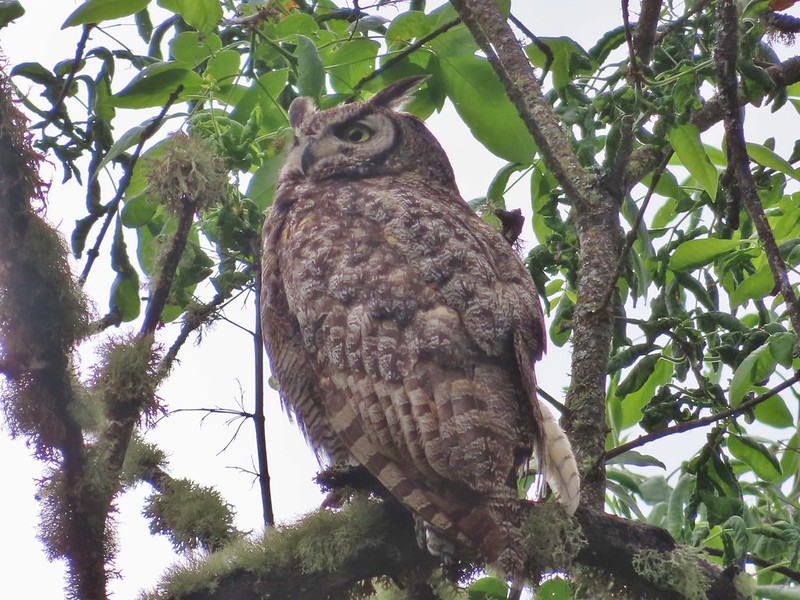
 Juvenile great horned owl along the Oak Trail. We didn’t get a good look at the second owl to the left but it looked to be an adult.
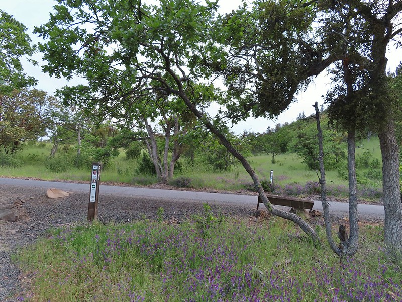 This segment of the Madrone Trail (MD3) ended at Roxy Ann Road with the Oak Trail picking up on the far side.
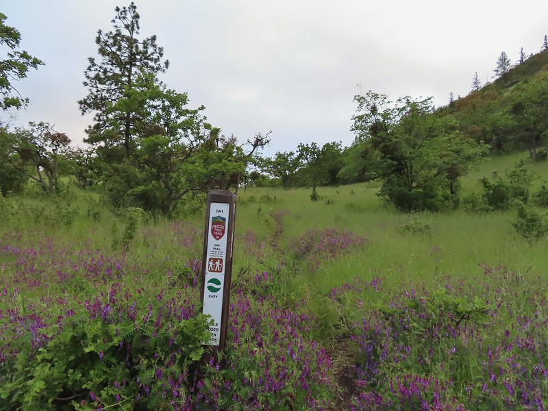 The Oak Trail
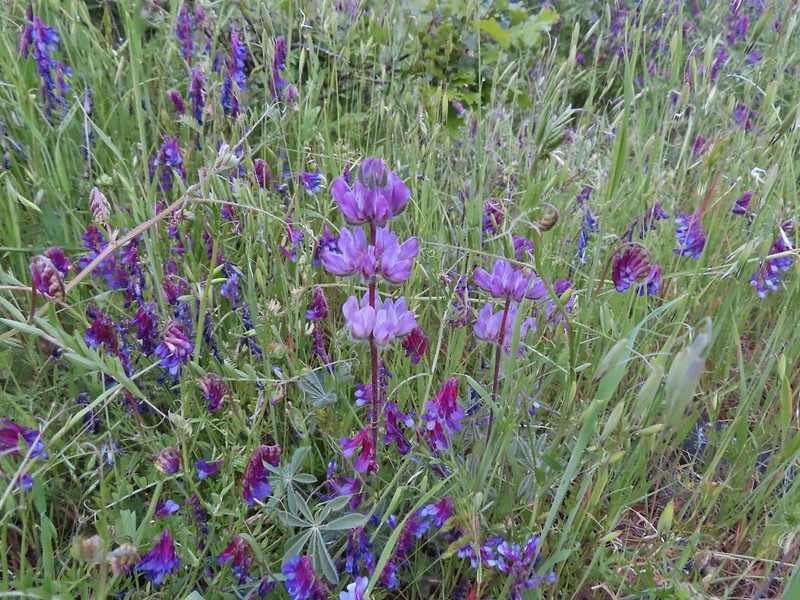 Lupine amid the vetch
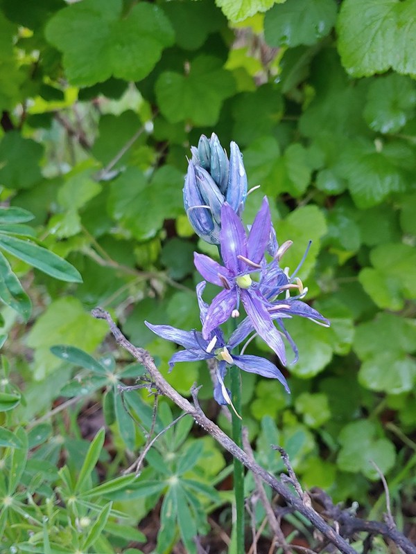
 Camas in front of poison oak.
 Carrotleaf horkelia
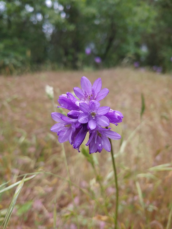
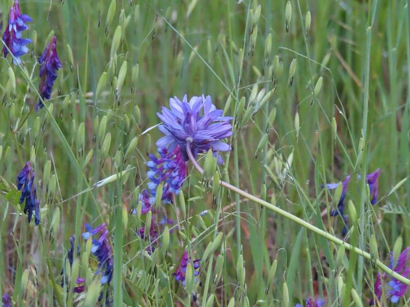 ookow
ookow Death camas
 Blue-eyed grass
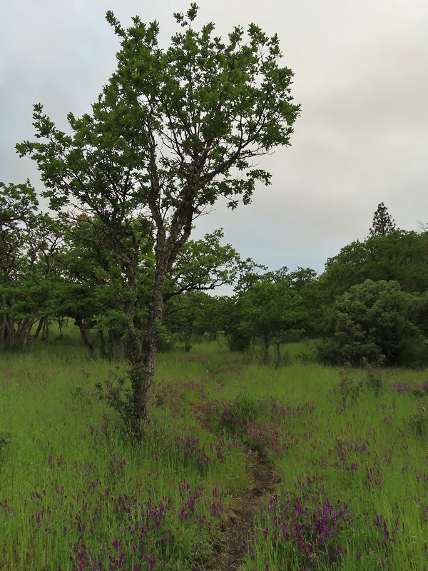 Oak along the Oak Trail.
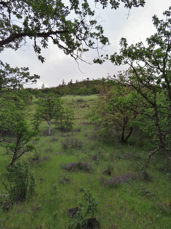 Roxy Ann Peak
 Blow wives
 The Oak Trail appeared to be the least used of all the trails we would hike on this day.
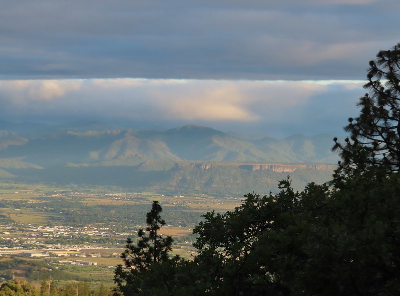 Lower Table Rock (
 The only post we saw that wasn’t helpful.
 Challenge Course just off the Oak Trail.
 Parts of the Challenge Course
 Trail junction near the Challenge Course with the Oak and Ponderosa Trails.
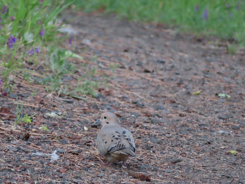 Dove
Dove Hopping onto the Ponderosa Trail.
 Mariposa lily
 Lazuli bunting. We saw quite a few of these during our trip but they proved to be very difficult to photograph.
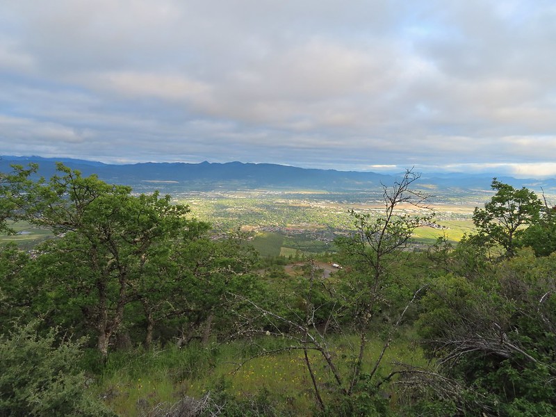 Medford from the Ponderosa Trail.
 Paintbrush
 Madia
Madia Lower Table Rock again.
 A bench and Ponderosa pines along the Ponderosa Trail.
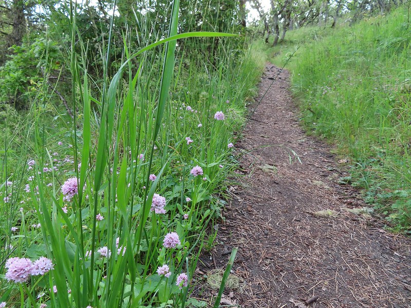 Plectritis
 Two more deer above the trail.
 Deer and balsamroot.
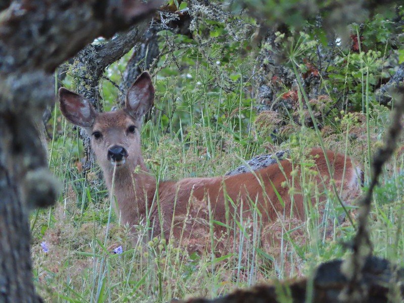 Young deer
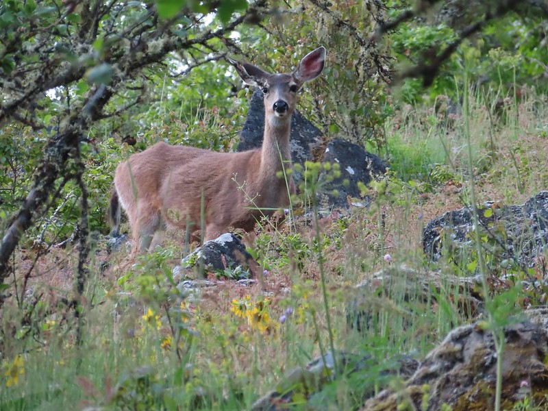 Momma deer
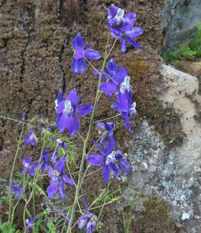 Larkspur
 Nearing Park Tower Road.

 Serenading lazuli bunting.
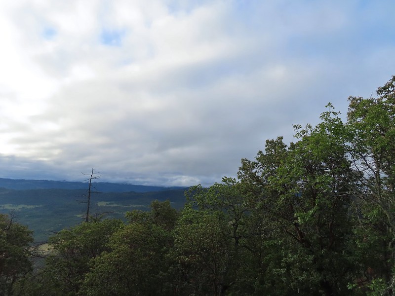 A lot darker clouds toward the Cascades.
 Sign for the Manzanita Trail
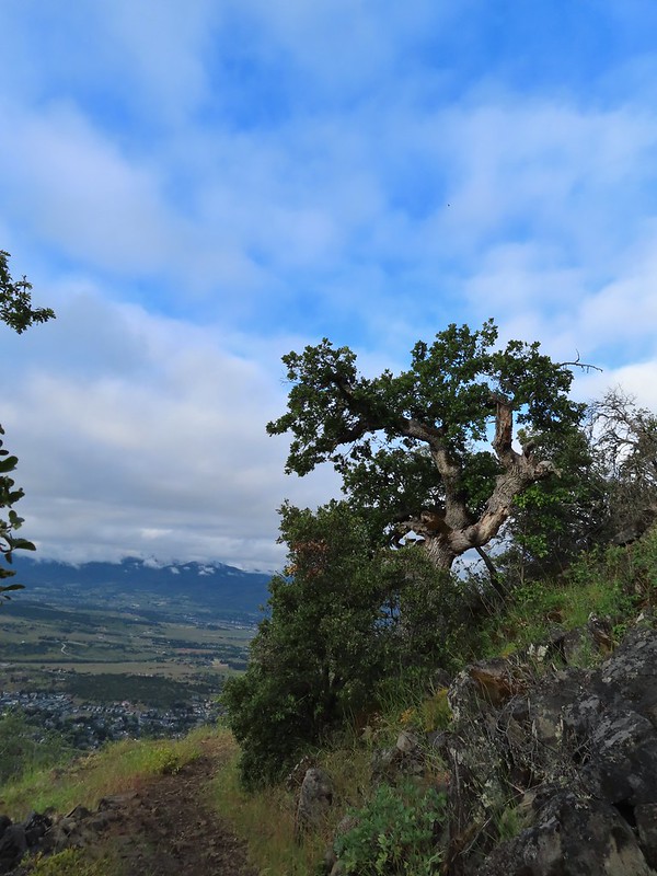
 The lower flank of Grizzly Peak (
 Looking NE from the trail, still a lot of clouds.
 Another bunting, we were on a roll.
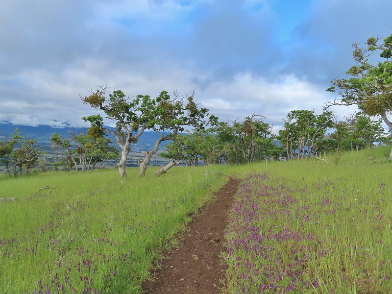
 The clouds were really starting to break up as we descended.
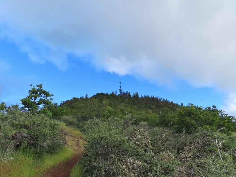
 Arrow-leaf buckwheat on the hillside.
 Roxy Ann Road
 Back on the Madrone Trail.
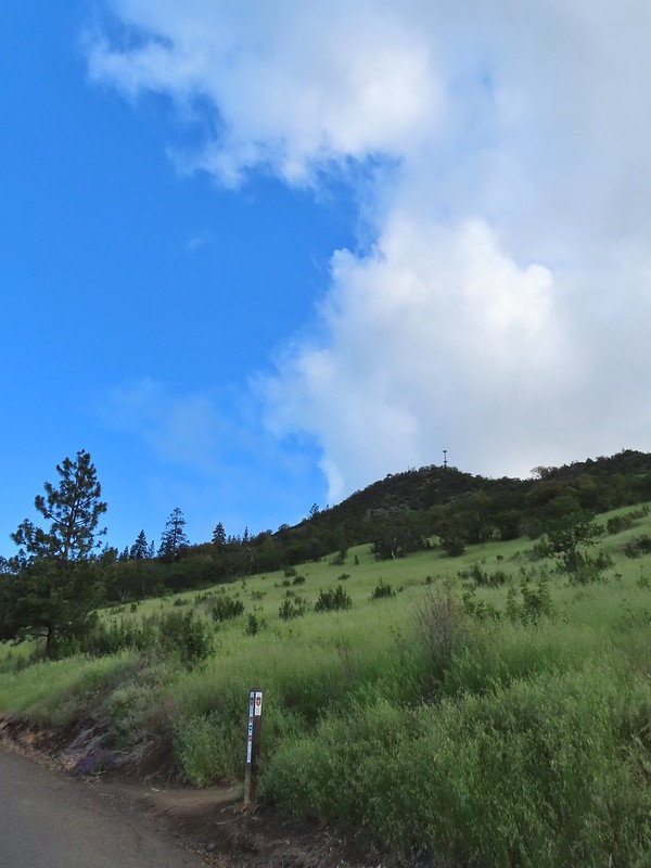 Back on the road walk. The trail post here is for the Greenhorn Trail.
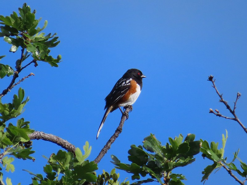 Spotted towhee.
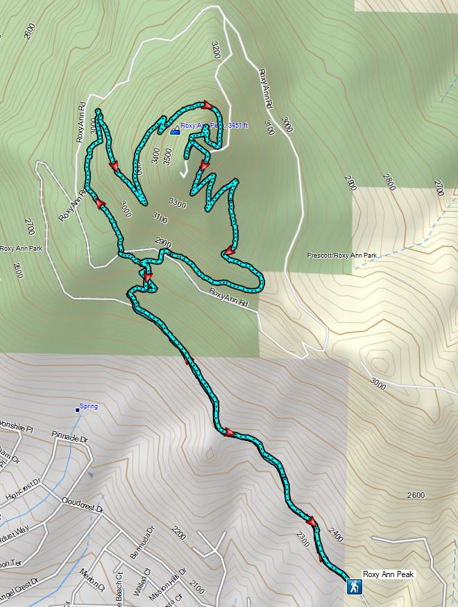


 Walk in campsite at French Gulch.
 French Gulch
 Hooker’s Indian Pink
 White lupine
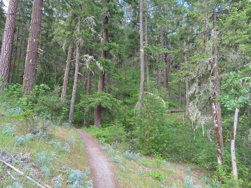
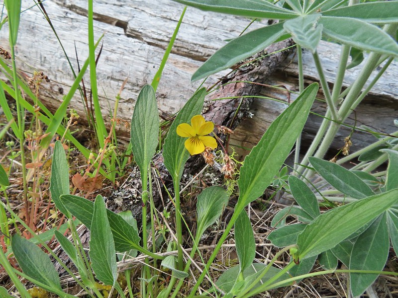 Violet
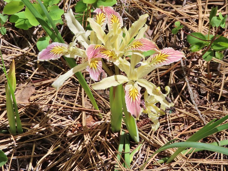
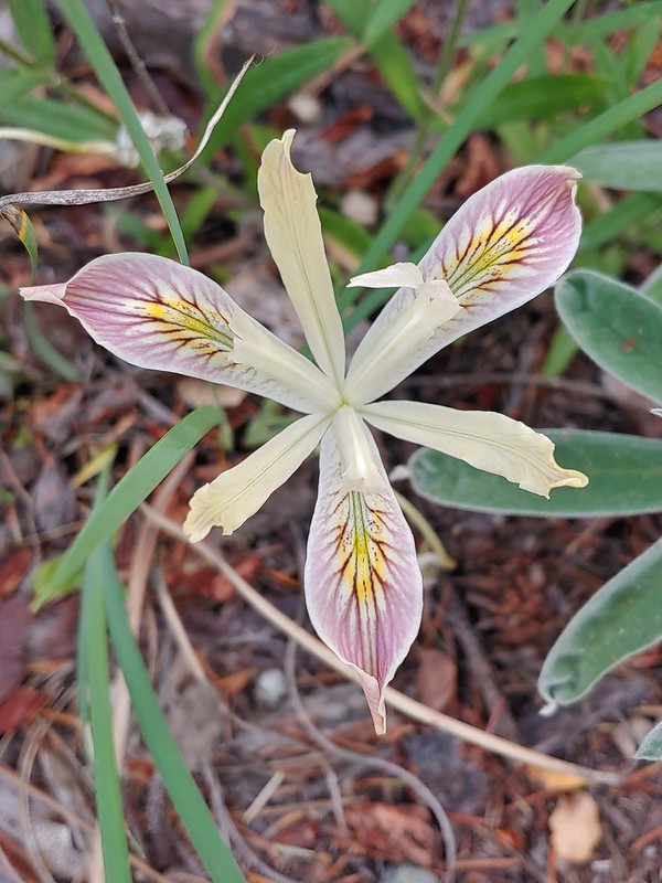 Iris
Iris Pretty face
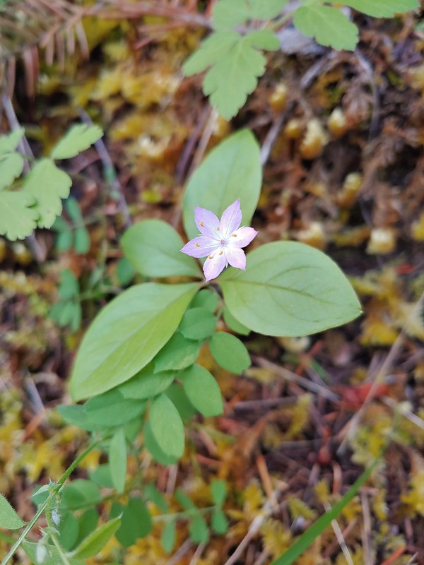 Starflower
 Columbine
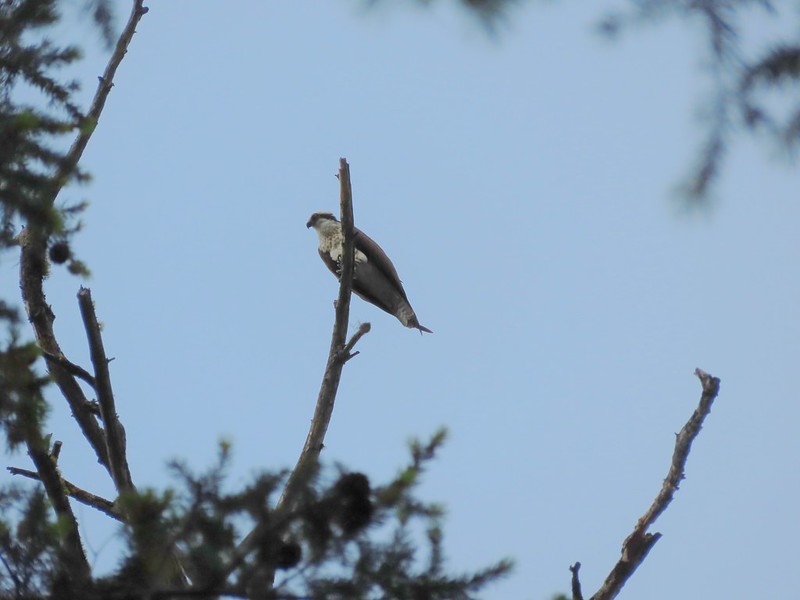 Osprey
 Ground cone
 Madrones near the the 5-way junction.
 The side trail to the right.

 Collings Mountain

 Penstemon
 Stricklin Butte in the distance.


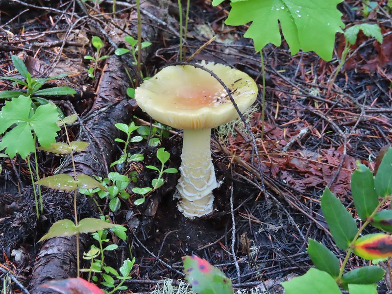
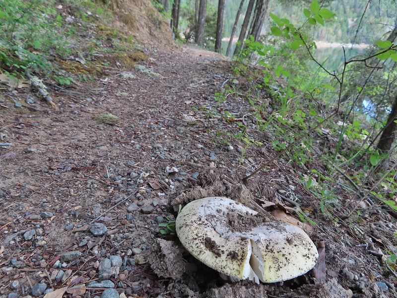 We didn’t see many mushrooms on the trip but this one was good sized.
 Collings Mountain on the left.
 Deer brush and manzanita along the trail.
 Marble
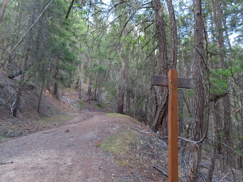 Rejoining the roadbed.
 Oregon sunshine
 Kellog’s monkeyflower
 heart-leaf milkweed
 Blue gilia
 Ookow
Ookow Silverleaf phacelia
 Blow wives?
 Lupine
 Payette Trail to the left.
 The road vanishing into the lake.
 Back on the Payette Trail.
 Mallards
 Clarkia
 Looking back down the road.
 Mariposa lily
 This obvious trail split off from the road to the left. We’re not sure if it would have led us to the Osprey Trail possibly by old cabin ruins that are in the area or if it would have gotten us nowhere so we stuck to the road.
 The roadbed petered out a short distance from FR 1075 leaving a short cross-country scramble up to a pullout along the road where a section of barbed wire fence had been broken by what appeared to be an off-road vehicle of some sort based on tire tracks down the slope.
 Signboard at the pullout.
 Unintended road walk.
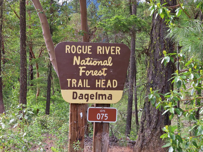
 The Dagelma Trailhead
 These chutes prevent equestrian and motorized users from passing through but also tend to attract poison oak.
 Northern phlox
 The 5-way junction.
 Junco
Junco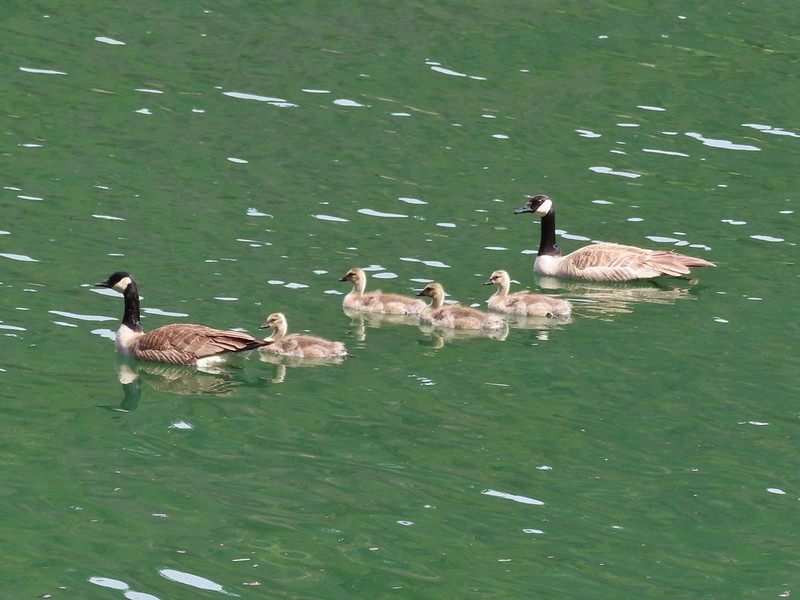 Canada geese in French Gulch.


 Acorns in some of the holes.
 On the nature trail.
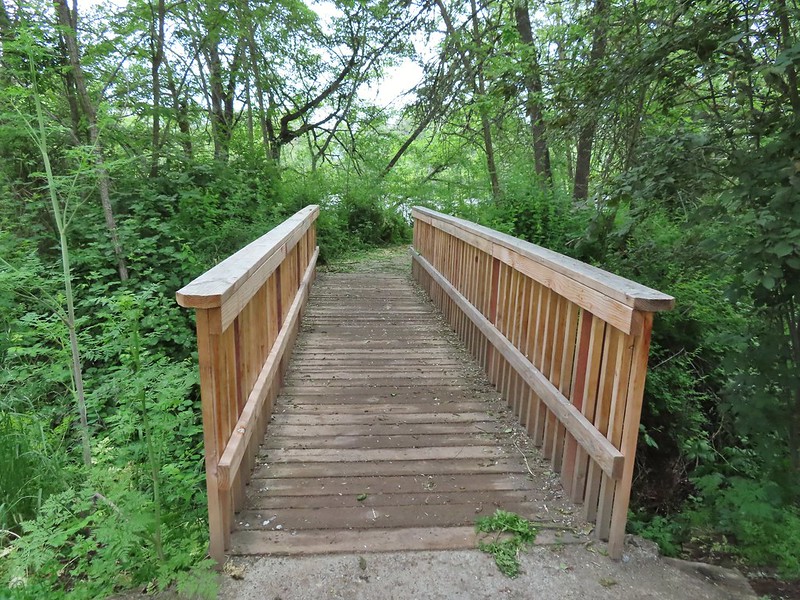 The bridge
 Camas
Camas Ash-throated flycatcher
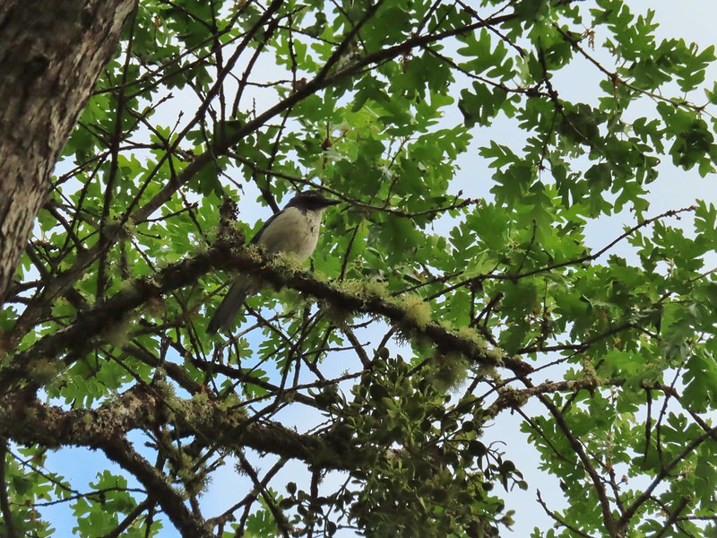 Srub jay
 Acorn woodpecker
 Death camas and vetch
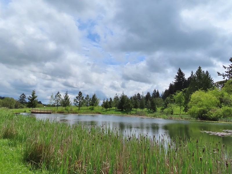
 A second pond with Upper Table Rock (post) behind.
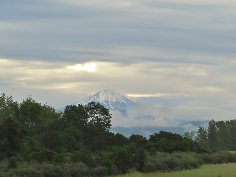 Mt. McLoughlin
 Common madia with Lower Table Rock (
 Wildflowers near the bench.
 Upper Table Rock
 The viewpoint bench.
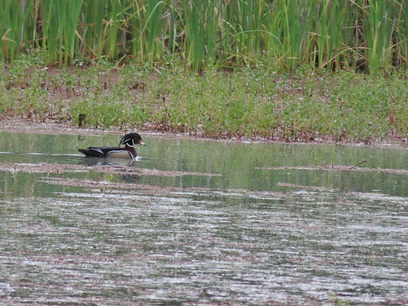 Wood duck
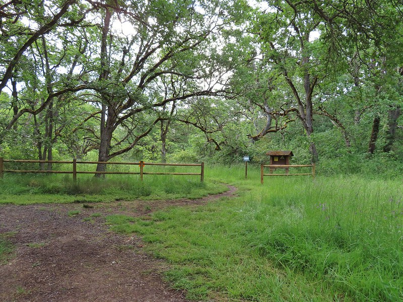
 Denman Trail at TouVille Road.
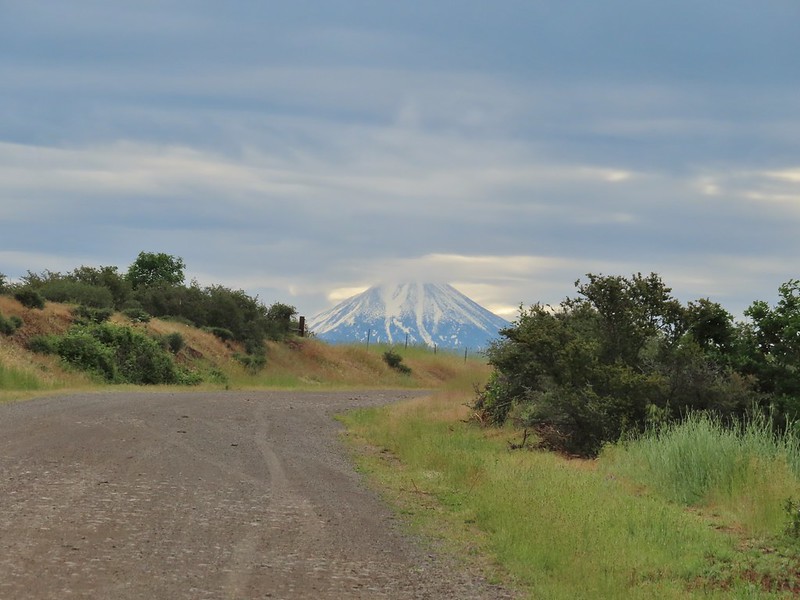 Mt. McLoughlin
 Upper Table Rock from TouVille Road.
 A swallow on a fence post with Mt. McLoughlin behind.
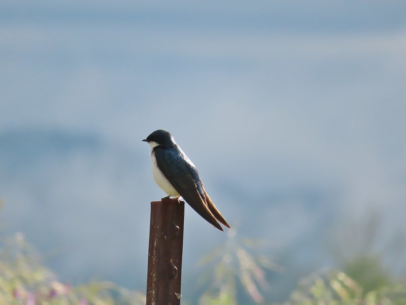 Swallow
 Yet another pond along Military Slough.
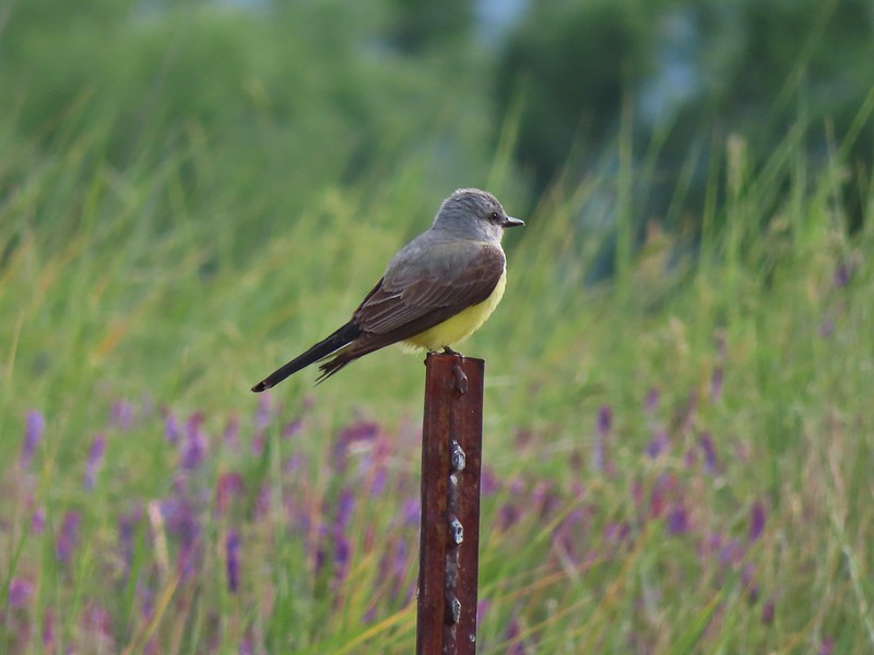 A kingbird, most likely western.
 A pair of hawks near the pond.

 I I believe this is a paintbrush, possibly Castilleja tenuis – hairy Indian paintbrush.
 Mourning doves
 Looking back at Upper Table Rock with the stream bed in the trees/brush to the right.
 Mt. Ashland (
 Mt. Ashland
 Ookow
Ookow
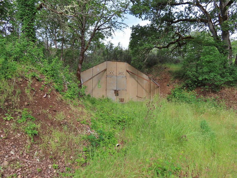 Bunker 6
 Jack rabbit
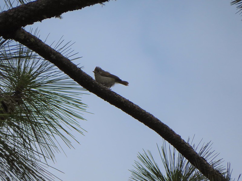 Unsure what type of bird this is.
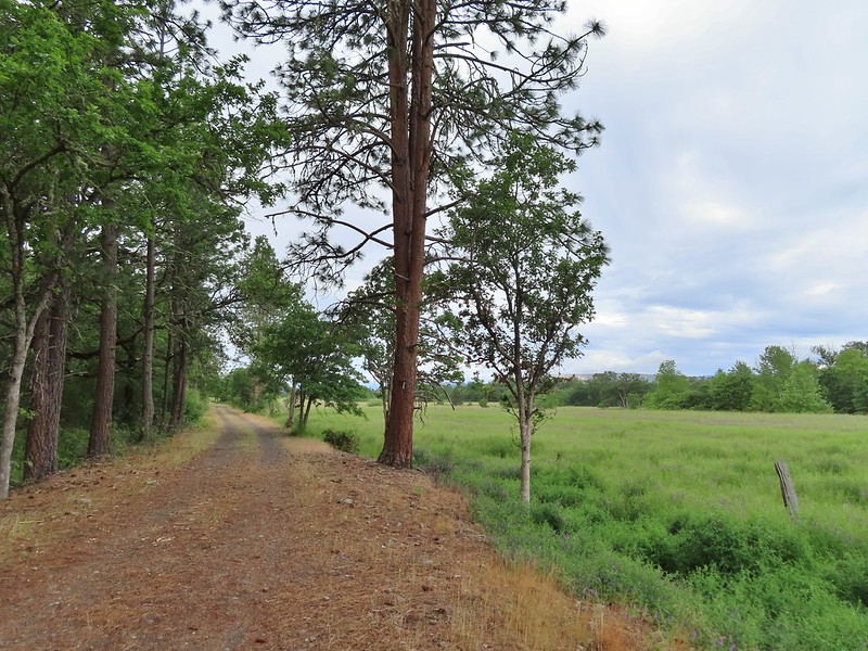
 Trailhead just off TouVille Road.
 The fork where we went left.
 Passing another bunker.
 Lupine
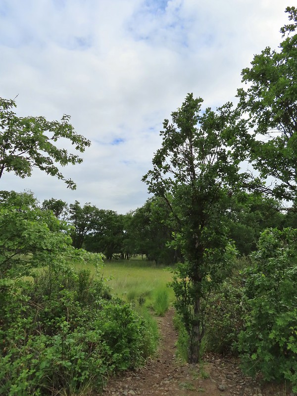
 White tritellia

 Occasional open areas were followed by thick brush with poison oak hidden among the other vegetation.
 This section at least had hoof prints.
 More ookow
 Headed down to the creek.
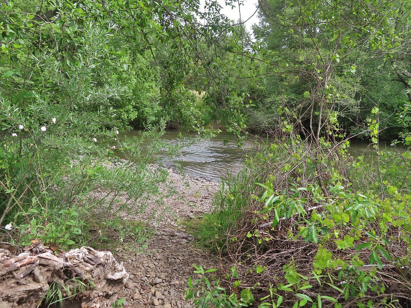
 Little Butte Creek
 Bachelor button near the creek.
 Another bachelor button

 Nookta rose surrounded by poison oak.
 Don’t touch!
 Maiden fly
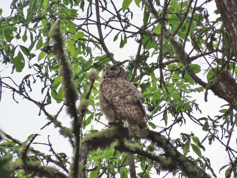
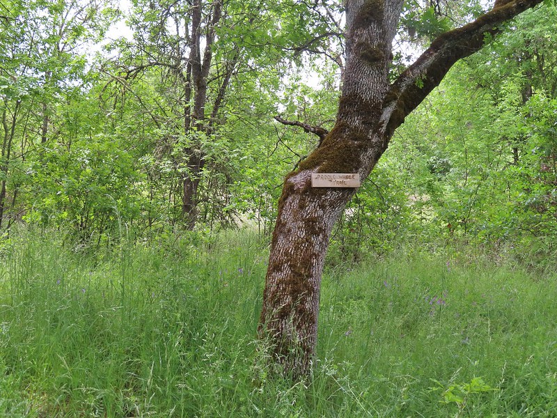 Sign for a Paddle Wheel Trail which we couldn’t really see in the grass.
 TouVille Road
 Bench near the confluence of Little Butte Creek and the Rogue River.
 Rogue River on the left and Little Butte Creek on the right.
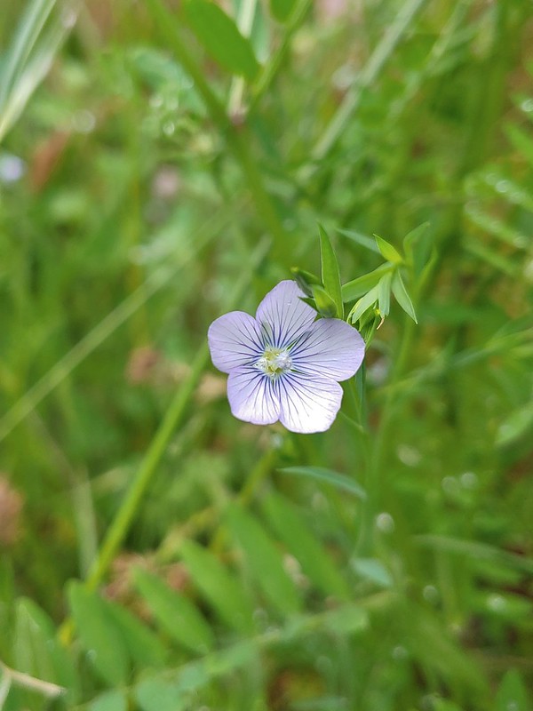 Pale flax
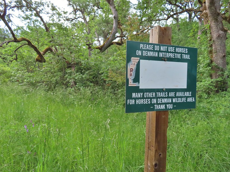
 Exiting the Denman Wildlife Area.
 The Rogue River along the TouVille Interpretive Nature Trial.
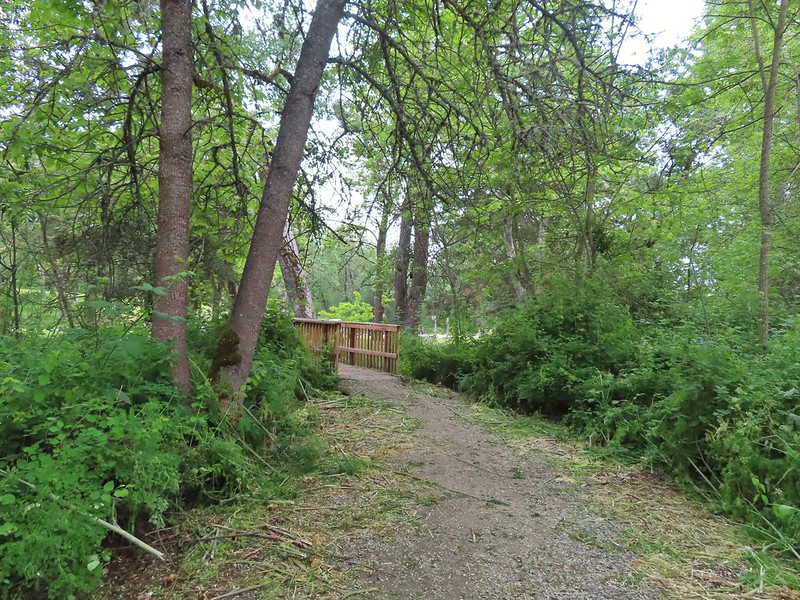 Back to the bridge near the parking area.

 The target shooting area and the OHV track coming down the ridge.
 The track going up the ridge between the two roads. We briefly wondered if this had been the BLM’s work to bypass the road walk in between this trailhead and the Greenstone Trailhead but decided it likely wasn’t (good call).
 The “hidden” trailhead sign.
 Despite the empty shell casings and garbage left by the shooters there were some nice flowers along the road.
 Valerian
 Bleeding heart
 The Greenstone Trailhead
 People suck
 Nicer signs on the other side of the berm.

 Can you spot the insect?
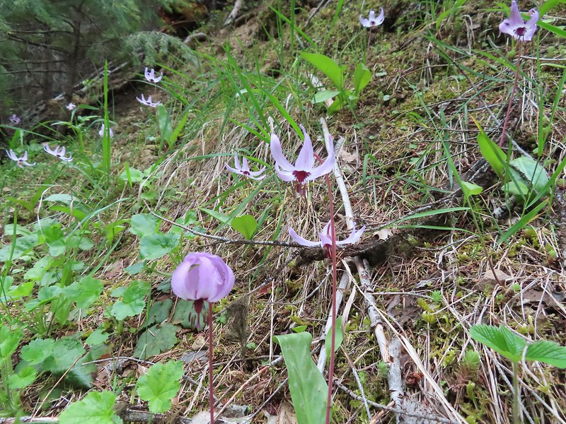
 Trillium
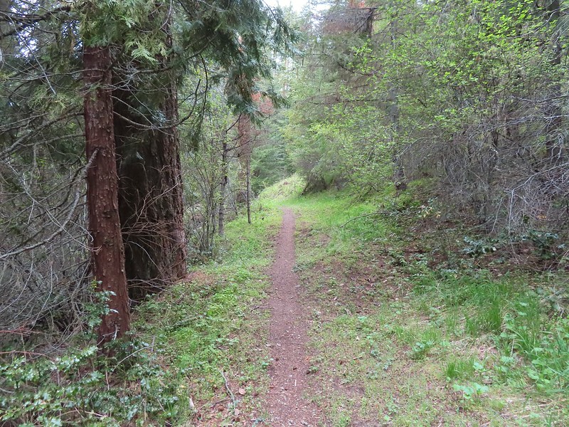

 Milkvetch
 Iris
Iris Pacific houndstongue
 We managed to spot a few of the bloodsuckers before they grabbed my pants but we also had to flick 6-8 of the little buggers off.
 Charred tree trunks along the trail.
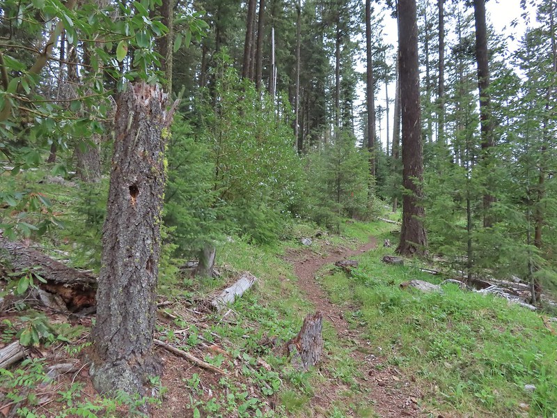
 Snow queen
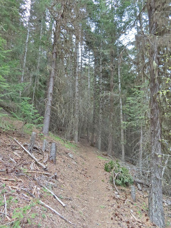 No signs of fire here.

 The Jack-Ash Trail continuing south.
 The trail heading west.
 Balsamroot
 Phlox
Phlox


 Scarlet fritillary – Fritillaria recurva

 Parsley, larkspur, prairie stars and blue-eyed Mary.
 Lupine and buckwheat
 Mt. McLoughlin (
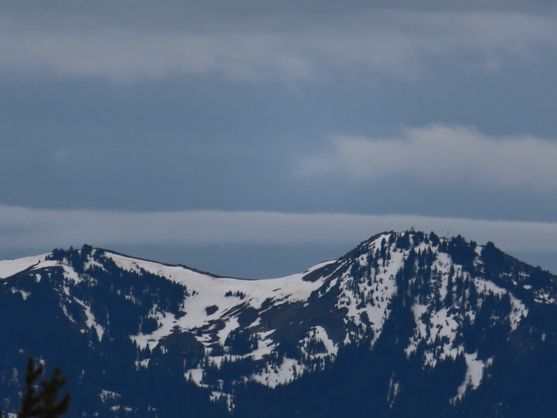 Zoomed shot of Dutchman Peak
 Zoomed shot of Red Buttes
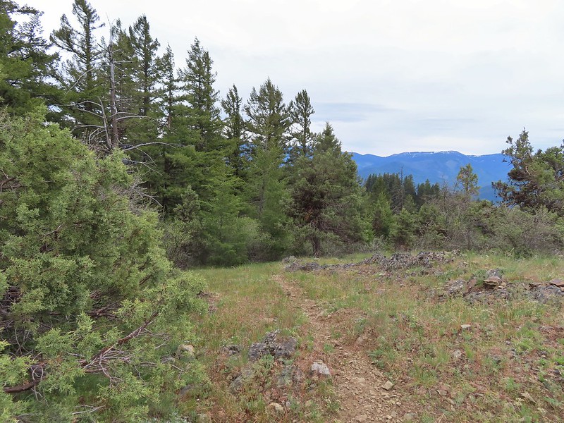
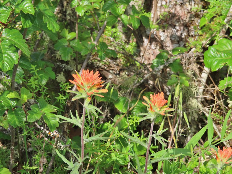
 Paintbrush, blue-eyed Mary, and redstem storksbill
 A stonecrop
 Where we left the roadbed.
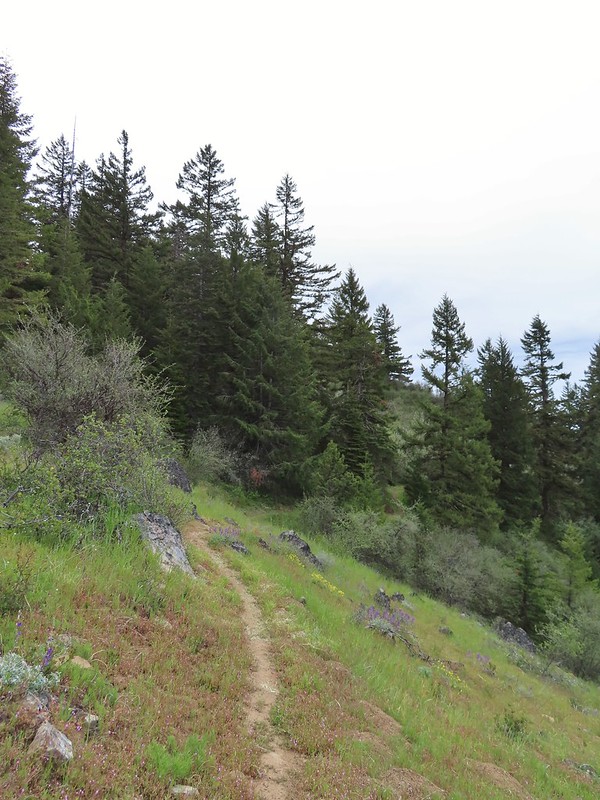 Back on the Jack-Ash.
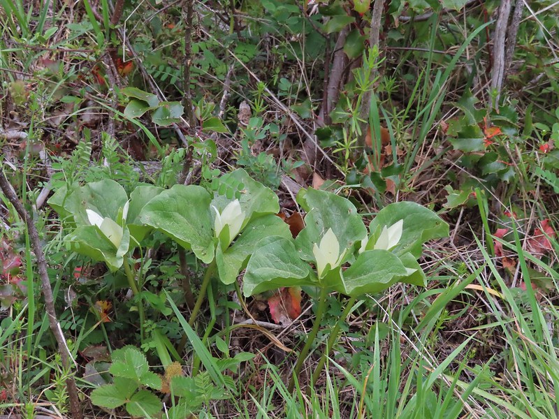 Giant white wakerobbin
 Paintbrush and waterleaf
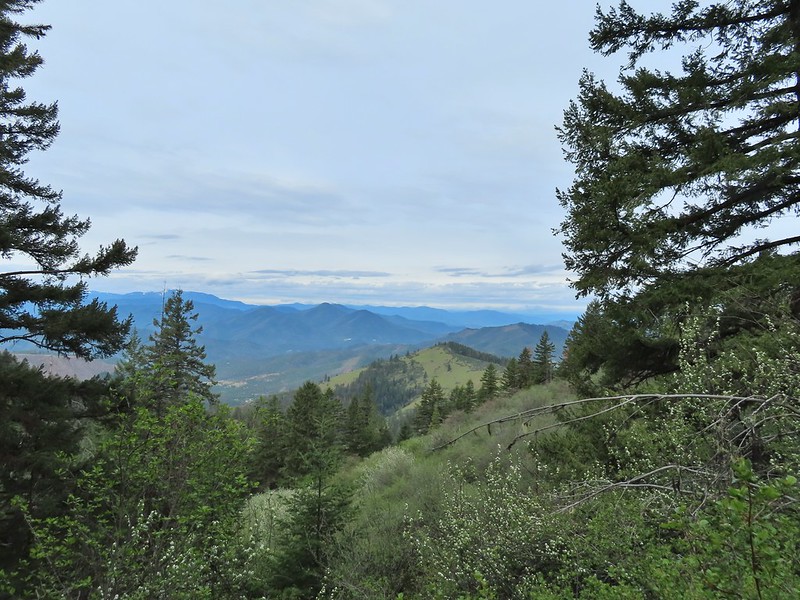 Grayback Mountain to the left with snow.
 The OHV trail crossing the Jack-Ash Trail.
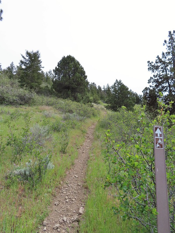 The OHV trail coming down from the road.
 Lupine
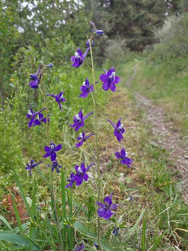 Larkspur
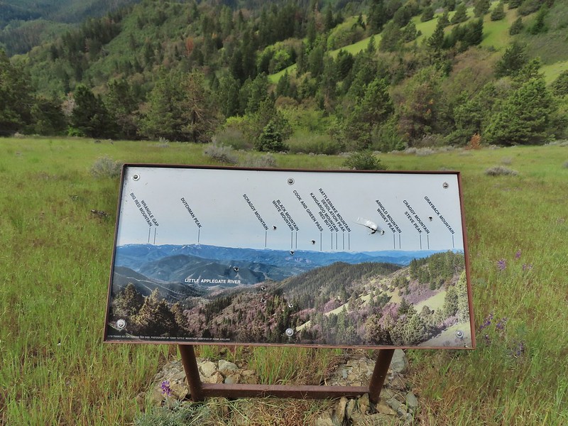 Always appreciate a good mountain locator.
 Mariposa lily
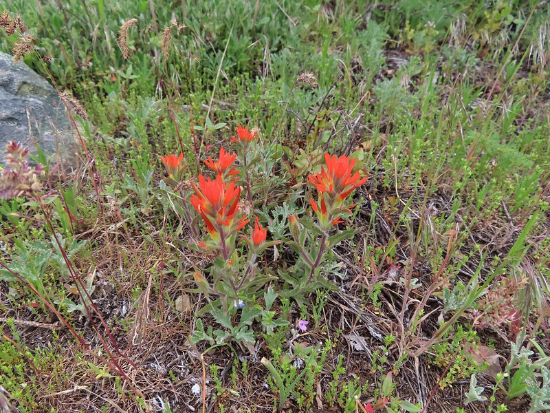
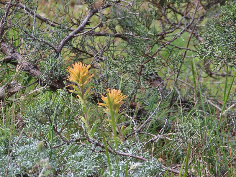 Paintbrush
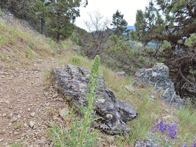 Silverleaf phacelia
 Some sort of big thistle on the hillside.
 Some pink lupine.
 Rough eyelash-weed
 Western wallflower with a crab spider.
 Clustered broomrape
 Buckwheat, paintbrush, and lupine
 Plectritis
 Nearing the Anderson Ridge Trailhead.
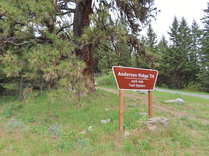


 Miniture lupine
 A ringlet on fiddleneck.
 Post at the OHV trail crossing.
 Salsify
 Yarrow
 The Jack-Ash Trail nearing the saddle where we had turned off to go up Anderson Butte.
 Wild onion (possibly Siskiyou)
 Meadowfoam
 Royal Jacobs-ladder
 Royal Jacobs-ladder
 The berm at the Greenstone Trailhead.


 Acorn woodpecker
 Death camas and vetch
 Carrotleaf horkelia
 Lazuli bunting
 Finch
Finch
 Lupine
 Oregon sunshine
 Andestite boulder
 Mt. McLoughlin (
 Ground squirrel having breakfast
 Blow wives
 A clarkia
 Blue dicks
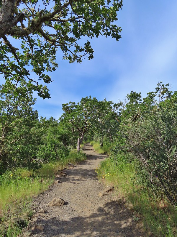
 Paintbrush (and poison oak)
 Could be a cutleaf silverpuff or a hawksbeard
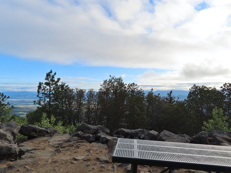
 Viewpoint bench at the half mile point.
 Clustered broomrape
 Siskiyou Mountains including Mt. Ashland (
 Another type of clarkia
 Possibly bastard toadflax
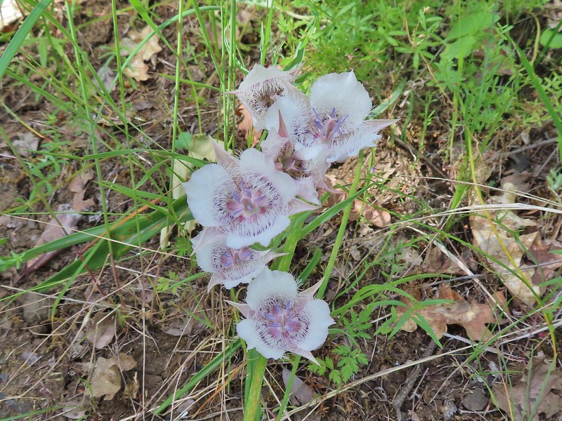 Mariposa lilies
 Balsamroot along the trail.
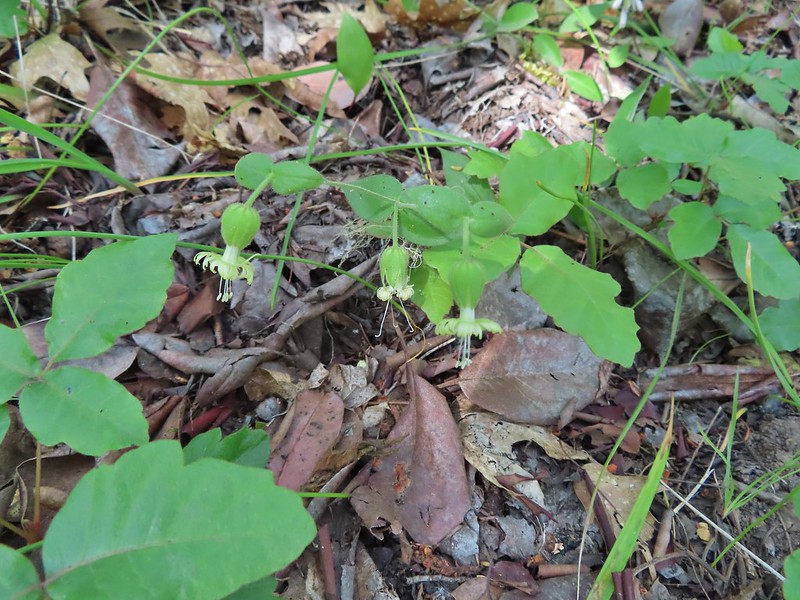 Bell catchfly
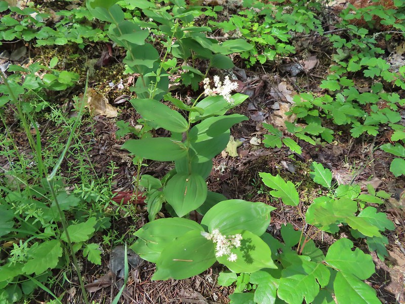 Plumed solomonseal
 Approaching the start of the loop.
 Looking toward the Siskiyous.
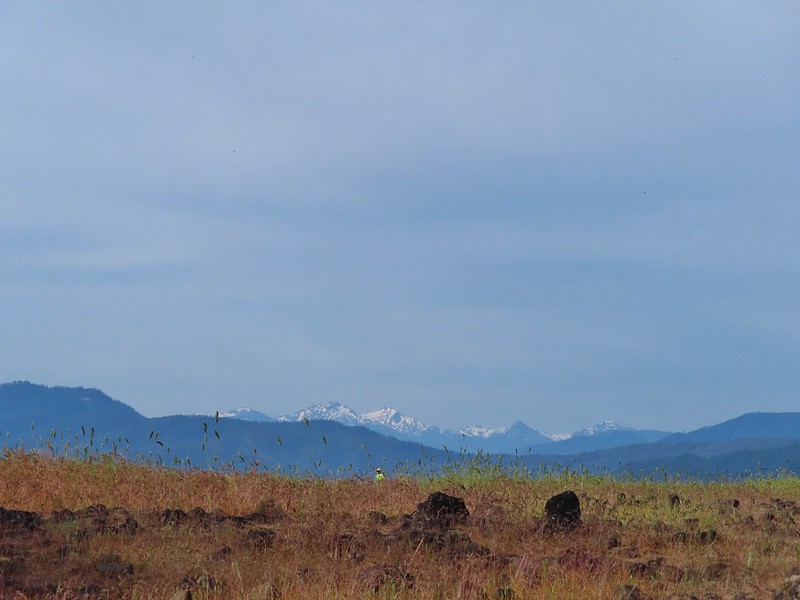 The Red Buttes (
 Pilot Rock (
 Mt. Ashland (w/snow) and Wagner Butte
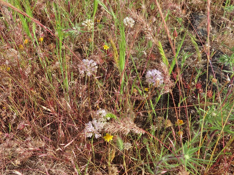 A couple of different wildflowers.
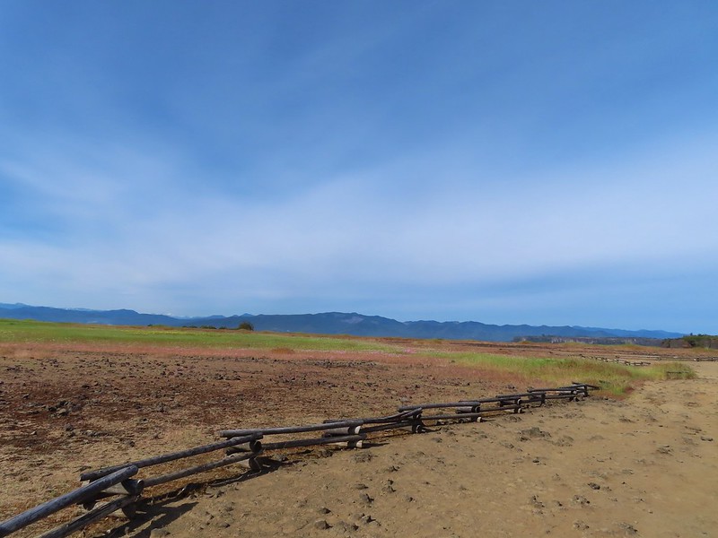 Narrowleaf onion?
 Pincushion plant
 Meadowfoam
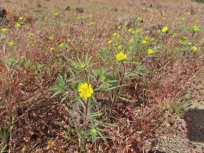 Not sure what these yellow flowers are. Yellow flowers are by far the hardest to figure out.
 Rock wren
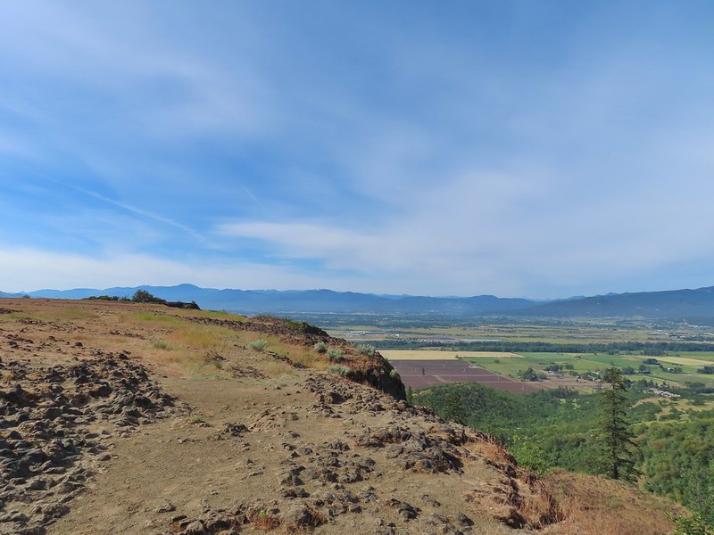
 Turkey vulture in flight with Mt. McLoughlin in the background.
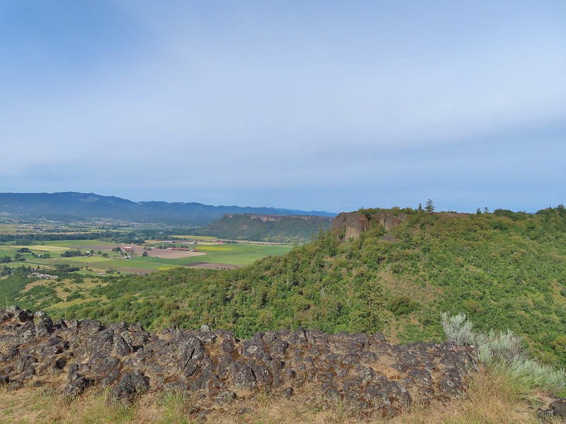 Lower Table Rock beyond the other bench of Upper Table Rock.
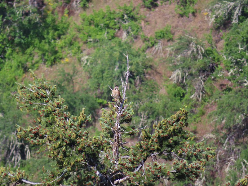 An American kestral atop a tree.
 Lizard
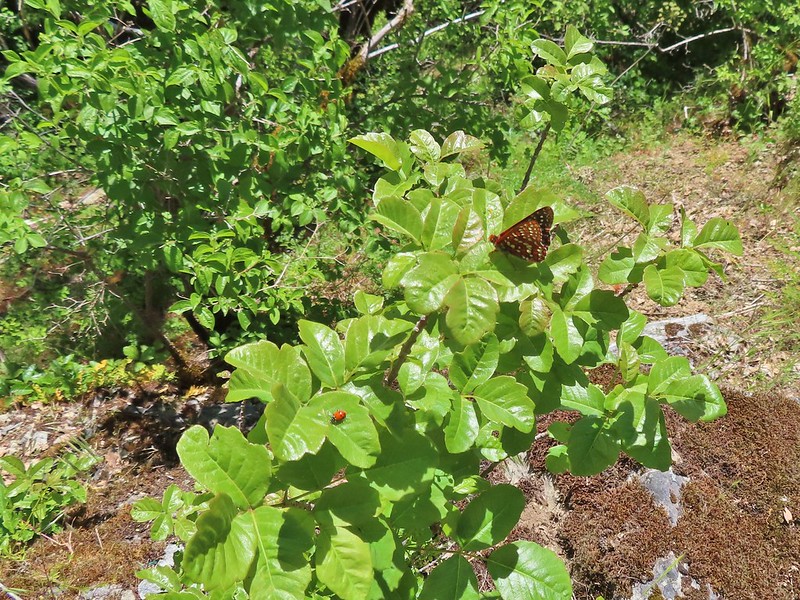
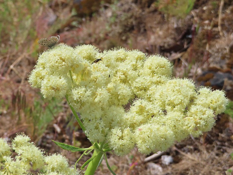 A butterfly and a beetle on arrowleaf buckwheat
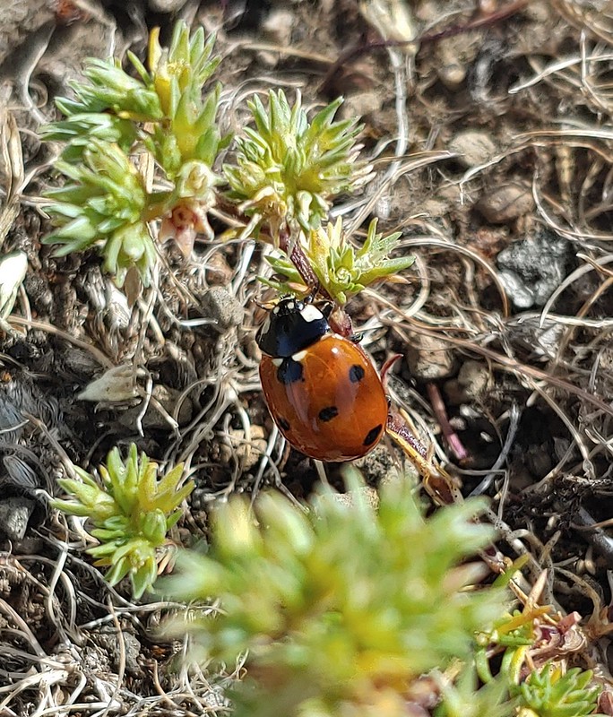
 Yarrow
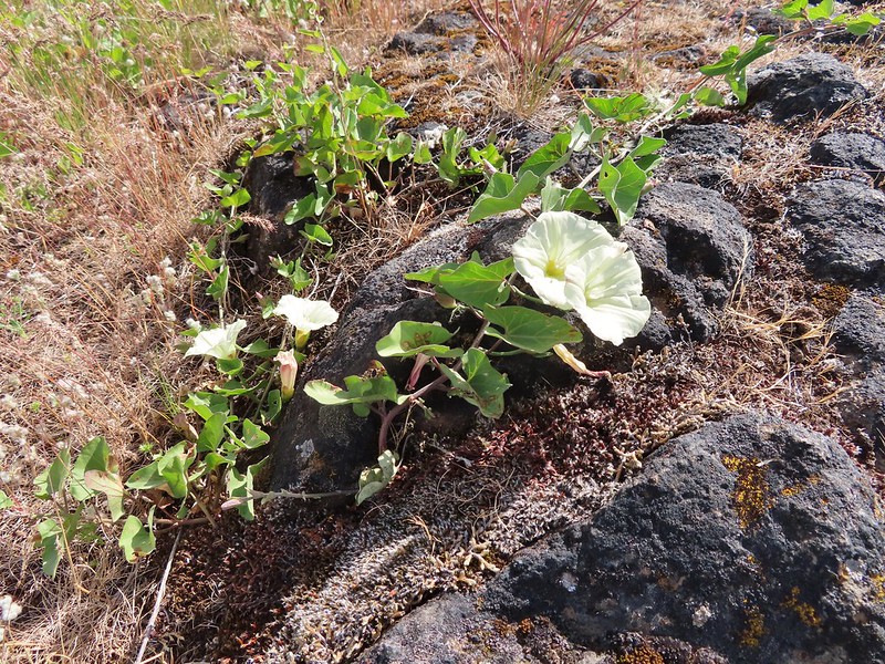 Chaparral false bindweed
 White tritelia
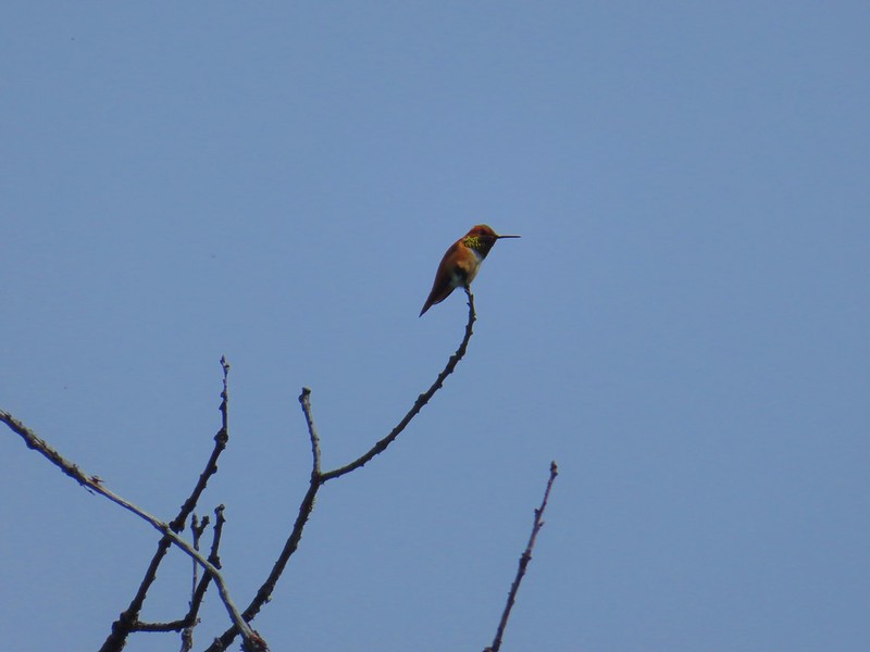 Rufous sided hummingbird
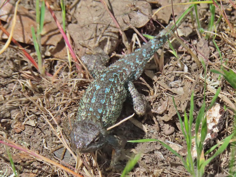 Lizard
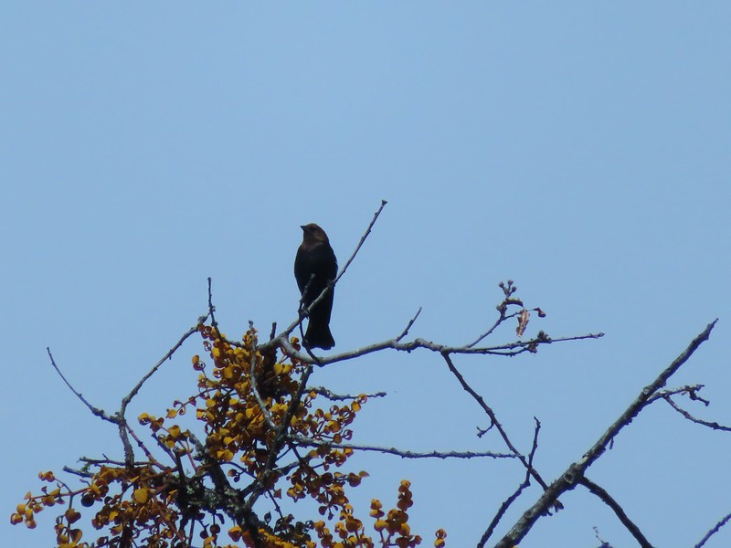 Brown headed cowbird
 Mt. McLoughlin on the way down.


 Mariposa lilies
 Alligator lizard
 Henderson’s stars
 Hooker’s Indian pink
 Fern leaf biscuitroot
 Blue dicks
 Larkspur
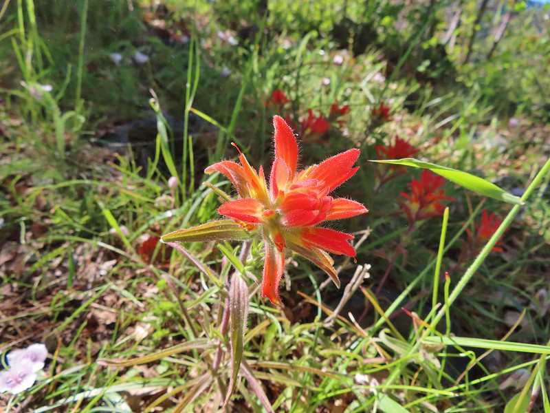 Paintbrush
 Mariposa lily
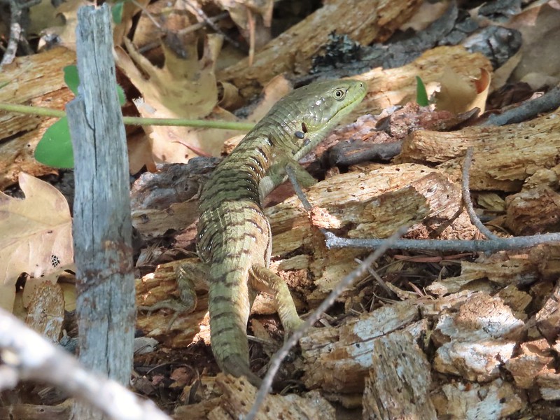 Another alligator lizard. They eat ticks but in this case it appears a couple ticks got the jump on him (or her).
 Lupine
 View from the trail.
 Grayback Mountain to the right in the distance.
 Fiddleneck
 Miniture lupine
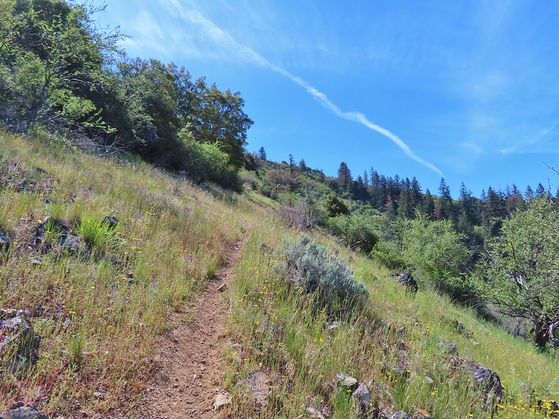
 A lupine, clarkia and madia?
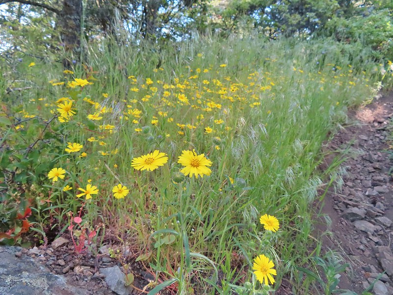 Madia
Madia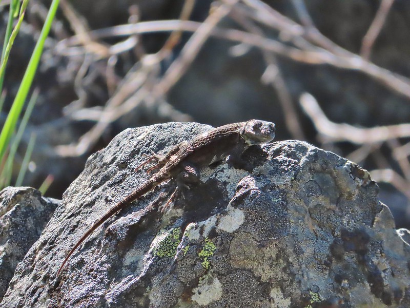 A molting lizard.
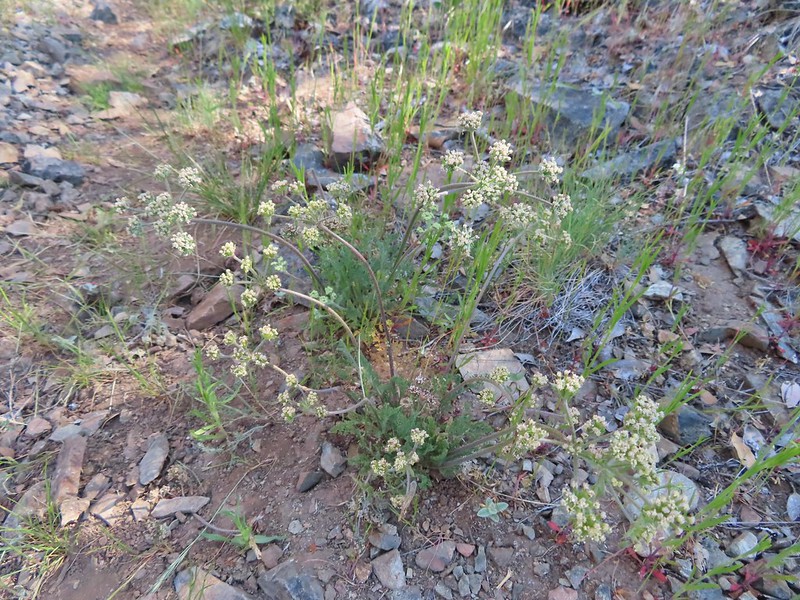 A lomatium
 Believe this is a female black-headed grosbeak
 The Red Buttes (
 Red bells, these were on a short wish list of wildflowers that we’d yet to see on trail.
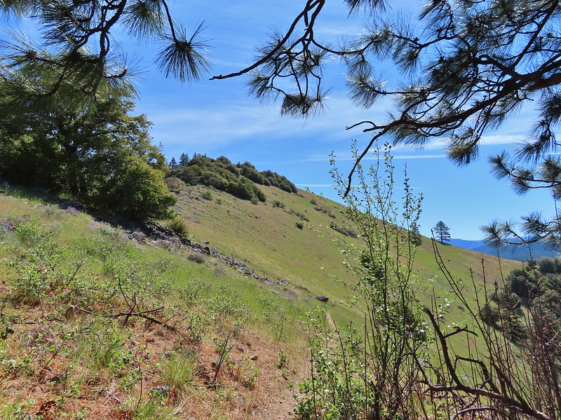
 Poppy
Poppy Scraggy Mountain behind Little Grayback Mountain
 Red Buttes behind Little Grayback Mountain
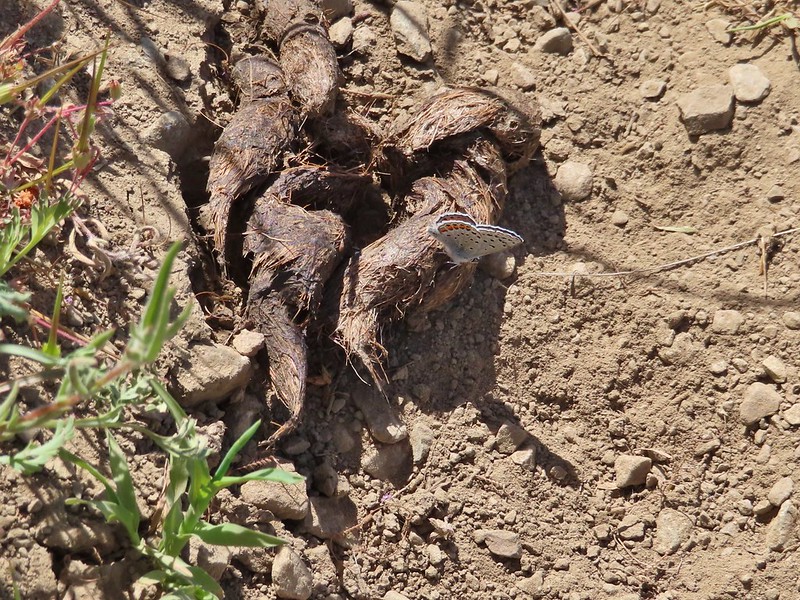 Butterfly on scat.

 Mule Mountain is the lower peak along the ridge with the brown left side.
 Lupine
 Prairie stars
 Balsamroot
 Blue-eyed Mary
 A collection of various small wildflowers.
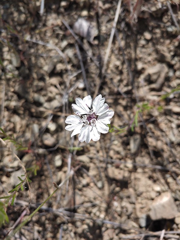 Rough eyelashweed
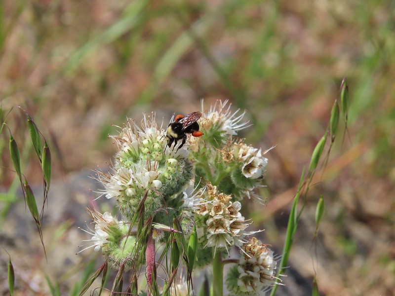 Bee on silverleaf phacelia
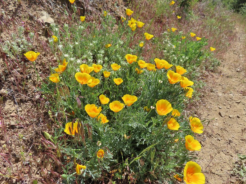 Poppies
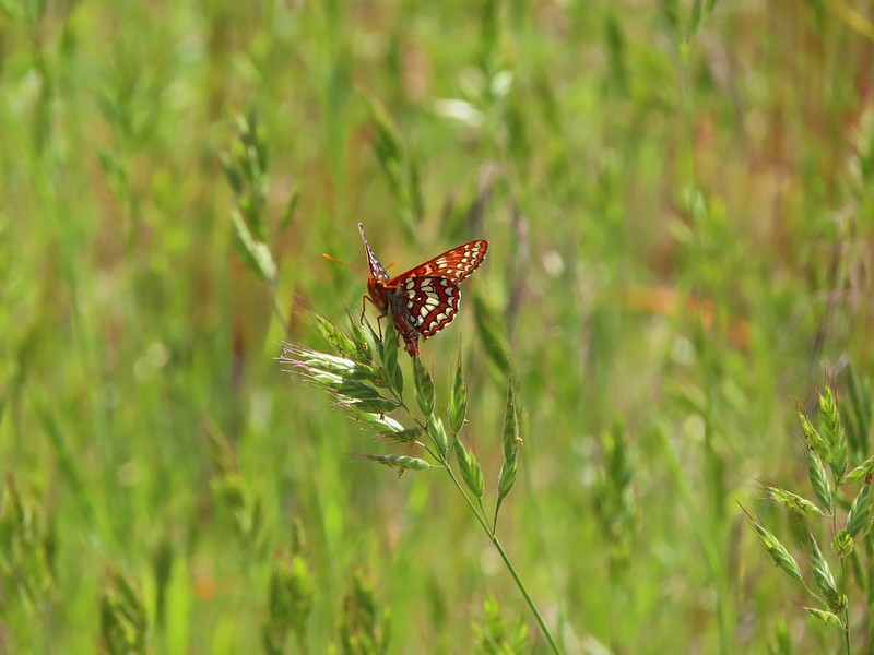 Butterfly on grass
 Blue gilia
 Grayback Mountain behind Mule Mountain
 Yet another lizard
 A colorful moth.
 Little Grayback Mountain


 Iris
Iris Approaching the trailhead.
 Looking back at the trailhead from the road.
 Henderson’s fawn lily, another one we could check off our wish list.
 A typical obstacle.
 Overgrown trail.
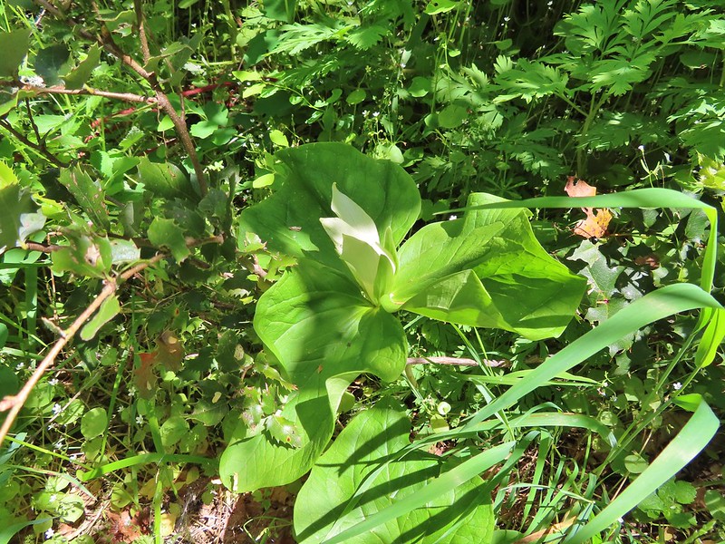 Giant white wakerobbin
 Some flagging on the left and bleeding heart on the right.
 Star flower
 Striped coralroot
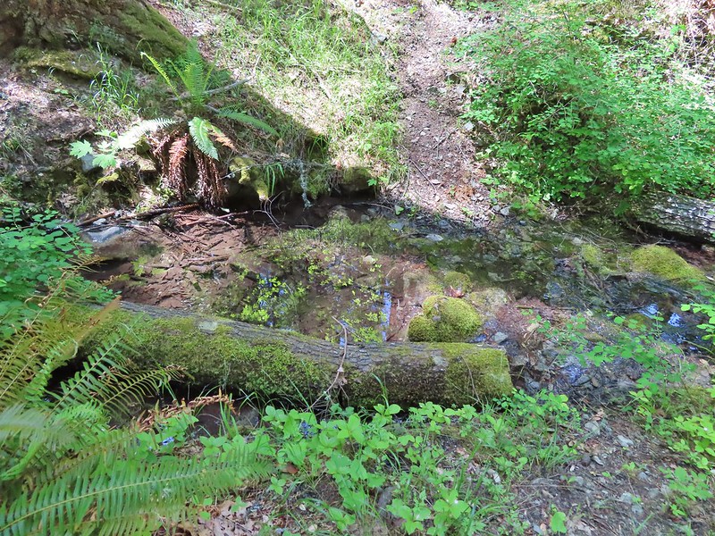 There was a good pool at this crossing where we could have gotten water.
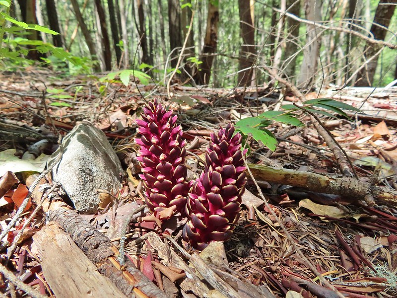 California ground cones.
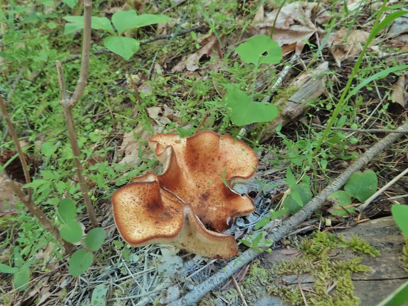 A folded up mushroom.
 A butterfly
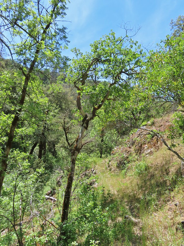
 Apparently lady bugs and butterflies don’t care about poison oak.
 The trail got pretty faint at times.
 Arriving at the Mule Mountain Trail.
 White lupine
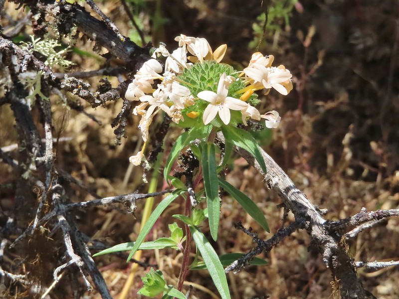 Grand collomia
 Penstemon
 A brief section of shade.
 Dwarf purple monkeyflower
 I needed to get just below the lone tree on the ridge in the distance.
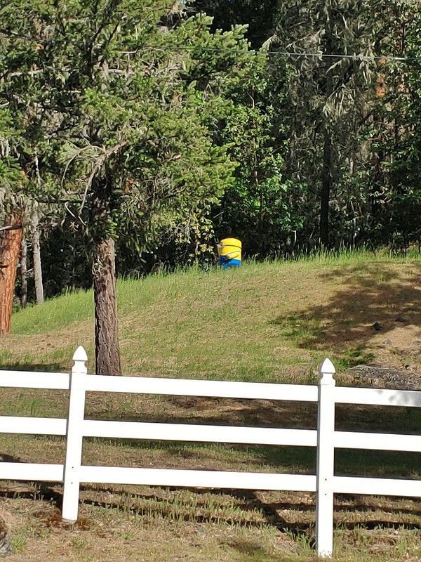 A random Minion in a field.
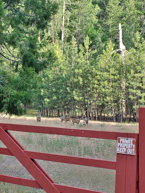 Deer along the road.
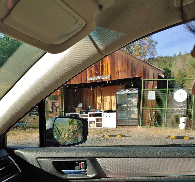 The Twin Pear Farm on the way back by.
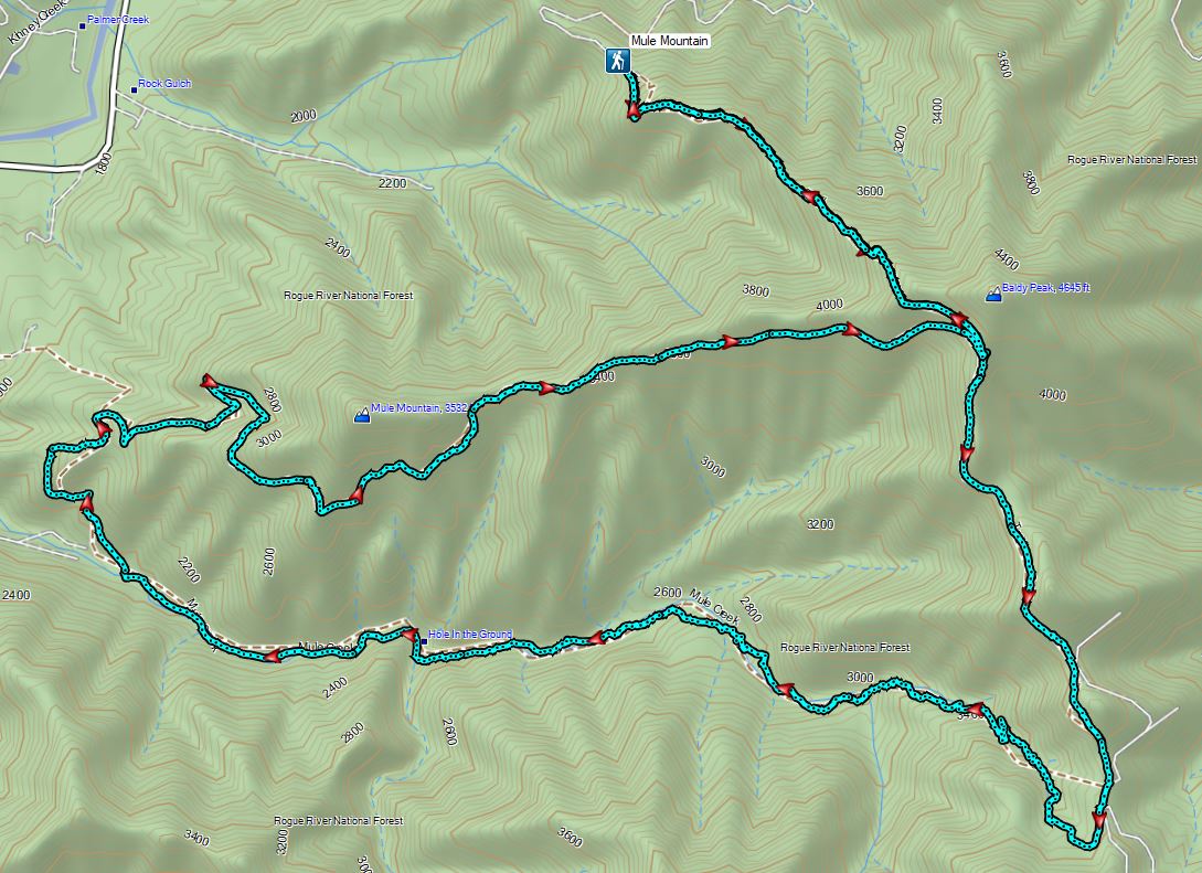


 Peat Swamp Trail.

 One of the two otters that were swimming in the wetlands.
 Mallard
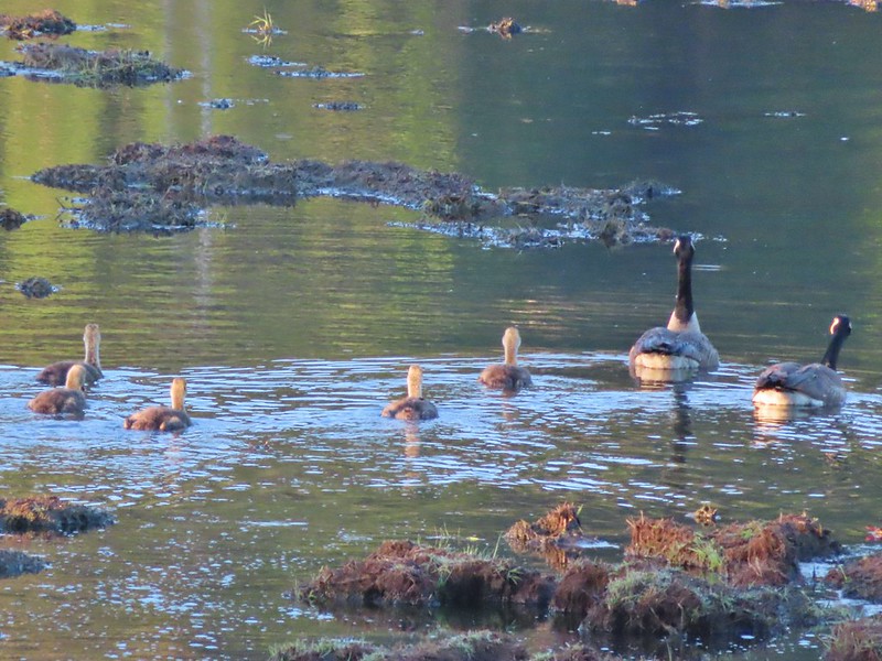
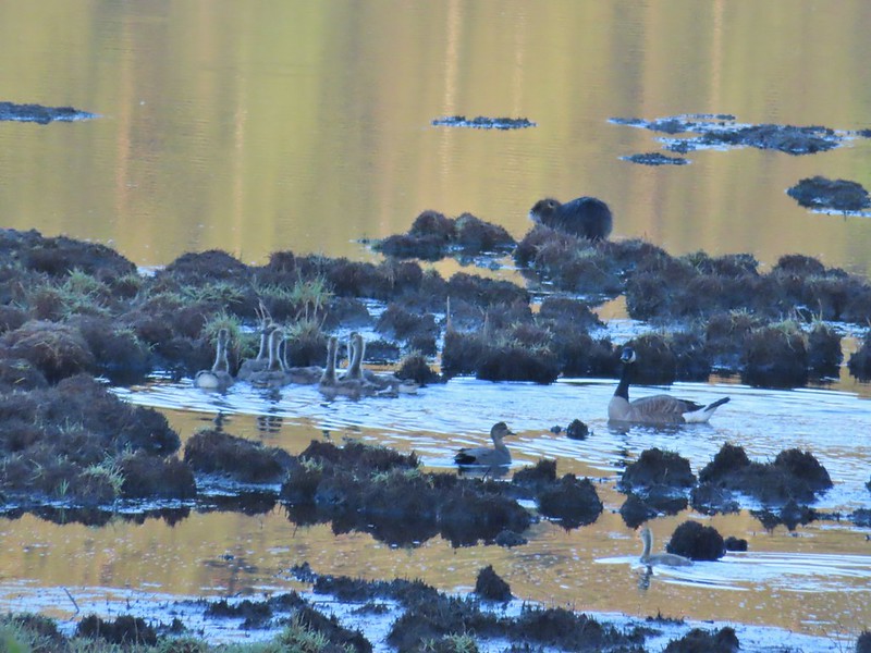 The gadwall amid a family of Canada geese. When we got home and looked closer at the picture we realized that one of the round shapes we took for a clump of mud was actually an animal. We can’t make out the tail to know for sure whether it was a beaver or a nutria but we’d like to think it was another beaver.
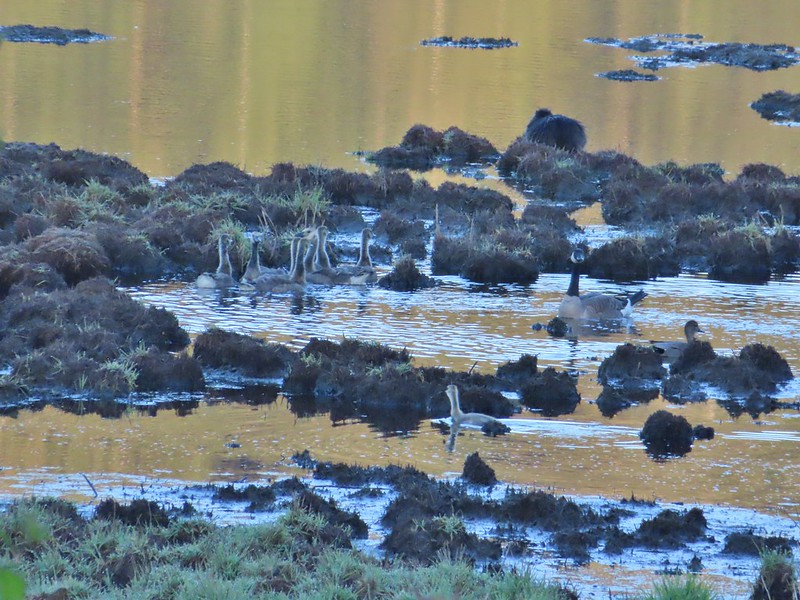 The beaver? turned a bit in this photo but we still couldn’t make out the tail. It does appear relatively large when compared to the adult goose though.


 Fairy bells and bleeding heart.
 Elk Creek below the trail.
 Junction with the Elk Mountain Trail


 Paintbrush
 Parsley
 Blue-eyed Mary
 Viewpoint along the Elk Mountain Trail.
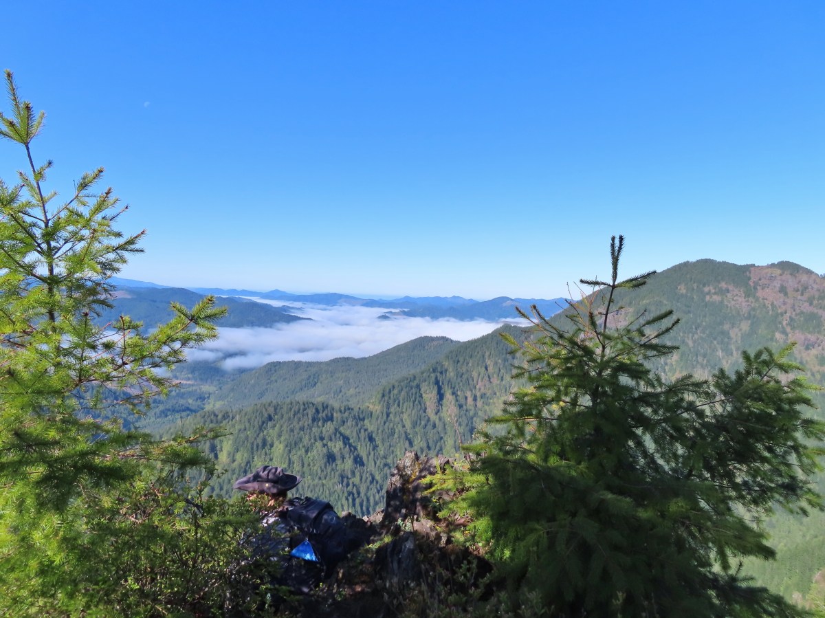
 The blue sky is up there.
 Snow queen
 The trail was as steep and rough as we’d remembered.

 White service berry blossoms and a huckleberry plant.
 Violet
 Red-flowering currant
 Trillium
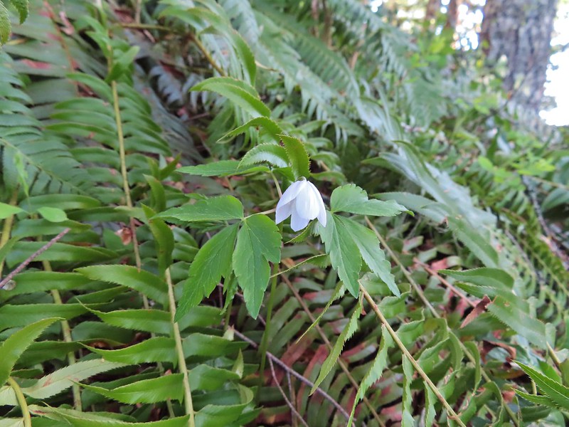 Anemone
 Monkeyflower
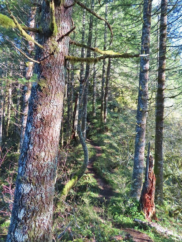 One of the saddles.
 Chocolate lily
 Elk Mountain summit.
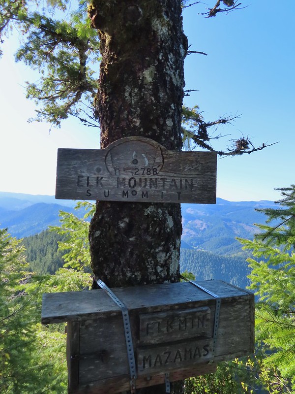
 Kings Mountain from Elk Mountain.
 Wilson River
 Pacific Ocean
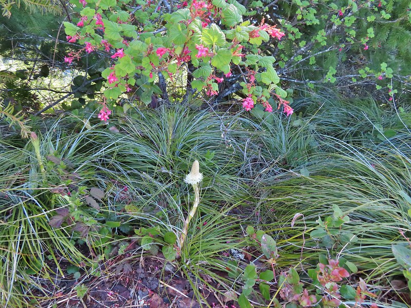 The blooming beargrass below some red-flowering currant.
 Beargrass
 Looking down the trail.
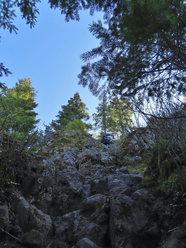 Heather on her way down.
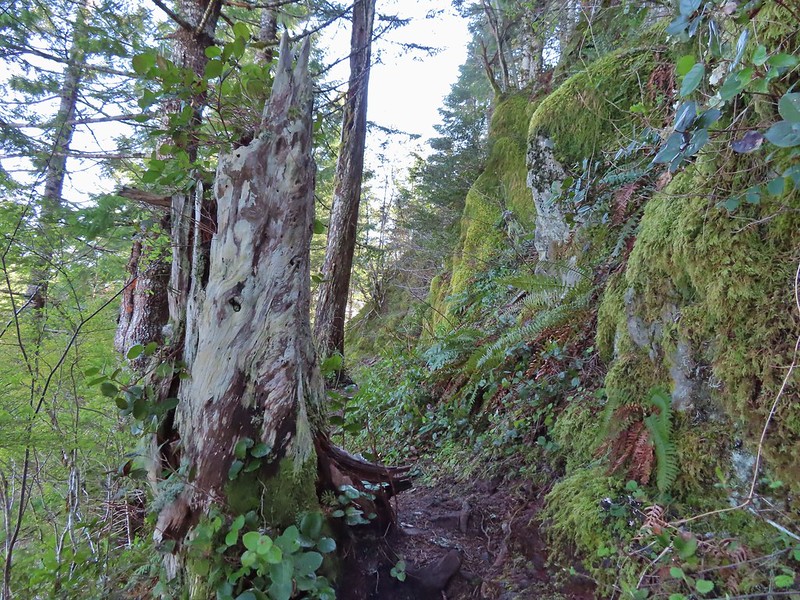
 On the ridge.
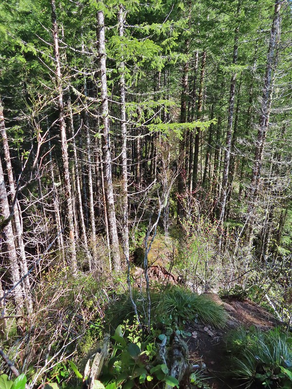 Dropping down to a saddle along the ridge.
 Mercifully on the old roadbed.
 A clump of trillium.
 Little moth.
 Getting closer to Kings Mountain.
 Paintbrush
 Coming up to the junction.
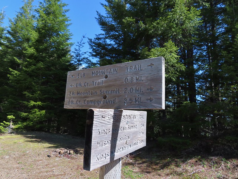
 Phlox, paintbrush, and chickweed.
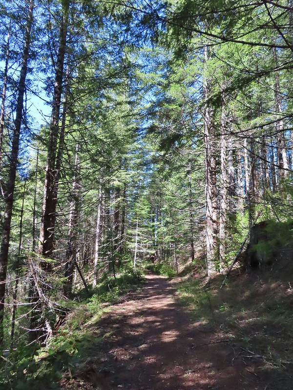 Still on the old road.
 At the ridge end above the saddle, the trail dropped down to the left then through the saddle.
 Below the outcrop headed to the saddle.
 Heather getting ready to start down.
 The chute in 2010.
 The trail is down there somewhere.
 Trillium
 Bleeding heart
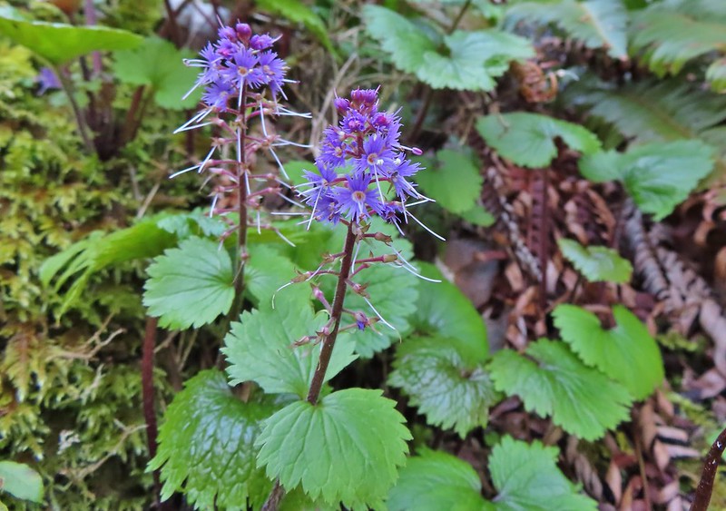 Fringed kitten-tails
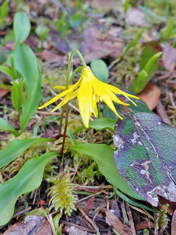 Glacier lily
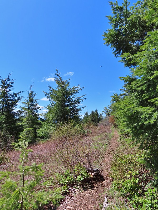 Coming up to the high point.
 Kings Mountain
 View SE from the high point.
 Dropping to the last saddle.
 Summit register at Kings Mountain.
 Pacific Ocean in the distance.
 View north.
 Other hikers at the summit.
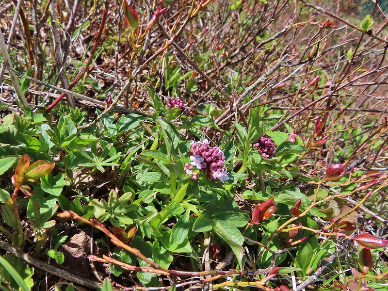 Valerian
 Saxifrage, possibly Saddle Mountain saxifrage.
 Phlox, paintbrush, parsley, blue-eyed Mary, and chickweed.
 One of the rougher sections.
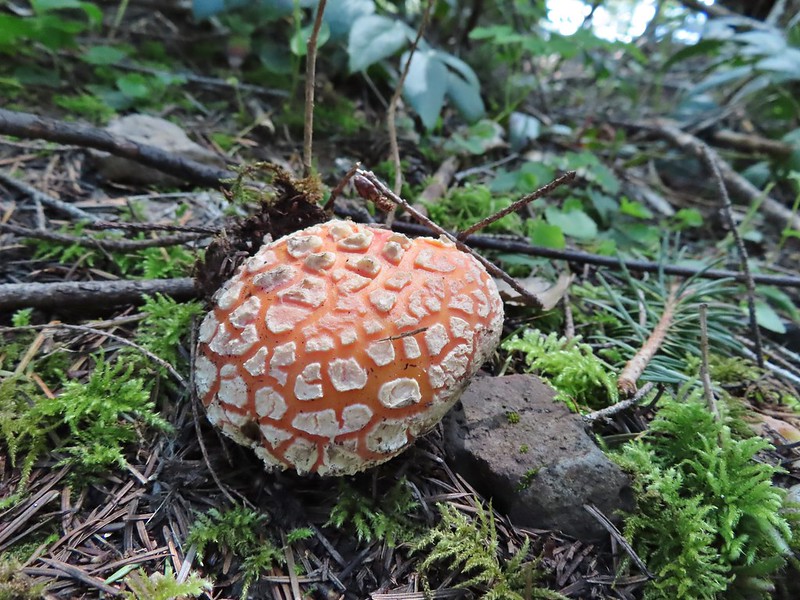

 Wood sorrel
 Woodland buttercup and candy flower.
 The 4-way junction.
 Dog Creek
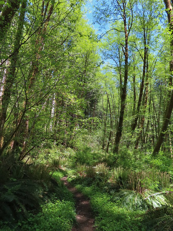


 One of the smaller streams.
 Monkey flower
 Lily that will bloom in a few weeks.
 Fringecup
 Coming up on a footbridge across Big Creek.
 Big Creek
 Pacific waterleaf
 Steadily climbing.
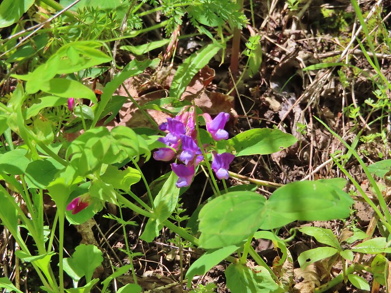 A pea or vetch.
 Unnamed stream crossing.
 Miterwort
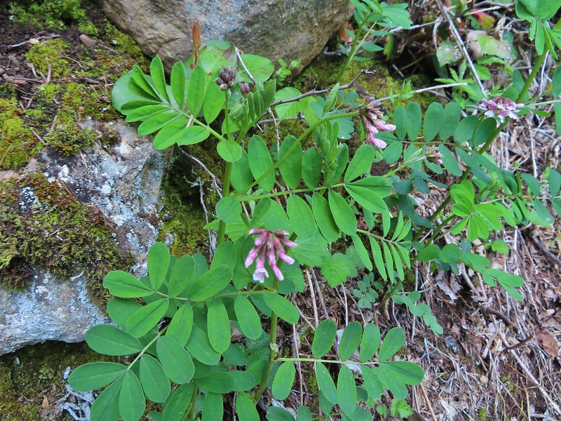 Rosy Birdsfoot Trefoil
 The third type of monkey flower we saw on the day.
 The junction is on the saddle ahead.
 Cars to the left through the trees, we made it.
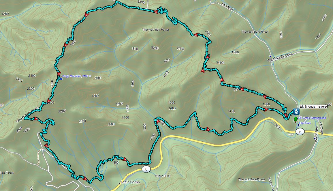


 The Castor (Spanish for beaver) Trail on the left, this was the only trail in the park that we didn’t hike on during our visit. It was always a left turn.
 Fawn lilies
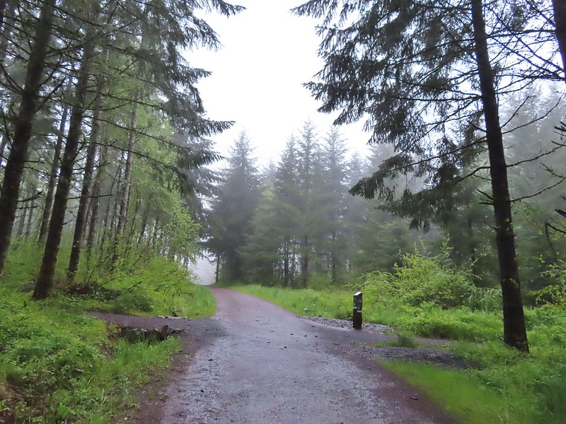 Our first right turn (left was a short connector to the Woodland Trail).
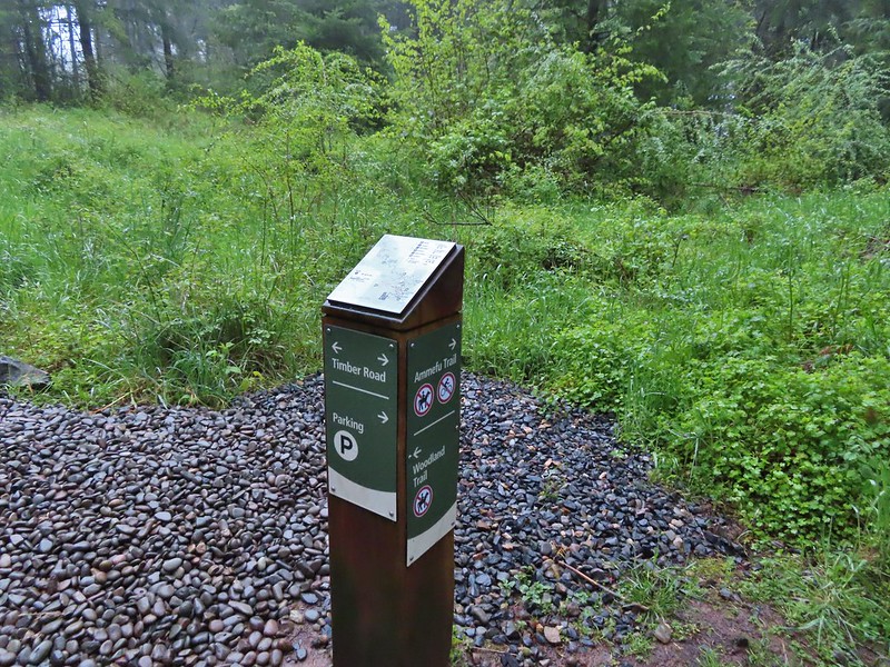 Again the posts and accompanying maps were some of the best trail identifiers we’ve run across.
 Bench at the viewpoint along the Ammefu Trail.
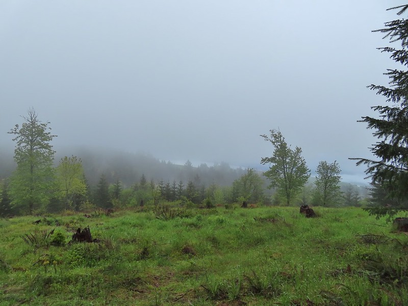 We had to imagine the view today.
 The second figure.
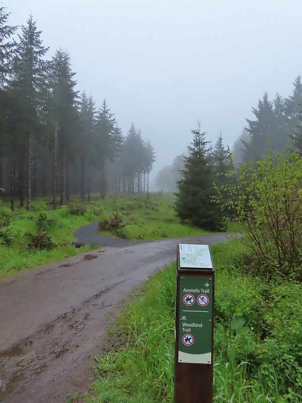 Back at the Timber Road and another short connector to the Woodland Trail.
 Fog on Timber Road
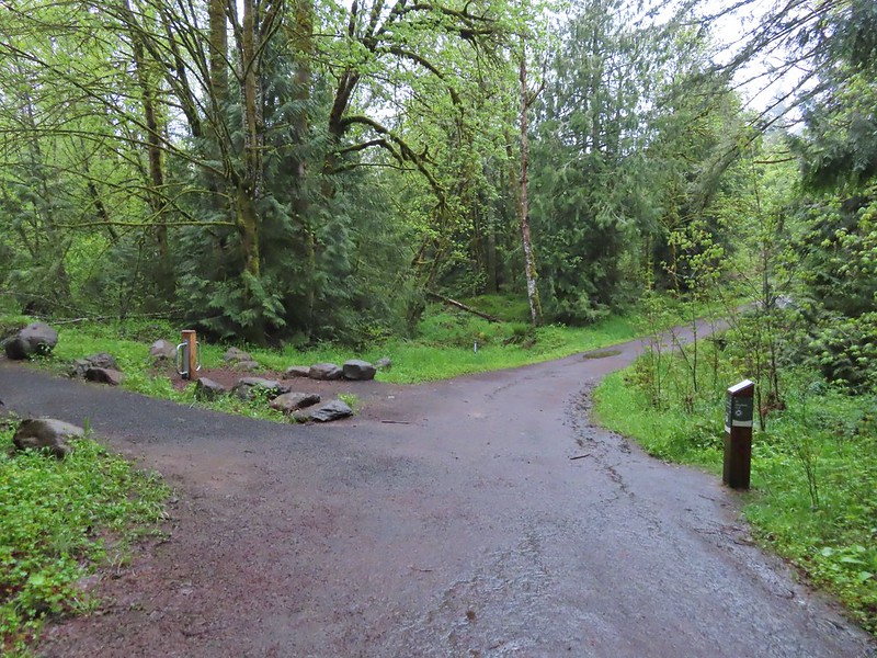 Passing the Woodland Trail on the left which would be our right turn on the way back.
 Christensen Creek
 Right turn for the Ayeekwa and Witches Butter Trails.
 Witchs Butter on the left and Ayeekwa on the right.
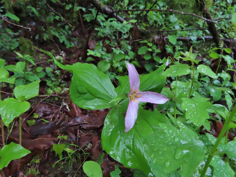 Trillium
 Another bench, this one overlooked Christensen Creek.
 Common blue violet
 Pioneer violets and a strawberry blossom.
 Mushrooms under a fern.
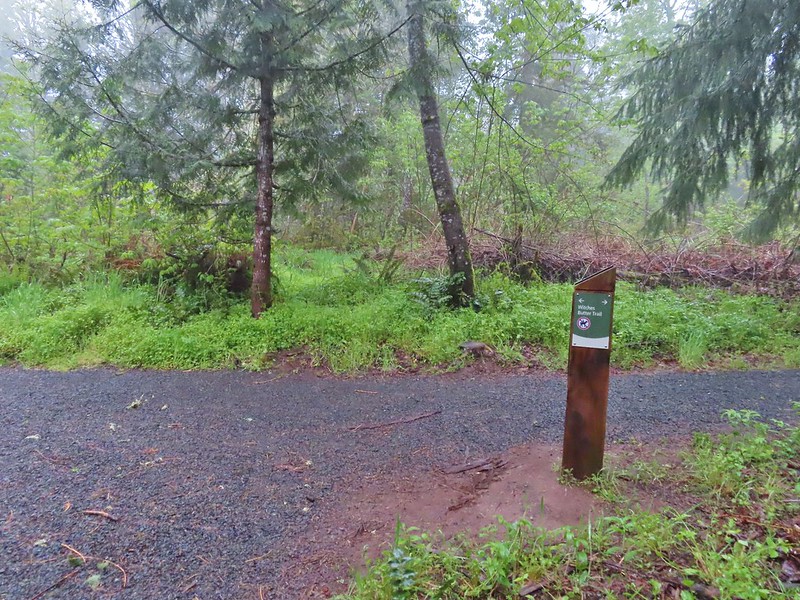 Popping out on the Witches Butter Trail.
 Witches Butter Trail
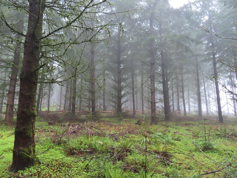 Witches Butter Trail winding through Douglas firs.
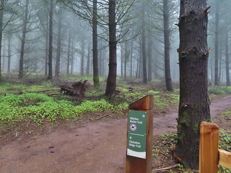 Turning right onto the Chehalem Ridge Trail.
 There was a little more mud on the Chehalem Ridge Trail.
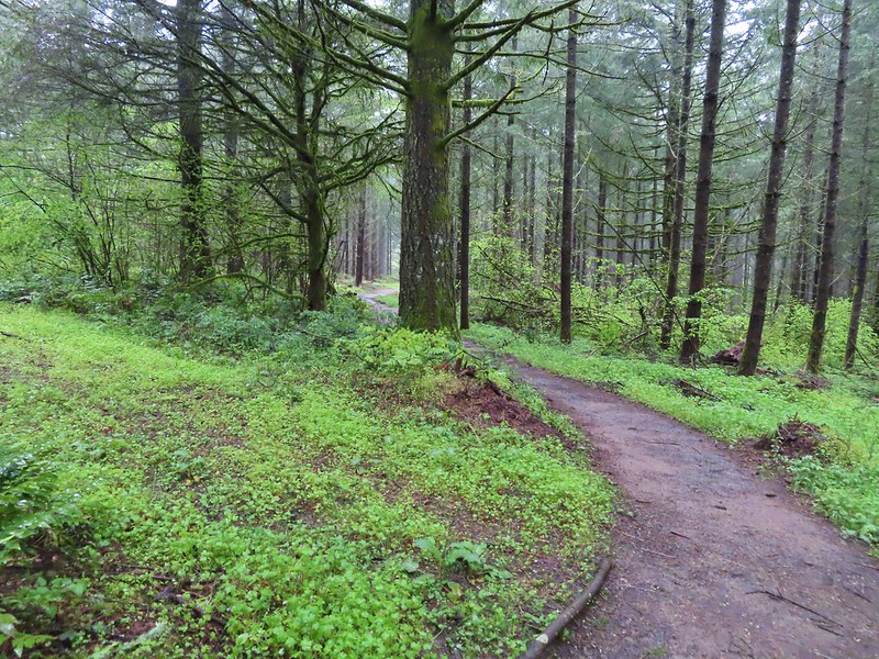 Spring green carpet.
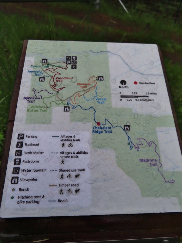 A good example of the differently oriented maps, on this one north is down.
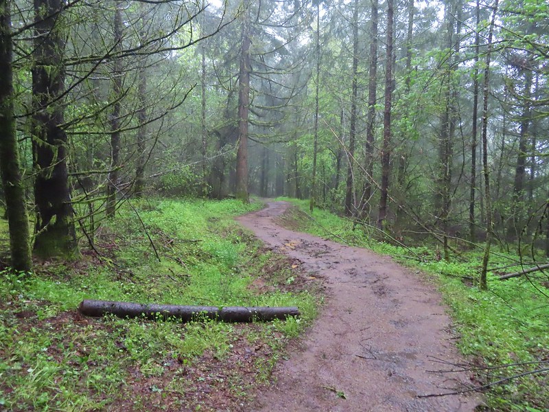
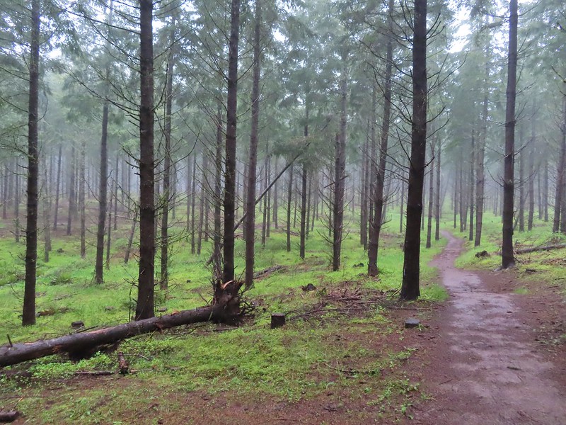 Another fir plantation. The land had been owned by a timber company prior to being purchased by Metro in 2010.
 Start of the Chehalem Ridge Loop. We went right which simply swung out along the hillside before dropping down to the Madrona Trail in 0.4 miles.

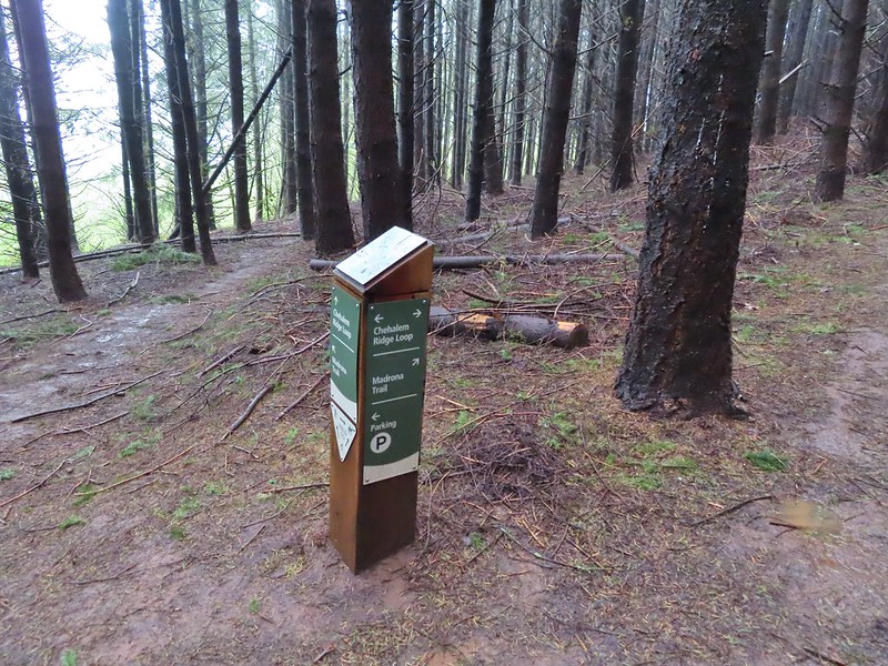 The loop continued to the left but we turned right onto the Madrona Trail.
 Still cloudy and gray but we’d experience very little if any precipitation yet.
 Lots of tough-leaved iris along this trail.
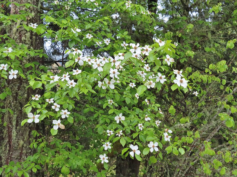 One of several blooming dogwood trees.
 View on the way down.
 Madrone trees began to be a common sight as we descended.
 One of the 11 switchbacks.
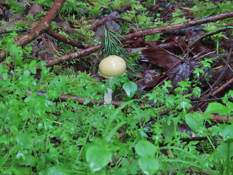 We hadn’t seen a lot of mushrooms recently but this hike had plenty.
 Following the roadbed.
 Aside from one other very small (3 in diameter) tree this was the only obstacle we encountered all day.
 The start of the loop along with several madrones.
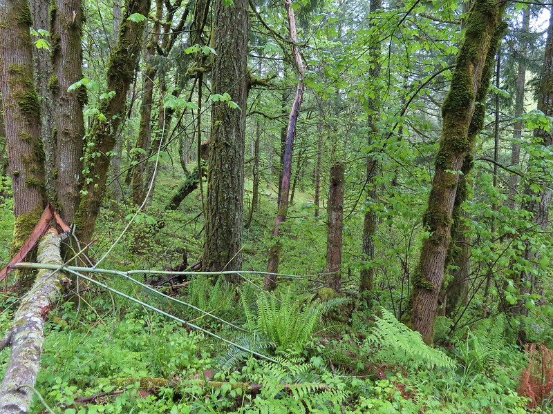


 The Tualatin Valley and Coast Range.
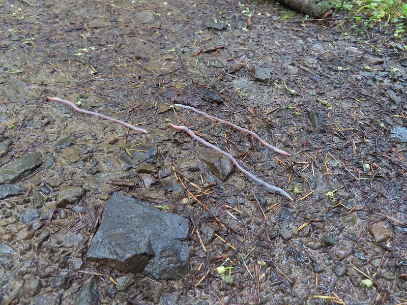 Either these worms were racing or it was a bird buffet. The rain had brought a lot of earthworms onto the trails.
 Another trail user a rough skinned newt.
 A closer look at the rough skinned newt.
 It had been so foggy when we had come up the Witches Butter Trail that we hadn’t realized that there was a giant green field nearby.
 The end of the Chehalem Ridge Trail with the Mampaꞎ Trail to the right and a very short connector to the Timber Road to the left.
 Sunlight hitting the Mampaꞎ Trail.
 Fairy slippers
 Squirrel
 The Zorzal Trail to the right.
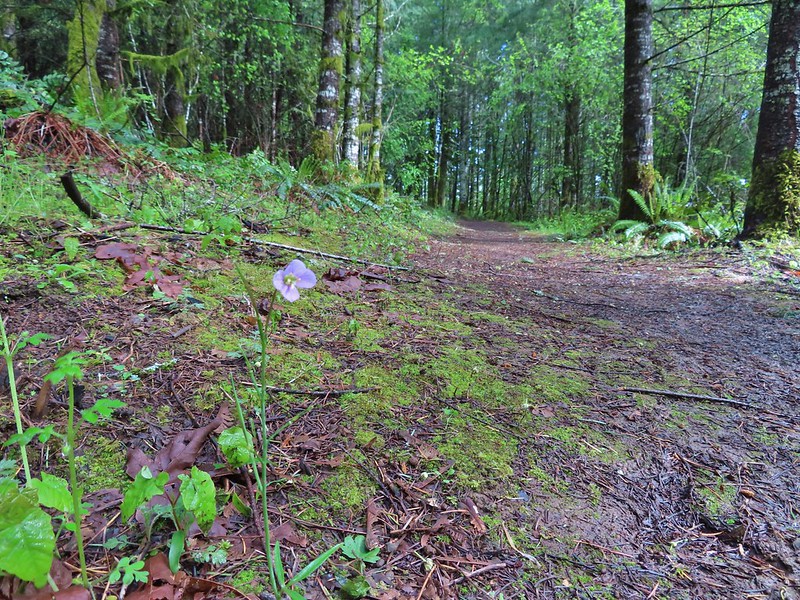 Toothwort along the Zorzal Trail.
 Stripped coralroot
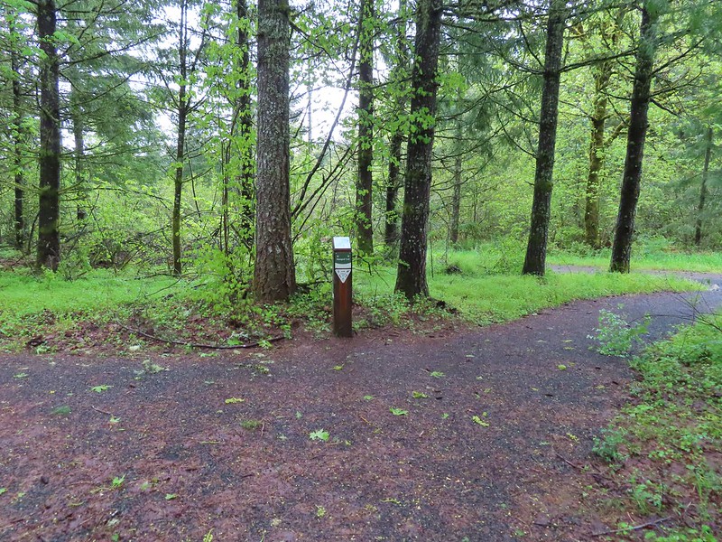


 An assortment of smaller flowers.
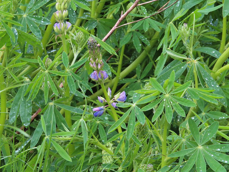 One of the few lupines with blossoms.
 Camas buds
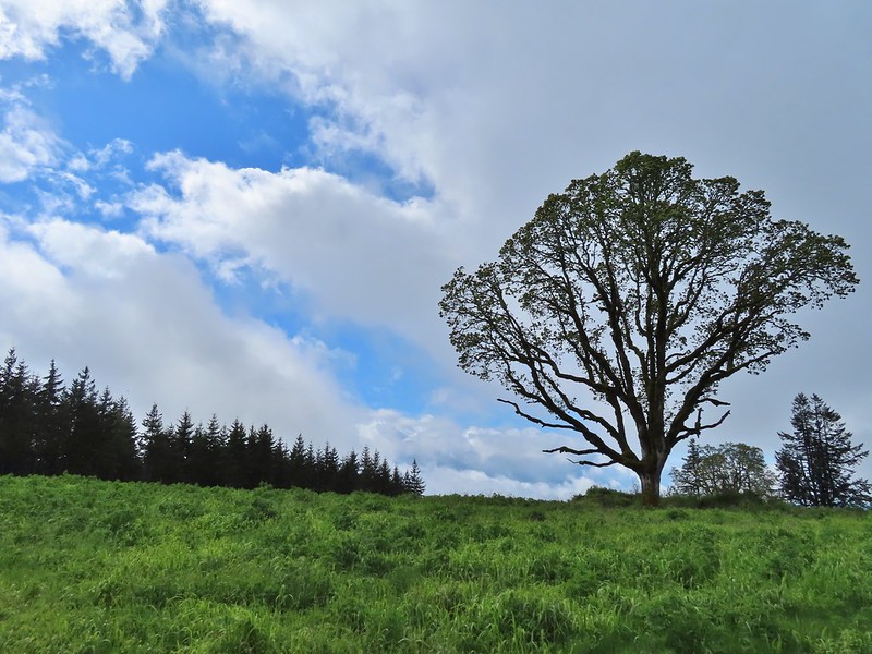 Oak tree on Iowa Hill. Most of the larger green clumps are lupine.
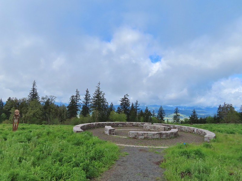 The third and final figure was also located near the stone circle.
 Yarrow
 More lupine starting to blossom.
 Tualatin Valley
 Plectritis
 Believe this is a checker mallow.
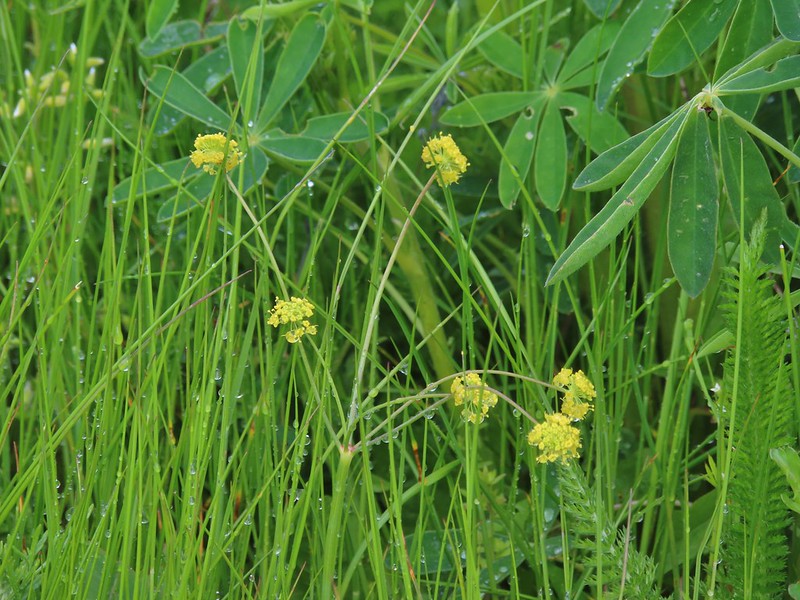 Parsley
 Camas
Camas Iris
Iris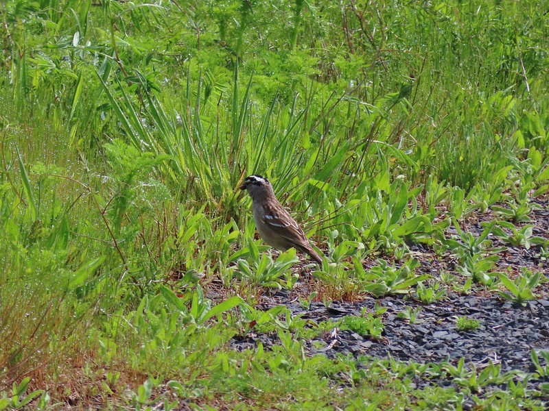 White crowned sparrow
 Turning down the Timber Road.
 I’m not good with these little yellowish birds. It could be an orange-crowned warbler.
 Black capped chickadee
 Approaching the Woodland Trail on the right.
 Woodland Trail
 Candyflower
 Coming to a switchback.
 We ignored a couple of shortcuts that would have led back to the Timber Road.
 We also skipped the Castor Trail which would have slightly lengthened the hike.
 Lupine along the Woodland Trail as we neared the trailhead.
 Much nicer conditions than we’d had that morning and way nicer than anything we had expected.


 Camas
Camas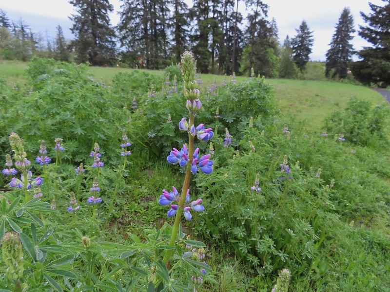 Lupine
 Habitat Trail
 We’ll blame our inability to read this sign on it still being early in the morning. We started down the path ahead before quickly questioning the direction and correcting course.
 He probably knew which way he was going.
 Heading the right way now.
 NW Wilkins


 Another trail user


 Fringecup

 Spotted towhee
 Stellar’s Jay
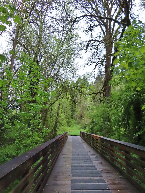
 Second time staring at this sign.

 Not sure exactly how to interpret this scene – mourning, a murder, or breakfast?
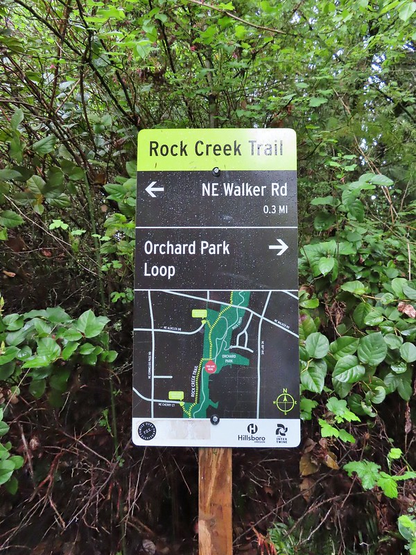
 The slight jog right along NE Walker.


 Bridge of Rock Creek
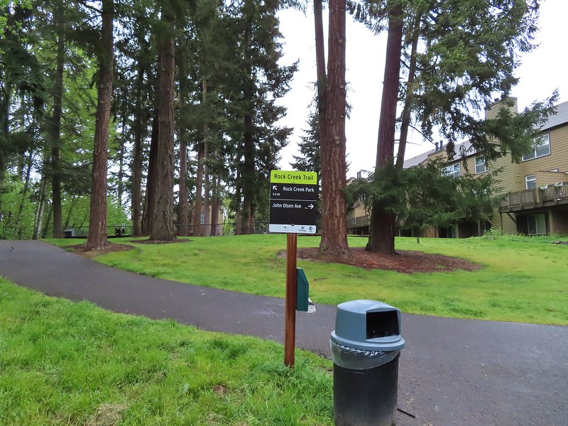 Look a pointer for John Olsen Avenue (just a lot further north).
 Mallards (A pair of wood ducks flew off at the same time the mallards headed downstream.)
 Here is the only photo that I could even get with the little yellow bird visible at all.
 NE Evergreen Parkway

 Checkermallow


 Trillium
 Solmonseal
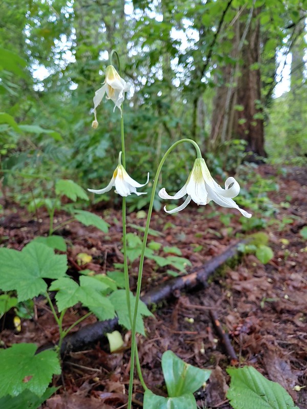 Fawnlilies
 Aven
Aven


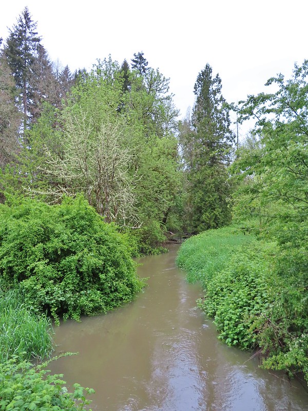
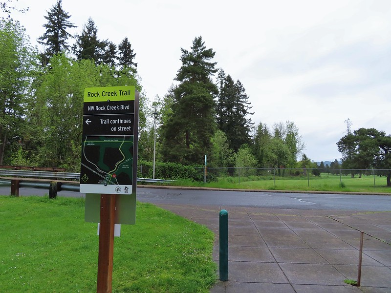
 Rock Creek from the viewpoint.
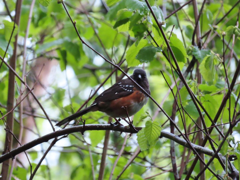
 The back of the owl (middle tree 2/3 of the way up)

 Violets
 Swollen creek
 Fairy bells
 Cinquefoil
 Nearing the trailhead.


 A wren and a white-crowned sparrow
 American goldfinches
 Tree swallows

 Bleeding heart near the stream.
 Berry Creek down to the right.
 There was a lot of wild ginger on the hillside.


 Iris
Iris Buttercups
 Small garter snake
 Approaching the bridge and creek.
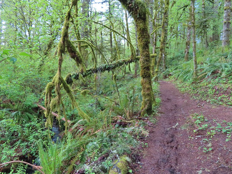

 Sparrow
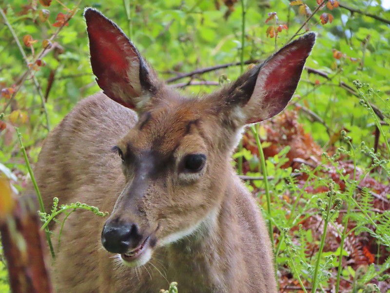 Doe just hanging out in a patch of poison oak. (It doesn’t bother deer.)
 Nearing the high point of the trail at K.T. Summit
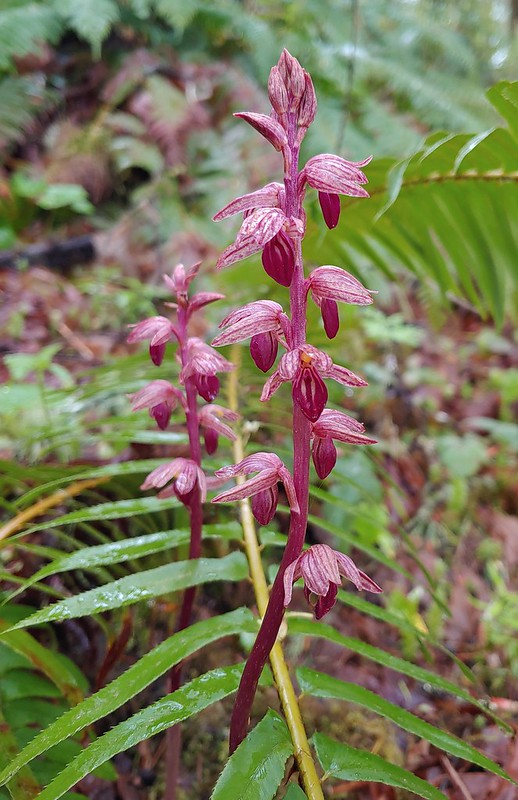
 Spotted coralroot
 K.T. Summit
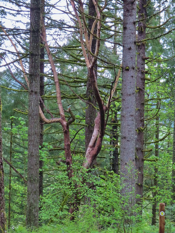 A very cool madrone tree.
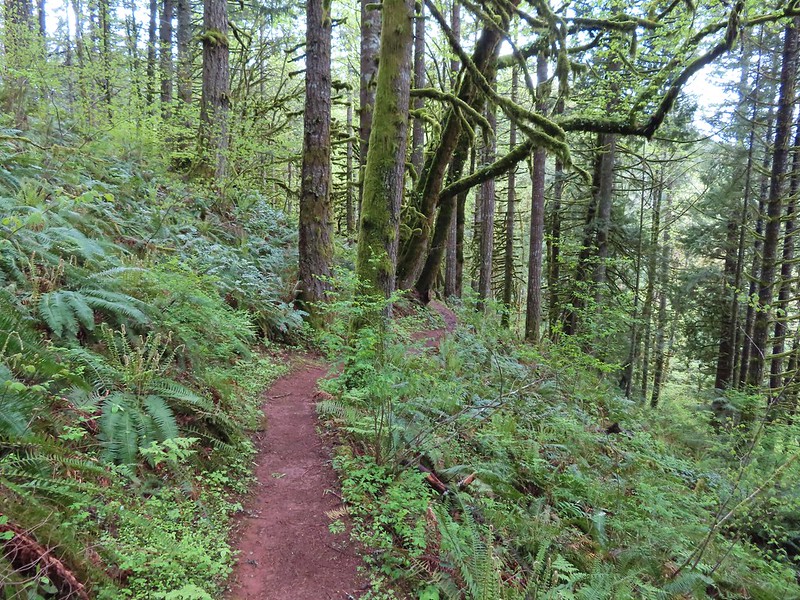
 Two more deer with a third off camera.
 There was at least one identifier for each tree listed on this sign. The signs were particularly nice because many were next to younger trees which made it easier to see the needles and bark instead of just look at a trunk and having to look up to try and see other details of the trees.
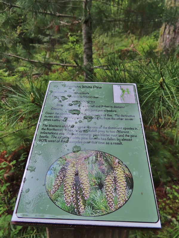 Western white pine
 Western larch
 Vanilla leaf
 Fairy slippers
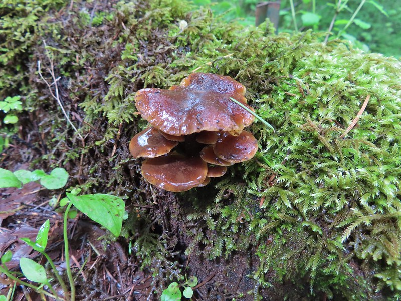


 Frog near the pond.
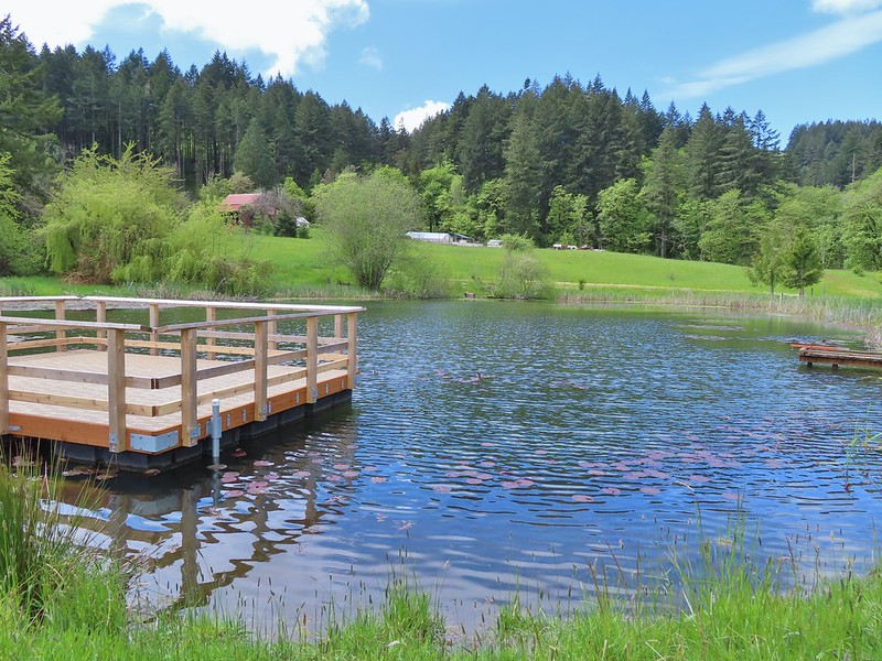
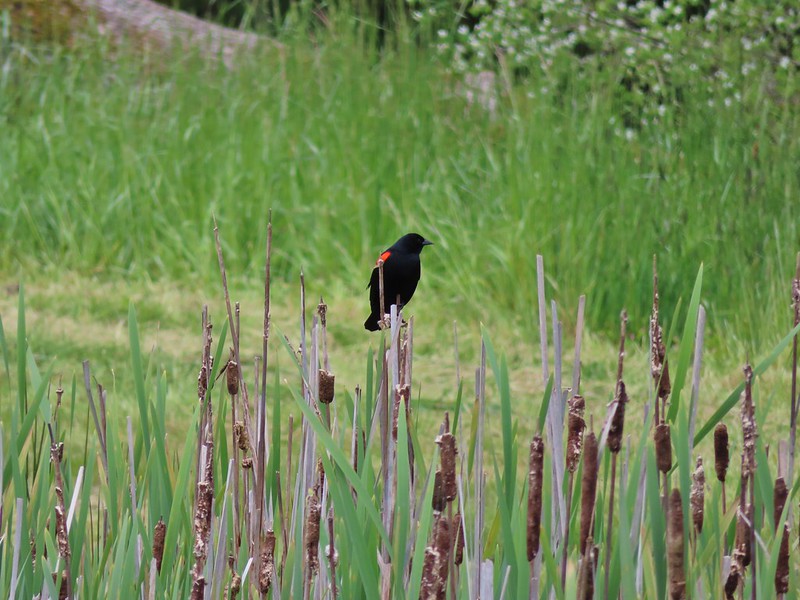 Red-winged blackbird

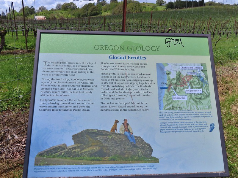 Interpretive sign at the start of the trail.
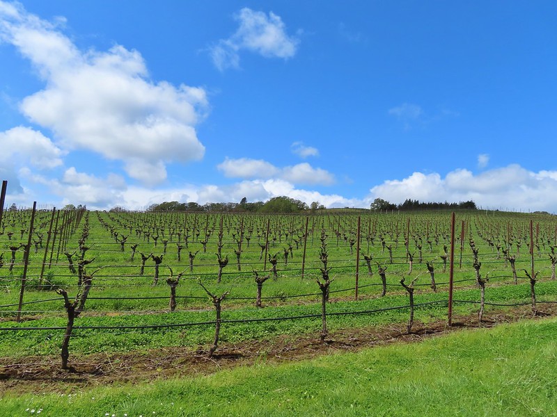 Vineyard along the trail.