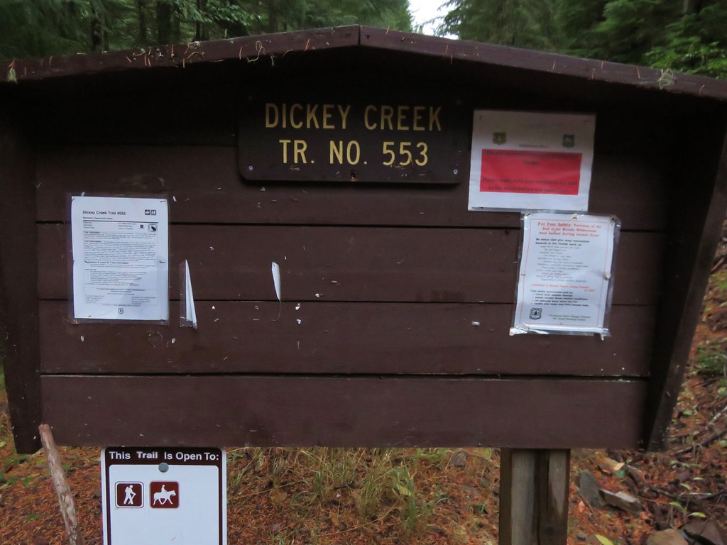
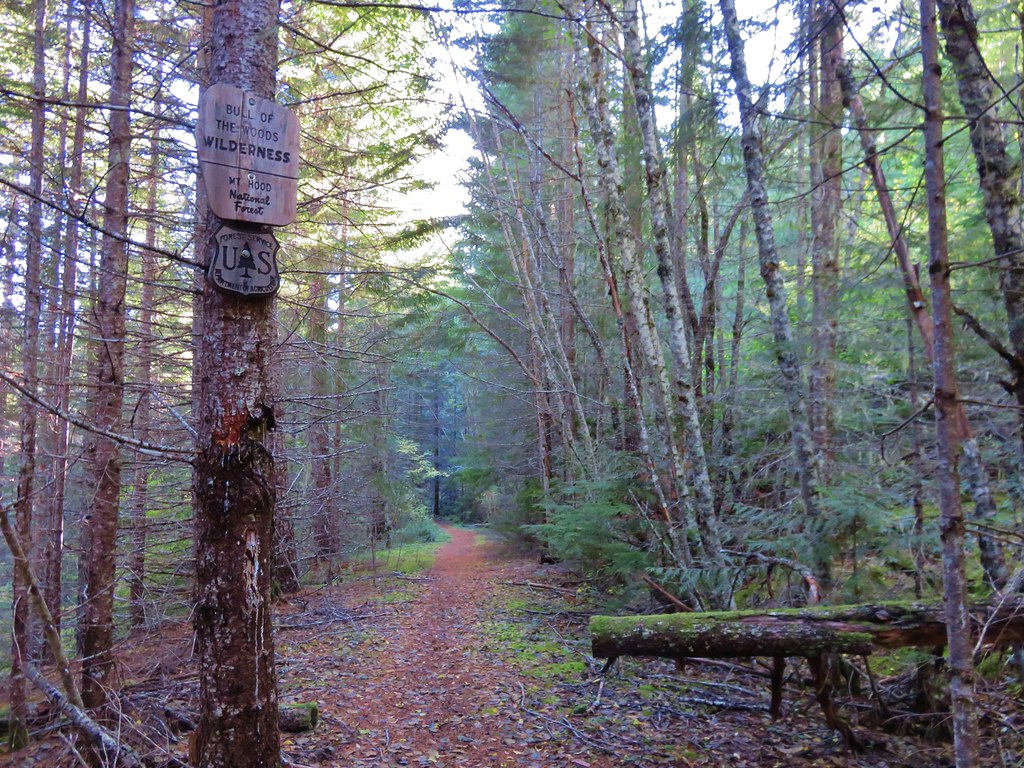
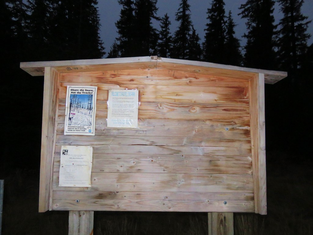
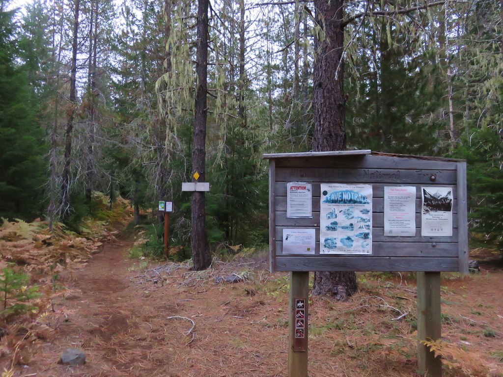
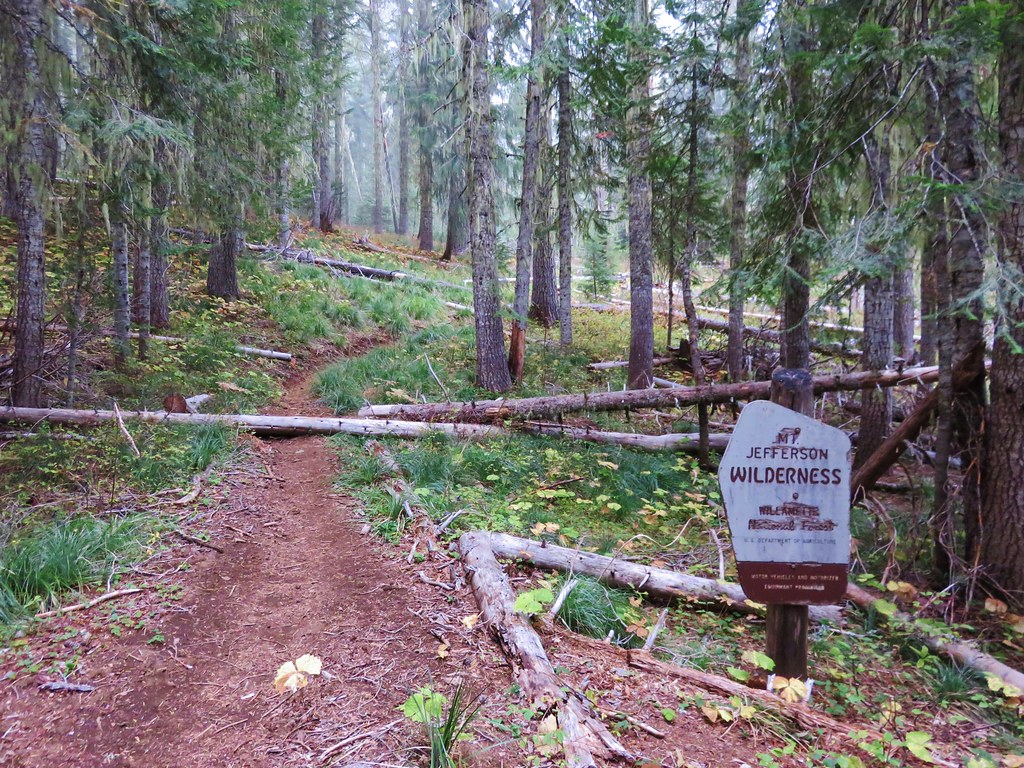
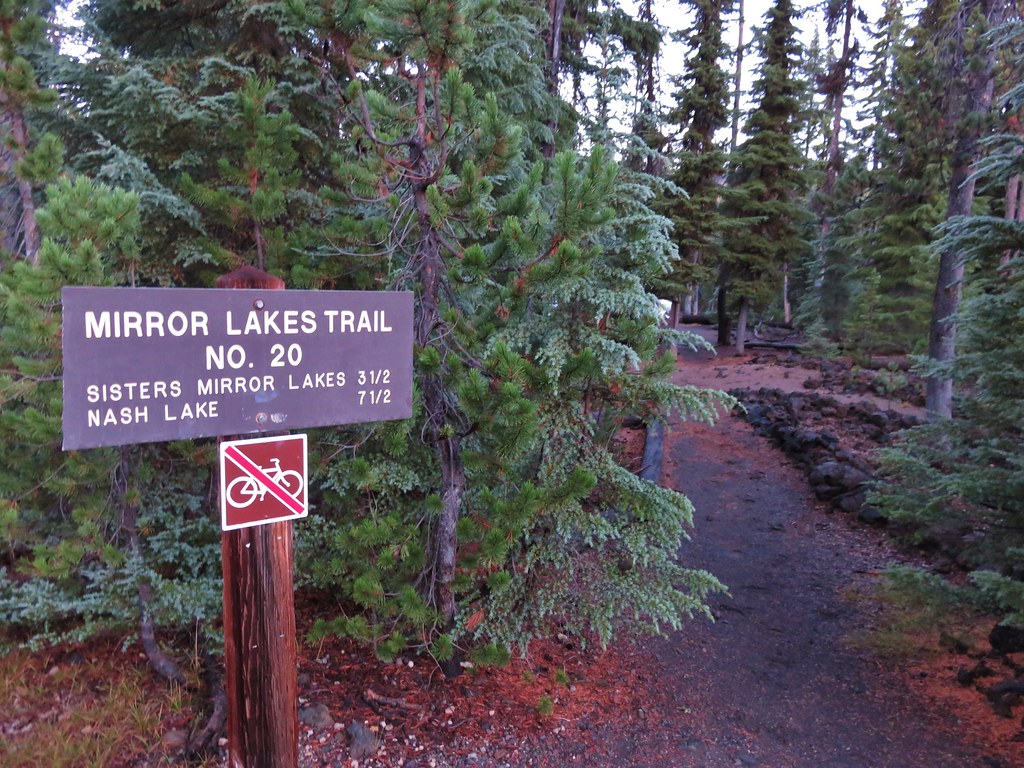
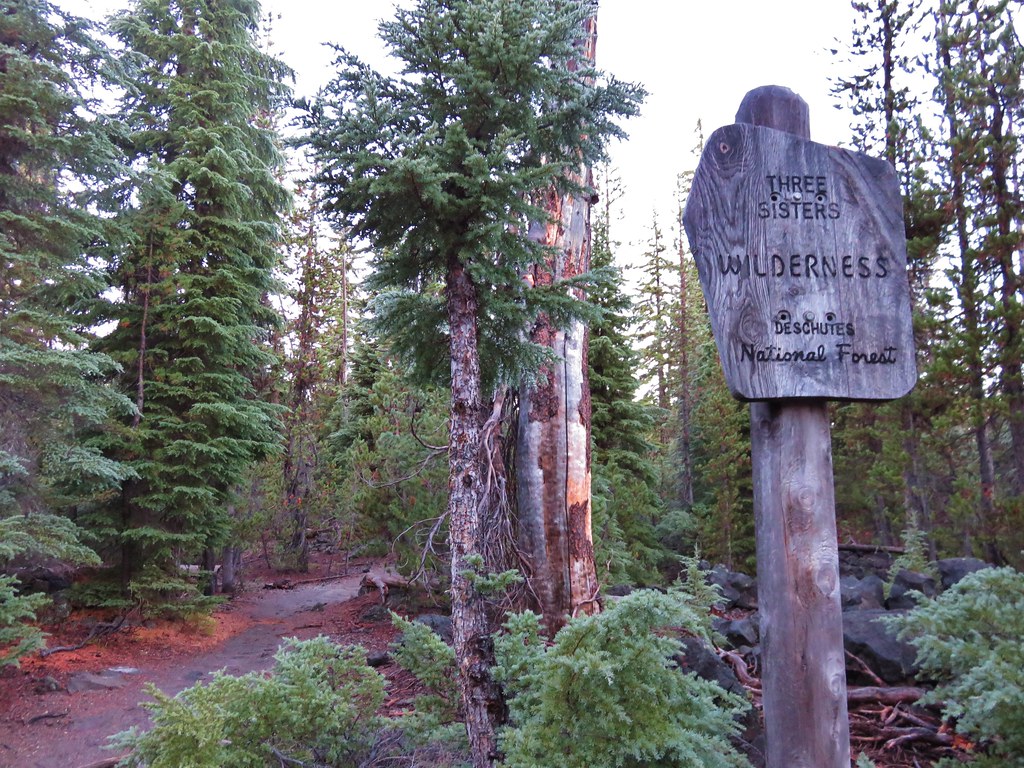
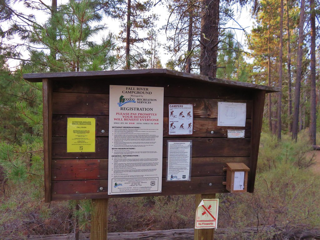
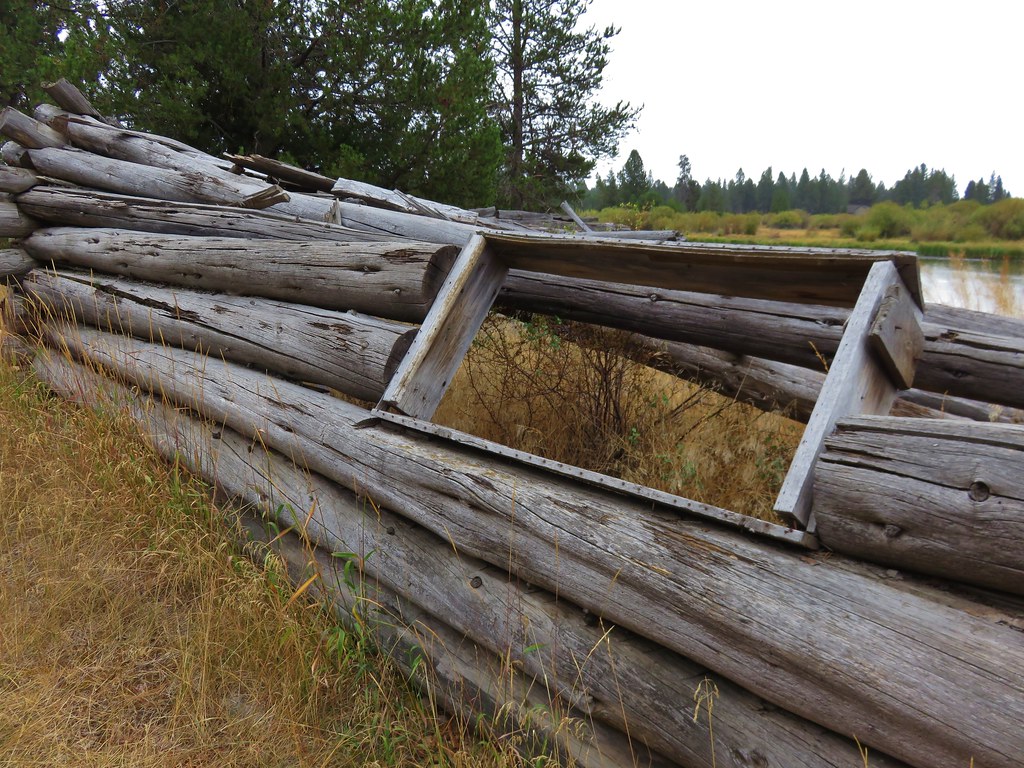
If you are familiar with our hiking past you may recall that on 5 previous occasions we had planned to and failed to see the Green Lakes in the Three Sisters Wilderness. Over 20 years since our foolish first attempt we finally made it to the lakes when we could see them. Ironically our visit was prompted by some of the very reasons we had been forced to abandon previous quests to see the lakes. Snow, fires, and the threat of thunderstorms had forced us to cancel our backpacking plans and led us to Central Oregon for a series of vacation day hikes. On Tuesday we headed for the Green Lakes Trailhead, once again attempting to reach the lakes.
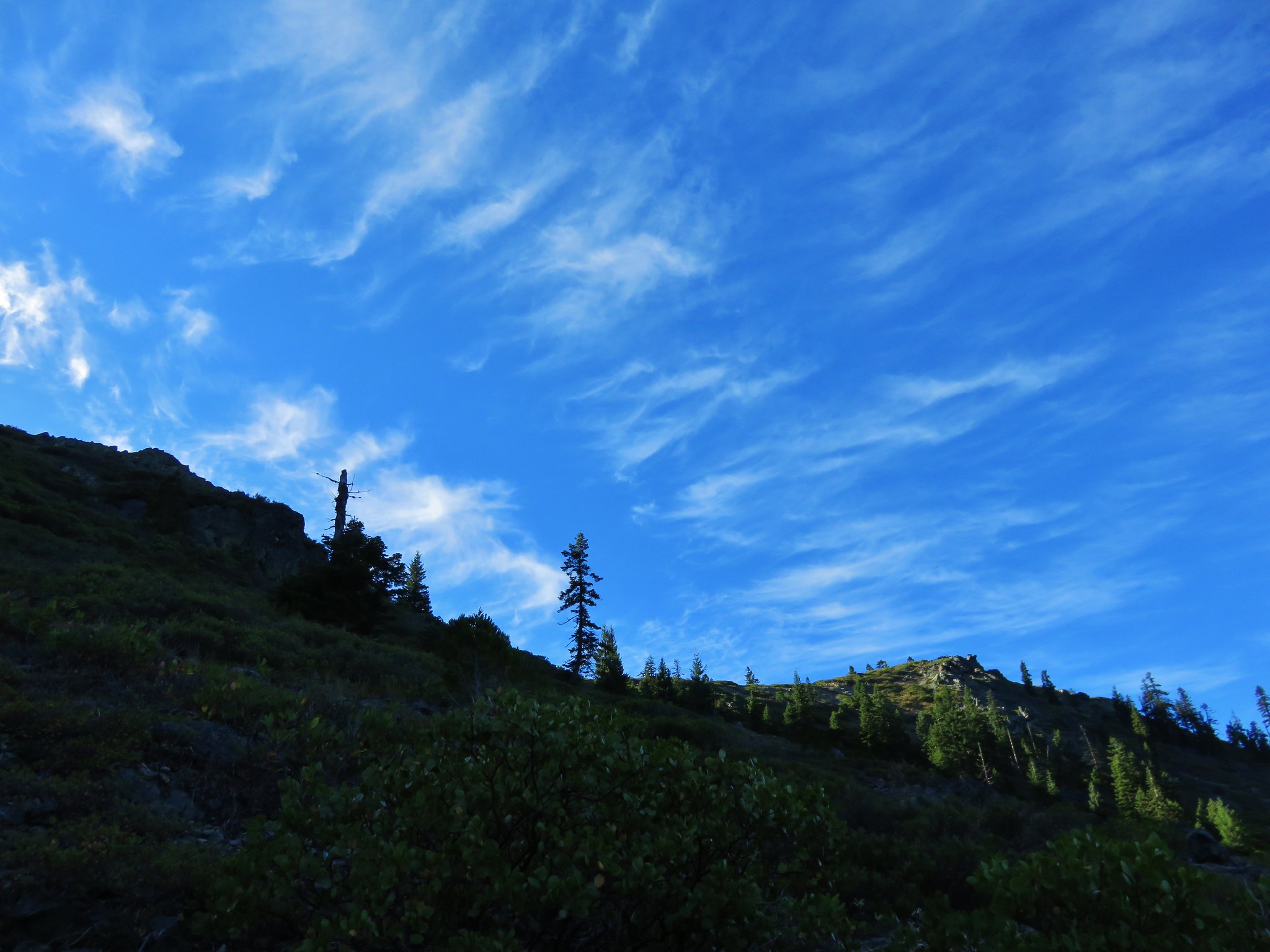
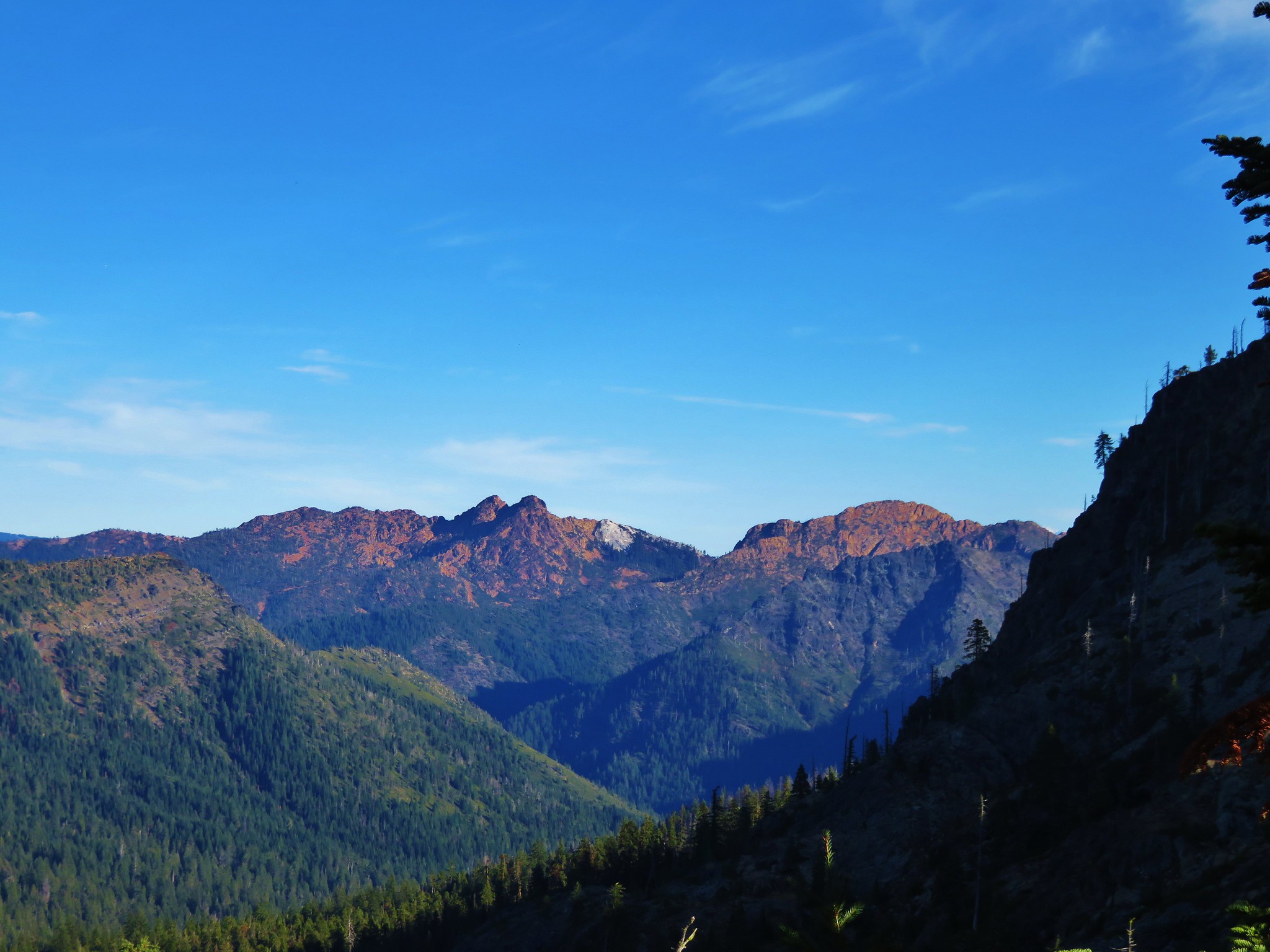
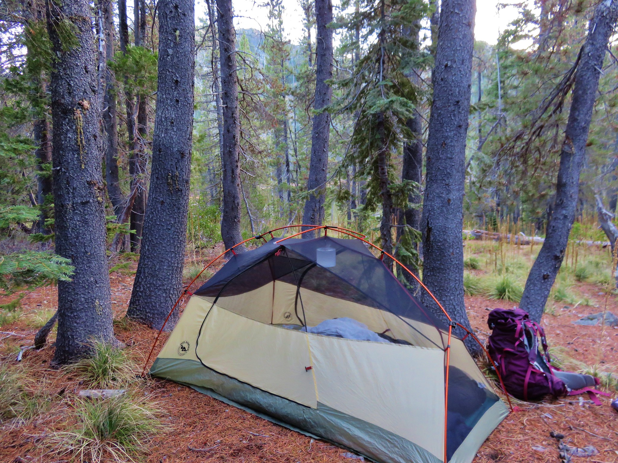
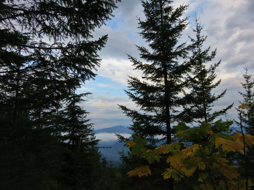
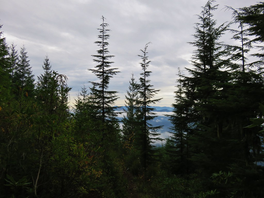
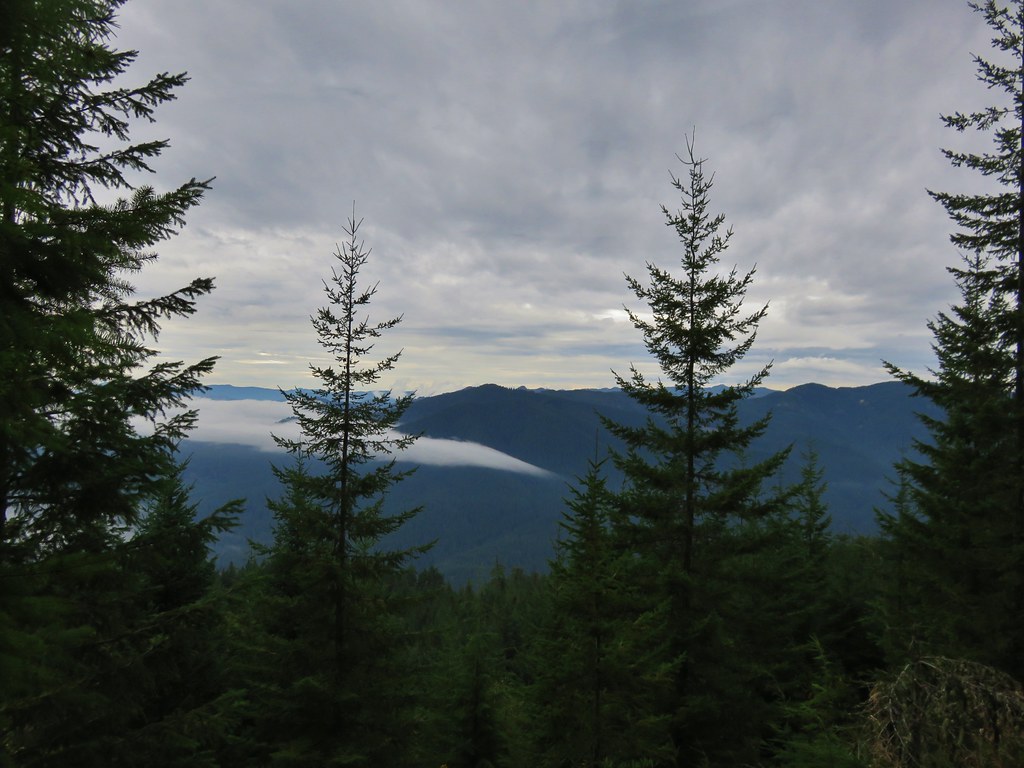
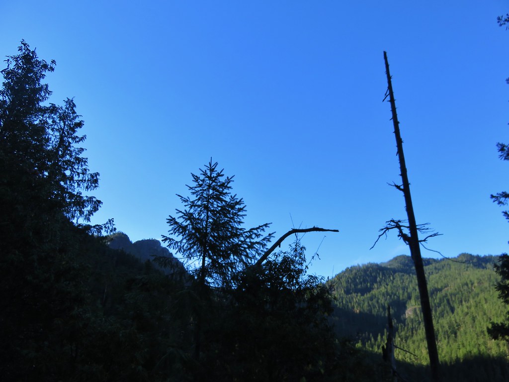
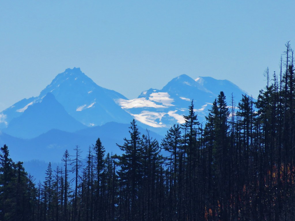
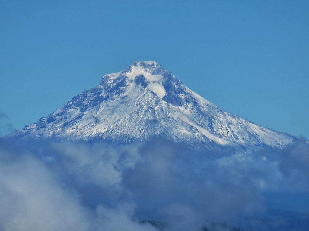
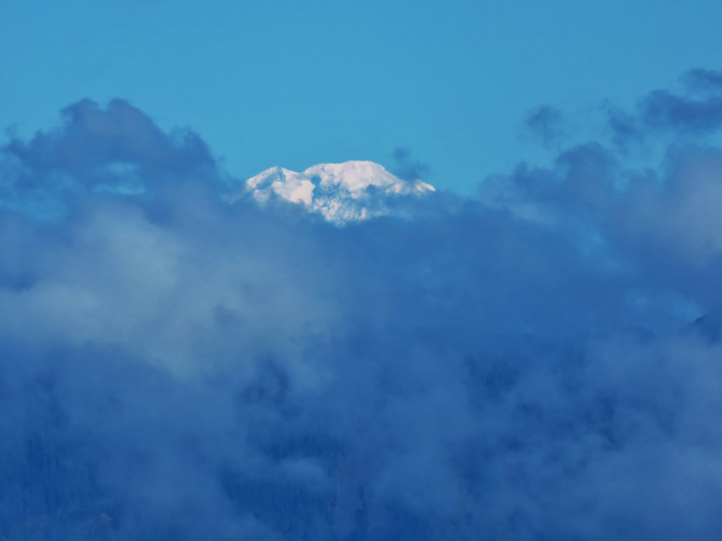
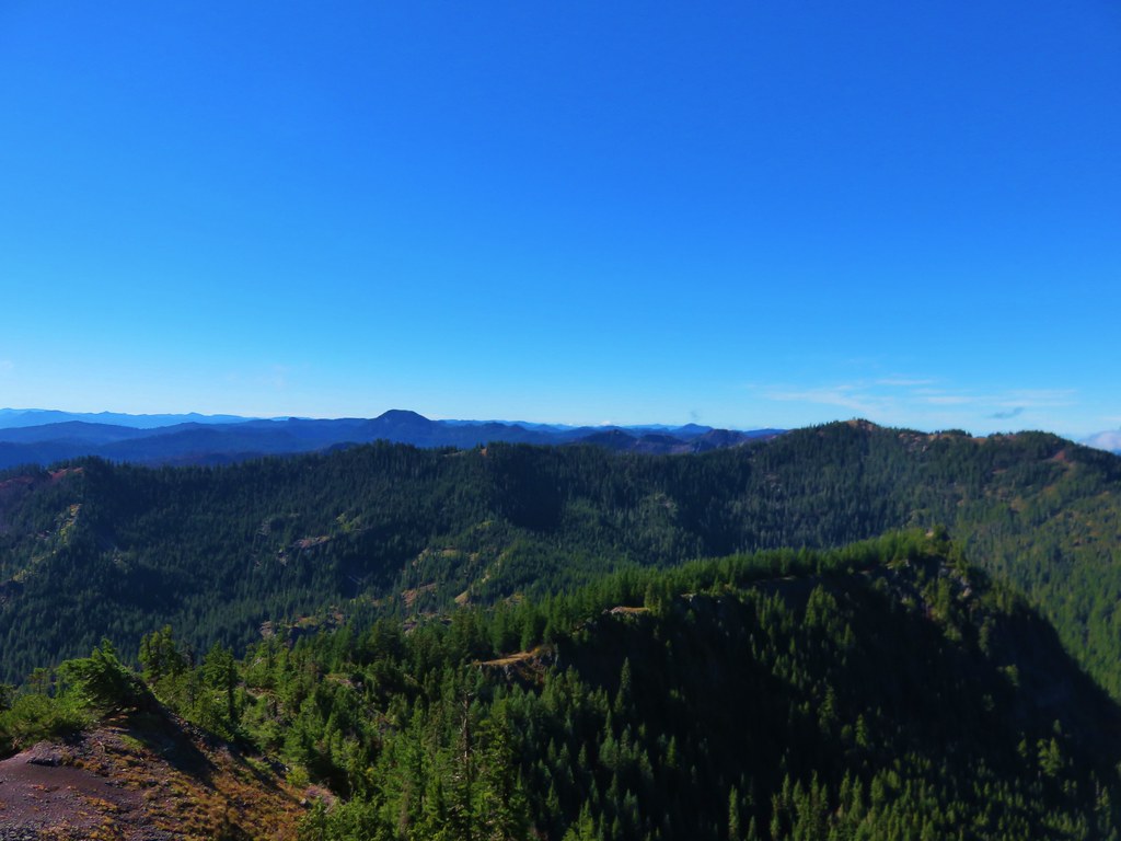
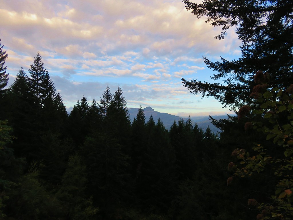
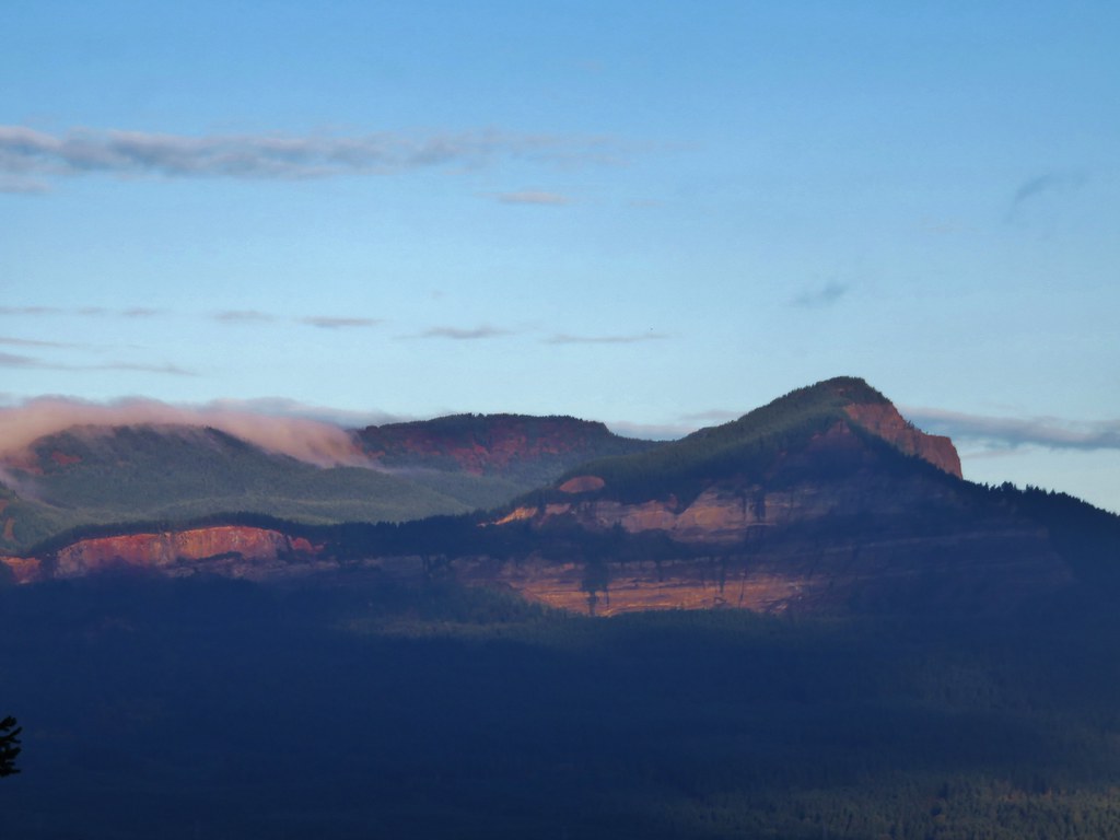
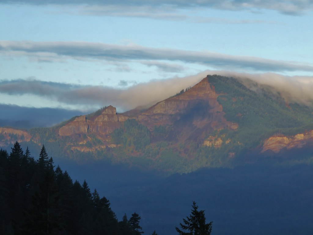
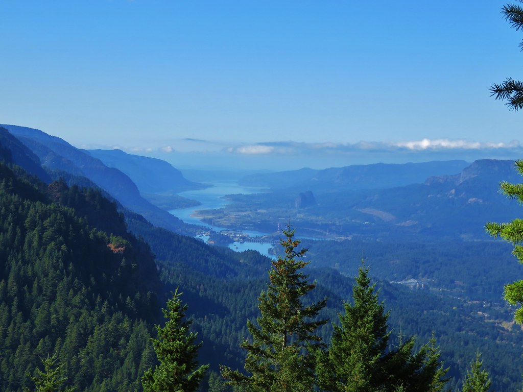
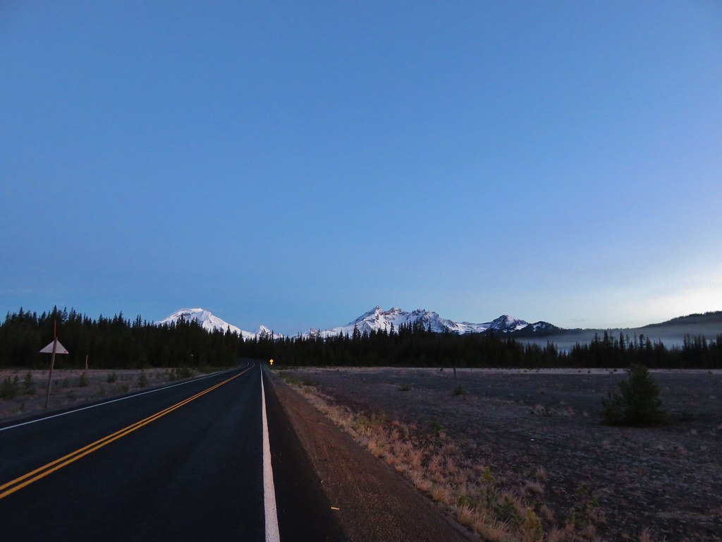
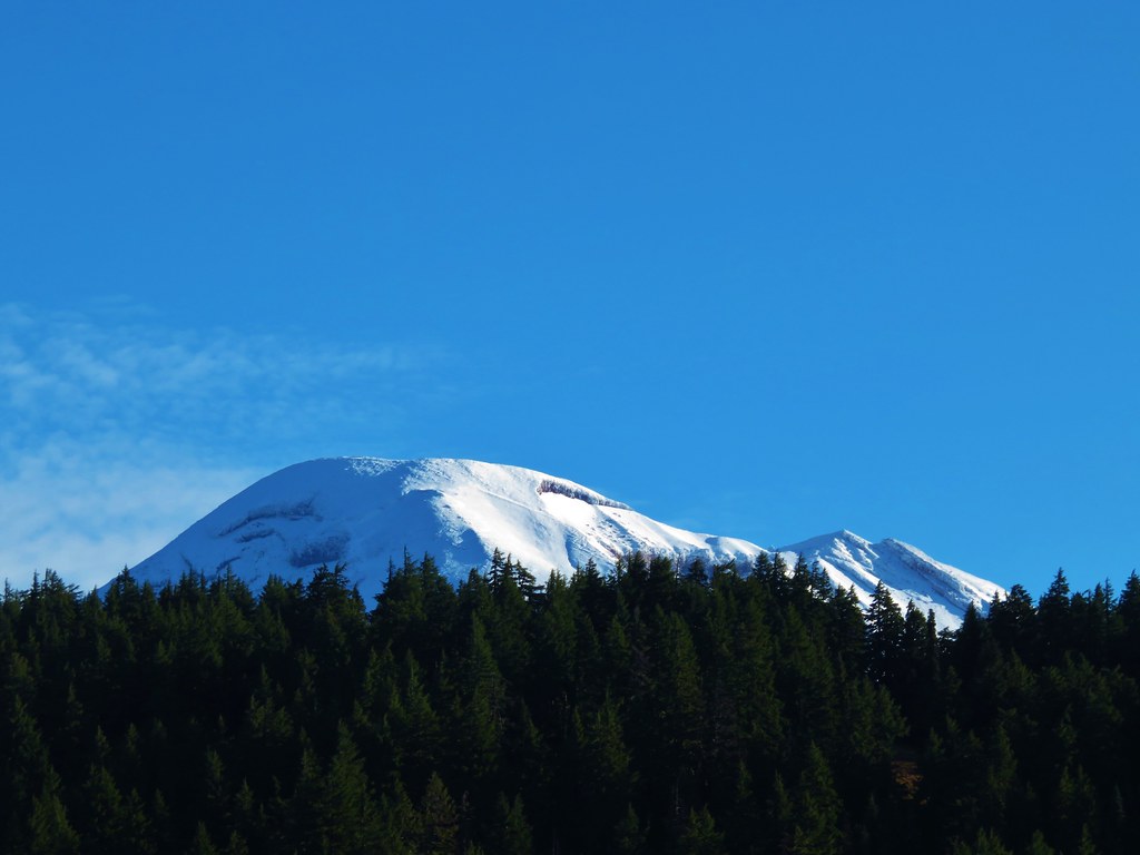
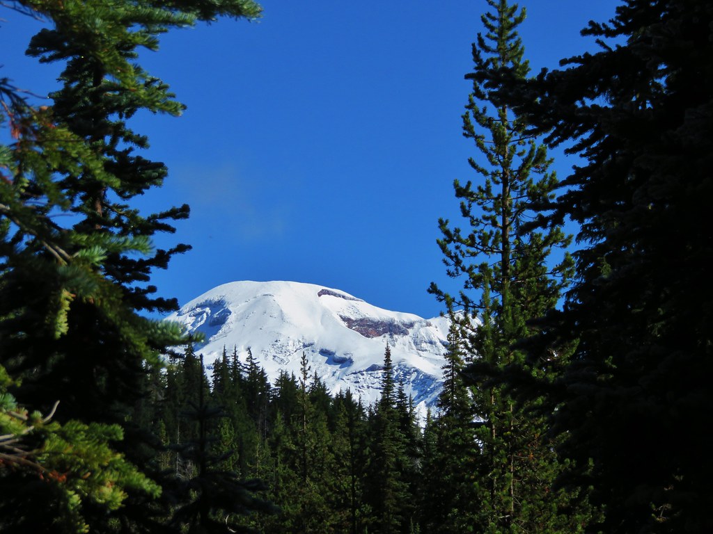
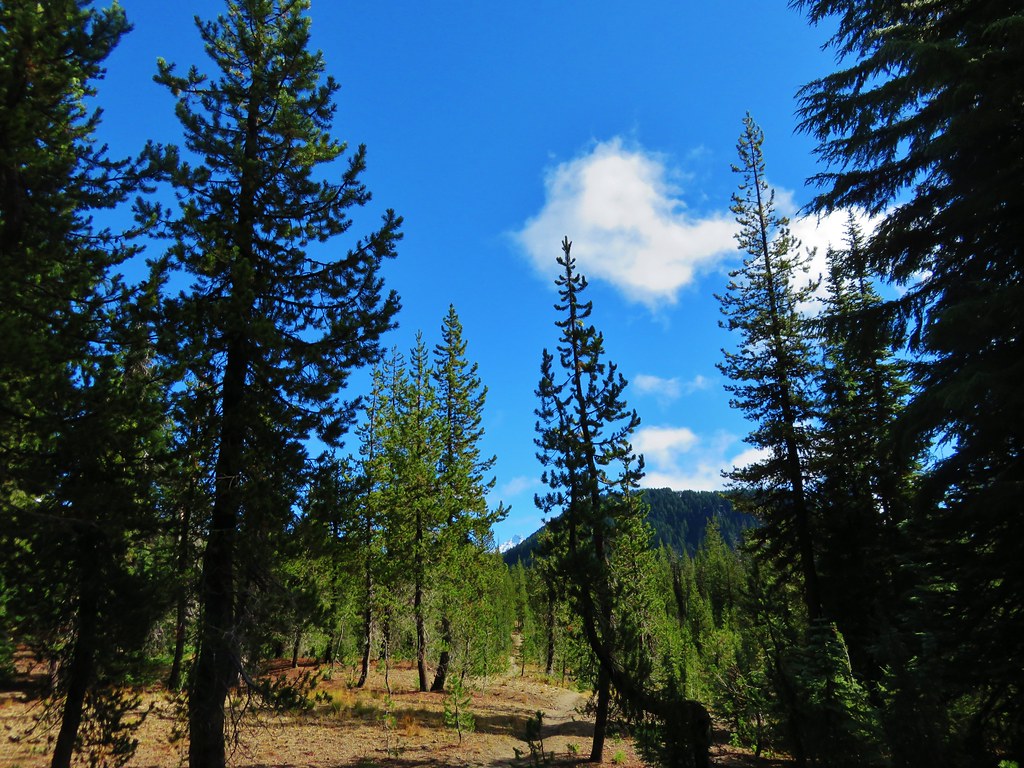
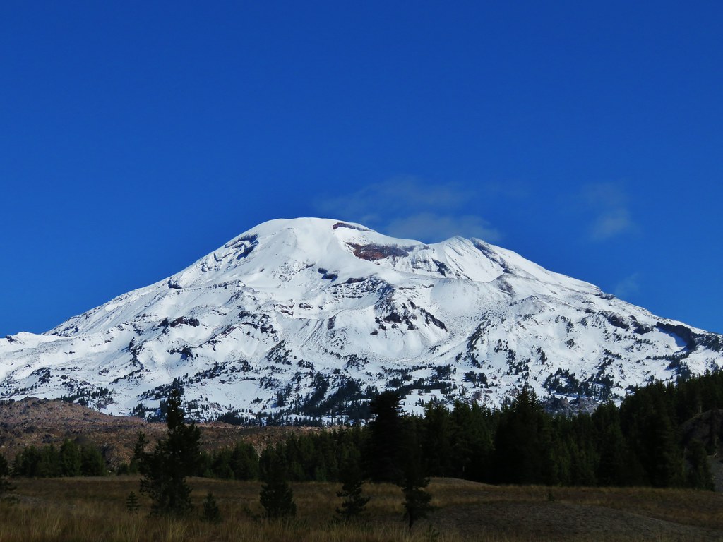
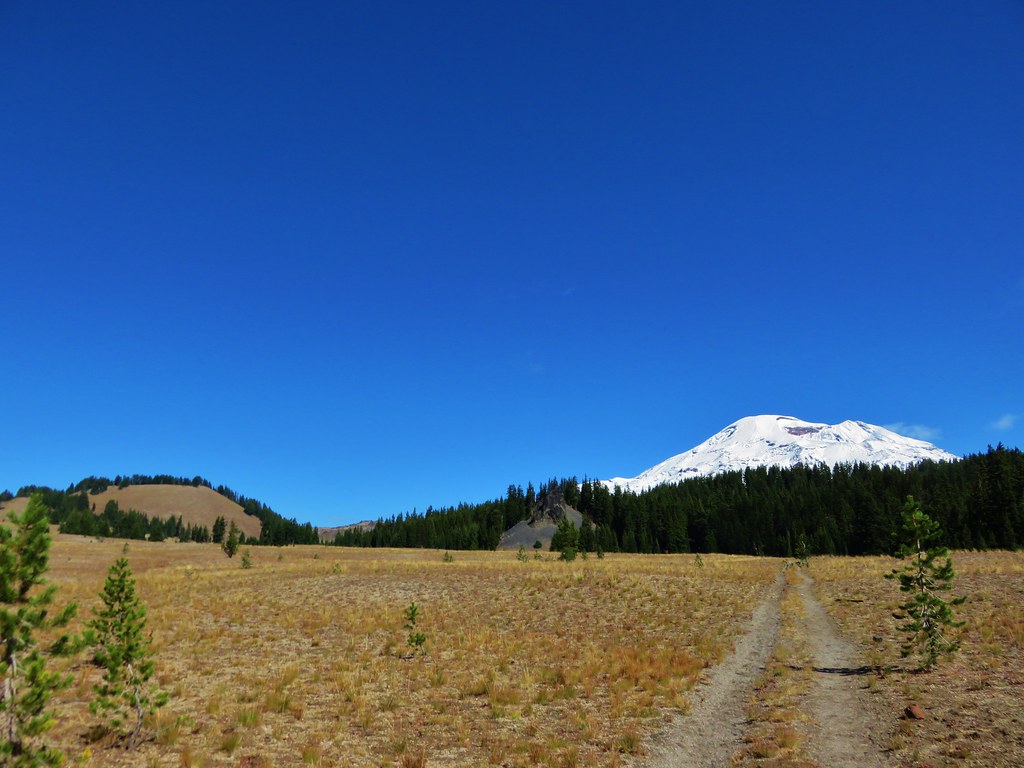
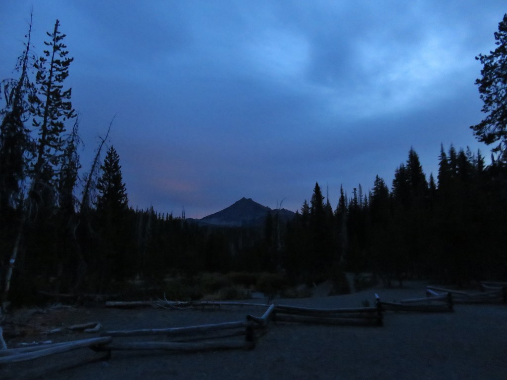
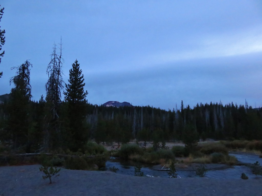
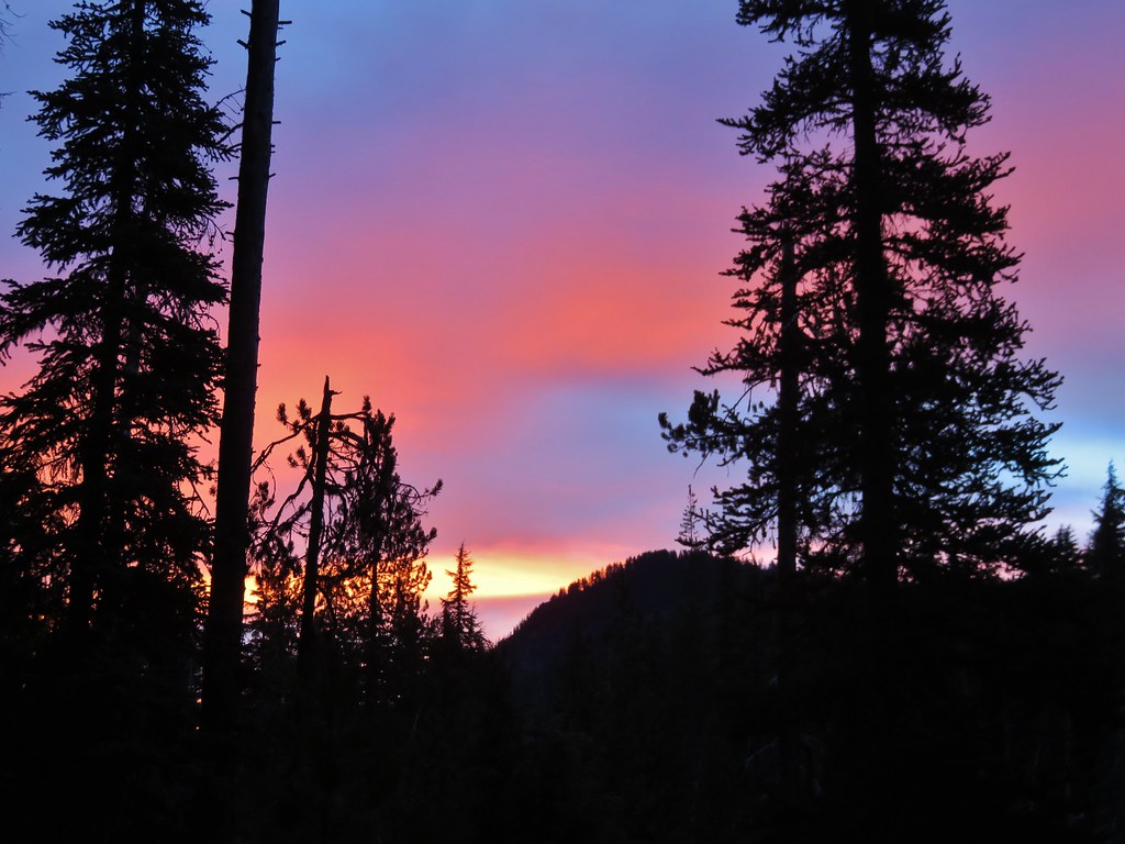
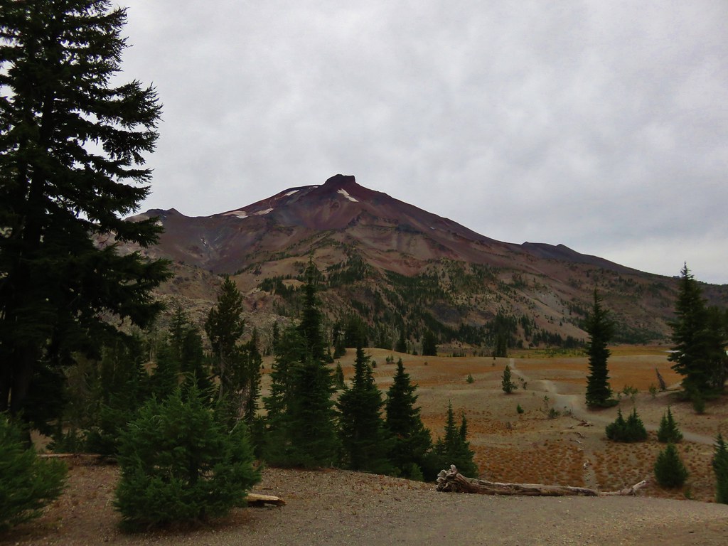
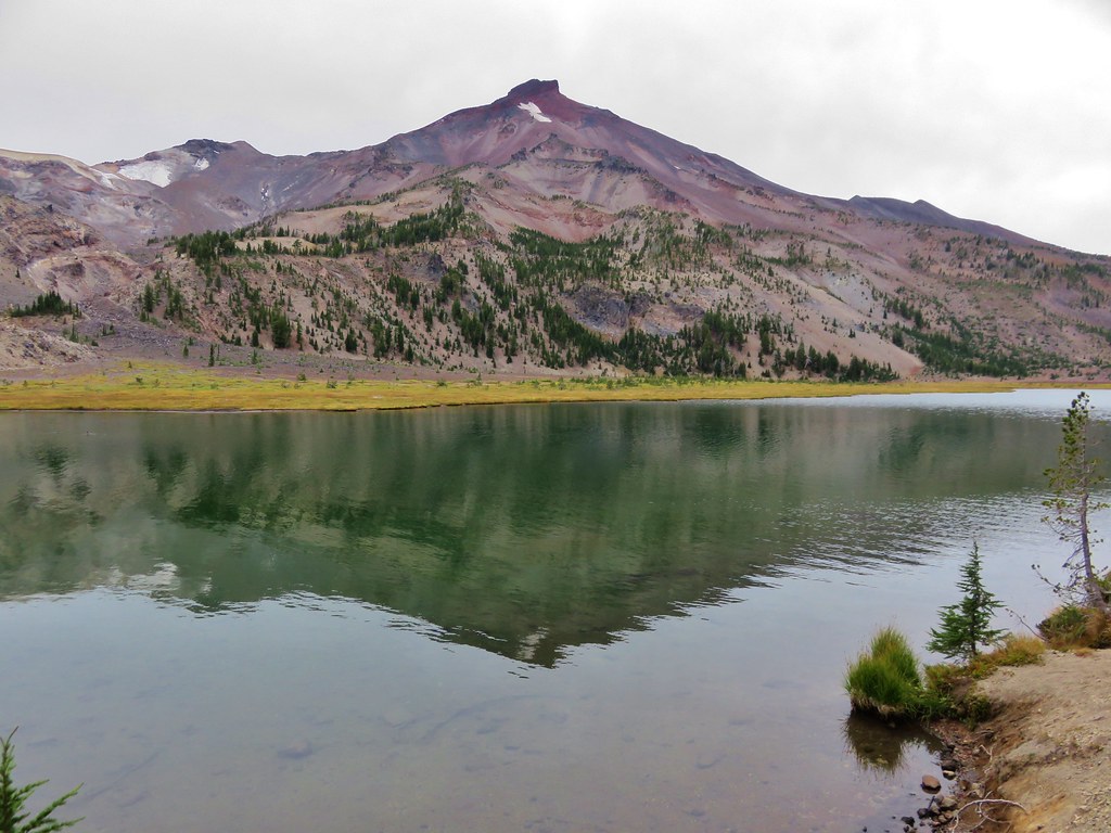
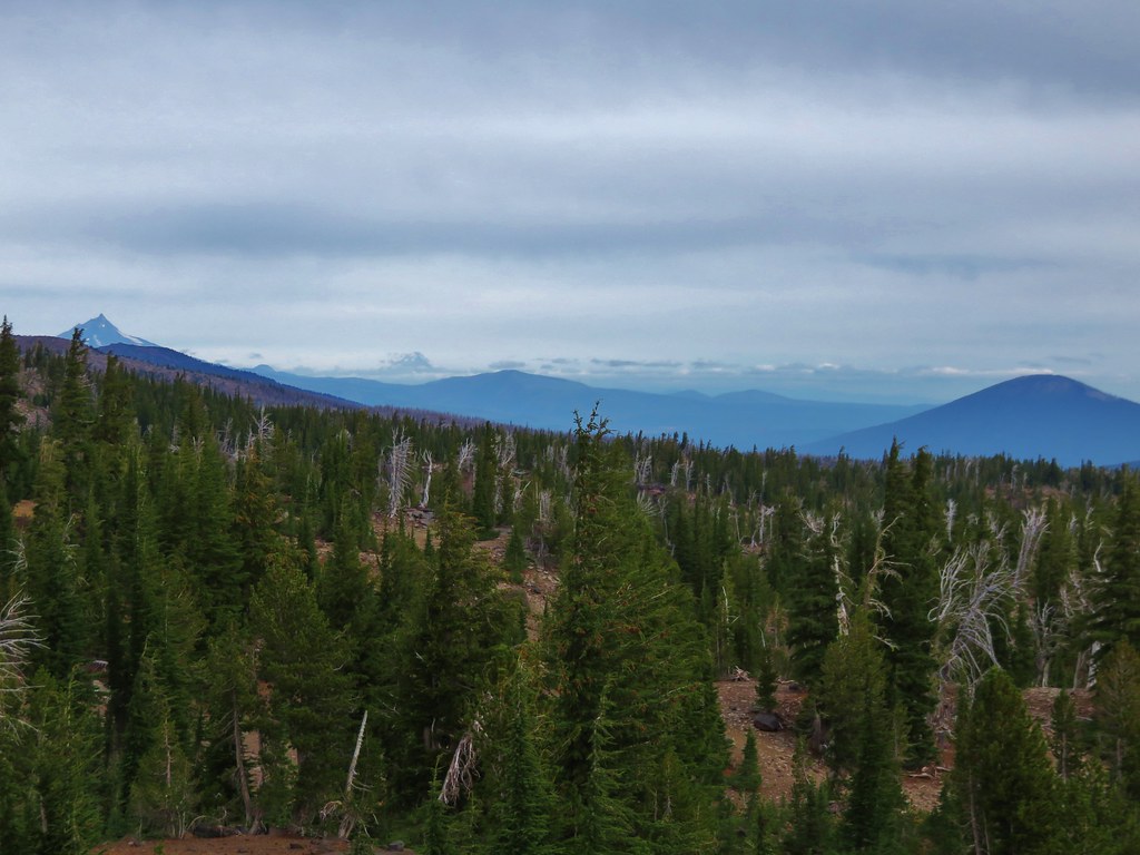
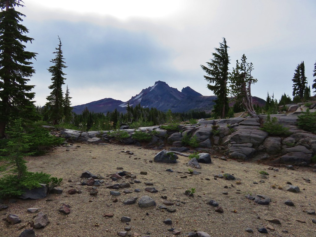
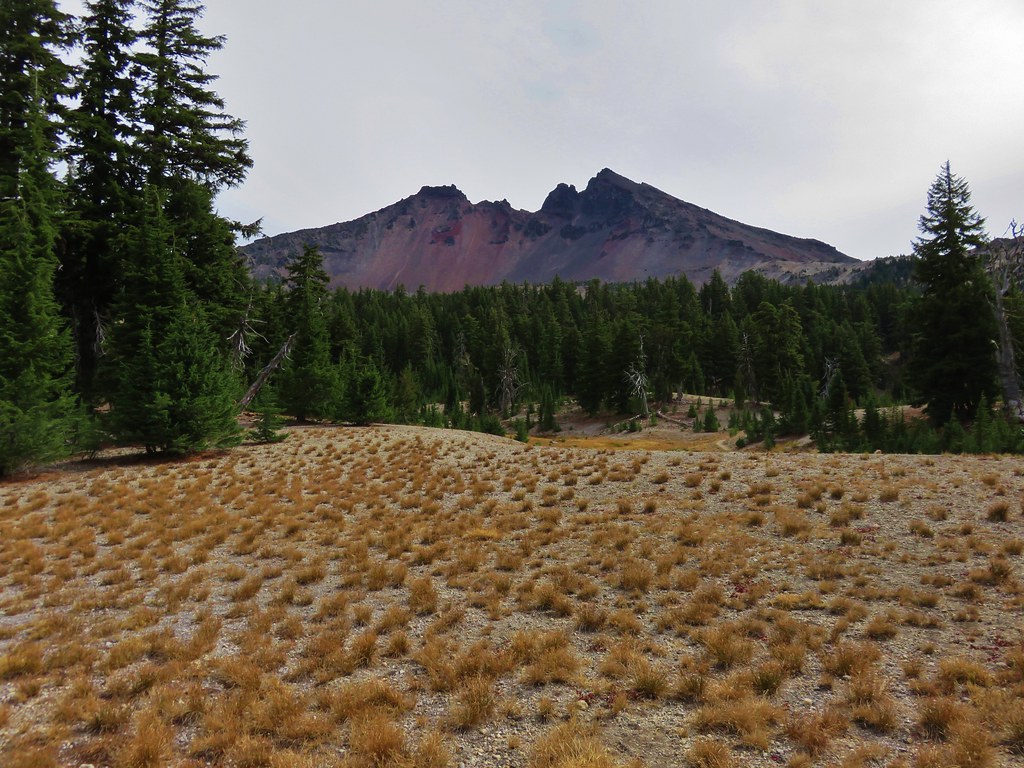
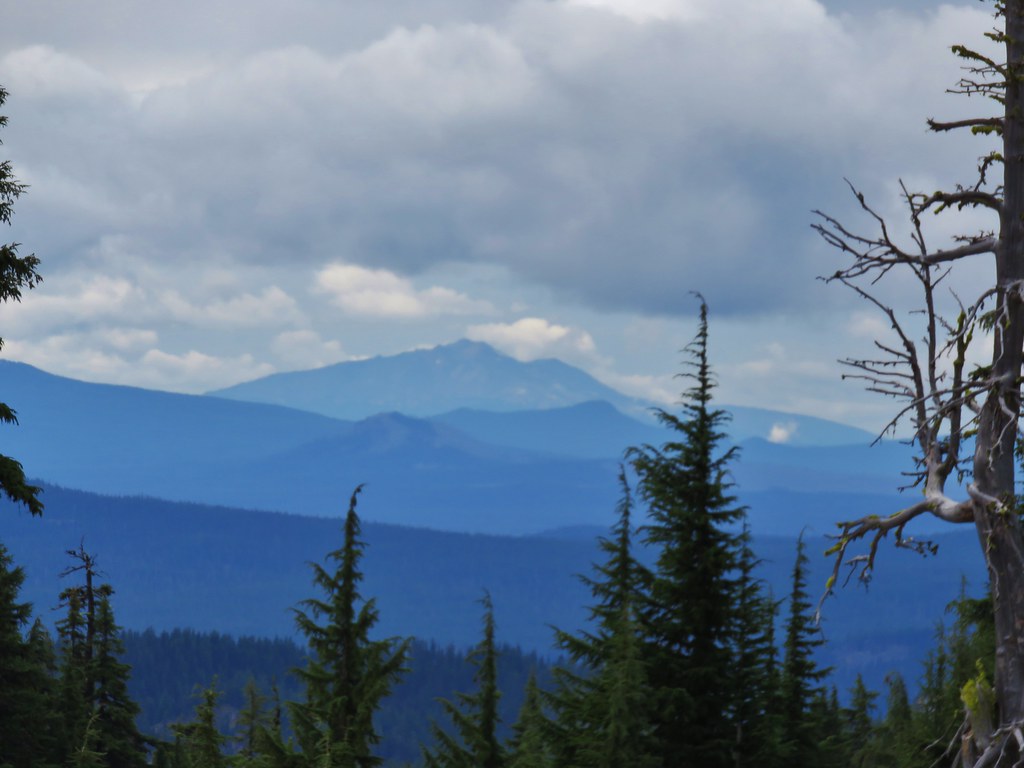
The forecast called for overcast skies but there was no threat of thunderstorms and the snow wasn’t scheduled to arrive until later that night. We arrived at the trailhead as the sun was rising. The mountain peaks were fully visible under a high ceiling of clouds.
 //embedr.flickr.com/assets/client-code.js
 //embedr.flickr.com/assets/client-code.js
 //embedr.flickr.com/assets/client-code.js
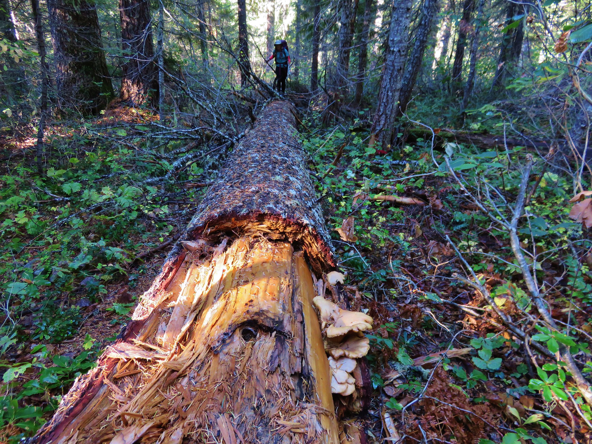
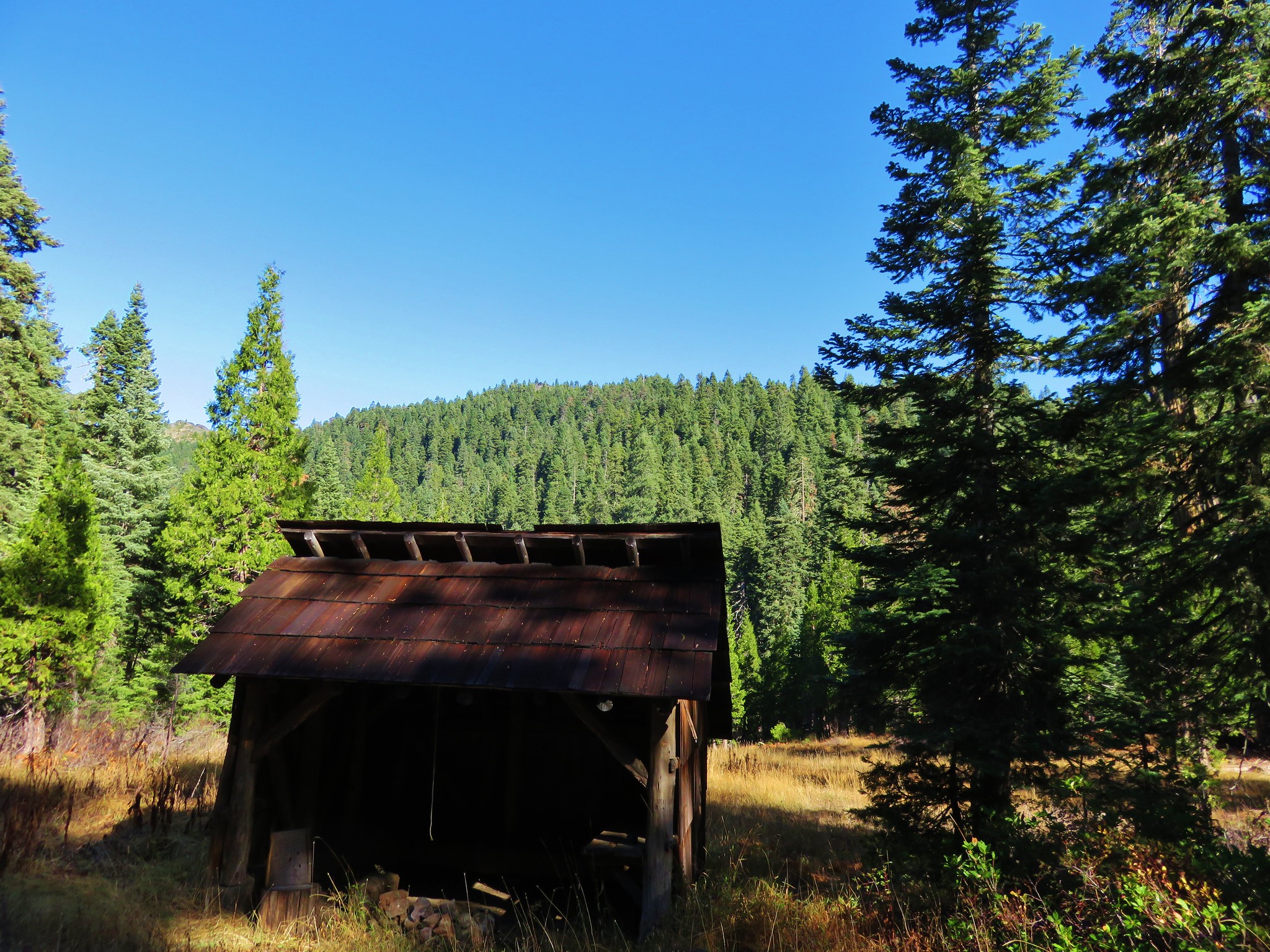
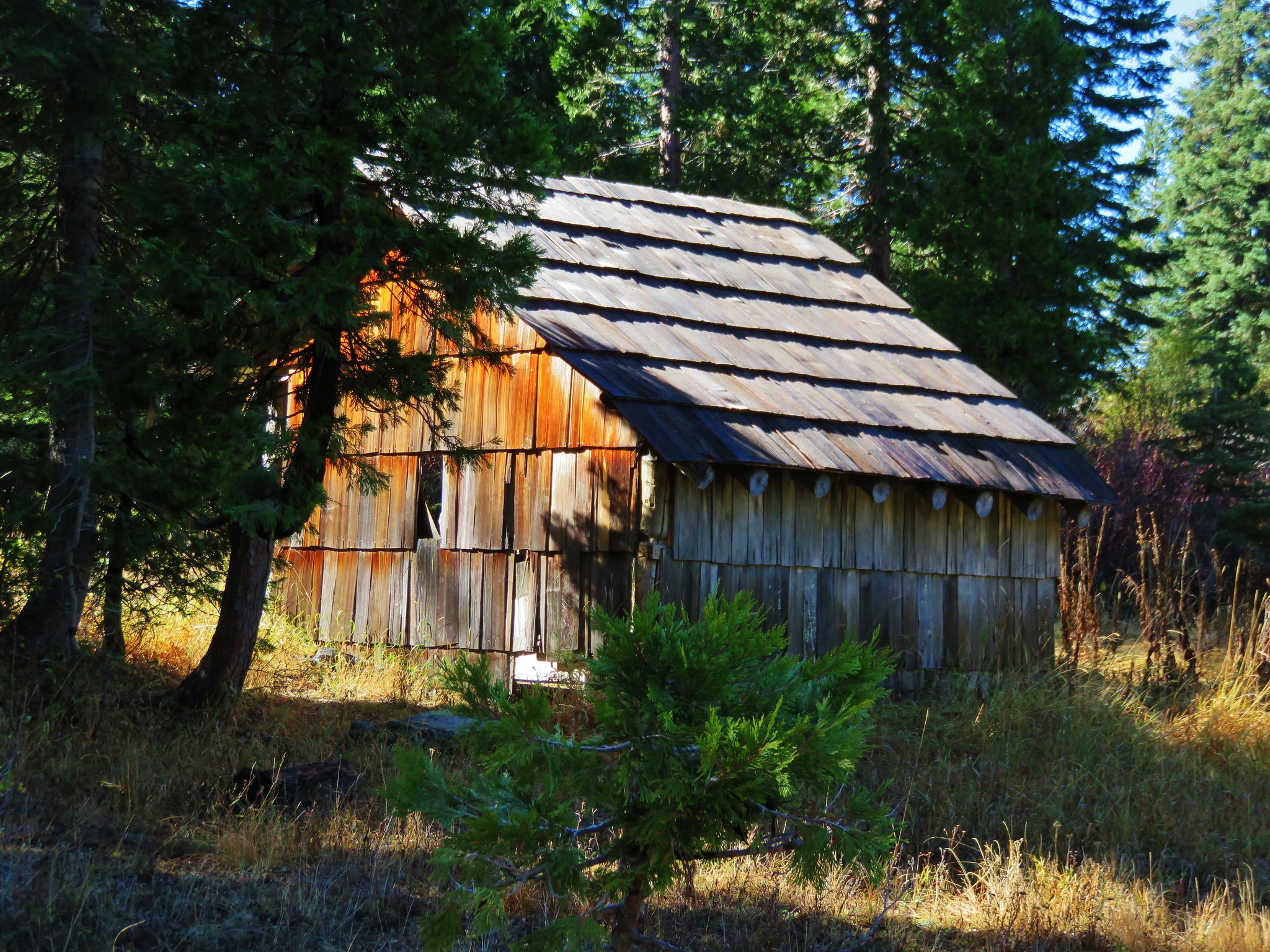
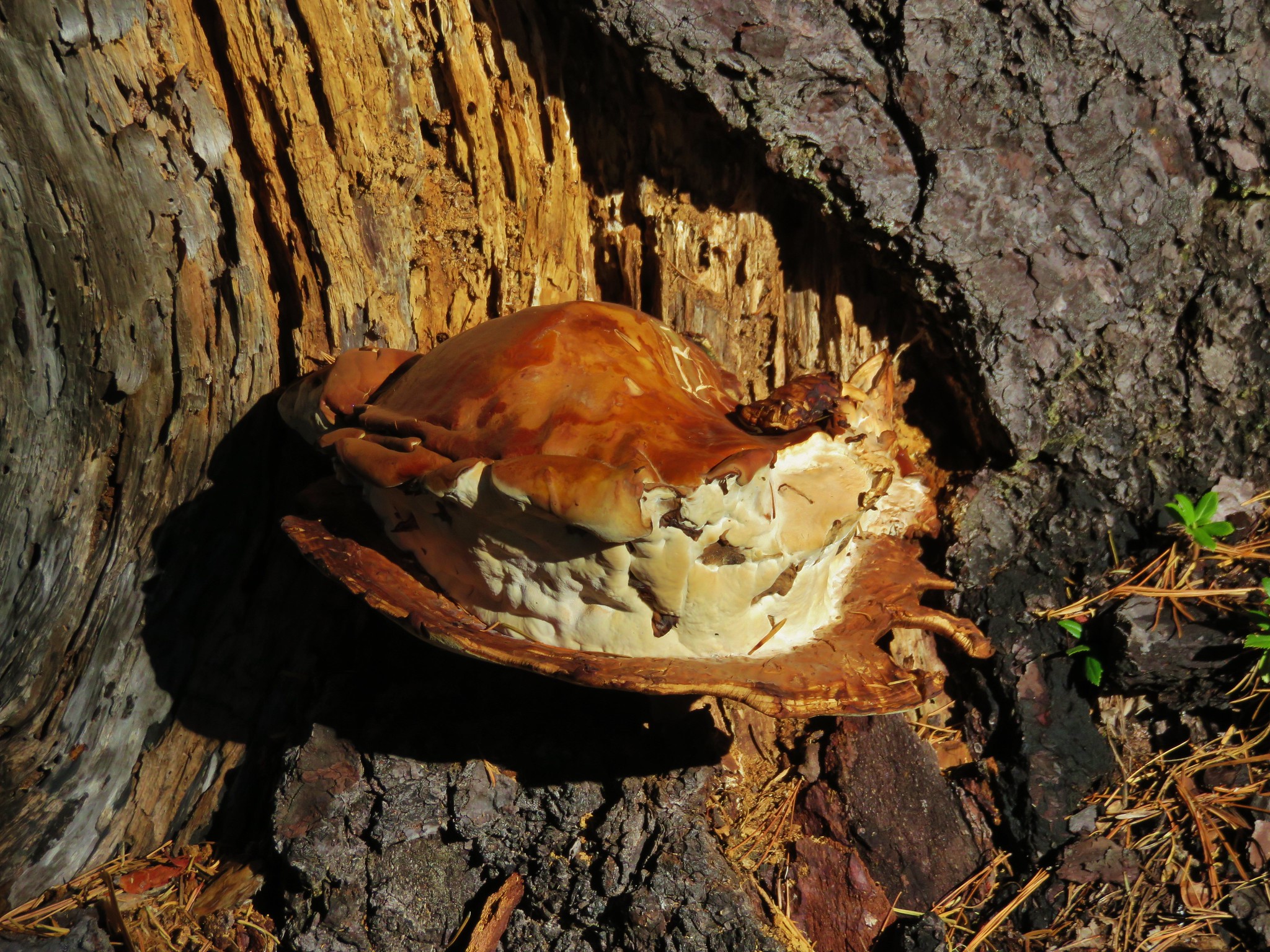
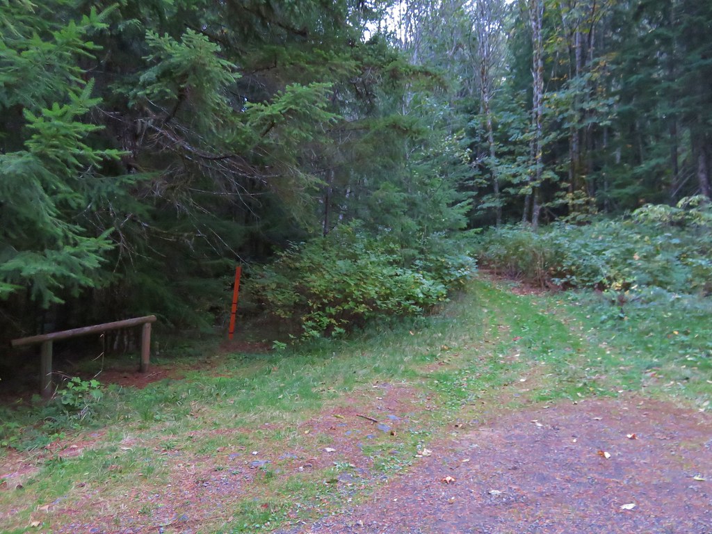
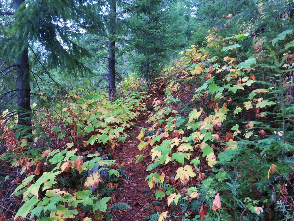
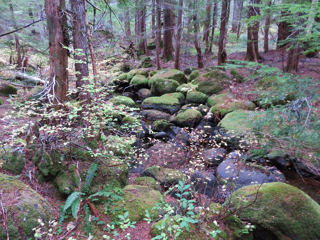
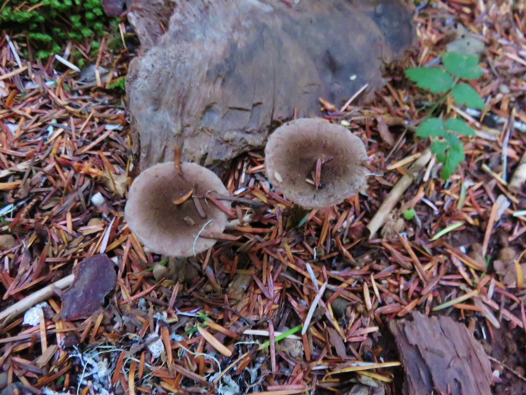
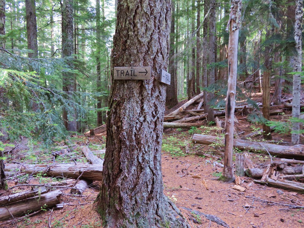
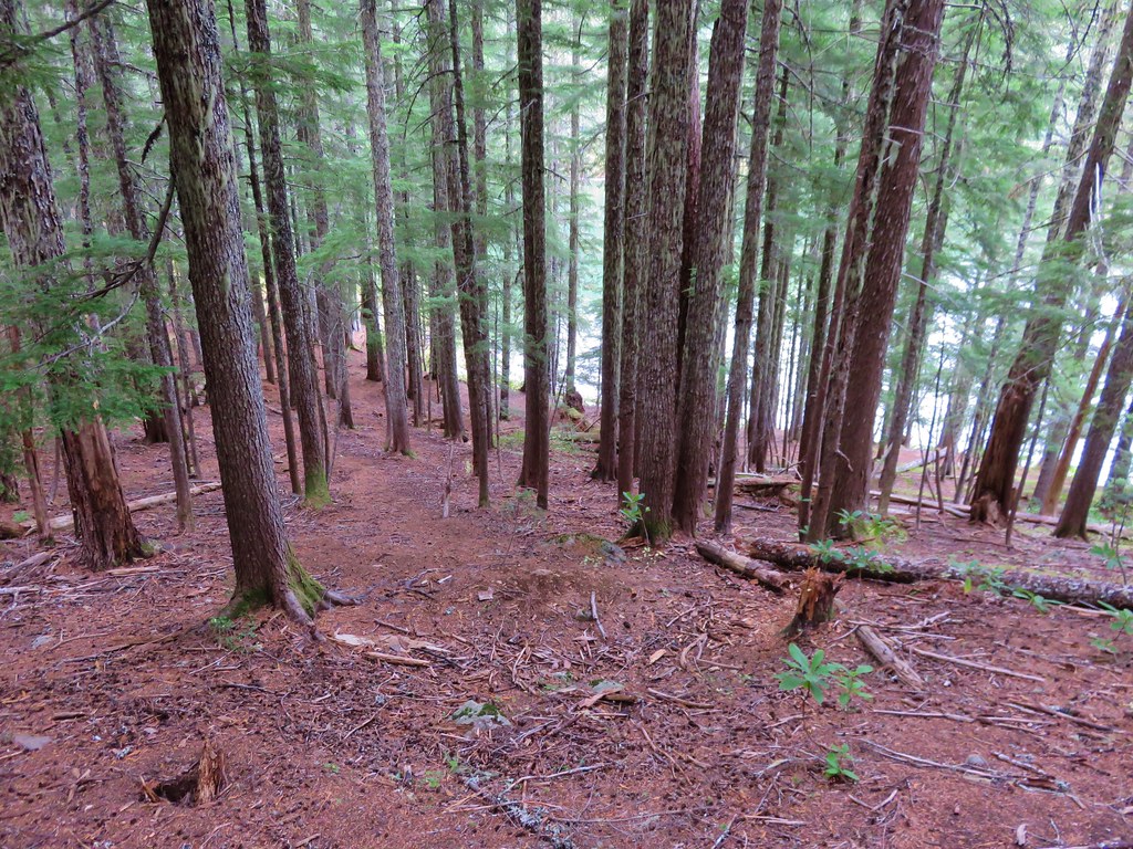
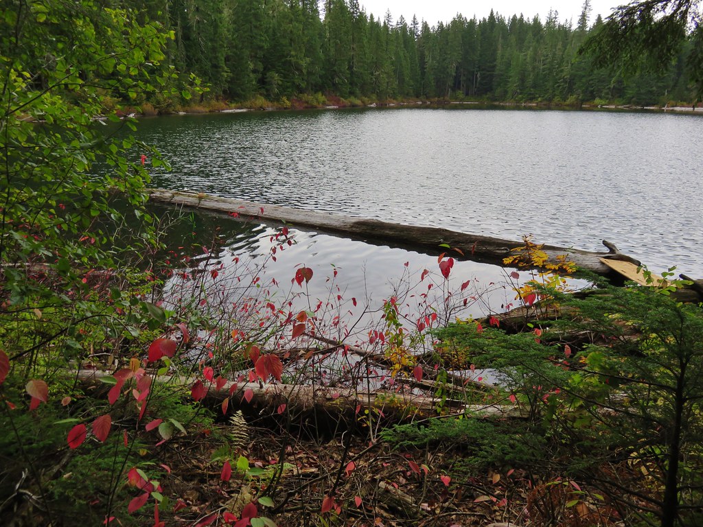
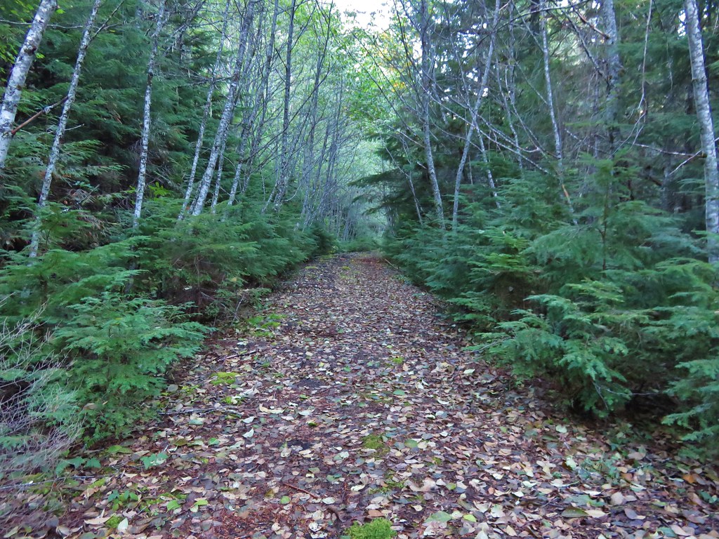
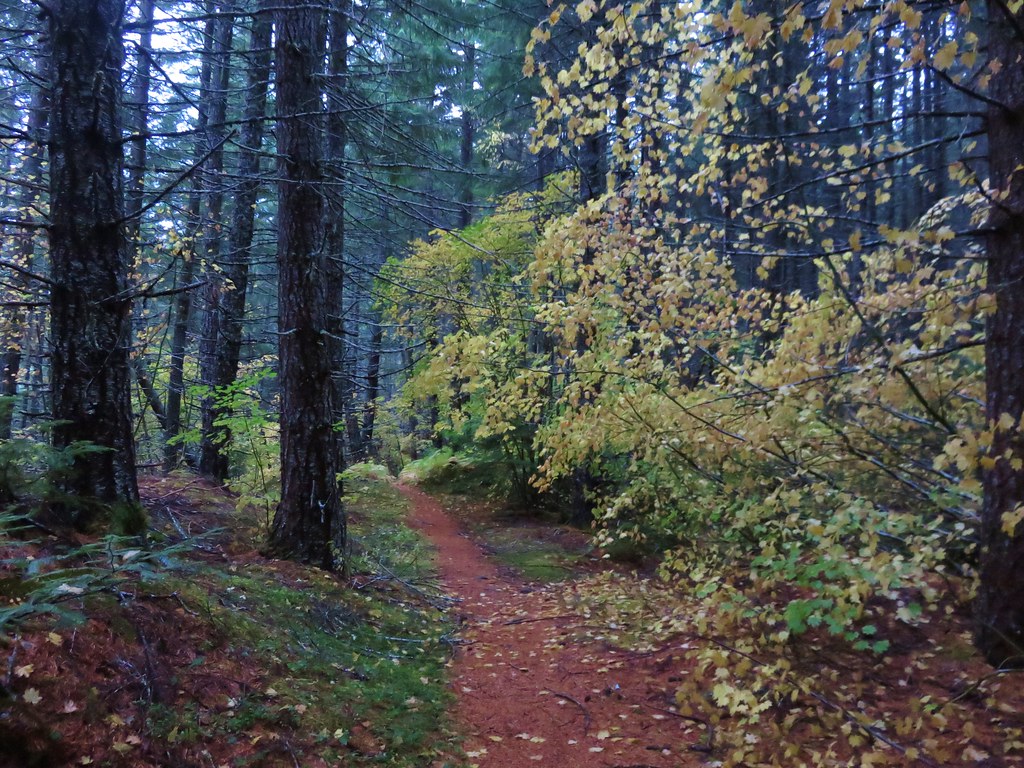
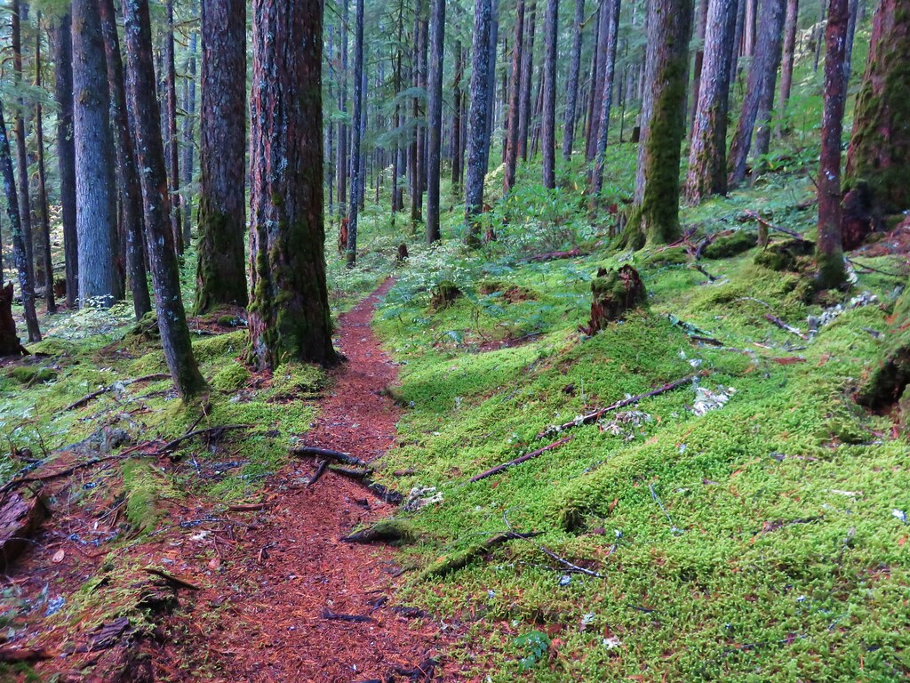
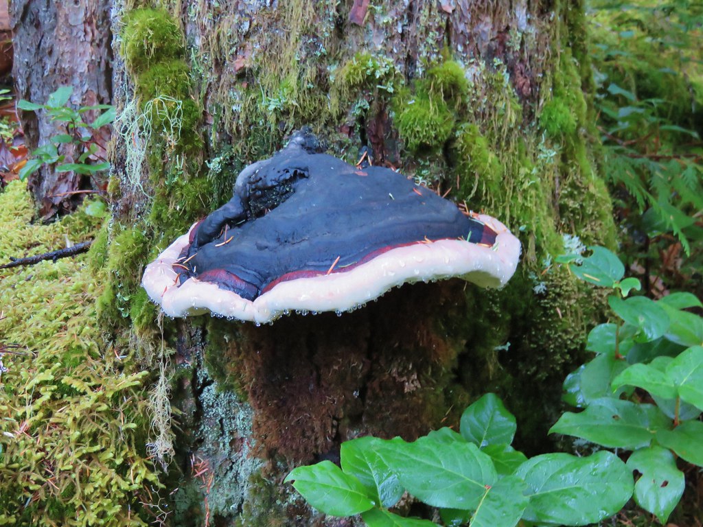
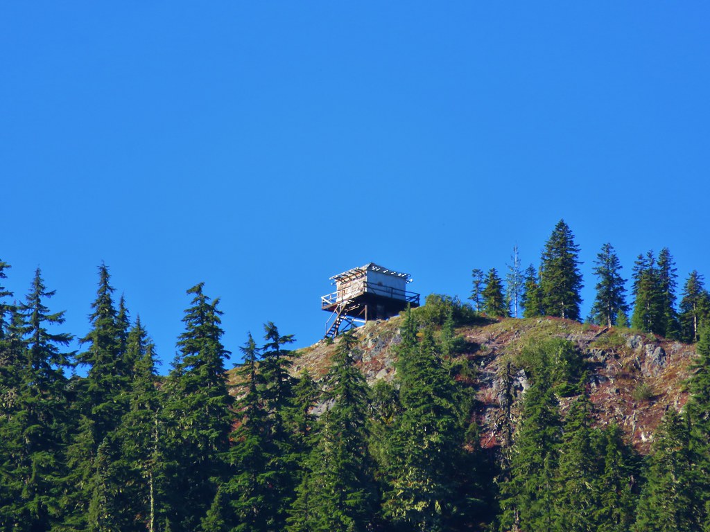
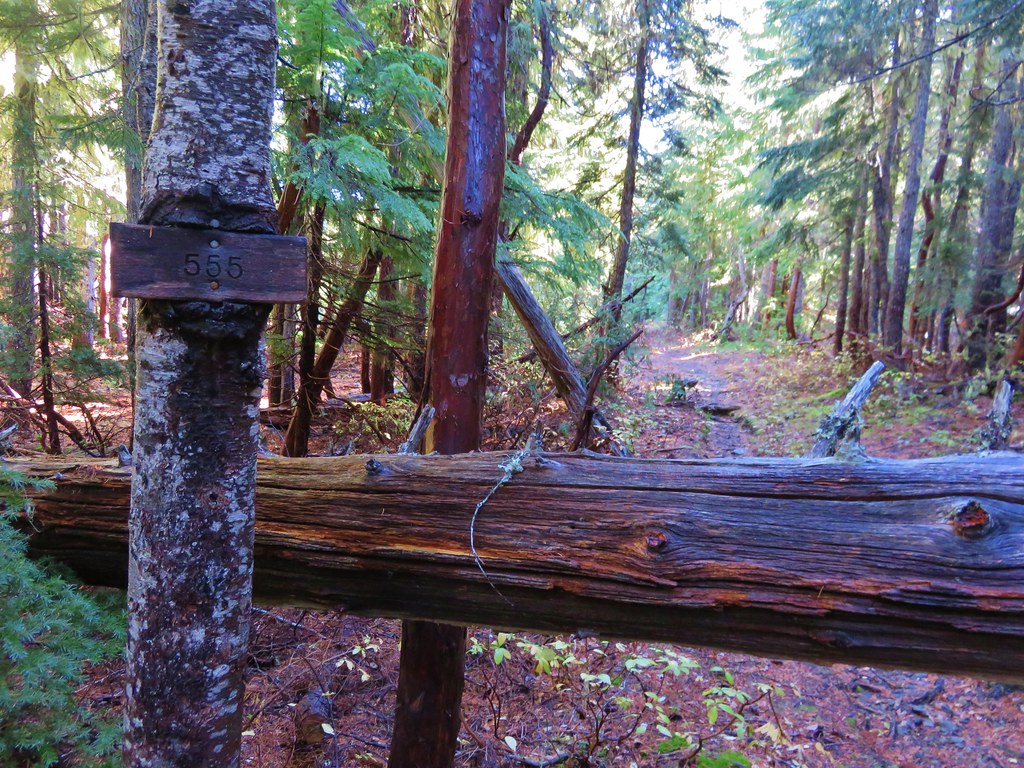
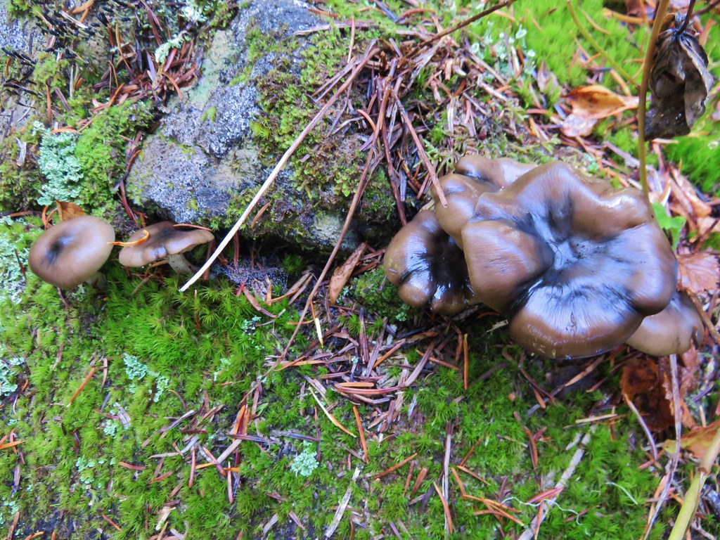
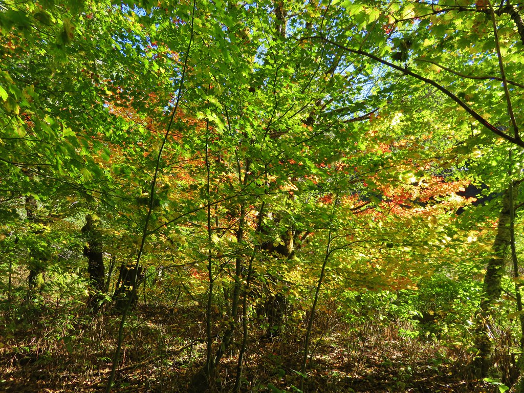
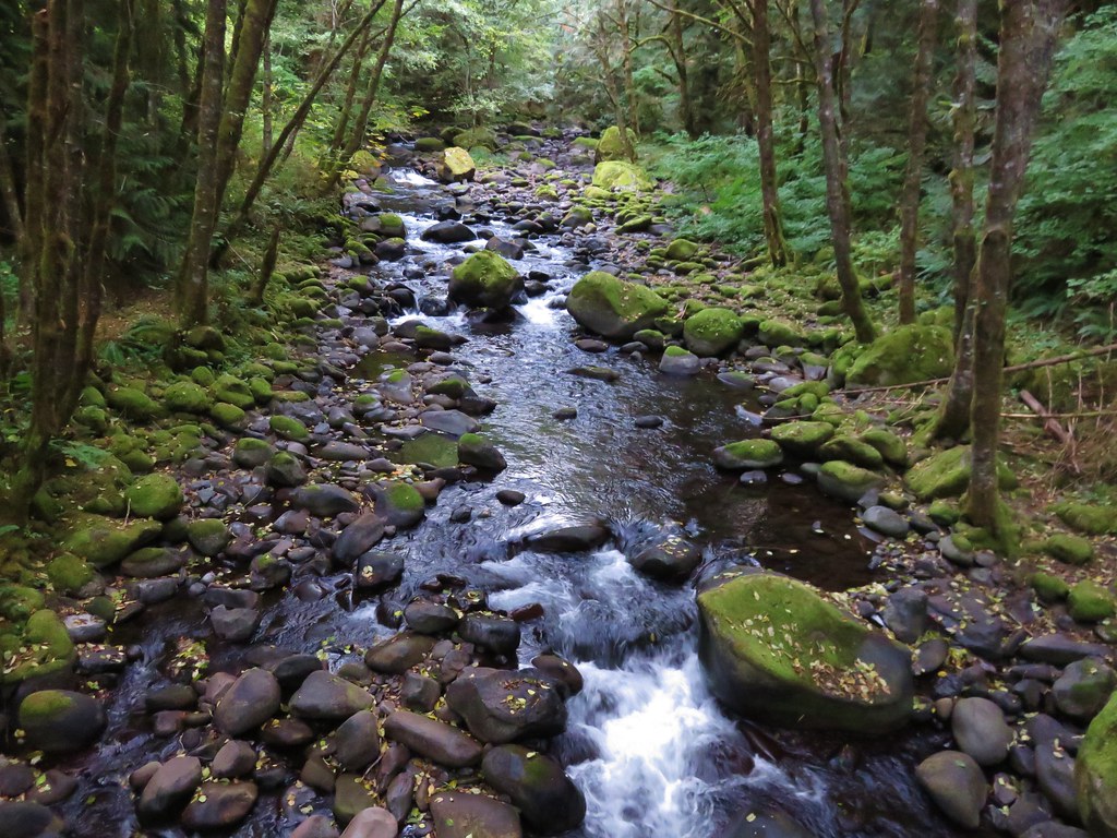
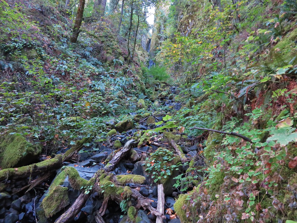
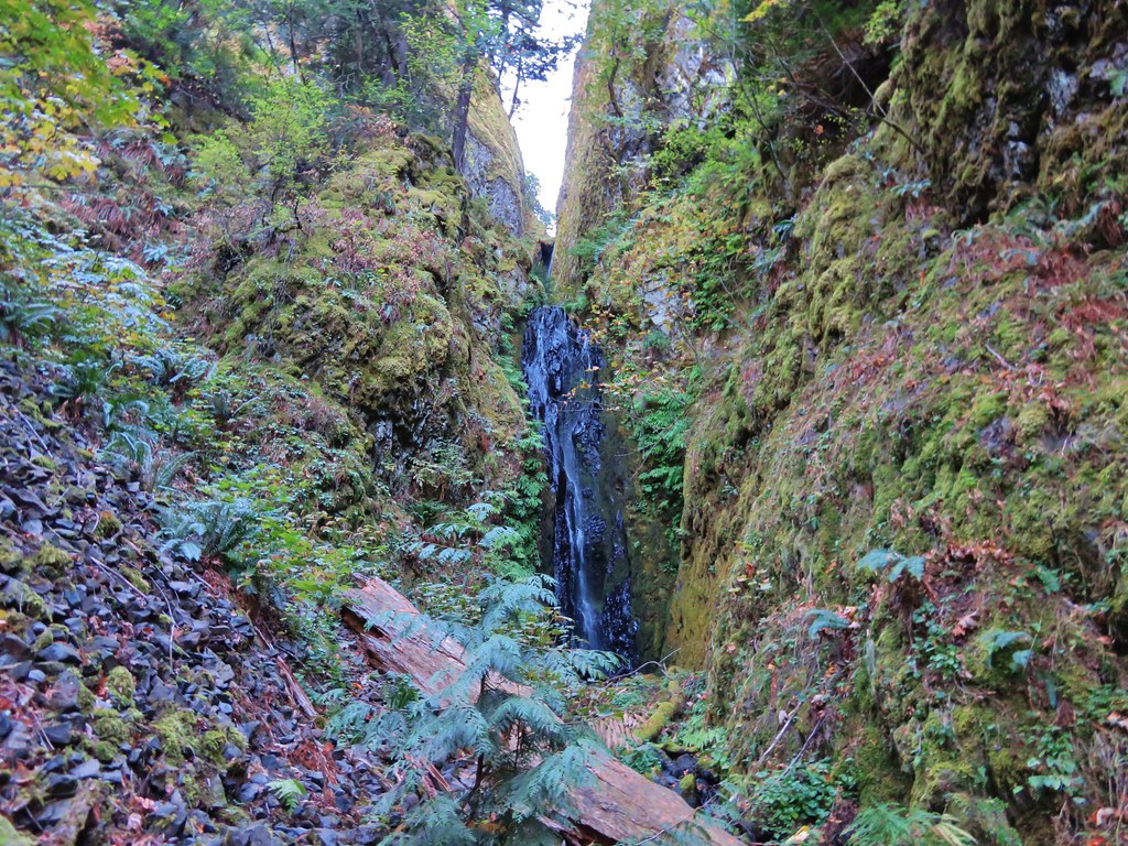
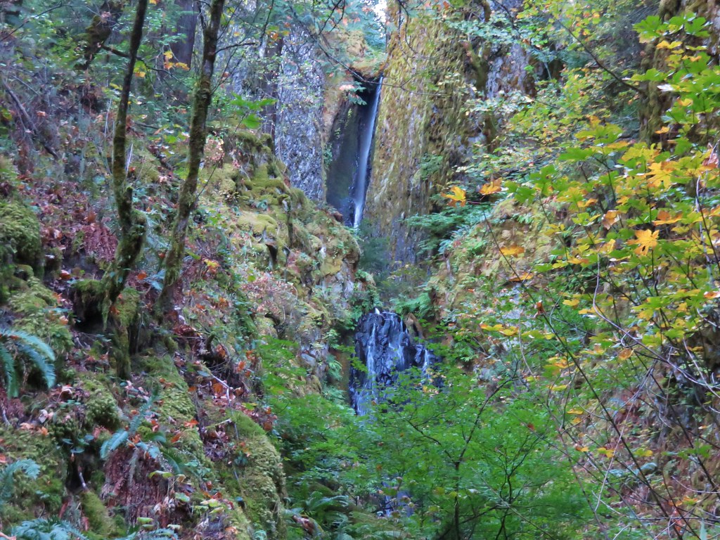
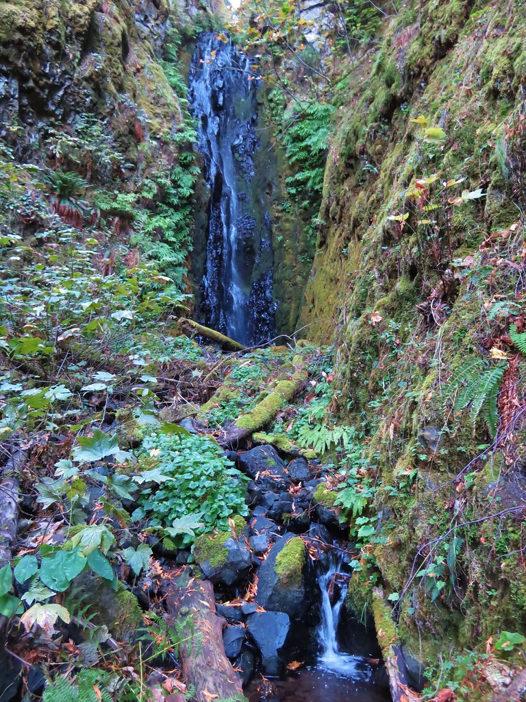
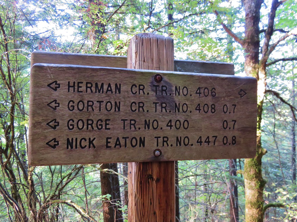
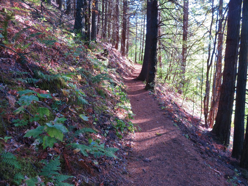
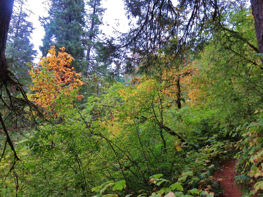
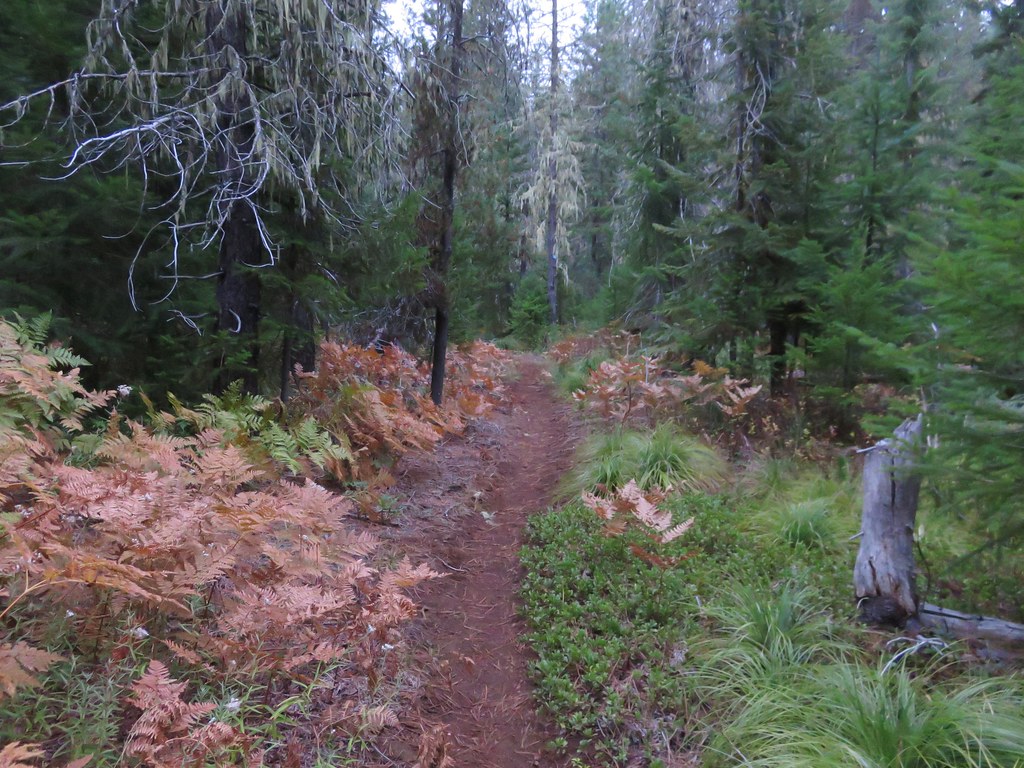
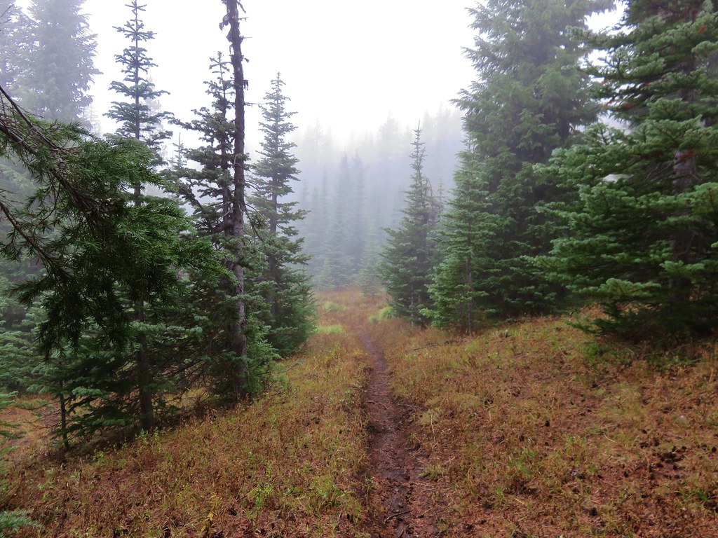
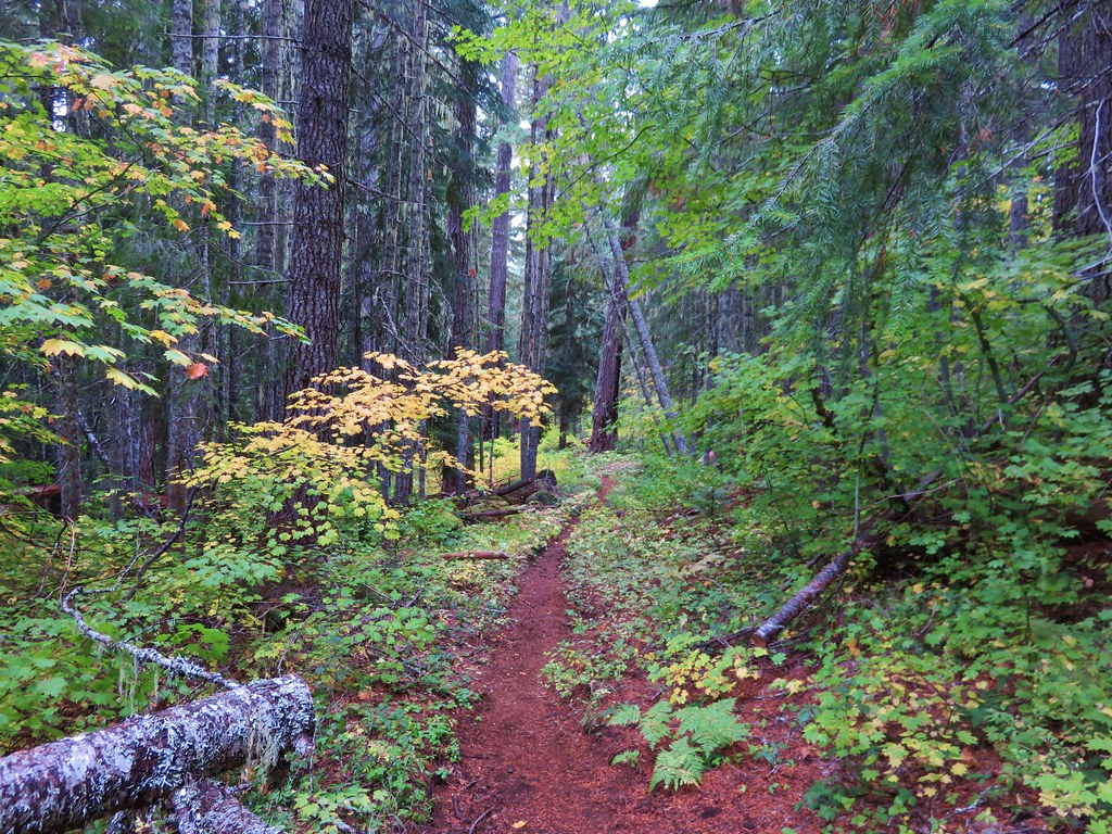
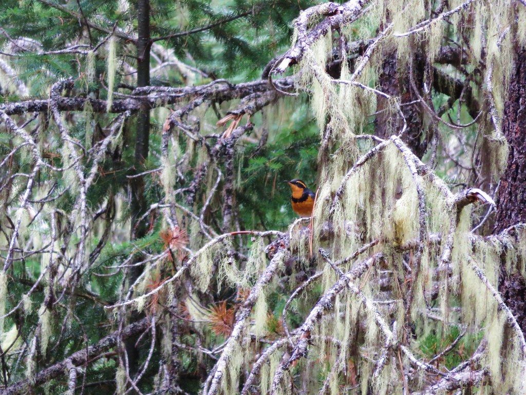
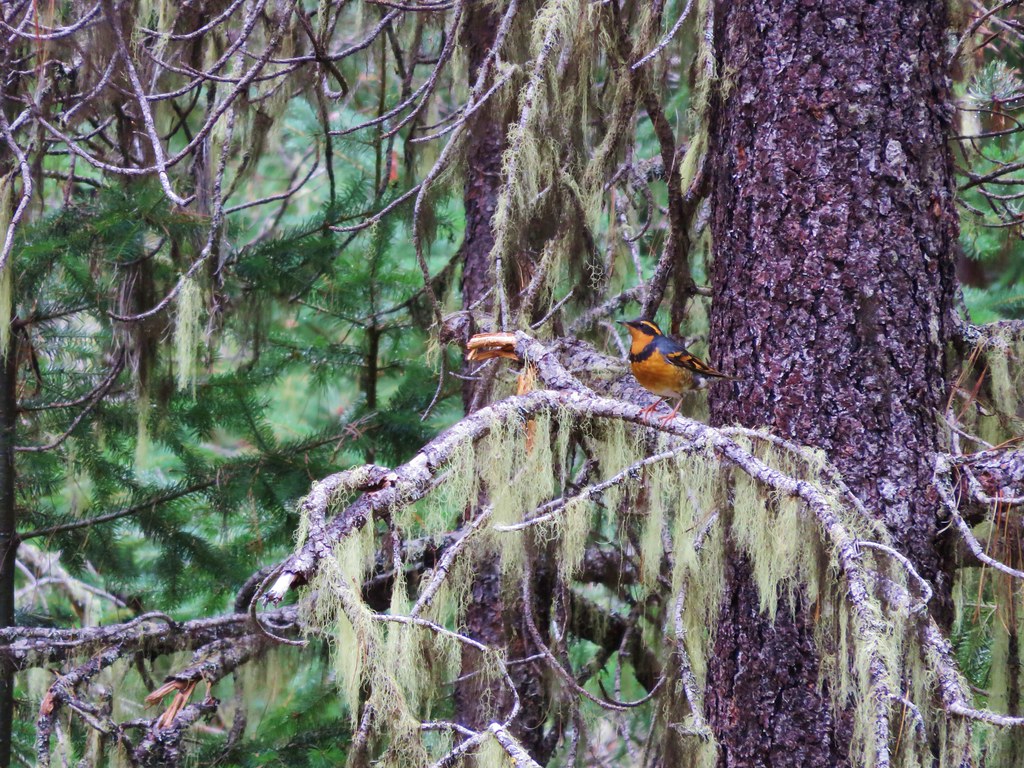
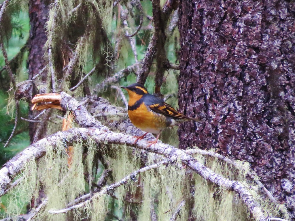
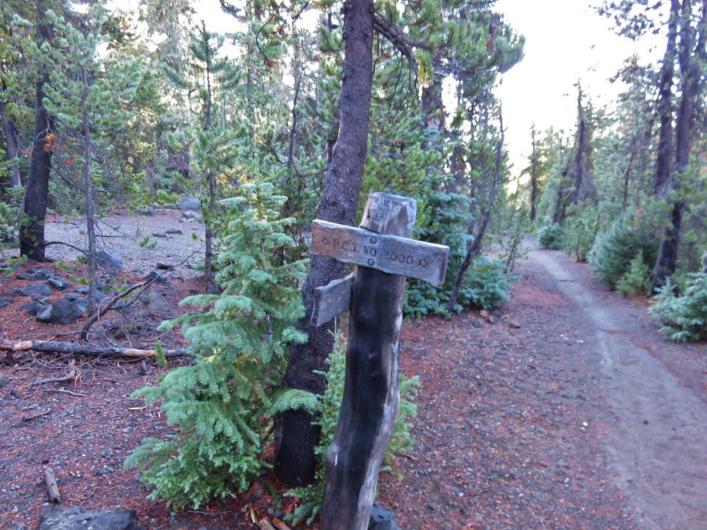
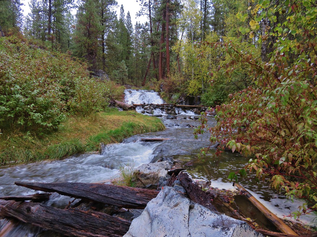
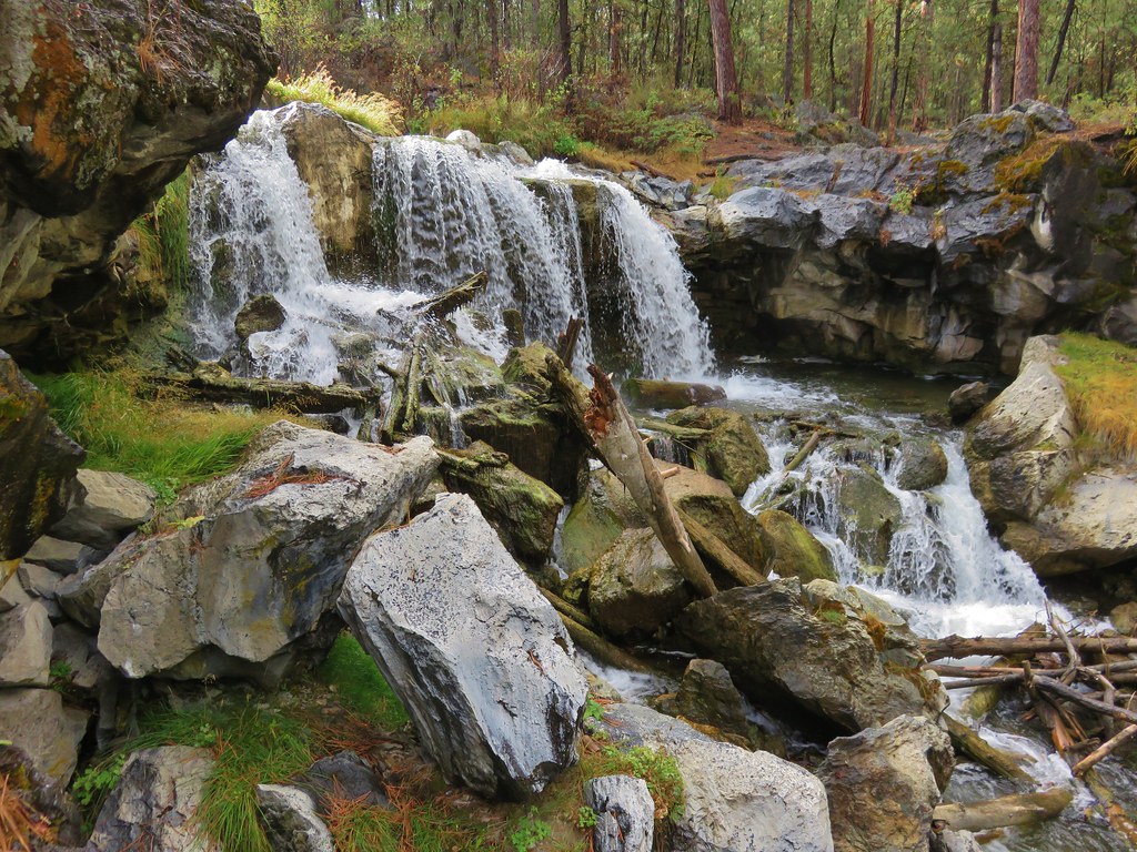
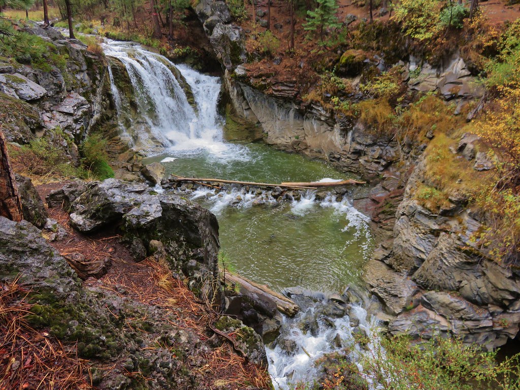
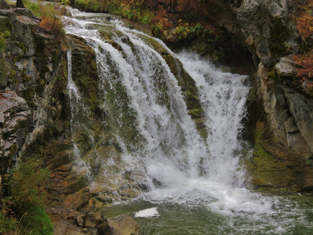
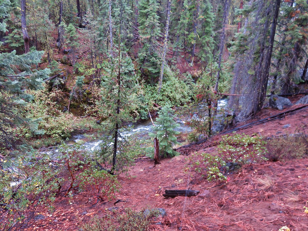
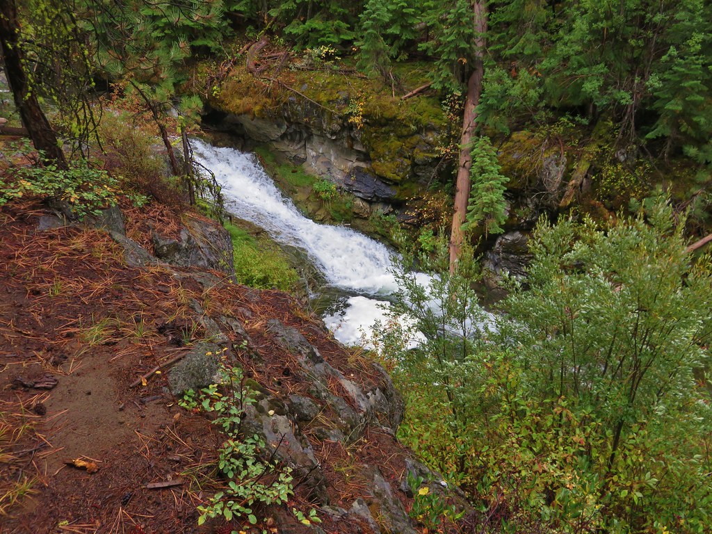
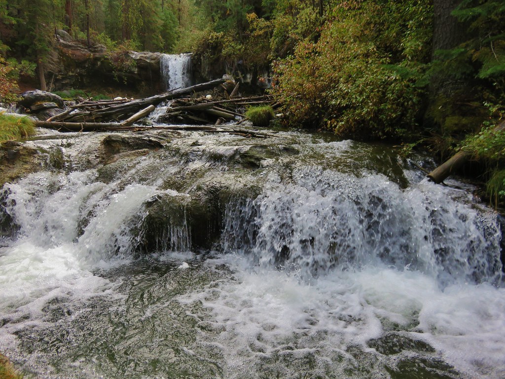
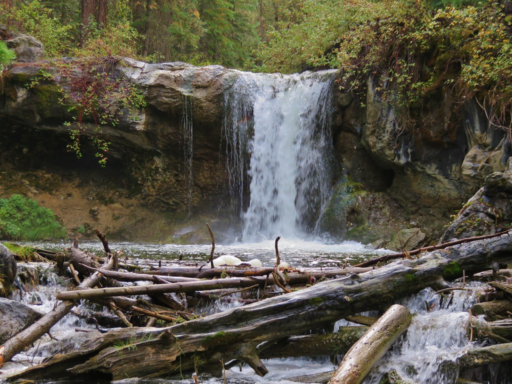
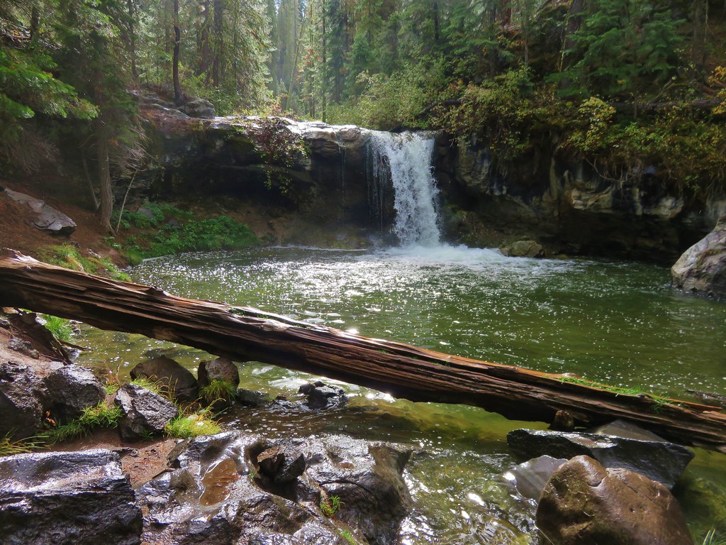
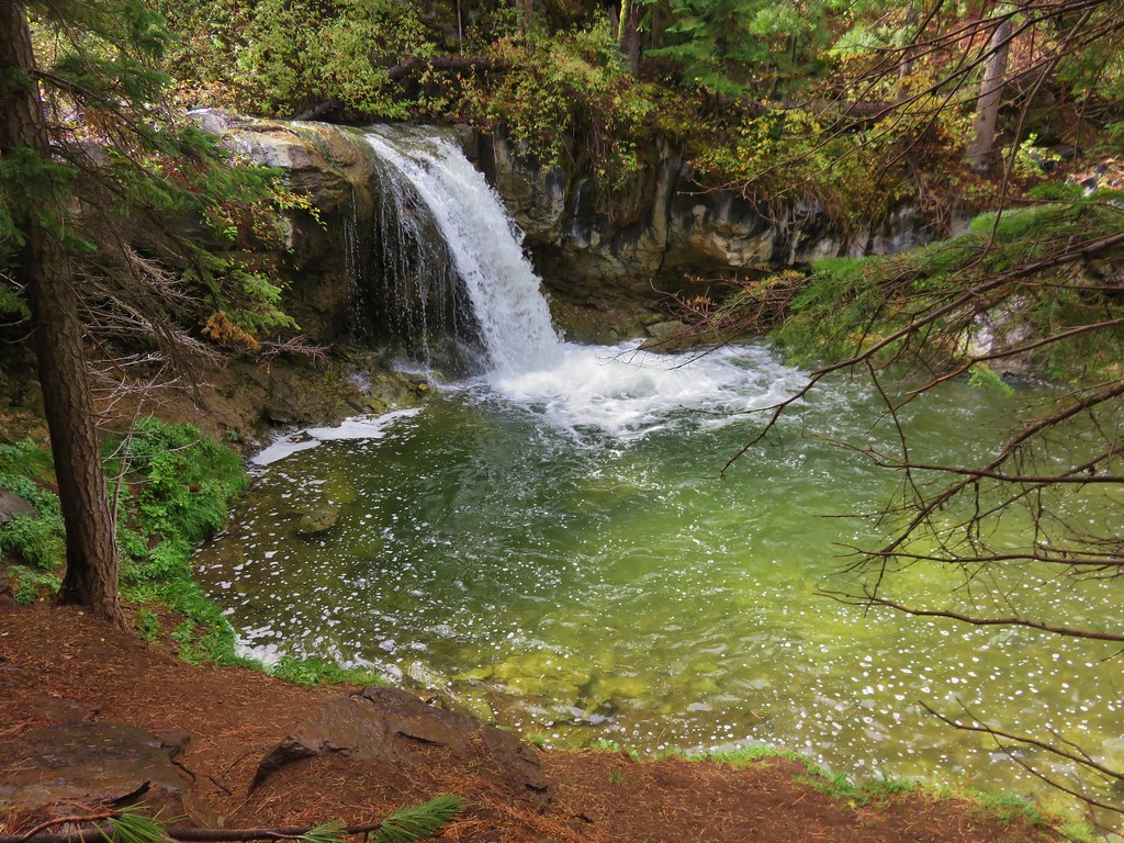
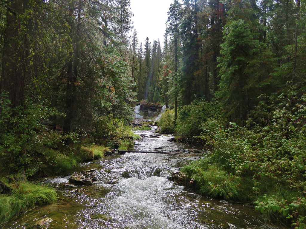
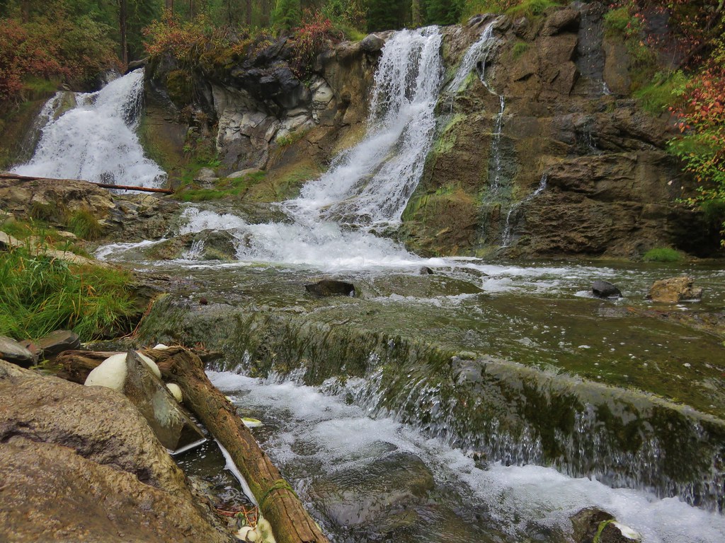
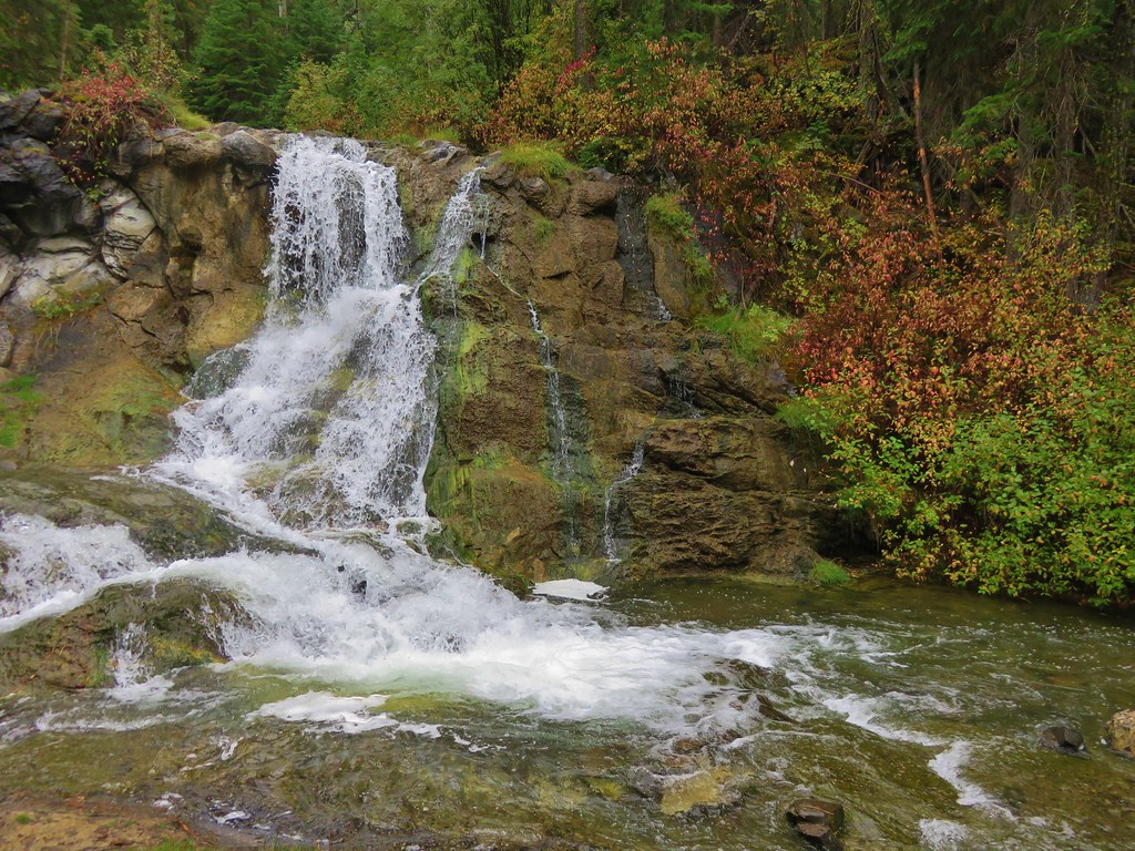
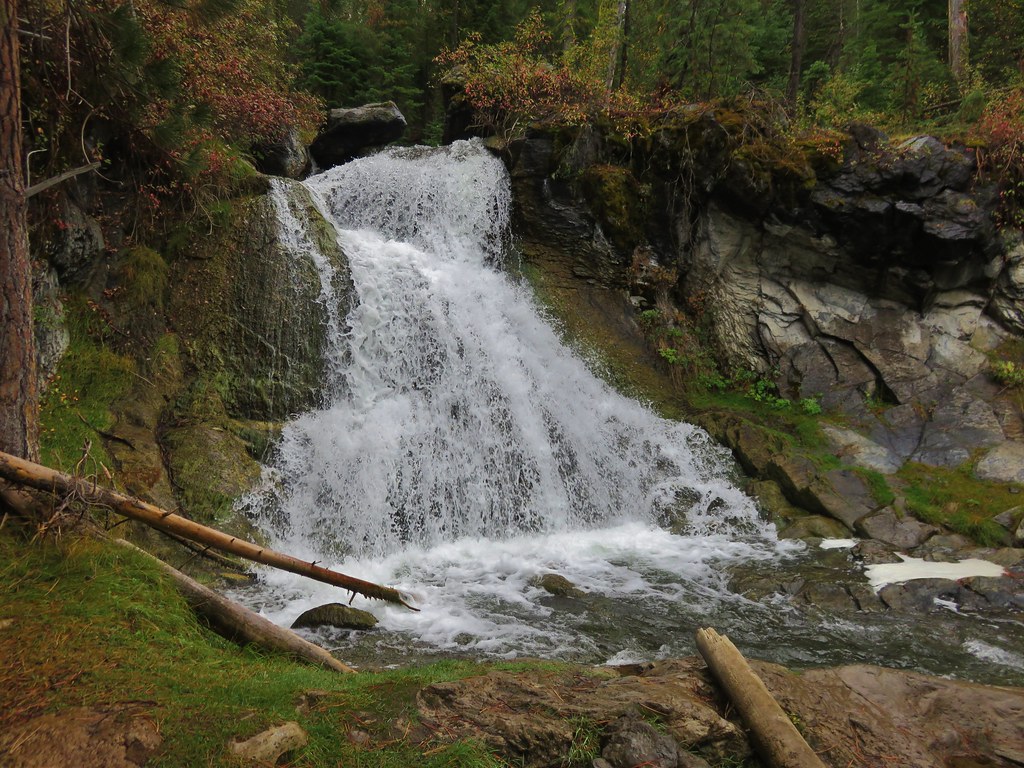
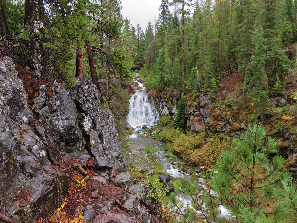
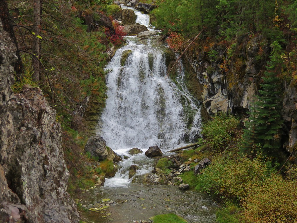
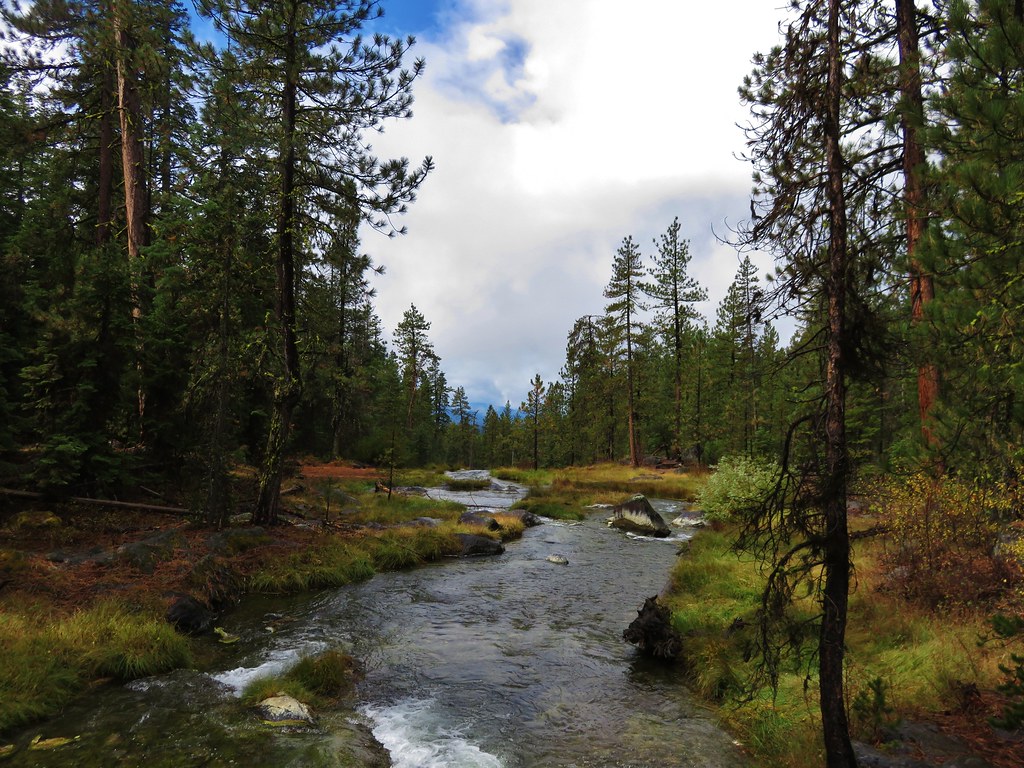
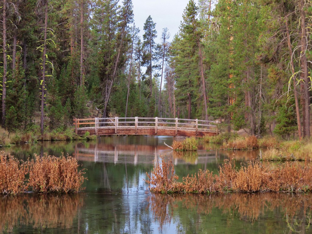
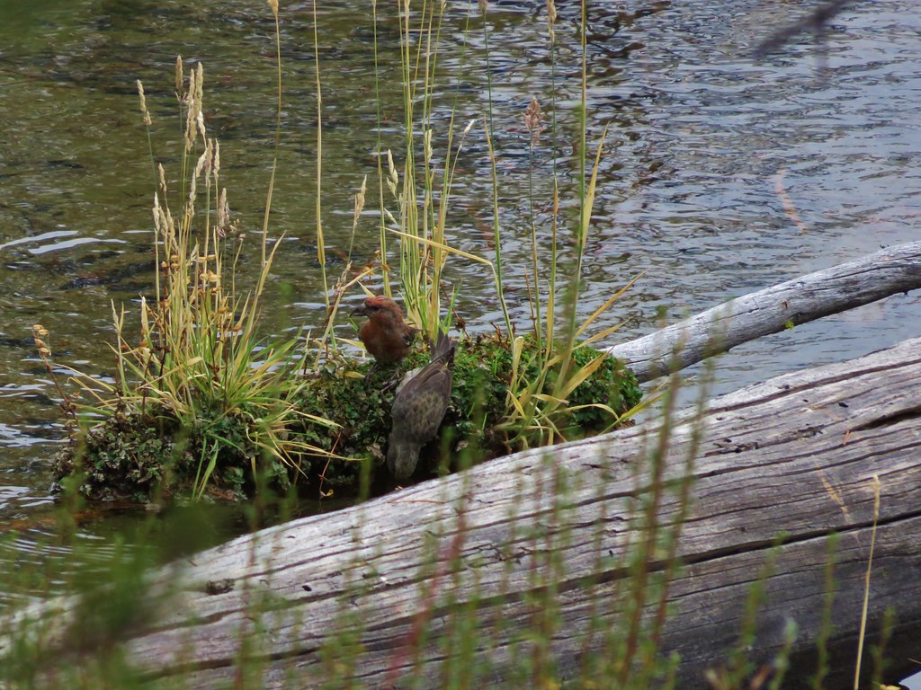
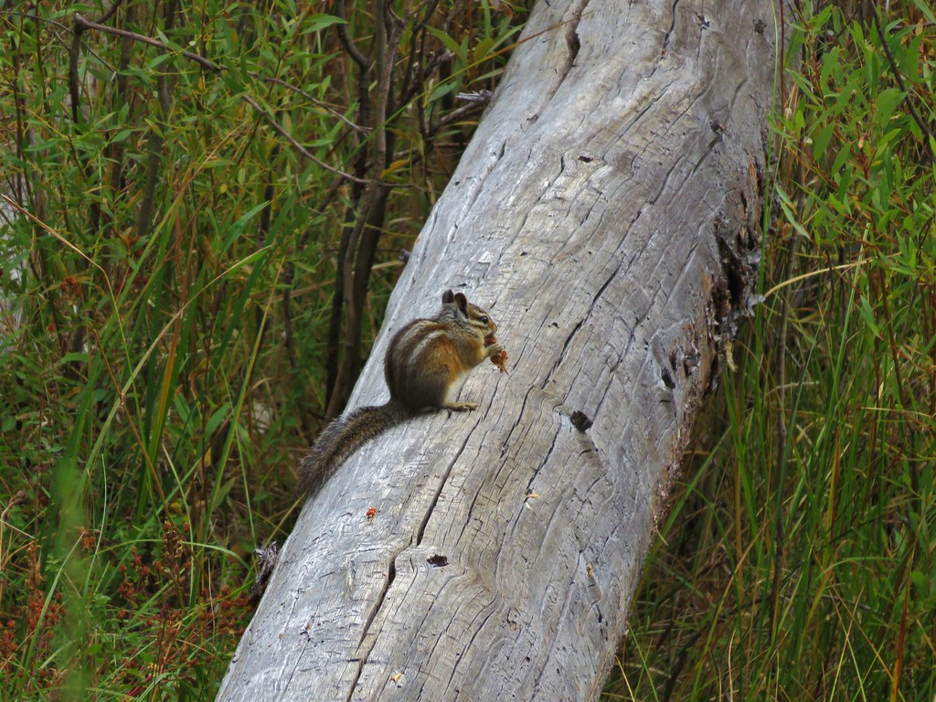
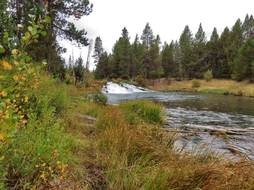
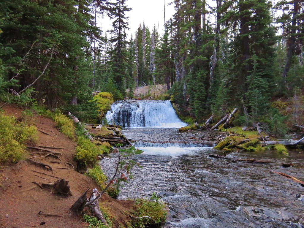
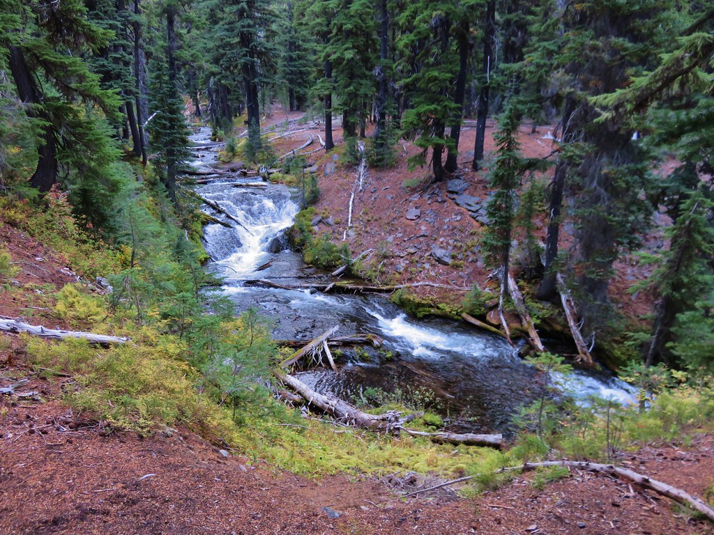
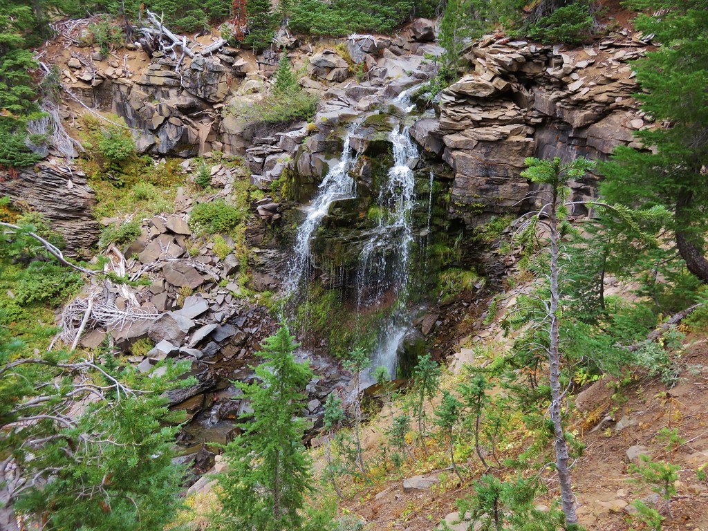
We set off on the familiar first 2 miles of the trail along Fall Creek passing its series of waterfalls.
 //embedr.flickr.com/assets/client-code.js
 //embedr.flickr.com/assets/client-code.js
 //embedr.flickr.com/assets/client-code.js
 //embedr.flickr.com/assets/client-code.js
 //embedr.flickr.com/assets/client-code.js
 //embedr.flickr.com/assets/client-code.js
 //embedr.flickr.com/assets/client-code.js
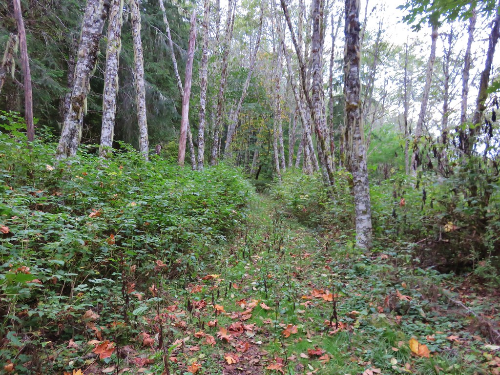
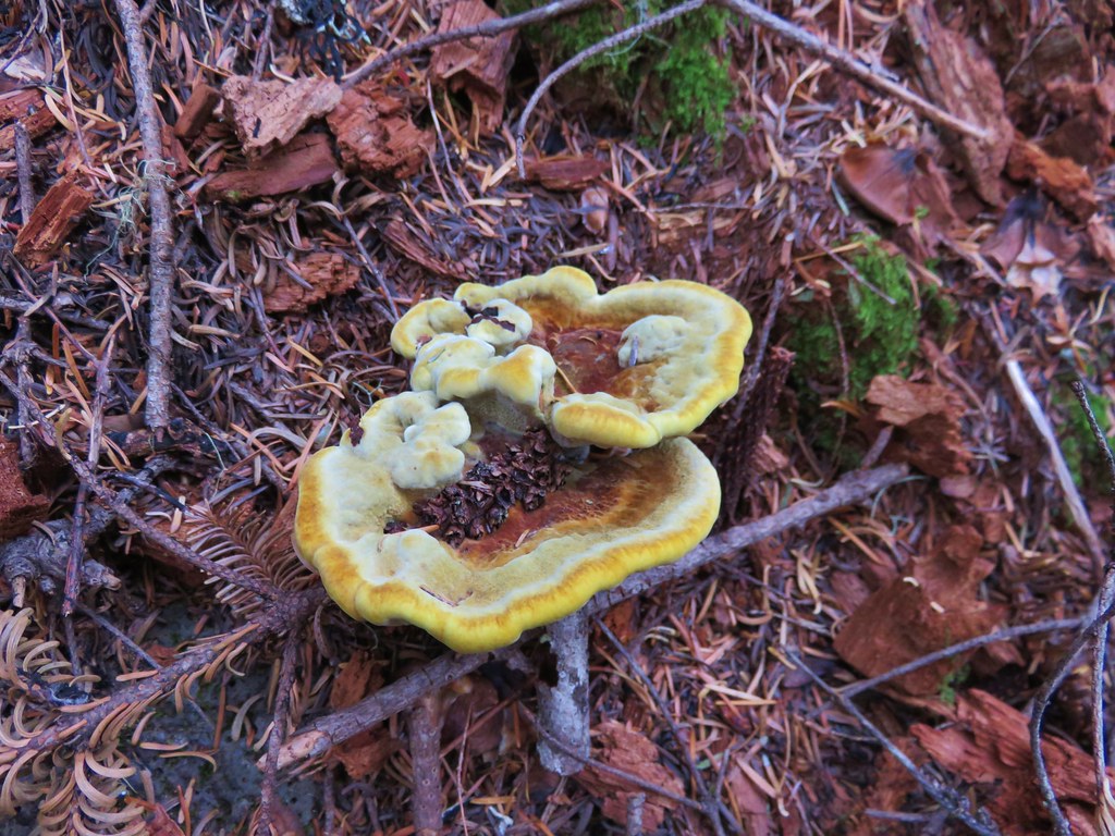
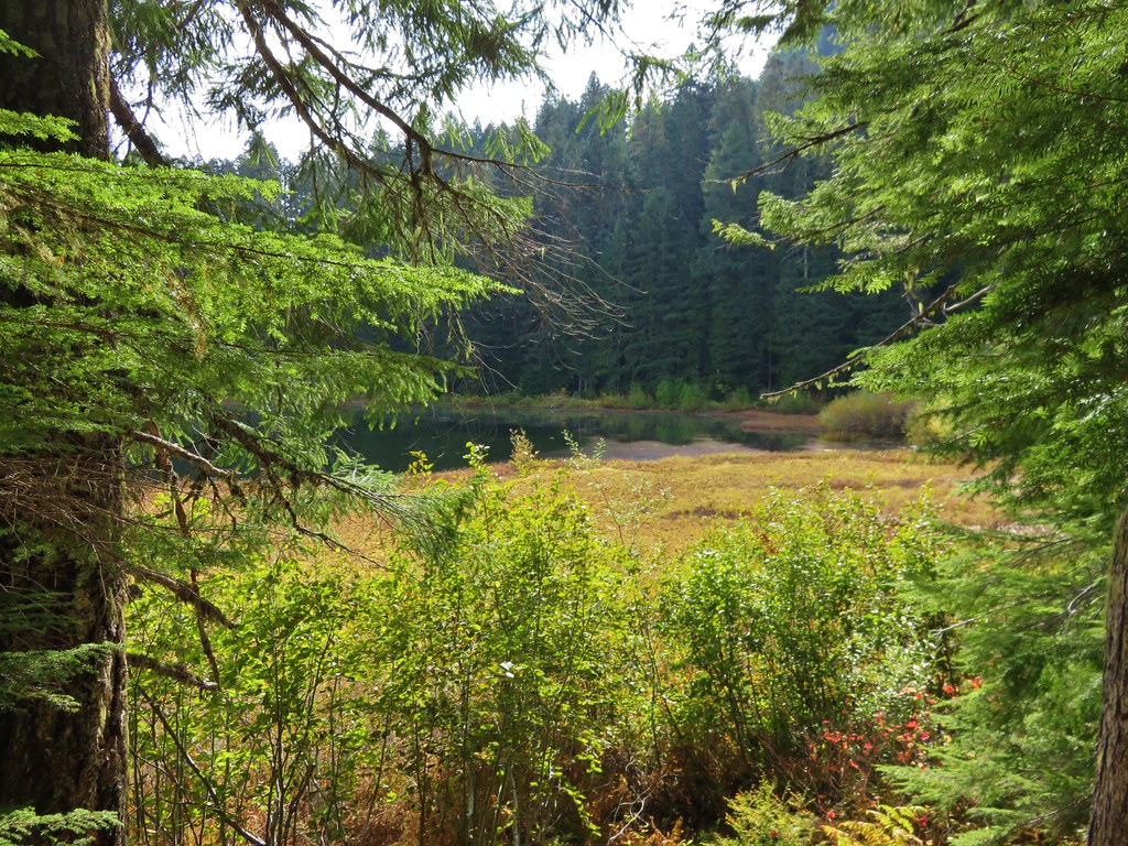
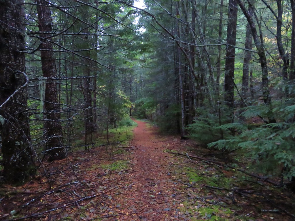
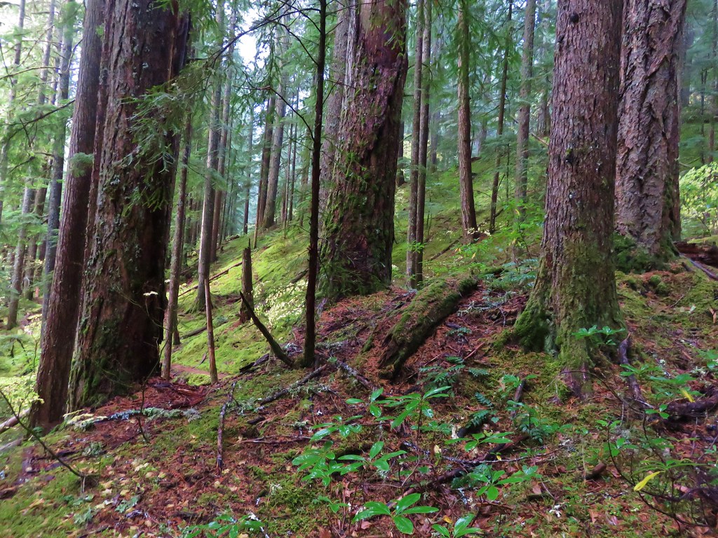
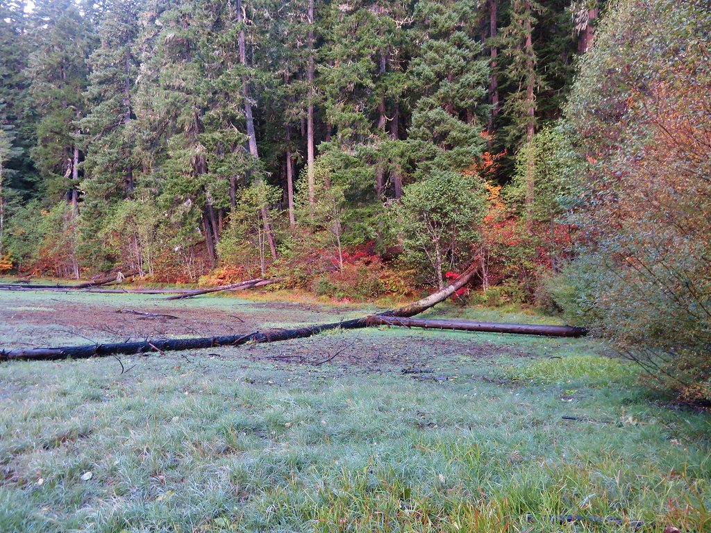
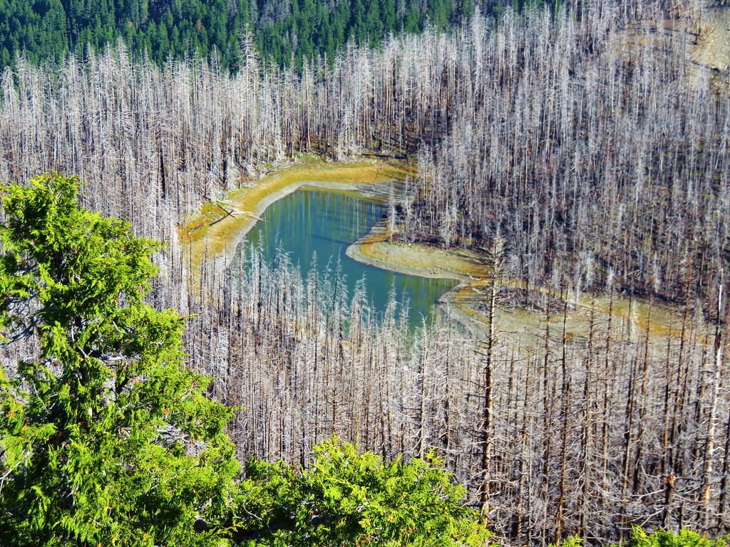
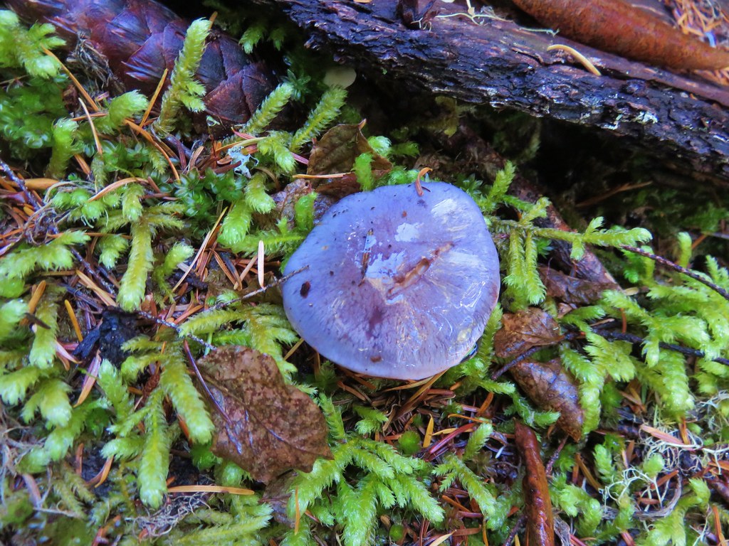
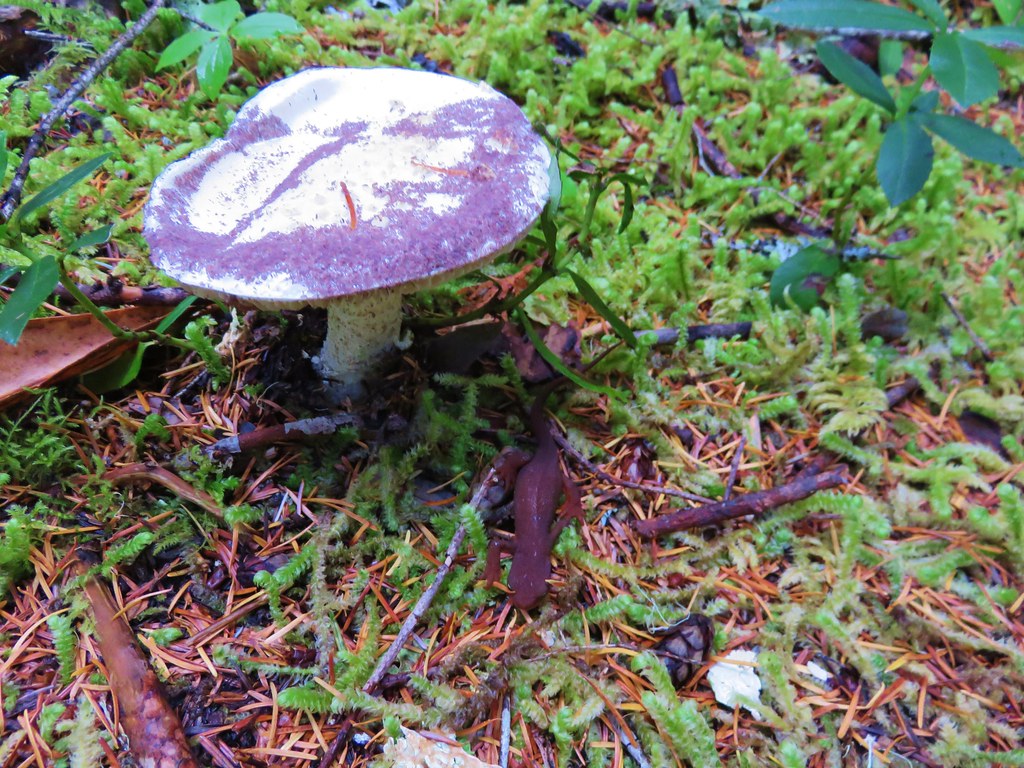
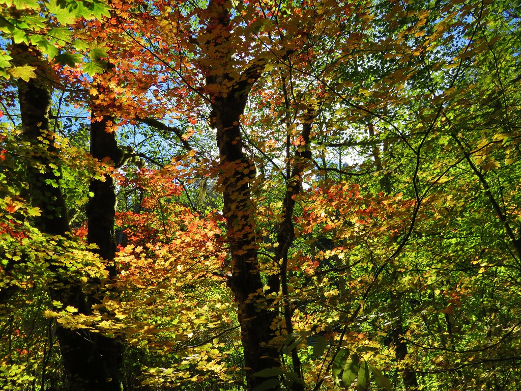
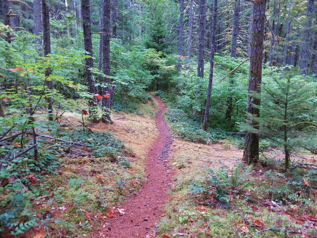
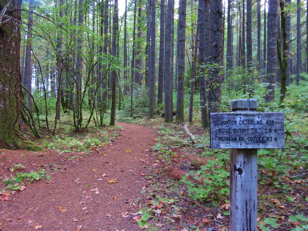
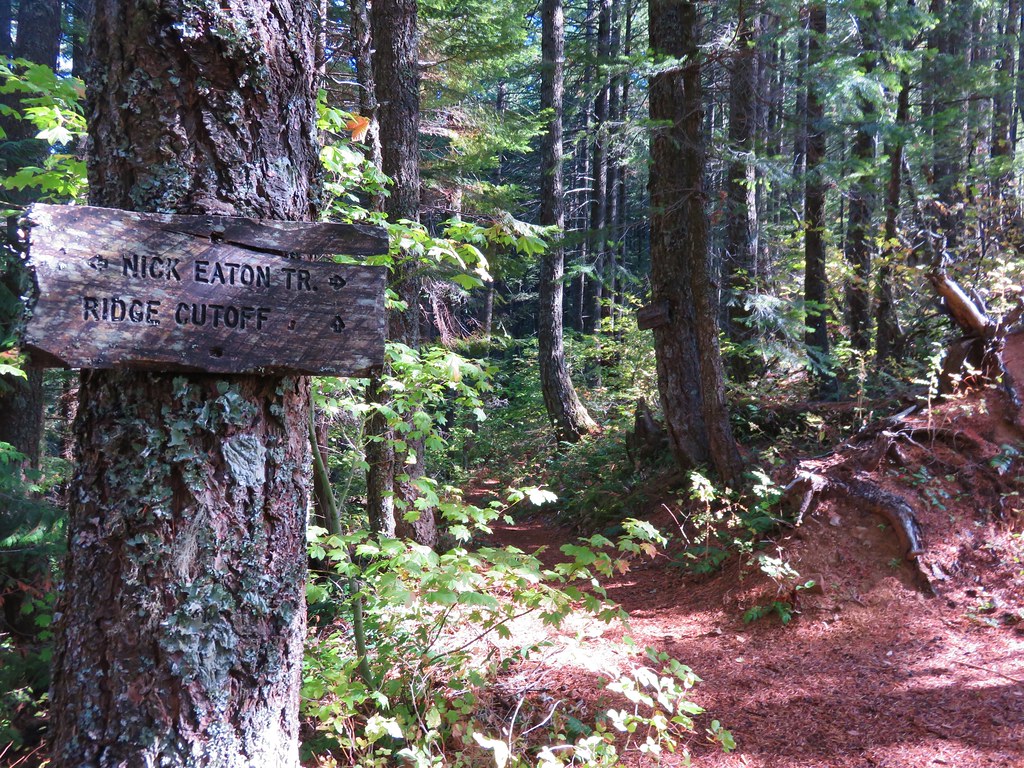
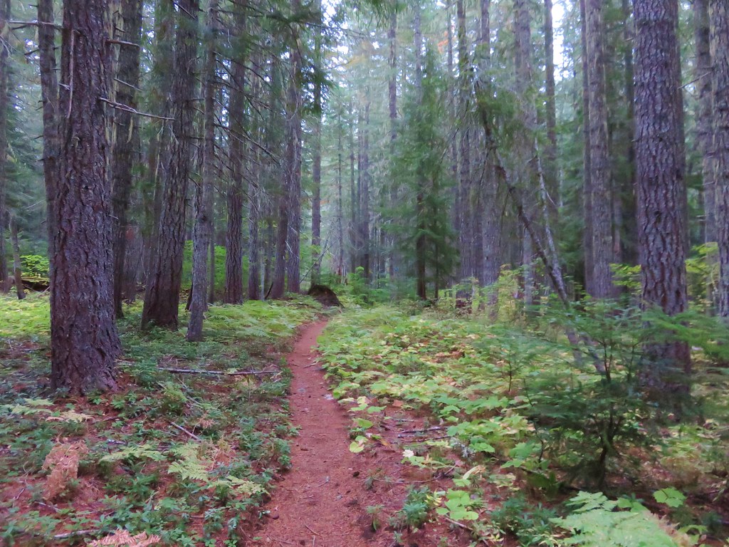
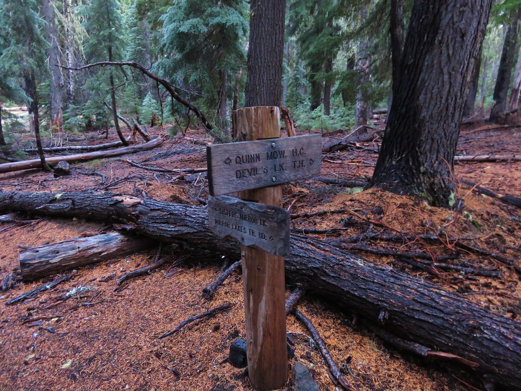
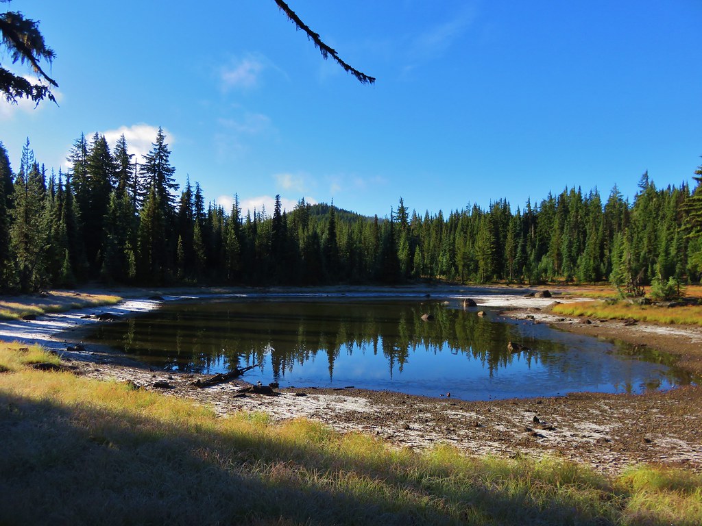
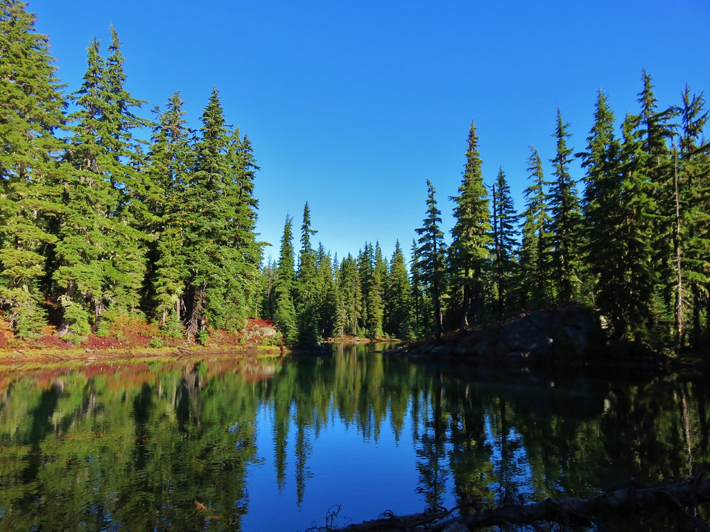
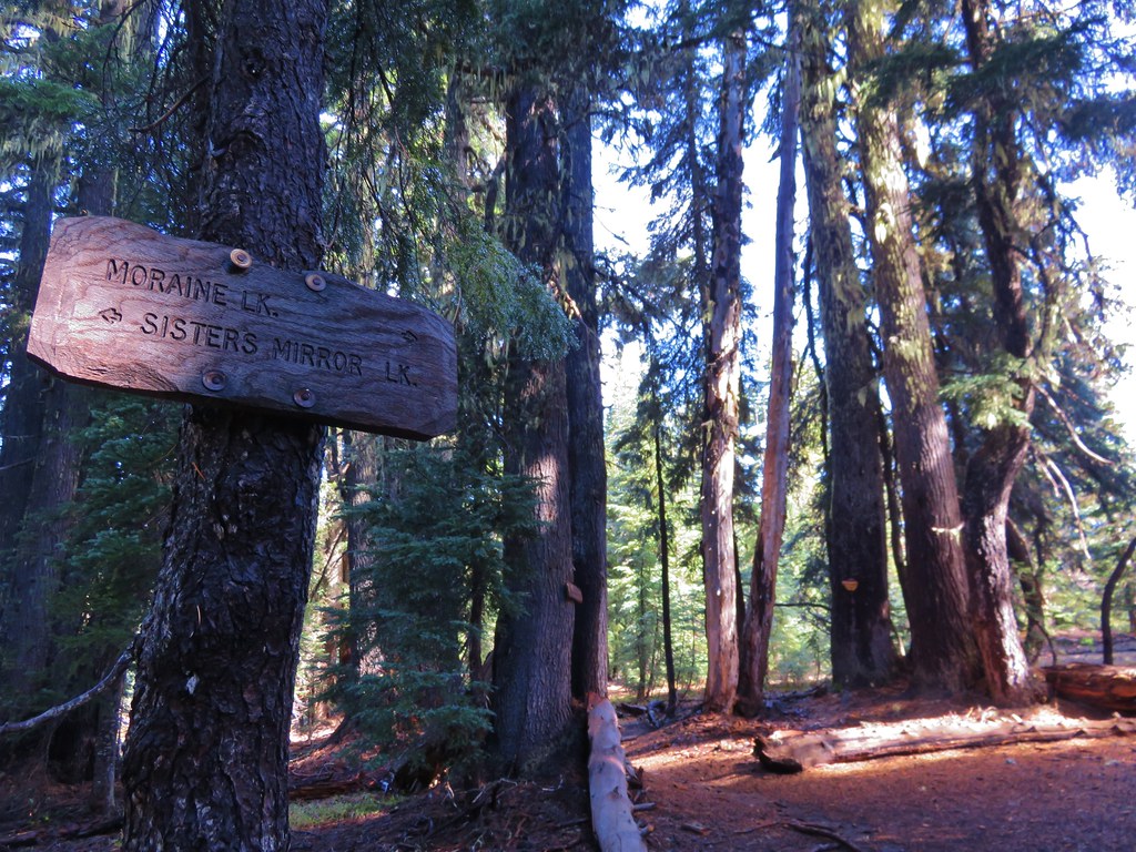
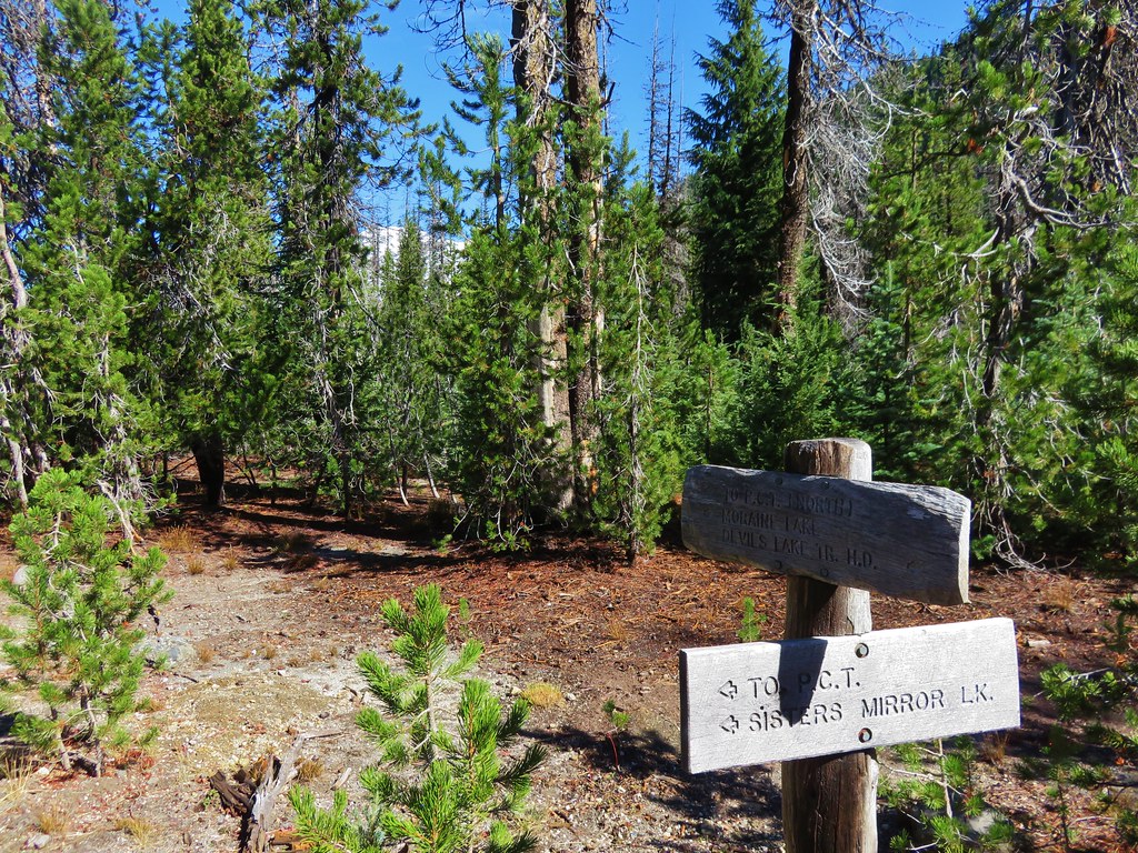
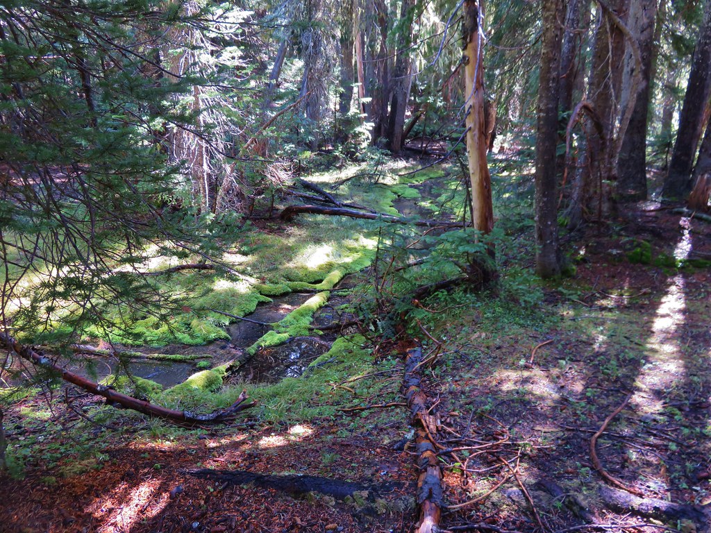
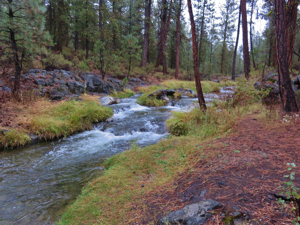
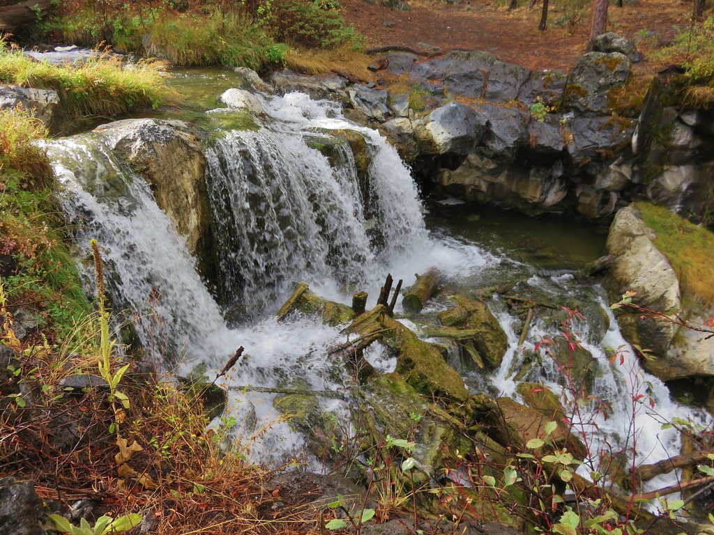
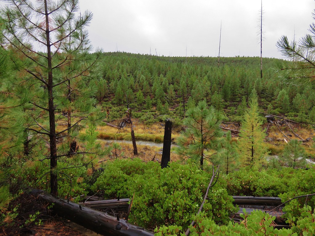
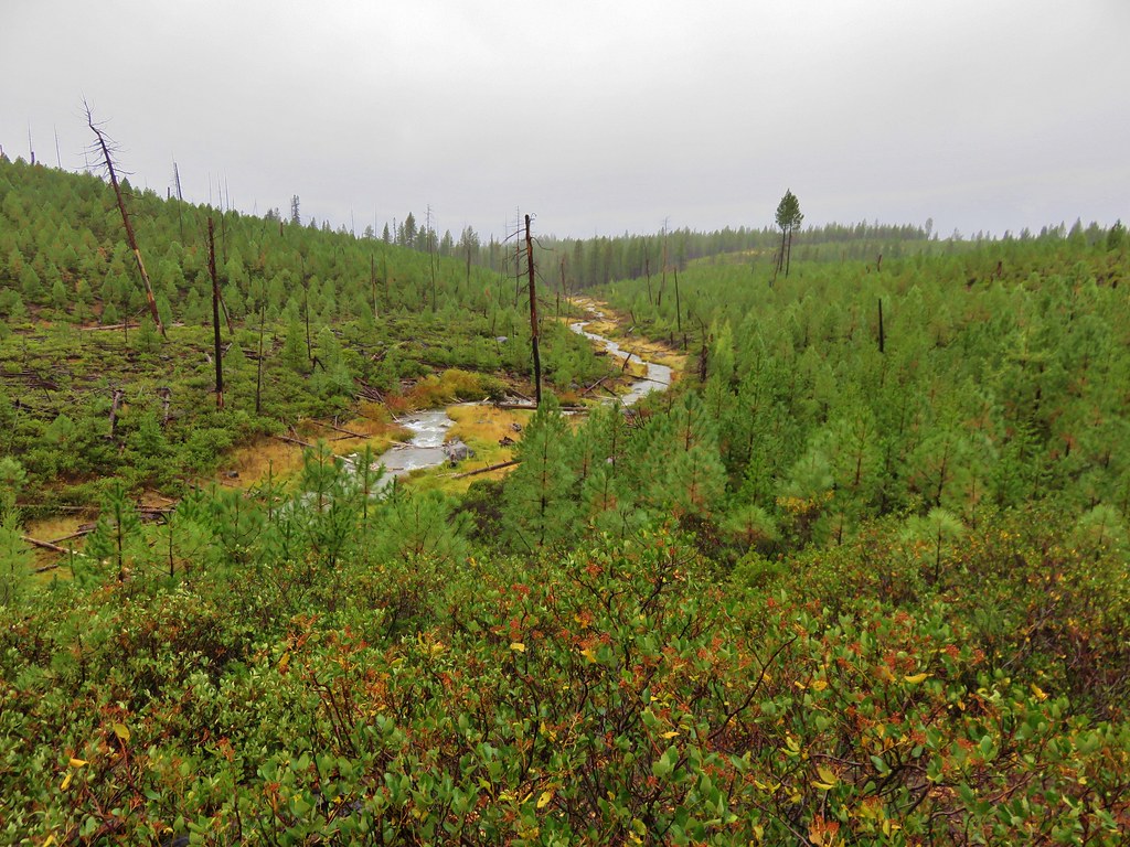
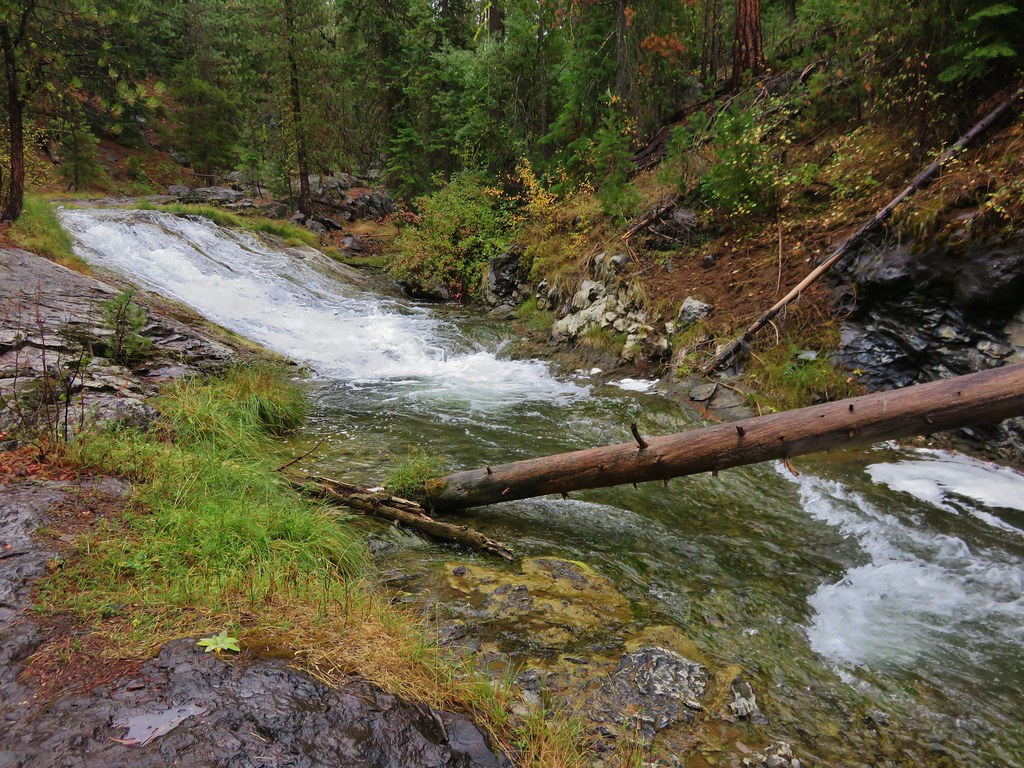
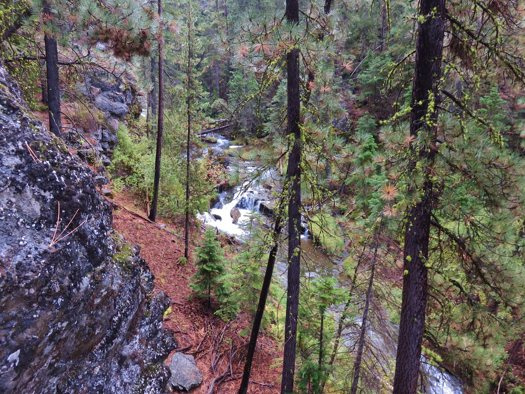
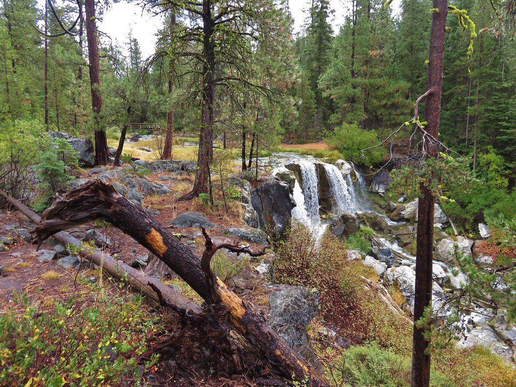
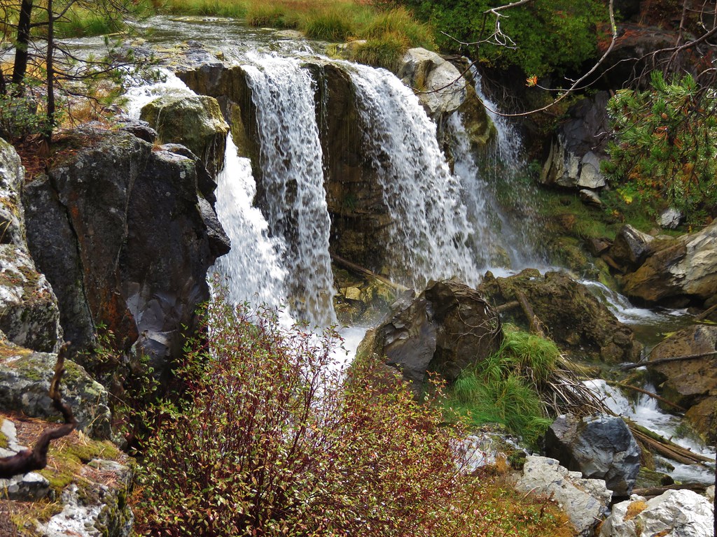
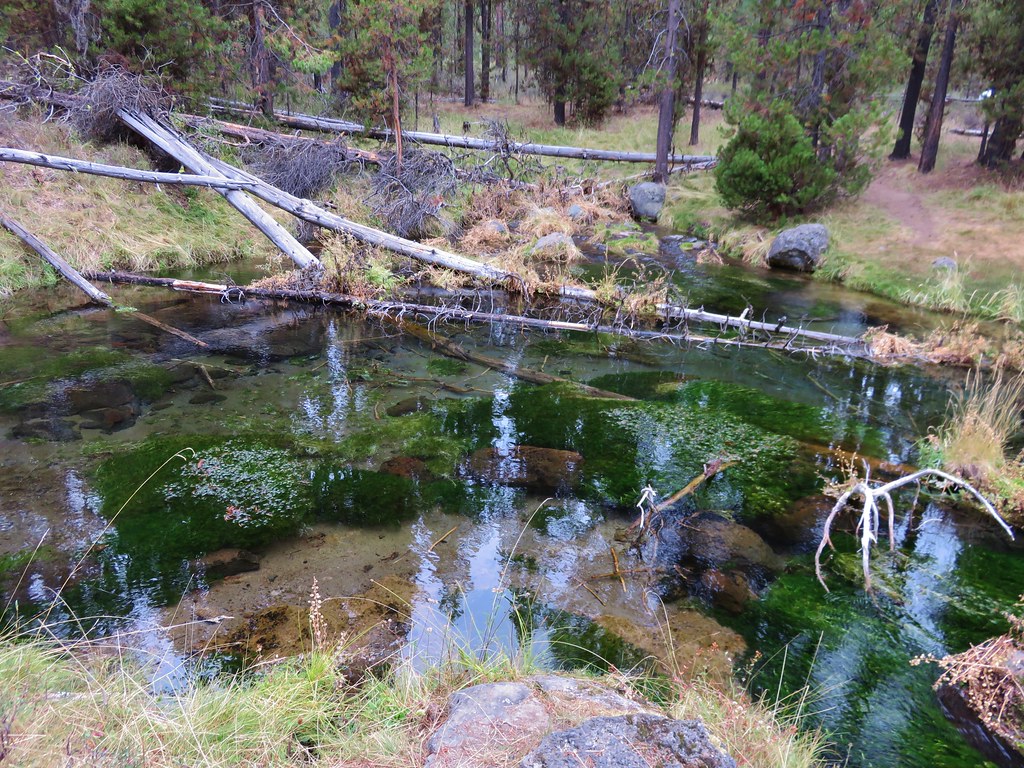
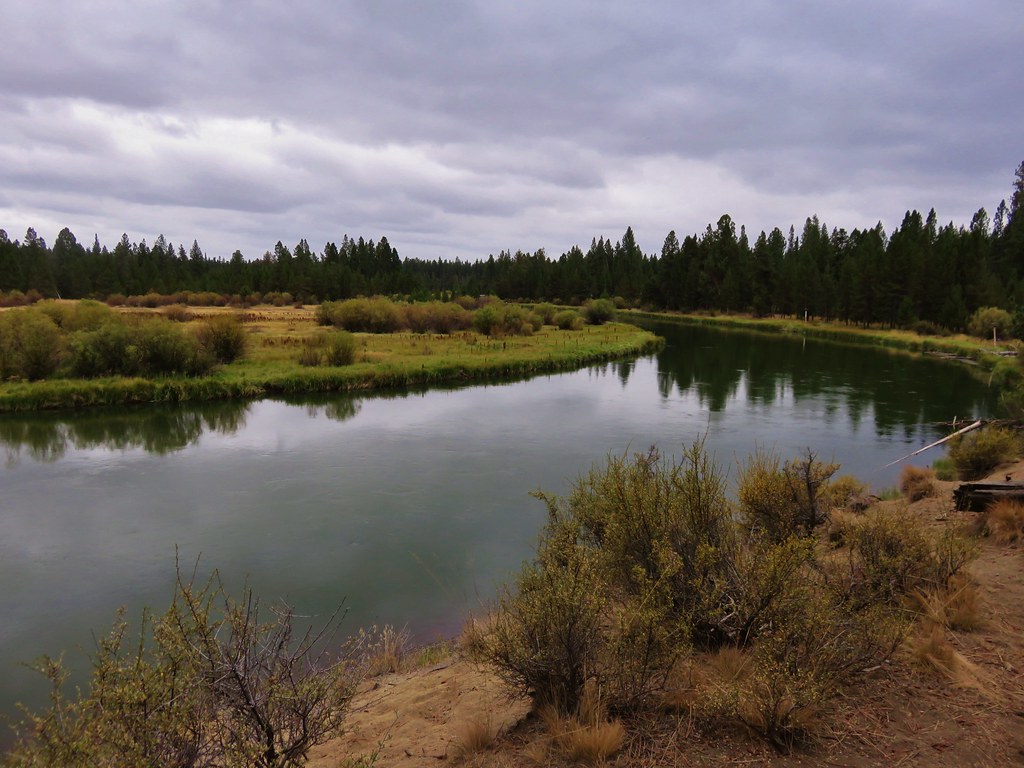
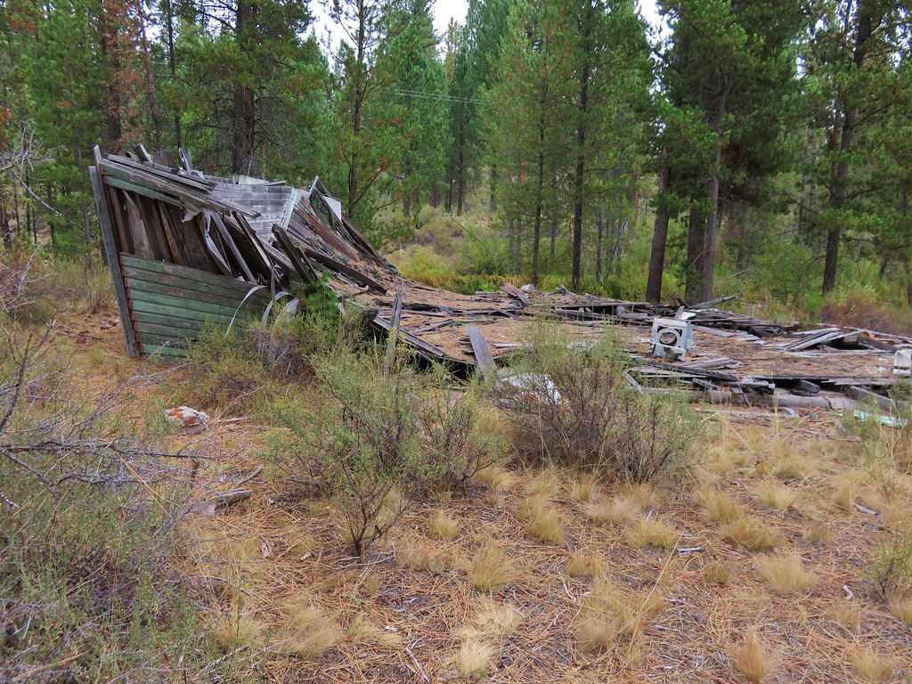
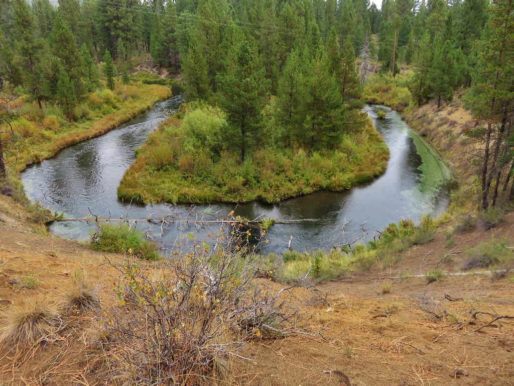
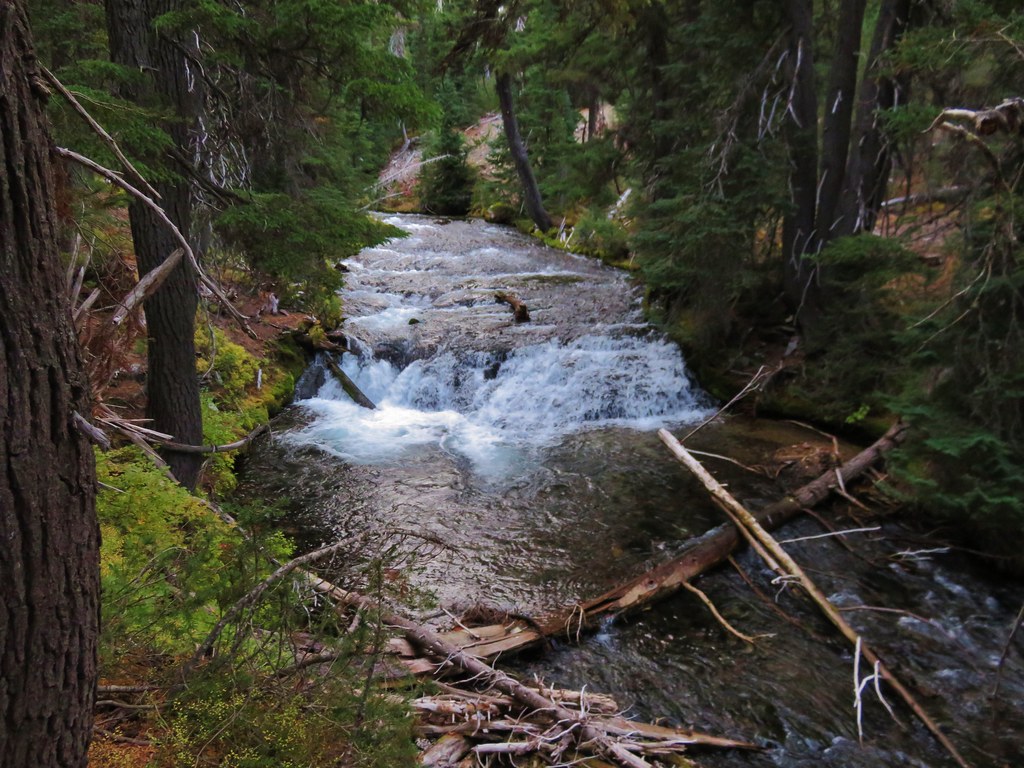
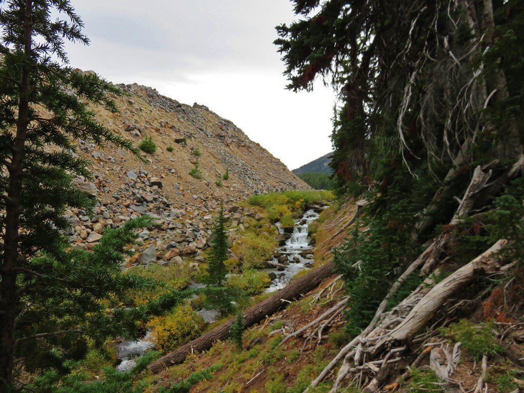
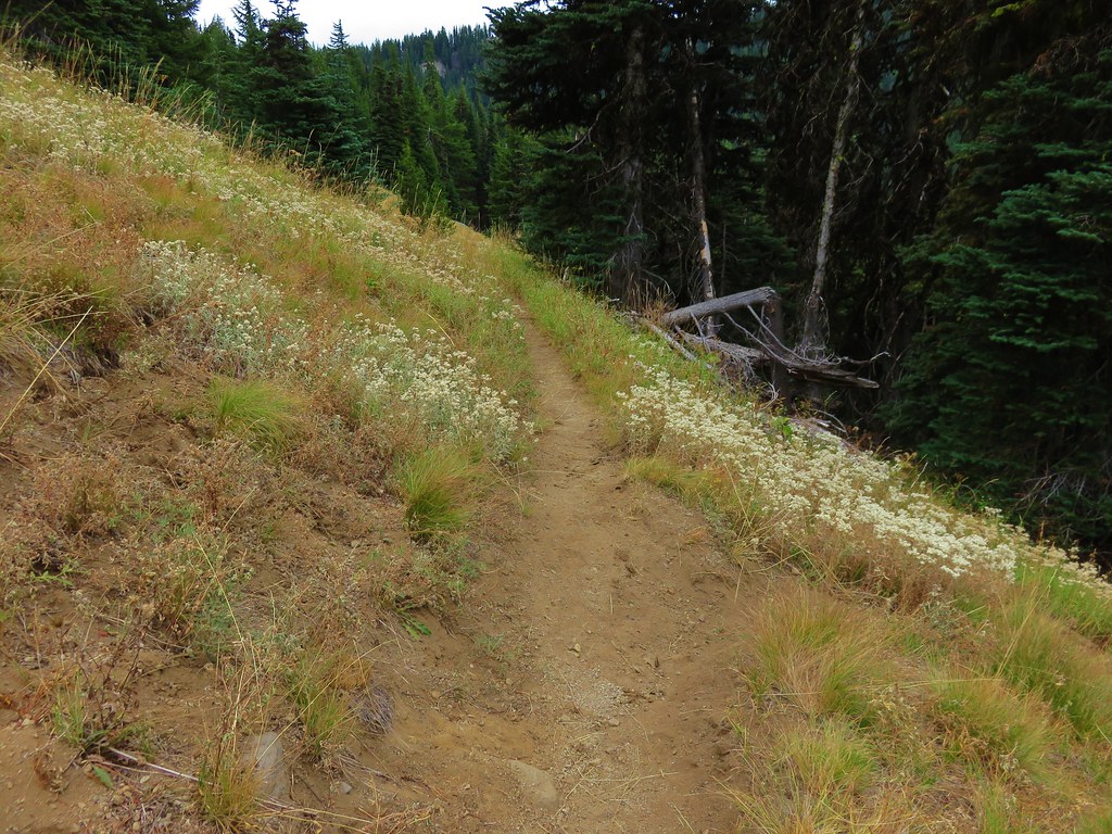
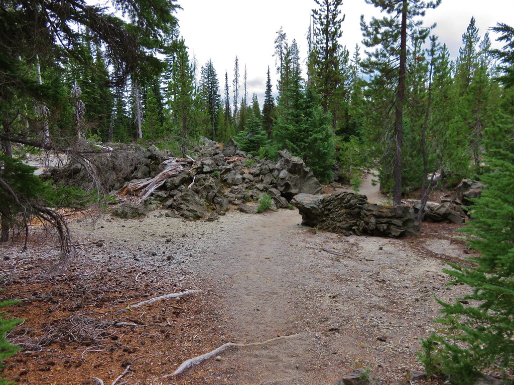
After passing the trail junction to Moraine Lake we were on unfamiliar trail. We had hiked this section before but it was by headlamp on the way out of the wilderness after mistakenly thinking a fire and started nearby while we were camped at a tarn below Broken Top. We had packed up at dusk and hiked out in the dark missing the lakes and the scenery along the trail. Fall Creek was much calmer along this portion of trail flowing between the trail and a lava flow.
 //embedr.flickr.com/assets/client-code.js
 //embedr.flickr.com/assets/client-code.js
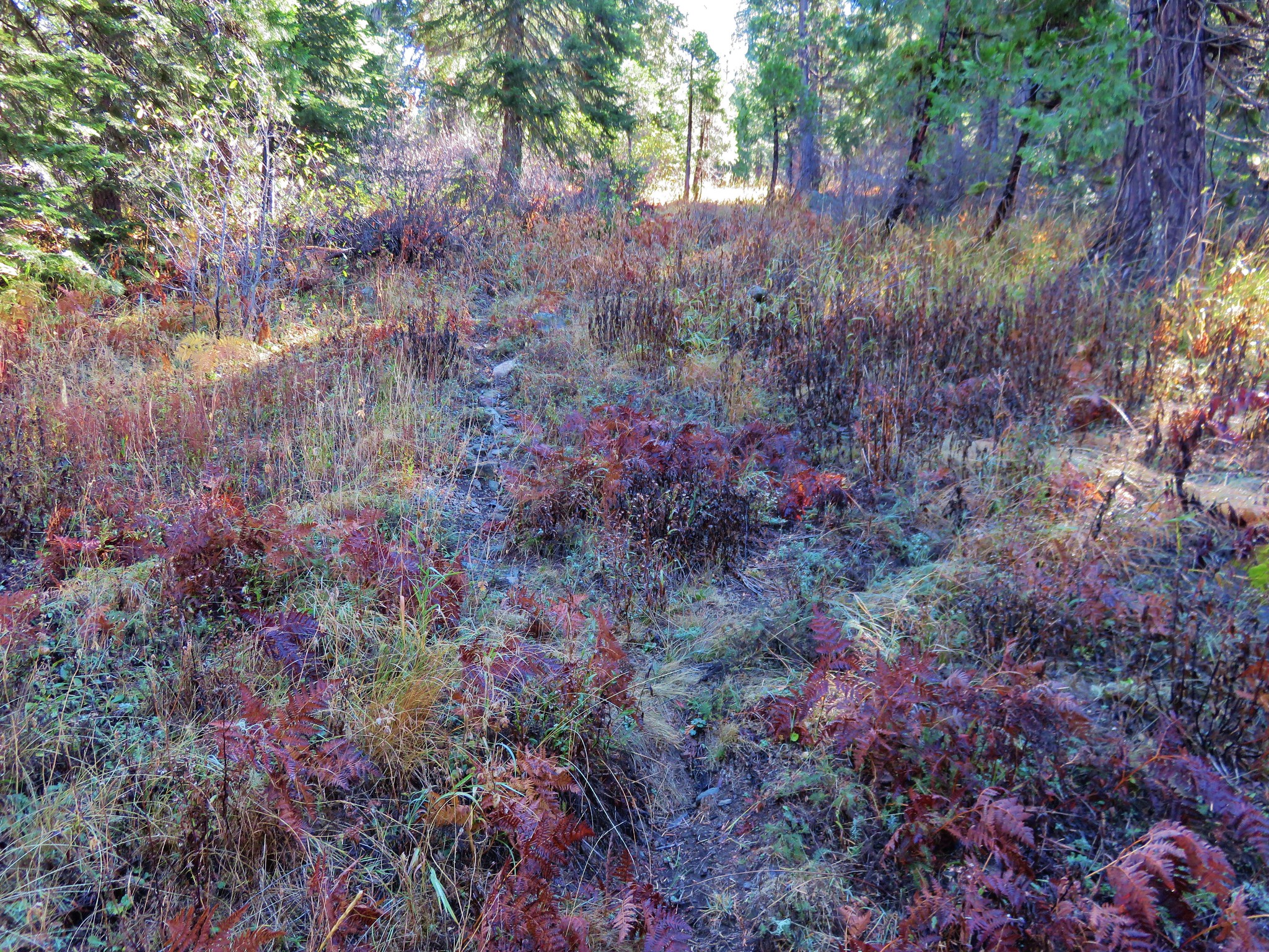
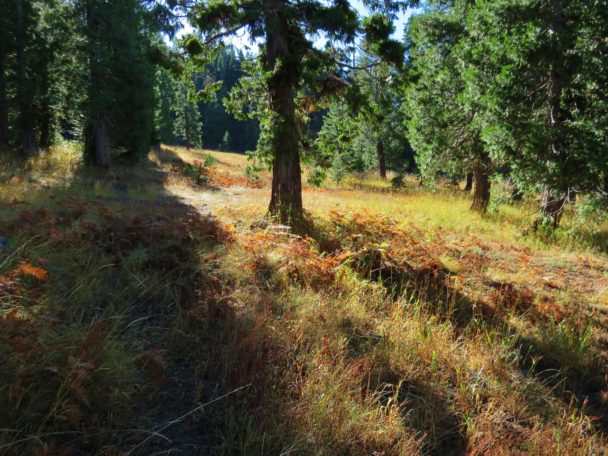
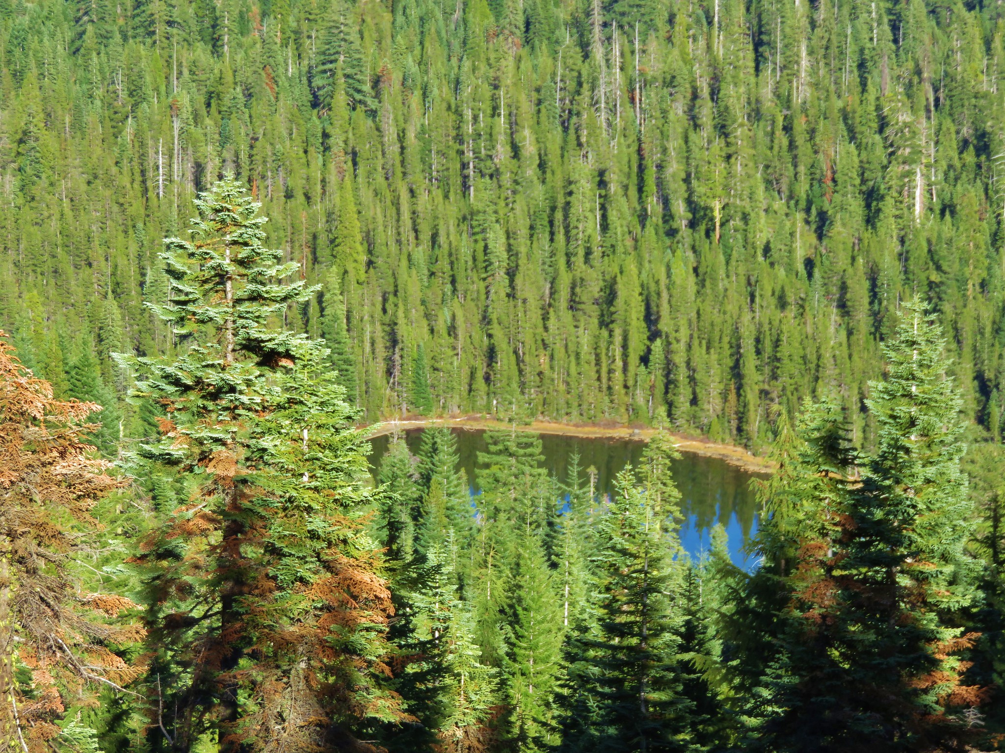
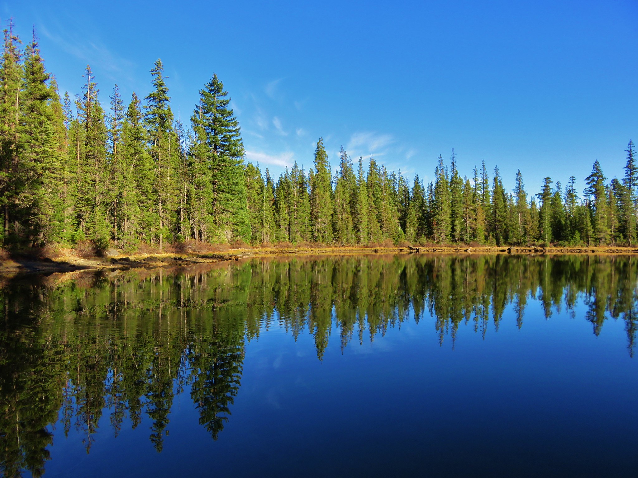
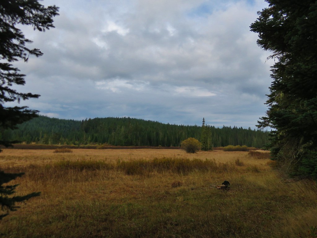
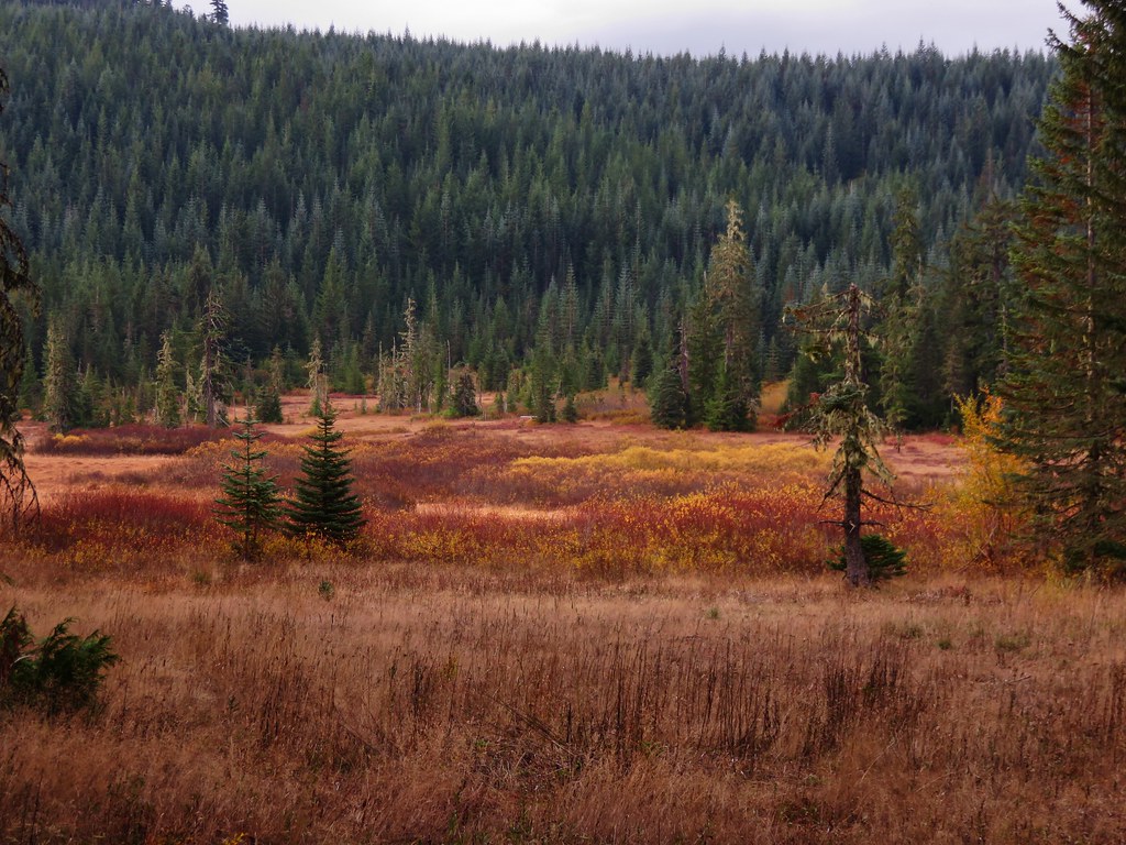
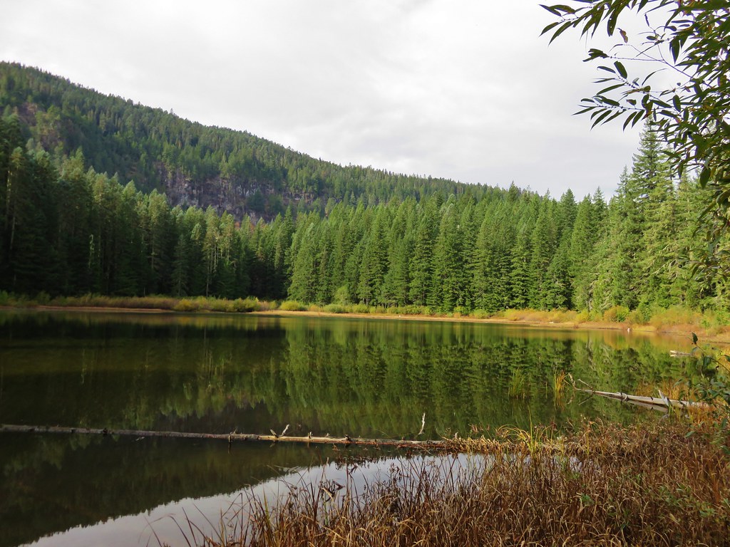
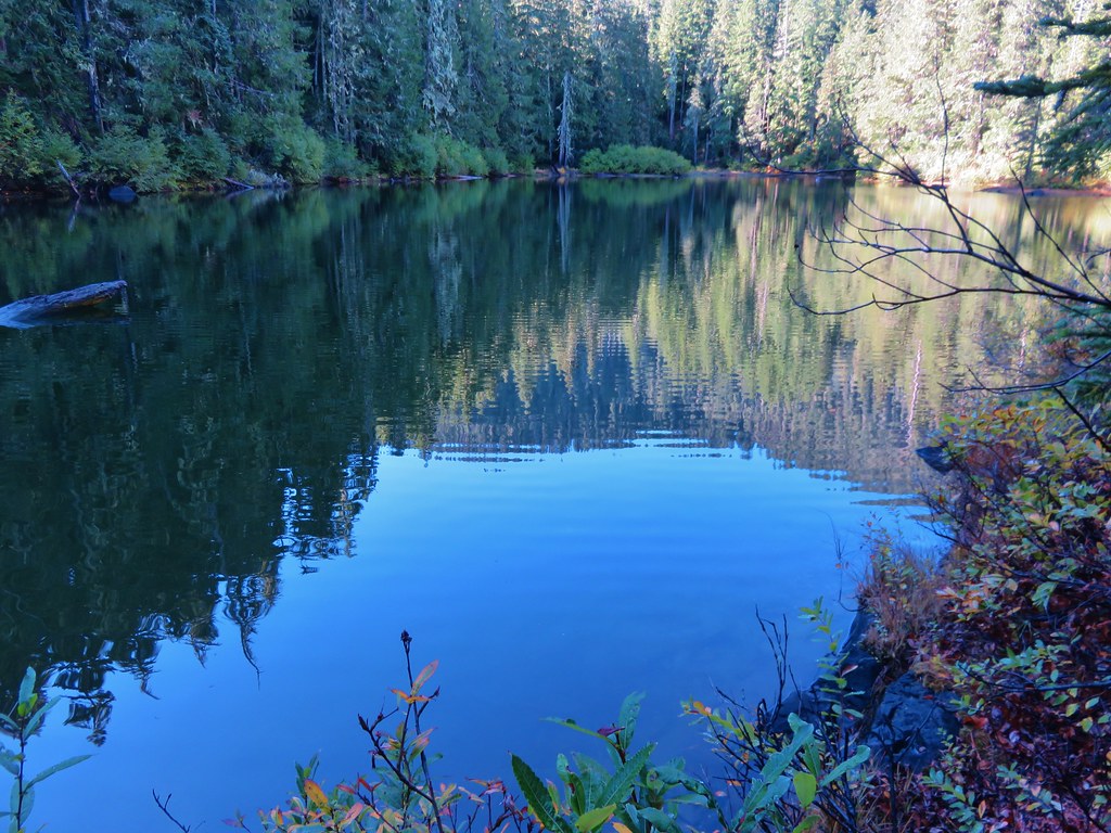
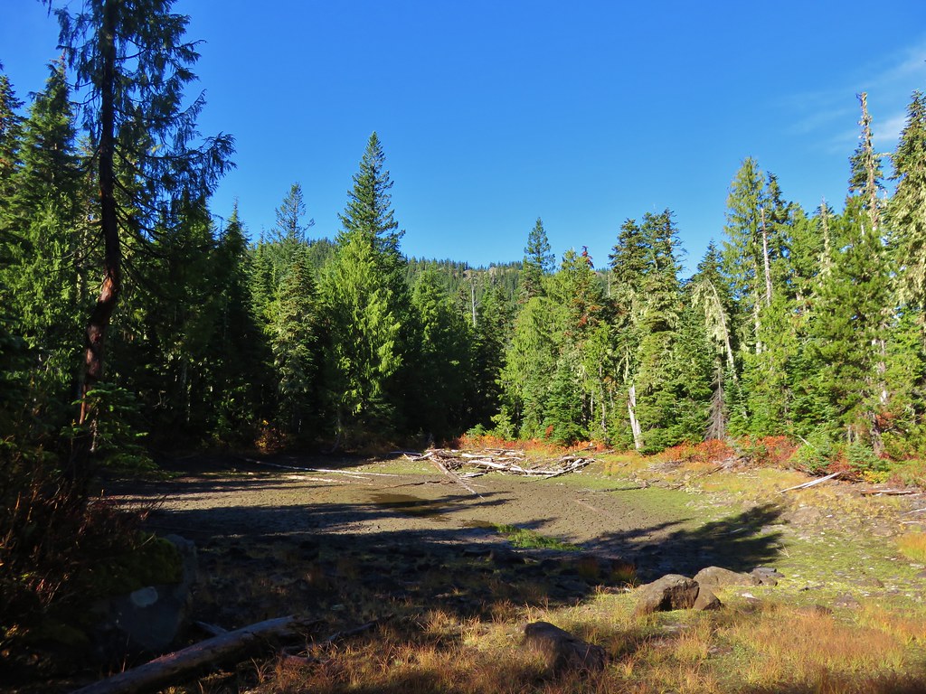
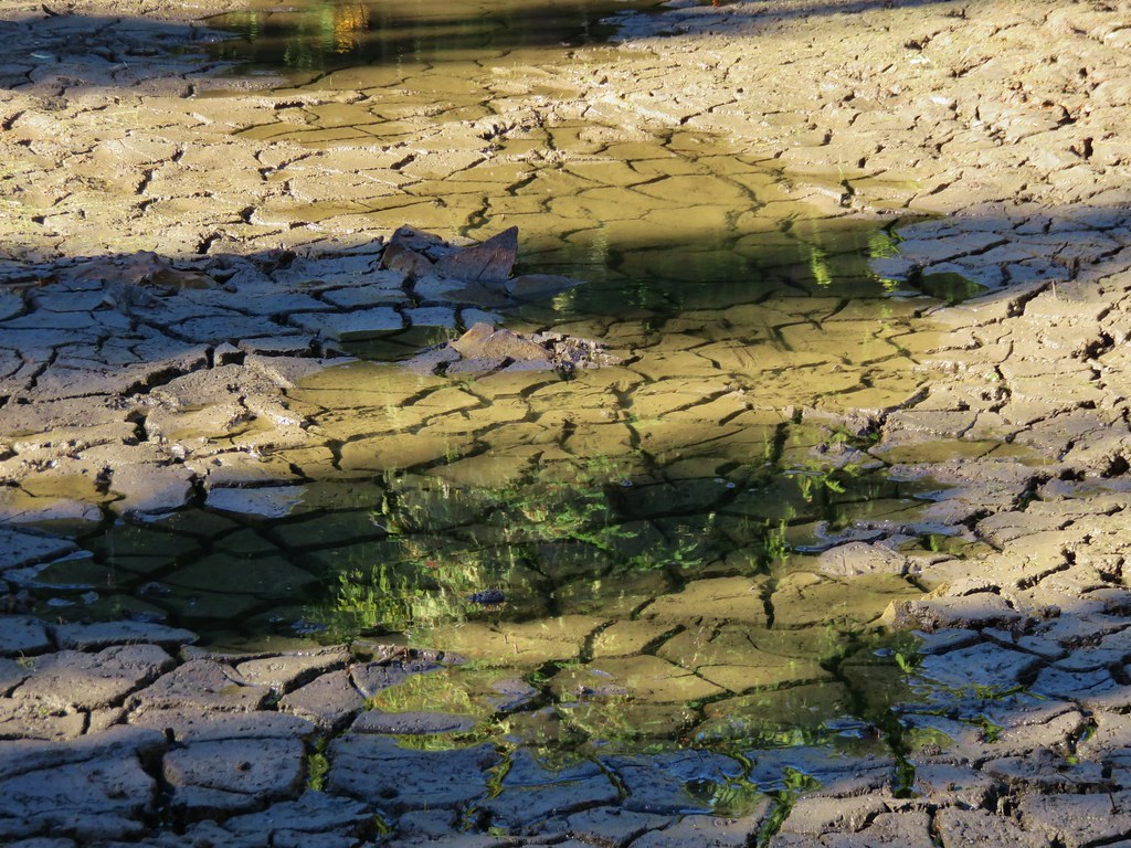
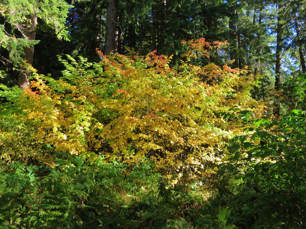
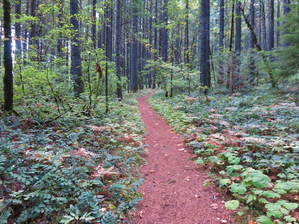
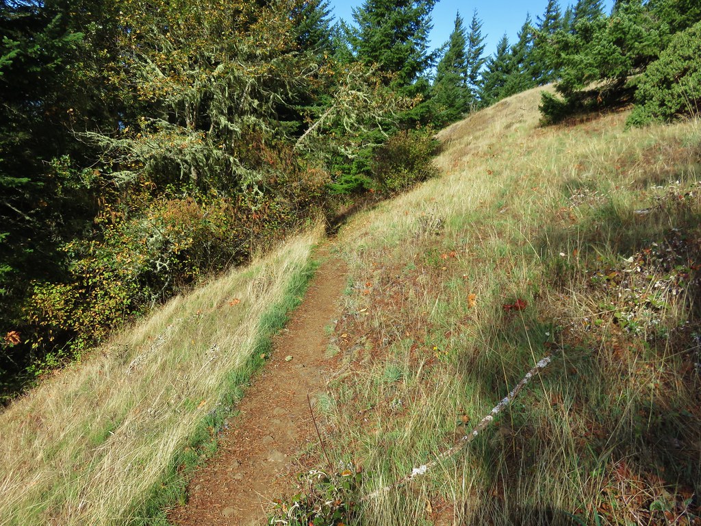
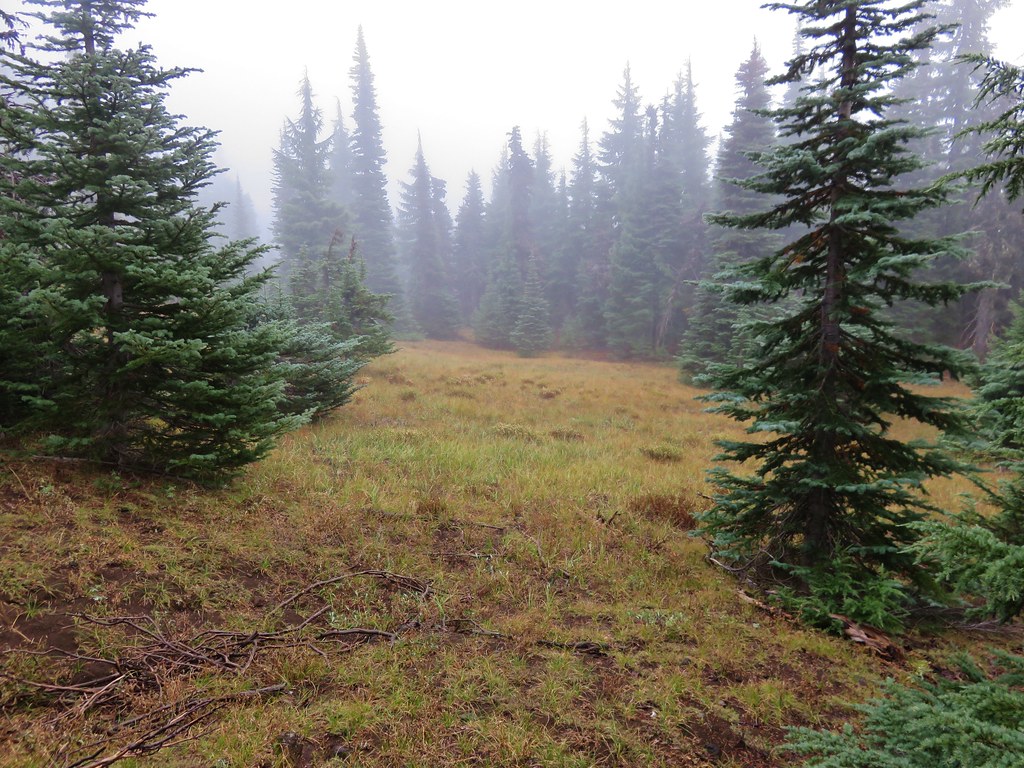
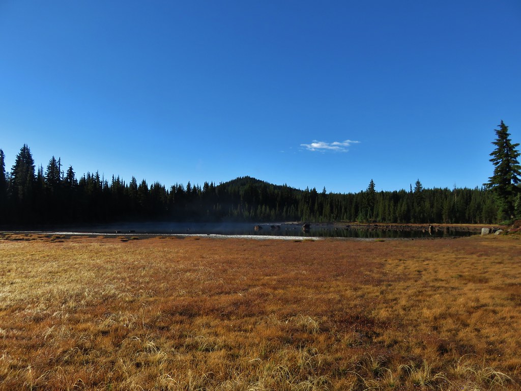
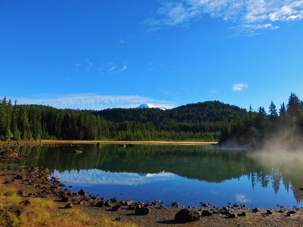
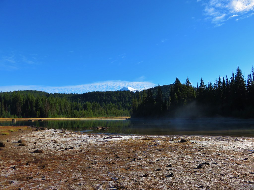
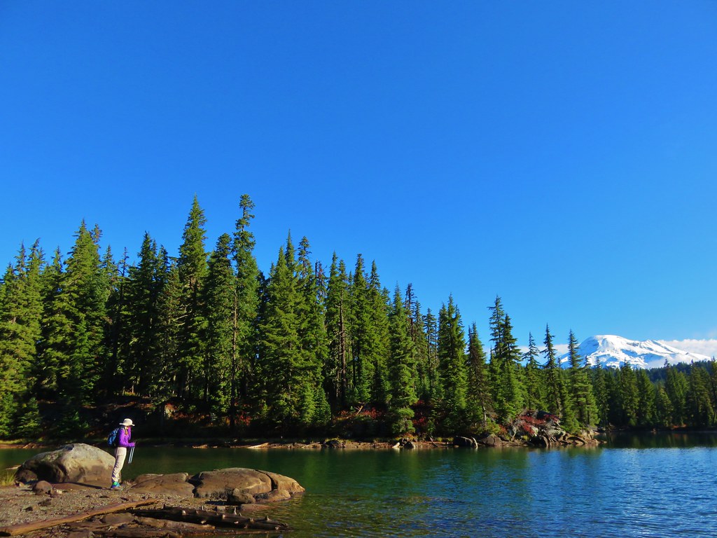
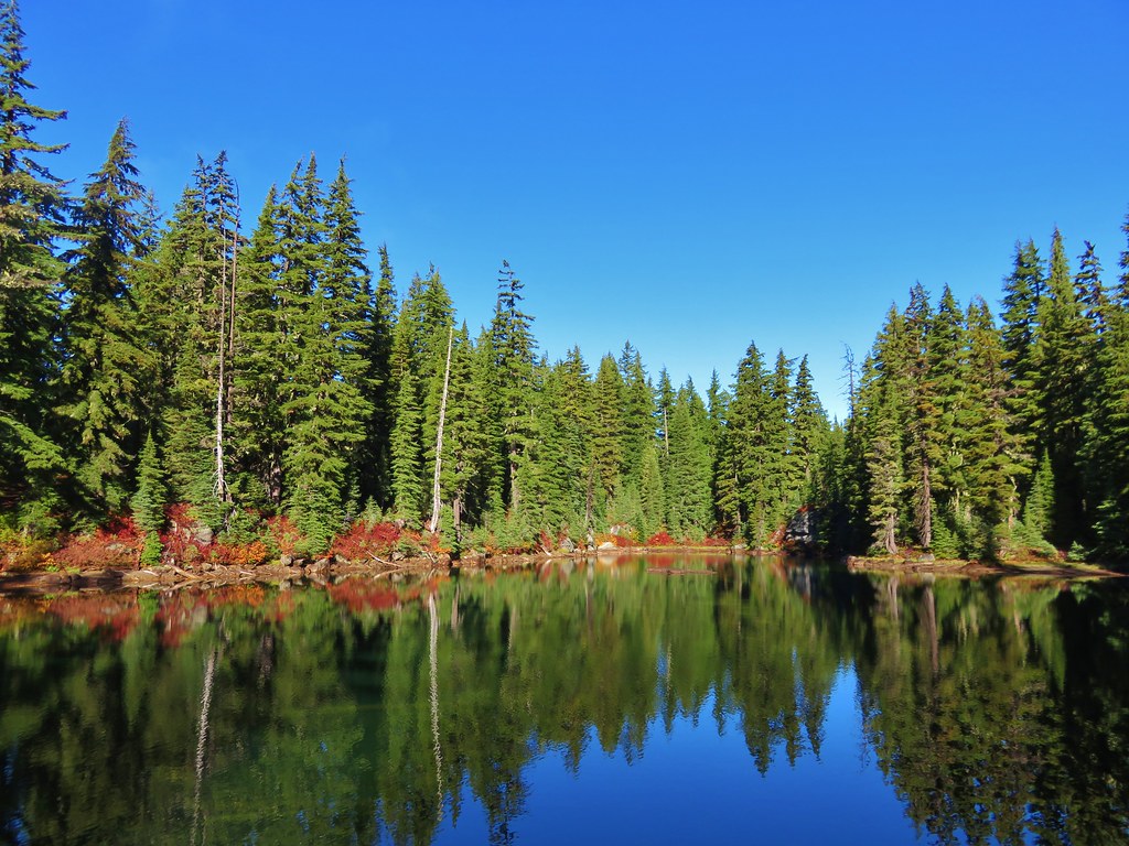
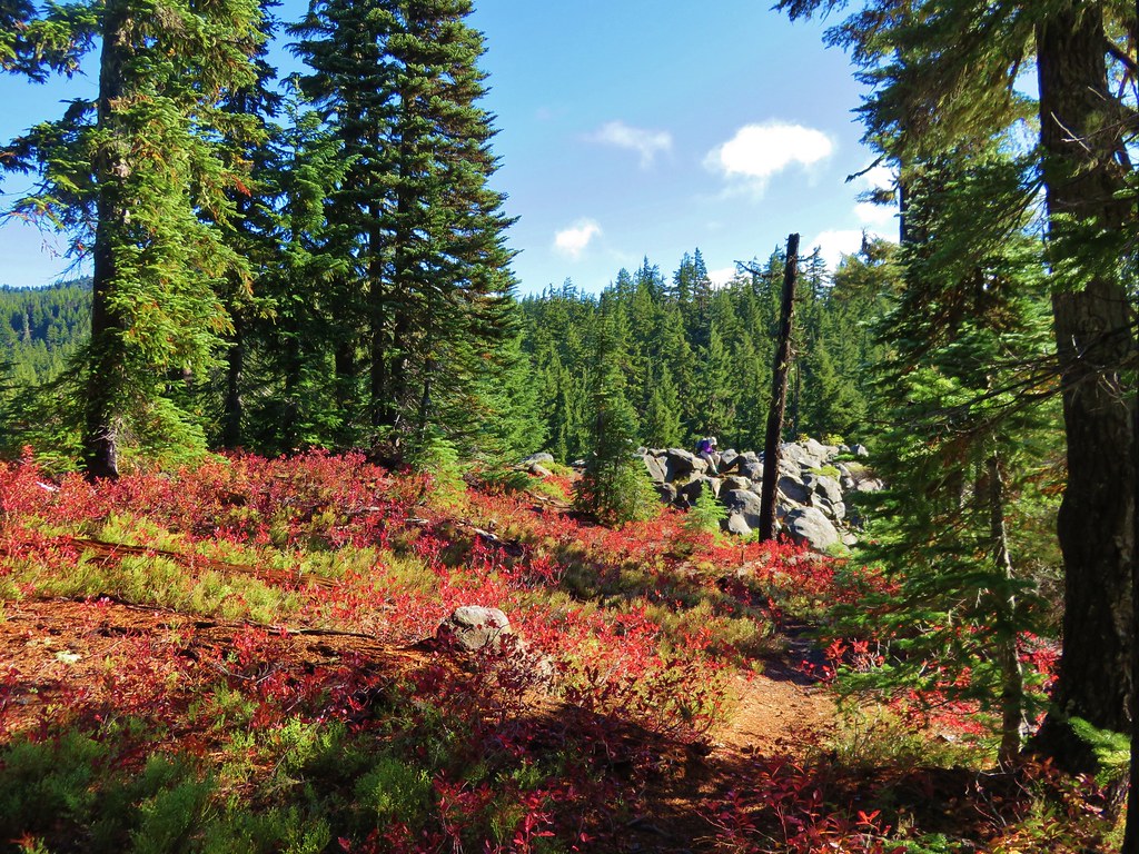
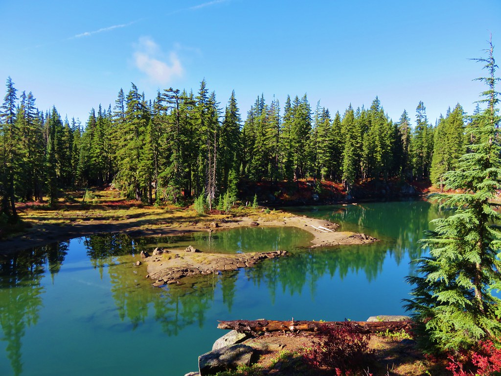
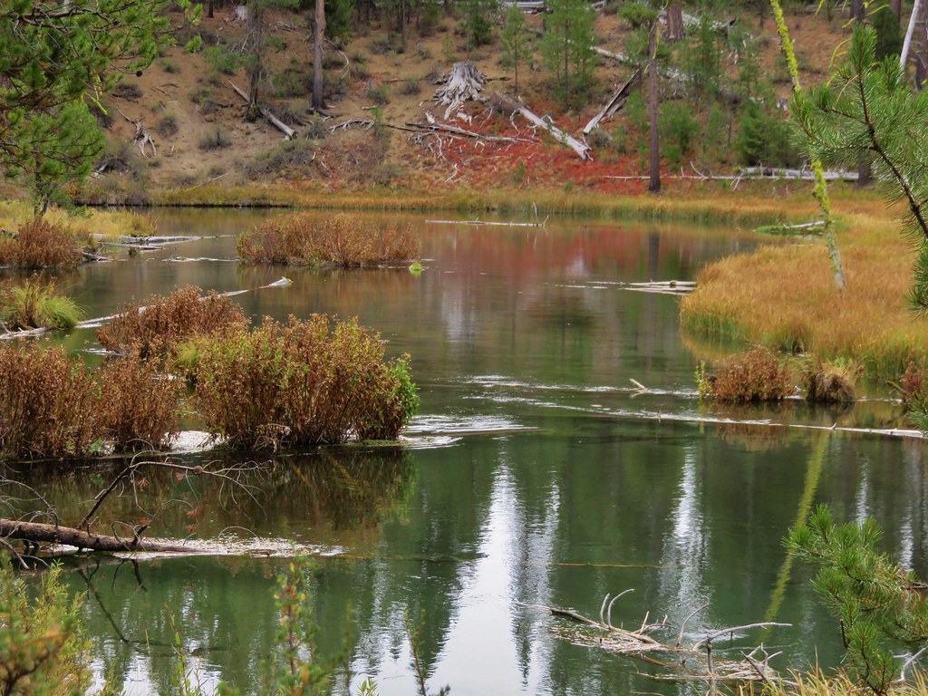
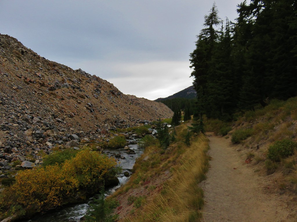
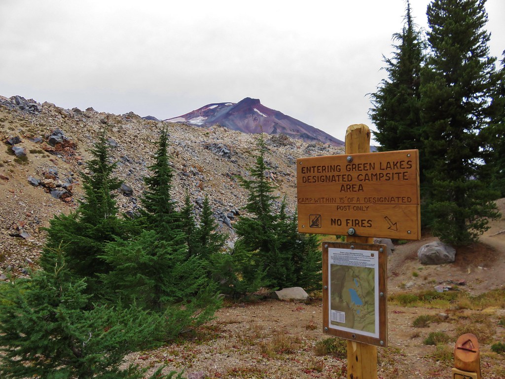
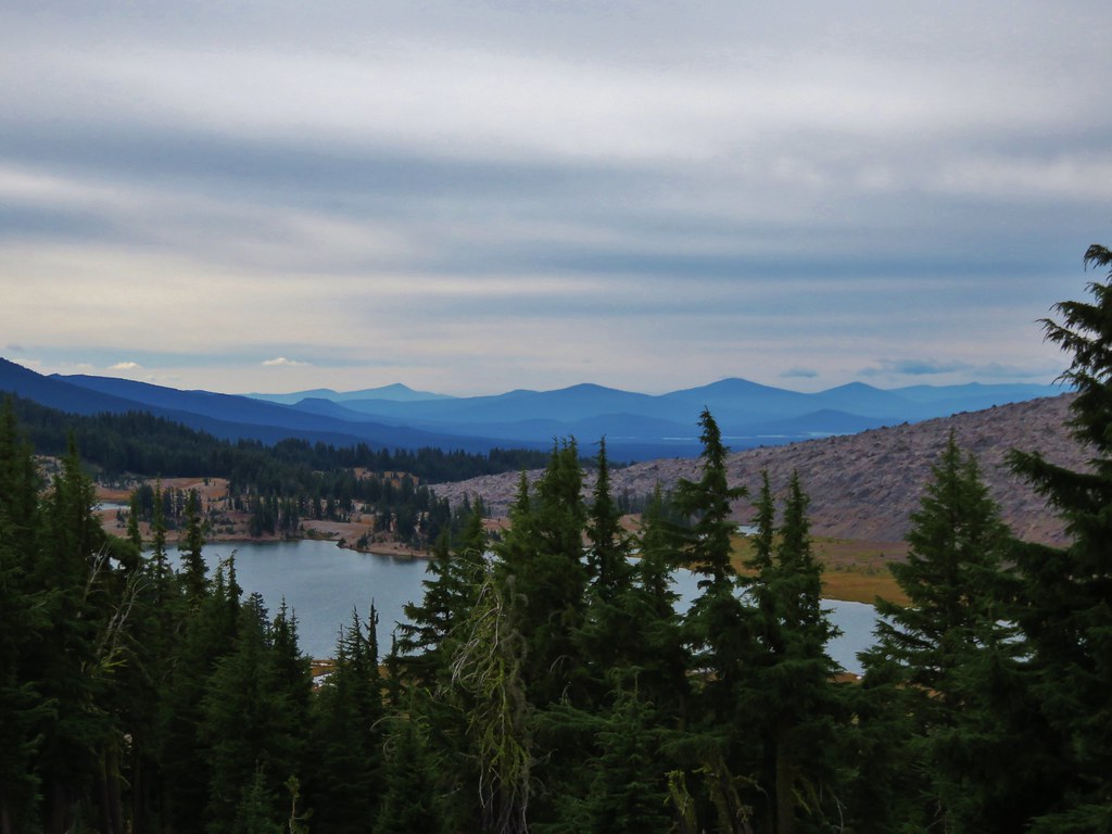
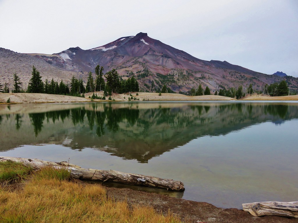
After hiking another 2 miles the trail entered the southern end of the Green Lakes Basin.
 //embedr.flickr.com/assets/client-code.js
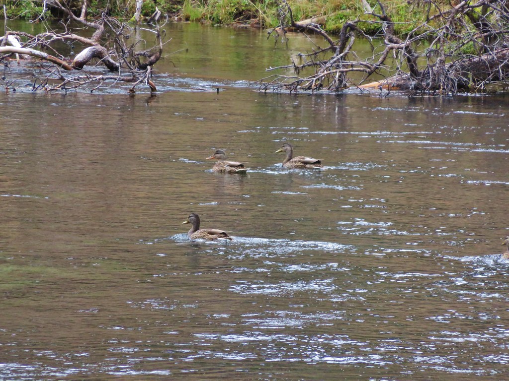
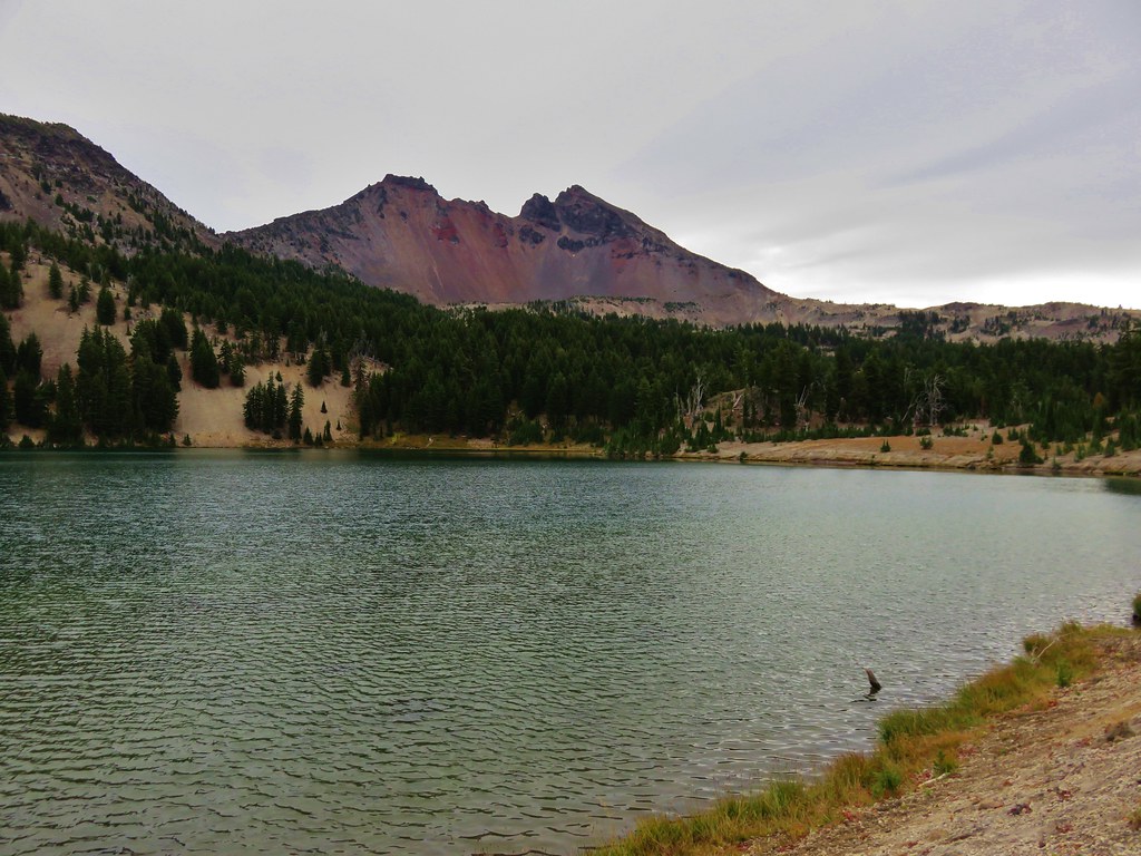
Several trails shot off in different directions and we veered left toward the day use peninsula of the middle and largest of the three Green Lakes.
 //embedr.flickr.com/assets/client-code.js
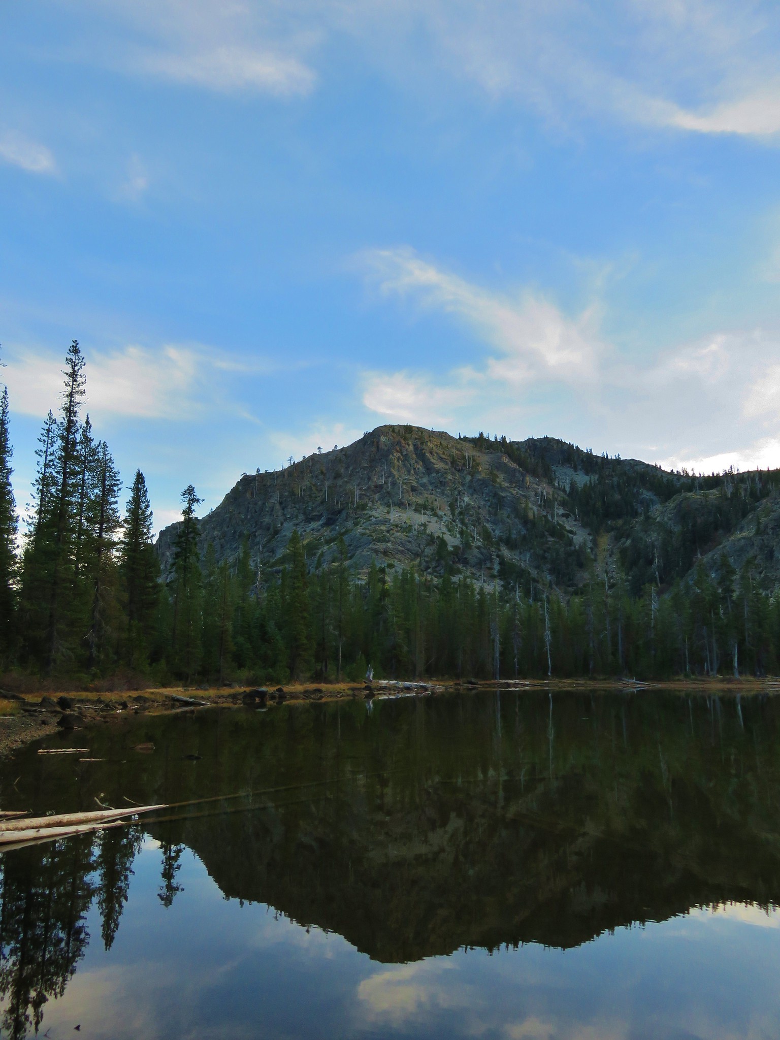
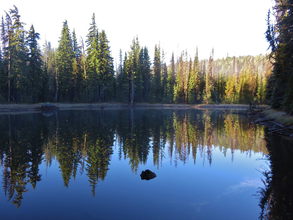
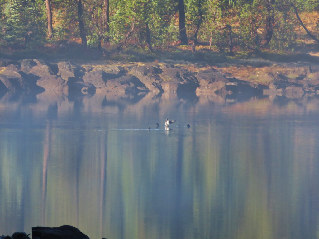
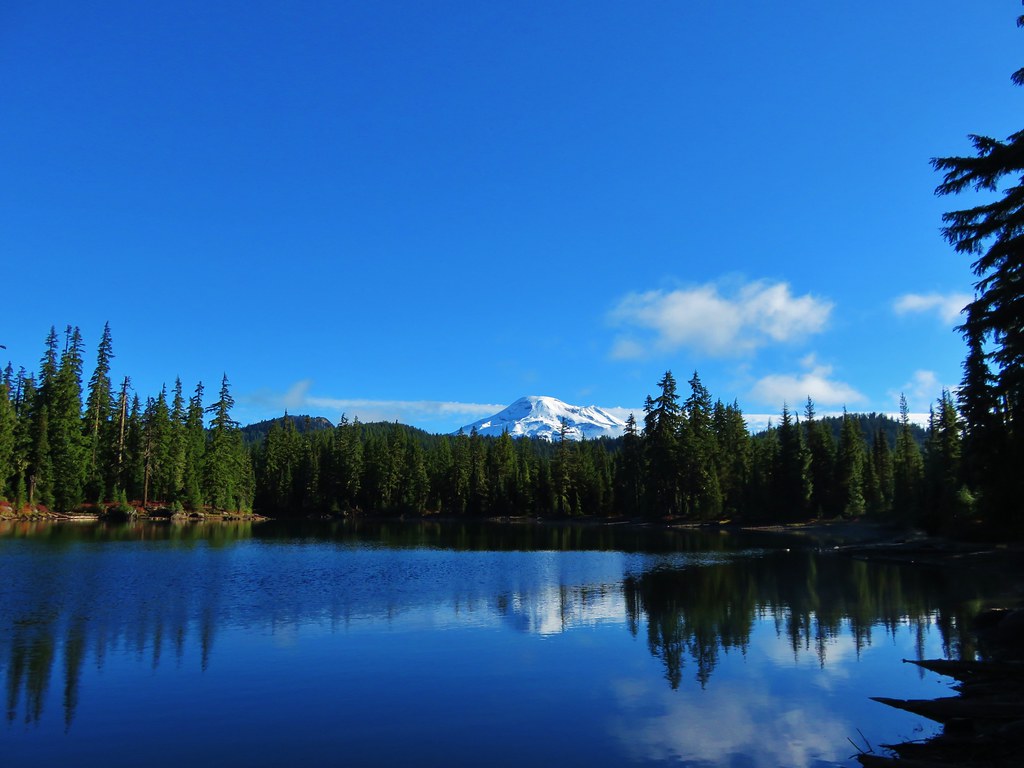
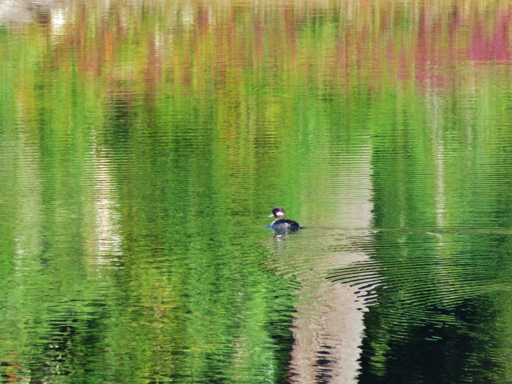
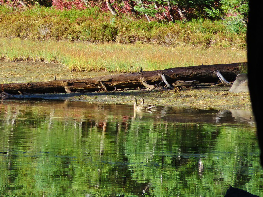
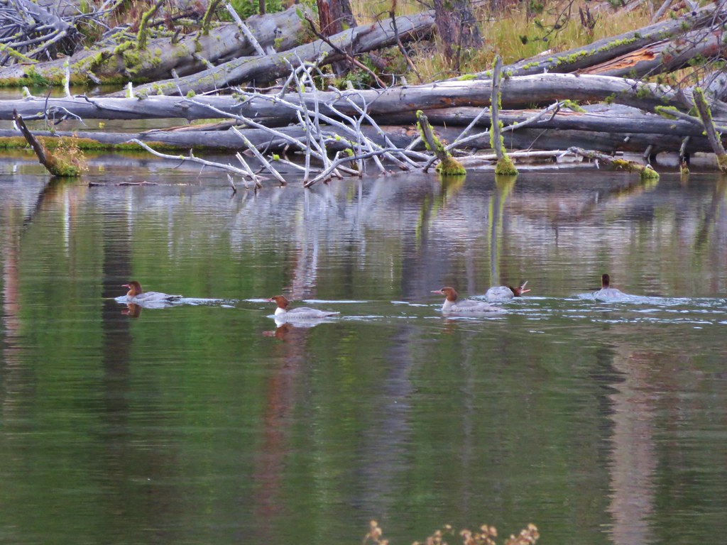
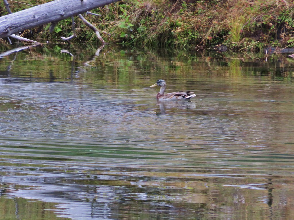
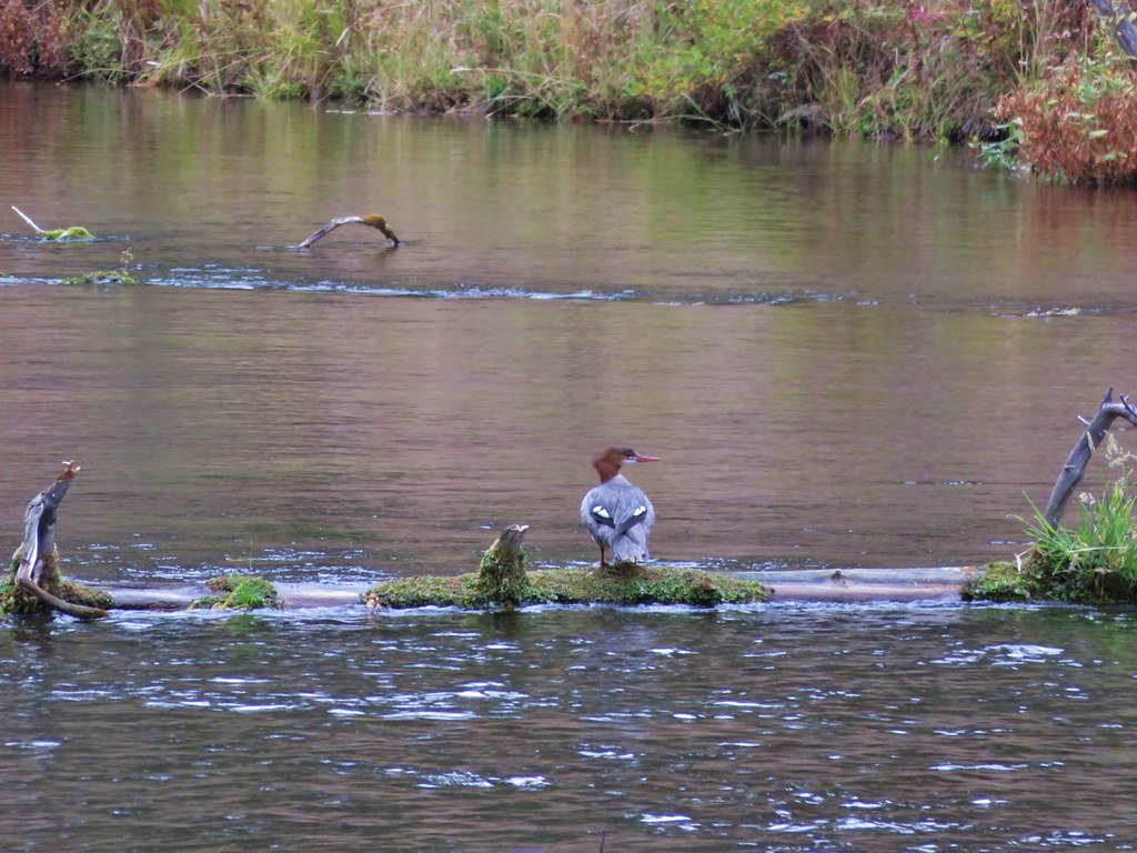
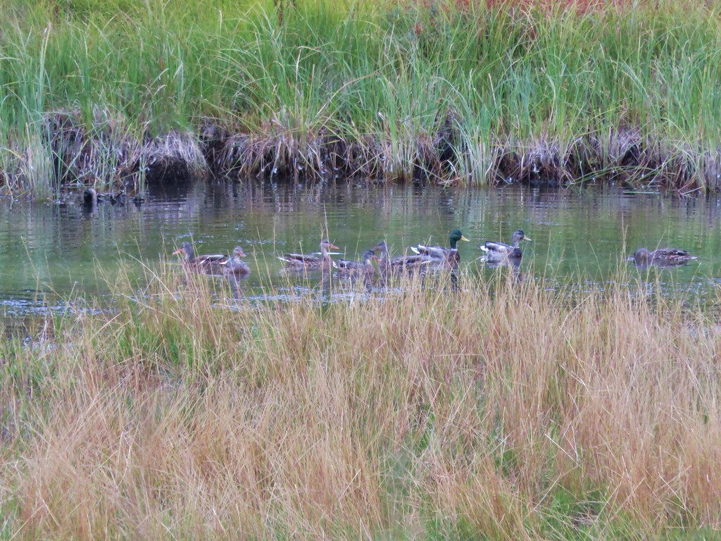
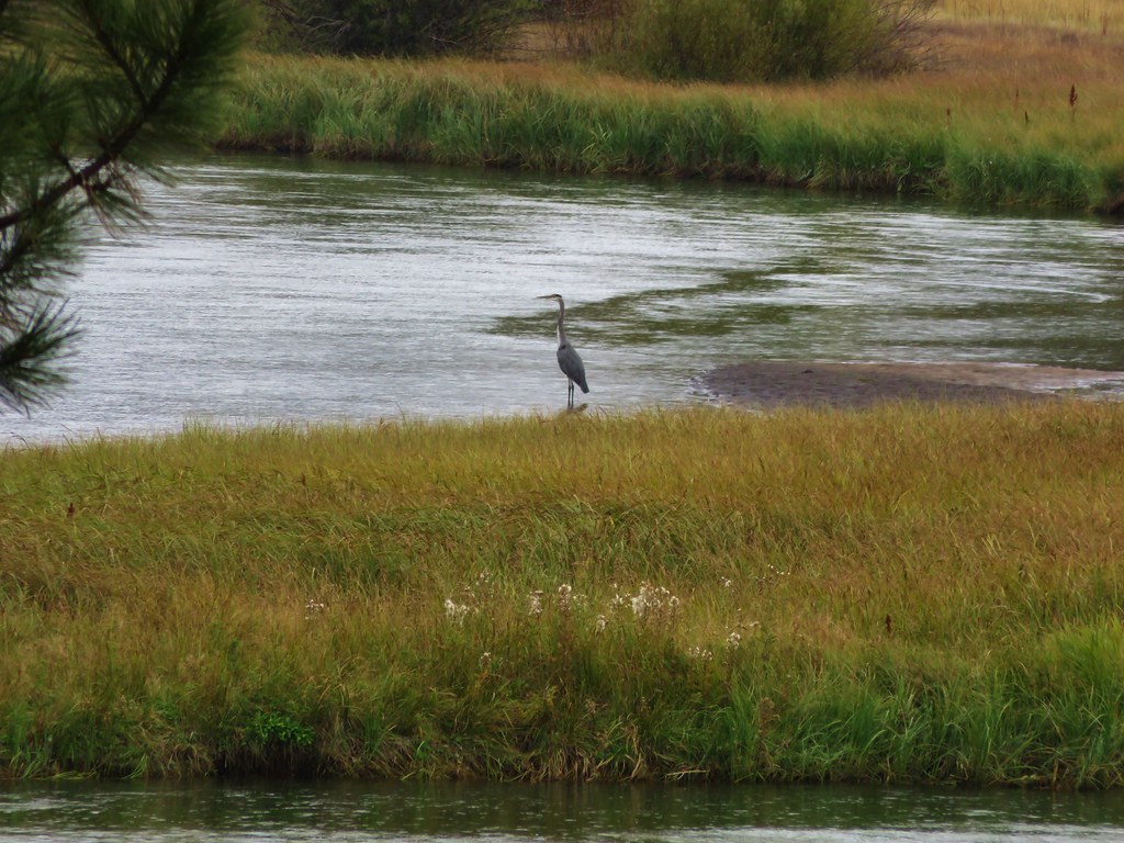
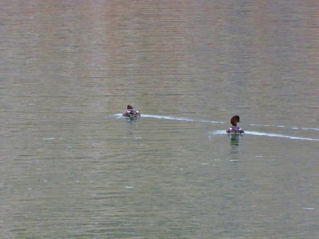
The views from the day use area were great and we watched some ducks enjoying a morning swim on the lake.
 //embedr.flickr.com/assets/client-code.js
 //embedr.flickr.com/assets/client-code.js
 //embedr.flickr.com/assets/client-code.js
 //embedr.flickr.com/assets/client-code.js
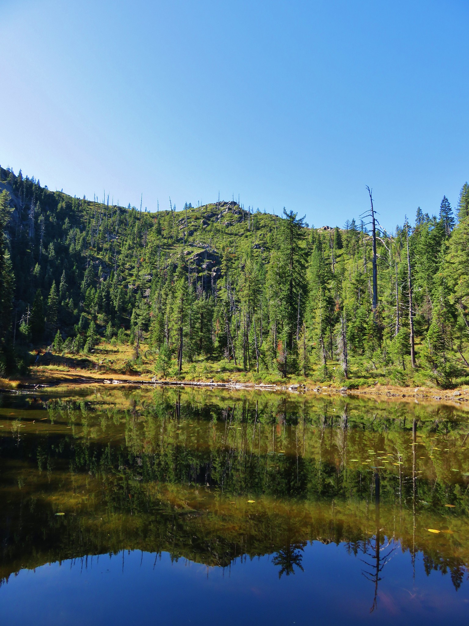
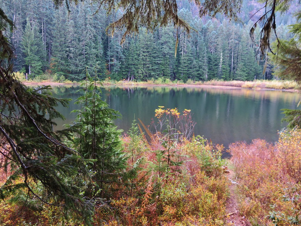
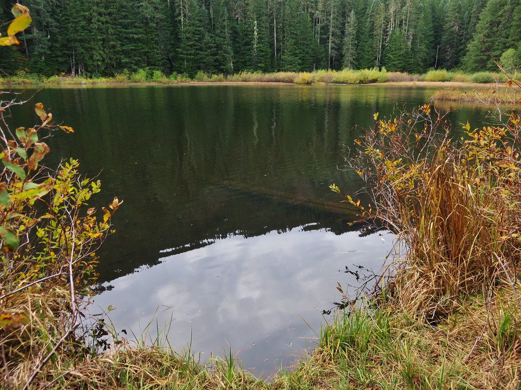
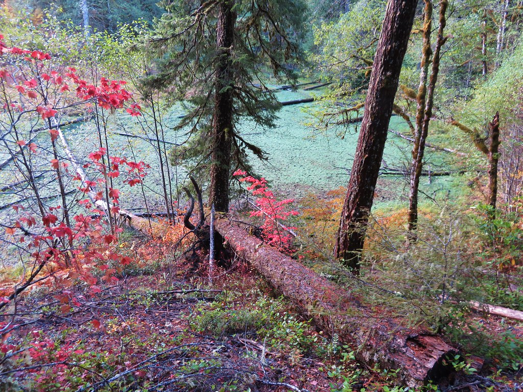
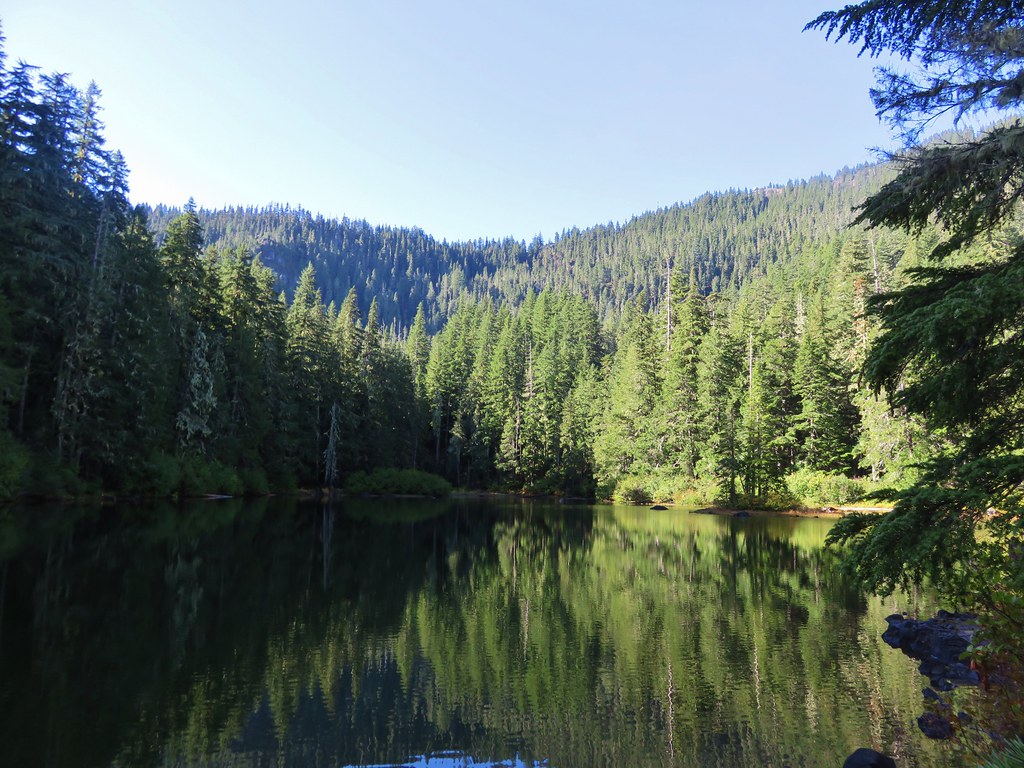
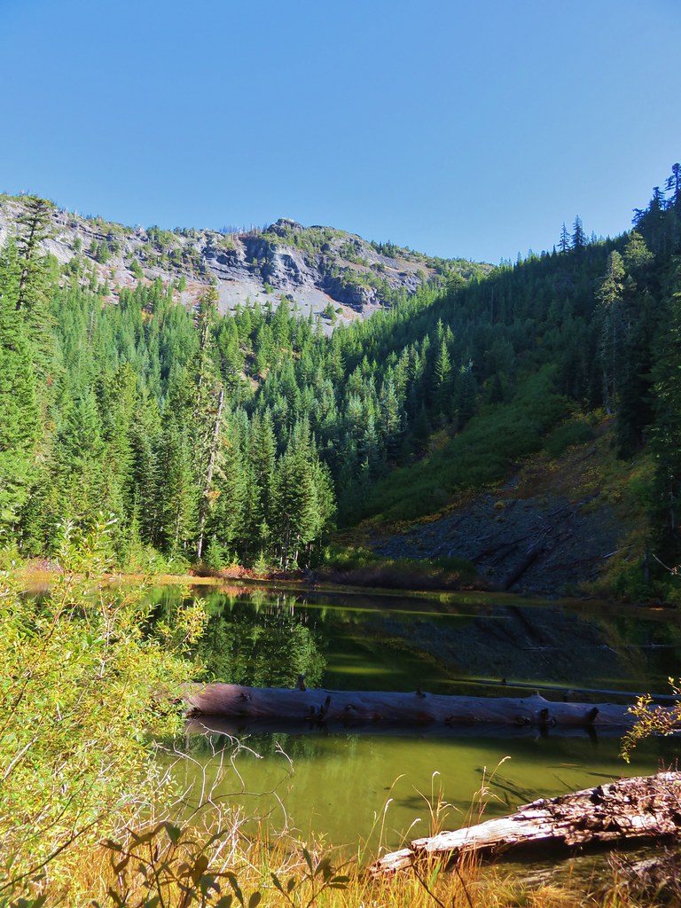
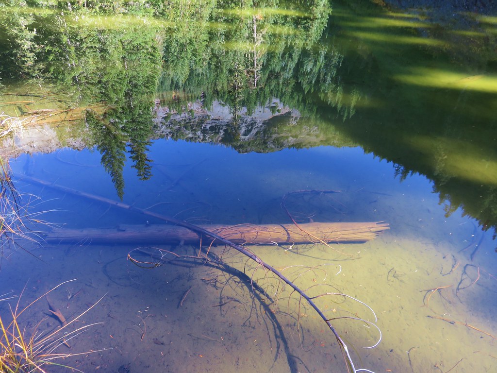
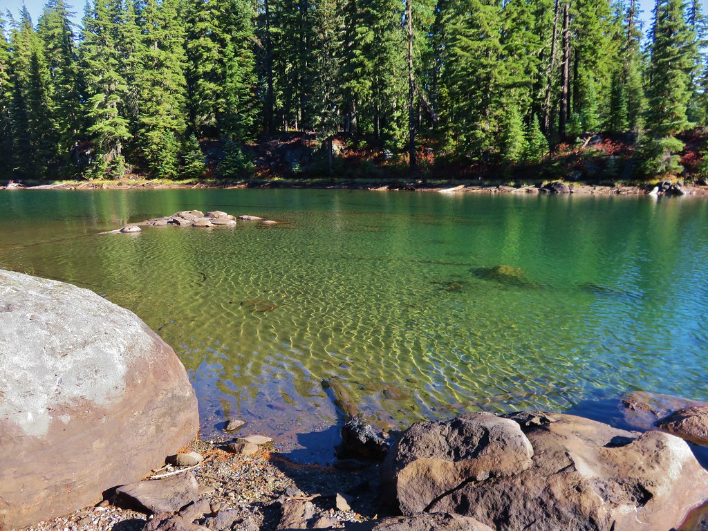
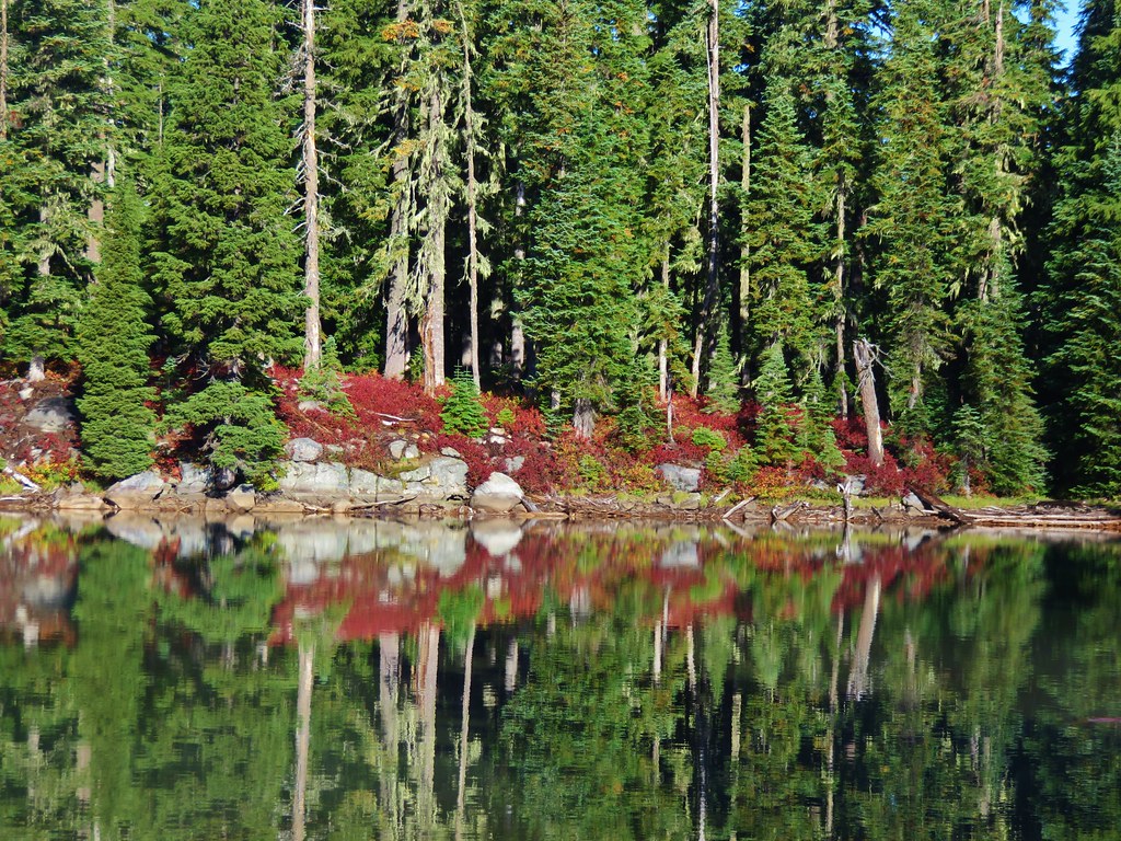
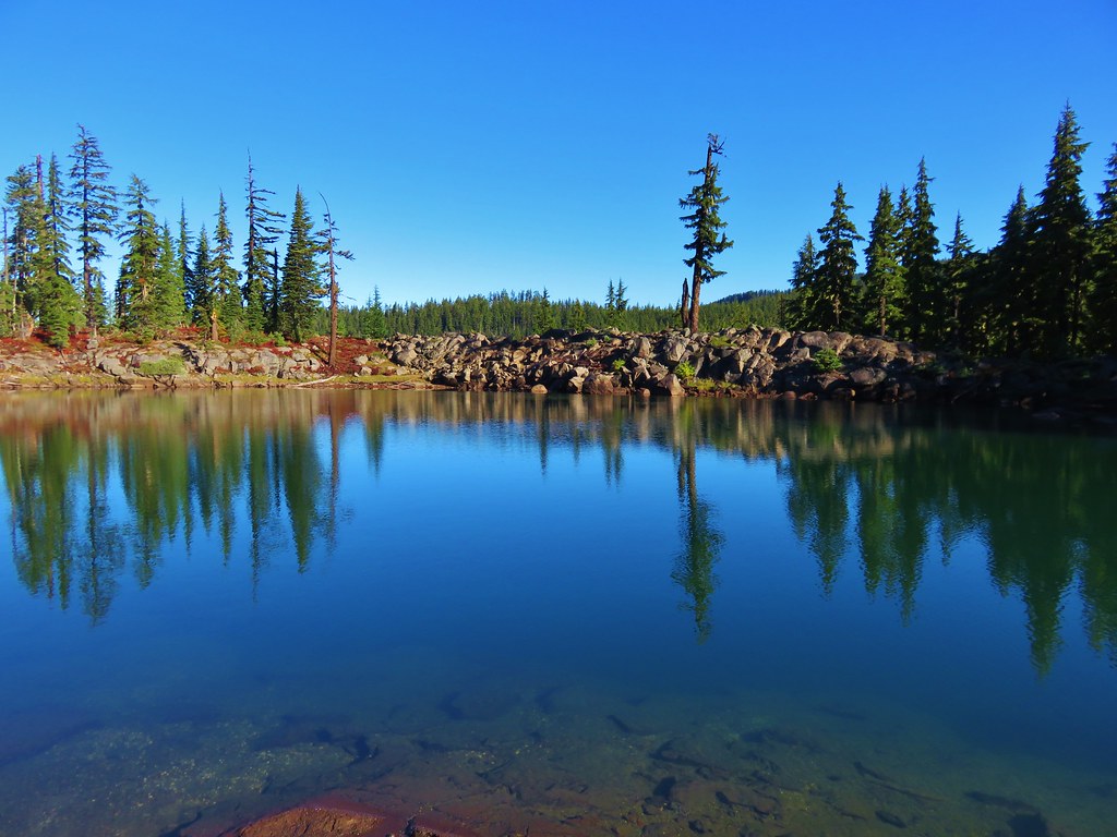
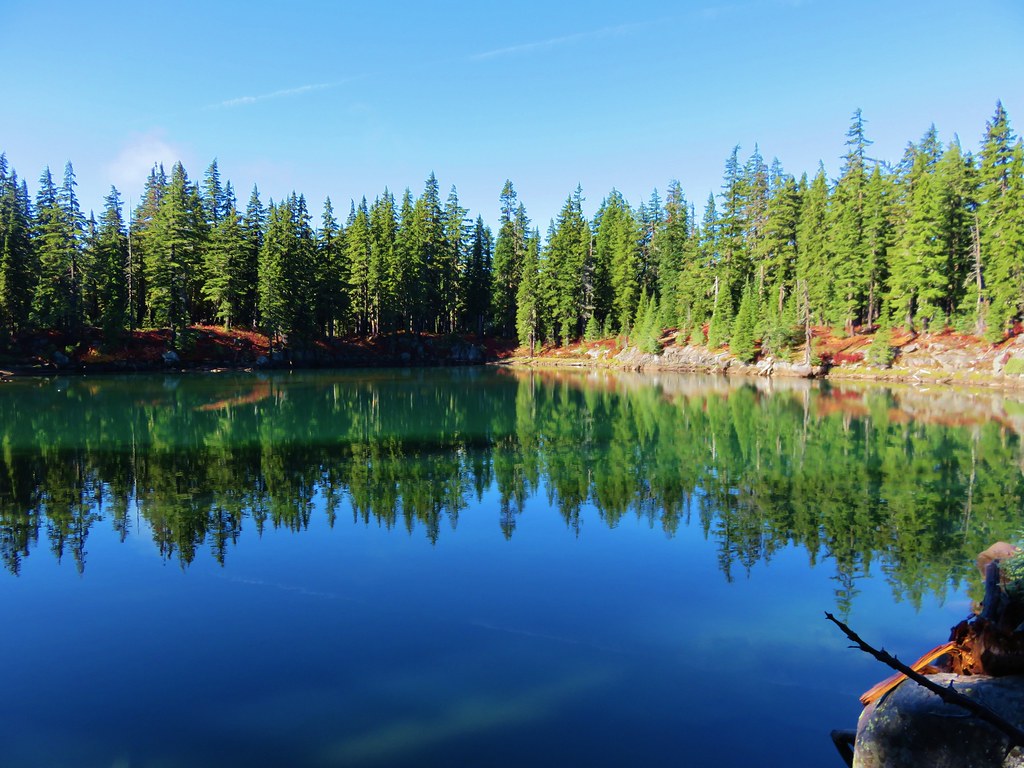
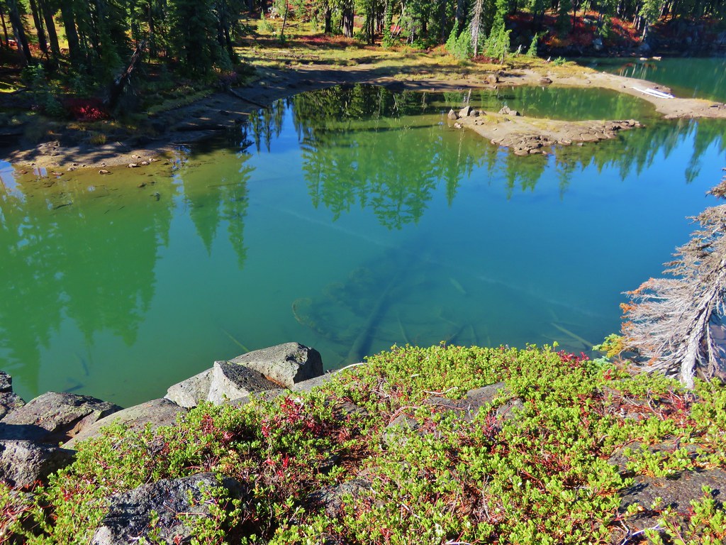
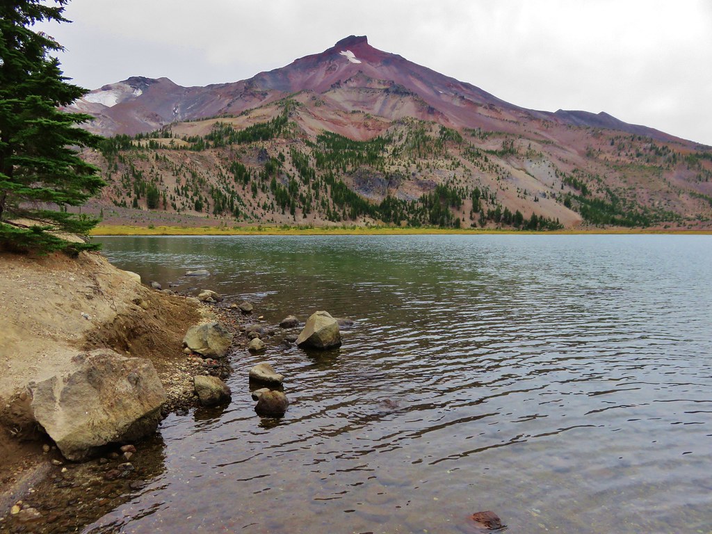
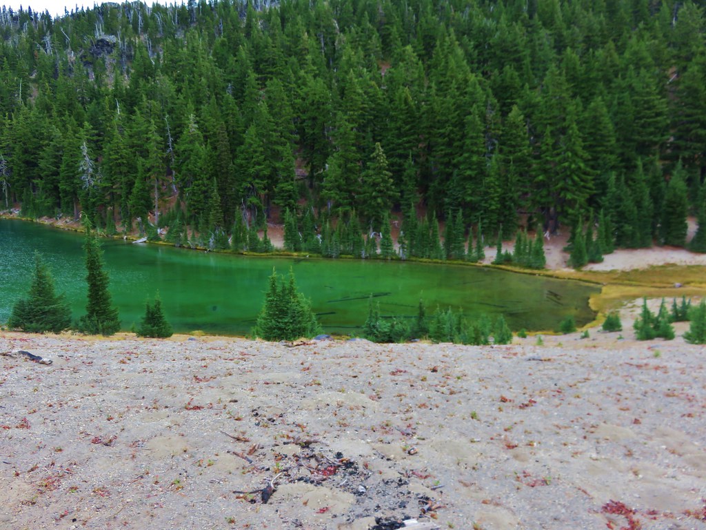
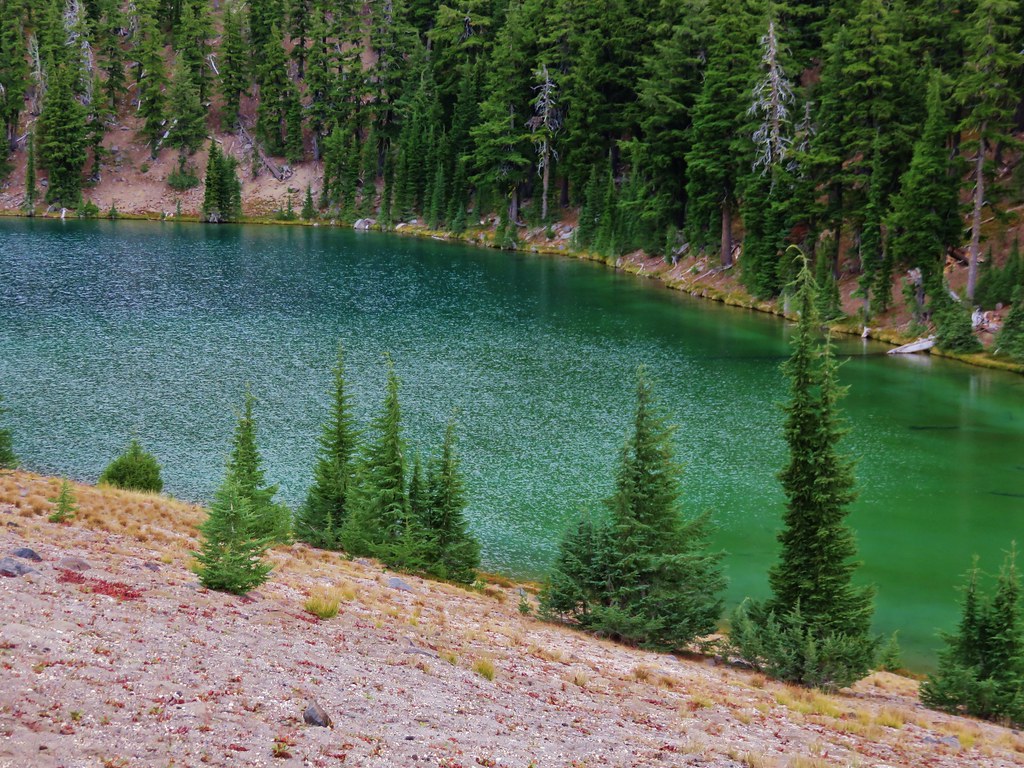
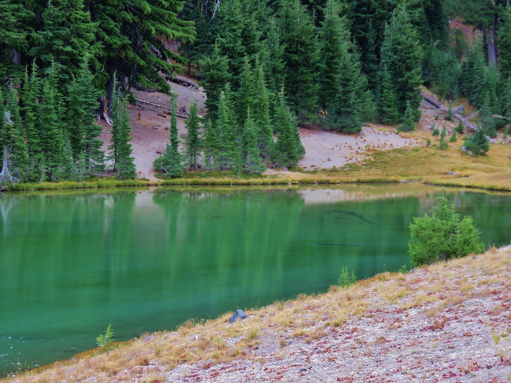
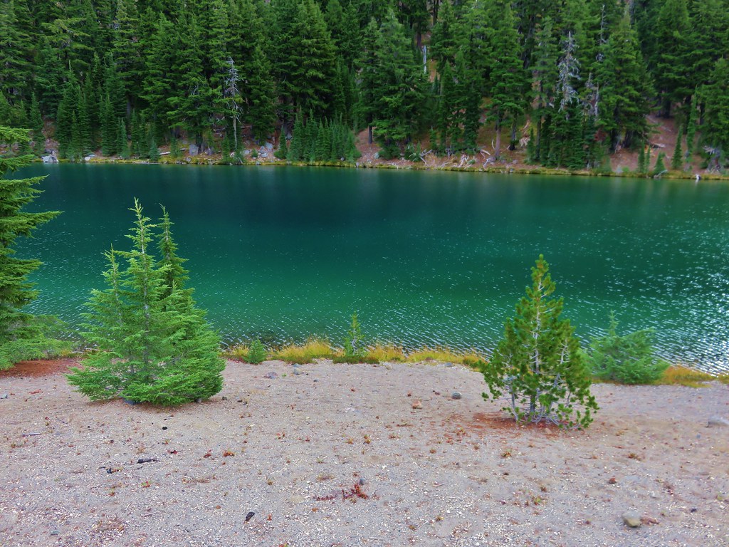
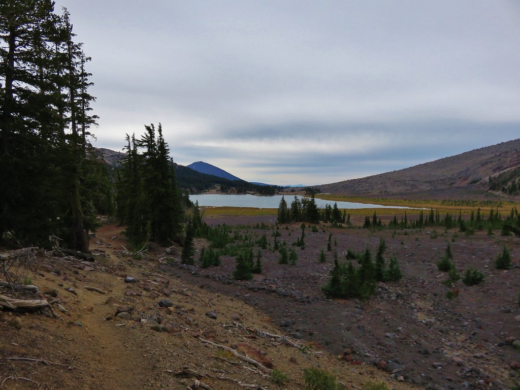
We resumed our hike passing along the east side of the lake heading toward the third and final lake. This lake truly lived up to the Green Lakes name.
 //embedr.flickr.com/assets/client-code.js
 //embedr.flickr.com/assets/client-code.js
 //embedr.flickr.com/assets/client-code.js
 //embedr.flickr.com/assets/client-code.js
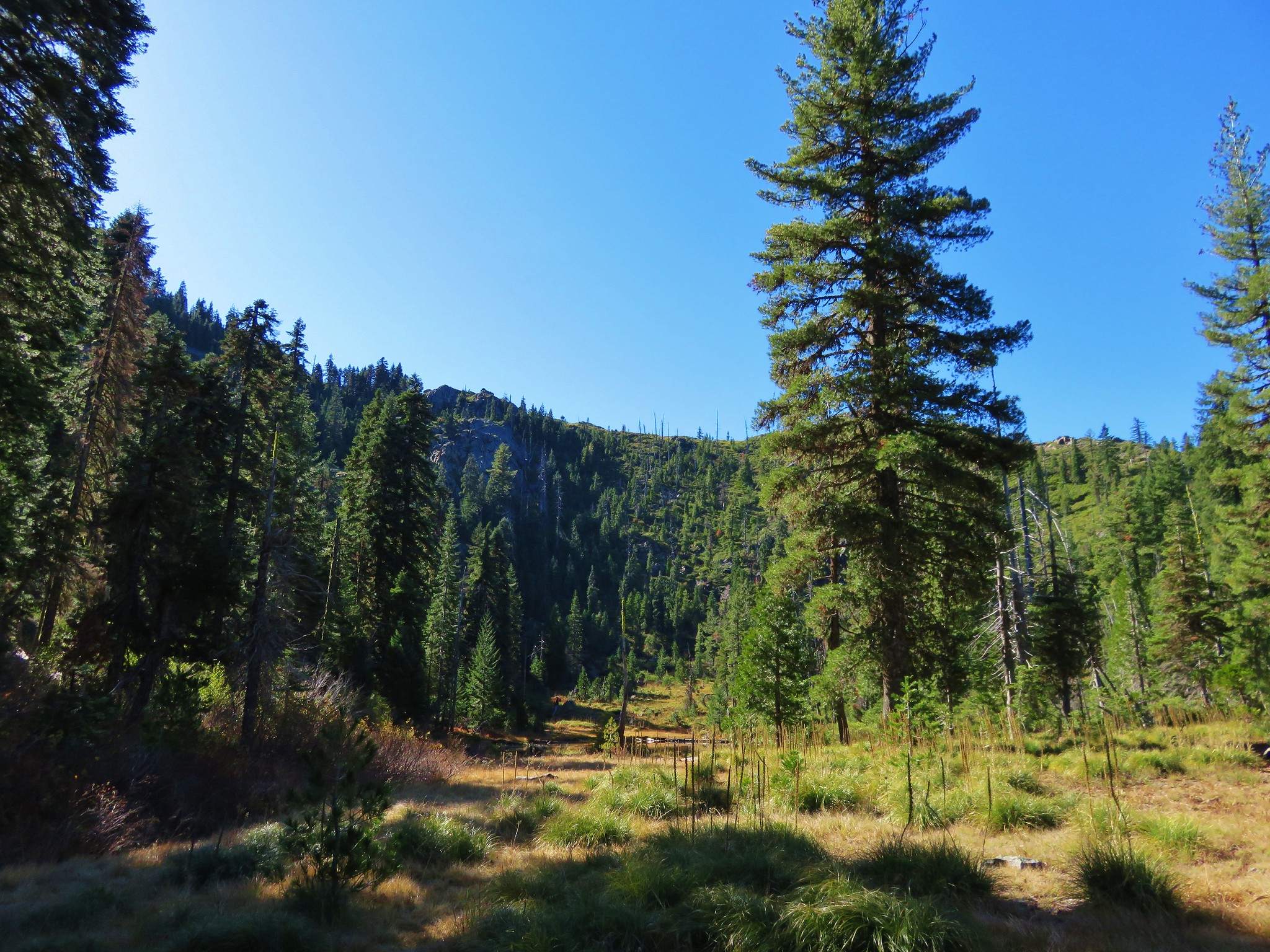
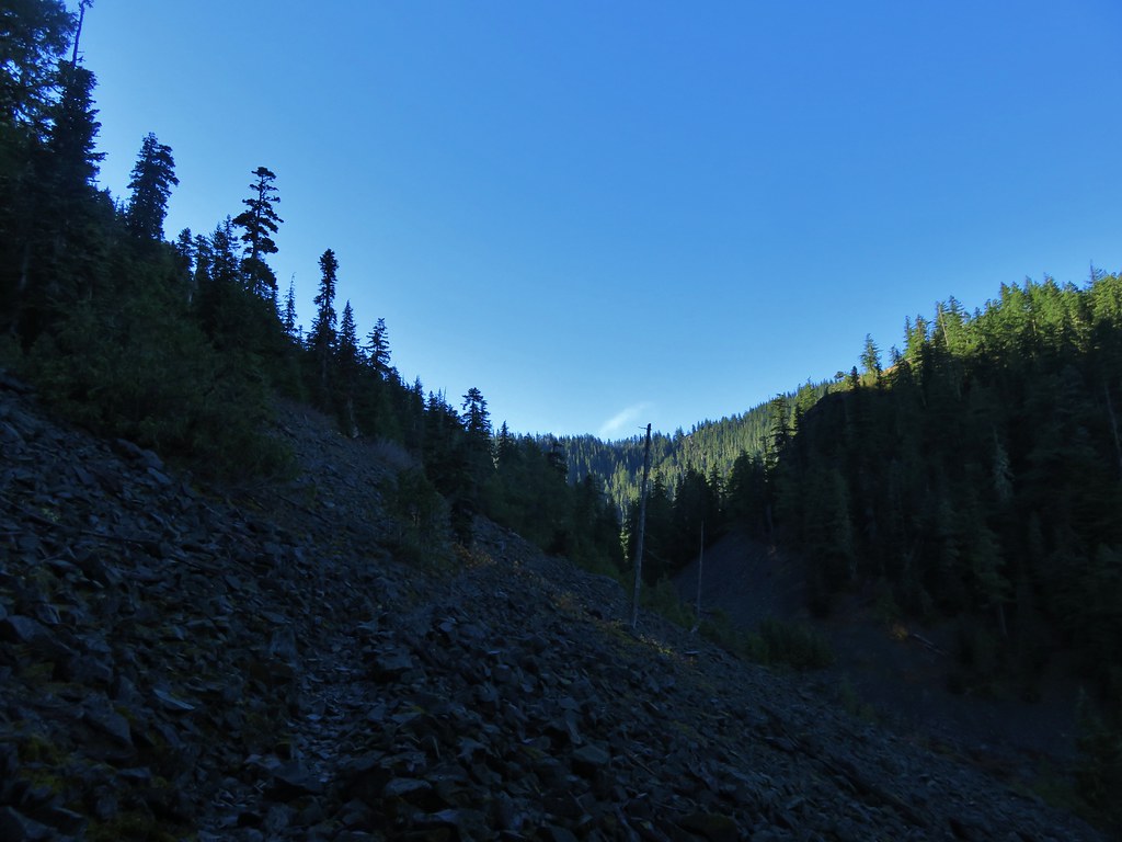
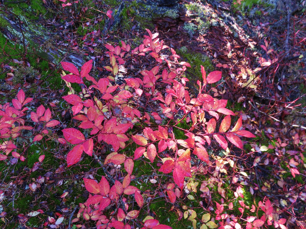
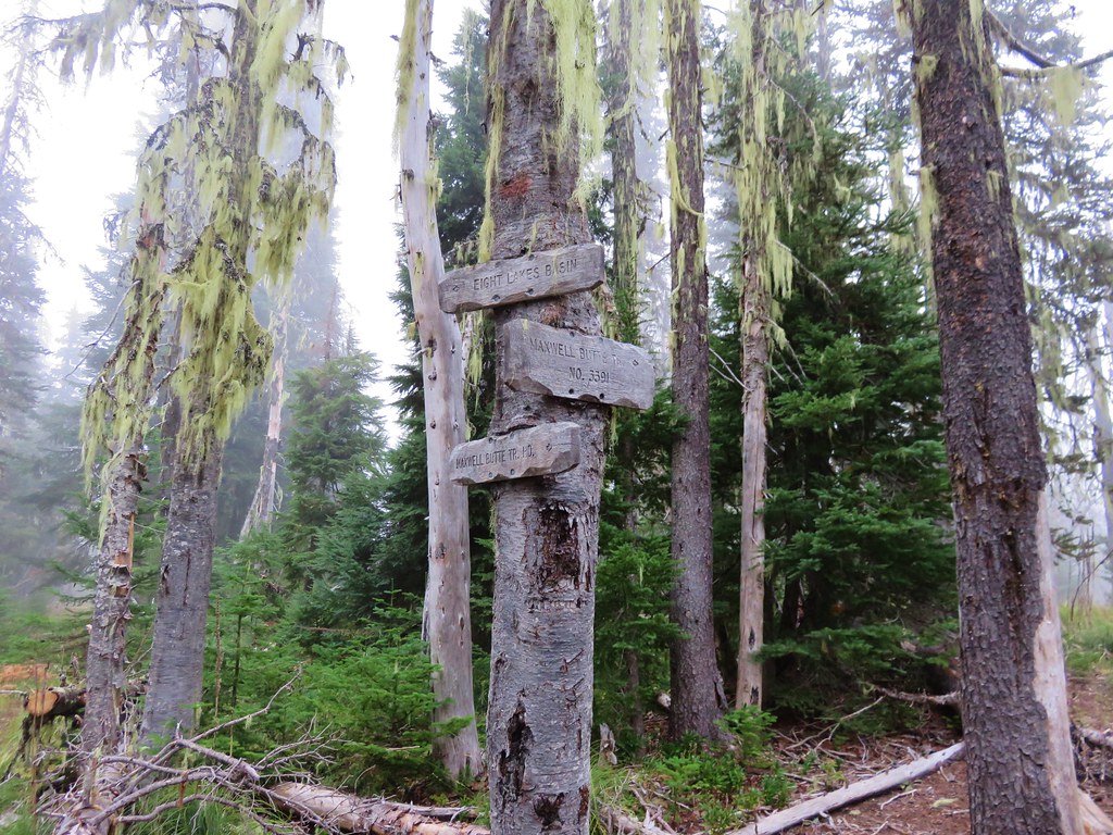
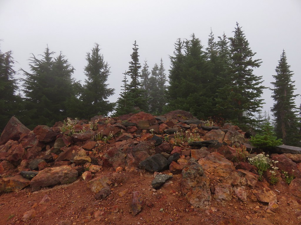
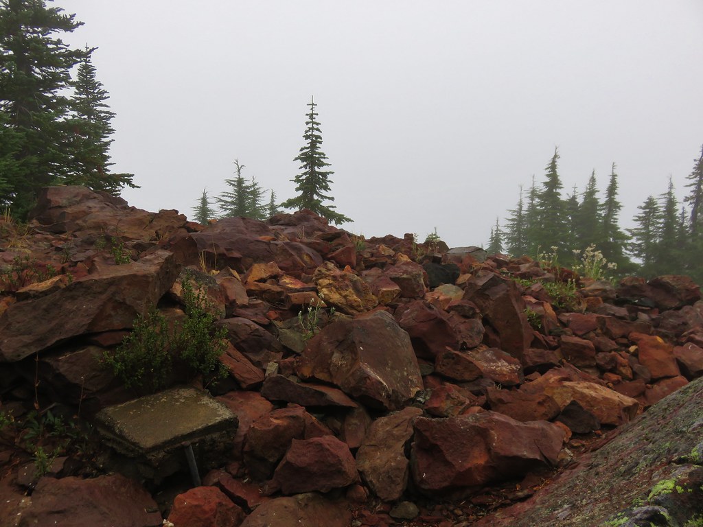
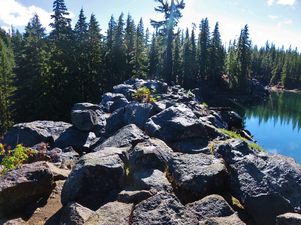
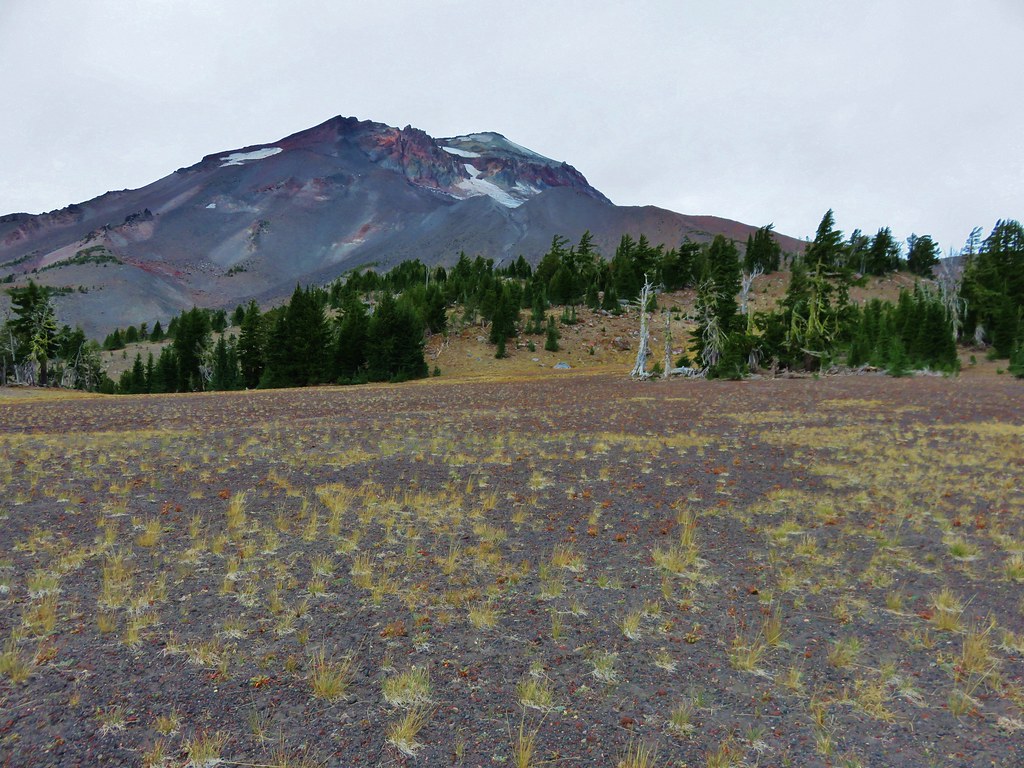
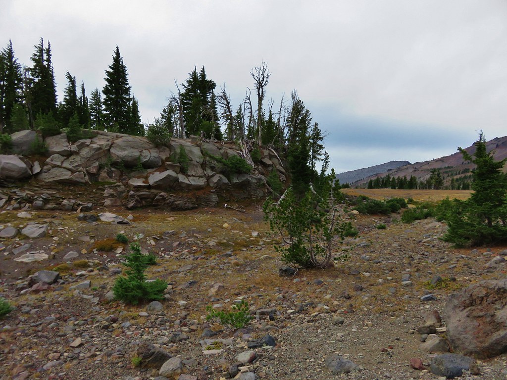
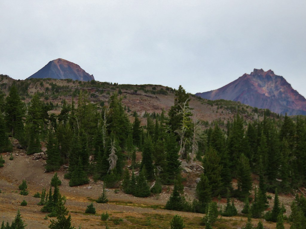
The Green Lakes Trail continues past the lakes climbing .7 miles to a pass between Broken Top and the South Sister before continuing down to Park Meadow. We headed for the pass to check out the views we’d missed on our night hike. We discovered an interesting landscape including some rocks showing the signs of long gone glacier.
 //embedr.flickr.com/assets/client-code.js
 //embedr.flickr.com/assets/client-code.js
 //embedr.flickr.com/assets/client-code.js
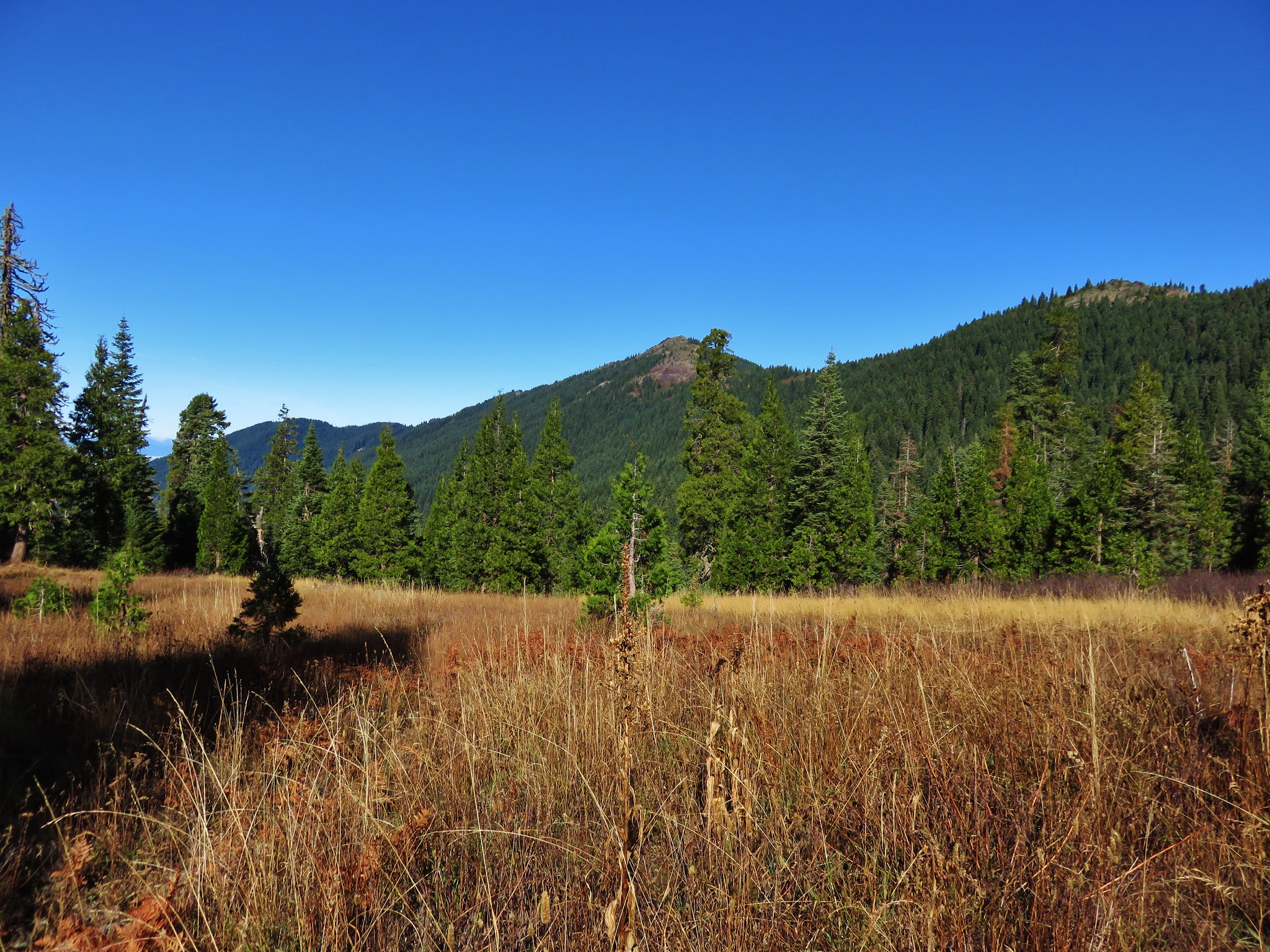
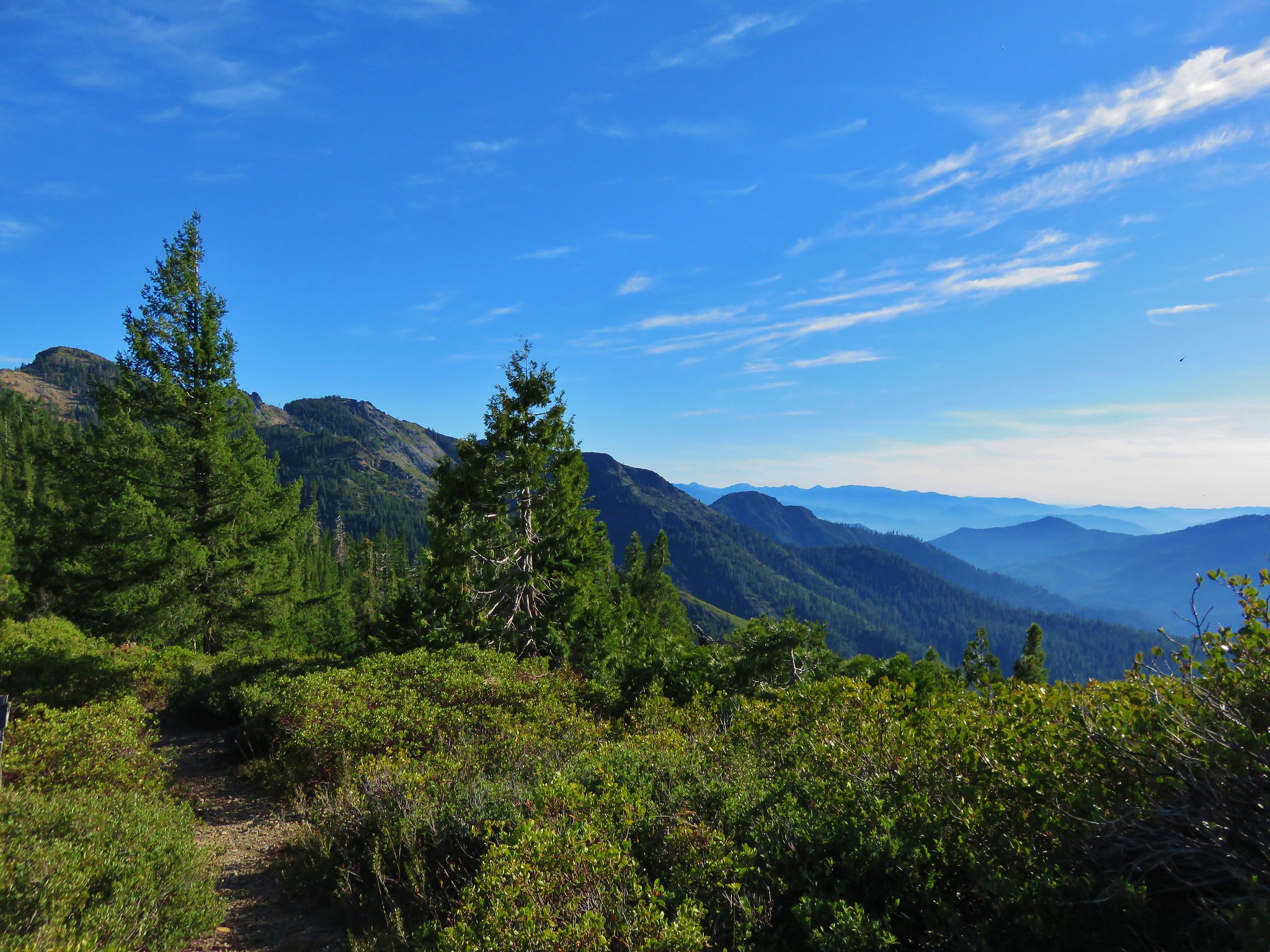
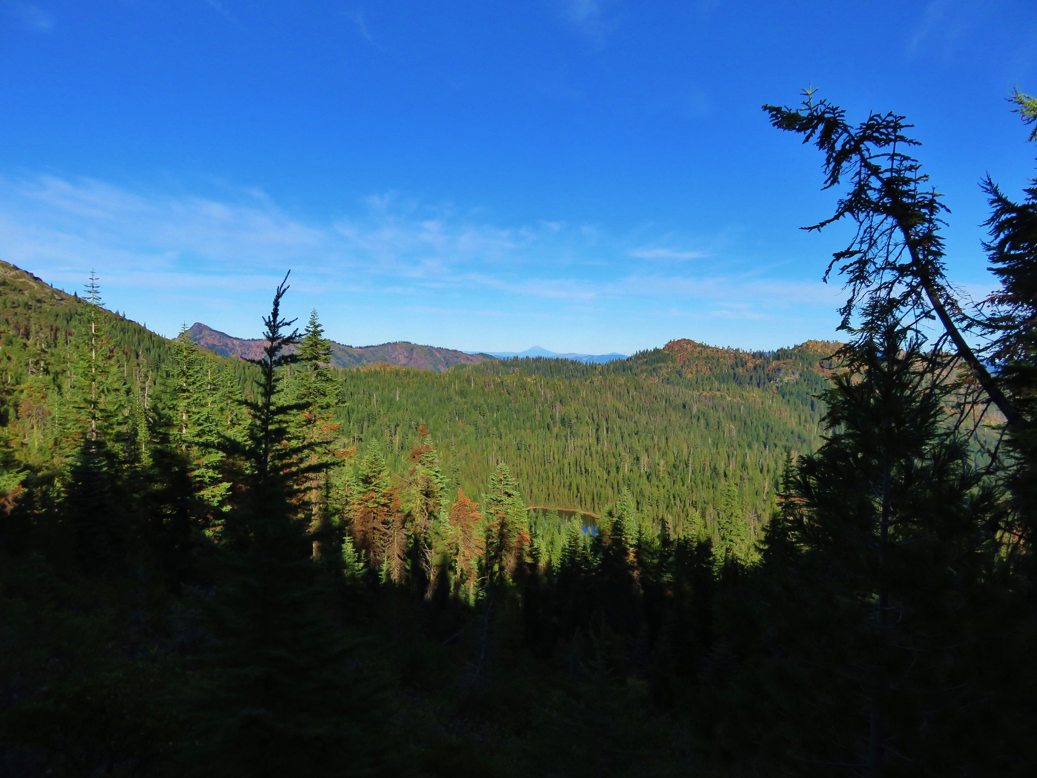
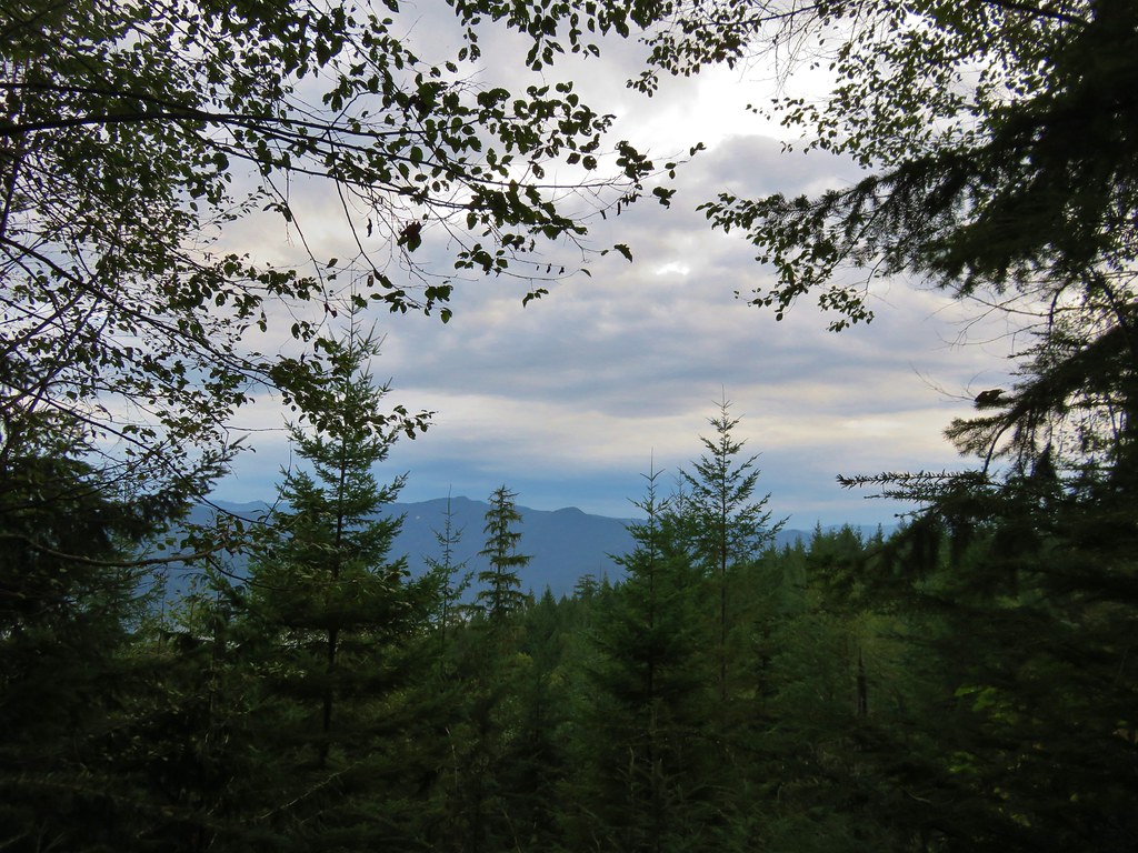
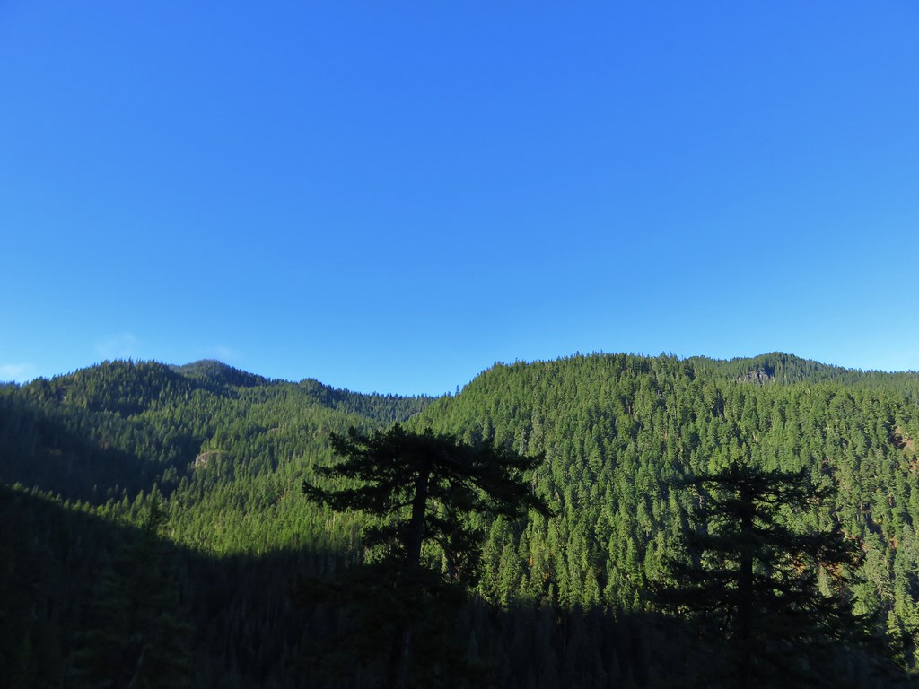
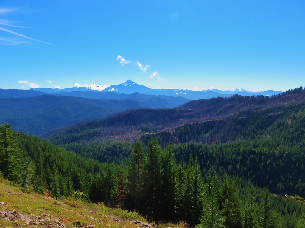
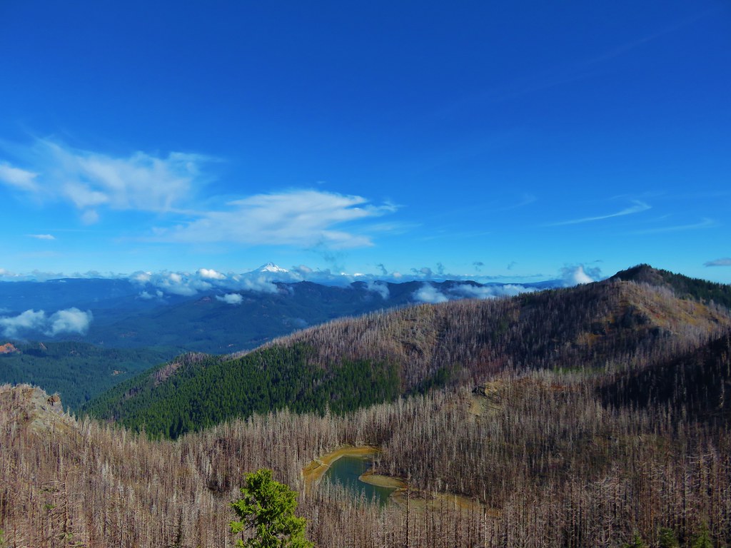
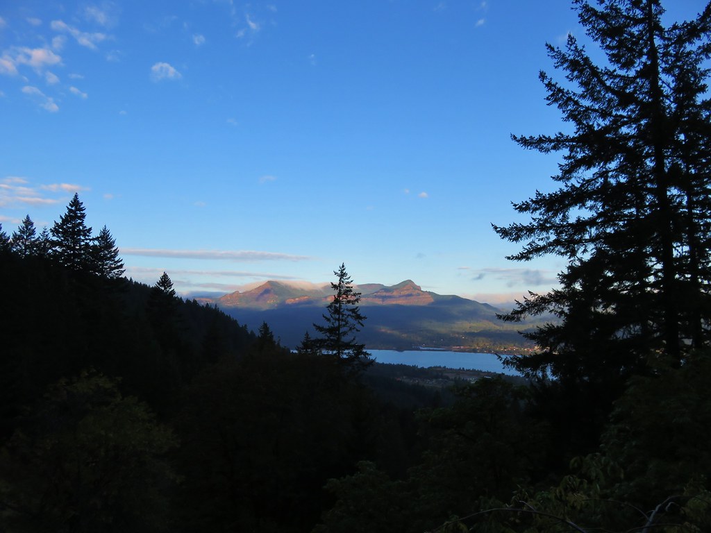
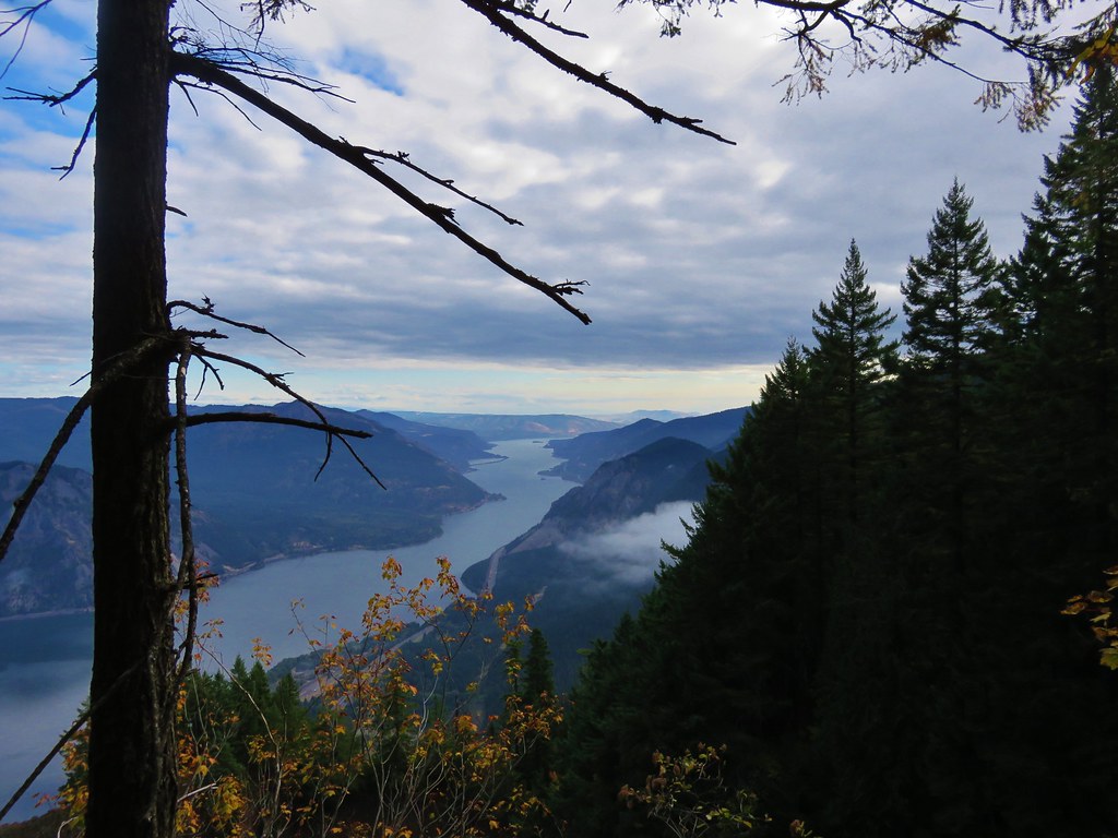
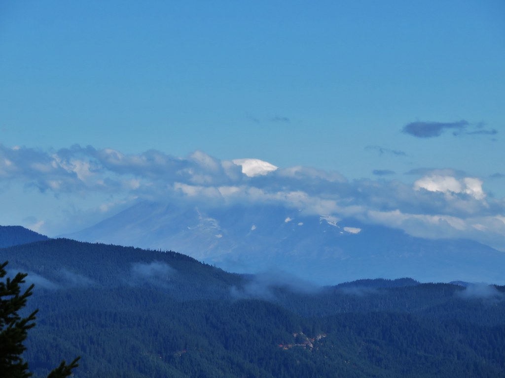
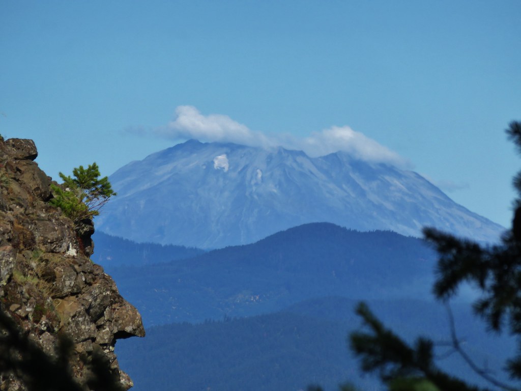
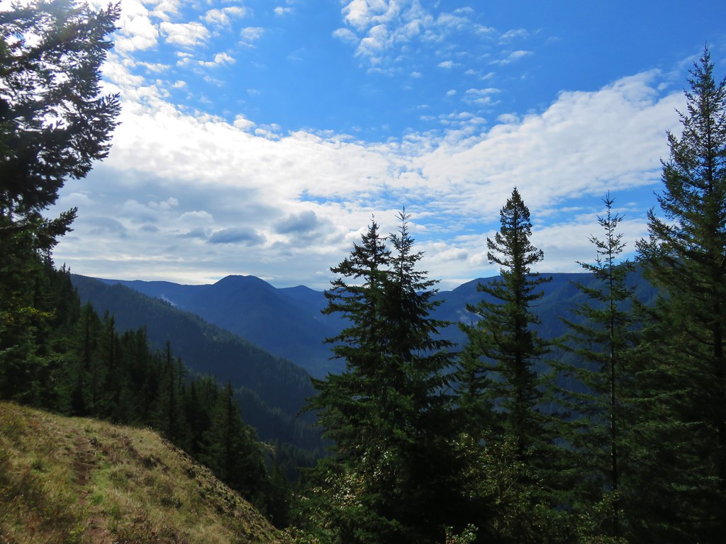
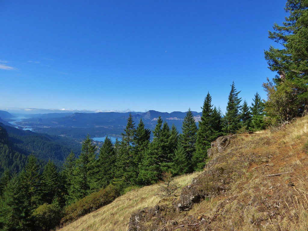
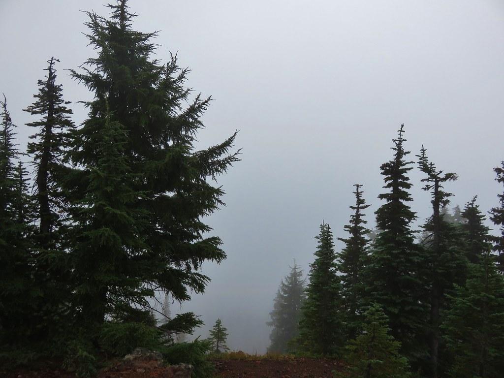
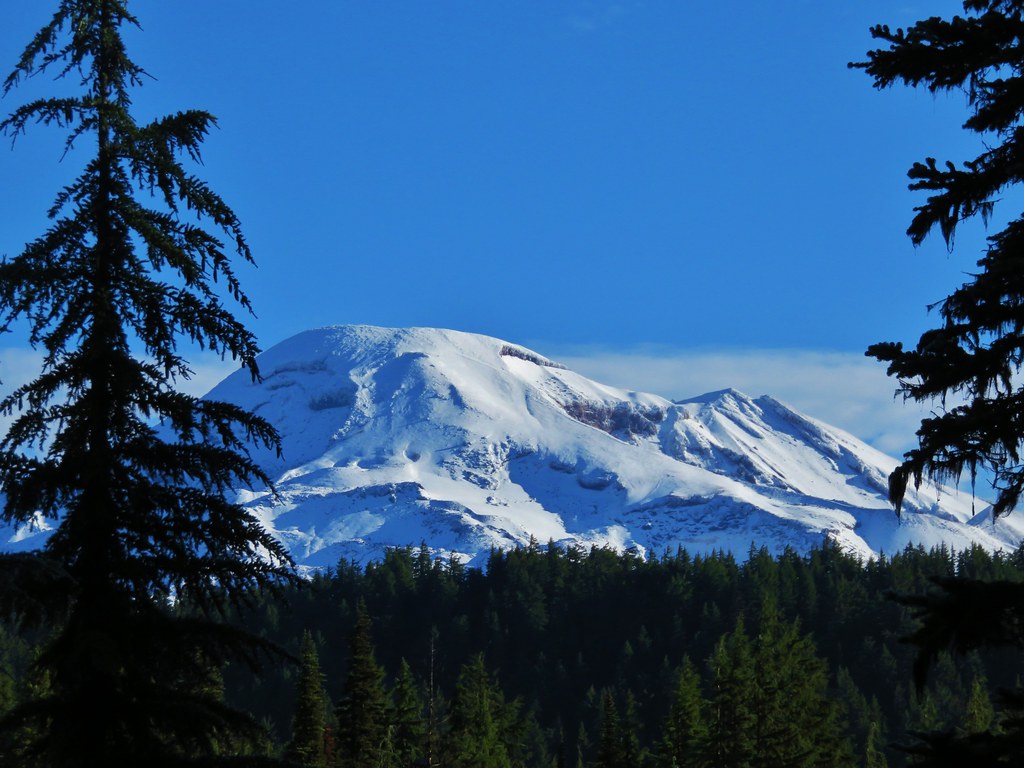
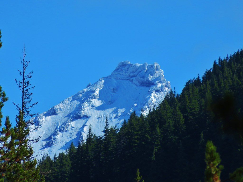
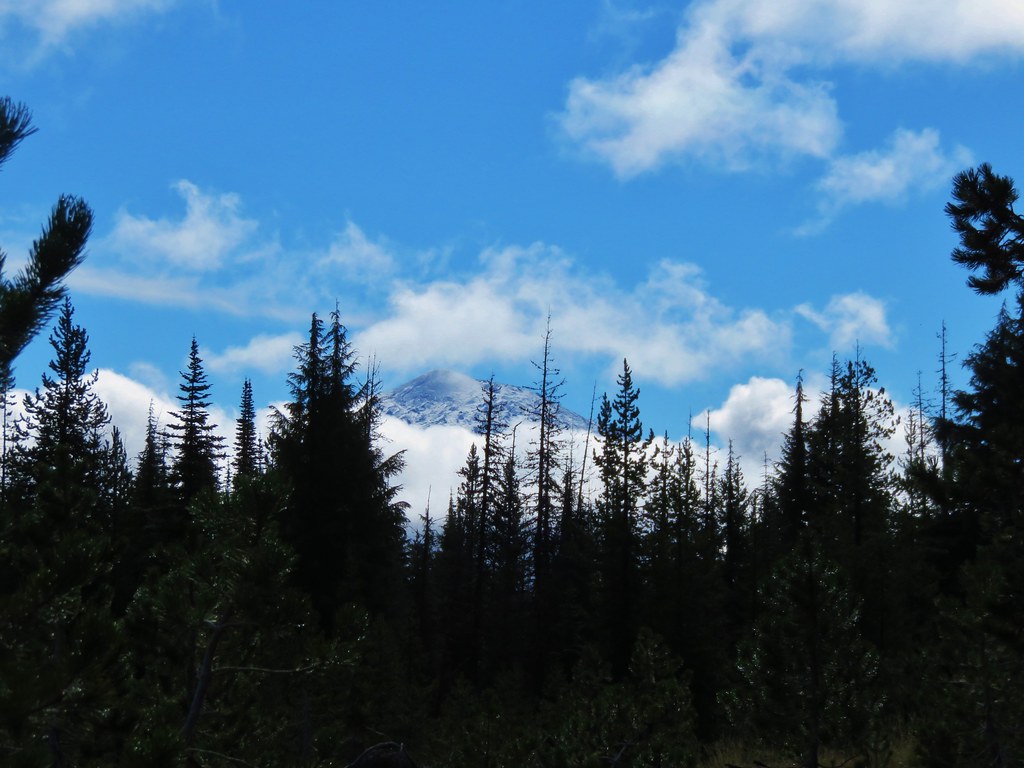
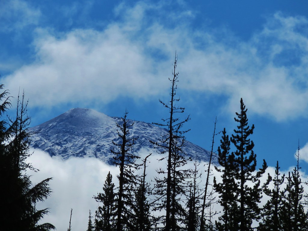
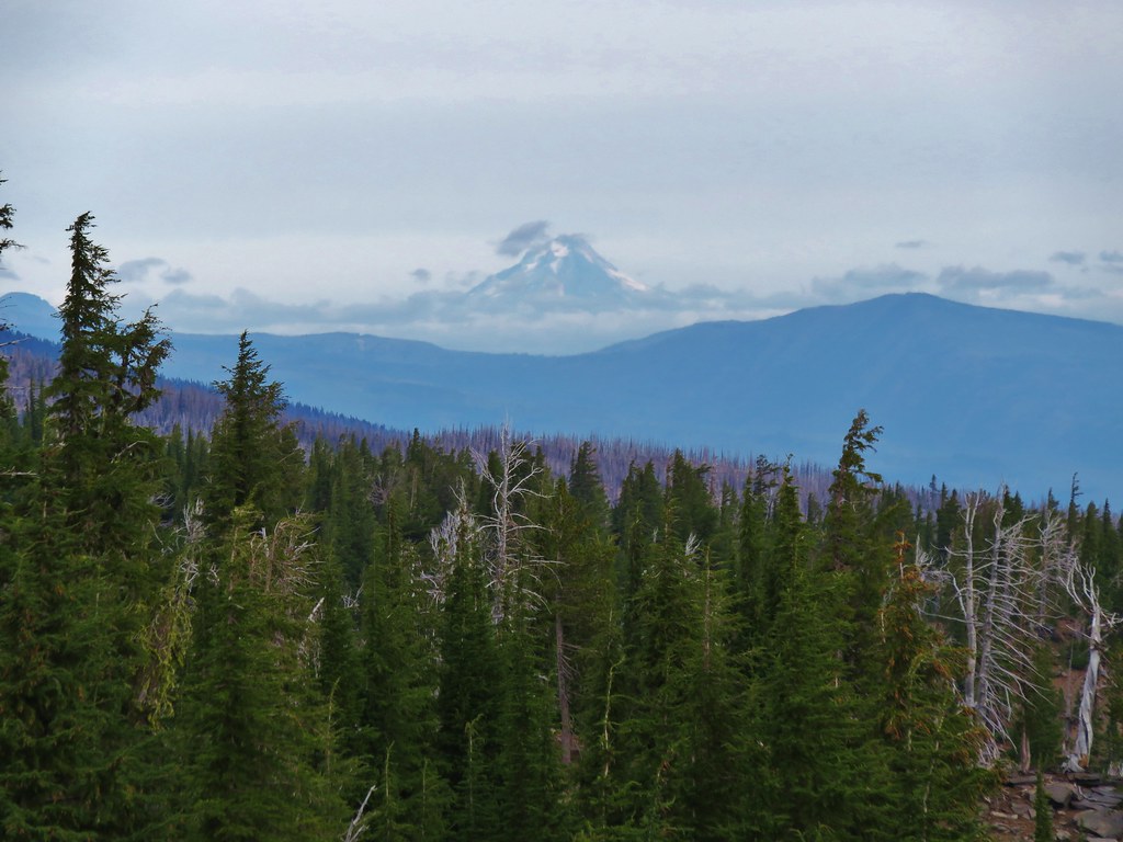
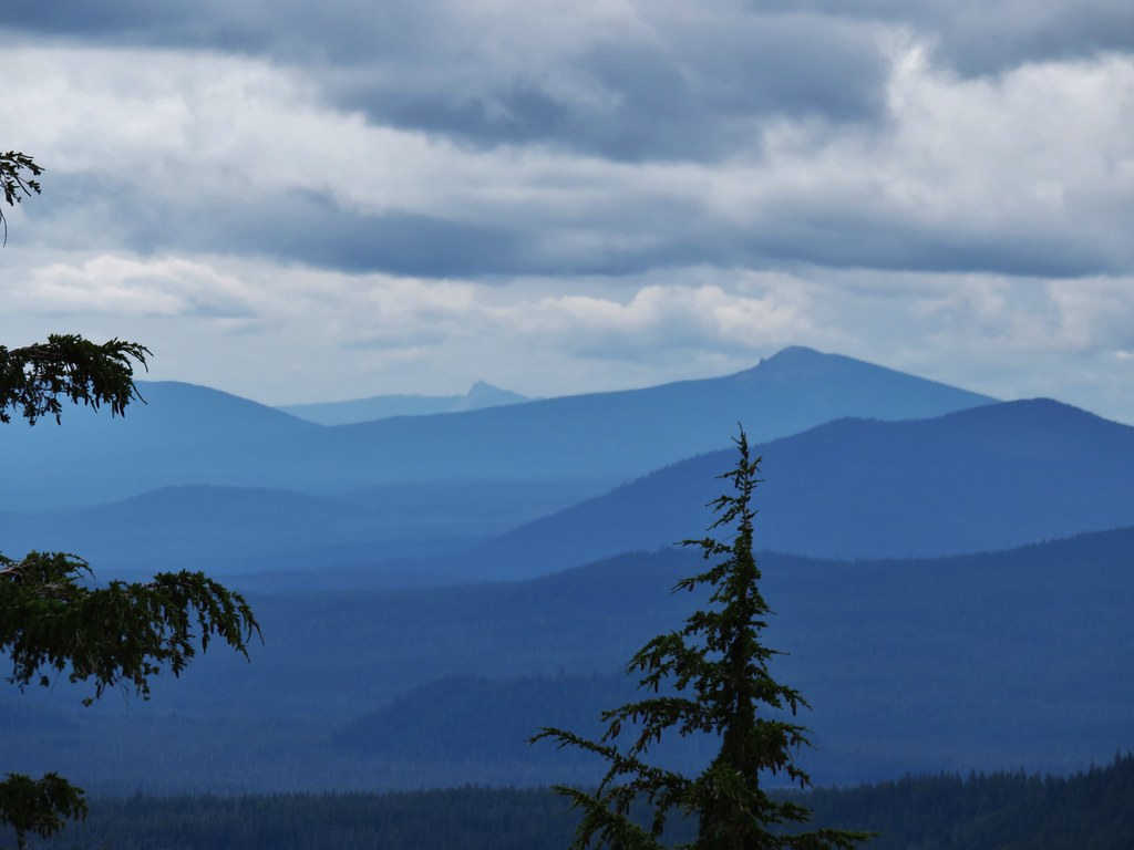
At the pass the views extended down into Central Oregon and north to Mt. Hood.
 //embedr.flickr.com/assets/client-code.js
 //embedr.flickr.com/assets/client-code.js
 //embedr.flickr.com/assets/client-code.js
 //embedr.flickr.com/assets/client-code.js
 //embedr.flickr.com/assets/client-code.js
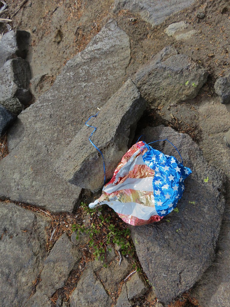
After doing a little exploring (and picking up another balloon) we headed back down to the Green Lakes.
The balloon in the trees.
 //embedr.flickr.com/assets/client-code.js
 //embedr.flickr.com/assets/client-code.js
 //embedr.flickr.com/assets/client-code.js
 //embedr.flickr.com/assets/client-code.js
 //embedr.flickr.com/assets/client-code.js
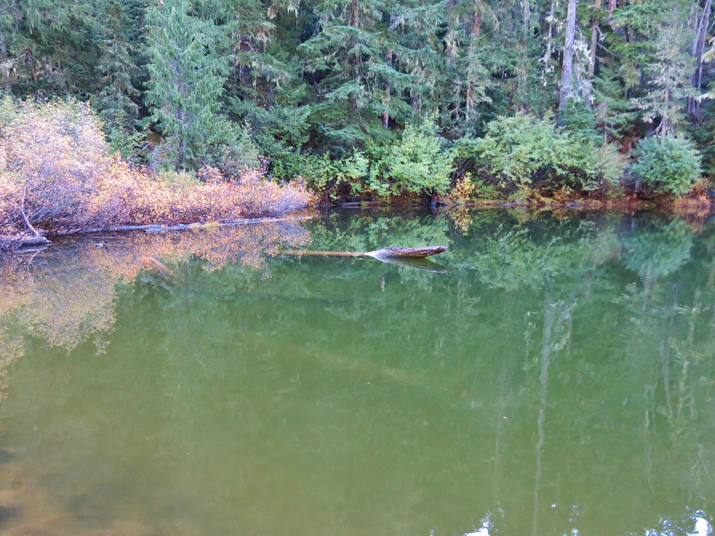
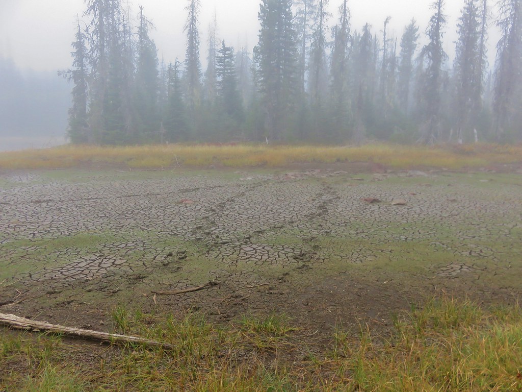
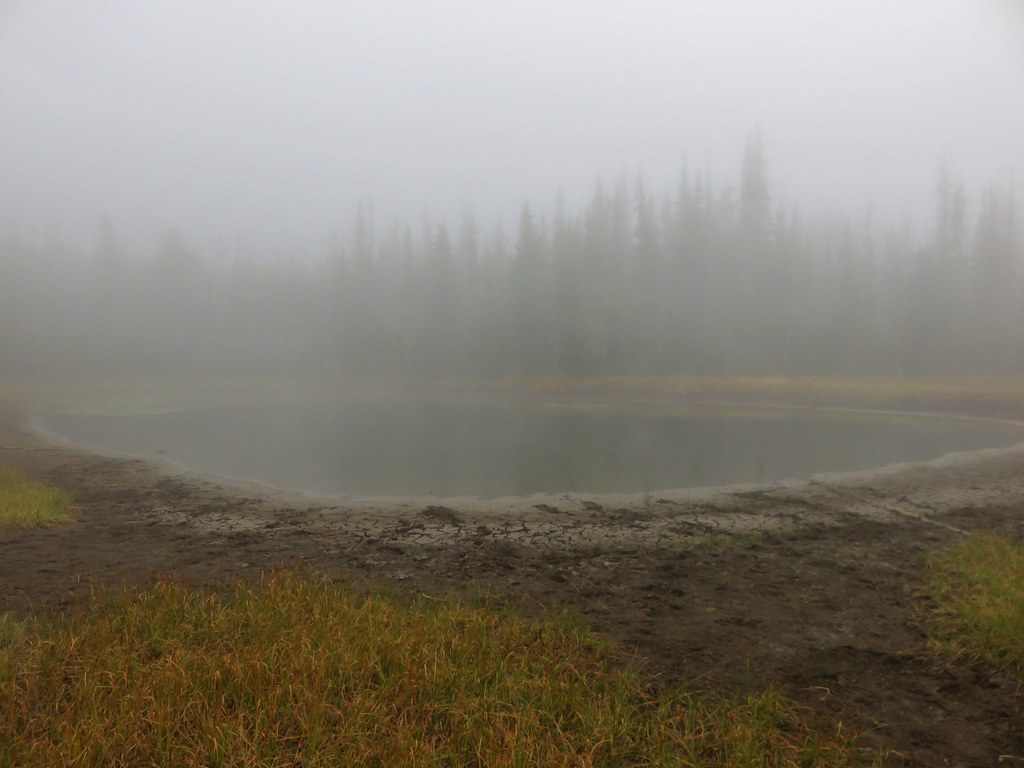
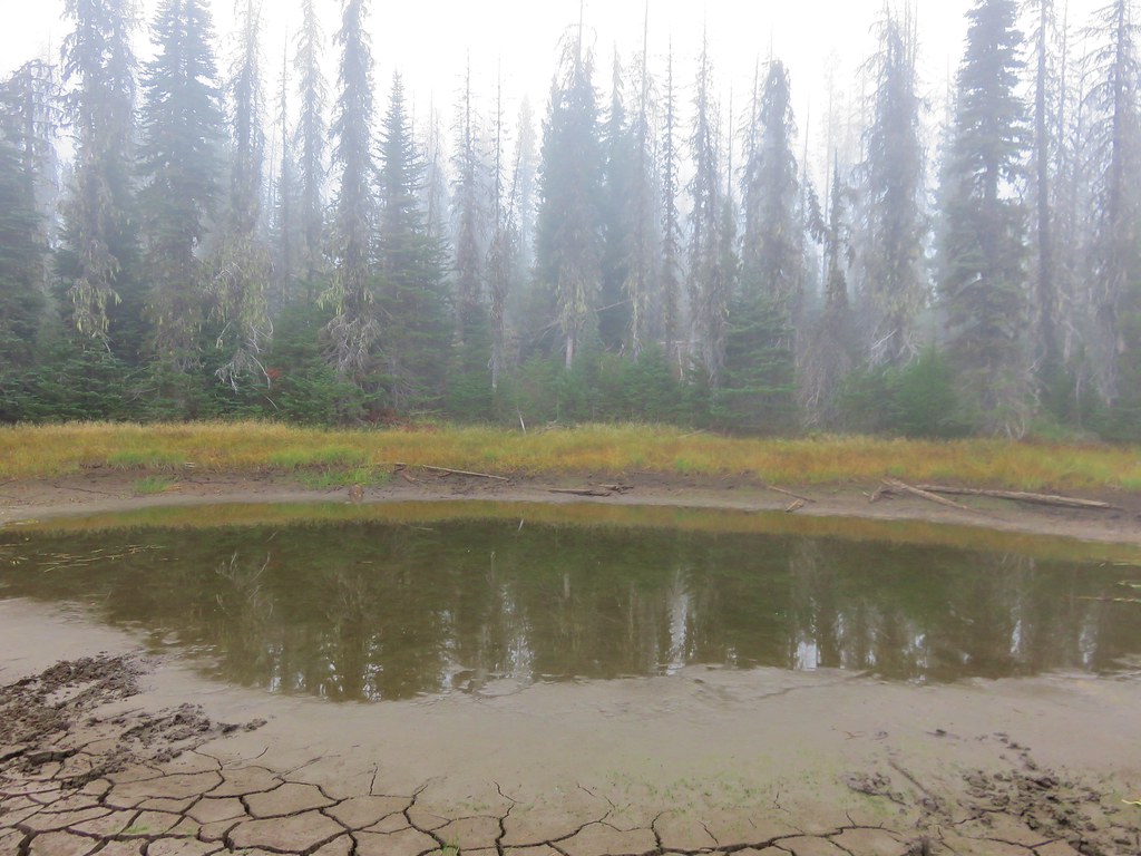
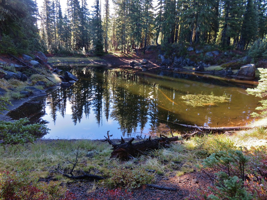
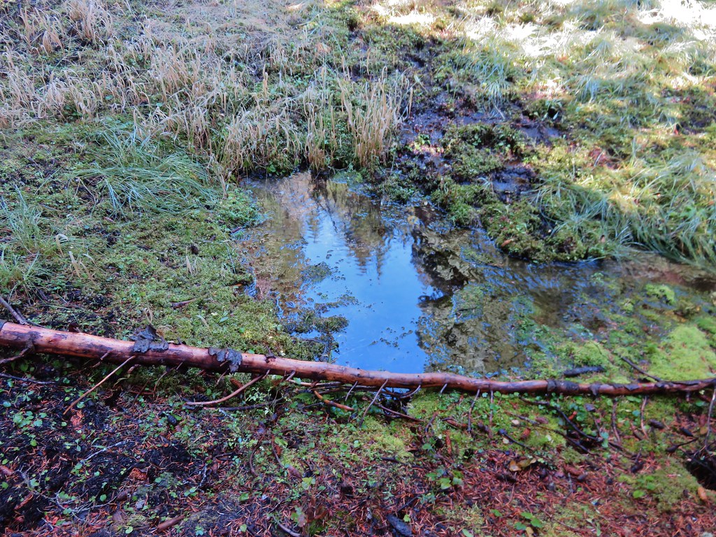
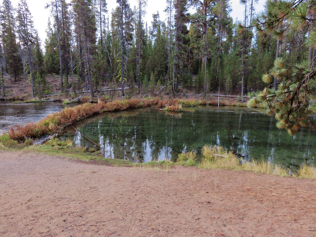
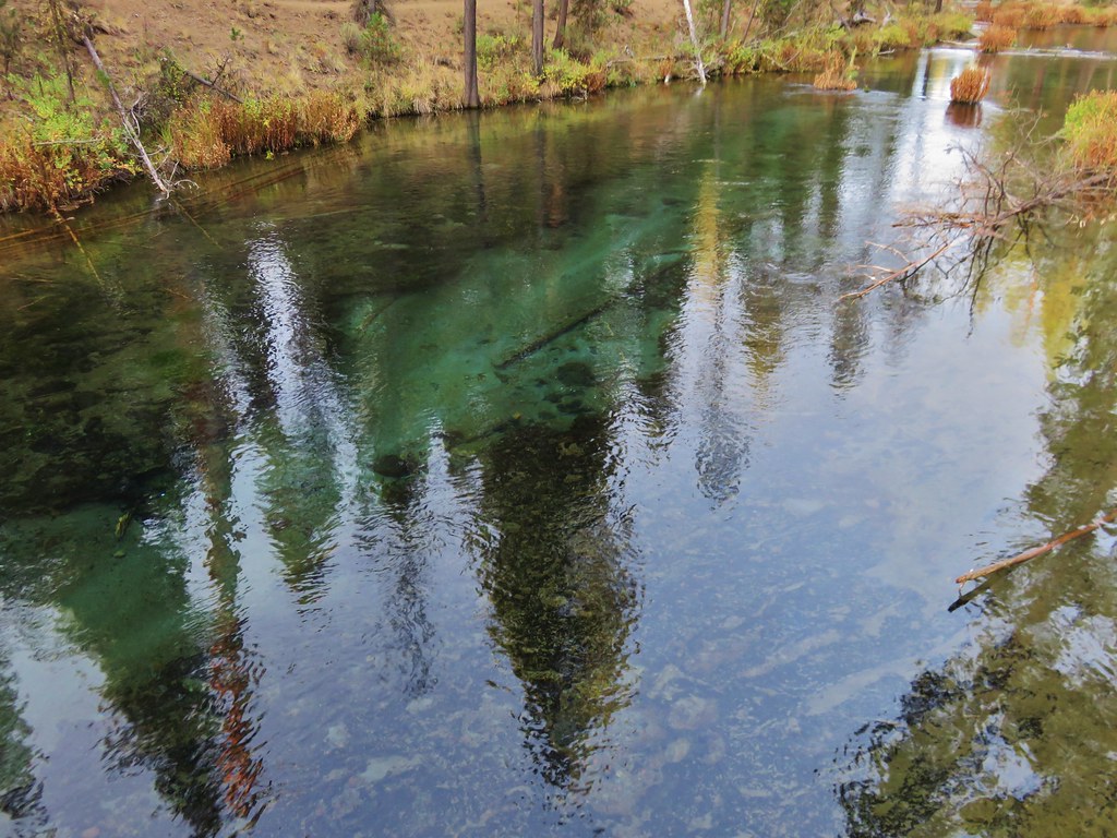
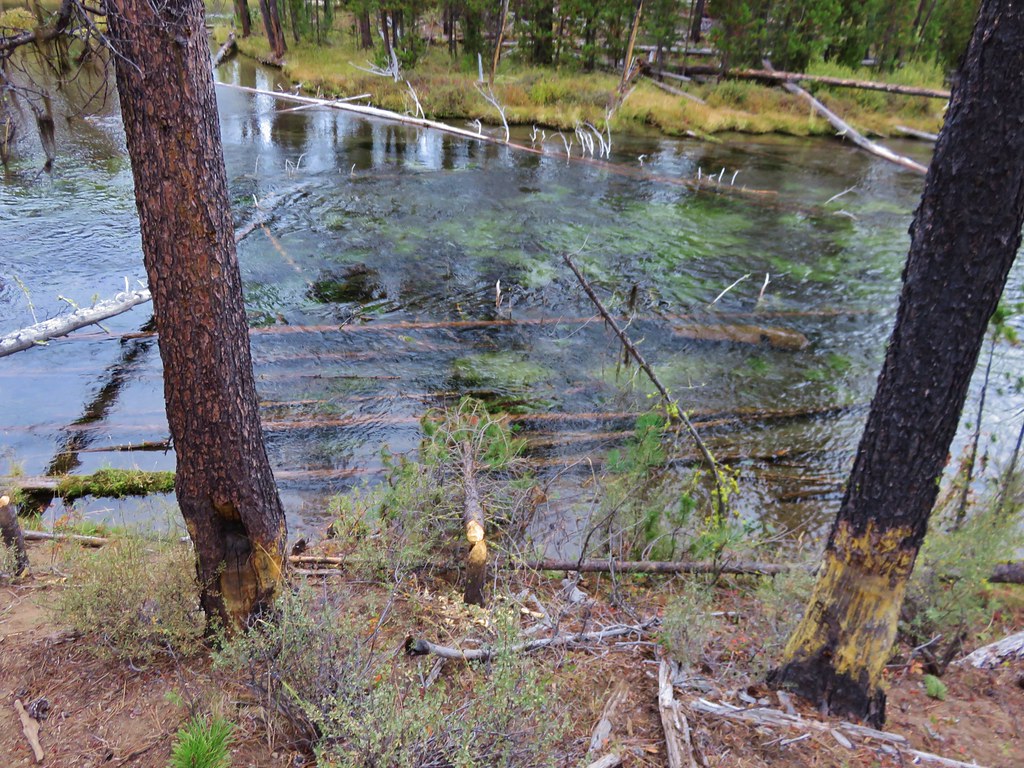
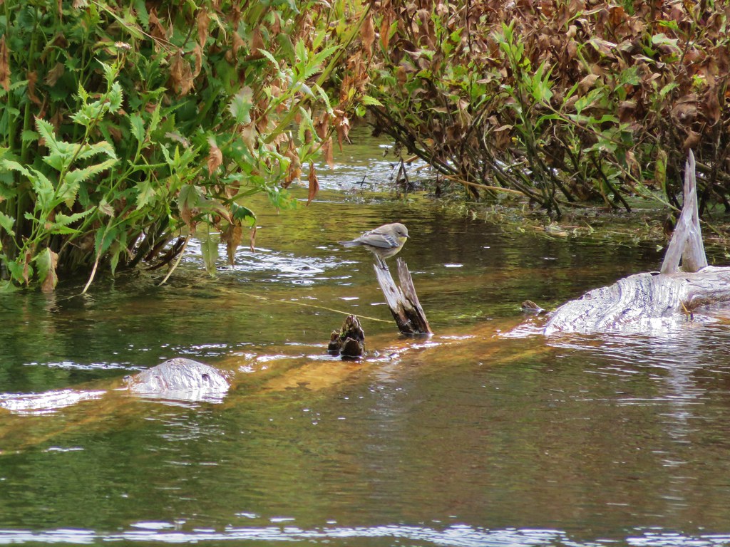
We were interested in checking out what appeared to be springs feeding into the third Green Lake and followed a path around the north shore only to discover a small “Area closed for restoration” sign less than 10′ from the springs. We couldn’t figure out why the forest service didn’t put a sign where the path split off from the main trail instead of clear back by the spring, but we obeyed the sign and turned around after taking a picture of what we could see.
 //embedr.flickr.com/assets/client-code.js
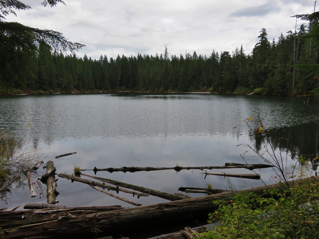
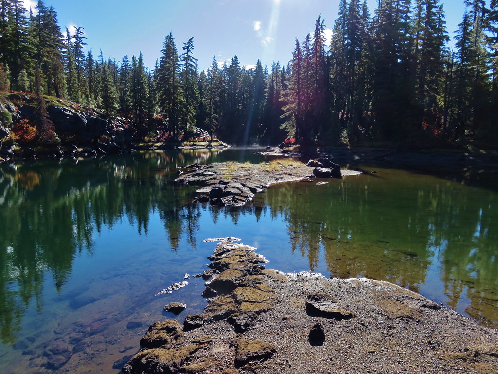
It was a little over a mile from the third lake to the first lake which we had skipped earlier when we headed directly to the day use peninsula on the middle lake. We explored the area around the first lake before picking up the Broken Top Trail which came from the east to join the Green Lakes Trail just south of the first lake.
 //embedr.flickr.com/assets/client-code.js
 //embedr.flickr.com/assets/client-code.js
The Broken Top Trail makes it possible to turn the hike into a loop and we took advantage of this and headed east on the trail.
 //embedr.flickr.com/assets/client-code.js
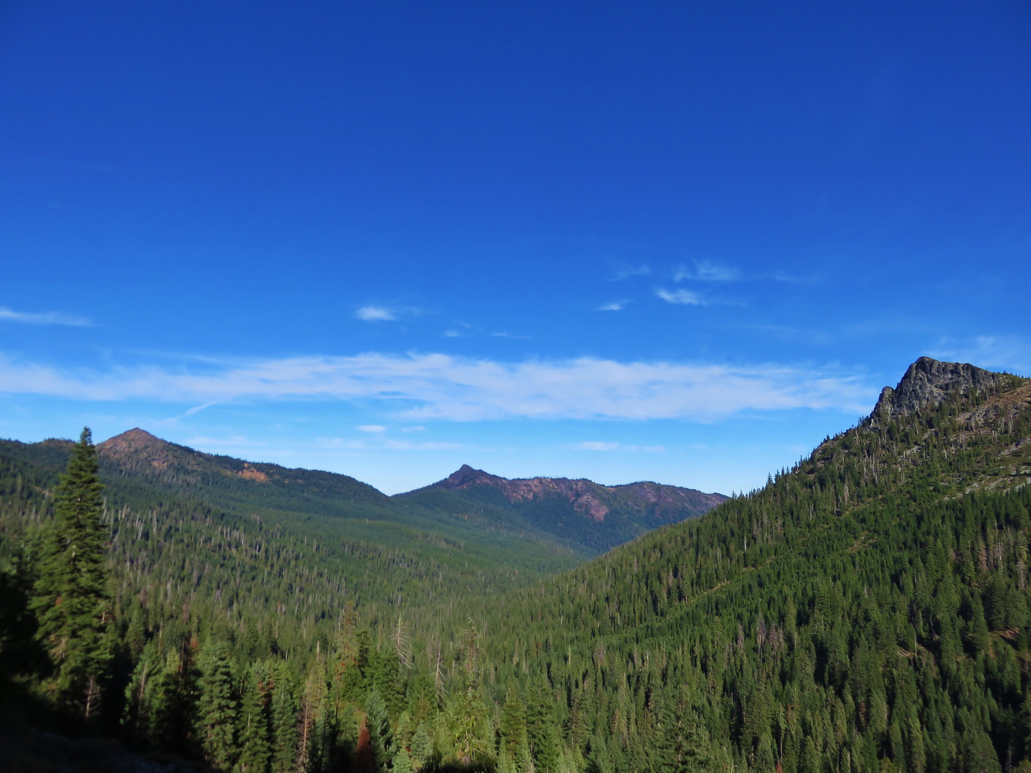
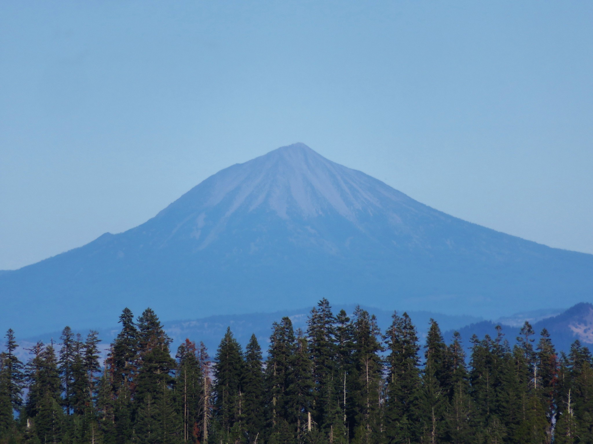
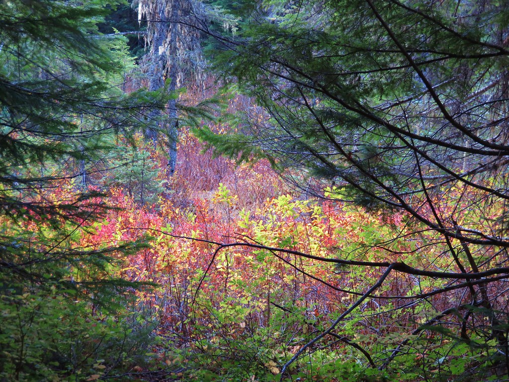
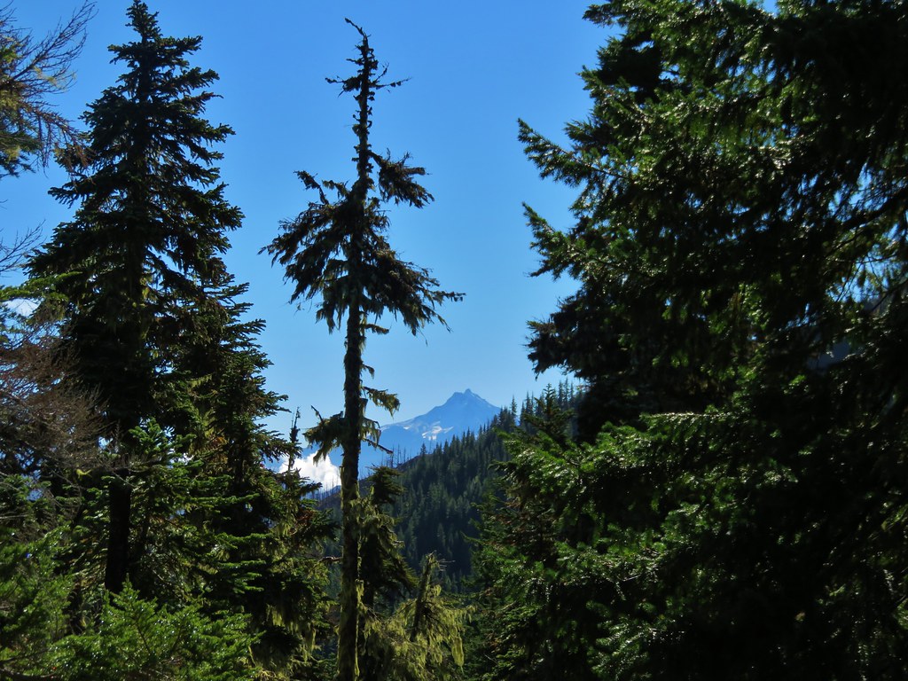
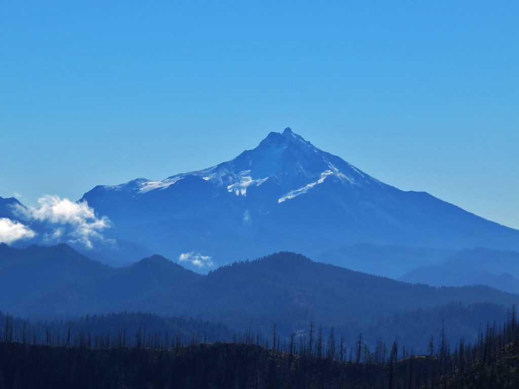
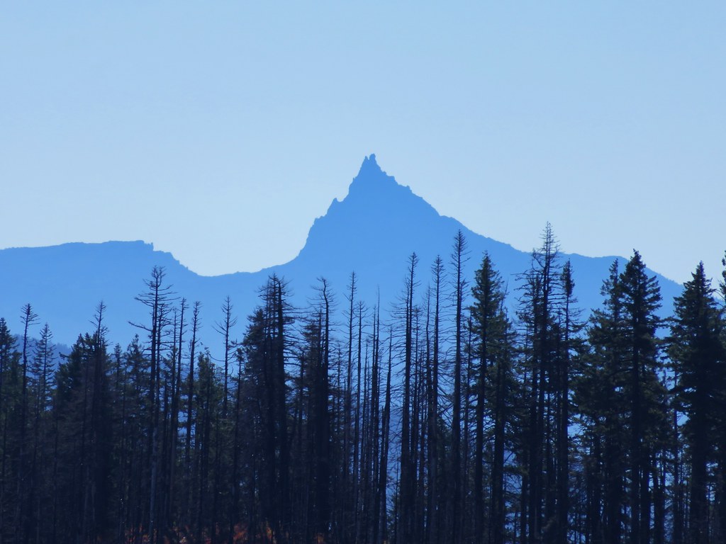
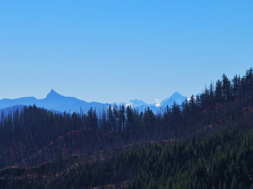
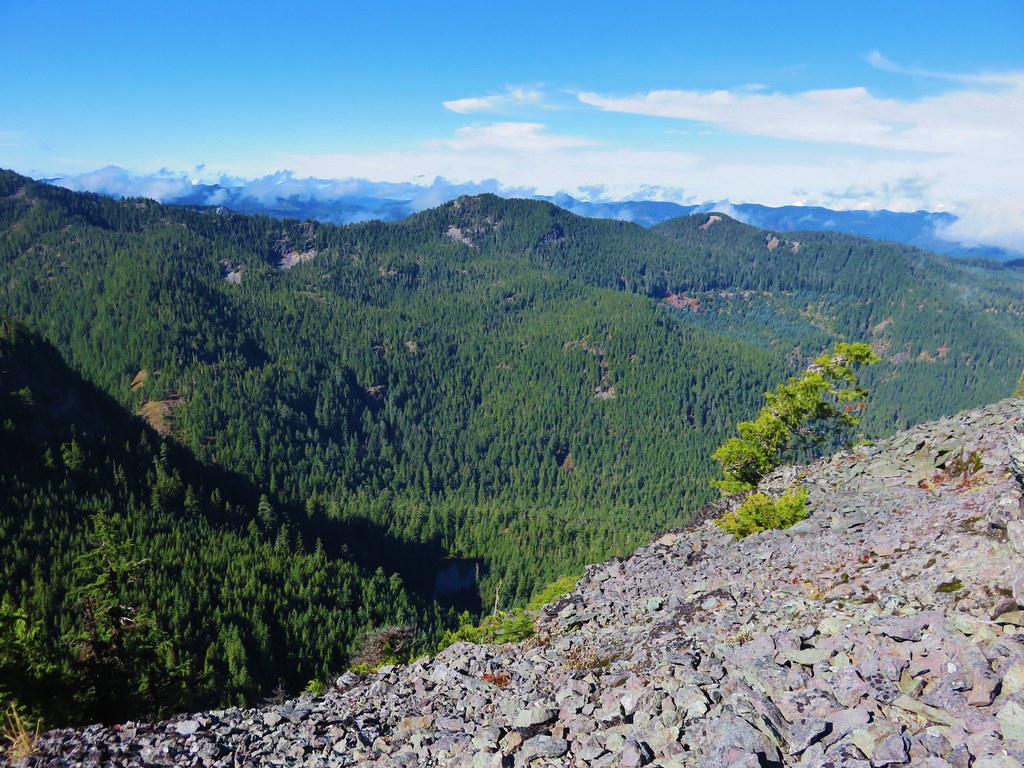
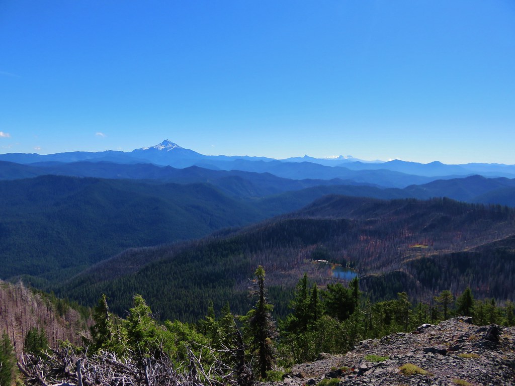
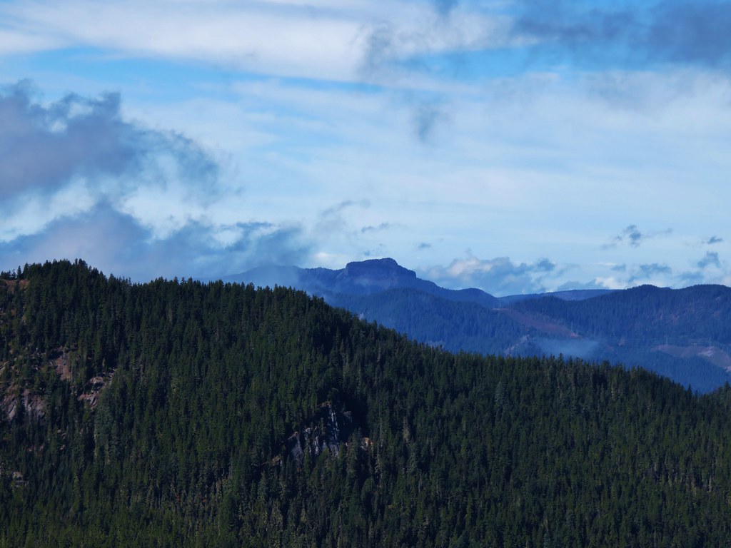
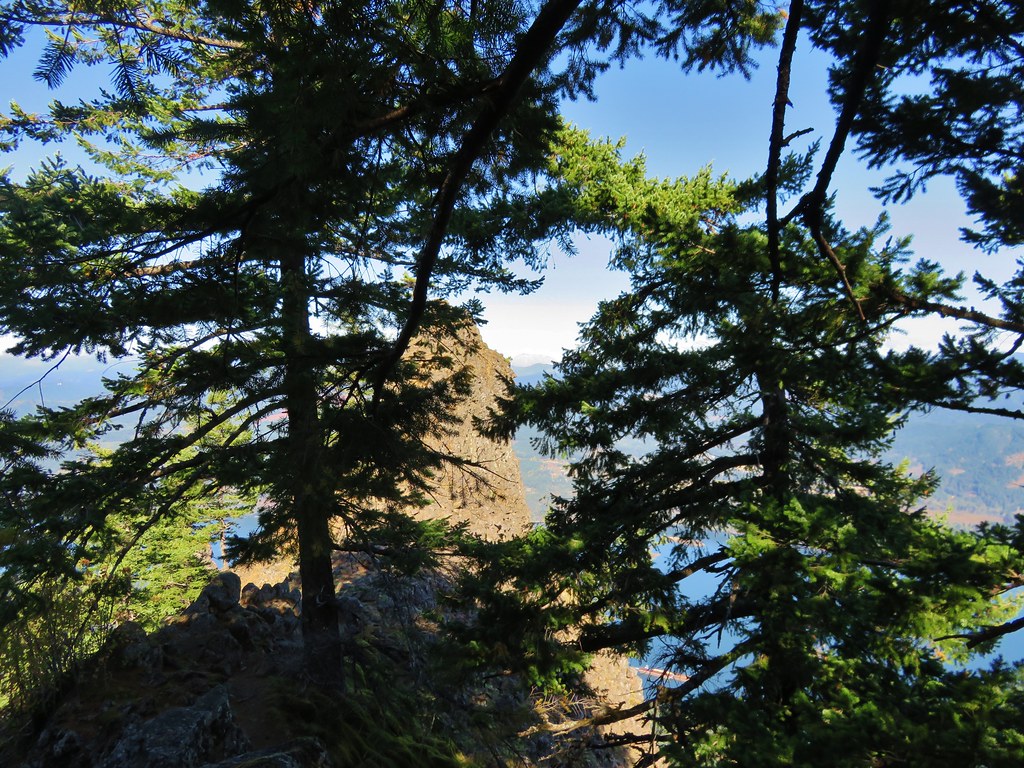
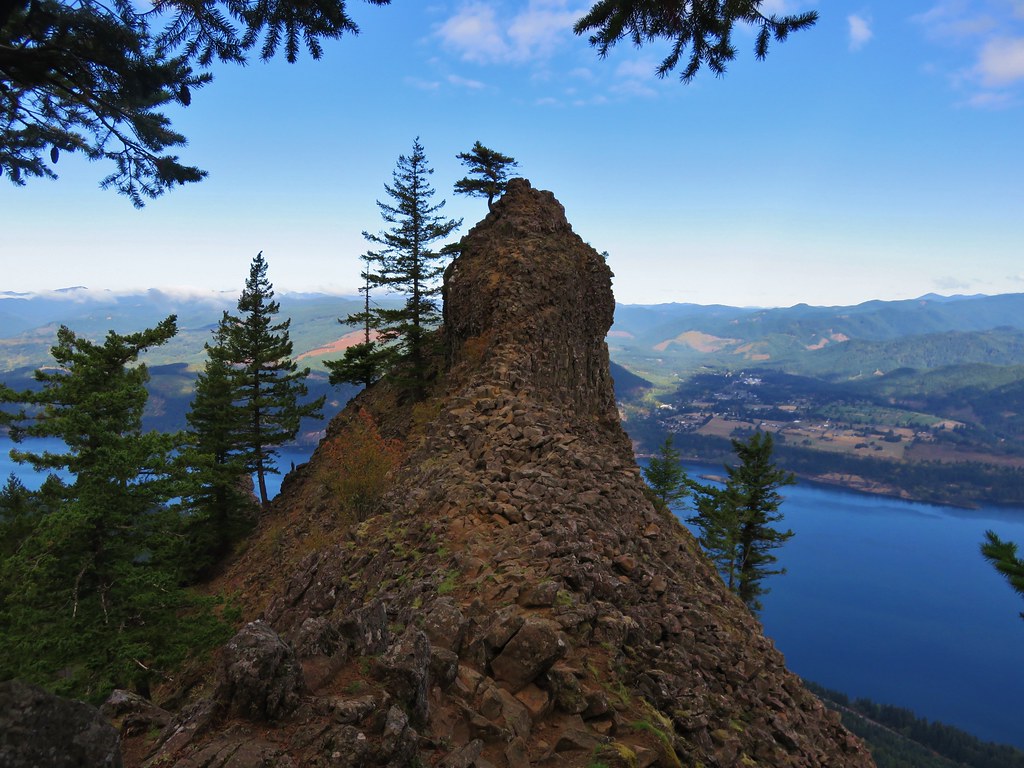
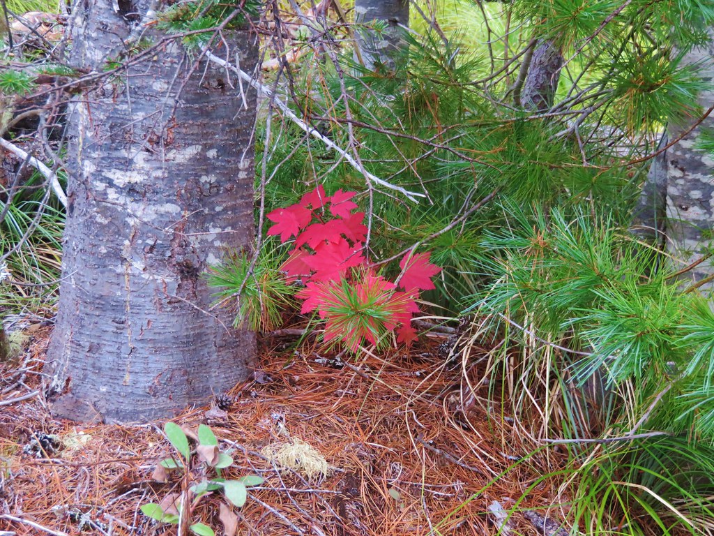
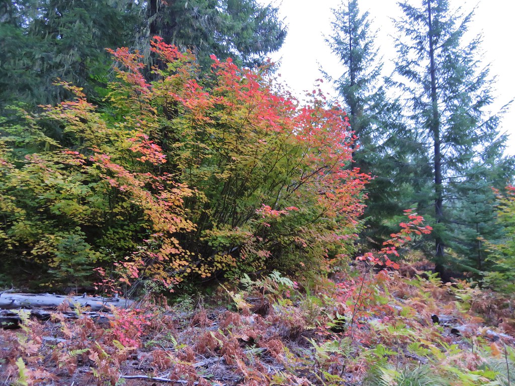
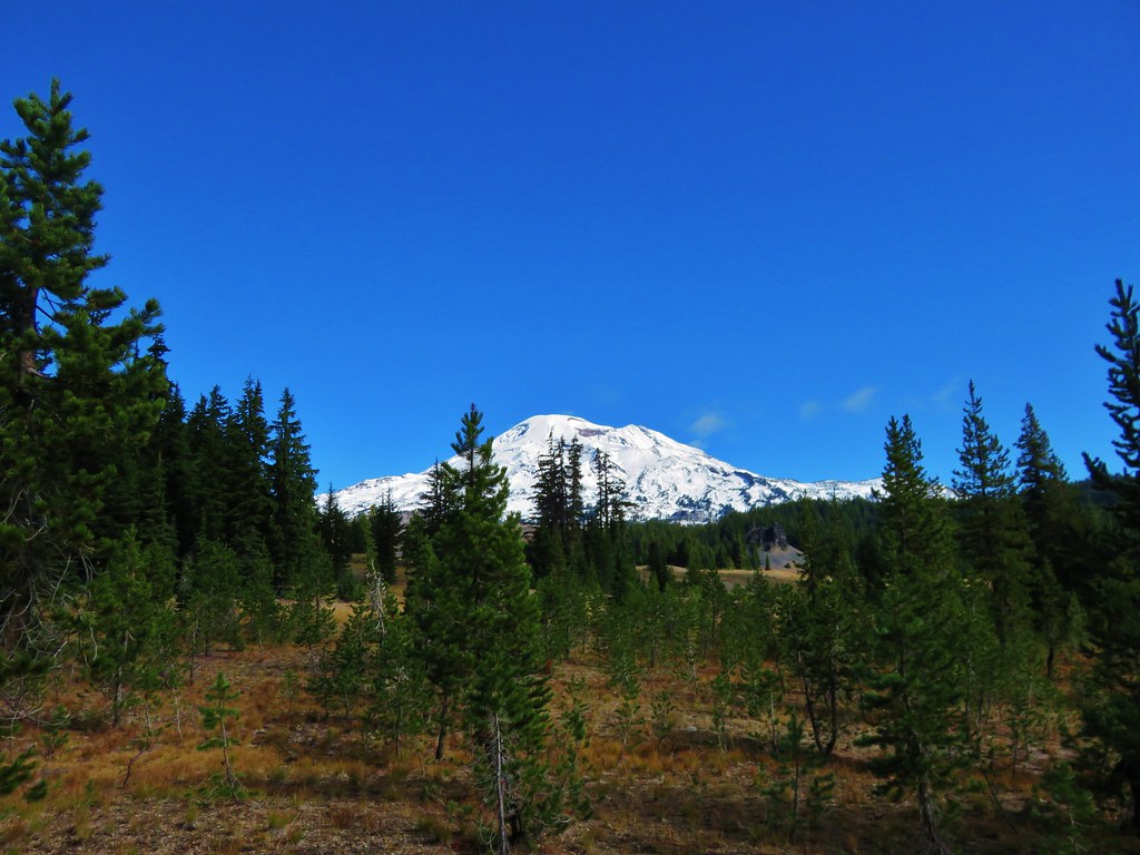
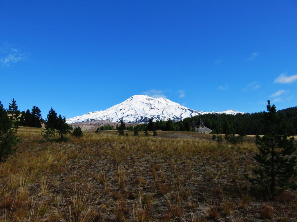
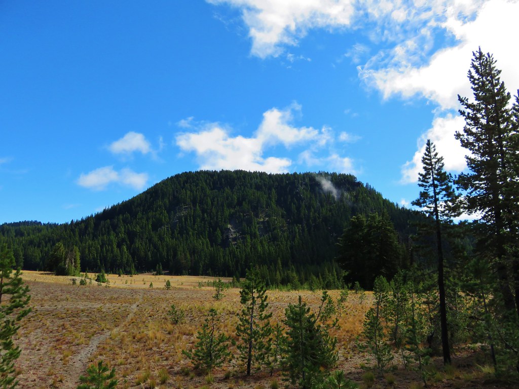
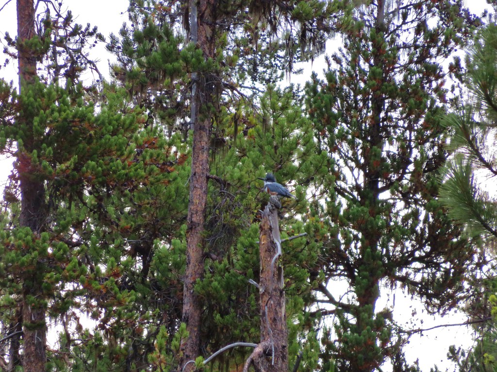
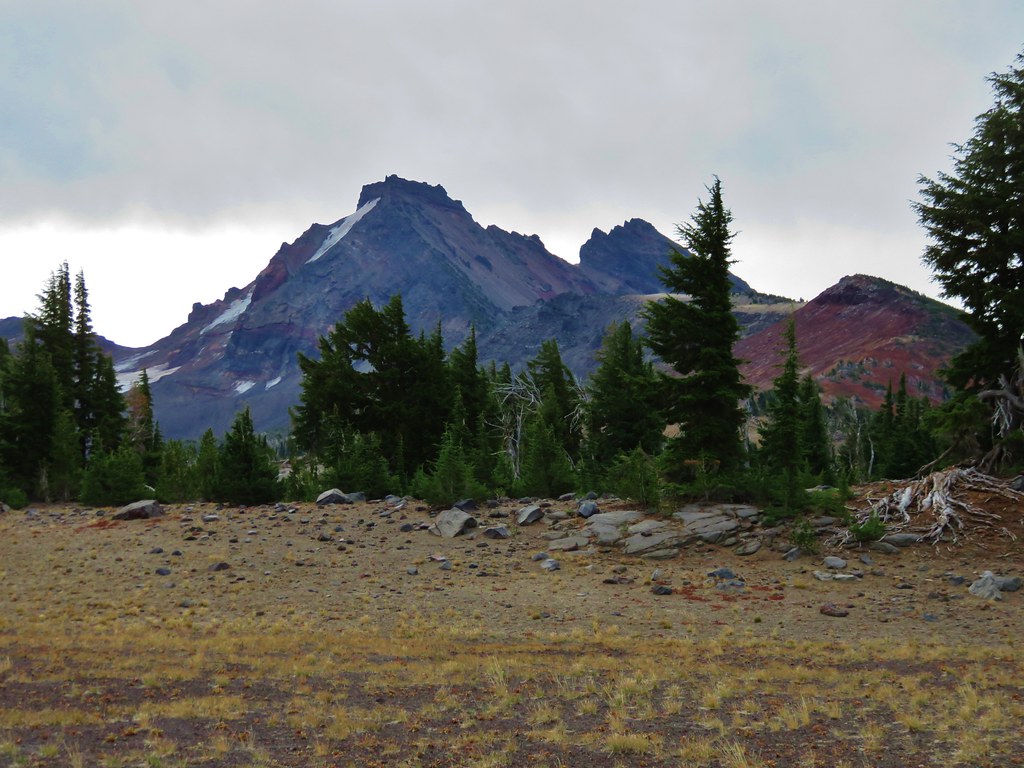
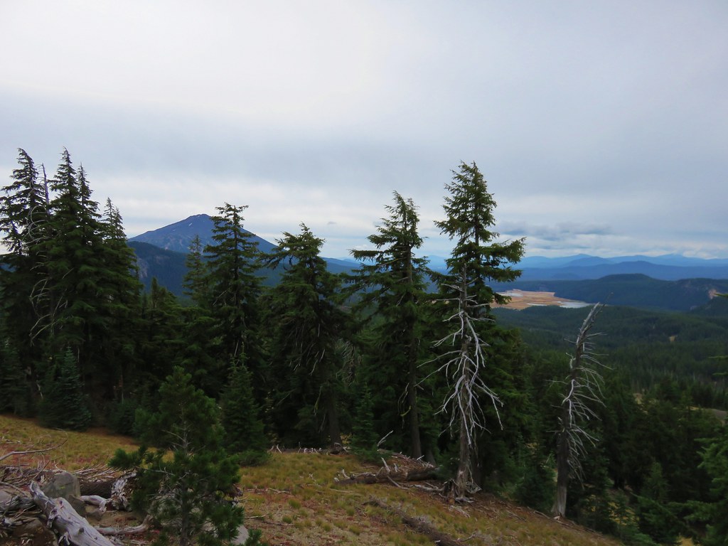
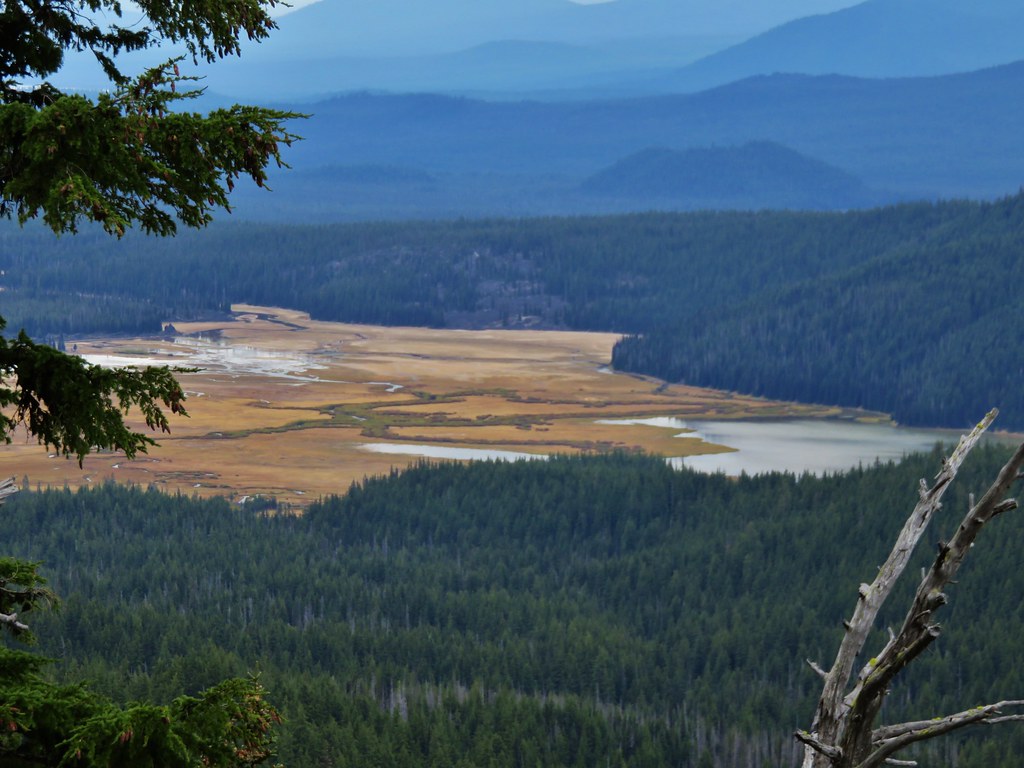
The trail had some nice views of Broken Top and also offered glimpses of Mt. Bachelor, Sparks Lake, Cowhorn Mountain, and Diamond Peak.
 //embedr.flickr.com/assets/client-code.js
 //embedr.flickr.com/assets/client-code.js
 //embedr.flickr.com/assets/client-code.js
 //embedr.flickr.com/assets/client-code.js
 //embedr.flickr.com/assets/client-code.js
 //embedr.flickr.com/assets/client-code.js
 //embedr.flickr.com/assets/client-code.js
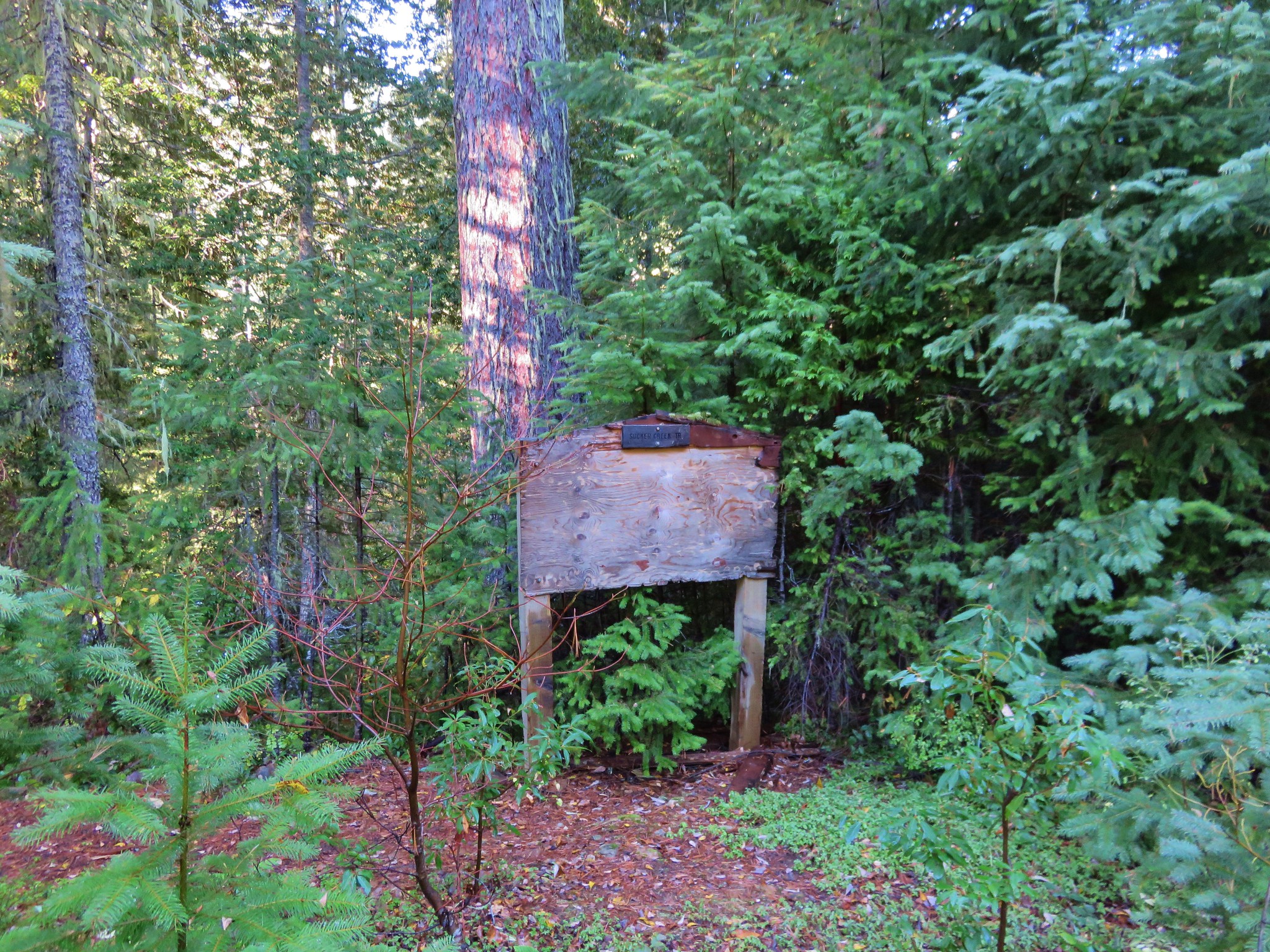
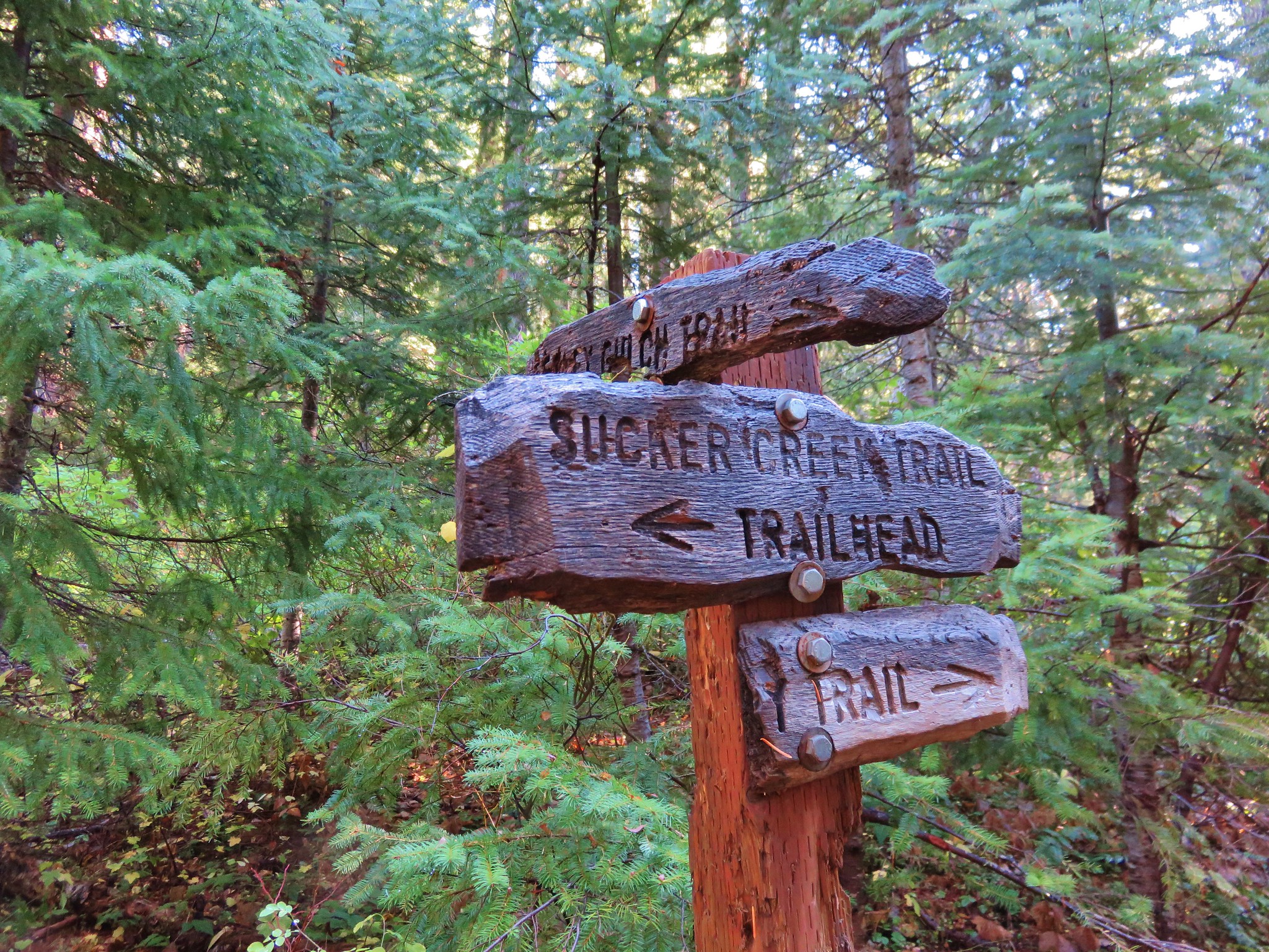
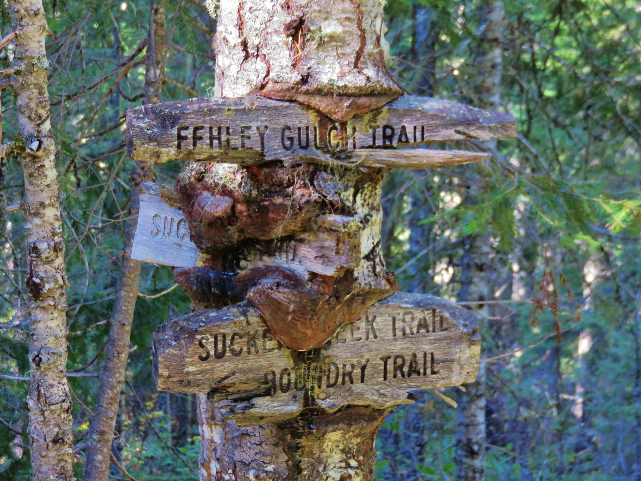
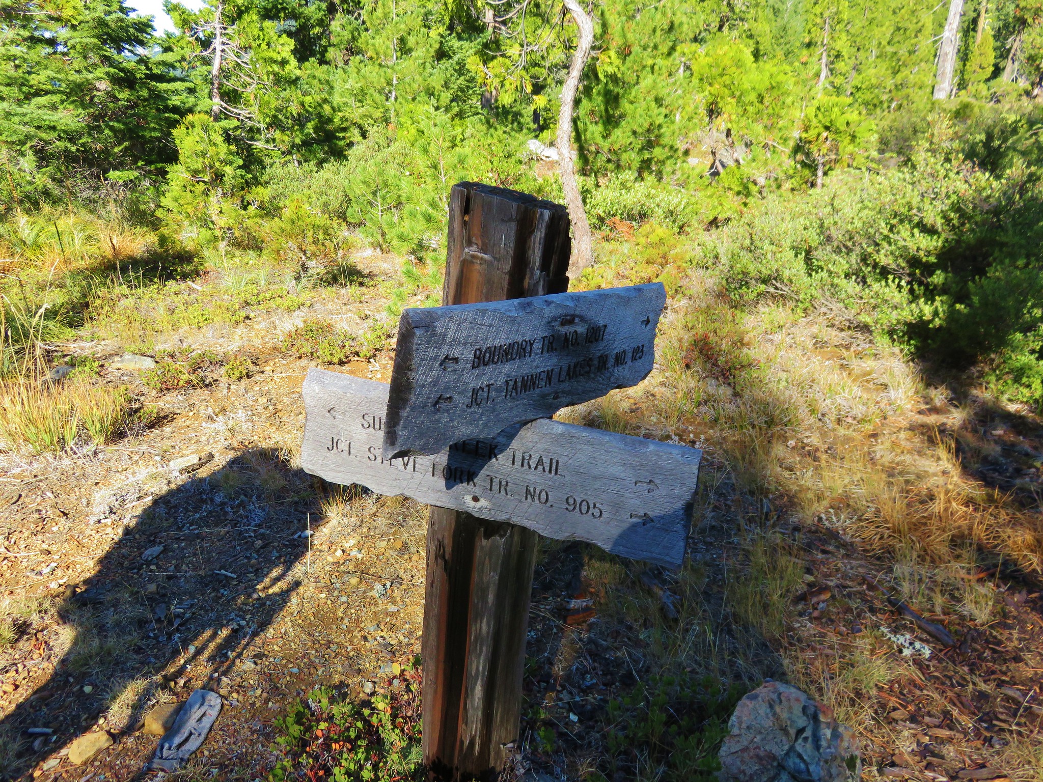
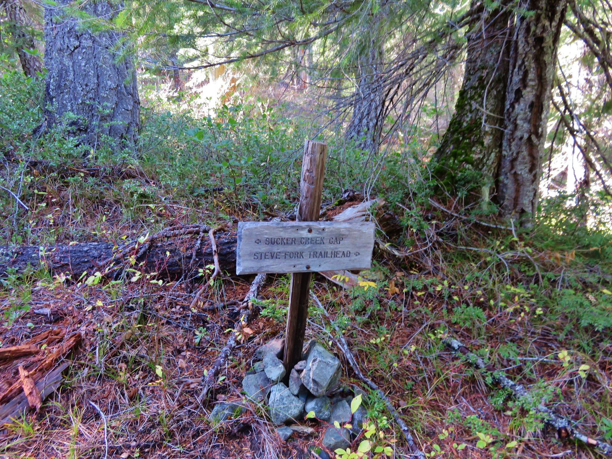
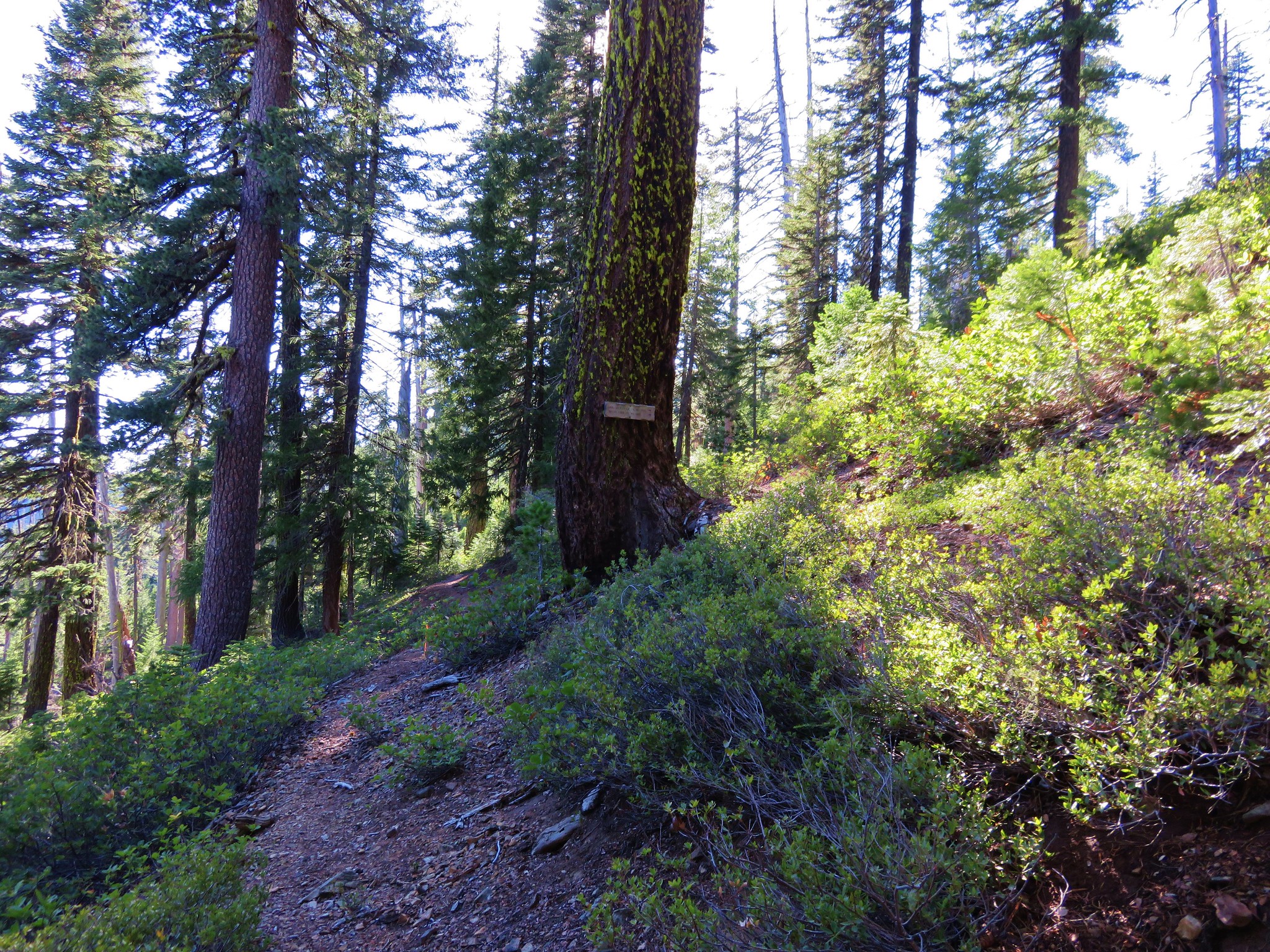
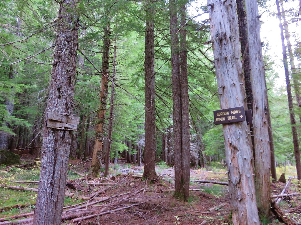
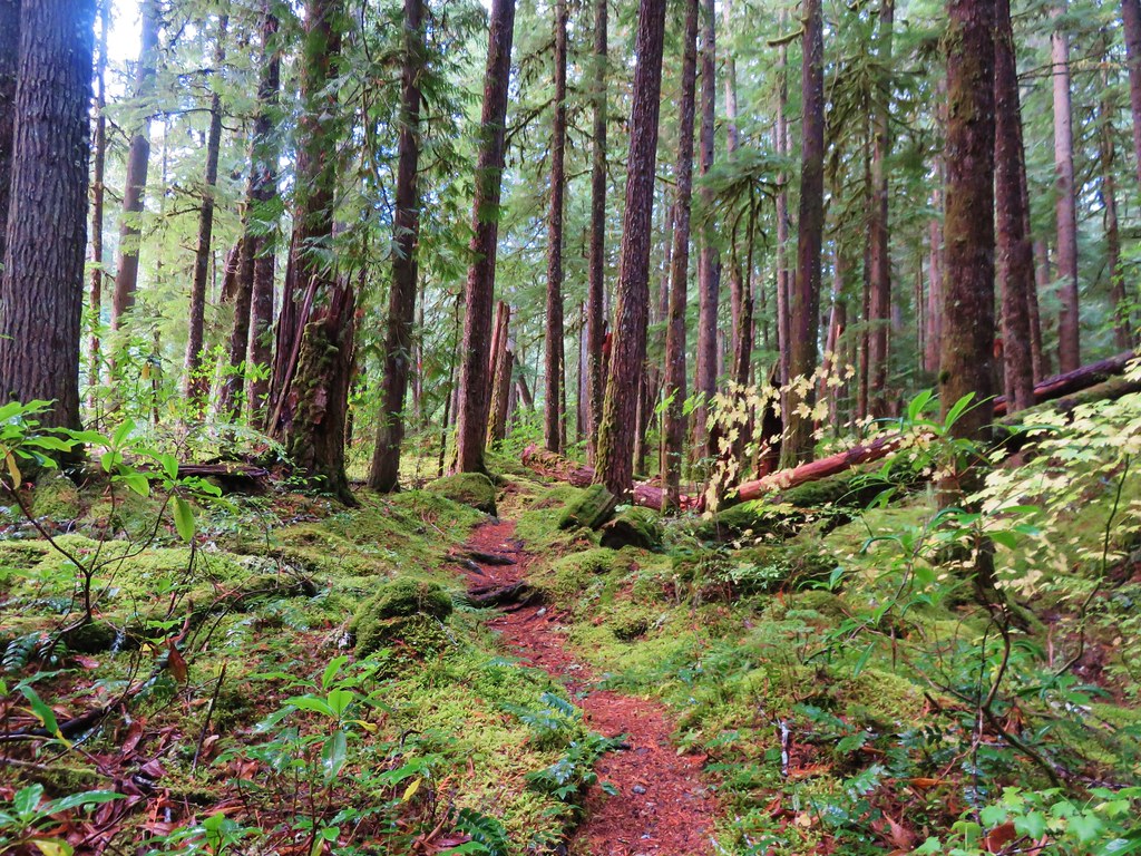
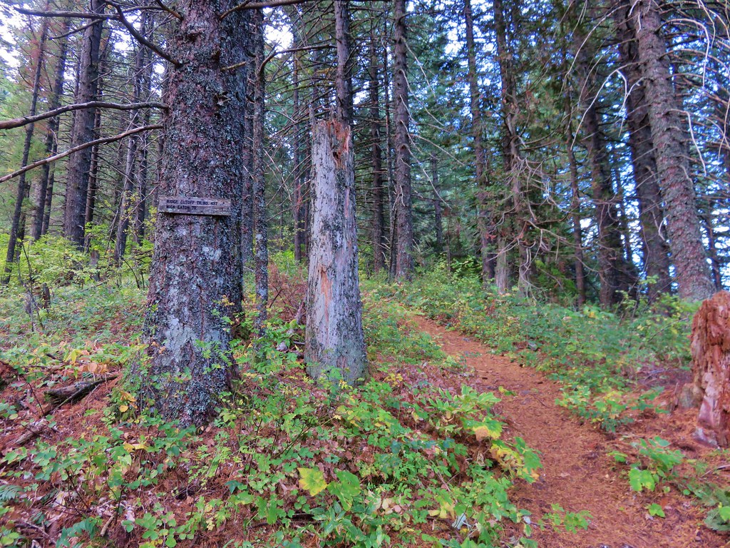
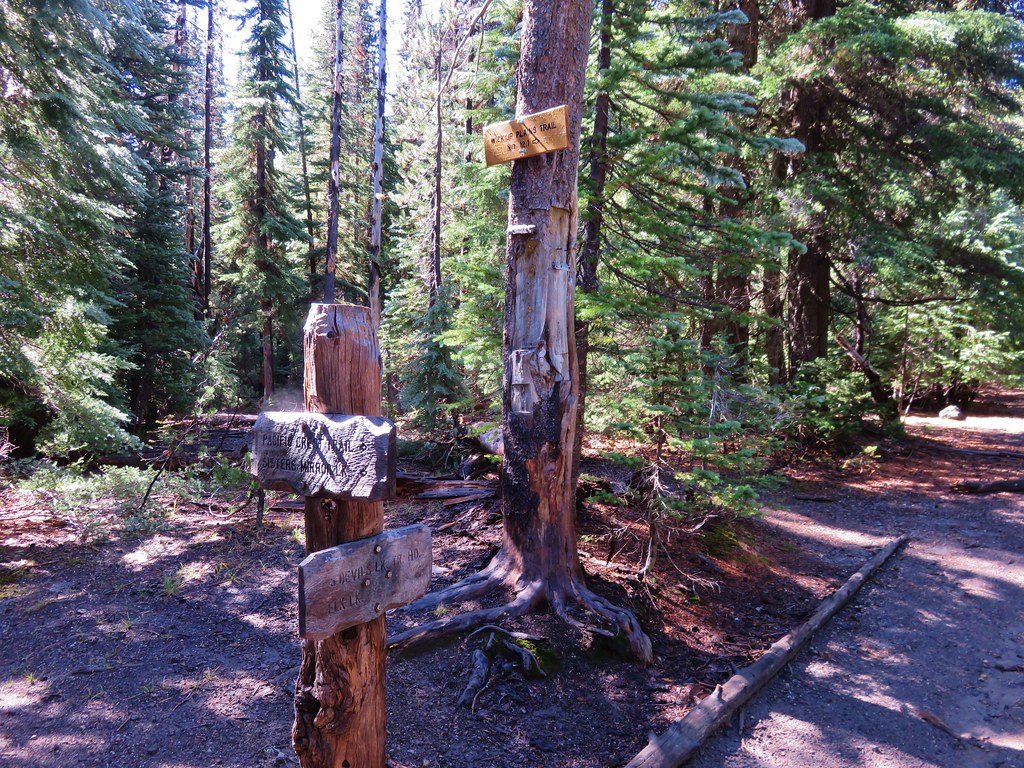
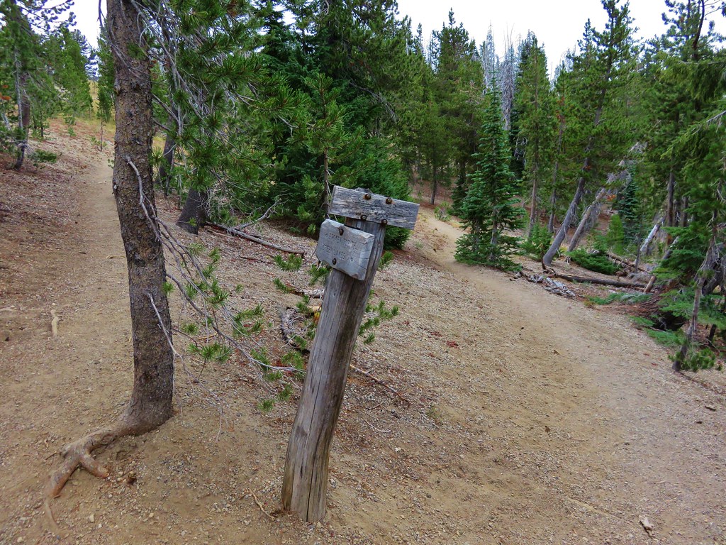
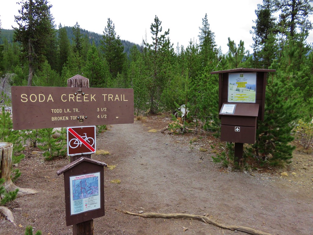
After traveling a little over 3 miles on the Broken Top Trail we arrived at a familiar junction.
 //embedr.flickr.com/assets/client-code.js
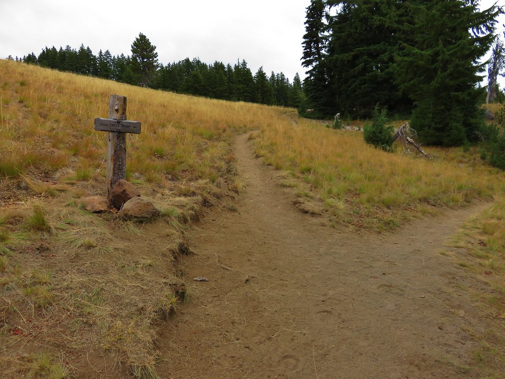
The trail from Todd Lake which we had used on our visit to Broken Tops No Name Lake joined on the right and we turned down it for .9 miles to another junction where we turned right again on the Soda Creek Trail.
 //embedr.flickr.com/assets/client-code.js
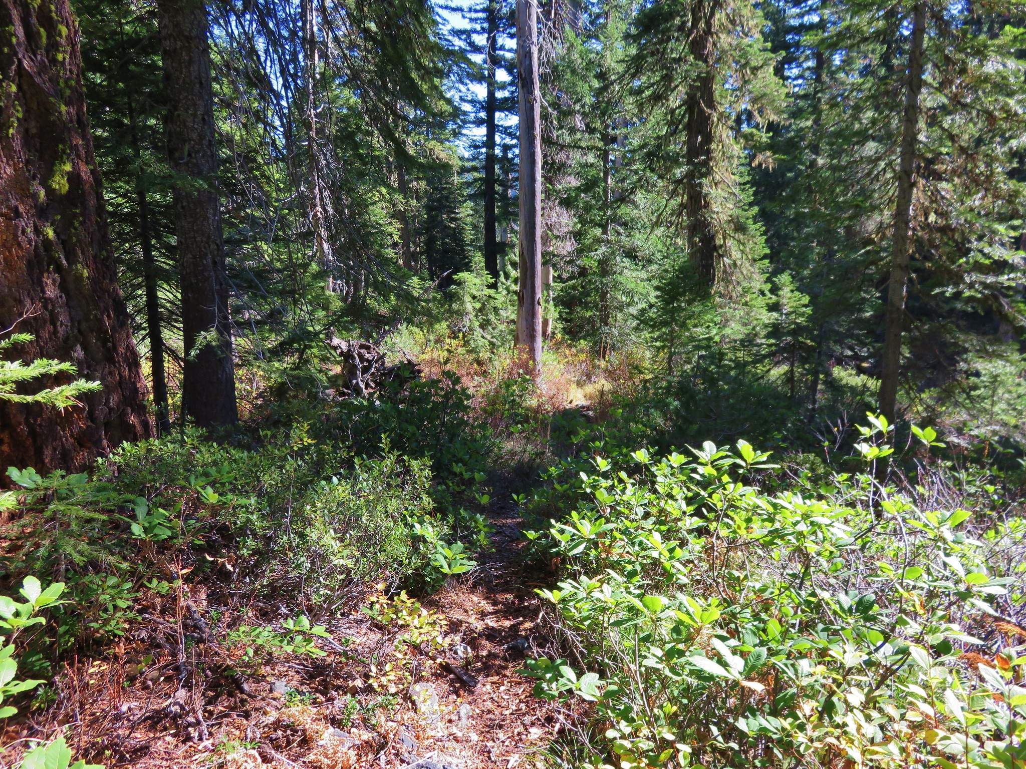
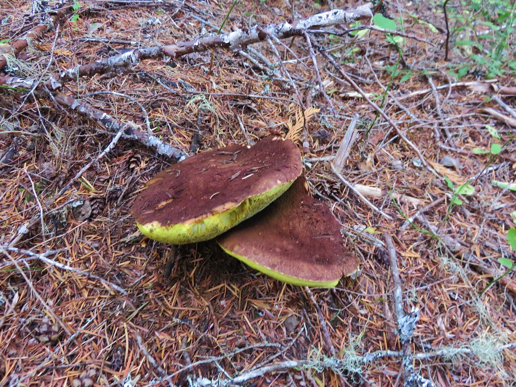
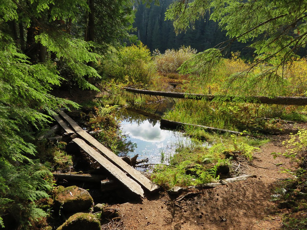
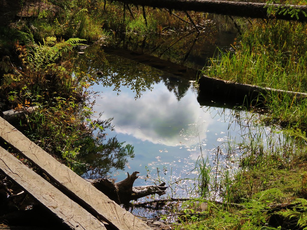
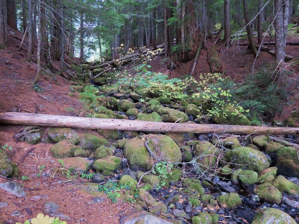
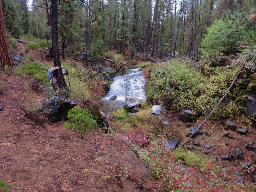
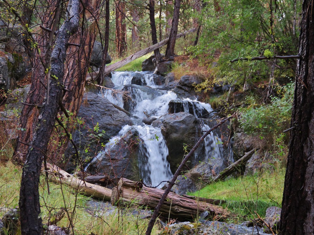
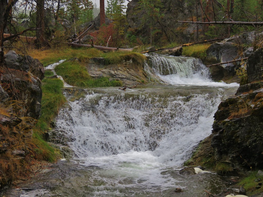
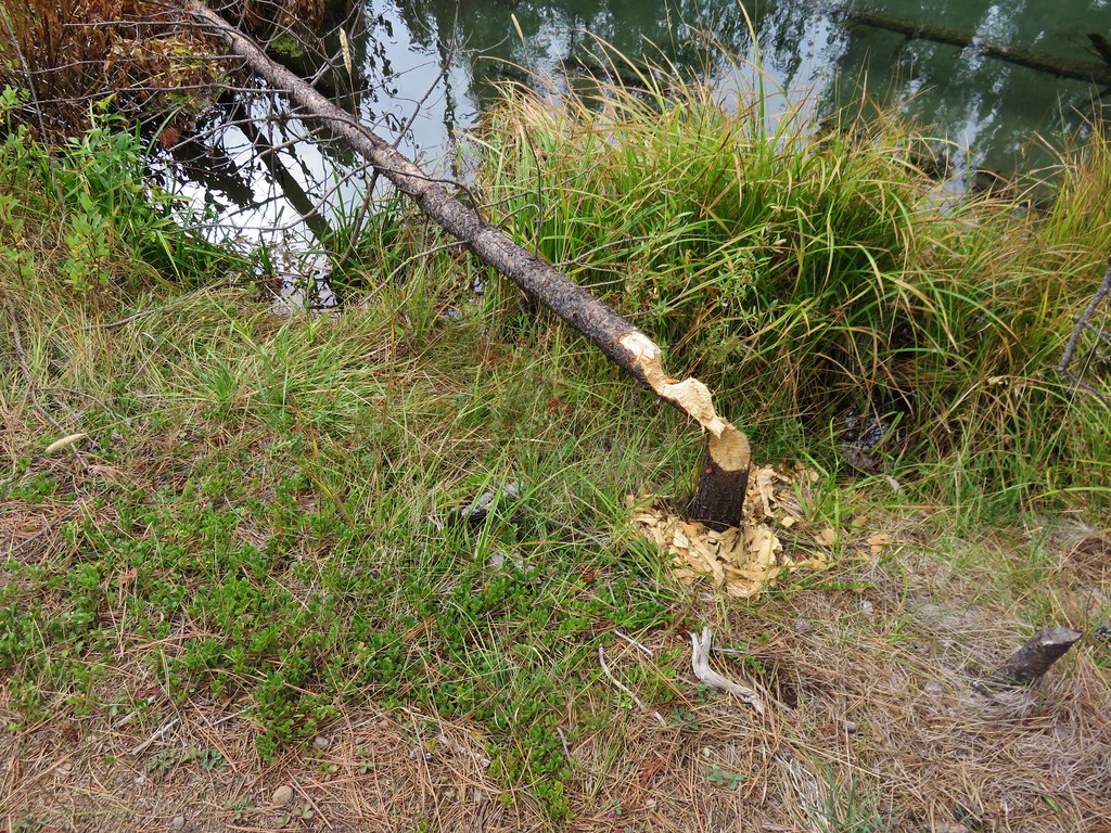
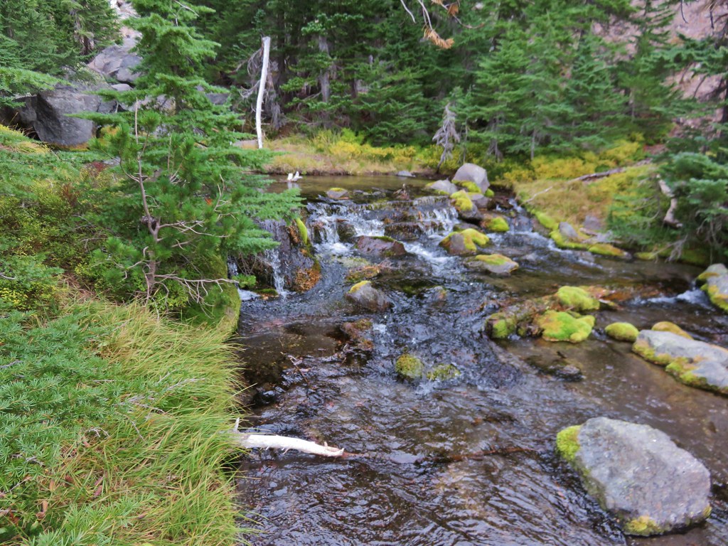
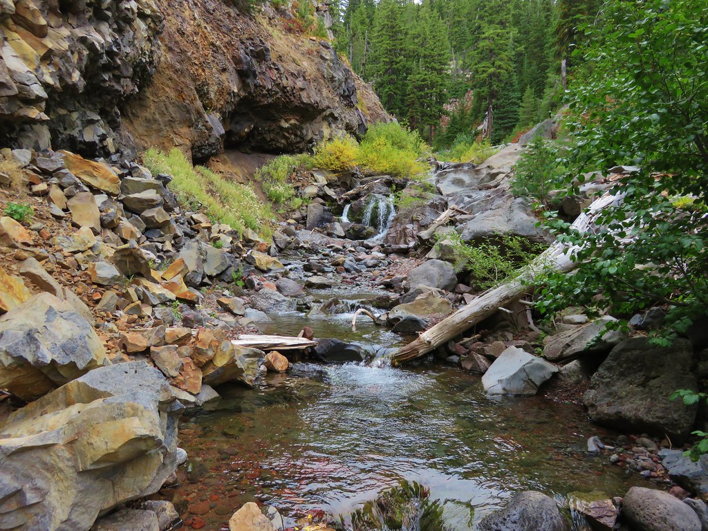
We got a bit sidetracked on our way down this trail. We began searching for waterfalls along Crater Creek when we spotted what looked like prime waterfall terrain. After a little off trail exploration we discovered a pair of pretty little falls.
 //embedr.flickr.com/assets/client-code.js
 //embedr.flickr.com/assets/client-code.js
 //embedr.flickr.com/assets/client-code.js
 //embedr.flickr.com/assets/client-code.js
The falls were a little low on water but looked like they would be really nice with a higher volume of water. Later I discovered there were a couple of other falls in the area along Crater Creek while doing a little research on waterfallsnorthwest.com.
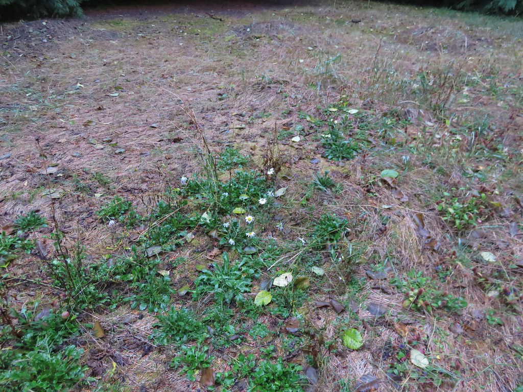
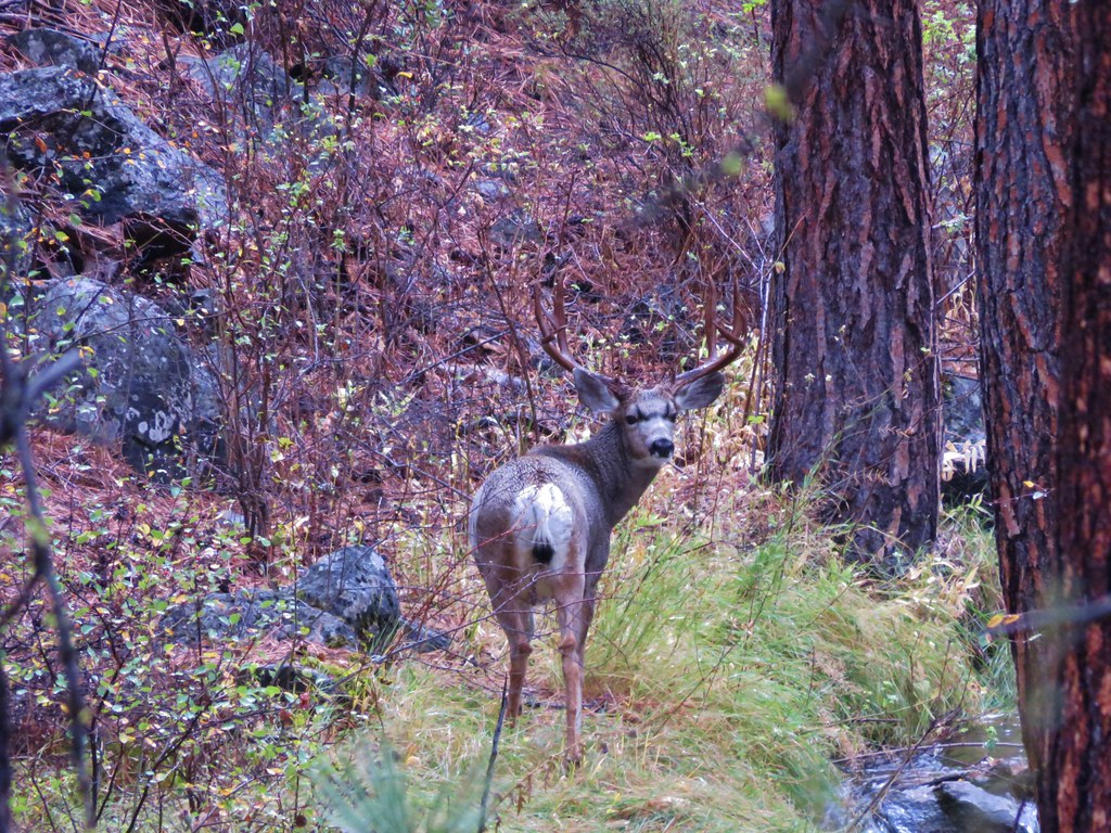
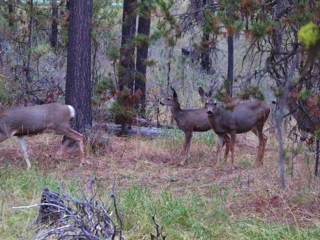
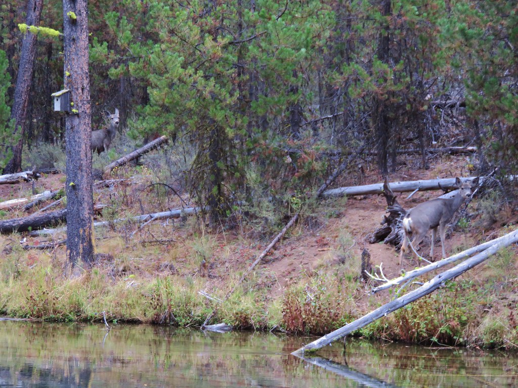
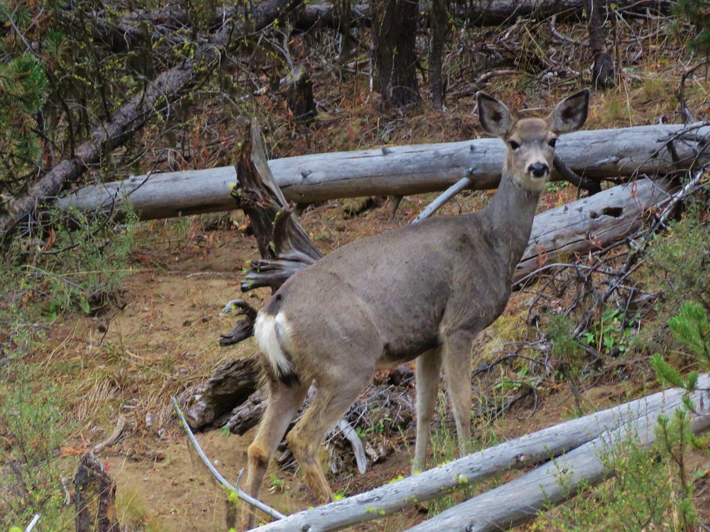
After regaining the trail in a meadow where we startled a pair of deer we began to switchback down toward Soda Creek. Corner Falls was the only fall marked on the map in our guidebook which was located at the corner of the final switchback. It wasn’t quite as impressive as the falls on Crater Creek and we were unable to get a clear view due to another “Area closed” sign at the path leading away from the switchback.
 //embedr.flickr.com/assets/client-code.js
 //embedr.flickr.com/assets/client-code.js
 //embedr.flickr.com/assets/client-code.js
 //embedr.flickr.com/assets/client-code.js
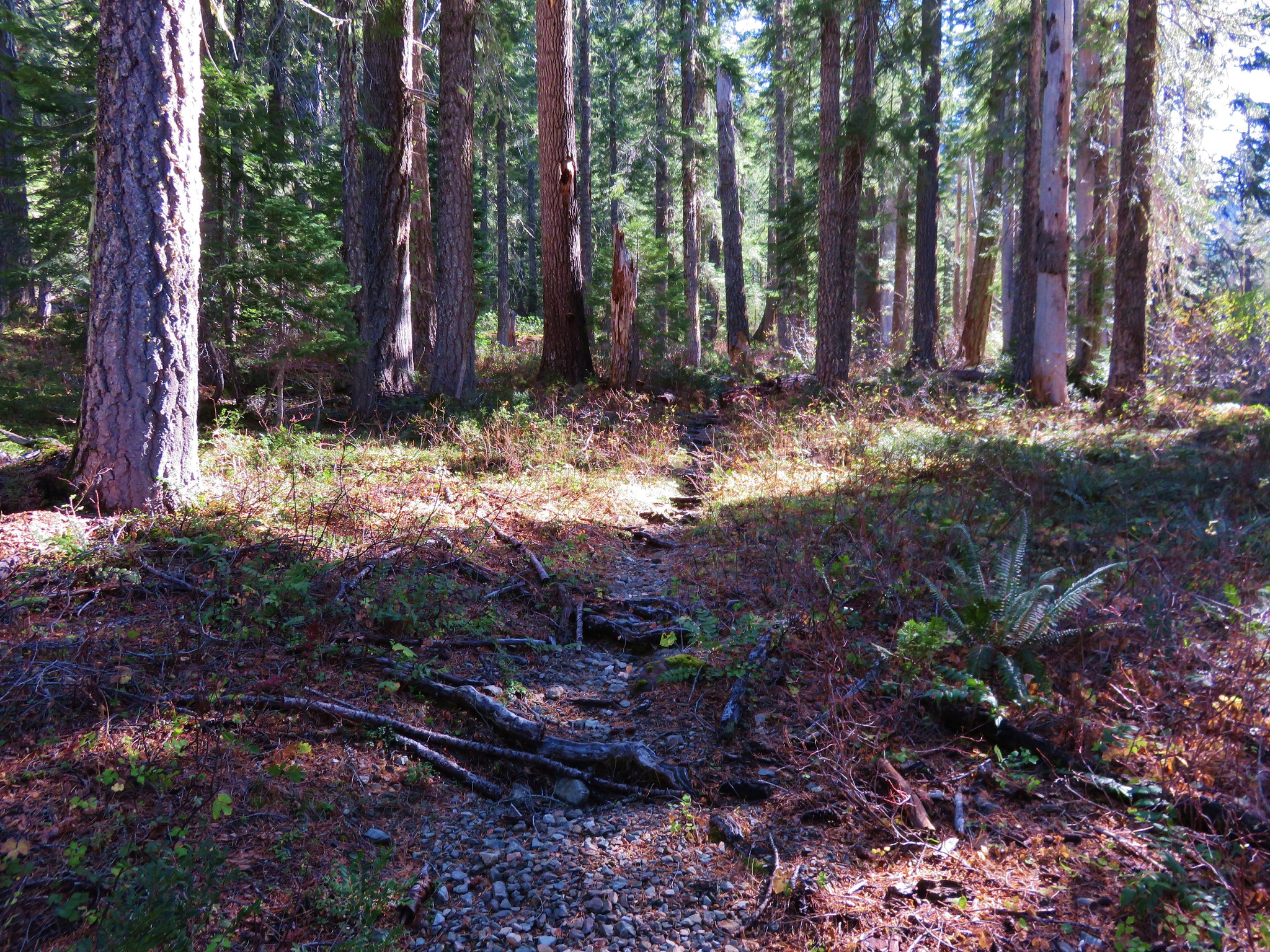
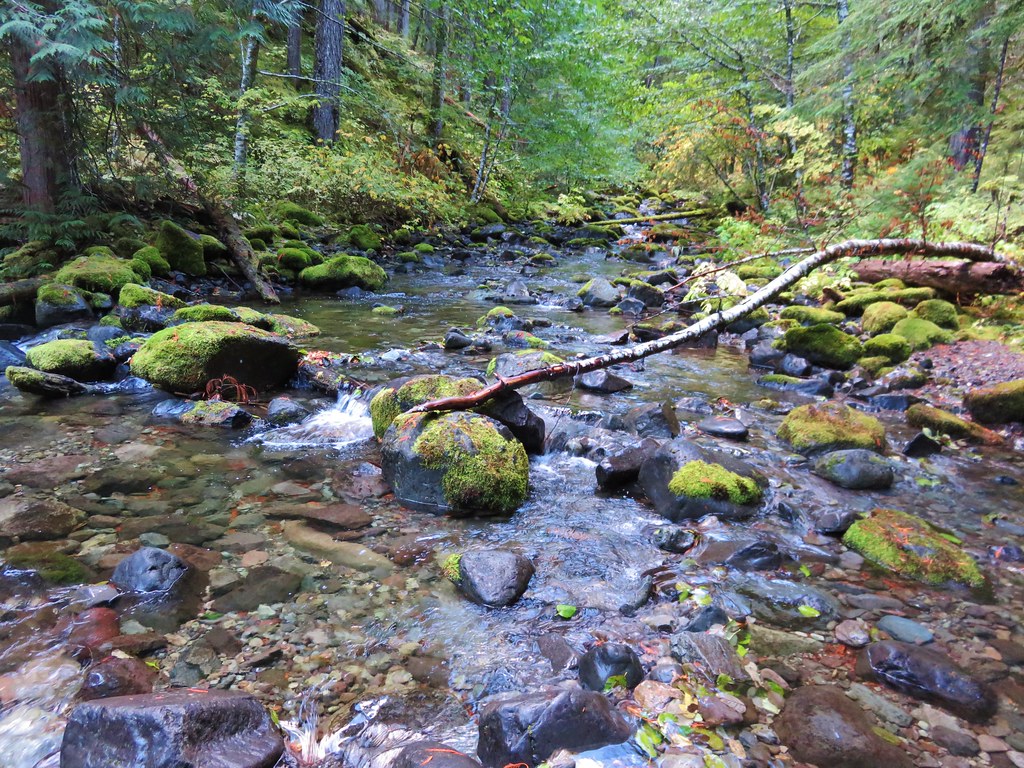
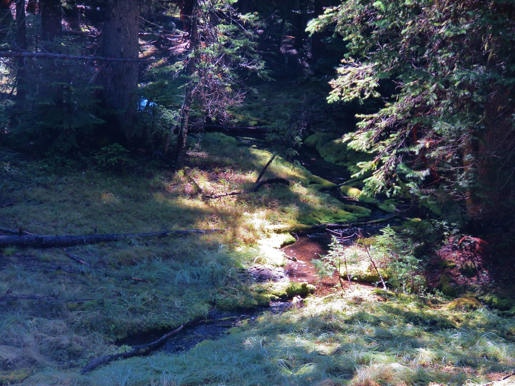
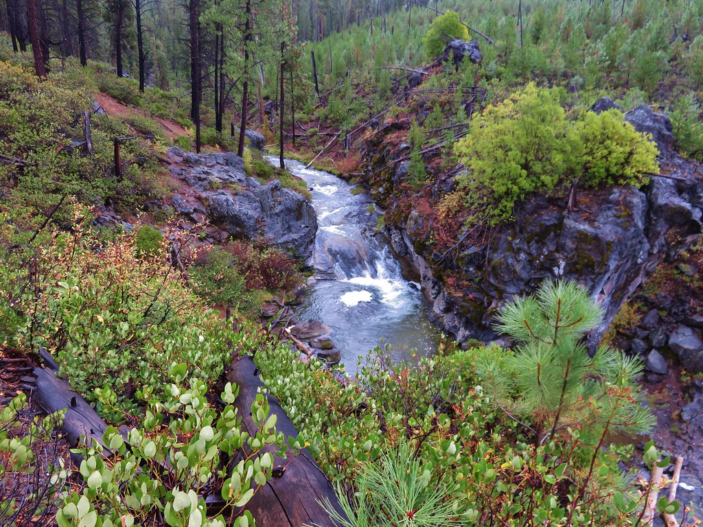
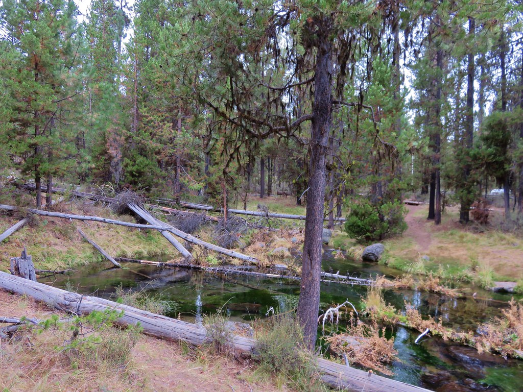
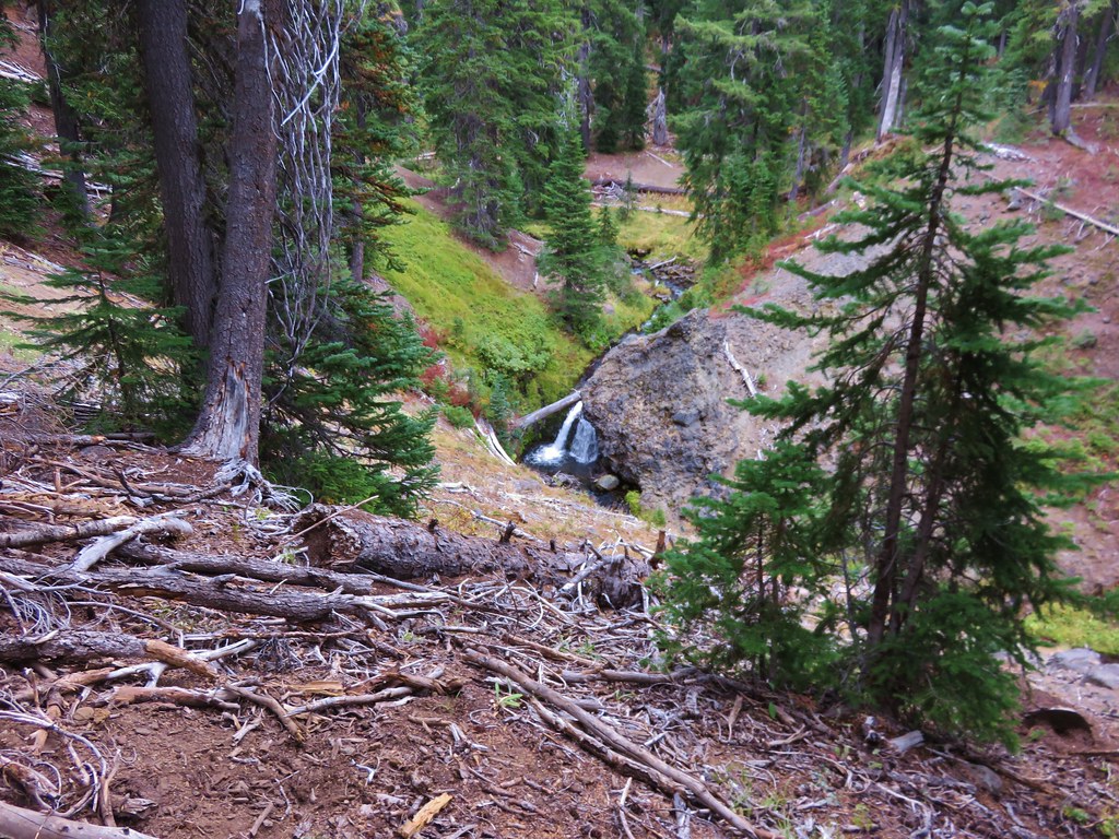
The trail then gradually descended another 1.3 miles to a crossing of Crater Creek where we found another nice little waterfall.
 //embedr.flickr.com/assets/client-code.js
 //embedr.flickr.com/assets/client-code.js
 //embedr.flickr.com/assets/client-code.js
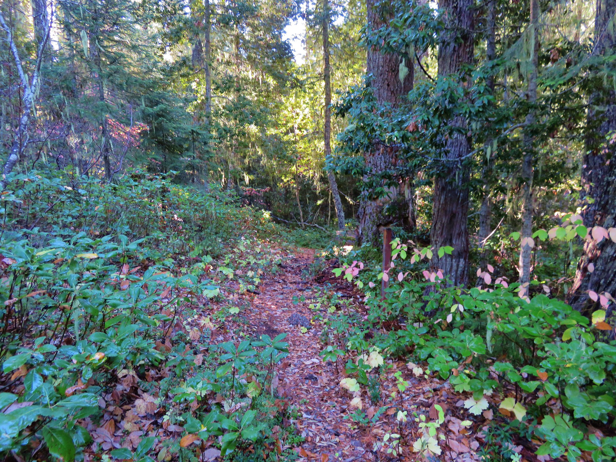
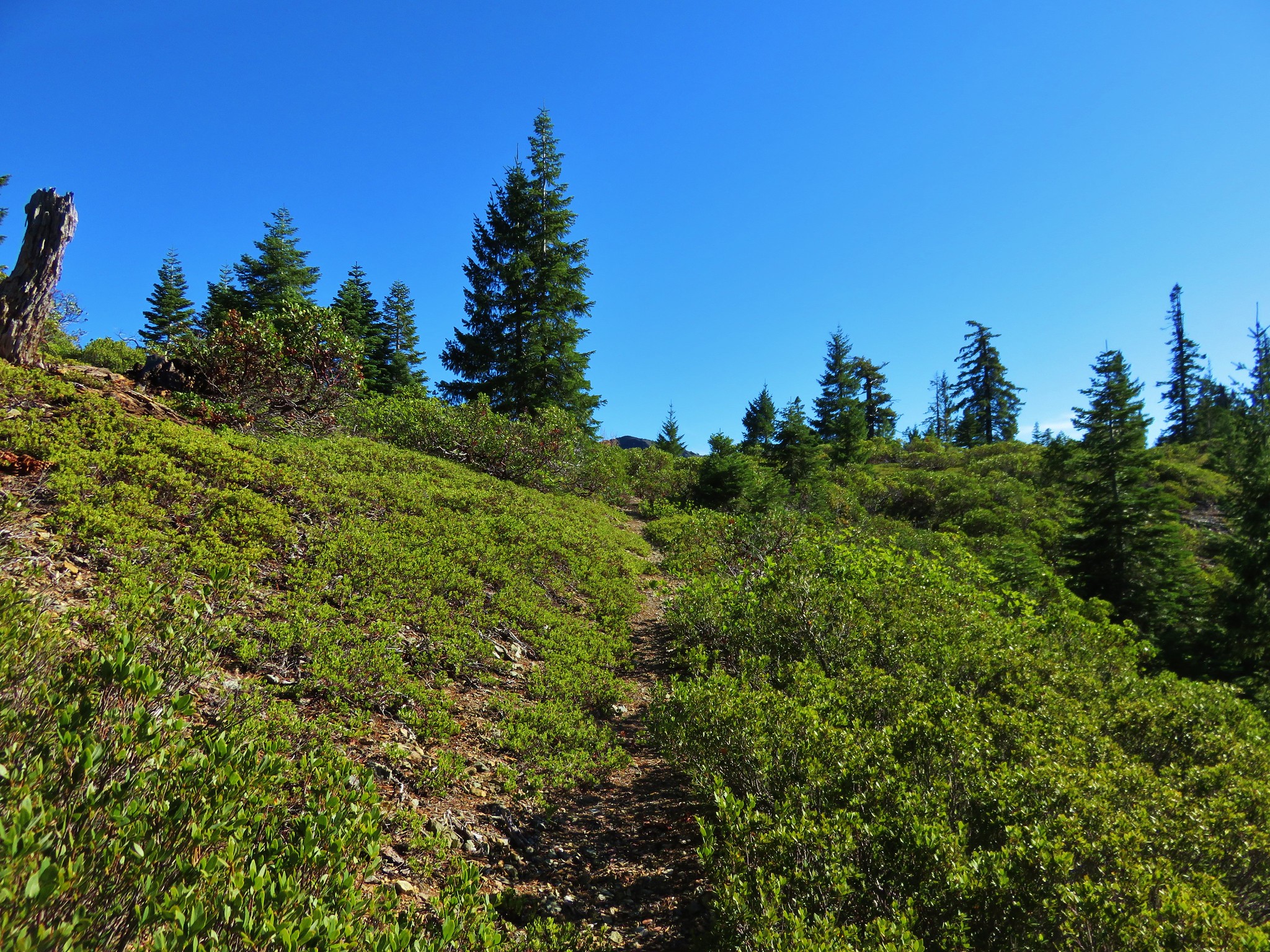
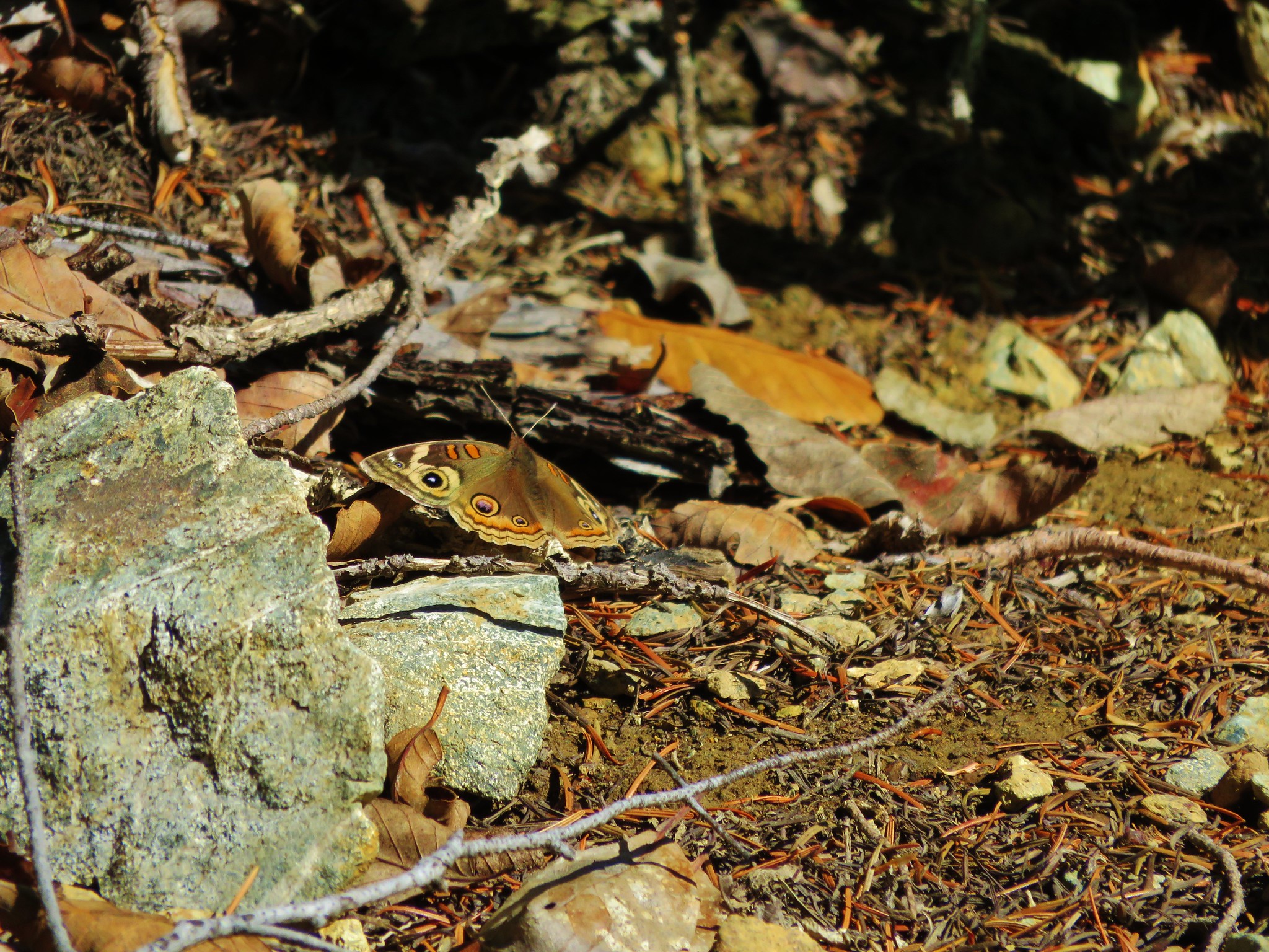
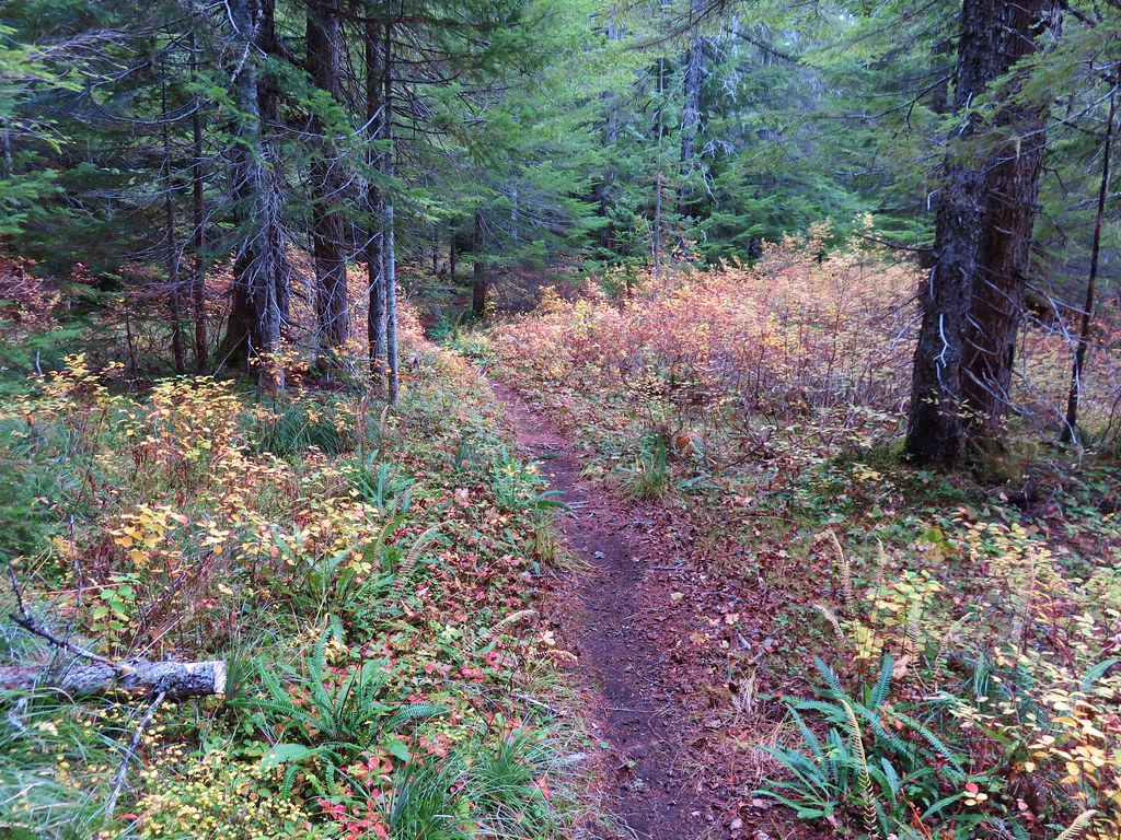
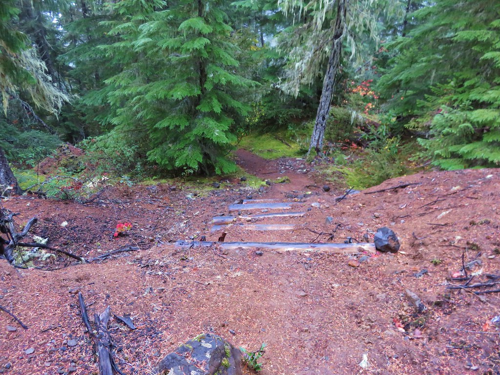
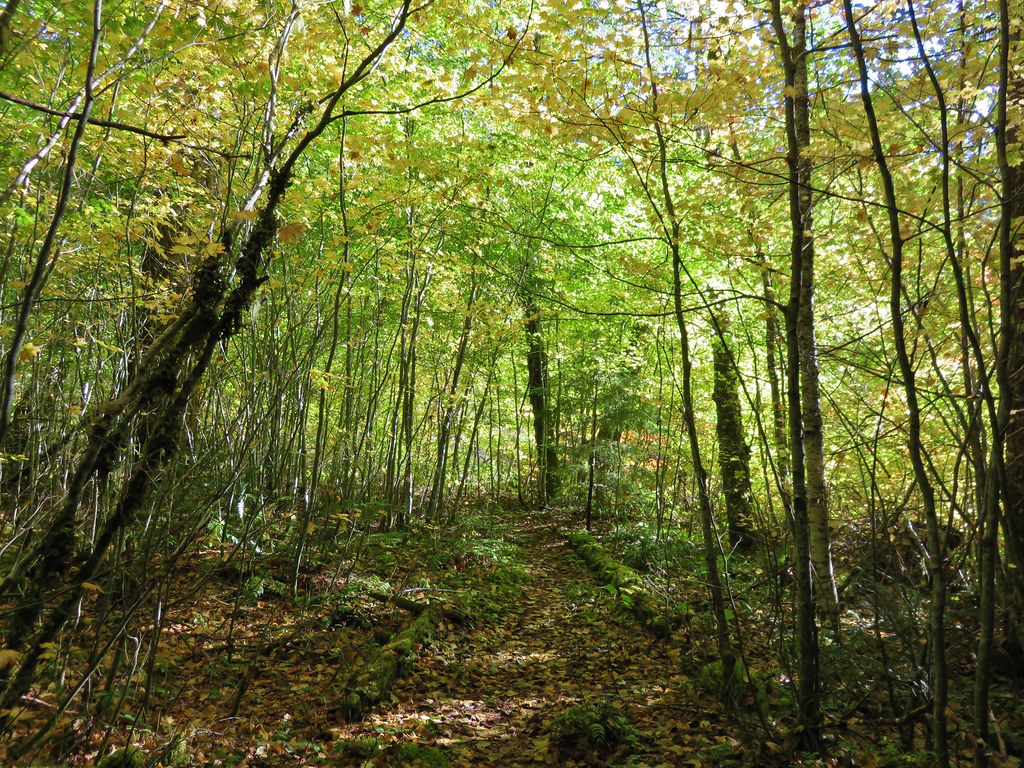
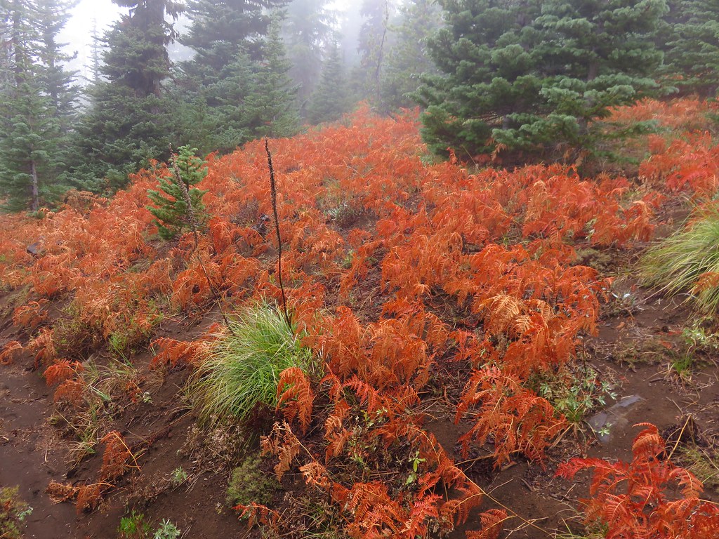
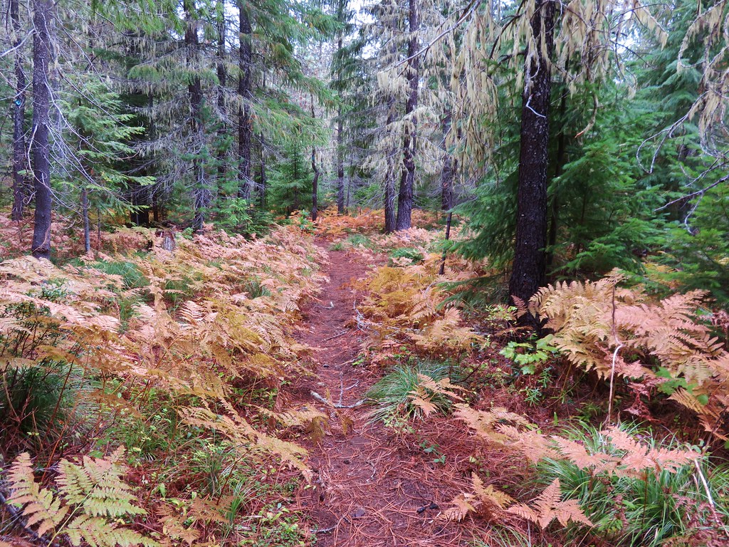
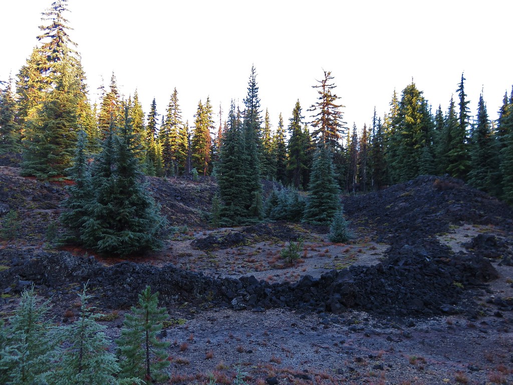
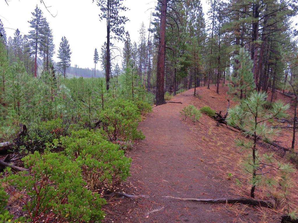
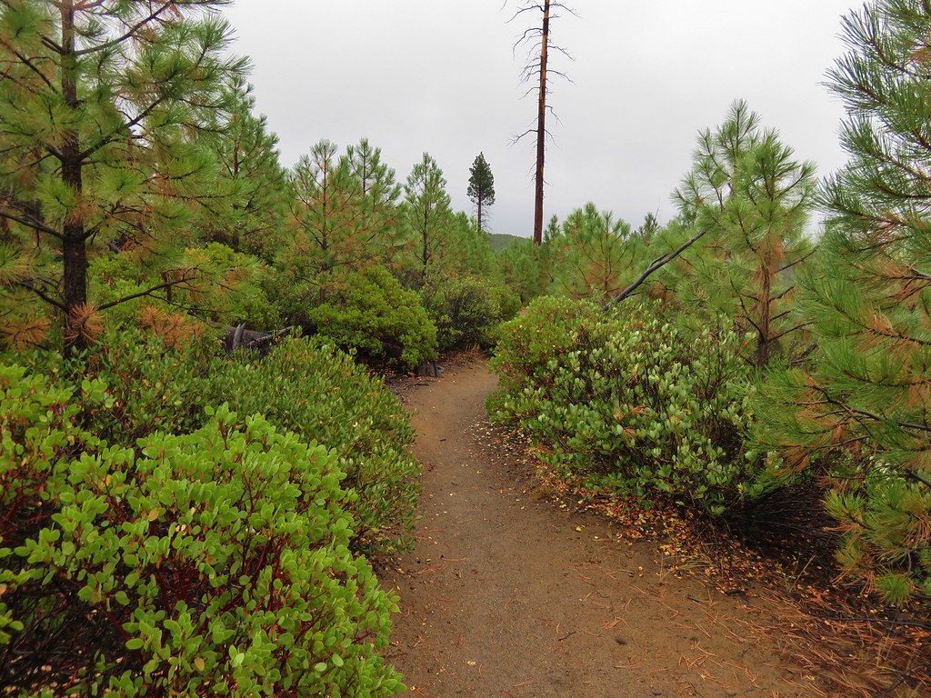
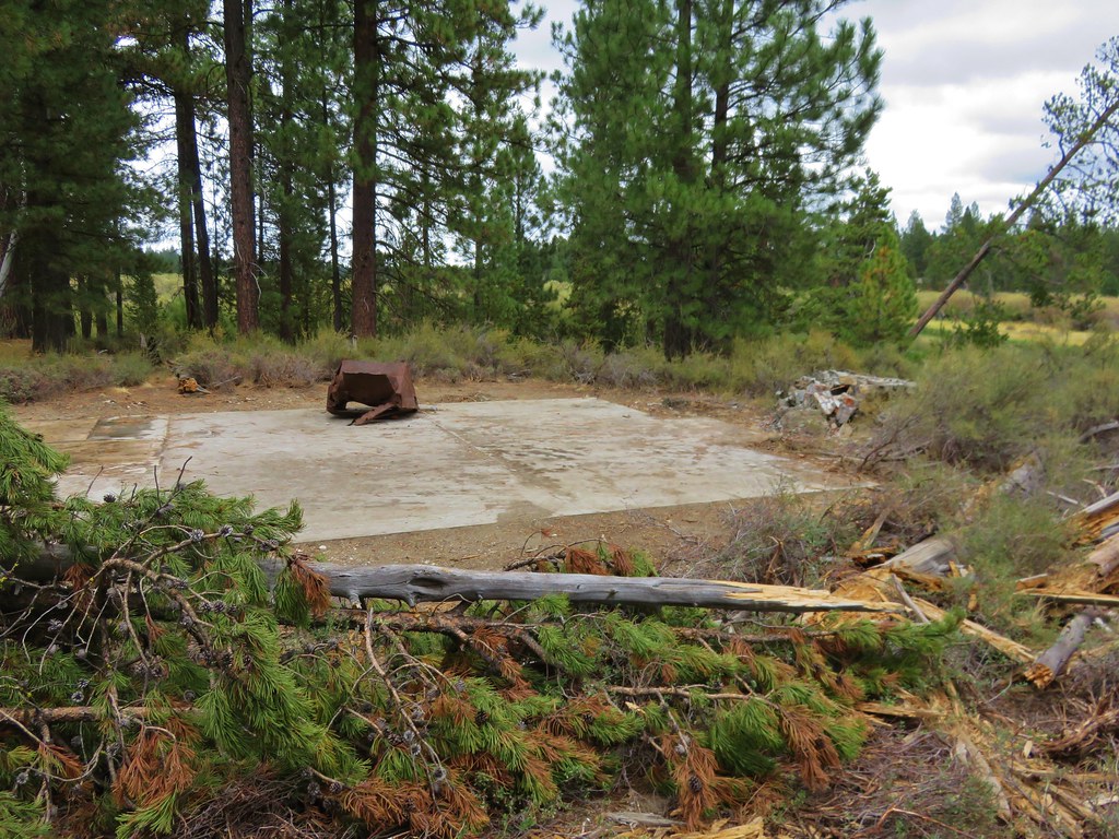
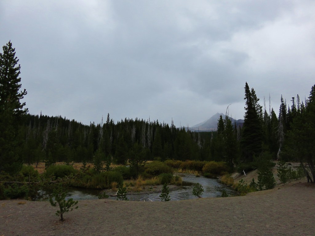
The forest turned to drier lodgepole pine and passed through some old lava flows in the final 1.5 miles before popping us out at the Green Lakes Trailhead parking area.
 //embedr.flickr.com/assets/client-code.js
 //embedr.flickr.com/assets/client-code.js
 //embedr.flickr.com/assets/client-code.js
We had felt a few drops of rain over the final half mile or so of the hike, and as we were changing at the car we began to notice a few small snowflakes mixed in the rain.
 //embedr.flickr.com/assets/client-code.js
Later when we looked at the GPS information it showed a distance of 19.1 miles for the day. We hadn’t meant to go that far but there is something about the Three Sisters Wilderness that makes it really easy to wander. Happy Trails!
Flickr: https://www.flickr.com/photos/9319235@N02/albums/72157658424002889
 //embedr.flickr.com/assets/client-code.js
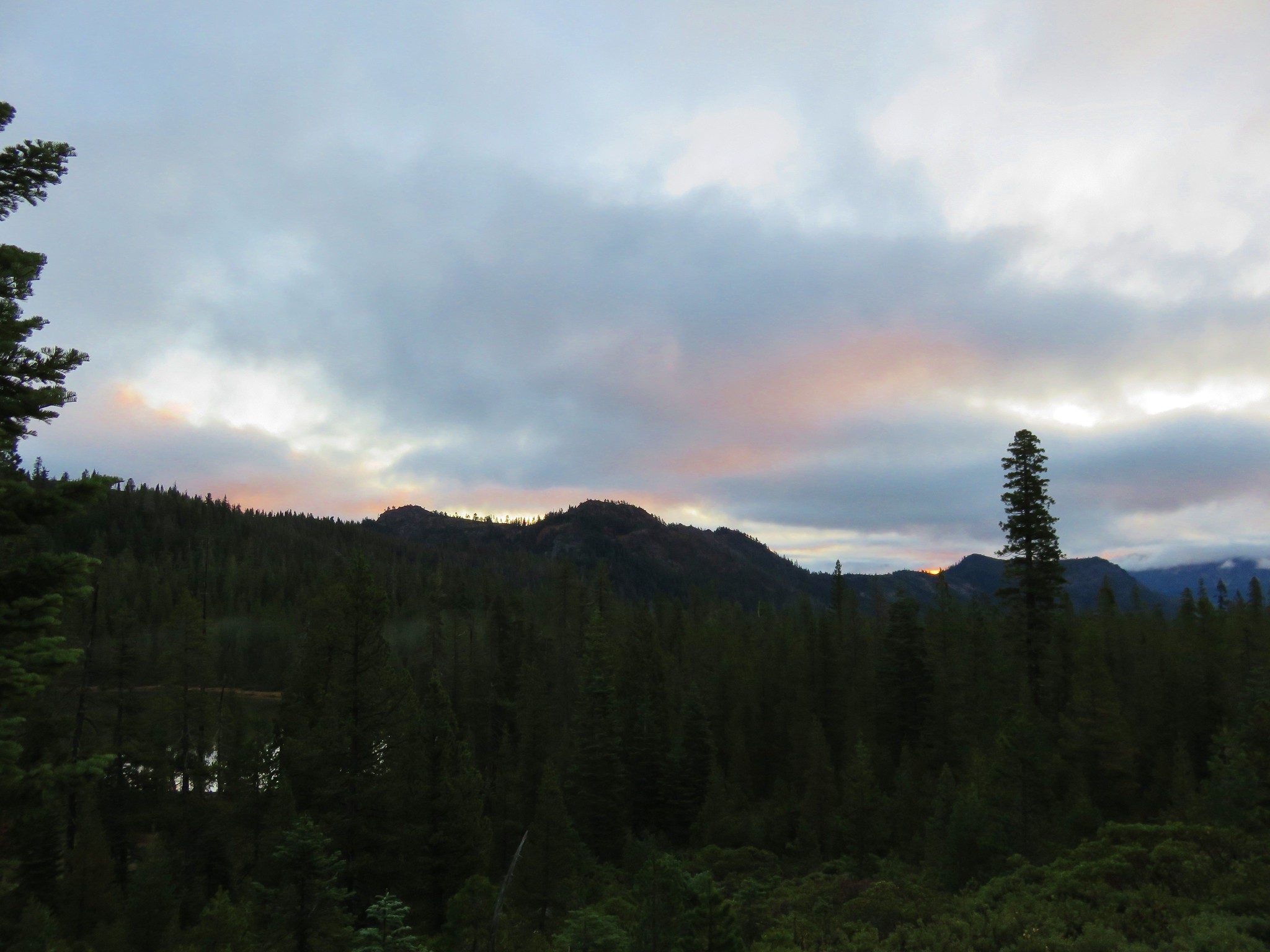 //embedr.flickr.com/assets/client-code.js
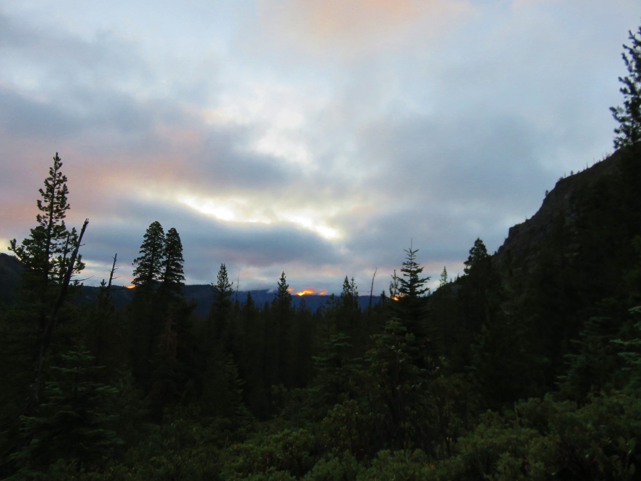 //embedr.flickr.com/assets/client-code.js
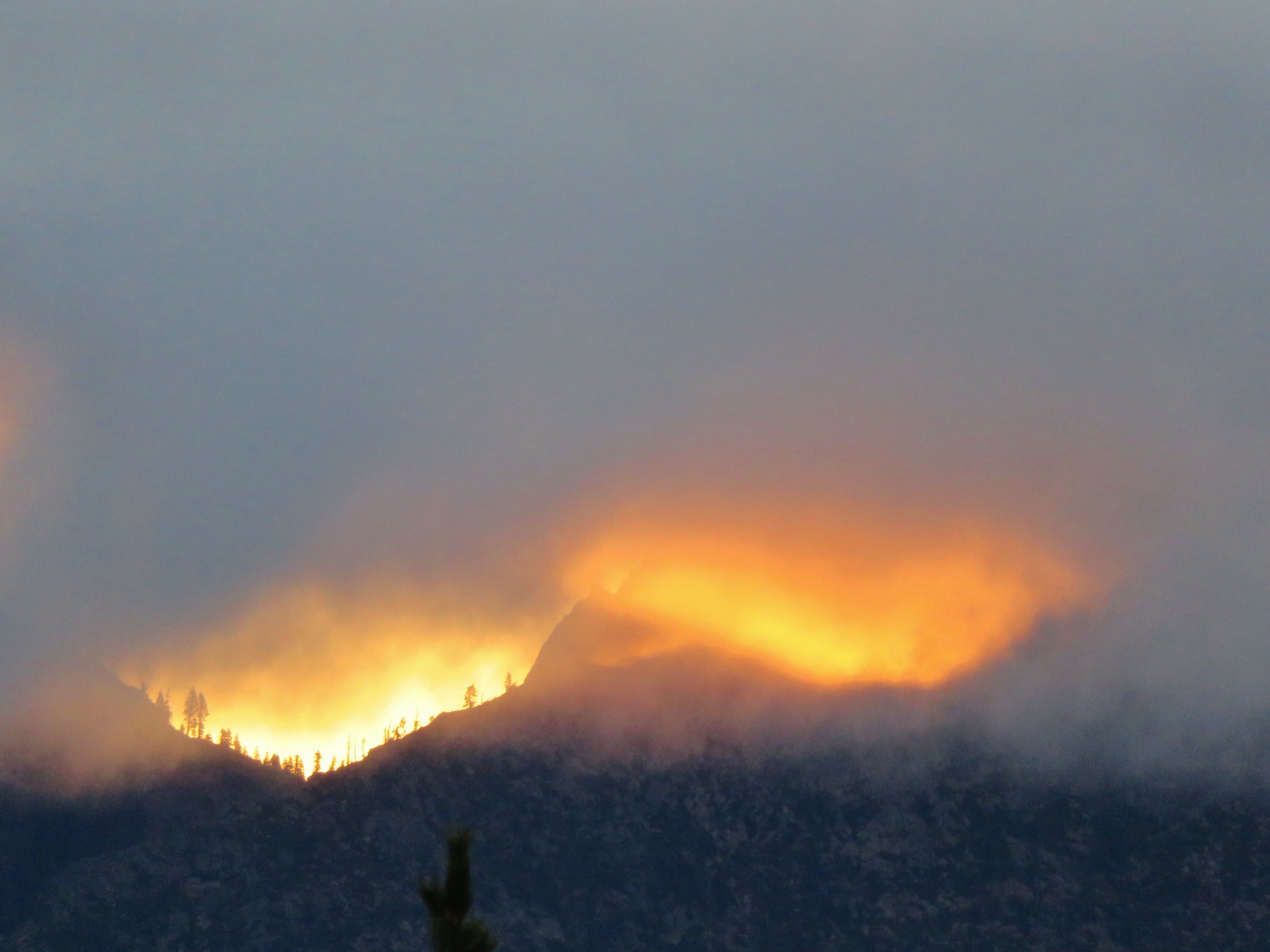 //embedr.flickr.com/assets/client-code.js
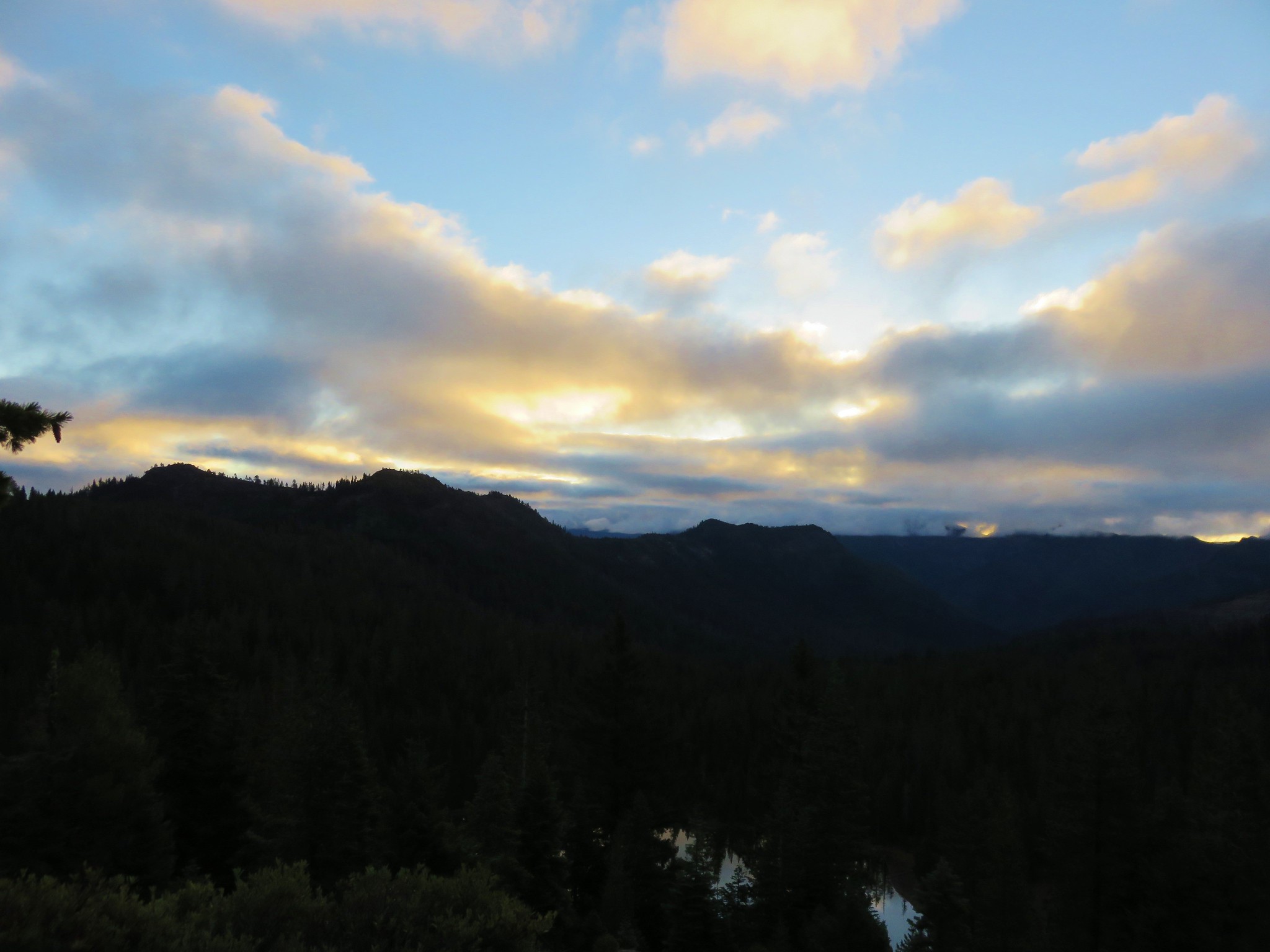 //embedr.flickr.com/assets/client-code.js
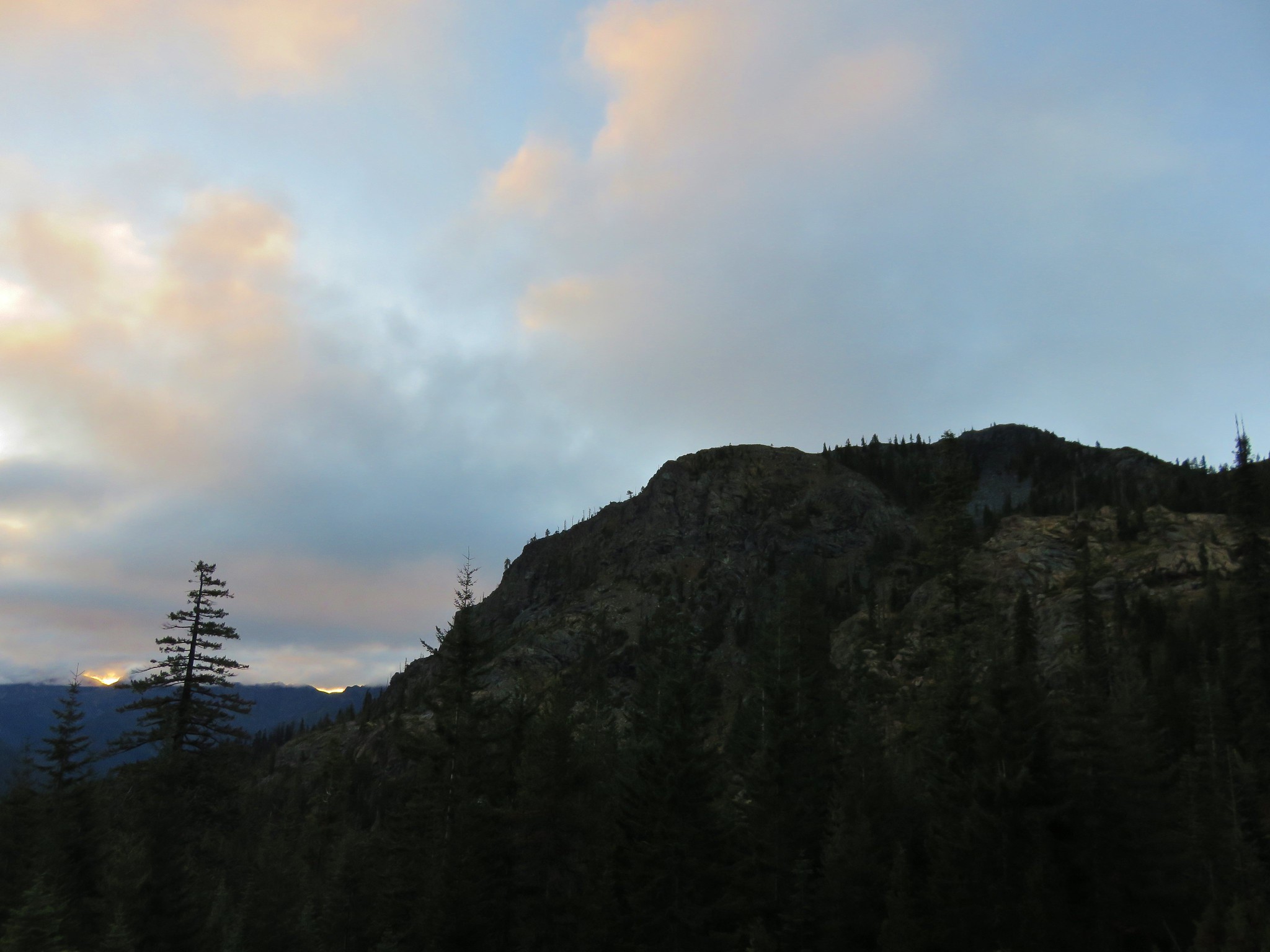 //embedr.flickr.com/assets/client-code.js
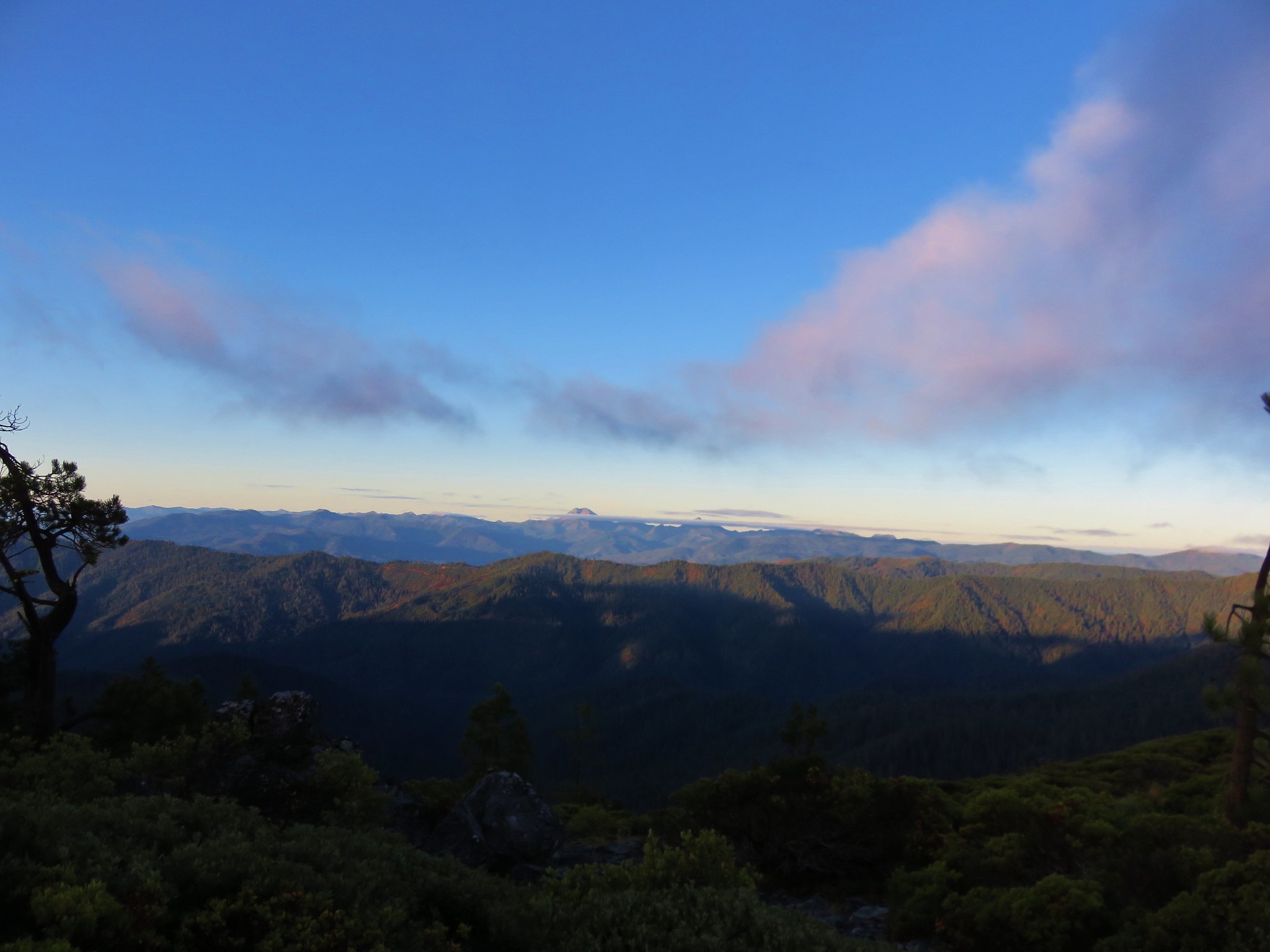 //embedr.flickr.com/assets/client-code.js
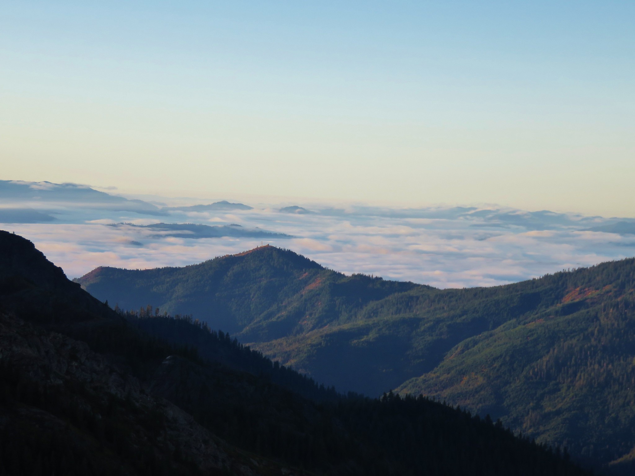 //embedr.flickr.com/assets/client-code.js
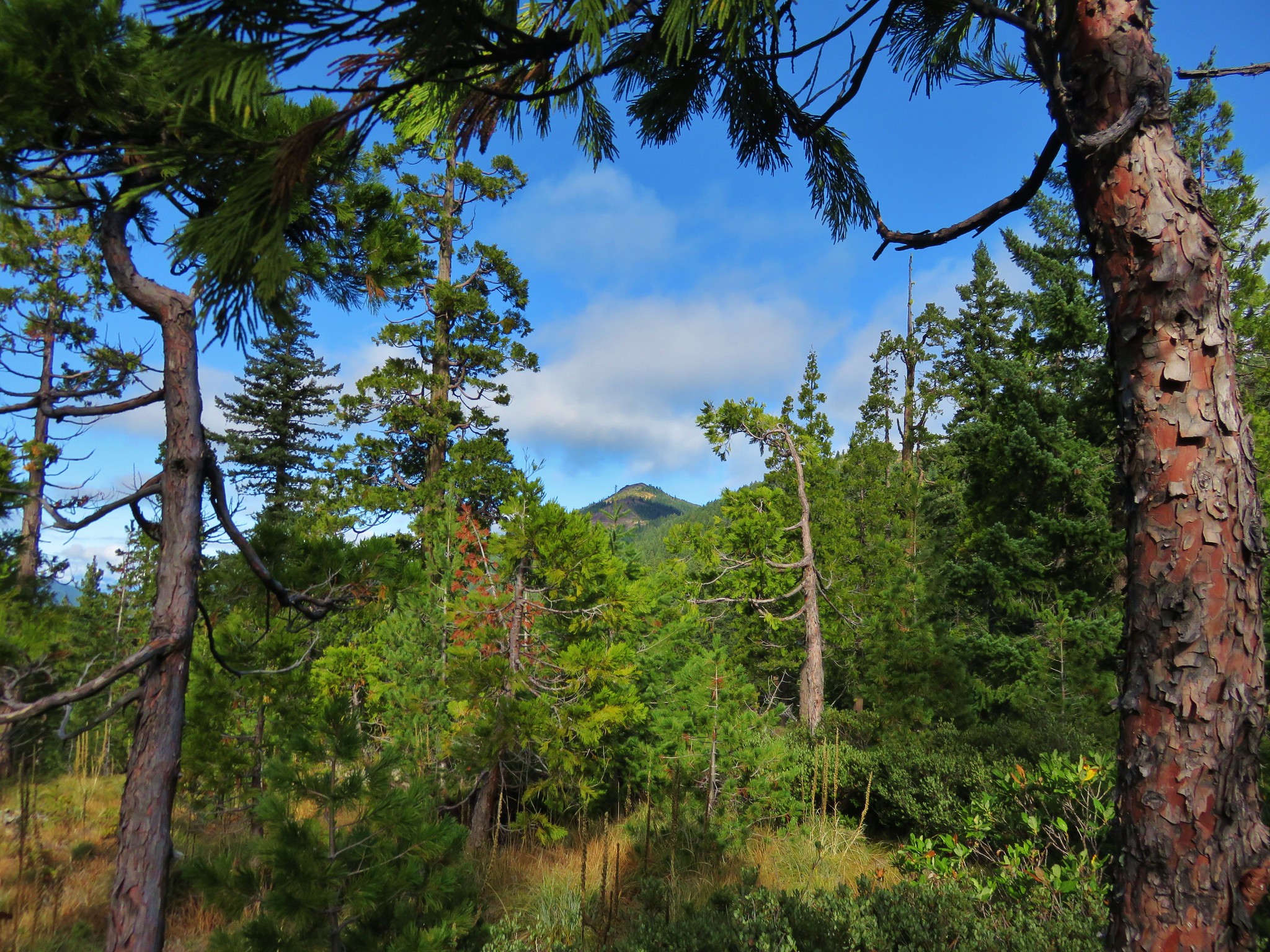 //embedr.flickr.com/assets/client-code.js
 //embedr.flickr.com/assets/client-code.js
 //embedr.flickr.com/assets/client-code.js
 //embedr.flickr.com/assets/client-code.js
 //embedr.flickr.com/assets/client-code.js