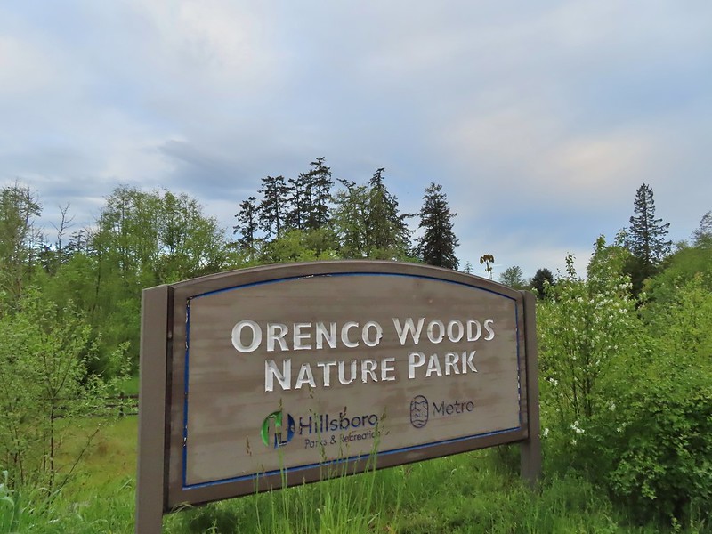
May continues to be wet this year despite being in the midst of a drought. Hopefully these rainy days will help with that to some extent but in the meantime for the second week in a row we found ourselves looking for a “Plan B” hike that was more inclement weather friendly. We decided on the recently opened (December 2021) Chehalem Ridge Nature Park. Located in the Chehalem Mountains this 1260 acre park is managed by Metro which also manages Orenco Woods where we had started last week’s hike (post). Chehalem Ridge offers a network of hiking, biking, and equestrian trails but does not allow pets/dogs. The park website states that the park is open from sunrise to sunset which I mention because Google seemed to think it opened at 6:30am and entries in the Oregon Hikers Field Guide (Iowa Hill & Chehalem Ridge) give the hours as 8am to 7pm. With sunrise being a little before 6am this time of year we gambled on the Metro website hours and arrived at the large Chehalem Ridge Trailhead at 6am to find that the gate to the trailhead was indeed open.

We had spent most of the hour drive passing through rain showers but there was no precipitation falling as we prepared to set off. We stopped at the signboard to read up on the park and to study the map to confirm out plan for the hike.

Simply put the plan was to stay right at all junctions. This meant taking the Timber Road to the Ammefu (mountain in Atfalti (Northern Kalapuya)) Trail back to the Timber Road then to the Ayeekwa (bobcat in Atfalti) Trail to Witches Butter to the Chehalem (outside place in Atfalati) Ridge Trail. We would then follow the Chehalem Ridge Trail (detouring on a small partial loop) to the Madrona Trail and follow it to it’s end at a loop near some madrone trees. Our return would be back along the Madrona Trail to the Chehalem Ridge Trail (skipping the partial loop this time) to the Mampaꞎ (lake in Atfalati) Trail then right on the Zorzal (Spanish for thrush) Trail back to the Mampaꞎ Trail to Iowa Hill where the Mampaꞎ Trail ends in a loop around the hill. From Iowa Hill we would return to the Timber Road via the Mampaꞎ Trail and follow the road downhill to the Woodland Trail which we would follow back to the trailhead. The route could have been confusing but Metro has done an excellent job with not only placing posts identifying the trails at all of the junctions but also including maps on top of the posts.
The other nice touch is that the maps on these posts were oriented differently to align with the direction of the trail with north identified in the legend which made them quicker to read.
We set off down the Timber Road past the first of three figures located throughout the park representing the traditional storytelling of the Atfalti.

 The Castor (Spanish for beaver) Trail on the left, this was the only trail in the park that we didn’t hike on during our visit. It was always a left turn.
 Fawn lilies
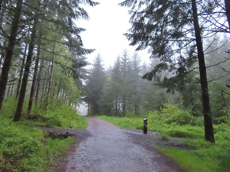 Our first right turn (left was a short connector to the Woodland Trail).
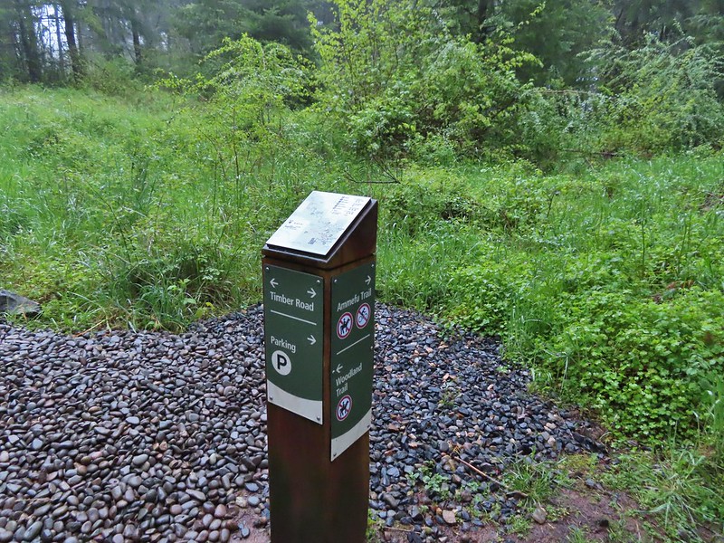 Again the posts and accompanying maps were some of the best trail identifiers we’ve run across.
 Bench at the viewpoint along the Ammefu Trail.
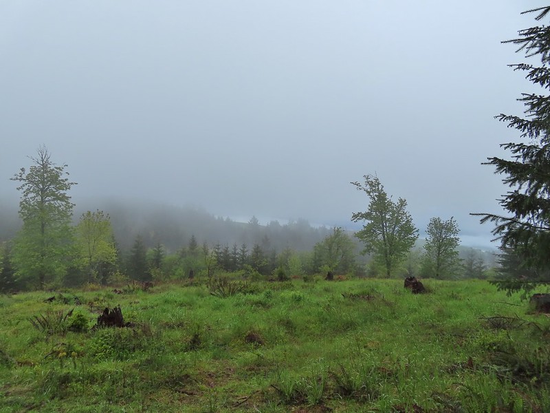 We had to imagine the view today.
 The second figure.
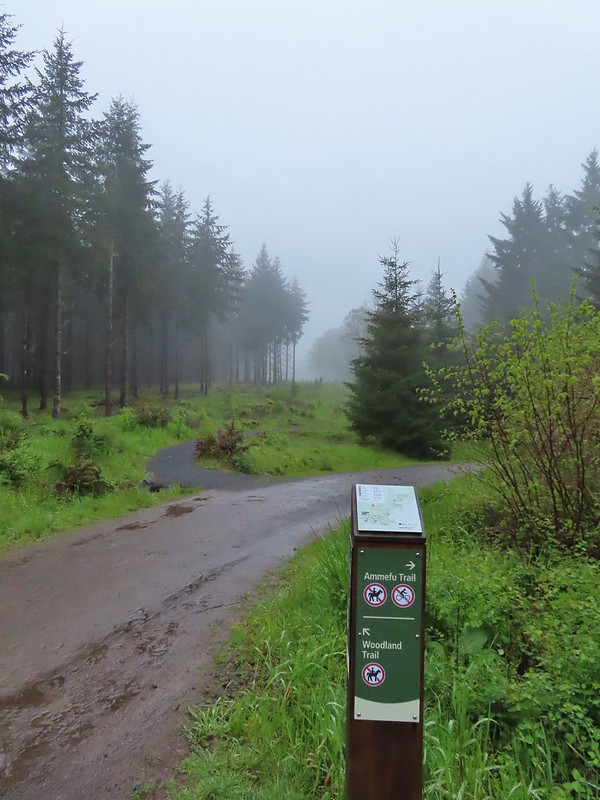 Back at the Timber Road and another short connector to the Woodland Trail.
 Fog on Timber Road
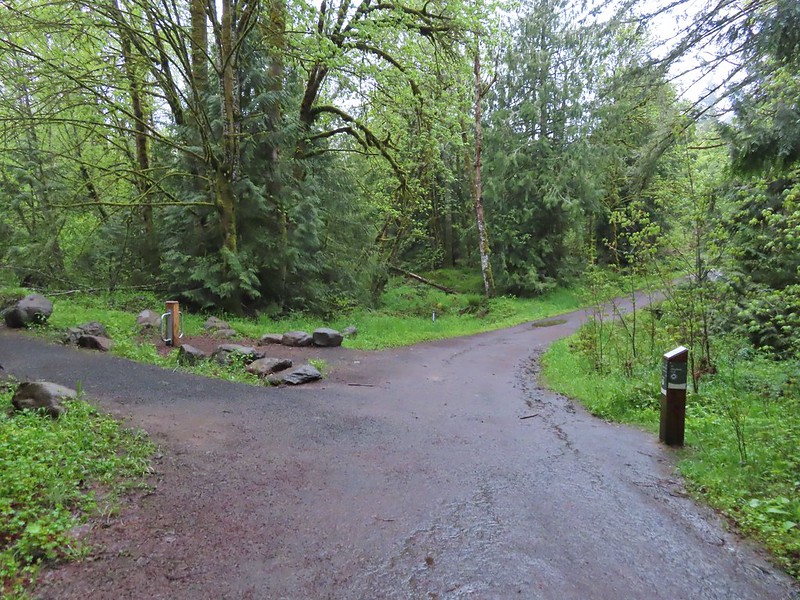 Passing the Woodland Trail on the left which would be our right turn on the way back.
 Christensen Creek
 Right turn for the Ayeekwa and Witches Butter Trails.
 Witchs Butter on the left and Ayeekwa on the right.
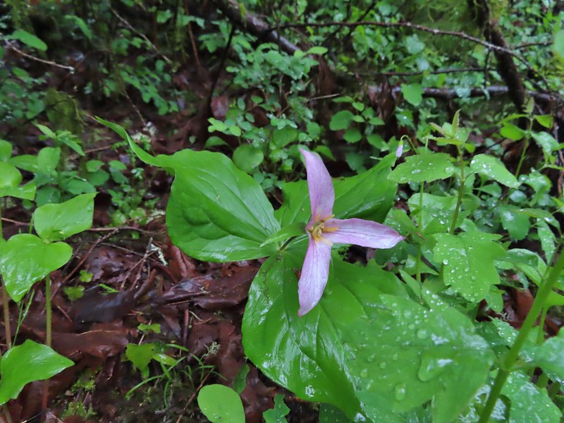 Trillium
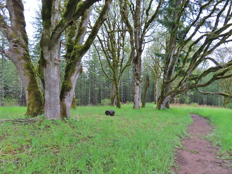
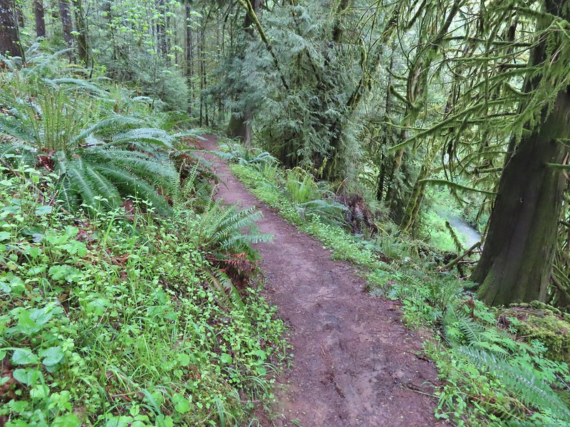
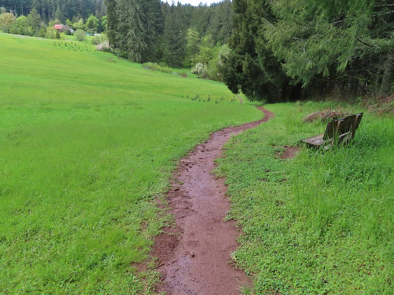
Some of the trails were gravel which helped keep mud from being an issue given the damp conditions. In fact there was only one spot (along the Madrona Trail) where mud was an issue at all.

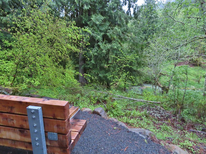 Another bench, this one overlooked Christensen Creek.
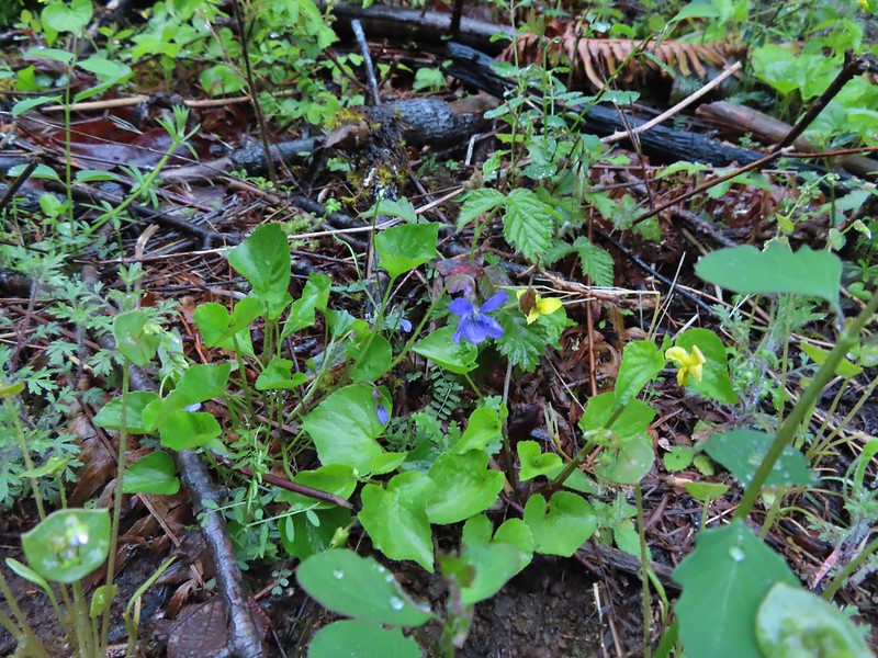 Common blue violet
 Pioneer violets and a strawberry blossom.
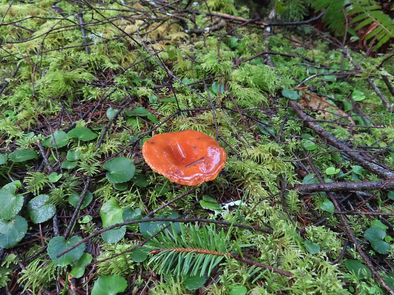
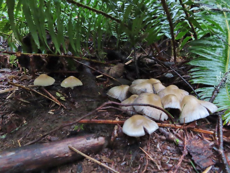 Mushrooms under a fern.
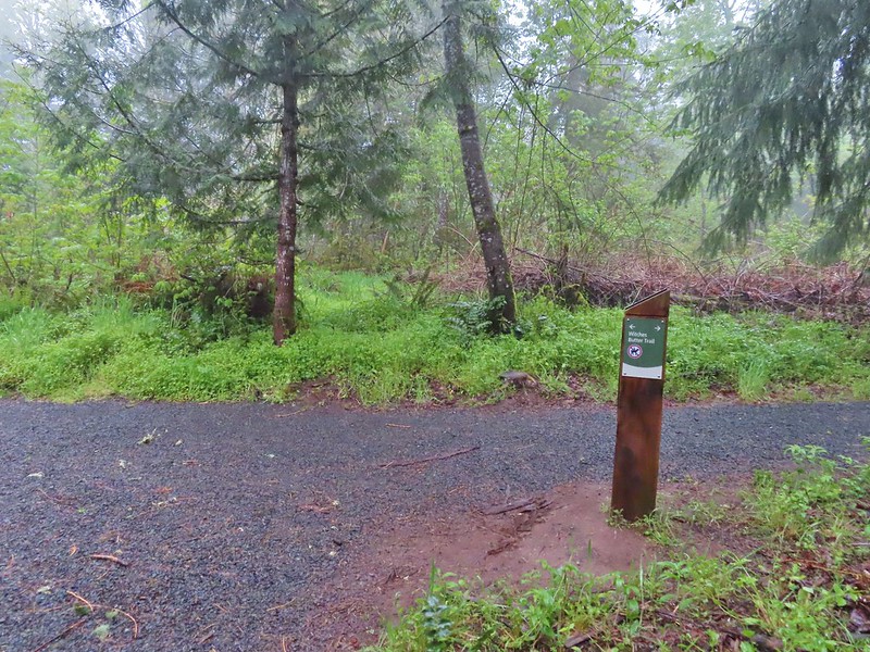 Popping out on the Witches Butter Trail.
 Witches Butter Trail
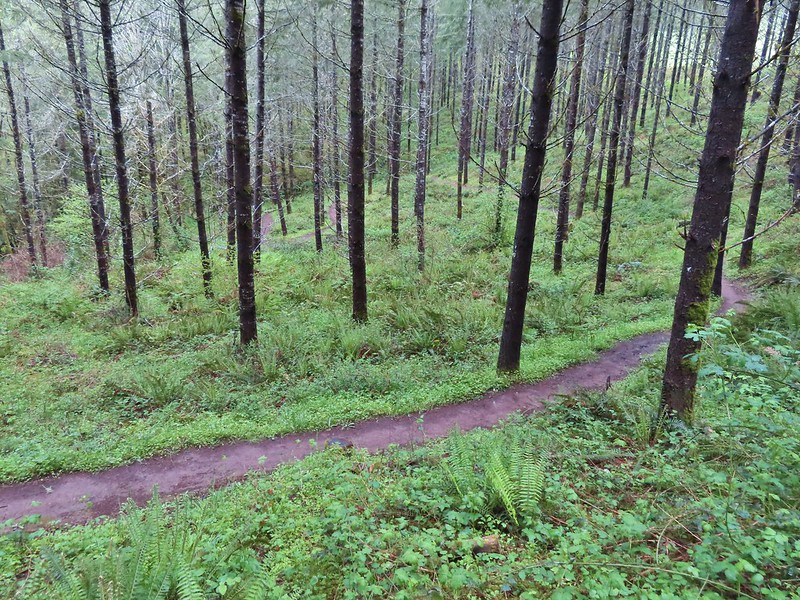
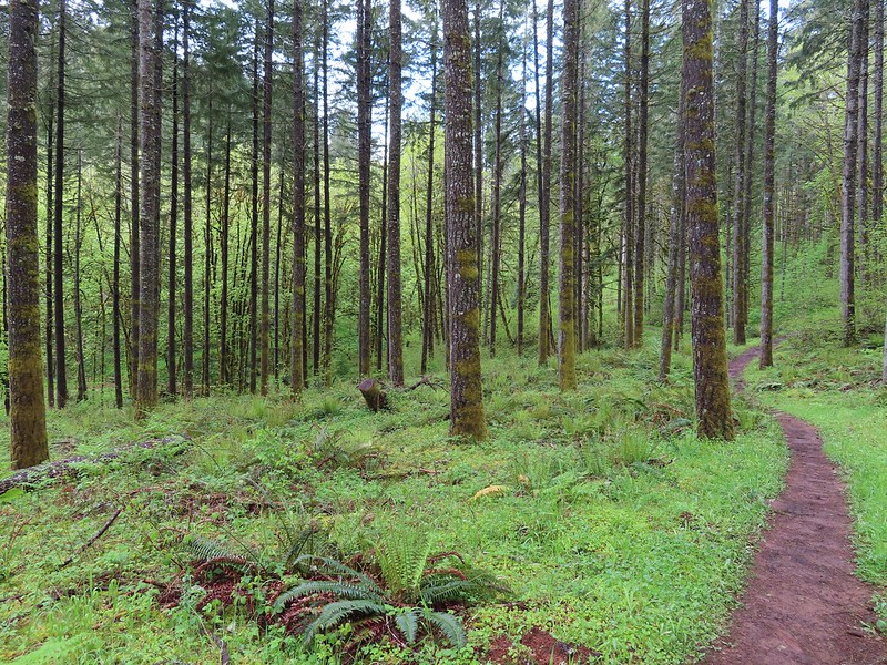
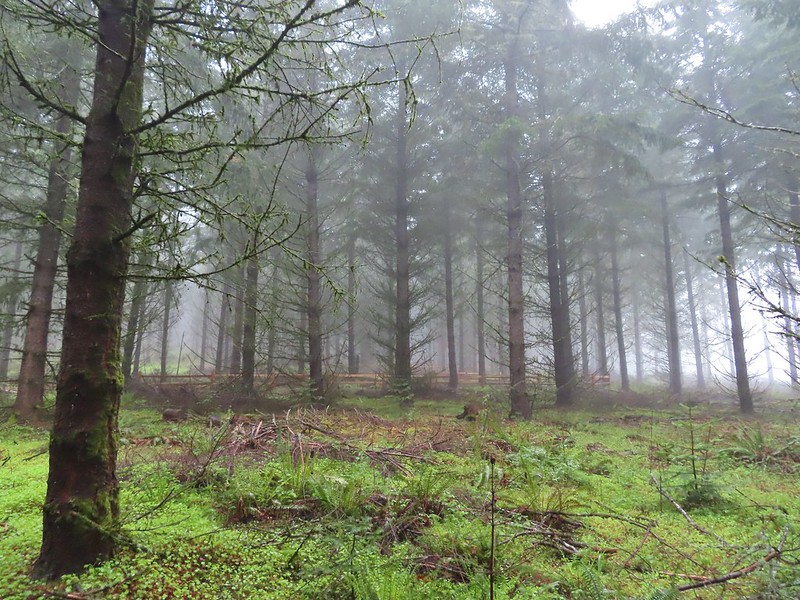 Witches Butter Trail winding through Douglas firs.
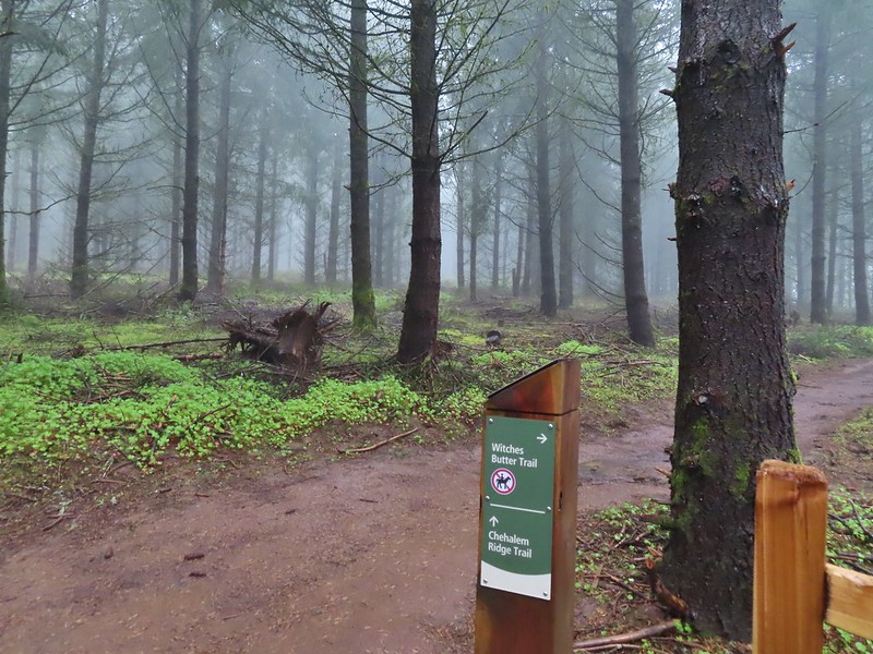 Turning right onto the Chehalem Ridge Trail.
 There was a little more mud on the Chehalem Ridge Trail.
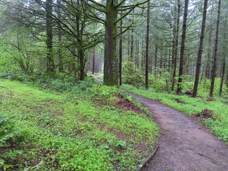 Spring green carpet.
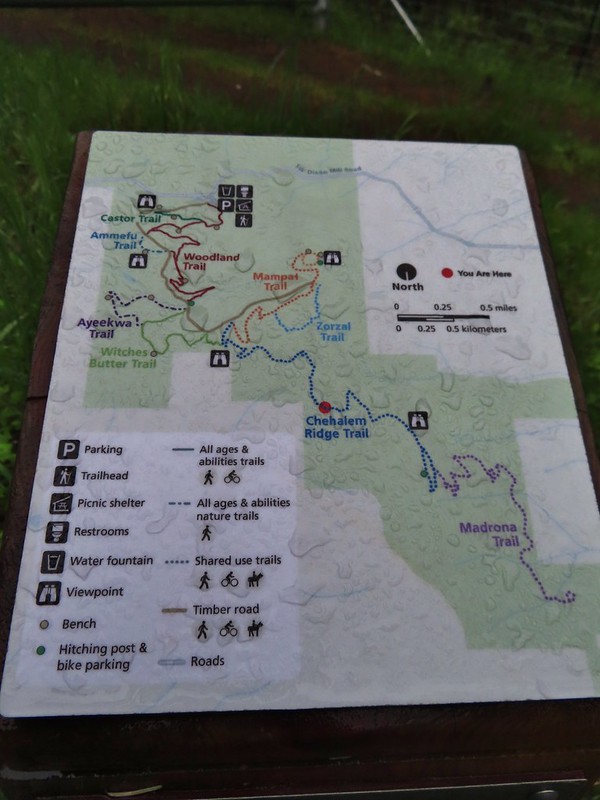 A good example of the differently oriented maps, on this one north is down.
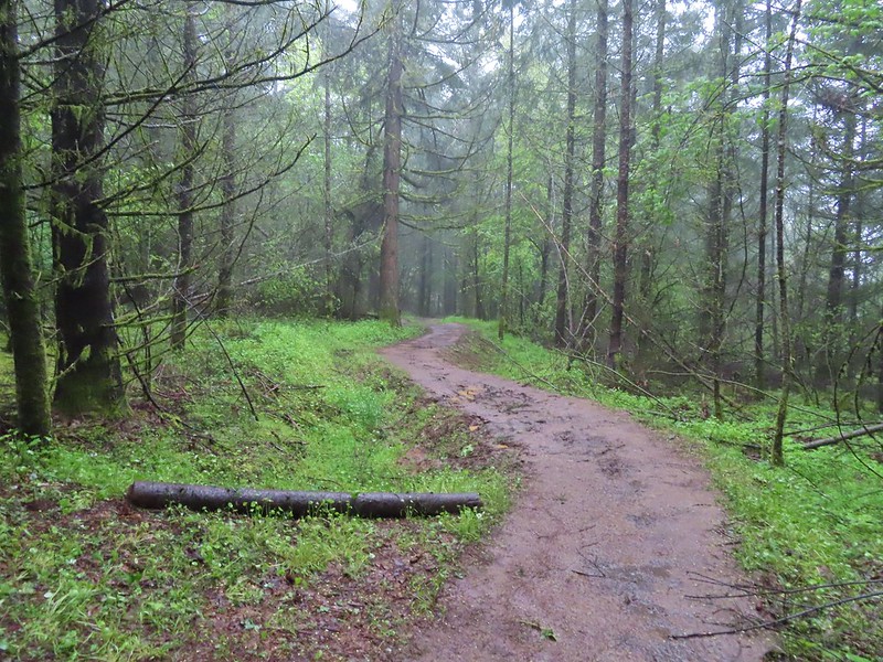
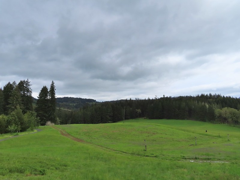
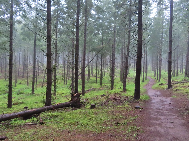 Another fir plantation. The land had been owned by a timber company prior to being purchased by Metro in 2010.
 Start of the Chehalem Ridge Loop. We went right which simply swung out along the hillside before dropping down to the Madrona Trail in 0.4 miles.


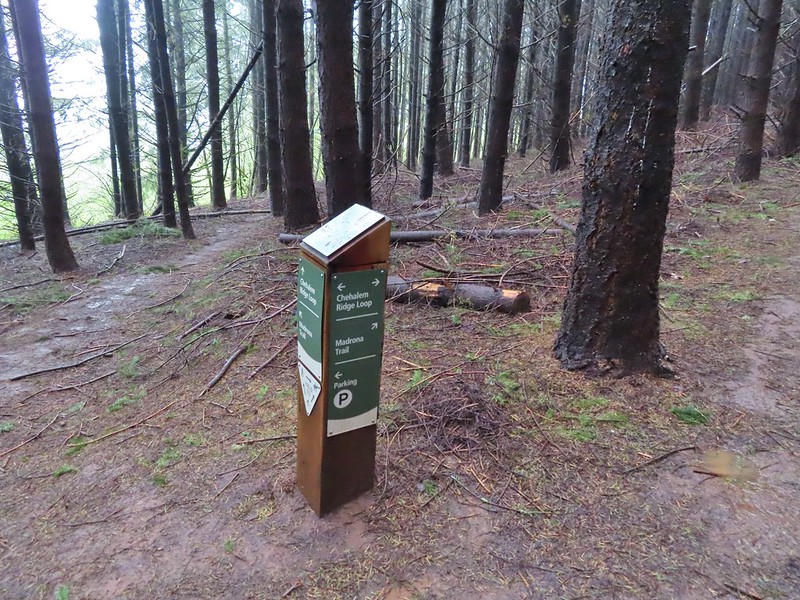 The loop continued to the left but we turned right onto the Madrona Trail.
The one thing that was hard to distinguish on the maps was the topography so we were a little surprised when the Madrona Trail continued to descend the hillside. (Had we read the Oregon Hikers Field Guide more closely we would have been prepared.) The trail switchbacked a total of 11 times before arriving at an old roadbed which it continued along to the right.
 Still cloudy and gray but we’d experience very little if any precipitation yet.
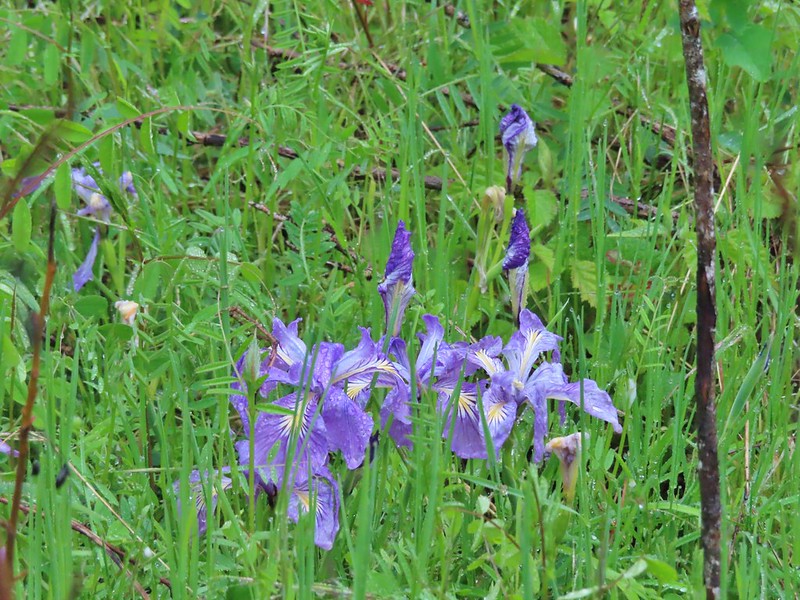 Lots of tough-leaved iris along this trail.
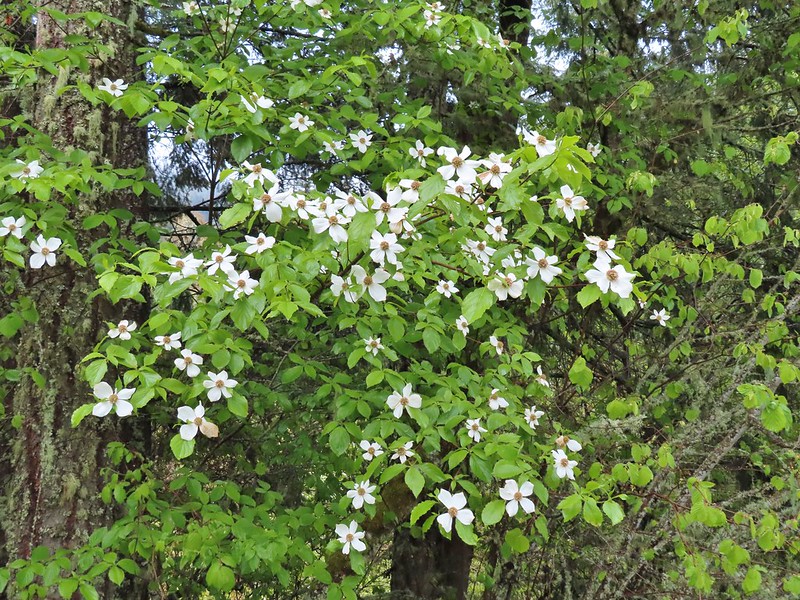 One of several blooming dogwood trees.
 View on the way down.
 Madrone trees began to be a common sight as we descended.
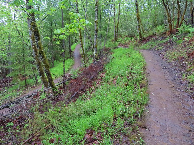 One of the 11 switchbacks.
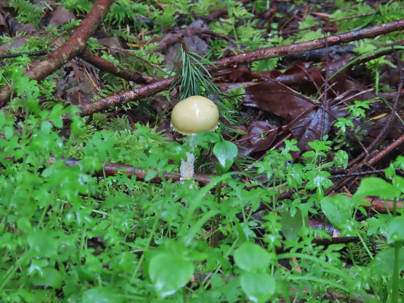 We hadn’t seen a lot of mushrooms recently but this hike had plenty.
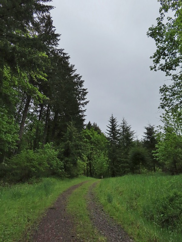 Following the roadbed.
The trail left the roadbed at a post and dropped down to the 0.1 mile loop at the end of the Madrona Trail.
 Aside from one other very small (3 in diameter) tree this was the only obstacle we encountered all day.
 The start of the loop along with several madrones.
As we started back from the loop Heather mentioned that there should be a deer in the brush nearby and I jokingly said that there probably was and pointed out a game trail heading down to a small stream. As soon as I had finished my remark Heather spotted a doe that emerged from the bushes along the game trail. The doe made her way to the far hillside before we could get a good look at her.
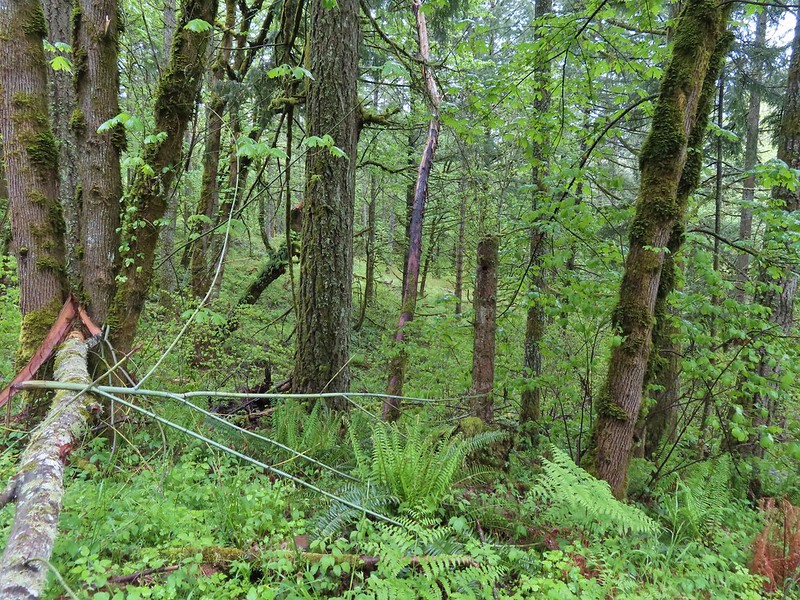

After watching the deer for a while we began the climb back up to the Chehalem Ridge Loop. It had felt like we’d come a long ways down but the climb back wasn’t any where near as bad as we expected it to be (In reality we’d only lost about 400′). It was as we were hiking back up that the first vestiges of blue sky appeared.

 The Tualatin Valley and Coast Range.
We stayed right at the Chehalem Ridge Loop to finish that loop and then retraced our steps on the Chehalem Ridge Trail back to Witches Butter Trail junction where we stayed right on the Chehalem Ridge Trail to its end at a three way junction. We had only seen 3 other people all morning, a trail runner on our way to the Madrona Trail and two hikers as we were coming back. We did however need to keep our eyes out for other trail users.
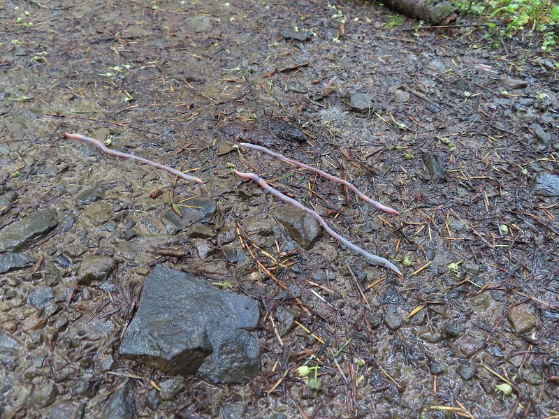 Either these worms were racing or it was a bird buffet. The rain had brought a lot of earthworms onto the trails.
 Another trail user a rough skinned newt.
 A closer look at the rough skinned newt.
We also spotted a pileated woodpecker at the top of a dead tree. Between the distance and other trees in between I couldn’t get a good picture.

 It had been so foggy when we had come up the Witches Butter Trail that we hadn’t realized that there was a giant green field nearby.
 The end of the Chehalem Ridge Trail with the Mampaꞎ Trail to the right and a very short connector to the Timber Road to the left.
We briefly followed the Mampaꞎ Trail then turned right onto the Zorzal Trail.
 Sunlight hitting the Mampaꞎ Trail.
 Fairy slippers
 Squirrel
 The Zorzal Trail to the right.
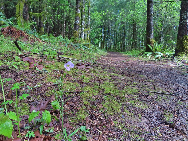 Toothwort along the Zorzal Trail.
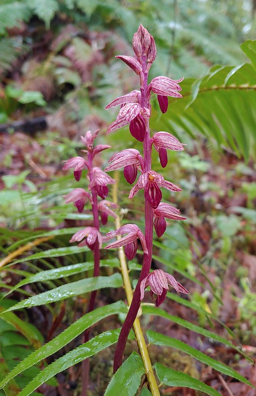
 Stripped coralroot
The Zorzal Trail swung out and then rejoined the Mampaꞎ Trail near the Timber Road. We yet again turned right, crossed the Timber Road near a gate and continued on the Mampaꞎ Trail.
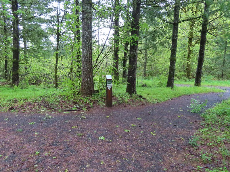
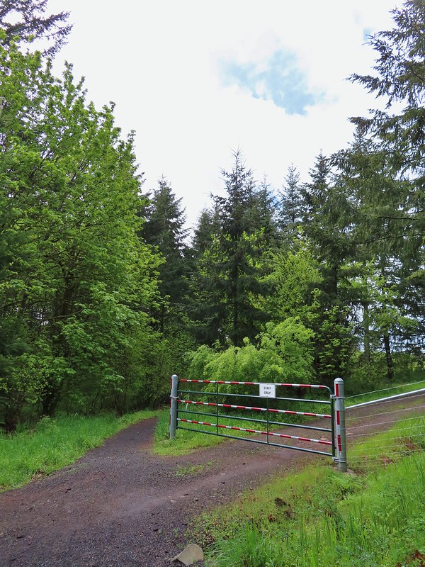
The Mampaꞎ Trail passed along Iowa Hill before turning uphill and entering a wildflower meadow on the hilltop where a loop began.


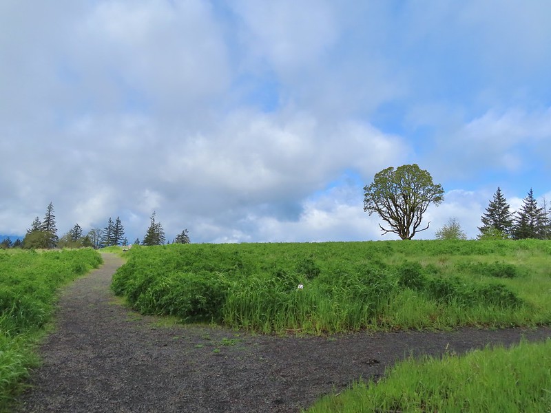
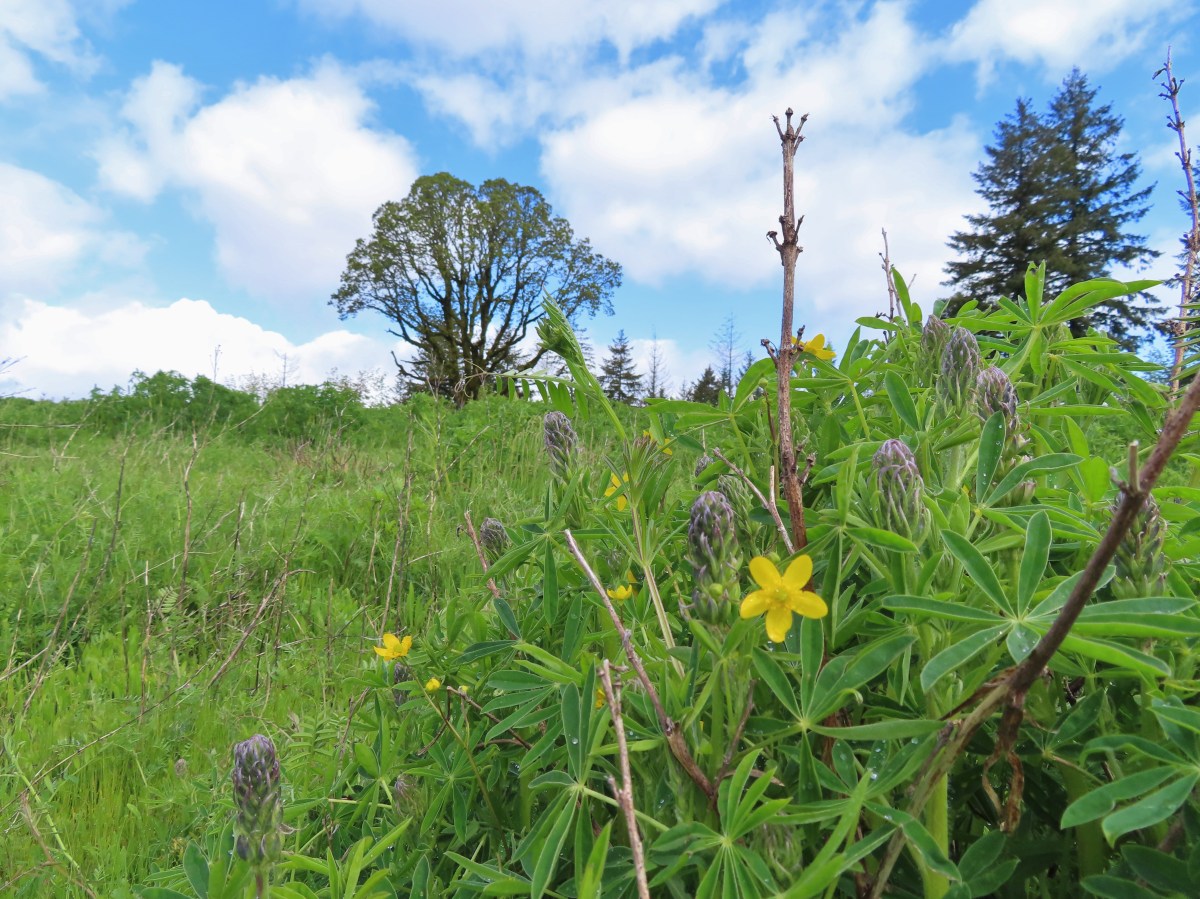
There was a large amount of lupine in the meadow but we were several weeks early and only a few plants had any blossoms. There were a few other flowers blooming and many more to come over the next few weeks.
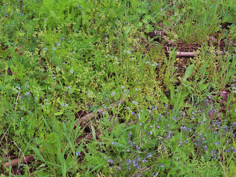 An assortment of smaller flowers.
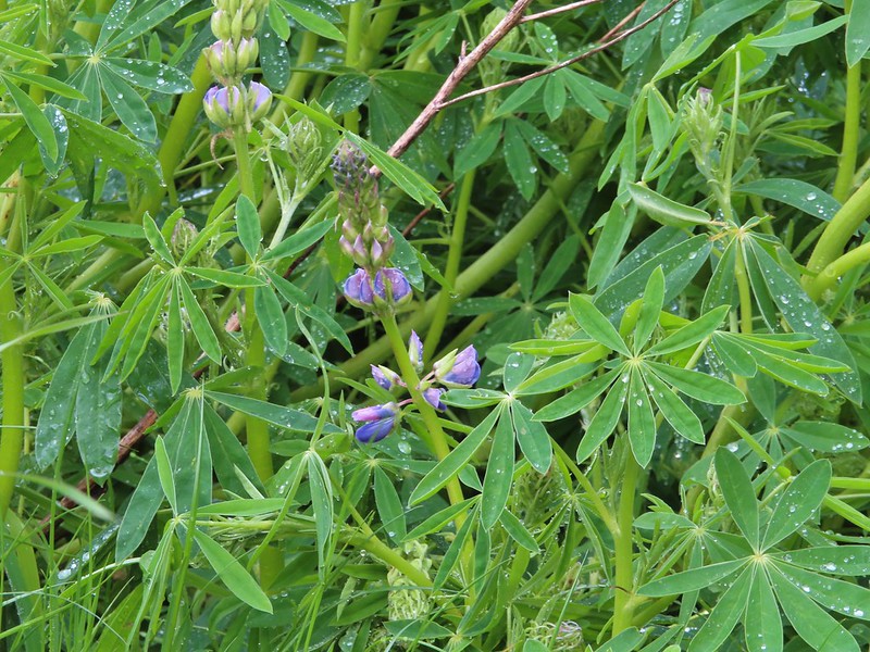 One of the few lupines with blossoms.
 Camas buds
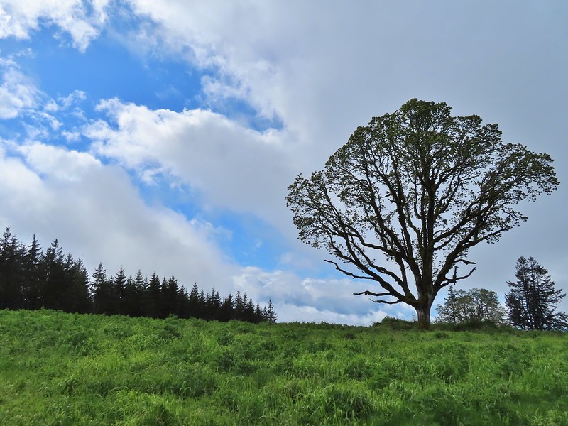 Oak tree on Iowa Hill. Most of the larger green clumps are lupine.
On the western side of the loop was a horse hitch, bike rack and stone circle where we sat and took a break.

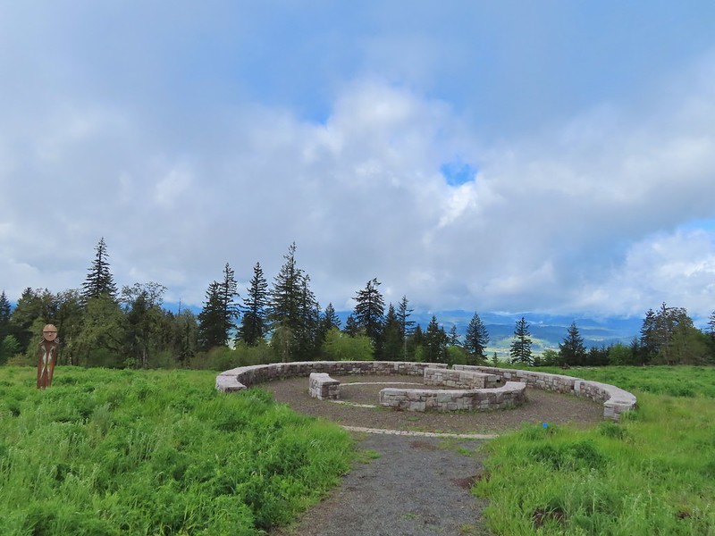 The third and final figure was also located near the stone circle.
As we sat and enjoyed the sun breaks and views we began spotting a few other wildflowers hiding in the lupine.
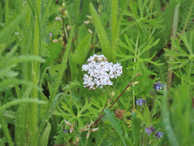 Yarrow
 More lupine starting to blossom.
 Tualatin Valley
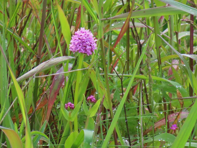 Plectritis
 Believe this is a checker mallow.
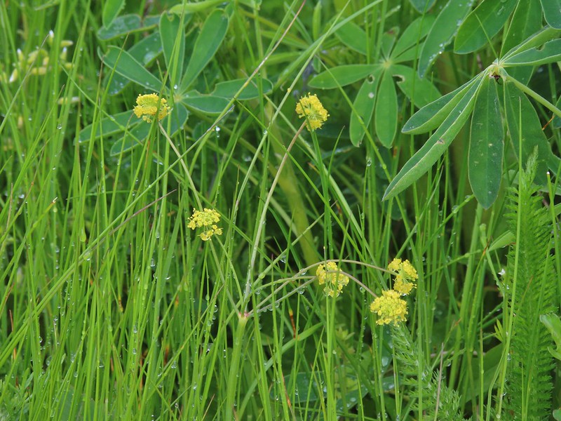 Parsley
 Camas
Camas
 Iris
Iris
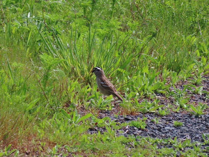 White crowned sparrow
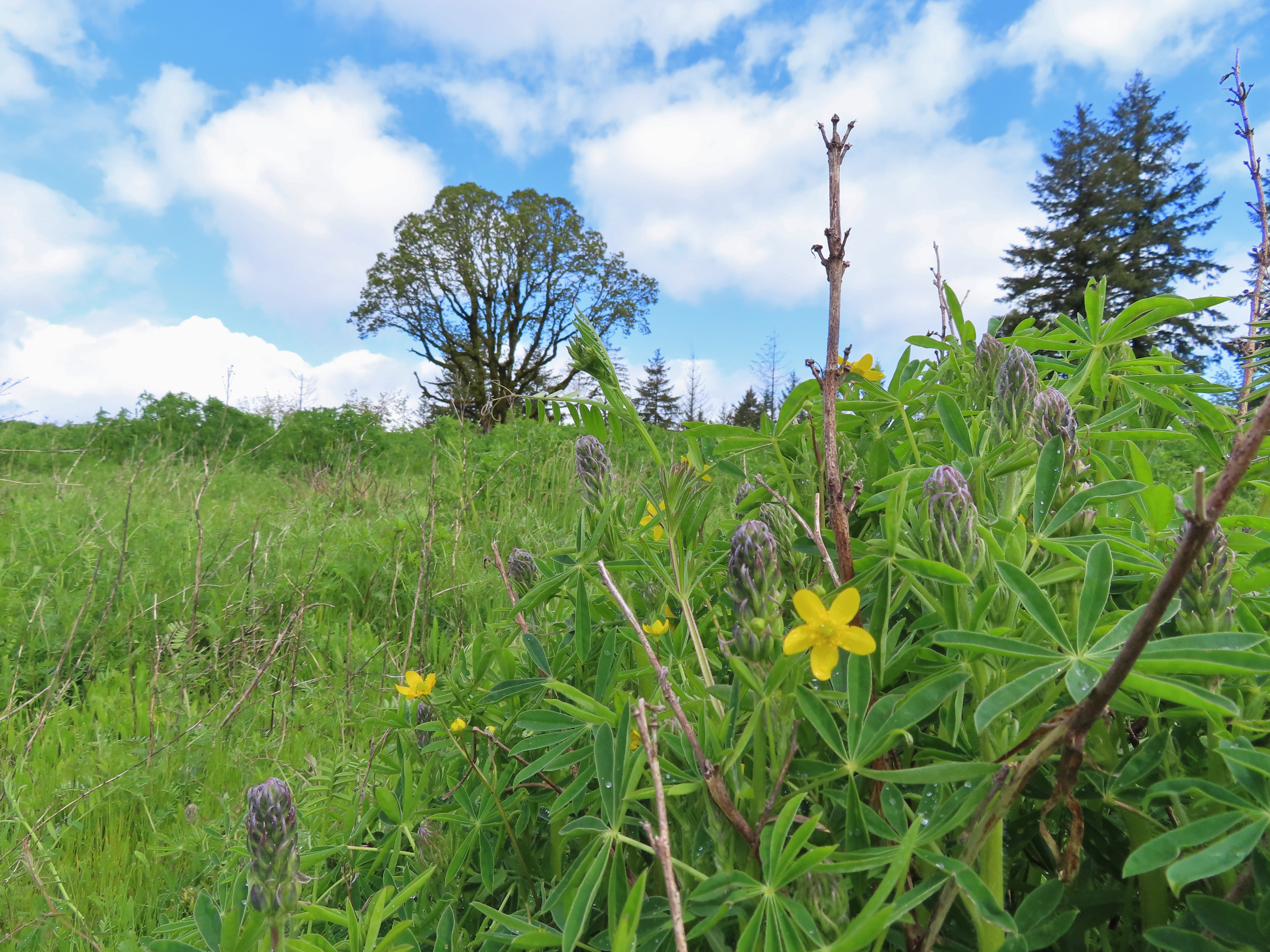 Buttercups in the lupine.
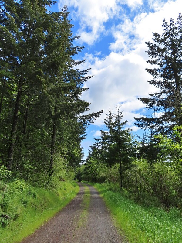
After a nice rest we finished the loop and headed back to the Timber Road which we followed downhill for six tenths of a mile to the Woodland Trail.
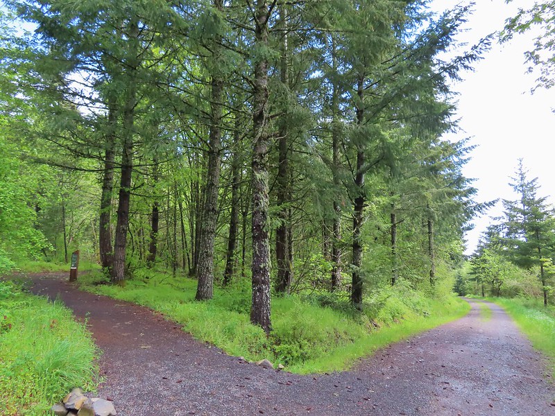 Turning down the Timber Road.
 I’m not good with these little yellowish birds. It could be an orange-crowned warbler.
 Black capped chickadee
 Approaching the Woodland Trail on the right.
 Woodland Trail
We followed this trail for 1.4 winding miles back to the trailhead.
 Candyflower
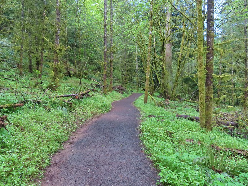 Coming to a switchback.
 We ignored a couple of shortcuts that would have led back to the Timber Road.
 We also skipped the Castor Trail which would have slightly lengthened the hike.
 Lupine along the Woodland Trail as we neared the trailhead.
 Much nicer conditions than we’d had that morning and way nicer than anything we had expected.
Our hike came to 12.1 miles with approximately 1200′ of elevation gain utilizing portions of all but one of the parks trails.

Again we had been fortunate enough to avoid any significant precipitation. The weather forecast had kept the crowds away though and we only encountered about 15 other hikers all day, the majority of which had been during the final hour of our hike. We were very impressed by the park and have put it on our list of nearby go to destinations when weather or other factors keep us from going someplace new. The number of different trails provide for hikes of various lengths with none of the trails being too challenging. There was also a decent variety of scenery in the park and it looks like the wildflower display on Iowa Hill toward the end of May will be amazing. Happy Trails!
Flickr: Chehalem Ridge Nature Park


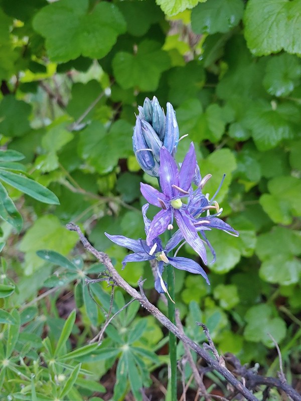 Camas
Camas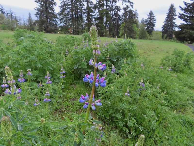 Lupine
 Habitat Trail
 We’ll blame our inability to read this sign on it still being early in the morning. We started down the path ahead before quickly questioning the direction and correcting course.
 He probably knew which way he was going.
 Heading the right way now.
 NW Wilkins


 Another trail user


 Fringecup

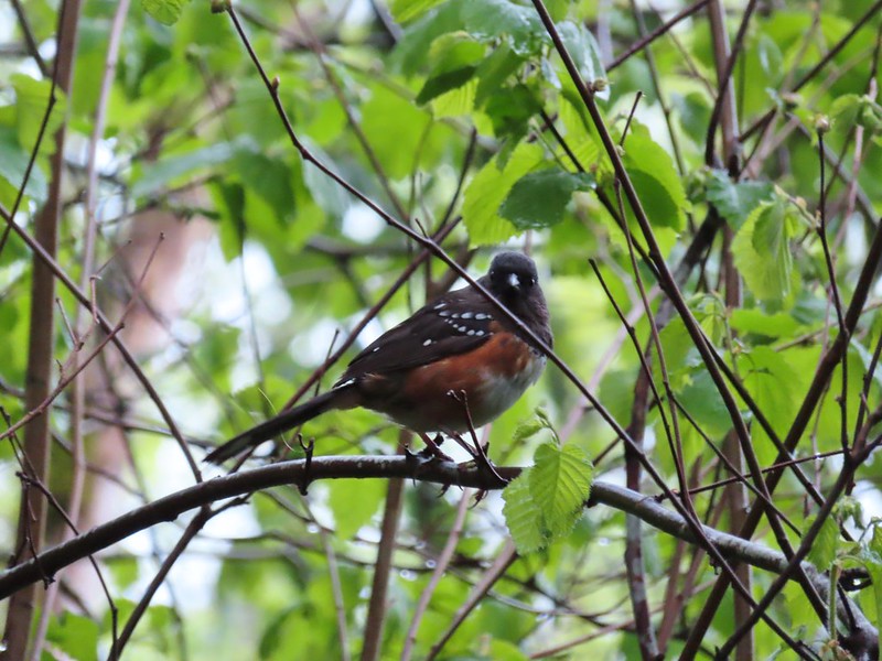 Spotted towhee
 Stellar’s Jay
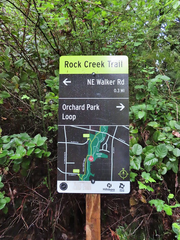 Second time staring at this sign.

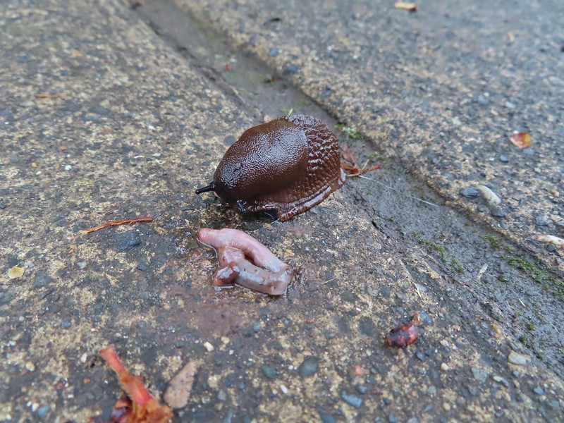 Not sure exactly how to interpret this scene – mourning, a murder, or breakfast?
 The slight jog right along NE Walker.


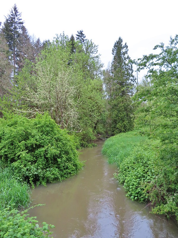
 Bridge of Rock Creek
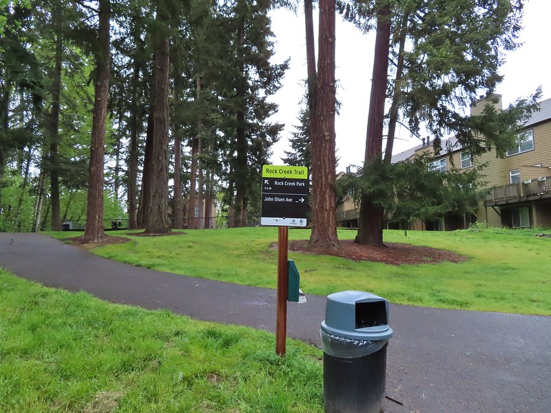 Look a pointer for John Olsen Avenue (just a lot further north).
 Mallards (A pair of wood ducks flew off at the same time the mallards headed downstream.)
 Here is the only photo that I could even get with the little yellow bird visible at all.
 NE Evergreen Parkway

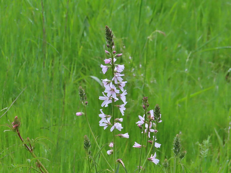 Checkermallow


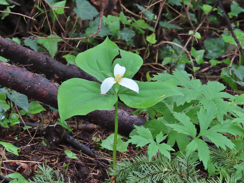 Trillium
 Solmonseal
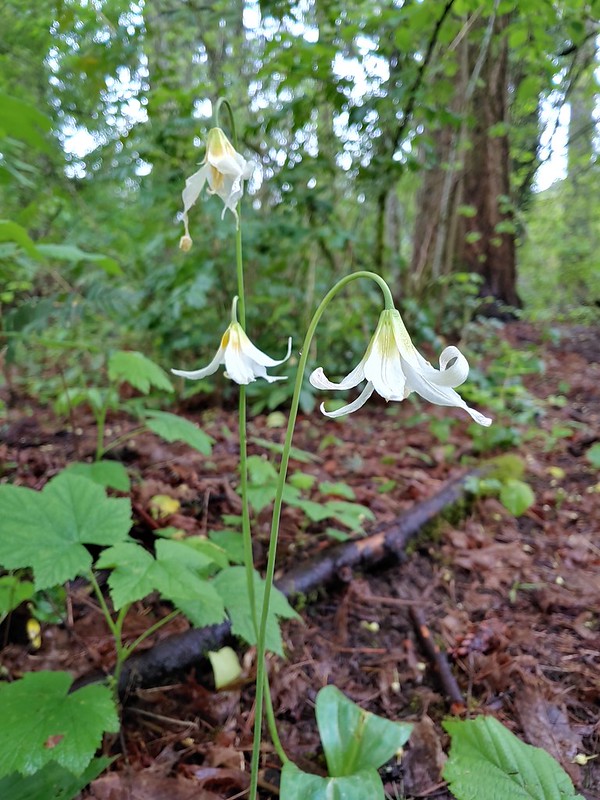 Fawnlilies
 Aven
Aven



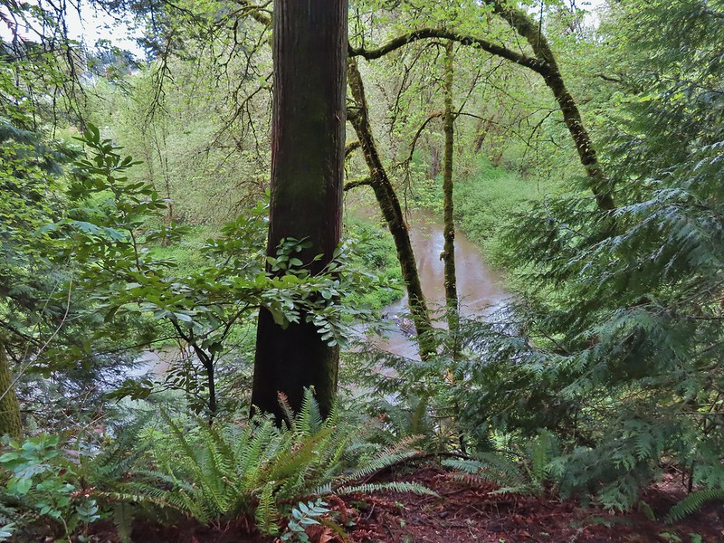 Rock Creek from the viewpoint.
 The back of the owl (middle tree 2/3 of the way up)

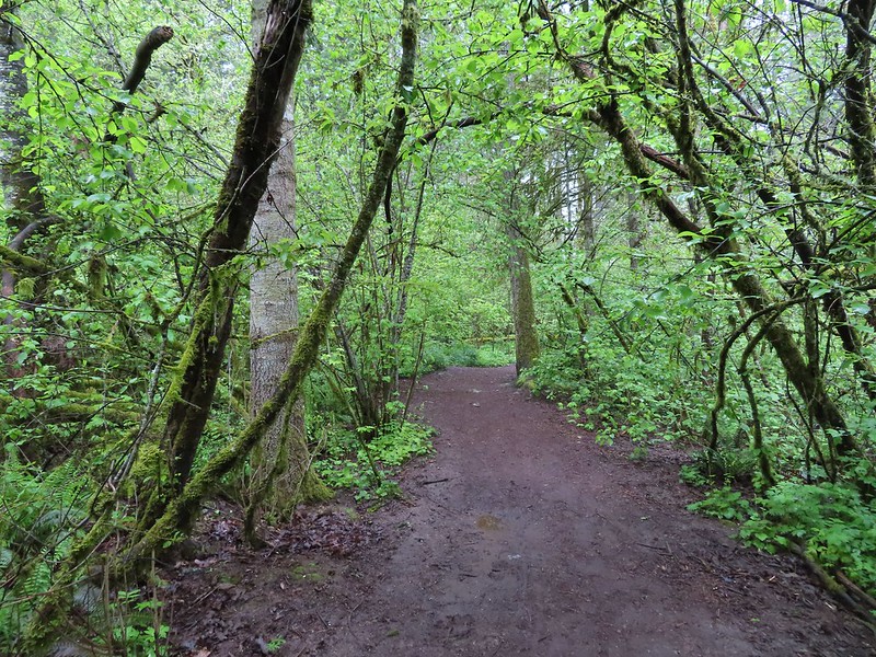
 Violets
 Swollen creek
 Fairy bells
 Cinquefoil
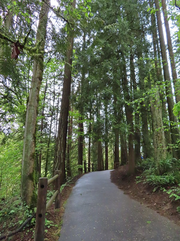 Nearing the trailhead.


 A wren and a white-crowned sparrow
 American goldfinches
 Tree swallows
 Bleeding heart near the stream.
 Berry Creek down to the right.
 There was a lot of wild ginger on the hillside.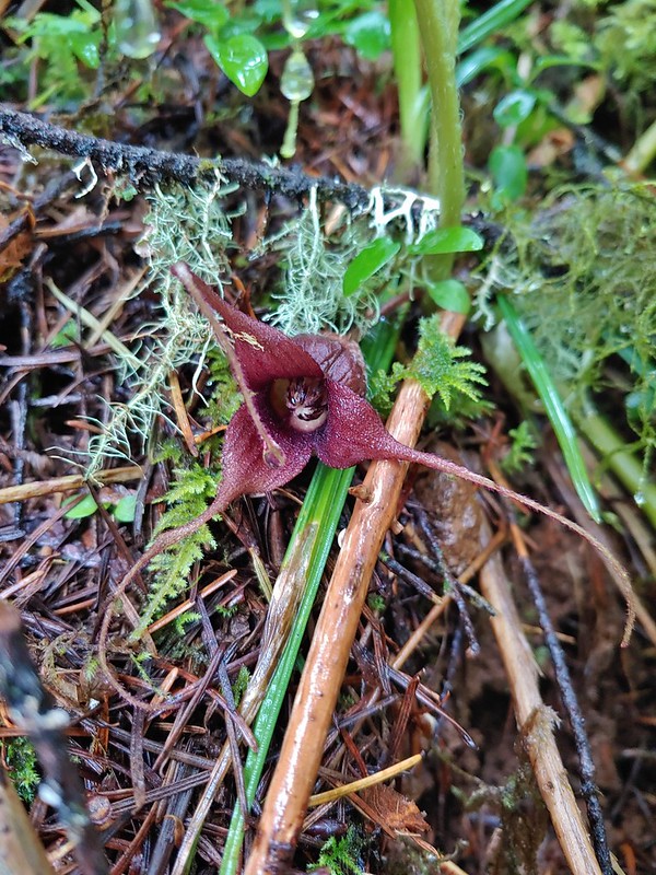


 Iris
Iris Buttercups
 Small garter snake
 Approaching the bridge and creek.

 Sparrow
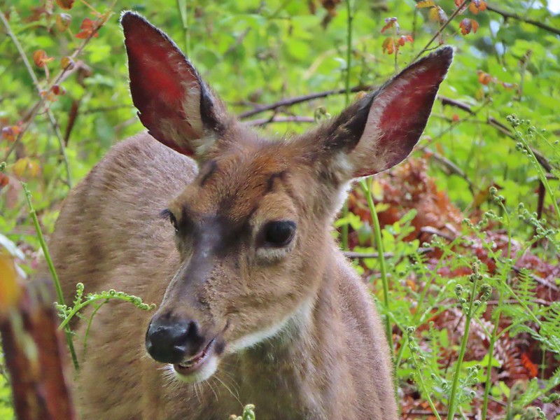 Doe just hanging out in a patch of poison oak. (It doesn’t bother deer.)
 Nearing the high point of the trail at K.T. Summit
 Spotted coralroot
 K.T. Summit
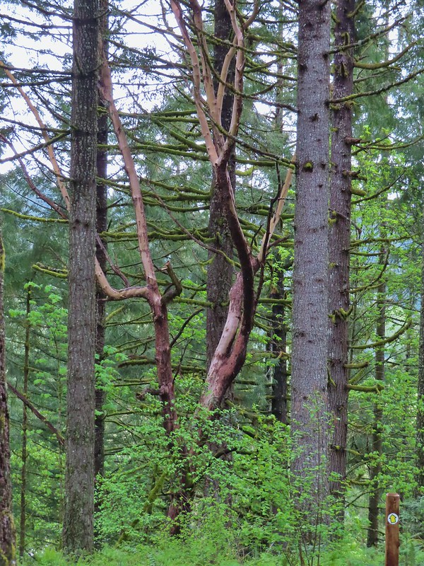 A very cool madrone tree.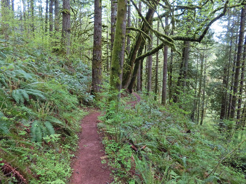
 Two more deer with a third off camera.
 There was at least one identifier for each tree listed on this sign. The signs were particularly nice because many were next to younger trees which made it easier to see the needles and bark instead of just look at a trunk and having to look up to try and see other details of the trees.
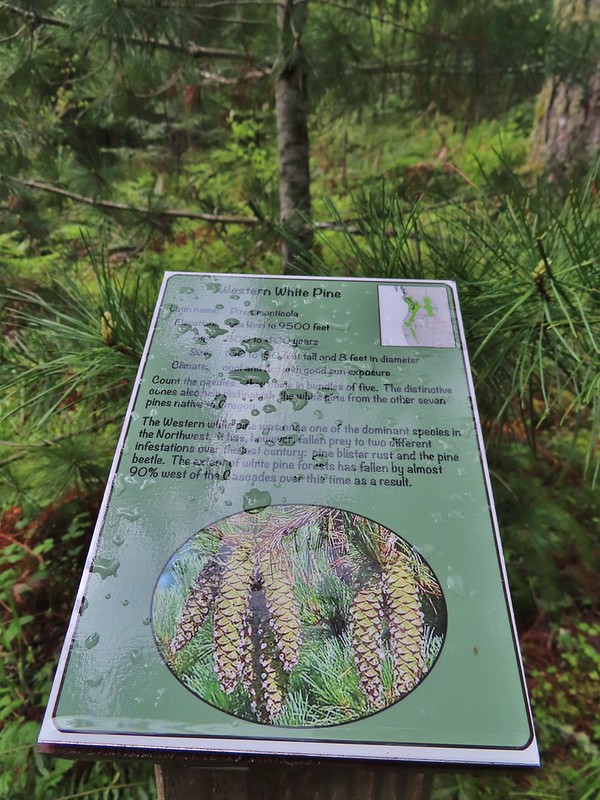 Western white pine
 Western larch
 Vanilla leaf
 Fairy slippers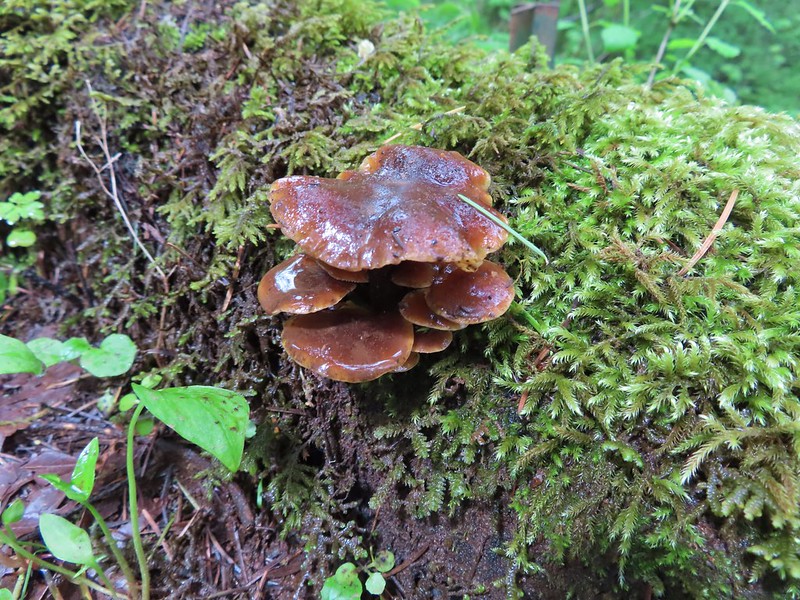


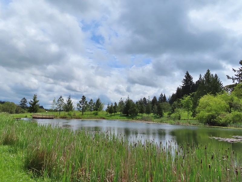
 Frog near the pond.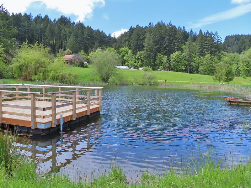
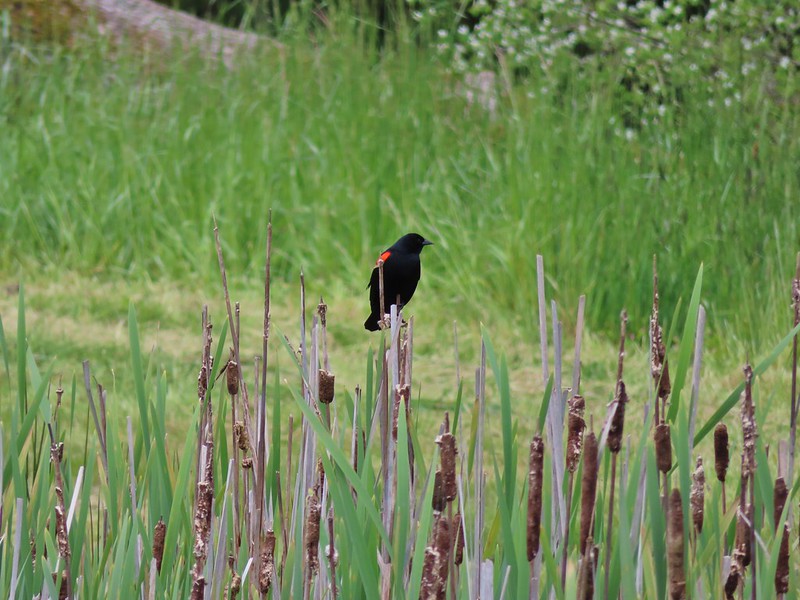 Red-winged blackbird

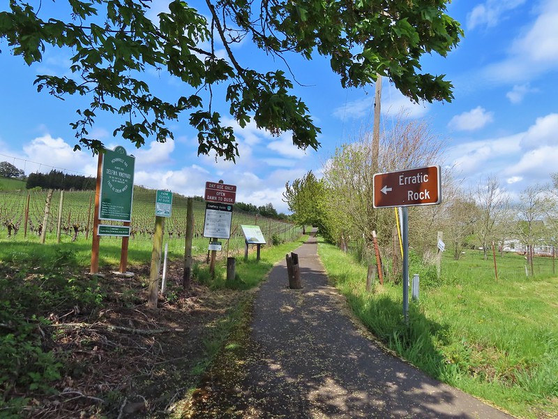
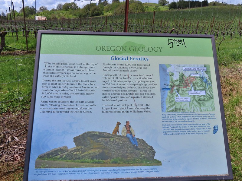 Interpretive sign at the start of the trail.
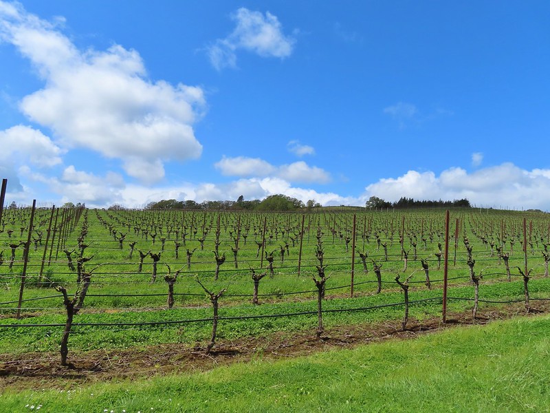 Vineyard along the trail.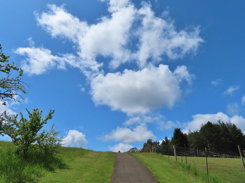
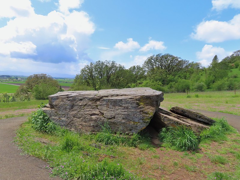
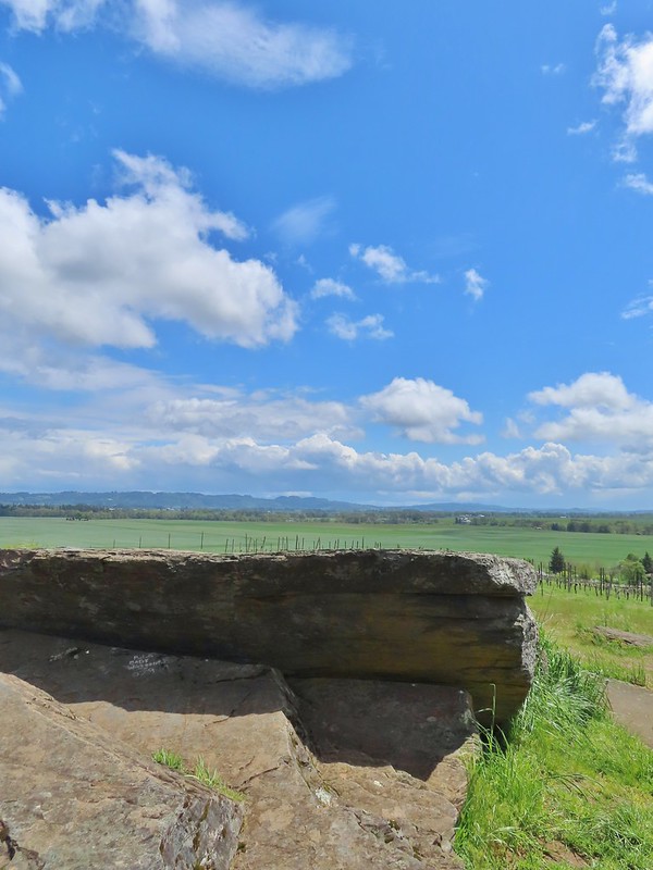

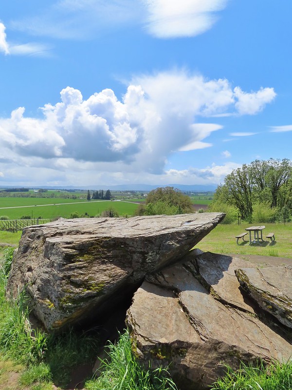
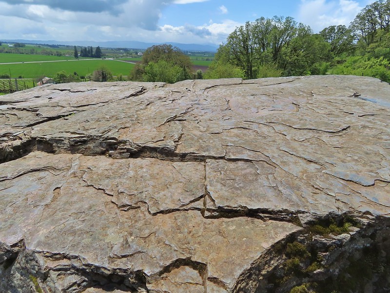


 Looking west down the Columbia River from the overlook.
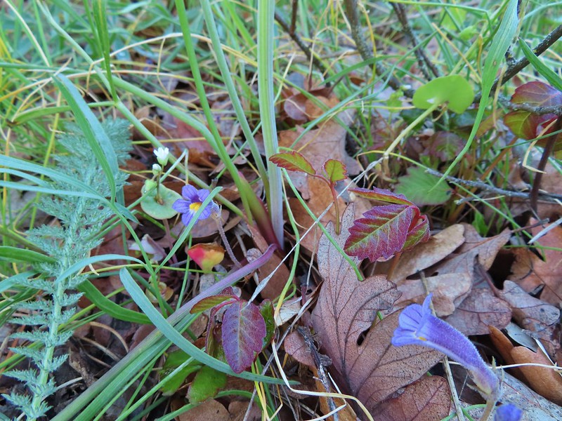 Naked broomrape and poison oak
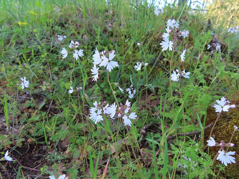 Woodland stars
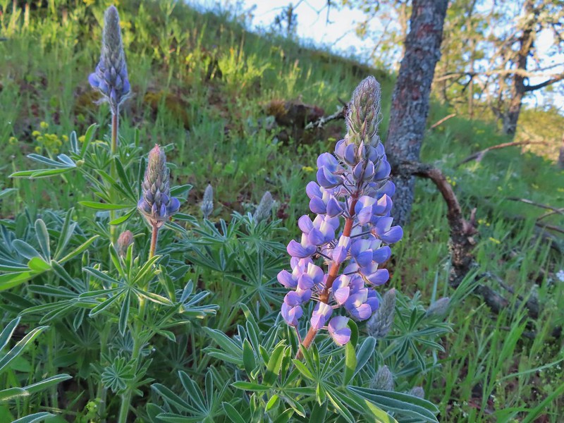 Lupine
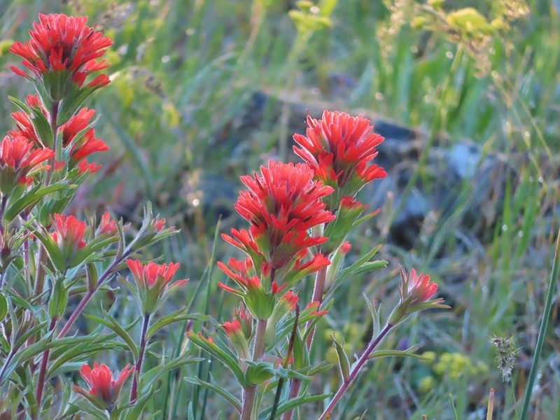 Paintbrush
 Larkspur and parsley
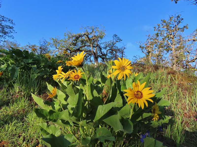 Balsamroot

 Chocolate lilies
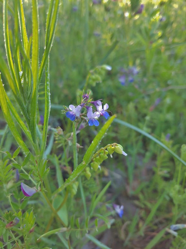 Giant blue-eyed Mary
 Coming up on the creek crossing.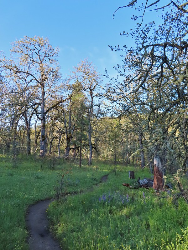

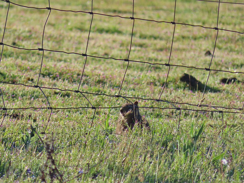 Ground squirrel on the other side of the fence.
 Looking back at the pond surrounded by trees.
 Heading up Chatfield Hill.
 Fiddleneck and other wildflowers in front of Mt. Hood.


 The Hood River Bridge spanning the Columbia River.
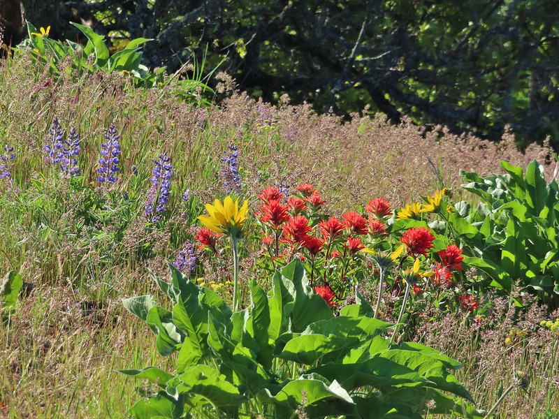 Lupine, balsamroot, and paintbrush
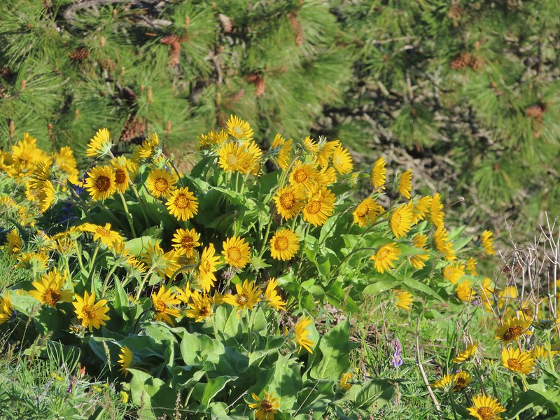 Balsamroot
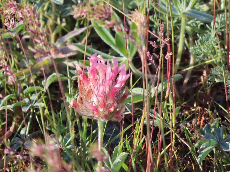 Large-head clover
 Large-flower Triteleia
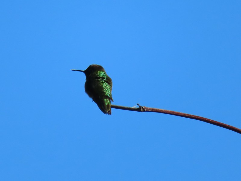 Hummingbird
 Balsamroot on Marsh Hill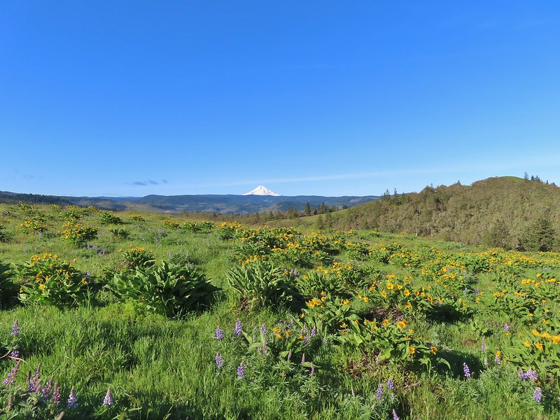
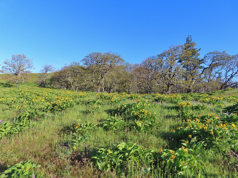
 Lupine and balsamroot
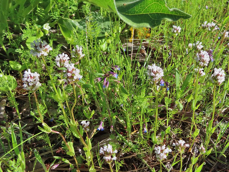 I think this is longhorn plectritis
 Sign for the parking area (If this small lot is full there are other


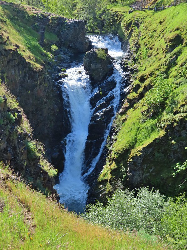


 Looking up the hillside.
 Red-stem storksbill
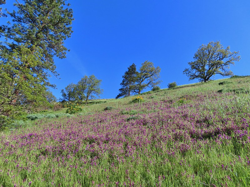 Vetch and balsamroot
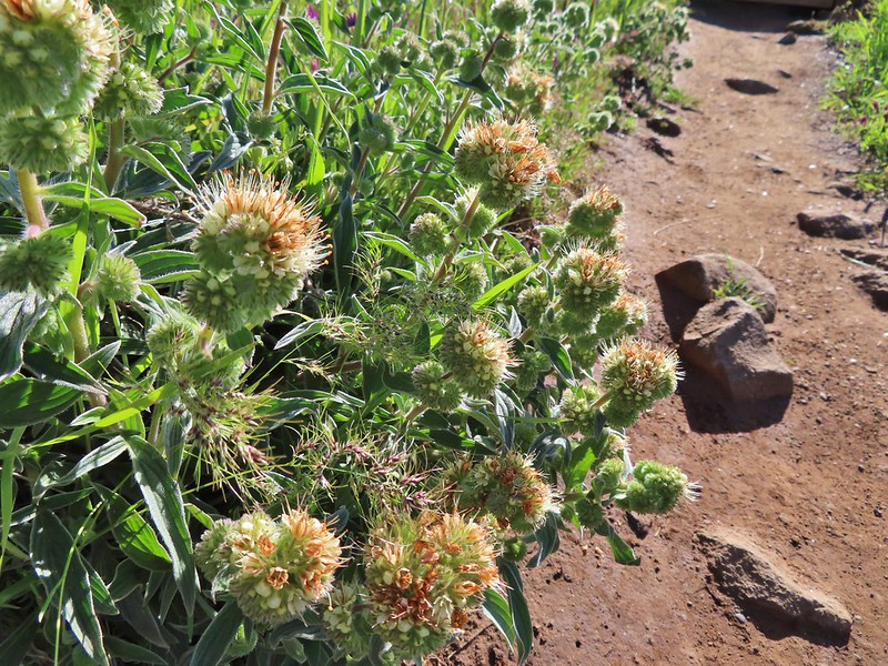 Silver-leaf phacelia
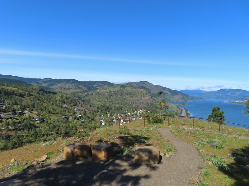
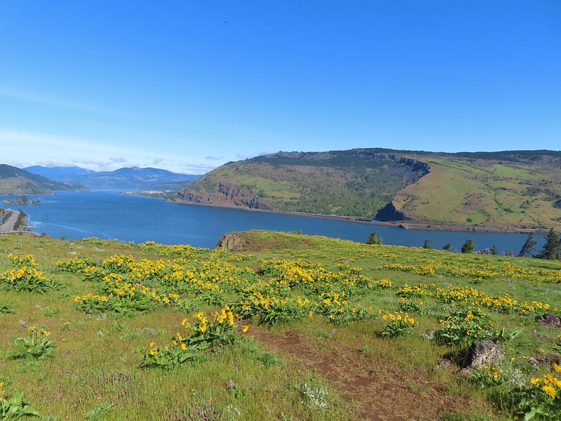 Coyote Wall (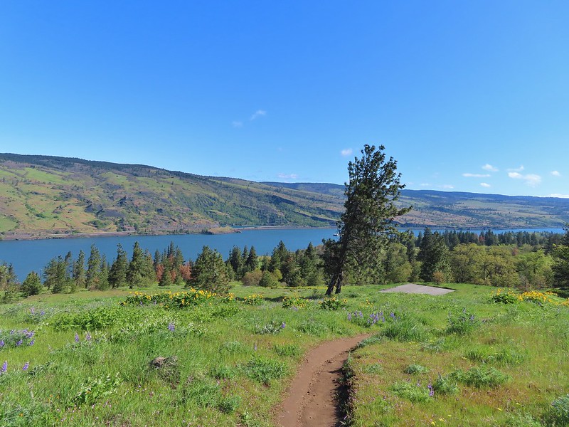


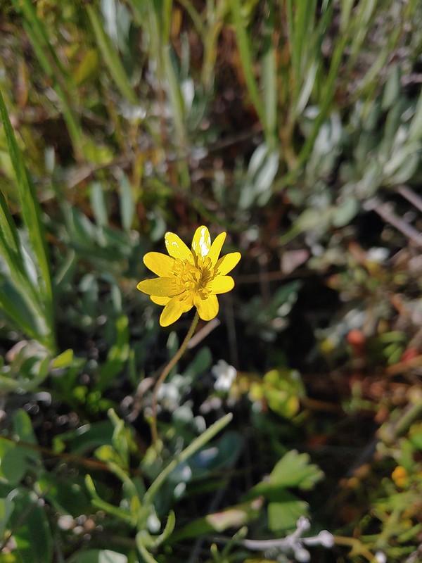 Gold star
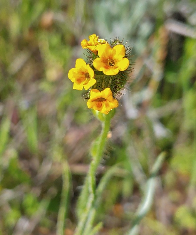 Fiddleneck
 Balsamroot
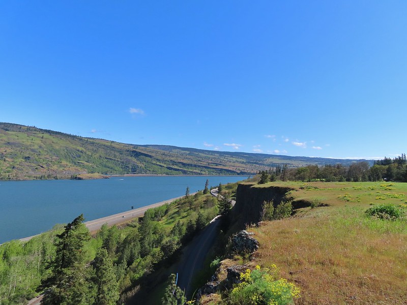 View east.
 Mosier to the west.
 Gray hairstreak
 Busy bumblebee
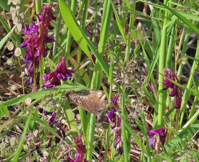 A duskywing (propertius?) on vetch.
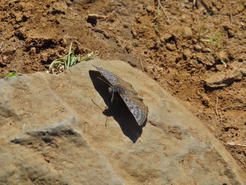 Propertius duskywing
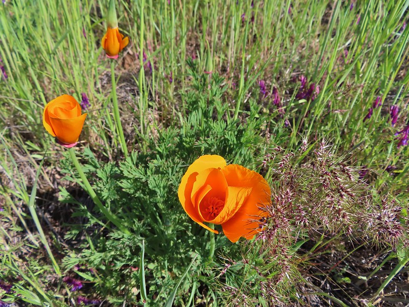 Poppies opening up to the Sun.
 Bachelor button
 The old powerhouse.

 Stellar’s jay near the tracks.
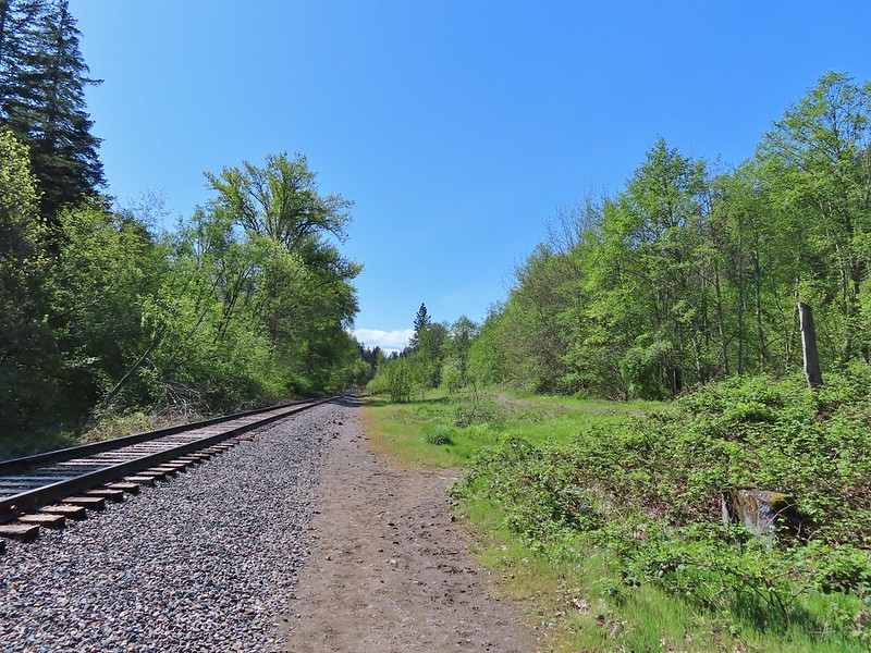 The trail ahead to the right.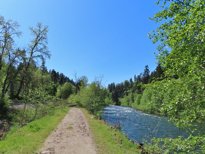


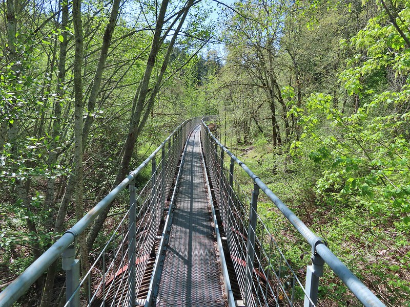
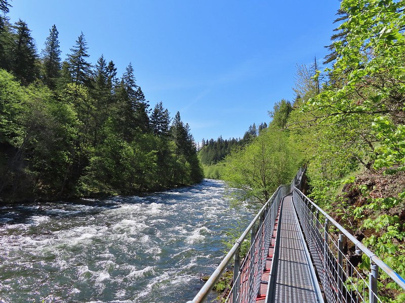
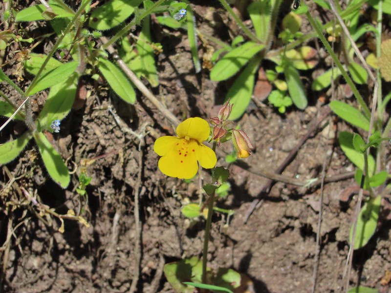 Monkeyflower
 Looking back from the turnaround point.
 Lizard
 Mallard
 Scrub jay
 Starlings
 Osprey


 Camas
Camas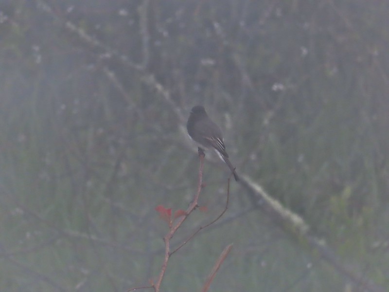 Black phoebe in the fog. It’s the only one seen all day so despite the poor quality I kept the photo.
 Wet spider webs are the best.
 There was a brief respite in the fog before it rolled in again.
 The fog bank waiting to move back in.
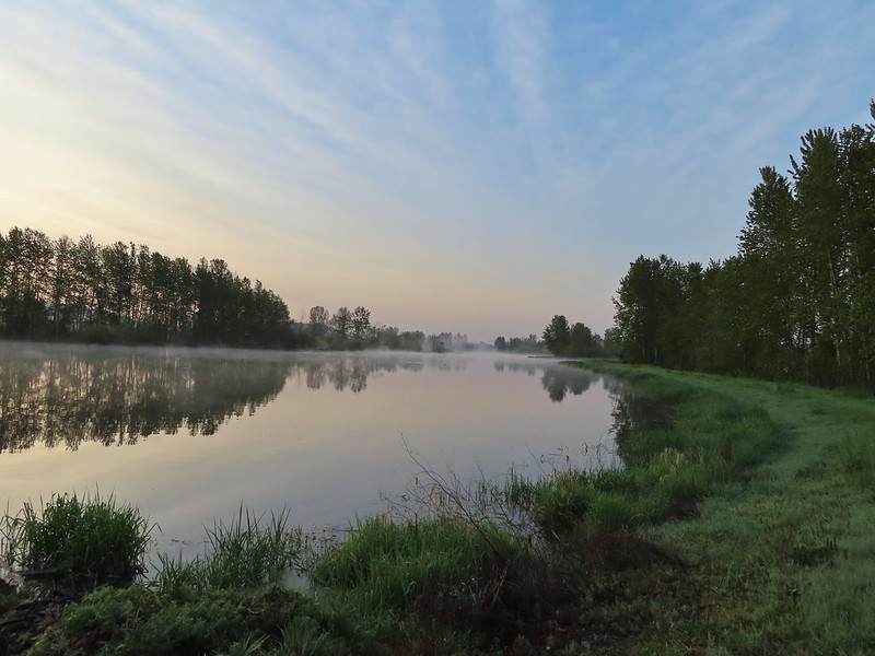 Teal Marsh
 Northern flicker
 A very grumpy looking spotted towhee
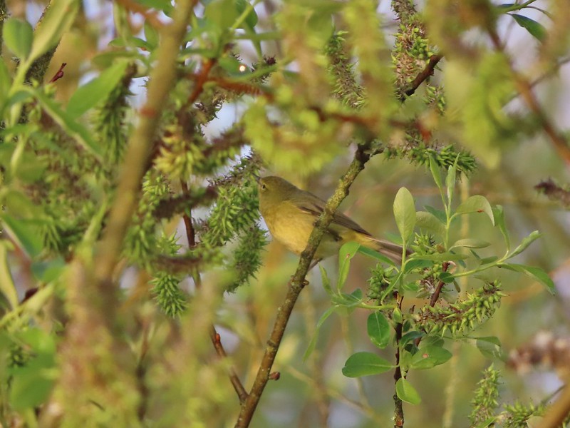 I have a hard time identifying some of these little birds. This one may be an orange-crowned warbler.
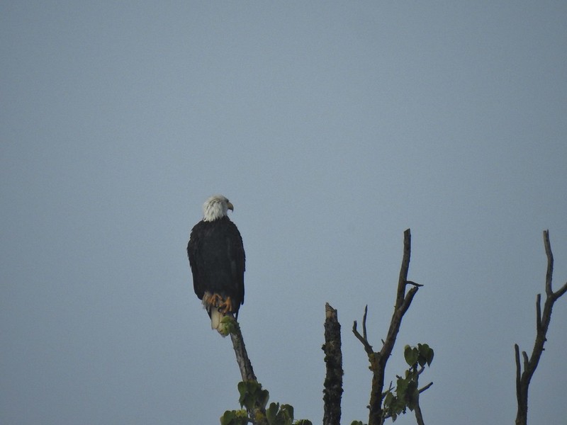 A bald eagle that was across Willow Marsh.
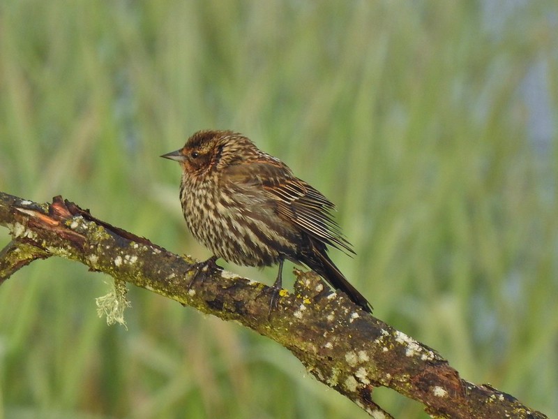 Female red-winged blackbird
 Buffleheads
 A less grumpy looking spotted towhee
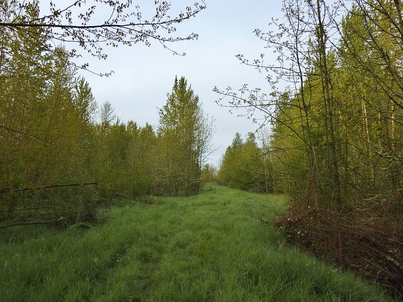 Here comes the fog again.
 Black capped chickadee
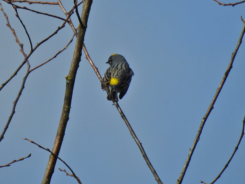
 Yellow-rumped warbler (Audubon’s)
 Red-winged blackbird
 Wrens can be tricky too, I think this is a marsh wren.
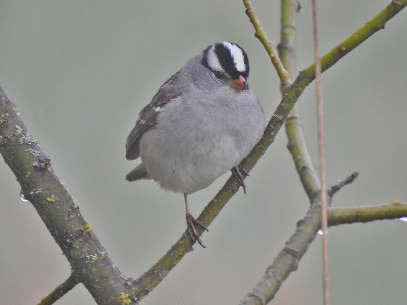 White-crowned sparrow
 Song sparrow
 Eagle Marsh, still can’t see much.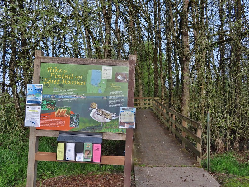
 Bashaw Creek
 Egret Marsh from the blind.


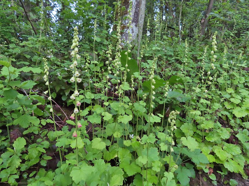
 Lots of fringecup along the trail.
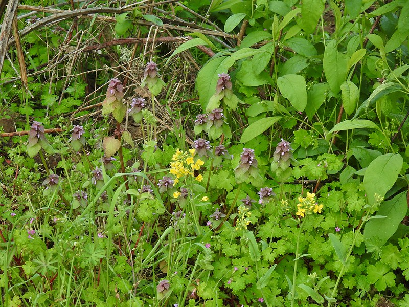 Purple deadnettle and field mustard
 Common yellow-throat
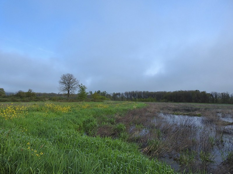 Looking back along the eastern side of the marsh. There was a lot less water this year.
 Water level on 4/13/21.
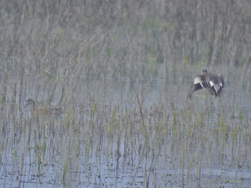 Seeing them was a lot easier than getting photos.
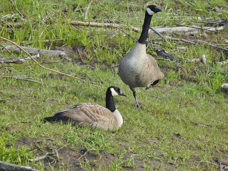 Canada flamingo?
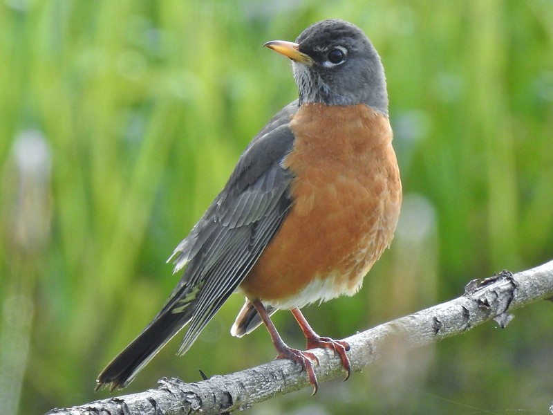 American robin
 Dunlin Pond from the boardwalk.

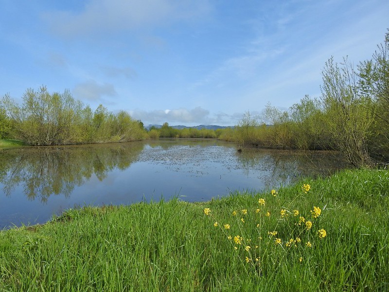 Egret Marsh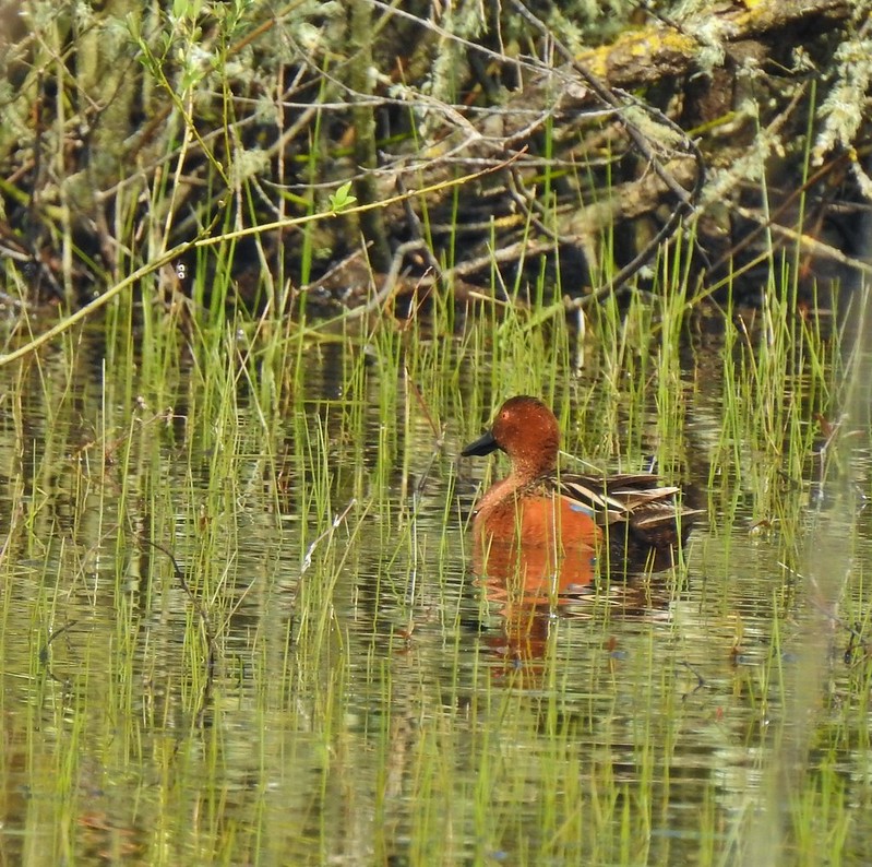
 Ring-necked ducks.
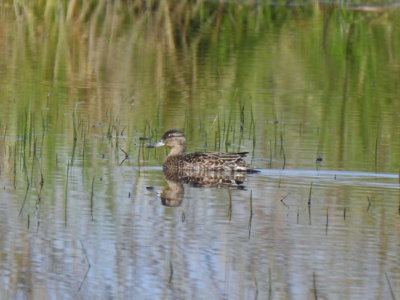 Anyone know if this is a female cinnamon or blue-winged teal?
 Another yellow-rumped warbler (Audubon’s) showing off its yellow rump.
 Egret Marsh
 The trail around Egret Marsh.
 I think these might be long-billed dowichters. Please correct me if I’m wrong.
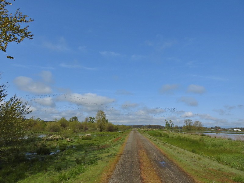 Heading to the right turn. Egret Marsh is on the left and Mallard Marsh on the right. A huge flock of geese had just taken to the sky.
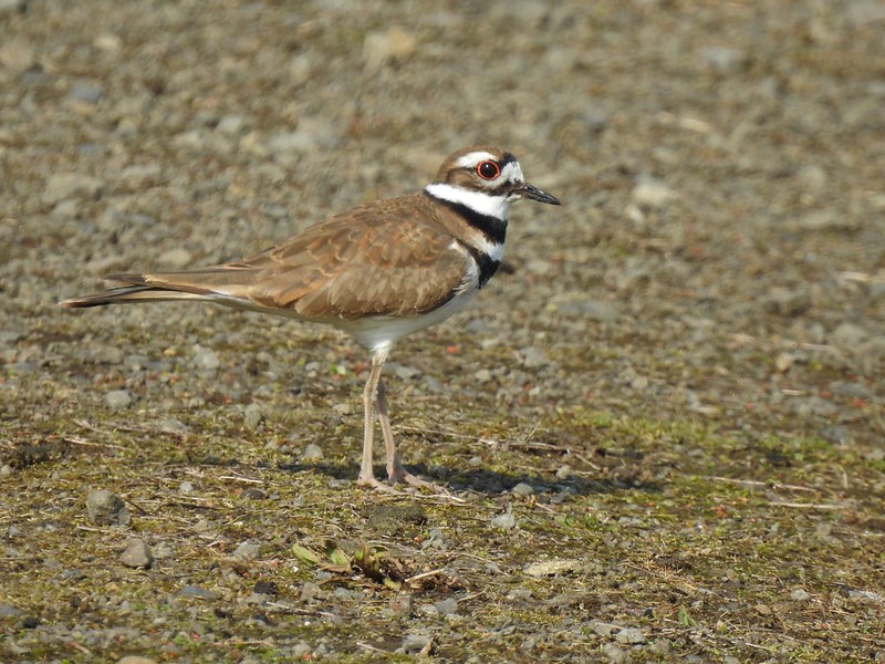 Killdeer
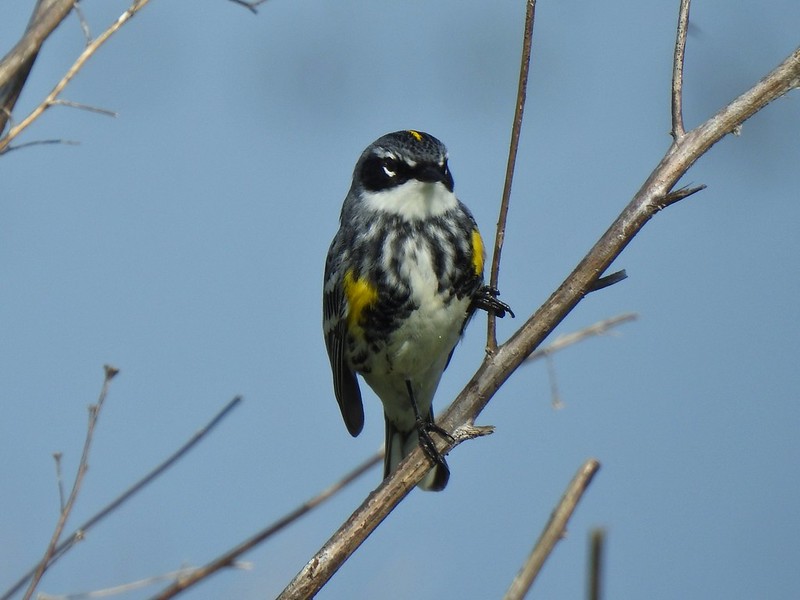 Today I realized that there are two yellow-rumped warblers, this one is a Myrtle, note the white throat compared to the yellow throat of the Audubon’s above.
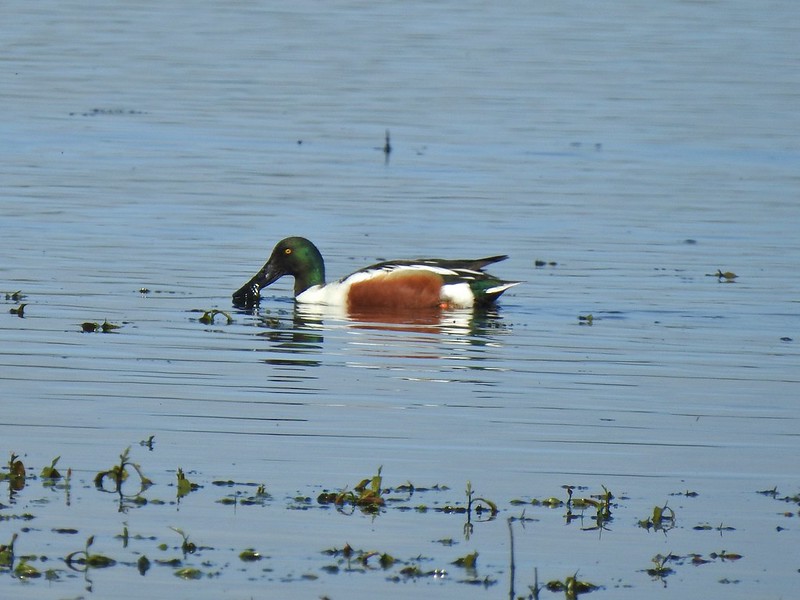 Northern shoveler
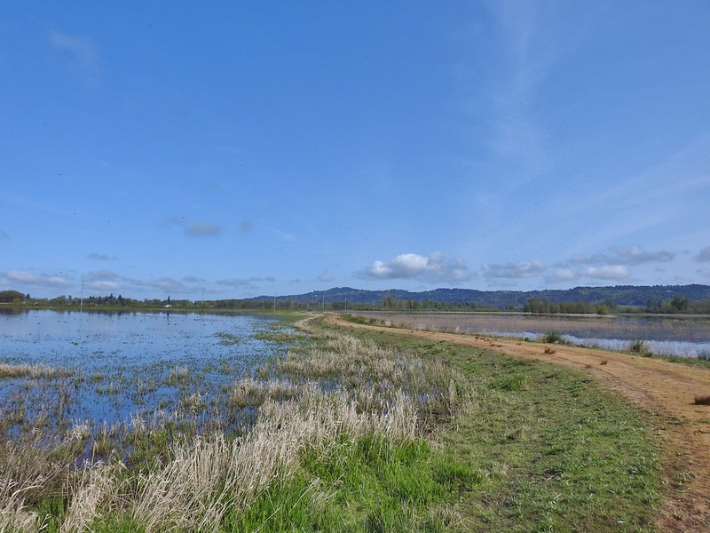 Mohoff Pond and Mallard Marsh
 Canada goose with various ducks in the background. At least one of the ducks is a ruddy duck which is one I hadn’t seen yet (that I know of). They were too far to get clear photos of though.
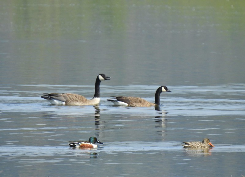 Canada geese and northern shovelers giving a good size comparison.
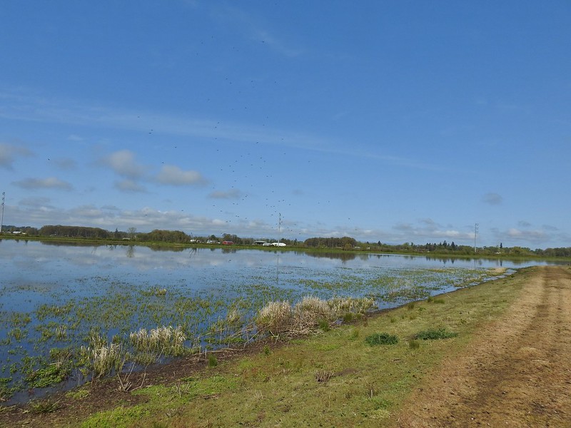 The black dots in the sky here aren’t geese, they are little insects that followed me along the dike.
 Not Canada geese flying over.
 Immature bald eagle.
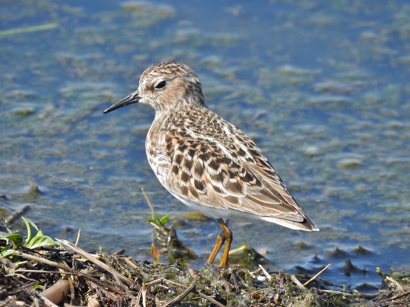 Sandpiper
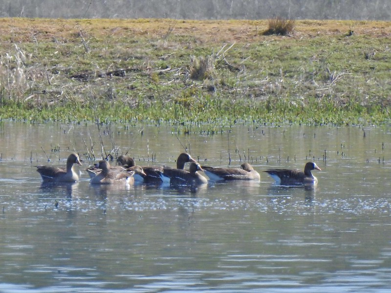 Greater white-fronted geese, another first.
 Bushtit. Several flew in here but I couldn’t make them out once inside so I took a few pictures hoping to get lucky.
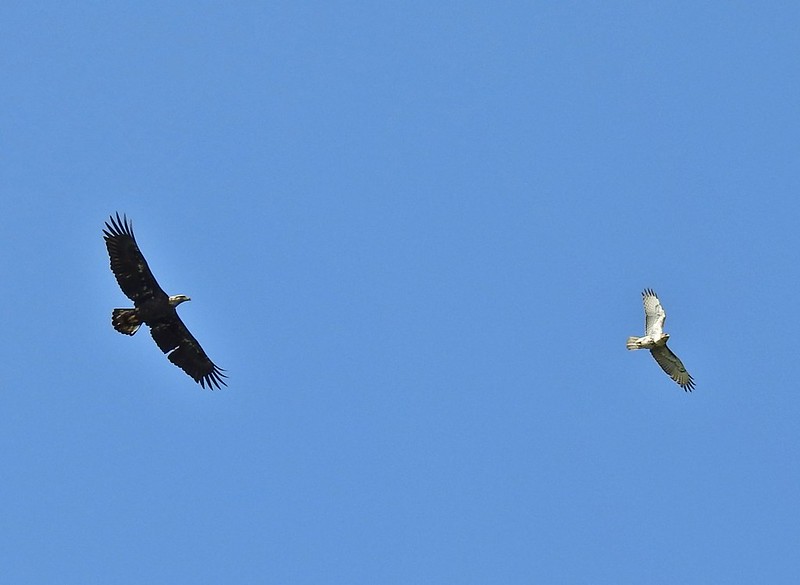 Can anyone ID the hawk? Another thing that I find difficult.
 Swimming lessons, Canada goose style.


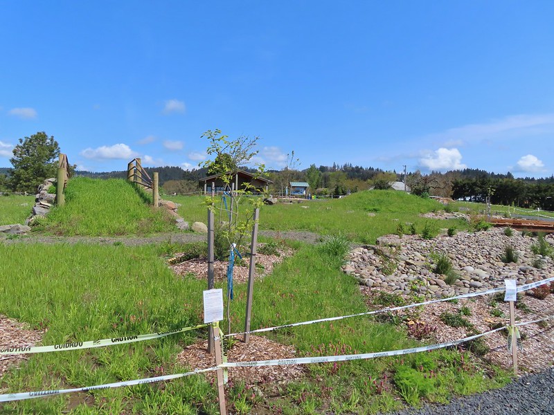
 Buttercups
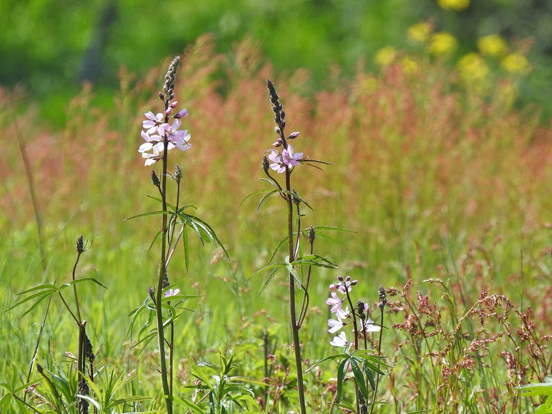 Meadow checker-mallow
 Columbine
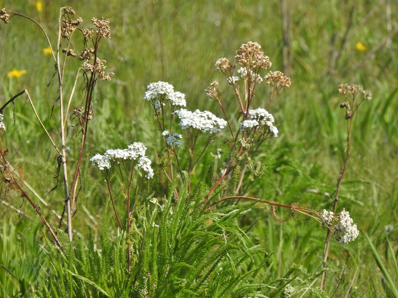 Yarrow
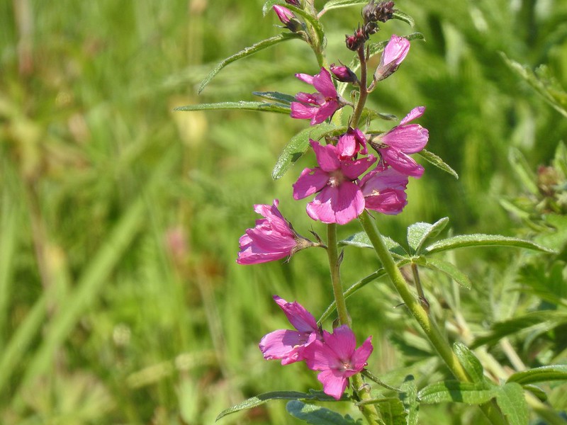 Possibly Nelson’s checker-mallow
 Lupine that will be blooming soon.

 Iris
Iris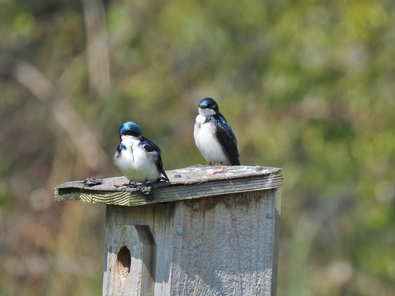 Swallows
 Mary’s Peak (
 Wonderland Trail sign from our 2015 Northern Loop Hike (
 Crater Lake from Mount Scott – 2014
 Mt. Ireland from Baldy Lake
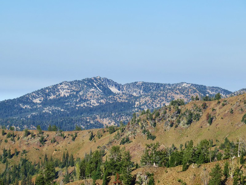 Mt. Ireland from the Elkhorn Trail before the storms moved in.


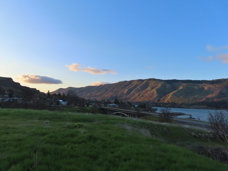
 Rowena Plateau and Tom McCall Point (

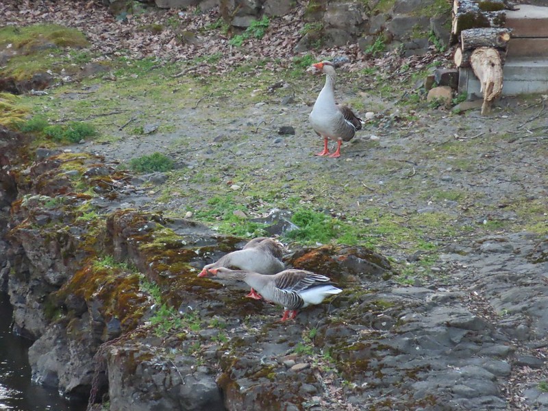

 A blurry heron along the river.
 Acorn woodpecker
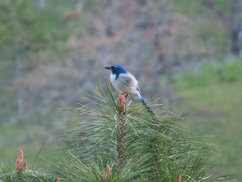 Scrub jay
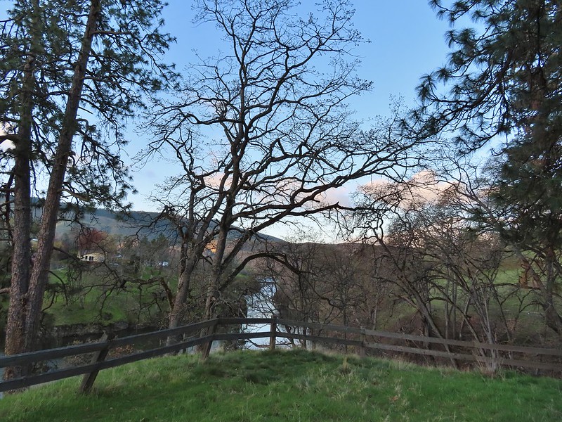 View from the picnic table.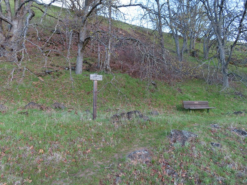
 This trail was not paved.
 Woodland-stars
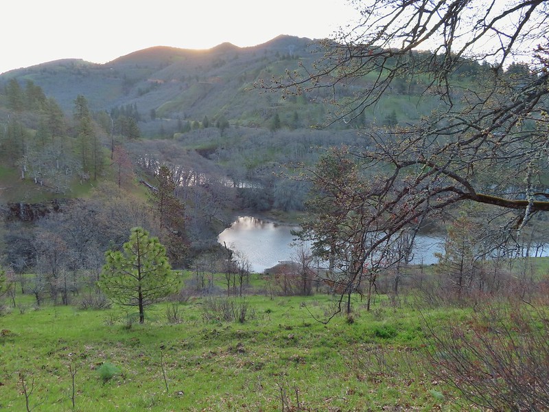 View from a bench at the end of the trail.
 Mallards on the water below.

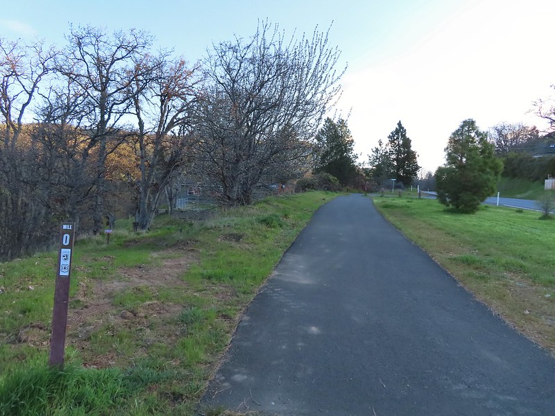 Starting at mile 0.
 Keep your eyes out for poison oak which was prevalent along the trail. Luckily the trail is nice and wide so avoiding it was easy enough.
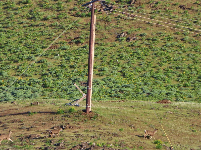 Heather spotted these three deer across the river.
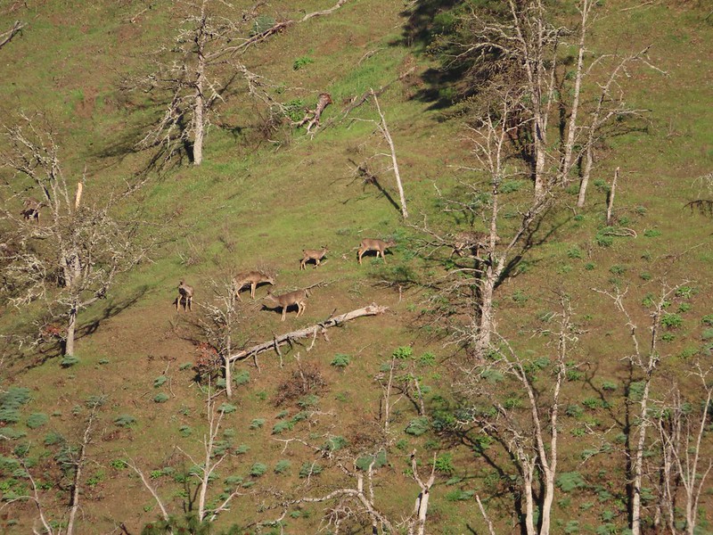 Another group of deer.
 Bald eagle
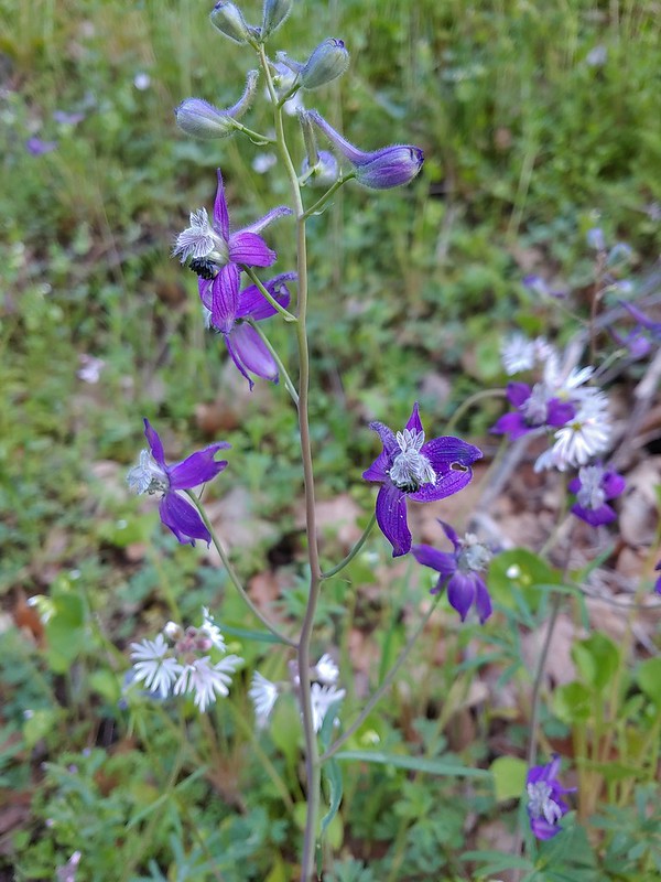 Larkspur and woodland-stars
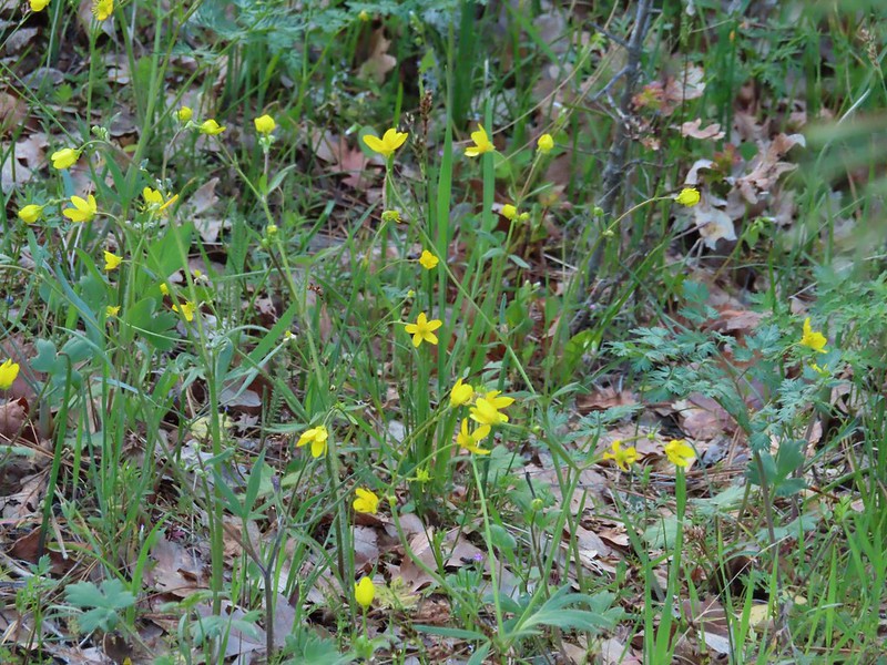 Buttercups
 Pacific hound’s tongue
 Milepost 1
 Saxifrage
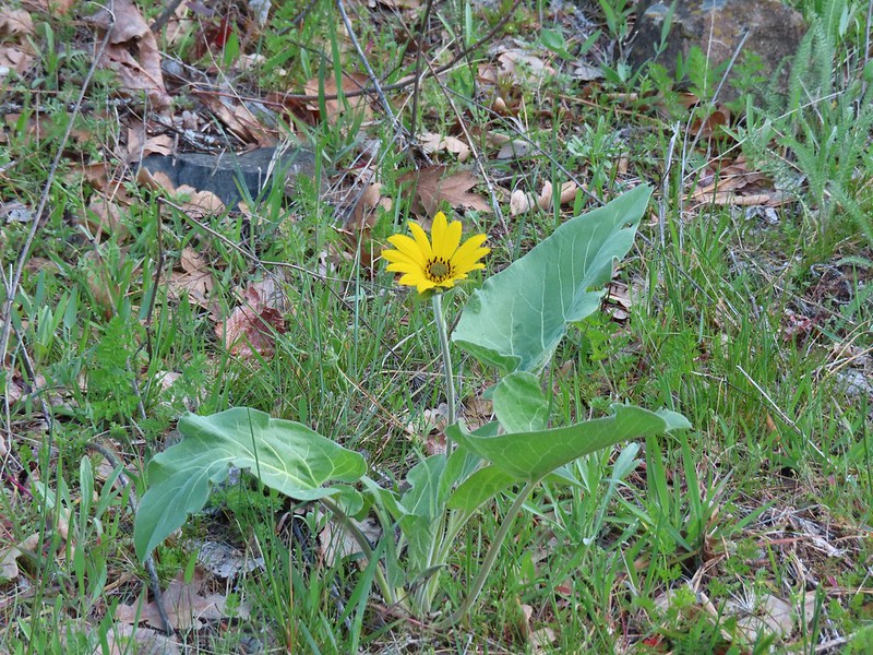 Balsamroot
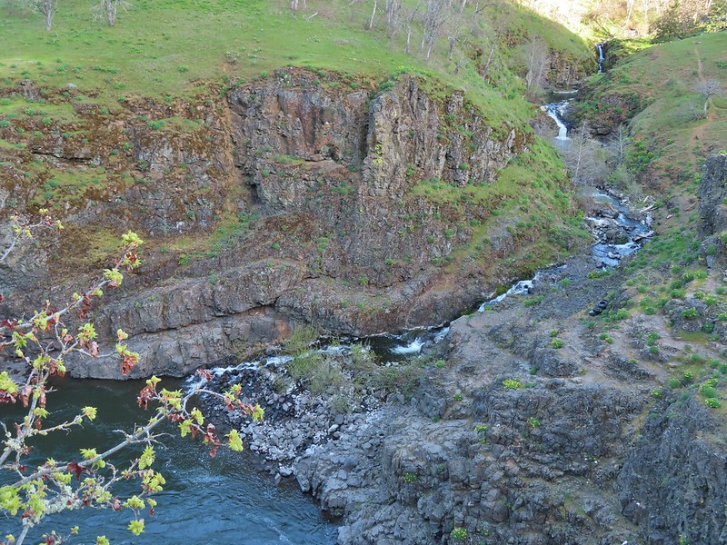 Silvas Creek


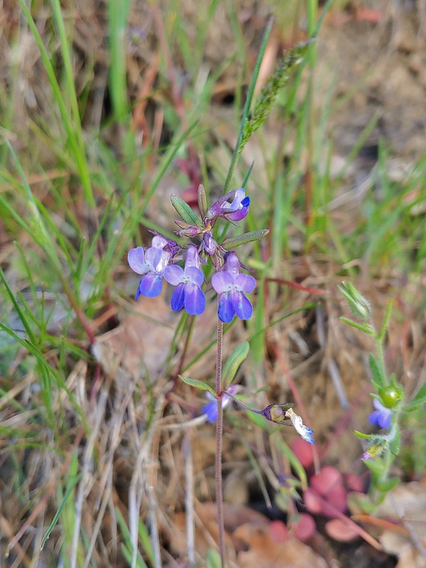 Blue-eyed Mary



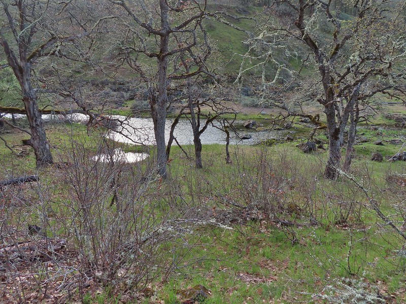 Seasonal pool along the trail.
 Common mergansers

 Popcorn flower
 Columbia desert parsley
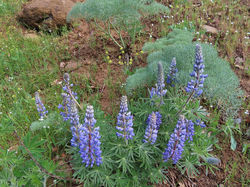 Lupine
 Balsamroot
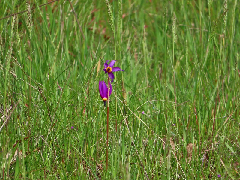 Shooting stars
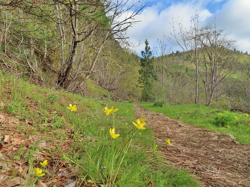 Buttercups
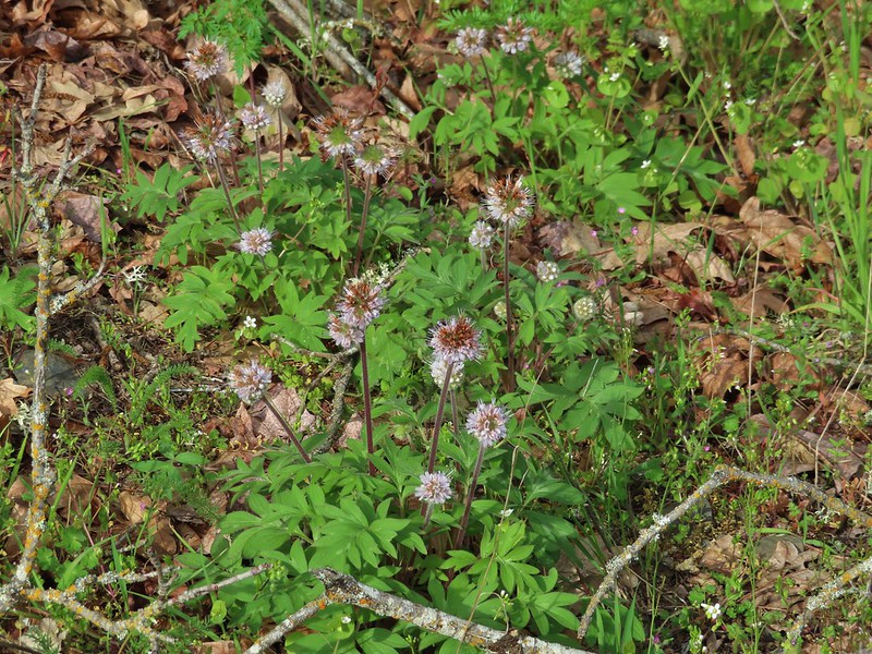 Waterleaf
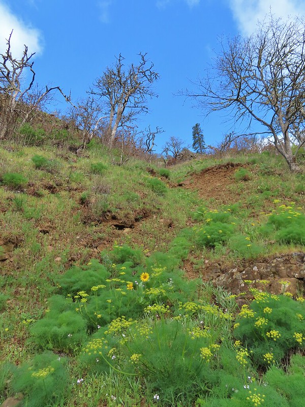 A balsamroot amid pungent desert parsley
 Big-leaf maple trees lining the trail.
 Big-leaf maple blossoms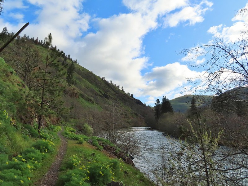
 Gold stars
 Larkspur, poison oak, and buttercups
 Spotted towhee
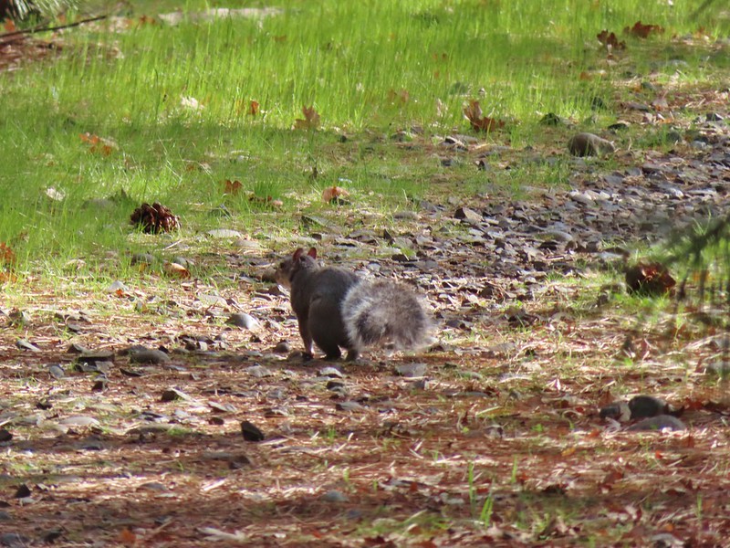 Squirrel
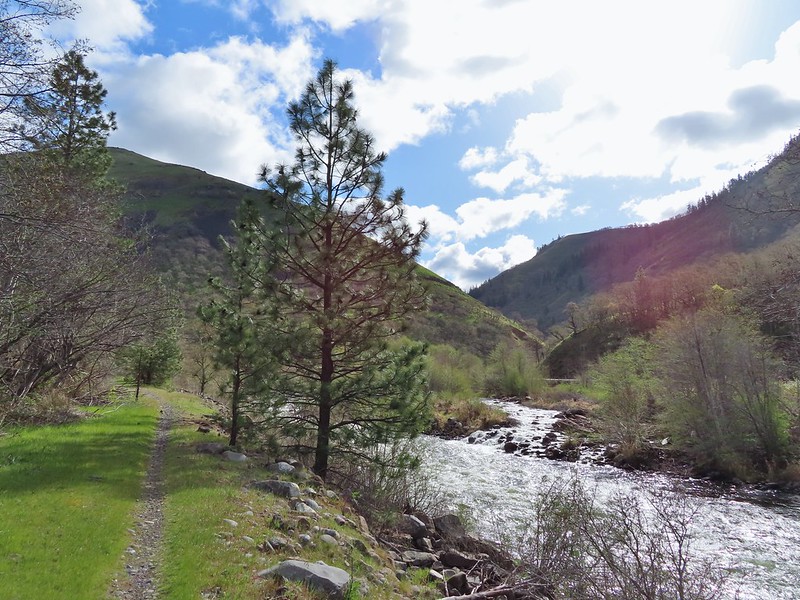 Dillacort Canyon
 Red-stem storksbill

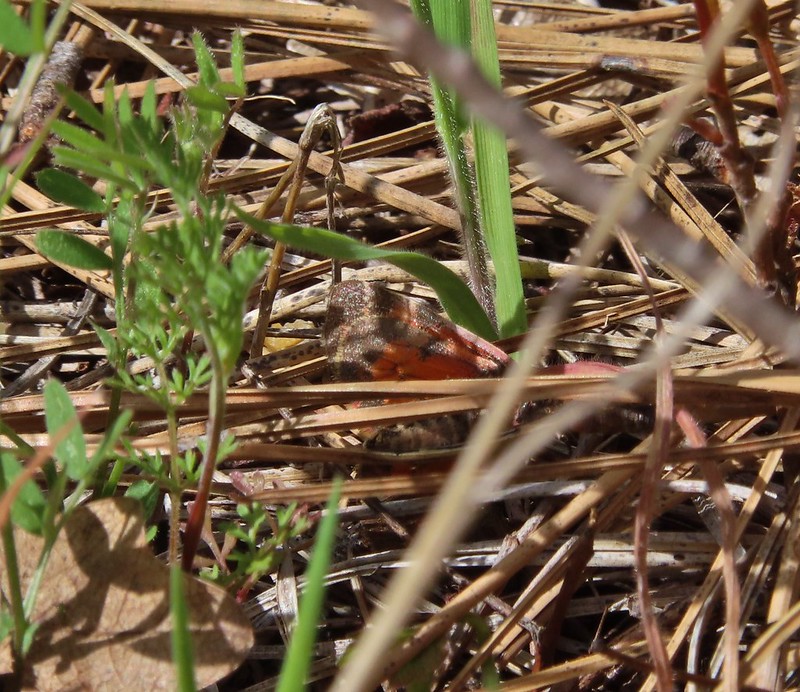 Couldn’t get a good look at this small moth but it was pretty.
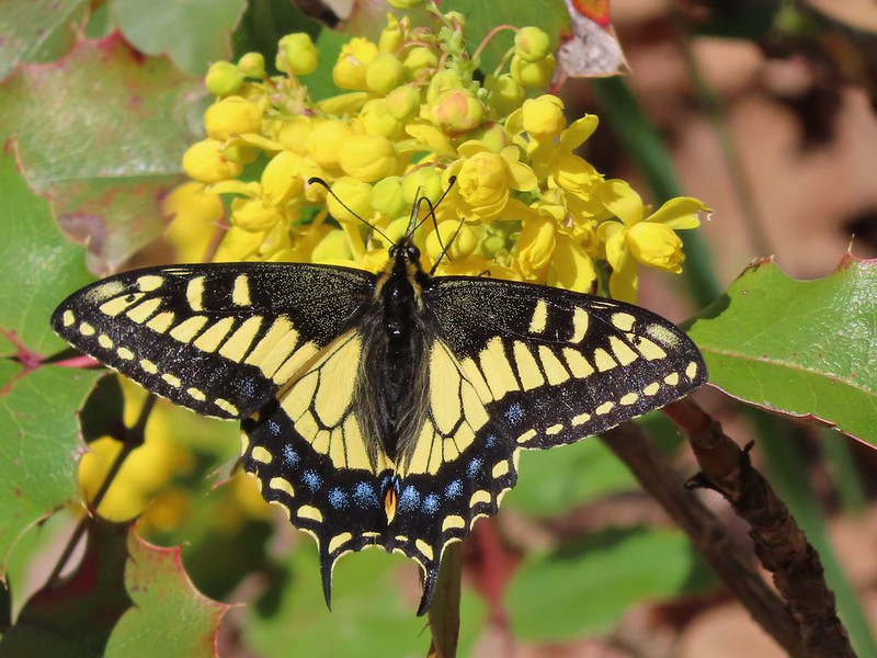 Anise swallowtail
 Sara’s orangetip
 Grass widow
 Slender phlox
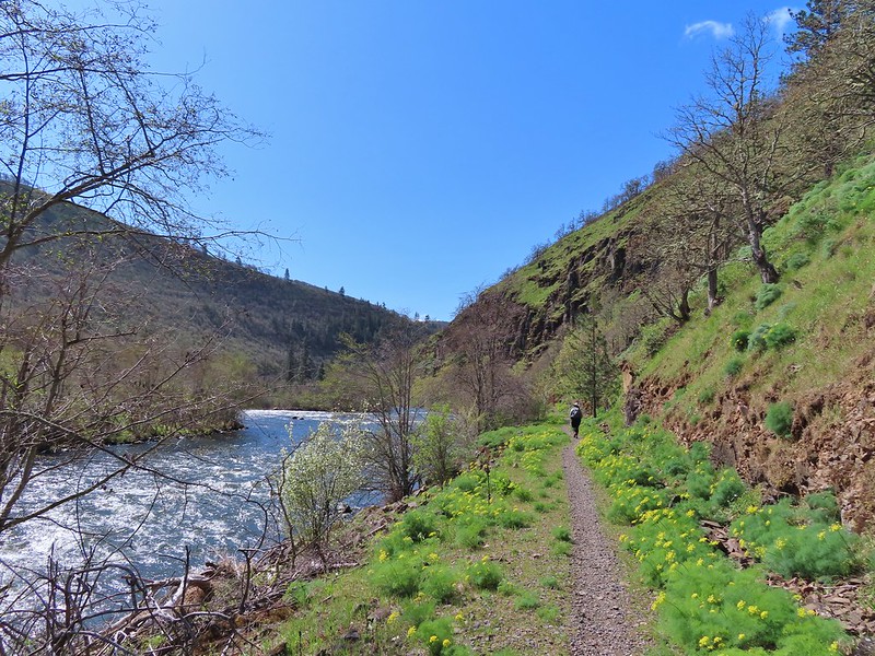 Heading back.
 Immature bald eagle
 Propertius duskywing – Erynnis propertius
 The mergansers had moved to the near bank.
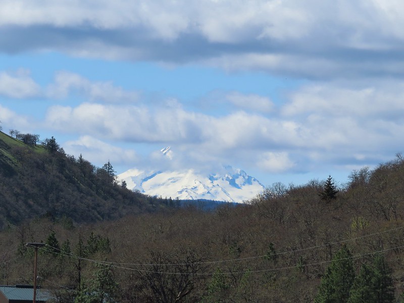 Hood behind some clouds.
 Ground squirrel
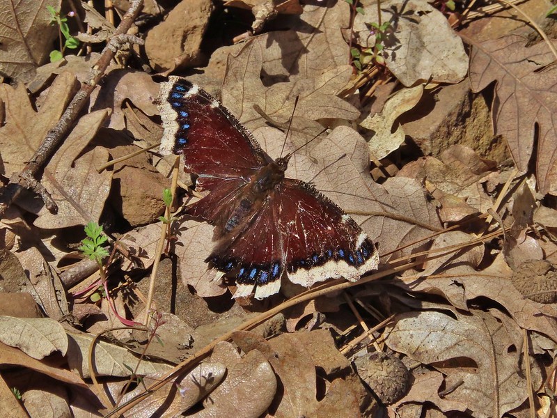 Mourning cloak
 Lizard

 Arriving back at the Lyle Trailhead.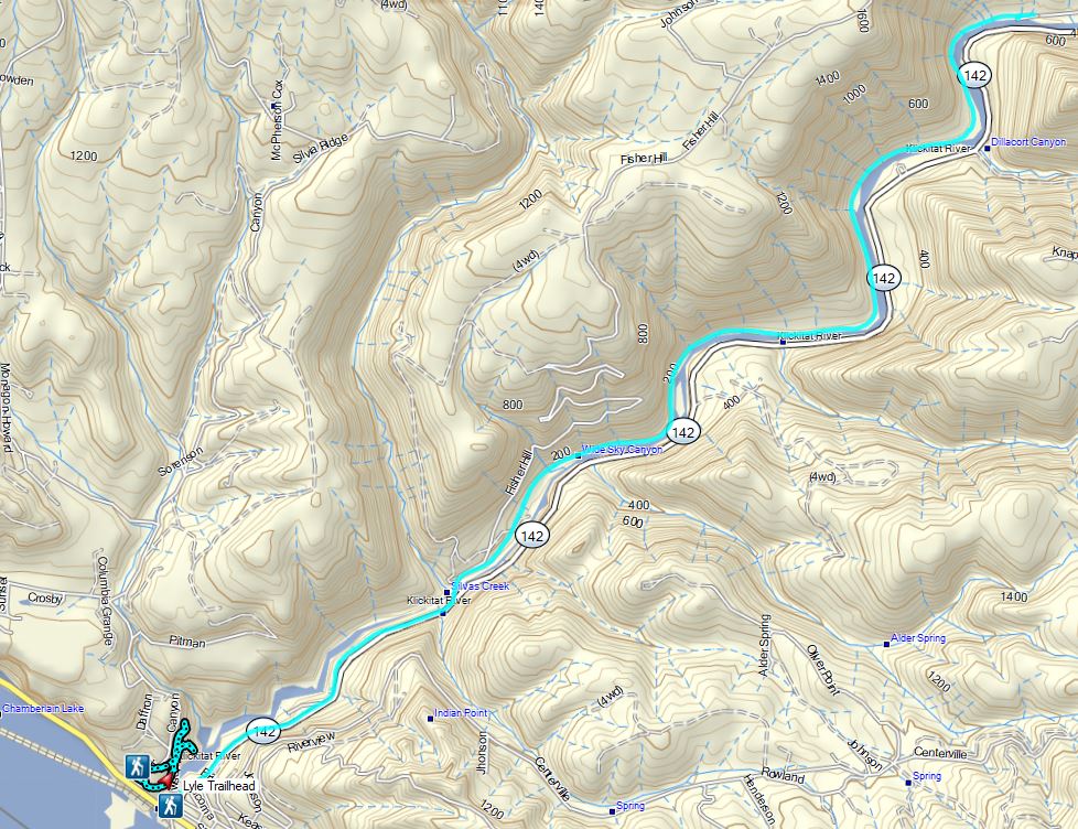

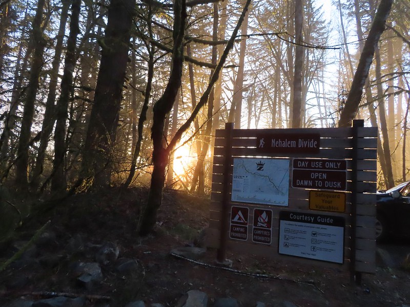
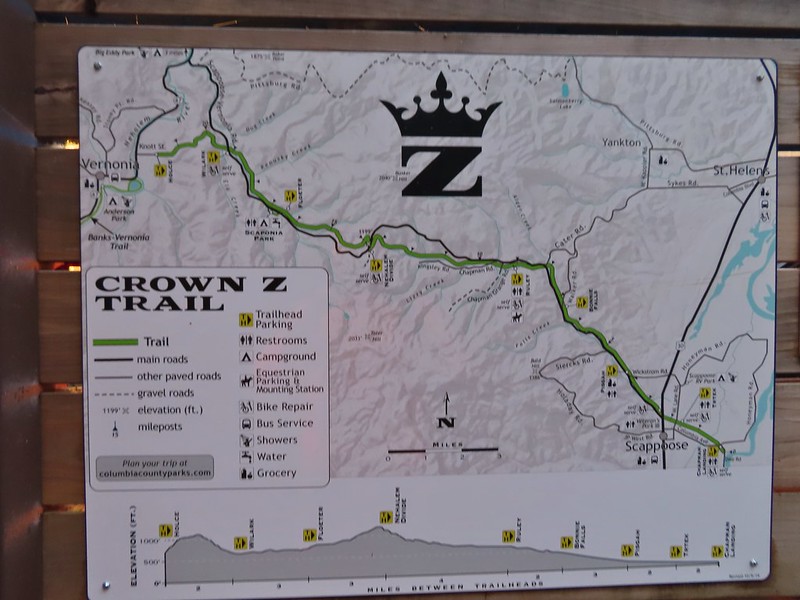
 Heading down the connector trail.
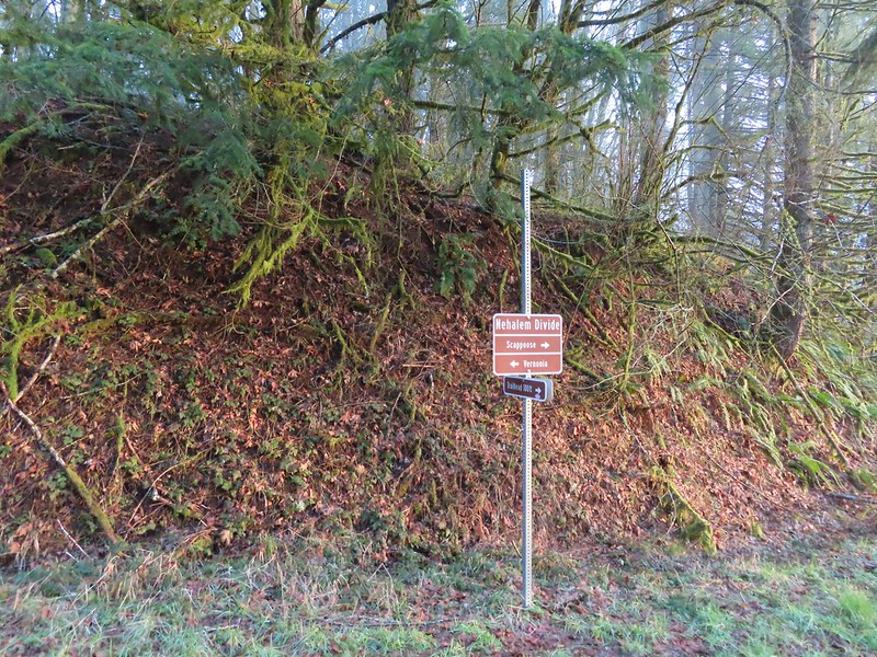 Trial sign at the jct with the CZ Trail.
 CZ Trail passing under the highway.

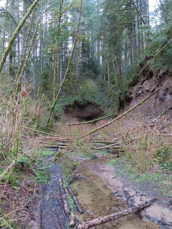

 Light from the eastern portal is visible at the other end but the tunnel is not safe to enter without at least a hard hat.

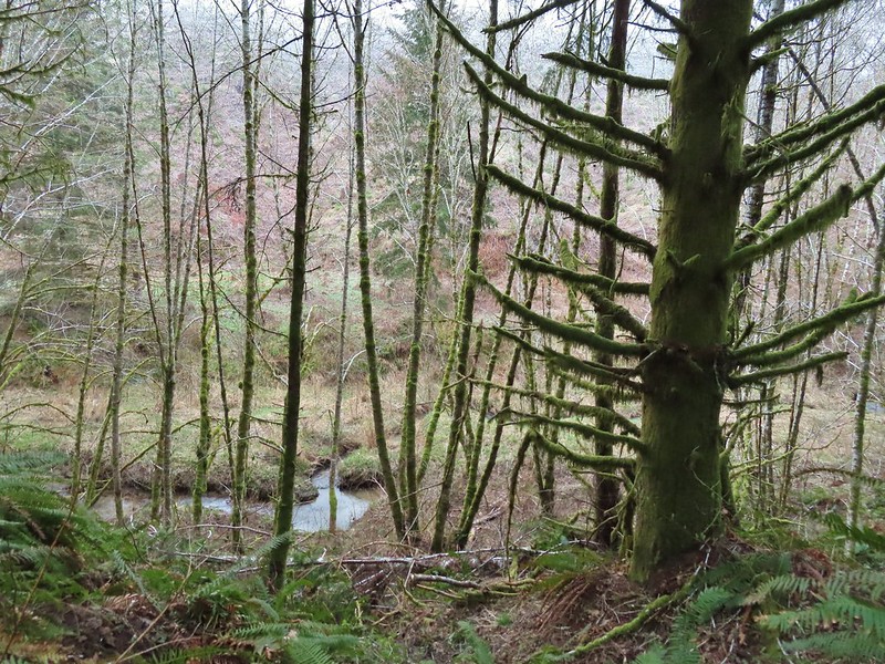 The East Fork Nehalem River next to the trail.
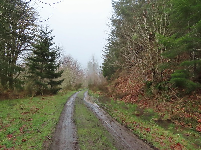 It was a little muddy in places.
 Another of several interpretive signs along the trail.
 Not much in the way of flowers yet but there were a few indian plum starting to blossom.


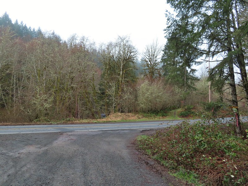


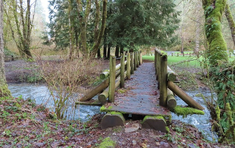
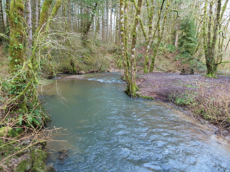 East Fork Nehalem River
 Pointer for the CZ Trail in Scaponia Park

 American kestral
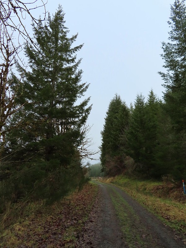

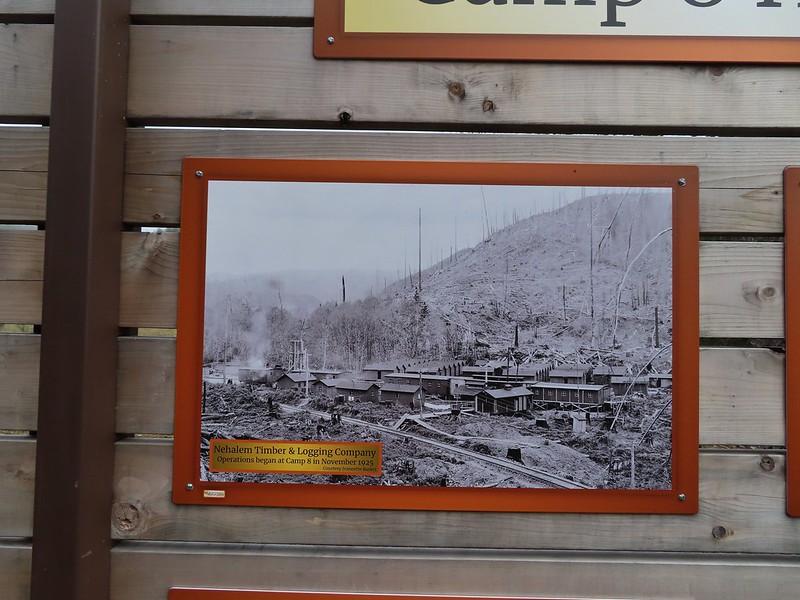
 Robin in the meadow that once was Camp 8.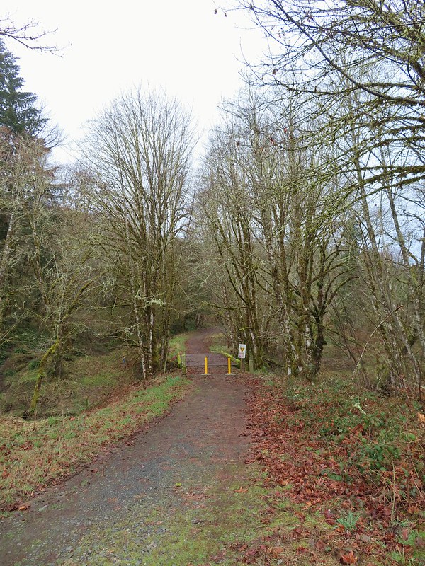

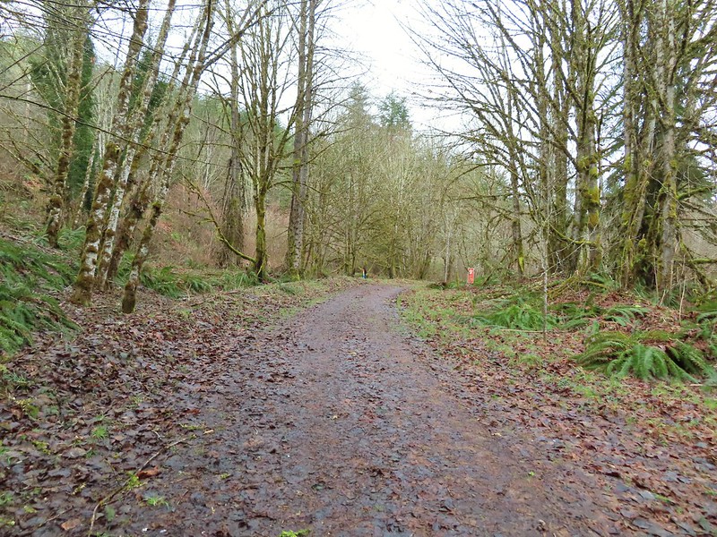 The orange mile marker 19 ahead.
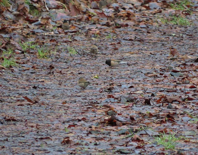 Juncos
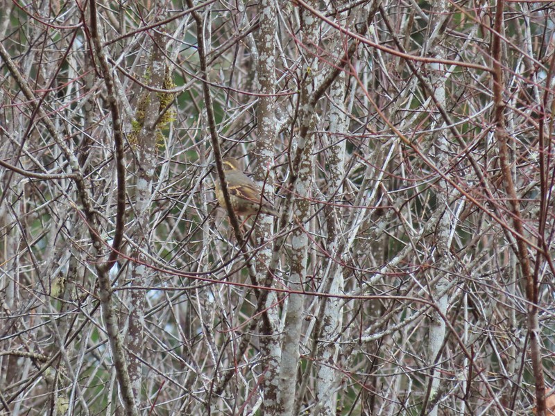 Another not great picture of a varied thrush.
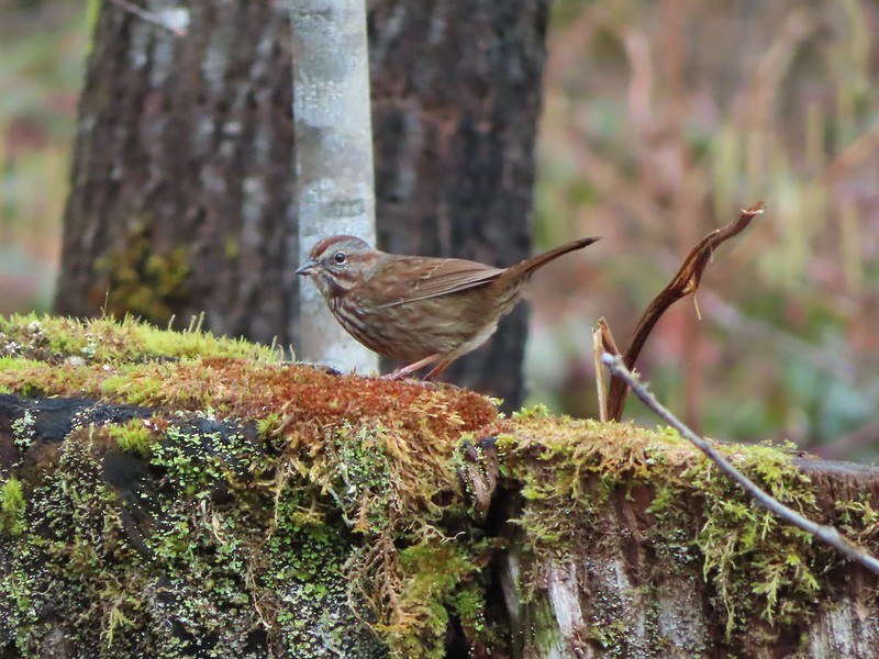 Sparrow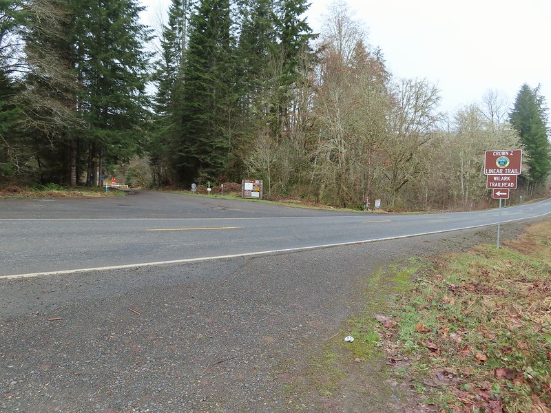


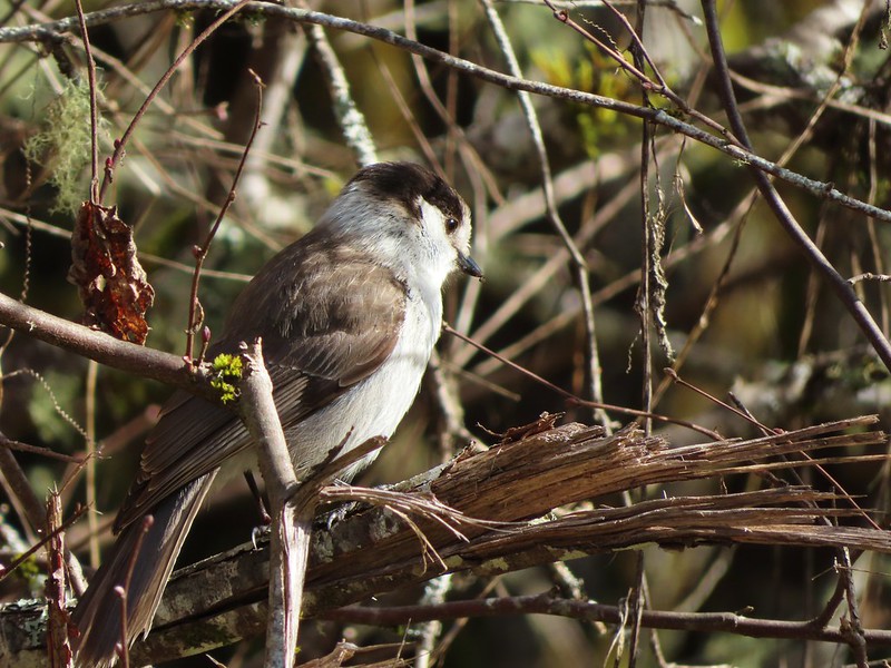 A grey jay enjoying the emerging sunlight.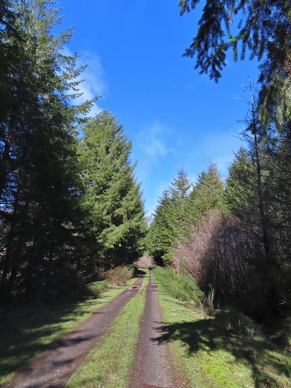
 Blue sky near the Floeter Trailhead.

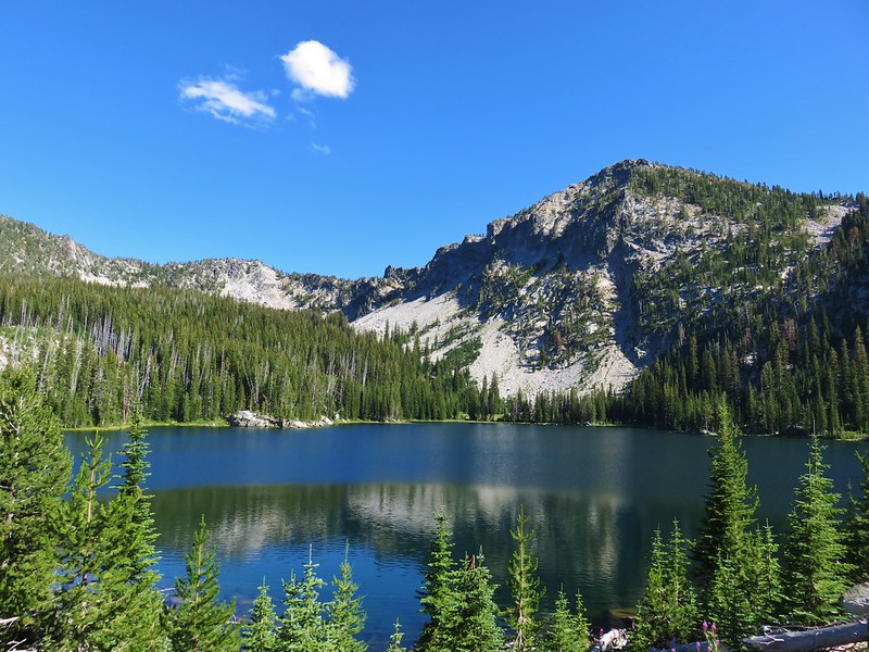 Summit Lake, Elkhorn Mountains
 Wildflowers on the summit of Mary’s Peak
 Mt. Hood from Yocum Ridge
 Ecola State Park
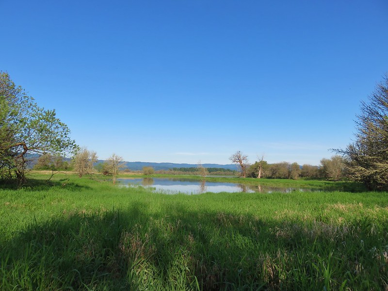 Oak Island
 Cape Arago Lighthouse
 Independent Mine Trail, Ochoco National Forest
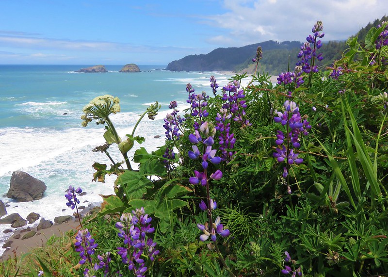 Boardman State Park
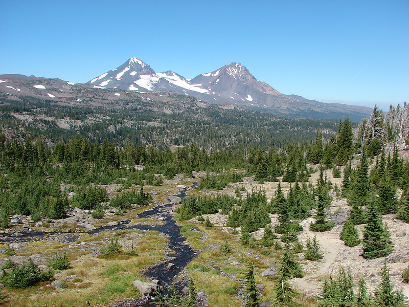 Three Sisters Wilderness
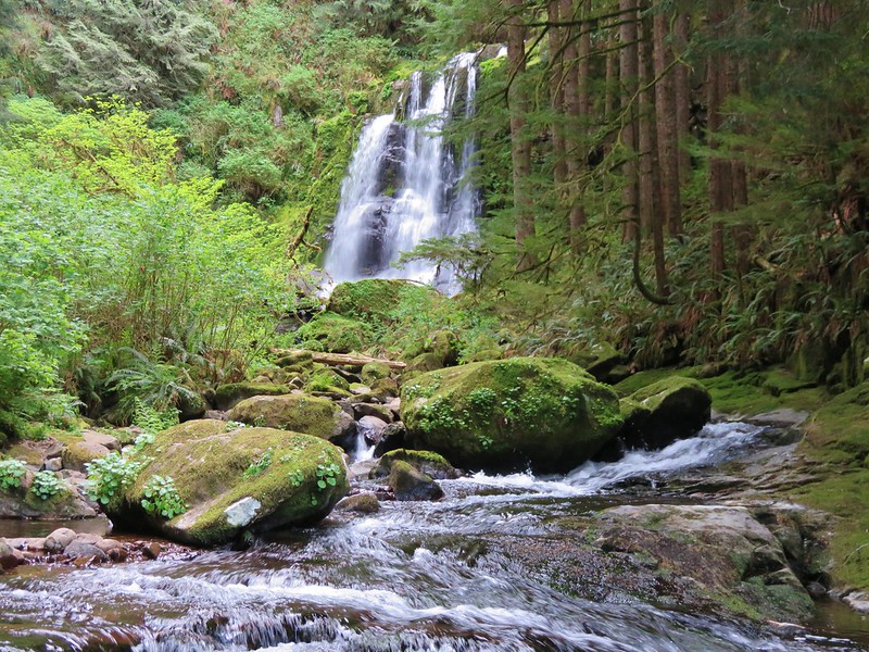 Upper Kentucky Falls
 Esau Canyon
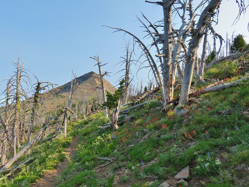 Strawberry Mountain
 Borax Springs Trailhead
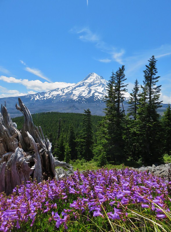 Mt. Hood from Owl Point
 View from Lower Table Rock
 Mount Jefferson Wilderness
 Paradise Lose, Oregon Caves National Monument
 Crater Lake National Park
 Hart Mountain National Antelope Refuge
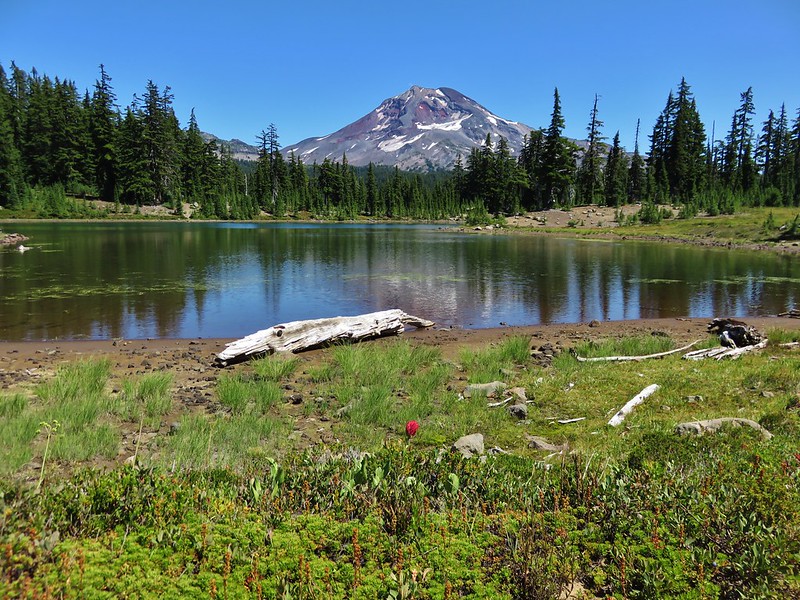 South Sister from Husband Lake
 God’s Thumb
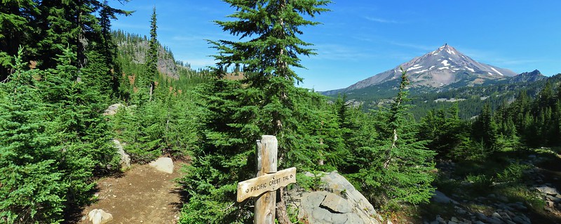 Mount Jefferson Wilderness
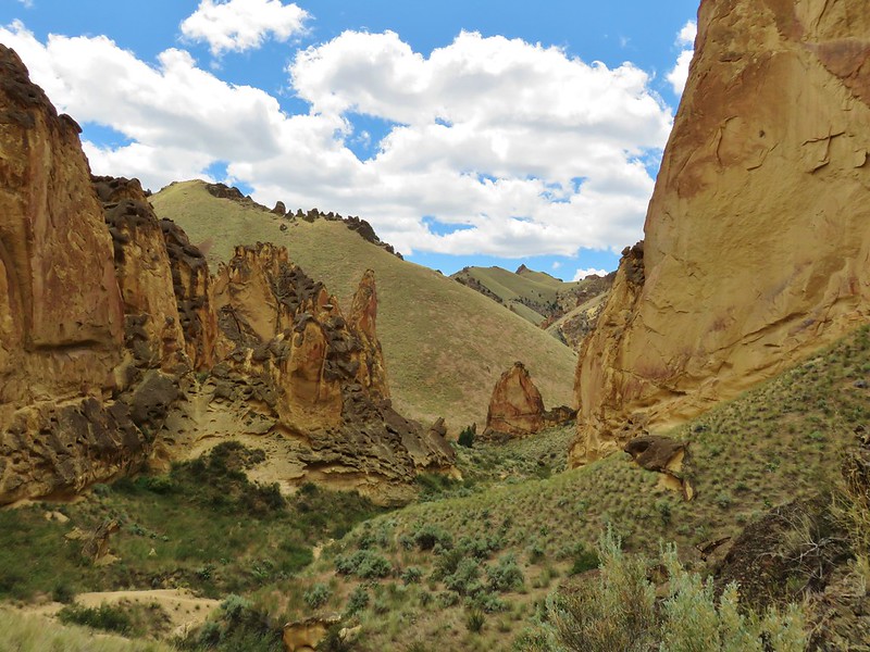 Timber Gulch
 Sawmill Falls
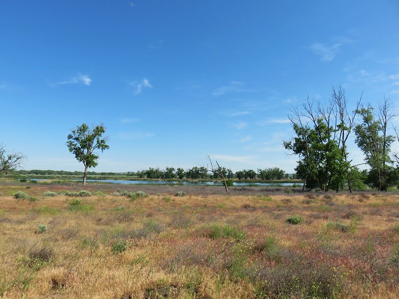 McCormack Slough
 Upper McCord Falls
 North Fork Siletz River
 Deschutes River State Recreation Area
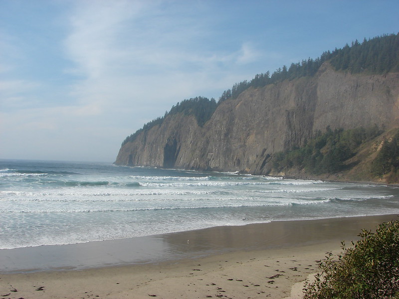 Cape Lookout
 North Fork Umatilla Wilderness
 Glacier Peak from Eagle Cap, Eagle Cap Wilderness
 Eagle Cap Wilderness
 Rowena Plateau
 Haag Lake
 Painted Hills, John Day Fossil Beds
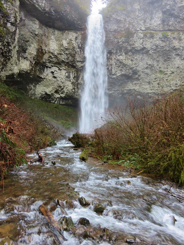 Niagara Falls
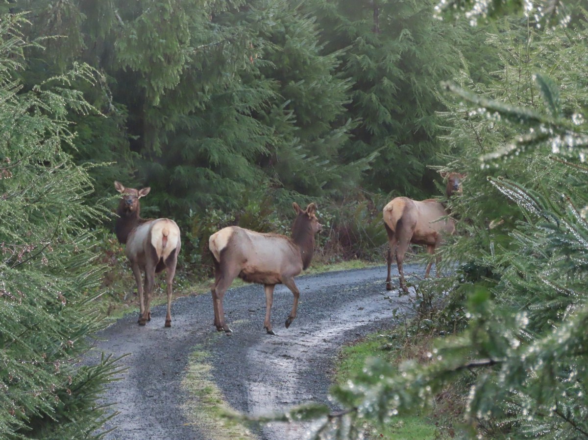
 Permit info at the gate.
 Looking back to the gate from Road 200.
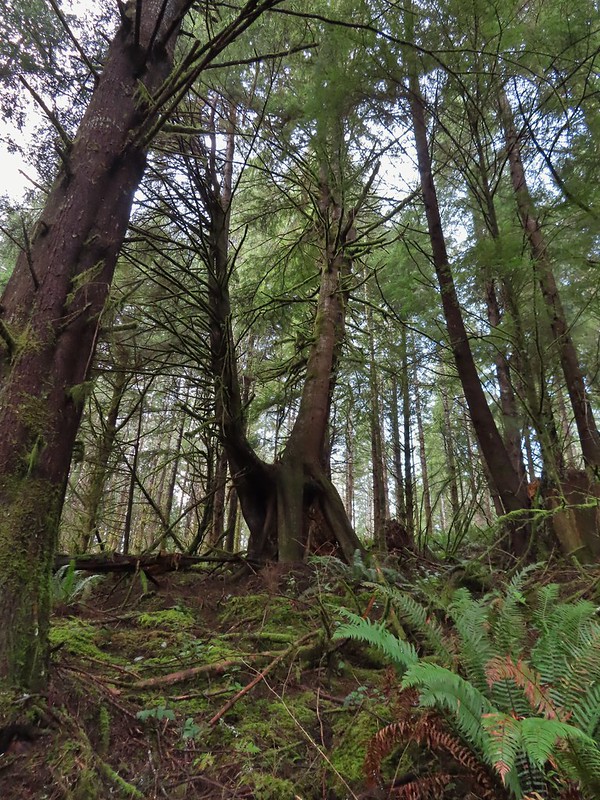 It’s hard to get an idea of size here but the two trees growing over the large nursery stump were good sized.
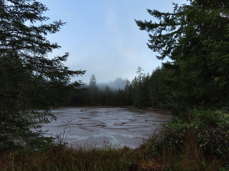

 Hooded Mergansers
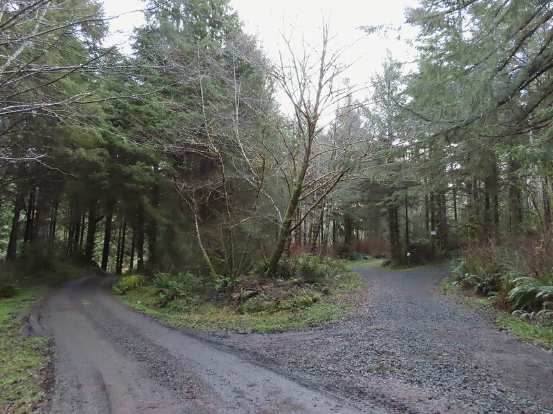 Road 200 to the left.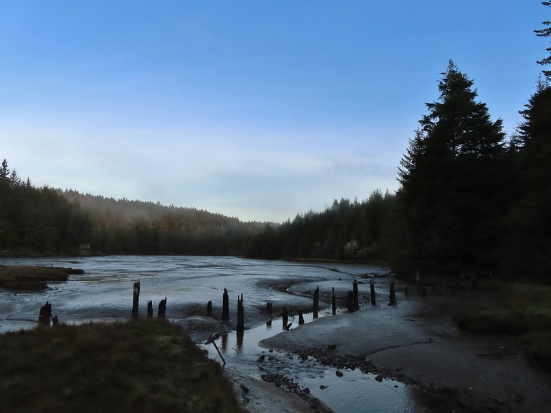

 Upper end of the 3rd World Trail.
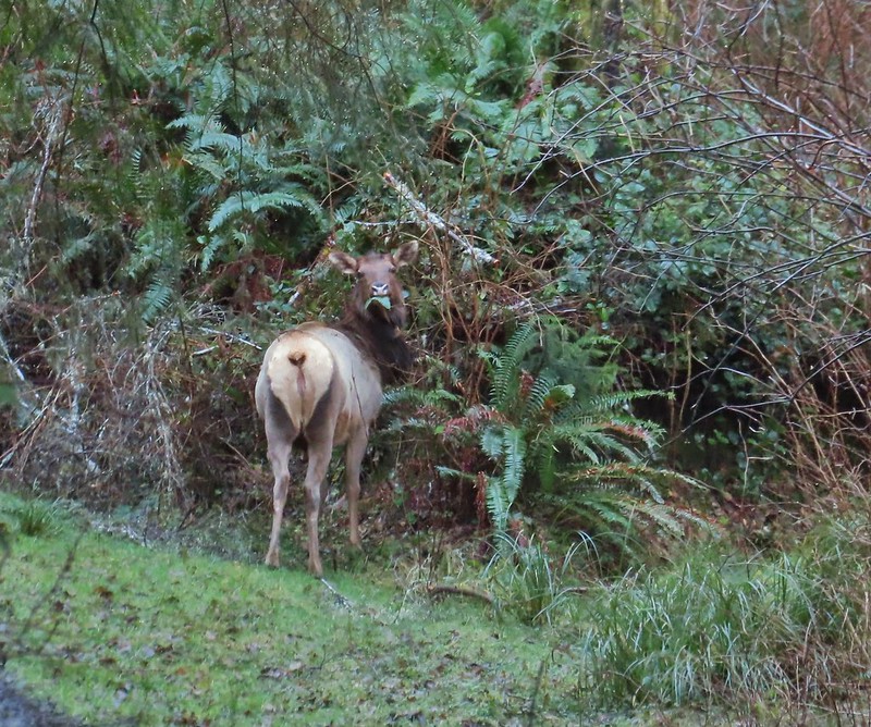
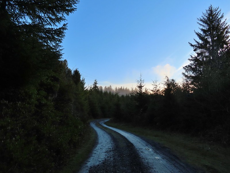
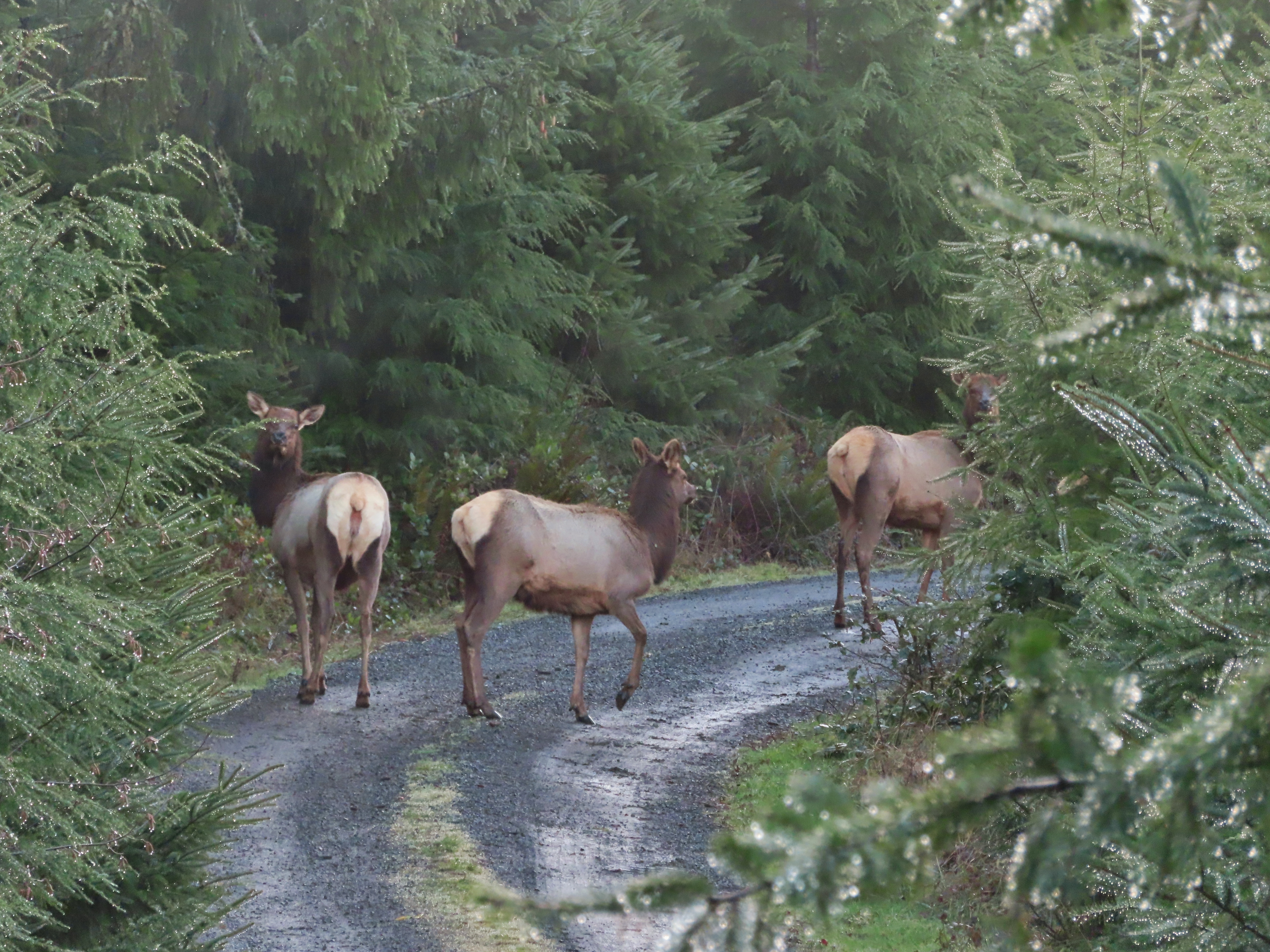
 Approaching the ridge top.

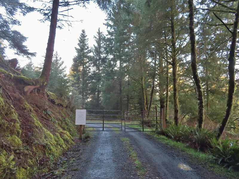
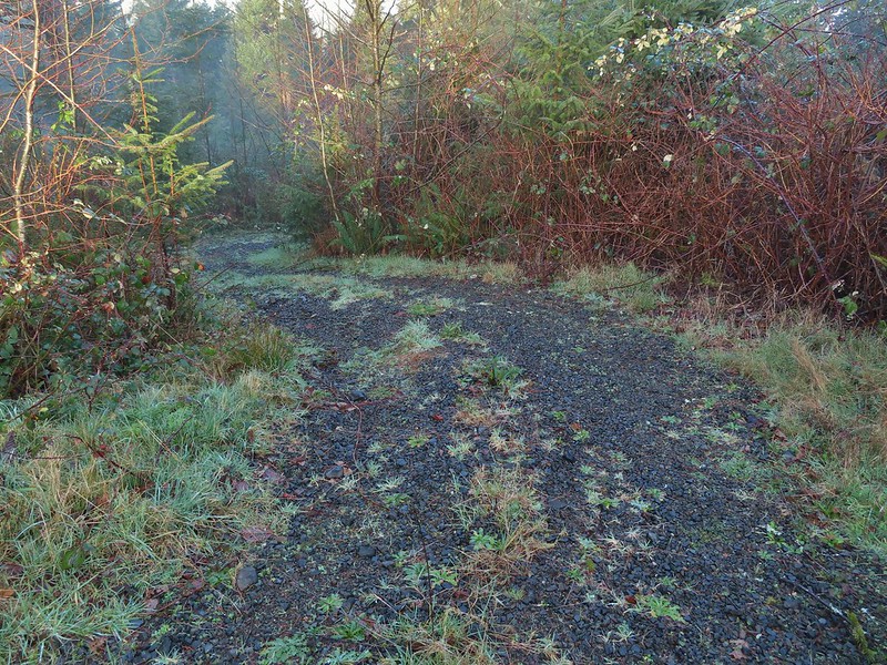 Heading off the main road.

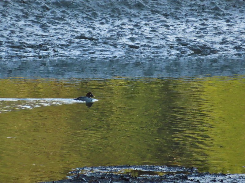 Common goldeneye
 Great blue heron and buffleheads
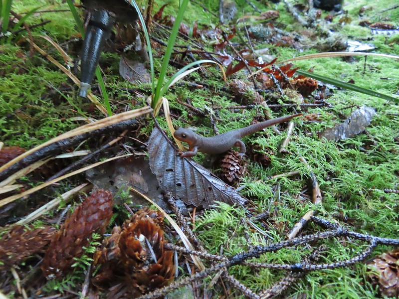 Rough skinned newt
 Coral fungus
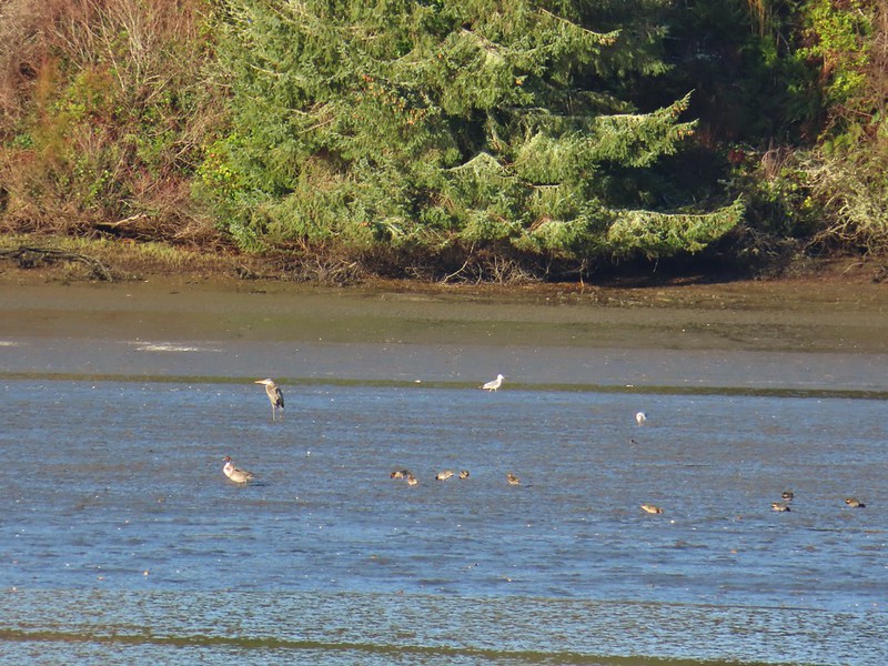 Northern pintail, heron, seagulls and some green winged teals.
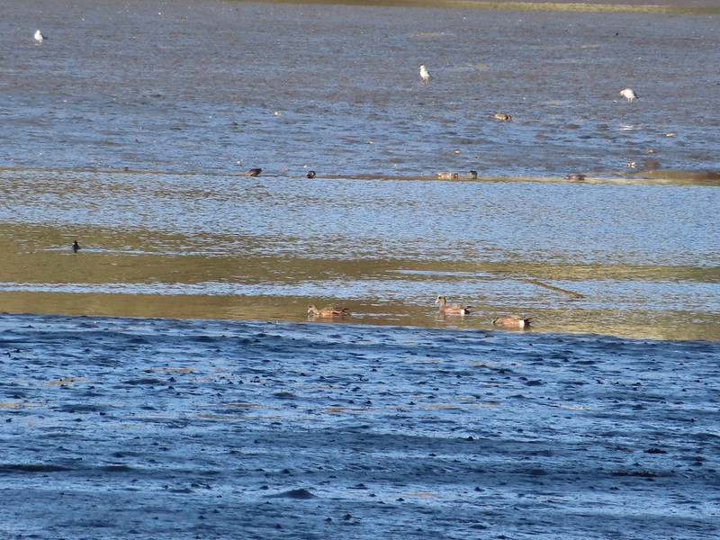 American wigeons
 One of a number of unique benches located along the trails.
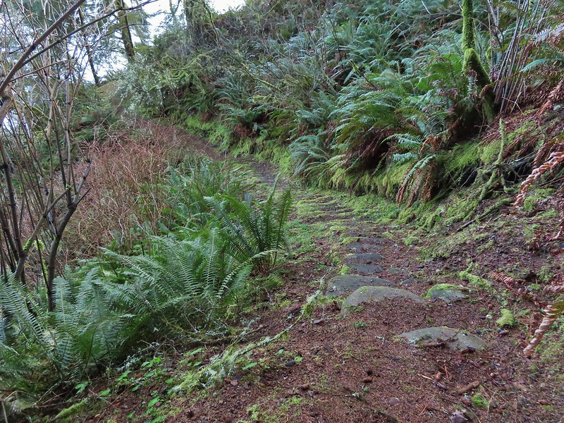 Stone steps
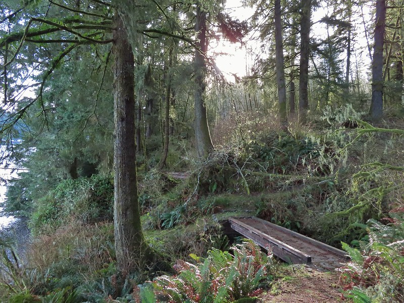 A pair of footbridges.
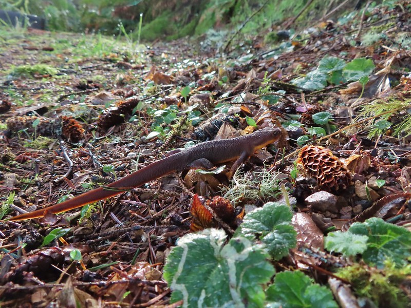 Another rough skinned newt, there were many.
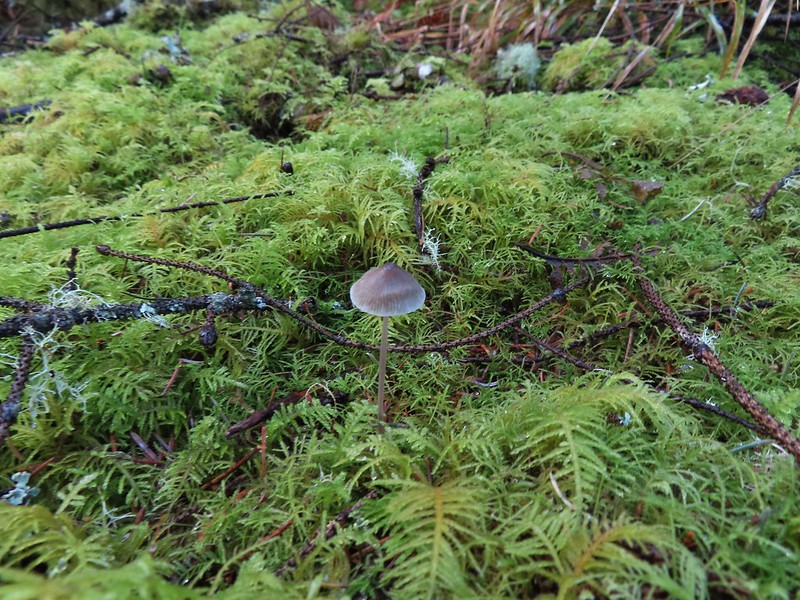 Mushroom
 Another bench at a viewpoint.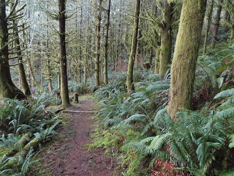

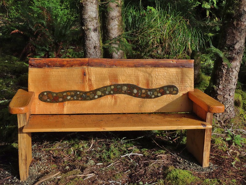
 Several benches were inlaid with rocks such as this which was a really neat feature.
 Small footbridge ahead.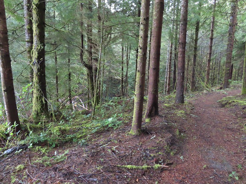
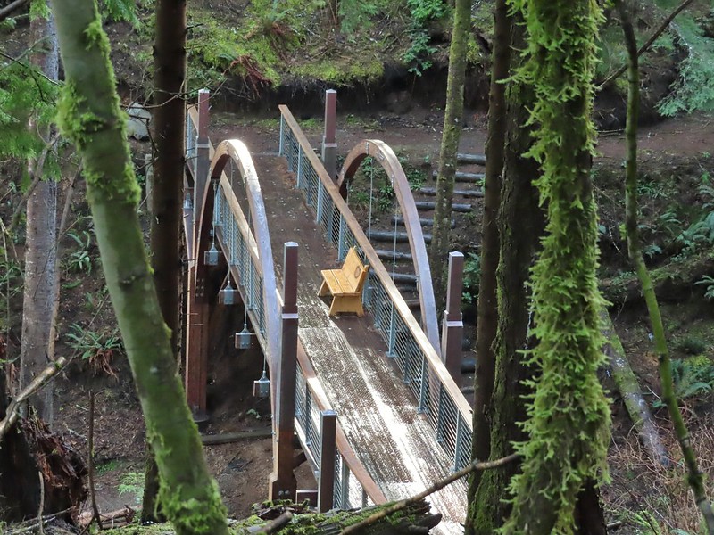
 Yakona Bridge.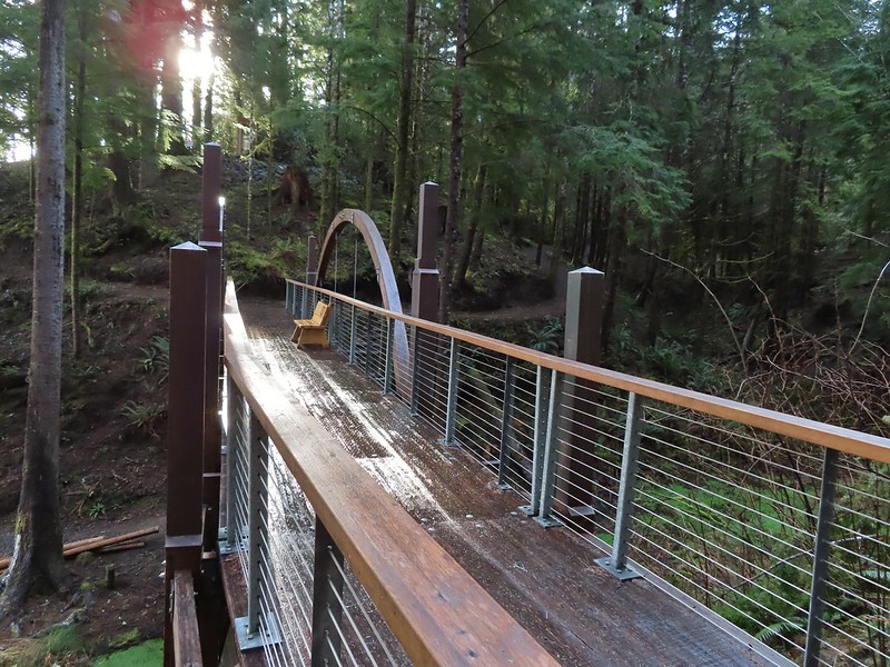
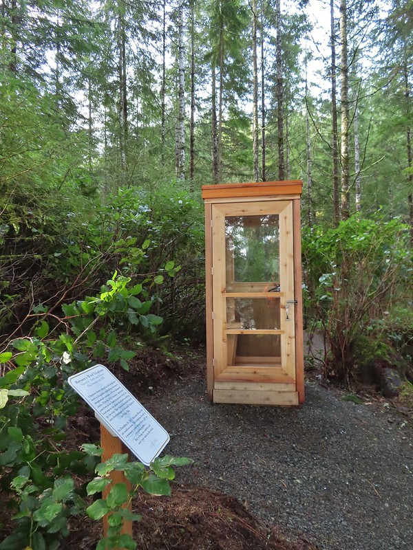
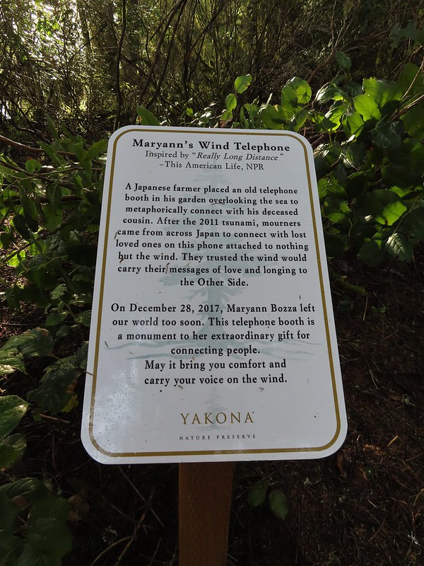 Informational sign for the wind phone.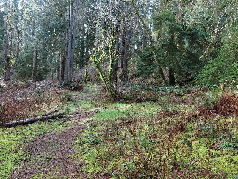
 This trunk had split into four.

 Dropping down to another estuary.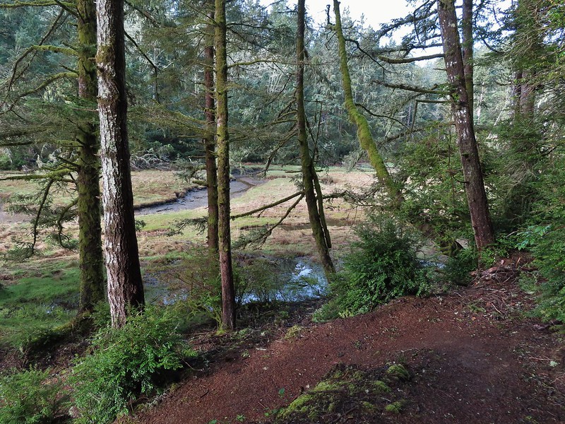
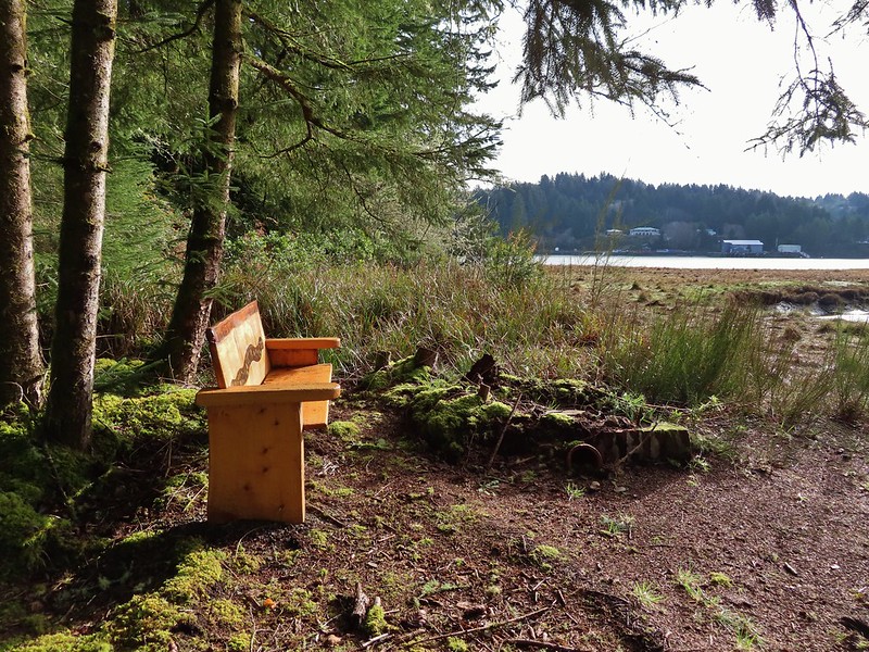
 Back up we go!
 Found the road.
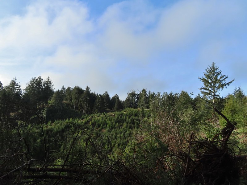 Bench on the far hillside above the clear cut.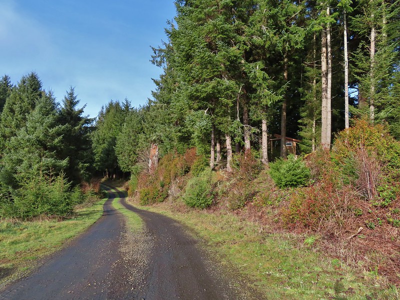
 Short path to the bench.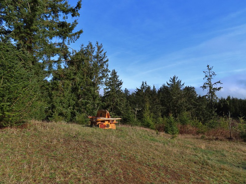

 One of the trails.

 A rather damp woolly bear caterpillar.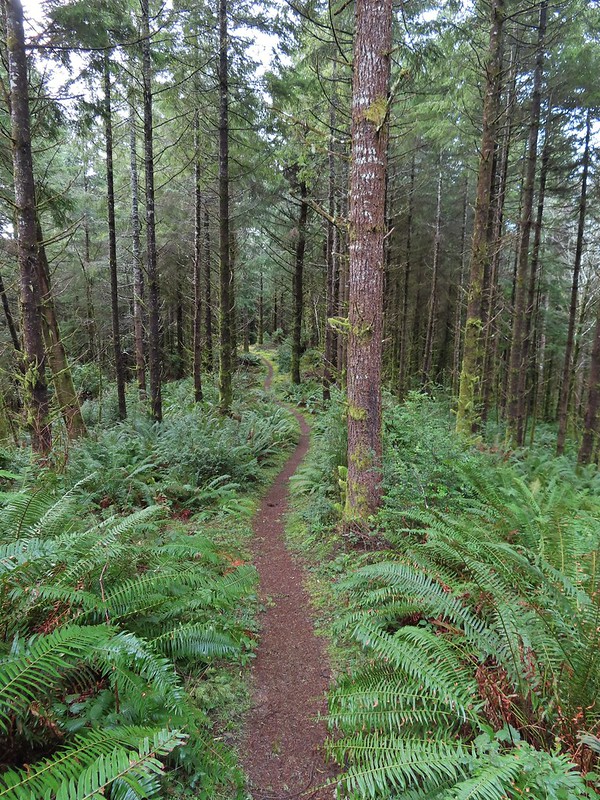
 Back to Road 200 near Kings Slough.

