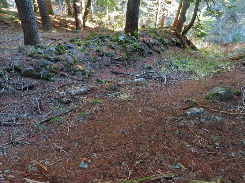
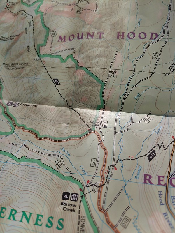
Several years back we set several hiking goals, one of which being to hike in all of Oregon’s federally designated wilderness areas. At that time there were 47 such areas in the State with two of those being off-limits to visitors (Three Arch Rocks & Oregon Islands are also National Wildlife Refuges that provide nesting habitat for sea birds as well as serving as pupping sites for marine mammals. To prevent disturbances public entry to any of the rocks/islands is prohibited and waters within 500 feet of the refuge are closed to all watercraft from May 1 through September 15.) In 2019 Congress added the Devils Staircase Wilderness to the list giving us a total of 46 designated wilderness areas to visit in order to complete this goal. Staring in 2019 we began posting annual updates on our progress (2020 & 2021) and we are excited to report that, unless any new wilderness areas are established in the future, this will be our last update. We managed to make it to the final four wilderness areas on our list, the North Fork Umatilla, Devils Staircase, Black Canyon, and Monument Rock, in 2021. We have to give credit to Bruce (Van Marmot) over at Boots on the Trail for not only getting to all 46 first but also providing inspiration and a lot of helpful information.
A little over 2.5 million acres are designated as wilderness throughout the State and range in size from 15 acres (Three Arch Rocks) to 355,548 acres (Eagle Cap). Oregon shares a wilderness with three of its bordering states. The Wenaha-Tuccanon is shared with Washington, Hells Canyon with Idaho, and Red Buttes with California. The areas are managed by three different federal agencies. The U.S. Fish and Wildlife Service (FWS) manages the Oregon Islands and Three Arch Rocks areas while the Bureau of Land Management (BLM) manages nine and the Forest Service manages forty-one. If you do the math those numbers add up to fifty-two. The reason for that is four of the areas, the Devils Staircase, Lower White River, Hells Canyon, and Wild Rogue are managed jointly by the Forest Service and BLM. Seven of the areas have no official trails, the two off-limit areas, and the Devils Staircase, Rock Creek, Lower White River, Bridge Creek, and Spring Basin wildernesses. Although irregularly shaped (except for the exactly 6 square mile Mountain Lakes Wilderness) the majority of the areas are a single unit. In addition to the Oregon Islands and Three Arch Rocks the Mount Hood (4), Mark O. Hatfield (2), Badger Creek (2),Salmon-Huckleberry (3), Clackamas (5), Soda Mountain (2), North Fork John Day (4), and Steens Mountain (2) consist of multiple separate areas.
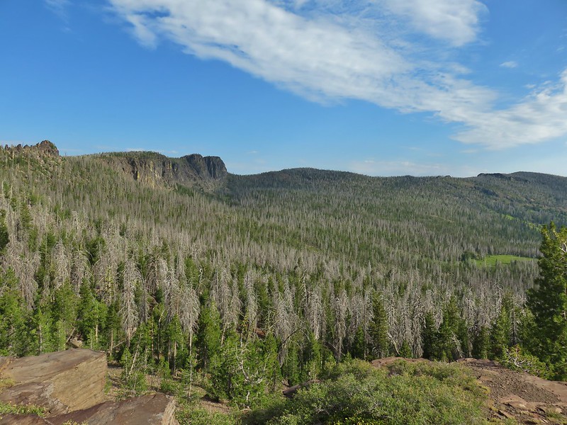
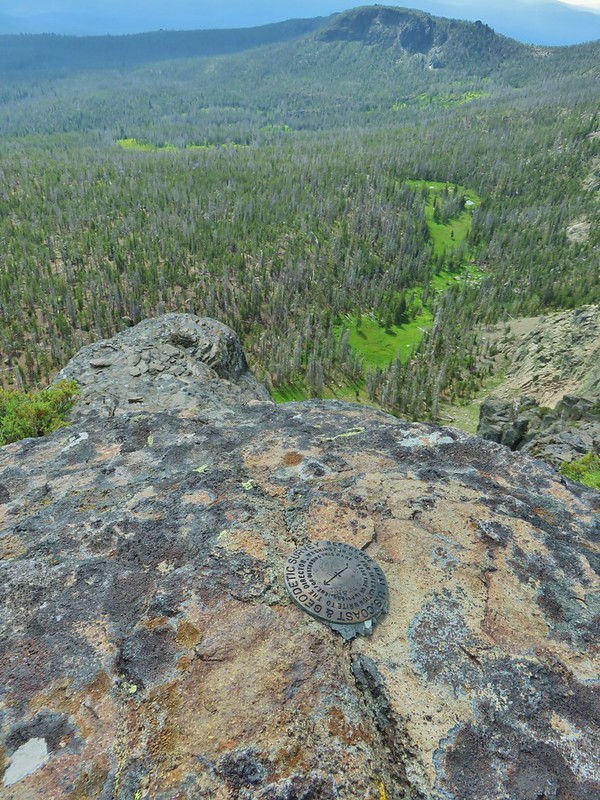
We visited our first Oregon Wilderness in 2009 when we visited Henline Falls in the Opal Creek Wilderness. Since then we have spent parts of 215 days in these special places. For sixteen of the areas it was only a single day while we’ve spent part of 30 days in the Three Sisters Wilderness. Below are some of our best memories from each of the wilderness areas. We hope you enjoy them as much as we enjoyed visiting them.
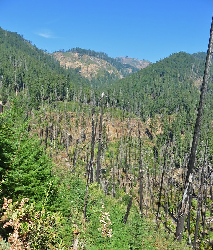
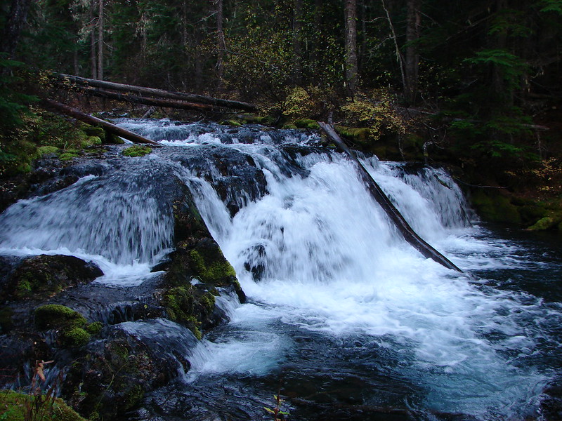
Badger Creek: 28,915 acres Days Spent in Wilderness-6
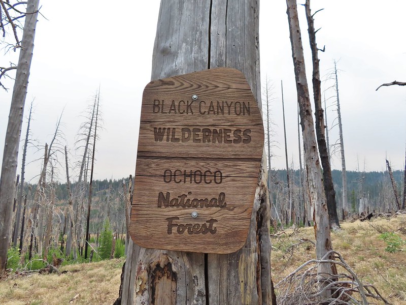
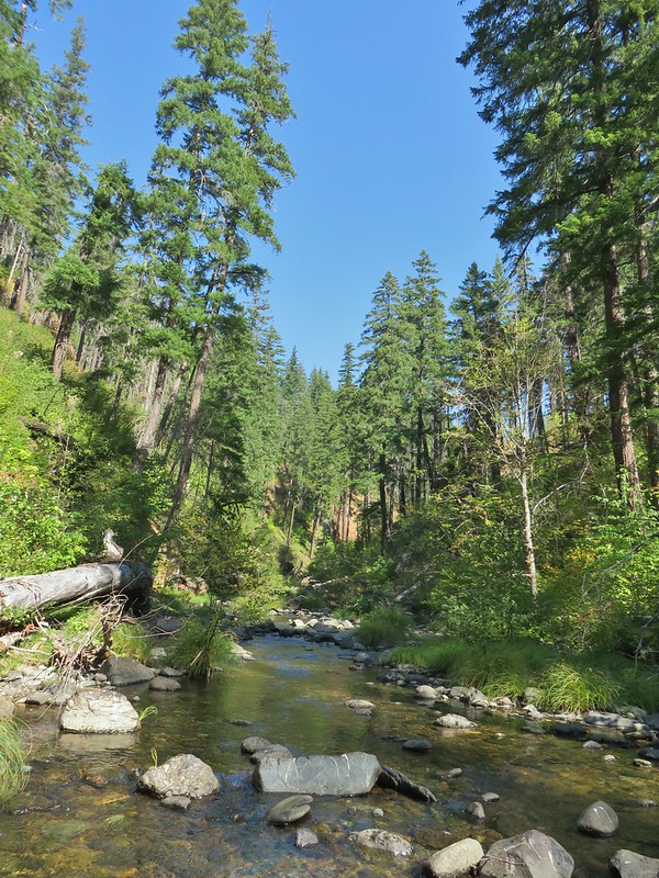
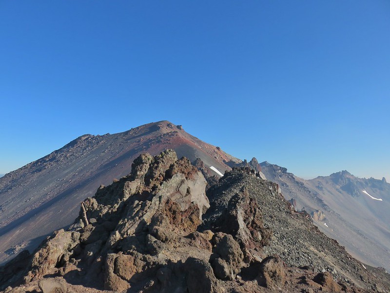
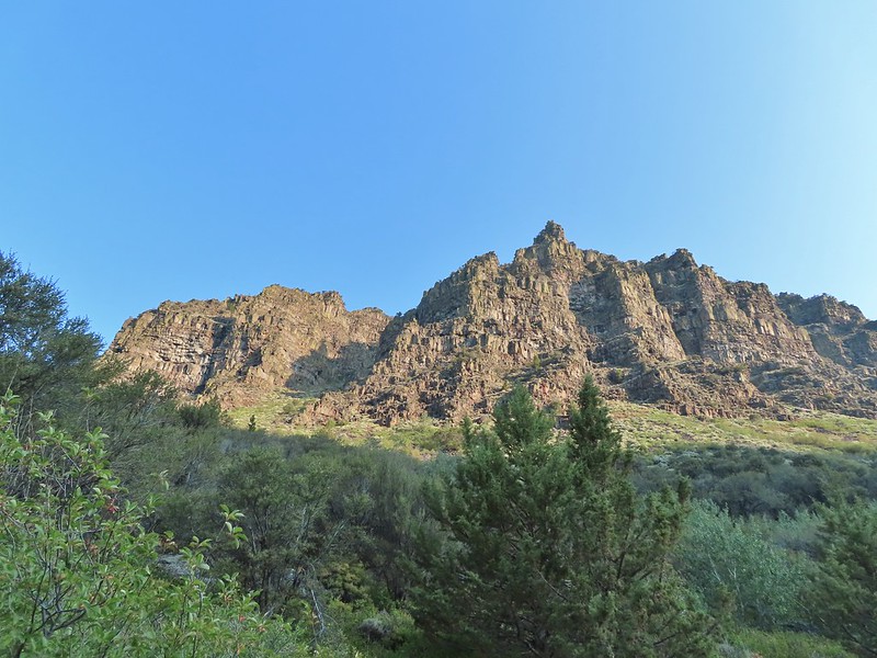
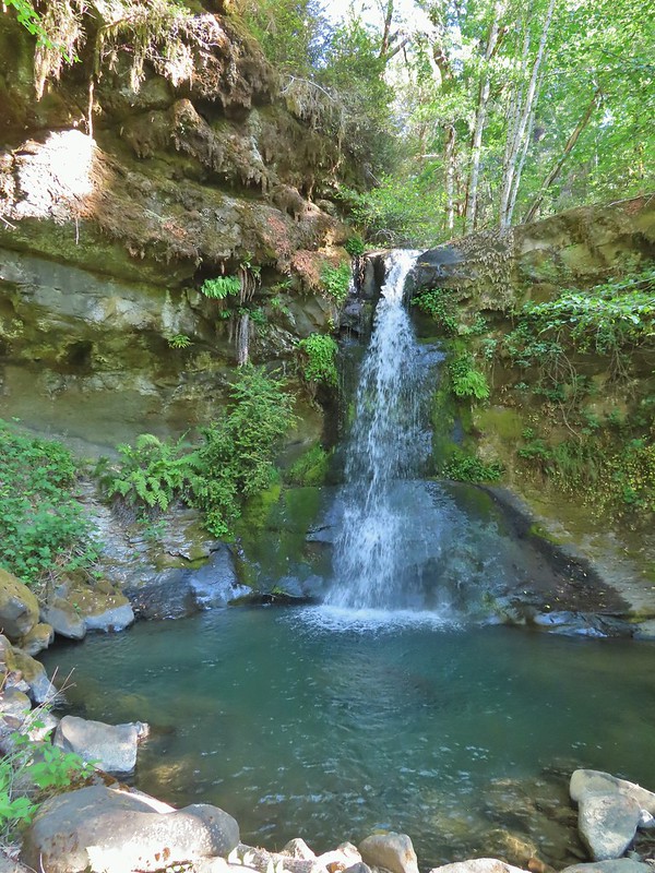
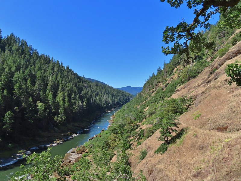
Black Canyon: 13.088 acres Days Spent in Wilderness-1
Boulder Creek: 19,911 acres Days Spent in Wilderness-1
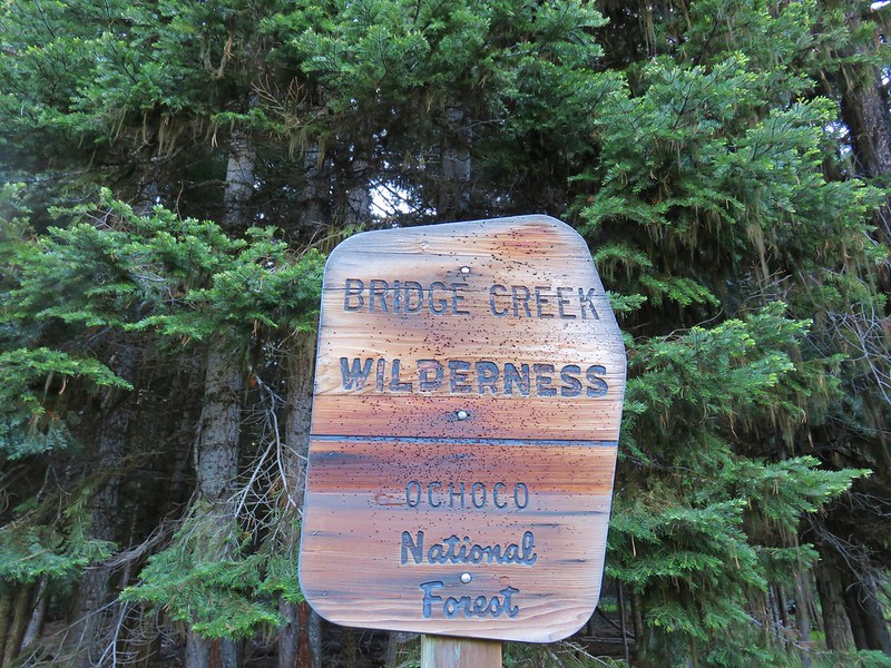
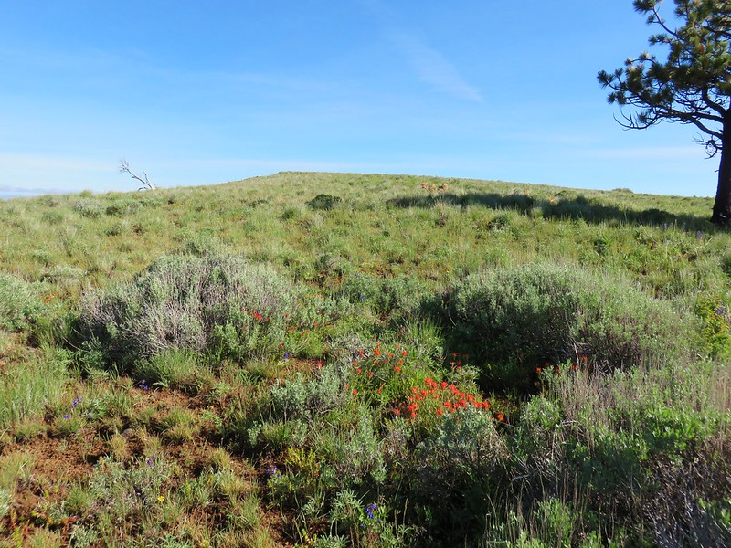
Bridge Creek: 5,337 acres Days Spent in Wilderness-1
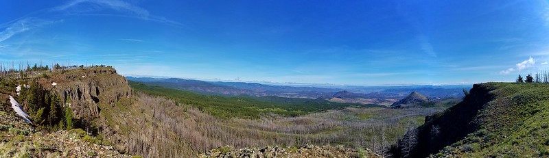
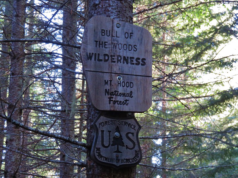
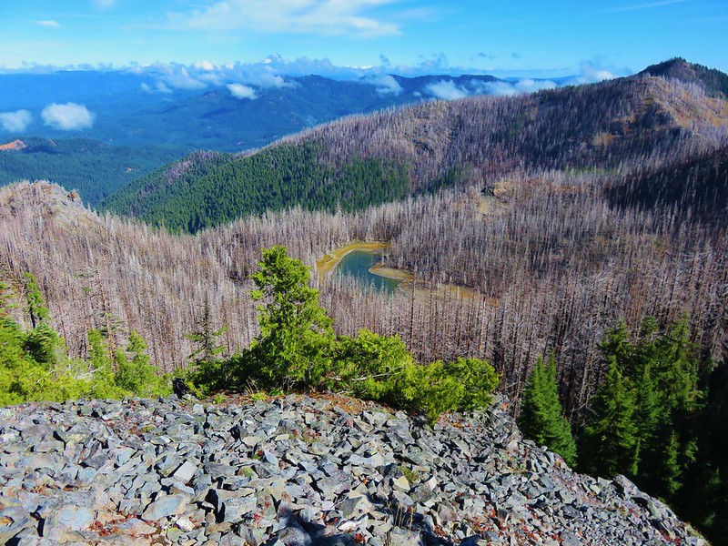
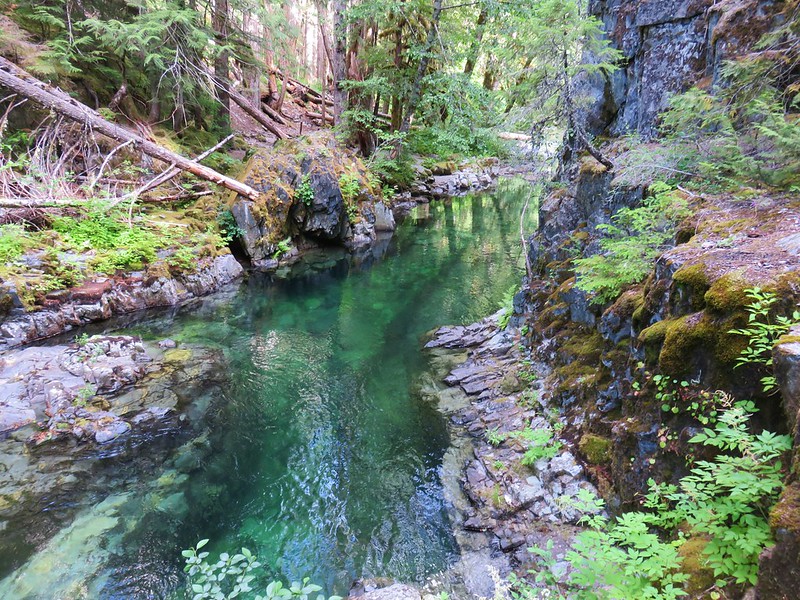
Bull of the Woods: 36,869 acres Days Spent in Wilderness-6
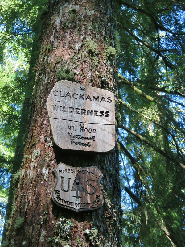
Clackamas: 9.465 acres Days Spent in Wilderness-2
Copper-Salmon: 13,724 acres Days Spent in Wilderness-1
Cummins Creek: 9,026 acres Days Spent in Wilderness-1
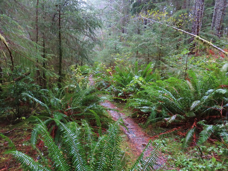
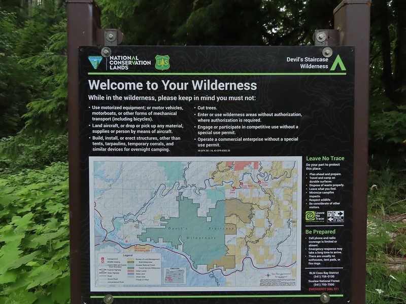
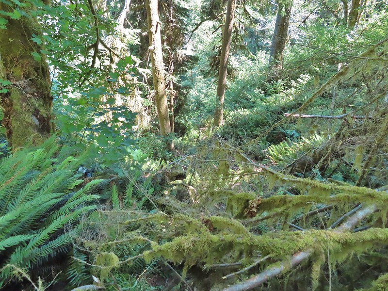
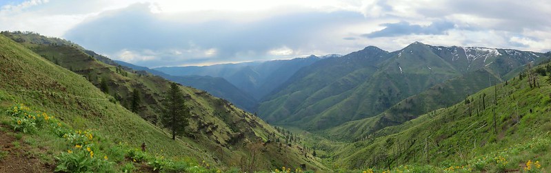
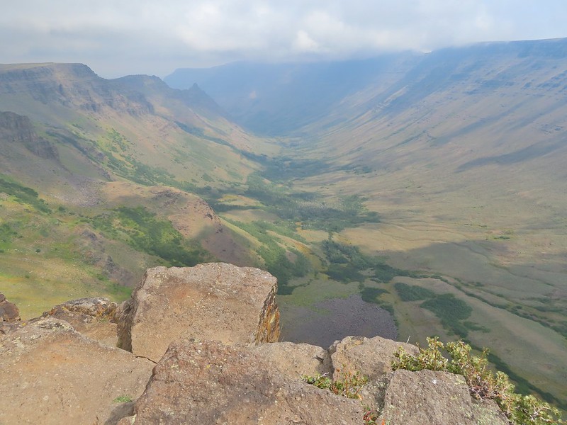
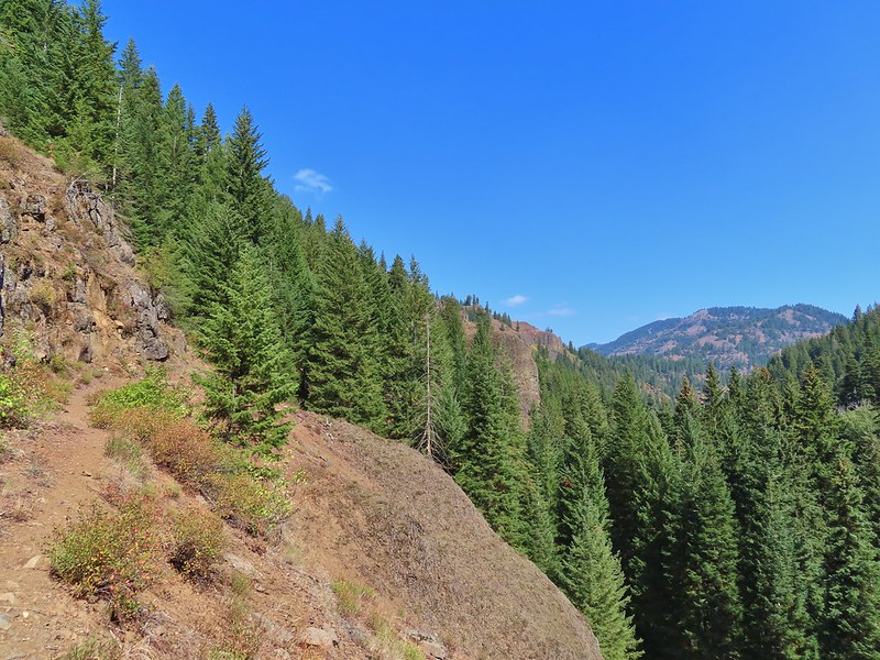
Devils Staircase: 30,787 acres Days Spent in Wilderness-1
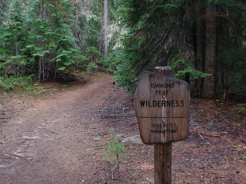
Diamond Peak: 52,477 acres Days Spent in Wilderness-7
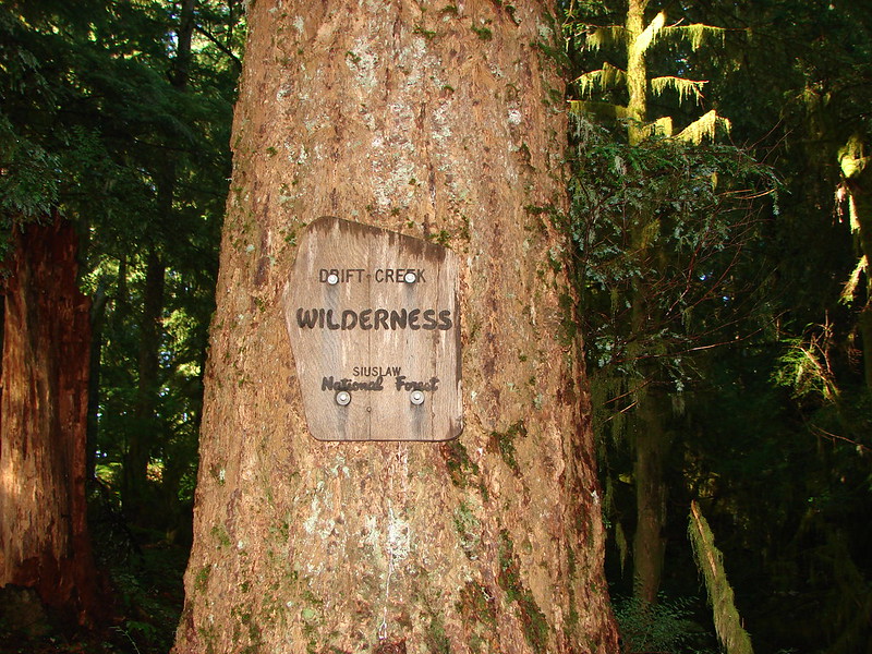
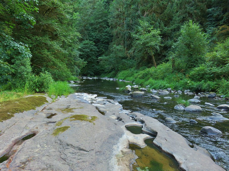
Drift Creek: 5,792 acres Days Spent in Wilderness-2
Eagle Cap: 355,548 acres Days Spent in Wilderness-5
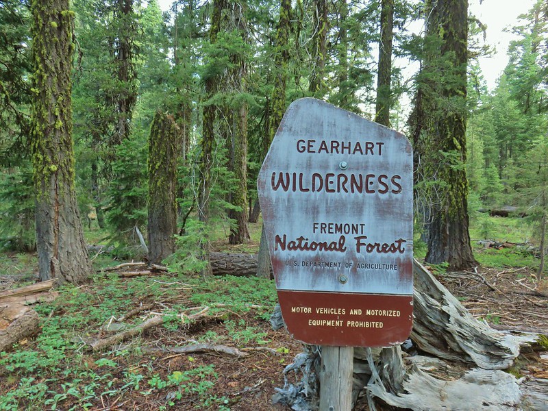
Gearhart Mountain: 22,587 acres Days Spent in Wilderness-1
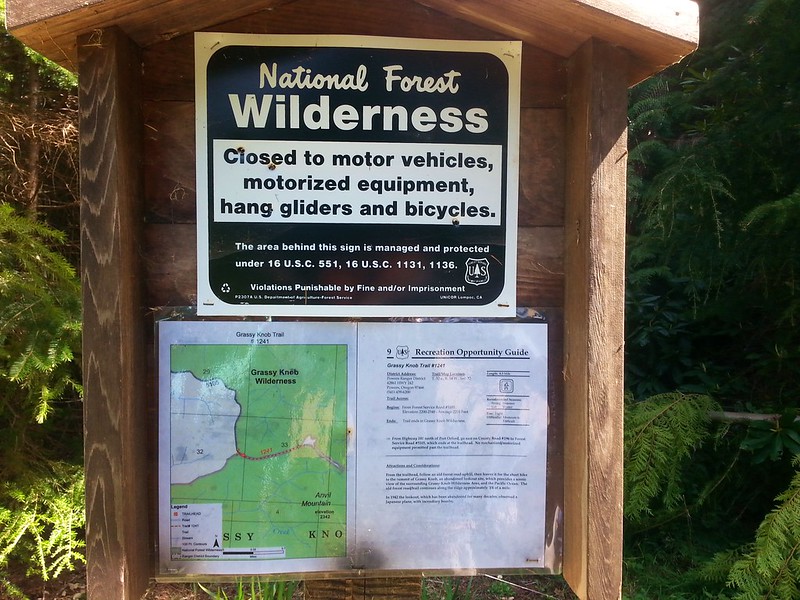
Grassy Knob: 17,176 acres Days Spent in Wilderness-1
Hells Canyon: 131,337 acres in OR (217,613 in ID) Days Spent in Wilderness-1
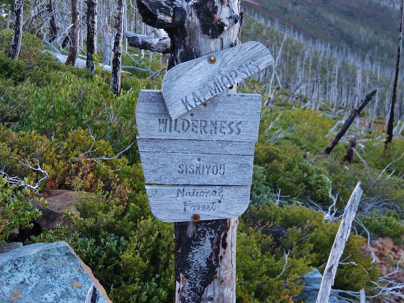
Kalmiopsis: 179,550 acres Days Spent in Wilderness-1
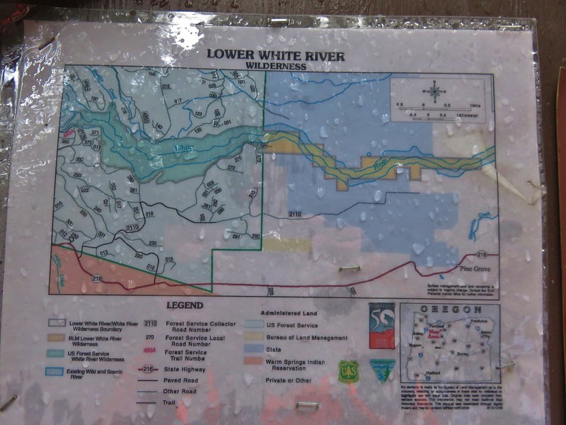
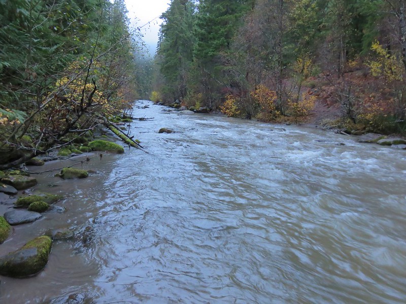
Lower White River: 2,871 acres Days Spent in Wilderness-1
Mark O. Hatfield: 65,420 acres Days Spent in Wilderness-12
Menagerie: 4,952 acres Days Spent in Wilderness-2
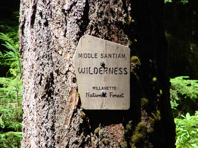
Middle Santiam: 8,845 acres Days Spent in Wilderness-2
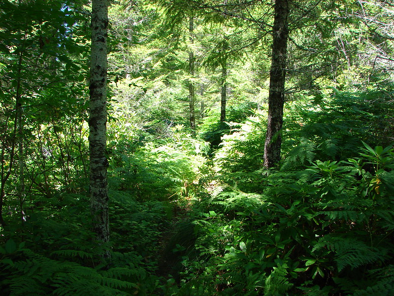
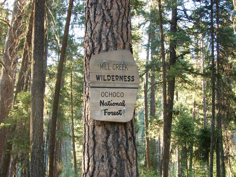
Mill Creek: 17,173 acres Days Spent in Wilderness-1
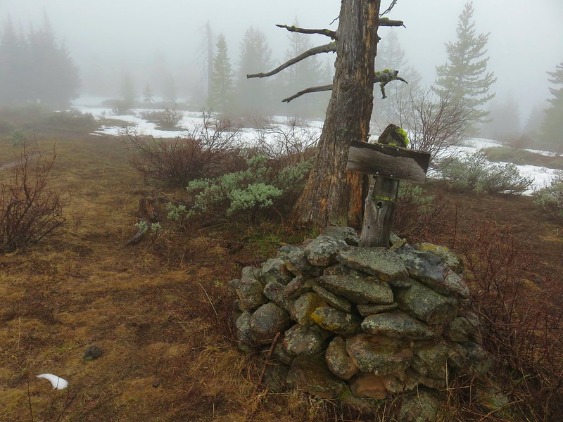
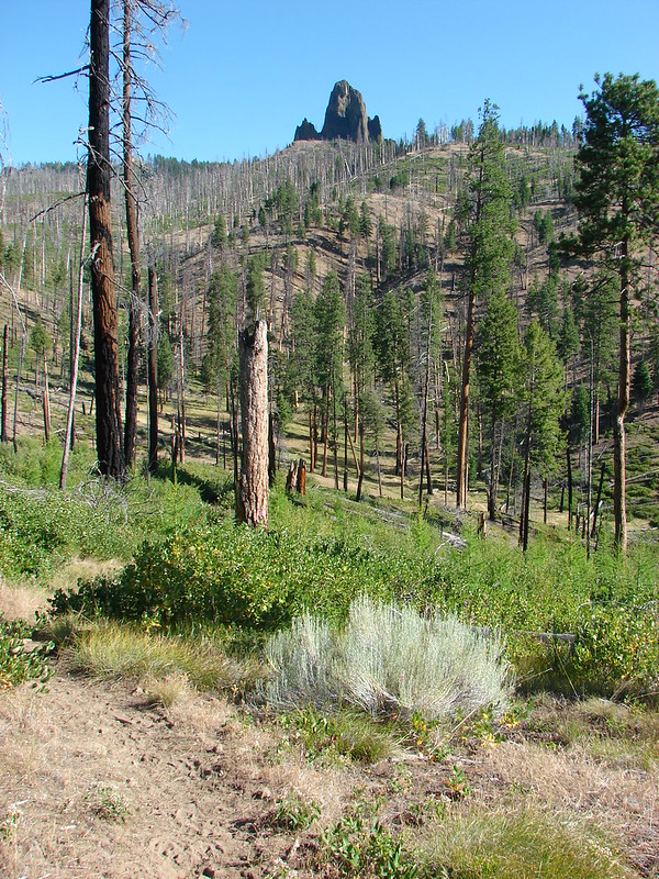
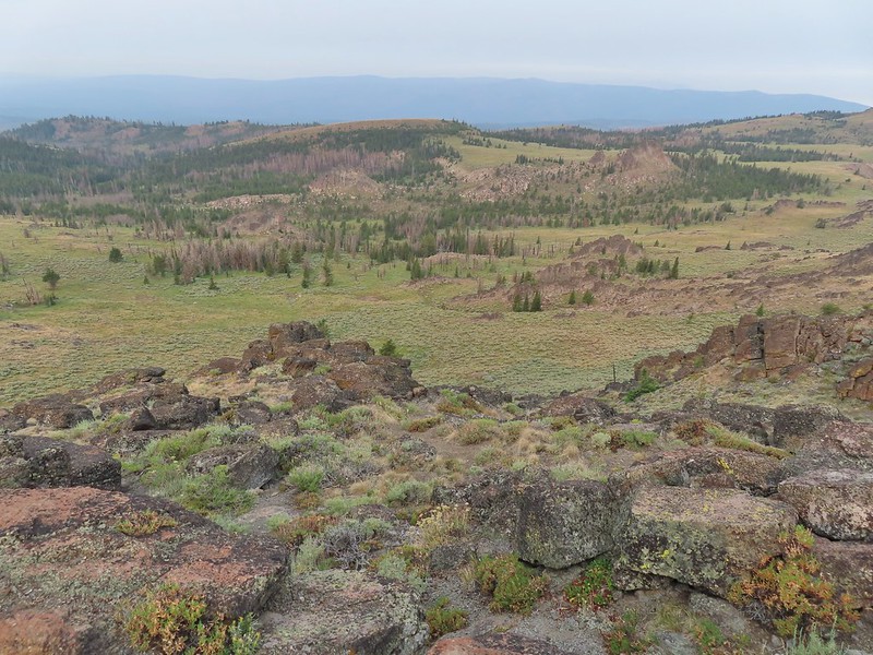
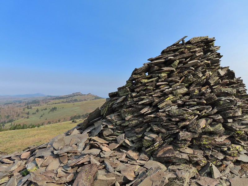
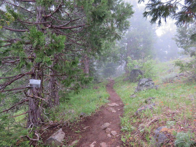
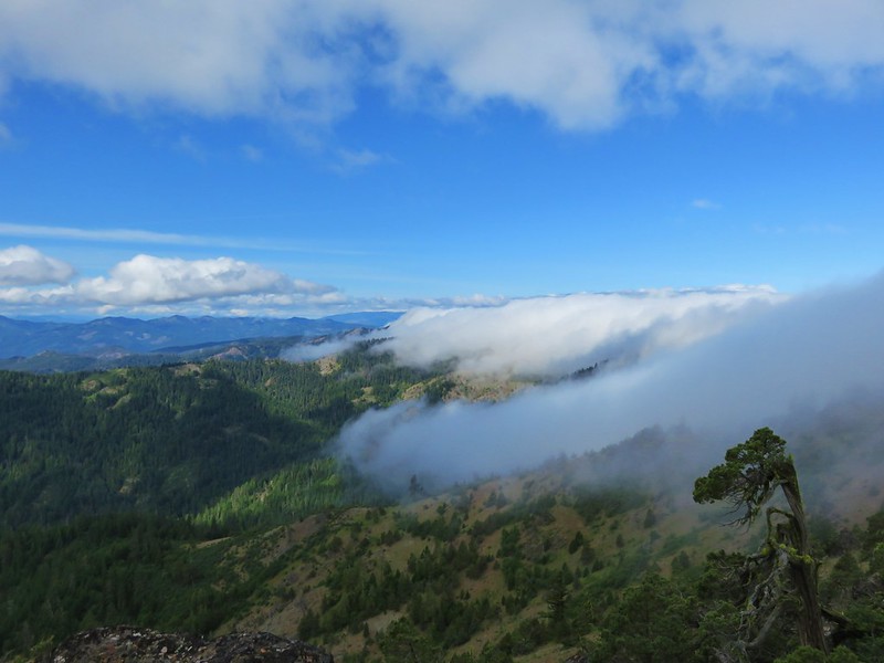
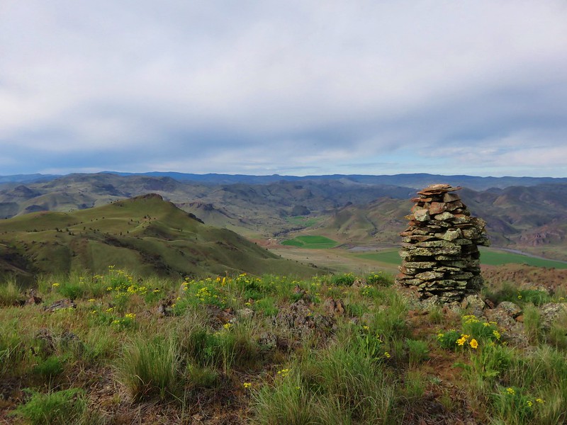
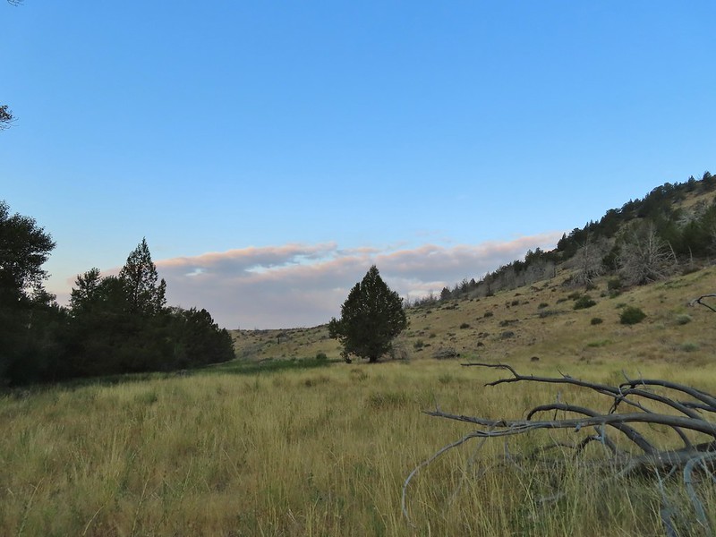
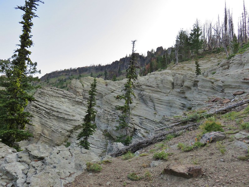
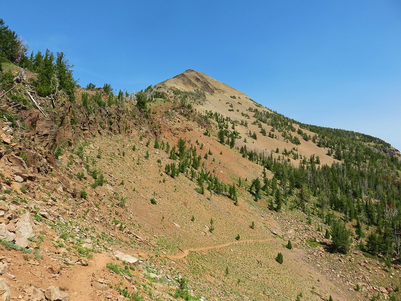
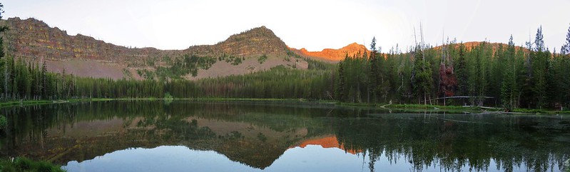
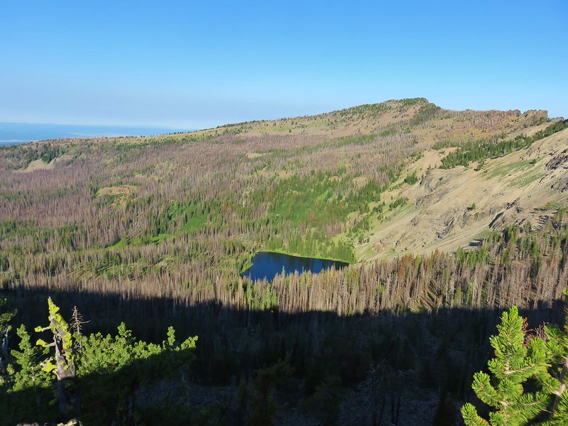
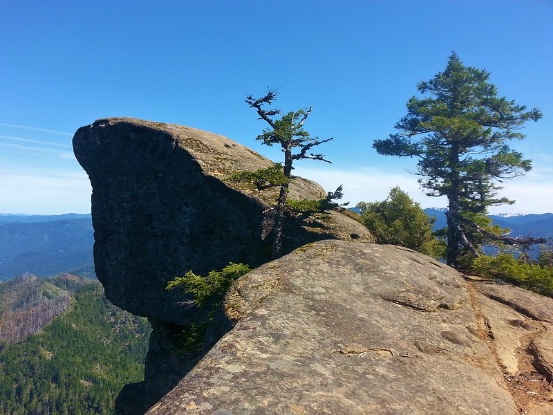
Monument Rock: 20,210 acres Days Spent in Wilderness-1
Mountain Lakes: 23,036 acres Days Spent in Wilderness-2
Mount Hood: 64,742 acres Days Spent in Wilderness-22
Mount Jefferson: 108,909 acres Days Spent in Wilderness-27
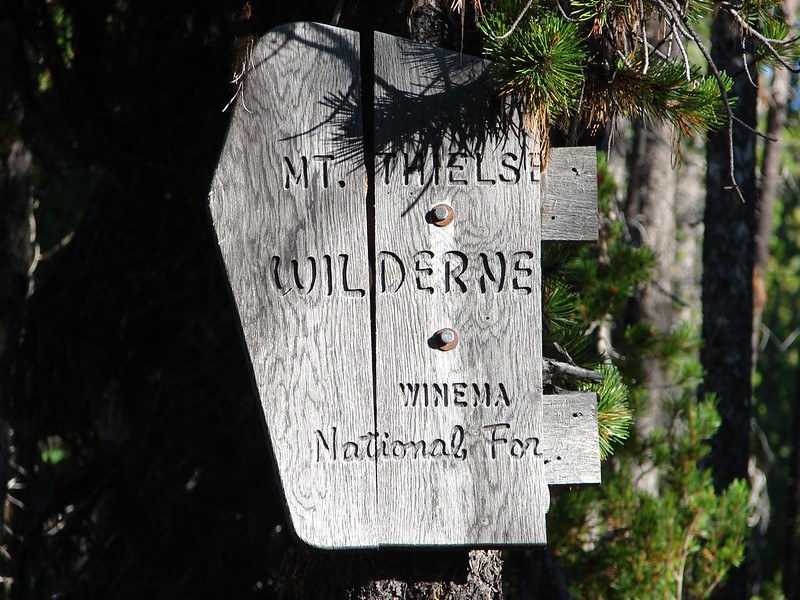
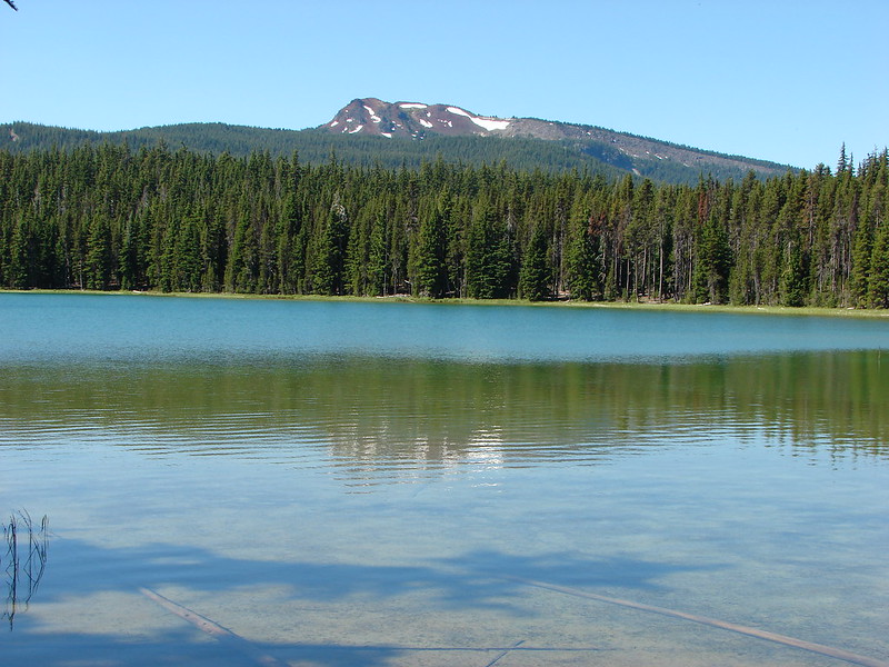
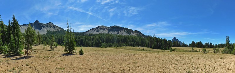
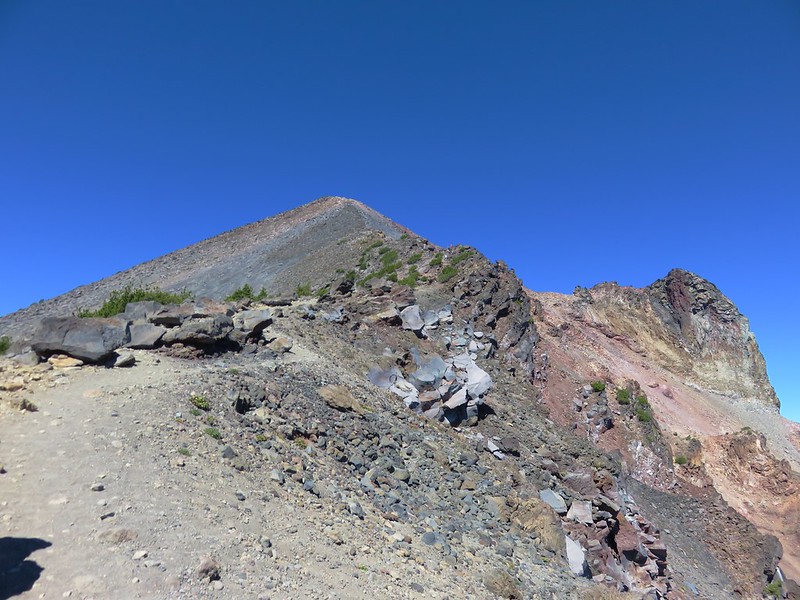
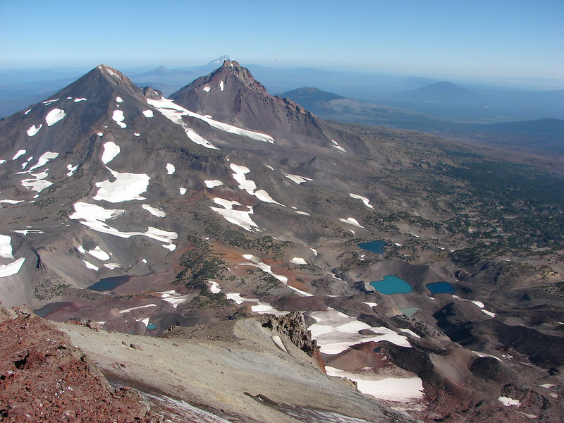
Mount Thielsen: 55,151 acres Days Spent in Wilderness-5
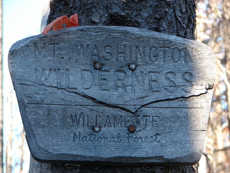
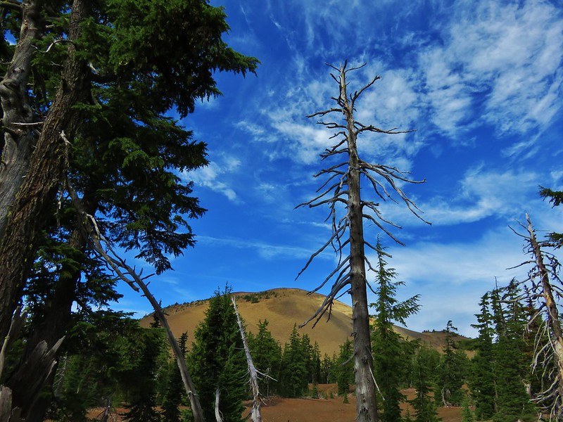
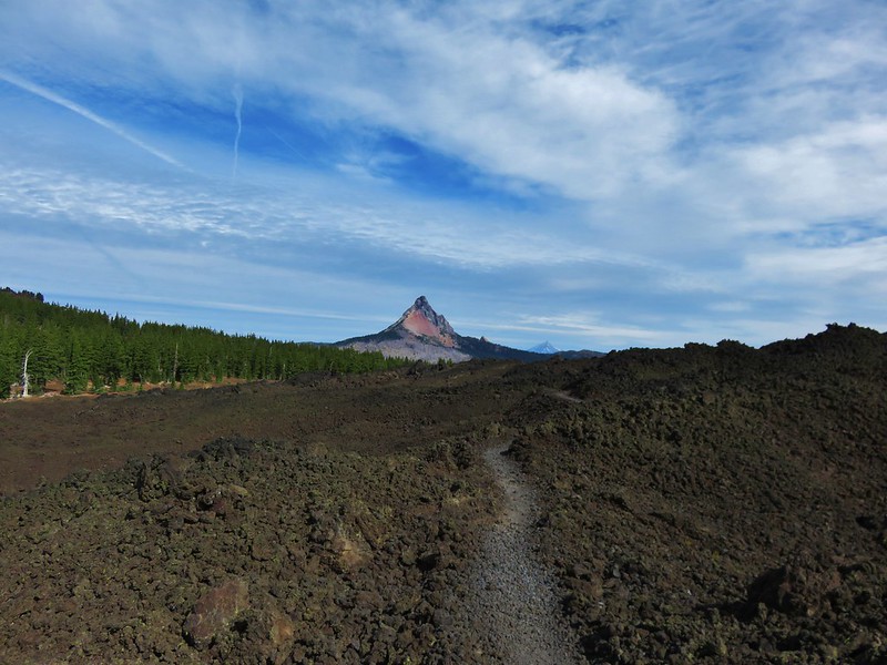
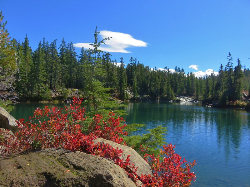
Mount Washington: 54,410 acres Days Spent in Wilderness-7
North Fork John Day: 120,694 acres Days Spent in Wilderness-8
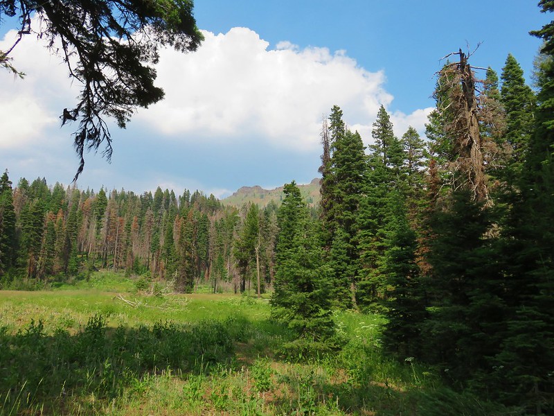
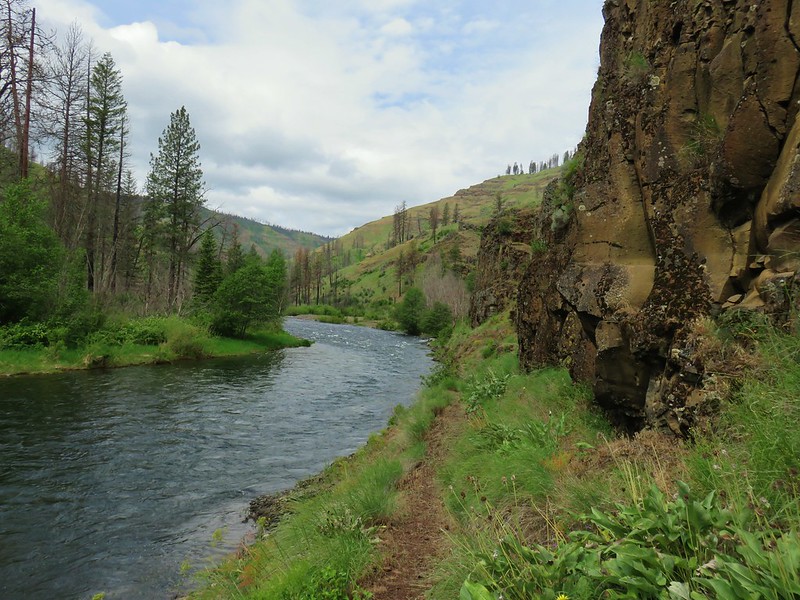
North Fork Umatilla: 20,225 acres Days Spent in Wilderness-3
Opal Creek: 20,774 acres Days Spent in Wilderness-6
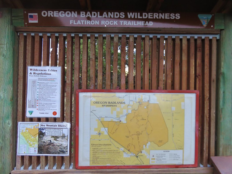
Oregon Badlands: 28,182 acres Days Spent in Wilderness-2
Oregon Islands: 925 acres Days Spent in Wilderness-0
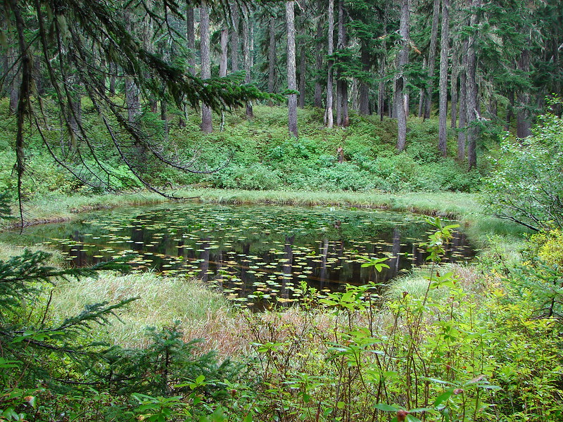
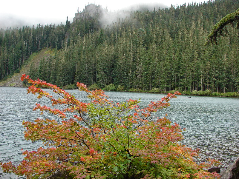
Red Buttes: 3,777 acres in OR (20,133 in CA) Days Spent in Wilderness-2 in OR, (4 in CA)
This photo is from CA but it actually shows the namesake Red Buttes
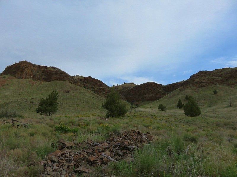
Roaring River: 36,548 acres Days Spent in Wilderness-1
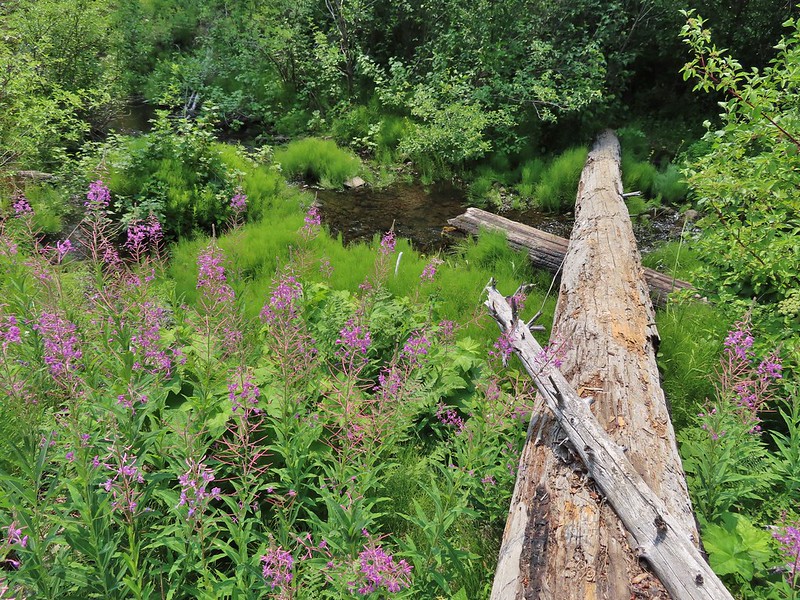
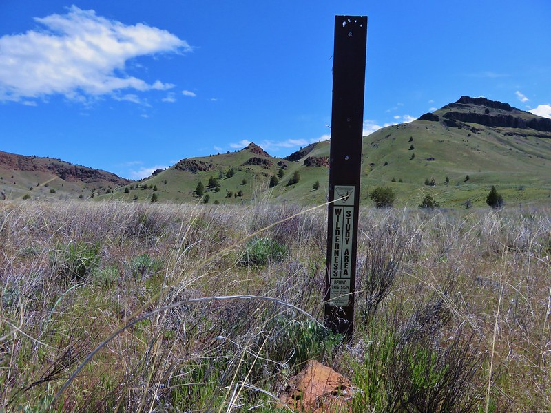
Rock Creek: 7,273 acres Days Spent in Wilderness-1 Closest thing to a “wilderness sign” we saw for this one.
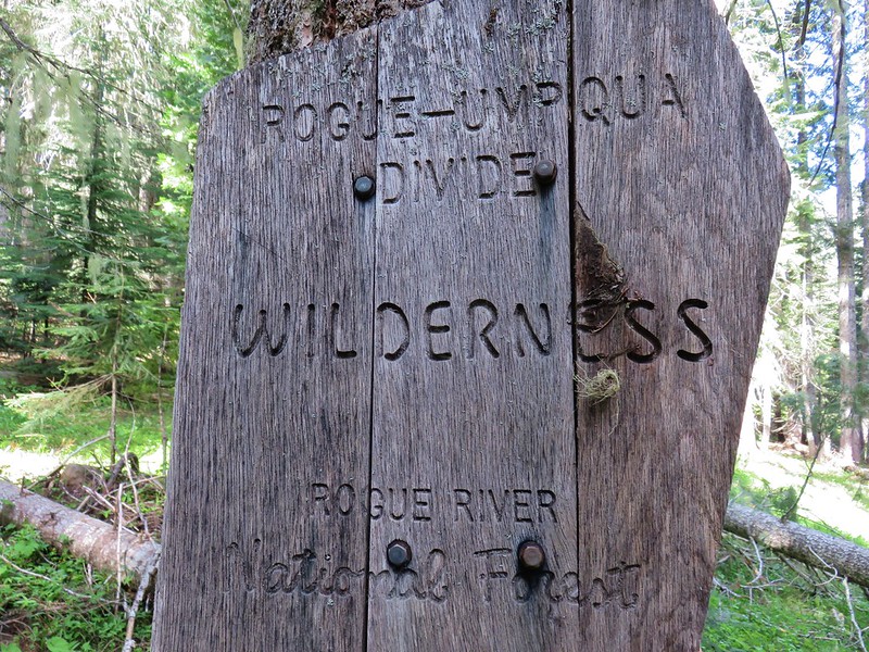
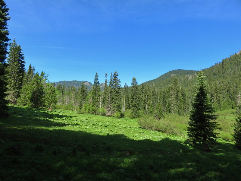
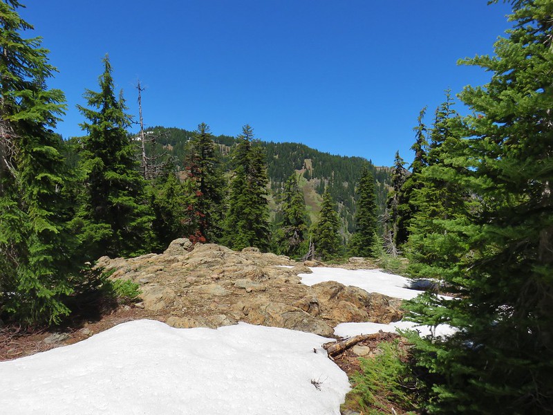
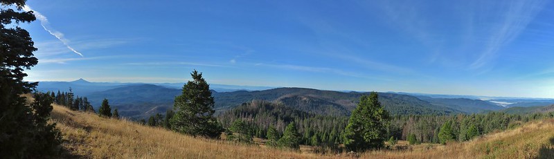
Rogue-Umpqua: 35,749 acres Days Spent in Wilderness-6
Salmon-Huckleberry: 62,061 acres Days Spent in Wilderness-11
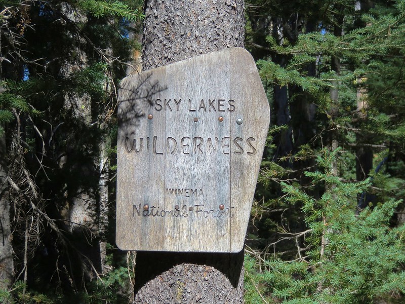
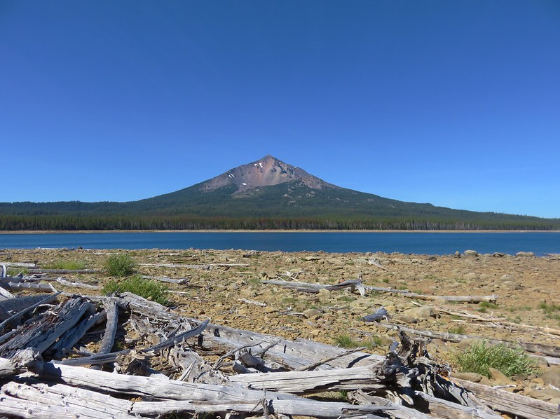
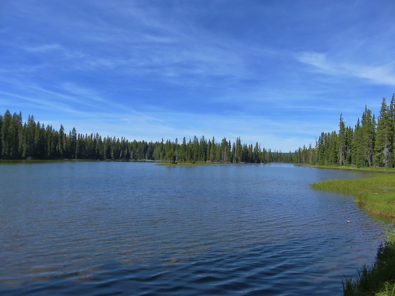
Sky Lakes: 113,687 acres Days Spent in Wilderness-3
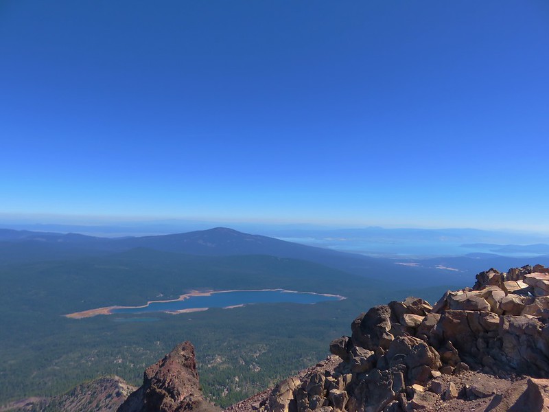
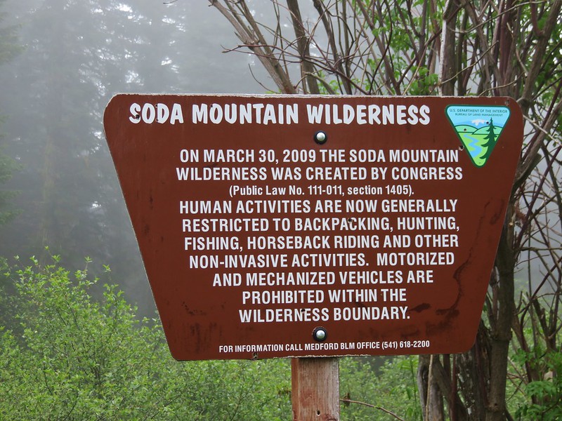
Soda Mountain: 24,707 acres Days Spent in Wilderness-2
Spring Basin: 6,404 acres Days Spent in Wilderness-1
Steens Mountain: 170,202 acres Days Spent in Wilderness-5
Strawberry Mountain: 69,350 acres Days Spent in Wilderness-5
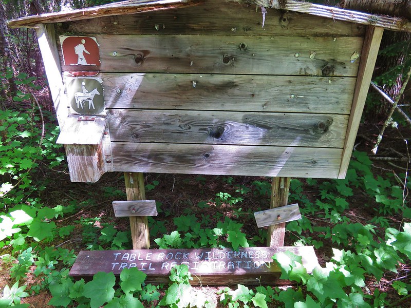
Table Rock: 5,784 acres Days Spent in Wilderness-3
Three Arch Rocks: 15 acres Days Spent in Wilderness-0
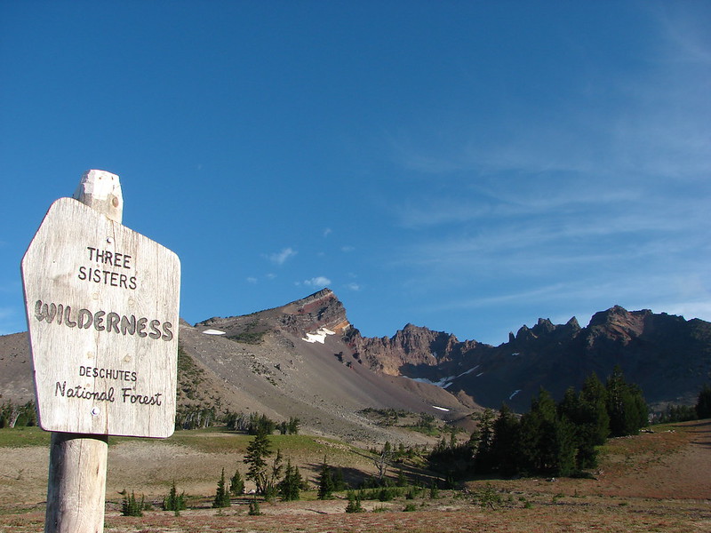
Three Sisters: 283,619 acres Days Spent in Wilderness-30
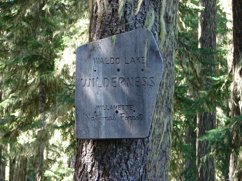
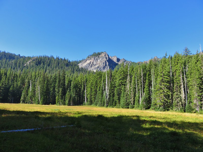
Waldo Lake: 36,868 acres Days Spent in Wilderness-6
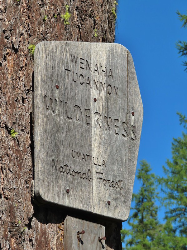
Wenaha-Tuccanon: 65,266 acres in OR (176,737 in WA) Days Spent in Wilderness-2
Wild Rogue: 35,221 acres Days Spent in Wilderness-2
As we mentioned in our previous post for several years we have been working on a goal to hike all 500 featured hikes in William L. Sullivan’s “100 Hikes…” series of guidebooks (post). In 2020 we completed the first of these books covering the Central Oregon Cascades (post). We followed that up by completing a pair of books in 2021 beginning with the 3rd edition “100 Hikes/Travel Guide Oregon Coast and Coast Range” on 7/31/2021. (post) A month later we crossed of the final hikes in the 4th edition “100 Hikes/Travel Guide Northwest Oregon & Southwest Washington”.
Generally speaking in order to check a hike off our list we need to have hiked a substantial portion of Sullivan’s described hike or visited the main attraction(s) he identifies for the hike. In many cases Sullivan provides multiple options for destinations/lengths as well as listing more than one distinct hike under a featured hike. For instance hike #68 – West Zigzag Mountain consists of an 11 mile out and back to the former West Zigzag lookout site and a 1.8 mile hike to Castle Canyon (which we have not yet hiked), each starting from a different trailhead with no overlapping (or connecting) trails. For three other featured hikes we have yet to do the separate shorter hike -#2 Aerial Tram & Council Crest we have not done the 1.8 mile loop to Marquam Shelter via the Portland Ariel Tram, #13 Tualatin Hills we have not done the 2.2 mile Cooper Mountain loop and #23 Ape Cave we have not done the 0.2 mile Trail of Two Forests. Additionally for hike #6 Northern Forest Park there are two options going in different directions from the same trailhead and we have only done the longer of the two. Then there are the hikes with multiple main attractions of which there are three that we have not made it to all of the suggested destinations: #27 Lava Canyon we have yet to visit The Ship, #59 Catherine Creek we have not been to the Indian Pits, and #76 Timberline Lodge Trails we haven’t made it up to the Silcox Hut yet. Finally hike #83 lists the entire 40 mile Timberline Trail as one of four options and we have not yet hiked the entirety of that trail. That leaves 16 featured hikes that we made it to all the main attractions and 76 that were completed either as described or with additional hiking added on.
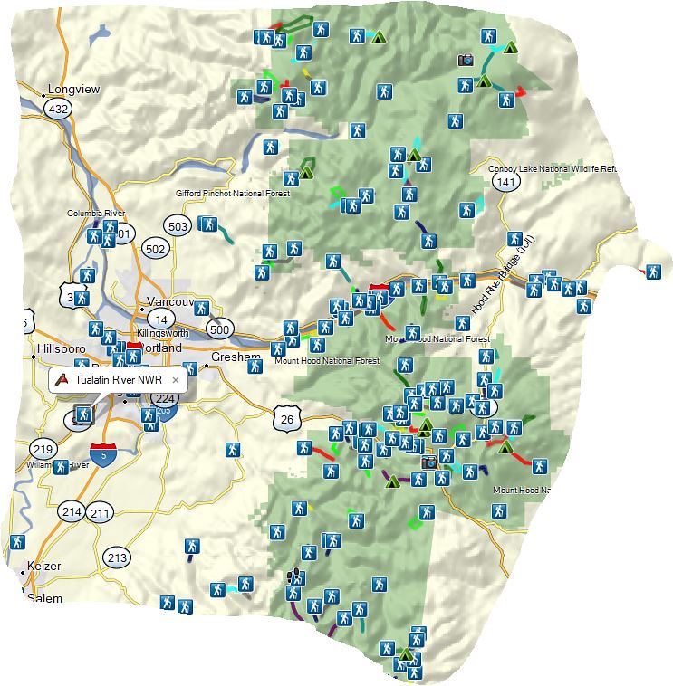
The area covered in this particular book extends north from Salem into Washington to cover both the Mt. St. Helens National Volcanic Monument and Mt. Adams Wilderness. To the east the area reaches just beyond The Dalles where it overlaps slightly with his eastern book by including the Klickitat Rail Trail in the Columbia Gorge section. Further south, below the Badger Creek Wilderness the eastern reach ends roughly at the Cascade Crest/Pacific Crest Trail. The area also extends SE of Salem to encompass most of the Bull of the Woods Wilderness, the Olallie Lake Scenic Area, and the northern end of Jefferson Park in the Mt. Jefferson Wilderness. Unfortunately many of the hikes in this SE corner were burned over by wildfires in 2020 and 2021. A rectangular view of the area which also includes some hikes from the Central Cascades book at the southern end and hikes from the Eastern book along the eastern end.
Hikes range from urban walks in the Willamette Valley to alpine strolls above the treeline in the Cascade Mountains. Rivers and waterfalls, highlighted by the Columbia River Gorge, are frequent focuses of the hikes along with lakes and wildflower covered hillsides and meadows. A mix of ecological zones are present including alpine forests, pine-oak grassland, and sagebrush flats. Elevations range from just above sea level at Warrior Point to just under 9000′ on Mt. Hood along Cooper Spur.
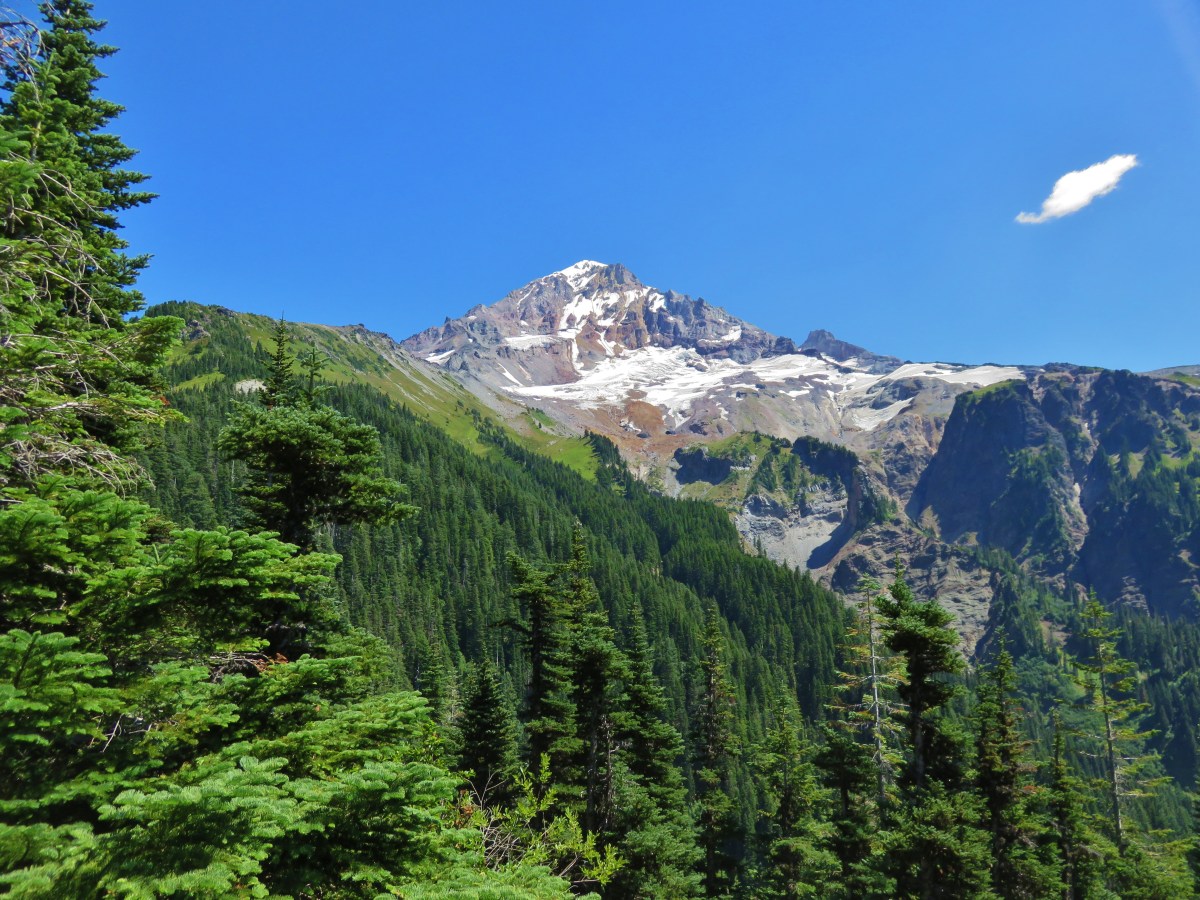
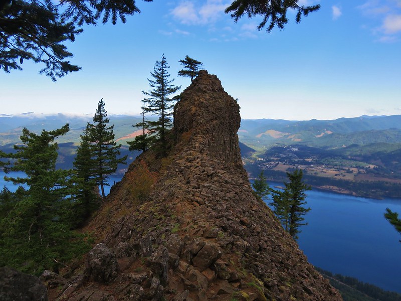
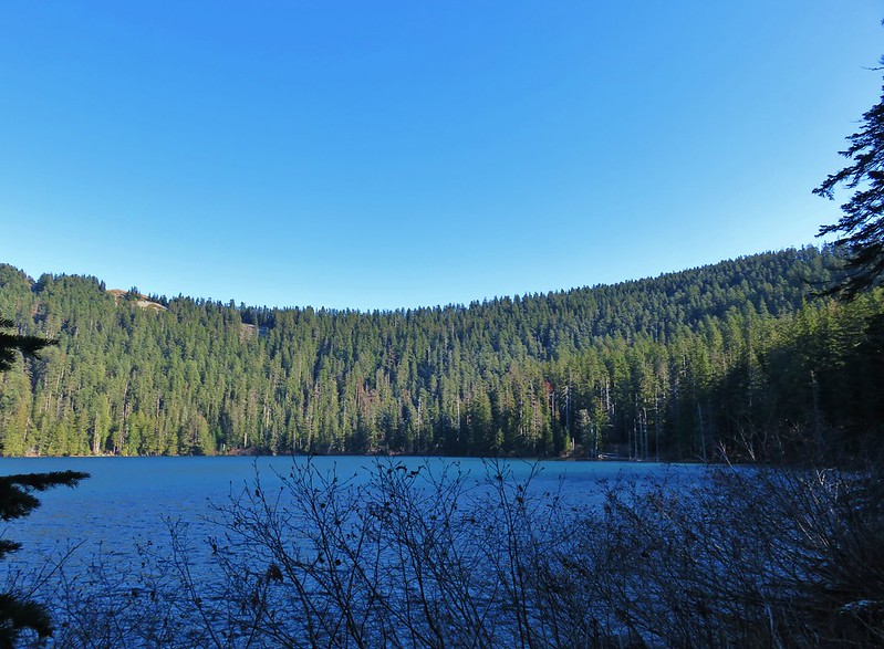
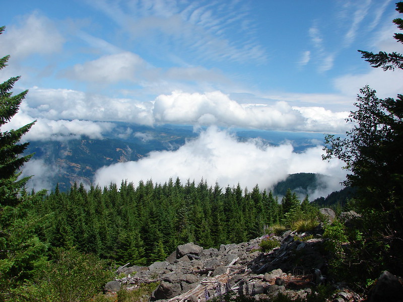
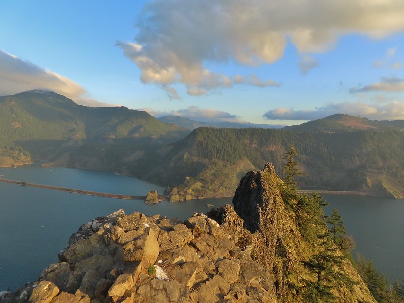
With all that out of the way here is a list of the 100 featured hikes along with a photo (or two where two distinctly different hikes were included in the entry) from William L. Sullivan’s 2018 4th edition “100 Hikes/Travel Guide Northwest Oregon & Southwest Washington”:
Several years ago we set a goal for ourselves to hike all 500 featured hikes in William L. Sullivan’s “100 Hikes…” series of guidebooks (post). Last year we completed the first of these books covering the Central Oregon Cascades (post). We followed that up by completing a pair of books in 2021 starting with Sullivan’s “100 Hikes/Travel Guide Oregon Coast and Coast Range” 3rd edition. Up until the start of 2021 we had been intending to finish his 4th edition but the continued closure of the Salmonberry Railroad prompted us to revert to the earlier edition. That meant going from only needing to finish 5 hikes to 9 hikes but at least the 9 hikes were open and thus we were able to visit them. The last final featured hike happened to be featured hike #1 – Leadbetter Point (post) which we visited on 7/31/2021. Many of the featured hikes in this book are shorter hikes with some barely more than a half mile so we often did multiple hikes in a single day.
Generally speaking in order to check a hike off our list we need to have hiked a substantial portion of Sullivan’s described hike or visited the main attraction(s) he identifies for the hike. For 59 of the hikes we stuck to a nearly identical route to the one described in the book. For another 22 hikes we added to the hike, either following Sullivan’s “other options” or making it up on our own. Eighteen of the hikes were limited to the main attraction which typically involved hikes where there was an option for a shuttle from a second trailhead or as in the case of the Rogue River Trail there were options for multi-day backpacking trips. (We will get to more of the Rogue River Trail as we work through his Southern Oregon book.) Finally one hike, #86 Lower Rogue River, was cut very short due to trail damage. We may revisit that trail at a later date but we counted it as we went as far as we felt we could safely at the time.
The area covered by Sullivan in this book is unique in that it is the only area in which there are featured hikes in three states – Washington, Oregon, and California. It also contains the northern most featured hike the aforementioned Leadbetter Point. The area covered is a somewhat narrow strip running down the coastline from Leadbetter Point south to Redwoods National Park in California. A few hikes are located as far inland as the foothills of the Coast Range along the edge of the Willamette Valley.
Despite being a fairly narrow (approximately 60 miles east to west) area the hikes were quite varied from beach walks to mountain summits, sand dunes to temperate rain forests, and urban walks to the solitude of remote wilderness.
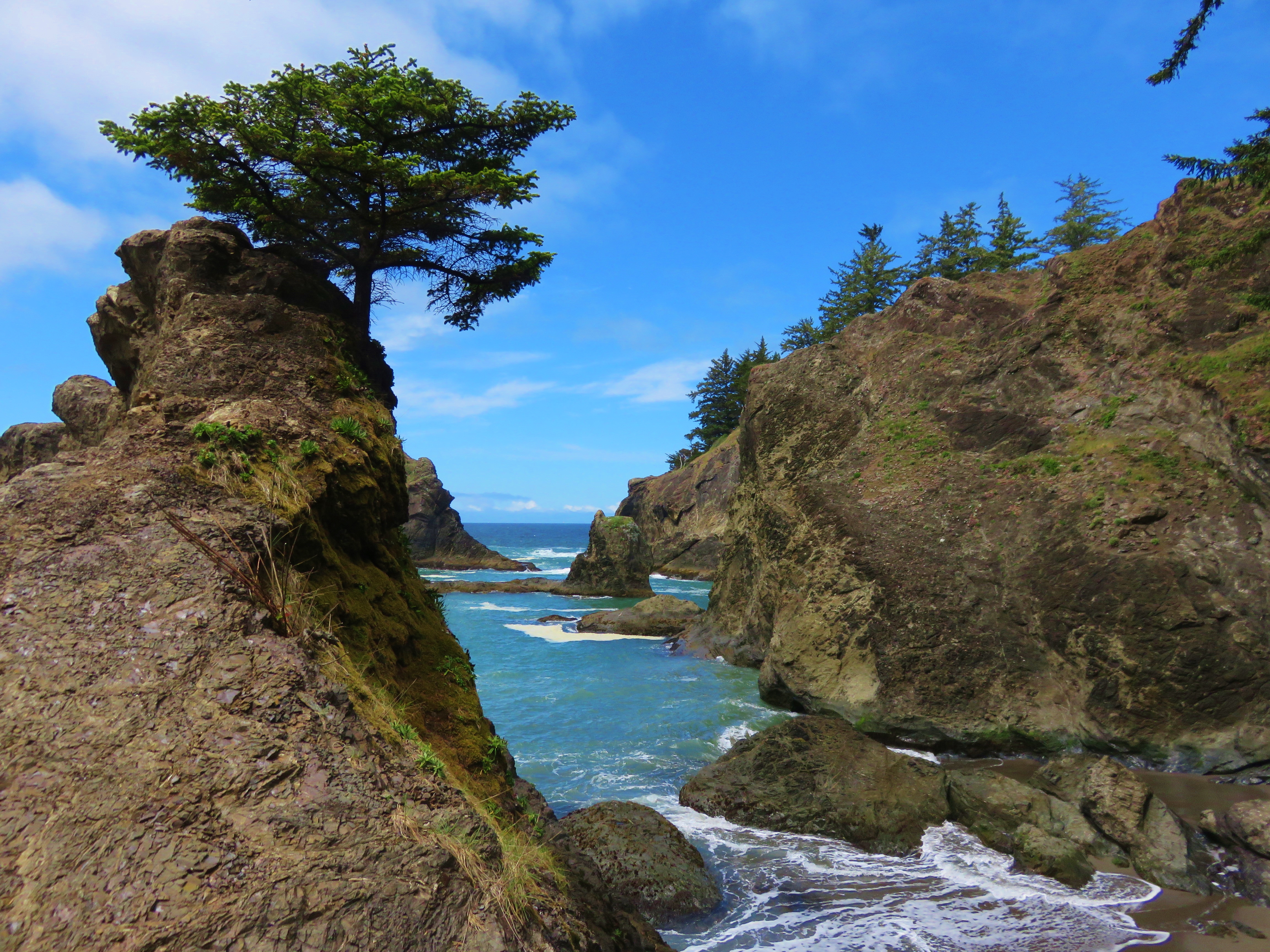
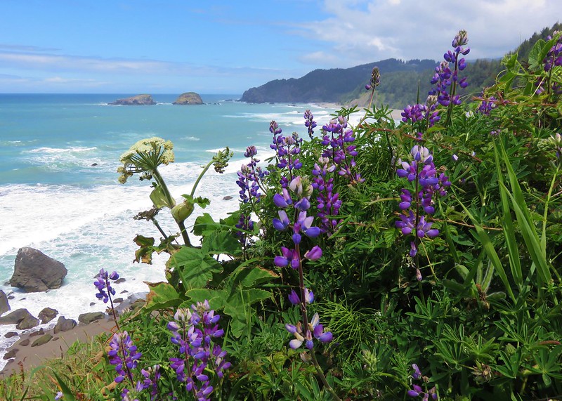
Two mountain ranges are home to several hikes. The Coast Range extends over 200 miles from the Oregon/Washington border south to the Middle Fork Coquille River. At the southern end of the Coast Range the Klamath Mountains begin extending south into California. The elevations for these hikes ranged from sea level to 4655′ atop Vulcan Peak in the Klamath Mountains (Mary’s Peak at 4097′ marked the high point in the Coast Range).
Lastly many of the hikes along the Oregon Coast follow the route of the Oregon Coast Trail.
Without further ado here is a list of the 100 featured hikes along with a photo (or two where two distinctly different hikes were included in the entry) from the 2009 3rd edition of “100 Hikes/Travel Guide Oregon Coast & Coast Range”.
With any luck the Salmonberry Railroad will be reopened in the not too distant future so we can say we’ve completed the 4th edition as well. In the meantime there are still other non-featured hikes to explore and trails to revisit. Happy Trails!
One of the most enjoyable experiences while hiking is encountering wildlife. Oddly enough it’s also one of the worst (see ticks, mosquitos, and yellow jackets). From creatures great to small we were blessed to see a wide variety of God’s creations this past year. While there remain a number of critters on our “bucket list” of animals we haven’t encountered yet in 2021 we were able to put a check mark by river otters, American bitterns, and raccoons. River Otters on a boom at Dorena Lake
American bittern flying over Fern Ridge Wildlife Area
Raccoons at South Slough Estuary
We are working on learning to identify the various birds and butterflies we see and have made our best efforts (guesses), but as with our attempted identification of wildflowers (post) any help and or corrections is appreciated. With that here is a collection of the rest of the wildlife we encountered in 2021 starting with caterpillars, butterflies and moths.
Several species
One of the sulphurs
Another sulphur
Becker’s white
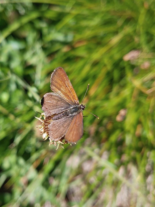
A hairstreak
Also a hairstreak
Cabbage white
California tortoiseshell
A checkerspot
Chlosyne acastus – sagebrush checkerspot, female
Chlosyne acastus – sagebrush checkerspot, male?
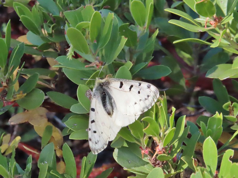
Cloudis parnassian
Cedar hairstreak
Green comma?
Hoary comma
Juba skipper – Hesperia juba
Langton’s Forester Moth
Lorquin’s admiral
Milbert’s tortoiseshell
Moth
A moth, possibly Gnophaela latipennis
Moth
Mylitta crescents
Ochre ringlet
Orange tip
Possibly a Boisduval’s blue – Icaricia icarioides
Propertius duskywing – Erynnis propertius
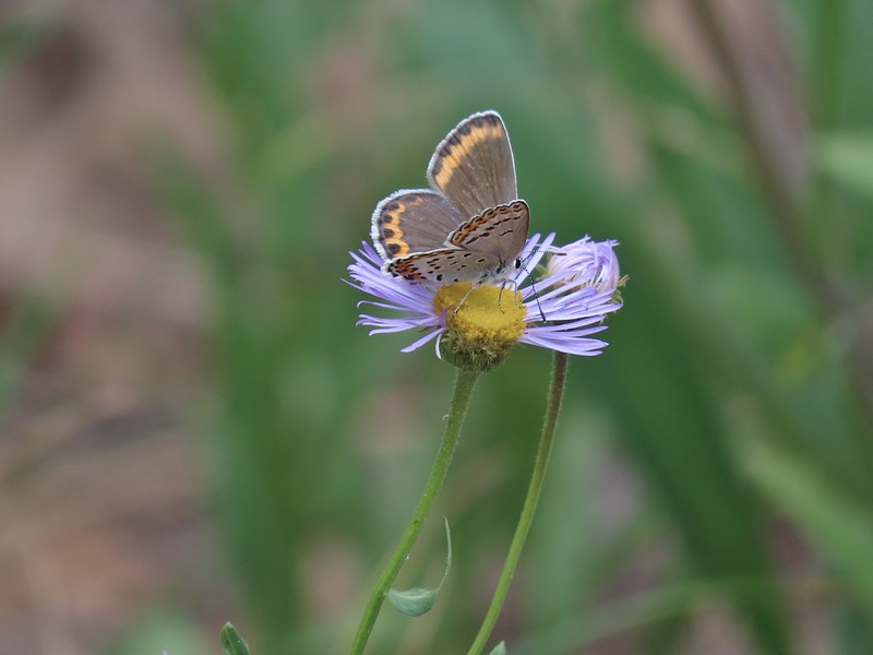
Purplish copper
Possibly another purplish copper, Steens Mountain Wilderness 8/17.
Sheep moth
Silvery blue?
A skipper
Anise swallowtail
Indra swallowtail
Possibly a pale swallowtail -Ninemile Ridge
Possibly a western swallowtail -Devil’s Staircase Wilderness
Viceroy
Wood nymphs July 19th, Ochoco Mountains
August 17th Steens Mountain Wilderness
August 19th Steens Mountain Wilderness
One of the fritillary butterflies I think.
Flying ants at the summit of Mt. Bachelor
Cicada
Ladybug
Find the beetle
Dictyoptera aurora?
Crab spider
Spot the spider
Praying mantis
June bug
Damsel fly
Dragon fly
Dragon fly
Dragon fly
Dragon fly
Alligator lizard
Ring necked snake
Turtle
Western fence lizards
Dunn’s salamander?
Rough skinned newt
Crawdad surrounded by rough skinned newts
Fish in Black Canyon Creek
Seals
Sea lions
Nutria
Hindquarters of what we believe to have been a mole.
There are several species of chipmunks in the area and I think these are two different species but I’m not sure which ones. Indian Heaven Wilderness
Badger Creek Wilderness
Likewise there are several different squirrels and ground squirrels. Golden mantled-ground squirrel
Pikas at first glance might seem to be related to ground squirrels but they are actually closely related to rabbits. Pika
Mountain cottontail
Eastern cottontail
Snowshoe hare
Jack rabbit
Ring-necked duck and a lesser scaup
American coot, spotted sandpiper and mallards on a log
American wigeons
Green-winged teals
Cinnamon teal
Mallards, a cinnamon teal and a pied billed grebe
Common merganser
A female hooded merganser? and buffleheads
Northern pintails
Northern shovelers
Ducklings
Canada geese
Western grebe
Bird at the Formal Gardens at Shore Acres State Park
At least two types of egrets and a bunch of ducks at Malhuer Wildlife Refuge
Egret
Great blue heron
Black-necked stilt
Dunlins
Yellowlegs?
White faced ibis
Whimbrels
Spotted sandpiper
Another sandpiper
A couple of types of shorebirds
White pelican
Seagull
Cormorants
Kingfisher
American dipper aka ouzel
A couple of American bushtits
Bewick’s wren?
Canyon wren?
Wren? at Horsethief Butte near The Dalles.
No idea, seen along the Alder Springs Trail in Central Oregon.
Possibly a flycatcher?
A flycatcher
Flycatcher?
Another no clue, seen near a creek in the Ochoco Mountains.
Crossbills? (based on the crossed beaks)
Black headed grosebeak
Black phoebe
California scrub jays
Gray jay
Stellar’s jay
Pinyon jay
Clark’s nutcracker
Brewer’s blackbird
Yellow headed blackbird
Red winged blackbird
Starling
Cedar waxwings
Common yellowthroat
Dark eyed junco
Chestnut-backed chickadee
Mountain chickadee
Possibly an orange crowned warbler
Ruby crowned kinglet
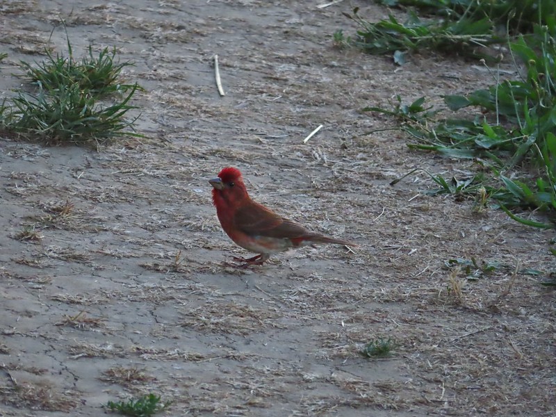
A finch
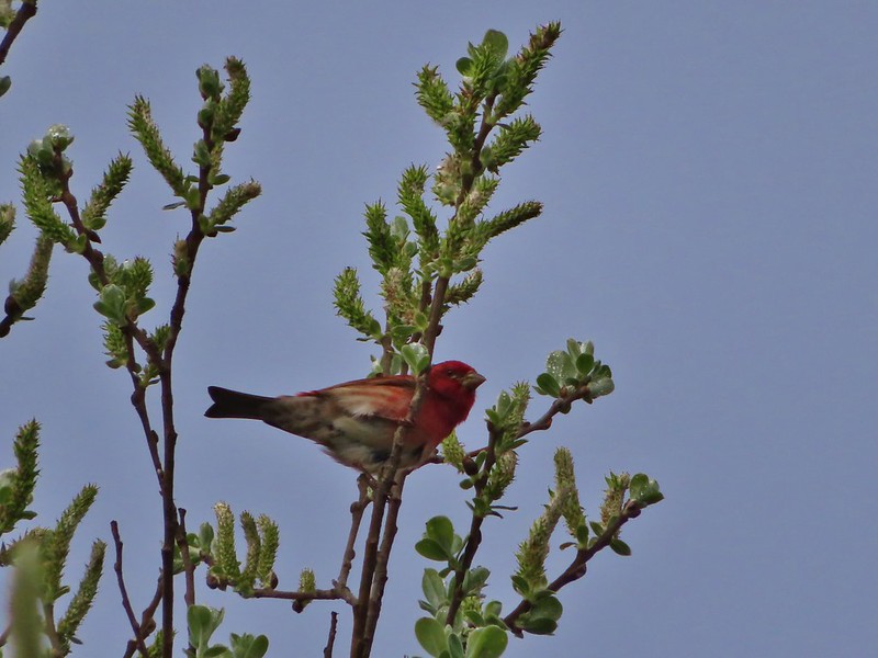
A finch
A finch
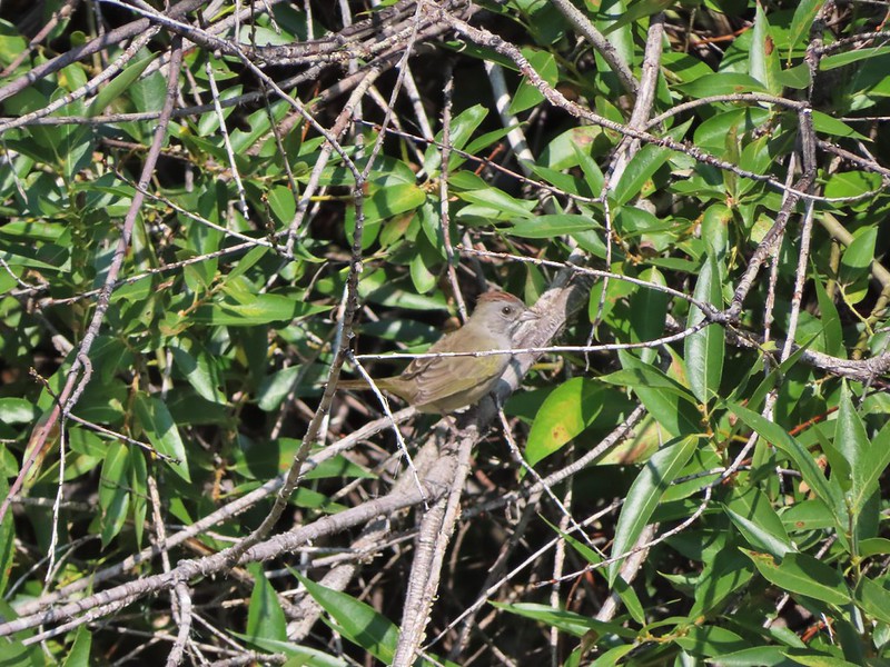
Green-tailed towhee
Spotted towhee
Pipit
Townsend’s solitaire
Robin, western bluebird and swallows
Mountain bluebird
Lazuli bunting
Red breasted nuthatch
Yellow-rumped warbler
Western meadowlark
Western tanager – male
Western tanager – female
Western wood-pewee
Rufous sided hummingbird
Chipping sparrow?
White crowned sparrows
Savannah sparrow
Sparrow
Sparrow?
Lark sparrow
Downy woodpecker?
Lewis’s woodpecker
Northern flicker
Red breasted sapsucker
A woodpecker
A woodpecker
Killdeer
Mourning dove
Grouse, leaning toward sooty
Not sure which type of grouse this is.
Ruffed grouse?
Sage grouse
California quail
Turkeys
Rooster at Cape Arago State Park
Crow
Turkey vulture
A magpie and some sort of hawk
A hawk
Hawk in flight
Cooper’s hawk?
Hawk in the Pueblo Mountains
Red-tailed hawk
Hawk or?
Northern harrier
Osprey (with meal)
Bald eagle
Great horned owl
American kestral
Common nightwawk
Northern shrike
Coyote
Wild horses at Steens Mountain
Not wild cows along the Little Malhuer Trail
Columbian black-tailed deer
Columbian white-tailed deer
Mule deer fawn
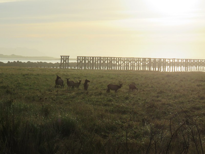
Elk in the Aldrich Mountains
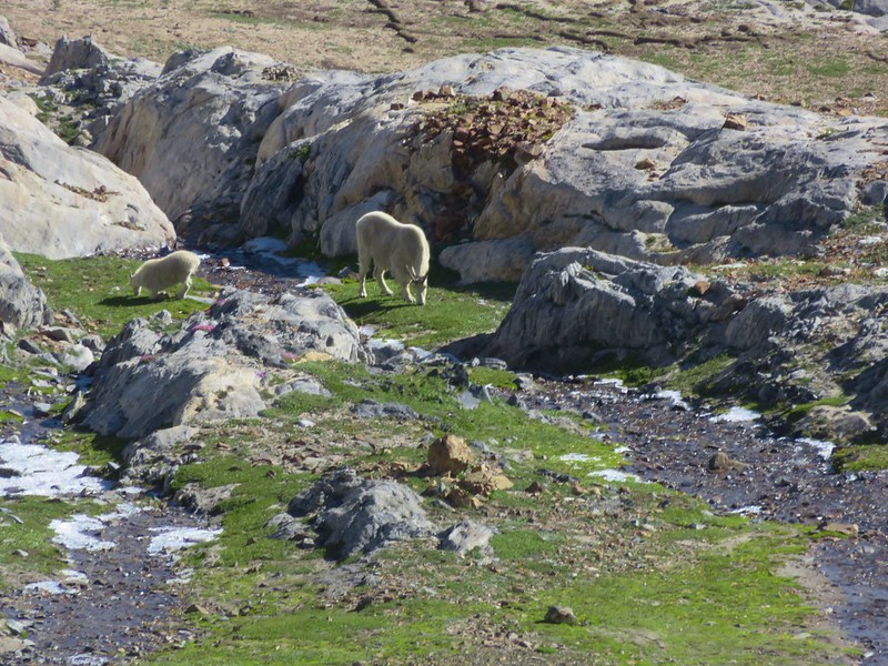
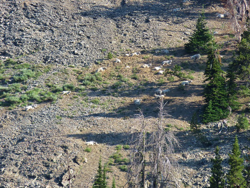
Mountain goat
At the top of our list of animals we haven’t seen is a cougar (at a distance please), beaver, and porcupine along with a number of others. Good luck out there in 2022 and Happy Trails!
Our 2021 wildflower year was an interesting one. We took a handful of wildflower specific hikes in Spring but drought conditions contributed to a shorter wildflower season. We also spent a fair amount of time in the drier central and eastern parts of Oregon where the flowers tend to be sparser but also offers a different mix of species. We have made every effort to identify the flowers as best as possible but are by no means “experts” in any way. With that in mind any help in correctly identifying any of the flowers pictured is more than welcome.
The honor of first flower we spotted on a hike this year goes to Skunk Cabbage near the North Fork Nehalem River in February.
The last flower we saw was the non-native tansy ragwort at Fern Ridge Wildlife Area in November.
In between and in no particular order here are most of the others we were fortunate enough to see. A delphinium
Red stem storksbill surrounding a lomatium.
A “nettle” of some sort at South Slough Estuary.
A treefoil.
A vetch
An allium on Ninemile Ridge.
Asters, fleabanes and similar flowers remain a mystery so here are some of these types spotted throughout the year.
This may be Eaton’s aster along the Deschutes River.
The small white flowers are miterworts while I believe the yellow is an arnica.
Avens
We believe this is ball head sandwort
Ballhead waterleaf
Pacific waterleaf
Balloon pod milk vetch
A milk-vetch, possibly Yakima
A balsamroot at Lyle Cherry Orchard
A balsamroot at Columbia Hills State Park
Hoary balsamroot on Ninemile Ridge
We think these are mules ears along the Malhuer River Trail
Baneberry
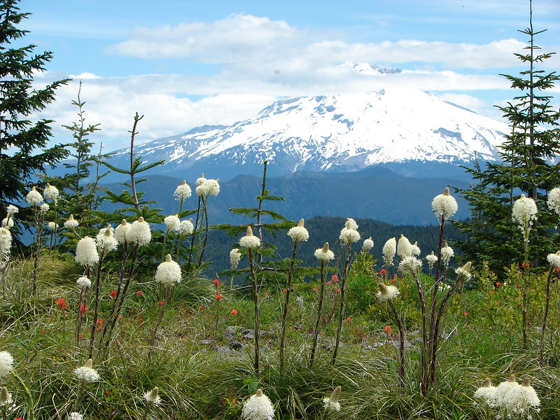
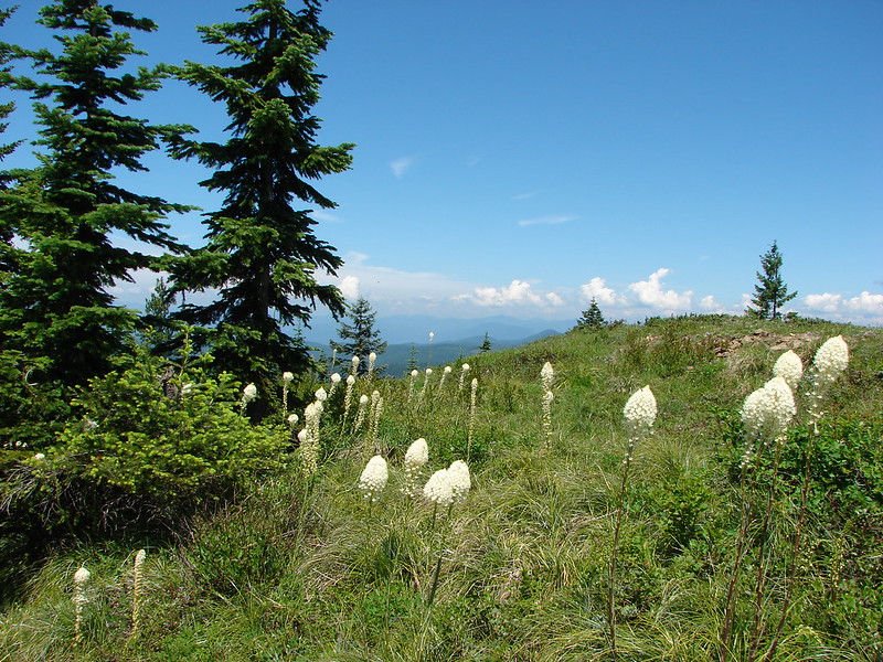
Beargrass, admittedly not the nicest specimen but this one stood out as the only still blooming stalk we saw on our hike in the Indian Heaven Wilderness on 9/5/2021.
Penstemons and beardstongue
Yarrow
Big-head clover
Big-seed lomatium surrounded by parsley.
A bindweed
Bistort
Bitter cherry
Bitterbrush
Blackberry
The only blanket flower with any petals left.
Bleeding heart
Blue dicks?
Might be ookow or blue dicks?
Large-flower triteliea
White triteliea
Henderson’s stars
Blue mountain prairie clover
Blue-bells of Scotland
Blue-eyed Mary, slender phlox, and elegant mariposa lilies.
A phlox
A phlox
Phlox
A phlox
Sub-alpine mariposa lily
Tolmie’s mariposa lily
Sagebrush mariposa lily
Sand lily
Glacier lilies
Fawn lilies
Washington lily
Yellow bell lilies
Blurry photo but the only tiger lily we came across in 2021.
Chocolate lily
Water lily
Bog orchid
Phantom orchid
Lousewort
Brass buttons (non-native) along the coast near Fivemile Point.
Alpine buckwheat
A buckwheat
A buckwheat
Another buckwheat
Sulfur? buckwheat
More buckwheat
Western snakeroot
Buttercups
Pearly everlasting
A mustard? along the John Day River
California corn lilies
False hellebore
Death camas
Mountain death camas
Candy sticks
Candy flower
Catchfly
Chamomile (non-native)
Checkermallows and/or checkerblooms:
Chicory (non-native)
Chokecherry
A cinquefoil?
Slender cinquefoil
Sticky cinquefoil
Lassen clarkia?
Elkhorn clarkia aka Ragged robin
Clarkias with an out of focus madia
Common madia
Clover
A clover (non-native)
Red clover
Coastal manroot
Coltsfoot
Columbine
Coneflower
A currant
Also a currant
Daggerpod
Dandelions in the midst of mahala mat
Sagebrush false dandelion
Deadly nightshade
Diffuse evening primrose
Hooker’s evening primrose
A primrose
Dusty maiden
Dwarf aplinegold
Elegant brodiaea
Elephants head
Fairy bells
Fairy slippers
False lily of the valley and youth-on-age
False solomonseal
Plummed solomonseal
Star flower solomonseal
Starflower
False sunflowers
Fiddleneck
Fireweed
Flower near Illahe Lodge on the Rogue River Trail
Fringecup
Fuller’s teasel
A gentian
Gentians in the Steens Mountain Wilderness
Purple sticky geranium
Ghost pipe
Giant white wakerobbin
Trillium
Gold stars
Goldenrod
Gooseberry
Grand collomia
Grass of parnassus
Grass widows
Paintbrushes:
Groundsel?
Gumweed? July, Willapa Bay
Also a gumweed? Sept, Deschutes River
Hardhack aka Douglas spirea
Hawksbeard
Heart leaved bittercress
Heuchera cylindrica -roundleaf allumroot
Orange honeysuckle
Houndstongue
Also a houndstongue I think.
Evergreen huckleberry
Hyssop
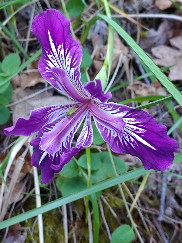
Wild iris
Jacobs ladder
Western Jacobs ladder
Jessica sticktight
Largeleaf sandwort
Larkspur
Lewis flax
Pale flax
Lupines
Sabin’s lupine
Manzanita
Marshall’s saxifrage
A saxifrage?
Saxifrage?
Mock orange
A monkeyflower
A monkeyflower
Pink monkeyflower
Monkshood
Moth mullien
Mountain bluebills
Tall bluebills
Mountain coyote mint
Mountain heather
Very sad looking mountain lady slippers
Naked broomrape
Northern bedstraw
Nuttal’s linanthus
Old man’s whiskers
Orange agoseris
Orange jewelweed
Oregon grape
Oregon sunshine
Daisies
Pacific coralroot
Spotted coralroot
Striped coralroot
Pinedrops
Two kinds of parsley
Partridgefoot
A pea?
A pea?
Pea (non-native)
Pennycress
Plectritis
Popcorn flower
Poppies
Poppy
Prince’s pine
Purple deadnettle
Purple oyster
Salsify
Pussy toes
Pussy paws?
Queen’s cup
Rangers buttons
Red osier dogwood
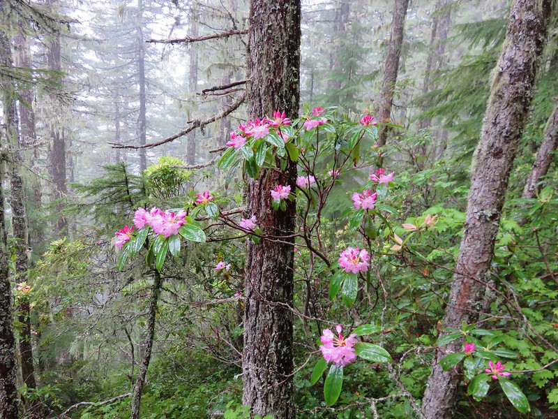
Rhododendron
Rockfringe willowherb
Rough eyelashweed
Bunchberry
Salal
Salmonberry
Service berry
Scarlet gilia
Sea thrift
Self heal
Shooting stars
Showy milkweed
Sicklepod rockcress
Silky phacelia
Silverleaf phacelia
Threadleaf phacelia
Snow queen
Wallflower
Spreading dogbane
Sticky starwort?
Stonecrop
Strawberry
Swamp onion
Tapertip onion?
An onion
Tailed kittentails
Tassel-flowered bricklelbush – Favoite name of the year.
Thimbleberry
Thistle and thistle like flowers
Three-leaf lewisia
Threeleaf goldthreads
Twinberry honeysuckle
Twinflower
Twisted stalk
Toothwort
Valerian
Vaetch’s blazingstar
A violet
A violet
Wapato
Western clematis
Western meadowrue
Western stoneseed
Western pasque flower (seed head)
White stemmed frasera shortly before blooming.
Wild ginger
Rose
Roses
Wintergreen
Woodland stars
Below are a flowers that we’ve not been able to even come up with guesses on. May 29th, Alder Springs Trail
May 29th, Alder Springs Trail
May 30th, Cottonwood Canyon State Park
May 30th, Cottonwood Canyon State Park
June 14th, North Fork Umatilla Wilderness
August 29th, Mt. St. Helens National Volcanic Monument near the Norway Pass Trailhead.
September 5th, Indian Heaven Wilderness along Falls Creek.
September 13th, Deschutes River
I apologize for the plethora of pictures but if you’ve gotten this far (without skipping) congratulations and Happy Trails regardless!
Weather permitting we like to get our January hike in on New Years Day. A series of Winter storms had passed over the Willamette Valley starting Christmas night but while temperatures had remained cold the precipitation had ceased and the forecast for New Years Day was for another dry day with a potential for sunny skies. The only issue presented by the forecast were the temperatures which promised to be in the low 20’s for our morning start. We had our sights set on Forest Park in Portland as it didn’t require us driving over any mountain passes and allowed us to sleep in a bit since it is only an hours drive from Salem. This would be our fourth hike in the park but our first time starting from an upper trailhead in the Tualatin Mountains. One of our goals was to visit the stone ruins, sometimes referred to as the Witch’s Castle, along Balch Creek which was one of two options for Sullivan’s Balch Creek featured hike. We had chosen to do his longer option in 2020 (post) which we used to check that featured hike off our to-do list but we wanted to tie up the loose end.
We decided to begin our hike at the NW 53rd Trailhead in order to add some distance and to check out some of the trails that we had not hiked on in 2020. While the snow had left the valley floor at 800′ some still remained and the 21 degree temperature had frozen everything.
From the trailhead we immediately turned right on the Keil Trail, one of the trails we had not been on before.
The trail ended in under a quarter mile at the Dogwood Trail where we turned left.
We followed this trail downhill for a little over half a mile to a junction with the Wildwood Trail.
A bank of clouds was sitting directly over Portland but we could see the edge in the distance. We hopped that the clouds would either burn off or move along.
We turned right on the Wildwood Trail. The next 0.6 miles to a junction with the Wild Cherry Trail was a section of trail that we had been on in 2020.
We stayed straight on the Wildwood Trail ignoring all side trails for 2.5 miles to the stone ruins along Balch Creek.
Junction with the Birch Trail.
A wren busy pecking at a log.
Junction with the Aspen Trail. As we descended we left most of the snow, and the icy conditions, behind.
Holman Lane Junction.
Balch Creek and the Lower Macleay Trail (Currently closed due to construction.)
Icicles over Balch Creek.
We continued beyond the Witch’s Castle another half a mile to the Macleay Park Trailhead crossing Balch Creek and climbing up a rather slick hill along the way.
Going uphill before it got really slick.
Wilwood Trail at Macleay Park Trailhead.
We left the Wildwood Trail at the trailhead turning right past some picnic tables and taking a path along NW Cornell Road to the Portland Audubon Wildlife Sanctuary.
A network of trails loop around the sanctuary.
We began our tour here by walking past the Wildlife Care Center where we think we witnessed an escape attempt.
Aristophanes, a common raven and long time resident at the sanctuary, was being visited by another pair of ravens with questionable intent :).
We took this raven to be the “lookout”.
Beyond the ravens the trail descended to Balch Creek where we took the short Creek Trail to a turnaround at a bench before returning to the Jay Trail.
Bench at the end of the Creek Trail.
We left the Jay Trail by taking a right on the Woodpecker Trail keeping right at junctions to meet up with the other end of the Jay Trail which we then returned on making a 0.7 mile loop. Pond along the Jay Trail,
Junction with the Woodpecker Trail.
Big Douglas fir.
I continue to struggle to get a clear photo of a varied thrush.
Jay Trail junction with the Wren Trail.
Nearing the pond from the other side.
After completing this short loop we crossed NW Cornell Road and headed up the Al Miller Founders Trail.
The Founders Trail climbed up into increasingly snowy forest before traversing around a hillside to a junction with the North and South Collins Trails in 0.6 miles.
Stairs up to the trail junction.
The South Collins Trial offered a slightly shorter loop but we turned left on the North Collins Trail which climbed a little more before winding downhill and rejoining the South Collins Trail near NW Cornell Road.
Baseball sized jelly fungus, the largest we’ve seen.
Descending to the South Collins Trail.
More ice formations.
This was a 1.5 mile “almost loop” which required a 500′ road walk to return to the Founders Trail and the Wildlife Sanctuary.
We then made our way back to the Macleay Park Trailhead and the Wildwood Trail which we followed across NW Cornell Road.
Due to tunnel construction the road was closed just beyond the trailhead so we didn’t have to worry about traffic as we crossed. On the other side of the road we continued on the Wildwood Trail but soon found ourselves facing the slickest section of trail we’d encountered yet. Luckily we had brought our Kathoola micro spikes which we put on in order to get down the little hill. We planned on returning via the Upper Macleay Trail.
Heather descending the slick section with a trail runner behind that had attempted to get up the hill but was turning back.
The trail runner had come up the Cumberland Trail which she said had been fine but above that trail things got slick fast. Cumberland Trail junction.
The Wildwood Trail turned uphill at a junction with the Macleay Trail which is where things started to get really interesting.
Other than the one hill where we’d put on our spikes there had always been enough clear trail to find descent footing but now the trails were pretty much ice.
We held off putting the spikes back on though until the three way junction with the Upper Macleay Trail. We watched another trail runner slip and slide as they carefully made their way downhill and decided it was time to put the spikes back on. The trail runner in blue.
With the spikes on we were able to confidently walk uphill, marching past a number of folks struggling to come down. We saw a few falls but luckily we didn’t see anyone get injured which was a real possibility. Besides us we only came across 4 other hikers with some sort of traction devices for their shoes.
We had visited the mansion in 2018 (post) having come up from the other side on the Wildwood Trail and had hoped that this time we might get a view but alas the cloud cover had not moved on. Pittock Mansion
A line of blue sky beyond the cloud cover.
Portland from Pittock Mansion.
Snowy foothills in the sunlight beyond the Columbia River.
Deprived of a mountain view we headed back to the Wildwood Trail where we put our microspikes back on and headed downhill.
With the spikes on we had no issues reaching the junction with the Upper Macleay Trail where we turned left.
The spikes stayed on until we had descended to Macleay Park and Heather re-donned hers again to descend to the Witch’s Castle.
Entering the Macleay Park Trailhead.
One last look at the Witch’s Castle.
When we reached Holman Lane we turned left and headed uphill. We followed Holman Lane just over three quarters of a mile to NW 53 Dr. where we turned right walking a short distance along the road to the Birch Trailhead. Here we picked up the Birch Trail which descended a quarter mile back to the Wildwood Trail. Going back this way not only let us experience a new trail but it cut a half mile off the distance to the Wildwood/Birch Trail junction. Holman Lane started out snow and ice free.
Back to the snow and ice higher up.
NW 53rd Drive
Birch Trailhead
The microspikes went back on before descending the Birch Trail and stayed on for the remainder of the hike.
Sparrow foraging on the Birch Trail.
Back to the Wildwood Trail.
We turned left on the Wildwood Trail for 0.4 to the Wild Cherry Trail where we again turned uphill. This was another new section of trail for us and it was an additional three quarters of a mile shorter than returning via the Wildwood Trail. Wild Cherry Trail junction.
Little snowman near the junction.
Is that a bit of blue in the sky finally?
Snowy mushrooms
The Wild Cherry Trail ended at the Dogwood Trail where we turned right for a short distance before reaching its junction with the Keil Trail.
A break in the clouds provided some blue sky above the Keil/Dogwood Trail junction.
We turned left on the Keil Trail retracing our steps from the morning to the NW 53rd Trailhead.
Woodpecker that wasn’t a bit concerned about my presence.
The Subaru waiting for us at the trailhead.
According to the GPS this was a 13 mile hike with around 2500′ of elevation gain.
Portland Audubon trails in orange.
Aside from not getting the views we’d hoped for this was a wonderful way to kick off the new year. There was good scenery, historical structures and a good deal of wildlife (even if most of it wouldn’t stay still long enough for photos). We hope everyone had a great holiday season and here is to a great 2022. Happy Trails!
It’s hard to believe another year has passed but here we are once again looking back on 12 months worth of hikes. While 2021 was an improvement over 2020 in almost every way it still had its share of ups and downs including losing our remaining cat Hazel in June and my Grandmother in October. While the challenge of finding places to hike due to COVID in 2020 were no more, the same couldn’t be said for COVID itself and it seems like it will be around for awhile. Wildfires once again were a large factor in deciding on our destinations, another issue that doesn’t appear to be going away any time soon.
Despite these issues we had some great hikes in 2021. I slipped an extra three hikes in during the month of April to wind up hiking on 58 days for a total of 641.5 miles while Heather got 55 days in and 614.7 miles. Forty of the hikes were entirely new to us while only one, Tumalo Mountain (post), was an complete repeat. We had done that one over after failing to catch the sunrise on our first try and boy was it worth it.
Our first and final hikes of the year were on converted railroads. Banks-Vernonia State Trail in January. (post)
Over the course of the year we managed to complete several of our long term hiking goals. A trip to Cottonwood Canyon State Park in May marked our first hike in Gilliam County which is the last of Oregon’s 36 counties that we had not hiked in. John Day River from the Lost Corral Trail
Trips in June and July took us to the final four of the 46 designated wilderness areas (open to visitors) that we had yet to visit in Oregon. In all we spent twenty-one days hiking in 15 different designated wilderness areas. Ninemile Ridge in the North Fork Umatilla Wilderness in June. (post)
By the end of July we had also completed our goal of hiking at least part of all 100 featured hikes in William L. Sullivan’s “100 Hikes/Travel Guide Oregon Coast” guidebook and in August we did the same with his “100 Hikes/Travel Guide Northwest Oregon and Southwest Washington” guidebook. Ledbetter Point, the last of the hikes from the coast book. (post)
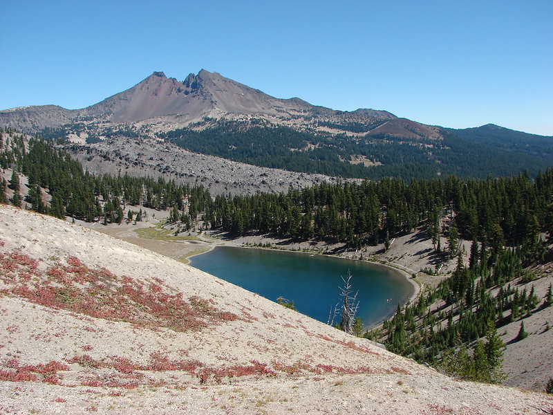
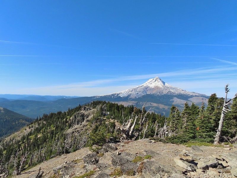
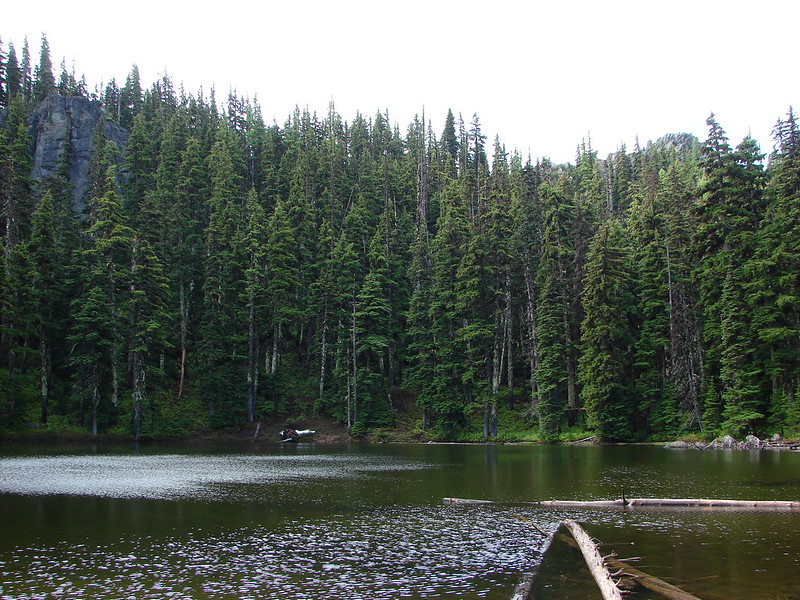
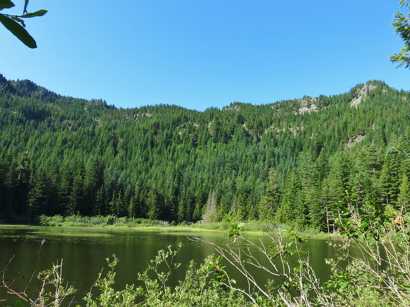
Badger Lake, the last hike from the northwestern book. (post)
Finishing those two books in addition to the central Cascades book we completed last year (post) left just the eastern and southern books. We checked off 14 featured hikes from the eastern book but were unfortunately unable to make any headway on the southern book due to the wildfires and persistent smoke that plagued southern Oregon and northern California for much of the hiking season.
Our northern most hike was at the aforementioned Ledbetter Point while our southern most hike was on the Oregon Redwoods Trail near the California border (post). Redwoods
The western most hike was, as usual, along the Oregon Coast at Cape Argo State Park. (post)
This marked the first time 3 hikes from the same guidebook marked the furthest in different directions. For obvious reasons the eastern most hike was not from the coast book but from the eastern book. That was our hike on the Wenaha River Trail. (post)
As we have done the last couple of years we plan on putting together 2021 wildlife and wildflower posts but we’ll leave you with a few of our favorite sights throughout the year. For the most part the weather was good but wildfire smoke often impacted views. Falls Creek – February
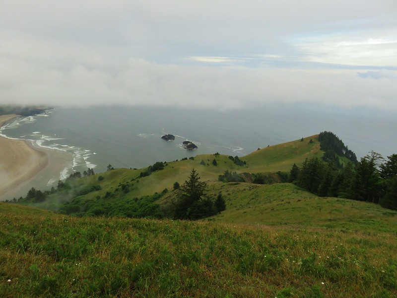
Cascade Head from God’s Thumb – March
Columbia River from Mitchell Point – March
Mt. Hood from Sevenmile Hill – March
Dalles Mountain Ranch – April
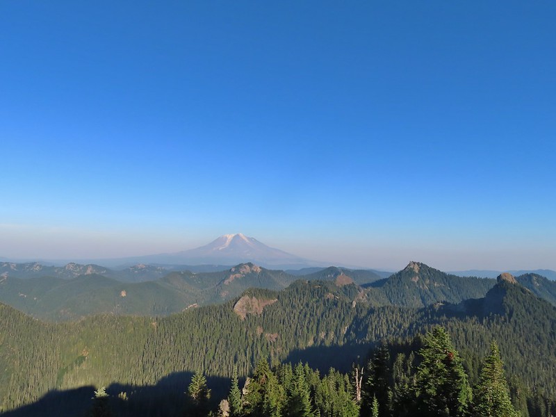
Mt. Adams from Grayback Mountain – May
Navigating a downed tree along the Pawn Old Growth Trail – May
Rogue River Trail – May
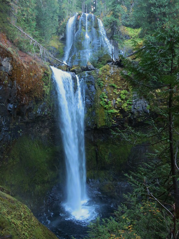
Golden Falls – May
Lenticular cloud over Mt. Hood from Surveyor’s Ridge – May
Whychus Canyon – May
Deschutes River – May
Whychus Creek Overlook – May
Forest on Mary’s Peak – June
North Fork Umatilla River – June
Tower Mountain Lookout – June
Malheur River – June
Meadow on Round Mountain – June
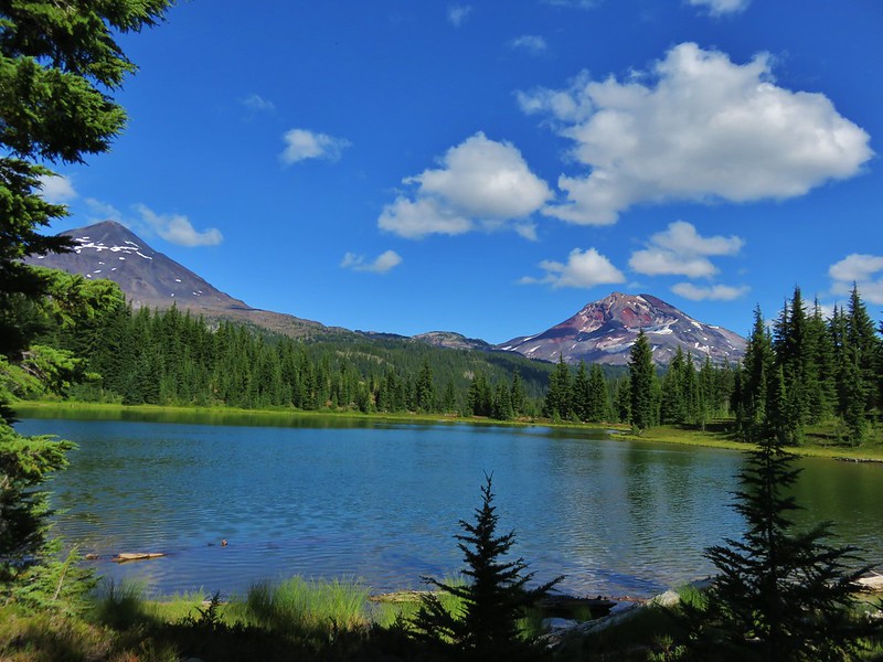
Santiam Lake – July
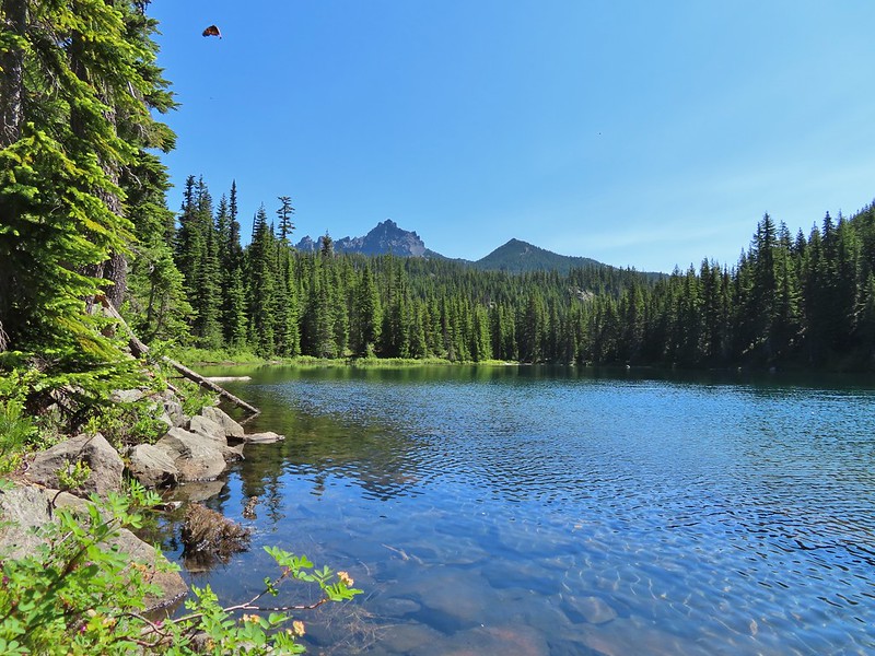
Three Fingered Jack from Lower Berley Lake (and a butterfly photobomb) – July
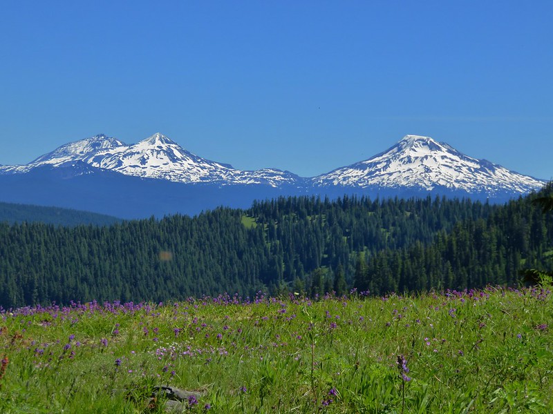
The Husband and Three Sisters from Substitute Point – July
Ochoco
Mountain Trail – July
Red Sun through wildfire smoke from the Monument Rock Wilderness – July
Canyon Mountain Trail, Strawberry Mountain Wilderness – July
Aldrich Mountains – July
Mt. Mitchell summit on a rare poor weather day – August
Mt. Bachelor – August
Cottonwood Camp, Big Indian Gorge in the Steens Mountain Wilderness – August
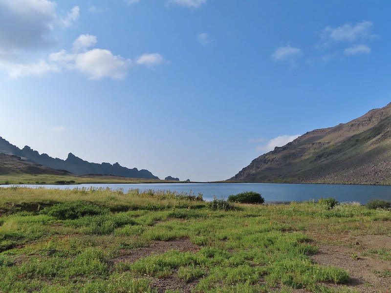
Wildhorse Lake, Steens Mountain Wilderness – August
Evening at the Steens Mountain Resort – August
Little Blitzen Gorge – August
Riddle Ranch – August
Morning in the Pueblo Mountains – August
Oregon Desert Trail, Pueblo Mountains – August
Mt. St. Helens and Spirit Lake – August
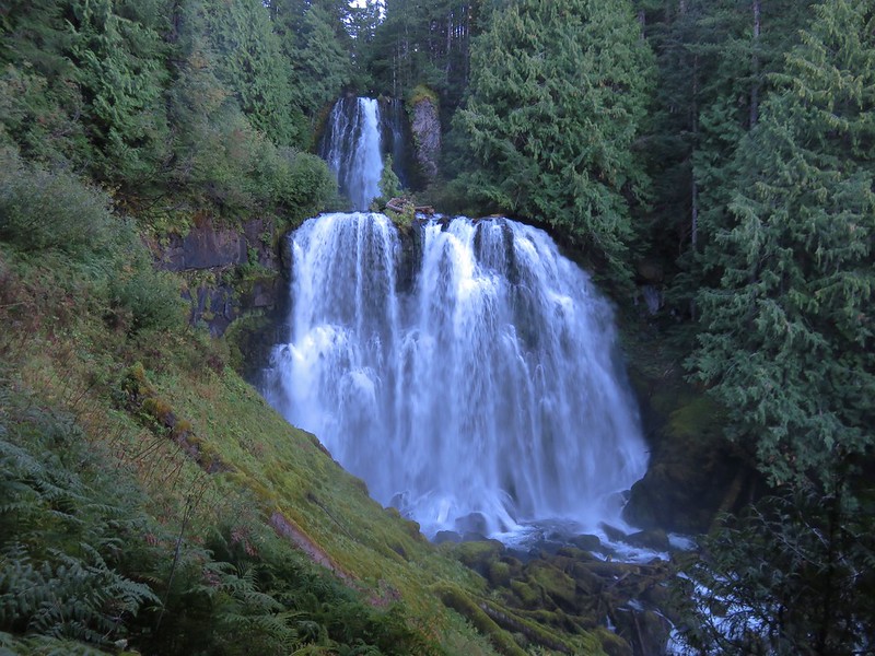
Harmony Falls – August
Loowit Falls – August
Mt. St. Helens from Norway Pass – August
Mt. Hood from the PCT in the Indian Heaven Wilderness – September
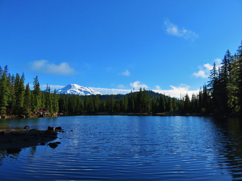
Mt. Adams and Soda Peaks Lake, Trapper Creek Wilderness – September
Jubilee Lake – September
Rough Fork Trail, Blue Mountains – September
Heritage Landing Trail, Deschutes River – September
McDonald-Dunn Forest – October
Cascade Mountains from the Mt. Jefferson Wilderness – October
Three Fingered Jack from Round Lake – October
Mt. Hood from the Flag Point Lookout
Mt. Hood from Lookout Mountain – October
Silver Falls State Park – October
Laurel Hill Wagon Chute – October
Barlow Ridge, Mt. Hood Wilderness – October
Fern Ridge Wildlife Area – November
Here’s to an even better 2022. Happy New Year and Happy Trails!
A combination of a busy December both at work and home and uncooperative weather left us with one final day to get our December hike in before the holiday weekend. Short of an ice storm we planned on hiking somewhere but the exact hike would depend on the weather forecast. As we got closer to the day, rain was the consensus everywhere within our day hiking radius. I looked through the hikes we hadn’t done yet for options for this time of year where a day of rain would have least impact on the hike. After coming up with a couple of possibilities, each a different direction from Salem a I looked again at the forecast for each area to see if any looked better than the others. The Row River Trail just East of Cottage Grove was the clear winner with just a chance of showers in the morning increasing to rain as the day went on.
A converted rail road, the Row River Trail is a 14 mile long paved National Recreation Trail. We hiked a portion of the trail last June during a multi-stop day (post). On that day we started at Bake Stewart Park which is on the eastern side of Dorena Lake and hiked west to Rat Creek which is just beyond Harms Park. Our plan for this outing was to park on the other side of Dorena Lake at the Mosby Creek Trailhead and hike east to Harms Park. It was overcast but not raining when we pulled into the trailhead parking area.
The trail begins in Cottage Grove approximately 3 miles to the west of this trailhead it passes through town then closely follows Mosby Creek Road to the trailhead. While the trail beyond Mosby Creek crosses several roads and follows Row River Road around Dorena Lake it is more scenic than the first 3 miles would have been. Starting at the Mosby Creek Trailhead also offers the chance to make a quick 50 yard detour to the 1920 Mosby Creek Covered Bridge which was restored in 1990 and is still in use.
The Row River Trail crosses Mosby Creek on a nearby trestle bridge.
The trail is basically as straight as an arrow for 1.3 miles from the Mosby Creek bridge to a second bridge over the Row River. The scenery along this stretch is farmland and trees.
Ivy disguising itself as a tree.
Mallards and Christmas lights.
Layng Road crossing. The lights on the signs were activated when sensors picked up something approaching.
Currin Covered Bridge on Layng Road.
Cormorants flying overhead.
Approaching the bridge over the Row River.
Row River
Lesser scaup. I would have liked a better picture but it was still early and not very light and the little guy was a ways away on the river.
A short distance beyond the river we passed under Row River Road.
This was a new sign to us.
Shortly after passing under Row River Road the trail began a small climb above some farms as it made a sweeping curve to the right. Row River Road with some snowy hillsides in the distance.
Arrows and other yellow markings identified bumps and holes in the trail for equestrian and bike users.
Jelly fungus
Hamblen Creek
Turkeys in a field.
Sign along a private driveway.
Not very many mushrooms but these were good sized.
The trail crossed Row River Road again as it passed along the shoulder of Cerro Gordo, a 2112′ butte.
From the road crossing We descended slightly passing the unmarked site where the campfire scene was filmed for the 1986 movie Stand By Me before arriving at the Dorena Lake Dam.
Do squirrels jog?
Madrone along the trail.
Row River Road was overhead to the left along this rocky section.
Nearing a bench along the trail facing Dorena Lake Dam.
Interpretive sign near the bench.
A short distance beyond the bench we took a short detour down to the reservoir.
Snow in the Calapooya Mountains.
White pelicans on the other side of Dorena Lake.
We returned to the Row River Trail and continued another half a mile to a small parking area at Row Point where we again detoured to the reservoir. Still no rain despite the clouds.
Red-tailed hawk
A kingfisher and a great blue heron.
Pelicans and other waterfowl on the move.
Cerro Gordo from Row Point.
After visiting Row Point we continued east on the trail for another 1.3 miles before arriving at the Rat Creek Bridge which had been our turn around point on our previous hike. Not much water at all in the eastern end of the reservoir.
A great blue heron on the far left with a bunch of white pelicans and cormorants.
Actual sunlight hitting the dam.
Spotted towhee
Rat Creek Bridge
Rat Creek
It was a very different view from the bridge versus last time. June 2020 from the Rat Creek Bridge.
We continued the short distance into Harms Park to use the facilities and take a short break at a picnic table and then started back.
Gold tree in front of Cerro Gordo.
When we were nearing the dam again we could see a number of cormorants lining the boom.
I decided to detour over to the dam itself to check out the view. The little hill to the left provides access to the north end of the dam.
Heather had semi-reluctantly followed me but as it turned out we were both very happy we’d made the short side trip. Along with the group of cormorants making use of the boom were 4 river otters.
Just drying out.
Trying to play.
No luck.
After not having seen any otters during our hikes prior to 2021 this was now the 4th time we’d seen one but the first where we were able to watch them for any extended period. It elevated what had already been a good hike into the great category. After watching the otters for awhile we headed back to the Mosby Creek Trailhead keeping our eyes open for other wildlife along the way.
Rabbit
American wigeons
Nature slowly reclaiming an old farm truck.
Red breasted sap sucker.
Mosby Creek
The hike came in a 12.4 miles after all of the little side trips with only about 150′ of elevation gain.
There are numerous possible starting/turnaround points which make it possible to break the trial up into several smaller sections and we passed a few people doing just that with their dogs/children. The rain showers never materialized making it a much more pleasant day than we’d expected to have and the variety of wildlife, especially the otters, was a great way to finish off our 2021 hikes. Happy Trails and Merry Christmas!
A dry forecast on my birthday provided a great excuse to head out on our November hike. We had an unusually loose plan for this outing which consisted of a stop at the Clay Creek Trail followed by a visit to the Fern Ridge Wildlife Area with a third possible stop at Meadowlark Prairie. While the 2 mile hike on the Clay Creek Trail was covered in Sullivan’s “100 Hikes/Travel Guide Oregon Coast & Coast Range” we had very little information on the Fern Ridge Wildlife Area. There was enough information available on line to know that it was open to hiking but it was unclear just how long of a hike was possible which is why we were keeping the option of Meadowlark Prairie on the table. The mostly paved 14 mile long Fern Ridge Path passes along Meadowlark Prairie on its way into Eugene, OR which would have provided some extra hiking time if we’d felt that we needed it.
We started our morning by driving to the BLM managed Clay Creek Recreation Site. The hike here is one of two hike Sullivan lists under his Siuslaw Ridge Trails entry (featured hike #65, 4th edition). We had done the other hike at nearby Whittaker Creek in 2016 (post) and while we considered that earlier hike enough to check off the featured hike from our list completed this second short hike would complete it. We parked at a small pullout on the south side of the Siuslaw River. The trailhead sign for the Clay Creek Trail is ahead on the opposite side of the road.
It was a foggy morning, much like it had been on our earlier visit to the Wittaker Creek Recreation Area. Siuslaw River
Clay Creek on the left emptying into the Siuslaw.
A short use trail led down to Clay Creek and a small gravel bench. Stairs at the Clay Creek Recreation Area across the river.
After checking out the creek we walked the short distance up the road to the start of the trail. Sullivan described the hike as a 2 mile out and back but the map on the sign at the trailhead showed a lollipop loop. (Sullivan does mention the loop in his “Trail Updates” on oregonhiking.com.)
The existence of the loop at the top was a pleasant surprise. We crossed Clay Creek on a footbridge and began the 600′ climb to the ridge top.
The Clay Creek Trail climbing above Clay Creek.
We passed a bench at the second swtichback and continued climbing to a junction 0.6 miles from the parking area.
It’s hard to tell size here but the diameter of this tree was well over 5′.
The junction for the loop.
We turned right and continued to climb through the fog to the ridge top where the trail turned left. One of several reroutes we encountered.
On the ridge top.
The trail passed several madrone trees before arriving at a bench at the high point of the ridge. Madrone trunk and bark, always fascinating.
Lots of mushrooms pushing up through the forest floor.
Good sized trees near the high point.
No idea what you might see on a clear day.
The trail then began to descend to another bench at a switchback where the map indicated there was a view.
The viewpoint.
The trail continued switchbacking downhill while it wound back to the junction.
Just before reaching the junction I nearly went head over heals trying to avoid stepping on a rough skinned newt that I spotted at the last minute.
After having a one sided conversation with said newt we continued downhill to the car. Nearing the footbridge.
The fog had lifted off the river at least.
While Sullivan indicates in his update that the loop makes this a 3.6 mile hike others still list it as 2 miles and both Heather and my GPS units logged 2 miles for the hike. Despite the fog not allowing for any view it was a pleasant little hike. Sullivan does also mention that the BLM is considering a $5 parking fee for the area in the future so be sure to check the BLM site before heading out.
We spent just over an hour on the Clay Creek Trail after driving over 2 hours to get there so a second stop was a must in order to not break our rule against spending more time driving than hiking. That’s where the Fern Ridge Wildlife Area came in. Located just west of Eugene the area consists of a dozen units broken up around Fern Ridge Reservoir. We had driven by the reservoir numerous times on the way to hike in the Coast Range and around Florence and seen signs for the wildlife area which had piqued at least my curiosity. After some online research it appeared that parking at the end of Royal Avenue between the Royal Amazon and Fisher Butte units was our best bet. The ODFW website mentions possible seasonal closures but finding detailed information on them wasn’t easy. I was eventually able to determine that these two units were open to the public from 10/16 thru 1/30 from until 2pm each day (presumably starting at sunrise). Even with the earlier hike we had arrived before 9:30am so we had plenty of time to explore. There is a $10 daily fee to park in the lots which is typical for ODFW wildlife areas (although it appeared most people simply parked along the shoulder of Royal Ave to avoid the fee).
Note that Royal Ave and the trail to the viewing platform are open year around with the other restrictions listed below.
We took a picture of this map to assist us with our route.
From the signboard we continued on the gated extension of Royal Avenue. It was a lot foggier than we had expected so the visibility wasn’t good and it was in the mid 30’s so it was chilly too.
We passed a grassy path leading to the viewing platform at the 0.4 mile mark.
We opted to pass on the platform for now hoping that visibility would improve as the morning wore on and we could stop by on our way back. We continued on the old road bed watching for birds and any other animals that might be about.
White crowned sparrow
Northern harrier on the hunt.
Wetlands in the Royal Amazon unit.
As we neared sub-impoundment one a large bird flew up from the reeds. It was our first encounter with an American bittern which was on my bucket list of animals we’d yet to see. The bittern taking off.
Not the greatest photo but enough to identify it.
We turned right on a levy/old roadbed on the other side of the sub-impoundment and followed it for 0.7 miles to Gibson Island. The highlight of this stretch was a pair of bald eagles hanging out in a snag.
A hawk on a stump.
American coots
Gibson Island (with the eagles in the snag to the far left)
A short trail at the end of the levy led onto the island before petering out.
We turned around and headed back to Royal Avenue where we turned right and continued west just to see how far we could go. A flock of geese above the coots.
There were a number of these small birds pecking around in the mud which, with some help from Molly in the comments, are American pipits.
Continuing west.
We used the stones to the right to cross the water here.
Great blue heron (with Highway 126 in the background).
Sandpiper in the roadway.
End of the line.
We imagined that much of this stretch would be under water by late Winter/early Spring but we had managed to make make it 1.7 miles from the trailhead before being turned back. We headed back past sub-impound one to the grassy path near the viewing platform where we left the road bed.
Seagull
Perhaps the same northern harrier.
The harrier taking a break.
The path to the platform.
Dunlins (thanks again to Molly)
The platform.
From the platform dikes led west and south. Since we had just come from the west we decided to go south along a body of water in Field 5.
The first signs that the fog/clouds might be breaking up.
Looking back at a little blue sky and a visible Gibson Island
We watched a group of shore birds as the alternate between foraging in the mud and performing areal acrobatics.
A little over three quarters of a mile from the viewing platform we arrived at a 4-way junction.
We turned left continuing around Field 5 for a third of a mile before arriving at a “T” junction just beyond a ditch. Fisher Butte is the low hill ahead to the right.
According to the map we’d taken a picture of at the trailhead continuing straight at the junction would lead us to the area’s boundary near Fisher Butte while the right hand path led past Field 2 to Field 1 and then to a parking area off Highway 126. We turned left walking between the ditch and Field 3. Gibson Island was now lit by direct sunlight.
In another third of a mile we faced another choice. Another dike headed to the right (east) between Field 3 and Field 4. The dike running between Fields 3 & 4.
Looking back over the ditch.
We opted to turn right having misread the map for the first time. For some reason we ignored the difference between the symbols for the dikes and boundary lines (although some online sights showed paths along the boundary lines). At first everything was fine as the dike gave way to a cut mowed track wrapping around Field 4 along the boundary. There was a pond in Field 4 where several species of ducks were gathered as well as a great blue heron and a kingfisher. California scrub jay
Northern shovelers and a bufflehead.
Buffleheads and two hooded merganser females.
Kingfisher
American robin
After wrapping around the pond for half a mile the track we were following became increasingly muddy with standing water in areas. We were very close to a gravel road so we hopped onto it for a tenth of a mile where we were able to get back onto a grassy track at a signpost. The gravel road and another small portion of the wildlife area on the other side.
Noisy geese.
Back on the mowed track.
We went straight here looking for a trail on the right that would leave us back to the parking area. The clouds were really breaking up now and lots of little birds were out enjoying the warmer weather.
A sparrow
Spotted towhee and friend.
Finch
As of yet unidentified little bird.
We found what we were looking for, at least what we thought we were looking for and turned right on a clear trail that dropped down into a mowed field then mostly disappeared. We skirted along the edge of the field toward the parking area and as we neared the trailhead a clear trail emerged, or more like submerged. We followed the wet trail almost to the signboards near the trailhead where a ditch of standing water stood in our way. Our only choice (aside from backtracking) was to get wet so get wet (or wetter) we did. Luckily our hike was over and we had a change of socks and shoes waiting in the car. We finished hiking just before 1pm and managed to get a full 7 miles in while leaving parts of the area unexplored. It was nice to find another option in the valley that offered a potential destination when getting up into the mountains is possible. While we did hear occasional gun shots from hunters we only saw two duck hunters, but we also saw some families and bird watchers. This path headed north from the trailhead, something to explore on our next visit.
Track at Fern Ridge Wildlife Area
It was a good birthday hike and we were done early enough for my parents to treat us to a great birthday dinner at The Manilla Fiesta, a restaurant I’d been dying to try. Happy Trails!
We ended our hiking season with a bang, a pair of stops along the Barlow Wagon Road with an off-trail adventure, great views and beautiful weather. Created in 1846 the “Barlow Road” provided an alternate route along the Oregon Trail which previously ended at The Dalles where emigrates were forced to find passage down the Columbia River. The 80 mile road led from The Dalles to Oregon City crossing several rivers and the Cascade crest along the way. The wagons also had to navigate Laurel Hill’s steep descent and our first stop of the day was to visit the Laurel Hill Wagon Chute, the steepest drop along the road.
We parked at the small pullout along Highway 26 that serves as the Laurel Hill Trailhead. Mt. Hood from the trailhead.
We followed the trail uphill on stairs to an abandoned section of the Mt. Hood Highway then turned right to find the bottom of the rocky chute.
The wagon chute.
A trail to the right of the chute led uphill to a 4-way junction where we turned left and followed this path a short distance to the top of the chute.
The left at the 4-way junction.
Looking down the chute.
After reading the sign near the chute and trying to picture actually lowering a wagon down the chute we returned to the old highway walking a short distance past the chute to a viewpoint above Highway 26.
Sunlight starting to hit the SE side of Mt. Hood.
Ravens photo bombing a close up of the mountain.
We backtracked from the viewpoint and descended down the stairs to our car.
We then drove east through Government Camp to Highway 35 before turning right onto FR 3531 at a pointer for Barlow Road and the Pacific Crest Trail. After 0.2 miles we parked at the Barlow Pass Trailhead/Sno-Park. Both the Barlow Wagon Road and the Pacific Crest Trail pass through the trailhead. After parking we headed to a picnic table and sign boards on the south side of the parking area.
The PCT was on our right heading south toward Twin Lakes (post) while the Barlow Wagon Road lay straight ahead.
We followed the wagon road for approximately a tenth of a mile before it joined FR 3530 (Barlow Road). A portion of the original Barlow Wagon Road.
Barlow Road (FR 3530)
Just 40 yards after joining FR 3530 the Barlow Butte Trail veered downhill at a signpost.
The trail was still following the route of the wagon road as it passed through a forest that was hit hard by last Winter’s storms.
At the half mile mark we came to a junction with the Barlow Creek/Devil’s Half Acre Trail in a small meadow.
Following pointers for the Barlow Butte Trail and Mineral Springs Ski Trail we turned left here.
The trail began a gradual 0.4 mile climb to another junction where the Barlow Butte and Mineral Springs Ski Trail parted ways.
We made a hard right here sticking to the Barlow Butte Trail which quickly entered the Mt. Hood Wilderness. Wilderness sign along the Barlow Butte Trail.
It was a mile from the junction where the Mineral Springs Ski Trail parted ways to the next junction. The trail climbed gradually at first but soon steepened as it began a series of switchbacks.
Getting steeper.
This was the worst of the blow down we had to navigate on this section.
Nearing the junction.
A small rock cairn marked the junction where a spur trail led left up to the old lookout site on Barlow Butte.
We turned left on the spur trail which began with a great view to the NE of the Badger Creek Wilderness including Lookout Mountain and Gunsight Butte (post)
It was a little chilly with temps in the mid 30’s combined with a stiff breeze adding to the wind chill.
On the right of the far ridge is Bonney Butte (post).
The summit of Barlow Butte is overgrown now with trees but just downhill from the former lookout site was a small rock outcrop with a view of Mt. Hood.
Remains from the lookout.
The Oregon Hikers Field Guide mentions a better viewpoint on yet another rock outcrop below this one but we didn’t scramble down to it. Instead we planned on visiting a couple of other viewpoints on the Barlow Butte Trail further along Barlow Ridge. So after a short break trying to use the trees to block the wind we headed back down to the Barlow Butte Trail and turned left (downhill) at the small rock cairn. The trail passed through a stand of trees before popping out on a rocky spine. Barlow Butte and the top of Mt. Hood.
Frog Lake Buttes (post) is the hump in the center.
Western larches
Mt. Jefferson behind some clouds.
Sisi Butte (double humps) and Bachelor Mountain (post).
The rocks were a little frosty in spots so we had to watch our footing, especially dropping off the rocks back into the forest.
This is a good point to mention that the Oregon Hikers Field Guide has you turn back here for their Barlow Butte Hike but there is a second hike in the guide, the Barlow Ridge Loop which describes a possible 10.5 mile loop. This hike is listed as a “lost” hike due to the Forest Service having abandoned the trail along the remainder of Barlow Ridge. The Barlow Butte Trail at one time followed the ridge to its end and descended to Klingers Camp. We were keeping the loop option open but were planning on turning back possibly at the high point of the trail.
The next marker along Barlow Ridge was Lambert Rock which we reached a half mile from the small rock cairn on Barlow Butte.
It’s possible to carefully scramble up this rock past a memorial plaque for Dr. Richard Carlyle Lambert who perished while hiking in Utah.
The view of Mt. Hood was spectacular from the rock but the stiff breeze and cold air made for a short stay. Barlow Butte to the left of Mt. Hood.
If not for the clouds to the south the Three Sisters and Mt. Jefferson would have also been visible from the rock. Mt. Jefferson still behind some clouds.
Beyond Lambert Rock the trail dropped a bit into a saddle where another small rock cairn marked an unofficial cutoff trail to the left that leads downhill to FR 3560.
We continued to the right on the Barlow Butte Trail and 0.4 miles from Lambert Rock detoured to the right to what we hoped might be another viewpoint. Trees blocked the view north to Mt. Hood and east to Lookout Mountain. Again there would have been a decent view of Mt. Jefferson from this spot but we did have a good view west to Tom Dick and Harry Mountain above Mirror Lake (post)
Parts of Mt. Jefferson peaking through the clouds.
Tom Dick and Harry Mountain (with the rock fields near the top).
We continued on following the increasingly faint trail another third of a mile to it’s high point and another great view of Mt. Hood. While the trail was faint there were often cairns, blazes or diamonds marking the correct path. Small cairns in a meadow.
One of the aforementioned diamonds.
Approaching the high point.
Clouds were starting to pass over Lookout Mountain at this point.
Mt. Hood from the high point of Barlow Ridge.
Up to this point the trail had been fairly easy to follow and there hadn’t been much blow down over it so we decided to continue along the ridge at least to the point where it started to steepen on it’s way down to Klingers Camp. For the next three quarters of a mile the trail was still visible at times and the occasional marker let us know we were still on the right course. Carin in the trees ahead.
Elk or deer tracks leading the way.
Another section of frost.
We took this as a blaze.
That blaze led to this large cairn.
Things were starting to get interesting here.
Stopped here to listen for pikas, no luck though.
This could be trail.
Still on the right track, note the folded trail sign on the tree at center.
We lost the trail for good in a small beargrass meadow which was my fault. While I had brought a topographic map that showed where the trail was supposed to be I was navigating primarily based off of what I remembered reading from the Oregon Hikers field guide. I had remembered most of it well but had forgotten the part where “the trail swings off the ridge to the right….”. All I remembered was that the route eventually dropped steeply down the nose of a ridge. Not realizing it was the nose of a different ridge I kept us following Barlow Ridge for another 0.2 miles. The small meadow.
Officially off-trail now.
This looked like a place the trail would go.
A final look at Mt. Hood from Barlow Ridge.
Not realizing that we were off the trail alignment we decided that the hiking had been easy enough up until now that we would go ahead and try for the loop. Down we headed looking in vain for any sign of trail. Several times we convinced ourselves that we’d found it, but it turns out if it was anything it was game trails. This doesn’t look so bad.
One of several big trees we encountered.
Little orange mushrooms, how appropriate for Halloween.
Starting to encounter more debris.
If there had been a trail good luck finding it.
Heather coming down behind me.
We lost over 600′ of elevation in three quarters of a mile and things were only getting steeper. It was at this point that I turned my brain on and pulled the map out of Heather’s pack. I quickly saw what I’d done wrong, we were following the wrong ridge line down and should have been one ridge to the SW. The problem now was there was a stream bed between us. We backtracked up hill a bit and followed a game trail across the trickling stream and attempted to traverse over to the correct ridge. Pretty decent game trail here.
This section was fun.
A bigger orange mushroom.
We struggled down and across, occasionally having to backtrack or veer uphill to find safer passage. Uphill on this game trail.
Thickets of brush kept us from getting all the way over to the ridge we needed so we just kept going downhill knowing that we would eventually run into one of the forest roads at the bottom.
More steep fun.
We eventually made it to flat ground in a forest of young trees and ferns.
We could tell using our GPS that despite all of that we were only about two tenths of a mile from Klingers Camp. We were even closer to FR 240 and being tired of off-trail travel we headed straight for the road. Look Ma a road!
We turned right on this road and followed it to a junction with Barlow Road. It doesn’t look that steep from down here.
Barlow Road.
We turned right onto Barlow Road and followed it 150 yards to Klingers Camp.
After visiting the camp we continued on Barlow Road for five miles back to the Barlow Pass Trailhead. Along the way two pickups drove past us in the other direction. At the 1.6 mile mark we passed the Grindstone Campground and near the 4 mile mark the entrance to the Devil’s Half Acre Campground.
Western larches above Barlow Road.
Grindstone Campground
Barlow Creek
Crossing Barlow Creek near Devil’s Half Acre Meadow.
Clouds on top of Mt. Hood towering over the trees.
Barlow Road at the campground.
Devil’s Half Acre Meadow.
We could have taken the Devil’s Half Acre Trail from the campground to the Barlow Butte Trail but we weren’t sure what the condition was and the Field Guide didn’t mention taking it so we played it safe and trudged up the road. Finally back to where we’d left the road in the morning.
Arriving back at the Barlow Pass Trailhead
Before we attempted the crazy loop we had planned on also making the 2.2 mile round trip hike to the Pioneer Woman’s Grave on the other side of Barlow Pass and then stopping at the Castle Canyon Trail for a final short hike. Neither of us had any interest in making another stop at this point but we were interested in the grave site. Unfortunately Heather’s plantar was acting up. Surprisingly, given the lack of good ideas we’d displayed so far, we came up with a alternate plan. Heather would drive to the Pioneer Woman’s Grave Trailhead while I hiked the Barlow Wagon Road to it. The trailhead is located right next to the grave site so Heather didn’t have to worry about her plantar and now I only needed to hike a little over a mile downhill. The first other people (not counting the two drivers in the pickups) that we’d seen all day.
I hustled down the wagon road stopping along the way at another nice Mt. Hood viewpoint.
I did take the time to walk down the road 60 yards to the East Fork Salmon River to check out some stonework and wagon ruts left by the emigrants. East Fork Salmon River
The 10.5 mile loop hike turned into 12 miles due to our being off course and wandering around trying to figure out where we were going so my day wound up being just under 14 miles total with approximately 3100′ of elevation gain. Heather got all the elevation gain with 1.2 miles less traveled. I probably wouldn’t try that loop again but I’d be lying if I said I wasn’t kind of curious what it would be like to actually follow the field guide correctly. Happy Trails!
Loop is in blue with the Pioneer Woman’s Grave in orange.














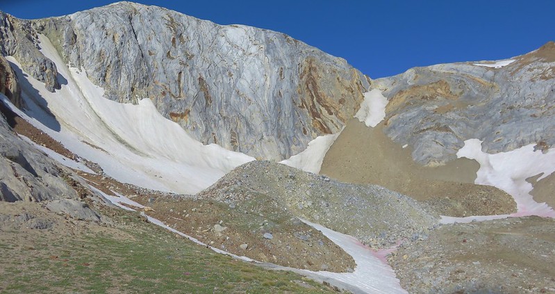
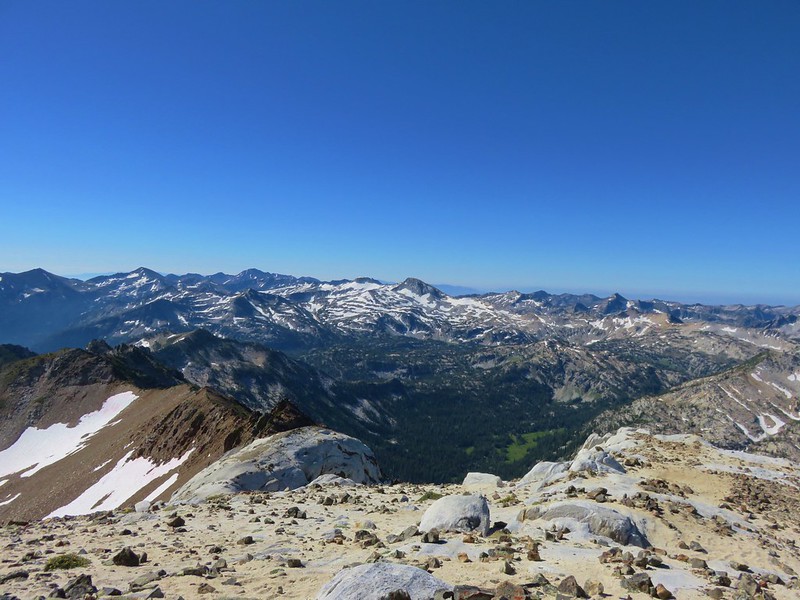
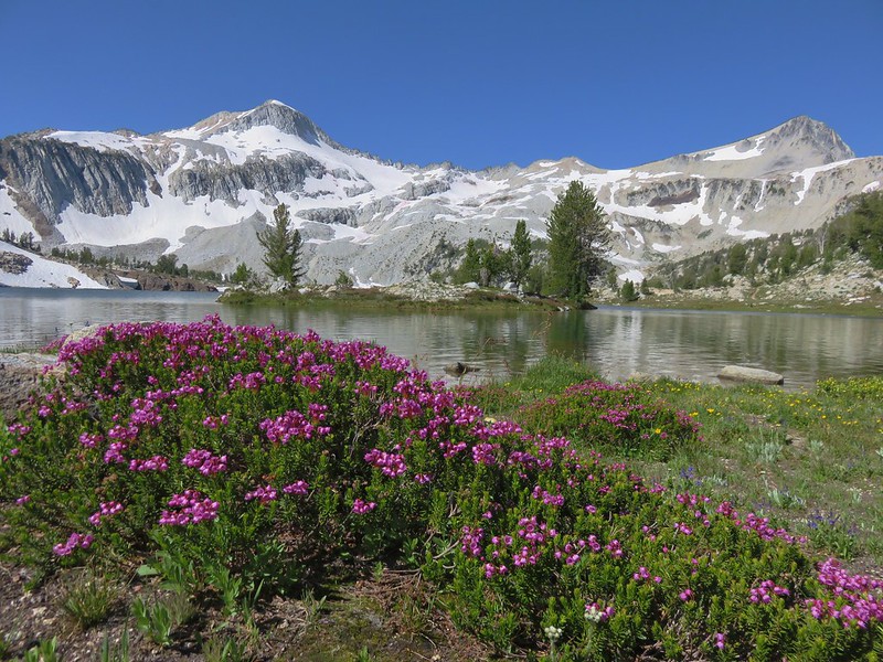














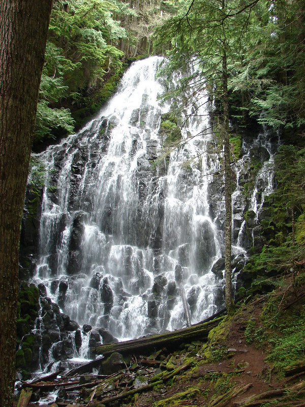


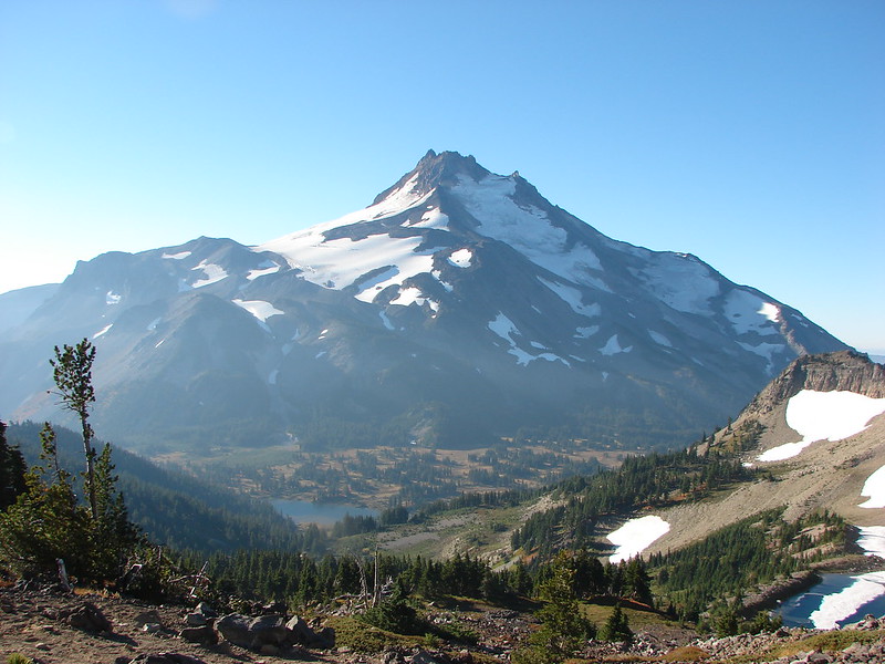
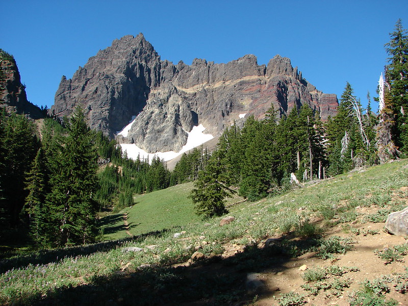


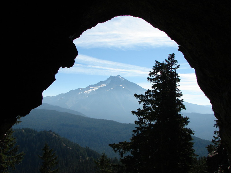














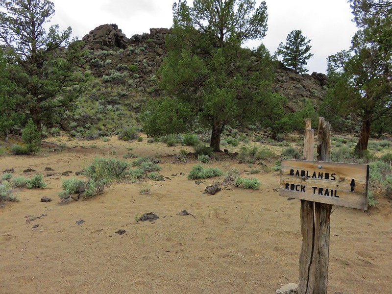


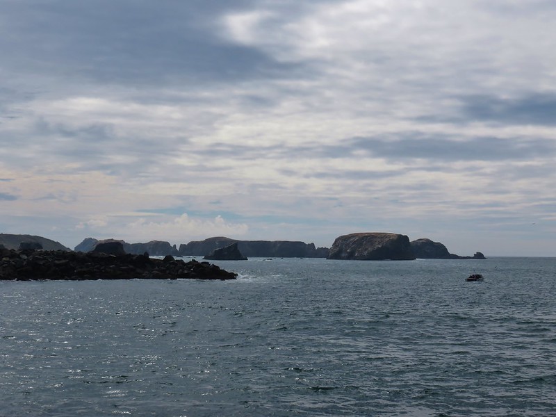
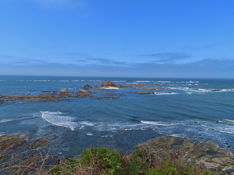

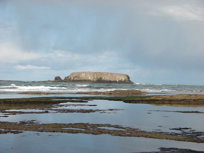
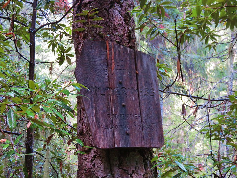

 This photo is from CA but it actually shows the namesake Red Buttes

 Closest thing to a “wilderness sign” we saw for this one.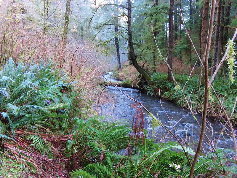










































 A rectangular view of the area which also includes some hikes from the Central Cascades book at the southern end and hikes from the Eastern book along the eastern end.
 Map showing only hikes from the NW book.




 (This is Yacolt not Moulton Falls)





 Pictured: Blue Lake



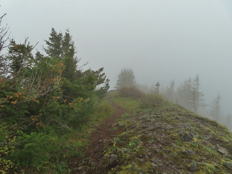
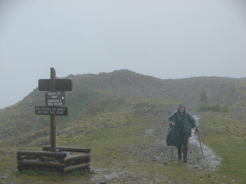 Hamilton Mountain
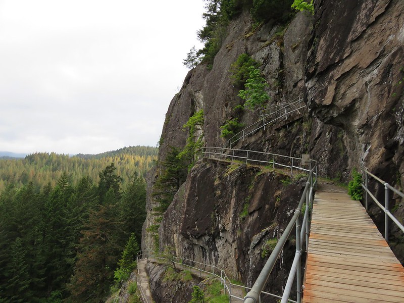 Beacon Rock


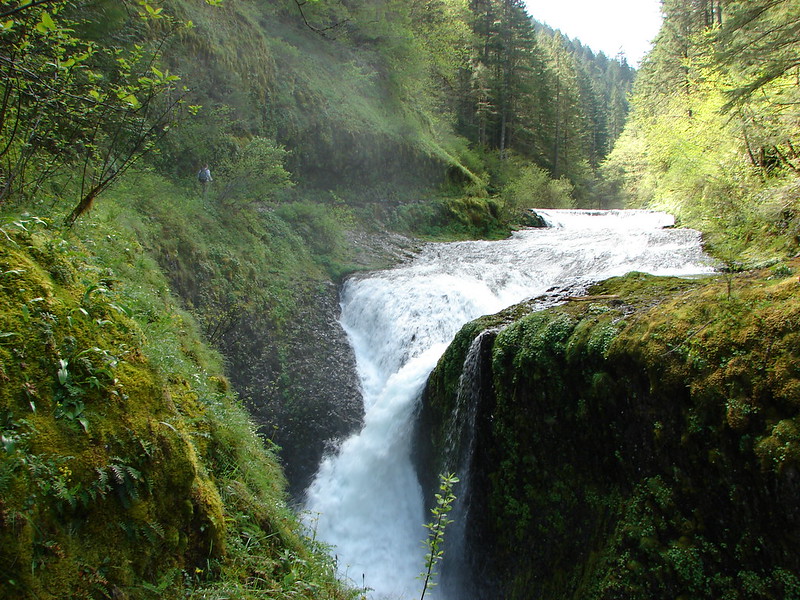
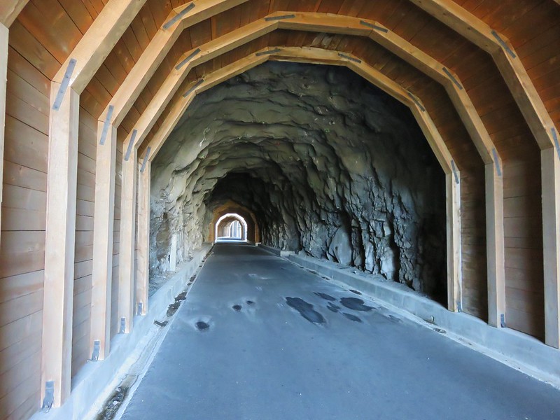




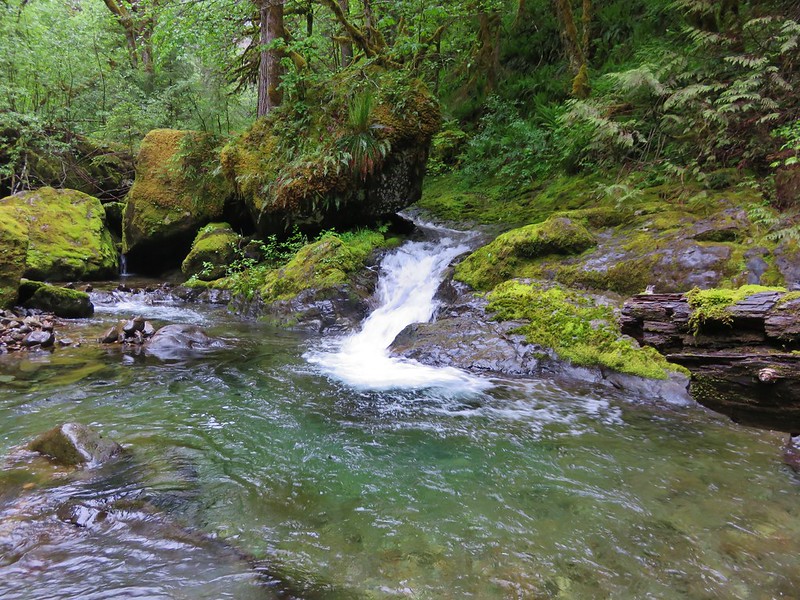 Bonanza Trail
 Boulder Ridge Trail

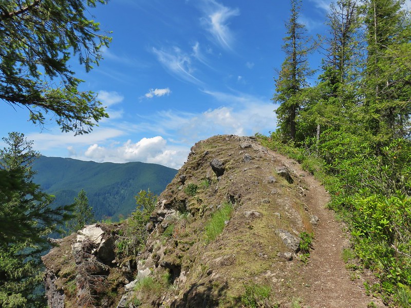


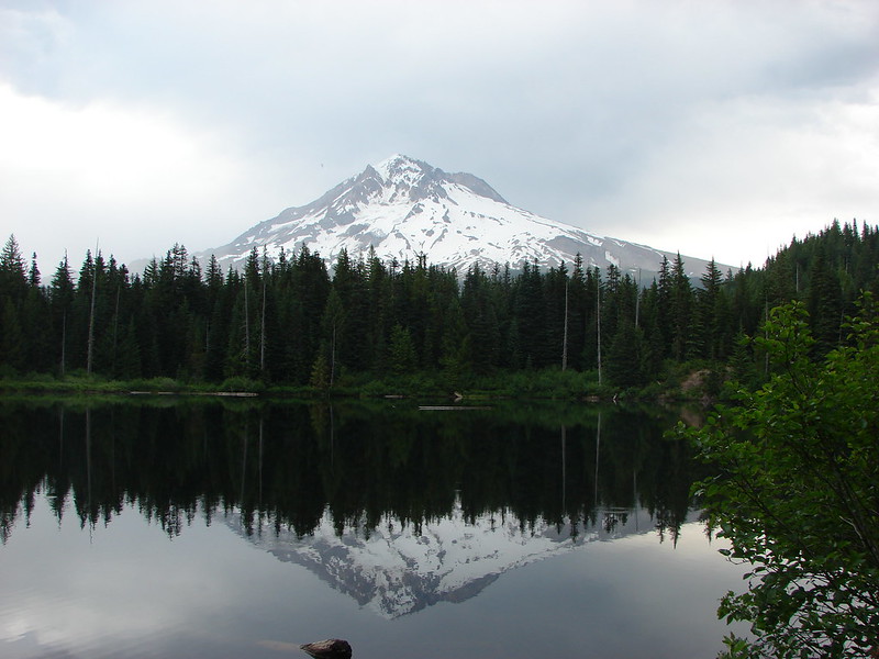


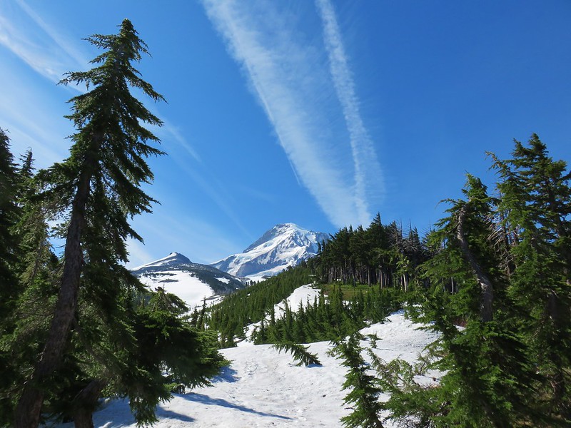












 Four County Point
 Sunset Rest Area


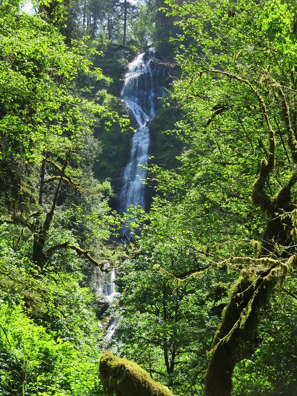
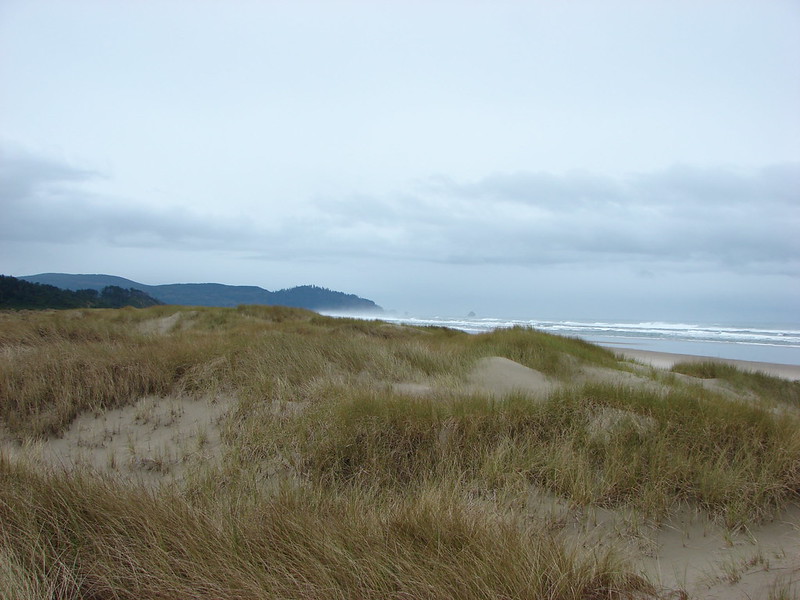
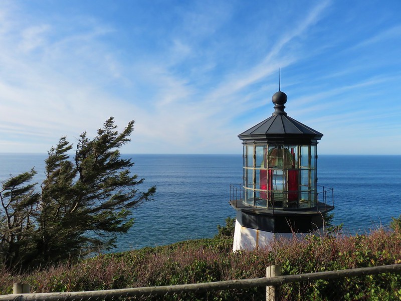


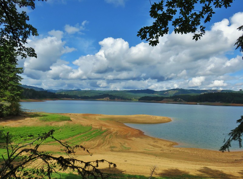


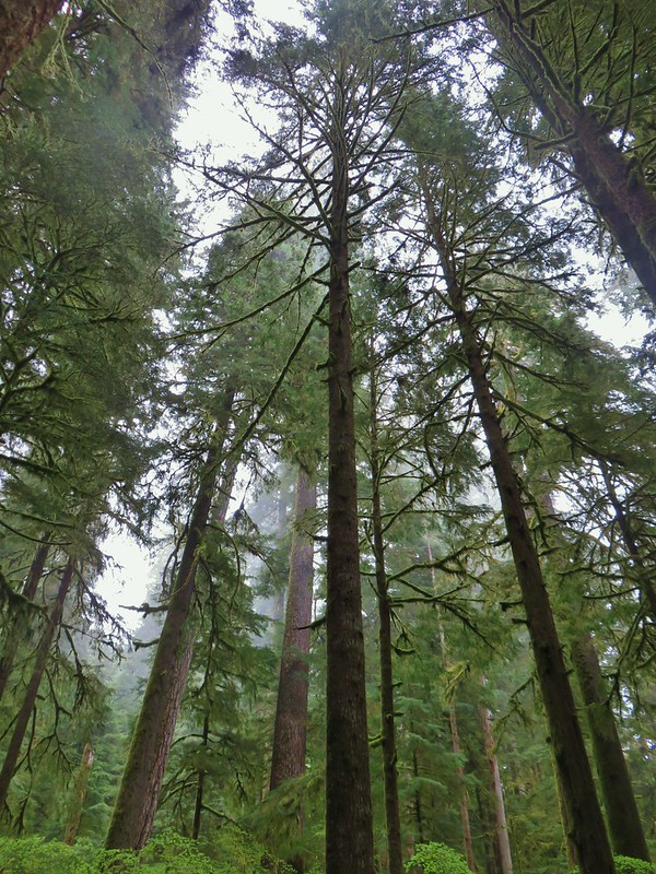
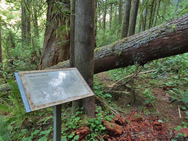
 Inland (Rainforest) Trail


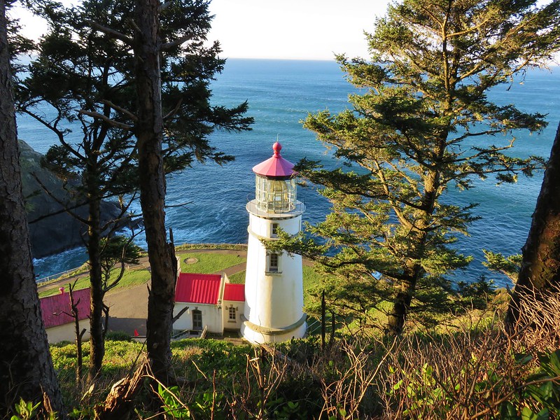
 Yaquina Head
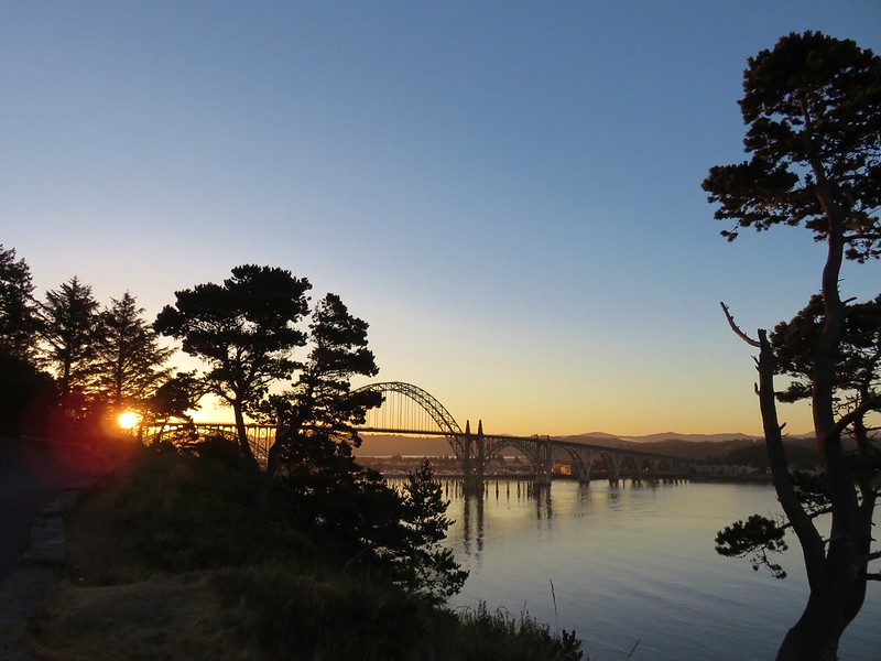 Yaquina Bay
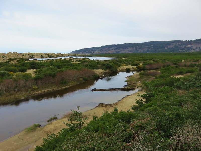
 Estuary Trail
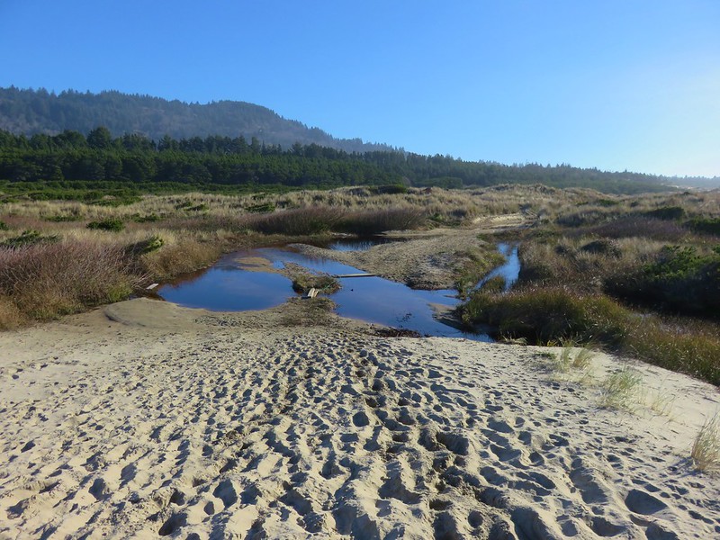
 South Jetty
 Mike Miller Trail

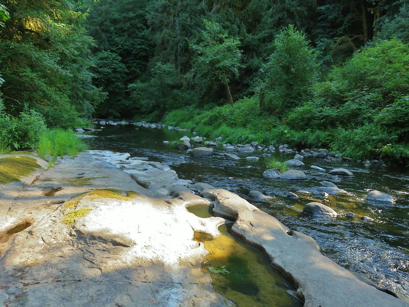

 Fort Hoskins
 Beazell Forest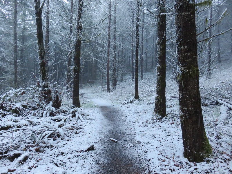
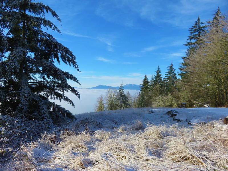


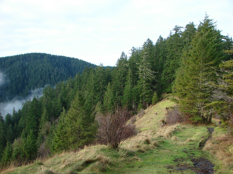

 Pioneer Hill Trail
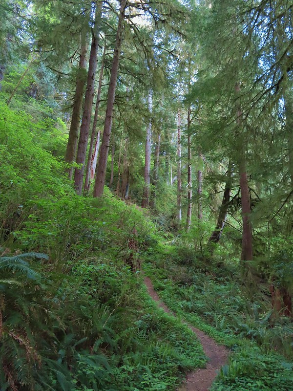 Pawn Old Growth Trail
 Old Growth Ridge Trail
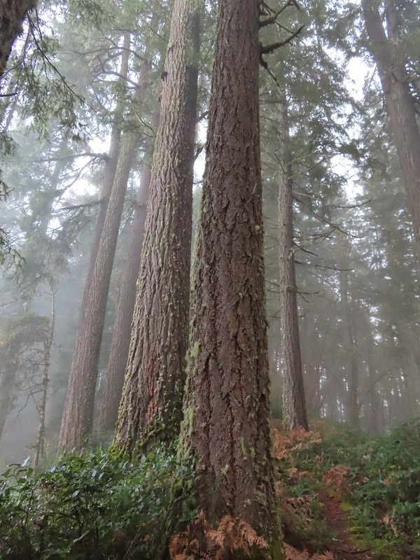 Clay Creek Trail
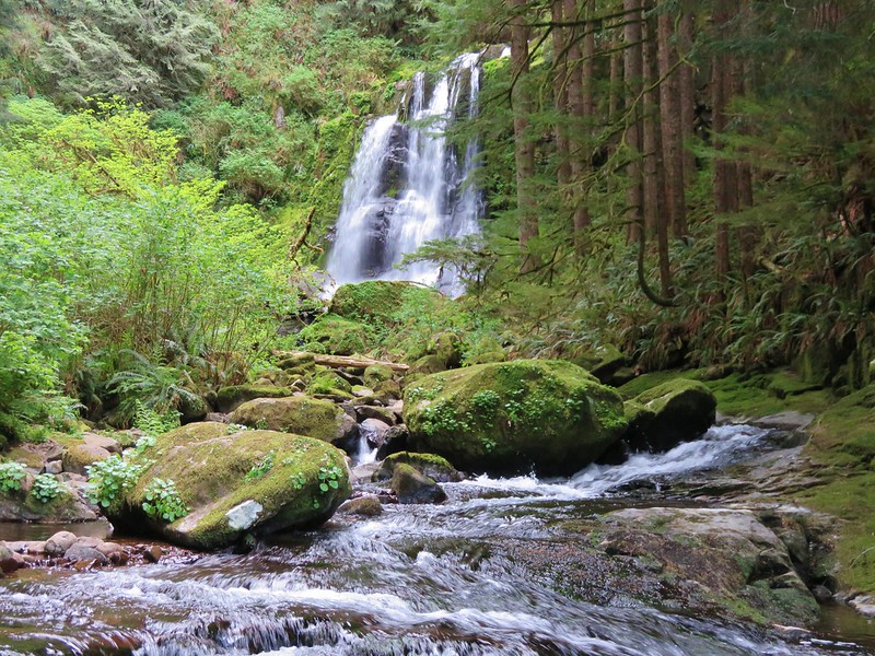
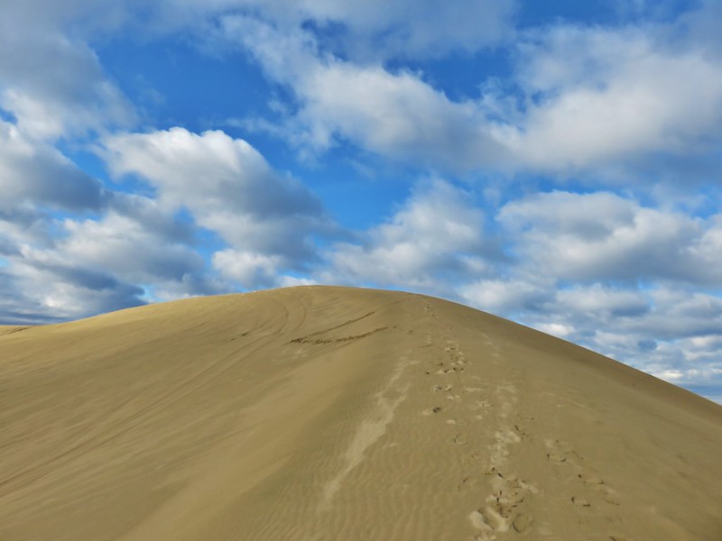




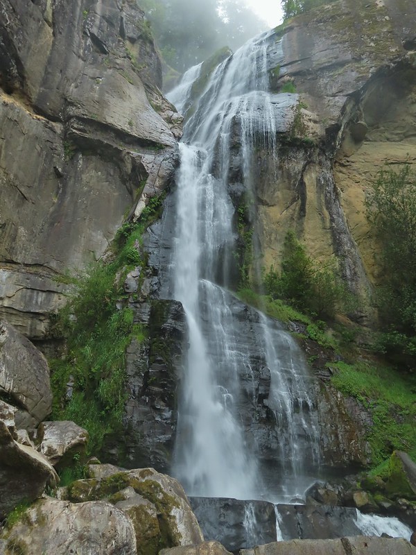

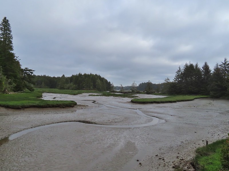
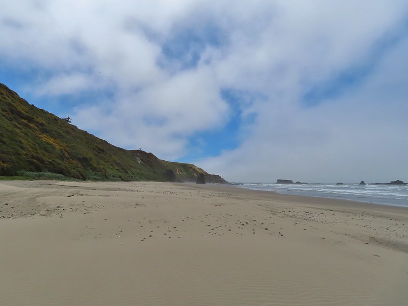

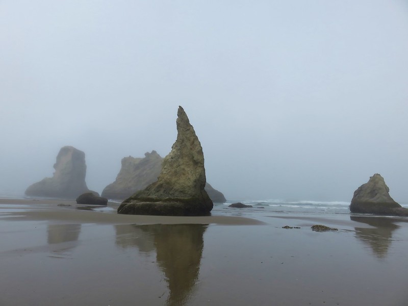


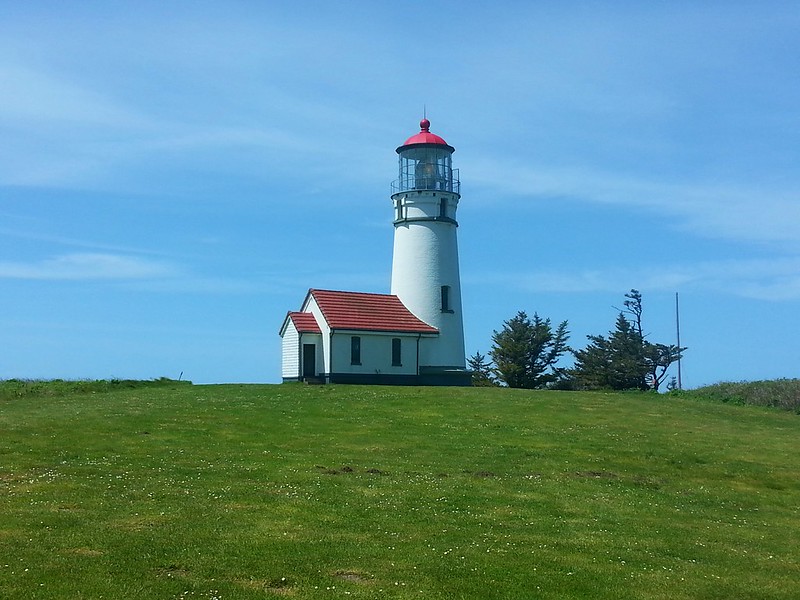


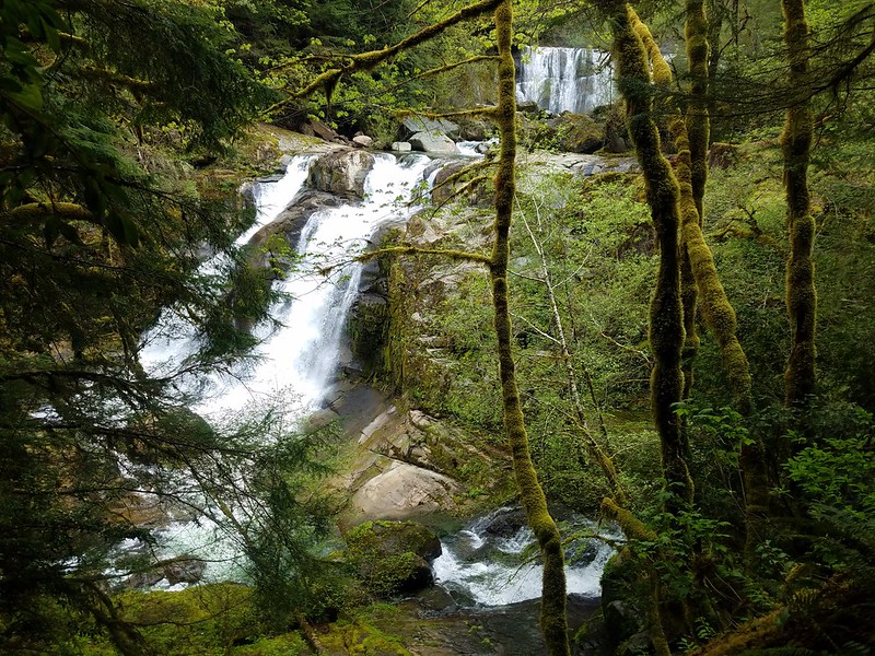 Coquille River Falls
 Elk Creek Falls
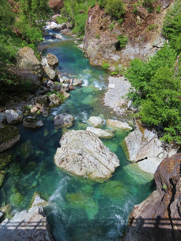
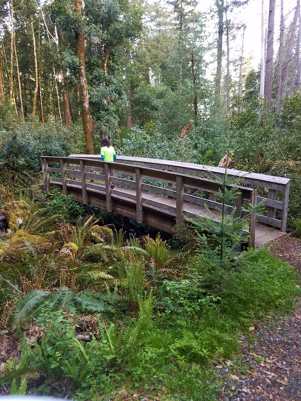 Shrader Old Growth Trail
 Myrtle Tree Trail
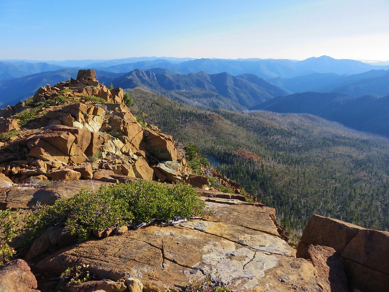 Vulcan Peak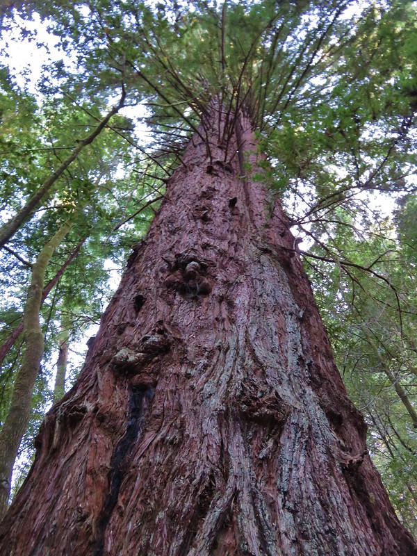


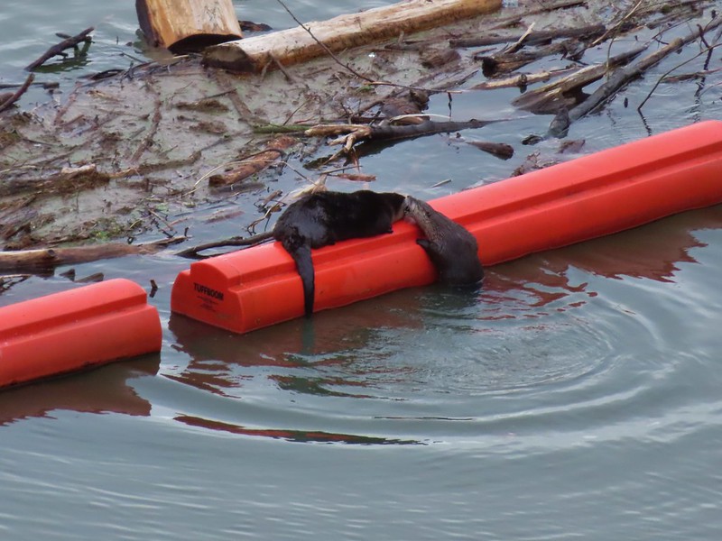 River Otters on a boom at Dorena Lake
 American bittern flying over Fern Ridge Wildlife Area
 Raccoons at South Slough Estuary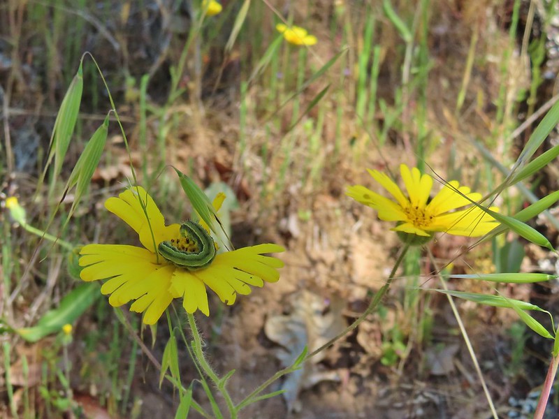
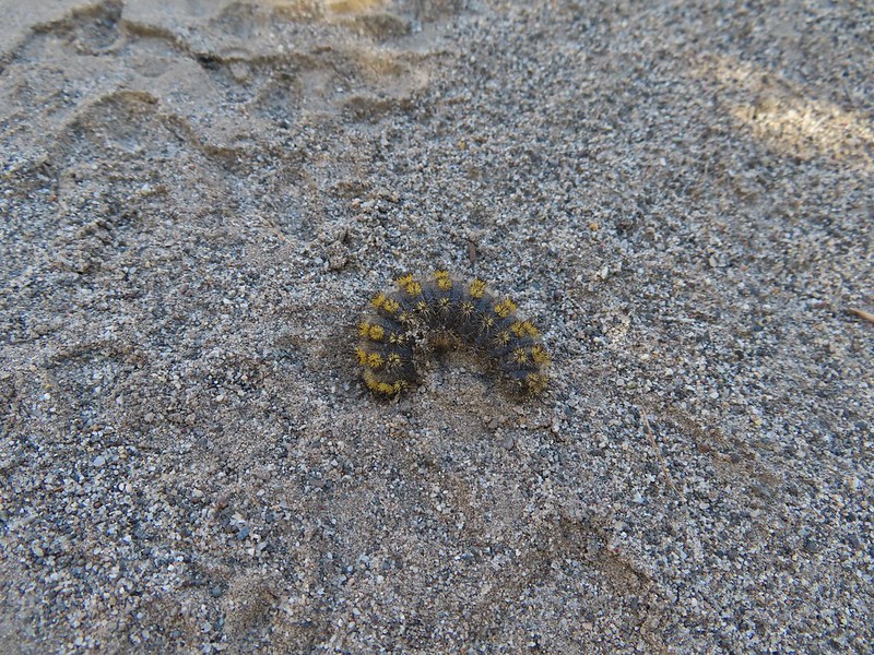
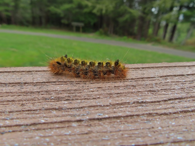

 Several species

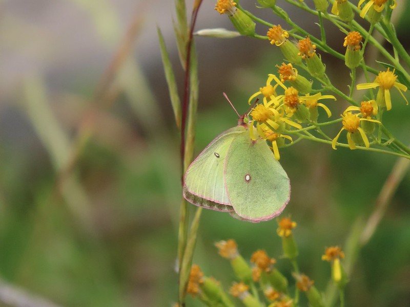 One of the sulphurs
 Another sulphur
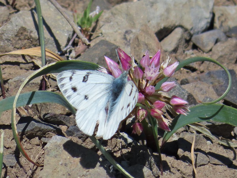 Becker’s white
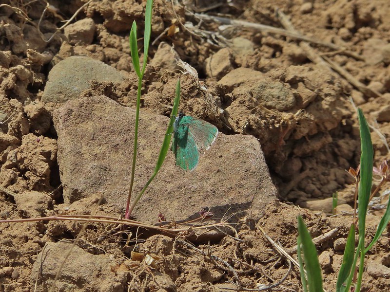 A hairstreak
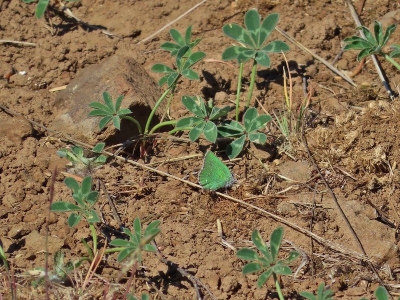 Also a hairstreak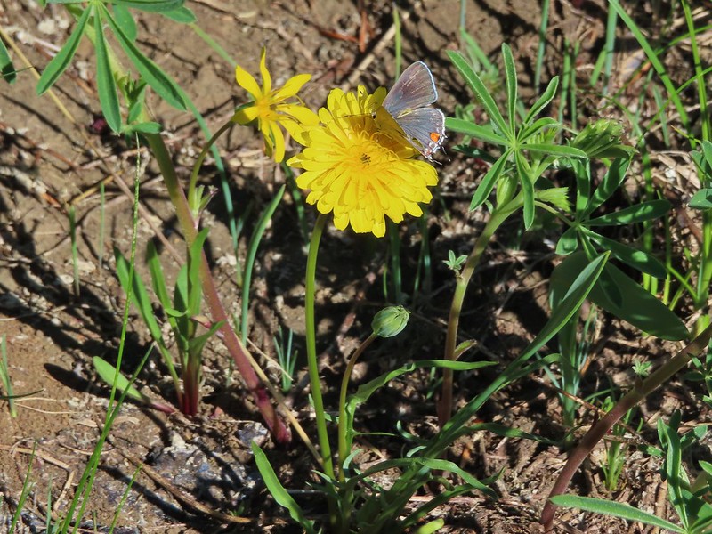


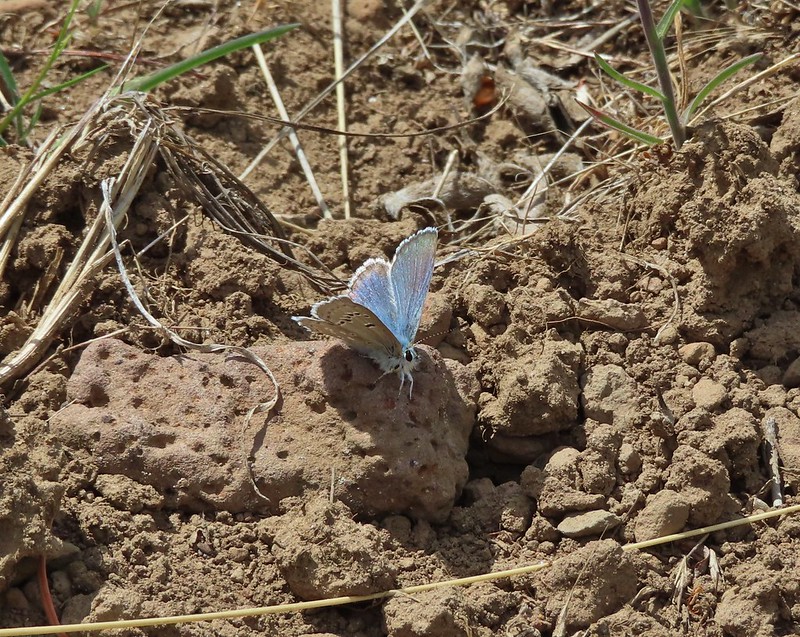
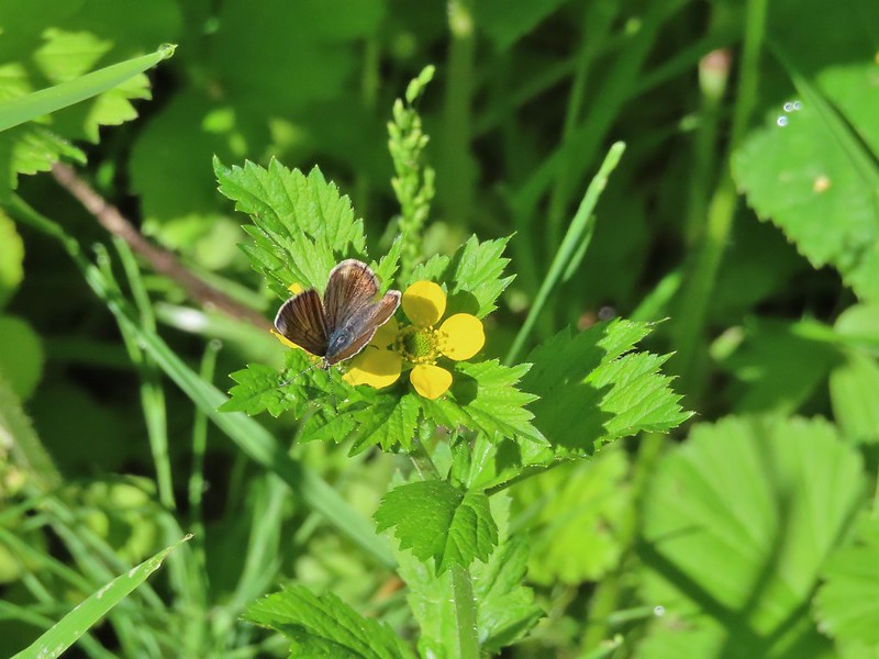
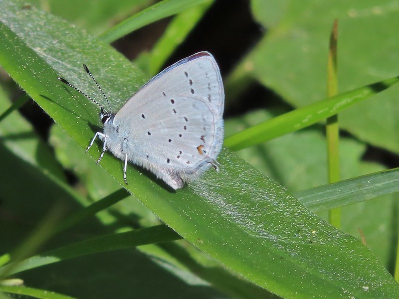


 Cabbage white
 California tortoiseshell
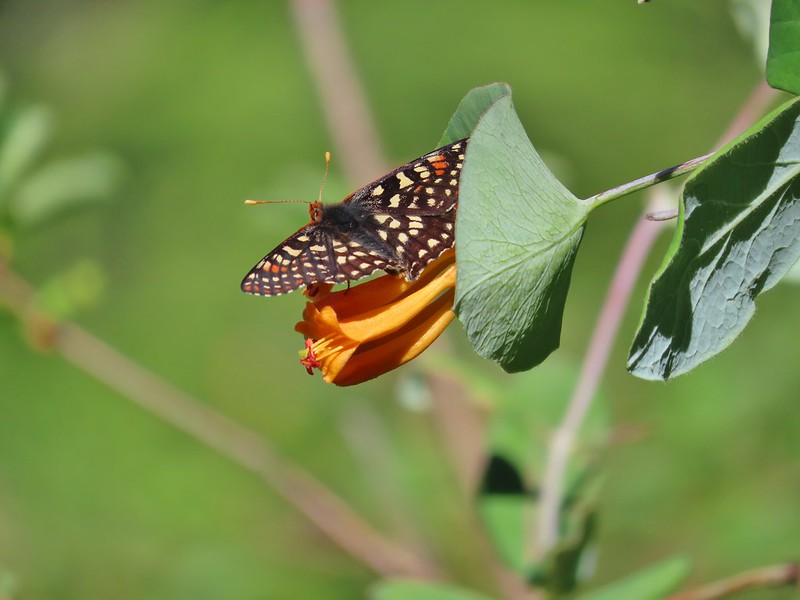 A checkerspot
 Chlosyne acastus – sagebrush checkerspot, female
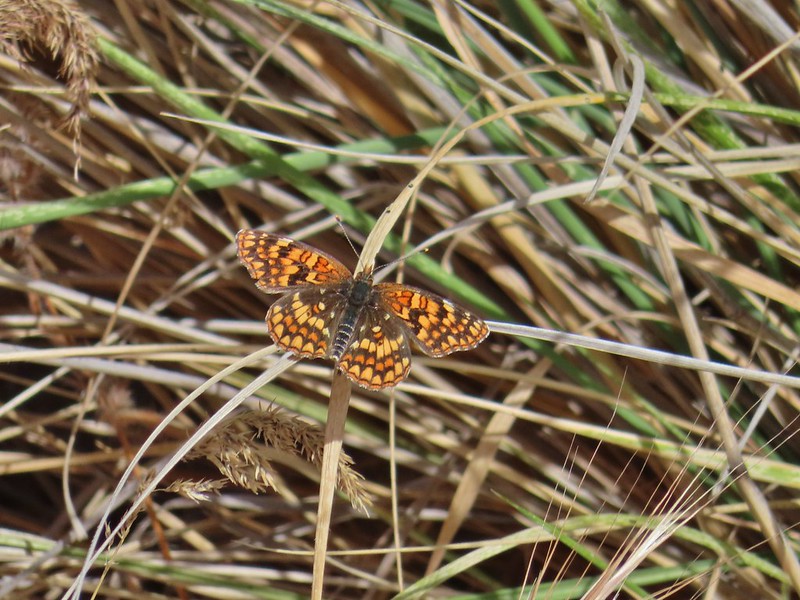 Chlosyne acastus – sagebrush checkerspot, male?
 Cloudis parnassian
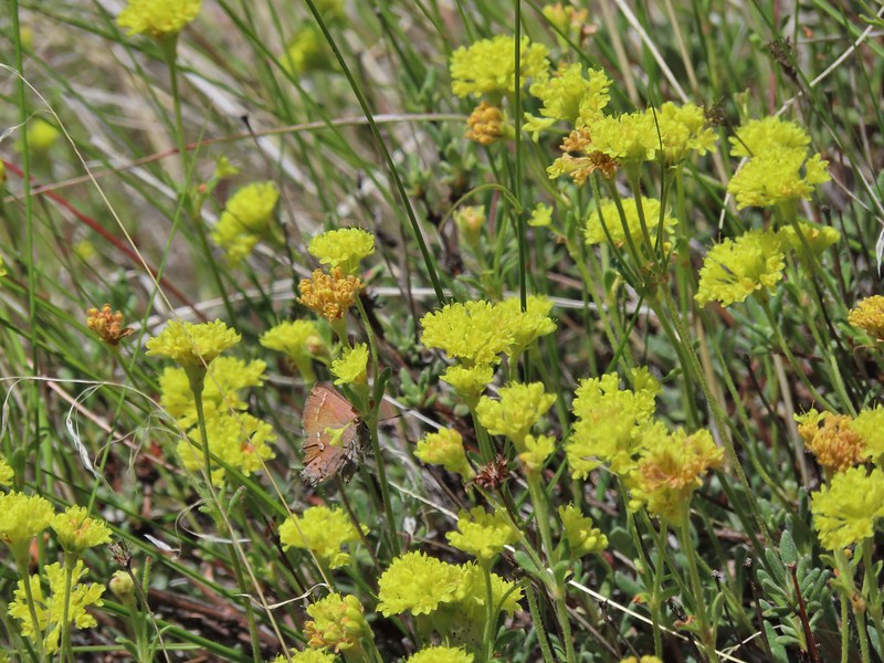 Cedar hairstreak
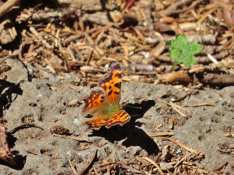 Green comma?
 Hoary comma
 Juba skipper – Hesperia juba
 Langton’s Forester Moth
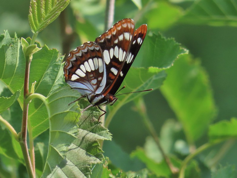 Lorquin’s admiral
 Milbert’s tortoiseshell
 Moth
Moth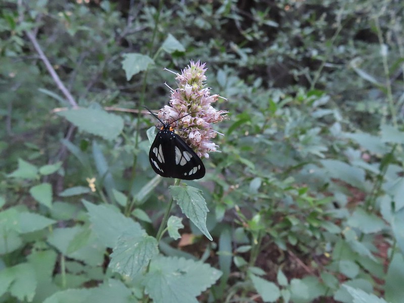 A moth, possibly Gnophaela latipennis
 Moth
Moth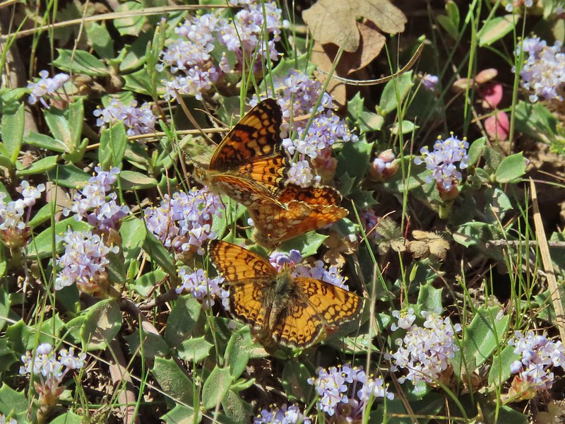 Mylitta crescents
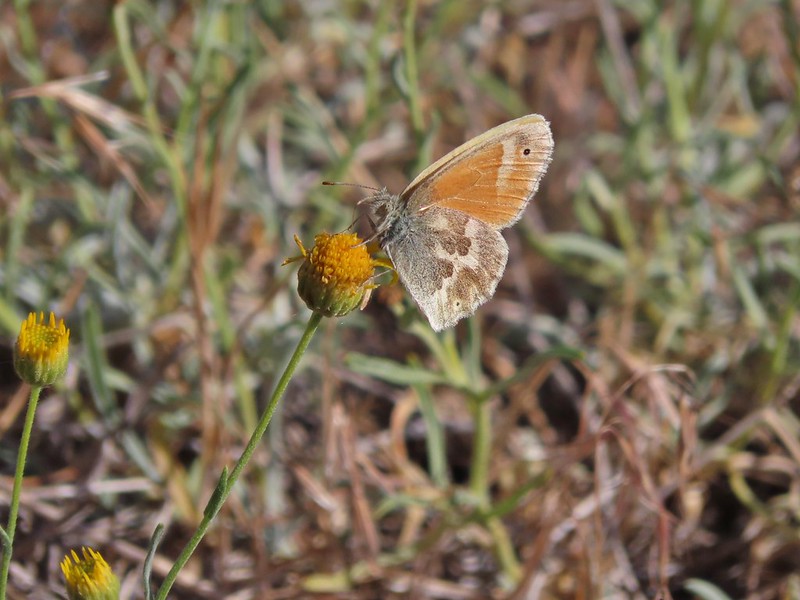 Ochre ringlet
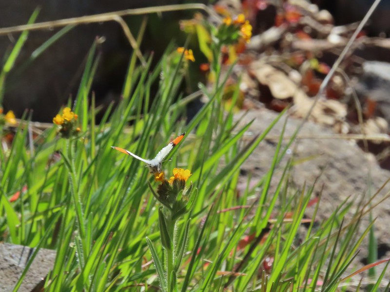 Orange tip
 Possibly a Boisduval’s blue – Icaricia icarioides
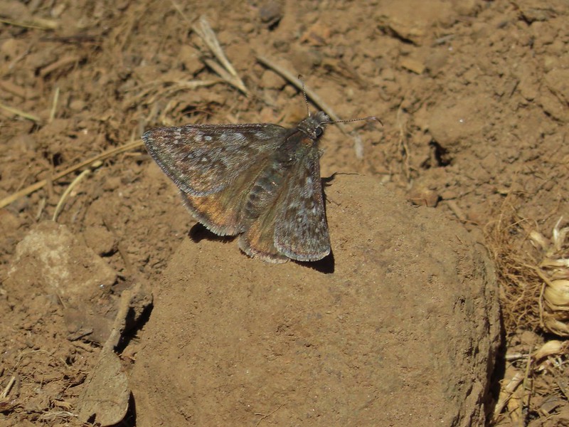 Propertius duskywing – Erynnis propertius
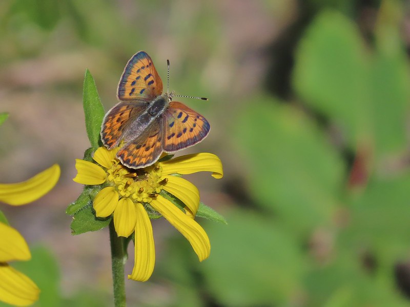 Purplish copper
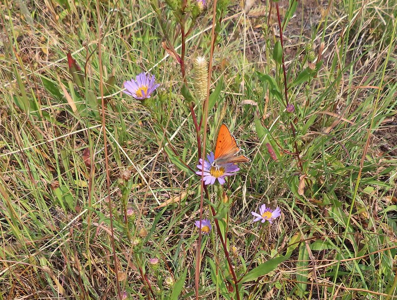 Possibly another purplish copper, Steens Mountain Wilderness 8/17.
 Sheep moth
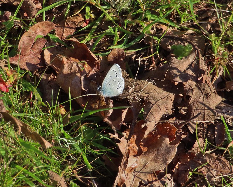 Silvery blue?
 A skipper
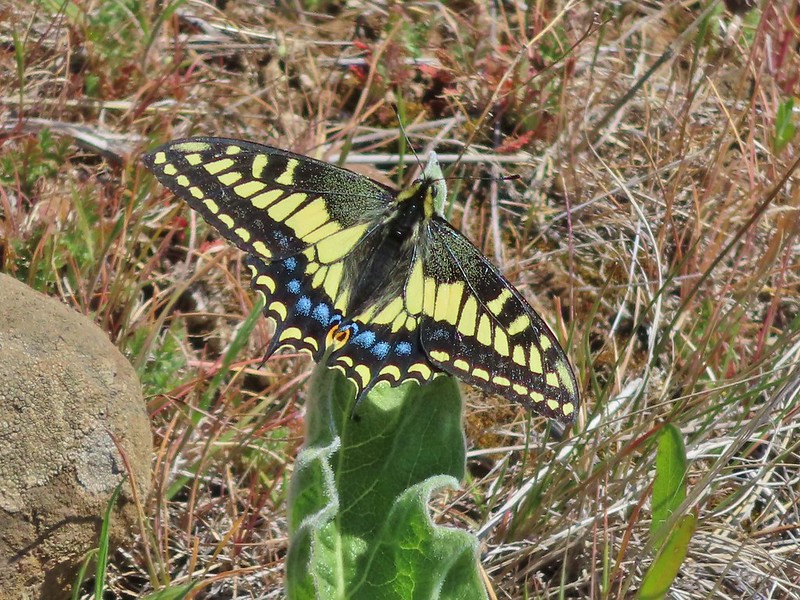 Anise swallowtail
 Indra swallowtail
 Possibly a pale swallowtail -Ninemile Ridge
 Possibly a western swallowtail -Devil’s Staircase Wilderness
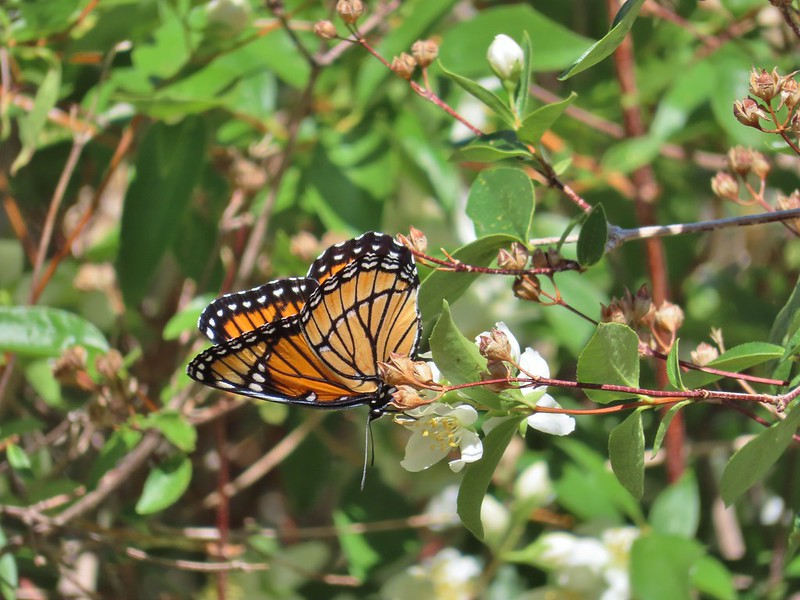 Viceroy
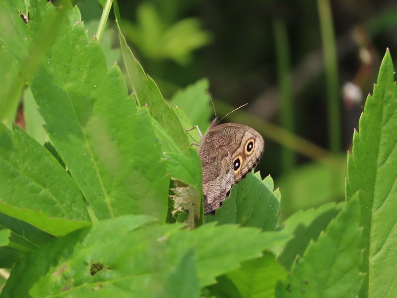 July 19th, Ochoco Mountains
 August 17th Steens Mountain Wilderness
 August 19th Steens Mountain Wilderness
 One of the fritillary butterflies I think.

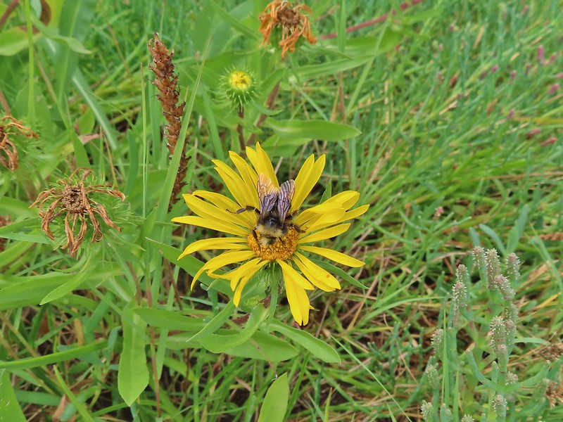

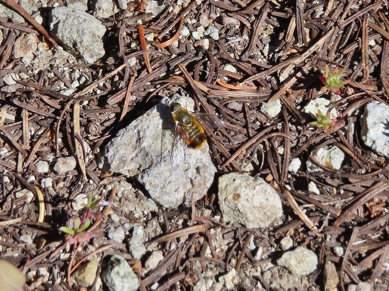
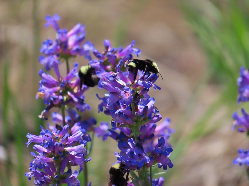


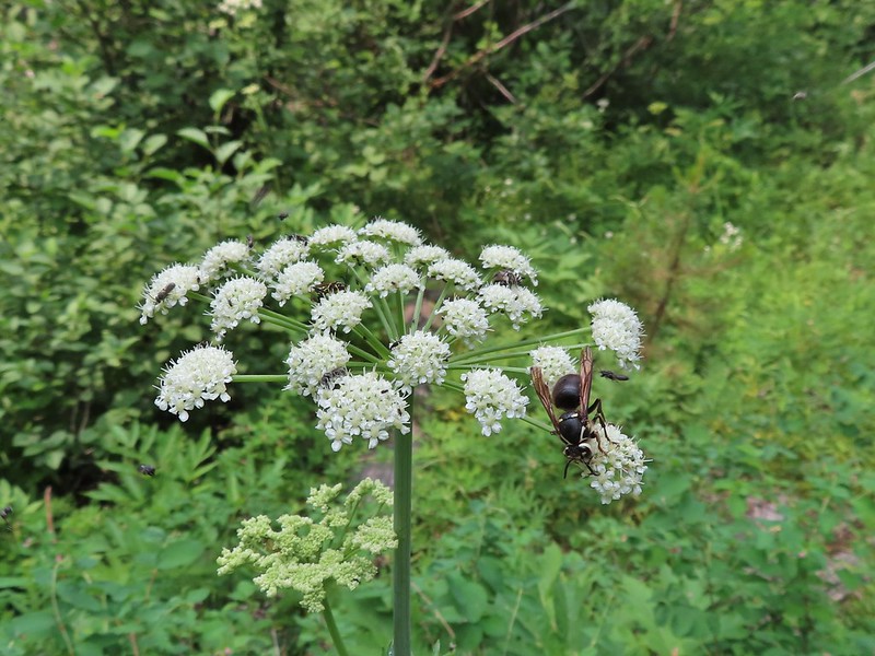
 Flying ants at the summit of Mt. Bachelor
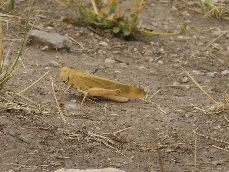
 Cicada
 Ladybug
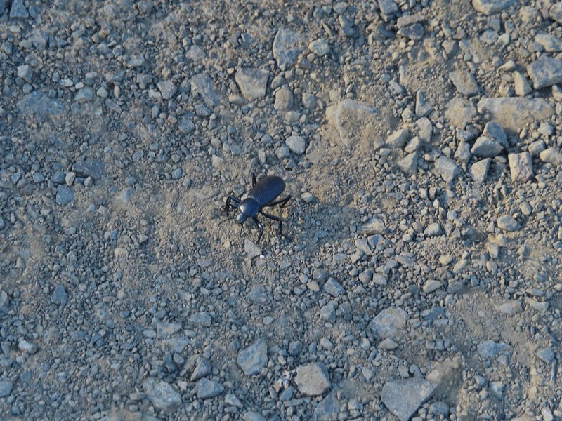

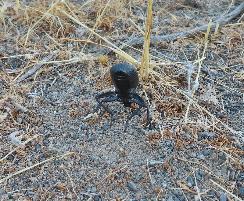
 Find the beetle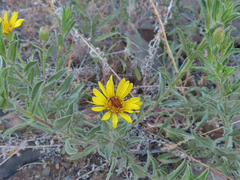
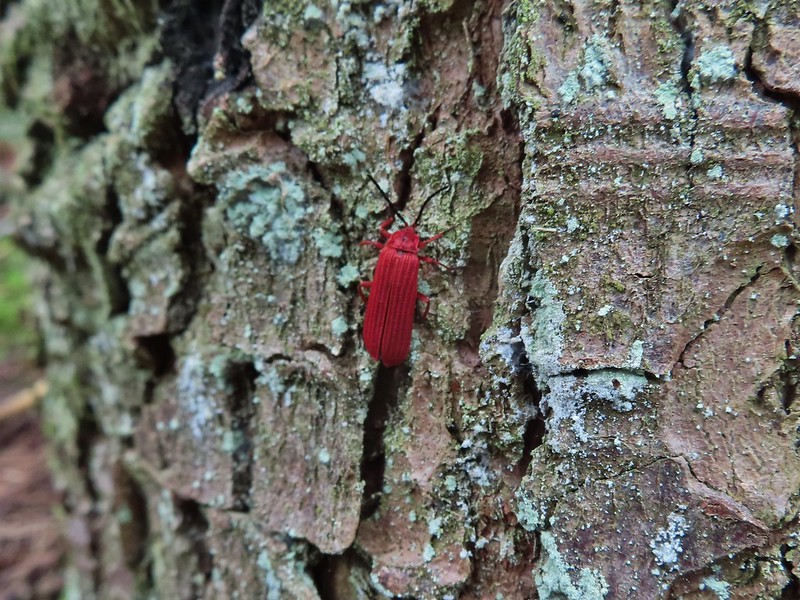 Dictyoptera aurora?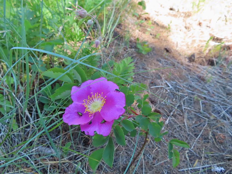
 Crab spider
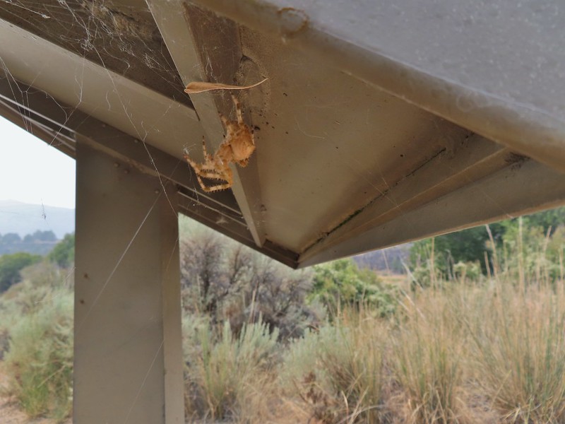
 Spot the spider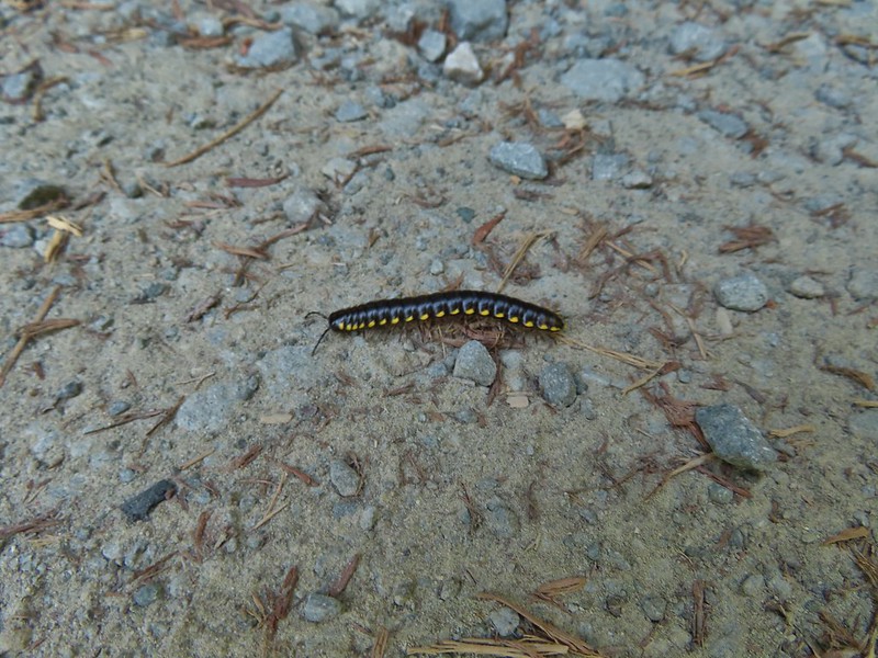
 Praying mantis
 June bug
 Damsel fly
 Dragon fly
 Dragon fly
 Dragon fly
 Dragon fly




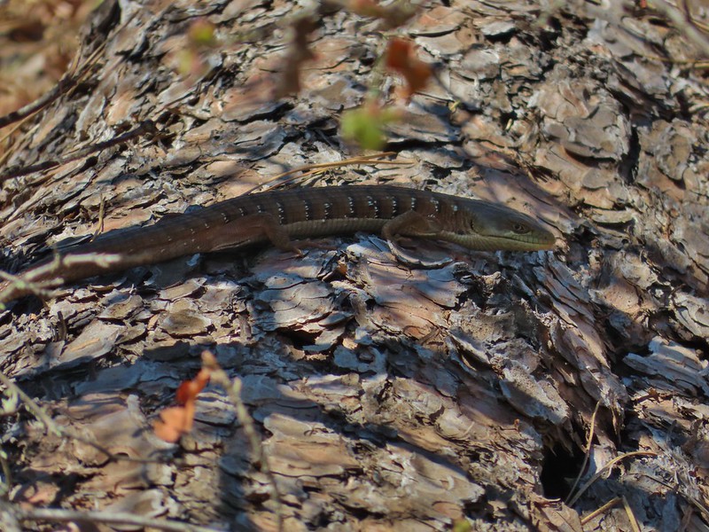 Alligator lizard
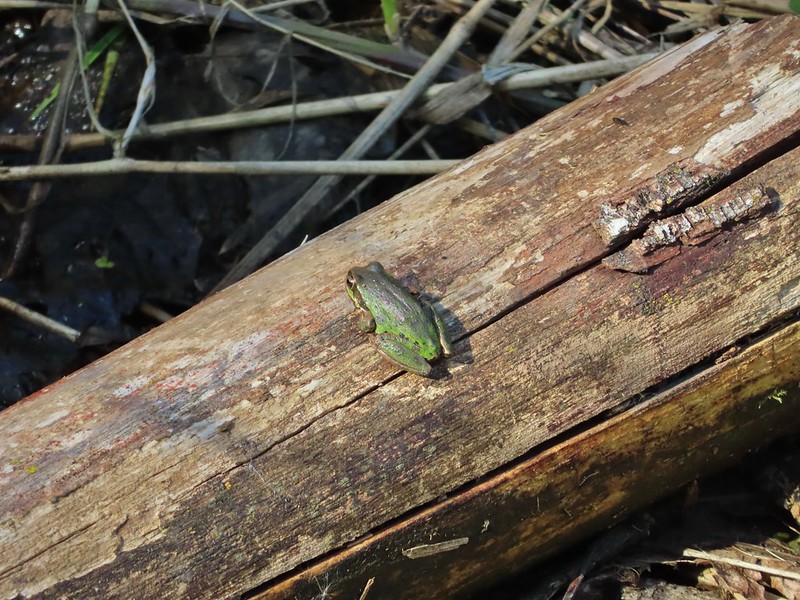
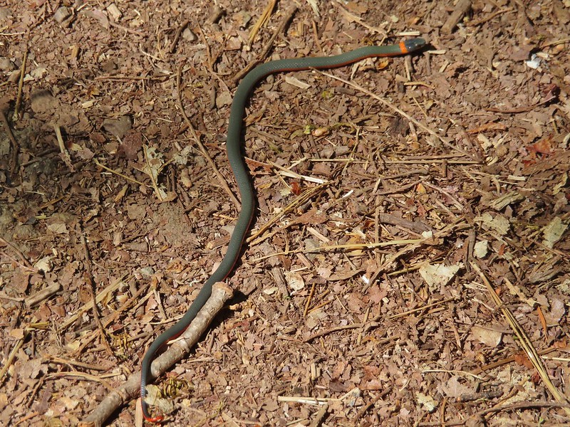 Ring necked snake
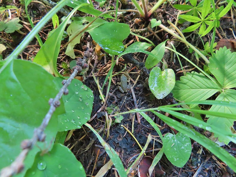
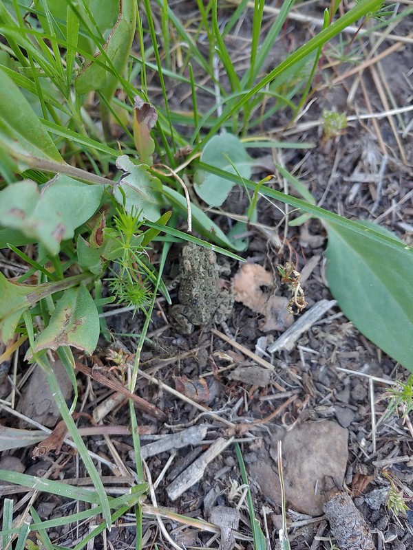
 Turtle
 Western fence lizards
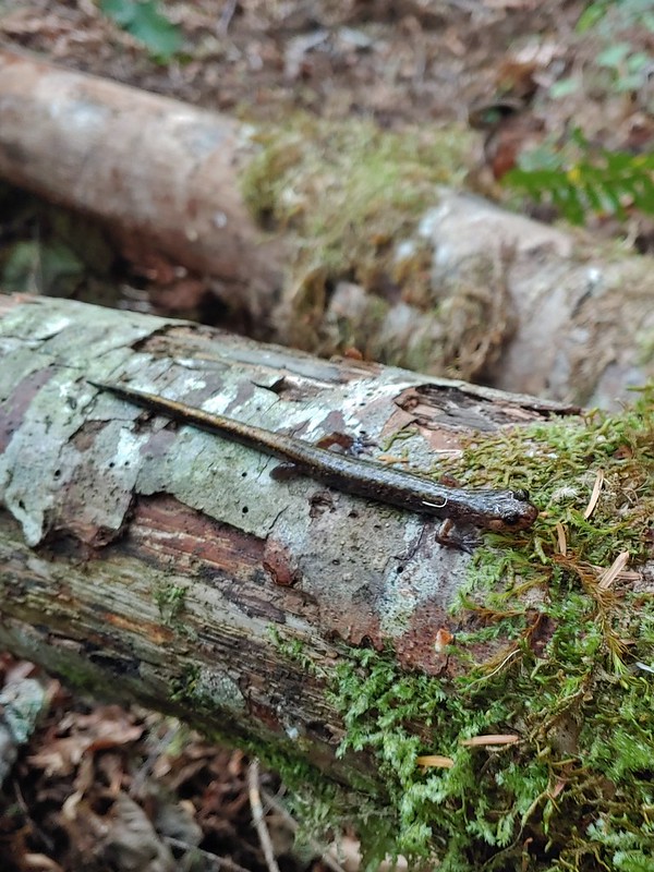 Dunn’s salamander?
 Rough skinned newt
 Crawdad surrounded by rough skinned newts
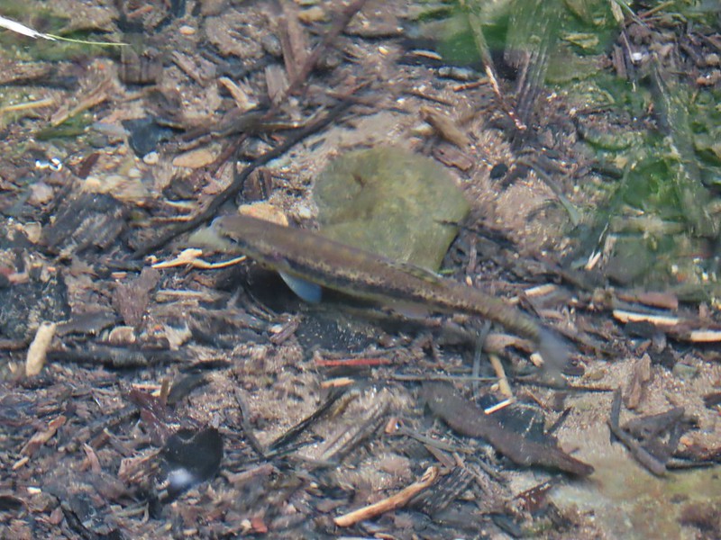 Fish in Black Canyon Creek
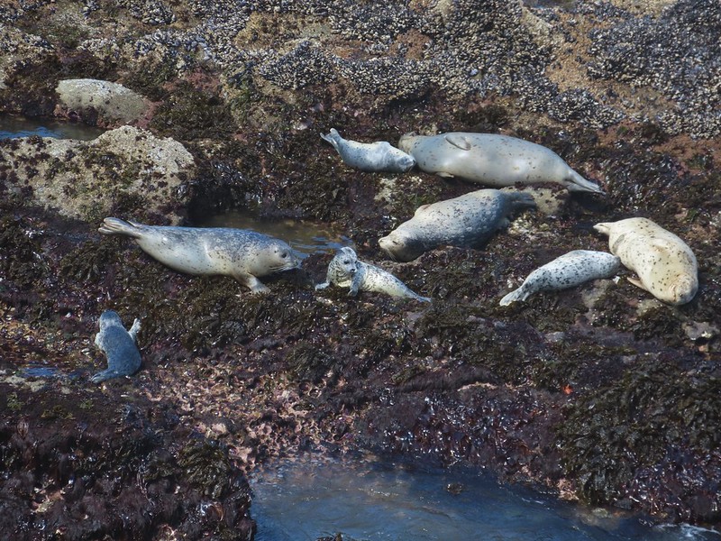 Seals
Seals Sea lions
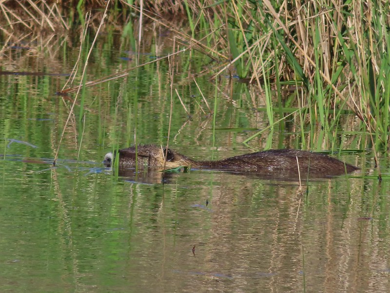 Nutria
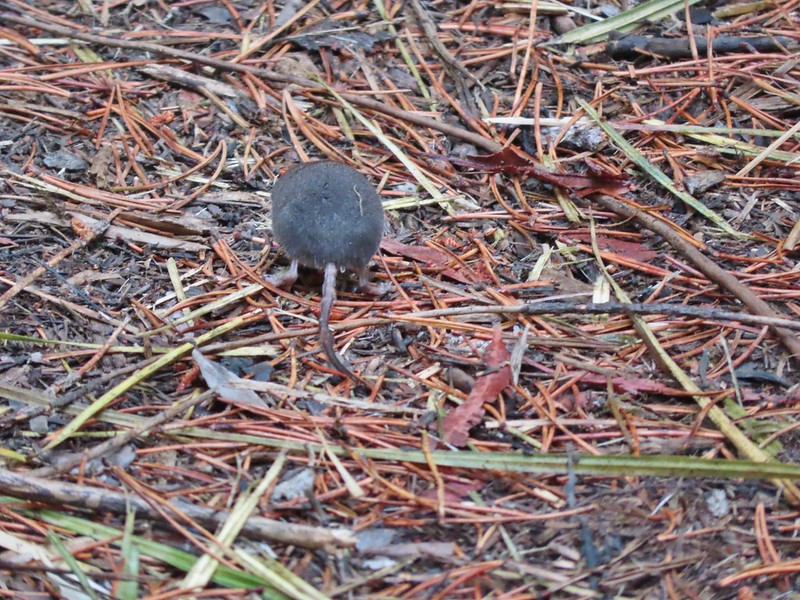 Hindquarters of what we believe to have been a mole.
 Indian Heaven Wilderness
 Badger Creek Wilderness
 Golden mantled-ground squirrel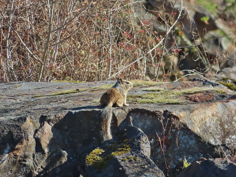

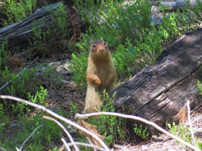

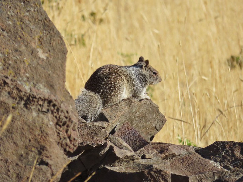


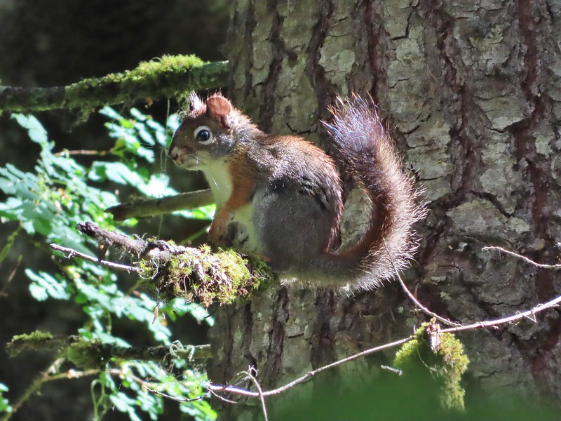
 Pika
Pika Mountain cottontail
 Eastern cottontail
 Snowshoe hare
 Jack rabbit
 Ring-necked duck and a lesser scaup
 American coot, spotted sandpiper and mallards on a log
 American wigeons
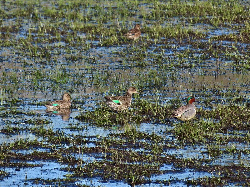 Green-winged teals
 Cinnamon teal
 Mallards, a cinnamon teal and a pied billed grebe
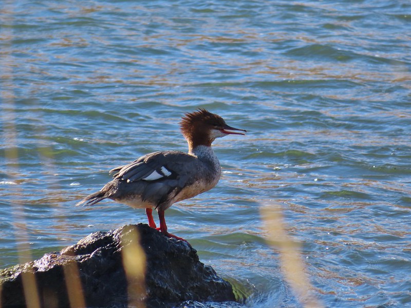 Common merganser
 A female hooded merganser? and buffleheads
 Northern pintails
 Northern shovelers
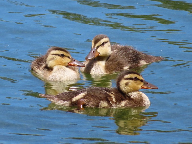 Ducklings
 Canada geese
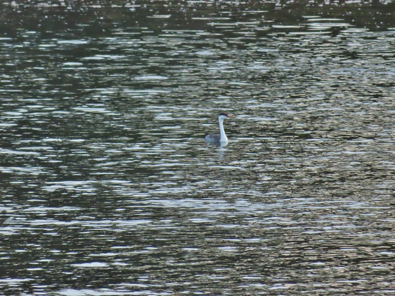 Western grebe
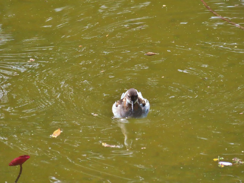 Bird at the Formal Gardens at Shore Acres State Park
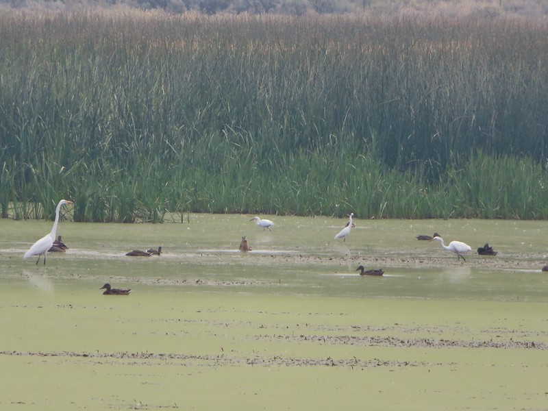 At least two types of egrets and a bunch of ducks at Malhuer Wildlife Refuge
 Egret
Egret Great blue heron
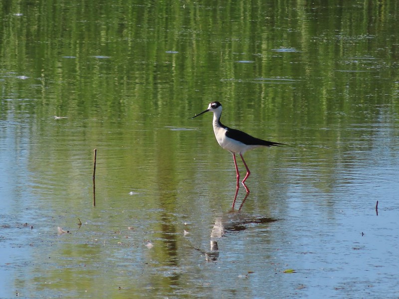 Black-necked stilt
 Dunlins
 Yellowlegs?
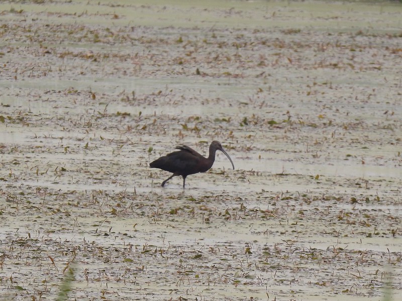 White faced ibis
 Whimbrels
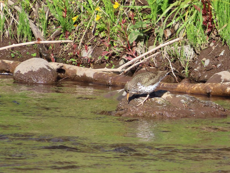 Spotted sandpiper
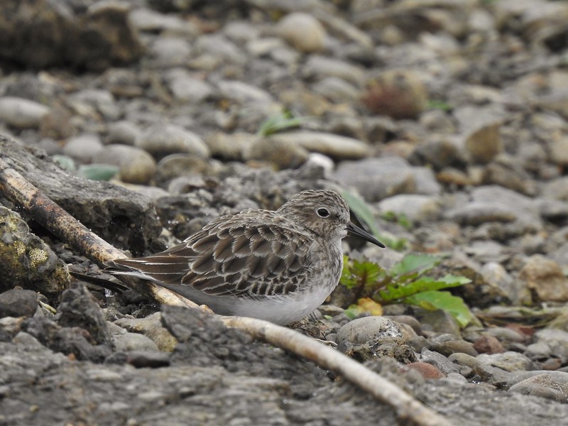 Another sandpiper
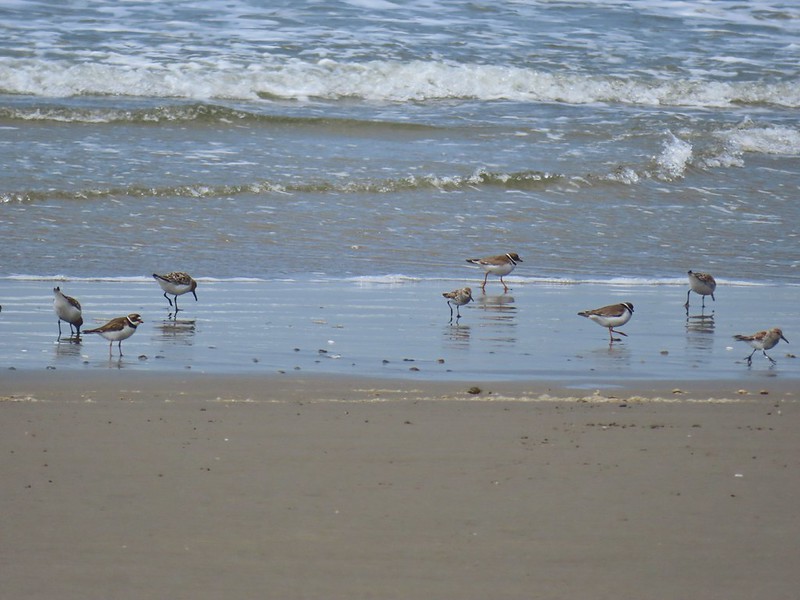 A couple of types of shorebirds
 White pelican
 Seagull
 Cormorants
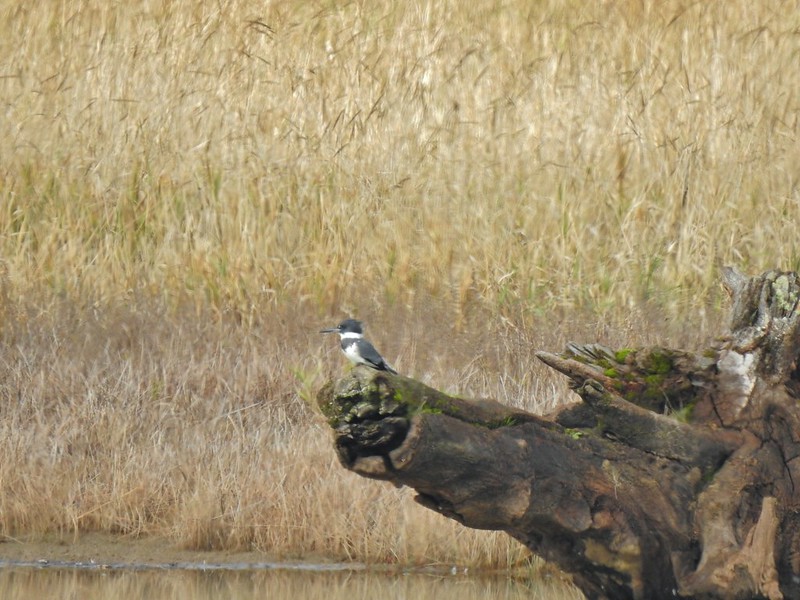 Kingfisher
 American dipper aka ouzel
 A couple of American bushtits
 Bewick’s wren?
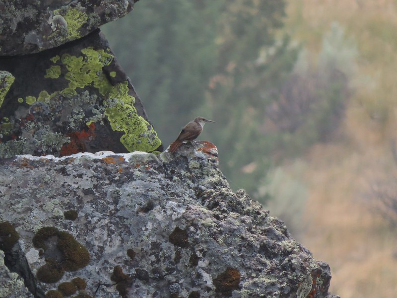 Canyon wren?
 Wren? at Horsethief Butte near The Dalles.
 No idea, seen along the Alder Springs Trail in Central Oregon.
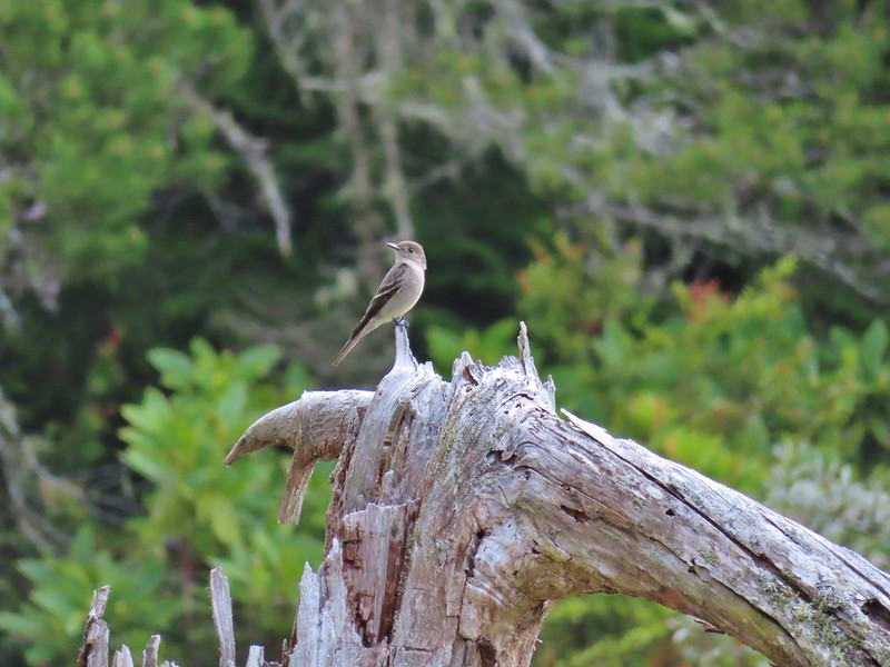 Possibly a flycatcher?
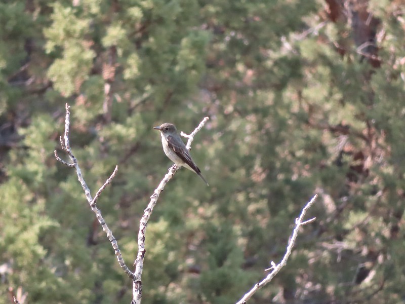 A flycatcher
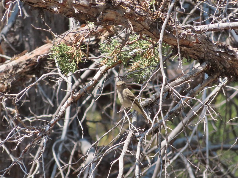 Flycatcher?
 Another no clue, seen near a creek in the Ochoco Mountains.
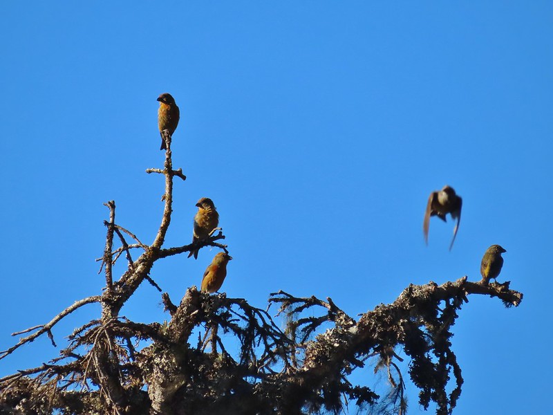 Crossbills? (based on the crossed beaks)
 Black headed grosebeak
 Black phoebe
 California scrub jays
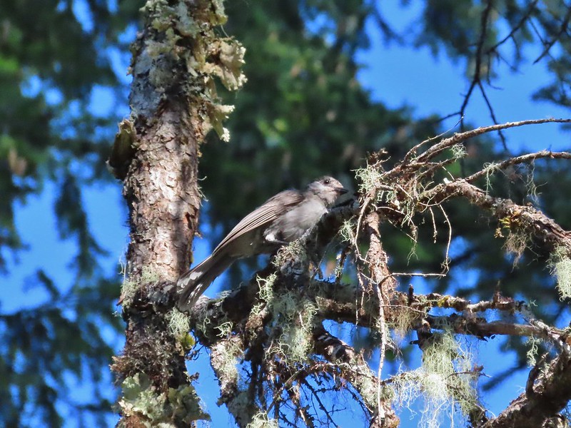 Gray jay
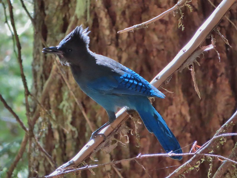 Stellar’s jay
 Pinyon jay
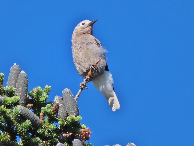 Clark’s nutcracker
 Brewer’s blackbird
 Yellow headed blackbird
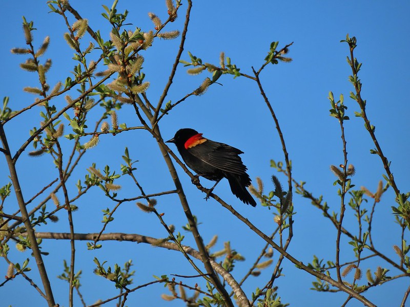 Red winged blackbird
 Starling
 Cedar waxwings
 Common yellowthroat
 Dark eyed junco
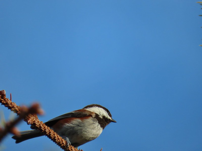 Chestnut-backed chickadee
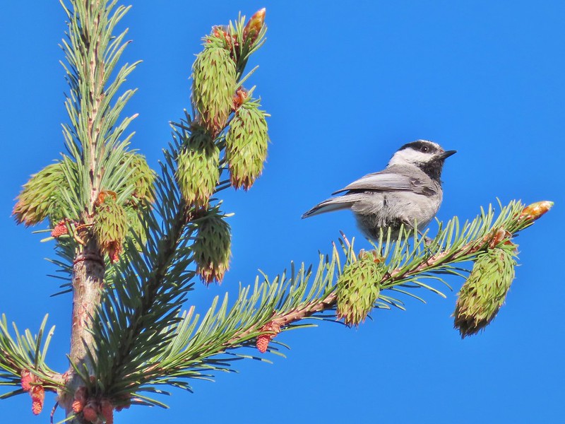 Mountain chickadee
 Possibly an orange crowned warbler
 Ruby crowned kinglet
 A finch
 A finch
 A finch
 Green-tailed towhee
 Spotted towhee
 Pipit
Pipit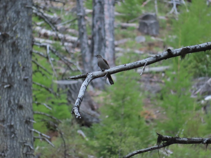 Townsend’s solitaire
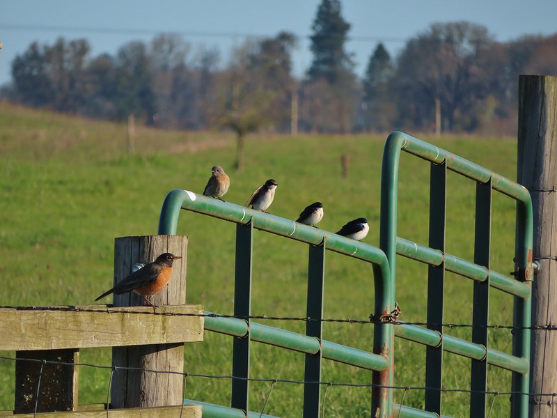 Robin, western bluebird and swallows
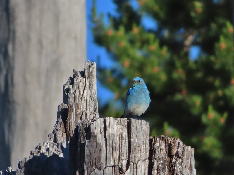 Mountain bluebird
 Lazuli bunting
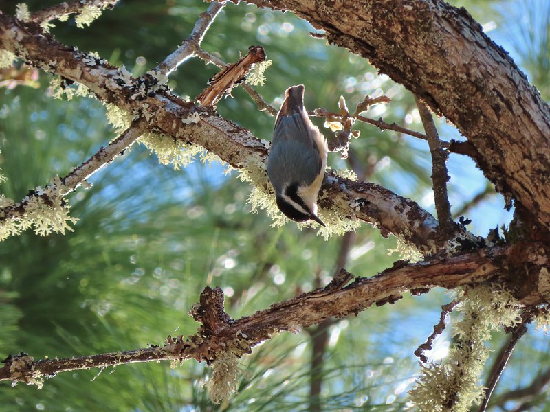 Red breasted nuthatch
 Yellow-rumped warbler
 Western meadowlark
 Western tanager – male
 Western tanager – female
 Western wood-pewee
 Rufous sided hummingbird
 Chipping sparrow?
 White crowned sparrows
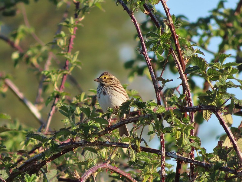 Savannah sparrow
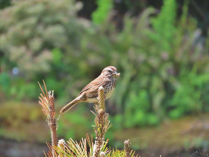 Sparrow
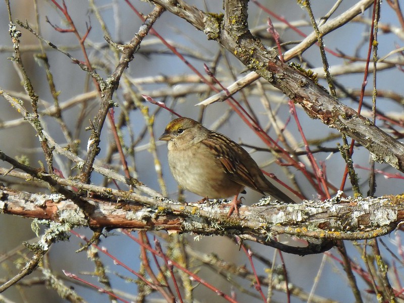 Sparrow?
 Lark sparrow
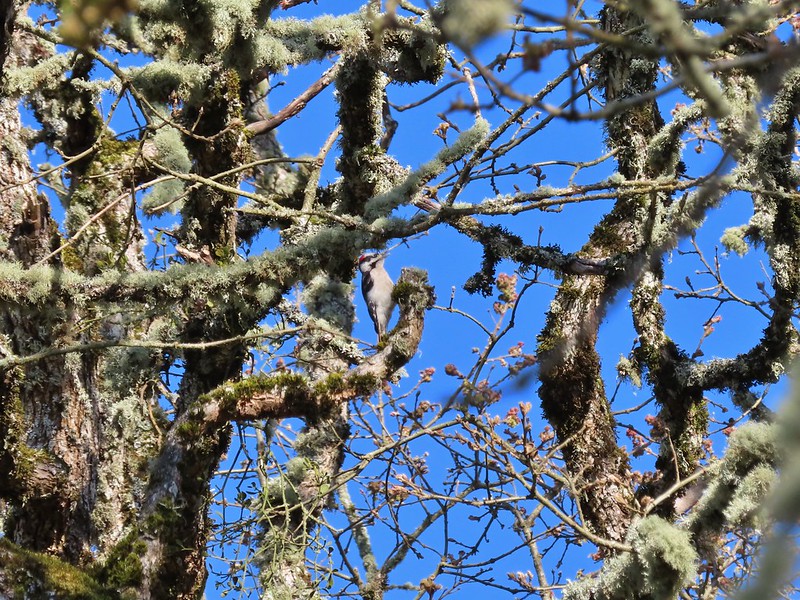 Downy woodpecker?
 Lewis’s woodpecker
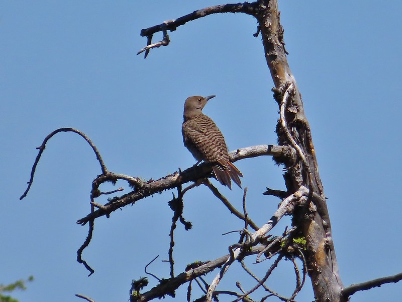 Northern flicker
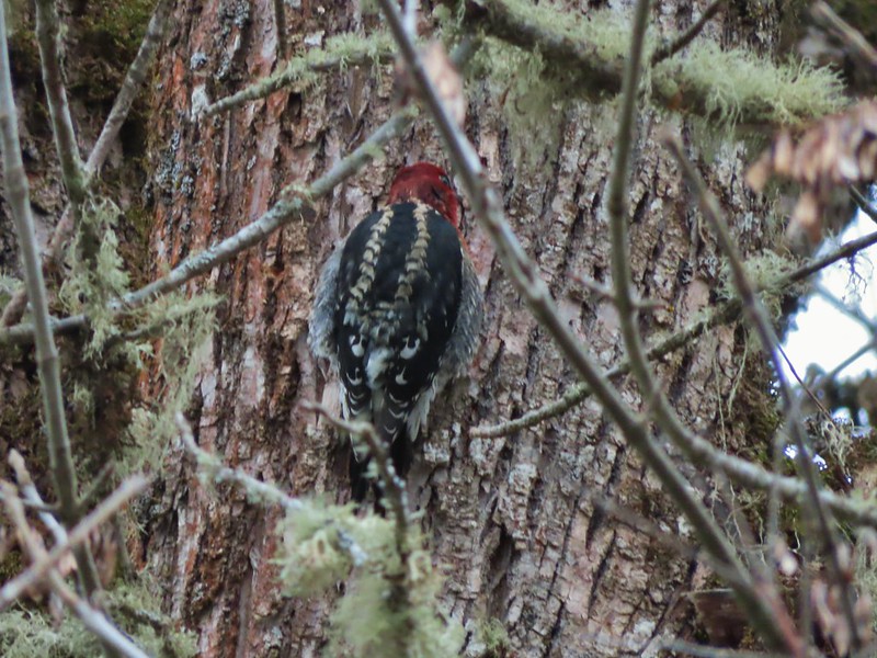 Red breasted sapsucker
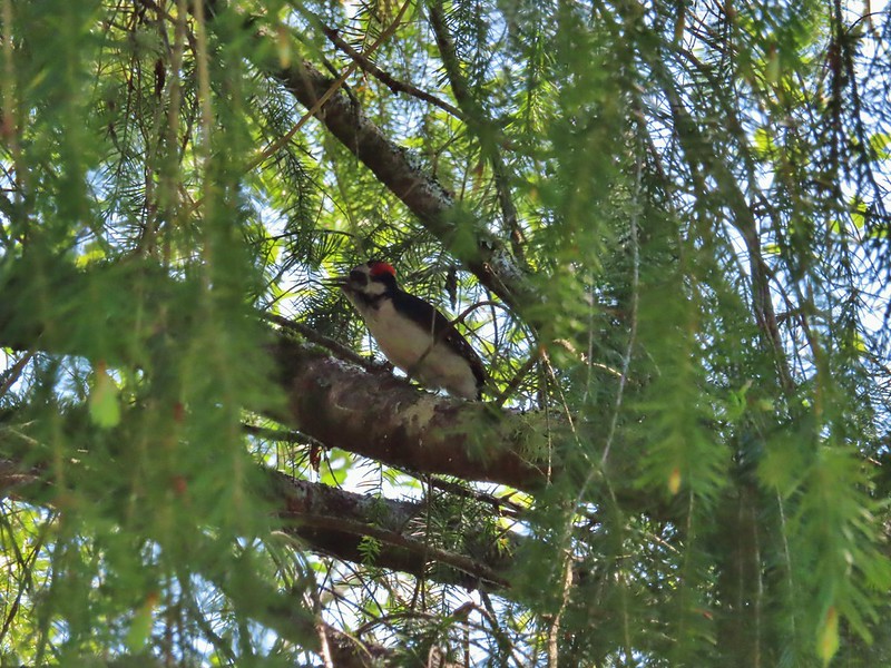 A woodpecker
 A woodpecker
 Killdeer
 Mourning dove
 Grouse, leaning toward sooty
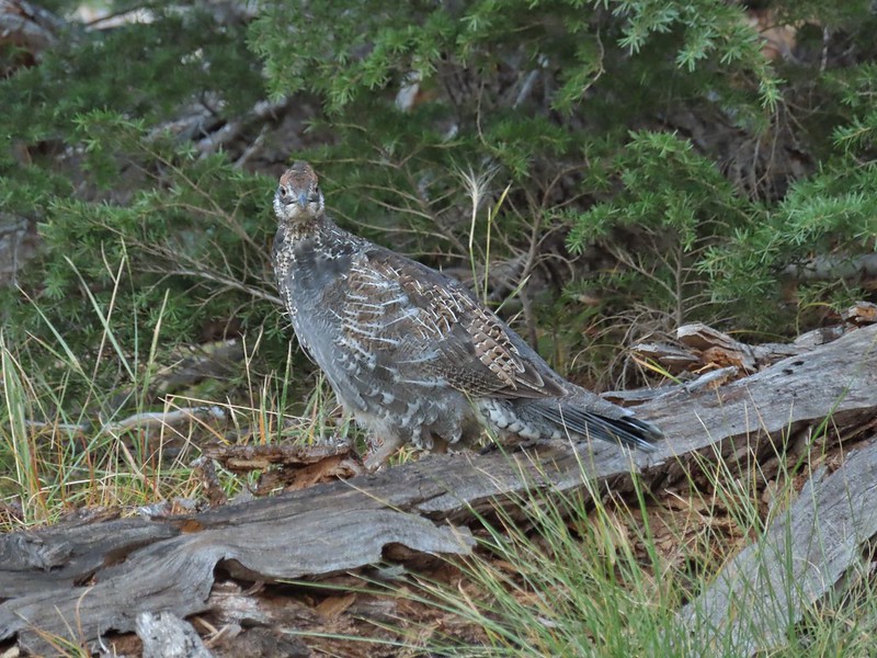 Not sure which type of grouse this is.
 Ruffed grouse?
 Sage grouse
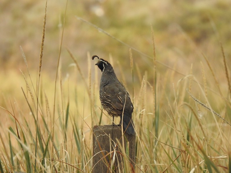 California quail
 Turkeys
 Rooster at Cape Arago State Park
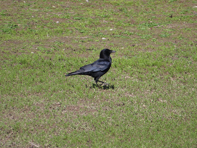 Crow
Crow Turkey vulture
 A magpie and some sort of hawk
 A hawk
 Hawk in flight
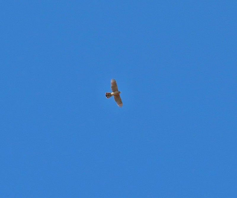 Cooper’s hawk?
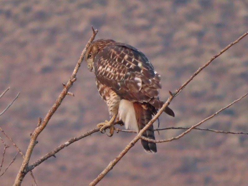 Hawk in the Pueblo Mountains
 Red-tailed hawk
 Hawk or?
 Northern harrier
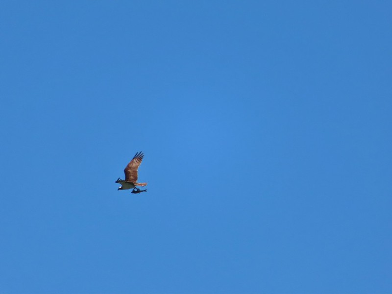 Osprey (with meal)
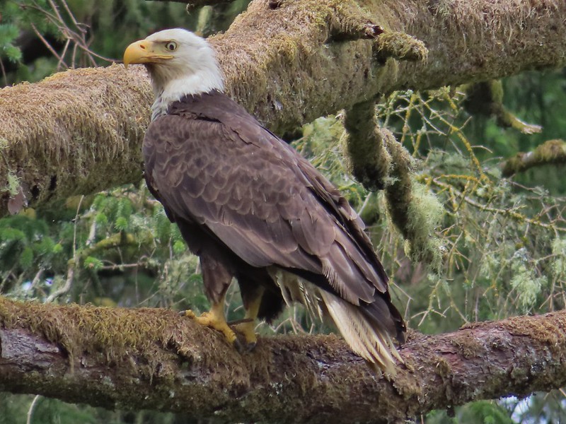 Bald eagle
 Great horned owl
 American kestral
 Common nightwawk
 Northern shrike
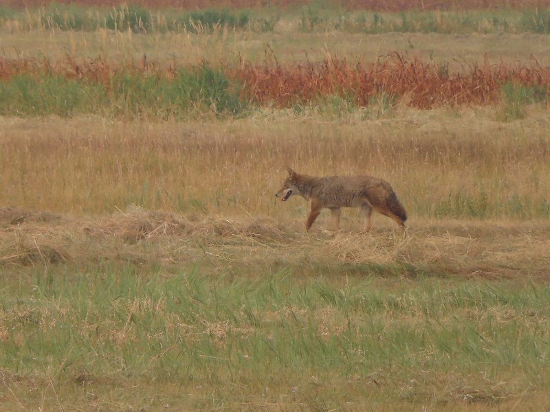 Coyote
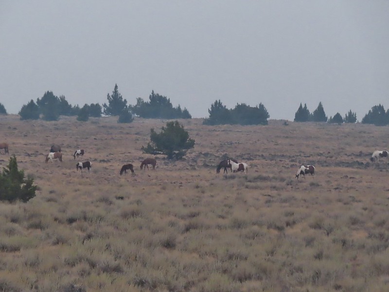 Wild horses at Steens Mountain
 Not wild cows along the Little Malhuer Trail
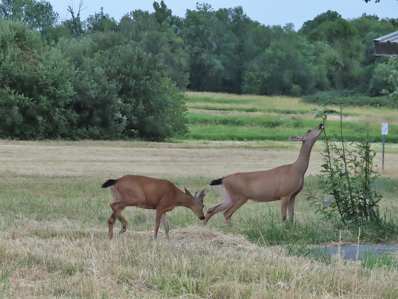 Columbian black-tailed deer
 Columbian white-tailed deer
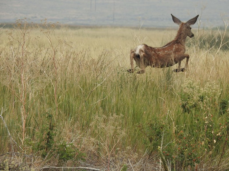 Mule deer fawn
 Elk in the Aldrich Mountains
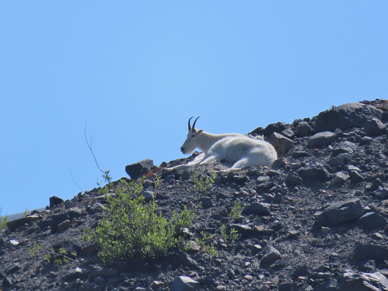 Mountain goat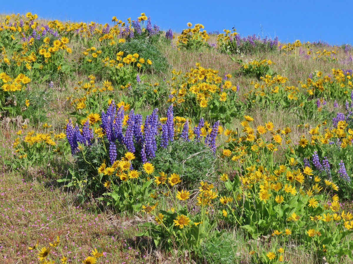
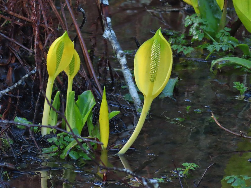
 A delphinium
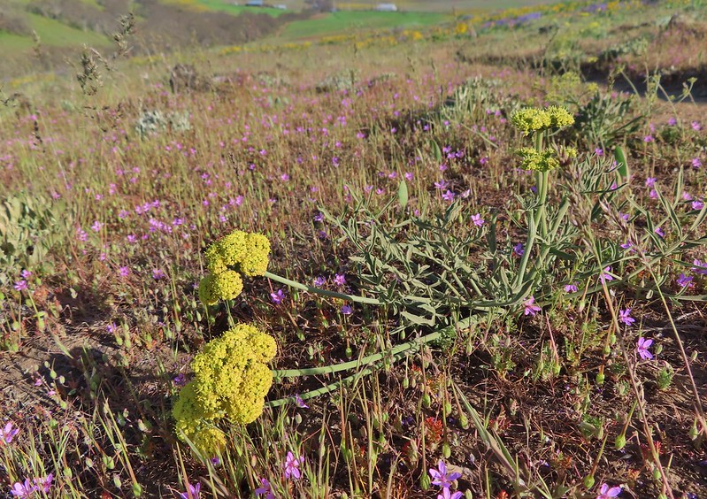 Red stem storksbill surrounding a lomatium.
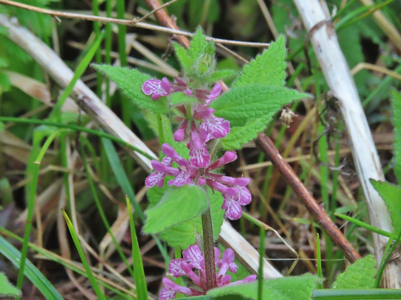 A “nettle” of some sort at South Slough Estuary.
 A treefoil.
 A vetch
 An allium on Ninemile Ridge.


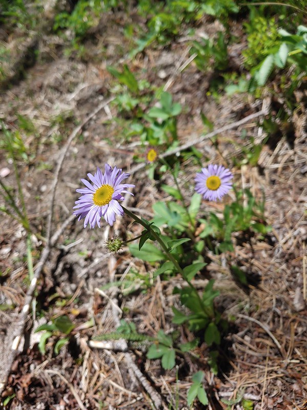

 This may be Eaton’s aster along the Deschutes River.
 Purple cushion fleabane
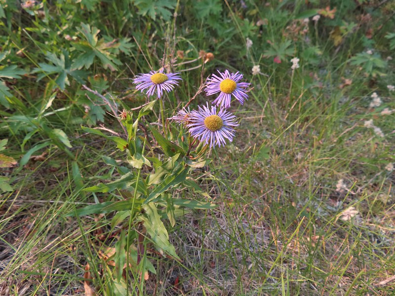 Possibly showy fleabane, August-Steens Mountain Wilderness.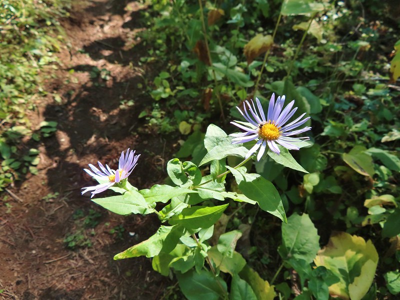
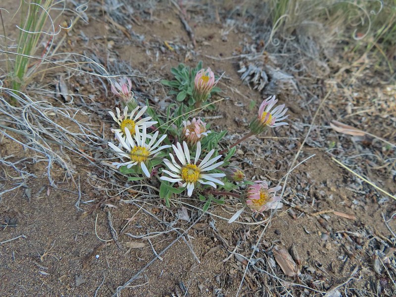 Showy townsendia
 Anemonastrum deltoideum -Columbian windflower
 Anemonoides oregana – Oregon anemone
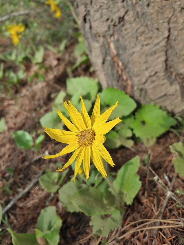 Arnica
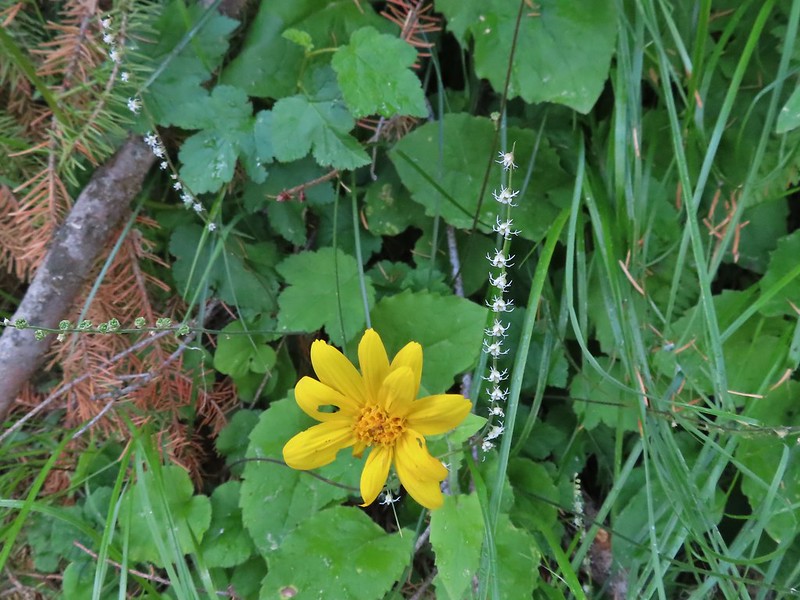 The small white flowers are miterworts while I believe the yellow is an arnica.
 Avens
Avens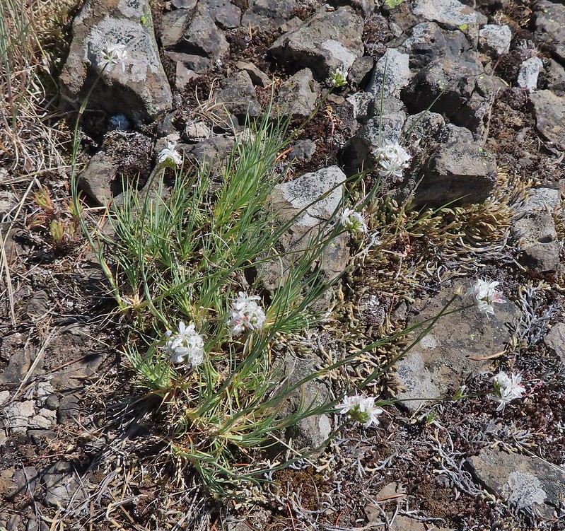 We believe this is ball head sandwort
 Ballhead waterleaf
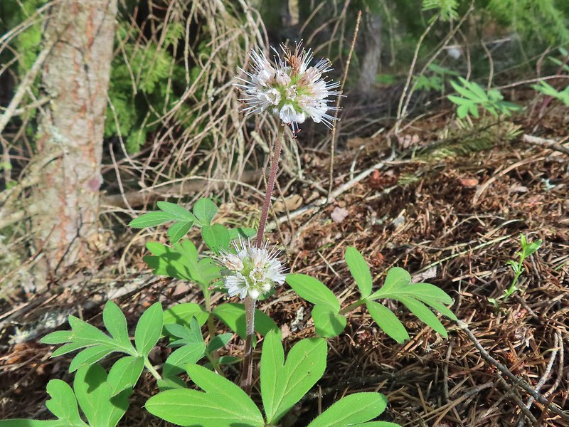 Pacific waterleaf
 Balloon pod milk vetch
 A milk-vetch, possibly Yakima
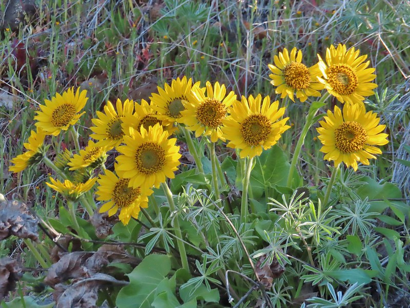 A balsamroot at Lyle Cherry Orchard
 A balsamroot at Columbia Hills State Park
 Hoary balsamroot on Ninemile Ridge
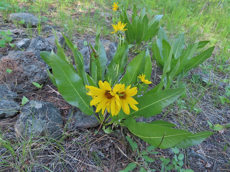 We think these are mules ears along the Malhuer River Trail
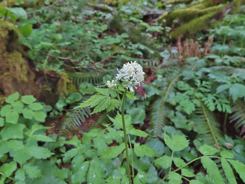 Baneberry
 Beargrass, admittedly not the nicest specimen but this one stood out as the only still blooming stalk we saw on our hike in the Indian Heaven Wilderness on 9/5/2021.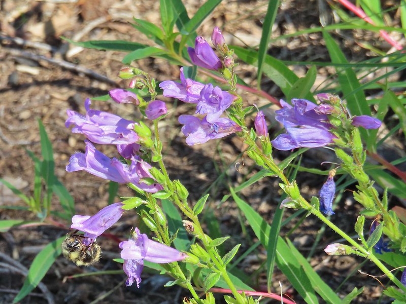


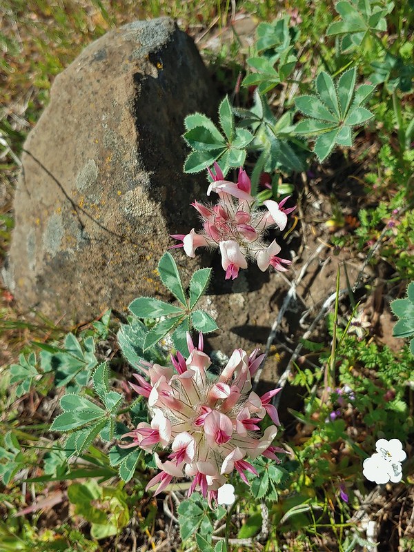 Big-head clover
 Big-seed lomatium surrounded by parsley.
 A bindweed
 Bistort
 Bitter cherry
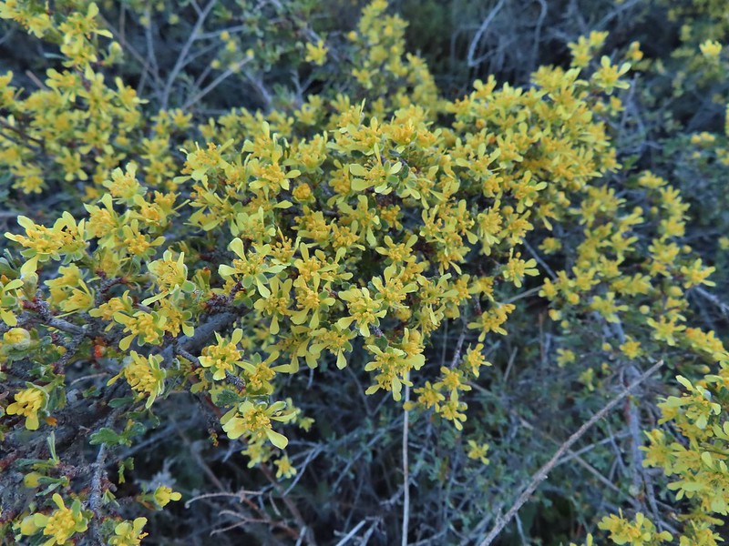 Bitterbrush
 Blackberry
 The only blanket flower with any petals left.
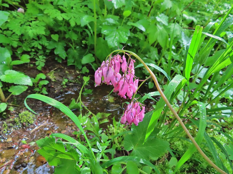 Bleeding heart
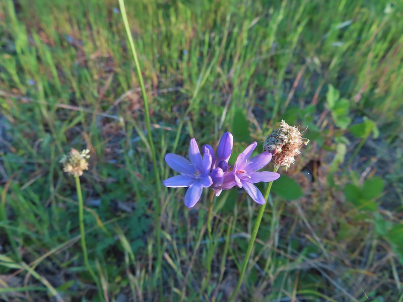 Blue dicks?
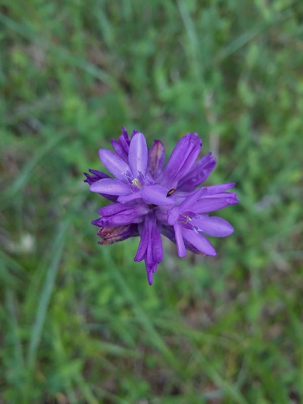 Might be ookow or blue dicks?
 Large-flower triteliea
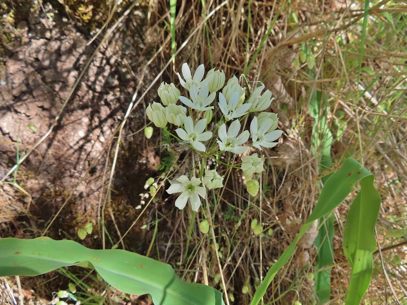 White triteliea
 Henderson’s stars
 Blue mountain prairie clover
 Blue-bells of Scotland
 Blue-eyed Mary, slender phlox, and elegant mariposa lilies.
 A phlox
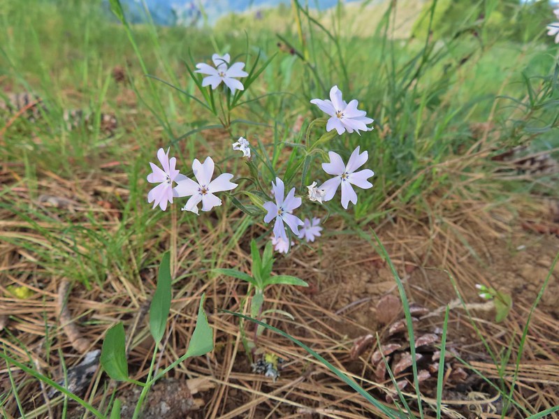 A phlox
 Phlox
Phlox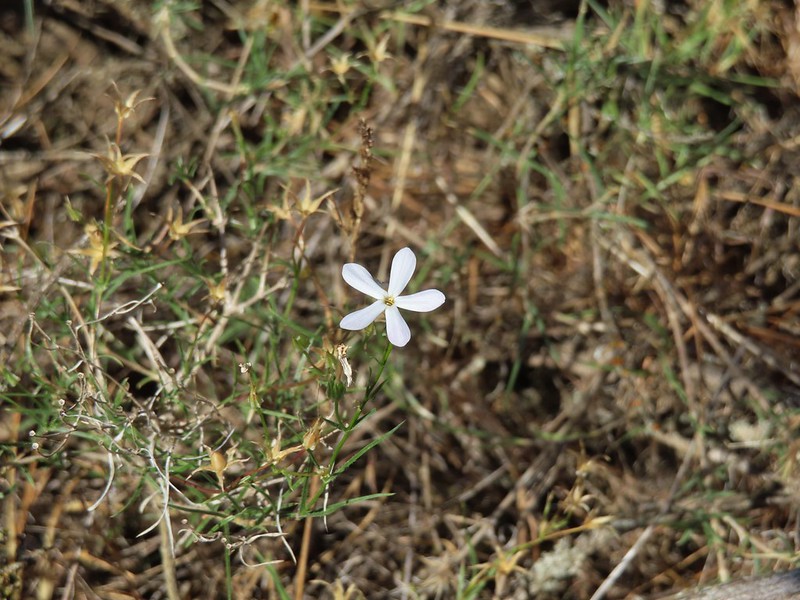 A phlox
 Sub-alpine mariposa lily
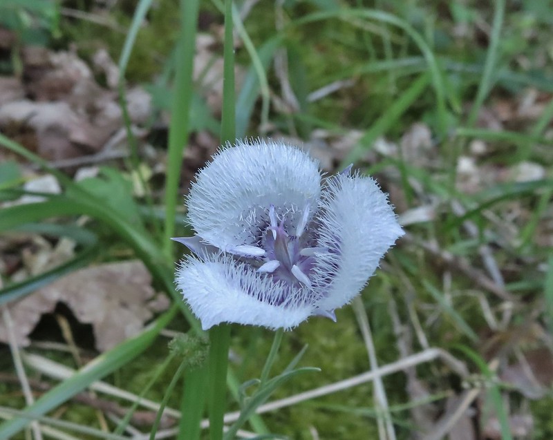 Tolmie’s mariposa lily
 Sagebrush mariposa lily
 Sand lily
 Glacier lilies
 Fawn lilies
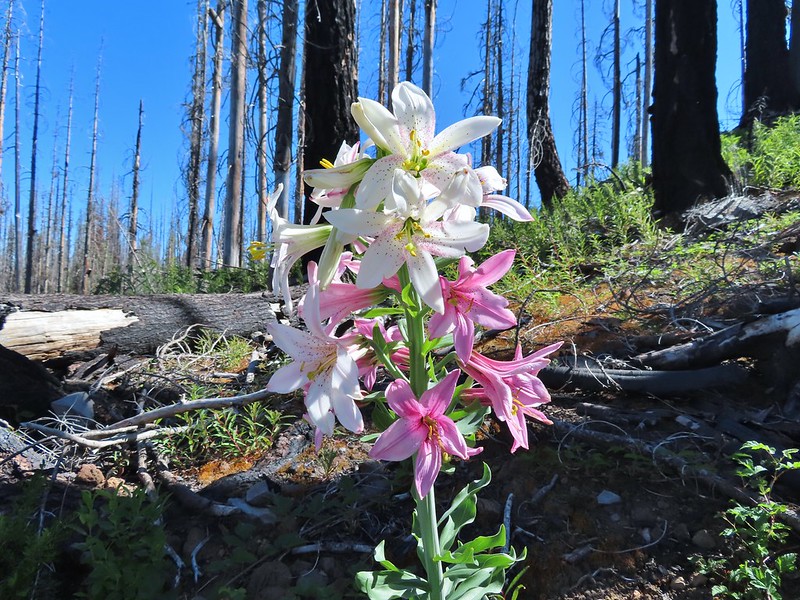 Washington lily
 Yellow bell lilies
 Blurry photo but the only tiger lily we came across in 2021.
 Chocolate lily
 Water lily
 Bog orchid
 Phantom orchid
 Lousewort
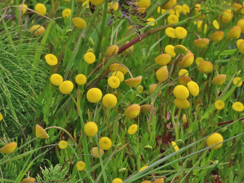 Brass buttons (non-native) along the coast near Fivemile Point.
 Alpine buckwheat
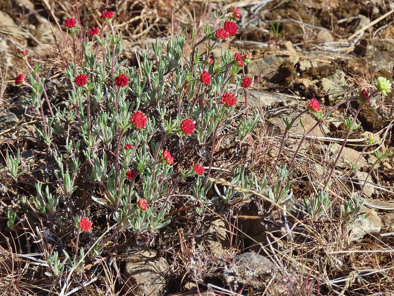 A buckwheat
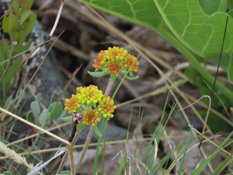 A buckwheat
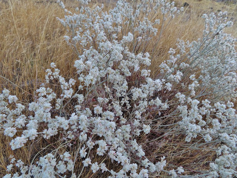 Another buckwheat
 Sulfur? buckwheat
 More buckwheat
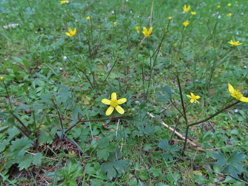 Buttercups
 Pearly everlasting
 A mustard? along the John Day River
 California corn lilies
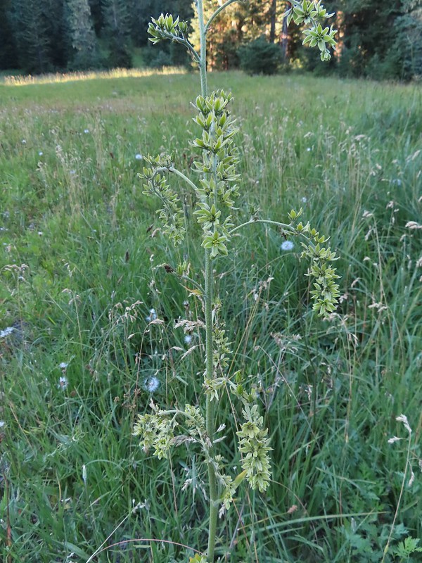 False hellebore
 Death camas
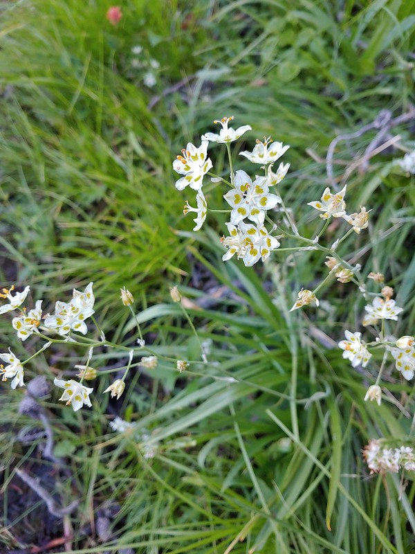 Mountain death camas
 Candy sticks
 Candy flower
 Catchfly
 Chamomile (non-native)


 Chicory (non-native)
 Chokecherry
 A cinquefoil?
 Slender cinquefoil
 Sticky cinquefoil
 Lassen clarkia?
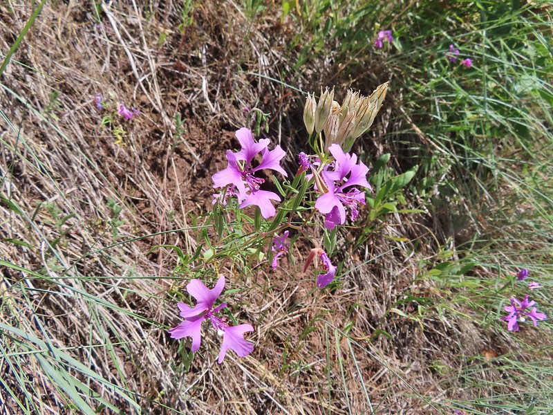 Elkhorn clarkia aka Ragged robin
 Clarkias with an out of focus madia
 Common madia
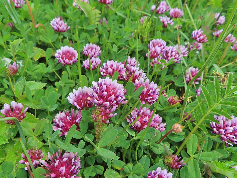 Clover
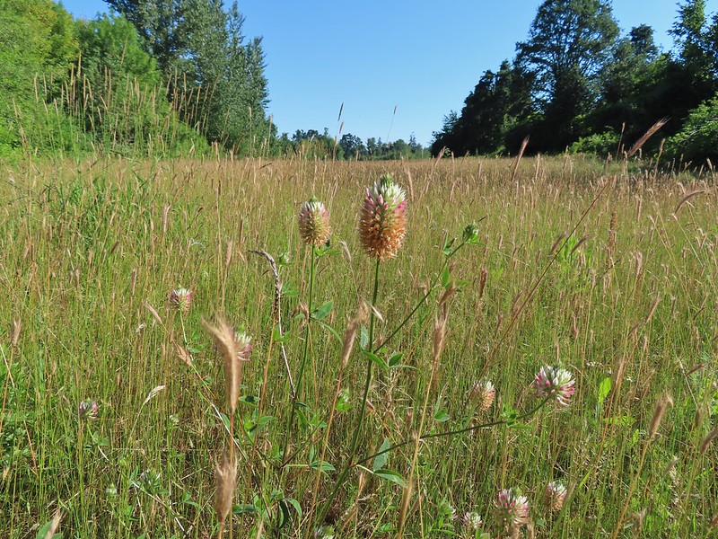 A clover (non-native)
 Red clover
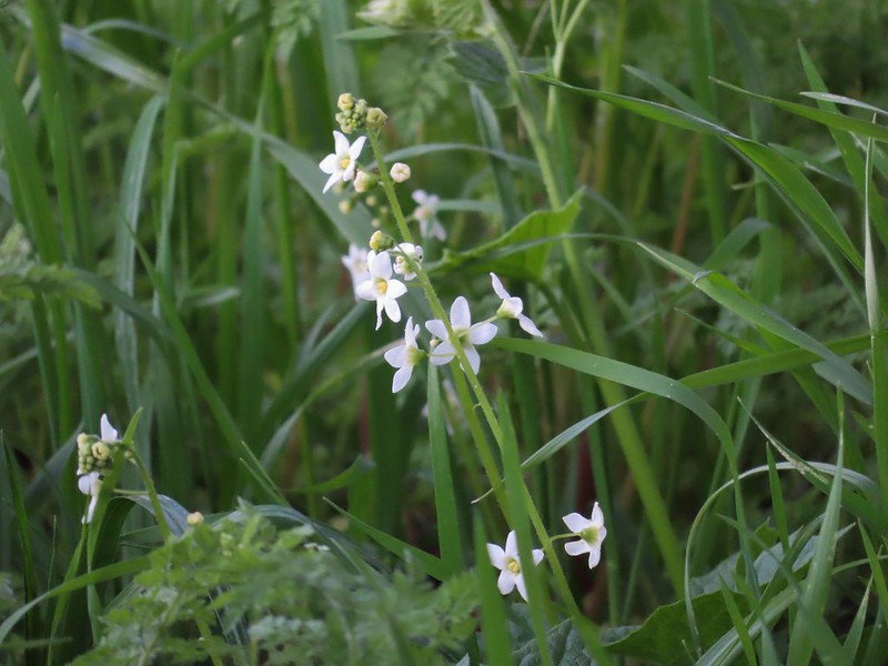 Coastal manroot
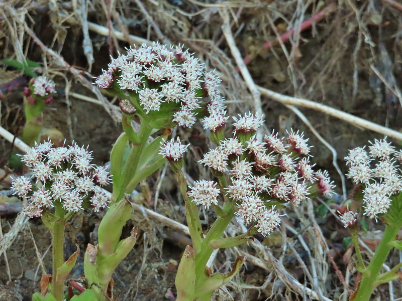 Coltsfoot
 Columbine
 Coneflower
 A currant
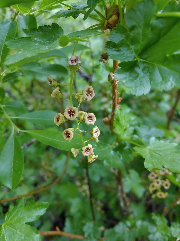 Also a currant
 Daggerpod
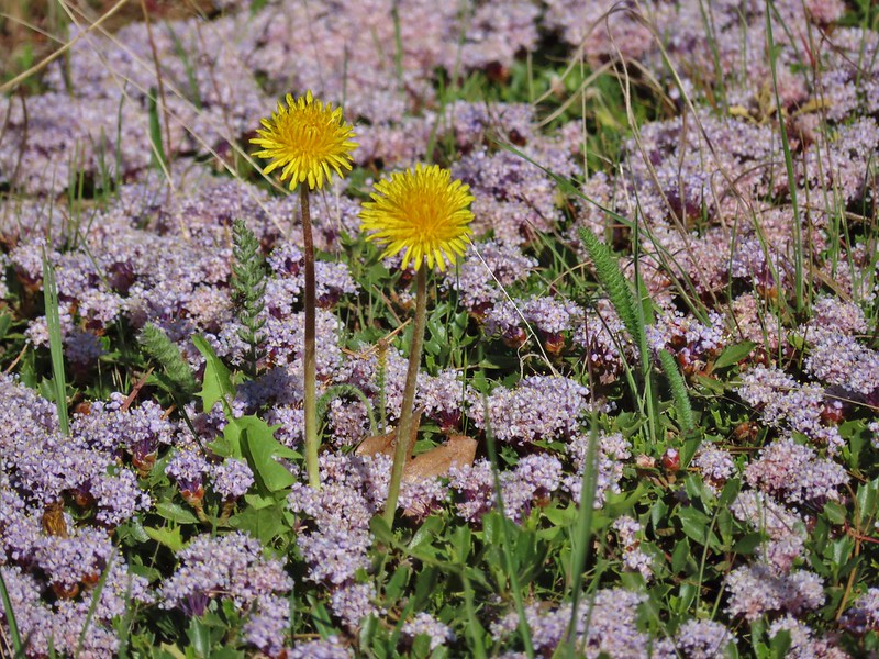 Dandelions in the midst of mahala mat
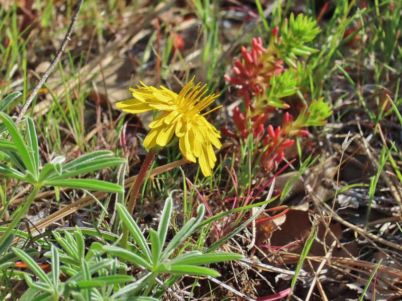 Sagebrush false dandelion
 Deadly nightshade
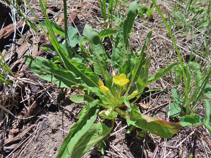 Diffuse evening primrose
 Hooker’s evening primrose
 A primrose
 Dusty maiden
 Dwarf aplinegold
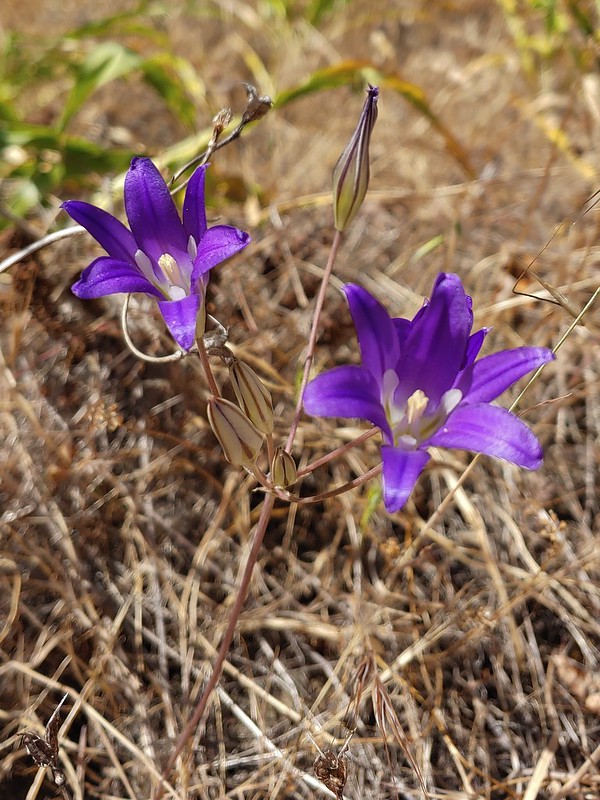 Elegant brodiaea
 Elephants head
 Fairy bells
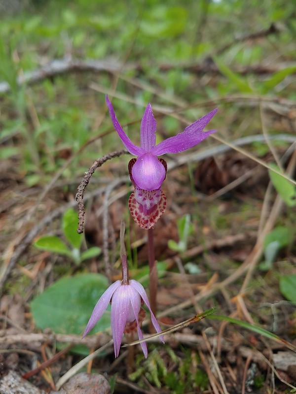 Fairy slippers
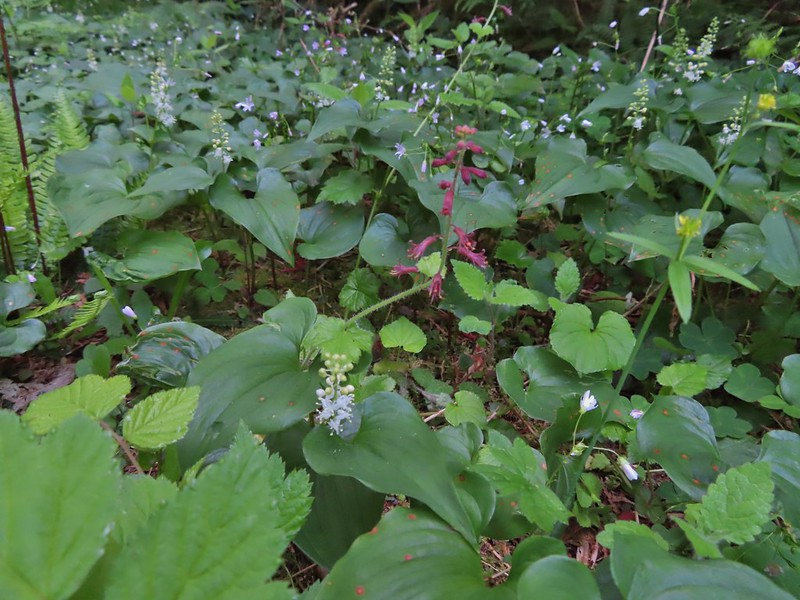 False lily of the valley and youth-on-age
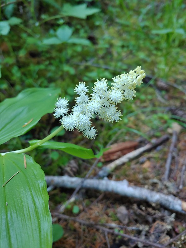 False solomonseal
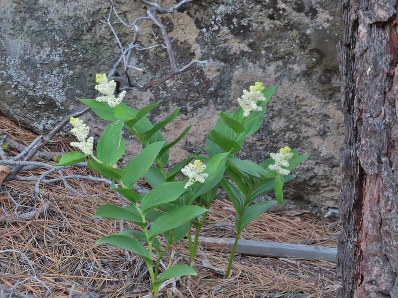 Plummed solomonseal
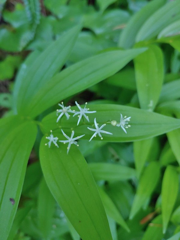 Star flower solomonseal
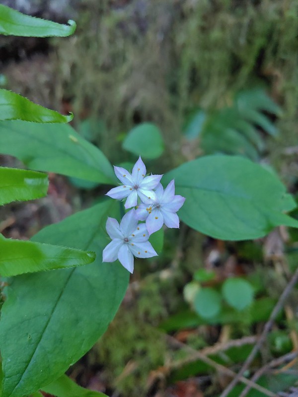 Starflower
 False sunflowers
 Fiddleneck
 Fireweed
 Flower near Illahe Lodge on the Rogue River Trail
 Fringecup
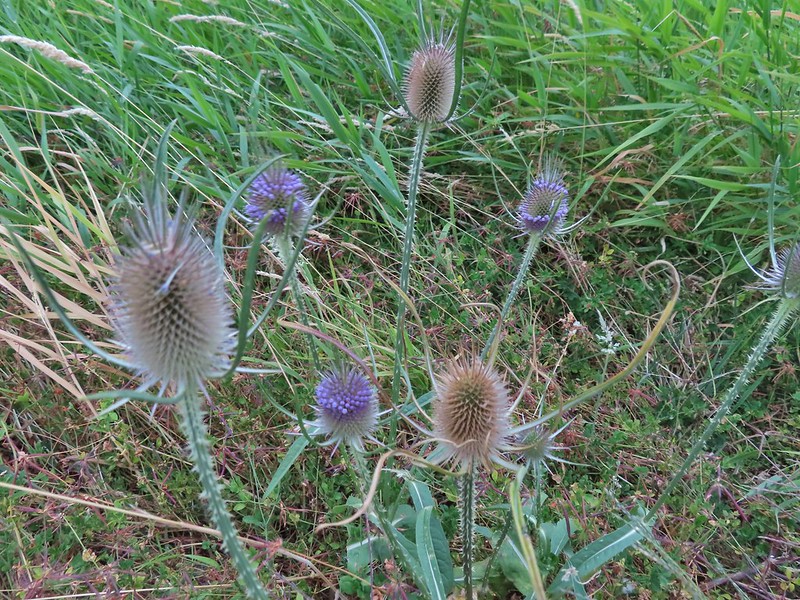 Fuller’s teasel
 A gentian
 Gentians in the Steens Mountain Wilderness
 Purple sticky geranium
 Ghost pipe
 Giant white wakerobbin
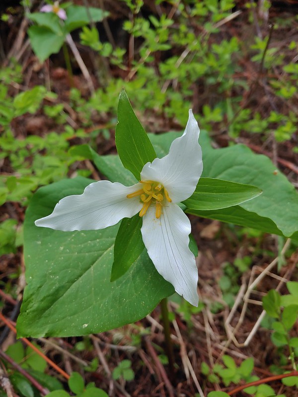 Trillium
 Gold stars
 Goldenrod
 Gooseberry
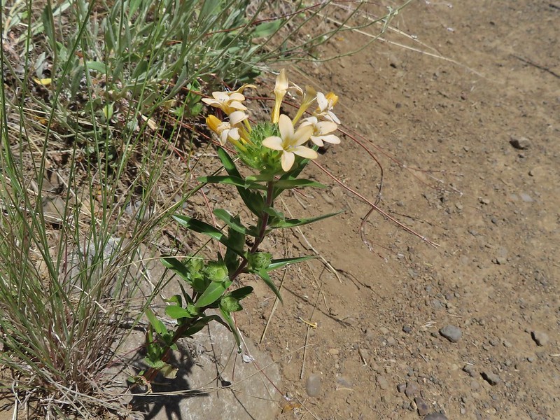 Grand collomia
 Grass of parnassus
 Grass widows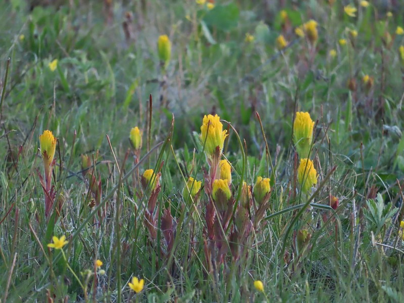
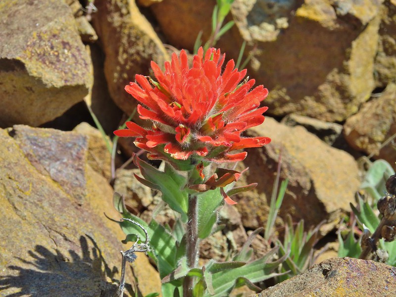


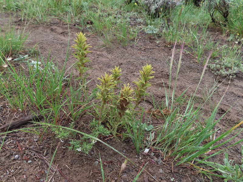

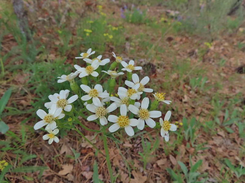 Groundsel?
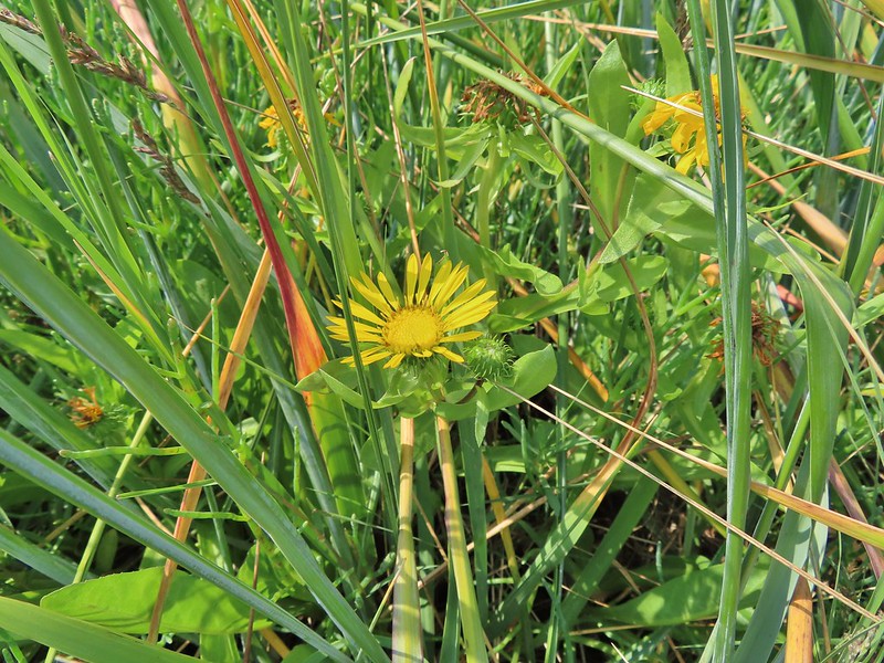 Gumweed? July, Willapa Bay
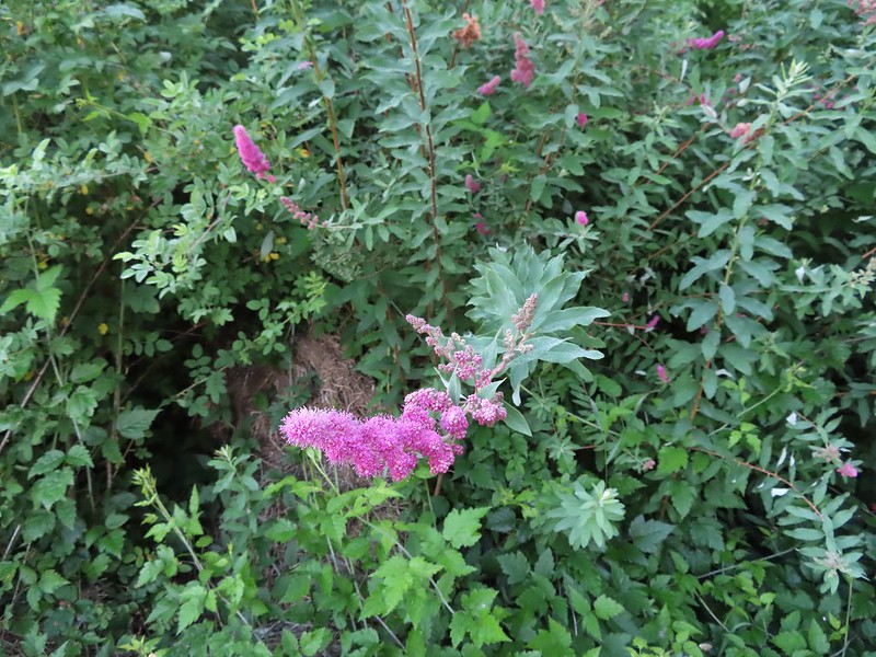 Hardhack aka Douglas spirea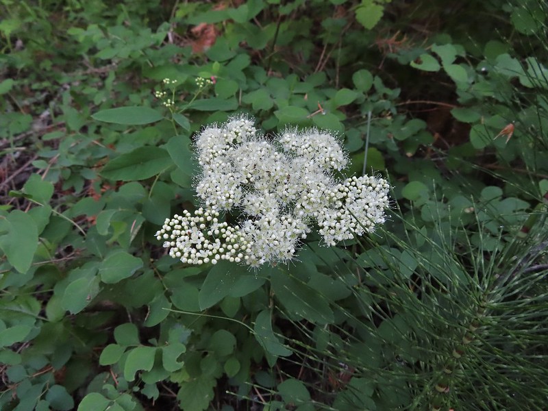
 Hawksbeard
 Heart leaved bittercress
 Heuchera cylindrica -roundleaf allumroot
 Orange honeysuckle
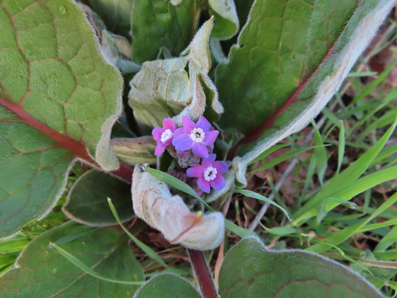 Houndstongue
 Also a houndstongue I think.
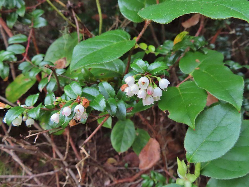 Evergreen huckleberry
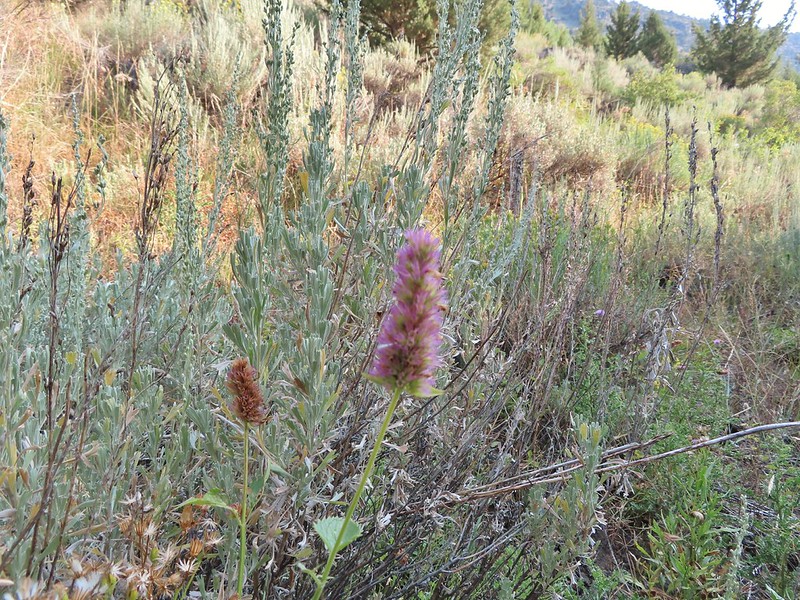 Hyssop

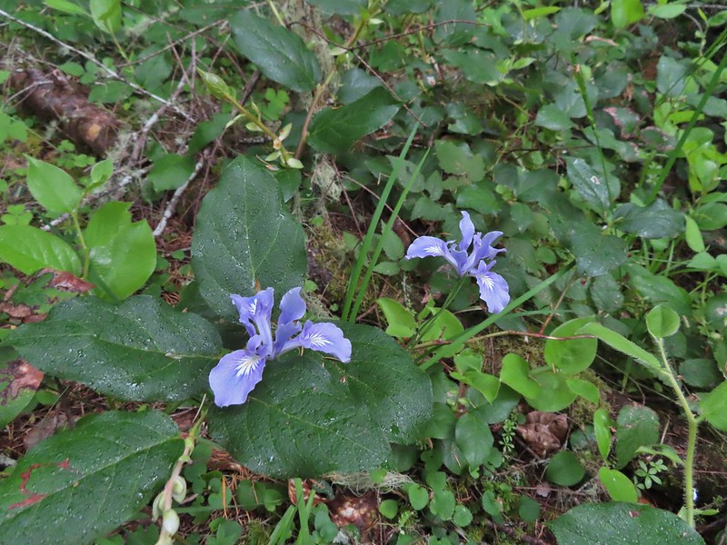
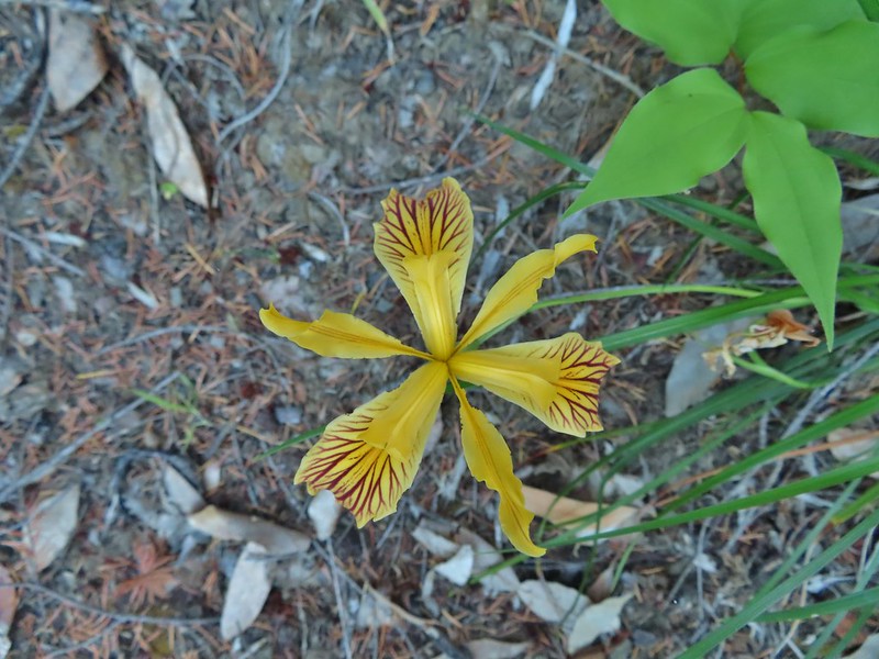

 Jacobs ladder
 Western Jacobs ladder
 Jessica sticktight
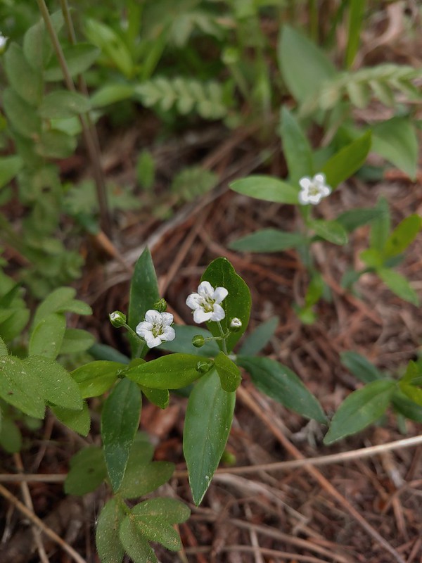 Largeleaf sandwort
 Larkspur
 Lewis flax
 Pale flax
 Sabin’s lupine

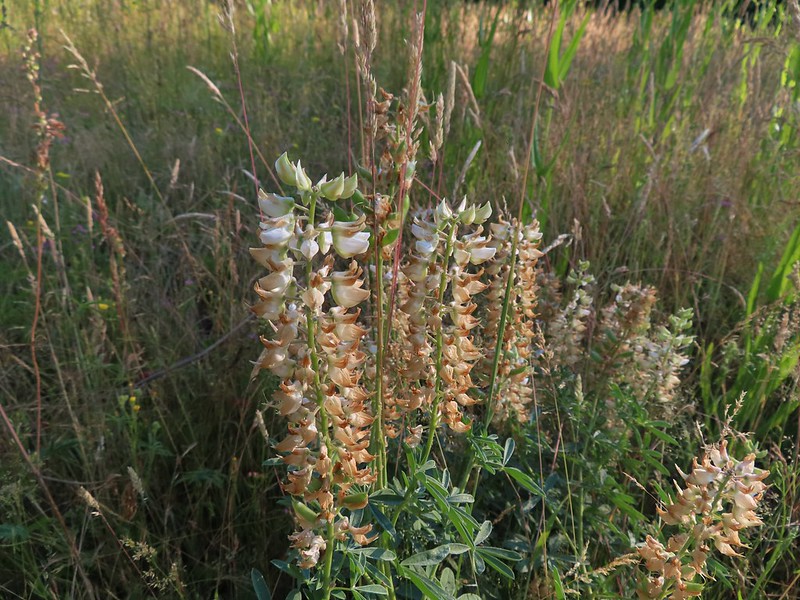

 Manzanita
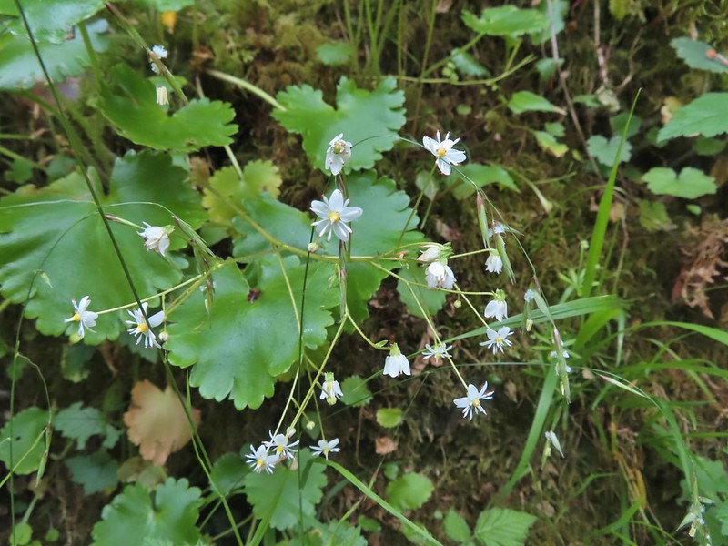 Marshall’s saxifrage
 A saxifrage?
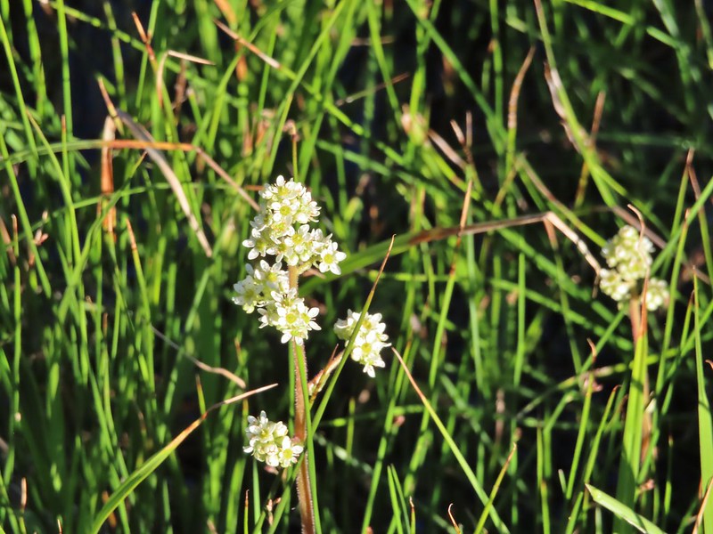 Saxifrage?
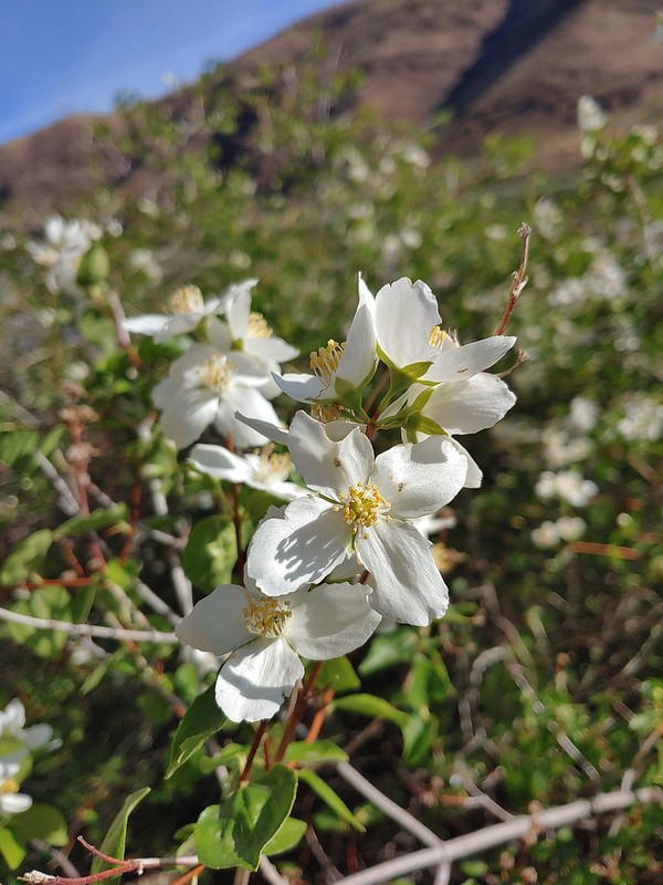 Mock orange
 A monkeyflower
 A monkeyflower
 Pink monkeyflower
 Monkshood
 Moth mullien
 Mountain bluebills
 Tall bluebills
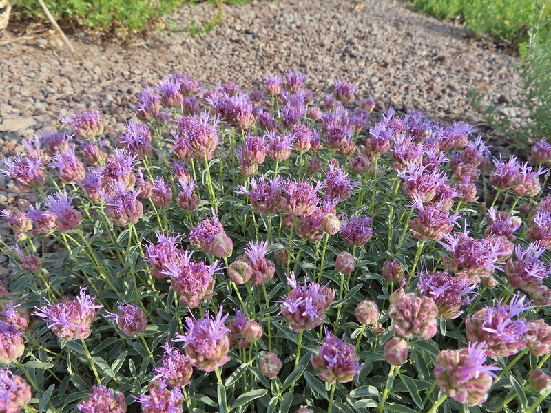 Mountain coyote mint
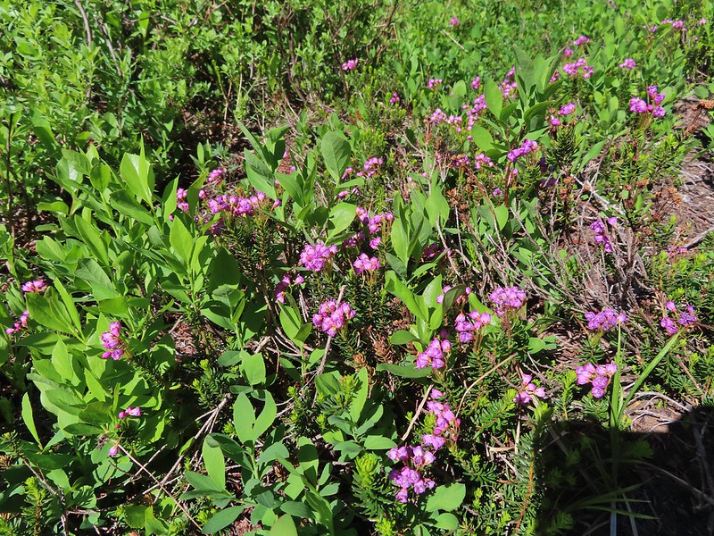 Mountain heather
 Very sad looking mountain lady slippers
 Naked broomrape
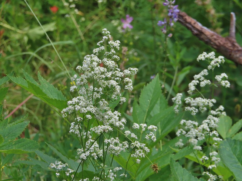 Northern bedstraw
 Nuttal’s linanthus
 Old man’s whiskers
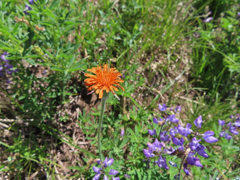 Orange agoseris
 Orange jewelweed
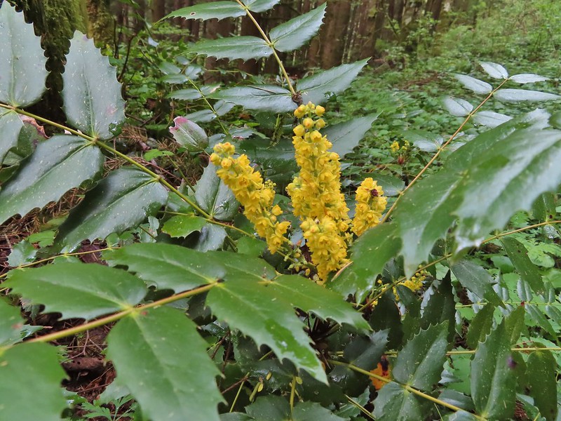 Oregon grape
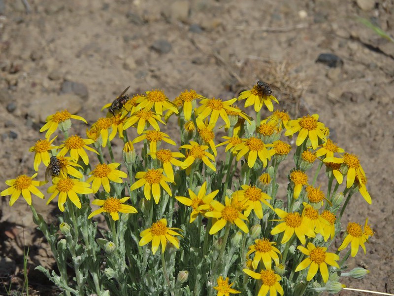 Oregon sunshine
 Daisies
 Pacific coralroot
 Spotted coralroot
 Striped coralroot
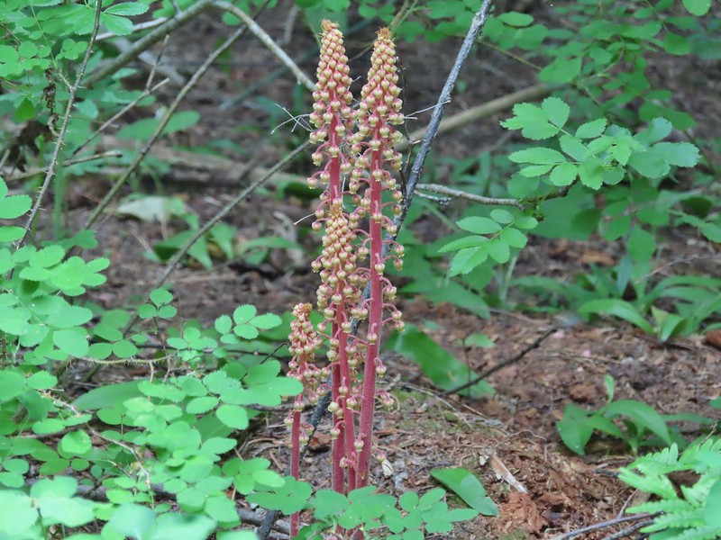 Pinedrops
 Two kinds of parsley
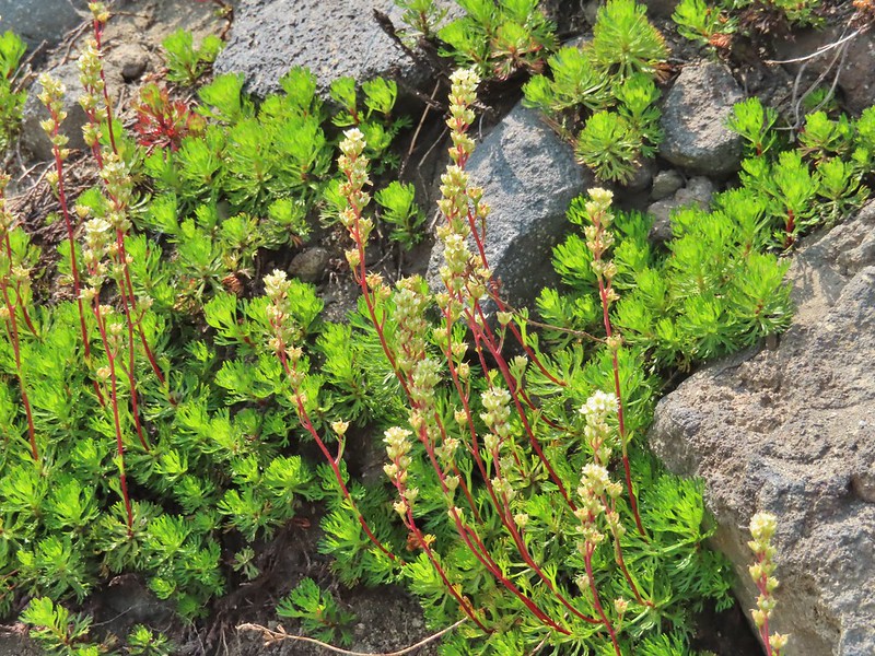 Partridgefoot
 A pea?
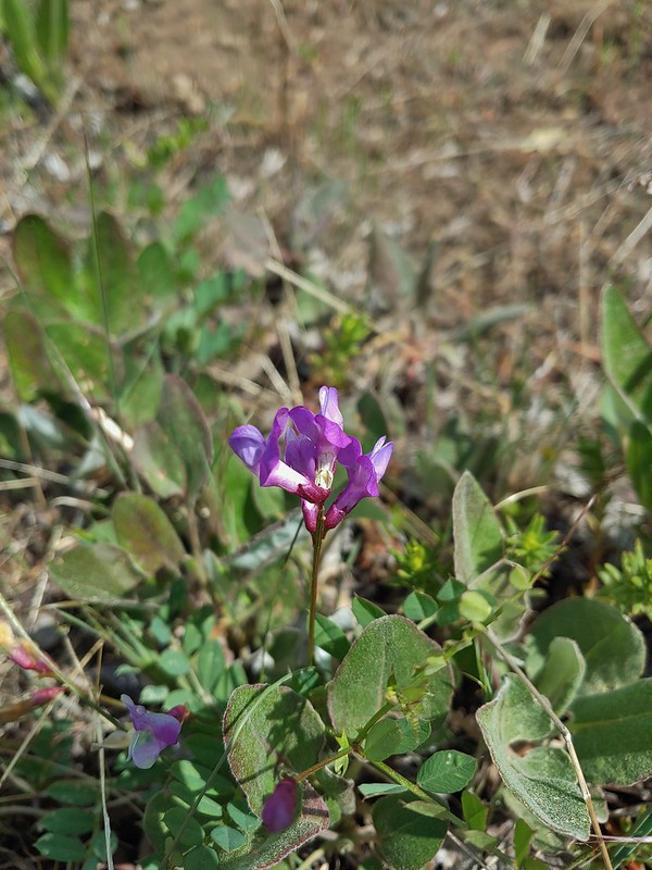 A pea?
 Pea (non-native)
 Pennycress
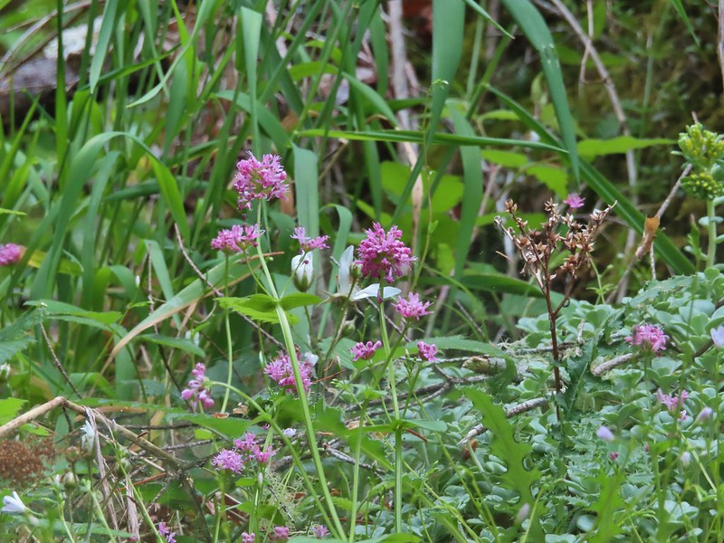 Plectritis
 Popcorn flower
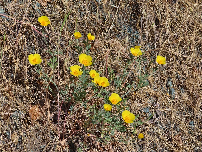 Poppies
 Poppy
Poppy Prince’s pine
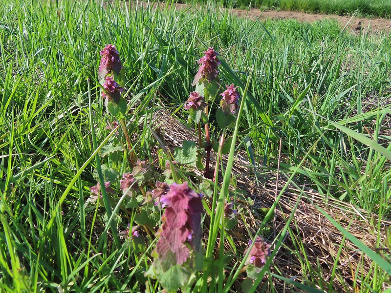 Purple deadnettle
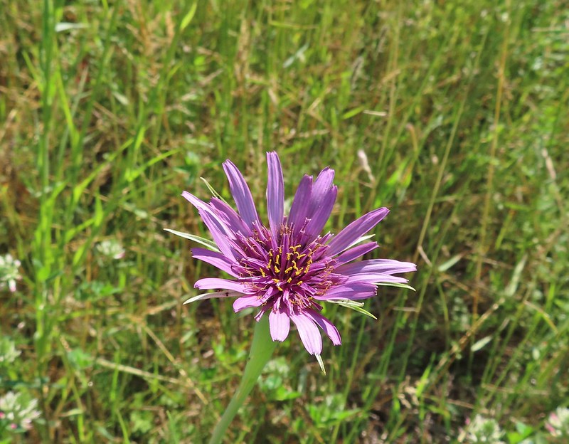 Purple oyster
 Salsify
 Pussy toes
 Pussy paws?
 Queen’s cup
 Rangers buttons
 Rhododendron
 Rockfringe willowherb
 Rough eyelashweed
 Bunchberry
 Salal
Salal Salmonberry
 Service berry
 Scarlet gilia
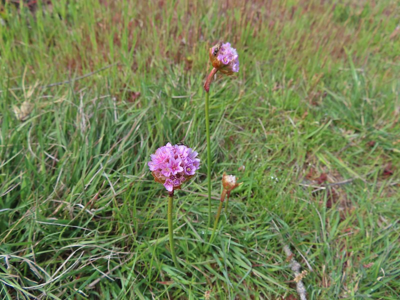 Sea thrift
 Self heal
 Shooting stars
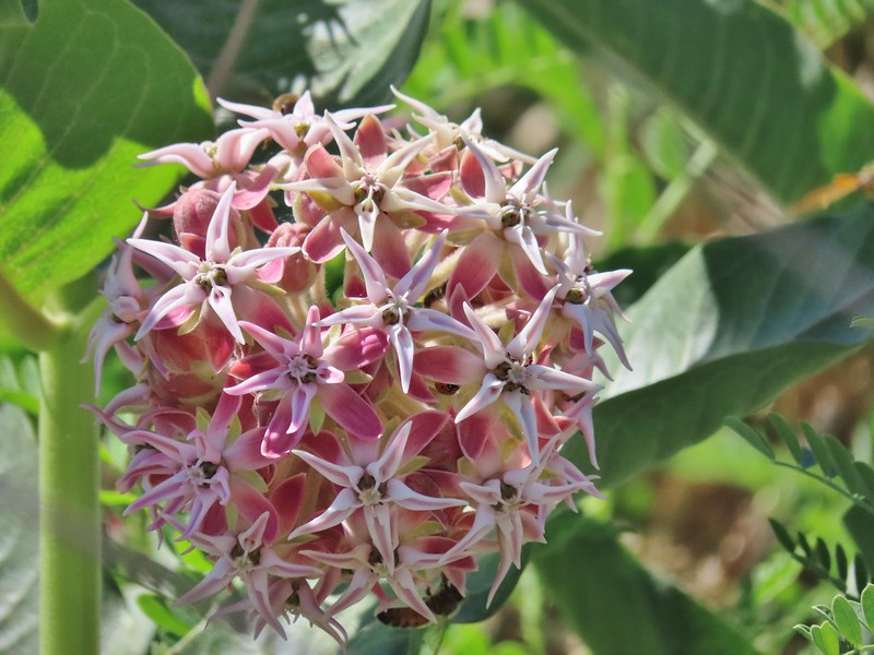 Showy milkweed
 Sicklepod rockcress
 Silky phacelia
 Silverleaf phacelia
 Threadleaf phacelia
 Snow queen
 Spreading dogbane
 Sticky starwort?
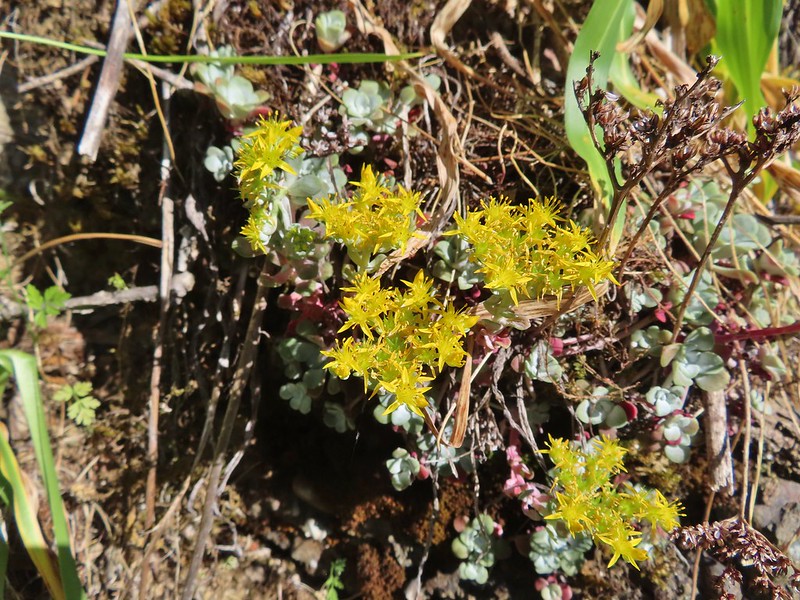 Stonecrop
 Strawberry
 Swamp onion
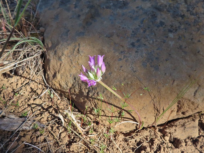 Tapertip onion?
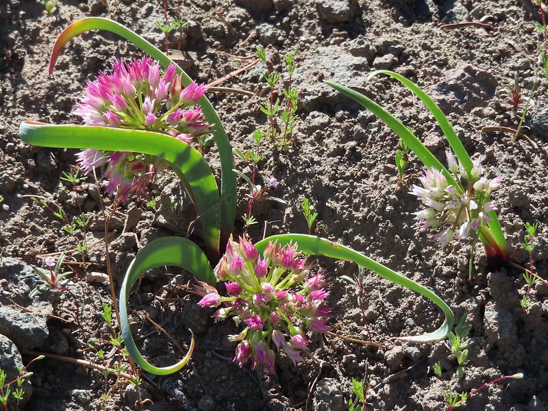 An onion
 Tailed kittentails
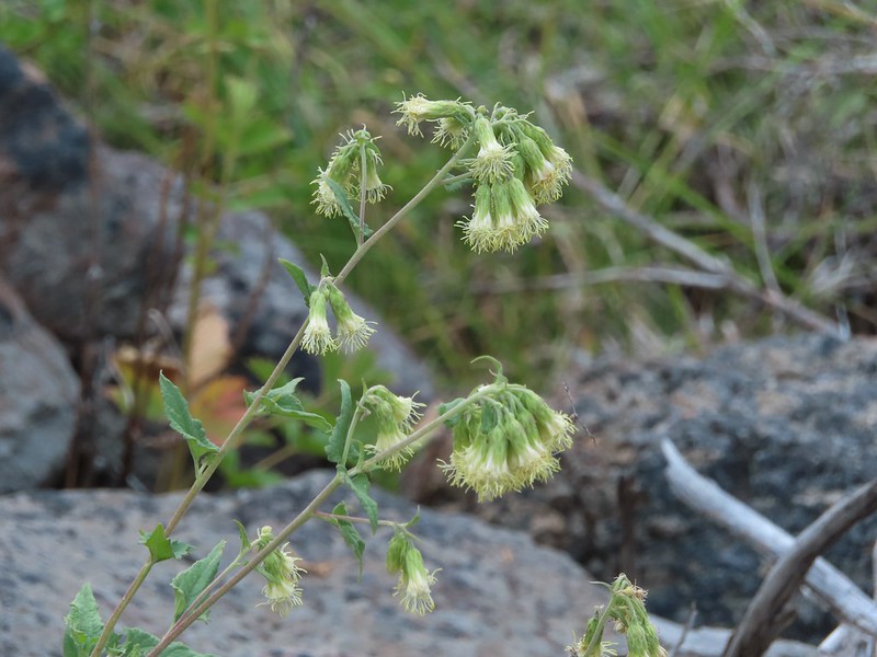 Tassel-flowered bricklelbush – Favoite name of the year.
 Thimbleberry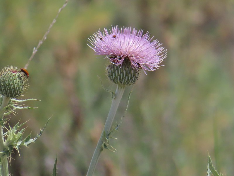
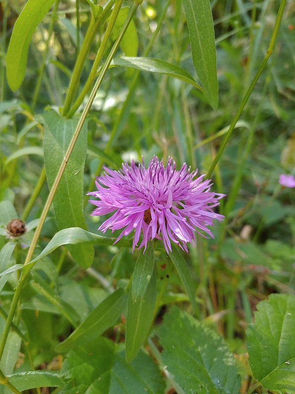
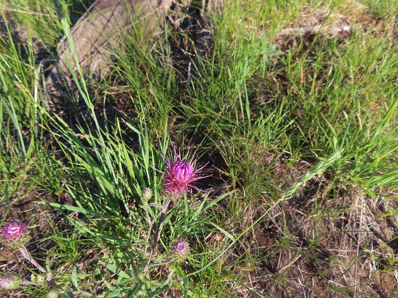

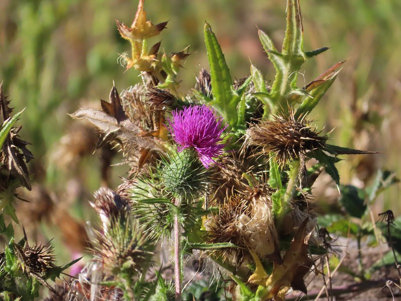

 Three-leaf lewisia
 Threeleaf goldthreads
 Twinberry honeysuckle
 Twinflower
 Twisted stalk
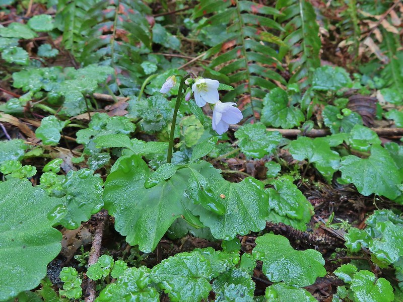 Toothwort
 Valerian
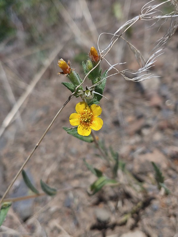 Vaetch’s blazingstar
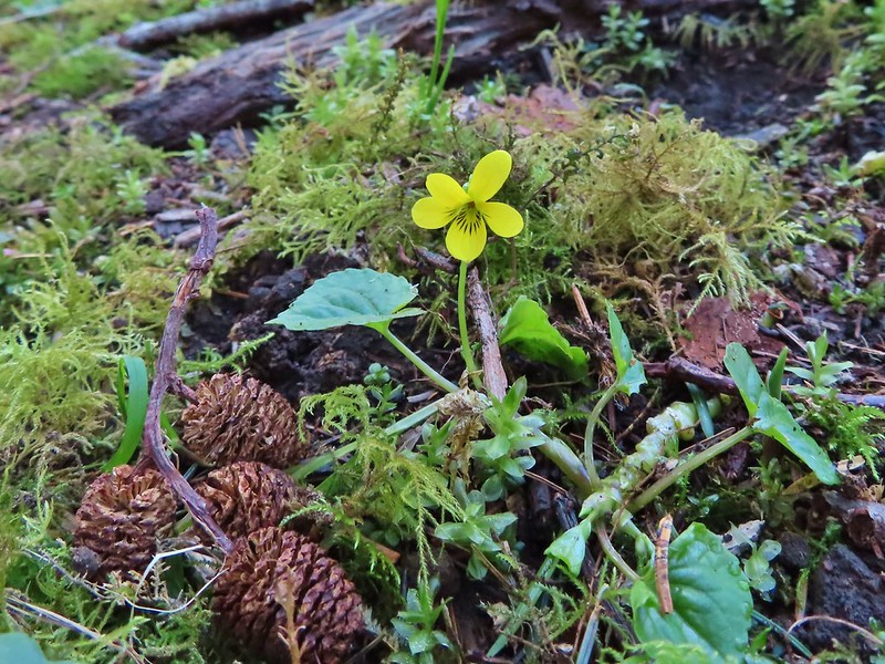 A violet
 A violet
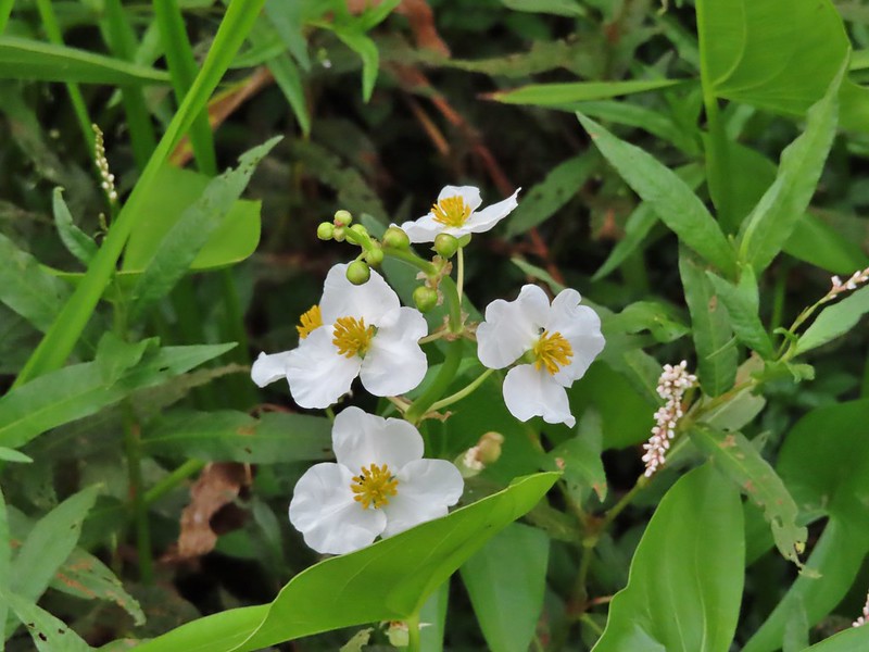 Wapato
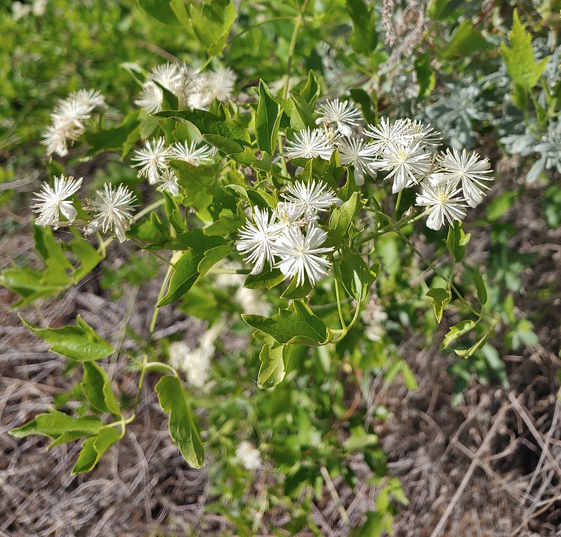 Western clematis
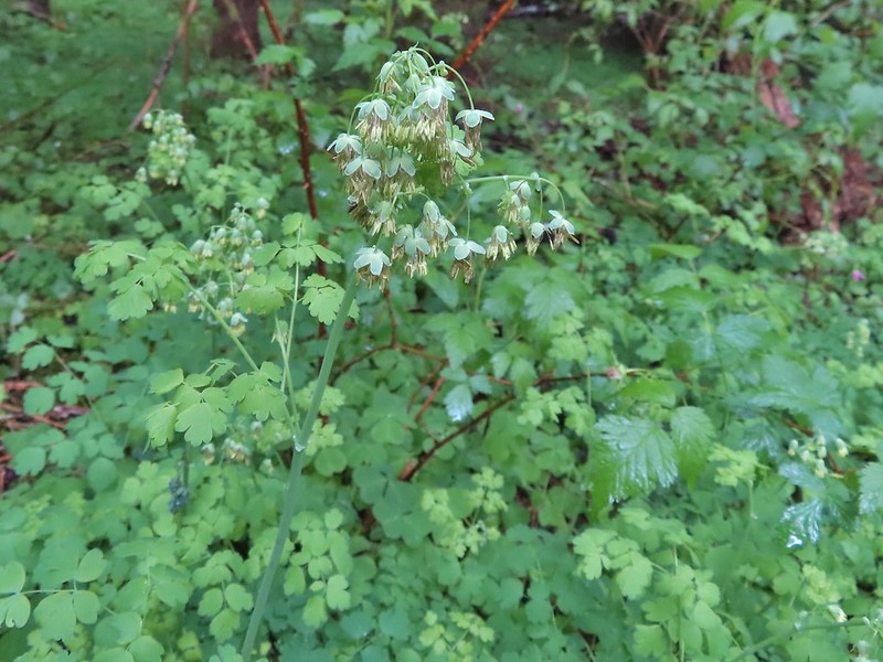 Western meadowrue
 Western stoneseed
 Western pasque flower (seed head)
 White stemmed frasera shortly before blooming.
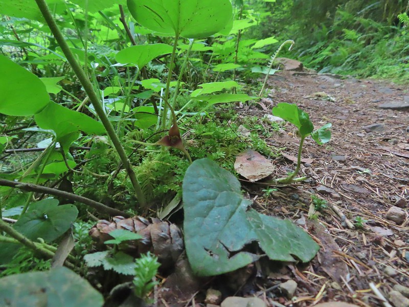 Wild ginger
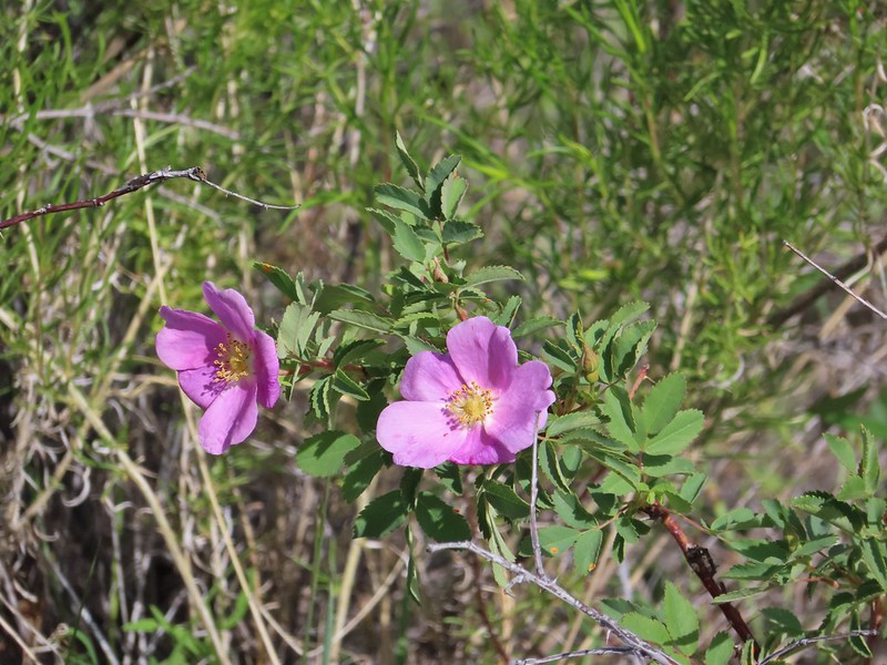 Rose
Rose Roses
Roses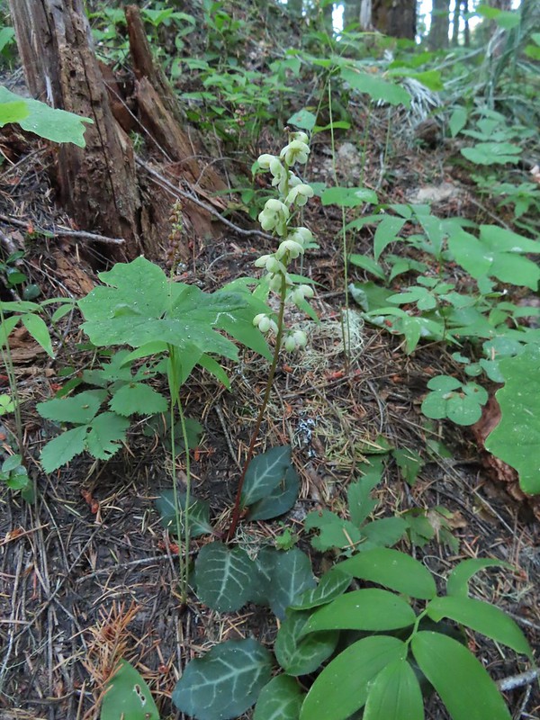 Wintergreen
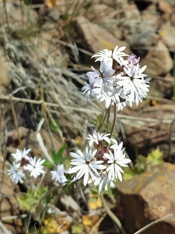 Woodland stars
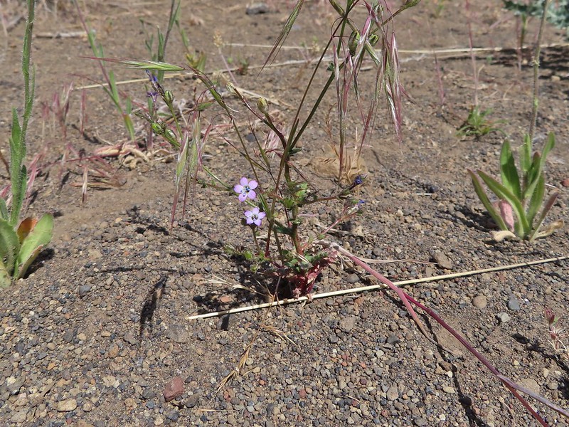 May 29th, Alder Springs Trail
 May 29th, Alder Springs Trail
 May 30th, Cottonwood Canyon State Park
 May 30th, Cottonwood Canyon State Park
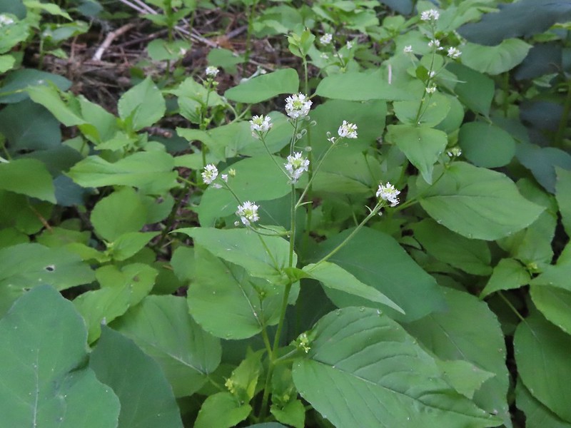 June 14th, North Fork Umatilla Wilderness
 August 29th, Mt. St. Helens National Volcanic Monument near the Norway Pass Trailhead.
 September 5th, Indian Heaven Wilderness along Falls Creek.
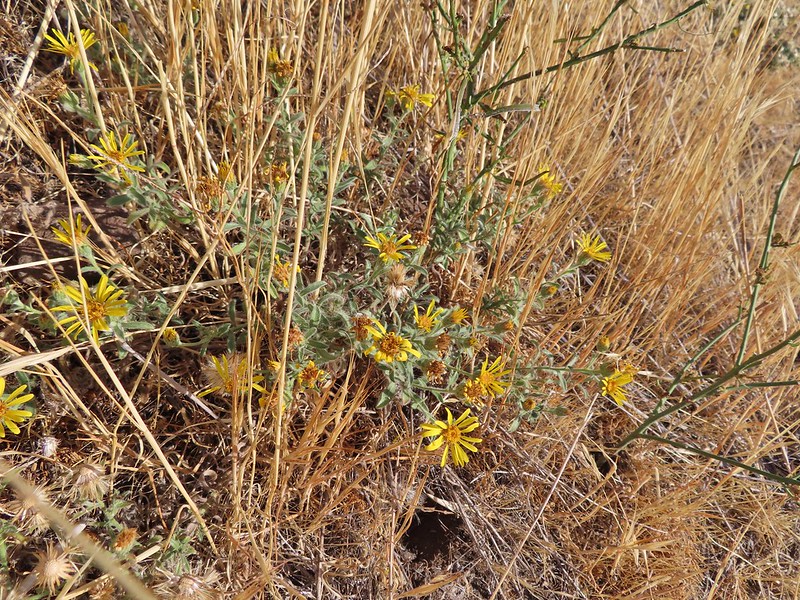 September 13th, Deschutes River
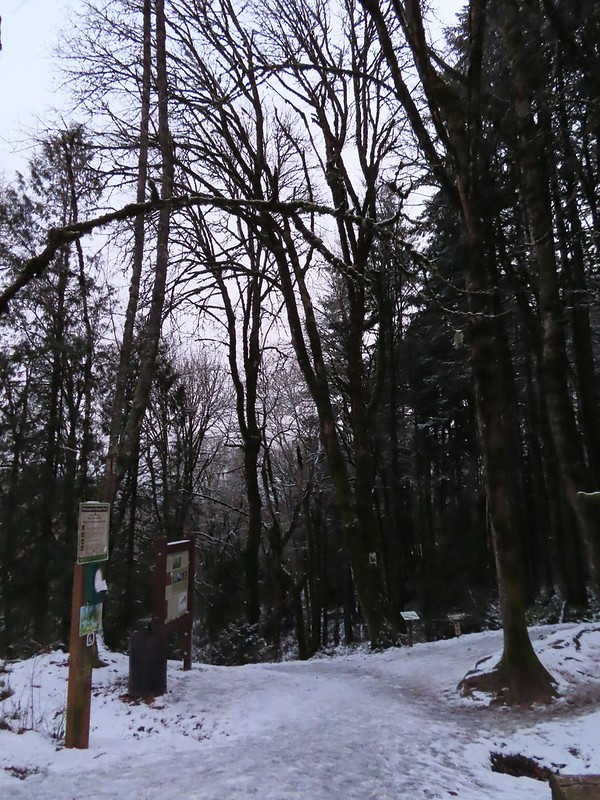


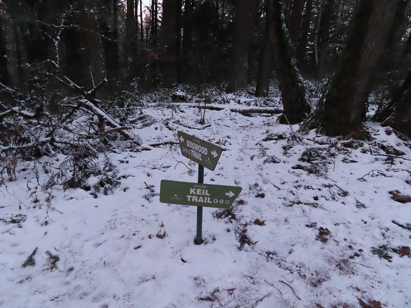
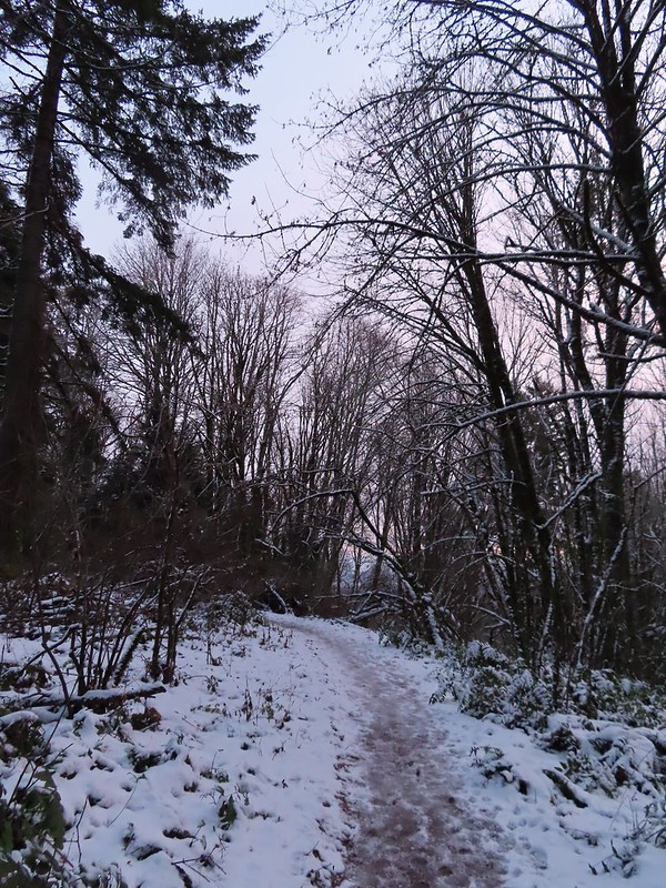
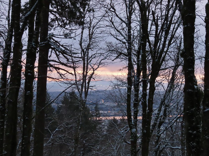 A bank of clouds was sitting directly over Portland but we could see the edge in the distance. We hopped that the clouds would either burn off or move along.
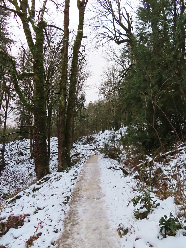


 Junction with the Birch Trail.
 A wren busy pecking at a log.
 Junction with the Aspen Trail. As we descended we left most of the snow, and the icy conditions, behind.
 Holman Lane Junction.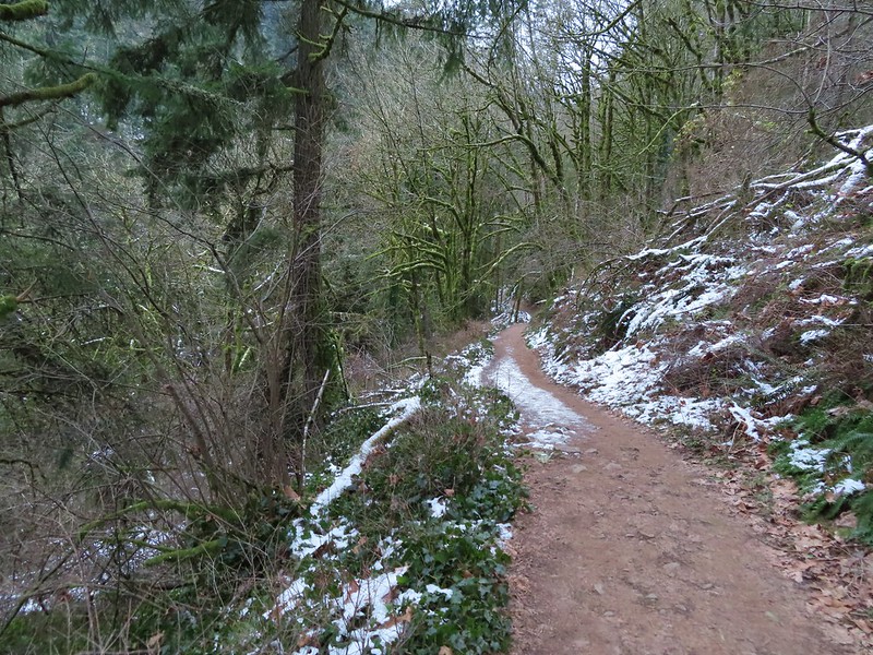
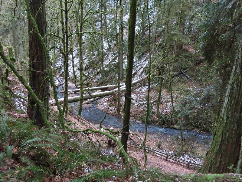 Balch Creek and the Lower Macleay Trail (Currently closed due to construction.)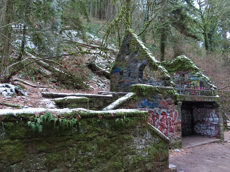
 Icicles over Balch Creek.
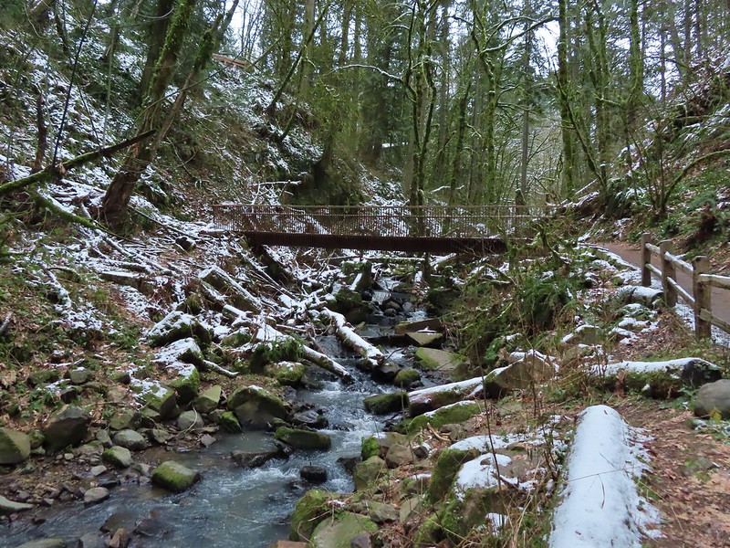

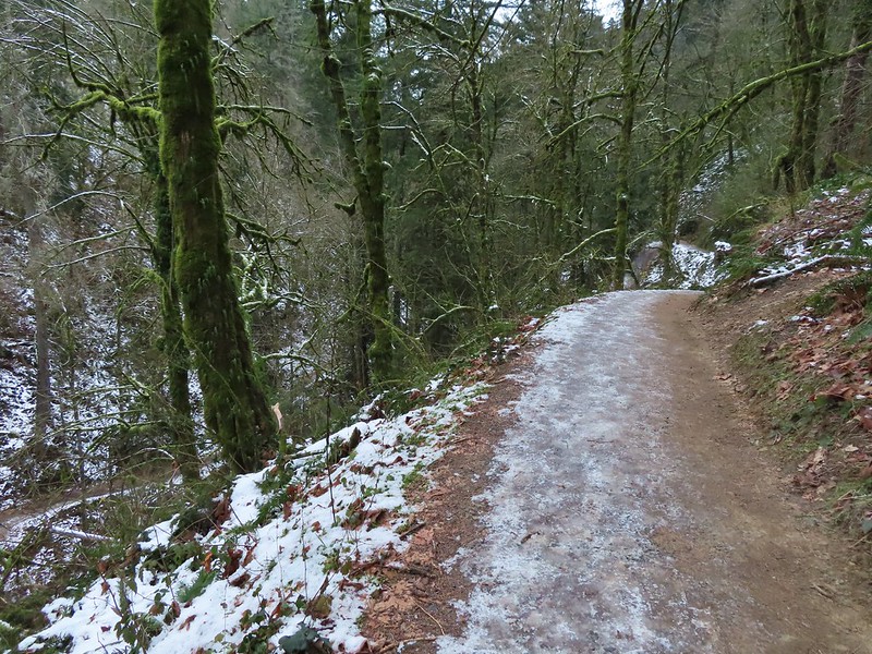 Going uphill before it got really slick.
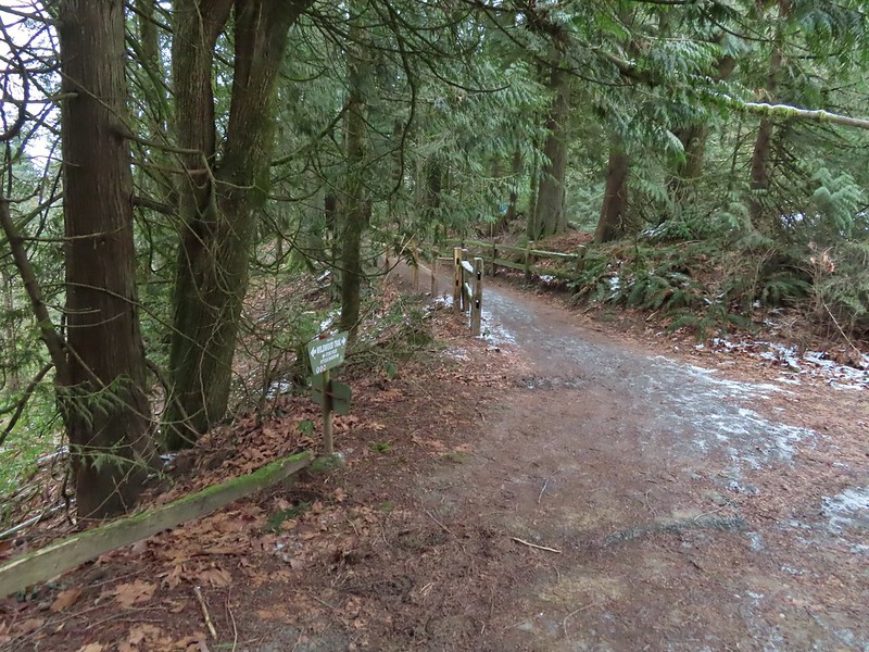 Wilwood Trail at Macleay Park Trailhead.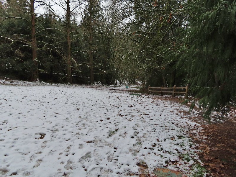


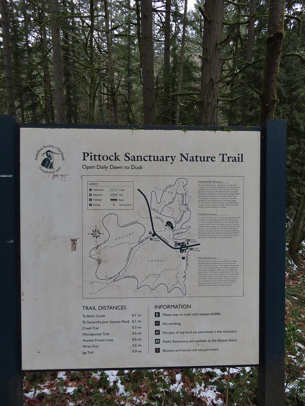

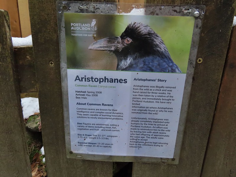
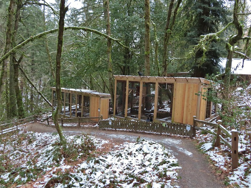
 We took this raven to be the “lookout”.


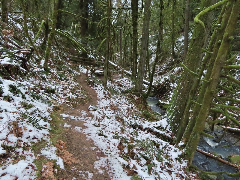 Bench at the end of the Creek Trail.
 Pond along the Jay Trail,
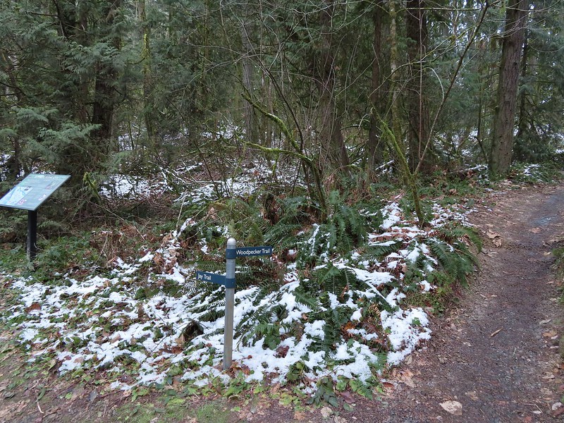 Junction with the Woodpecker Trail.
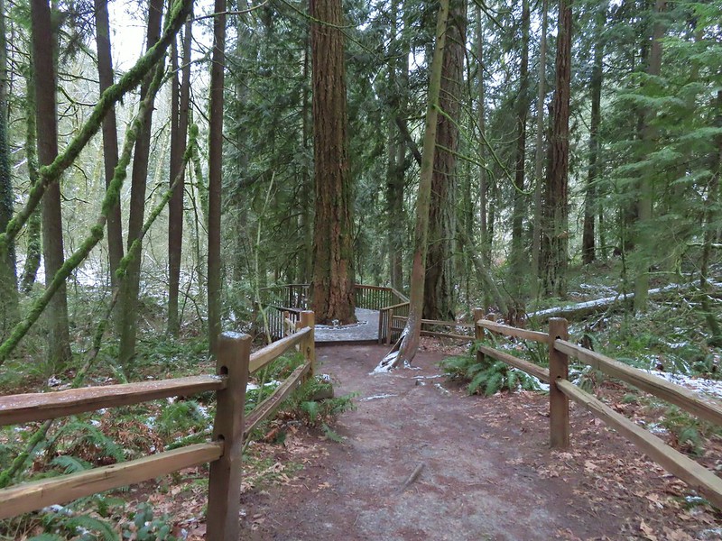 Big Douglas fir.
 I continue to struggle to get a clear photo of a varied thrush.
 Jay Trail junction with the Wren Trail.
 Nearing the pond from the other side.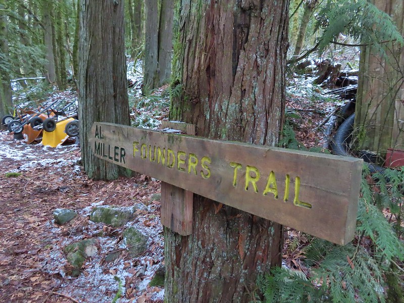

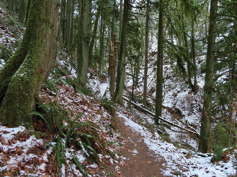


 Stairs up to the trail junction.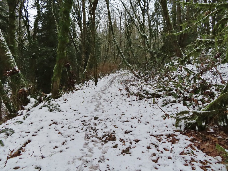

 Baseball sized jelly fungus, the largest we’ve seen.
 Descending to the South Collins Trail.
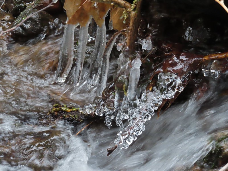 More ice formations.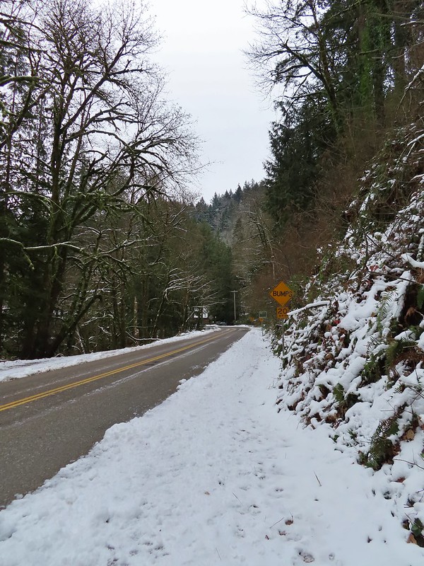

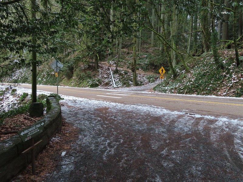
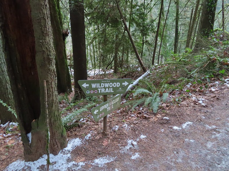 We planned on returning via the Upper Macleay Trail.
 Heather descending the slick section with a trail runner behind that had attempted to get up the hill but was turning back.
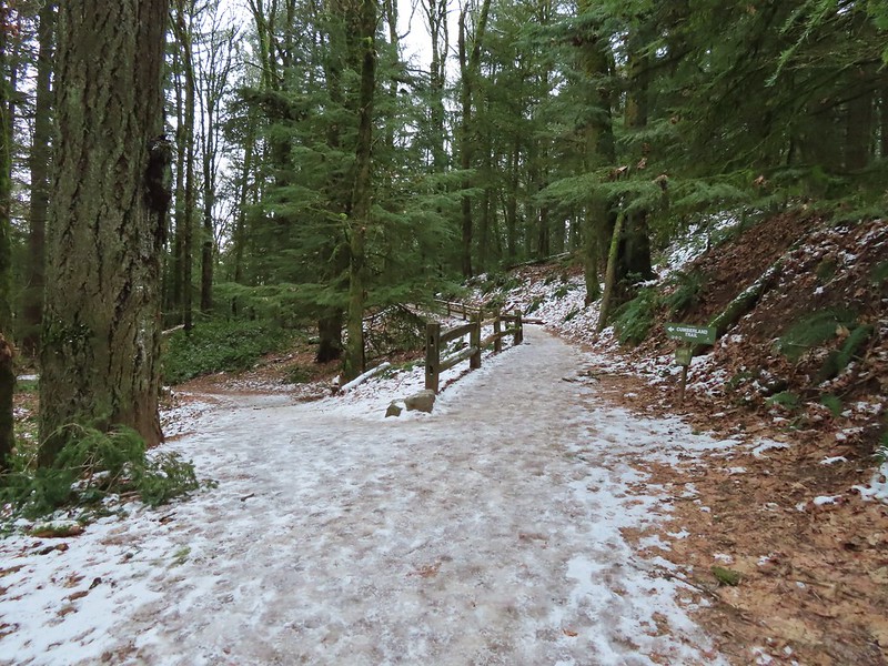 Cumberland Trail junction.
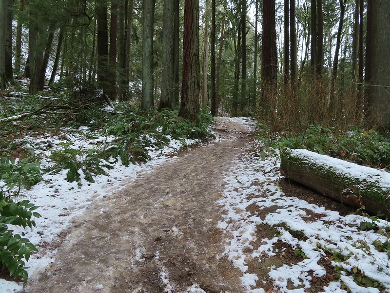

 The trail runner in blue.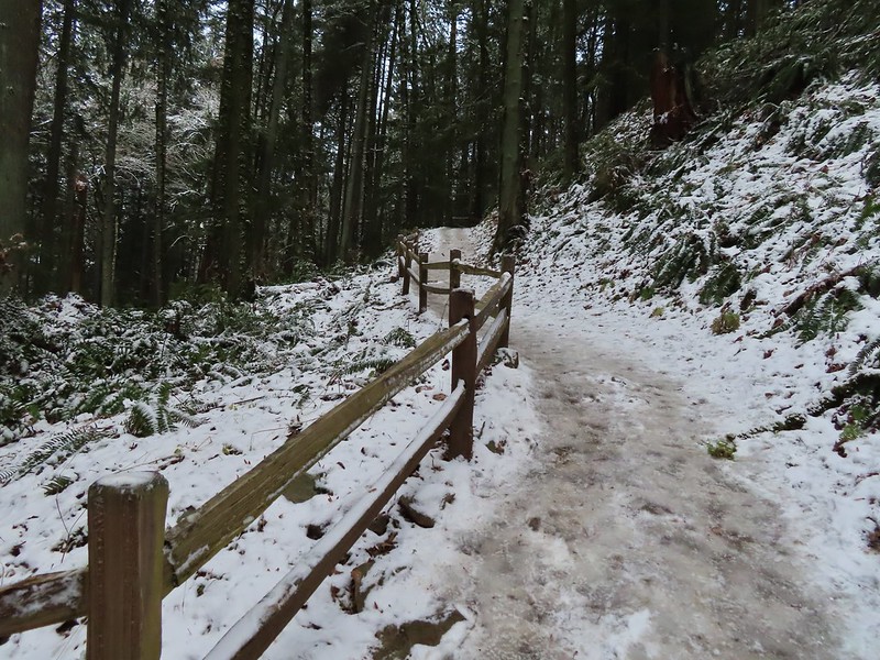
 Heather coming up behind me.
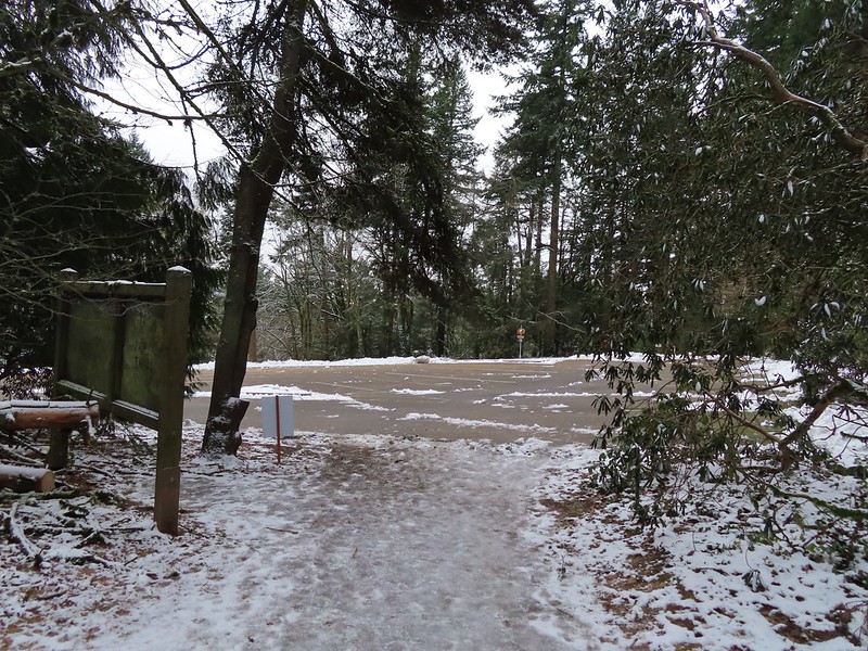 Arriving at the
  Pittock Mansion
 A line of blue sky beyond the cloud cover.
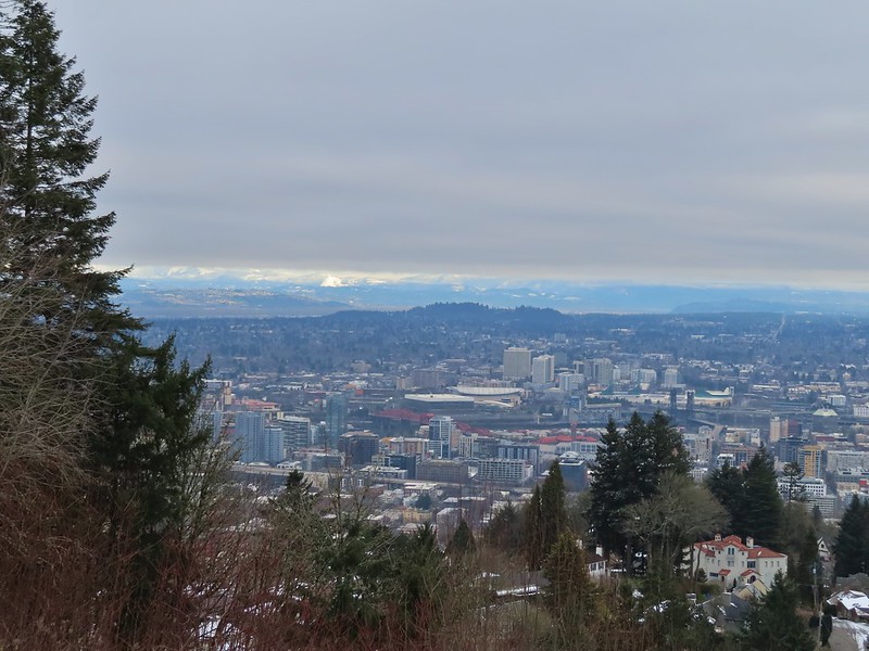 Portland from Pittock Mansion.
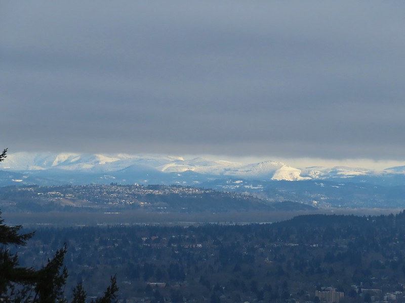 Snowy foothills in the sunlight beyond the Columbia River.
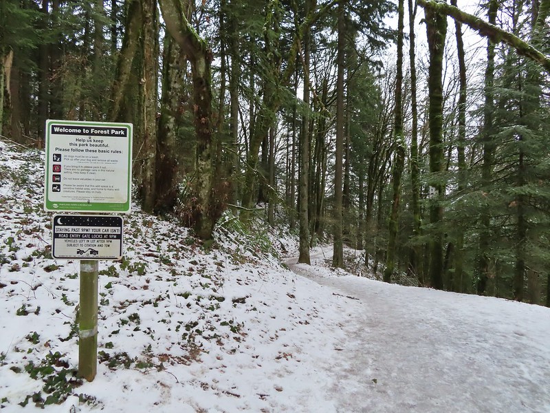
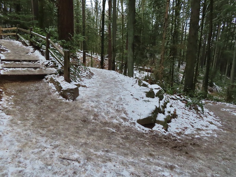

 Entering the Macleay Park Trailhead.
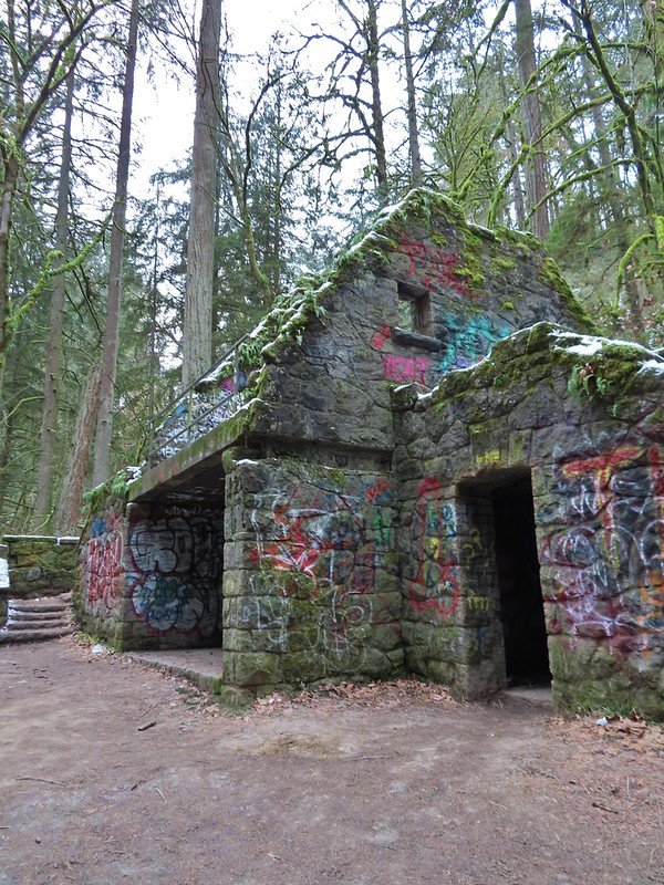 One last look at the Witch’s Castle.
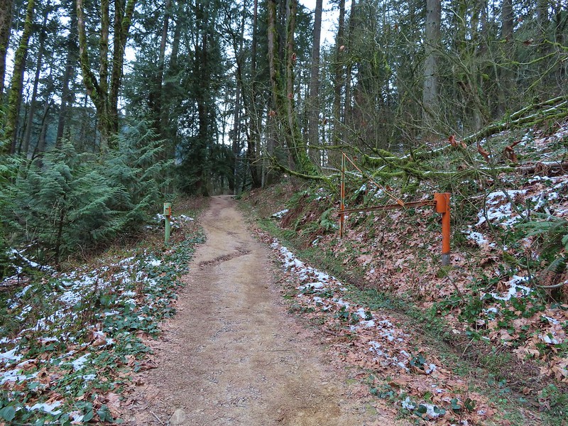 Holman Lane started out snow and ice free.
 Back to the snow and ice higher up.
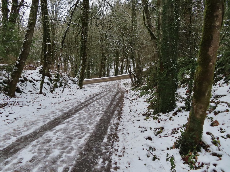 NW 53rd Drive
 Birch Trailhead
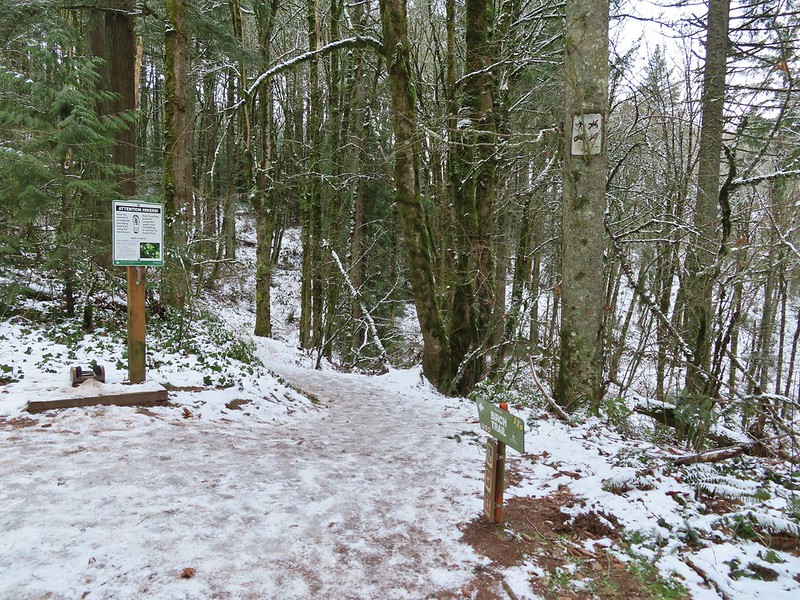 The microspikes went back on before descending the Birch Trail and stayed on for the remainder of the hike.
 Sparrow foraging on the Birch Trail.
 Back to the Wildwood Trail.
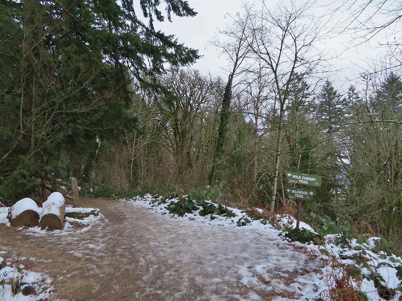 Wild Cherry Trail junction.
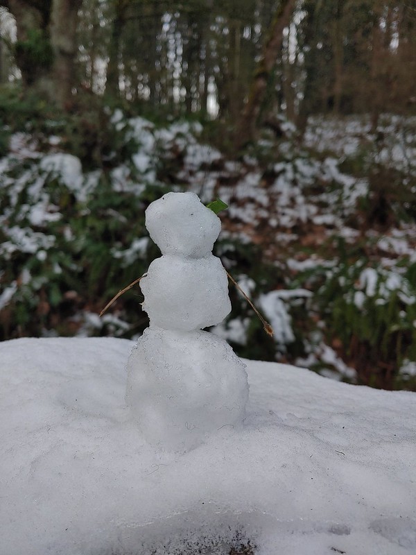 Little snowman near the junction.
 Is that a bit of blue in the sky finally?
 Snowy mushrooms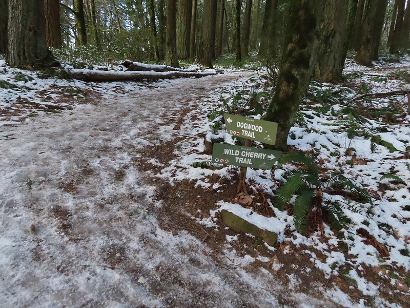
 A break in the clouds provided some blue sky above the Keil/Dogwood Trail junction.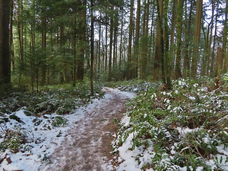
 Woodpecker that wasn’t a bit concerned about my presence.
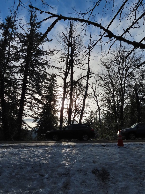 The Subaru waiting for us at the trailhead.


 Banks-Vernonia State Trail in January. (
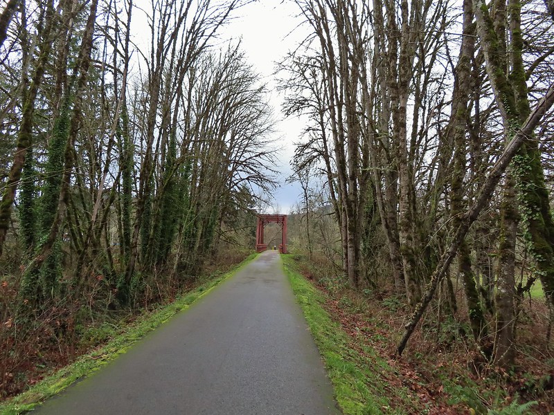 Row River Trail in December. (
 John Day River from the Lost Corral Trail
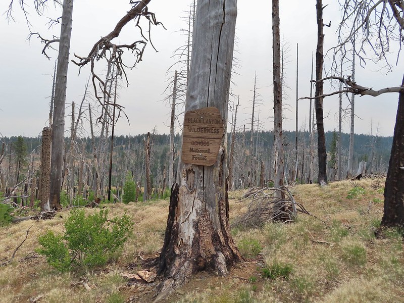 Black Canyon Wilderness in July. (
 Ledbetter Point, the last of the hikes from the coast book. (
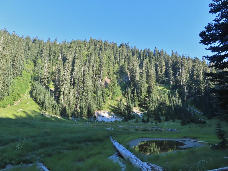 Badger Lake, the last hike from the northwestern book. (
 Redwoods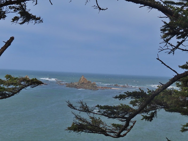
 Falls Creek – February
 Cascade Head from God’s Thumb – March
 Columbia River from Mitchell Point – March
 Mt. Hood from Sevenmile Hill – March
 Dalles Mountain Ranch – April
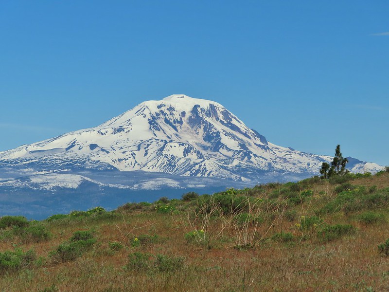 Mt. Adams from Grayback Mountain – May
 Navigating a downed tree along the Pawn Old Growth Trail – May
 Golden Falls – May
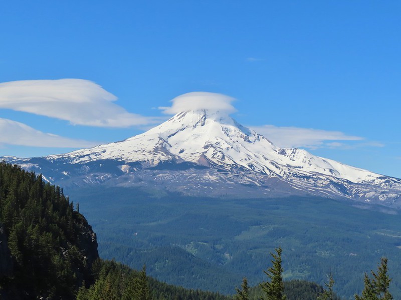 Lenticular cloud over Mt. Hood from Surveyor’s Ridge – May
 Whychus Canyon – May
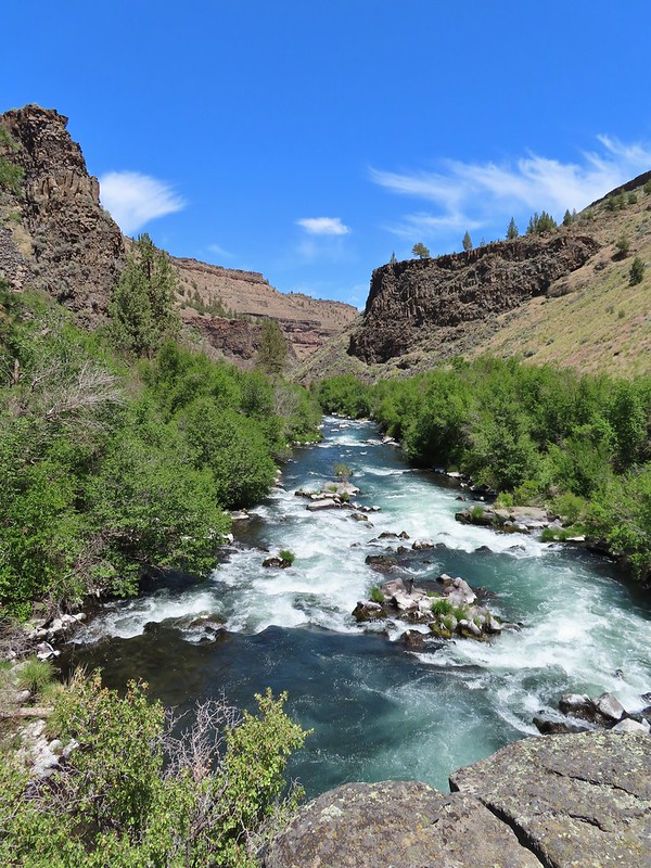 Deschutes River – May
 Whychus Creek Overlook – May
 Forest on Mary’s Peak – June
 North Fork Umatilla River – June
 Tower Mountain Lookout – June
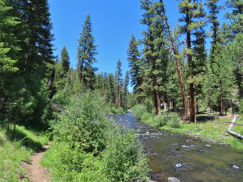 Malheur River – June
 Meadow on Round Mountain – June
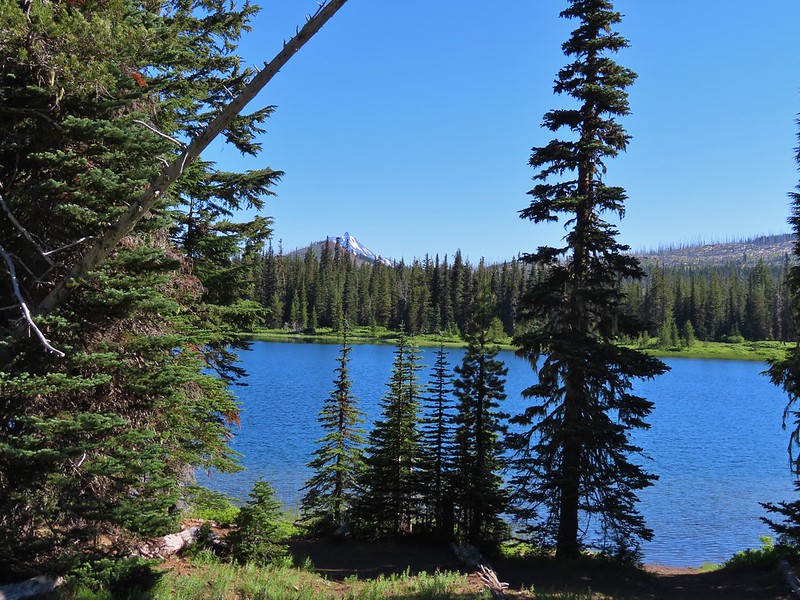 Santiam Lake – July
 Ochoco
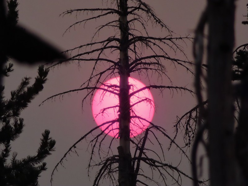 Red Sun through wildfire smoke from the Monument Rock Wilderness – July
 Aldrich Mountains – July
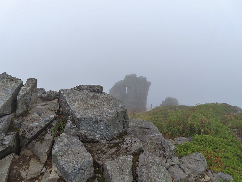 Mt. Mitchell summit on a rare poor weather day – August
 Mt. Bachelor – August
 Cottonwood Camp, Big Indian Gorge in the Steens Mountain Wilderness – August
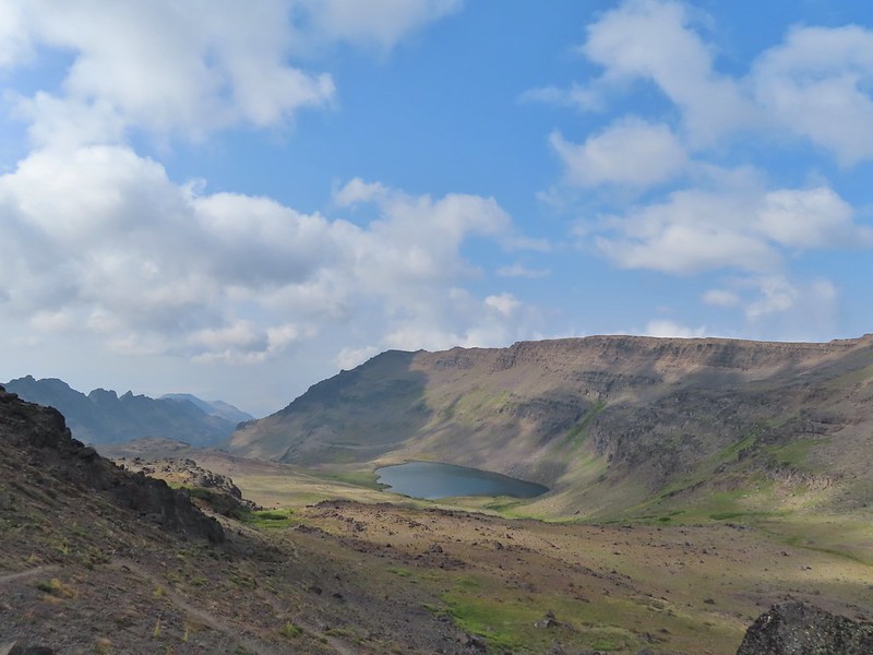 Wildhorse Lake, Steens Mountain Wilderness – August
 Evening at the Steens Mountain Resort – August
 Little Blitzen Gorge – August
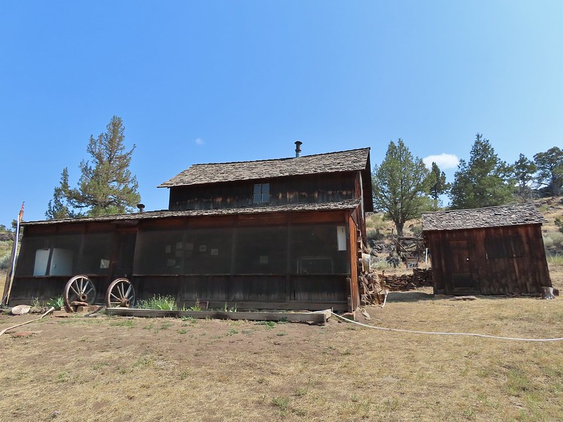 Riddle Ranch – August
 Morning in the Pueblo Mountains – August
 Oregon Desert Trail, Pueblo Mountains – August
 Mt. St. Helens and Spirit Lake – August
 Harmony Falls – August
 Loowit Falls – August
 Mt. Hood from the PCT in the Indian Heaven Wilderness – September
 Mt. Adams and Soda Peaks Lake, Trapper Creek Wilderness – September
 Jubilee Lake – September
 Rough Fork Trail, Blue Mountains – September
 Heritage Landing Trail, Deschutes River – September
 McDonald-Dunn Forest – October
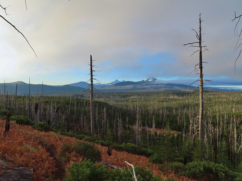 Cascade Mountains from the Mt. Jefferson Wilderness – October
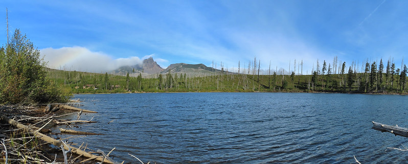 Three Fingered Jack from Round Lake – October
 Mt. Hood from the Flag Point Lookout
 Silver Falls State Park – October
 Laurel Hill Wagon Chute – October
 Barlow Ridge, Mt. Hood Wilderness – October
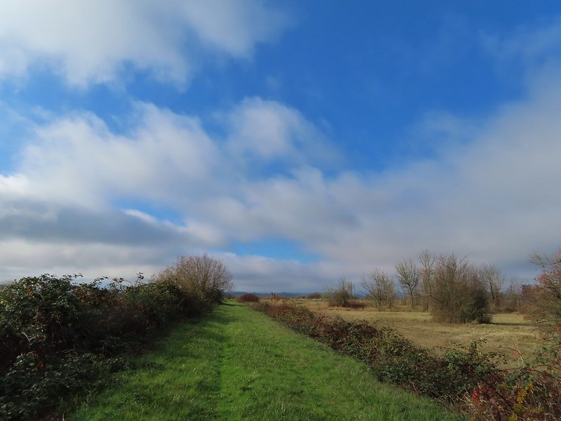 Fern Ridge Wildlife Area – November
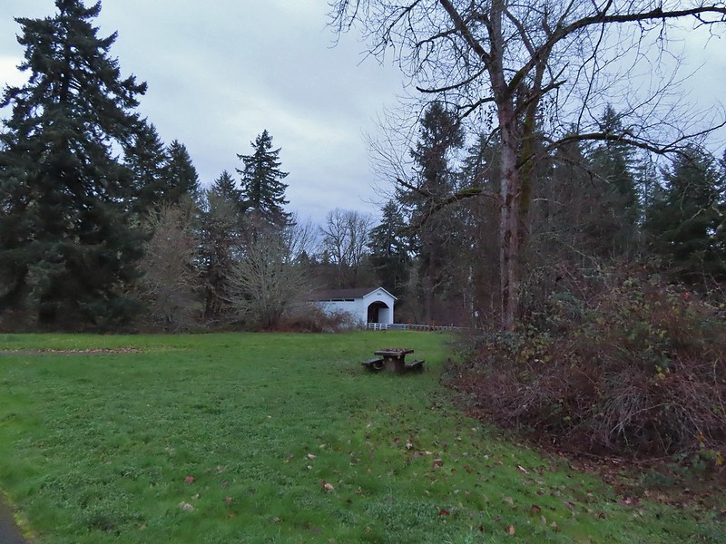

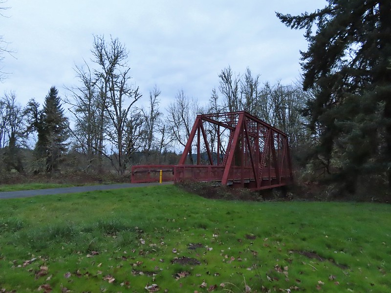
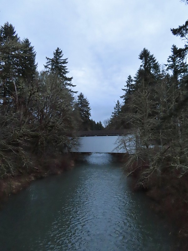
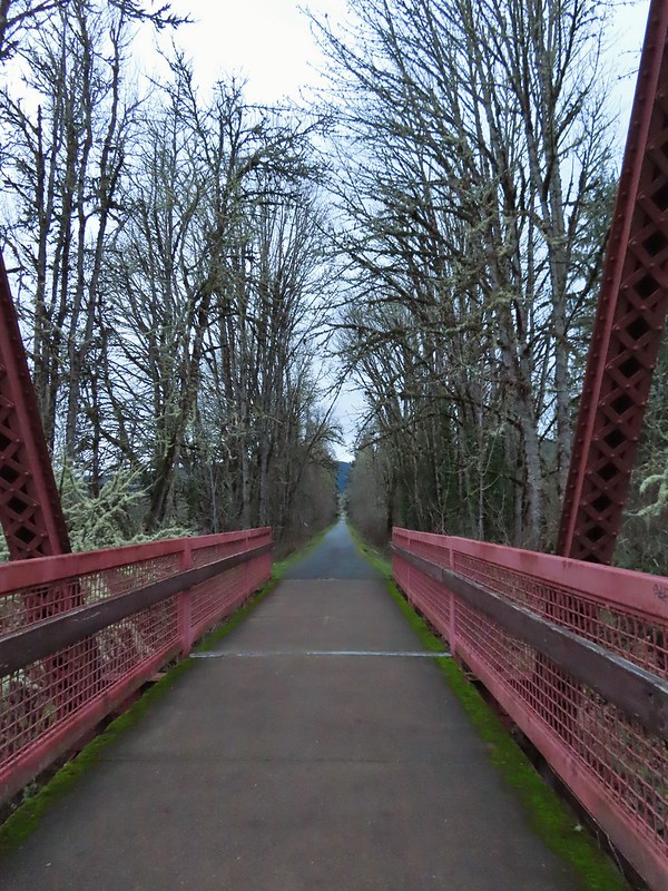

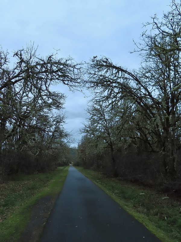
 Ivy disguising itself as a tree.
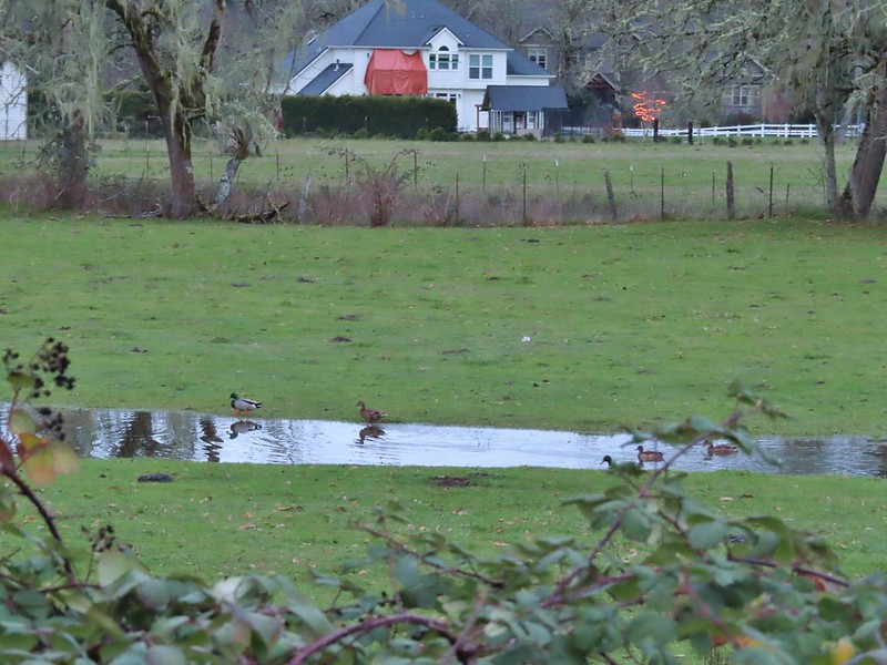 Mallards and Christmas lights.
 Layng Road crossing. The lights on the signs were activated when sensors picked up something approaching.

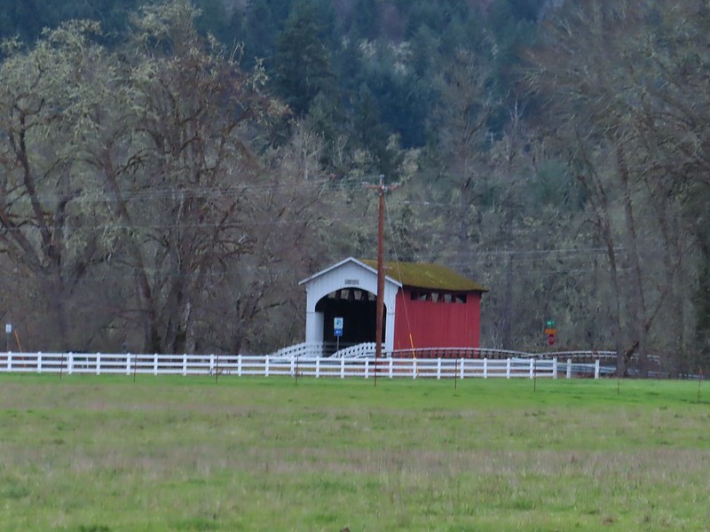 Currin Covered Bridge on Layng Road.
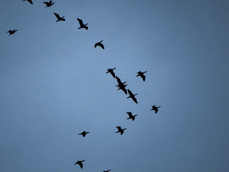 Cormorants flying overhead.
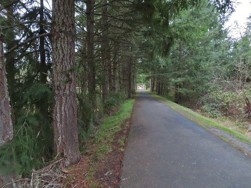 Approaching the bridge over the Row River.
 Row River
 Lesser scaup. I would have liked a better picture but it was still early and not very light and the little guy was a ways away on the river.
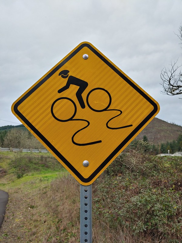 This was a new sign to us.
 Row River Road with some snowy hillsides in the distance.
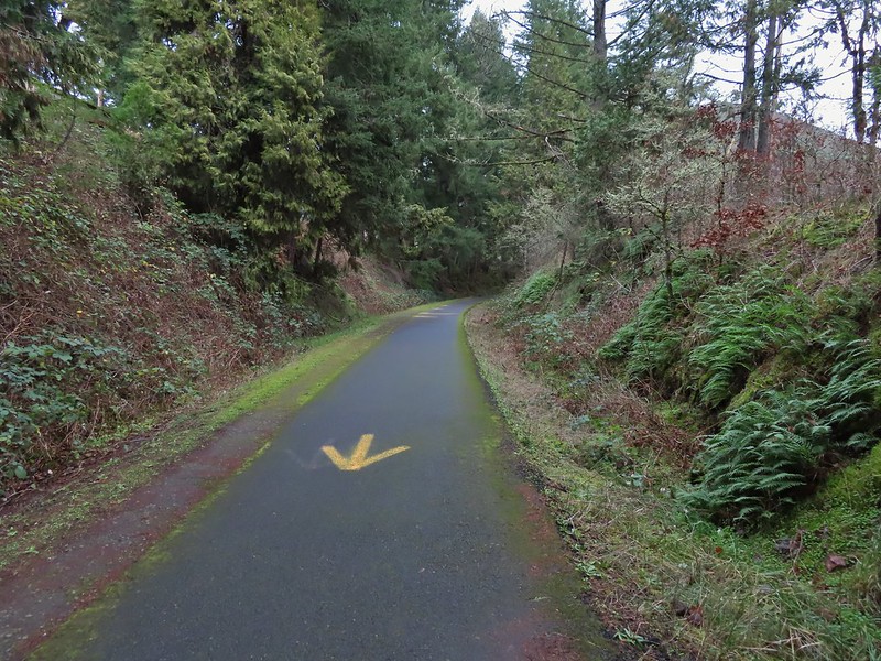 Arrows and other yellow markings identified bumps and holes in the trail for equestrian and bike users.
 Jelly fungus
 Hamblen Creek
 Turkeys in a field.
 Sign along a private driveway.
 Not very many mushrooms but these were good sized.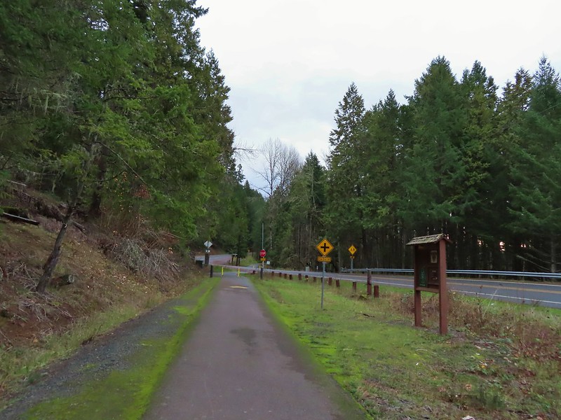

 Do squirrels jog?
 Madrone along the trail.
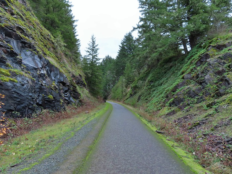 Row River Road was overhead to the left along this rocky section.
 Nearing a bench along the trail facing Dorena Lake Dam.
 Interpretive sign near the bench.

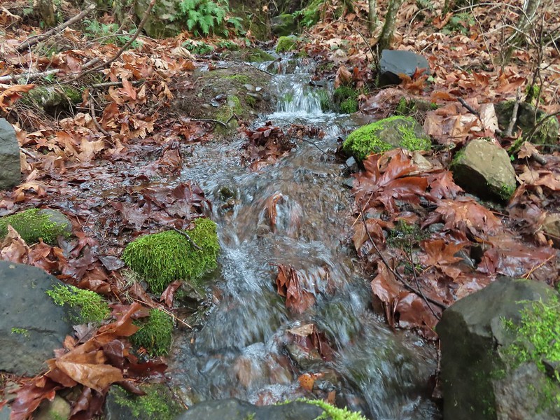
 Snow in the Calapooya Mountains.
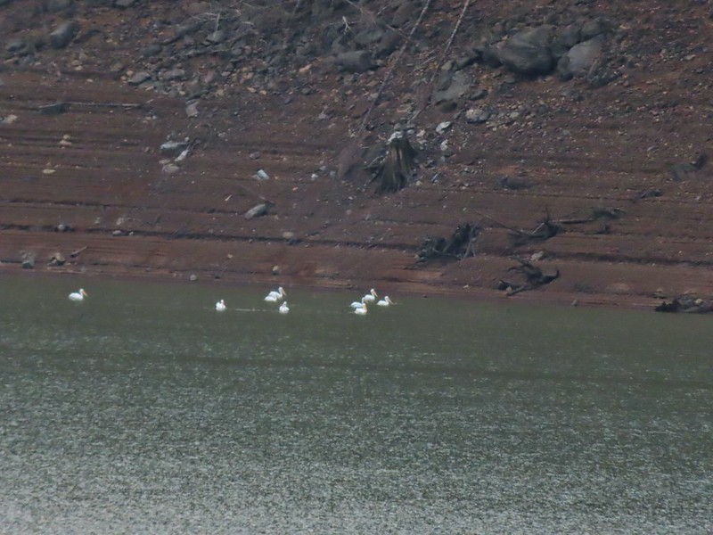 White pelicans on the other side of Dorena Lake.
 Still no rain despite the clouds.
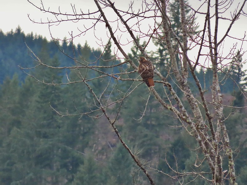 Red-tailed hawk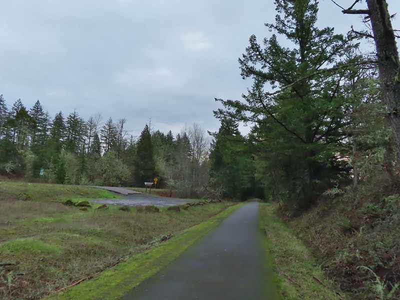


 A kingfisher and a great blue heron.
 Pelicans and other waterfowl on the move.
 Cerro Gordo from Row Point.
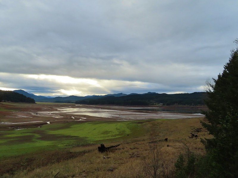 Not much water at all in the eastern end of the reservoir.
 A great blue heron on the far left with a bunch of white pelicans and cormorants.
 Actual sunlight hitting the dam.
 Spotted towhee
 Rat Creek Bridge
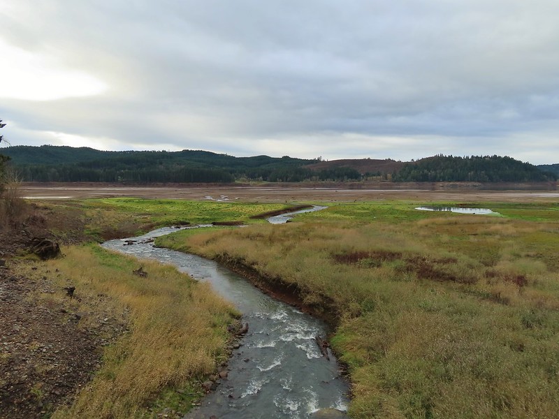 Rat Creek
 June 2020 from the Rat Creek Bridge.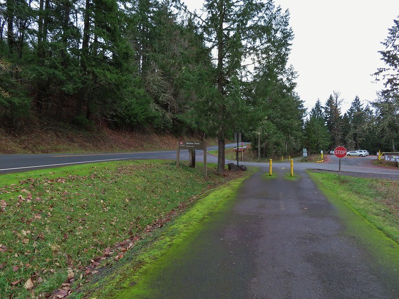
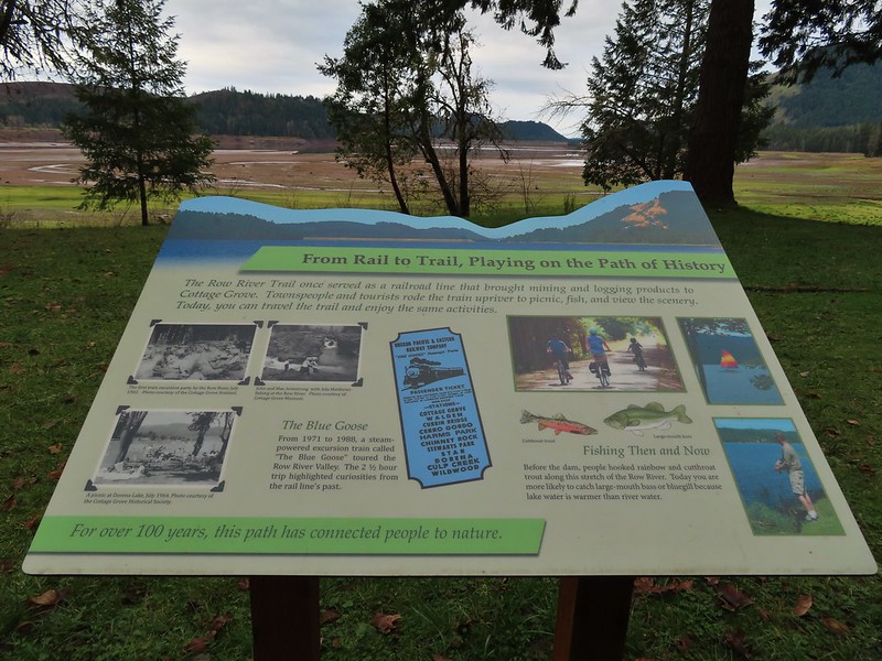
 Gold tree in front of Cerro Gordo.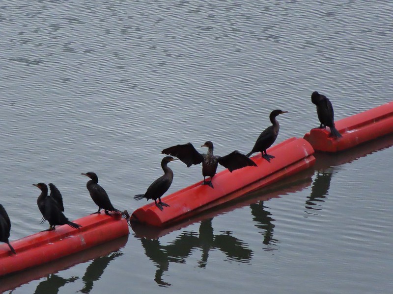
 The little hill to the left provides access to the north end of the dam.

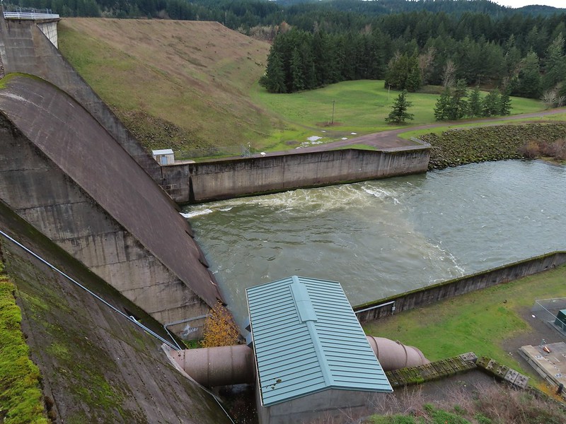

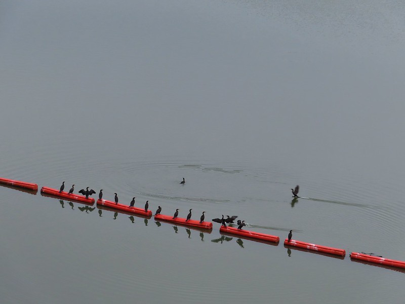

 No luck.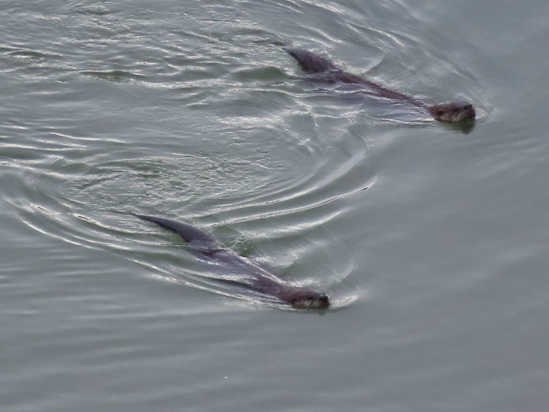

 Rabbit
 American wigeons
 Nature slowly reclaiming an old farm truck.
 Mosby Creek
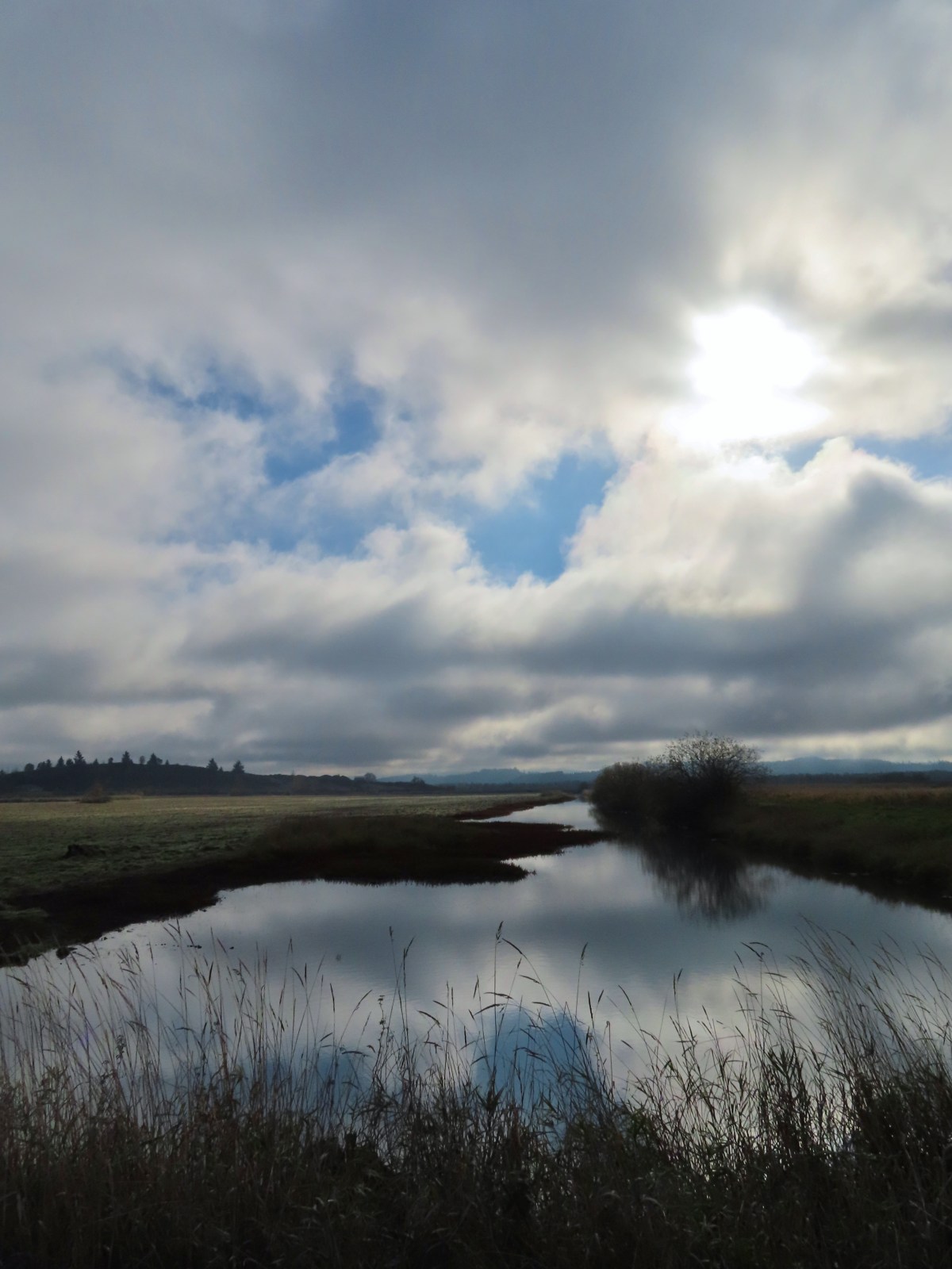
 The trailhead sign for the Clay Creek Trail is ahead on the opposite side of the road.
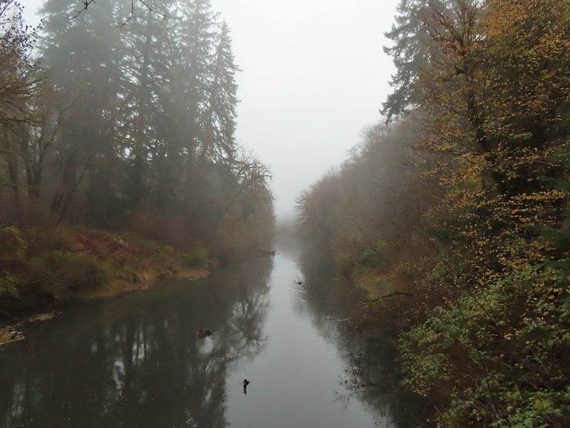 Siuslaw River
 Clay Creek on the left emptying into the Siuslaw.
 Stairs at the Clay Creek Recreation Area across the river.

 The Clay Creek Trail climbing above Clay Creek.
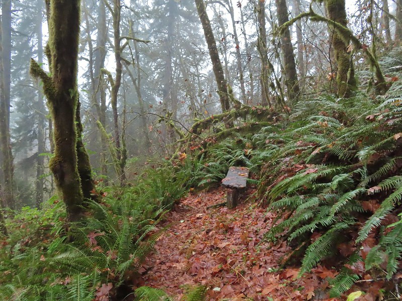
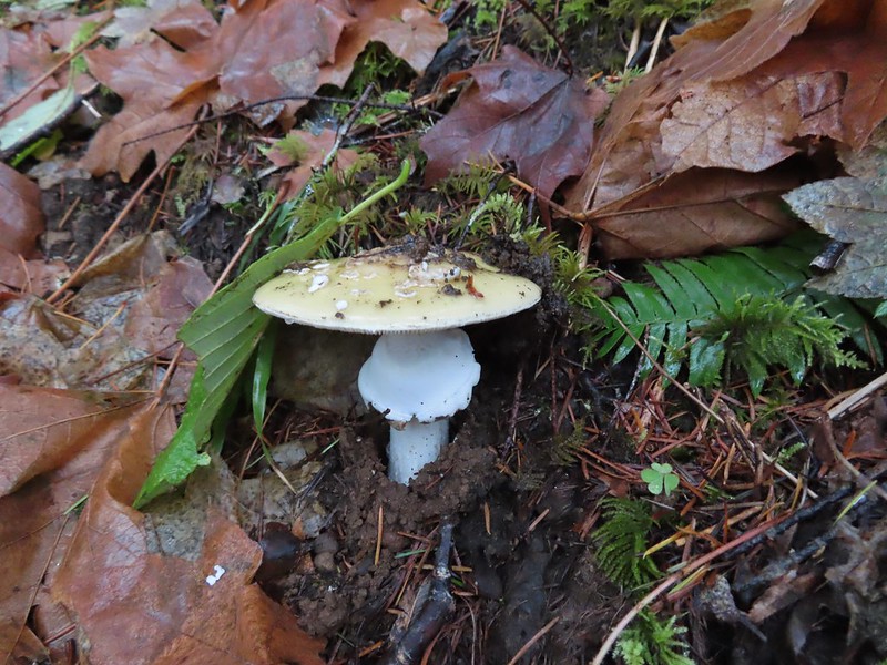
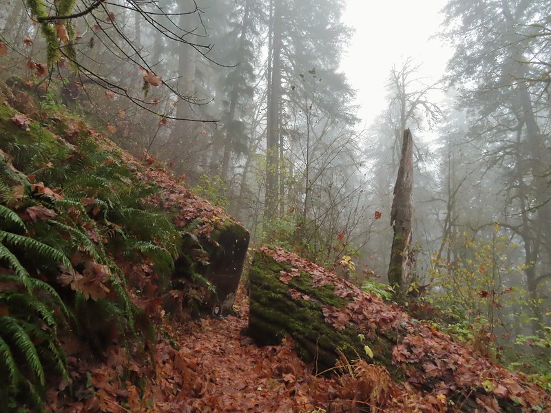 It’s hard to tell size here but the diameter of this tree was well over 5′.
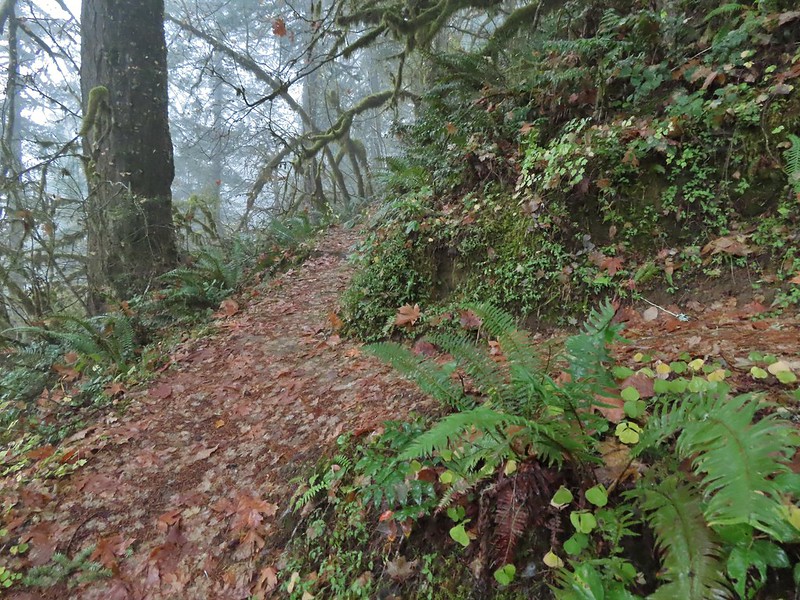 The junction for the loop.
 One of several reroutes we encountered.
 On the ridge top.
 Madrone trunk and bark, always fascinating.
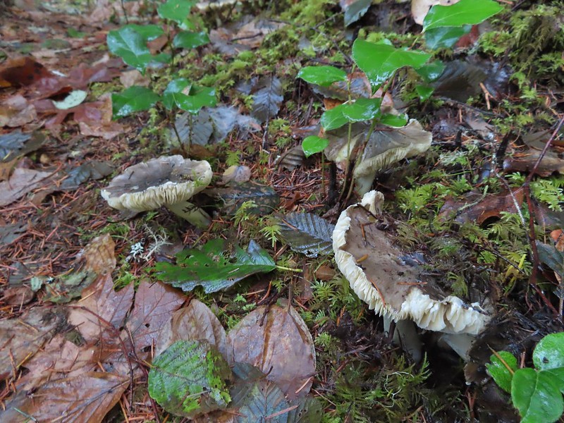 Lots of mushrooms pushing up through the forest floor.
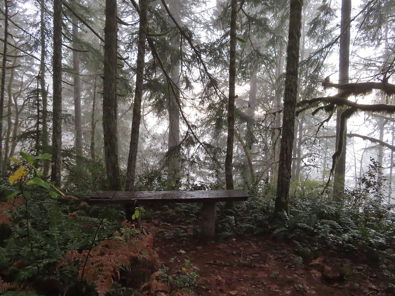 No idea what you might see on a clear day.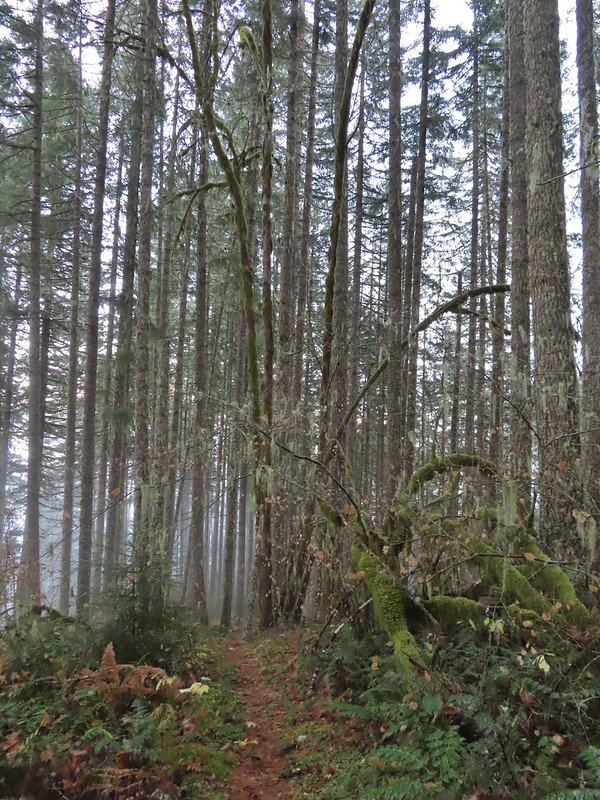

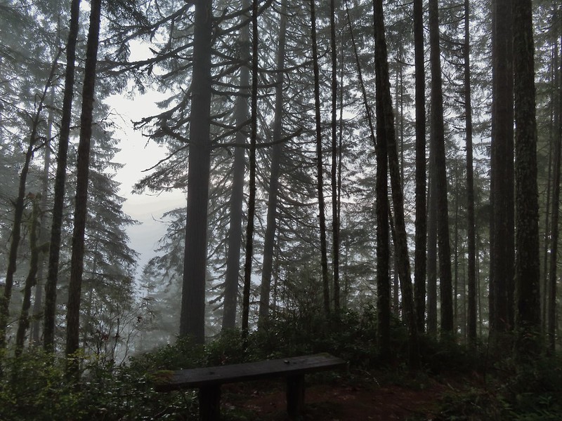 The viewpoint.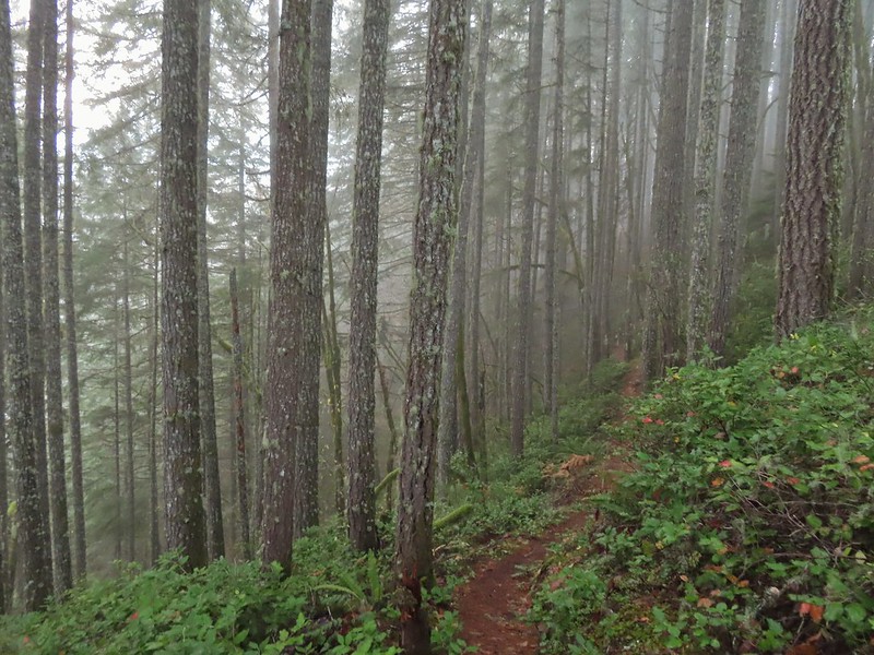
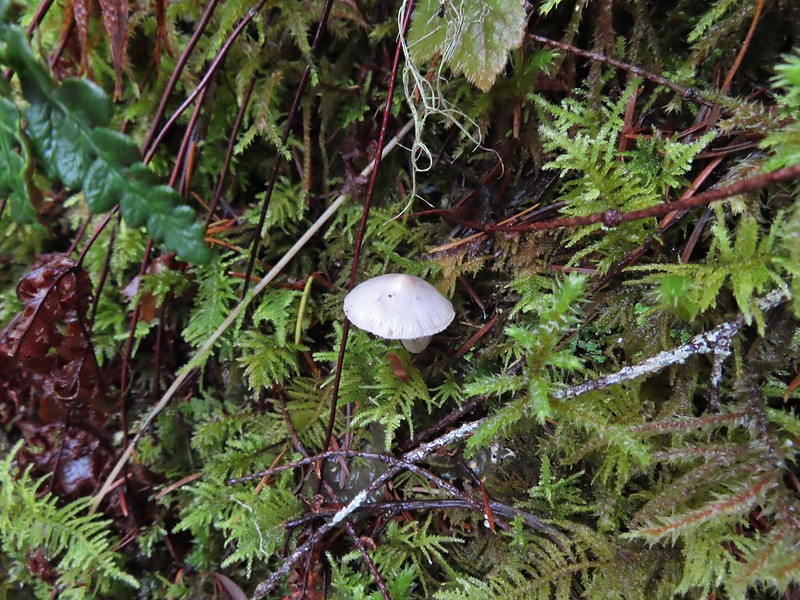

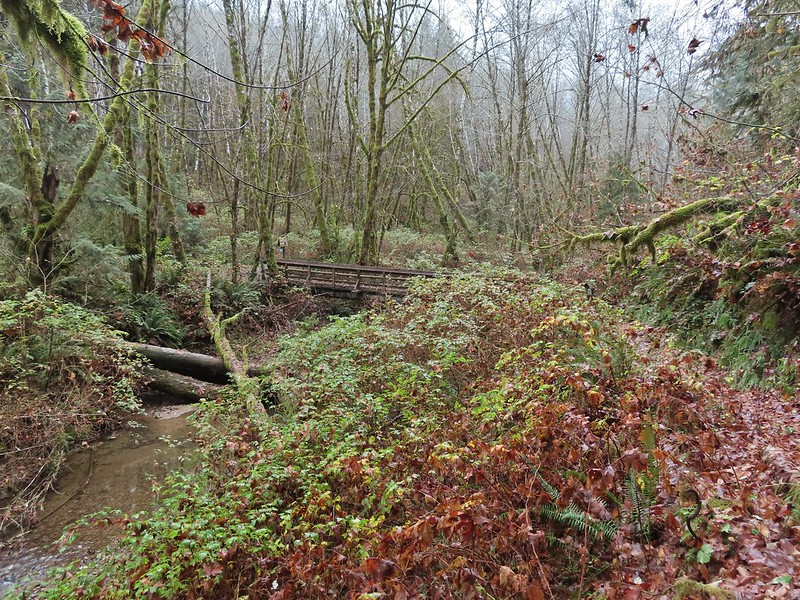 Nearing the footbridge.
 The fog had lifted off the river at least.
 Note that Royal Ave and the trail to the viewing platform are open year around with the other restrictions listed below.
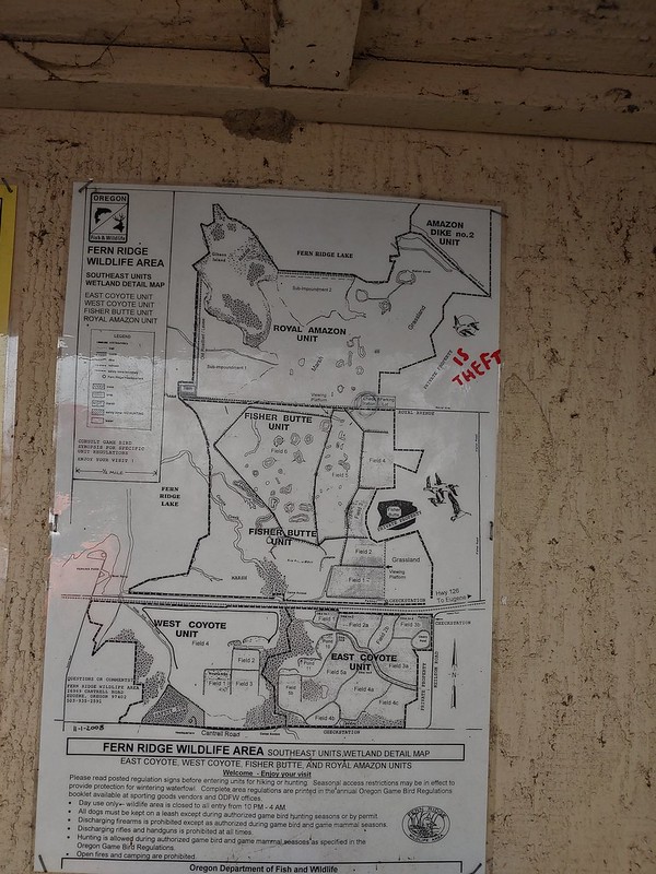 We took a picture of this map to assist us with our route.

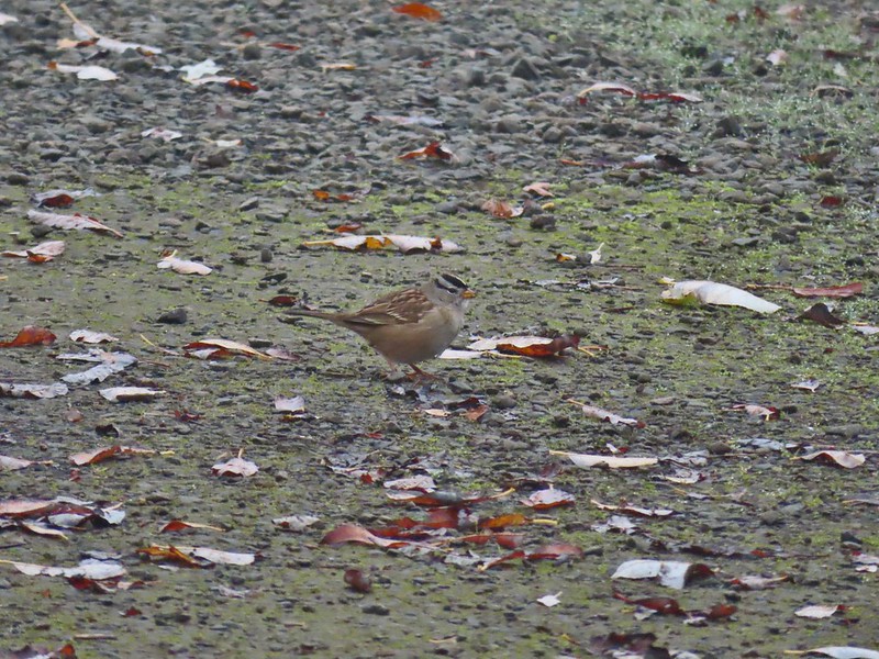 White crowned sparrow
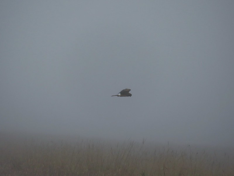 Northern harrier on the hunt.
 Wetlands in the Royal Amazon unit.
 The bittern taking off.
 A hawk on a stump.
 American coots
 Gibson Island (with the eagles in the snag to the far left)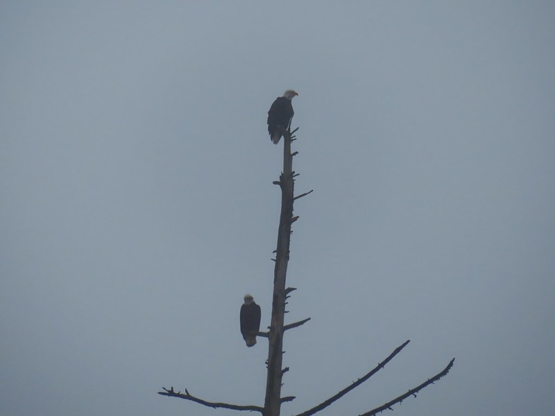

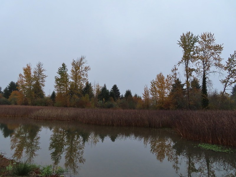


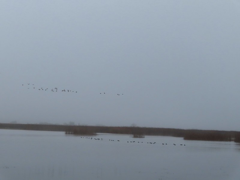 A flock of geese above the coots.
 Continuing west.
 We used the stones to the right to cross the water here.
 Great blue heron (with Highway 126 in the background).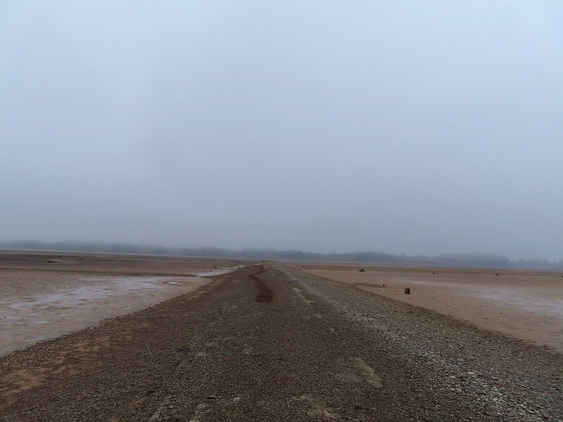
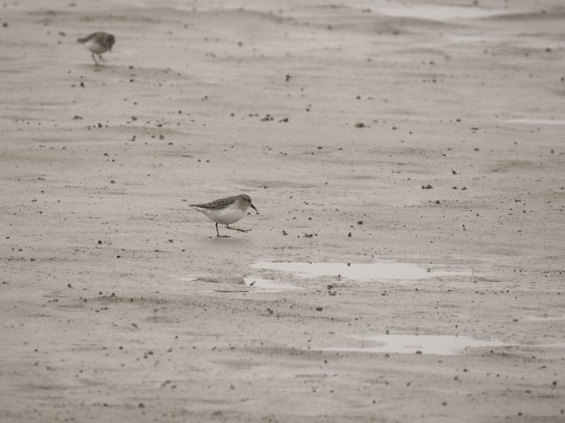
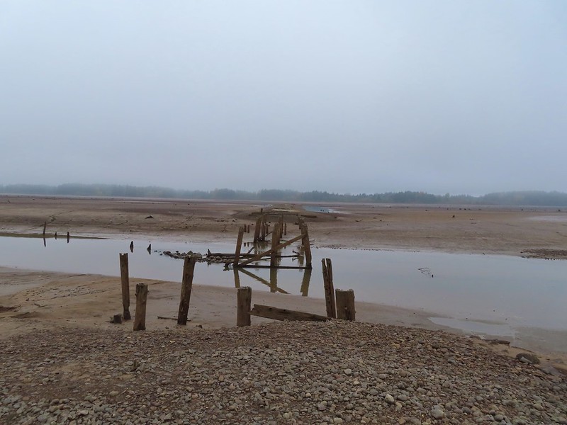 End of the line.

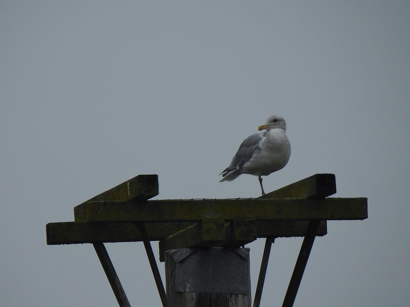 Seagull
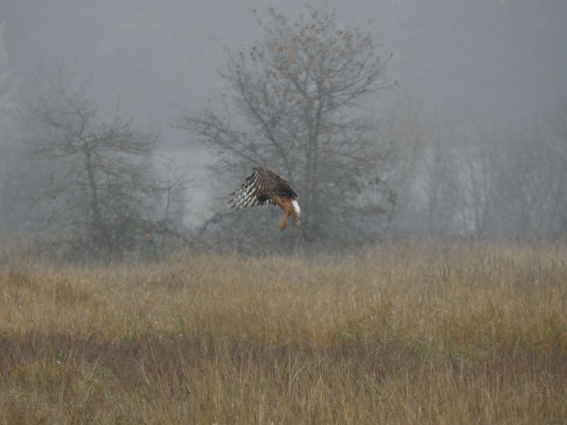 Perhaps the same northern harrier.
 The path to the platform.
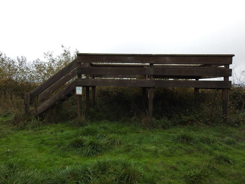 The platform.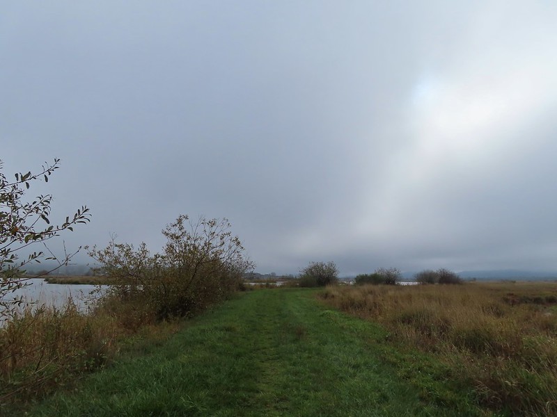
 The first signs that the fog/clouds might be breaking up.
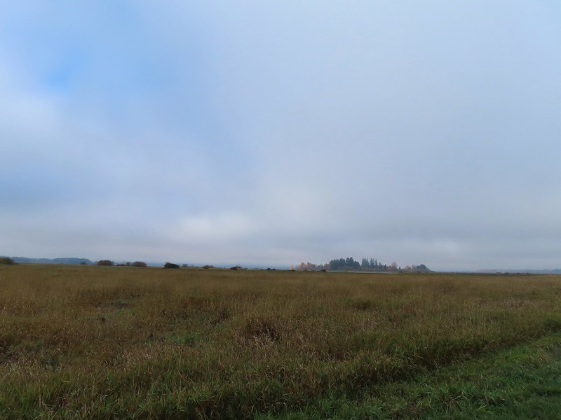 Looking back at a little blue sky and a visible Gibson Island


 Fisher Butte is the low hill ahead to the right.
 Gibson Island was now lit by direct sunlight.
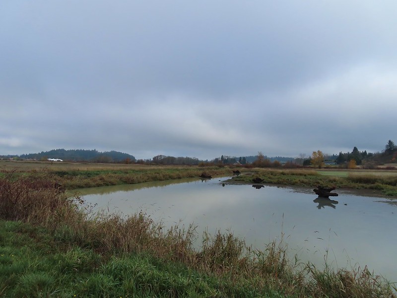 The dike running between Fields 3 & 4.
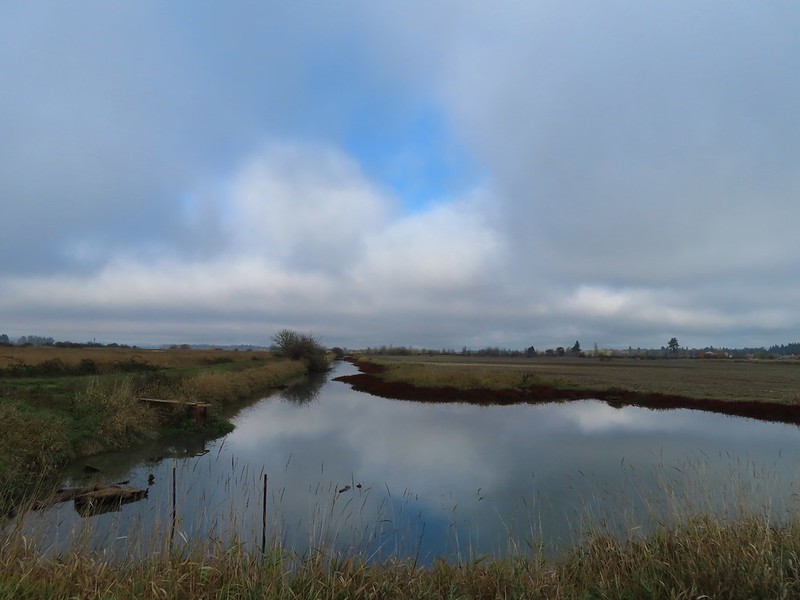 Looking back over the ditch.
 California scrub jay
 Northern shovelers and a bufflehead.
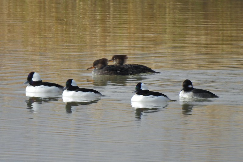 Buffleheads and two hooded merganser females.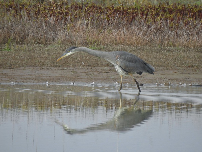
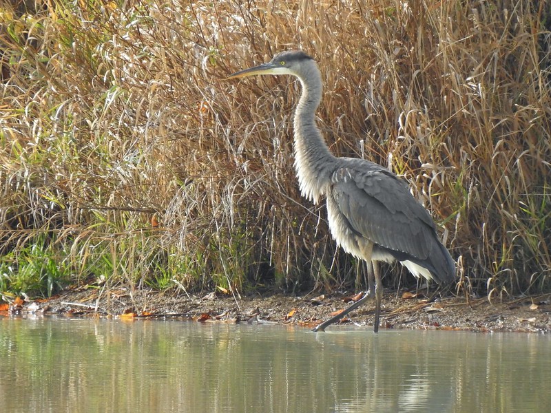
 Kingfisher
 American robin
 The gravel road and another small portion of the wildlife area on the other side.
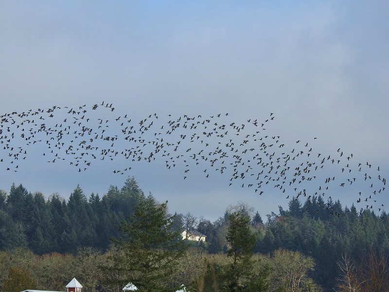 Noisy geese.
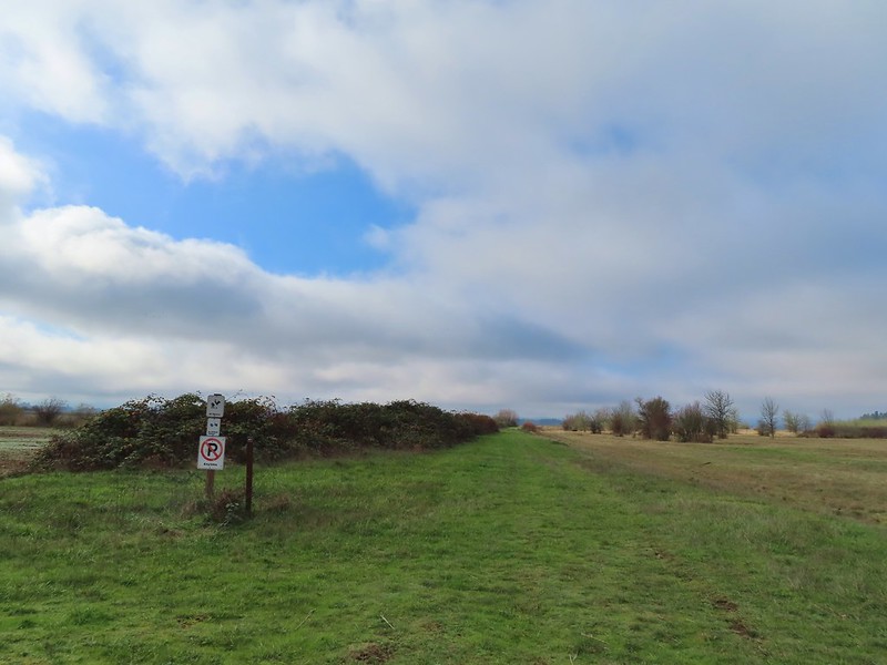 Back on the mowed track.
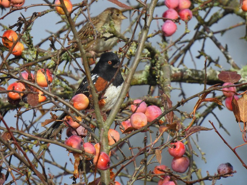 Spotted towhee and friend.
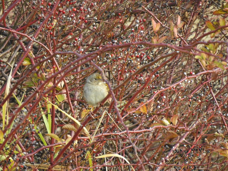 As of yet unidentified little bird.
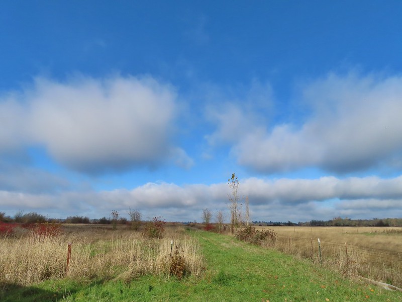 This path headed north from the trailhead, something to explore on our next visit.


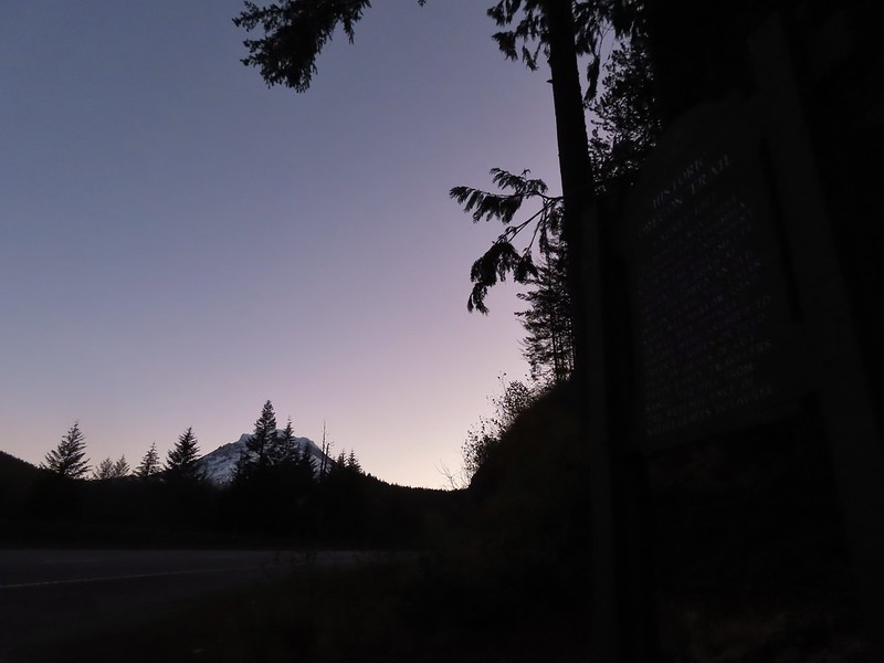 Mt. Hood from the trailhead.


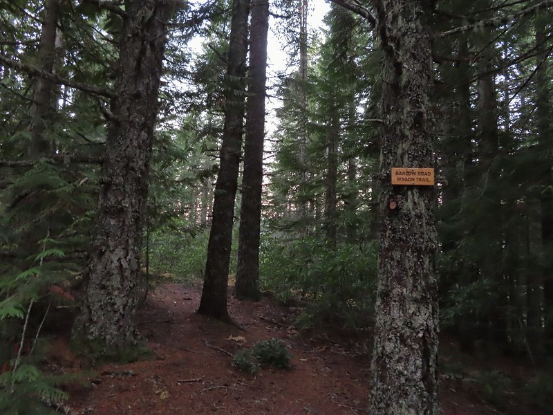 The left at the 4-way junction.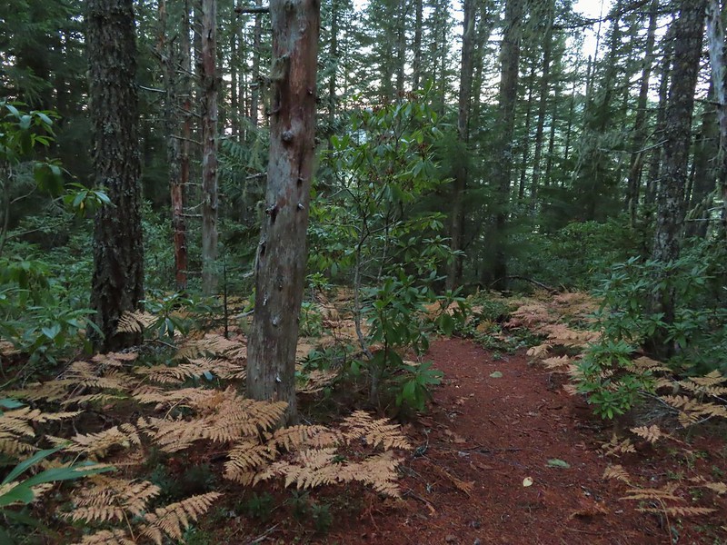
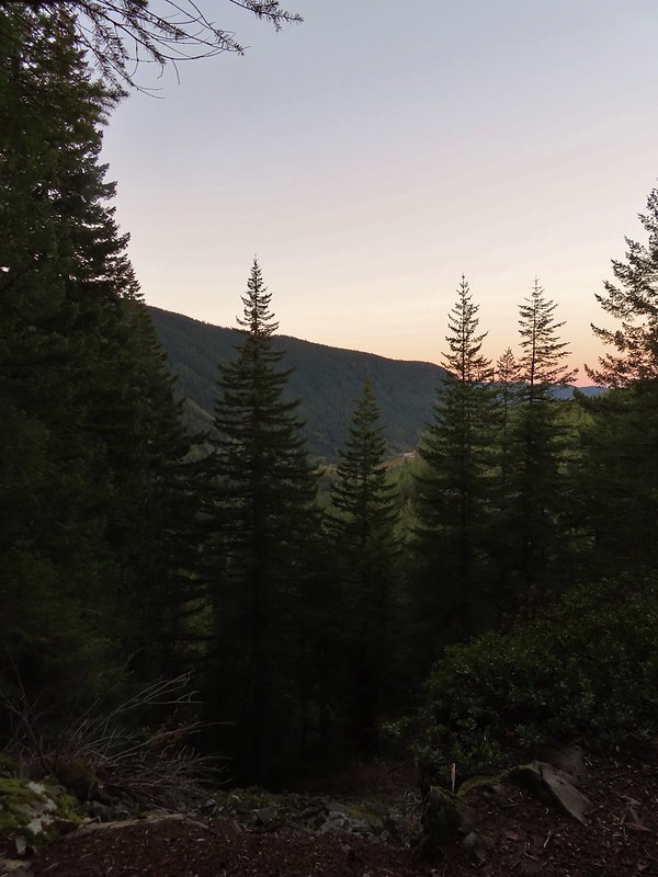
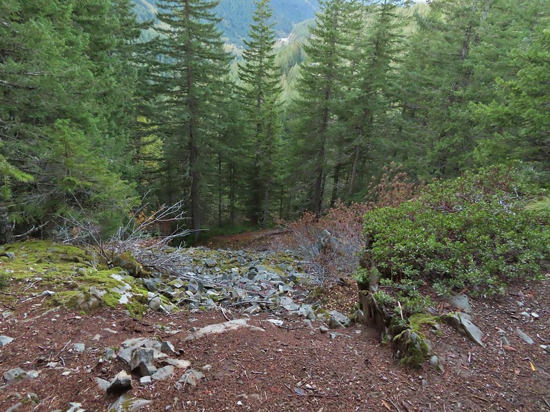 Looking down the chute.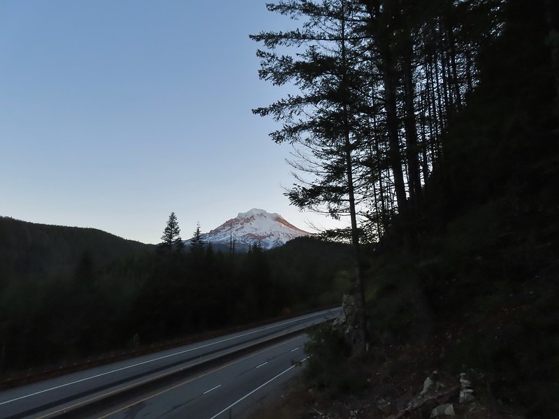
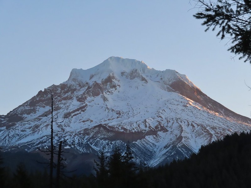 Sunlight starting to hit the SE side of Mt. Hood.
 Ravens photo bombing a close up of the mountain.


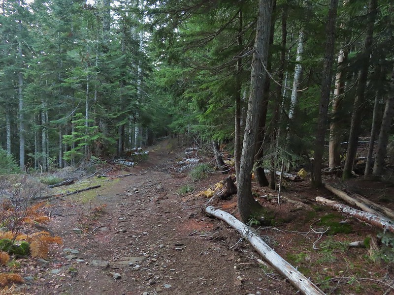 A portion of the original Barlow Wagon Road.
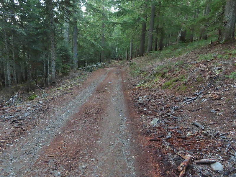 Barlow Road (FR 3530)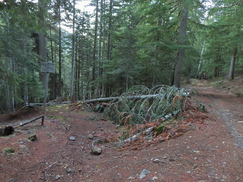

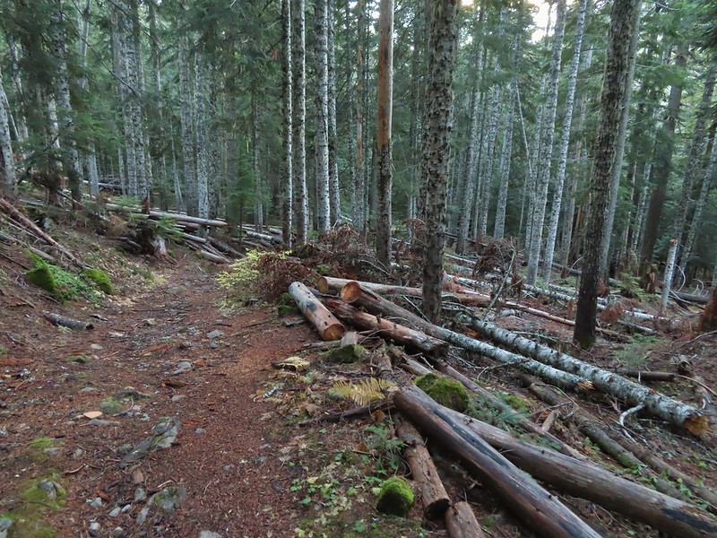


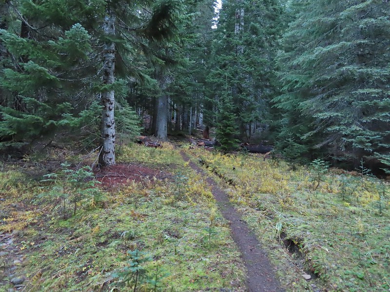


 Wilderness sign along the Barlow Butte Trail.
 Getting steeper.
 This was the worst of the blow down we had to navigate on this section.
 Nearing the junction.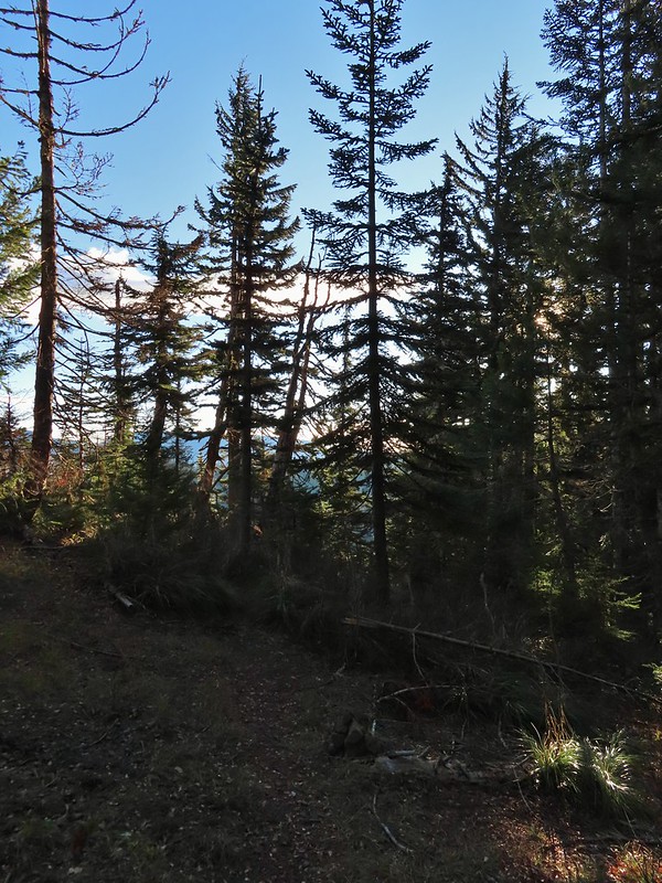
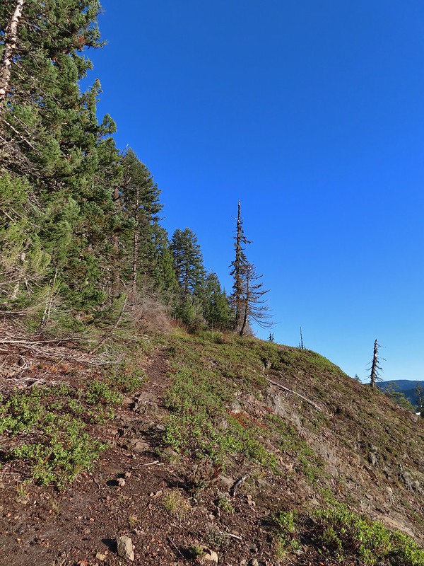
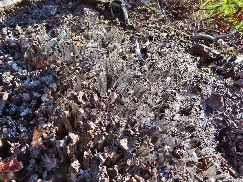 It was a little chilly with temps in the mid 30’s combined with a stiff breeze adding to the wind chill.
 On the right of the far ridge is Bonney Butte (
 Remains from the lookout.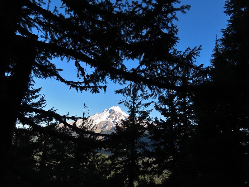
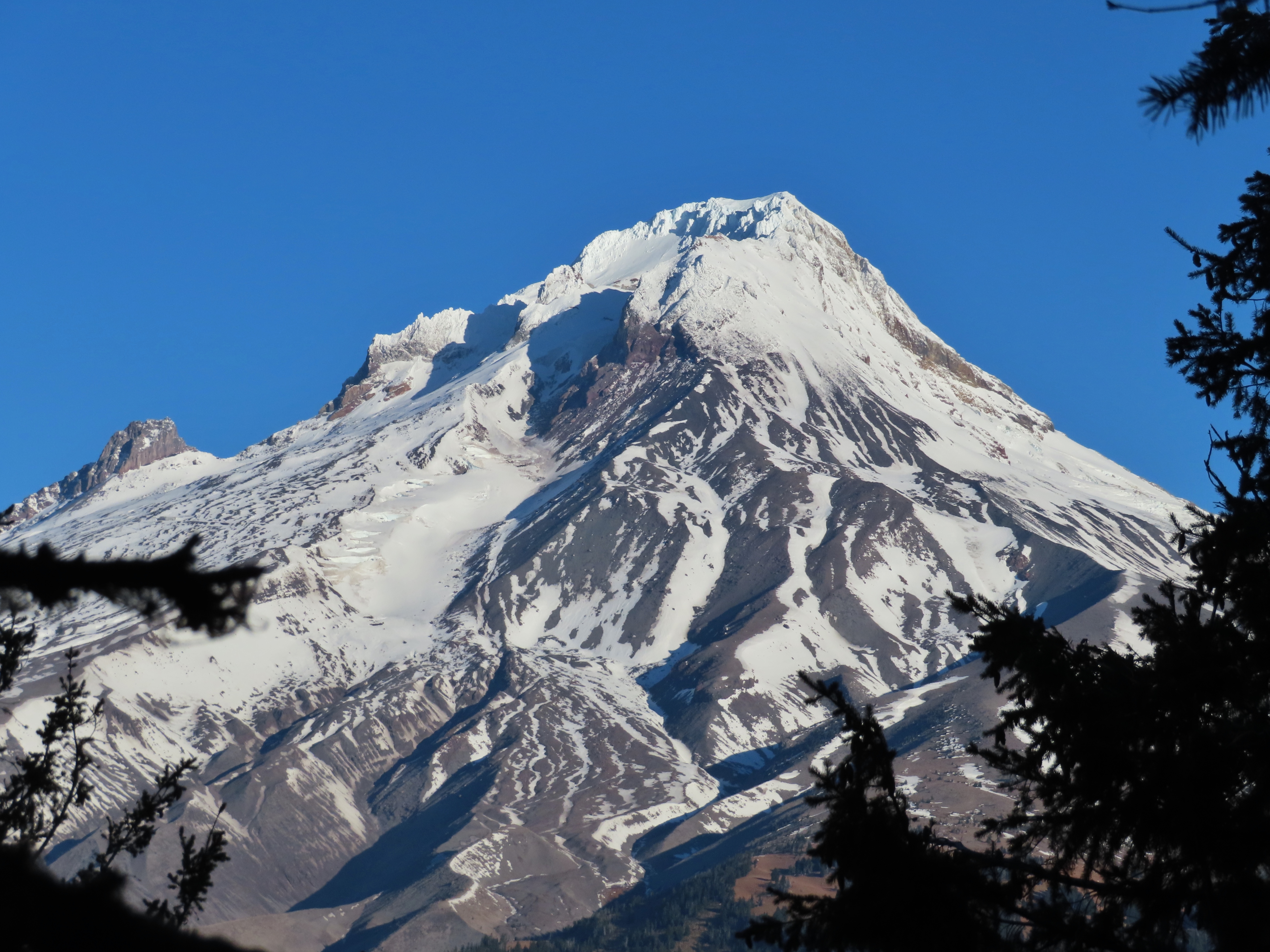
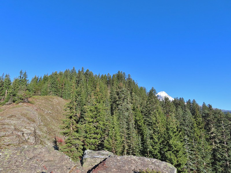 Barlow Butte and the top of Mt. Hood.
 Frog Lake Buttes (
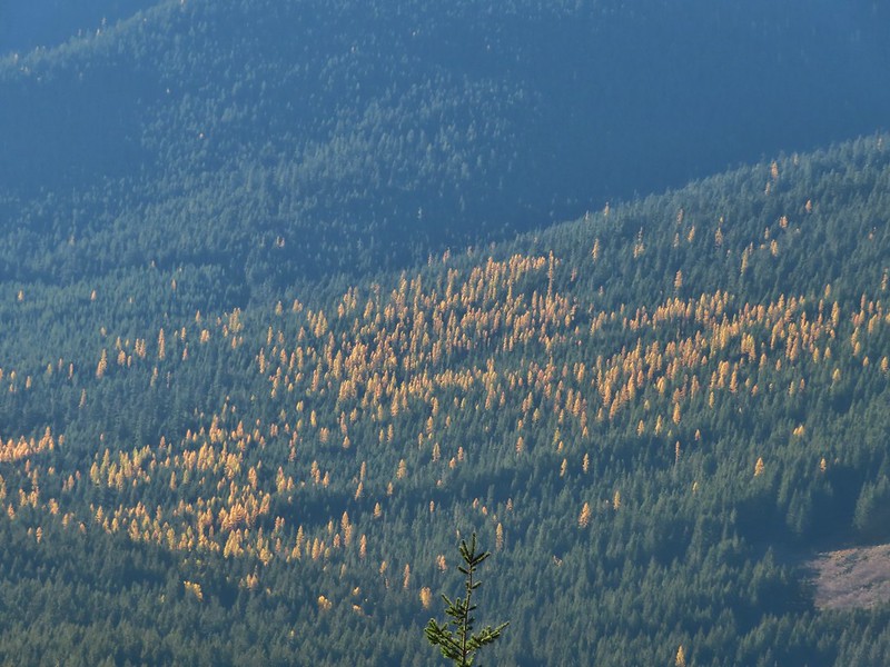 Western larches
 Mt. Jefferson behind some clouds.
 Sisi Butte (double humps) and Bachelor Mountain (
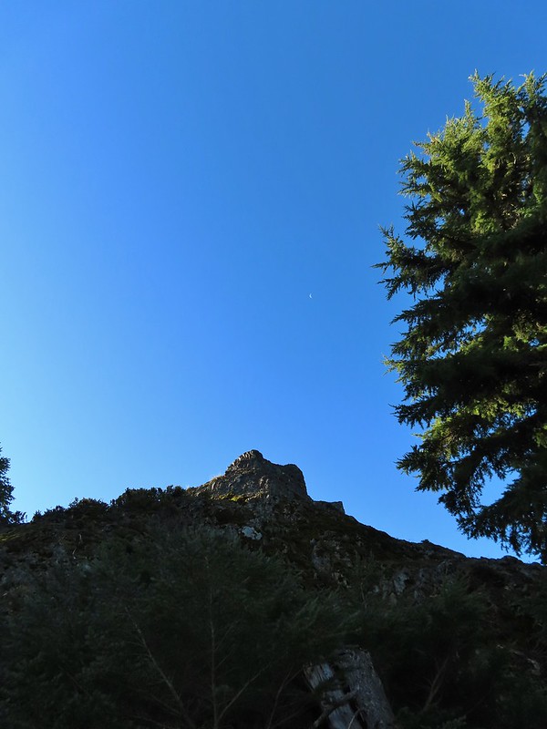


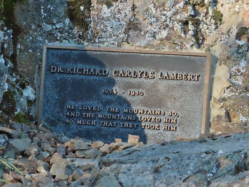
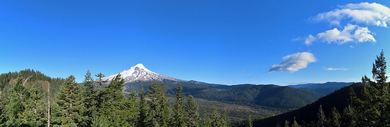 Barlow Butte to the left of Mt. Hood.
 Mt. Jefferson still behind some clouds.
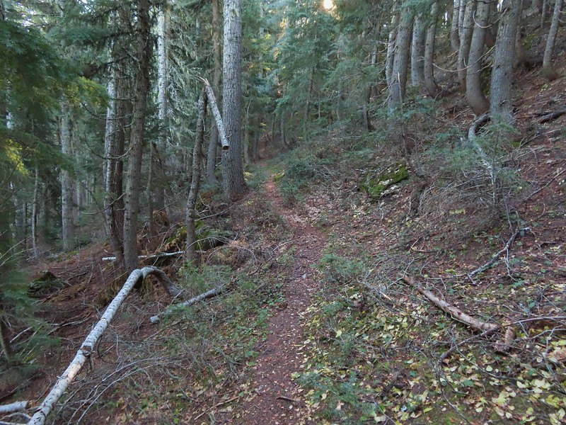
 Parts of Mt. Jefferson peaking through the clouds.
 Tom Dick and Harry Mountain (with the rock fields near the top).
 Small cairns in a meadow.
 One of the aforementioned diamonds.
 Approaching the high point.
 Clouds were starting to pass over Lookout Mountain at this point.
 Mt. Hood from the high point of Barlow Ridge.
 Carin in the trees ahead.
 Elk or deer tracks leading the way.
 Another section of frost.
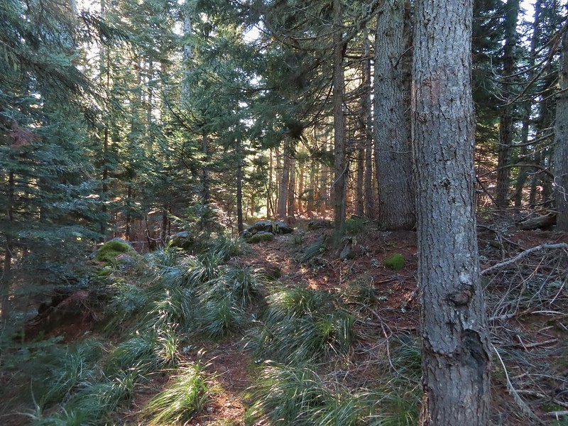 We took this as a blaze.
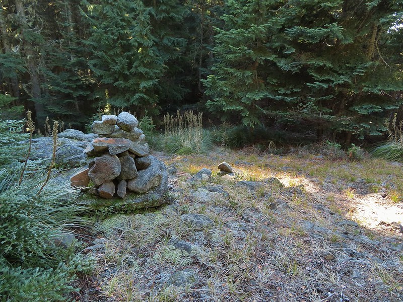 That blaze led to this large cairn.
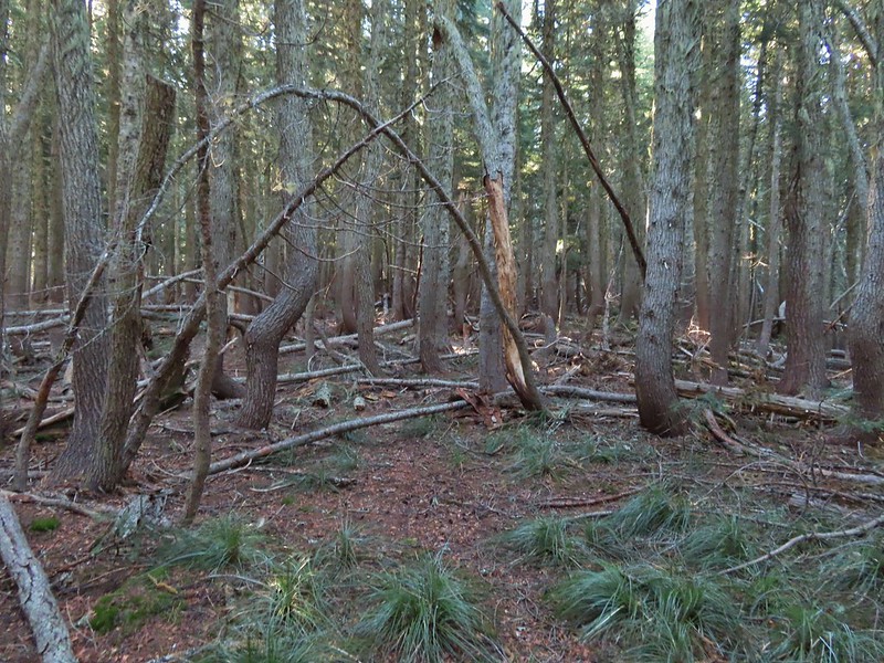 Things were starting to get interesting here.
 Stopped here to listen for pikas, no luck though.
 This could be trail.
 Still on the right track, note the folded trail sign on the tree at center.
 The small meadow.
 Officially off-trail now.
 This looked like a place the trail would go.
 A final look at Mt. Hood from Barlow Ridge.
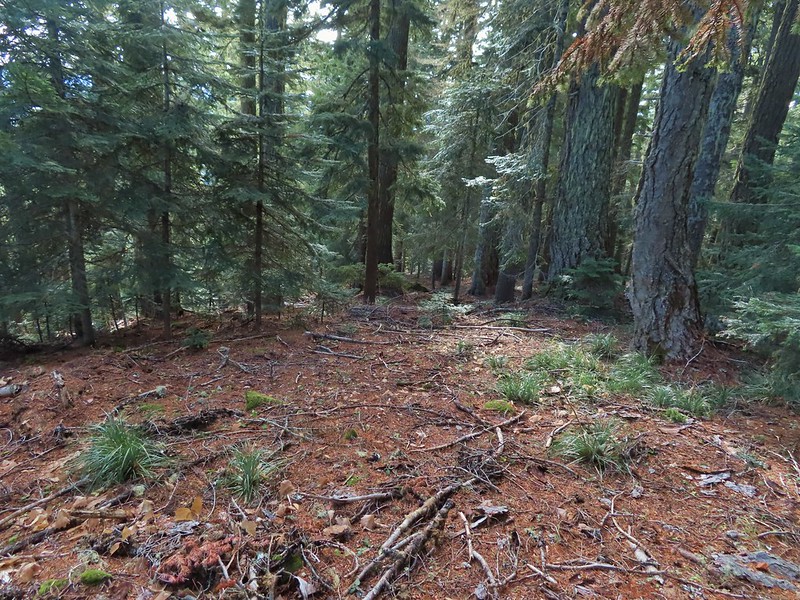 This doesn’t look so bad.
 One of several big trees we encountered.
 Little orange mushrooms, how appropriate for Halloween.
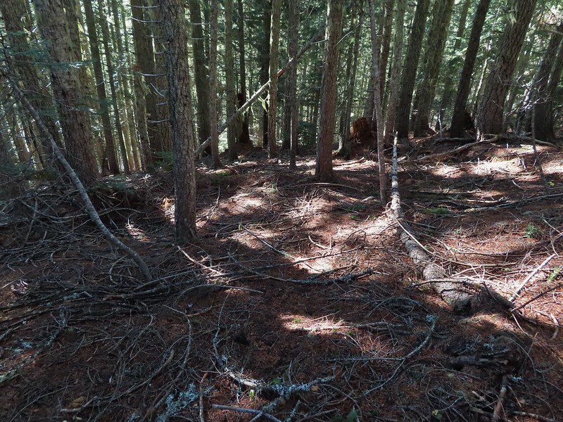 Starting to encounter more debris.
 If there had been a trail good luck finding it.
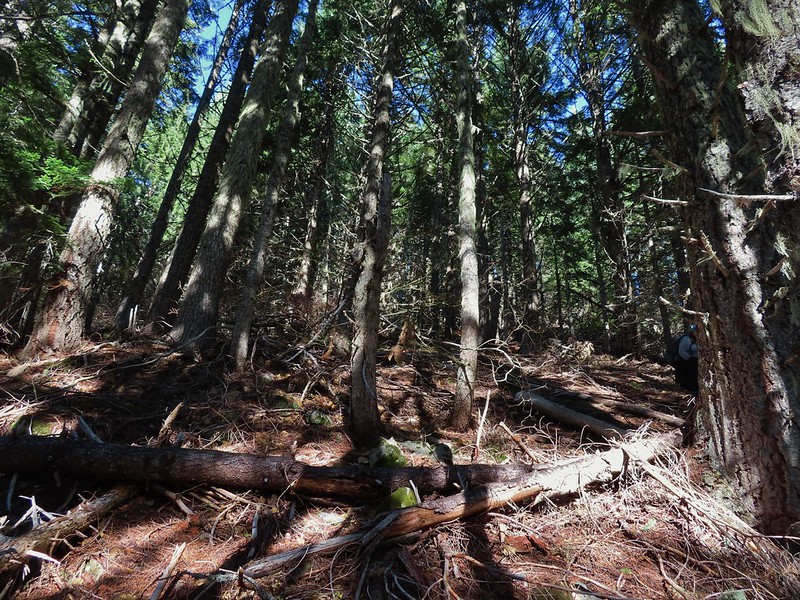 Heather coming down behind me.
 Pretty decent game trail here.
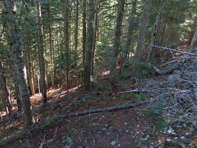 This section was fun.
 A bigger orange mushroom.
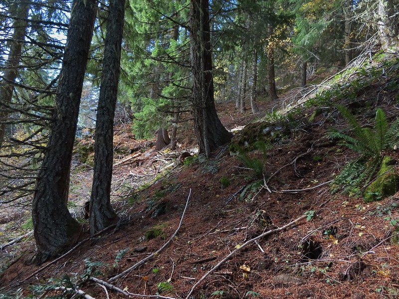 Uphill on this game trail.
 Thickets of brush kept us from getting all the way over to the ridge we needed so we just kept going downhill knowing that we would eventually run into one of the forest roads at the bottom.
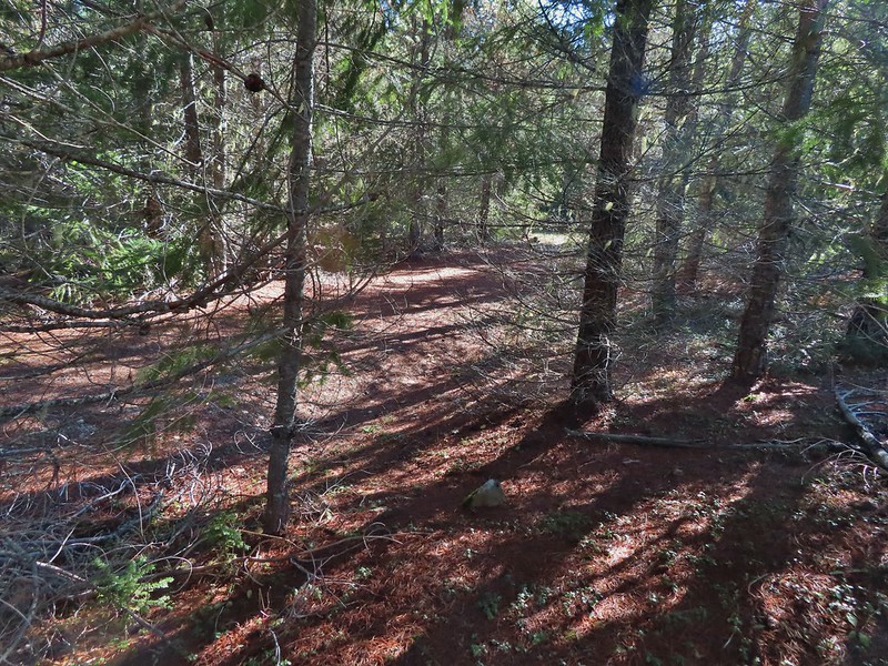 Look Ma a road!
 It doesn’t look that steep from down here.
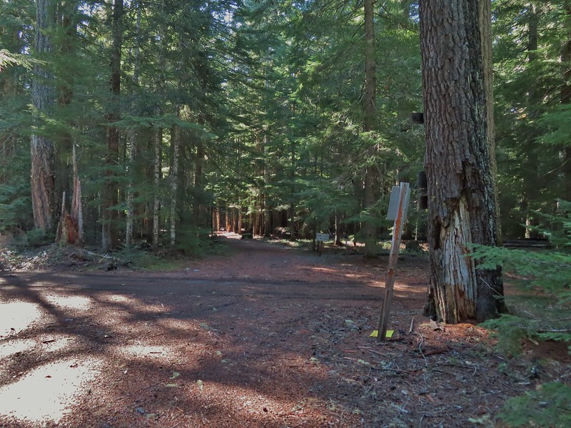 Barlow Road.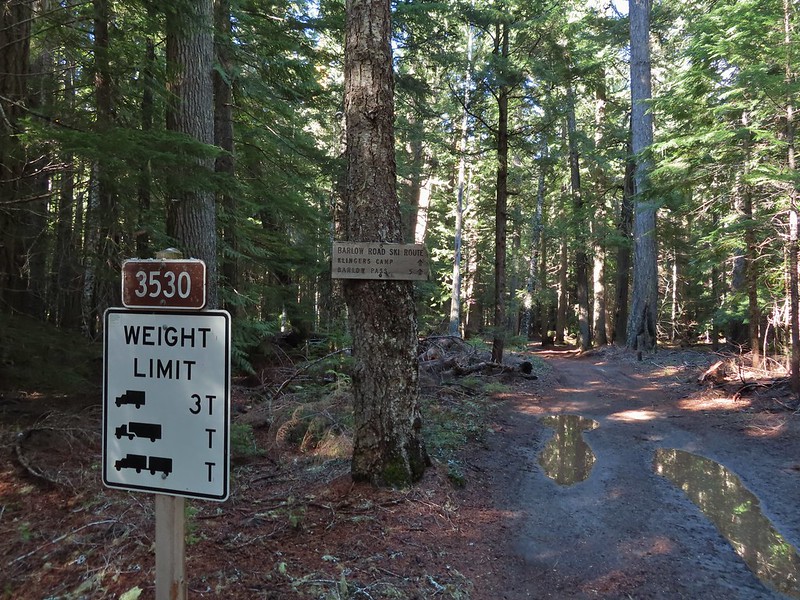


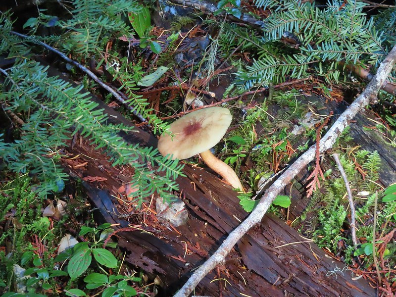

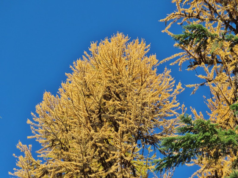 Western larches above Barlow Road.
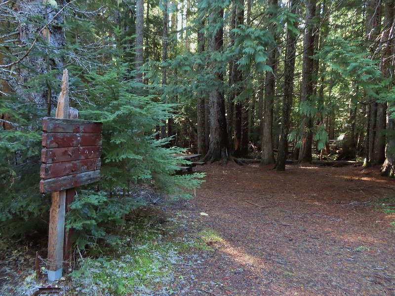 Grindstone Campground
 Barlow Creek
 Crossing Barlow Creek near Devil’s Half Acre Meadow.
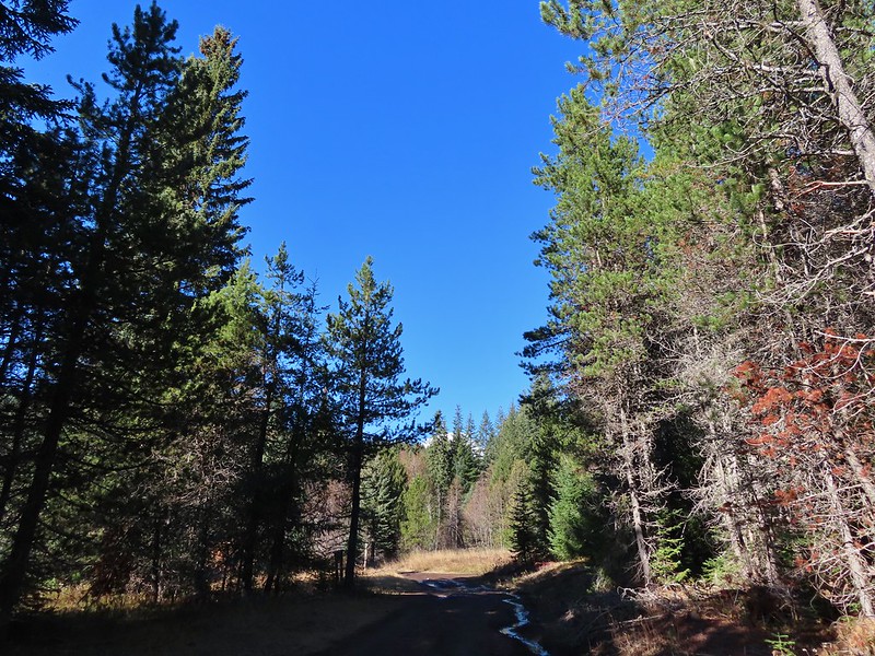 Clouds on top of Mt. Hood towering over the trees.
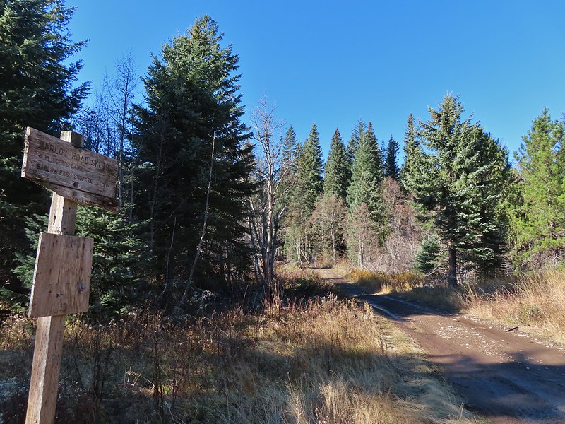 Barlow Road at the campground.
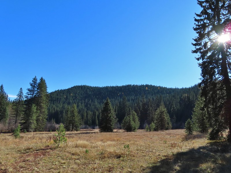 Devil’s Half Acre Meadow.
 Finally back to where we’d left the road in the morning.
 Arriving back at the Barlow Pass Trailhead
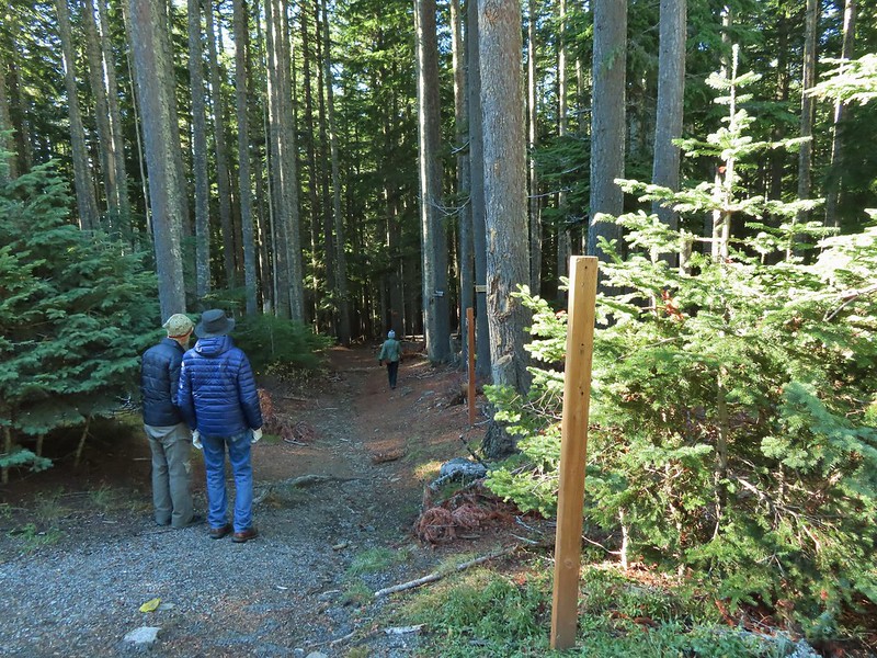 The first other people (not counting the two drivers in the pickups) that we’d seen all day.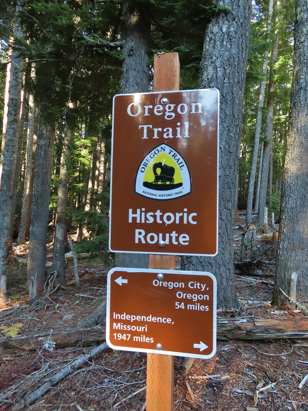
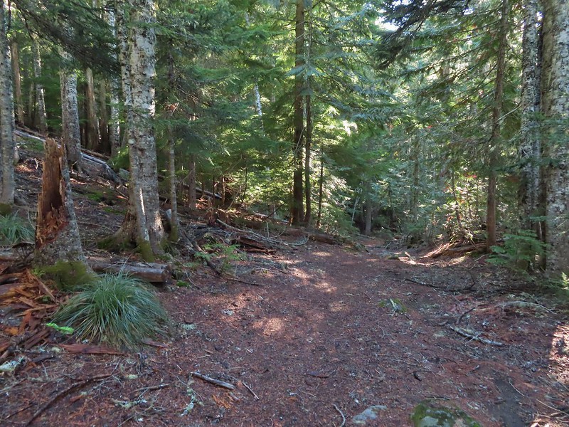


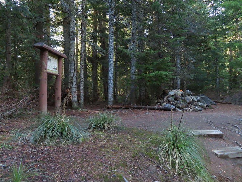
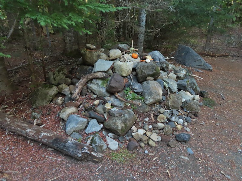

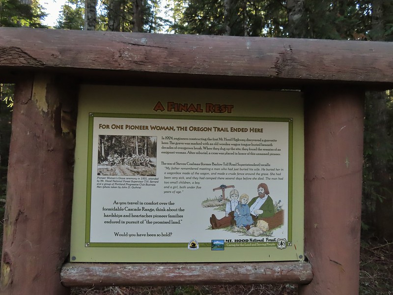
 East Fork Salmon River