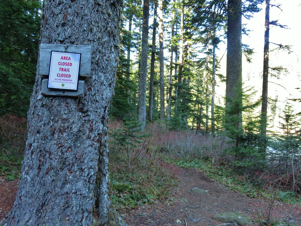
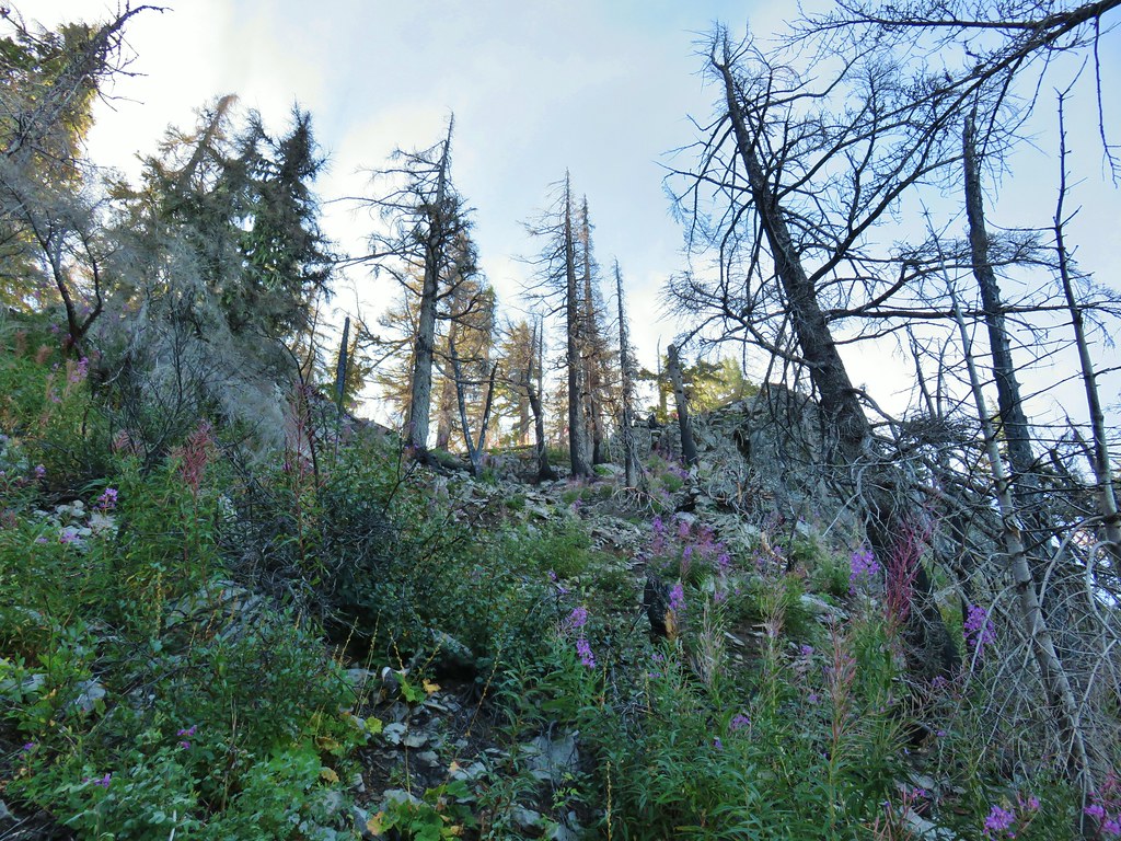
**Note the 2020 Riverside Fire burned a most of this hike.**
We managed to stay off the trail for two weeks but a favorable forecast called us back out for our November outing. We chose a pair of hikes along the Clackamas River east of Estacada, OR. The Riverside Trail was another of Sullivan’s featured hikes that we’d been saving for a rainy day, but we just didn’t have many of those this year so we decided to go ahead and check it off our to do list.
Before getting to the Riverside Trail though we stopped at the nearby Alder Flat Trailhead which is located along Highway 224 just west of the Ripplebrook Guard Station.

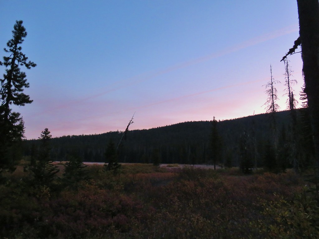
We arrived a little before the light so we waited at the trailhead for enough light before setting off on the .9 mile trail that led to the primitive Alder Flat Campground along the Clackamas River.
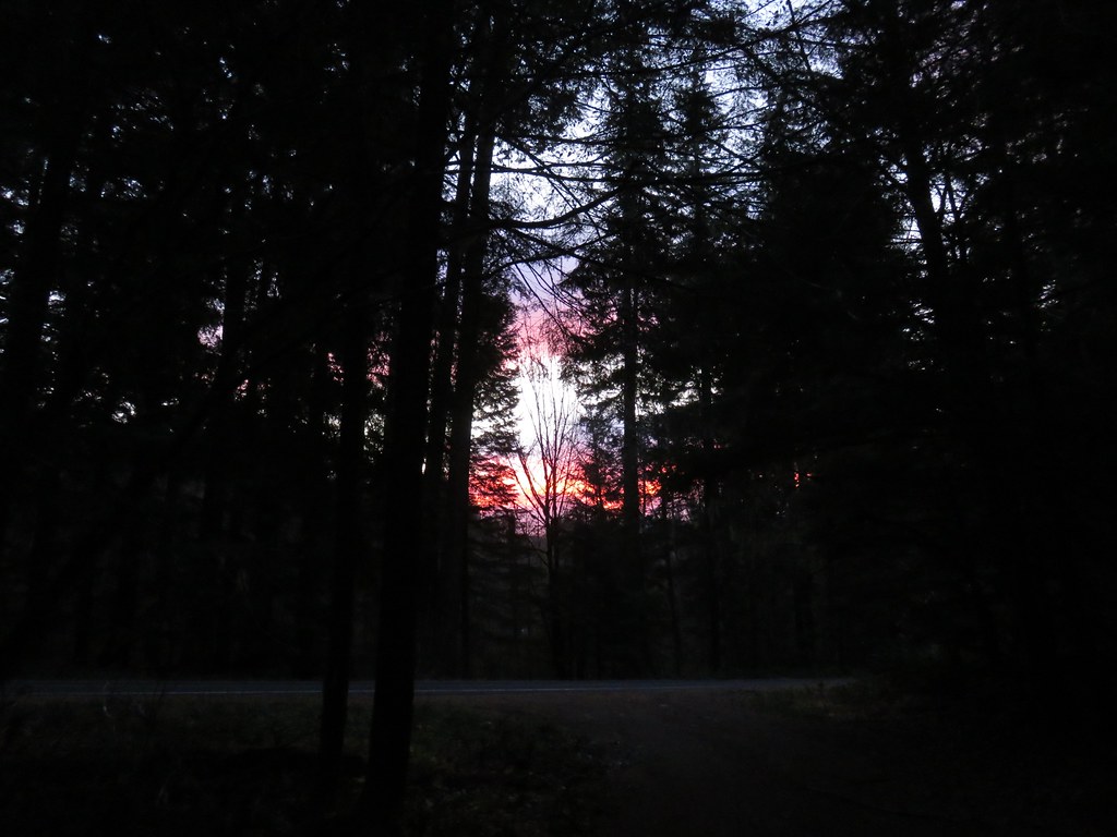 There was a nice sunrise while we waited for enough light.
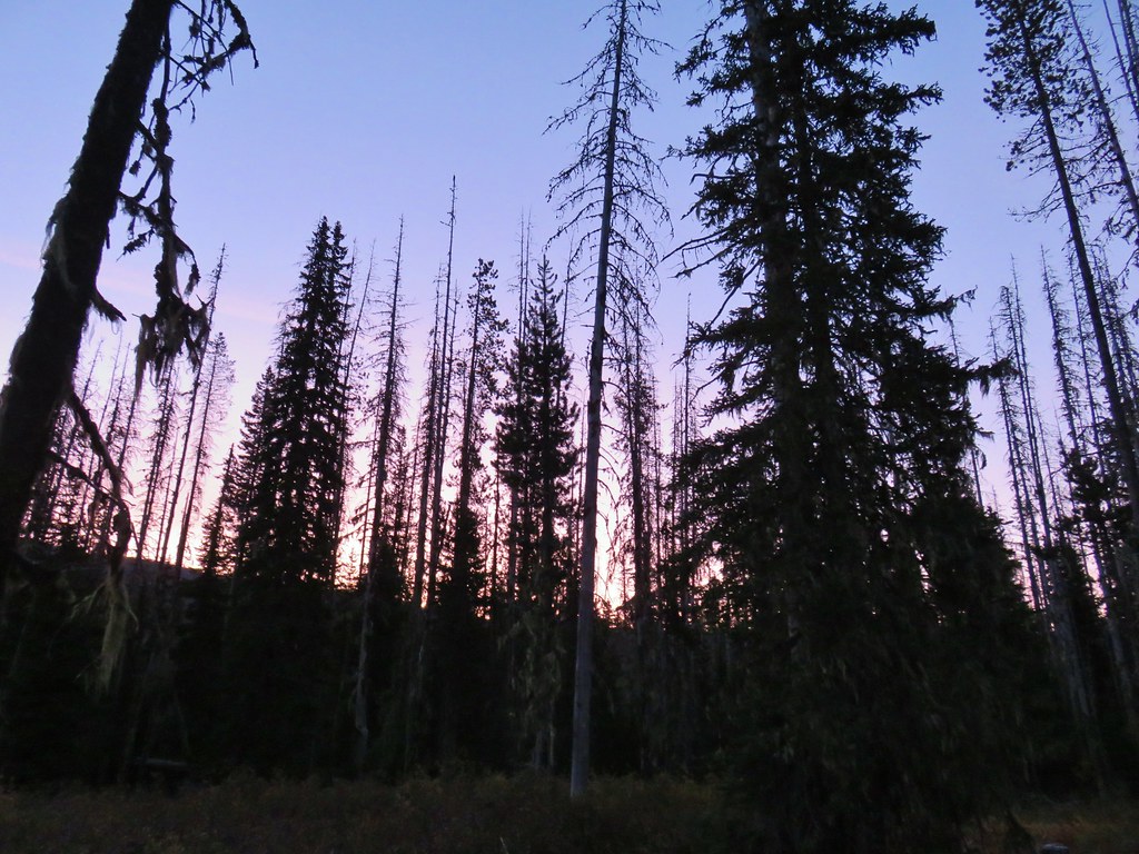
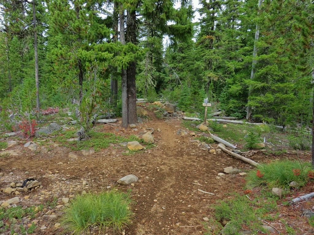
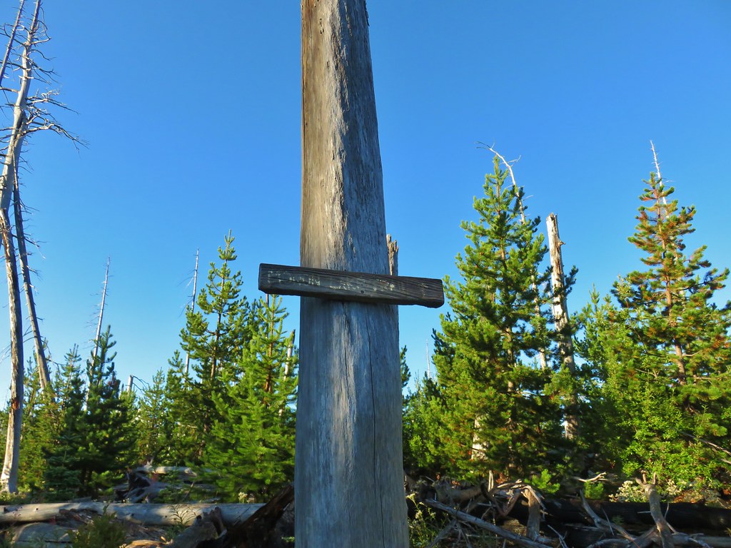
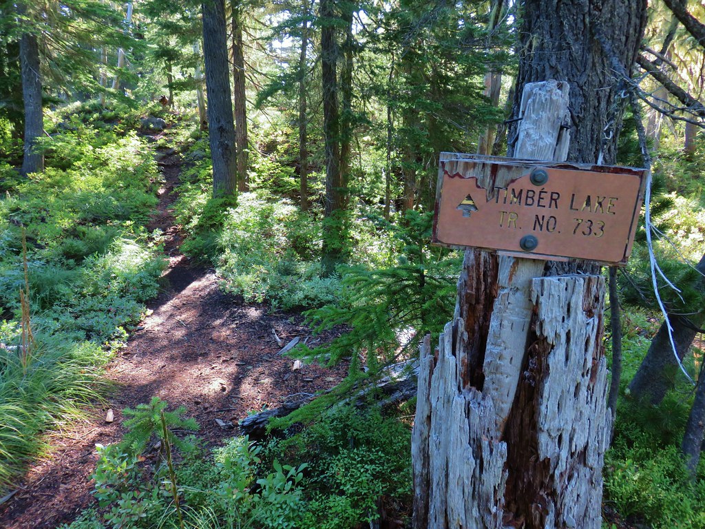
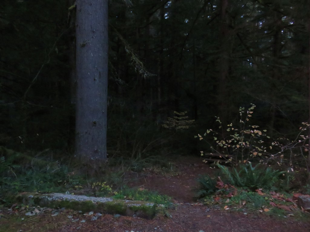 Alder Flat Trail at the trailhead.
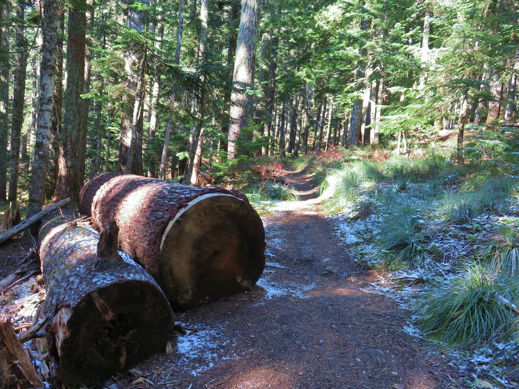
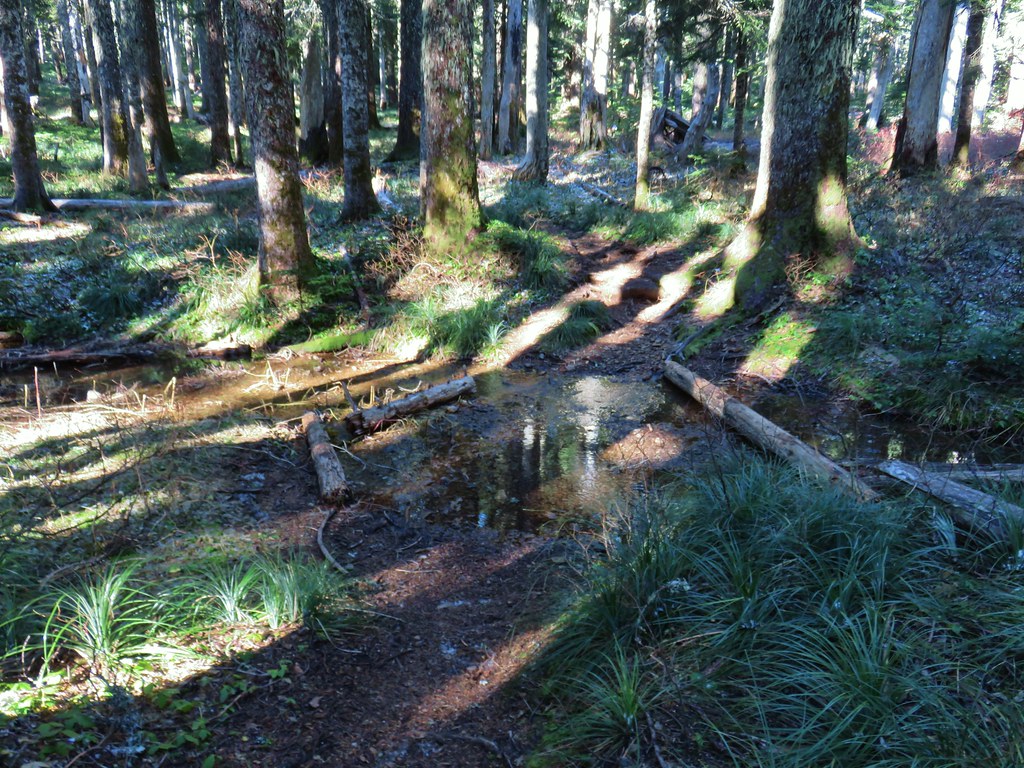
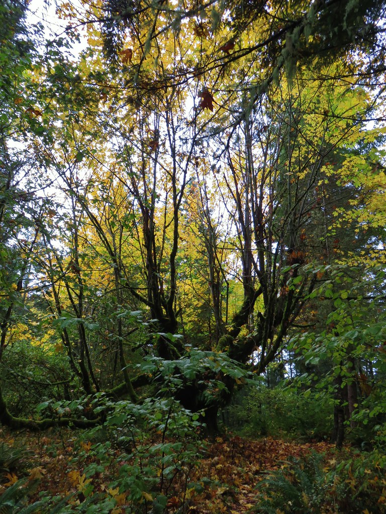
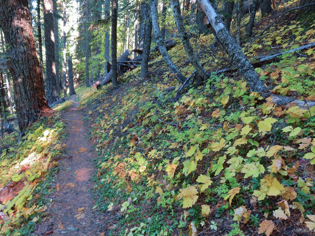
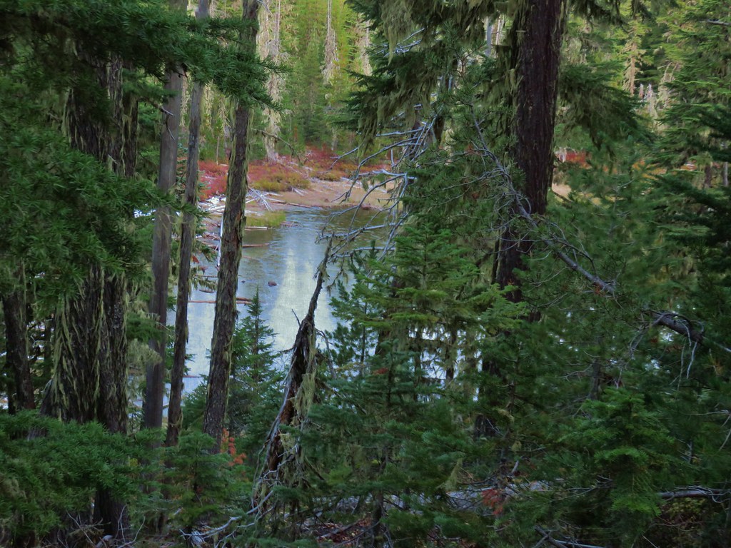
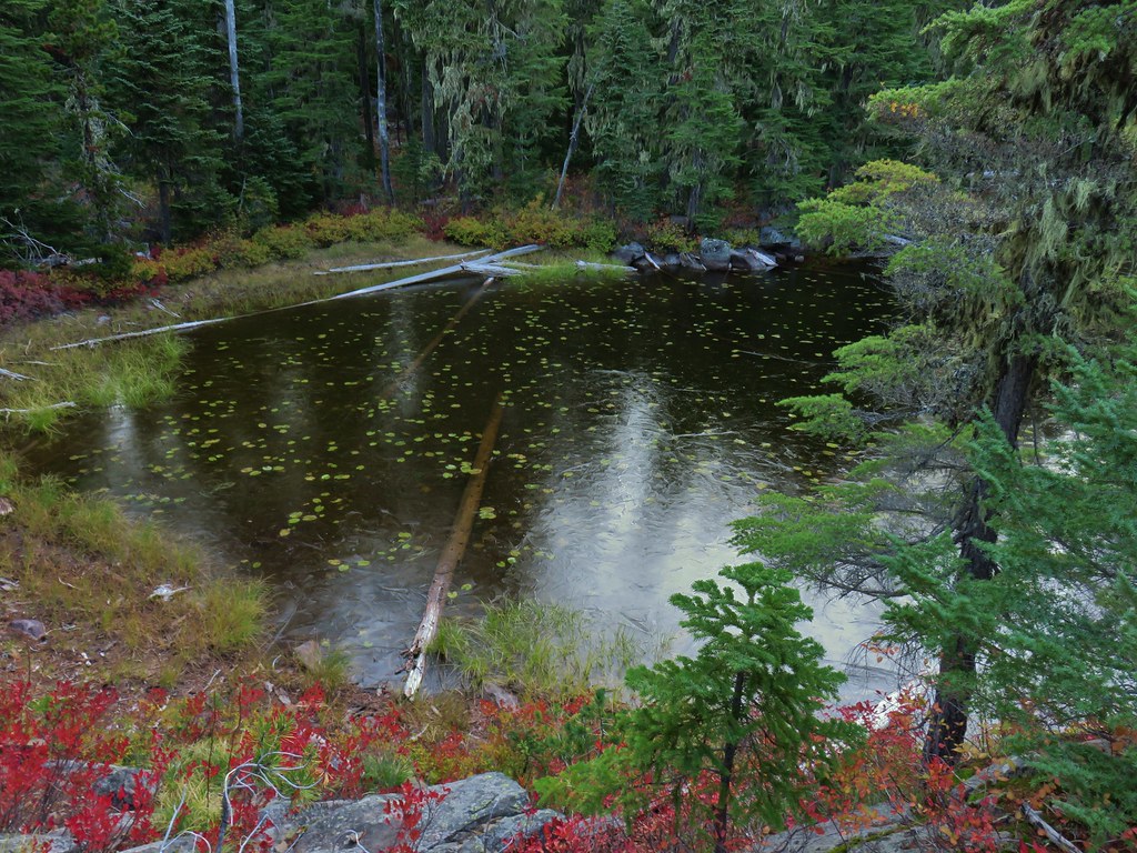
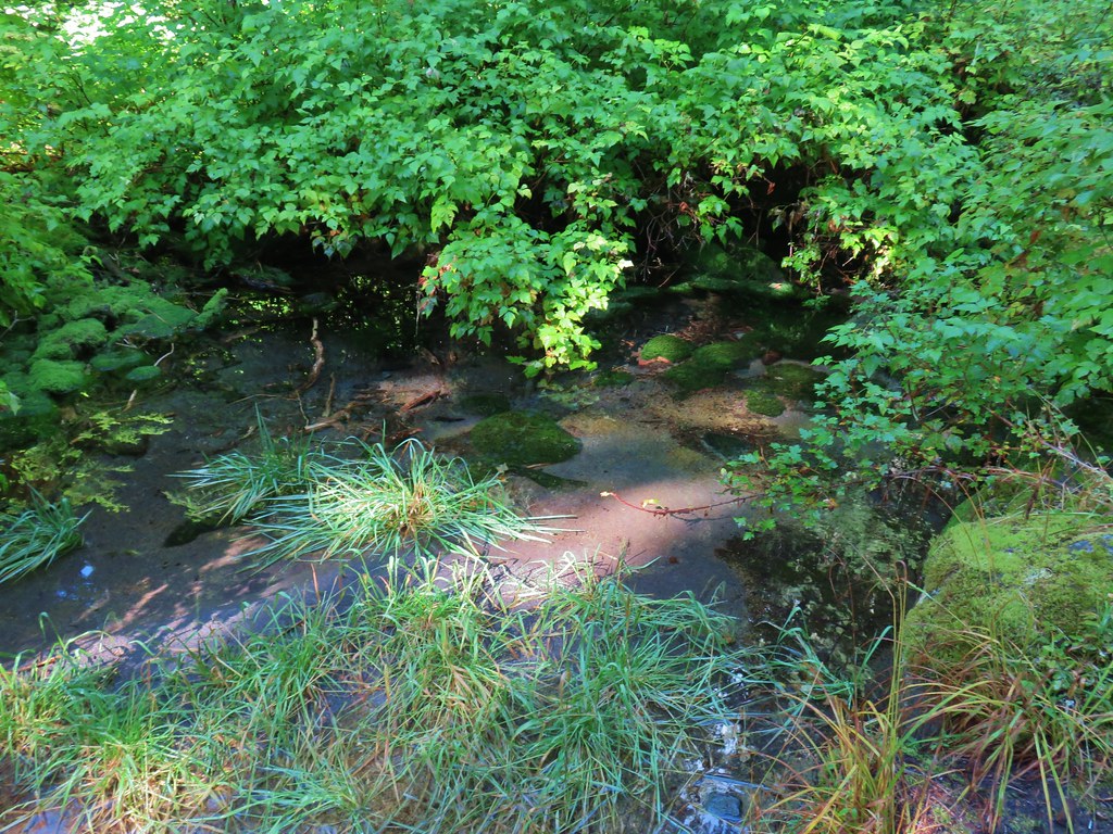
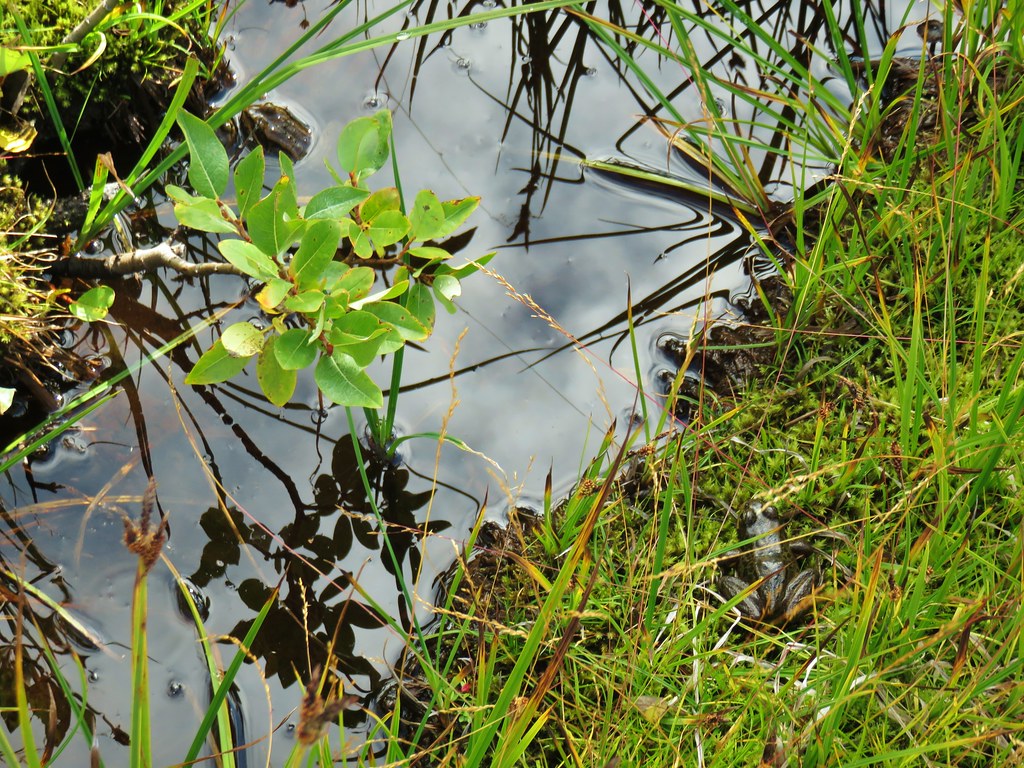
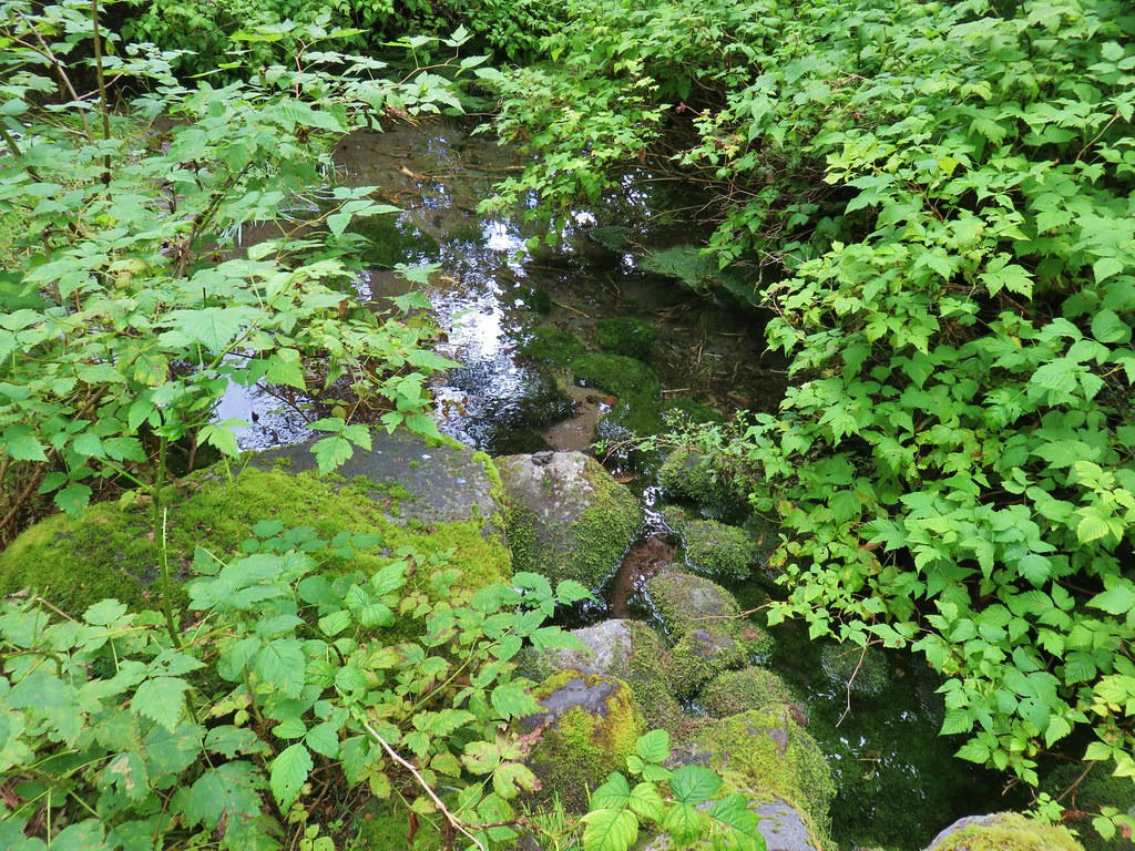
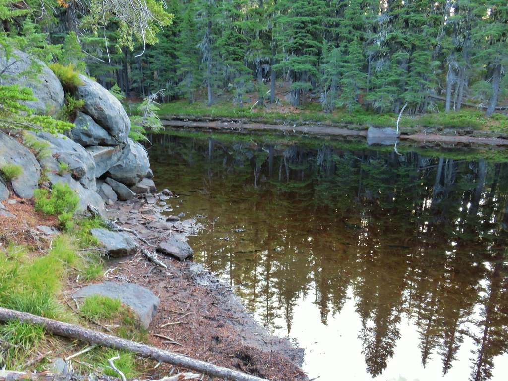
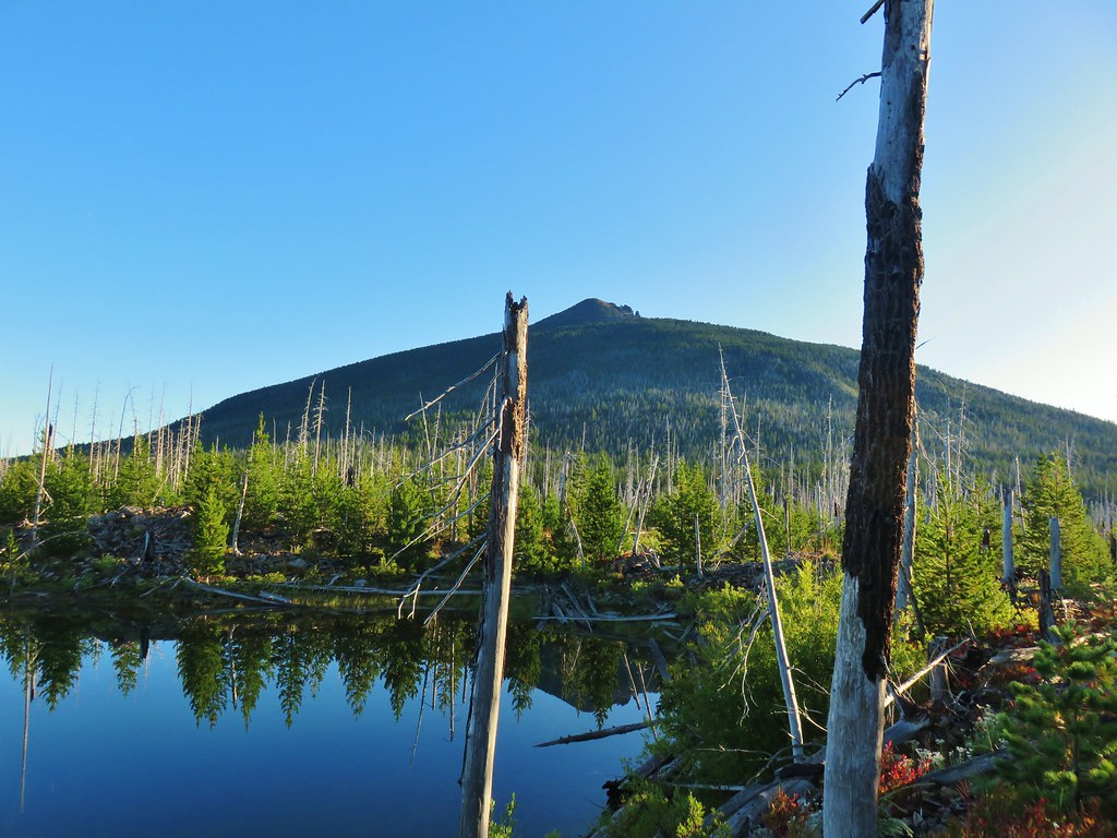
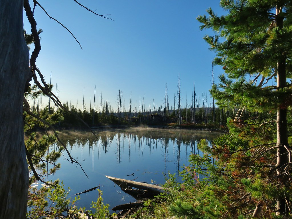
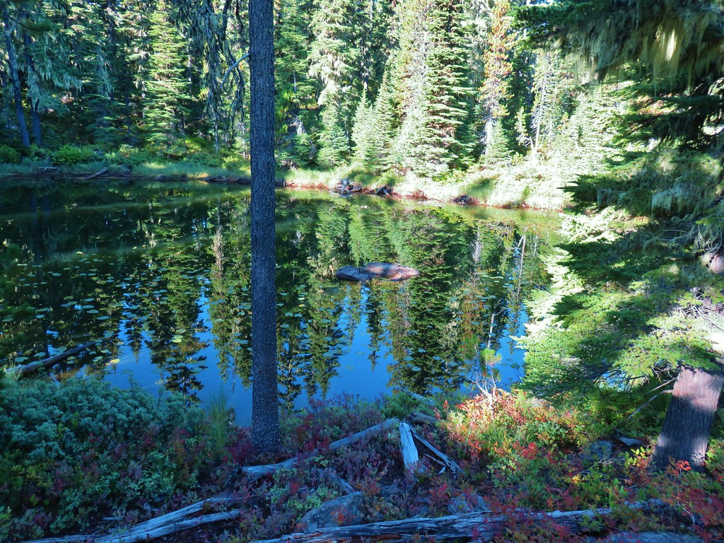
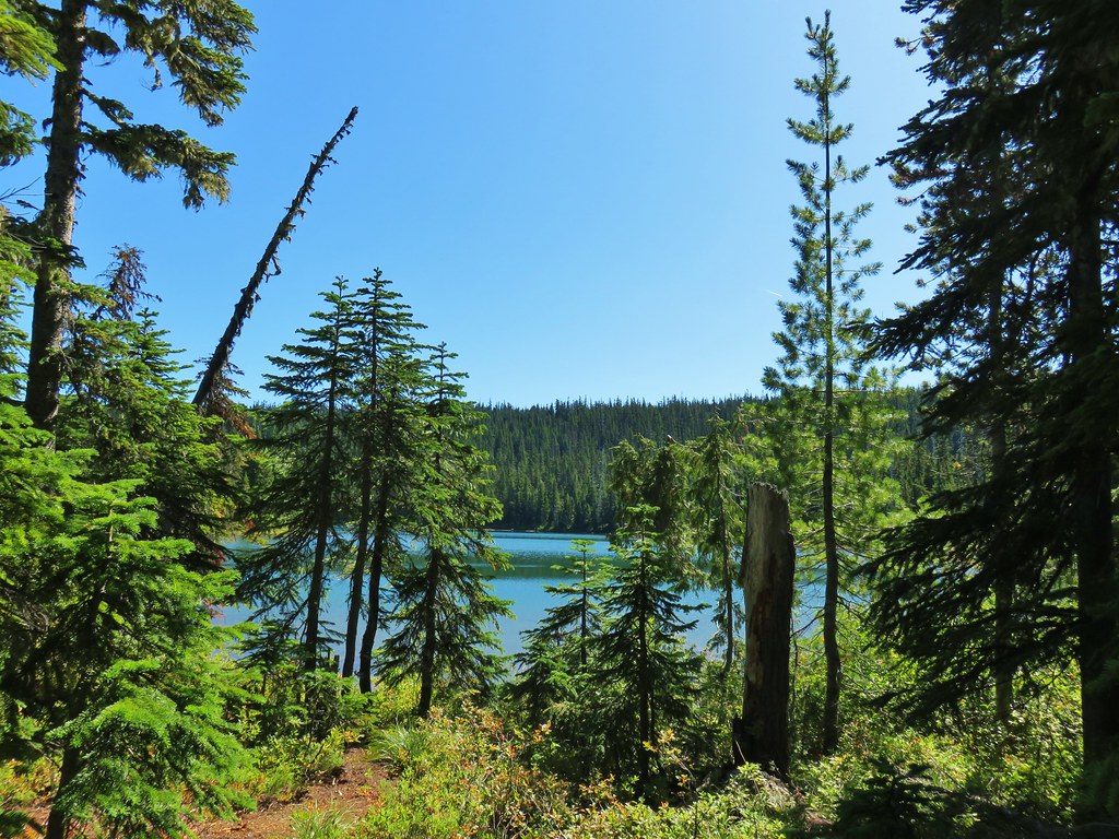
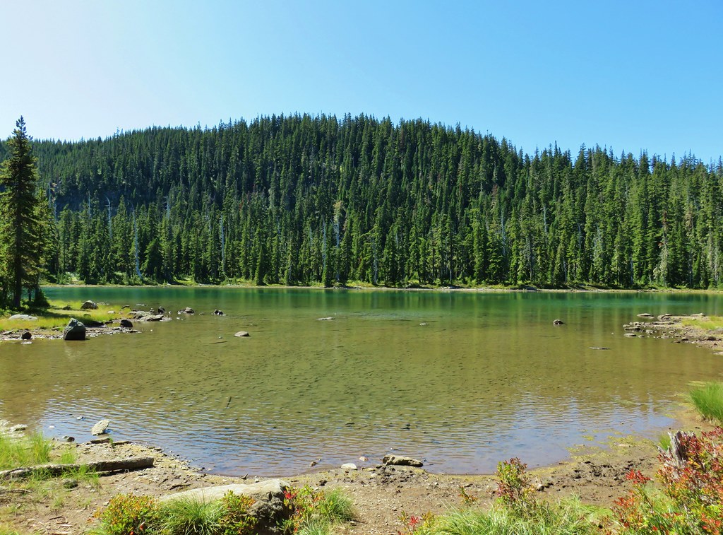
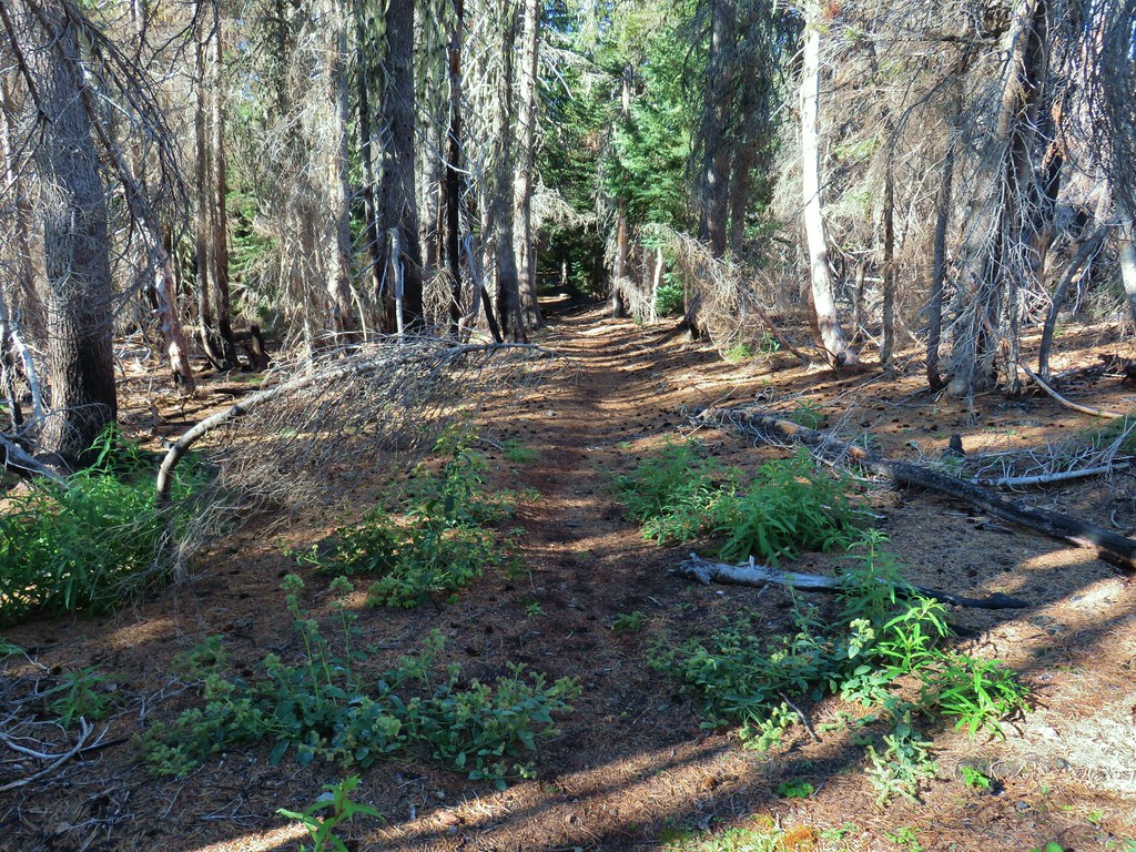
The trail passes by an old beaver pond and through a green forest before arriving at the campground near a swimming hole at a bend in the river. Maps also show a trail around the beaver pond but we followed it briefly on the way back and it petered out after crossing the outlet creek on a log.
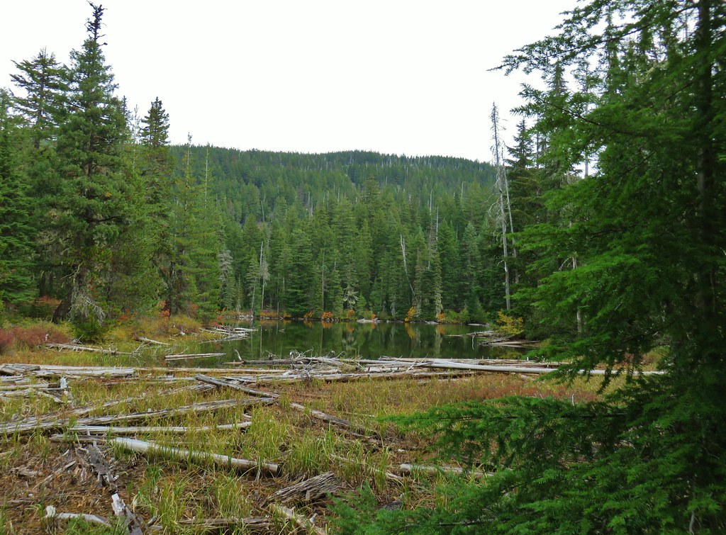
 Passing the old beaver pond.
 Beaver pond from the former trail around it.
 The trail around the pond petered out on the far side of this log.
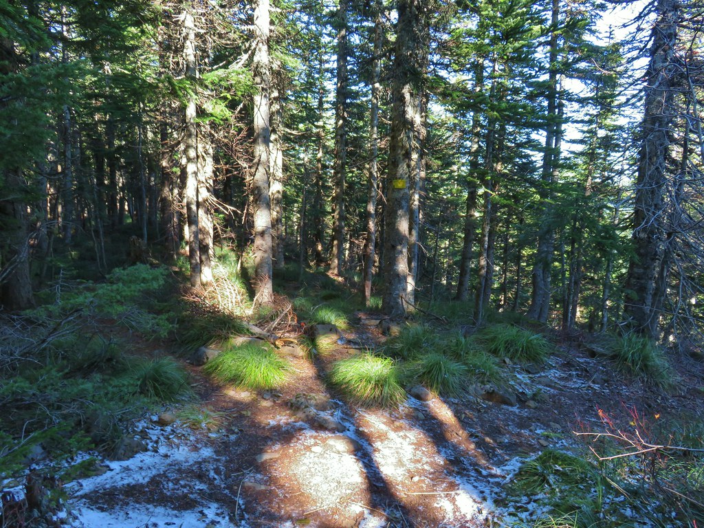
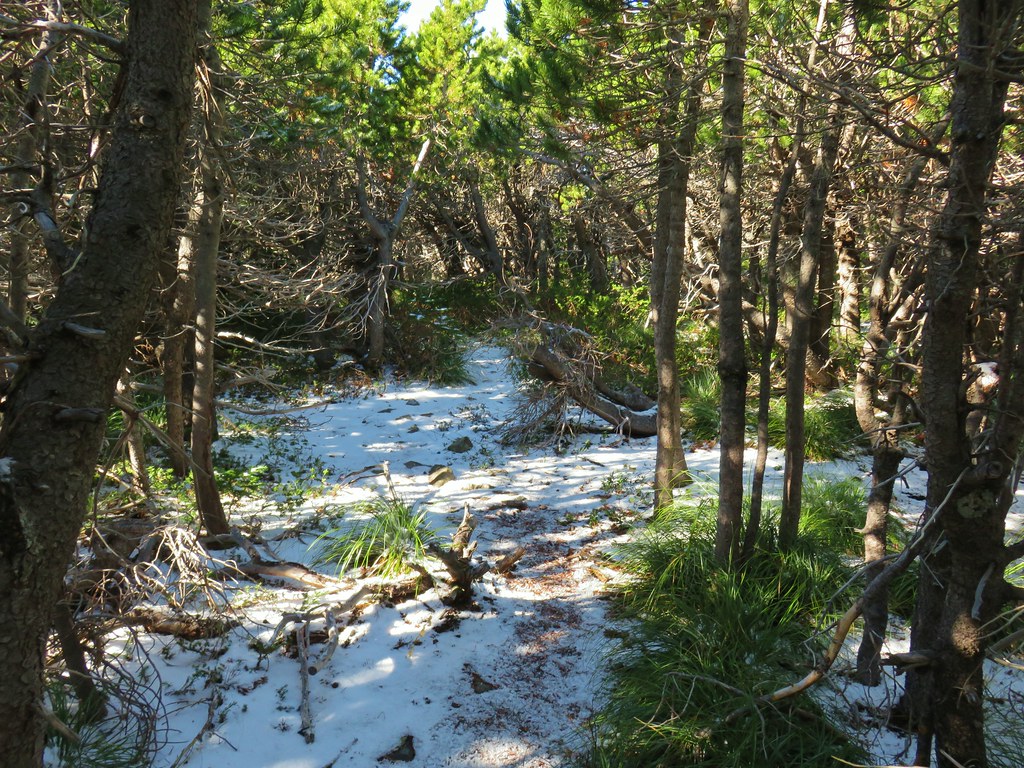
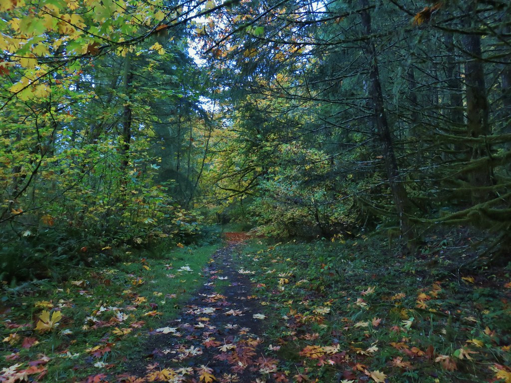
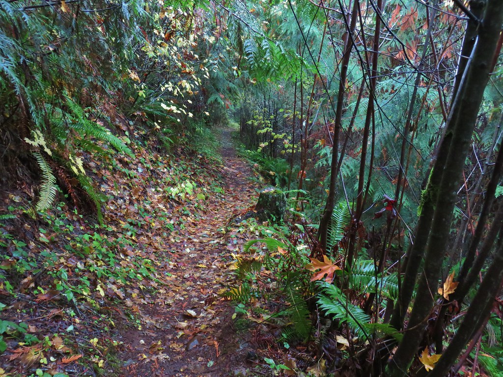
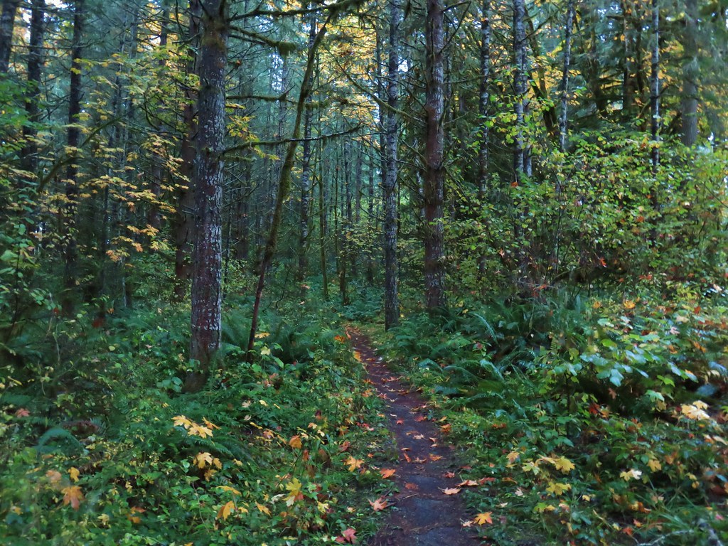
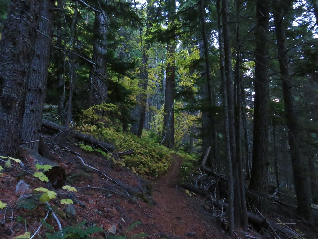
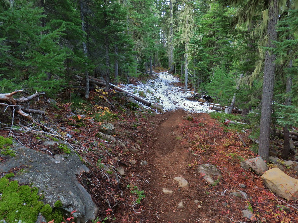
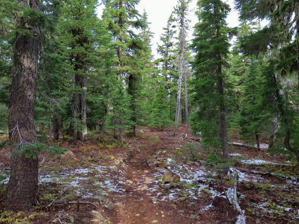
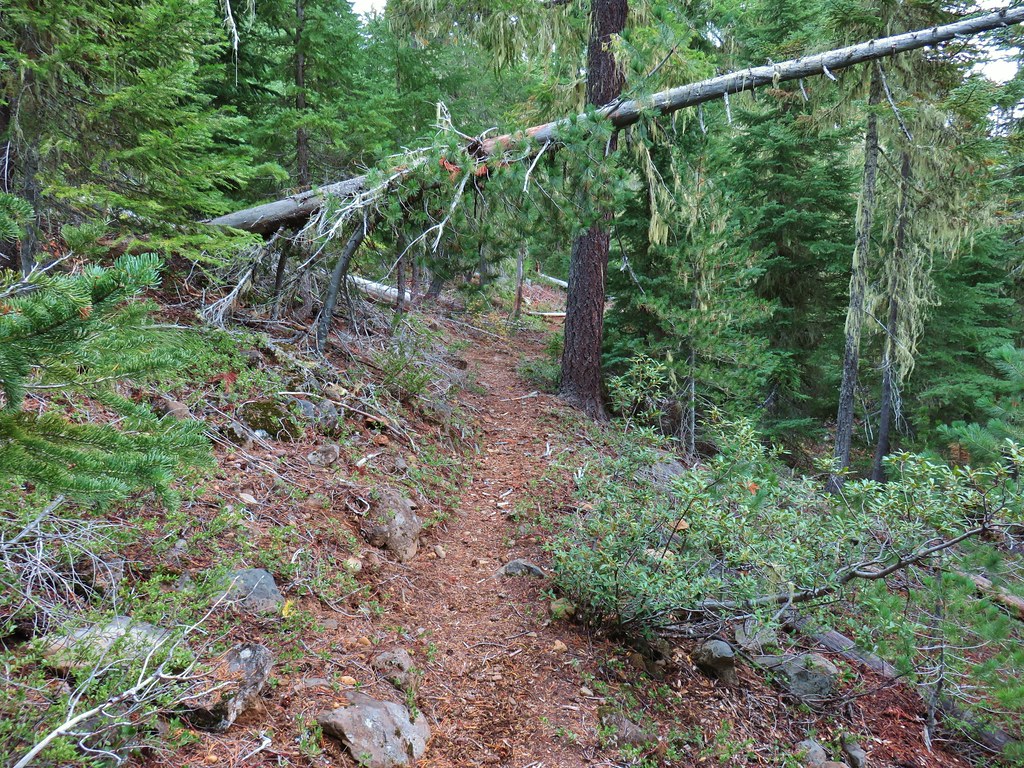
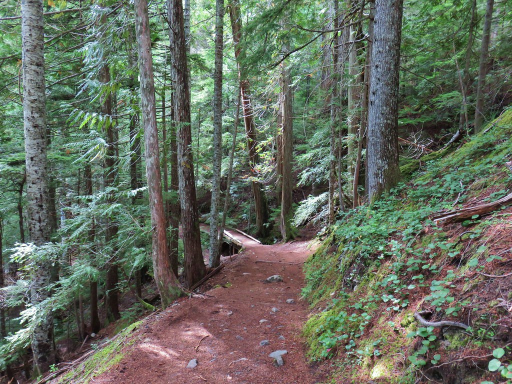
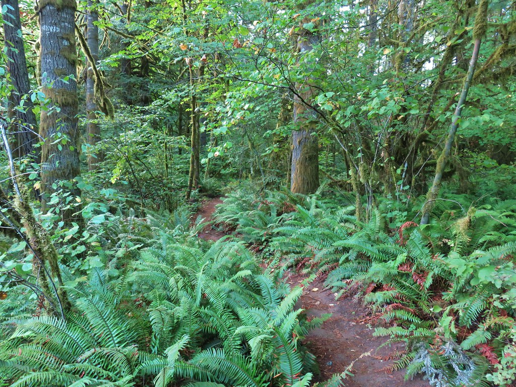
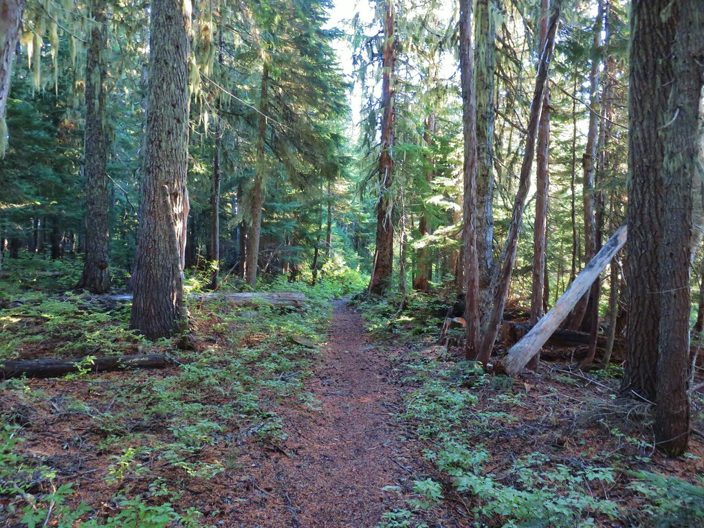
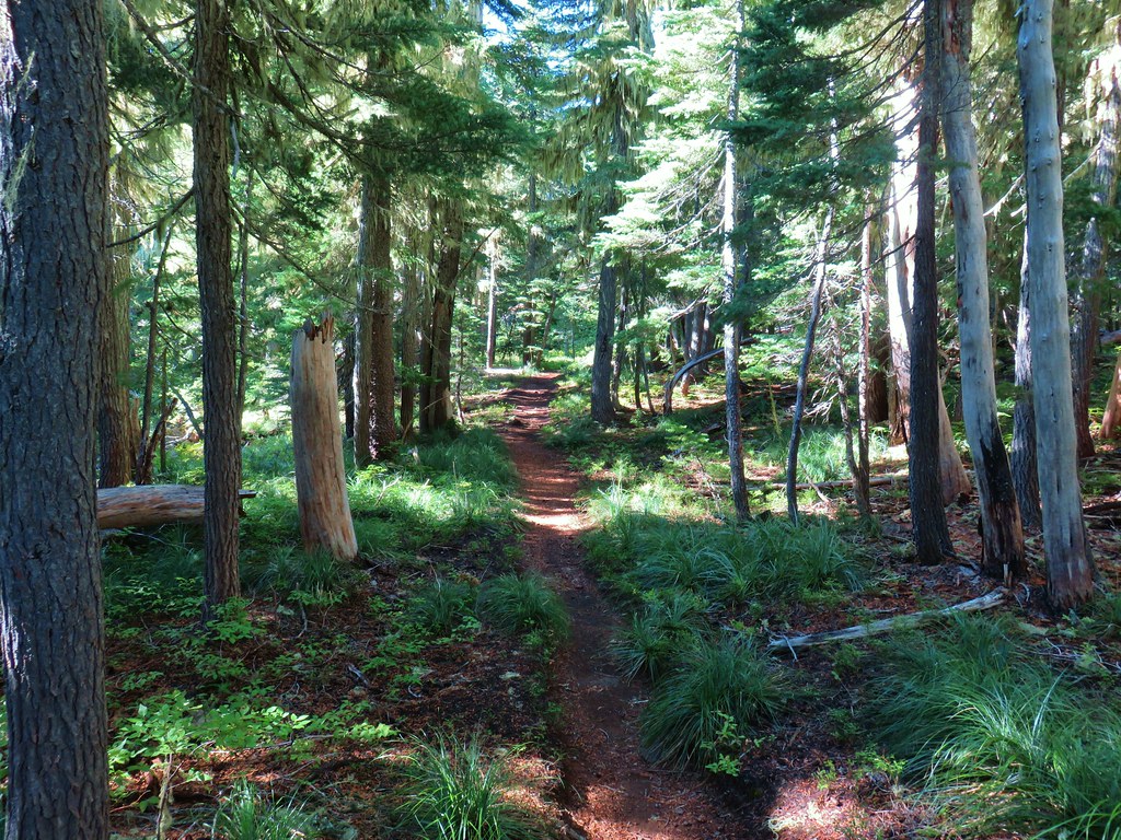
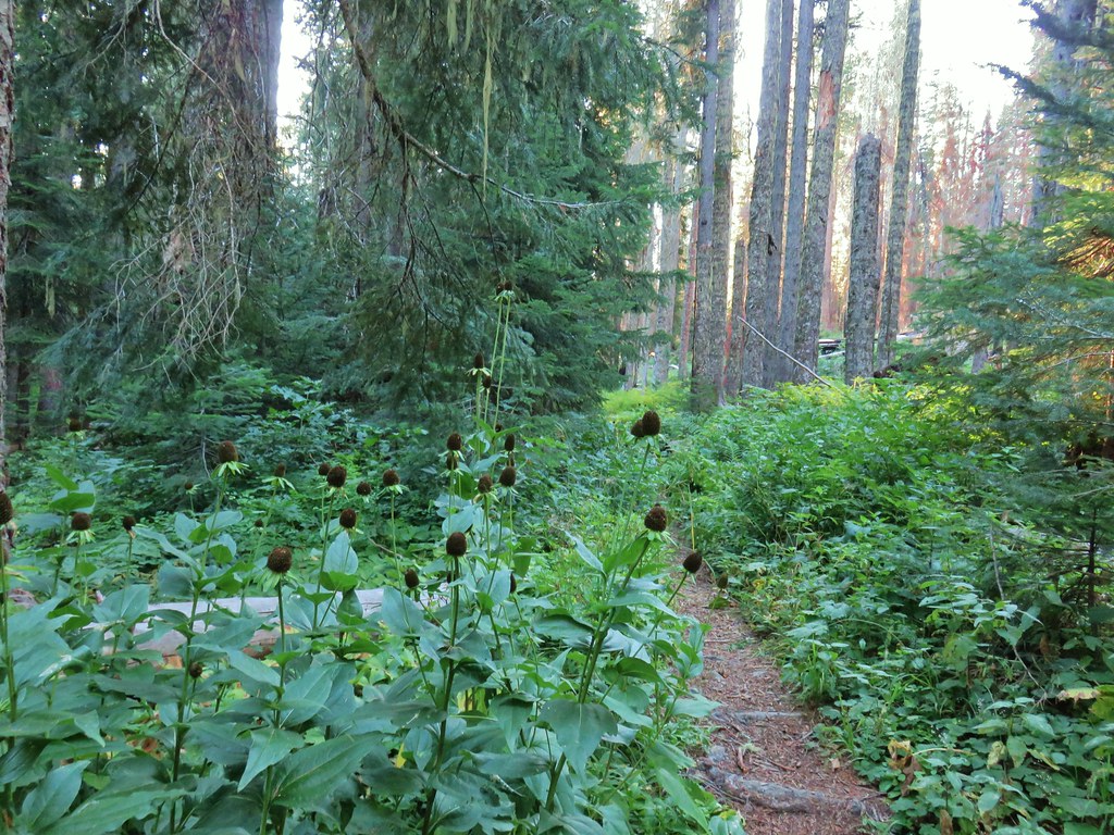
 Alder Flat Trail in the forest.
 Arriving at the campground.
 Swimming hole (It was a little too cold today.)
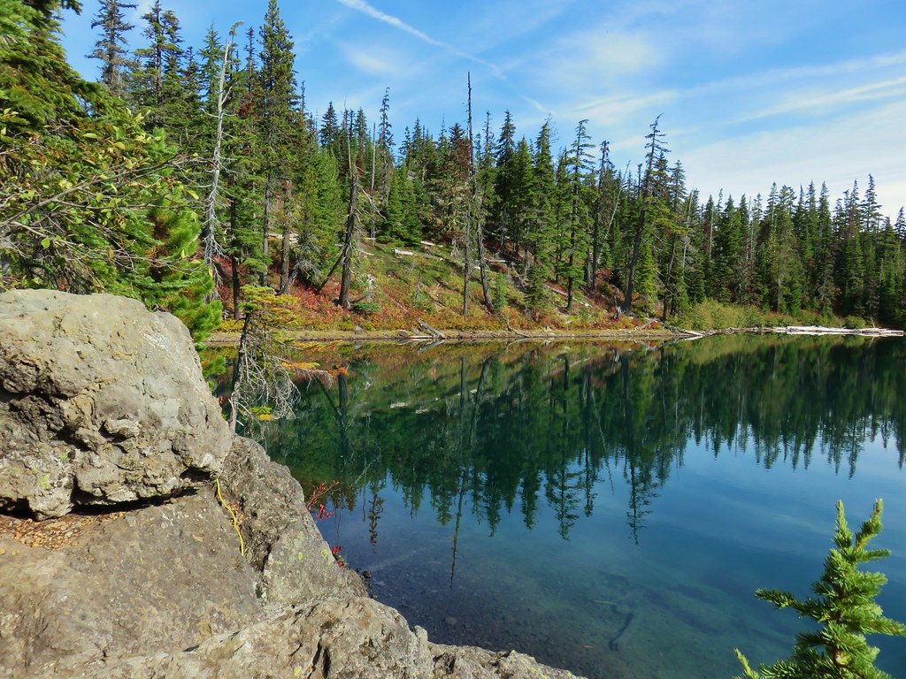
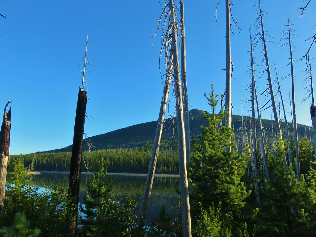
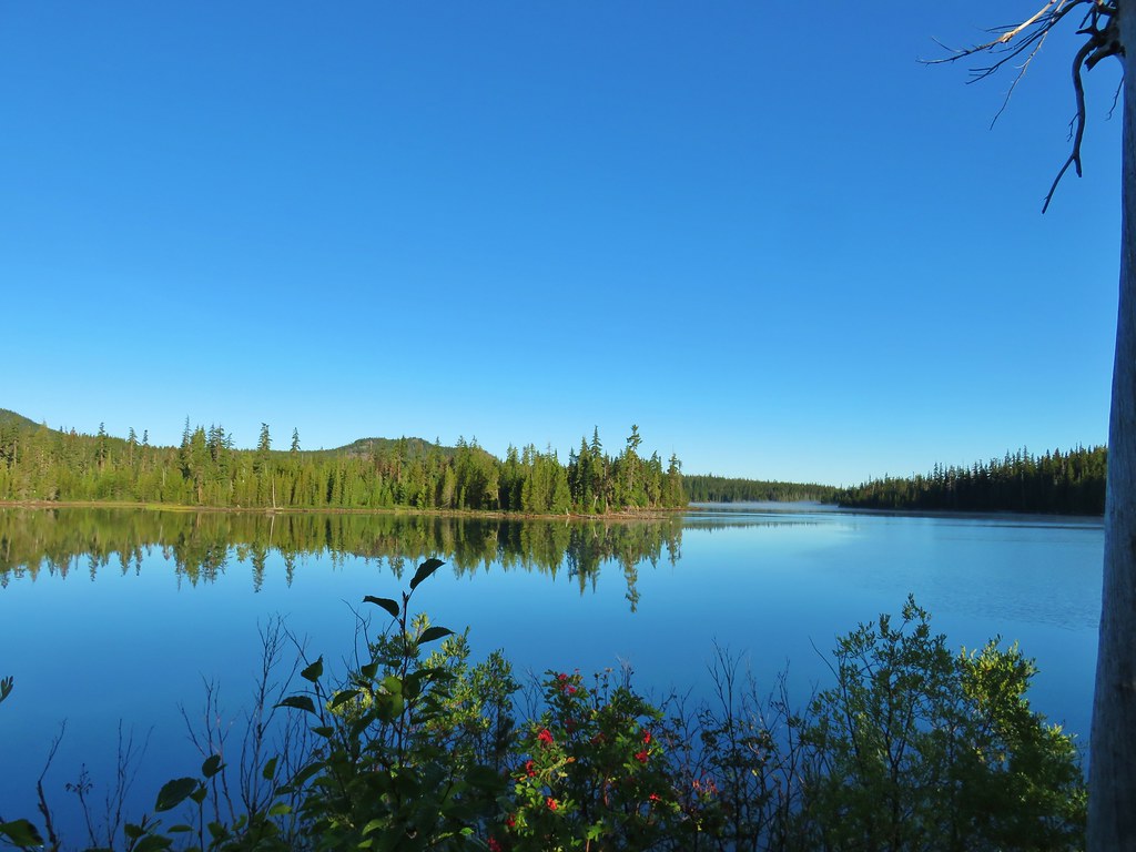
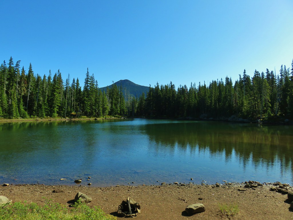
 Clackamas River at the Alder Flat Campground.
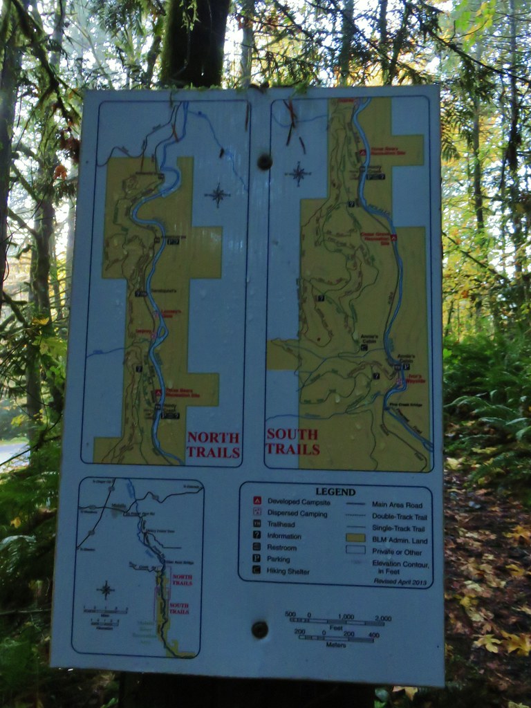
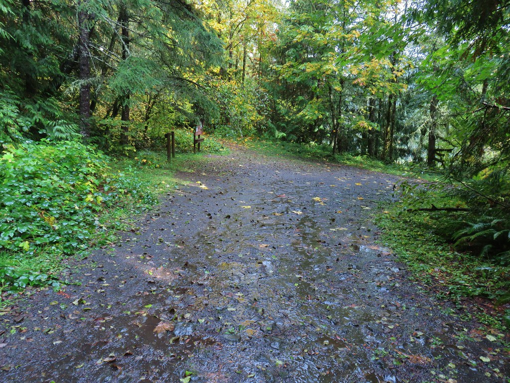
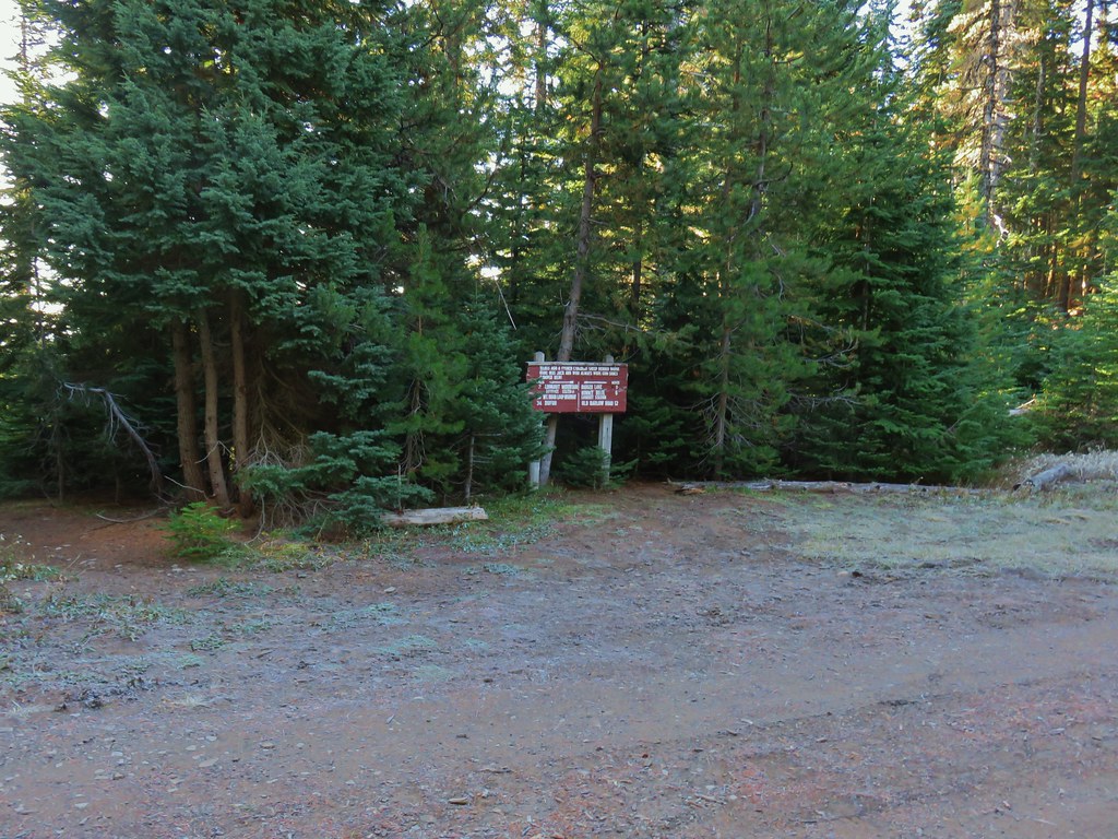
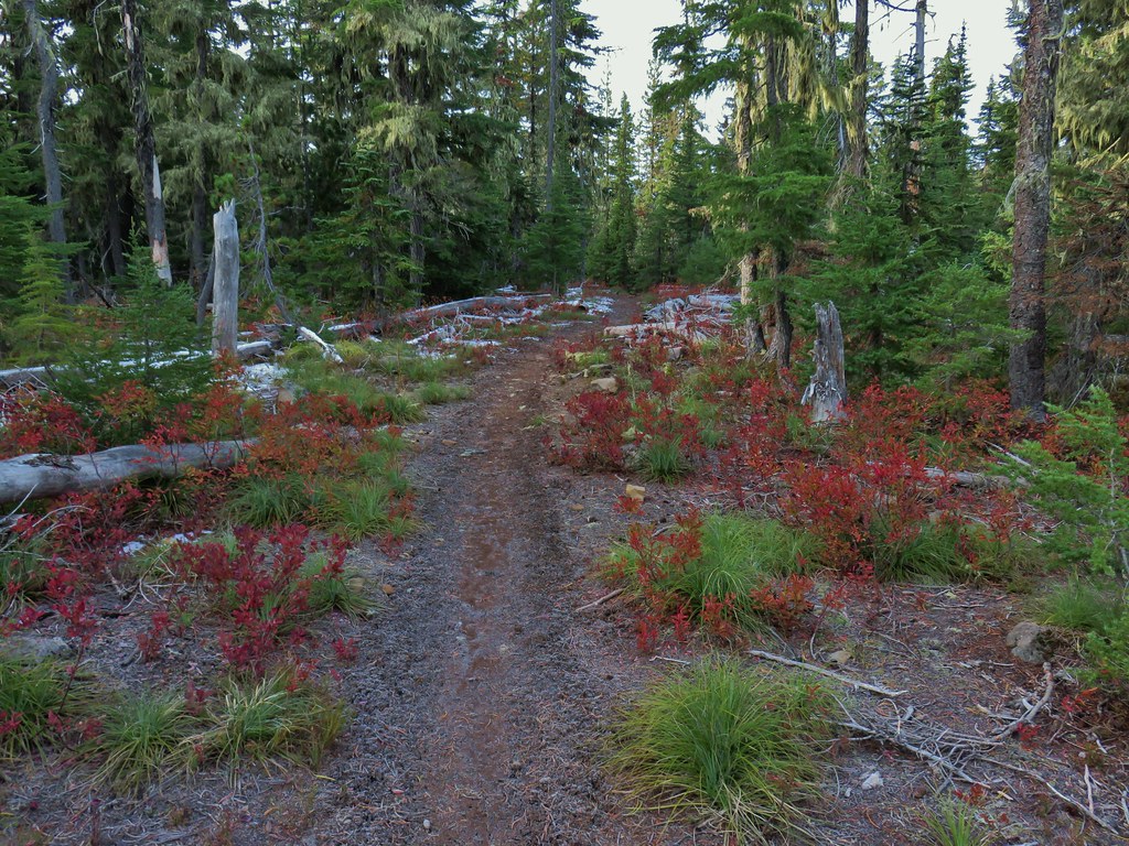
From the Alder Flat Trailhead it was less than a mile to our starting point for the Riverside Trail at the Rainbow Campground.

When the campground is open you need to pay to park there. With the campground closed there is no fee, but it does add a .3 mile road walk into and through the campground to reach the trail.
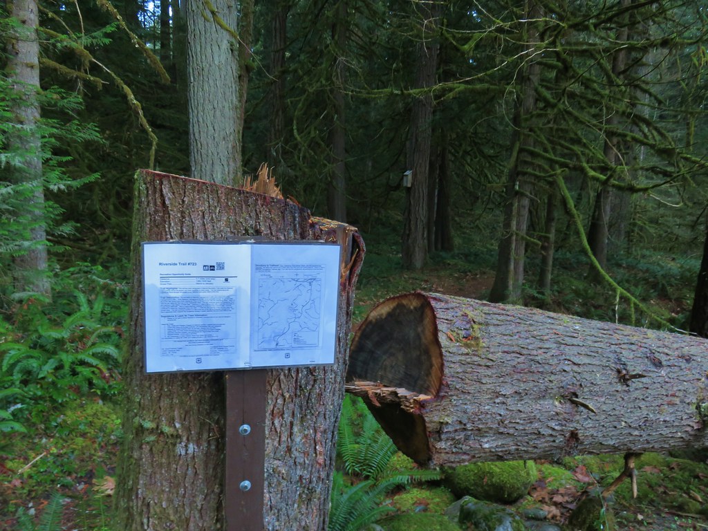
 The Rainbow Campground
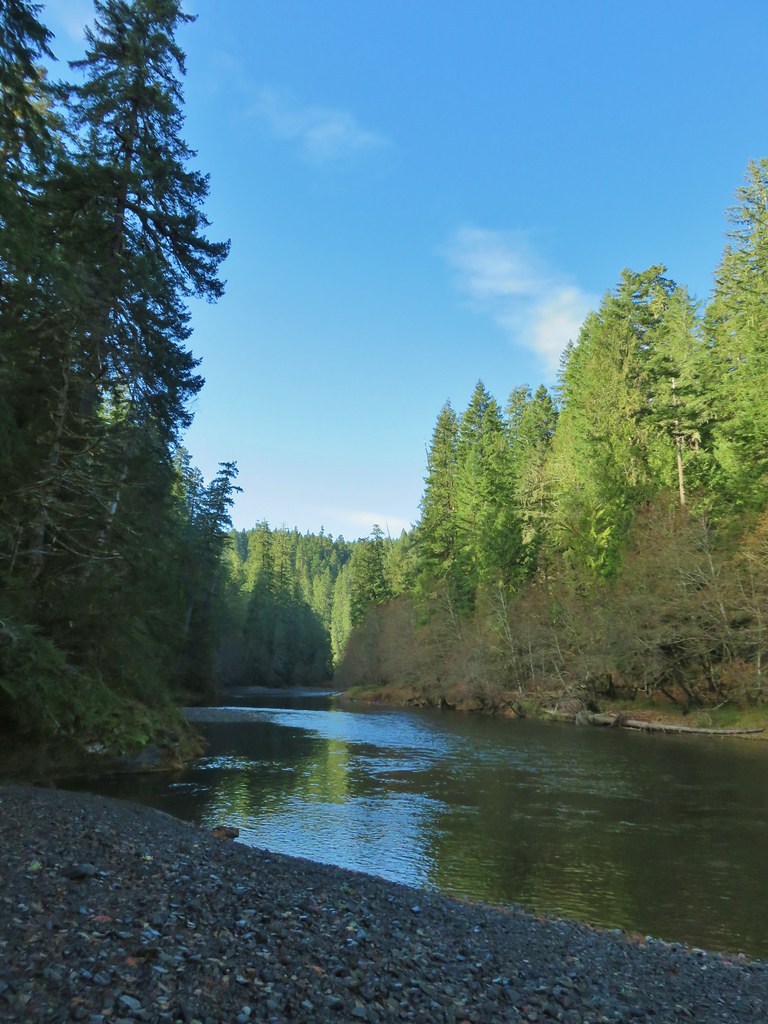
The Riverside Trail sets off at the far end of the campground following the Oak Grove Fork of the Clackamas River.


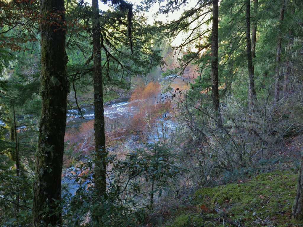
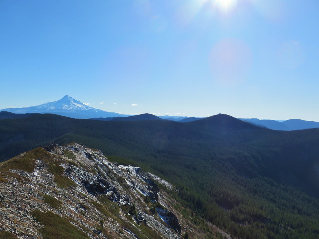
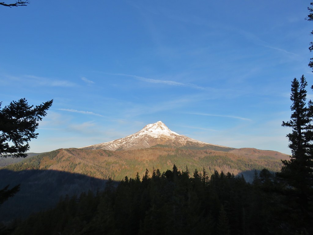
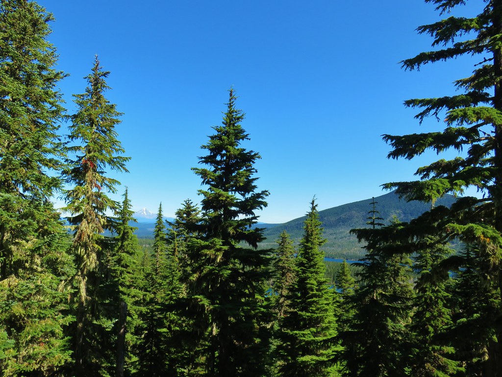
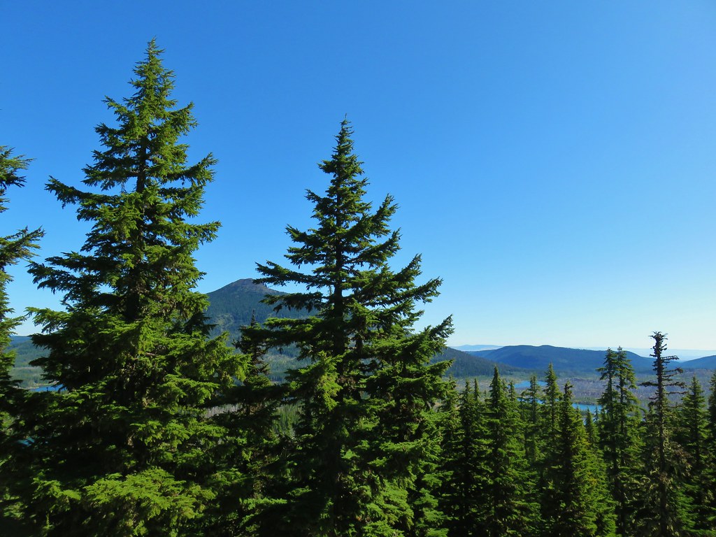
The trail climbs up to an overlook of the Clackamas River in the first half mile near the confluence of the two rivers. We both were a bit confused at first when we got to the overlook because the river was suddenly flowing in the opposite direction, then we remembered that is was a different river.
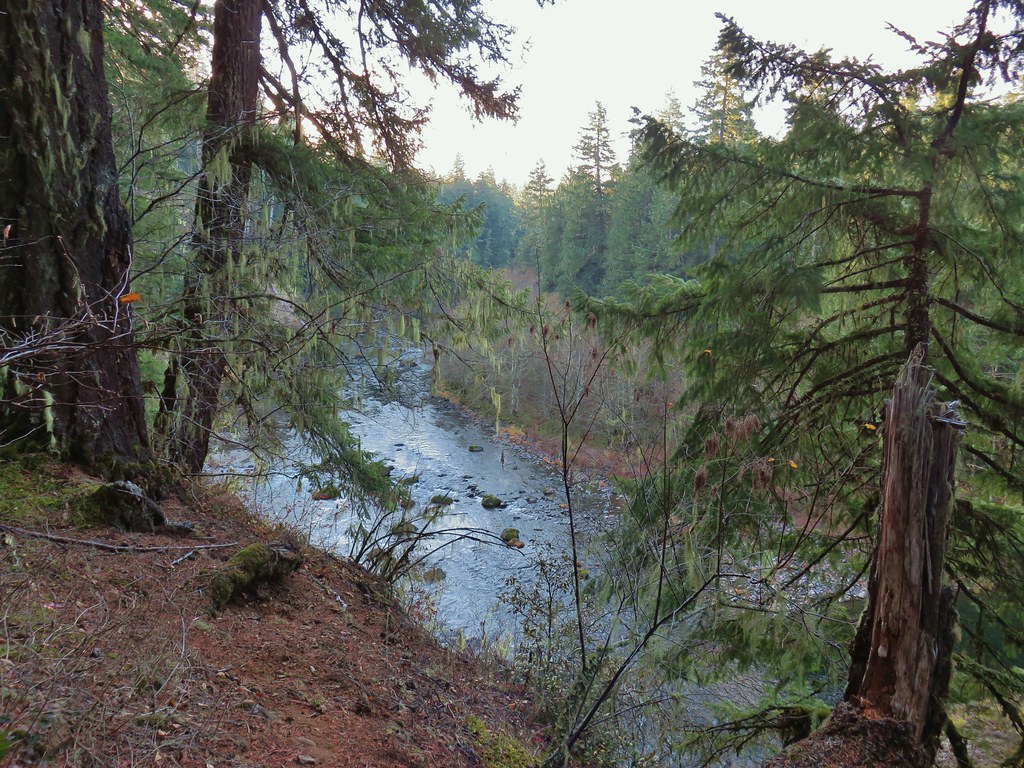
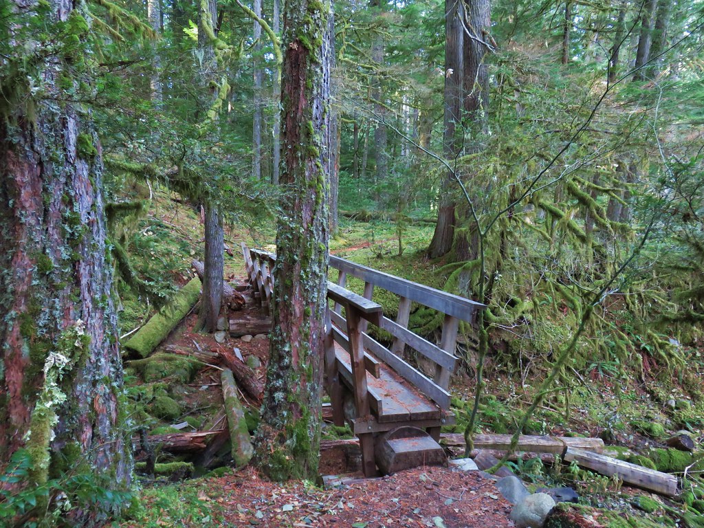
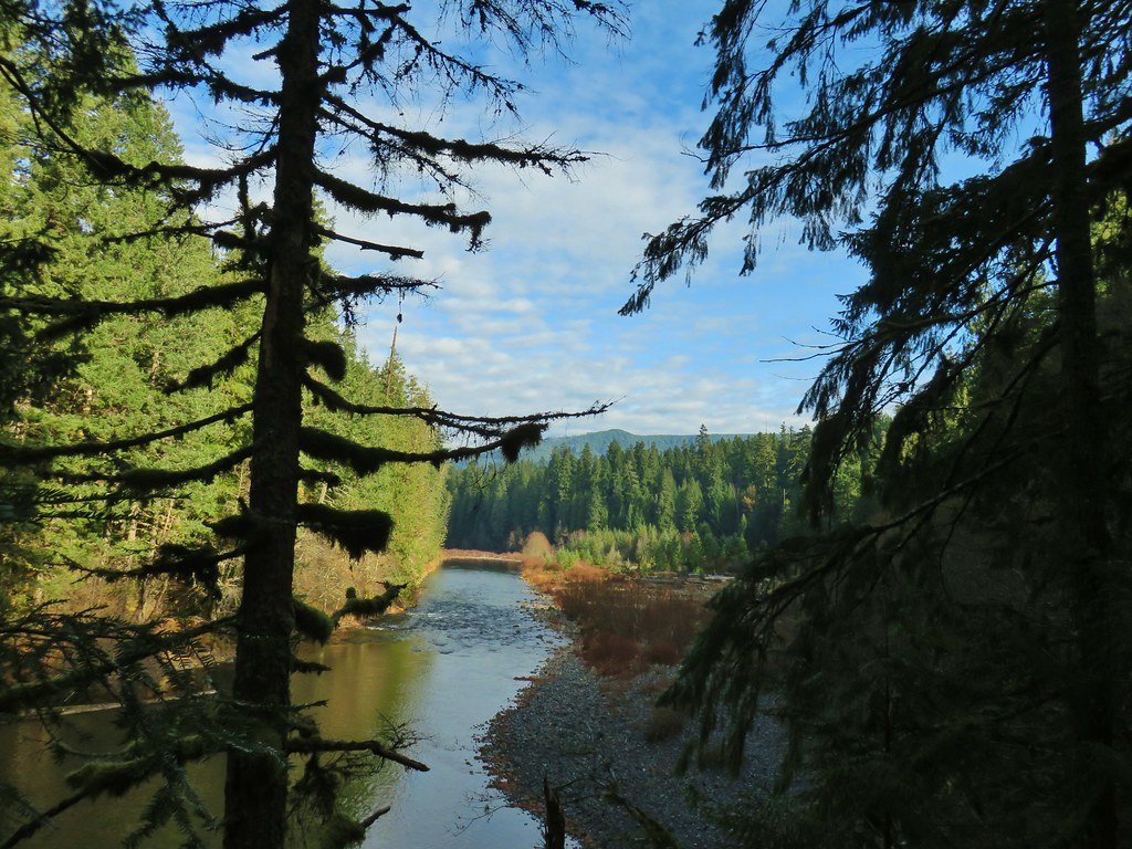
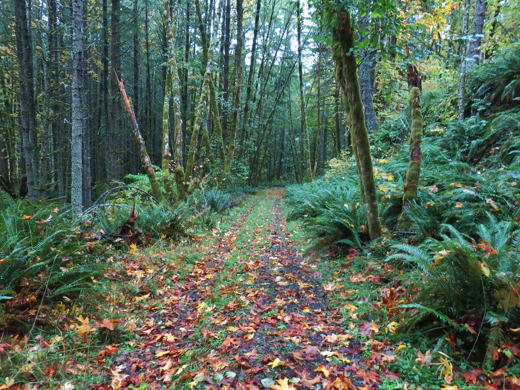
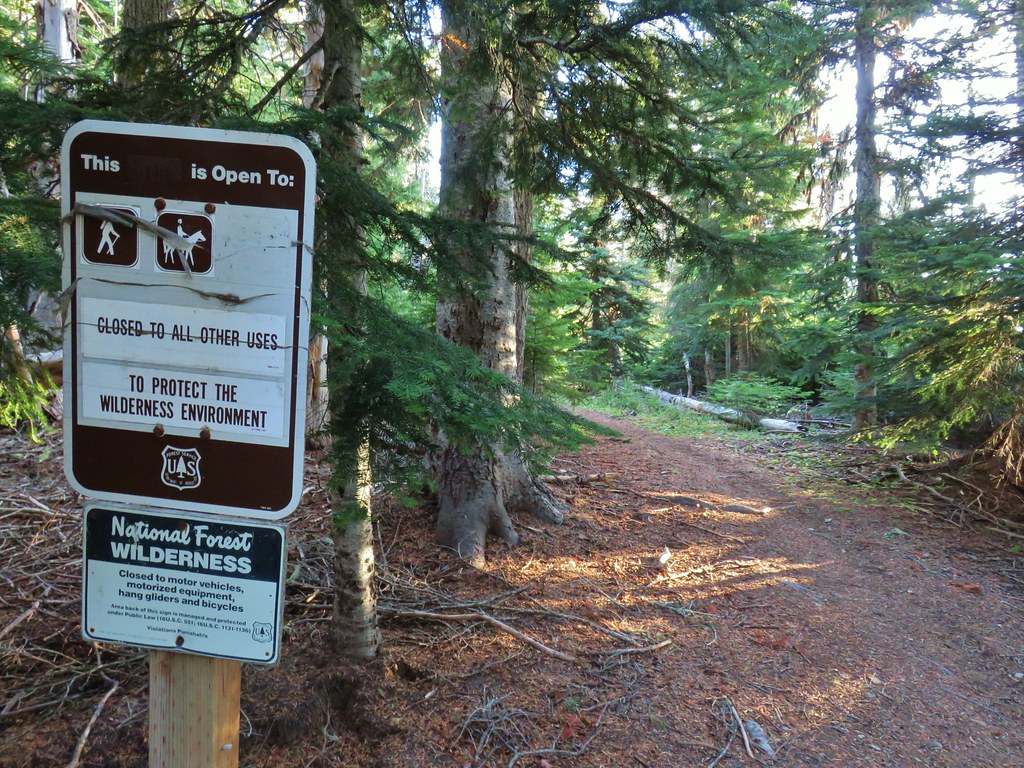
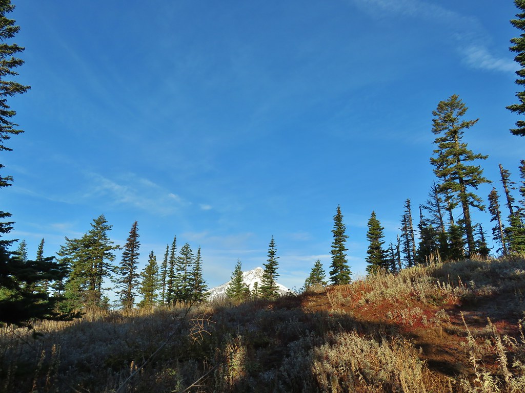
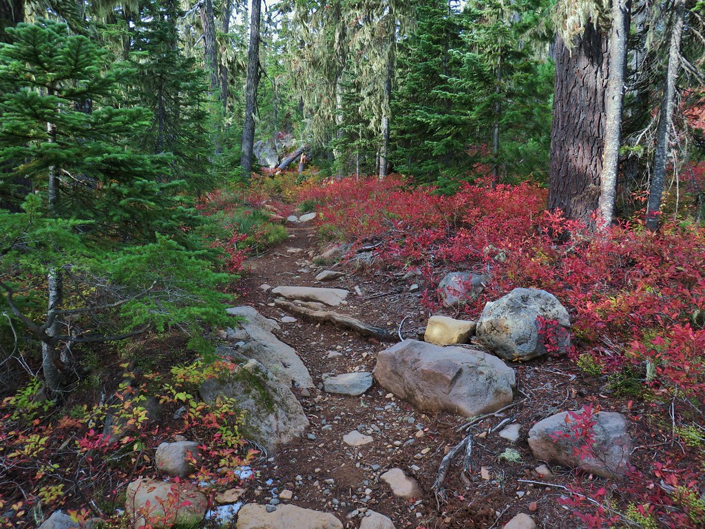
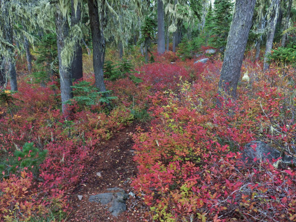
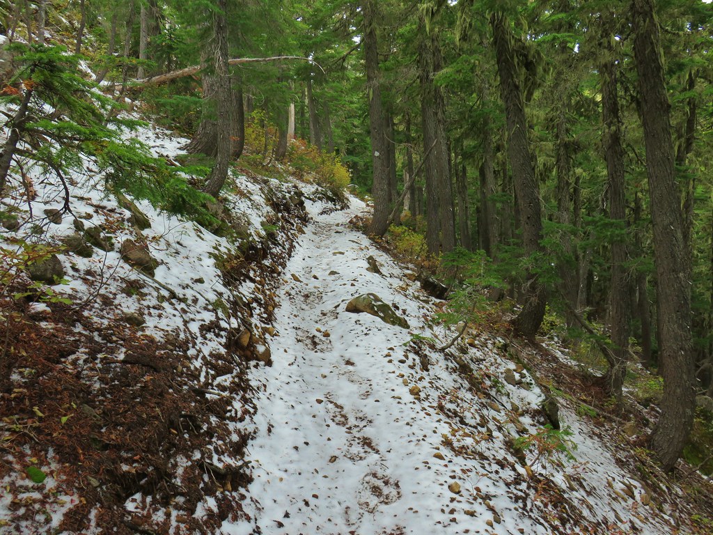
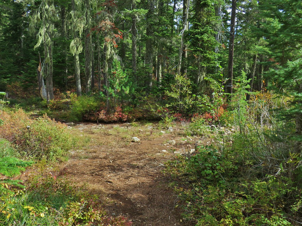
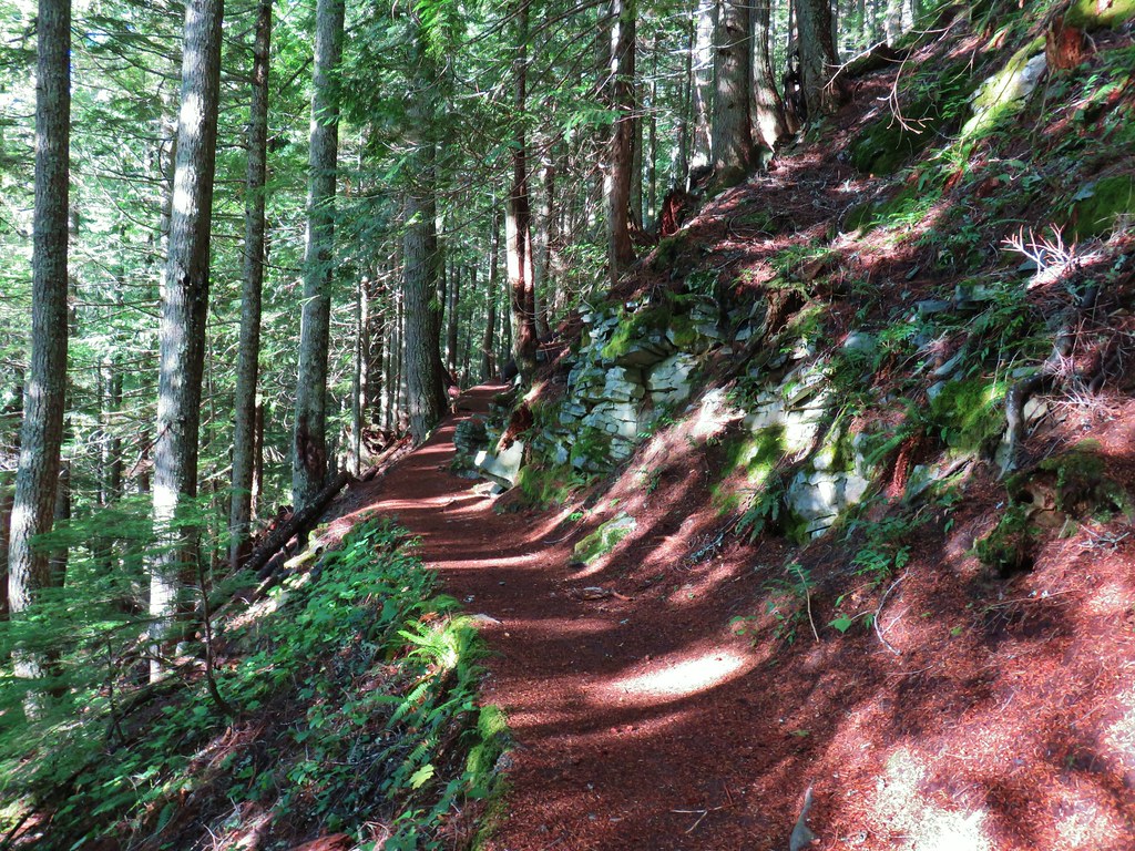
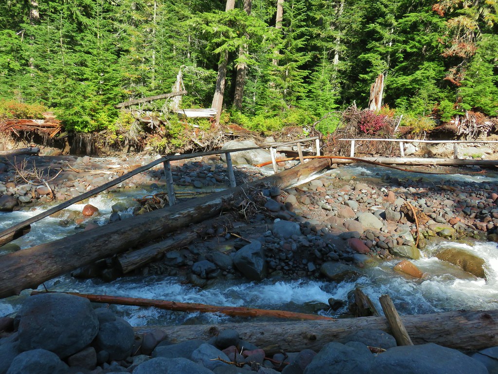
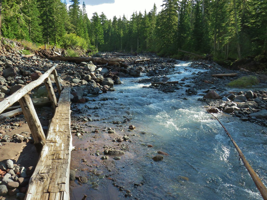
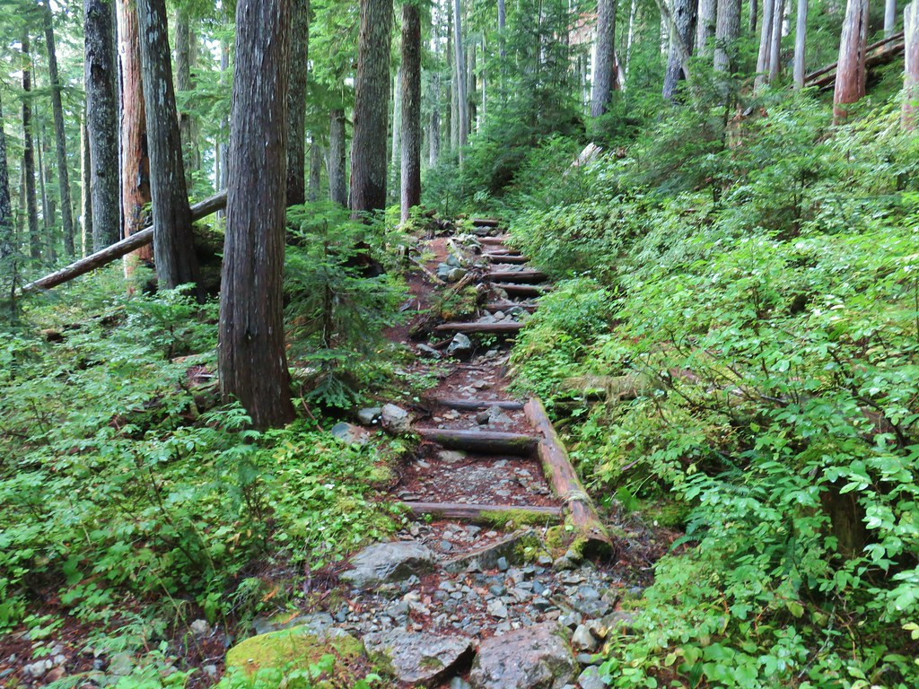
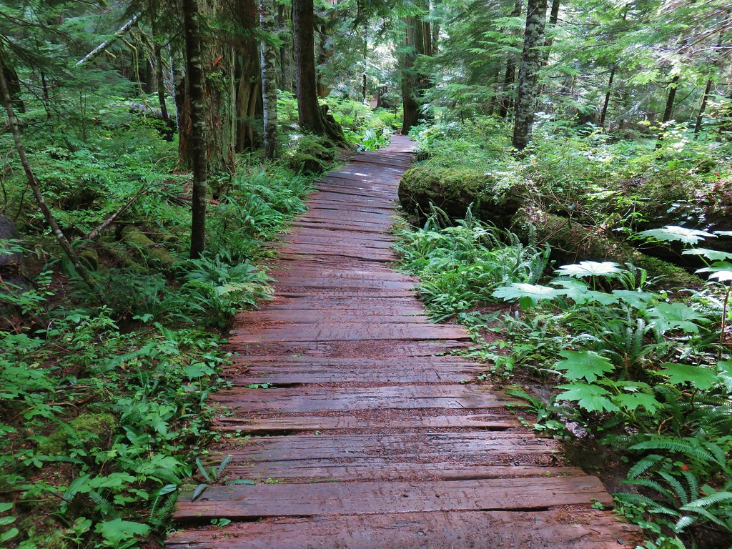
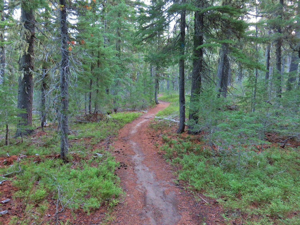
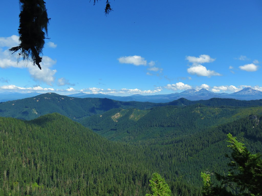
Beyond this first viewpoint of the Clackamas River the Riverside Trail continues a little over three and a half miles to its end at the Riverside Campground. Along the way the trail makes several ups and downs as well as dipping deeper into the forest occasionally to navigate side canyons. There were a number of viewpoints above the river as well as numerous chances to explore the river bank. The final mile and half (after passing a spur trail coming from the no fee Riverside Trailhead) did spend more time closer to paved Forest Road 46 but there wasn’t a lot of traffic and the scenery was still nice.
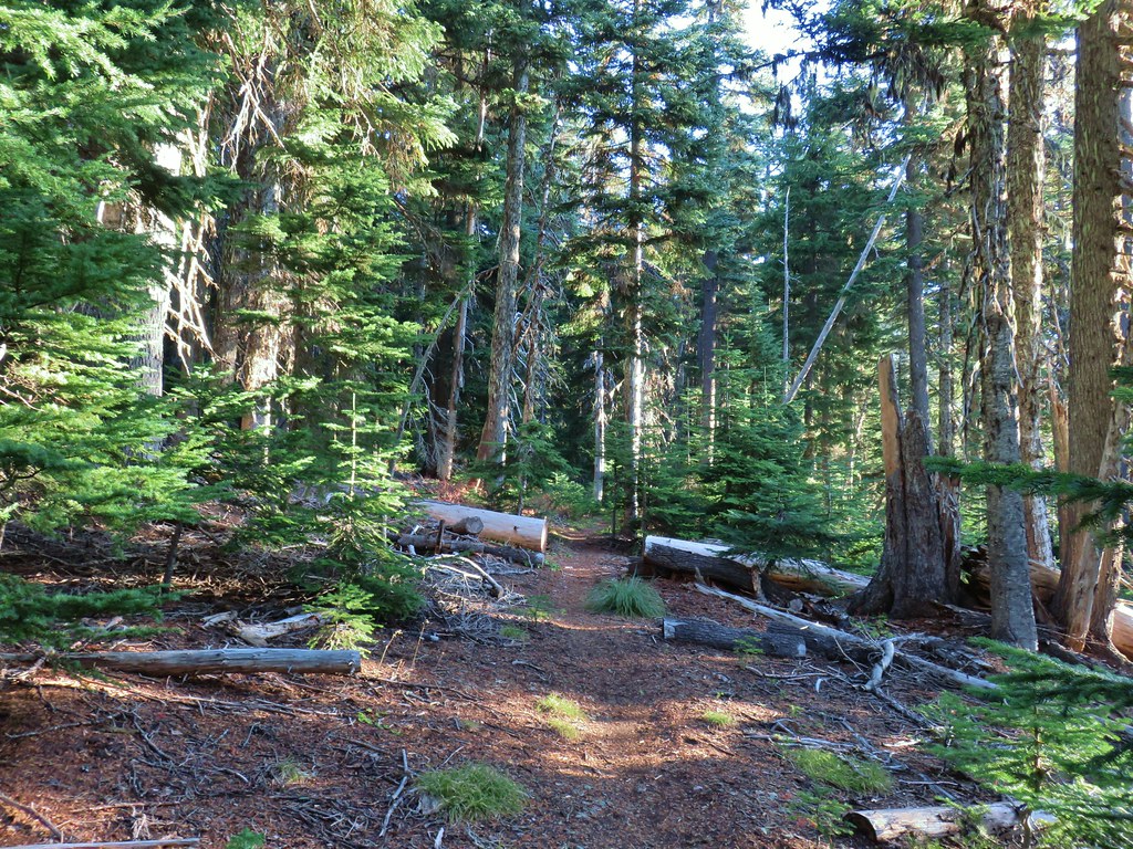
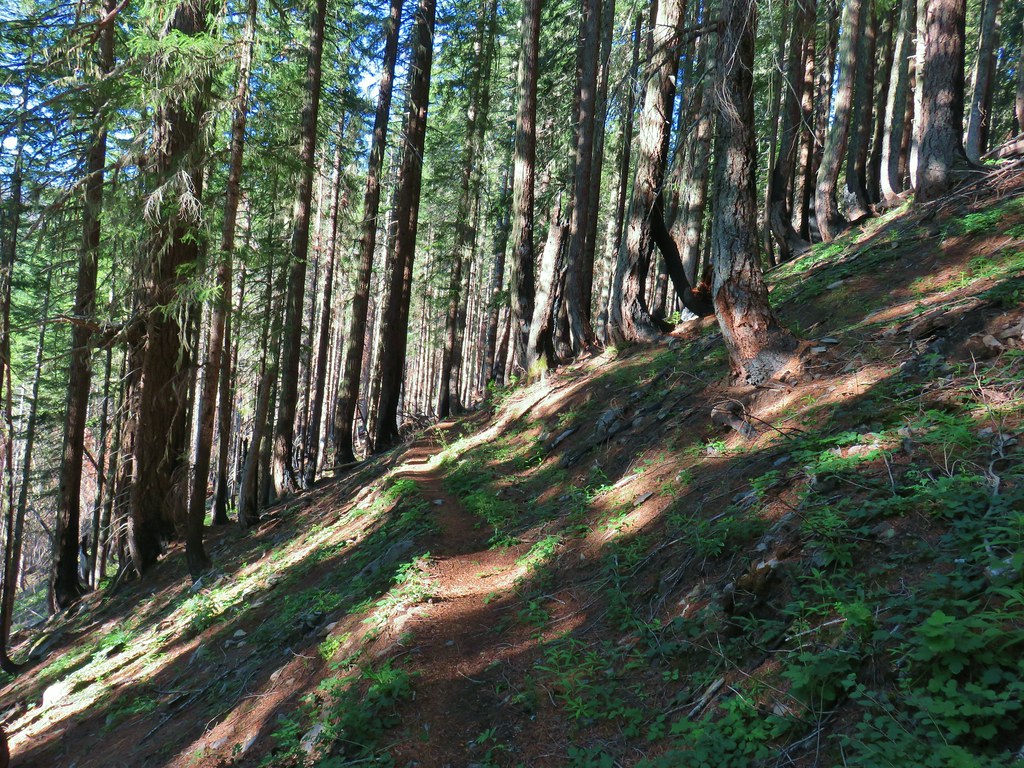
 In the forest for a bit.
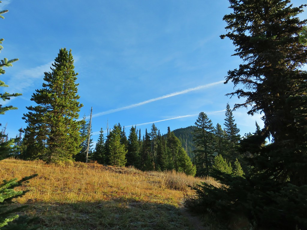
 Viewpoint from above.
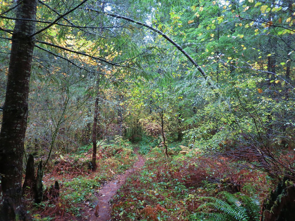
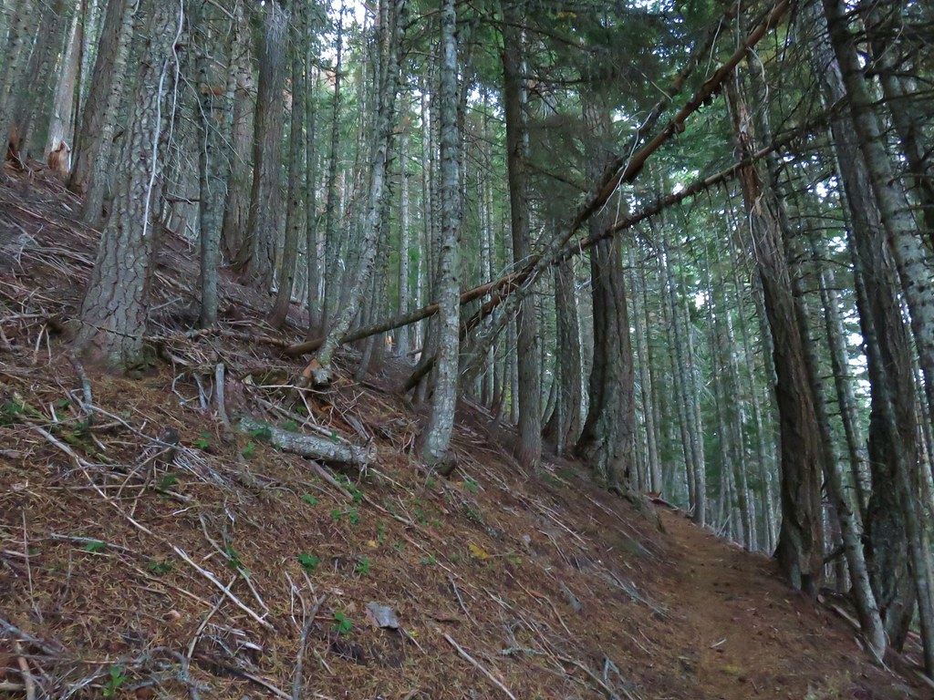
 Back in the forest.
 At the river.
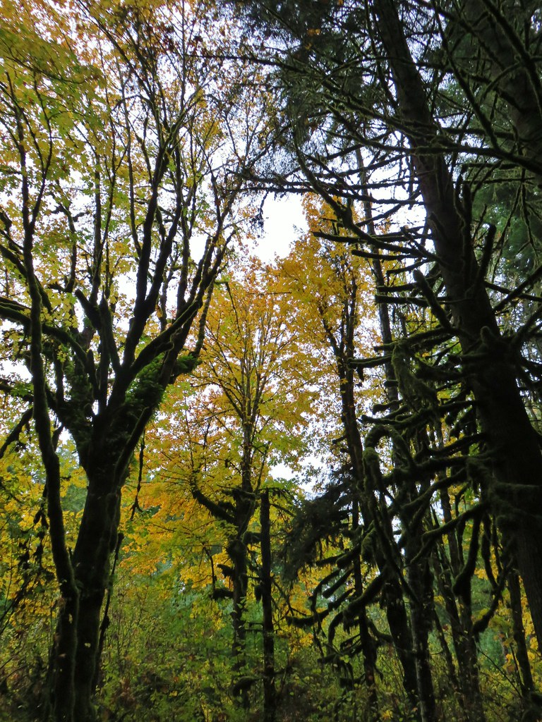
 Sun peaking through the trees.
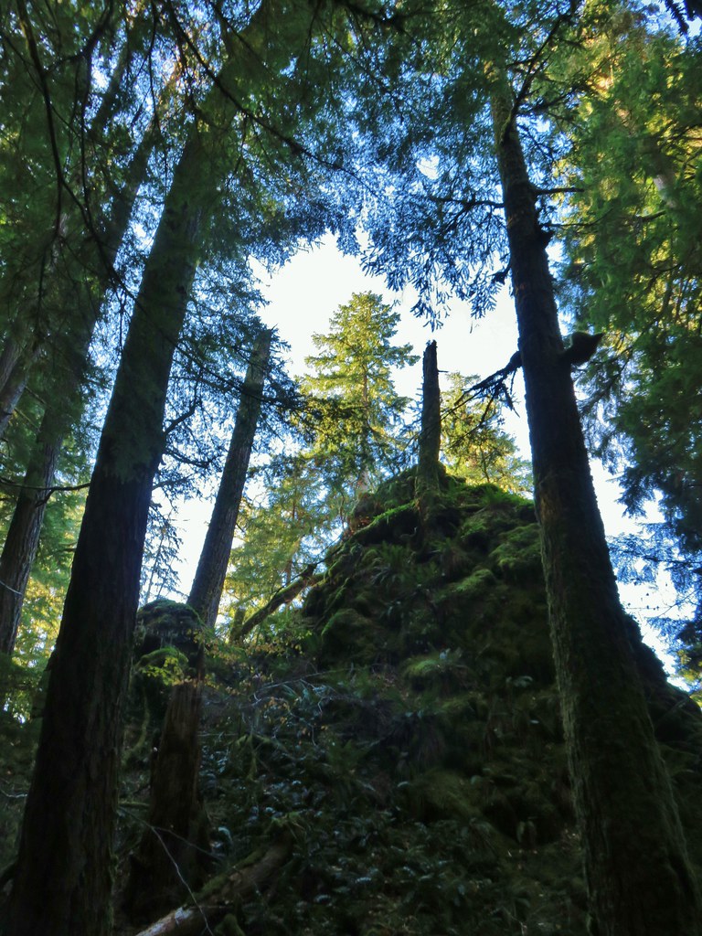 one of several rock formations along the trail.
 Another view of the Clackamas.
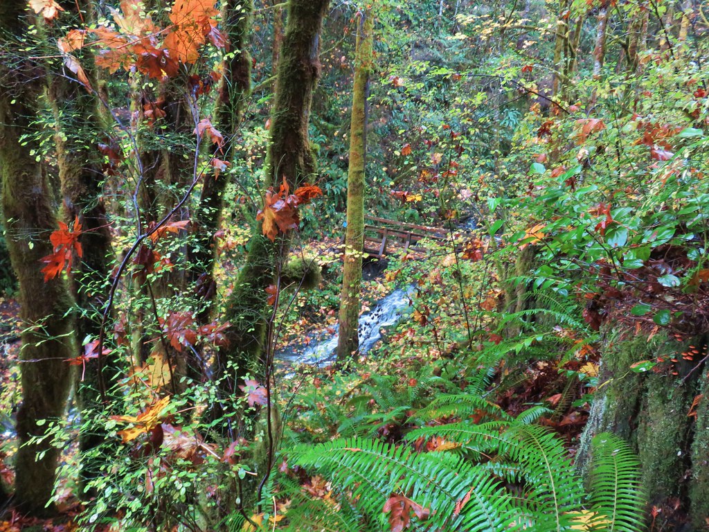
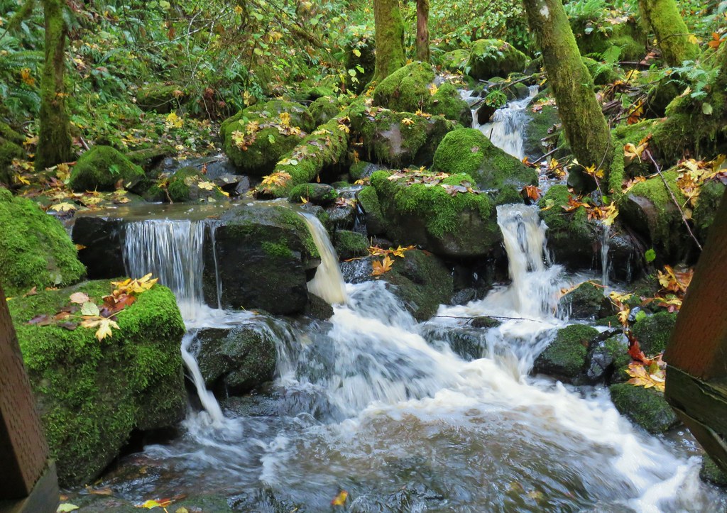
 Side creek crossing.
 Back along the river.
 Rock pinnacle in the Clackamas River.
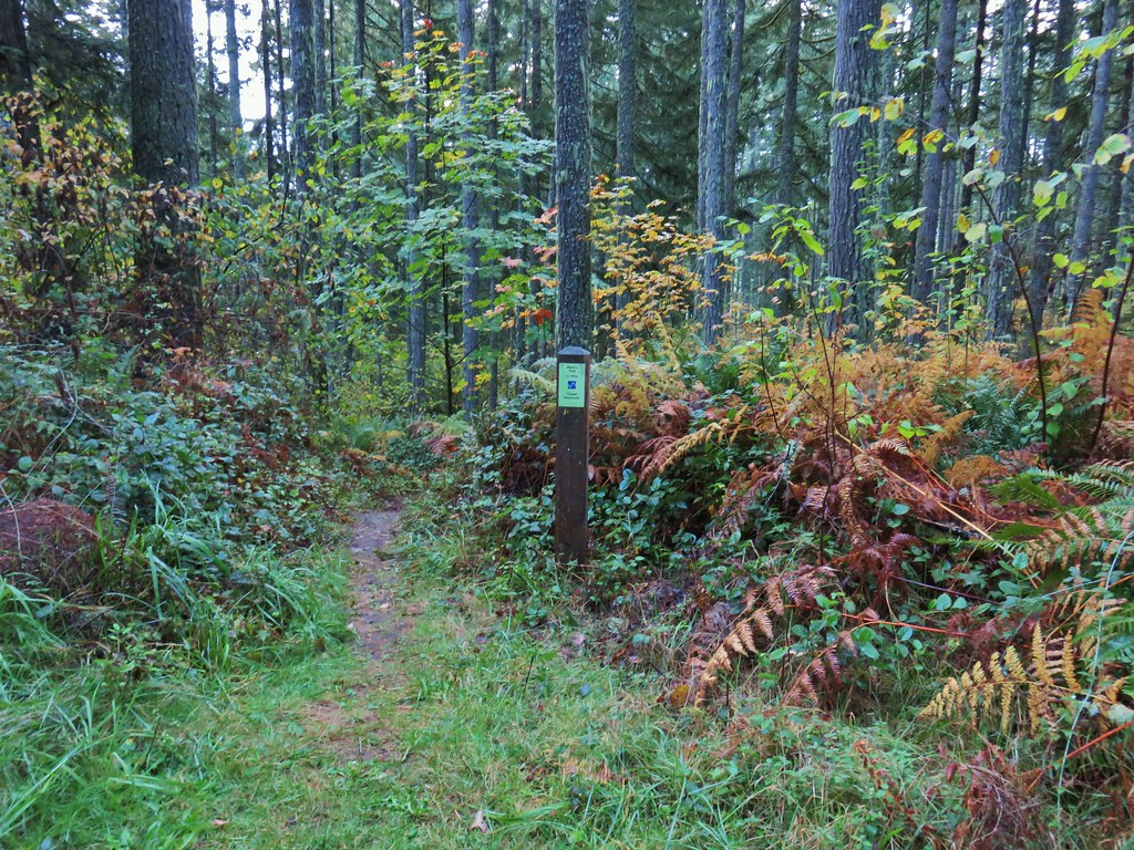
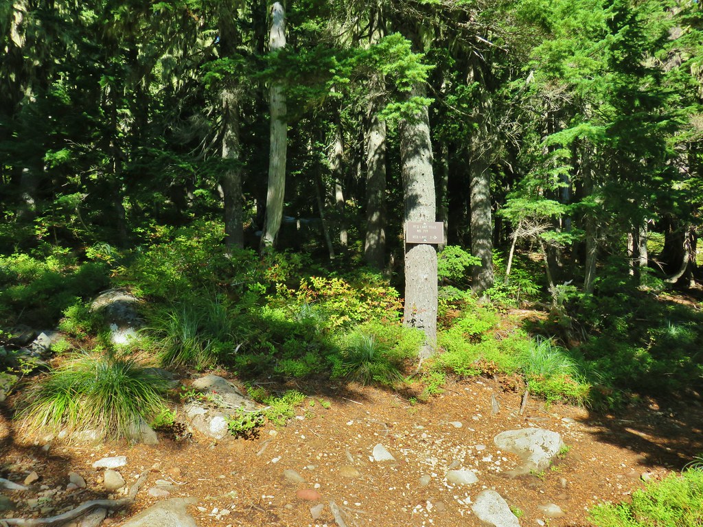
 Spur trail to the Riverside Trailhead.
 Viewpoint near the spur trail.
 Viewpoint near the spur trail.

 Another rocky beach along the Clackamas.
 Looking down river.
 Now from above the rock beach.
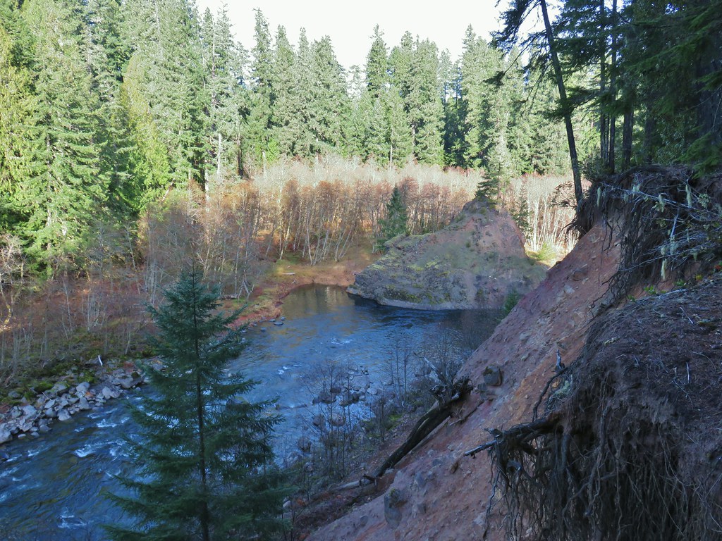
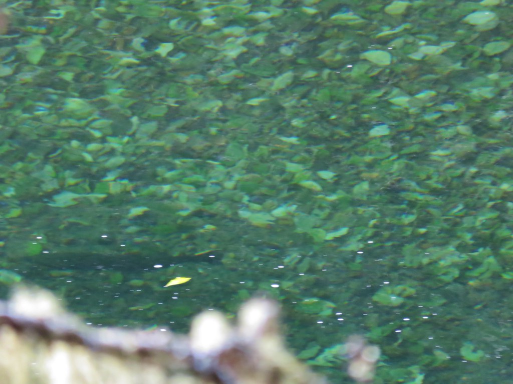
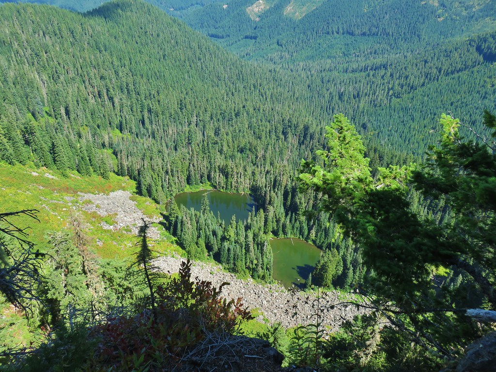
Just before reaching the end of the trail at the Riverside Campground the trail passed above a deep green hole.
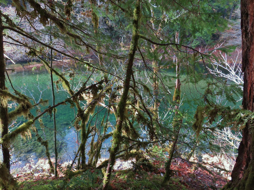
We’d been keeping our eyes open for fish all morning given how clear the river was but hadn’t seen any until we gazed into the water here. We spotted several large fish.

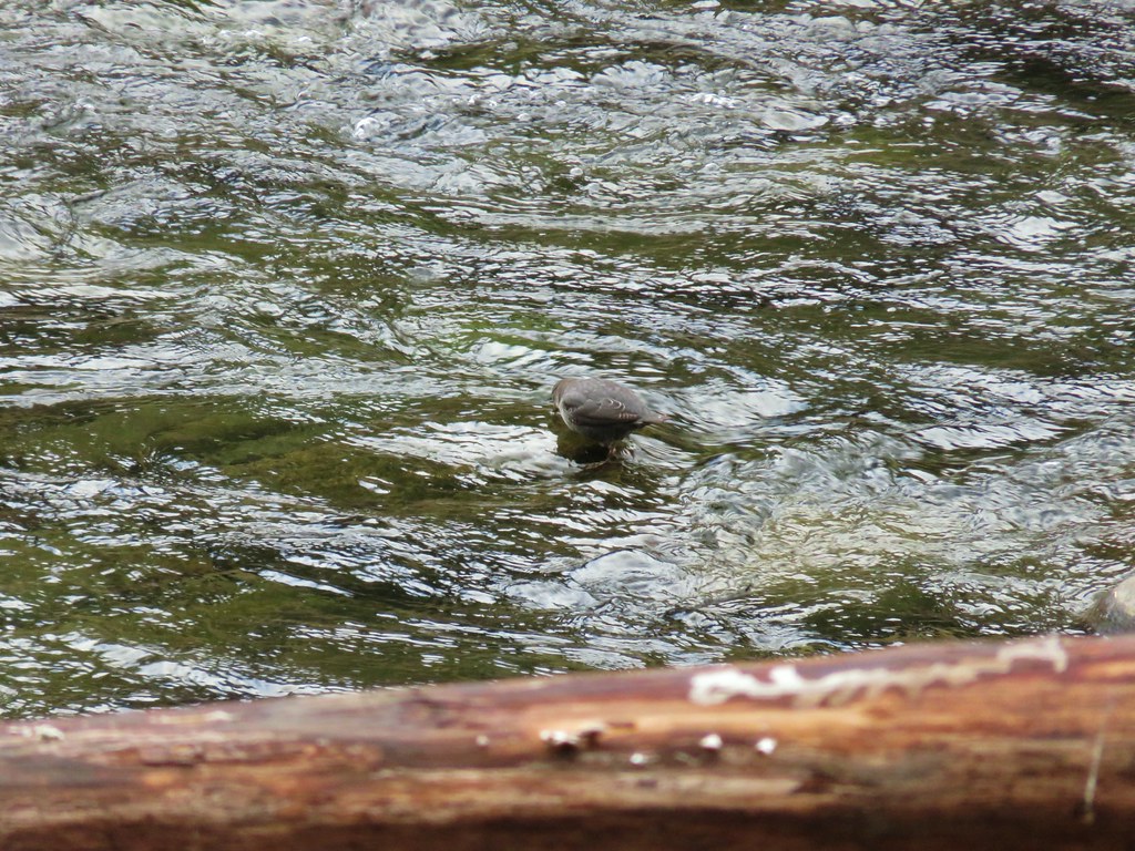
The trail descended from the viewpoint above the hole to the Riverside Campground where we watched an ouzel dip in and out of the river looking for snacks.


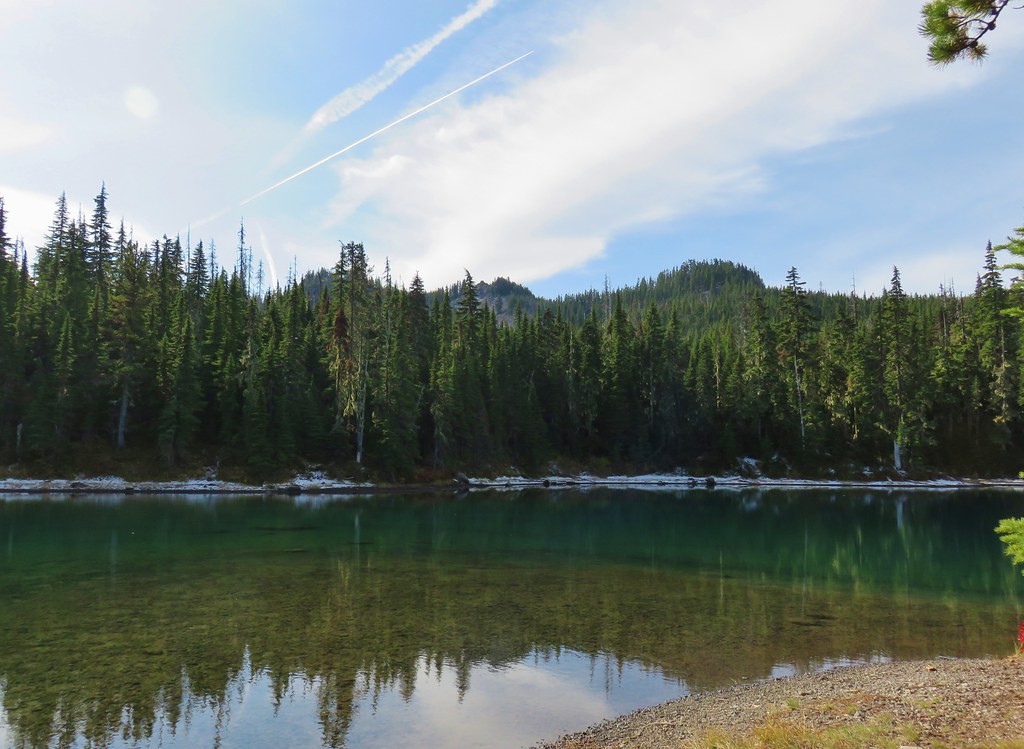
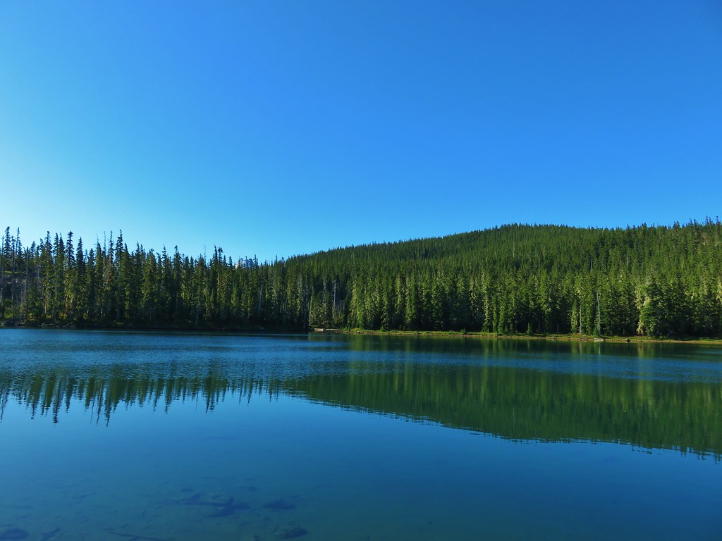
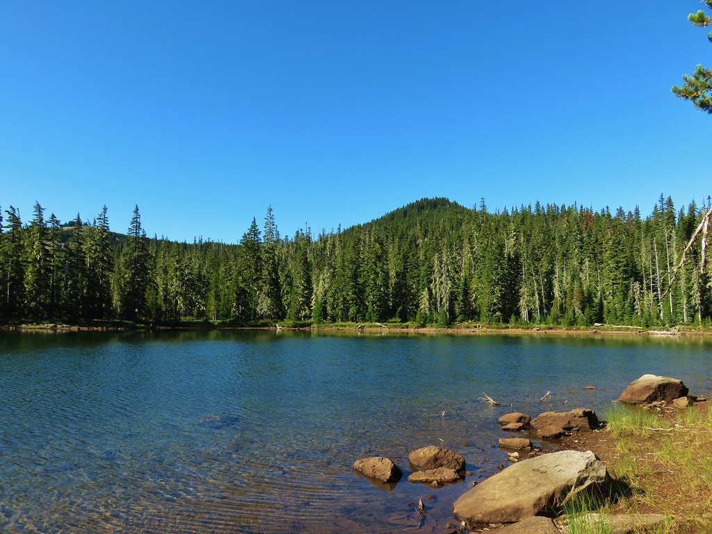
 Clackamas River at the Riverside Campground.
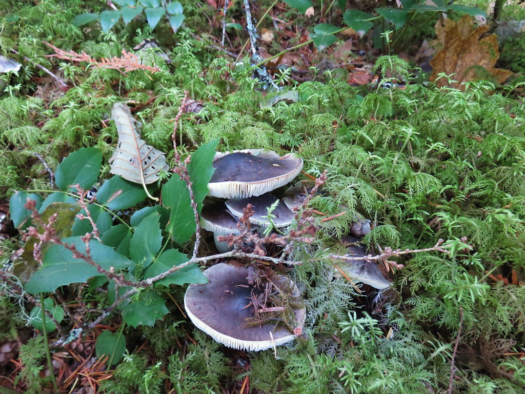
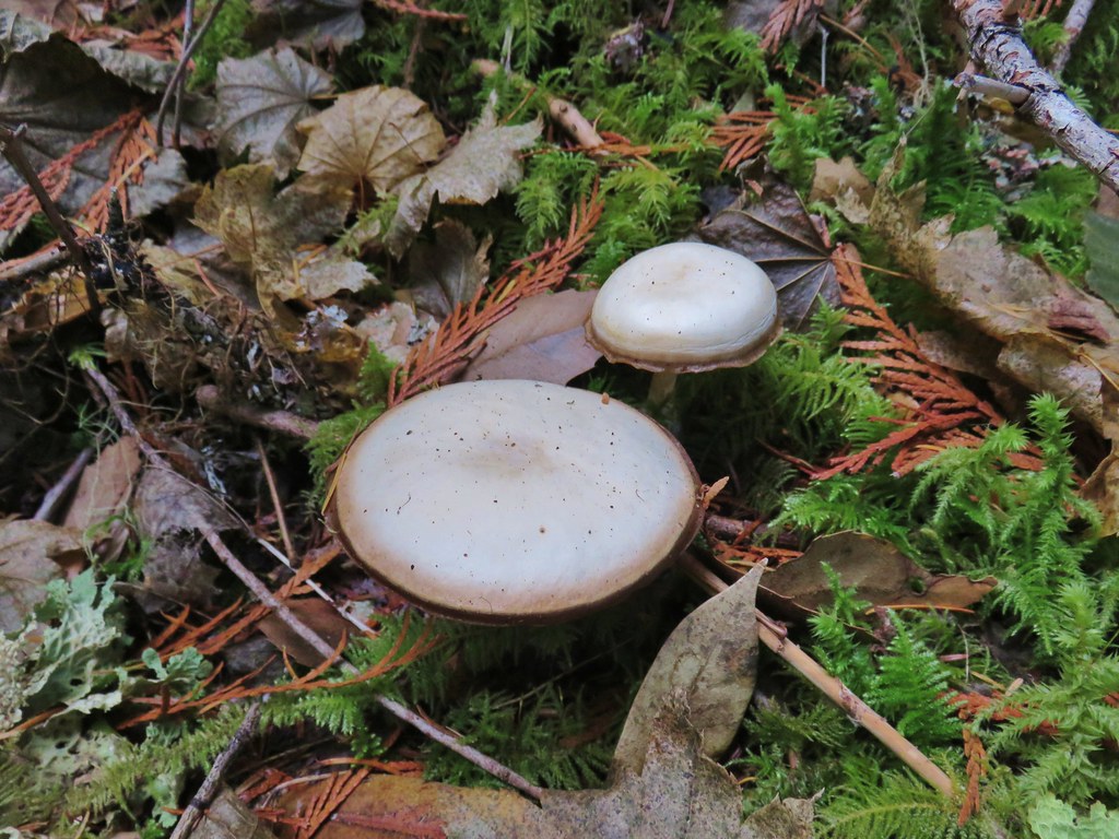
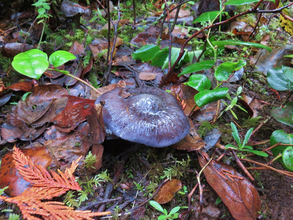
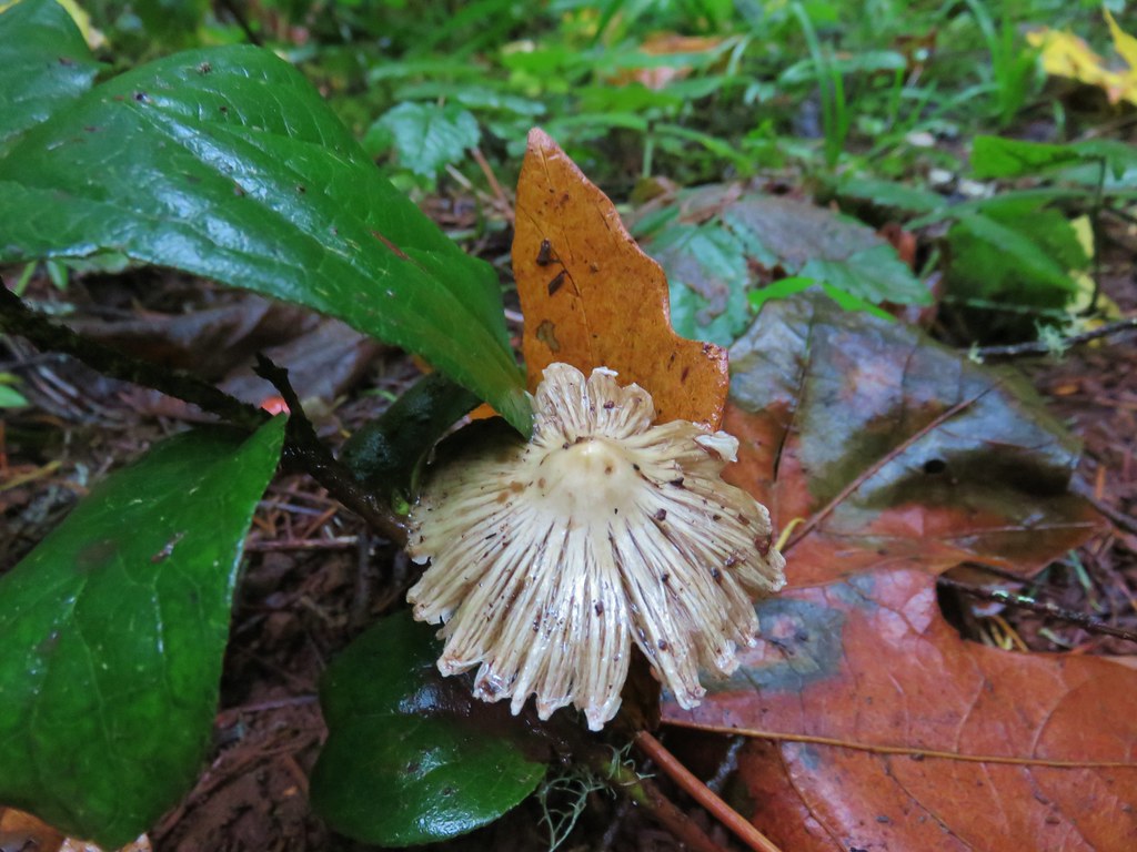
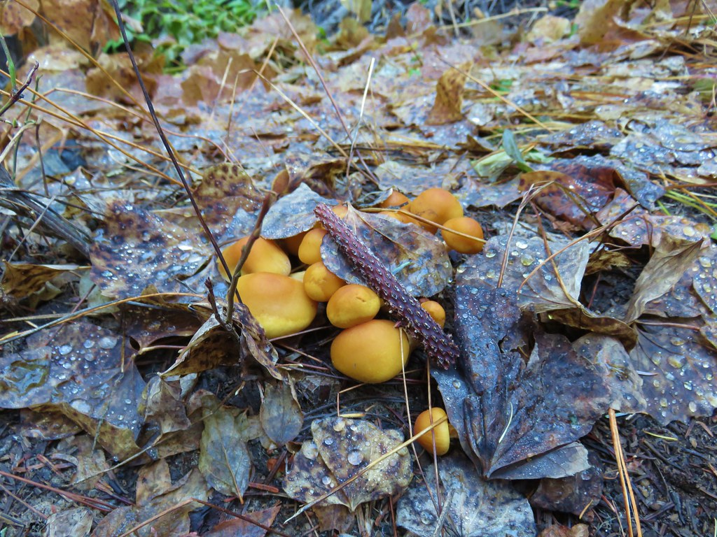
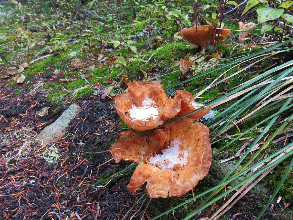
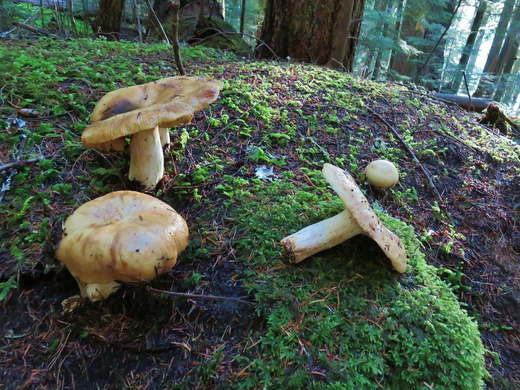
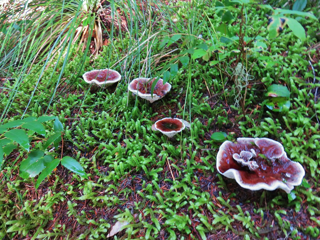
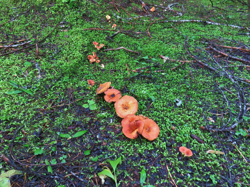
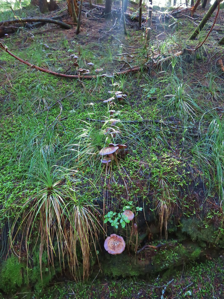
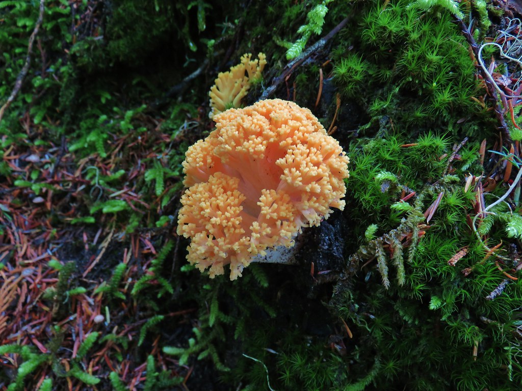
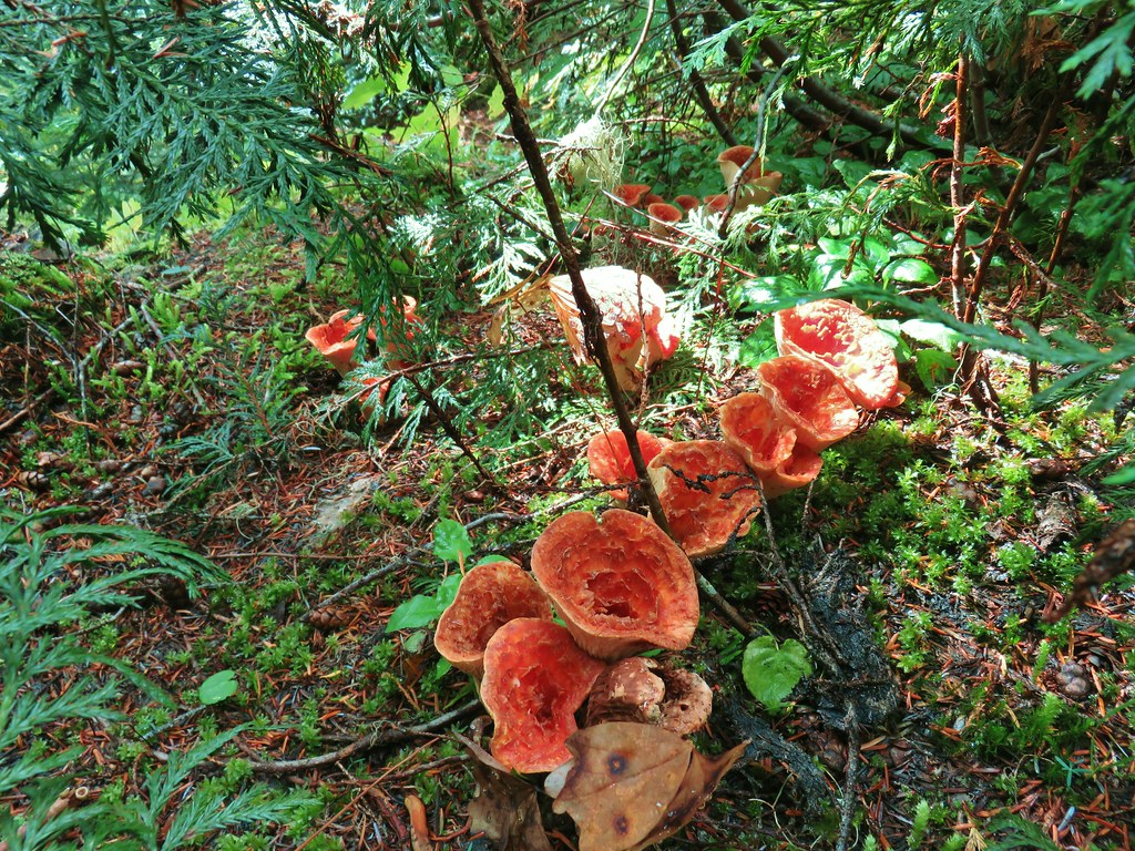
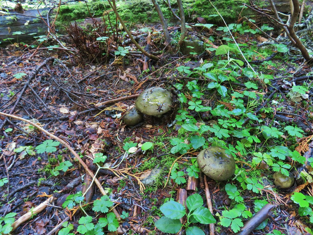
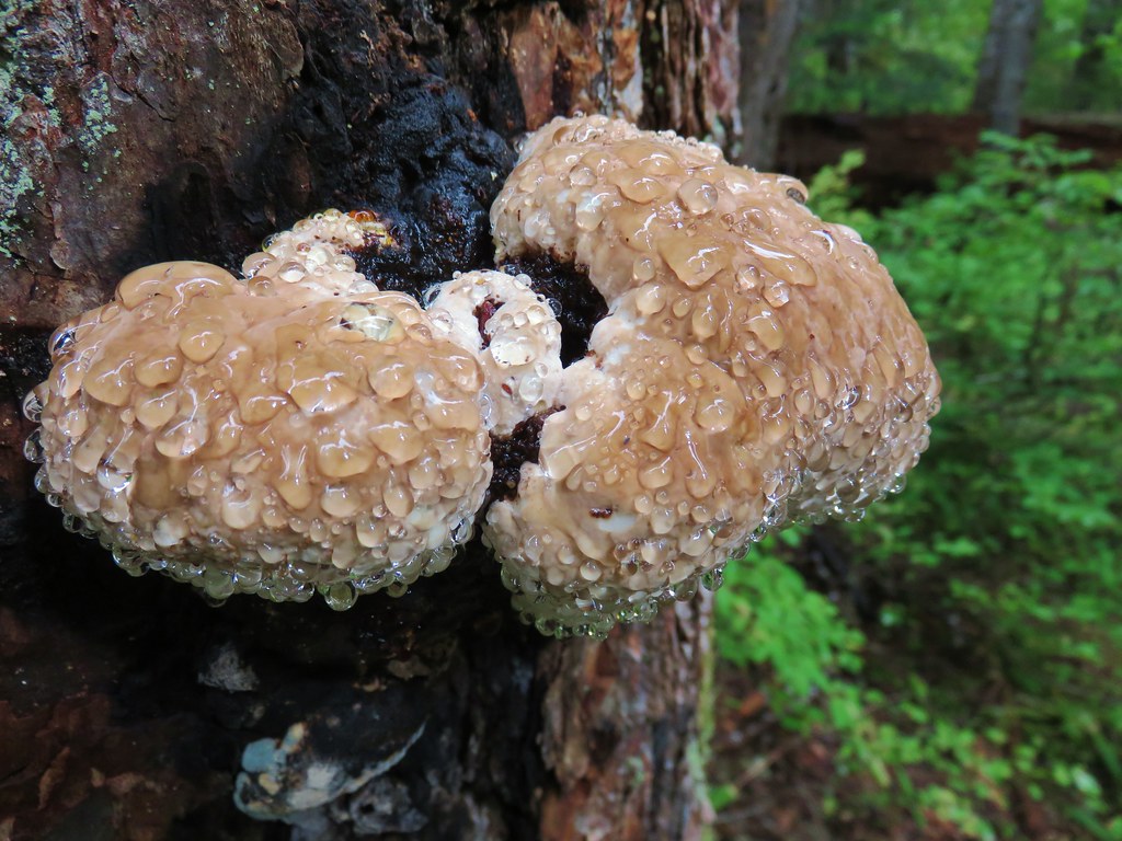
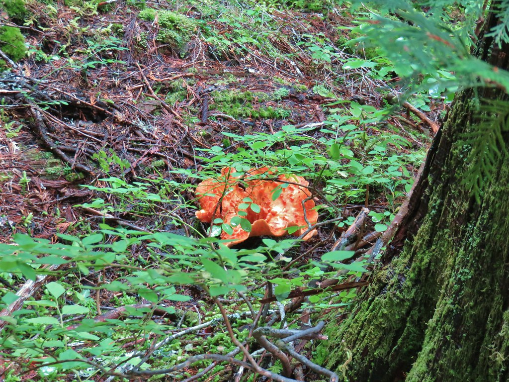
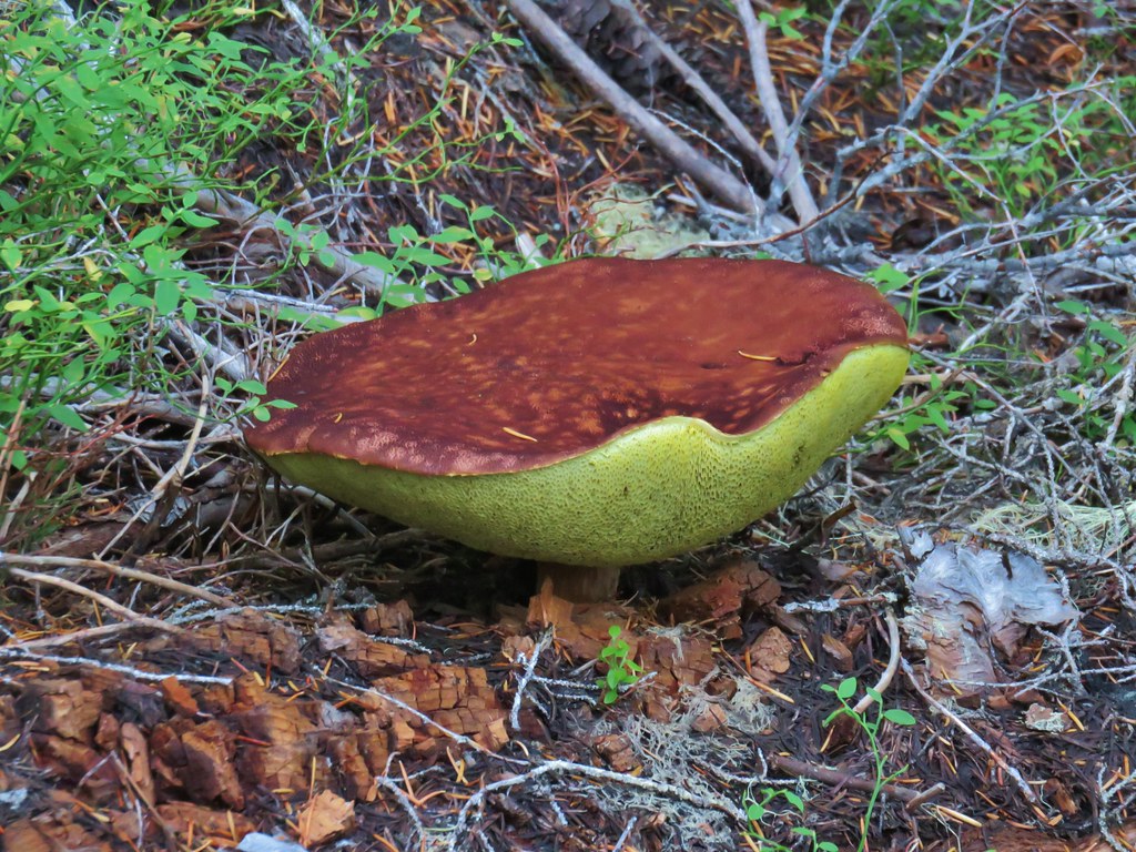
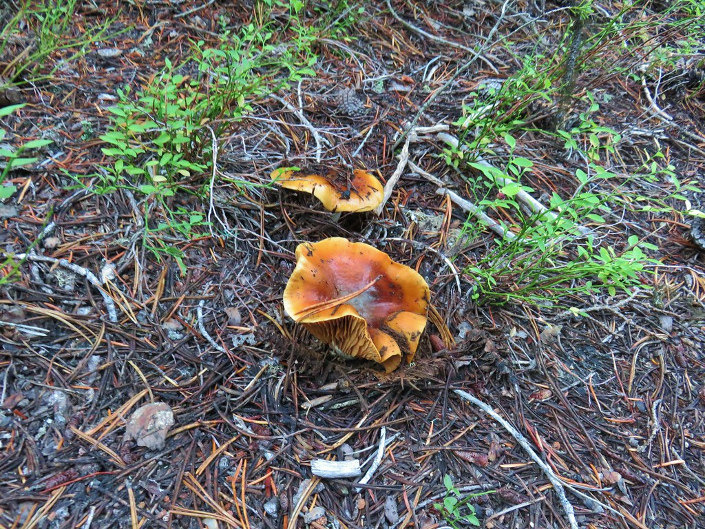
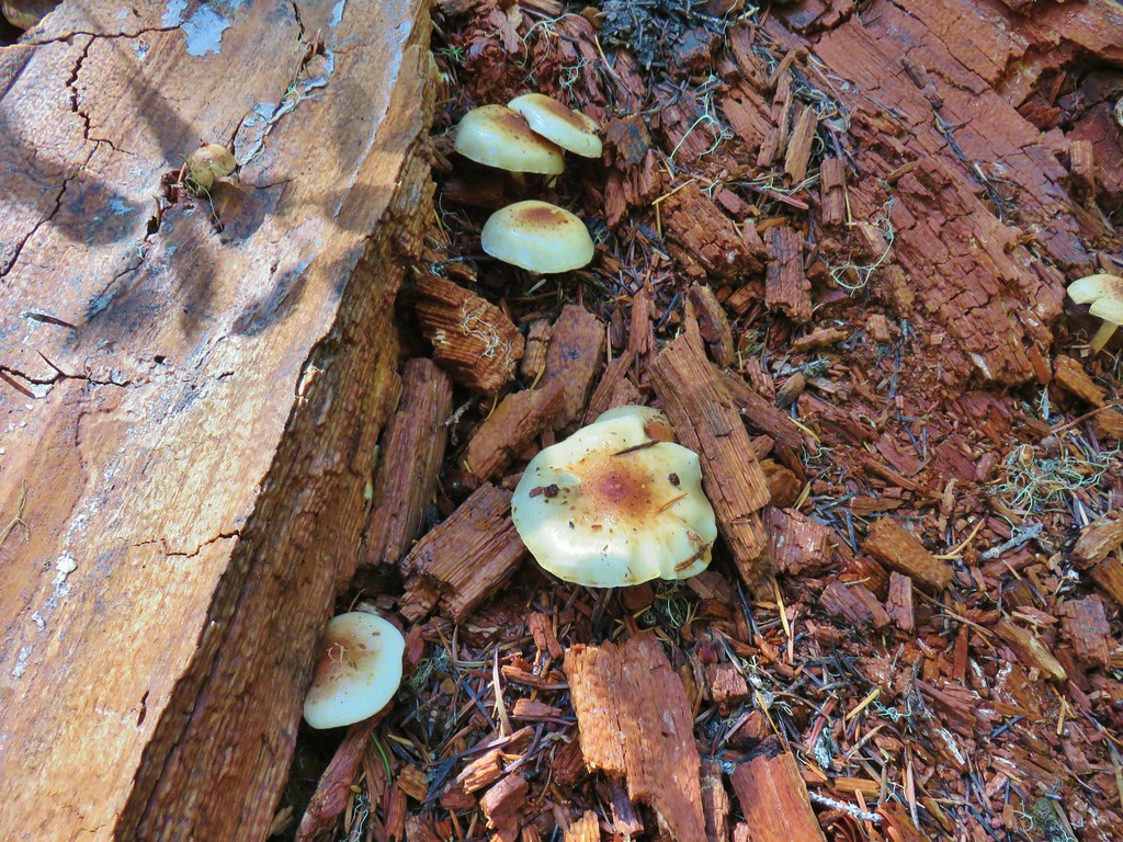
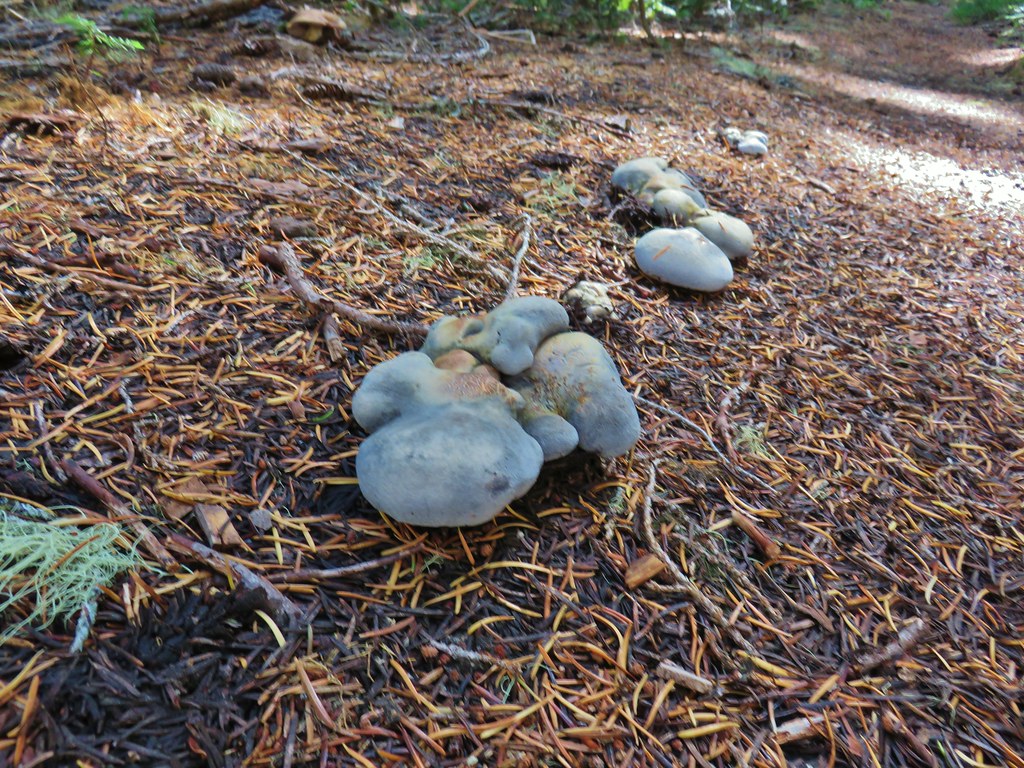
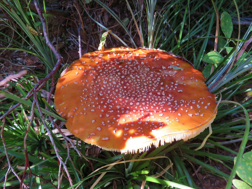
We headed back the way we’d come stopping to admire some of the mushrooms and fungi along the trail.


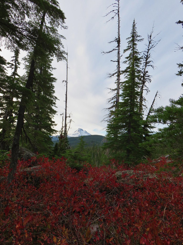
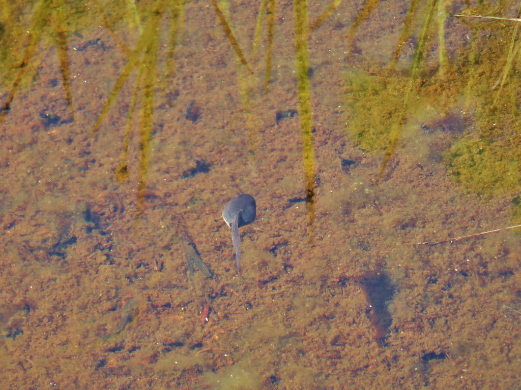
In addition to the fish we’d been on the lookout for rough skinned newts. As we stopped at a viewpoint looking across the river valley toward Fish Creek Mountain (post) we finally spotted one.


This is a very popular trail in the Summer based on the number of cars we’ve seen when driving past on the way home from other hikes. We didn’t see a lot of other hikers on this day although we did pass one group twice (near each end of the trail) and several others as we got close to the Rainbow Campground on the way back. The GPS said we did 9.5 miles which included several side trips along the river and to viewpoints as well as the .6 miles of road walking. For those looking for a shorter hike the Riverside Trailhead would be a good starting point or try the Alder Flat Trail which is only about 2 miles round trip.
With the Holiday Season quickly approaching it was nice to be able to get our November hike in early with such nice weather. We plan to head out once more next month to wrap up our 2019 hikes so until then Happy Trails!


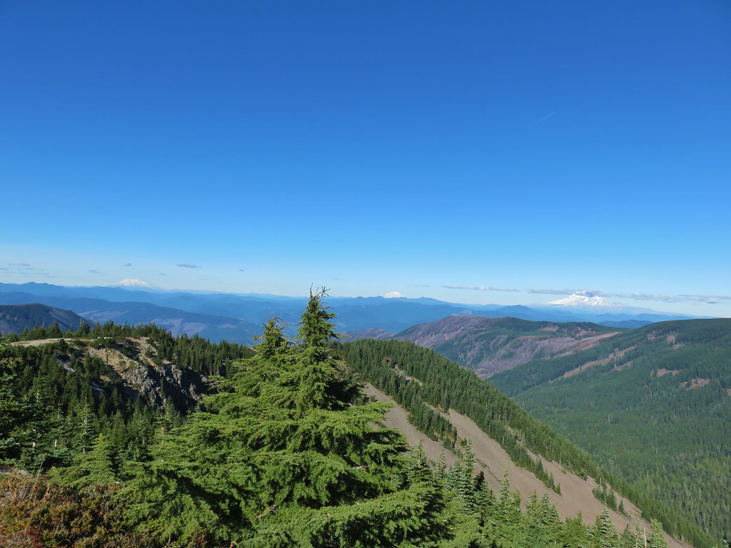
 Chindrie Mountain from across Wahtum Lake.


 Chindrie Mountain
 Tanner Butte
 Table Mountain
 Chindrie Mountain again.
 Indian Mountain
 Mt. Hood
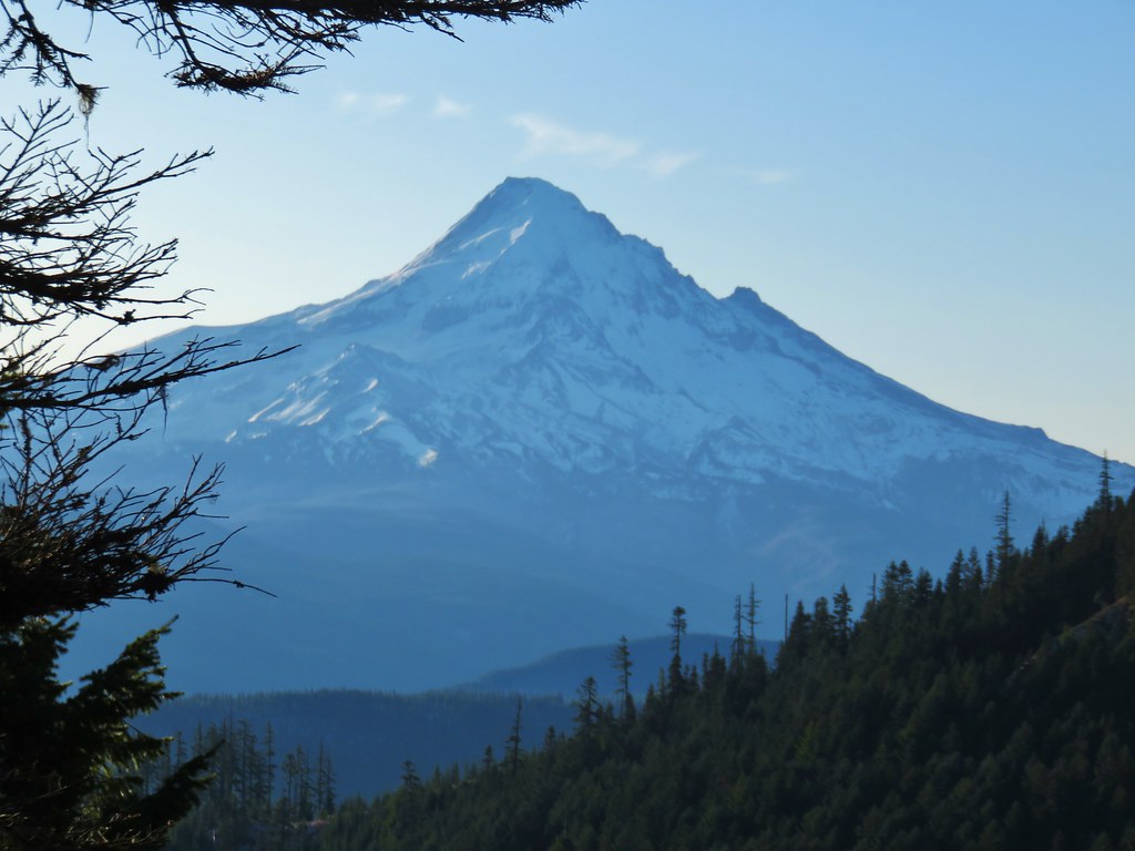


 Crossing FR 660 near Indian Springs
 Trail sign at the junction with the currently closed Indian Springs Trail.


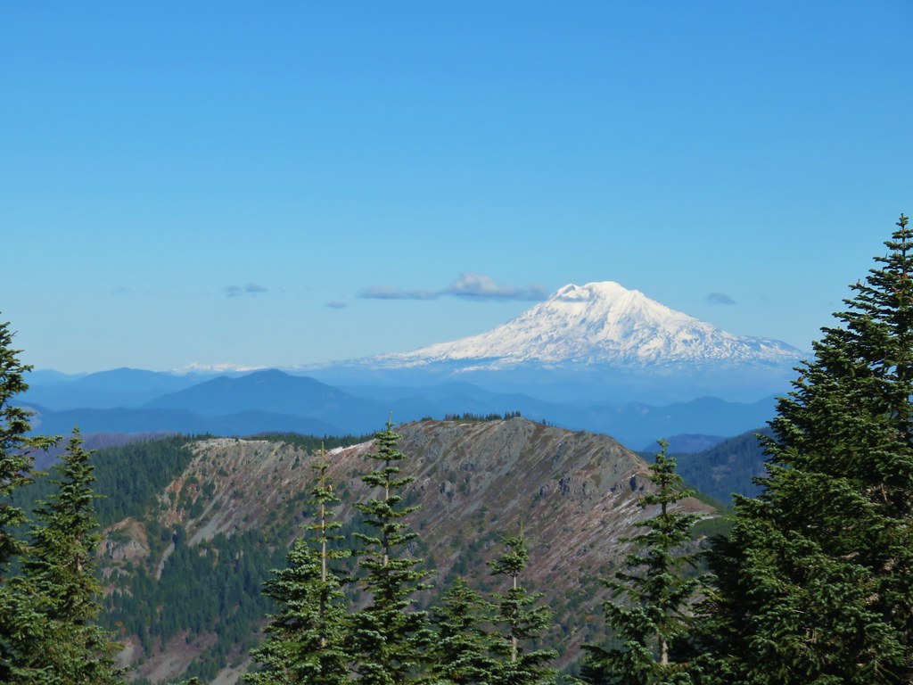
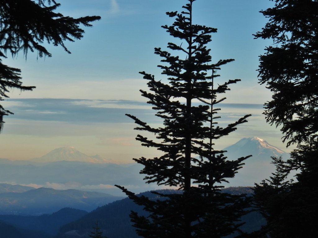
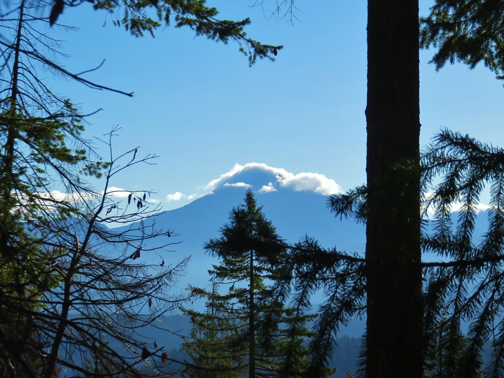
 Table Mountain and Greenleaf Peak with Mt. St. Helens in the background.
 Mt. St. Helens
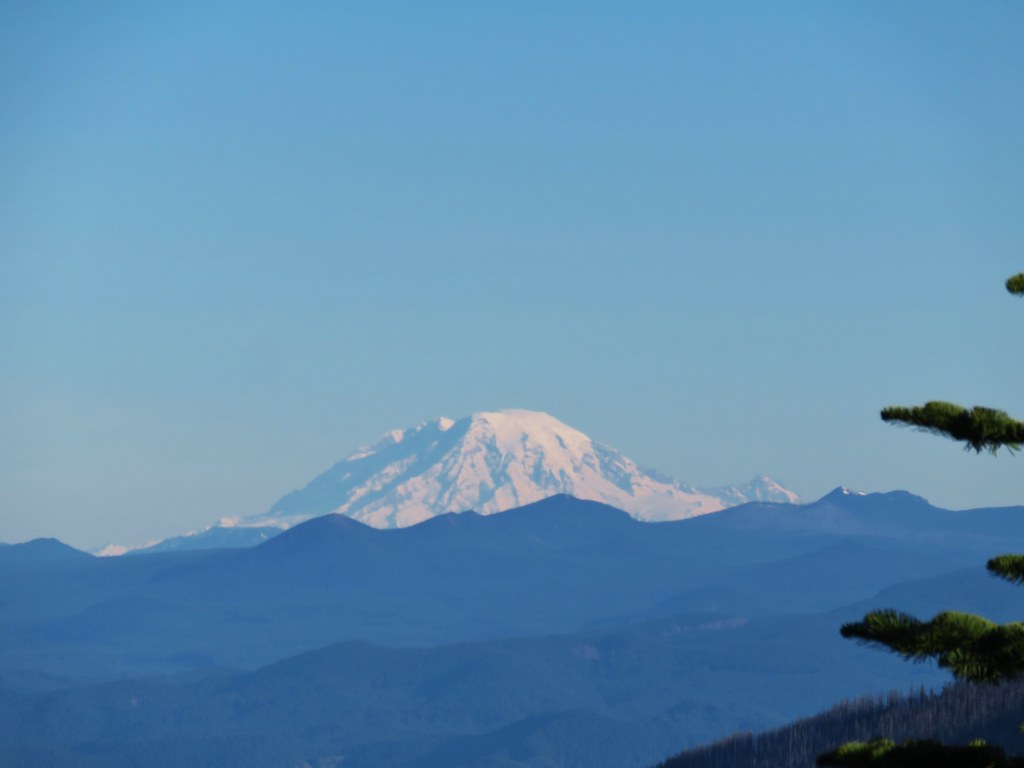 Mt. Rainier
 Goat Rocks
 Mt. Adams and Chindrie Mountain


 Mt. Hood and Mt. Jefferson
 Mt. Jefferson
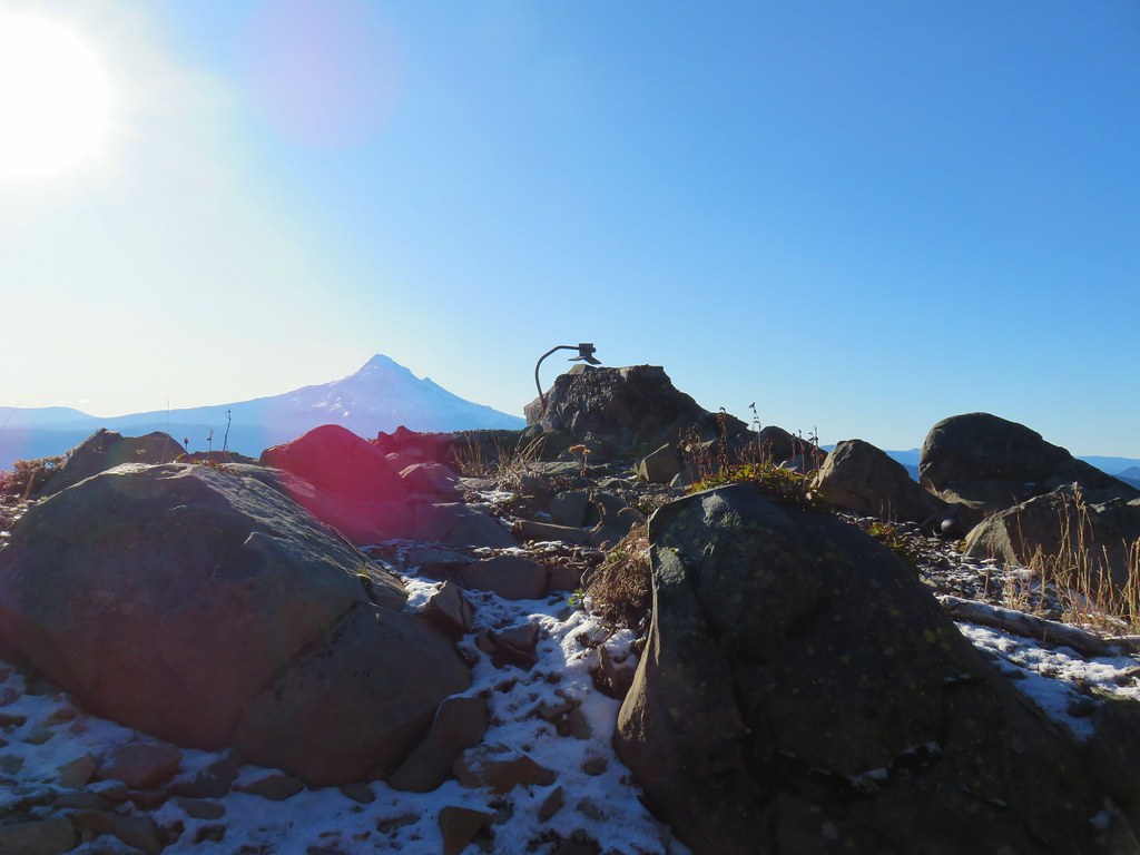 Mt. Hood from the former lookout site.
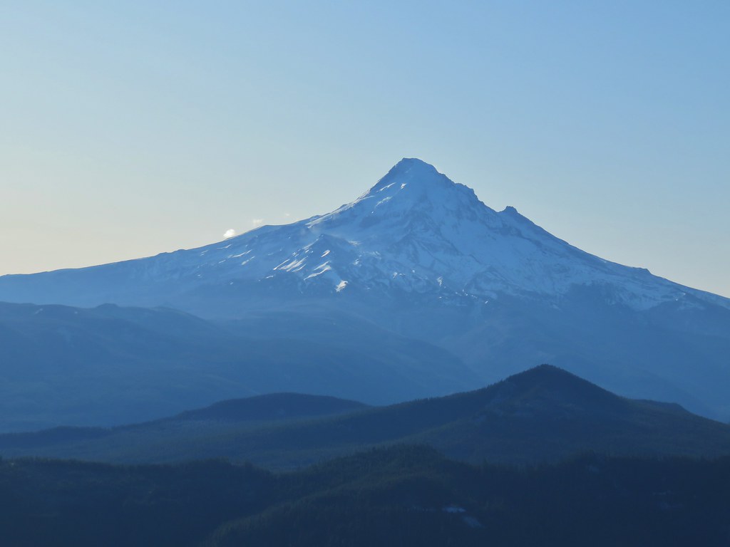 Mt. Hood with Lost Lake Butte (
 Snow on the north side, green on the south.
 Mt. St. Helens with some snow on the trees in the foreground.
 Crystals on a bush.

 Stream crossing
 Herman Creek Trail junction.


 Looking at the summit from the trail.
 Mt. Hood


 Lots of beargrass clumps.
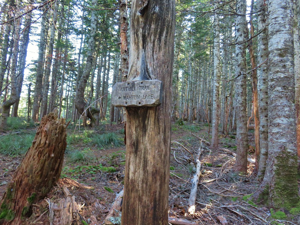
 Trail to Tomlike on the left.


 There’s at least one cairn here.

 Mt. Adams to the right.
 Mt. Hood with Indian Mountain rising up behind Chindrie Mountain to the right.
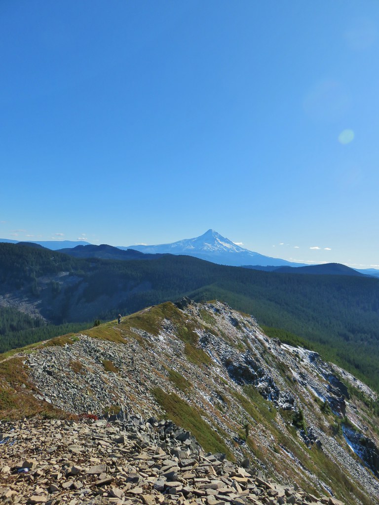 Heather crossing the ridge below the summit.

 Mt. St. Helens, Mt. Rainier, Goat Rocks and Mt. Adams from left to right.
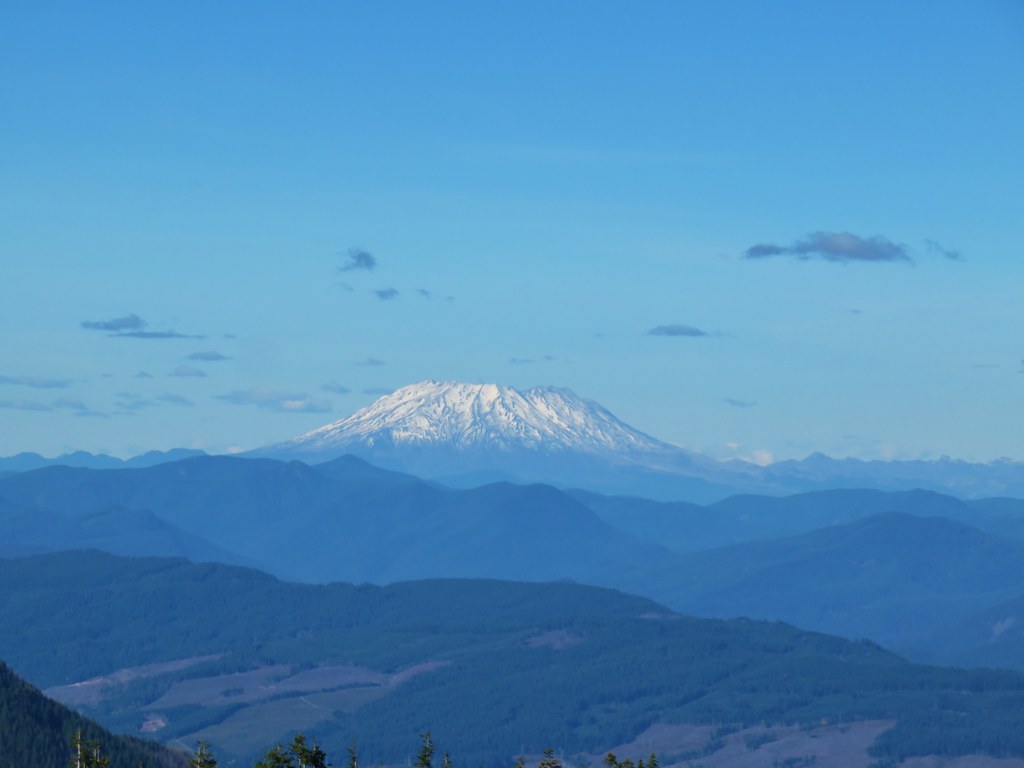 Mt. St. Helens
 Mt. Rainier
 Goat Rocks
 Mt. Adams
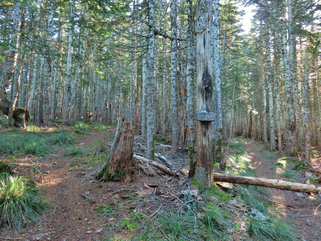 Anthill Trail on the left.


 Mt. Jefferson
 Wahtum Lake and Chindrie Mountain


 Leapfrog Loop
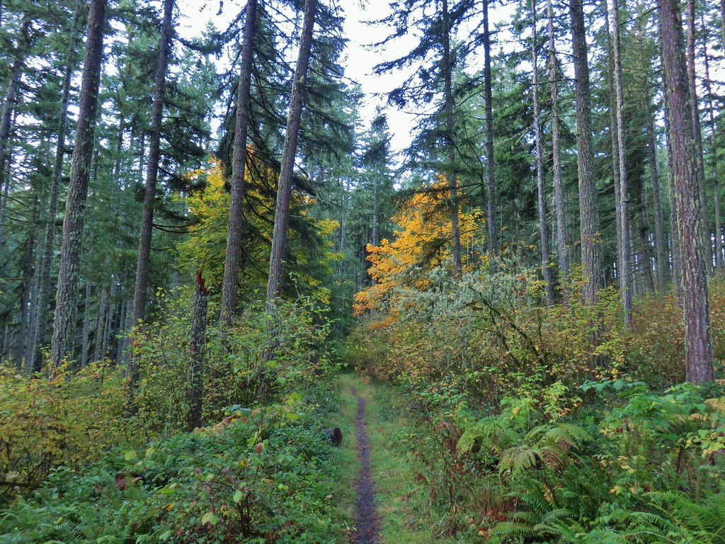
 Mark’s Trail (our return route)


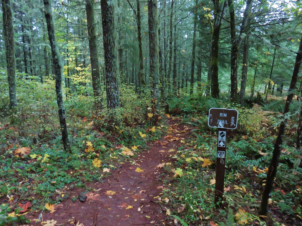
 Rim Trail


 <
<


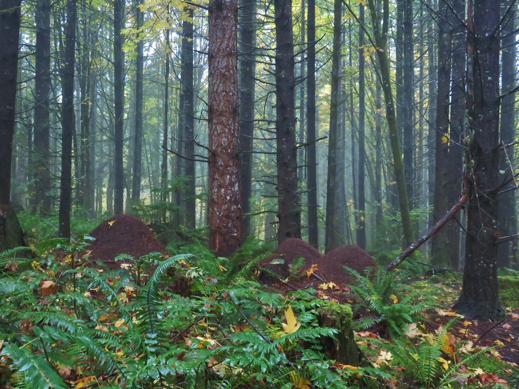 Huge anthills could be seen throughout the hike.
 Skirting the clear cut.


 Unnamed creek.
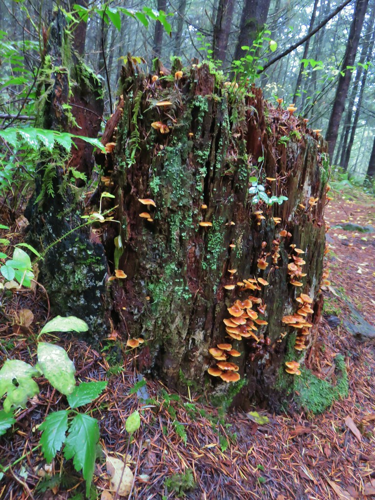

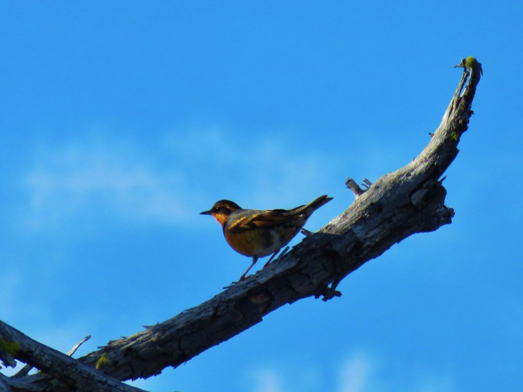
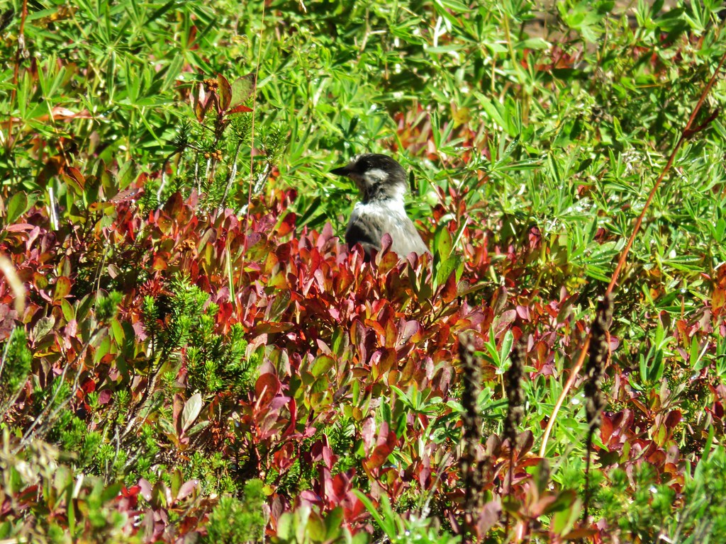
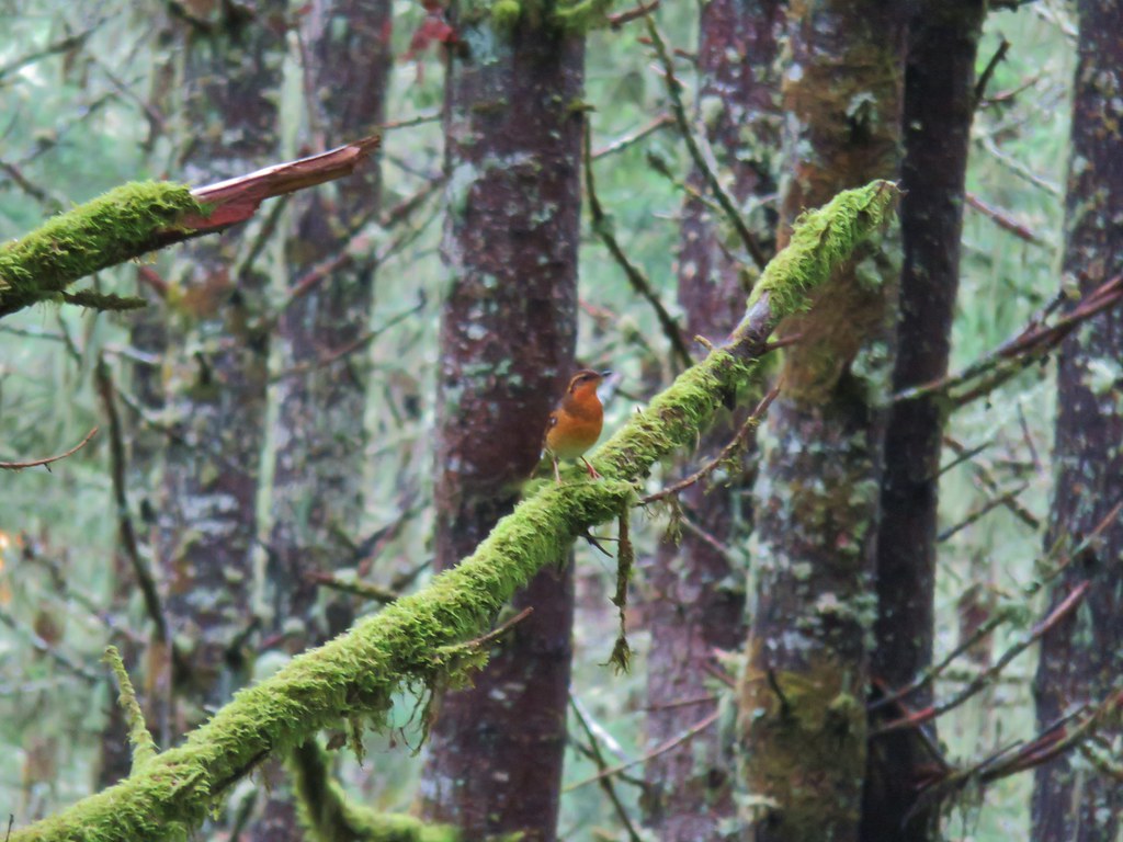 Varied thrush
 One of the few unsigned junctions we came to.


 Huckleberry Trail just before the shower.
 Near the tail end of the shower.
 The Hardy Creek Trail coming up from the

 Going down.
 Going back up.


 Back at Amanda’s Trail.


 Gumjuwac Trail at Highway 35.
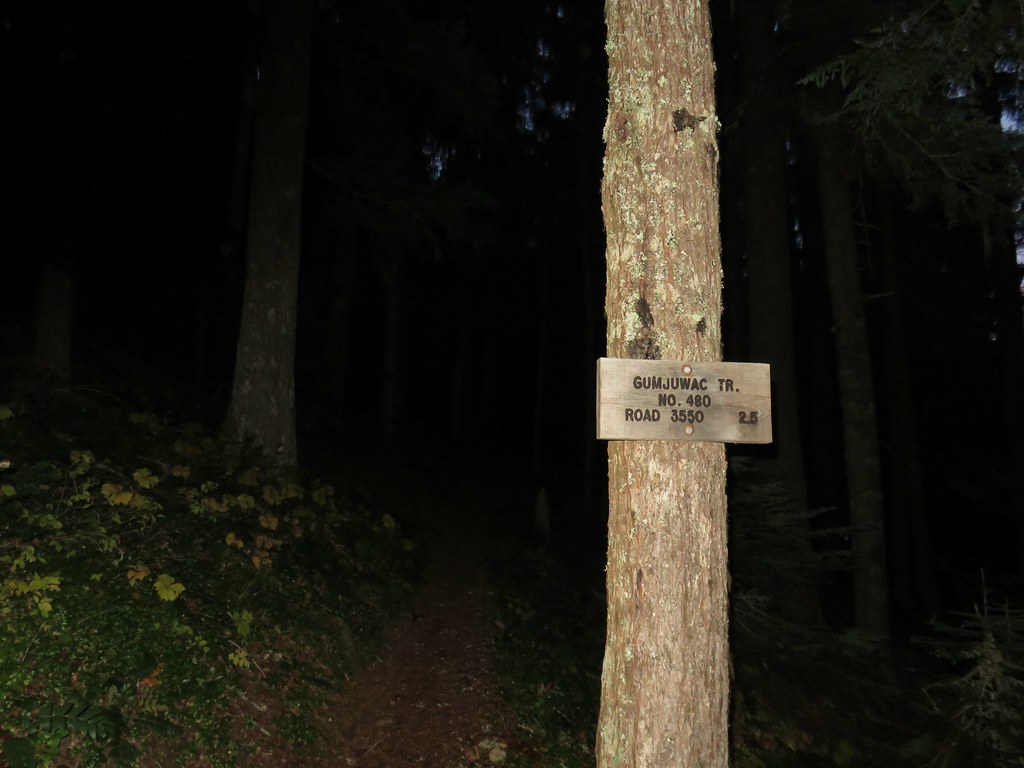
 Mt. Hood in the morning Sun.
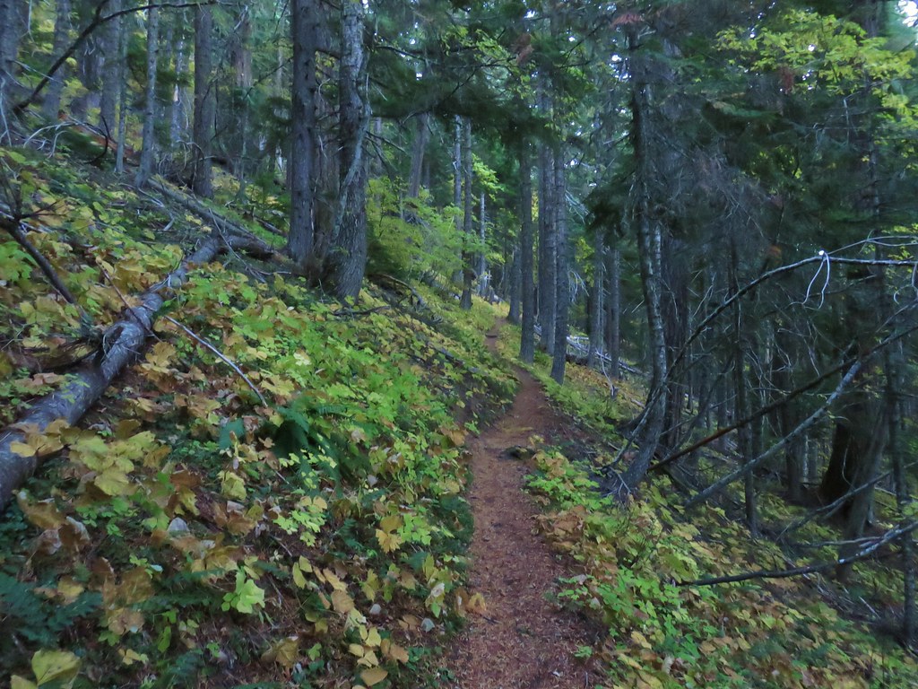


 Mt. Rainier and Mt. Adams
 Mt. Adams
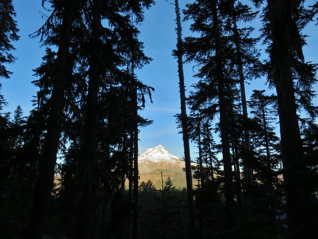
 Finally an unobstructed view of Mt. Hood.
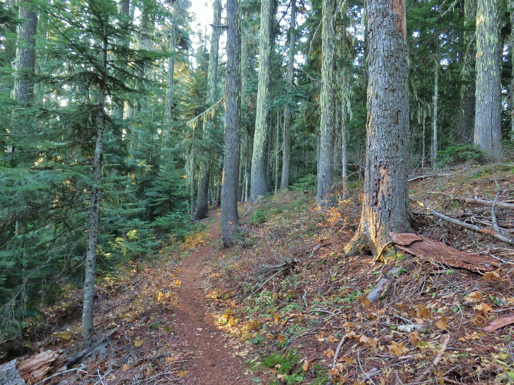
 Gumjuwac Saddle
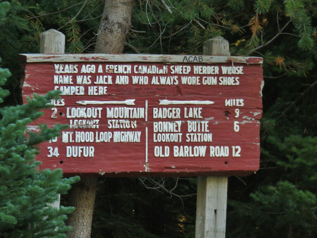


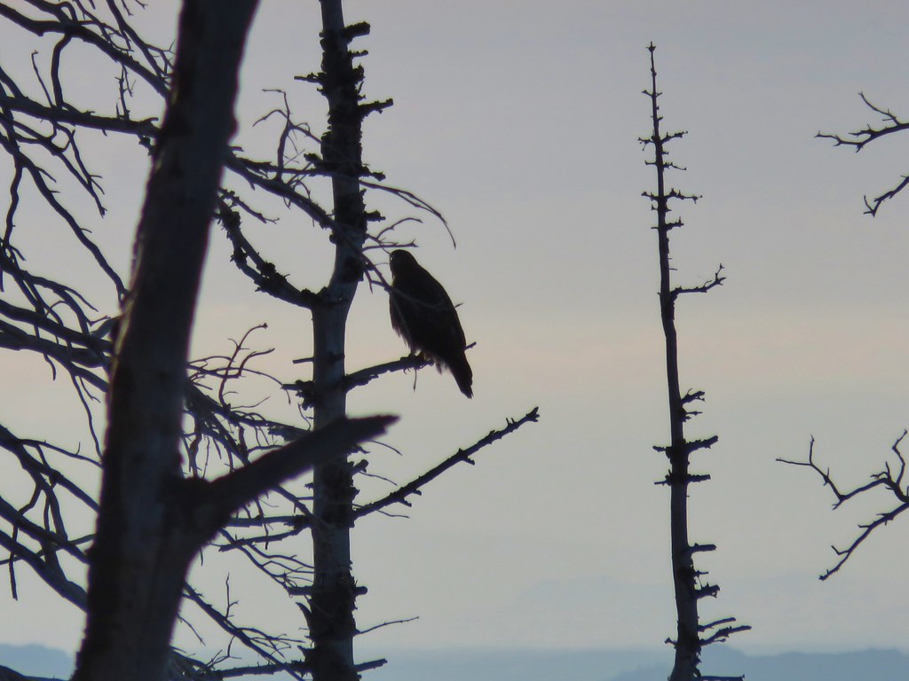 The hawk.
 A less than thrilled raven.
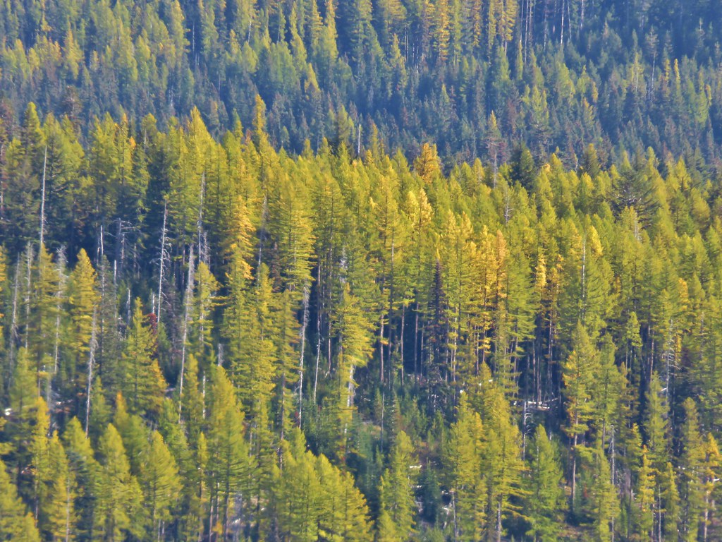
 Light green to yellow larches on the hillside behind the raven.

 Mt. St. Helens
 View south.
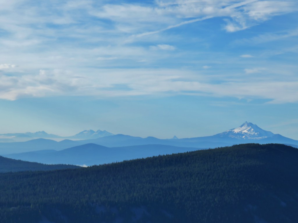 From L to R: Broken Top, The Three Sisters, Mt. Washington, and Mt. Jefferson.

 Mt. Jefferson
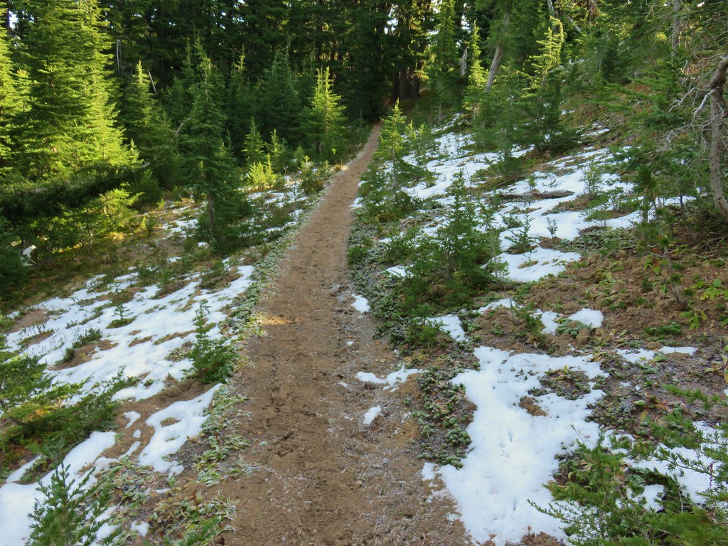


 Approaching the summit.
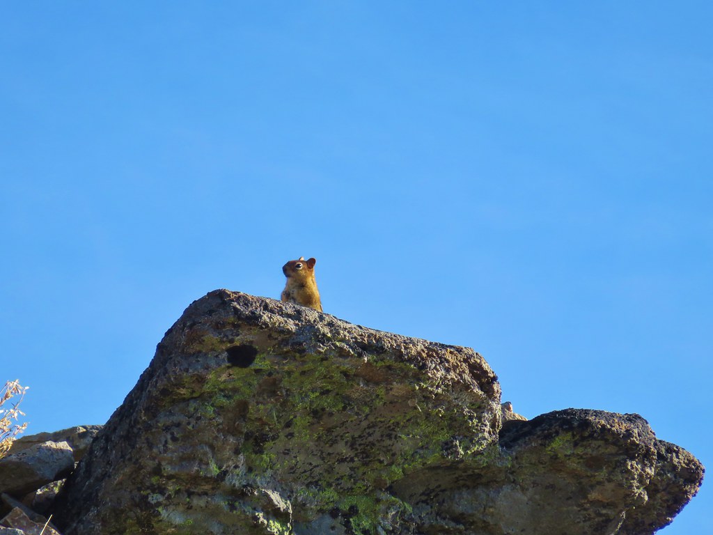 Lookout on Lookout Mountain.
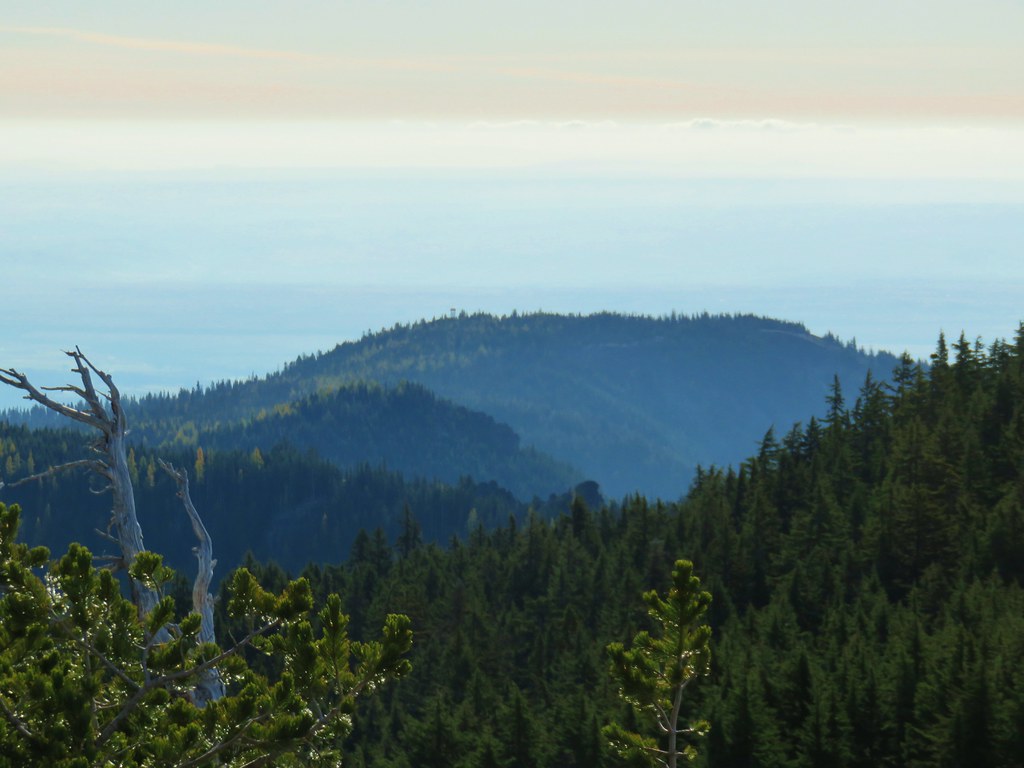 Flag Point Lookout in the distance.
 Flag Point Lookout
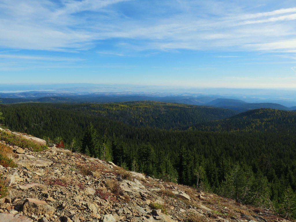


 Mt. St. Helens, Mt. Adams, and Mt. Rainier
 Mt. St. Helens
 Mt. Rainier
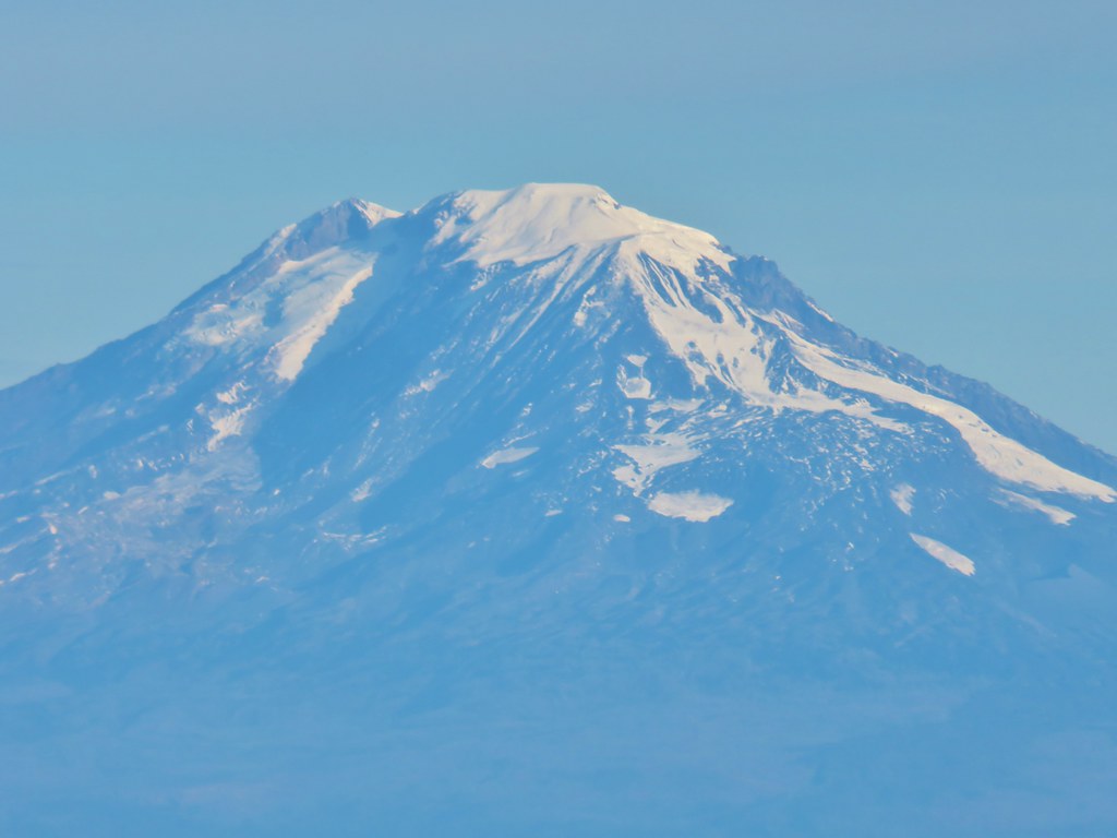 Mt. Adams
 Mt. Hood
 Mt. Jefferson followed by Mt. Washington, The Three Sisters, and Broken Top
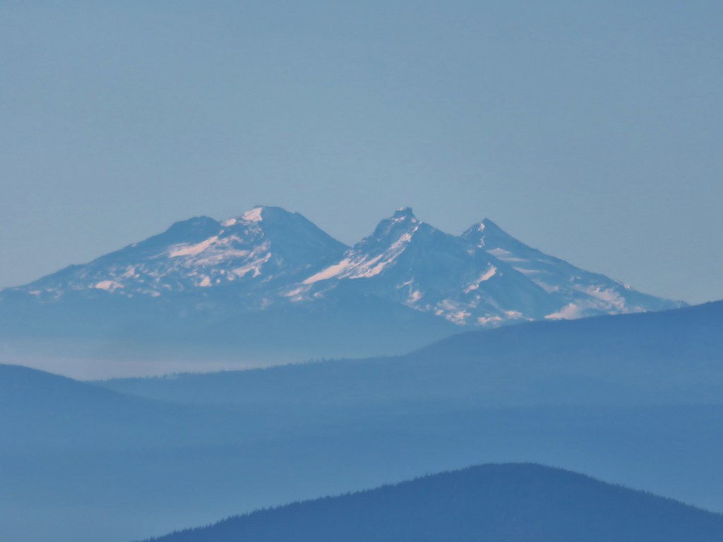 The Three Sisters


 Lookout Mountain from the Gunsight Butte Trail.
 Clark’s nutcracker
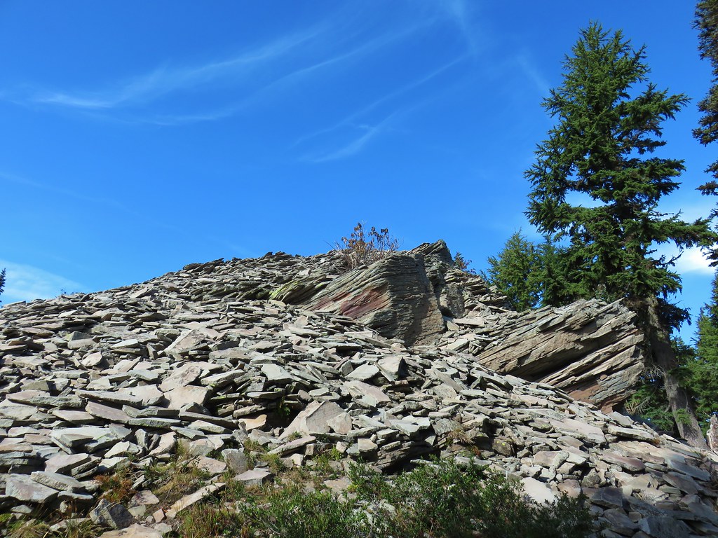


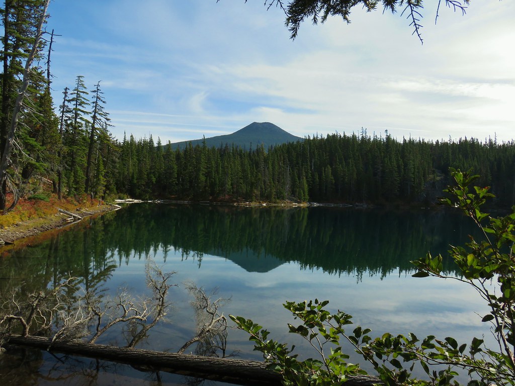
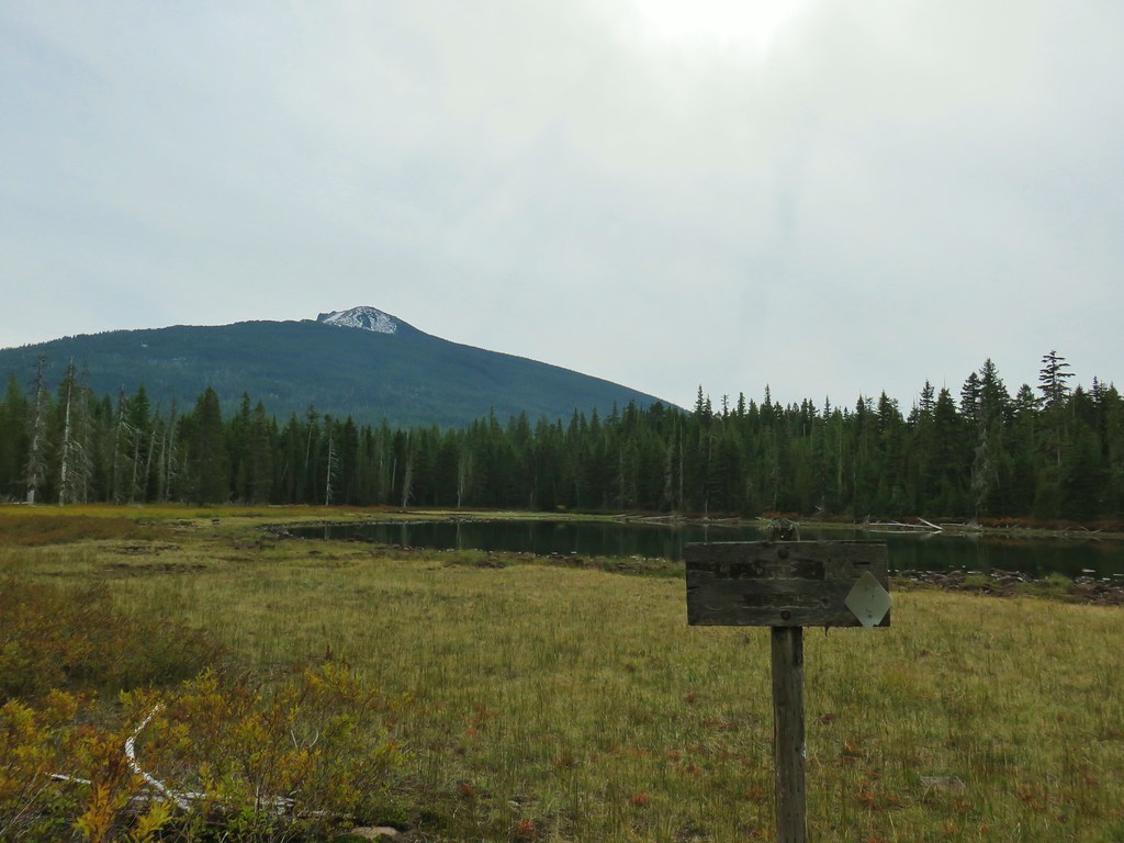
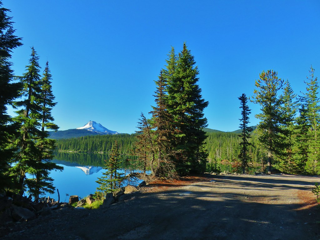
 Olallie Butte

 Mt. Jefferson
 Olallie Lake
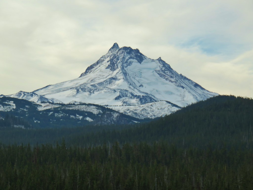

 Mt. Jefferson


 Potato Butte ahead.
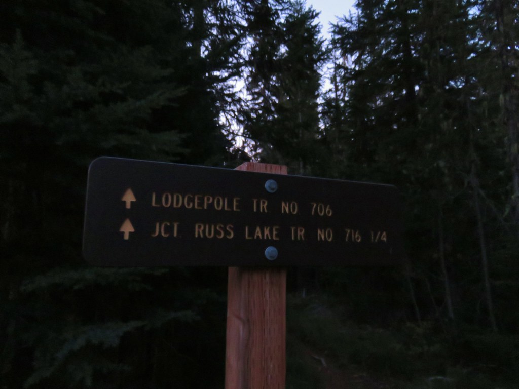
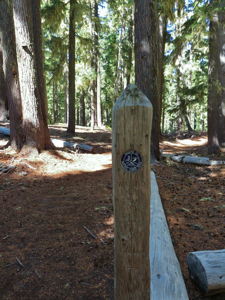
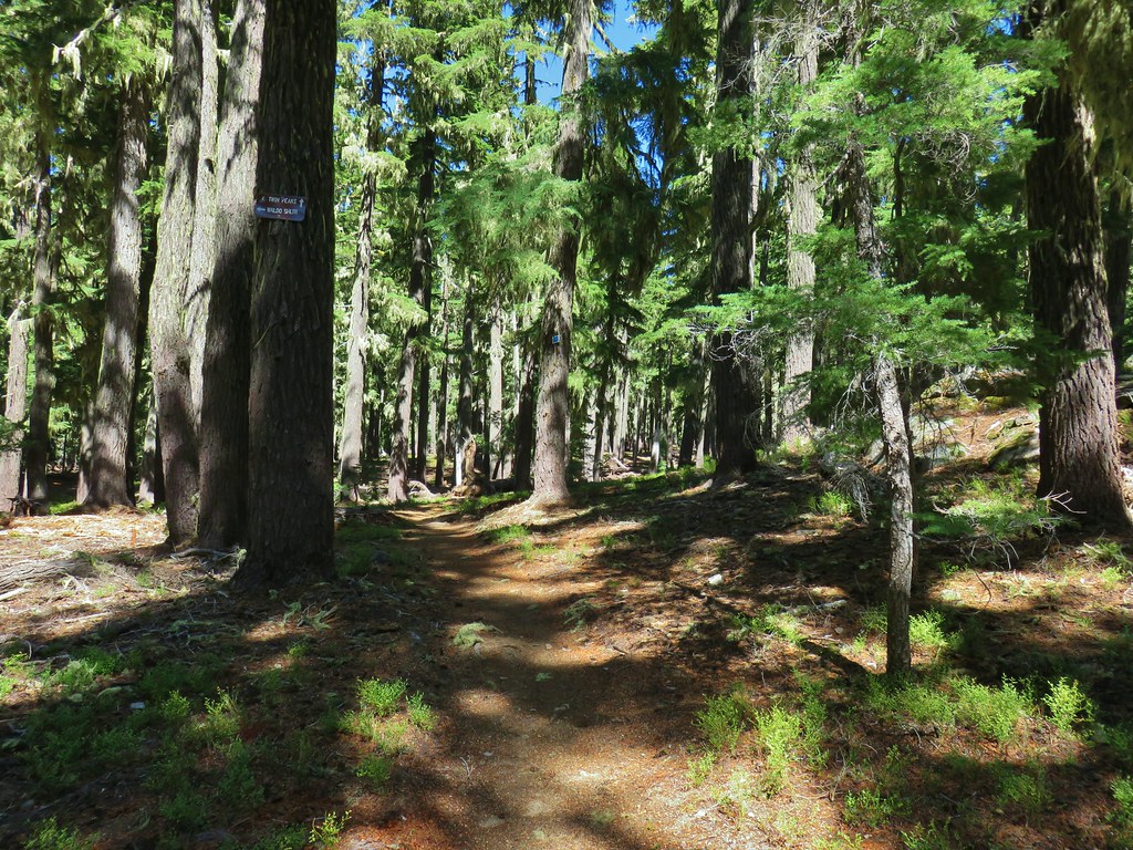
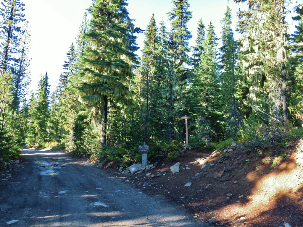
 Lodgepole Trail junction.
 One of the causes of the noisy steps.
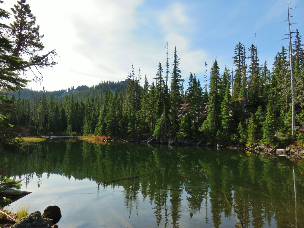 Twin Peaks on the other side of Middle Lake.
 Colors along Middle Lake.

 Olallie Butte
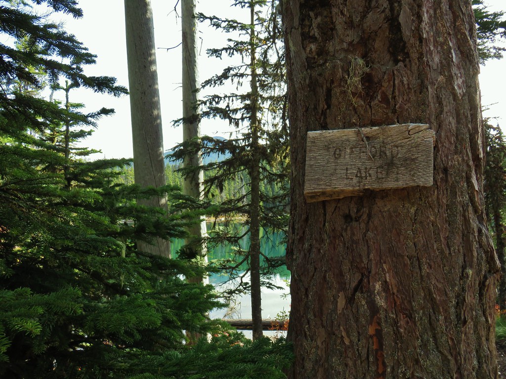
 Twin Peaks from Gifford Lake.


 Sign for the Fish Lake Trail.
 Lower Lake
 Olallie Butte
 Sign for the Lodgepole Trail.
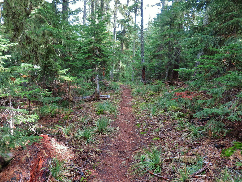
 Pinedrops
 The trail was actually the fainter track to the left leading to the bridge, but that wasn’t obvious until we reached the trees.
 A lone yarrow.
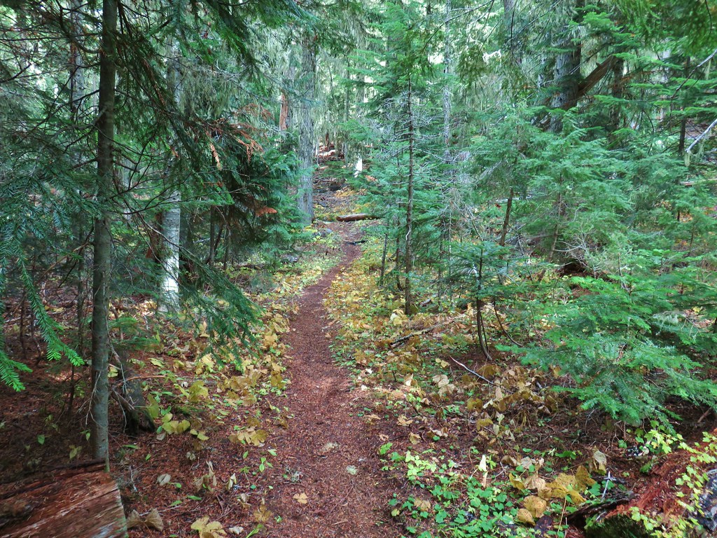


 Approaching the junction.
 Quite the camouflage isn’t it?
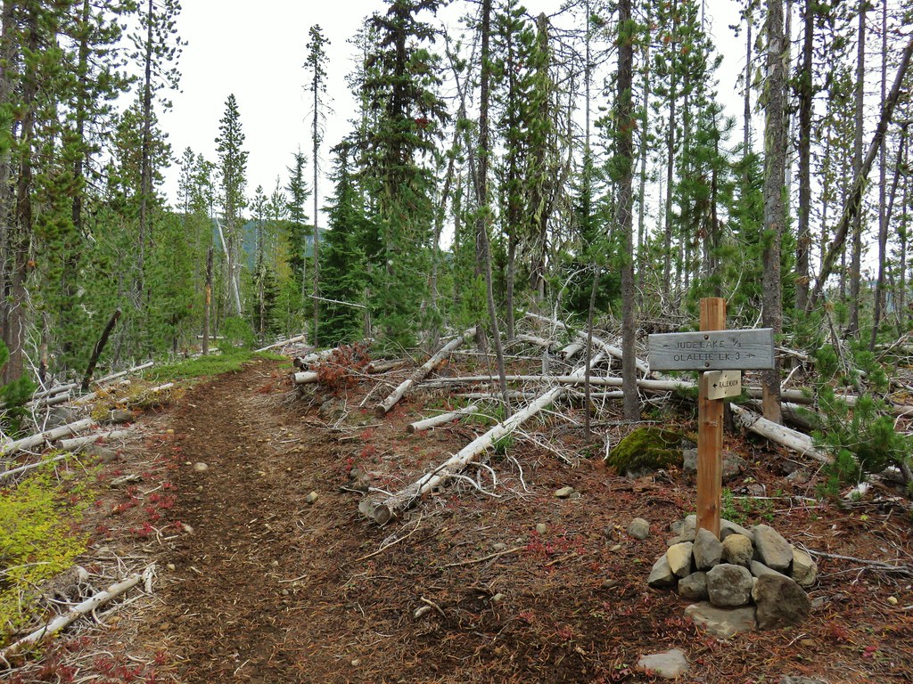

 Jude Lake
 Jude Lake
 Jude Lake
 Russ Lake


 Satuick Mountain
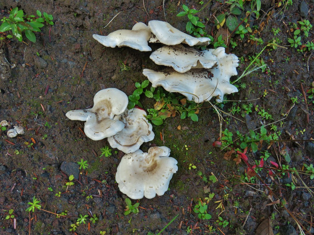

 First crossing
 Second crossing
 The third channel was the largest but still relatively small.
 Mt. Rainier from the far side of Kautz Creek.
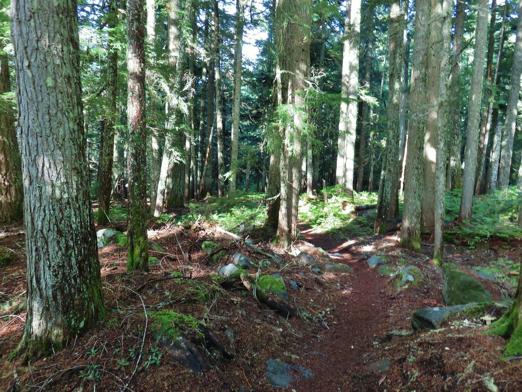

 Yet another big mushroom.


 There were quite a few coral fungi present as well.
 Fishers Hornpipe Creek
 The mushrooms in the back had exploded.
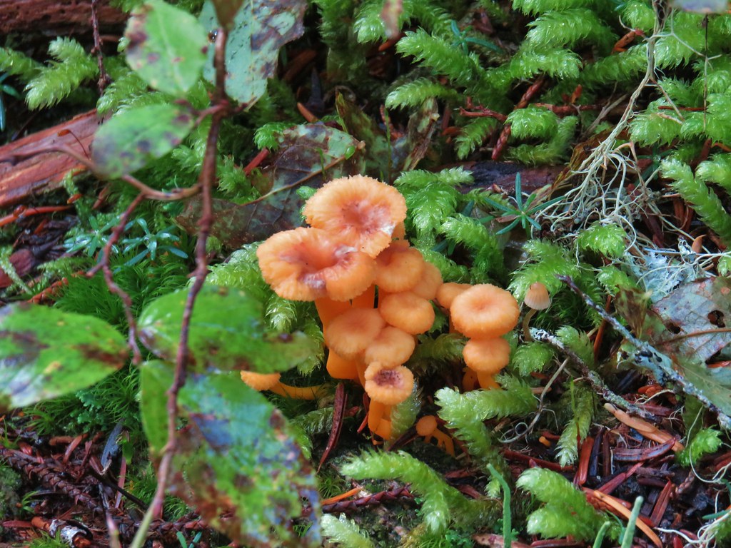
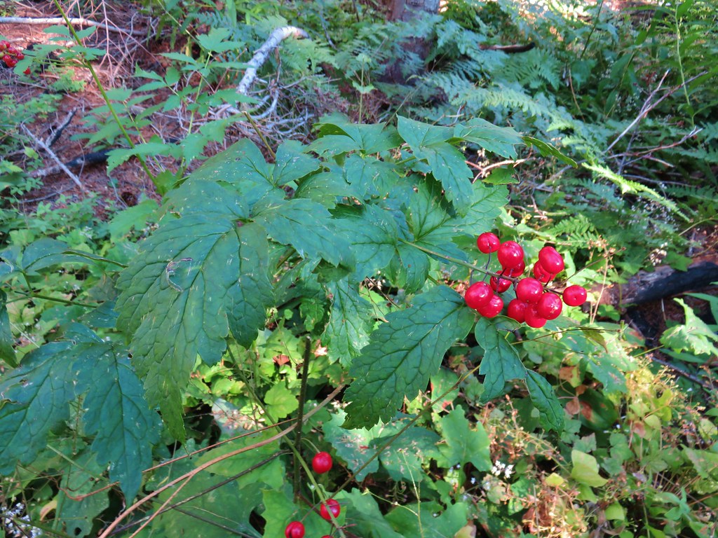
 A few red huckleberries left to eat.


 Bear pole


 Gentians
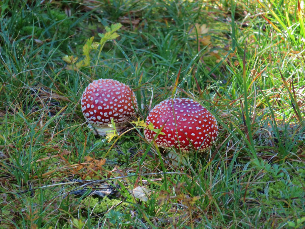 Mushrooms in the meadow.
 Gray jay in the huckleberries.
 Iron Mountain from the lake.


 Western pasque flower


 Paintbrush
 Butterfly on the remains of an aster.
 Gentians
 Pyramid Peak to the right.


 This guy was tiny.

 Frog on a rock at the spring.


 Looking back across the road.
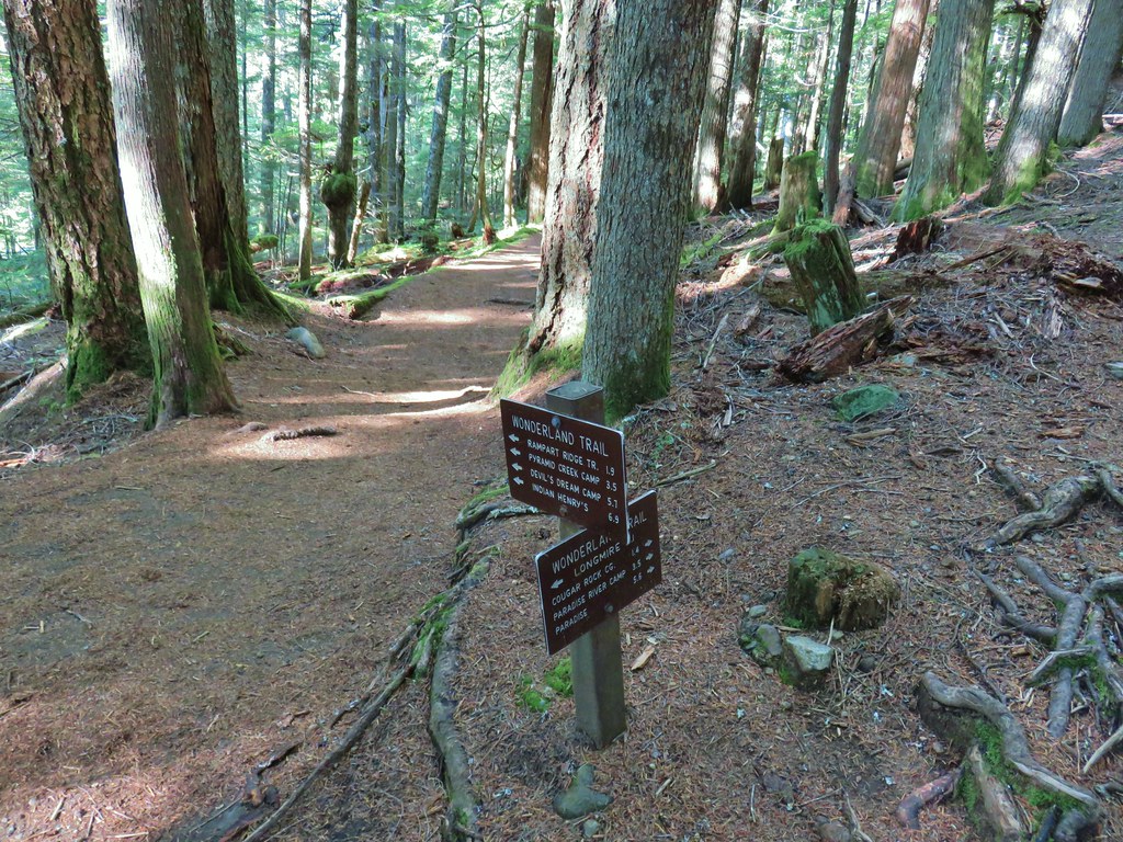


 PCT junction.
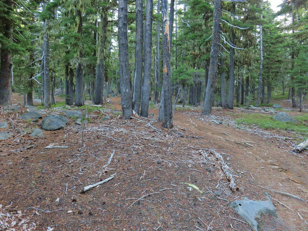
 More cool mushrooms.
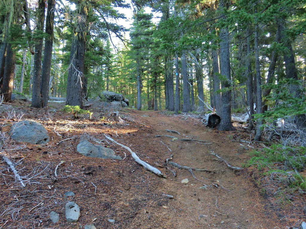
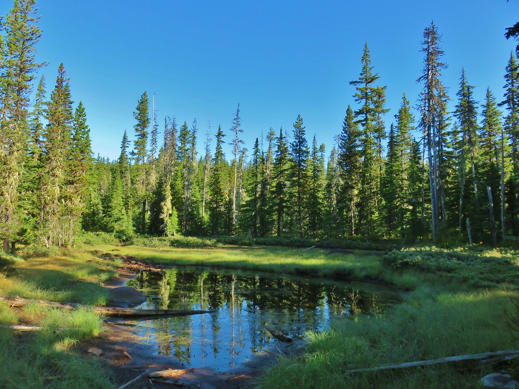
 First pond
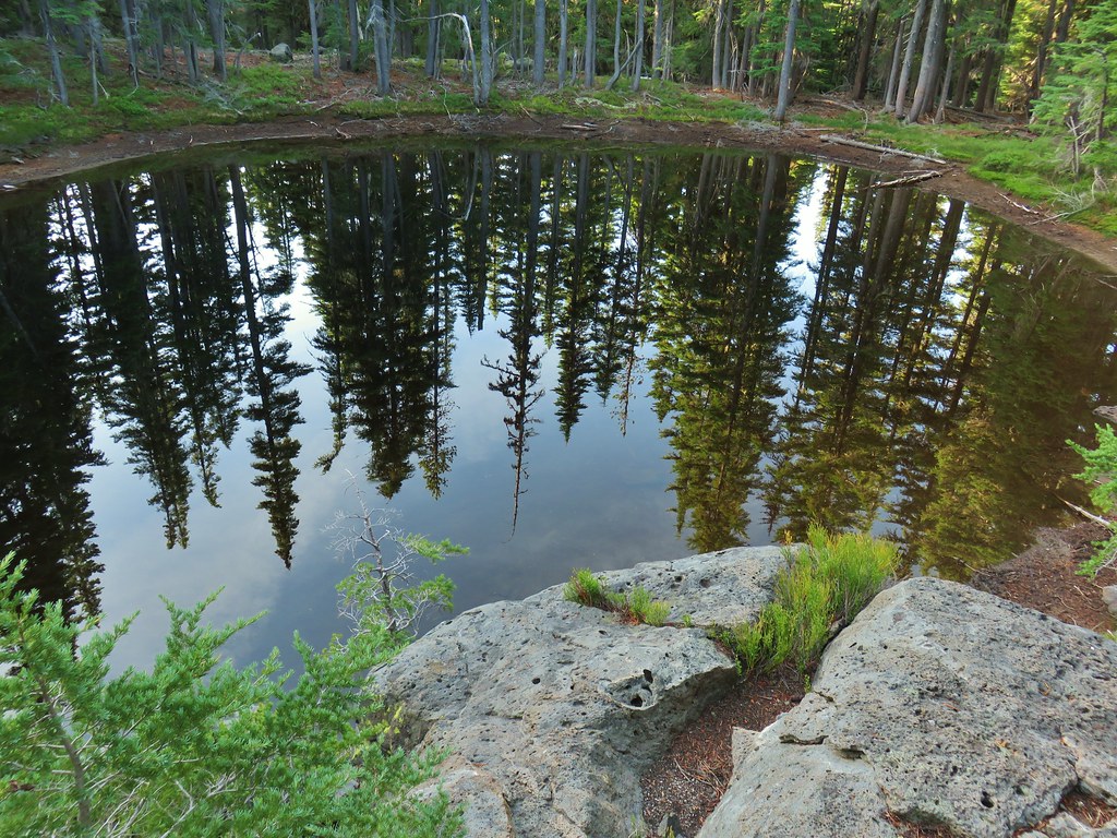 Looking down on the first pond.
 Liked the pattern on this shroom.
 A smaller pond.

 Found a few blooming bleeding heart.


 Diamond Peak on the right and Mt. Bailey (
 Mt. Scott (
 Maiden Peak (
 Close up of Diamond Peak
 Waldo Mountain Lookout (
 Rigdon Butte (
 Mt. Jefferson (with Three Fingered Jack in front), Mt. Washington, and The Husband
 The Three Sisters
 Broken Top
 Mt. Bachelor


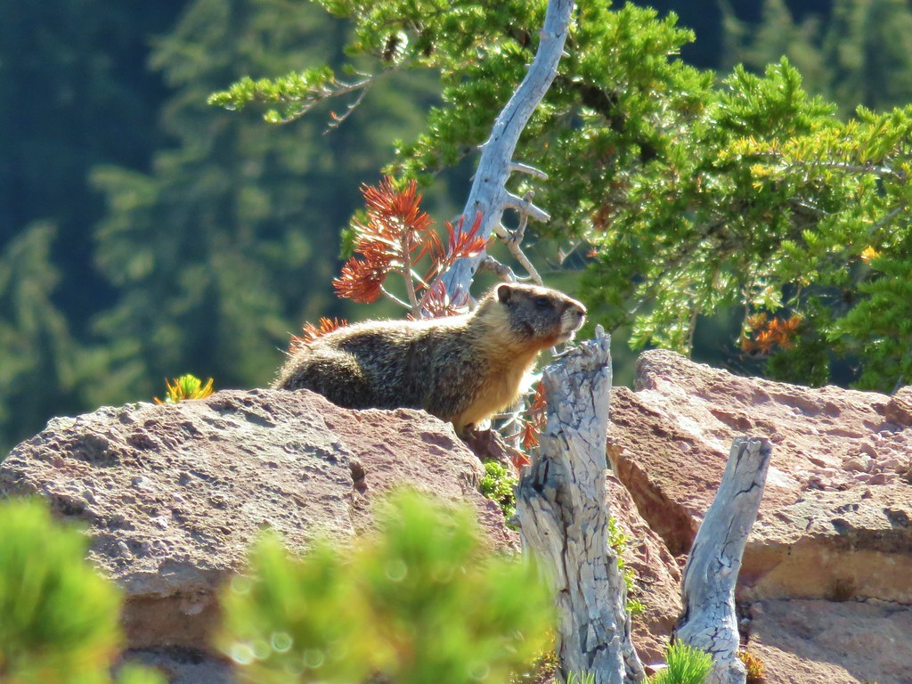
 The marmot on a rock ledge with Crane Prairie Reservoir in the background.


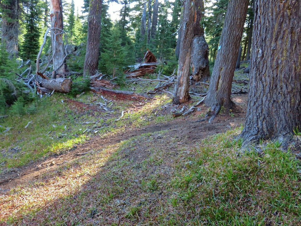
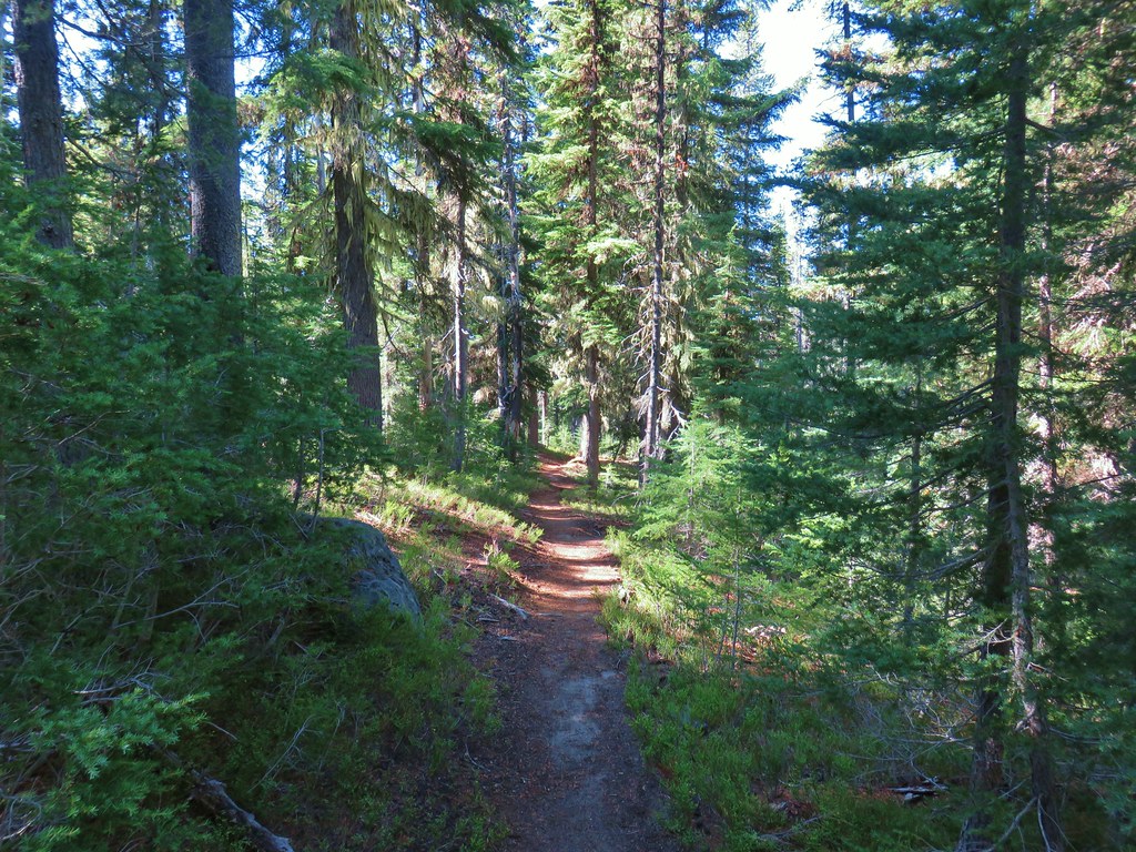
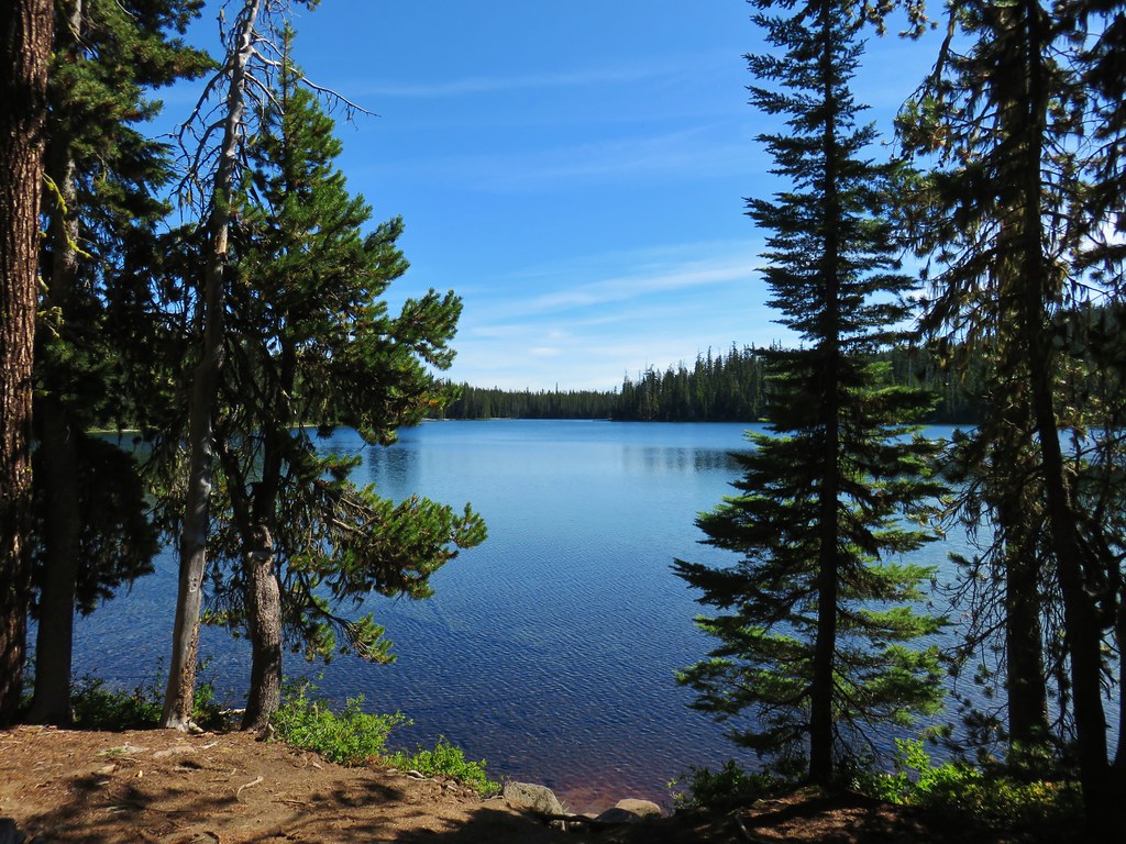
 That’s Bobby Lake below Maiden Peak.
 Mt. Yoran near Diamond Peak
 Gold Lake
 Fuji Mountain (
 The closest rocky peak to the right of the photo is Cowhorn Mountain (


 Tiny PCT frog.
 One of the unnamed lakes.
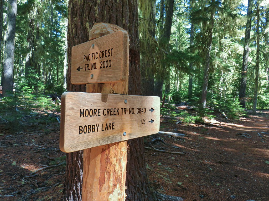 Trail sign at the 4-way junction.
 Maiden Peak above the lake.
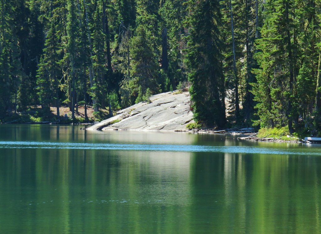

 The Twins
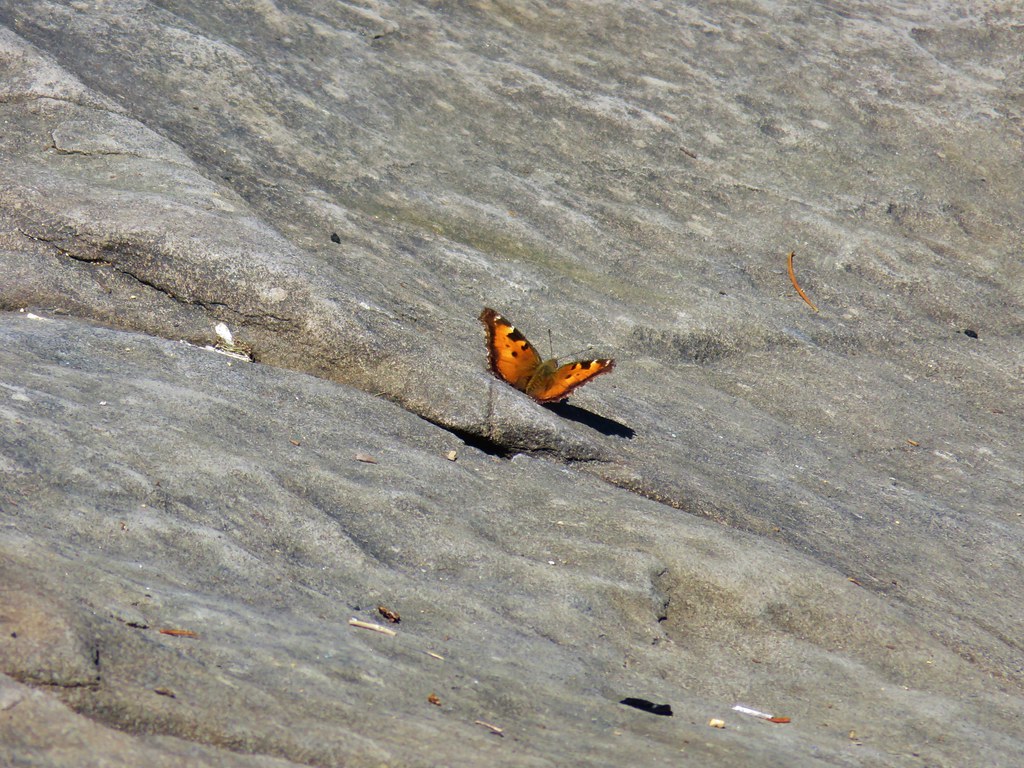 One of several butterflies.


 Nordic trail sign high on the tree.


 The osprey flying over the water (All my zoomed in tries were super blurry.)
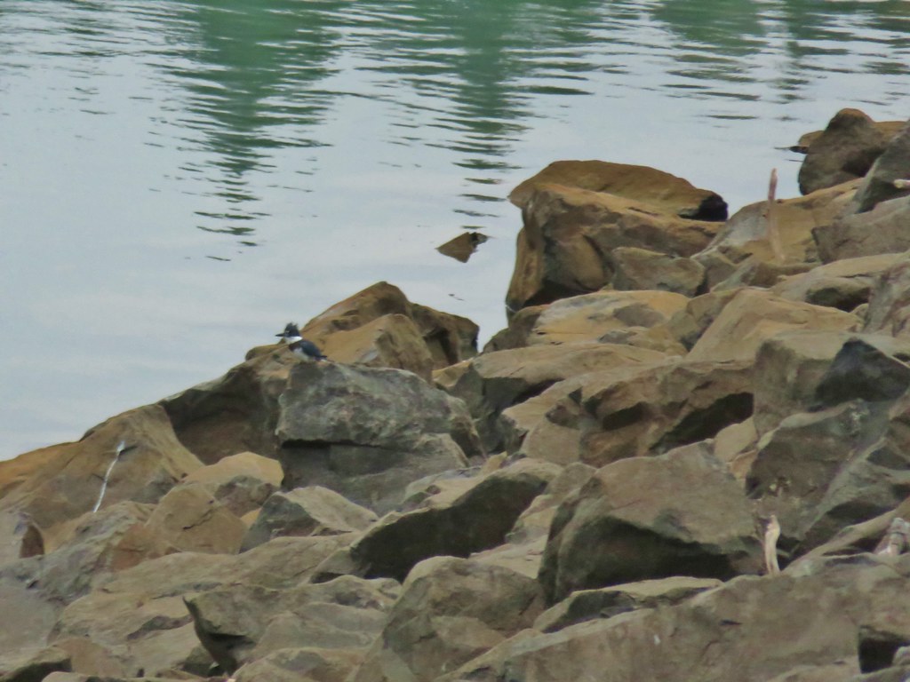 The kingfisher (also fairly blurry)
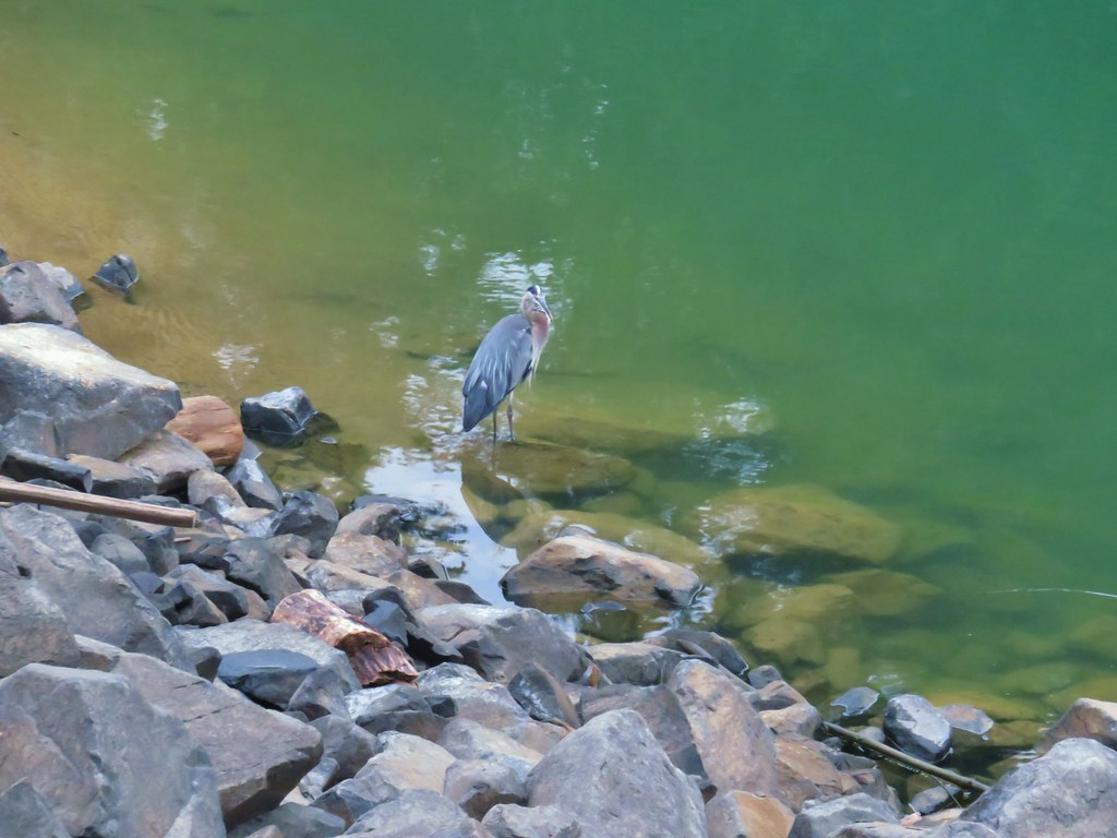 The heron


 One of the side trails heading down to the left to the lake.


 Scrub jay


 Spider in the forest.
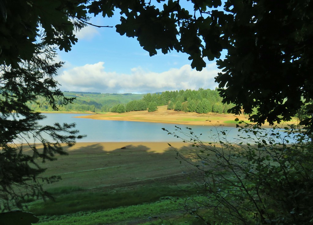 Starting around the Tanner Creek arm.
 An egret and a heron.
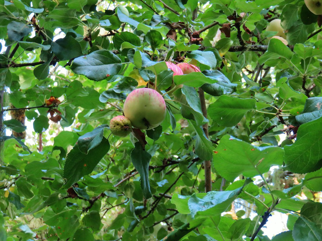 Apples

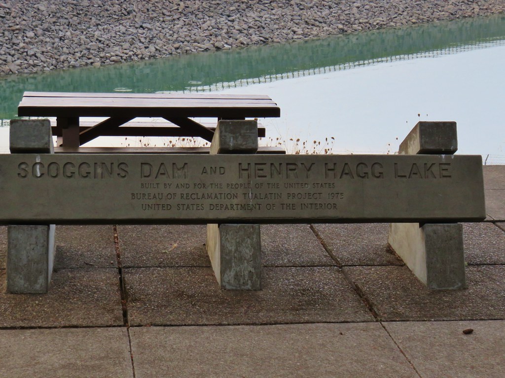
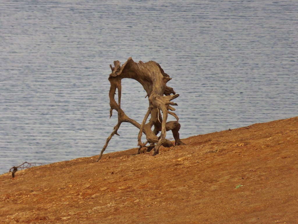
 Deer across Scoggins Valley Road


 Canada geese


 Herons and geese at Wall Creek.
 Road walk over Scoggins Creek.
 Scoggins Creek
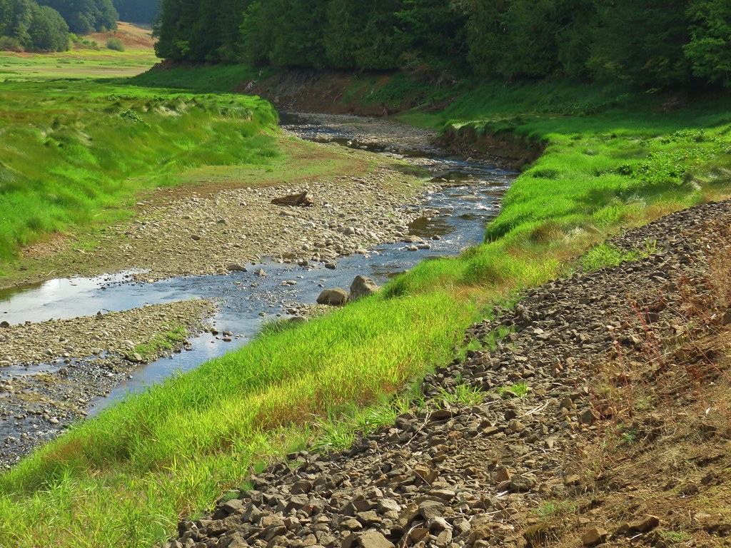 Scoggins Creek

 Coming up to the fishing pier and Recreation Area C.
 Pacific University building.
 Sain Creek Recreation Area
 Sain Creek
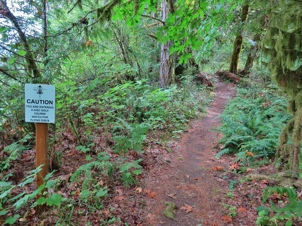
 One of the disc golf holes.
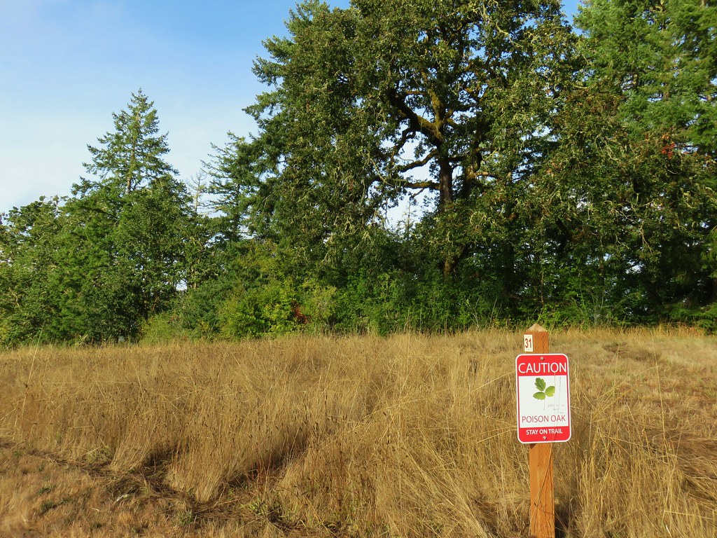
 Poison oak


 Geese and seagulls on an island.
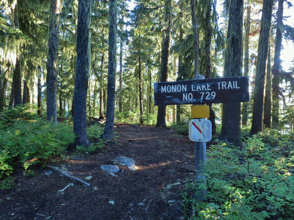
 Fading gentians
 A few gentians still holding their blue color.
 Olallie Butte and the unnamed lake.
 The tip of Mt. Jefferson sticking up above the high point on the ridge.
 Dusting of new snow on Mt. Jefferson
 Duck on the lake.
 A little more of Mt. Jefferson showing.
 View from atop the rocks.
 The small rock cairn coming from the opposite direction on the Monon Lake Trail later in the day.


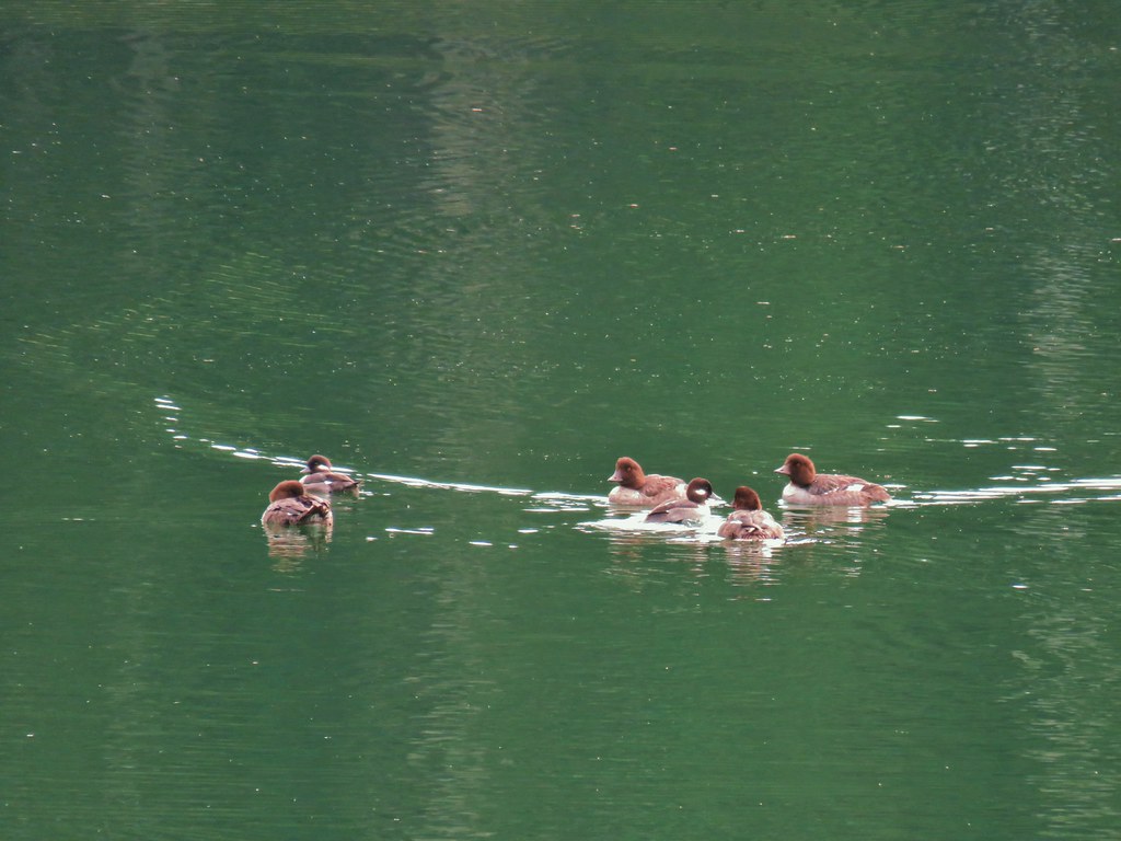
 Mergansers


 Rock cairn along the PCT marking the connector trail.
 PCT lookout.
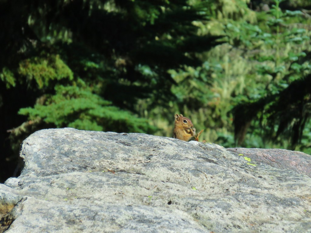
 Golden-mantled ground squirrels at Cigar Lake.
 Double Peaks from Upper Lake

 Company at the viewpoint.
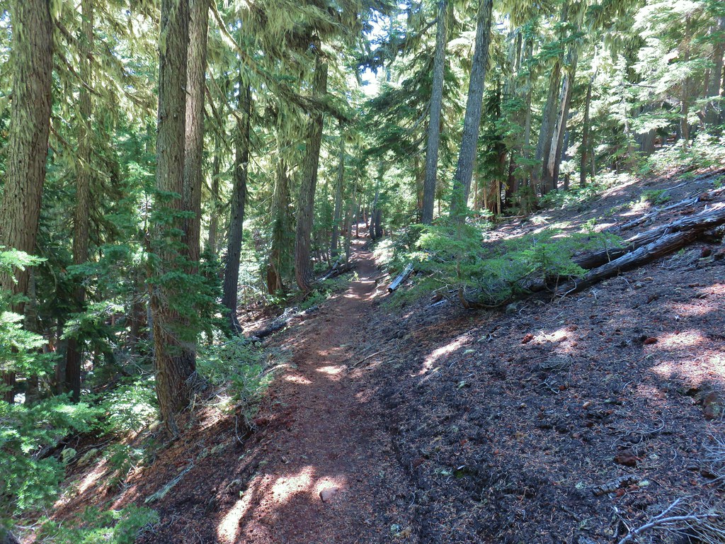 Approximate location when we heard the “elk” bugle.


 Flat topped Battle Ax Mountain to the left to the fire scarred summit of Schreiner Peak to the right.
 Battle Ax (
 Bull of the Woods (


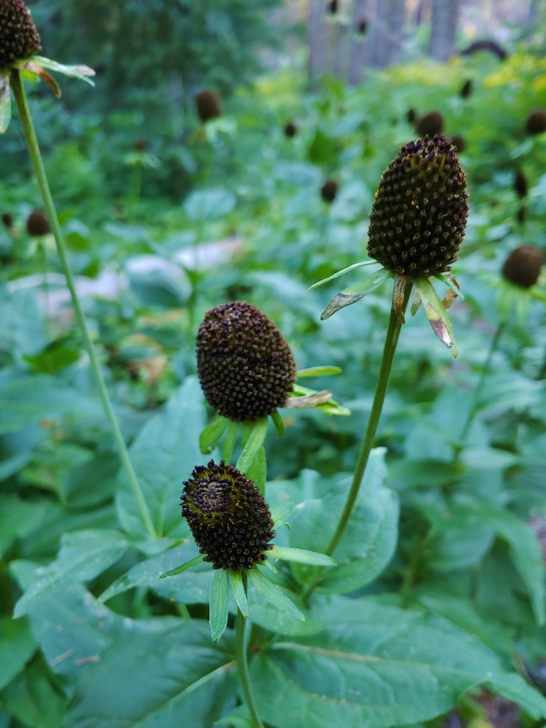 Cone flower
 Cross country to Wolverine Lake.


 Baneberry
 Monkshood
 South Sister
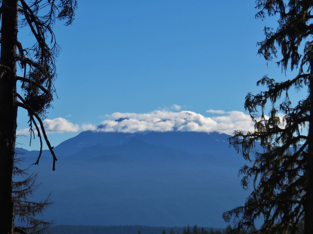 Middle and North Sister
 Mt. Washington
 Mt. Jefferson and Three Fingered Jack


 Aster and pearly everlasting
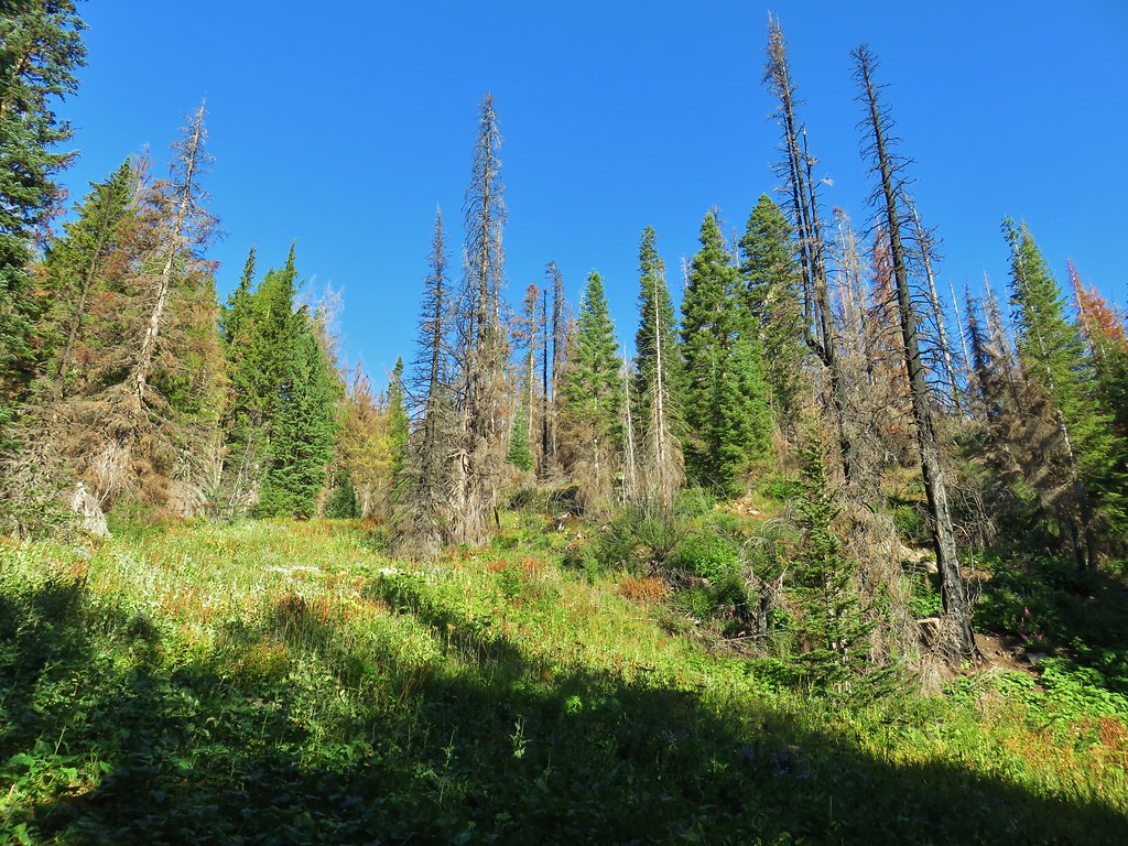
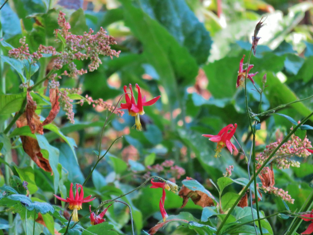 Columbine


 Parts of the Cascades from Mt. Jefferson to the NE to Mt. Bachelor to the SE.
 Mt. Jefferson was still tangled up in the clouds.
 Just a peak at Mt. Washington (which was more than we could see of Three Fingered Jack)
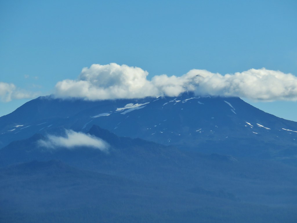 Middle and North Sister behind The Husband
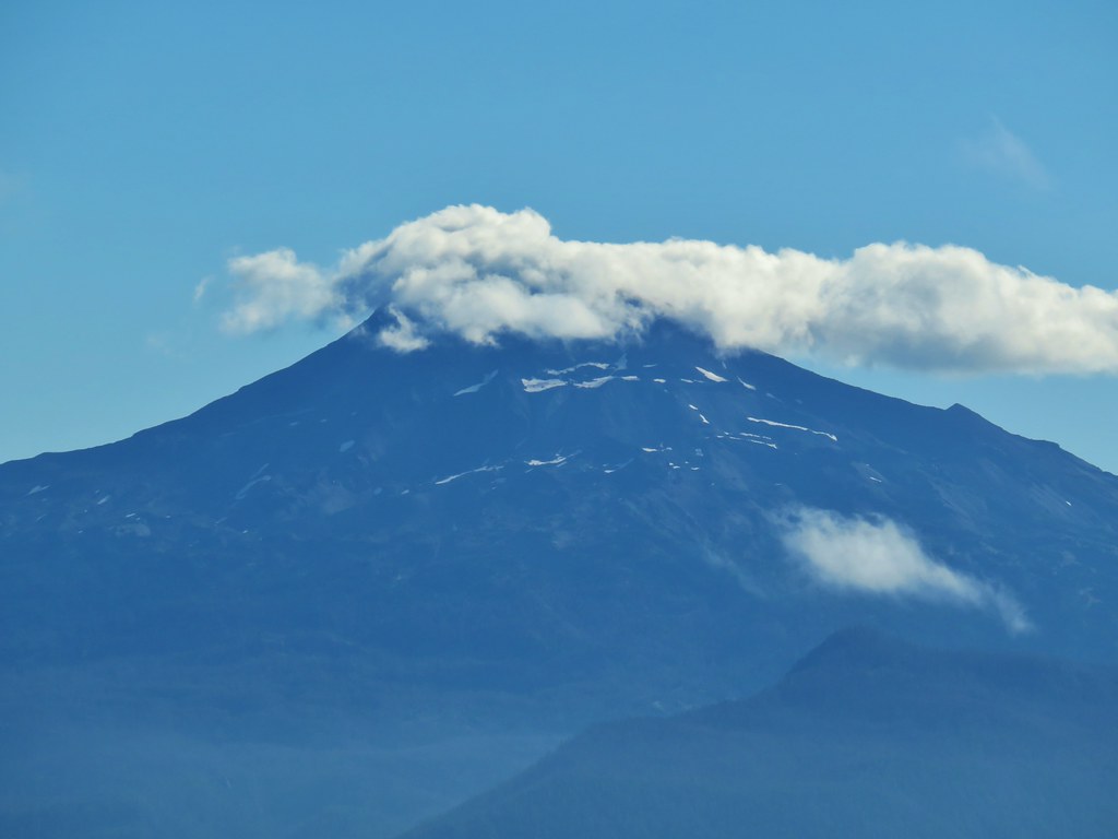 South Sister
 Broken Top
 Cowhorn Mountain and Mt. Thielsen
 Diamond Peak
 Lowder Mountain to the left of the tree in the foreground.
 Lowder Mountain
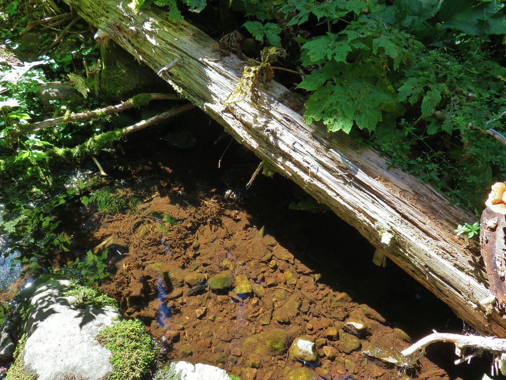


 Skipper
 This reminded us of a torture device.

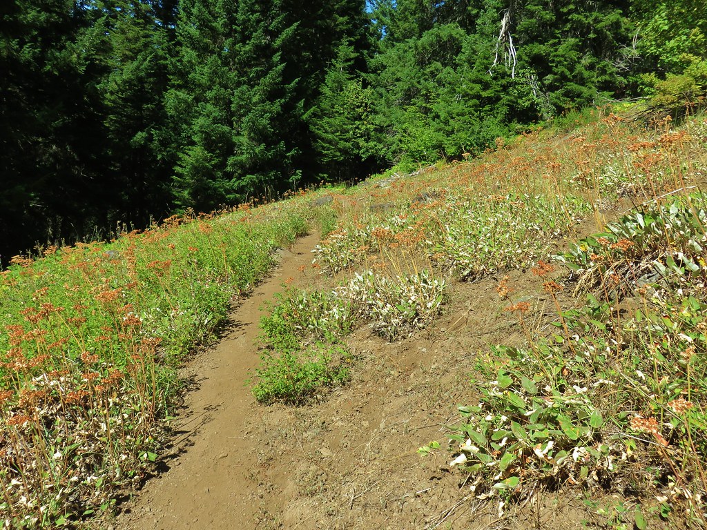 This meadow had a lot of buckwheat.
 Olallie Mountain again.
 The lookout tower on Olallie Mountain
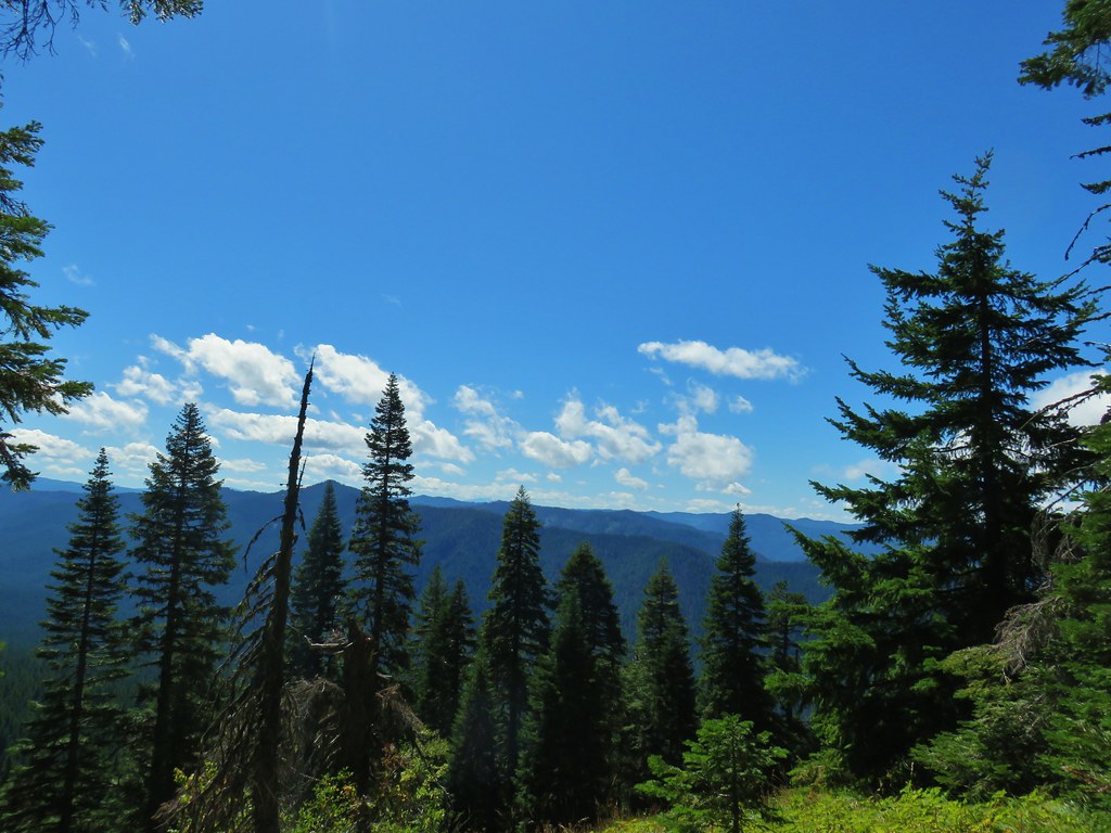 Diamond Peak had shed its cloud cover momentarily.
 Diamond Peak
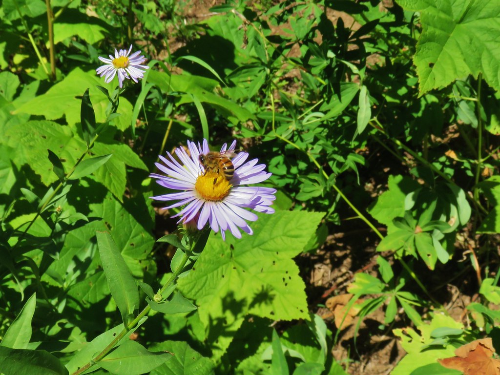 Pollinators got to pollinate.


 The trail heading up through some thimbleberry.
 Butterfly
 Another skipper
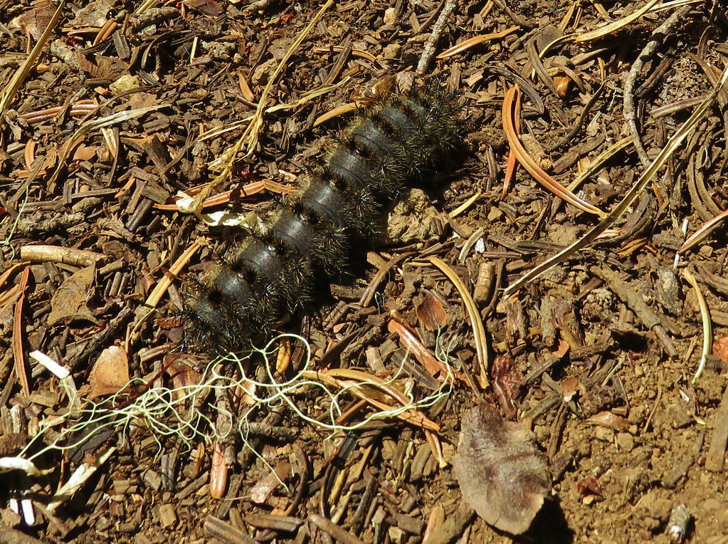 This guy was the size of my pinky.
 A few scarlet gilia still in bloom.
 Pearly everlasting at the edge of the large meadow.


 Karl & Ruth Lakes
 Mt. Jefferson and Three Fingered Jack with Horsepasture Mountain (
 Mt. Washington
 North and Middle Sister
 South Sister and Broken Top

 Mt. Bachelor

 Butterfly with a small crab spider on the next flower head to the right.