After Monday’s round of afternoon/evening thunderstorms we wanted to make sure we weren’t out hiking during Tuesday’s forecasted storms. We had decided to play it safe and make Tuesday a light hiking day mixed with some sightseeing in Joseph, OR. We had hoped to start with breakfast from Sugar Time Bakery but it wound up being closed all week so we ate in the room and then drove to Joseph and parked at the Iwetemlaykin State Heritage Site.
A short series of trails here offer views of the Wallowa Mountains and sits adjacent to the National Park Service’s Old Chief Joseph Gravesite.
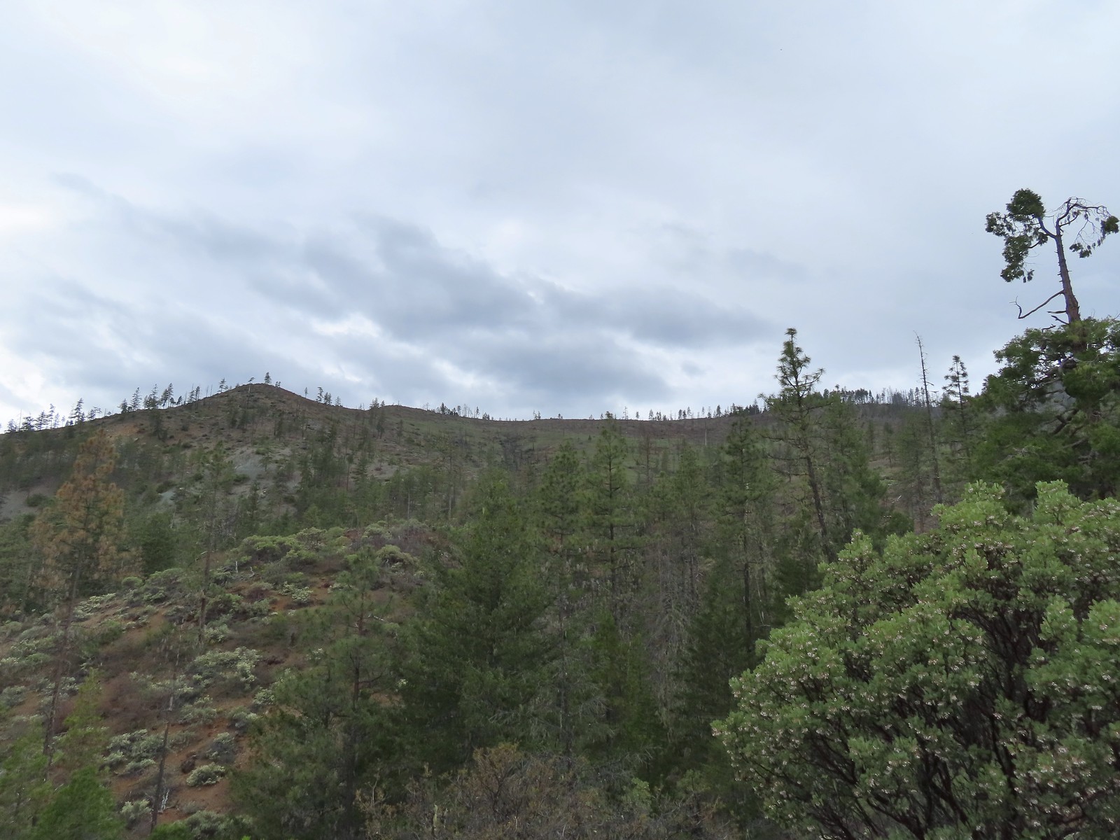
The trail set off uphill gaining views of the mountains. Lupine along the trail.
Interpretive sign along the trail.
Second from the left is Dug Peak, the pointy peak is Sawtooth Peak, and the round peak to the right is Hurricane Point.
The trail descended from the hill and leveled out along some trees.
Yellow warbler
Brown-headed cowbirds
The trail split near Knight’s Pond where we turned left and crossed Silver Lake Ditch.
On the far side of the ditch we spotted a couple of bucks on the hillside.
The trail climbed again past a bench then descended to another parking area along Highway 351.
Hounds tongue
Death camas
Oregon sunshine
Bench with a view of Point Joseph behind.
Sunflowers yet to bloom.
Fiddleneck
Descending to the highway.
We followed a bike/pedestrian path along the highway for a tenth of a mile to the entrance to the Nez Perce National Historic Park Cemetery.
Old Chief Joseph’s gravesite. His original grave near Wallowa, OR had been looted twice before he was moved here in 1926.
Wallowa Lake beyond the gravesite of Martha and Frank David McCully.
After paying our respects we returned to the Iwetemlaykin Heritage Area and returned to the junction near Knight’s Pond where we turned left past a beautiful reflection.
A sightseeing robin.
Butterfly on the trail.
Western stoneseed
Before looping around the pond and returning to our car we detoured on a spur trail to Farmer’s Ditch at the South Main Street Entrance.
Farmer’s Ditch
View from the South Main Street Entrance.
Passing back by Knight’s Pond.
Some uplift action on the clouds from the trailhead.
This was a 2.5-mile hike with maybe 200′ of elevation gain. We saw lots of birds and three deer during our outing and had some wonderful mountain views.
It was just a little after 9am when we finished so we drove back into downtown Joseph and parked at a public lot. We figured most places wouldn’t be open until 10am but we thought we could walk around and see what was there and enjoy the numerous art pieces around town in the meantime. Little did we realize that many (most) stores and restaurants were closed on Tuesday’s including the Wallowa County Museum. The lack of open storefronts combined with a bunch of sidewalk construction taking place cut our sightseeing short. Instead we drove back to our room in Enterprise and relaxed for a few hours before heading back to Joseph in the afternoon for an early dinner at Embers Brew House which was open on Tuesdays. Not quite the way we’d imagined the day going but we made it work and felt refreshed ahead of what promised to be the most stressful drive/hike(s) of our trip on Wednesday. Happy Trails!
Our arrival in Enterprise coincided with the arrival of a couple of days with forecasted afternoon thunder storms. We did some rearraigning of the order of our hikes to avoid the storms and decided on Imnaha Falls as our Monday hike. We began at the Indian Crossing Trailhead located in the Hells Canyon National Recreation Area. Indian Crossing Trailhead
Imnaha River at the trailhead.
There were quite a few wildflowers blooming at the trailhead. Jessica’s stickseed
Hooked spur violet
Woodland star
Valerian
Arnica
We took the South Fork Imnaha Trail #1816 following pointers for Blue Hole and Twin Lakes.
Violets
We passed a pack station in the forest on our right.
Ballhead waterleaf
Lupine along the trail
Anemone
Western meadowrue
We passed a trail sign at junction with a spur trail joining from the pack station and soon after we entered the Eagle Cap Wilderness.
Paintbrush along the trail.
Larkspur, lupine, and Jessica’s stickseed
After three quarters of a mile we entered a previously burned forest where the views opened up some.
Chipmunk
A nice patch of lupine.
Snow patches high up on the ridge.
The Imnaha River below the trail.
One of many small unnamed stream crossings.
Large-flower triteleia
A ponderosa pine that survived the fire.
Robin
One of several types of penstemon along the trail.
We were just sure that there should be elk, deer, or a bear down along the river here.
There were quite a few of these millipedes in the trail.
In some cases the creeks had taken over the trail.
Cinquefoil
A brushy section of the trail.
Tall bluebells
Two-tailed tiger swallowtail
At the two-mile mark we came to a signed junction for Twin Lakes Trail and Blue Hole where we detoured left.
We followed this trail downhill for a tenth of a mile to an impassable ford of the Imnaha River just below the Blue Hole.
The river was running high still so we couldn’t get a view of Blue Hole from the ford. Instead we climbed the rocks which squeeze the river through a narrow gorge before it empties into Blue Hole.
Blue Hole, not exactly blue this time of year due to the amount of silty snowmelt water swelling the river.
Wildflowers above the gorge.
The Imnaha emerging from the gorge into Blue Hole.
After a nice break at Blue Hole we returned to the South Fork Imnaha Trail and continued further into the wilderness. Arnica along the trail.
Coming up on a small stand of aspen.
A rockcress
Juba skipper
Roundleaf alumroot
Painted lady on Oregon sunshine.
Glacier carved rock outcrops provided some excellent views and good habitat for wildflowers.
Scabland penstemon
Paintbrush
Not a flower but very colorful.
Bush penstemon
Western tanager
Western blue clematis
Brown creeper on a tree trunk.
Left is Marble Mountain and to the right further back is Honeymoon Summit.
Larkspur along the trail.
Heartleaf springbeauty
Another flooded section of a the trail.
Western tiger swallowtails on chokecherry.
Dreamy duskywing
Threeleaf lewisia
We were too late for the Brown’s peony blooms.
Balsamroot and paintbrush
Three and a third miles beyond the Twin Lakes Trail junction we left the trail to see another gorge.
On the opposite side, with a series of drops, is Rock Creek flowing into the Imnaha.
The Imnaha River leaving the gorge.
Rock Creek cascading down through the forest.
After another short break we returned to the trail and continued another third of a mile where we left the trail again to find Imnaha Falls.
Another creek cascading down.
Marble Mountain
Twinberry honeysuckle
Marsh violet
Rock outcrop above Imnaha Falls
The 8′ Imnaha Falls was difficult to get a good view of. There was a large gap in the rocks that I eventually had to climb down into and out of to get to the edge of the rock outcrop above the river. I tried going down river first to see if I could get a view back up to the falls, but the water level was into the brush along the riverbank.
The falls were just upriver from this bench with a couple of campsites.
The gap in the outcrop.
Imnaha Falls.
The falls were more of a rapids which might have been caused by the volume of water this time of year.
We took a final break on the rocks here and then headed back toward the trailhead. We kept a lookout for any flowers we’d missed on the first pass. Utah honeysuckle
Bee on a dandelion
Nettle-leaf giant hyssop
Slender phlox
Silverleaf phacelia
Vetch
Diffuse-flower evening-primrose surrounded by blue-eyed Mary.
Osprey, the fishing here must have been good because we’d seen a bald eagle in this area in the morning.
Fairy slipper
Arriving back at the trailhead.
We saw three other people on the return to the trailhead. The first gentleman we encountered asked us how far it was to the lakes. He’d already passed the Twin Lakes Trail, not that he could have forded the river there, and the next closest lake was probably Fish Lake which was a good 7-8 miles away. We let him know that there weren’t any lakes nearby but that Imnaha Falls was a couple of miles further along the trail. He didn’t have much with him but he continued on after looking at the gathering clouds and saying he thought he had time to make it there. The next couple we passed after Blue Hole and they didn’t appear to be carrying any type of food, water, or gear. The number of unprepared and uninformed people we pass on trails really makes us wonder how there aren’t more rescues/deaths every year.
Our hike came in at 12.2 miles due to some extra exploring along the river with approximately 800′ of elevation gain.
We drove back to Enterprise, got cleaned up, and headed out for an early dinner. When we opened the motel room door we were greeted by a heavy rain shower. We had planned on eating at Terminal Gravity Brewing but when we got out of the car a lightning bolt immediately followed by thunder convinced us that outdoor dining was not a good idea at the moment. We decided to save Terminal Gravity for later in the week and instead got some tasty Pad Thai to go from Thai Enterprise and took it back to our room where we listened to the evening thunderstorms roll past.
Tuesday’s forecast was for more of the same with a slightly higher chance for showers so we’d planned to do a short hike in the morning followed by some time sightseeing in Joseph. Happy Trails!
We used our second extended vacation of the year to continue our quest to complete 100 featured hikes from William L. Sullivan’s “100 Hikes/Travel Guide Eastern Oregon” edition 3rd edtion (post). Heading into 2023 we had done 79 out of the 100 featured hikes and had planned to check off five more on this trip to Enterprise, OR. On the way to Enterprise, a 7 1/2-hour drive from Salem, we stopped at Hat Rock State Park. We had originally planned for this stop to be a quick leg stretcher and just hike the mile loop passing Hat Rock, but a couple of late changes to our planned hikes for the remainder of the week reduced our milage so we extended our visit by hiking the Lewis and Clark Commemorative Trail to McNary Beach. This was not one of Sullivan’s featured hikes but the Lewis and Clark Trail is covered in his additional hikes under the Columbia River Railroad.
There are several large parking areas in the park and we wound up parking near the picnic area.
We took a paved trail on the opposite side of the parking lot from the picnic area which climbed up to another parking lot and trailhead.
The parking area at the trailhead.
Signboards at the trailhead.
Trail map.
We headed counterclockwise on the loop which quickly brought us to Hat Rock.
The basalt feature is part of the Columbia Basalt eruptions, a series of lava flows that left basalt a mile thick in some places.
We continued on the loop detouring to a bench overlooking a pond.
Beyond the viewpoint the trail descended to a junction along the pond. Here we turned right which took us across a footbridge to a boat ramp.
Lake Wallula from the footbridge.
We crossed the parking lot at the boat ramp to a continuation of the trail which led uphill to the Lewis and Clark Commemorative Trail.
Eastern kingbird near the boat ramp.
Post ahead marking the junction with the Lewis and Clark Trail. There is also a deer below the cliffs ahead.
Zooming in on the doe.
We turned right on the Lewis and Clark Trail. The former railroad grade follows the shore of Lake Wallula on the Columbia River. The lake is created by the McNary Dam which was visible near the western end of the trail near McNary Beach.
Lake Wallula
We followed the trail a total of 4.8 miles to McNary Beach where we took a short break at a shaded picnic table. While the scenery didn’t change much the views were good and there were lots of birds along the way filling the air with their songs. Raven with an egg it had snatched from some other bird.
Broad-leaved pepperweed (invasive)
Initially there were some houses on the left, but they gave way to the Wanaket Wildlife Area.
Most of the balsamroot was long past done but a few late blooms remained.
Dove
A fleabane
Swallow
Patterns on Lake Wallula
Western meadowlark signing from atop the cliffs.
Sign for the Wanaket Wildlife Area
Lark sparrow
Box Canyon
There were a couple of small hills but over all very little elevation gain.
Another western meadowlark.
Cormorant
Mallard
Showy milkweed and a bunch of bees.
Trail sign near McNary Beach
Our rest stop.
We returned to Hat Rock State Park the way we’d come. Caspian tern
Hawk
Gray hairstreak on tall tumblemustard
Becker’s white also on tall tumblemustard.
Boat Rock to the left and behind Hat Rock from the Lewis and Clark Trail.
We recrossed the footbridge and followed the path along the pond to complete the loop back to the picnic area.
One of these is not like the others.
We ate lunch at a table in the picnic area before getting back in the car and driving to Enterprise. Our hike here came in at 10.9 miles with approximately 200′ of elevation gain.
The trail is mostly exposed to the Sun so it got a little warm but overall it was a pleasant hike. We only saw a hand full of others on the trails but there were plenty of people at Hat Rock Park itself and a fair number at McNary Beach. This was a good kick-off hike for our trip and we looked forward to more eastern Oregon scenery to come.
Two days after our visit (Tuesday 6/13) the Hat Rock Fire started near the SE corner of the park at the Highway 730/Highway 37 junction. Fortunately the fire spread away from the park. The fire is now 100% contained but it grew to over 16,800 acres before containment occurred. Happy (fire free) Trails!
We have really come to enjoy spending time at wildlife refuges and have been looking for more to visit. I’d noticed Conboy Lake National Wildlife Refuge on maps when looking at the Mt. Adams area so I dug a little deeper to find that there is a trail there, the Willard Springs Trail. The refuge webpage describes the Willard Springs Trail as a “two-mile loop” then lists the trail length as 3.79 miles. The Oregonhikers.org field guide entry shows 2.3 miles as the hike length. No matter which length was correct, on it’s own the hike would be too short to warrant the 2:30 hour drive from Salem. I went looking for a way to fit a visit in and looked over my map of future trailheads and saw that the trailhead for the Nestor Peak hike was located on the way to the refuge. The Nestor Peak hike was just over 8-miles so adding the Willard Spring Loop would put the day around 11 miles which sounded manageable.
Our plan was to visit Conboy Lake first since it was the furthest from home, and an earlier start there might provide a better chance at spotting wildlife. We parked at the refuge headquarters and made our way to the historic Whitcomb-Cole Hewn Log House.
The path to the cabin on the right.
Built in 1875 the cabin was moved from its original location in 1987.
The snowy top of Mt. Hood from the cabin.
After exploring the cabin we set off on the Willard Springs Trail only we briefly went the wrong way. A grassy track lead north directly across the gravel road from the path to the cabin and we took it.
We got about 250′ before realizing that this path was just going to take us back to the parking lot so we backtracked to the gravel road and followed it toward the lakebed across a small canal. (The Garmin named this Cold Springs Ditch.)
We turned left on a wide grassy track along the ditch. Numerous colorful birds were flying in and out of the bushes and trees along the ditch, most of which would not sit still long enough for me to photograph.
There was a lot of monkeyflower in and along the ditch.
Lupine along the ditch.
Lazuli bunting
Robin
Yellow warbler (according to the Merlin app).
Red-winged blackbird
The top of Mt. Adams above the trees.
We followed the ditch for a third of a mile then crossed over it to a field with bird houses and more birds.
Swallow
Western bluebirds
We stayed right at a junction near the corner of the field following the trail through the grass then into a mixed forest.
Honeysuckle
Columbine
Rose
The lakebed was often visible through breaks in the trees.
Through one such gap in the trees we spotted a pair of greater Sandhill cranes. The refuge is the only place in Washington that supports breeding pairs of the birds.
Approximately 1.4 miles from the trailhead we came to a 4-way junction. To the left was a “shortcut trail” and to the right a viewing platform with the Willard Springs Trail continuing straight(ish).
Continuation of the Willard Springs Trail behind the sign.
More often than not on our hikes we strike out with viewing platforms/bird blinds. (We’d have better luck if we sat and waited for the wildlife to come to us.) It was a different story today with a deer making its way across the lakebed and an excellent view of Mt. Adams.
We hung around long enough that this warbling vireo came to check on us.
After a nice break at the platform we continued on the Willard Springs Trail. After another 0.5-miles we came to a signed spur trail to Willard Springs.
We followed this spur 0.2-miles to its end at a couple of benches near the springs.
Willard Sprins hidden in the vegetation. We could hear them better then we could see them.
A healthy lupine near the springs.
We returned to the junction and continued on the loop which now turned back south. It was interesting to see the change in the forest along this section that was further from the lakebed.
Cat’s ear lily
Hitchhiker
Lupine along the trail.
Golden-mantled ground squirrel
Swallowtail
Lorquin’s admiral
Arriving back at the refuge headquarters.
Two interesting things to note about the hike were that the Oregonhikers.org Field Guide mentioned a trailhead 0.2-miles from the HQs along the entrance road but we passed no trails coming from the road and there appeared to be a no parking sign on the side of the road near where we expected to see this other trailhead. Our guess is that the U.S. Fish and Wildlife Department decommissioned the alternate trailhead at some point. The other oddity was that while we did pass the other end of the shortcut trail neither of us noticed another trail joining from the left closer to the headquarters which would have been the other end of the trail that had split off at the edge of the field with the bird houses. There was even a map at the trailhead showing such a trail. Possibly another recent change (or we both just missed the connector trail). Trail map at the trailhead.
The Garmin map shows the shortcut, spur to the old trailhead, and the other connector as well as some different locations for the trails.
Between exploring the cabin and briefly going the wrong way our hike here came in at an even 4-miles with only 50′ of elevation gain. Given the 4-mile figure the 3.79 miles listed on the refuge webpage for the Willard Springs Trail is probably the most accurate of the distance we came across. We didn’t see any other people, just a lot of wildlife which made for a great first stop of the day.
This is one of several trailheads located along the roughly 21-mile Buck Creek Trail loop. We had hiked a segment of the Buck Creek Trail in 2020 on our Monte Carlo – Monte Cristo Loop (post). Today’s segment would be a roughly 4.2 mile climb to a former lookout site atop Nestor (Nester) Peak. We picked up the trail on West side of N-1000 across from the trailhead.
It was later in the morning than we usually get started due to visiting Conboy Lake first and even though it was a little before 10:30am it was already feeling a little warm. The trail made a steep initial ascent before leveling off a bit.
There were lots of phantom orchids blooming along the lower sections of the hike.
Thimbleberry
Spotted coralroot was also plentiful.
Wallflower
Near the 3/4-mile mark we recrossed N-1000.
The trail actually lost some elevation here as it descended toward N-1300.
The trail ran parallel to N-1300 for a mile before again turning steeply uphill. One of only two trees that were down over the trail, both were easily manageable.
The one small stream crossing.
There was enough sunlight getting through to really heat up the trail.
While there wasn’t much there we did occasionally see poison oak throughout most of the lower 2/3rds of the hike.
After the trail steepened we passed a spring on the right at the first of three switchbacks.
Sign above the switchbacks warning mountain bikers that they were ahead.
Following a fourth switchback the trail came to another dirt road which we jogged slightly right on before finding the continuation of the Buck Creek Trail.
Buck Creek Trail to the left near the roads end.
For the next half mile the trail climbed at a healthy pace. Heather hadn’t been feeling well and the heat wasn’t helping things. We talked it over and she told me to go ahead and she would go at her own pace so we split up for now.
More spotted coralroot.
Just over a half mile from the road crossing the trail crossed another road.
After another initial steep climb the trail relented a bit as it traversed around a ridge before gaining a ridgetop and following down to a saddle below Nestor Peak. Along the way were a couple of openings hosting bright wildflowers.
Vanilla leaf
Queen’s cup
Anemone
Lupine
Mt. Hood from the Buck Creek Trail.
Mt. Hood
Cedar hairstreak on yarrow.
Paintbrush, lupine, penstemon, and balsamroot.
Moth
Penstemon
Gaining the ridge.
Paintbrush
Showy phlox
The trail dropped off the ridge and started another good climb along a hillside to a ridge end where it turned steeply uphill climbing to road N-1600 a tenth of a mile below the summit of Nestor Peak. Approaching the start of the final climb.
Sub-alpine mariposa lily
Showy phlox
Road N-1600.
A right turn on the road led past more wildflowers with a view of Mt. Hood to the remains of a shed on top of Nestor Peak.
At the summit Mt. Adams came into view to the NE.
I took a break at the summit and followed some butterflies around trying to get pictures. While I was busy chasing butterflies Heather messaged to let me know she was at the start of the final climb so I waited for her at the summit.
Unfortunate amount of graffiti on the old shed.
Mt. Hood and balsamroot.
Mt. Hood
Oregon sunshine
Boisduval blues
Duskywing
Balsamroot
Moths
Moth
Lupine
Butterfly on cat’s ear lily.
Woodland stars
Paintbrush
After Heather got a break too, we headed back down. There was a little bit of a breeze as we went down which combined with going downhill instead of up helped it feel cooler on the way down.
Blue-head gilia
Ookow
Winecup clarkia
Mountain lady slipper
The hike here would have been between 8 and 8.5 miles but I wandered around the summit area enough to log 8.9 miles on the GPS unit.
We passed 8 others on the trail (3 hikers and 6 mountain bikers) and saw another mountain biker on Road N-1600 from the summit. It was a nice hike but it would have been a little more enjoyable in cooler temperatures. The views and wildflowers were great though. Happy Trails!
On our way home from Bend we wanted to get one more hike in and had decided on exploring the Riley Ranch Nature Reserve. There are a little under 3 miles of trail at the Reserve, but a trail along the Deschutes River connects the Reserve with Tumalo State Park making a longer hike possible.
We chose to start at the Reserve trailhead primarily due to Tumalo State Park being a fee park. The Reserve is open sunrise to sunset so we arrived early (5:20am) to try and get a jump on the crowds and our drive home.
We stopped at the trailhead signboard to finalize our route for the day.
We planned to stay right on Juniper and Sage Flat Loops and take the Robin’s Run down to the Canyon Loop. For the Canyon Loop we decided to go left first to hike along the Deschutes River to the Tumalo State Park Day Use Area. On our way back we would complete the Canyon Loop and stay right on the Sage Flat and Juniper Loops. The start of the Juniper Loop.
Similar to the Metro Parks we’ve recently visited there were small maps on the trail pointers here.
Middle and North Sister
We spotted our first deer of the day amid the sagebrush in the distance.
Blurry shot of the deer.
We detoured 40 yards to the Ben Newkirk Mountain Overlook where we saw a rabbit and some mountains.
After checking out the overlook we continued on the Juniper Loop and spotted a second rabbit
We passed by the shared Juniper/Sage Flat Trail and continued on the Sage Flat Loop.
Sageflat Loop
We turned right on the dirt Robin’s Run Trail which led fairly steeply downhill to the Canyon Loop.
Threadleaf phacelia
Turning left on the Canyon Loop quickly brought us to the Deschutes River. Balsamroot along the Deschutes.
The trail follows the river with occasional “official” river access points marked by posts.
After 0.4 miles on the Canyon Loop we came to an unmarked spur trail that led to the top of a rock outcrop with a bench.
Robin
Longhorn plectritis
Blackheaded grosbeak
Heather waited below while I climbed the outcrop.
The bench on top.
The top of the outcrop.
As I headed back down to Heather I encountered a deer about 30 yards from her that she hadn’t seen.
We continued along the river looking for wildlife and wildflowers.
Western stoneseed
Larkspur
I spotted something head into the river from the grass on the near bank here.
I spotted the grass moving before the animal below which turned out to be a beaver.
Beaver in the Deschutes River.
We stayed straight when the Canyon Loop turned inland. There are two cabin ruins in this area, one just a bit further along the loop and the other was just ahead on the trail along the river. We followed the pointer for Tumalo State Park.
Cabin ruins
It was nearly 2 miles from the cabin ruins to the day use area at Tumalo State Park.
Western wallflower
Lupine
Another river access point.
Rockcress, possibly sicklepod.
The northern boundary of the Riley Ranch Nature Reserve.
Threadleaf phacelia
Tumalo Creek (post) flowing into the Deschutes River.
While we were admiring Tumalo Creek we spotted a bird high up in a snag on the far side of the river.
It turned out to be a Lewis’s woodpecker, one of the prettiest woodpeckers in Oregon.
Crossing into Tumalo State Park.
One of the neatest features along the trail was a long footbridge crossing over some boulders along the river.
Magpie
Paintbrush
Mallards
Penstemon
A quarter of a mile from the day use area we crossed a road leading to a private bridge crossing the river.
Remains of another bridge in the river.
Tumalo State Park Day Use Area
It was fun to see the day use area. In my school days some friends and I occasionally camped in the park and spent time fishing and swimming in the river.
Deschutes River at the day use area.
After reminiscing at the day use area we headed back. We kept our eyes out for more wildlife and were rewarded with a few more species of birds. Kingfisher on the bridge remains. (A bit blurry due to being a long way off.)
A swallow and a pygmy nuthatch.
Pygmy nuthatch
We turned left onto the Canyon Loop and immediately arrived at the other cabin ruins.
Bench along the Canyon Loop.
Northern flicker
As we neared the junction with Robin’s Run we could hear a large group of trail runners making their way down. We were distracted enough by the runners that we failed to notice the deer bedded down to the right of the trail. You can see its ears sticking up here.
We waited at the junction for the group to descend and while we were standing there we finally noticed the deer. There were at least four deer hanging out here.
After the trail runners passed by we climbed back up to the Sage Flat Trail and turned right. After just under 500′ we came to a spur trail to the Canyon Overlook where we made a quick detour. The Sage Flat Loop Trail.
Spur to the Canyon Overlook.
Death camas
Mt. Bachelor and Tumalo Mountain
Mt. Jefferson
We returned to the Sage Flat Loop and continued passing a few Lewis flax blossoms before arriving at another spur trail to the Sage Flat Overlook.
Lewis flax
Marker for the Sage Flat Overlook.
We skipped this overlook, primarily because I went right when the overlook was to the left but given the time of day we would have been looking directly toward the Sun. Looking back at where the Sage Flat Overlook was.
Next up was the River Viewpoint which was just off the Sage Flat Loop to the right.
Lizard near the River Viewpoint.
After looking at the river one last time we continued on the Sage Flat Loop which then became the Juniper Loop bringing us back to the trailhead. The Cascade Mountains
Our hike came to 7.3 miles with 350′ of elevation gain.
This was a nice, convenient hike to finish off the weekend. The early start allowed us to be finished before 9:30am which put us ahead of the bulk of holiday traffic. We made it home nice and early giving us plenty of time to catch up with the cats. Happy Trails!
Knowing that trails would be busy over the holiday weekend we looked for an option that might provide some solitude and turned to another Matt Reeder hike at BLM managed Criterion Tract (BLM map). Reeder features this hike in his “PDX Hiking 365” guidebook and lists April as the best time to visit. His reasoning is that April to early May is the usually the peak wildflower blooms. With this years blooms running a couple of weeks late we hoped that Memorial Day weekend wouldn’t be too late. I couldn’t find any information other than the map linked above on the BLM website but in addition to Reeder’s entry there is a route featured in the Oregonhikers.org field guide and Sullivan features a route starting along the Deschutes River in his 2022 “100 Hikes Eastern Oregon” guidebook (not the edition we are using for our quest of his featured hikes).
Mt. Hood and Mt. Adams from the trailhead which is the high point of the hike.
Mt. Hood
The “trails” here consist of old jeep tracks that are closed to motorized use (other than BLM administrators) and not maintained so some have become faint. We passed through a green gate and onto what the Oregonhikers.org map shows as Criterion Crest Road. Cattle sometimes graze in the area and the combination of their hooves with the unmaintained roads makes for some pretty rough surfaces.
Reeder has you follow this road for nearly four miles before turning downhill through a gate at a faint 4-way junction. He doesn’t mention any other markers along the way but the road passes under a set of power lines, followed by another gate, then the power lines again, a third gate, and passes an abandoned trailer before reaching the 4-way junction. Mountain views stretched from Mt. Bachelor to the South to Mt. Adams in Washington to the North. We saw plenty of wildflowers and a lot of birds as well as deer and elk sign, but we didn’t see any hooved mammals (including cows thankfully).
Rough-eyelashweed. There was a lot of this blooming along the road.
A couple of lomatiums.
Howell’s milkvetch
Idaho milkvetch
Western meadowlark
A buckwheat
Carey’s balsamroot
Mt. Bachelor, Broken Top and the Three Sisters
Lupine
Bumble bee on Howell’s milkvetch
Lark sparrow
We spent a lot of time heading toward Mt. Hood.
Sparrow?
Mt. Adams
Mt. Hood
We were a little too late for the large-head clover.
Western meadowlark giving a performance.
The third gate with Mt. Hood in the distance.
Yarrow
Phlox
The Deschutes River winding through the valley below.
Rough eyelashweed and lupine with Mt. Hood behind.
Caterpillar
Lupine with Mt. Jefferson in the background.
Horned lark
Mt. Jefferson behind the abandoned trailer.
Mt. Jefferson was hidden at times but this gap in the hills provided a nice view.
Oregon sunshine
Skipper
Mt. Jefferson and Olallie Butte (post) behind the lupine.
A small watering hole.
Leaning toward an Acmon blue but not sure.
Another in the Lycaenidae family.
Large marble on a fiddleneck.
The fourth gate at the 4-way junction.
Mourning dove
We took a short break by the gate before passing through. As we descended on the jeep track we came to a split where the clearer track curved to the left while a faint track headed straight downhill through a field of balsamroot. Reeder’s map showed his route was along the fainter track so we stayed straight. The more “obvious” jeep track curving left.
The fainter track angling slightly right.
We were a couple of weeks late for the peak balsamroot bloom, but there were enough remaining blooms/petals to color the hillside yellow.
Ochre ringlet on rougheyelashweed.
We soon rejoined the other jeep track where we turned right.
The terrain had leveled out and we continued on the track watching for Stag Point, a knoll with a post on top, which was Reeder’s turn around point. Zerene fritillary
Zerene fritillary on salsify
We thought we spied the post and used the camera to zoom in and confirm.
This was the only knoll with a juniper as well as the post.
Largeflower hawksbeard
Paintbrush
To reach Stag Point we had to go cross country, so we looked for the most gradual looking climb.
Mt. Hood from Stag Point.
The Deschutes River from Stag Point.
The view was good from Stag Point, but we were hoping to see more of the river and decided to do a little more cross country exploring by heading SE along the rim from Stag Point to a promising looking rock outcrop. Mt. Hood and Mt. Adams from Stag Point.
Looking back over the route we’d come down.
Ladybug and an Oregon swallowtail.
Desert yellow fleabane
Heading out to the rock outcrop.
Mt. Hood and Stag Point from the outcrop.
A better view of the Deschutes.
Mt. Hood beyond the cliffs.
A buckwheat
Satisfied now with the view we took a short break on the outcrop before heading back. We made our way back to the jeep track by angling back toward the rim where we’d descended. Once we’d reached the track we simply followed it back uphill to the gate at the 4-way junction. Stink bug
Silverleaf phacelia
Back on the jeep track.
Lupine and balsamroot
The cows had really chewed this section of the jeep track up.
The gate ahead.
Horned lark guarding the gate.
After passing through the gate we retraced our route back to the trailhead. Butterflies were now out in force and we spotted a couple of lizards. Mt. Jefferson and Olallie Butte
Grand collomia
Time for some sun.
A butterfly and fly.
Three butterflies and a fly.
Busy bee
This swallowtail was a little rough around the edges.
Another horned lark on lookout.
Nothing brings fritillary butterflies together like a good pile of scat.
We had been trying to figure out where the Oregonhikers loop had veered off Criterion Road and as we were discussing it on the way back it donned on us that it must follow the powerlines for a short distance. Neither of us had noticed another jeep track leading off around the powerlines but it made sense because there is almost always an access road below lines. Sure enough when we arrived at the power lines there was a jeep track clear as day. Another option for another time. We were just happy to have solved that mystery.
The Radio Towers on the hill were right next to the trailhead.
The Three Sisters (from this angle it looks like two)
Three butterflies and a beetle on buckwheat.
Another mystery was where did the trail from the South Trailhead (just on the other side of the radio towers) connect. We’d missed the track on the right on our first pass, another question answered.
Lizard with half a tail at the trailhead.
This mountain bluebird was acting odd when we arrived at the gate. It was flying back and forth with something in its mouth. (Mt. Adams is in the background.)
It turned out to be a grasshopper that it was waiting to feed its young who were apparently in a nest in some nearby rocks.
After we passed by we heard the chicks calling and watched it fly into the rocks with their meal.
This turned out to be an excellent choice for the holiday weekend. We only encountered one other person, a trail runner we passed on our way back to the 4-way junction from Stag Point. The late wildflower season played to our advantage and the weather was good. It can get really hot and/or really windy there but on this day a reasonable breeze kept the temperature down without blowing us around. The rough tread was really the only downside to the hike, but that wasn’t too bad overall.
Our hike came in at 10.6 miles with roughly 700′ of elevation gain.
We definitely plan on returning to try Sullivan’s route from below someday and possibly trying to follow the Oregonhikers loop sometime as well. Happy Trails!
For Memorial Day weekend we headed for Bend to visit Heather’s parents and check out some new trails. We had two stops planned on the way from Salem to Bend. Originally those stops were to visit a suspension bridge over part of Detroit Lake and the Peterson Ridge Trail system in Sisters. As the weekend neared, I started questioning the wisdom of stopping at the popular trailhead in Sisters on a holiday weekend. As I was scanning Google Maps for inspiration for a new-to-us trail along Highway 20 I noticed a couple of trailheads for the Metolius Preserve. Somehow this had flown under our radar but with over 10 miles of trails and the multiple loop options it looked like a good option.
With the new plan set we got an early start Saturday morning and headed for Detroit Lake’s Blowout Arm. We were working out of Matt Reeder’s “101 Hikes in the Majestic Mount Jefferson Region” guidebook and followed his driving directions to the trailhead.
A reportedly popular spot for swimming we thought this was a good time of year (and time of day) to avoid the crowds and that proved to be correct. We followed the trail downhill for approximately 0.2-miles to the bridge. Our first rhododendron blossom of the year.
We turned right when the trail met an old logging road.
Blowout Arm
Blowout Creek flowing into Blowout Arm.
A little post-hike research led me to a post on Oregonhikers.org by justpeachy which revealed that this had once been part of the “Volcano” Trail and connected to several other trails above Detroit Lake, but these days the trail ends not far beyond the bridge. We found our first beargrass on the other side of the bridge.
Swimmers at Blowout Arm.
After not being able to cross the suspension bridge over the Illinois River earlier this month (post) it was nice to be able to do so here. After returning to the car we continued East on Highway 20 to Jack Lake Road (Forest Road 12) where we turned left and headed for the Metolius Preserve‘s North Trailhead.
Acquired by the Deschutes Land Trust in 2003, the Preserve is 1,240 acres with over 10 miles of trails. Our plan here was to hike the Larch, Fir, and Pine trails, each of which includes at least one loop by staying right at all trail junctions.
After looking over the trailhead signboard we walked back to the parking lot entrance which crossed the Lake Creek Trail, the only trail in the Preserve open to horses. Bike and dogs (on leash) are allowed on all trails. Following a point for the Larch Trails we started along the Lake Creek Trail and soon turned left at another pointer for the Larch Trails. Sign for the Lake Creek Trail.
Lake Creek Trail
Pointer for the Larch Trails.
Just before reaching a footbridge across the North Fork Lake Creek we passed a junction with a return trail to the North Trailhead. Violets
Star-flowered solomonseal
Serviceberry
North Fork Lake Creek
At another junction just beyond the bridge we turned right and followed the Larch Trail passing over the Middle Fork Lake Creek before reaching the next junction.
Middle Fork Lake Creek
Between the pointers at junctions and a few well-placed maps it was relatively easy to stay on course, as long as we were paying attention.
We stayed right again here at the start of the Fir Trails.
A seasonal tributary of Middle Fork Lake Creek.
Balsamroot
Fir Trail reaching a bridge over the South Fork Lake Creek.
Interpretive sign at the South Fork Lake Creek.
A second footbridge over another branch of the Lake Creek.
On the far side of the South Fork Lake Creek was the South Trailhead.
Shelter at the South Trailhead
After a short break at the South Trailhead we continued on the Fir Trails following pointers for the Creek Overlooks.
The first overlook didn’t have much of a view of the creek but the second one did, along with a nice bench.
The second overlook.
Interpretive sign at the second overlook.
South Fork Lake Creek
We continued from the overlooks staying right on the marked trails (there were some roadbeds that we did not turn right on).
Hound’s tongue with a caterpillar.
The Fir Trails end at Road 500 (the entrance to the South Trailhead) and the Pine Trails start on the far side.
Western stoneseed
Squirrel
Goosefoot violet
One of the non-trail roadbeds to the right along the Pine Trails.
Balsamroot along the Pine Trails.
There had been some fairly recent thinning happening along the Pine Trails.
Chirpping sparrows
Chipmunks
Deer along the Fir Trails.
The Fir Trails crossed the seasonal branch on a small footbridge.
Slender phlox and narrowleaf miner’s-lettuce.
We got a few decent views of Black Butte (post) as we returned along the Larch Trails.
I took this photo of a swallowtail and then later realized there was a second butterfly on the Oregon grape.
Lunch
Bridge over the North Fork Lake Creek.
Bench along Lake Creek near the North Trailhead.
Arriving back at the trailhead.
Our hike here came to 9.5 miles with maybe 150′ of elevation gain. (Blowout Arm was just 0.6 miles with 100′ of elevation gain.)
This turned out to be a great choice to kick off Memorial Day weekend. While there weren’t any big views, we saw less than 10 people at the Preserve which was far fewer than we would have encountered at Peterson Ridge. Between the various creek crossings, a few wildflowers here and there, and some wildlife there was plenty to make the hike enjoyable. Happy Trails!
For the second week in a row, we turned to a National Wildlife Refuge System as a hiking destination. The U.S. Fish and Wildlife Service currently manages 568 wildlife refuges throughout the United States with the primary statutory purpose being the conservation of native species. Where and when appropriate the refuges offer access to the public for activities such as photography, wildlife viewing, hunting, fishing, paddling, and of course hiking. We have really come to enjoy our visits the various refuges, so we were looking forward to exploring a new one to us, the Steigerwald Lake National Wildlife Refuge.
Situated just East of Washougal Washington along the Columbia River, Steigerwald Lake is part of the Ridgefield National Wildlife Complex. In addition to Steigerwald Lake the complex also includes the Franz Lake, Pierce, and Ridgefield refuges. Of those Ridgefield (post) is the only one we’d previously visited. We had hoped to visit this refuge a couple of years ago, but the refuge was undergoing an extensive restoration that kept it closed until May of last year. The refuge hosts roughly 5-miles of crushed gravel trails. Two of the trails, the Mountain View and the Refuge River, are open all year. A third trail, the Wildlife Art Trail, is partially closed October 1st through April 30th. The Refuge River Trail is open to pedestrians, bicycles, jogging, horseback riding, and leashed dogs which is rare for a refuge while the other trails are hiker (pedestrian) only. To use the Refuge River Trail joggers, cyclists, equestrians and leashed dogs enter the refuge from the West via the Captain William Clark Park Trail by either starting at Steamboat Landing or Captain William Clark Park.
Our plan was to start at the refuge trailhead and hike the trails then then take the Captain William Clark Park Trail to Steamboat Landing and back. We opted for this approach because online information showed 7am and 8am as the opening times for Captain William Clark Park and Steamboat Landing respectively while the refuge website reported that it’s gate opened at 5:30am and we’d be arriving shortly after six. The Mountain View Trail is named so because of the view of Mt. Hood, which on this morning was hiding behind the clouds on the left side of the photo.
Map and information at the trailhead.
We followed the wide gravel trail as it climbed atop a levee separating the wetlands to the east from industrial lands to the West.
View to the East.
Looking West toward Washougal.
We followed the trail atop the levee watching on both sides for wildlife.
Mallards
A duck and a goose sharing a log.
A mallard and an egret in a channel to the West.
Ducks flying over the wetlands casting clear reflections.
Water dripping from a mallards bill.
One of several rabbits we spotted to the West.
Deer across the wetlands. (The young buck may have been sticking his tongue out at us.)
Families of geese.
Wood duck mallard
When the trail split just prior to reaching the Refuge River Trail we stayed left.
Trail sign at the junction with the Refuge River Trail.
We turned left onto the Refuge River Trail following it for 0.3-miles to the Wildlife Art Trail where we again turned left. Sparrow
Coming in for a landing.
Red Tail Lake to the right of the Wildlife Art Trail.
Pretty sure these are the same three we saw from the Mountain View Trail.
This deer laying along the shore of Red Tail Lake was new though.
Common yellow throat
One of many great blue herons that we watched fly overhead throughout the day.
The Wildlife Art Trail passing around Redtail Lake.
Gibbons Creek is in that grass somewhere with at least one deer.
Killdeer along Redtail Lake.
Turns out the deer laying on the lake shore wasn’t alone.
Roses
Purple martins
Just beyond the Cottonwood Bridge the trail forks. To the right is the seasonal section of the loop open May 1st through September 30th. The left-hand fork dead-ends in a tenth of a mile overlooking the wetlands.
We headed left to the overlook before continuing on the loop.
Egret at Scaup Pond.
Egret with a frog meal.
Mushrooms
We got a kick out of the “Birds Only Beyond This Sign”.
Kingfisher
I had been watching a kingfisher as we arrived at the overlook and after it flew off I turned to my right and thought that there was a bittern standing just a few yards away. Then my eyes adjusted and I realized it was one of the art pieces and I’d been fooled. We’ve only seen two bitterns on our hikes and both times we only spotted them as they flew off from the grassy cover that they’d been hiding in so I was pretty disappointed when I realized I’d been duped, but kudos to the artist because it looked real at first glance to me.
We returned to the loop and passed through the seasonal gate.
The wetlands were pretty full of water to our left but between the trail and the water was a fair number of bushes and grass which was apparently popular with the deer.
You have something in your teeth.
Spotted towhee
At least two deer in the grass.
Another American goldfinch.
We left the seasonal section of trail near the junction with Refuge River Trail where we again turned left, promptly crossing a creek on Dragonfly Bridge.
Spotted sandpiper
We followed this trail to its end at the refuge boundary. Oregon sunshine and yarrow
The Columbia River ahead.
Viewpoint along the Columbia River.
Approaching the Lampray Brdige.
Looking back from across the bridge there was a bald eagle in the dead snag along the river.
There were lots of geese along this section of trail.
Red clover in some Oregon sunshine
Another spotted sandpiper
Steigerwald Lake in the distance with a family of geese and crow on a log in the near channel.
End of the trail.
It was about 8:15am when we turned around and it was already feeling fairly warm, but there was relief on the way in the form of some clouds coming in from the Pacific.
Savannah sparrow
Here come the clouds.
Double the eagles.
For the second week in a row we got to watch an American Kestral on the hunt.
Arriving back at the Dragon Fly Bridge and the junction with the Wildlife Art Trail.
We had planned on following the Refuge River Trail all the way to the western end of the refuge but just 500′ beyond the trail junction we rounded a corner to find the trail flooded.
Since neither of us was interested in finding out how deep the water was we turned around and simply took the Wildlife Art Trail back.
Red tailed hawk
Geese nesting atop a snag.
More deer in the grass along Gibbons Creek.
Egret at Redtail Lake.
Great blue heron at Redtail Lake.
We followed the Refuge River Trail back past the junction with the Mountain View Trail and continued West.
Purple martins
When the light catches the feathers right it’s obvious where the purple martin’s name comes from.
Common yellowthroat
House finch
A mile from the Mountain View Trail we arrived at the refuge boundary with Captain William Clark Park.
The trail follows a dike to Steamboat Landing.
The main attraction at Captain William Clark Park is Cottonwood Beach where in 1806 Lewis & Clark established a camp while they secured provisions for the return trip through the Columbia River Gorge. The Provision Camp Trail leads down to the beach and picnic area.
The Provision Camp Trail
While there had been quite a few people on the Captain William Clark Park Trail there were just a few people in this area.
While the beach is extremely popular in the Summer and especially on weekends it became evident why we weren’t seeing folks today when we reached the “beach access”.
Northern flicker
Having the beach be underwater was fine with us, it meant fewer people, but the water level became an issue when the Provision Camp Trail turned back inland toward the dike to complete its loop. Flooded trail ahead.
With the loop cut off we went back the way we’d come and returned to the dike where we turned left to continue on to Steamboat Landing. Black headed grosbeak
Osprey
Back on the dike.
At the other end of the Provision Camp Trail was an interpretive display with replica canoes.
The flooded section of trail from above.
It was another mile from the interpretive display to Steamboat Landing. The trail was pretty busy, and we were now in the city, but we were still managing to see a good deal of wildlife.
Turtles!
Another turtle
Common merganser
Great blue heron
Steamboat Landing
At Steamboat Landing we turned down to a viewpoint along a fishing dock.
After a brief break we headed back. A family of geese out for a float.
While it had clouded up overhead the morning clouds that had blocked any view of Mt. Hood had given way. Unfortunately, there was enough haze in the air to essentially wash the mountain out. The large “hump” ahead is Larch Mountain (post). Mt. Hood is a little further to Larch’s right.
We turned left onto the Mountain View Trail and headed back to the trailhead feeling really good about the amount of wildlife we’d seen although I was still a bit bummed about being fooled by the bittern art. As we neared the end of the wetlands that changed as a pair of bitterns got into a dispute over territory. The victor landed along the water below the levee.
The American bittern in the grass.
I had the chance to take way too many pictures as the bittern posed for the people on the levee.
It was an exciting ending to a great wildlife hike. We made our way down to the now nearly full trailhead. Happy Trails! We’d been the first car in the lot that morning.
Having to retrace our steps a couple of times due to flooded trails put our hike at 12.4 miles for the day with minimal elevation gain.
While Spring has largely been a no-show so far this year, Summer decided to make an early appearance with a weekend forecast for temperatures topping 90 degrees. We’ve been lucky to hit 60 so we’ve had no time to adjust to that kind of heat. In the past when temperatures have soared, we’ve opted to adjust our planned hike to minimize the impact. That wasn’t necessary this time though as our planned outing was to take three short hikes, each less than an hour North of Salem.
We started our morning by re-visiting the Tualatin River National Wildlife Refuge. We’d stopped here in March of 2019 (post) but could only hike the River Trail at that time of the year. The longer Wetland Trail loop is closed from October 1st through April 30th so we’d scheduled this May visit to check out the loop. We started from the Roy Rogers Trailhead where we found a nice patch of wildflowers to greet us. The refuge is open from dawn to dusk. We arrived at a quarter to six to get an early start and avoid being out during the hottest parts of the day.
The patch of wildflowers.
A checker-mallow surrounded by golden paintbrush.
Plectritis amid the golden paintbrush.
We decided to go counterclockwise and forked right across Chicken Creek on a bridge. We had a pretty good view of Mt. Hood.
The Wetland Trail follows a service road around the refuge. We began seeing wildlife almost immediately with a family of geese and a pair of deer hanging out on some private property adjacent to the refuge.
It was approximately 1.5-miles from the Roy Rogers Trailhead to the Refuge Headquarters and Wildlife Center. It was slow going as we kept stopping to watch the wildlife.
Mallards
Greater yellowlegs
Mourning dove
Great blue heron
An egret and some ducks
More families of geese
Swallows flying above the Wetland Trail.
Northern shoveler, scaups (leaning toward greater), and a bufflehead.
Mallards
Northern shoveler
Ruddy duck
Gadwalls
Spotted sandpiper
Purple martins
Killerdeer
Cinnamon teals
Nutria, one of several of these non-native rodents that we saw.
Nap time (or just a late sleeper).
Ducklings
Song sparrow
Common yellowthroat
Wildlife Center
We took in the view from the overlook next to the Wildlife Center before continuing on with the loop.
Great blue heron watching from a little island.
We followed the Wetland Trail until we came to the River Overlook where we cut over to the River Trail (the trails are less than a yard apart in this area) to check in on the Tualatin River.
Anna’s hummingbird
The same Anna’s hummingbird. When catching light their head/throat is bright pink but appear black when not.
River Overlook
Tualatin River
Robin
From the overlook we stuck to the River Trail following it through a short section of forest before rejoining the Wetland Trail. The Wetland and River Trails running parallel.
Spotted towhee
Rabbit
Pacific waterleaf
Violets and fringecup along the River Trail.
Bleeding heart
We skipped the spur trail to the Ridgetop Overlook since we’d done that on our previous visit.
Chicken Creek
The River Trail meets the Wetland Trail across from the Weland Observation Platform.
We didn’t observe much from the platform on this visit. We continued on with our loop back on the Wetland Trail.
Great white egrets
There were some impressively tall trees along this portion of the loop.
The trail made a 90-degree turn just before another branch of Chicken Creek and headed in a near straight line back toward the Roy Rogers Trailhead.
Another egret
More egrets across Chicken Creek.
Red-winged blackbird
Savannah sparrow
Checker-mallow
A parsley
While our loop was only 3.6-miles it was packed full of sights, a great start to our morning. From the refuge we made the roughly 10-minute drive to our next stop at the Cooper Mountain Nature Park, yet another park managed by Oregon Metro. The park hosts a little over three miles of trails which start at a nice little playground.
Our planned route was to go right on the Little Prairie Loop to the Cooper Mountain Loop and then stay right on that loop (with a detour to hike the Larkspur Loop) to Blacktail Way. We’d then take Blacktail Way back to the Little Prairie Loop and turn right again to finish that loop and return to the trailhead.
The view from Cooper Mountain Nature Park.
The trail system heads downhill from the trailhead so keep in mind that all hikes here end with on an uphill.
Metro is currently running an odd little trial with very short “photo loops”. Mowed paths just off the main trails for photography. We took the first loop just to check it out and they were not kidding when they said the surface may be uneven.
One of two trial photo loops.
The idea is to limit the negative effects of off trail hiking. It’s an interesting idea but it would be easier if people could follow simple rules. We quickly found ourselves back on the Little Prairie Loop and forking right.
The second trial loop. You can see how short this one is by the signboard just downhill marking its other end.
There were several interpretive signs and benches along the trails.
White-crowned sparrow
Anna’s hummingbird
Star flower
As usual Metro had the trail junctions well marked with little maps on top of the posts. This is the Cooper Mountain Loop junction with the lower end of the Outback Trail.
Camas
Tough-leaved iris
Serviceberry
Honeysuckle
Looking back uphill to some wildflowers.
Monkeyflower
Tomcat clover
Spotted towhee
Bench along a pond filling an old quarry.
The pond. Red-legged frogs apparently breed here. We didn’t see any frogs but there was a mallard hanging out in the brush.
Iris on the hillside above the quarry.
The Larkspur Loop continuing straight from the Cooper Mountain Loop which turns uphill at the junction.
An endangered species of larkspur, pale larkspur (Delphinium leucophaeum), typically blooms in the park in late Spring into June. With everything running late this year we didn’t spot any yet this year as we completed the 0.7-mile lollipop loop. Prior to the loop the Larkspur Loop dips to cross a creek in the trees.
The little creek.
View from the Larkspur Loop.
While watching for the larkspur I noticed these giant blue-eyed Mary.
We returned to the Cooper Mountain Loop which made a steep climb to its junction with Blacktail Way.
Blacktail Way to the right.
Map at the junction.
Blacktail Way climbed more gradually on its way to the Little Prairie Loop. The “earphone” next to the bench here was neat. There was also one at the trailhead and they really allowed you to isolate the sounds of the woods.
The Little Prairie Loop.
We turned right onto the loop and then quickly detoured to the Little Prairie Overlook.
The pale larkspur also grows in this area but again we were too early.
These were the only woodland-stars we spotted.
After checking out Little Prairie we finished the loop and returned to our car. This stop came to 3.1 miles with 300′ of elevation gain.
From Cooper Mountain we drove 18 miles south to our final stop of the day at Graham Oaks Nature Park. Another one of Metro’s parks Graham Oaks also hosts approximately three miles of trails. Unlike many of the other Metro parks we’ve visited recently this one allows bikes and dogs (on leash) albeit limited to the Tonquin Trail.
Our planned route here was another counterclockwise loop starting on the Tonquin Trail. We would follow that trail to the hiker only Oak Woodland Walk and then turn onto Coyote Way then take the Legacy Creek Trail returning to Coyote Way just before its end at the Tonquin Trail. Then we would simply follow the Tonquin Trail back to the trailhead.
Despite this being our third stop, the early start had gotten us here shortly after 10am, it was already over 70 degrees when we set off on the Tonquin Trail. Luckily for us there was an occasional breeze that helped cool things off a bit. Heading toward Acron Plaza on the Tonquin Trail.
Interpretive sign at Acorn Plaza.
There were large amounts of large camas blooming along the trail along with yellow buttercups and some patches of lupine. Lupine and buttercups
Lupine
Meadow checker-mallow
We detoured to Elder Plaza at a trail marker.
The “elder” oak is between 150-200 years old.
We watched this American Kestral hover on a near vertical line for what felt like quite a while. It eventually dove and attempted to catch something in the grass. We couldn’t tell if it had been successful.
We continued down the Tonquin Trail and made a second detour to visit the Wetland Overlook.
Mylitta crescent
We made a third detour when we reached a 4-way junction with the Oak Woodland Walk and Arrowhead Creek Trails. We turned right onto the Arrowhead Creek Trail to see what the creek might look like since we could see a little footbridge from the junction.
Footbridge over Arrowhead Creek.
There wasn’t really any water flowing in the creek bed and we turned around after crossing and returned to the 4-way junction where we crossed the Tonquin Trail onto the Oak Woodland Walk.
The Lycaenidae family of butterflies remains a mystery to me. This appears to be an Eastern Tailed Blue based on the ventral spots.
Snow in the Cascade foothills. If you look really closely behind the bigger snow patch to the far-right, you can just barely make out Mt. Jefferson.
We turned onto Coyote Way and quickly spotted several species of birds. Starling
Northern flicker
This scrub jay would not come out from behind the oak leaves.
Coyote Way eventually entered some trees and crossed a boardwalk.
There was a lot of candy flower beneath the trees.
We turned onto the Legacy Creek Trail and found ourselves under a much denser canopy of trees. This extra shade made this feel like the coolest section of trail we’d been on all day which was welcome because it was now over 80 degrees in the Sun.
Mushrooms along the Legacy Creek Trail.
Violets, candy flower and the invasive herb robert (pink).
We left the trees and quickly arrived back at Coyote Way where we took a right followed by another right on the Tonquin Trail after 200′. Coming up to Coyote Way.
Back on the Tonquin Trail and heading for the trailhead.
This was our shortest stop of the day coming in at just 2.7 miles. For the day we logged 9.4 miles with approximately 400′ of cumulative elevation gain, primarily from our stop at Cooper Mountain. These were all enjoyable stops and each provided a different experience. Happy Trails!
For our fourth day of hikes in the Grants Pass area we had chosen a series of short hikes along the Illinois River which would allow us to check off two more featured hikes (post). Going in we knew that our hikes wouldn’t exactly match Sullivan’s description in the featured hikes because of a closure of the Swinging Bridge which is part of the Fall Creek Trail. Repairs need to be made to fix a hole in the bridge so it is currently under a closure order until 10/31/23 (may be lifted sooner). Several of the hikes we had planned were also in the path of the 2018 Klondike Fire so we weren’t sure what condition the trails might be in.
From the parking area we crossed 8 Dollar Road and hiked 0.1-miles to a small, two parking spot, ADA Trailhead where a 0.2-mile boardwalk led to a Fen with California darlingtonia.
Wedgeleaf violets
Showy phlox
Oregon rockcress
Many of the flowers were just getting started but there were a few darlingtonia blooming in the fen. This was our second stop this year that involved the Cobra lilies, having visited the Darlingtonia Wayside near Florence in April (post). Camas and buttercups
Shooting star
Western azalea
The fen at the end of the boardwalk.
A darlingtonia blossom.
The trailhead where we parked also acts as the trailhead for the Jeffrey Pine Loop Trail, so after returning from the boardwalk we started down this trail.
Our plan for this trail was to follow it NW for 1.2-miles to the Little Falls Trail Loop. The Jeffery Pine Trail drops to the Illinois River then follows the route of a former flume to the Little Falls Loop Trail. We were a little apprehensive knowing that we’d be hiking along the Illinois River once again. Our only previous hike along the river was a bit of a nightmare (post). We had stumbled into some sort of tick convention and spent nearly the entire hike brushing the little blood suckers off our clothing. Add in a good amount of poison oak crowding the trail and let’s just say this wasn’t one of our best experiences. That being said the Illinois River itself is beautiful, so we were willing to give it another chance. The scenery was nice and there were a number of wildflowers along the trail as we headed down toward the river. We stayed right at this junction just below the trailhead. There is a 0.5-mile loop option which we planned on skipping.
Death camas
Mariposa lily
Yellow leaf iris
Coast flat stem onion
Heather picked up a tick passing through the grass on the hillside.
We turned right at a sign for the Little Falls Trail Loop.
Silky balsamroot
The trail crossed an old roadbed at the half mile mark which gave us a chance to get down to the river without having to dodge poison oak.
The trail jogged away from the river at the road, presumably to reach the old flume. We started up the hill but the trail condition got a little rougher here and poison oak began crowding the trail to the point where we became uncomfortable. We had already had it brushing against our pant legs, but it was now tall enough that our hands were at risk and in order to avoid it we would need to move off trail into the brush on the opposite side. Having already seen a tick we didn’t really want to go through any vegetation. The trail as we started up the hillside.
We quickly devised a Plan B which was to follow the old roadbed up to 8 Dollar Road (Forest Road 4201) and walk that road to the Little Falls Trailhead where we could attempt the 0.9-mile Little Falls Loop. Checker lily
Silky balsamroot and buttercups
Paintbrush and silky balsamroot with the Illinois River below.
Eight Dollar Mountain from the roadbed.
We saw a lot of these getting ready to bloom but none actually blooming. Really curious as to what they are.
The roadbed bent back toward the trailhead where we’d parked and we wound up just a tenth of a mile away from our car but instead of just walking back to it and driving to the Little Falls Trailhead we turned left and road walked the mile.
As road walks go this one was fine, and we passed another bunch of darlingtonia along the way. Western azalea
A closer look at a darlingtonia blossom.
At the trailhead we walked through the small campground to the signed Little Falls Trail Loop.
At a 4-way junction we turned right briefly following the flume before turning downhill toward the river.
Serpentine arnica
California gromwell
Wedgeleaf violet
Spotted towhee
Paintbrush and violets
Narrowleaf blue-eyed Mary
Deltoid balsamroot
Illinois River
Field chickweed
Spreading phlox
We took use paths down to the rocks near Little Falls to explore along the river a bit.
Mallard drakes
After exploring the rocks we continued on the loop trail. Pool above the falls.
Wildflowers above the trail.
Interesting colors on this iris.
Pine violets
The trail eventually veered uphill away from the river to complete the loop.
After completing the loop we returned to FR 4201 and walked back to our car at the Eight Dollar Mountain Trailhead and headed for our next stop, the Kerby Flat Trailhead.
The view from the trailhead was great and wound up being the best part of our attempted hike here. Pearsoll Peak and Gold Basin Butte in the Kalmiopsis Wilderness.
The trail begins at the railed viewpoint and heads downhill.
The Illinois River below.
Lupine
Plectritis
At first the trail followed what may have been a fire road and was nice and wide but as it began to follow a ridge downhill it quickly became crowded by poison oak.
We managed to find a way around the first bad section but then we were stymied. With no desire to come in contact with poison oak we turned back after just a third of a mile and headed back to the car. This section was great.
Swallowtail
This stop was supposed to have been a 4.3-mile lollipop loop visiting both Kerby and Star Flats, but it wound up being a 0.6-mile out-and-back. The good news was we had three other stops that were part of Sullivan’s featured Illinois River Beaches hike. The second stop was for Snailback Beach, just a 1.1-mile drive from the Kerby Flat Trailhead. We parked in a small pullout on the left side of the road at a small signboard.
Here a half mile trail follows an old roadbed down to Snailback Beach. This hike started encouragingly as the wide roadbed helped keep the poison oak to the sides.
Female black-headed grosbeak
Balsamroot
Paintbrush next to some yet-to-bloom lupine.
The Illinois River below.
Our optimism about reaching the beach here took a hit when we arrived at Snailback Creek. The creek was flowing pretty good and would have required fording in calf deep water to continue. Normally that wouldn’t stop us, but it also looked like the trail on the far side was in need of maintenance which made us question if we would be able to reach the beach even if we did ford the creek. At the time the chance of reaching the beach wasn’t worth the assuredly wet feet that would result from the ford, so we once again turned back after just a third of a mile.
Snailback Creek
We hiked back up to the car and drove another 1.6-miles west on Illinois River Road to the signed Horn Bend Trailhead. The “trail” is immediately to the left of the sign here. You can make out some of it further back through the bushes.
This trail supposedly follows the road for 0.4-miles before turning downhill on a cat road that leads to the beach. The 2018 fire (this area also burned in 2002) damage was most evident on what was left of this trail. Heather decided not to even bother opting to wait at the car while I attempted to make the 0.7-mile hike down to the river. After crashing through the initial brush the trail cleared for a moment.
The clear trail didn’t last long.
Fawn lilies
The road sign in the distance was easier to see than the trail here.
Poison oak and downed trees forced me off the tread and after just 0.2-miles I’d lost any sign of it.
I’d also picked up one tick as I wandered through the brush so enough was enough and I found a break in the poison oak where I could hop onto the road and followed the shoulder back to Heather and the car.
We had one stop left from the featured hike description, the Swinging Bridge which we knew was closed. While the bridge was closed Forest Road 087 was not and it led down to the river past the bridge so we had decided to road walk down and at least see the bridge. From the Horn Bend Trailhead we drove another 4.2-miles and parked at a pullout at Road 087.
We hiked down the gravel road a half mile, passing the Fall Creek Trailhead along the way, to the bridge.
Dogwood blossoms
The Fall Creek Trailhead to the left.
The car bridge across the Illinois River to McCaleb Ranch. Technically we could have continued down to that bridge and crossed on it then turned left onto the Fall Creek Trail for a half mile to Illinois River Falls, but the closure order posted at the Fall Creek Trailhead was unclear. It stated that it was illegal to be “on a trail” not just on the suspension bridge itself. The Forest Service webpage seems to indicate that it is only the bridge that is closed until repaired. Either way we were just happy to see the bridge as that was the turnaround in Sullivan’s description.
Assuming these are some of the needed repairs.
We climbed back up to our car and started back toward Highway 199. At some point earlier between trailheads I had come up with an idea to try an alternate way to reach Star and Kerby Flats. Sullivan’s map showed a roadbed off of Illinois River Road 0.7-miles east of the Kerby Flat Trailhead that led past Star Flat to a ford of Deer Creek. I remembered seeing the road on the way to the Kerby Flat Trailhead so we decided to try parking on the shoulder and seeing if the road was a better option. When we arrived there was another vehicle parked there which gave us some hope. The start of the road which the map lists as Forest Road 011.
As we started down this dirt road we passed the group from the other vehicle on their way back. They were locals who apparently hike this road regularly. They had been to the ford and said that the flowers were good and they also mentioned that there was a car in Deer Creek at the ford. They said it hadn’t been there the week before but that there had been a different car there in the past that had finally washed away. Now a new one had taken its place. We thanked them for the information and continued downhill.
Monkeyflower
Oregon rockcress and buttercups
Balsamroot and Oregon rockcress
Alpine? pennycress. There was a lot of this along the road, the first we’d seen of it this trip.
Star Flat. It was obvious from the tire marks which extended into the vegetation in places that yahoos like to come here and tear things up (sigh).
Duskywing
There was a fence around the bog at Star Flat which hosts more California darlingtonia.
Plectritis
Iris
Darlingtonia
Deer Creek
Showy phlox and paintbrush
Just over a mile on the road we passed the rocky trail that we would have taken back up to the Kerby Flat Trailhead had we made it down from there.
Checker lily
Just before the ford we passed an old car with kids toys on it. Not pictured is the tower of Coors Light cans that was just off to the left.
Just as advertised there was indeed a car abandoned in the ford.
We assume it was a stolen vehicle (or someone was really drunk/high). From the amount of garbage and fire pits in the area it was clear that people drive down here to party and do stupid stuff. Truly unfortunate because the beach at the confluence of Deer Creek and the Illinois River could have been really nice but the general feeling all the trash gave off made it uncomfortable.
We continued past the beach following the trail toward Kerby Flat.
Hairy pink
Plectritis along the trail.
Illinois River
After 0.2-miles the trail ahead appeared to begin to get overgrown and we’d had enough of that for the day so we declared victory and turned around.
We returned the way we’d come half expecting to encounter some ne’er-do-wells heading down to party. Thankfully that didn’t happen although we did come across a suspicious group of butterflies.
Star flower
Shooting stars along the creek leading to the bog in Star Flat.
Fawn lily
It started to sprinkle as we neared the car which was the opposite of how the weather had been all week. Monday through Wednesday it had been cloudy in the morning and cleared up in the afternoon but today the clouds moved in later.
We were back to the car a little before 2pm but it had felt like a much longer day. We’d managed to get 10.2-miles of hiking and road walking in over the course of our six stops. The cumulative elevation gain was just over 1300′ so it was a pretty solid day of hiking even though none of the stops went as originally planned. Sometimes you just have to get creative, and we seem to be getting more and more practice at that.
Eight Dollar Mountain and Little FallsOur stops along Illinois River Road
Back in Grants Pass we picked up dinner from the Tacos Don Goyo food truck on K Street (excellent food) and started packing up for our drive home the next day. We decided not to try and replace the Rogue River hike that we didn’t do on Wednesday (post) opting instead to get home to Merry and Pippin. This was the first time we’d been away from them since adopting the kittens in October and we missed the little guys. Happy Trails!


 Lupine along the trail.

 Interpretive sign along the trail.
 Second from the left is Dug Peak, the pointy peak is Sawtooth Peak, and the round peak to the right is Hurricane Point.
 The trail descended from the hill and leveled out along some trees.
 Yellow warbler
 Brown-headed cowbirds


 Hounds tongue
 Death camas
 Oregon sunshine
 Bench with a view of Point Joseph behind.
 Sunflowers yet to bloom.
 Fiddleneck
 Descending to the highway.

 Old Chief Joseph’s gravesite. His original grave near Wallowa, OR had been looted twice before he was moved here in 1926.
 Wallowa Lake beyond the gravesite of Martha and Frank David McCully.
 A sightseeing robin.
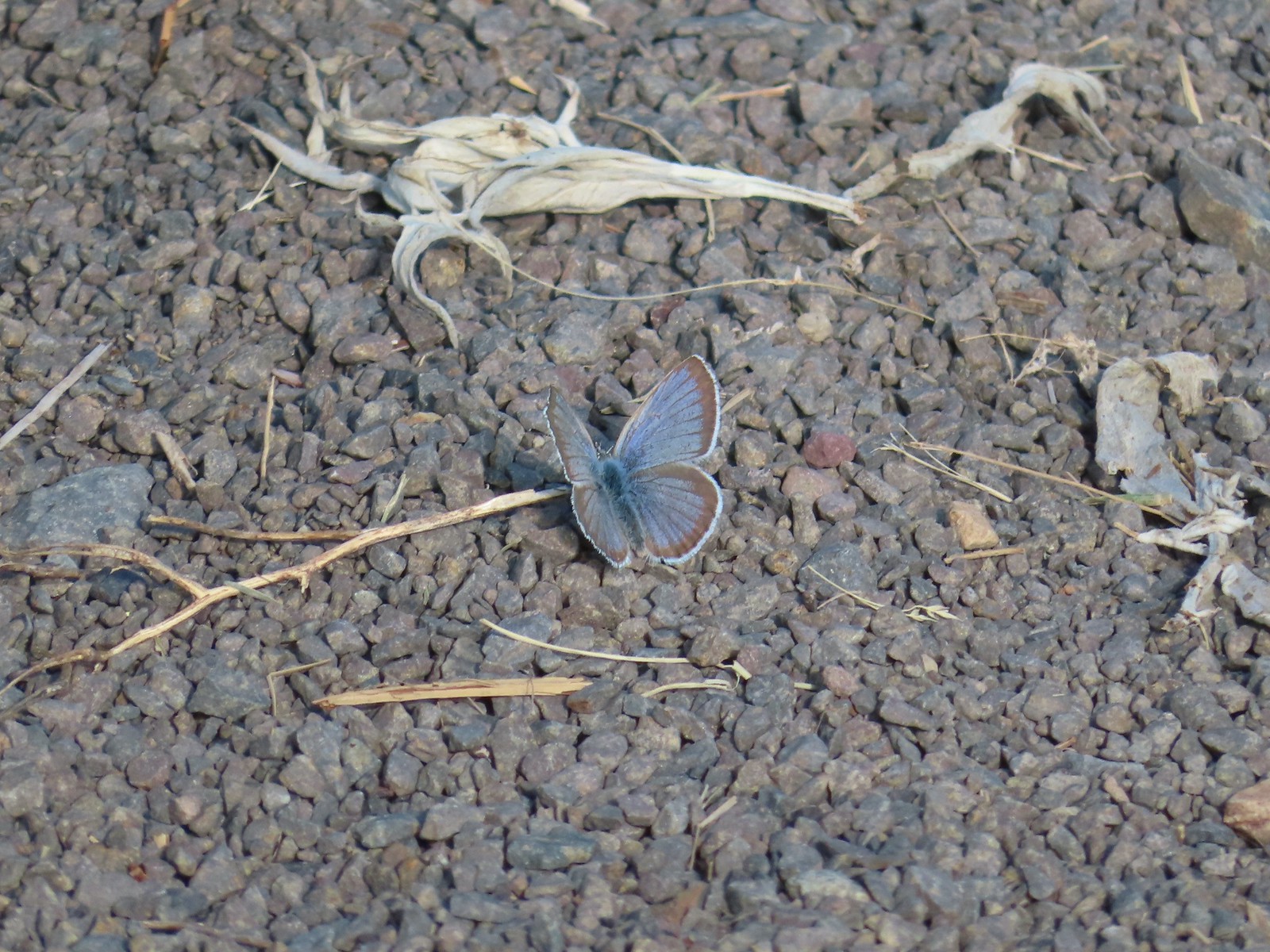 Butterfly on the trail.
 Western stoneseed

 Farmer’s Ditch
 View from the South Main Street Entrance.
 Passing back by Knight’s Pond.
 Some uplift action on the clouds from the trailhead.
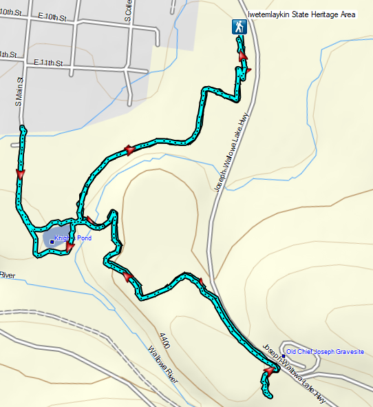
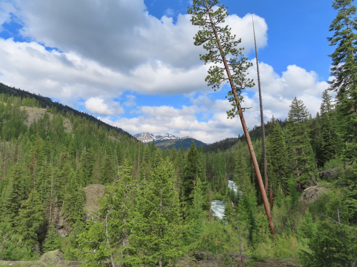
 Indian Crossing Trailhead
 Imnaha River at the trailhead.
 Jessica’s stickseed
 Hooked spur violet
 Woodland star
 Valerian
 Arnica

 Violets
 We passed a pack station in the forest on our right.
 Ballhead waterleaf
 Lupine along the trail
 Anemone
 Western meadowrue
 Paintbrush along the trail.
 Larkspur, lupine, and Jessica’s stickseed
 Chipmunk
 A nice patch of lupine.
 Snow patches high up on the ridge.
 The Imnaha River below the trail.
 One of many small unnamed stream crossings.
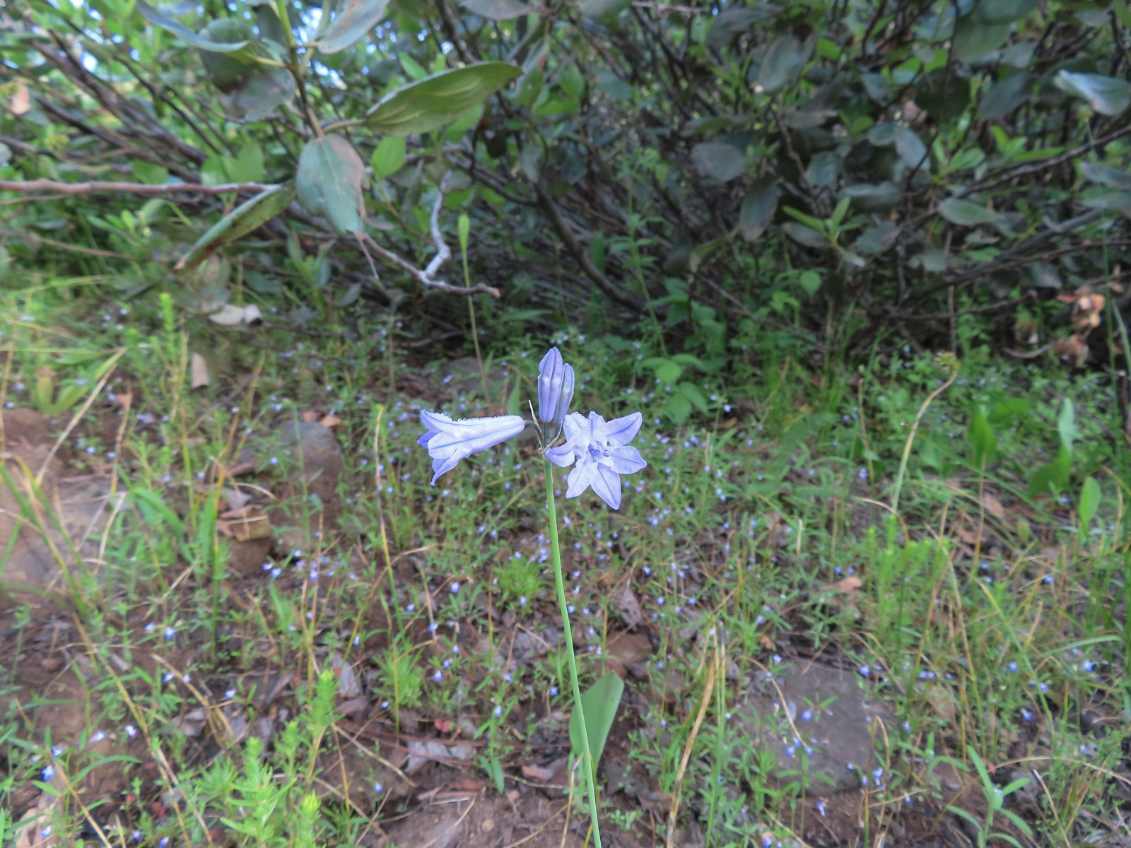 Large-flower triteleia
 A ponderosa pine that survived the fire.
 Robin
Robin One of several types of penstemon along the trail.
 We were just sure that there should be elk, deer, or a bear down along the river here.
 There were quite a few of these millipedes in the trail.
 In some cases the creeks had taken over the trail.
 Cinquefoil
 A brushy section of the trail.
 Tall bluebells
 Two-tailed tiger swallowtail


 Blue Hole, not exactly blue this time of year due to the amount of silty snowmelt water swelling the river.
 Wildflowers above the gorge.
 The Imnaha emerging from the gorge into Blue Hole.
 Arnica along the trail.
 Coming up on a small stand of aspen.
 A rockcress
 Juba skipper
 Roundleaf alumroot
 Painted lady on Oregon sunshine.
 Glacier carved rock outcrops provided some excellent views and good habitat for wildflowers.


 Scabland penstemon
 Paintbrush
 Not a flower but very colorful.
 Bush penstemon
 Western tanager
 Western blue clematis
 Brown creeper on a tree trunk.
 Left is Marble Mountain and to the right further back is Honeymoon Summit.
 Larkspur along the trail.
 Heartleaf springbeauty
 Another flooded section of a the trail.
 Western tiger swallowtails on chokecherry.
 Dreamy duskywing
 Threeleaf lewisia
 We were too late for the Brown’s peony blooms.
 Balsamroot and paintbrush
 On the opposite side, with a series of drops, is Rock Creek flowing into the Imnaha.
 The Imnaha River leaving the gorge.
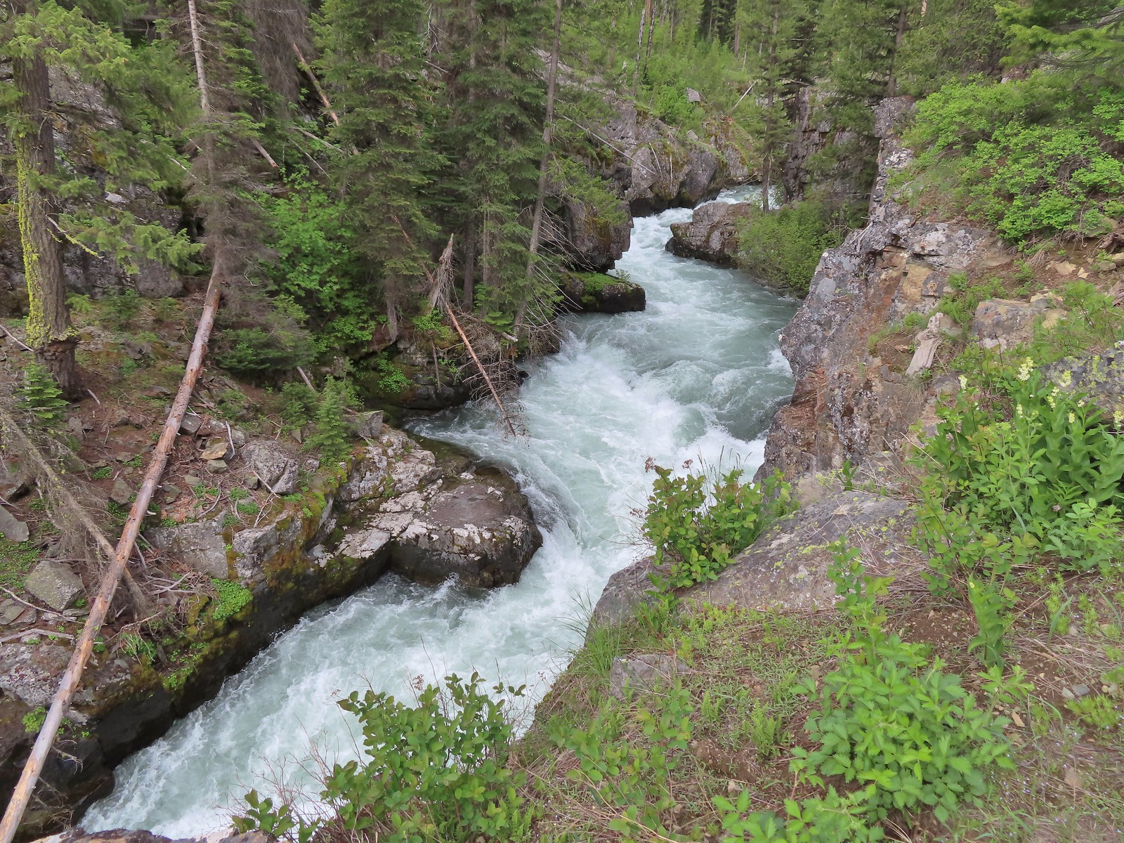
 Rock Creek cascading down through the forest.
 Another creek cascading down.
 Marble Mountain
 Twinberry honeysuckle
 Marsh violet
 Rock outcrop above Imnaha Falls
 I tried going down river first to see if I could get a view back up to the falls, but the water level was into the brush along the riverbank.
 The falls were just upriver from this bench with a couple of campsites.
 The gap in the outcrop.
 Imnaha Falls.
 Utah honeysuckle
 Bee on a dandelion
 Nettle-leaf giant hyssop
 Slender phlox
 Silverleaf phacelia
 Vetch
Vetch
 Osprey, the fishing here must have been good because we’d seen a bald eagle in this area in the morning.
 Fairy slipper
 Arriving back at the trailhead.
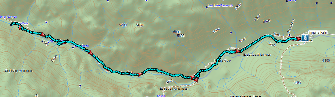


 The parking area at the trailhead.
 Signboards at the trailhead.
 Trail map.


 Lake Wallula from the footbridge.
 Eastern kingbird near the boat ramp.
 Post ahead marking the junction with the Lewis and Clark Trail. There is also a deer below the cliffs ahead.
 Zooming in on the doe.
 Lake Wallula
 Raven with an egg it had snatched from some other bird.
 Broad-leaved pepperweed (invasive)
 Initially there were some houses on the left, but they gave way to the Wanaket Wildlife Area.
 Most of the balsamroot was long past done but a few late blooms remained.
 Dove
Dove A fleabane
 Swallow
 Patterns on Lake Wallula
 Western meadowlark signing from atop the cliffs.
 Sign for the Wanaket Wildlife Area
 Lark sparrow
 Box Canyon
 There were a couple of small hills but over all very little elevation gain.
 Another western meadowlark.
 Cormorant
 Mallard
 Showy milkweed and a bunch of bees.
 Trail sign near McNary Beach
 Our rest stop.
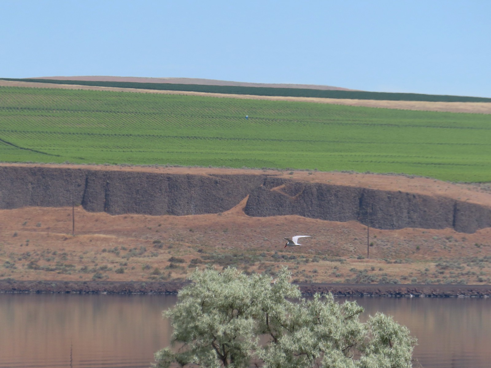 Caspian tern
 Hawk
Hawk Gray hairstreak on tall tumblemustard
 Becker’s white also on tall tumblemustard.
 Boat Rock to the left and behind Hat Rock from the Lewis and Clark Trail.

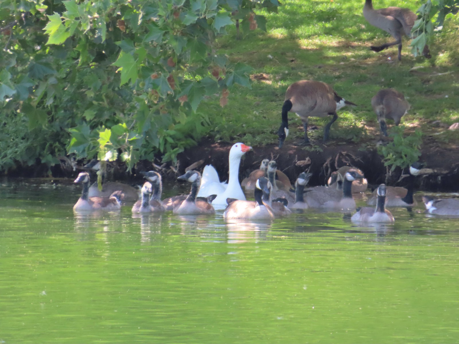 One of these is not like the others.


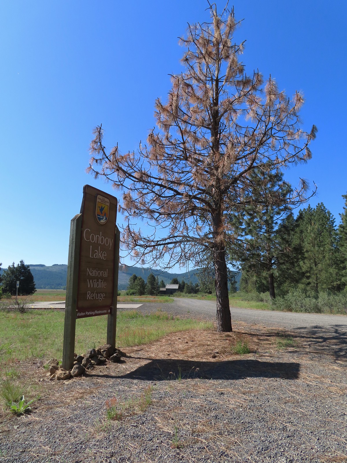
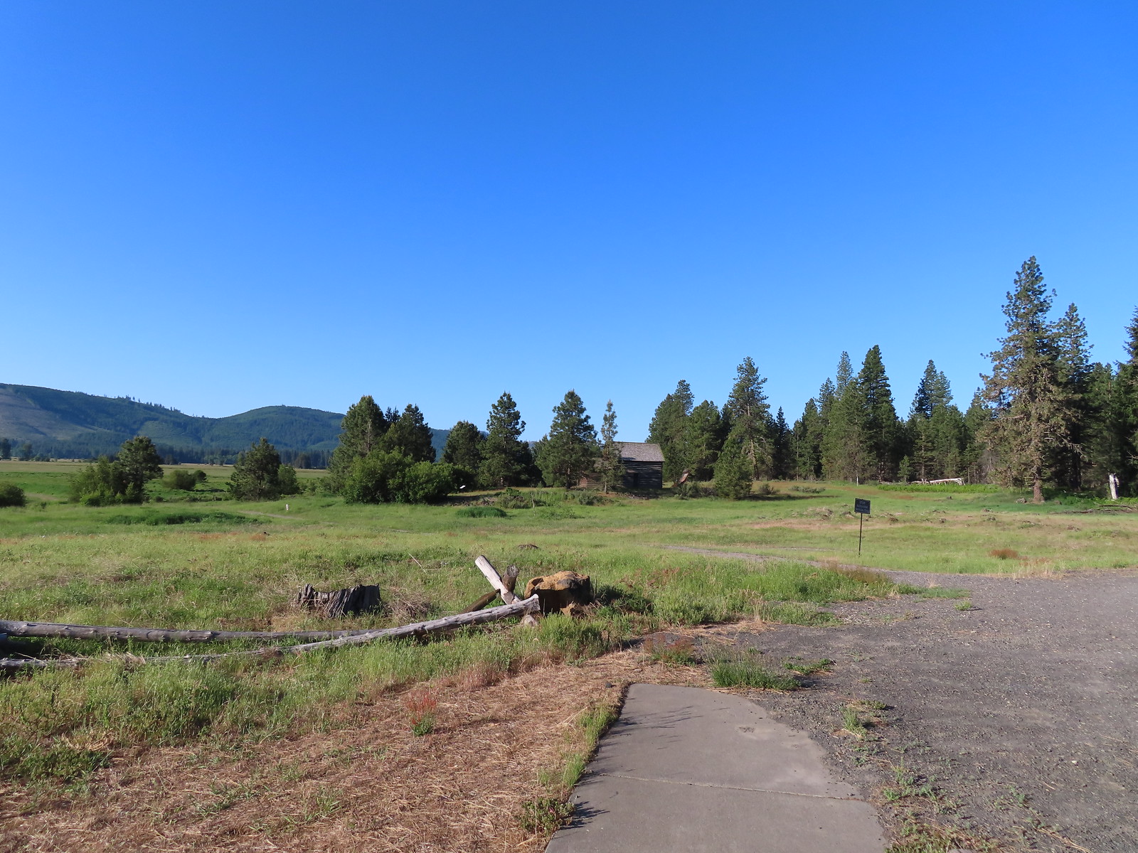
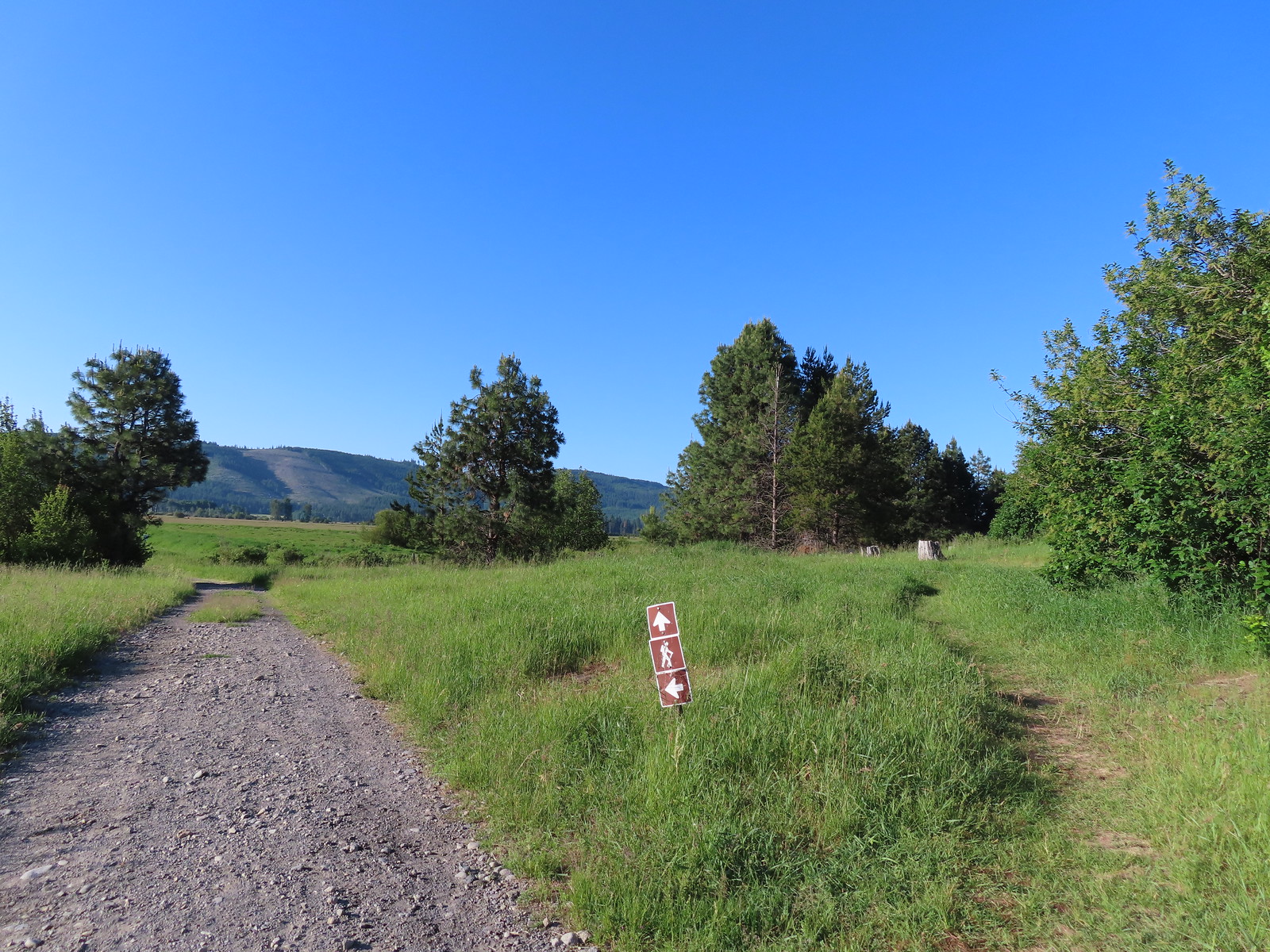 The path to the cabin on the right.
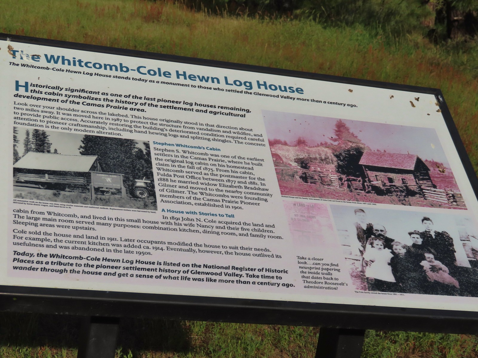 Built in 1875 the cabin was moved from its original location in 1987.

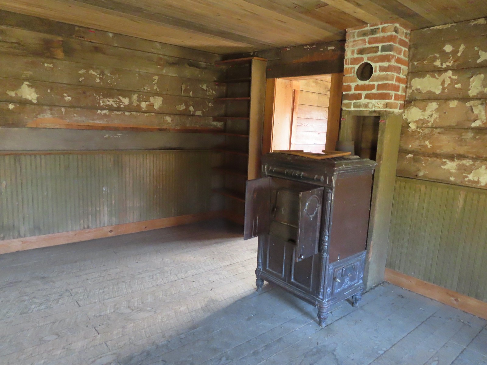
 The snowy top of Mt. Hood from the cabin.

 There was a lot of monkeyflower in and along the ditch.
 Lupine along the ditch.
 Lazuli bunting
 Robin
Robin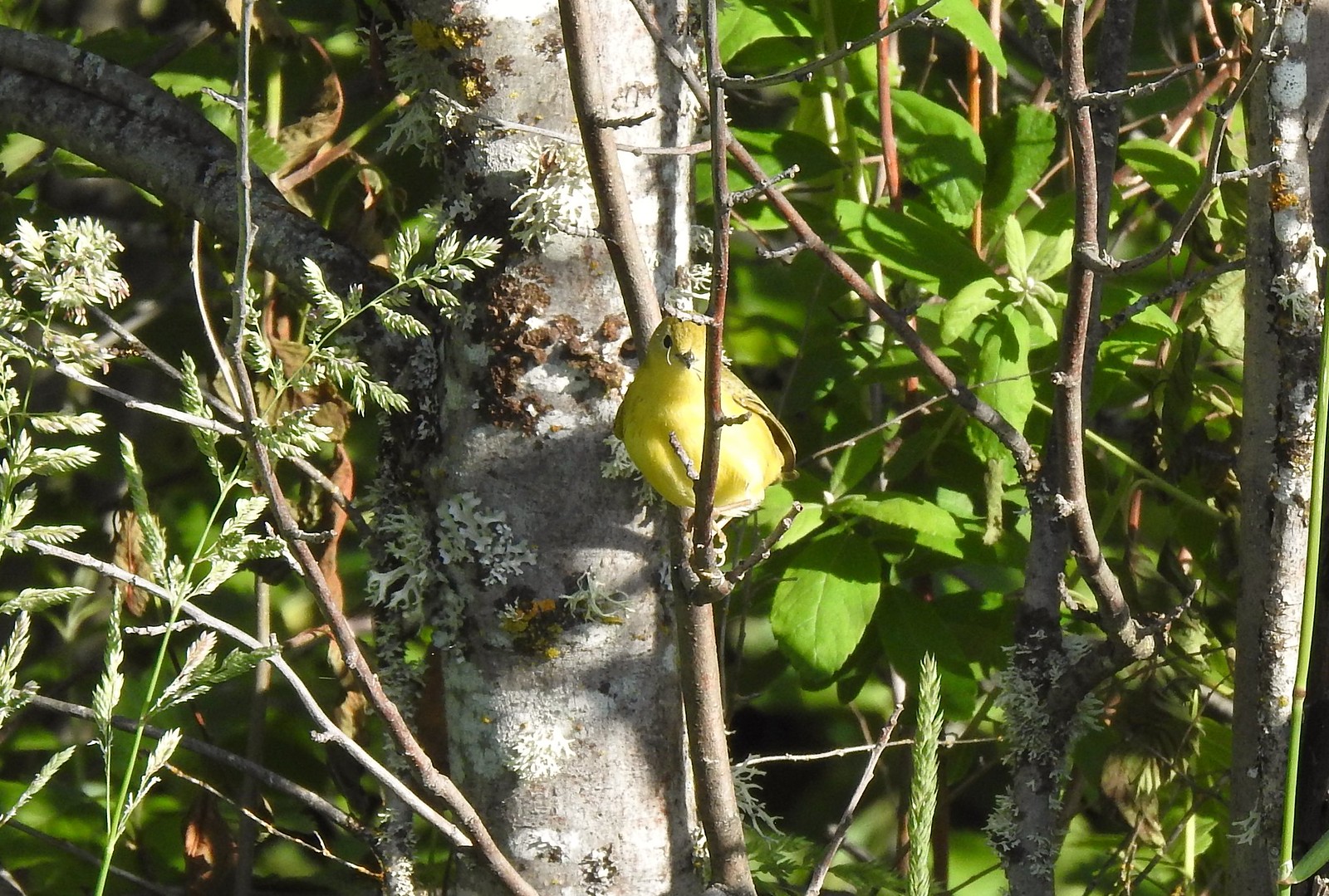 Yellow warbler (according to the Merlin app).
 Red-winged blackbird
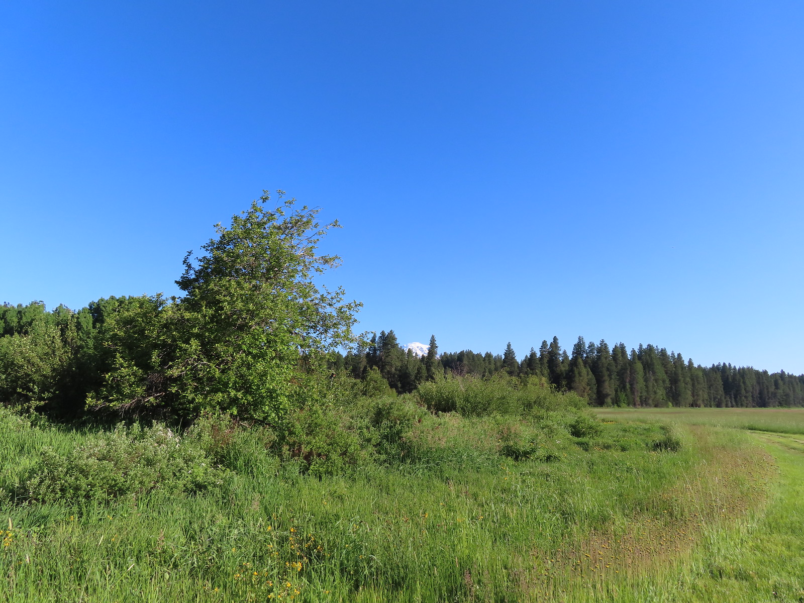 The top of Mt. Adams above the trees.

 Swallow
 Western bluebirds

 Honeysuckle
 Columbine
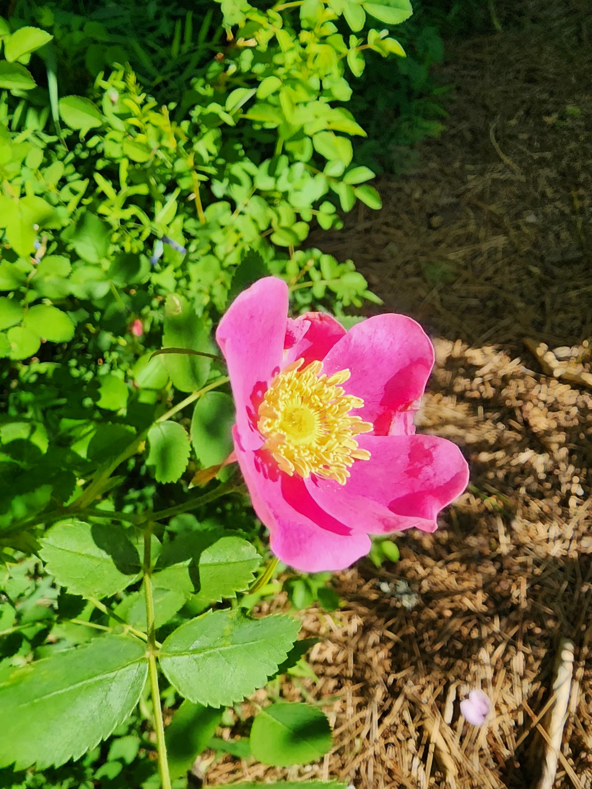 Rose
Rose

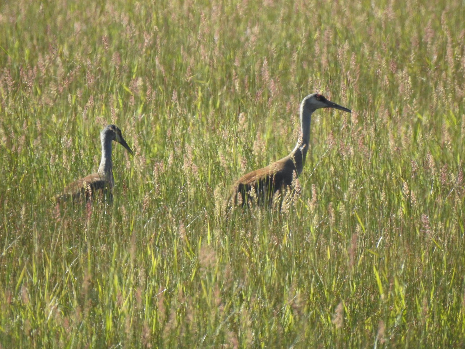


 Continuation of the Willard Springs Trail behind the sign.


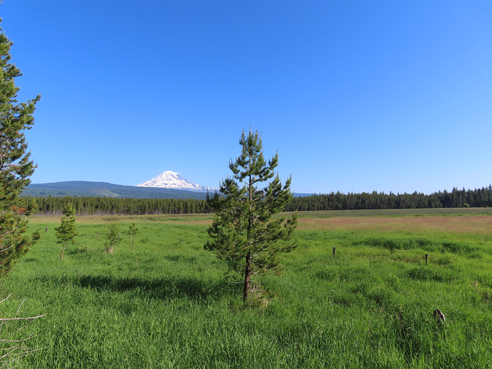

 We hung around long enough that this warbling vireo came to check on us.
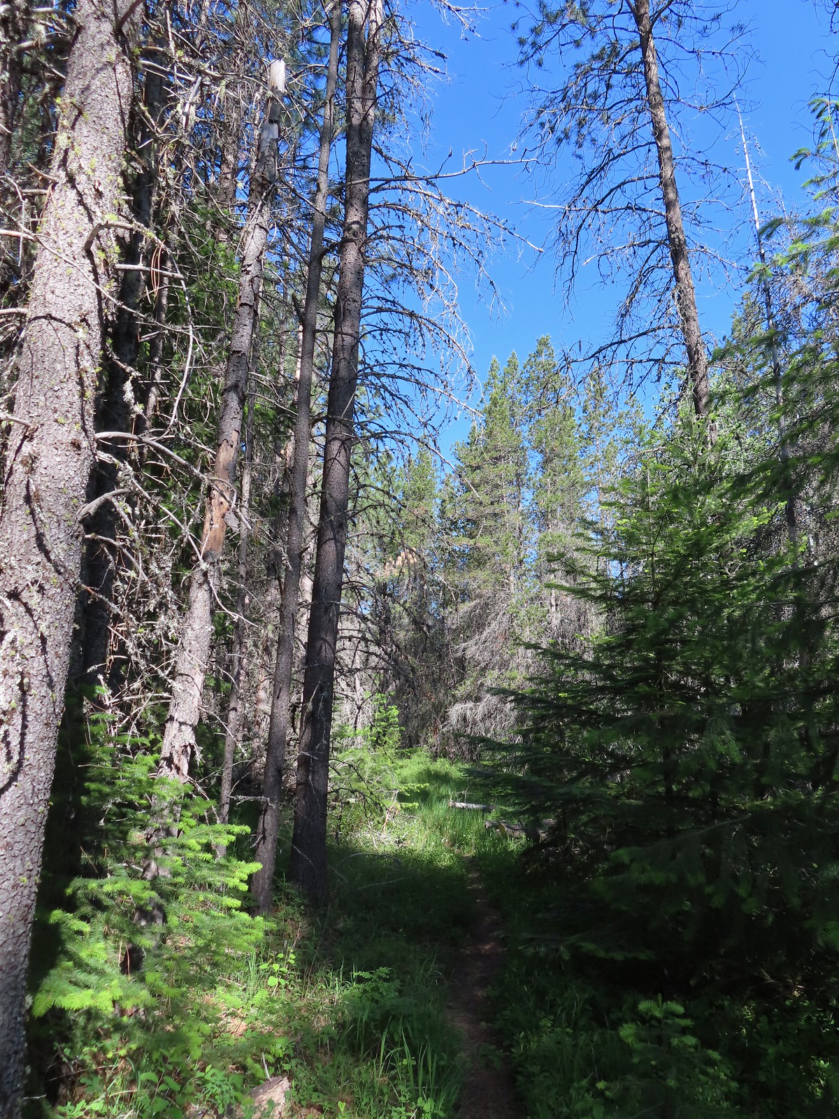
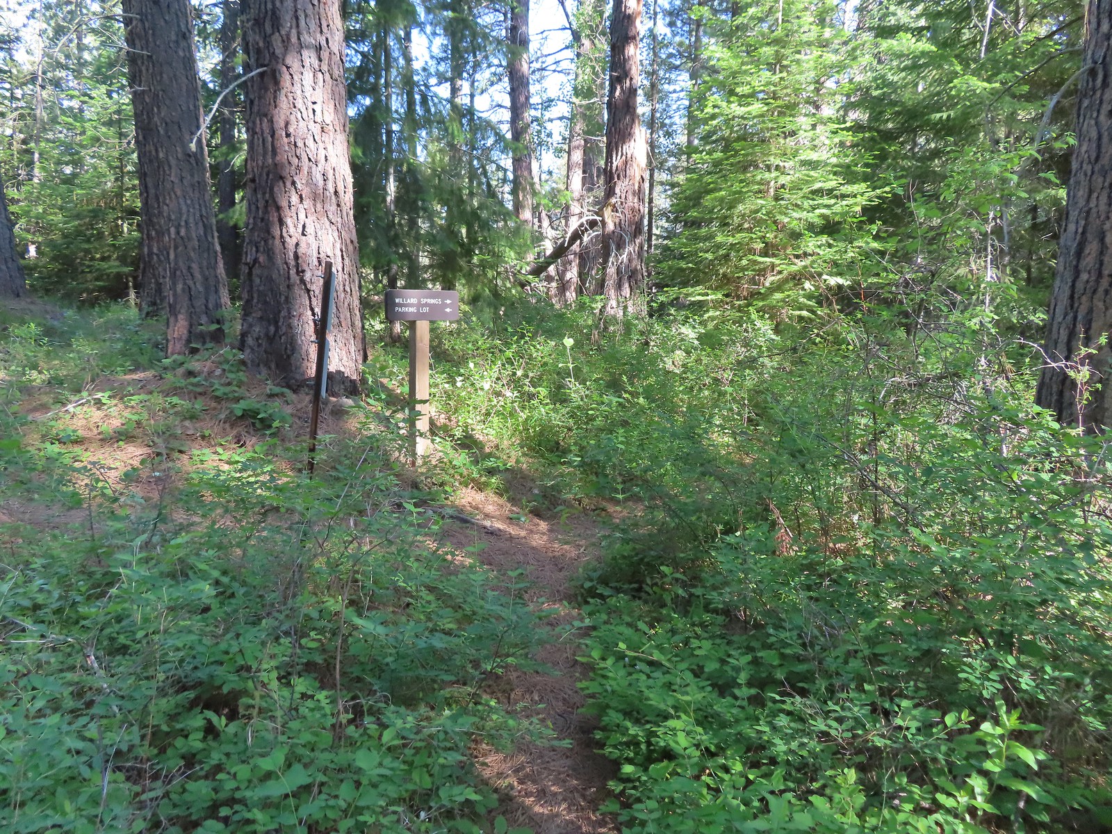


 Willard Sprins hidden in the vegetation. We could hear them better then we could see them.
 A healthy lupine near the springs.
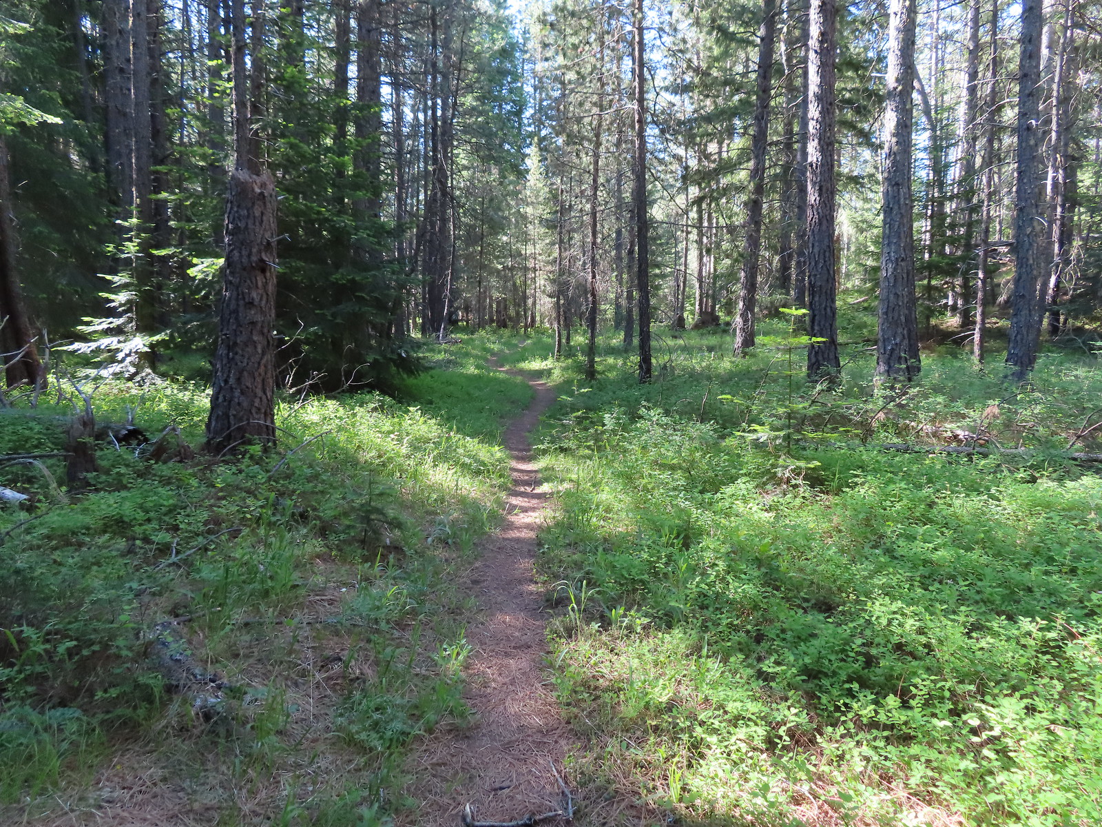
 Cat’s ear lily
 Hitchhiker
 Lupine along the trail.
 Golden-mantled ground squirrel
 Swallowtail
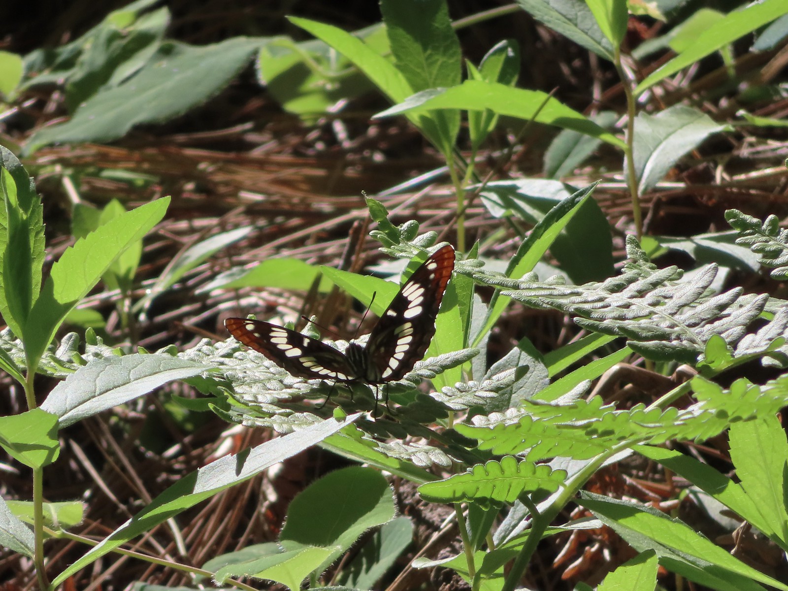 Lorquin’s admiral
 Arriving back at the refuge headquarters.
 Trail map at the trailhead.
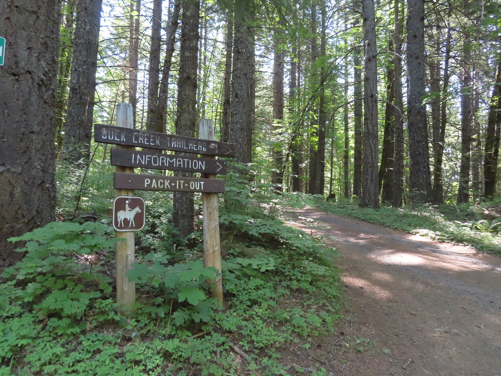


 There were lots of phantom orchids blooming along the lower sections of the hike.
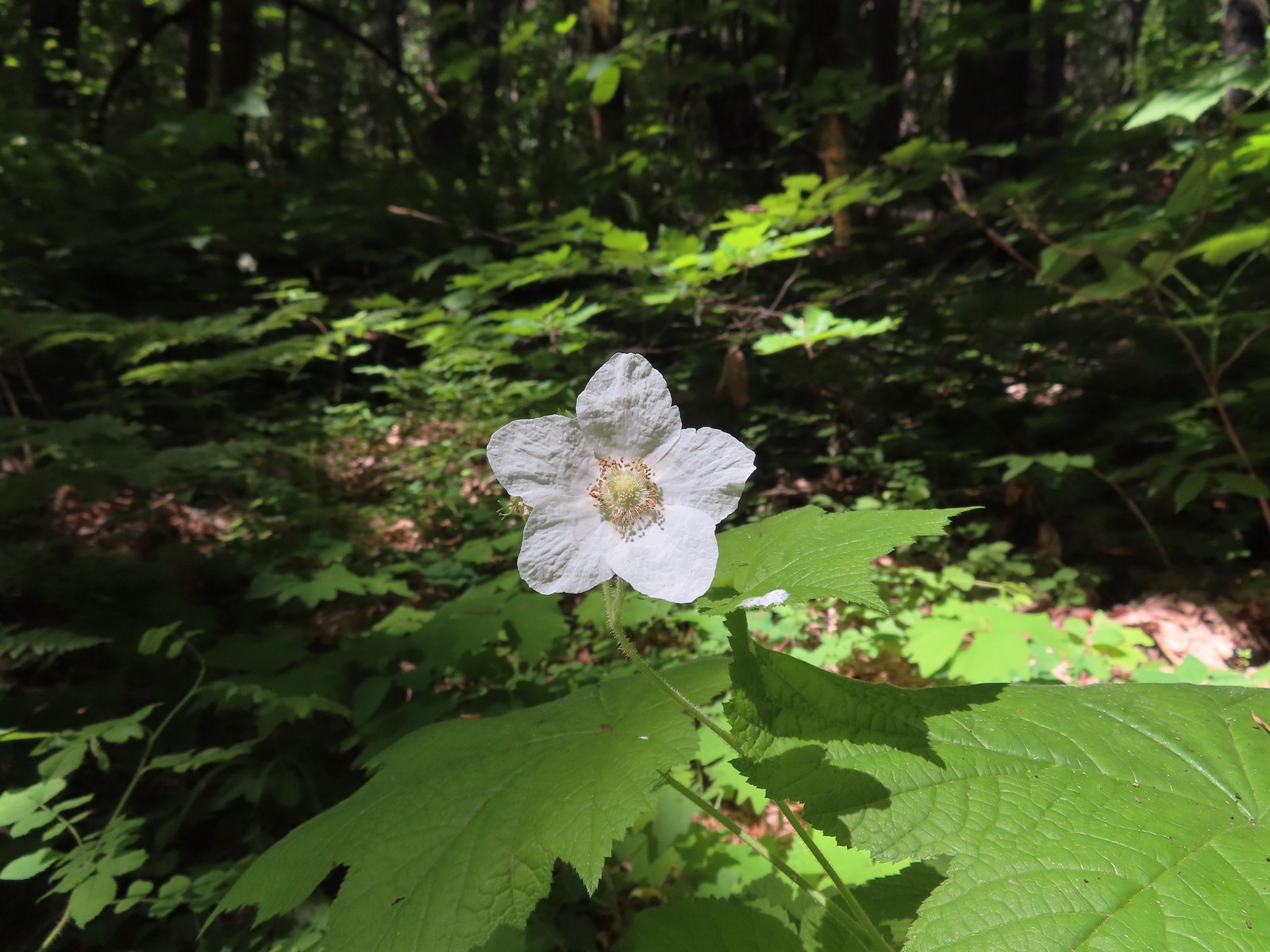 Thimbleberry
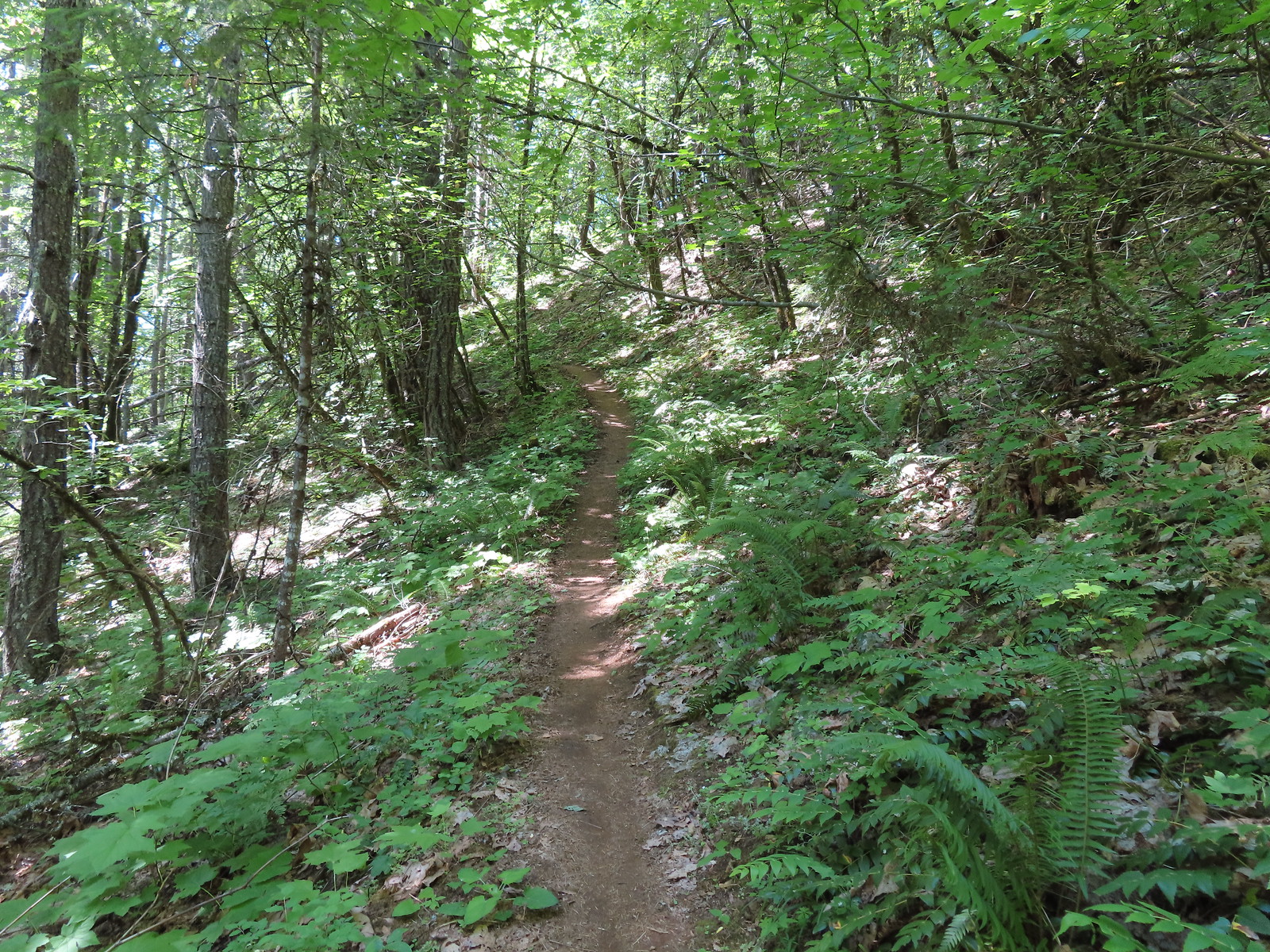
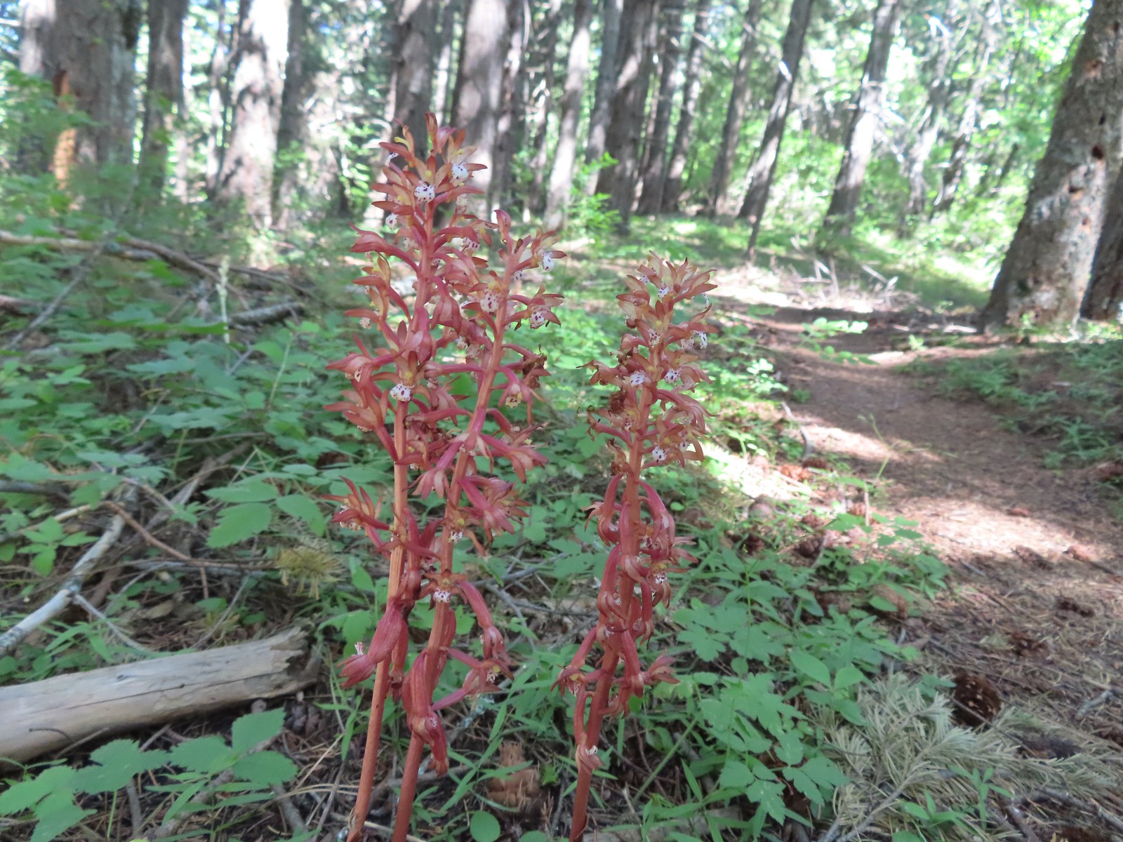 Spotted coralroot was also plentiful.
 Wallflower


 One of only two trees that were down over the trail, both were easily manageable.
 The one small stream crossing.
 There was enough sunlight getting through to really heat up the trail.
 While there wasn’t much there we did occasionally see poison oak throughout most of the lower 2/3rds of the hike.
 Sign above the switchbacks warning mountain bikers that they were ahead.
 Buck Creek Trail to the left near the roads end.
 More spotted coralroot.

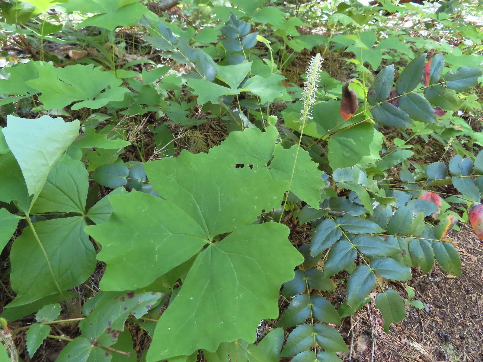 Vanilla leaf
 Queen’s cup
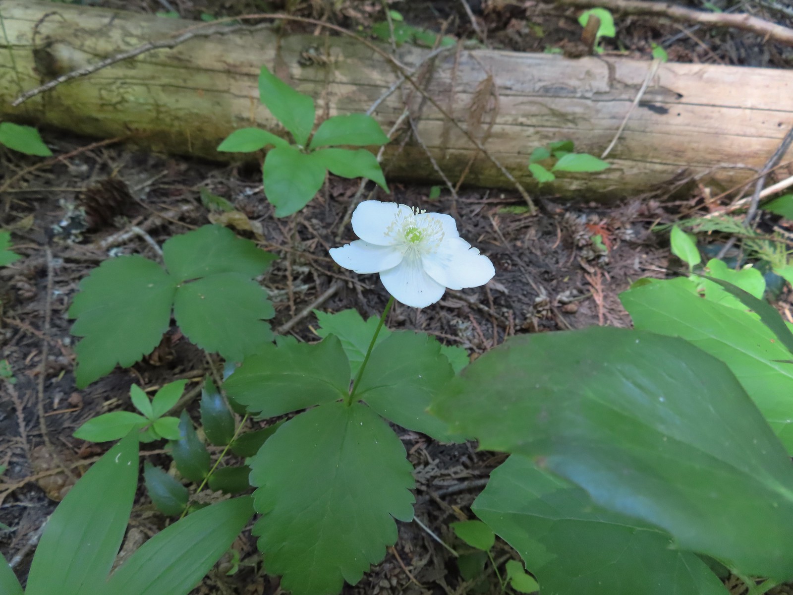 Anemone
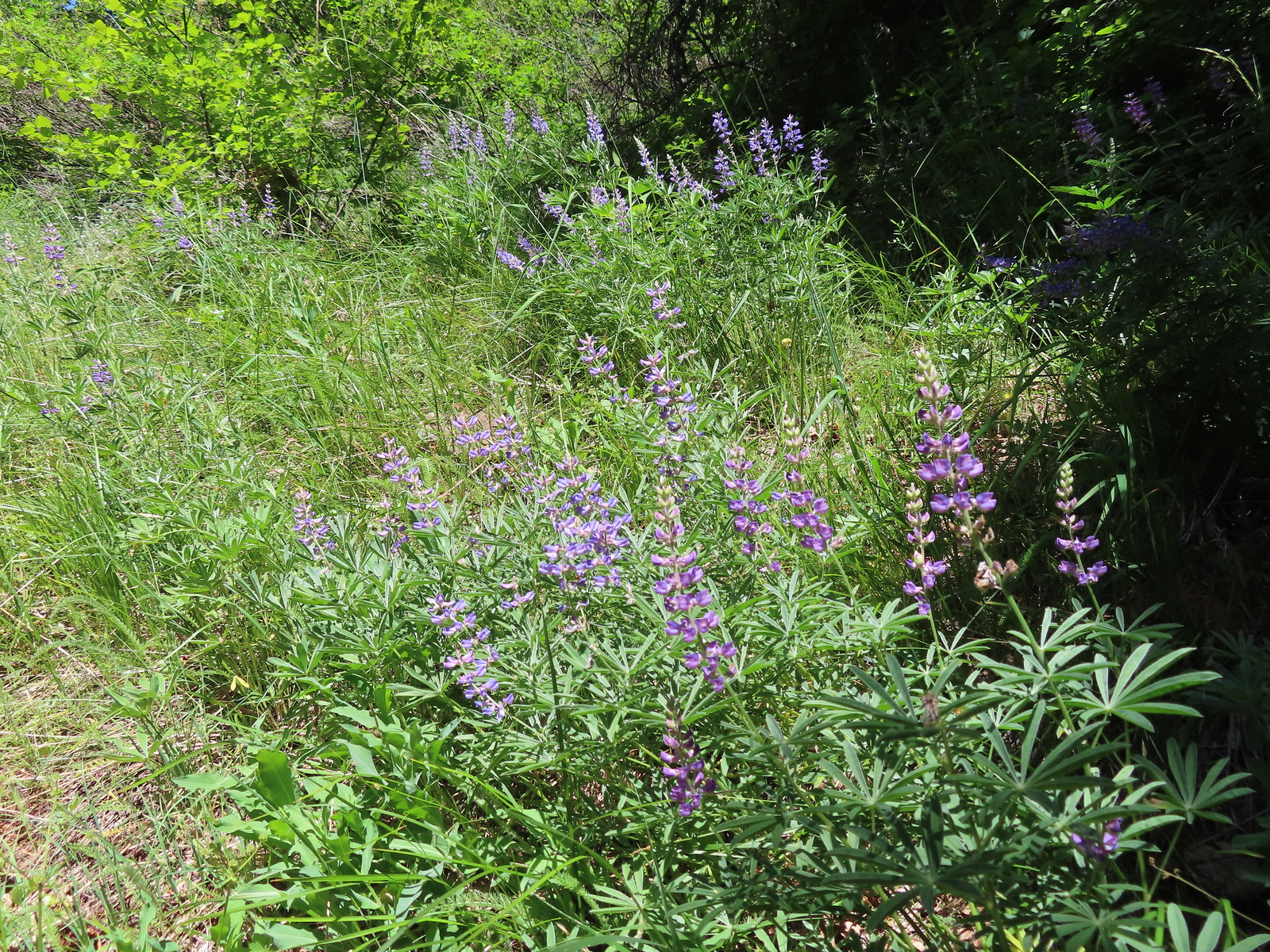 Lupine
 Mt. Hood from the Buck Creek Trail.
 Mt. Hood
 Cedar hairstreak on yarrow.
 Paintbrush, lupine, penstemon, and balsamroot.
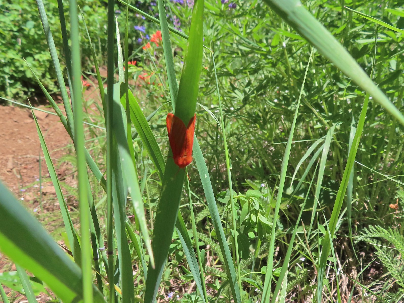 Moth
Moth Penstemon
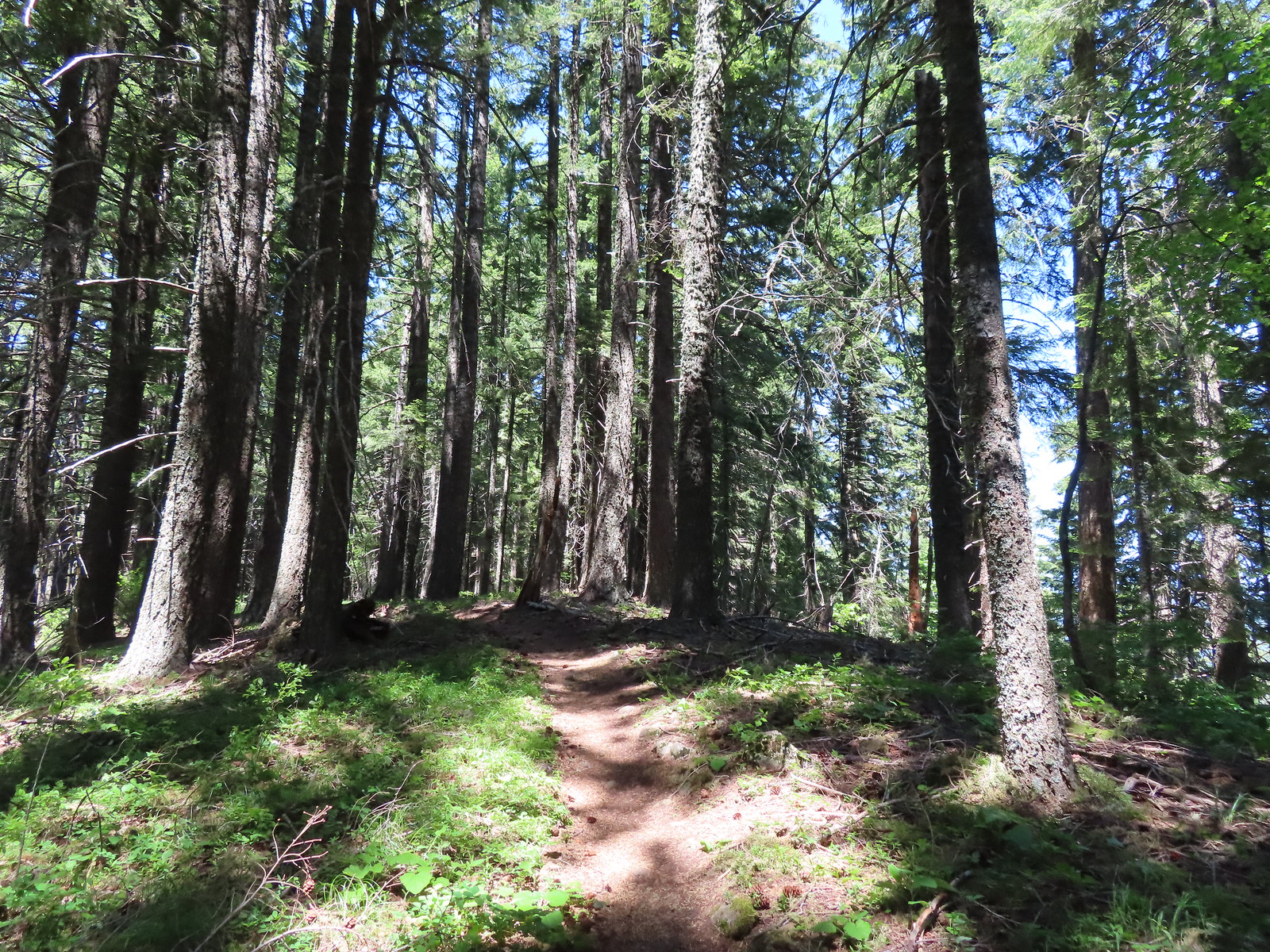 Gaining the ridge.
 Paintbrush
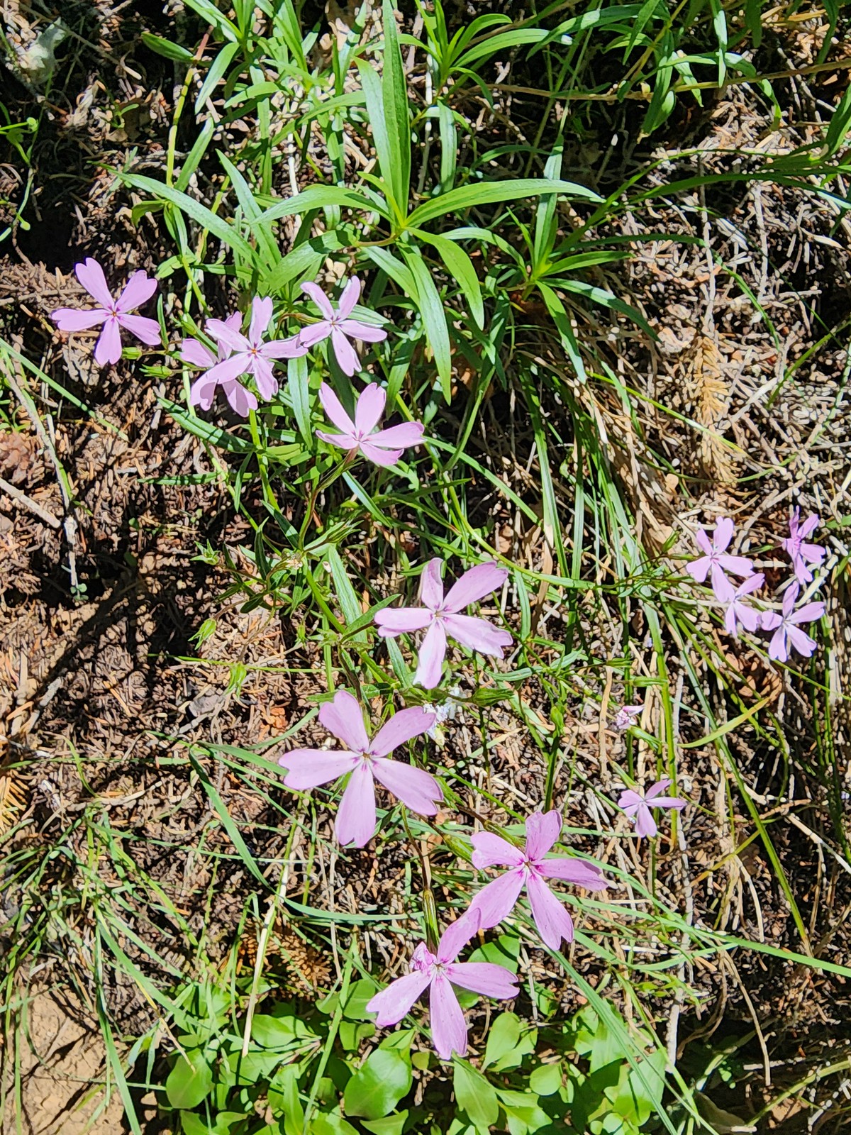 Showy phlox
 Approaching the start of the final climb.
 Sub-alpine mariposa lily
 Showy phlox
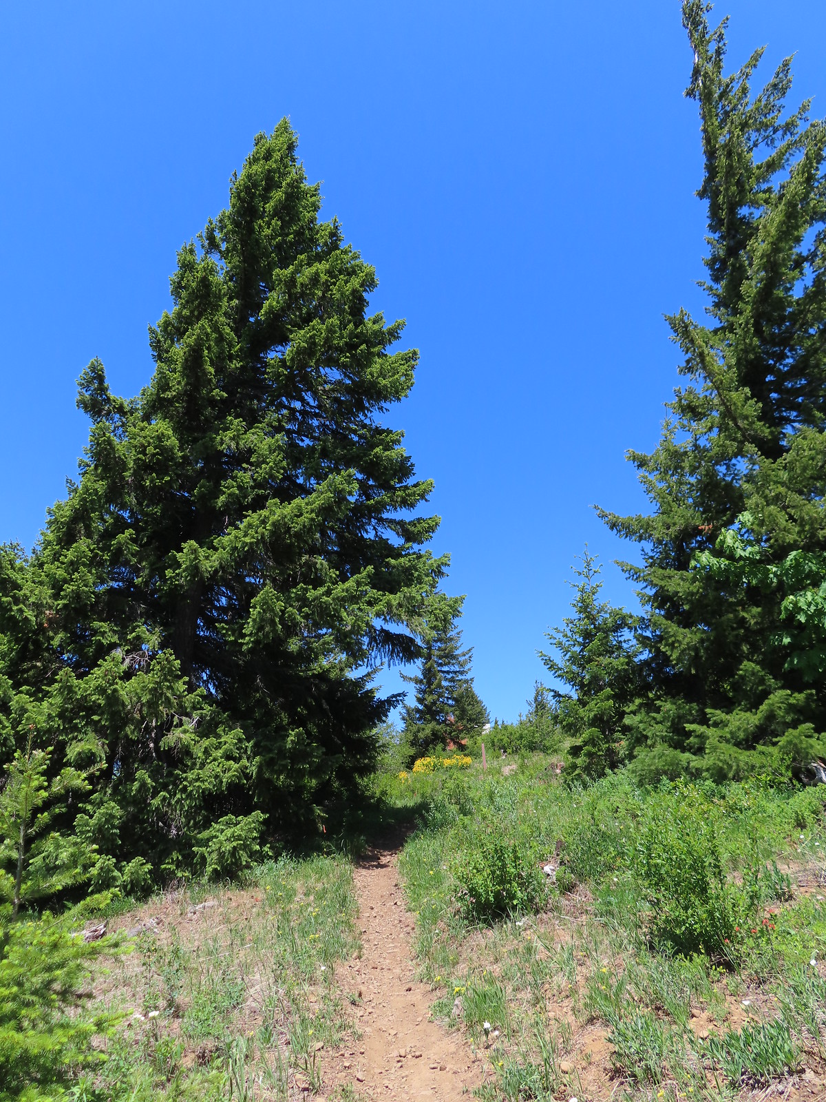
 Road N-1600.

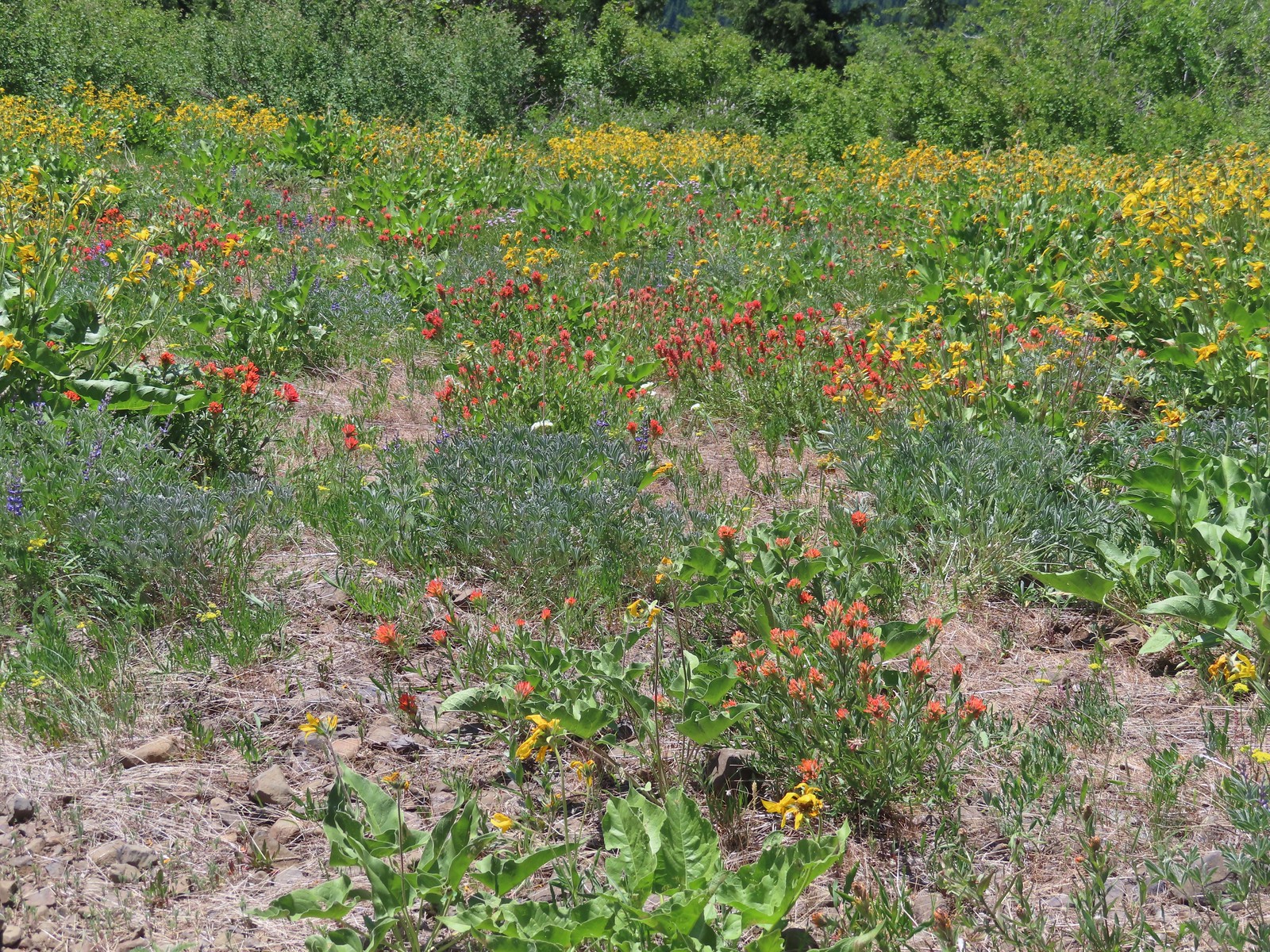
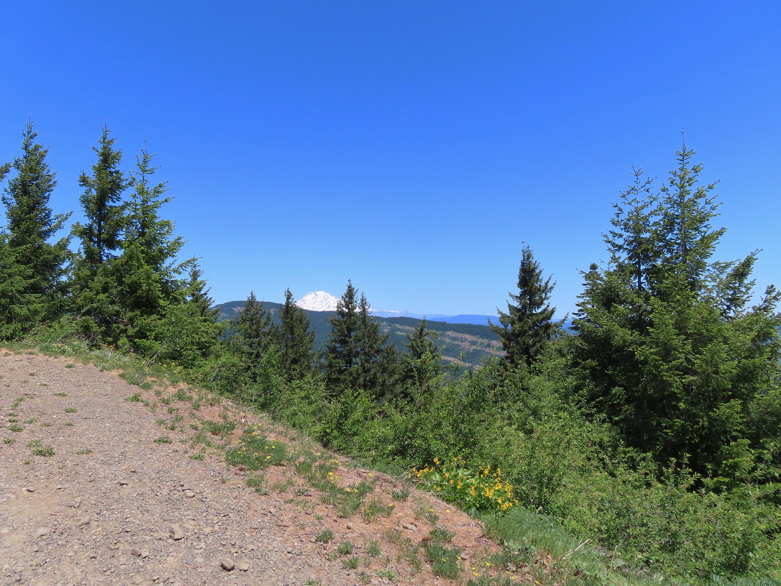
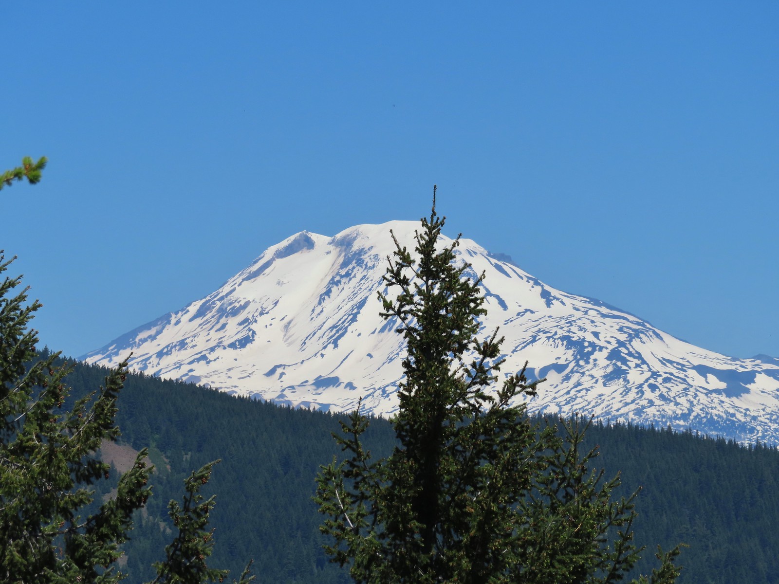

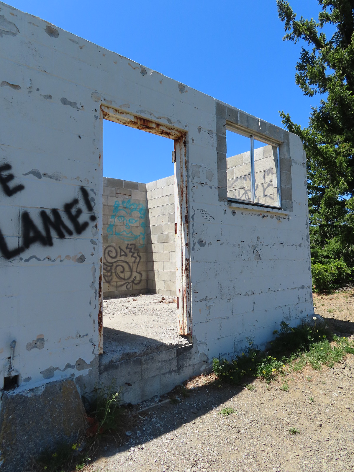 Unfortunate amount of graffiti on the old shed.
 Mt. Hood and balsamroot.
 Mt. Hood
 Oregon sunshine
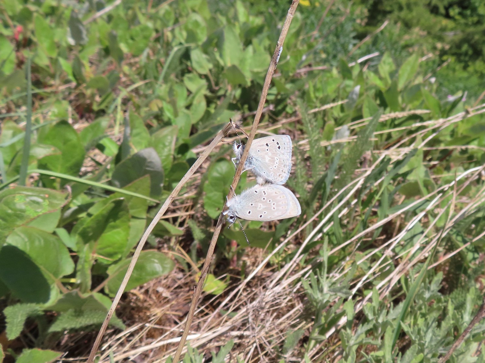 Boisduval blues
 Duskywing
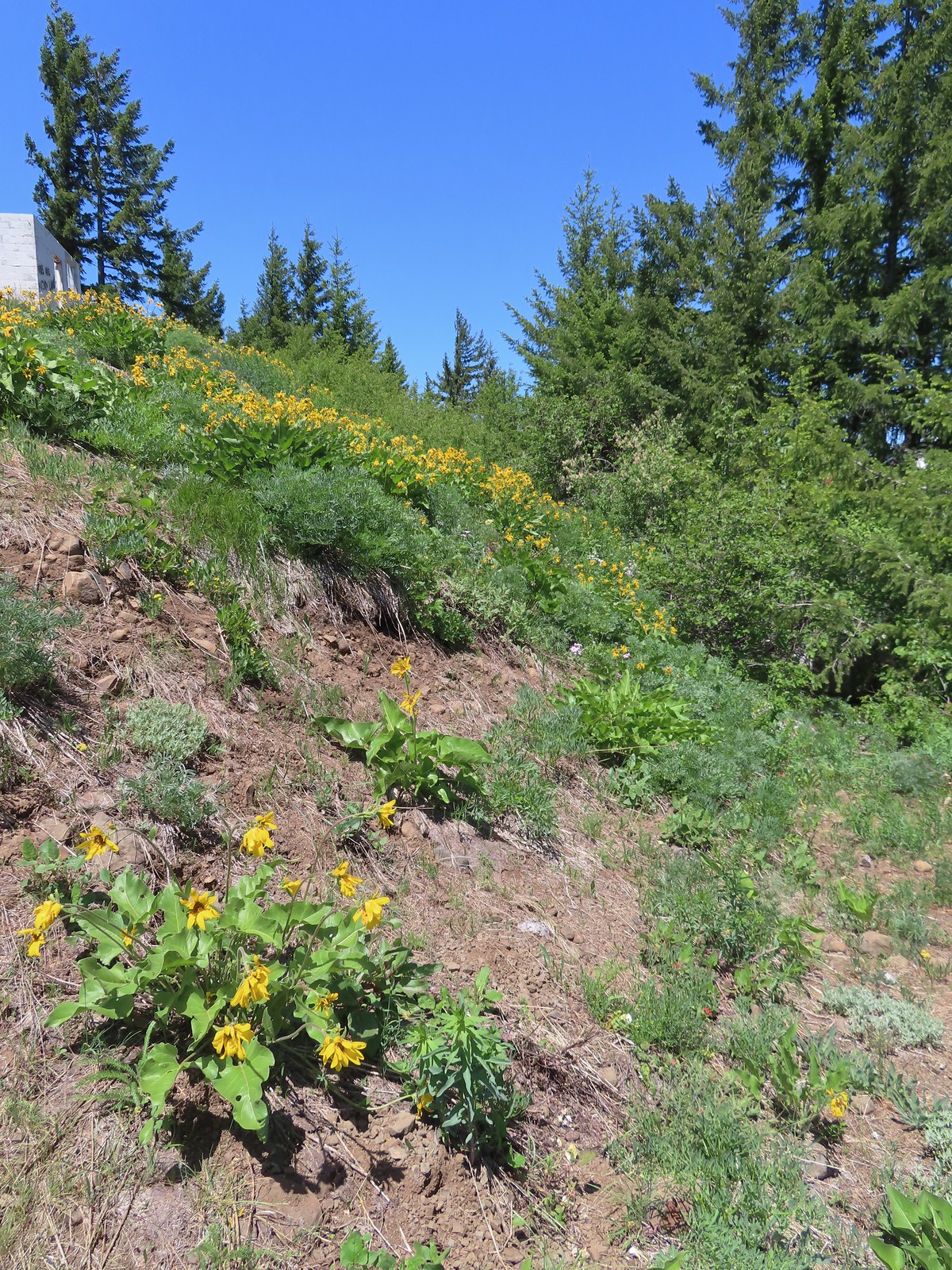 Balsamroot
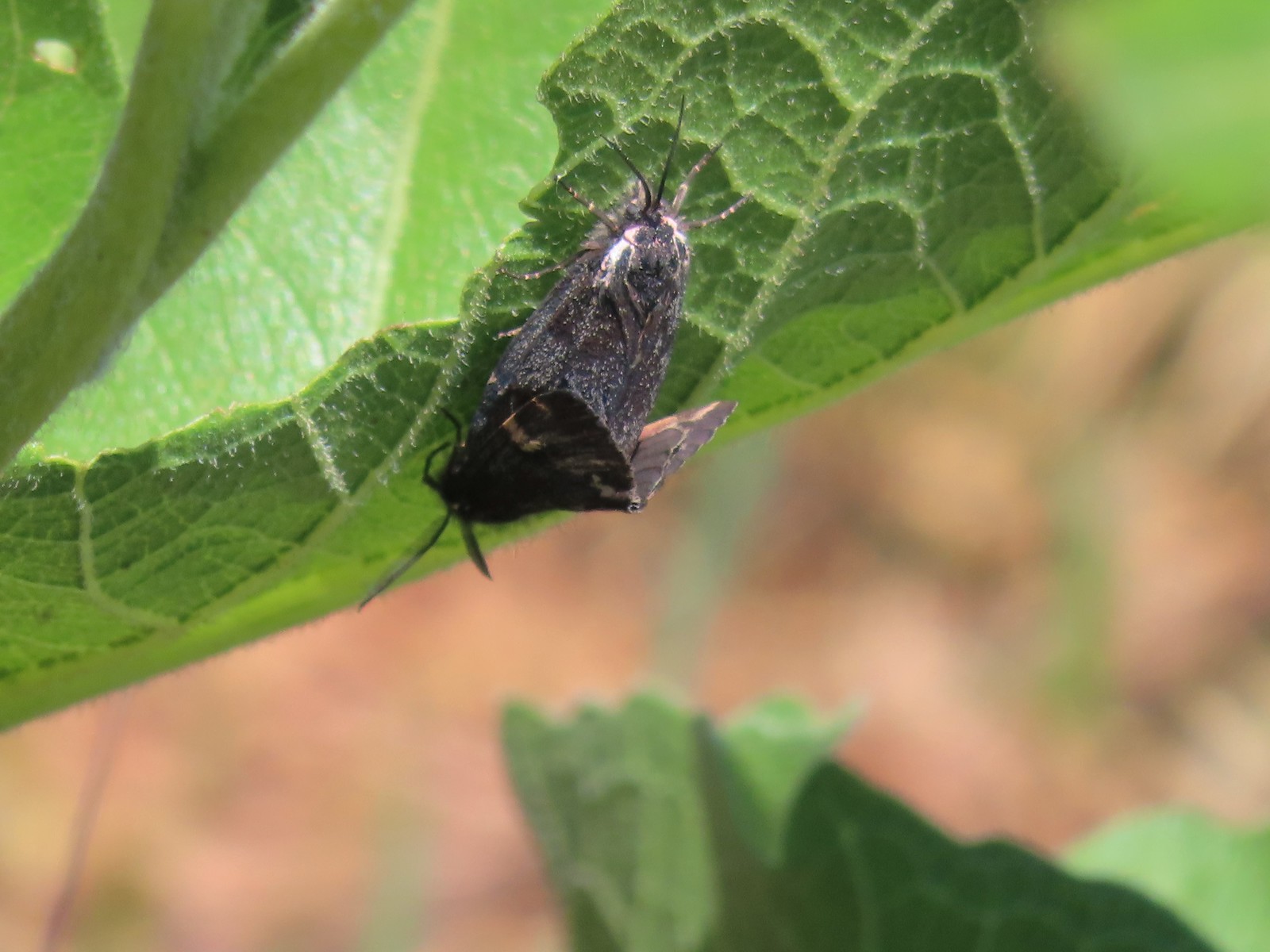 Moths
Moths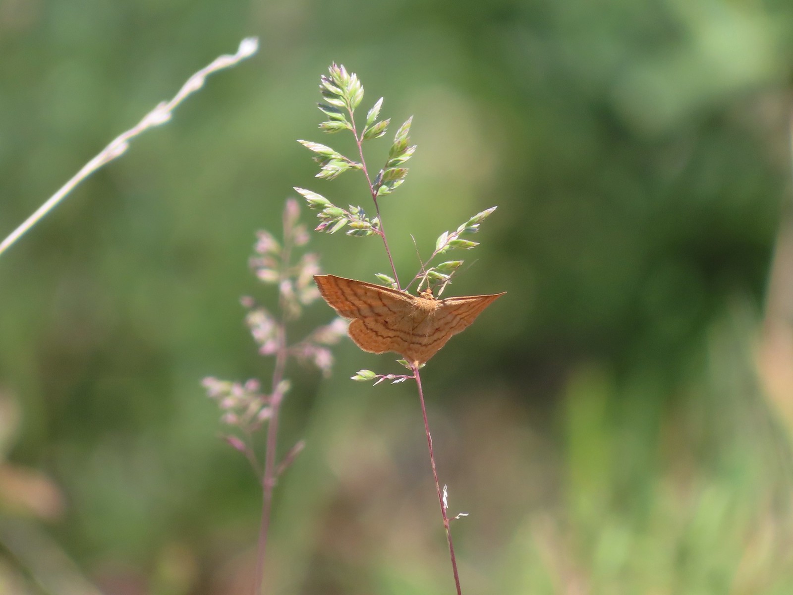 Moth
Moth Lupine
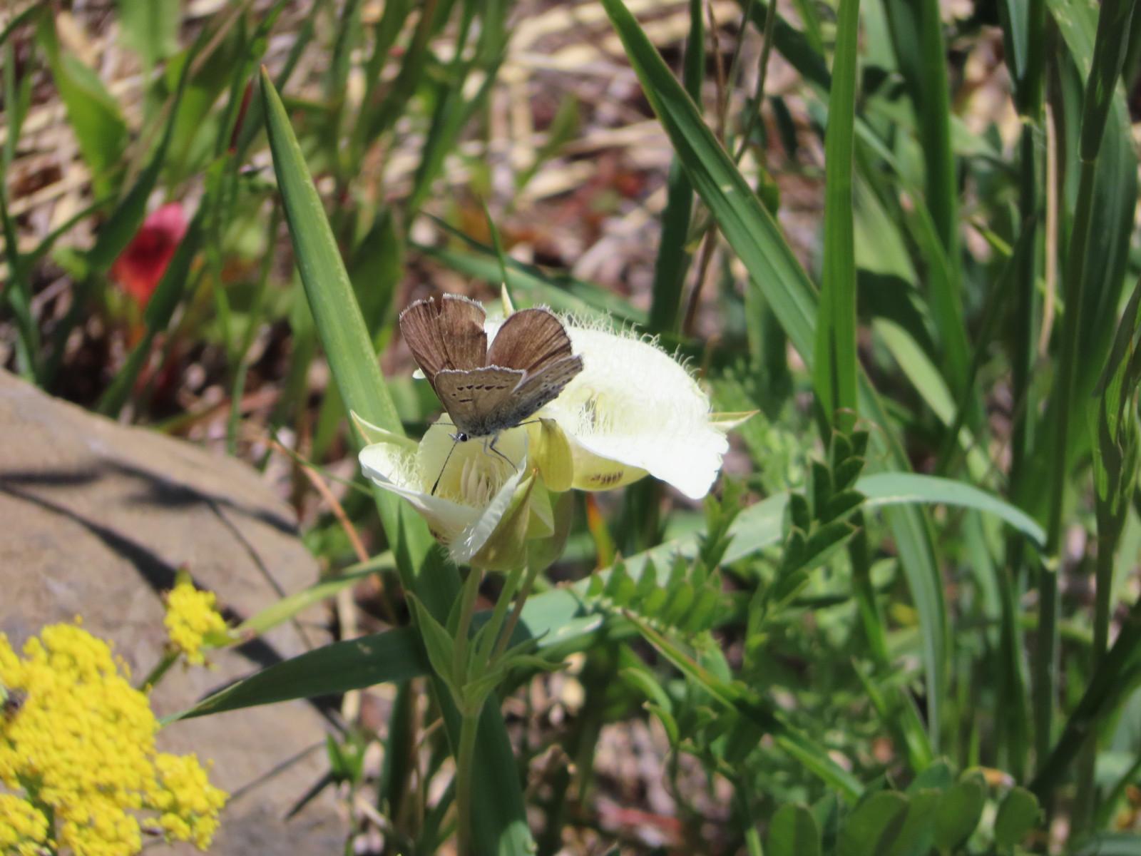 Butterfly on cat’s ear lily.
 Woodland stars
 Paintbrush
 Blue-head gilia
 Ookow
Ookow Winecup clarkia
 Mountain lady slipper
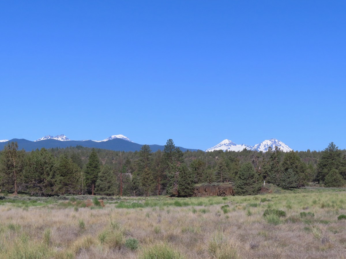

 Mt. Bachelor (
 The start of the Juniper Loop.
 Similar to the Metro Parks we’ve recently visited there were small maps on the trail pointers here.
 Middle and North Sister
 Blurry shot of the deer.
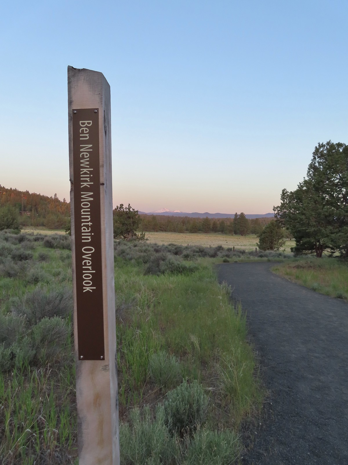
 Mt. Bachelor, Broken Top, and the Three Sisters.
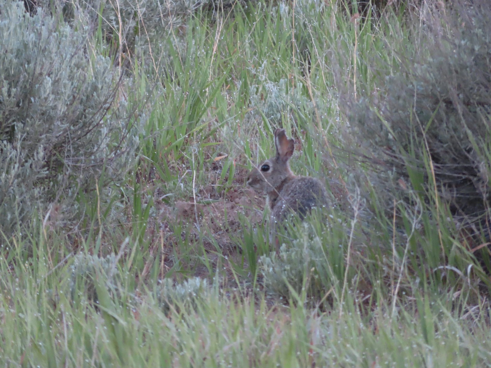 Rabbit
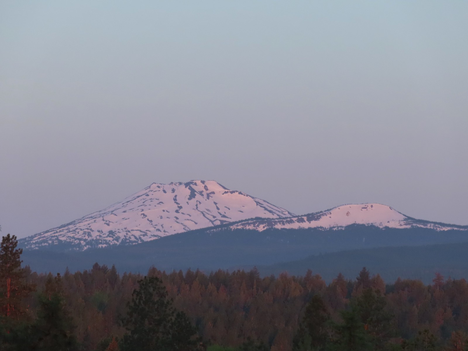 Mt. Bachelor and Tumalo Mountain (
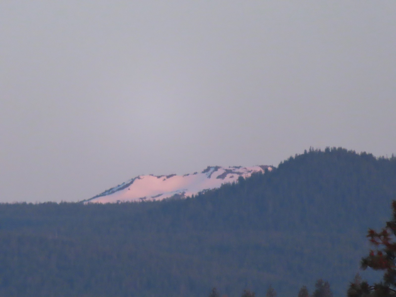 Ball Butte
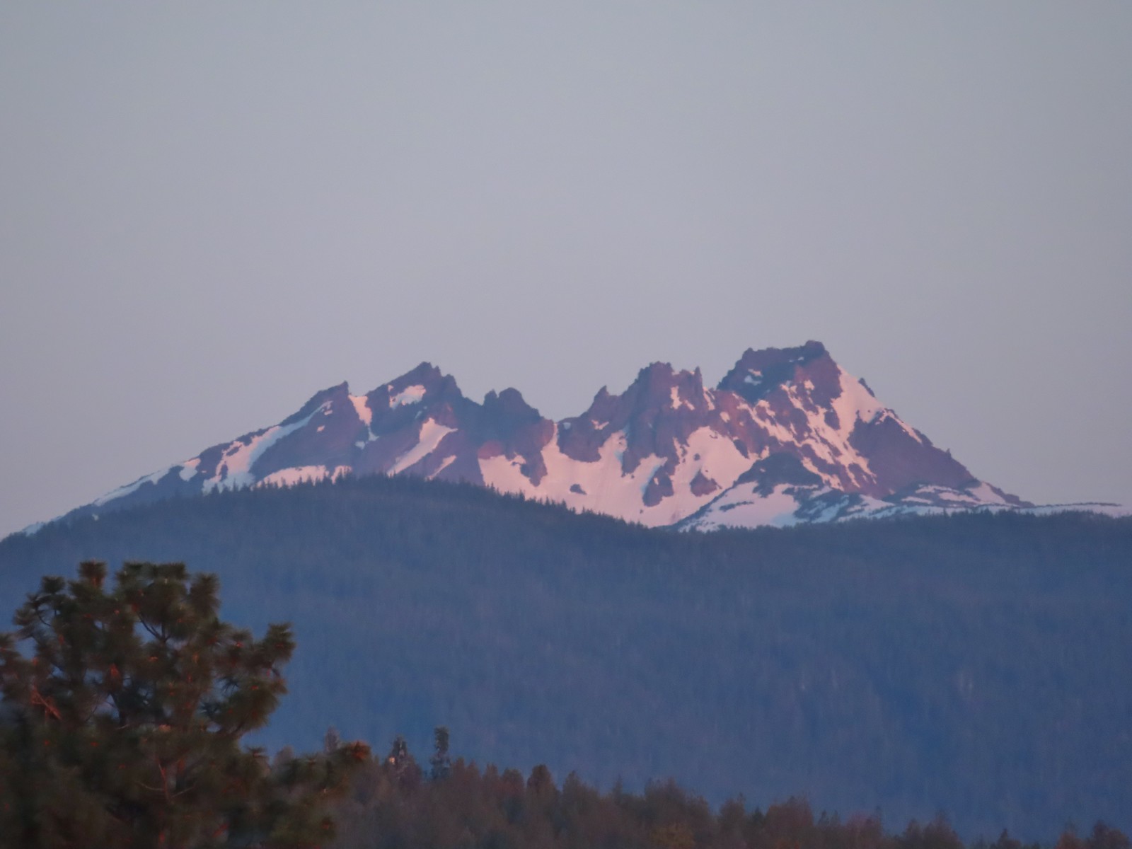 Broken Top (
 South Sister (
 Middle and North Sister
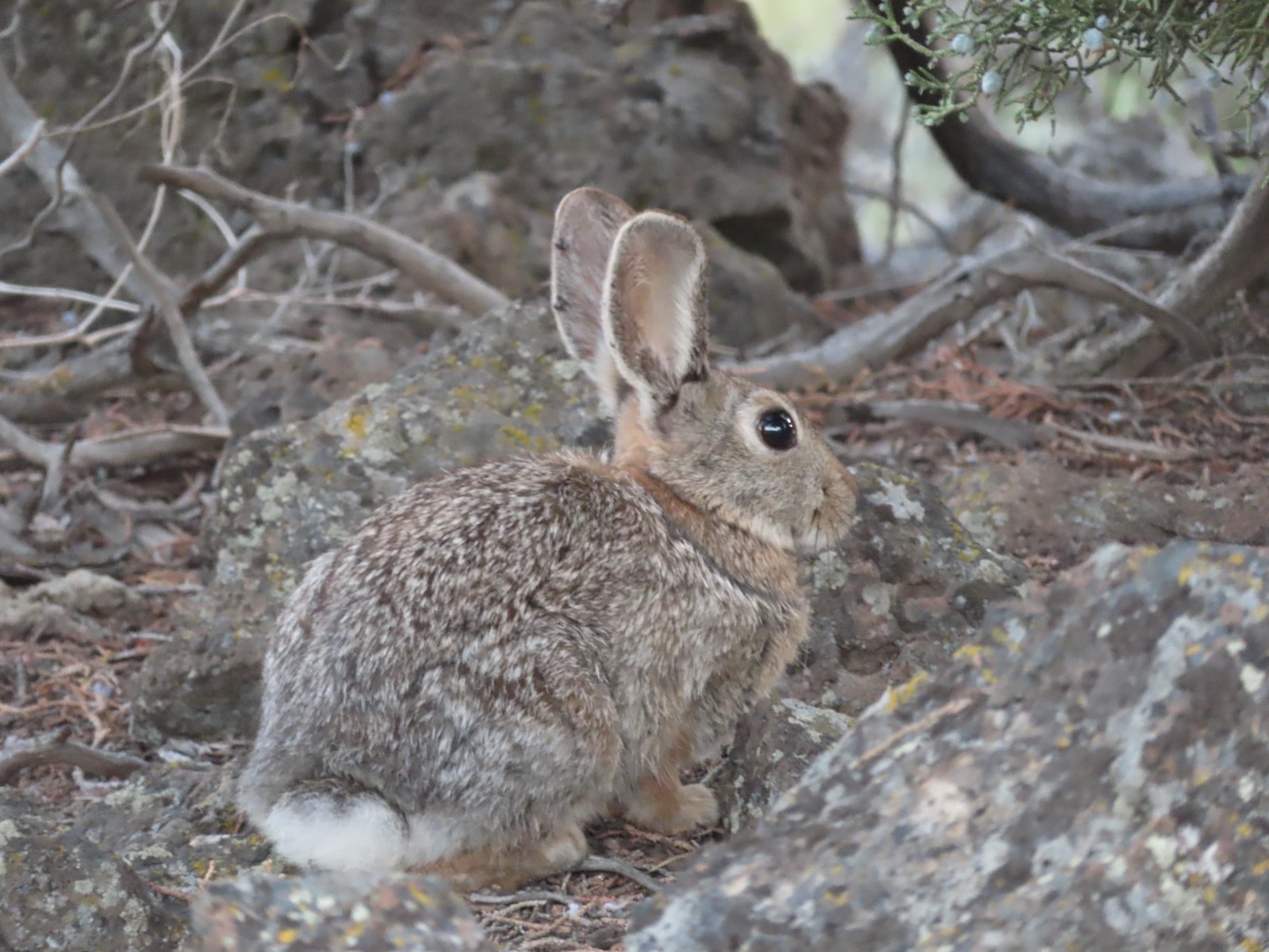
 We passed by the shared Juniper/Sage Flat Trail and continued on the Sage Flat Loop.
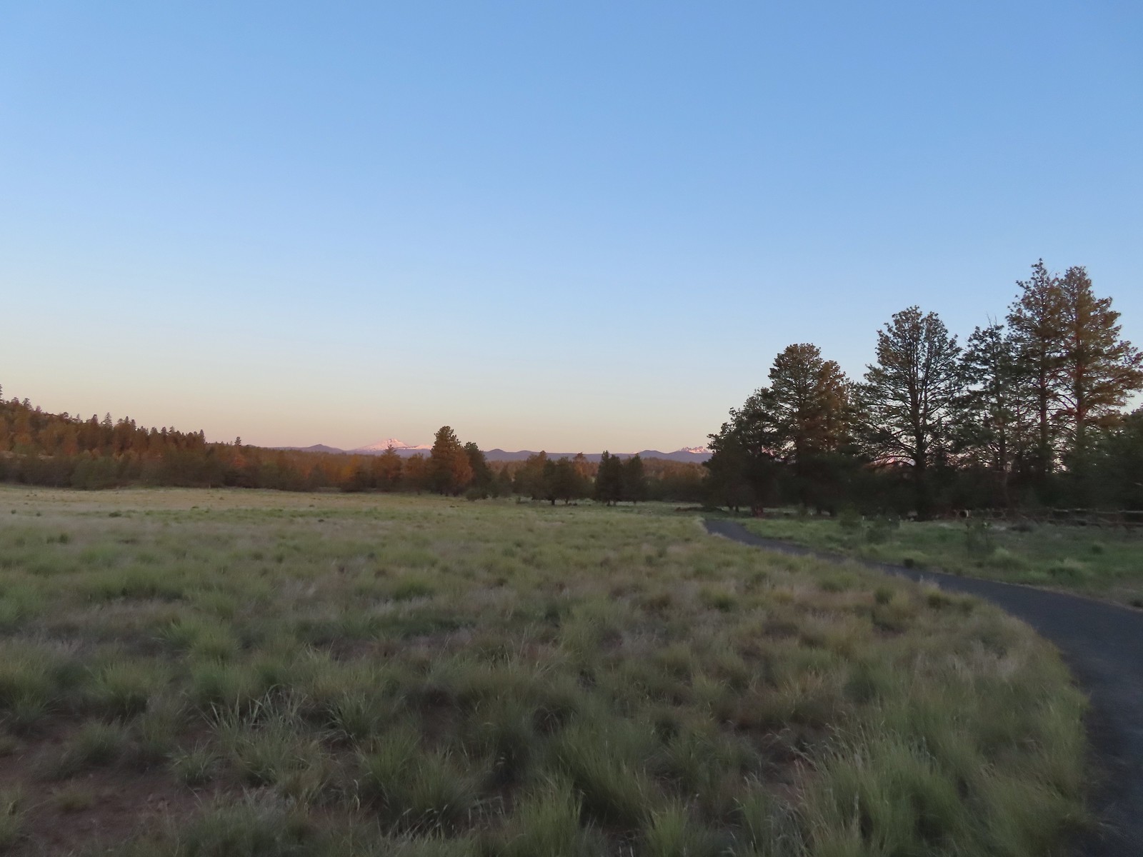 Sageflat Loop
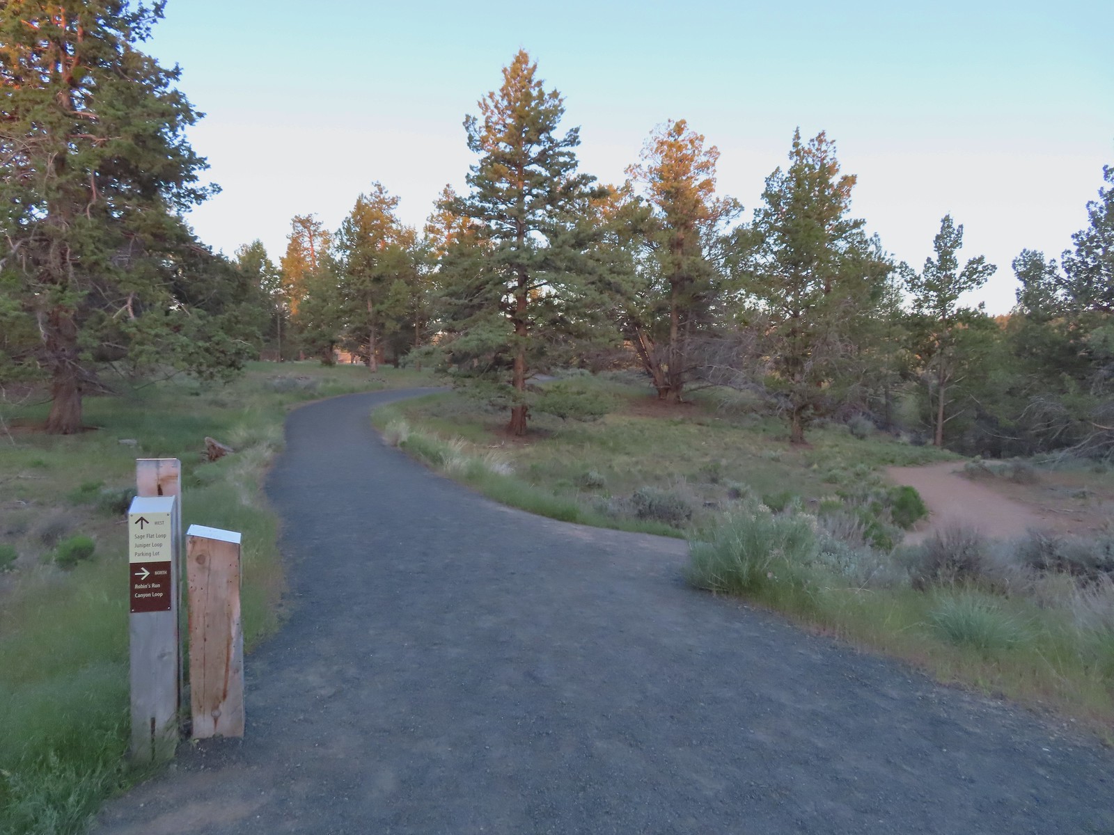
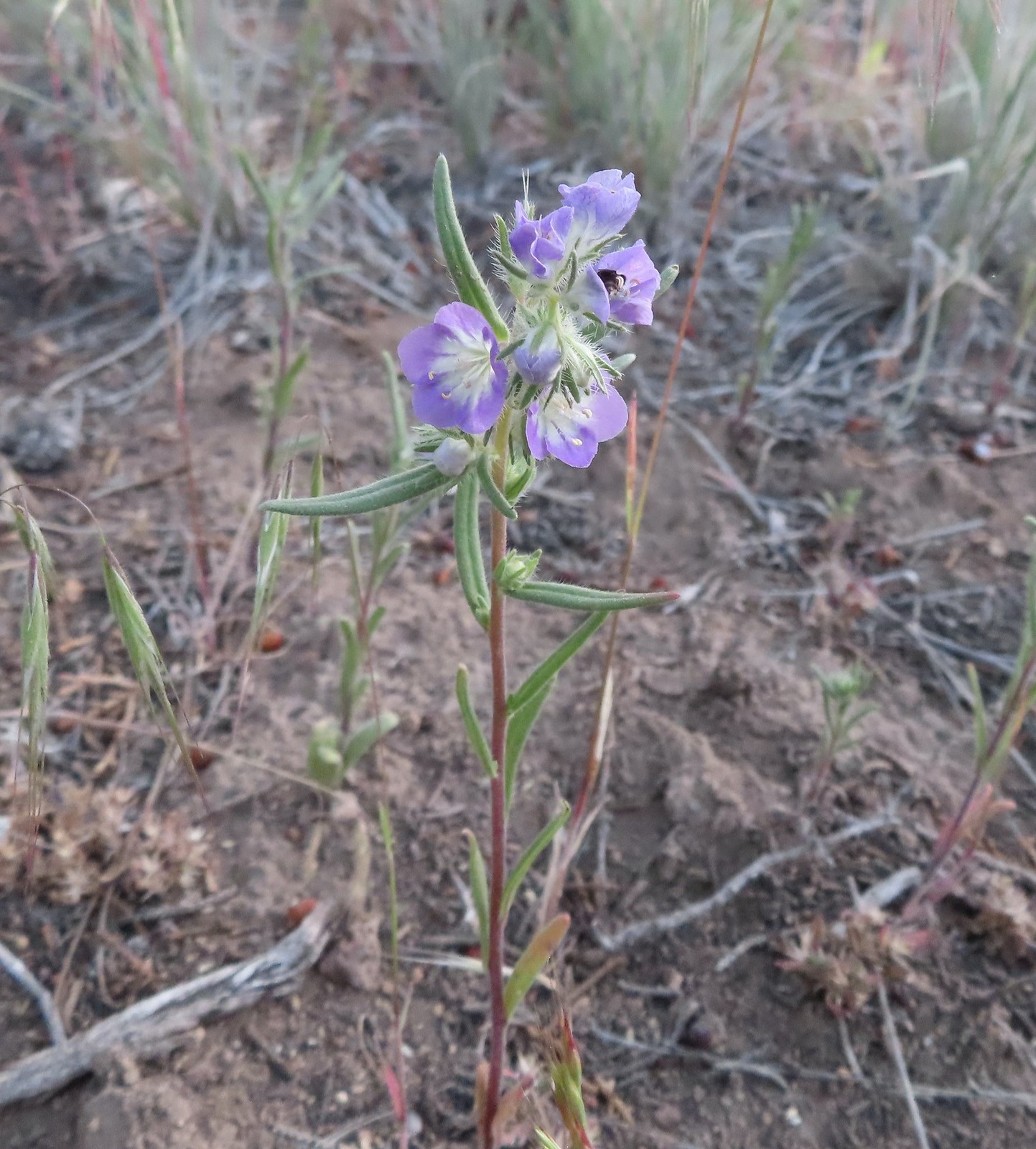 Threadleaf phacelia
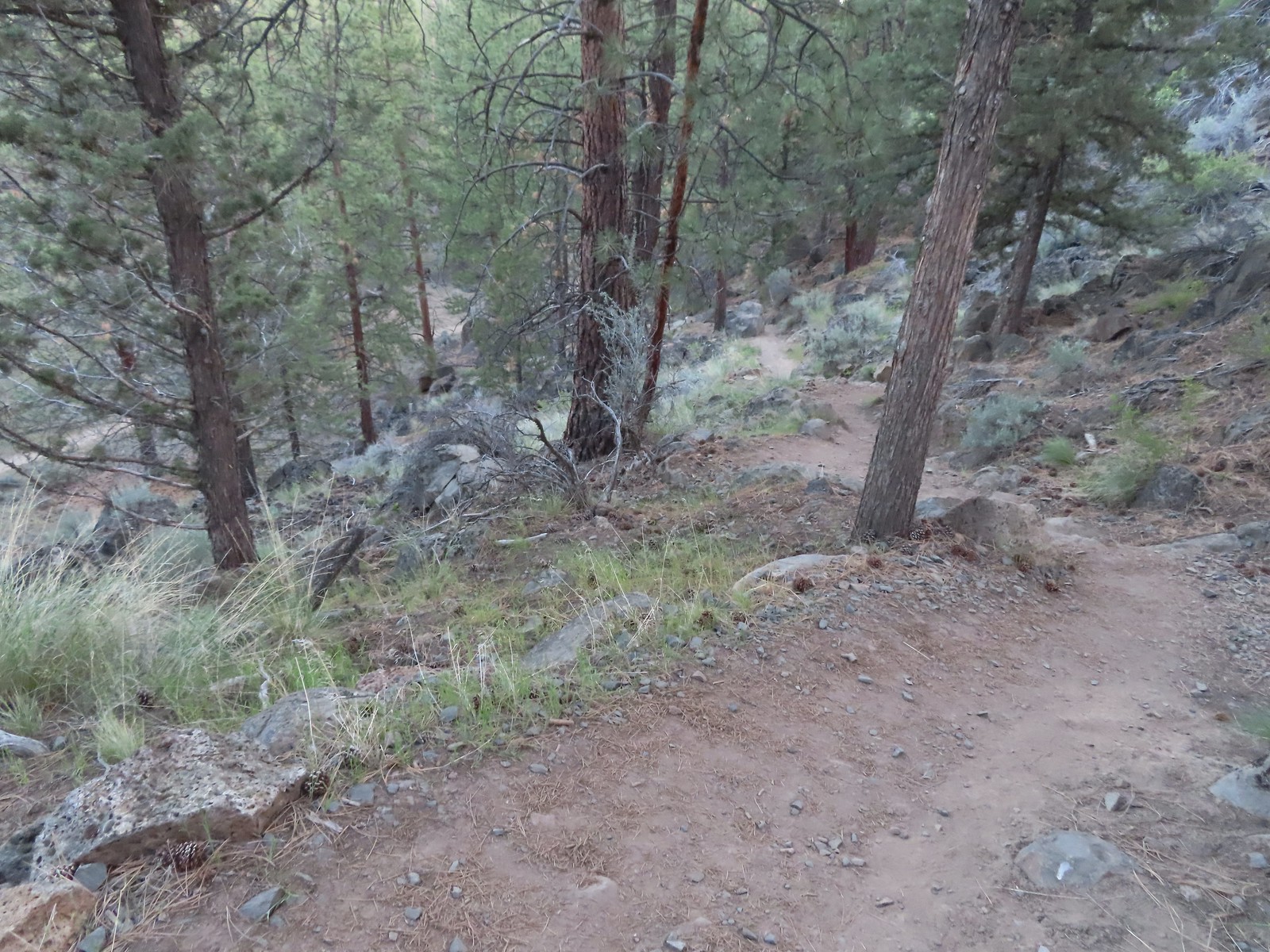
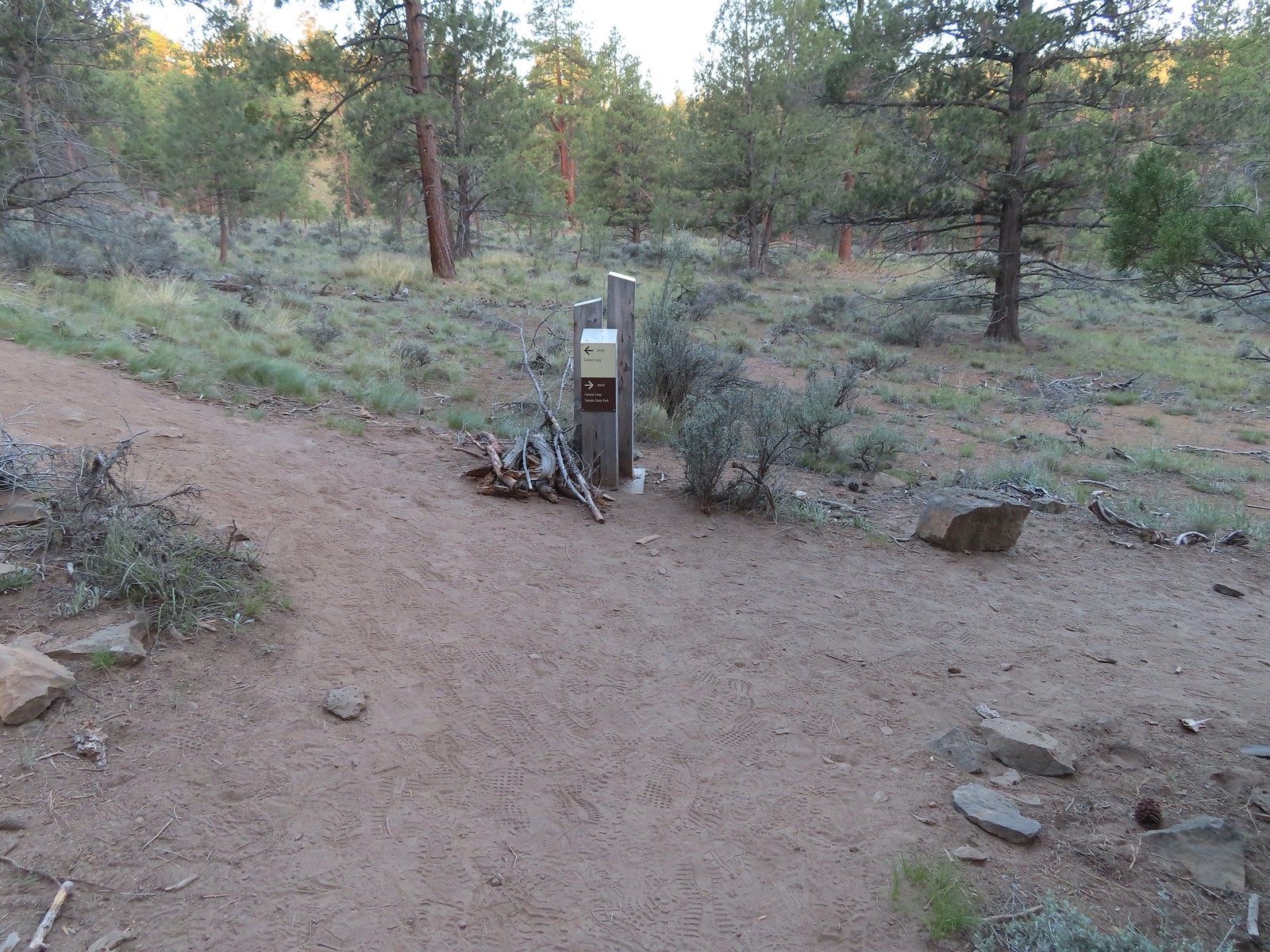
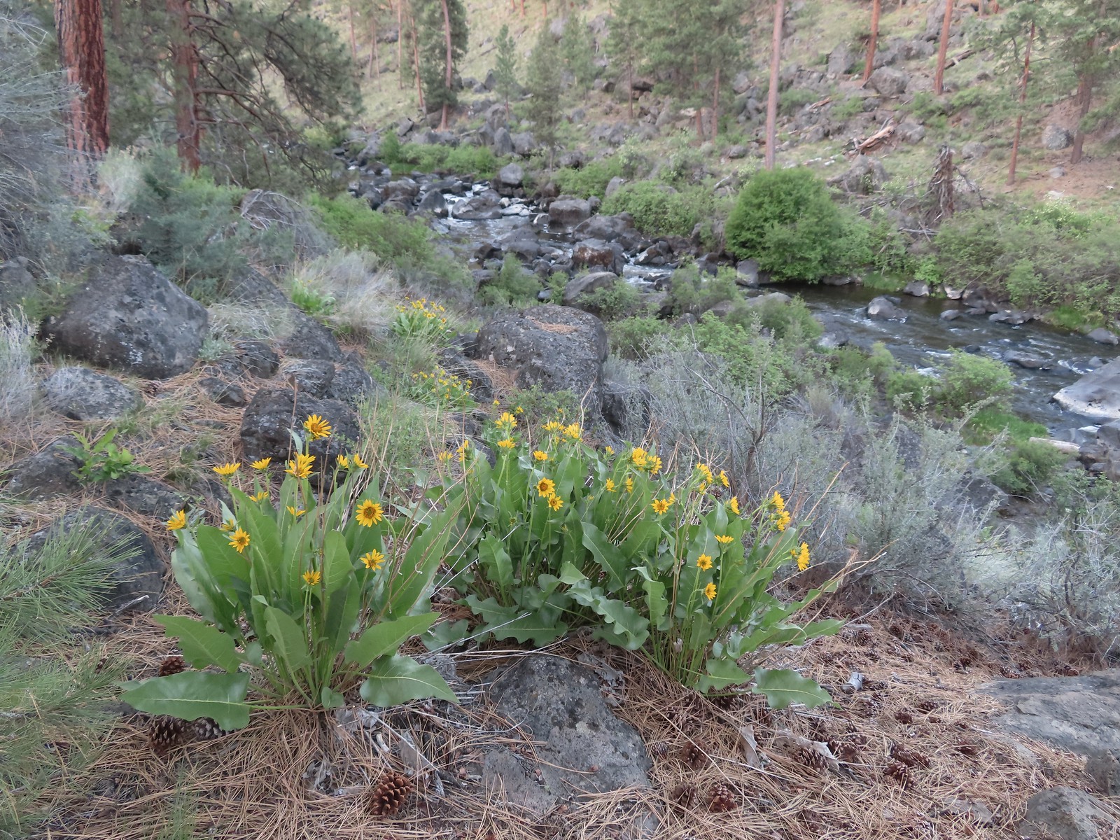 Balsamroot along the Deschutes.
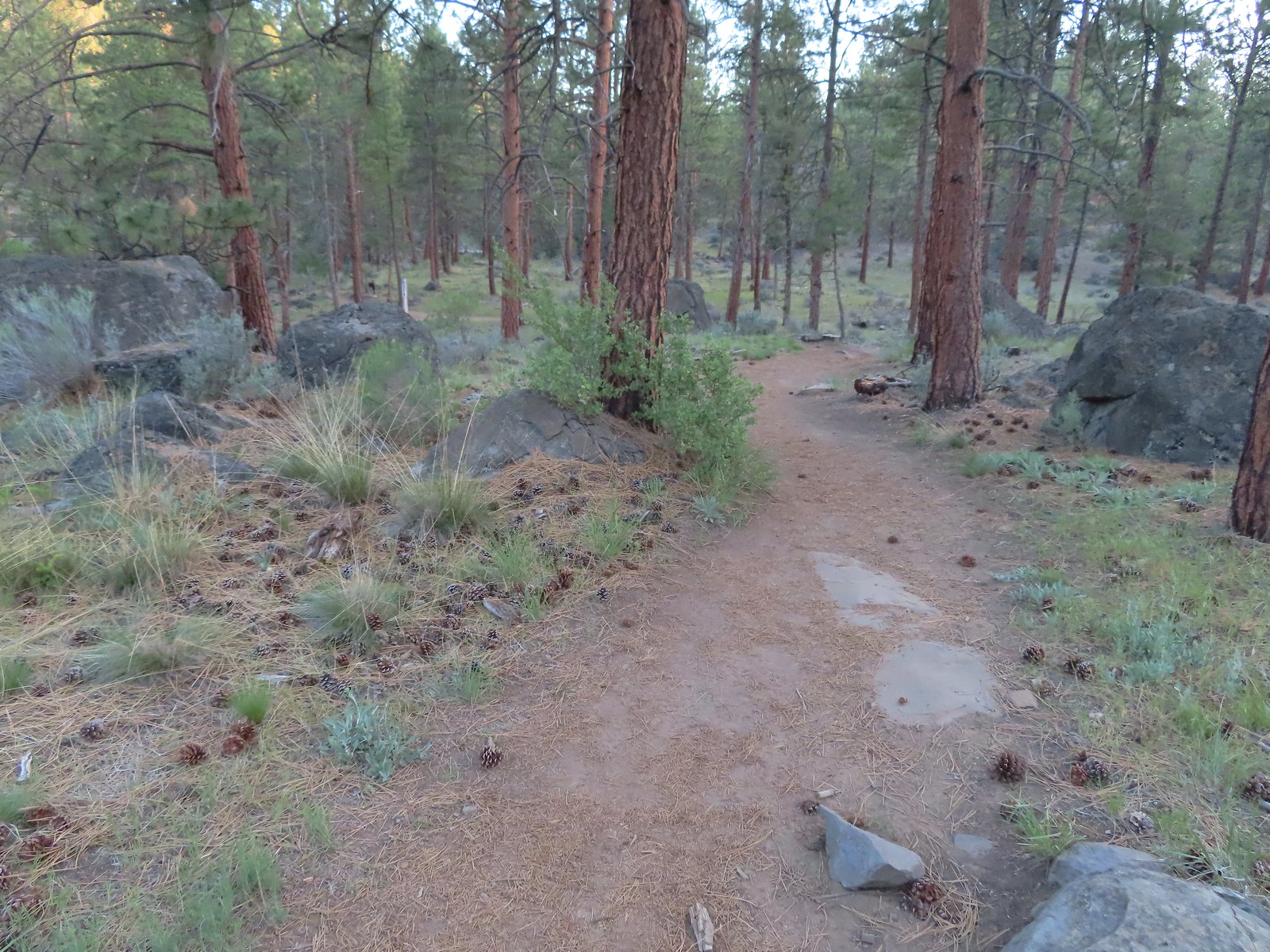
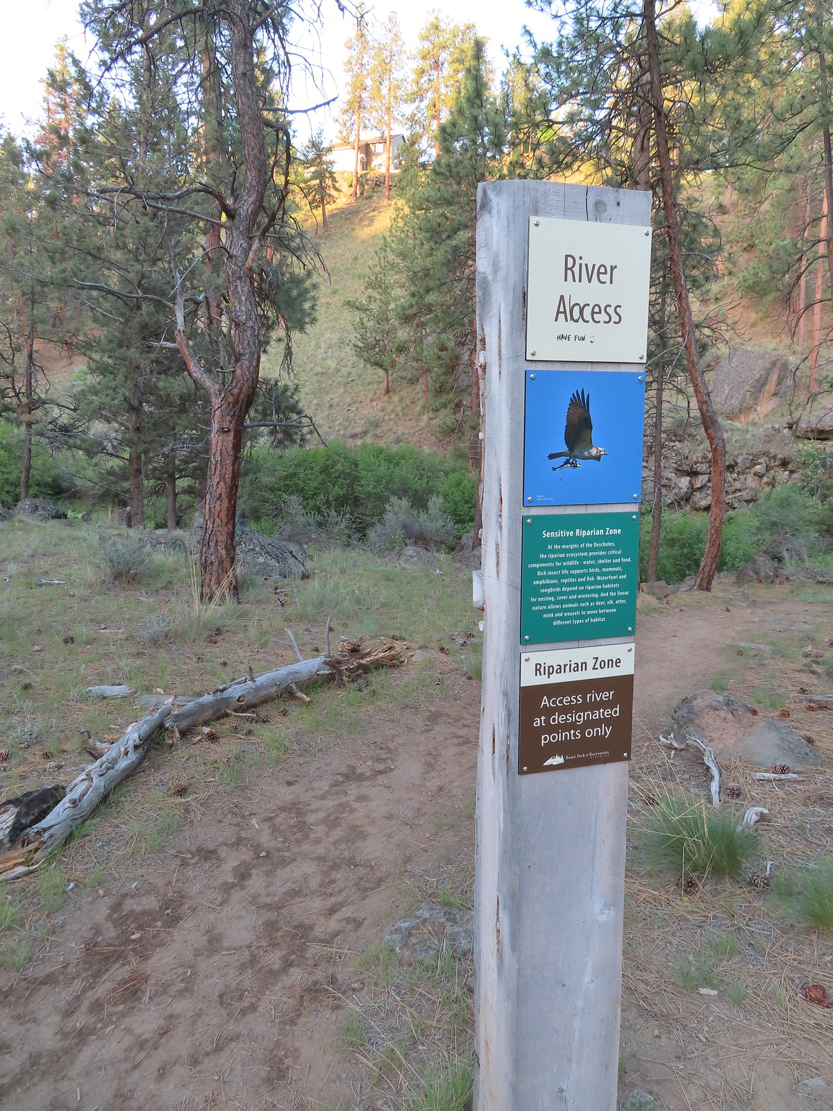


 Robin
Robin Longhorn plectritis
 Blackheaded grosbeak
 Heather waited below while I climbed the outcrop.
 The bench on top.
 The top of the outcrop.

 Western stoneseed
 Larkspur
 I spotted something head into the river from the grass on the near bank here.
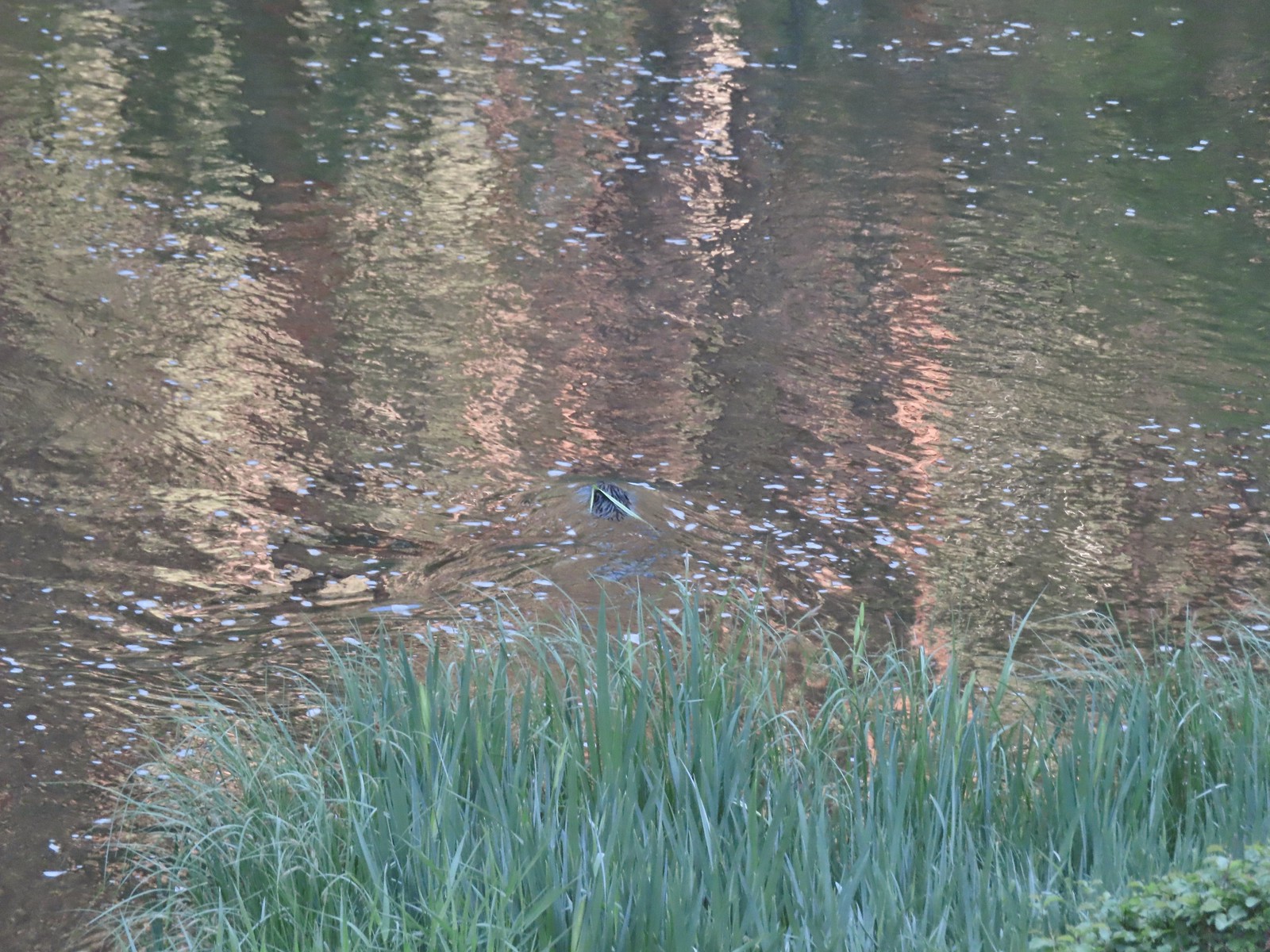 I spotted the grass moving before the animal below which turned out to be a beaver.
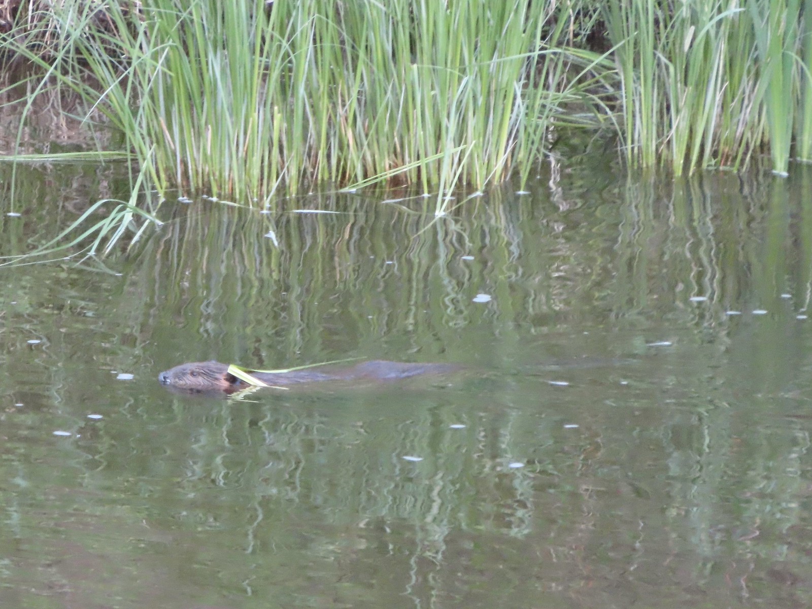 Beaver in the Deschutes River.
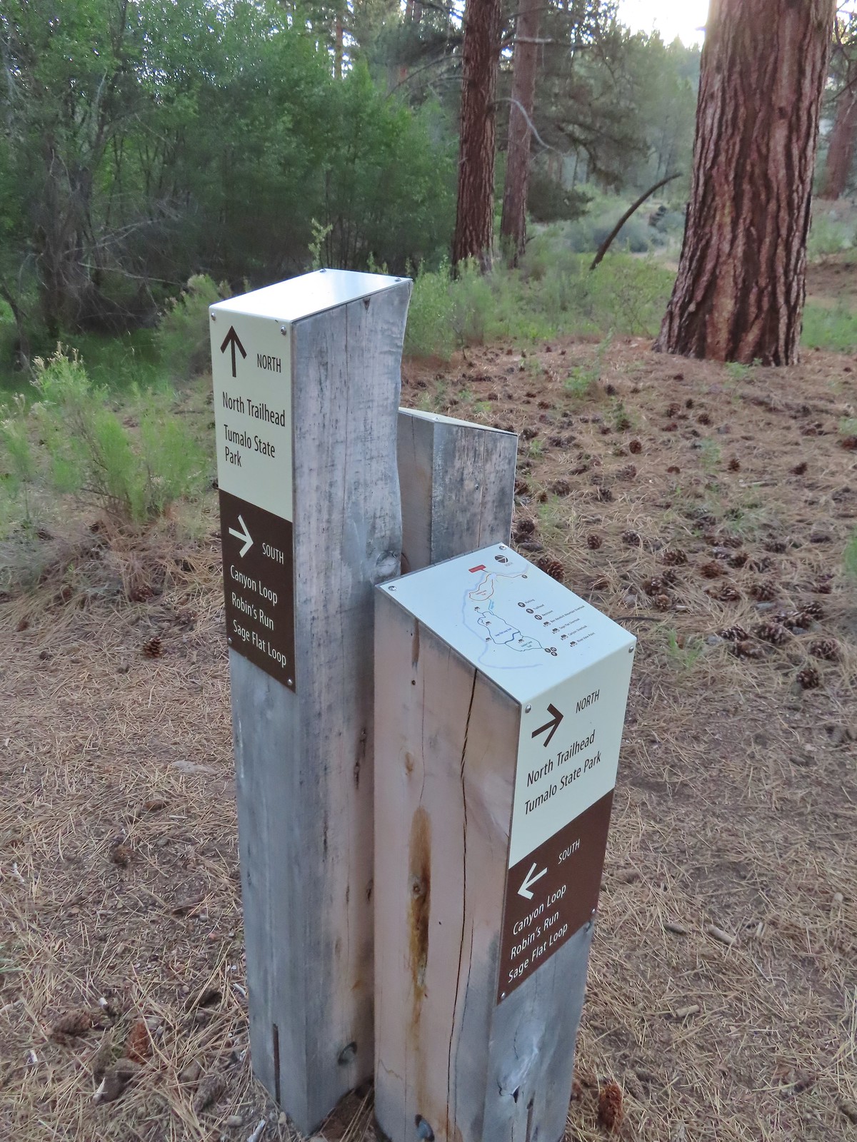 We followed the pointer for Tumalo State Park.
 Cabin ruins
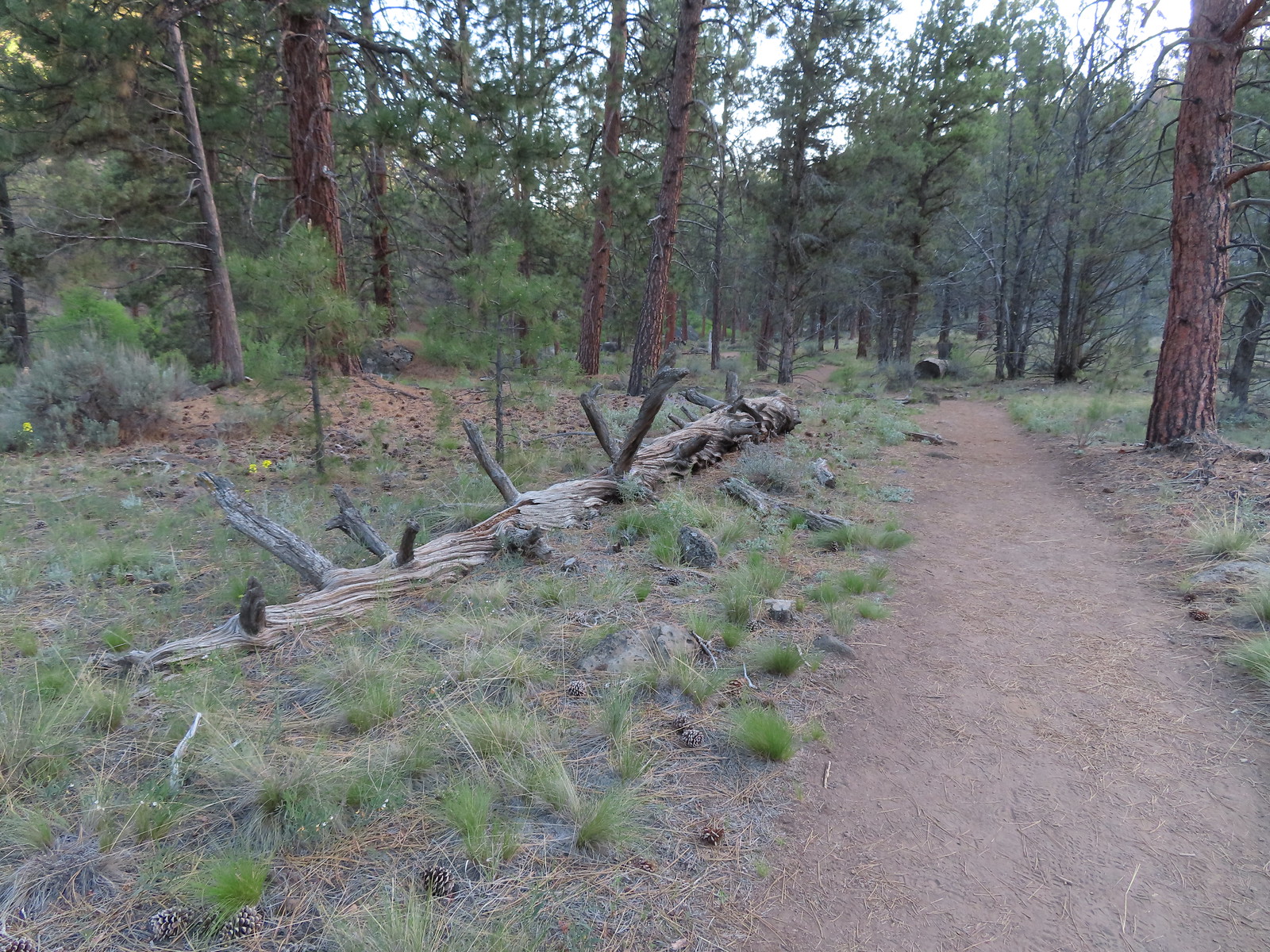
 Western wallflower
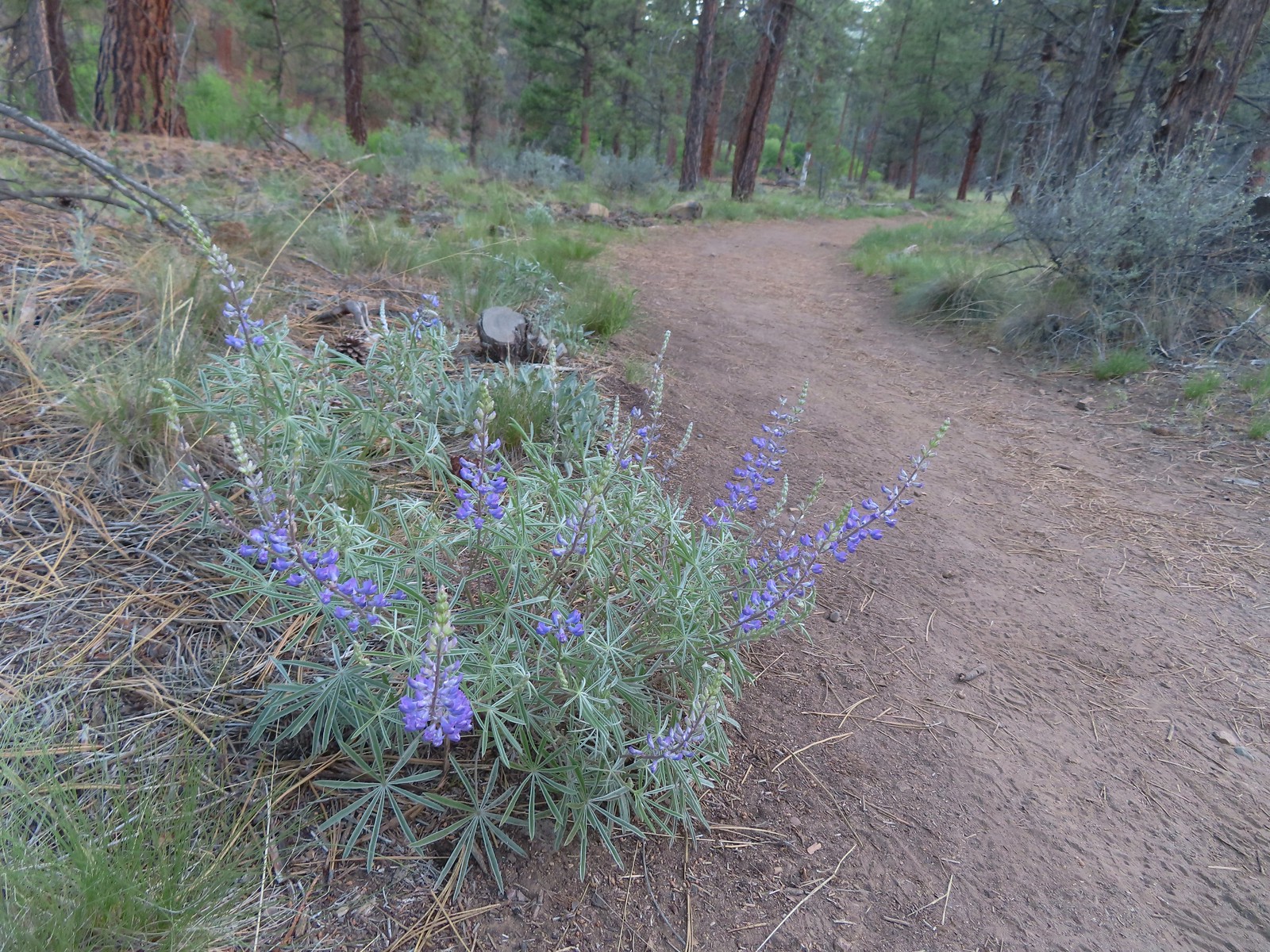 Lupine
 Another river access point.
 Rockcress, possibly sicklepod.
 The northern boundary of the Riley Ranch Nature Reserve.
 Threadleaf phacelia
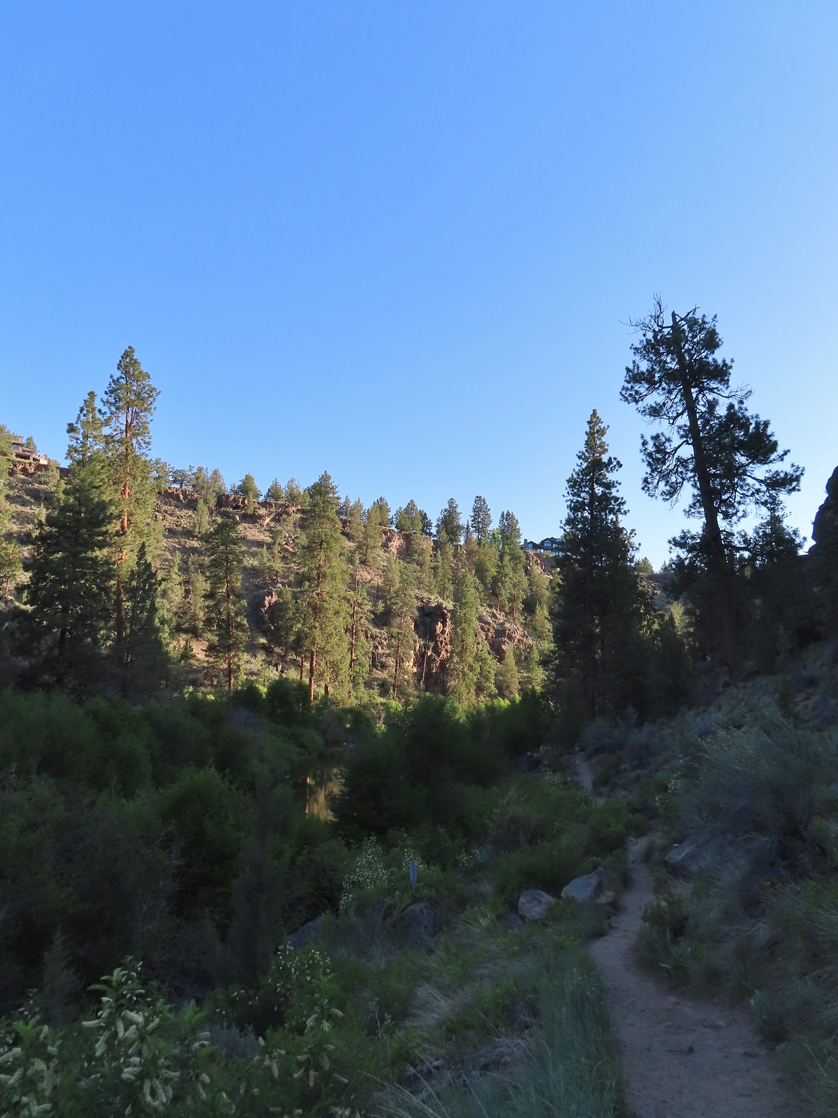
 Tumalo Creek (
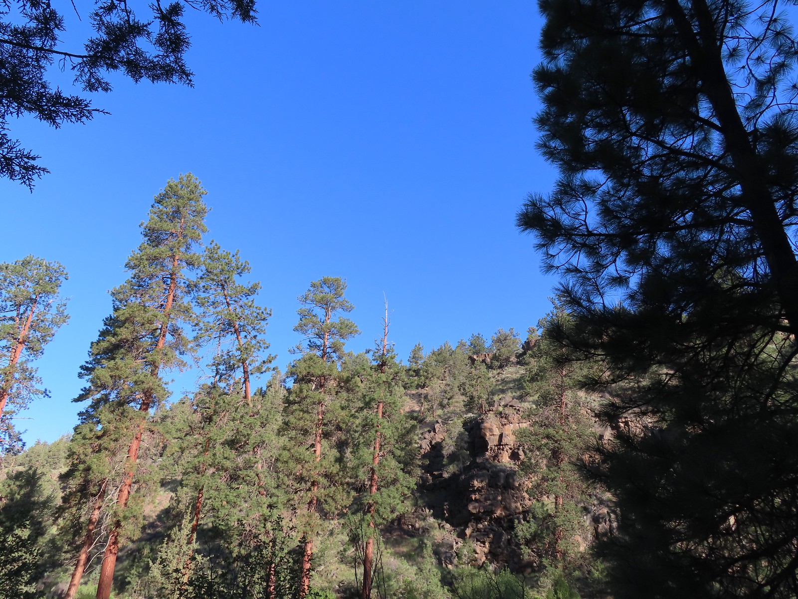

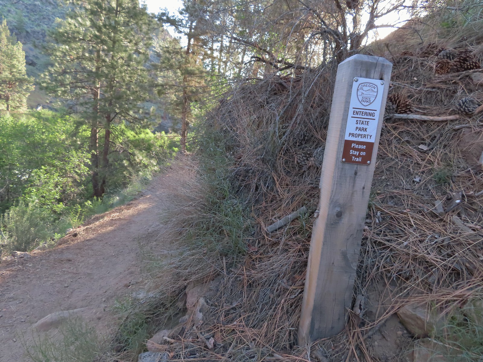 Crossing into Tumalo State Park.
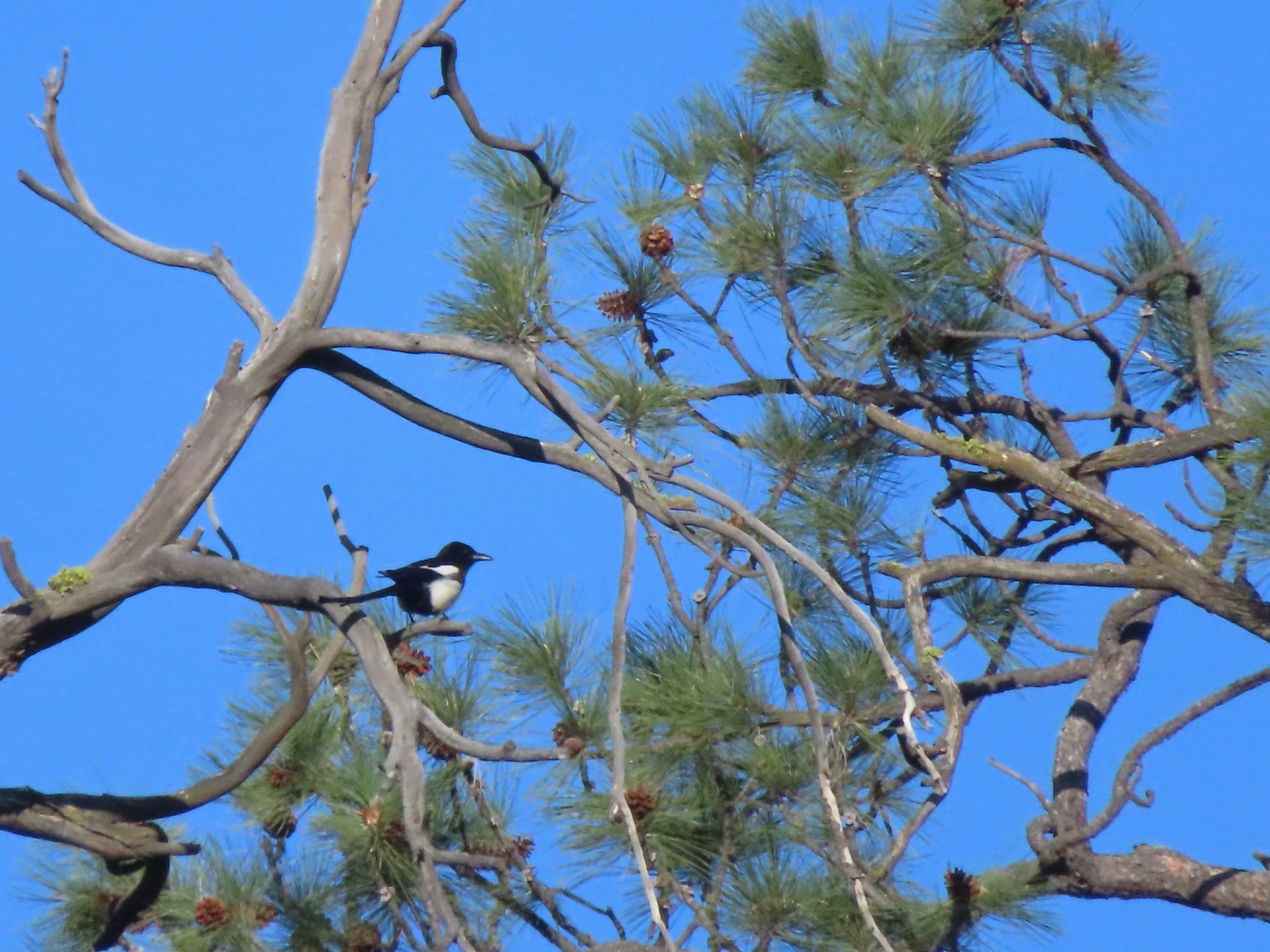 Magpie
 Paintbrush
 Mallards
 Penstemon
 A quarter of a mile from the day use area we crossed a road leading to a private bridge crossing the river.
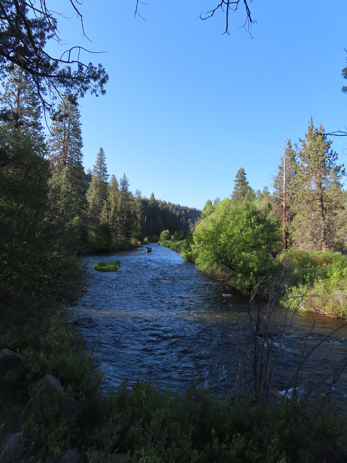 Remains of another bridge in the river.
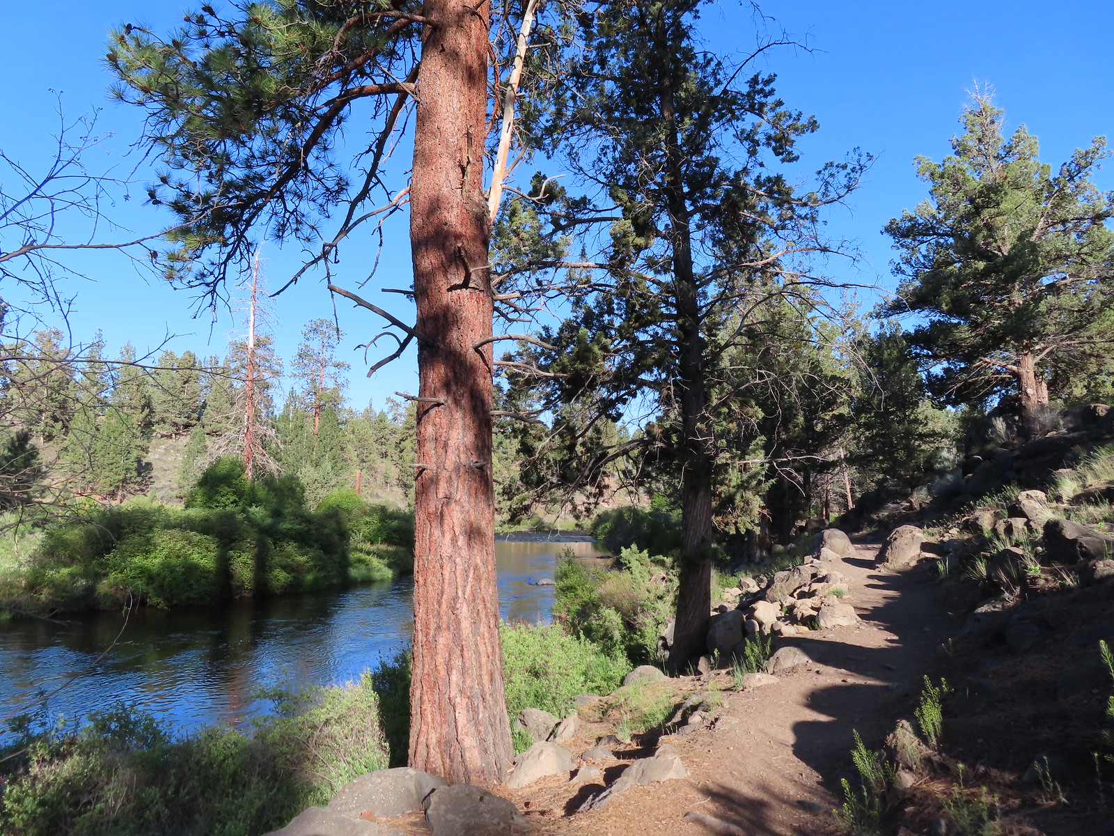
 Tumalo State Park Day Use Area
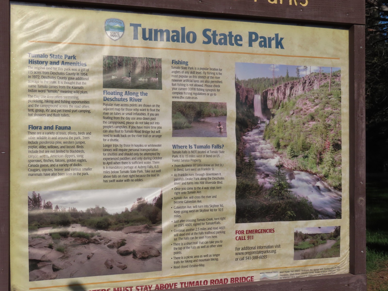
 Deschutes River at the day use area.
 Kingfisher on the bridge remains. (A bit blurry due to being a long way off.)
 A swallow and a pygmy nuthatch.
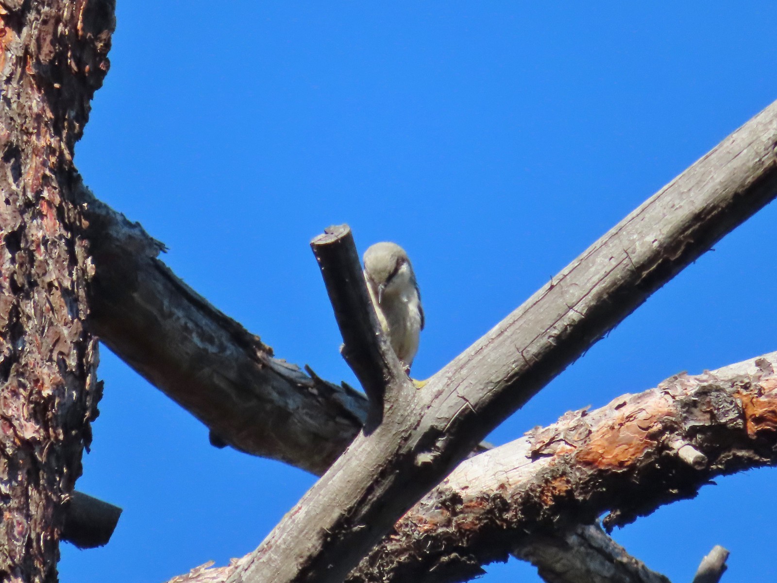 Pygmy nuthatch
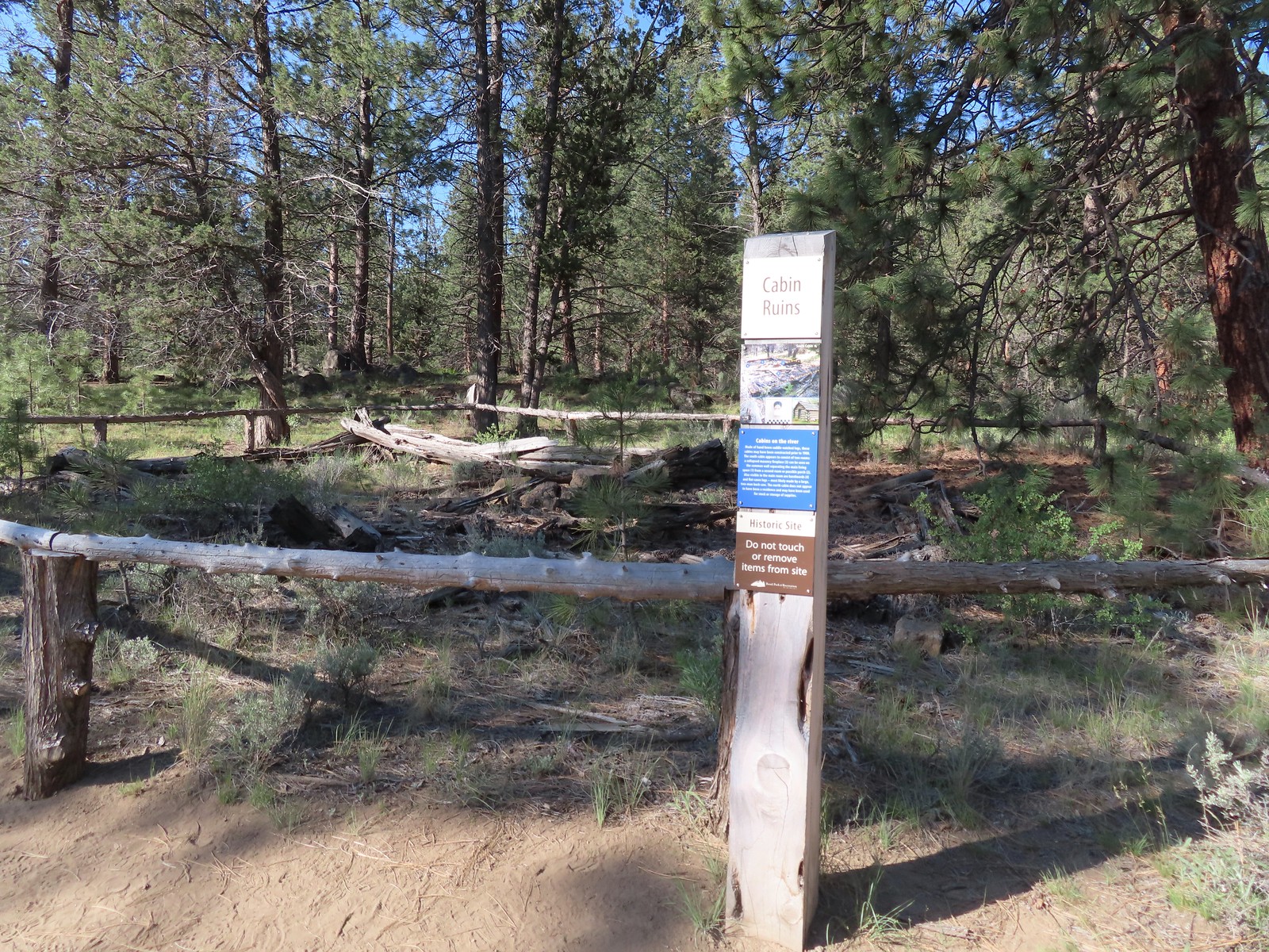
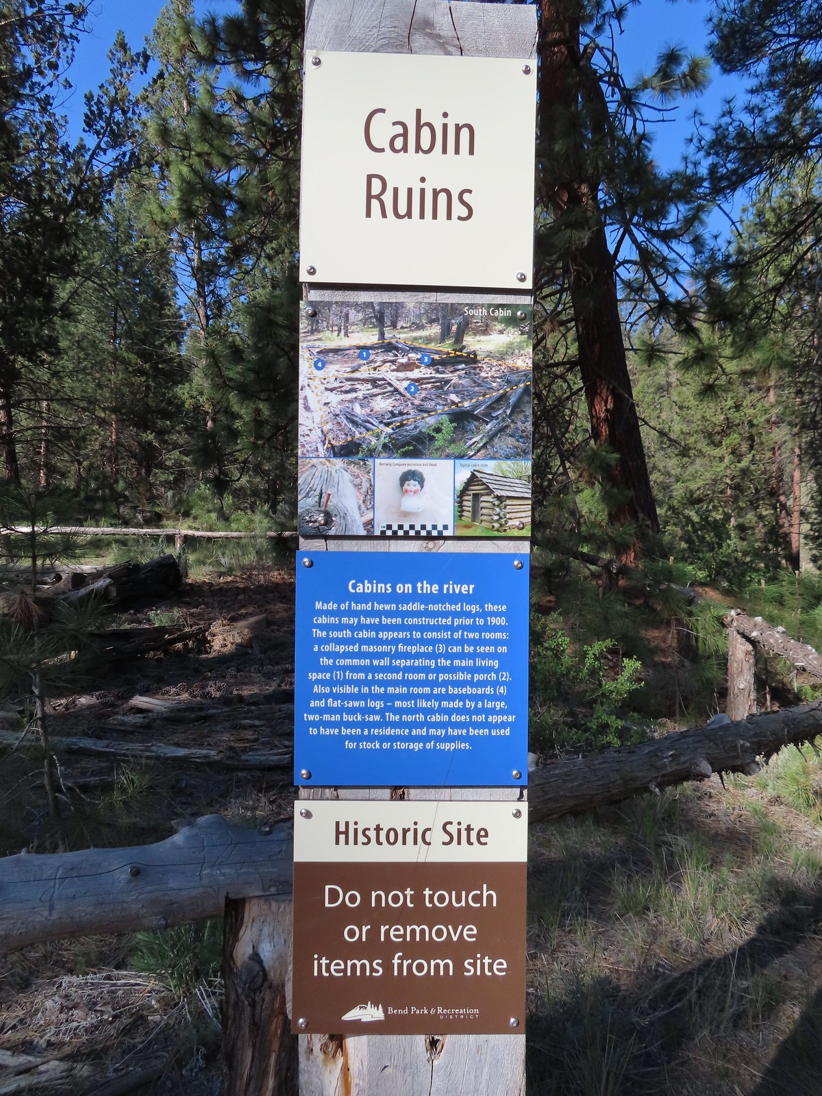
 Bench along the Canyon Loop.
 Northern flicker
 We were distracted enough by the runners that we failed to notice the deer bedded down to the right of the trail. You can see its ears sticking up here.
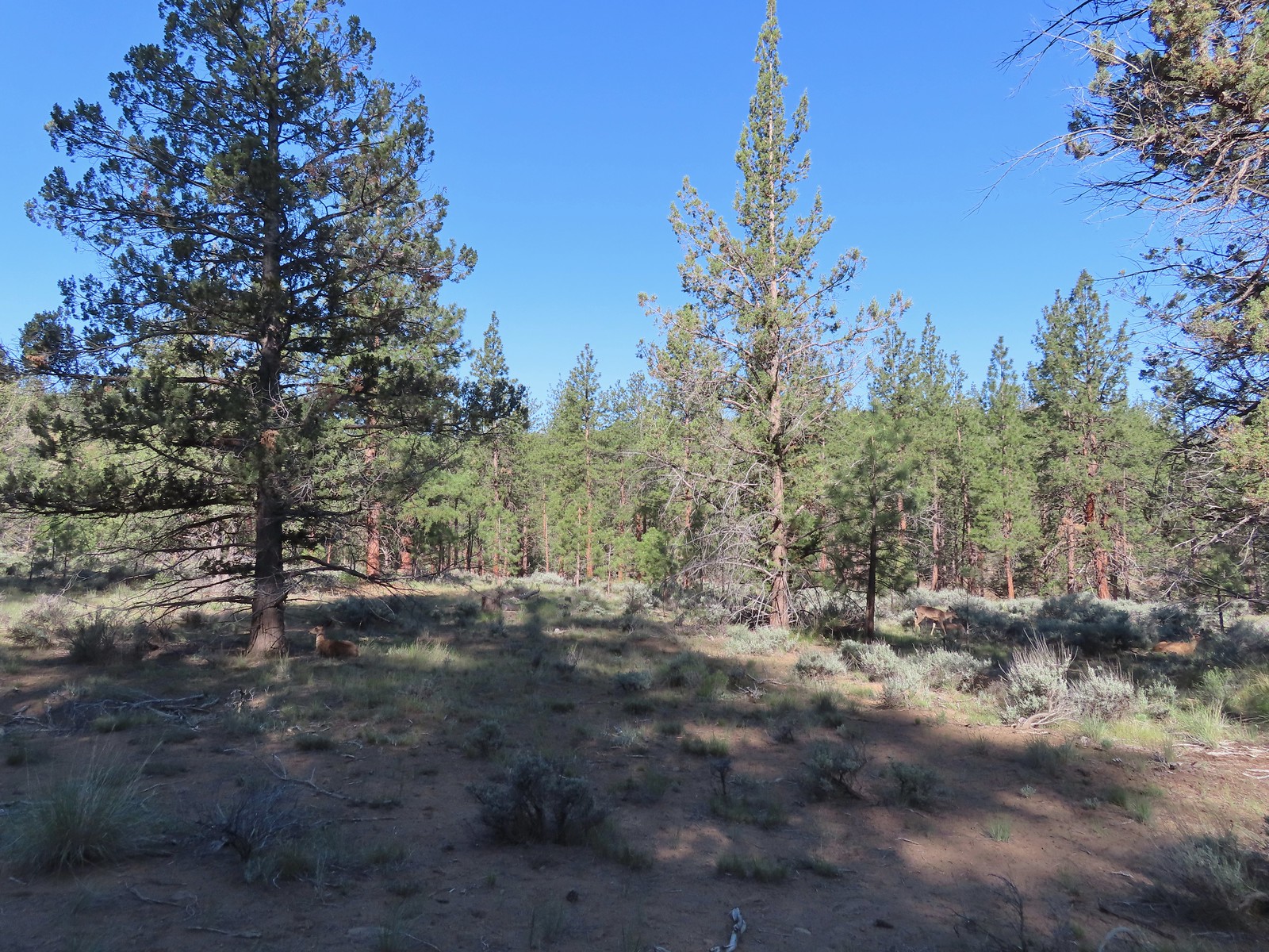 There were at least four deer hanging out here.
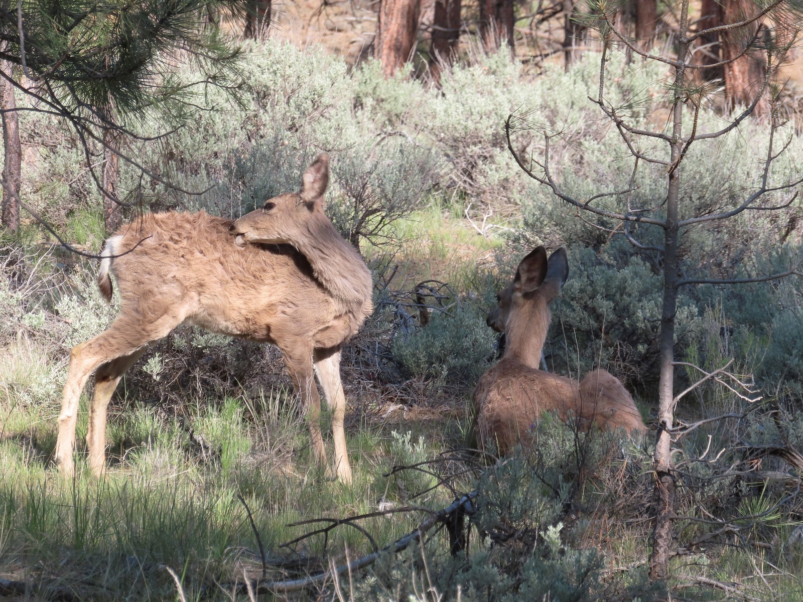
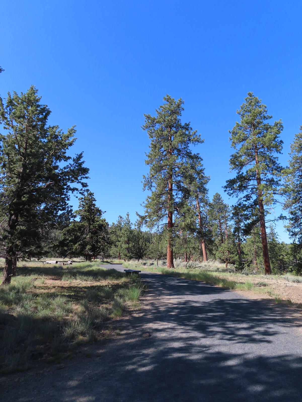 The Sage Flat Loop Trail.
 Spur to the Canyon Overlook.
 Death camas
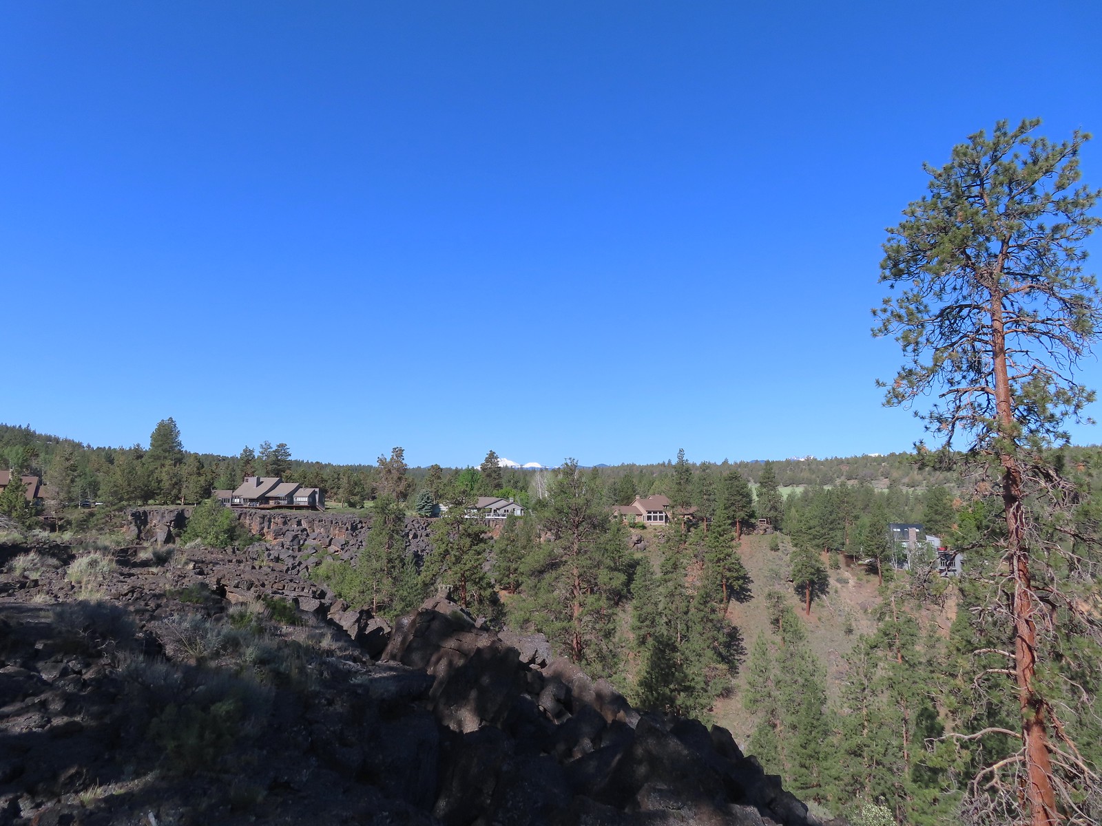 Mt. Bachelor and Tumalo Mountain
 Mt. Jefferson
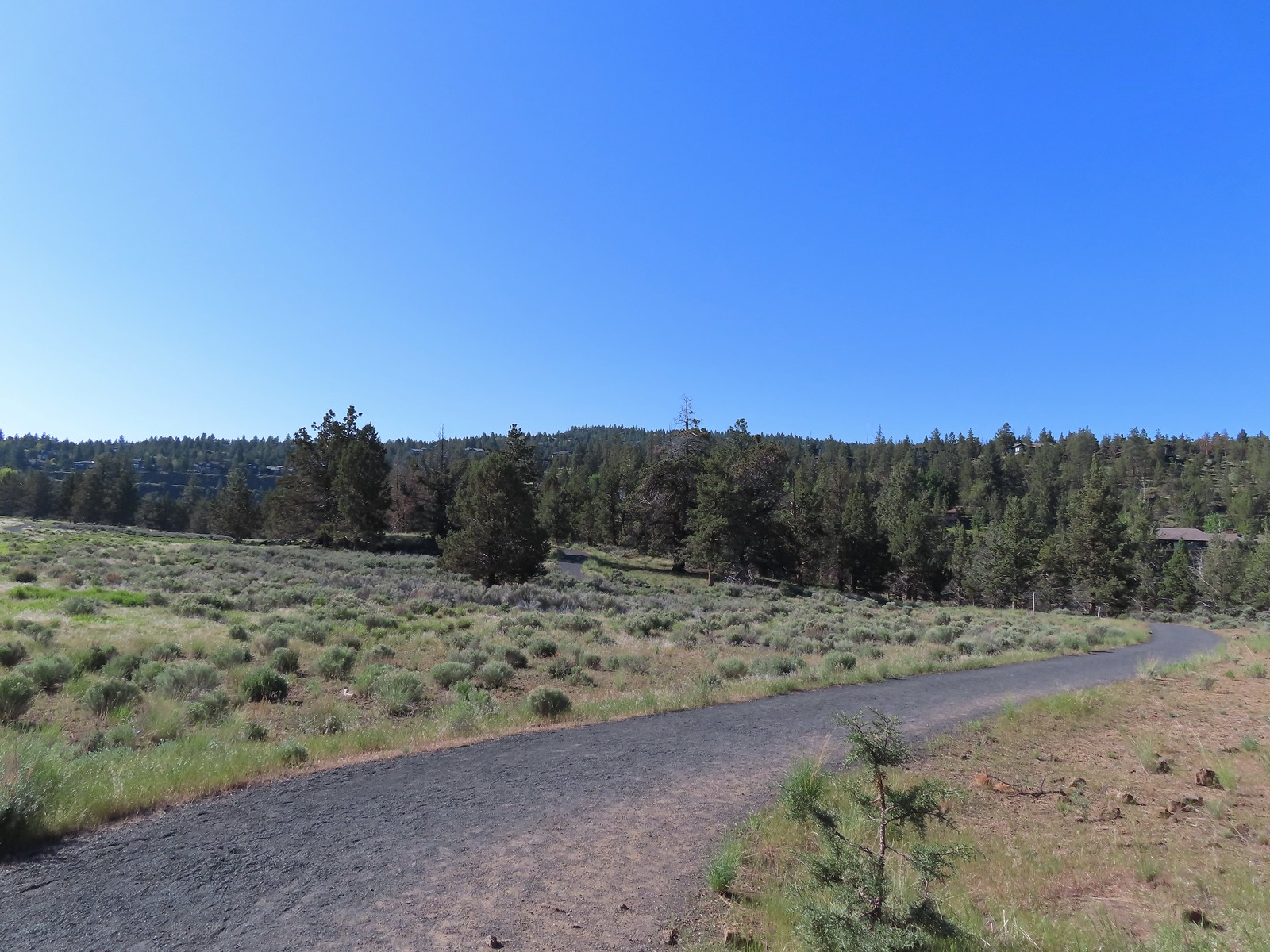
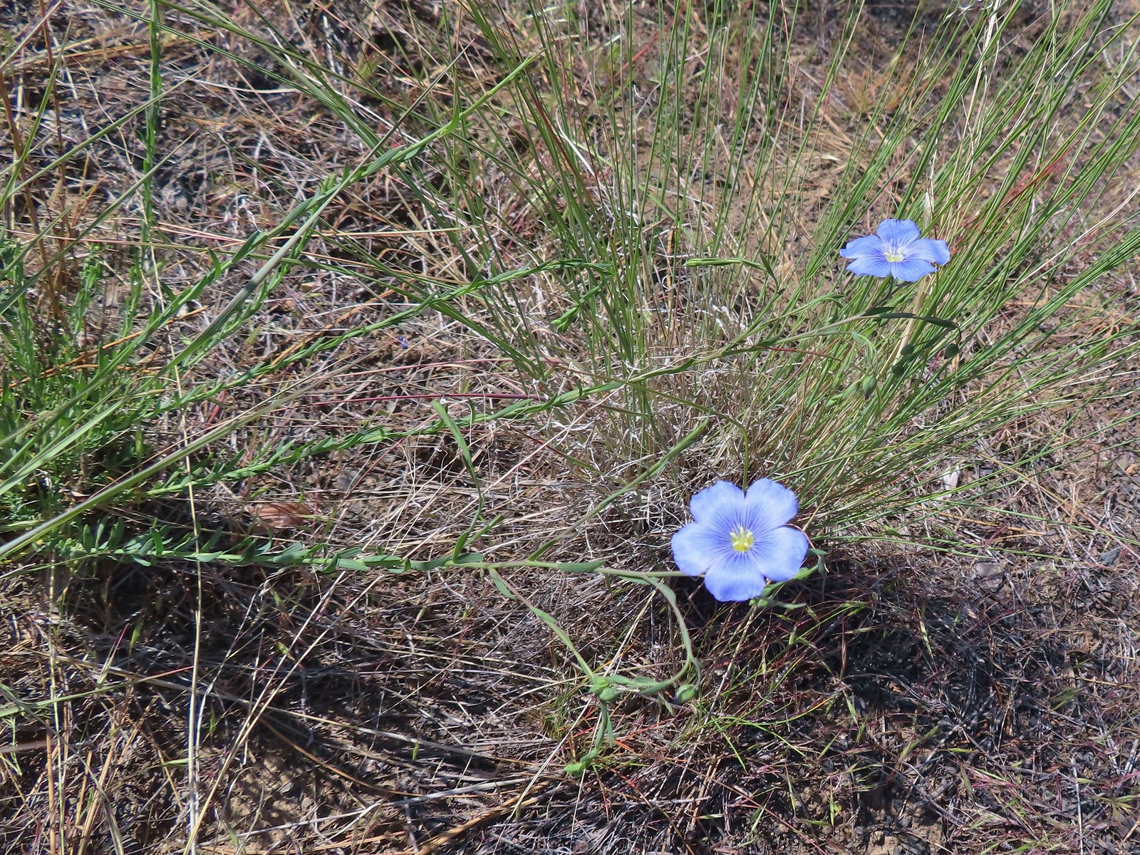 Lewis flax
 Marker for the Sage Flat Overlook.
 Looking back at where the Sage Flat Overlook was.
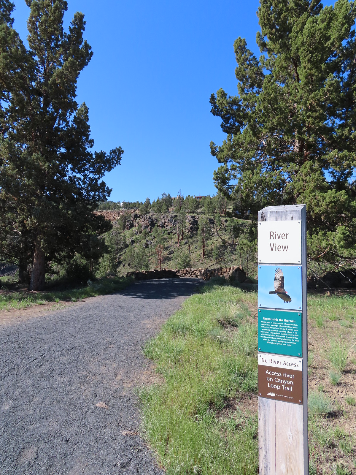

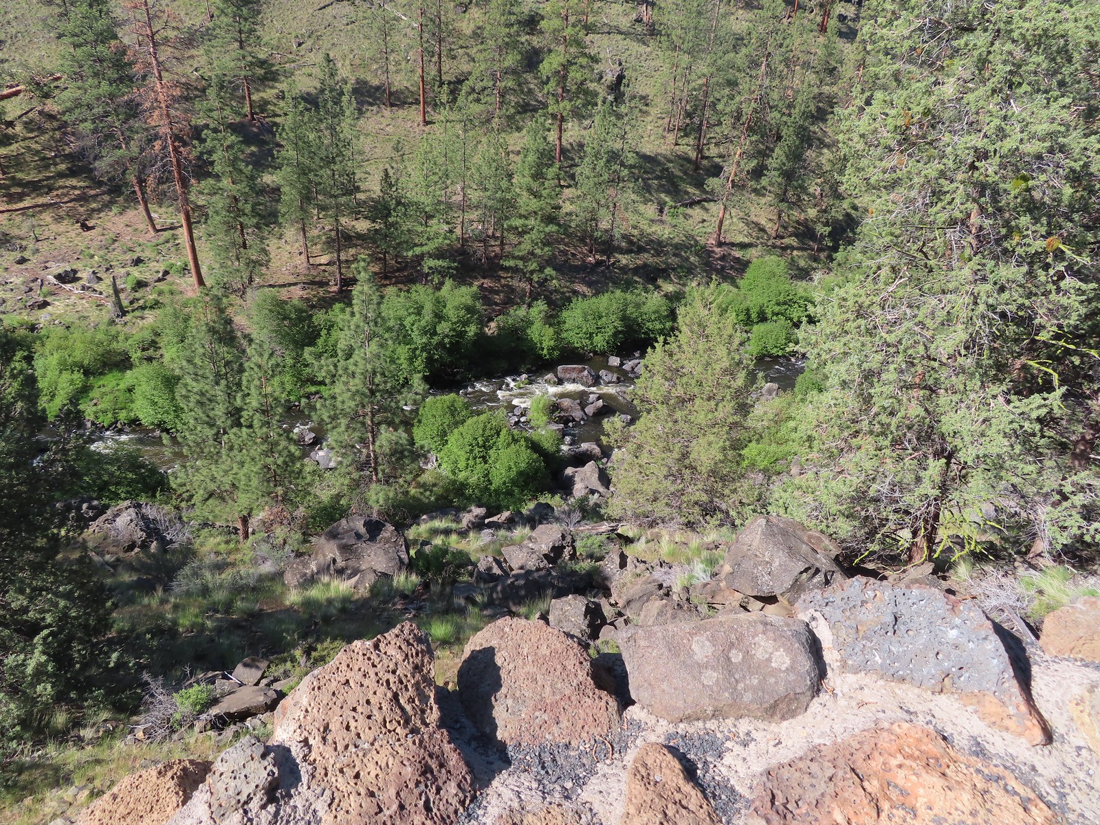
 Lizard near the River Viewpoint.
 The Cascade Mountains
 Black Crater (
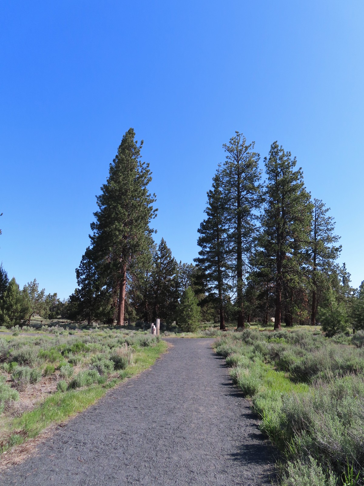 Finishing up the Juniper Loop.
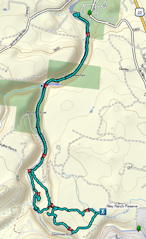


 Mt. Hood and Mt. Adams from the trailhead which is the high point of the hike.
 Mt. Hood
 Cattle sometimes graze in the area and the combination of their hooves with the unmaintained roads makes for some pretty rough surfaces.
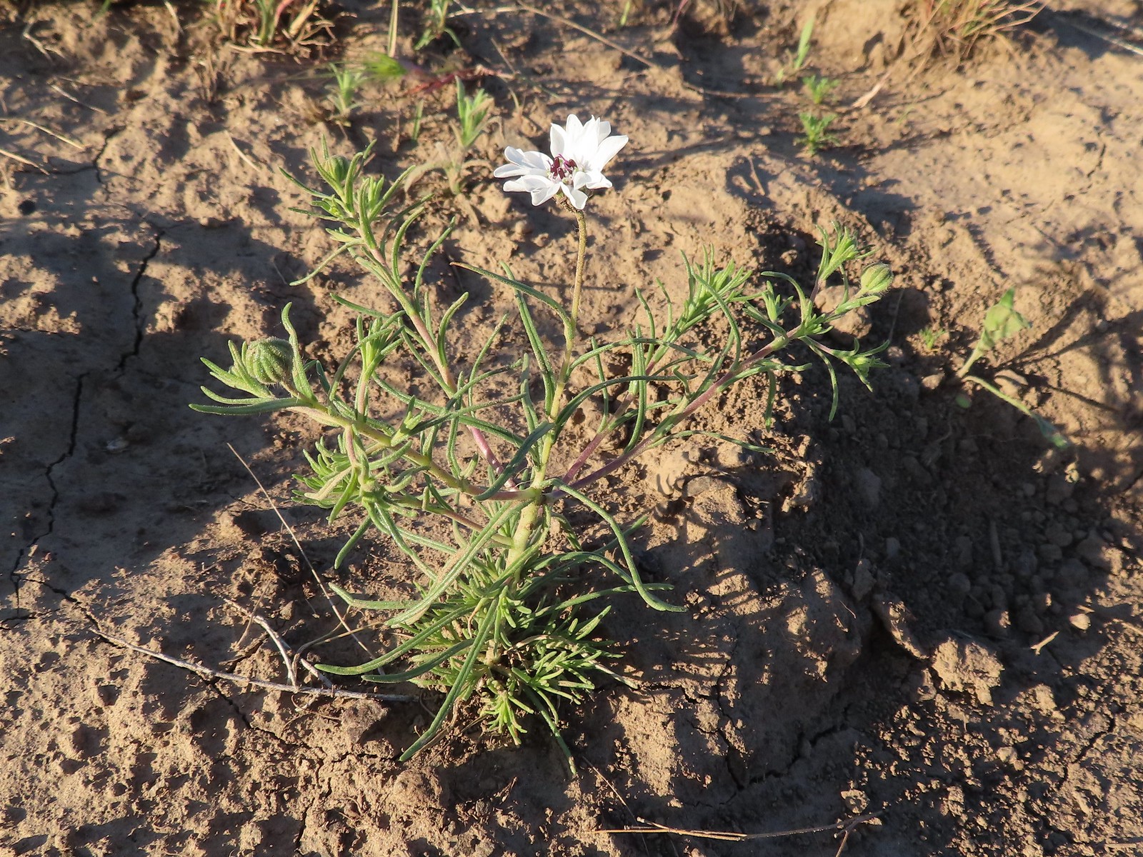 Rough-eyelashweed. There was a lot of this blooming along the road.
 A couple of lomatiums.
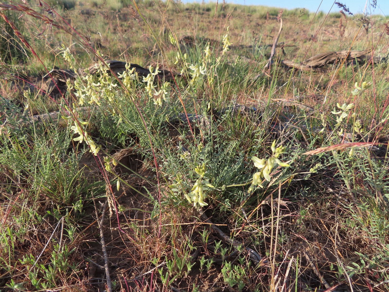 Howell’s milkvetch
 Idaho milkvetch
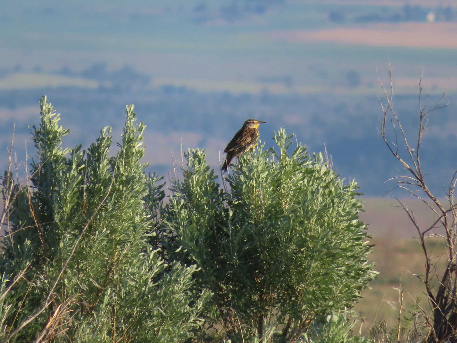 Western meadowlark
 A buckwheat
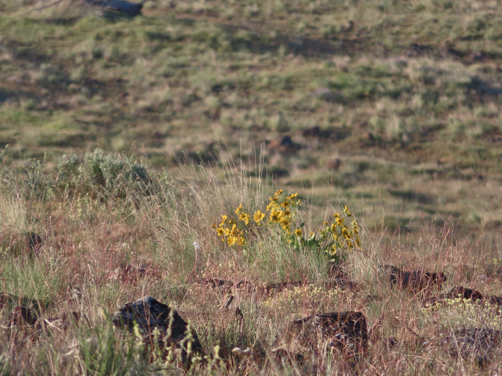 Carey’s balsamroot
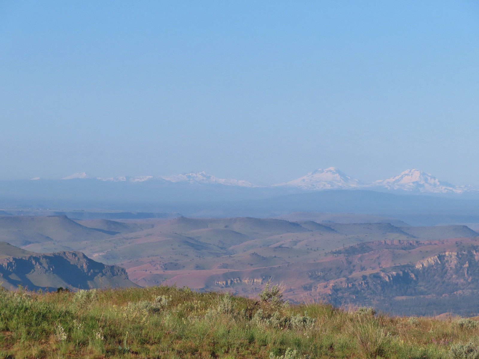 Mt. Bachelor, Broken Top and the Three Sisters
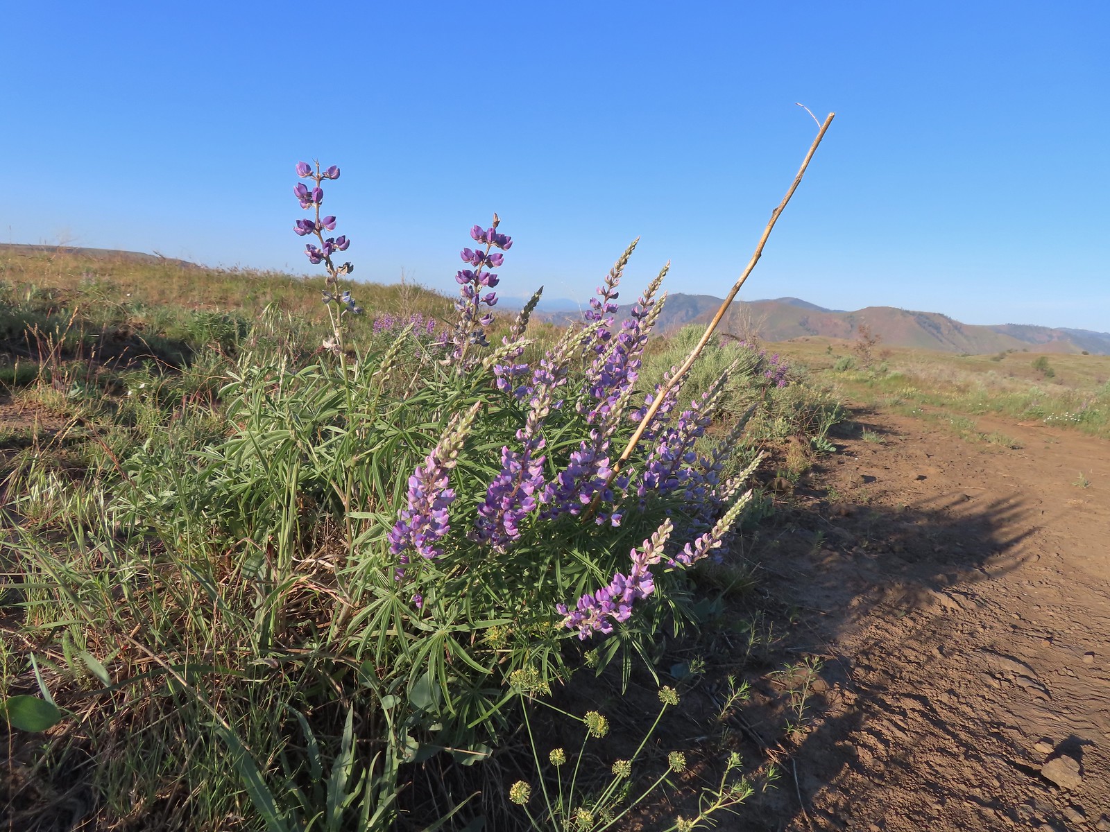 Lupine
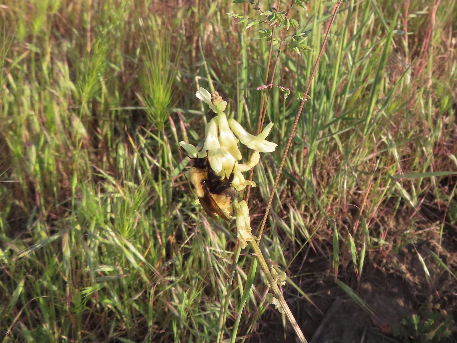 Bumble bee on Howell’s milkvetch
 Lark sparrow
 We spent a lot of time heading toward Mt. Hood.
 Sparrow?
 Mt. Adams
 Mt. Hood
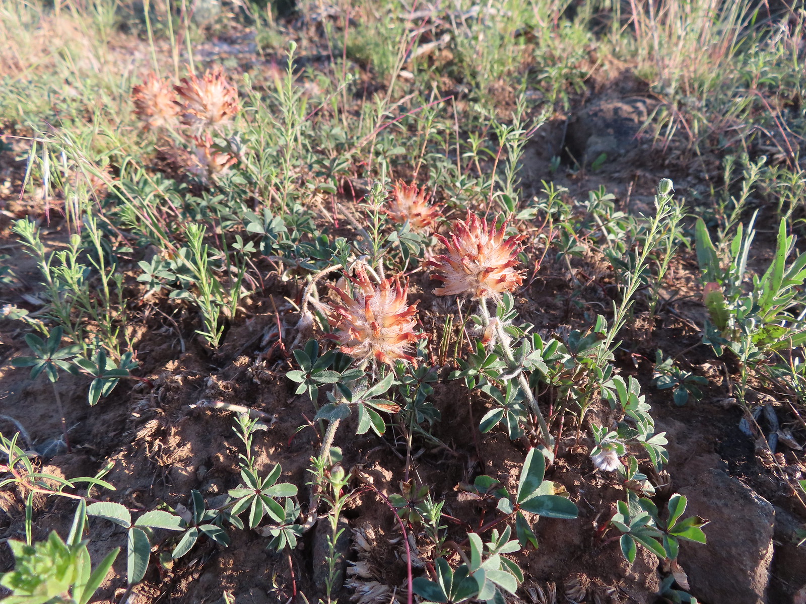 We were a little too late for the large-head clover.
 Western meadowlark giving a performance.
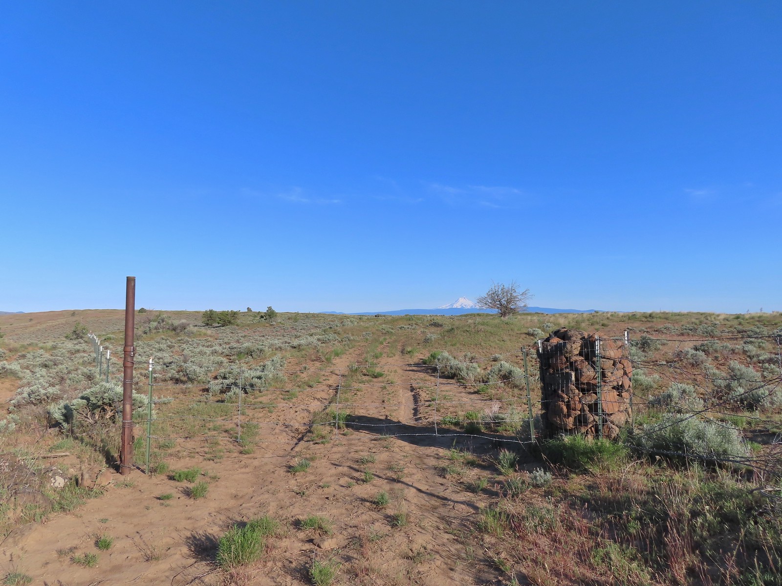 The third gate with Mt. Hood in the distance.
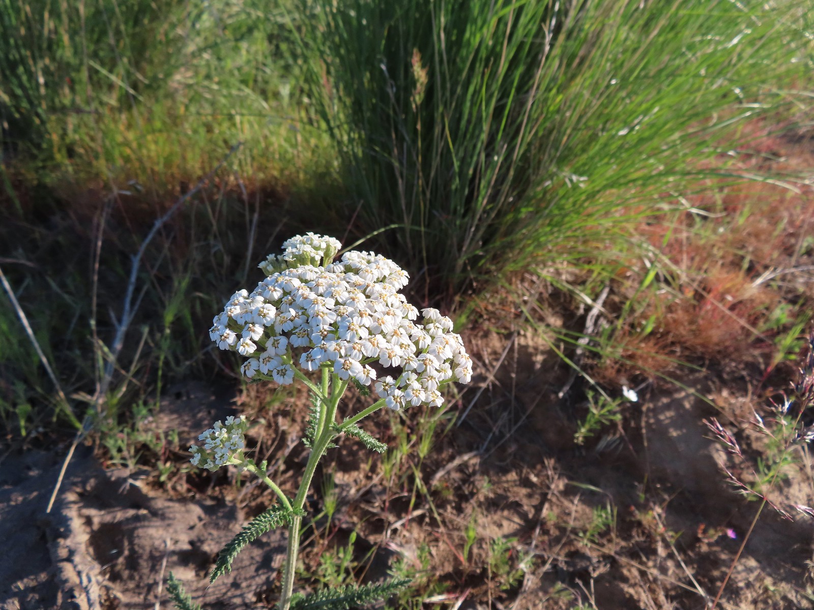 Yarrow
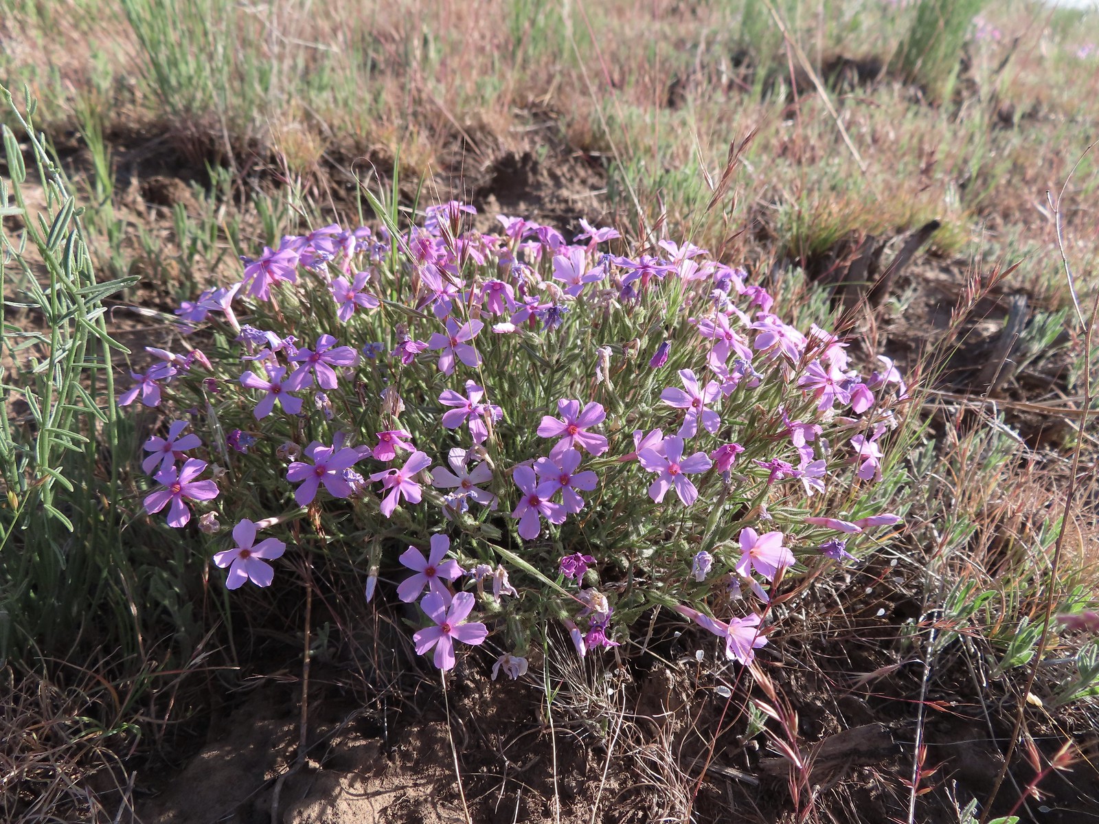 Phlox
Phlox The Deschutes River winding through the valley below.
 Rough eyelashweed and lupine with Mt. Hood behind.
 Caterpillar
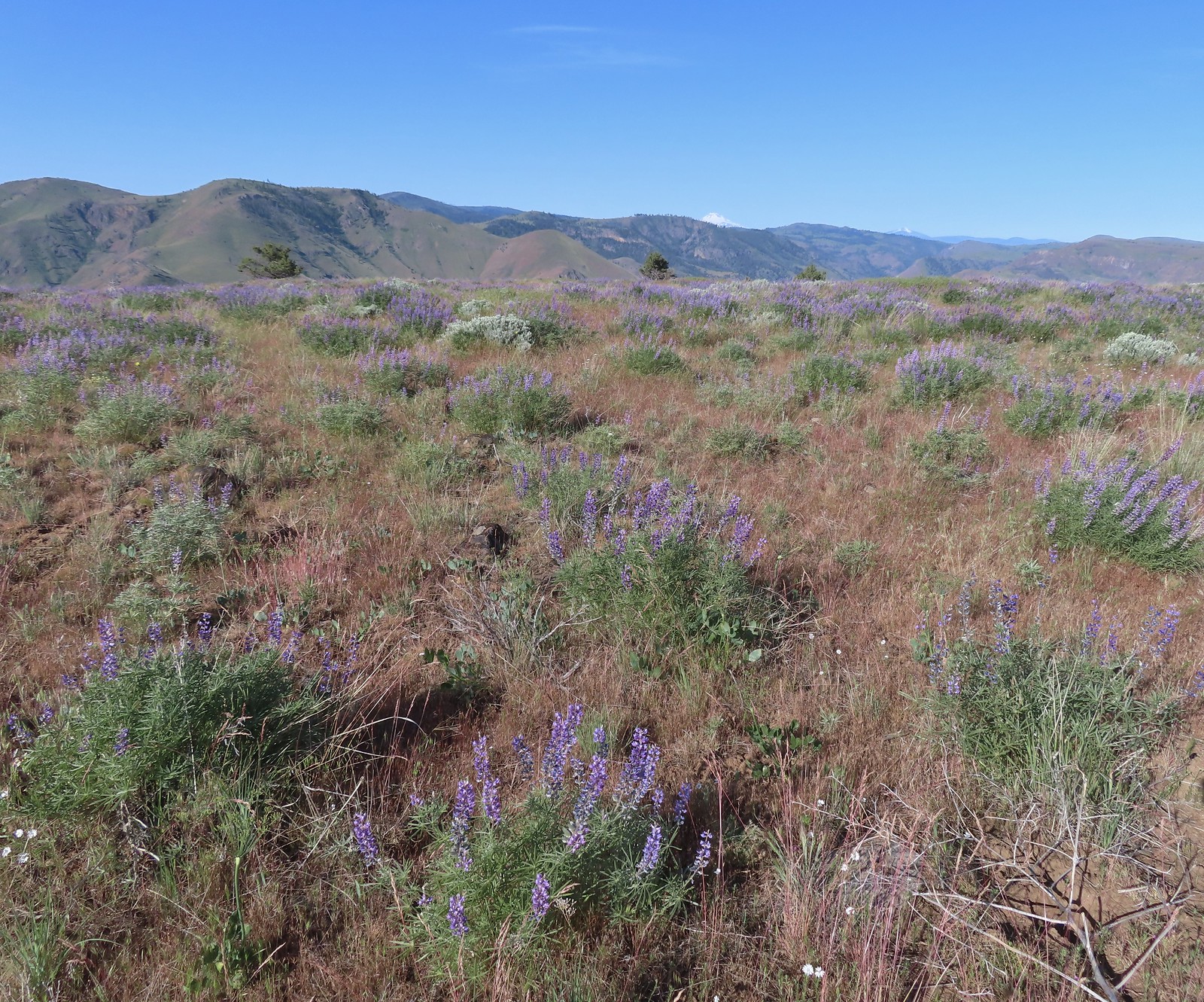 Lupine with Mt. Jefferson in the background.
 Horned lark
 Mt. Jefferson behind the abandoned trailer.
 Mt. Jefferson was hidden at times but this gap in the hills provided a nice view.
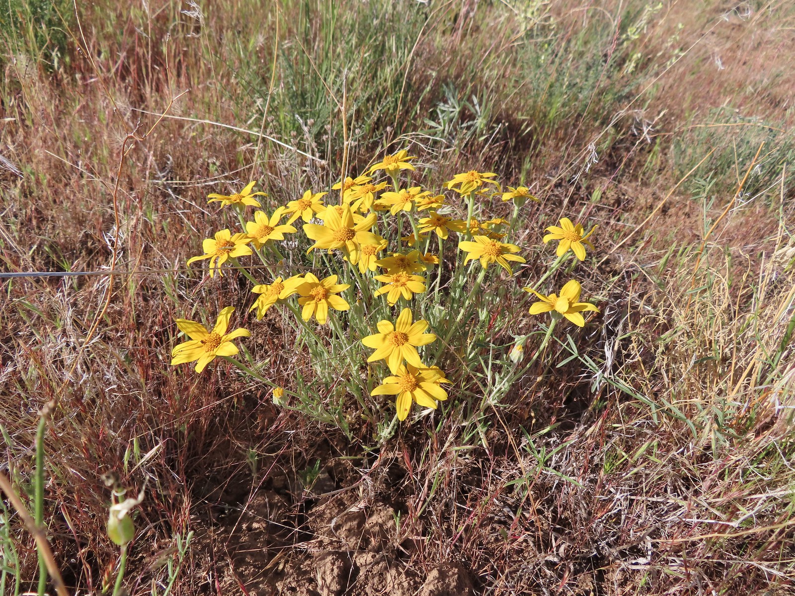 Oregon sunshine
 Skipper
 Mt. Jefferson and Olallie Butte (
 A small watering hole.
 Leaning toward an Acmon blue but not sure.
 Another in the Lycaenidae family.
 Large marble on a fiddleneck.
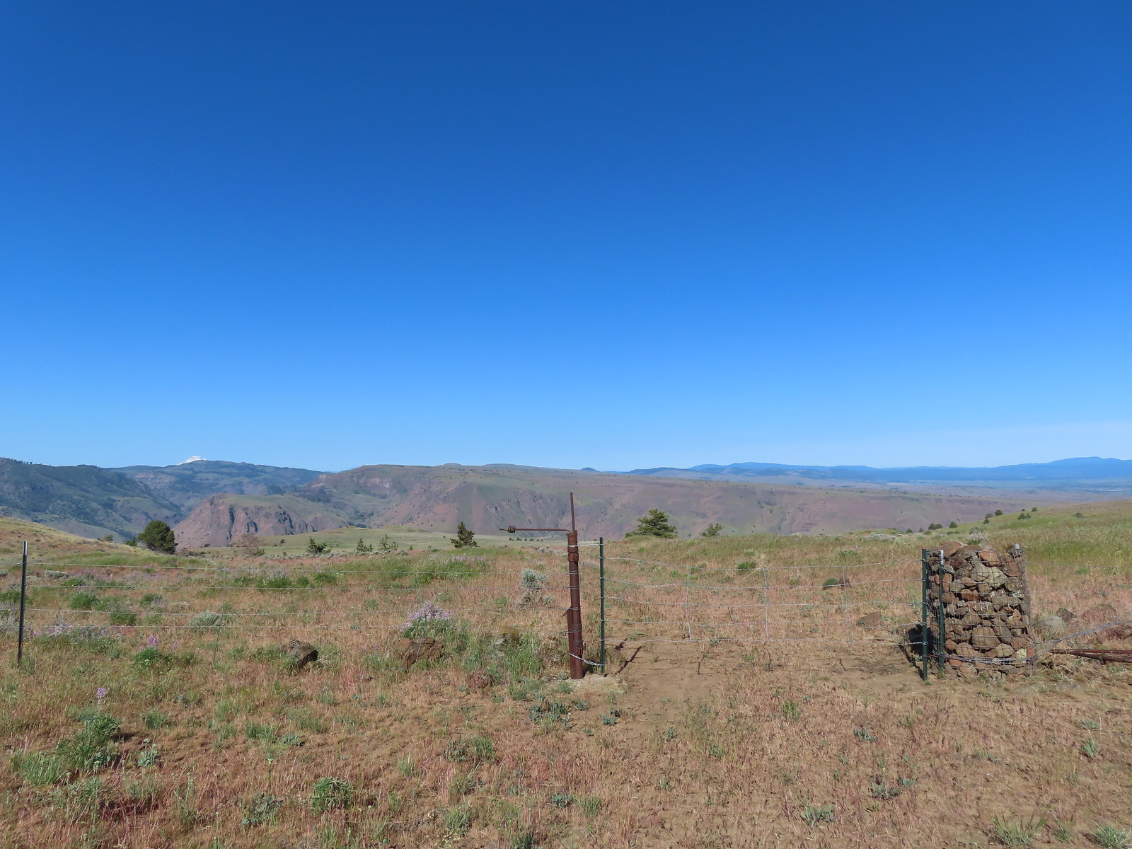 The fourth gate at the 4-way junction.
 Mourning dove
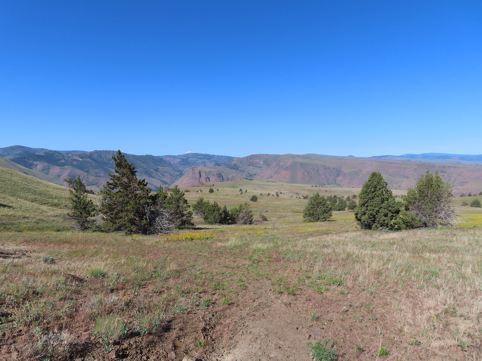 The more “obvious” jeep track curving left.
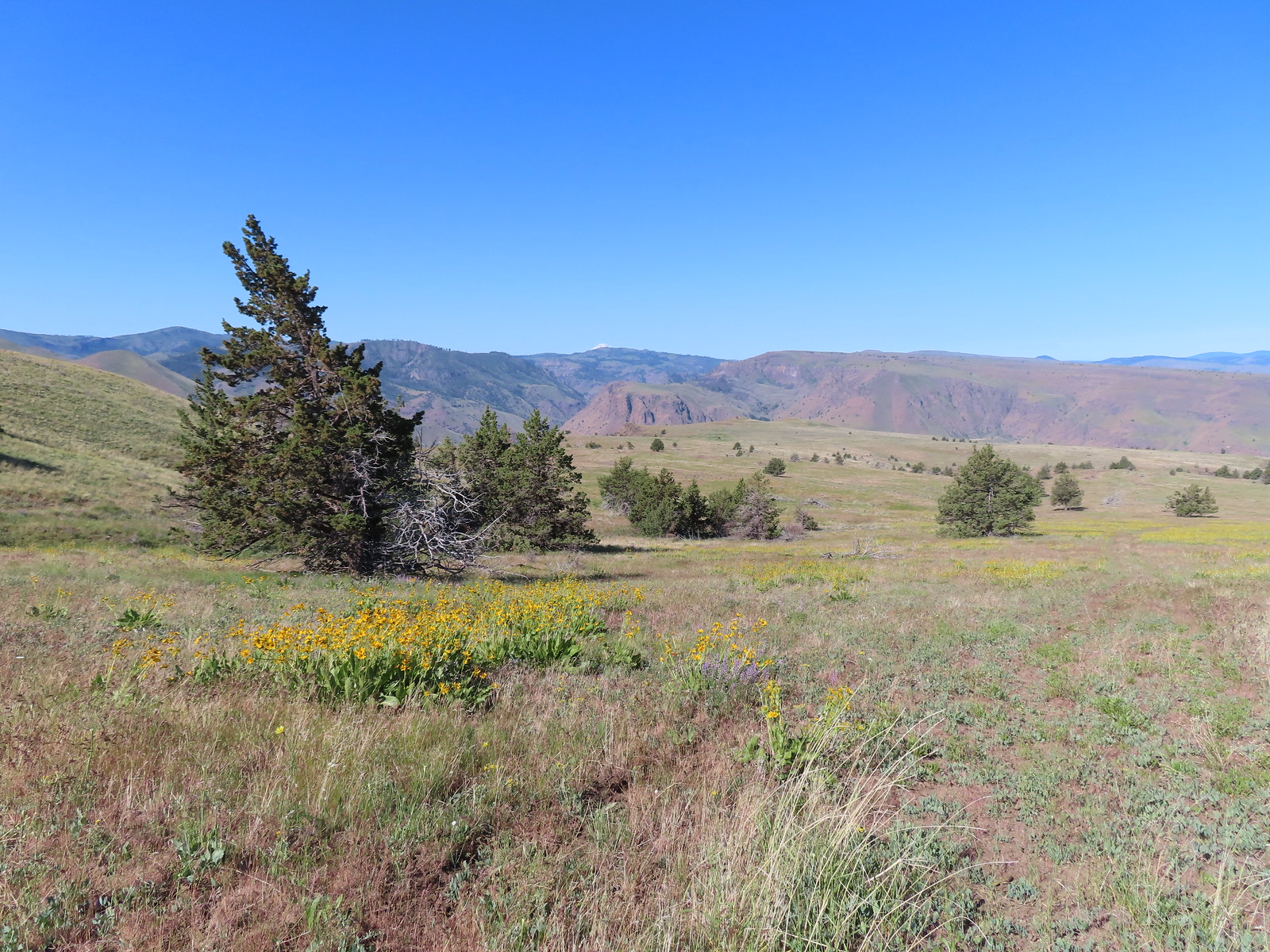 The fainter track angling slightly right.
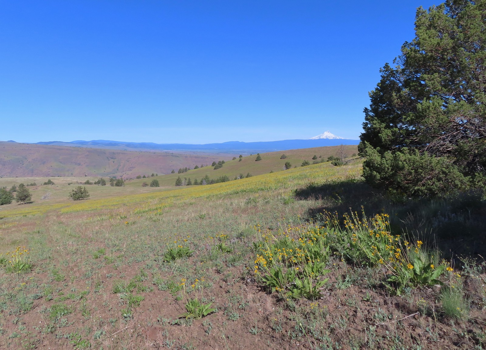
 Ochre ringlet on rougheyelashweed.

 Zerene fritillary
 Zerene fritillary on salsify
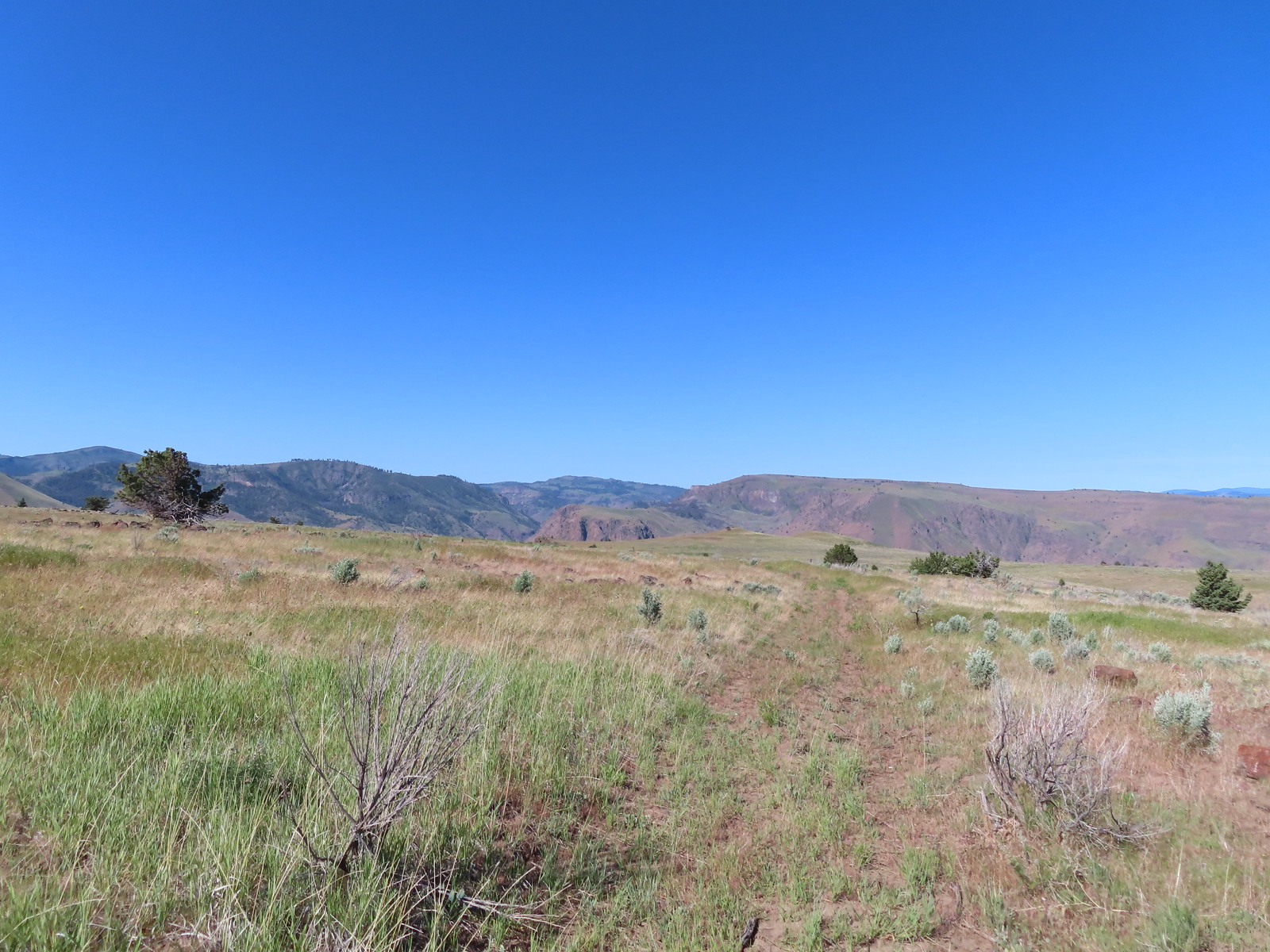 We thought we spied the post and used the camera to zoom in and confirm.
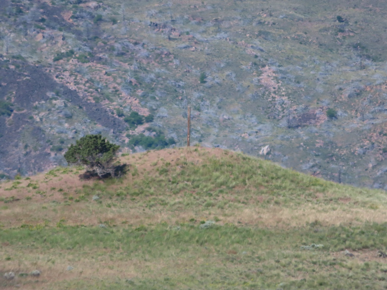 This was the only knoll with a juniper as well as the post.
 Largeflower hawksbeard
 Paintbrush
 To reach Stag Point we had to go cross country, so we looked for the most gradual looking climb.
 Mt. Hood from Stag Point.
 The Deschutes River from Stag Point.
 Mt. Hood and Mt. Adams from Stag Point.
 Looking back over the route we’d come down.
 Ladybug and an Oregon swallowtail.
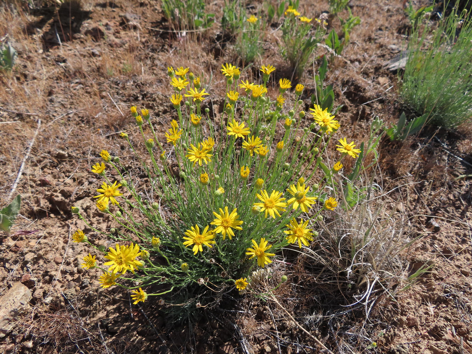 Desert yellow fleabane
 Heading out to the rock outcrop.
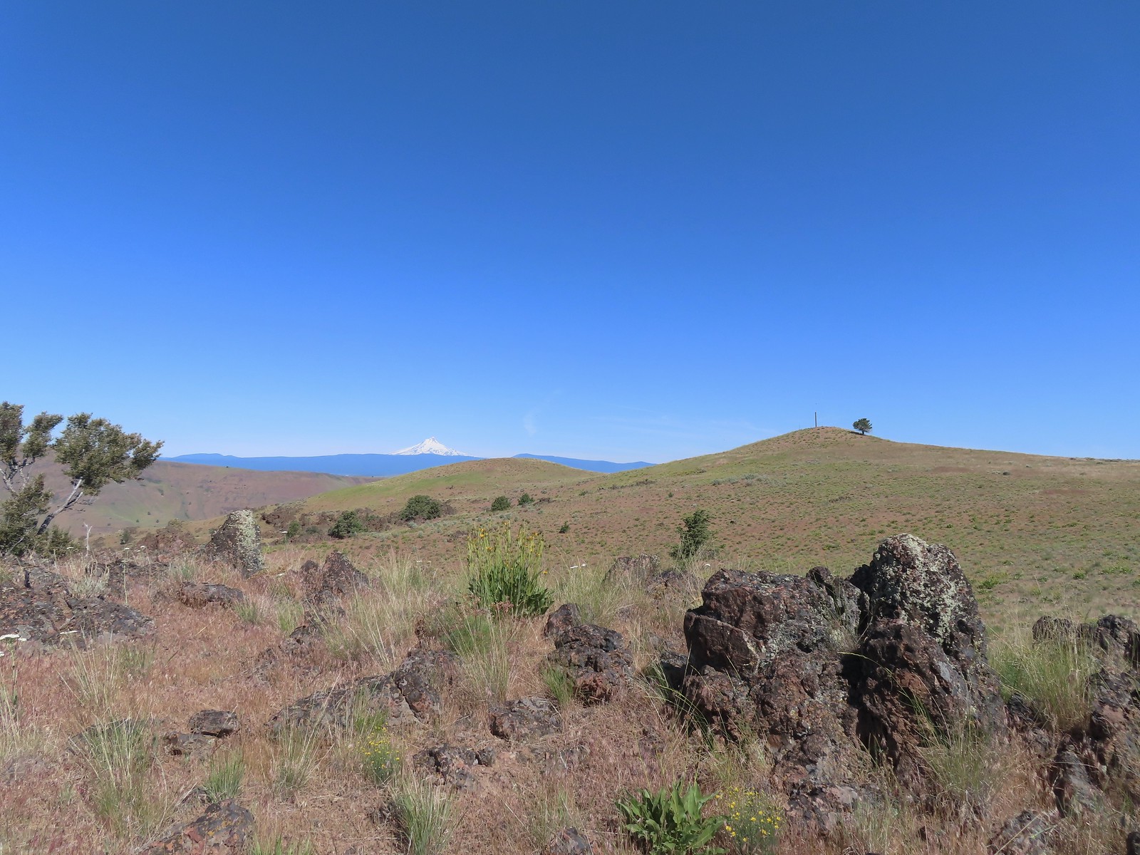 Mt. Hood and Stag Point from the outcrop.
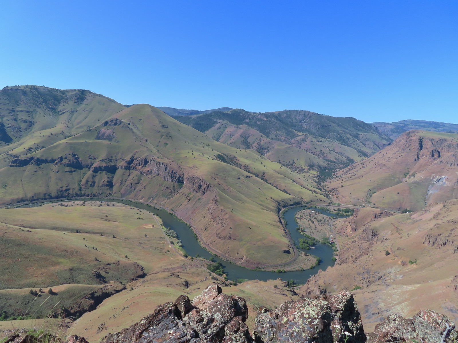 A better view of the Deschutes.
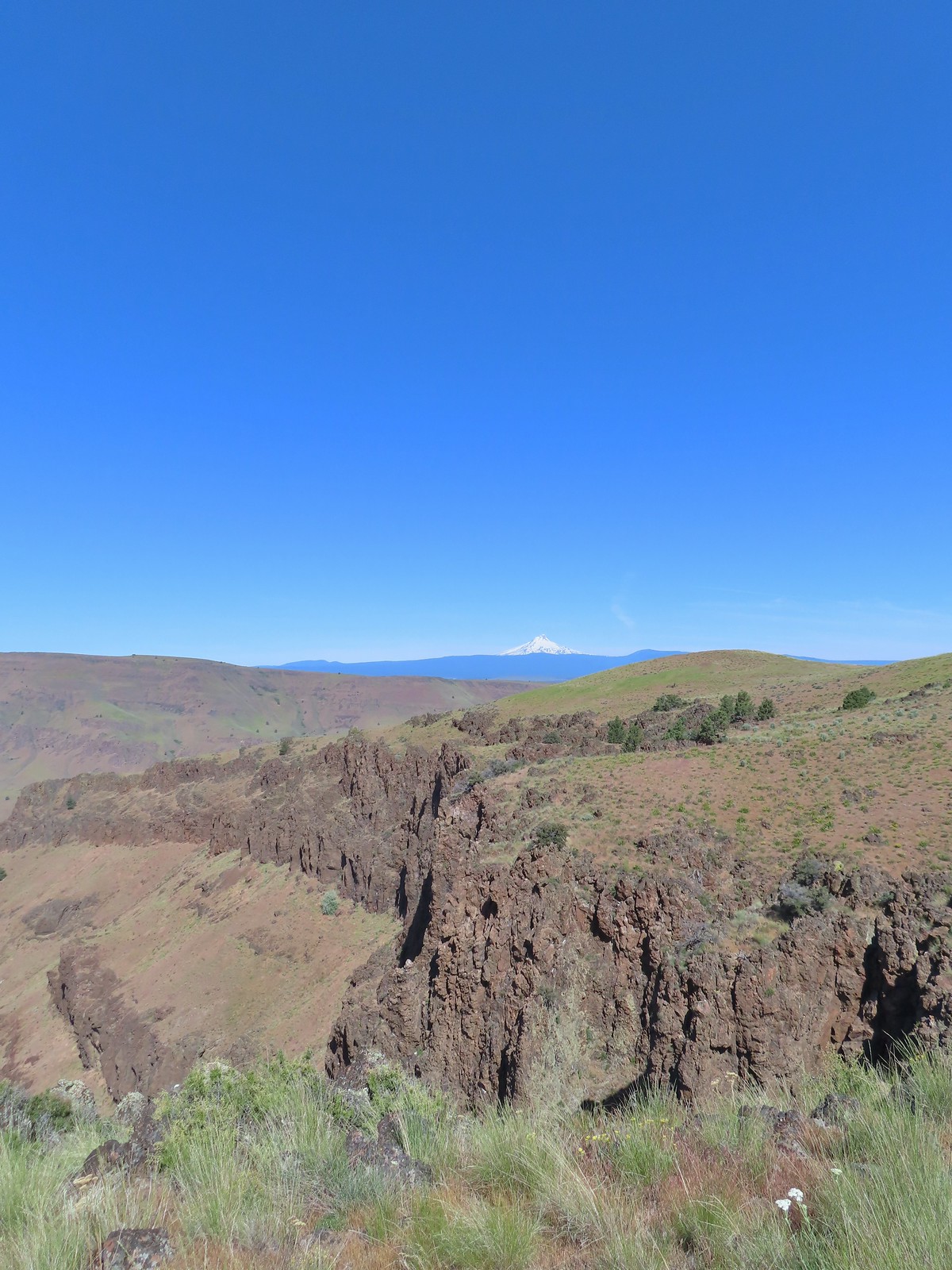 Mt. Hood beyond the cliffs.
 A buckwheat
 Stink bug
 Silverleaf phacelia
 Back on the jeep track.
 Lupine and balsamroot
 The cows had really chewed this section of the jeep track up.
 The gate ahead.
 Horned lark guarding the gate.
 Mt. Jefferson and Olallie Butte
 Grand collomia
 Time for some sun.
 A butterfly and fly.
 Three butterflies and a fly.
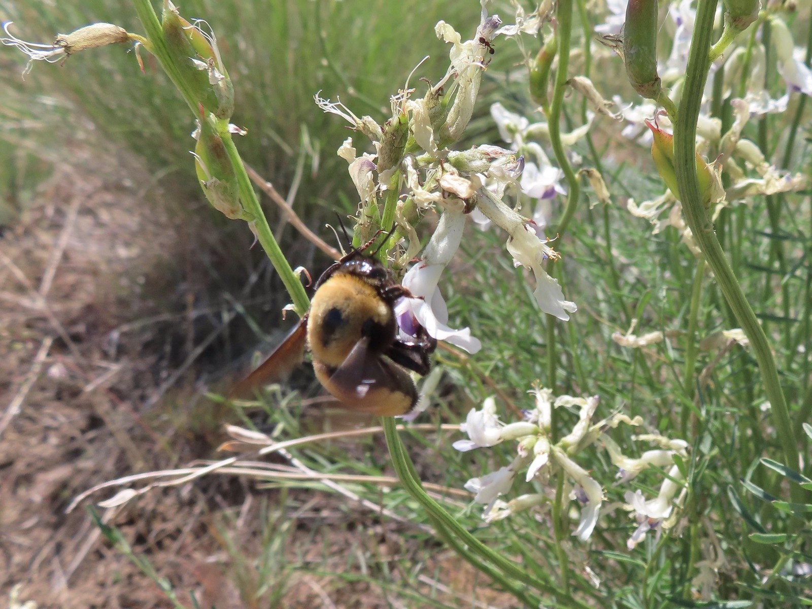 Busy bee
 This swallowtail was a little rough around the edges.
 Another horned lark on lookout.
 Nothing brings fritillary butterflies together like a good pile of scat.
 Another option for another time. We were just happy to have solved that mystery.
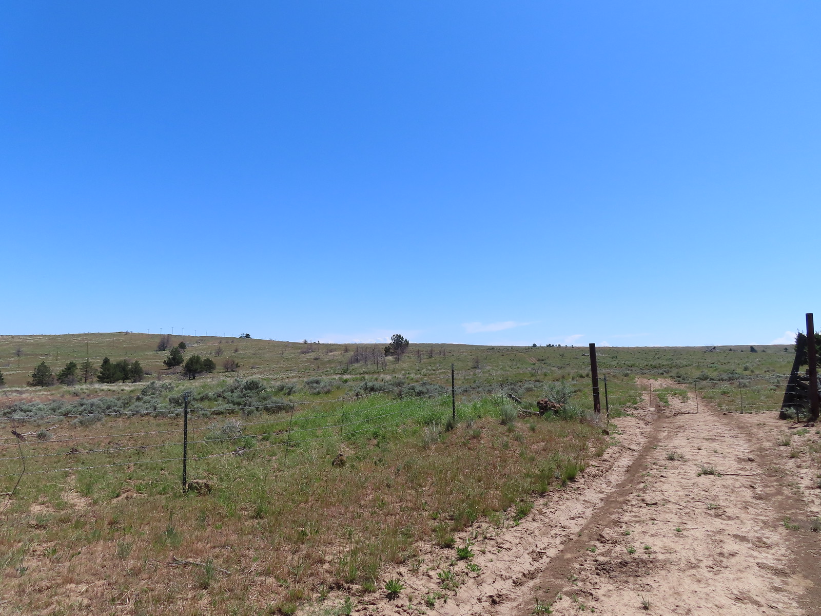 The Radio Towers on the hill were right next to the trailhead.
 The Three Sisters (from this angle it looks like two)
 Three butterflies and a beetle on buckwheat.
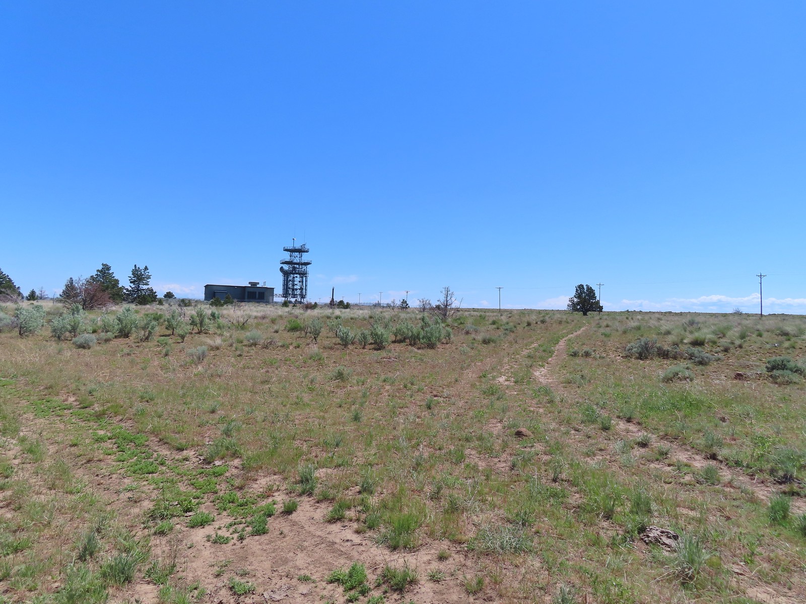 Another mystery was where did the trail from the South Trailhead (just on the other side of the radio towers) connect. We’d missed the track on the right on our first pass, another question answered.
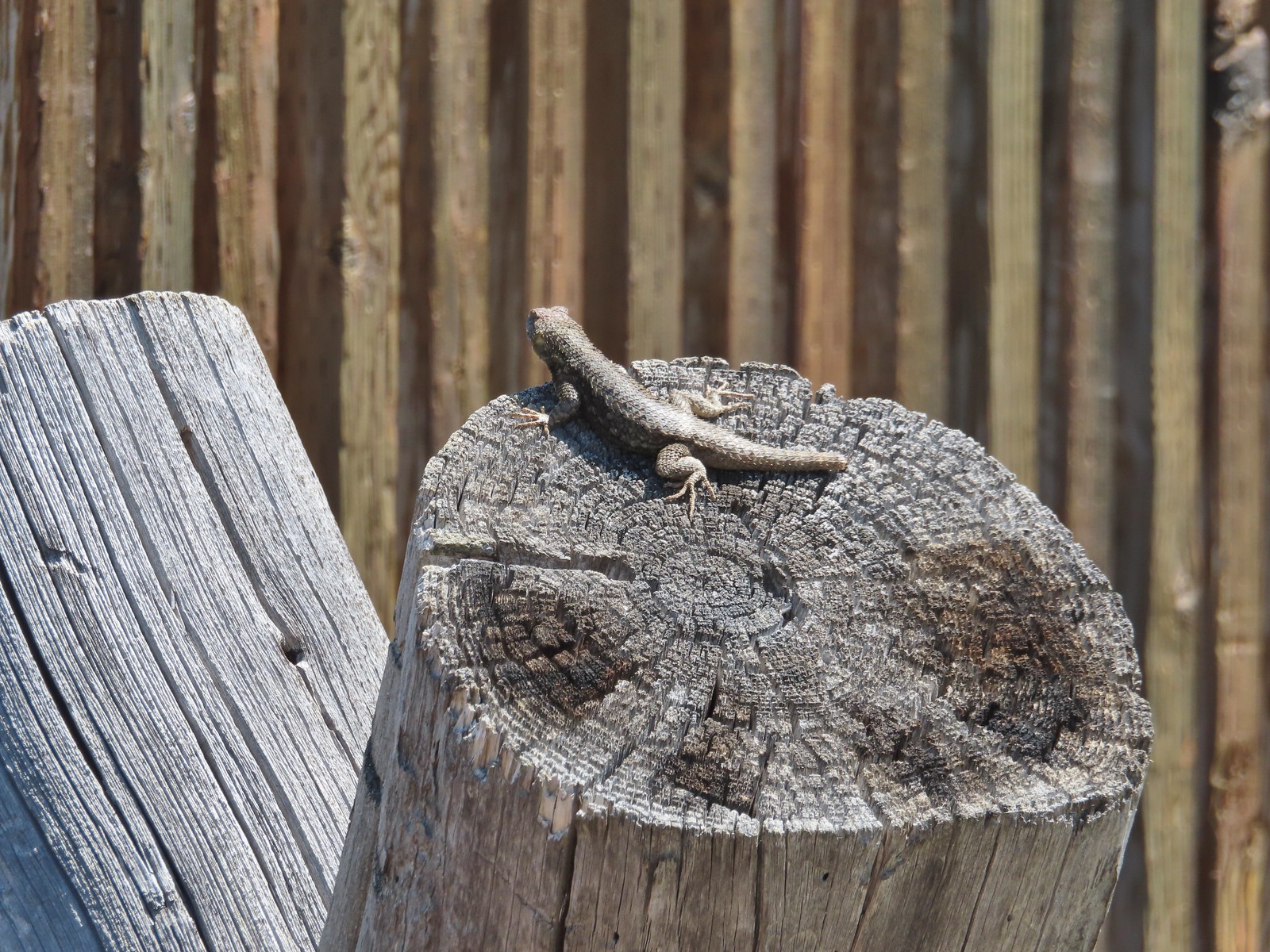 Lizard with half a tail at the trailhead.
 This mountain bluebird was acting odd when we arrived at the gate. It was flying back and forth with something in its mouth. (Mt. Adams is in the background.)

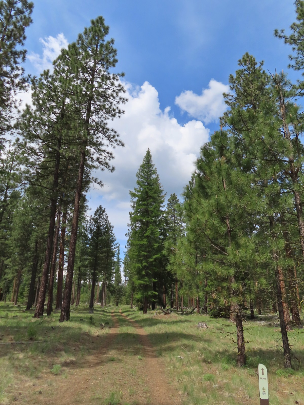

 Our first rhododendron blossom of the year.
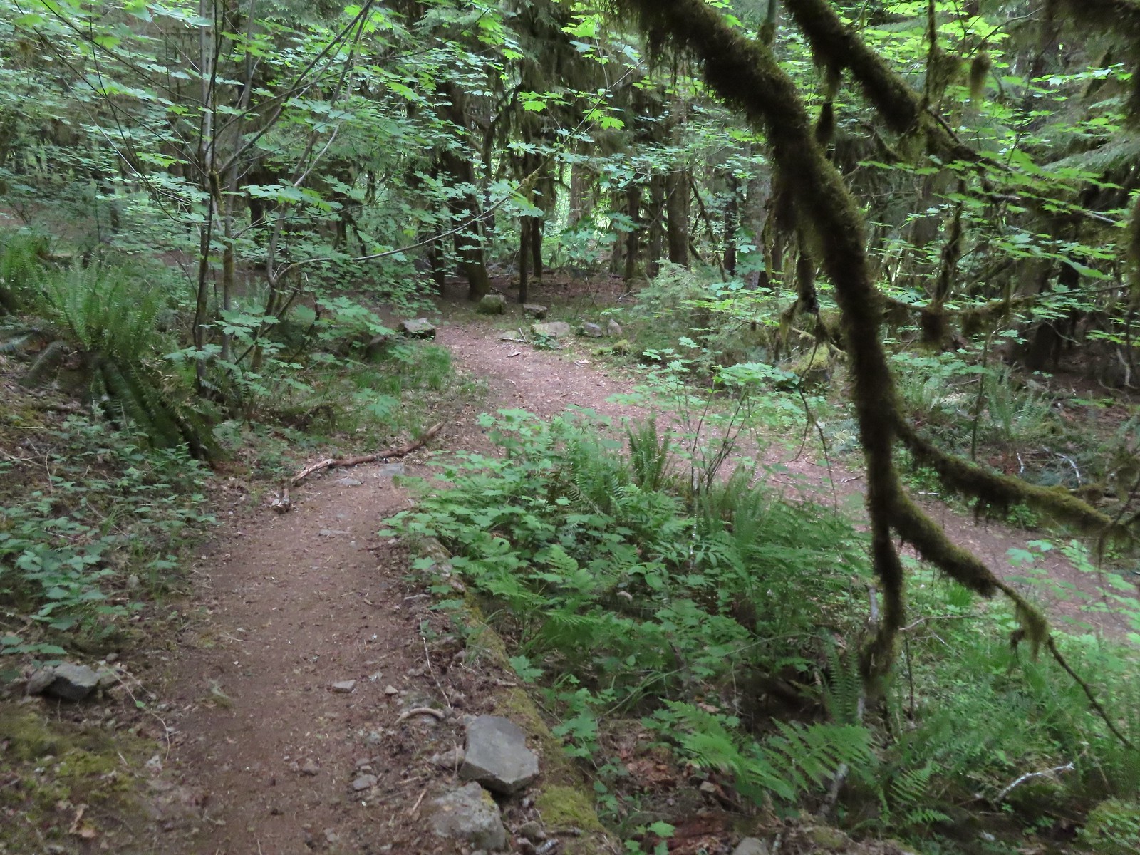 We turned right when the trail met an old logging road.
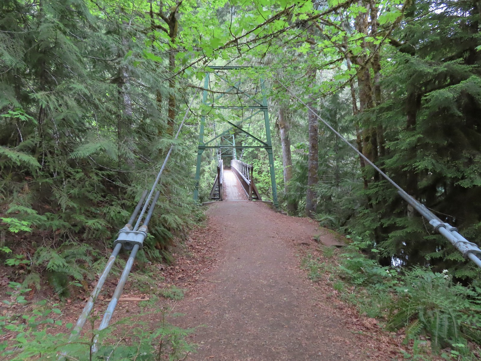

 Blowout Arm
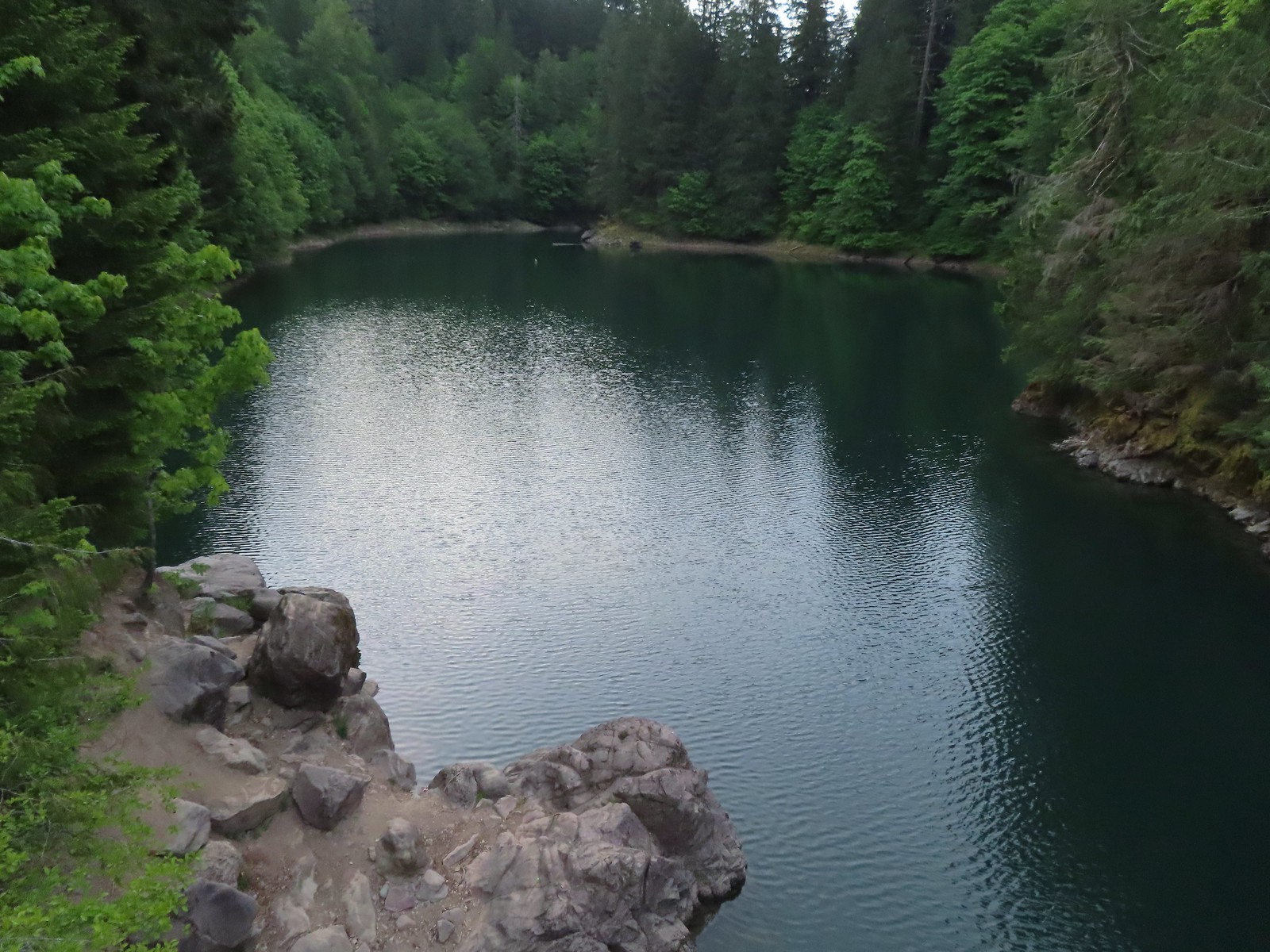 Blowout Creek flowing into Blowout Arm.
 We found our first beargrass on the other side of the bridge.
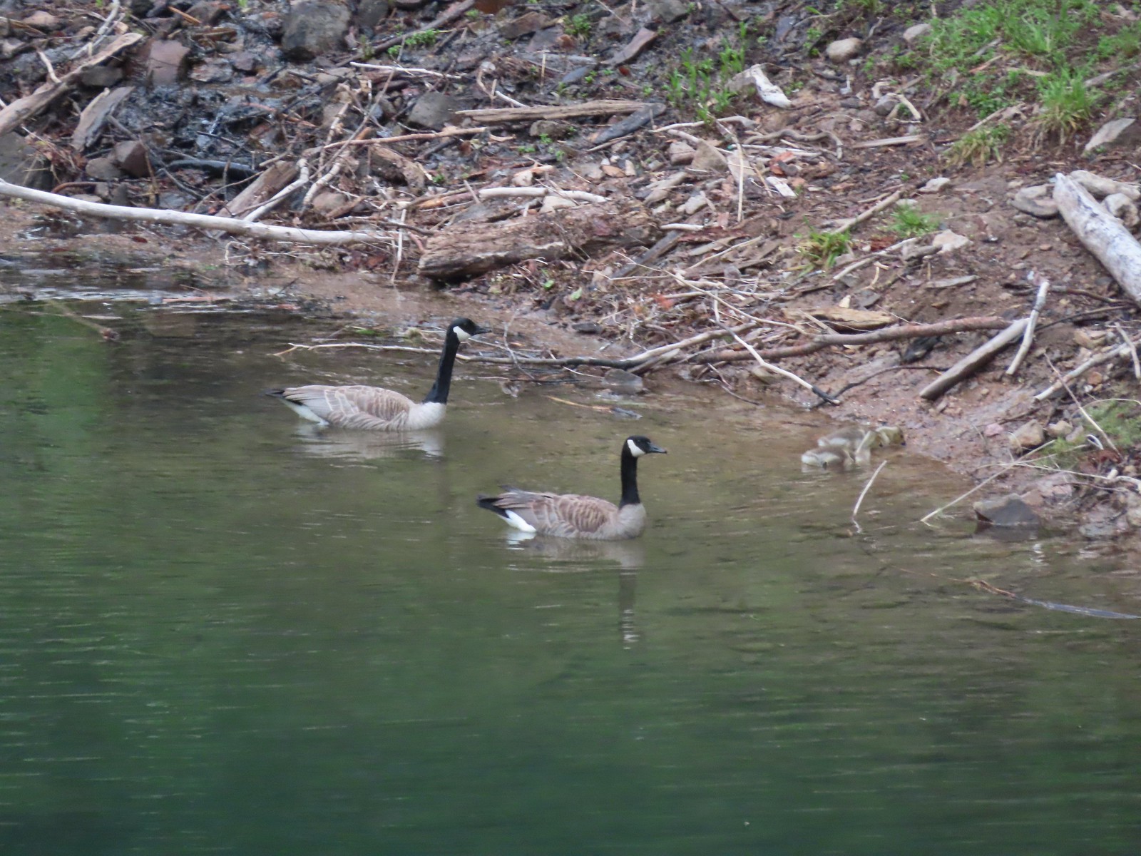 Swimmers at Blowout Arm.
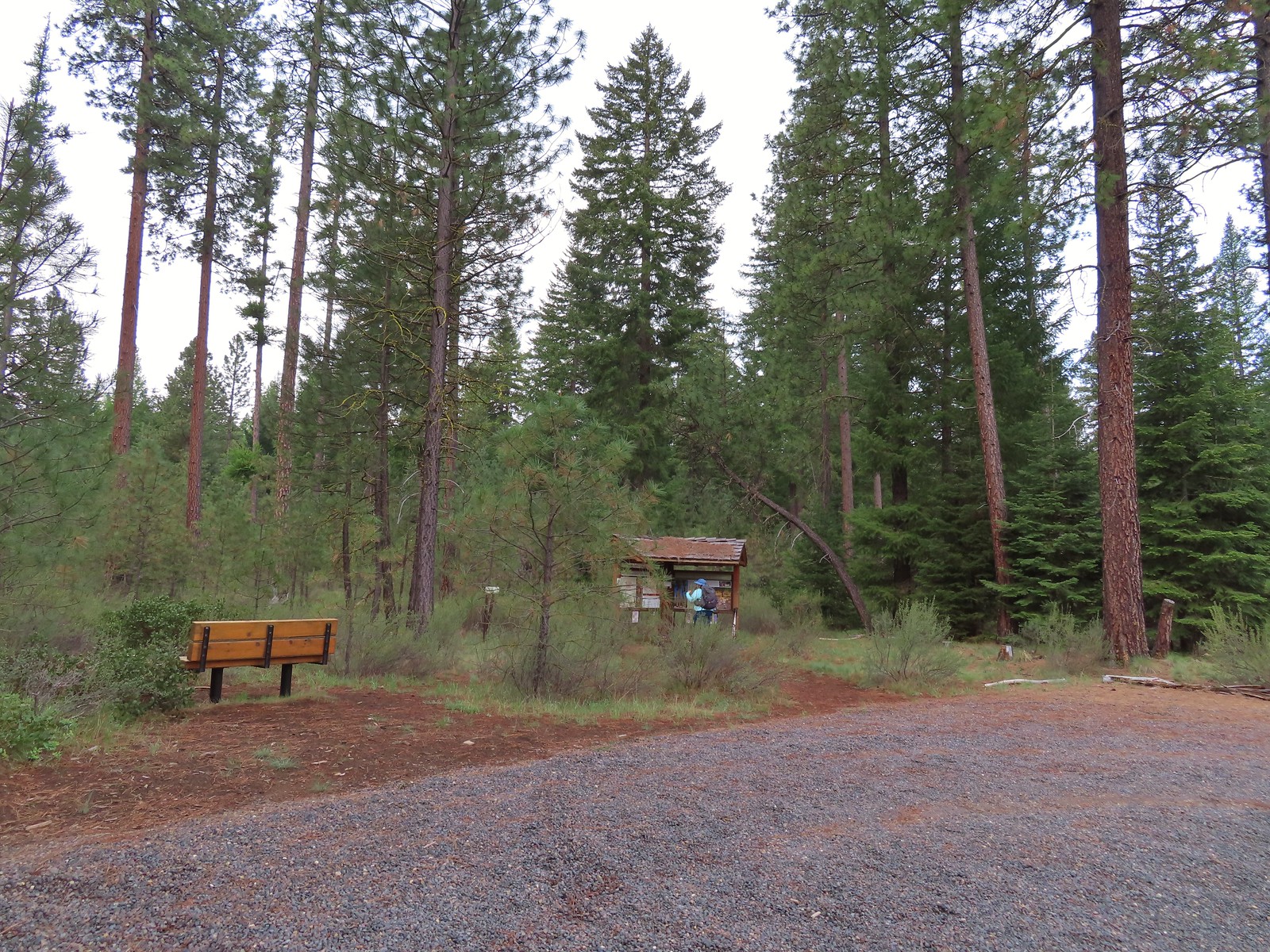
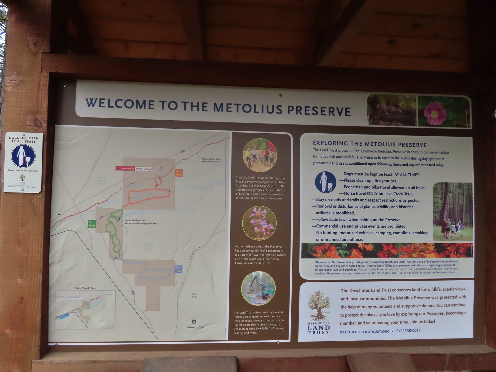
 Sign for the Lake Creek Trail.
 Lake Creek Trail
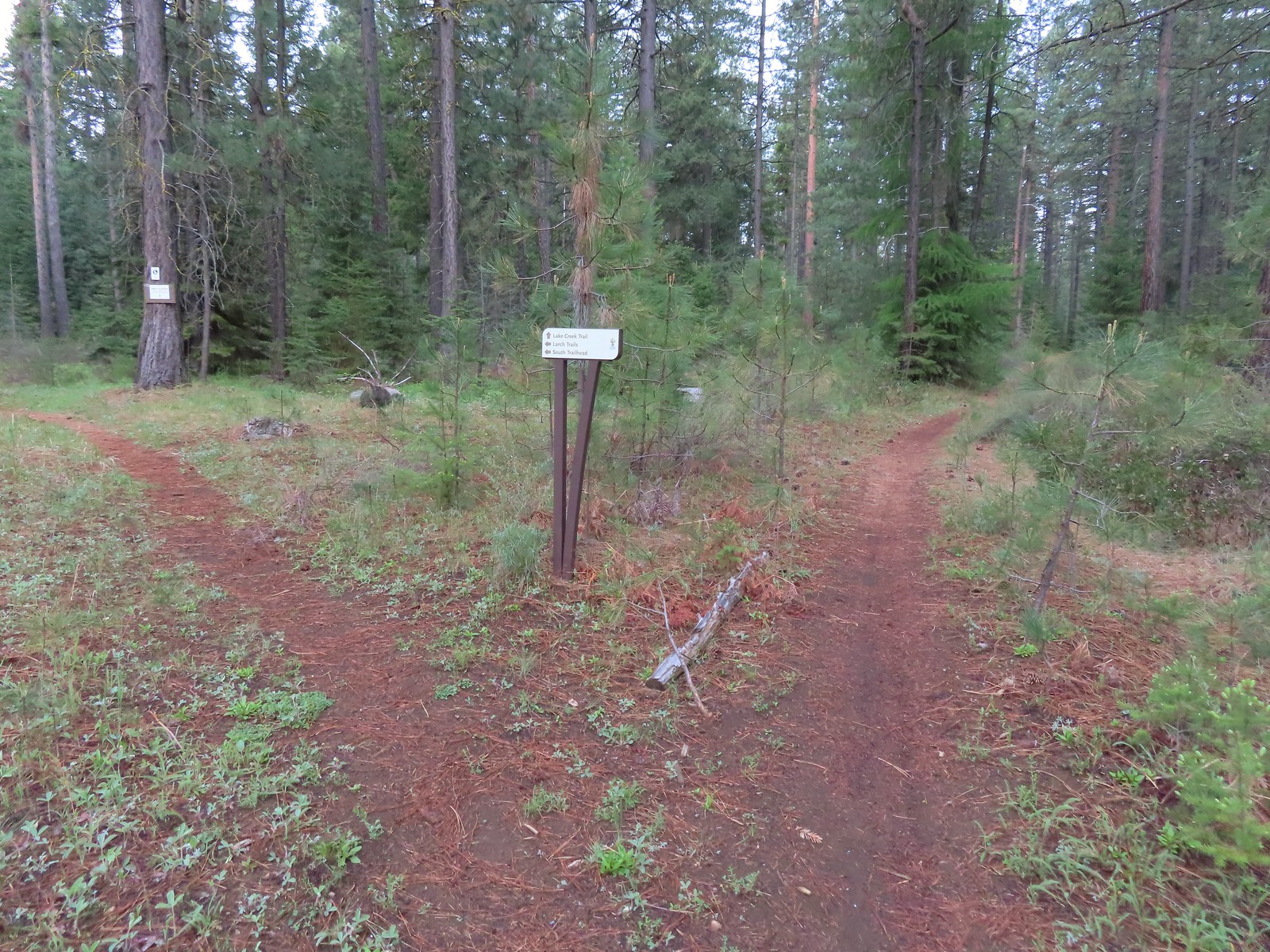 Pointer for the Larch Trails.
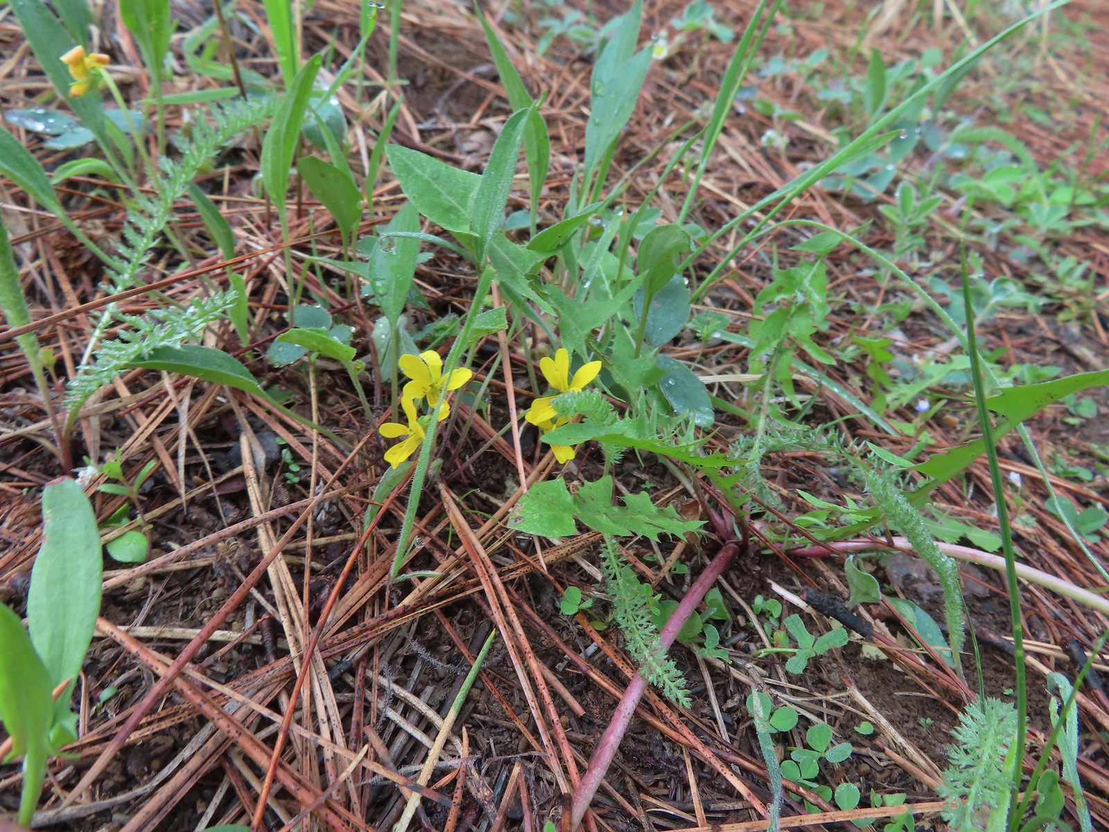 Violets
 Star-flowered solomonseal
 Serviceberry
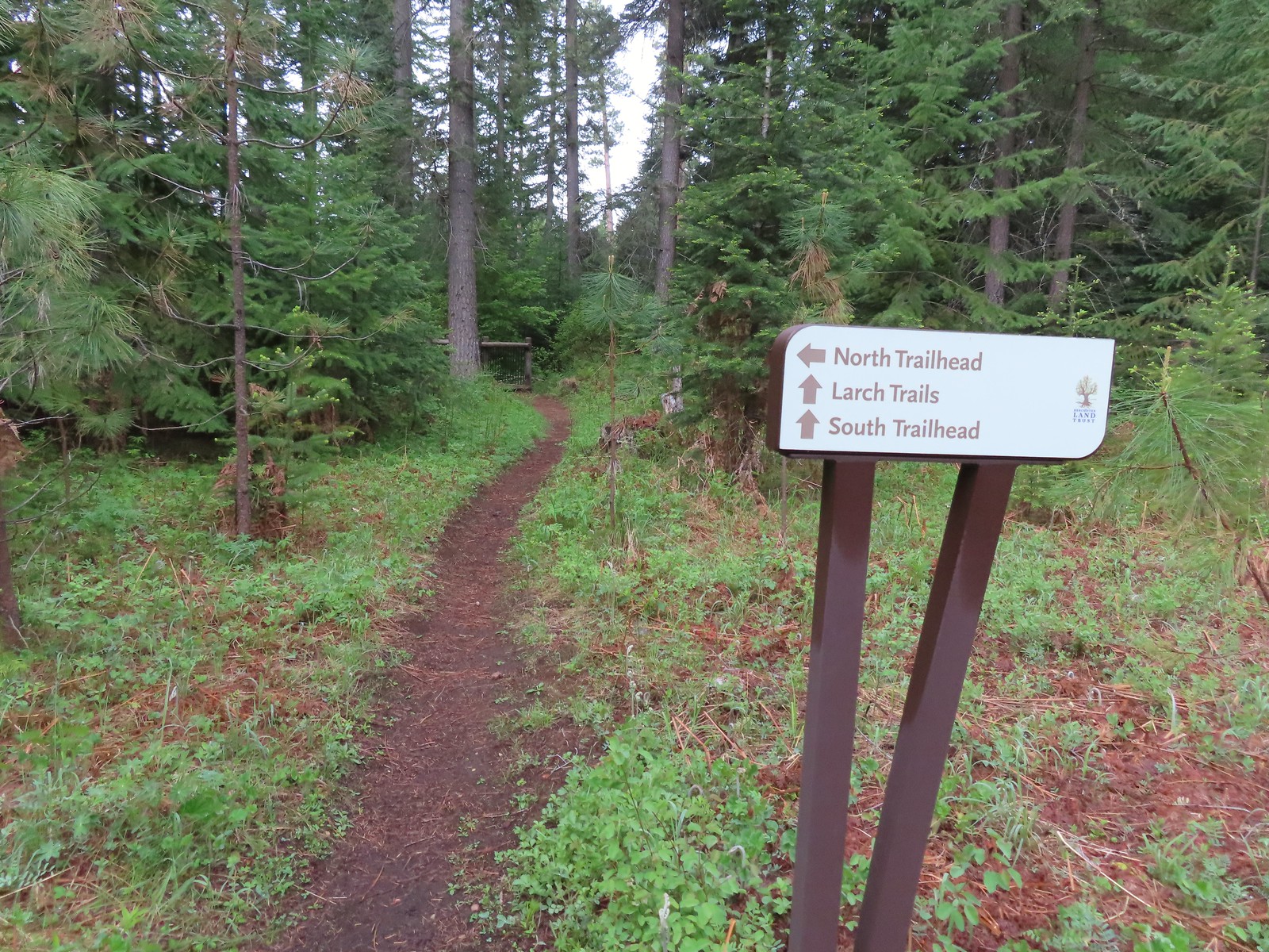

 North Fork Lake Creek

 Middle Fork Lake Creek
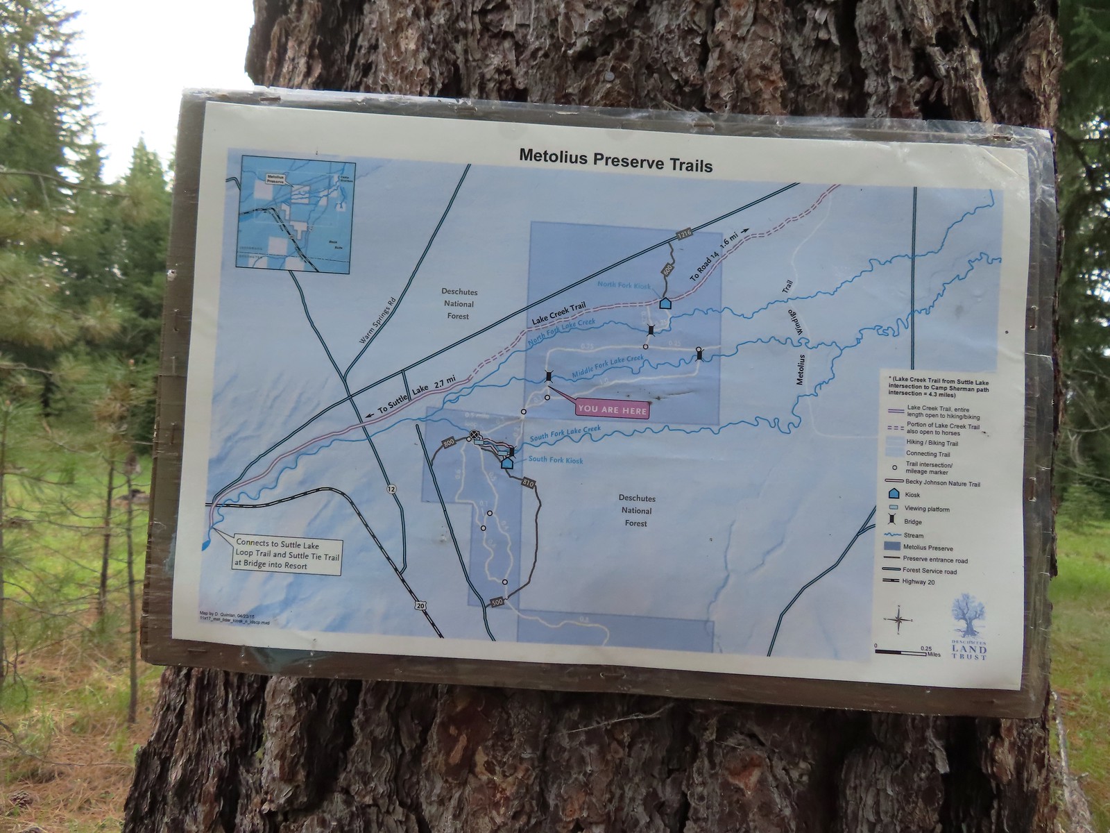 Between the pointers at junctions and a few well-placed maps it was relatively easy to stay on course, as long as we were paying attention.
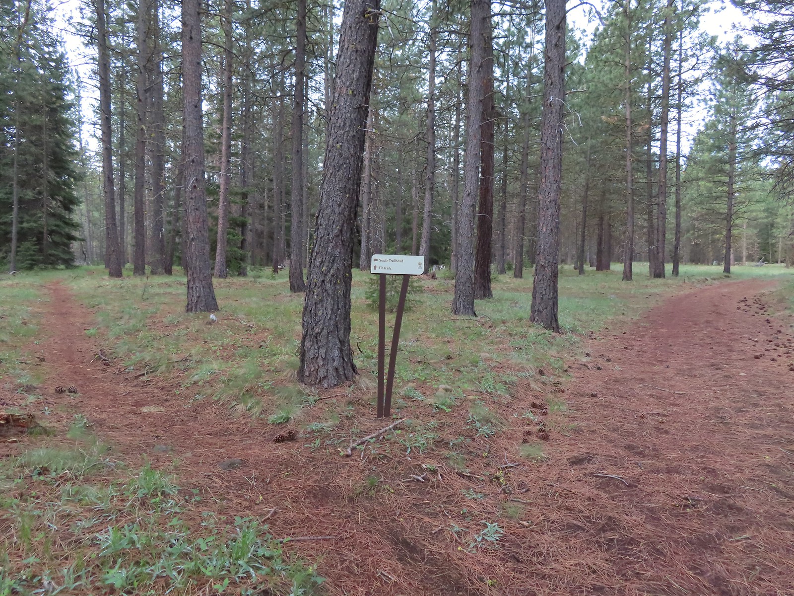 We stayed right again here at the start of the Fir Trails.
 A seasonal tributary of Middle Fork Lake Creek.
 Balsamroot
 Fir Trail reaching a bridge over the South Fork Lake Creek.
 Interpretive sign at the South Fork Lake Creek.
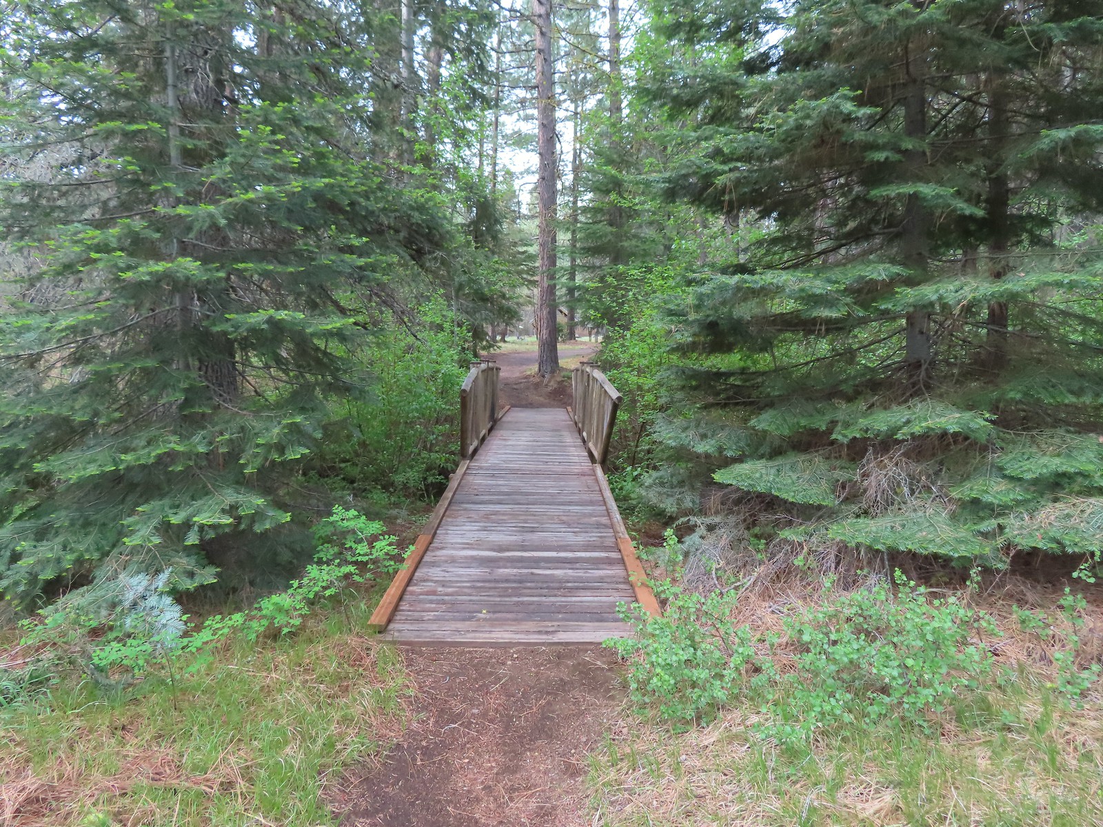 A second footbridge over another branch of the Lake Creek.
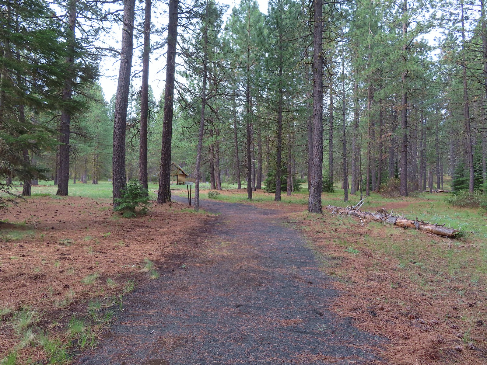
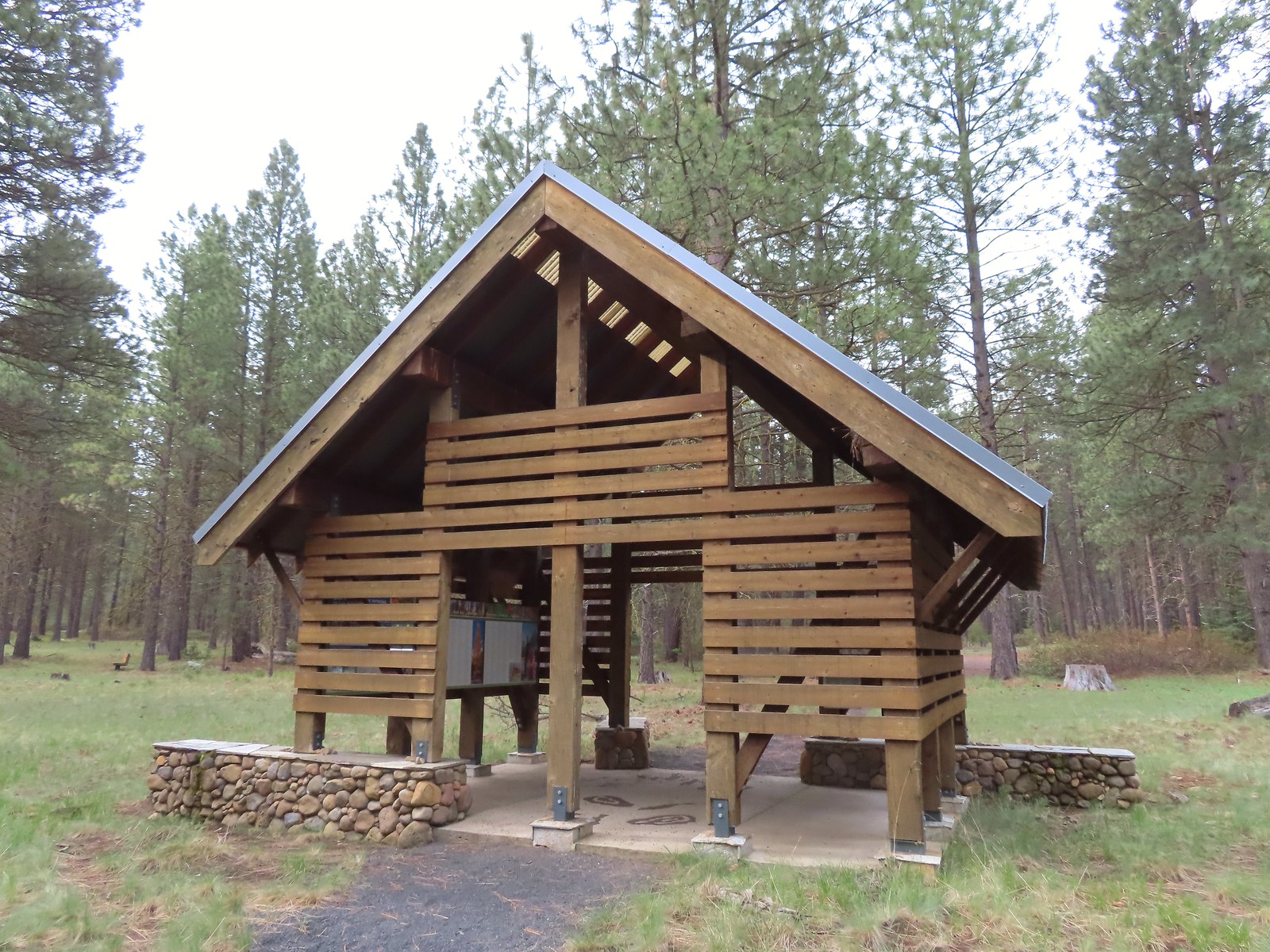 Shelter at the South Trailhead
 The first overlook didn’t have much of a view of the creek but the second one did, along with a nice bench.
 The second overlook.
 Interpretive sign at the second overlook.
 South Fork Lake Creek

 Hound’s tongue with a caterpillar.

 The Fir Trails end at Road 500 (the entrance to the South Trailhead) and the Pine Trails start on the far side.
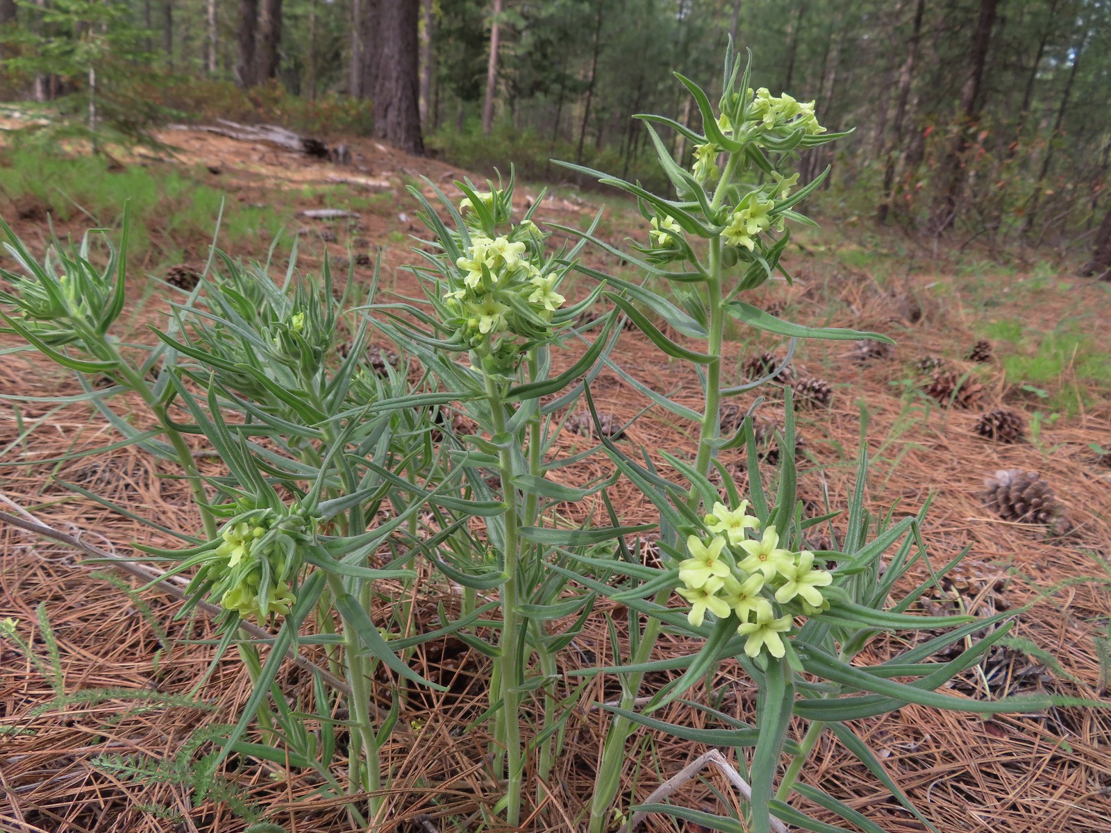 Western stoneseed
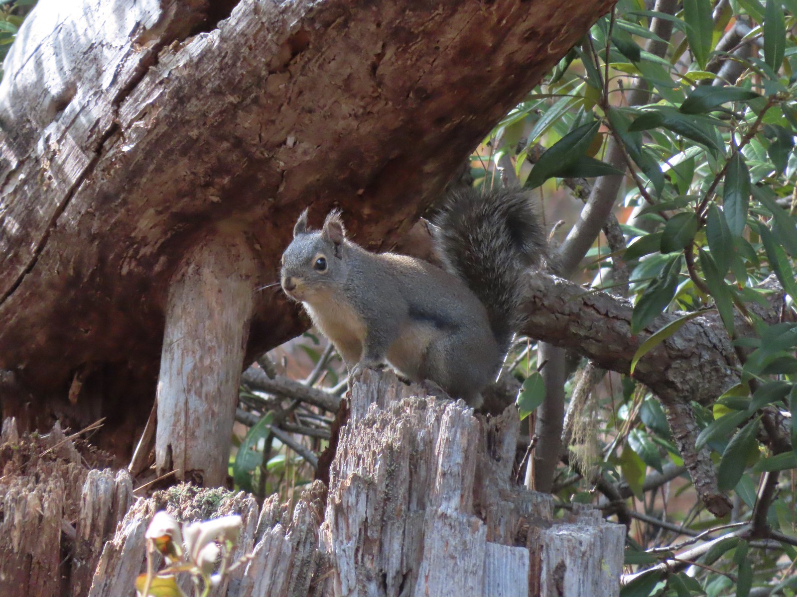 Squirrel
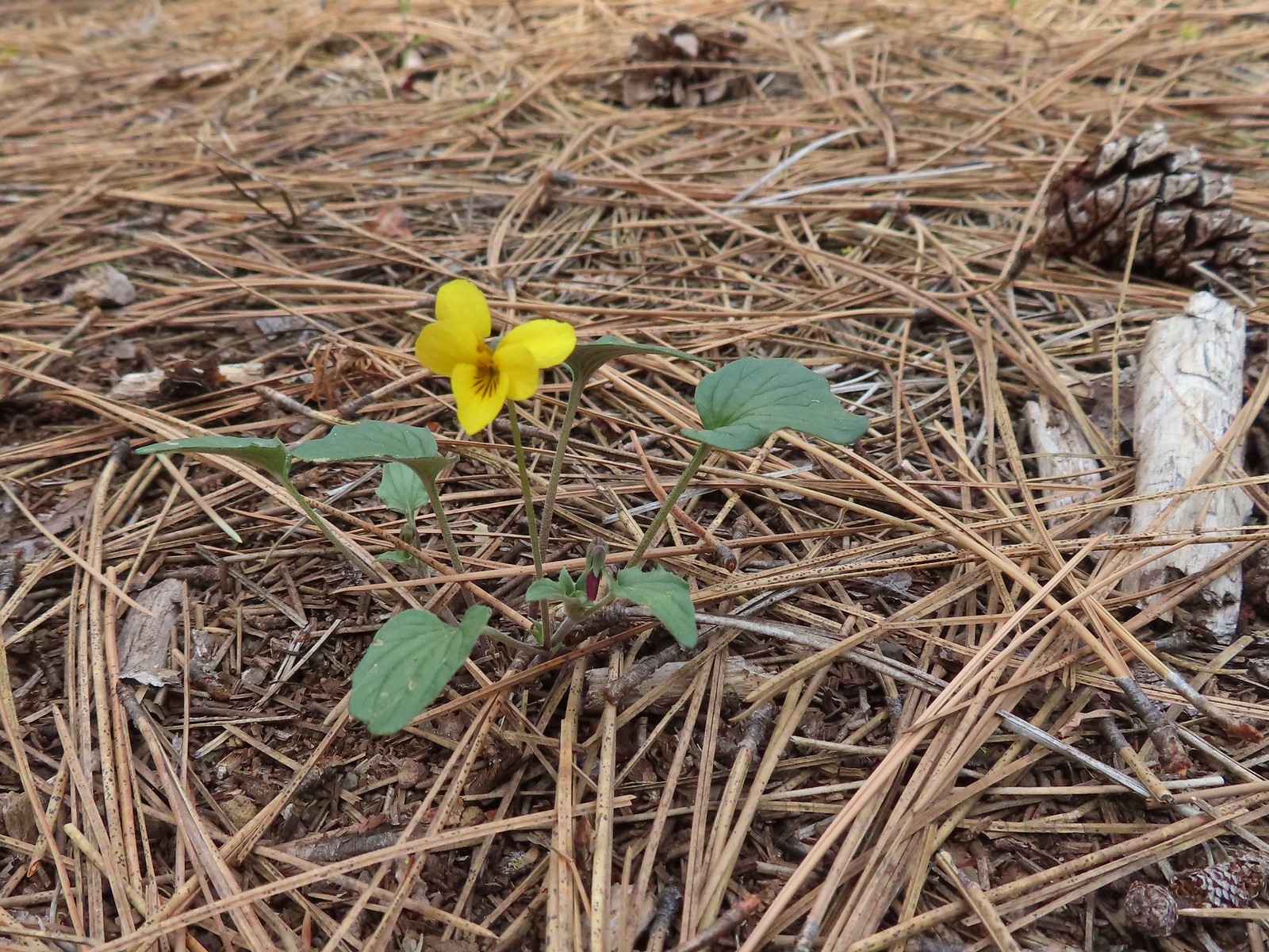 Goosefoot violet
 One of the non-trail roadbeds to the right along the Pine Trails.
 Balsamroot along the Pine Trails.
 There had been some fairly recent thinning happening along the Pine Trails.
 Chirpping sparrows
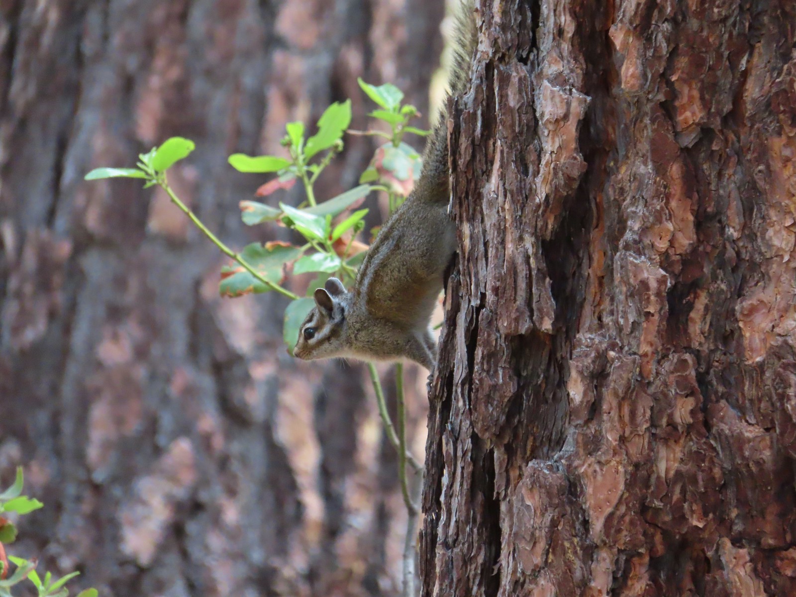 Chipmunks
 Deer along the Fir Trails.
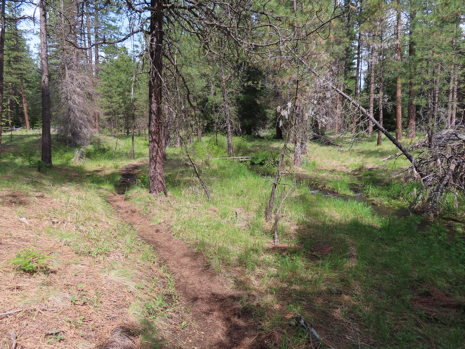 The Fir Trails crossed the seasonal branch on a small footbridge.
 Slender phlox and narrowleaf miner’s-lettuce.

 I took this photo of a swallowtail and then later realized there was a second butterfly on the Oregon grape.
 Lunch
Lunch Bridge over the North Fork Lake Creek.
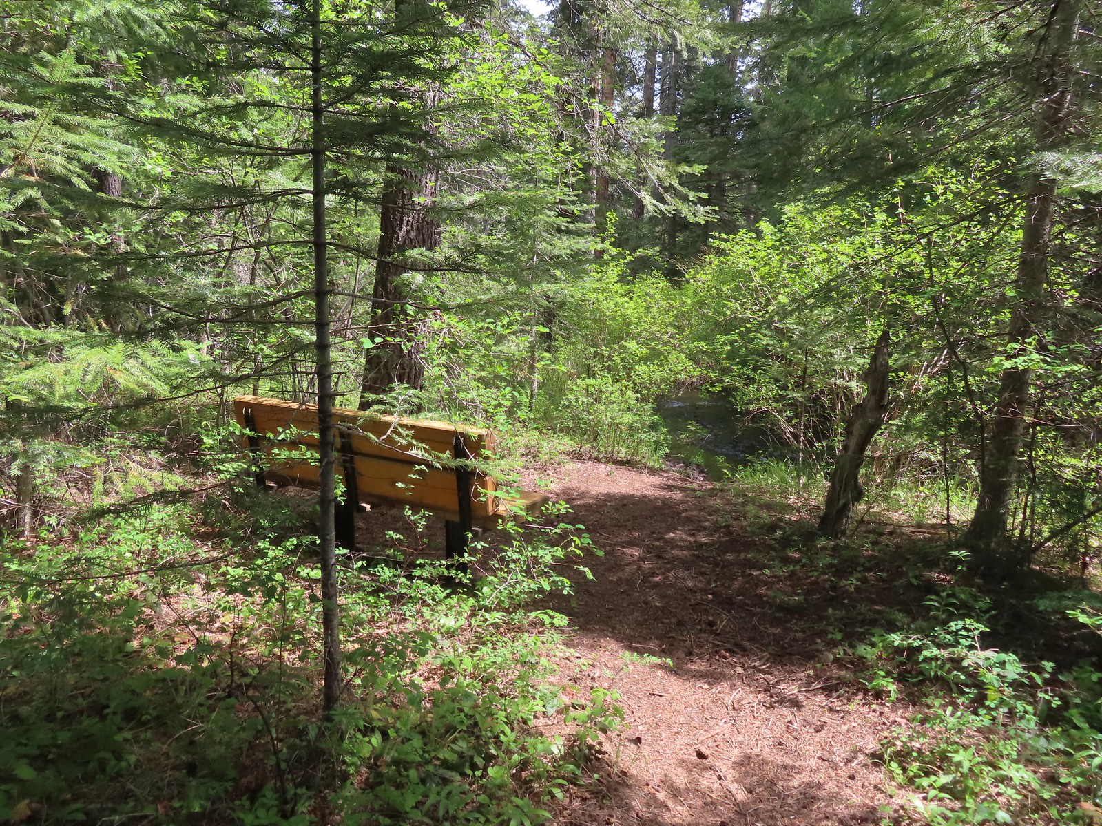 Bench along Lake Creek near the North Trailhead.
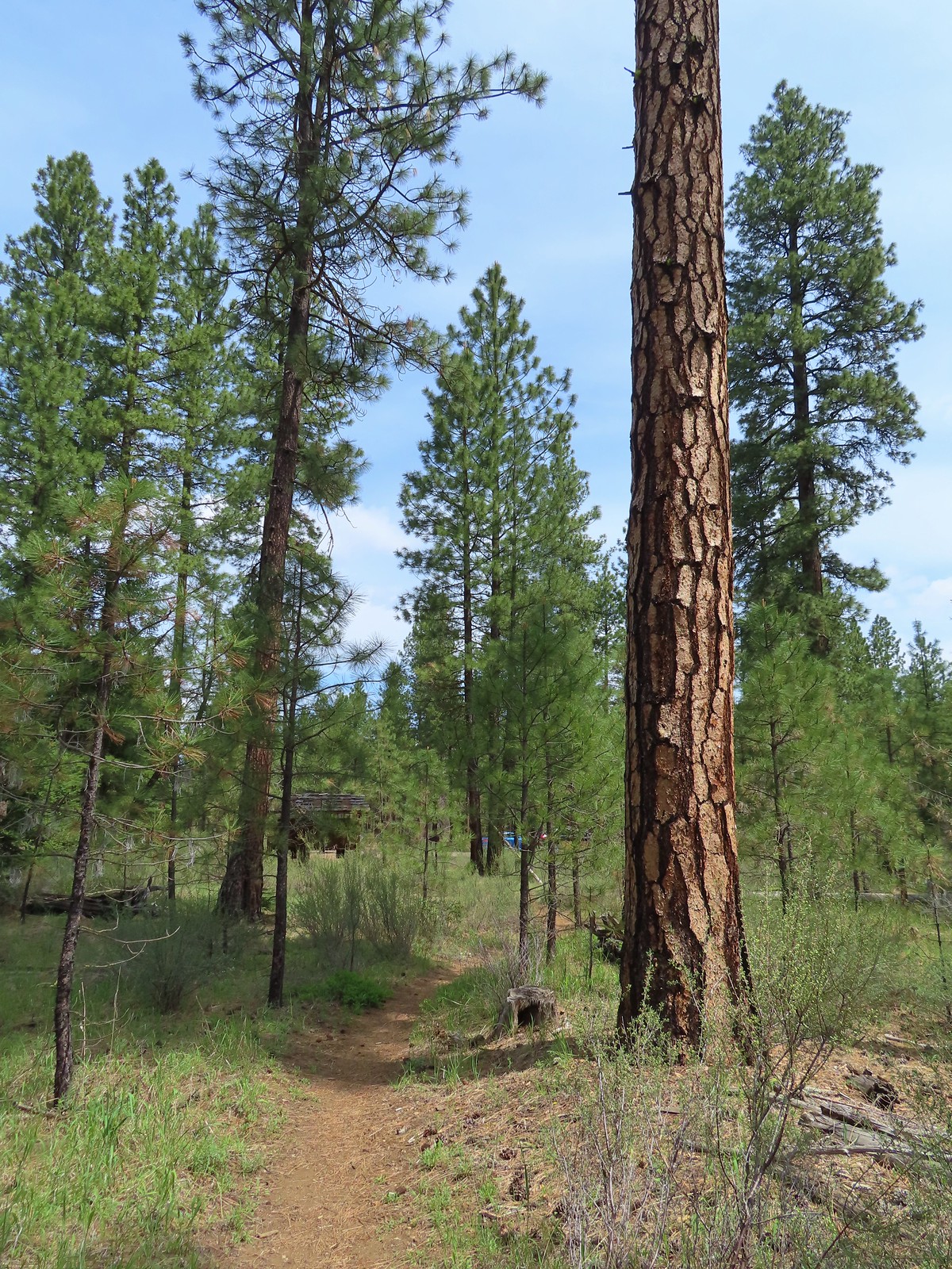 Arriving back at the trailhead.
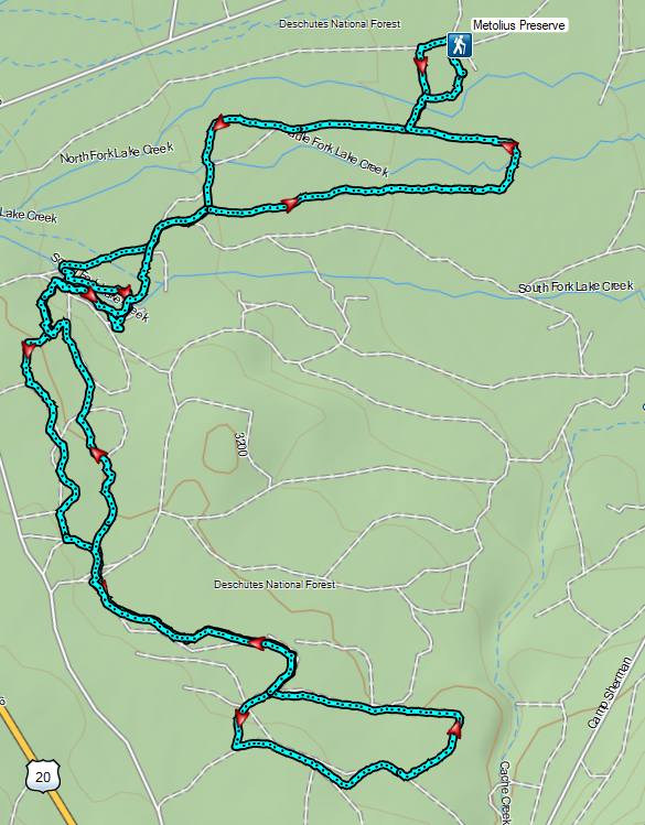

 The Mountain View Trail is named so because of the view of Mt. Hood, which on this morning was hiding behind the clouds on the left side of the photo.
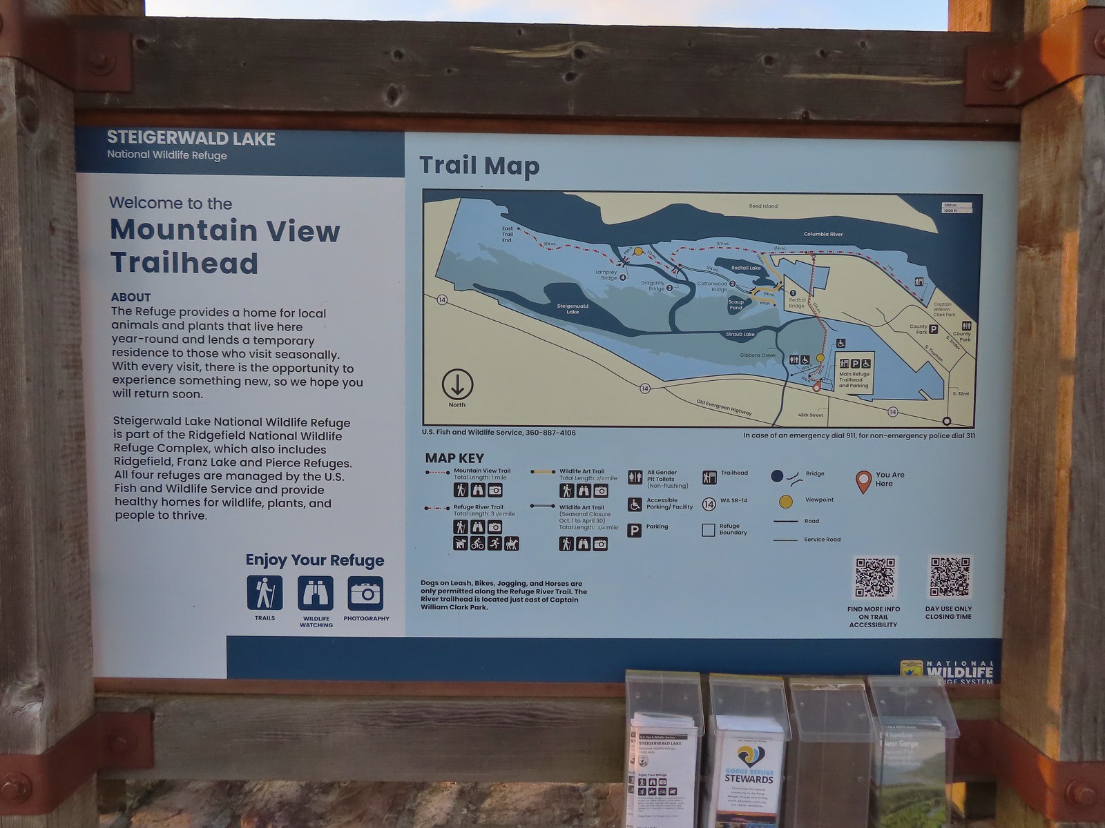 Map and information at the trailhead.
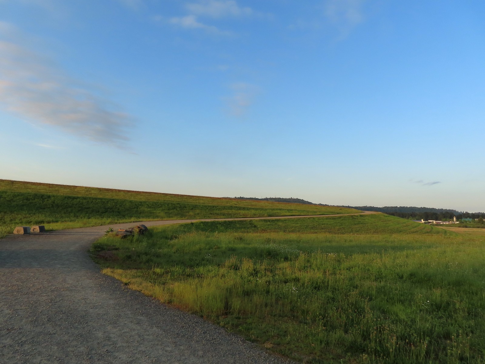
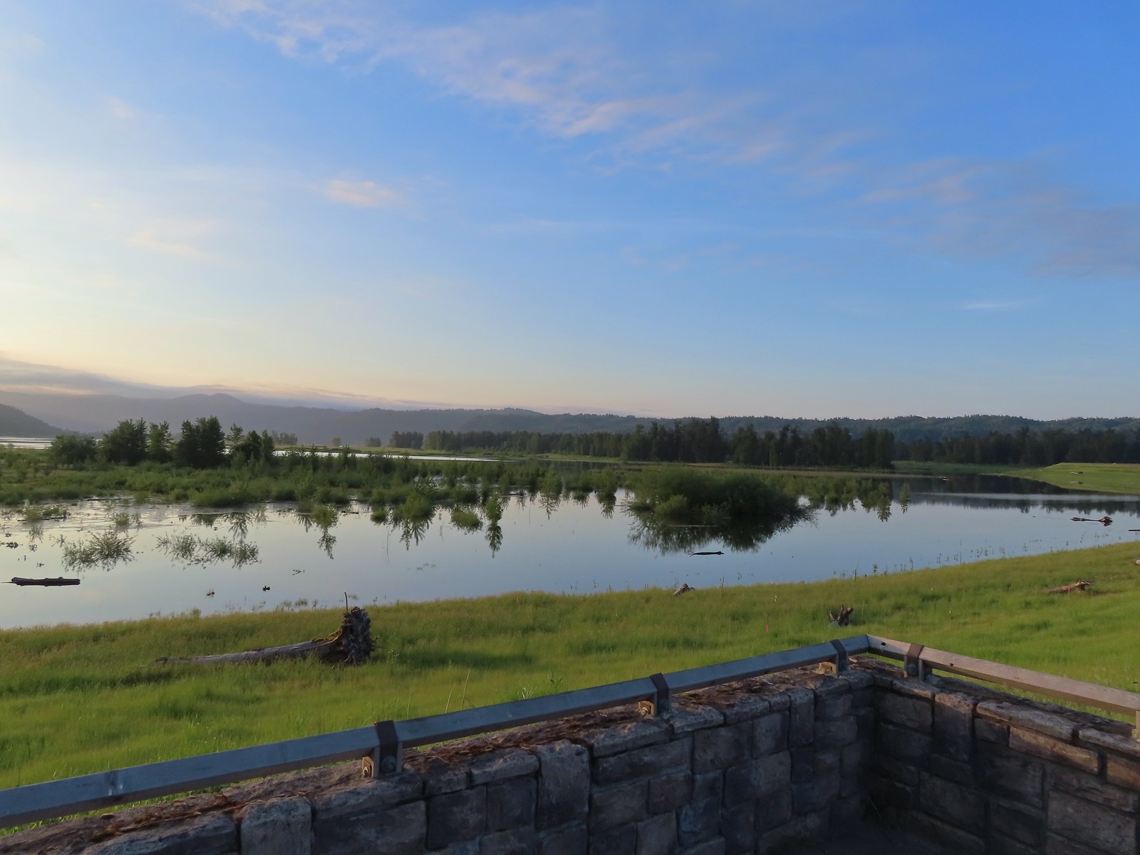 View to the East.
 Looking West toward Washougal.
 Mallards
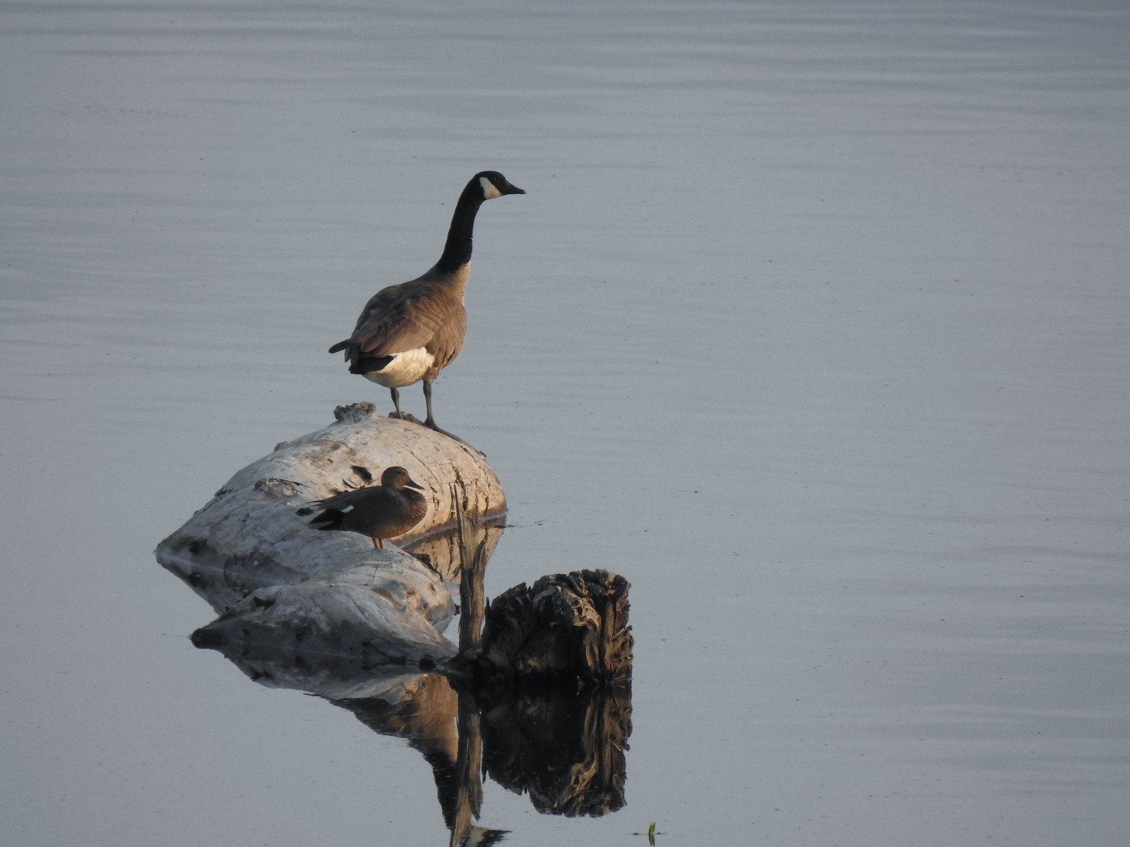 A duck and a goose sharing a log.
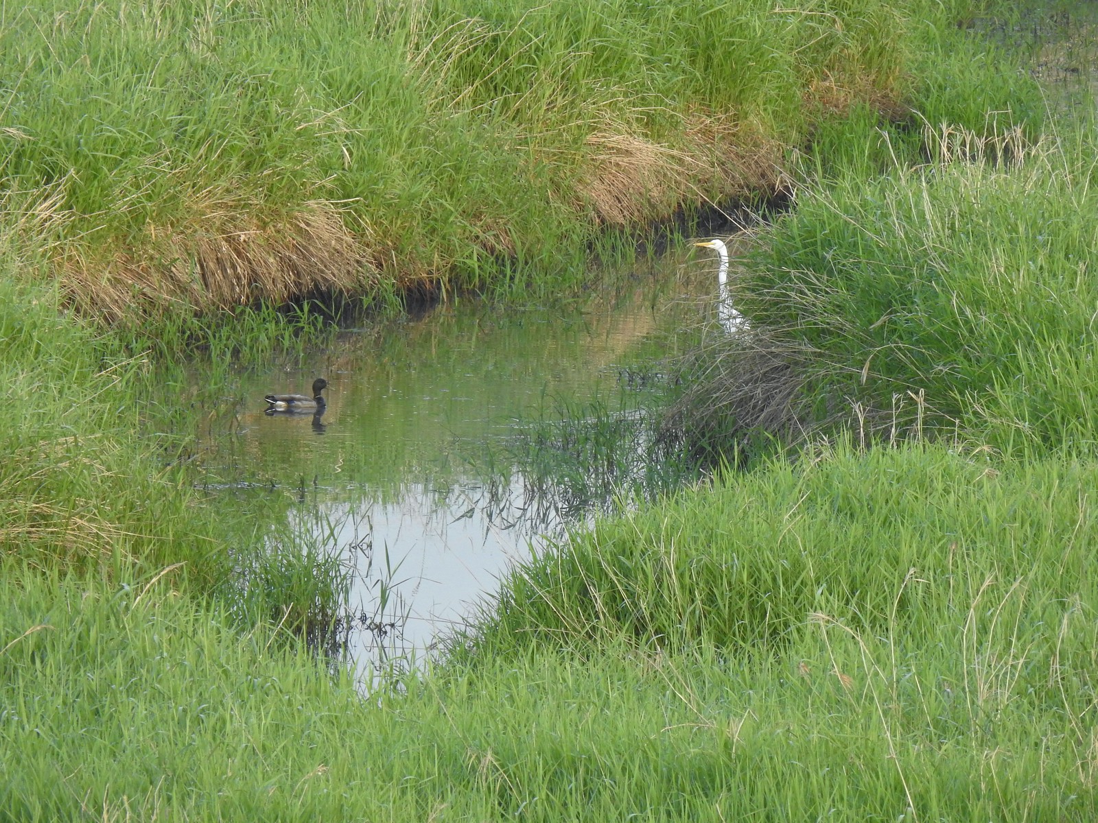 A mallard and an egret in a channel to the West.
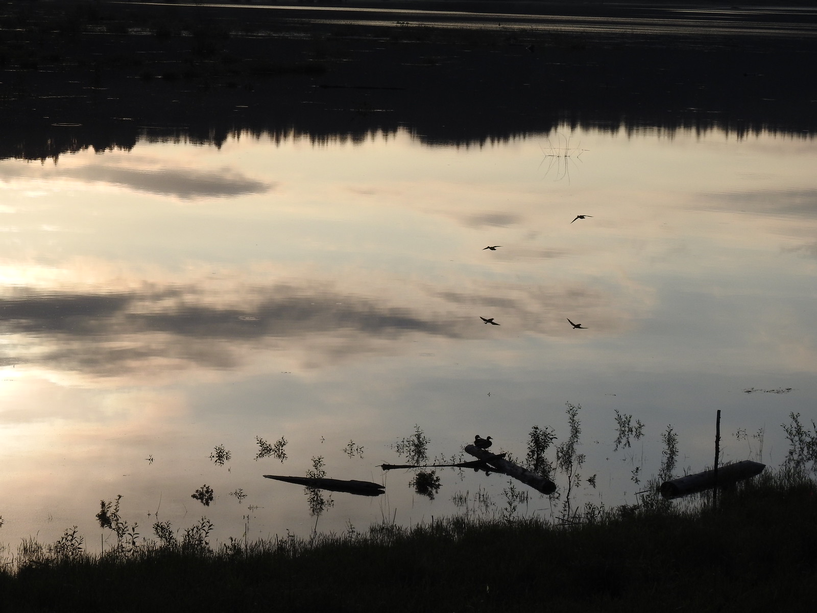 Ducks flying over the wetlands casting clear reflections.
 Water dripping from a mallards bill.
 One of several rabbits we spotted to the West.
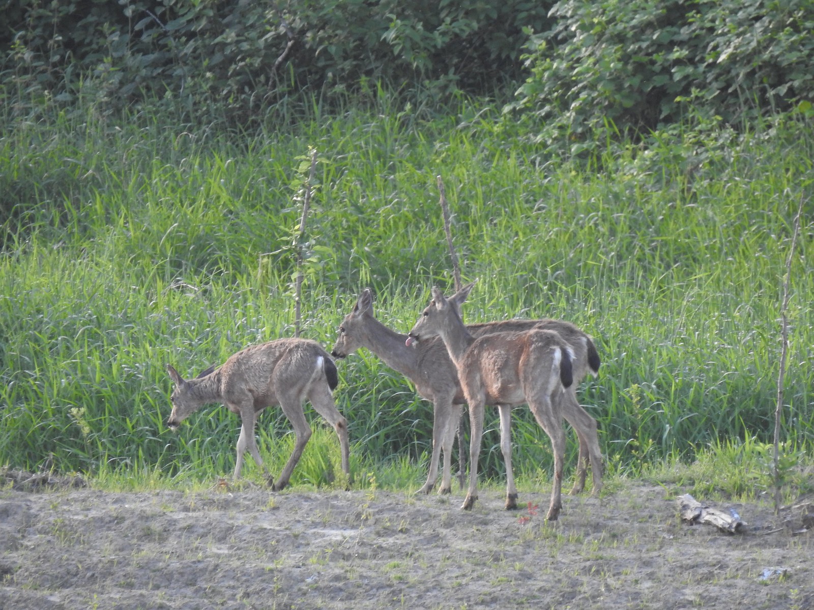 Deer across the wetlands. (The young buck may have been sticking his tongue out at us.)
 Families of geese.
 Wood duck mallard
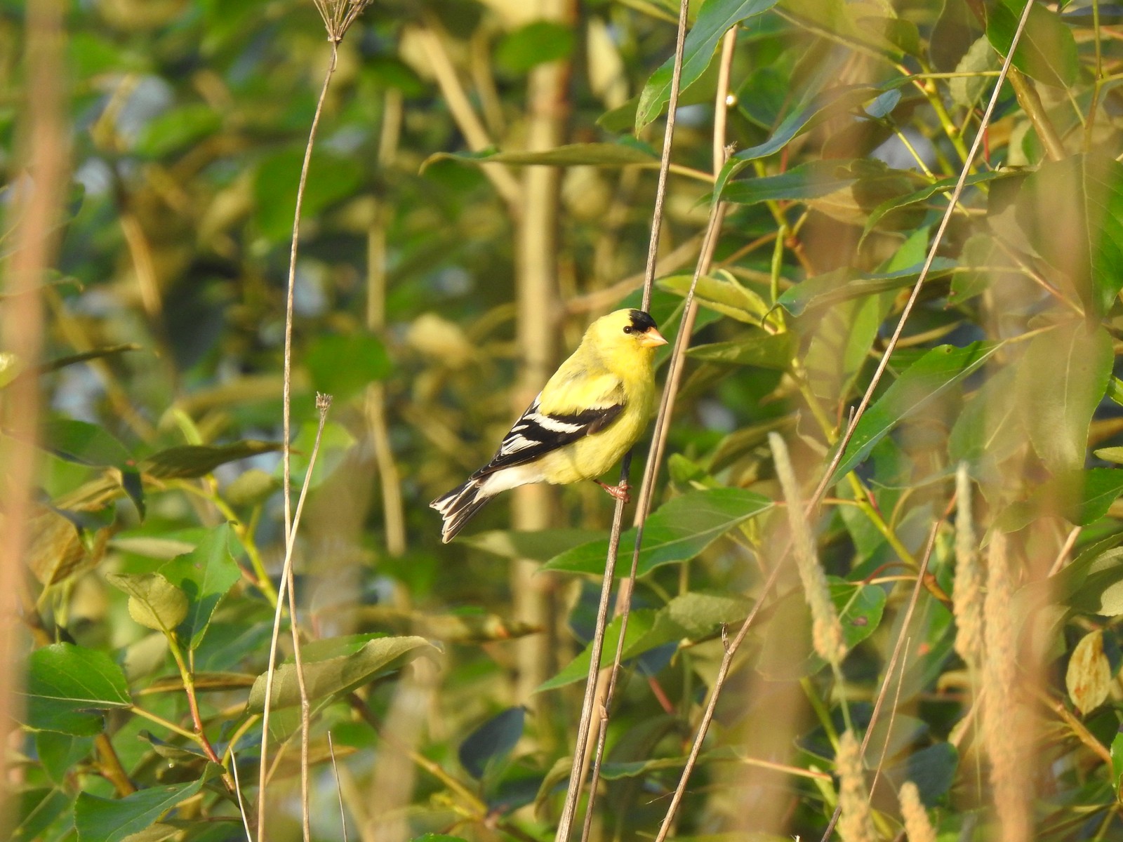
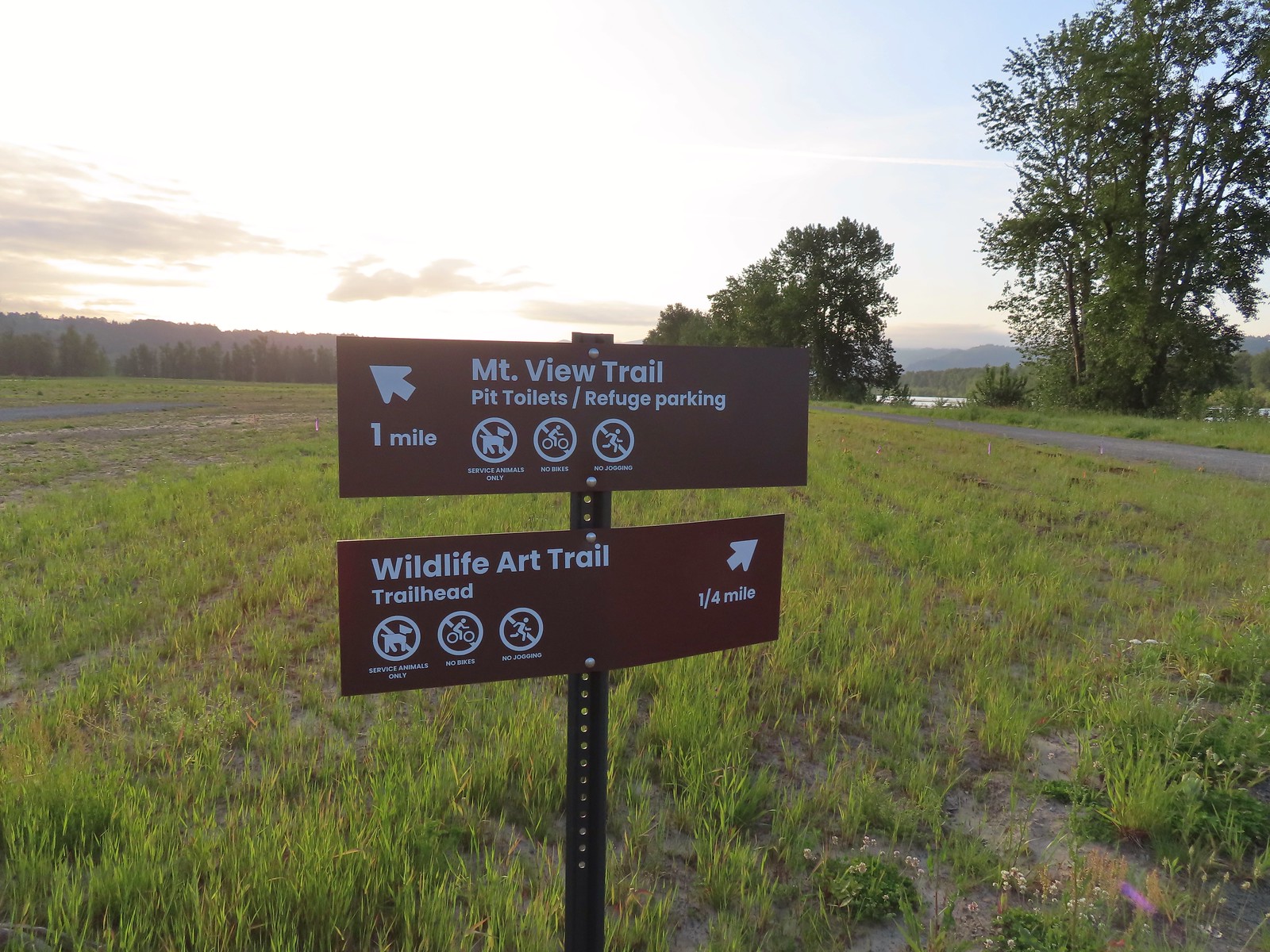 Trail sign at the junction with the Refuge River Trail.
 Sparrow
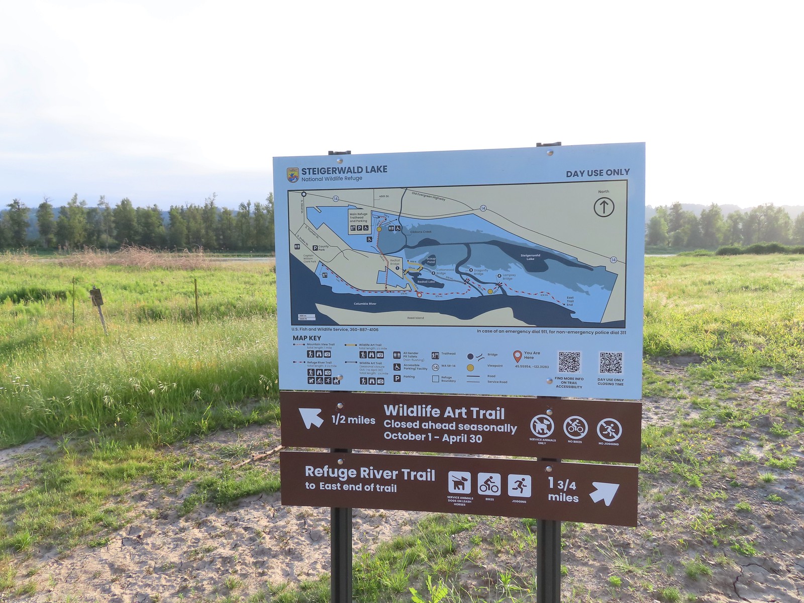
 Coming in for a landing.
 Red Tail Lake to the right of the Wildlife Art Trail.
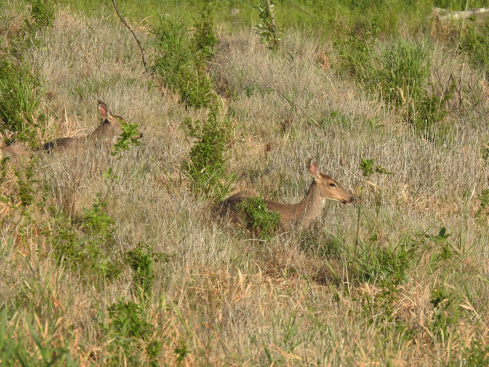 Pretty sure these are the same three we saw from the Mountain View Trail.
 This deer laying along the shore of Red Tail Lake was new though.
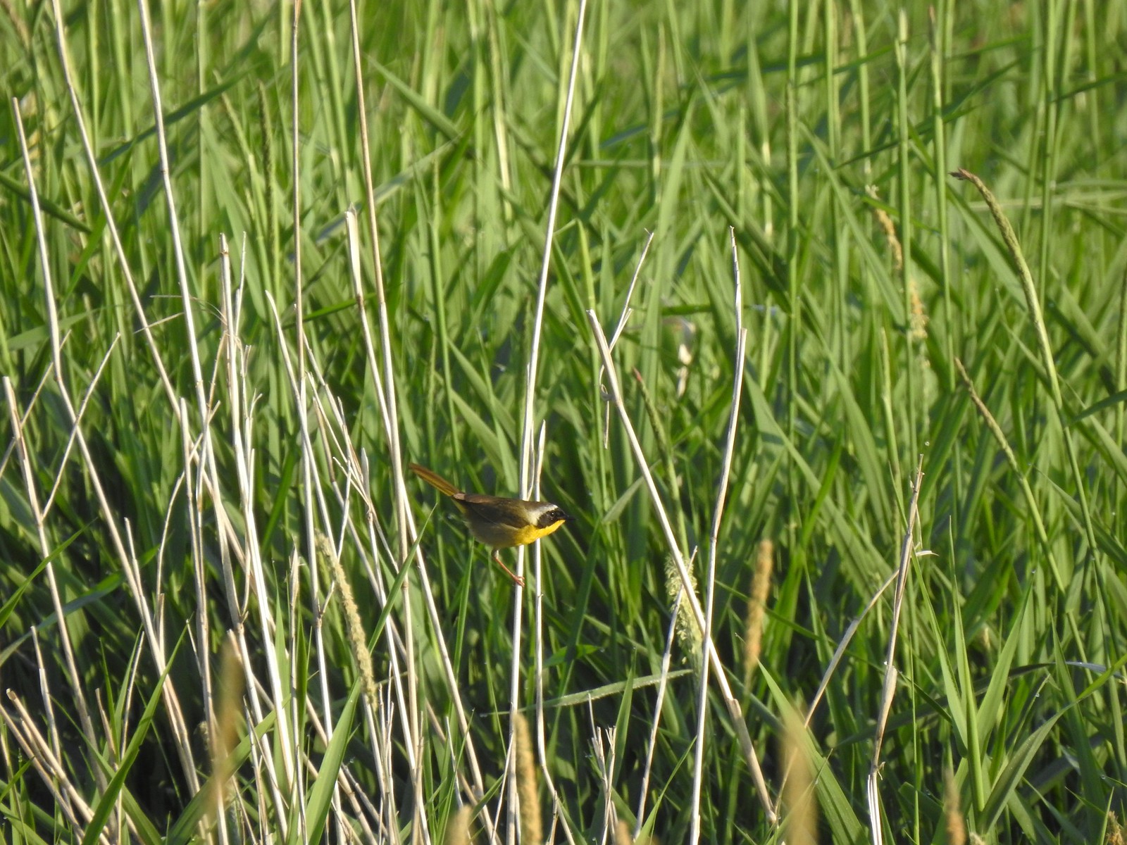 Common yellow throat
 One of many great blue herons that we watched fly overhead throughout the day.
 The Wildlife Art Trail passing around Redtail Lake.
 Gibbons Creek is in that grass somewhere with at least one deer.
 Killdeer along Redtail Lake.
 Turns out the deer laying on the lake shore wasn’t alone.
 Roses
Roses Purple martins
 Just beyond the Cottonwood Bridge the trail forks. To the right is the seasonal section of the loop open May 1st through September 30th. The left-hand fork dead-ends in a tenth of a mile overlooking the wetlands.
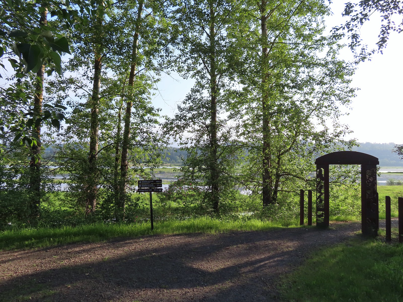 We headed left to the overlook before continuing on the loop.
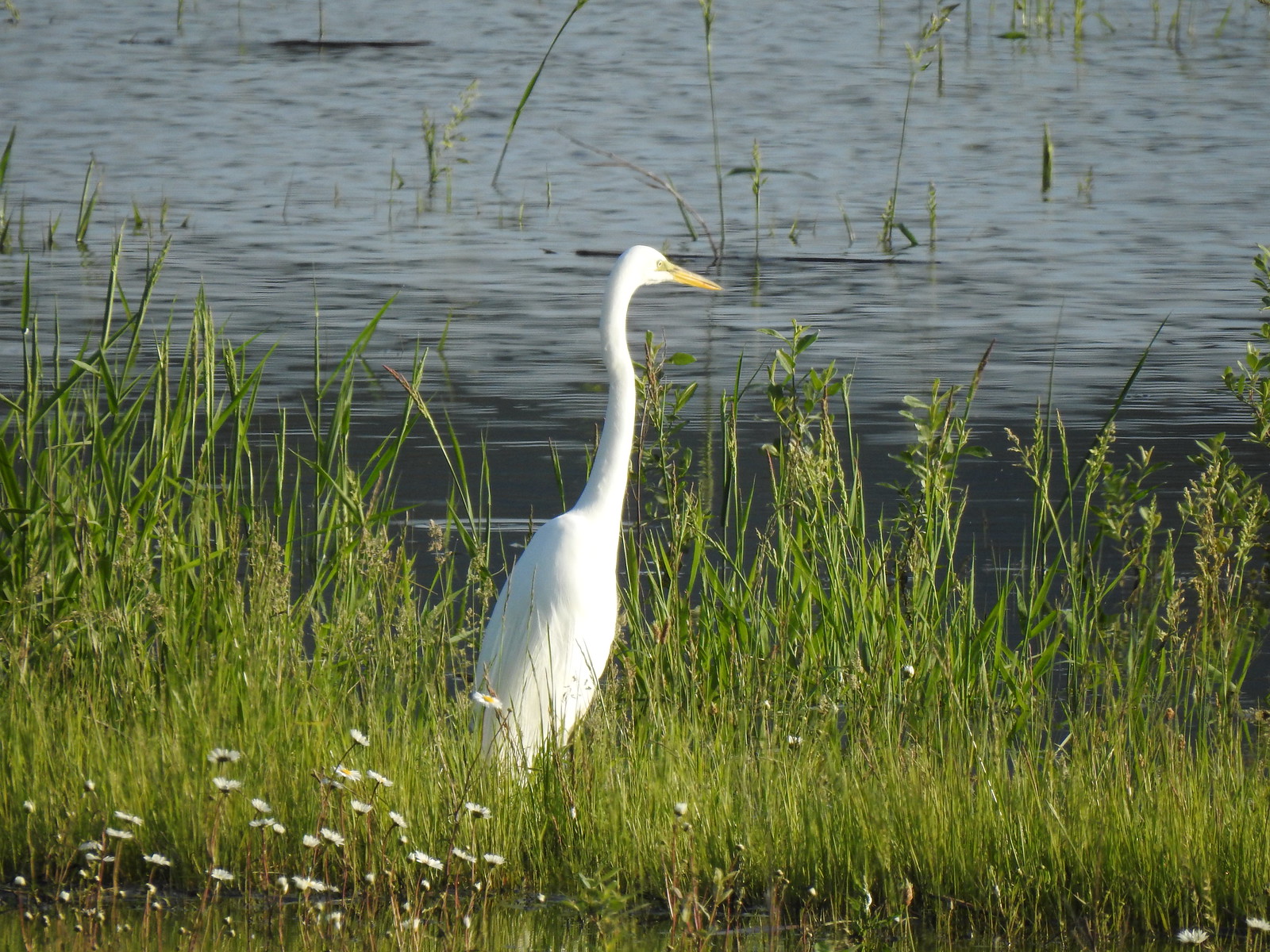 Egret at Scaup Pond.
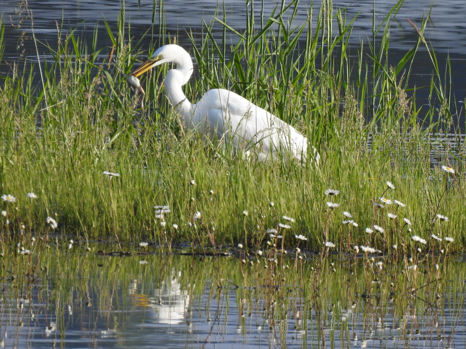 Egret with a frog meal.
 Mushrooms
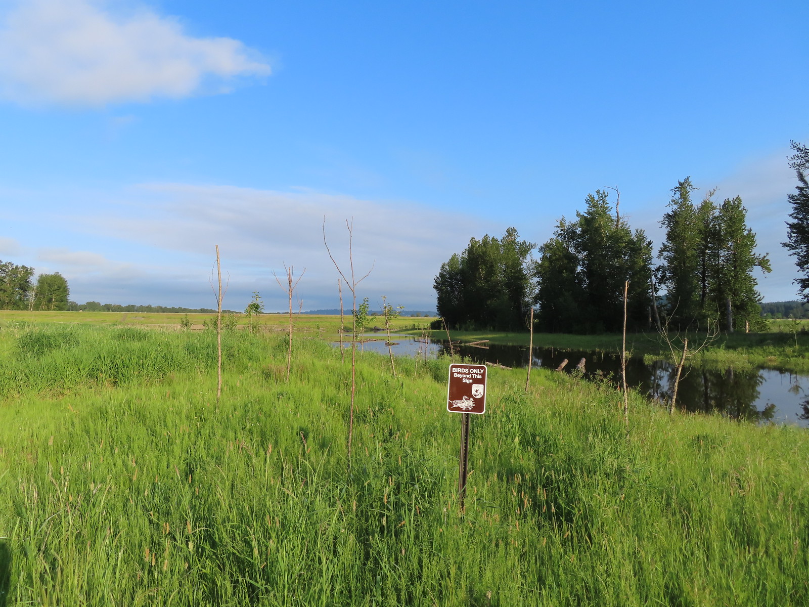 We got a kick out of the “Birds Only Beyond This Sign”.
 Kingfisher
 We’ve only seen two bitterns on our hikes and both times we only spotted them as they flew off from the grassy cover that they’d been hiding in so I was pretty disappointed when I realized I’d been duped, but kudos to the artist because it looked real at first glance to me.

 You have something in your teeth.
 Spotted towhee
 At least two deer in the grass.
 Another American goldfinch.


 Spotted sandpiper
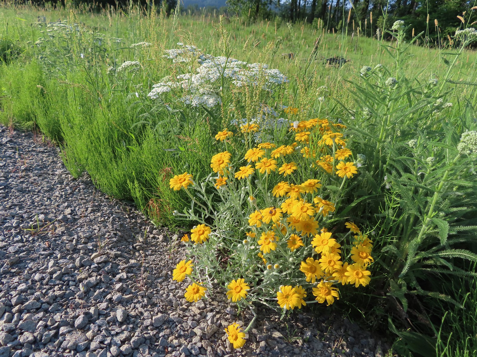 Oregon sunshine and yarrow
 The Columbia River ahead.
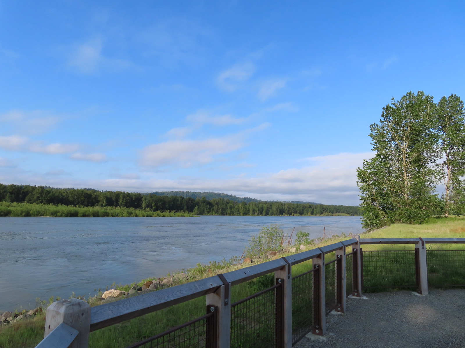 Viewpoint along the Columbia River.
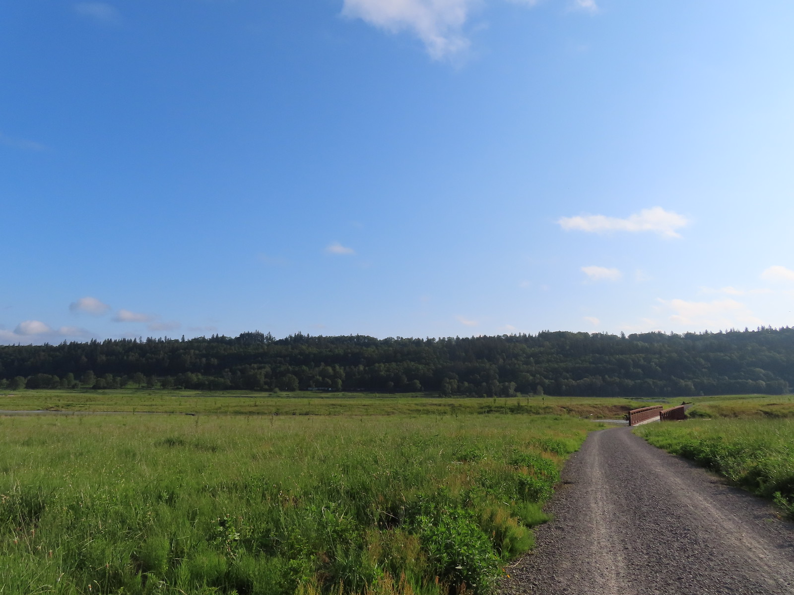 Approaching the Lampray Brdige.
 Looking back from across the bridge there was a bald eagle in the dead snag along the river.
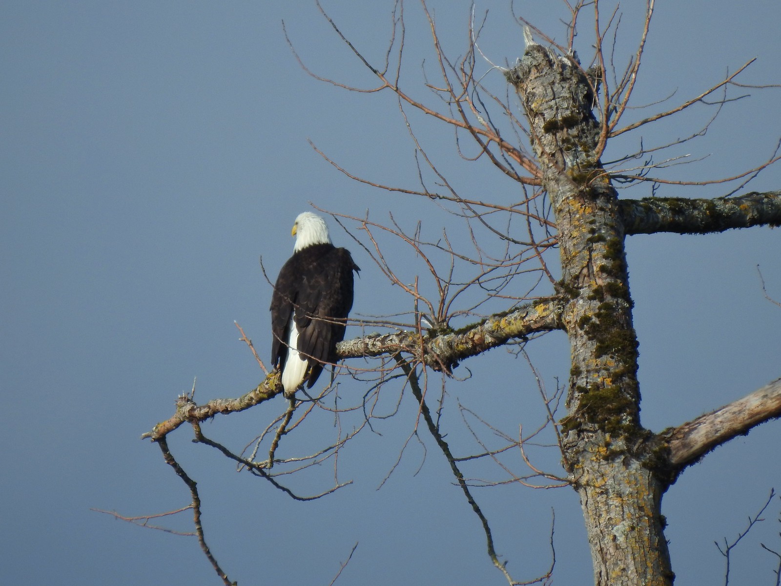
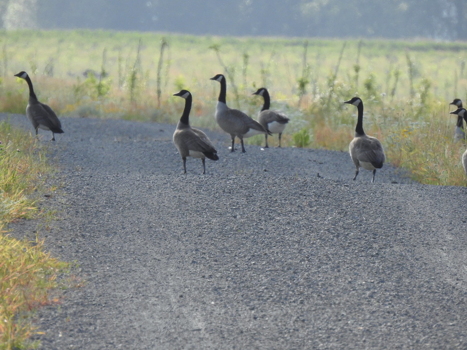 There were lots of geese along this section of trail.
 Red clover in some Oregon sunshine
 Another spotted sandpiper
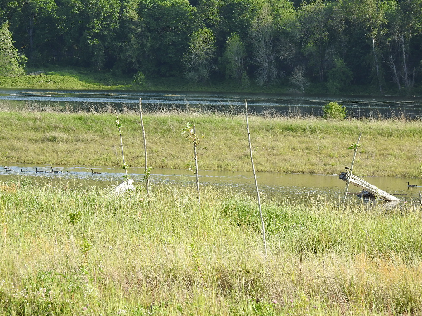 Steigerwald Lake in the distance with a family of geese and crow on a log in the near channel.
 End of the trail.
 It was about 8:15am when we turned around and it was already feeling fairly warm, but there was relief on the way in the form of some clouds coming in from the Pacific.
 Savannah sparrow
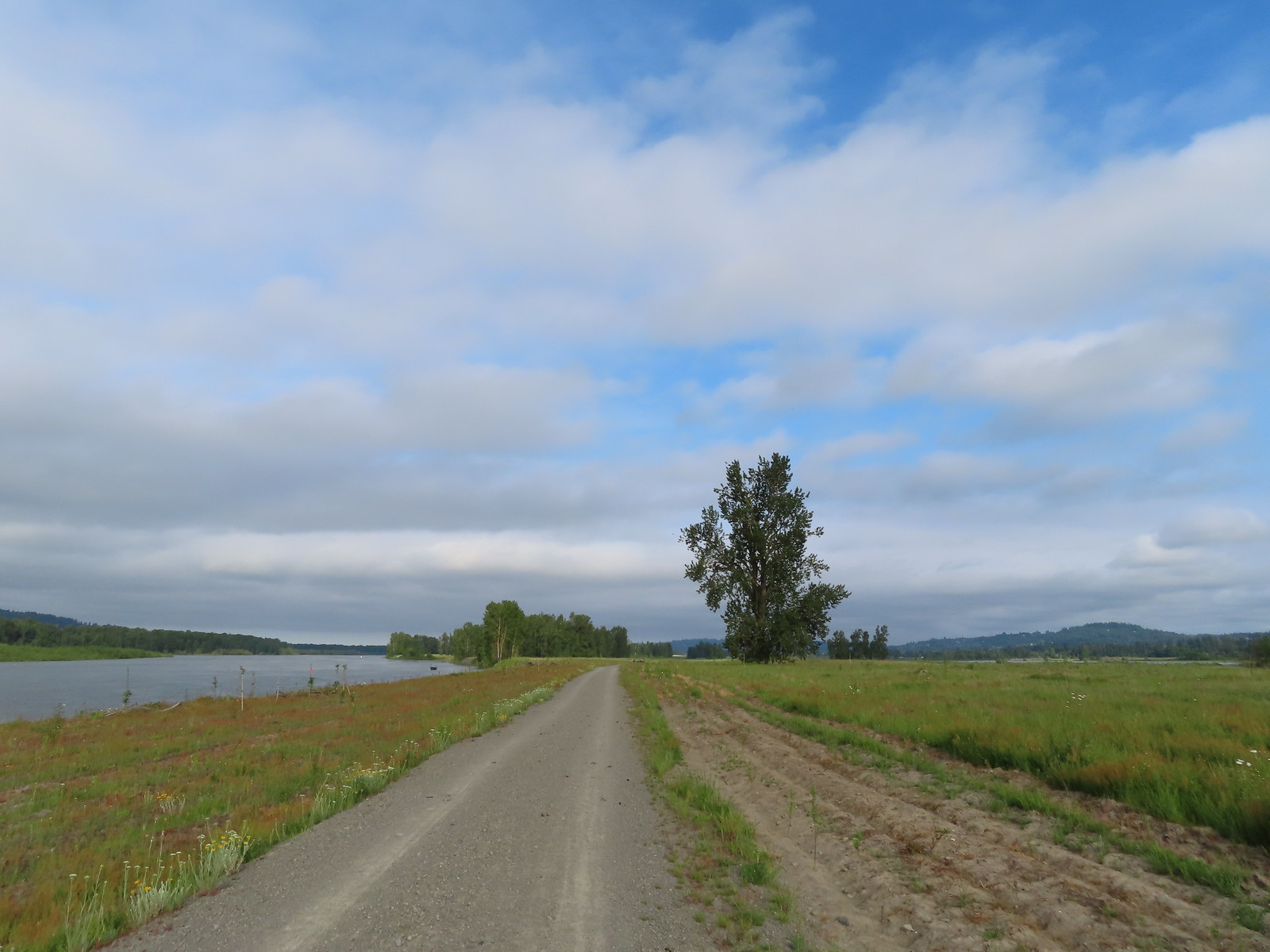 Here come the clouds.
 Double the eagles.
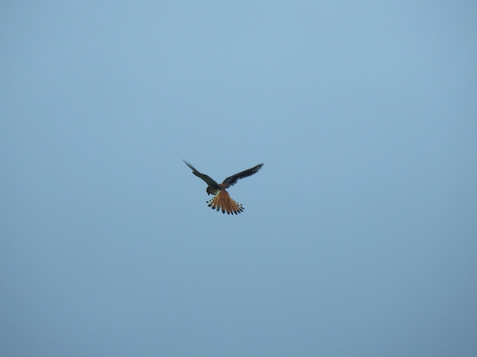 For the second week in a row we got to watch an American Kestral on the hunt.
 Arriving back at the Dragon Fly Bridge and the junction with the Wildlife Art Trail.

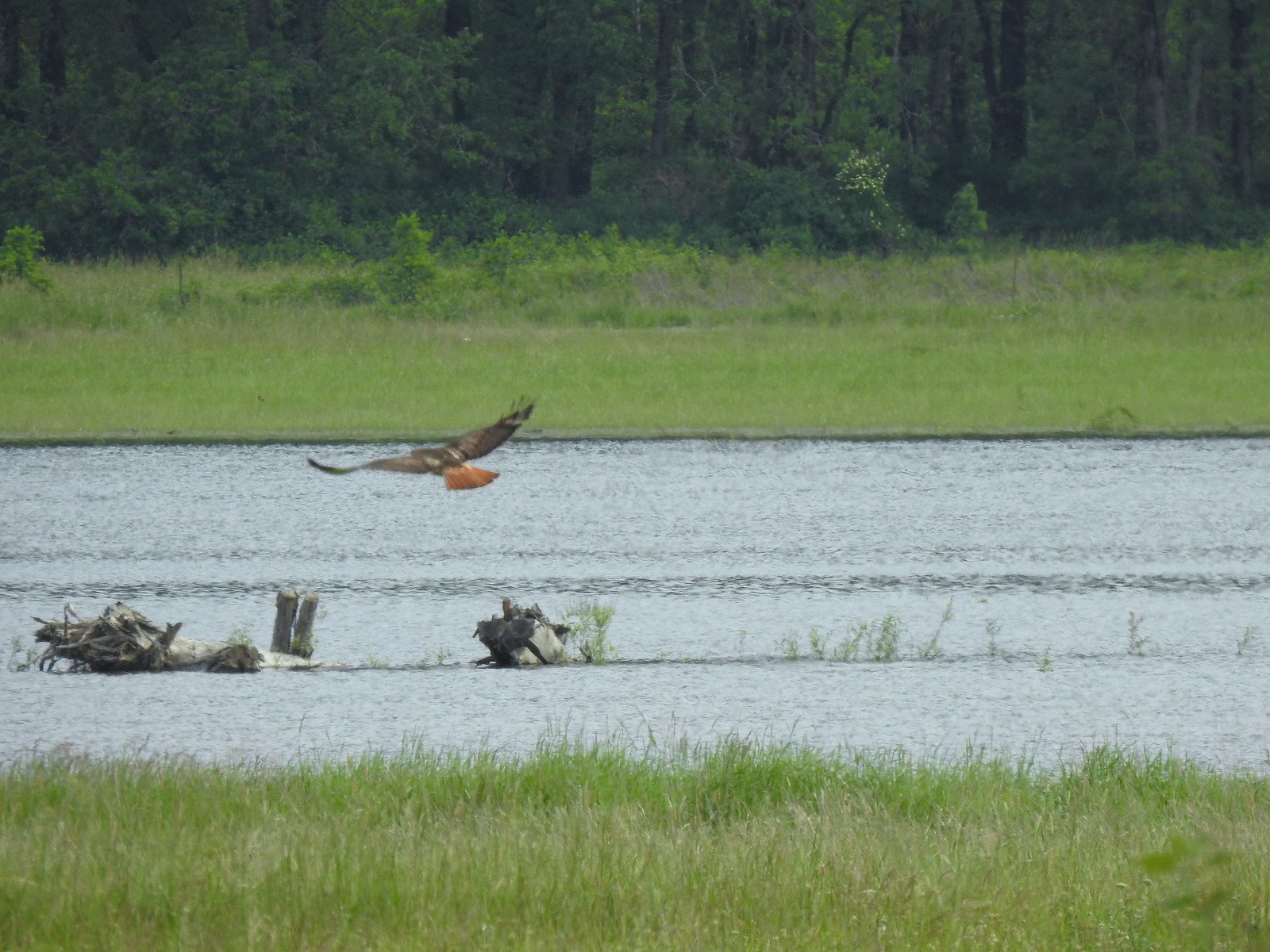 Red tailed hawk
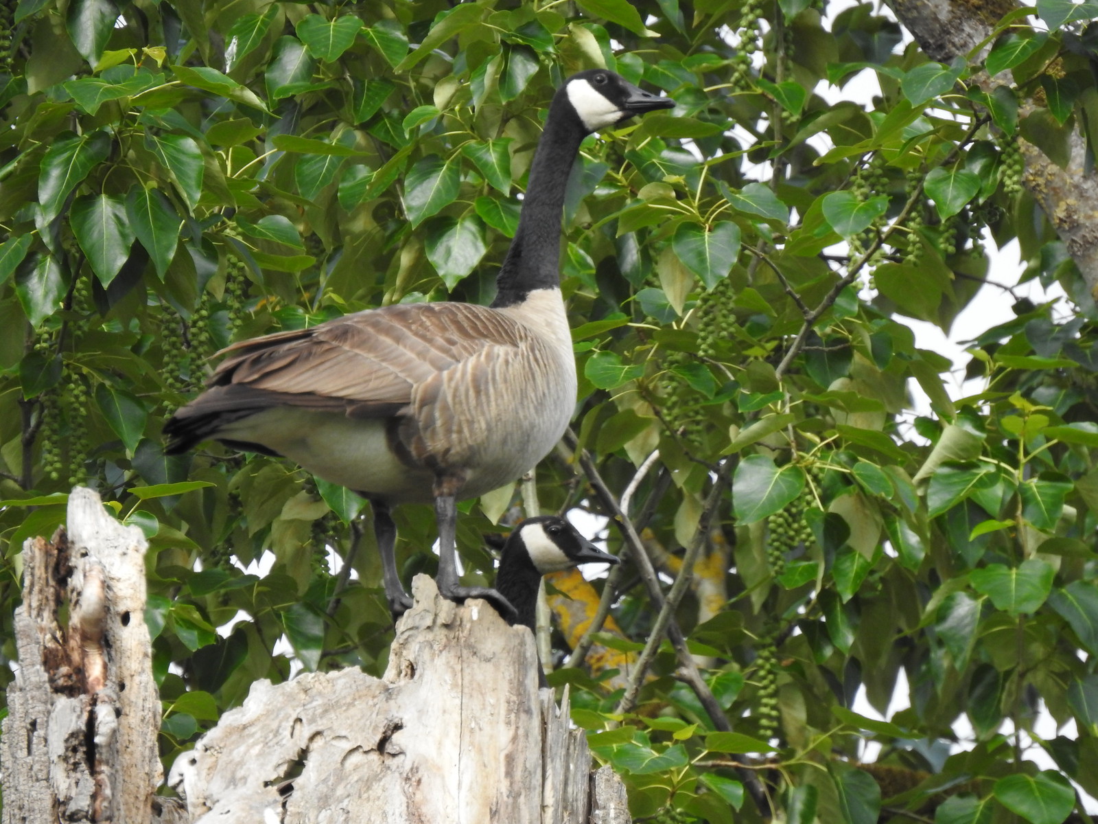 Geese nesting atop a snag.
 More deer in the grass along Gibbons Creek.
 Egret at Redtail Lake.
 Great blue heron at Redtail Lake.
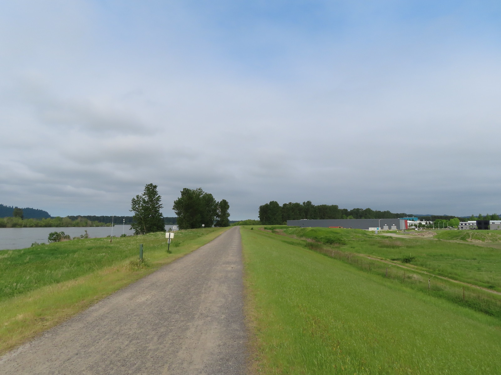
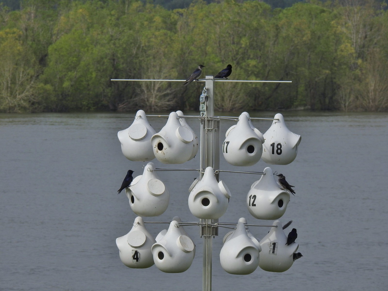 Purple martins
 When the light catches the feathers right it’s obvious where the purple martin’s name comes from.
 Common yellowthroat
 House finch
 A mile from the Mountain View Trail we arrived at the refuge boundary with Captain William Clark Park.
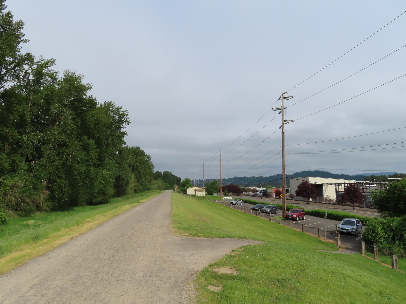 The trail follows a dike to Steamboat Landing.
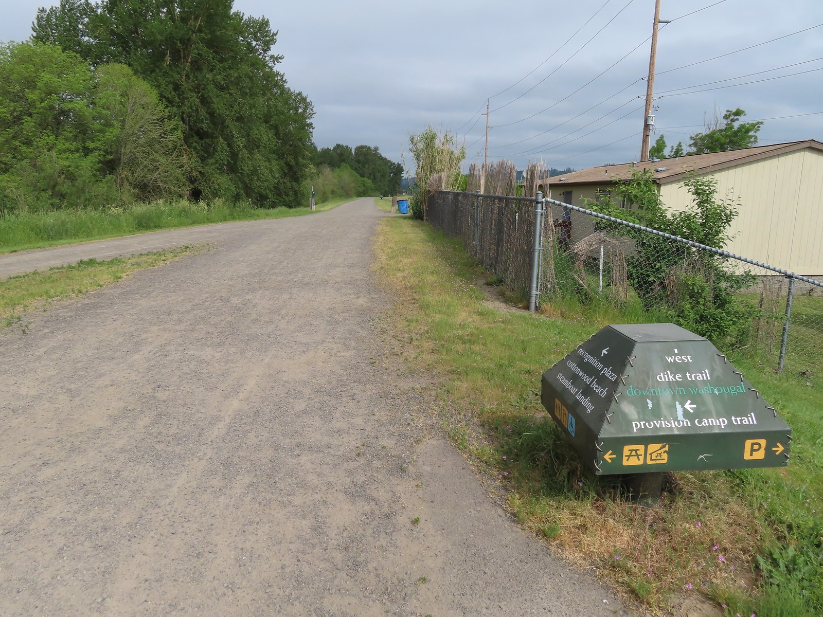
 The Provision Camp Trail


 Northern flicker
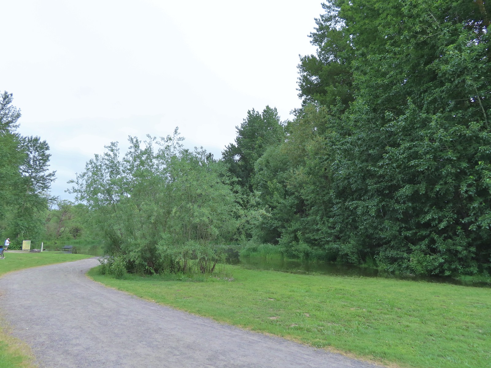 Flooded trail ahead.
 Black headed grosbeak
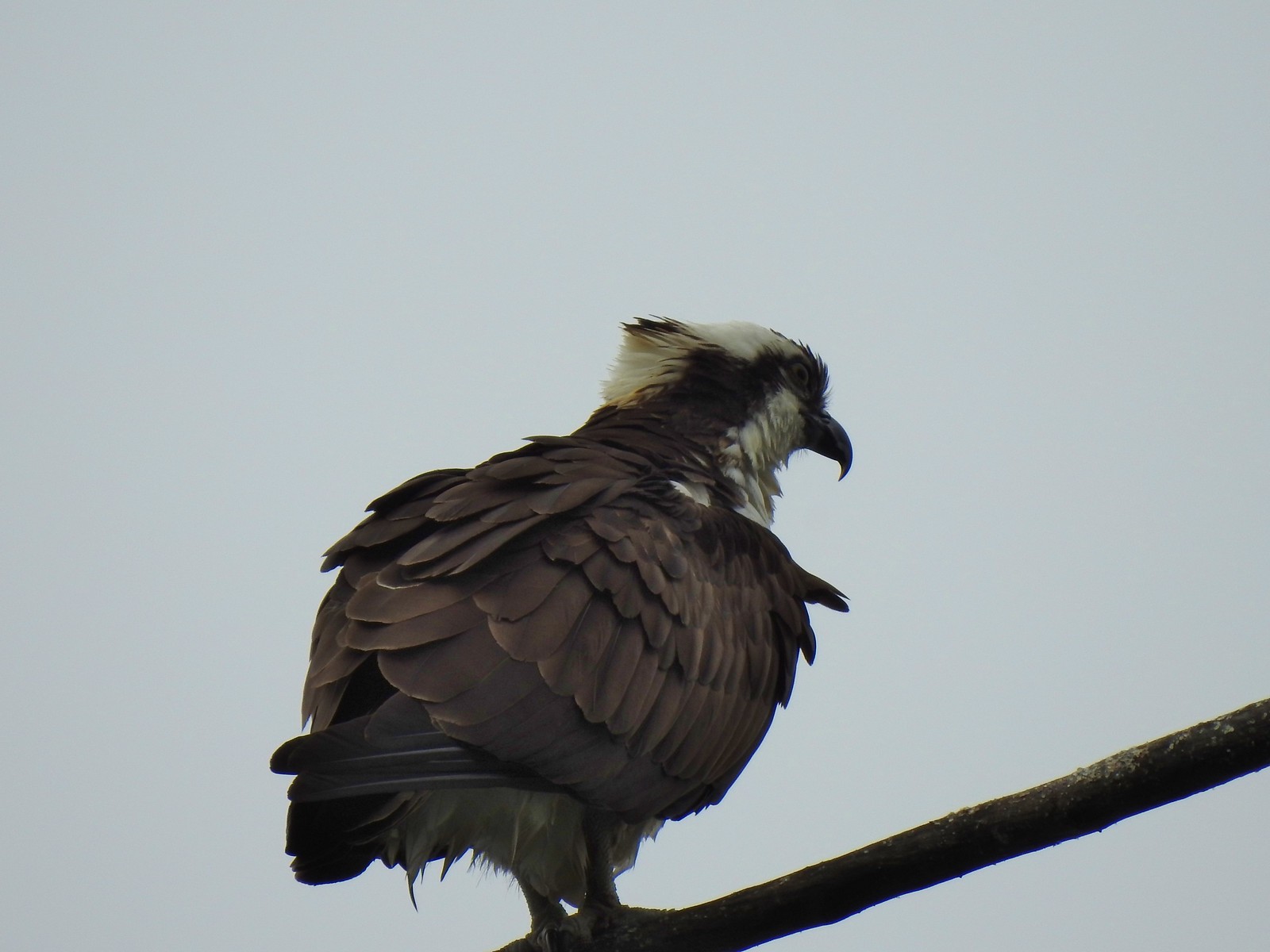 Osprey
 Back on the dike.
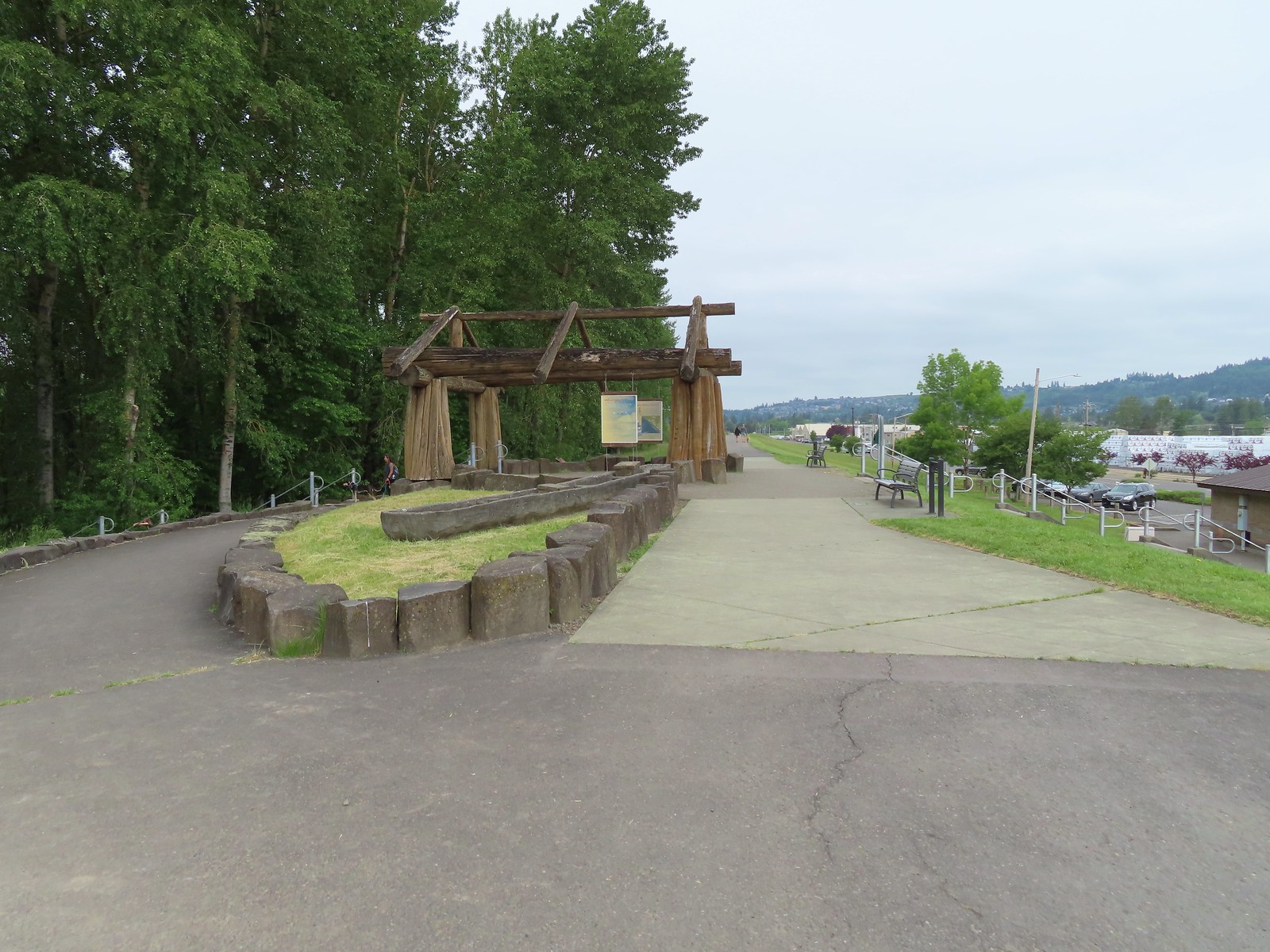
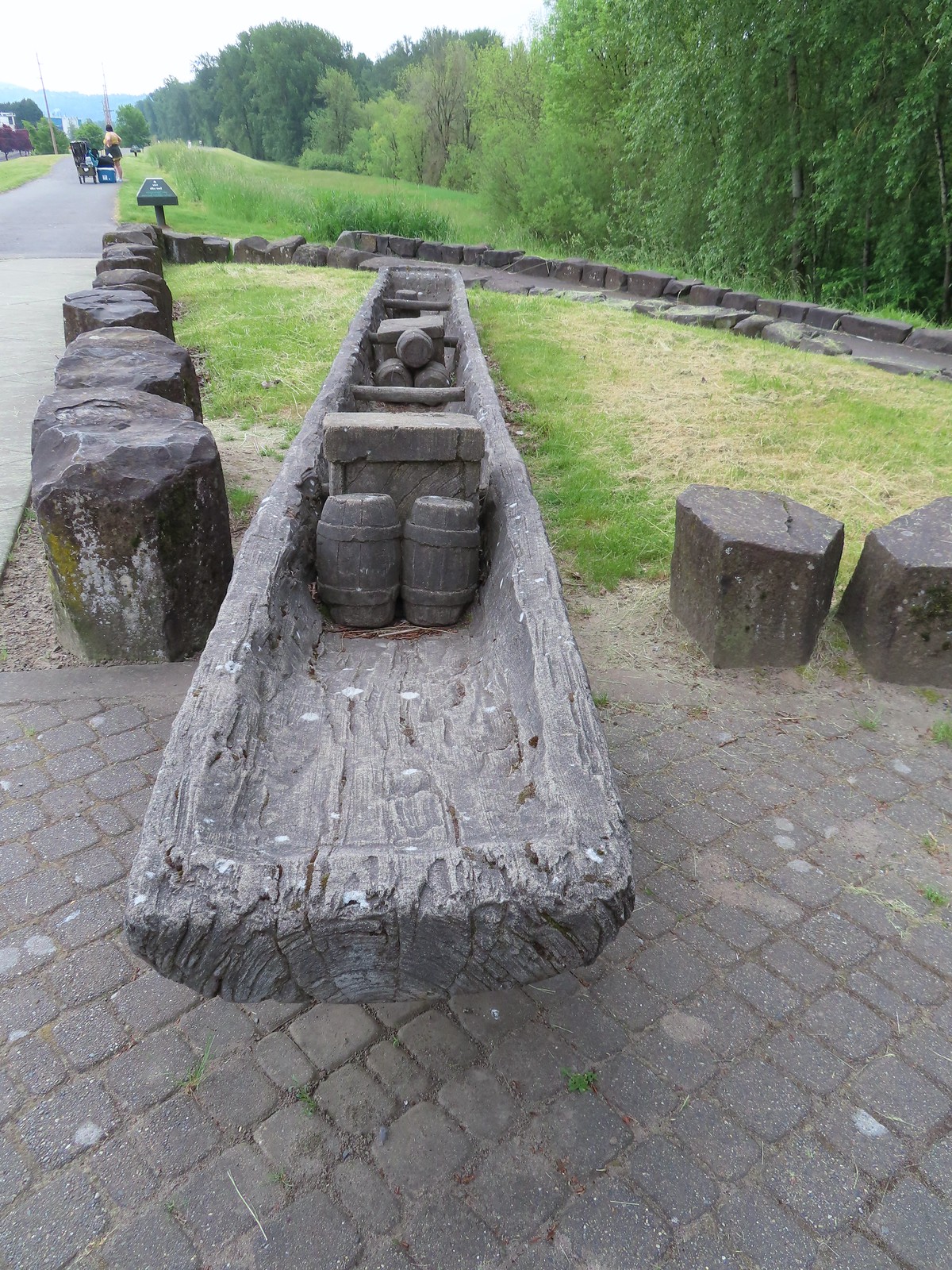

 The flooded section of trail from above.
 Turtles!
 Another turtle
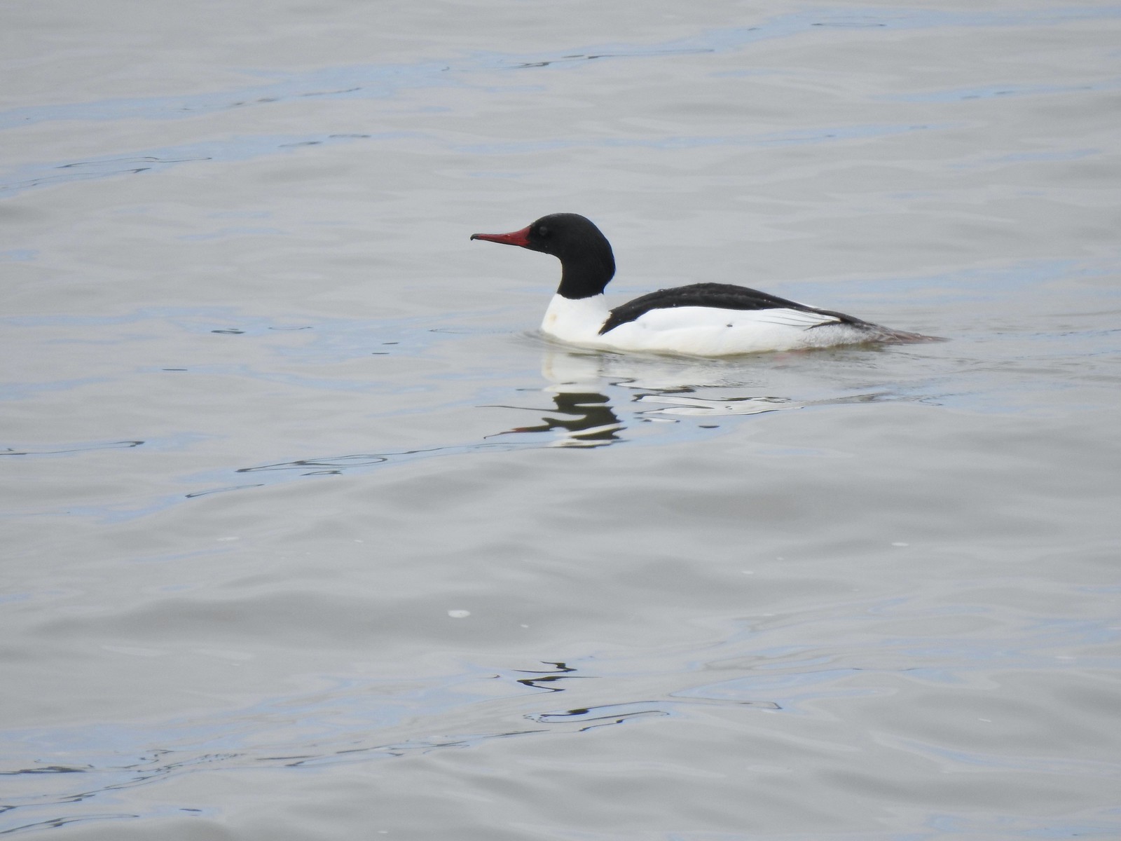 Common merganser
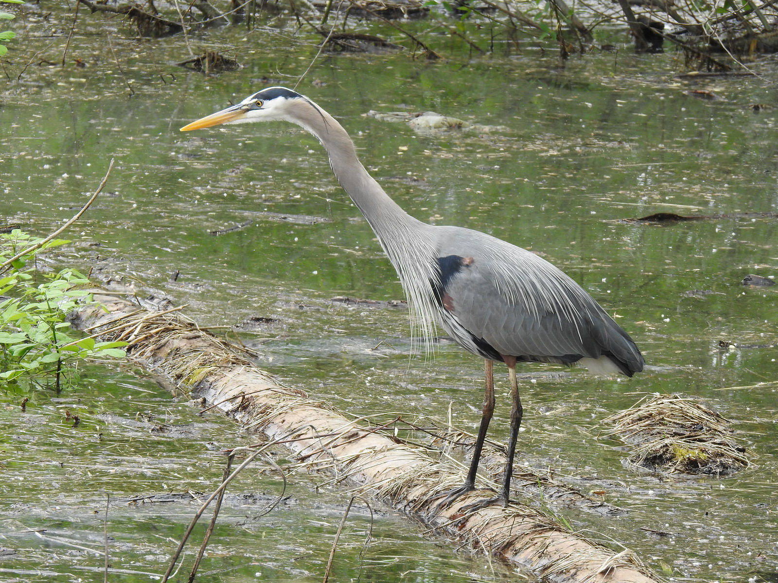 Great blue heron
 Steamboat Landing
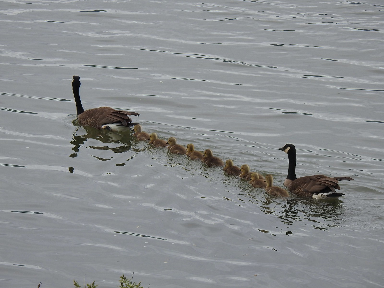 A family of geese out for a float.
 The large “hump” ahead is Larch Mountain (
 Grainy proof of Mt. Hood’s existence.
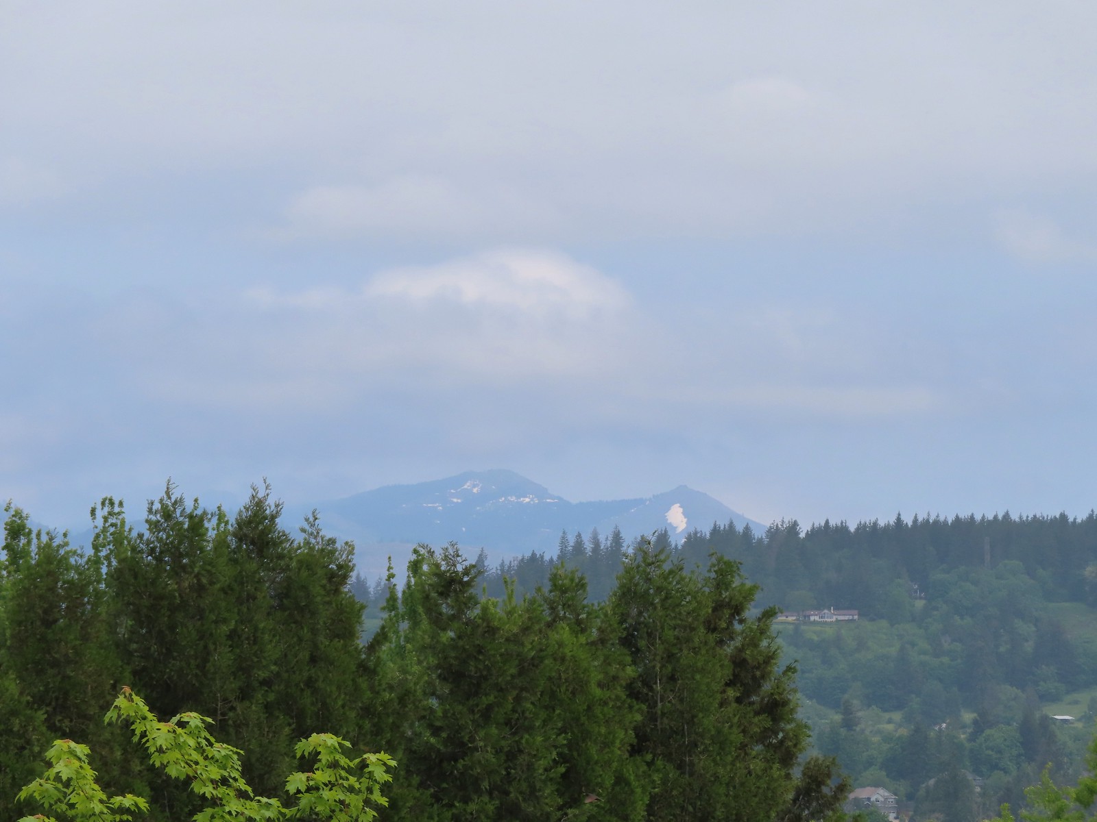 Silver Star Mountain (
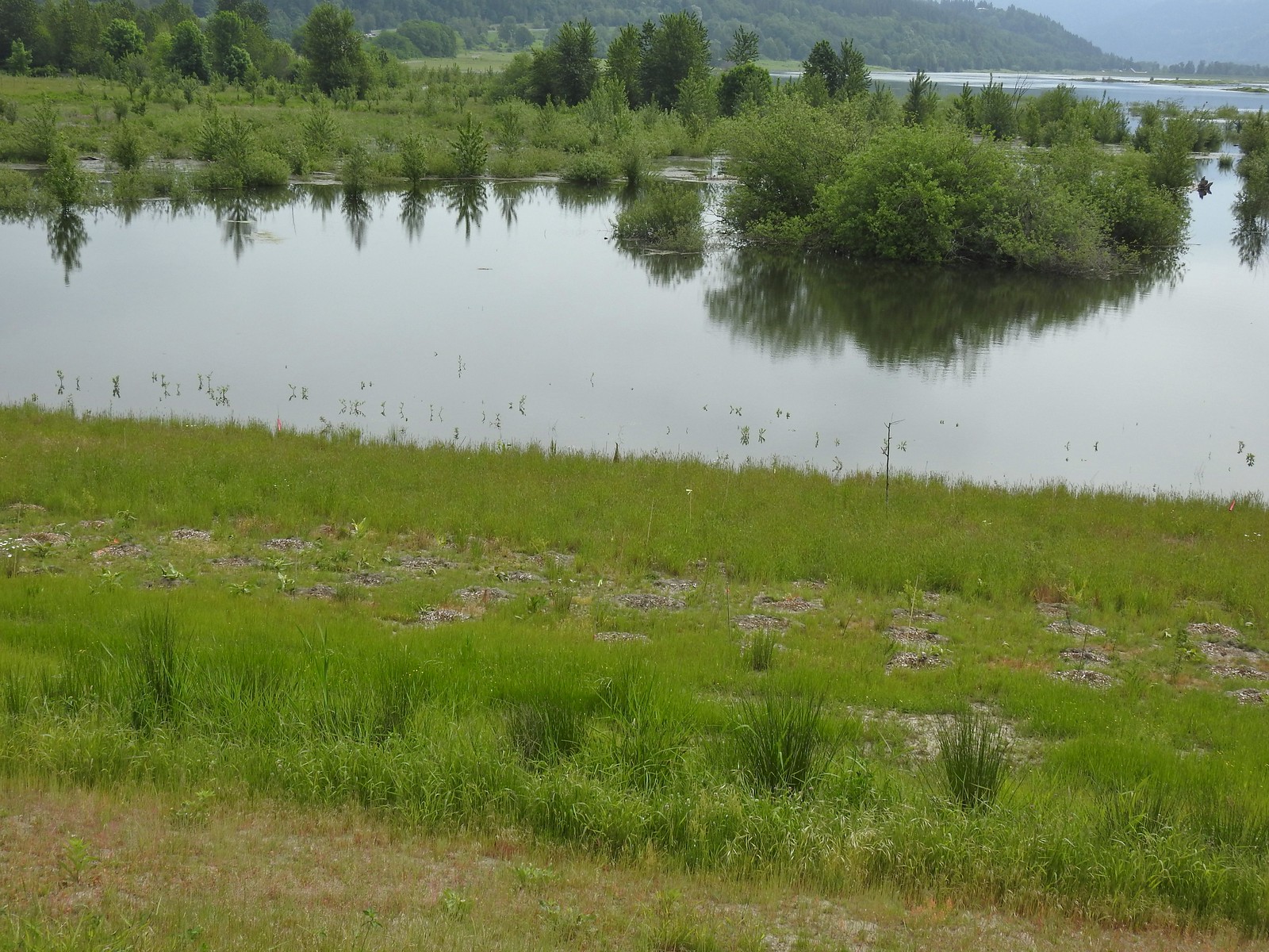 The American bittern in the grass.

 We’d been the first car in the lot that morning.

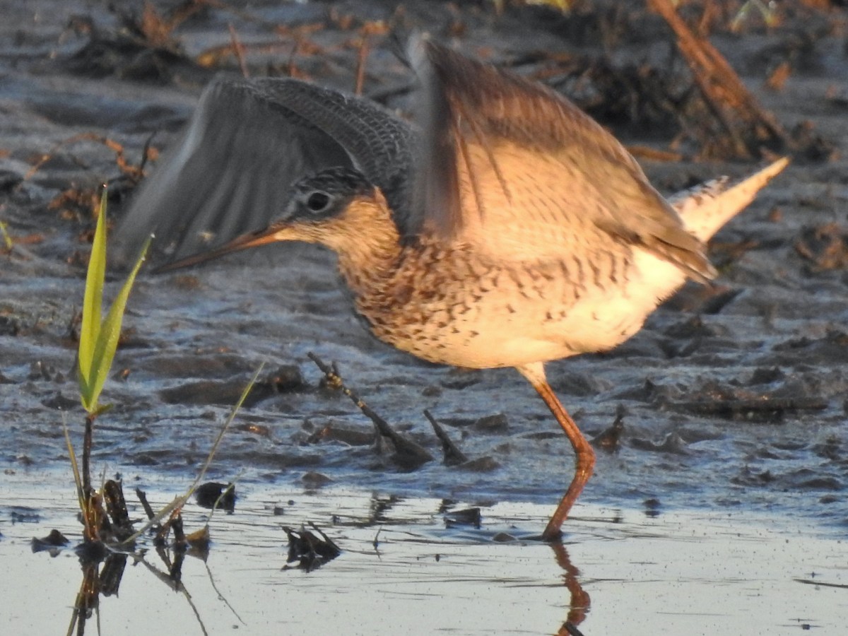
 The refuge is open from dawn to dusk. We arrived at a quarter to six to get an early start and avoid being out during the hottest parts of the day.
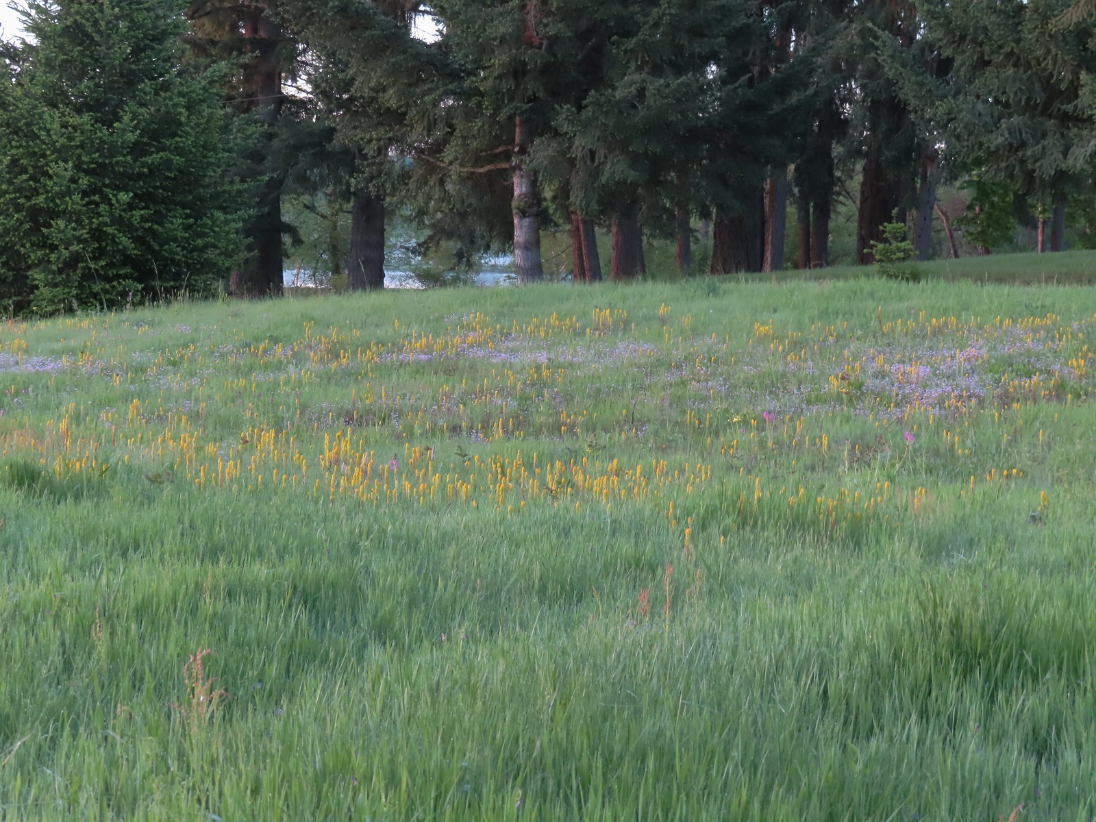 The patch of wildflowers.
 A checker-mallow surrounded by golden paintbrush.
 Plectritis amid the golden paintbrush.
 We had a pretty good view of Mt. Hood.
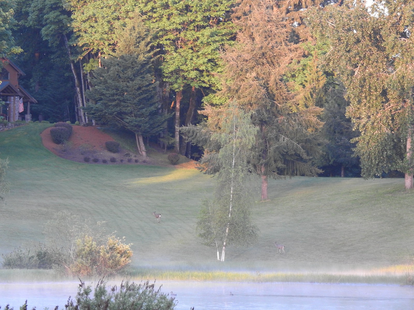
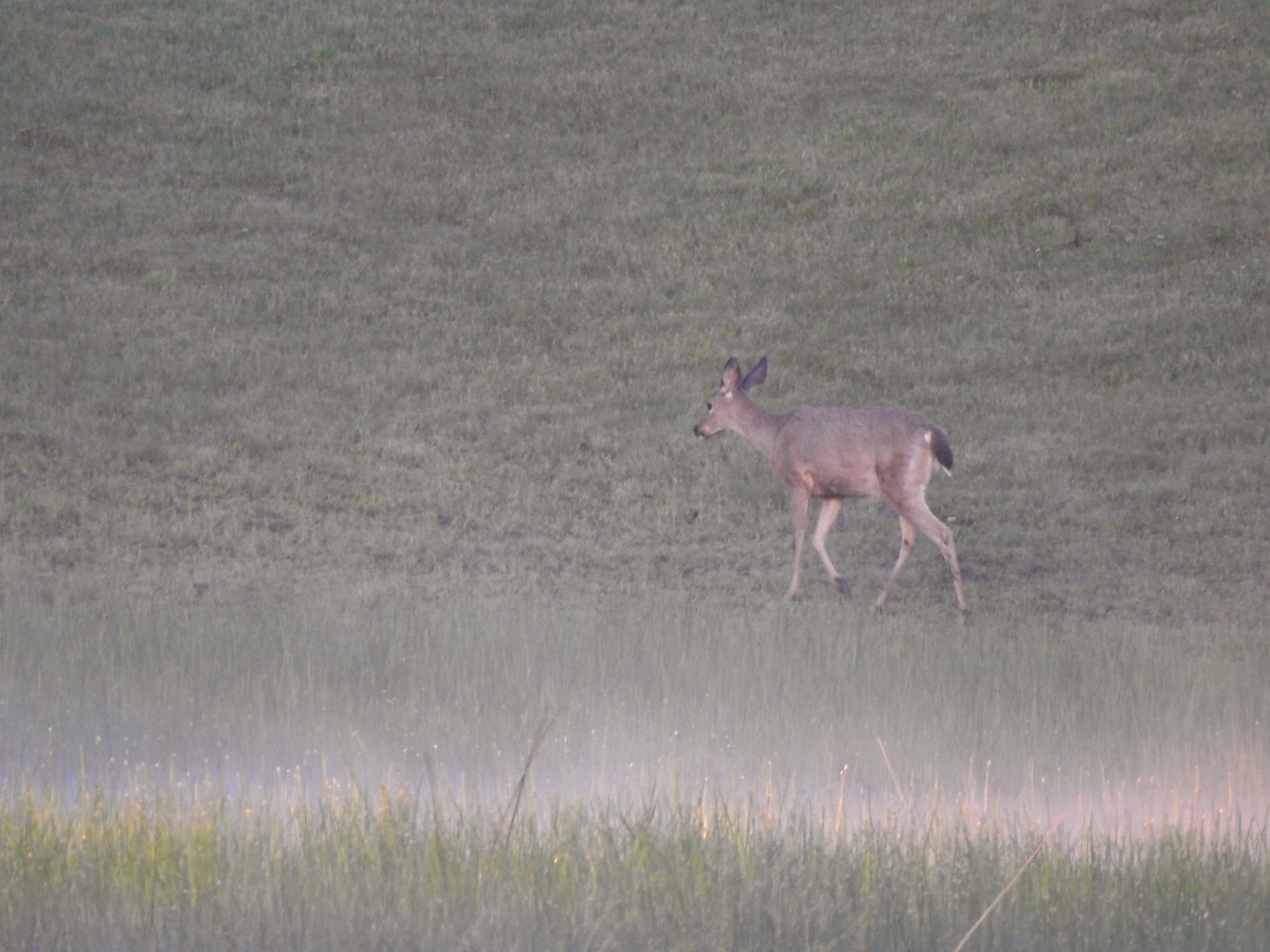
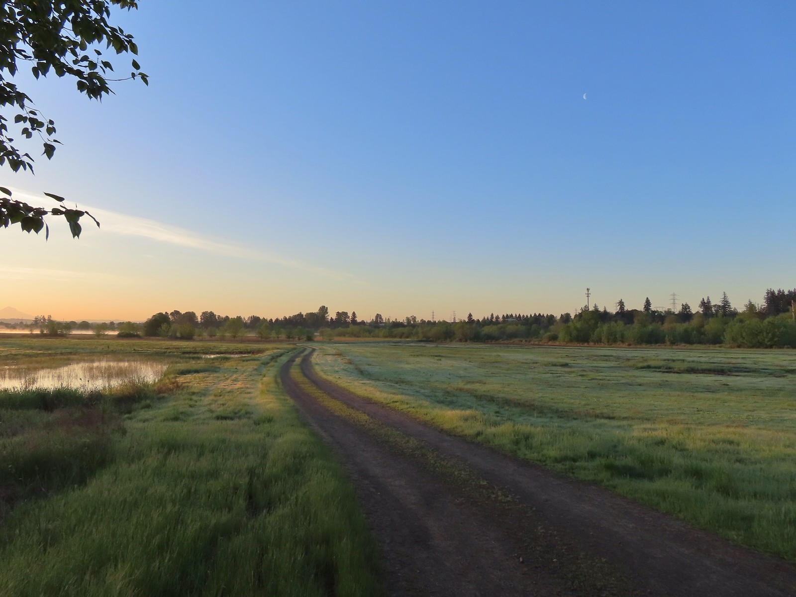
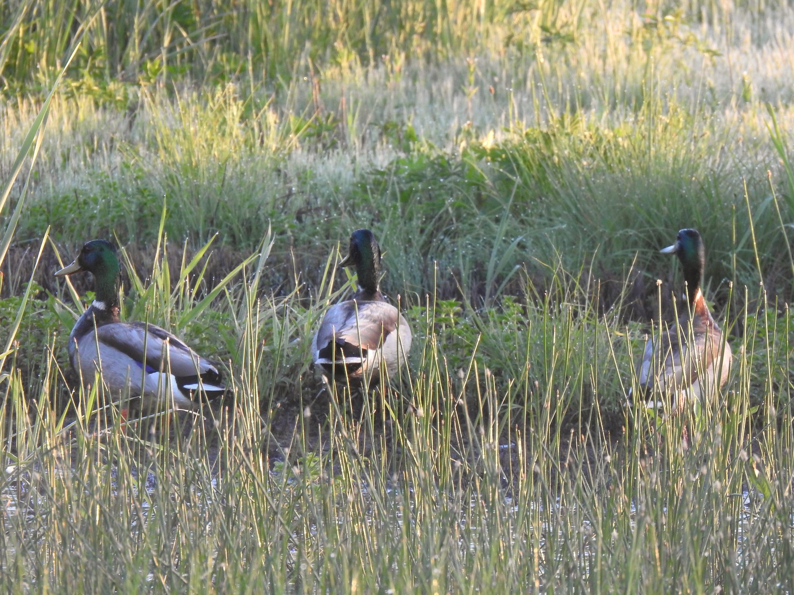 Mallards
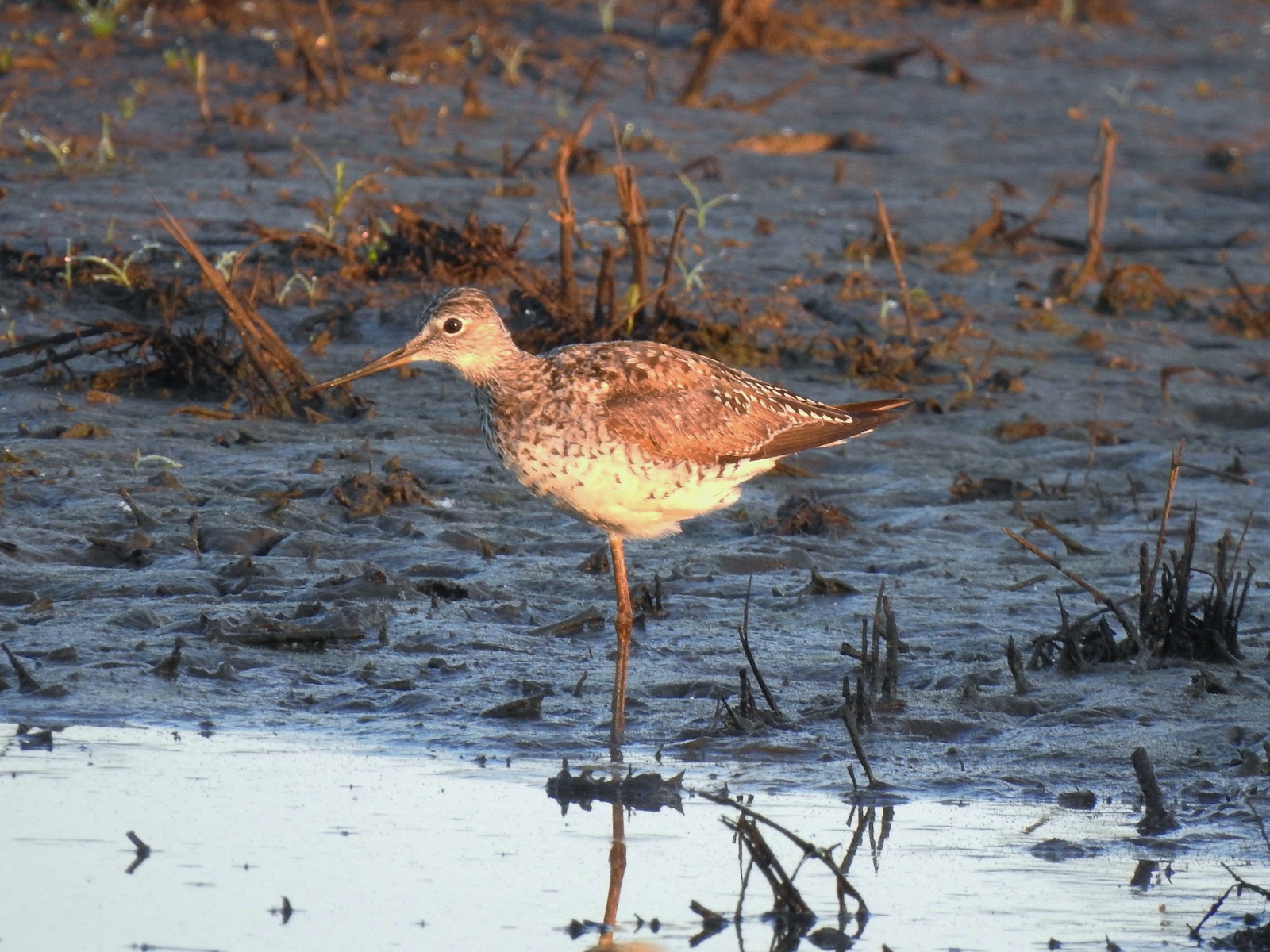 Greater yellowlegs
 Mourning dove
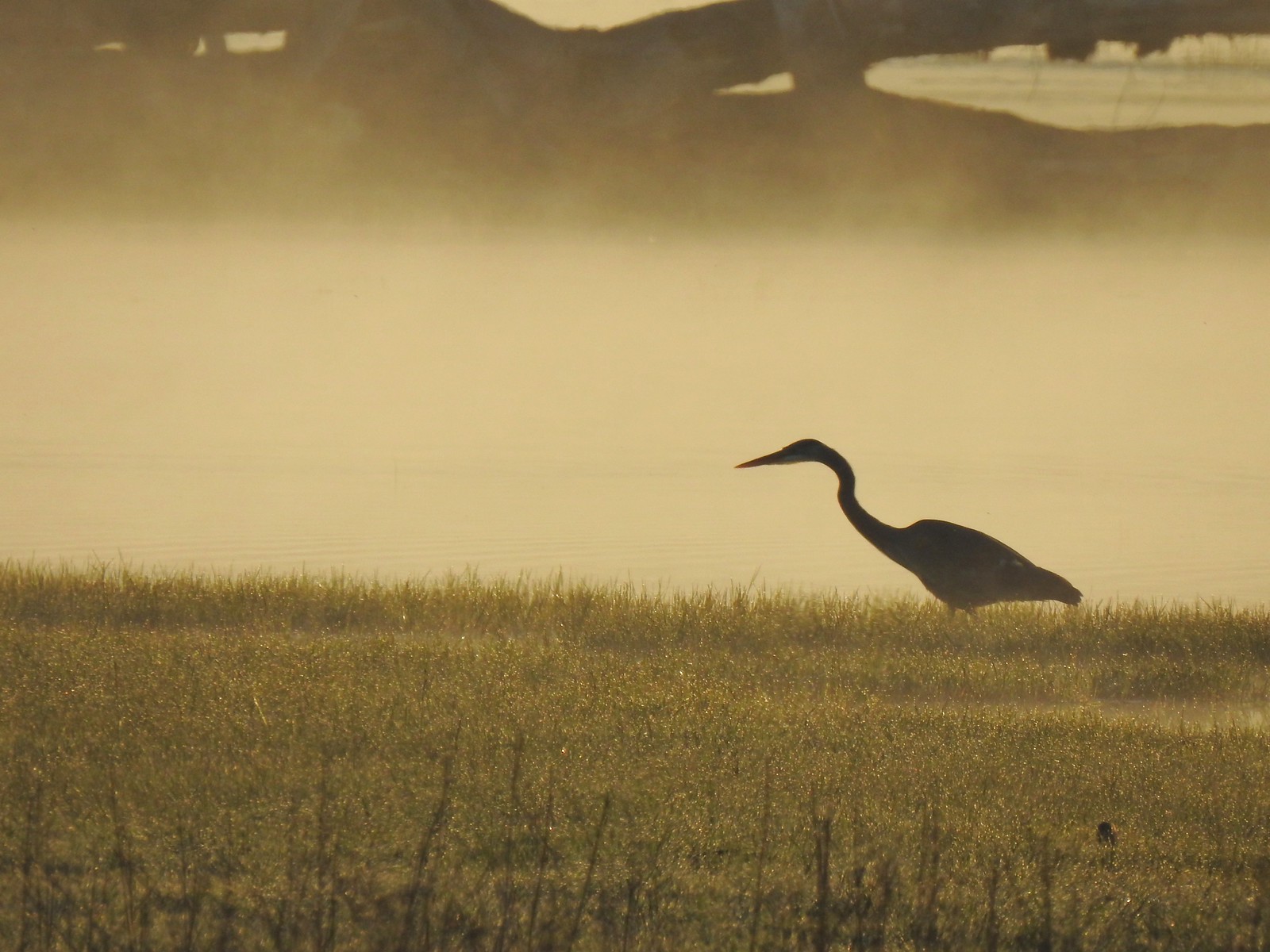 Great blue heron
 An egret and some ducks
 More families of geese
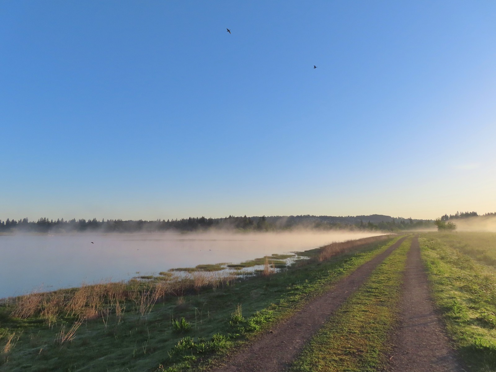 Swallows flying above the Wetland Trail.
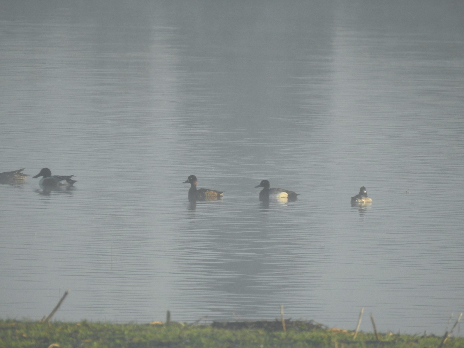 Northern shoveler, scaups (leaning toward greater), and a bufflehead.
 Mallards
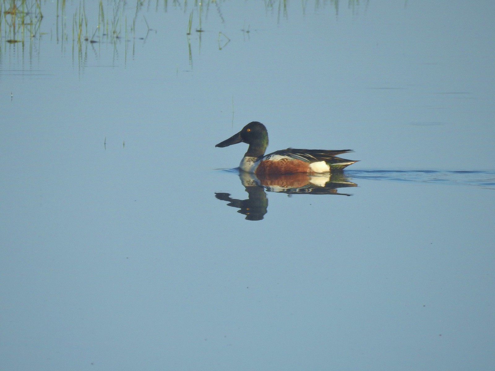 Northern shoveler
 Ruddy duck
 Gadwalls
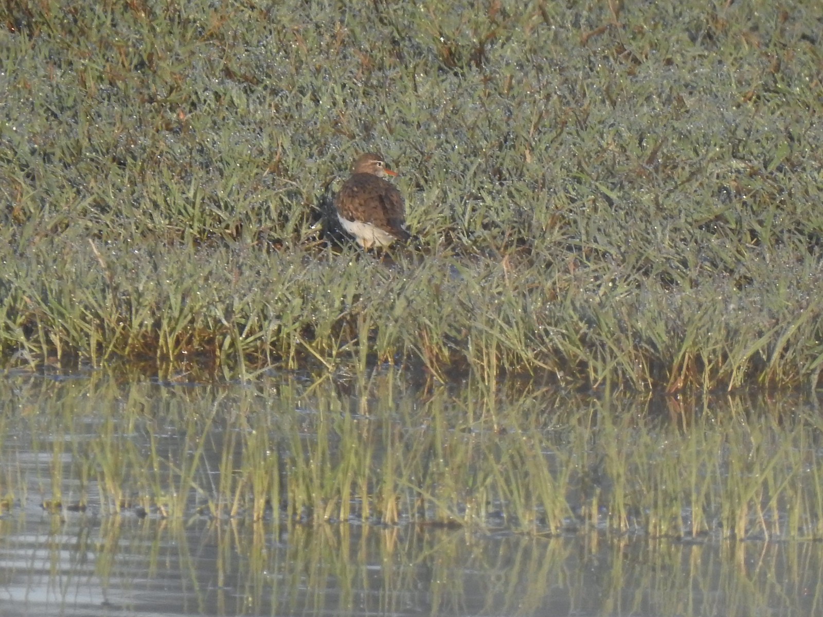 Spotted sandpiper
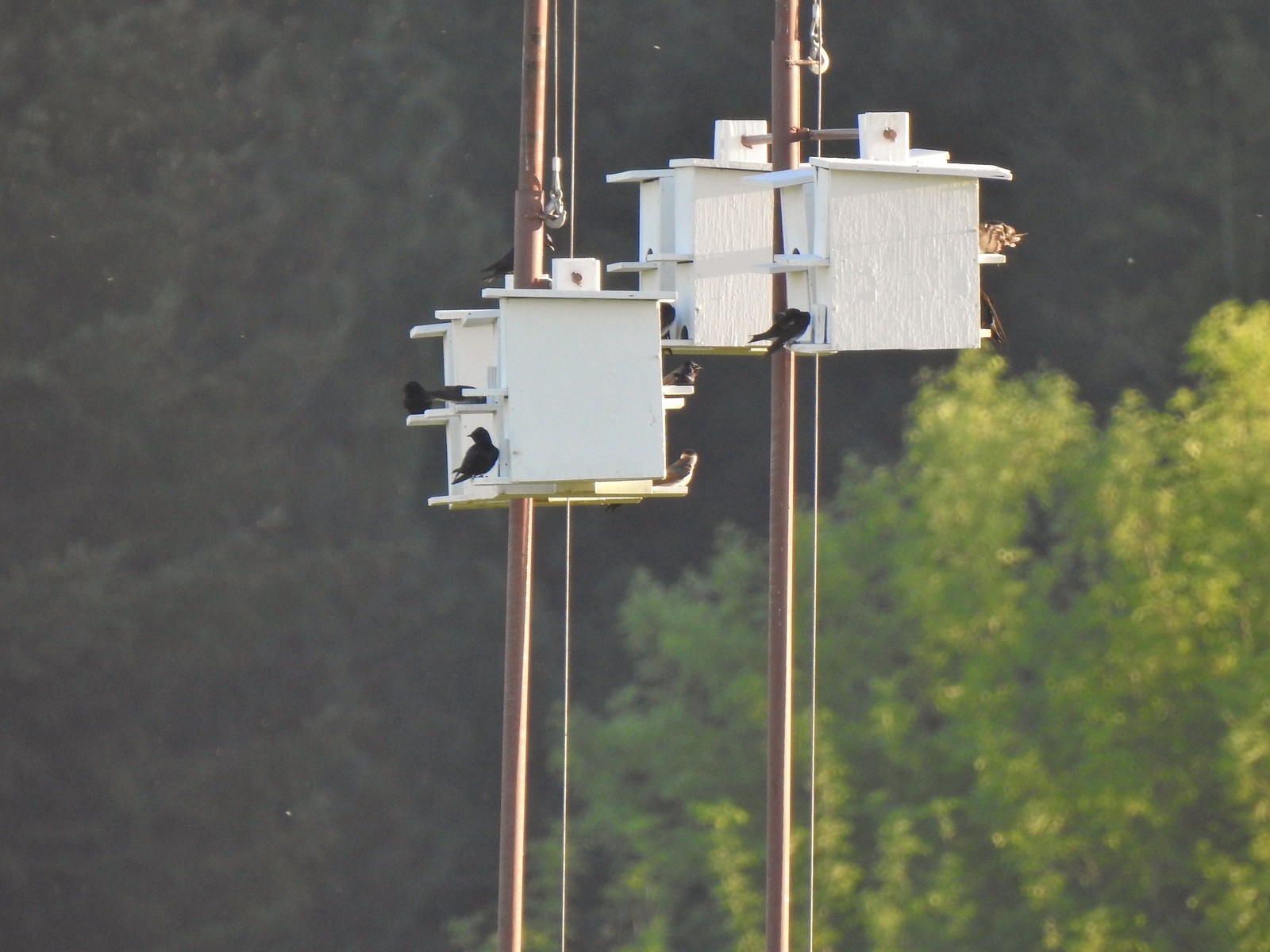 Purple martins
 Killerdeer
 Cinnamon teals
 Nutria, one of several of these non-native rodents that we saw.
 Nap time (or just a late sleeper).
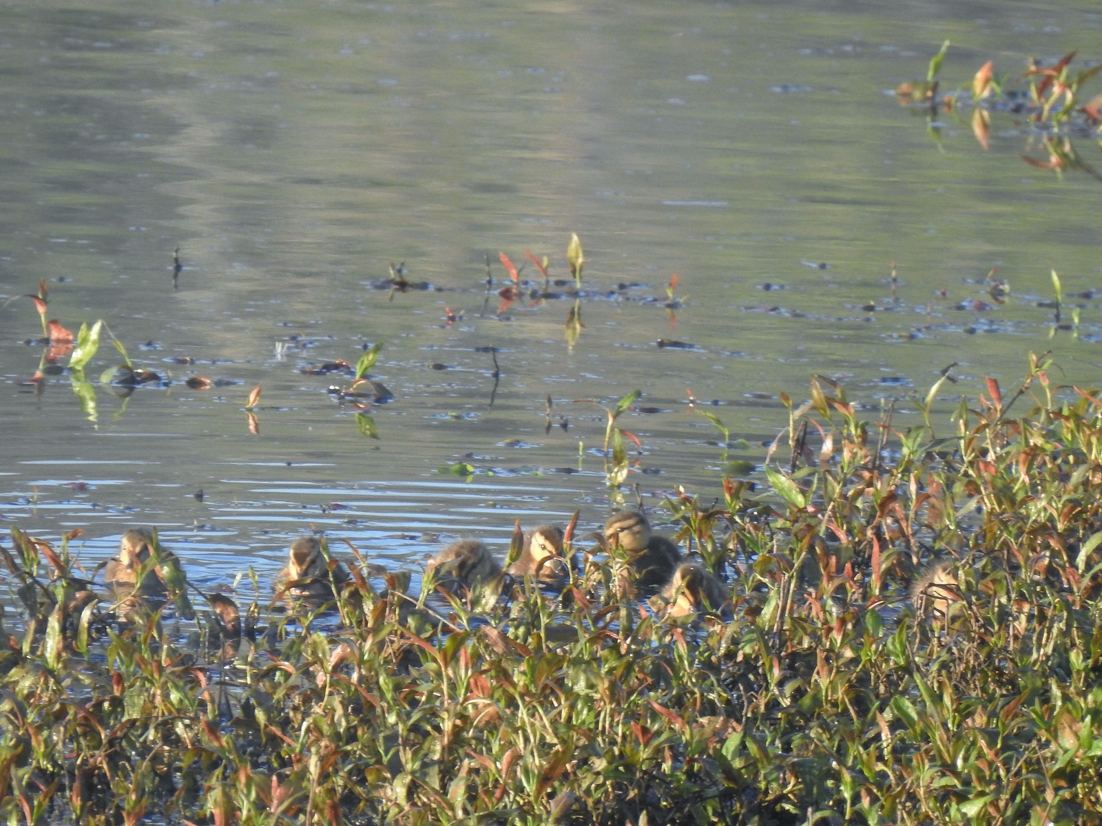 Ducklings
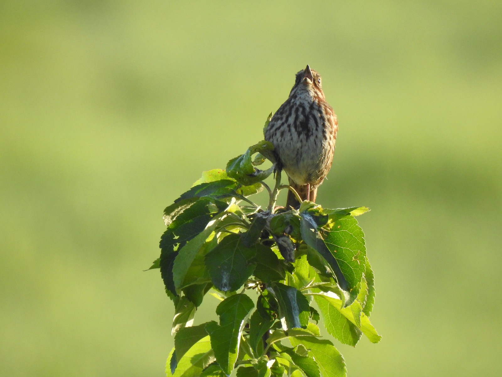 Song sparrow
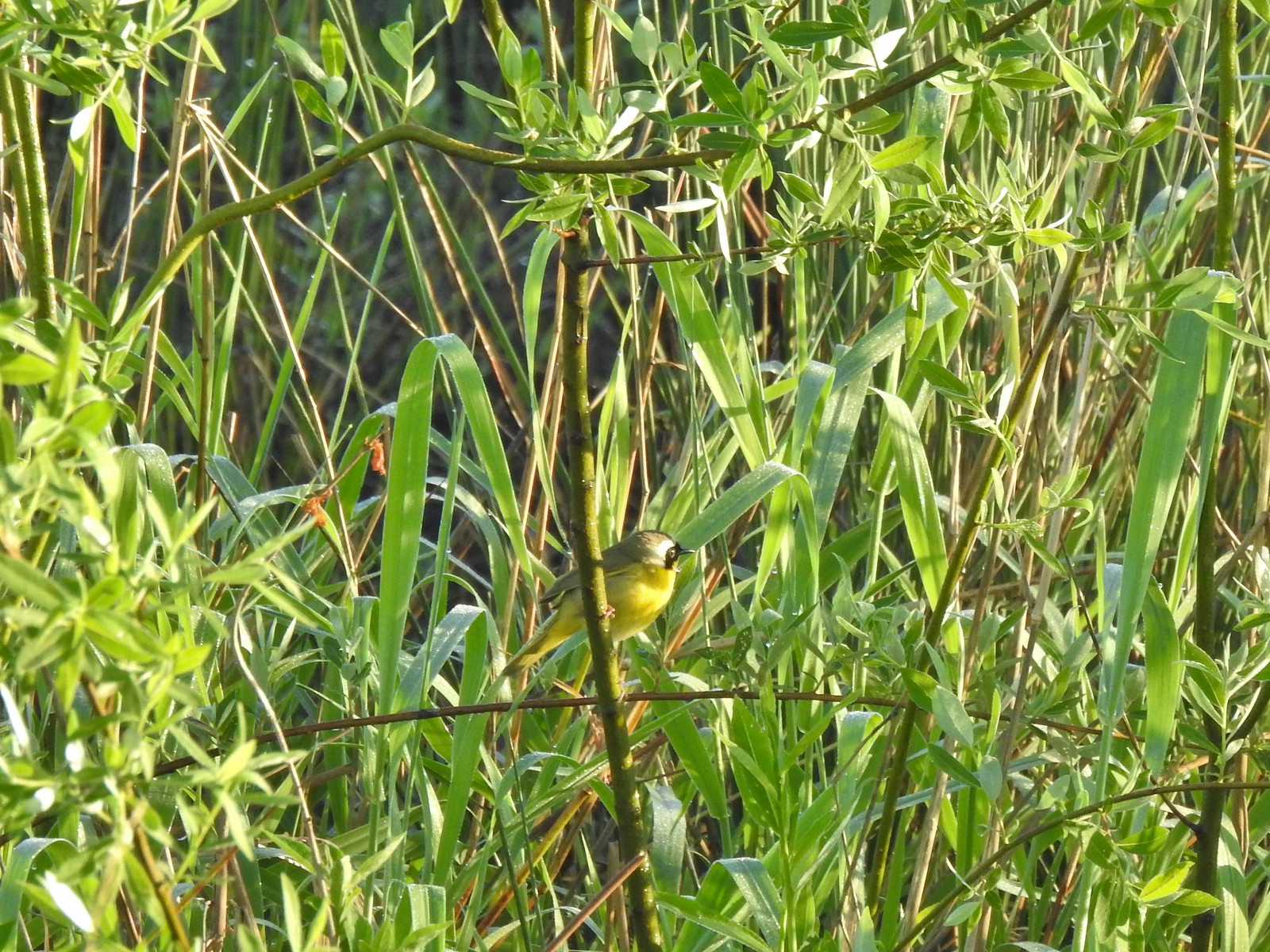 Common yellowthroat
 Wildlife Center
 Great blue heron watching from a little island.

 Anna’s hummingbird
 The same Anna’s hummingbird. When catching light their head/throat is bright pink but appear black when not.
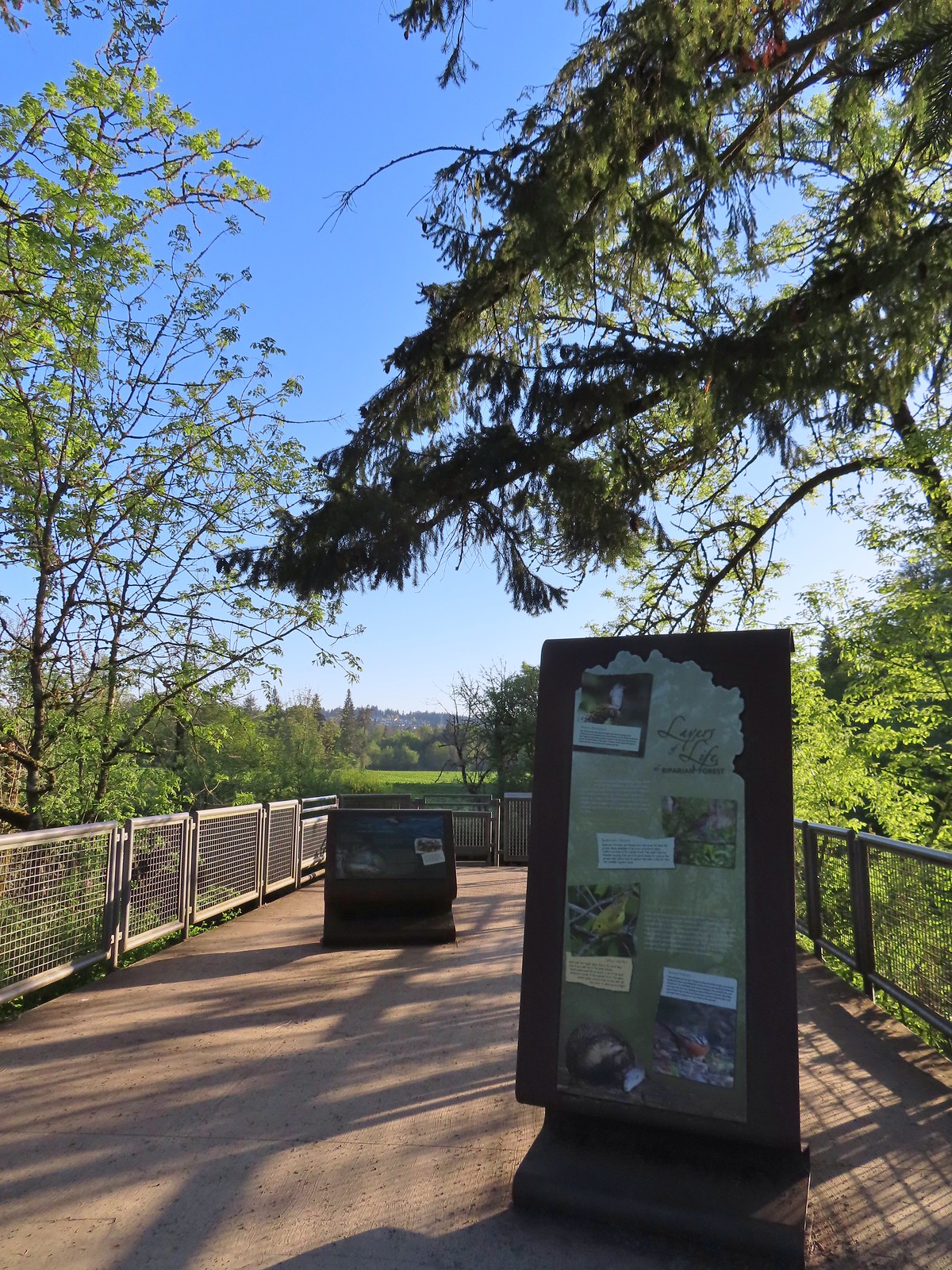 River Overlook
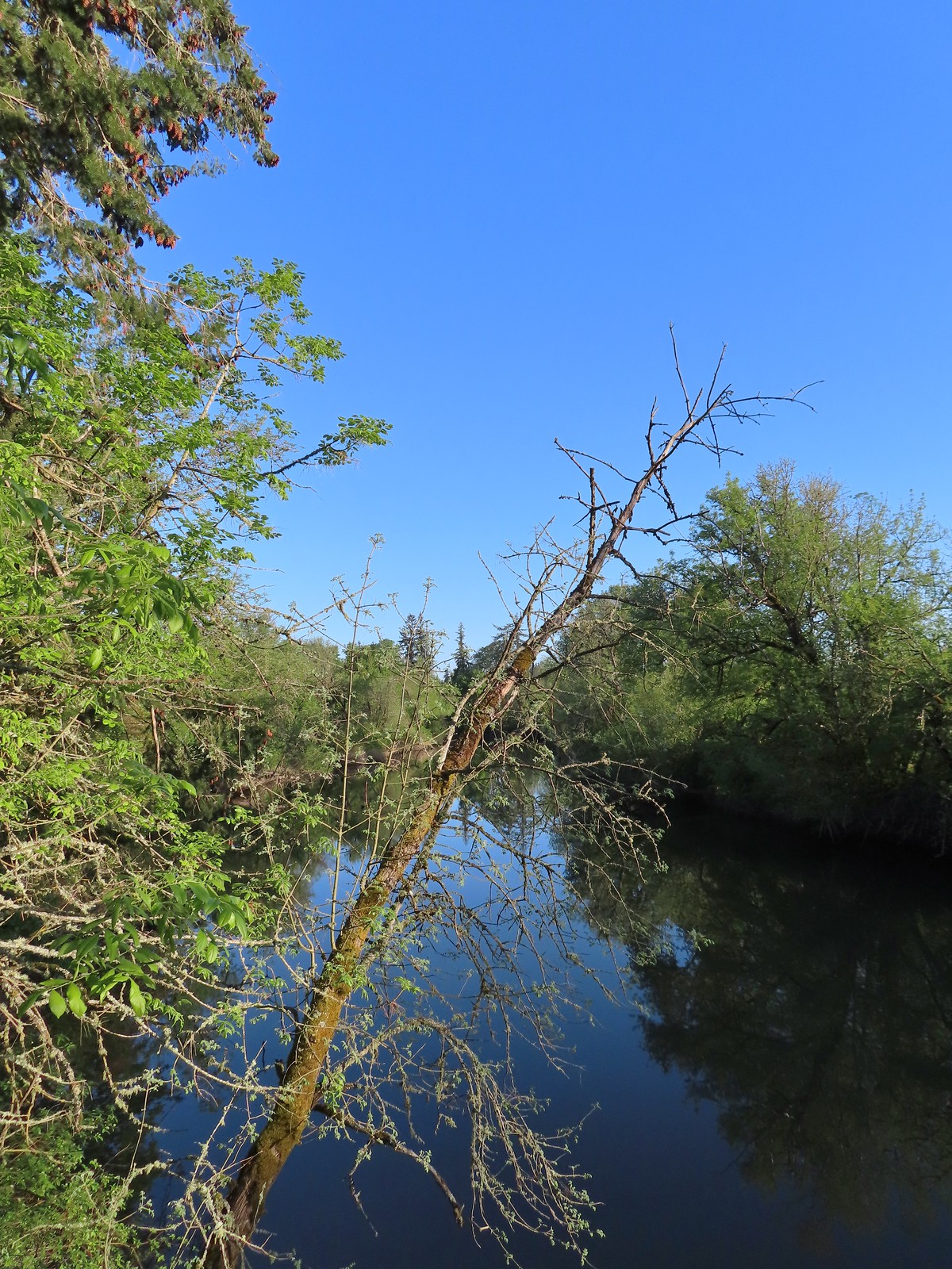 Tualatin River
 Robin
Robin The Wetland and River Trails running parallel.
 Spotted towhee
 Rabbit
 Pacific waterleaf
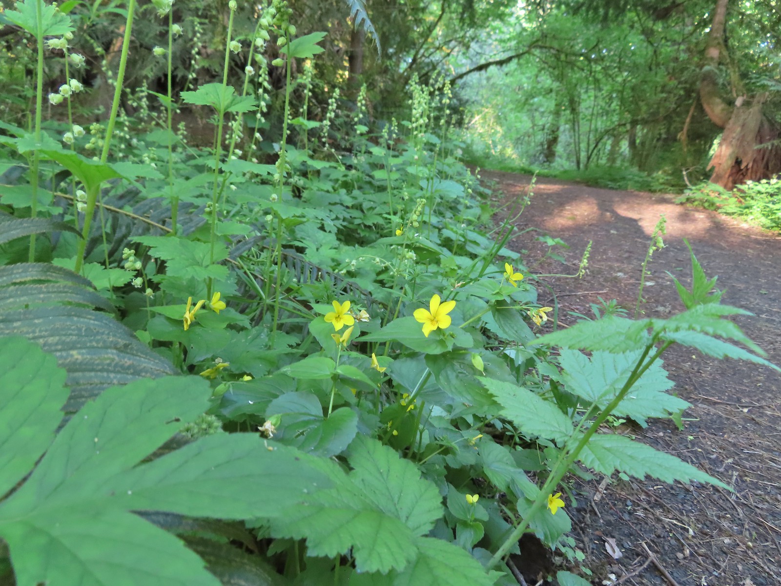 Violets and fringecup along the River Trail.
 Bleeding heart
 We skipped the spur trail to the Ridgetop Overlook since we’d done that on our previous visit.
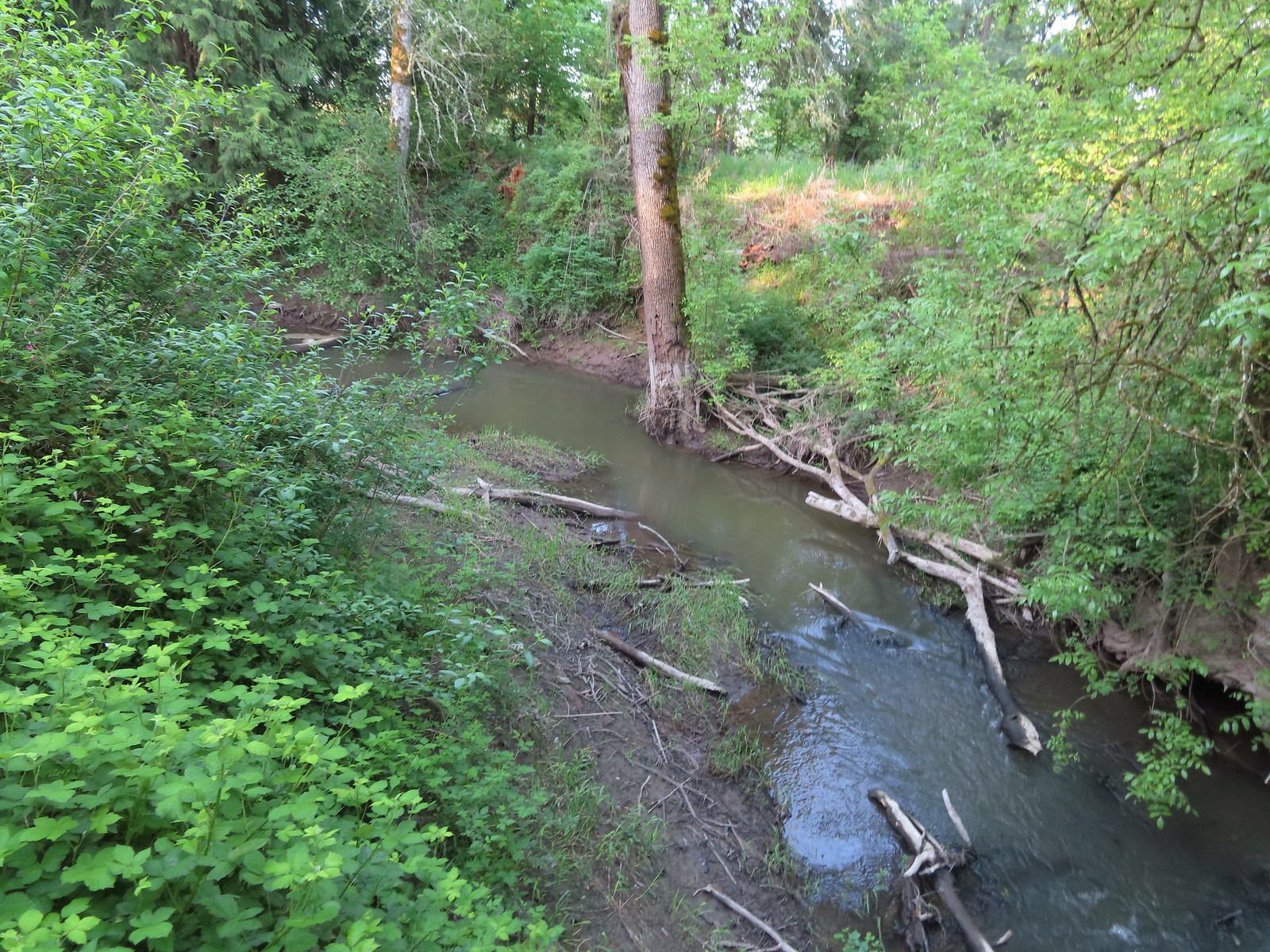 Chicken Creek
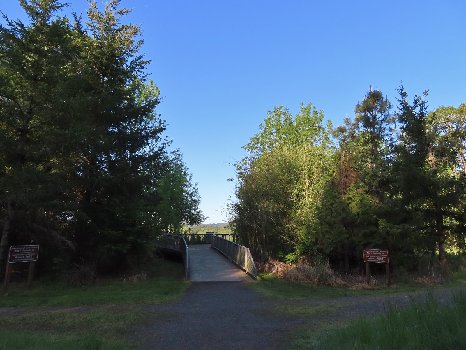 The River Trail meets the Wetland Trail across from the Weland Observation Platform.
 Great white egrets
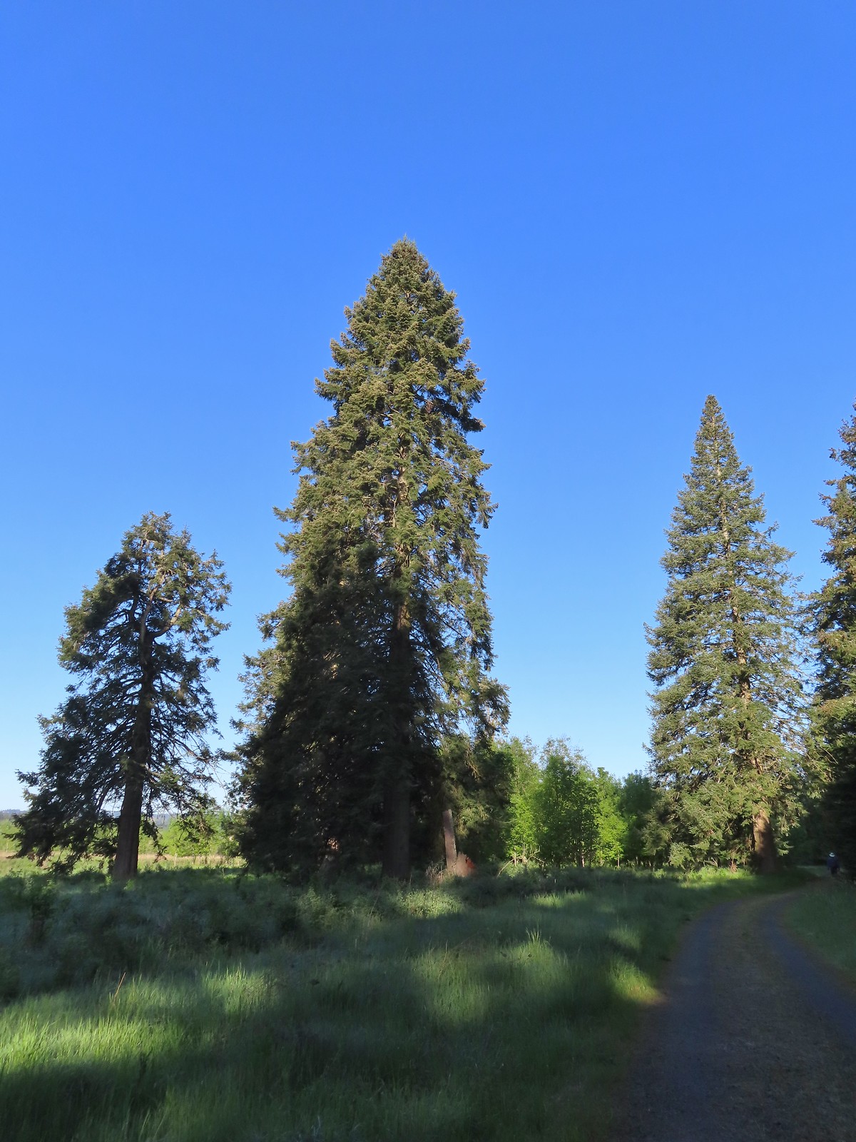 There were some impressively tall trees along this portion of the loop.
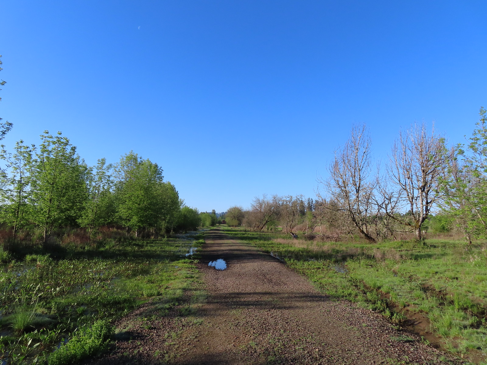
 Another egret
 More egrets across Chicken Creek.
 Red-winged blackbird
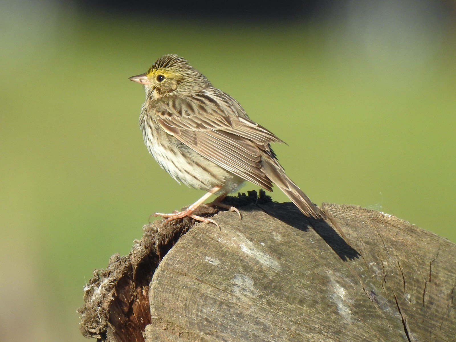 Savannah sparrow
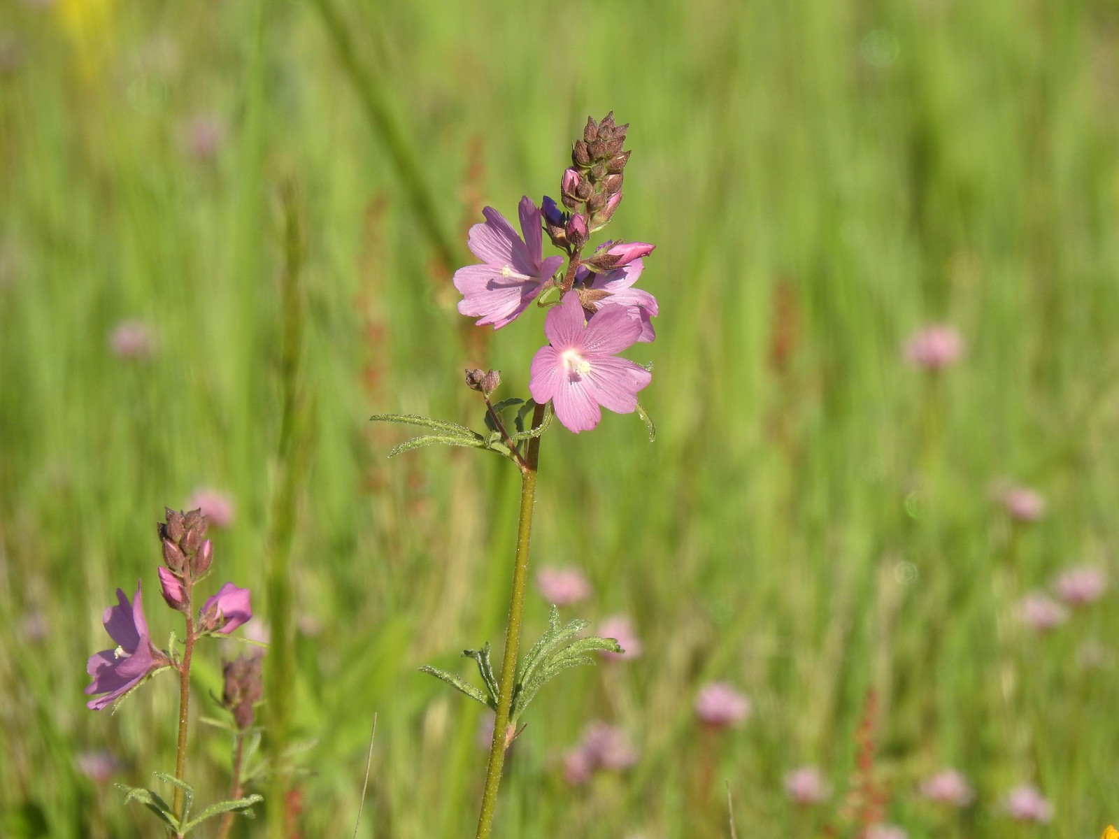 Checker-mallow
 A parsley
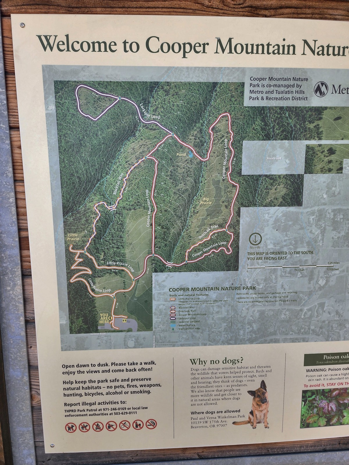 Our planned route was to go right on the Little Prairie Loop to the Cooper Mountain Loop and then stay right on that loop (with a detour to hike the Larkspur Loop) to Blacktail Way. We’d then take Blacktail Way back to the Little Prairie Loop and turn right again to finish that loop and return to the trailhead.
 The view from Cooper Mountain Nature Park.
 Metro is currently running an odd little trial with very short “photo loops”. Mowed paths just off the main trails for photography. We took the first loop just to check it out and they were not kidding when they said the surface may be uneven.
 One of two trial photo loops.
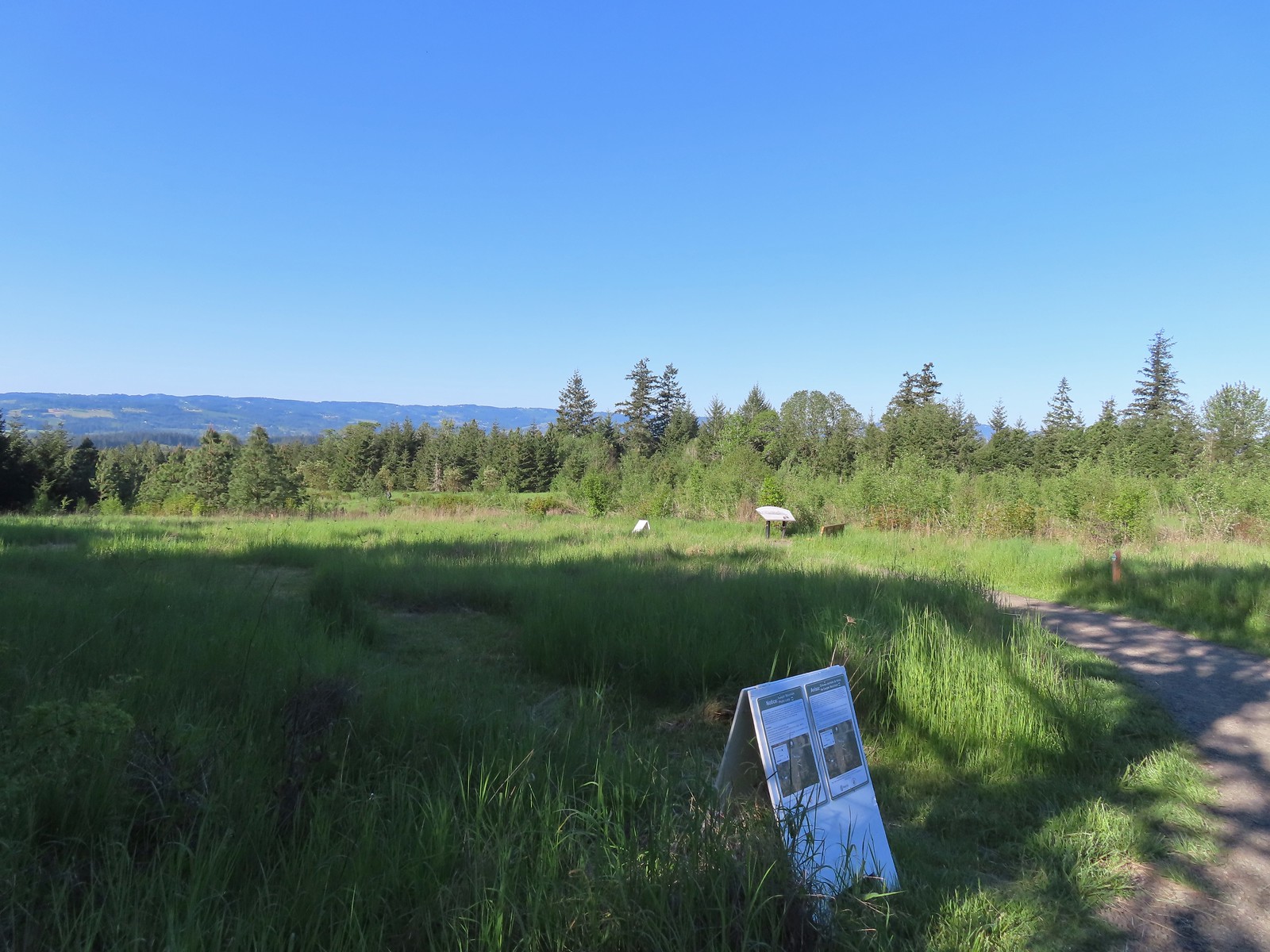 The second trial loop. You can see how short this one is by the signboard just downhill marking its other end.
 There were several interpretive signs and benches along the trails.
 White-crowned sparrow
 Anna’s hummingbird
 Star flower
 As usual Metro had the trail junctions well marked with little maps on top of the posts. This is the Cooper Mountain Loop junction with the lower end of the Outback Trail.
 Camas
Camas
 Tough-leaved iris
 Serviceberry
 Honeysuckle
 Looking back uphill to some wildflowers.
 Monkeyflower
 Tomcat clover
 Spotted towhee
 Bench along a pond filling an old quarry.
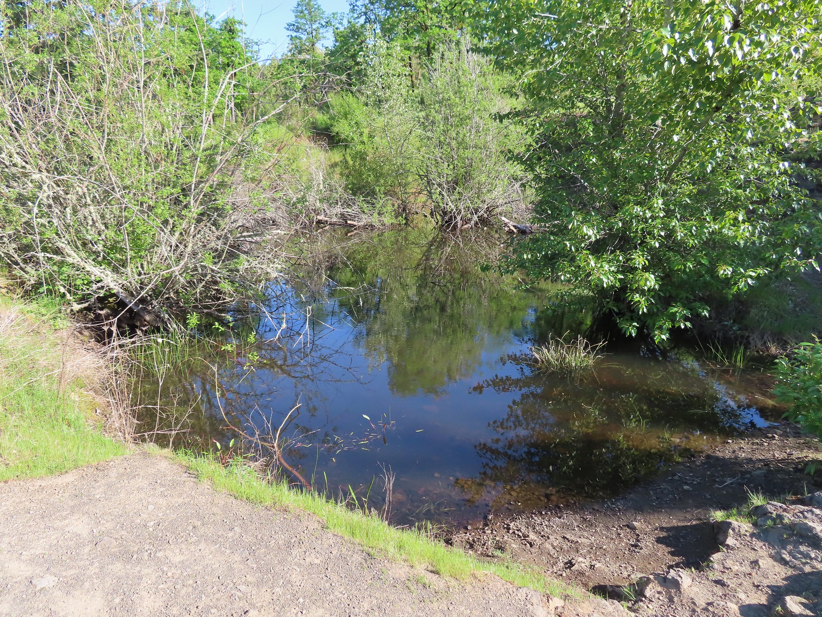 The pond. Red-legged frogs apparently breed here. We didn’t see any frogs but there was a mallard hanging out in the brush.
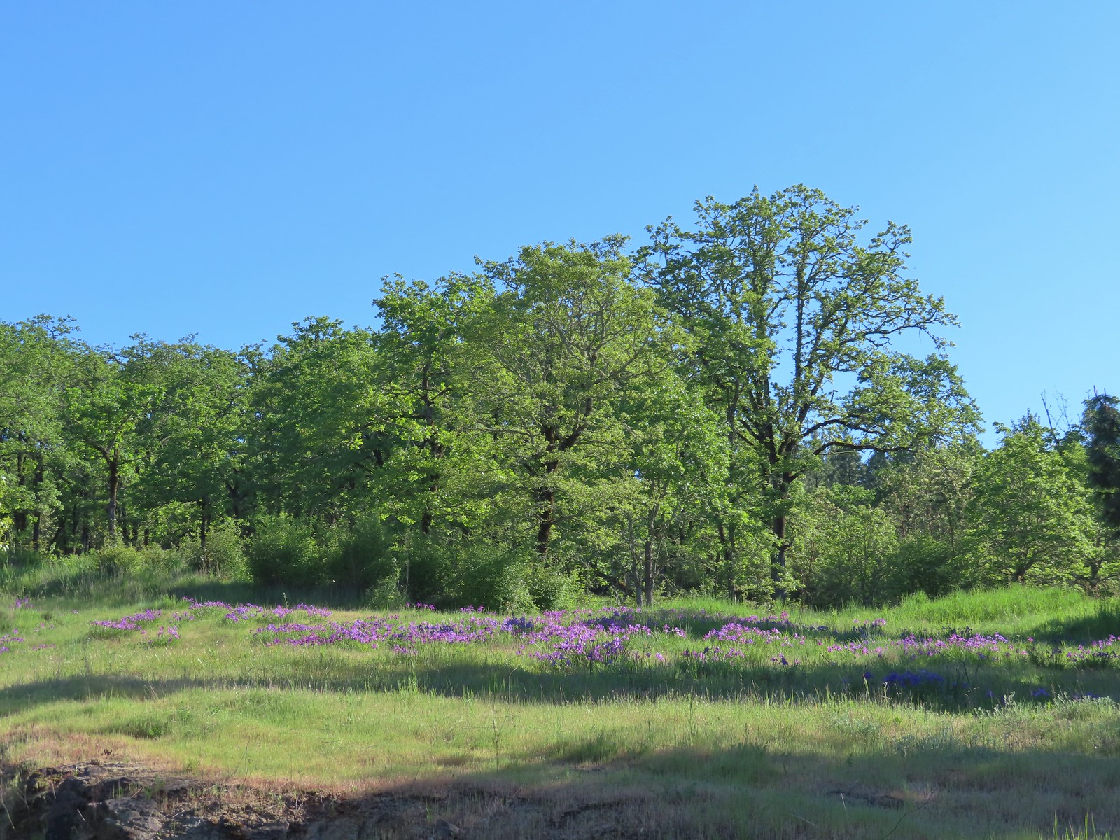 Iris on the hillside above the quarry.
 The Larkspur Loop continuing straight from the Cooper Mountain Loop which turns uphill at the junction.
 Prior to the loop the Larkspur Loop dips to cross a creek in the trees.
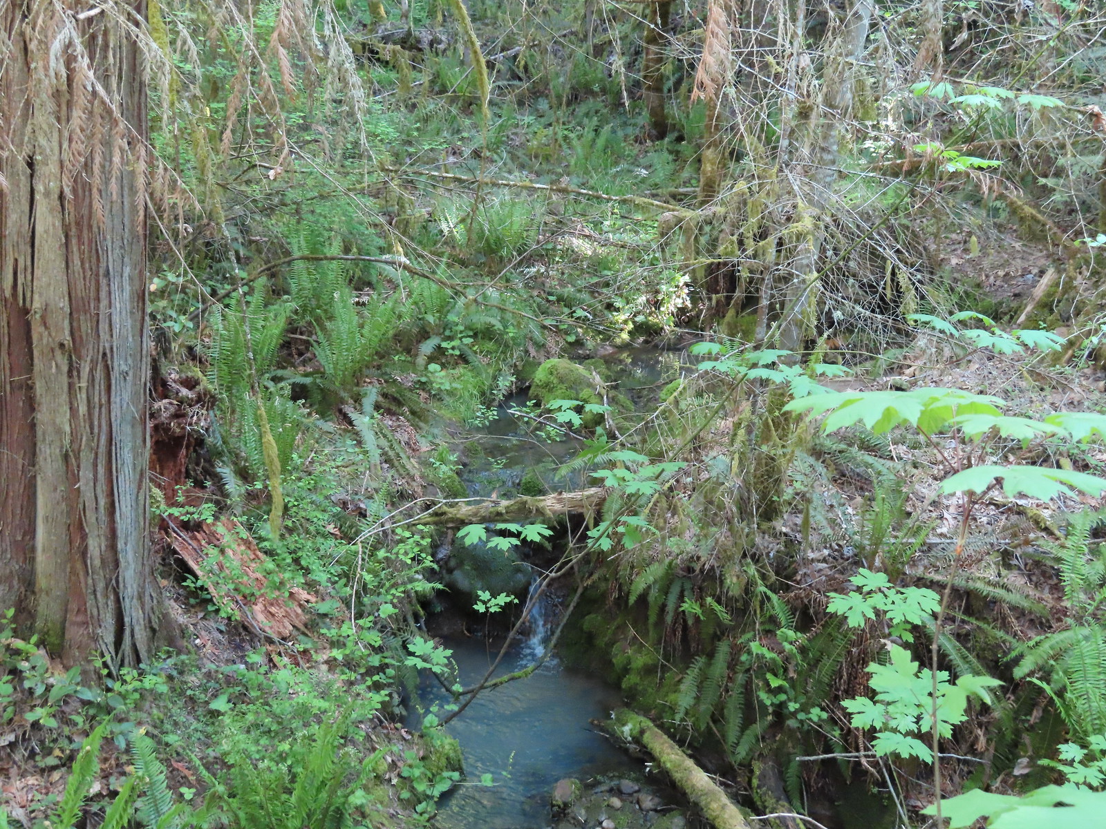 The little creek.
 View from the Larkspur Loop.
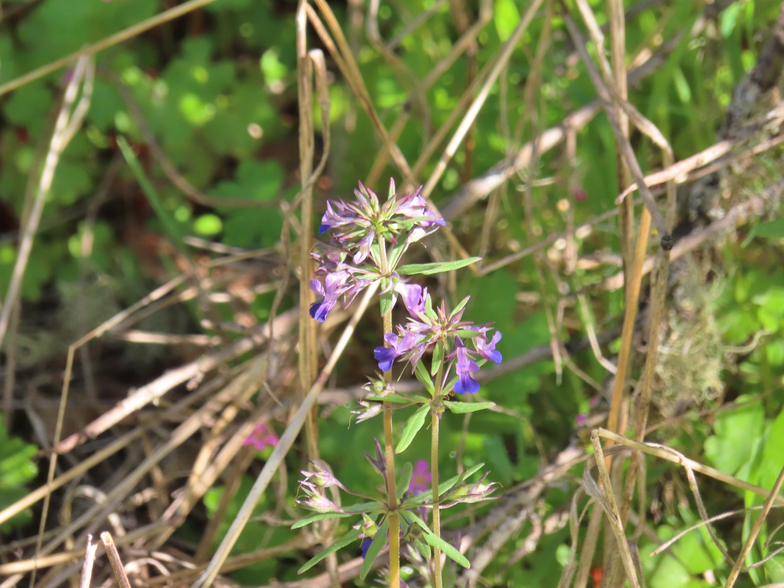 While watching for the larkspur I noticed these giant blue-eyed Mary.
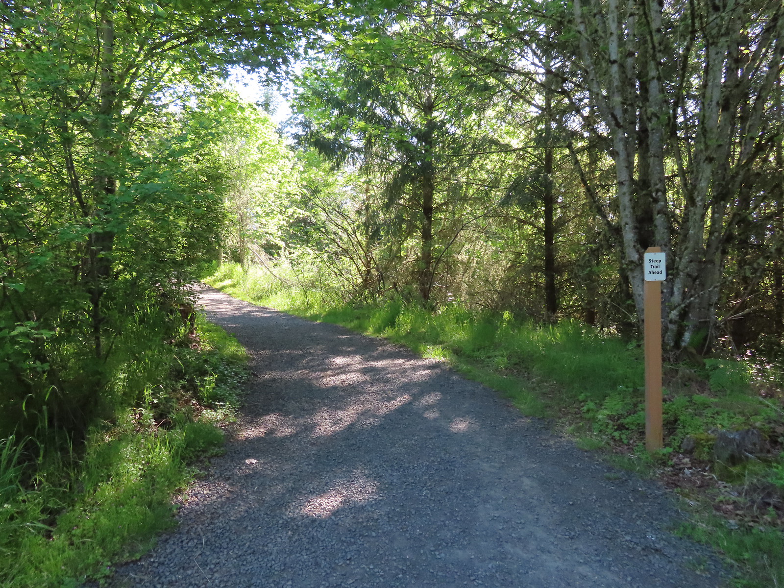
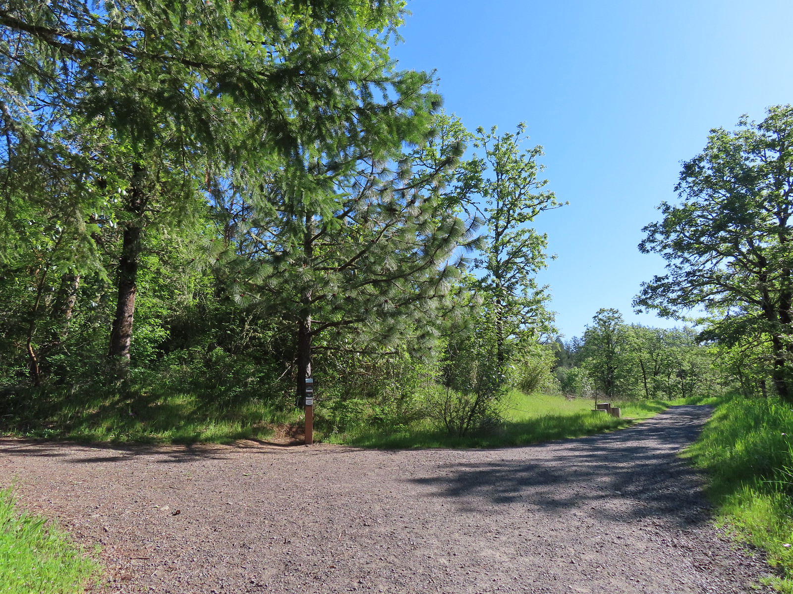 Blacktail Way to the right.
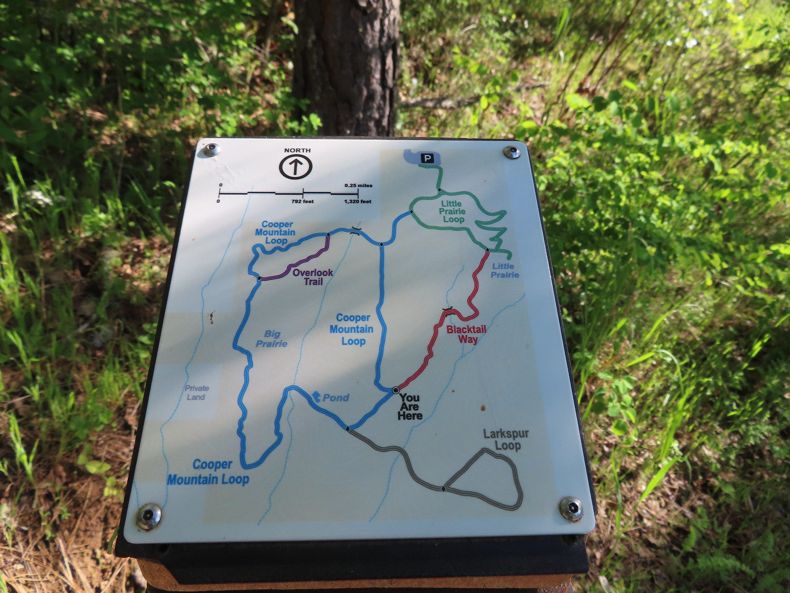 Map at the junction.
 The “earphone” next to the bench here was neat. There was also one at the trailhead and they really allowed you to isolate the sounds of the woods.
 The Little Prairie Loop.
 The pale larkspur also grows in this area but again we were too early.
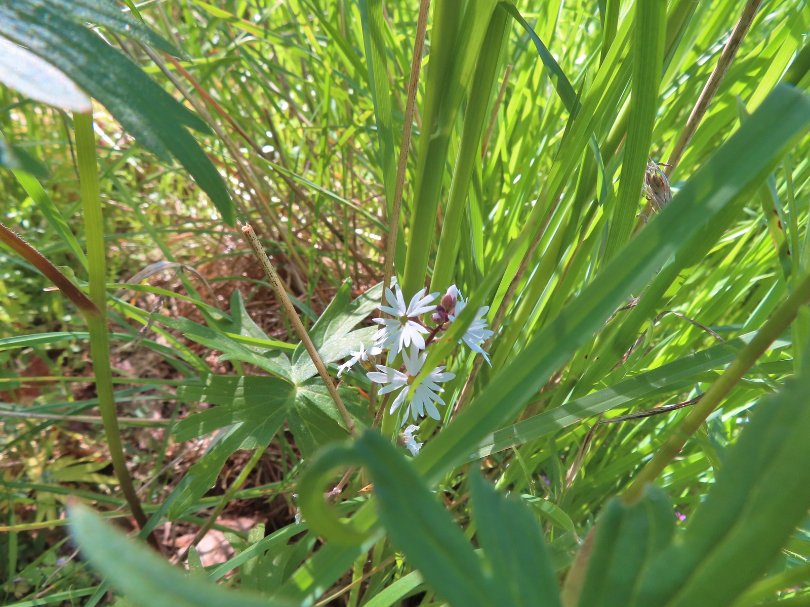 These were the only woodland-stars we spotted.

 Heading toward Acron Plaza on the Tonquin Trail.
 Interpretive sign at Acorn Plaza.
 Lupine and buttercups
 Lupine
 Meadow checker-mallow
 The “elder” oak is between 150-200 years old.

 We watched this American Kestral hover on a near vertical line for what felt like quite a while. It eventually dove and attempted to catch something in the grass. We couldn’t tell if it had been successful.
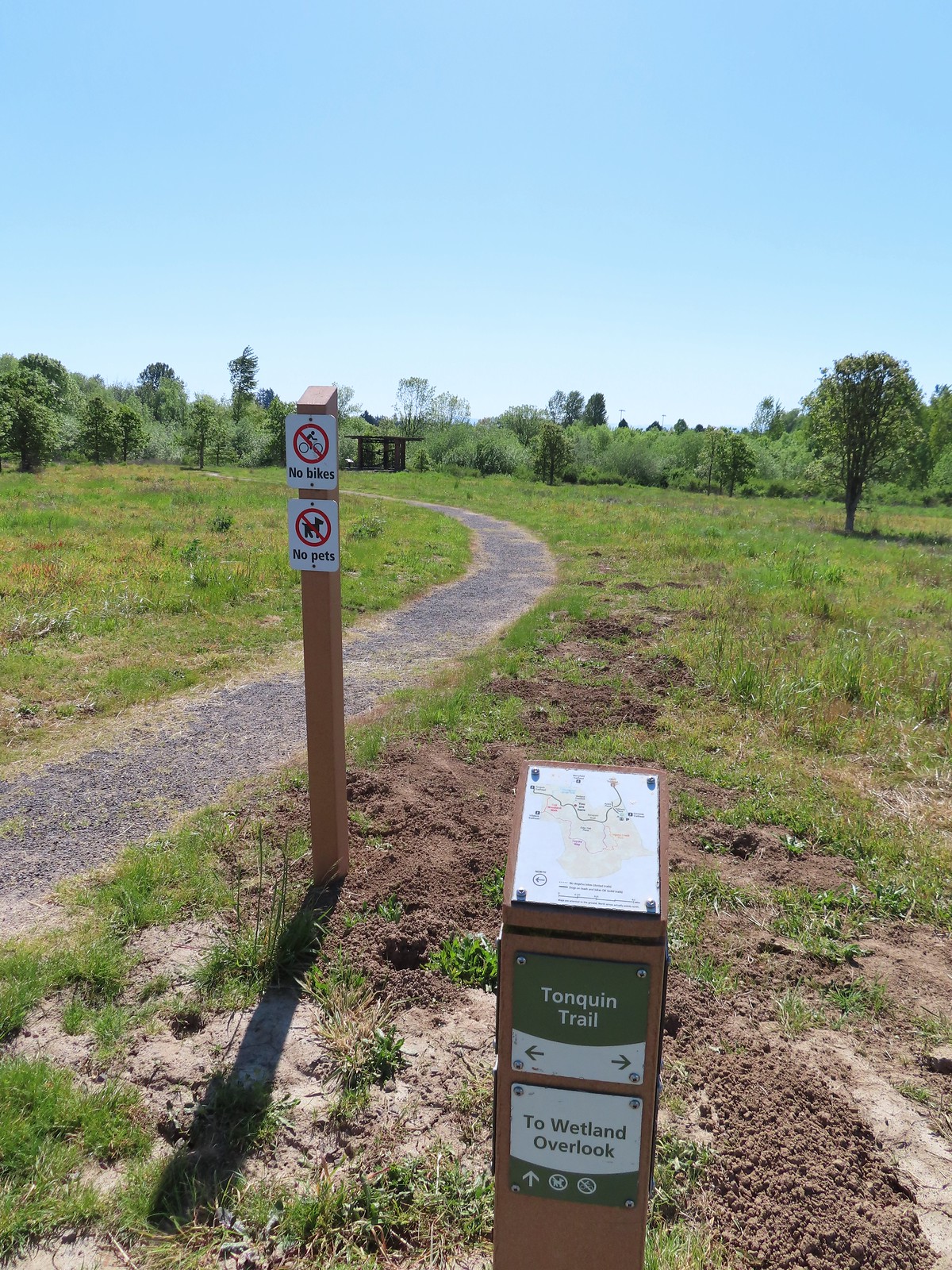

 Mylitta crescent
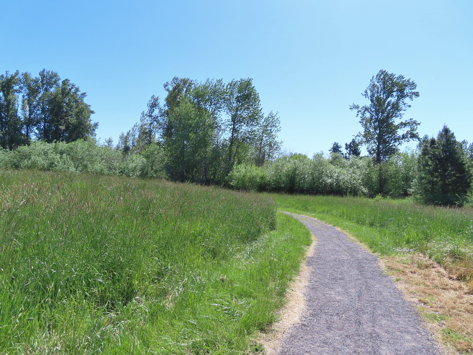
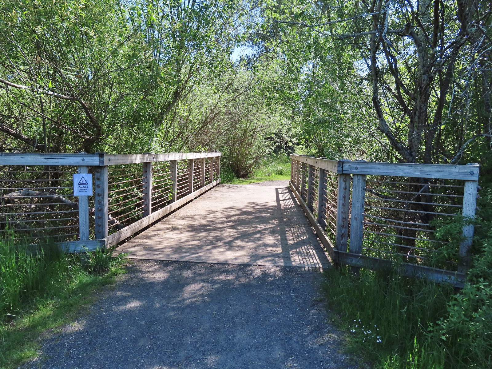 Footbridge over Arrowhead Creek.

 The Lycaenidae family of butterflies remains a mystery to me. This appears to be an Eastern Tailed Blue based on the ventral spots.
 Snow in the Cascade foothills. If you look really closely behind the bigger snow patch to the far-right, you can just barely make out Mt. Jefferson.
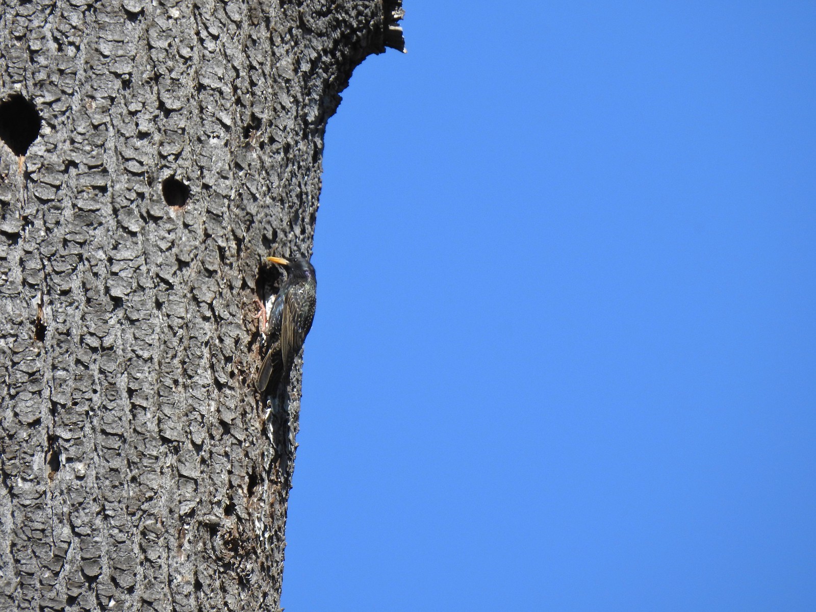 Starling
 Northern flicker
 This scrub jay would not come out from behind the oak leaves.
 There was a lot of candy flower beneath the trees.


 Mushrooms along the Legacy Creek Trail.
 Violets, candy flower and the invasive herb robert (pink).
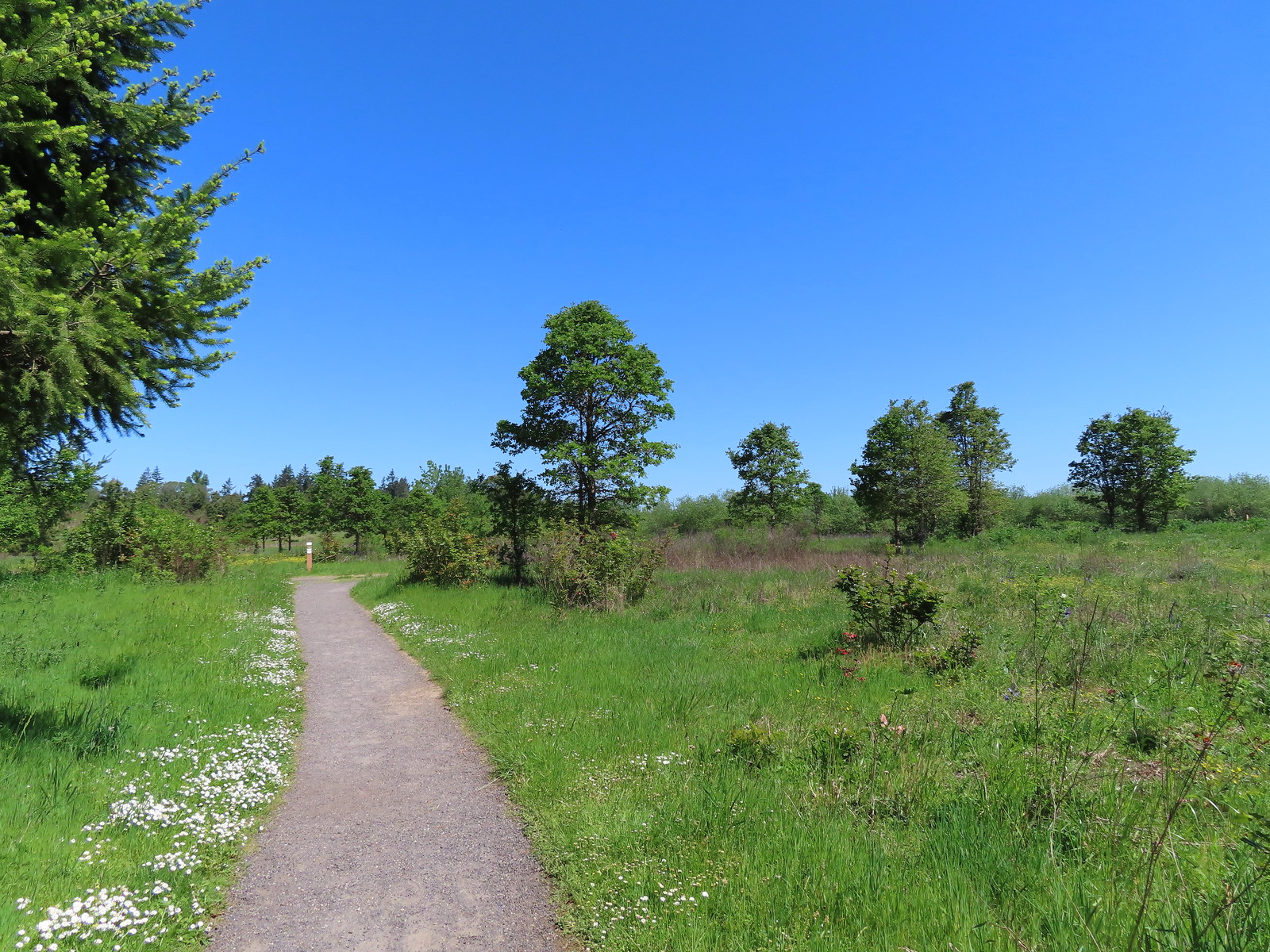 Coming up to Coyote Way.
 Back on the Tonquin Trail and heading for the trailhead.


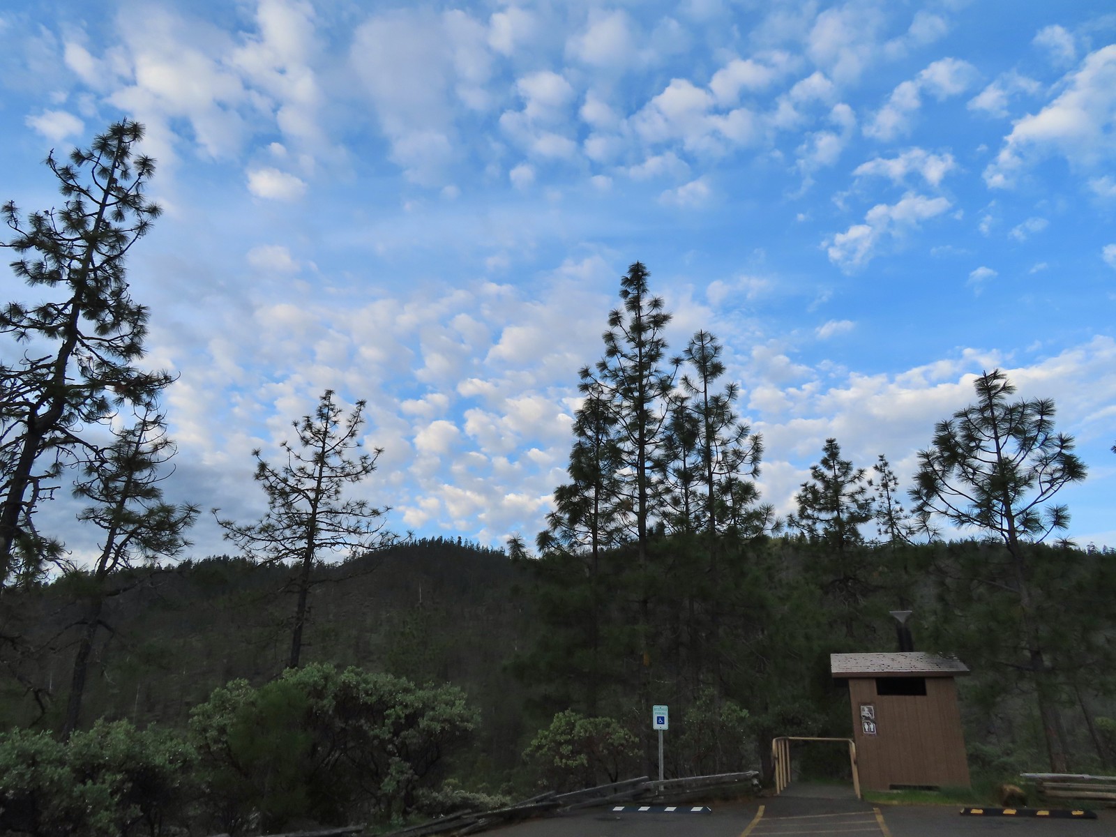

 Wedgeleaf violets
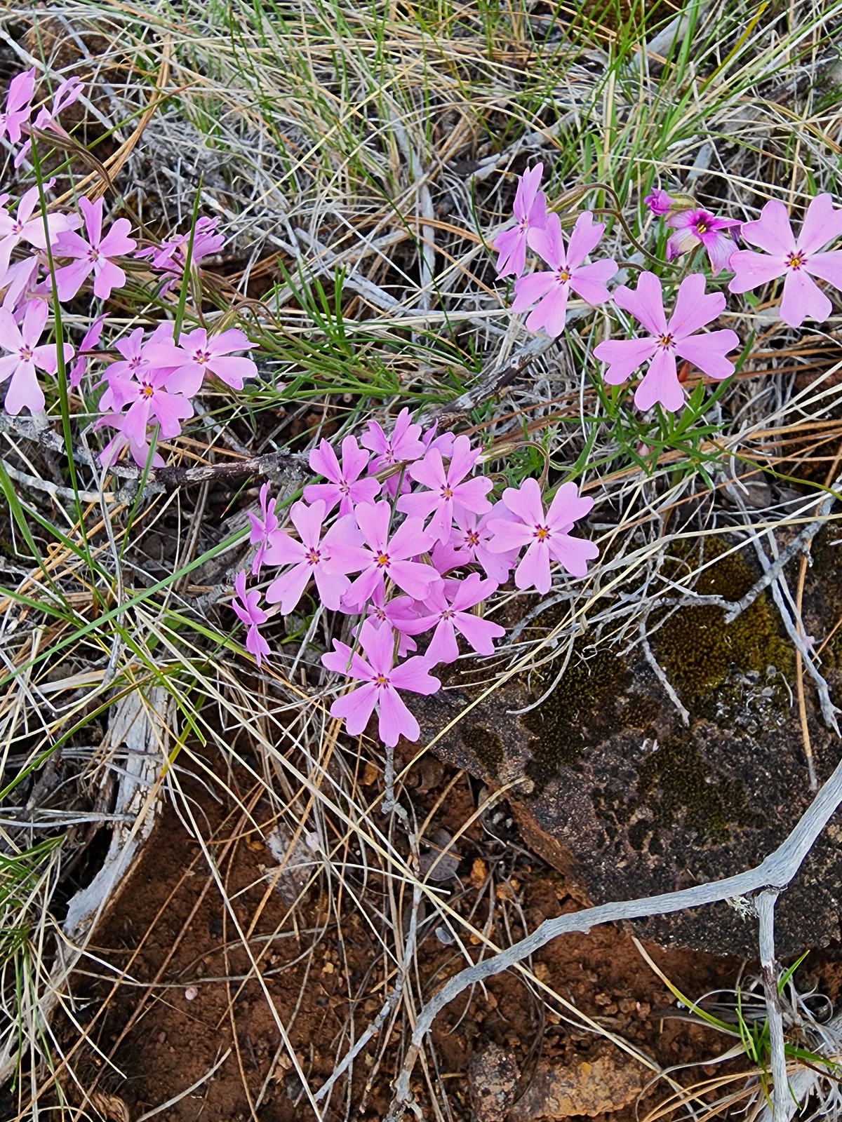 Showy phlox
 Oregon rockcress
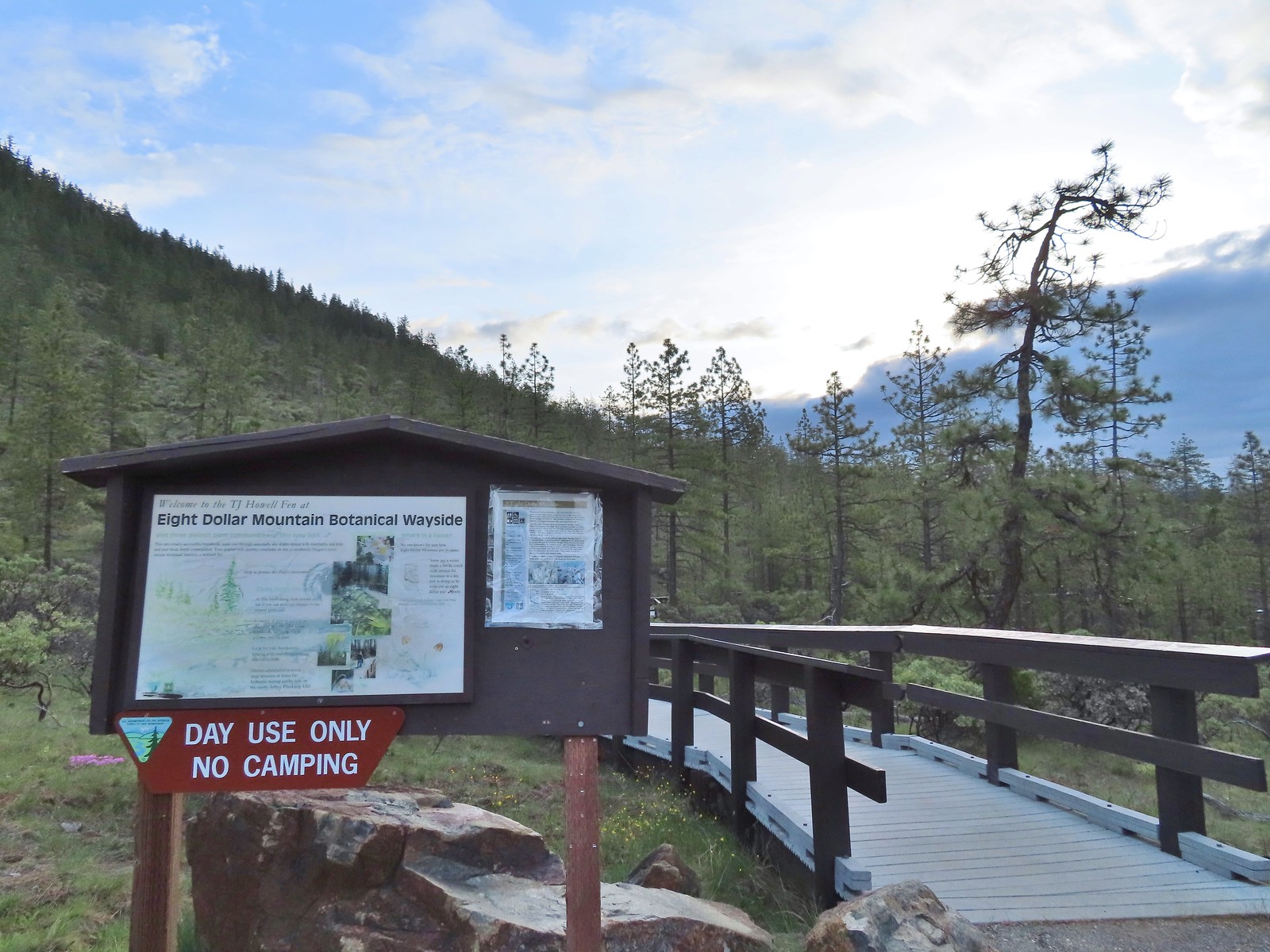
 Camas and buttercups
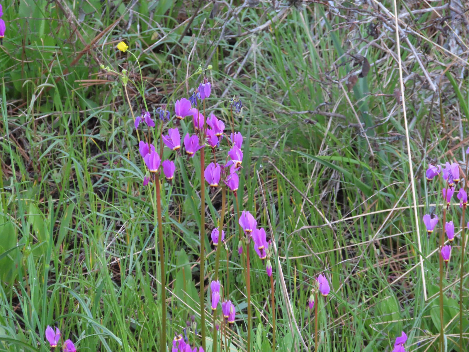 Shooting star
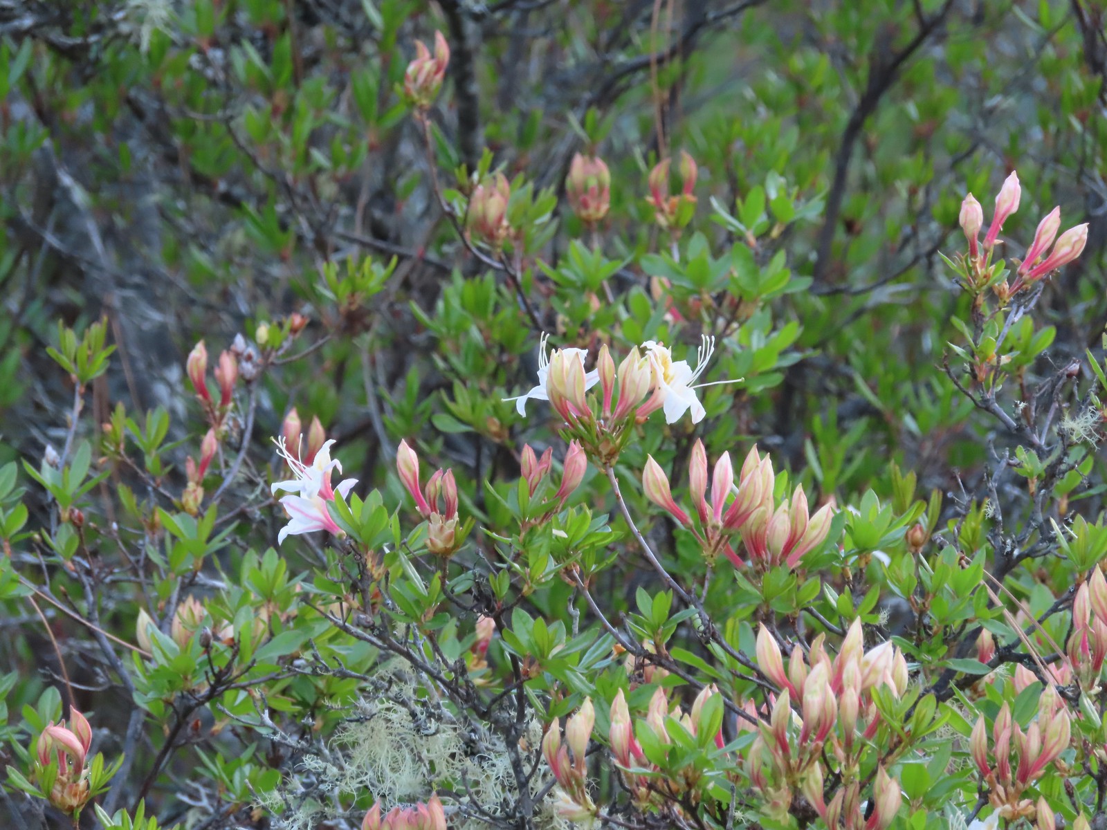 Western azalea
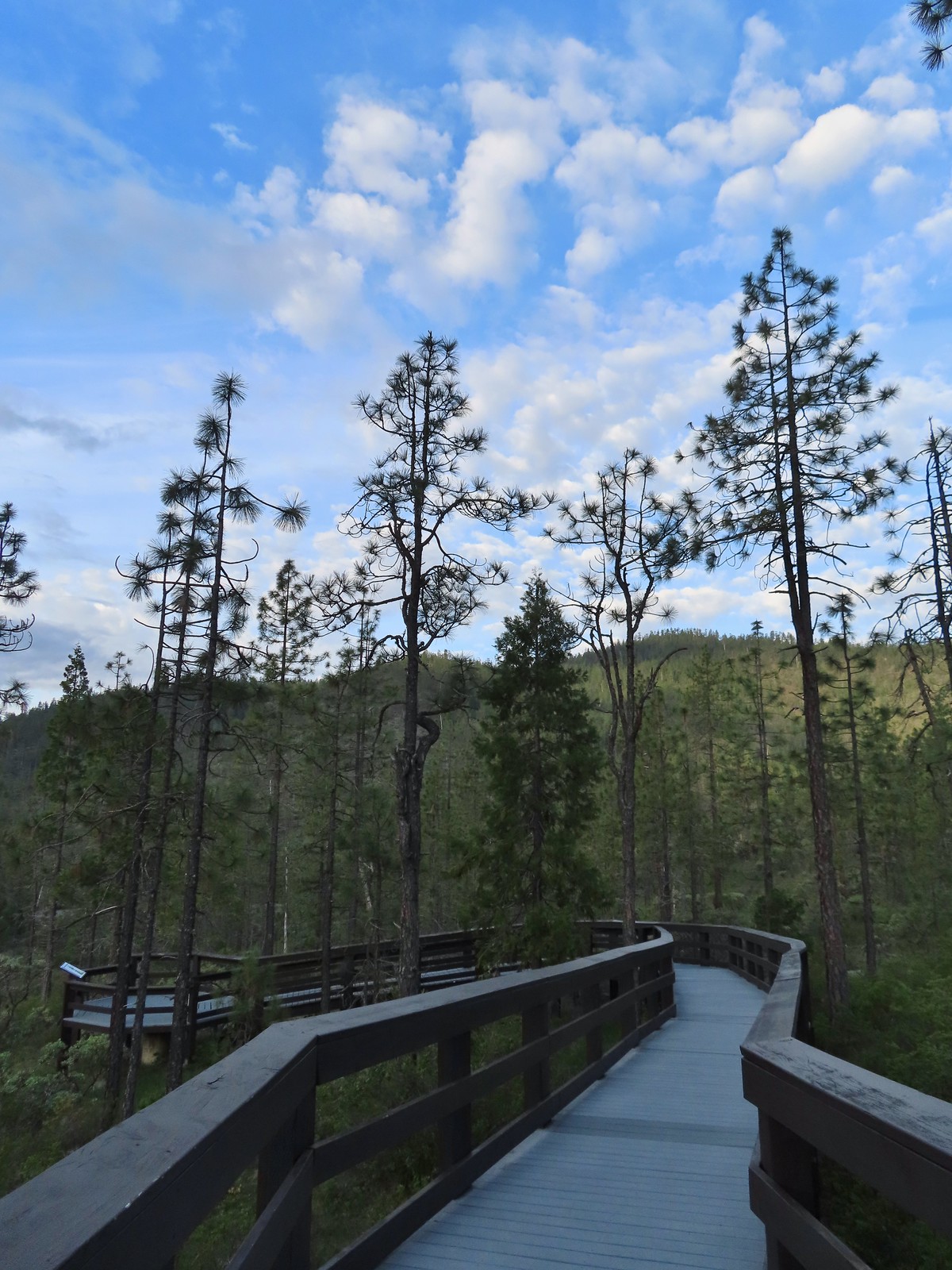
 The fen at the end of the boardwalk.
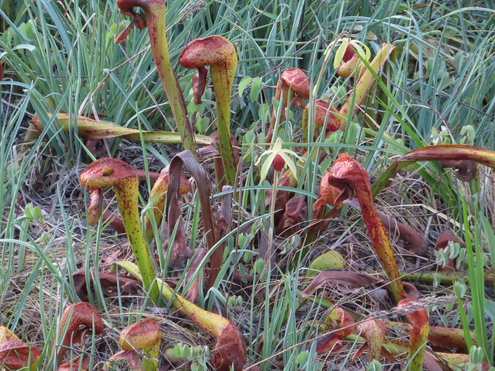 A darlingtonia blossom.
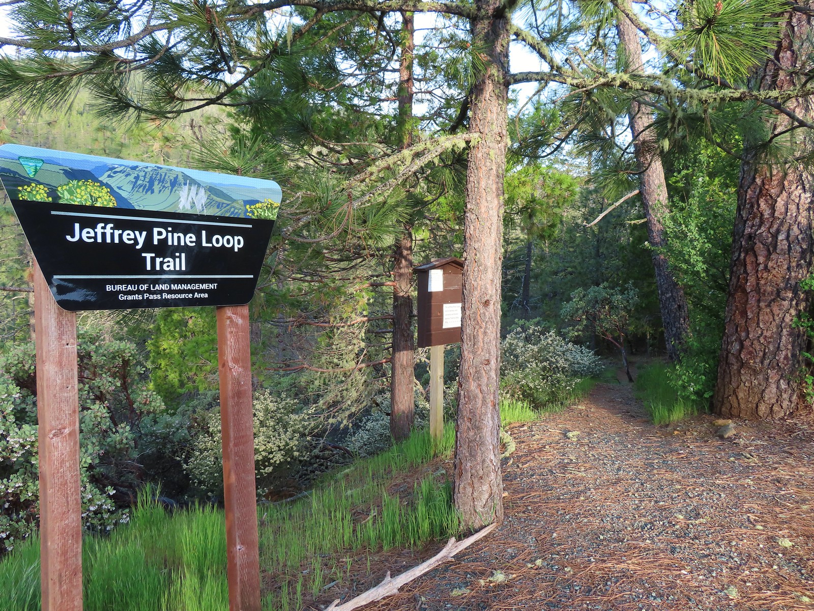
 We stayed right at this junction just below the trailhead. There is a 0.5-mile loop option which we planned on skipping.
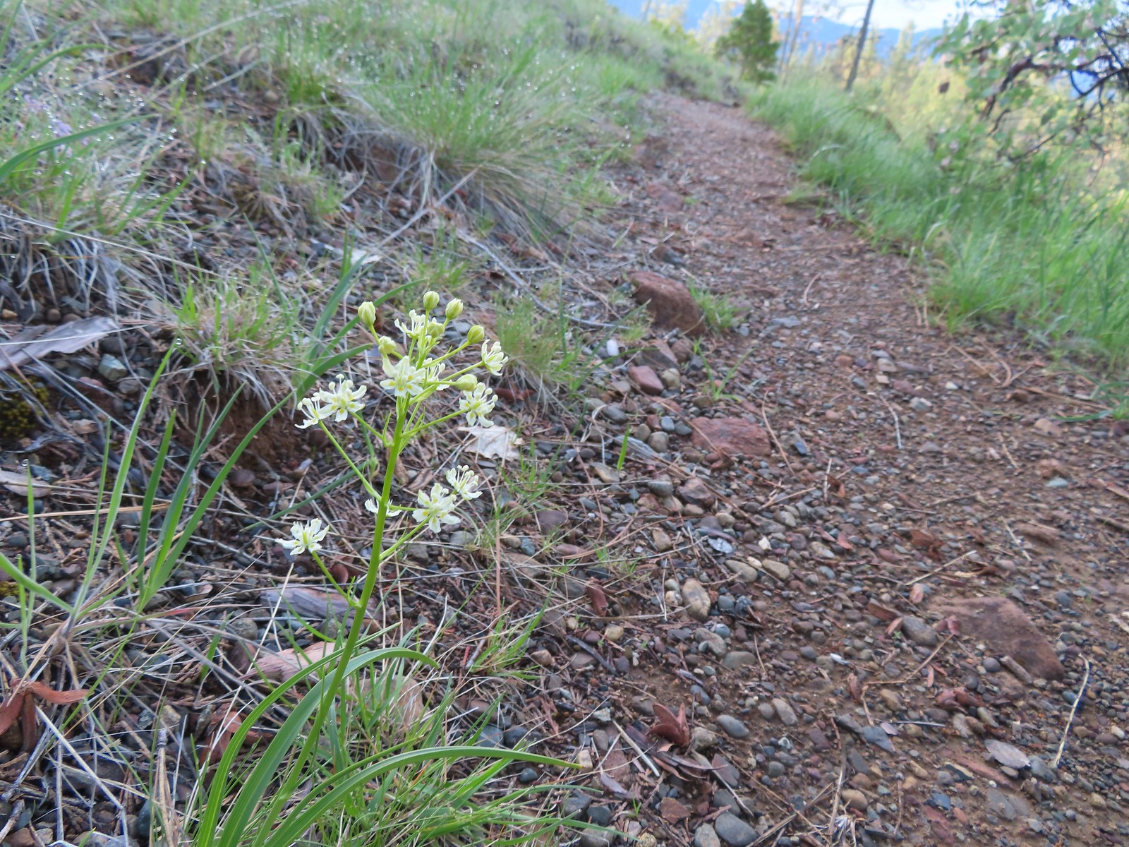 Death camas
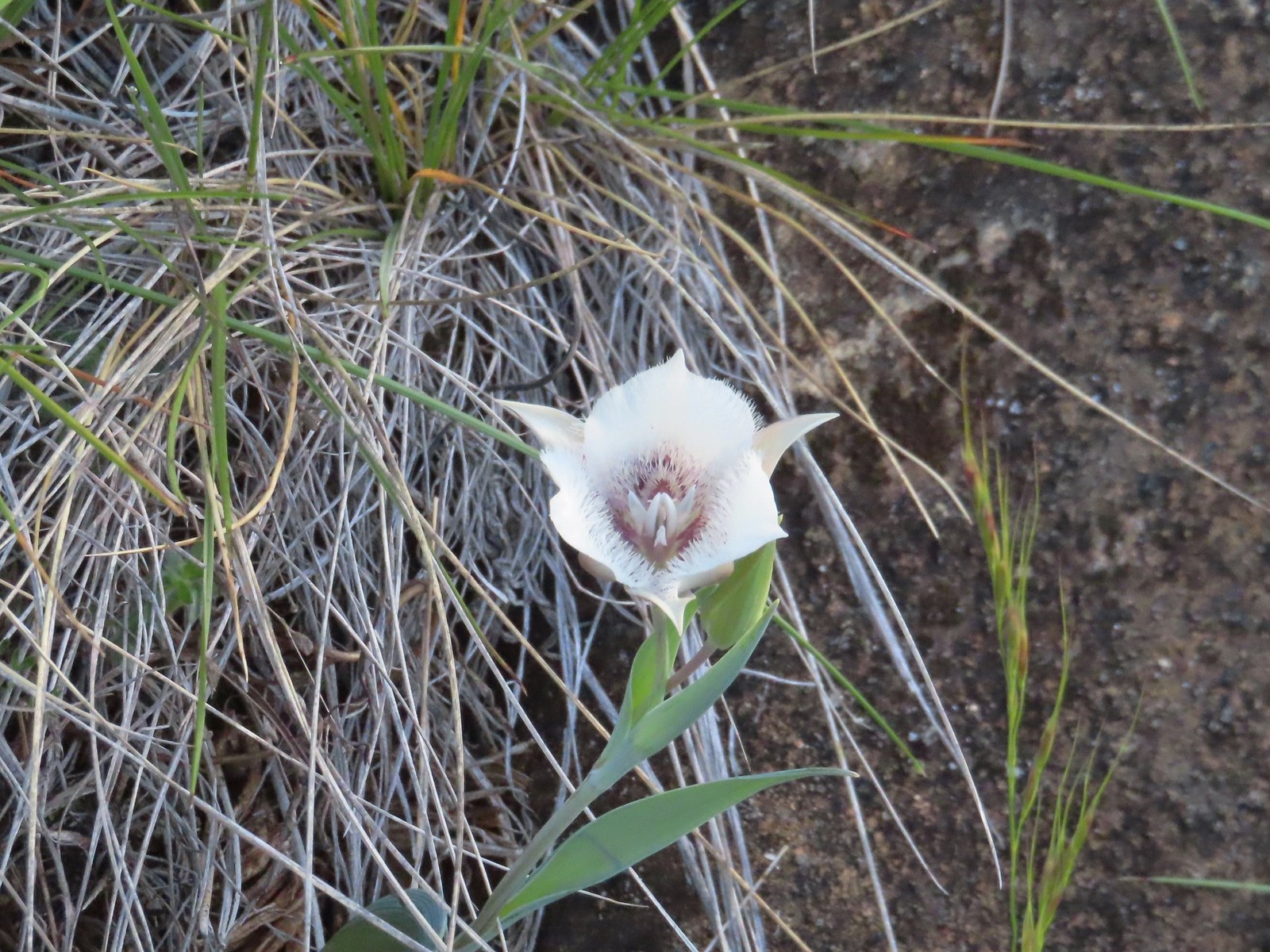 Mariposa lily
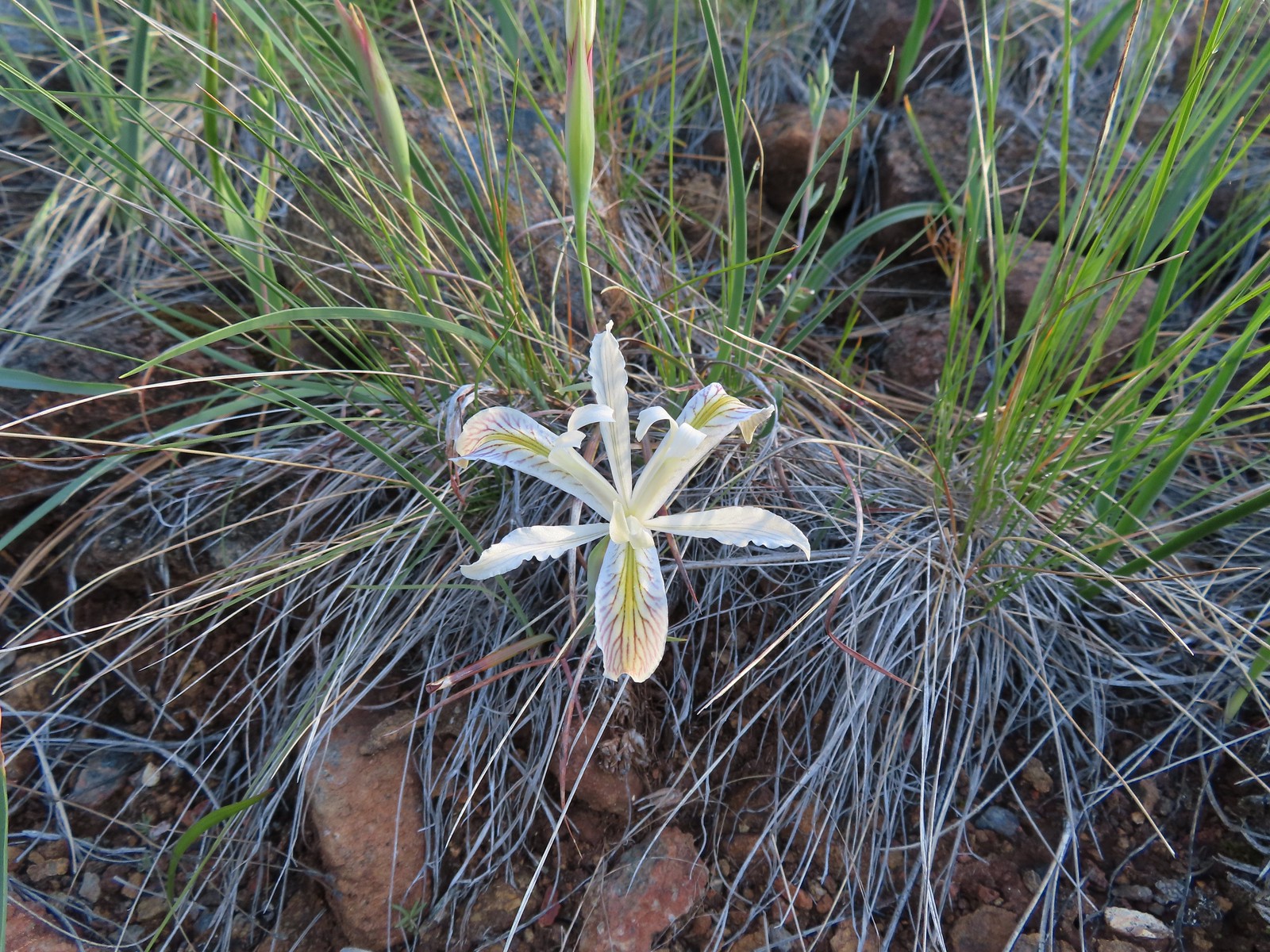 Yellow leaf iris
 Coast flat stem onion
 Heather picked up a tick passing through the grass on the hillside.

 Silky balsamroot
 The trail as we started up the hillside.
 Checker lily
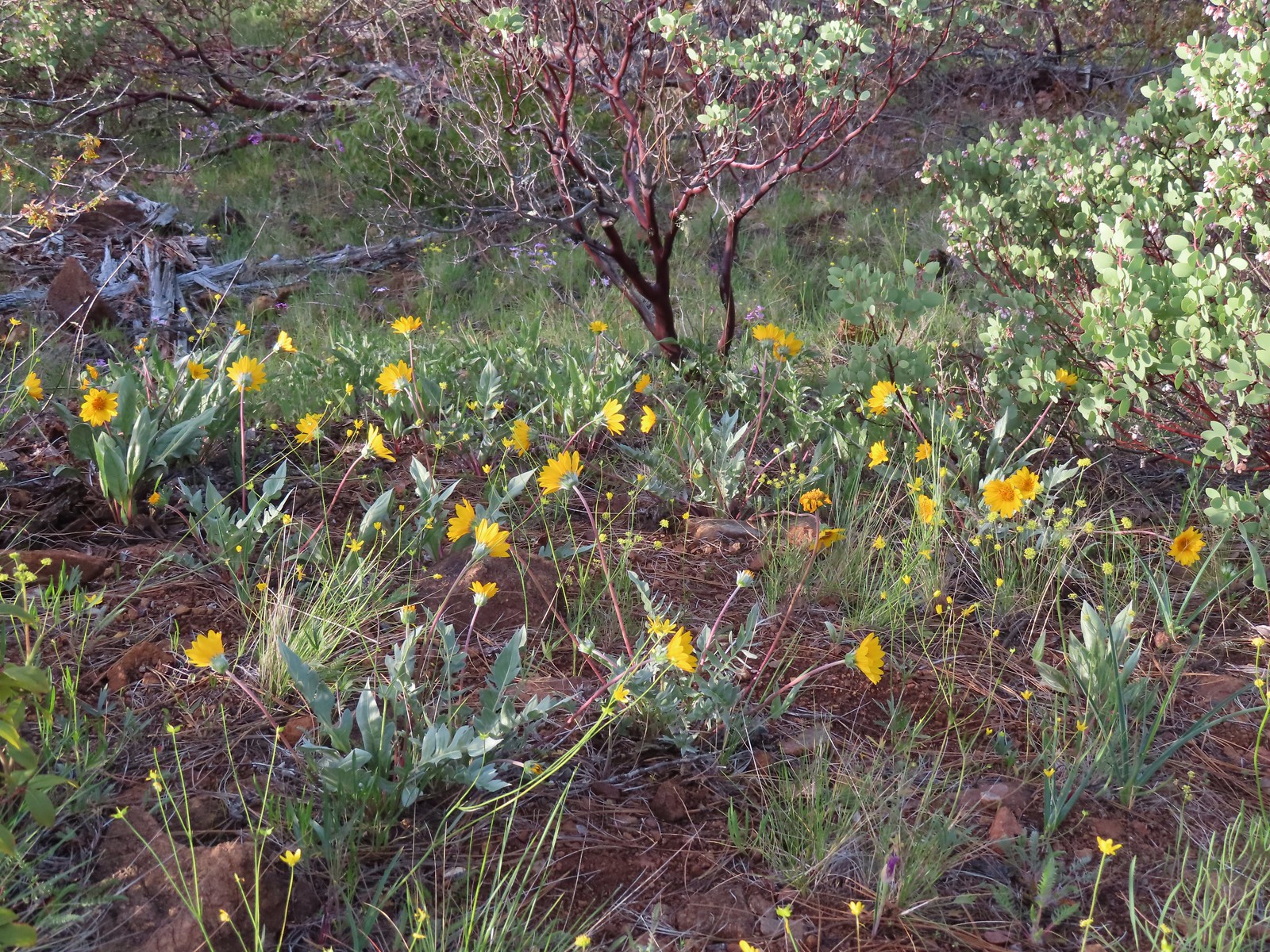 Silky balsamroot and buttercups
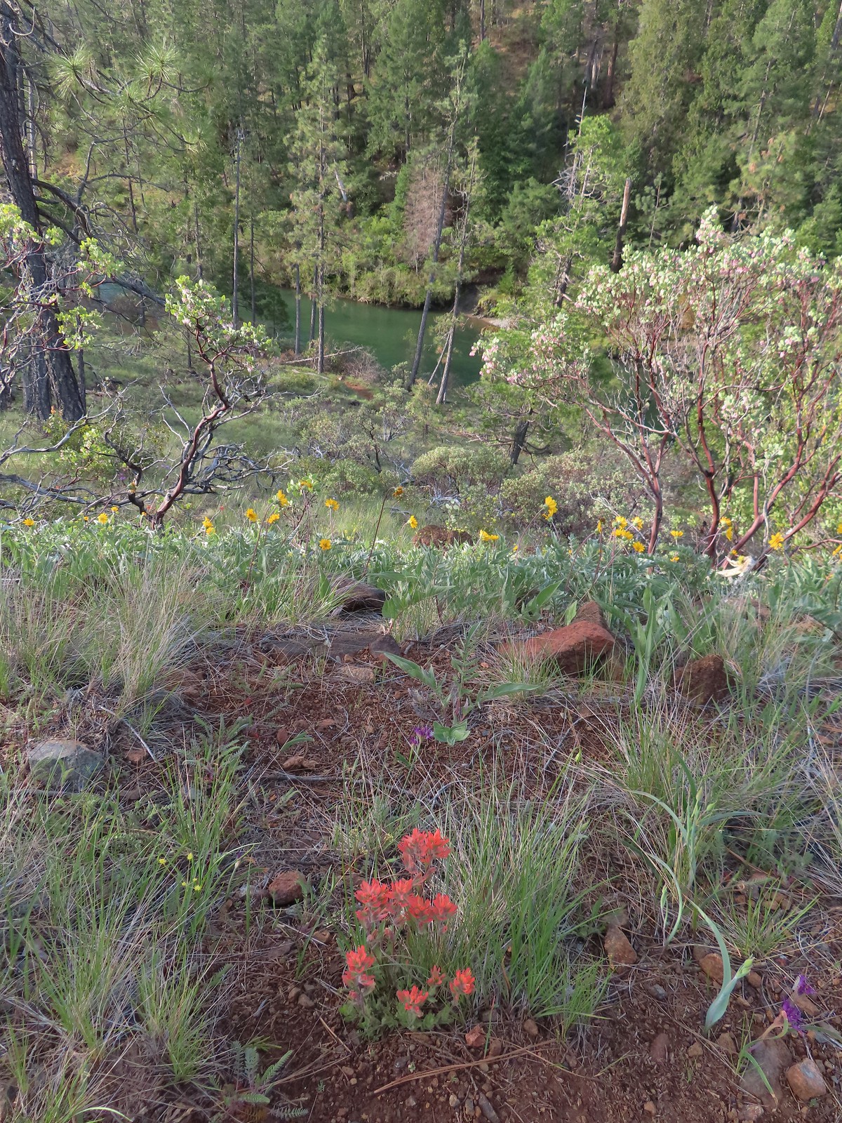 Paintbrush and silky balsamroot with the Illinois River below.
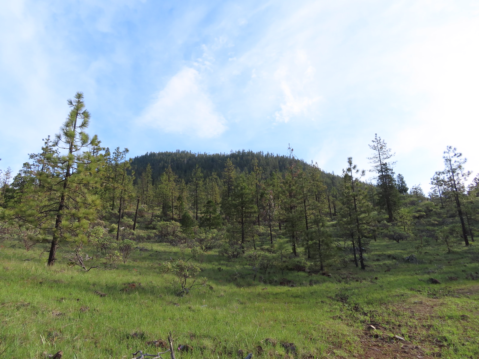 Eight Dollar Mountain from the roadbed.
 We saw a lot of these getting ready to bloom but none actually blooming. Really curious as to what they are.
 Western azalea
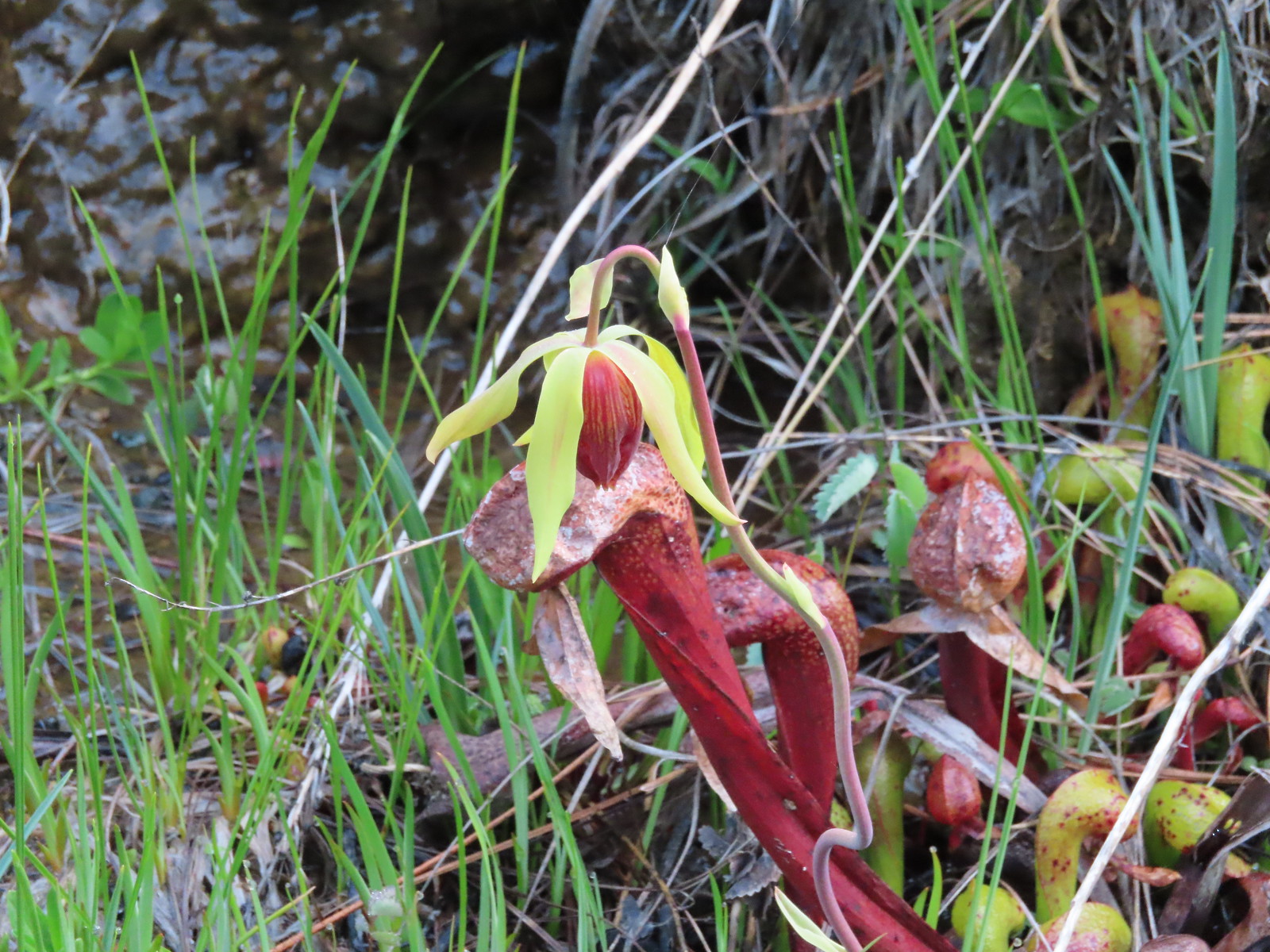 A closer look at a darlingtonia blossom.
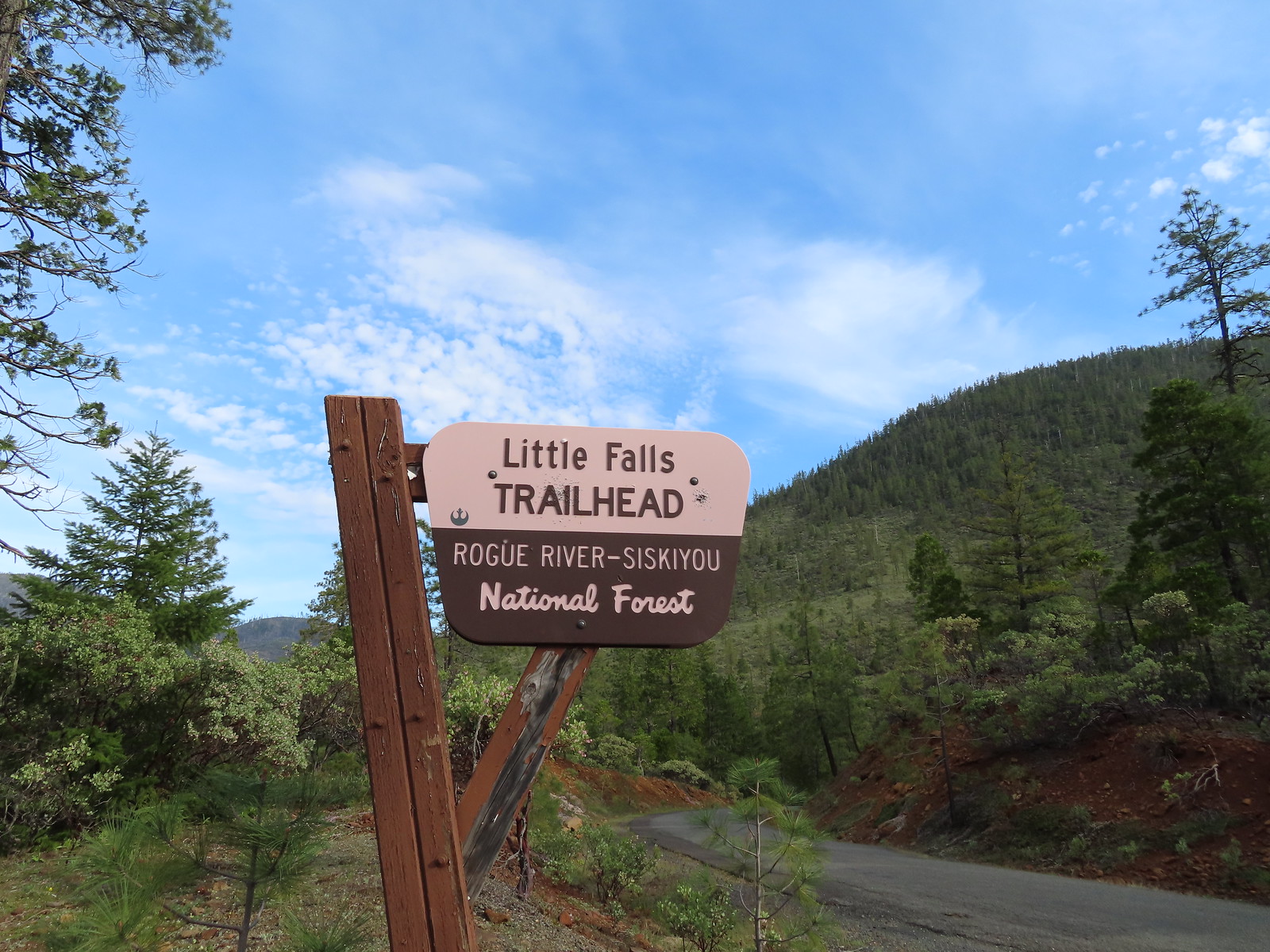


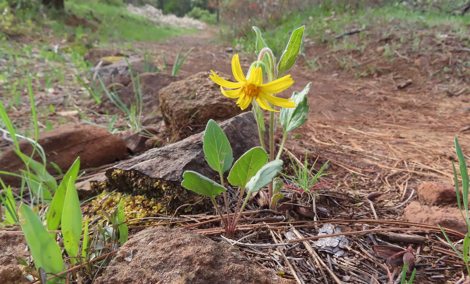 Serpentine arnica
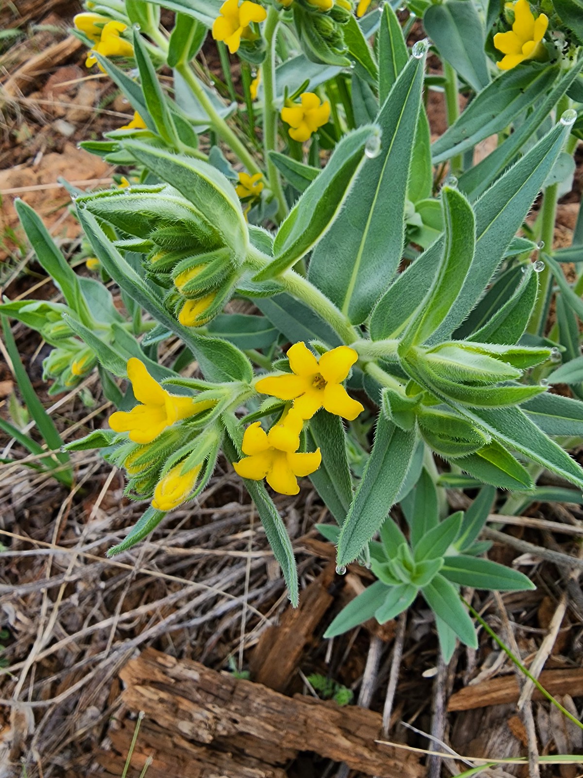 California gromwell
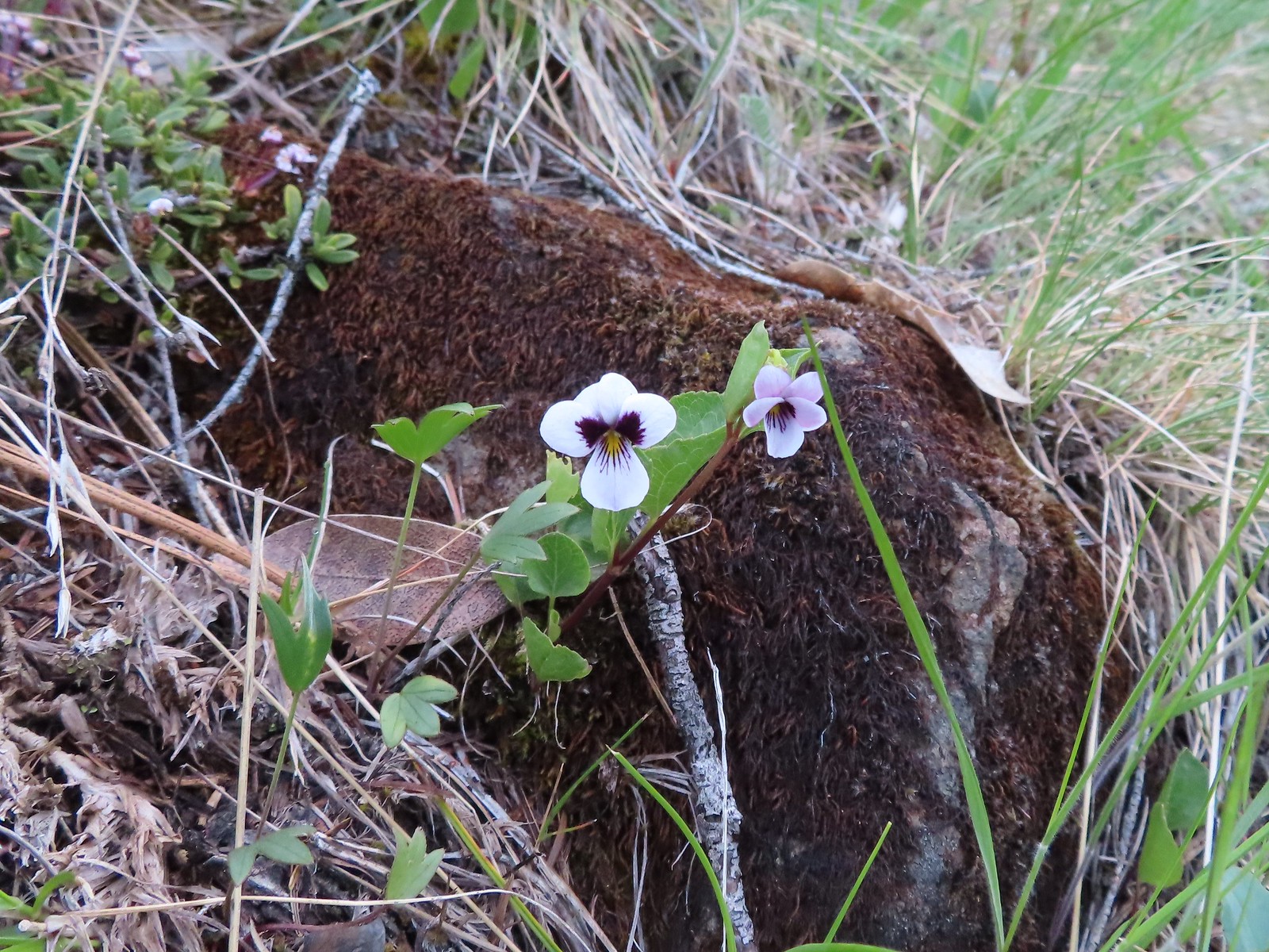 Wedgeleaf violet
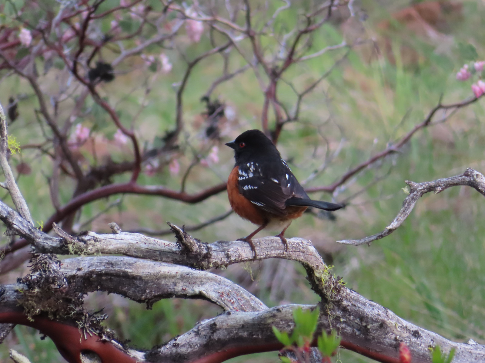 Spotted towhee
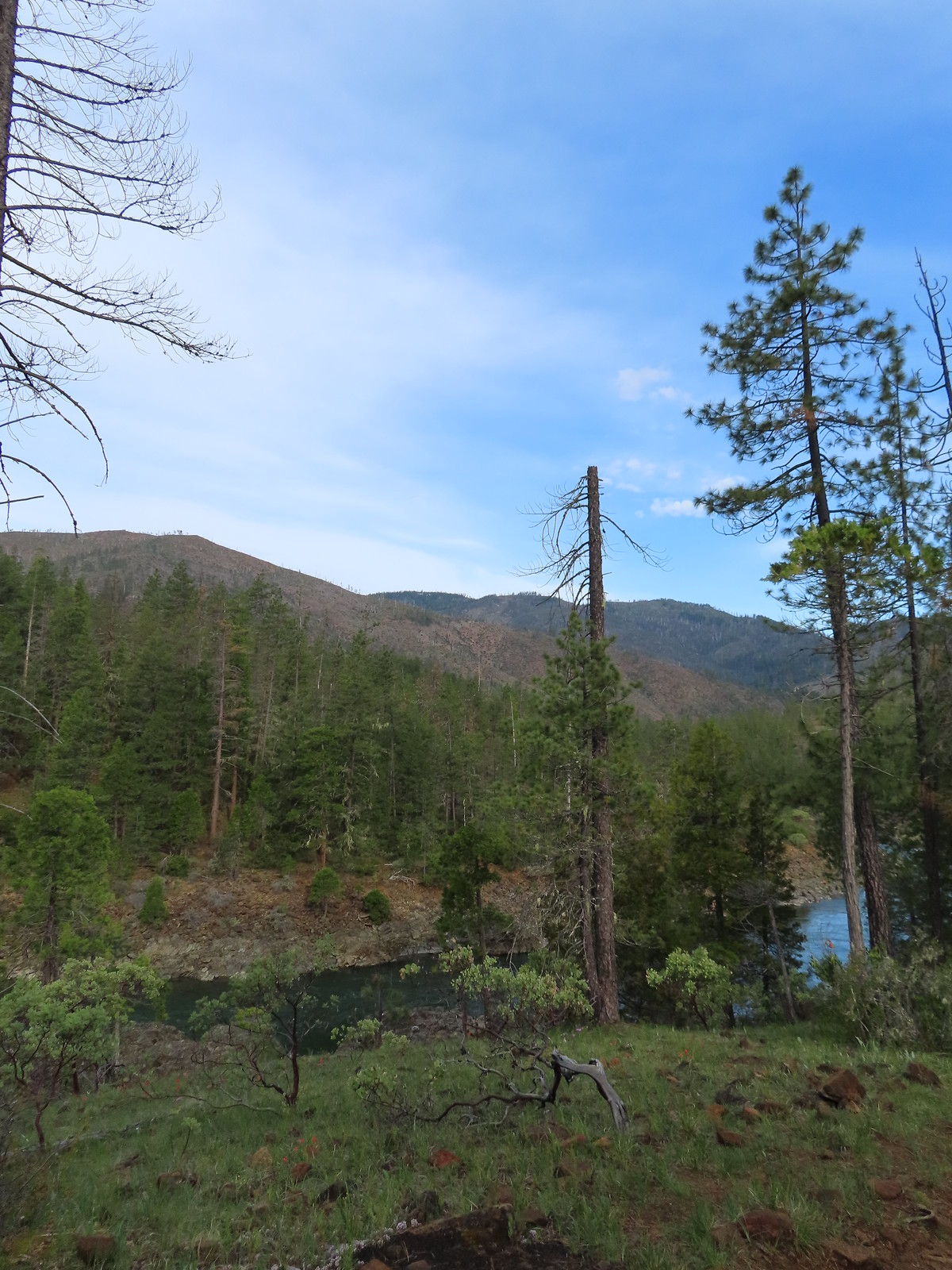
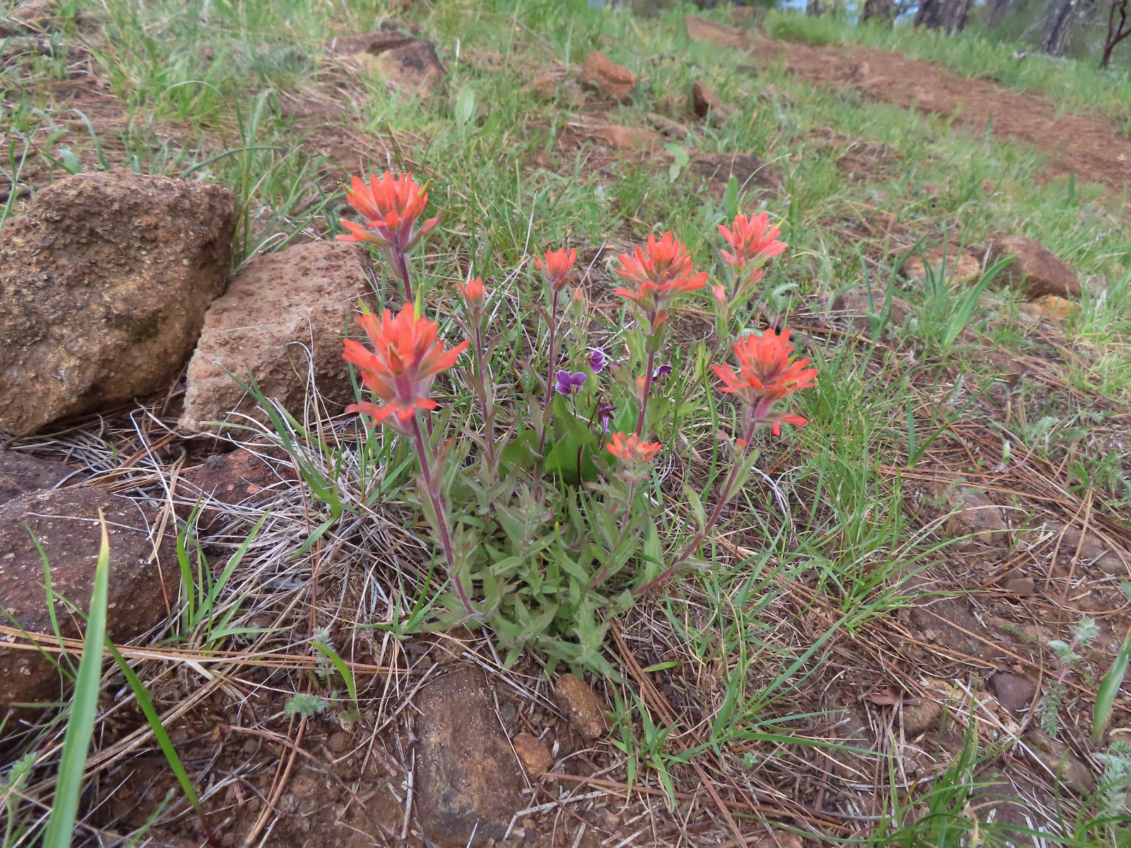 Paintbrush and violets
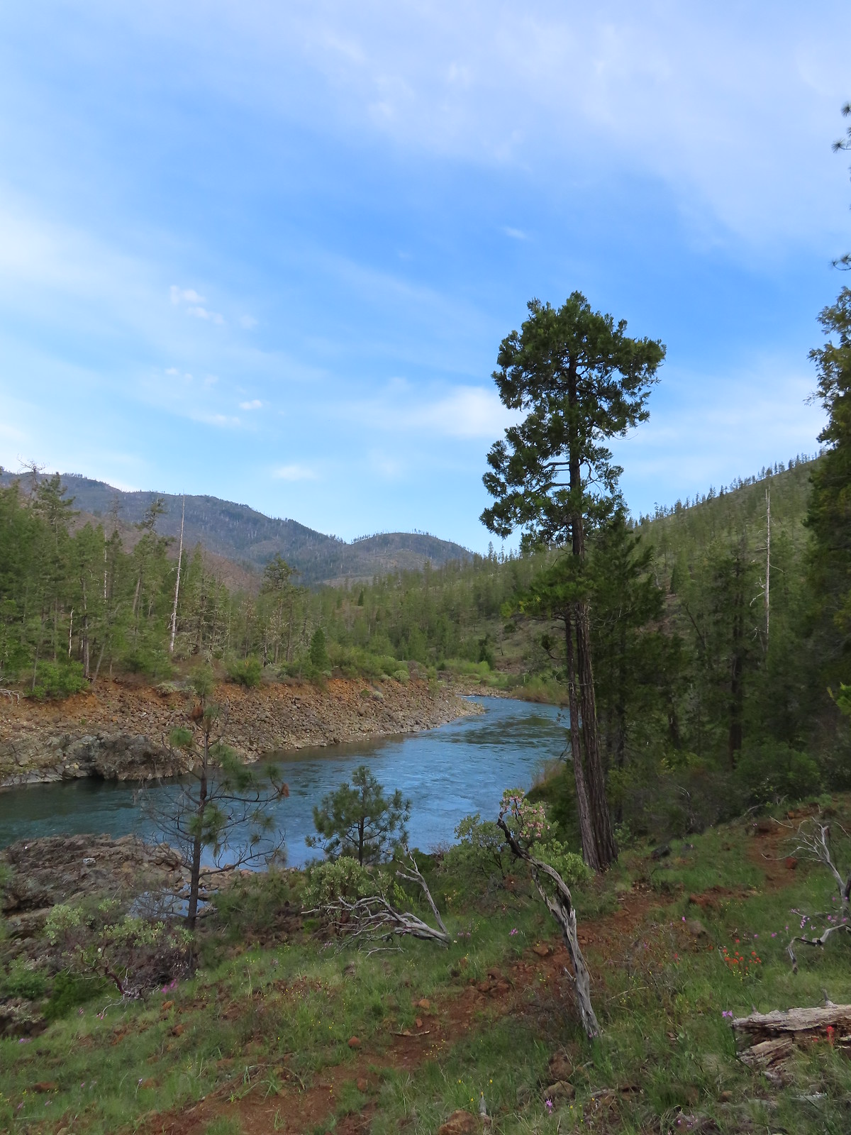
 Narrowleaf blue-eyed Mary
 Deltoid balsamroot
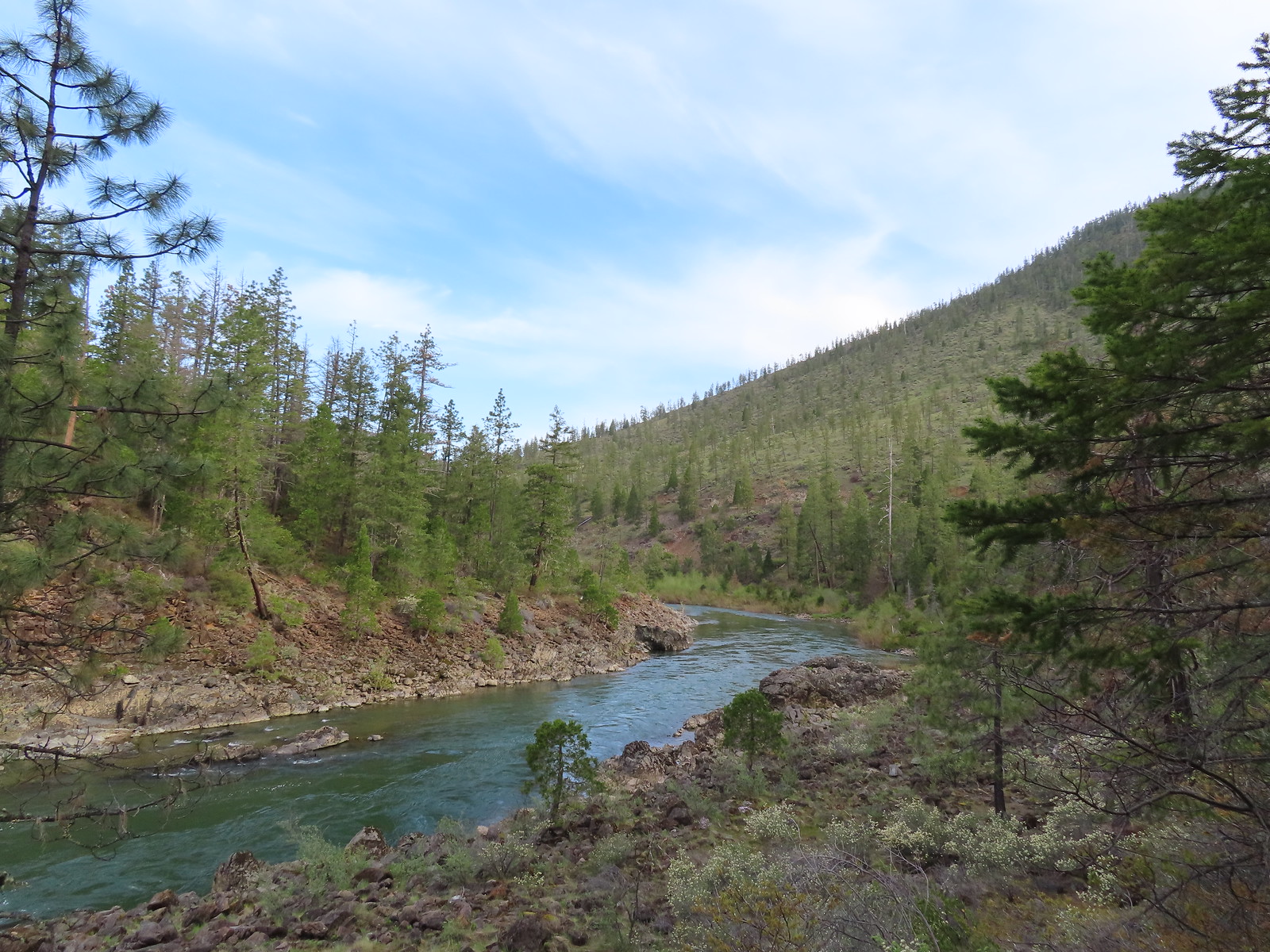 Illinois River
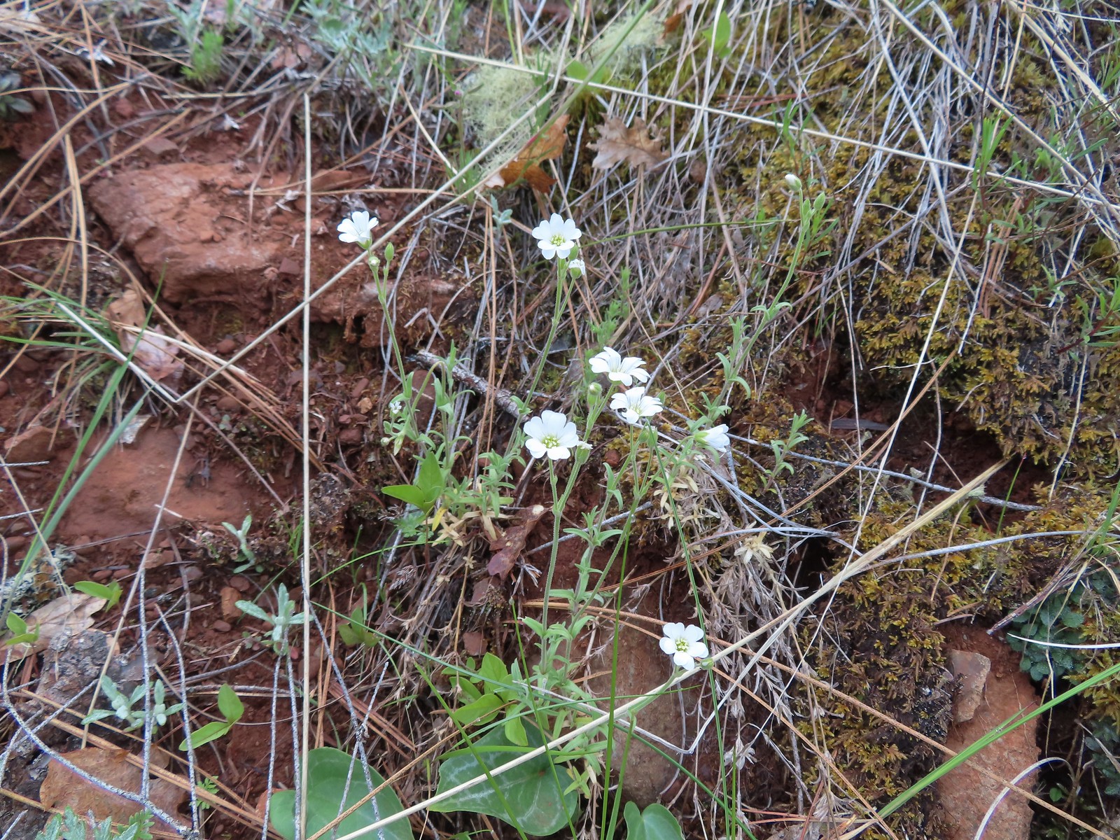 Field chickweed
 Spreading phlox
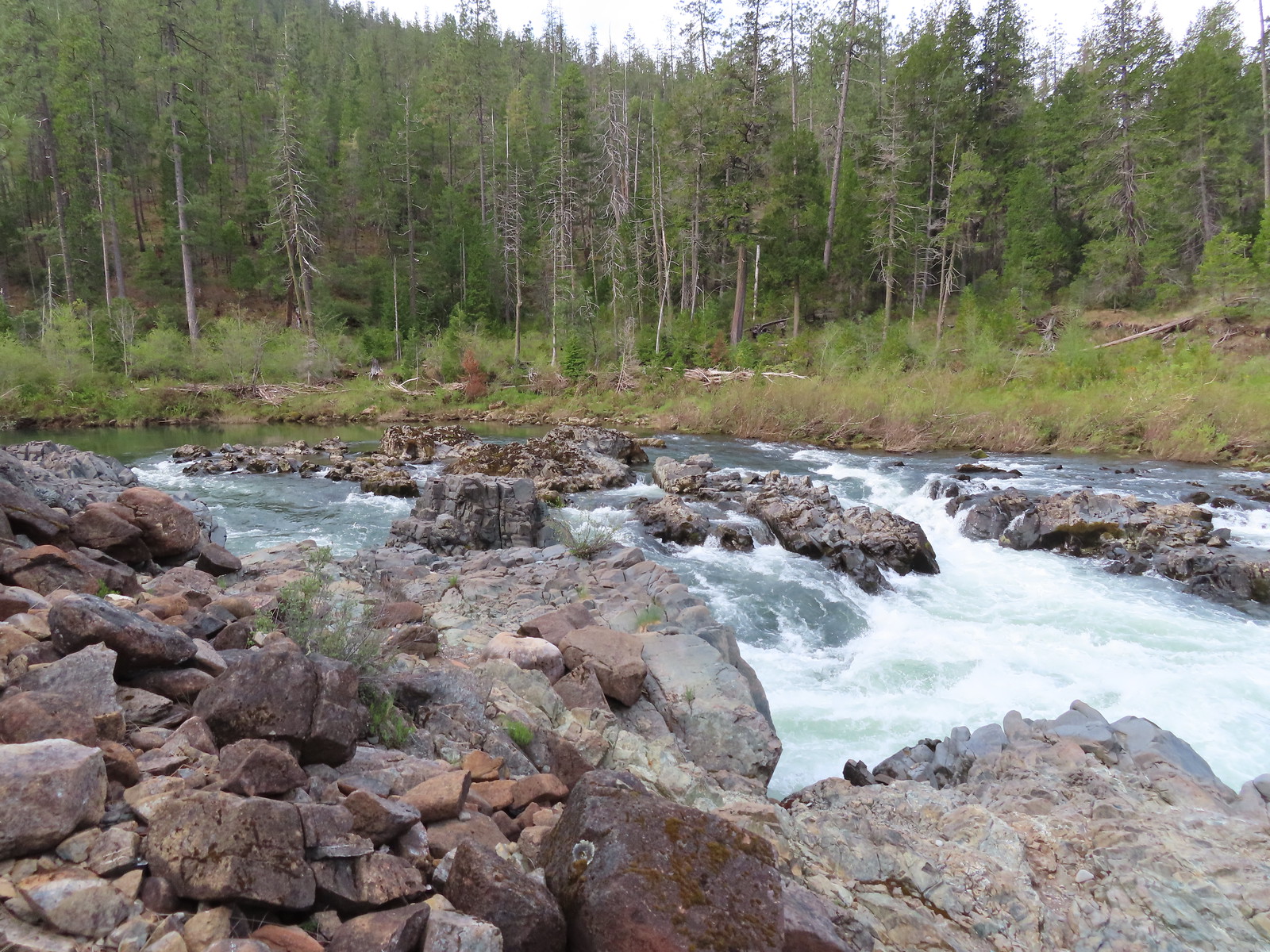
 Mallard drakes
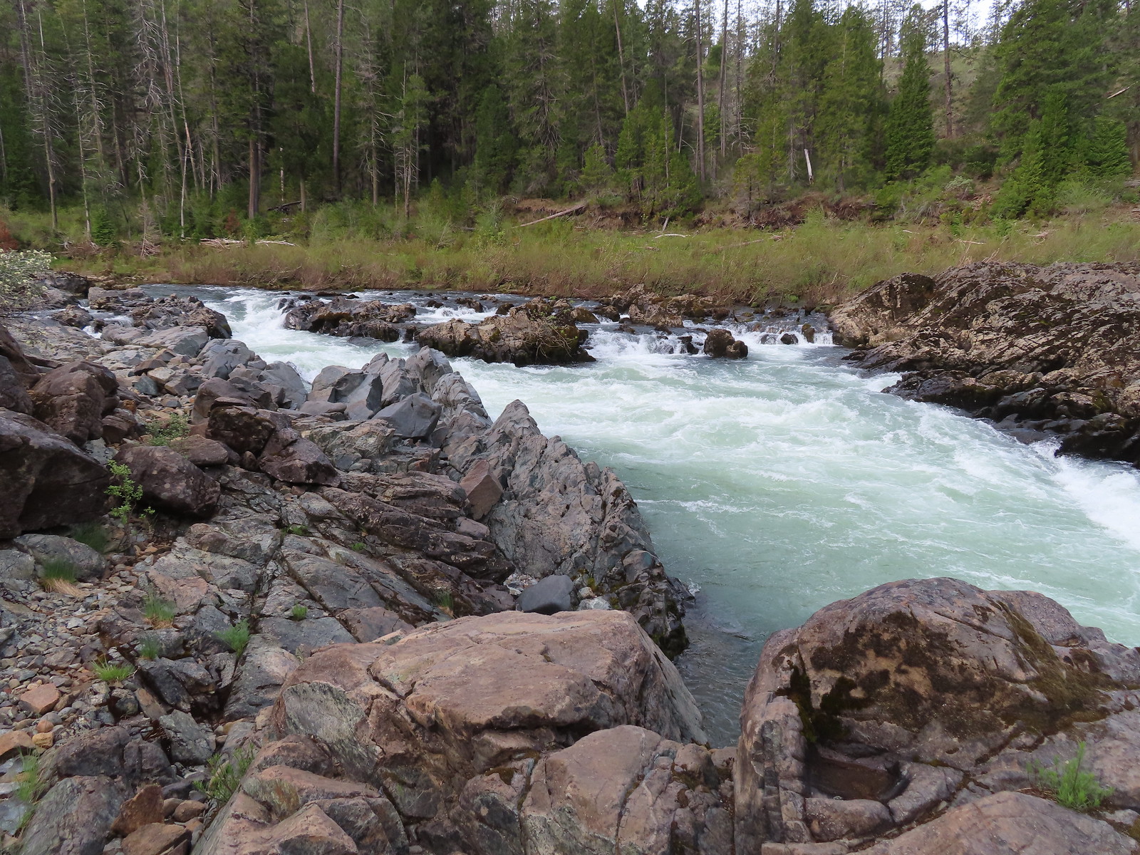
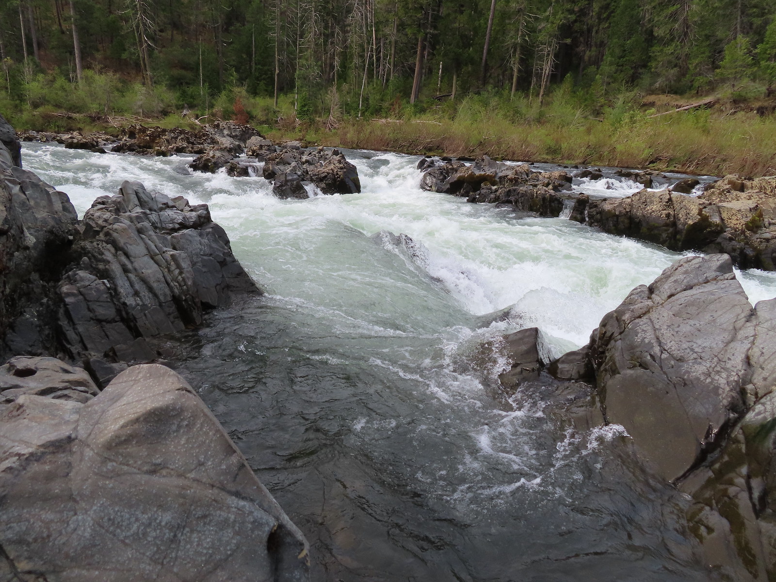
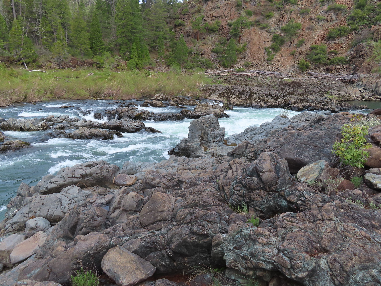
 Pool above the falls.
 Wildflowers above the trail.
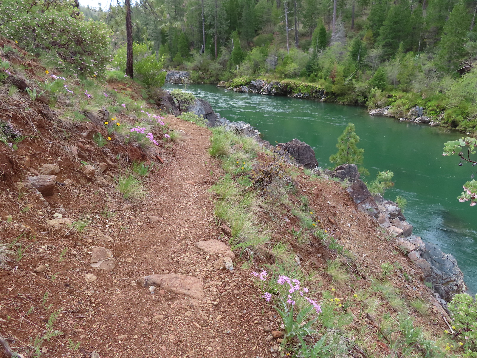

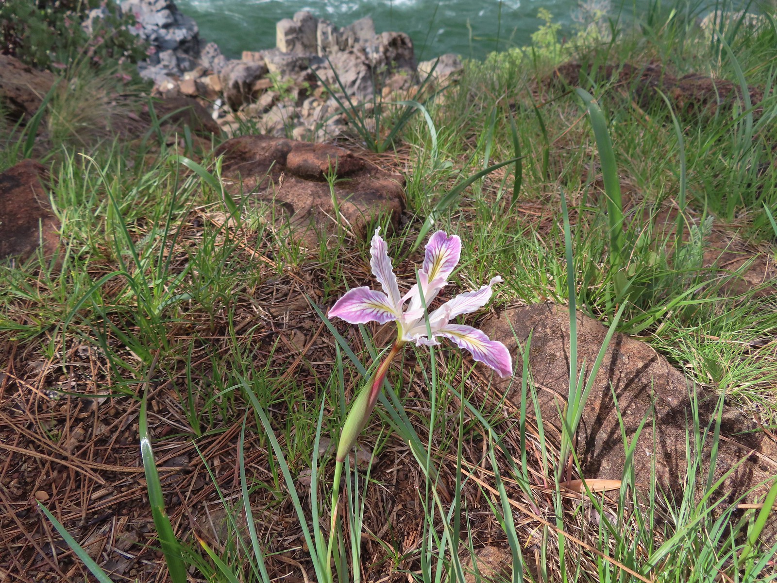 Interesting colors on this iris.
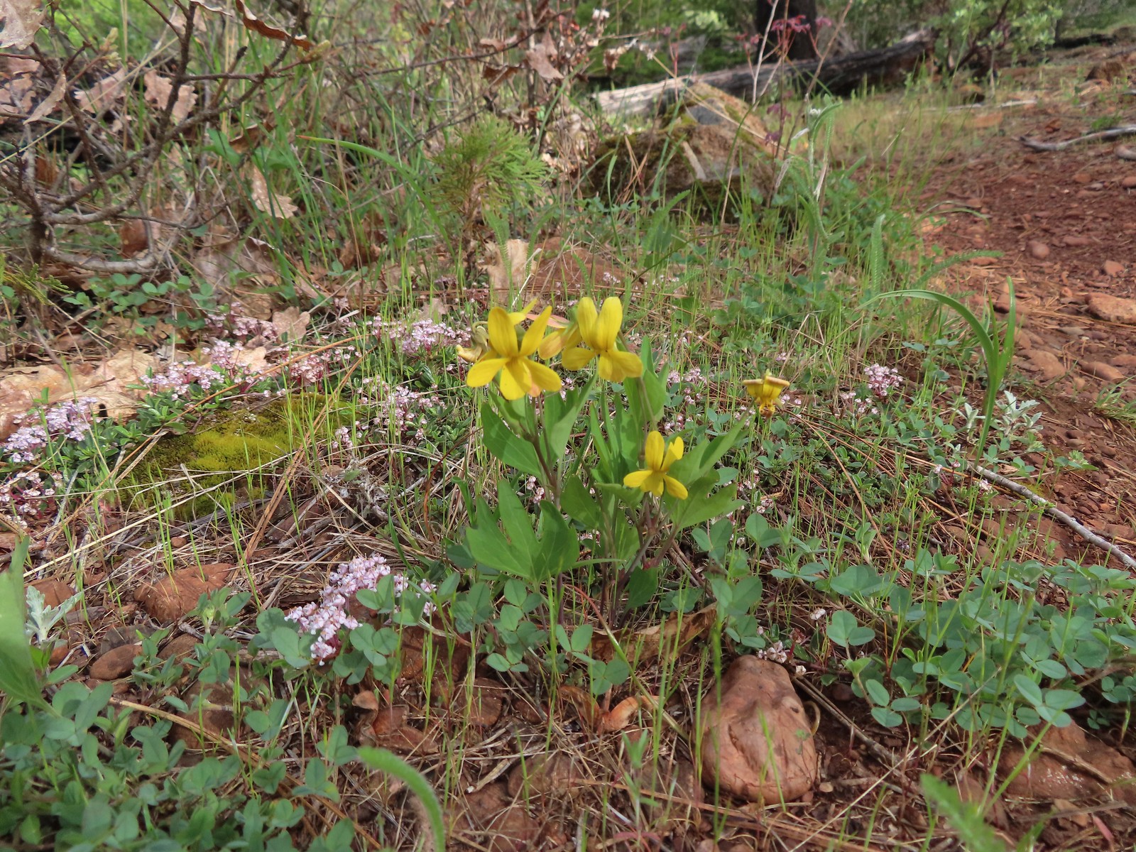 Pine violets

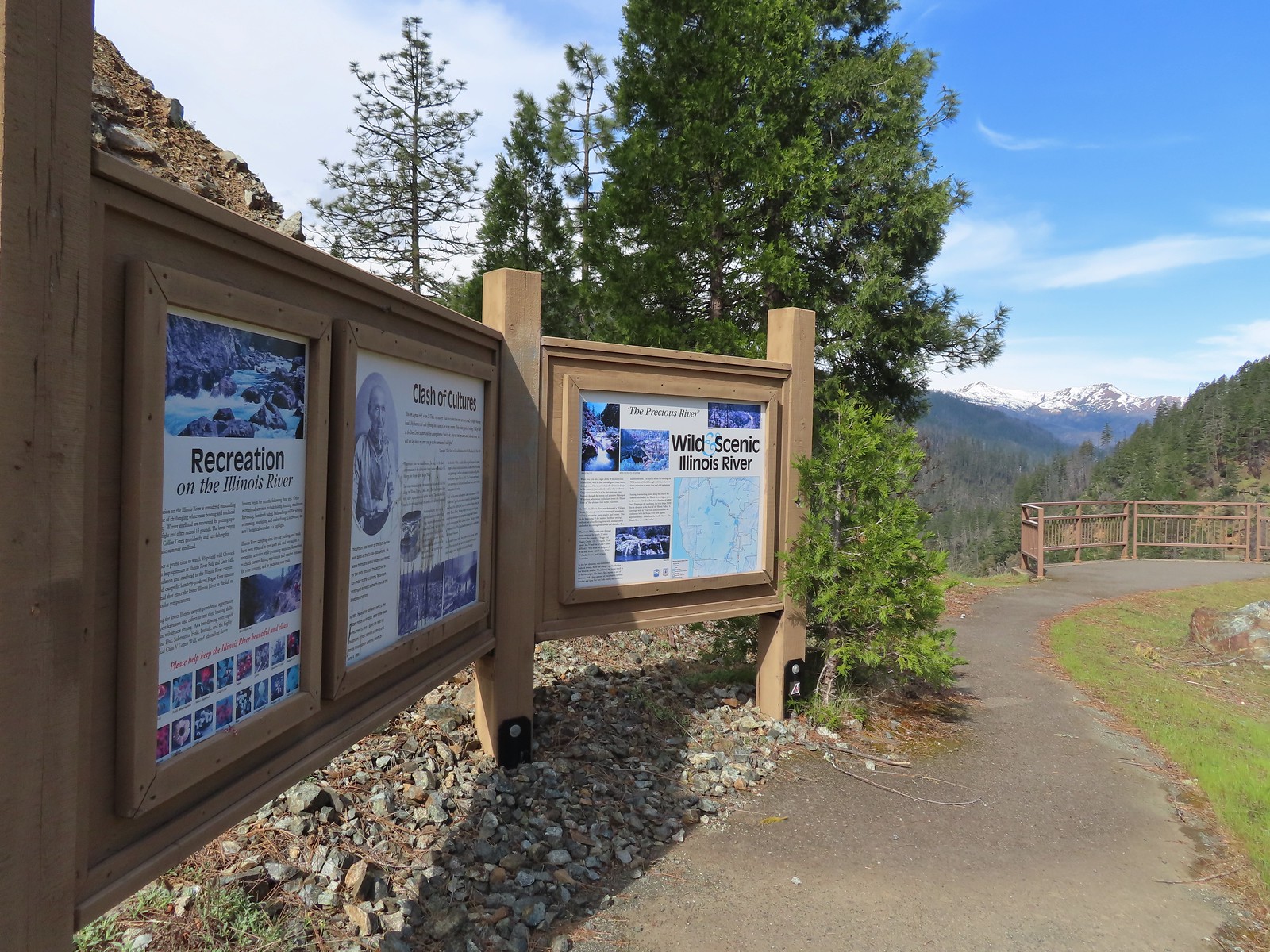
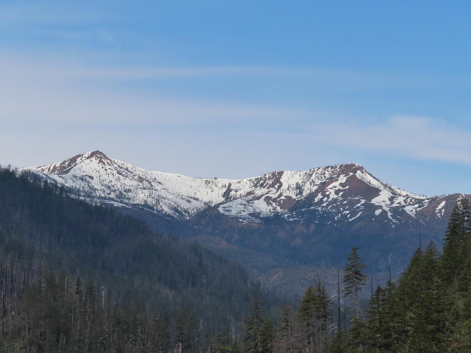 Pearsoll Peak and Gold Basin Butte in the Kalmiopsis Wilderness.
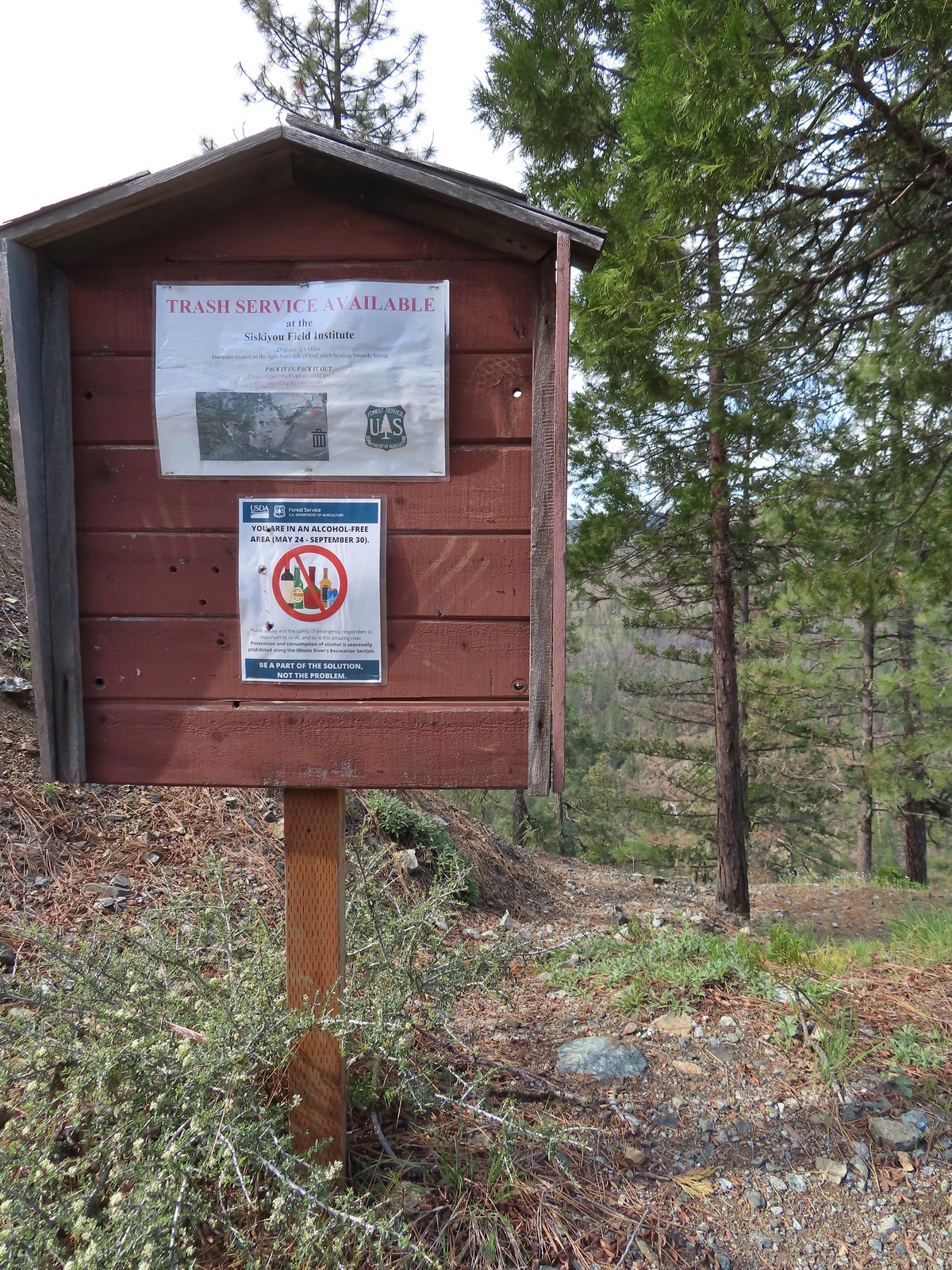
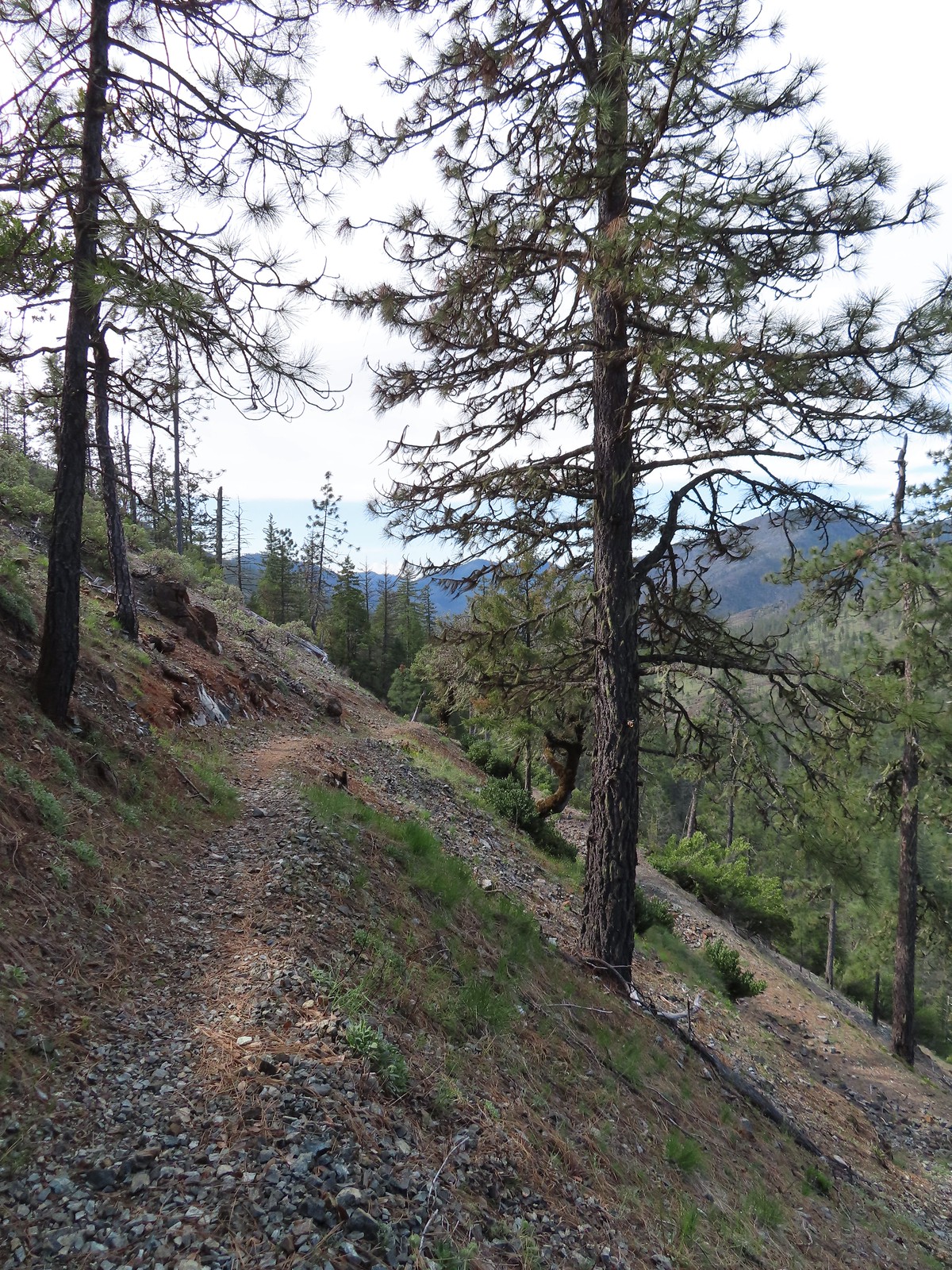
 The Illinois River below.
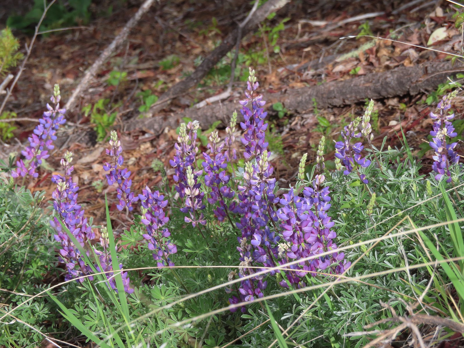 Lupine
 Plectritis
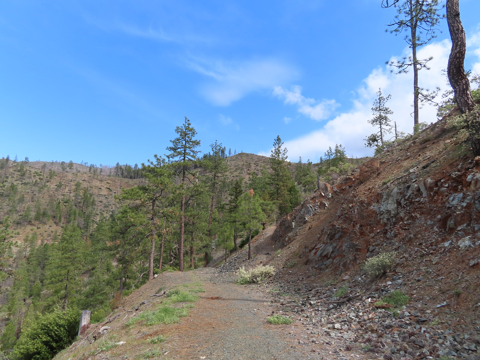 This section was great.
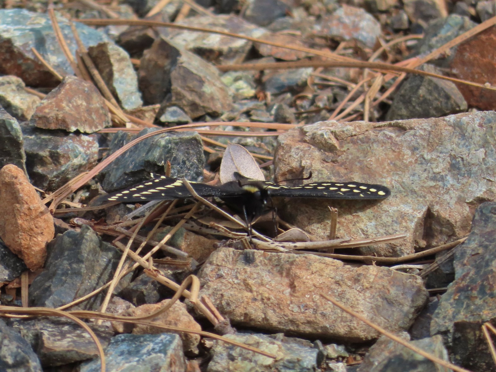 Swallowtail
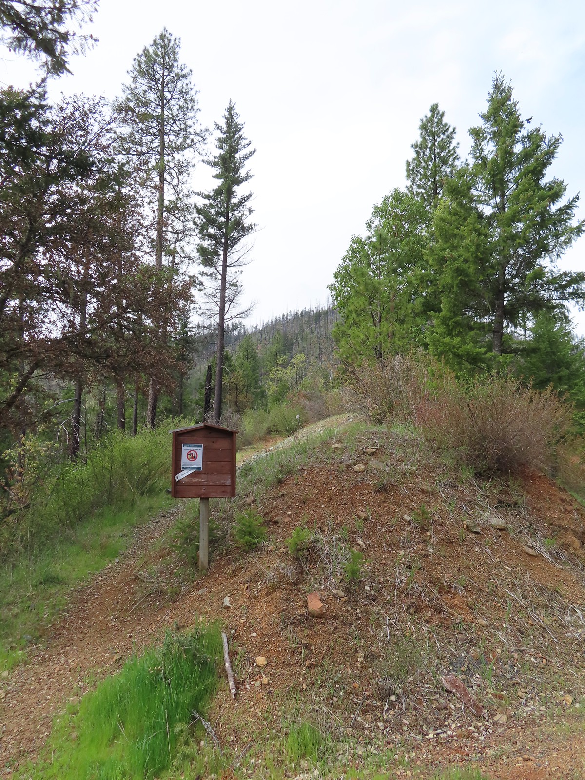
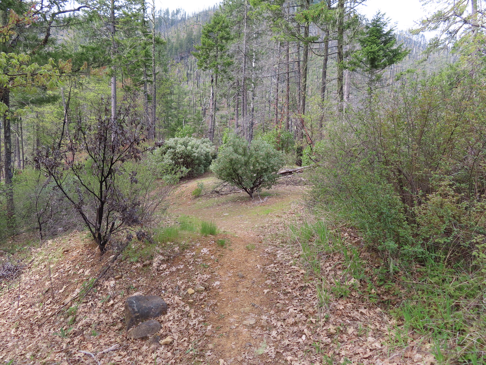
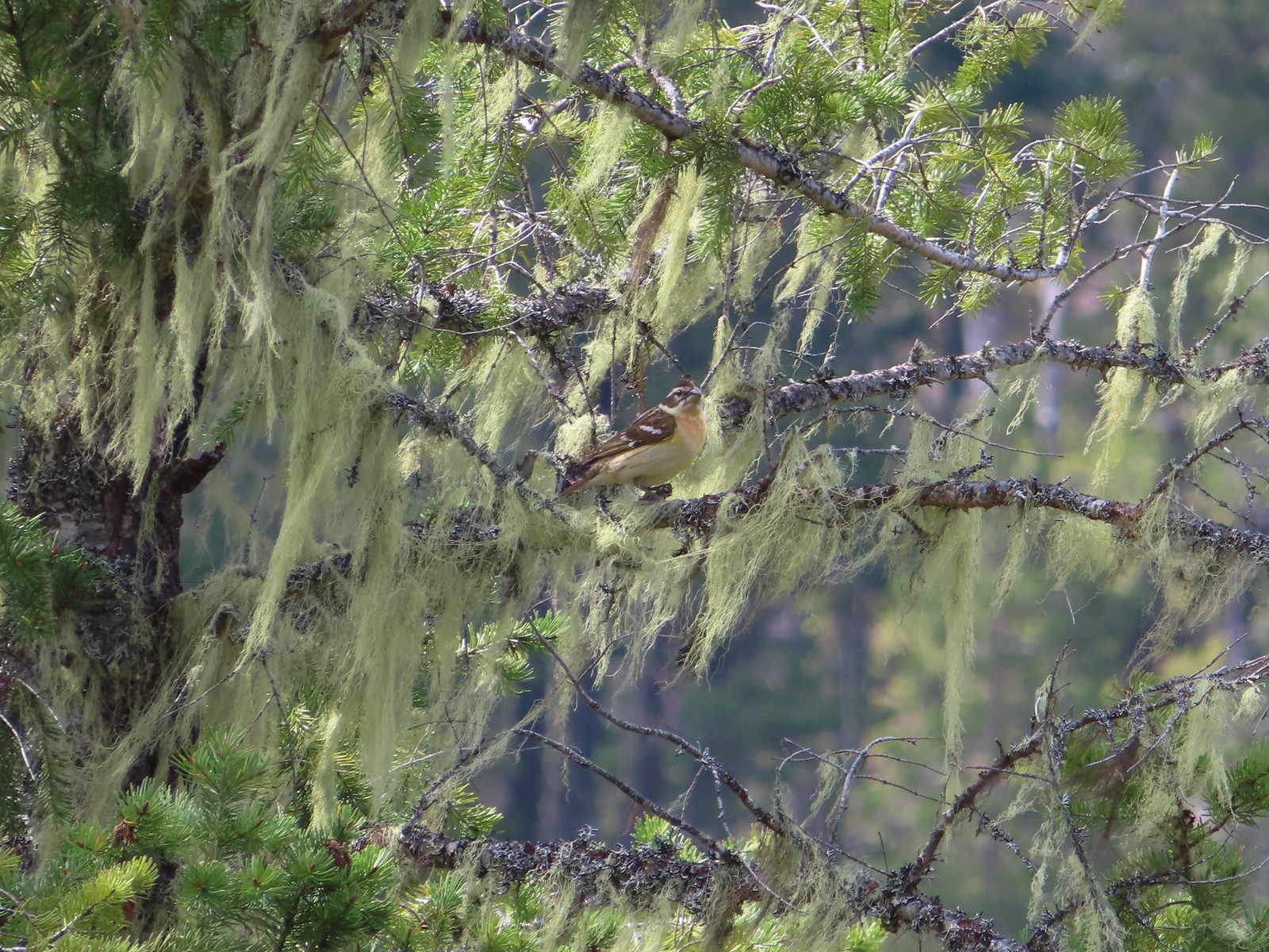 Female black-headed grosbeak
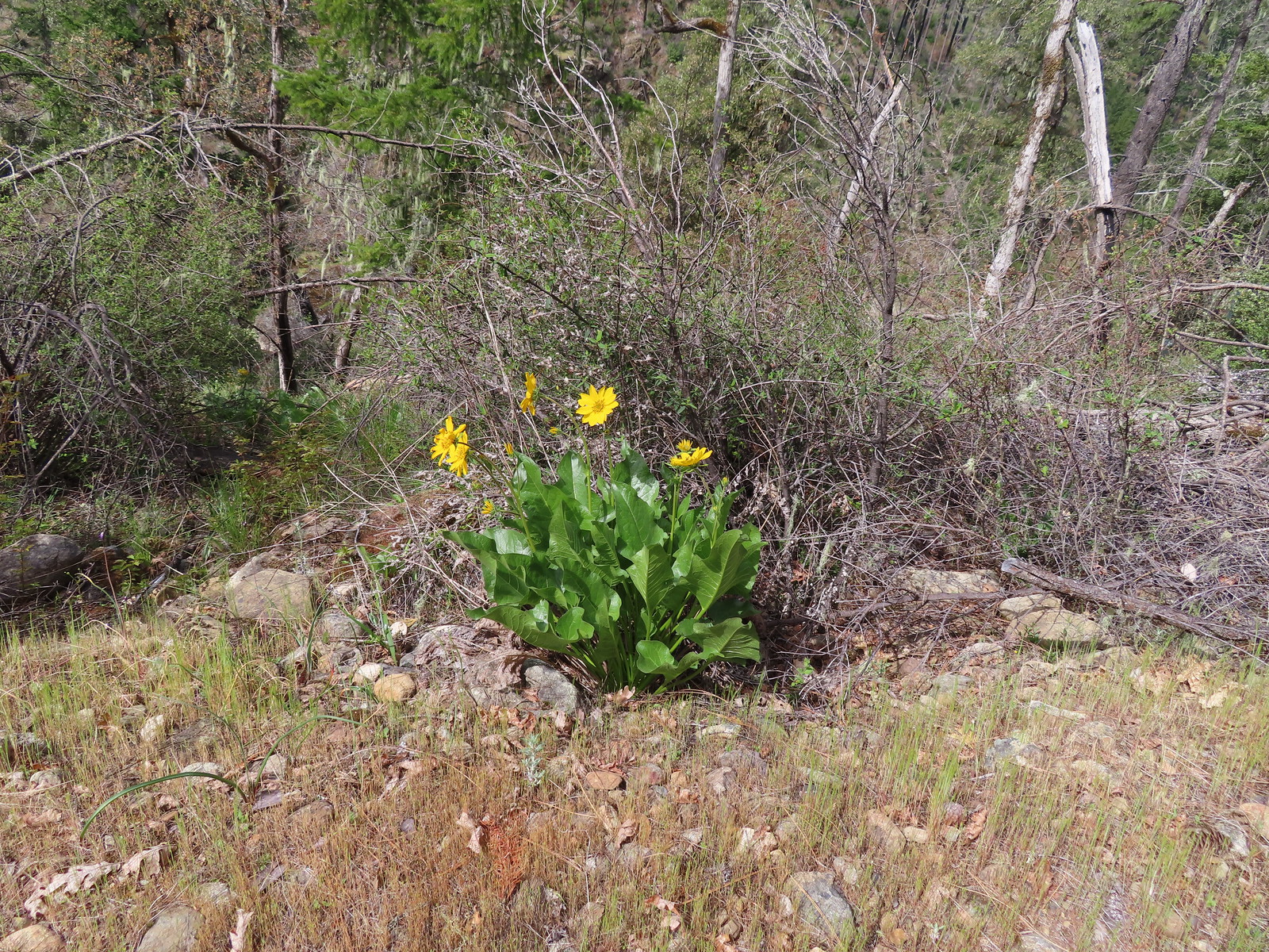 Balsamroot
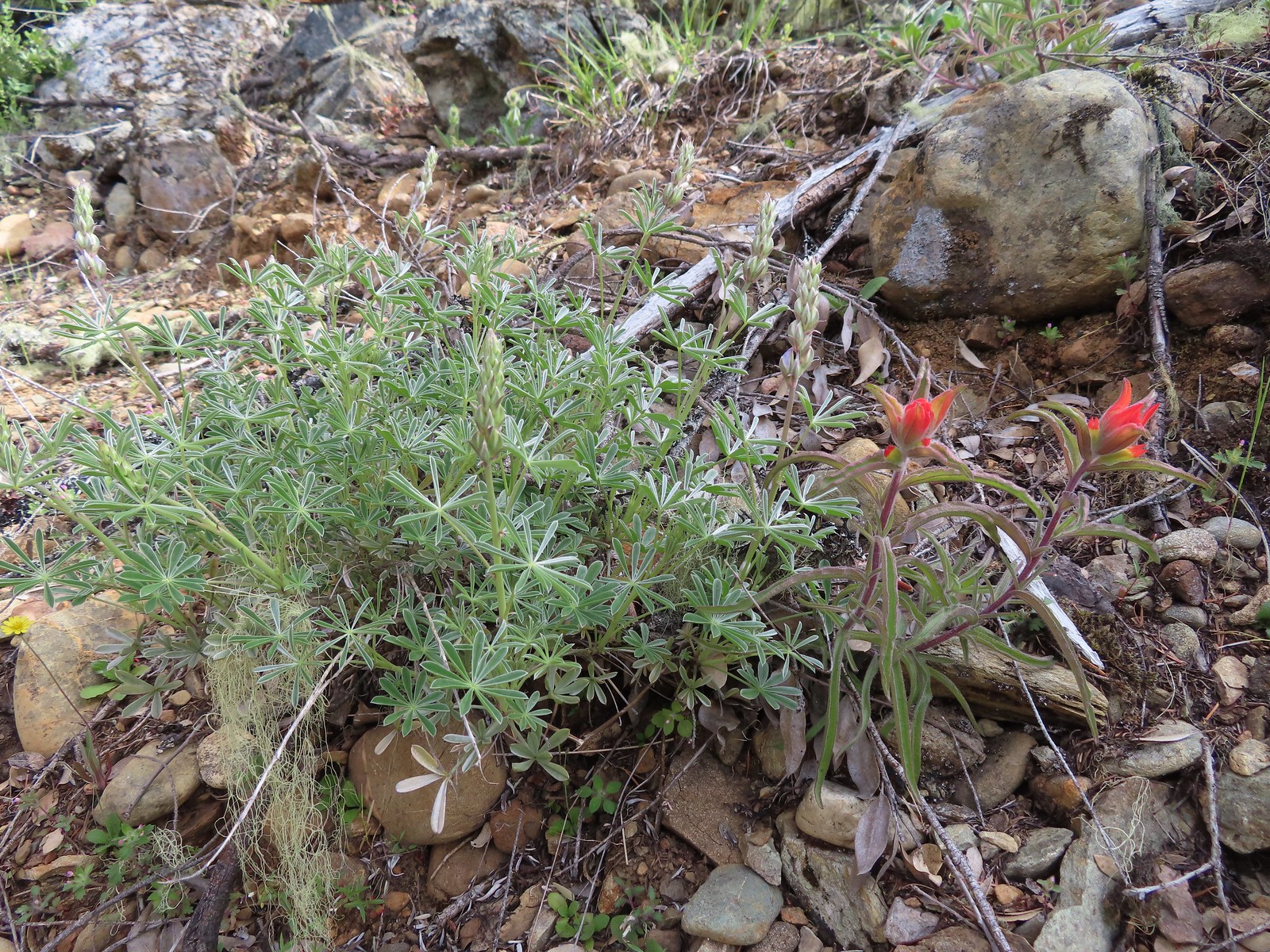 Paintbrush next to some yet-to-bloom lupine.
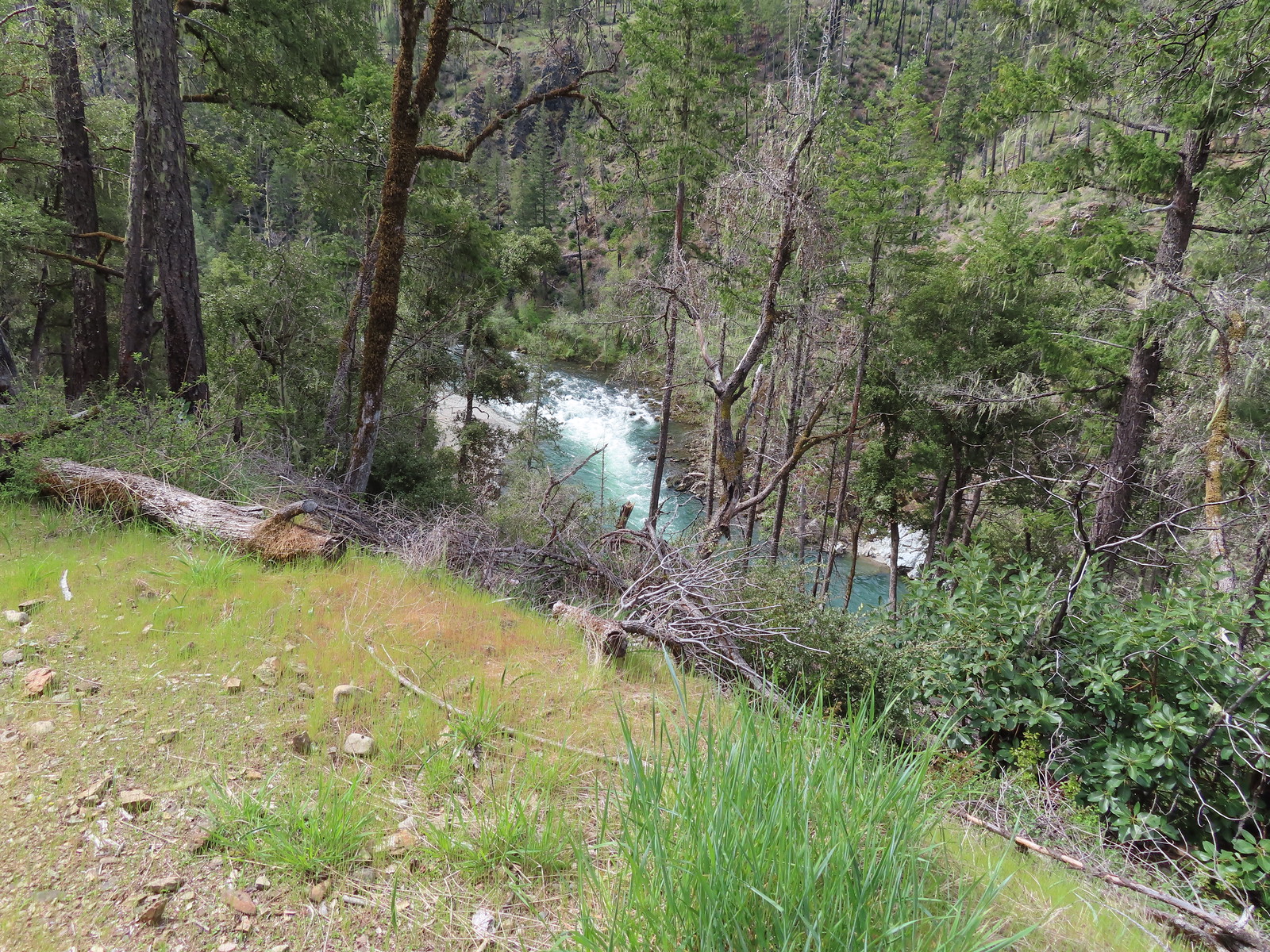 The Illinois River below.
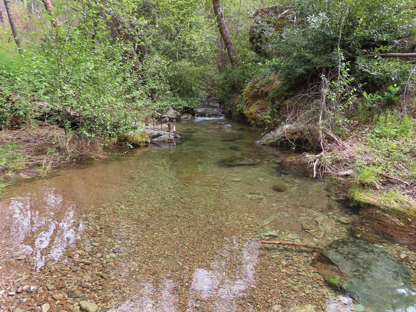 Snailback Creek
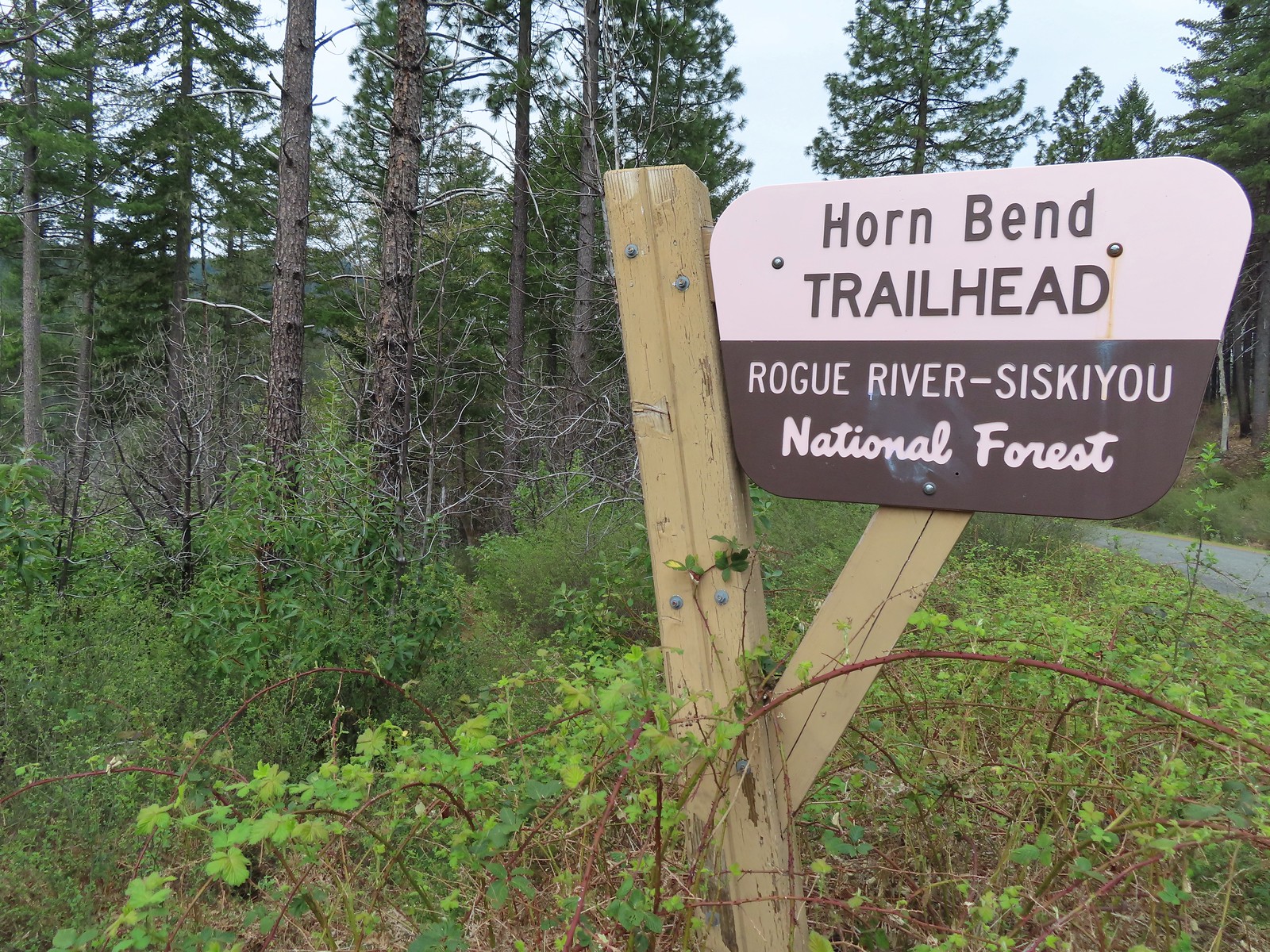 The “trail” is immediately to the left of the sign here. You can make out some of it further back through the bushes.
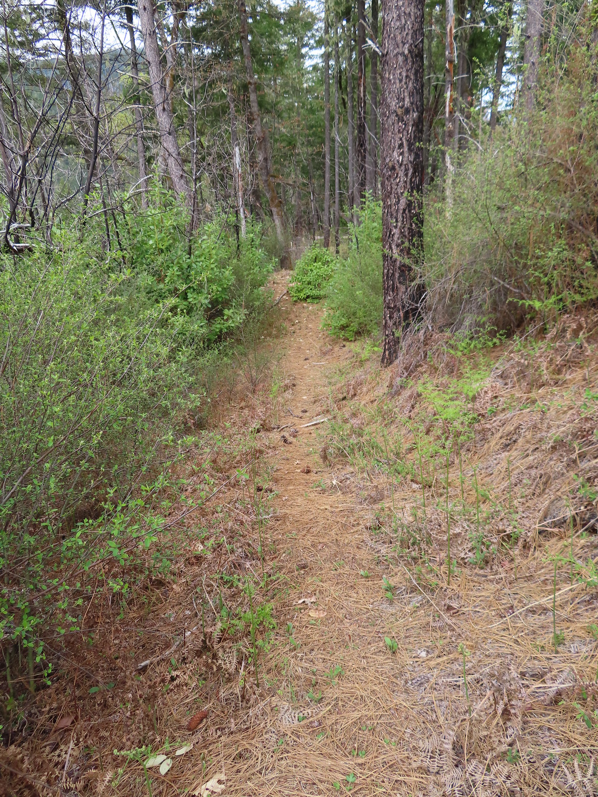 After crashing through the initial brush the trail cleared for a moment.
 The clear trail didn’t last long.
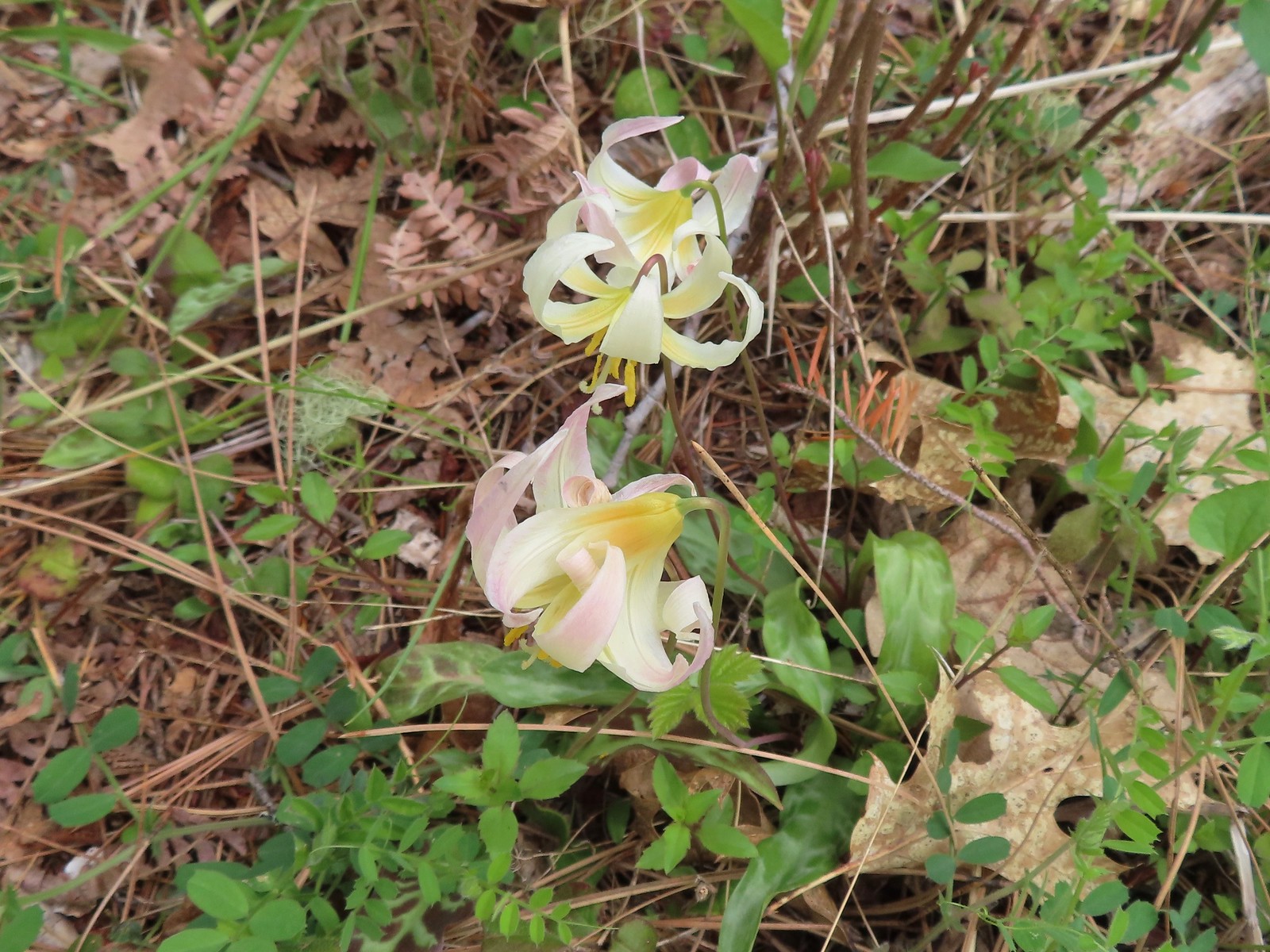 Fawn lilies
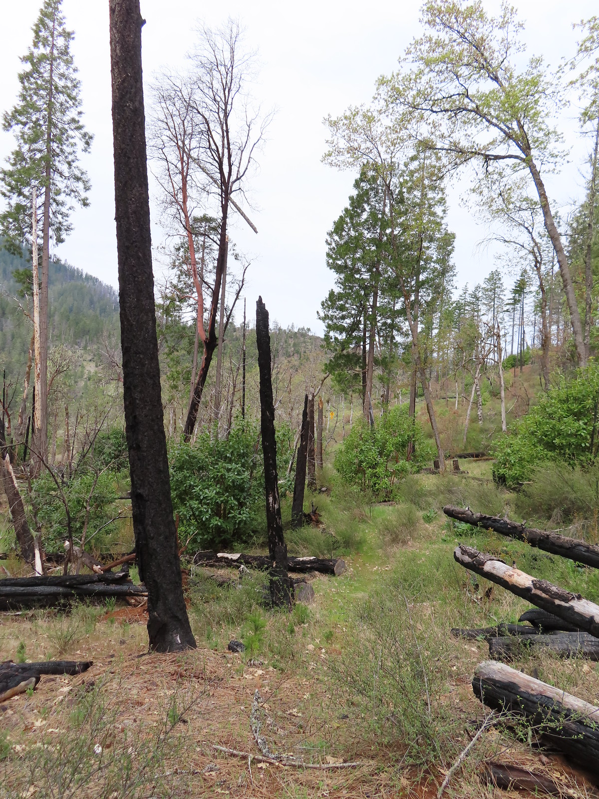 The road sign in the distance was easier to see than the trail here.
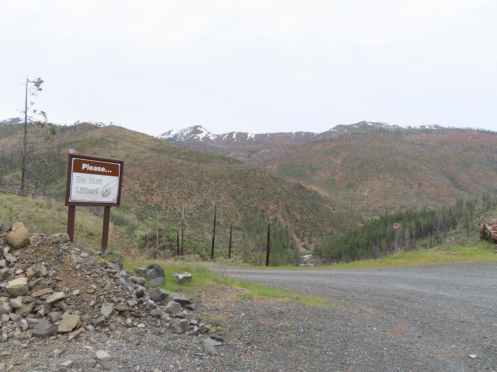
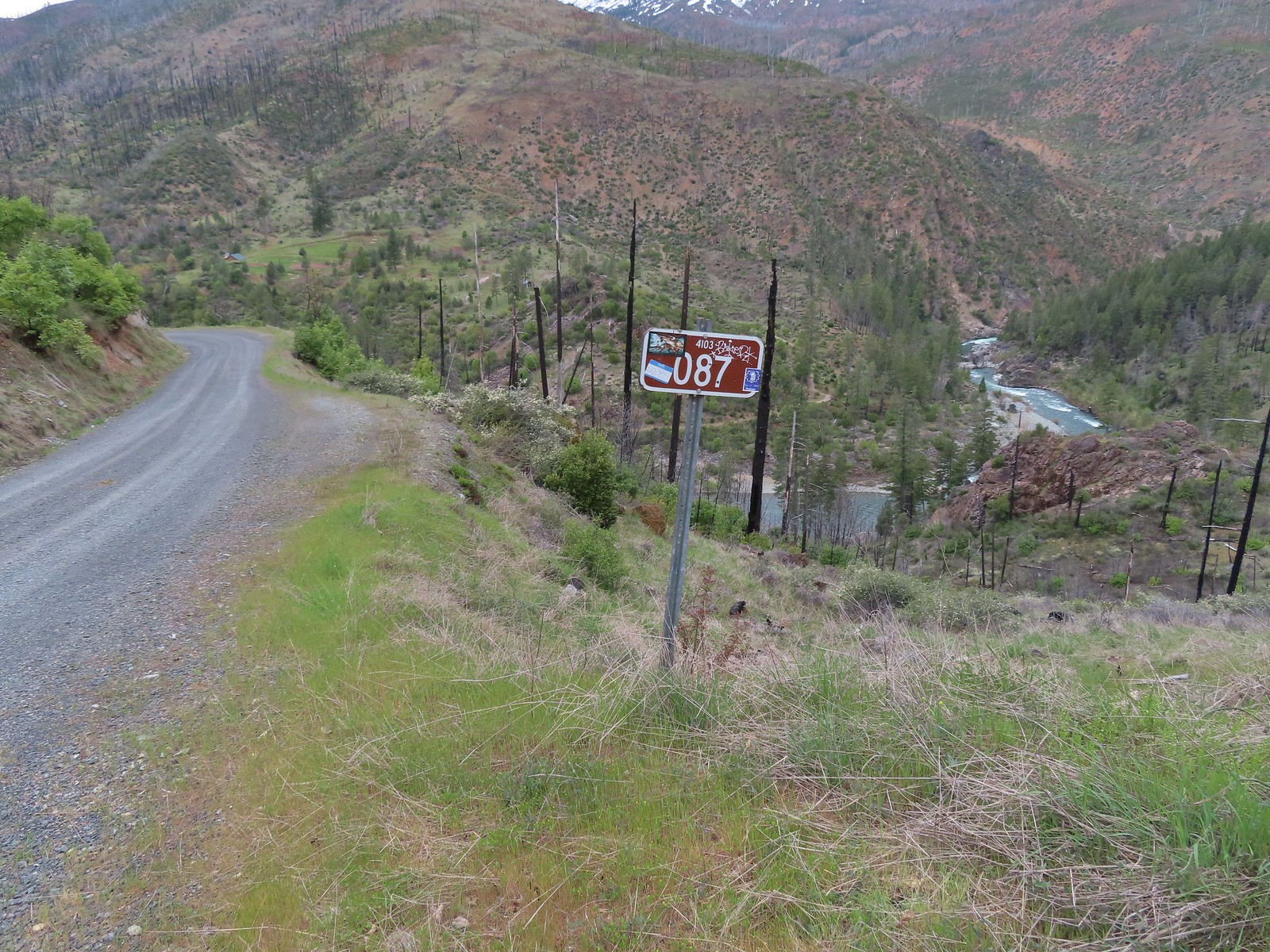
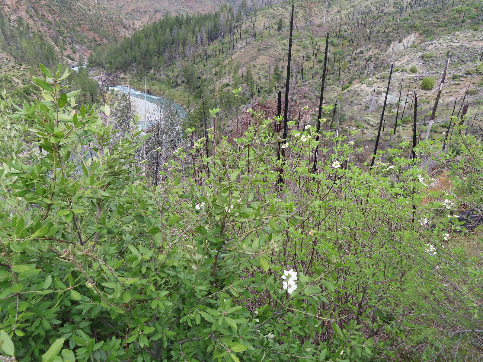 Dogwood blossoms
 The Fall Creek Trailhead to the left.
 The car bridge across the Illinois River to McCaleb Ranch. Technically we could have continued down to that bridge and crossed on it then turned left onto the Fall Creek Trail for a half mile to Illinois River Falls, but the closure order posted at the Fall Creek Trailhead was unclear. It stated that it was illegal to be “on a trail” not just on the suspension bridge itself. The Forest Service webpage seems to indicate that it is only the bridge that is closed until repaired. Either way we were just happy to see the bridge as that was the turnaround in Sullivan’s description.
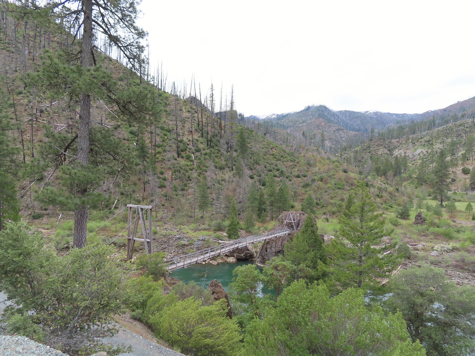
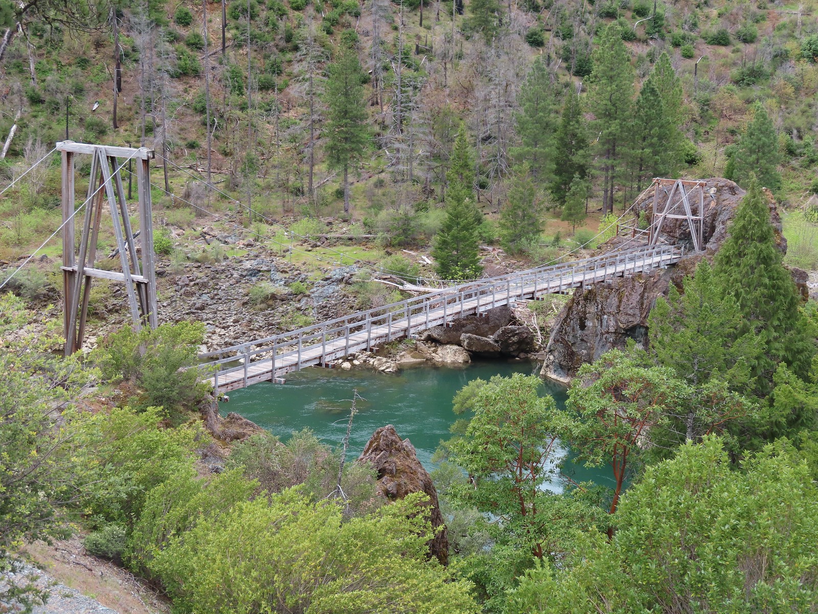
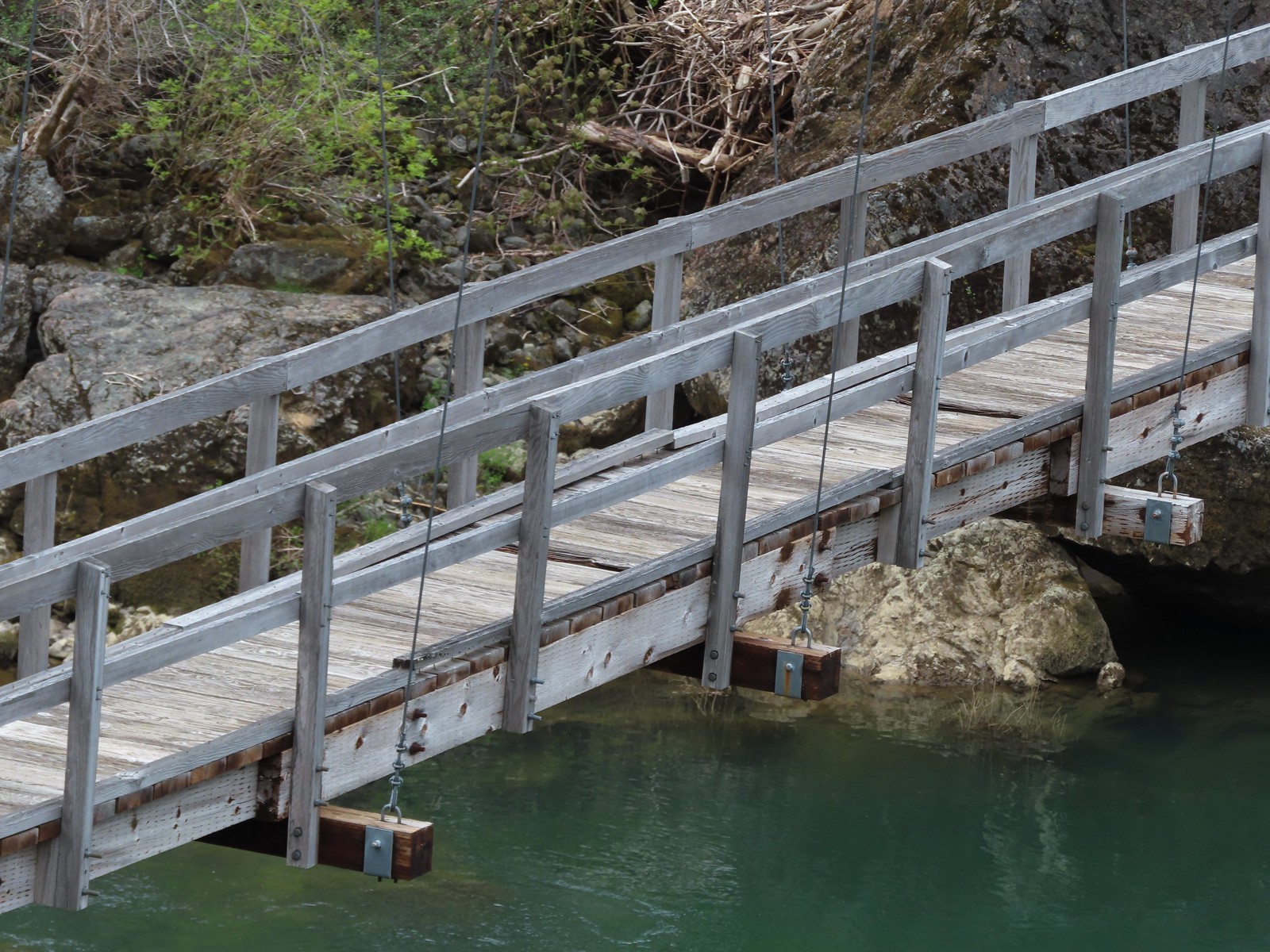 Assuming these are some of the needed repairs.
 The start of the road which the map lists as Forest Road 011.
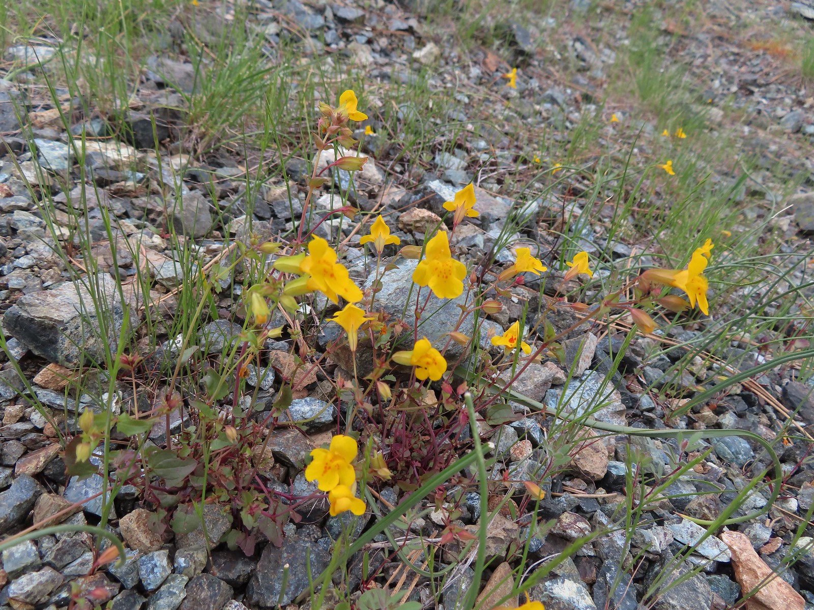 Monkeyflower
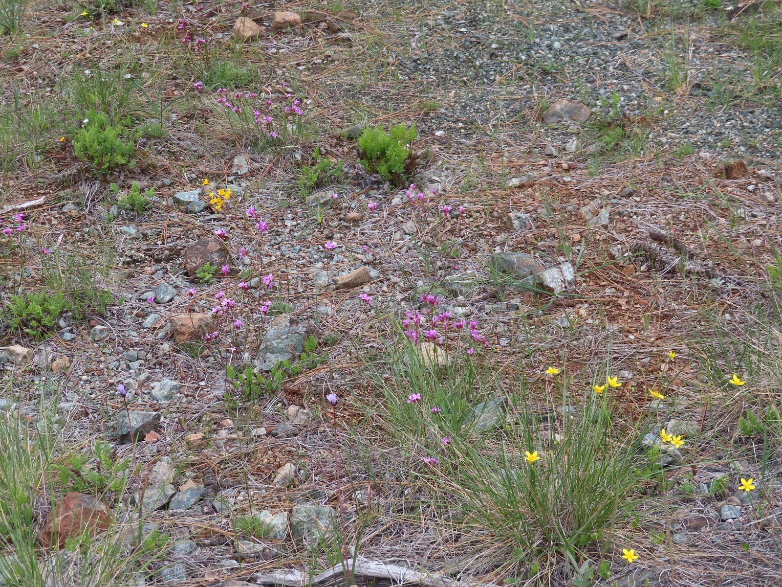 Oregon rockcress and buttercups
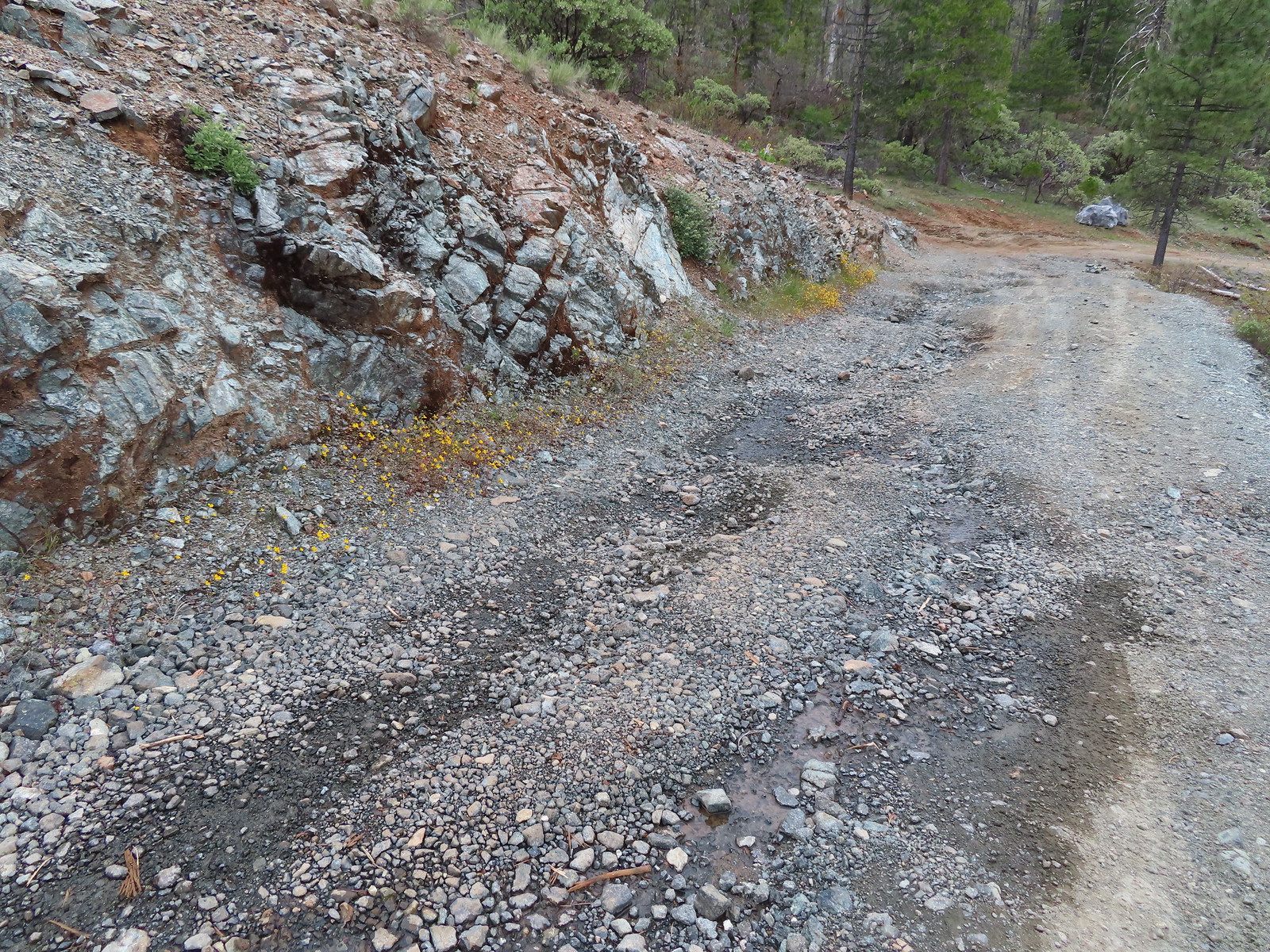
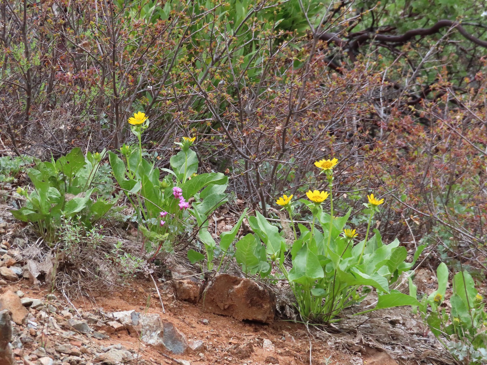 Balsamroot and Oregon rockcress
 Alpine? pennycress. There was a lot of this along the road, the first we’d seen of it this trip.
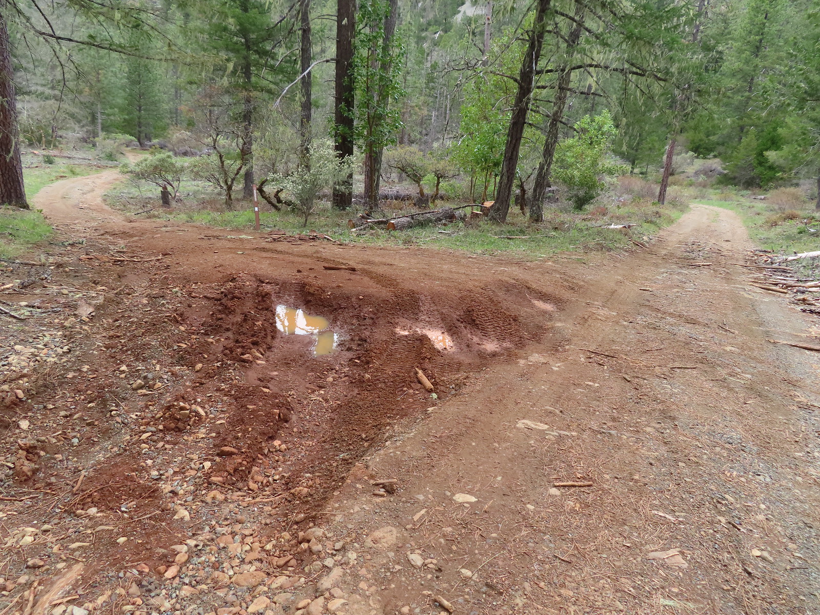 Star Flat. It was obvious from the tire marks which extended into the vegetation in places that yahoos like to come here and tear things up (sigh).
 Duskywing
 There was a fence around the bog at Star Flat which hosts more California darlingtonia.
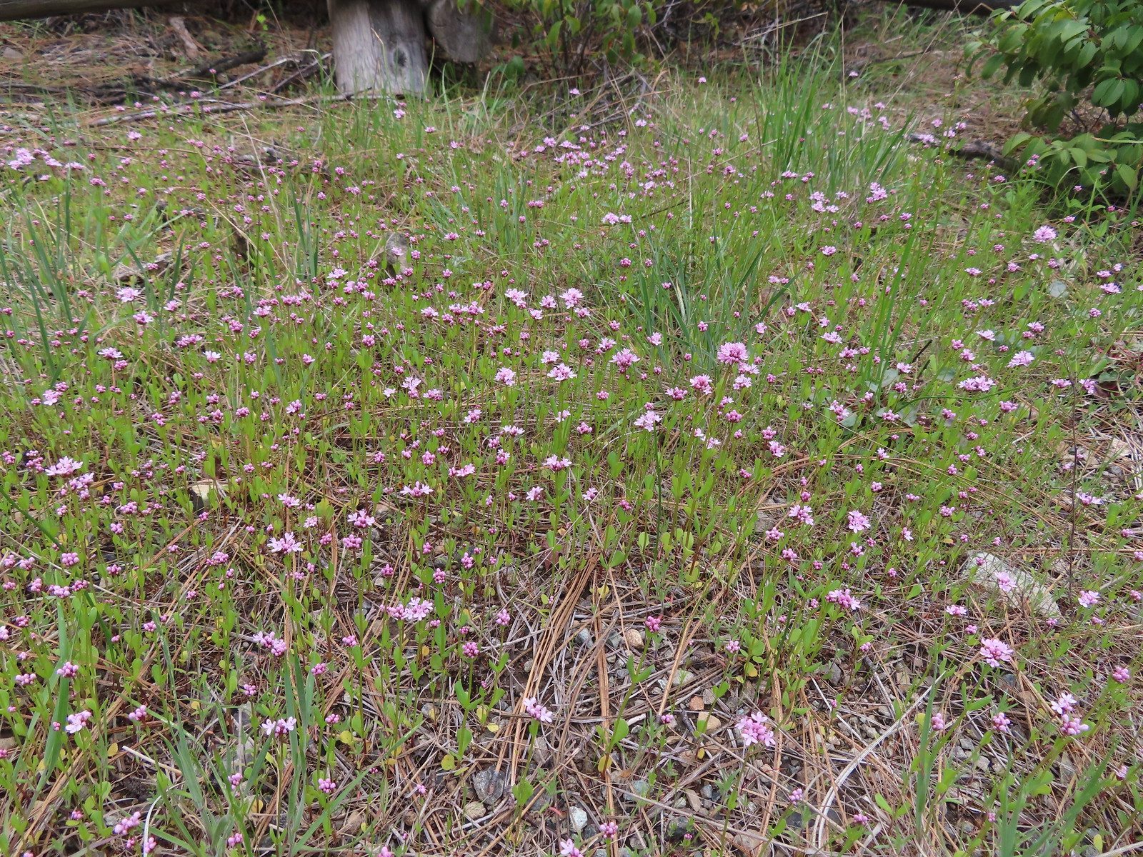 Plectritis
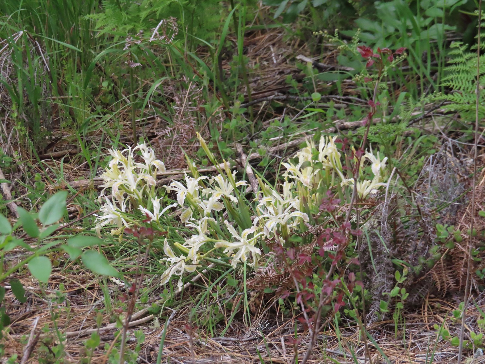 Iris
Iris Darlingtonia
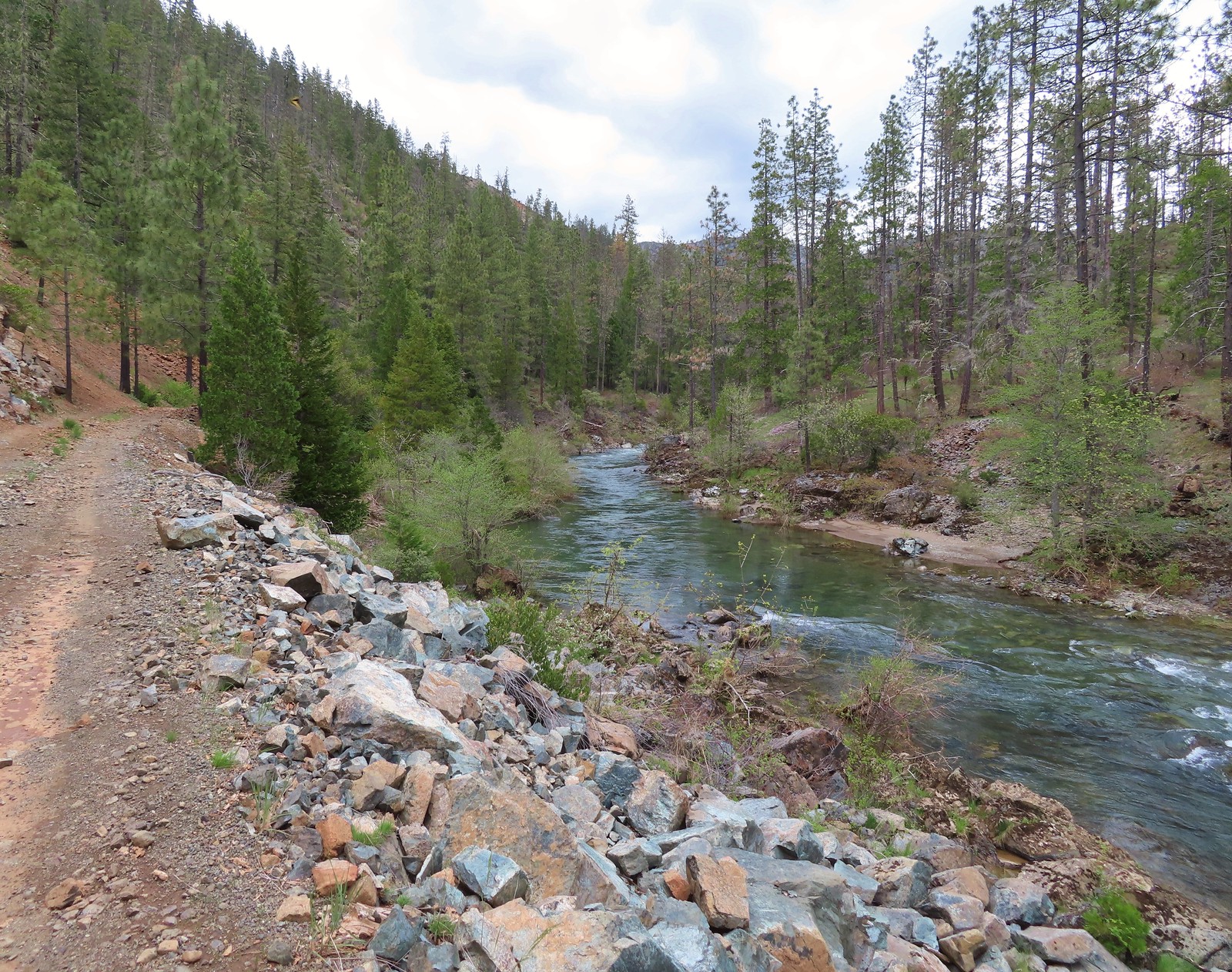 Deer Creek
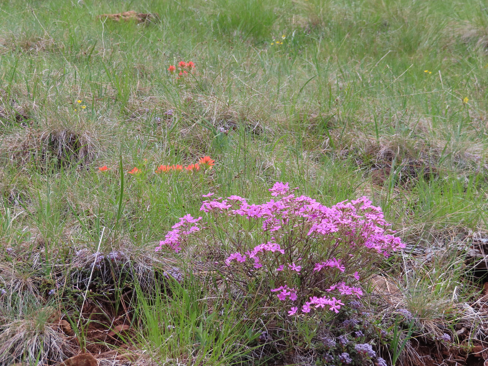 Showy phlox and paintbrush
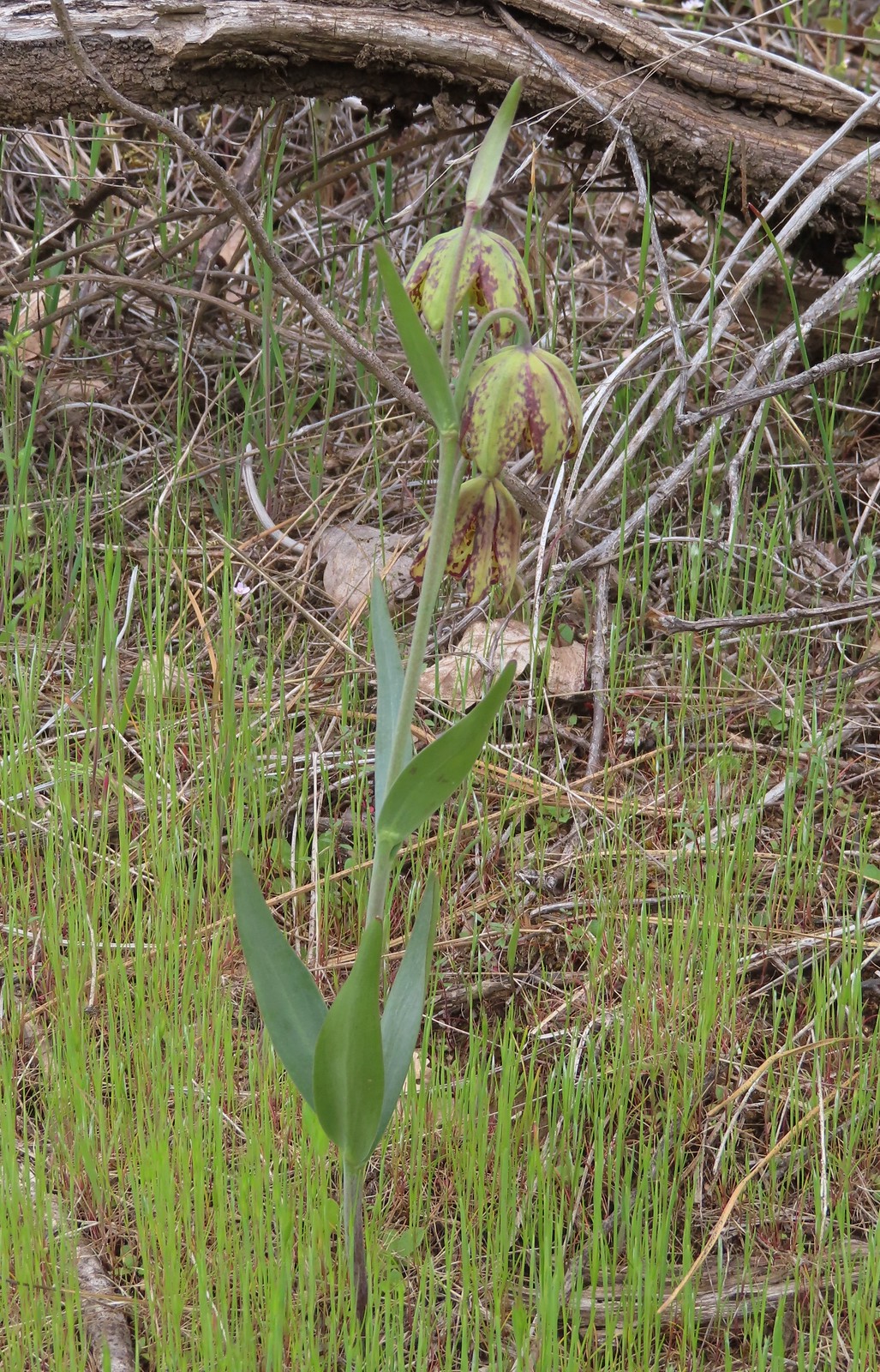 Checker lily

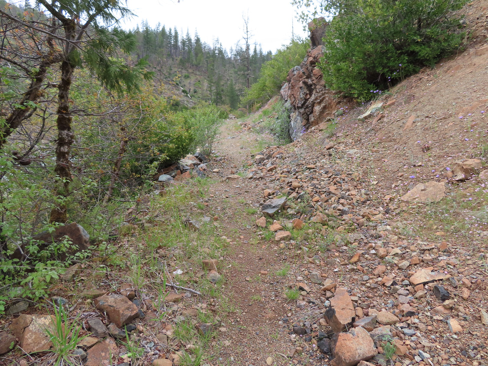
 Hairy pink
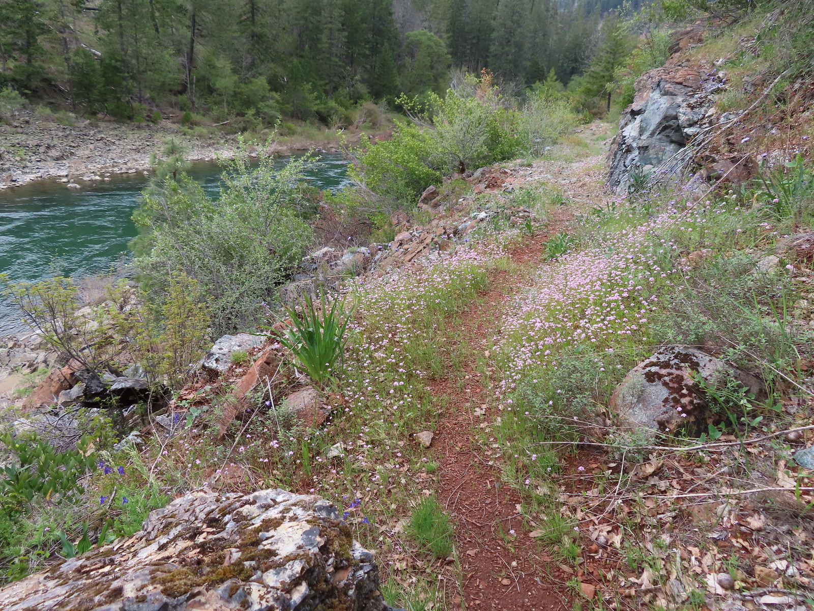 Plectritis along the trail.
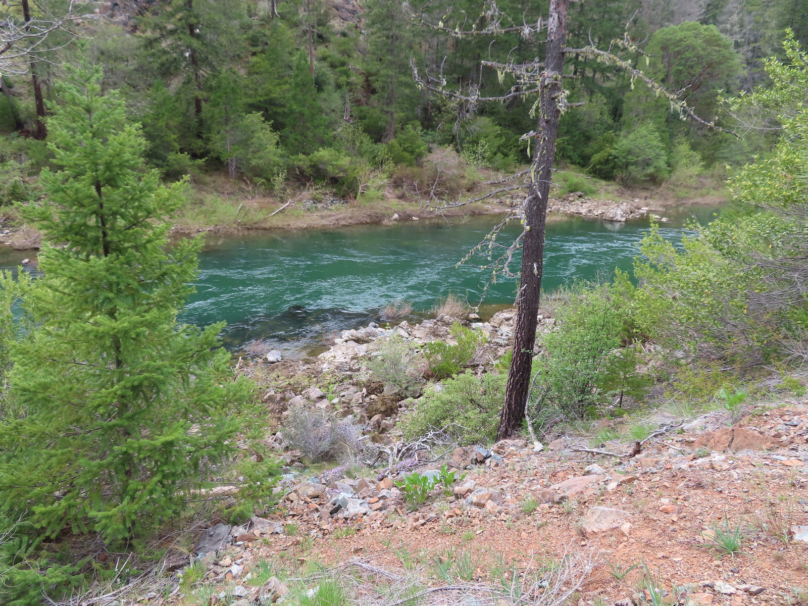 Illinois River
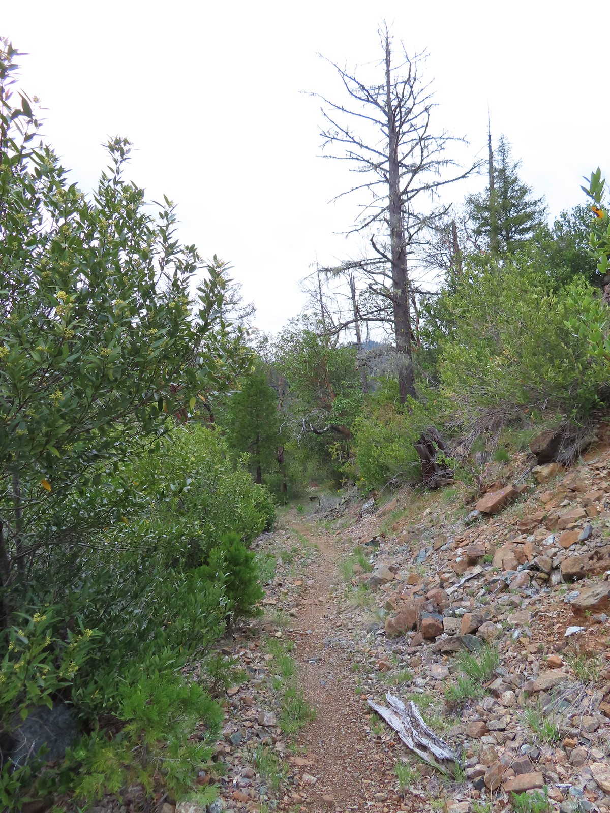
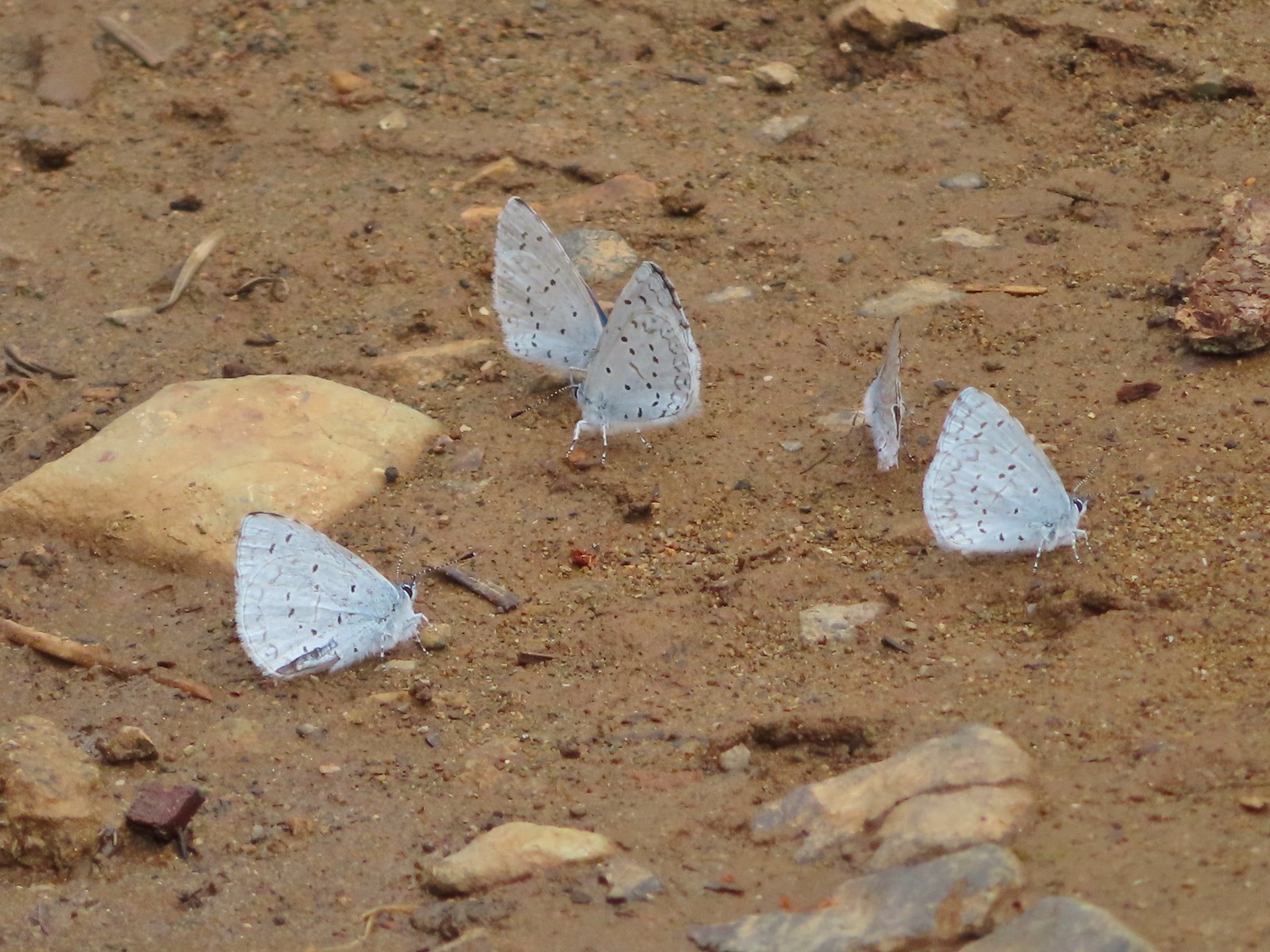
 Star flower
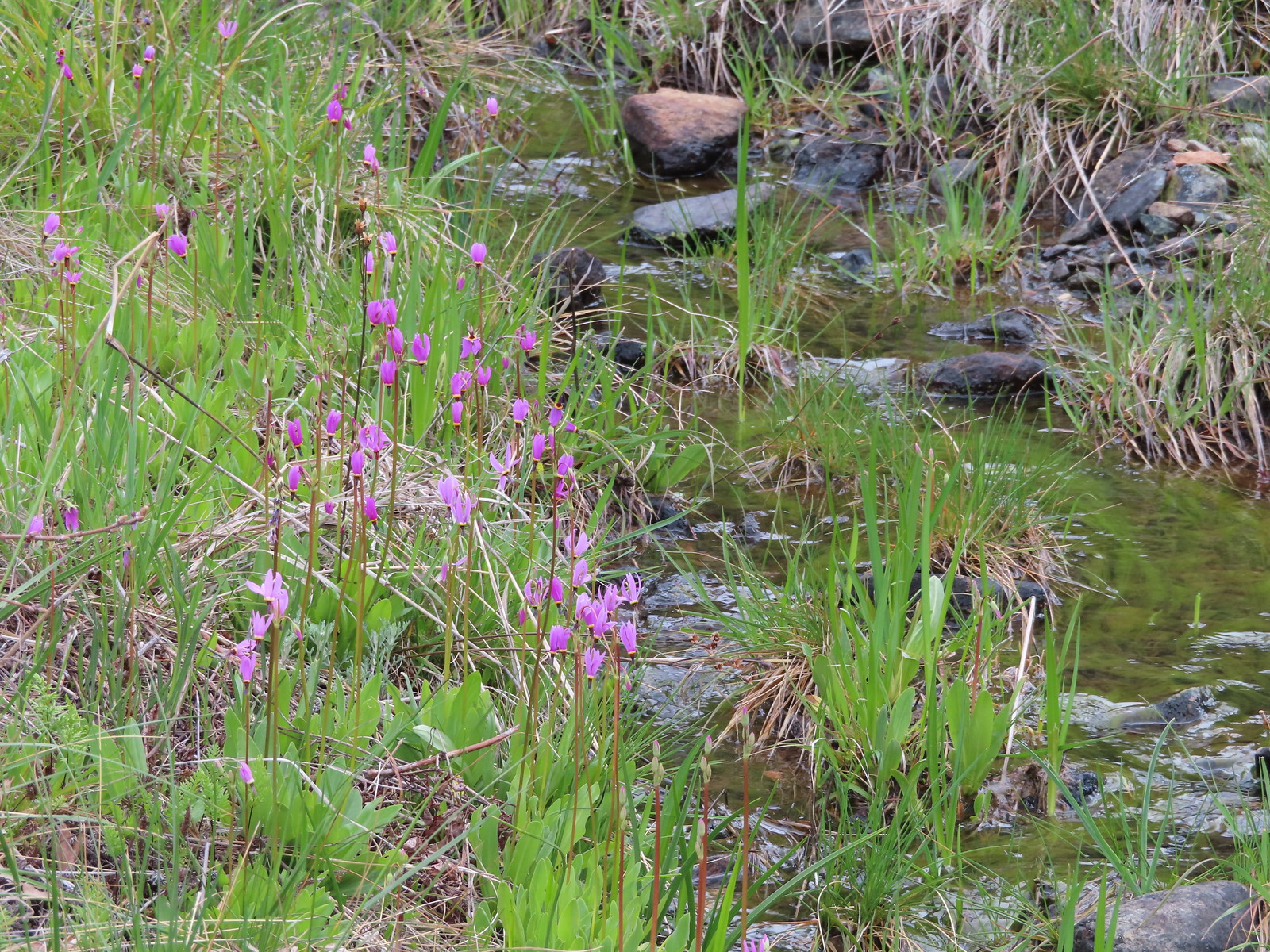 Shooting stars along the creek leading to the bog in Star Flat.
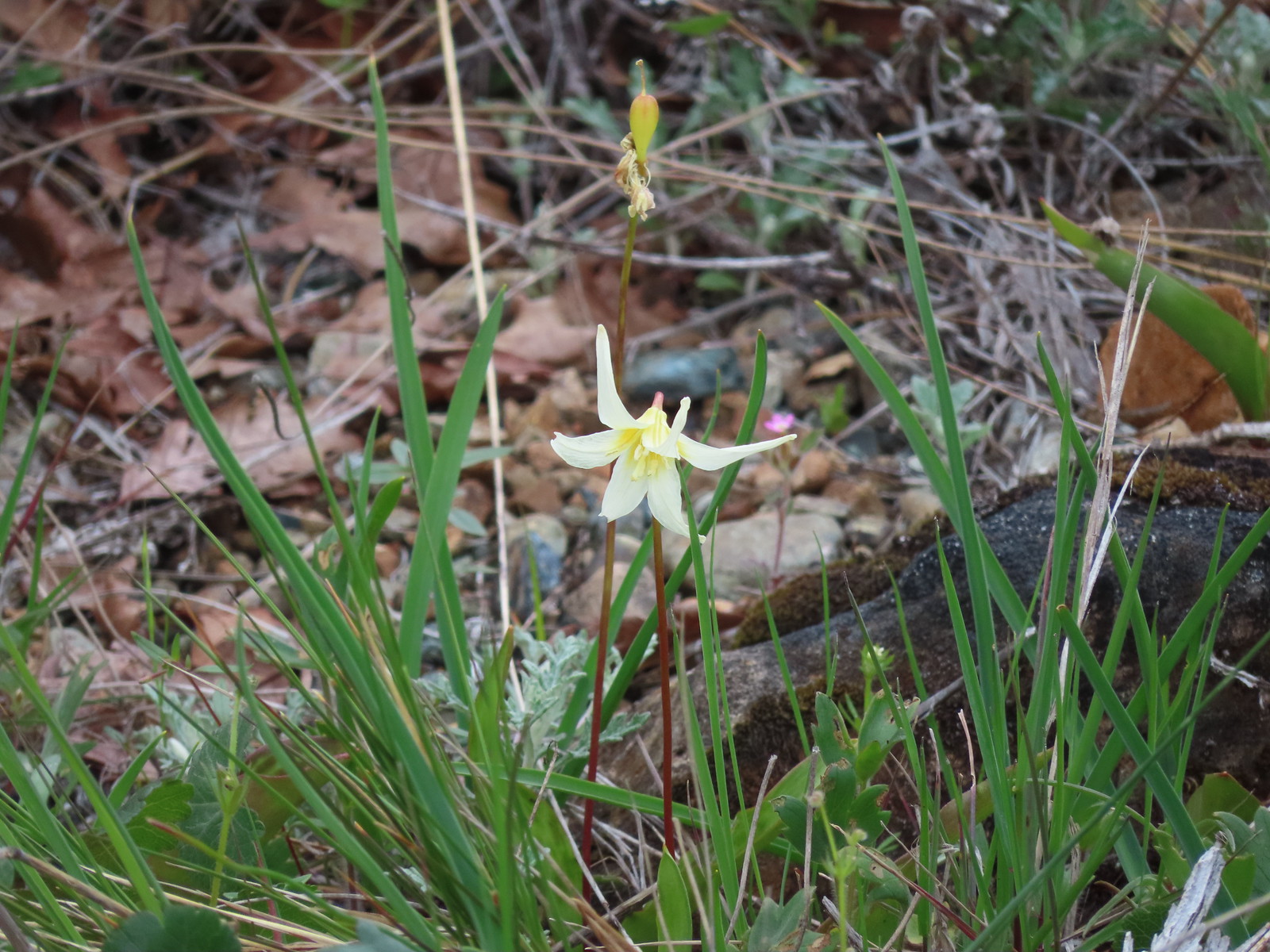 Fawn lily