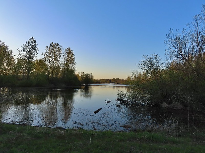
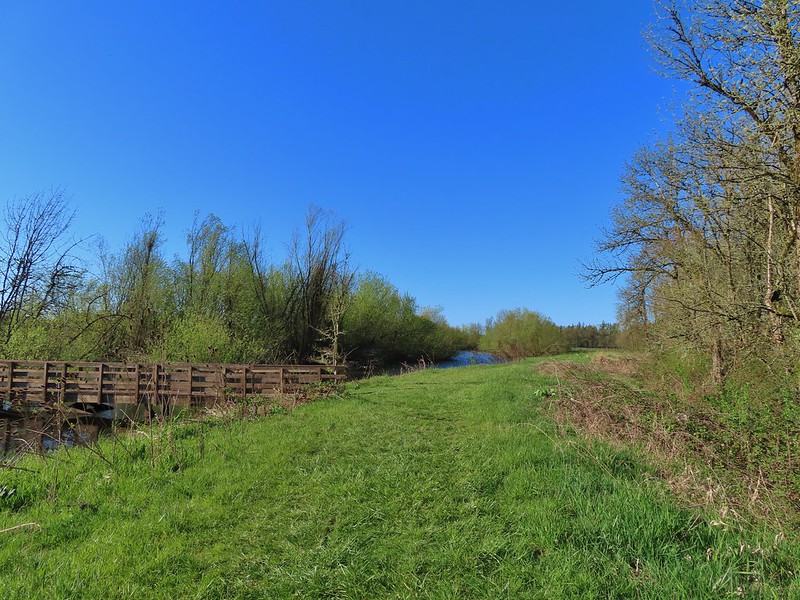
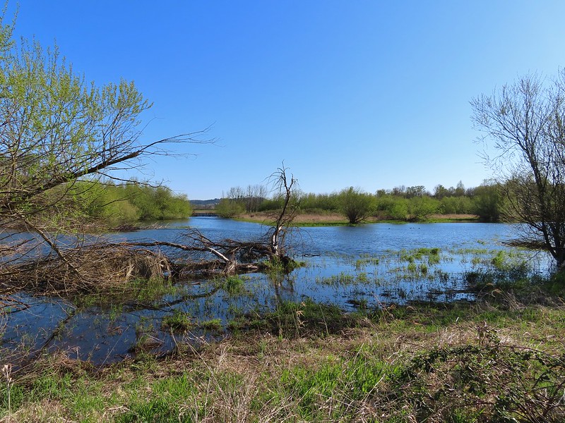
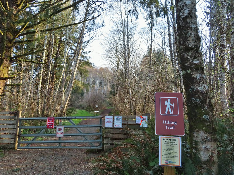
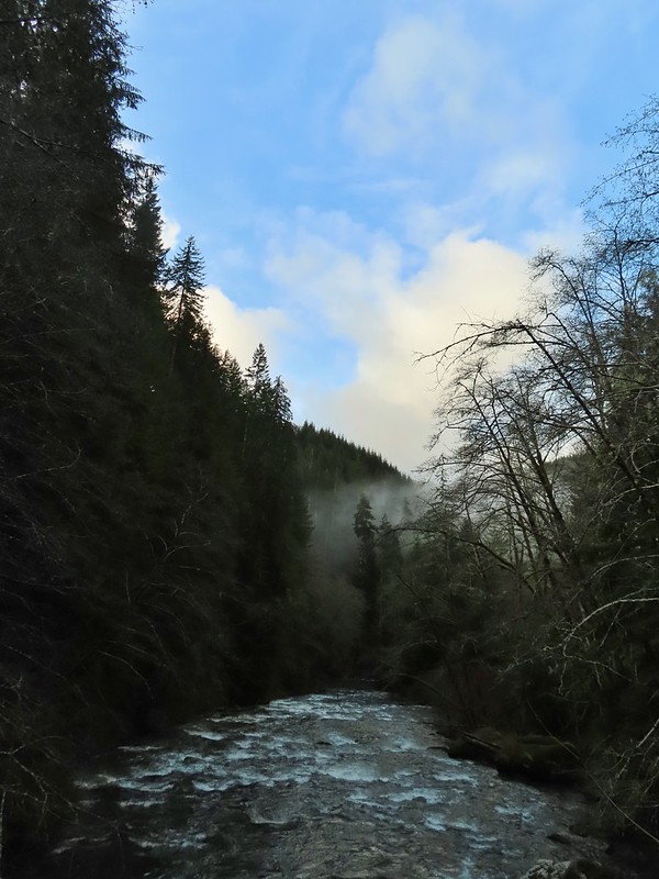
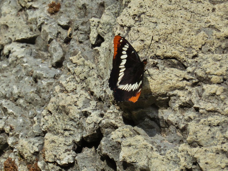
I found myself with some time off that Heather does not and after spending the first day getting the car serviced and receiving my first dose of COVID vaccine (YAY) I spent the next morning exploring the Ankeny Wildlife Refuge. We had visited once before in 2014 for a short hike described by Sullivan in his “100 Hikes in the Central Oregon Cascades” guidebook (post). This time I hoped to explore more of the refuge by hiking some of the dike trails that are open from April 1st to September 30th. I started my morning at the Eagle Marsh parking area on Buena Vista Road.

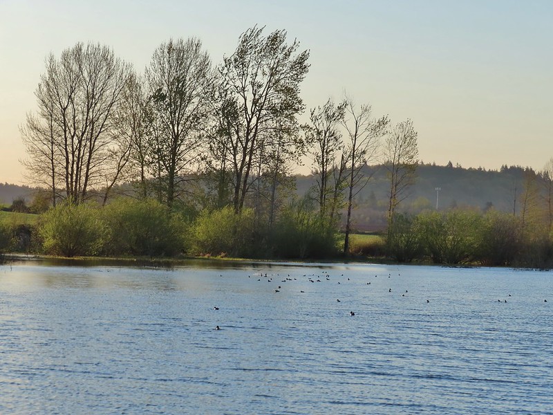
There is a nice kiosk there overlooking the marsh from which quite a few ducks and geese were visible.


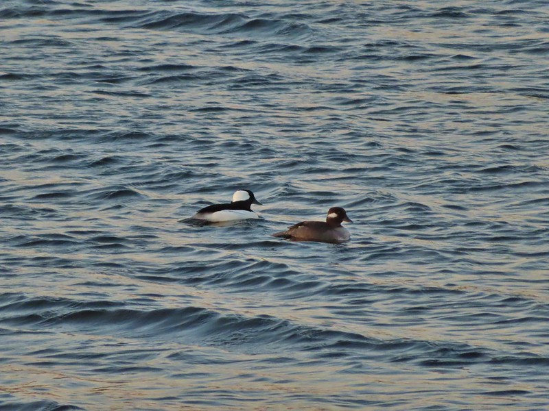 Buffleheads
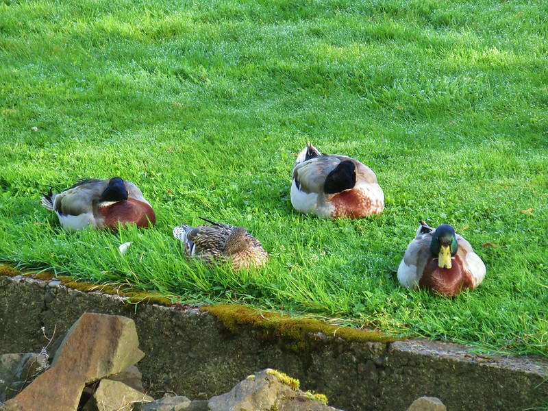
 Canada goose and mallards
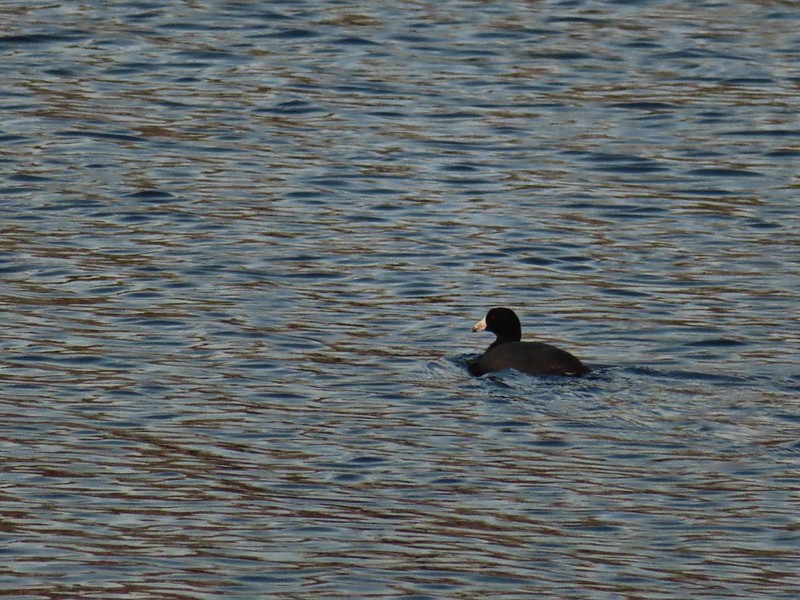 American coot
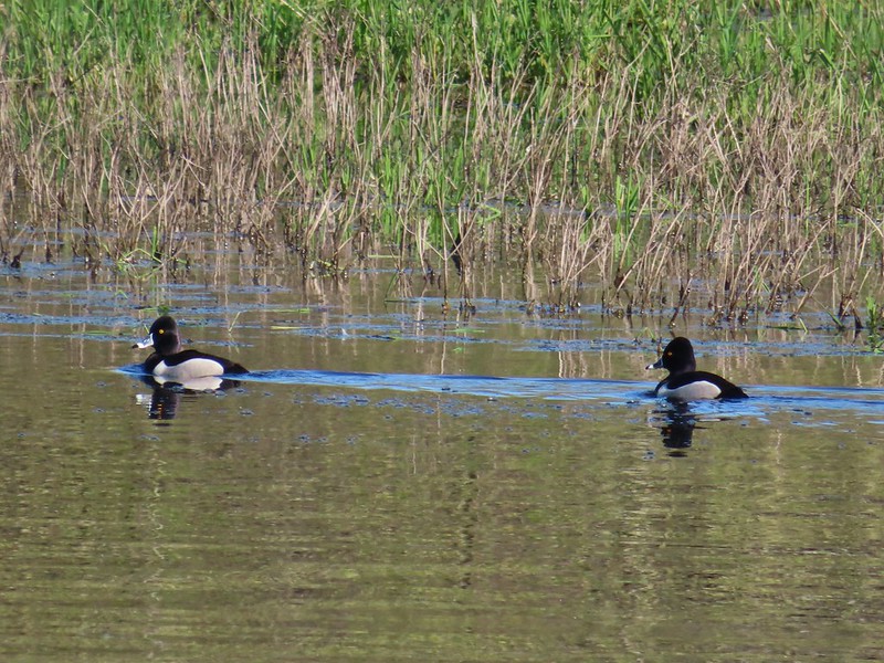
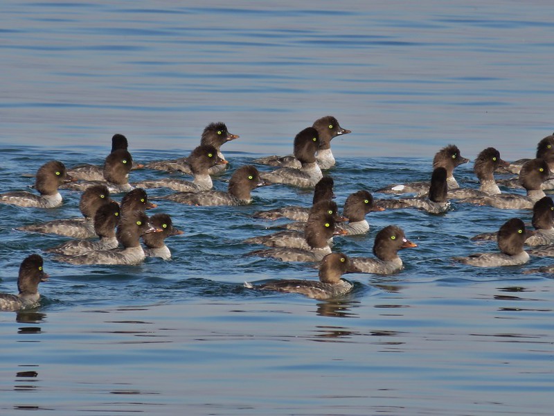
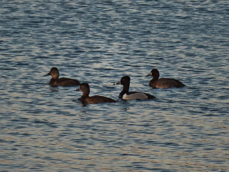 Ring-necked ducks (I’m not sure all the females are the same.)
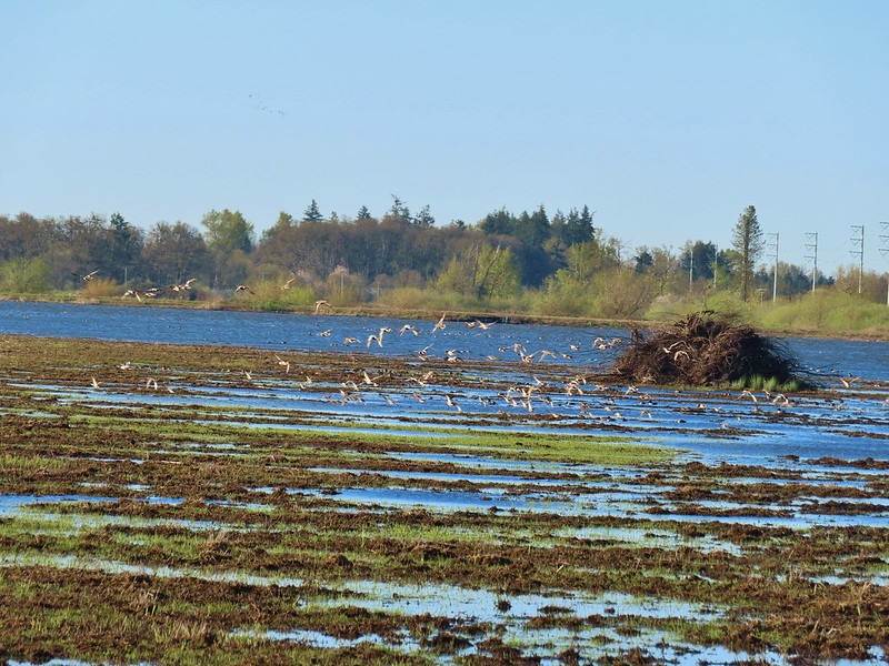
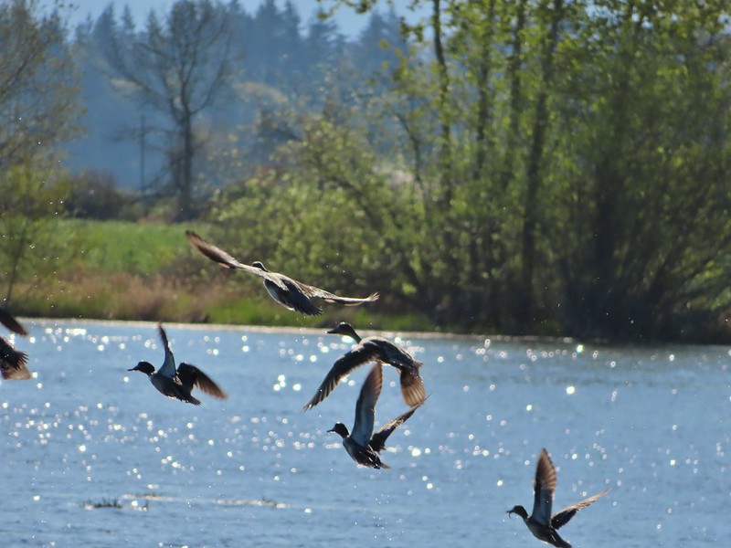
 Geese flying over Eagle Marsh as the Sun rises.
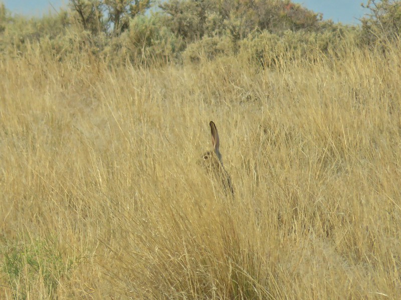
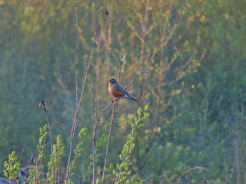
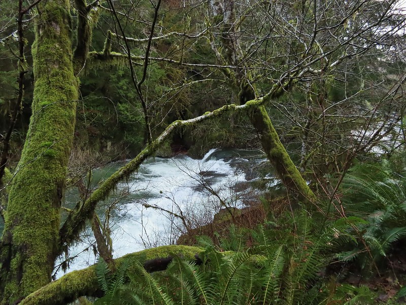
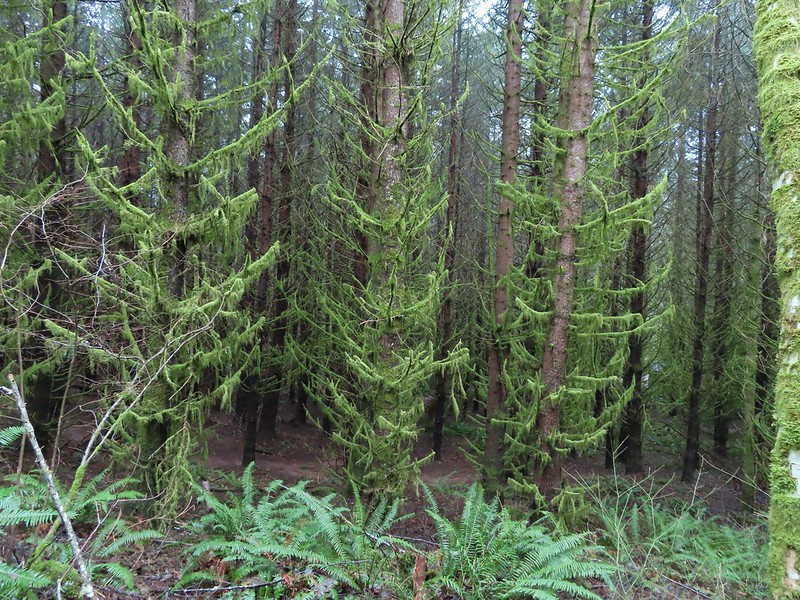
There was more vegetation at the southern end of the marsh where robins and blackbirds were singing.

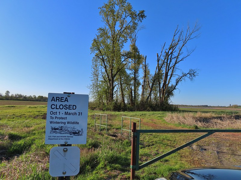
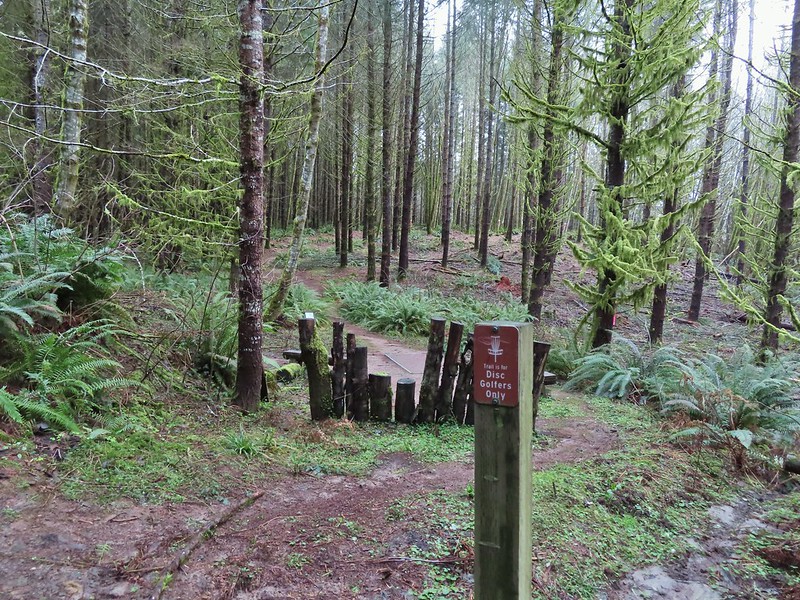
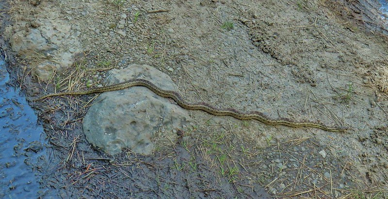
At the end of Eagle Marsh the dike split and I had intended to stay straight (the Refuge trail map appeared to show a possible loop around Willow Marsh but other maps do not show a dike at the southern end) but a sign there announced that dike was closed due to active nesting so I turned left instead.
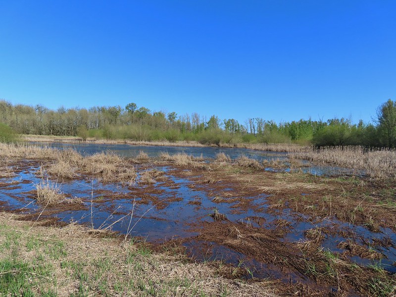
 Willow Marsh
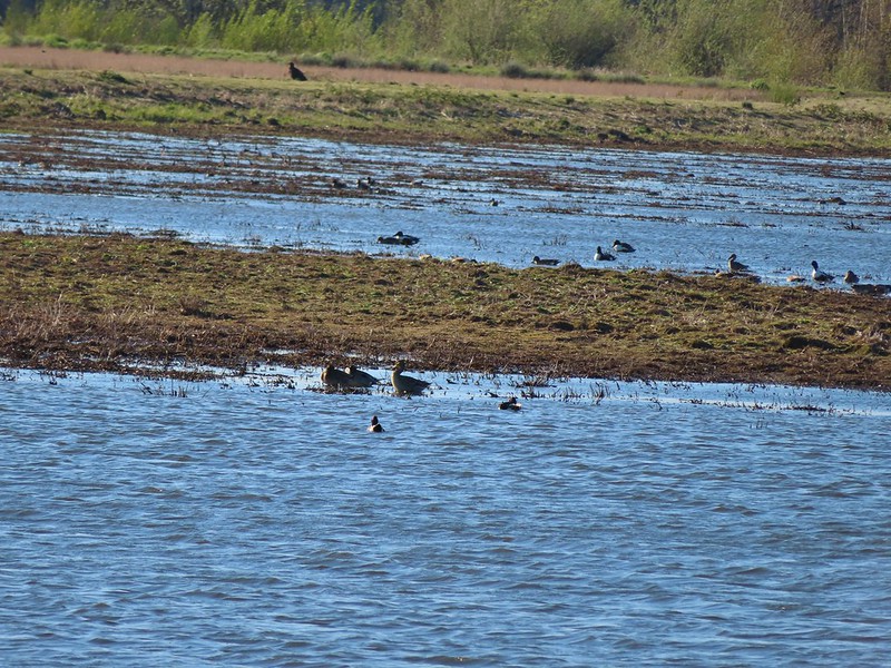
There were a lot of ducks in Willow Marsh but they were keeping a safe distance from me.
 A bufflehead and mallards
 Mallards and ring-necked ducks
I then turned right along a dike passing between Willow and Teal Marshes.
 Teal Marsh to the left of the dike.
It was more of the same treatment from the ducks in Teal Marsh.
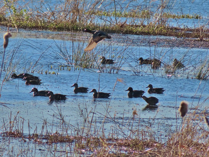
 Mallards an northern shovelers
 Buffleheads
While the ducks stayed away I had better luck with the smaller birds.
 Spotted towhee
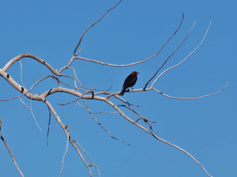
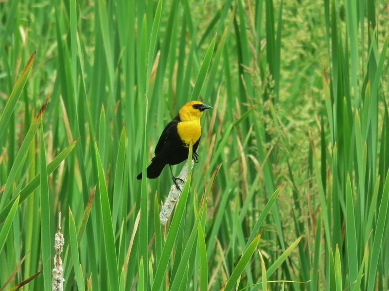
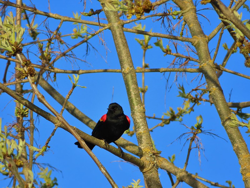 Red-winged blackbird
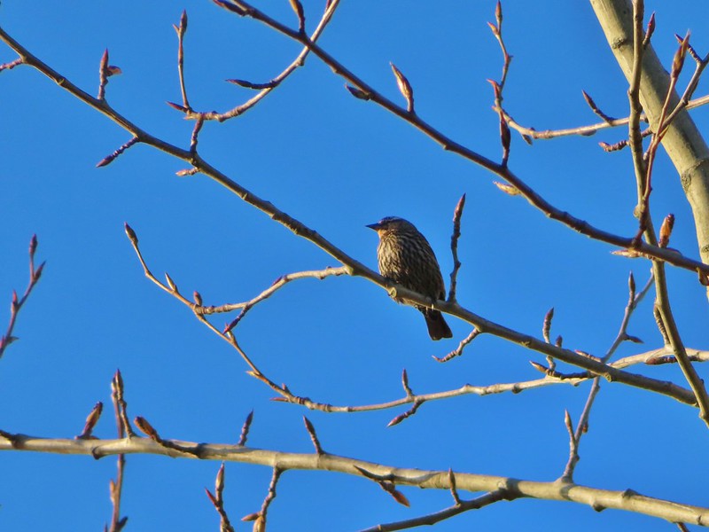
 Female red-winged blackbird
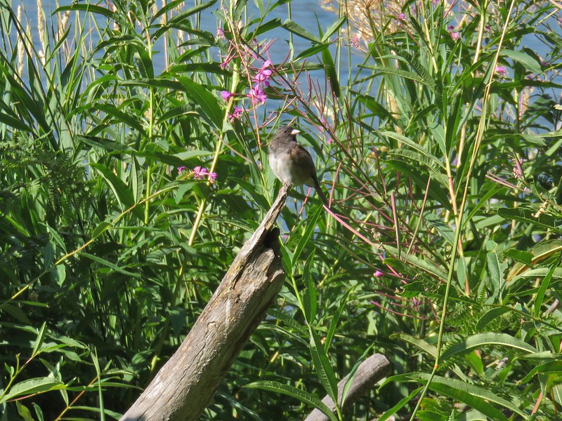
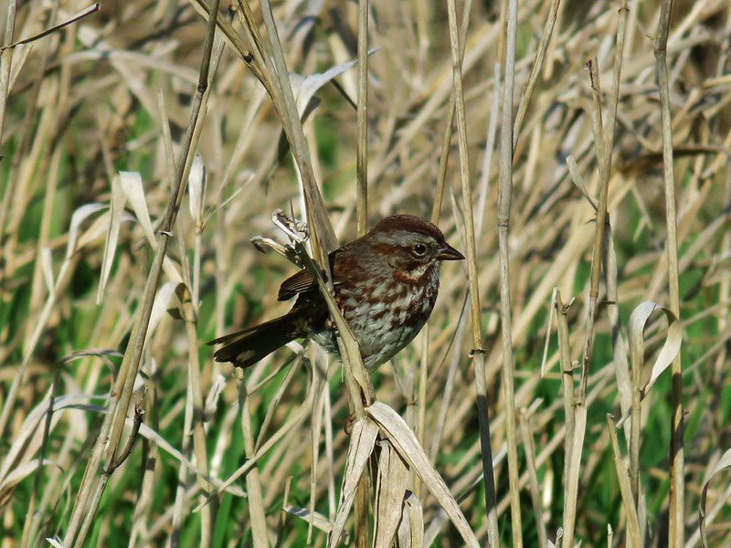
 Sparrow
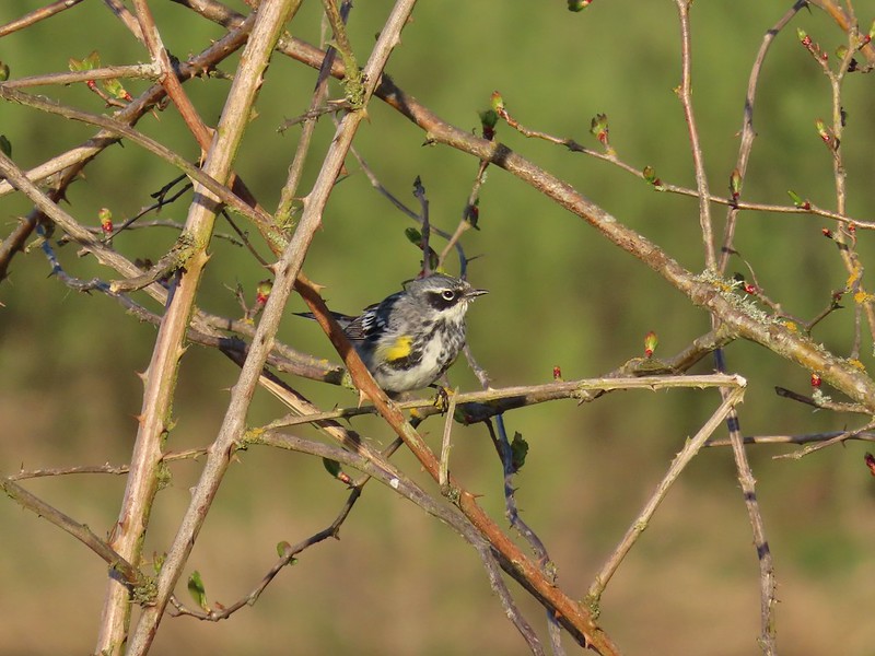 Yellow-rumped warbler
At the end of Teal Marsh I turned around and headed back past the ducks.

 Geese coming in for a landing on Teal Marsh
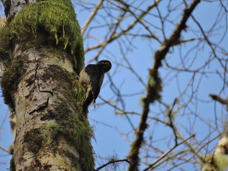
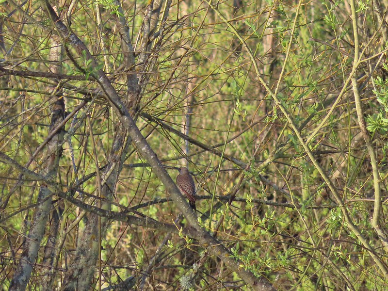 Northern flicker
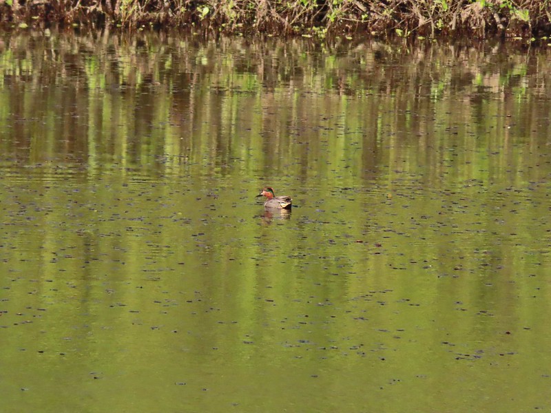 Green-winged teal
 Ring-necked ducks and a bufflehead pair
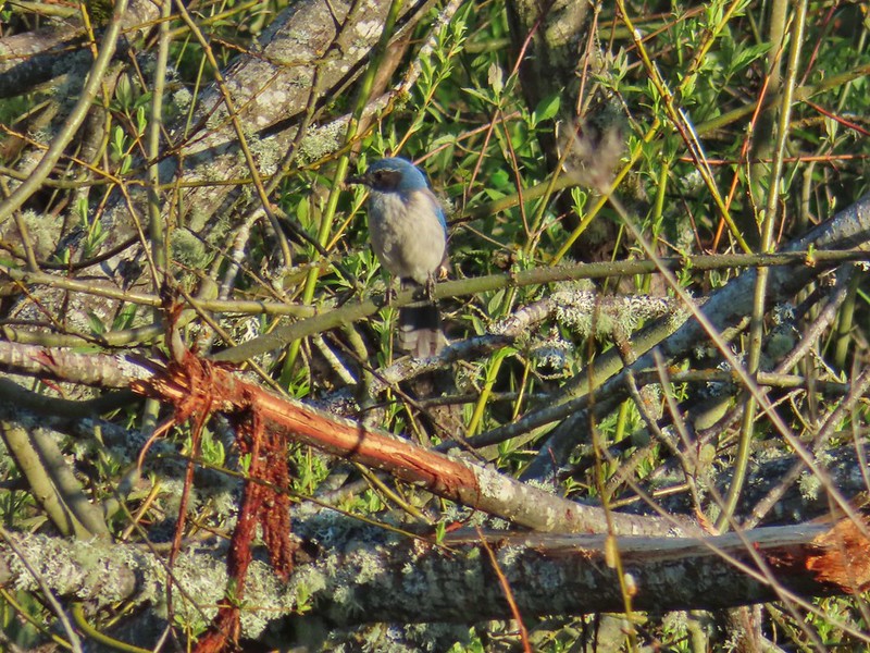 Scrub jay
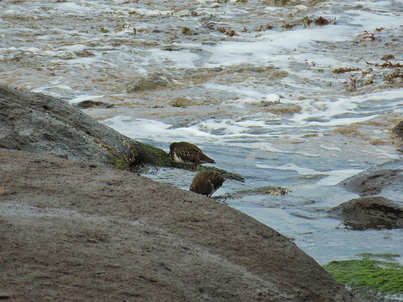
 Pie billed grebe at Eagle Marsh
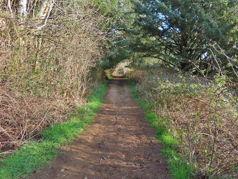
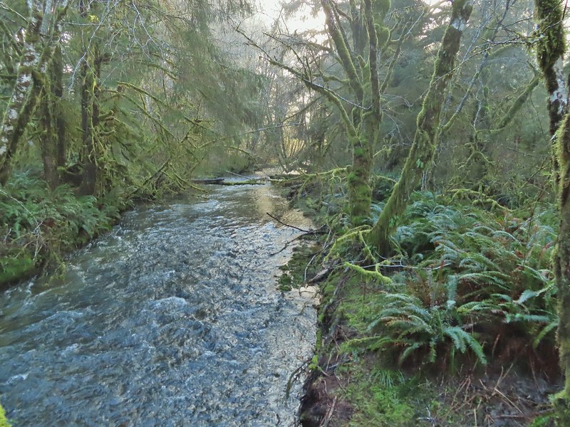
The out-and-back was a nice, albeit windy, 3.2 mile walk with no elevation gain. From Eagle Marsh I turned left (SW) onto Buena Vista Road and drove a quarter mile to a small pullout at a green gate.
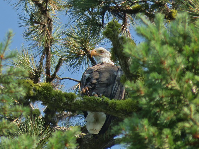
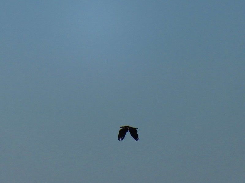
From here I planned on following another dike past Mohoff Pond and Pintail Marsh to Wintel Road and then follow that road briefly to the Rail Trail Loop Area which is where we had been on our first visit. A bald eagle flew over Mohoff Pond just as I set off.
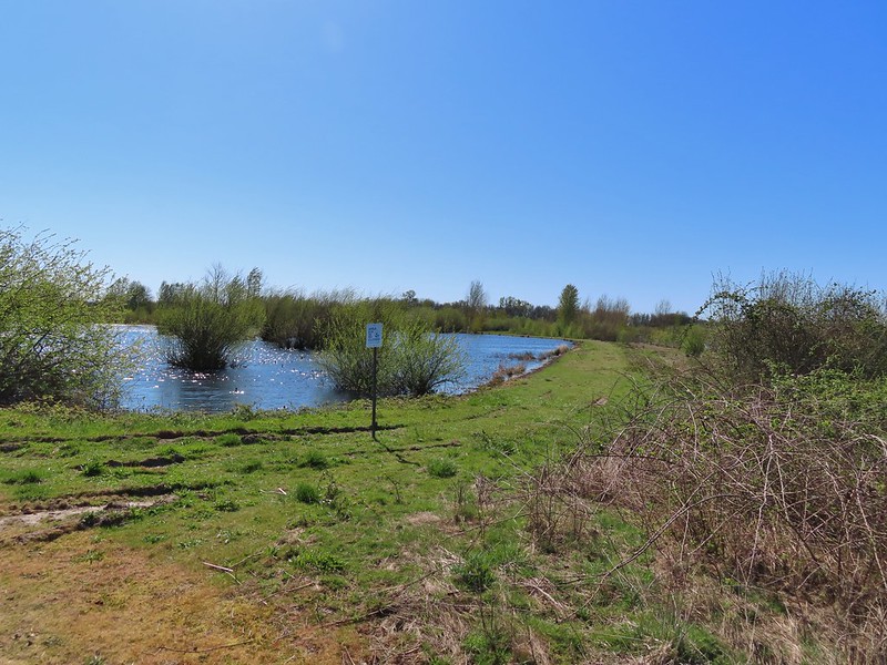
Mohoff Pond was busy with a number of different ducks but primarily they seemed to be northern shovelers.


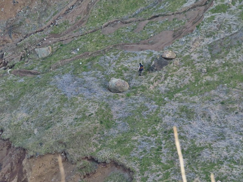
 I didn’t see it when I took the picture but it appears there is an eagle on the ground in the distance here.
The activity wasn’t only at Mohoff Pond though as a handful of egrets were mostly out of view in a field on the other side of the railroad tracks.
 One of the egrets taking off.
 Brewer’s blackbird on a tree along the railroad tracks.
I stayed right at a junction with a dike running between Mohoff Pond and Pintail Marsh.
 Pintail Marsh ahead on the left.
 The dike between Mohoff Pond and Pintail Marsh.
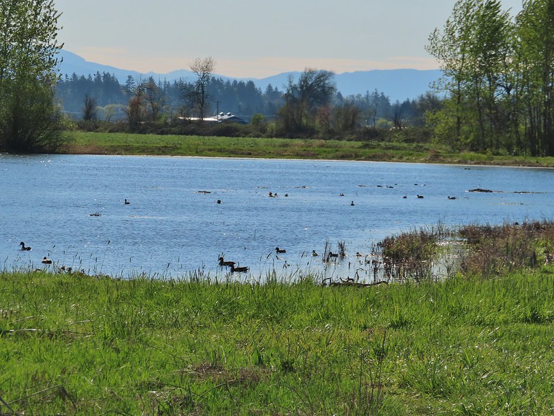
 Ducks at Pintail Marsh
There was a gravel parking area at the southern end of Pintail Marsh where I hopped onto Wintel Road and headed left following the narrow shoulder for .3 miles to another green gate on the right hand side of the road.
 Pintail Marsh
 Looking back at the gate and Wintel Road
I followed a grassy track which split 100 feet from the gate and turned right (left would have led me to the Rail Trail Parking area). The path led past a little standing water before leading onto a dike along Wood Duck Pond.

 Yellow legs

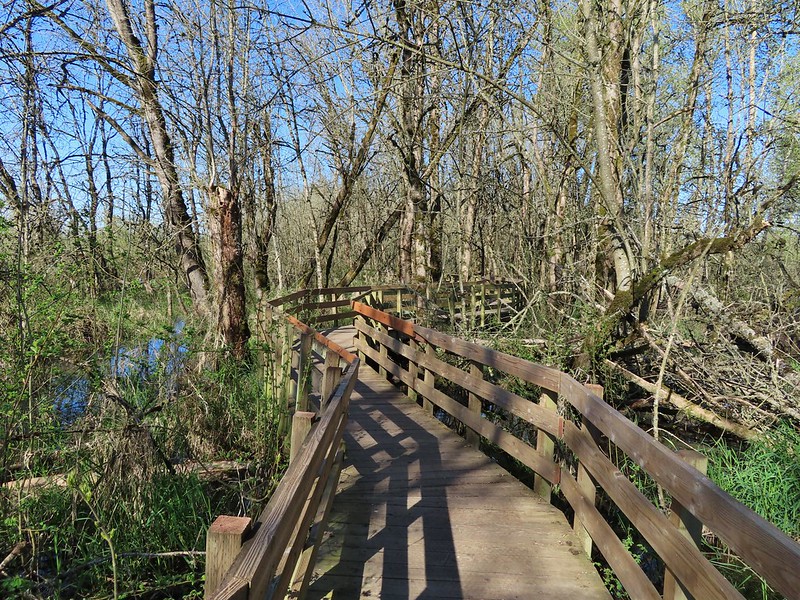
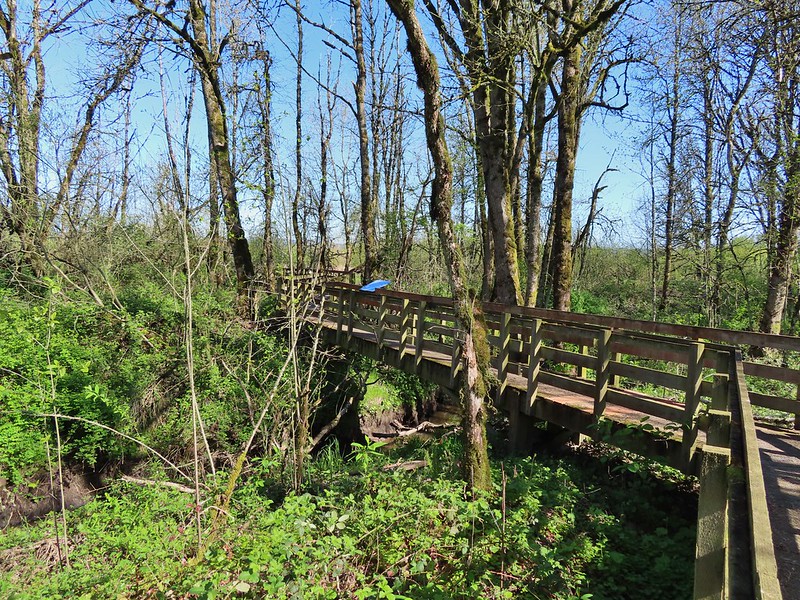
I passed the Rail Trail Boardwalk and stayed on the dike now retracing our steps from our first visit.
The dike turned south wrapping around Dunlin Pond.
 The boardwalk across Dunlin Pond from the dike.
 Ring-necked ducks
 Ring-necked ducks taking off.
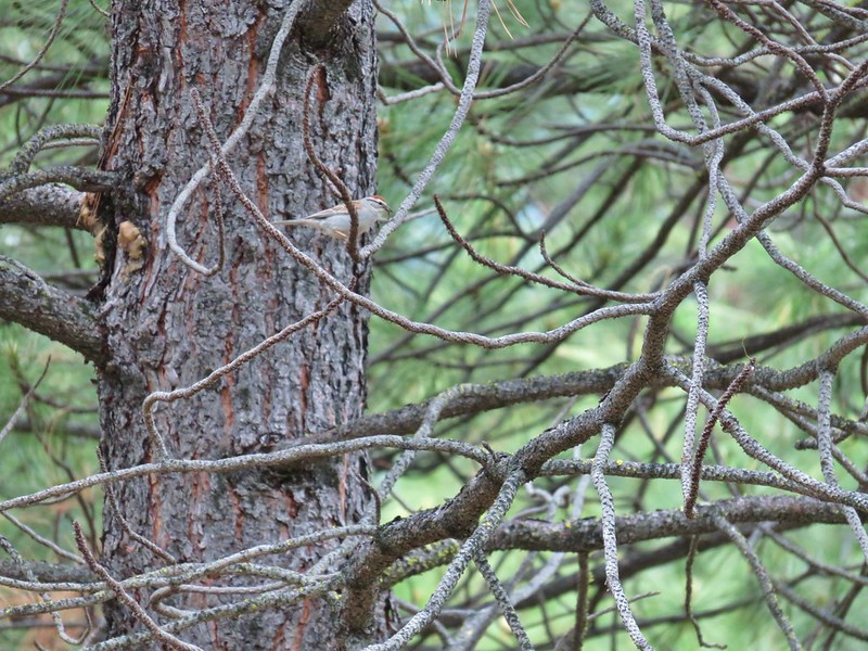
 Sparrow
 Common yellowthroat
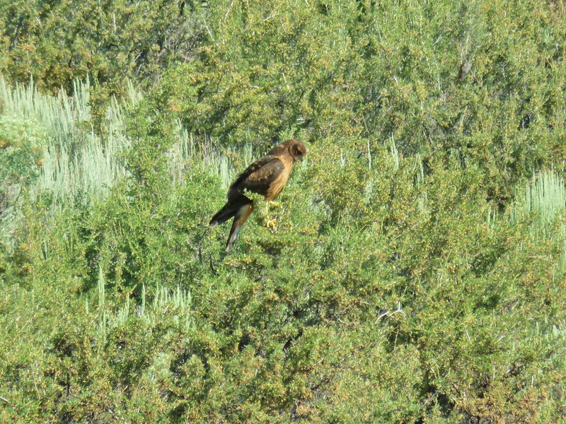
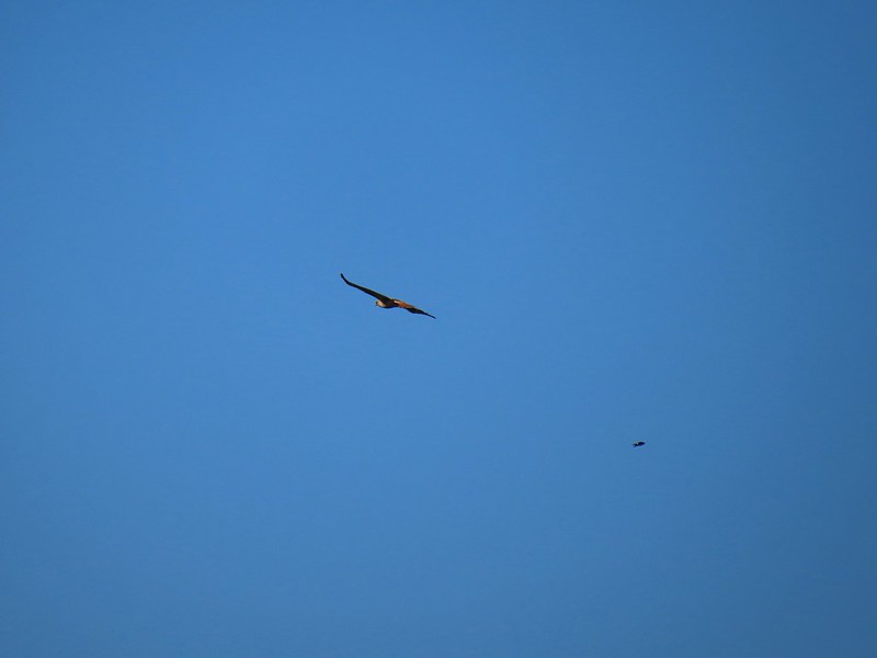 Hawk and a sparrow
At the far end of Dunlin Pond the dike split again at Killdeer Marsh. Here I turned right and looped around Killdeer Marsh.
 Killdeer Marsh
 Another yellow legs?
 Mustard along Killdeer Marsh
 A killdeer amid ducks at Killdeer Marsh
The dike didn’t quite go all the way around the marsh but it was easy walking along the edge of a field to get back to the dike on the north side of the marsh. The only issue was a 5 foot wide wet area between the field and dike where try as I might my shoes wound up wet. Once I was back on the dike I had the choice to go left back along Killdeer Marsh or a different dike veering off to the right along South Pond. I chose right and followed this dike around the end of South Pond.

 South Pond
 Cinnamon Teal in South Pond
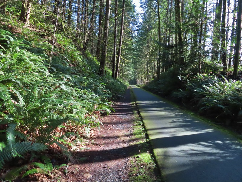
The dike led me to one of two actual trails in the Refuge, the Rail Trail.

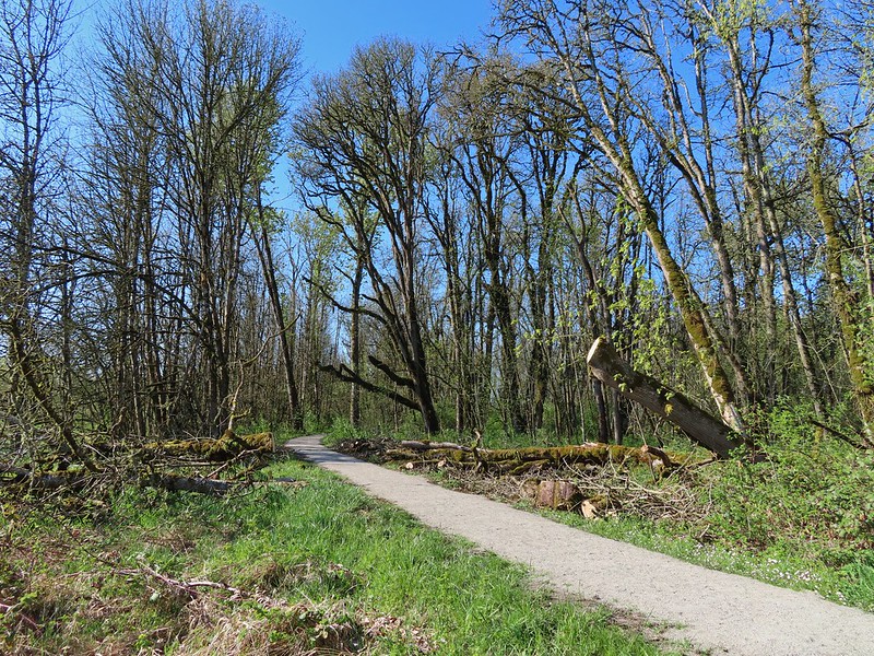 Damaged trees from the ice storm earlier this year.
 Turkey vulture
 Candyflower
I turned right at the boardwalk and followed it over the water to the dike on the far side.


 American coots
 I think this is a ring-necked duck and a lesser scaup.
At the dike I turned right and retraced my steps back to Witnel Road and headed back toward Pintail Marsh. Instead of going to the gravel parking lot that I had been at earlier I left the road at the Pintail/Egret Marsh Boardwalk Trailhead.

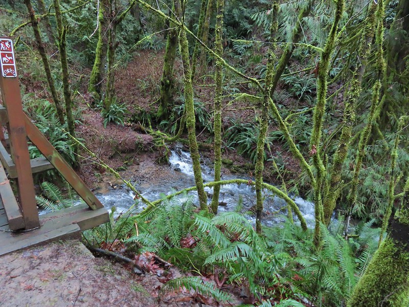
I followed this short boardwalk along and over Bashaw Creek to a bird blind.
Again on the trail map it appeared that the boardwalk connect to a dike at Egret Marsh but it instead it dead ended at the blind.
 The dike from the blind.
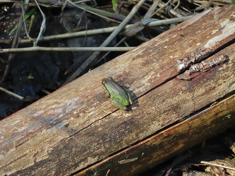
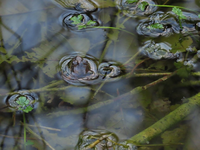
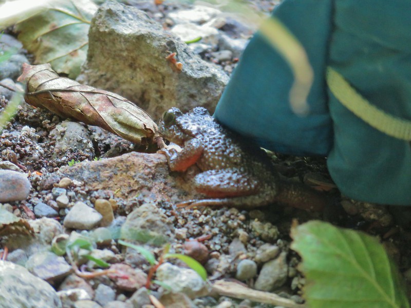
I turned around and headed back to Witnel Road a little dissapointed but then I spotted a little green frog on a log and all was good.
When I got back to the lot a Pintail Marsh I turned right thinking I would follow the dike on the other side Pintail Marsh and Mohoff Pond.

I stayed right when I passed another dike that allowed for a loop around Frog Marsh and stopped at a photo blind (reservable from 10/1-3/31).

At the junction with the other end of the Frog Marsh Loop I ran into another obstacle, more active nesting had closed the dike along Pintail Marsh so I did the loop around Frog Marsh and back to the gravel lot I went.

I retraced my steps on the dike along the west side of Pintail Marsh before turning right on the dike between the marsh and Mohoff Pond.
 Killdeer on the dike.
 A whole lot of geese in the air ahead.
I turned left at a four way junction where the closed dike joined from between Pintail and Egret Marshes.
I was now on a dike between Mohoff Pond (left) and Mallard Marsh (right).

Ducks and geese were everywhere as I trudged directly into the wind along the dike.
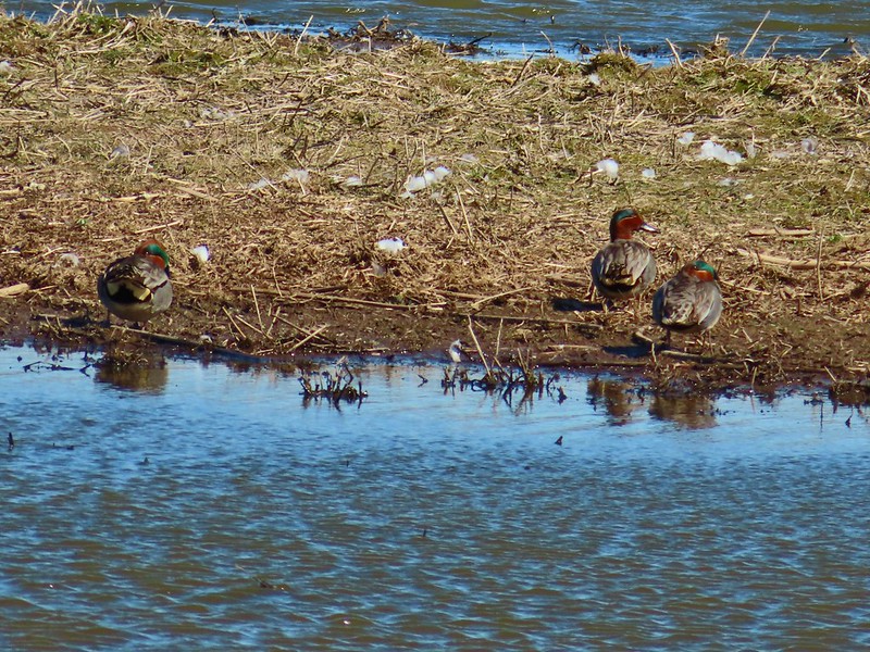 Green-winged teals
 Northern shovelers
 Canada geese
 Another green-winged teal
 Various ducks
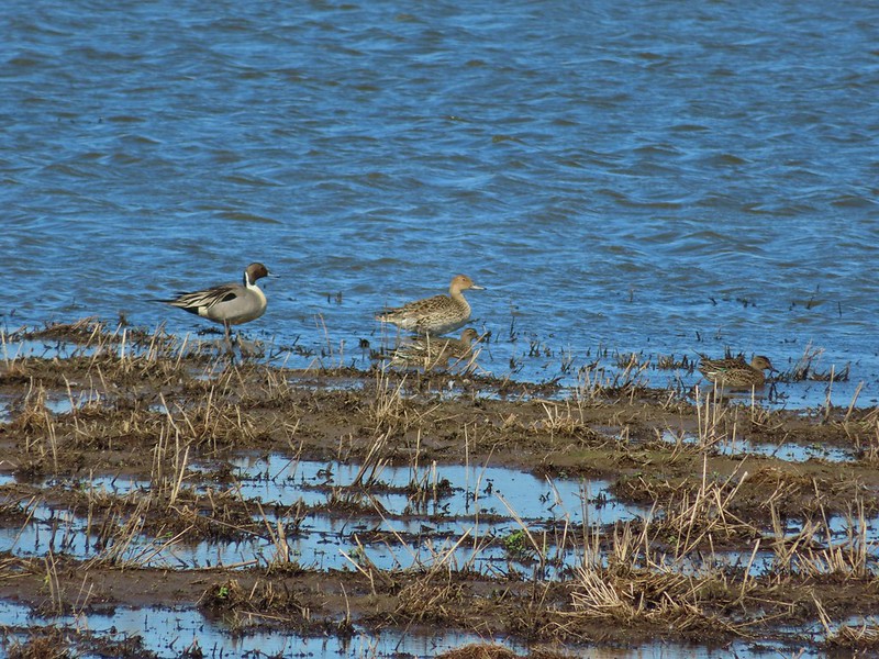 Northern pintails
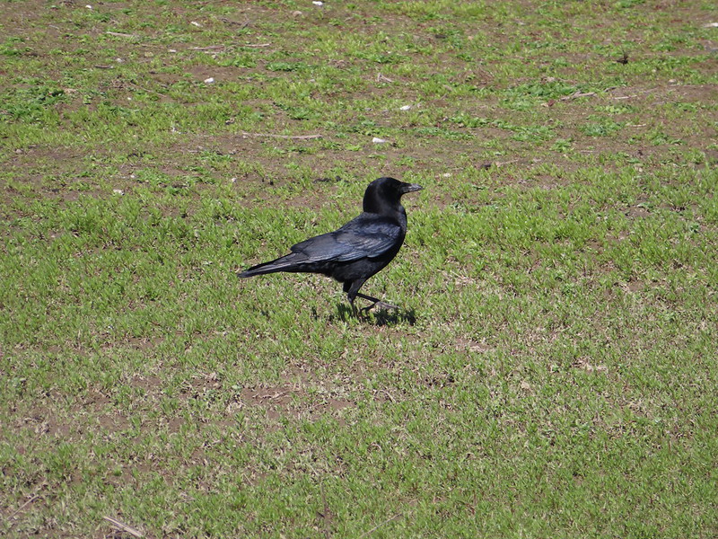 Crow
Crow
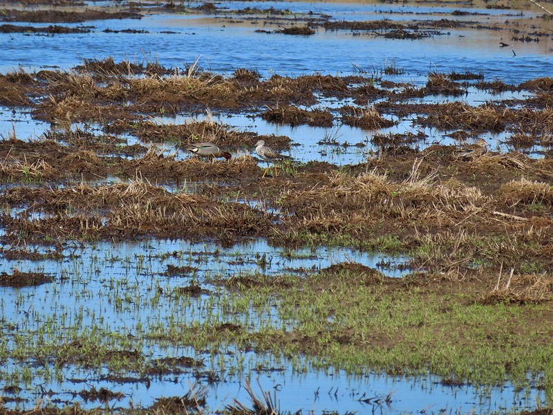 A green-winged teal and a yellow legs
My second stop wound up coming to 7.5 miles making for a 10.7 mile day. I only passed two people all day and saw a lot of different birds which made for a great hike. If I were a more patient person I would have sat at a blind or two and waited for some closer encounters but I prefer to keep moving so I have to settle for the long distance shots more often than not. Either way Ankeny is a great place to visit. Happy Trails!
Flickr: Ankeny Wildlife Refuge

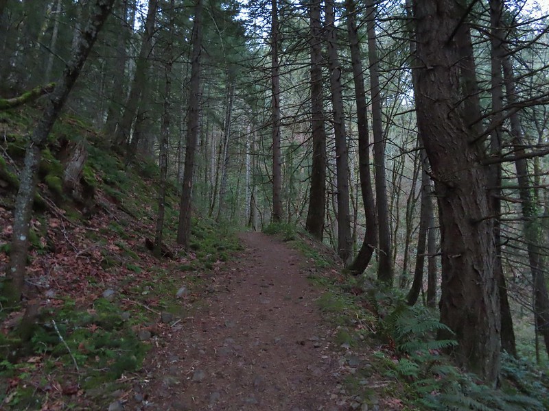
 Bench at a switchback.

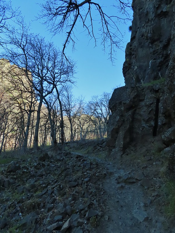
 Reroute below Mitchell Point
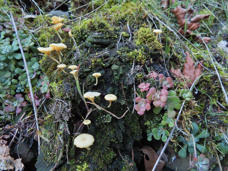 Mushrooms’ and some sedums.

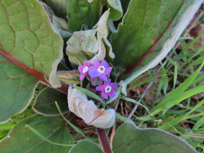 Houndstongue
 Grass Widows
 Woodland stars
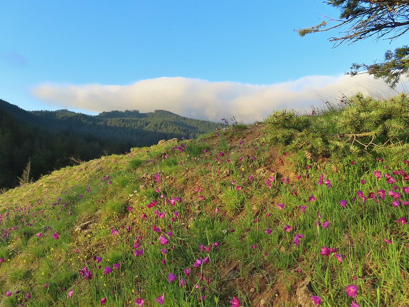
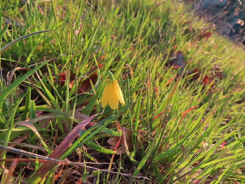 Yellow bell lily
 Desert parsley and woodland stars
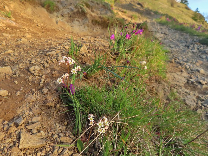 A saxifrage
 Gold stars and woodland stars
 Looking west
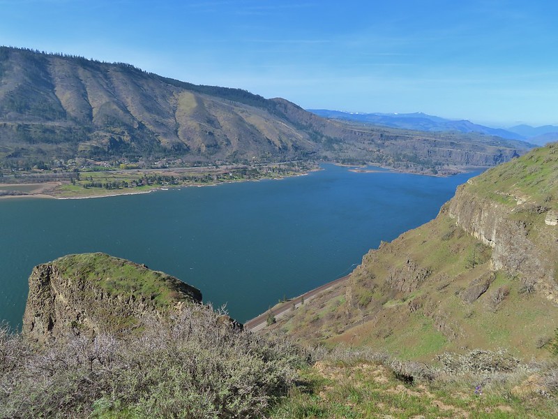
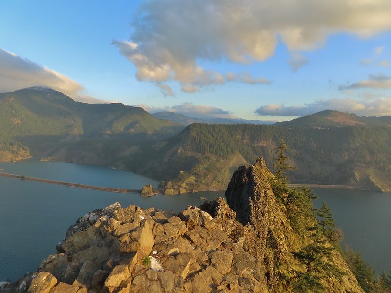 North across the Columbia River into Washington
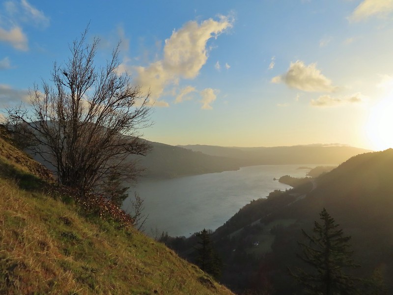 East
East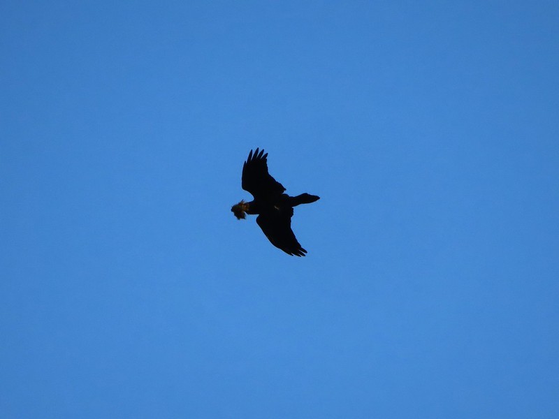 Looks like moss for a nest maybe?
 Turkeys on the Wygant Trail
 Red leaves of poison oak behind a death camas
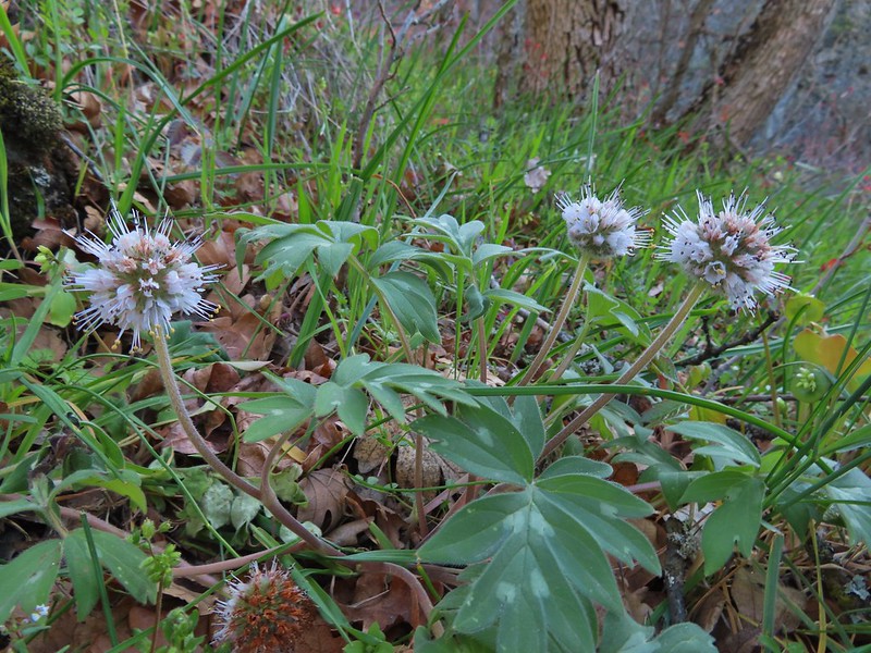 More poison oak behind a waterleaf
 Poison oak around some balsamroot


 Fiddleneck
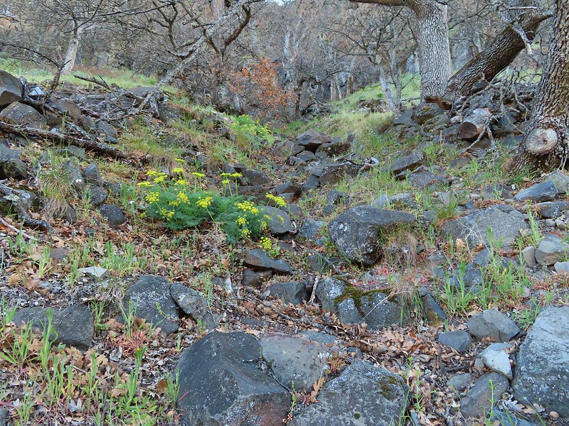 Desert parsley
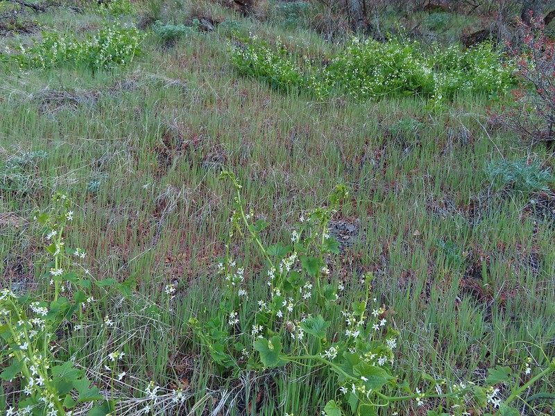 Manroot
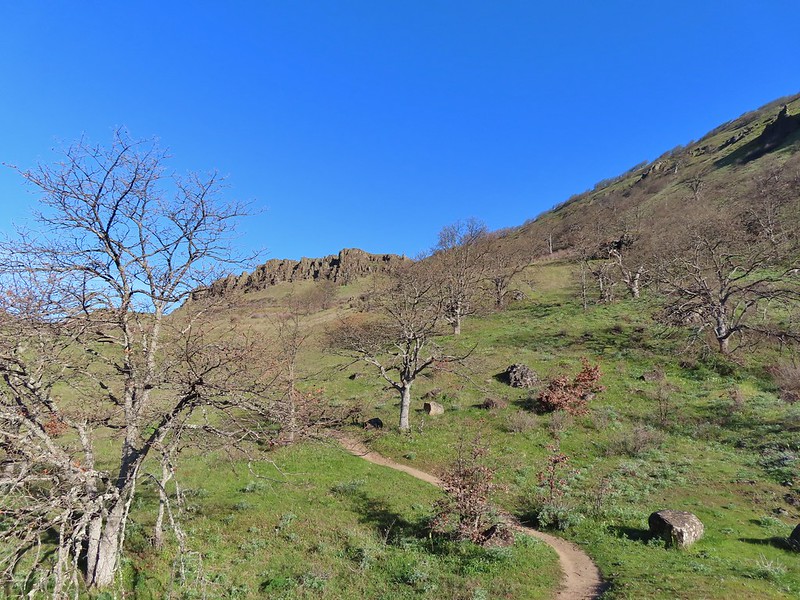
 Lots of death camas blooming on the plateau.
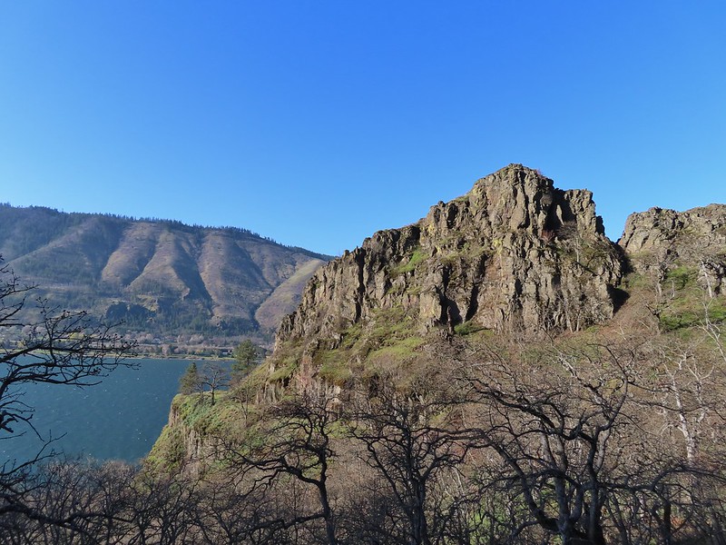
 Looking up at the cliffs above.
 Balsamroot blooming below the rim.

 Balsamroot
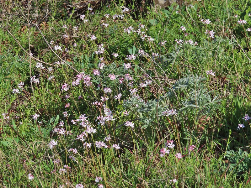 Woodland stars with some lupine leaves
 Columbia desert parsley
 A biscuitroot
 Balsamroot
 Balsamroot
 View west (With a snow capped Mt. Defiance (
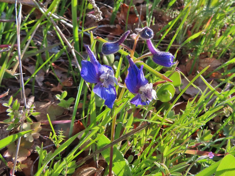 Larkspur
 Buttercups
 Glacier lilies
 Yellow bell lily, woodland stars, grass widows and shooting stars.
 Yellow bell lilies
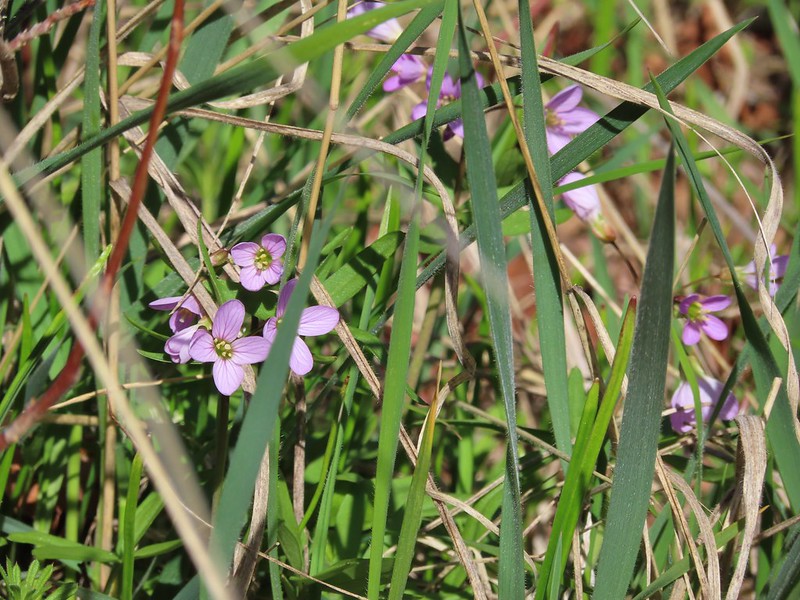 Toothwort
 Sagebrush false dandelions
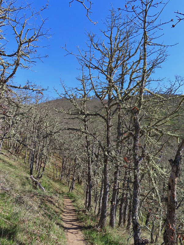
 Tortoiseshell butterfly
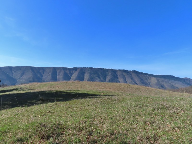


 Tom McCall Point and the Rowena Plateau with Mt. Defiance in the distance.
 Hikers on the trailhead and below.
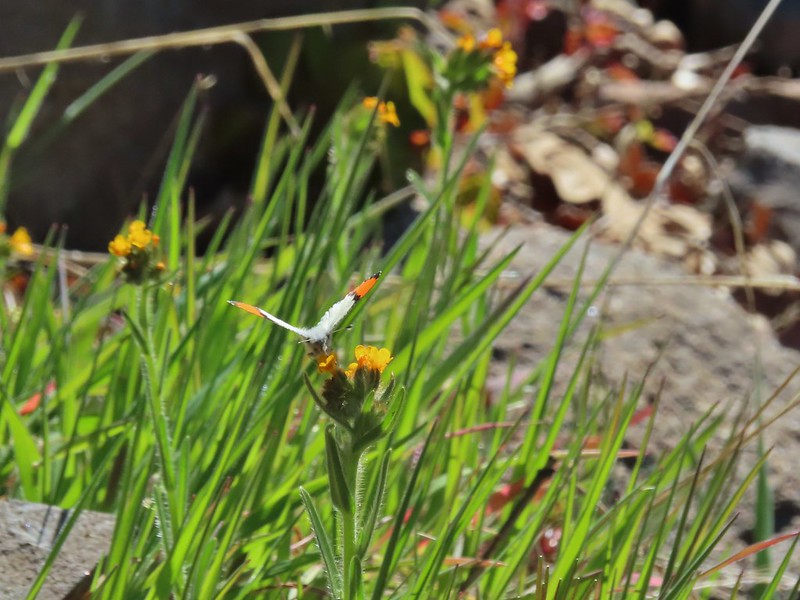 Just my third photo of an orange-tip.
 Mt. Hood and Columbia desert parsley from the first knoll we tried.
 Top of knoll #1.
 A lone balsamroot blossom.
 The path leading past the spring to the oaks.
 The spring
 Back on the right side
 Balsamroot surrounded by some little white flowers.
 Lupine thinking about blooming.
 Larkspur
 Yellow bell lilies
 We didn’t notice any poison oak here.
 A grass widow at the viewpoint.
 Mt. Adams
 Mt. Hood over the oak stand.


 The Dalles beyond the fence line.
 Heading down the fence line.
 Large head clover
 A lupine with blossoms.
 Hillside covered in Columbia desert parsley
 Our car had been joined by one other. (middle left of photo)
 Gooseberry Creek
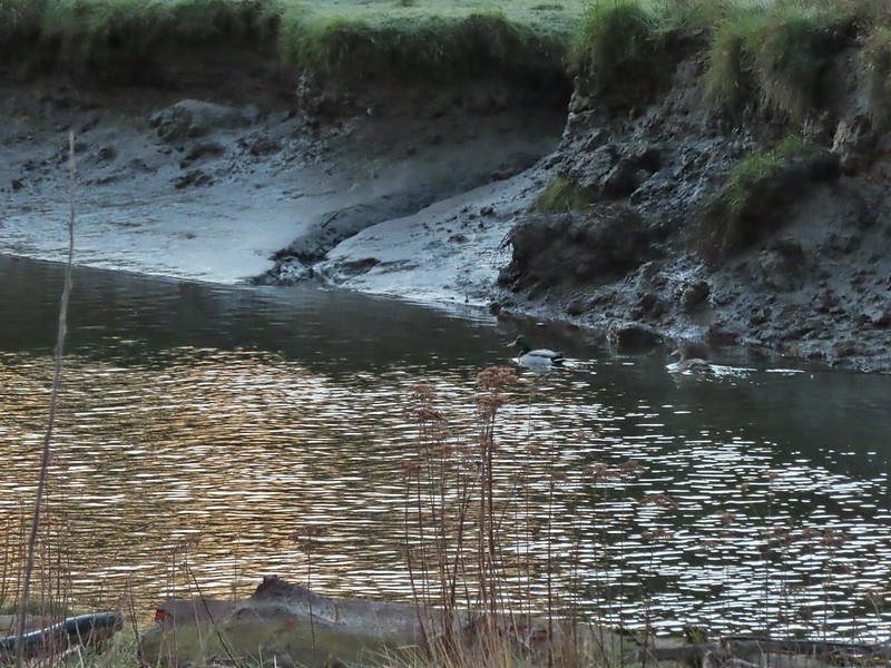 Mallard pair
 Canada geese
 Goose and a mallard in the channels.


 Several interpretive signs were placed along the loop.
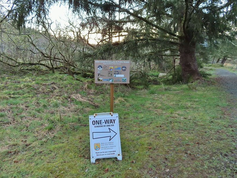 A reminder that COVID-19 is still an issue.
 The larger muddy area along the bank ahead on the right is where Heather spotted the otter.
 Alder lined trail.
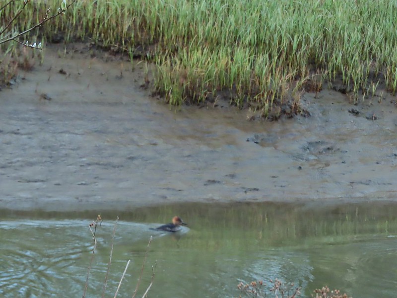 Blurry photo of a non-breeding male hooded merganser.
 The blurry river otter.
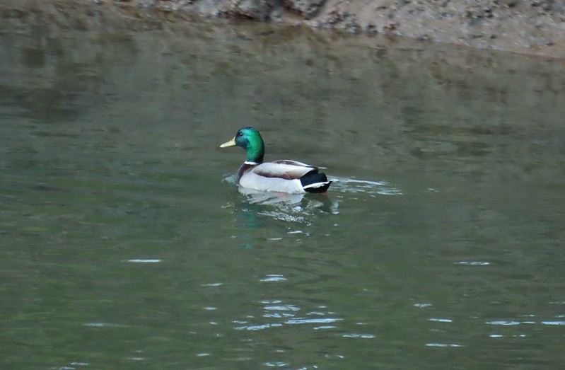 Another mallard
 Canada geese
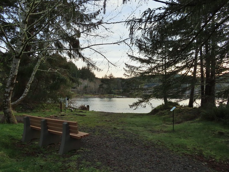
 Siletz River
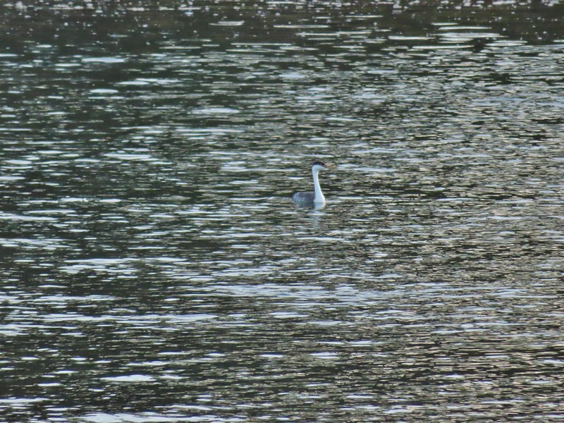 Western grebe
 Goose and a bufflehead (the duck not the post)
 Bufflehead
 Spring is coming!
 Sentry at the Roads End entrance.
 It’s hard to tell just how much uphill this is. Fortunately it wasn’t very muddy.
 A little easier to see the uphill here, this was near the top.
 The junction.

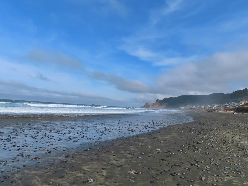
 The Roads End parking area is the open green space in the center along the ocean.
 The Pacific Ocean.
 Roads End Point jutting out to the north.
 The Knoll
 Snow queen
 More signs of Spring, salmonberry blossom and buds.
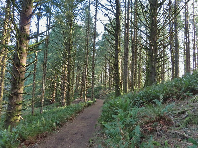 Sitka spruce and ferns along the ridge.
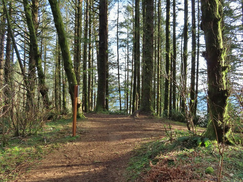
 The downed trees ahead in the distance.
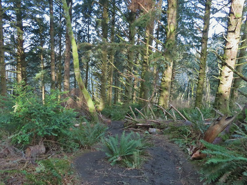 The last of the tree fall.
 Mud had begun to be a bit of an annoyance at this point.

 Busy woodpecker
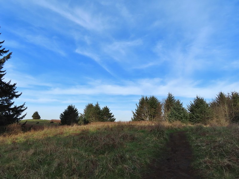 The trail getting nearing the turn left.
 Lone tree in the meadow.
 Lone robin in the lone tree.
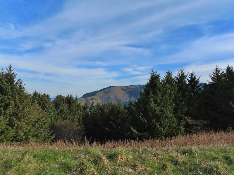


 Heather crossing the saddle (left of the big bush)
 Cascade Head from the saddle.
 Final pitch up to the top.
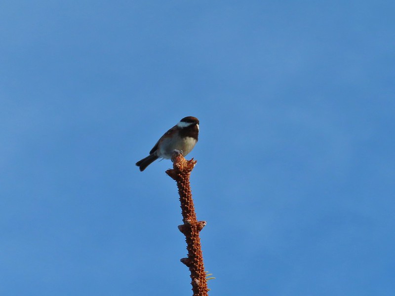 Not quite to ourselves, we shared the space briefly with some chestnut backed chickadees.
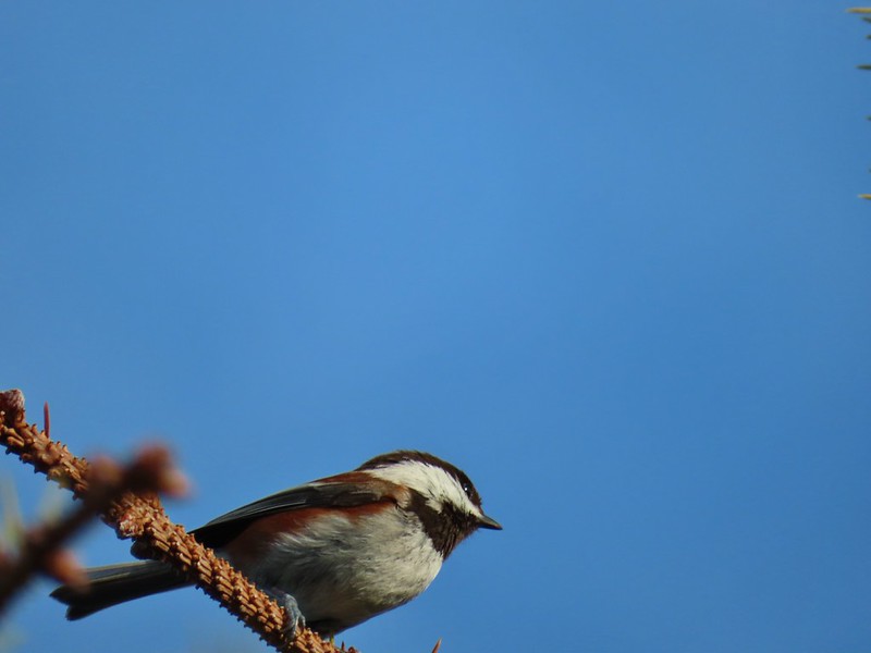
 Cascade Head and the mouth of the Salmon River.
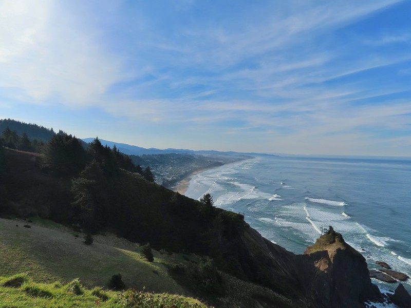 Roads End Point and Lincoln City
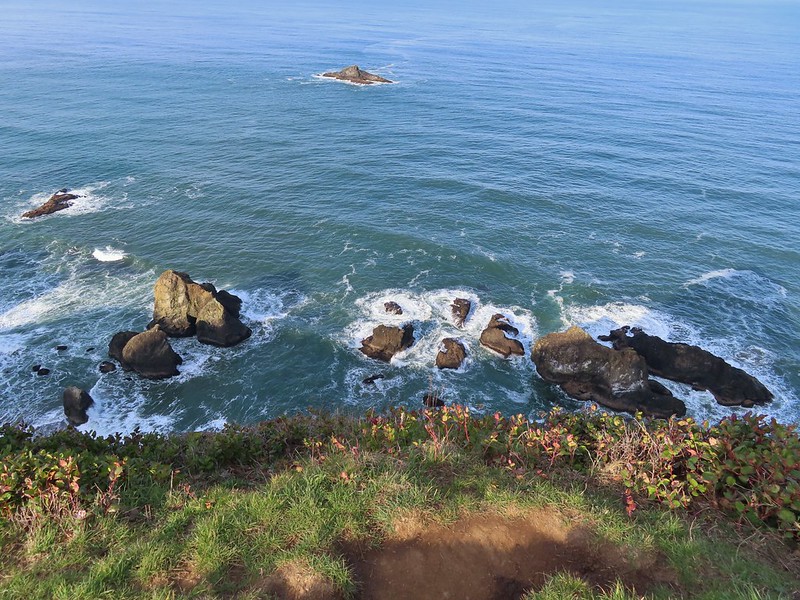 Rocks below God’s Thumb
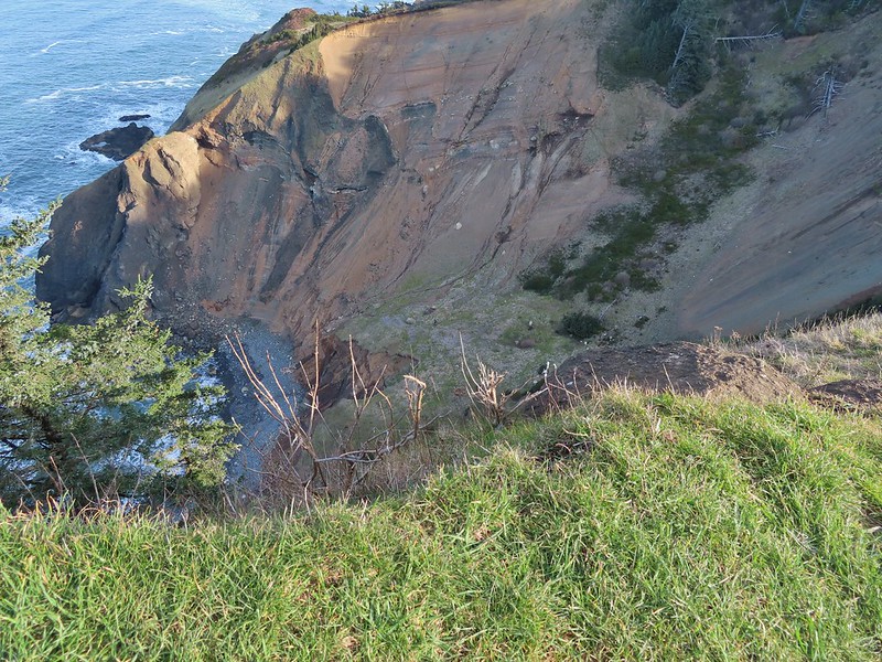
 A reasonable representation of the wet/muddy conditions on this part of the hike.
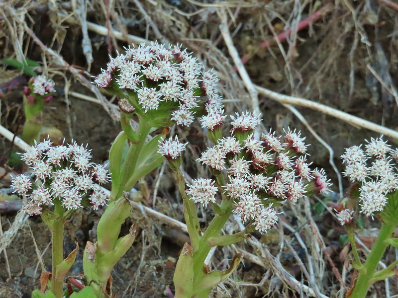
 Toothwort
 The gate and Sal La Sea Drive in the distance.
 It’s not a hike at the coast without some skunk cabbage.

 Coltsfoot
 An immature bald eagle flew overhead at one point.
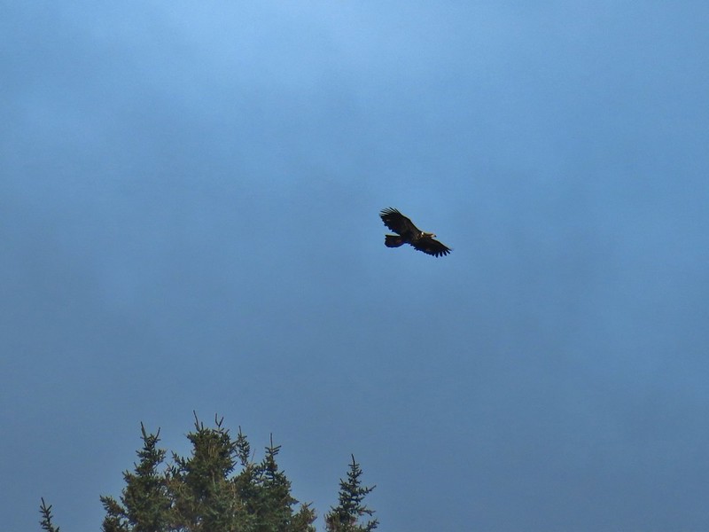
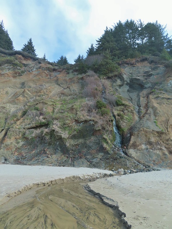 Little waterfall along the beach.
 Roads End Point
 Not going around that today.
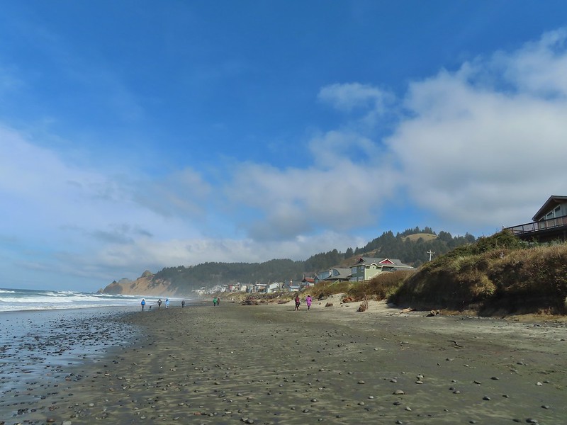
 God’s Thumb on the right.
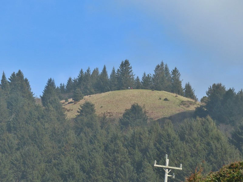 Hikers on The Knoll


 Gods Valley Creek
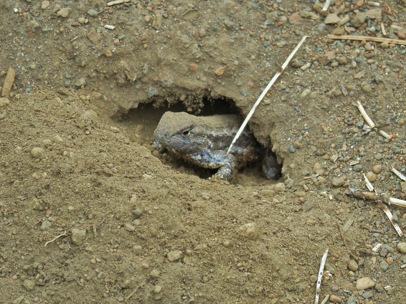
 Frog near the old picnic tables.
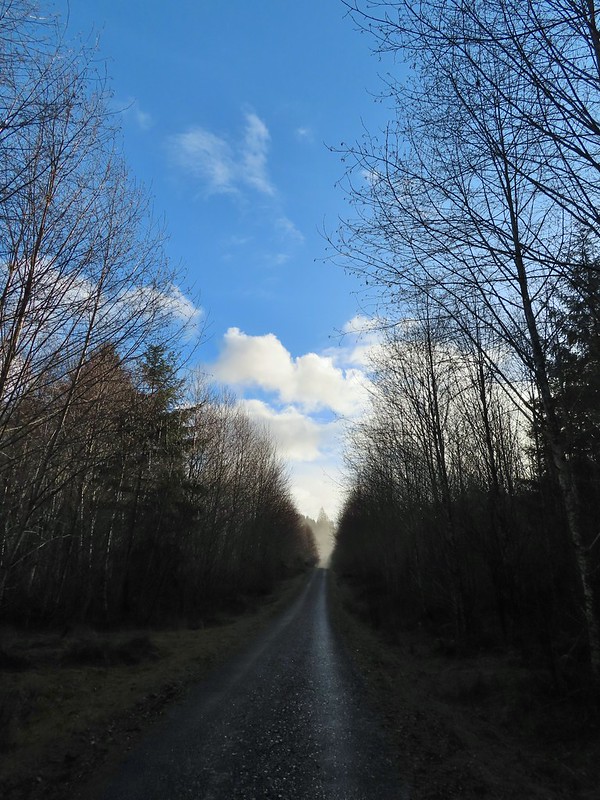


 Not much in the way of flowers yet but there was a bit of skunk cabbage in bloom.
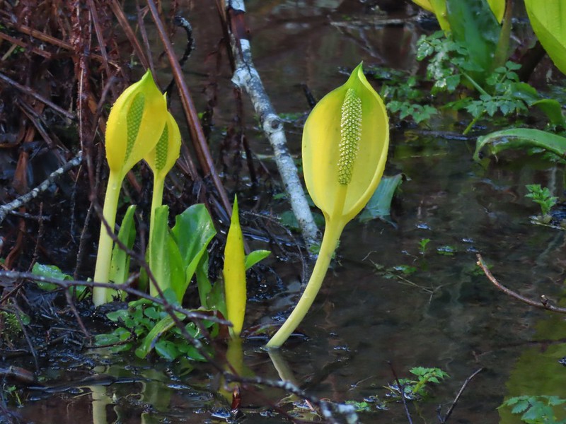
 Some low hanging trees, presumably from the storm. The roads had been cleared but occasional damage along the side of the road was evident.
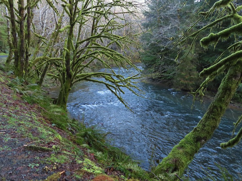
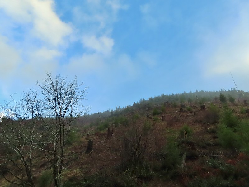
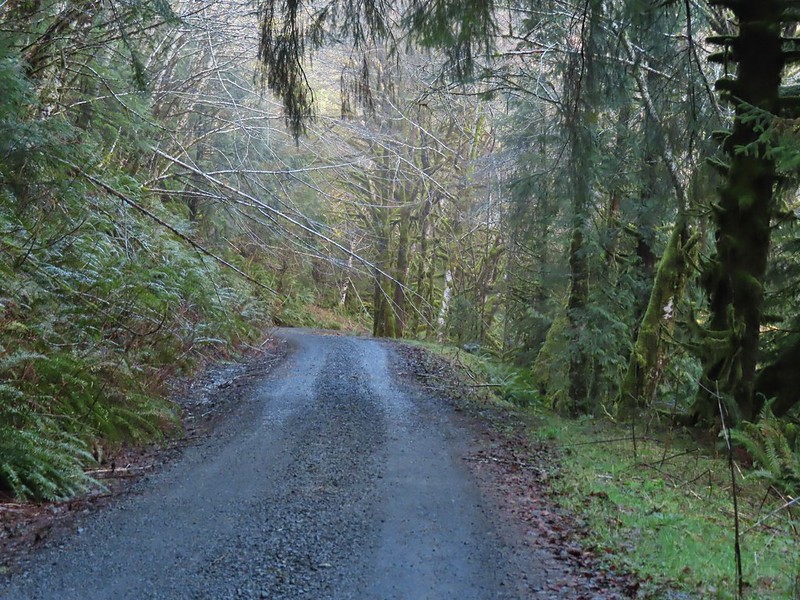
 There were no recent clearcuts in the Clatsop State Forest section but there was evidence of past logging.
 Fall Creek
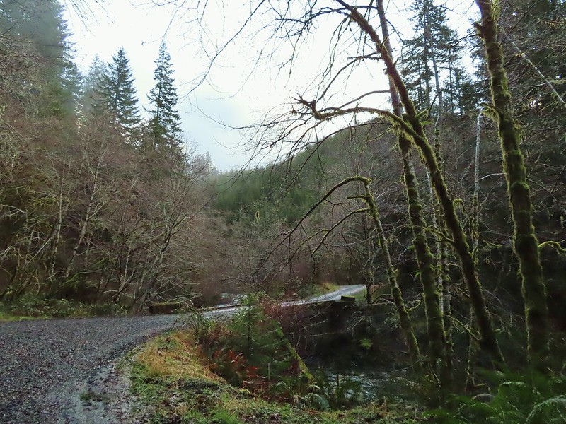
 Not sure why I neglected to get a picture of the bridge from the locked gate but this is the only one I took of the bridge.
 The hike description in the Oregon Hikers Field Guide mentions walking along the bank to get a view of Upper North Fork Falls from the rocks below but that wasn’t going to be an option with the river level today.


 We both thought that this thick moss looked like some sort of hairstyle.
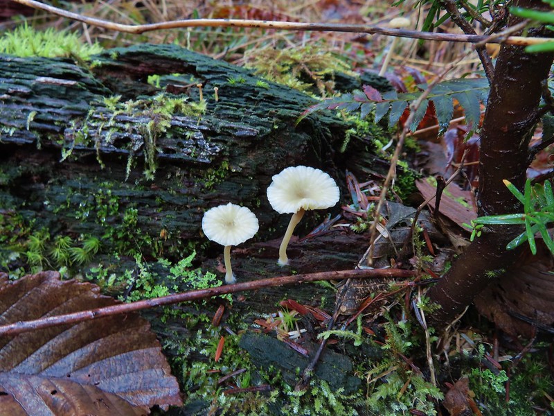
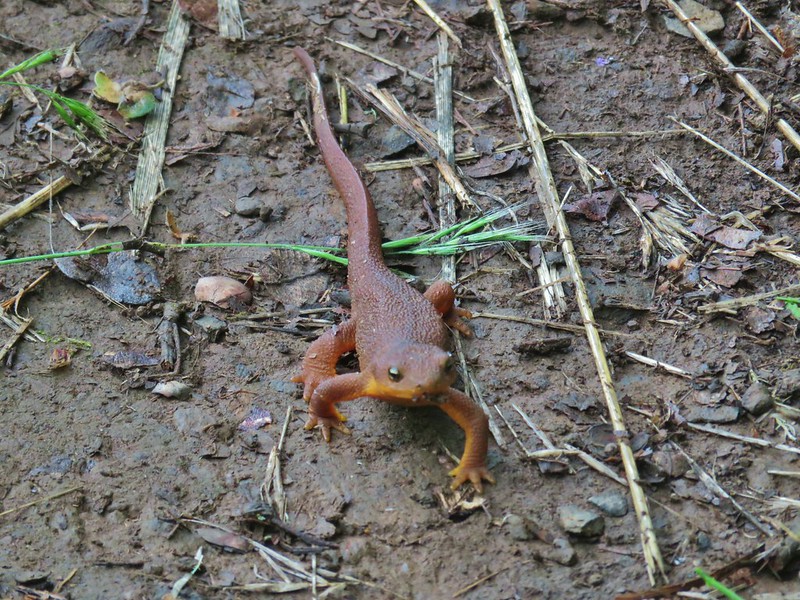
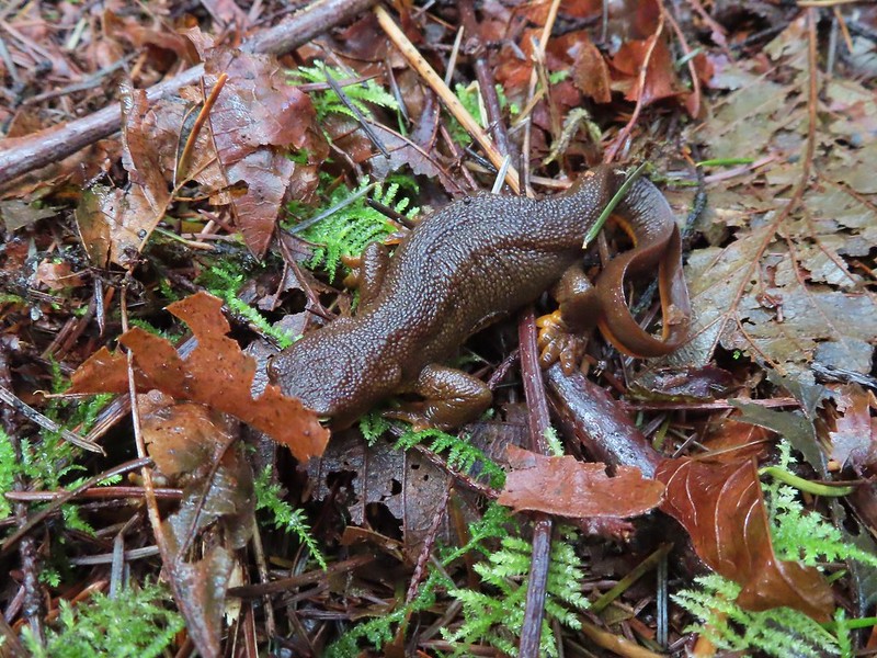 Rough-skinned newt


 Middle North Falls
 Shellburg Falls
 Henline Falls
 Jawbone Flats
 Tumble Lake from Dome Rock
 Mt. Jefferson from Battle Ax
 View from Stahlman Point
 Meadow below the Three Pyramids
 Beargrass on Crescent Mountain
 Mt. Jefferson from Browder Ridge
 Boardwalk in Echo Basin
 Iron Mountain from the trail.

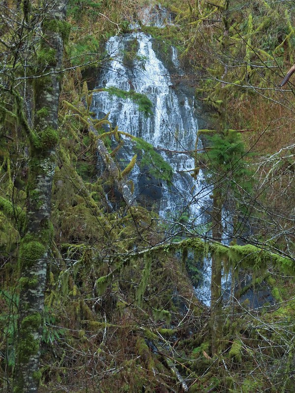
 Soda Creek Falls
 Majestic Falls
 Roaring Creek
 Mt. Jefferson
 Three Fingered Jack from Marion Lake
 Mowich Lake and Duffy Butte from Red Butte
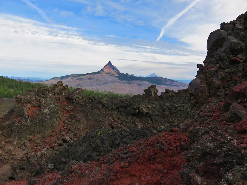
 Three Fingered Jack
 Wizard Falls
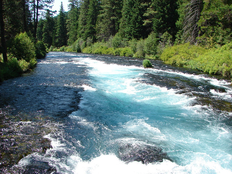
 Deschutes River

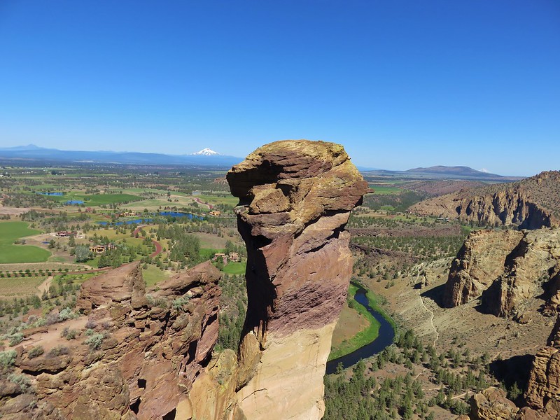 Monkey Face
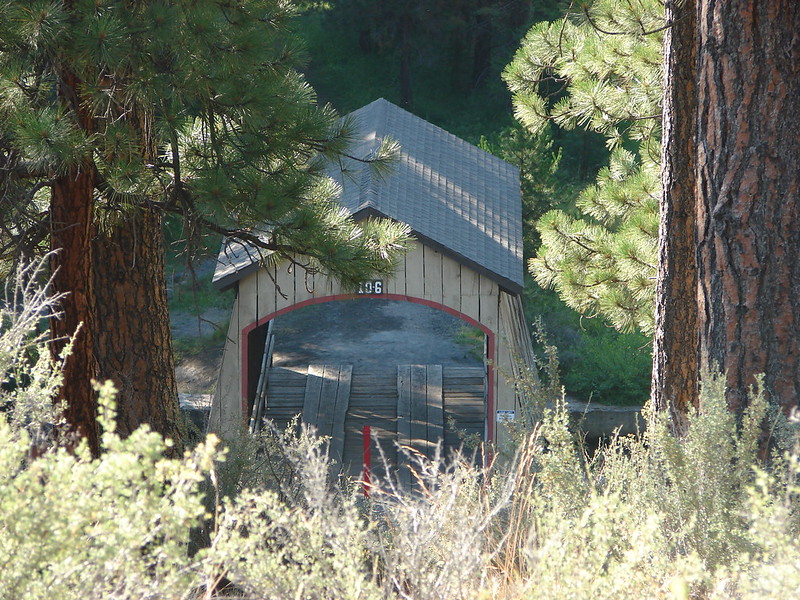 Hixson Crossing Covered Bridge
 Benham Falls
 Deschutes River
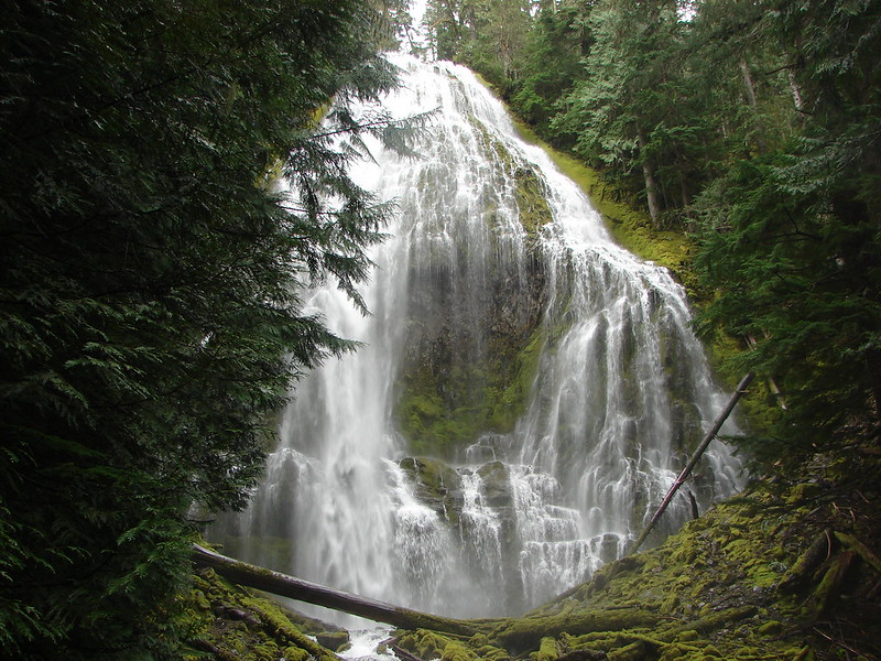 Proxy Falls
 Obsidian Falls
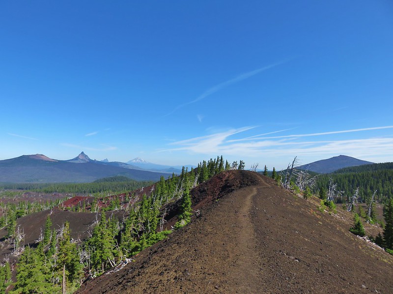 View from Four-in-One-Cone

 Mt. Washington, Three Fingered Jack, and Mt. Jefferson from Little Belknap Crater
 North Sister from South Matthieu Lake
 Former lookout site on Black Crater.
 South Sister from Camp Lake
 Middle and North Sister from Golden Lake
 Broken Top and Broken Hand from Tam McArthur Ridge
 Trees near the summit of Tumalo Mountain.
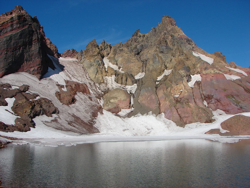 Broken Top from No Name Lake
 South Sister from Sparks Lake
 The third Green Lake
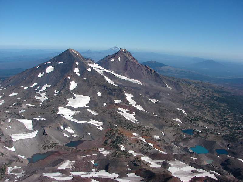 Looking north from the South Sister.
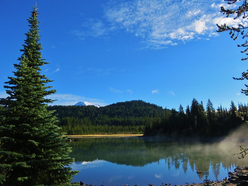 South Sister from Sisters Mirror Lake
 Horse Lake
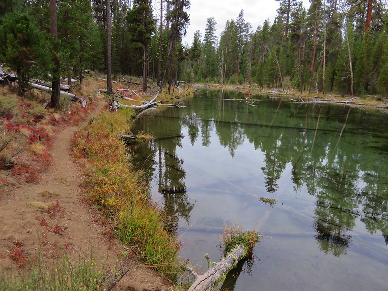
 Doris Lake
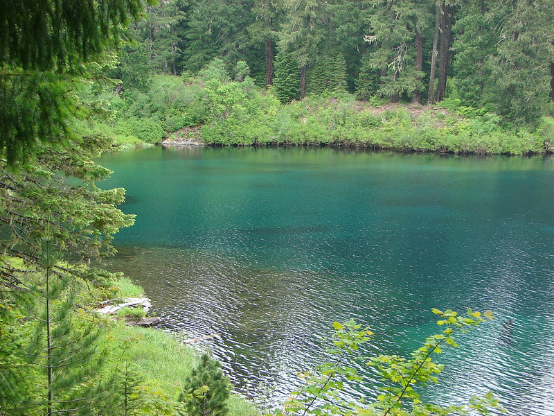
 Sahalie Falls
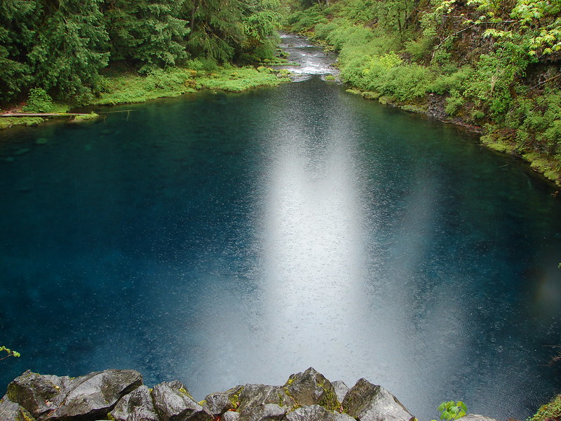
 Separation Lake
 South Sister and Mt. Bachelor form Horsepasture Mountain.
 View from Lowder Mountain.
 View from Tidbits Mountain.
 Monkeyflower and plectritis on Castle Rock.
 Middle Erma Bell Lake
 Fog over Eugene.
 Summit marker on Mt. Pisgah.
 Sawtooth Trail
 Lone Wolf Meadow
 Wildflowers along the Tire Mt. Trail.
 Buffalo Rock from the North Fork Willamette River
 Beargrass meadow along the Blair Lake Trail.
 Indigo Springs (These springs have not burned.)
 Moon Falls
 Upper Trestle Creek Falls
 Lower Eddeeleo Lake
 View from the Waldo Mountain Lookout.


 Pulpit Rock from Middle Rosary Lake
 Yoran Lake
 Diamond Peak from Diamond View Lake
 Huckleberry Bushes along Saddle Lake.
 Notch Lake
 Diamond Peak from Corrigan Lake
 Diamond Peak
 Sawtooth Mountain from Timpanogas Lake
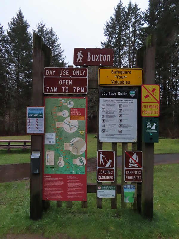


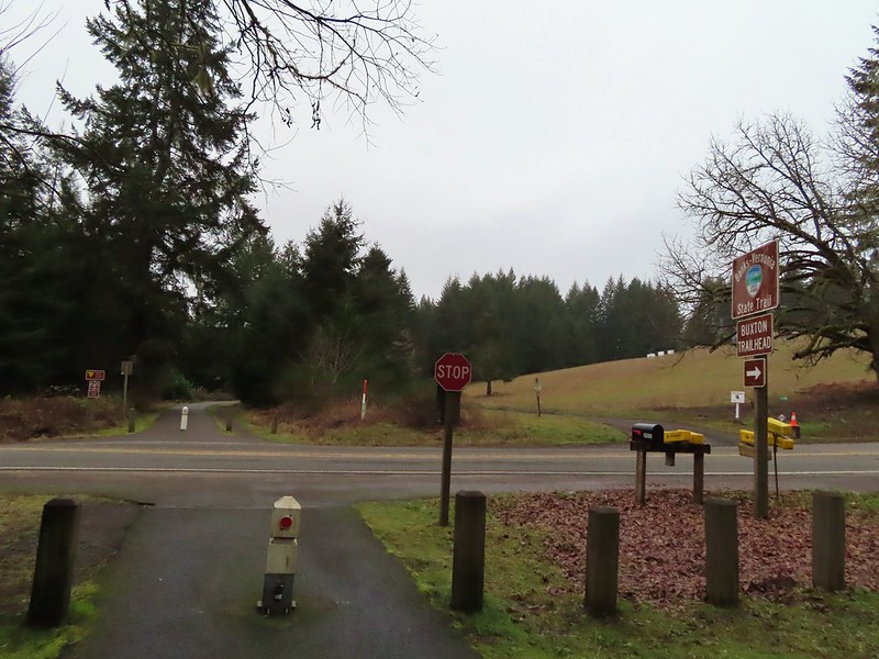 Leaving the Buxton Trailhead area.
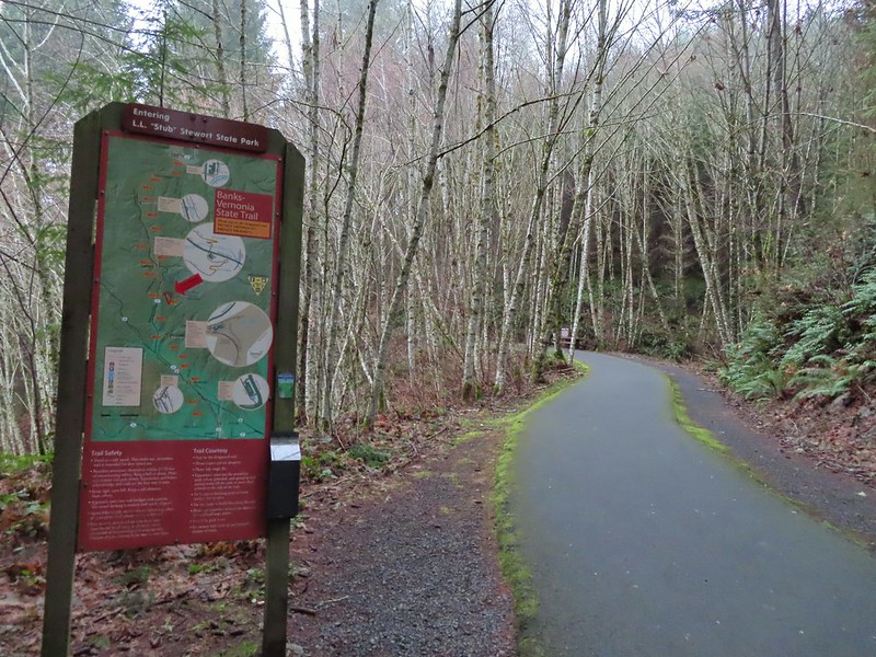 Entering Stub Stewart State Park.
 This trail was just north of Logging Creek and appeared to just loop back to the Banks-Vernonia Trail a bit further north.
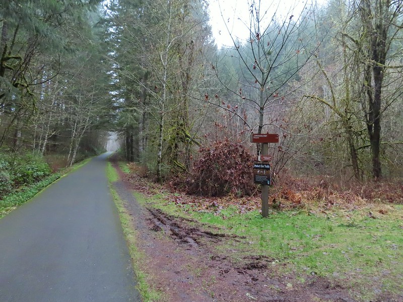 The Caddywhomper Way(s) Trail was signed better. We skipped the viewpoint given the amount of fog/clouds and not wanting to add another 2 miles to the days total. The Oregonhikers field guide also mentions that there isn’t much of a view left due to the presence of trees.
 Trail junction just north of Williams Creek


 Sign for the Widowmaker Way and Harse Canyon Trails.

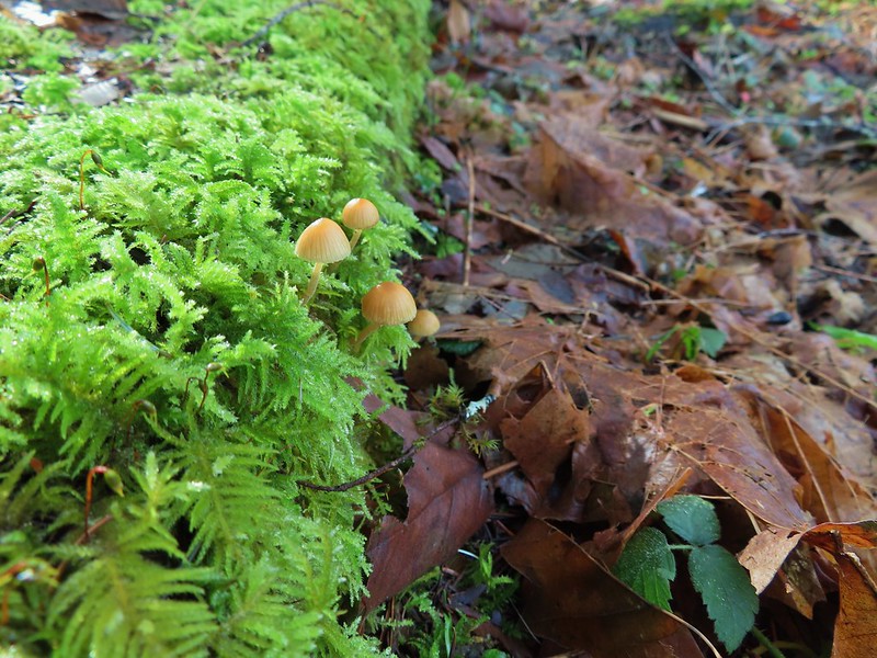
 No flowers yet but plenty of mushrooms and fungi.
 The trails were well signed so it was easy to stay on the Hares Canyon Trail.
 Comming up on North Caddywhomper Way


 Wet webs in the trees.


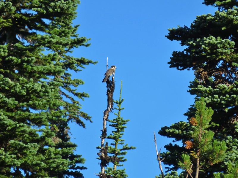
 Chatty squirrel

 Passing over Highway 47 on the way to the Tophill Trailhead.
 Orange jelly fungus on a tree.
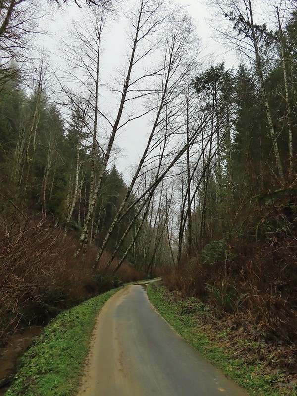 Heading up from the hill from the less steep south side.
 Highway 47 at the Tophill Trailhead.
 Chestnut-backed chickadee
 Pond along the trail.
 Entrance road to Stub Stewart.
 Back at the Buxton Trailhead
 Bench at the Buxton Trailhead
 Ponderosa Pines in the Boulder Creek Wilderness
 Boulder Creek Wilderness
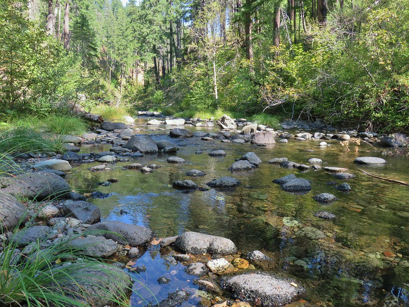 Boulder Creek
 The Palisades
 Gearhart Mountain
 Looking down from Gearhart Mountain
 Meadow below Gearhart Mountain
 Looking up at Gearhart Mountain
 Violet
 Manzanita
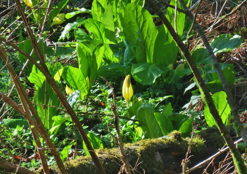 Skunk cabbage
 Violet
 Purple deadnettle
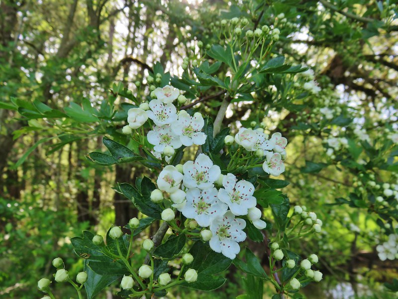 Blossoms on a tree
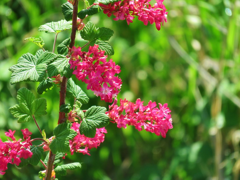 Red flowering currant
 Western service berry
 California poppy
 A checkermallow
 Perriwinkle
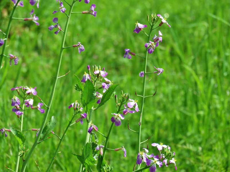 Cultivated radish
 Vetch
Vetch Annual honest
 Giant white wakerobbin
 Camas
Camas Cow parsnip
 Flowering bush as Basket Slough Wildlife Refuge
 Red clover
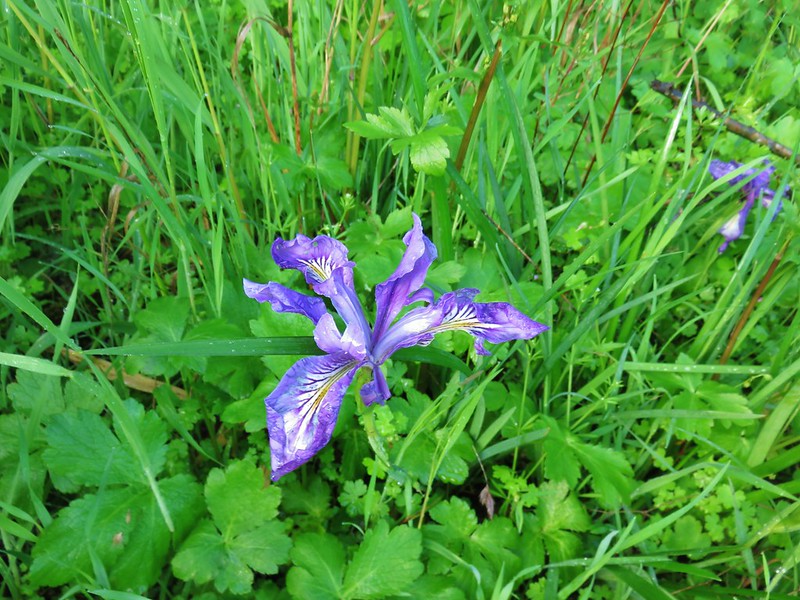 Iris
Iris Columbine
 Indian plum
 Tolmie’s mariposa lily
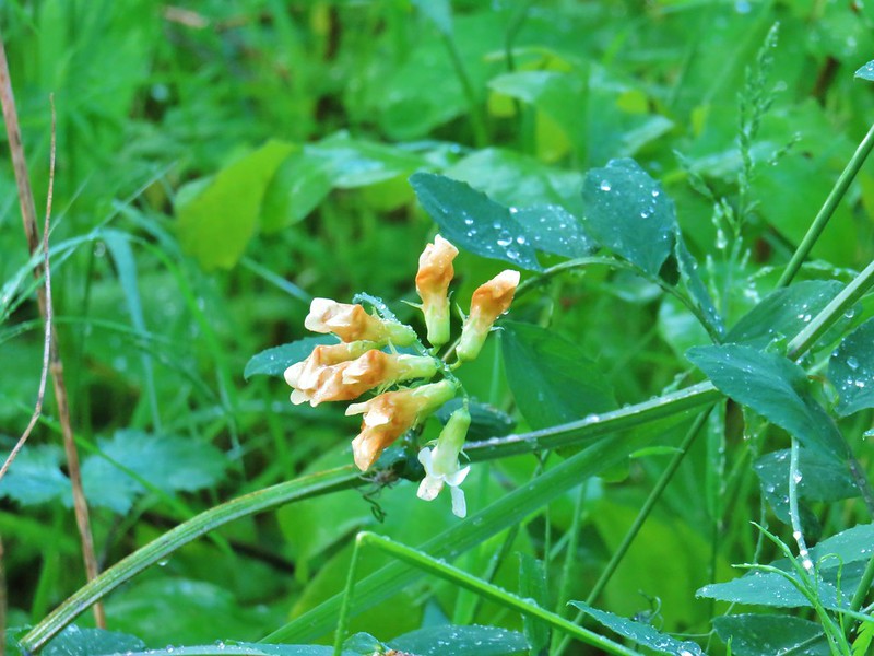 Thin-leaf pea
 Giant blue-eyed Mary
 Golden paintbrush
 Plectritis
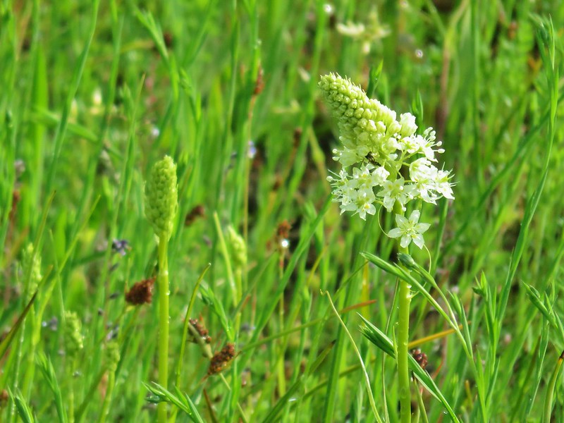 Meadow death camas
 Purple sanicle
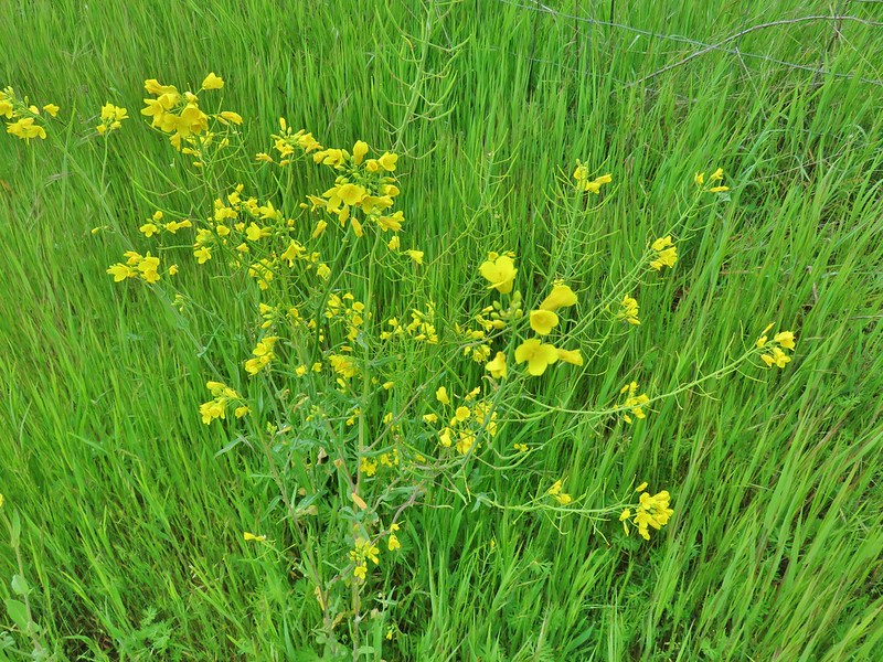 A mustard
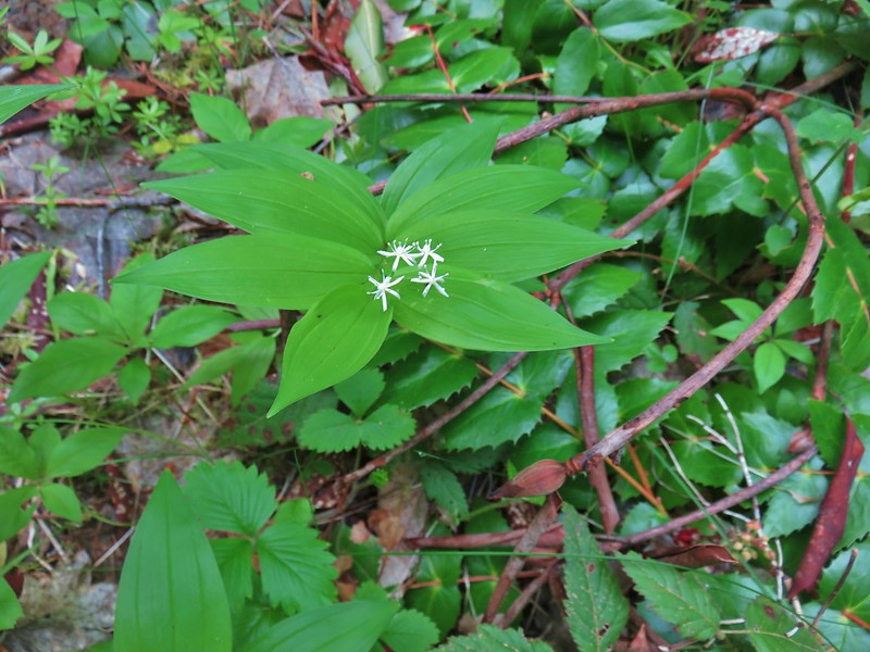 Star flowered solomseal
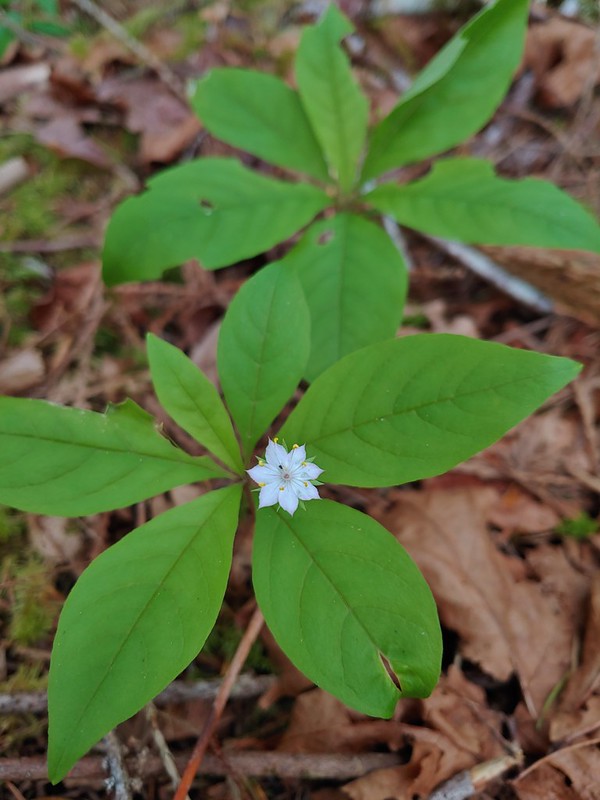 Starflower
 Yellowleaf iris
 Valerian
 Spotted coralroot
 Thimbleberry
 Hookedspur violet
 Fairy slipper
 Dogwood
 Buck Brush
 Fairybells
 Showy phlox
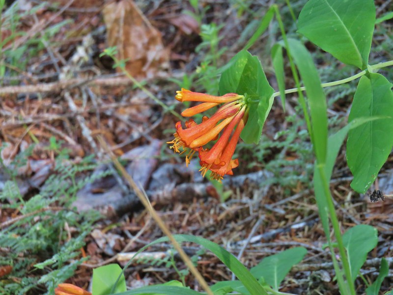 Honeysuckle
 A pea and poison oak
 Yout-on-age
 Monkey flower
 Snow queen
 Pale falx
 Wild ginger
 Oregon grape
 Candy flower
 Striped coralroot
 Bleeding heart
 Strawberry
 Maple
Maple Coastal manroot
 Popcorn flower?
 Variable collomia
 Western yellow oxalis
 Salmonberry
 Pacific waterleaf
 Queen’s cup
 Western buttercups
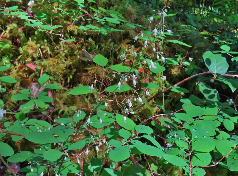 Foam flower
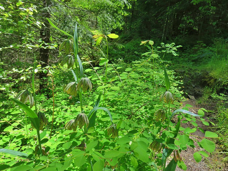 Chocolate lillies
 Vanilla leaf
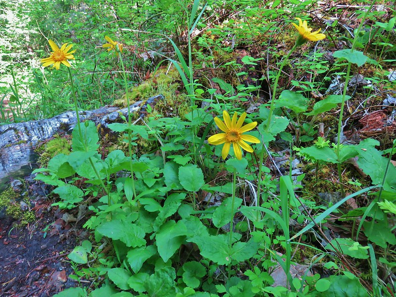 Arnica
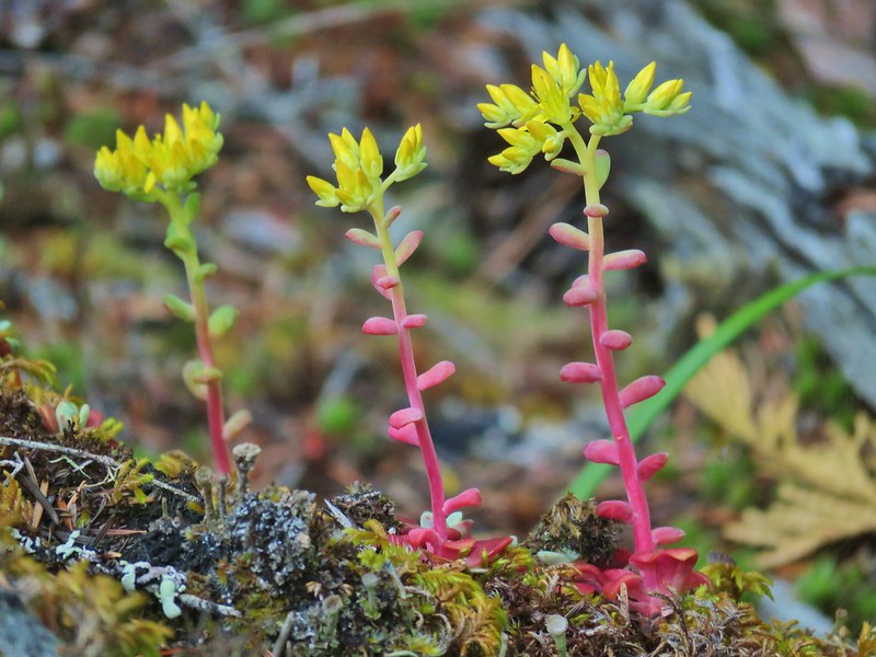 Stonecrop
 Tall bluebells
 Anemone
 Oregon geranium
 Vetch and daisies
 Common St. John’s wort
 Douglas spirea
 Lupine
 Ookow
Ookow Yellow glandweed
 Fringecup
 Wild rose
 Inside out flower
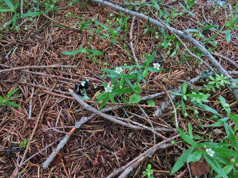 Largeleaf sandwort
 False solomonseal
 Baneberry
 <Sourgrass
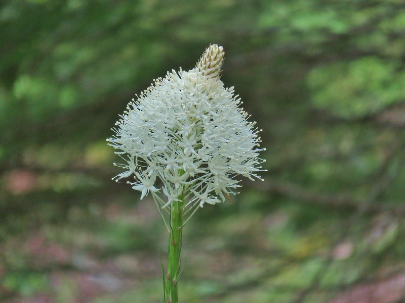 Beargrass
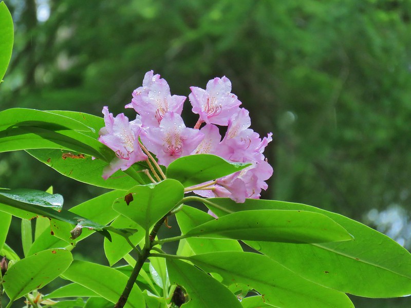 Rhododendron
 Subalpine mariposa lily
 Trillium
 Larkspur
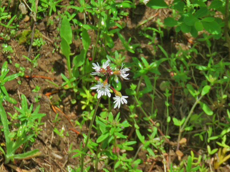 Woodland stars
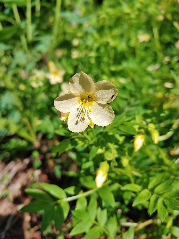 Royal Jacob’s ladder
 Nightblooming false bindweed
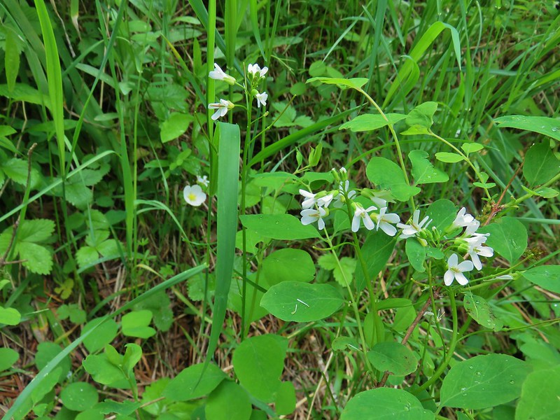 Alpine pennycress
 Twinflower
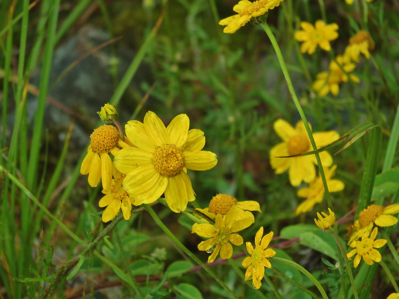 Oregon sunshine
 Bunchberry
 Mountain ash
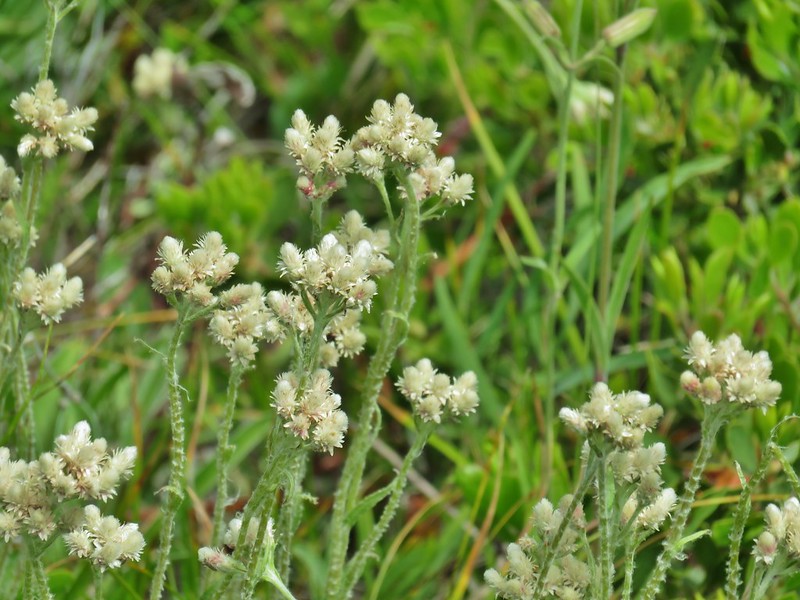
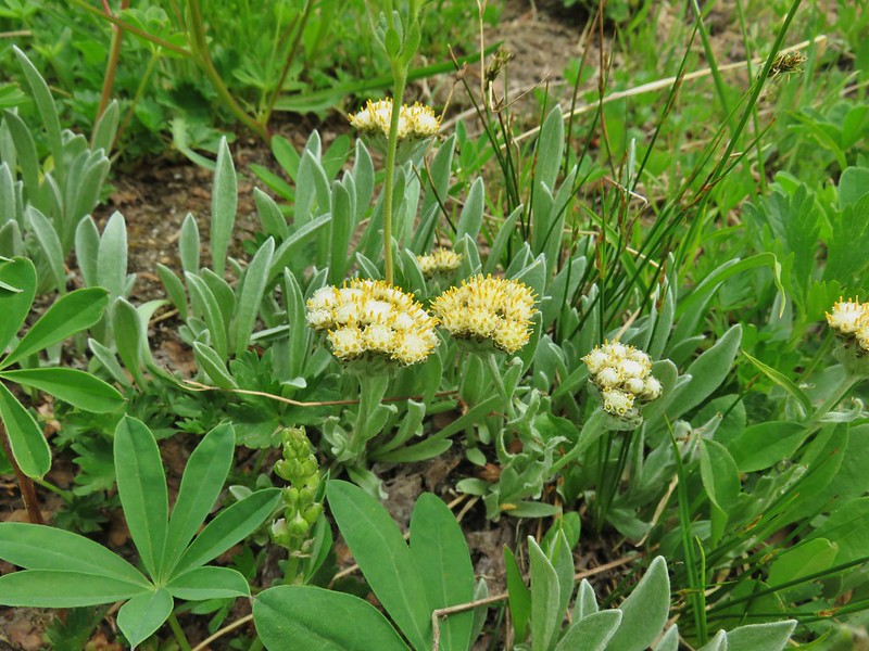 Raceme pussytoes
 Phlox
Phlox Paintbrush
 Rusty saxifrage
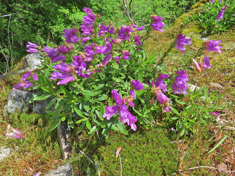 A penstemon
 Salal
Salal A pyrola
 Tiger lily
 Gold threads
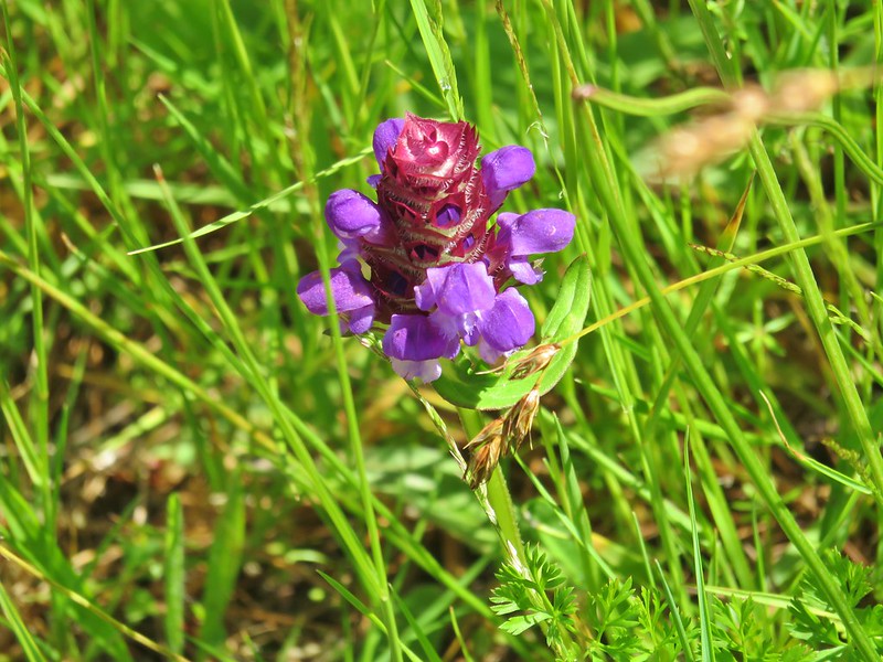 Self heal
 Bachelor button
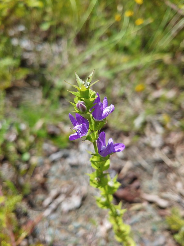 A willowherb?
 A pea
A pea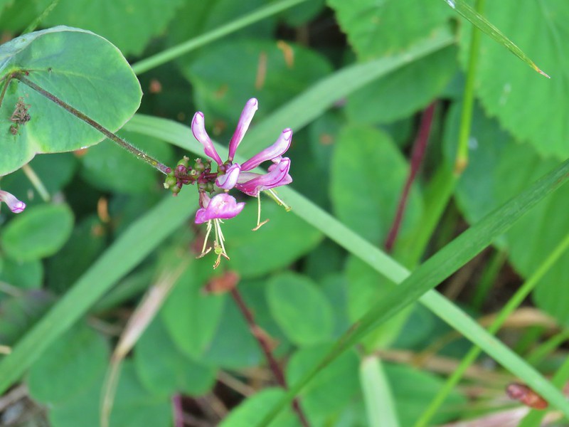 Pink honeysuckle
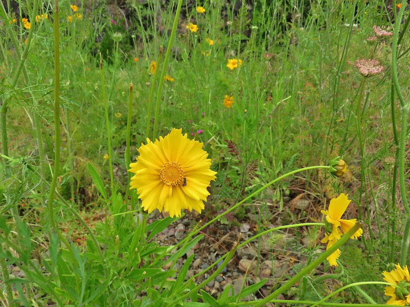
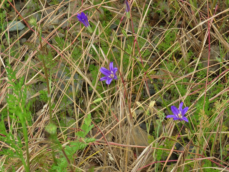 A brodeia
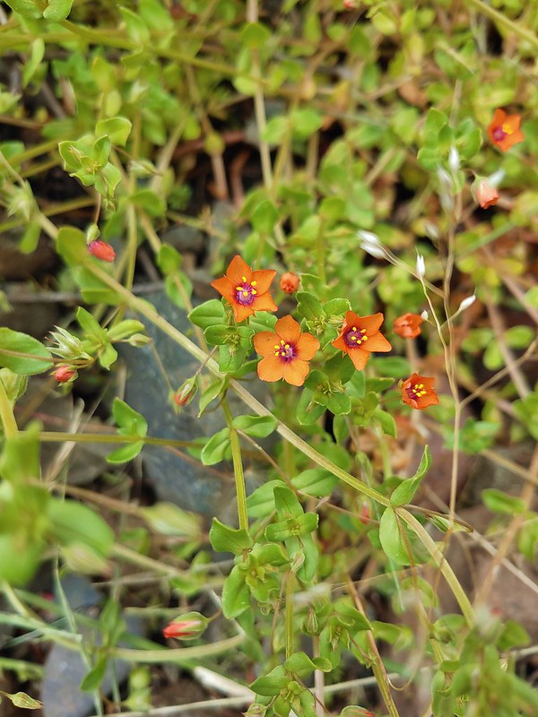 Scarlet pimpernel
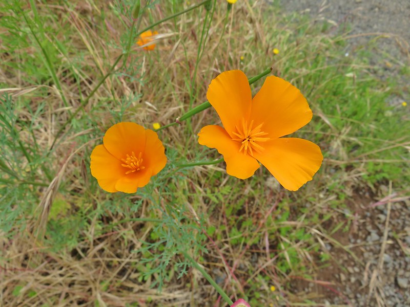 A poppy
 Foxglove
 Hedgenettle
 A phacelia
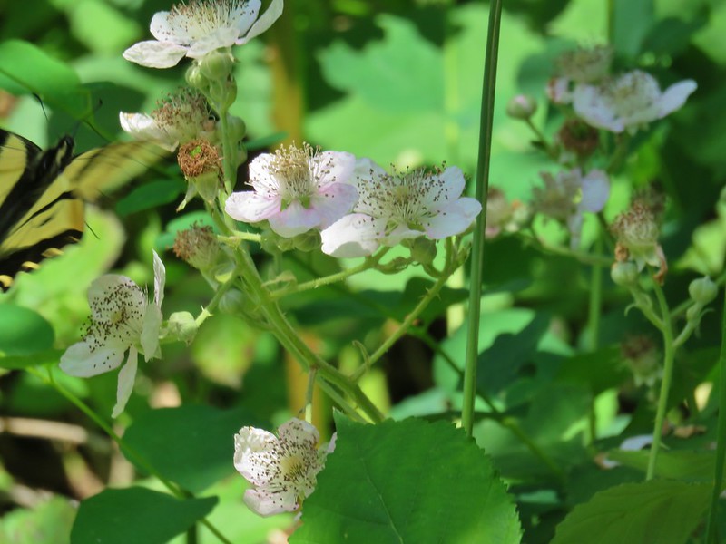 Blackberry
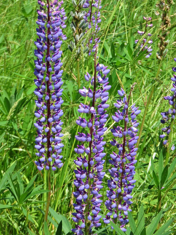 Lupine
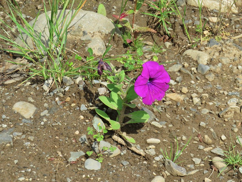 Petunia
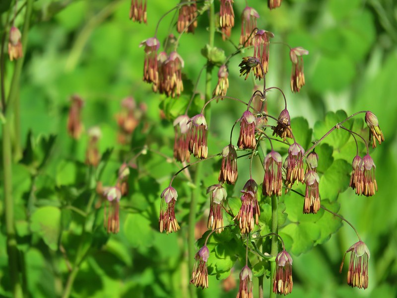 Western meadow-rue
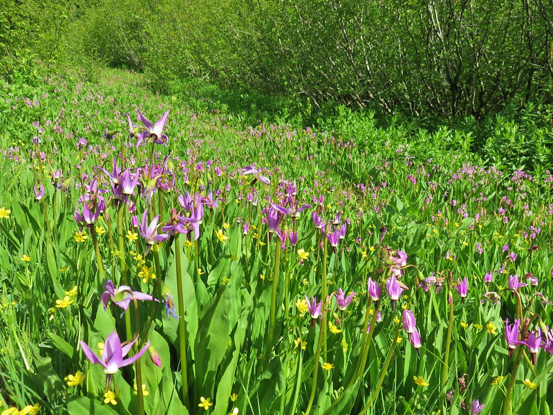 Shooting stars and western buttercups
 Elephants head
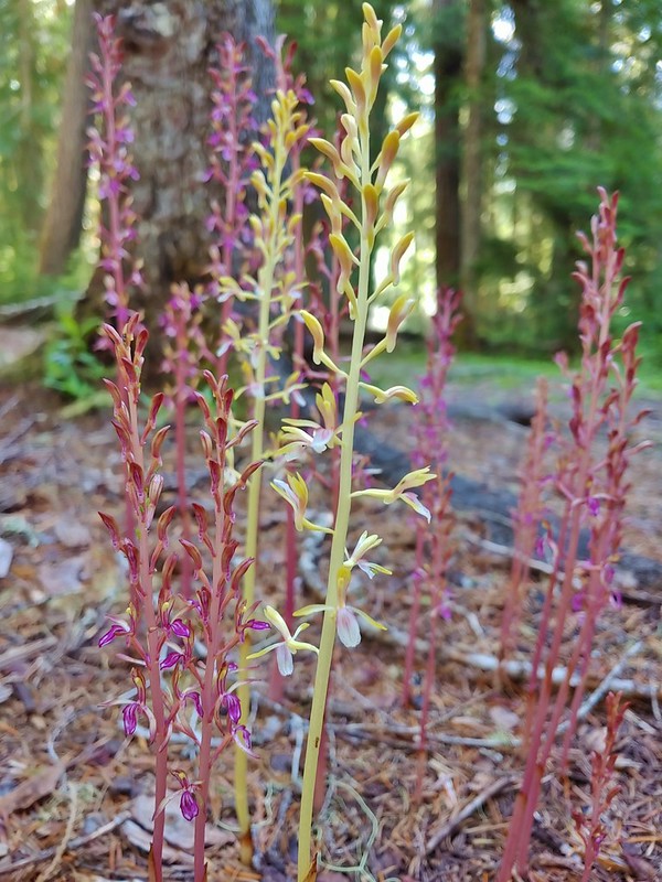 Pacific coralroot
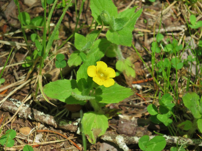 Musk monkeyflower
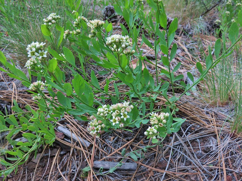 Bastard toadflax
 Yarrow
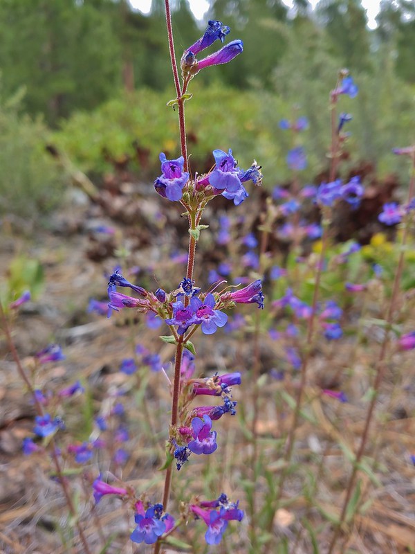 A penstemon
 Silverleaf phacelia
 Washington lily
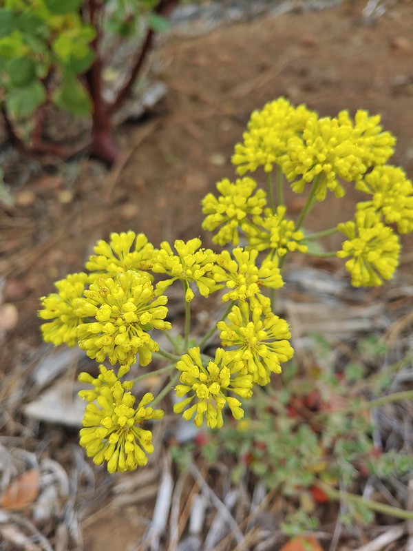 A buckwheat
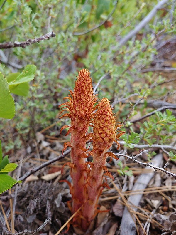 Pinedrops
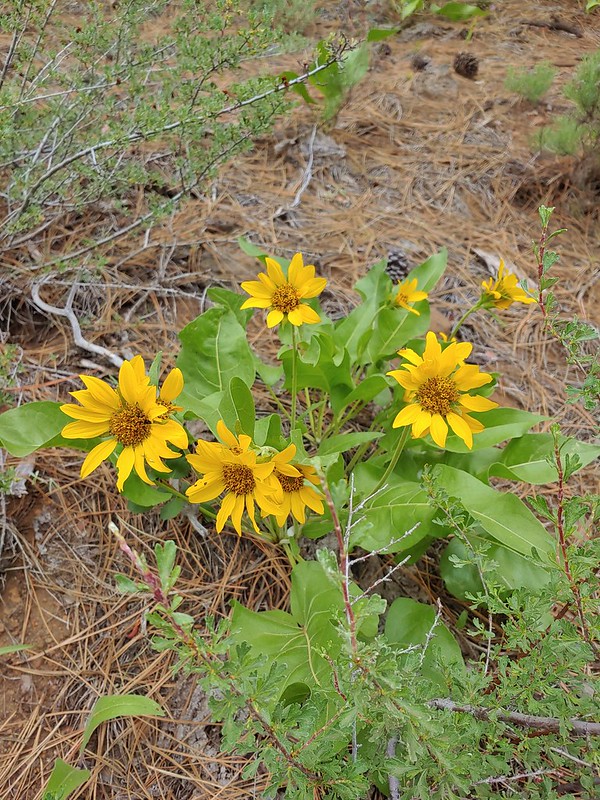 Balsamroot
 Western hound’s tongue
 Diamond clarkia
 California stickseed
 Scarlet gilia
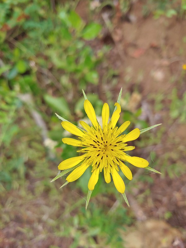 Salsify
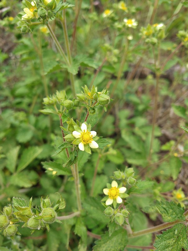 Sticky cinquefoil
 Gooseberry
 A thistle
 A buckwheat
 Blue-eyed Mary
 Fawn lily
 Sandwort
 Olympic onion
 A phlox
 False sunflower
 Bistort and paintbrush
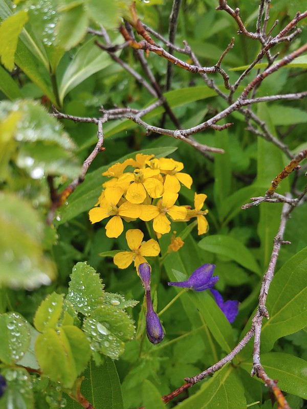 Wallflower
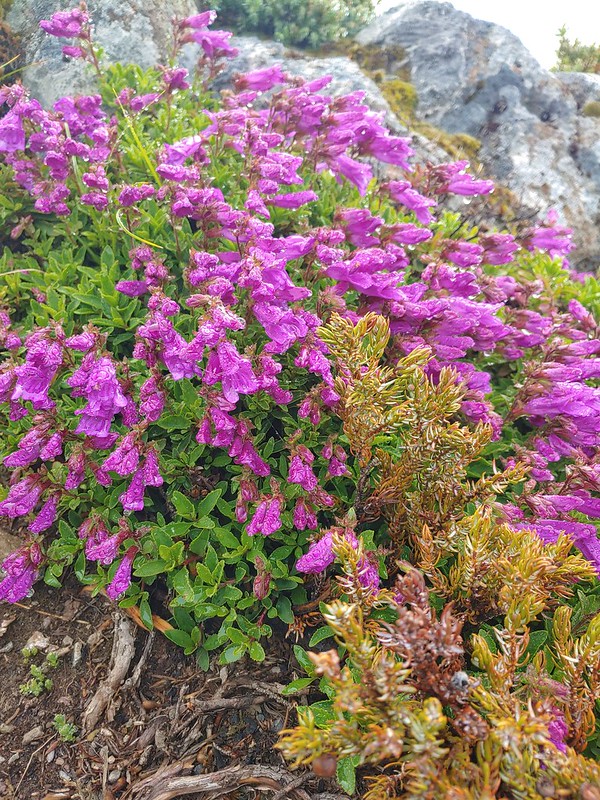 A penstemon
 Phantom orchid
 A penstemon
 A buckwheat
 Tall buckwheat
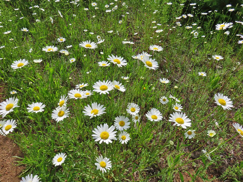 Daisies
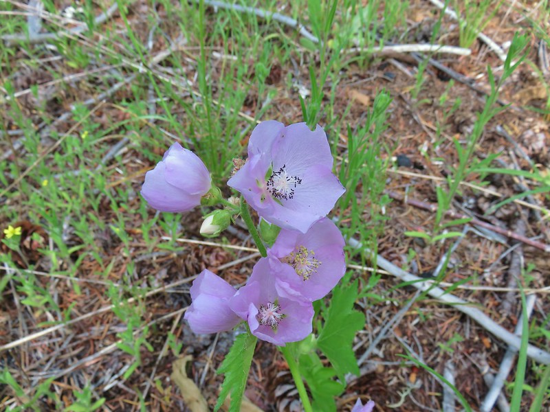 Streambank globe mallow
 Pussytoes
 Tapertip onion
 White stemmed frasera
 Prince’s pine
 Goats beard
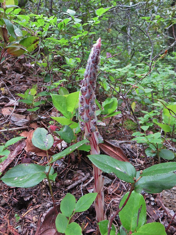 Sugarstick
 A saxifrage
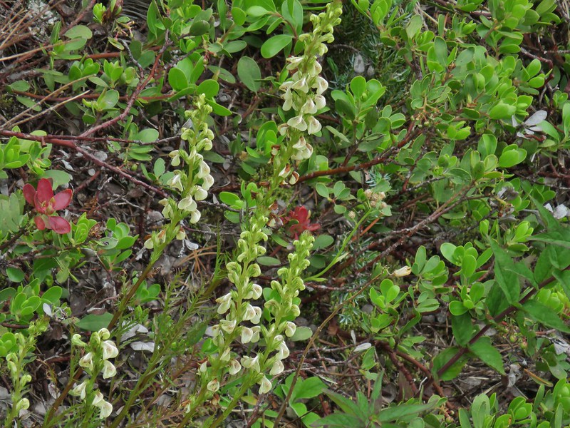 A lousewort
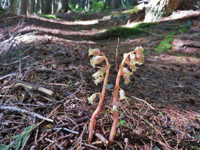 Pinesap
 A stonecrop
 Clarkia
 Blue-head gilia
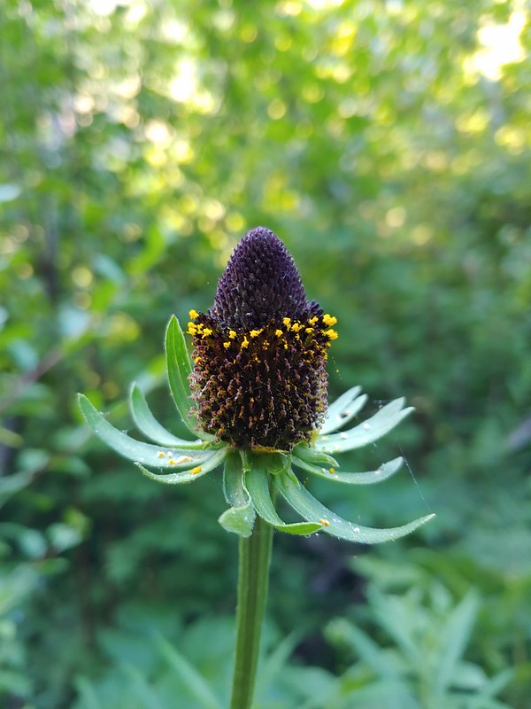 Cone flower
 A currant
 Large boykinia
 Bog orchid
 Old man’s whiskers aka prairie smoke
 A paintbrush
 Sticky chickweed
 Nettle-leaf giant hyssop
 California corn lily
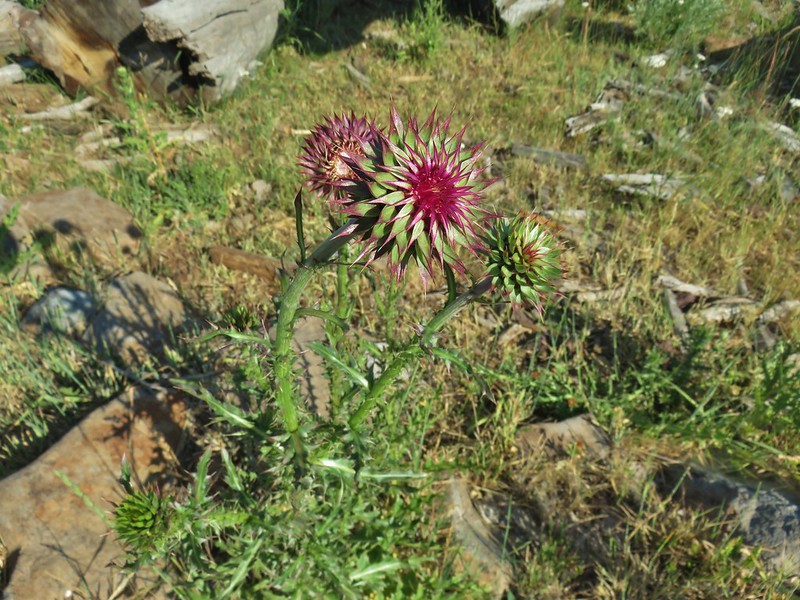 Musk thistle
 A checkermallow
 Grand collomia
 Rosy pussytoes
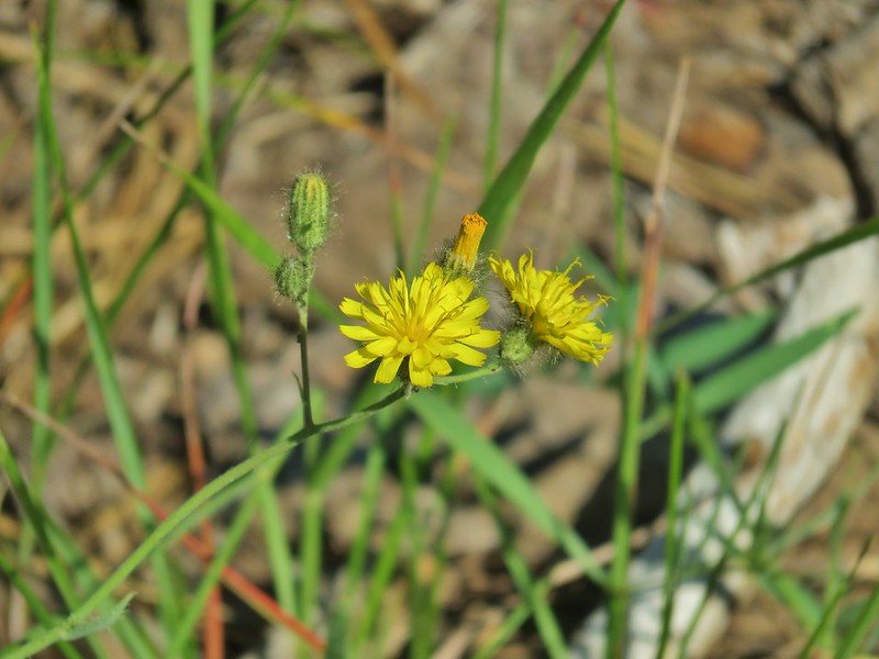 Scouler’s woollyweed?
 An orobanche
 Slender cinquefoil
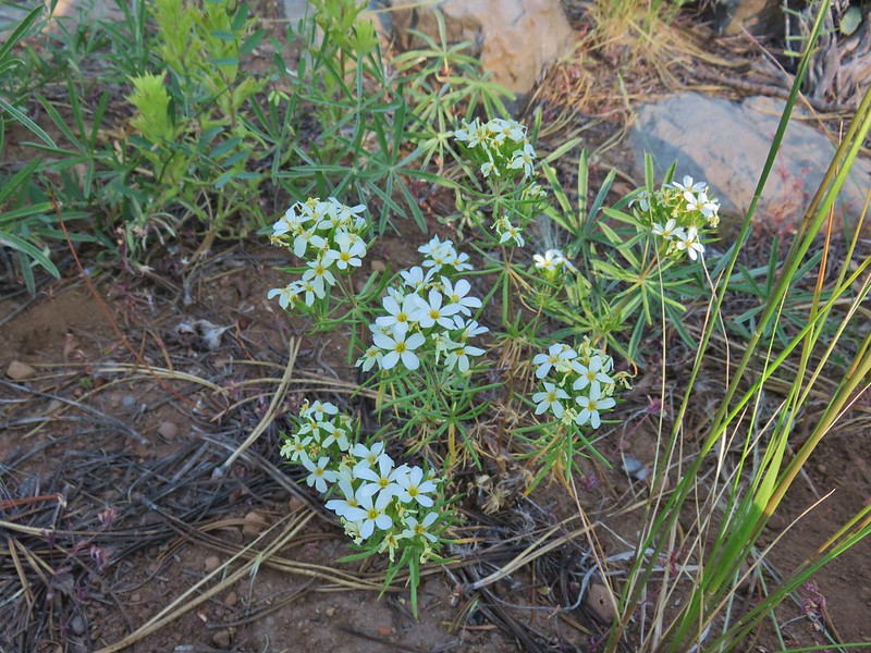 Nuttal’s linanthus
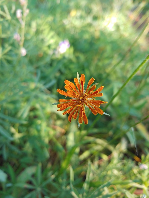 Orange agoseris
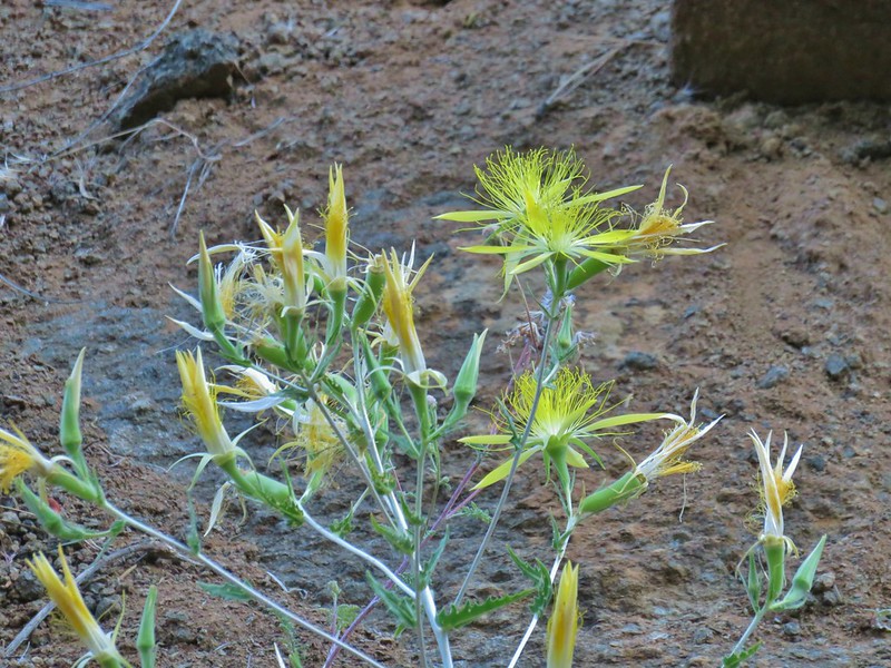 Smooth stem blazing star
 Rough eyelashweed
 A weed
 White water buttercups
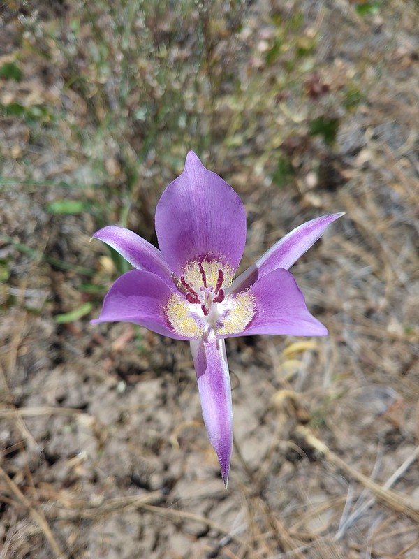 Sagebrush mariposa lily
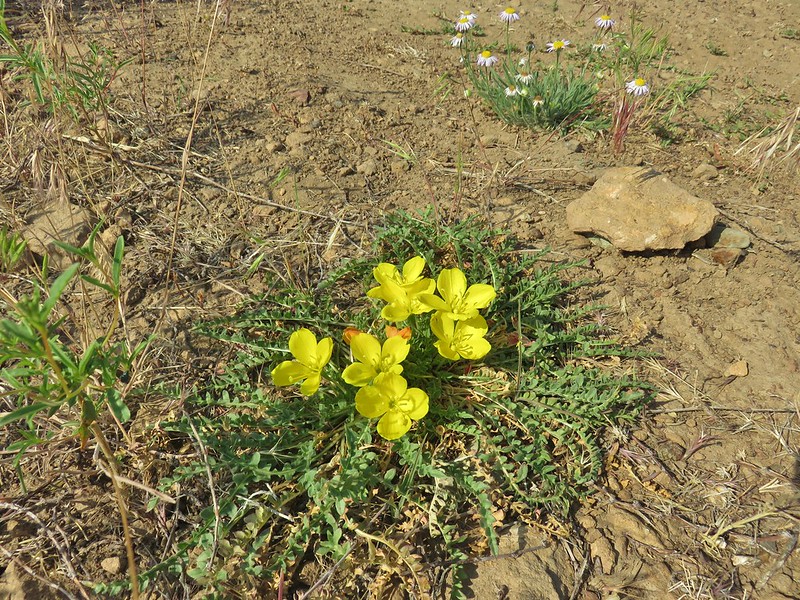 Tansyleaf evening primrose
 Dustymaidens
 A horkelia
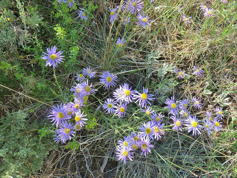 An aster?
 An orobanche
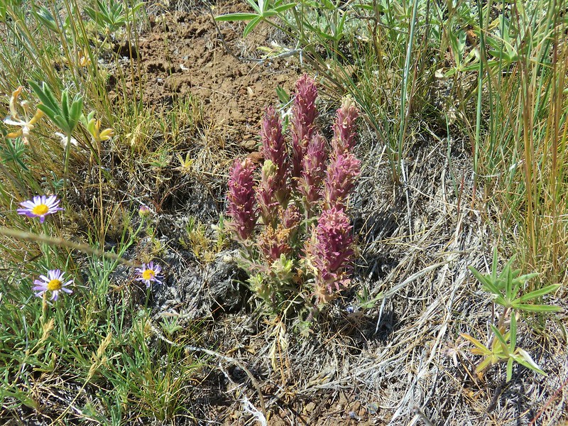 A paintbrush
 Mountain coyote mint
 Rabbitbrush


 Spreading dogbane
 Monkshood
 Catchfly
 Pussypaws
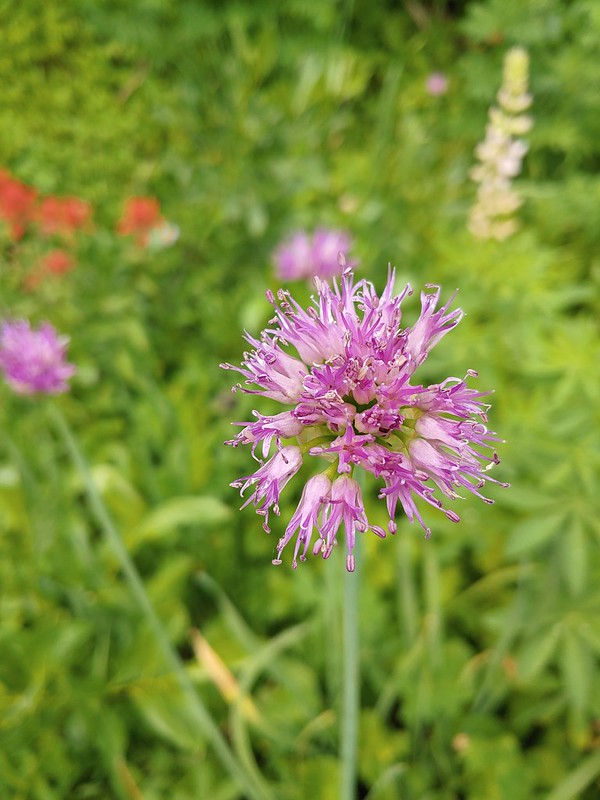 Swamp onion
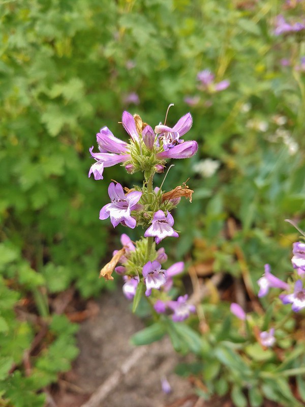 A penstemon
 A thistle
 Common mullen
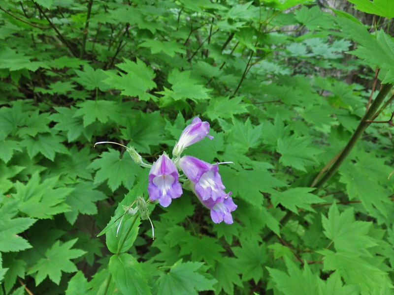 Beardtongue
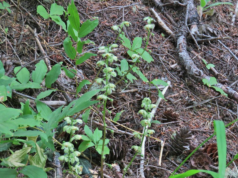 Wintergreen
 Monkeyflower
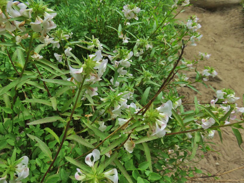 A lousewort
 Lousewort and lupine
 Mountain heather
 White mountain heahter
 False hellebore
 Violets
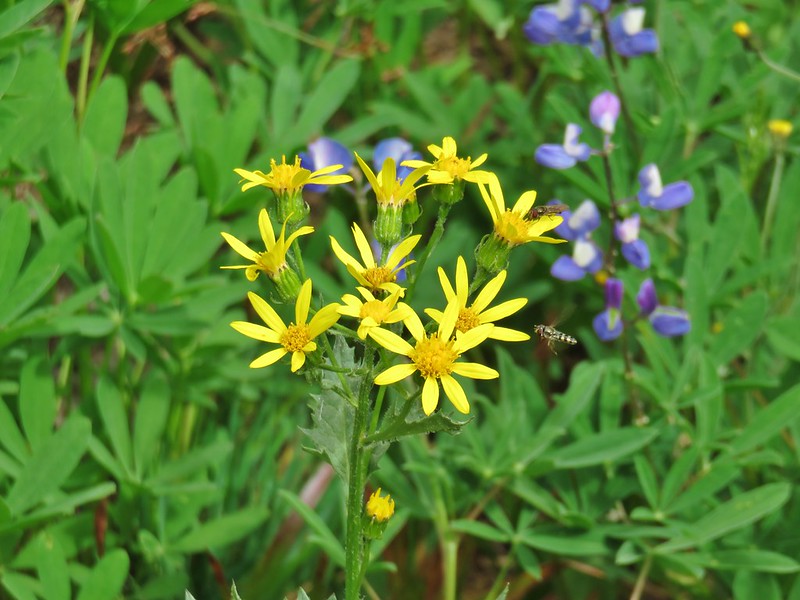 Groundsel
 A fleabane
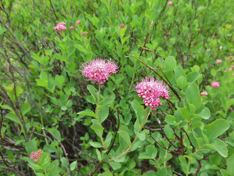 A spirea
 Gentian
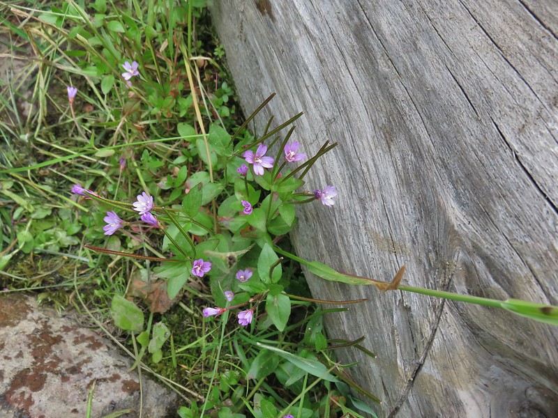 A willowherb
 Cutleaf daisy
 Dwarf alpinegold
 Jacob’s ladder
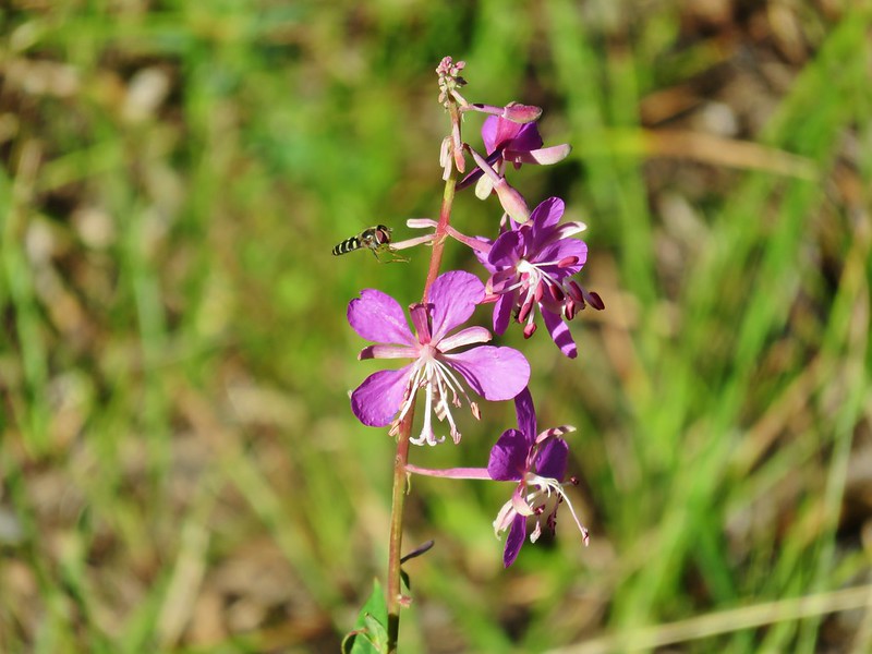 Fireweed
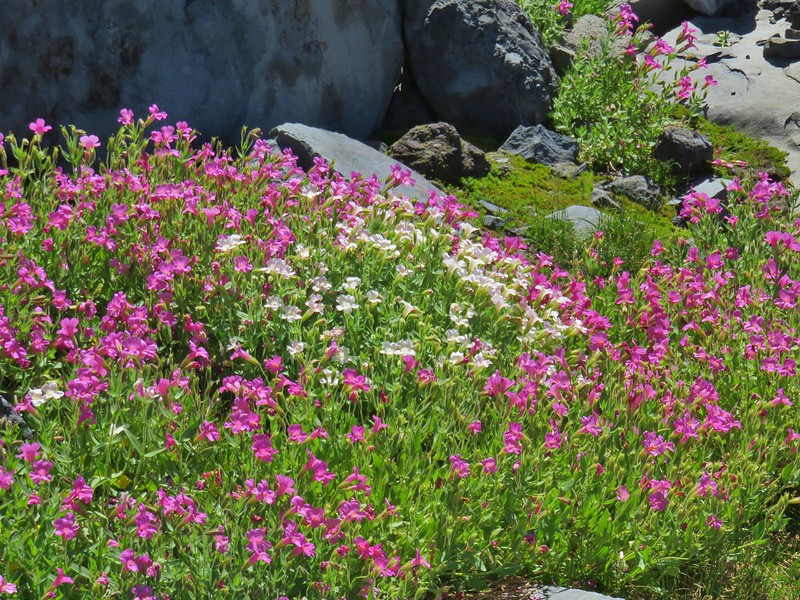 Monkeyflower
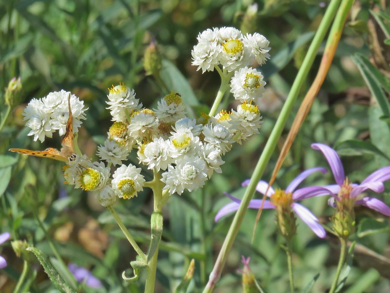 Pearly everlasting
 Drummond’s anemone
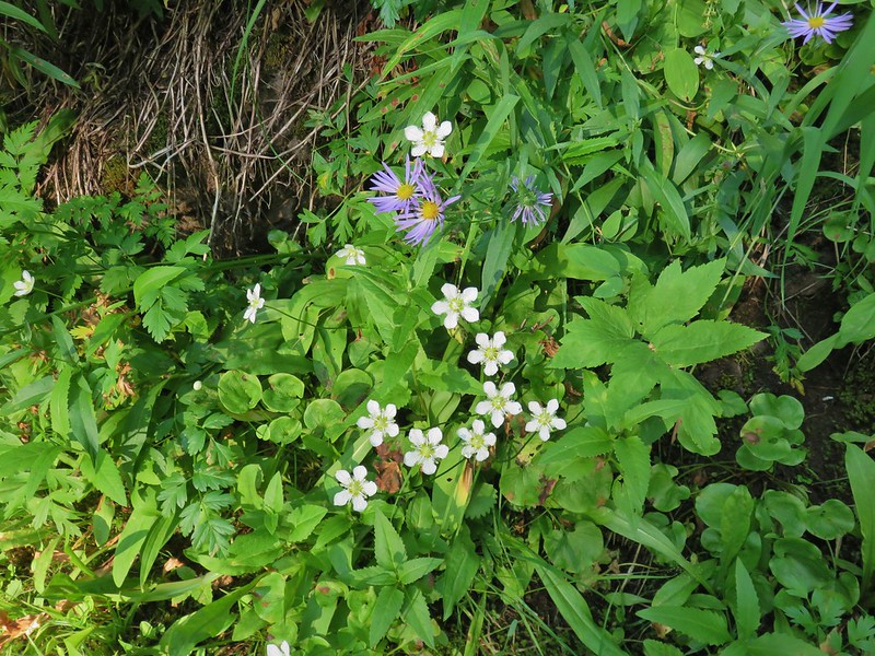
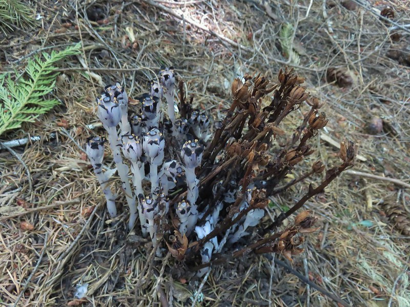 Ghost pipe
 Common madia
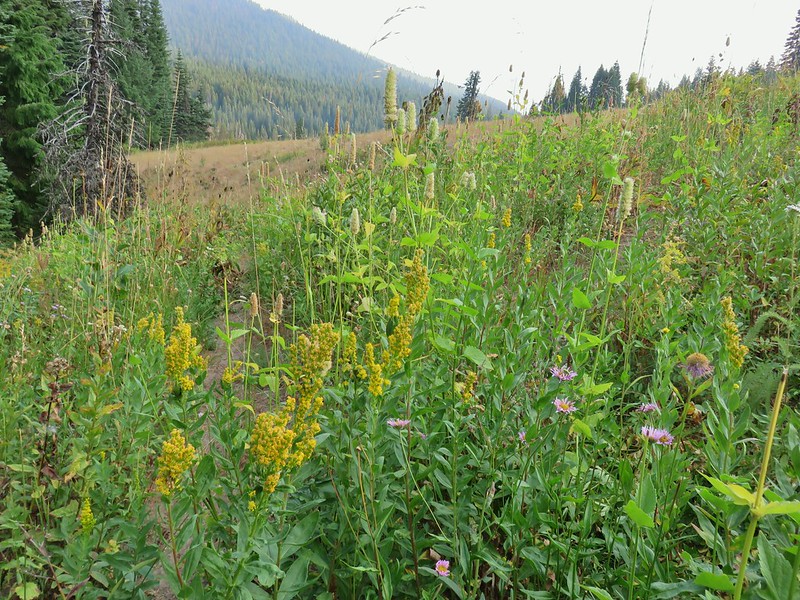 Goldenrod
 Owl’s clover


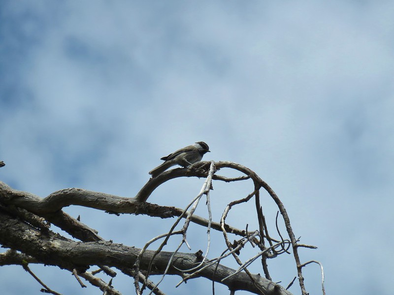


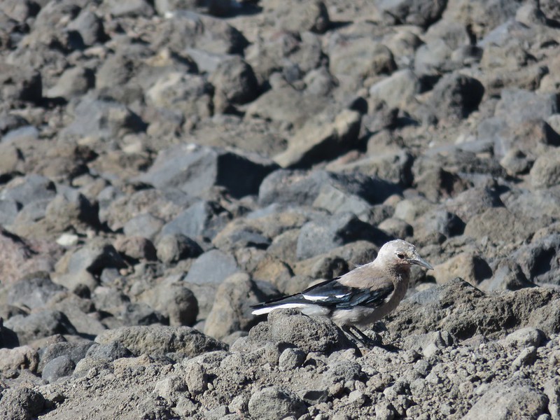
 This one is here for the golden-crowned sparrow.


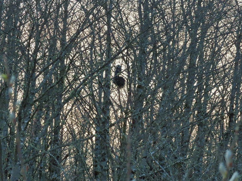
 There is an owl in this photo.