Disclaimer – This hike requires map and navigational skills due to portions of the route using abandoned trails and some off-trail travel.
For the final outing of my solo vacation I decided to attempt a visit to Craig Lake in the Mt. Jefferson Wilderness. This is one of Hike Oregon’s “Members Only” hikes. I decided to combine that described hike with a visit to the Berley Lakes, which Heather and I had visited in 2021 (post).
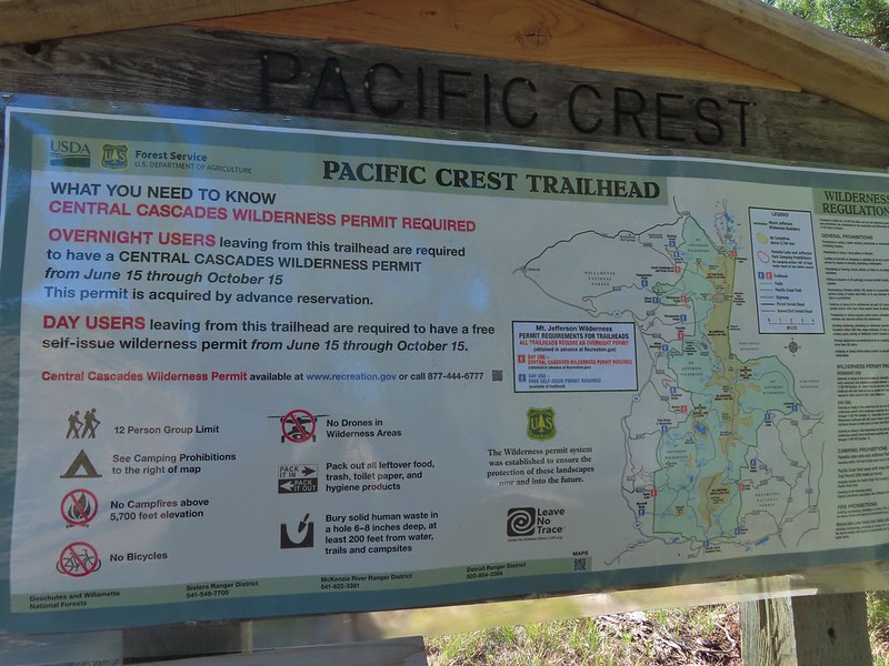
At one time there had been official trails to all these lakes but at some point, possibly after the 2003 B&B Fire, the trails were abandoned by the Forest Service. The old trails aren’t shown on my GPS map, but I found them on CalTopo and made sure I had a copy of them with me. The hike starts at the Santiam Pass Pacific Crest Trailhead which requires a NW Forest Pass to park, but not a Central Cascades Wilderness Permit for day hikes (you do need a permit for overnight stays).


A short connector trail leads from the trailhead to the PCT where I turned left.

Water left for thru hikers.
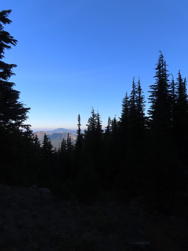
The PCT climbs gradually through the 2003 fire scar with increasingly good views to the south of Mt. Washington, the Three Sisters and Broken Top.


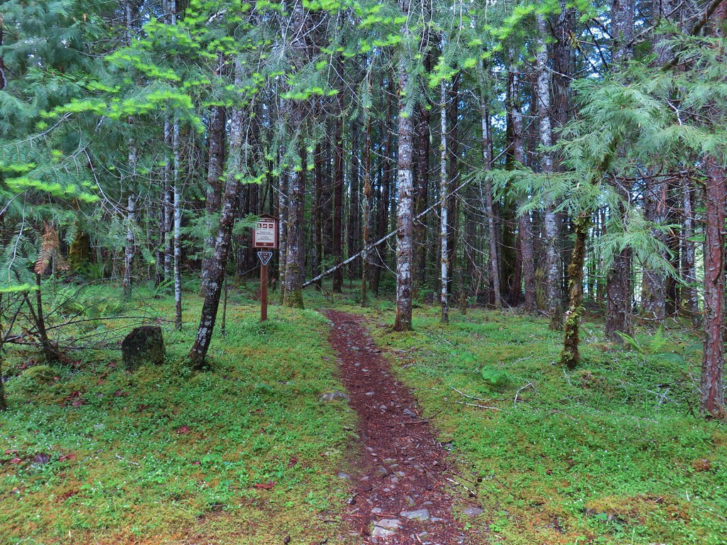
After 0.2-miles on the PCT the Old Summit Trail heads off to the right (post).

Broken Top, North Sister, Middle Sister, and Mt. Washington (L to R).

It was a good beargrass year, but the bloom had happened a few weeks before my visit.

The lupine however was near peak bloom.

Tent caterpillars


Scarlet gilia and lupine.

Three Fingered Jack

Penstemon
At the 1.3-mile mark I arrived a junction with the Santiam Lake Trail which I turned left onto.

The Santiam Lake Trail descends gradually providing some decent views of Three Fingered Jack.


Thistle

The trail passes this unnamed lake shortly after splitting from the PCT.

Scarlet gilia

Buckwheat

Sub-alpine mariposa lily

Lupine along the trail.


Scarlet gilia and lupine

Broken Top, North Sister, Middle Sister, Mt. Washington, Hayrick Butte, and Hoodoo Butte.

Penstemon lining the trail.
I followed the Santiam Lake Trail for a mile and a half before I spotted the former Berley Lakes Trail splitting off to the left.

Even with the wood over it the tread was obvious at the junction.
The Berley Lakes Trail sees just enough use for the tread to be reasonably visible, but the lack of maintenance requires some effort to stick to the path.


Beargrass at the dry bed of Lost Creek Lake.

Plume moth on arnica

Columbine

According to the CalTopo map it was 0.4-miles between junction with the Santiam Lake Trail and the old Craig Lake Trail. It also showed it was just on the other side of another seasonal branch of Lost Creek. Unlike the Berley Lake Trail juction with the Santiam Lake Trail the Craig Lake Trail wasn’t obvious. Without the trails being on the GPS map as well I was forced to try and compare the CalTopo map to the GPS. I could tell by comparing the maps that I had gone too far so I decided to simply turn off the Berley Lakes Trail and head in the general direction of the missing trail in hopes of picking up the tread along the way. I discovered later that I missed the Craig Lake Trail by less than 100 yards, but I didn’t manage to find the tread on the way up to Craig Lake.

I needed to get up this butte to find the lake which was some 250′ above the Berley Lakes Trail.
I angled through the forest, but I didn’t angle far enough SW to find the Craig Lake Trail. This was partly due to needing to find a passable route up and partly due to not matching my route closely enough to the alignment shown on the CalTopo map.


Forest at the base of the butte.

Starting up the butte.

Hummingbird

Three Fingered Jack

I was hoping this was going to be the trail when I spotted it from a distance, but it was nothing more than a steep game trail.
I eventually gave up on trying to find the trail and instead focused on getting up to some flat terrain. I knew that if I could reach the lake then I would more than likely find the trail there and be able to follow it down.

I headed more or less straight up here.

Finally some level terrain.
My adventure wasn’t over just because I’d reached the plateau where the lake was. I had come up north of the lake and still needed to make my way there. In a classic lost person move my initial attempt resulted in a 0.2-mile loop as I over corrected while picking my way through the trees. I paid closer attention to the GPS on my next attempt to reach Craig Lake and was successful however this time I hadn’t drifted far enough east to reach the trail and instead found myself on a rock peninsula.


North Sister and Mt. Washington from the peninsula.

Craig Lake

Penstemon
After regathering myself I headed back off the peninsula and worked my way east to find the Craig Lake Trail which I was able to do.


The peninsula from the Craig Lake Trail.

At times the Craig Lake Trail was fairly obvious.
My next mistake came after following the Craig Lake Trail for a tenth of a mile. I lost the tread in some blowdown and vegetation. The trail had turned right to climb up some rocks, but I stayed straight and wound up on some cliffs with a view to the south.

From the viewpoint I scrambled up the rocks and wound up picking up the trail again near a campsite.

Where I went up the rocks.

Woodland beardtongue

One of the campsites on the east end of Craig Lake.

Three Fingered Jack from Craig Lake

Craig Lake
I took a break at one of the campsites and had some food while enjoying the view.

My break spot.

Aster

The view from the campsite. The mosquitos were an issue at the lake shore but they weren’t too bad up here.
When it was time to continue on I followed the Craig Lake Trail around the lake to where I would have come up had I been able to find the trail earlier.

Bunchberry

View across Craig Lake.

The Craig Trail heading down from the plateau.
The upper portion of the trail was obvious but after 0.2-miles of descending I lost the tread in a meadow.


The meadow where I lost the trail.

View of the Craig Lake Trail entering the meadow.
Here again I used the GPS to head for the Berley Lakes Trail which I arrived at in another tenth of a mile, just a few yards from where CalTopo Map showed the junction.

The old trail veered further right (south) in the meadow than I did.

Orange agoseris

Phacelia

Butterfly

The Berley Lakes Trail.
I turned left on the Berley Lakes Trail planning on visiting Lower Berley then Upper Berley Lakes. In hindsight I should have saved our 2021 track to the GPS because after just a third of a mile I made yet another mistake. I came to a fork and incorrectly chose to stay left on what was an obvious path but not the old alignment of the Berley Lakes Trail. I figured out my mistake pretty quickly and the tread petered out leaving me to follow game trails and any other route I could find while I used my GPS to get me to Upper Berley Lake. (I’d passed Lower Berley and didn’t want to back track to the trail, so I just skipped visiting that lake today.)

Checkerspot on an alpine false dandelion.

Stellar’s jay

Still on the trail.

The trail passed through a number of flowering meadows.

At this point I was off trail just trying to get over a rise to be able to drop down to Upper Berley Lake.
I wound up following a draw that was lined with lingering snow patches and full of mosquitos.


Witch’s butter

Looking back up the draw.

Pussypaws
I finally located the Berley Lakes Trail between the two lakes and turned left to reach Upper Berley Lake.


Shooting stars

Mountain heather

Three Fingered Jack from Upper Berley Lake.
I followed the old trail to the east side of the lake to its historic end. From there it was a 0.6-mile cross country hike through meadows to reach the Santiam Lake Trail.


Paintbrush


Sub-alpine mariposa lilies and pentstmon


From here I could see the Santiam Lake Trail.

The Santiam Lake Trail, a welcome sight.
I turned right onto the trail and followed it 2.7-miles back to the Pacific Crest Trail.


Dwarf lupine


Alpine wild buckwheat

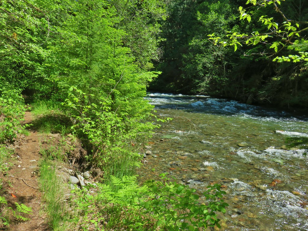
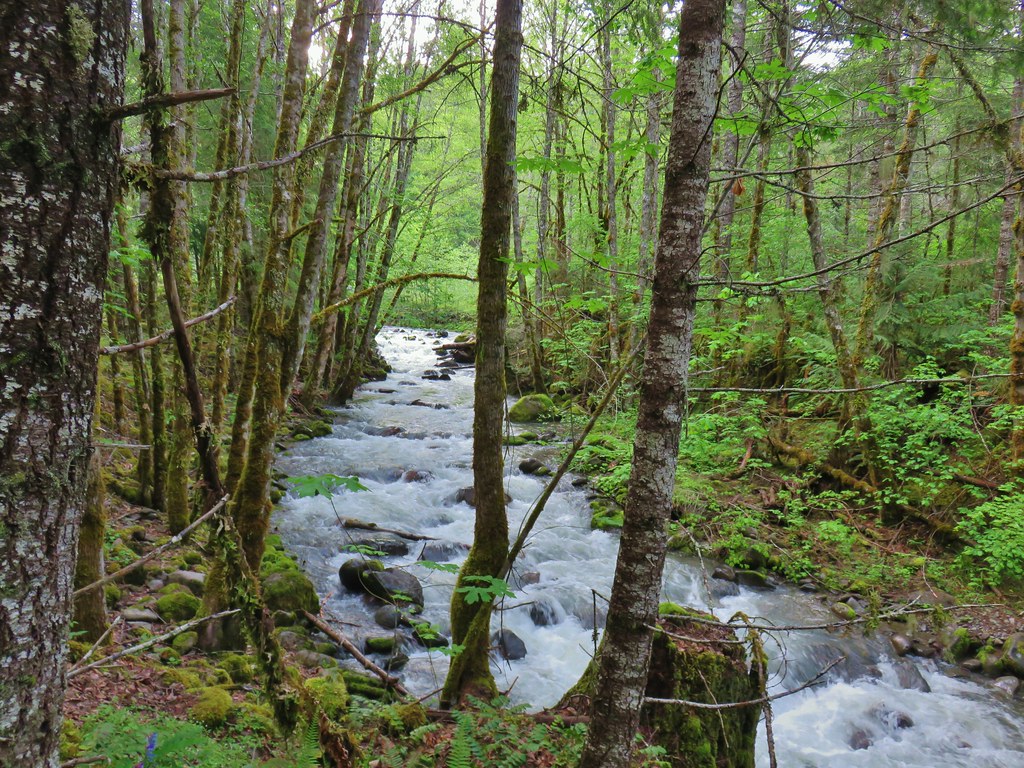
Lost Creek


There were a lot of nice wildflower meadows, but this was the best one of the day.

Buckwheat, lupine and scarlet gilia.


Pond along the trail.

Fritillary on an orange agoseris.


Clodius parnassian on penstemon.

Looking back at Three Fingered Jack.

Maxwell Butte (post)

The Pacific Crest Trail junction.
From the junction it was mostly downhill for the 1.3-miles back to my car.


Woodpecker

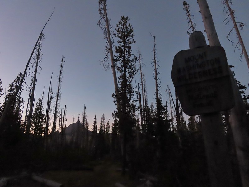
Leaving the wilderness.
I wound up hiking 10.8-miles and climbed a cumulative 1500′. The hike was challenging due to the abandoned trails compounded by my mistakes leading me cross country a couple of times.

The orange portion marks the Craig Trail alignment.

The blue is my track overlaid on the CalTopo map showing the historical trail alignments for Berley and Craig Lakes.
It was a fun, and at times, frustrating morning but I was glad to have been able to visit another of the lakes in the Cascades. Happy Trails!
Flickr: Craig Lake

 This trail would eventually end at the LoneWolf/Patterson Mountain Trail (
 The small trailhead along Highway 58.
 Wrong way dummy.
 The South Willamette Trail to the right.

 It was clear that mountain bikers use this trail regularly.


 I actually waited until I was on my way down to step off trail and look at the arch.
 Eula Ridge Trail sign at the Hardesty Trail junction.
 The lefthand fork leads to the viewless summit while the right is the Hardesty Cutoff Trail which bypasses the summit.
 Forest below the Hardesty Cutoff Trail.
 The Sawtooth Trail dropping to the right.
 I was not looking forward to climbing back up some of these sections later.
 Another saddle.
 A view through the trees.
 I passed the Hardesty Way Trail 1.5-miles from the Hardesty Cutoff Trail.
 Mount June from the hillside.
 Wallflower
 Junction with the Lost Creek Trail.
 The pointer for Eagles Rest (
 I called this section “rhododendron ridge”.
 The Mt. June Trail coming up from the right.


 If you look closely, you can see the tops of the Three Sisters poking up over the smoke in the distance. The open hillside in the foreground is the meadow below Sawtooth Rock and the hump just behind is Hardesty Mountain.
 Heading down from the summit.
 Climbing the hillside below Sawtooth Rock.
 Sawtooth Rock
 There was just a little smoke now and then in the forest.
 The Eula Ridge Trail coming into view.
 There wasn’t much in the way of Fall colors along the trail, but these leaves really stood out.
 Lookout Point Lake (Middle Fork Willamette River) from the trail.
 There was one more small uphill on the far side of South Creek before dropping to the trailhead.
 South Creek


 There were some nice rhododendron blooms along the trail.
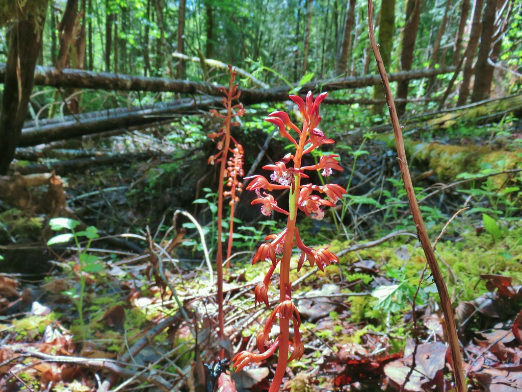
 Spotted coralroot
 The first of three crossings of FR 411, this is at the 0.4-mile mark.
 Inside-out flower
 Starflower
 Yellowleaf iris
 The trail is narrow at times but well maintiained.
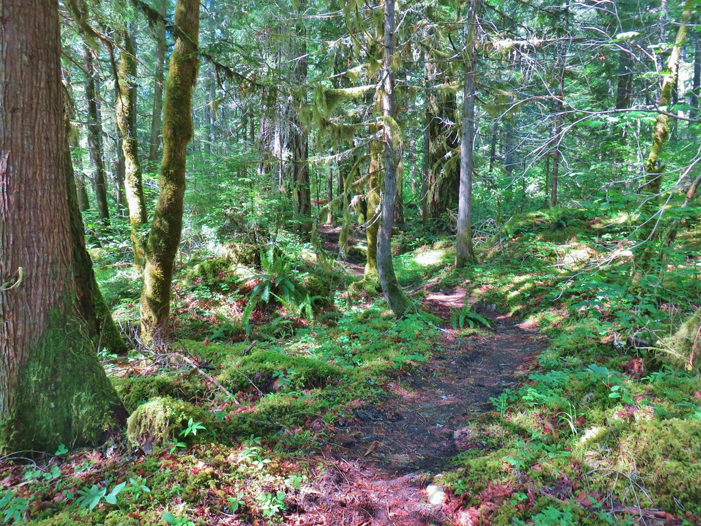
 Forest filled with rhododendron.
 A closer look at the rhodies.
 There were several madrones in the forest.
 Little prince’s pine
 Sugar sticks
 There were a few places where we might have had a view if not for the clouds.
 Stonecrop
 Passing below some of the rock formations.


 Anemones
 Bleeding heart

 The first small meadow that the trail passed through was full of blue-eyed Mary.

 Northern phlox
 Coming up on another small meadow.
 Subalpine mariposa lily
 Beargrass
 The fog didn’t help with our trying to find the trail. There was enough room along this section of road that parking and starting the hike from here would be possible.
 Back on trail.
 Honeysuckle
 More northern phlox
 This meadow was full of bluehead gilia.


 The trail dropped steeply as it rejoined FR 411.
 There was no parking room that we could see near this area.
 Vanilla leaf along the trail.

 Bunchberry
 Trillium
 We stopped when we spotted something in the trail ahead that looked like it might be an animal. Using the camera to zoom we realized it was a grouse hen with her little chicks.
 The hen got up and then the chicks headed into the underbrush. We felt bad having disturbed them, but once they’d moved, we calmly passed by while momma came back to gather her little ones.
 This was all beargrass, but none of the plants in this area appeared to be planning on blooming this year.
 Hermit thrush
 The rocky summit of MacDuff Mountain.
 A lot of larkspur.
 Subalpine mariposa lilies
 Paintbrush and buckwheat
 Cinquefoil
 A penstemon


 The view from the top.
 No blue sky that way.
 No sign of clearing this way either.
 Cliff beardtongue
 Woodland-stars
 Paintbrush
 Hey look, there is another ridge over there.
 Ookow just starting to open up.
 Steep climb or road walk? We chose the trail again on the way back.
 A wetter road now thanks to the rain shower.
 Blue sky, it does exist.
 The clouds got a late start but eventually started lifting.
 From this angle it looks like a statue.
 Looking down from some of the switchbacks.
 Cougar Reservoir
 Pyrola
 Sunlight!
 I’ve never seen a track this far off.
 The track after manually editing it.


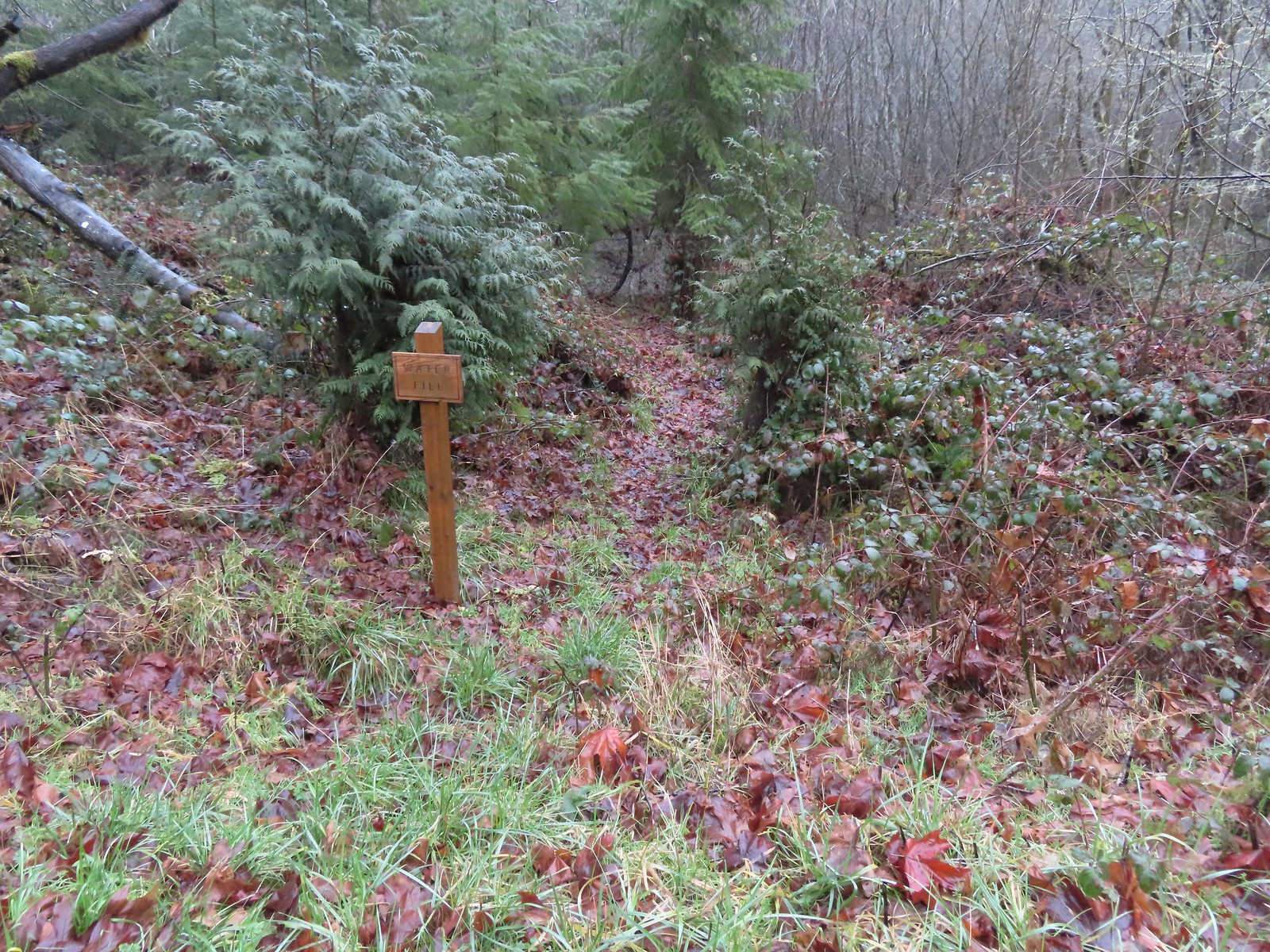 Just before the bridge over Shot Pouch Creek is a spur trail for water which is reportedly scarce along the entire 60-mile route.
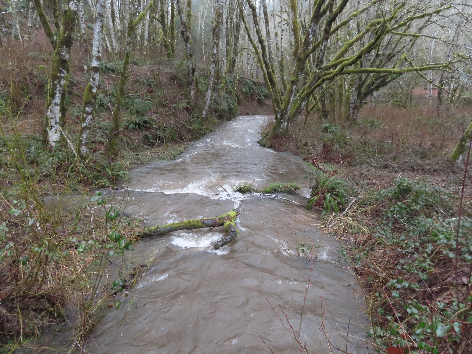 A swollen Shot Pouch Creek.
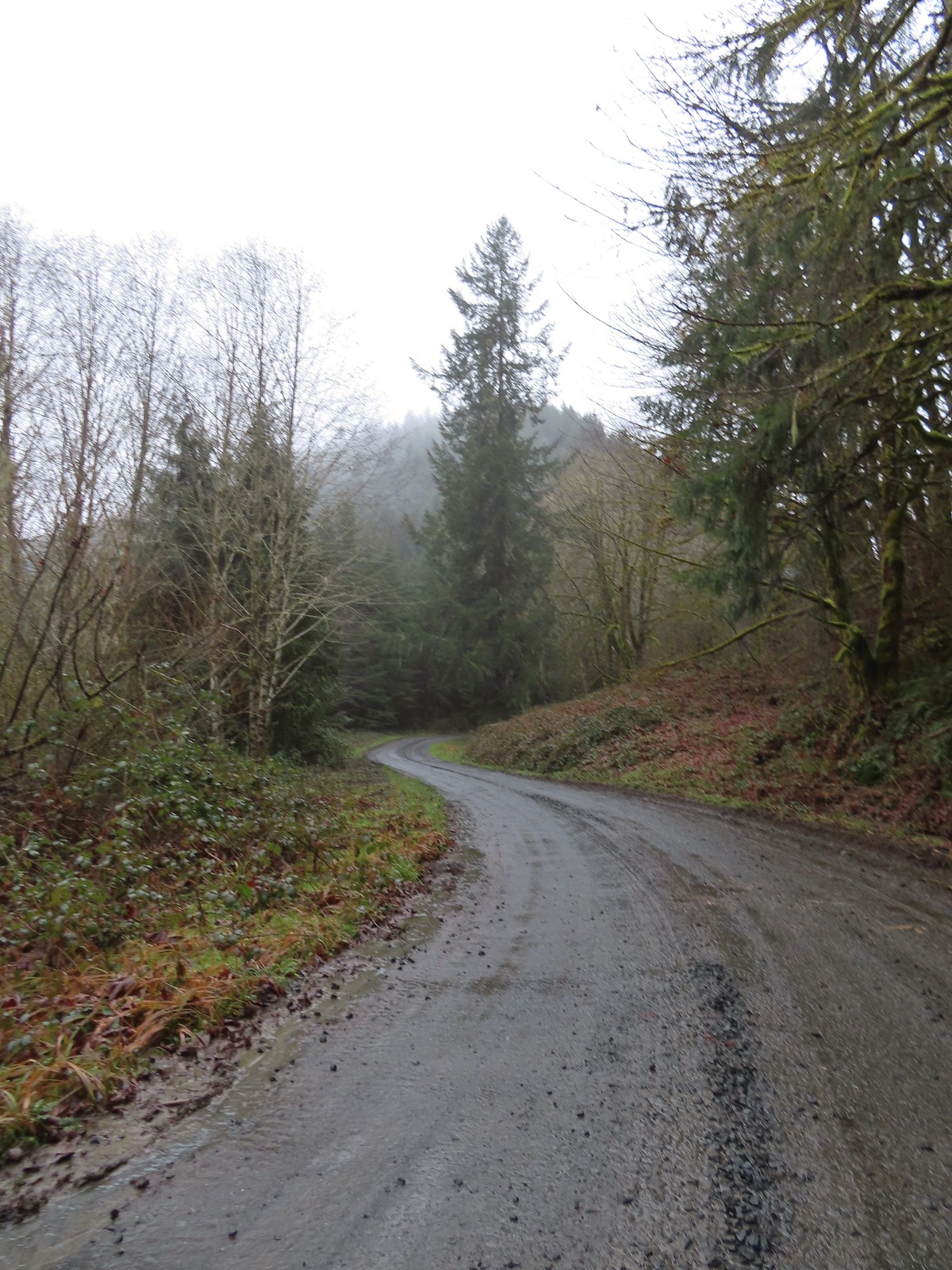 Following the trail/road up to the 4-way.
 This was one of a handful of similar structures in the area. So far we haven’t found any information on their history.
 Nearing “The 4-way”. Just ahead is where the Subaru bottomed out slightly.
 The 4-way
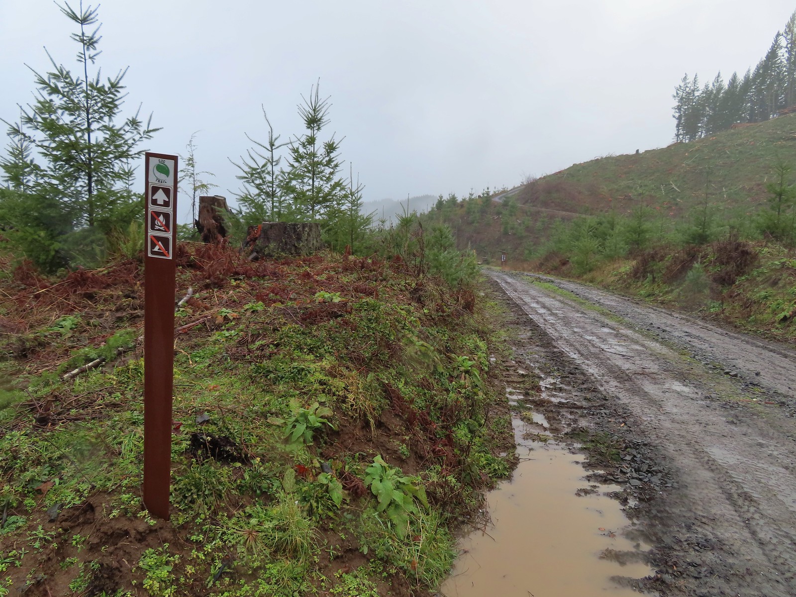 Trail marker with the kiosk and part of the gate in the distance.
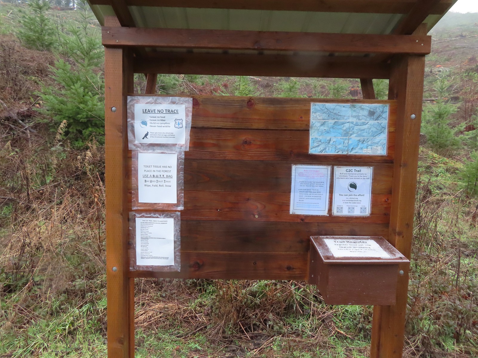
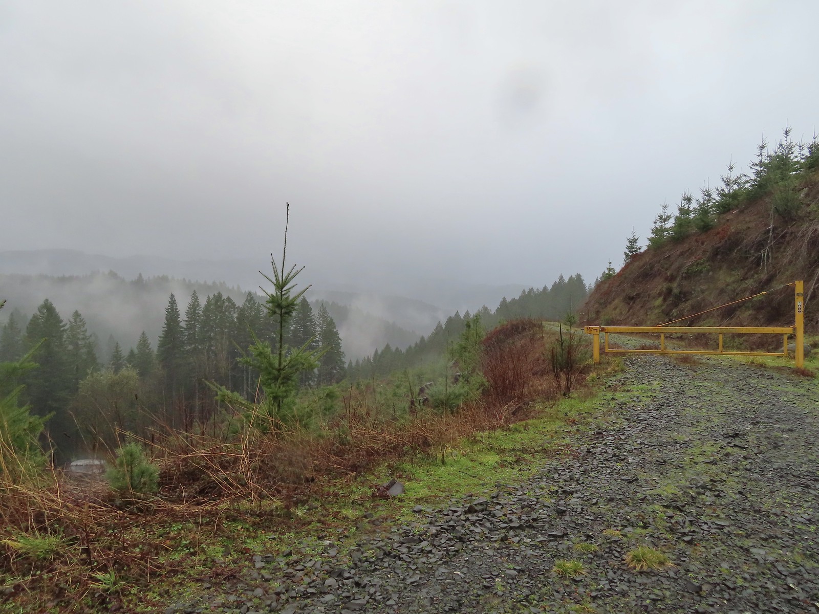 Cloudy and wet morning as expected.
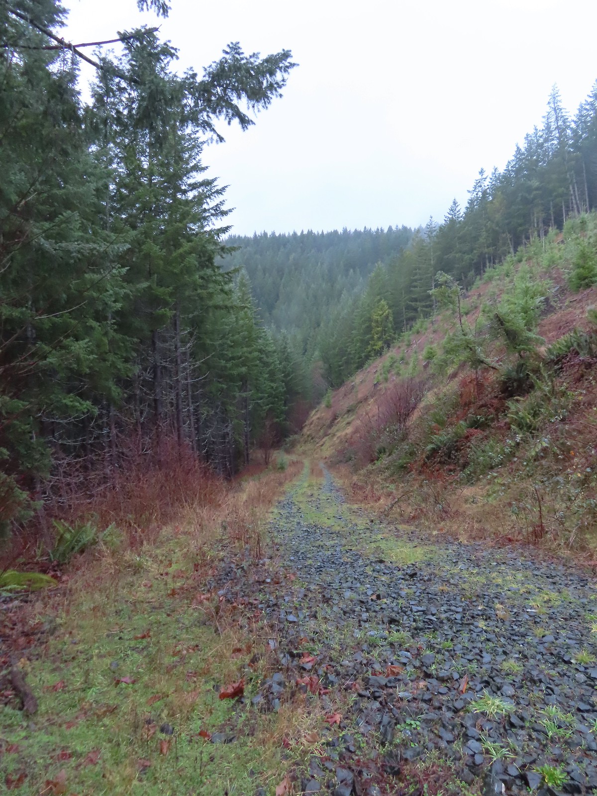
 The rocks on the first stretch were not a pleasant surface to walk on but it wasn’t too long before we left the rocks behind.
 Small cascade along a side creek.
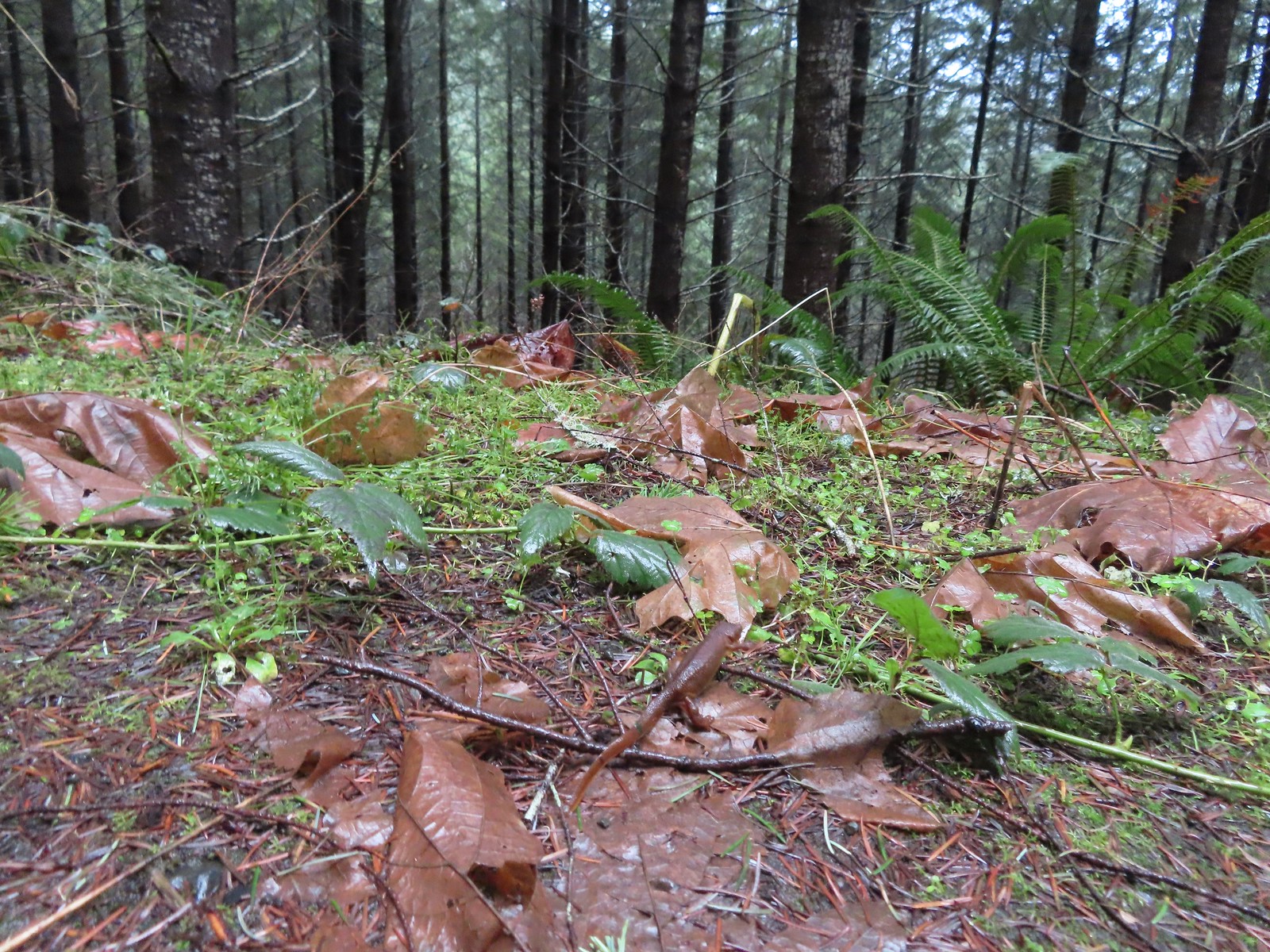 The first of the newts we spotted. They blend well with the leaves so we tried to really keep our eyes open to avoid accidently stepping on any. Over the course of the hike we saw several dozen and who knows how many we didn’t see.
 C2C Trail marker along the left-hand (downhill) fork.
 This was the only significant blowdown we encountered on the hike and the tree here was a fairly easy duck under.
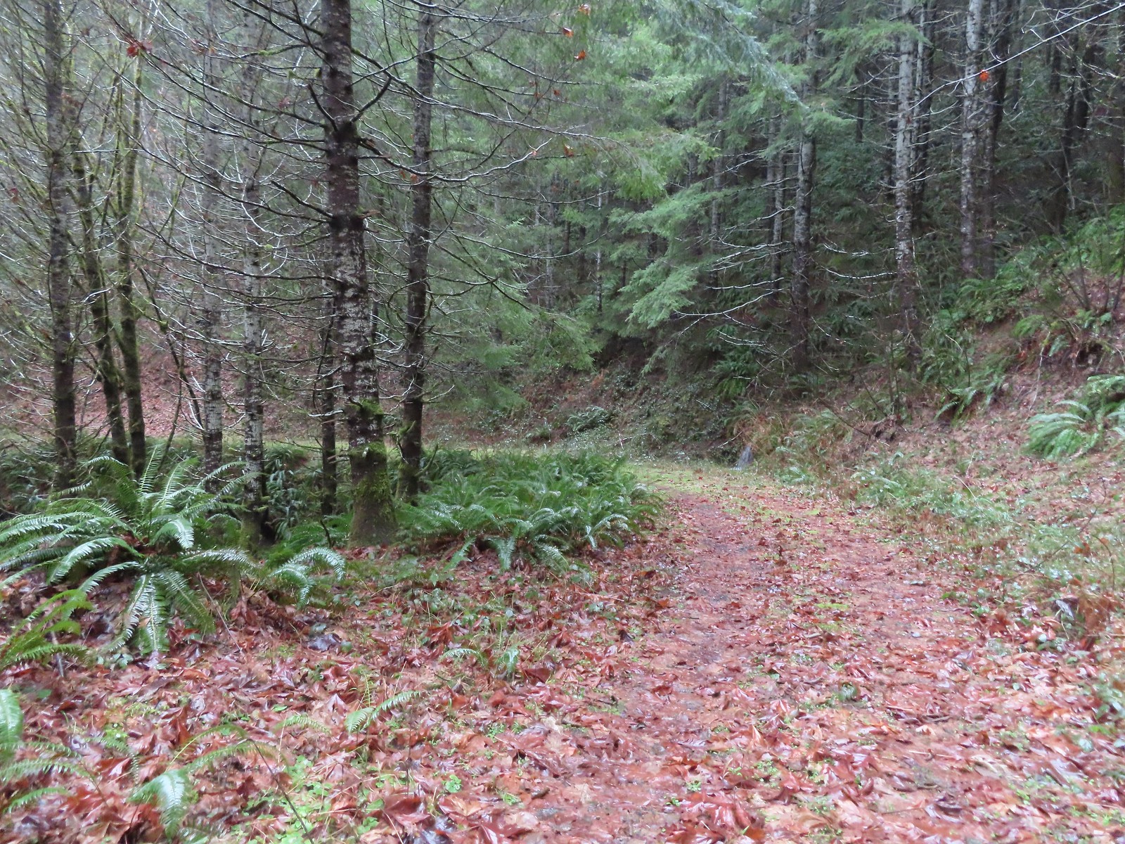
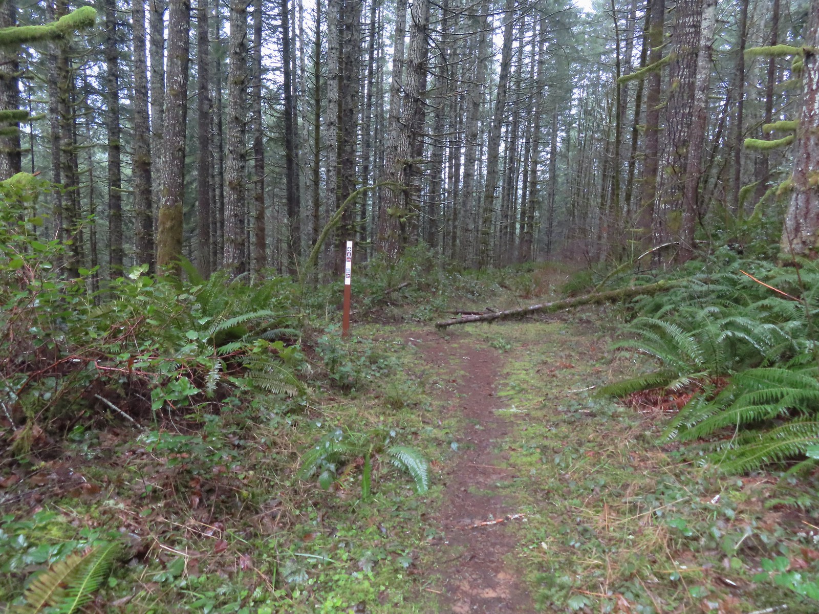 The Sugar Bowl Creek Trail segment leaving the old road. This was the only portion that was true singletrack along the Sugar Bowl segment. Here the trail passes through a portion of the Siuslaw National Forest.
 The Sugar Bowl Creek Trail switchbacked downhill to the East before turning back to the SW in the Sugar Bowl.
 The trail eventually rejoined the old roadbed.
 Actual blue sky.
 Arriving at Mary’s Peak Road.
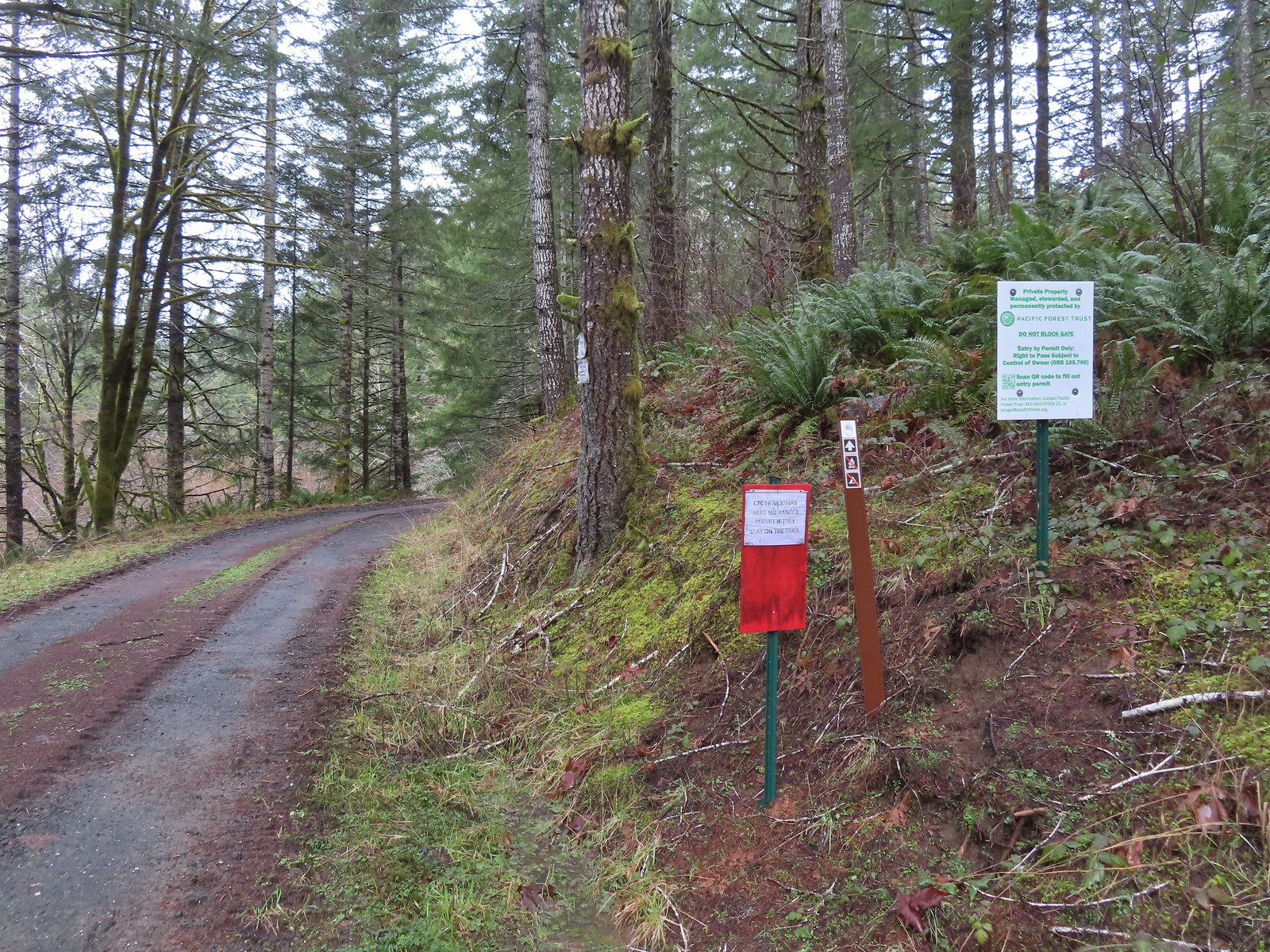 Signage along Mary’s Peak Road for the C2C.
 This particular newt was not about to move out of Heather’s way.
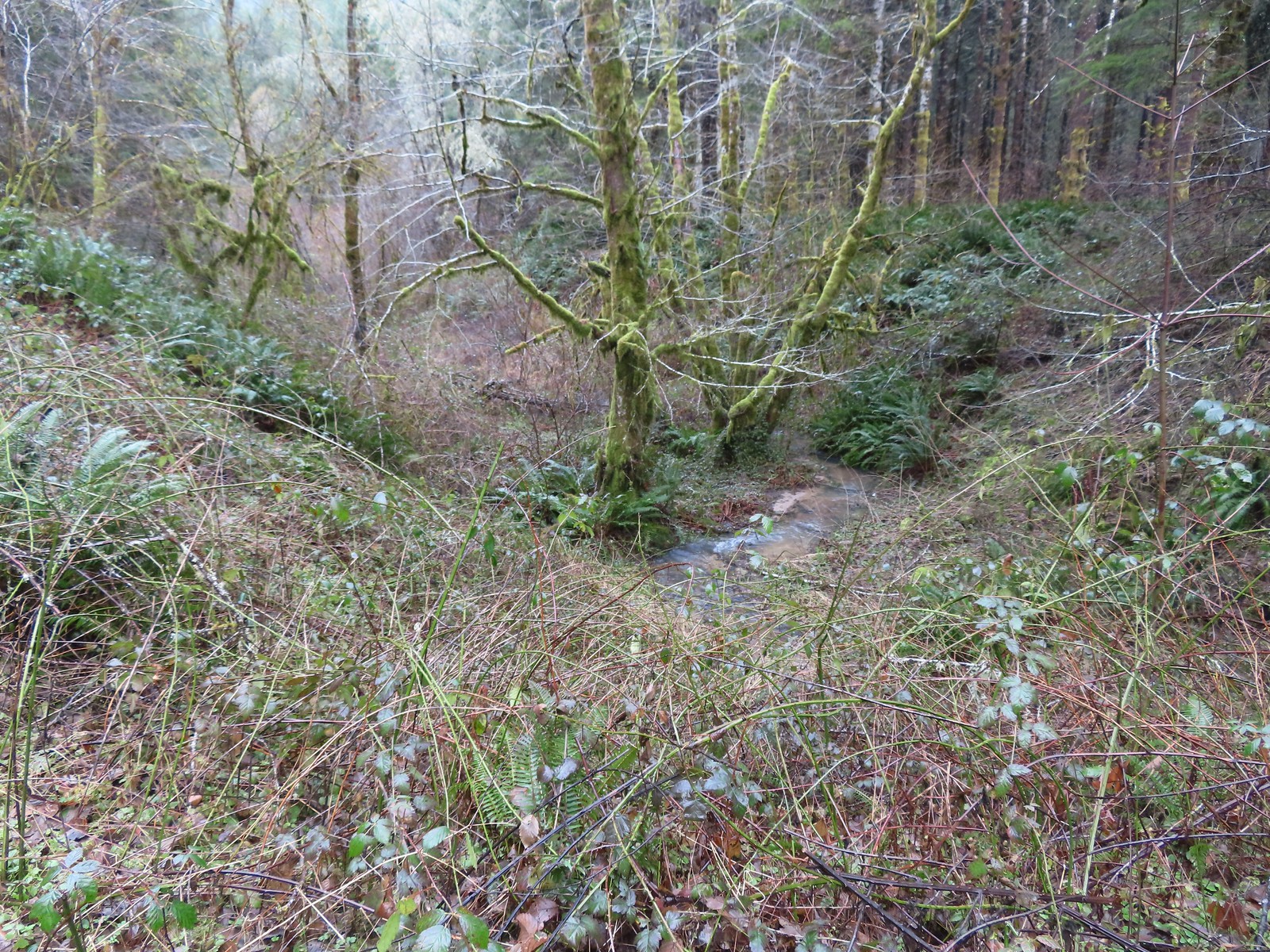 A side creek flowing toward Sugar Bowl Creek.
 Sugar Bowl Creek was never visible from the C2C but it was out there somewhere.
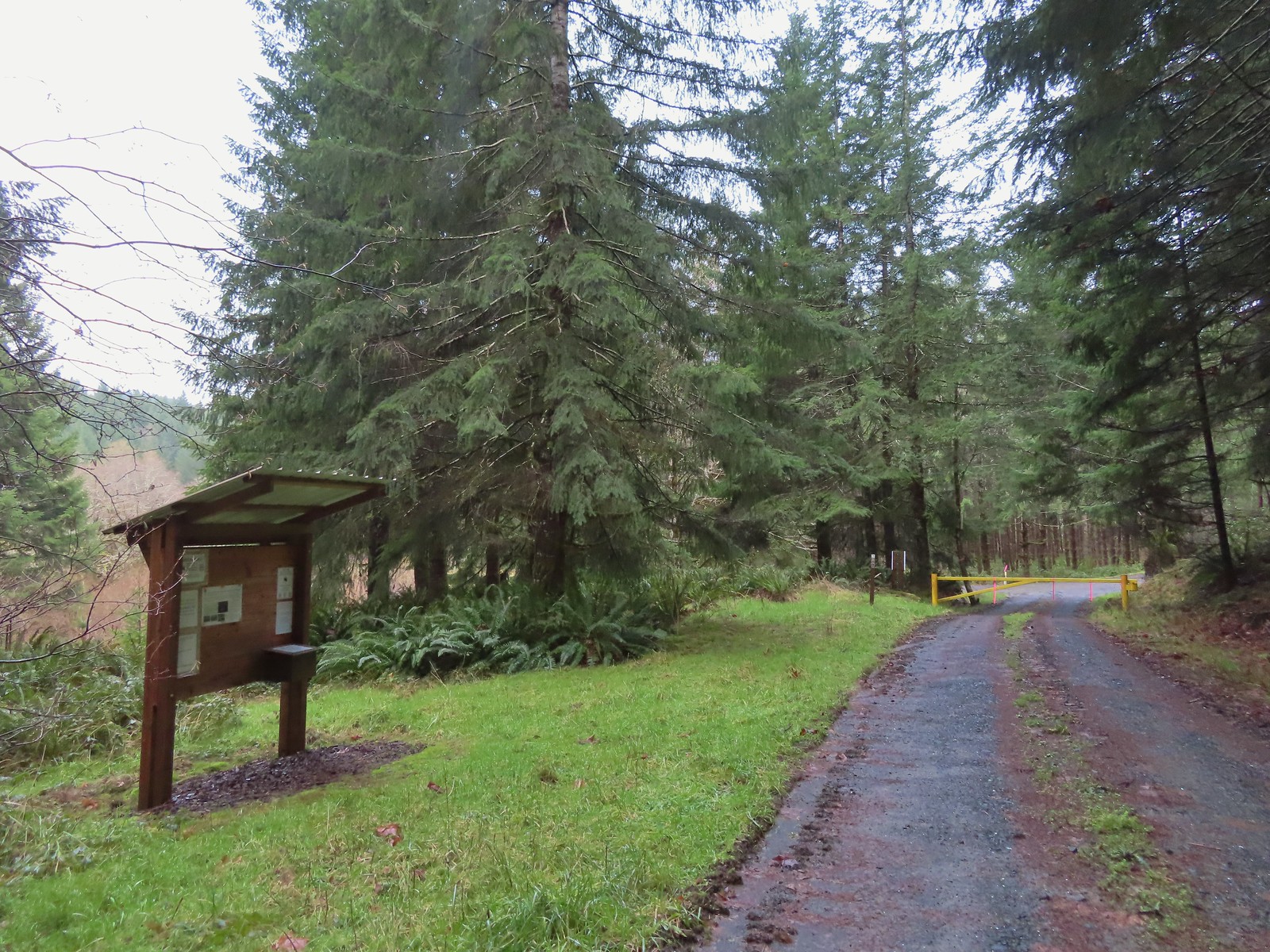 The Harlan Road Gate and kiosk.
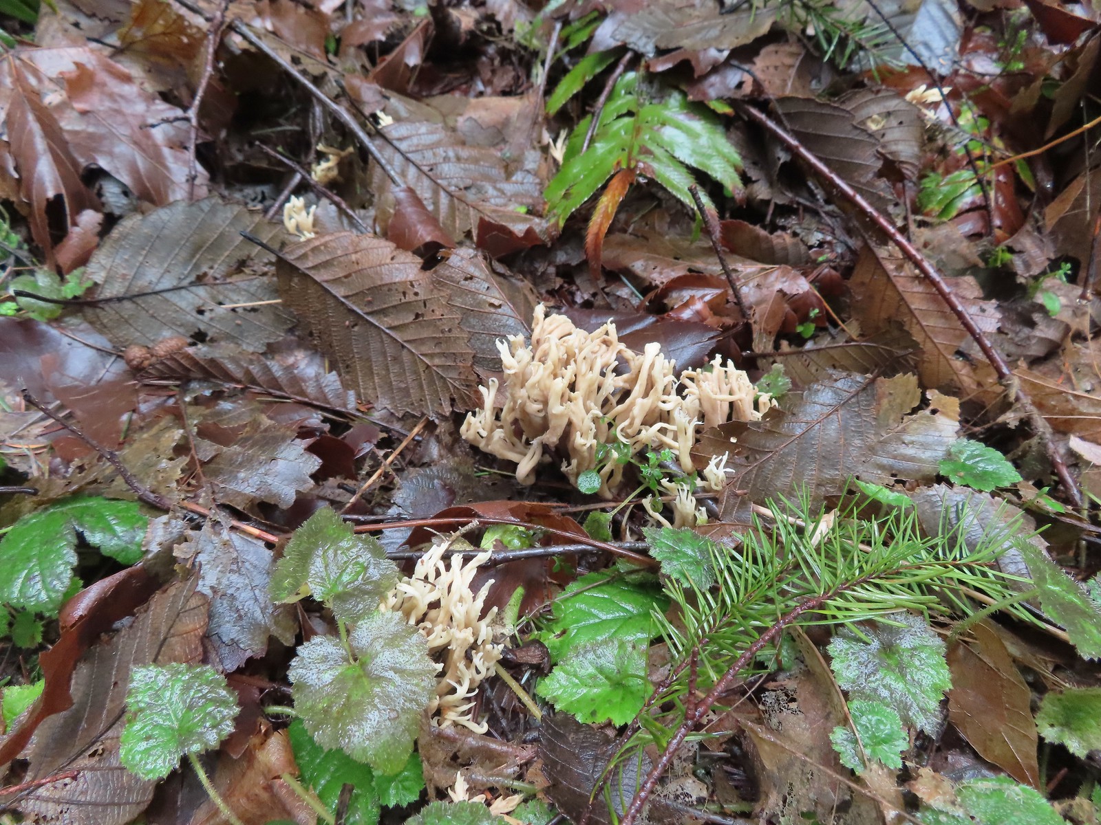 Coral fungus
 Unnamed creek
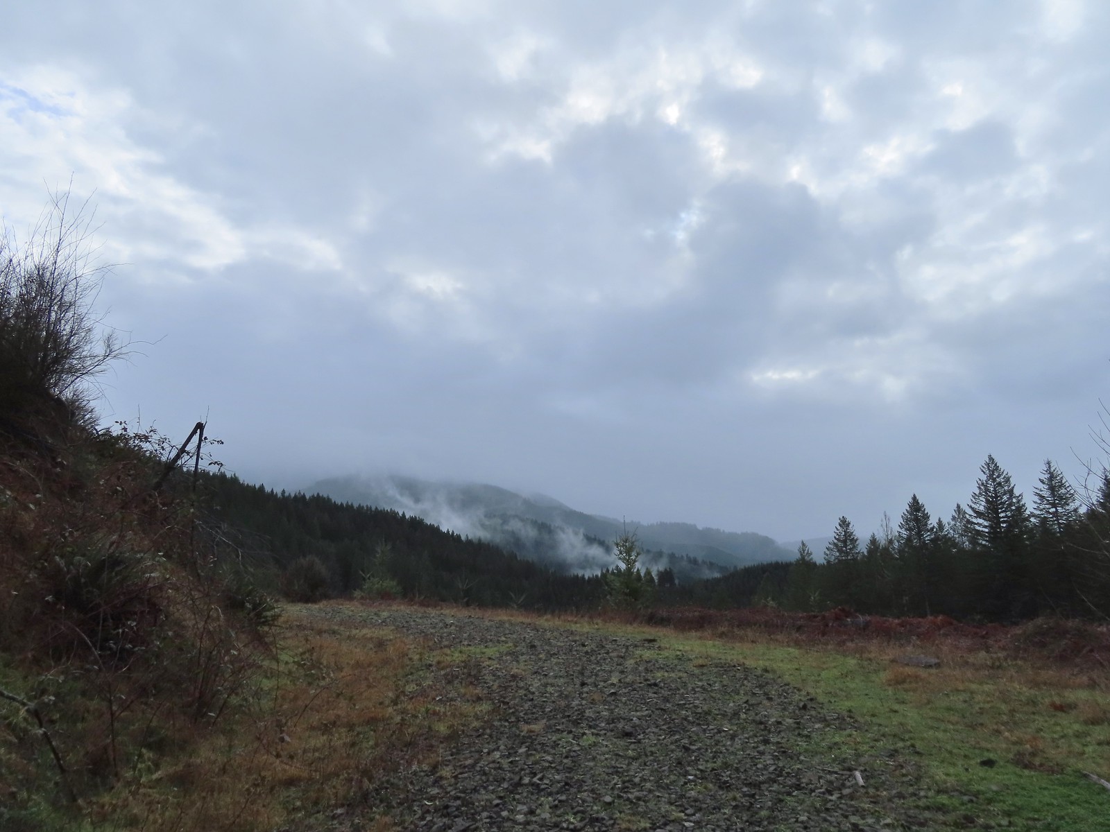 Back on the rocky roadbed below the 4-way.
 Back at the gate and kiosk.
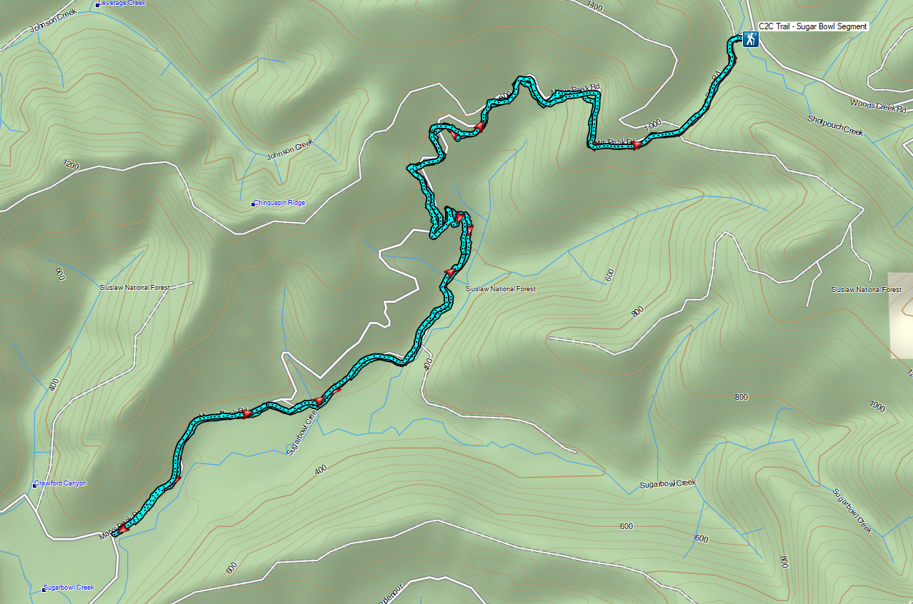

 Mount Washington from the
  Three Fingered Jack to the North from the PCT.
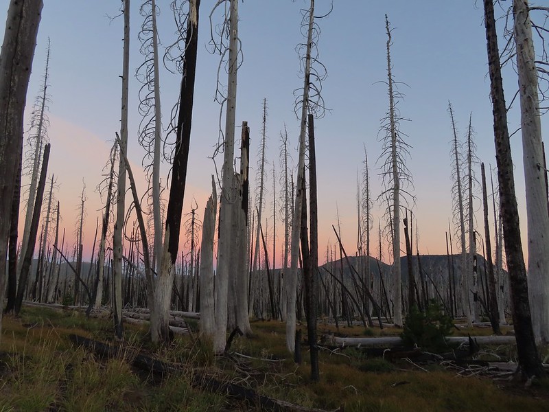 From left to right – Sand Mountain (
 Mount Washington
 Sunrise on Hoodoo Butte.
 Sunlight hitting the spire of Mount Washington.
 Hayrick Butte and Three Fingered Jack at sunrise.
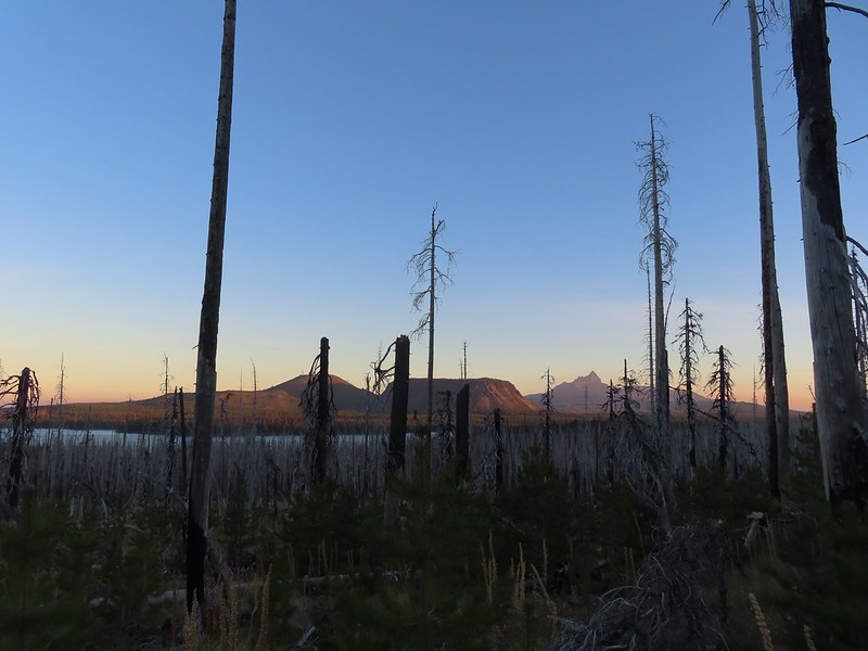 Big Lake, Hoodoo, Hayrick Butte, and Three Fingered Jack.
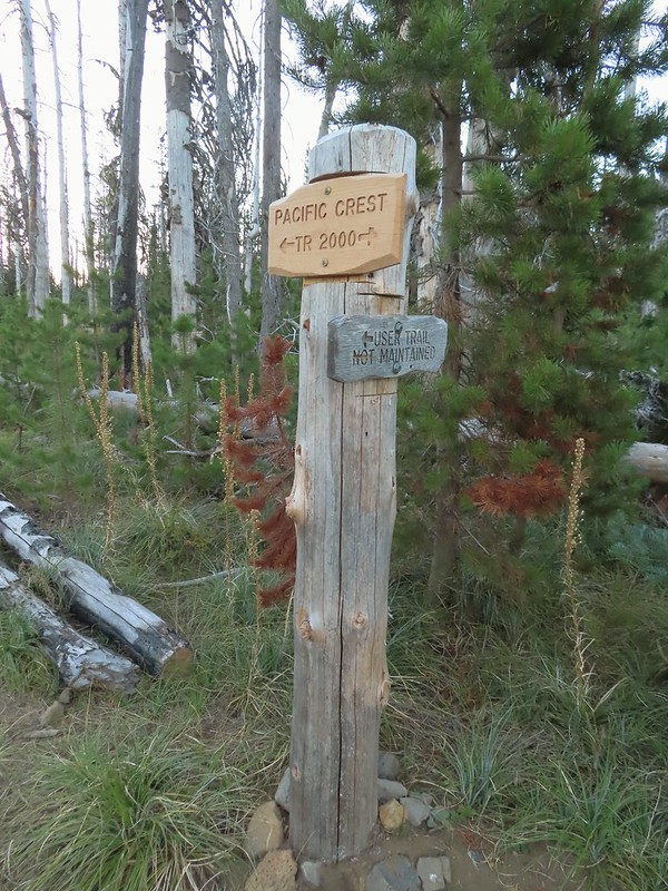 Just over two miles from the trailhead I passed a sign for the non-maintained use trail from the private
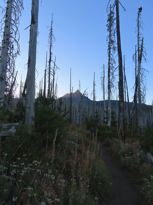
 Shortly before reaching the climbers trail the PCT left the 2011 Shadow Lake Fire scar.
 The cairn and climbers trail from the PCT.
 Huckleberry leaves turning color.

 There were a few logs to navigate and keeping an eye on the tread was helpful.
 Maxwell Butte (
 Mount Washington
 The only movement that I could see was when it tilted its tail feathers which would catch the sunlight.
 First view of Mt. Jefferson behind Three Fingered Jack.
 Coming up on the ridge.
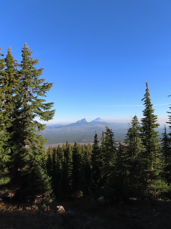 Three Fingered Jack, Mt. Jefferson, and a lot of smoke to the North.
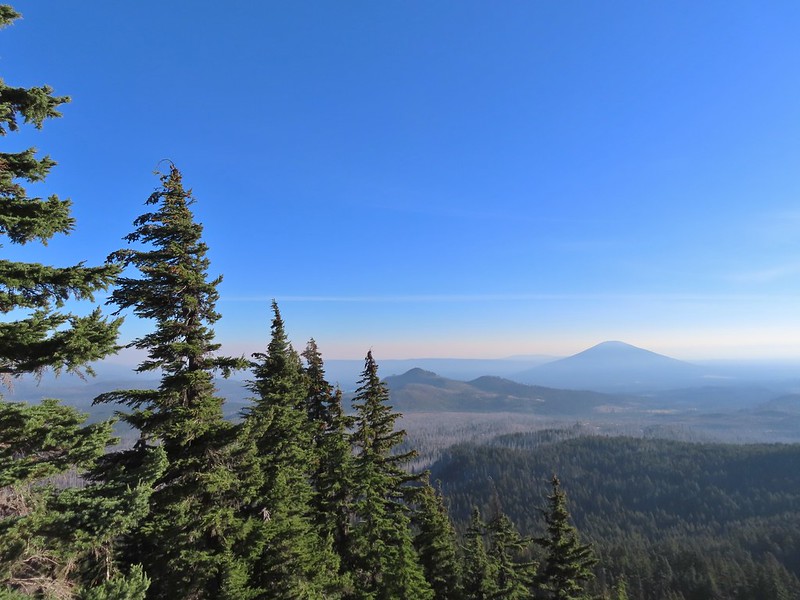 Cache Mountain and Black Butte (
 View along the ridge to Mount Washington.
 That East wind was really noticeable as I made my way along the open ridge crest.
 Three Fingered Jack and Mt. Jefferson to the left. Green Ridge (
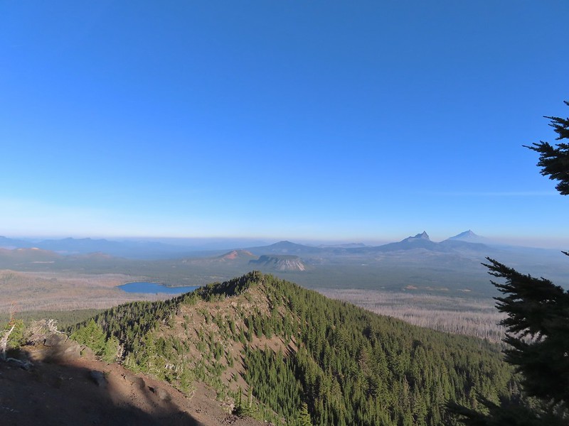 Big Lake came into view as I climbed.
 One of the steeper sections I went up. The spire is poking up on the right.
 Mount Washington’s shadow.
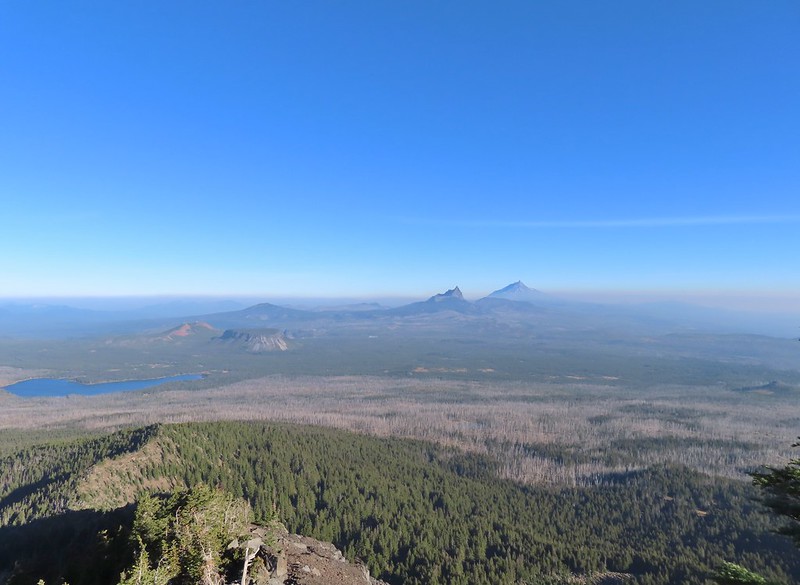 View back down the ridge.
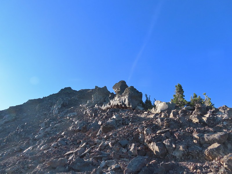 I was hoping to get up and over these rocks where the map showed a more level bench but I wound up reaching a chute where I was unsure of the correct route. The further up I’d gone the more braided the trail became and I may have been too far left. A climber had passed me way back on the PCT but if I had been able to watch him go up here I may have found a better route.
 The chute that turned me back. It’s a bit hidden by the rocks in the foreground but there was no way across that I would have been comfortable with and scrambling up looked way too sketchy for my taste (especially w/o a helmet).
 My shadow on the left from my break spot.
 This was the place I’d come up.
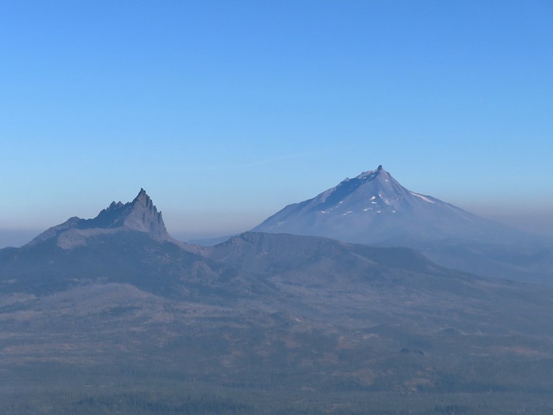 Zoom of Three Fingered Jack and Mt. Jefferson
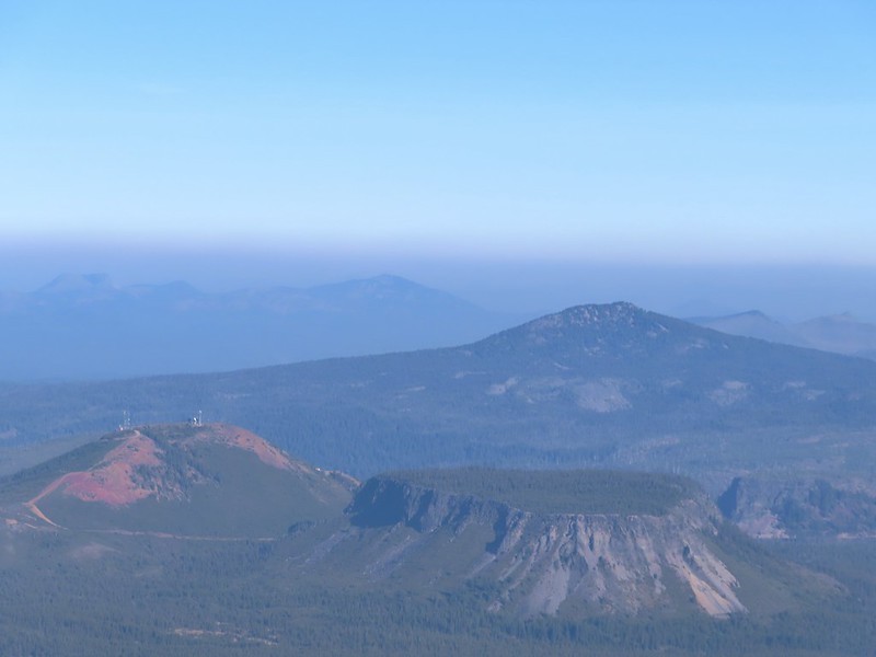 With all the smoke I hadn’t noticed Coffin (flat top) and Bachelor Mountains (
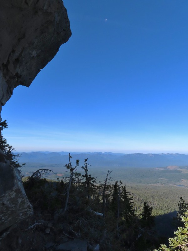 The Moon overhead to the West.
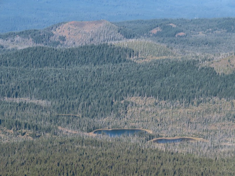 Patjens Lakes (
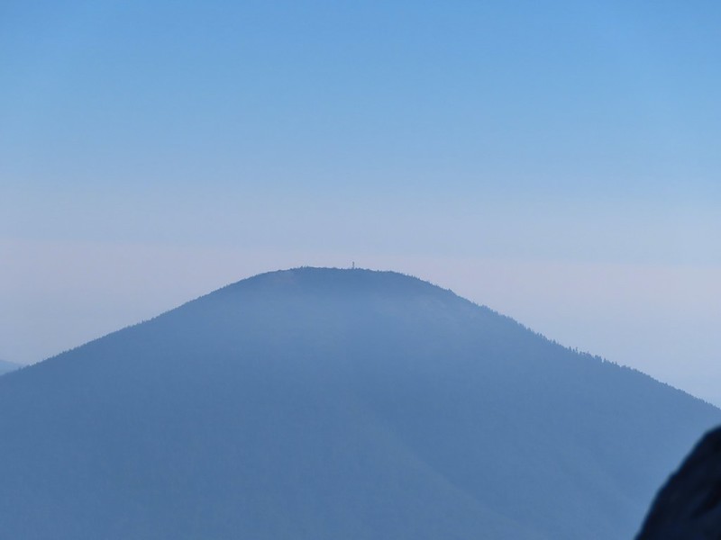 Lookout tower on Black Butte.
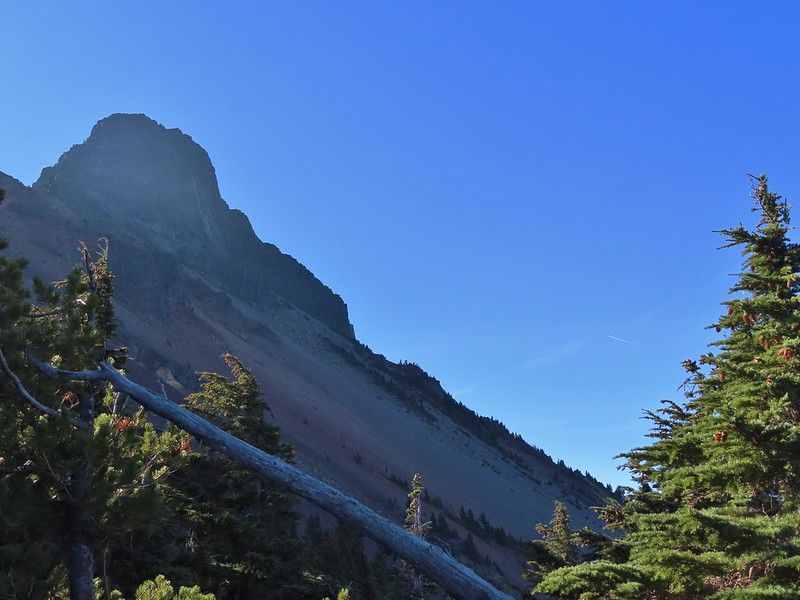 Unfortunate that my timing once again put the Sun directly in line with my view.
 Using a tree to try and get a better view.
 A framed Mt. Jefferson.
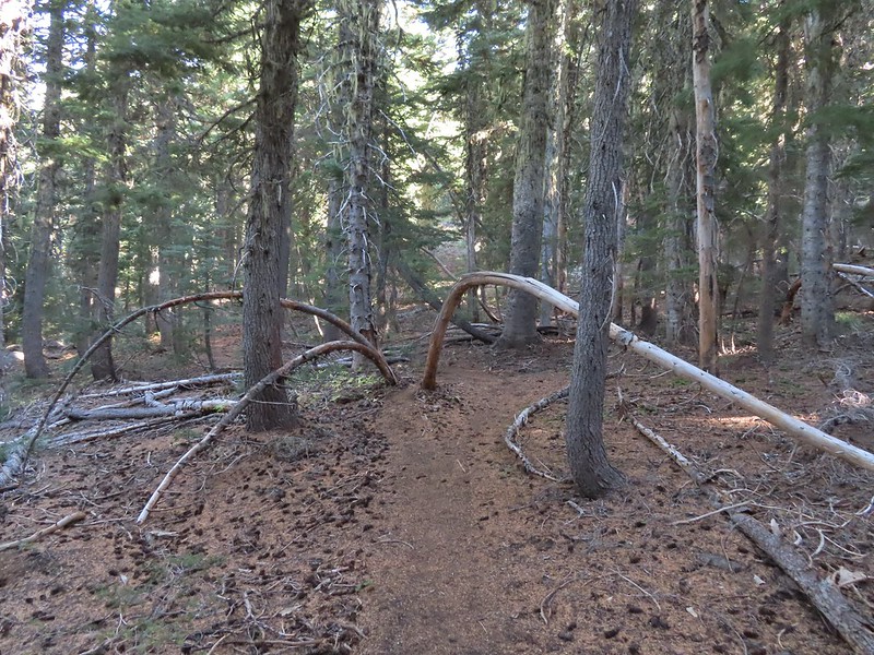 Sometimes it’s the little things, like these bent trees that I really appreciate on a hike.
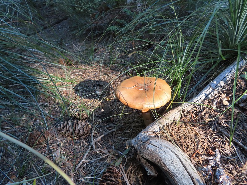 This mushroom casting a shadow was another one.

 Looking back at Mount Washington from the PCT.
 Three Fingered Jack
 Hoodoo and Hayrick Buttes behind Big Lake.
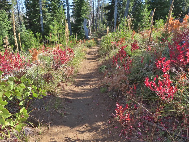 Huckleberry bushes and ferns adding some Fall colors.
 The best Fall colors were near the trailhead.
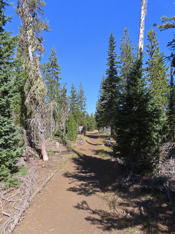 The trailhead from the wilderness boundary sign.
 Middle Fork Trail along FR 21.
 One of only a couple of spots where we were able to get to the river.
 Orange flagging on the left after crossing a gravel road.
 Thimbleberry
 Cone Creek
 Anemones
 Footbridge over Bills Creek
 Queen’s cup

 Columbine
 Yellowleaf iris along the Middle Fork Trail.
 Pine Creek – At first it looked like they put the bridge in the wrong spot, but there was another branch to the creek.
 Small meadow along the trail.


 Common merganser on the river below the bridge.
 Sign at the
 Mossy stump along the trail.
 Lots of grass along portions of the trail, one of these areas was probably where the tick hopped on.

 The ookow wasn’t quite blooming yet.
 Tolmie’s mariposa lily
 Monkeyflower and tomcat clover
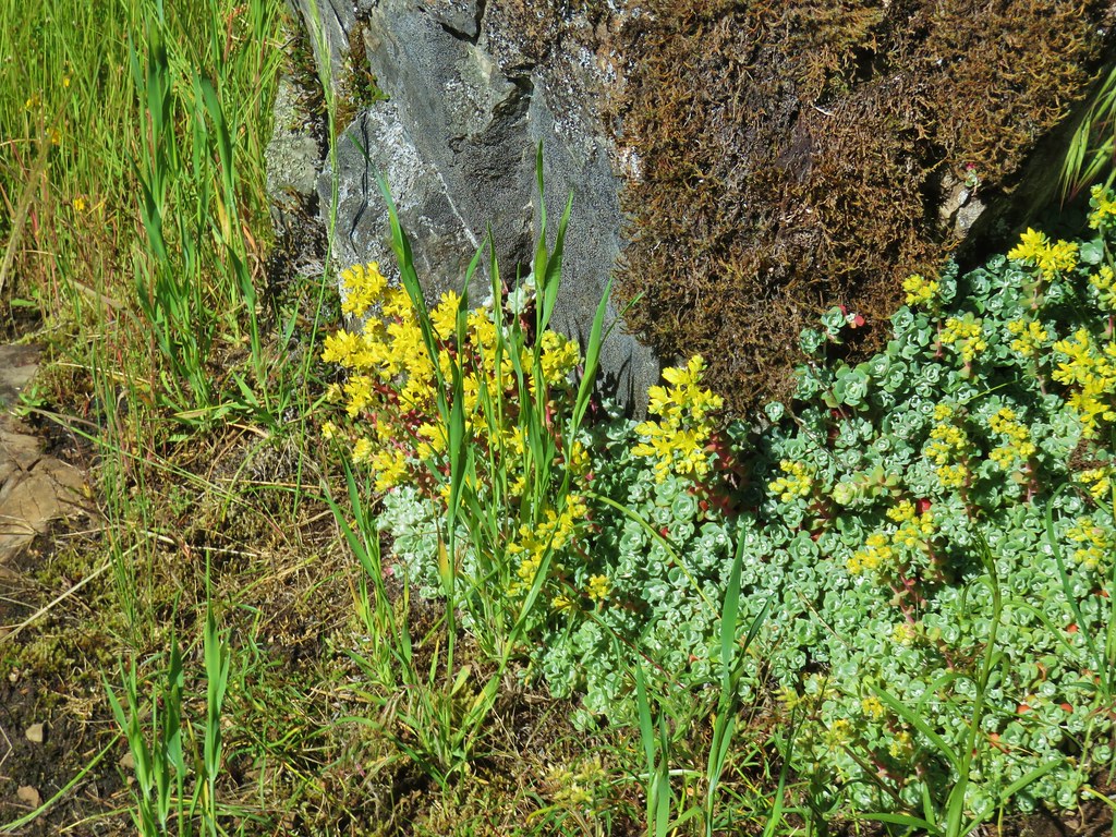 Stonecrop
 Plectritis and giant blue-eyed Mary
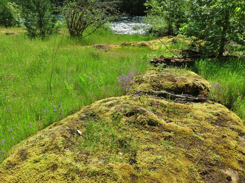
 Giant blue-eyed Mary
 Buttercups
 Spotted coralroot (with a caterpillar)
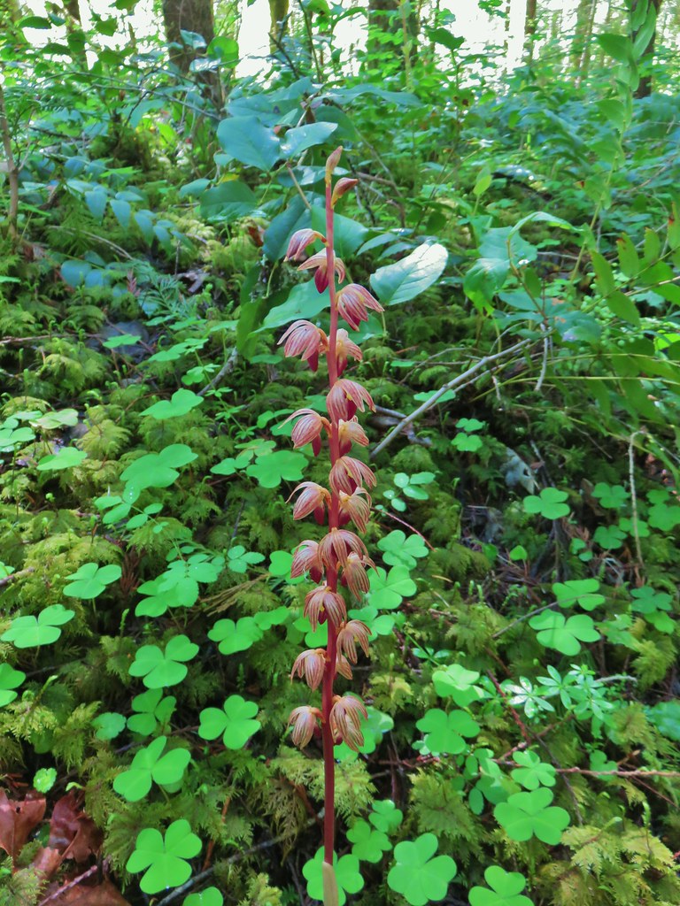 Striped coralroot


 Chocolate lilies
 Completed section of the reroute.
 More signs at FR 201
 FR 201 crossing Coal Creek.
 Coal Creek
 Road walking on FR 2133


 Simpson Creek
 Northern phlox
 Don’t know what type of fungus this is but it looked neat.