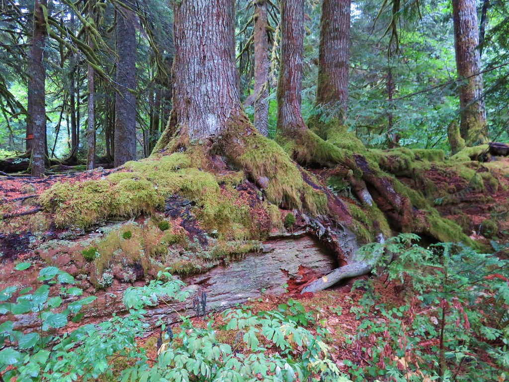
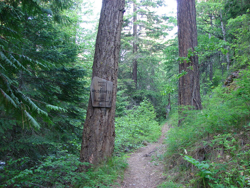
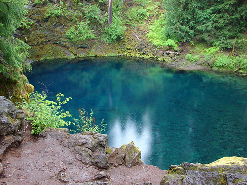
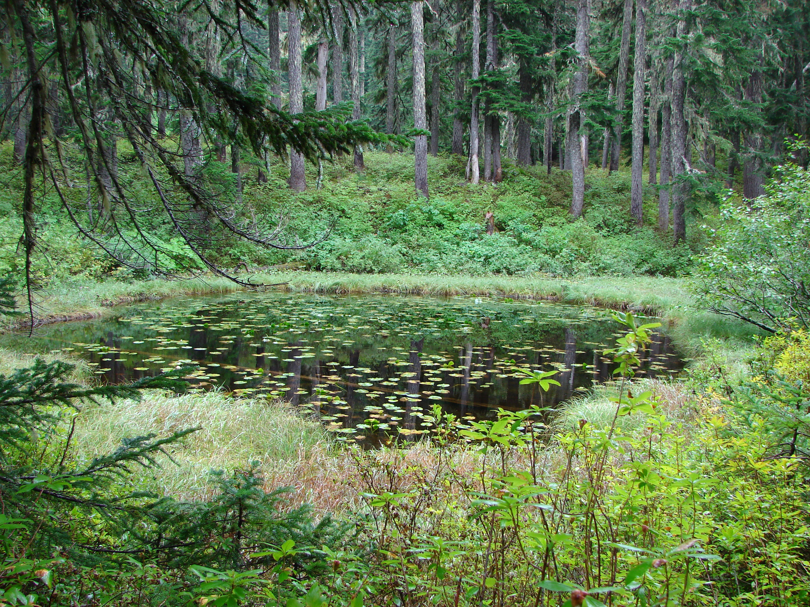
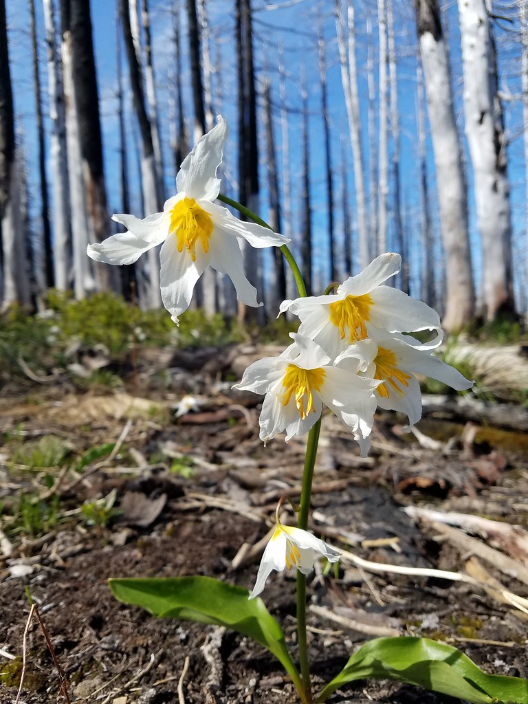
In 2017 we hiked the Vista Ridge Trail to Eden Park, Cairn Basin, and Elk Cove in the Mt. Hood Wilderness (post). It had been a cloudy August day which deprived us of any views of the mountain save for a brief glimpse from Elk Cove. The lack of views was enough to put the trail back on our to do list, but there were a couple of other reasons we had wanted to get back to this trail. First was the side trip to Owl Point along a segment of the Old Vista Ridge Trail which was reclaimed by volunteers in 2007. The second was a desire to see the avalanche lilies that bloom profusely on Vista Ridge in the fire scar left by the 2011 Dollar Fire.
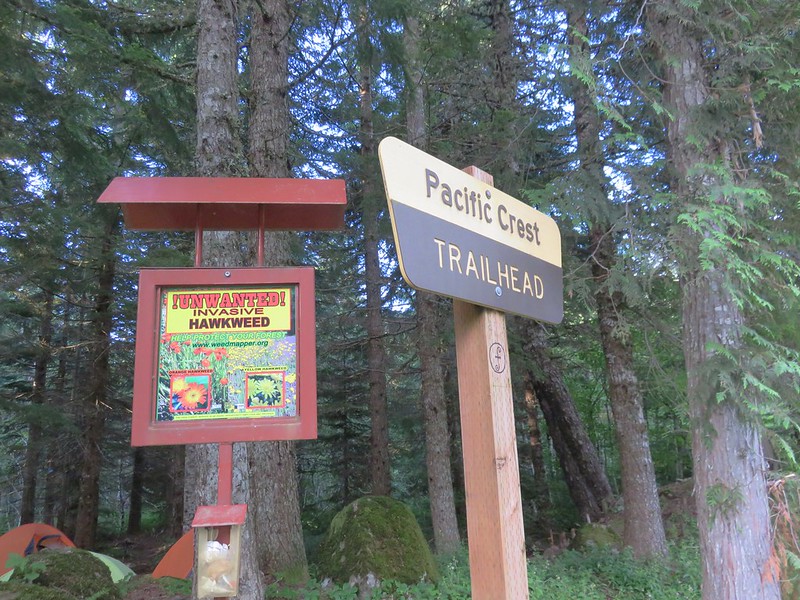
We had been following reports on the avalanche lilies from fellow hikers and after seeing that they were blooming we checked the weather forecast for a clear day and headed up to the Vista Ridge Trailhead.

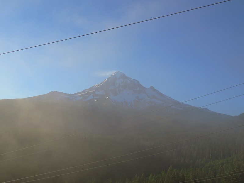
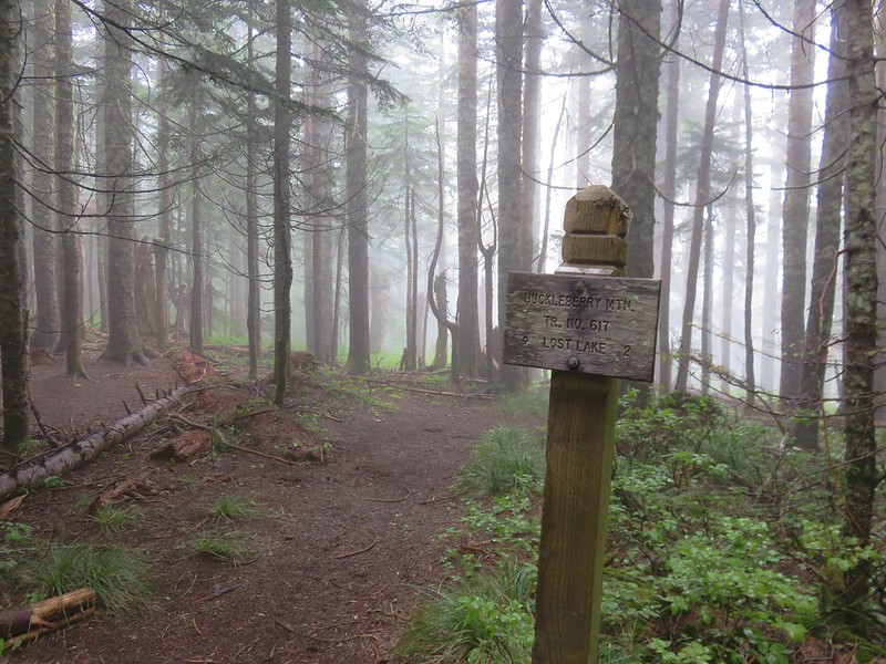
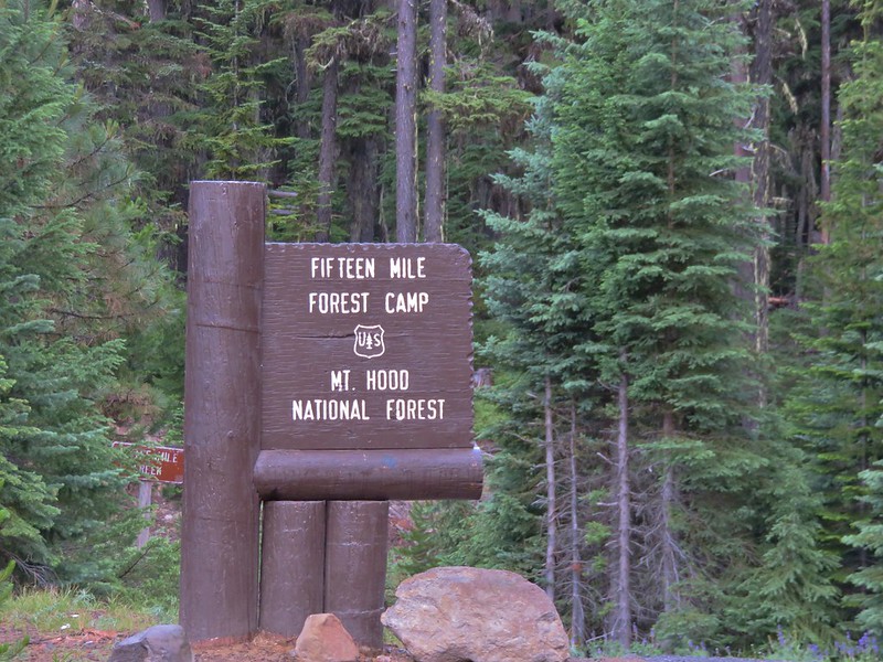
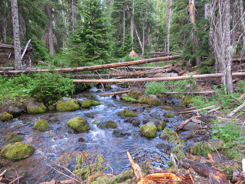
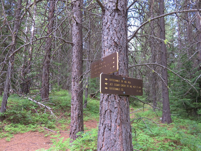
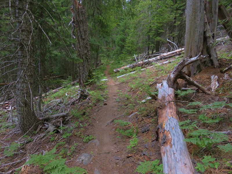
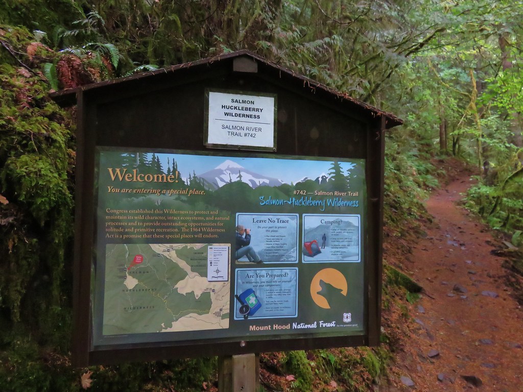
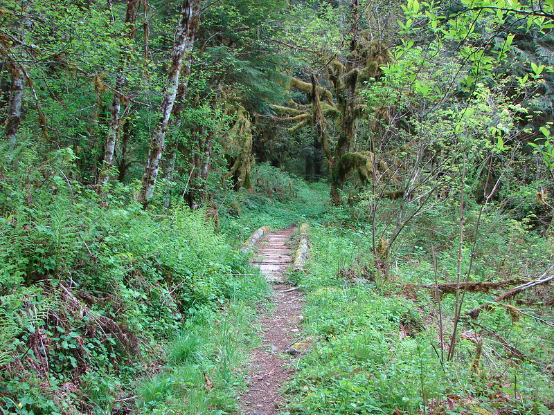
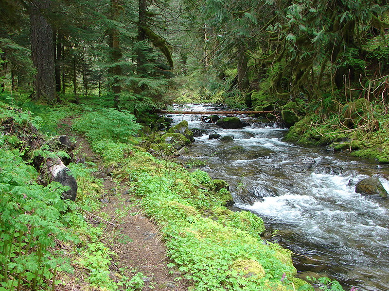
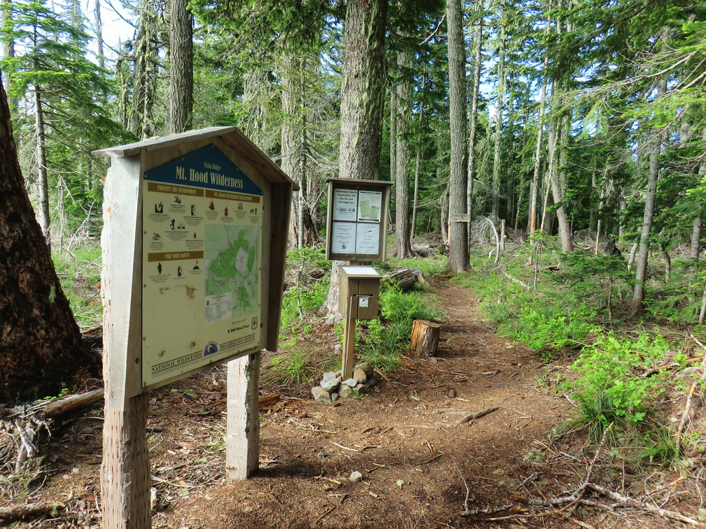
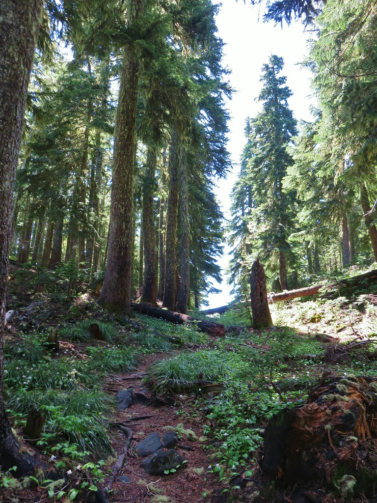
The view of Mt. Hood had been clear on our drive so we decided to head out to Owl Point first and then up Vista Ridge for the lilies. We followed the Vista Ridge Trail for .4 miles to a junction with the Old Vista Ridge Trail at the edge of the 2011 fire scar.
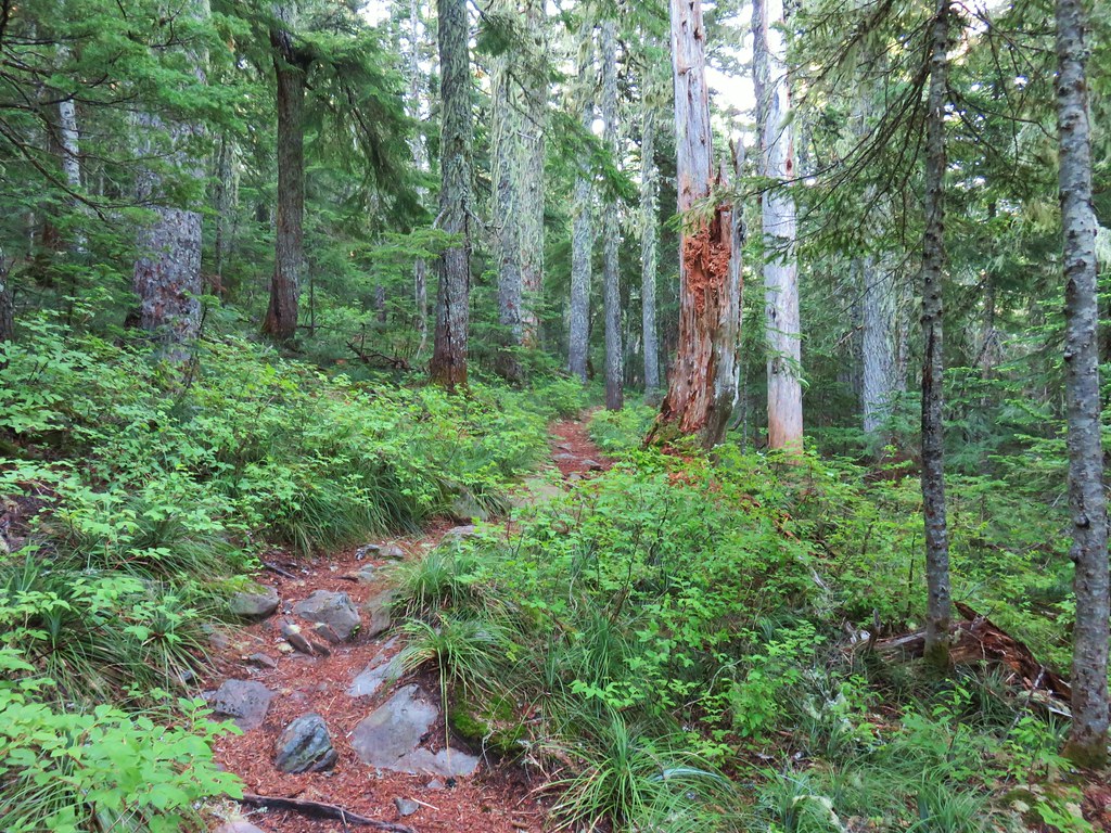

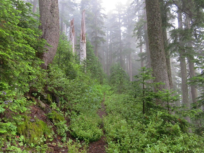
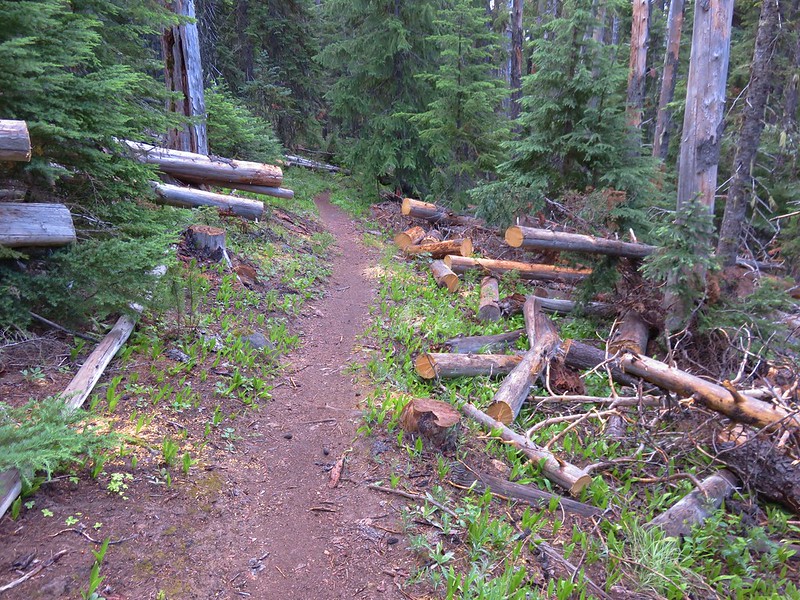
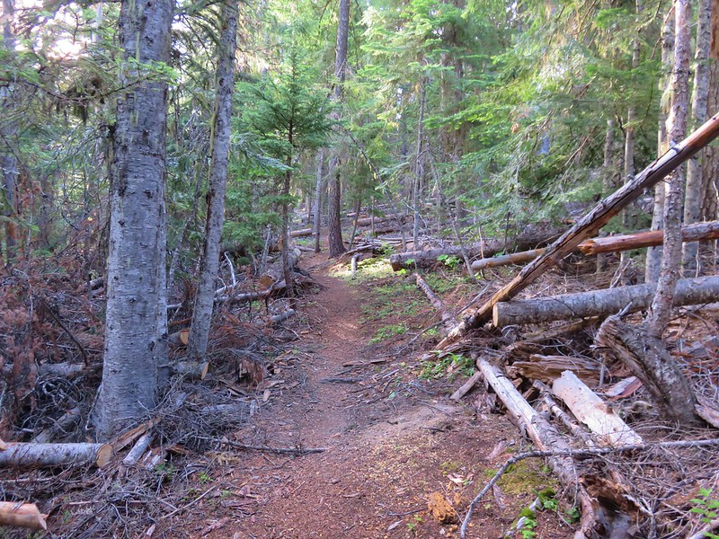
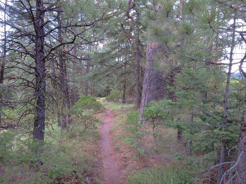
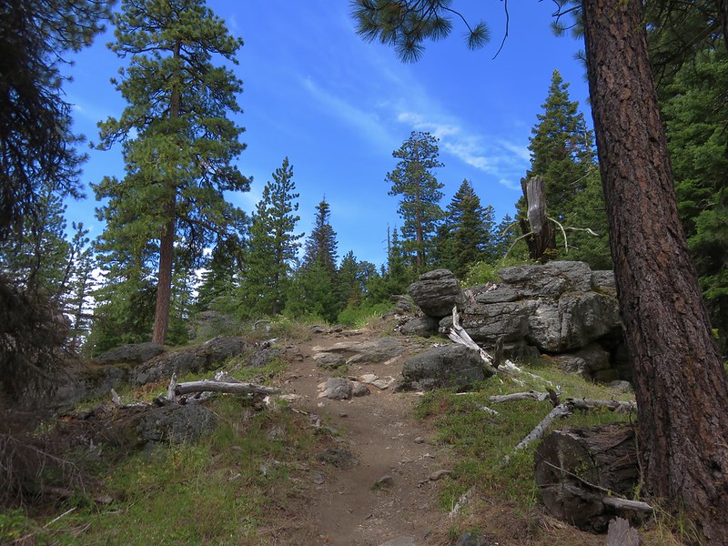
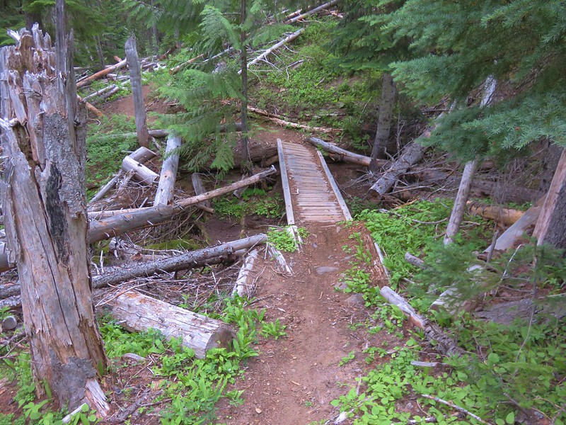
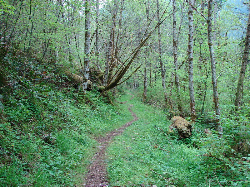
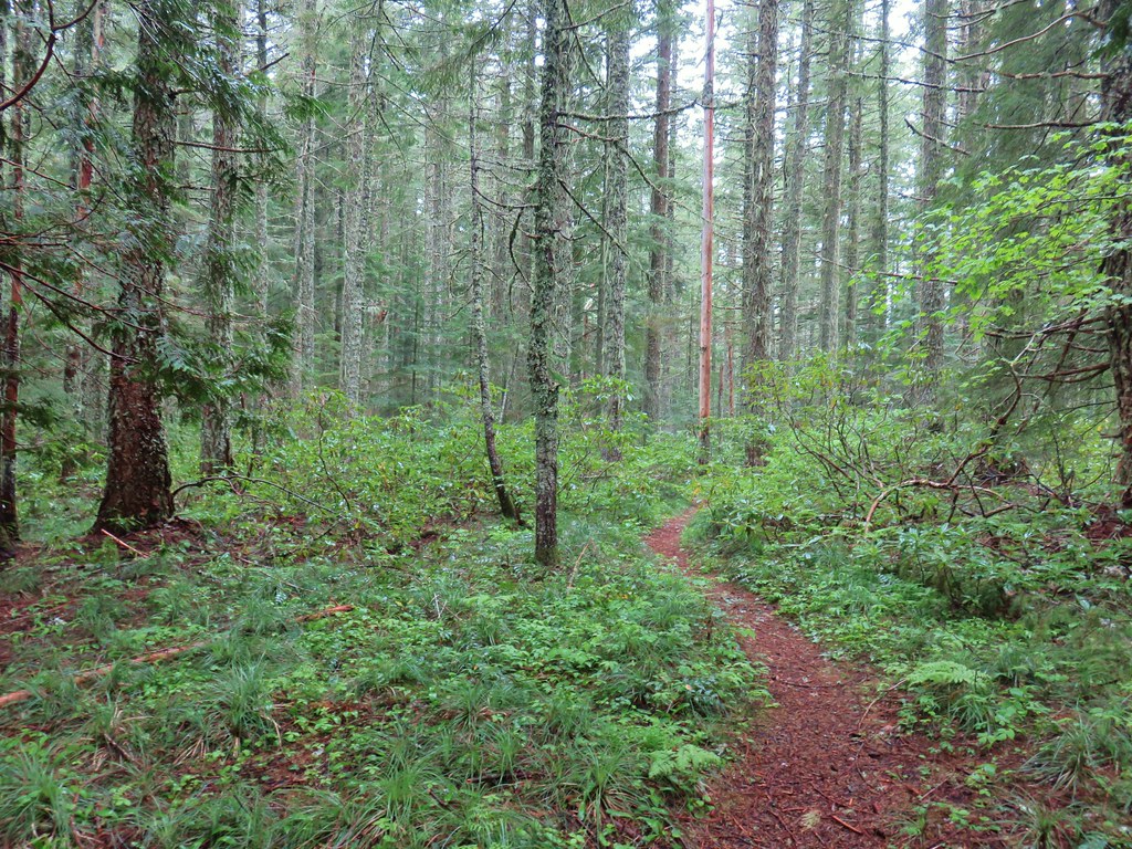
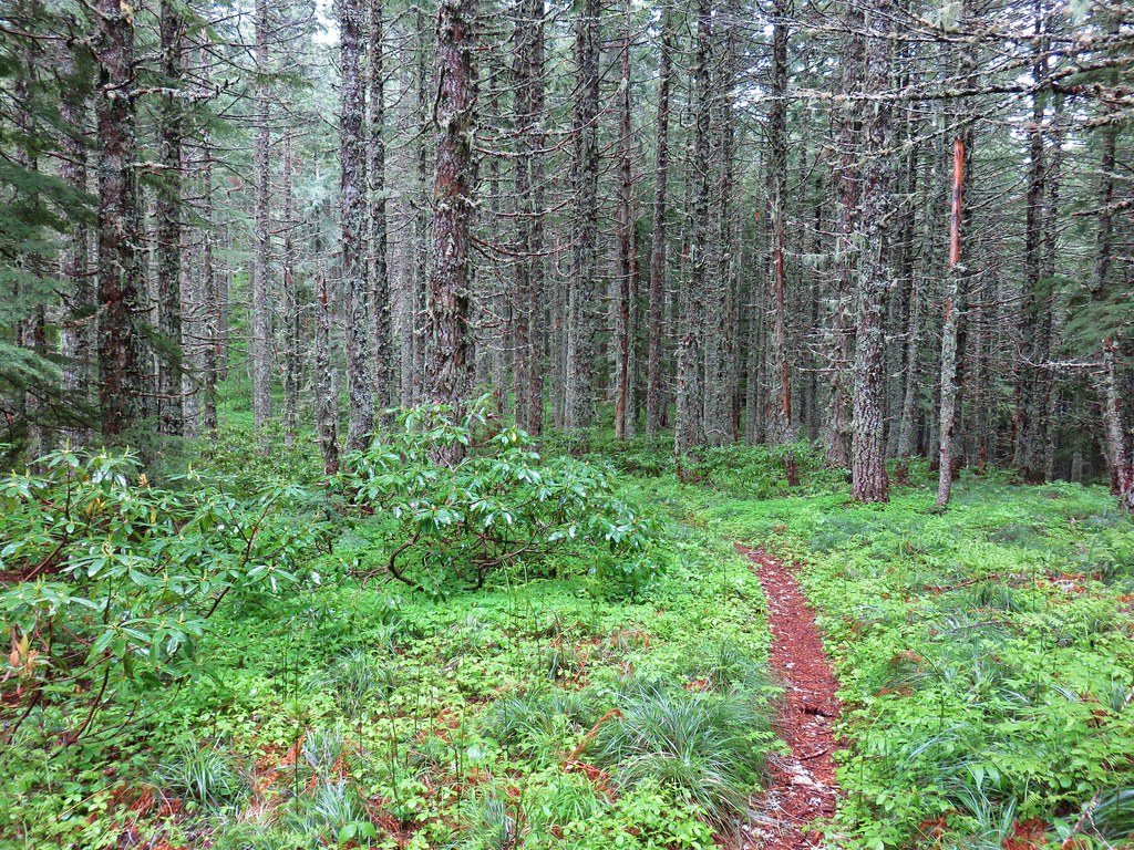
We turned left onto the Old Vista Ridge Trail and headed toward Owl Point. The trail, which relies on volunteers to keep it maintained, was in good shape.

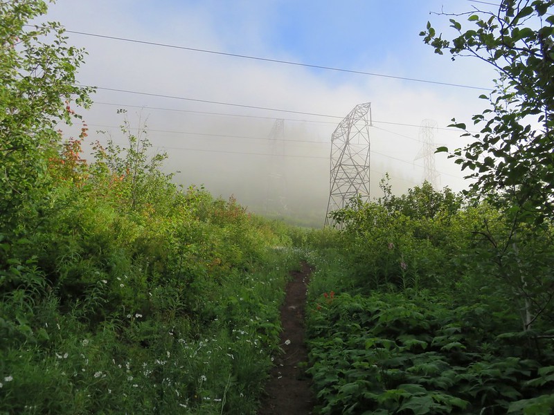
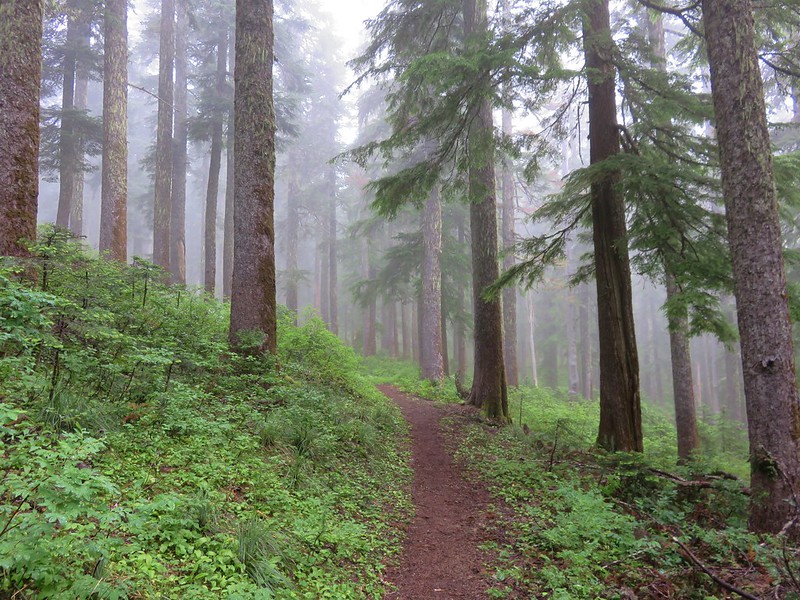
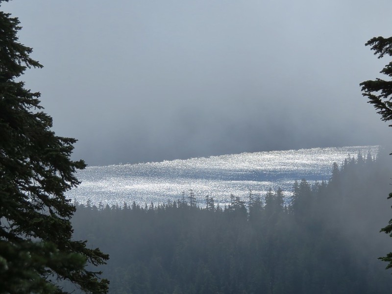
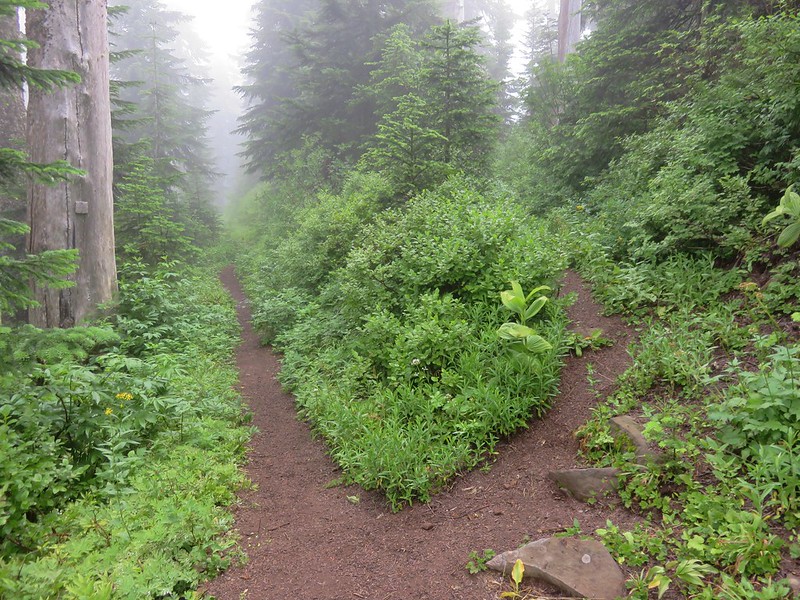
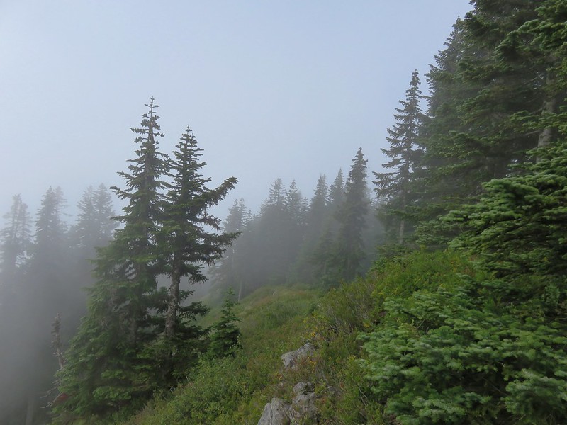
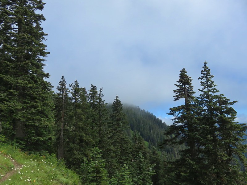
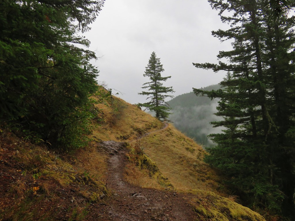
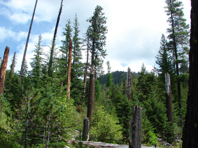
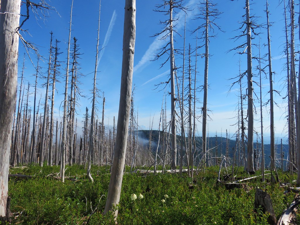
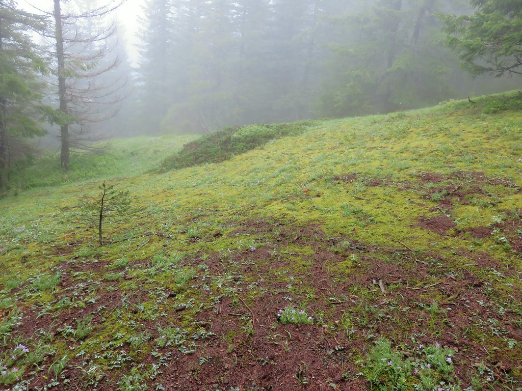
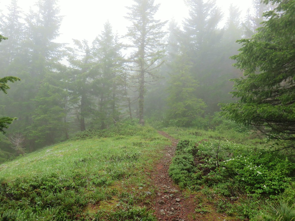
As we made our way north along though we began to run into some fog.

We had gone a little over half a mile from the junction and decided to turn back and save the viewpoint for later not wanting to risk missing out on a view. We backtracked to the junction, filled out a wilderness entry permit and headed up a fog free Vista Ridge.
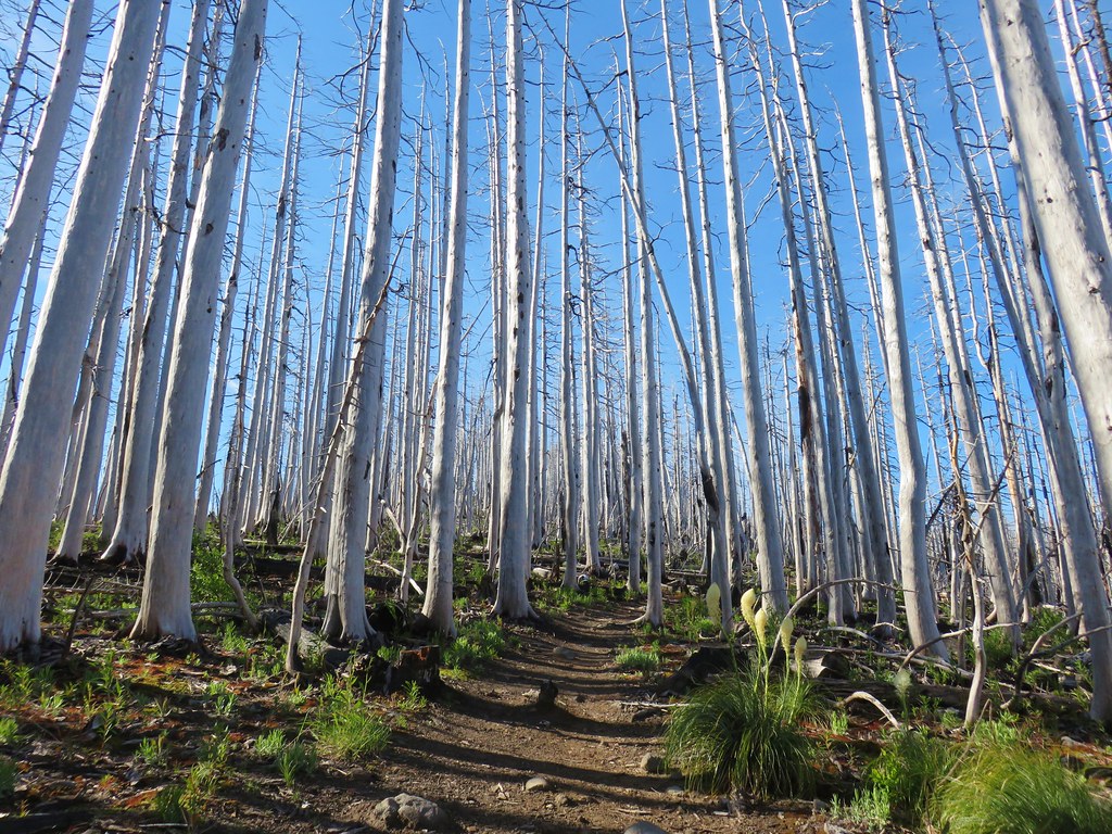
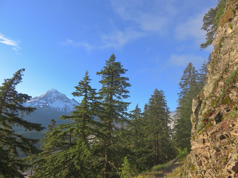
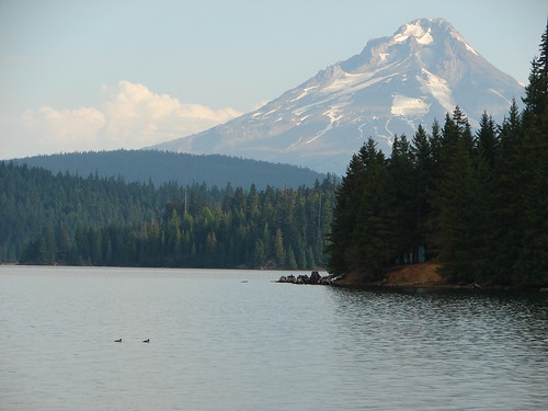
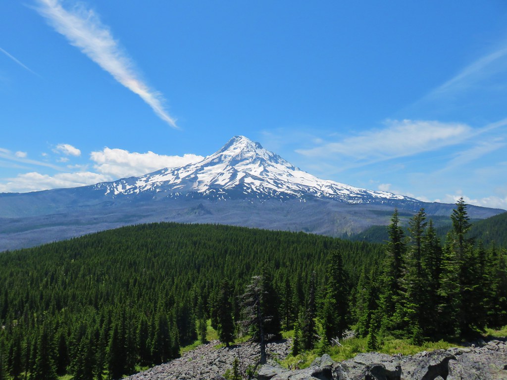
Unlike our last visit this time we could see Mt. Hood through the snags as we climbed.
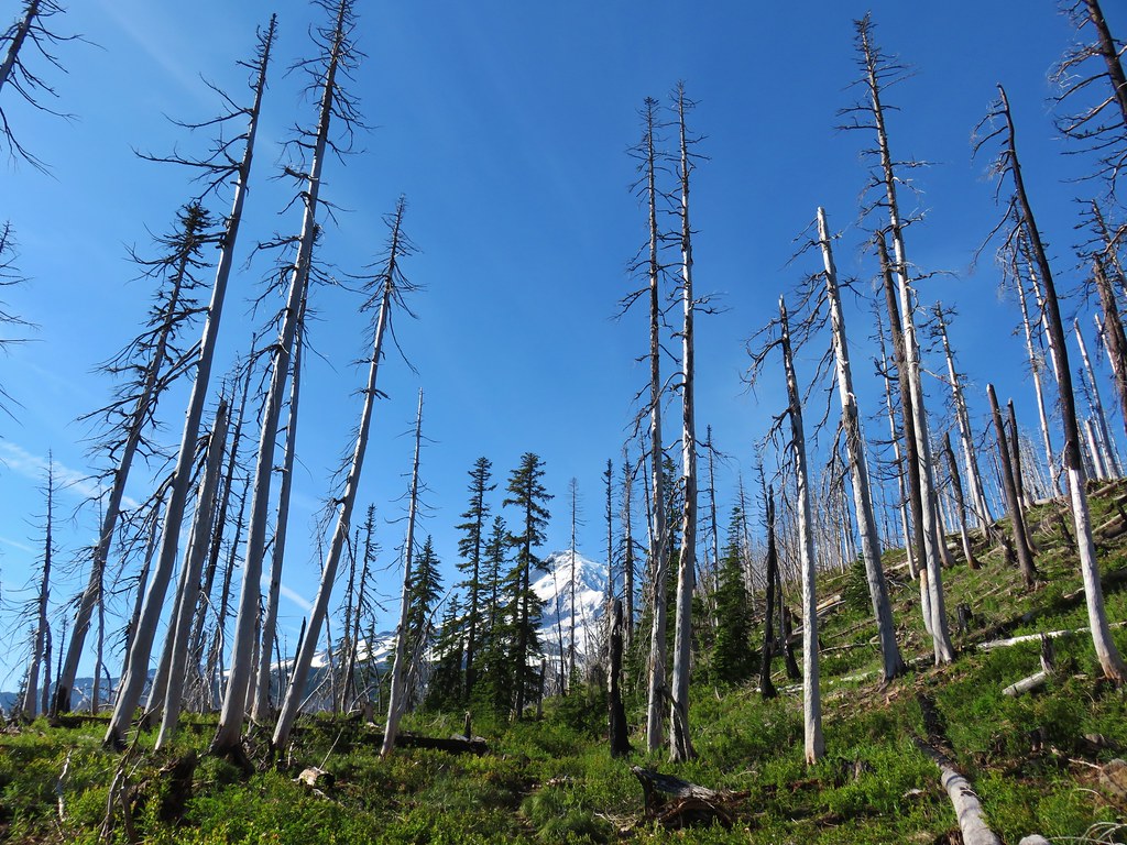
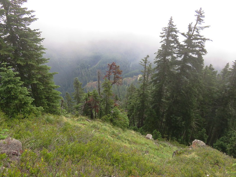
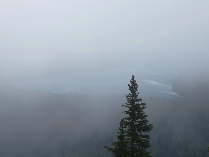
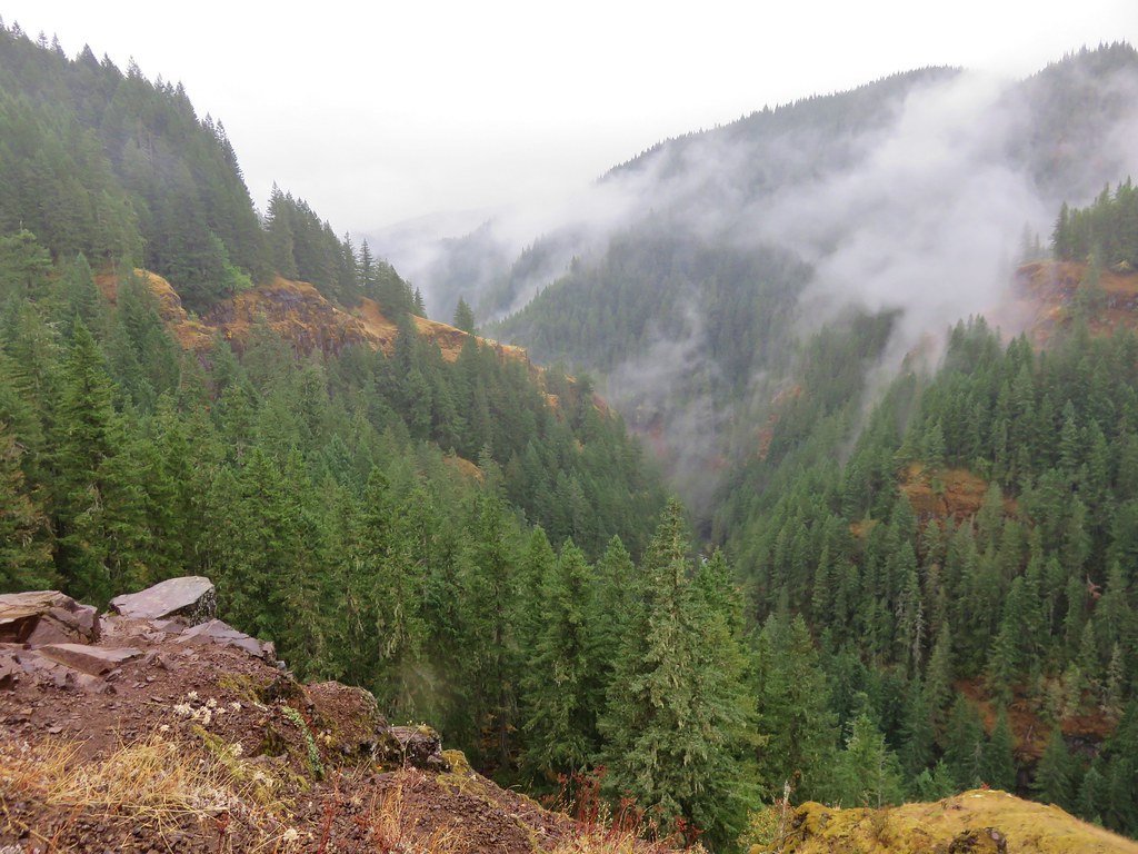
Looking back over our shoulders we could see the cloud that had caused us to turn back was not actually over Owl Point.
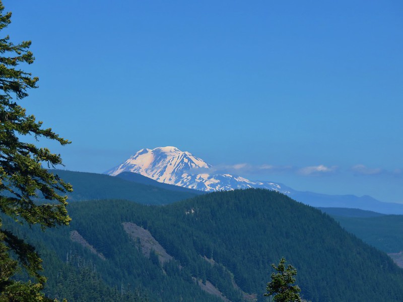
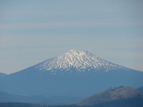
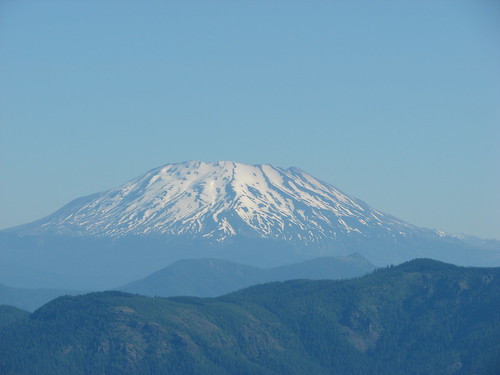
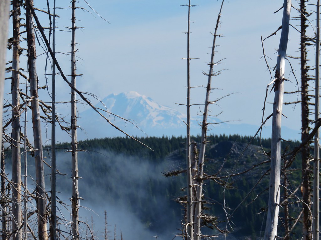 Mt. Adams beyond Owl Point
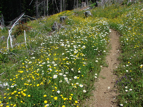
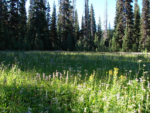
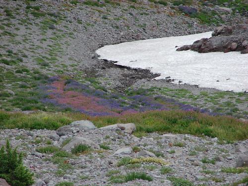
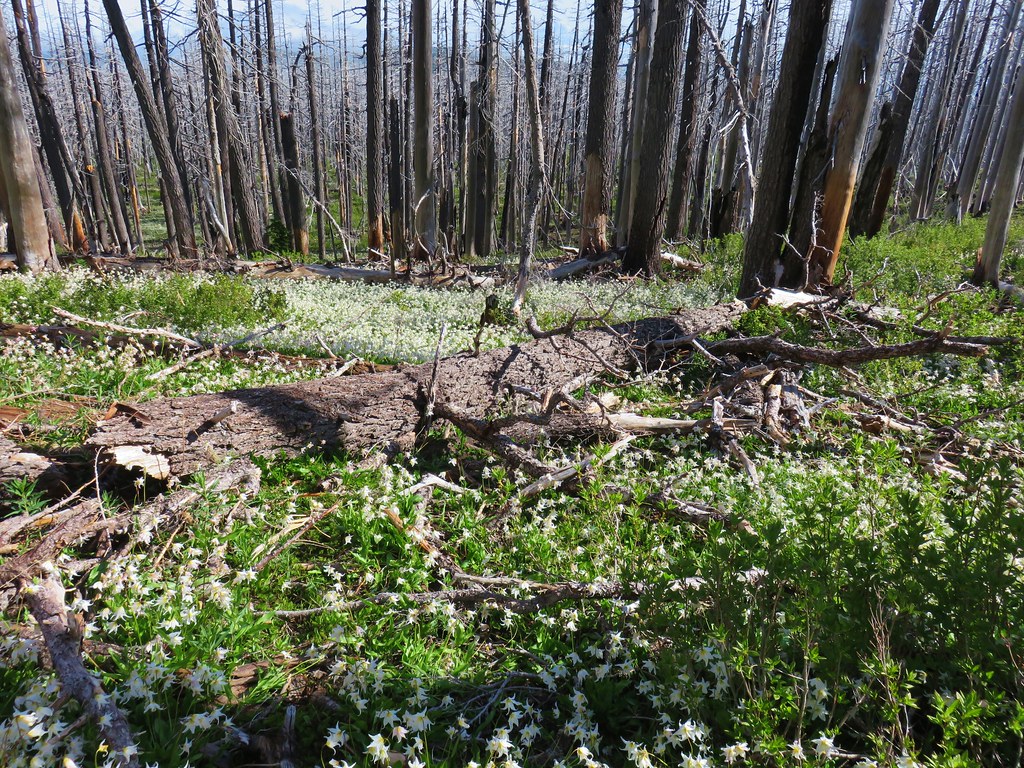
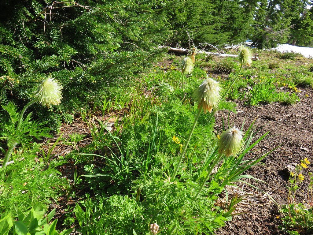
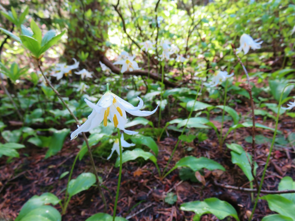
Most of the avalanche lilies were already past until shortly after entering the Mt. Hood Wilderness a mile up the Vista Ridge Trail.

At first the lilies were sparse but then small patches appeared followed by increasingly large fields of white.

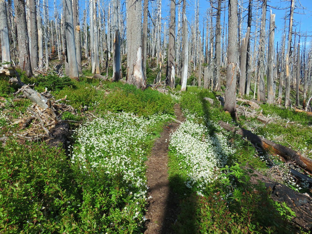

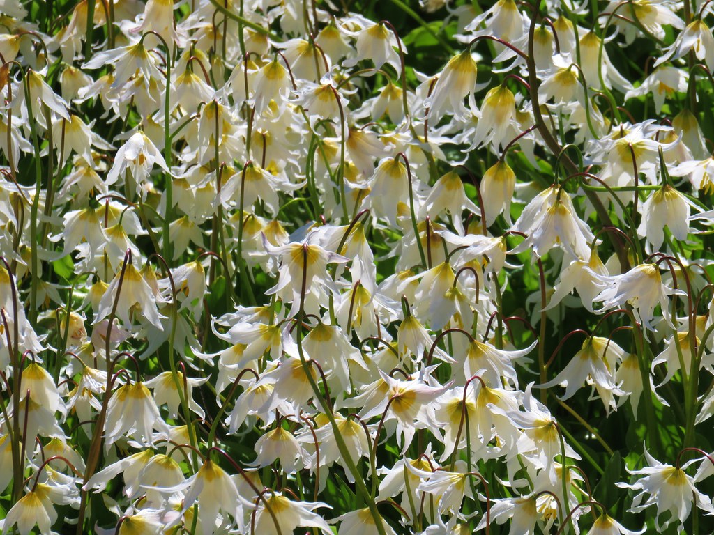

As we gained elevation we left the heavy bloom behind and began seeing flowers that had yet to open.

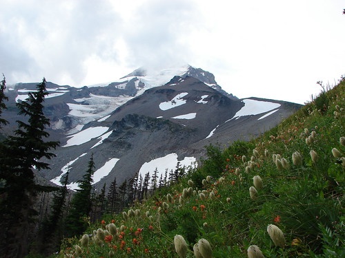
We hit snow about two and a quarter miles from the trailhead.


It was patchy and navigable without needing our microspikes and we continued uphill for another quarter mile passing a nice view of Mt. Adams and the Eden Park Trail along the way.


 Eden Park Trail
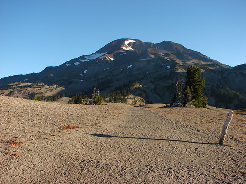
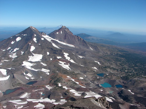
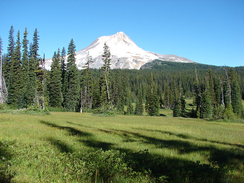
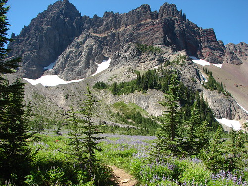
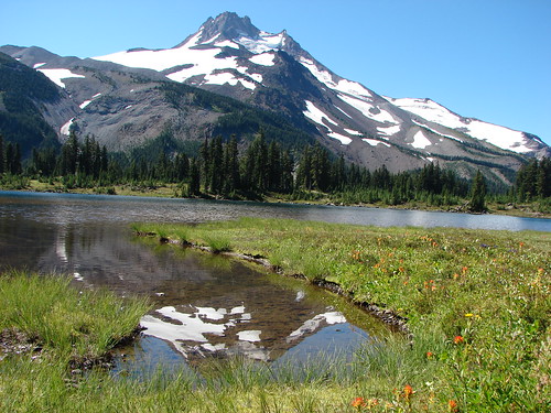
We ended our climb at a snowfield where the Vista Ridge Trail headed left of the ridge toward its junction with the Timberline Trail.

The trail looked passable with the microspikes but we had a nice view from where we were and didn’t see a point in continuing on given we still wanted to get out to Owl Point and we were planning on hiking for the next three days straight.

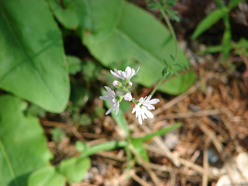
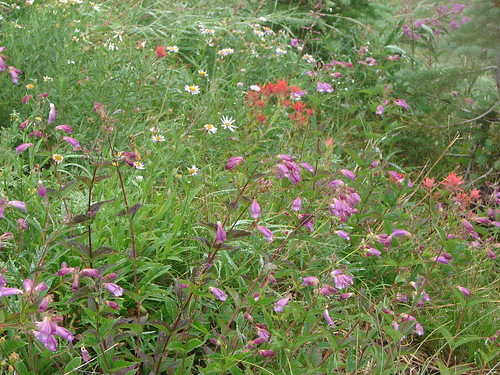
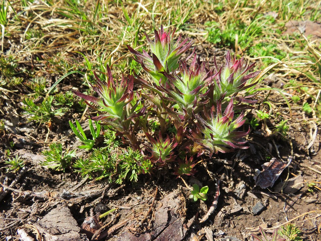
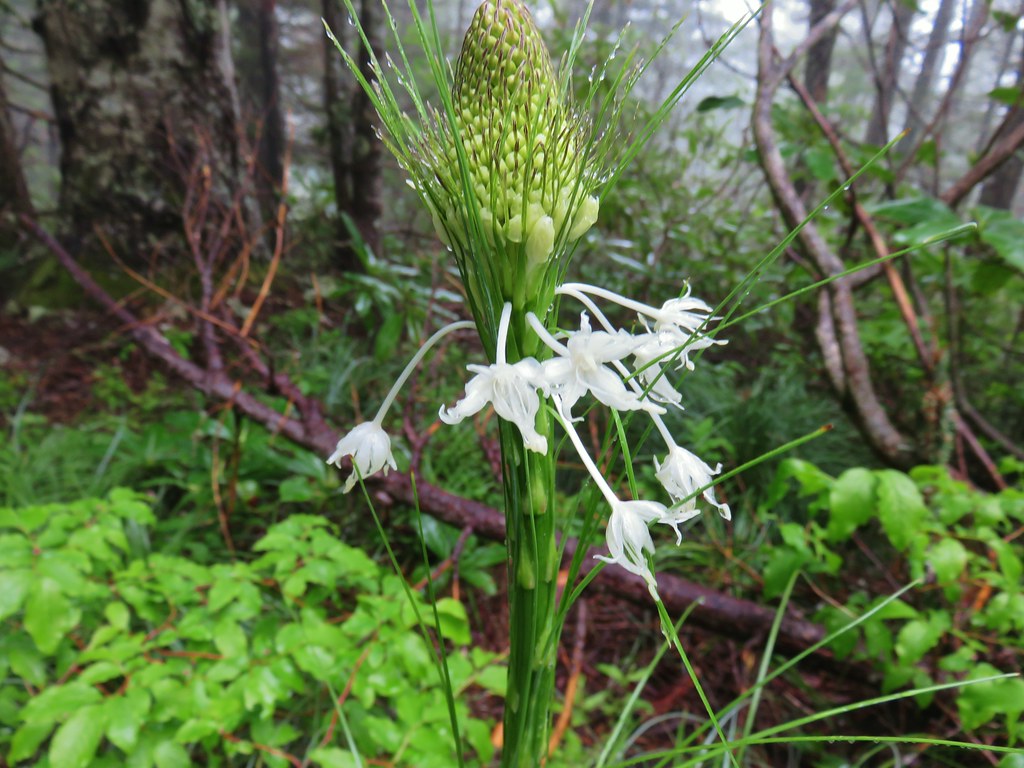
Near our turn around we spotted some other early bloomers – western pasque flowers aka hippies on a stick.

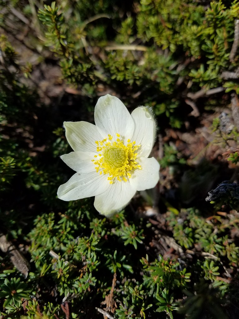
 western pasque flowers already going to seed
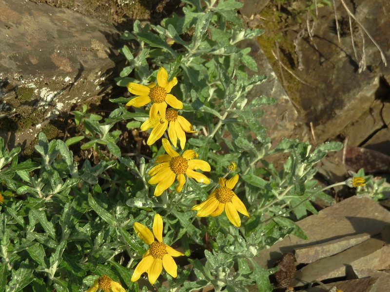
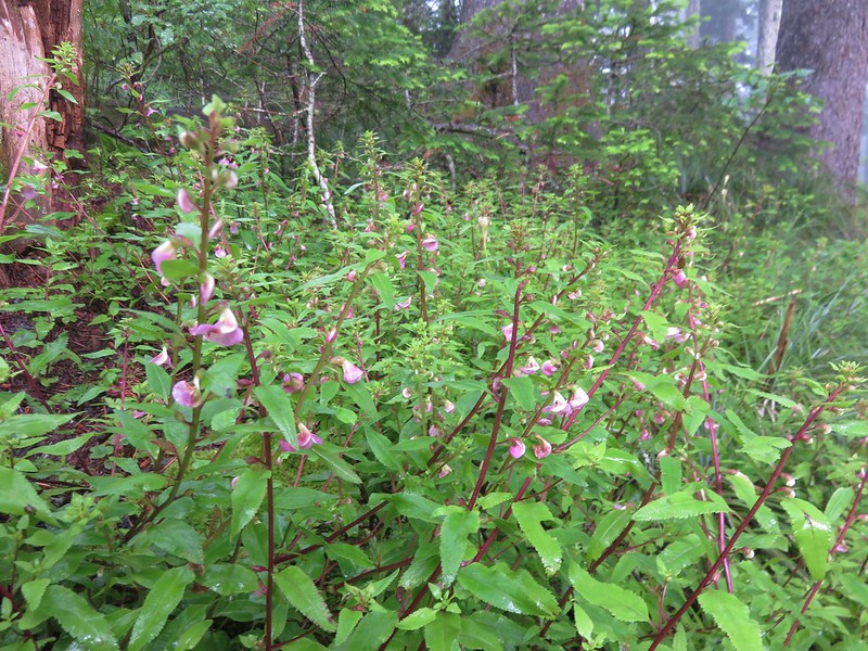
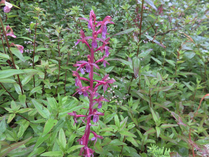
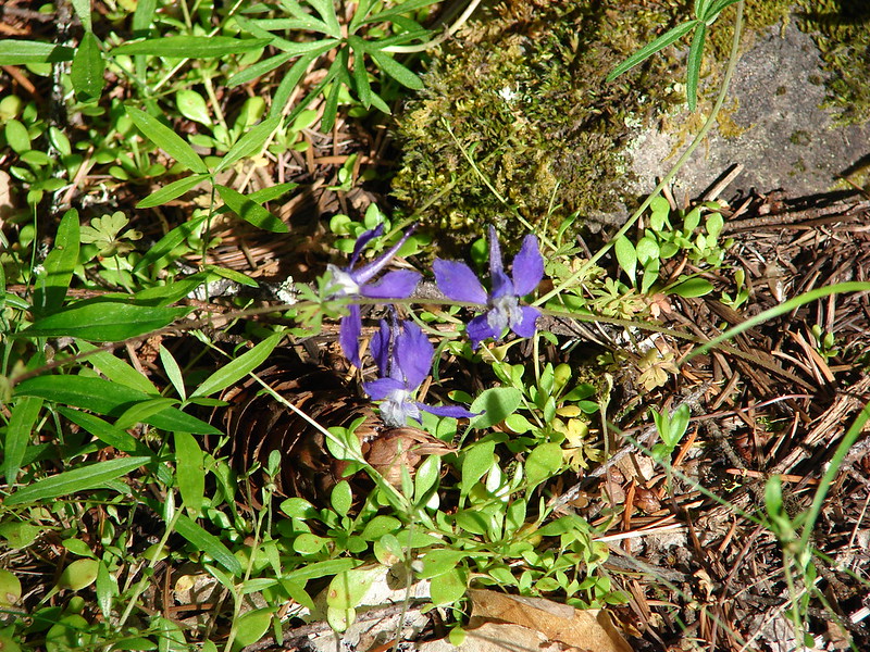
Paintbrush and cinquefoil was also present.

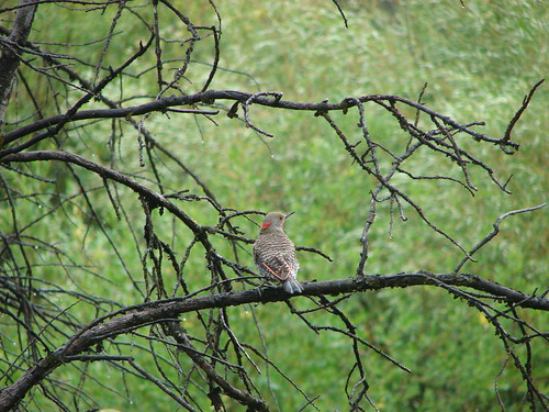
After an extended break enjoying the view of Mt. Hood we headed back down to the Old Vista Ridge Trail junction stopping along the way to once again admire the avalanche lilies and also to share a moment with a friendly yellow-rumped warbler.


We turned back onto the Old Vista Ridge Trail and repeated the first section which seemed to climb more this second time. (At least our legs felt like it did.) This time there was no fog though and we soon found ourselves at a viewpoint looking at Owl Point.

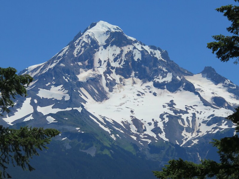
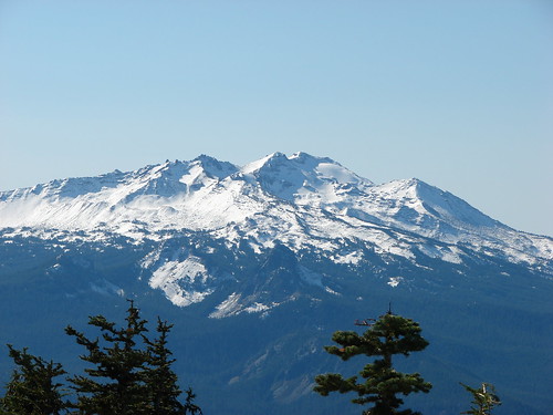
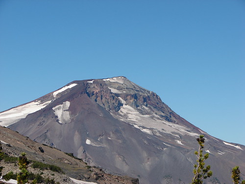
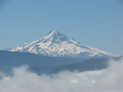
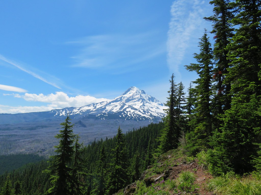
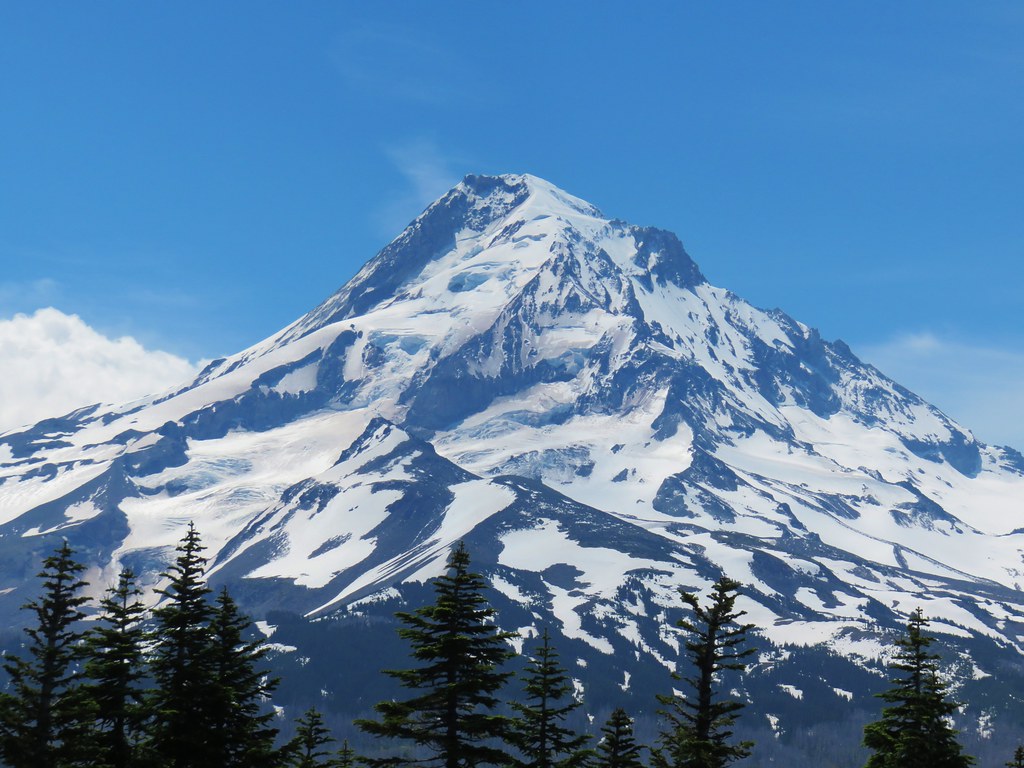
There was also a decent view of Mt. Hood.
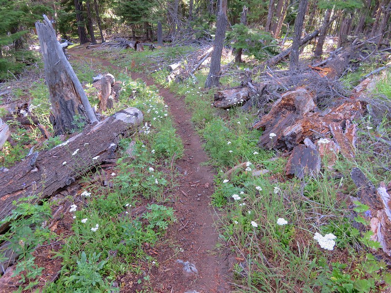
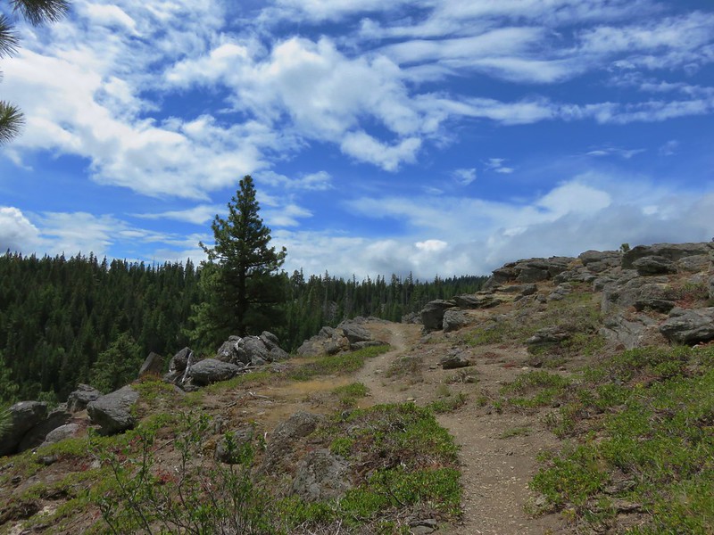
After the initial climb the trail leveled out some along the ridge top where a few patches of snow remained.

That meant more avalanche lilies, although nowhere near the numbers that Vista Ridge was home to.
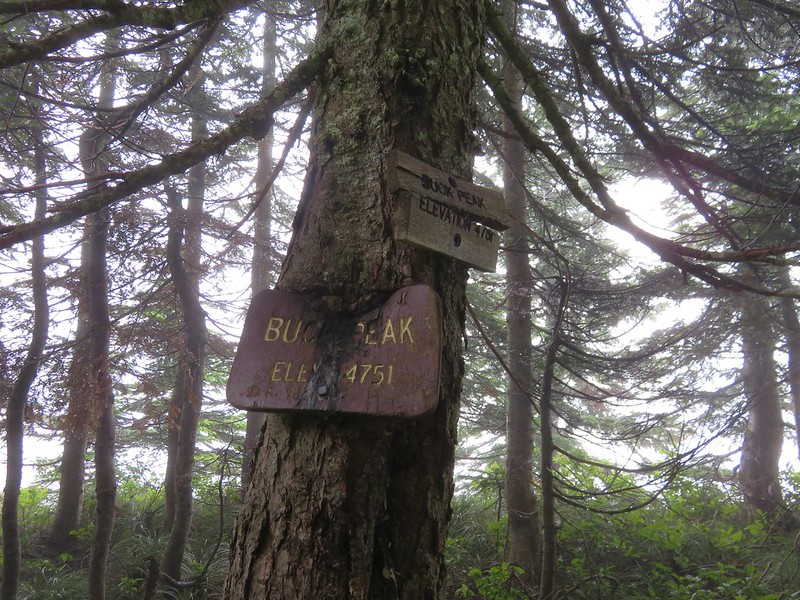
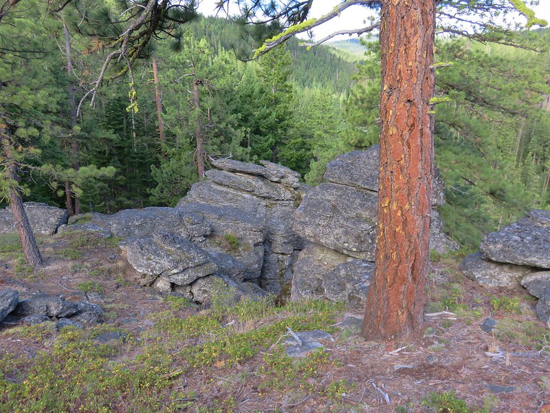
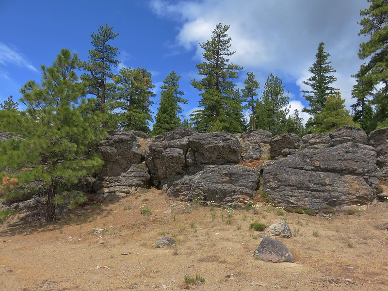
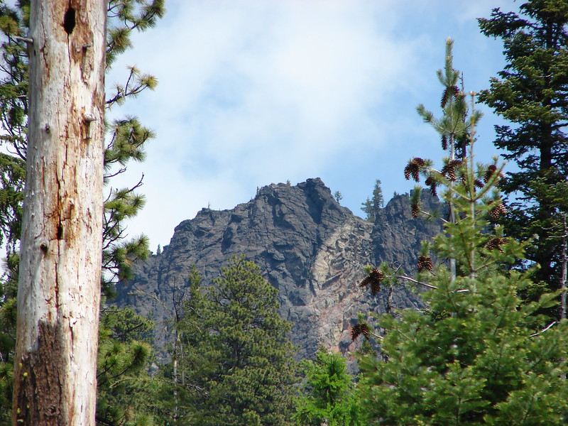
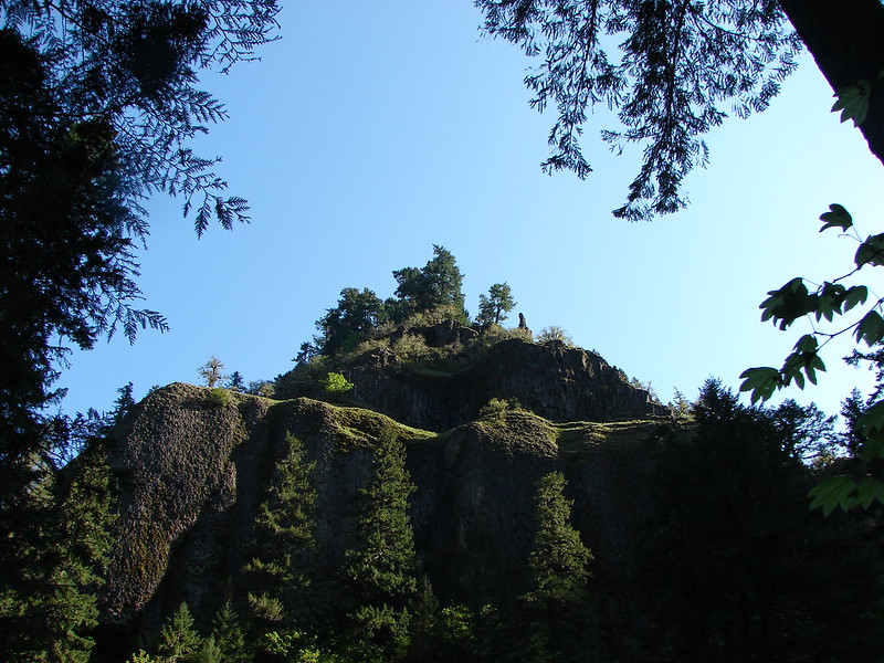
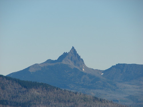
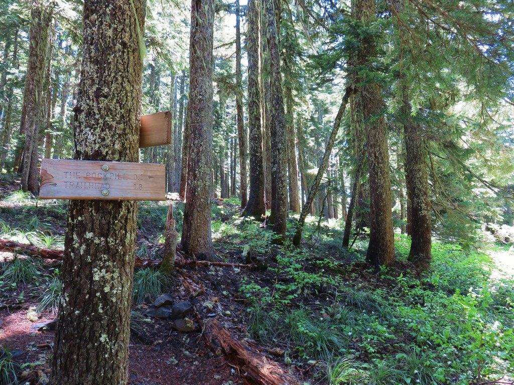
After climbing to a saddle we came to a sign for The Rockpile viewpoint.
The short spur trail led out to a nice view of Mt. Hood but we had startled a dog that was with some backpackers and it wouldn’t stop barking so we quickly took our leave heading for quieter surroundings.

The spur trail to Owl Point was just a tenth of a mile from the trail to the Rockpile.

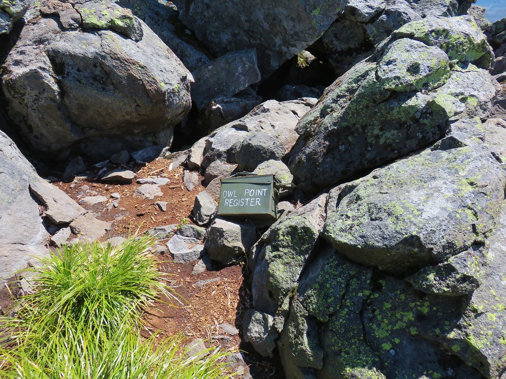
We followed this spur to it’s end at a register at Owl Point.

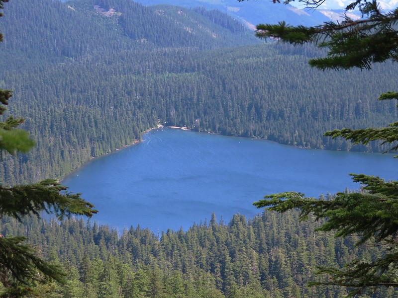
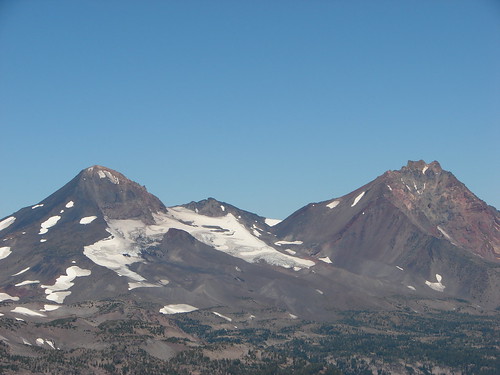
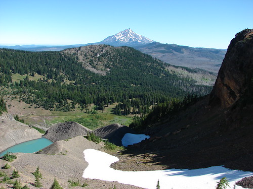
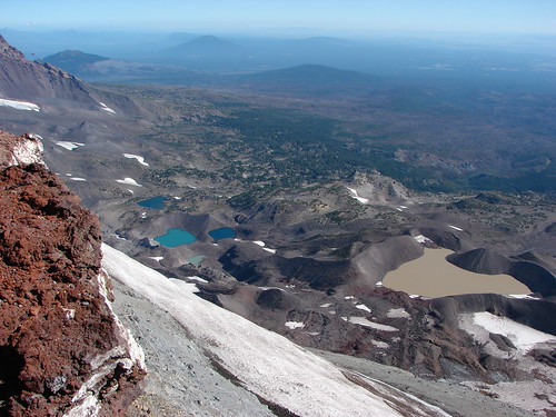
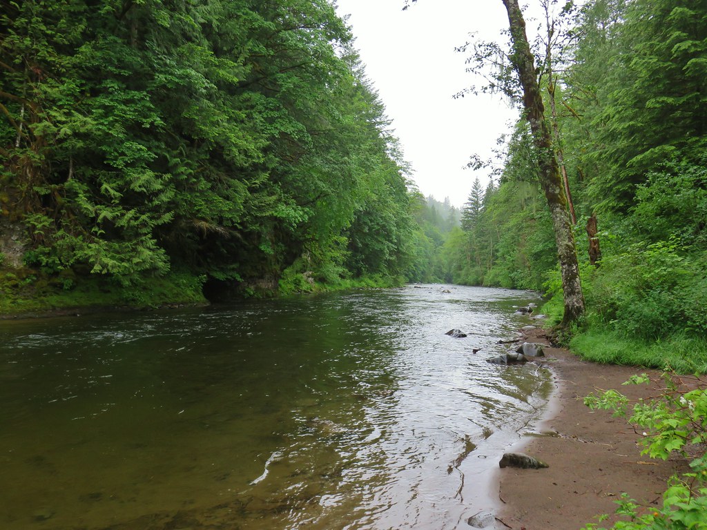
Laurance Lake lay below to the east with Surveryors Ridge beyond.

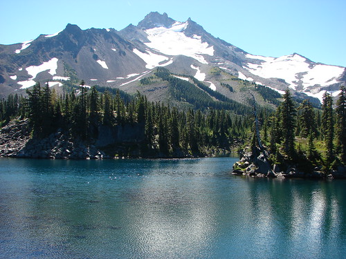
Mt. Hood was the main attraction though.
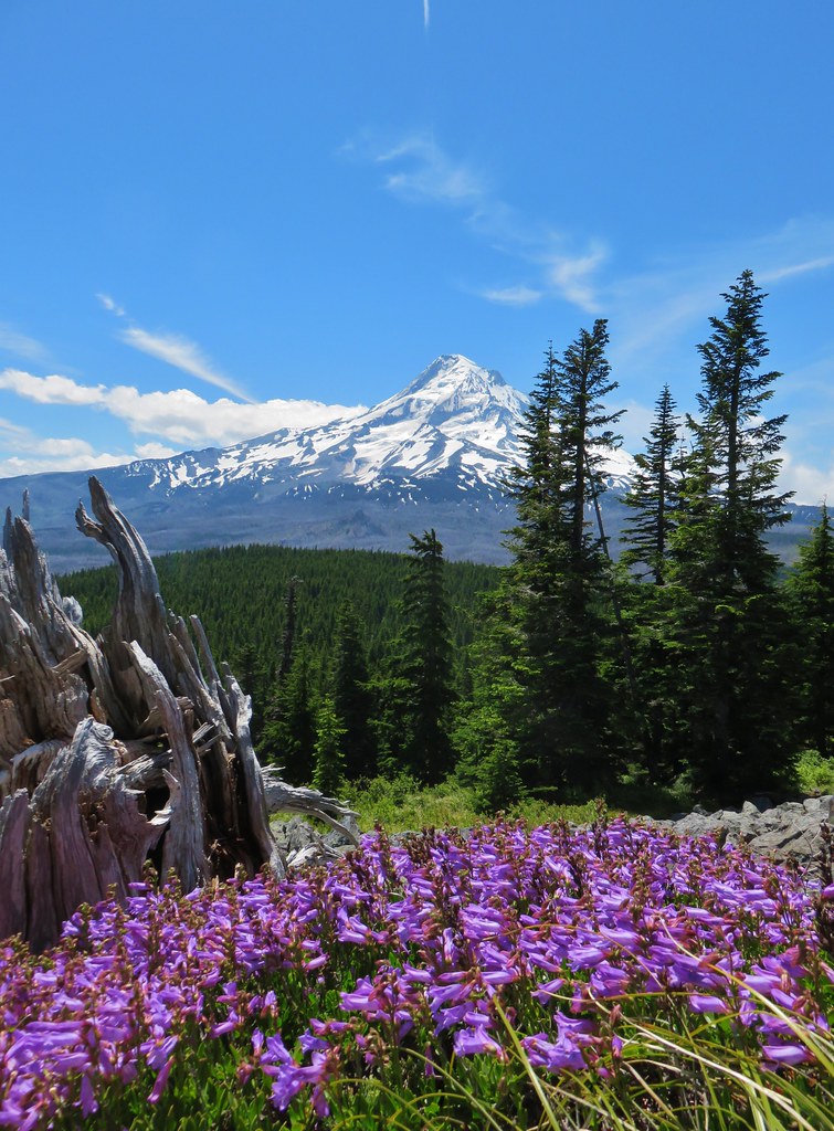
We sat for awhile admiring the mountain and studying Vista Ridge where we could see the trail cutting across the snow beyond where we had turned around.


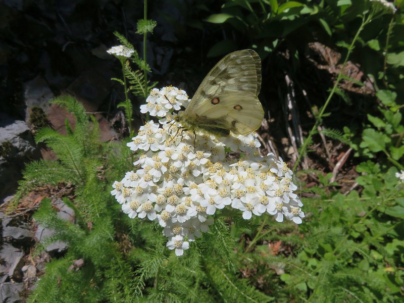
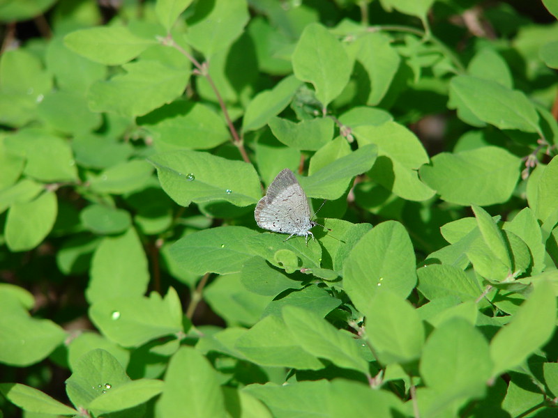
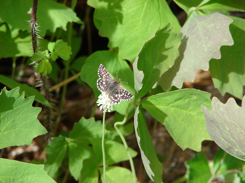
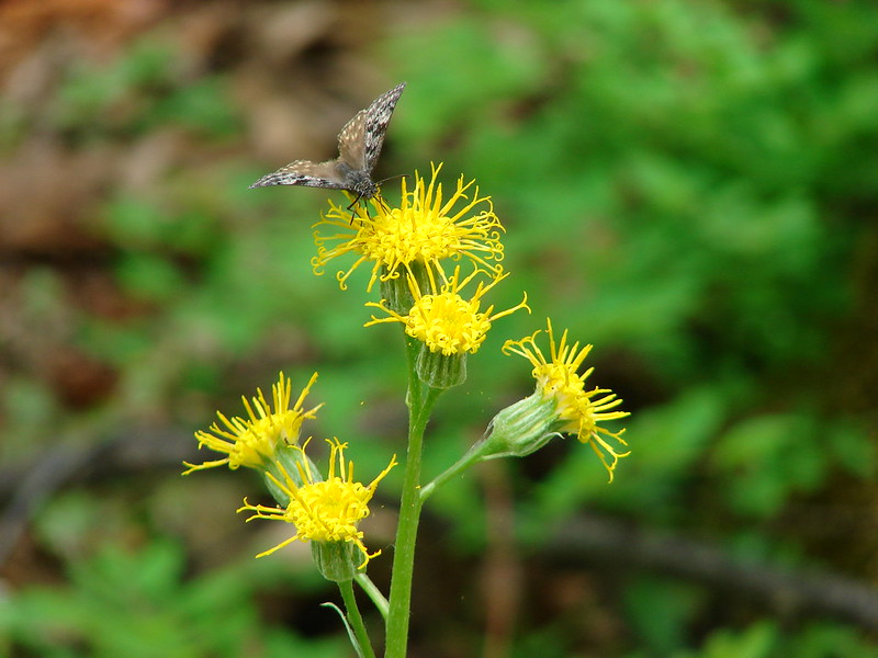
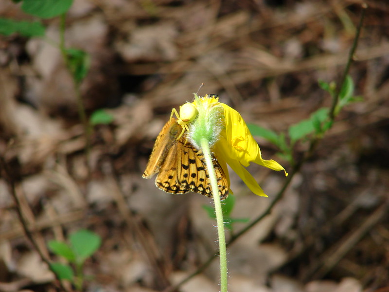
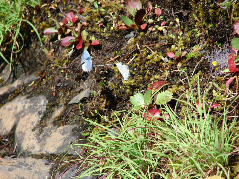
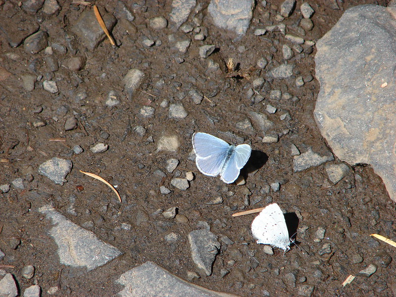
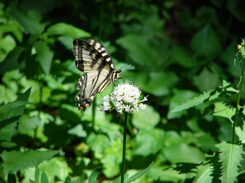
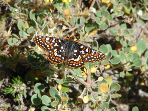
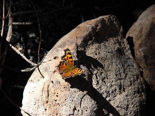
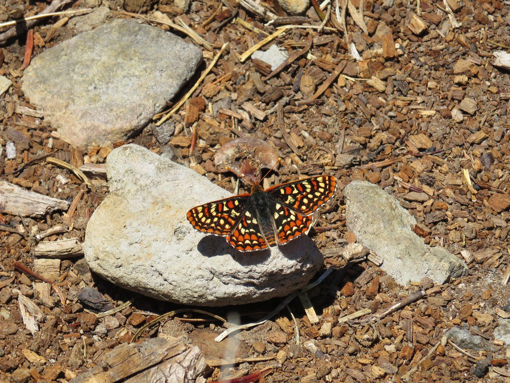
We also spent some time looking for pikas but never saw (or heard) any. We did however have a butterfly join us briefly.
When we had returned to the Old Vista Ridge Trail we continued north for another tenth of a mile to visit Alki Point.

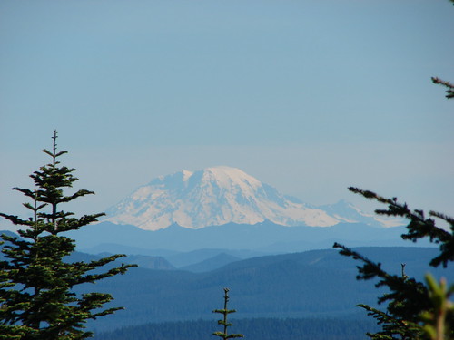
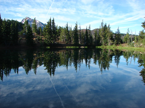
This viewpoint looked north and on a cleared day would have offered views of Mt. St. Helens, Mt. Rainier, and Mt. Adams. We settled for a glimpse of Rainier’s summit above some clouds (that’s Mt. Defiance in the foreground) and a semi-obstructed view of Mt. Adams.

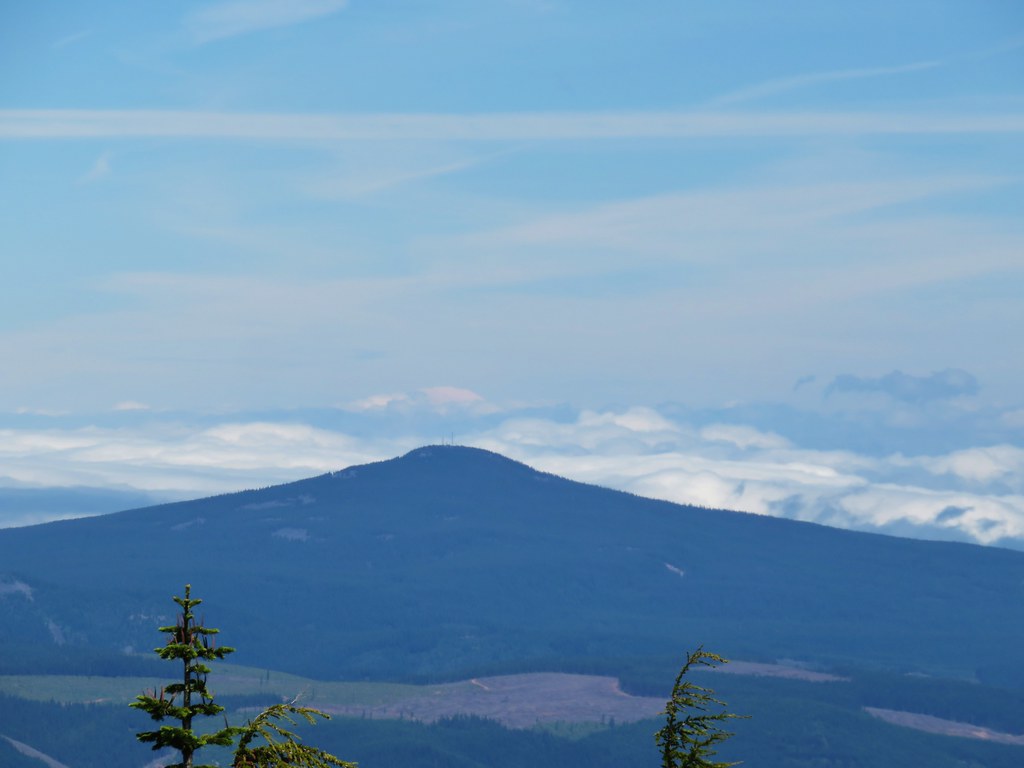 Mt. Rainier (sort of)
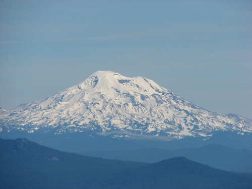
 Mt. Adams
We headed back to the trailhead completing a 10.8 mile hike that would have been under 10 had we not had the false start on the Old Vista Ridge Trail in the morning. The avalanche lilies had not disappointed, it was a great way to start a four day stretch of hiking. Happy Trails!
Flickr: Owl Point and Vista Ridge


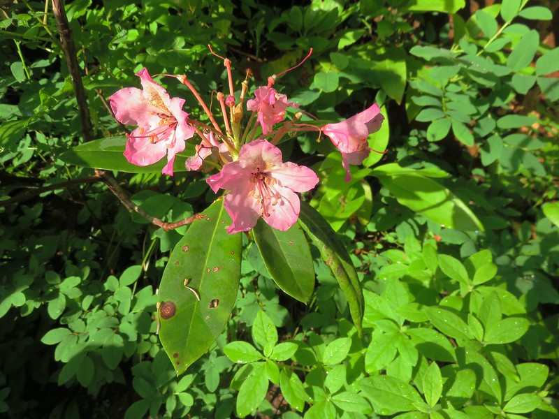
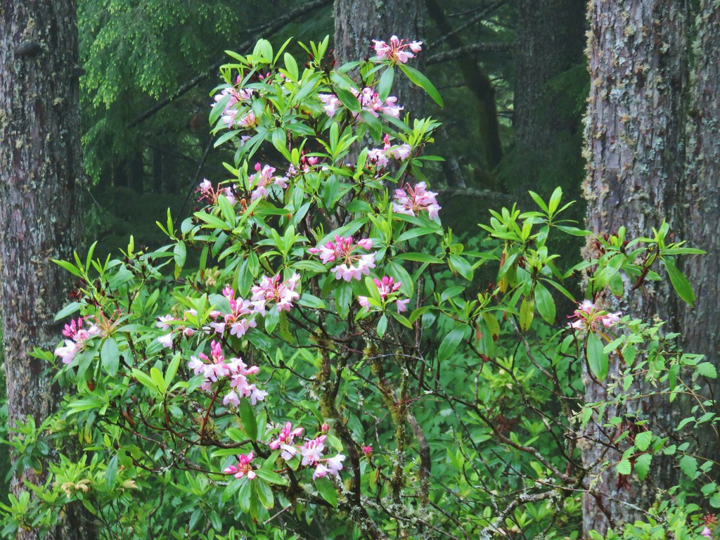 Rhododendron
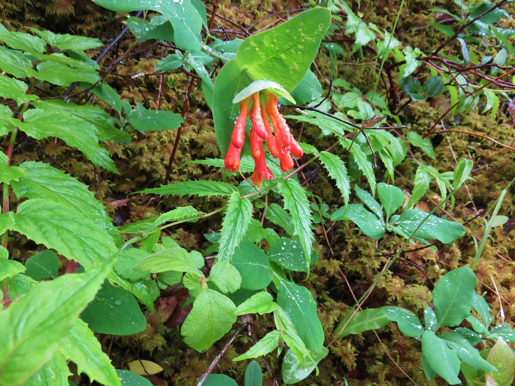 Honeysuckle
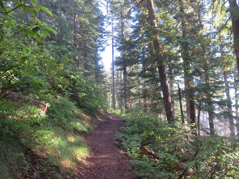
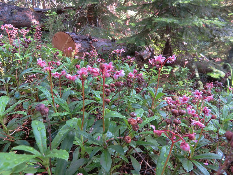
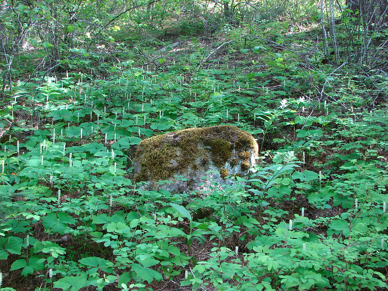
 Beargrass and rhododendron along the trail.
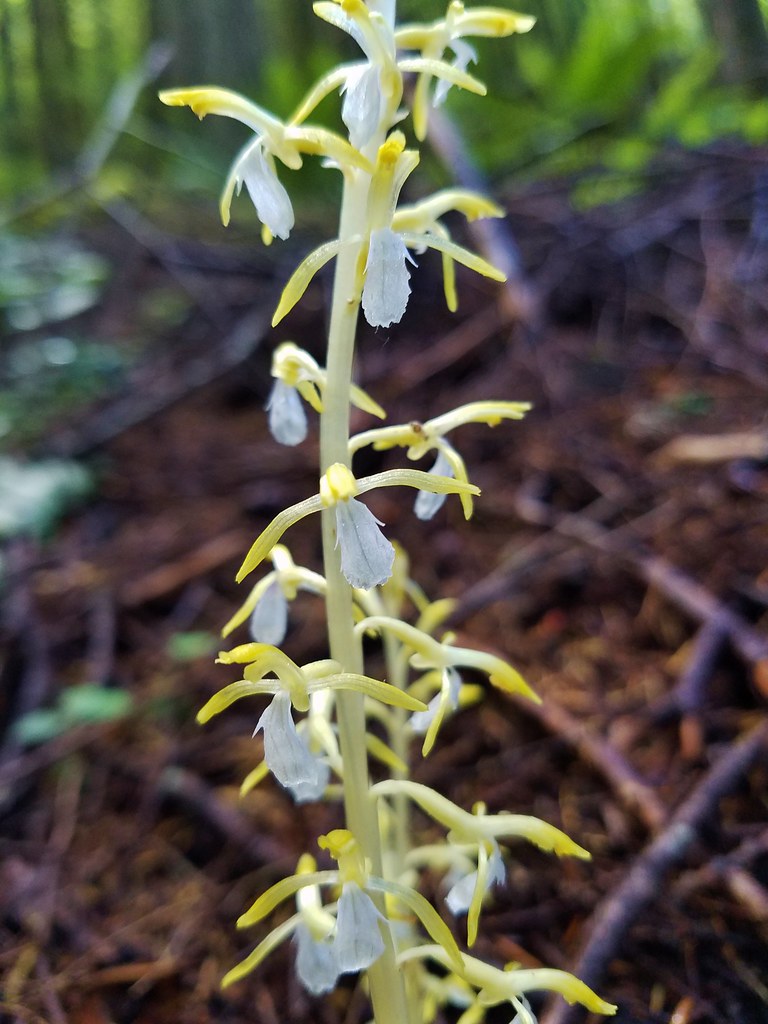
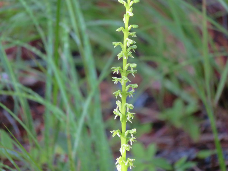
 Coralroot and sourgrass
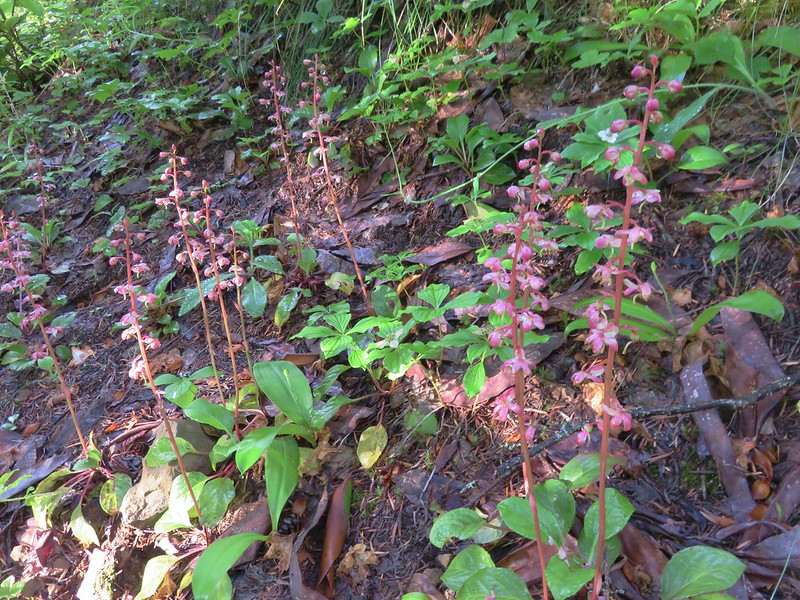
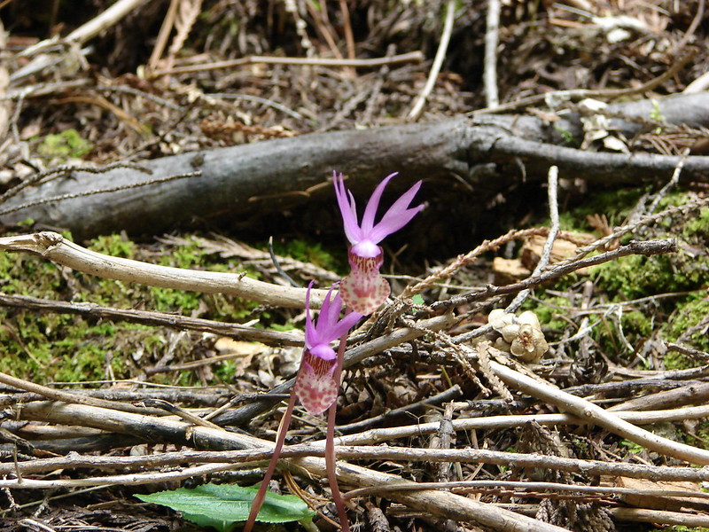
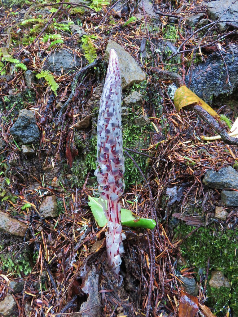 Candy stick
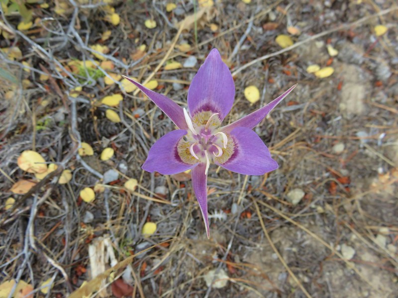
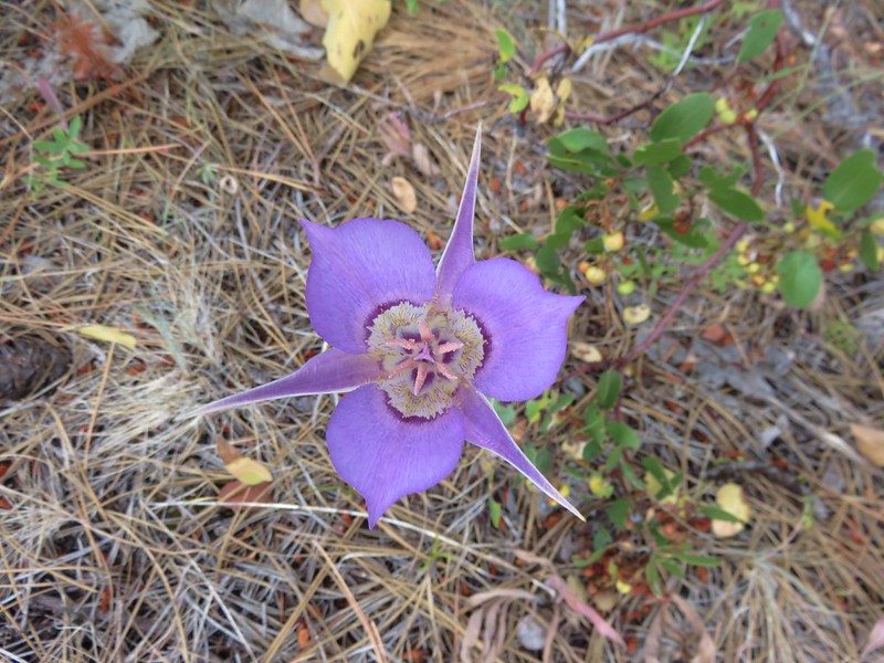
 Damp iris

 Green lichen
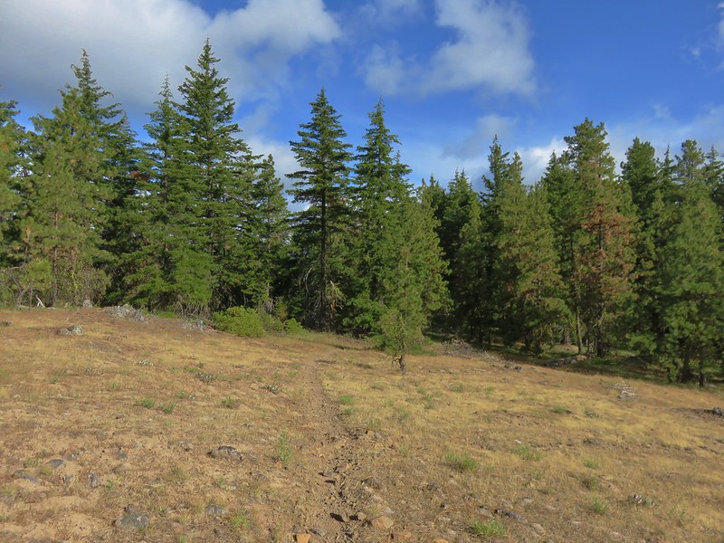
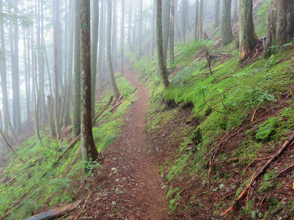
 A few trees peaking through the clouds along McIntyre Ridge (
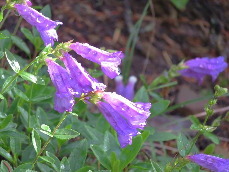
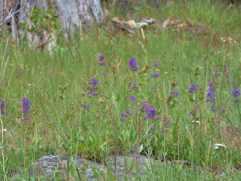
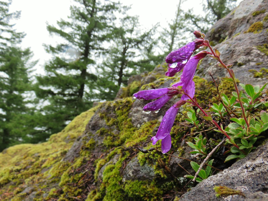 Penstemon
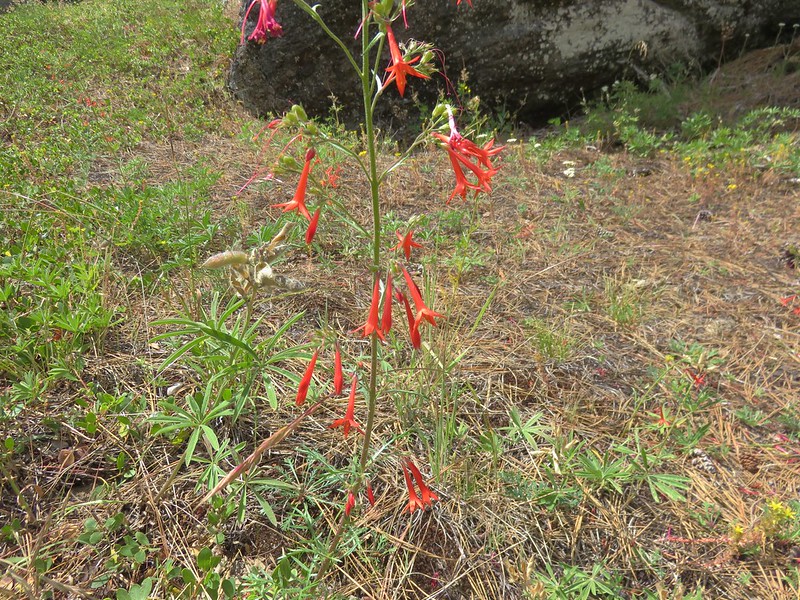
 Paintbrush
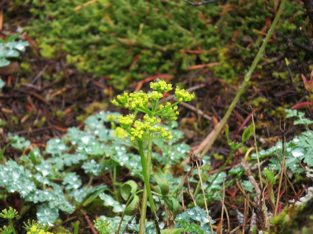 Biscuitroot
 Beargrass
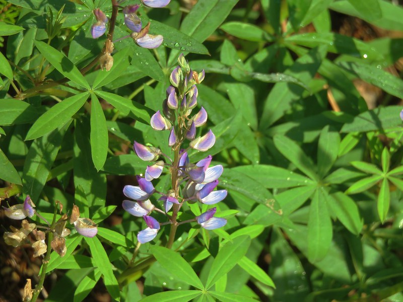
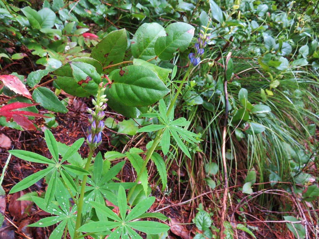 Lupine


 2019
2019 2015
2015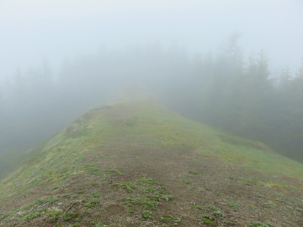
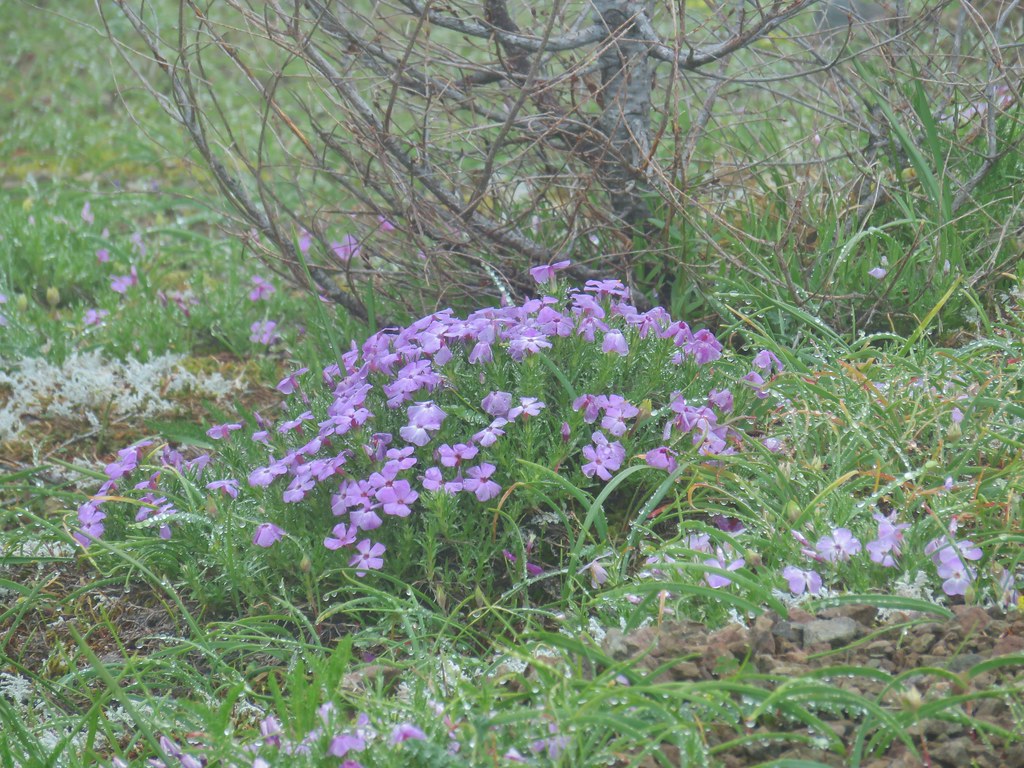 Phlox
Phlox Paintbrush
 Penstemon
 Avalanch lily
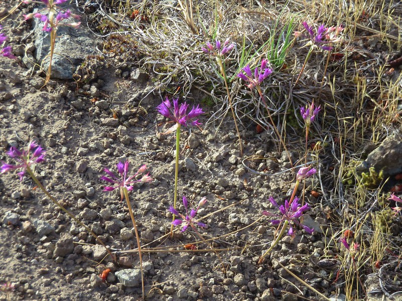
 Wild onion