
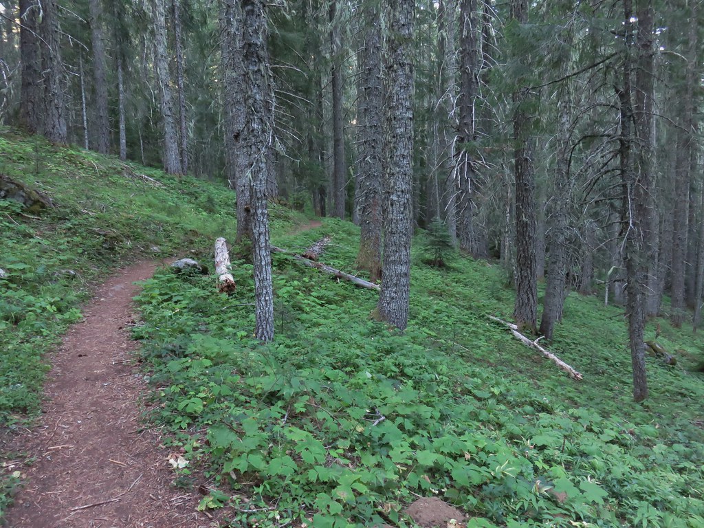
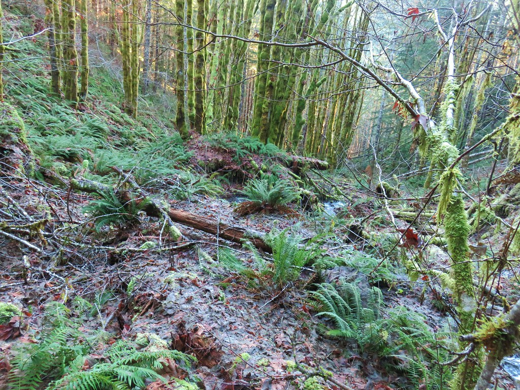
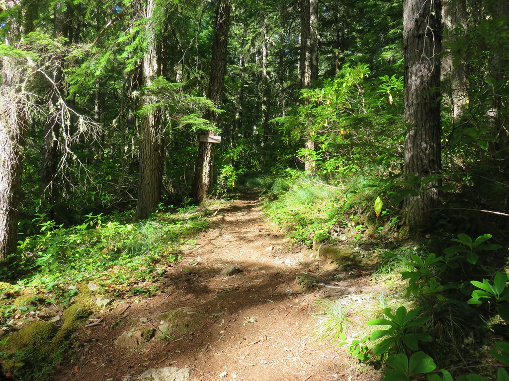
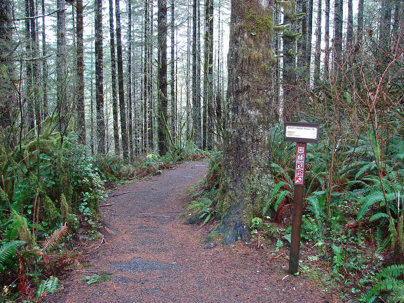
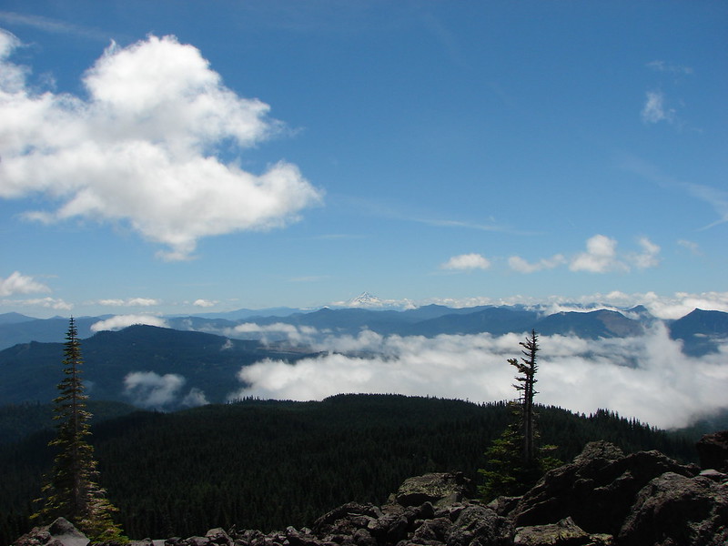
We spent Mother’s Day weekend hiking several trails in Clatsop County. We began on Saturday by driving to Ecola State Park and parking in the Ecola Point parking lot. We last visited the park in December 2013 when we hiked north along the Oregon Coast Trail (OCT) to Tillamook Head’s high point. (post)
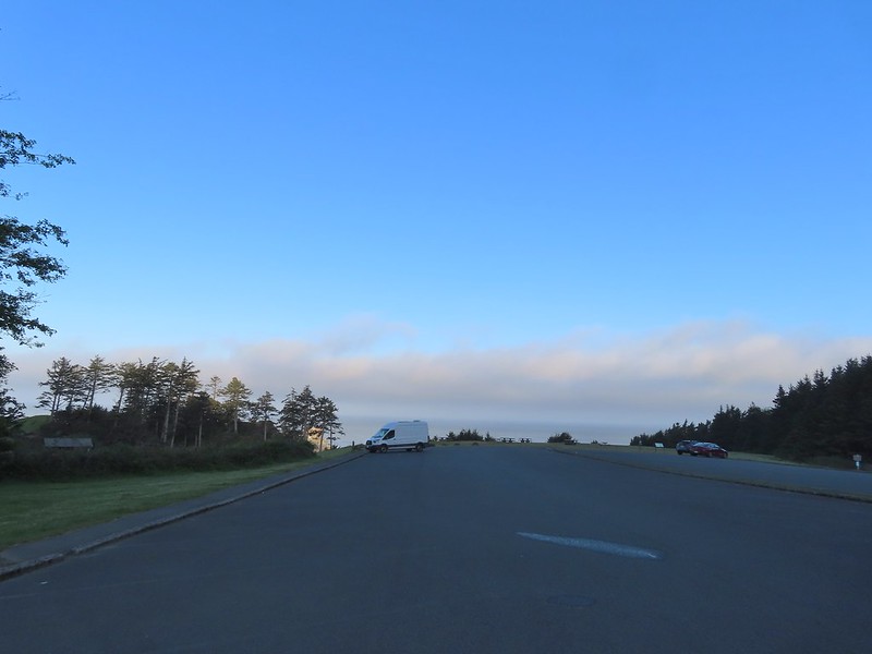
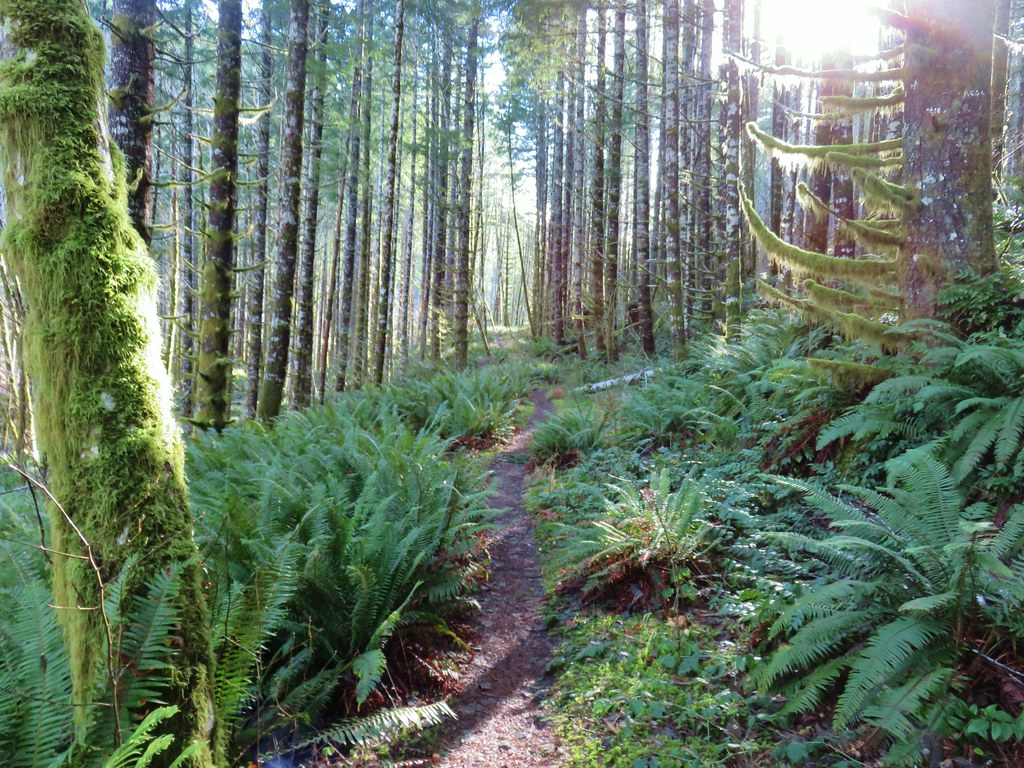
For this visit our plan was to hike south on the OCT then take the Crescent Beach Trail down to that beach.
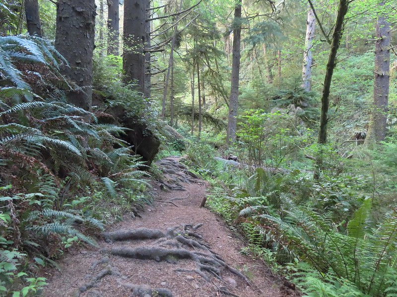
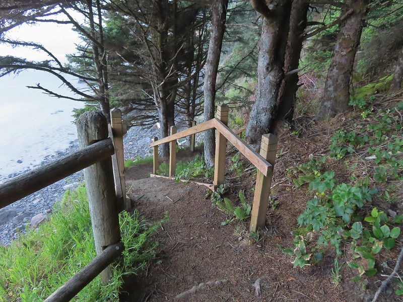
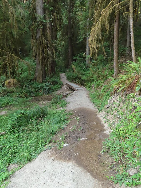
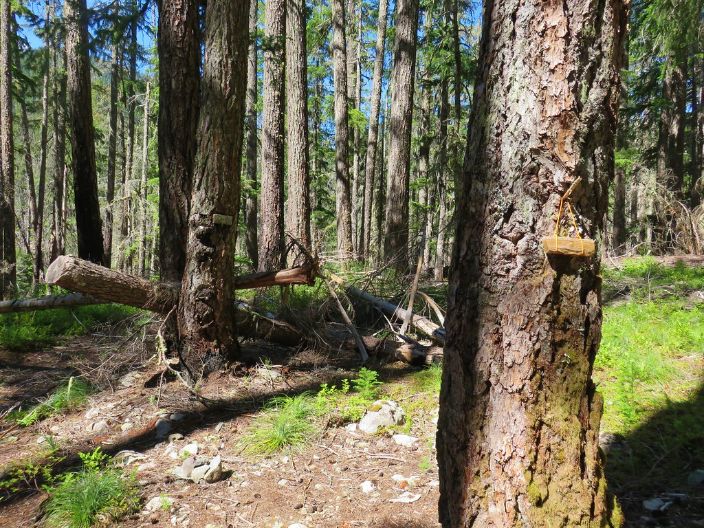
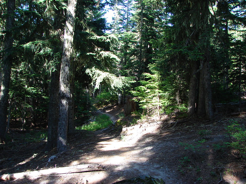
 The trail begins near the restrooms.
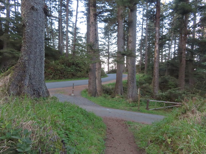
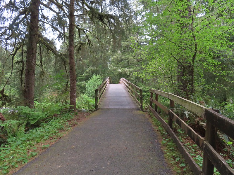
The trail began by climbing via a couple sets of wooden stairs to Ecola Park Rd which it briefly followed along the shoulder.

 Ecola Park Road.
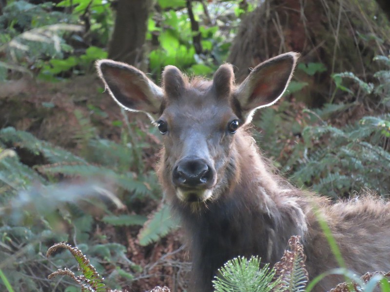
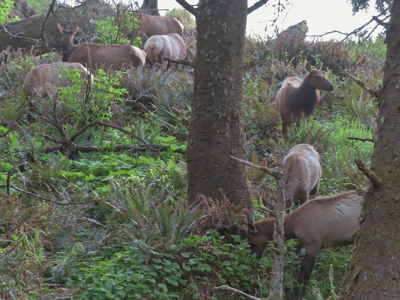
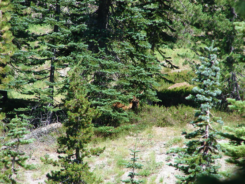
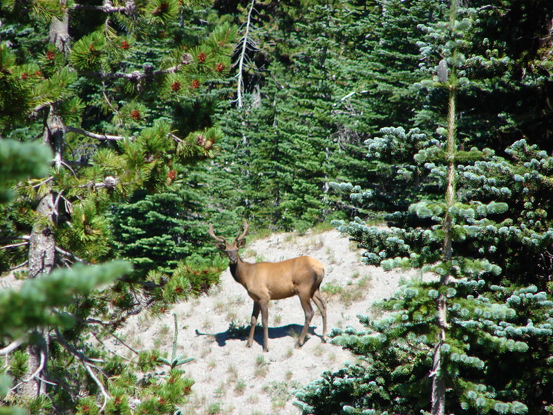
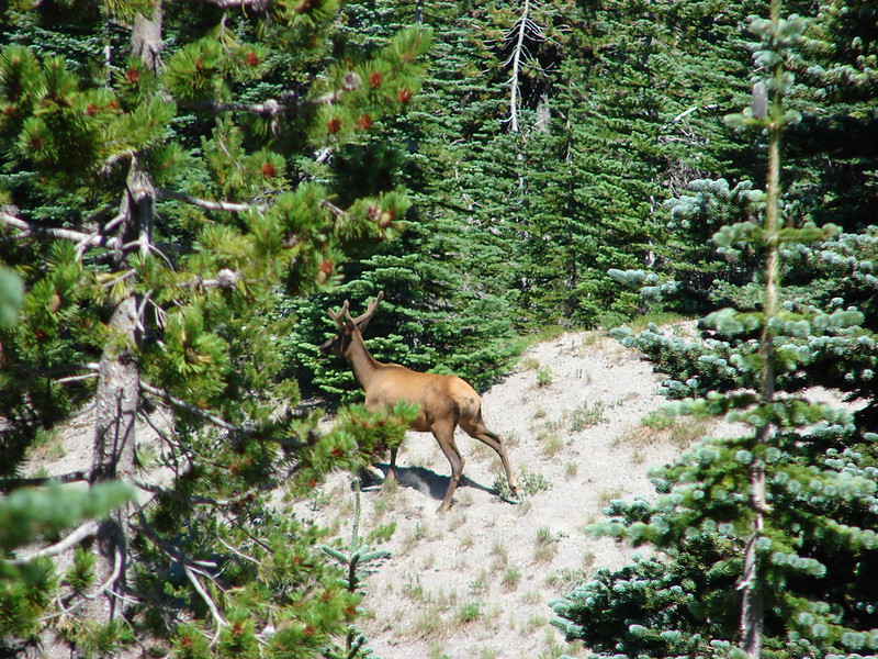
Where the trail left the shoulder, we came to a pair of cyclists who we thought were looking out at the Ocean. It took a second for us to realize that they were actually watching a small herd of elk in the forest below.
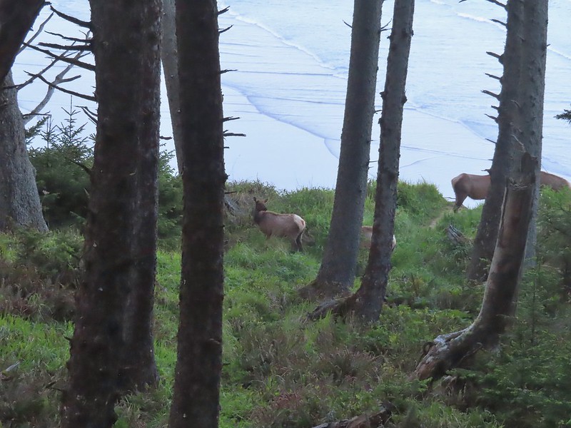
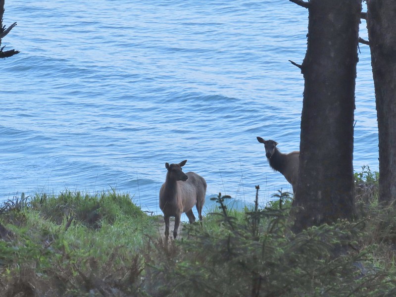
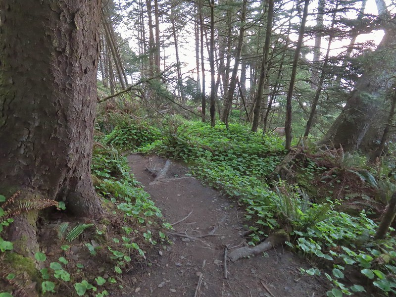
After watching the elk for a moment we started down the trail which wound up switching back down toward the elk. Luckily they were following proper Leave No Trace Principals and remained an acceptable distance from the wild hikers.
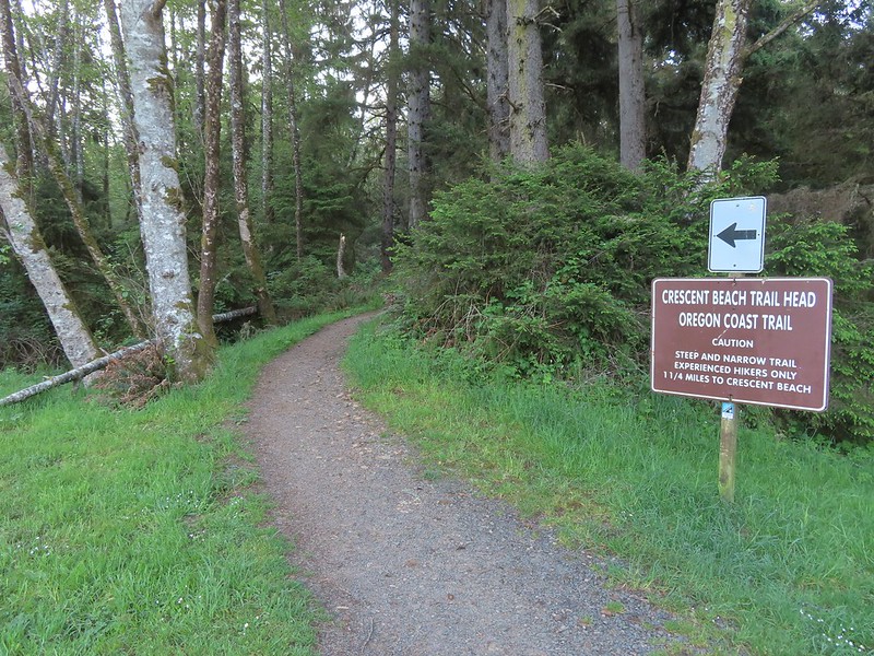
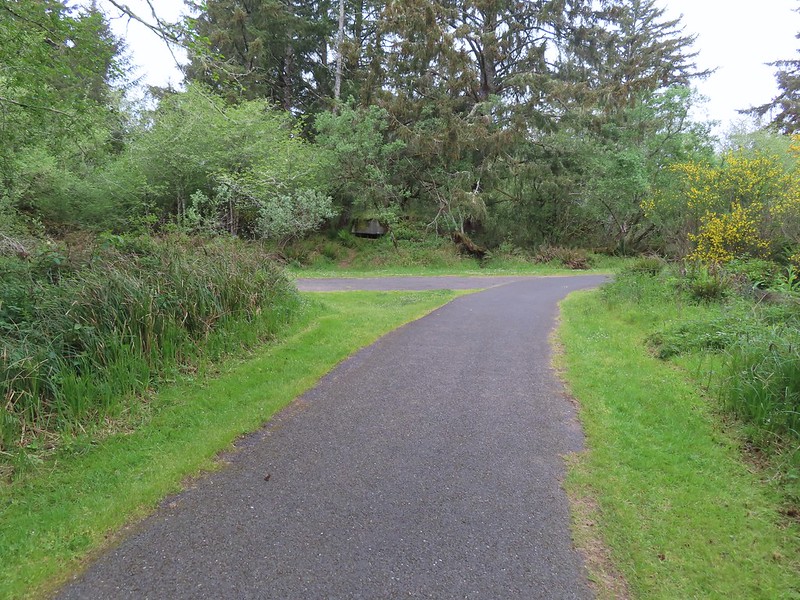
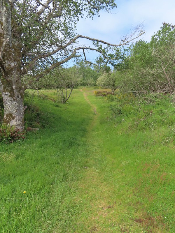
We continued on past the elk following the OCT approximately a mile from parking lot to the junction with the Crescent Beach Trail.
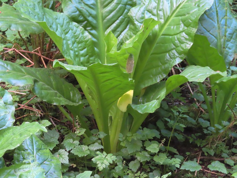 Skunk cabbage
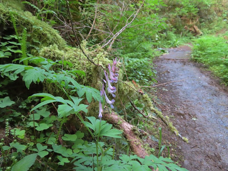 Scouler’s corydalis
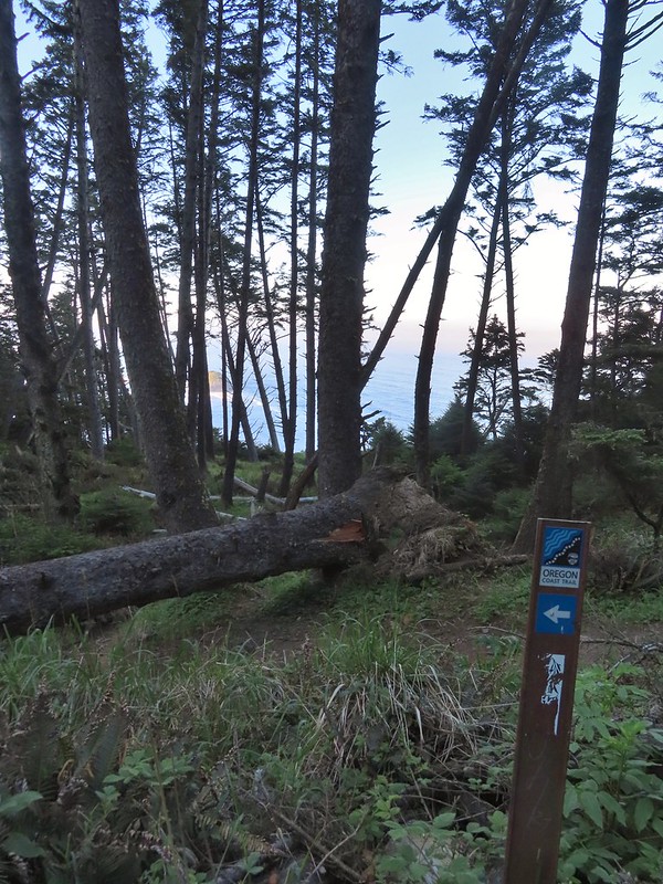
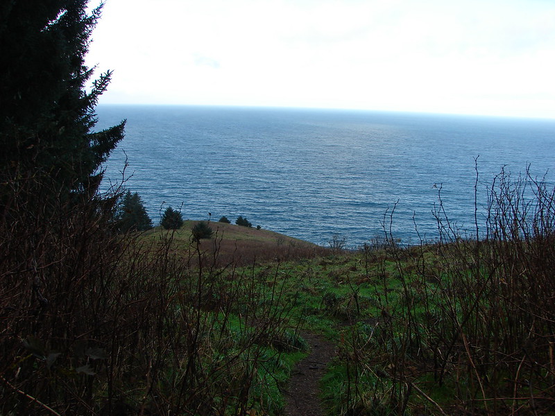
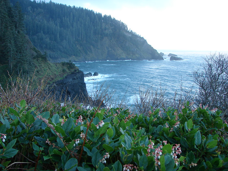
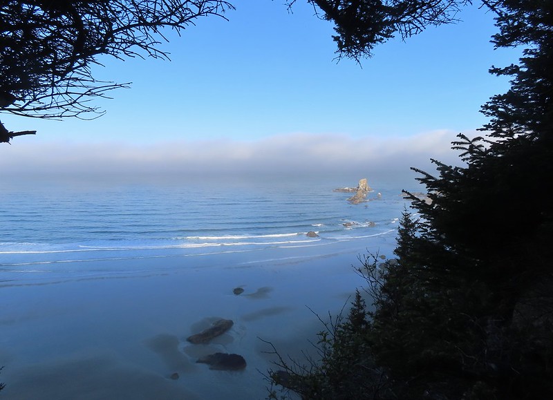 Window to the Pacific.

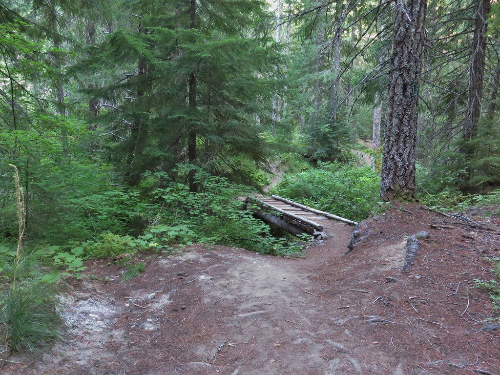
We turned right at the junction and descended a quarter mile to Crescent Beach.

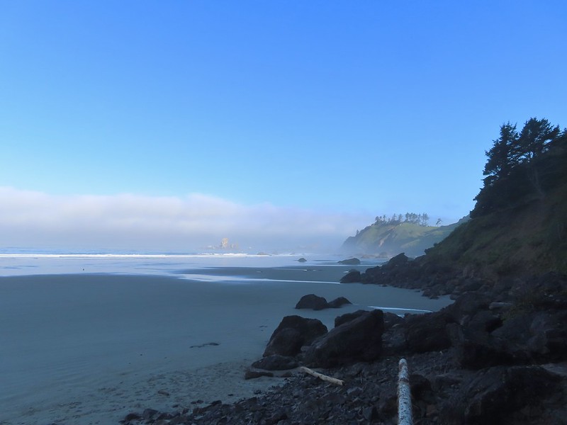 Ecola Point
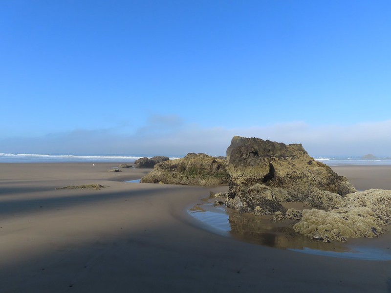
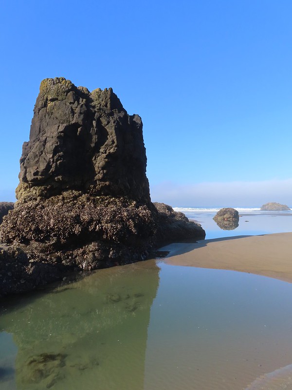
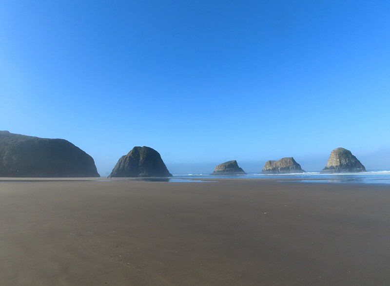
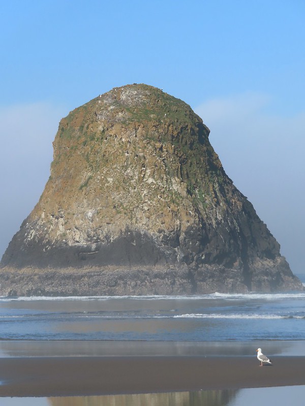
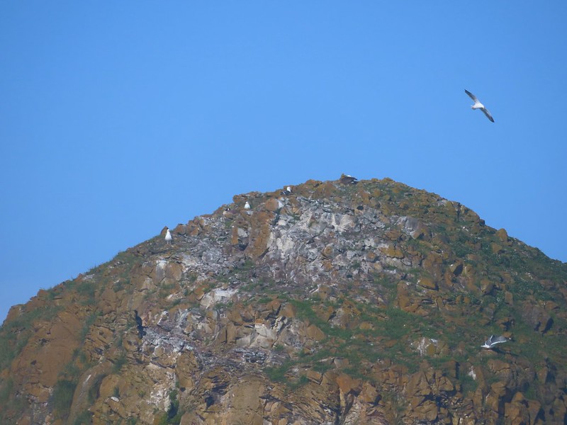
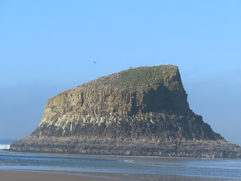
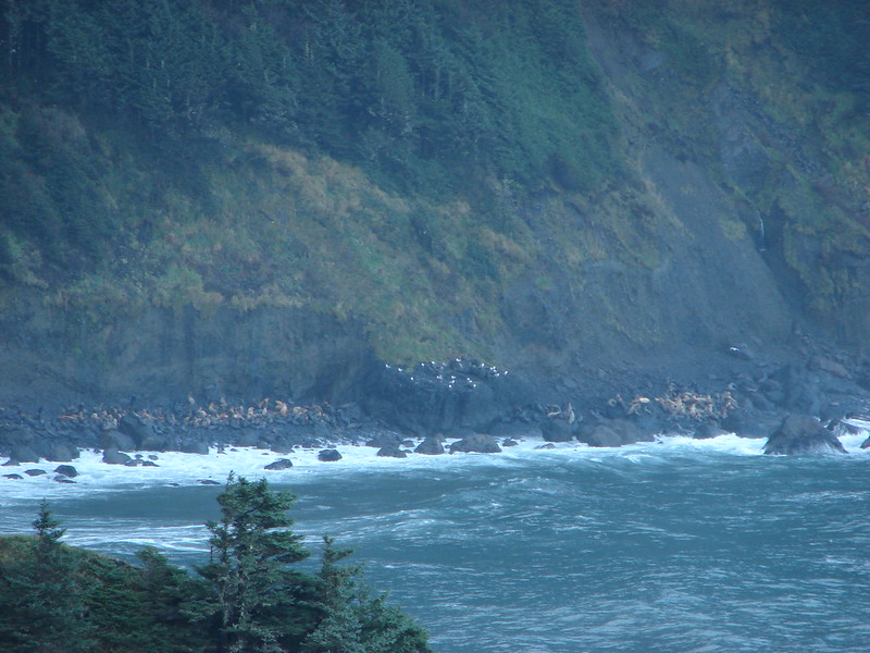
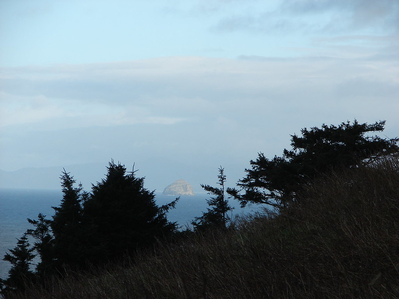
 Chapman Point and Bird Rocks
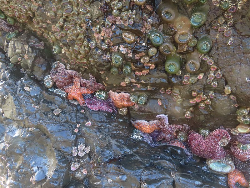
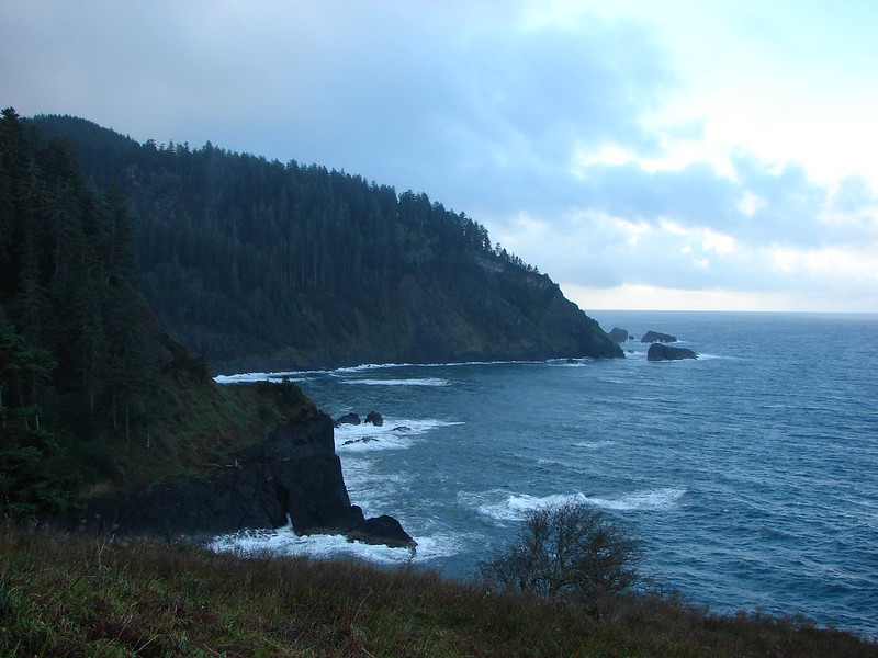
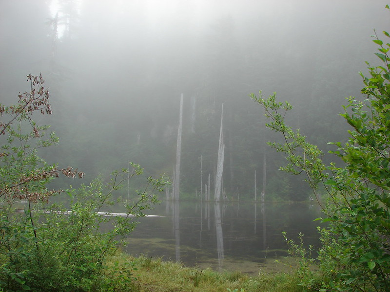
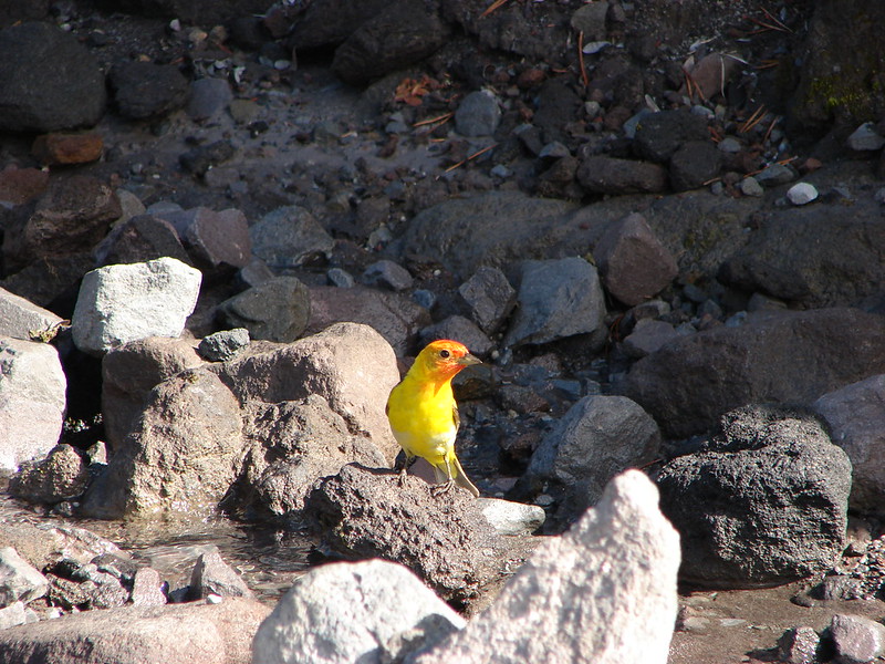
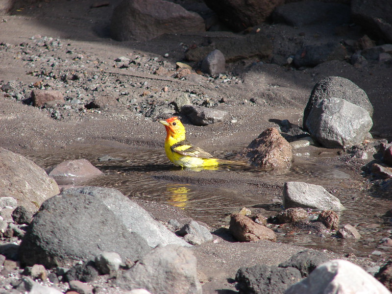
We decided to head north toward Ecola Point to check out the tide pools. We had inadvertently timed our visit nearly perfectly as it was about an hour and a half from low tide.
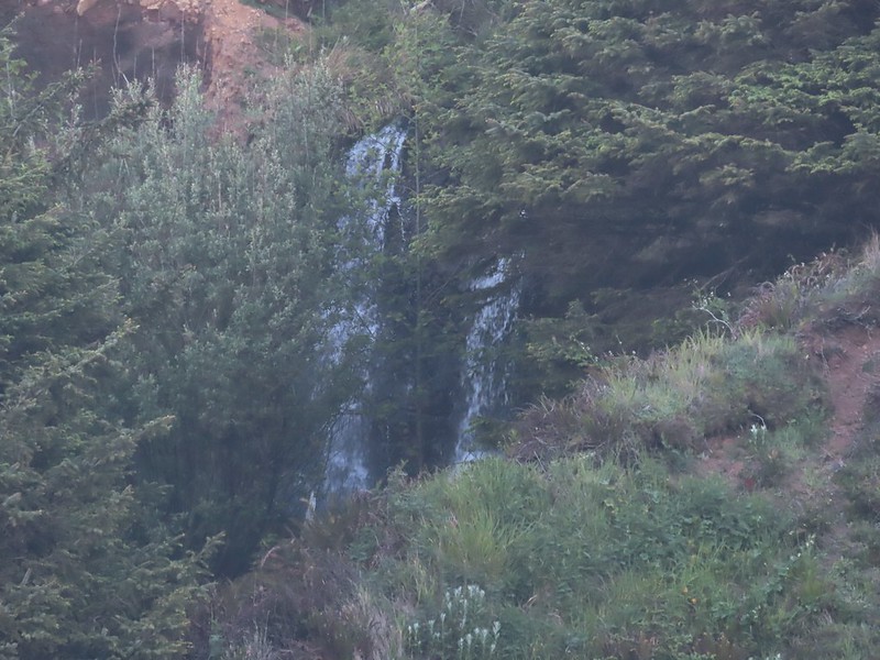
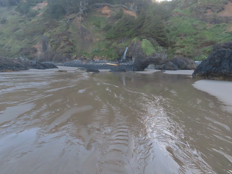
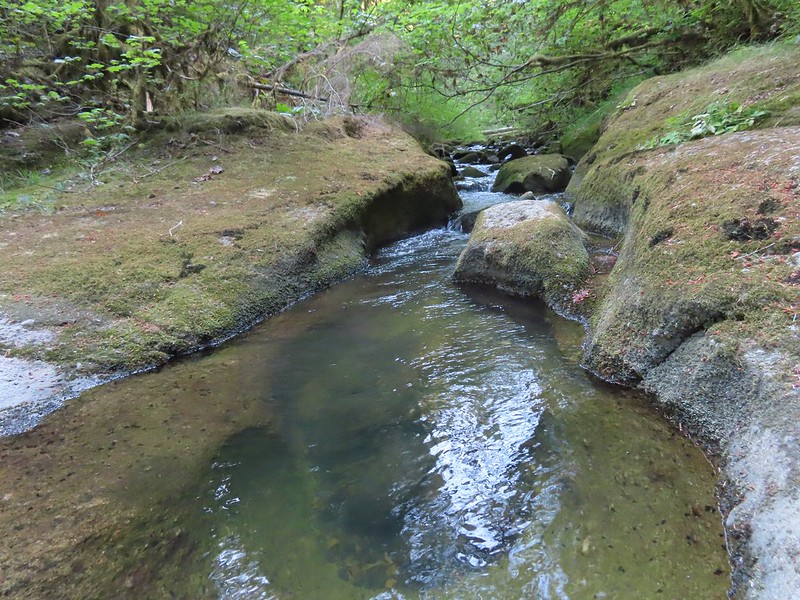
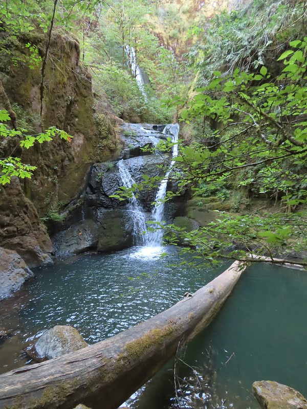
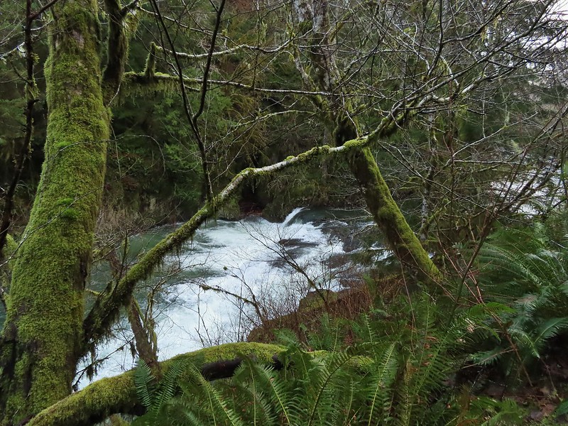
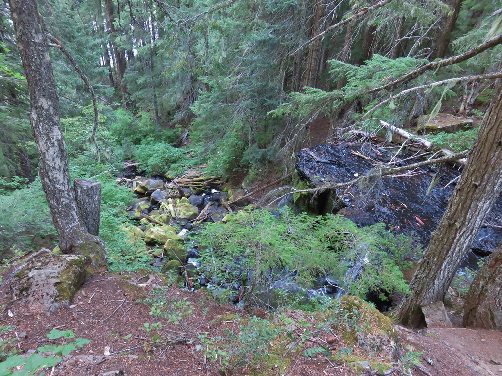
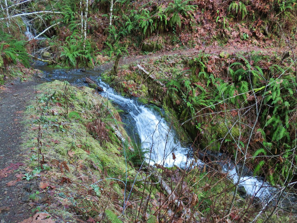
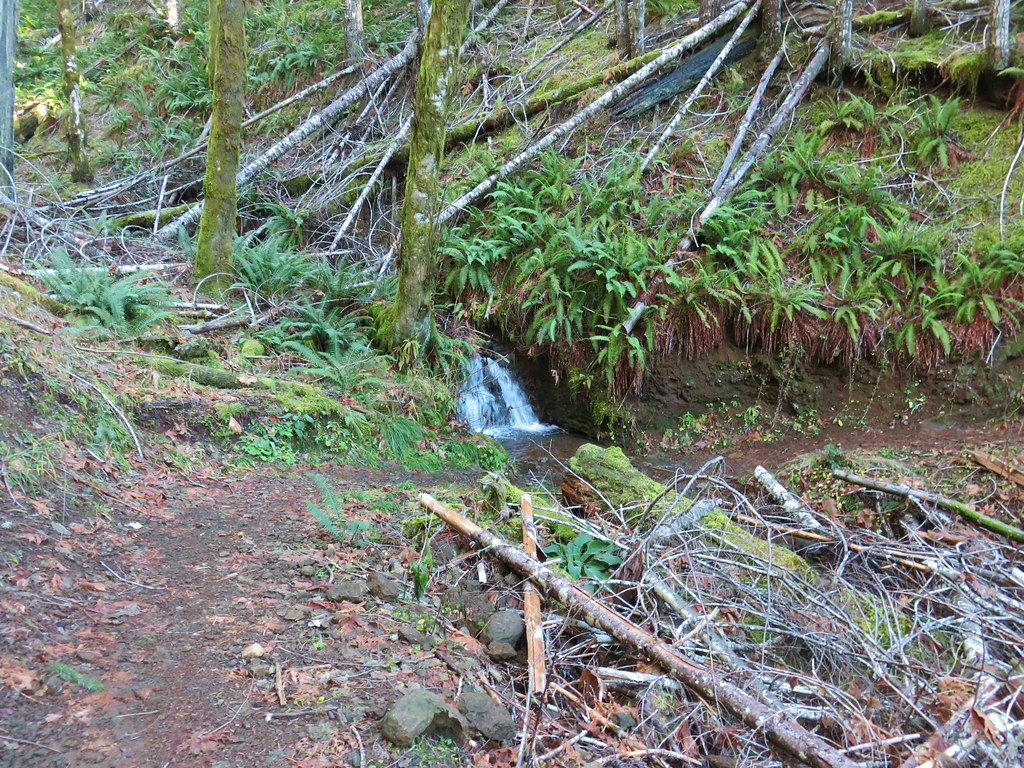
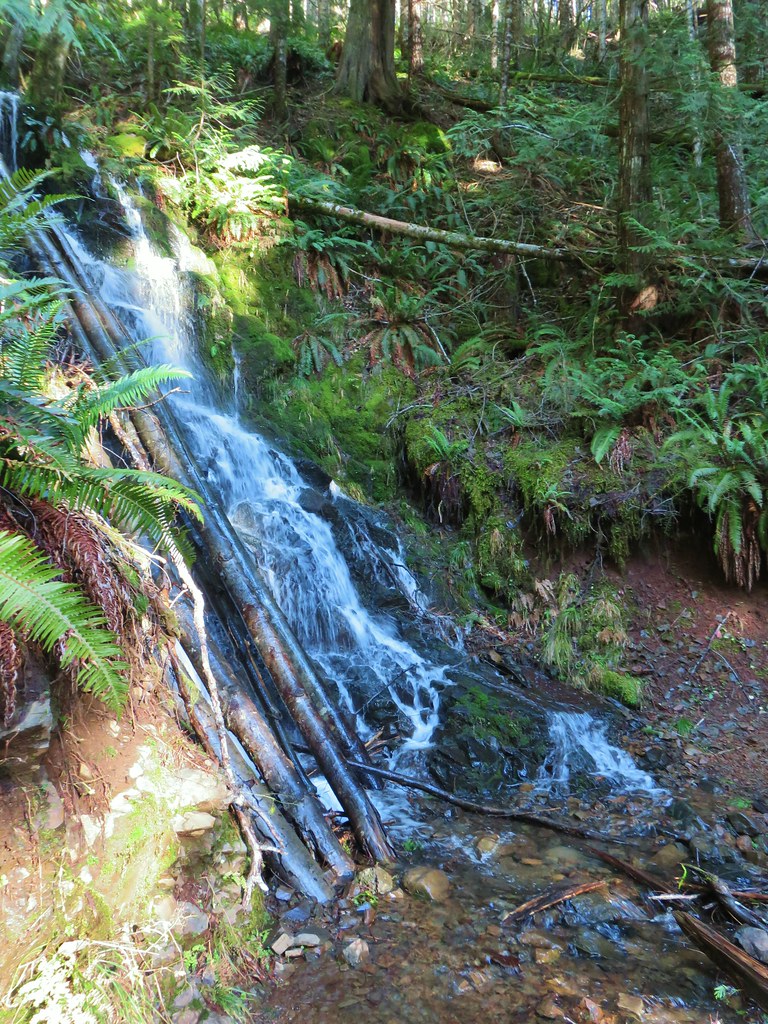
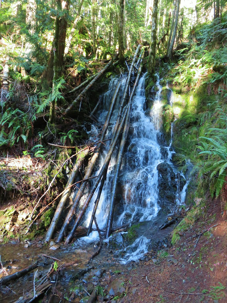
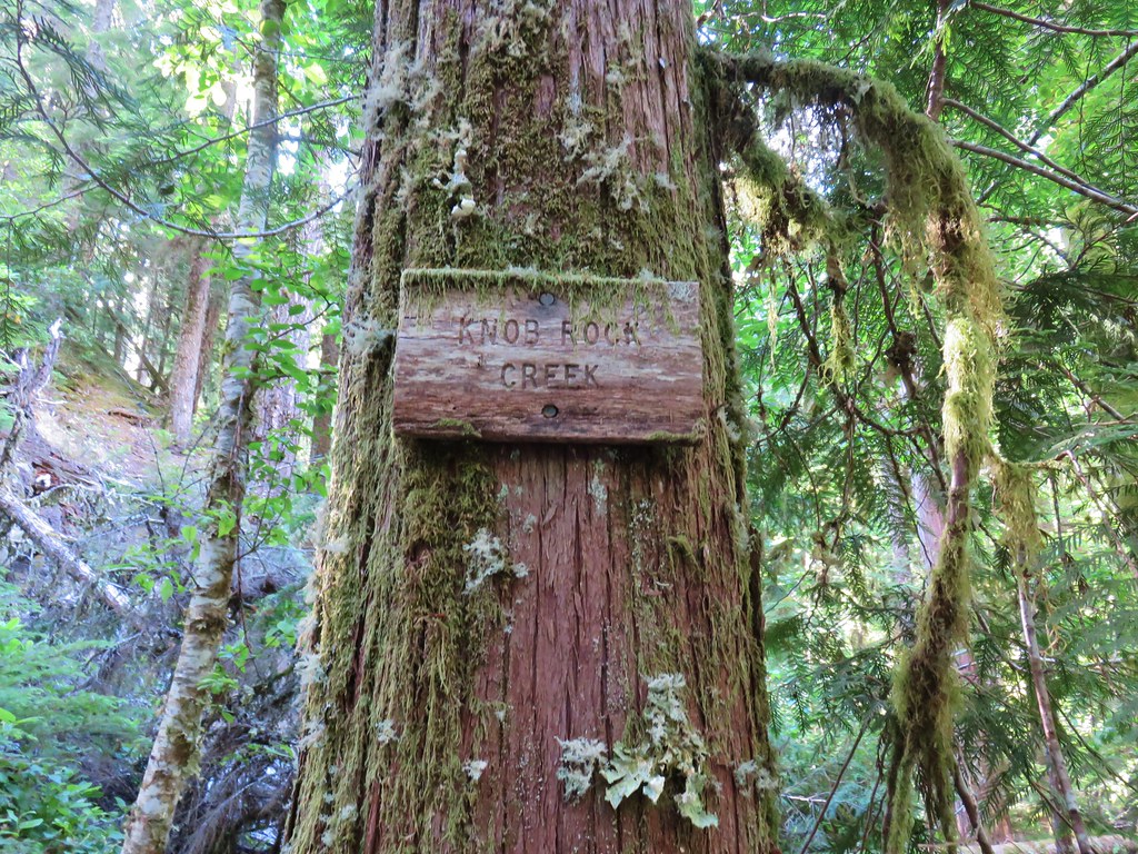
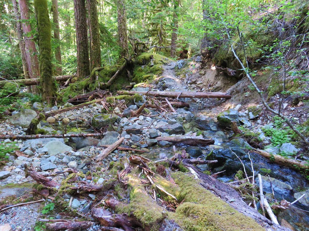
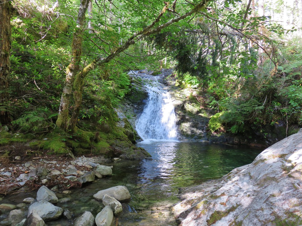
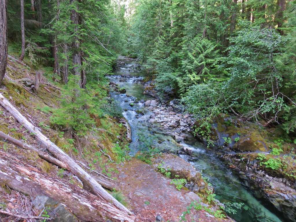
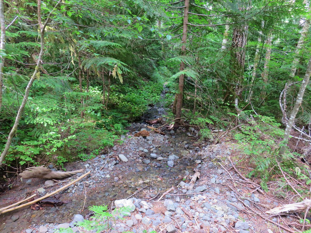
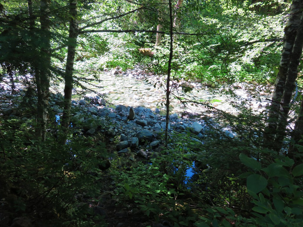
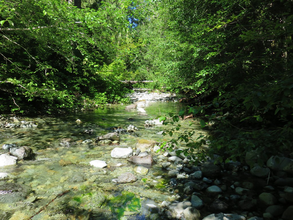
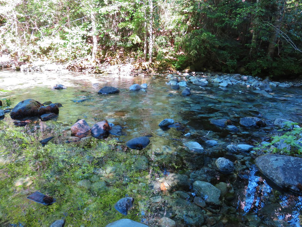
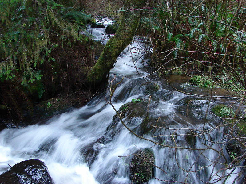
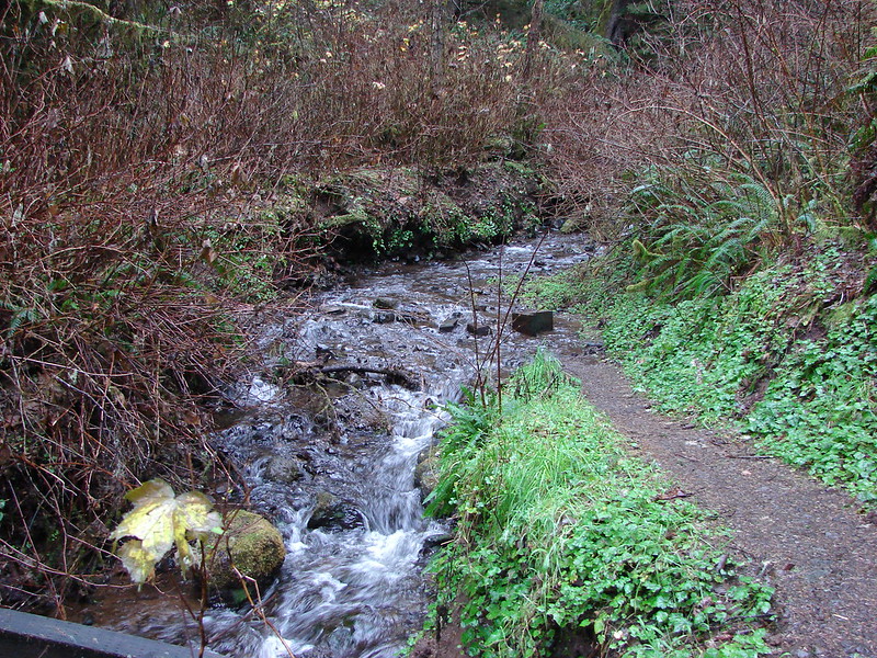
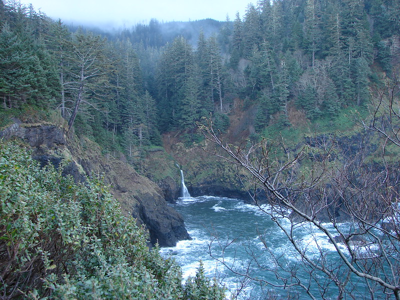
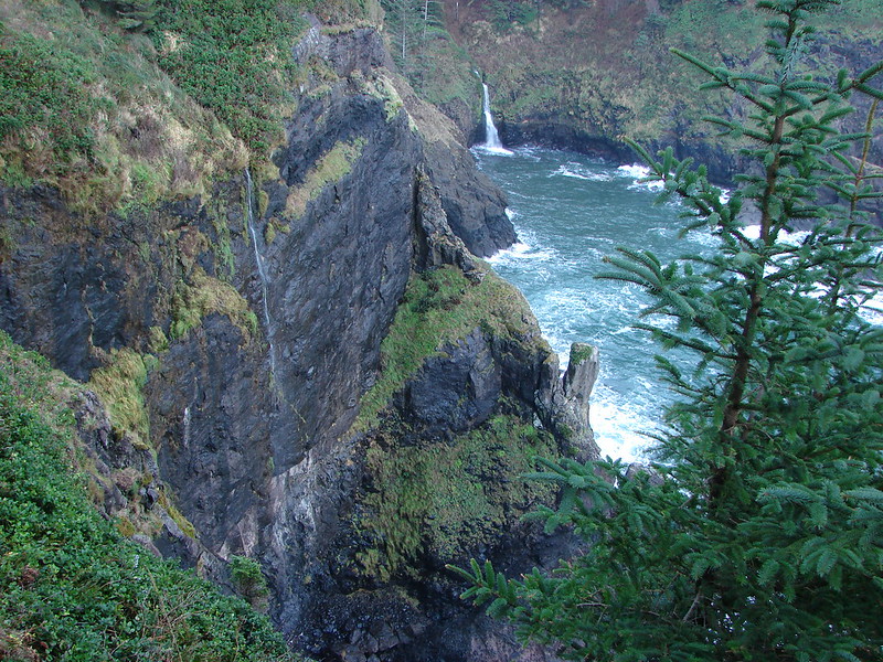
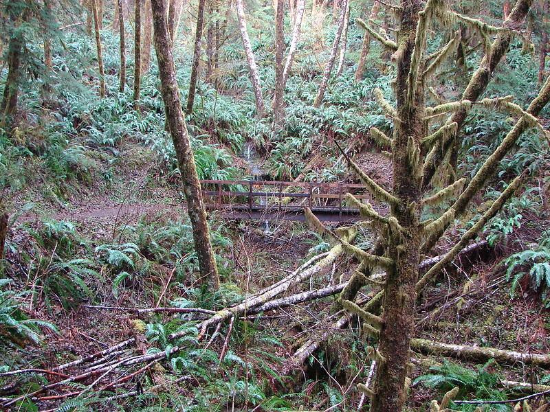
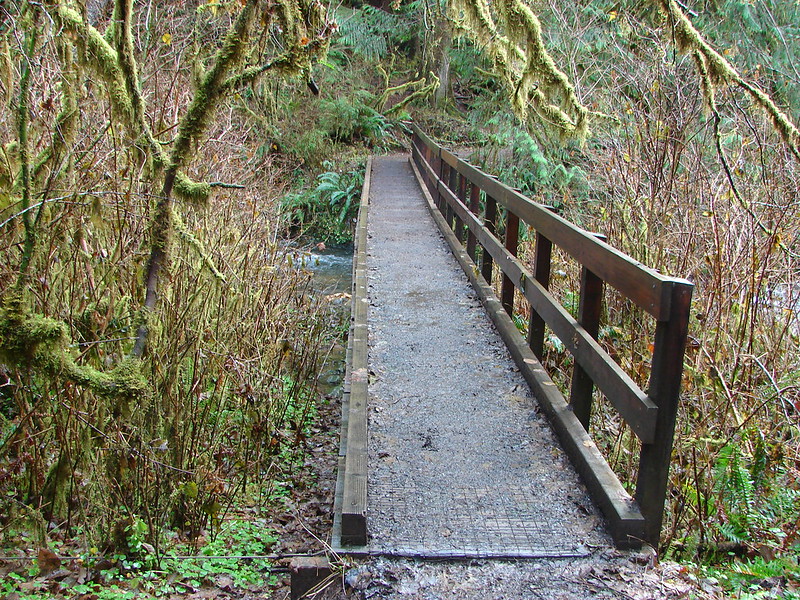
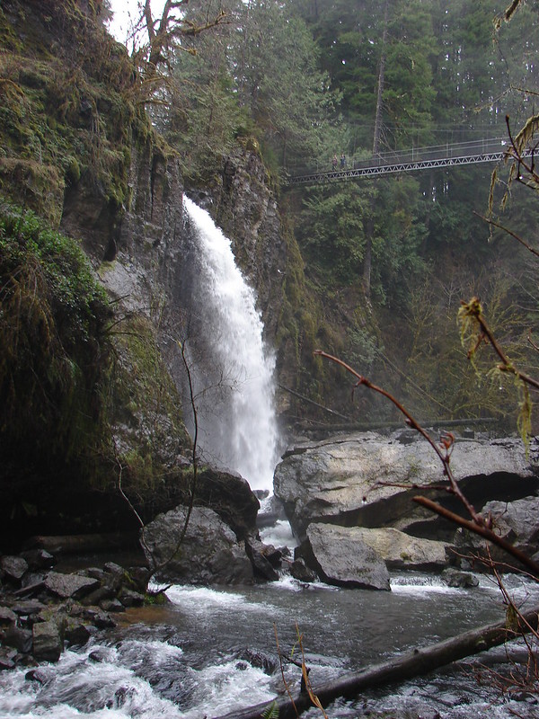
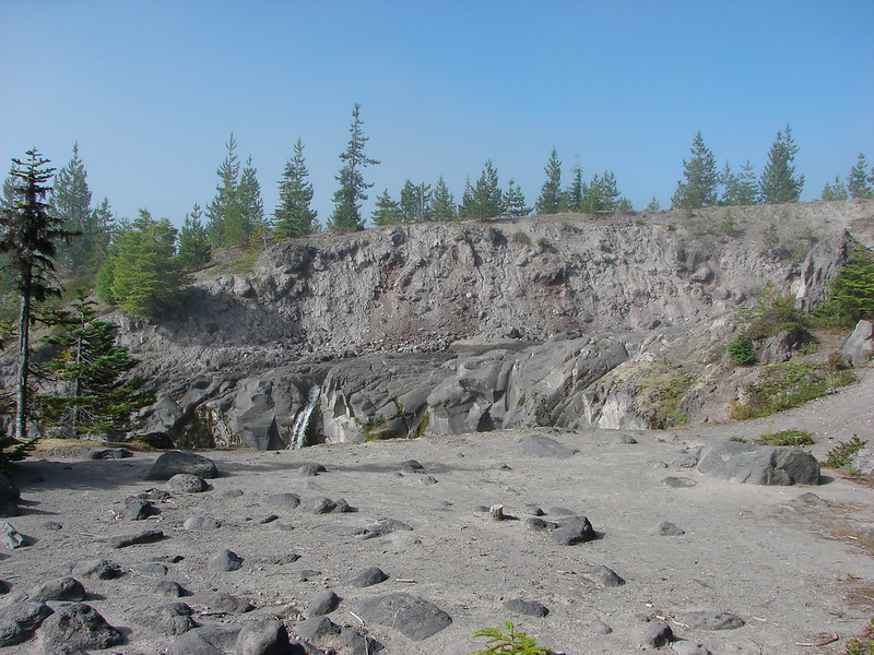
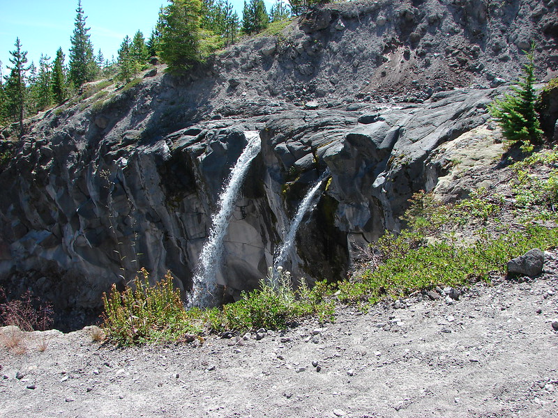
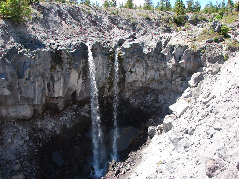
Prior to reaching the tide pools we passed Waterfall Creek.
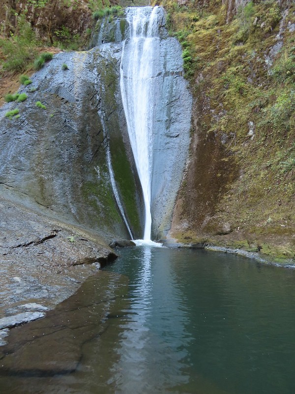
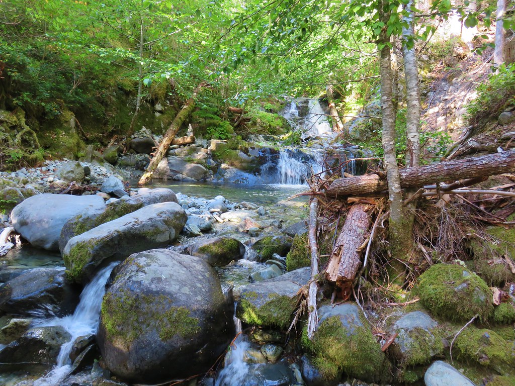
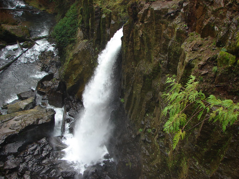
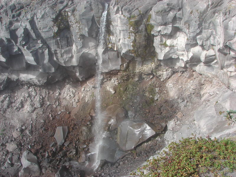
 The upper falls.
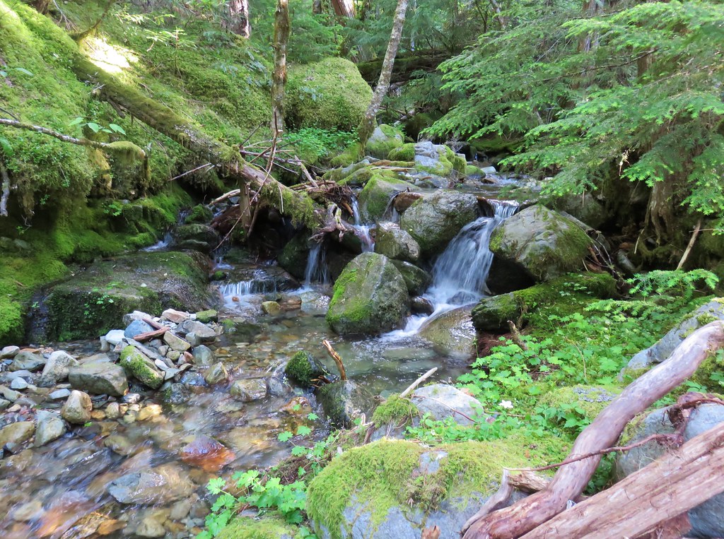
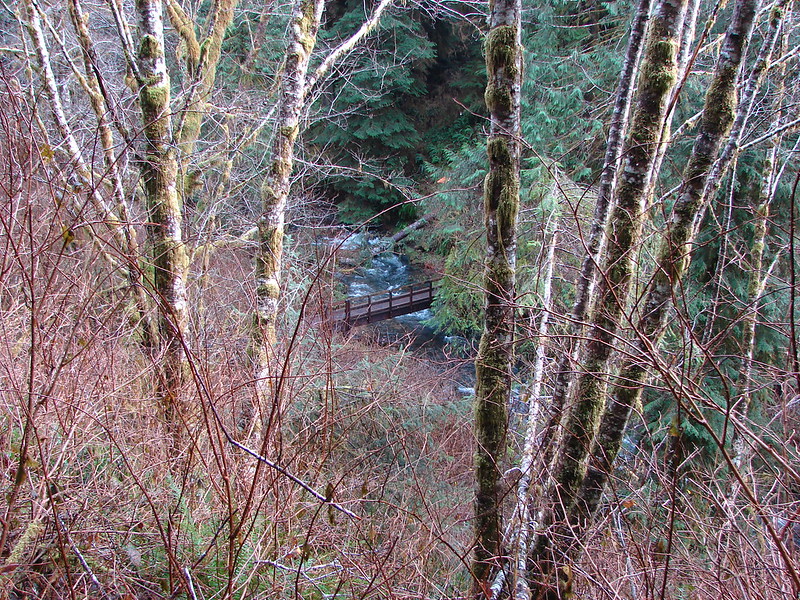
 Waterfall Creek
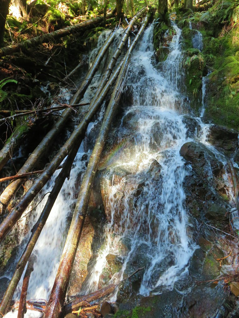
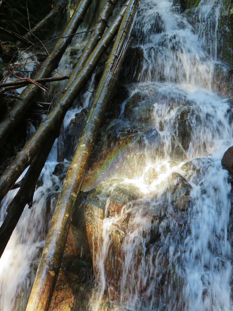
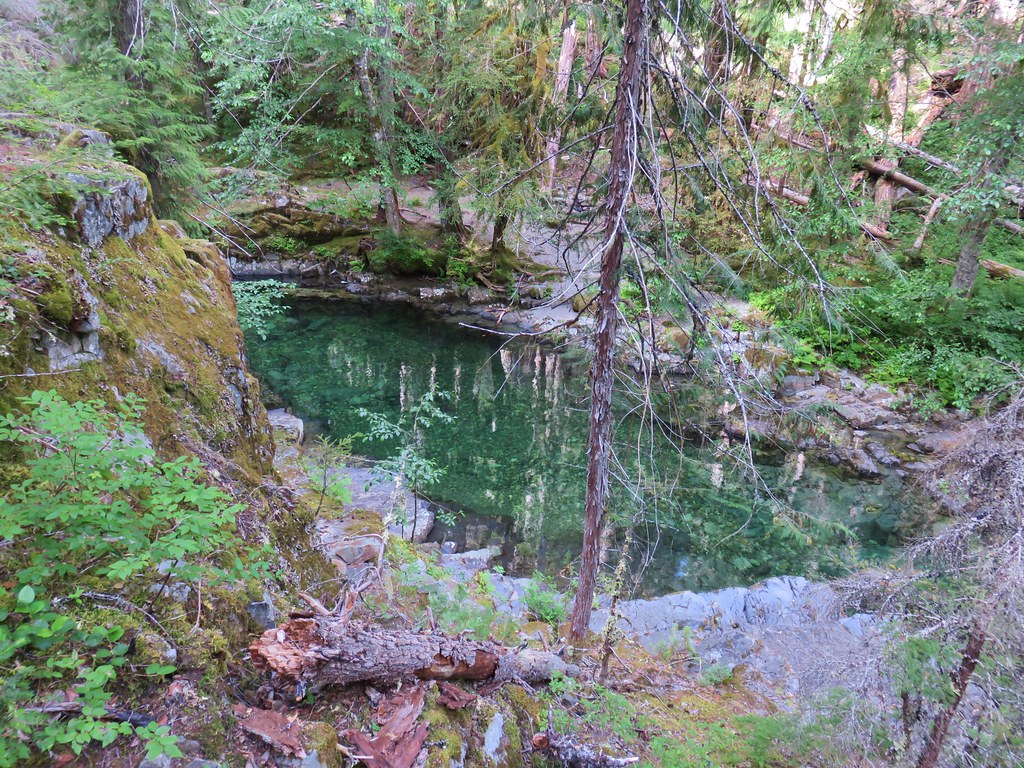
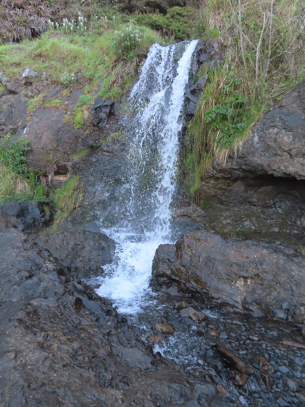 The lower falls.
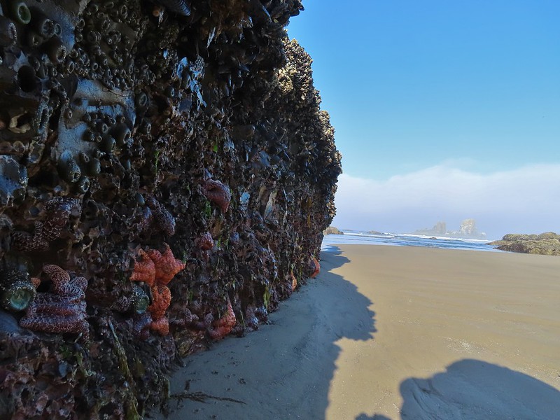
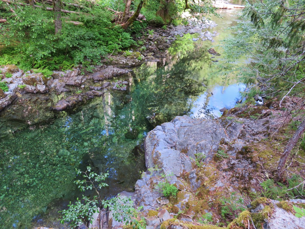
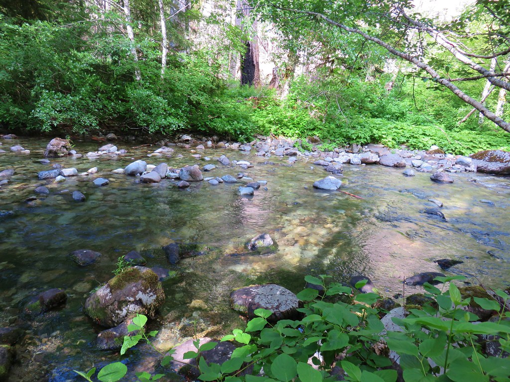
 The tide pools from Waterfall Creek.
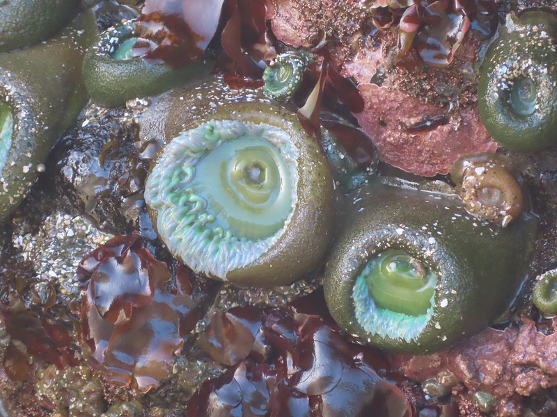
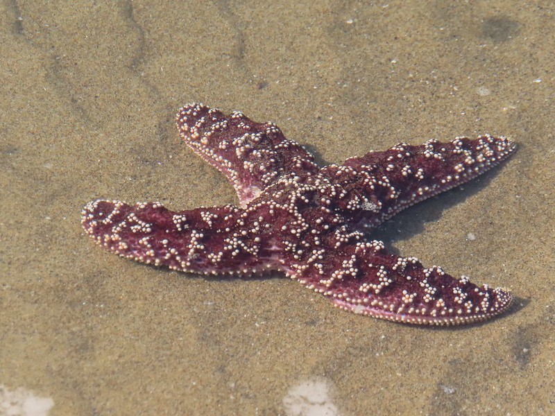
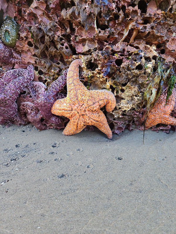
The tide pools wound up being some of the most impressive we’d seen. We spent a good amount of time walking around to the different pools. We were careful not to climb on any of the rocks or to disturb any of the wildlife. In fact some of the rocks that were exposed are likely part of the Oregon Islands Wilderness.
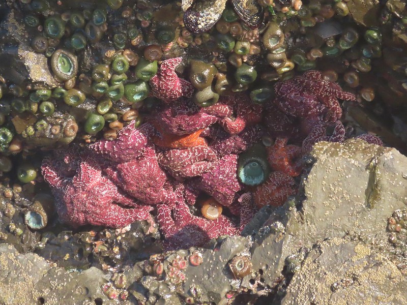

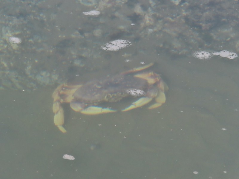


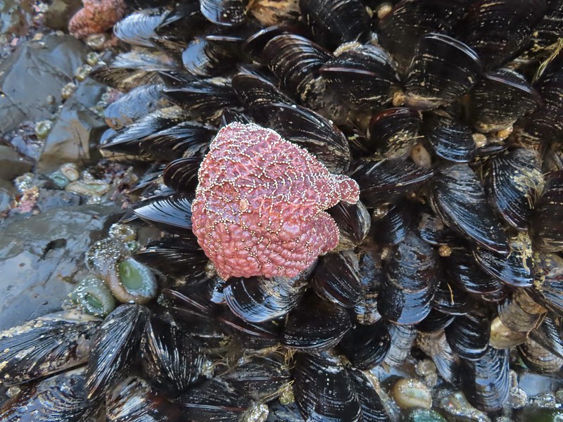
 We found Patrick from Spongebob!
After admiring the tide pools we headed south along the beach toward Chapman Point and the Bird Rocks.
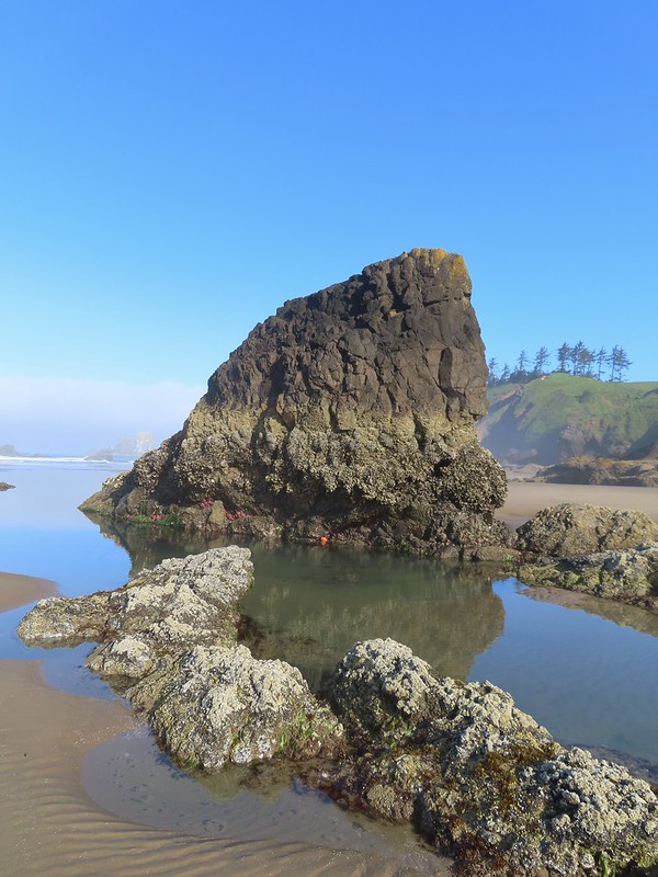
 We were curious as to what forces carved out the backside of this rock.
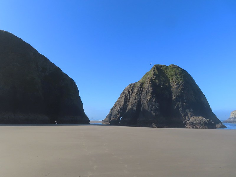 Chapman Point is only passable at certain low tides. On the far side is Cannon Beach (post).
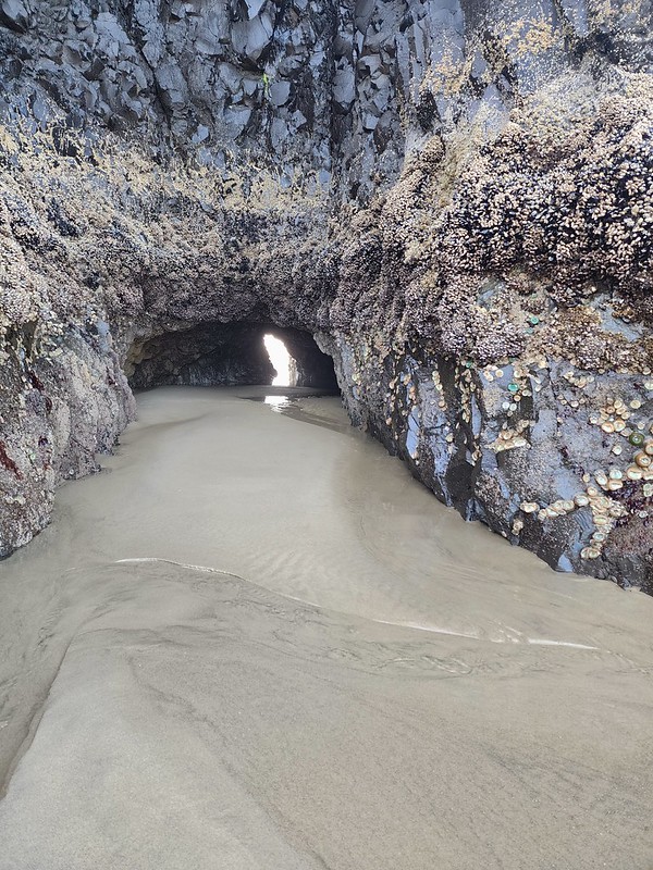 This cave through Chapman Point was flooded at the far end.
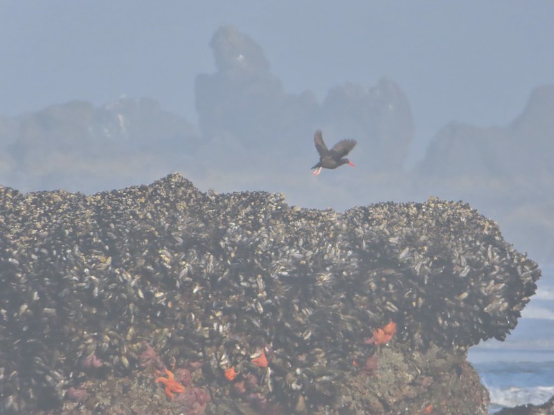
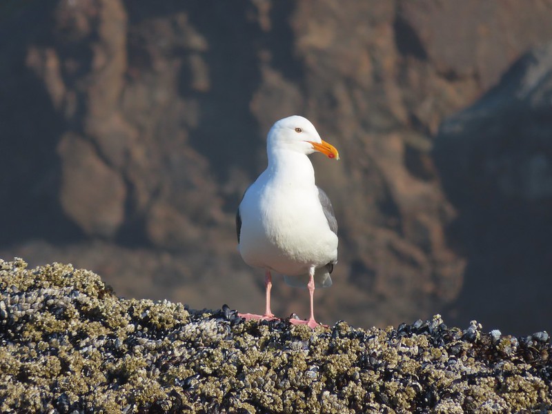
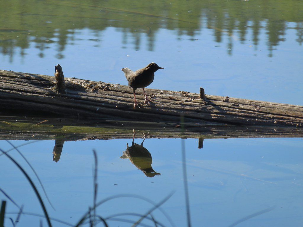
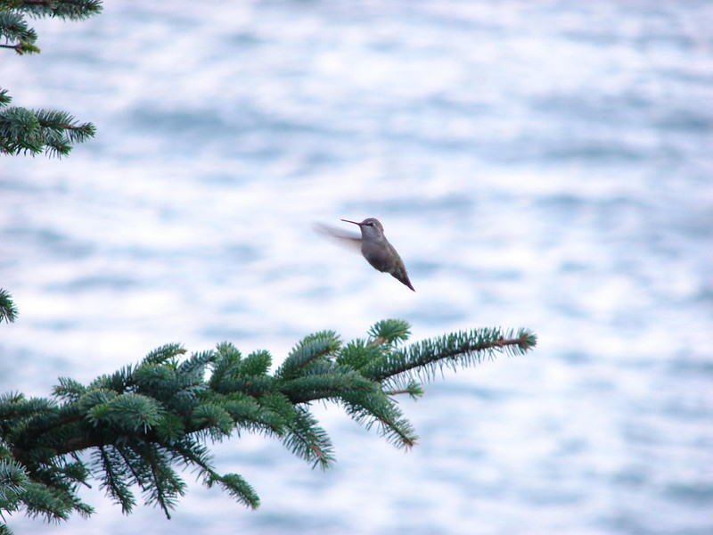
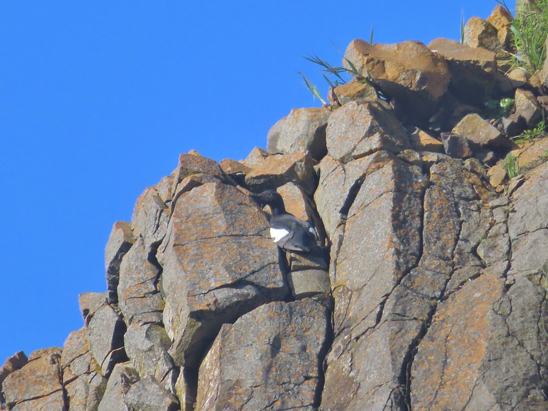 Pigeon guillemot
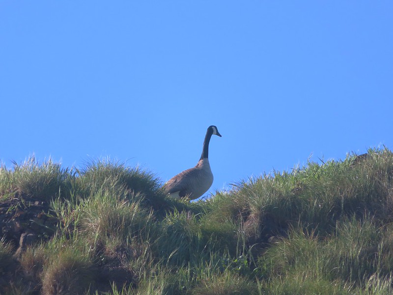 Goose
Goose

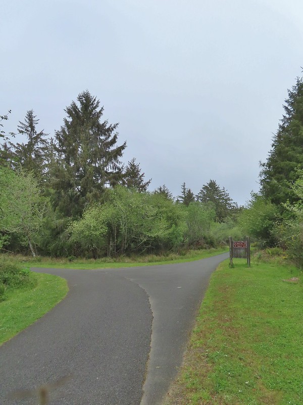
We turned around at Chapman Point and headed back to the Crescent Beach Trail.

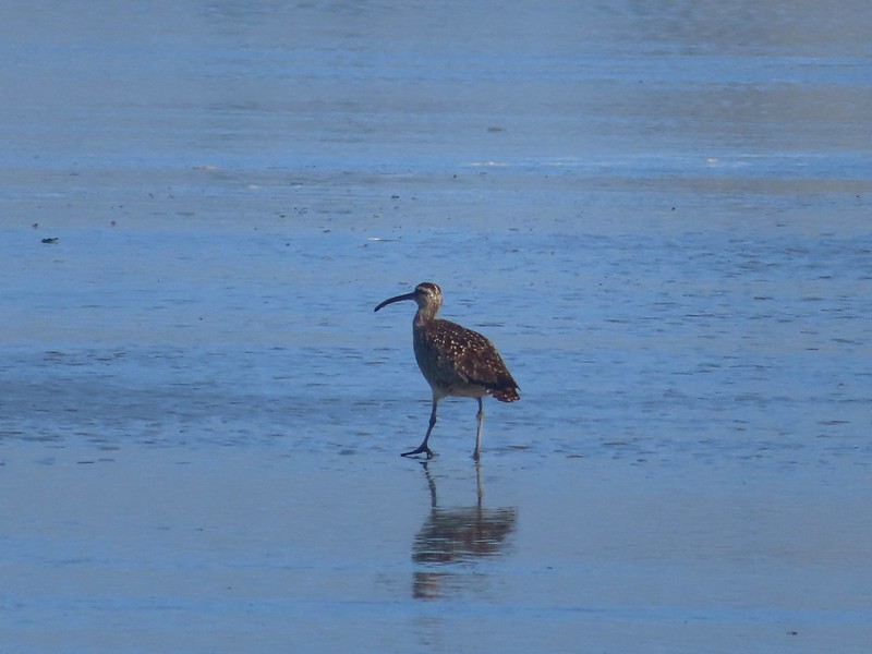 Whibrel
We retraced our steps back to Ecola Point where the lot was beginning to fill up.

 Seaside bittercress
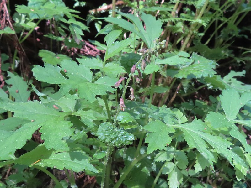 Youth-on-age
Our hike here came to 4.4-miles with approximately 600′ of elevation gain.

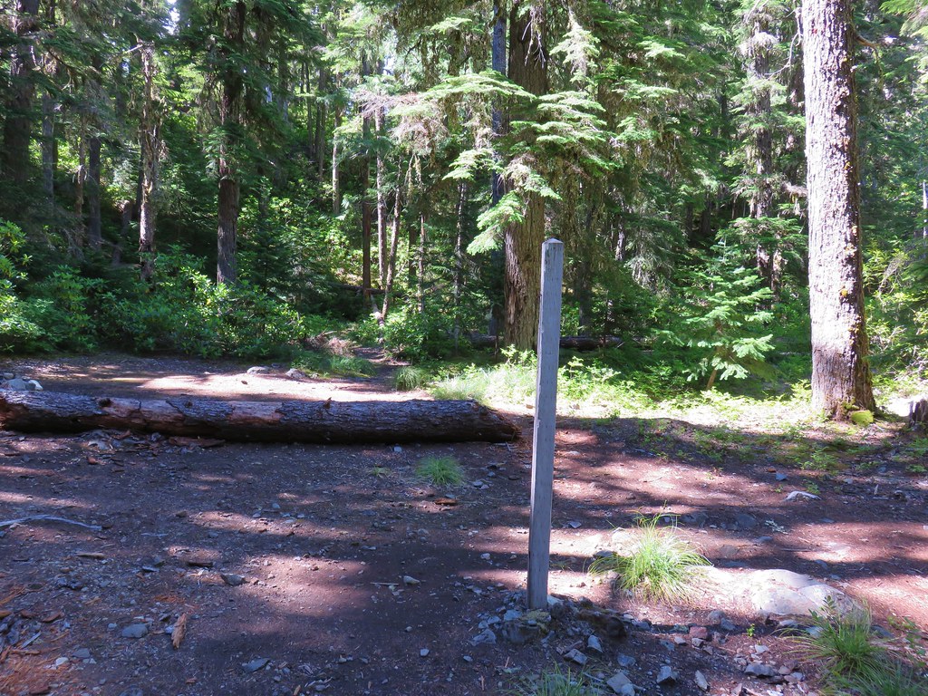
We hopped in our car and headed north to Fort Stevens State Park for our next hike. There are several parking lots at Fort Stevens and we opted to park at Battery Russell lot.
 Battery Russell from the lot.
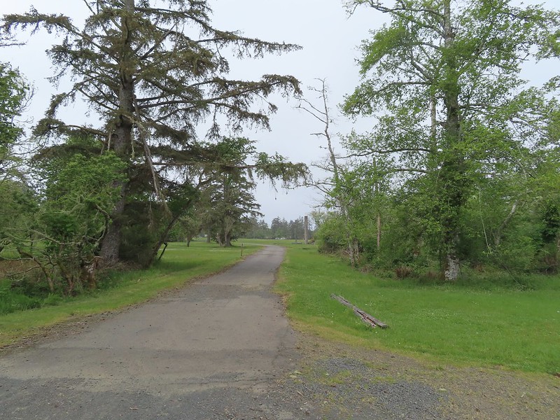
As with Ecola Point we had started a hike here before. In September 2017 we visited Battery Russell, Coffenbury Lake, and a shipwreck at the park (post). Again today we were going in the opposite direction, this time north to visit the park’s Historic Area. We followed a paved path east from the parking lot then over Jetty Road on an overpass.

 The overpass
We followed the paved path to a junction near a pill box where we went right.
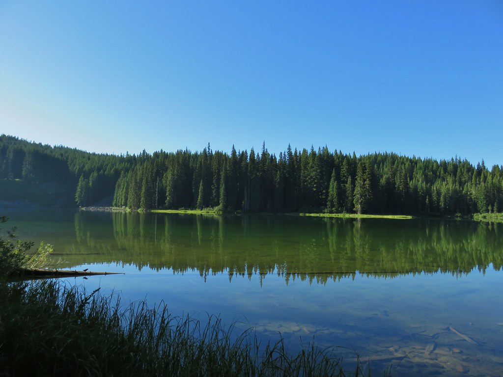
The path led past Swash Lake which helped explain the host of mosquitos that were flying around us.

We stayed right at the next junction and Jetty Lagoon on the Swash Lake Bridge.

 Looking out toward Swash Lake from the bridge.
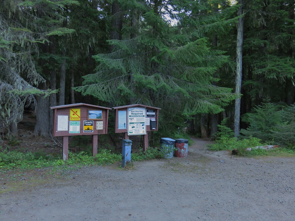
A little under 2 miles form the parking lot we arrived at the visitor’s center.
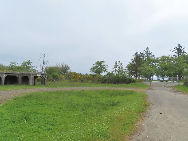
 The gate to the Historic Area is locked in the evening.
 Visitor’s center
A number of trails and paths wind around the Historic Area as well as open spaces that one can simply walk across. We made up our own route based on a suggested hike from the Oregonhikers Field Guide.


We began by walking past a jeep on display and looping behind the visitor’s center.


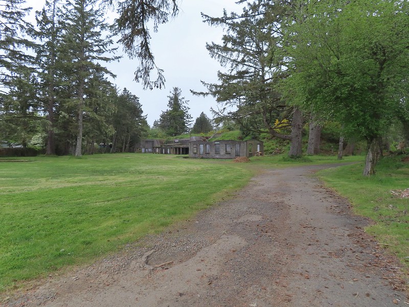
From the visitor’s center we headed into a large open space where the barracks had once been.
We made our way to the far end of the open space and turned south to see the old guardhouse and Battery Clark.
 The guardhouse on the left.
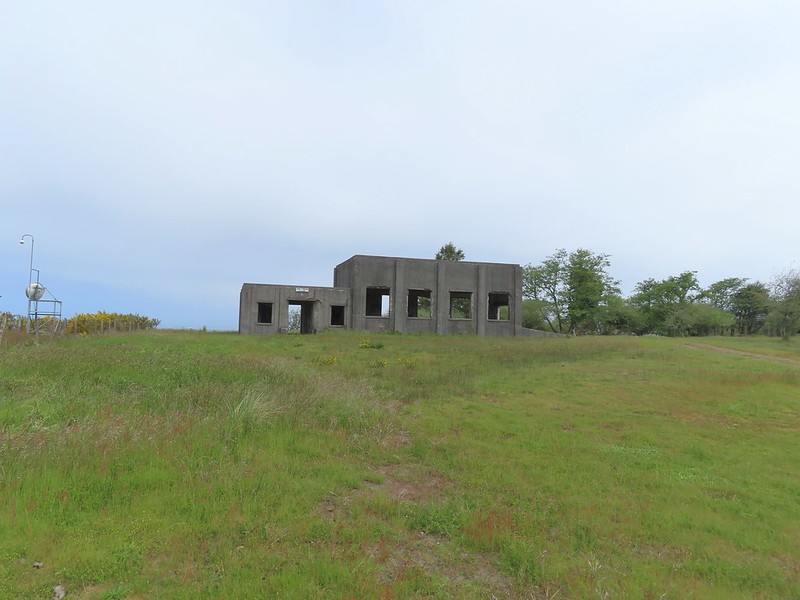
 Battery Clark
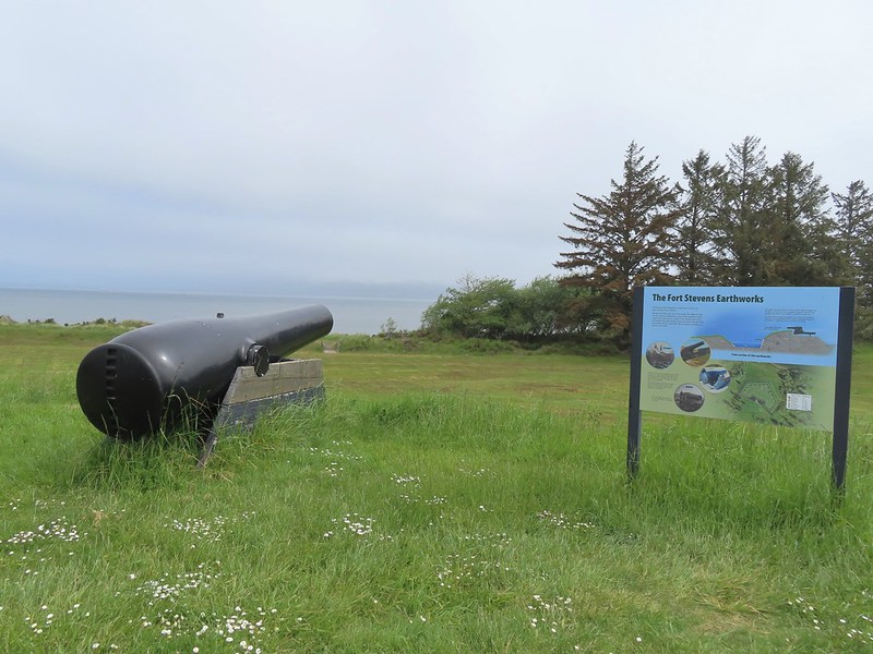
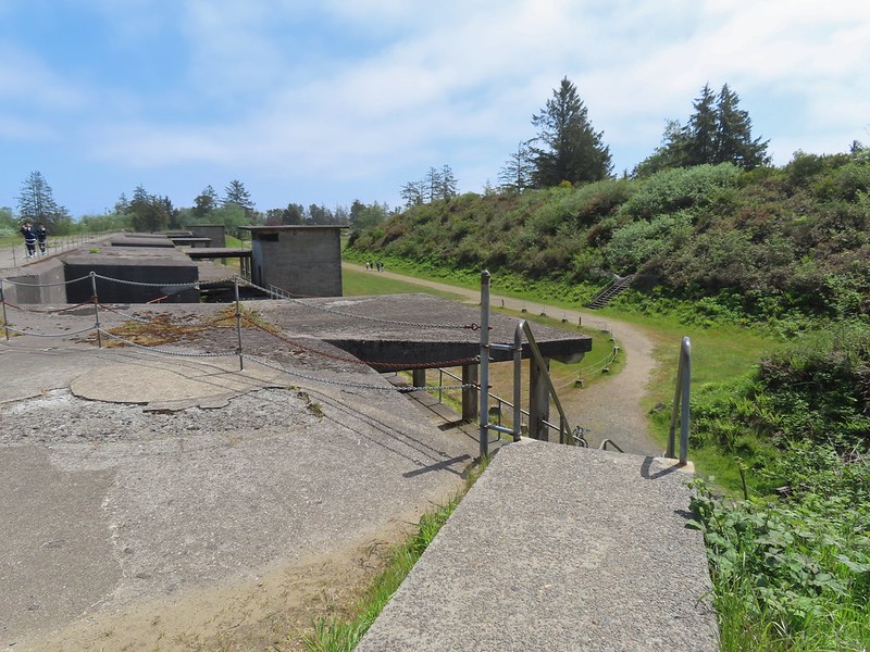
We then turned back north cutting across the barracks area toward a pair of smooth bore cannons and Battery Freeman.
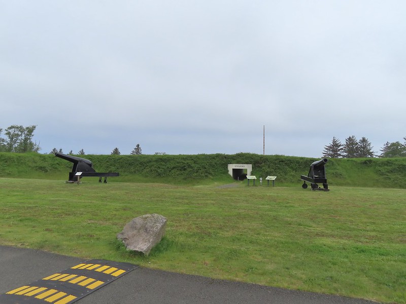
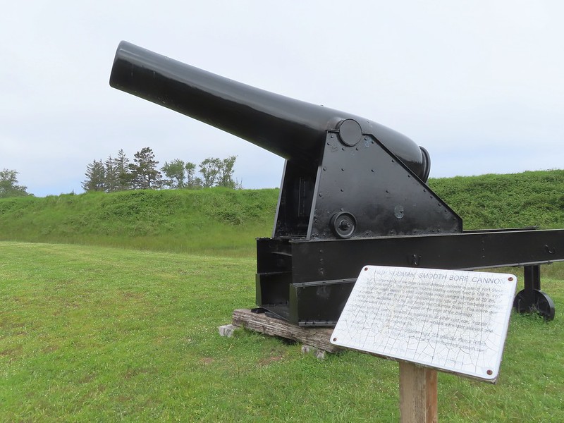

We passed the cannons and hiked through a guarded underpass.

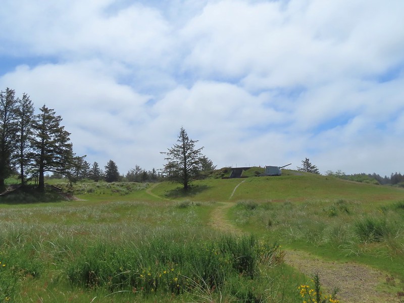
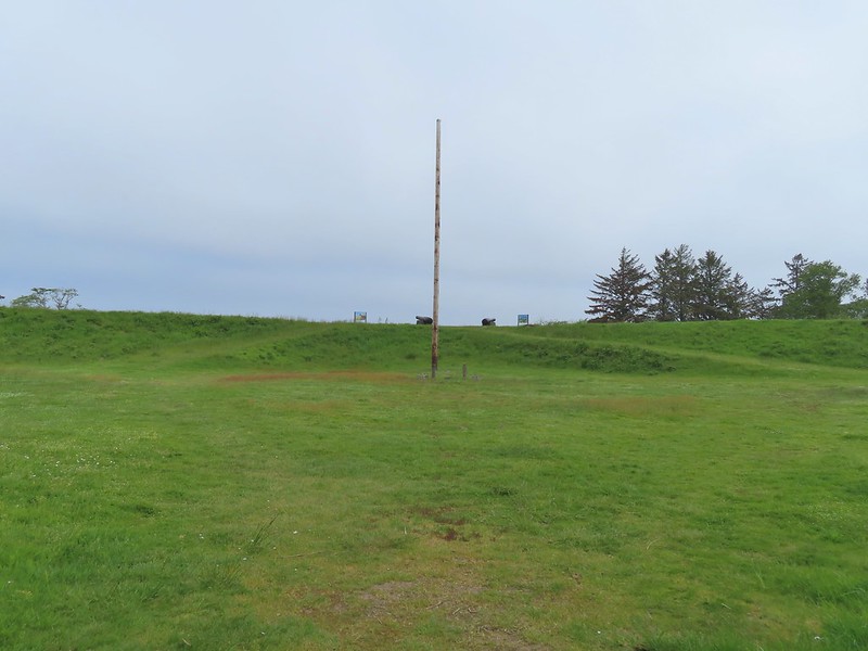 Fort Stevens Earth Works.
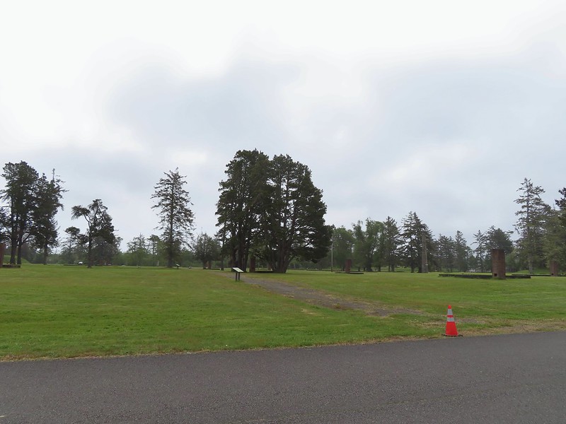
We crossed a grassy field to the cannons atop the Earth Works then descended a staircase.
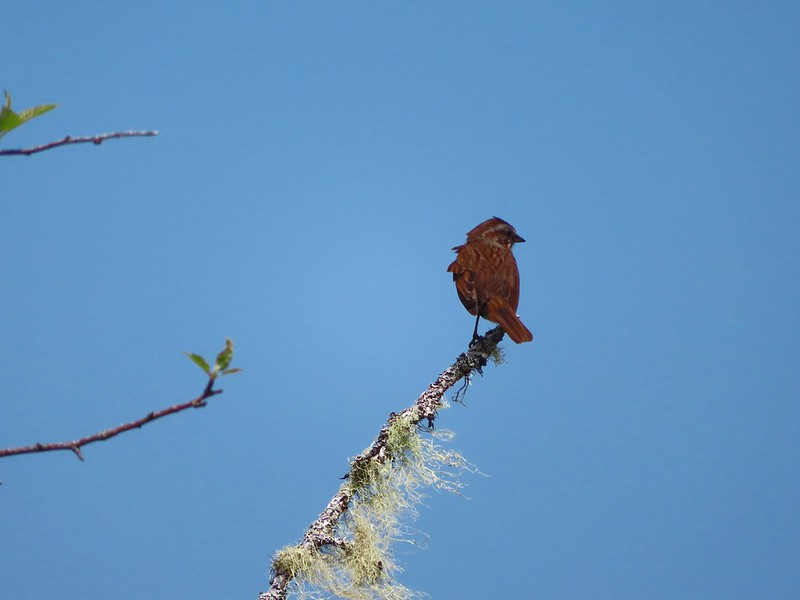
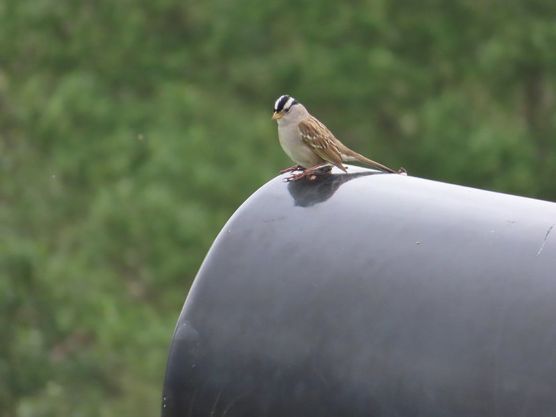 White-crowned sparrow
 We cut across the grass below to the footbridge in the distance.
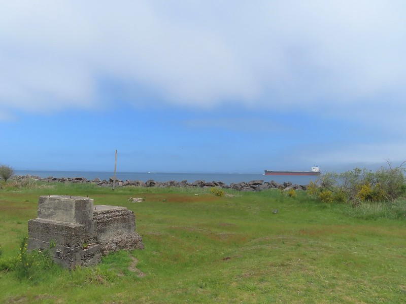
 Columbia River
 Looking west toward the Pacific.
At the Columbia we turned right on the Jetty Trail and followed it past some disc golf holes and Battery Smur to a former roadbed.

 Battery Smur
 The roadbed coming in from the former barracks site.
We turned left on this road and followed it to a gate and the former Torpedo Loading Room.
 Mine Loading Building
 Searchlight Generator
 Torpedo Loading Room
We turned around here and walked back to the Jetty Trail and followed it west through the Disc Golf Course to the Clatsop Longhouse site.


From the longhouse site we continued on the Jetty Trail toward Battery 245.


 Battery 245

We hiked around Battery 245 and onto Battery Mishler.


We passed this battery and Battery Pratt then veered right on a paved path which led back to the path we’d followed from Battery Russell.

 Sign for the Lil’ Oozlefinch Putting Course.
We headed back toward the parking lot and at the Pill Box we veered right which was a more direct route to the parking lot. The drawback was that there was no overpass here so we had to watch for traffic before crossing Jetty Road.
 Bald eagle
 Gate near Jetty Road.
After crossing Jetty Road, we followed the paved path left a tenth of a mile to the Battery Russell parking lot. This hike came to 6.3-miles with just 75′ or so of elevation gain.

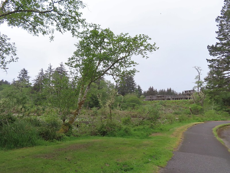
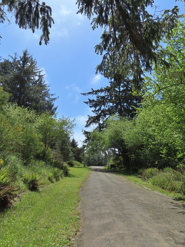
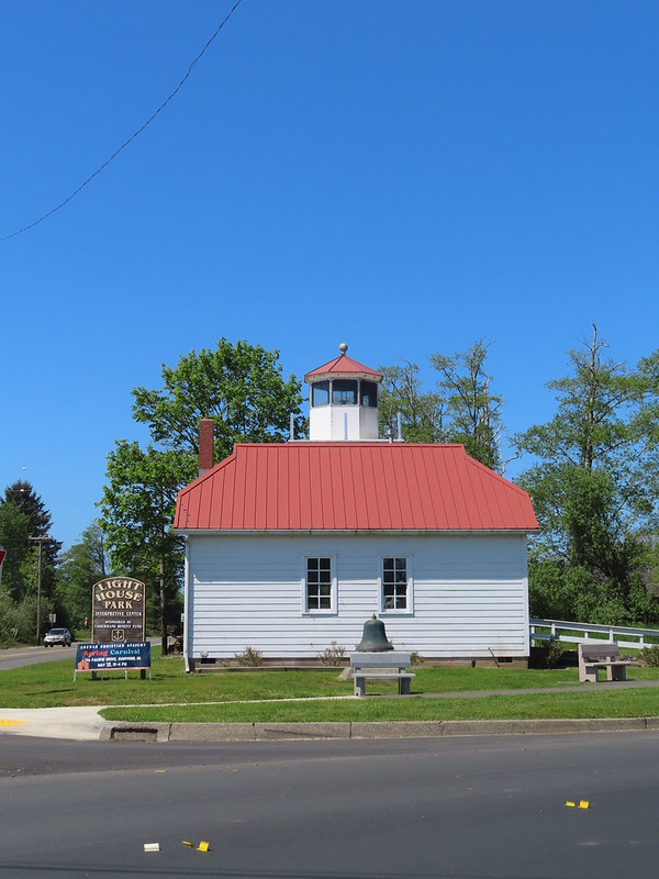
Our final stop of the day was just 5 miles from the Battery Russell parking lot at Lighthouse Park in Warrenton.
 The parking lot at the park.
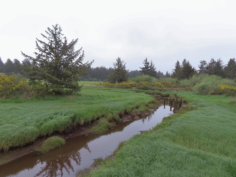
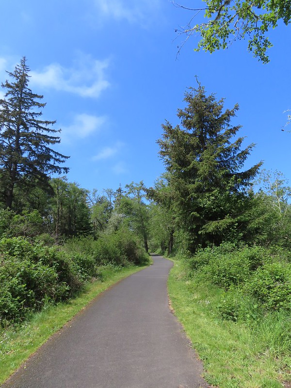
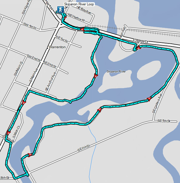
Our plan here was to hike the 2-mile Skipanon River Loop. Three things drew us to this trail. First it was a trail we hadn’t yet hiked. Secondly, we hadn’t hiked along the Skipanon River yet, and while it isn’t an official goal we are trying to visit as many of Oregon’s rivers as possible. Finally, one of our favorite post hike restaurants, Nisa’s Thai Kitchen is located along the route.
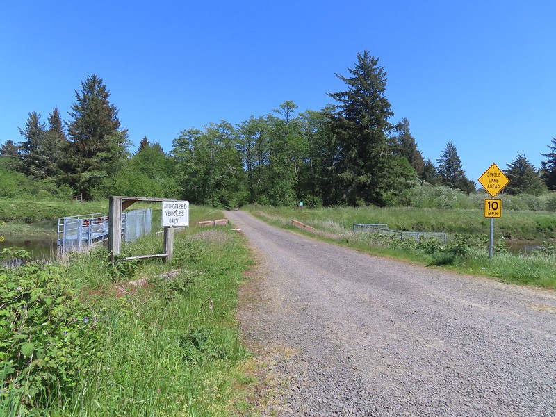
From the parking lot we crossed NE Skipanon Drive and followed the sidewalk past a storage facility to a path next to E Harbor Drive that promptly passed beneath the road.

 Emerging from the underpass.
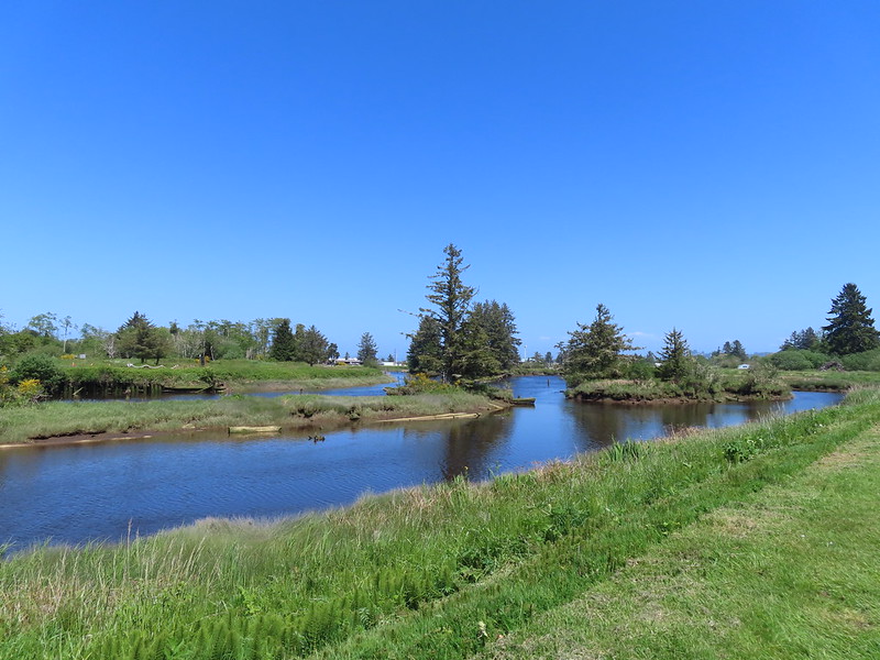
We turned right onto a paved path along the Skipanon River for a third of a mile to Skipanon River Park.

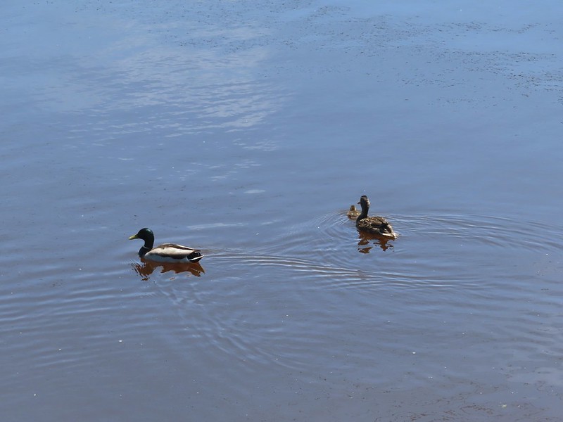 Mallard family
 Sign at the park.
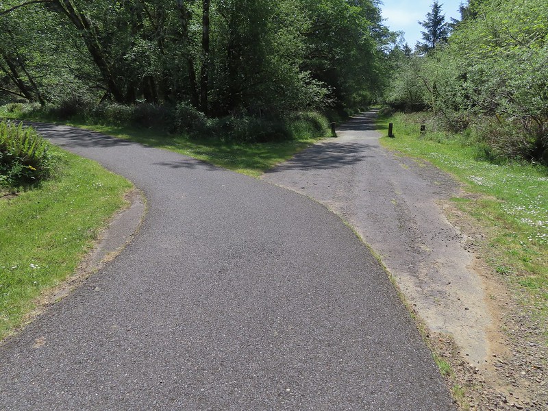
At the park the trail ended and we turned right onto SE 3rd St and followed it a block to S Main Avenue where we turned left. After two blocks on Main we turned left onto SE 5th St and then took a right on a grassy track behind some buildings.
 Eighth Street Dam from the grassy track.
We crossed the river on the 8th Street Dam where we finally saw an official trail map.
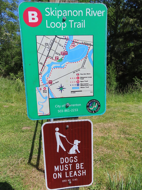 Until we saw this sign we’d been thinking that maybe the trail didn’t exist any longer. We were also questioning how the loop was supposed to get back across the river at the other end since the only bridge across the river there was Harbor Drive. Until seeing this we were thinking of turning around at the dam, but instead we decided that we’d do the loop with Heather getting a table at Nisa’s while I recrossed the river to retrieve the car.
With lunch calling, and our feet feeling a bit worn, we opted not to do the optional out-and-back B1 spur trail and continued on the loop past a gate.

On this side the trail was a nice grassy track following a dike which was far more pleasant than Main Avenue.

 Not the clearest picture but I think this is a greater scaup based on the head shape. We’ve seen a number of lesser scaups, but this would be our first greater.
 Great blue heron
 Cormorant
 A brief paved section.
 Nisa’s Thai Kitchen across Harbor Drive.
There was a nice wide bike/pedestrian lane on the bridge making the crossing not too bad even with traffic. As I was made my way across I noticed a path leading down to the underpass on the south side of Harbor Drive which meant I wouldn’t need to cross the main street on foot.
 Looking back up the path from Harbor Drive.
The loop came in just over 2-miles with minimal elevation gain.
This would probably be a nicer hike early in the morning when less traffic was about. It was a little awkward walking along the city streets as well, but the grassy dike was a comfortable walk. What really made this worth the stop though was the Drunken Noodles and Pad Thai. After a satisfying meal we drove to Astoria arriving at our motel right after check in time (3pm). We originally thought we might head out to the Astoria Riverwalk after cleaning up, but after showering a resting for a bit it was clear that 12.9 miles were enough for one day. Happy Trails!
Flickr: Crecent Beach, Fort Stevens Historic Area, and the Skipanon River Loop


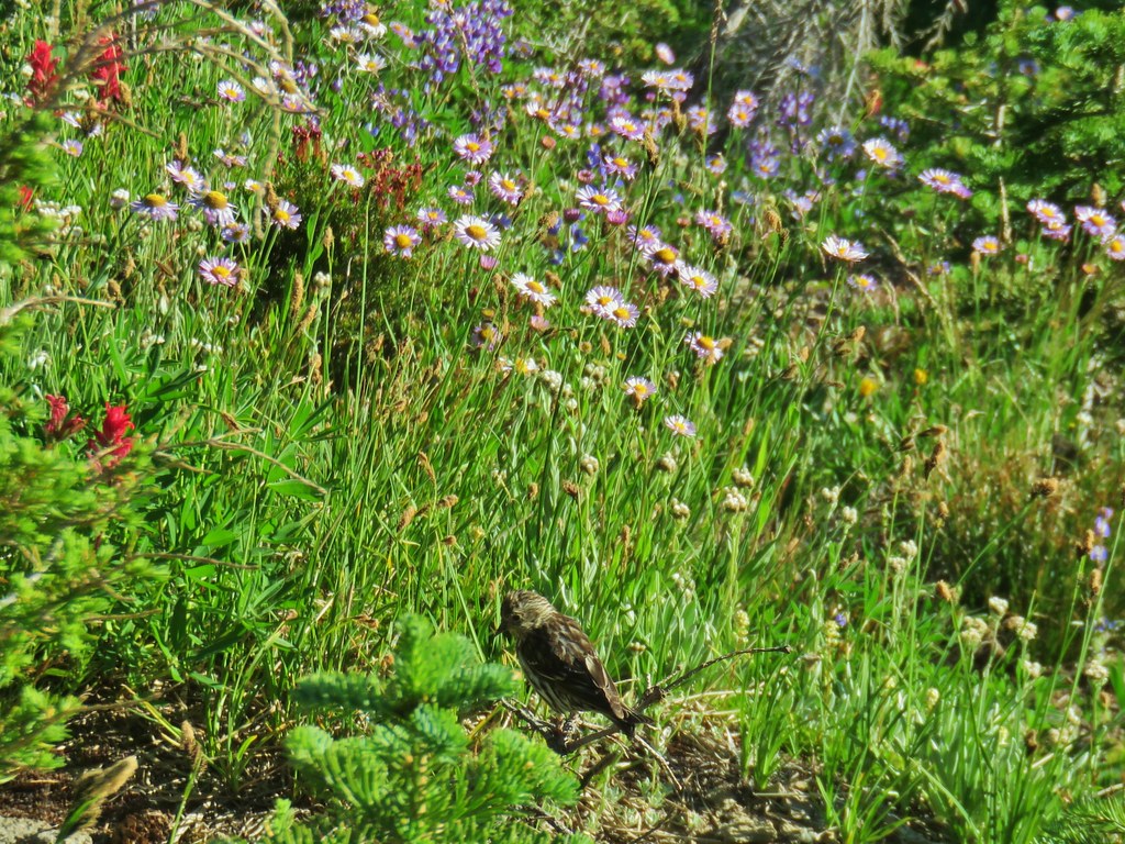
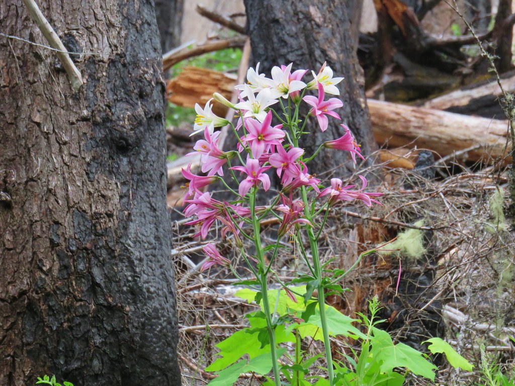
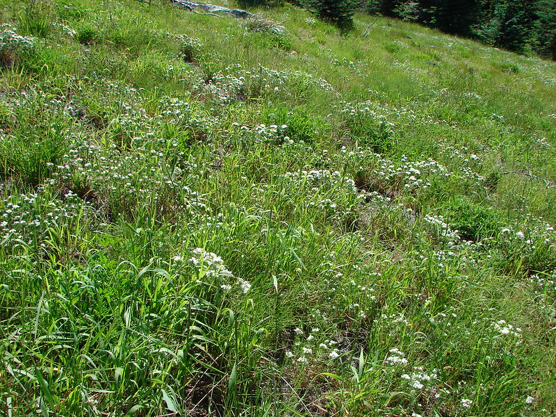
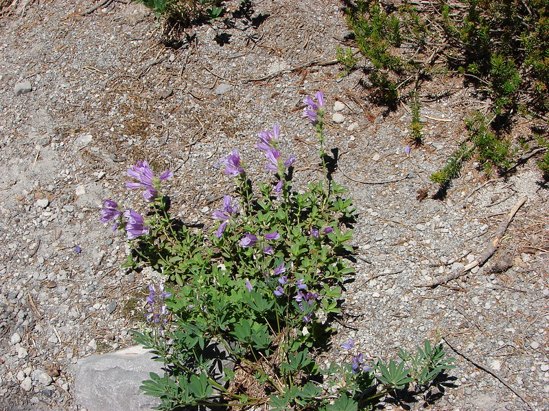
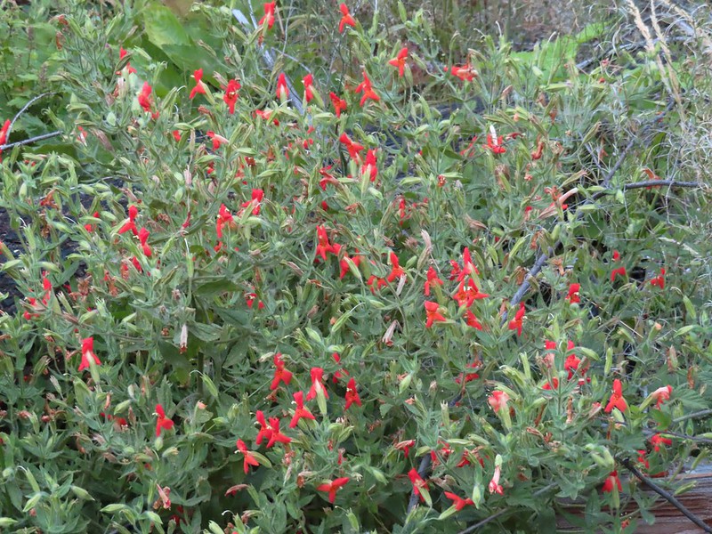 Scarlet monkeyflower
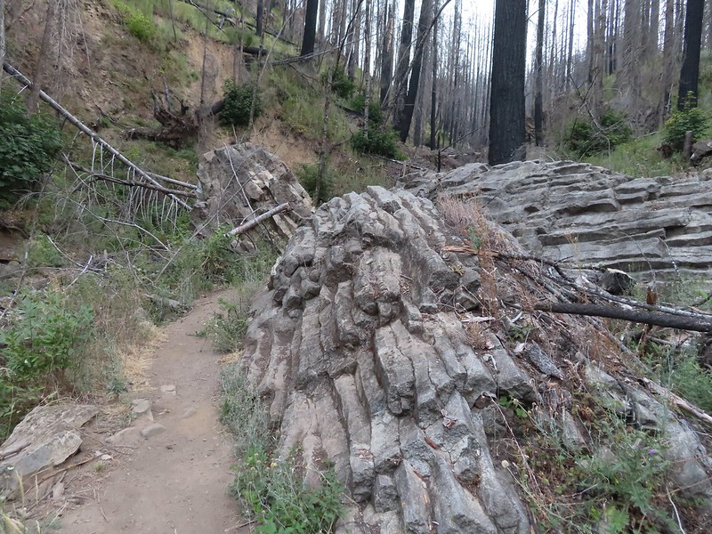


 Heading for the viewpoint.
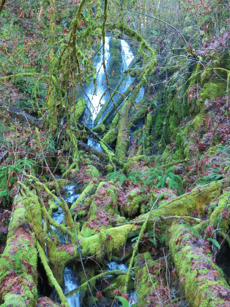
 The upper tier from the viewpoint.


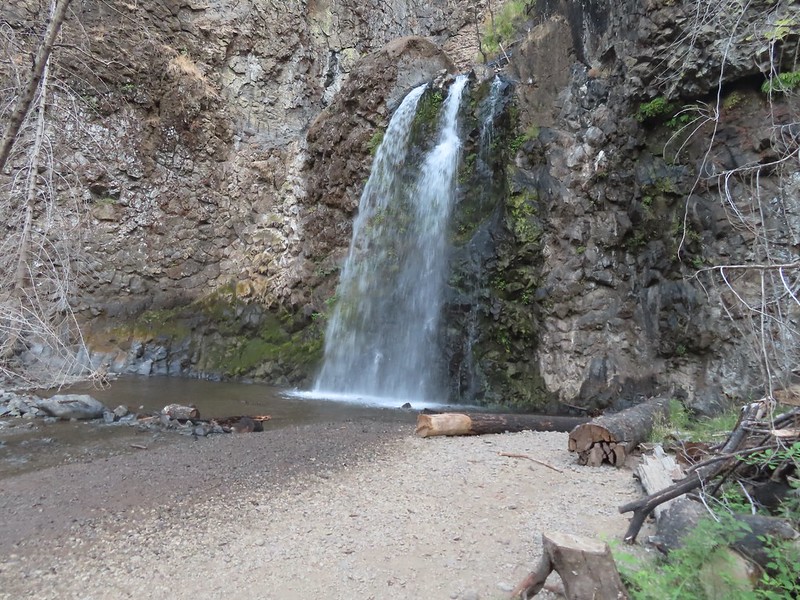
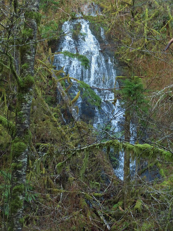
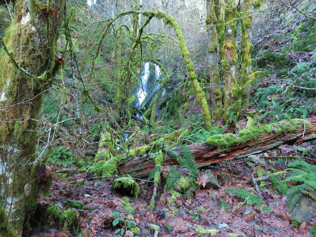
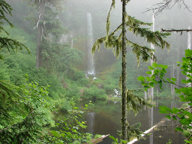
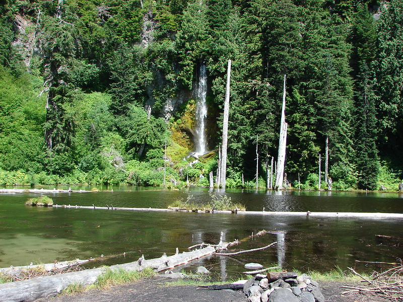
 First good view of the lower fall from the trail. The upper fall was visible but somewhat blocked by trees.

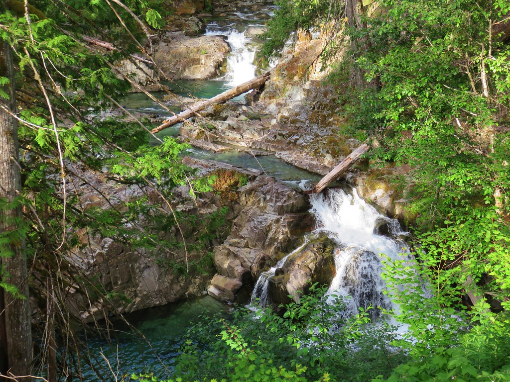
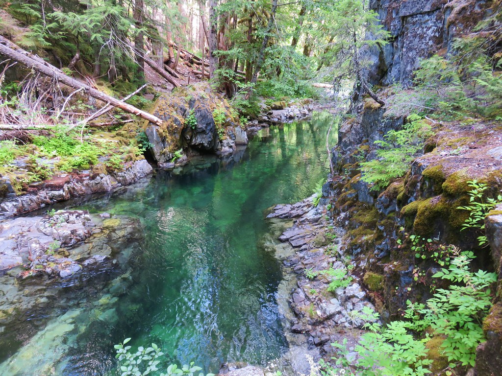
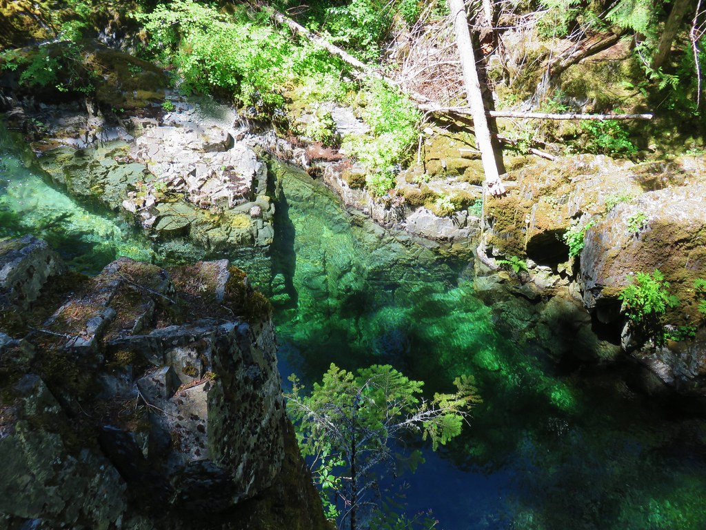
 We really liked how the water curved and narrowed as it cascaded down.
 The pool appeared to be extremely deep.
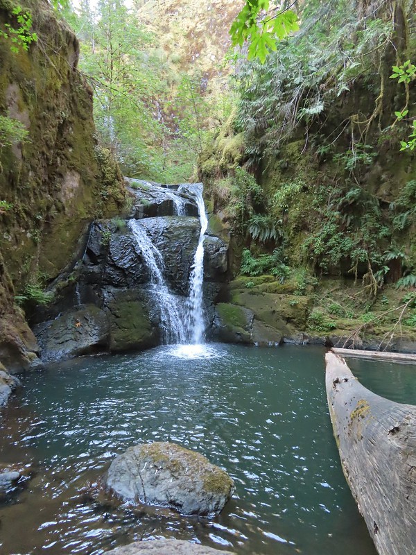


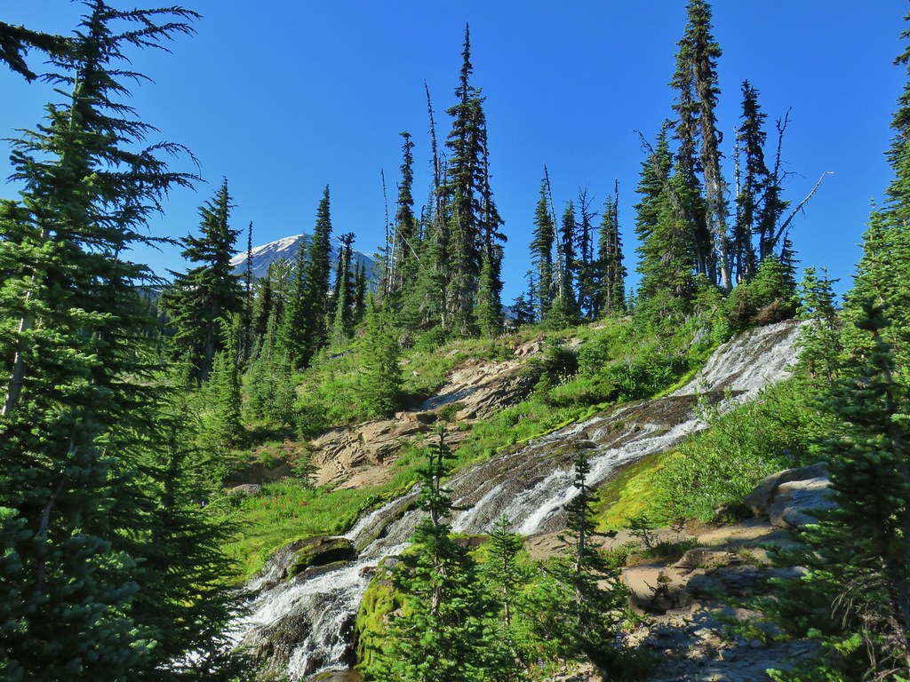
 Gods Valley Creek
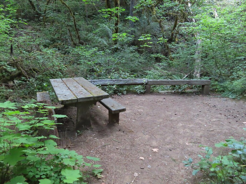
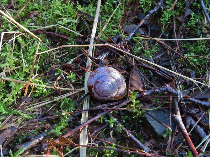
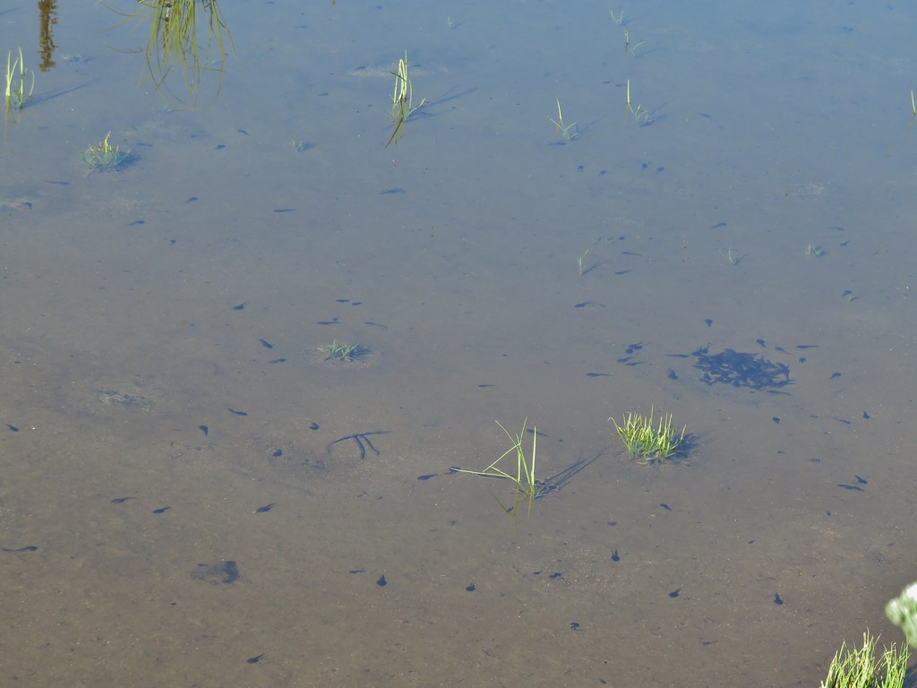
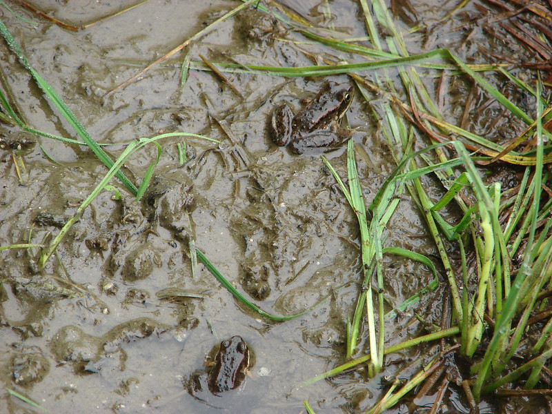
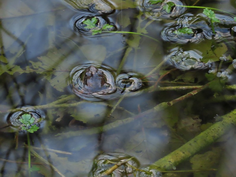 Frog near the old picnic tables.


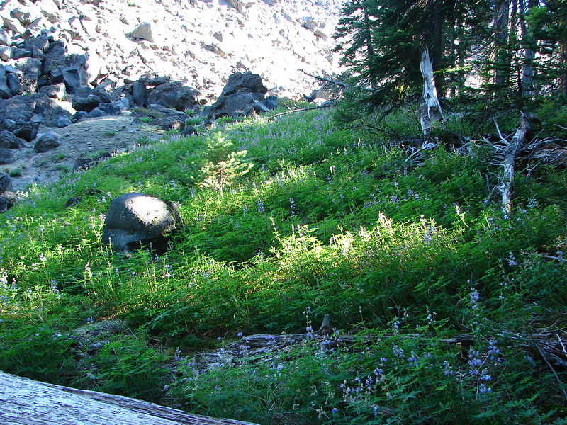
 Not much in the way of flowers yet but there was a bit of skunk cabbage in bloom.
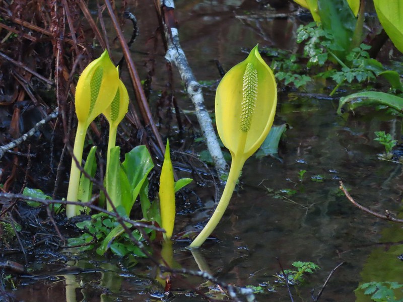
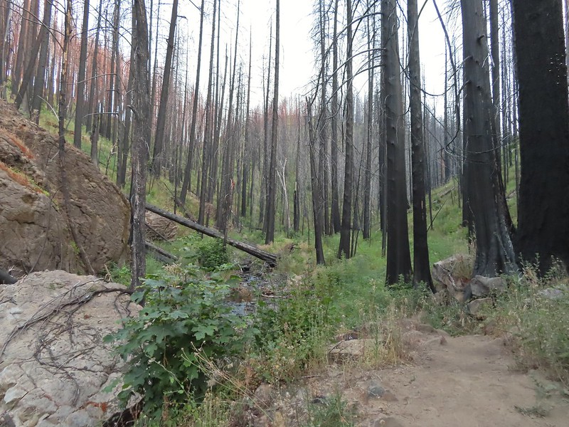
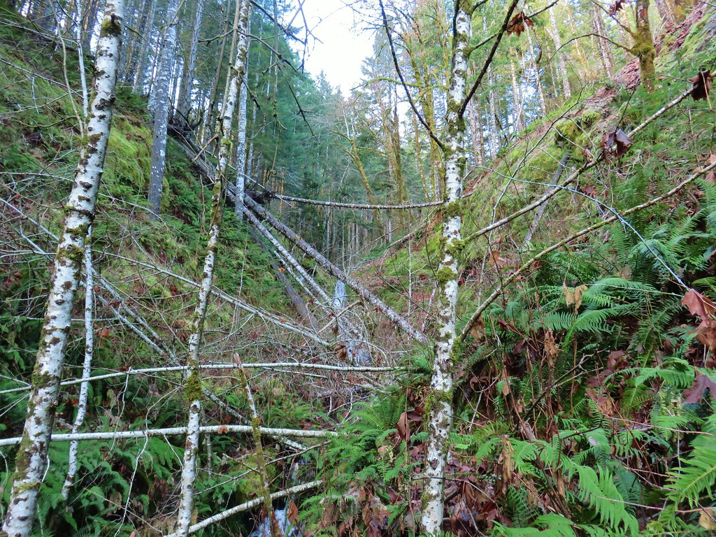
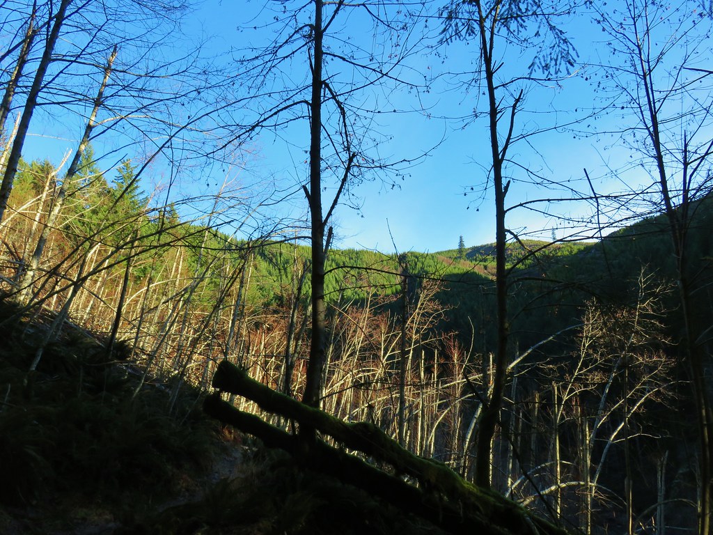
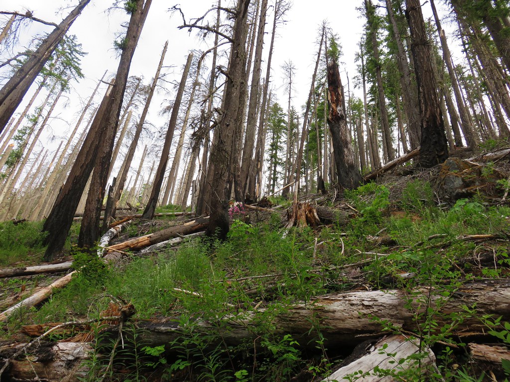
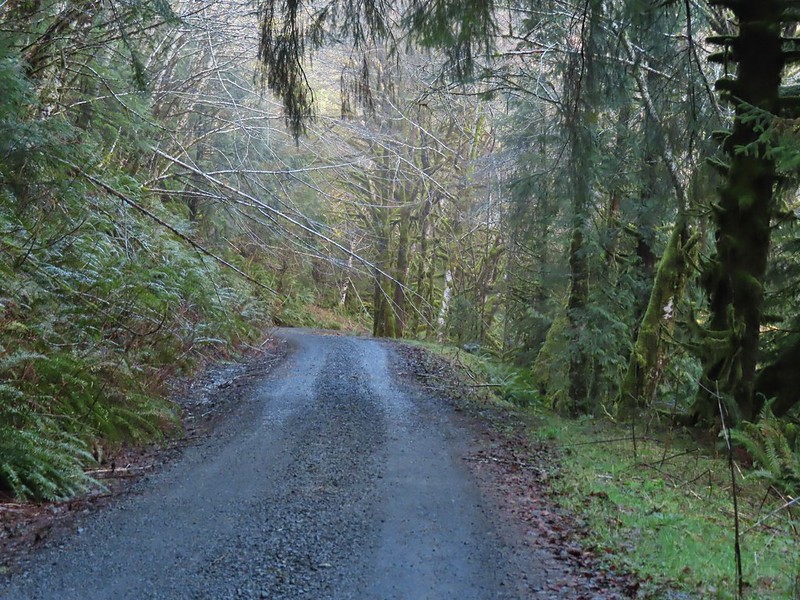 Some low hanging trees, presumably from the storm. The roads had been cleared but occasional damage along the side of the road was evident.
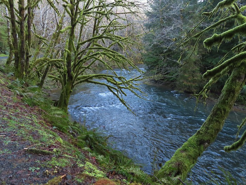
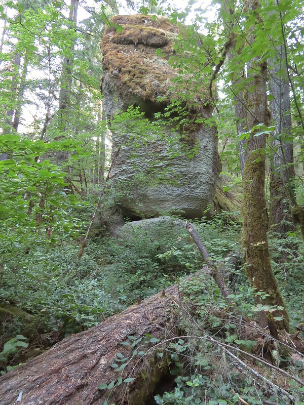
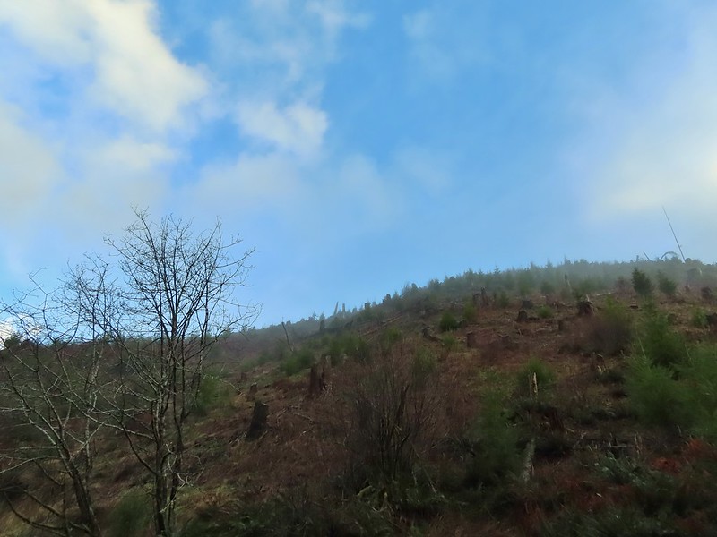
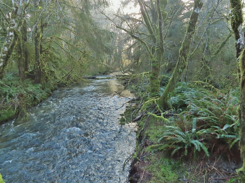
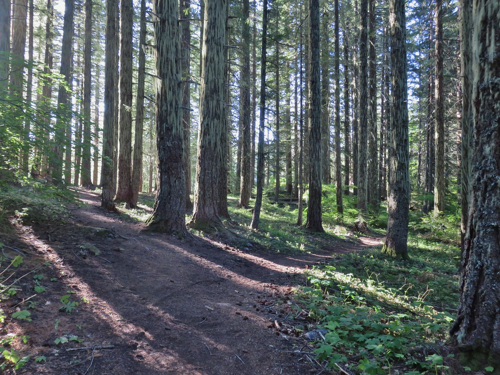
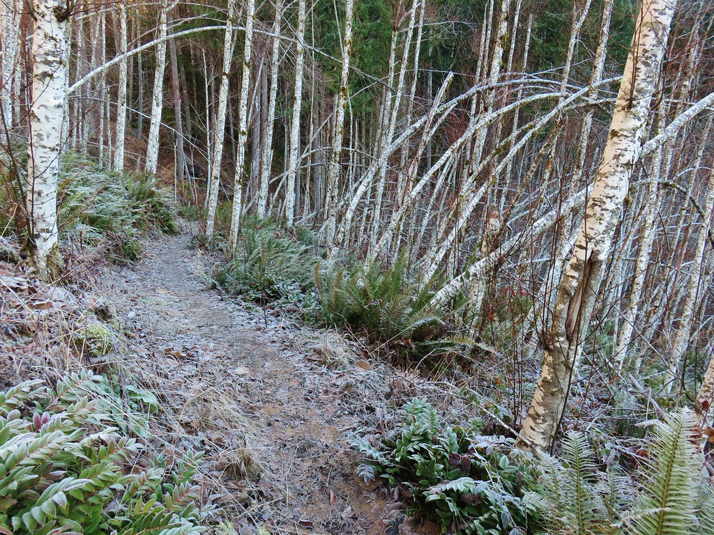
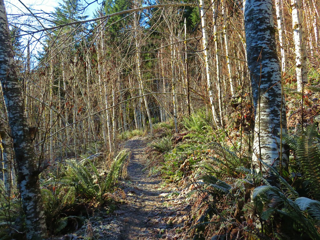
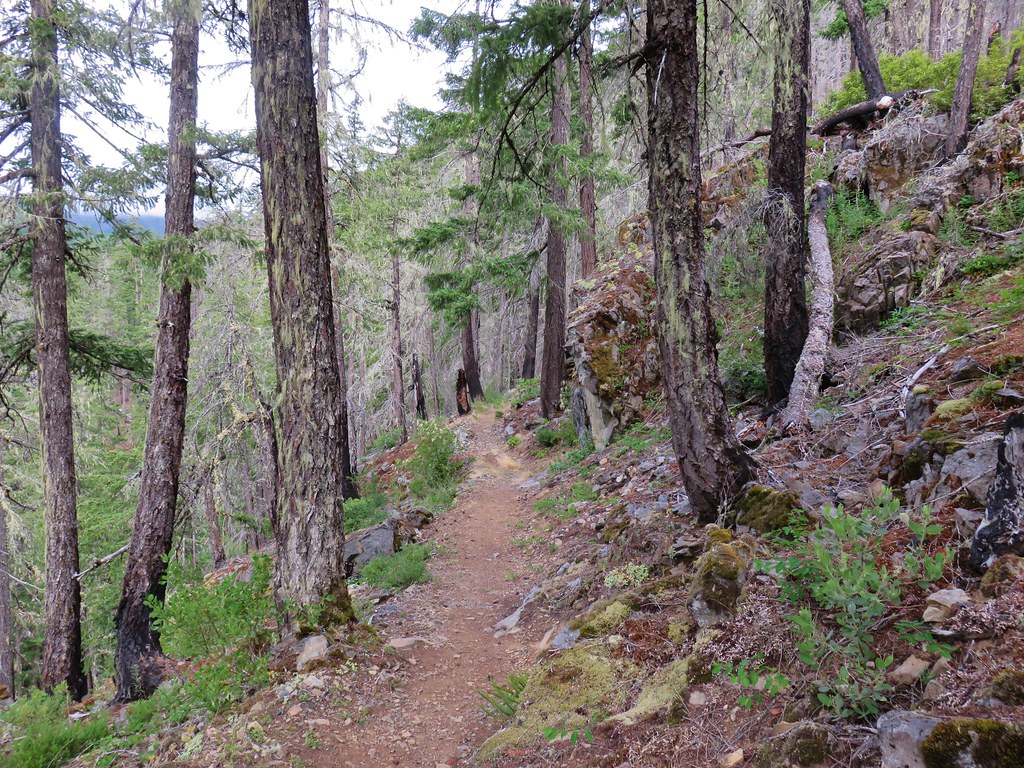
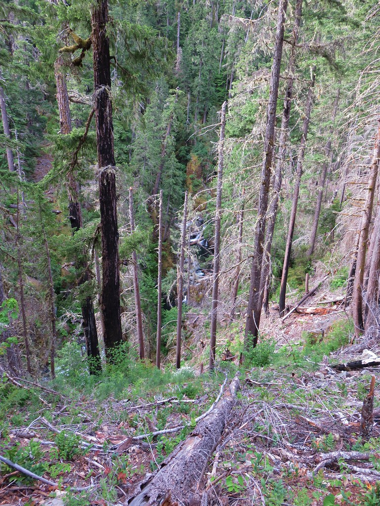
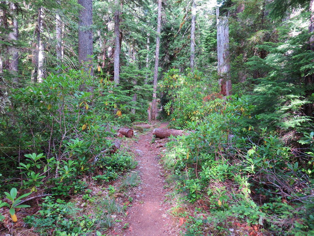
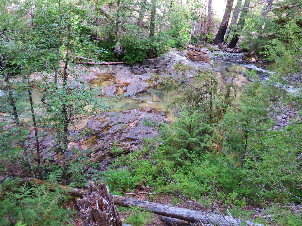
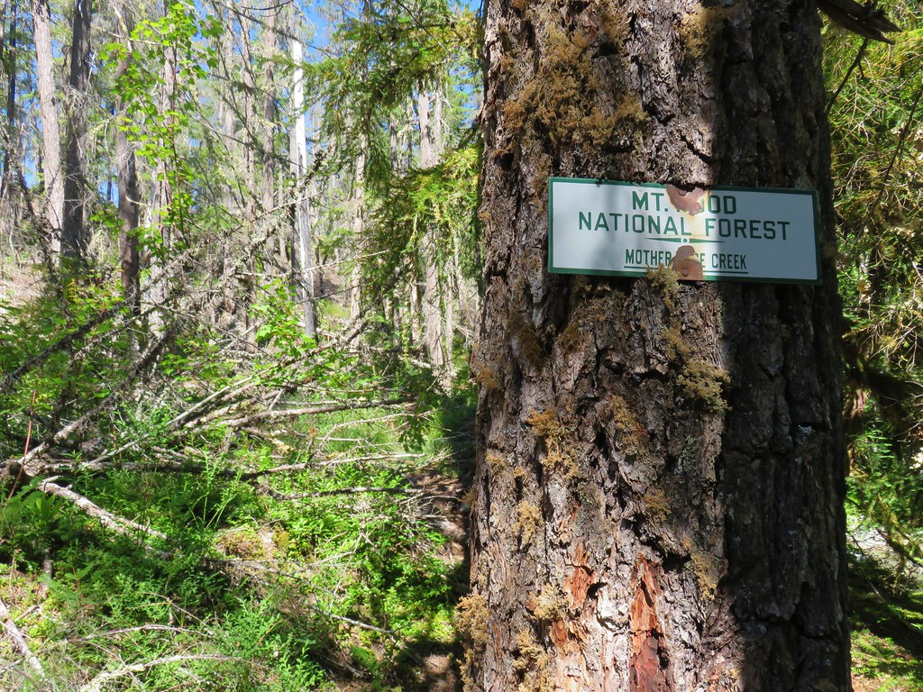
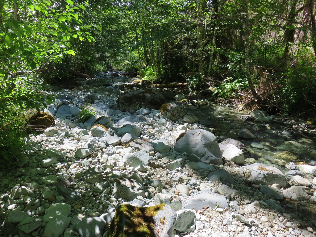
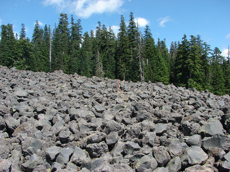
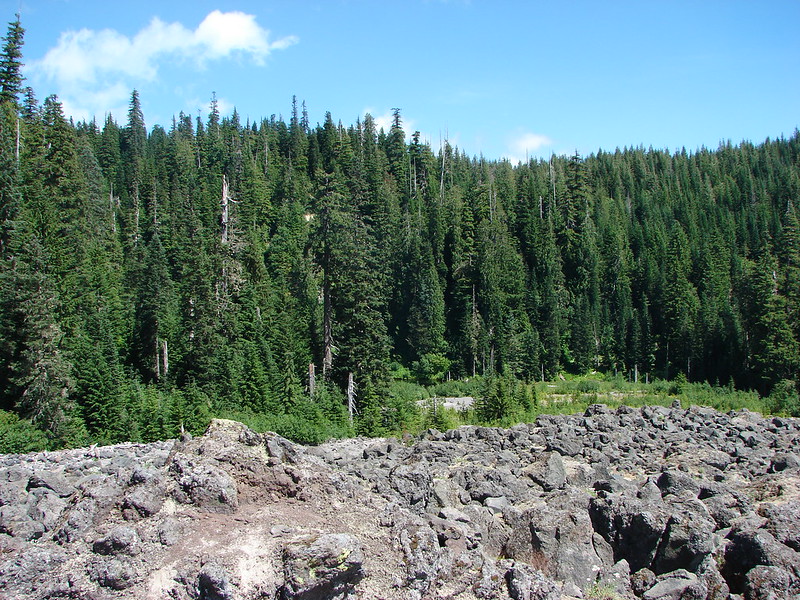
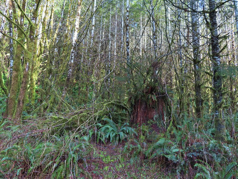 There were no recent clearcuts in the Clatsop State Forest section but there was evidence of past logging.
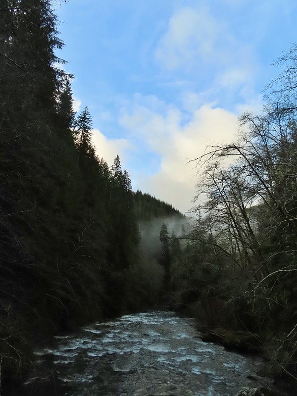
 Fall Creek
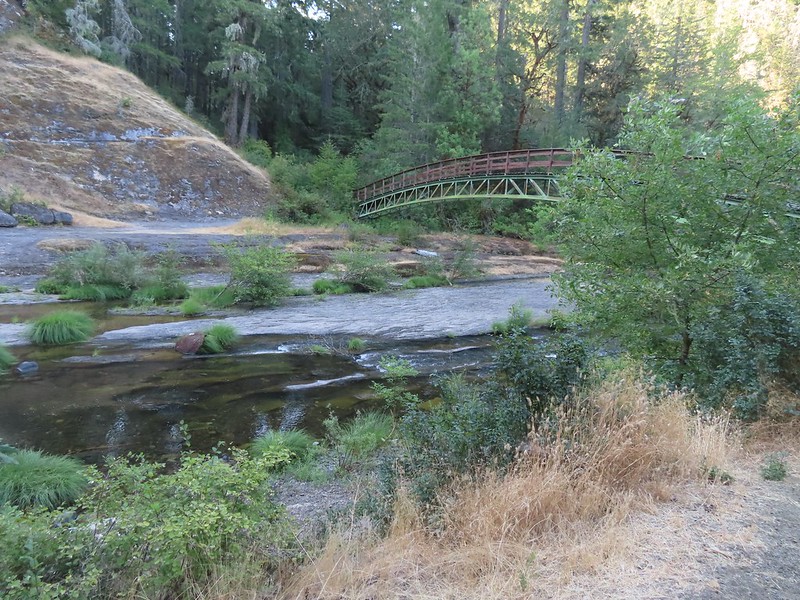
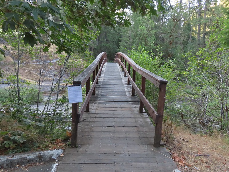
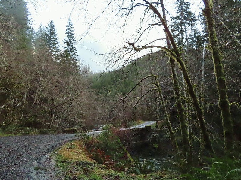
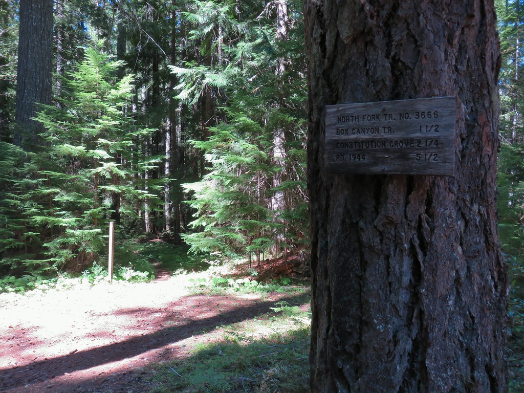
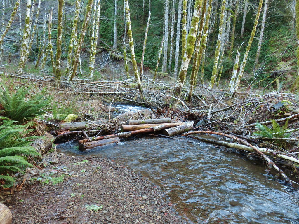
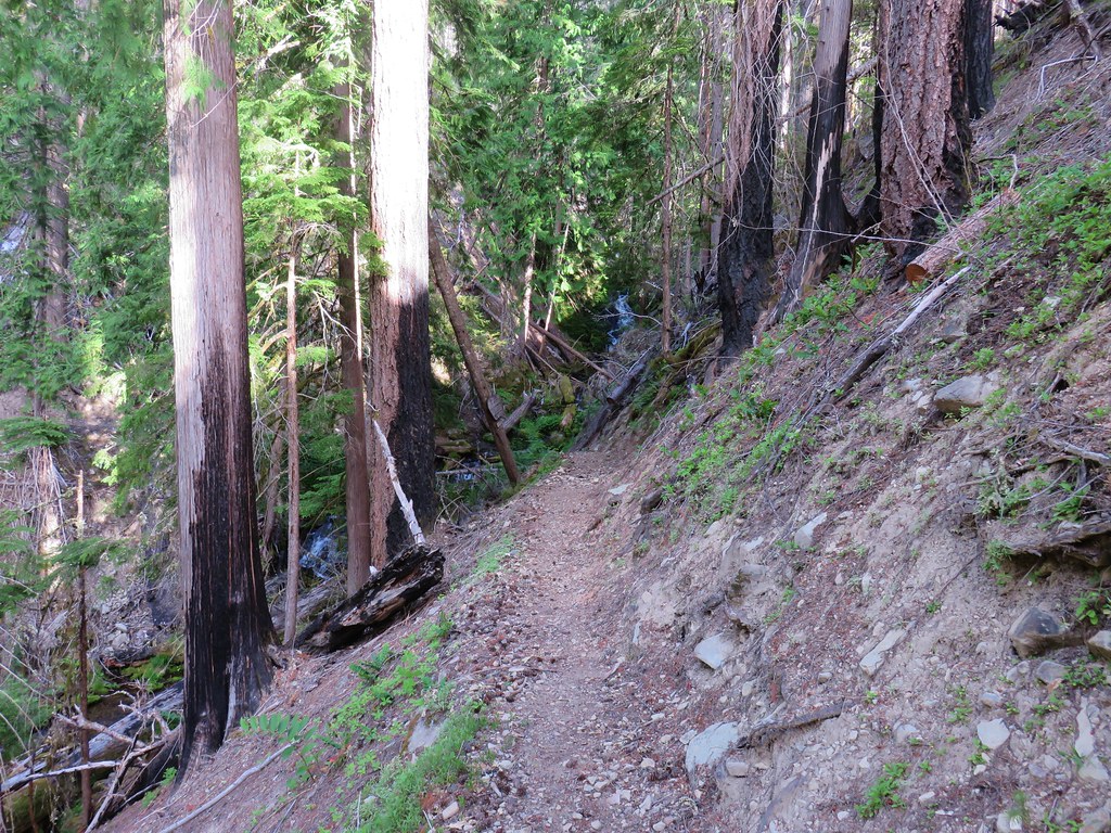
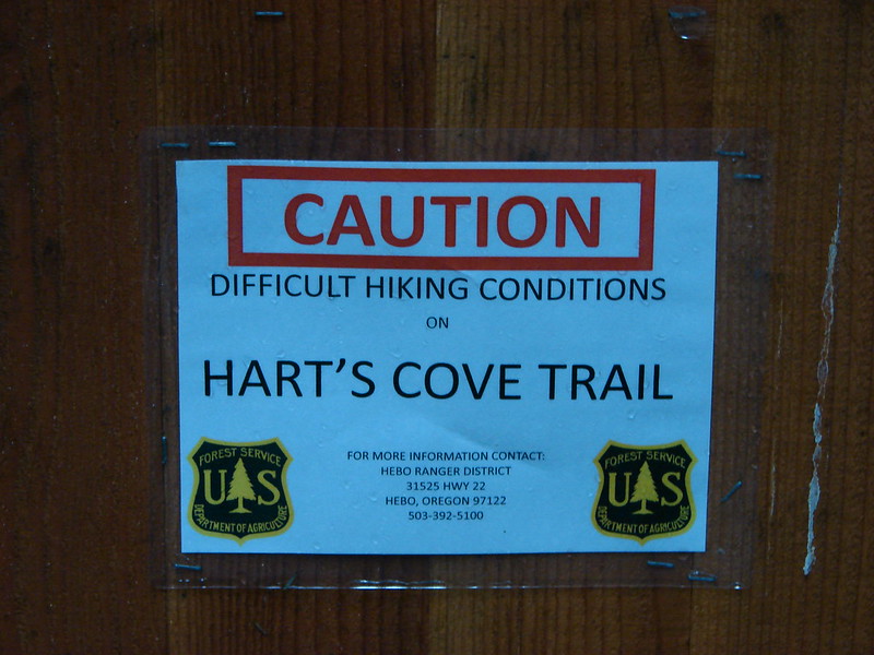
 Not sure why I neglected to get a picture of the bridge from the locked gate but this is the only one I took of the bridge.
 The hike description in the Oregon Hikers Field Guide mentions walking along the bank to get a view of Upper North Fork Falls from the rocks below but that wasn’t going to be an option with the river level today.
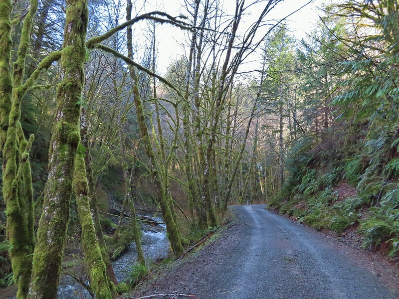


 We both thought that this thick moss looked like some sort of hairstyle.
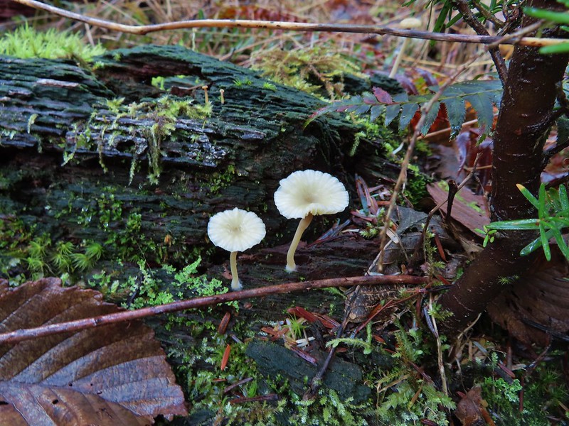
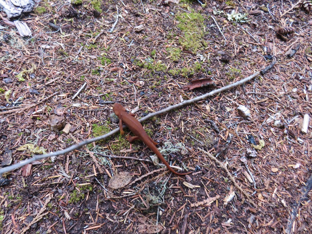
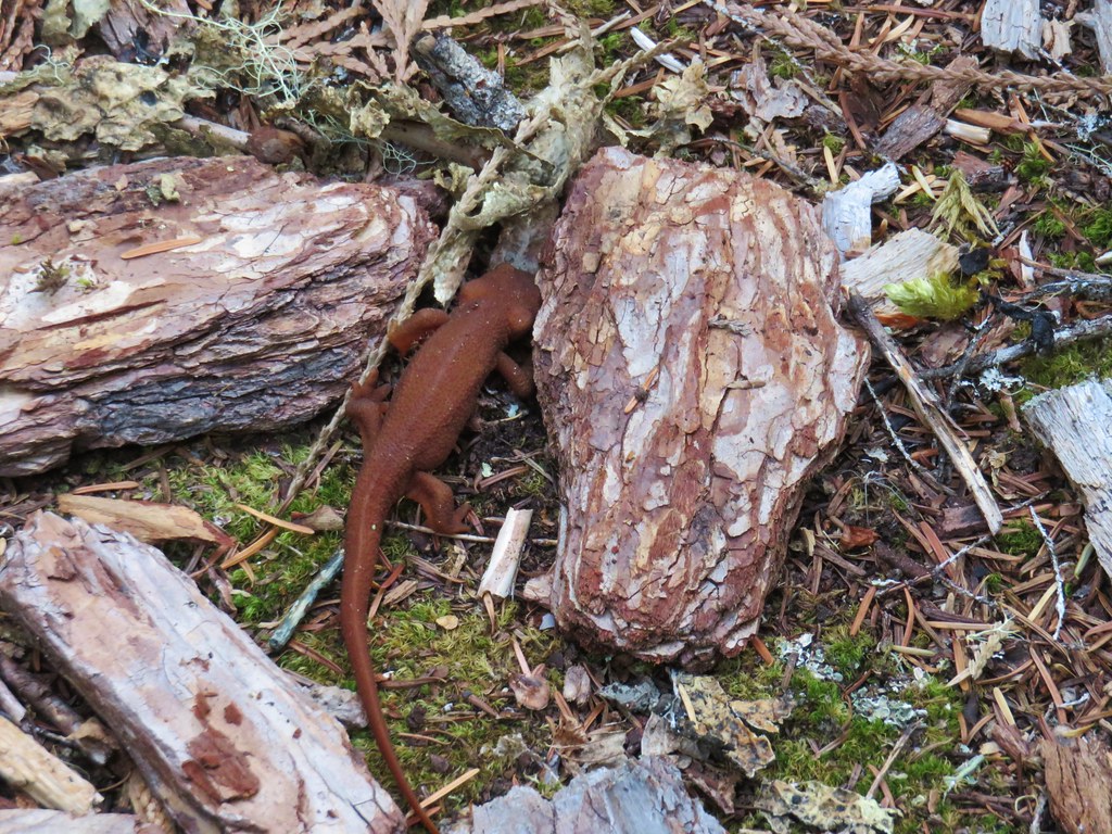
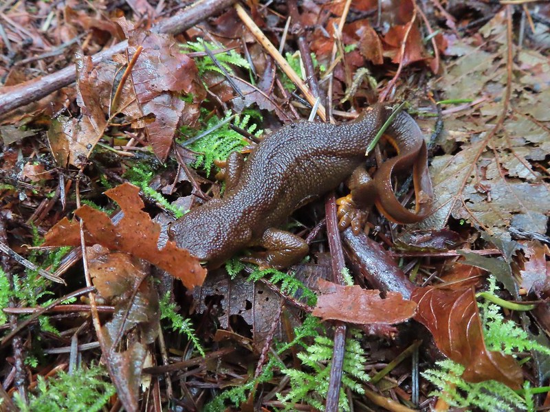 Rough-skinned newt


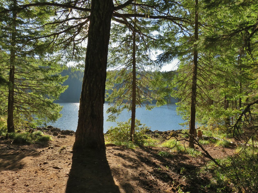


 Lower Erma Bell Lake from the climb.
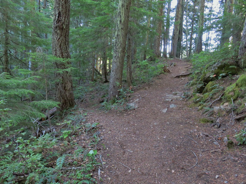
 Above the falls.
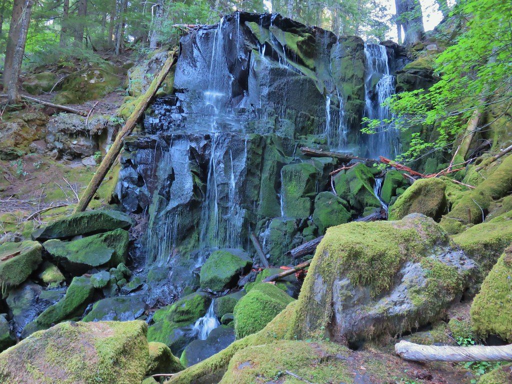

 Ouzel
Ouzel Ducks
Ducks Pond along the trail.
 Spur trail on the right to Upper Erma Bell Lakes.
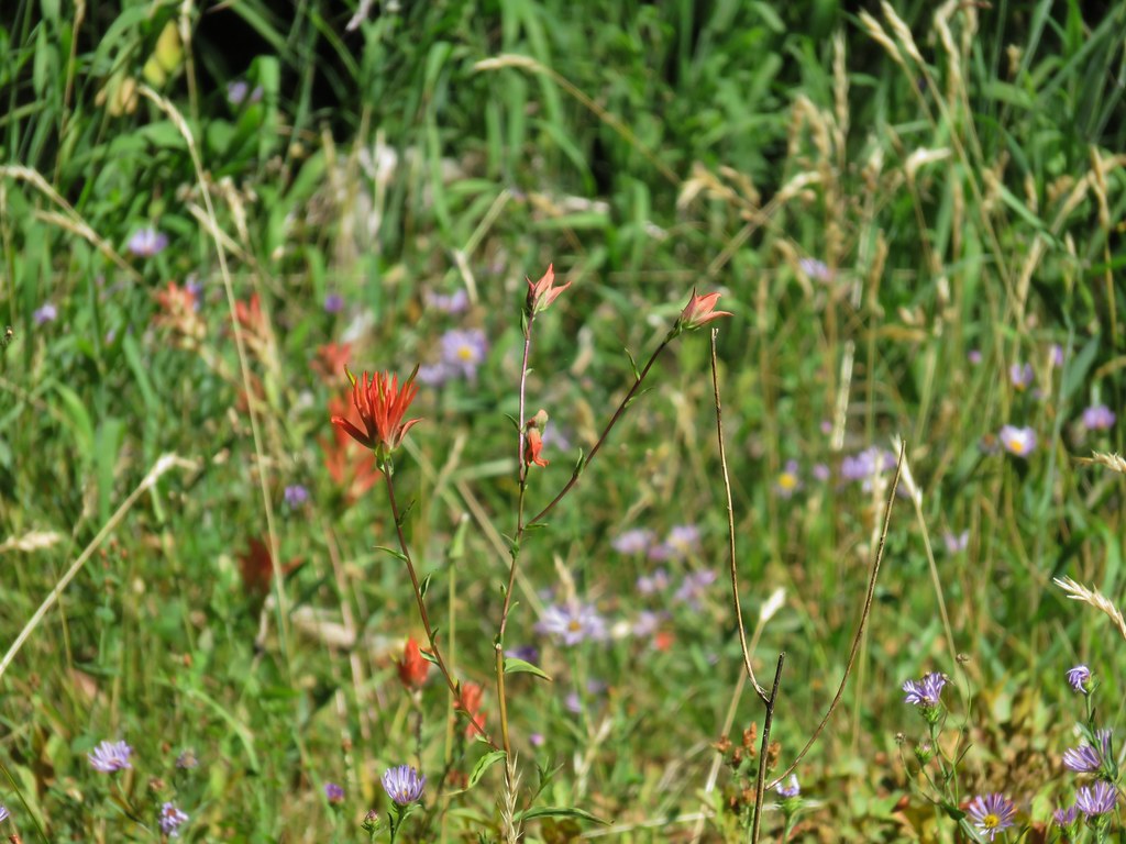
 Paintbrush and aster along the lake shore.
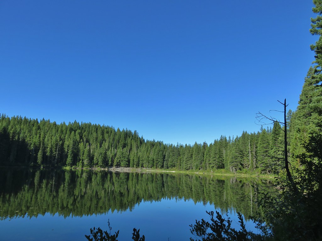 Upper Erma Bell Lake
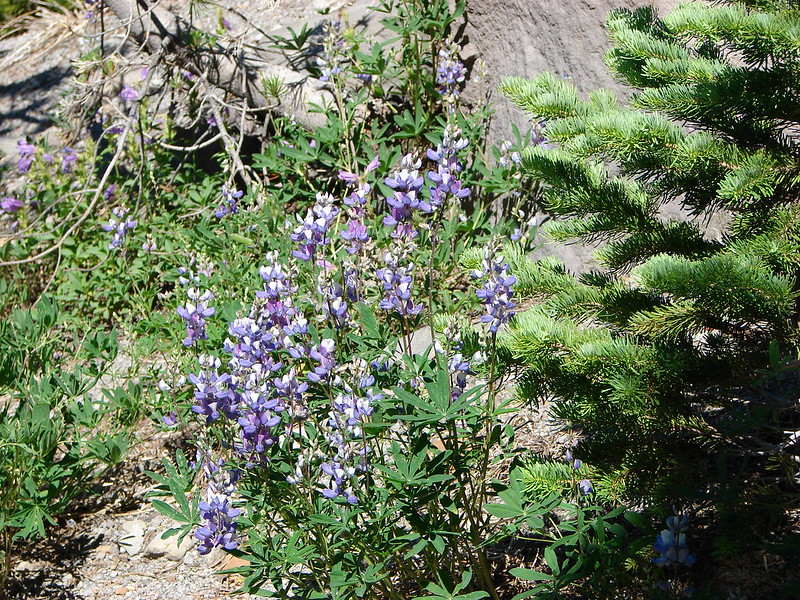
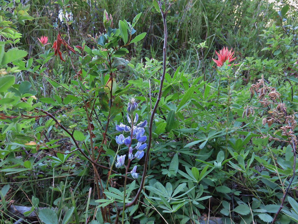 Lupine and paintrbush
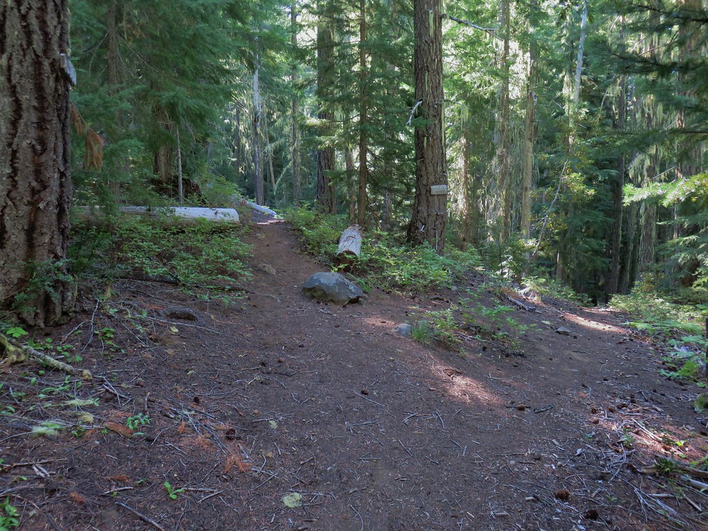 Judy Lake Trail on the right.
 Williams Lake Trail joining from the right.
 Grouse giving us the what for from a tree.
 Williams Lake
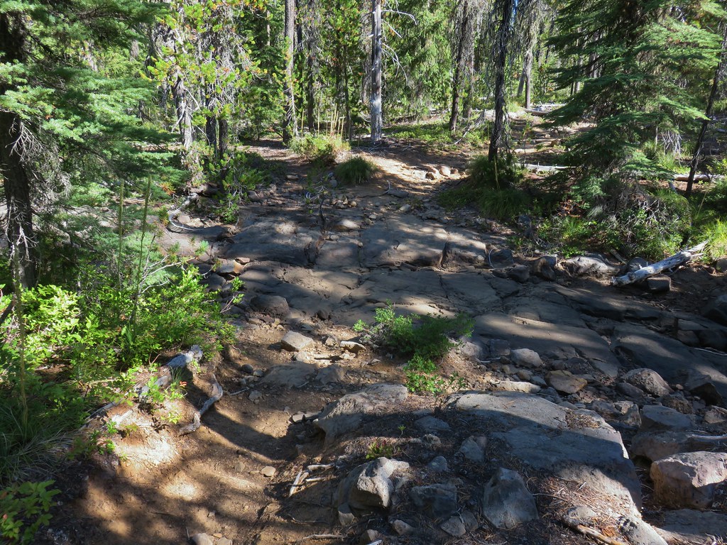 Dry creek bed near Williams Lake.

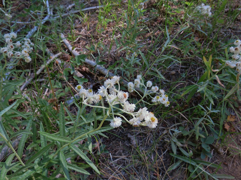 Pearly everlasting
 Fleabane
 Prince’s pine
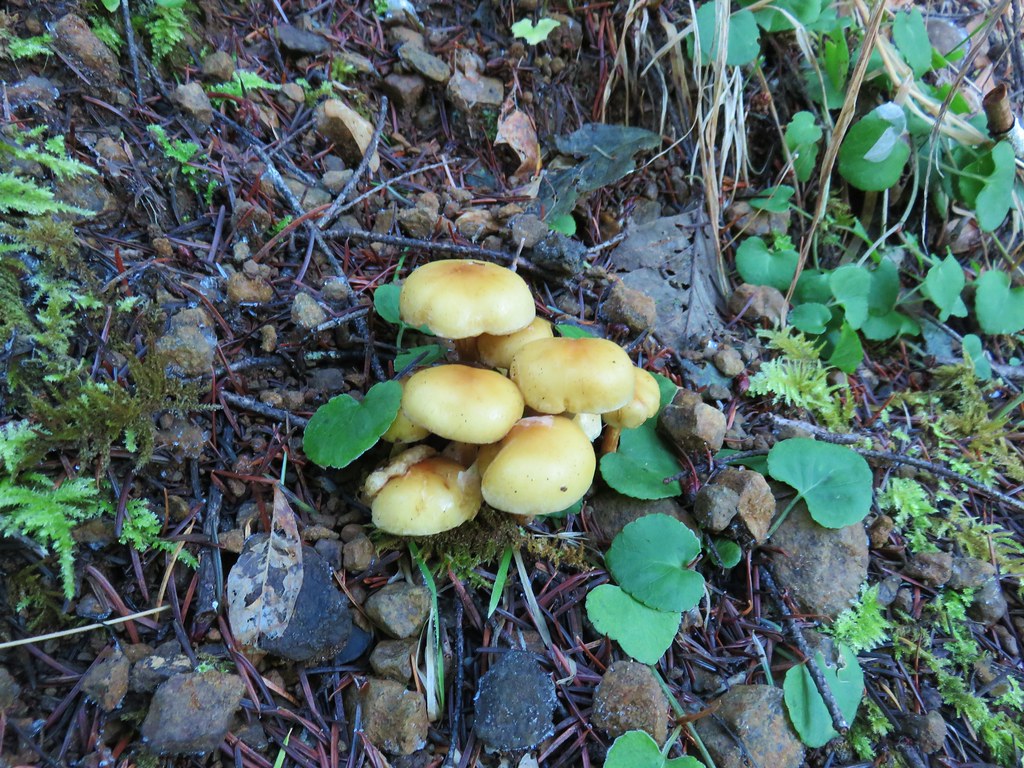
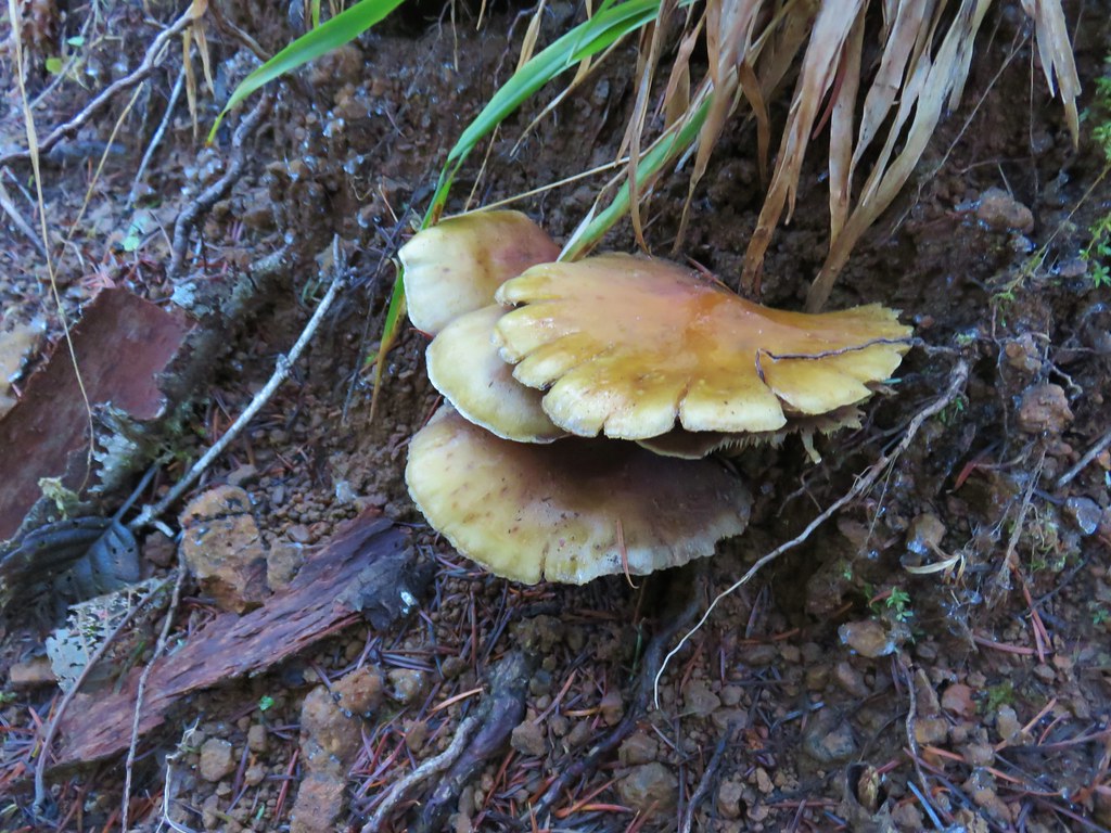
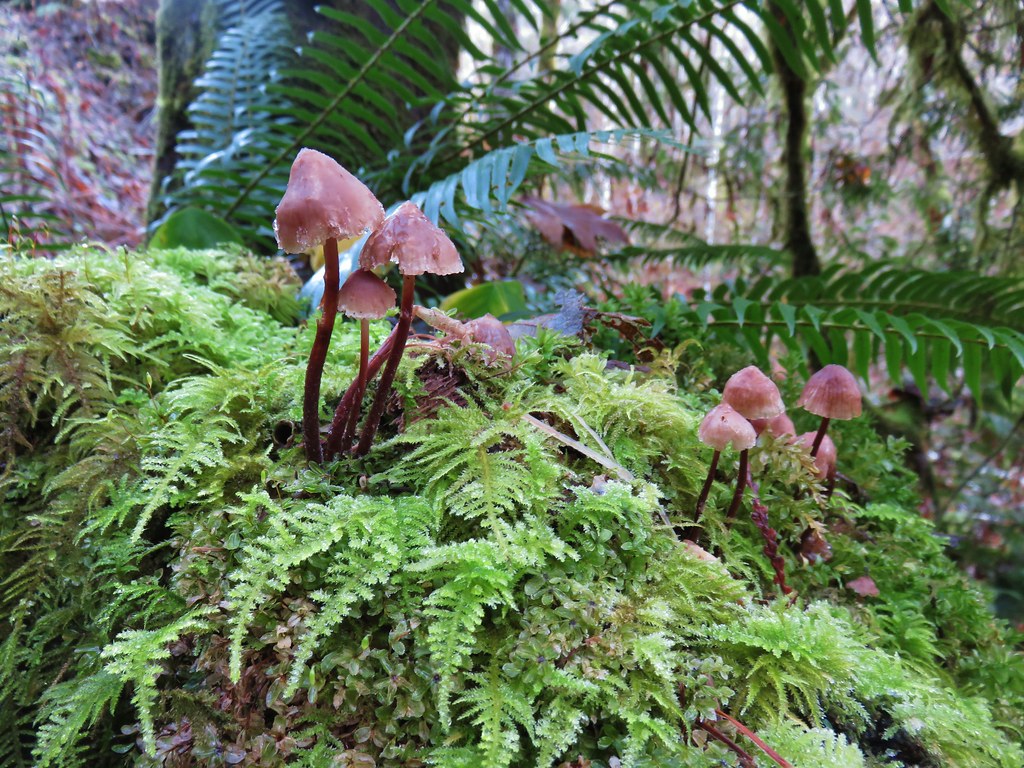
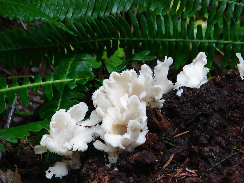
 Mushroom
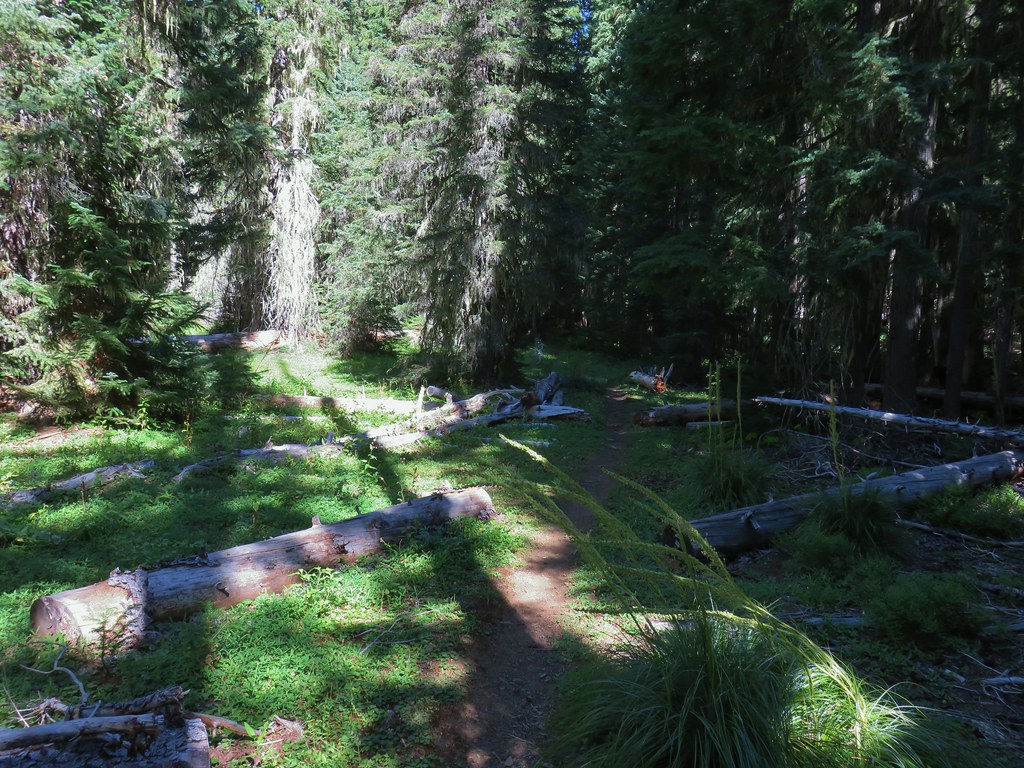
 Aster
Aster
 Coneflower
 Paintbrush
 Paintbrush
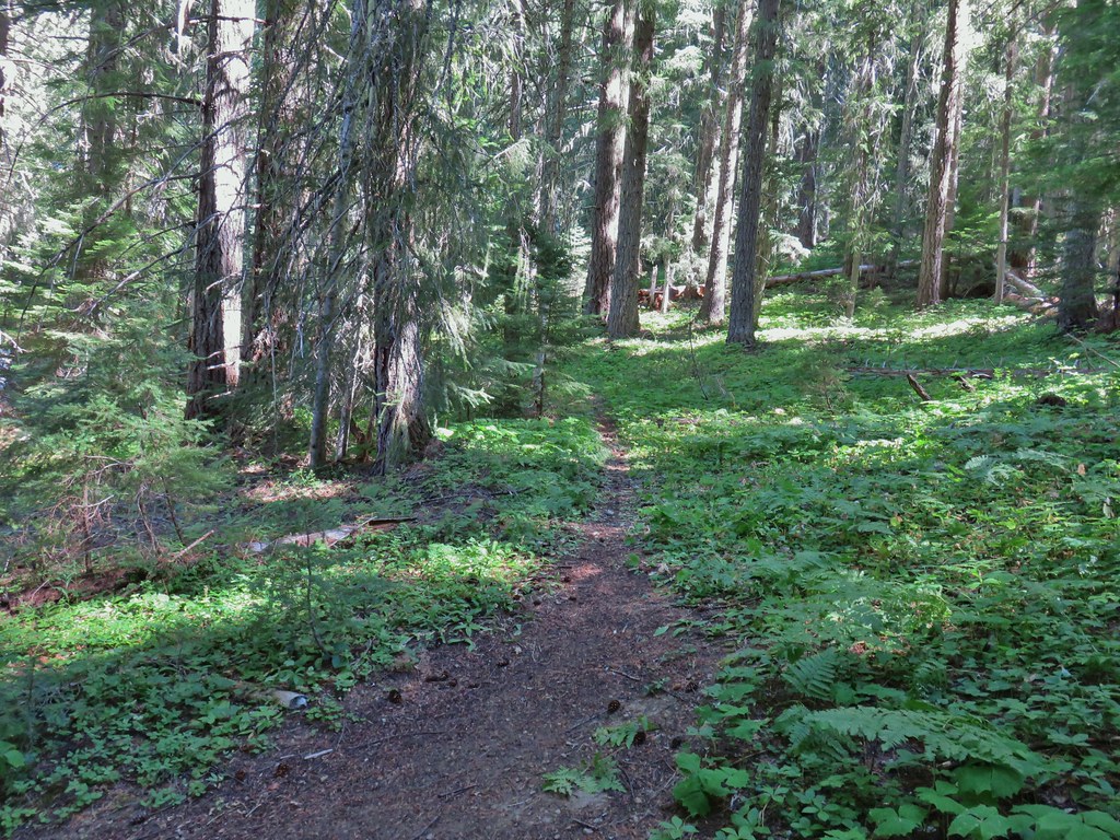

 Curious dragonfly
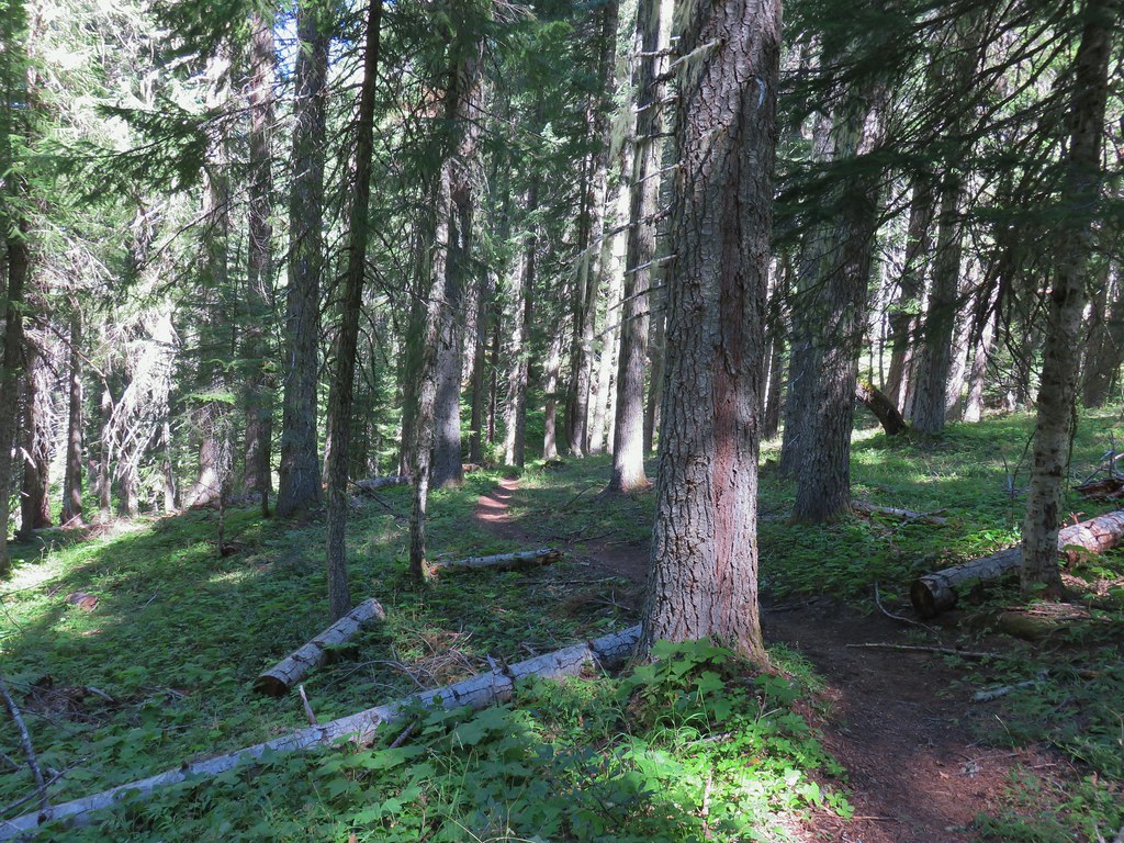


 Ghost Pipe aka Indian Pipe


 Arriving at Cedar Bog.
 One of a couple dry channels.
 North Fork Middle Fork
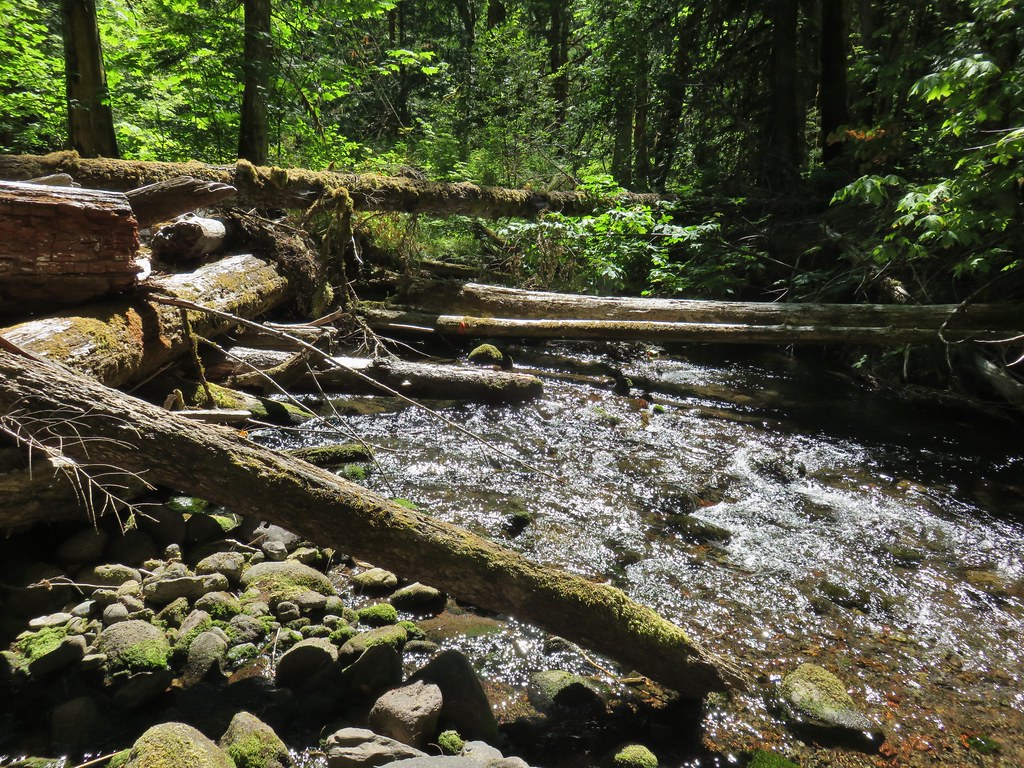 Flagging on a downed tree marking the continuation of the Shale Ridge Trail.
 North Fork Middle Fork at Cedar Bog
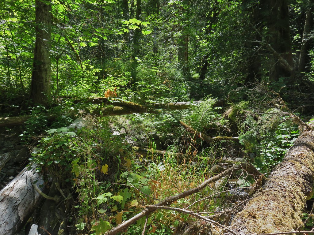 Orange flagging on the far side of the river.
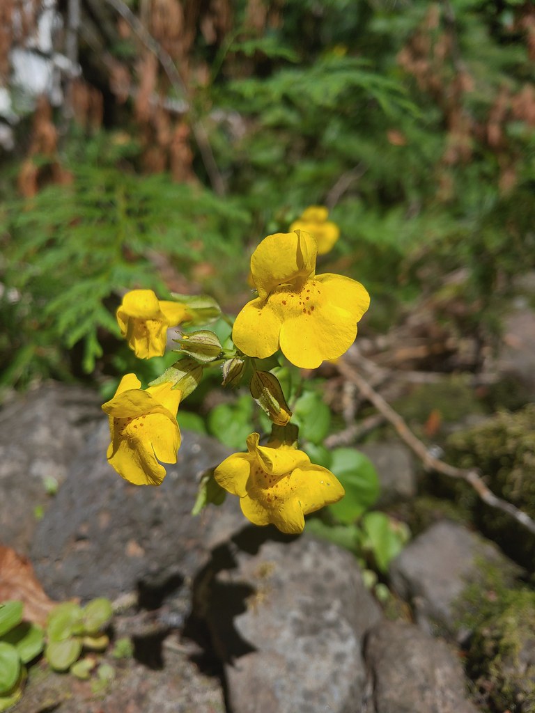 Monkeyflower at Cedar Bog
 Candy flower
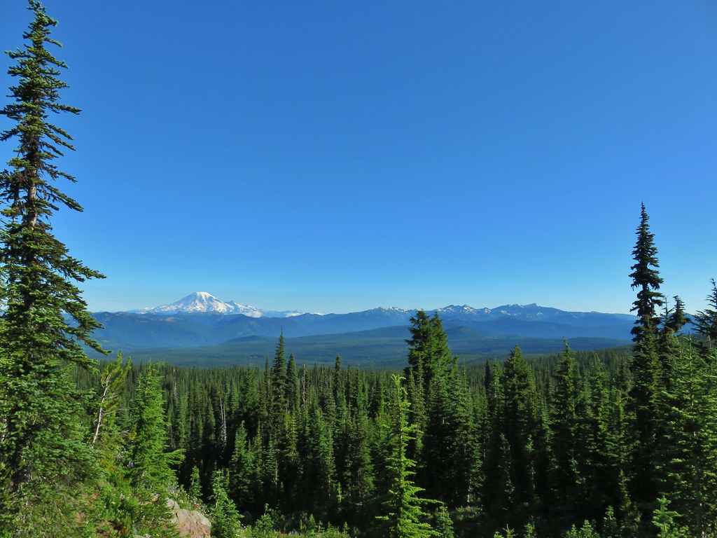
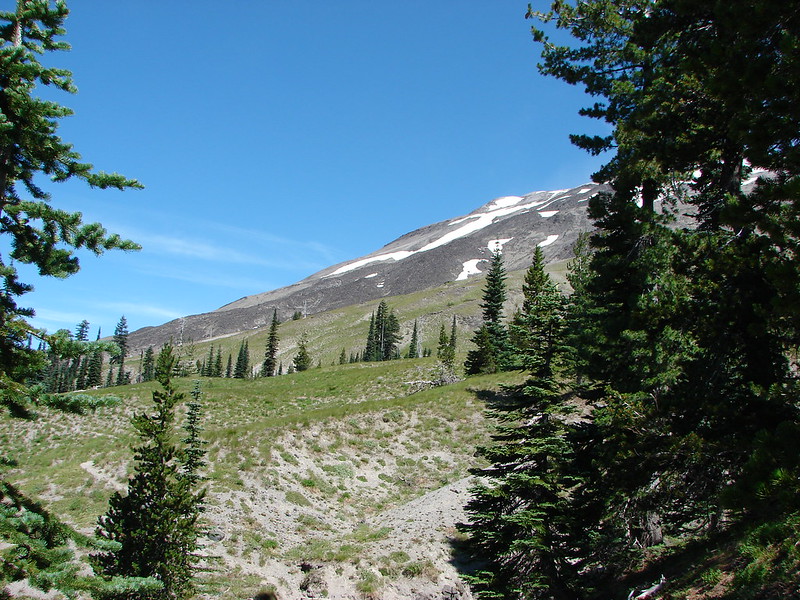
 Goat Rocks in the morning
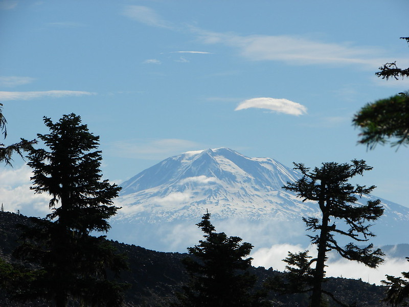
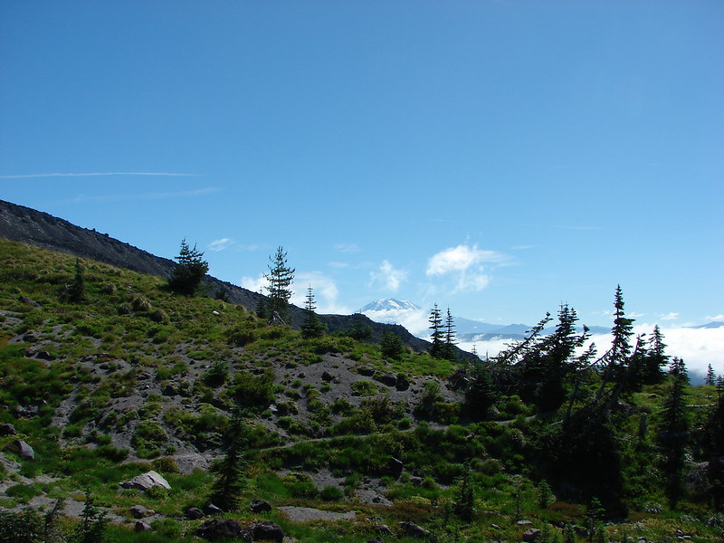
 Mt. Adams
 Looking down the Muddy Meadows Trail from the log.
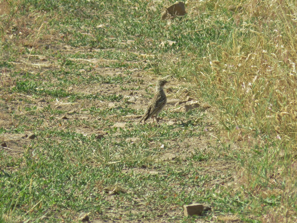
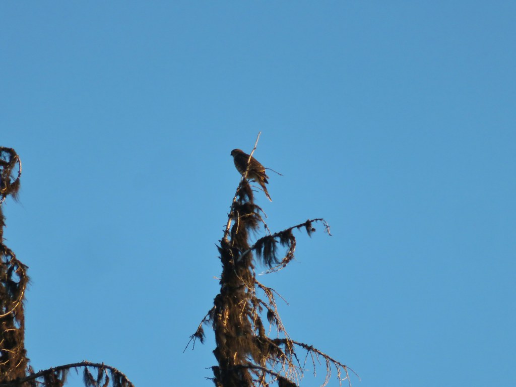 Small hawk
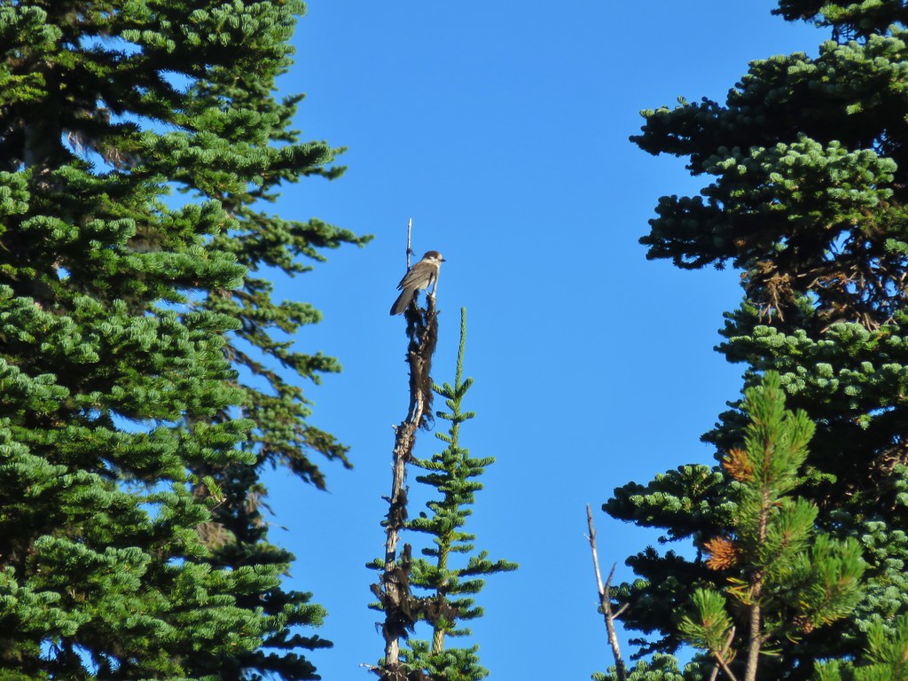 Gray jay
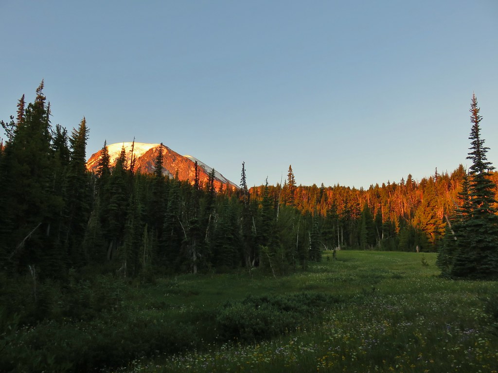
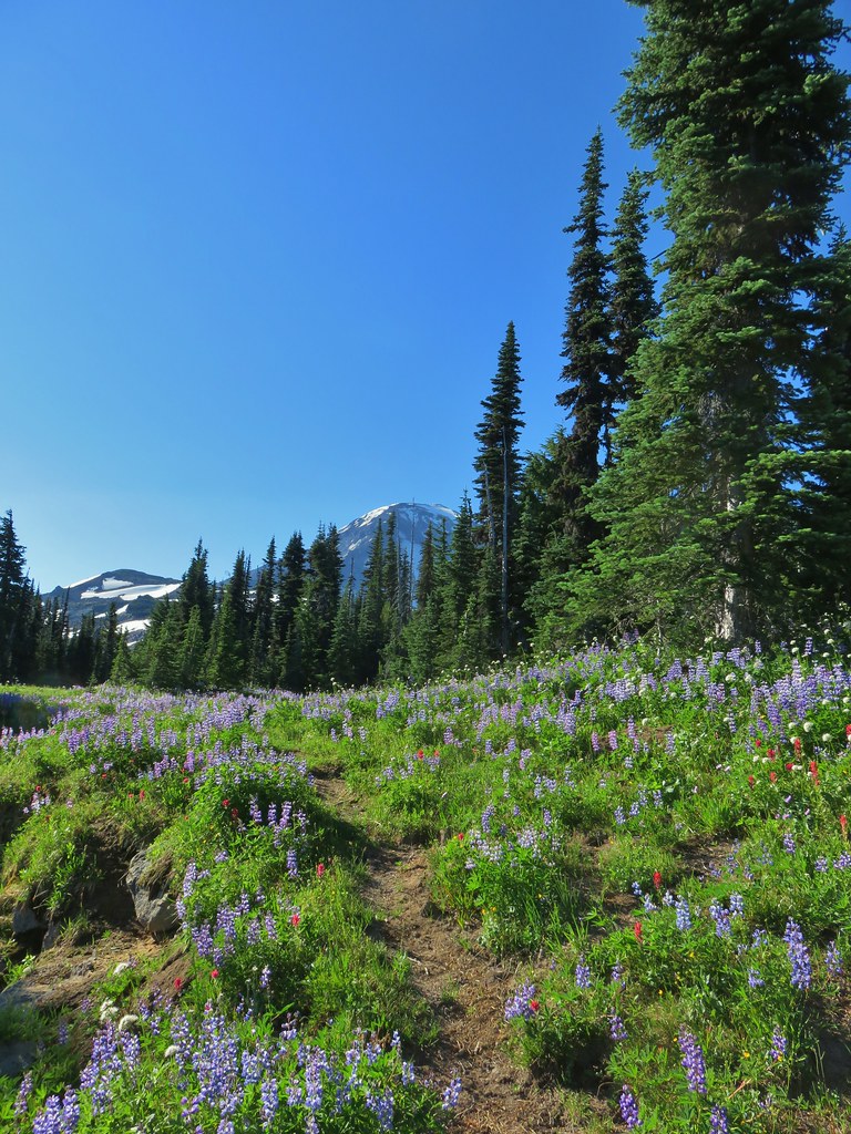
 Mt. Rainier and some of the Goat Rocks.
 Northern flicker

 Little bird near the PCT junction.
 Killen Creek below the waterfall.
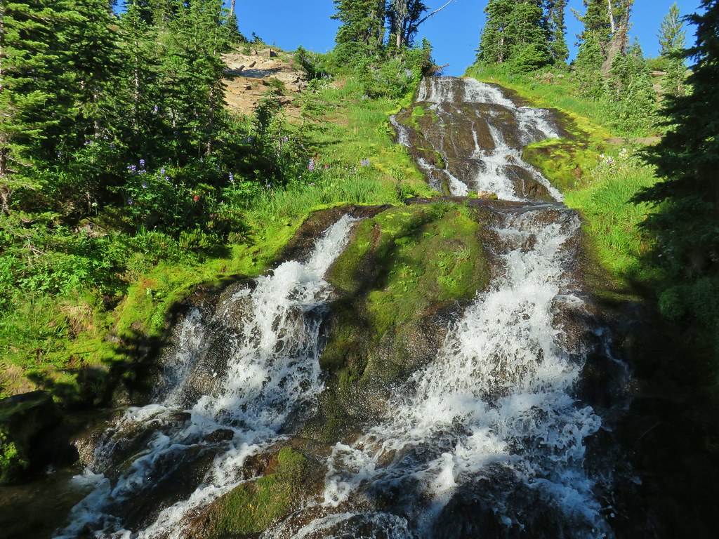
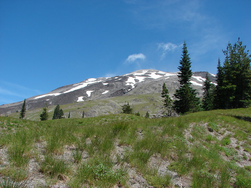
 Mt. Adams from the waterfall.
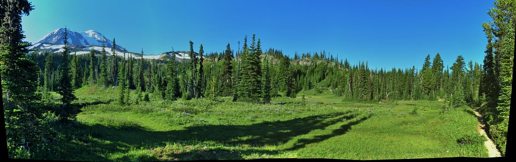
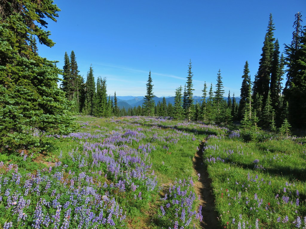
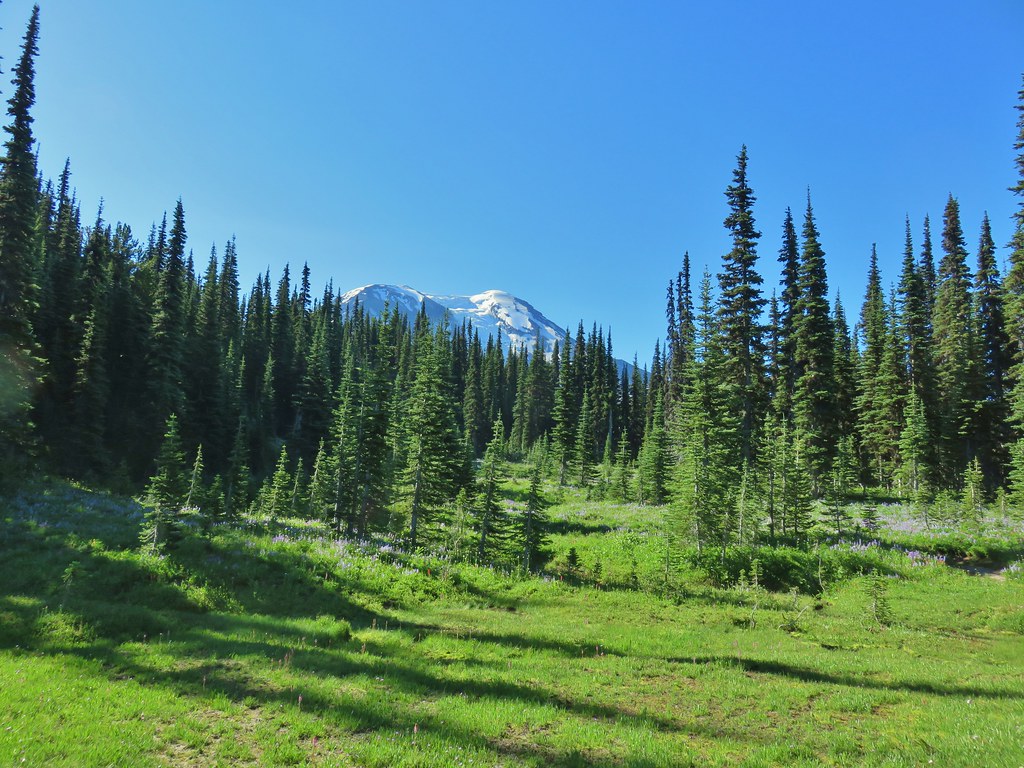
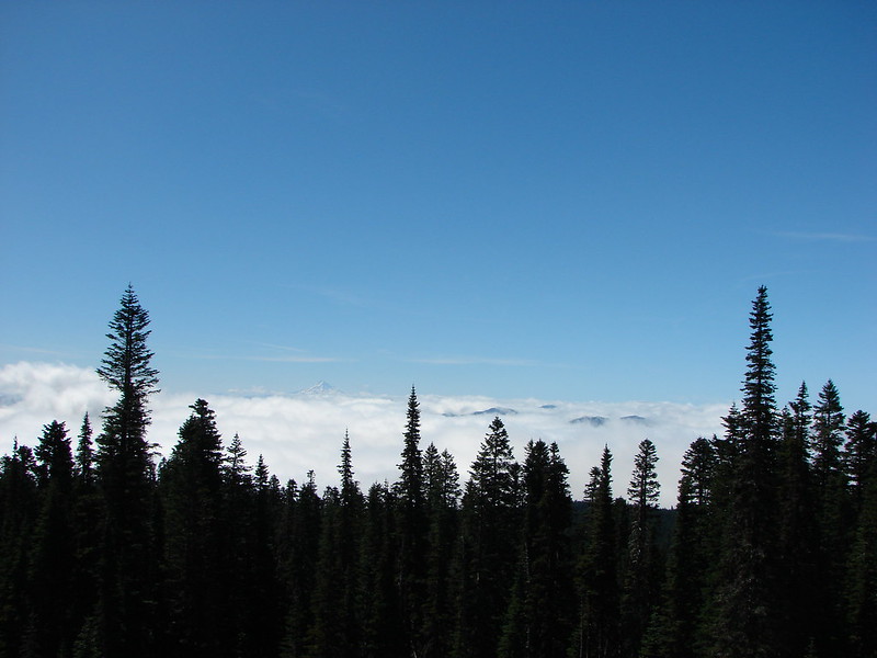
 Mt. Rainier and Goat Rocks from the PCT.

 Breakfast time (possibly second breakfast)
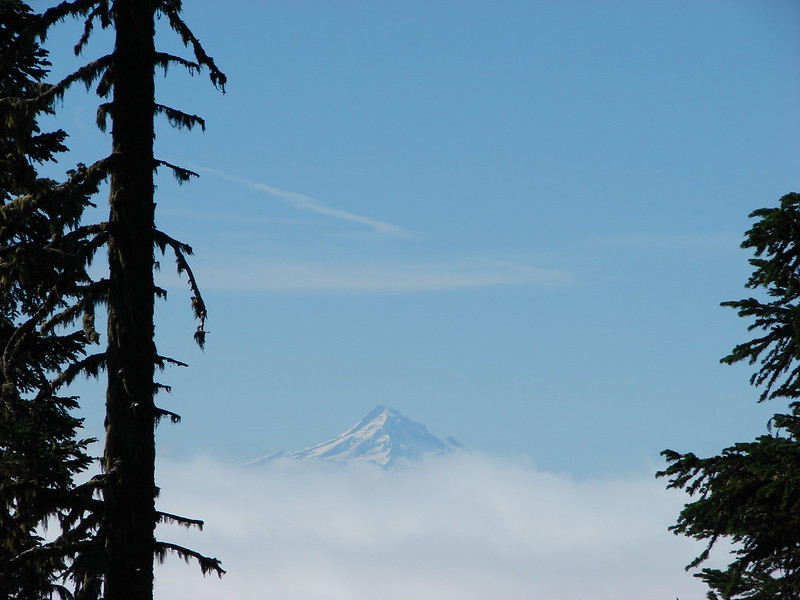
 Zooming in on Mt. Rainier

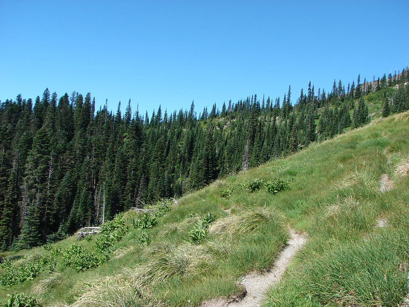
 Killen Creek Trail heading away from Mt. Adams.
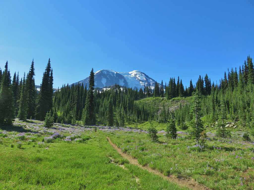

 The knoll is the lower rise to the left.

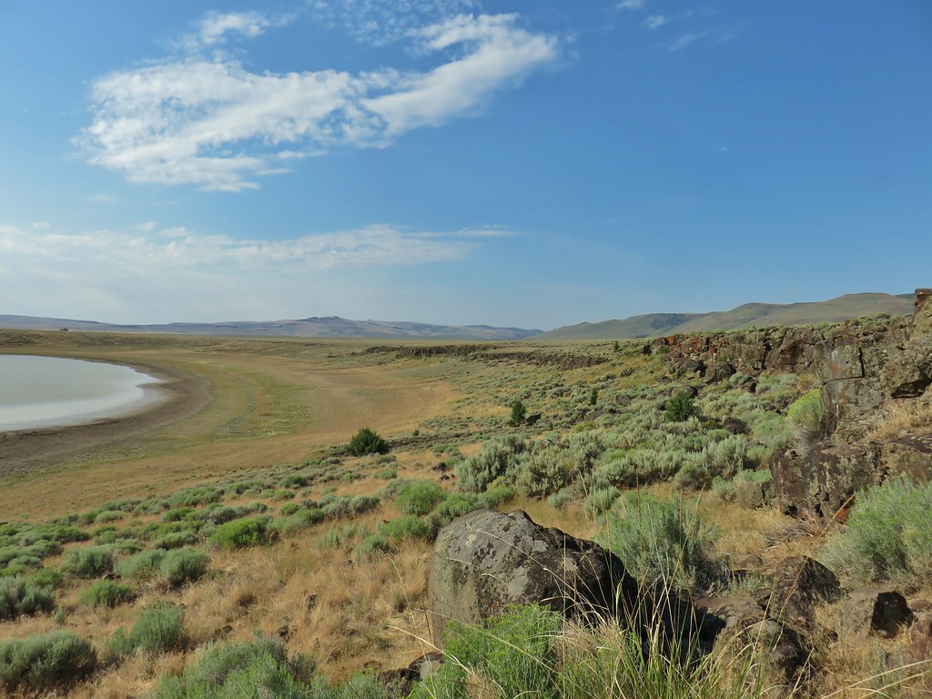
 From left to right: Flagstaff Lake, Upper Campbell Lake, and Campbell Lake.
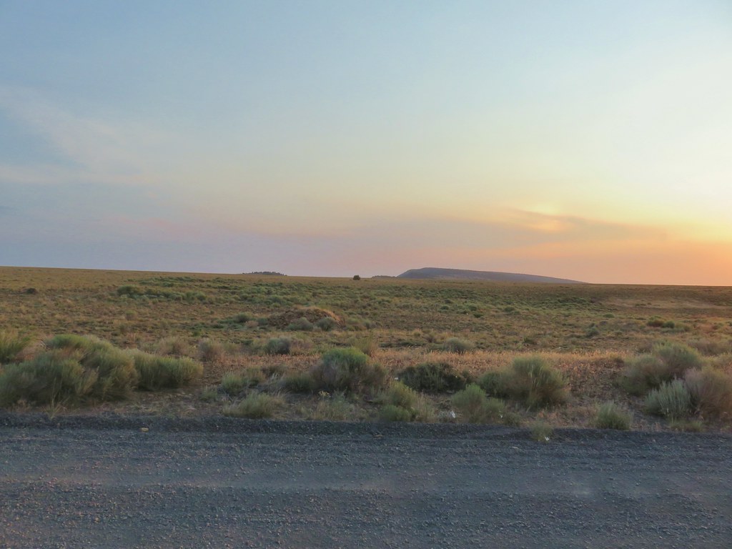
 Hart Mountain Road climbing up to the plateau.
 Campbell Lake

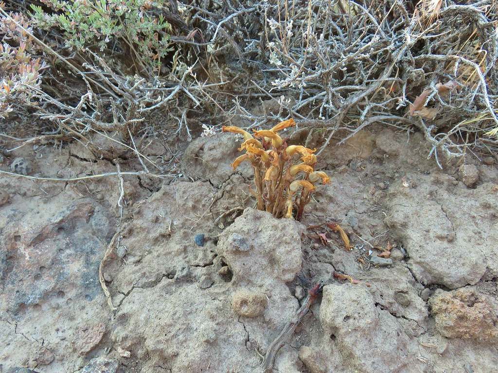 An Orobanche
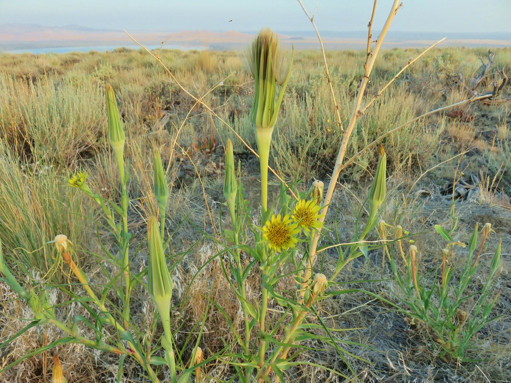


 White pelicans and seagulls on Campbell Lake.
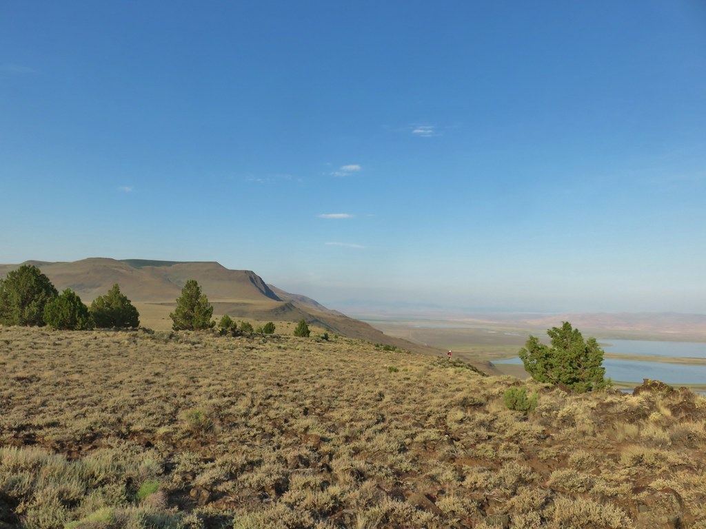 Looking south along Poker Jim Ridge
 Looking north along Poker Jim Ridge
 Junipers on the knoll
 Bluejoint Lake below the ridge.
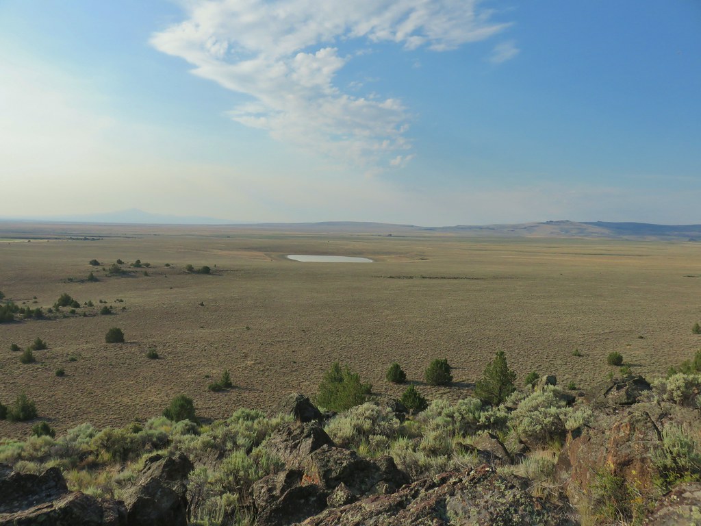
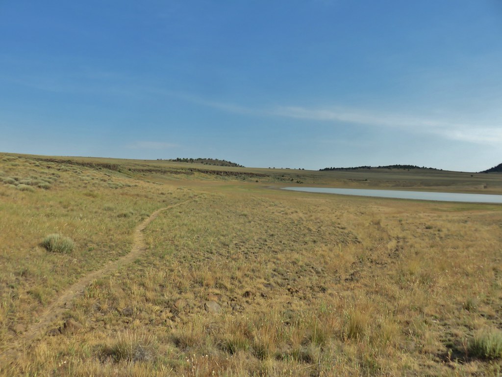
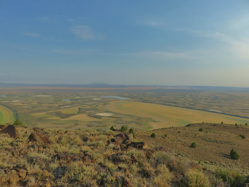 Stone Corral Lake


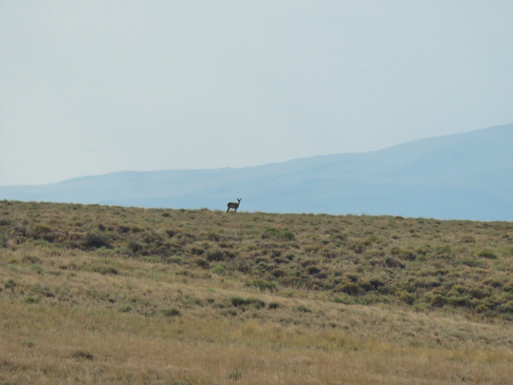 Pronghorn above the lake.
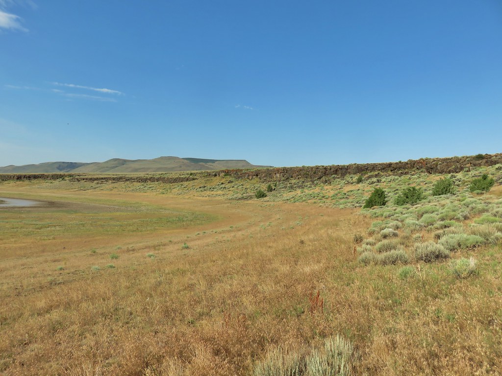


 Dragon fly
 Western fence lizard
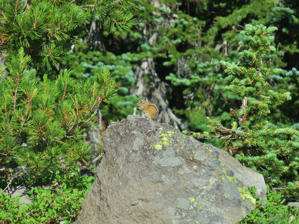
 Yellow bellied marmot


 Some type of primrose I think.

 Lupine
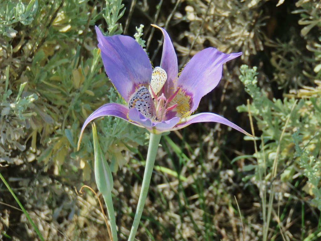
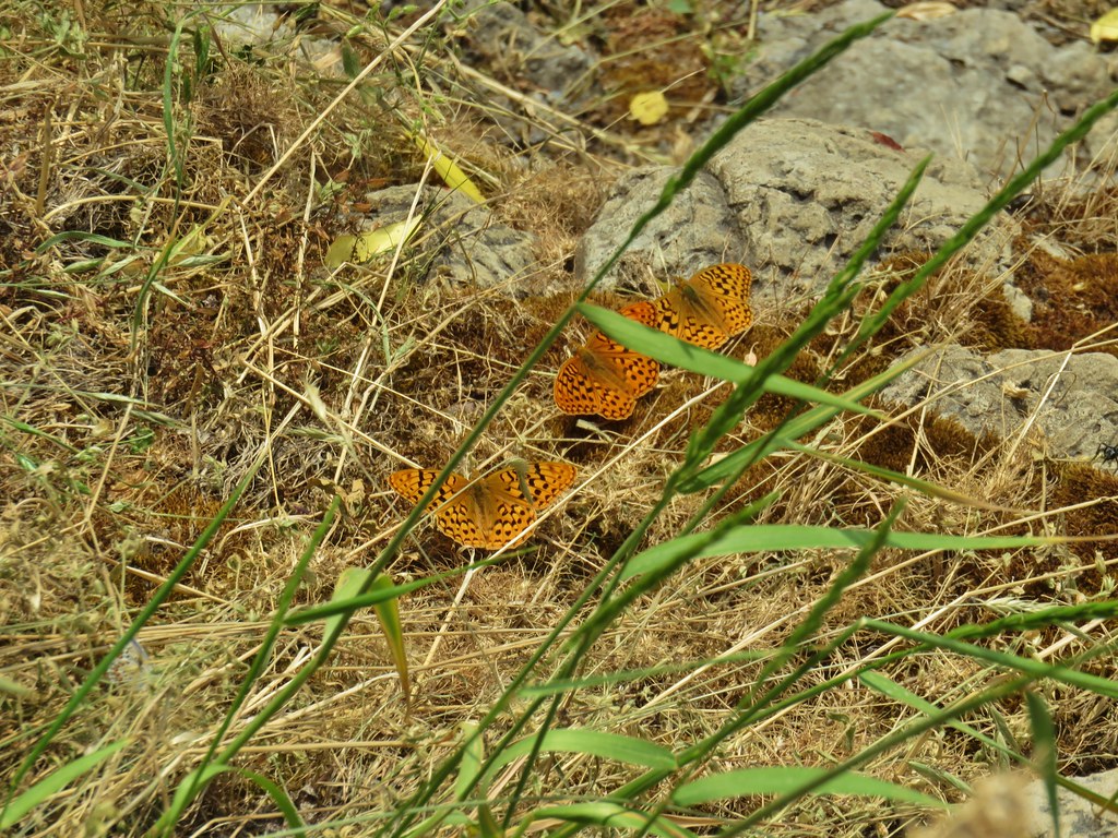
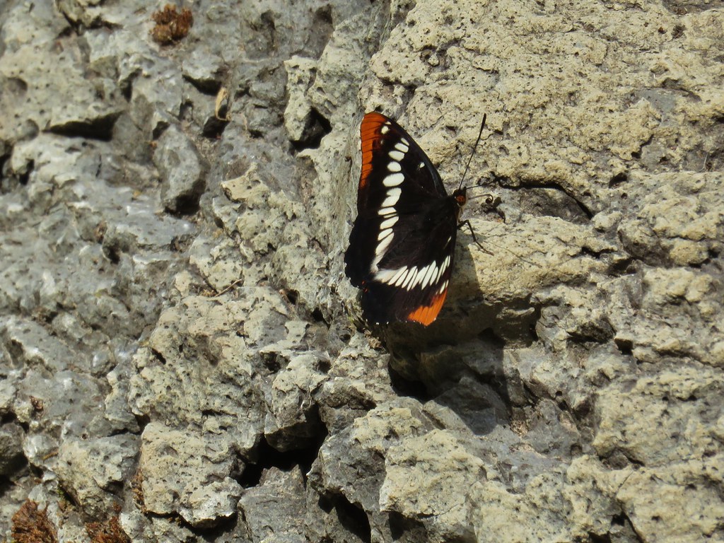
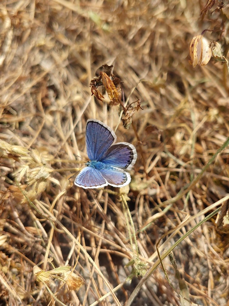
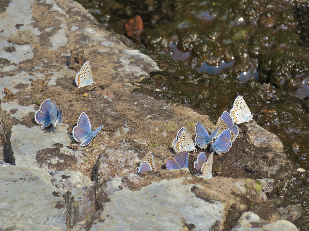
 There were dozens of butterflies and other pollinators on this rabbitbrush.
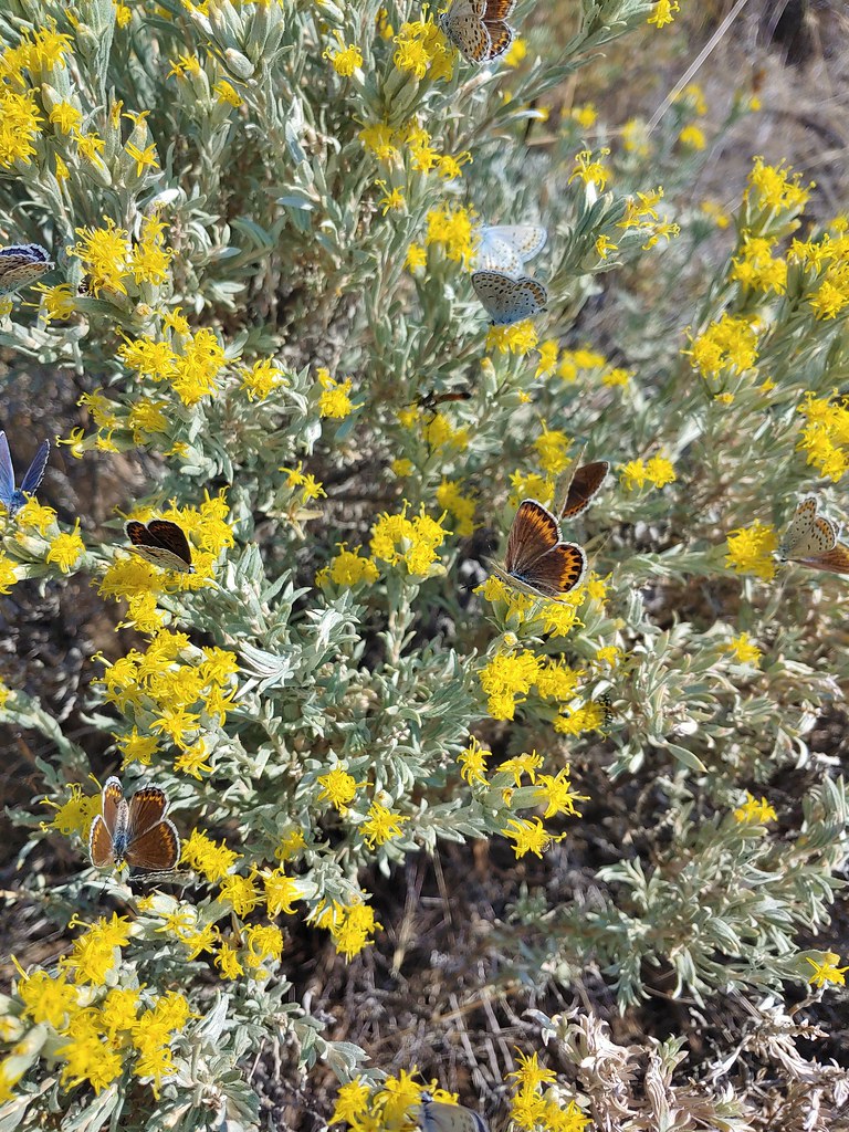

 The gate at Petroglyph Lake Road
 Hart Mountain Road
 The juniper knoll along Poker Jim Ridge and yes there are a few pronghorn out there.
 Pronghorn keeping their distance from us.
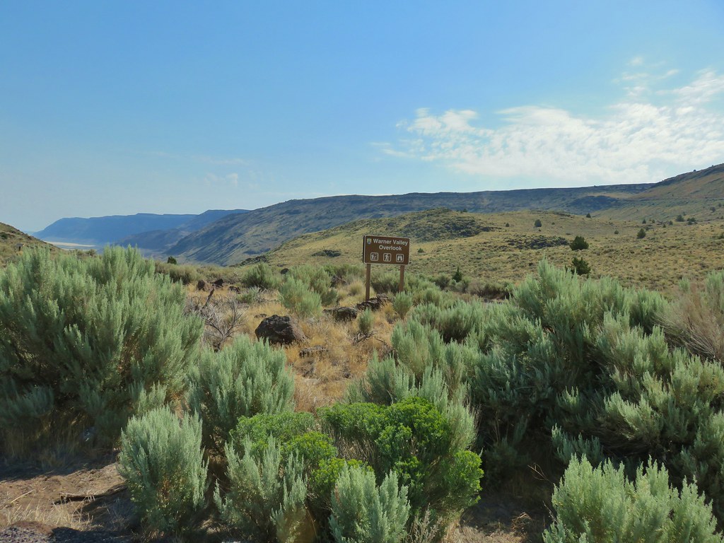 Sign for the overlook.
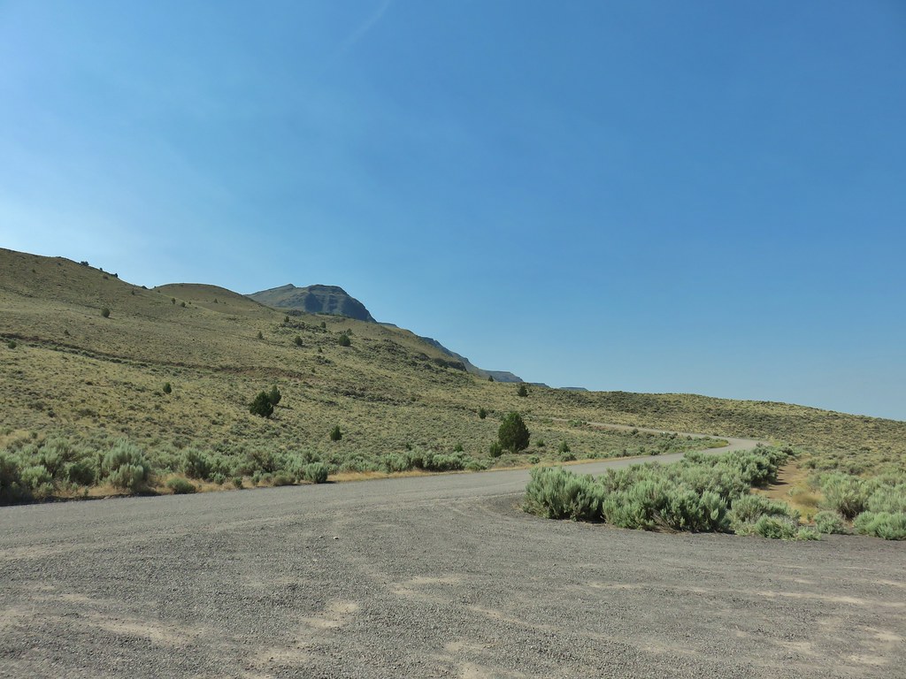 View from the pullout back up toward Hart Mountain.
 The start of the loop trail.
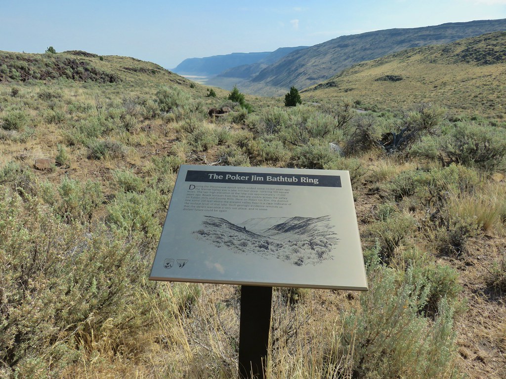 We like interpretive signs like this where we can see with our own eyes what is being described.
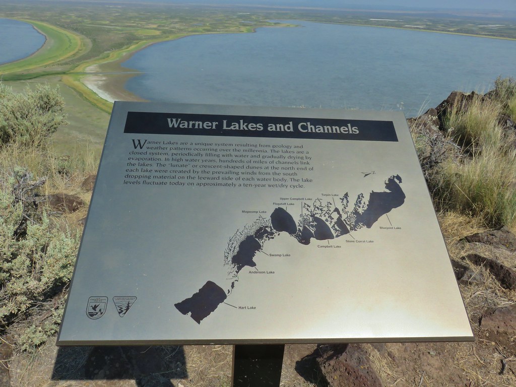 This one helped with identifying the different lakes plus provided the history.
 Another of our favorites are the ones that identify the various hills and peaks.
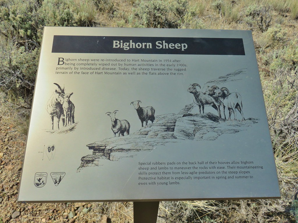 We worked really hard on spotting some big horn sheep on this trip to no avail. There was so much space that they could be in it was like looking for a needle in a haystack.
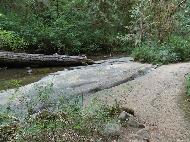
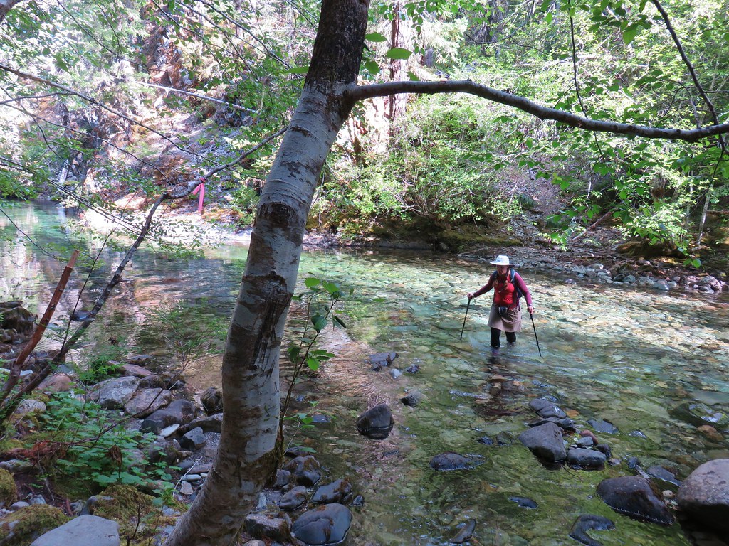
 It’s not visible in this photo but there were dry rocks close enough on the far side to simply step over the water onto. The wet rock would have been very slippery and certainly dangerous.


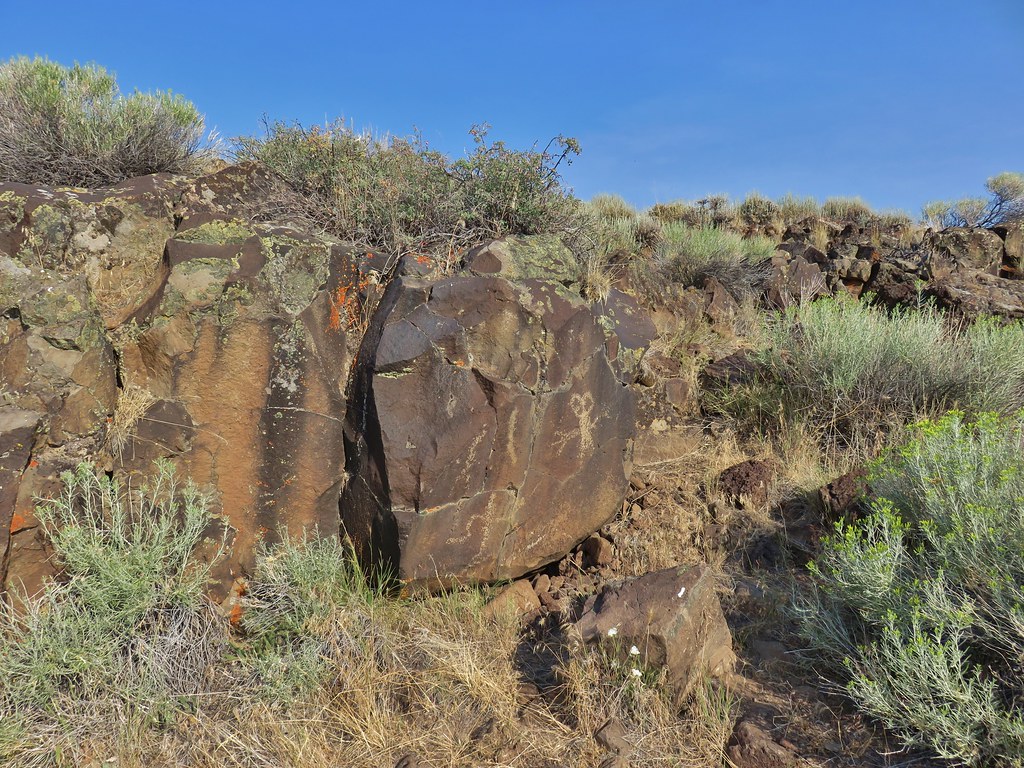
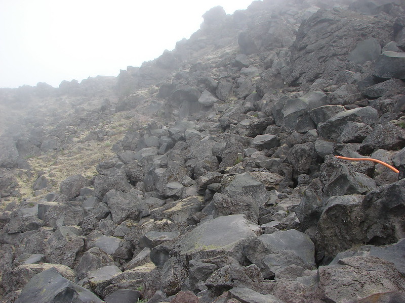
 The scramble route is at the base of the cliff to the right.
 Looking up from the trail at where the scramble route was heading.


 The route we came up.
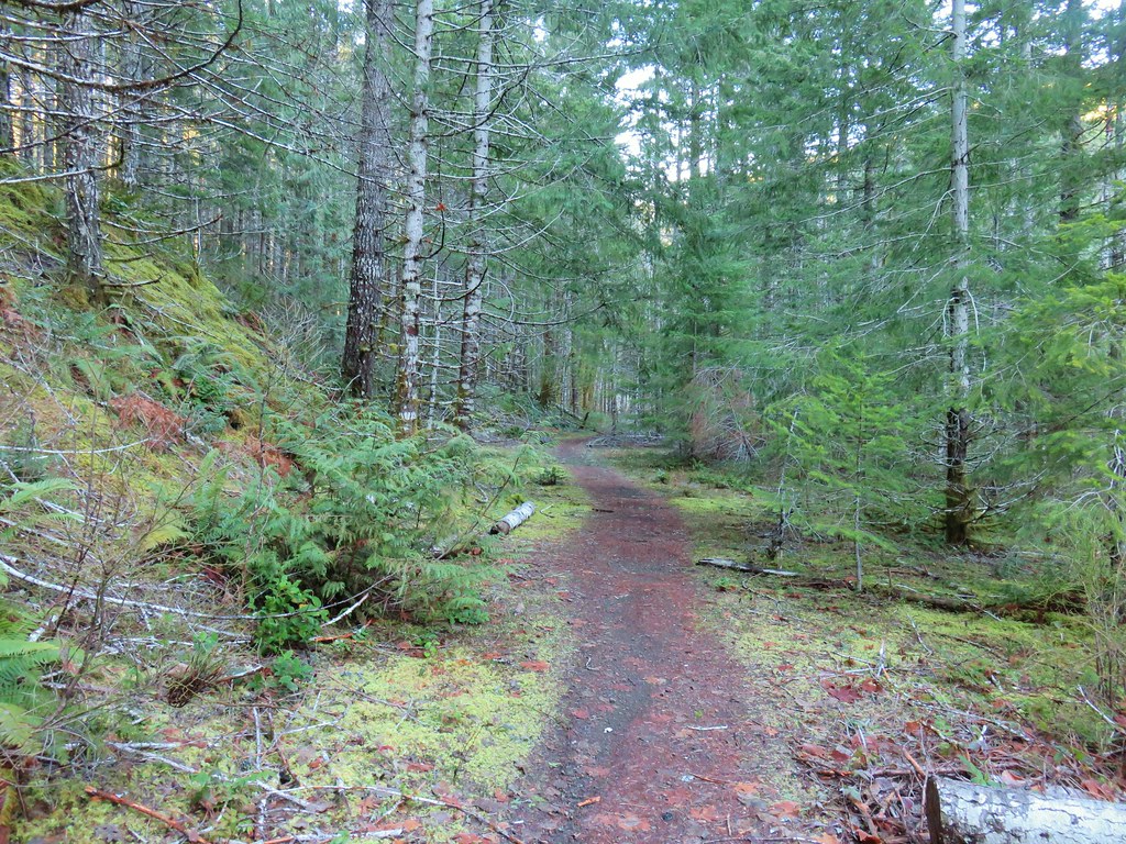 A short section of railroad grade.
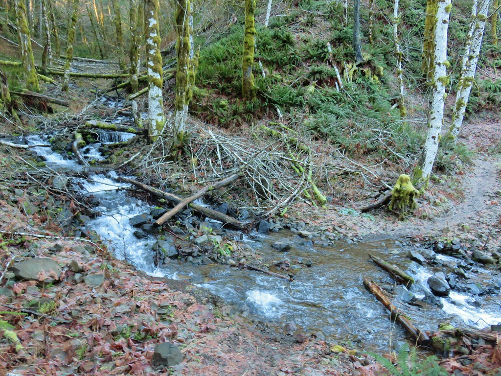
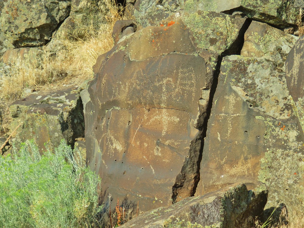
 The logs we came across.
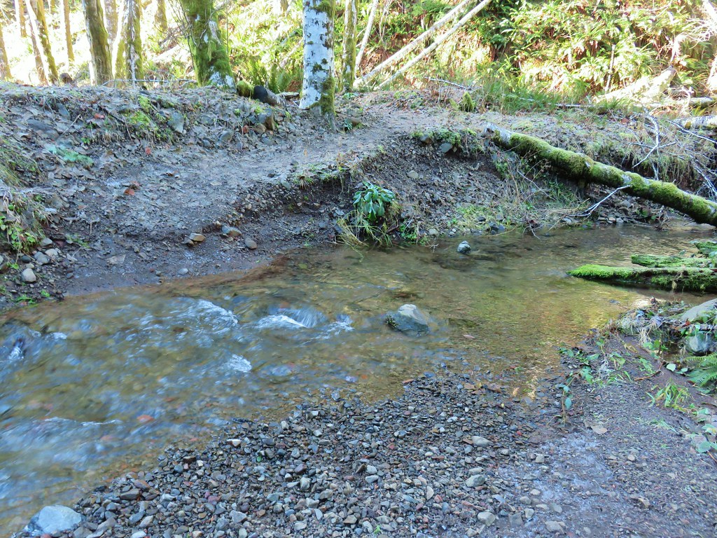 The rock after having crossed.
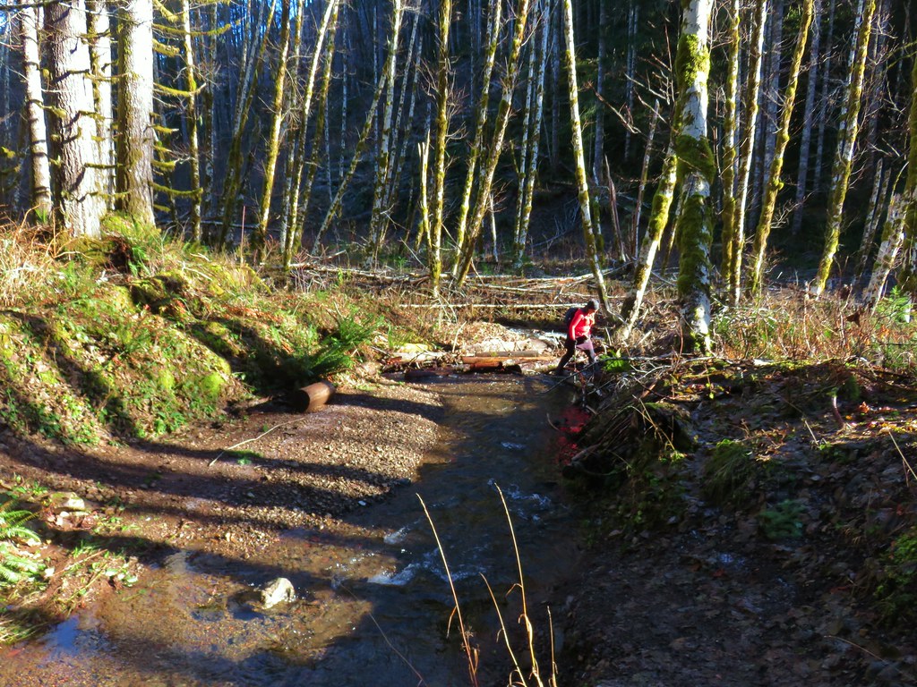 Heather finishing her crossing on the way back.
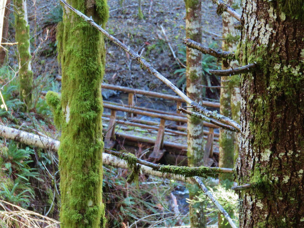


