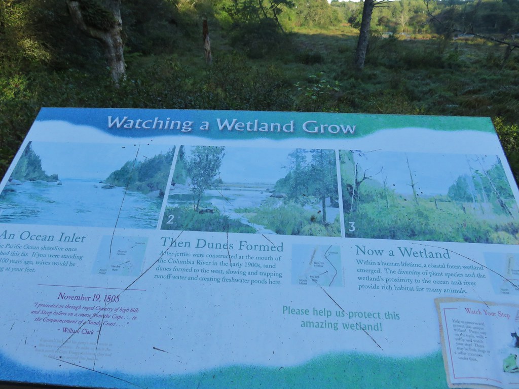
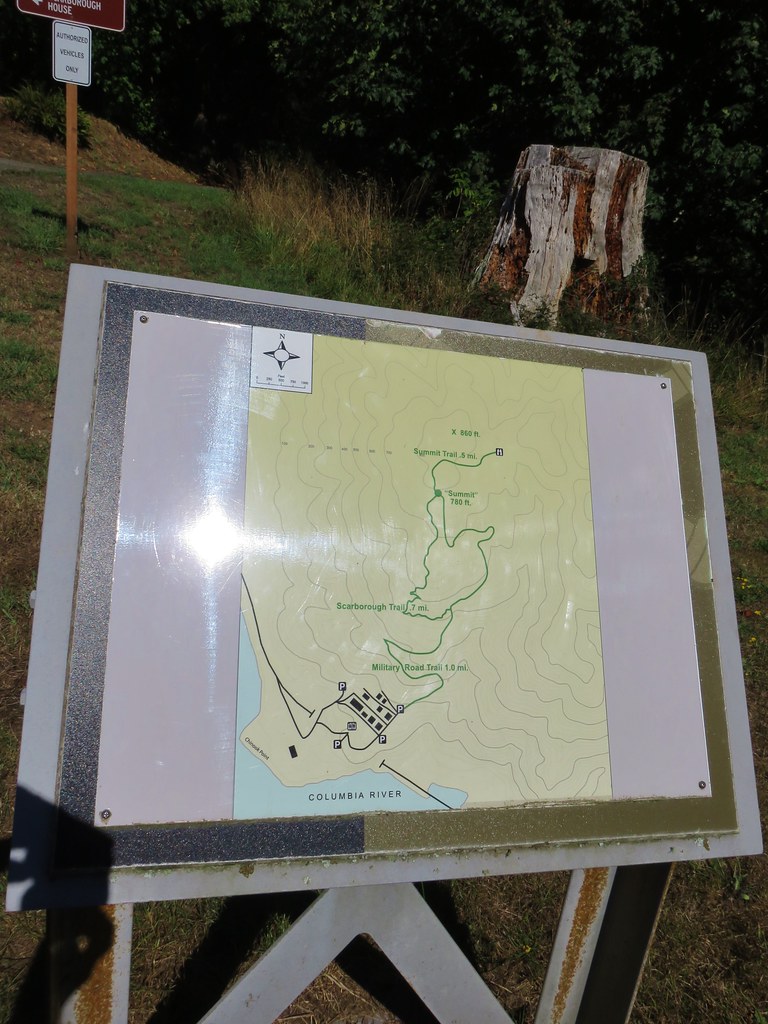
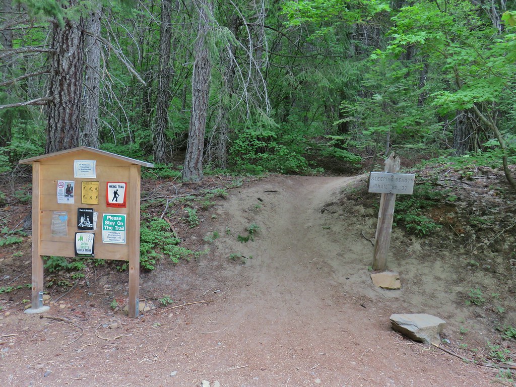
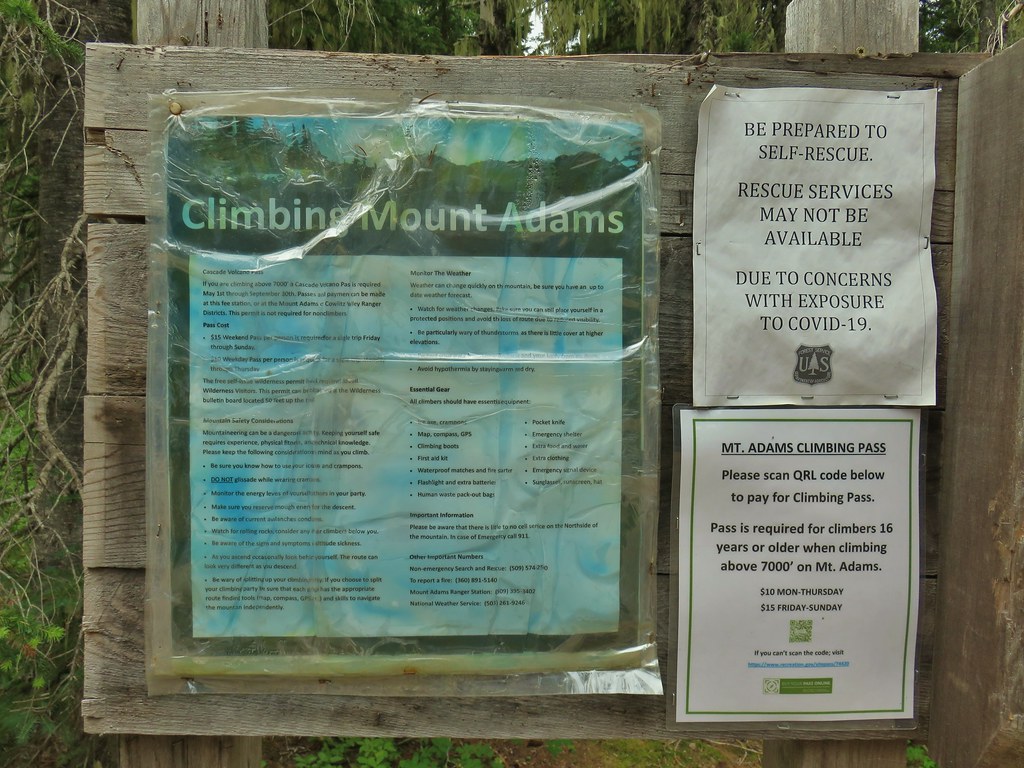
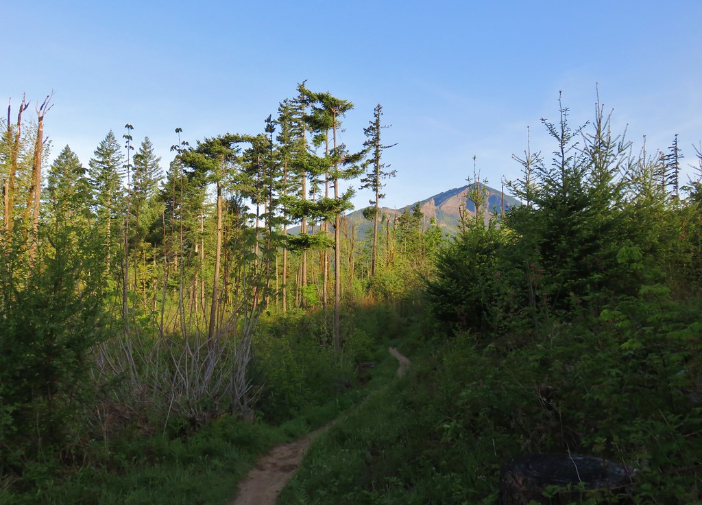
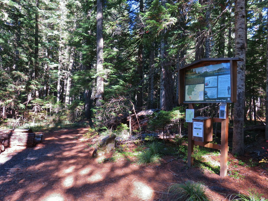
Our first backpacking trip of the year was over Memorial Day weekend (post) but since then we hadn’t had an opportunity to break out our tent. Sleeping Beauty, a 3 mile featured hike in Sullivan’s “100 Hikes/Travel Guide Northwest Oregon & Southwest Washington” (4th edition), gave us a reason to put the tent to use again.
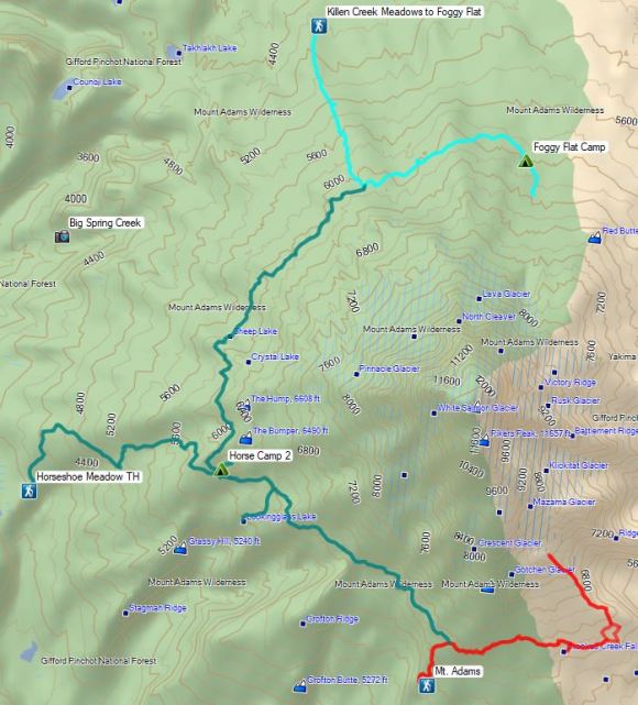
It wasn’t because the hike to the top of Sleeping Beauty was backpackable, but rather the 2:45 drive time to the trailhead was too long for this to be a stand alone hike for us. To make the trip worth the drive we decided to continued to nearby Mt. Adams and do a hike to Foggy Flat from Matt Reeder’s “PDX Hiking 365” guidebook.
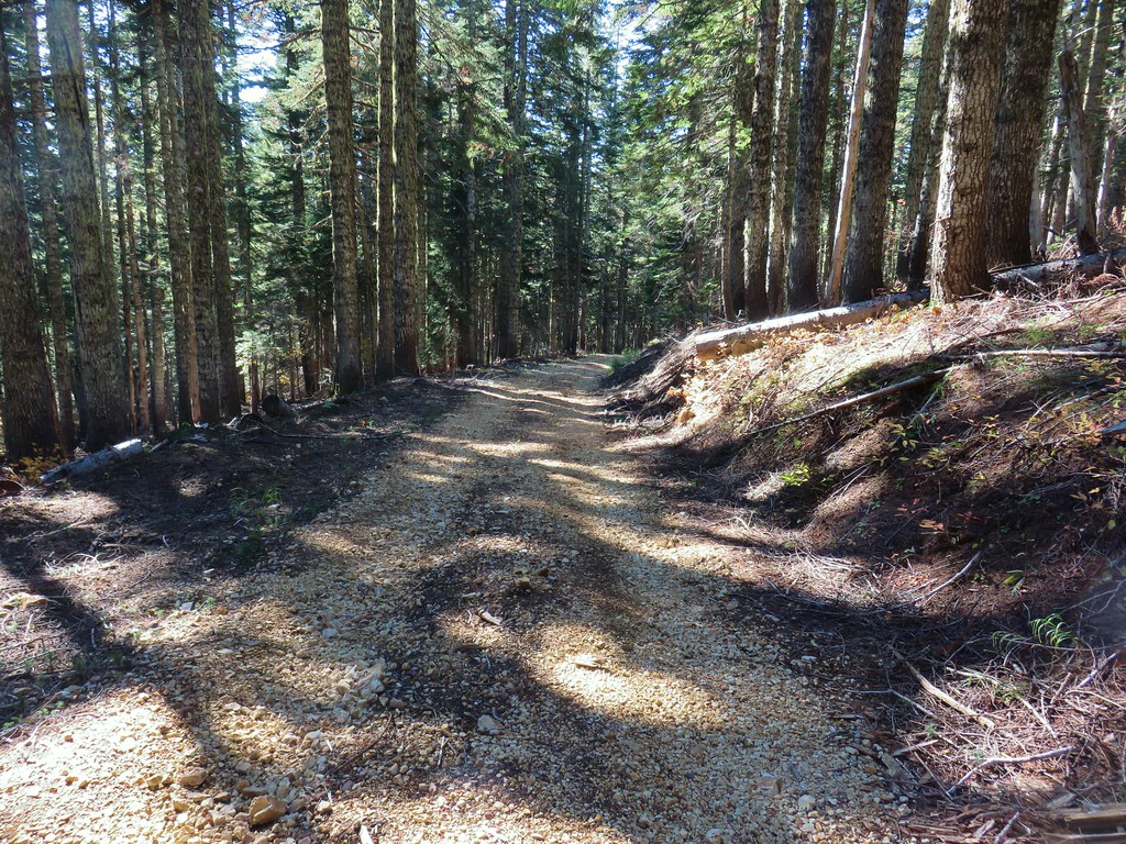
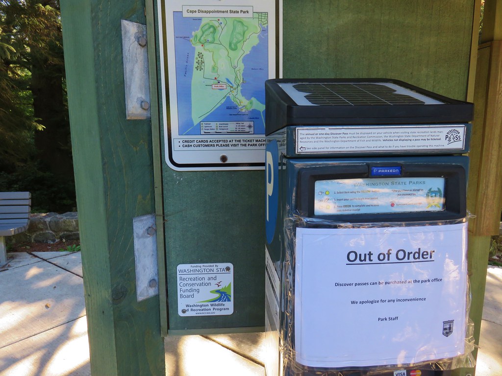
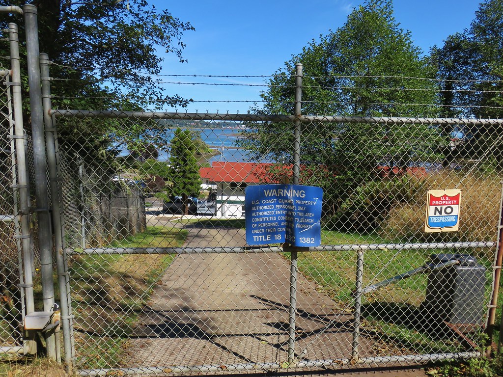
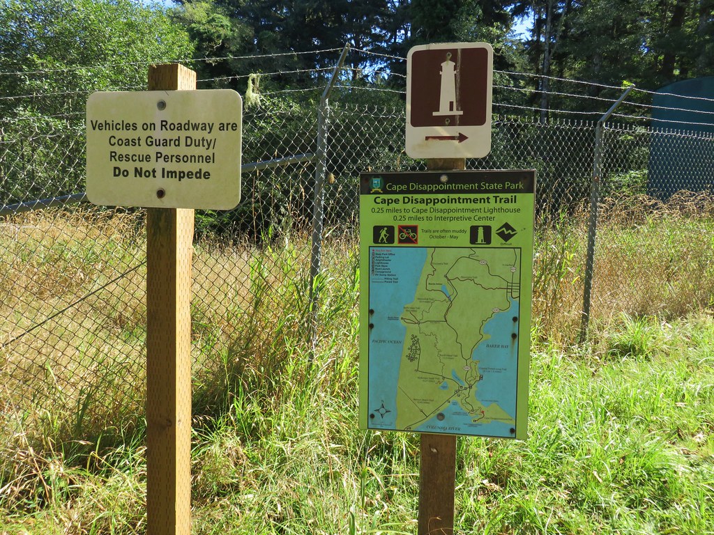
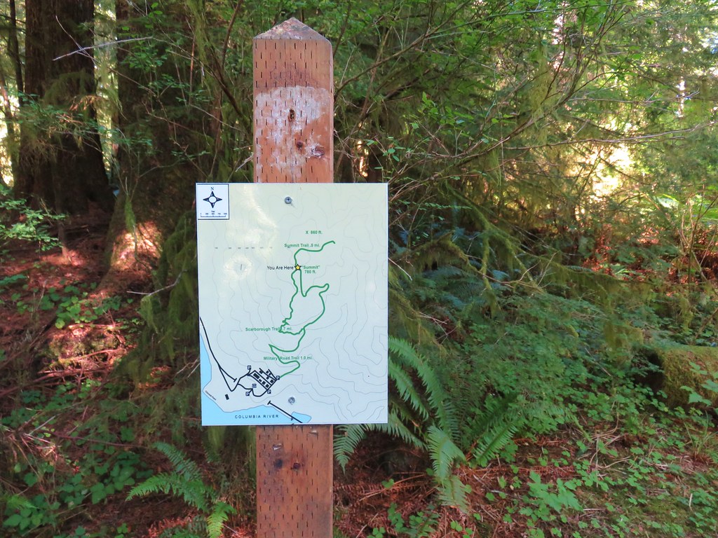
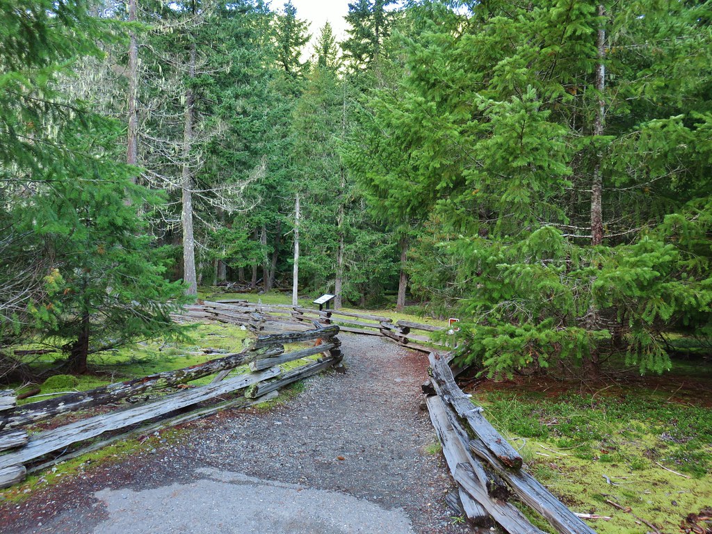
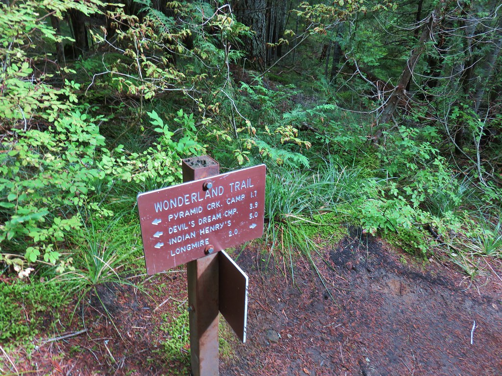
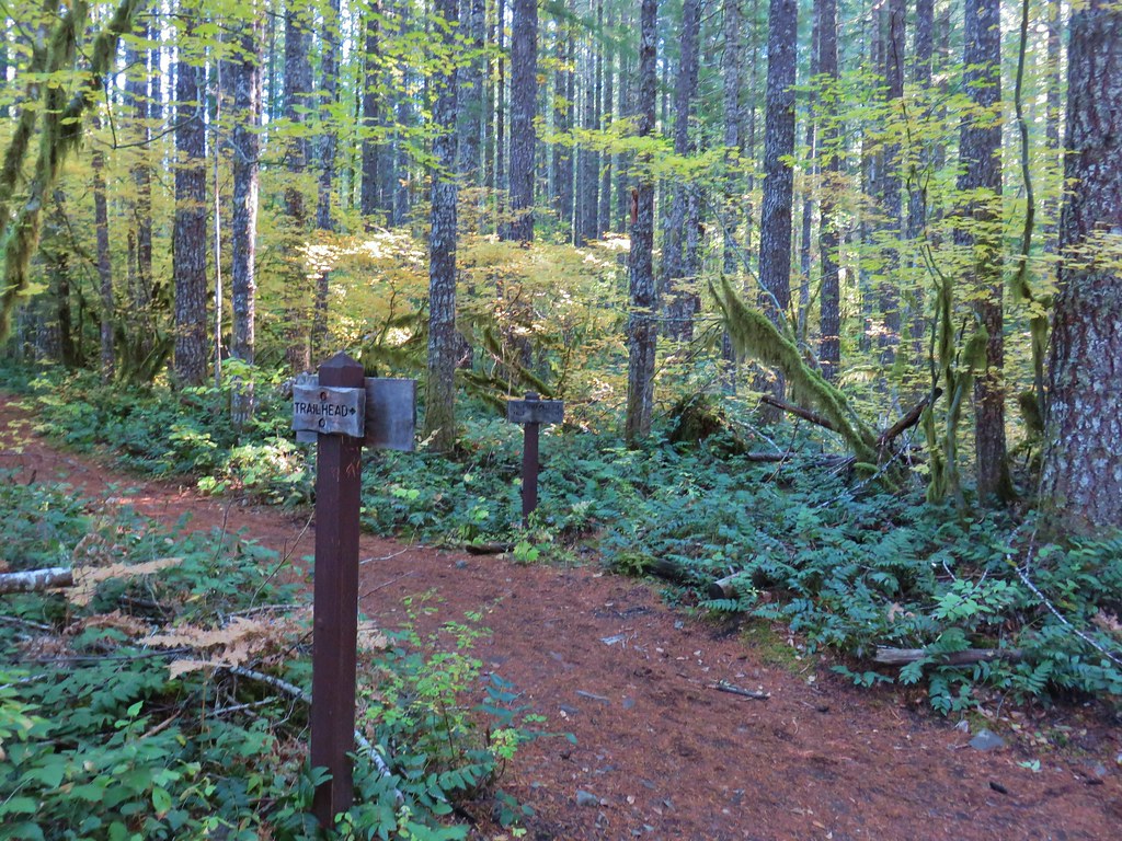
We began our trip by driving to Trout Lake, WA then continued on to the Sleeping Beauty Trailhead.
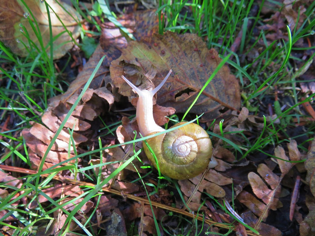
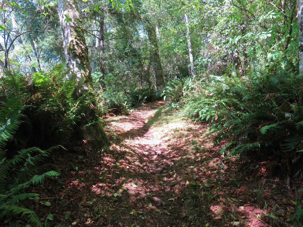
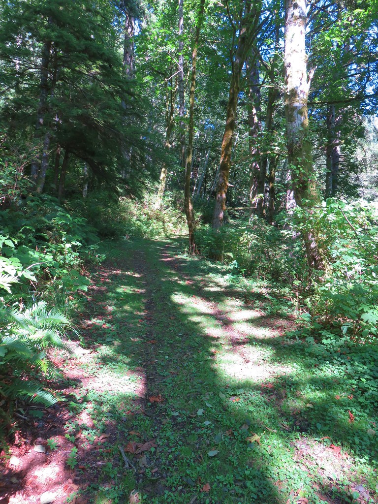
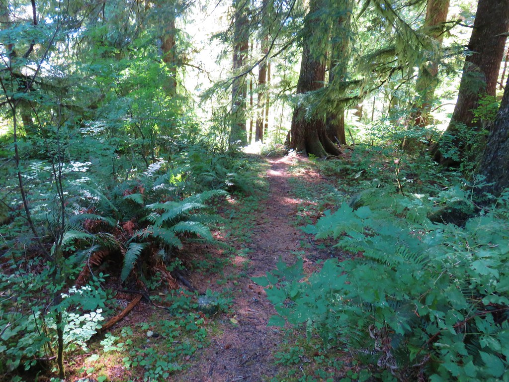
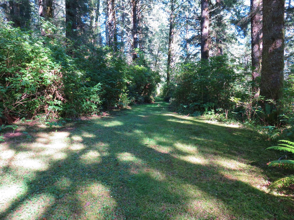
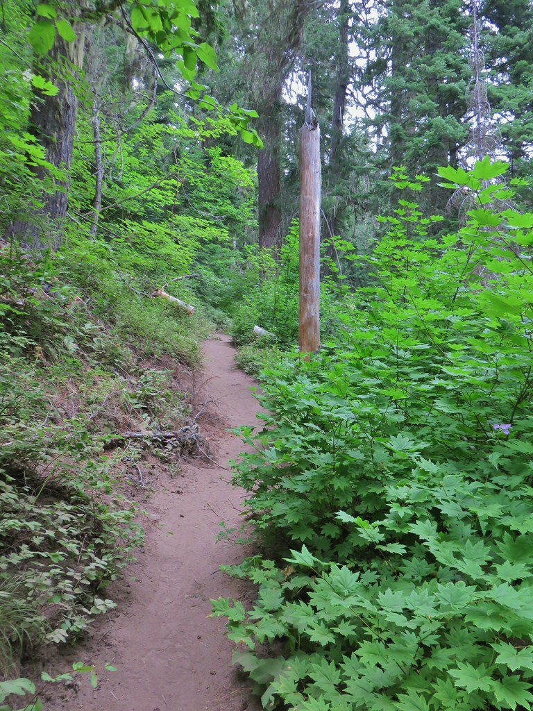
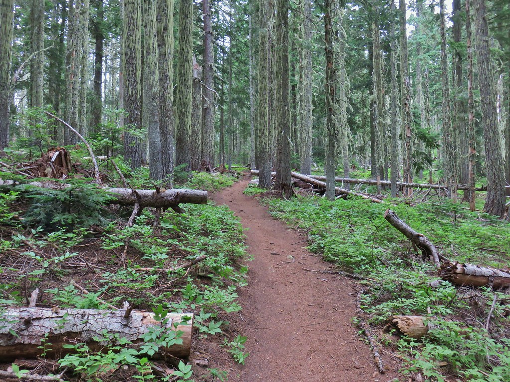
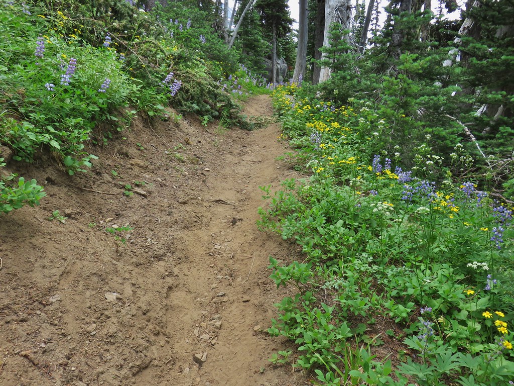
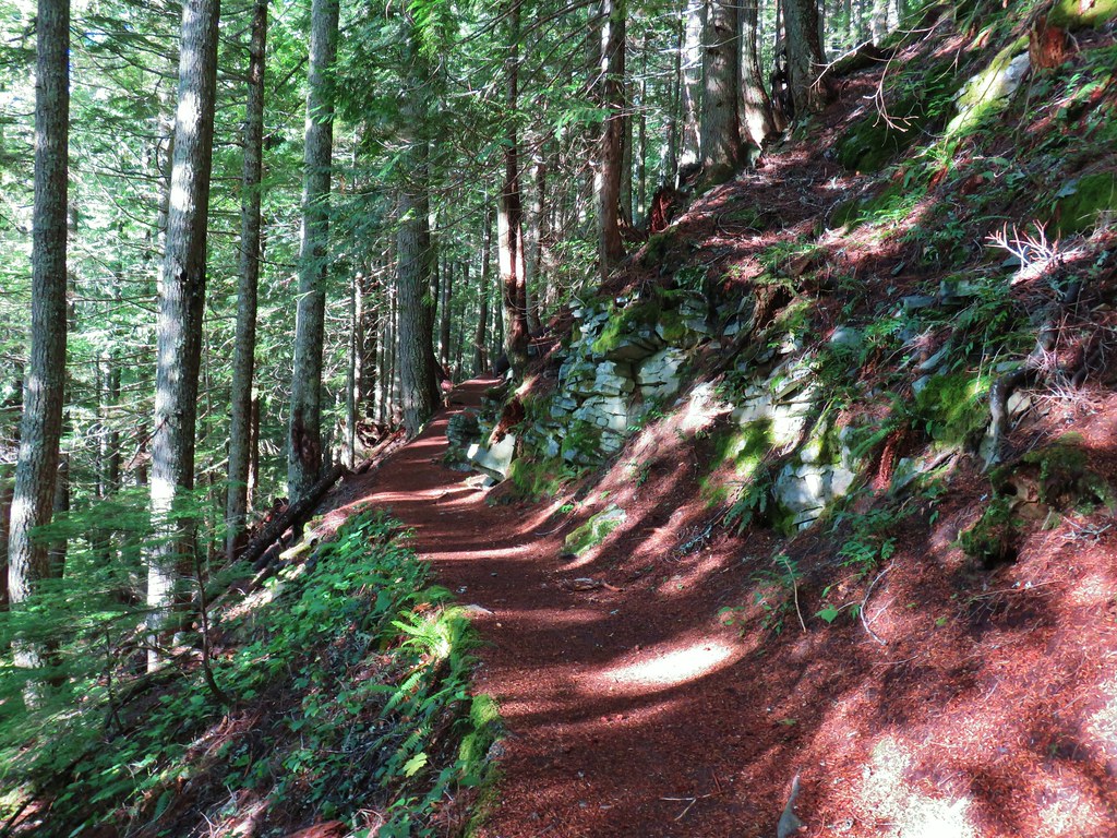
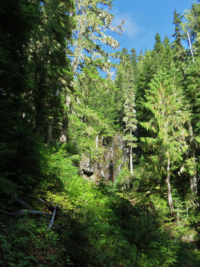
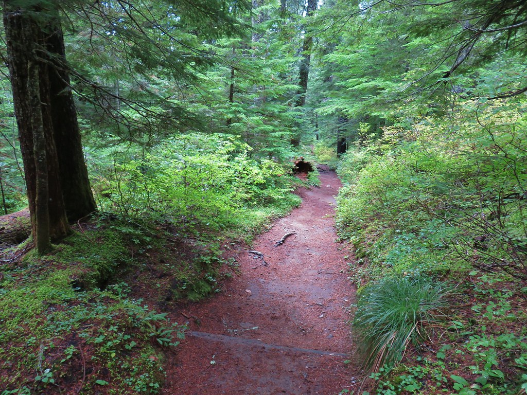
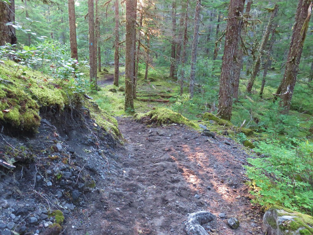
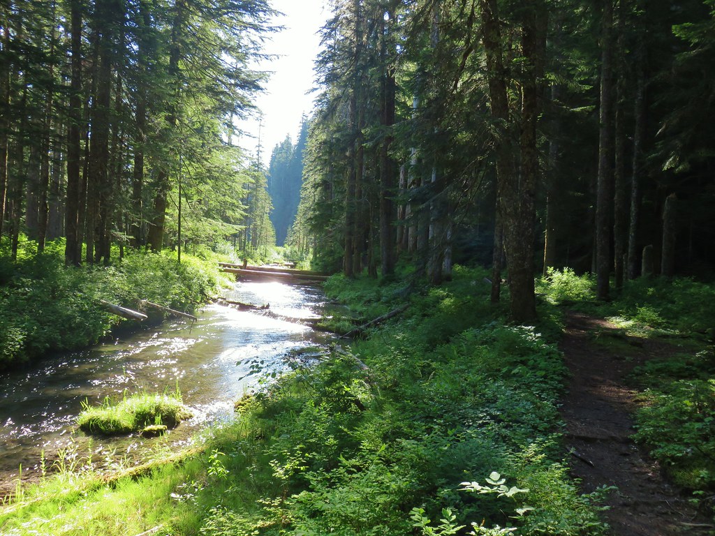
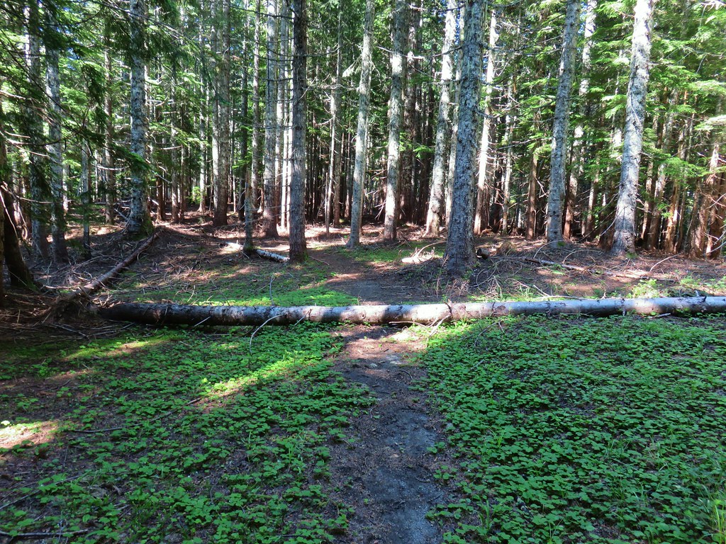
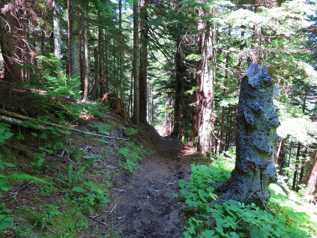
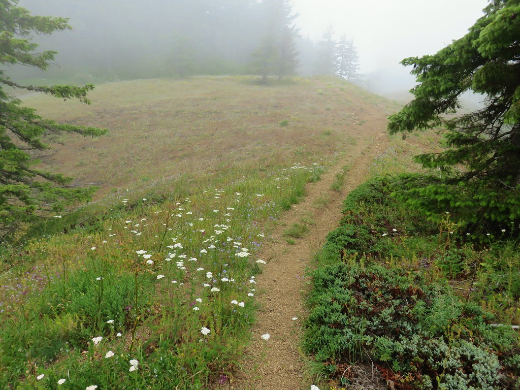
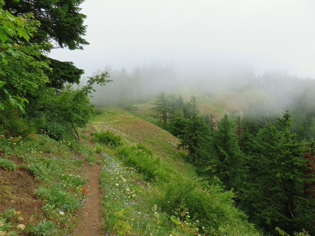
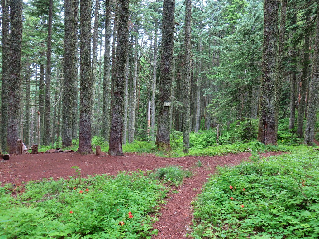
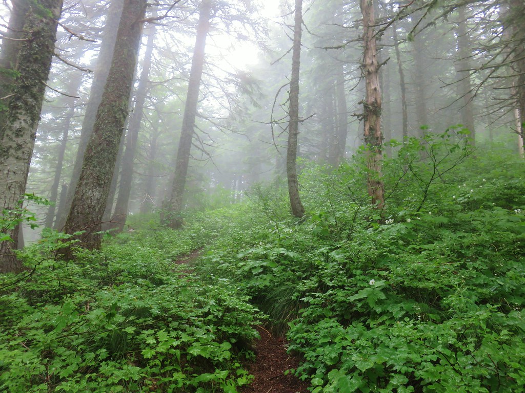
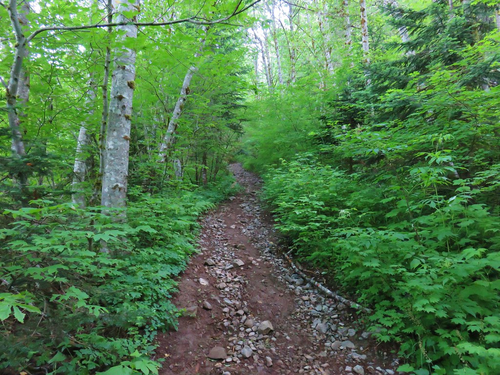
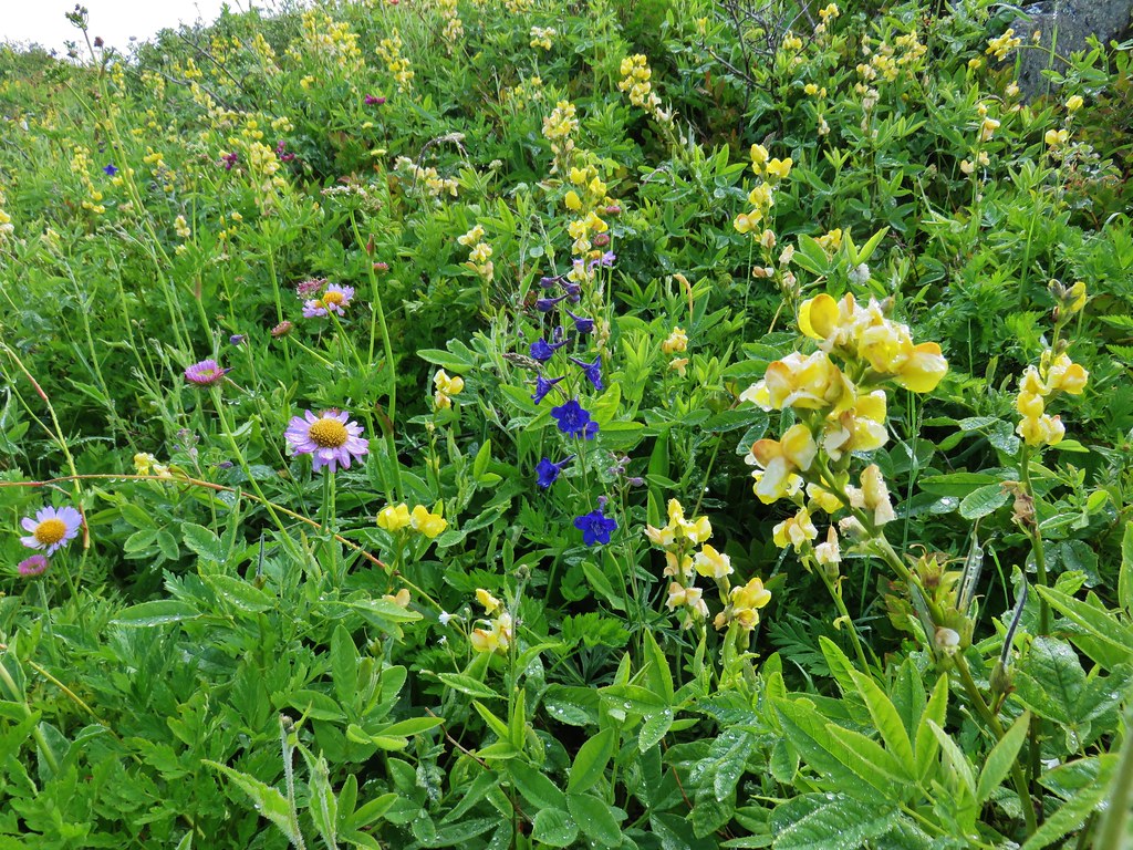
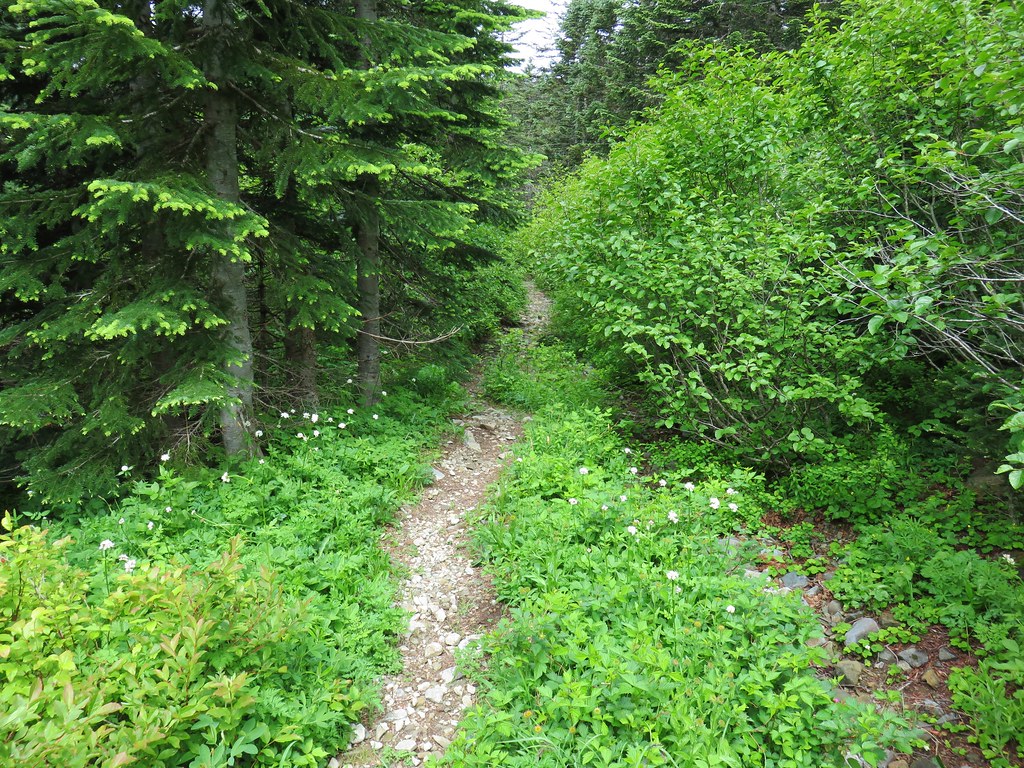
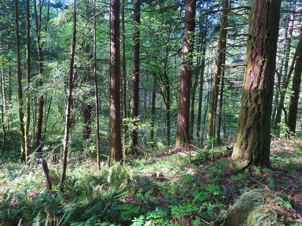
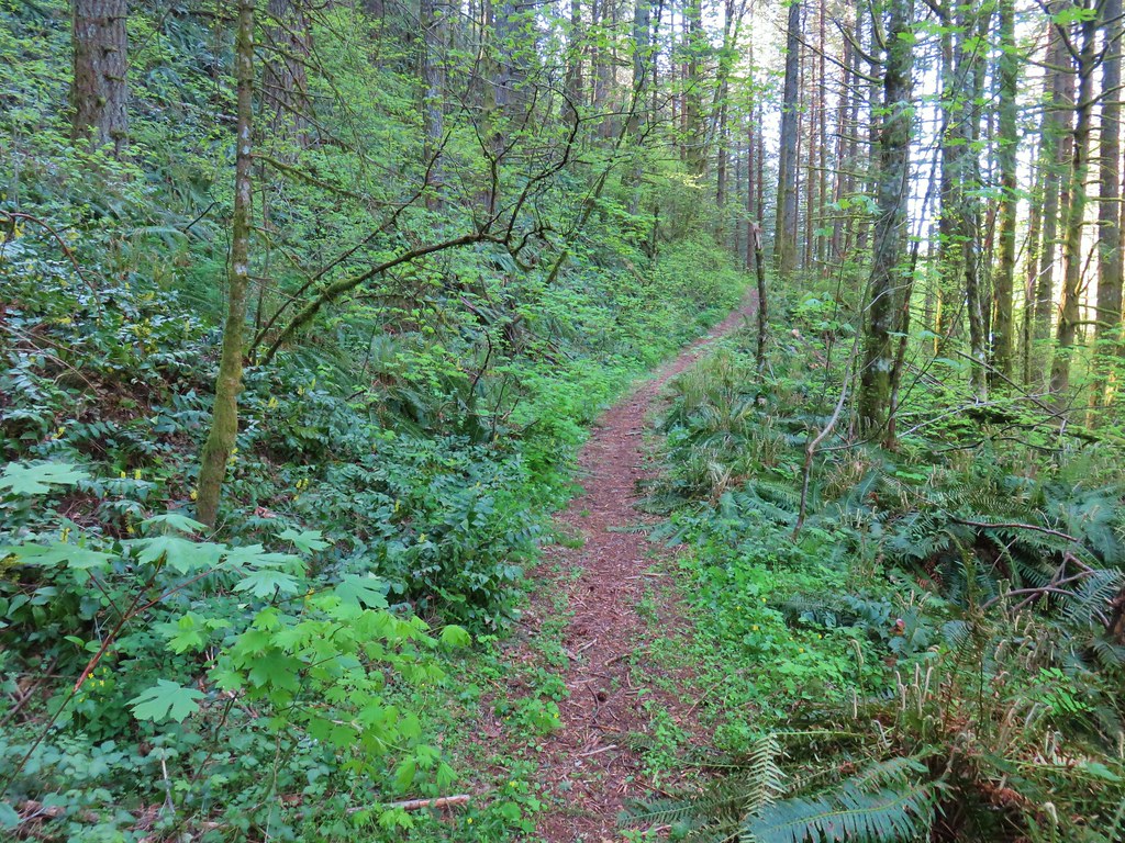
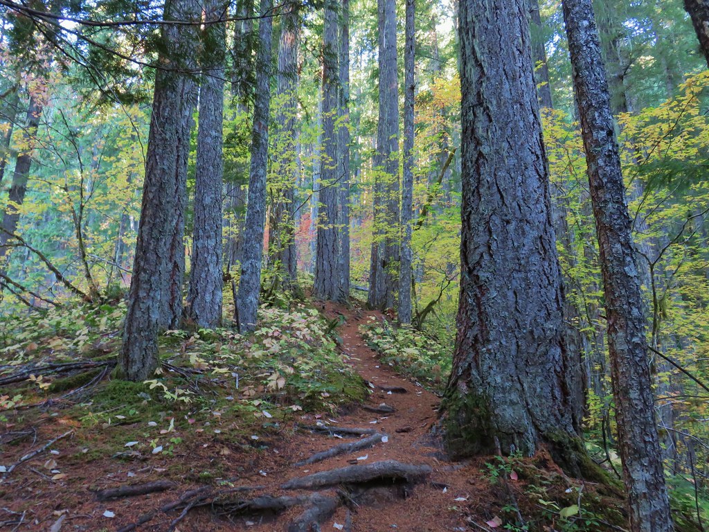
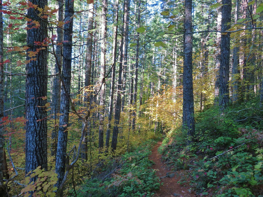
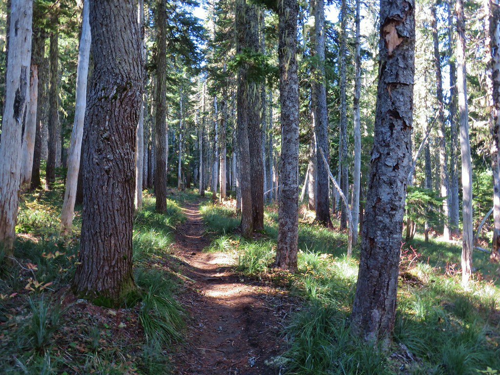
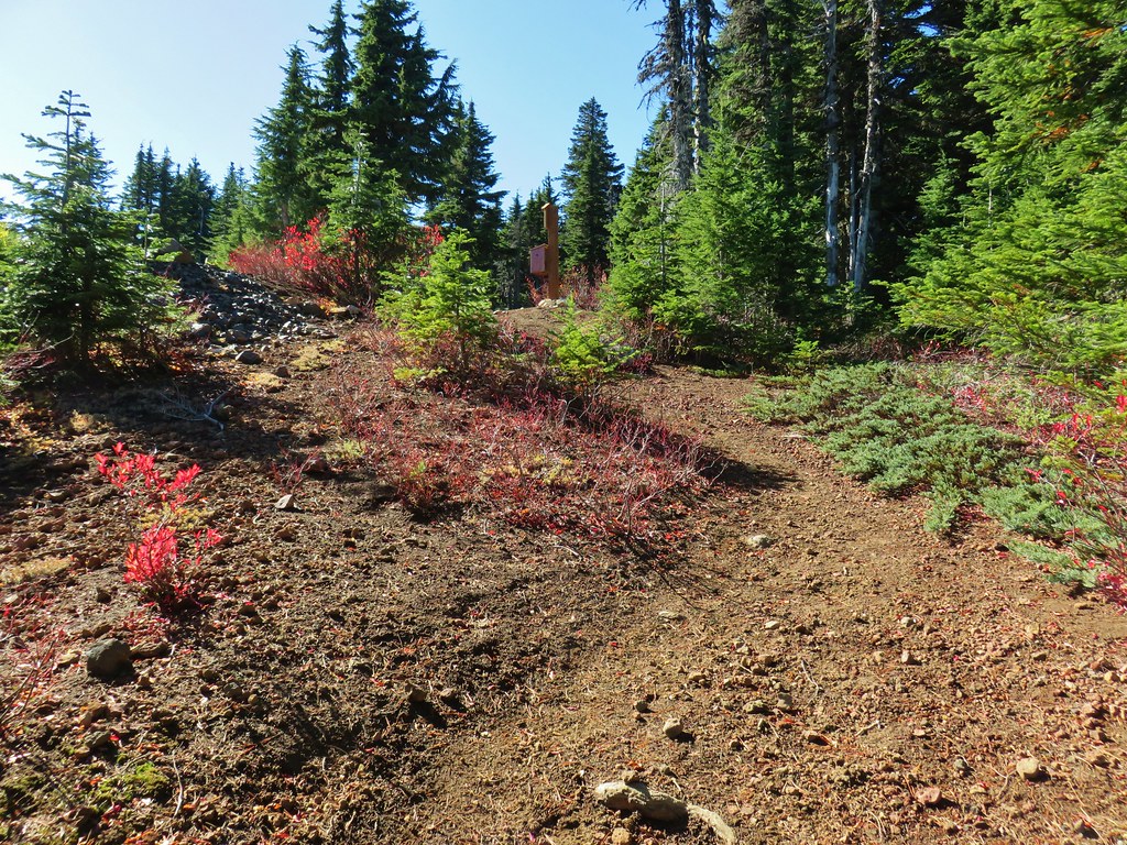
The trail climbed steeply up through a green forest for a mile to a forested saddle. Most of the flowers had passed but a few lingered and the pearly everlasting was getting started. Thimbleberries weren’t quite ripe but we did find a few strawberries to snack on.
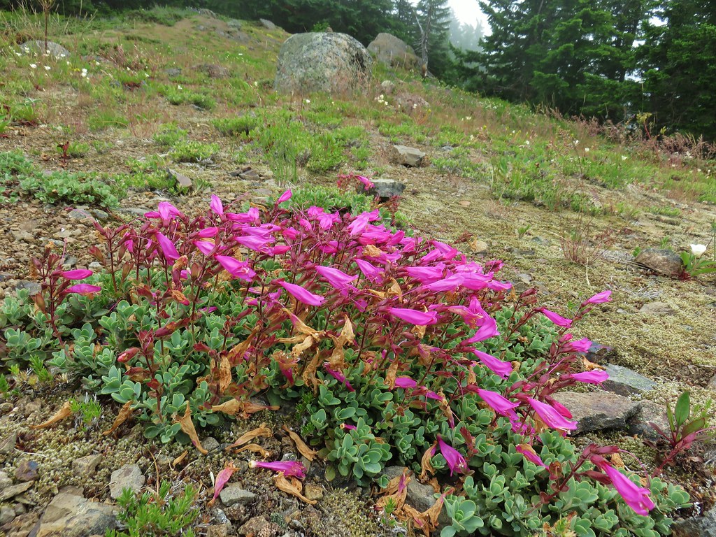
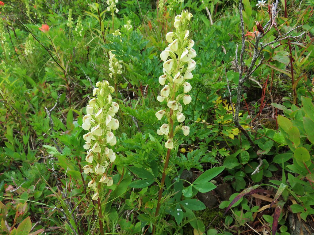
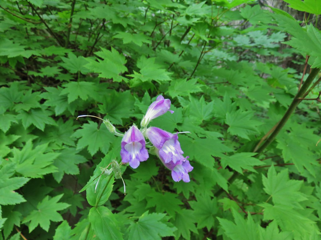 Beardstongue
 Pearly everlasting next to thimbleberry bushes.
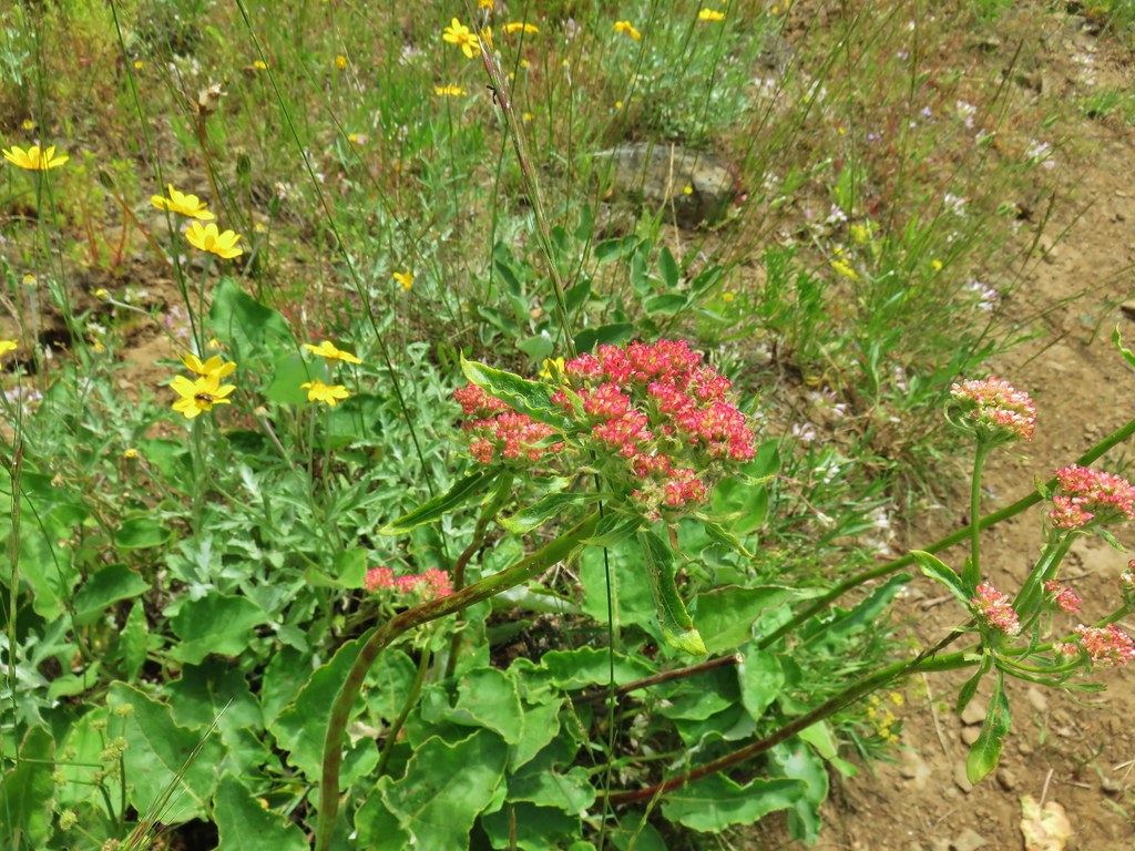
 Not quite ready yet.

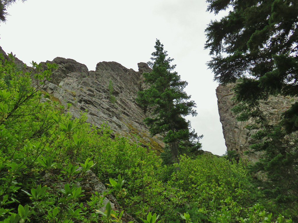
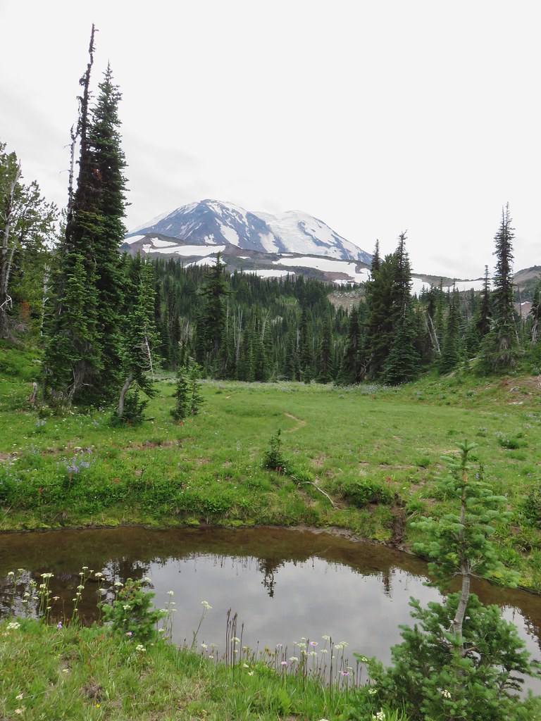
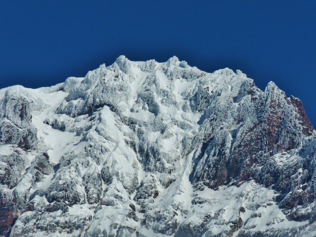
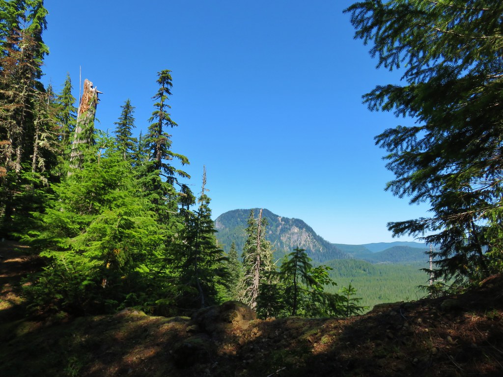
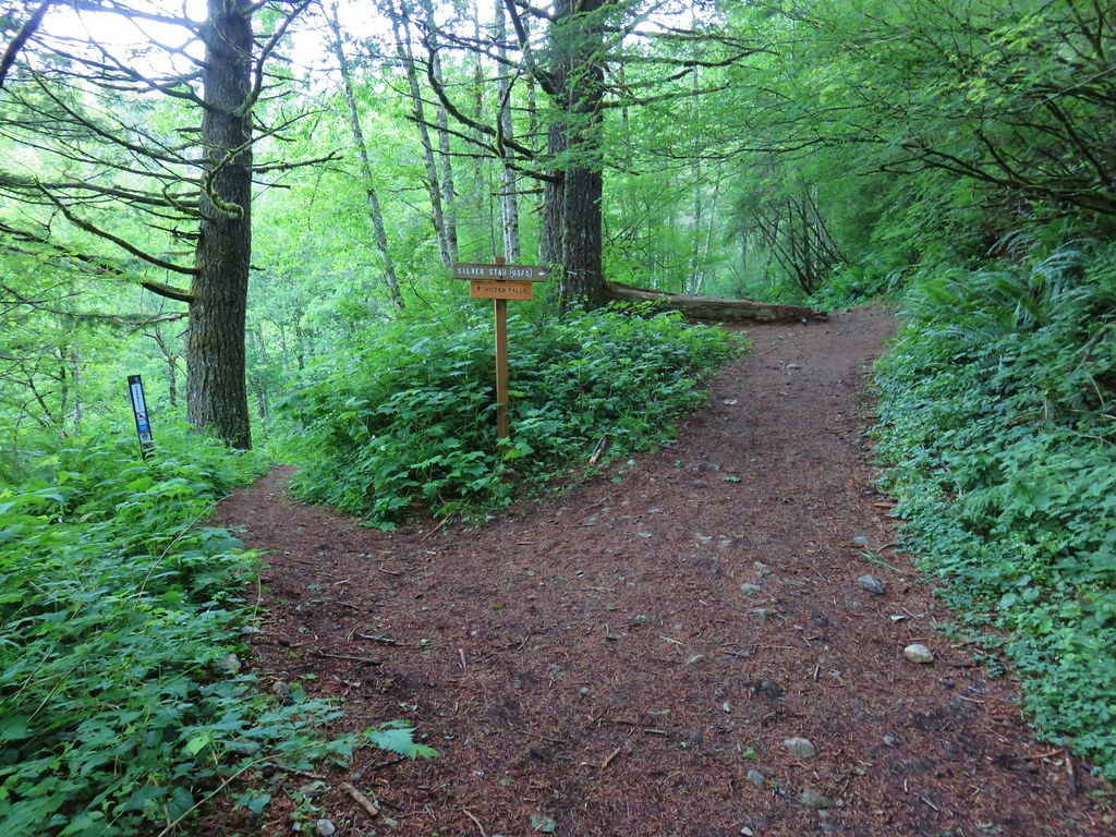
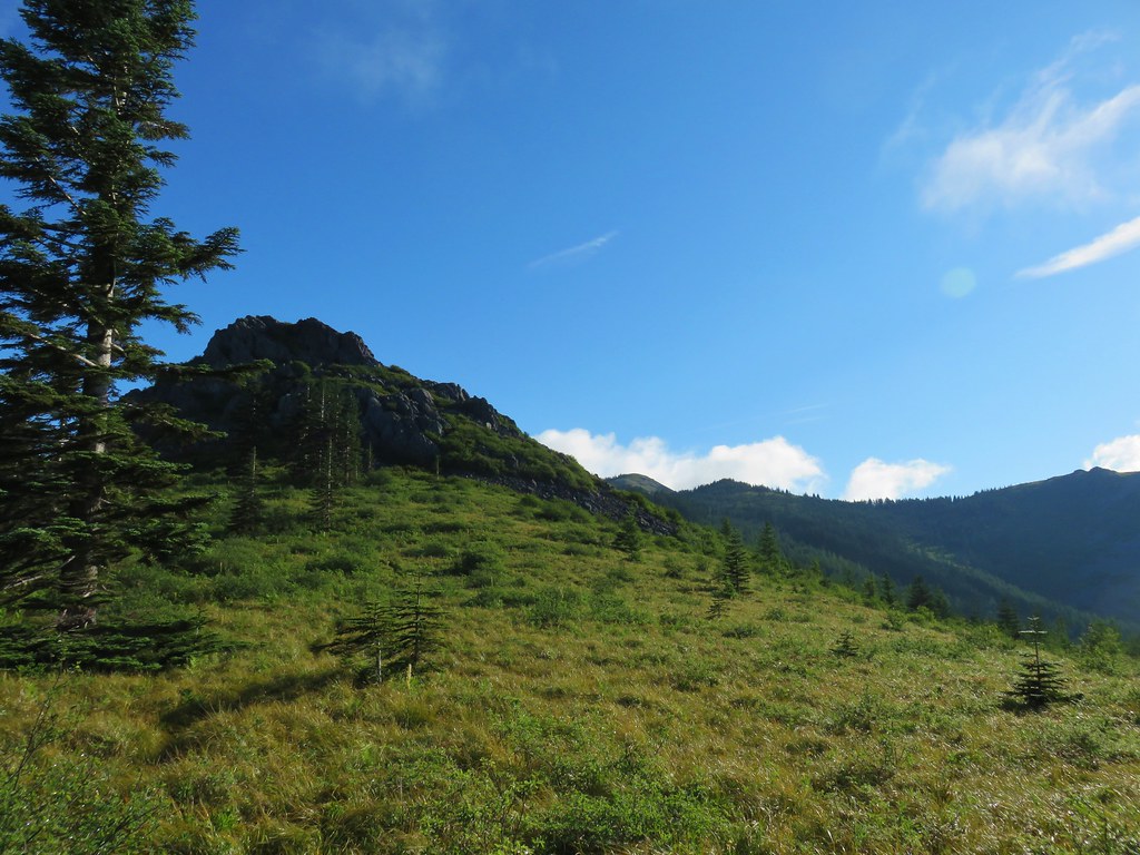
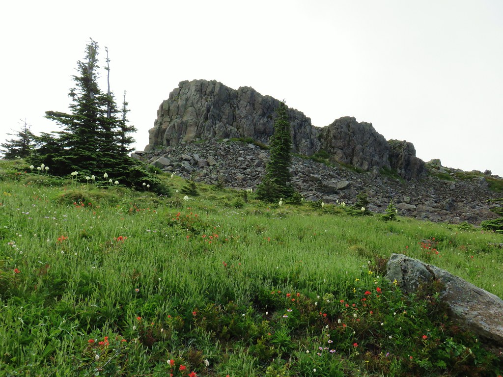
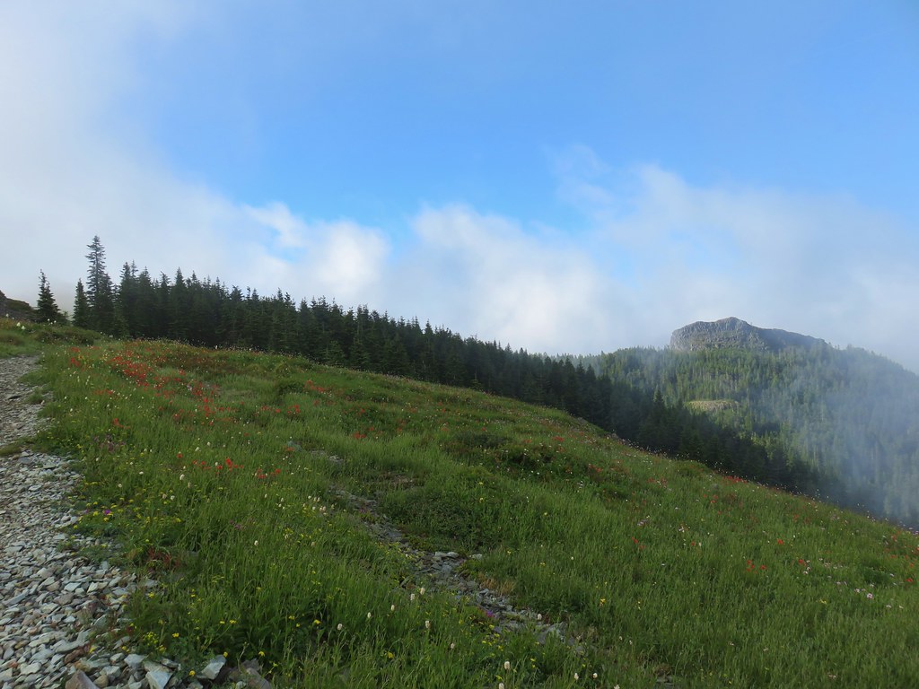
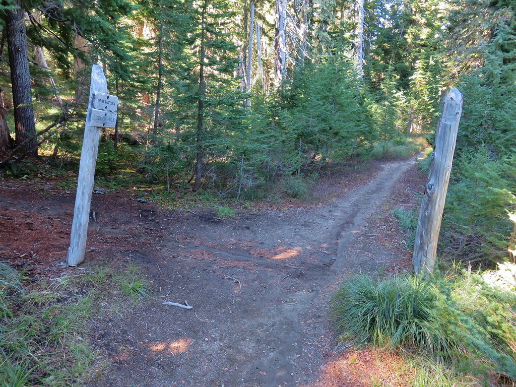
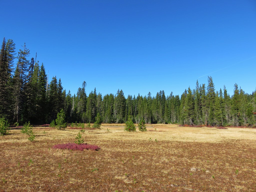
Near the saddle we got our first look at the rock feature that is Sleeping Beauty from the trail (it is visible on the drive).

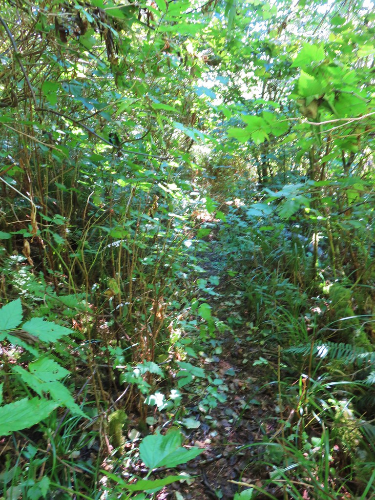
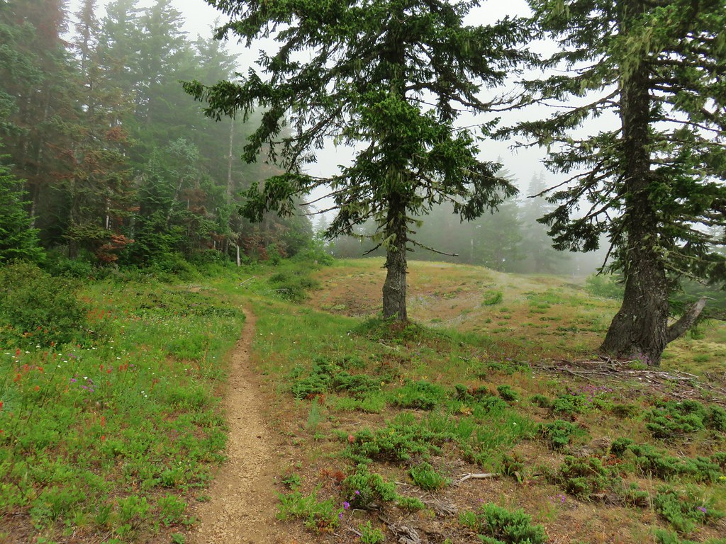
The trail bends to the right (ignore a fainter trail heading left) at the saddle continuing through the trees.
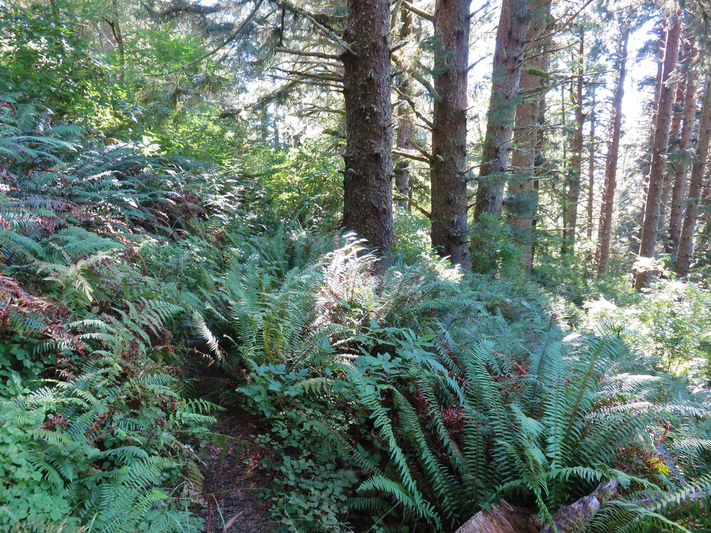
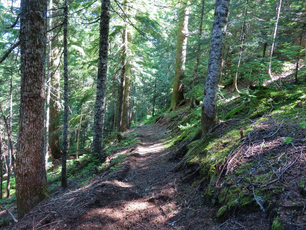
Another bit of climbing brought us beneath the rocks.
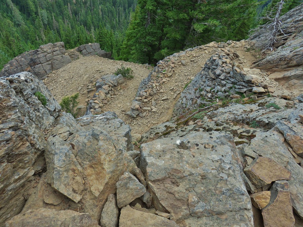
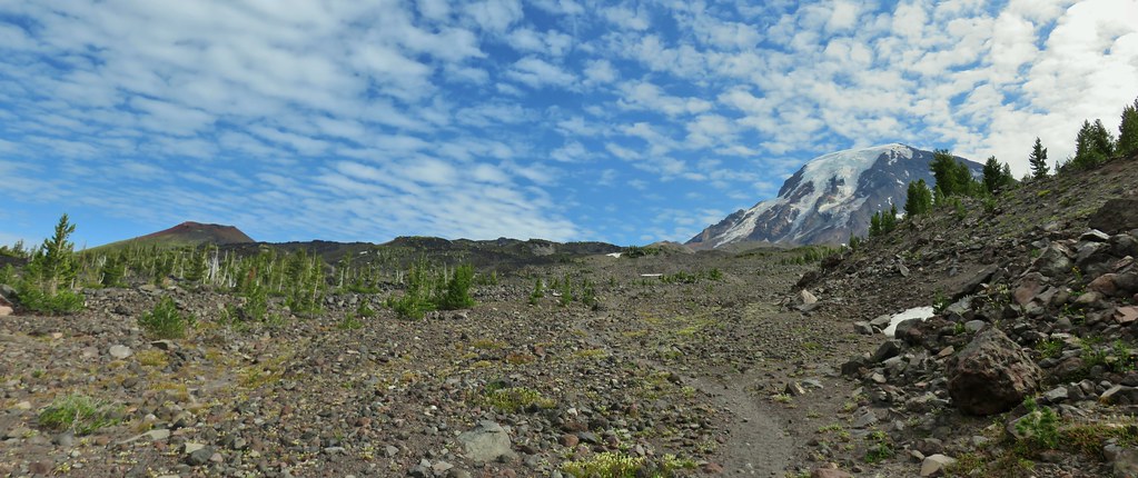
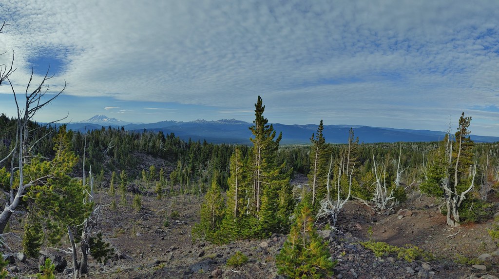
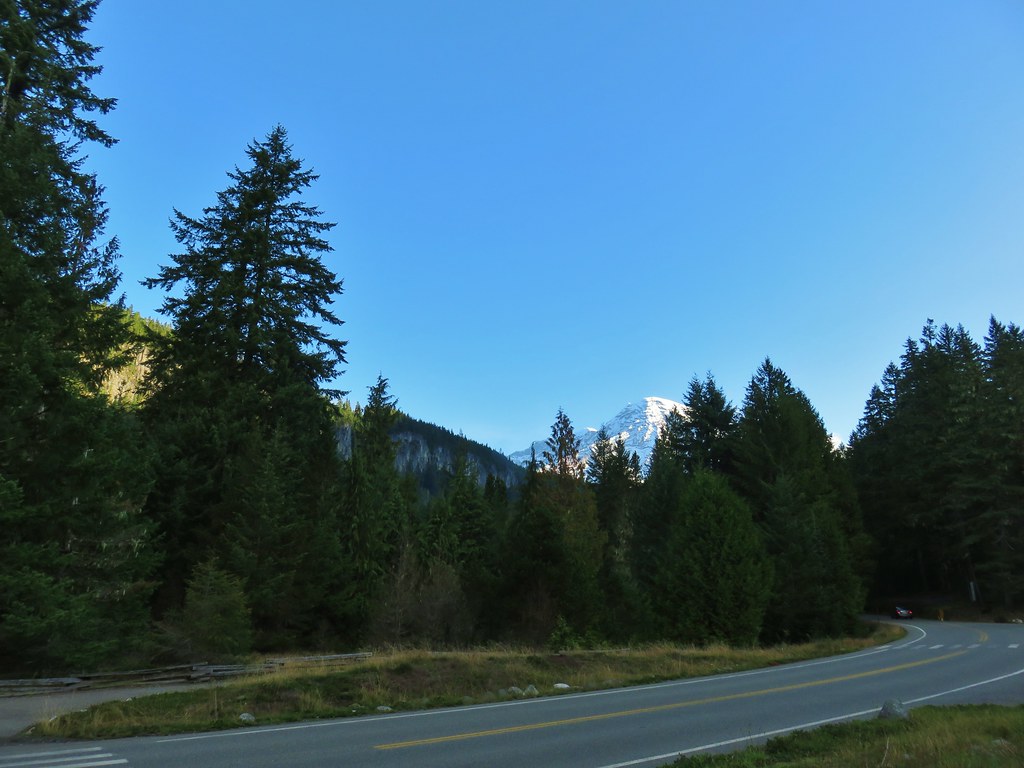
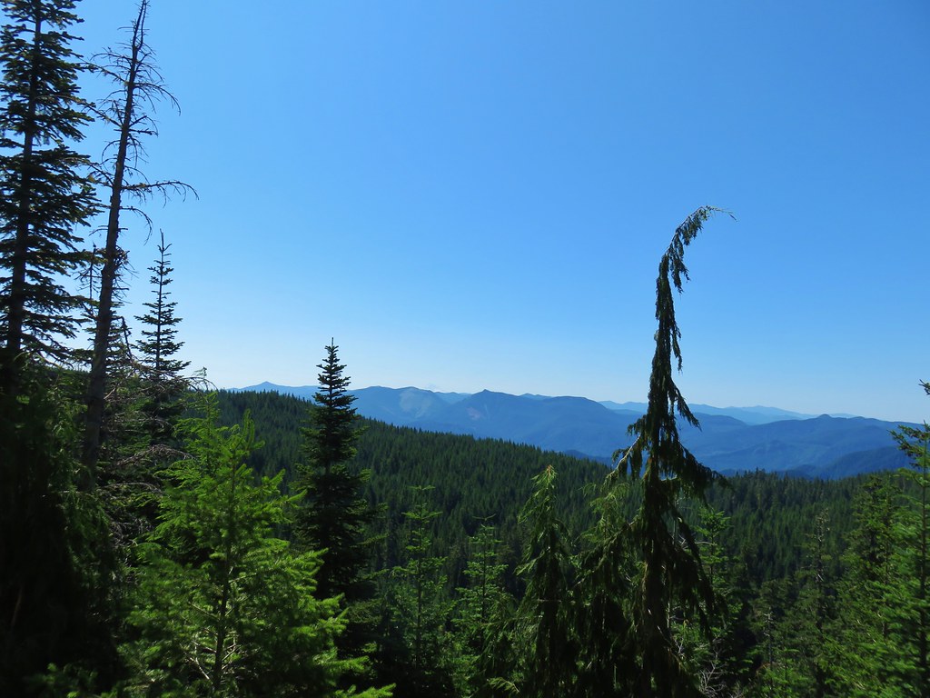
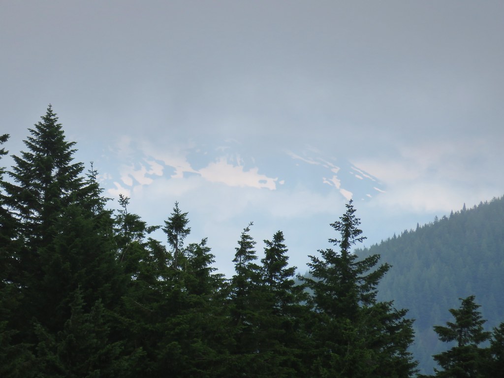
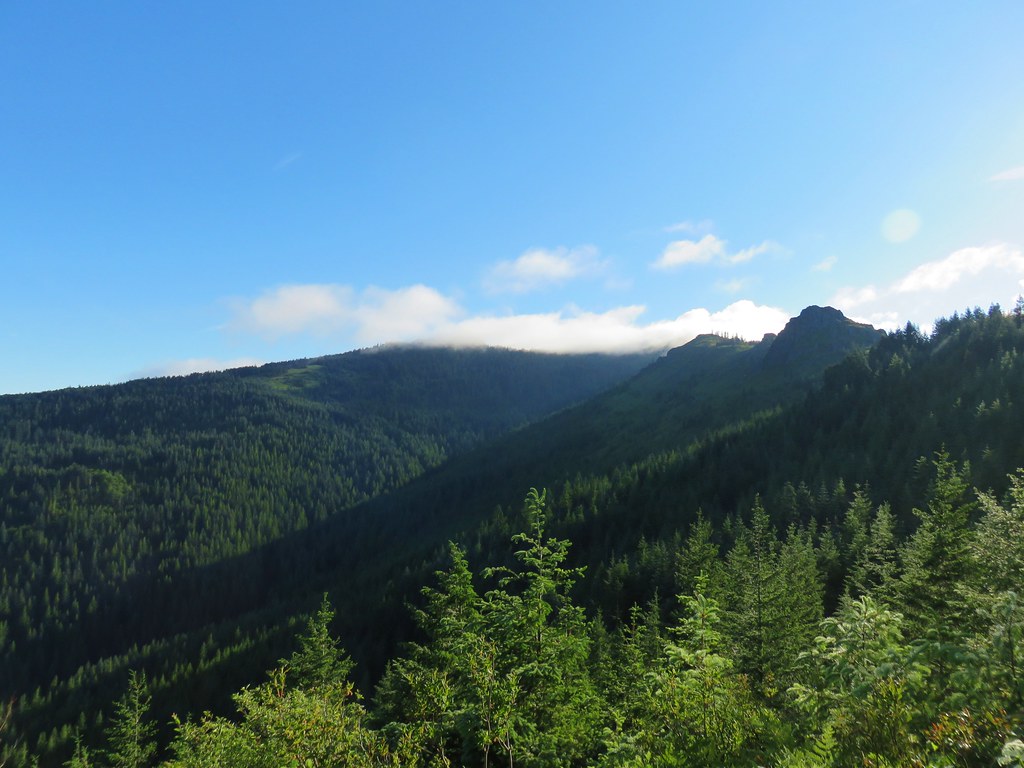
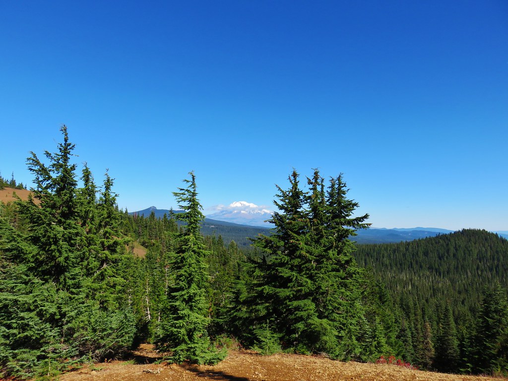
The trail switchbacked its way up amid the rocks up stonework ramps gaining views of the surrounding Cascade mountains along the way.
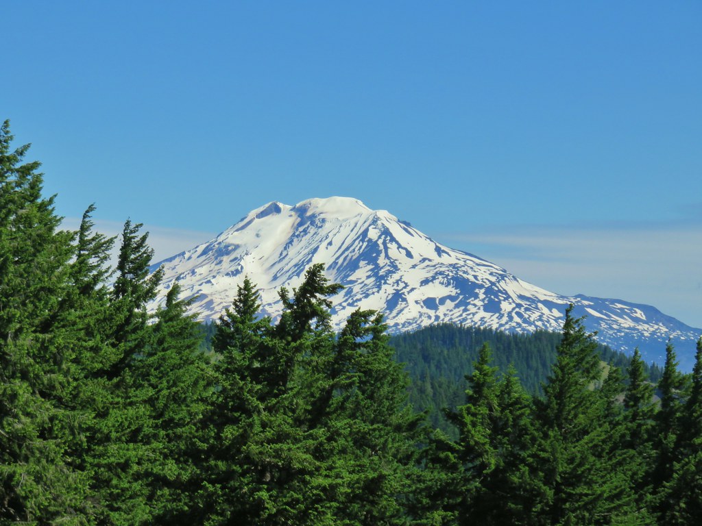
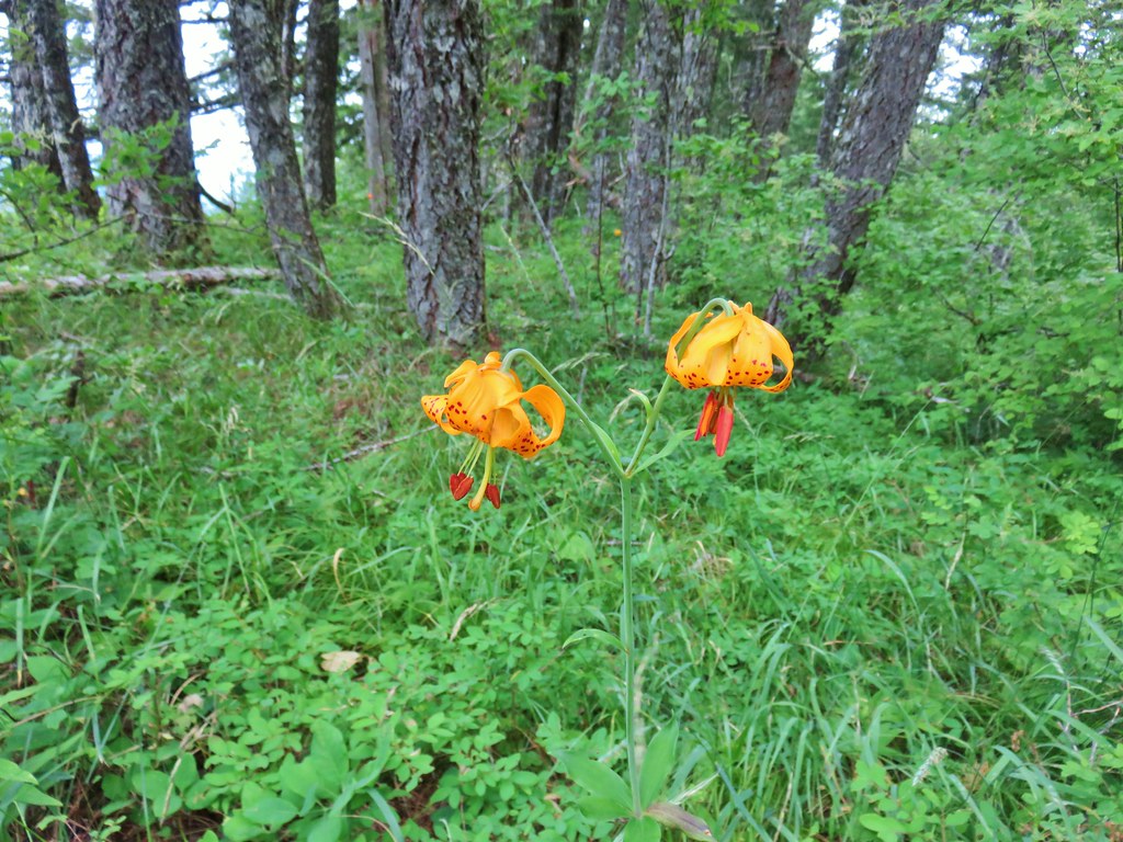
 Mt. Adams
 Goat Rocks (post) to the left beyond Mt. Adams
 Looking down at some of the switchbacks.
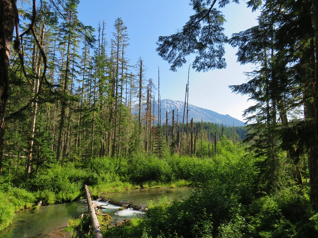
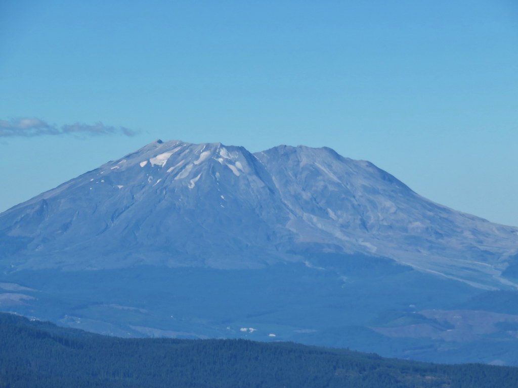
 Mt. St. Helens in the distance.
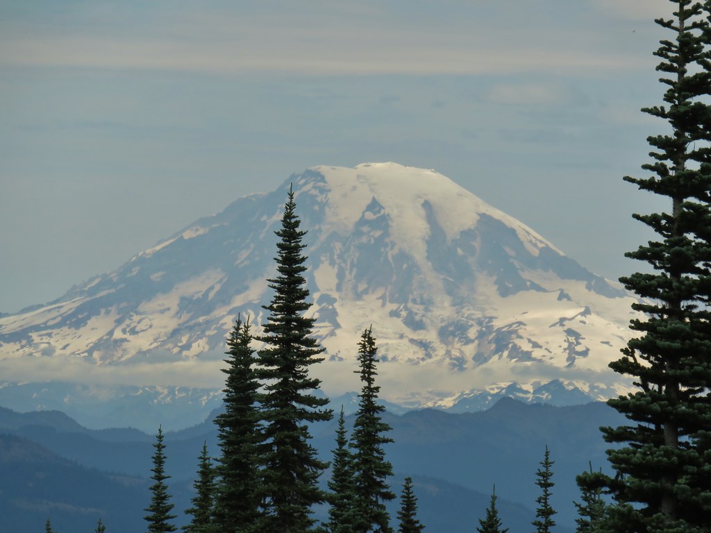
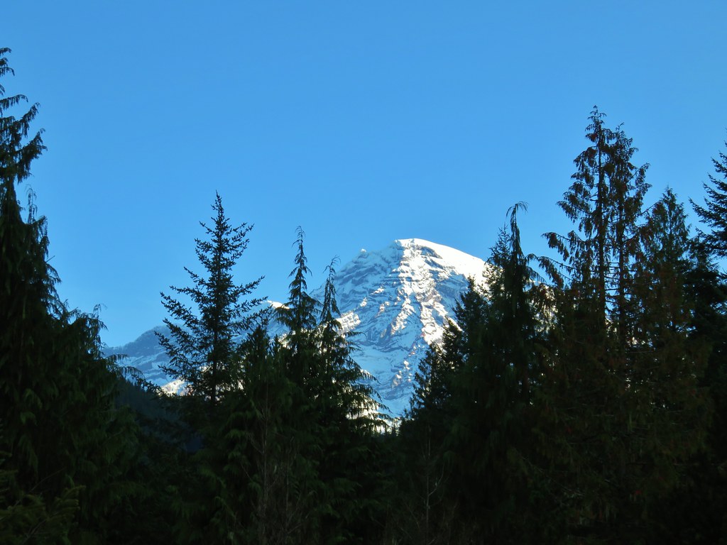
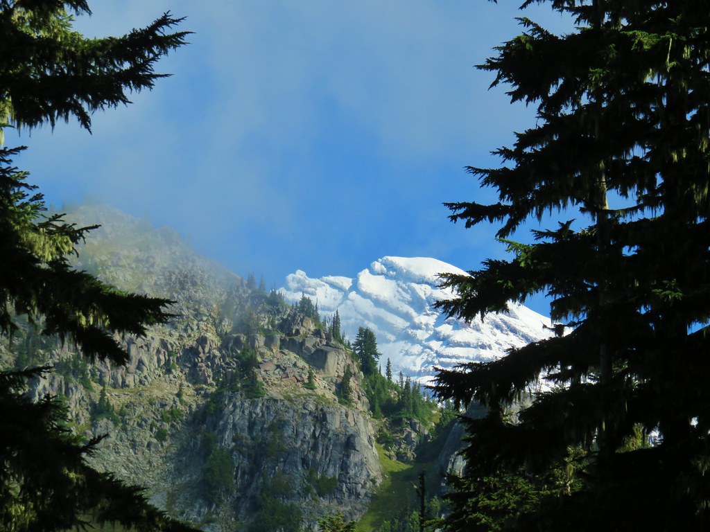
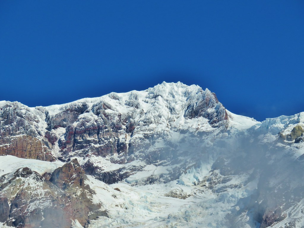
 The top of Mt. Rainier.
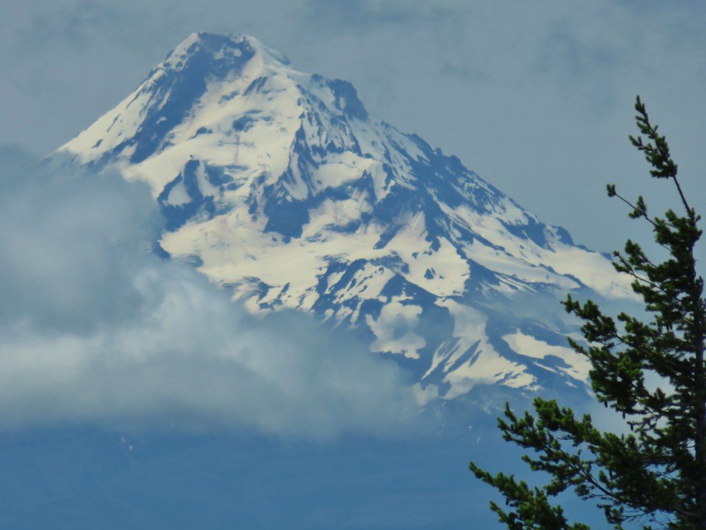
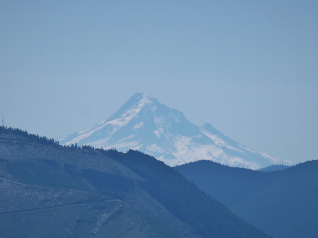
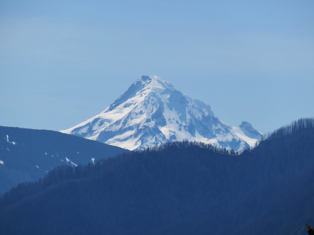
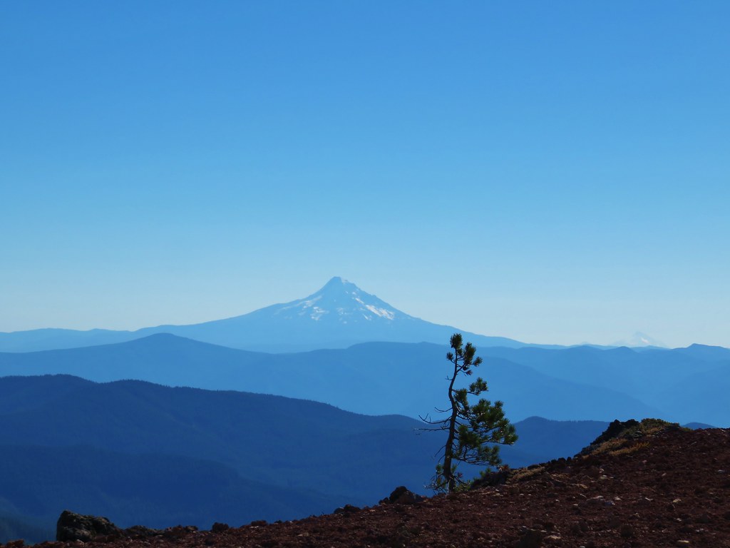
 Mt. Hood to the South.
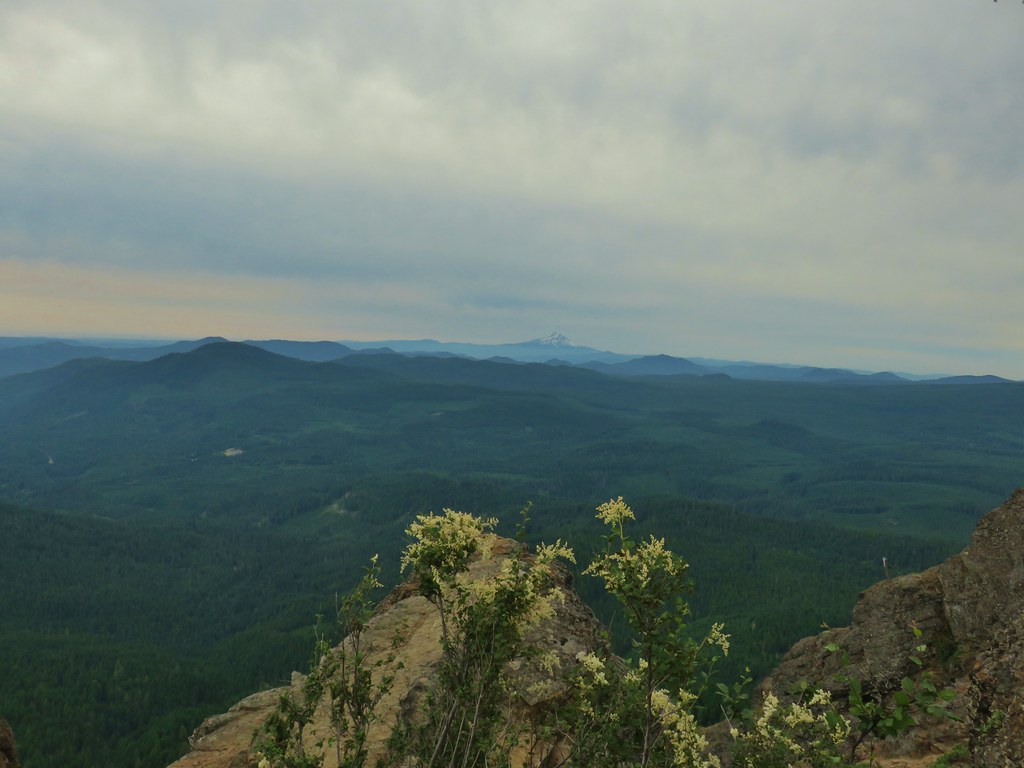
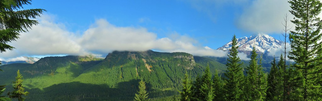
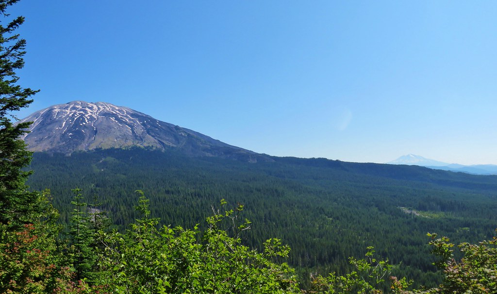
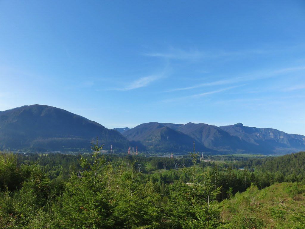
 Mt. St. Helens, Mt. Rainier, Goat Rocks and Mt. Adams.
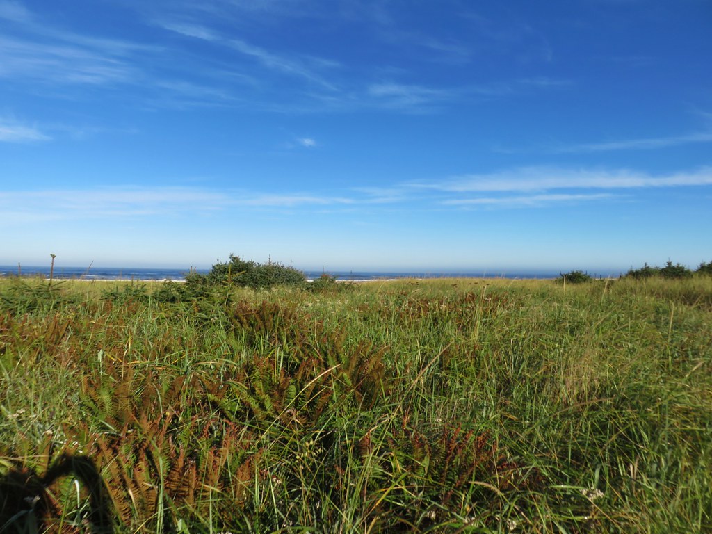
 Indian Heaven Wilderness
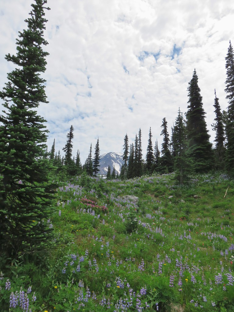
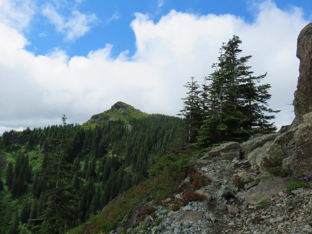
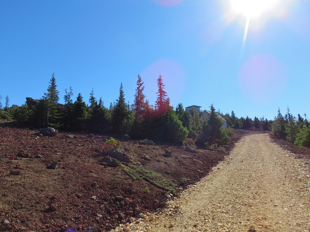
It was fairly windy up on the rocks, just windy enough to make us a little nervous when we got to the saddle near the top as we had to push back a bit against it. Luckily the top is fairly wide and there was a least one place behind a rock where the wind was non-existent.
 Looking east over the top of Sleeping Beauty.
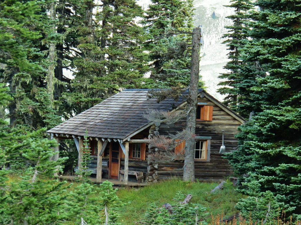
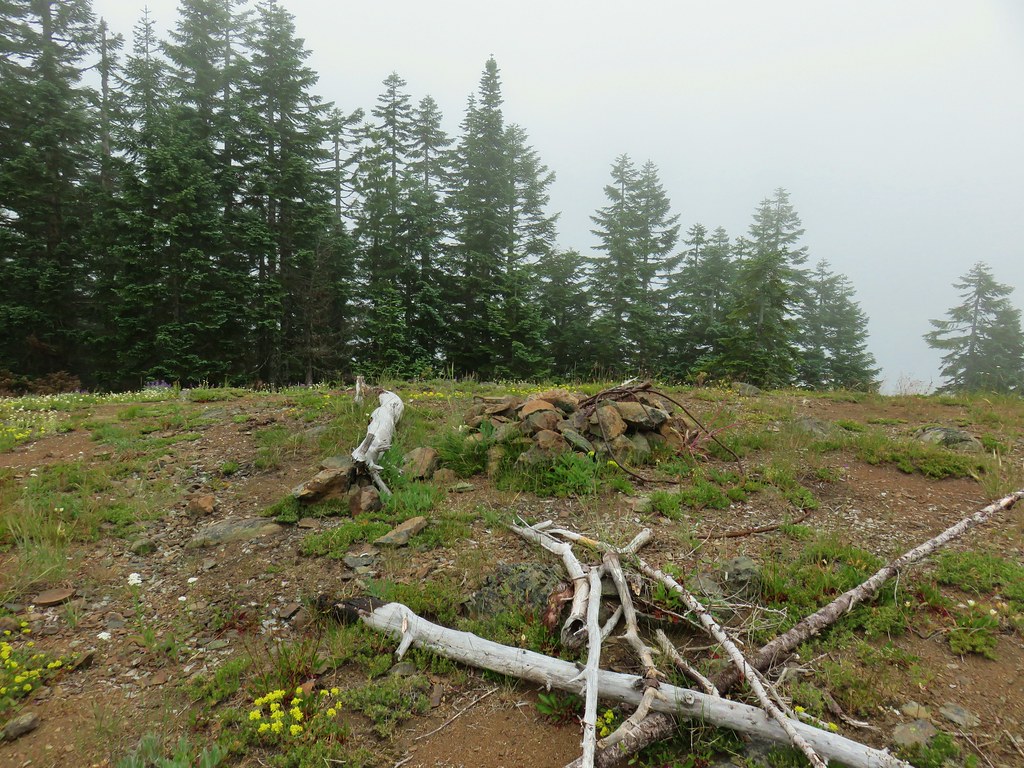
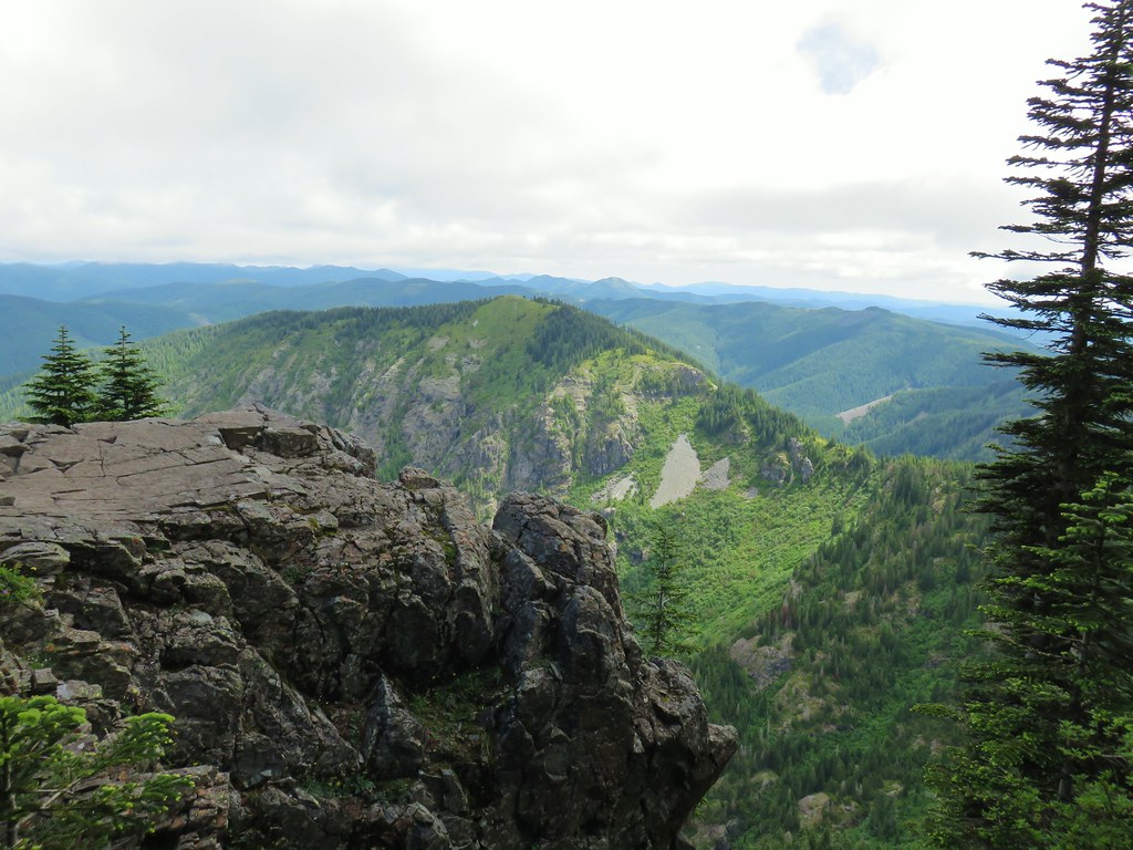
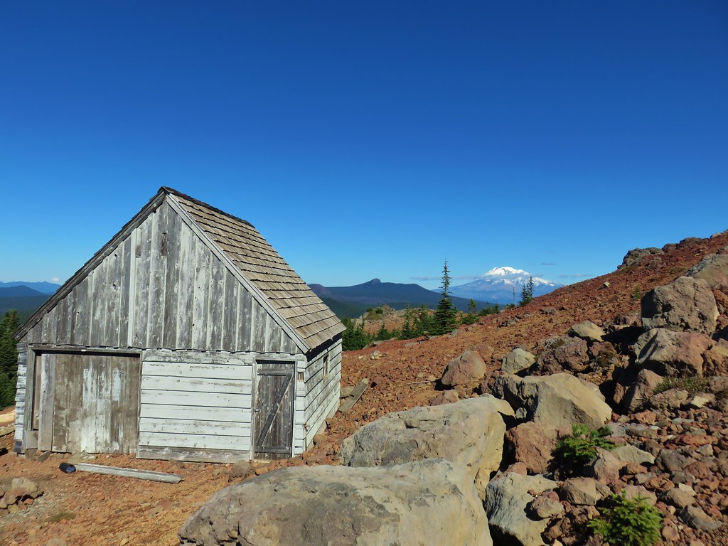
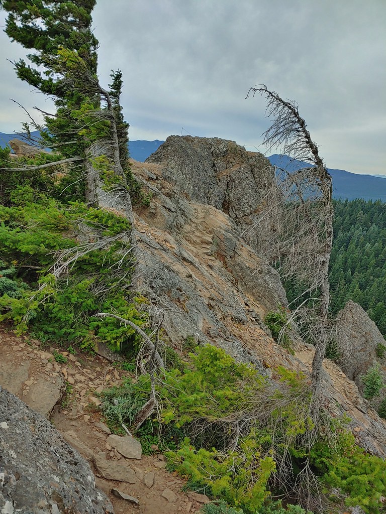 Looking west to the true summit where a lookout once stood.
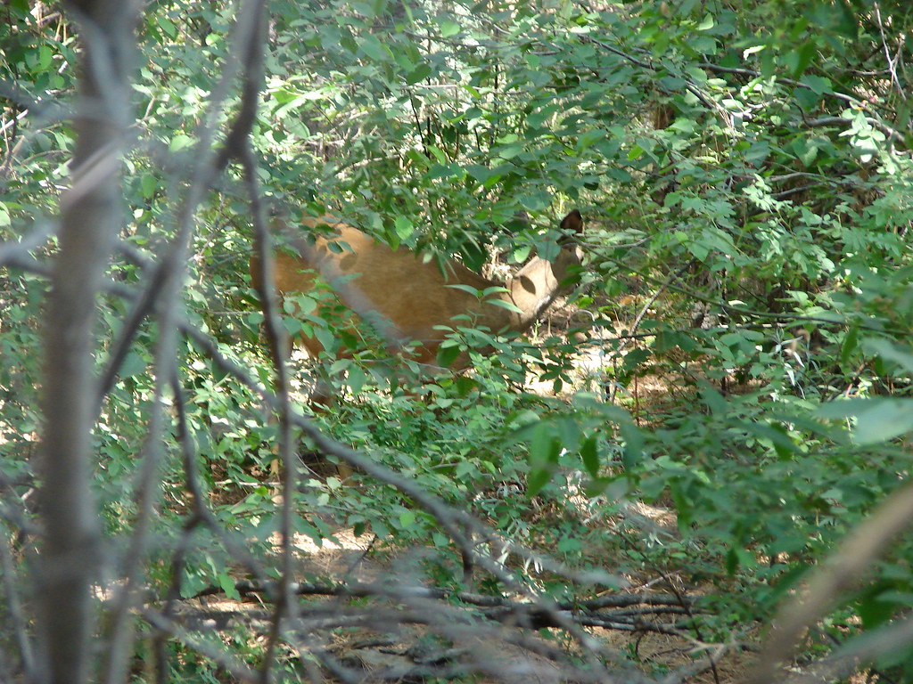
We were hoping to see a mountain goat as they do live here but alas we only saw some fur on a rock and a couple of bushes. The views would have to do and they did just fine. I scrambled over to the former lookout site after deciding it looked safe enough while Heather waited at the saddle.

 Mt. Hood from the foundation of the former lookout.
After a good long time exploring the area and enjoying the views we headed back down. We passed several groups of hikers heading up (just about everyone had a mask) so we were once again glad we’d gotten the early start to have the top to ourselves.
From the trailhead we drove back to Trout Lake and turned left onto Mount Adams Road aka Forest Road 23. (Google would have had us continue on the forest road we had been on to reach the Killen Creek Trailhead, but Google doesn’t always know the condition of the Forest Roads and I don’t either so we played it safe.)
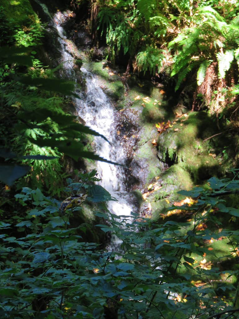
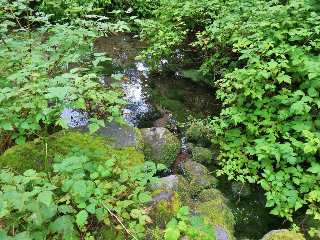
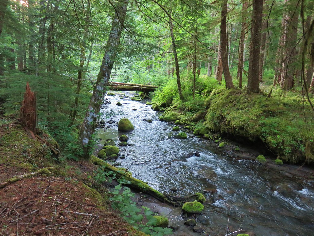
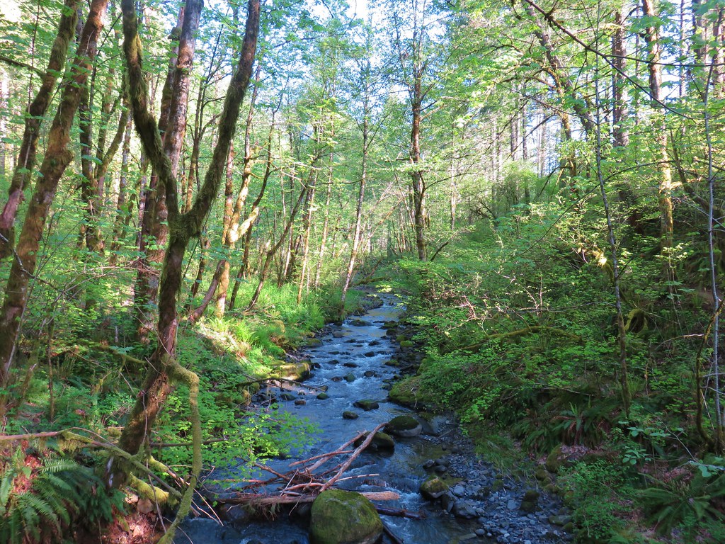
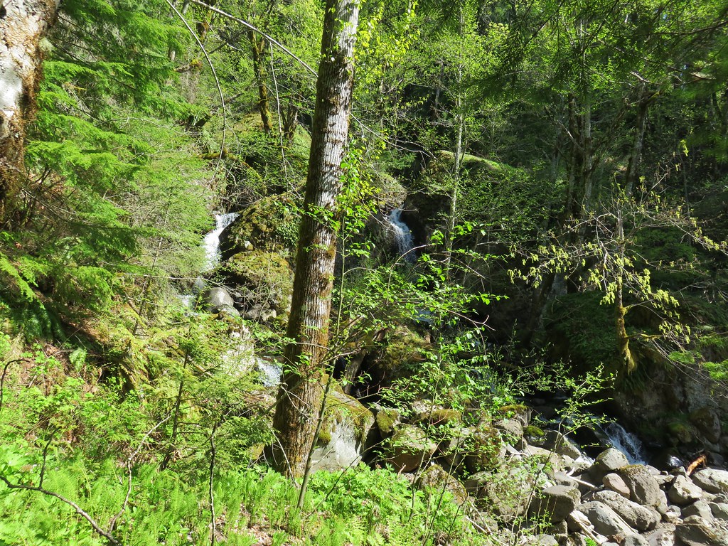
We then followed Reeder’s direction to the Killen Creek Trailhead stopping along the way when Heather spotted a nice waterfall on Big Spring Creek.
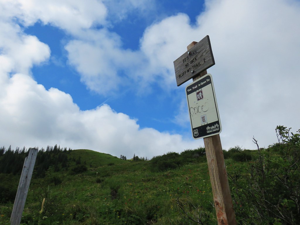
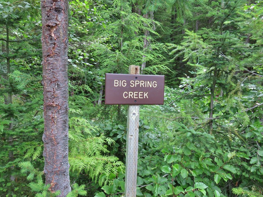 Sign at a pullout along FR 23.
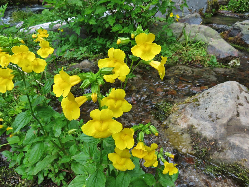 These were huge yellow monkeyflowers.
 Big Spring Creek
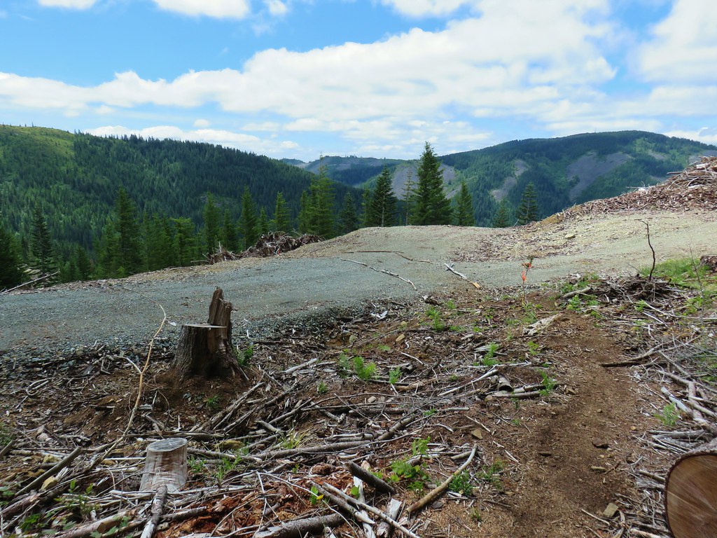
After the brief stop we drove on. The final 9 miles on FR 23 was gravel but wide and not too bad. We turned off of the gravel onto the narrow, paved FR 2329 which was a nice break, but beyond the turn for Takhalakh Lake Campground this road also turned to gravel. It was not in the best condition and was fairly narrow and busy which made for a bit of a tedious final 6 miles to the Killen Creek Trailhead.

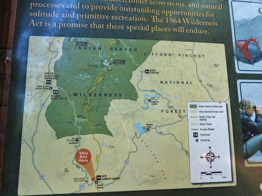
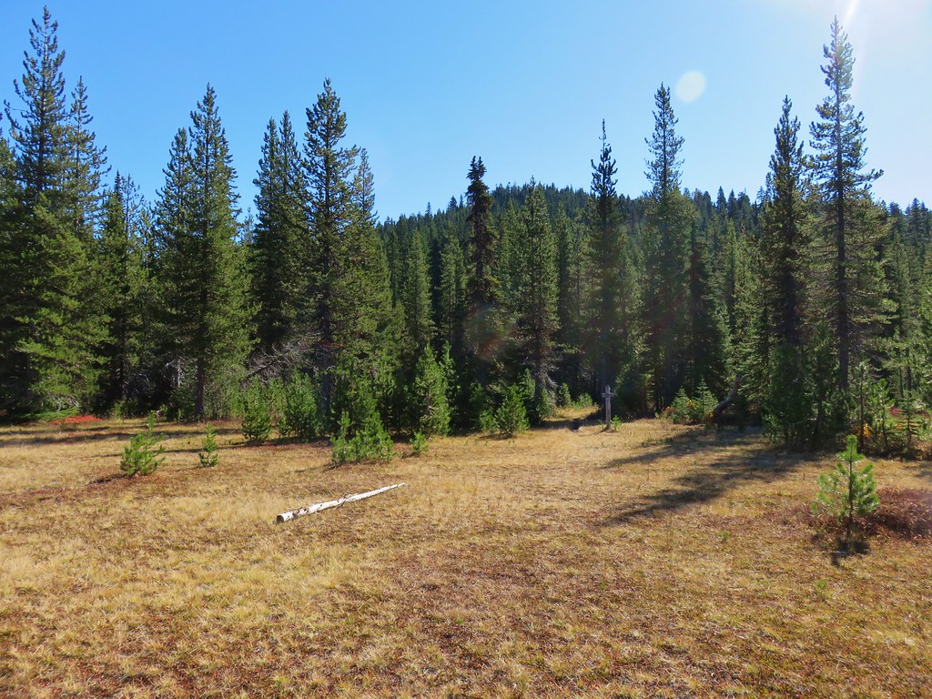
After attempting some gear repair (a hole in some clothing) we set off and quickly entered the Mt. Adams Wilderness.
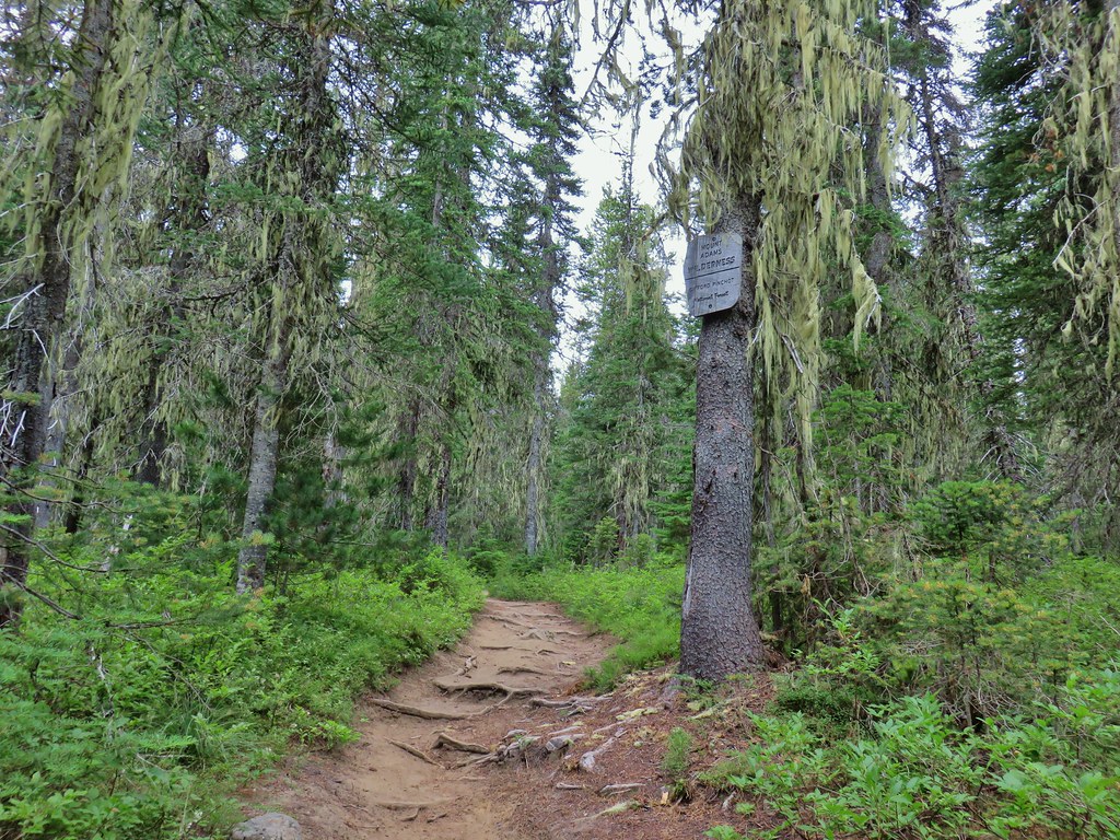
This was only our third visit to the wilderness with our first having been a hike from the South Climb Trailhead to Iceberg Lake in 2014 (post) and the second an overnight stay at Horseshoe Meadows in 2017 (post). (Apparently this is an every three year thing.)
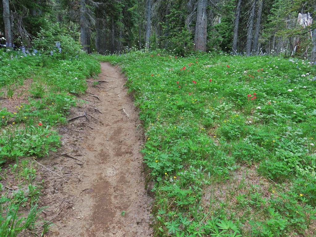
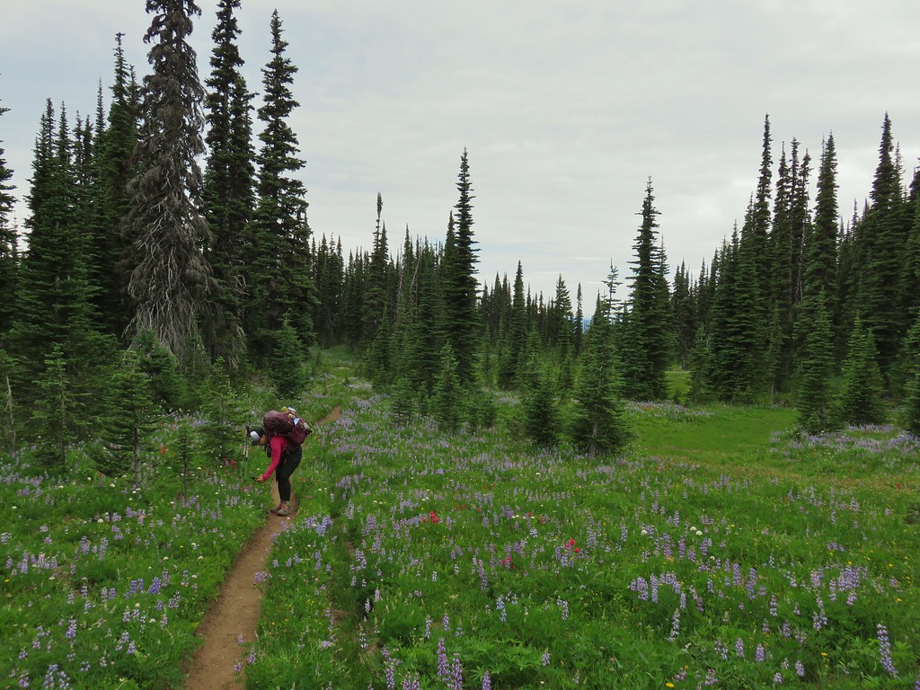
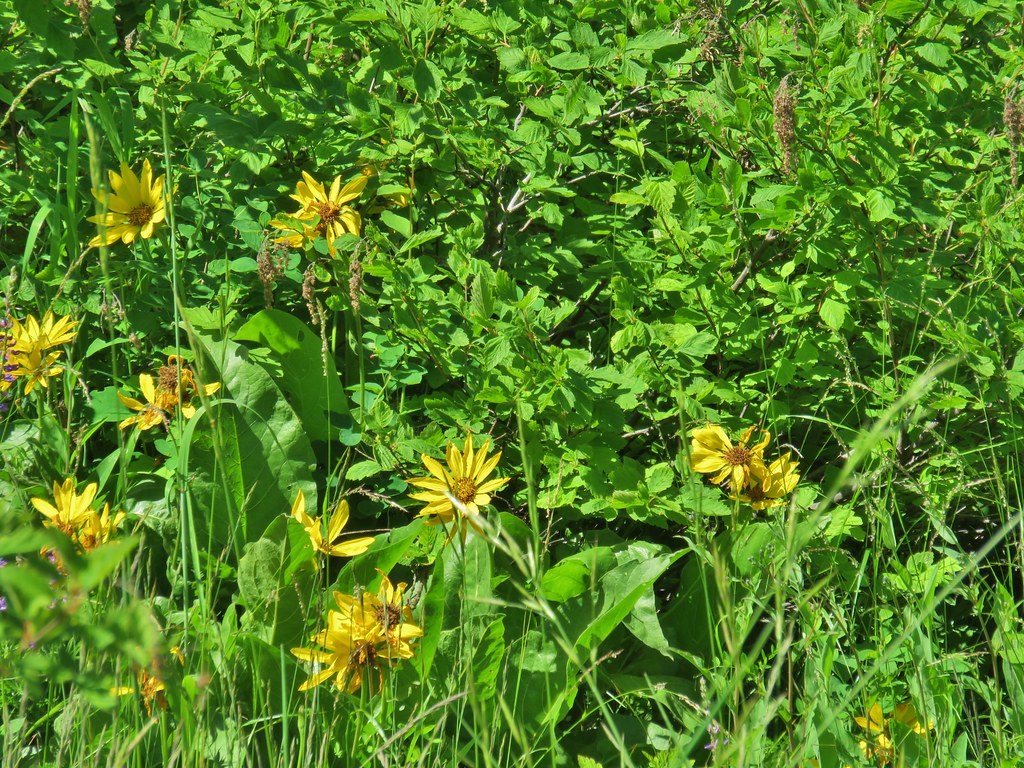
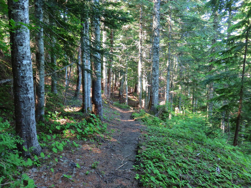
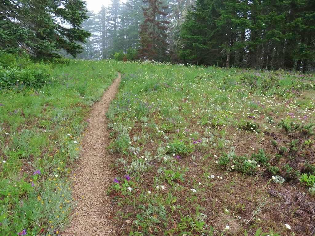
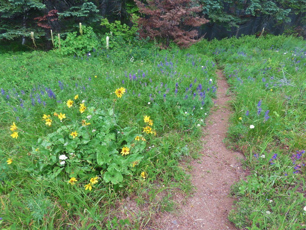
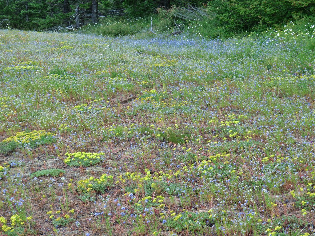
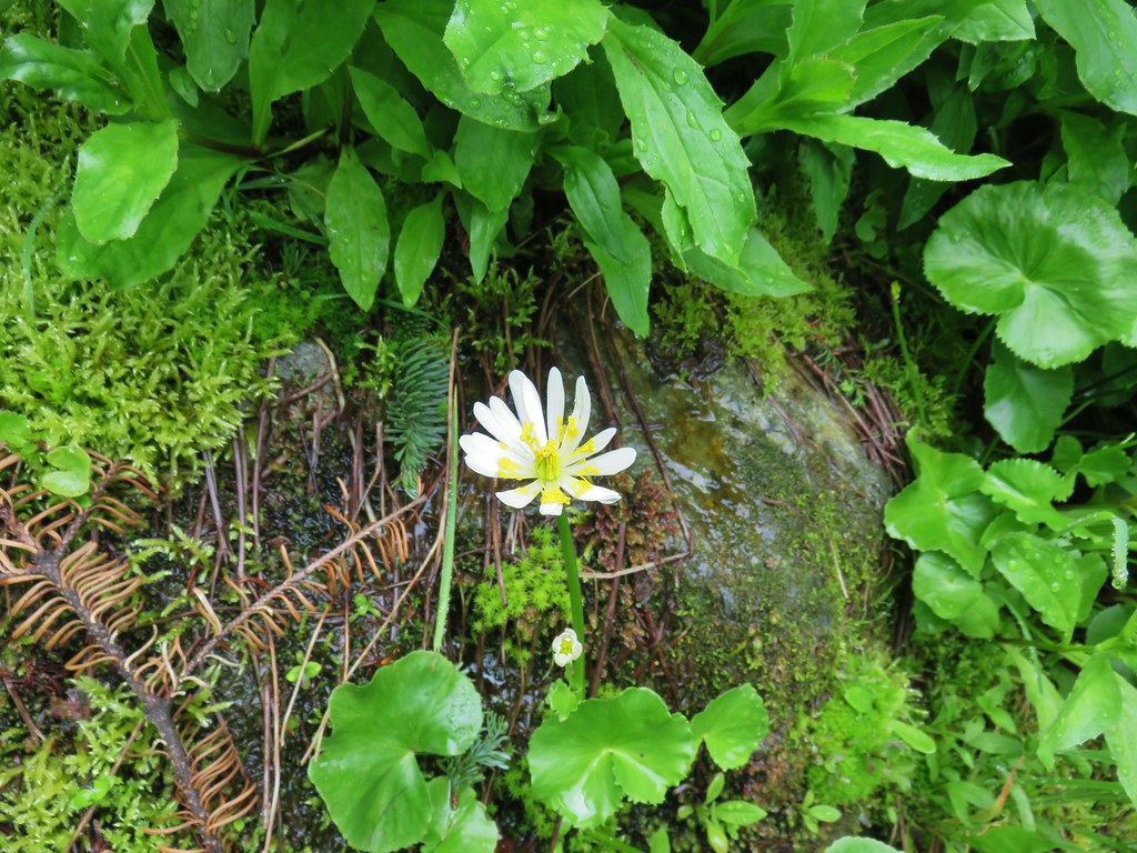
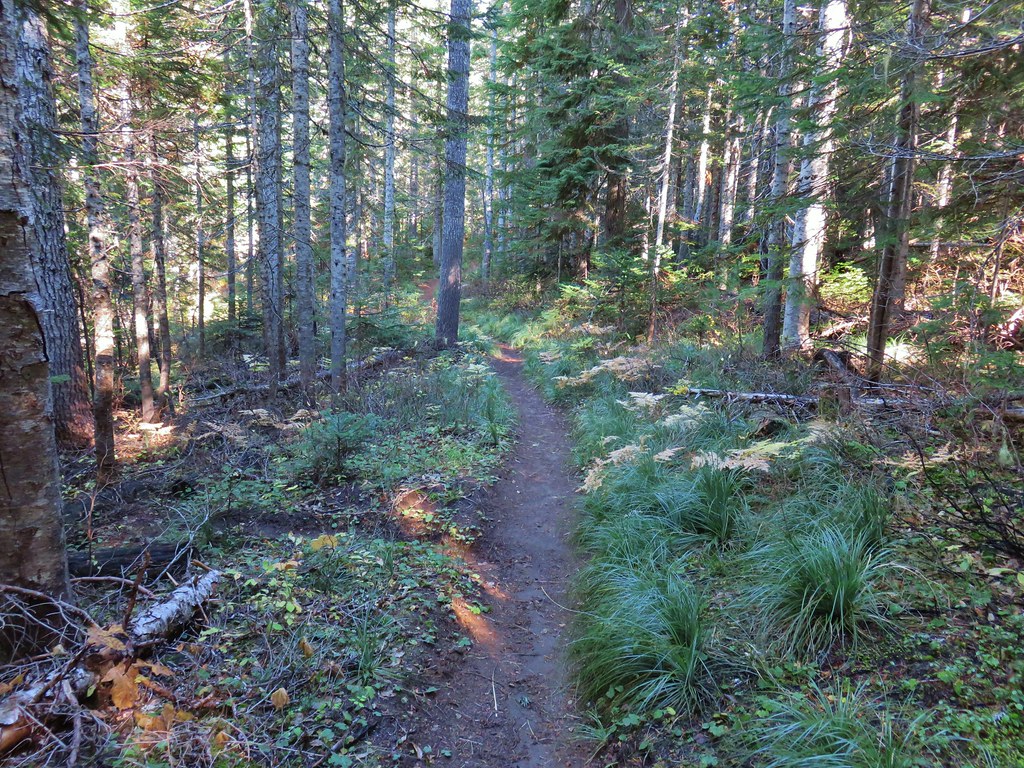
The Killen Creek Trail climbed through the forest where we were pleased to find quite a few flowers were blooming. Little did we know what was coming.
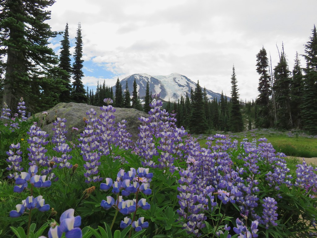
 Lupine along the trail.
 Arnica
 Lousewort
 More lupine along the trail.
 Partridge foot and lupine.
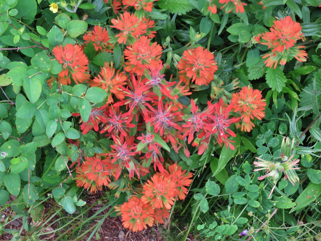
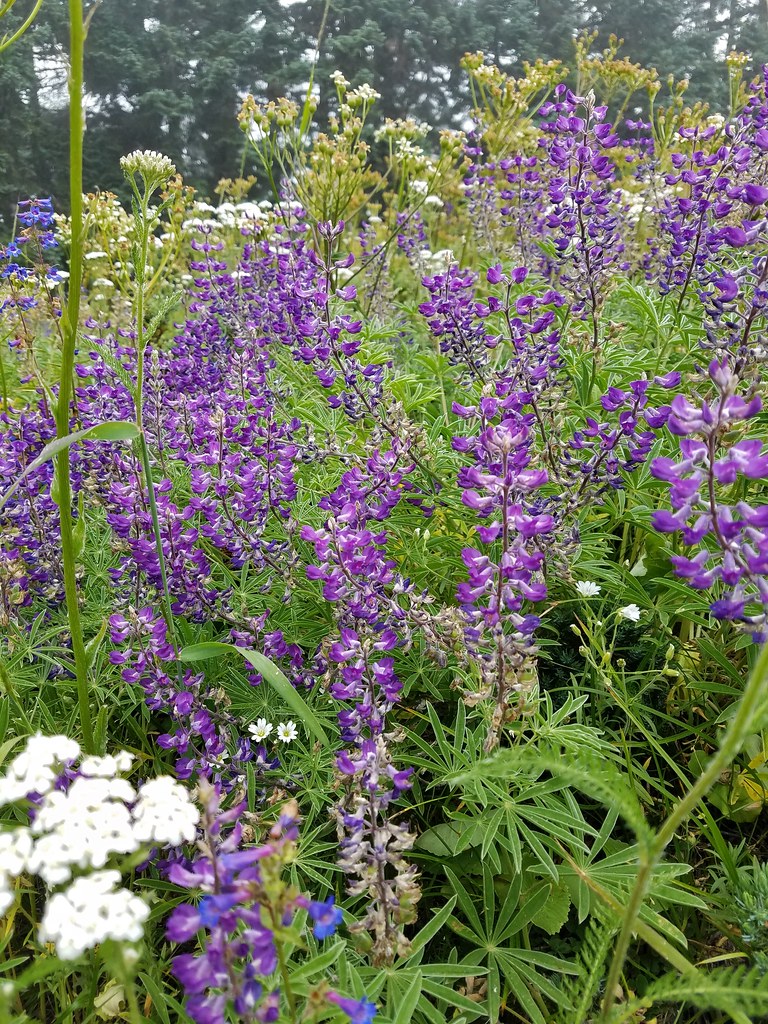
 Lupine, paintbrush and valerian.
 Lupine along the trail which sees a good amount of equestrian use.
 Mountain heather.

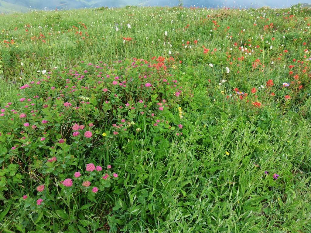
As we continued to climb the number and types of flowers we were seeing kept increasing.
 Yellow buttercups mixed in with the lupine, paintbrush and valerian.
 Beardstongue, arnica and lupine.
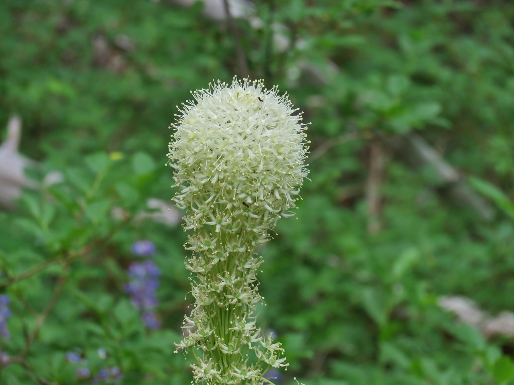 Beargrass
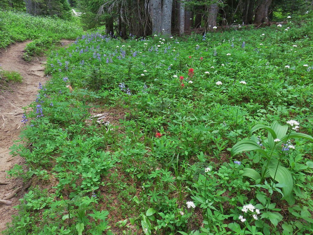
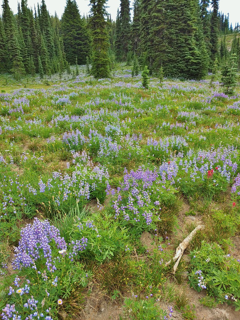
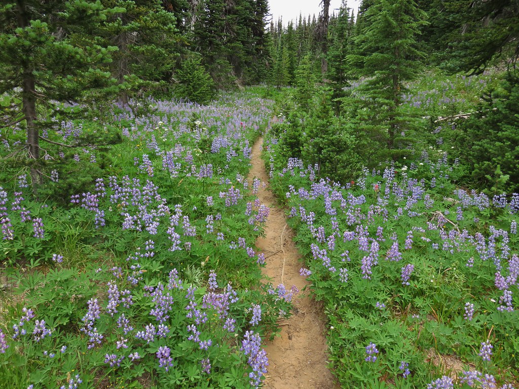
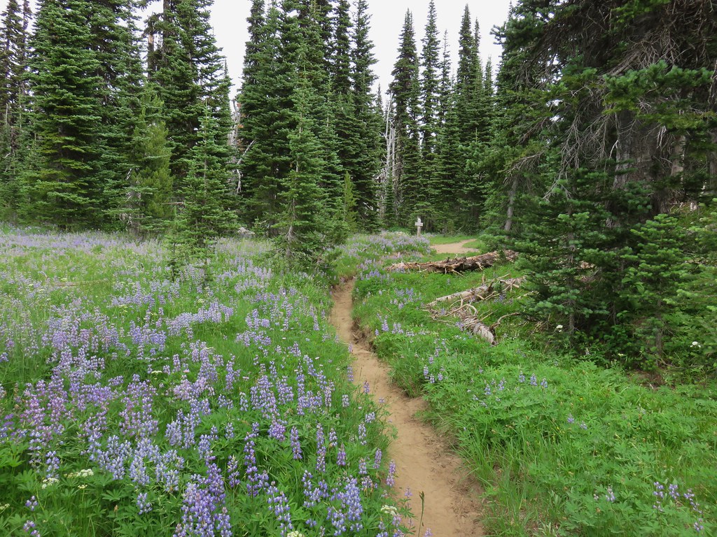
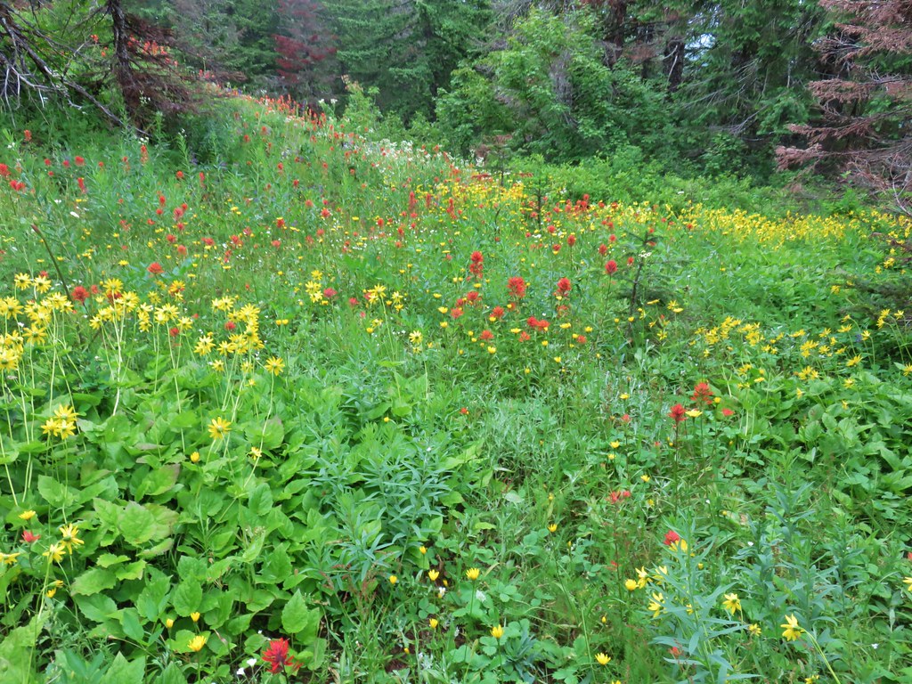
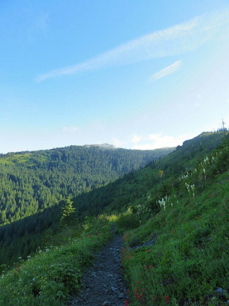
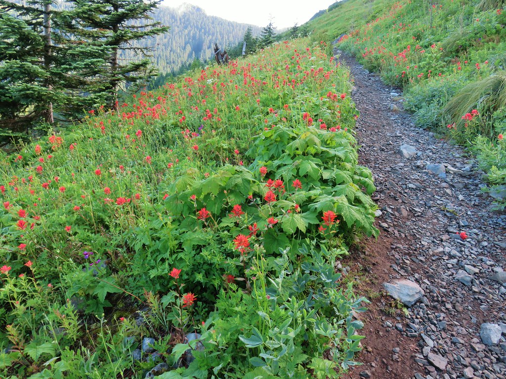
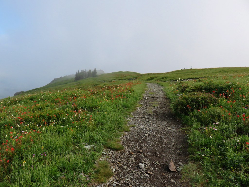
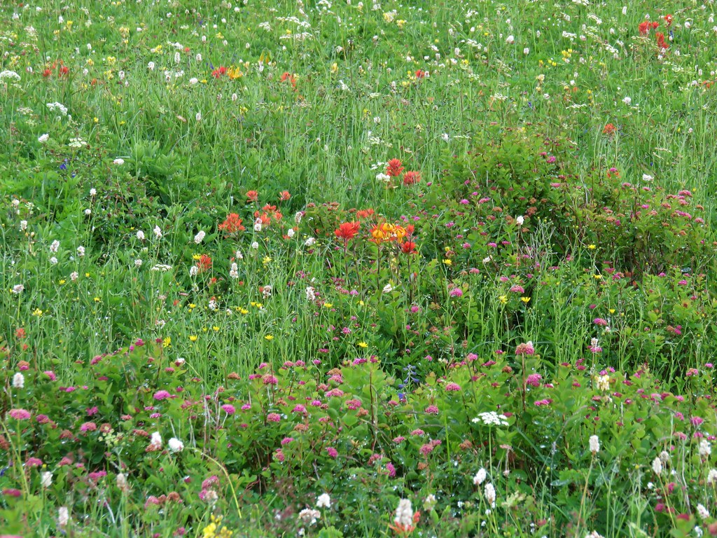
Approximately 2.5 miles up the trail the flowers really started to explode as the trail began to level out a bit.
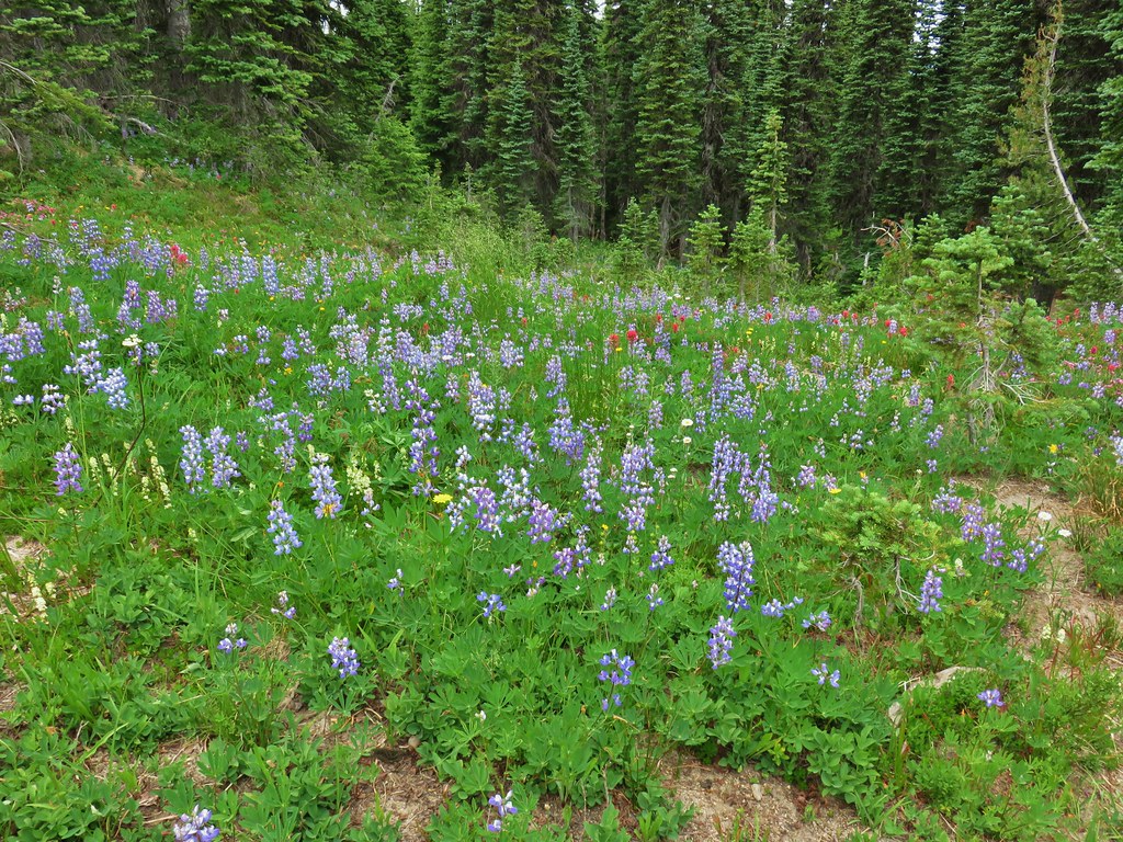
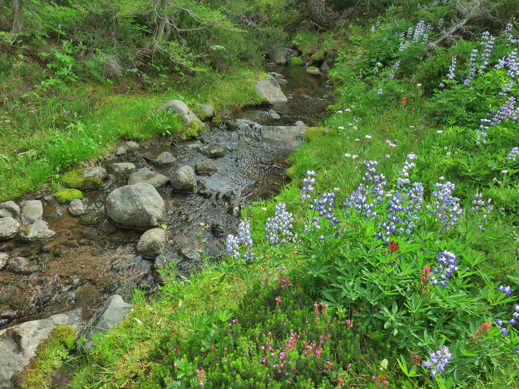
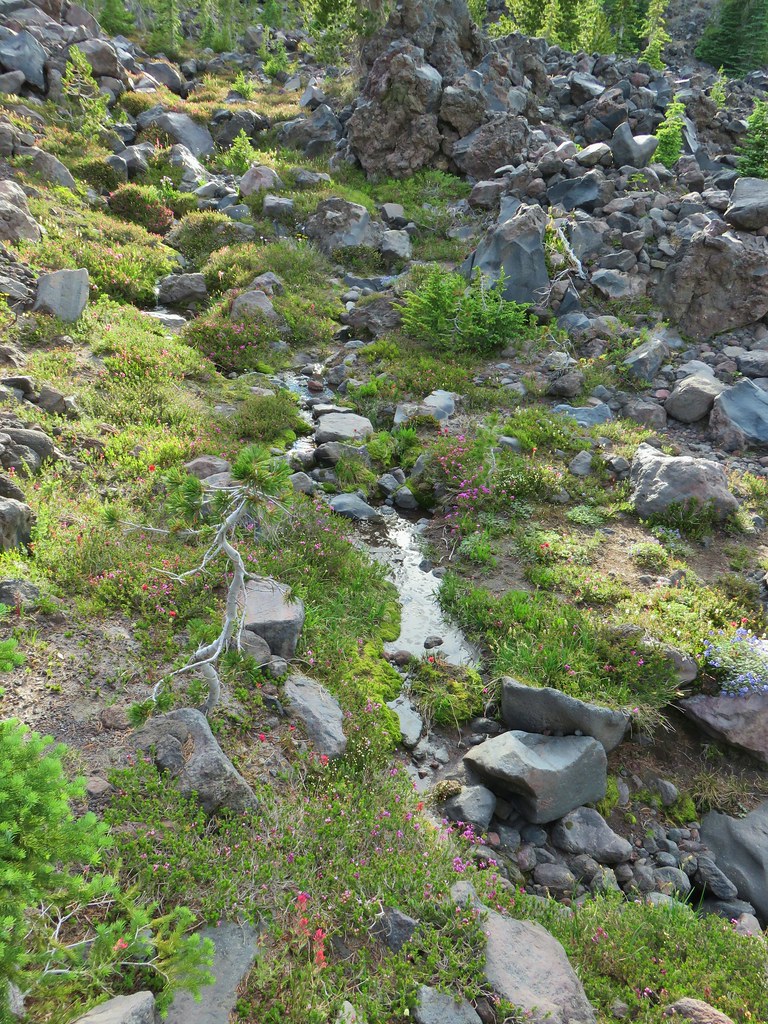
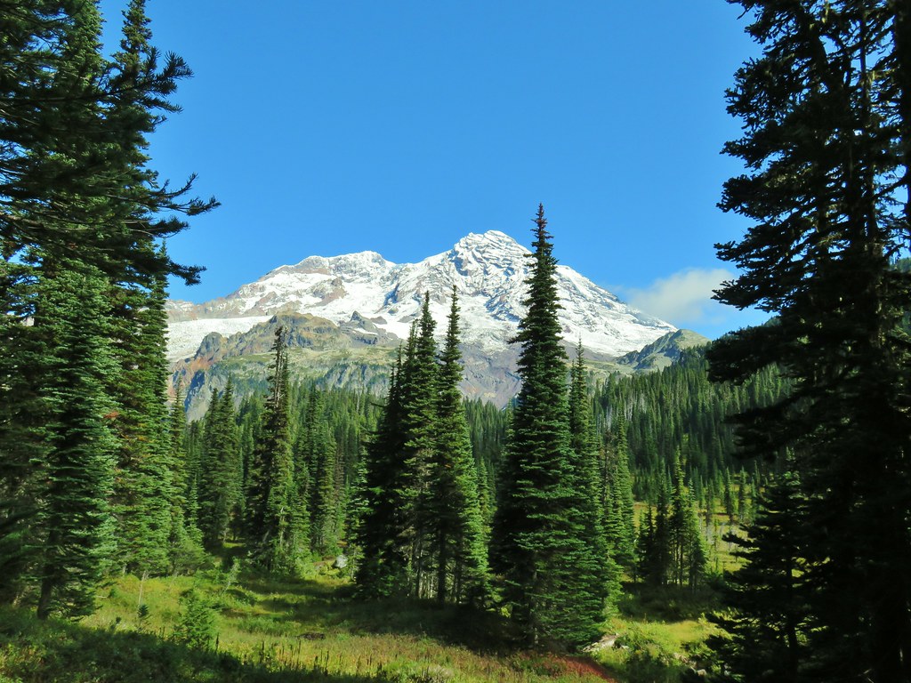
Over the next mile we gained views of Mt. Adams and crossed a small alpine stream all while being mesmerized by the flowers.


 Lousewort

 Elephants head near the stream.
 Elephants head and a shooting star.


 Mountain heather
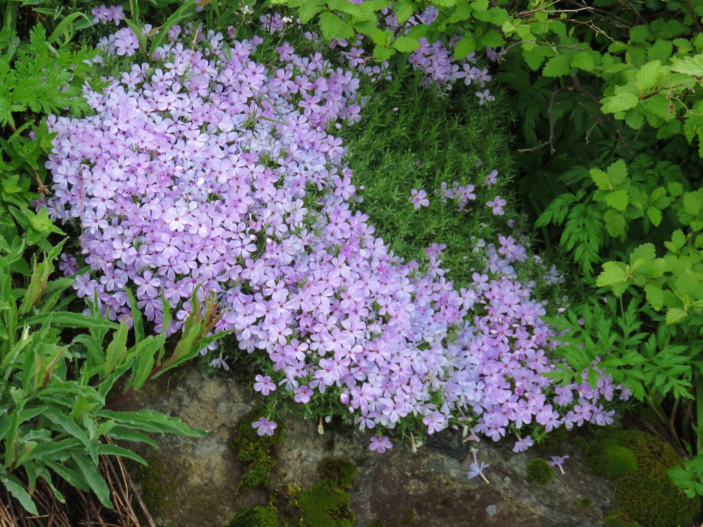
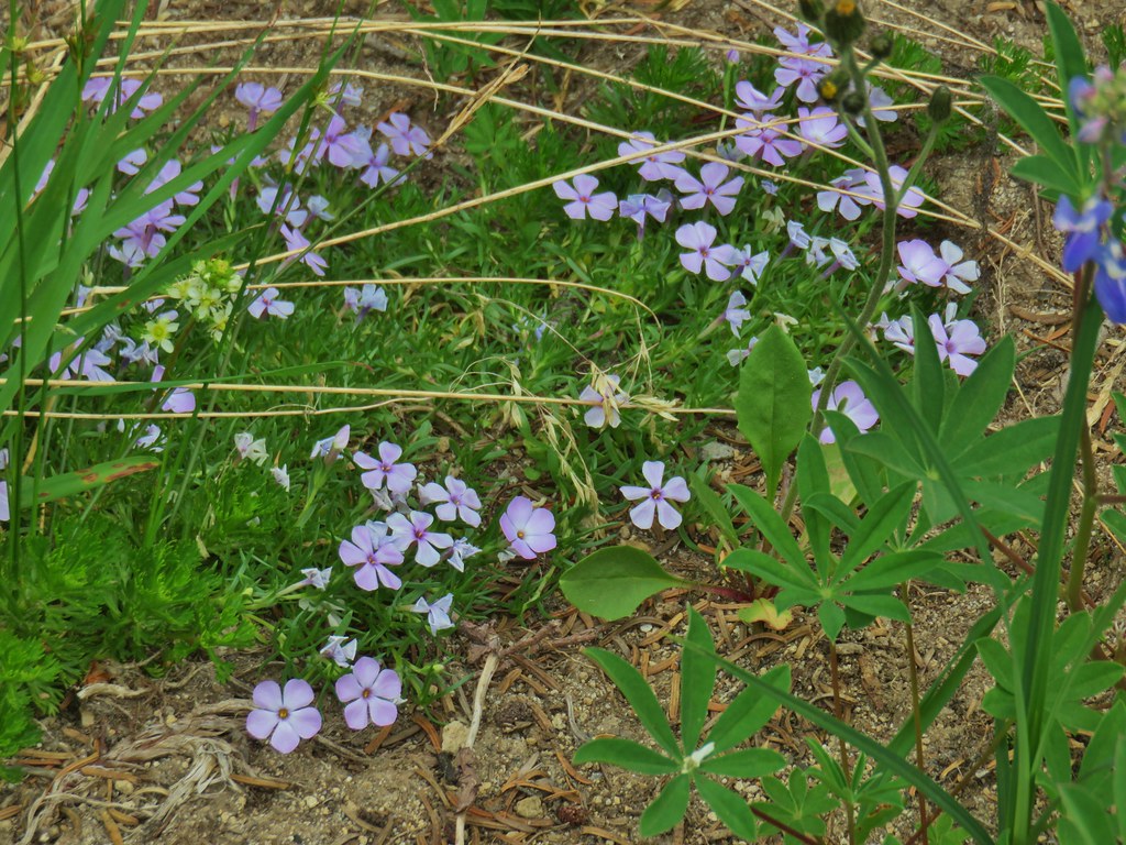 Phlox
Phlox
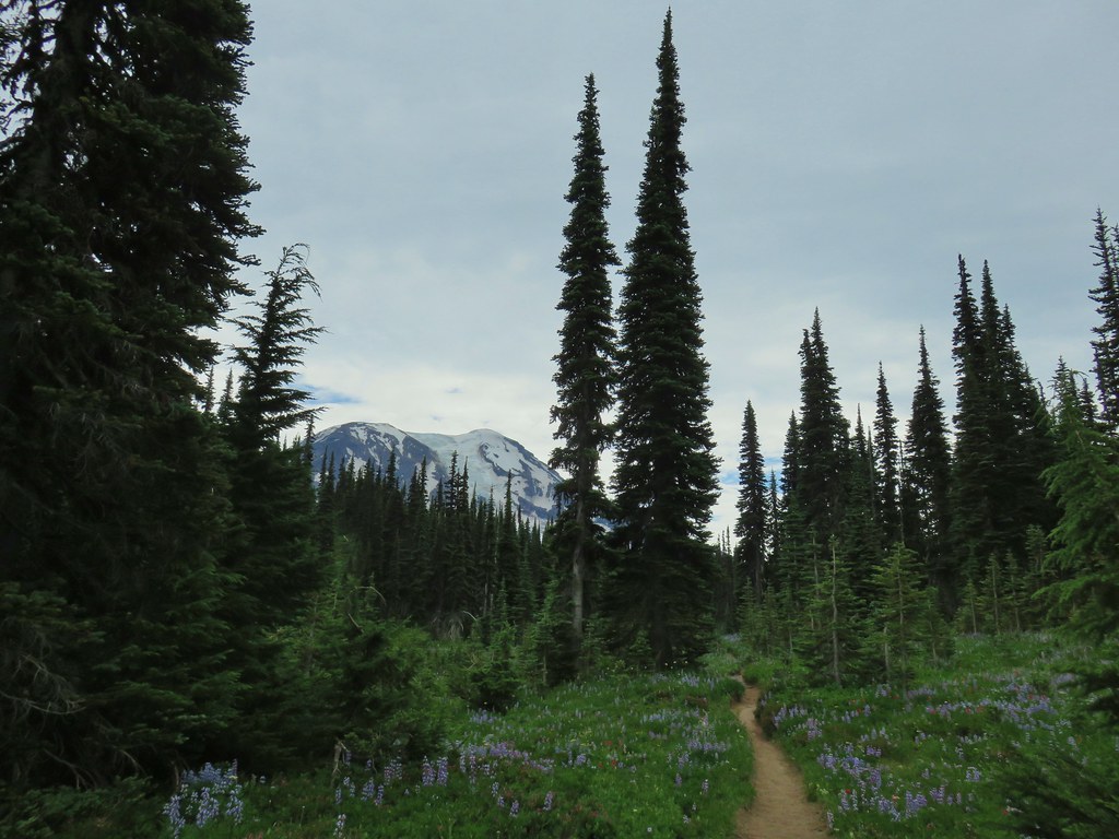
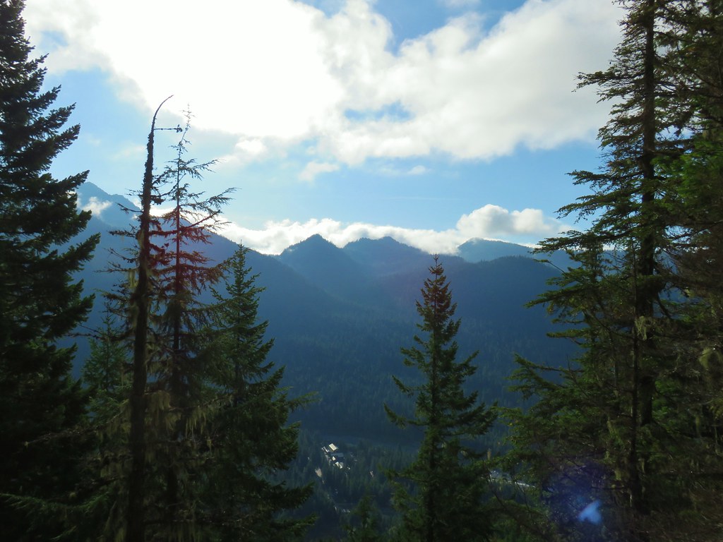
As we gained elevation we also began to get glimpses of Mt. Rainier to the NW.
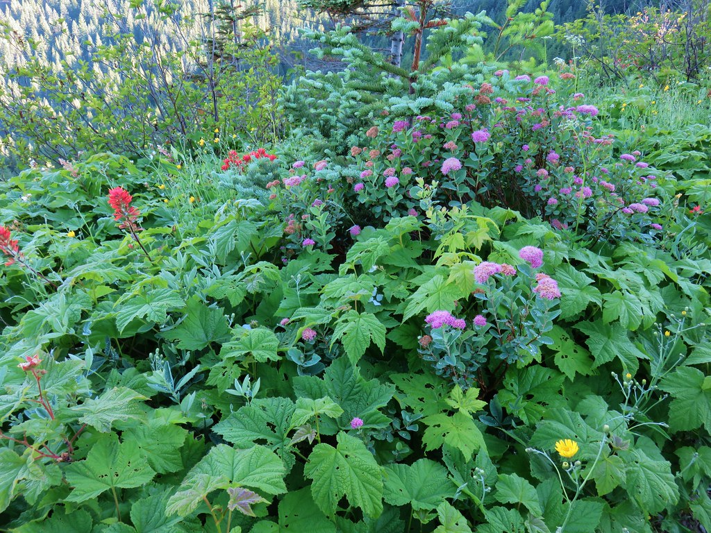
The views and flowers just kept getting better as we went.
 False hellebore amid the lupine.
 Paintbrush framed by trees.
 Woolly pussytoes
After a little over 3.25 miles the Killen Creek Trail ended at the Pacific Crest Trail.
We had been to this junction in 2017 when we had hiked the PCT north from Horseshoe Meadows. We had continued a few hundred feet before realizing that Killen Creek was still almost a mile away. This time we would be hiking beyond Killen Creek and so we turned left on the PCT and continued on.
Where the Killen Creek Trail was heading for Mt. Adams the PCT was bending around the mountain. This made for more up and down hiking as opposed to steady climbing. Mt. Adams occasionally made an appearance over our right shoulders and the flowers continued to be amazing.


 Cinquefoil
 White and pink mountain heather, paintbrush and lupine above the PCT.
 Shooting star
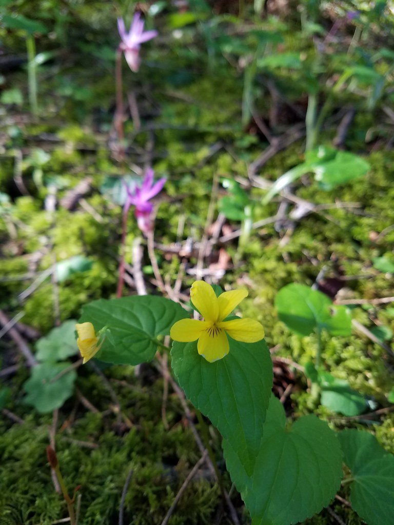
 Violets
 Coming in for a landing on groundsel.
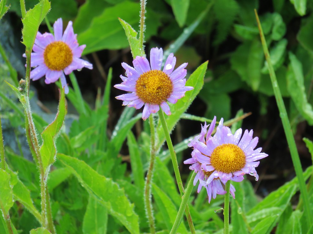
 Aster
Aster
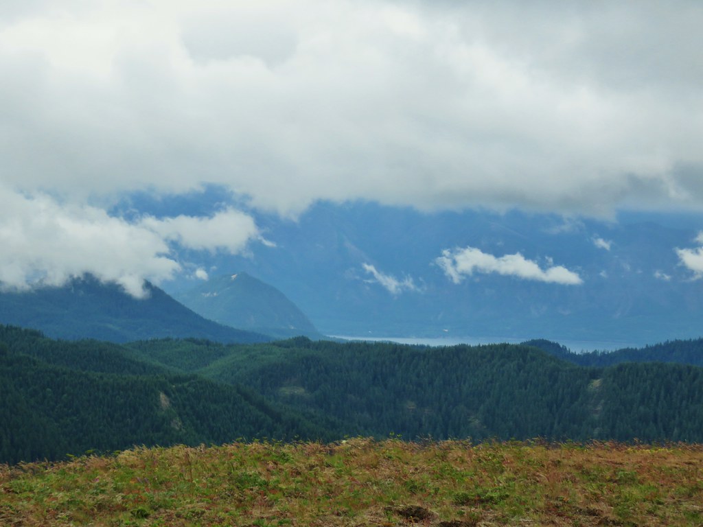
The Goat Rocks was soon fully visible between us and Mt. Rainier.
 Goat Rocks
A little under a mile from the Killen Creek Trail junction the PCT began a descent to Killen Creek Meadows.
 Aster and white seed heads
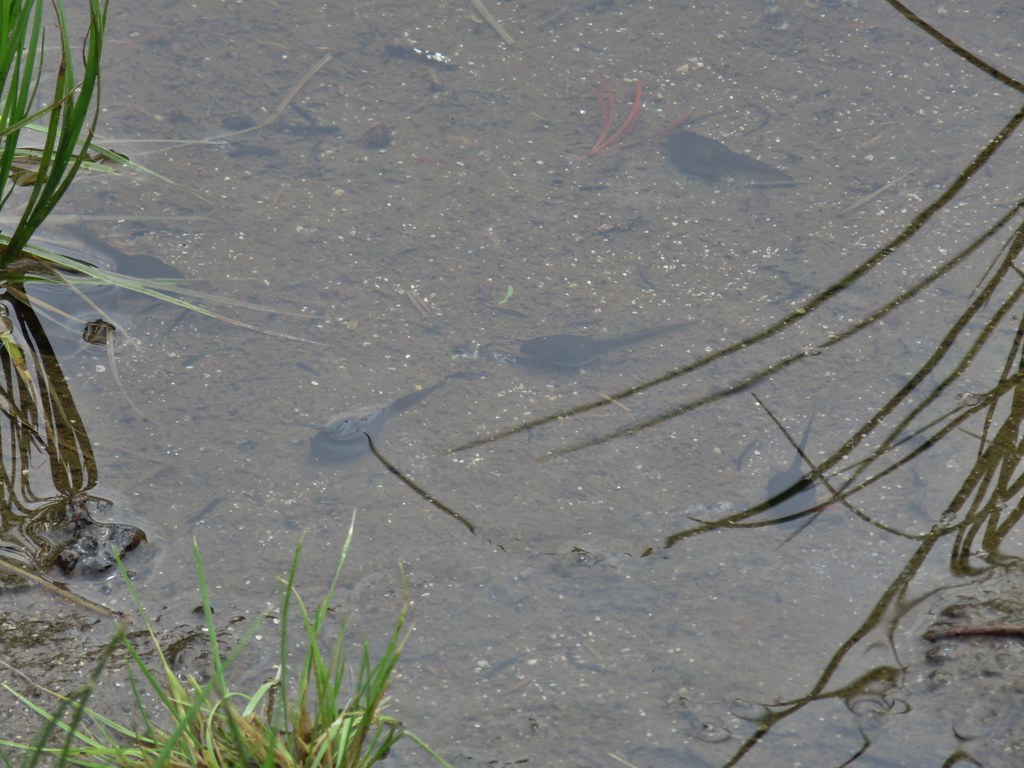
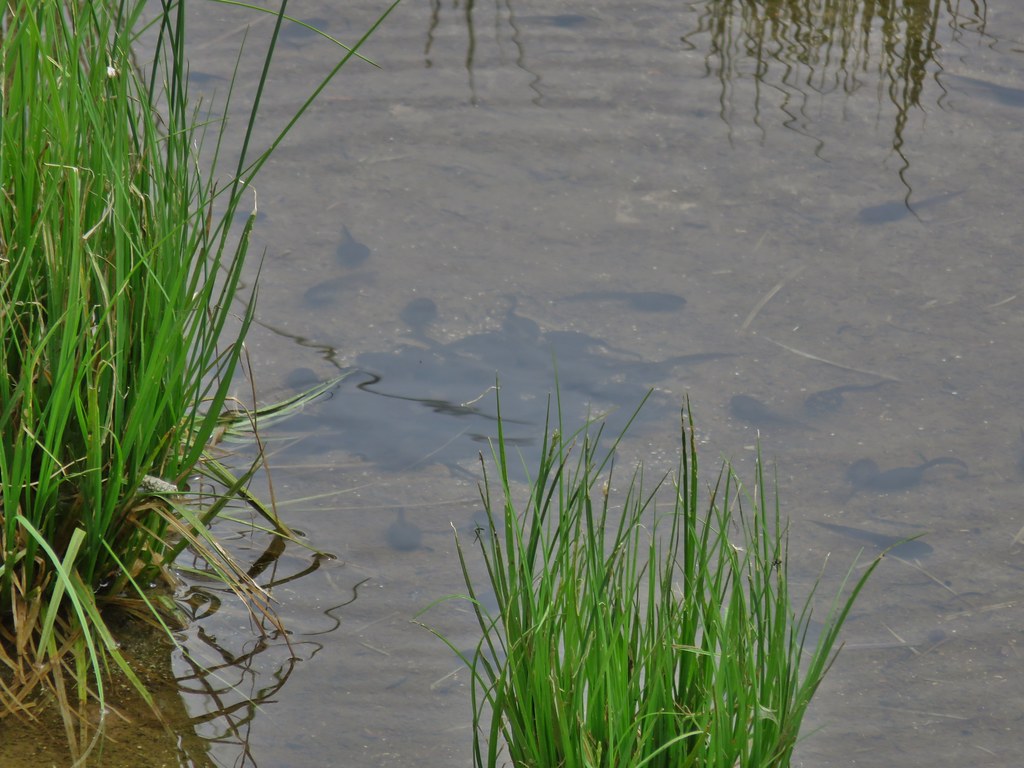
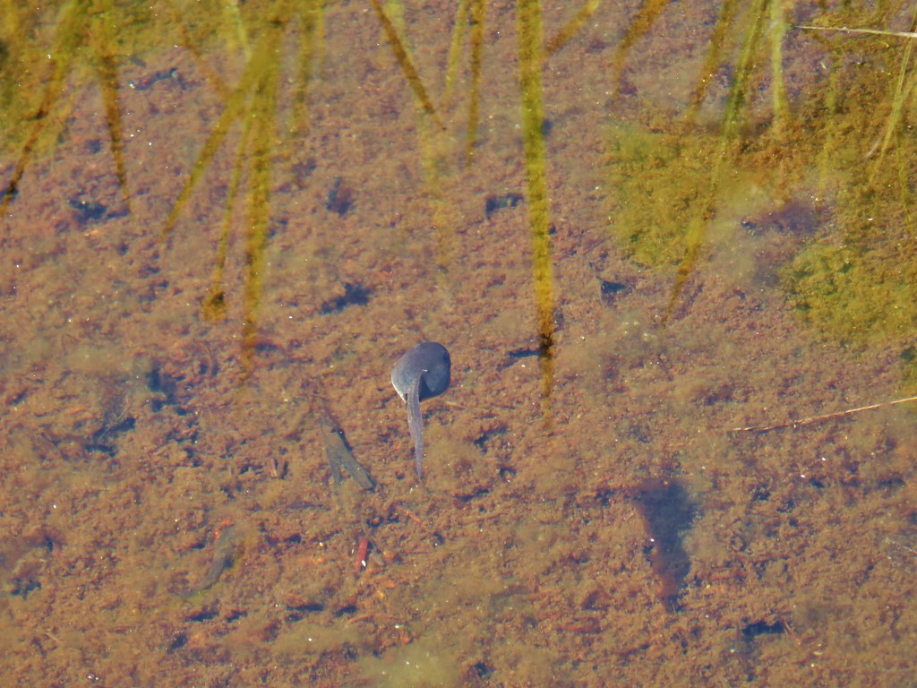
There were a couple of small ponds still holding water in the meadows and we noticed a lot of ripples in the water as we approached.

It turned out to be pollywogs, and a lot of them.
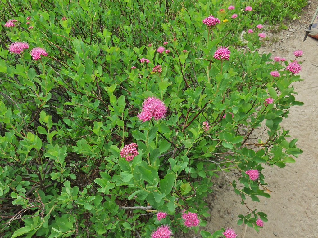 Spirea
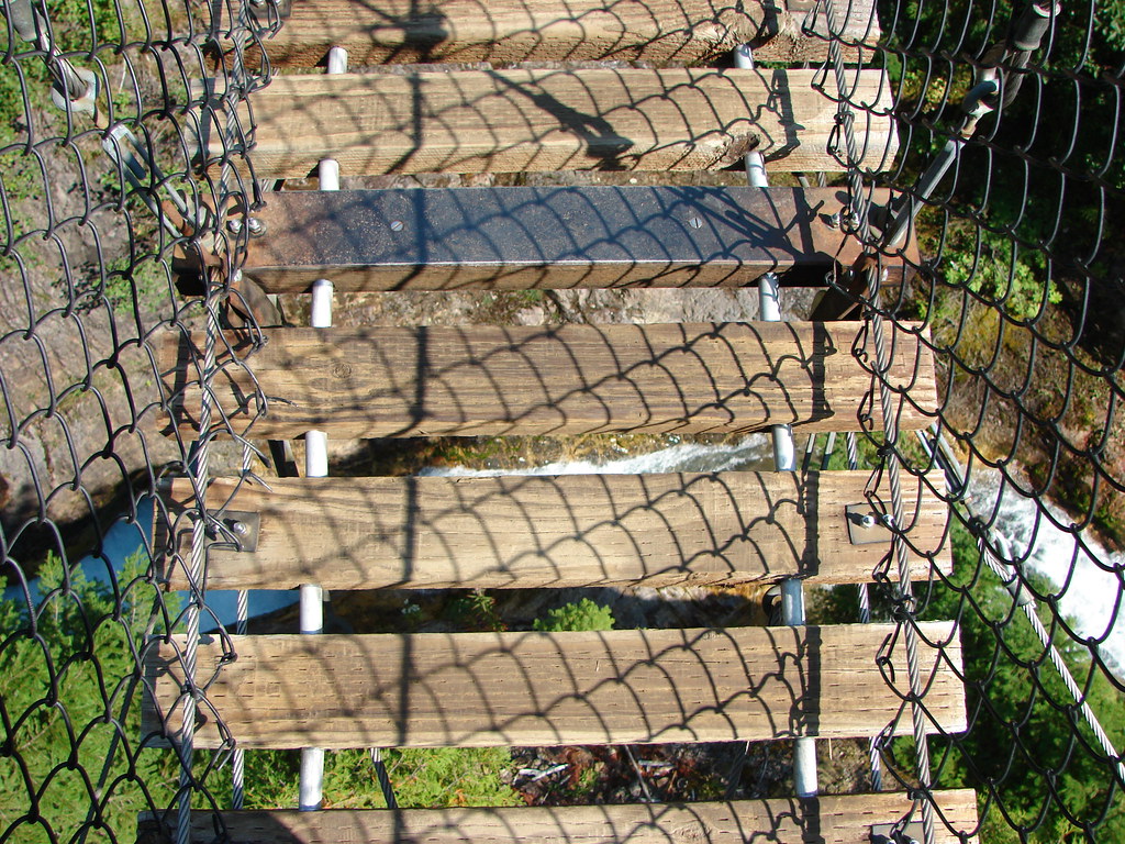
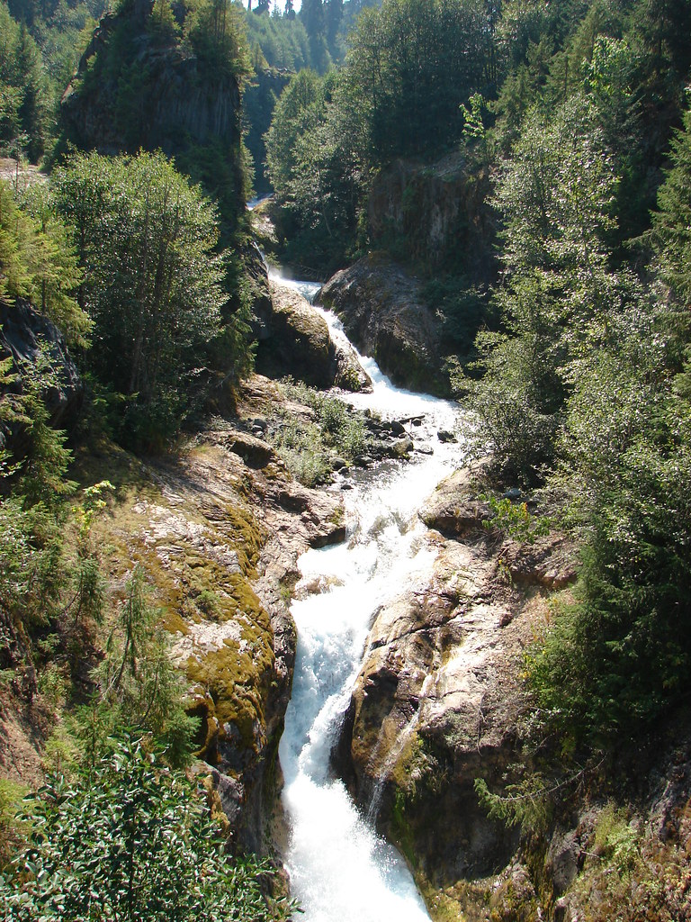
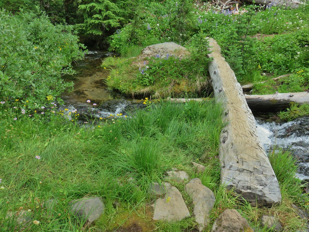
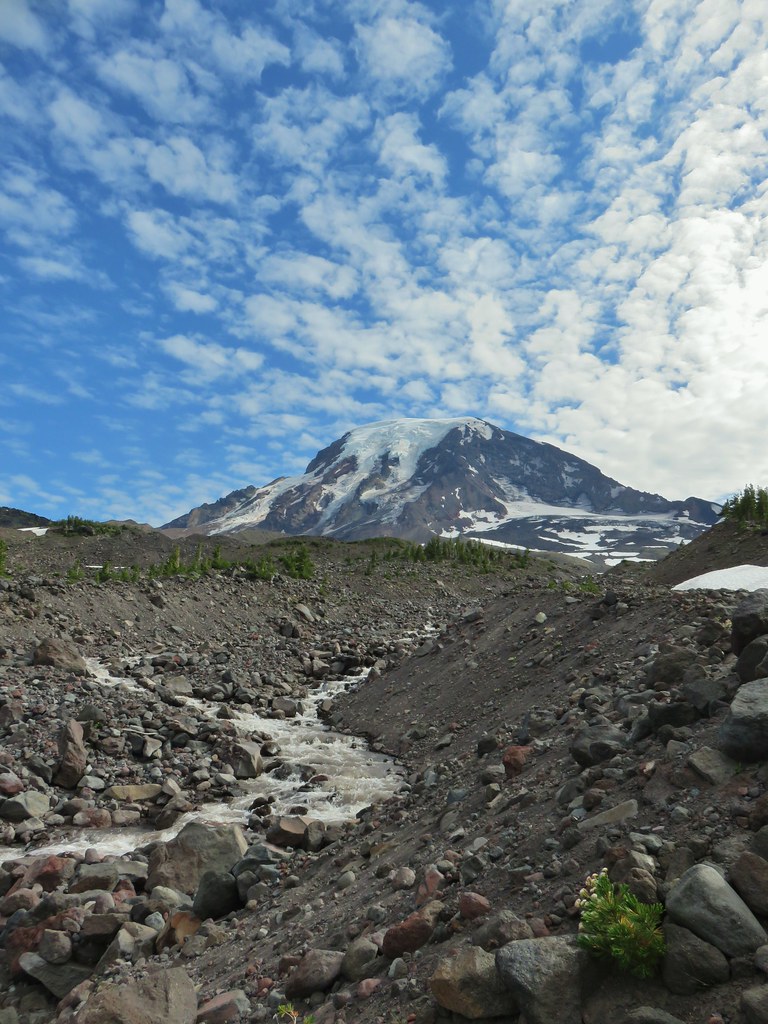
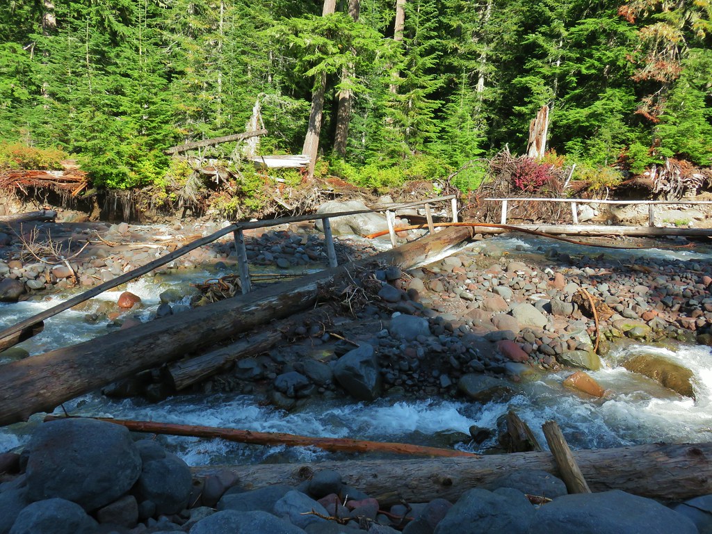
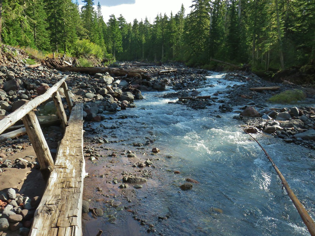
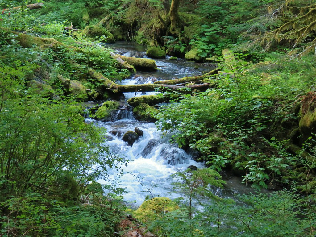
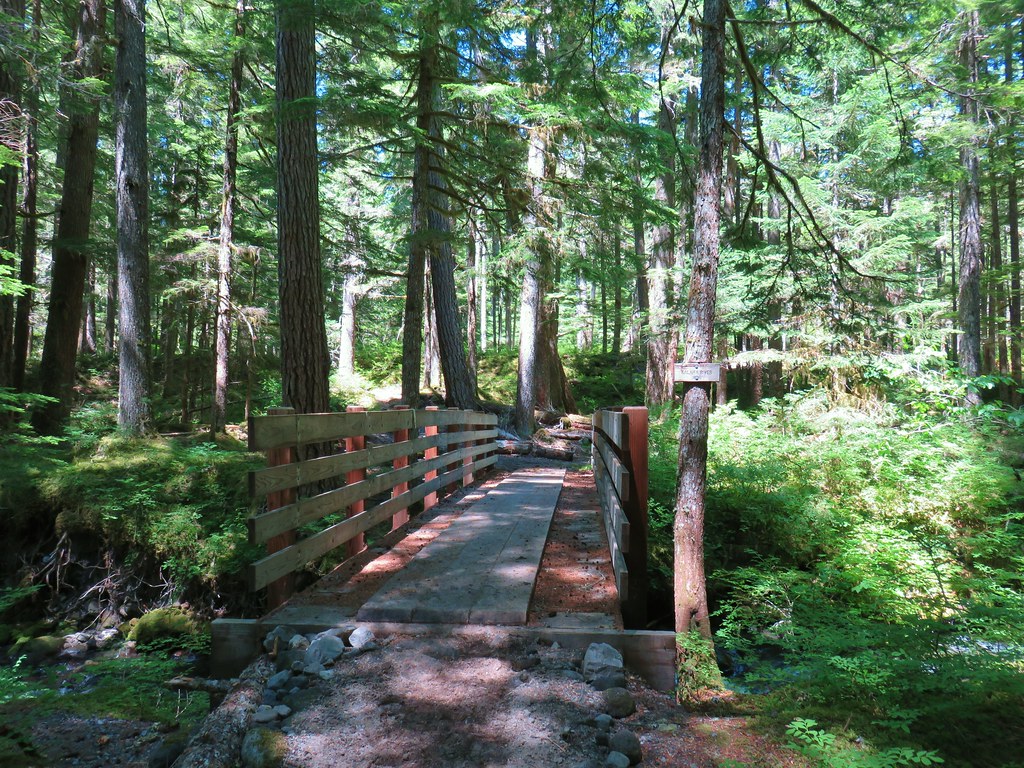
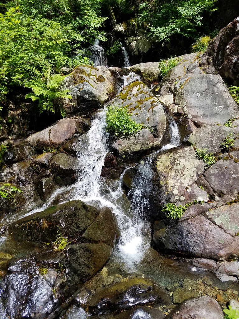
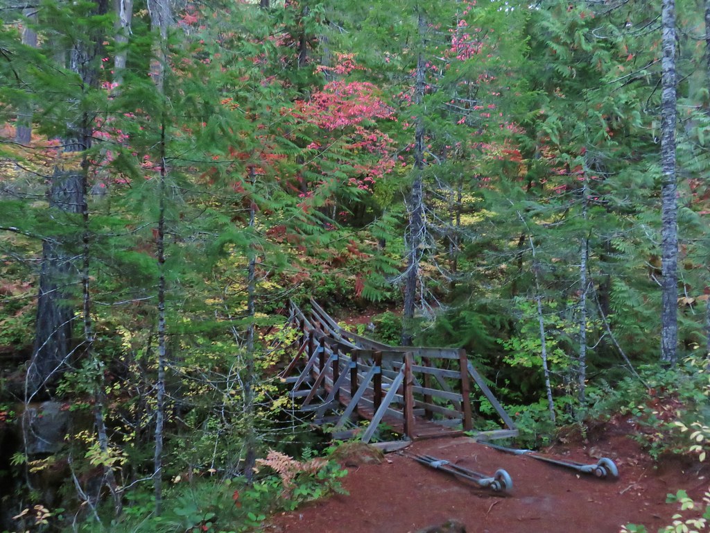
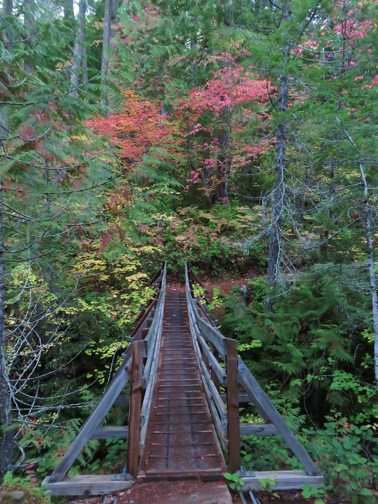
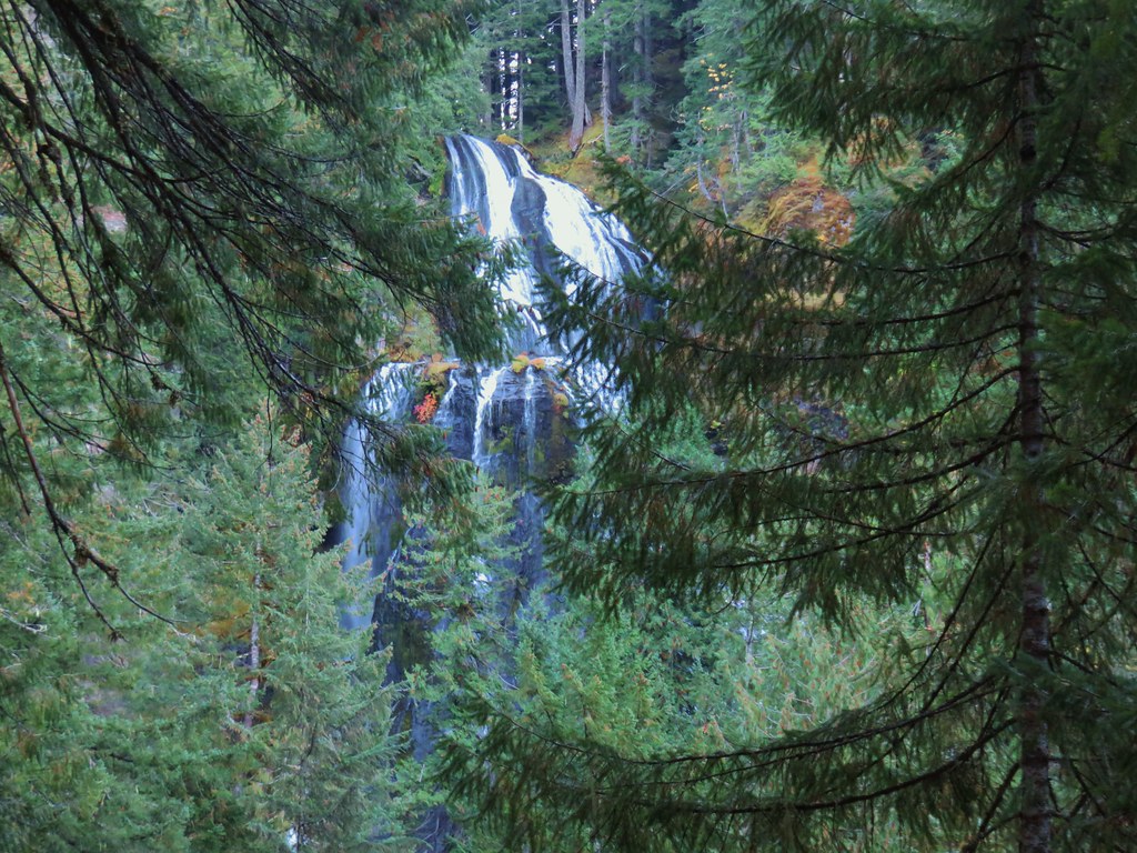
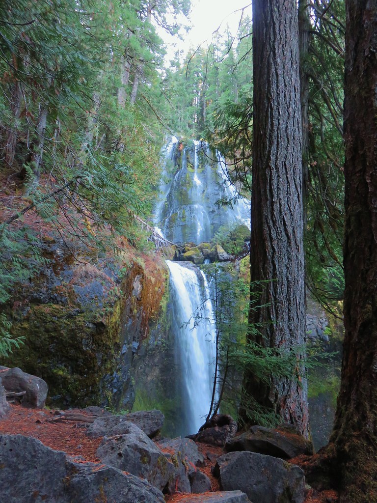
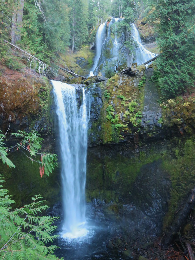
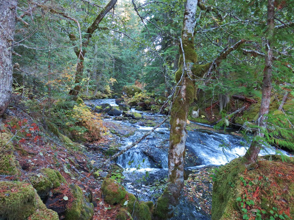
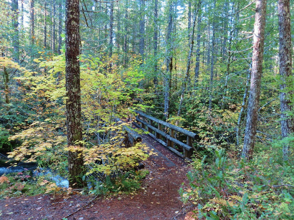
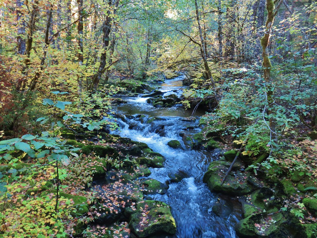
The PCT crossed Killen Creek on a footbridge just above a waterfall.
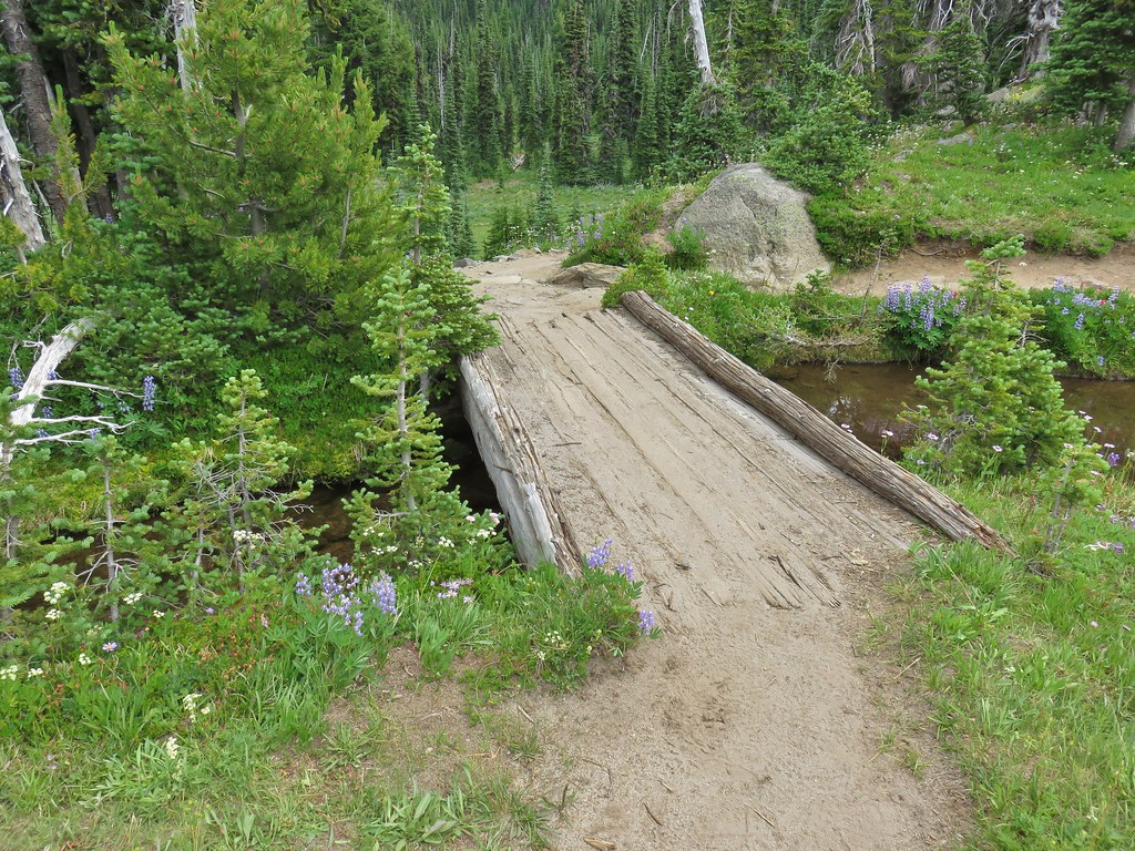
 Killen Creek and Mt. Adams.
There was a steep path down on this side of the falls but it looked like the PCT might have a good view of it on the other side of the creek so we opted not to head down. We figured the worst case scenario was that there wouldn’t be a view and we could just go down on the way back out.

As we started to cross the bridge we noticed something in the creek nearby, it was an ouzel.

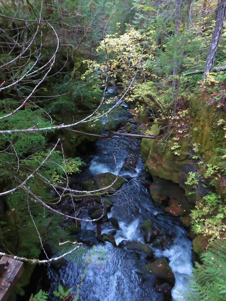
There wasn’t a great view of the waterfall on the other side.
 The waterfall from the PCT.
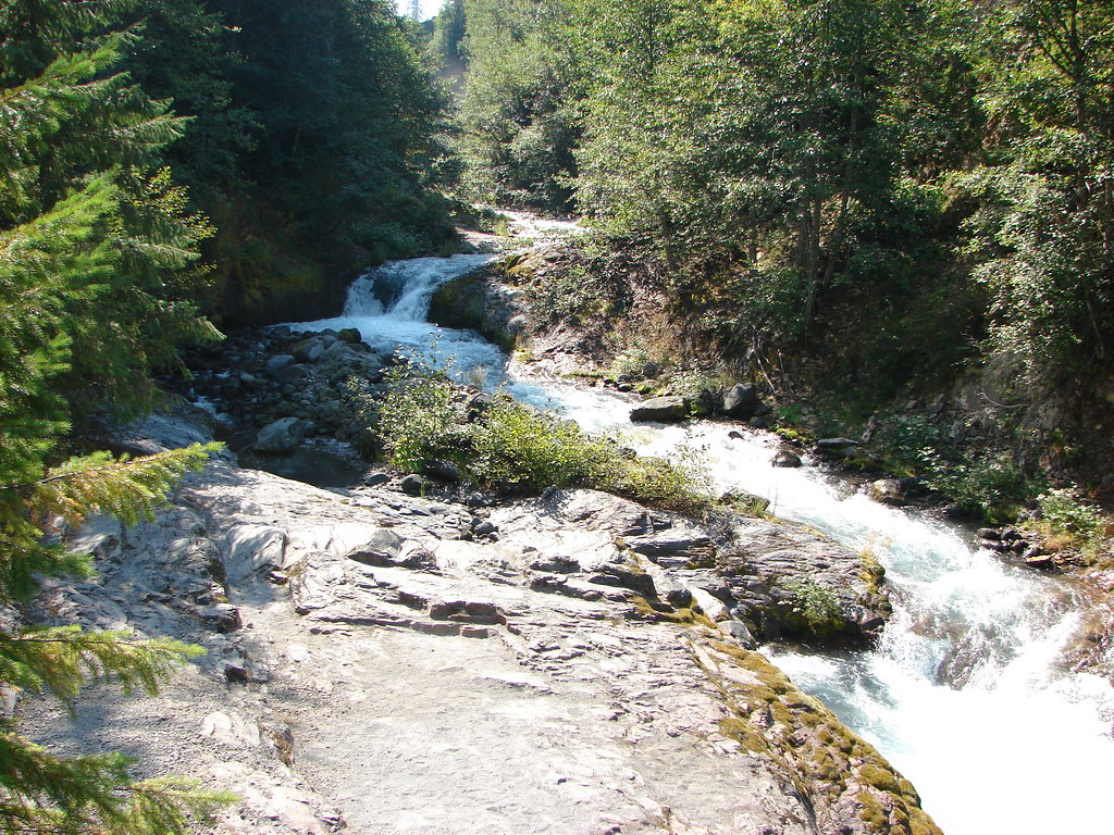
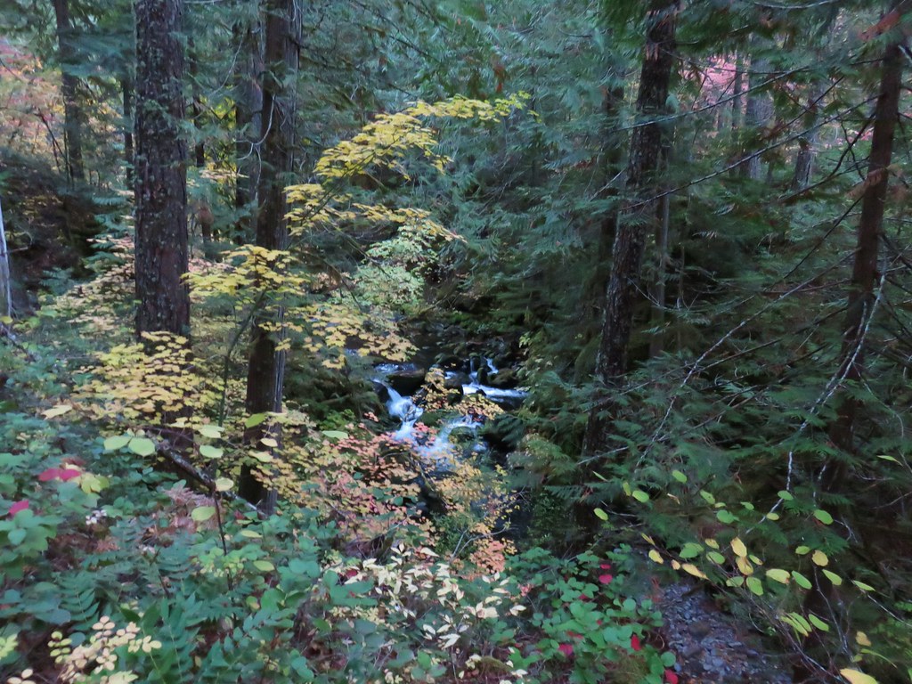
The PCT descended to a lower meadow where a trail led out to a campsite and another possible vantage point for the waterfall but the view was obscured so we put it on the to do list for the next day.

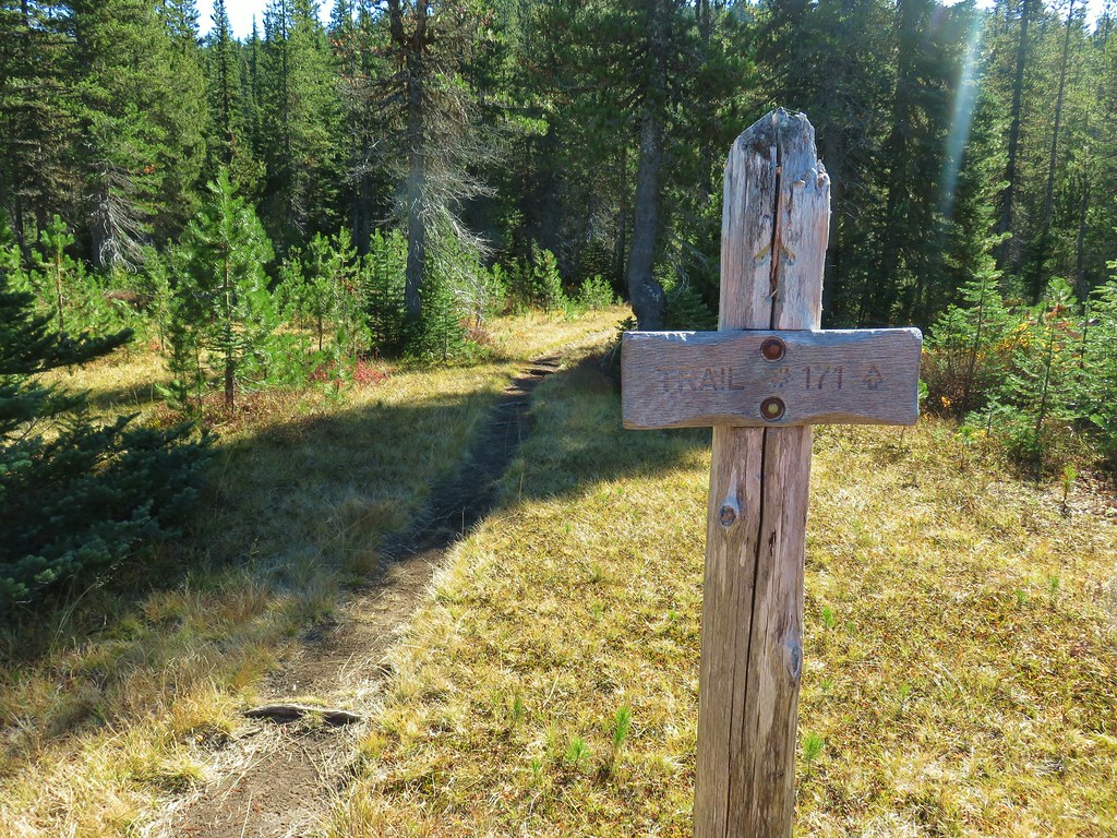
From Killen Creek it was .2 flower filled miles to a junction with the Highline Trail.
 Highline Trail ahead.
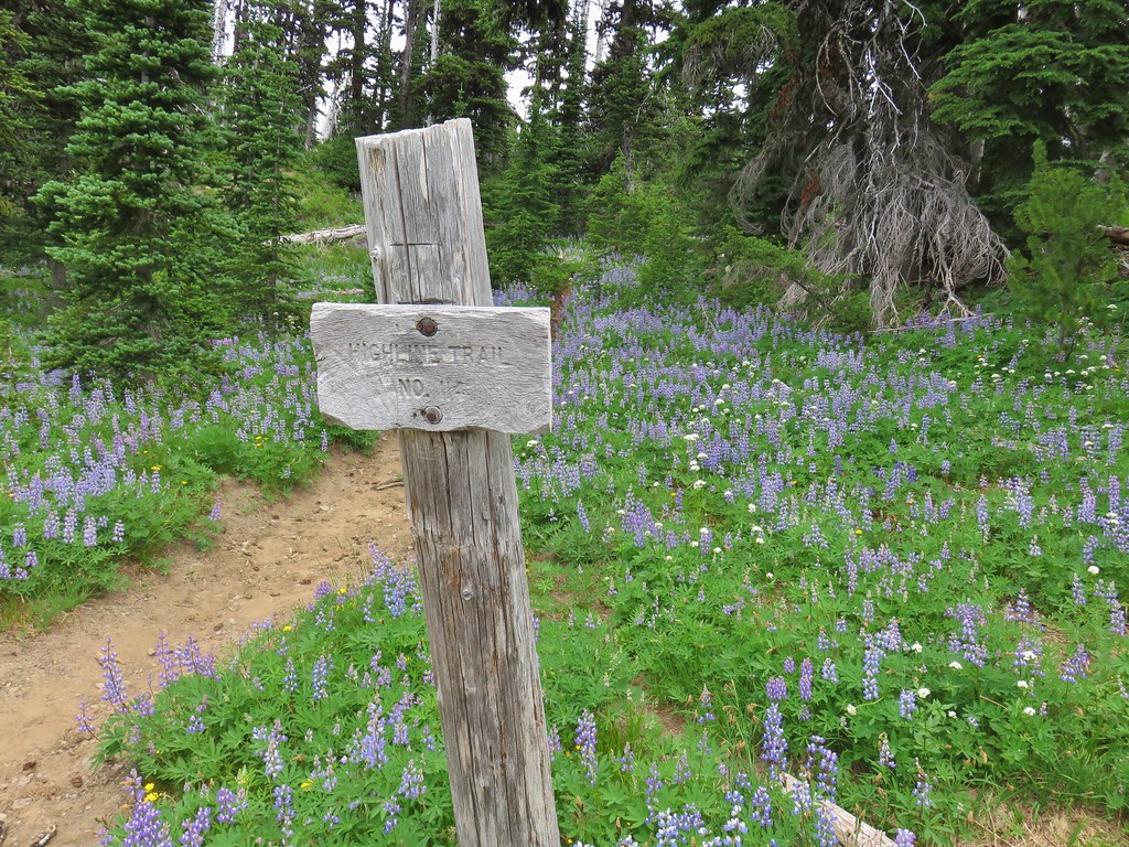
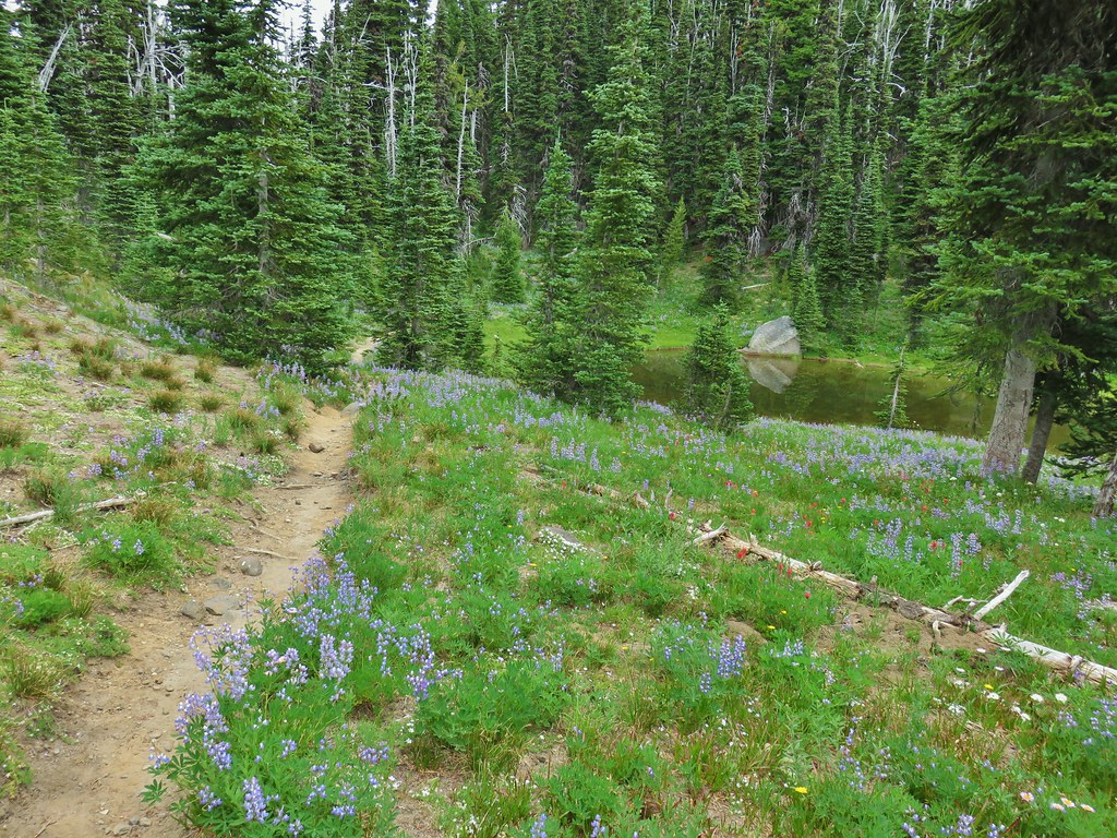
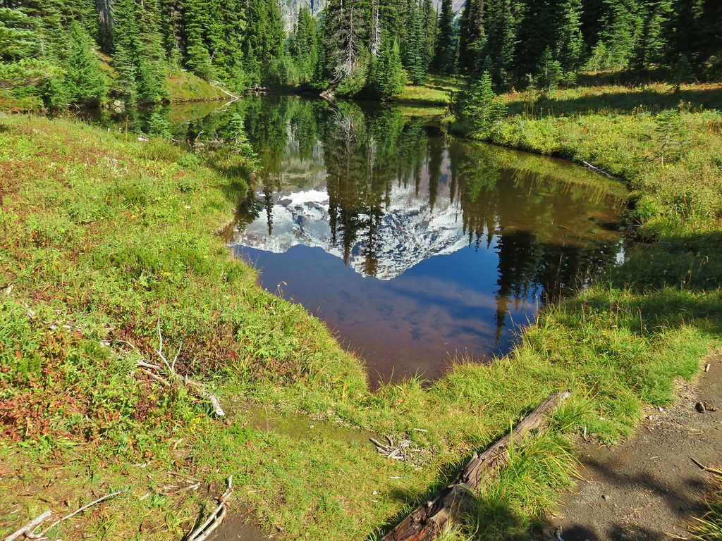
Here we left the PCT as it continued on its way to Goat Rocks and beyond and turned up the Highline Trail. Not far from the junction we arrived at an unnamed lake with a reflection of Mt. Adams.

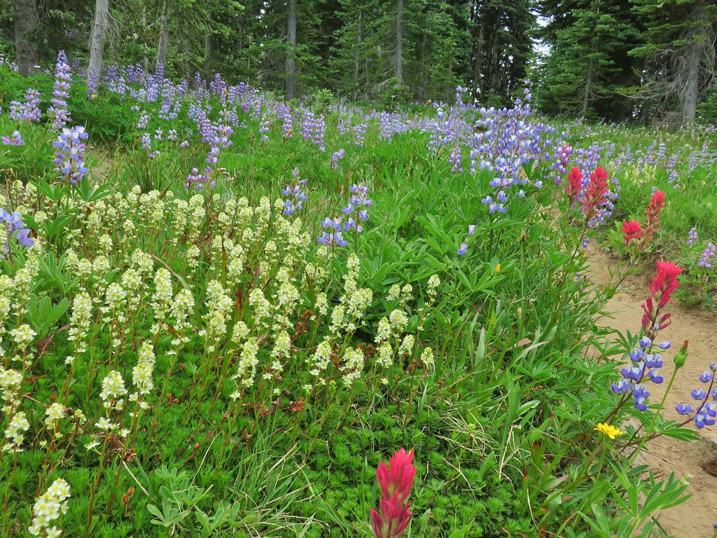
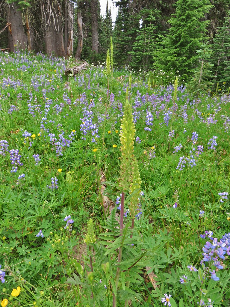
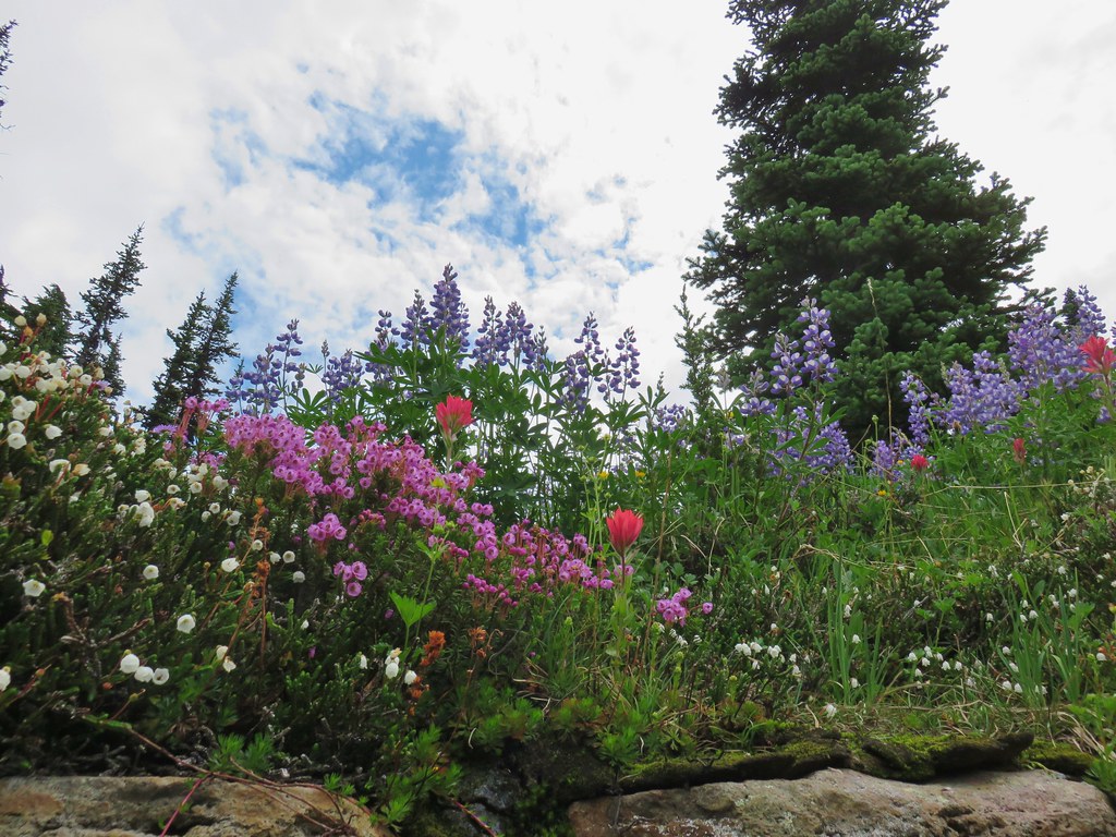
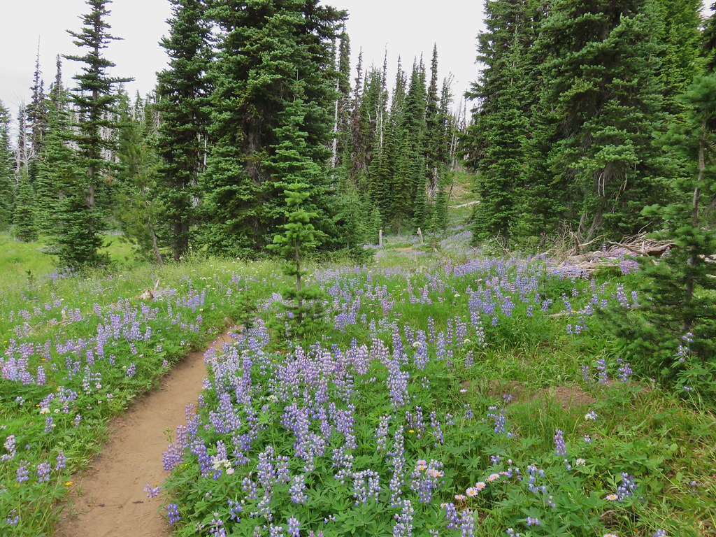
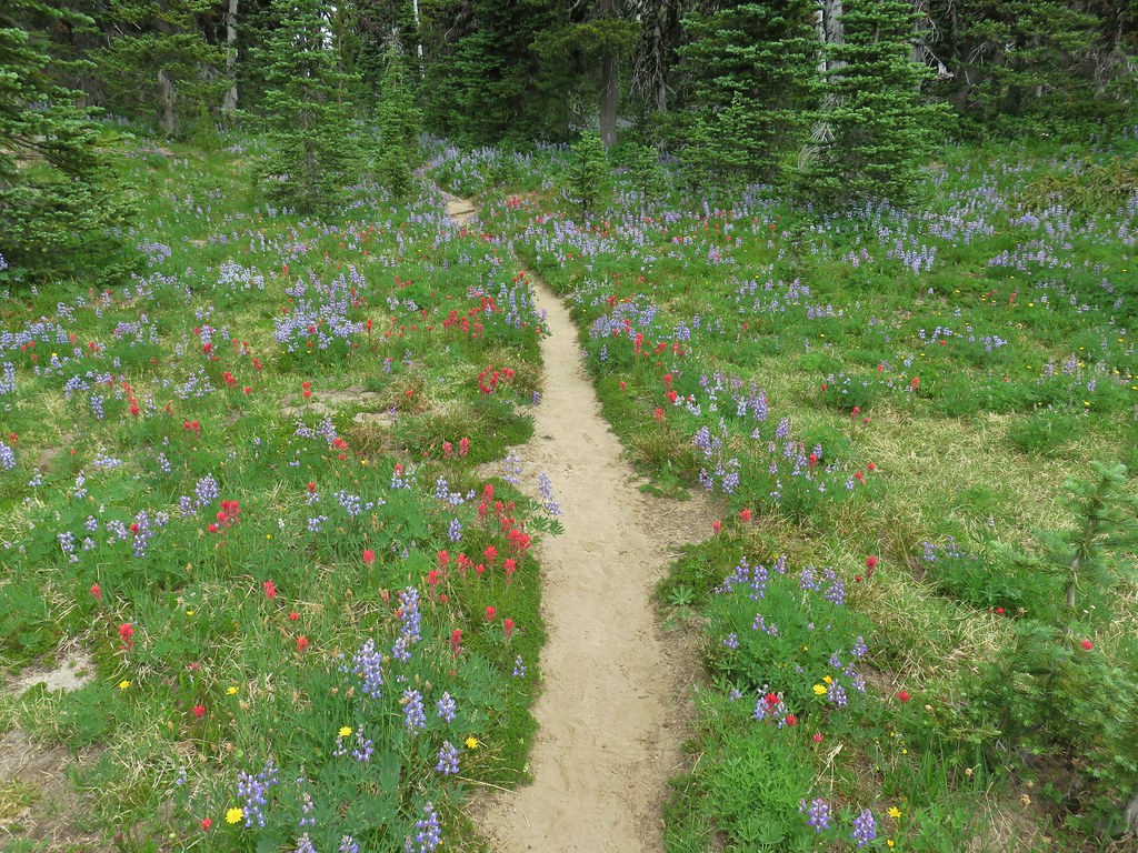
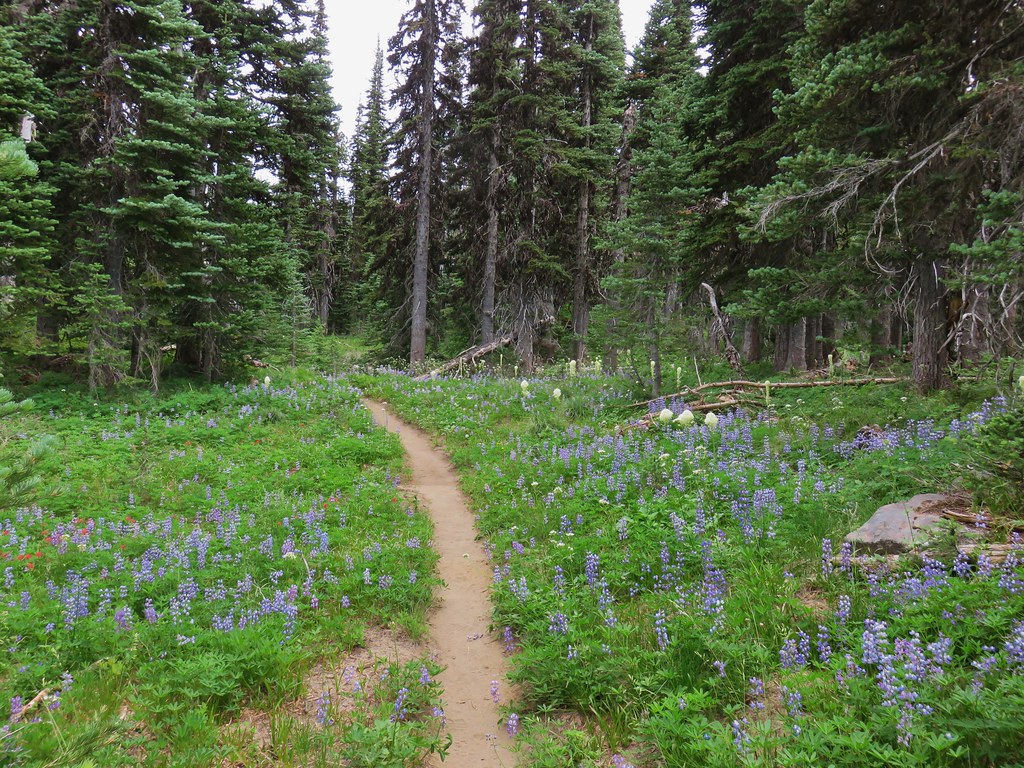
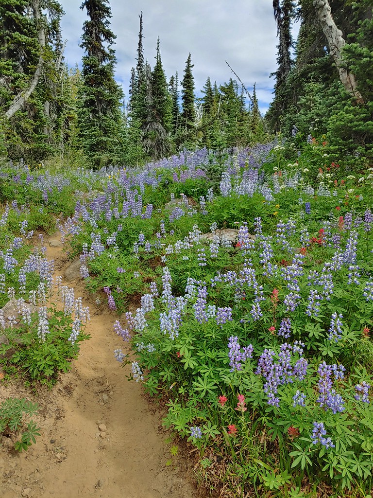
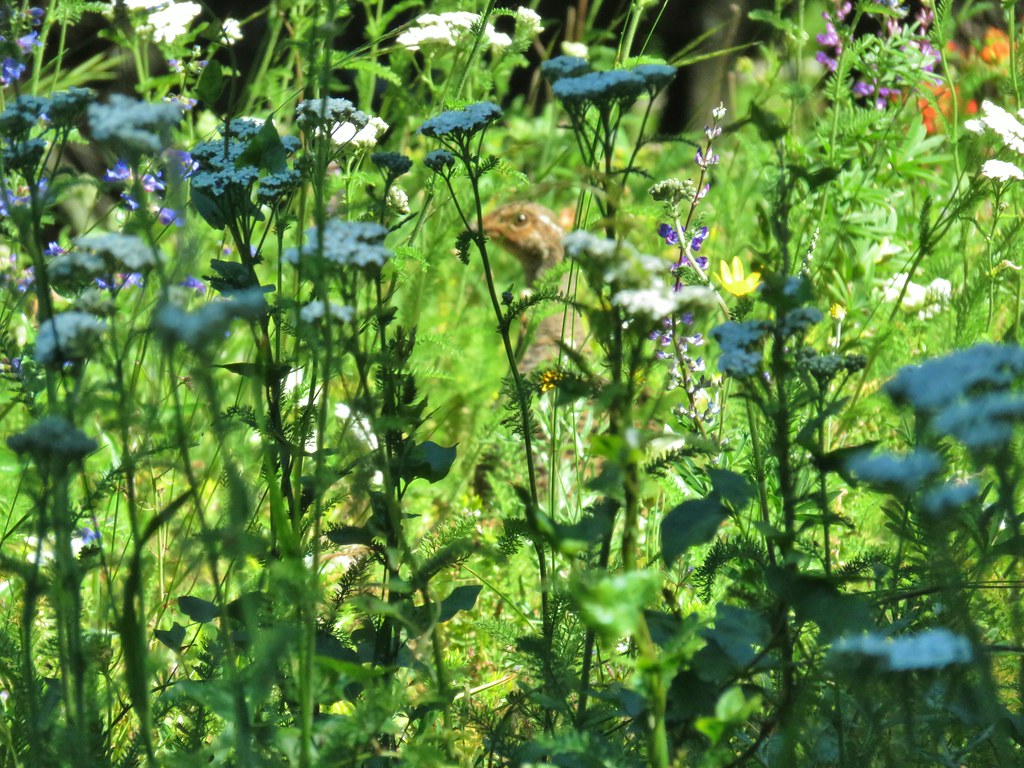
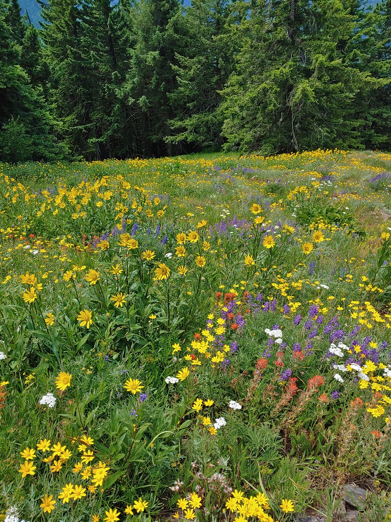
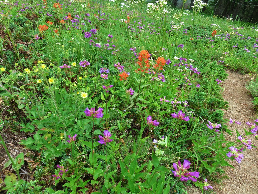
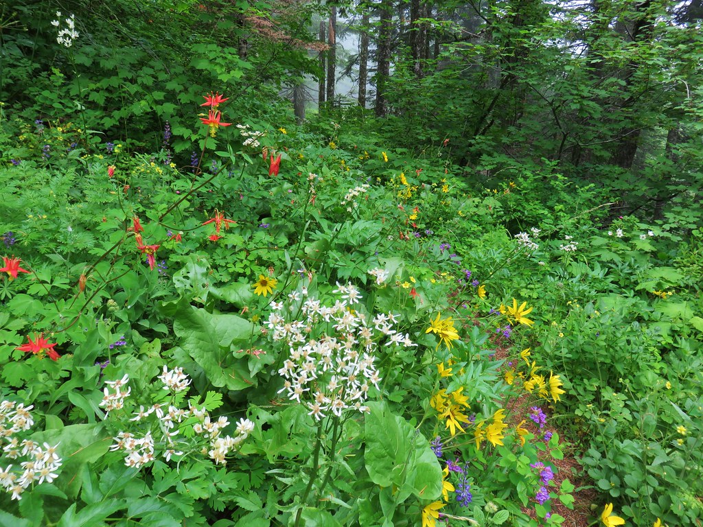
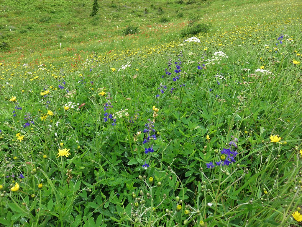
The wildflowers had been impressive thus far but the Highline Trail took it up a notch.
 Yellow arnica along the trail.
 Beargrass in full bloom.

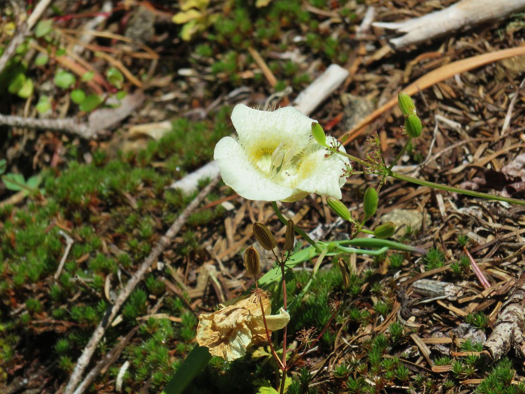
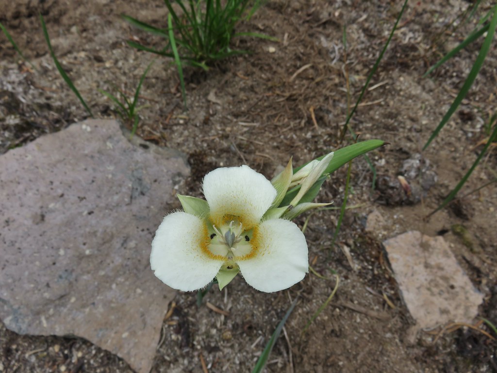 Subalpine mariposa lily
After a total of 1.7 miles on this trail we arrived at another junction. This time it was the Muddy Meadows Trail.
 Look more lupine that way.
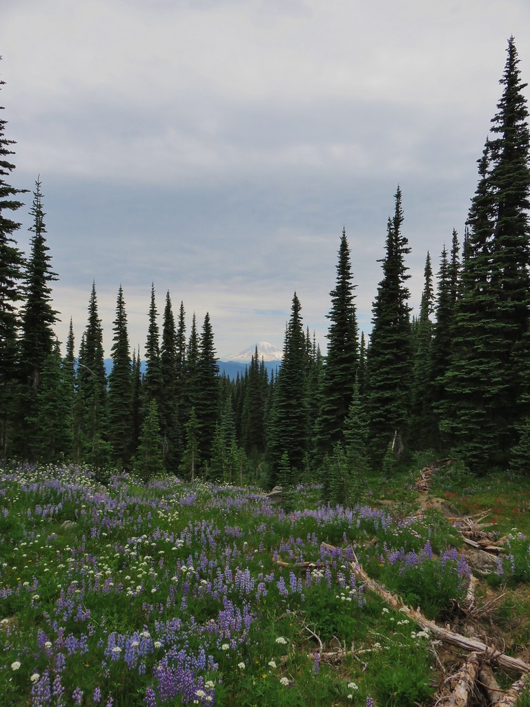
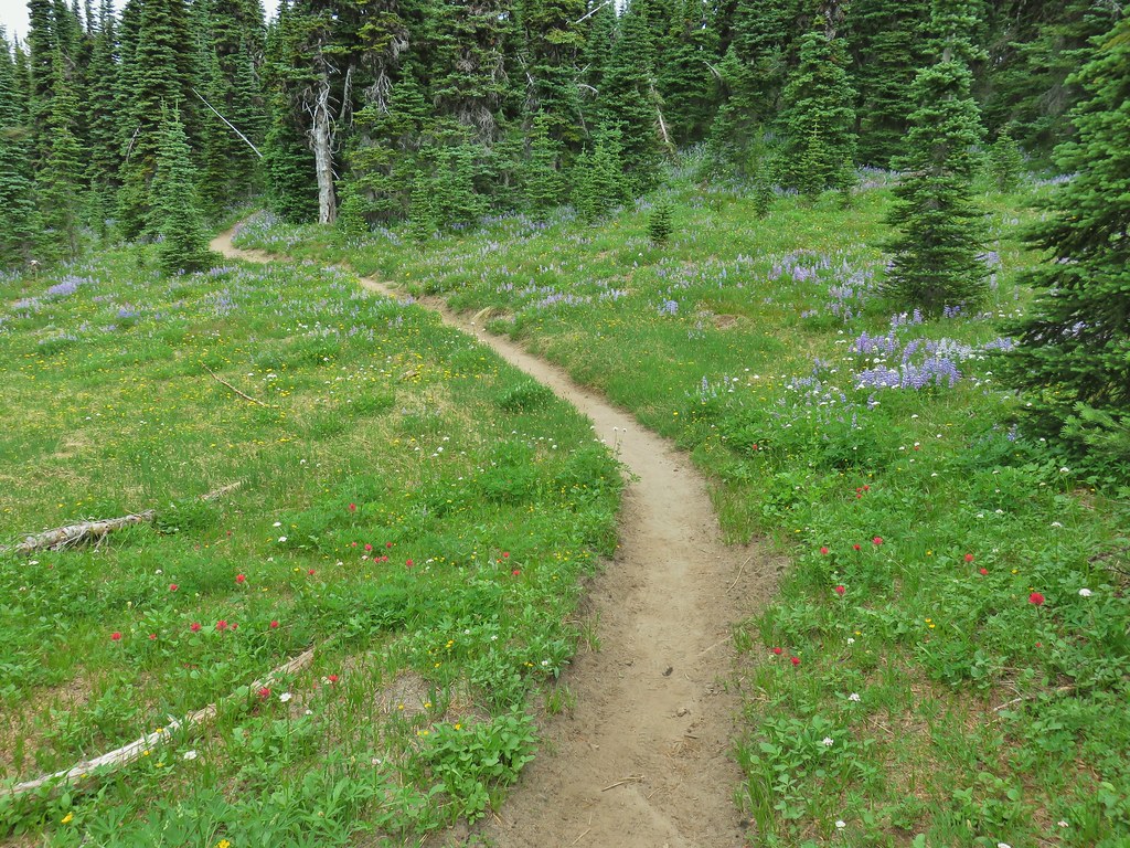
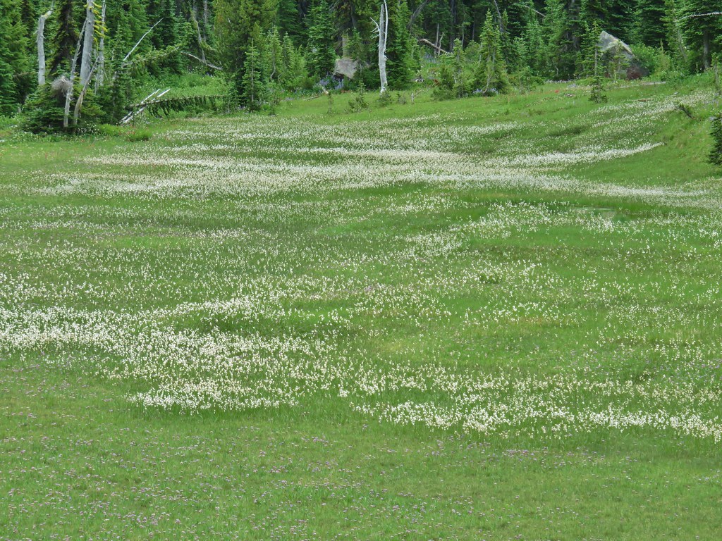
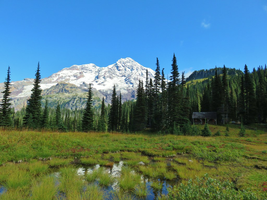
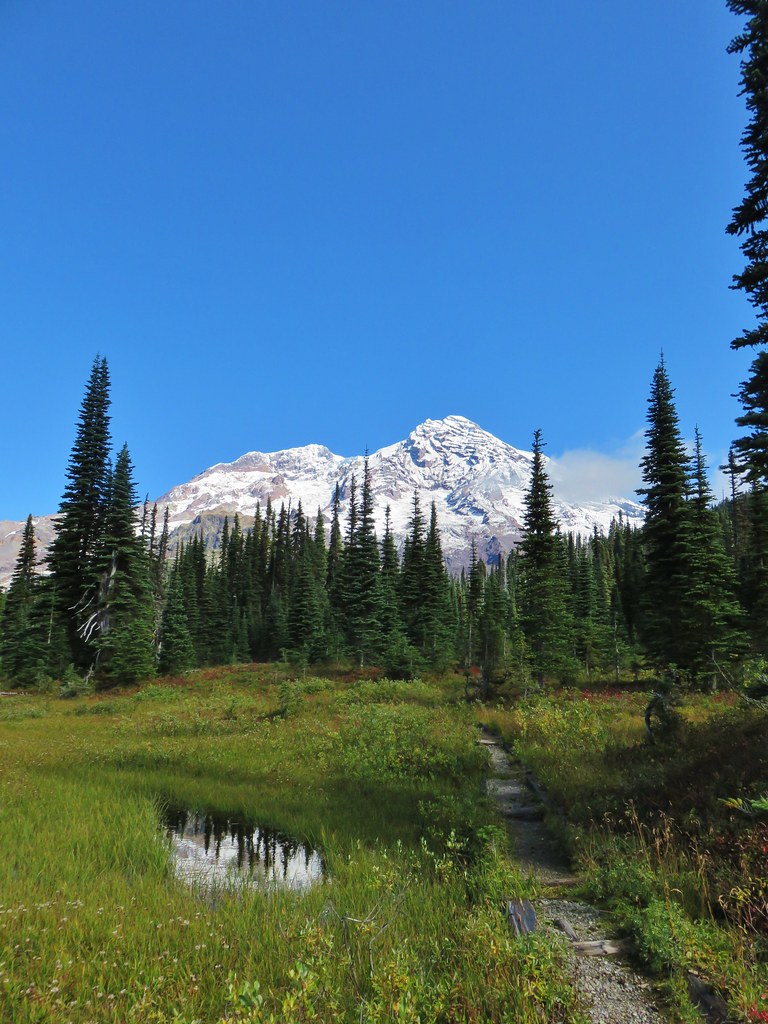
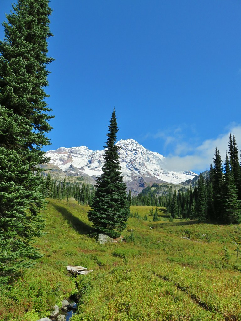
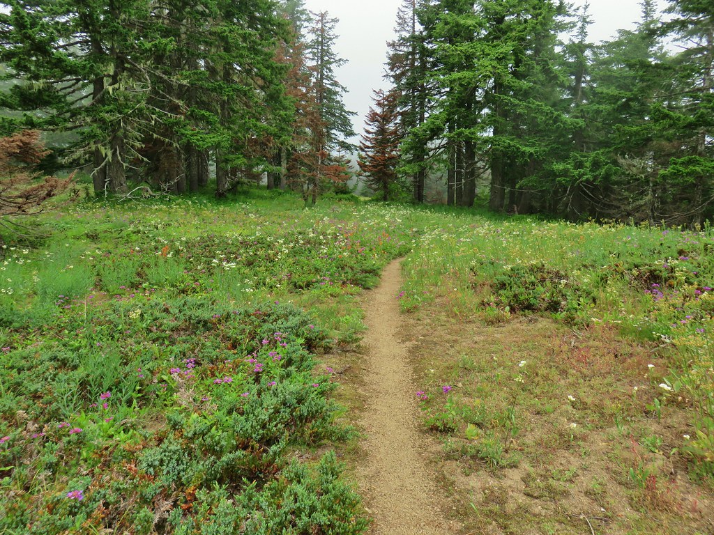
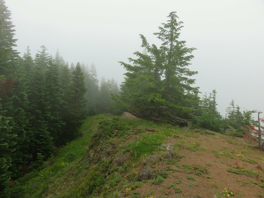
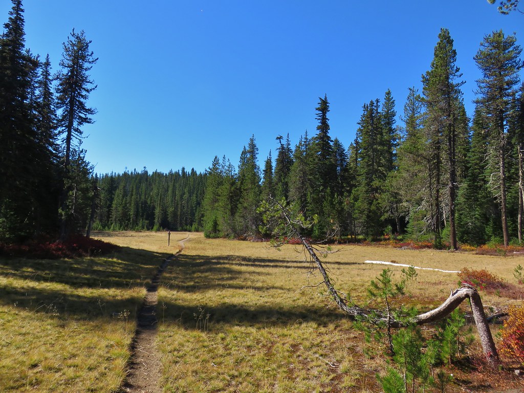
We continued on the Highline Trail another mile before reaching Foggy Flat, a wet meadow near an unnamed creek.
 Still tons of flowers.
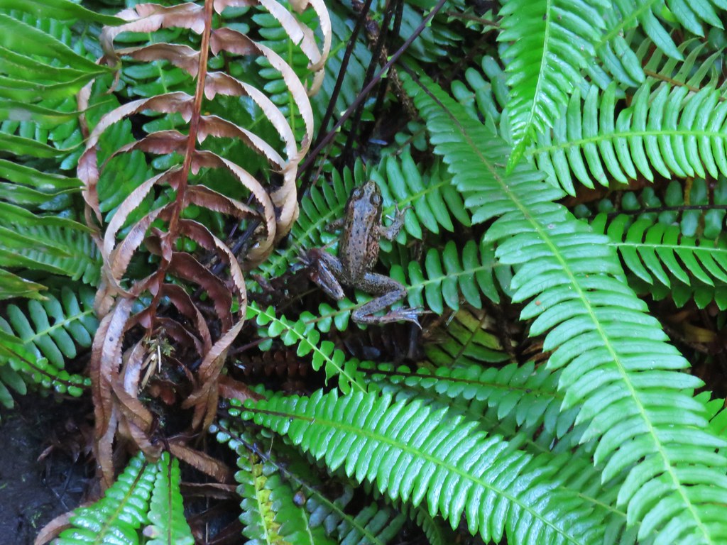
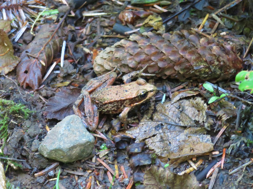
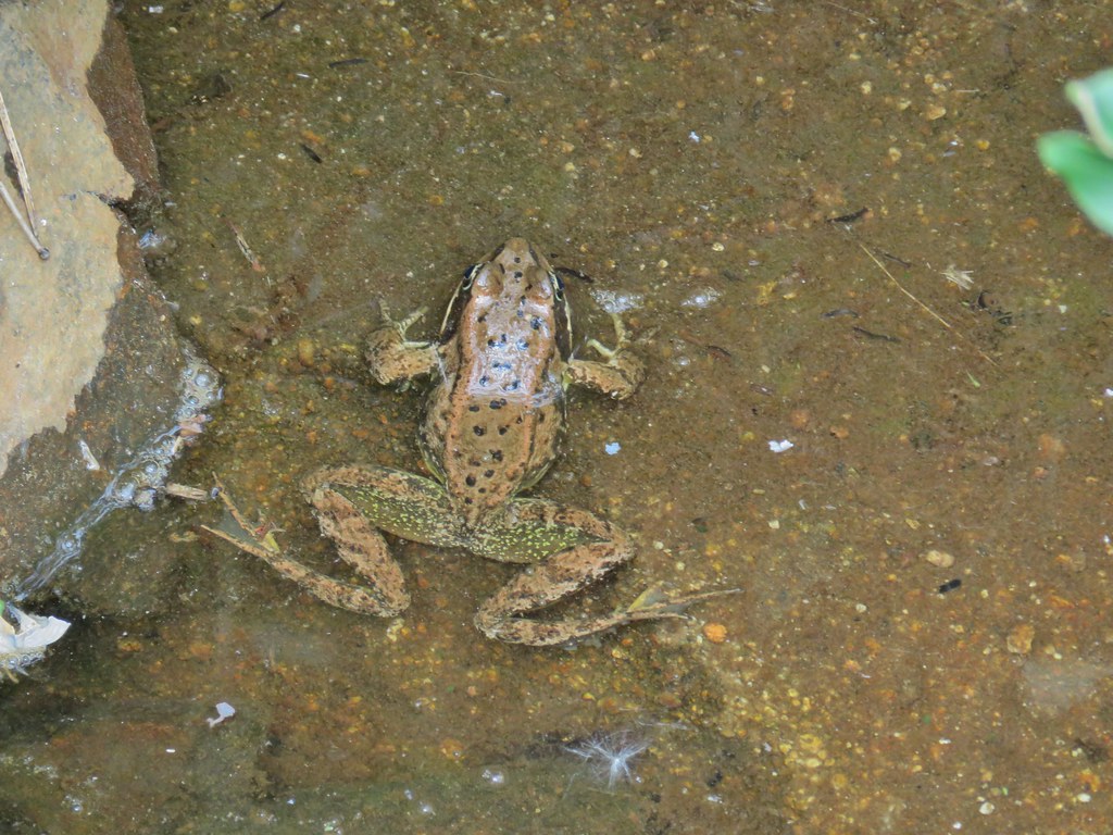
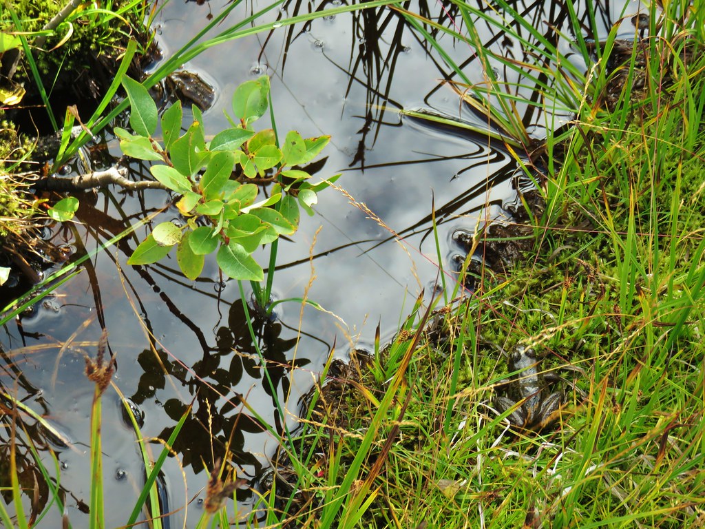
 Frog near Foggy Flat
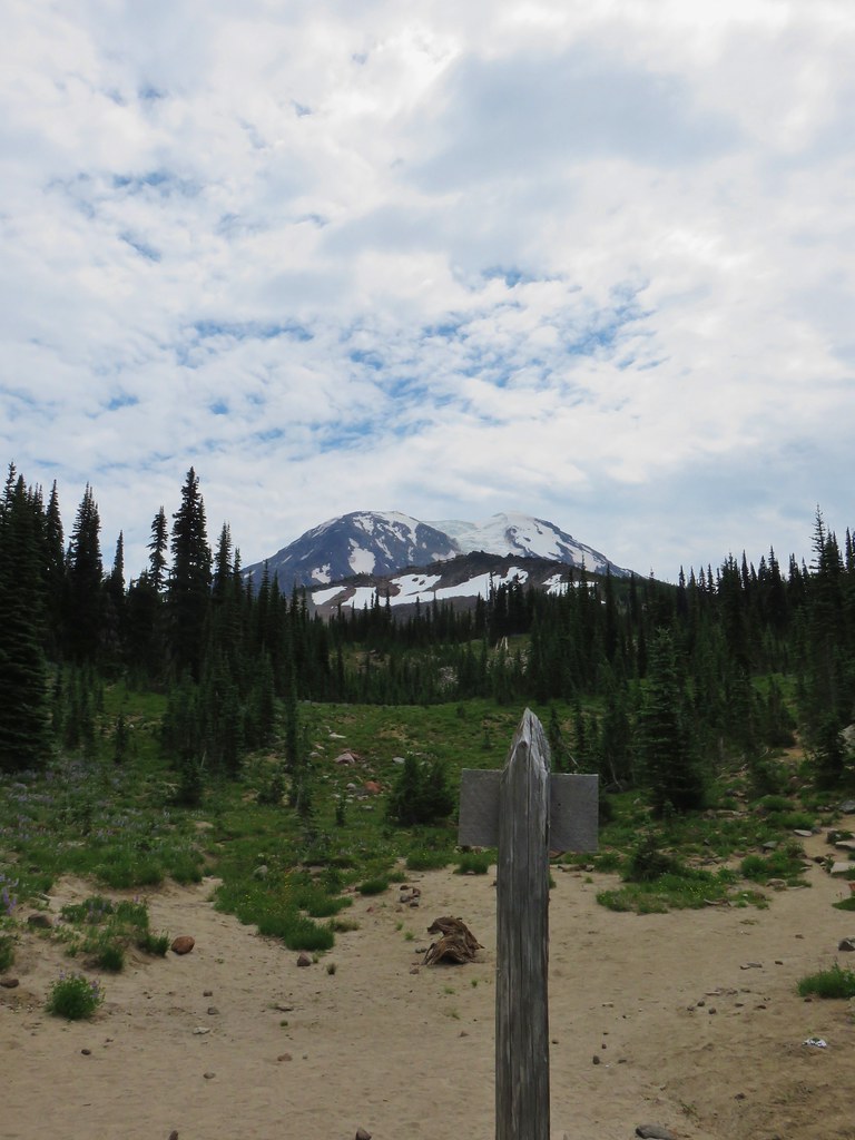
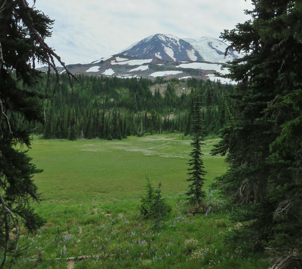
 Mt. Adams from Foggy Flat
 Frog in a little stream at Foggy Flat.
 Zoomed in
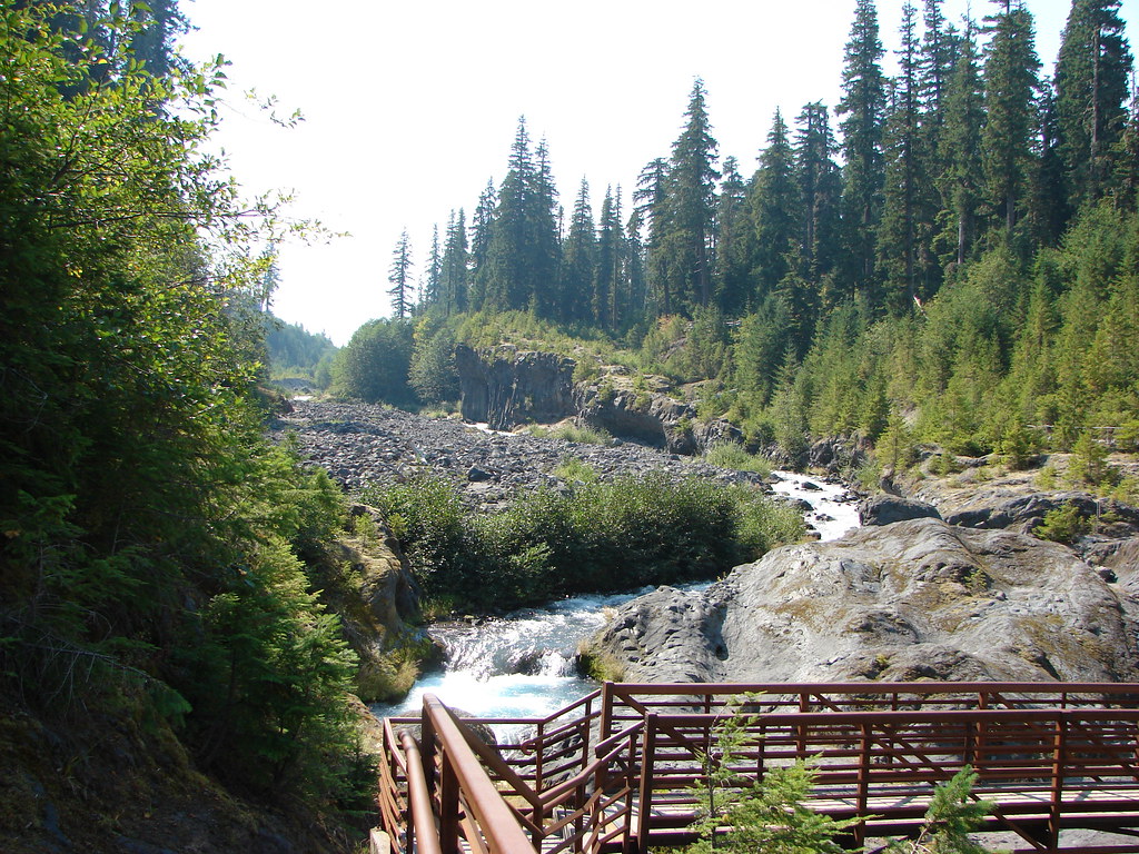
We walked along the meadow to the far end where the creek was located looking for tent sites. There was one occuppied site along the trail across from the meadow but that was about all we saw at first.

The Highline Trail crossed the creek on a footbridge but then launched steeply uphill so we turned around and decided to check around the meadow more thoroughly for a suitable site.

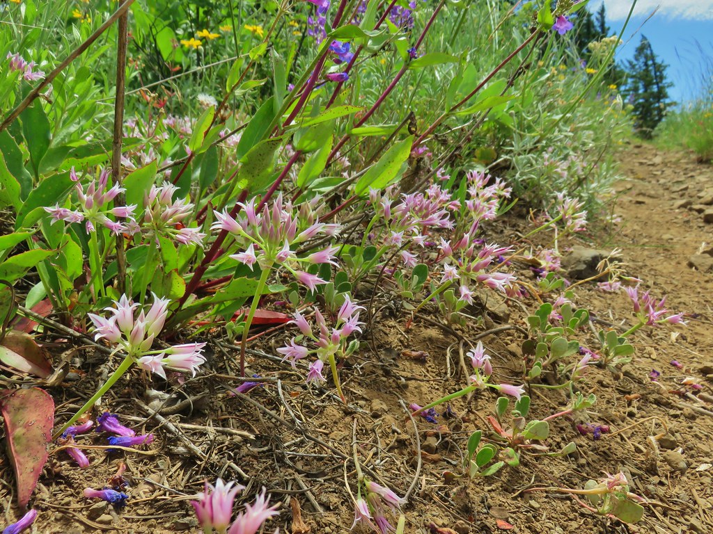
 Gentian
 Elephants Head
We are fairly picky about our campsites. We do not like to camp on any vegetation, especially in meadows and we do our best to maintain a proper distance from water and trails. Unfortunately we are in the minority and it was obvious from the fire rings and smashed grasses that many others aren’t as selective (not to mention the TP – come on people). We finally managed to find an acceptable spot tucked into some trees.

With camp established we took our daypacks out put our essentials plus dinner and the stove into them and set off across the creek on the Highline Trail. Reeder described the trail beyond Foggy Flat as having “incredible views” but also “difficult creek crossings”. Our plan was to go as far as the Muddy Fork crossing and unless it looked really easy turn back there.
 Monkeyflower and willowherb along the creek.
The climb up from the creek was indeed steep and we were happy to just have our daypacks on.
 Mt. Rainier behind us.
 The trail dropping steeply behind us on one of the steeper sections.
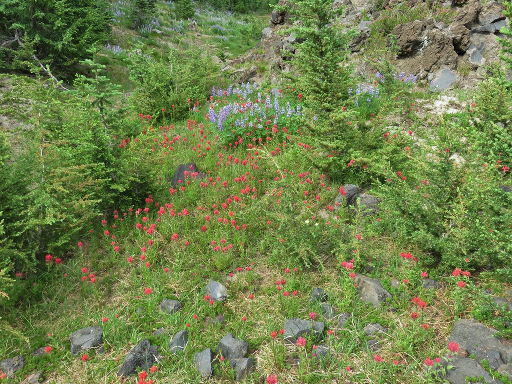
We passed several nice campsites as the terrain became more level at the edge of a lava flow. A couple of the sites were occupied. Despite the rockier conditions due to the lava flow the flower show continued.
 Can you spot the yellow paintbrush?
Shortly after crossing another little creek we found ourselves in the lava field with an excellent view of Mt. Adams. We had been waiting for the clouds to break up all day and now they were starting to oblige.


 Buckwheat
We continued to follow the Highline Trail through the lava and past snow fields.


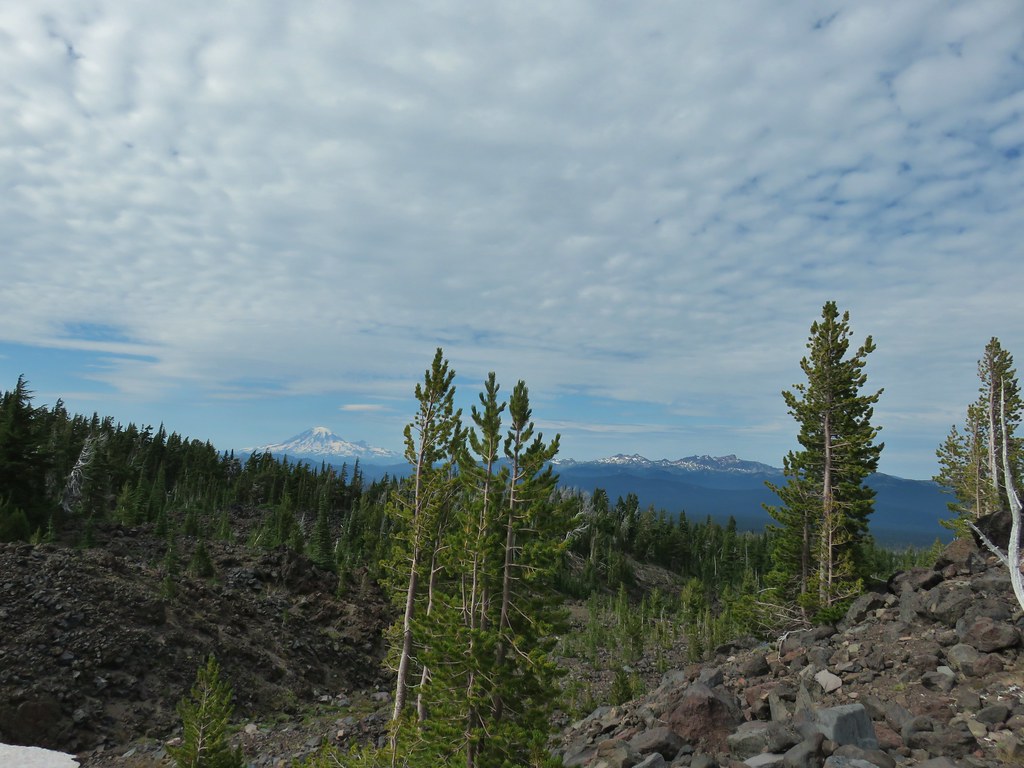
The lava also provided great views of Mt. Rainier and Goat Rocks.
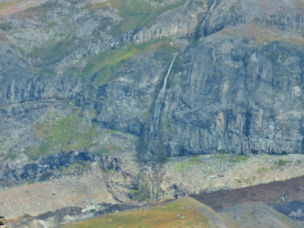
 Goat Creek falling from Goat Lake.
 Red Butte and Mt. Adams
 Red Butte, a neat looking cinder cone.
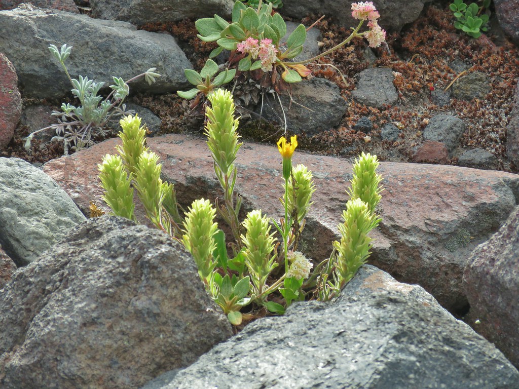
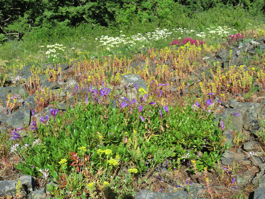
 Flower amid the rocks.
We did indeed stop at Muddy Fork. It was a little more of a crossing than we wanted to tackle at that point.


We backed track a bit to rise where we had seen a great looking spot for dinner (or a tent). We cooked our dinner there and then explored a bit on the ridge above the spot where we found a few flowers amid the rocks and more amazing views.
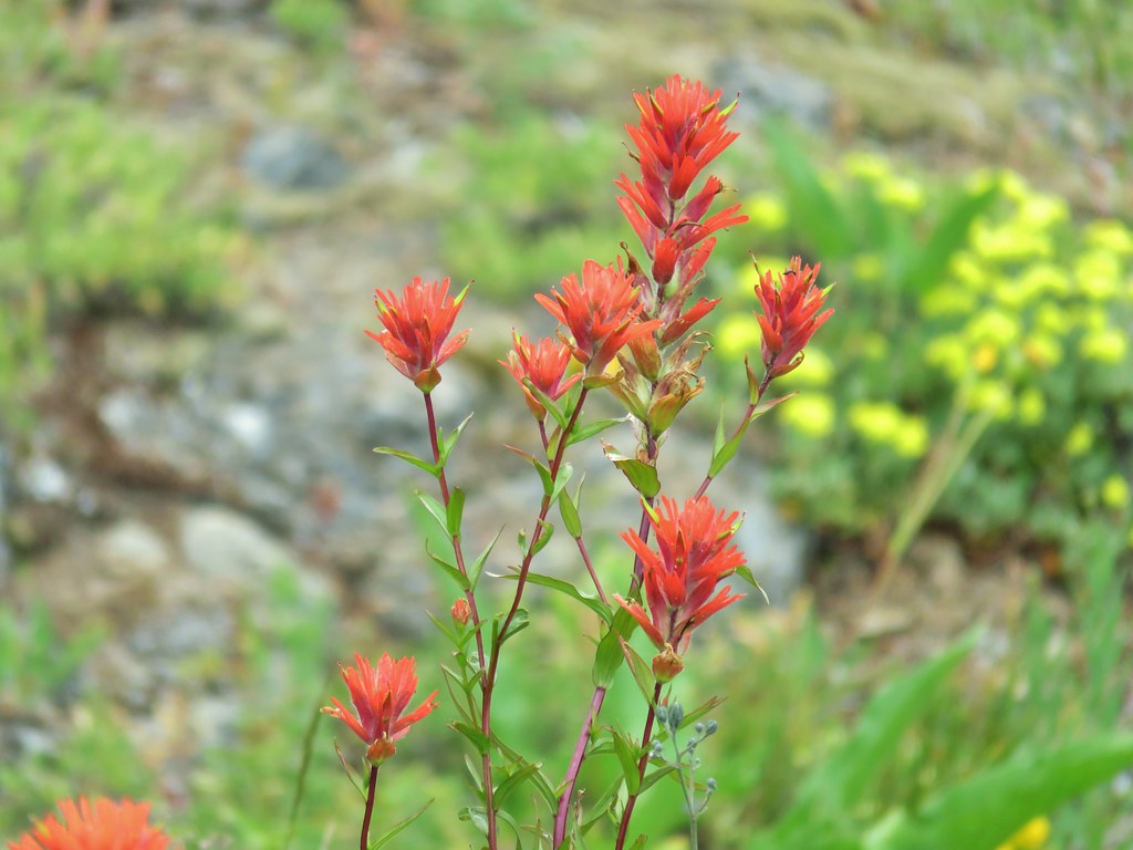
 Paintbrush
 Cutleaf daisy
 Dwarf alpinegold
 ?
?

We eventually headed back to Foggy Flat under the watchful eyes of the locals.

We were momentarily distracted below one of the snow fields as we watched a stream forming in front of our eyes.
 Water in the upper portions of the snowmelt stream.
 The same stream 3 minutes later.
When the water reached a large hole that would take some time to fill we managed to pull ourselves away and continue back to our campsite. We stopped at the creek to get water for the next day and turned in fairly quickly. There were just enough mosquitoes about to be a nuisance making the confines of the tent that much more appealing.
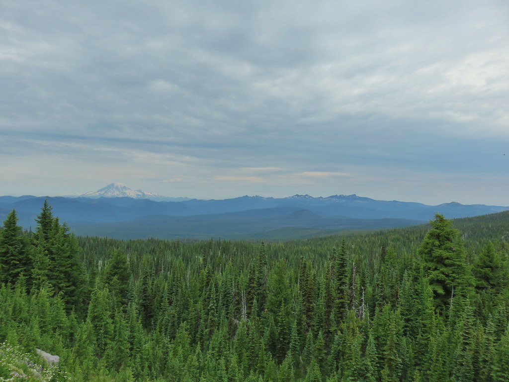
Combining this hike with our previous two visits we’ve managed to cover quite a bit of the trails that wrap around the mountain. The east side of Mt. Adams is on part of the Yakima Indian Reservation and is largely trail less. Special permits are required to enter the Reservation with the exception of Bird Creek Meadows on the SE side of the mountain.
From every angle that we’ve seen it Mt. Adams continues to impress us. It’s truly a special place. Happy Trails!


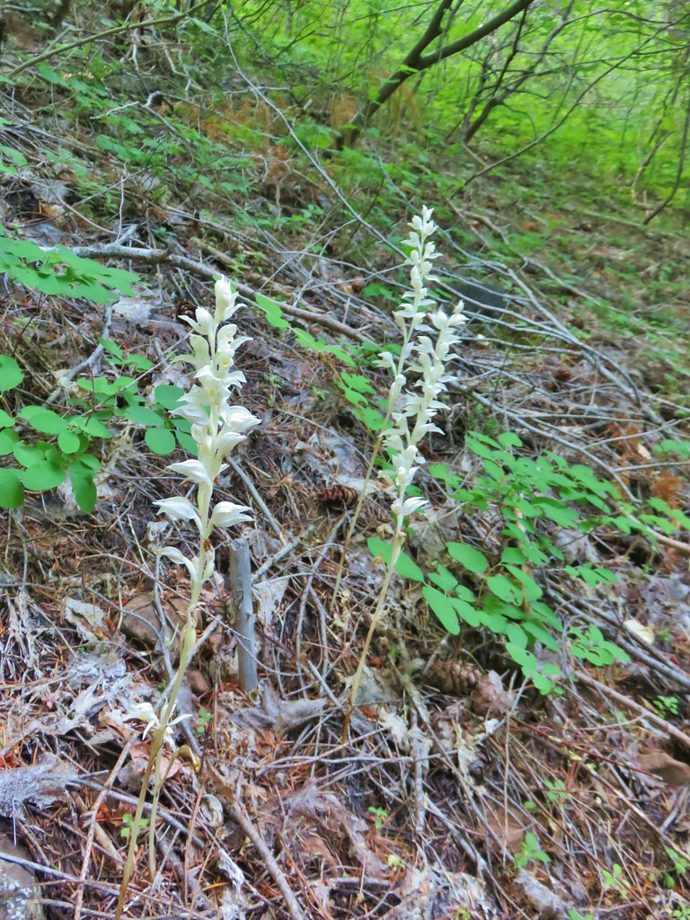
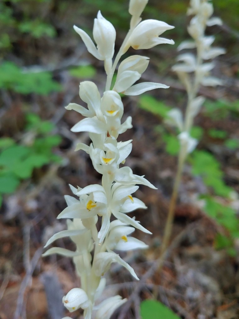
 One of the phantom orchids to the right of the trail.
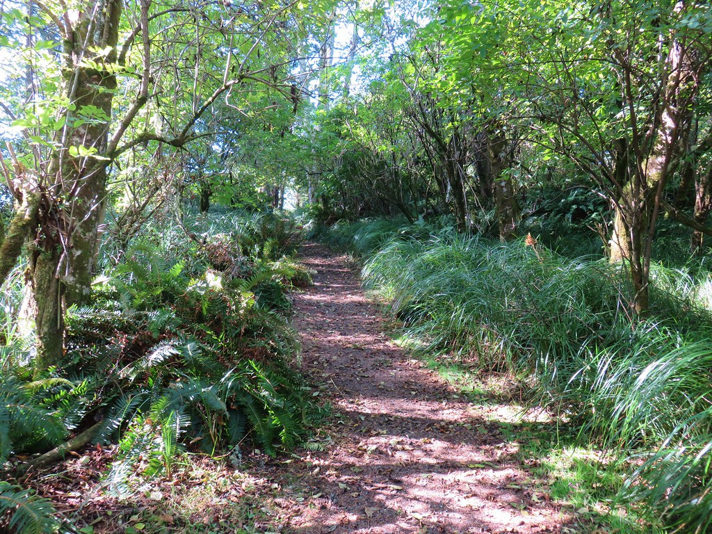
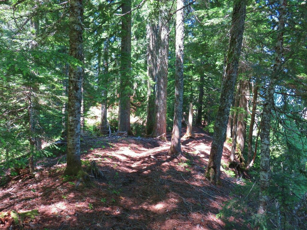
 A rare level section of trail.
 There were thimbleberry bushes along the roads/trails all day long.
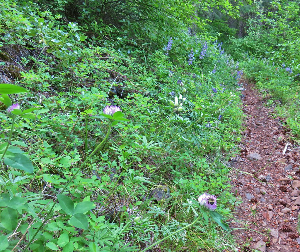 Bumble bee working on some clover.
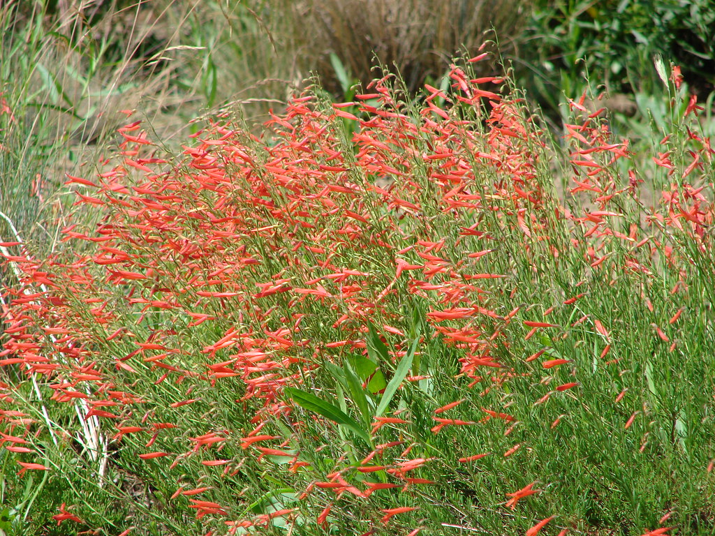
 Penstemon
 A few wildflowers.
 Yarrow
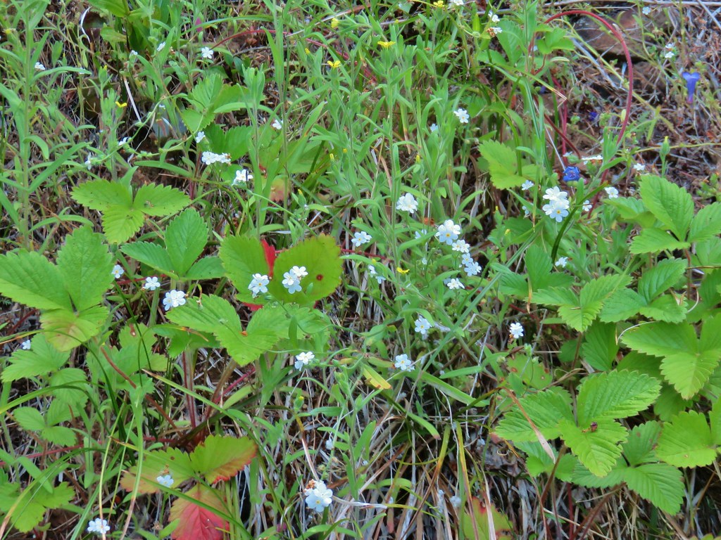 Popcorn flower and strawberry plants.
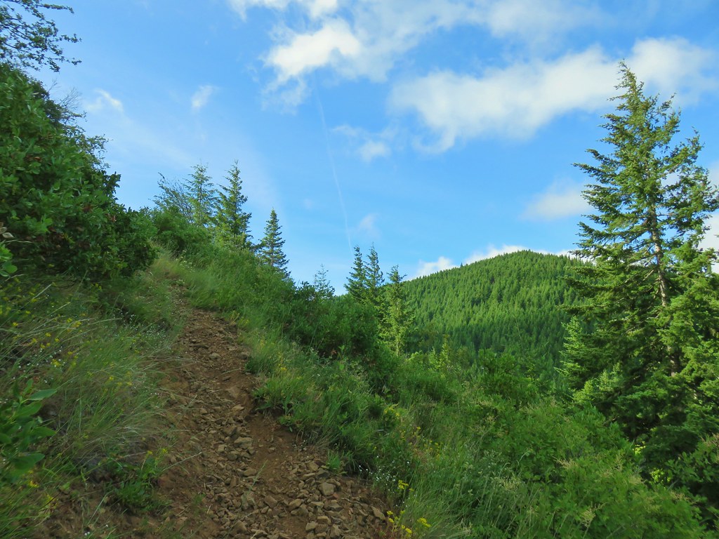 Timberhead Mountain
 Little Huckleberry Mountain
 Nightblooming false bindweed
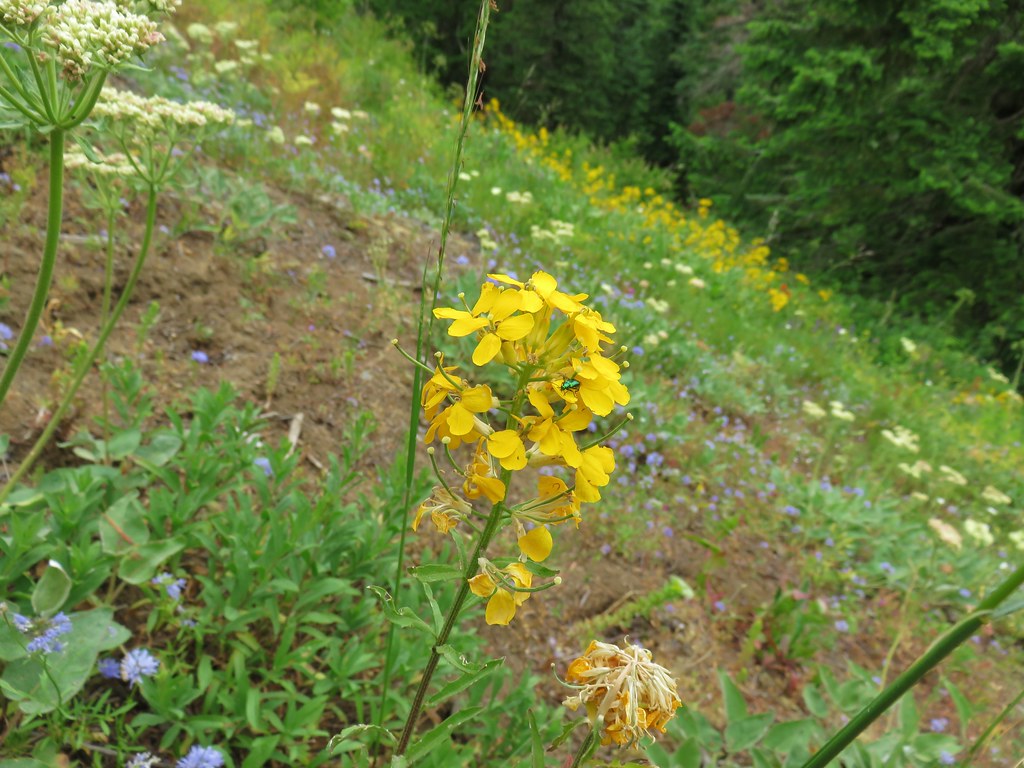
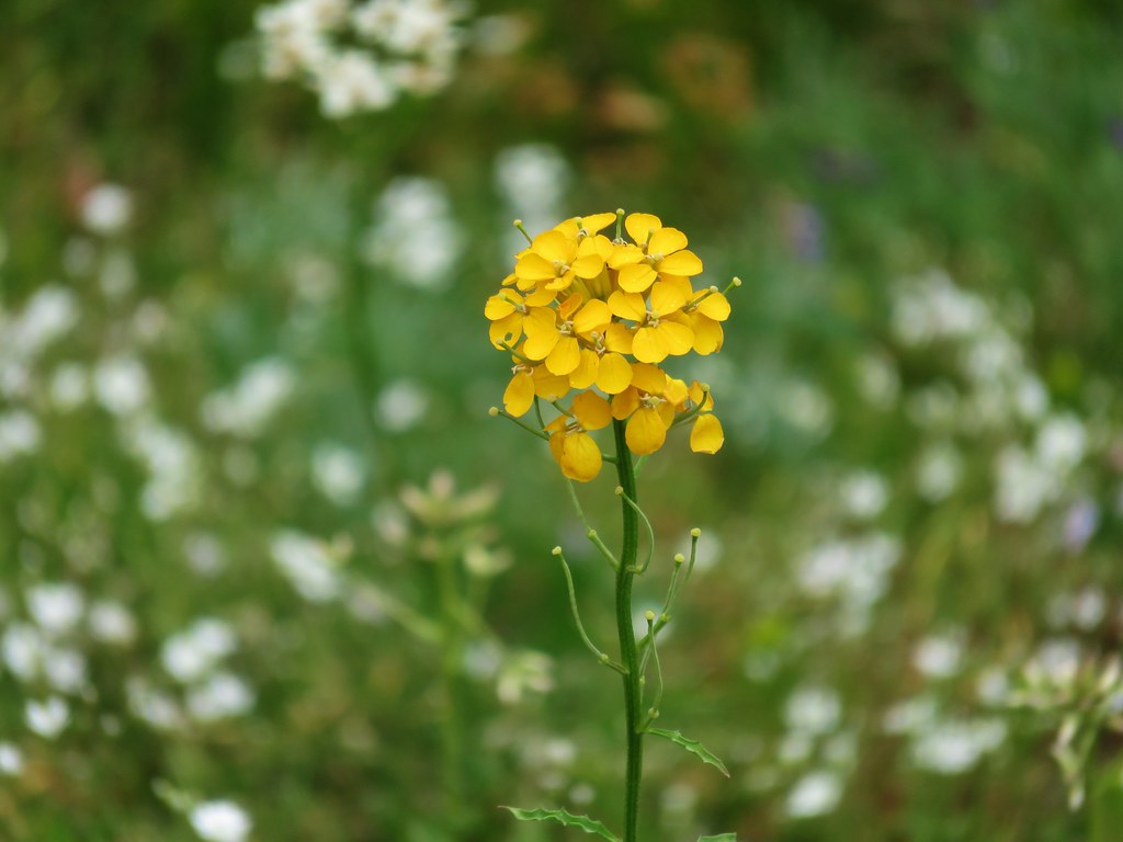
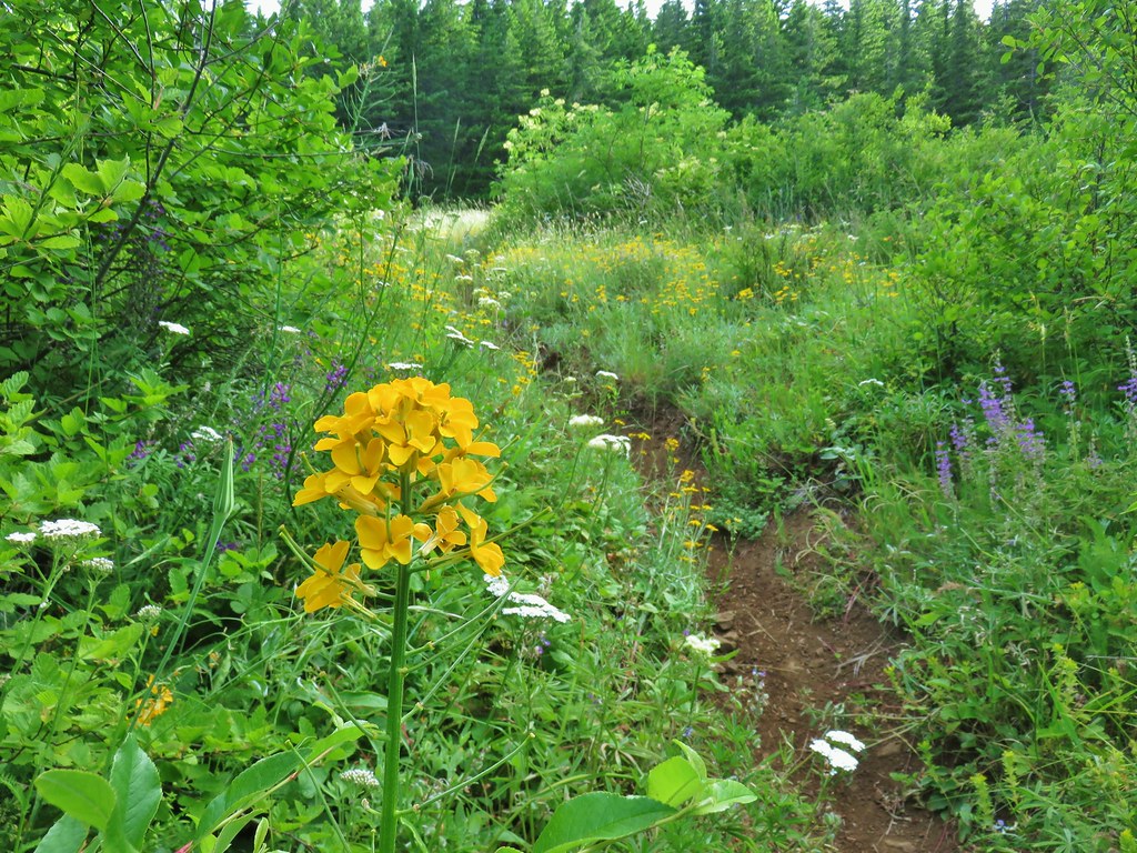 Wallflower
 Tall buckwheat
 Closer look at the tall buckwheat.
 Oregon sunshine
 Yarrow, lupine and penstemon
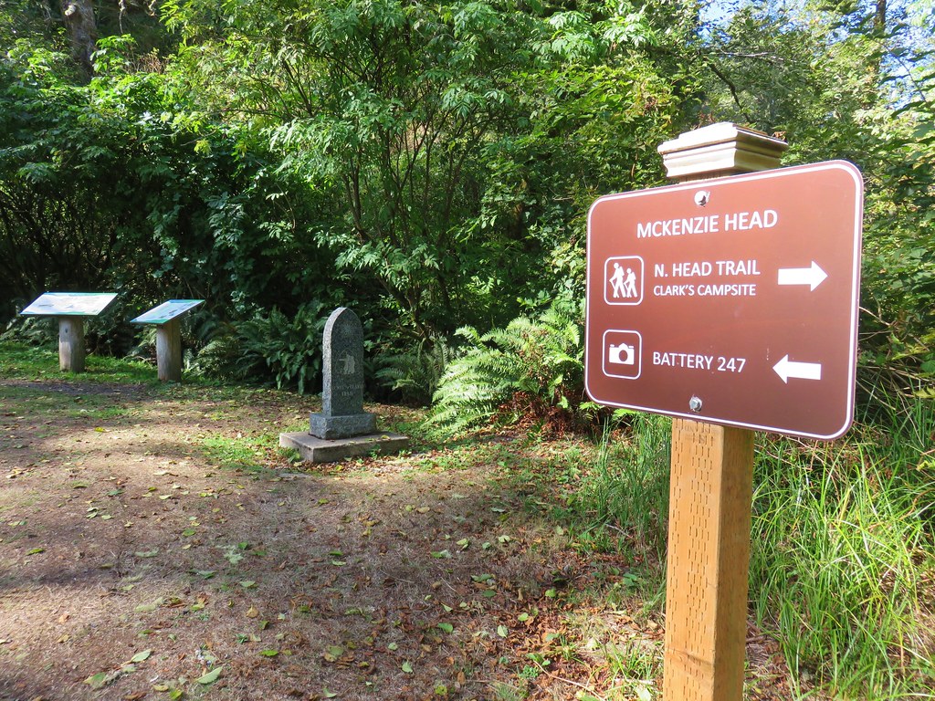
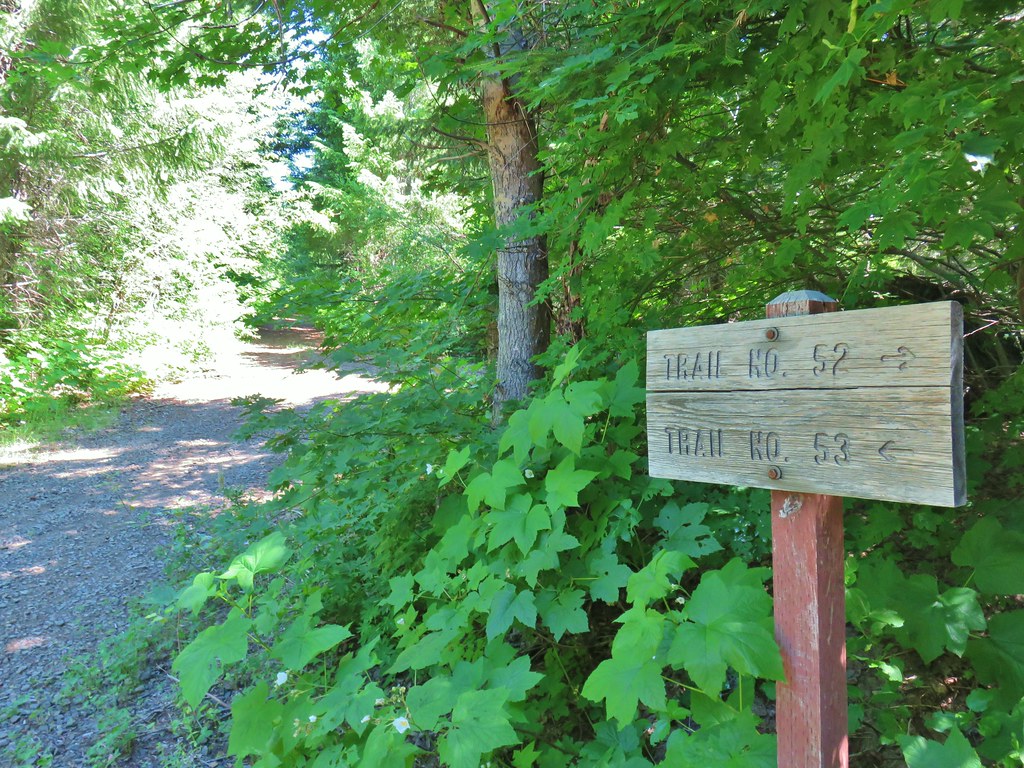
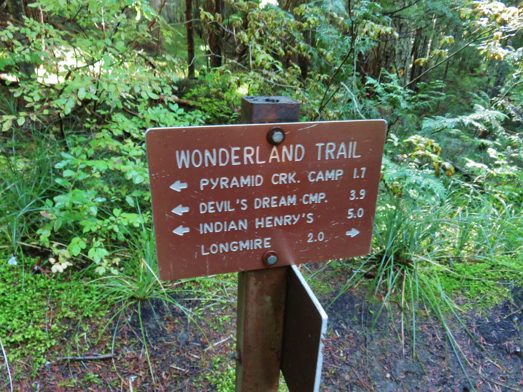
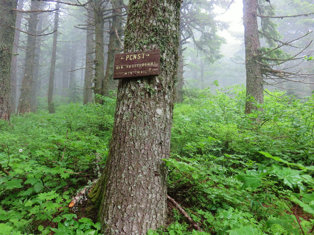
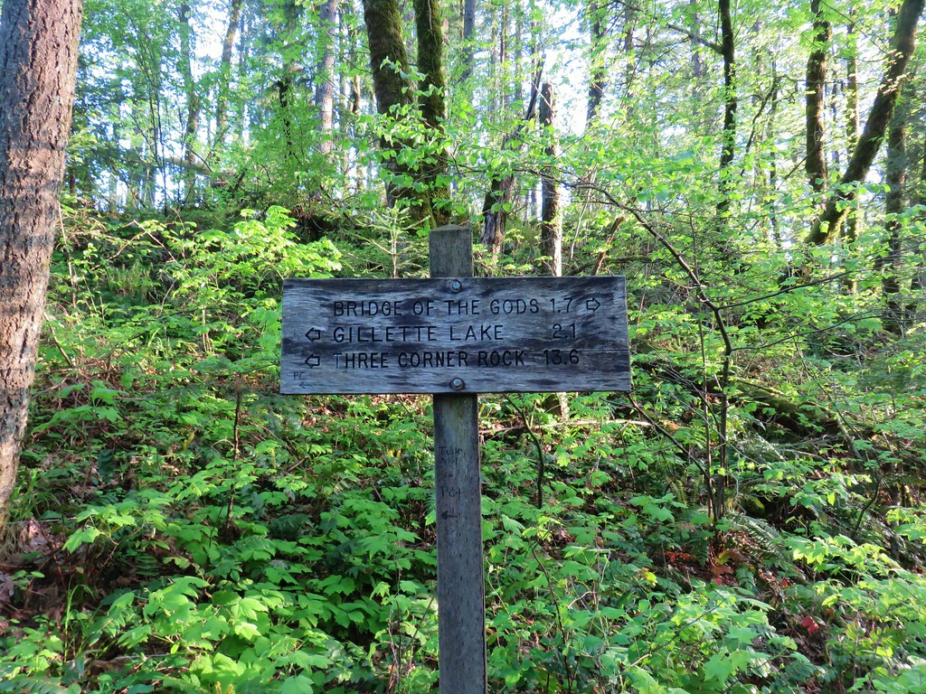
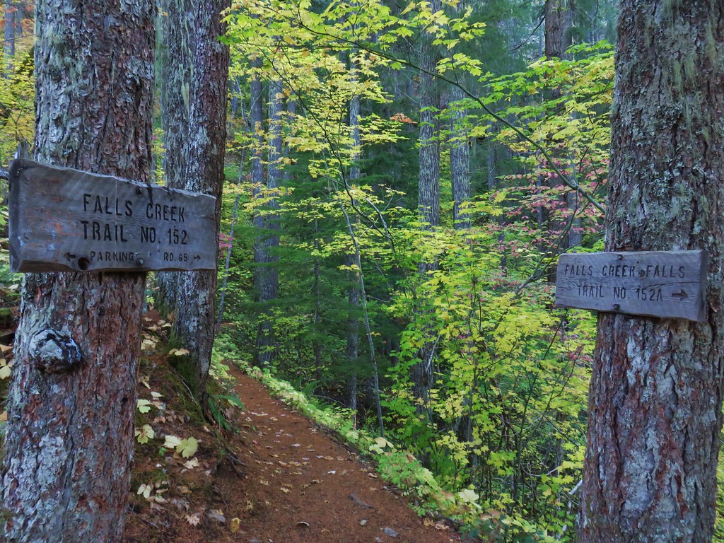
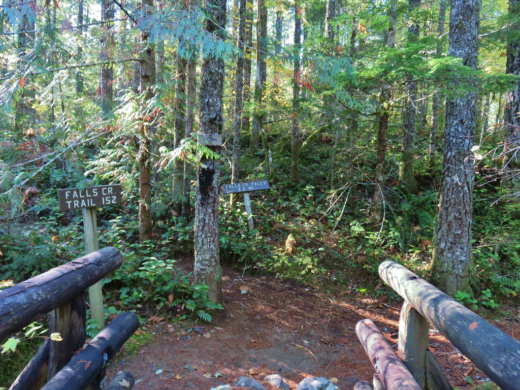
 Many of the signs along the route were no longer in the ground so it was important to make sure they really were pointing in the correct directions.
 Honeysuckle

 A few trees that were spared.
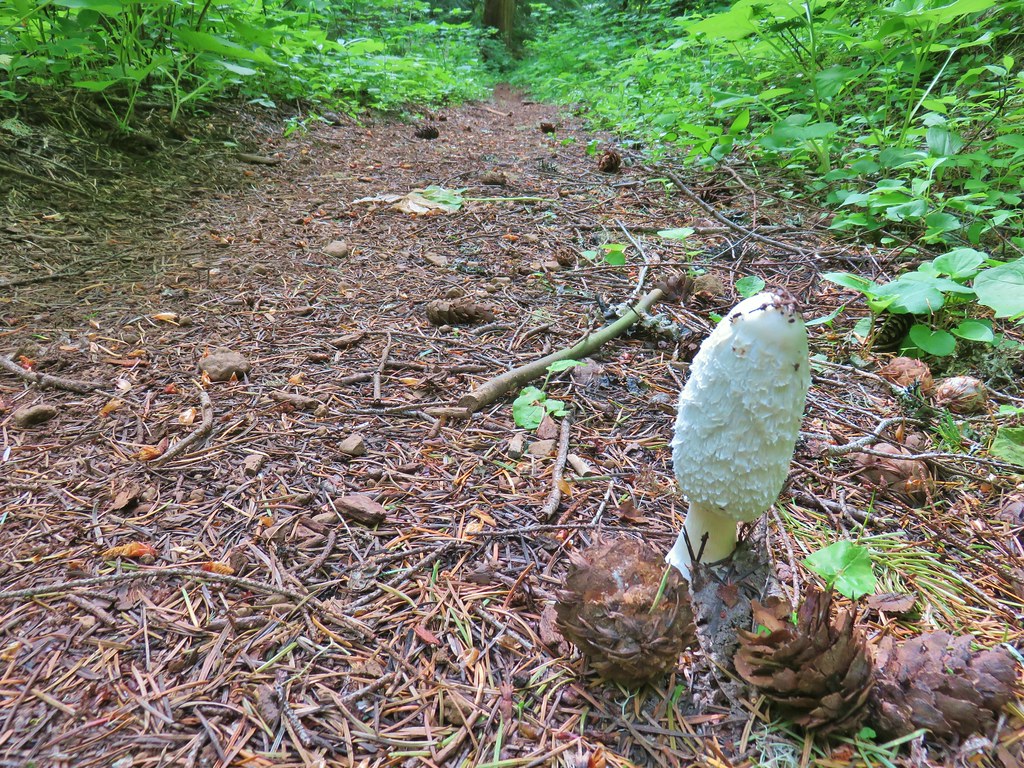
 Bunchberry
 Footbridge over Buck Creek.
 Salsify
 Streambank globemallow
 Silverleaf phacelia
 Logging road crossing.
 Starting the descent.
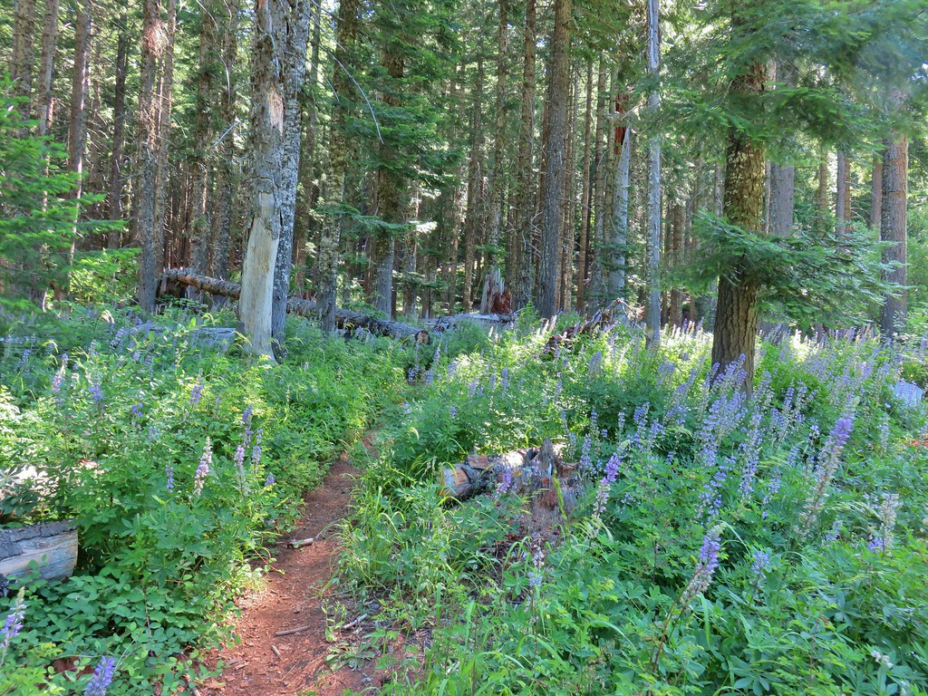
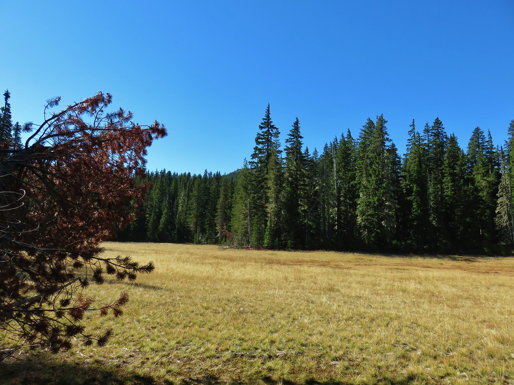
 Entering the meadow.
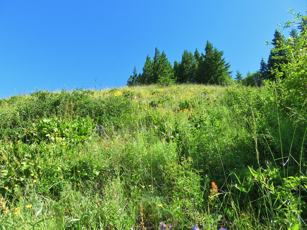
 Pollinator on wallflower
 Bee heading for some penstemon.
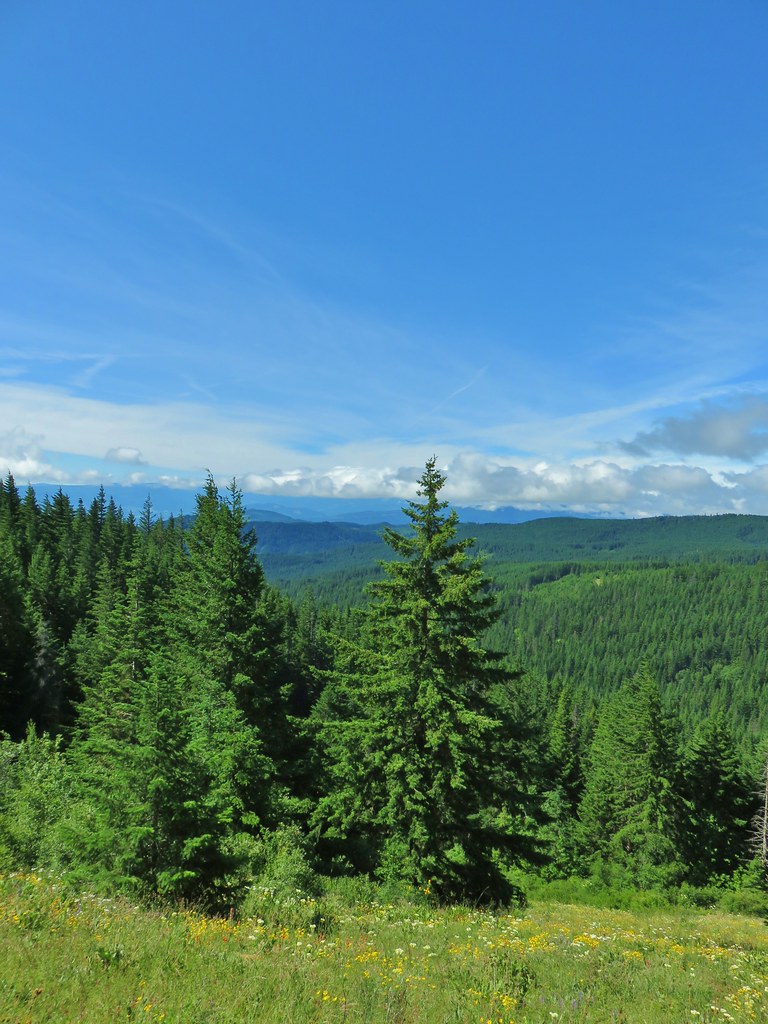 Clouds to the south.
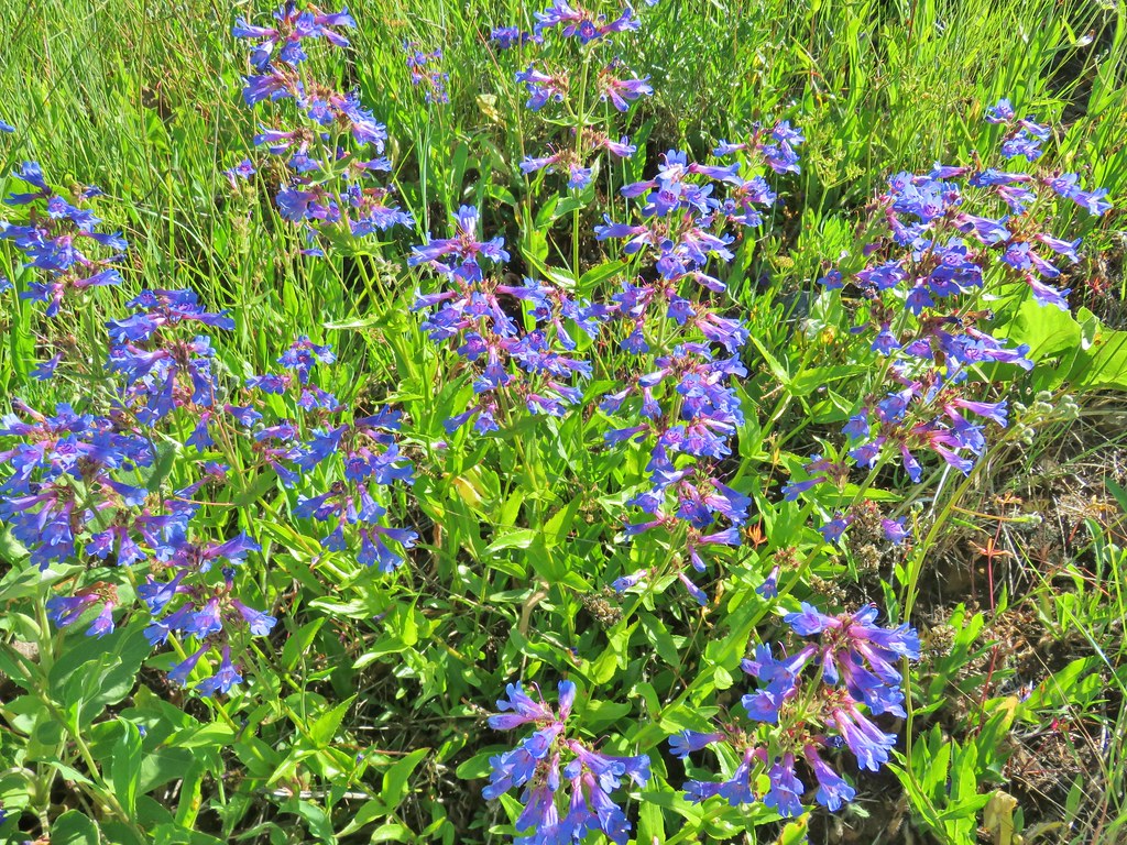 Penstemon

 Lots of Oregon sunshine again.
 Taper tip onions
 Warning for mountain bikers going down the trail.
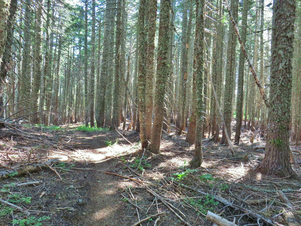


 Balsamroot
 Ladybug on a flower.
 Cat’s ear lily
 Lupine
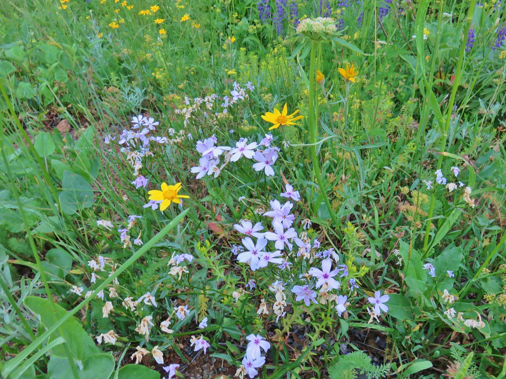 Phlox and Oregon sunshine
 Buckwheat
 Paintbrush
 Sunflowers
 Grouse in the flowers.
 Columbine
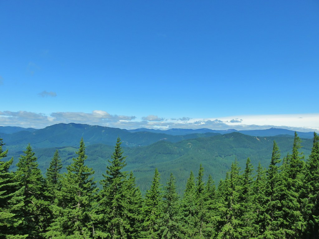 Little Huckleberry Mountain to the left and Lemi Rock to the right.
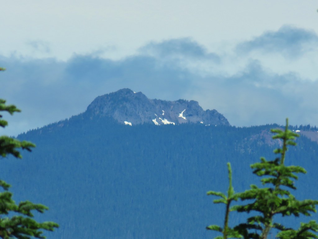 Lemi Rock in the Indian Heaven Wilderness
 Looking SE into Eastern Oregon.


 Starting the drop.
 There were huge amounts of Arnica in the forest.
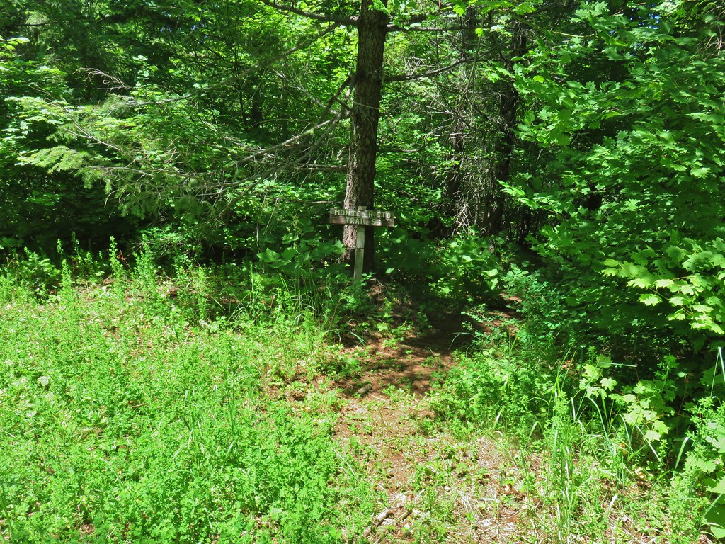
 Monte Cristo from the trail as we dropped….further, and further.
 FR 1840-100.
 Shiny beetles

 A “switchback” turning directly uphill.
 Sunflowers at the edge of the meadow.
 Approaching the meadow.
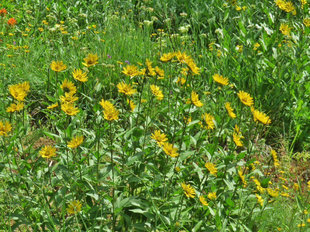 Sunflowers
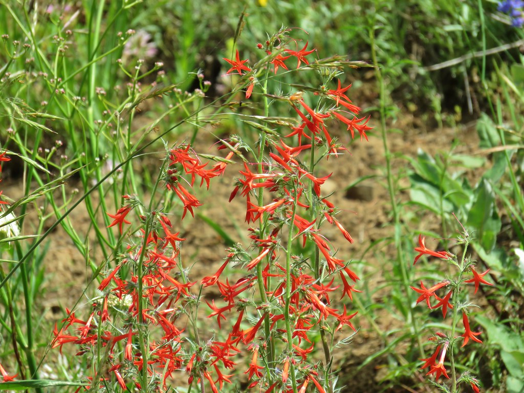 Scarlet gilia


 Pussytoes
 White-stemmed frasera
 Phlox
Phlox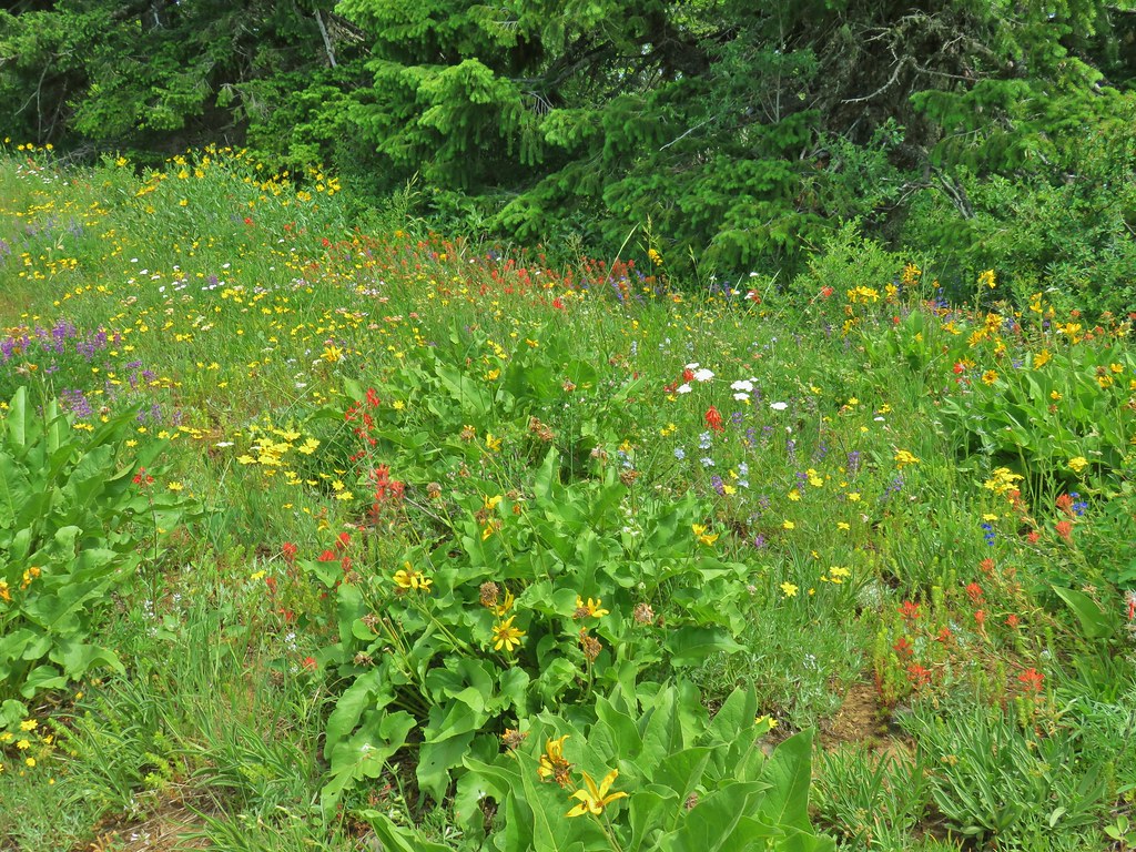
 Taper tip onions
 White-stemmed frasera
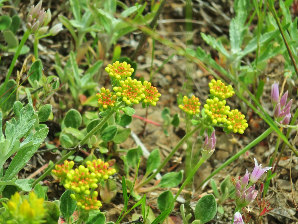
 Wallflower and paintbrush
 A white lupine
 Paintbrush and phlox
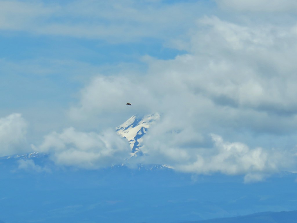

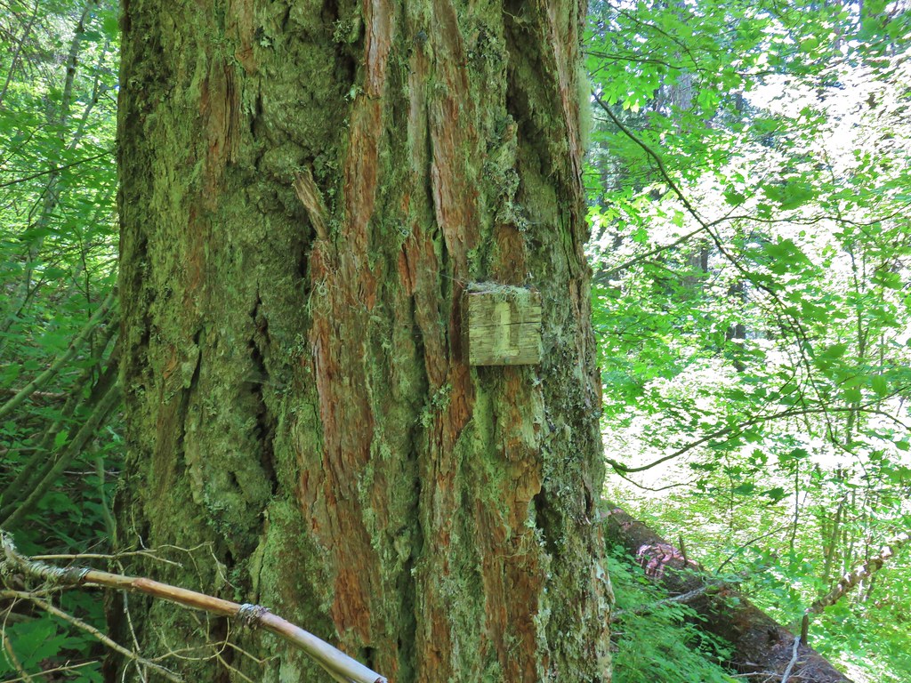 Presumably letting you know that you’re a mile from the road. (It could also be that this tree is “Number 1”.)
 Twinflower in the forest.
 Our first blooming prince’s pine of the year.
 Not nearly the steepest section.
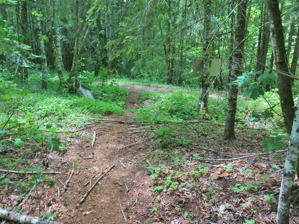 FR 18 finally!


 Satuick Mountain
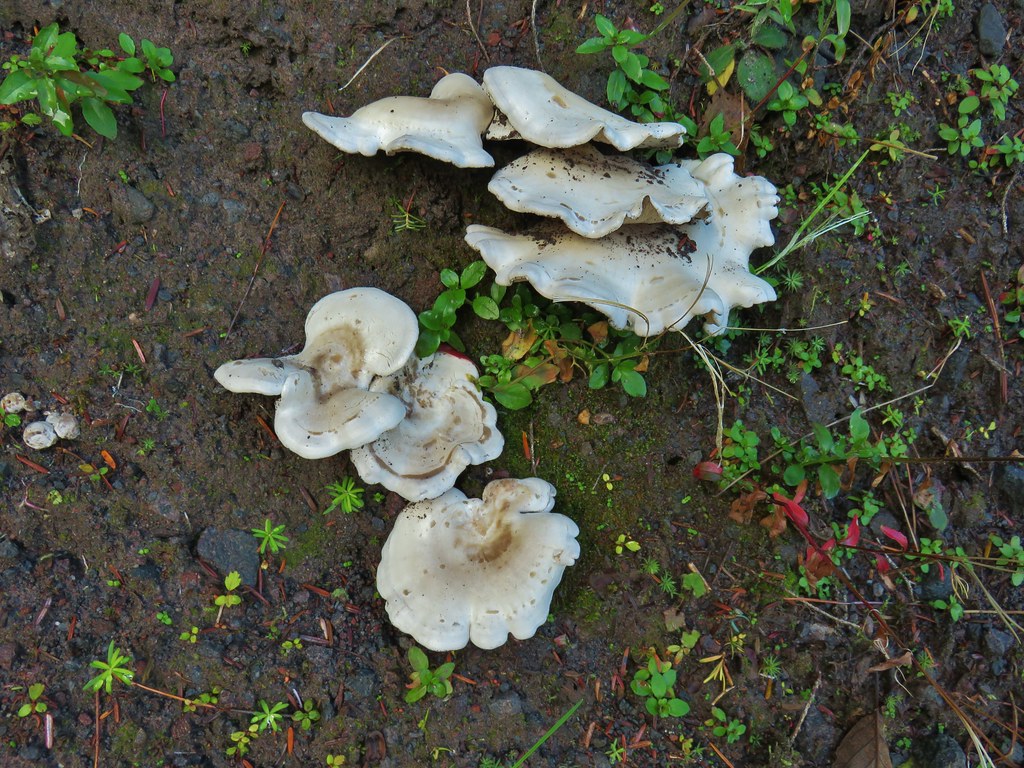

 First crossing
 Second crossing
 The third channel was the largest but still relatively small.
 Mt. Rainier from the far side of Kautz Creek.
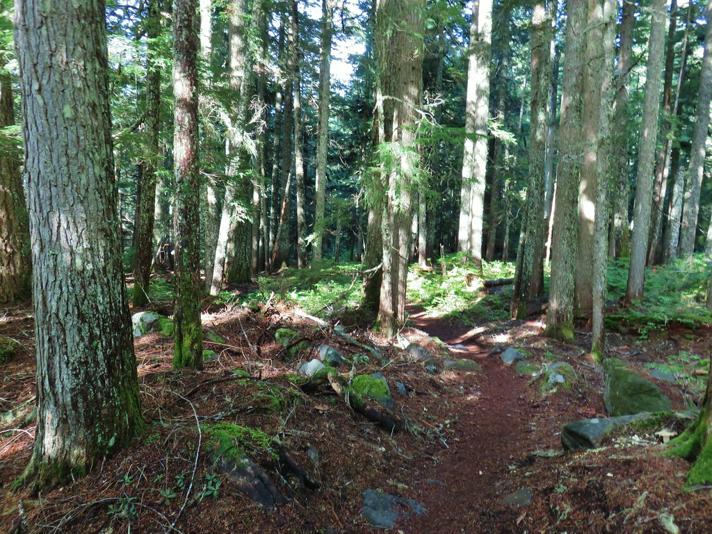

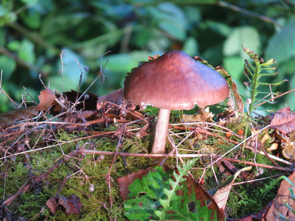
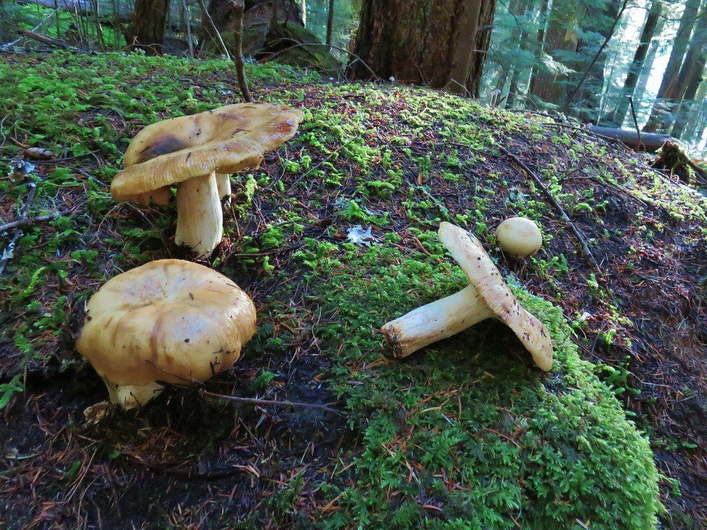
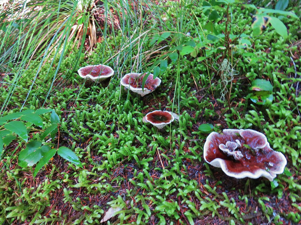
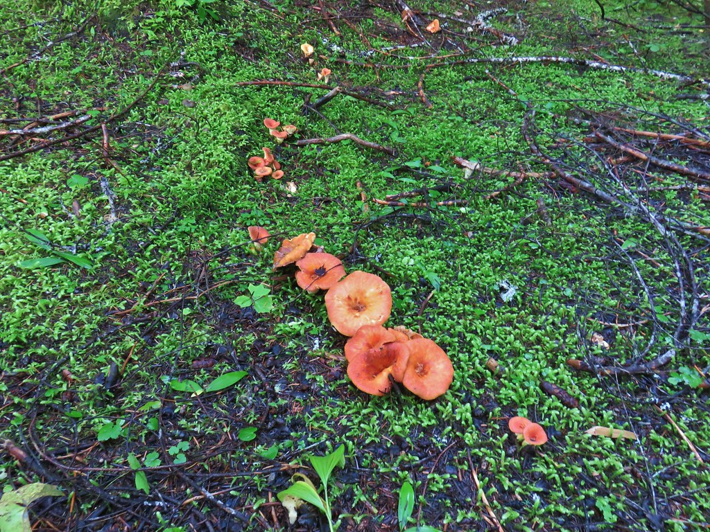
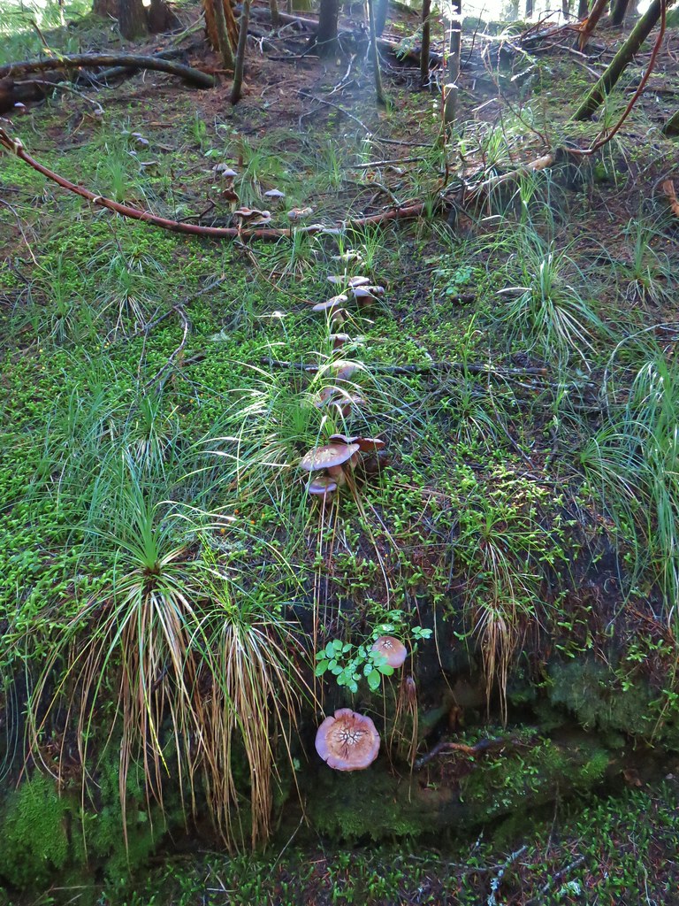
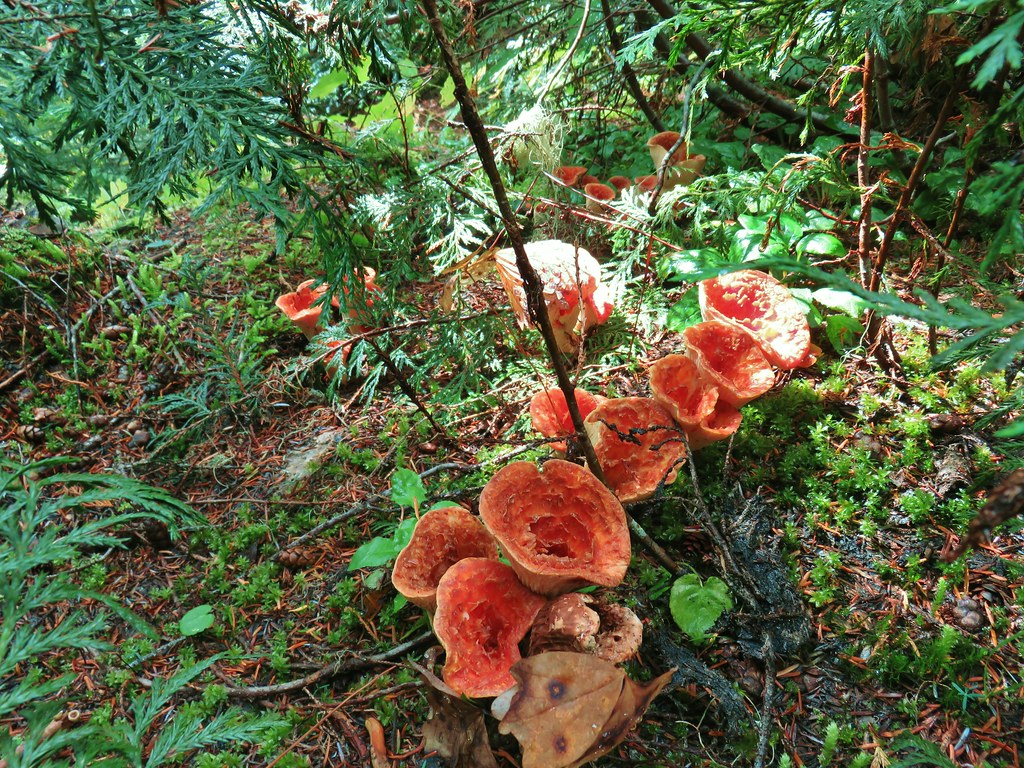
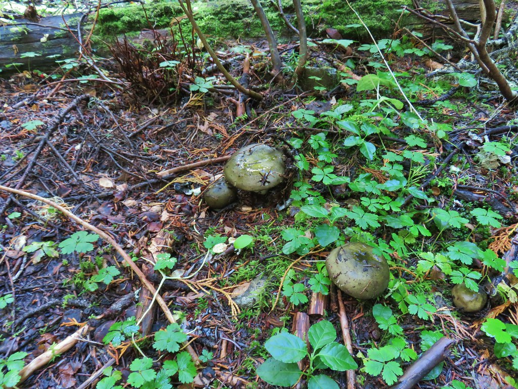
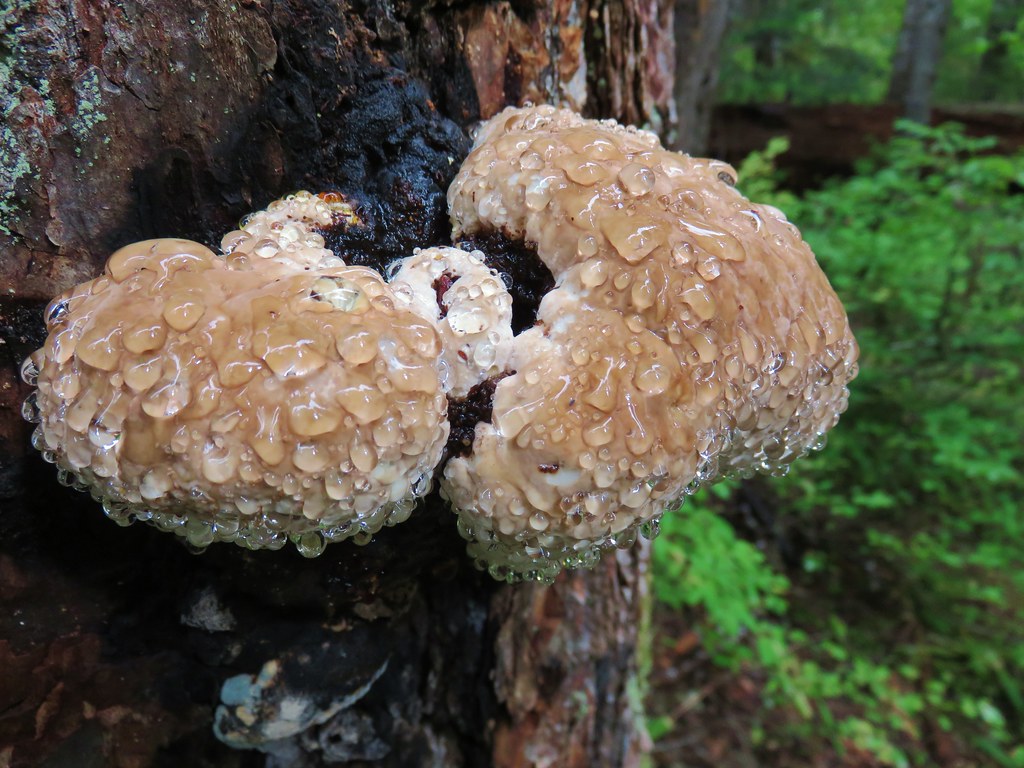
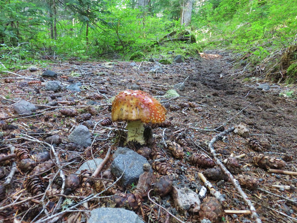
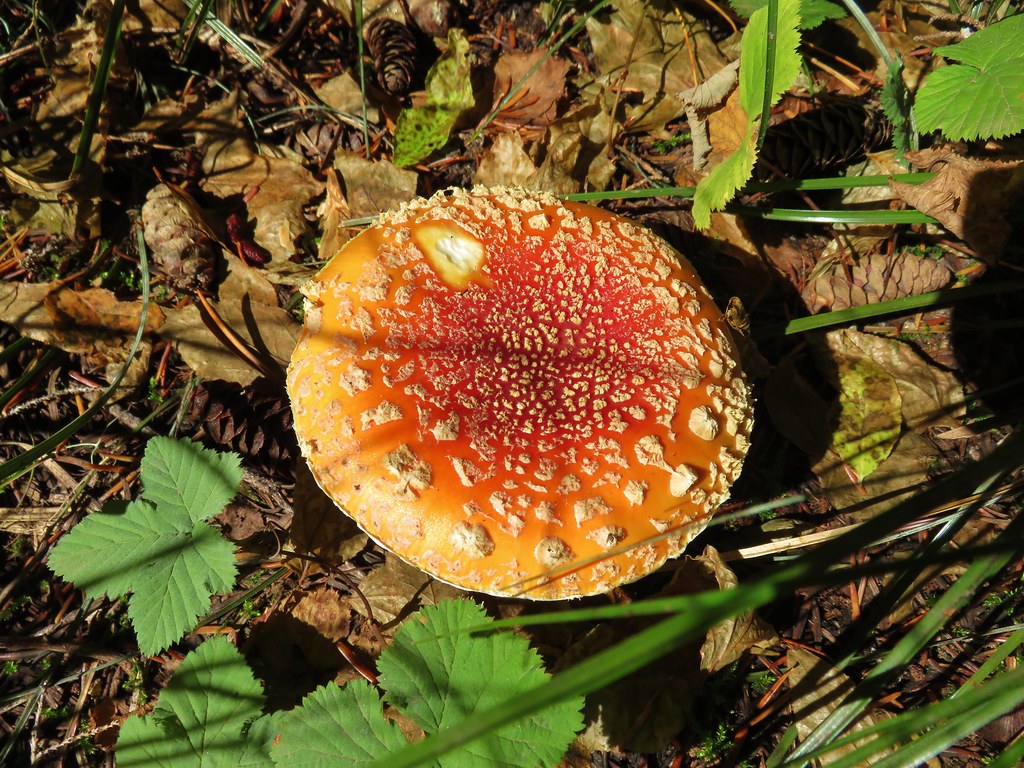
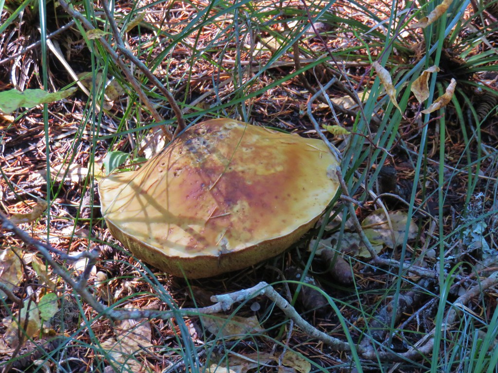
 Yet another big mushroom.


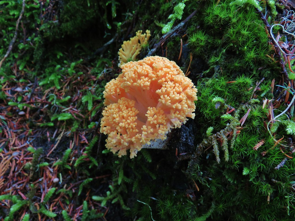 There were quite a few coral fungi present as well.
 Fishers Hornpipe Creek
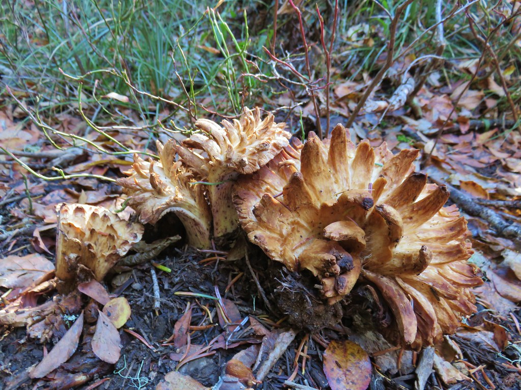
 The mushrooms in the back had exploded.
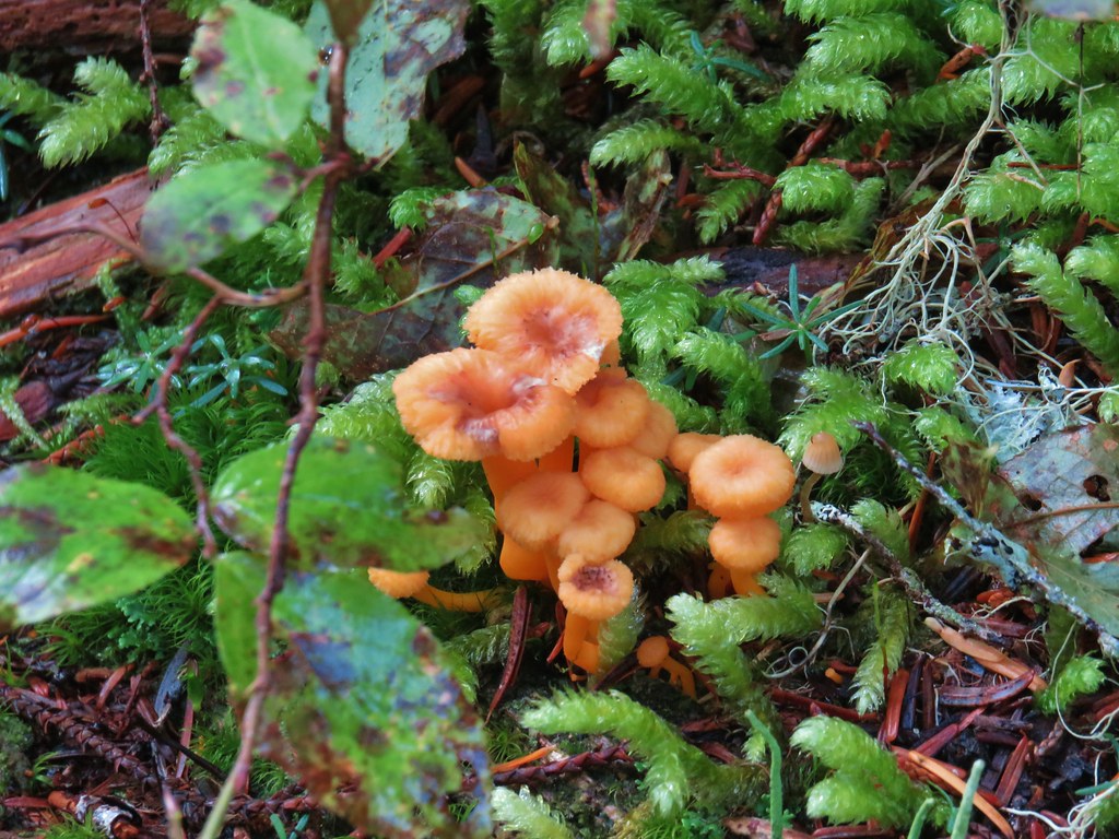
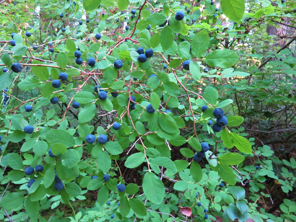
 A few red huckleberries left to eat.


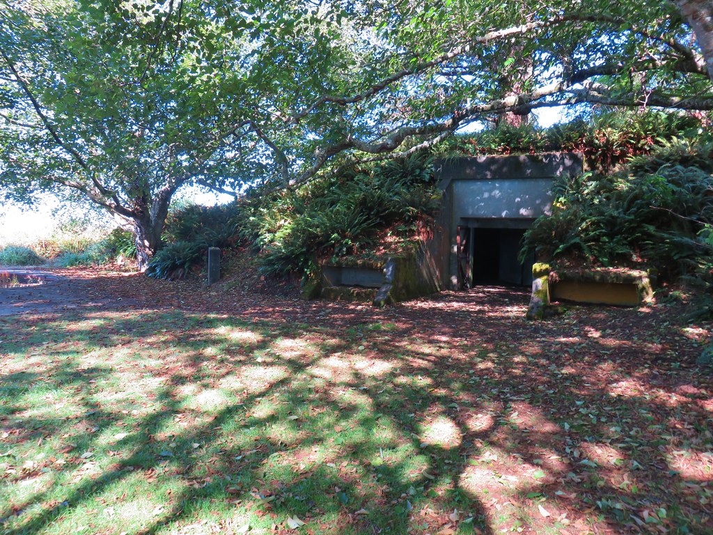
 Bear pole


 Gentians
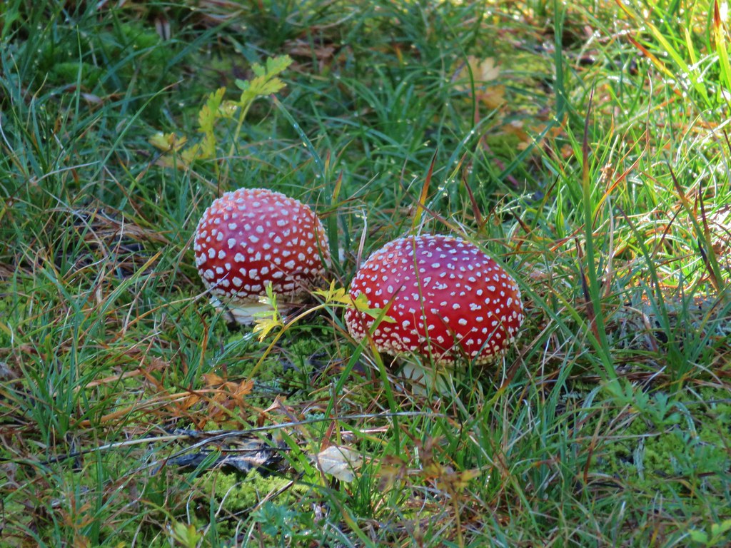 Mushrooms in the meadow.
 Gray jay in the huckleberries.
 Iron Mountain from the lake.


 Western pasque flower
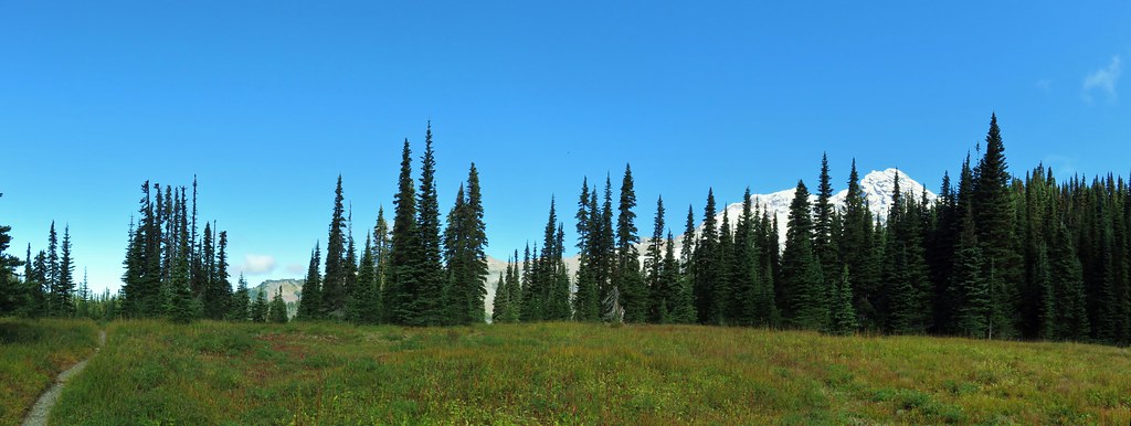


 Paintbrush
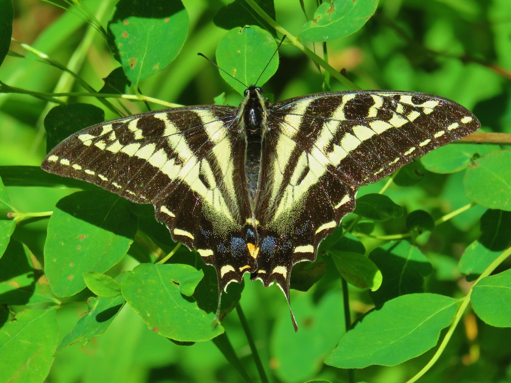
 Butterfly on the remains of an aster.
 Gentians
 Pyramid Peak to the right.


 This guy was tiny.

 Frog on a rock at the spring.


 Looking back across the road.
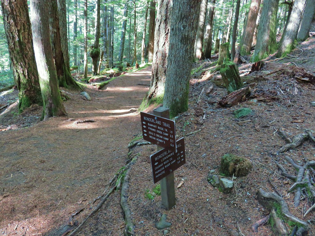


 Toutle Trail
 Candy sticks


 Pinesap
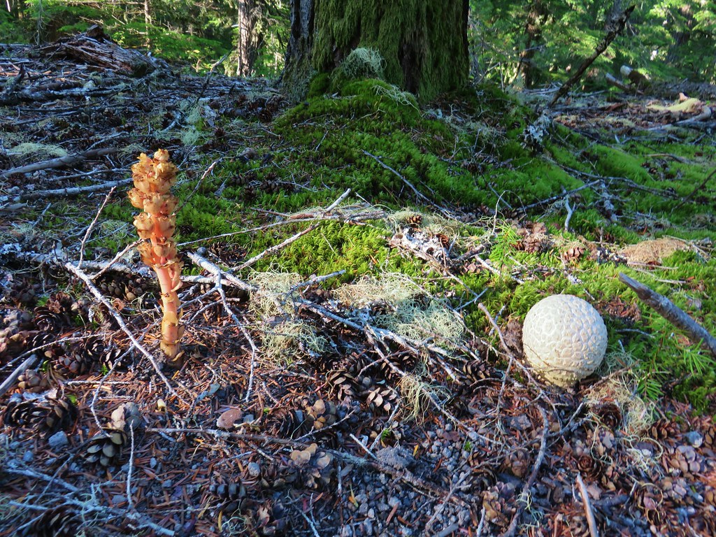 Pinesap and a puffball
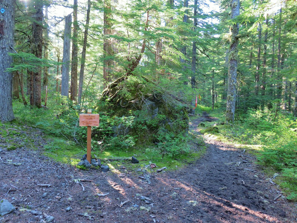
 Lousewort
 Twin Flower


 Mt. St. Helens beyond the remnants of McBride Lake.
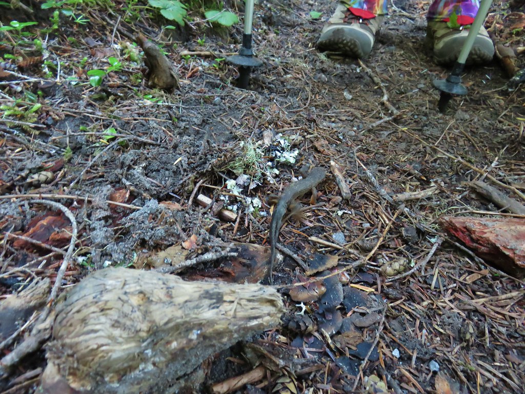

 Cars parked at Red Rock Pass
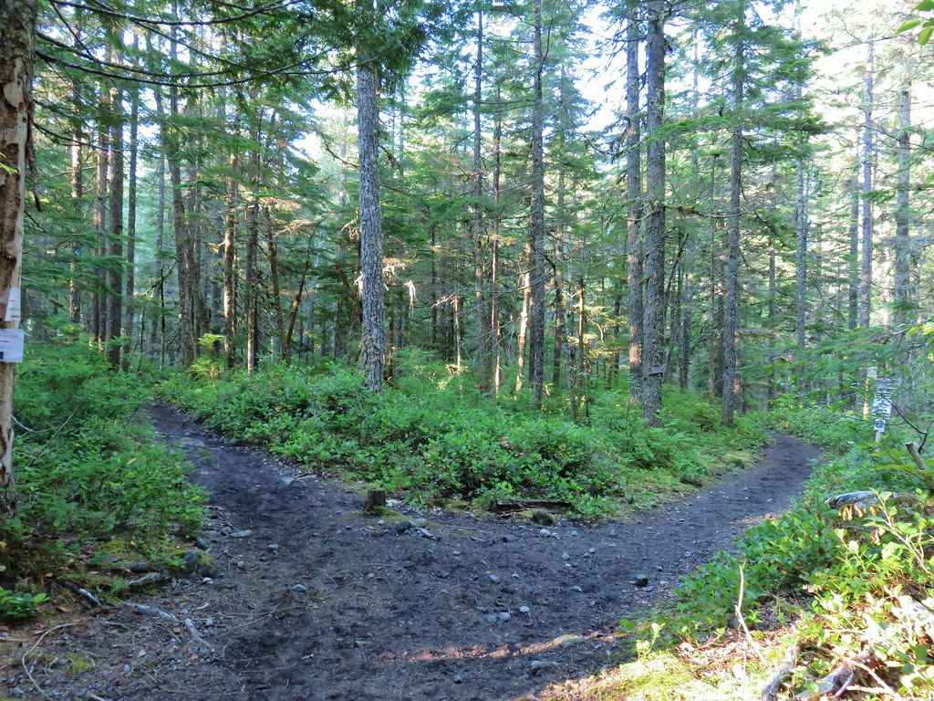
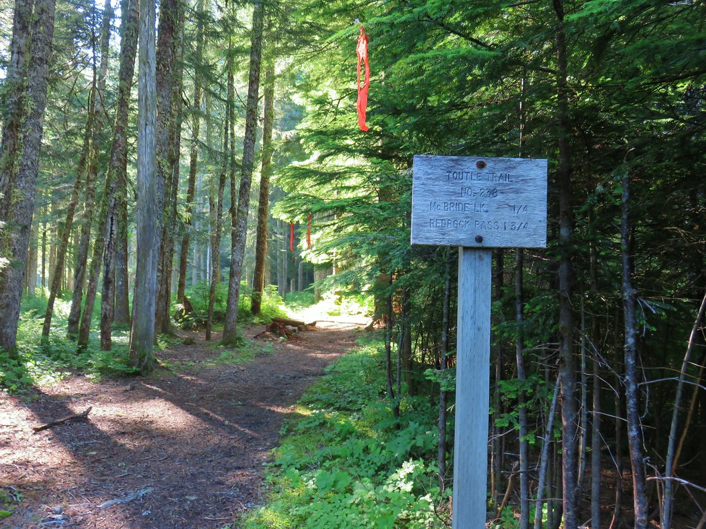
 Cinnamon Trail on the left and Toutle Trail on the right from the unsigned junction.


 Fungus on a stump.

 The butte ahead (we didn’t want to have to climb that.)
 Trail wrapping around the south side of the butte.
 Toad near the saddle.
 Mt. St. Helens from the saddle.
 Goat Mountain
 Mt. St. Helens and Mt. Adams
 Another frog.
 Crossing #1
 Crossing #2
 Crossing #3


 old road crossing.
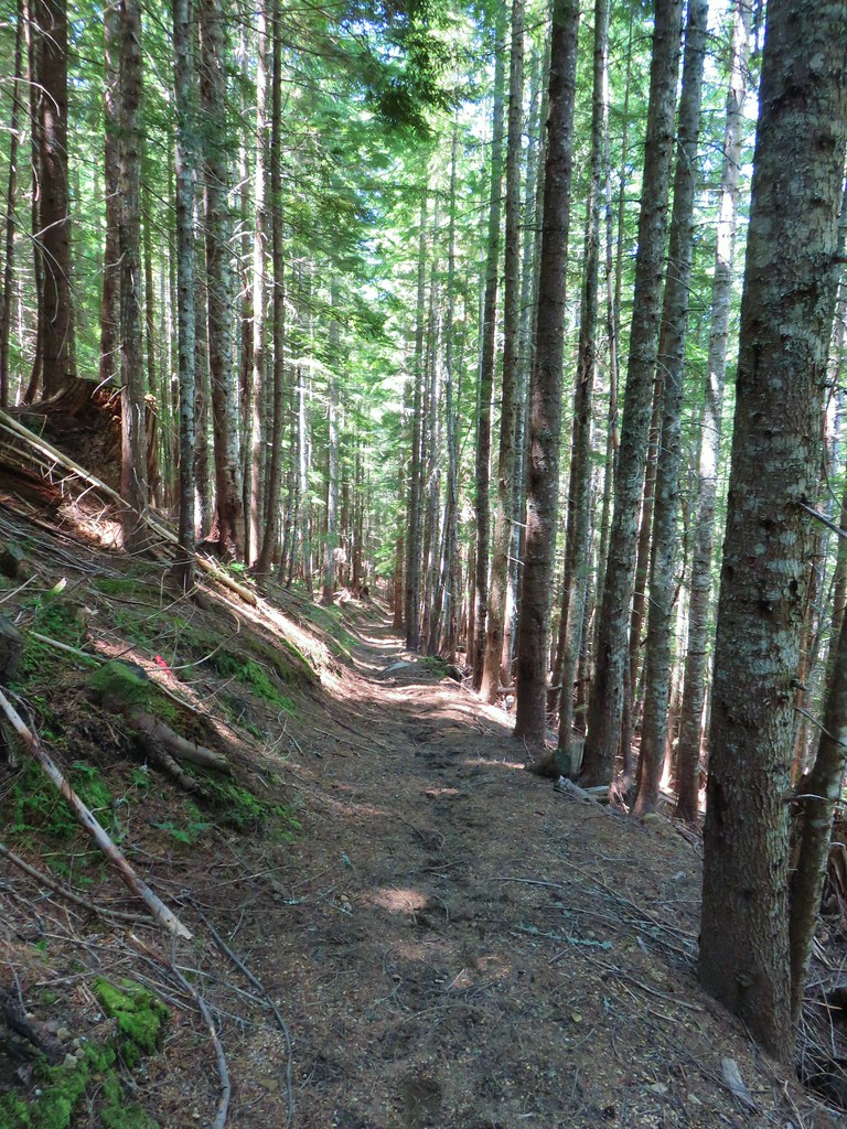
 Dropping to FR 8022(8122).
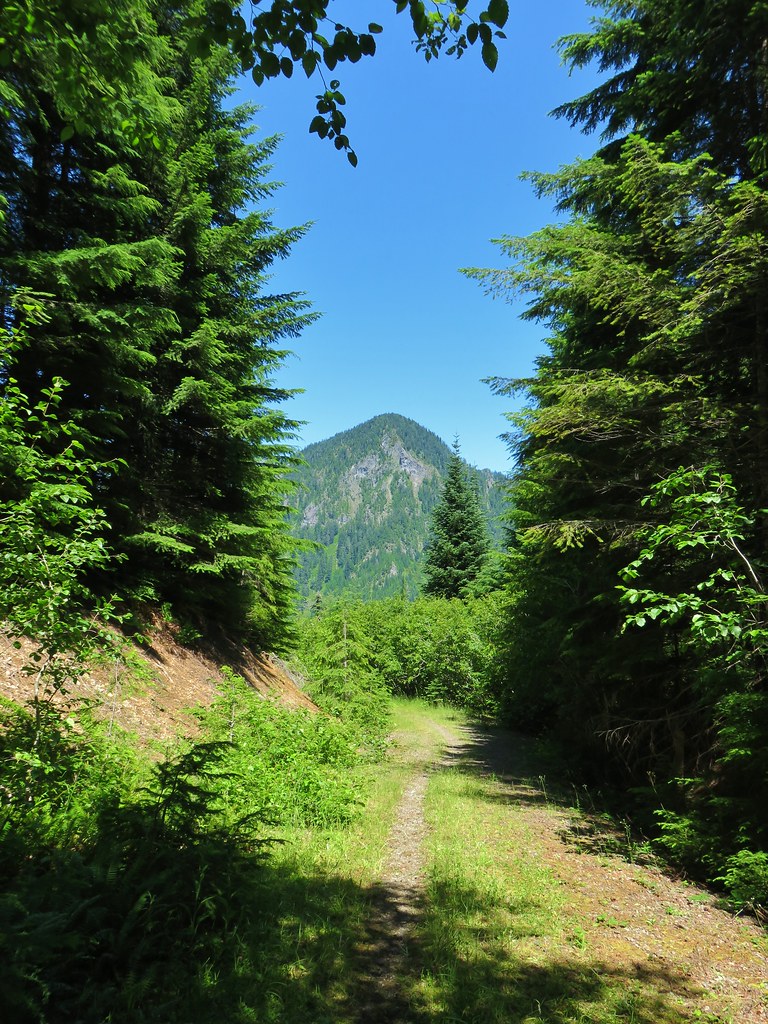 Goat Mountain from the roadbed.
 Goat Mountain and Mt. St. Helens
 Ripening berries
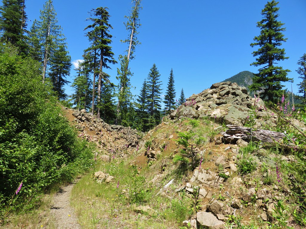 Rock slide along the roadbed.
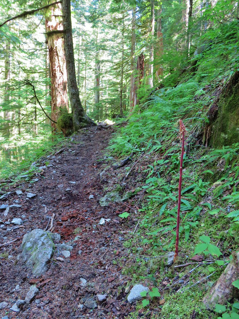
 Pinedrop
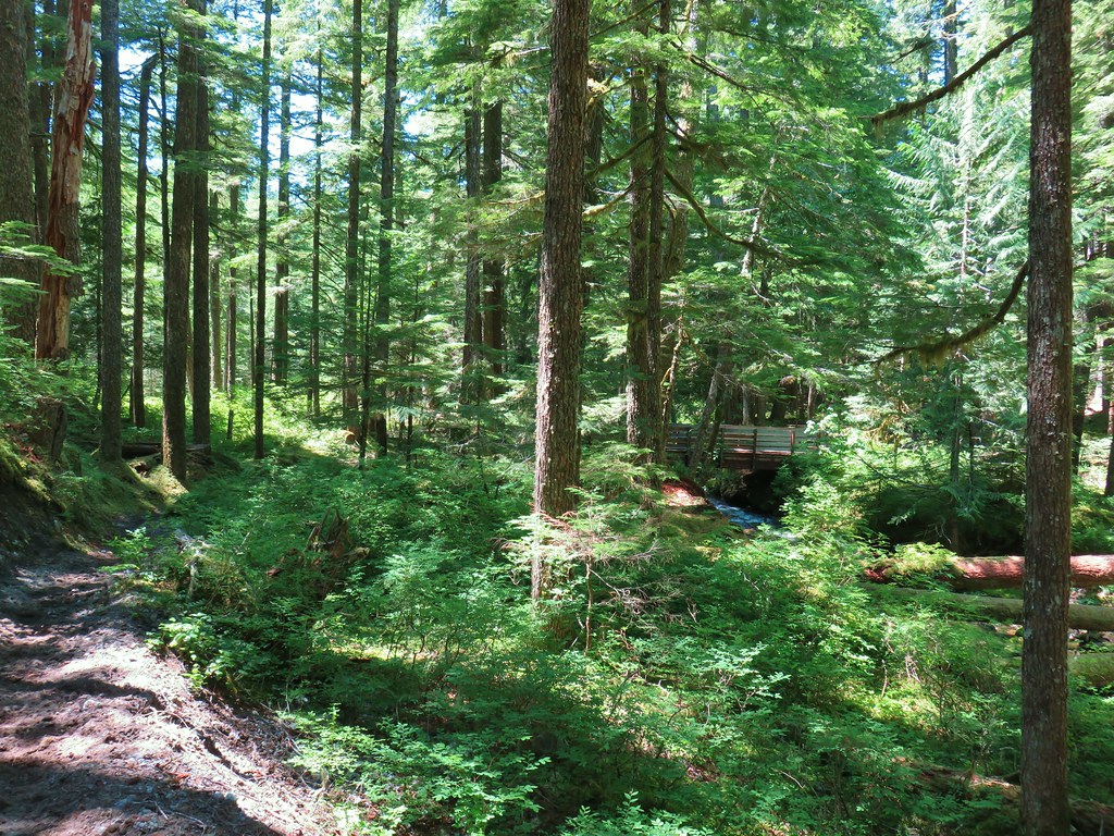


 Arrow leaf buckwheat
 Blue-head gilia, stonecrop, wild onion, and arrow leaf buckwheat
 Farewell-to-spring waiting for the Sun (just like us)
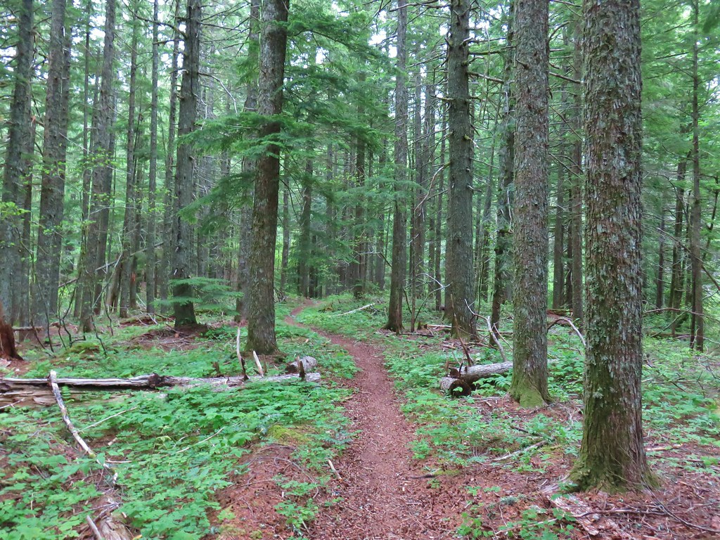
 Tiger lily
 Twin flower
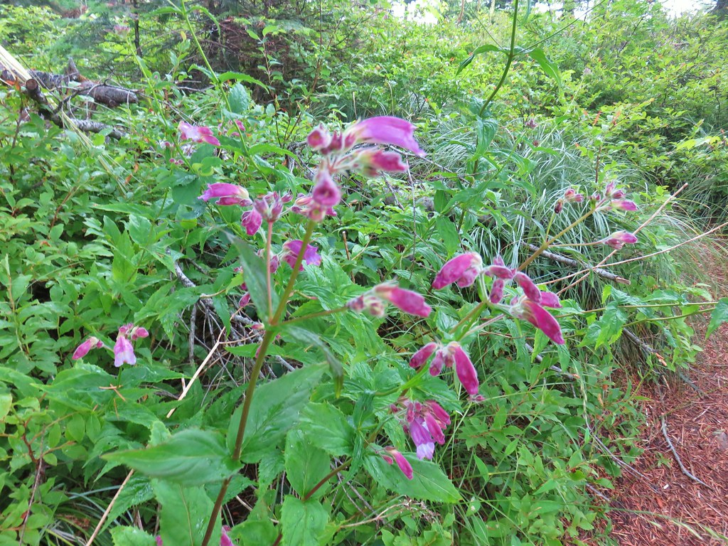 Penstemon
 Lupine
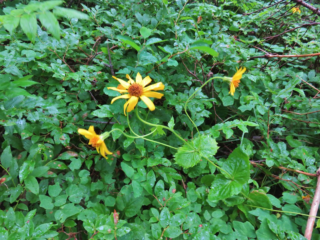 Arnica?
 Patinbrush and penstemon
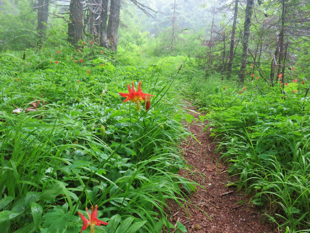 Columbine
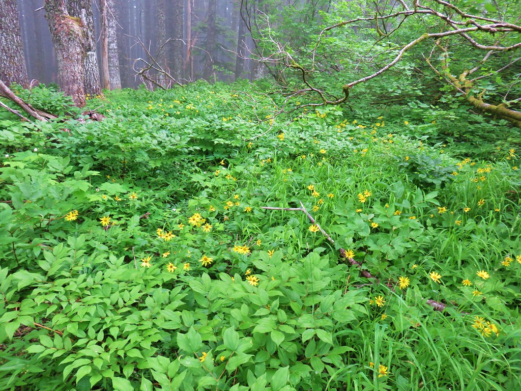 Lots of arnica
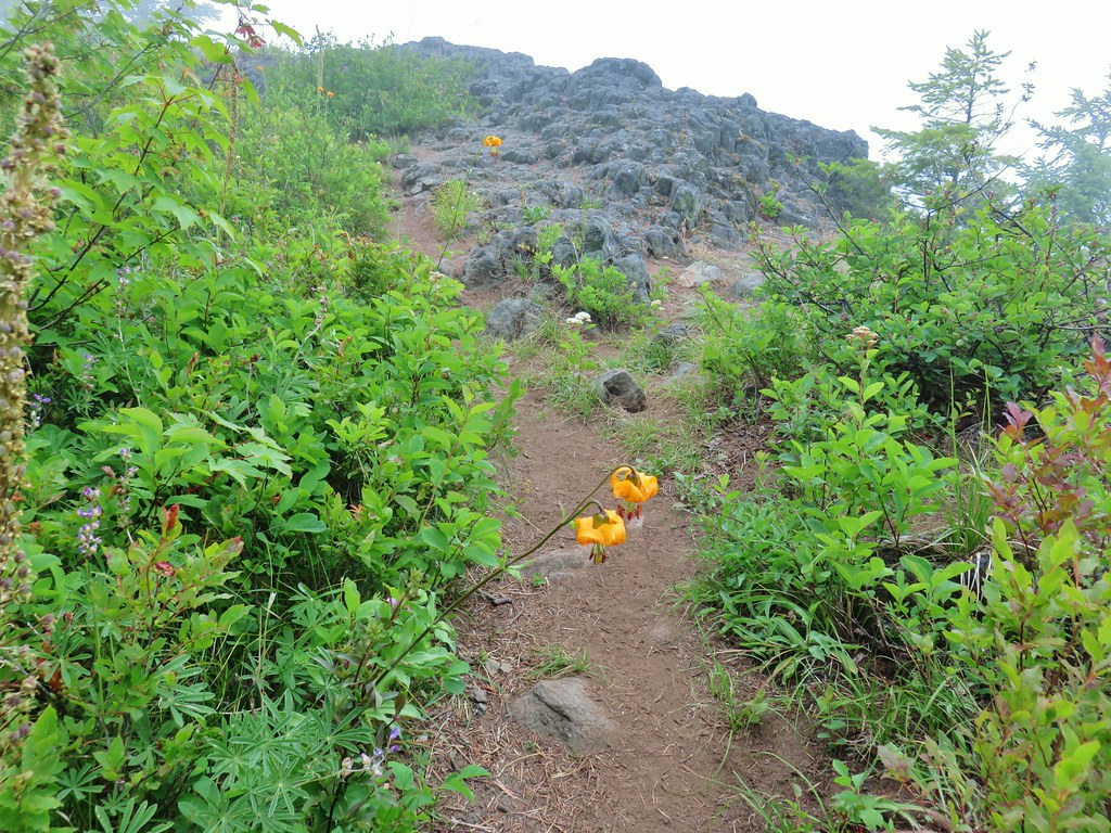 First viewpoint approximately 1 mile in.
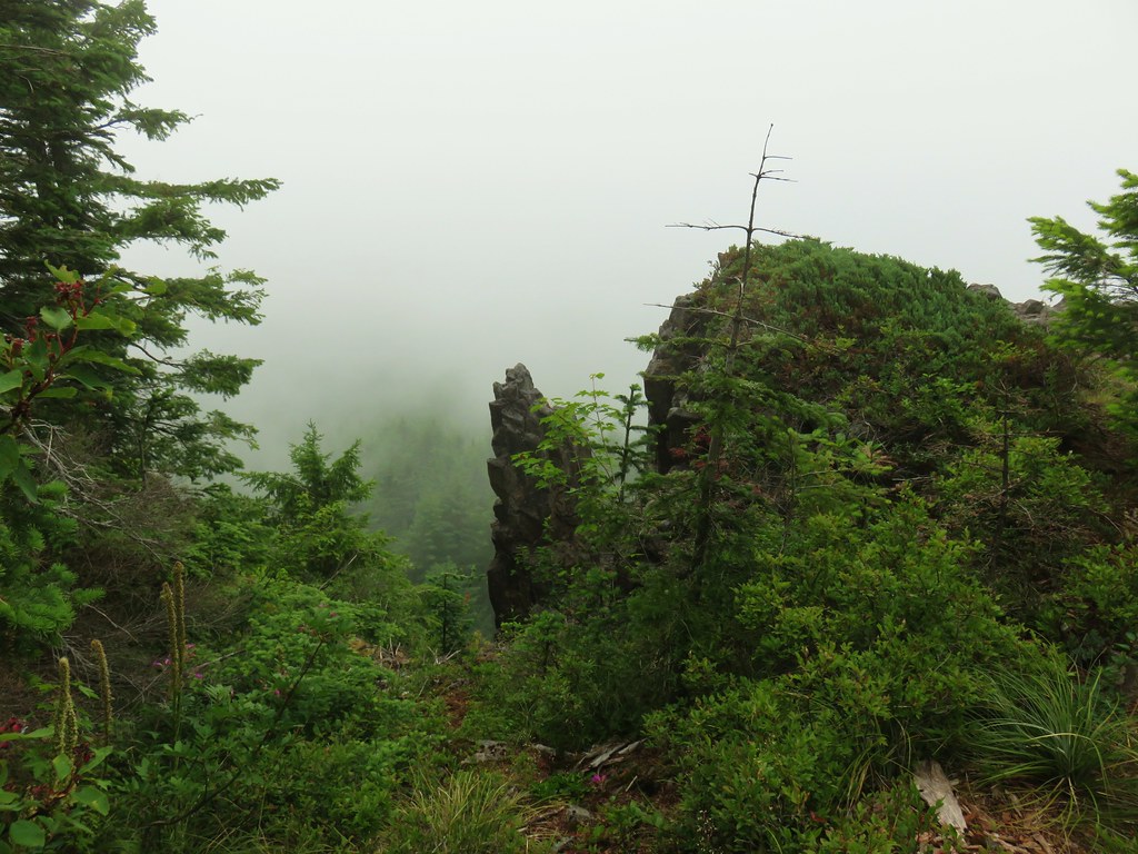 First viewpoint
 Second viewpoint, about 1.5 miles in. The hillside was covered in cat’s ear lilies.
 Penstemon and cat’s ears
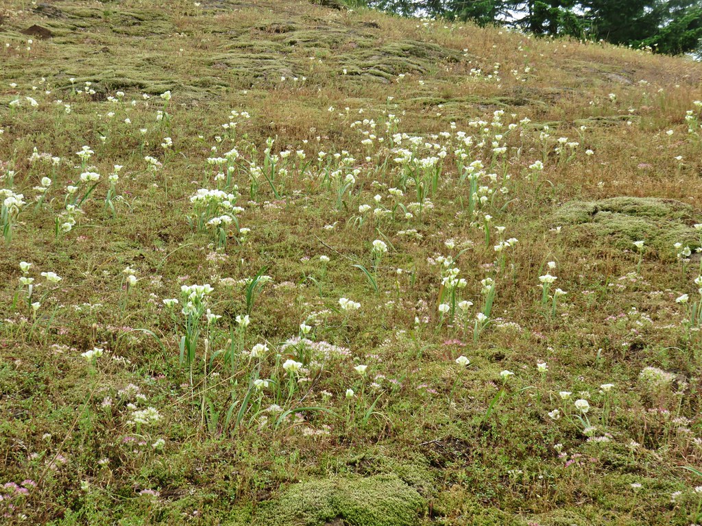 Cat’s ears and wild onion

 Two kinds of paintbrush
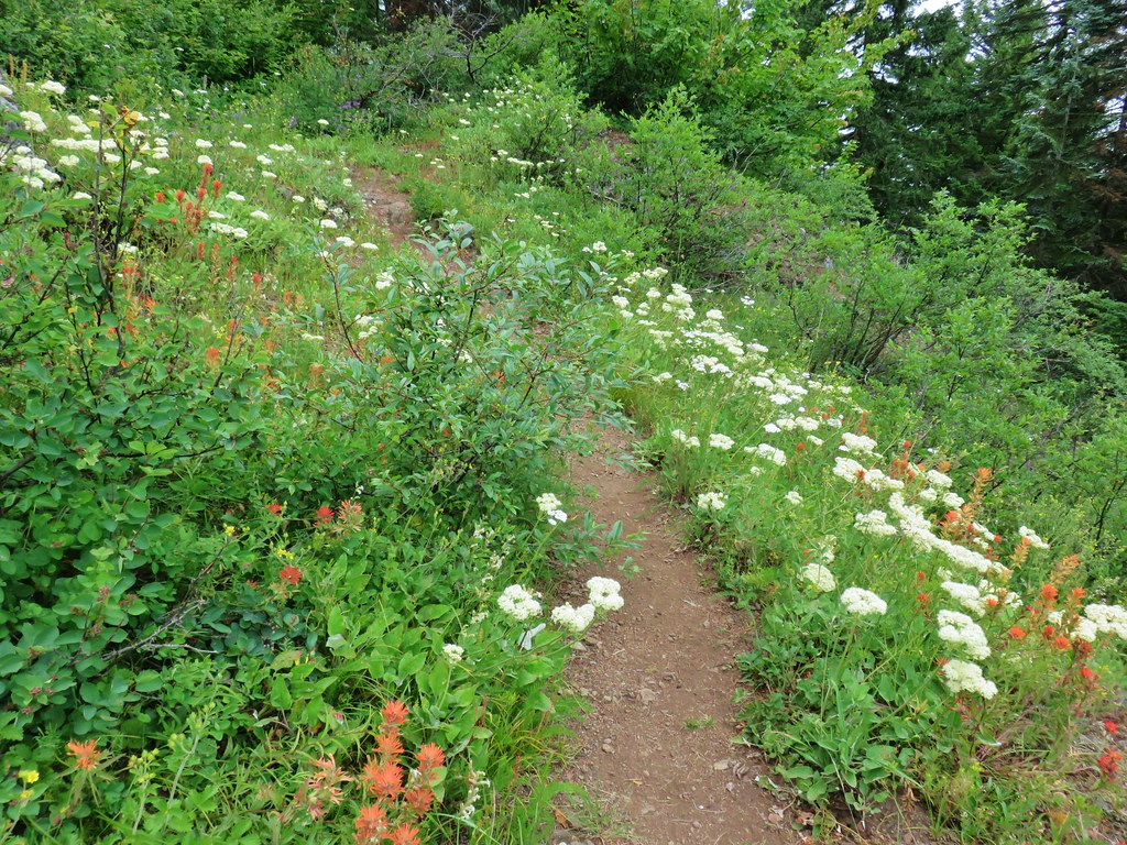
 Onion
Onion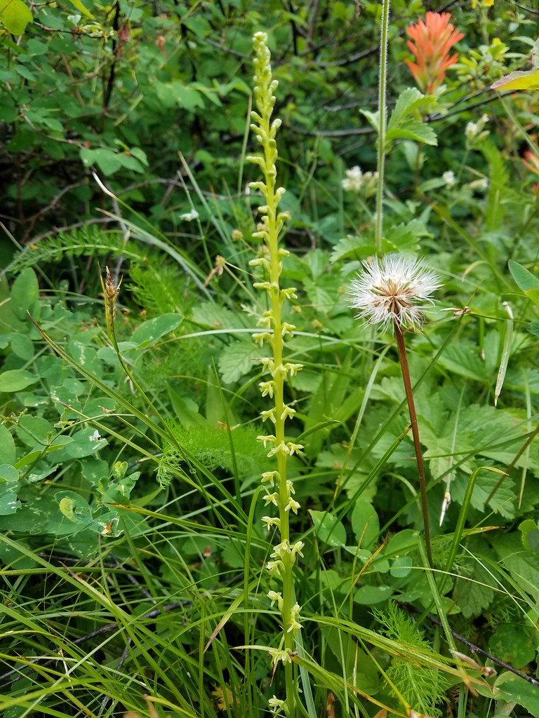 Looks to be some sort of orchid
 Blue-head gilia and an unknown yellow flower.
 Arrow leaf buckwheat and blue-head gilia
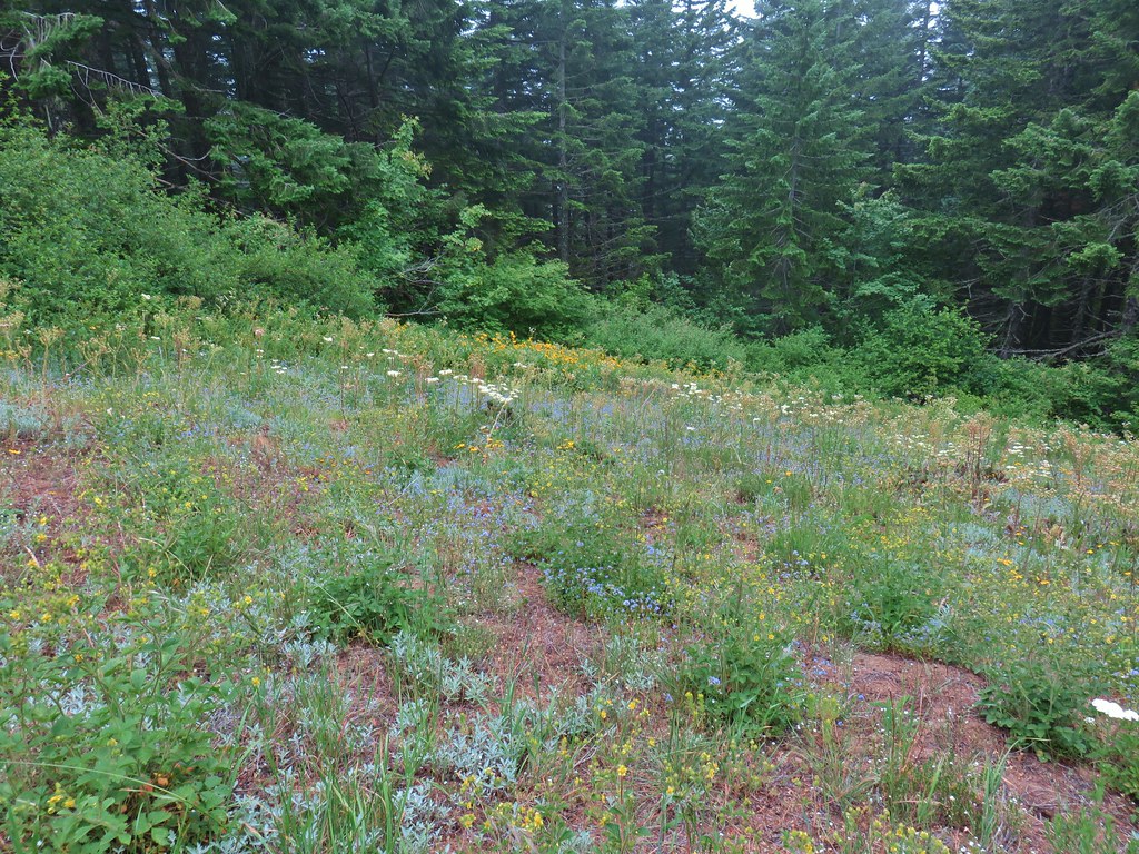 A bunch of flowers
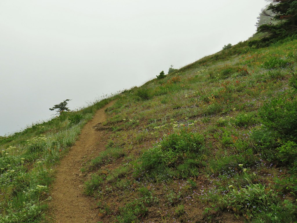 Starting up Grassy Knoll
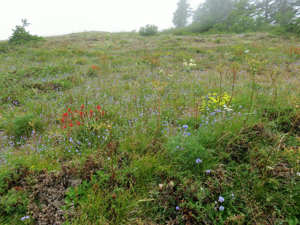

 Balsamroot
 Catchfly


 A little better view down for a moment.

 Larkspur


 Phlox and a cat’s ear lily
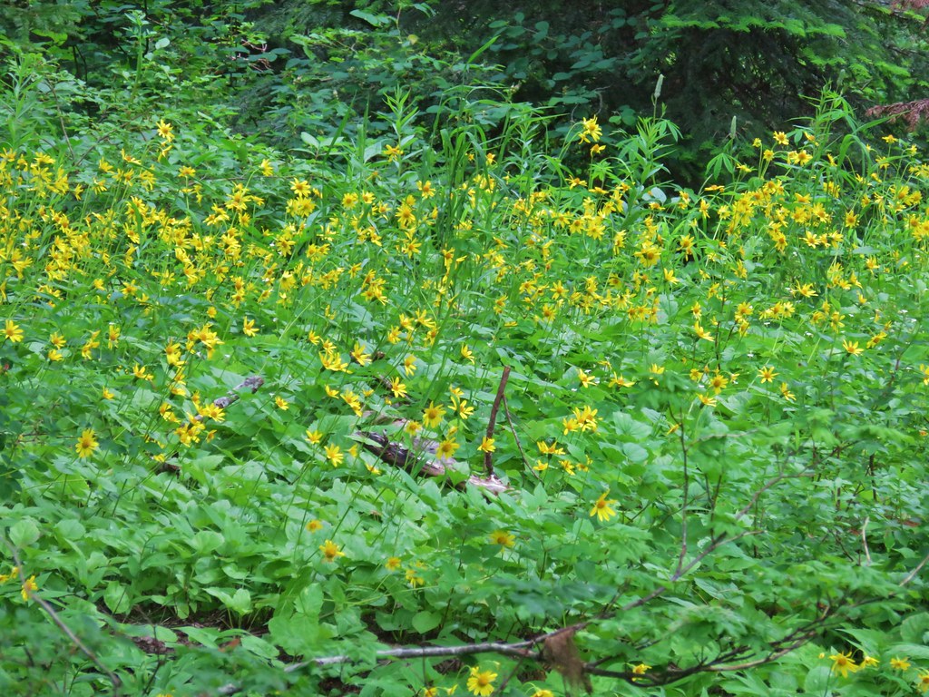


 Another type of penstemon
 Beargrass


 Not sure what this is either, it’s the first time we recall seeing it.
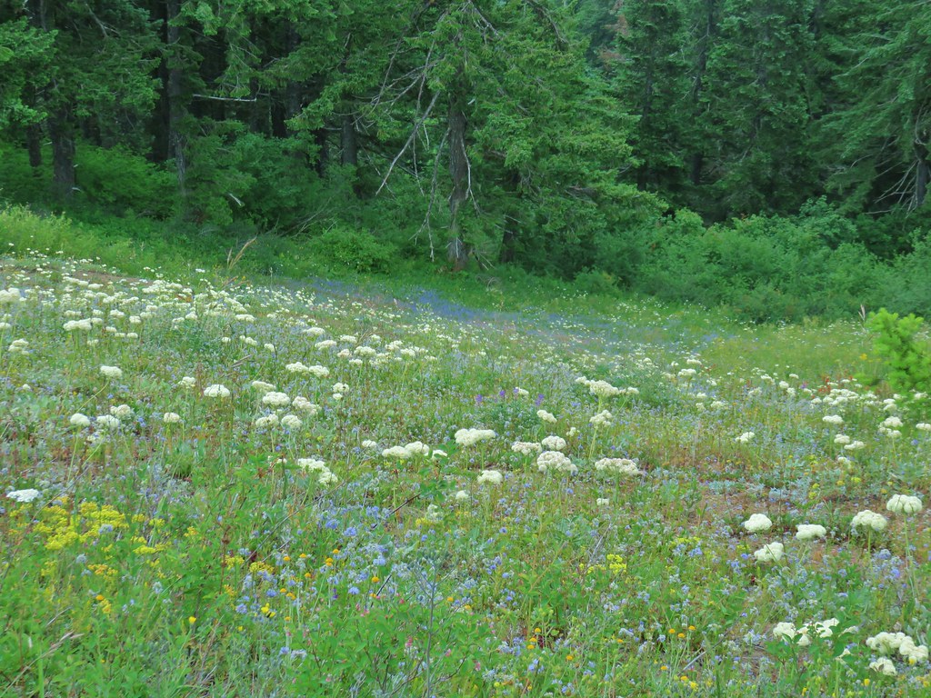


 Snowy flank of Mt. Adams through the clouds.


 Wind Mountain and the Columbia River
 Little Huckleberry Mountain and Big Lava Bed
 A bit of Mt. Adams again.
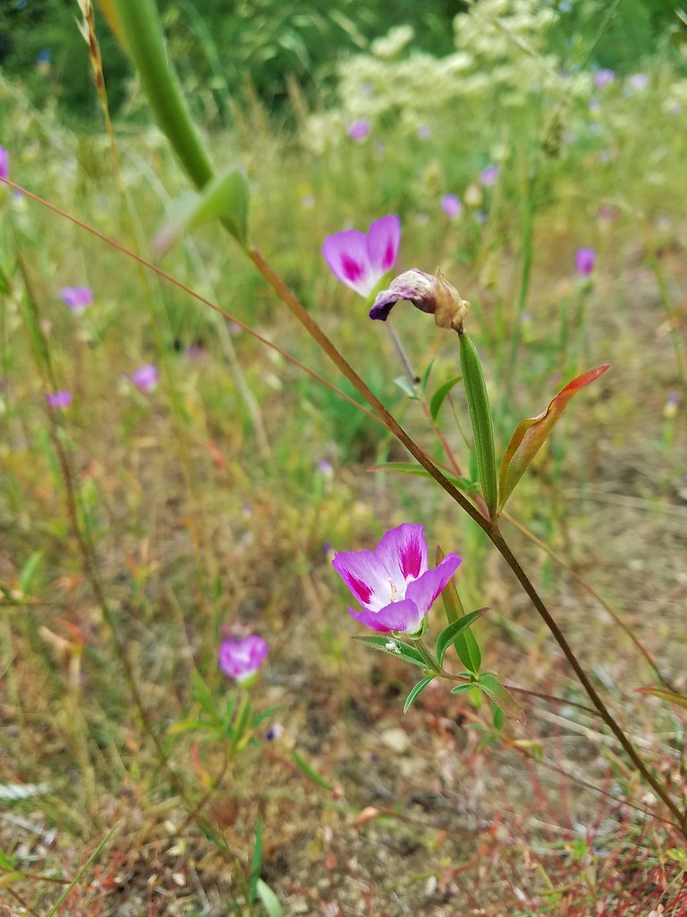


 Sturgeon Rock (still with cloud) and Pyramid Rock
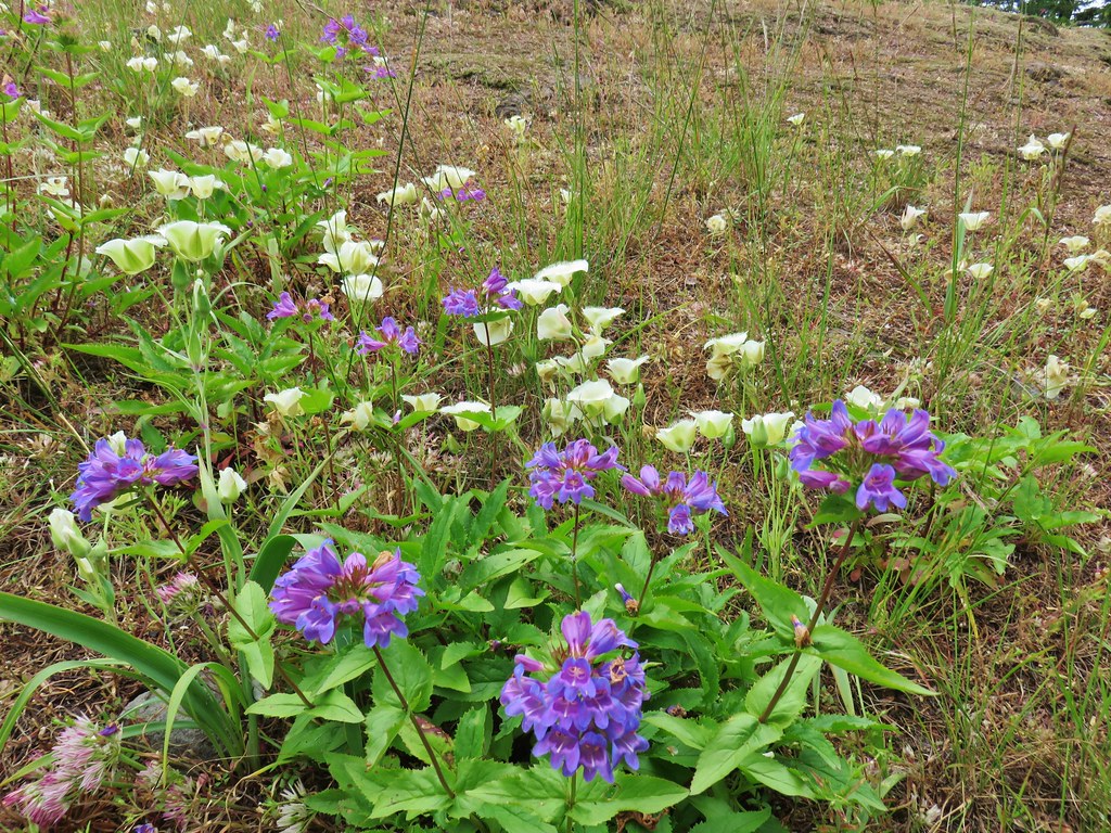
 Wild iris
 Paintbrush and lupine
 Daisies
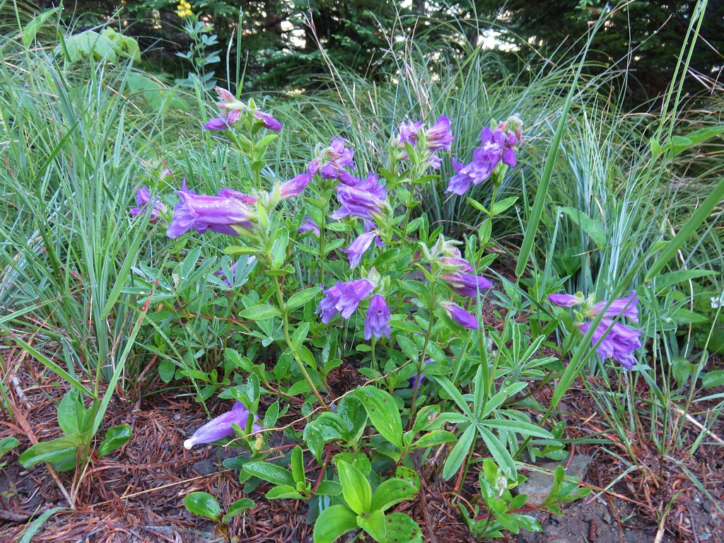 Penstemon
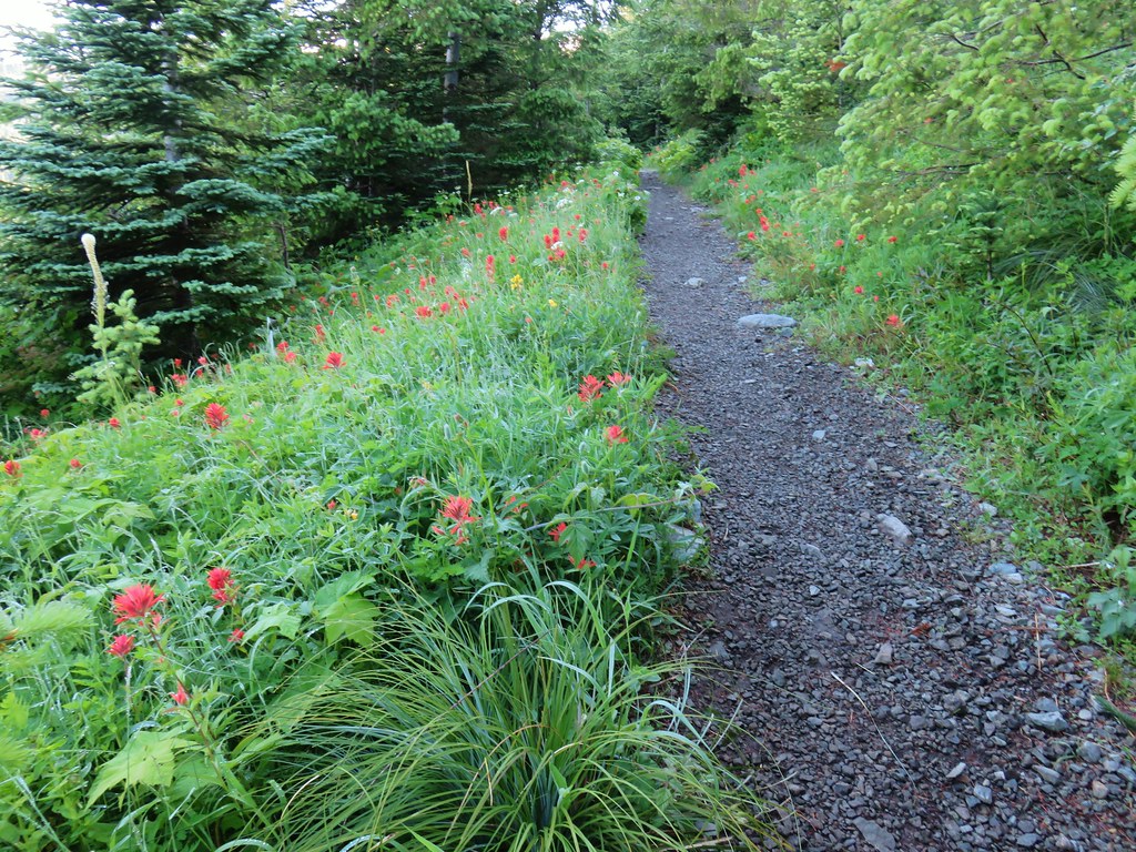


 paintbrush and mountain spirea
 Beargrass

 Columbine
 A penstemon
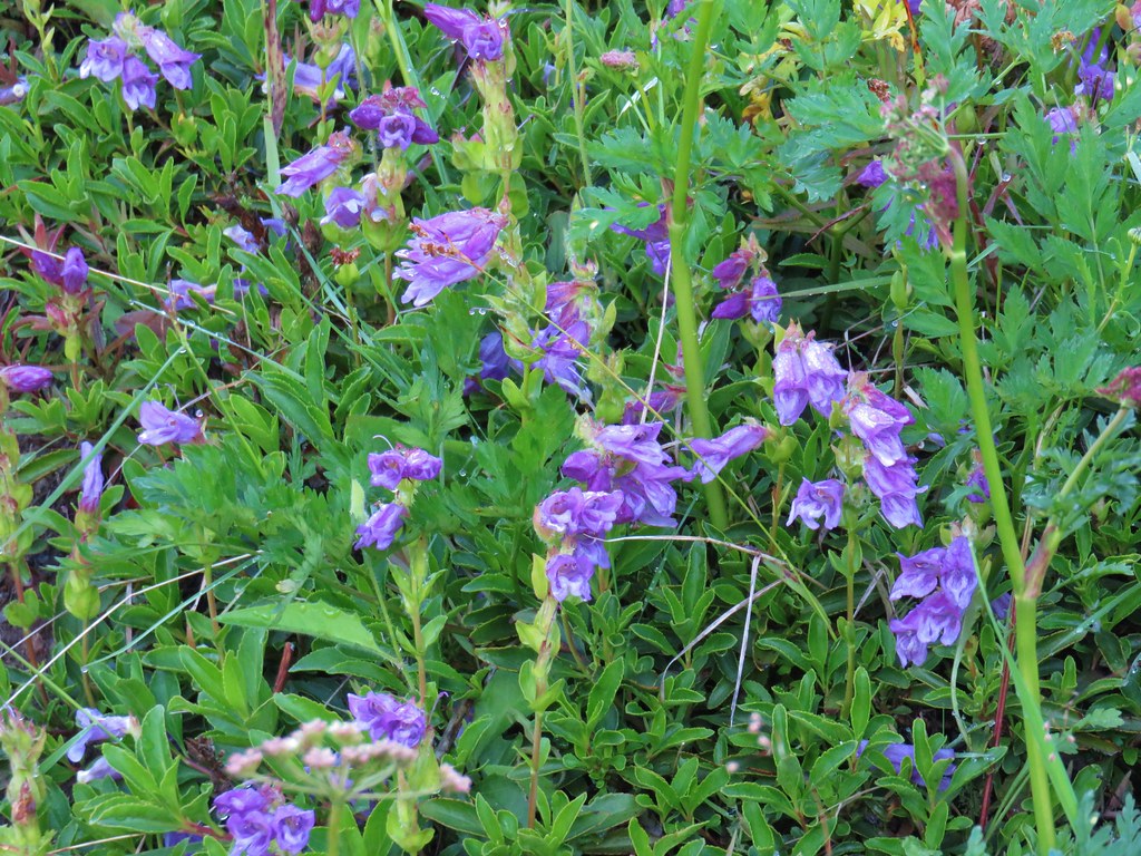 More penstemon
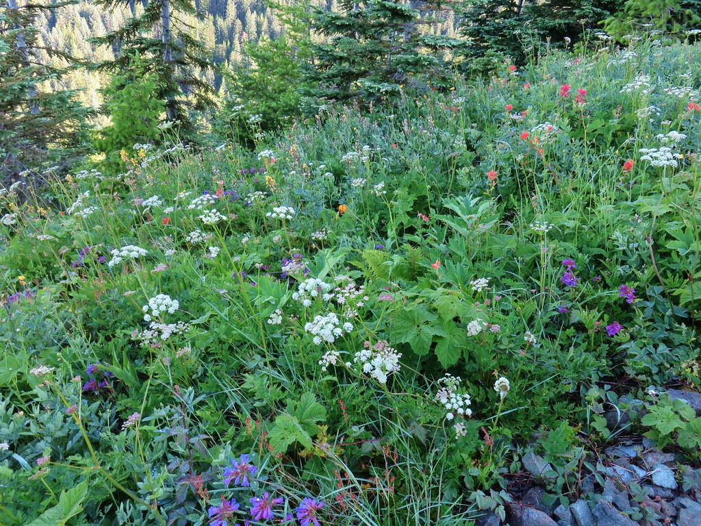 Variety pack
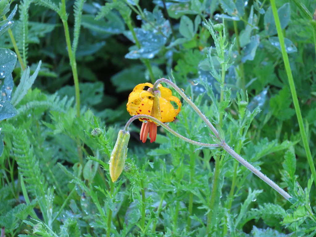 Tiger lily
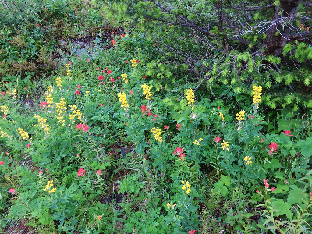 Golden pea and paintbrush
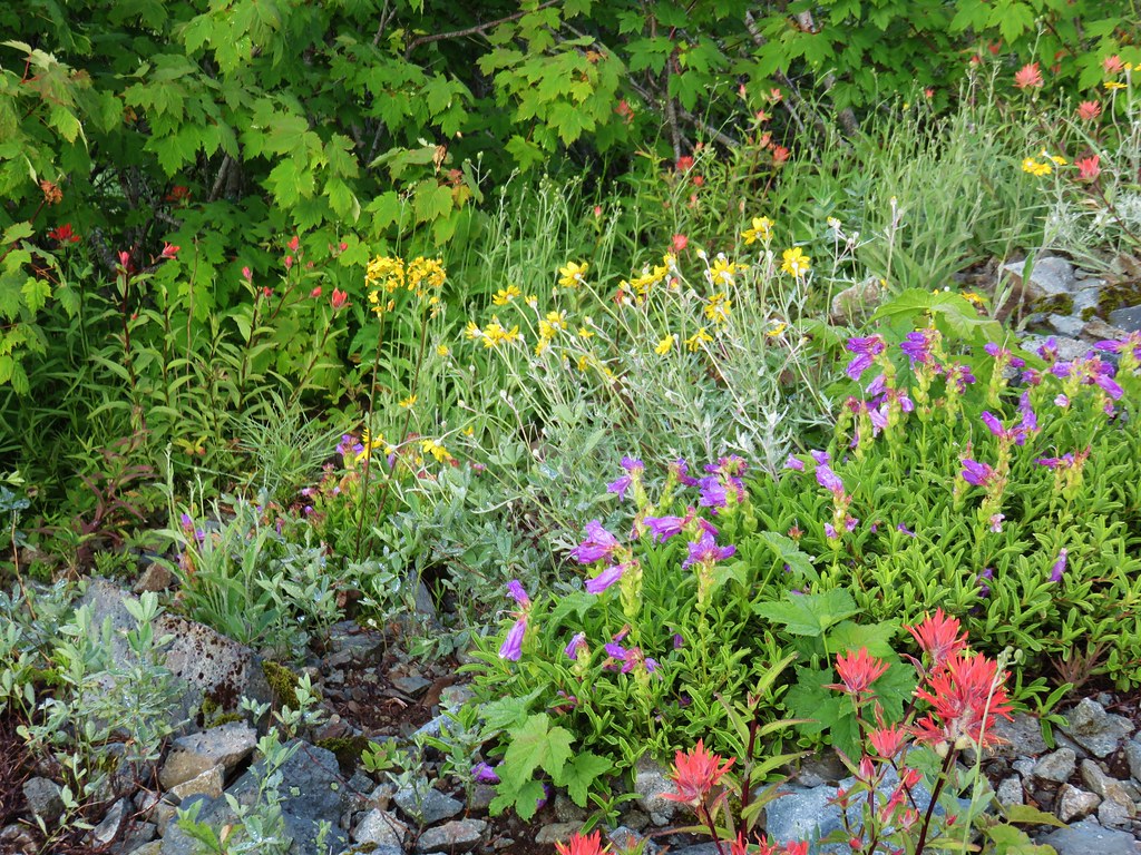 Another variety pack
 Wallflower
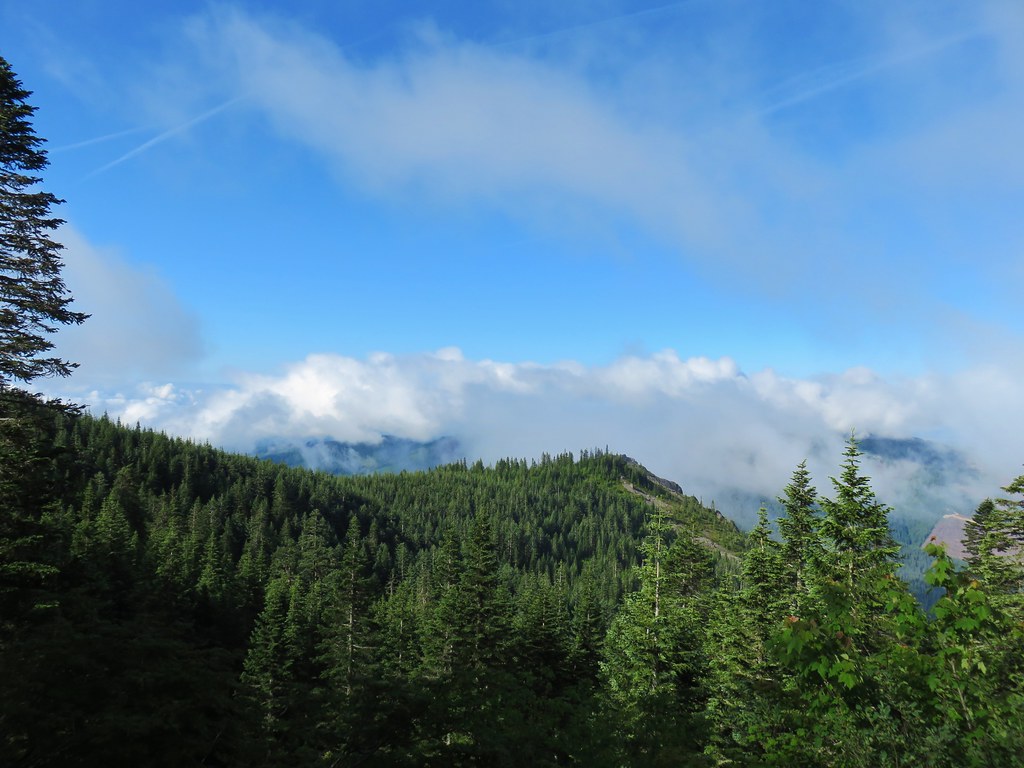

 Avalanche lilies near the junction.
 Sign for the Silver Star Trail.
 Silver Star Trail


 Sturgeon Rock momentarily out of the clouds.


 Phlox
Phlox Beargrass


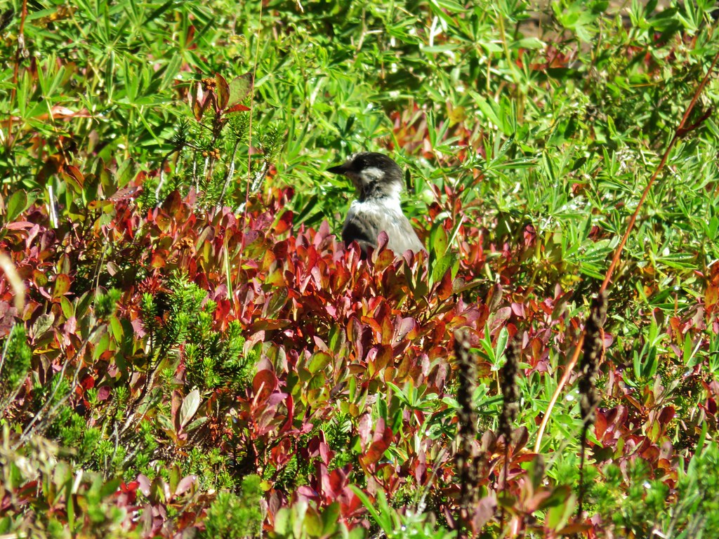
 White crowned sparrow
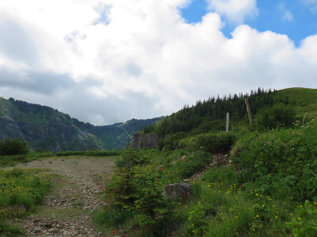


 Cat’s ear lily
 Rose
Rose Violets
 Rock penstemon
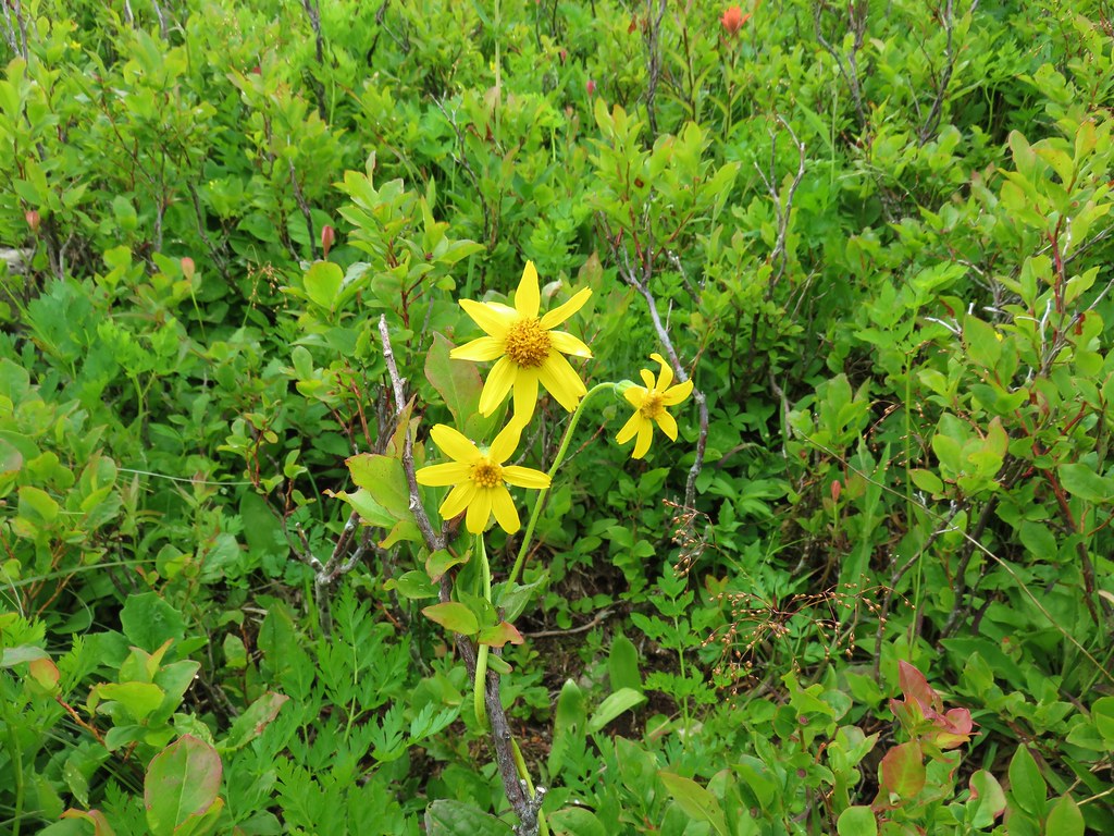
 Bleeding heart
 Candy flower
 Lousewort
 An aster or fleabane
 Backside of the arch.
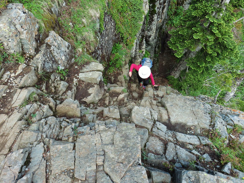


 Marsh marigold
 Marsh corydalis


 Pyramid Rock from the Tarbell Trail
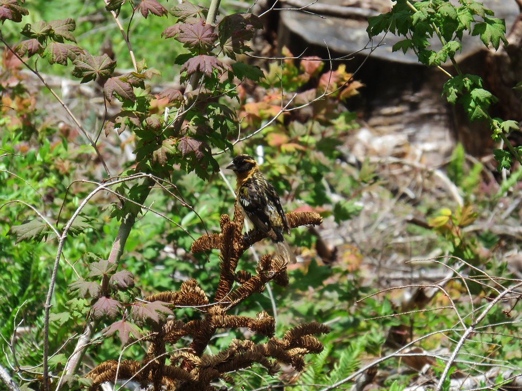 Black headed grosbeak
 Mountain parnassian
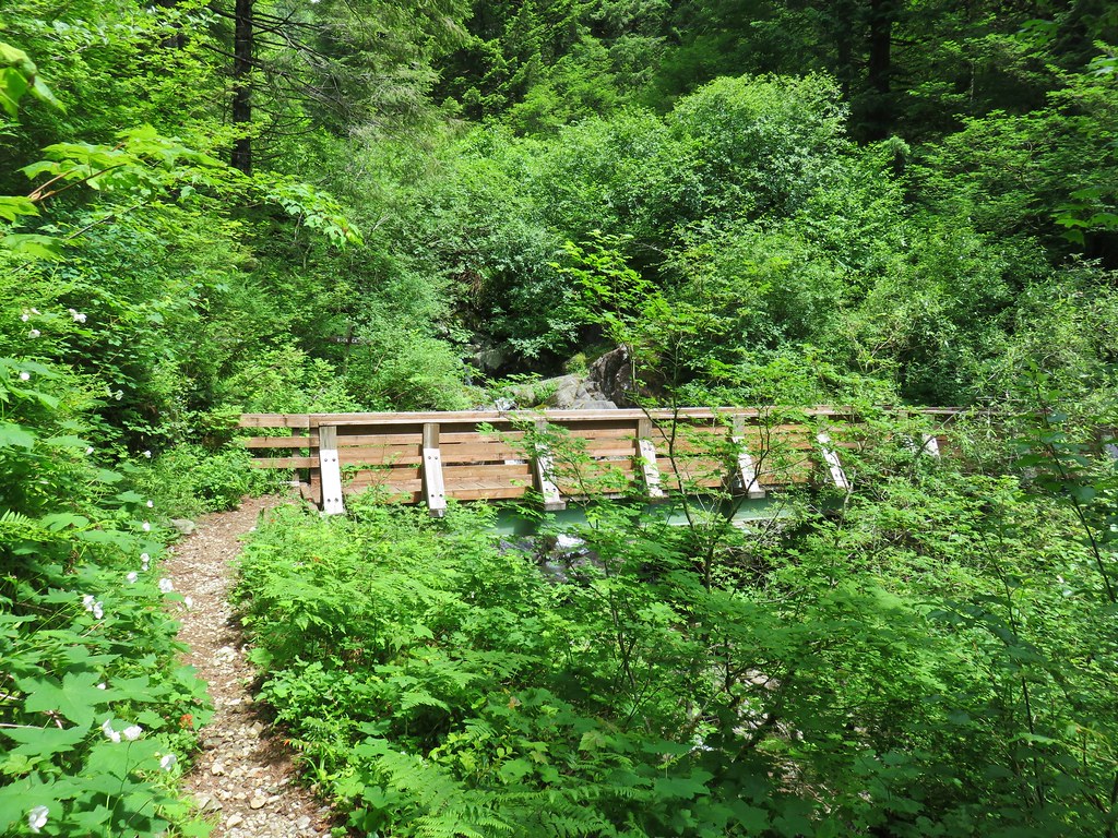


 Oregon grape
 Dogwood
 Large solomonseal
 Trillium
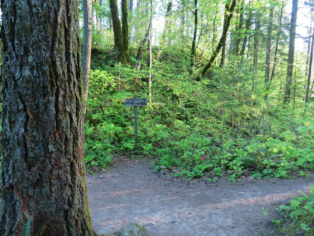


 Hamilton Mountain (
 Sacagawea and Pappose Rocks
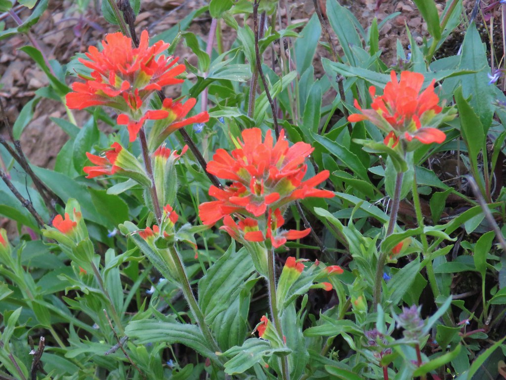 Indian paintbrush

 Bonneville Dam on the Columbia River. Nesmith Point (
 Unnamed lake through the trees.


 Bleeding heart
 Vanilla leaf

 Wood violet
 Fairy slipper
 Trillium
 The Two Chiefs on the left and Table Mountain on the right.
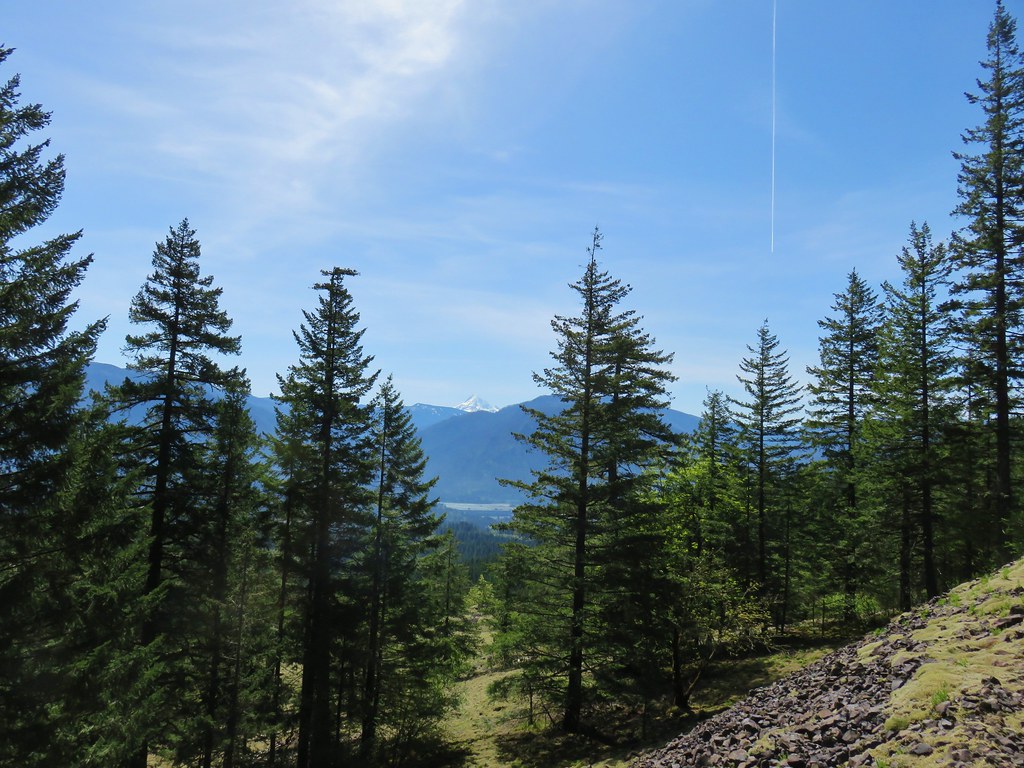

 Left side
 Right side
 The highest tier that I was able to see.
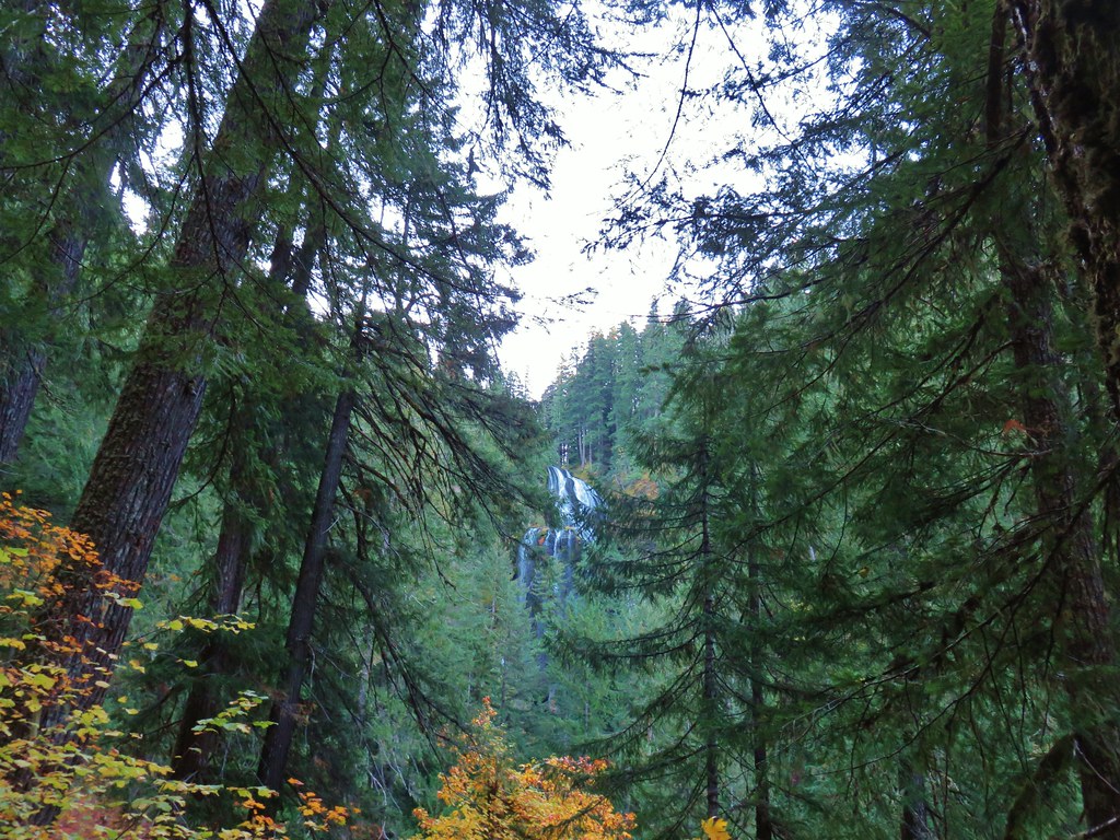
 A middle section of Greenleaf Falls
 Cascades along Greenleaf Falls just above the ones visible from the trail.


 Snow queen
 Wild strawberry
 Butterfly landing on leafy pea


 This may named be Green Lake


 Lemei Rock and Mt. Adams
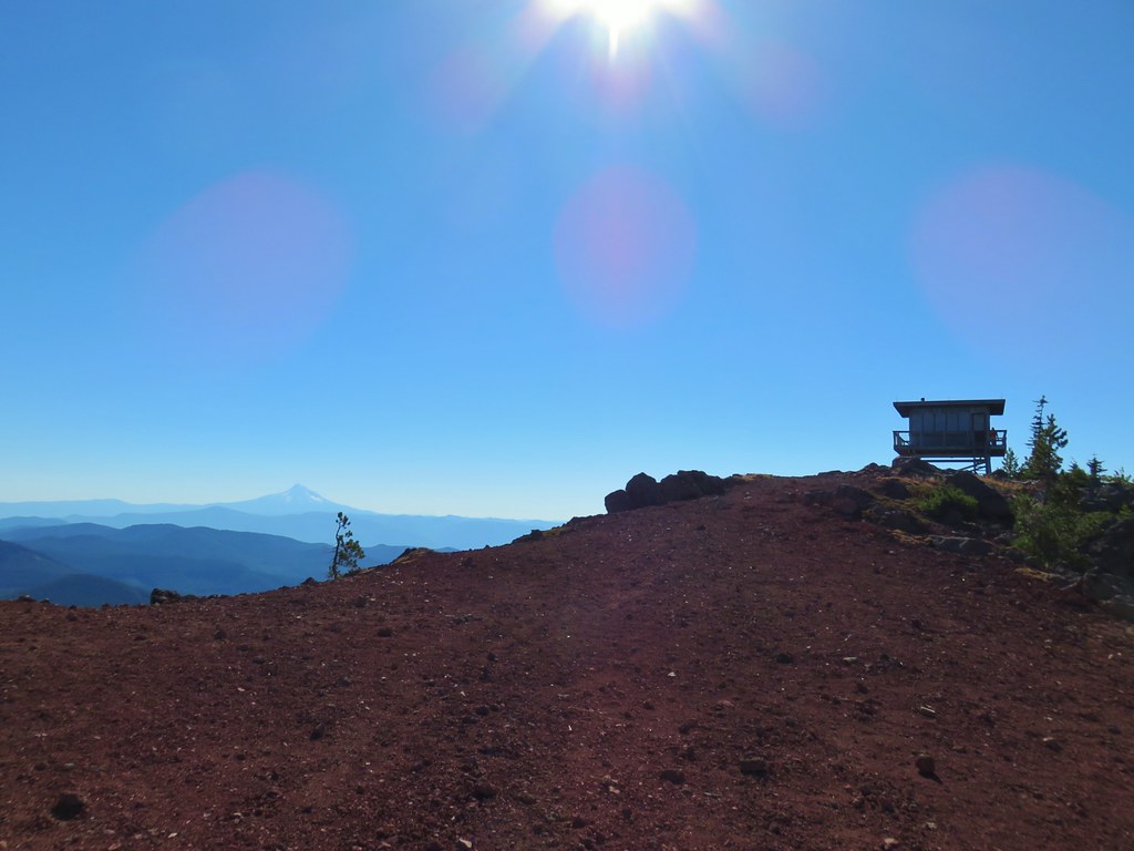

 Mt. St. Helens
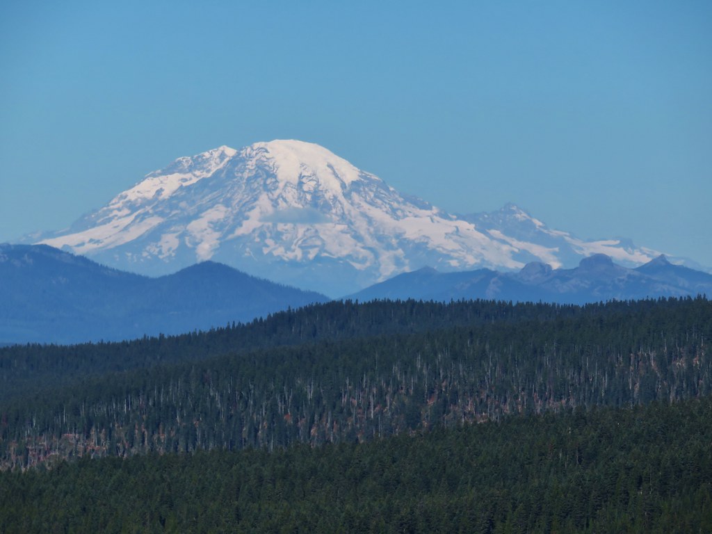 Mt. Rainier
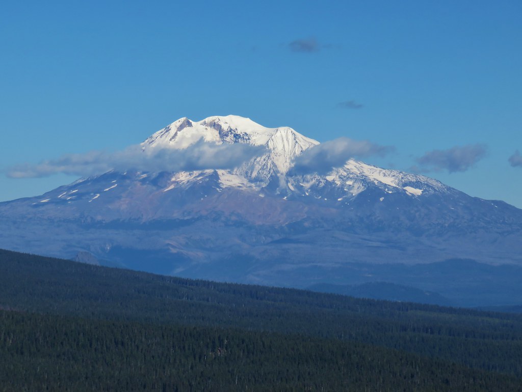 Mt. Adams