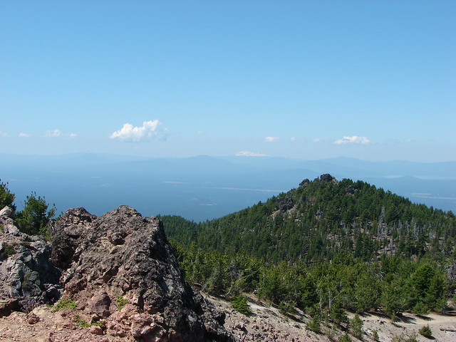
Today’s Throwback Thursday hike took place on 8/11/2012 and featured our first summit of one of the Cascade Mountains – Mt. Bailey. The 8368′ summit would also mark the highest elevation we’d reached surpassing that of Paulina Peak.
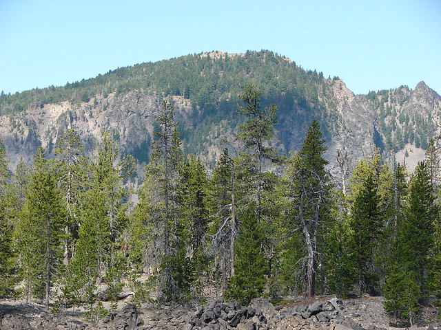
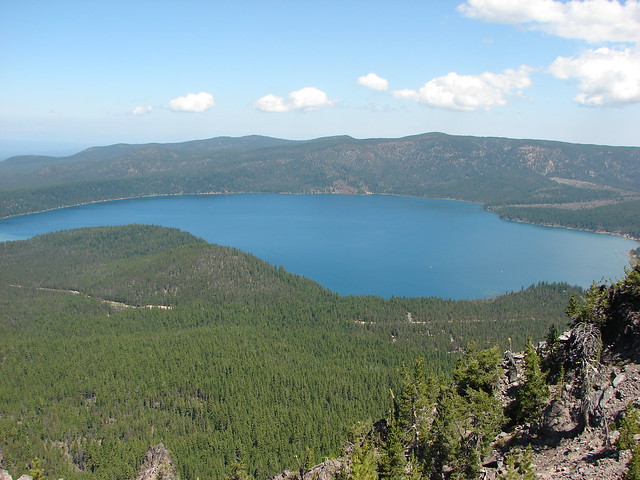
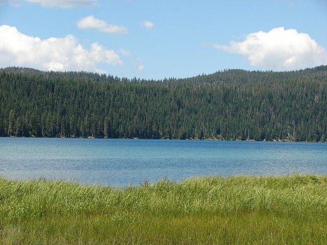
Mt. Bailey is located north of Crater Lake National Park on the west side of Diamond Lake across from the taller, pointier Mt. Thielsen.
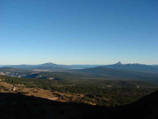
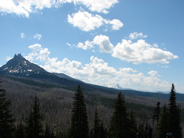
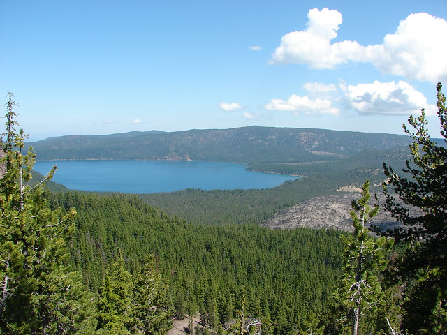
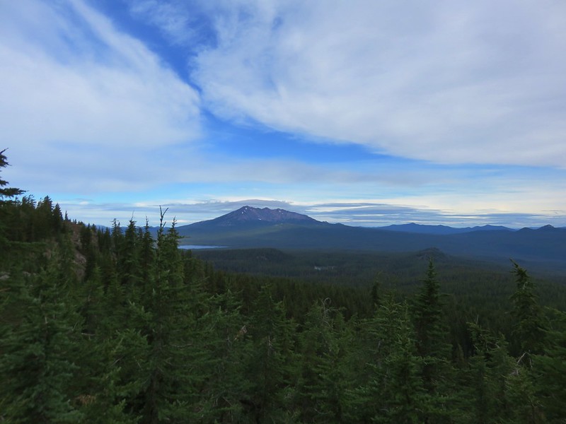
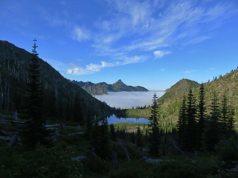
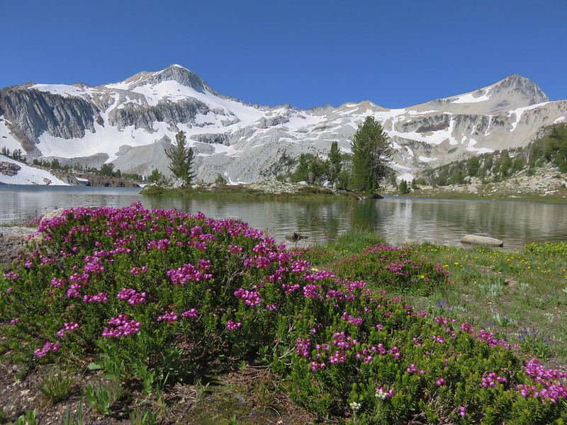
Mt. Bailey to the left of Diamond Lake with Mt. Thielsen on the right as seen from Mount Scott, Crater Lake National Park
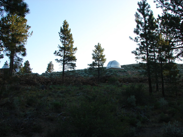
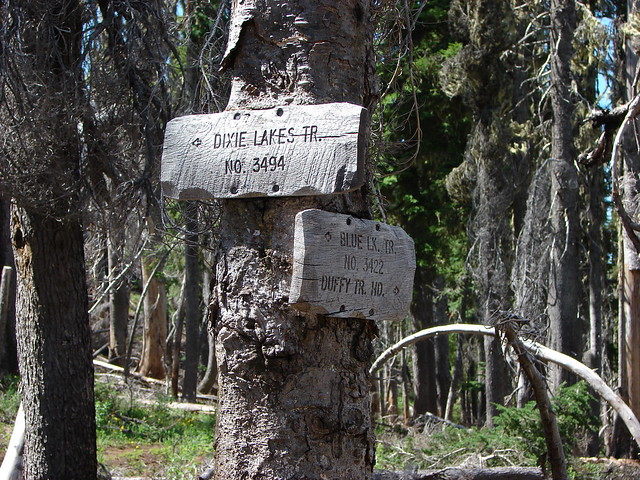
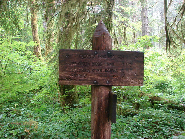
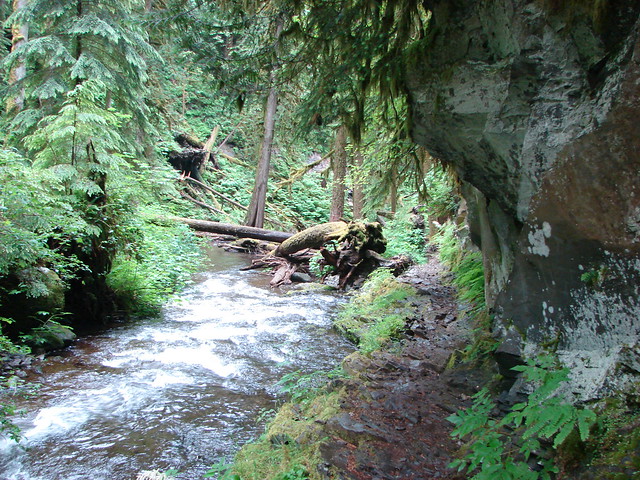
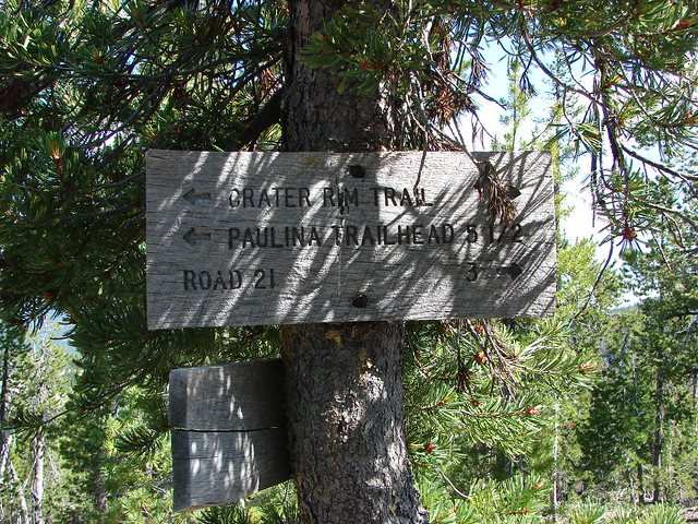
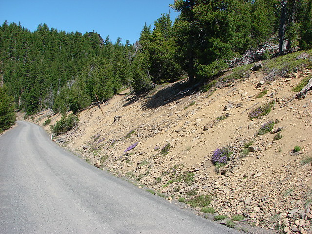
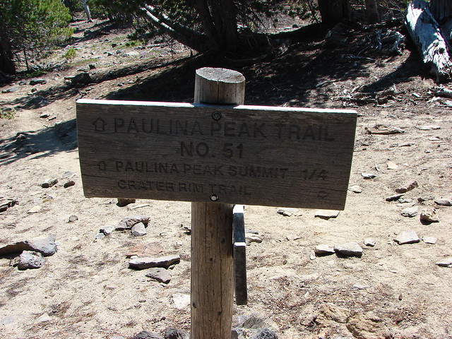
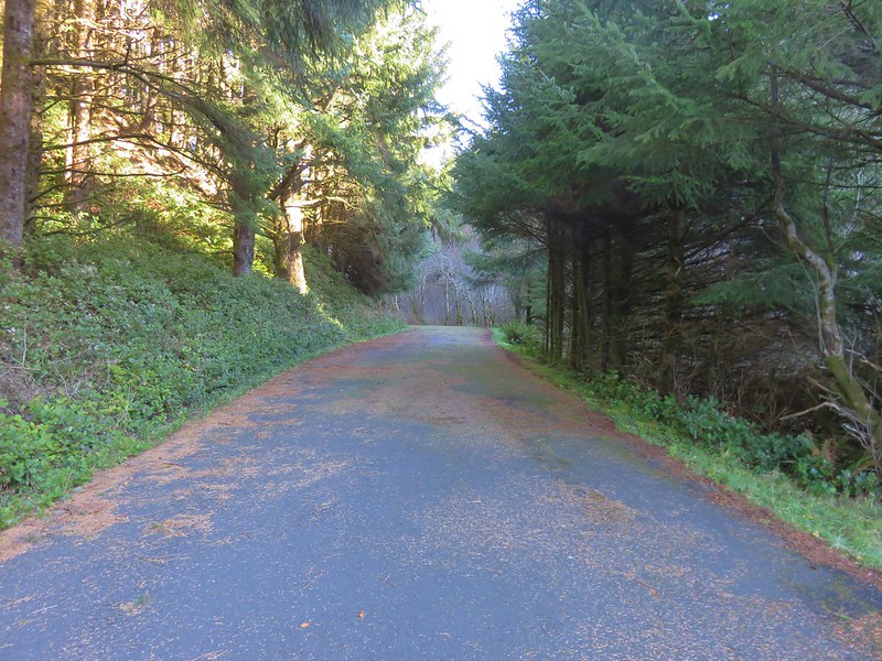
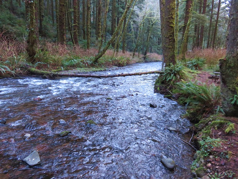
There are two trailheads to choose from. From Diamond Lake’s South Shore Picnic Area turn onto Road 4795 and drive just past Silent Creek to Road 300 and turn left. The lower trailhead is just .4 miles further and suitable for passenger vehicles. The road to the upper trailhead was reportedly rough and although starting there would cut 4.4 miles off the hike it would still be under 10 miles round trip from the lower starting point so we parked there and set off.

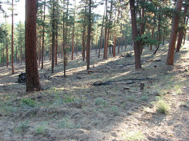
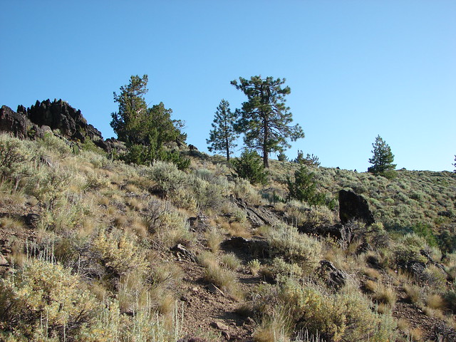
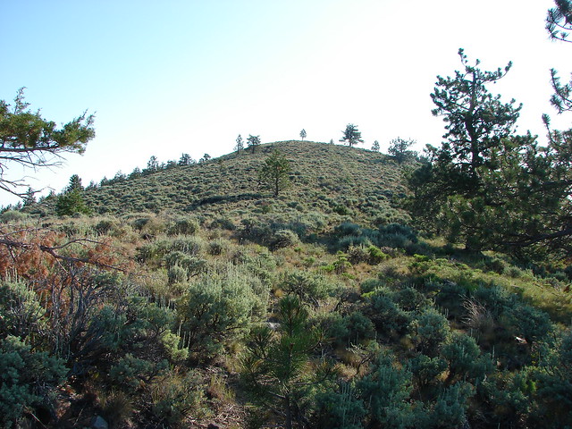
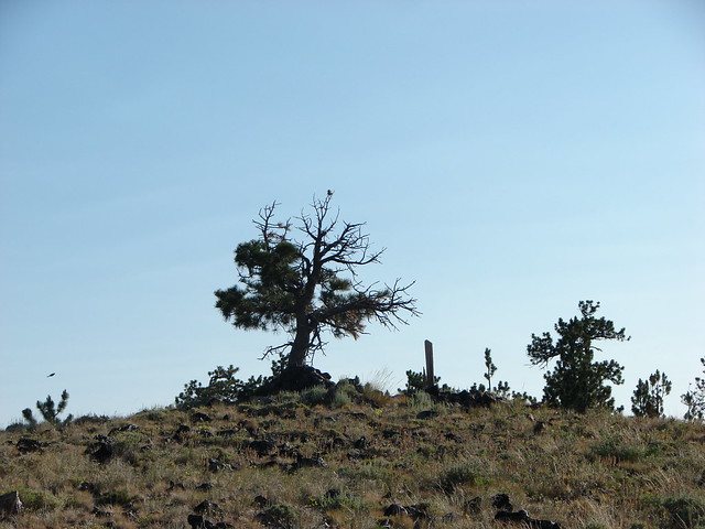
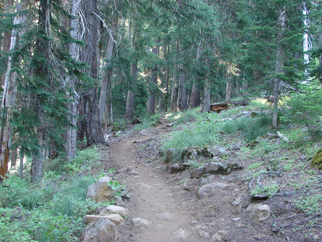
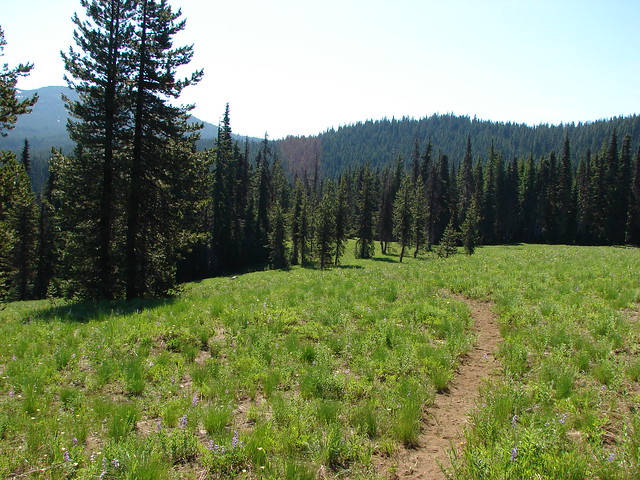
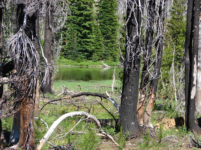
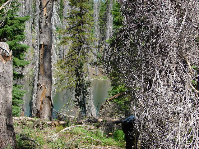
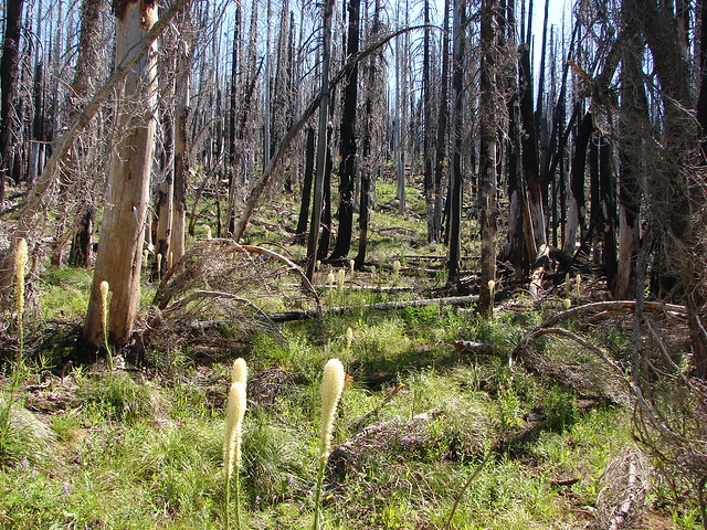
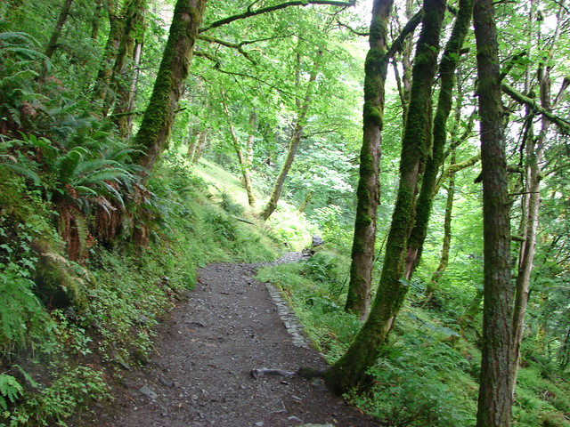
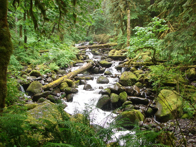
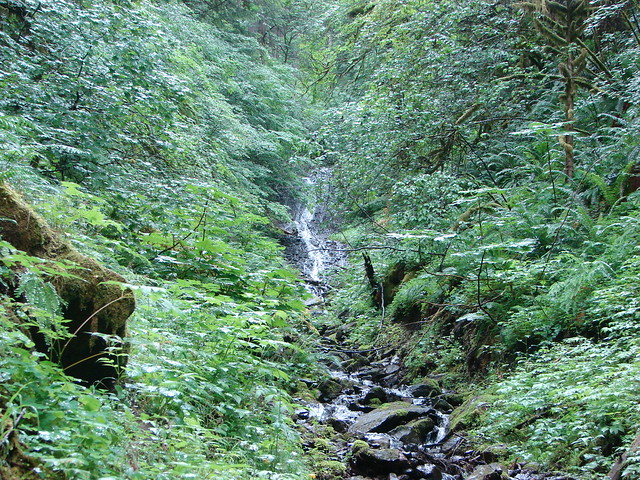
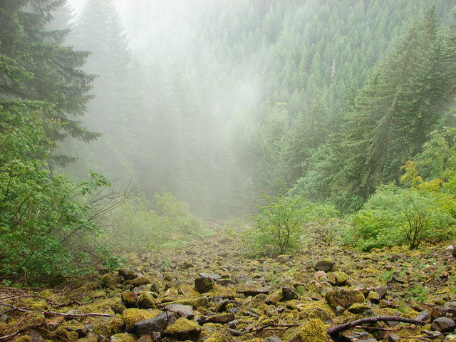
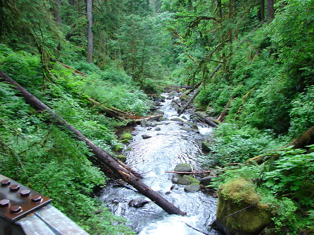
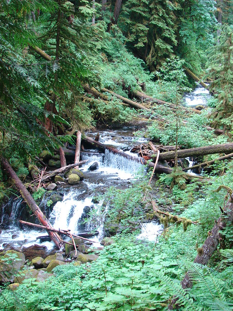
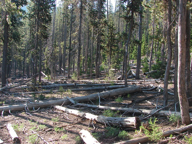
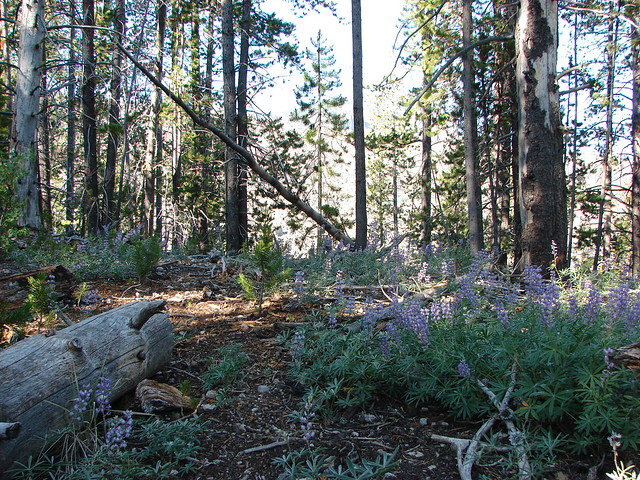
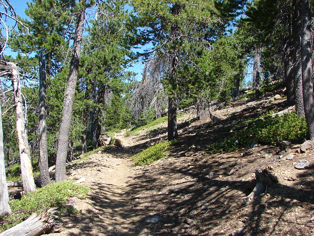
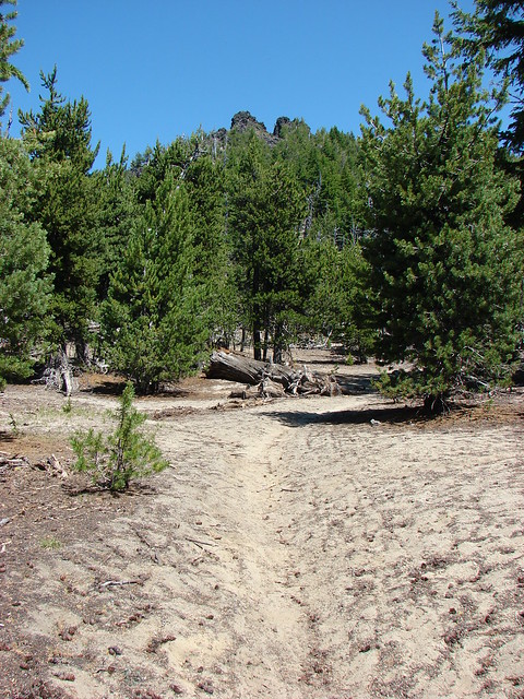
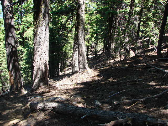
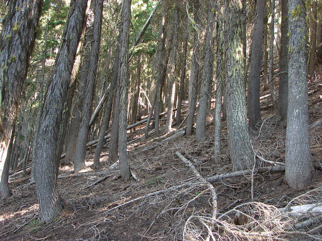
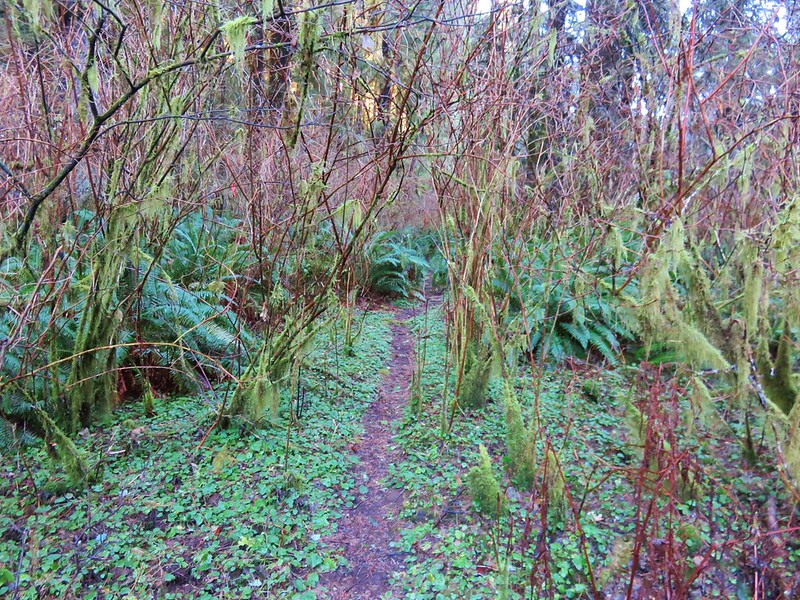
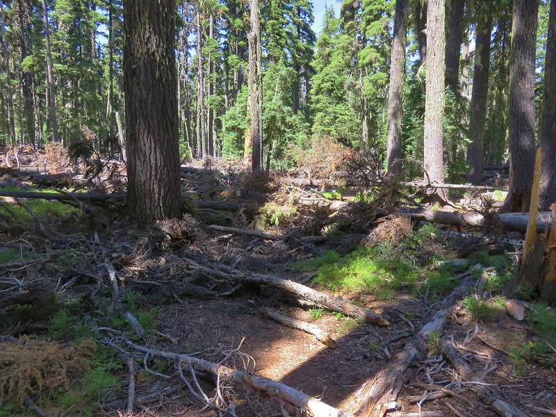
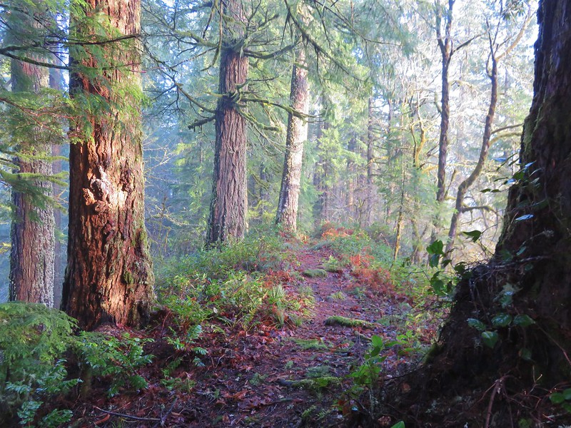
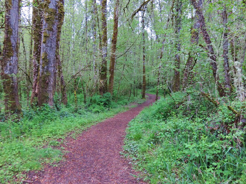
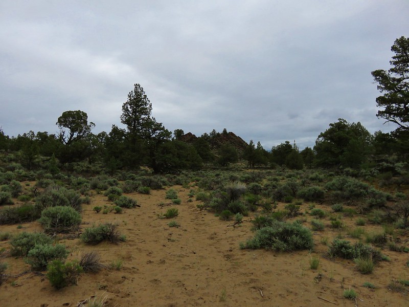
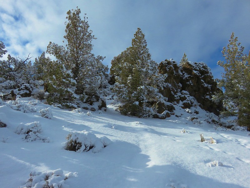
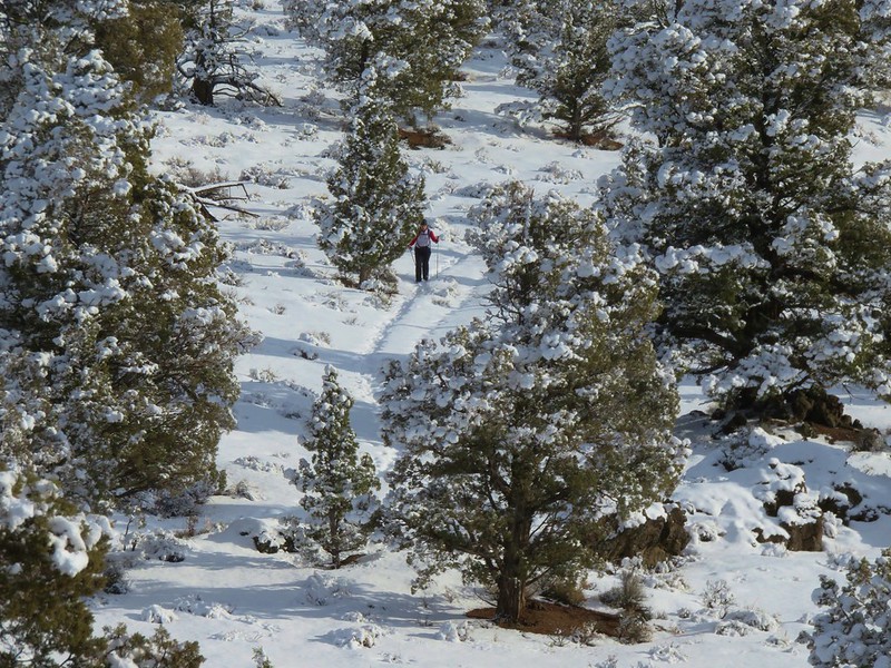
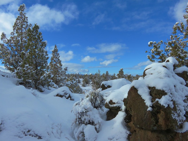
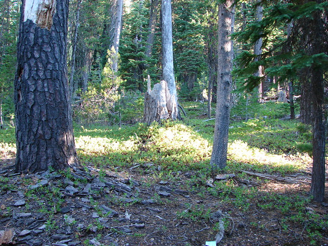
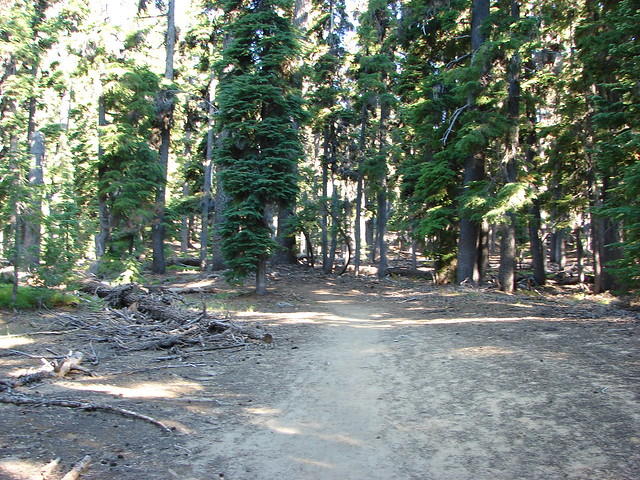
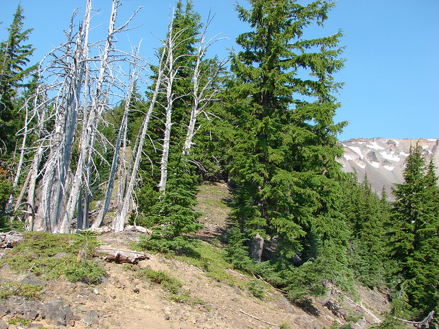
The trail climbed through a somewhat sparse forest, typical for this part of the Cascades due to the presence of a thick layer of ash and pumice which covered the area following the eruption of Mt. Mazama.

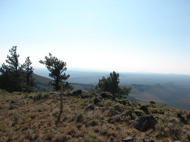
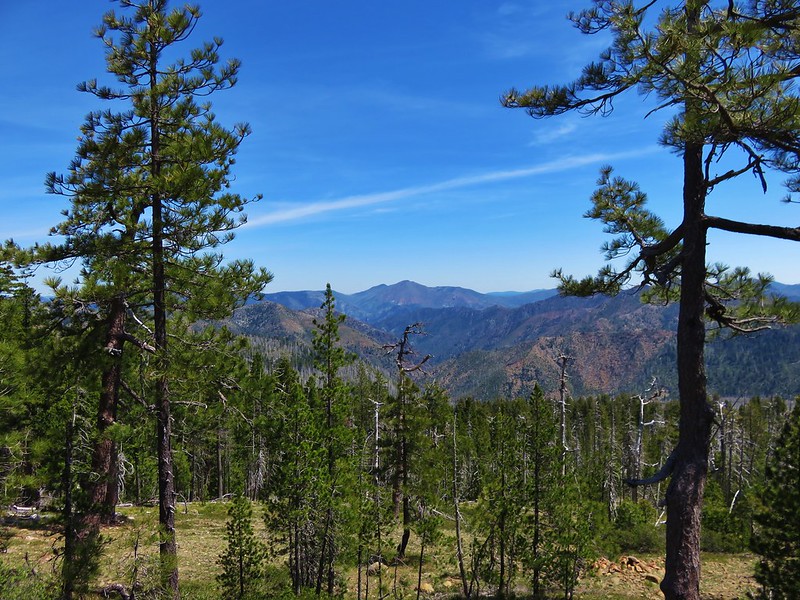
As we neared the 1.5 mile mark a somewhat hazy view of Hillman Peak and The Watchman on the west side of Crater Lake’s rim opened up.

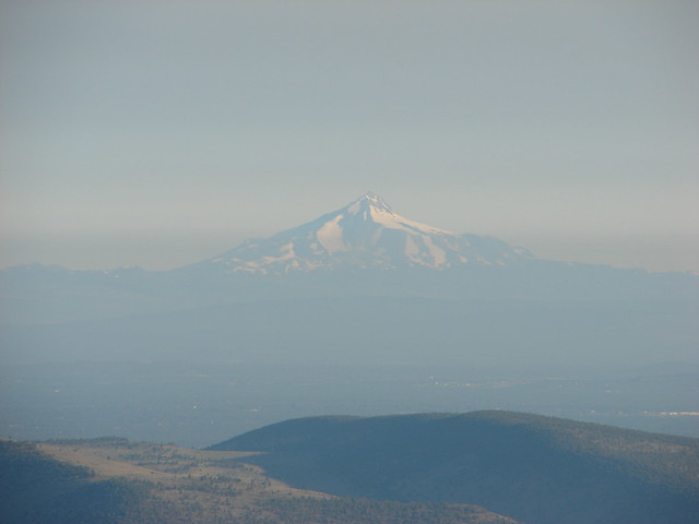
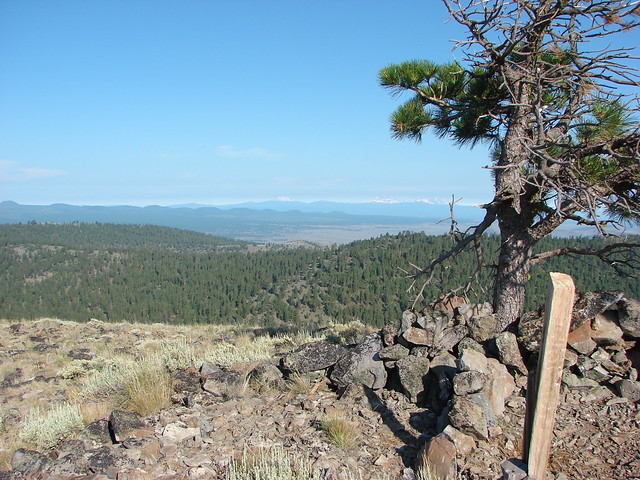
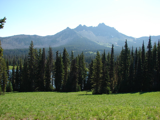
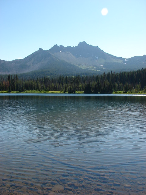
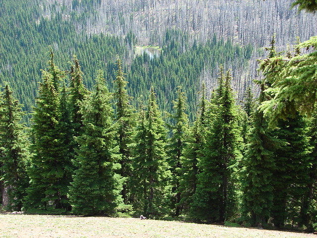
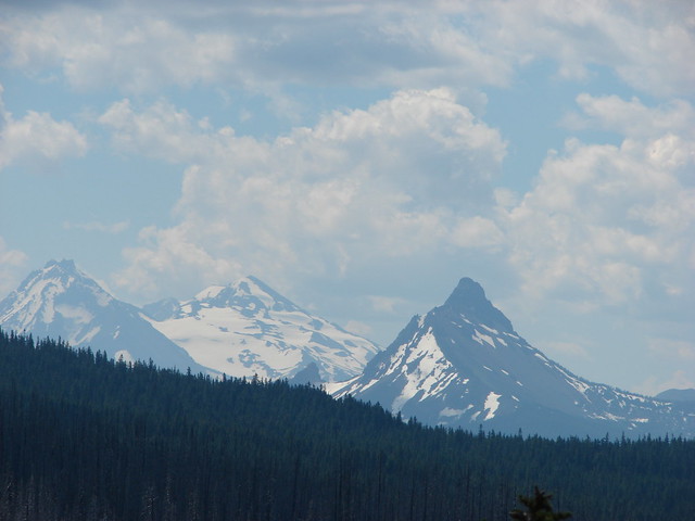
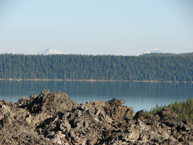
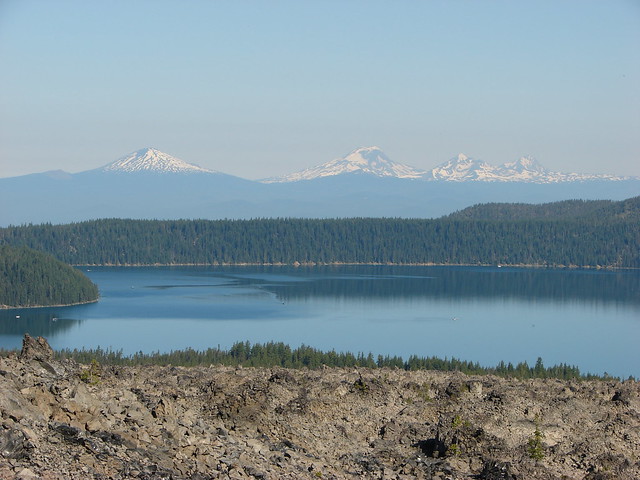
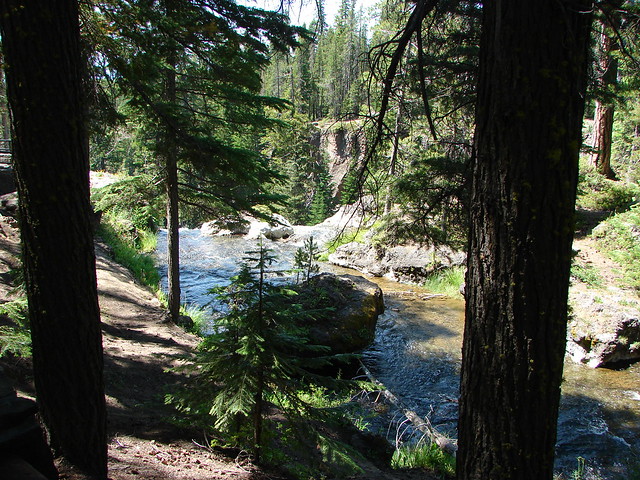
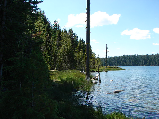
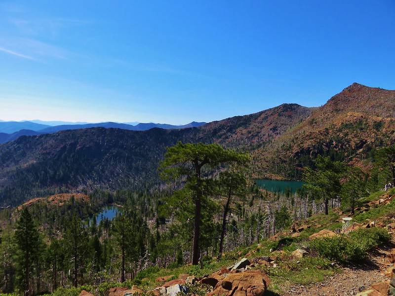
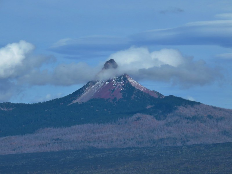
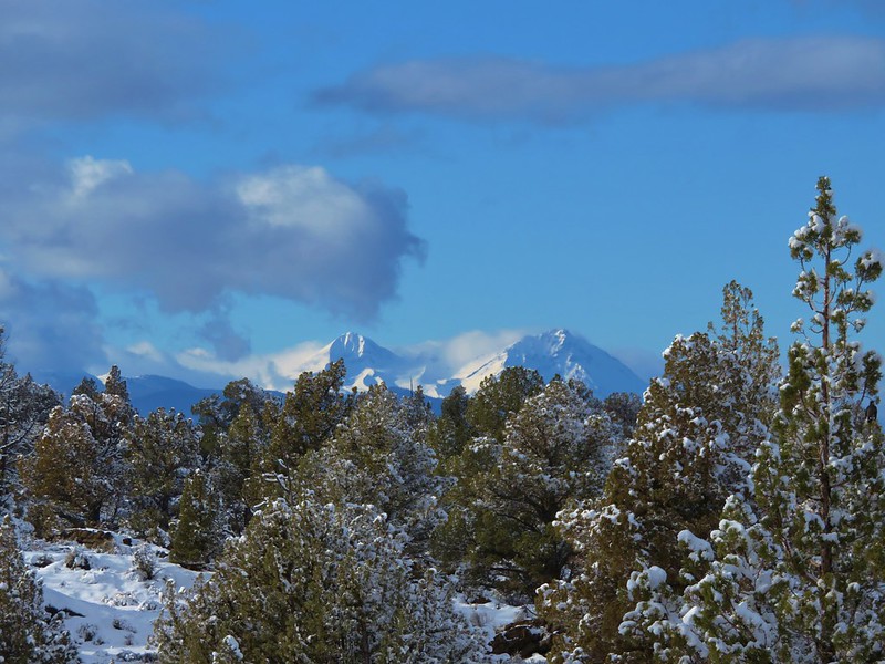
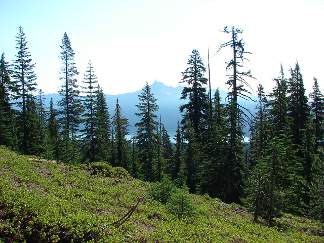
A couple of hundred yards later we came to a viewpoint of Diamond Lake and Mt. Thielsen.

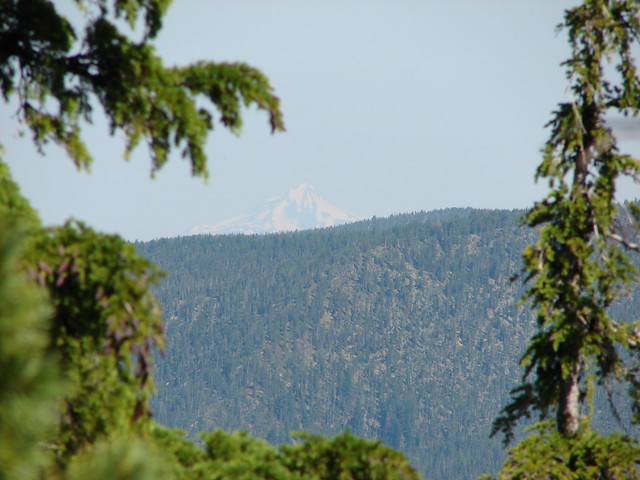
Mt. Scott was also visible to the south on the east side of Crater Lake, but the view wasn’t great due to smoke from forest fires.
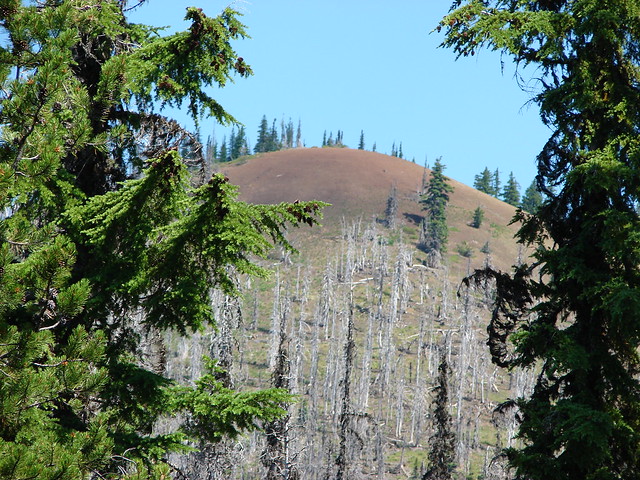
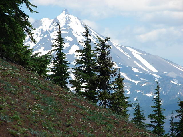
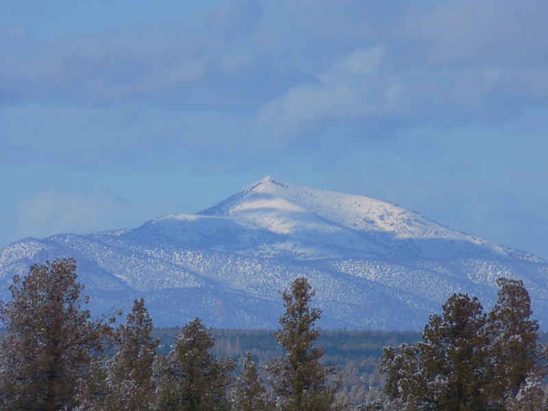
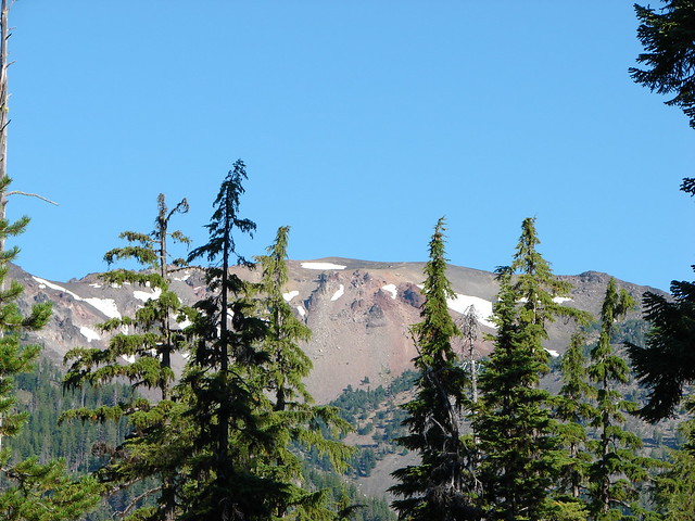
We also had a good look at our ultimate goal, the summit of Mt. Bailey.
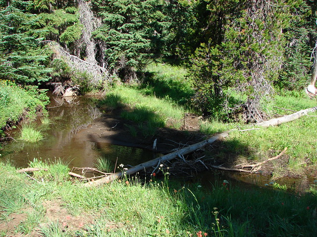
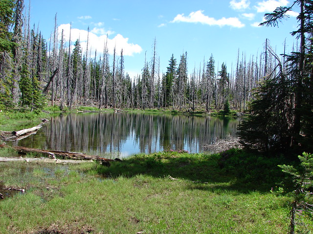
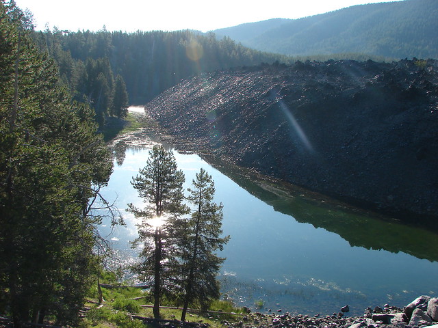
The trail had climbed approximately 750′ from the trailhead to the viewpoint but beyond the viewpoint it leveled off for the next .5 plus miles before reaching the upper trailhead. Along the way we kept watch for the Hemlock Butte Shelter which was off-trail on our left. When we spotted it we headed cross country to check it out.


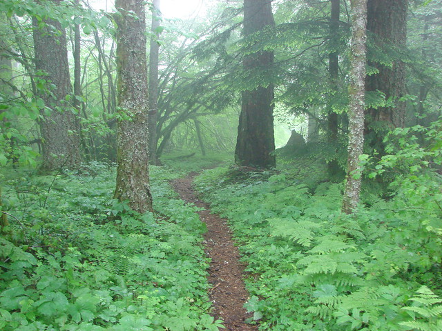
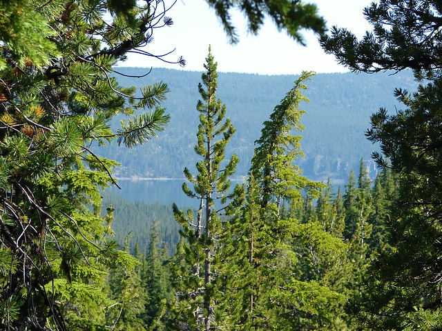
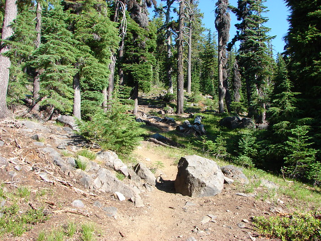
After signing the register in the shelter we made our way to the upper trailhead where the Mt. Bailey Trail began to climb again. At first the trail remained in the hemlock forest but before long we’d reached a ridge crest where the trees thinned and views opened up.

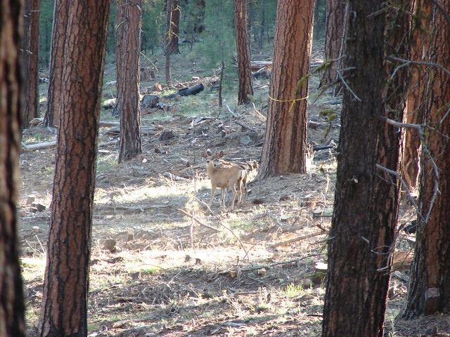
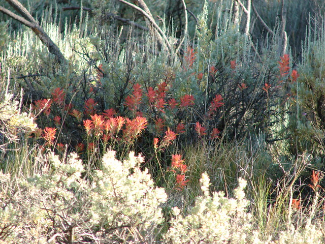
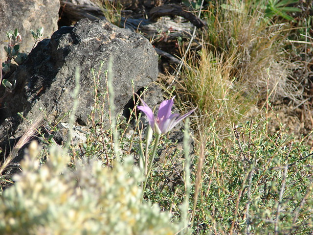
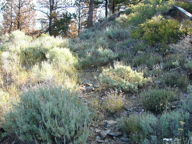
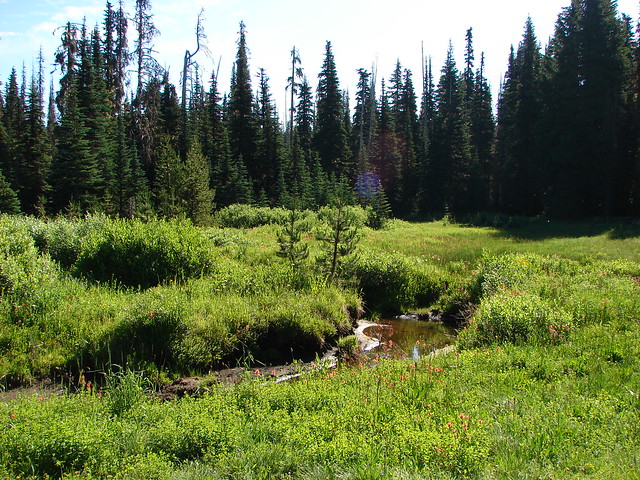
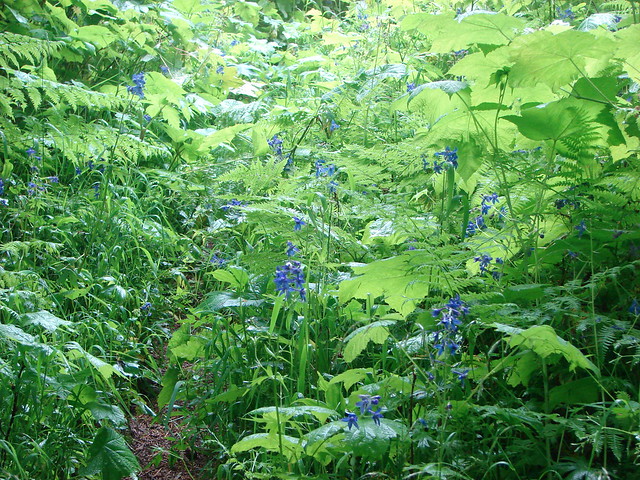
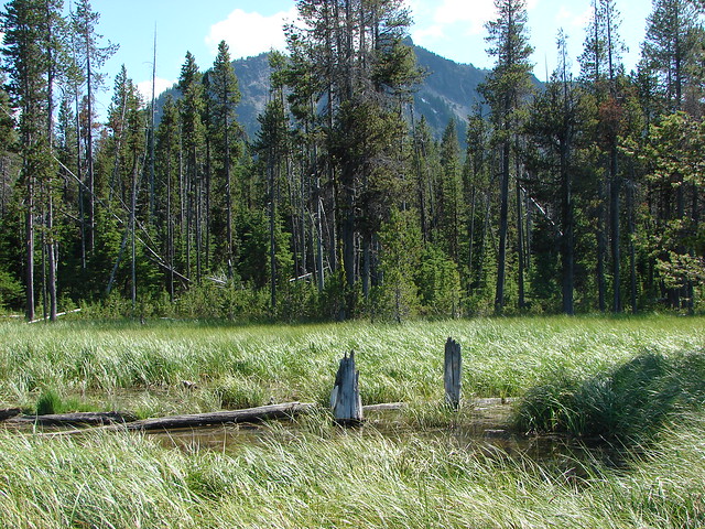
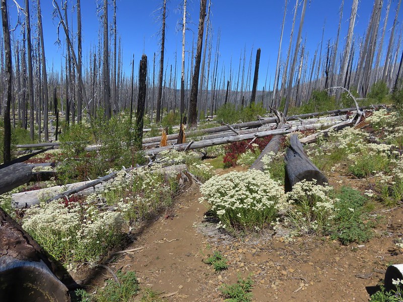
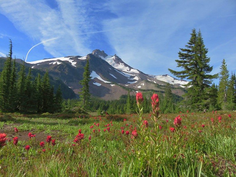
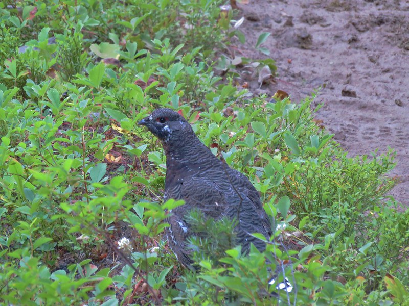
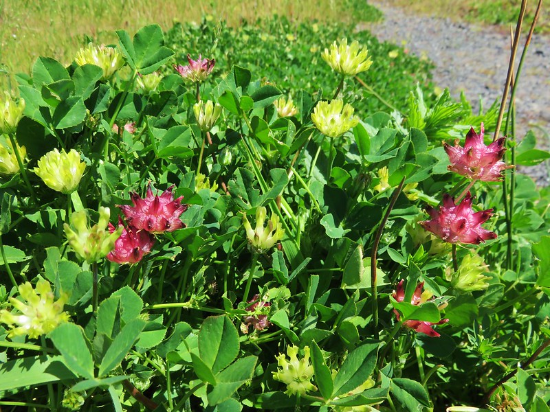
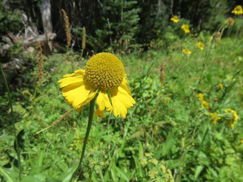
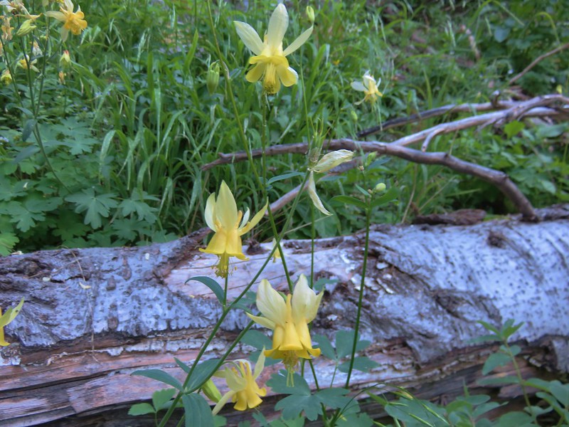
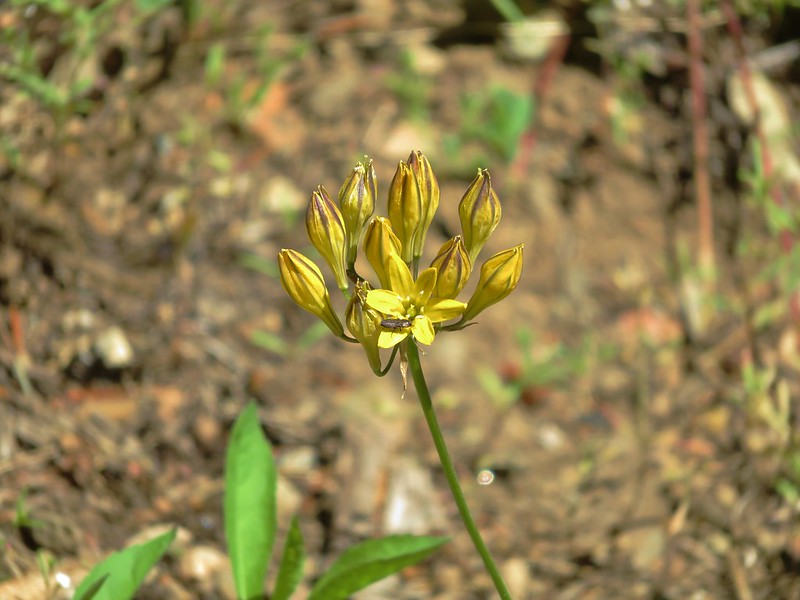
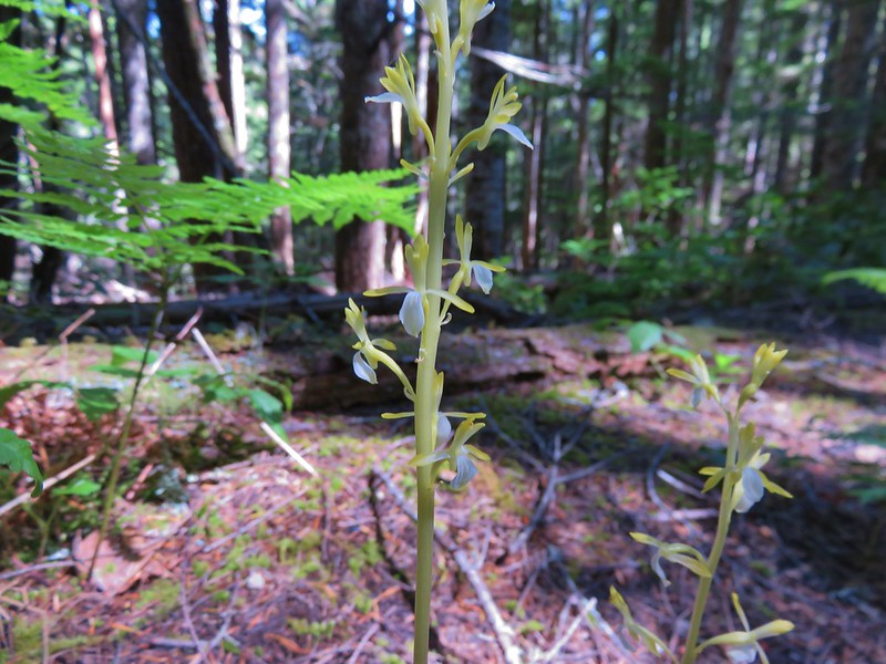
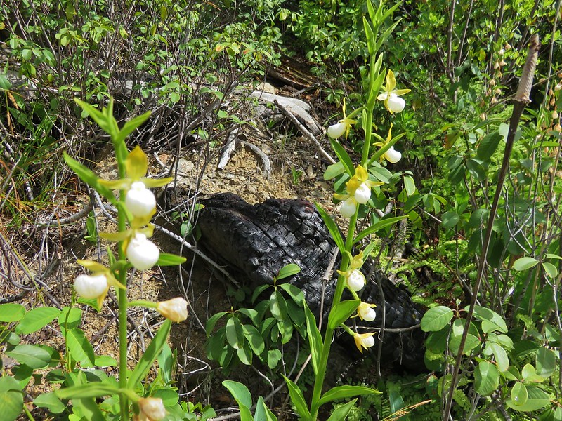
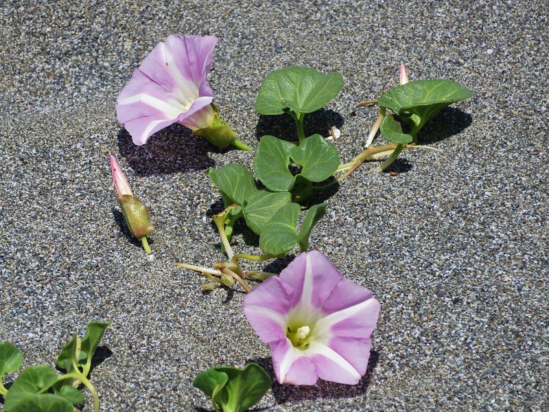
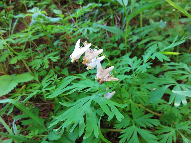
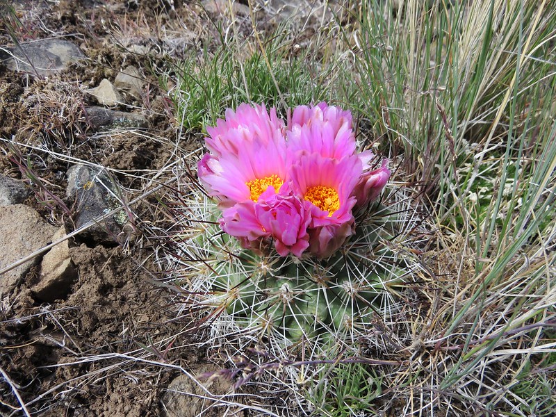
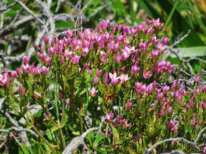
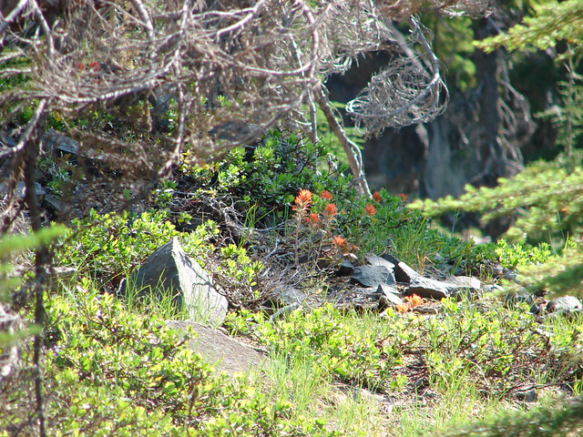
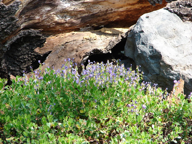
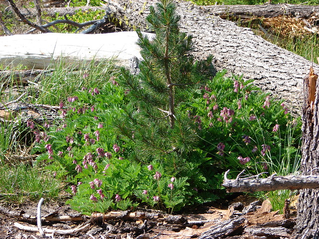
Small meadows along the trail were homes to a few wildflowers.
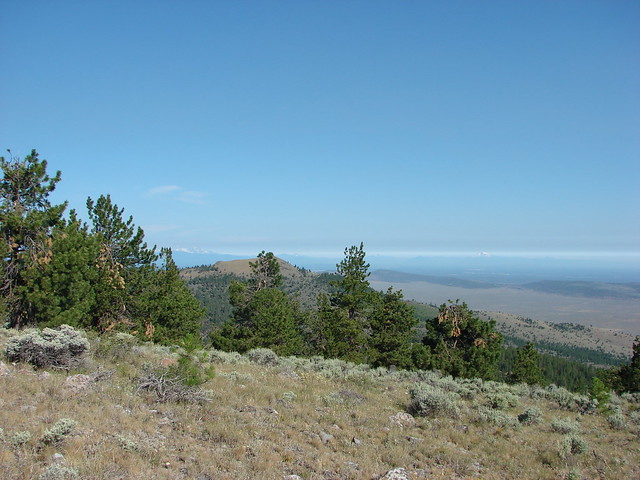
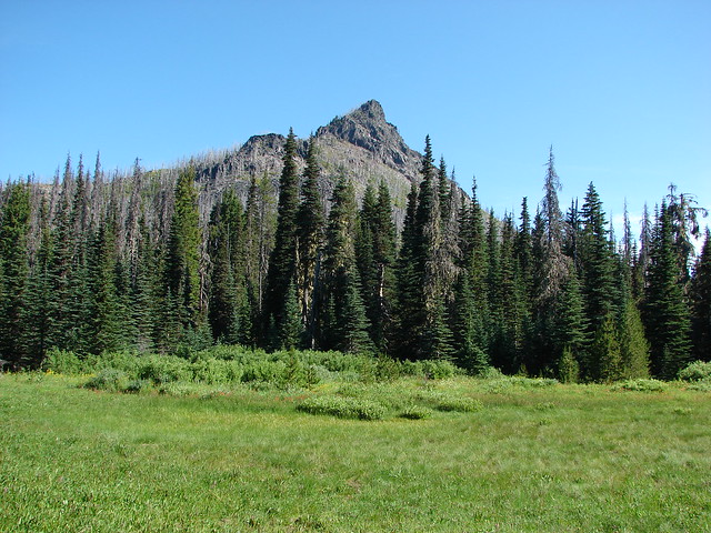
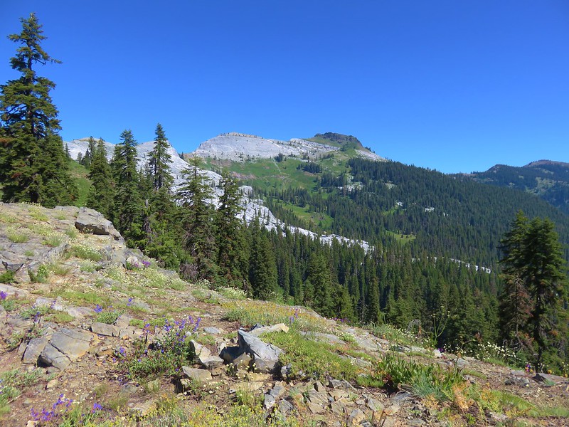
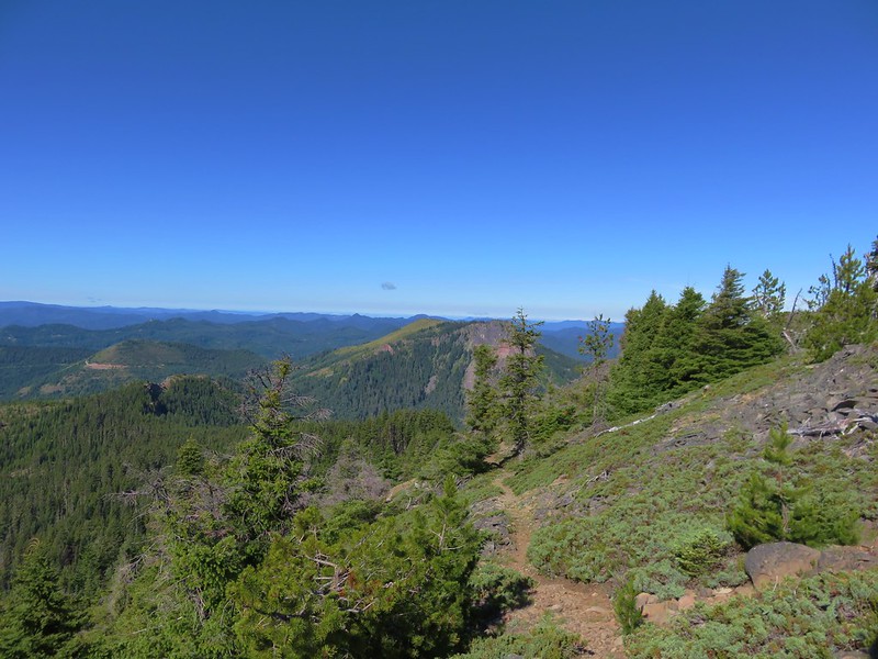
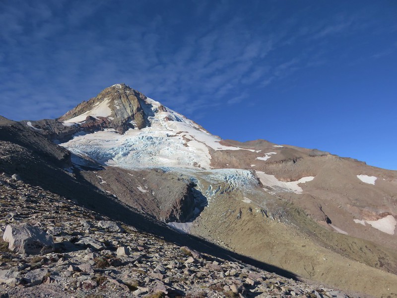
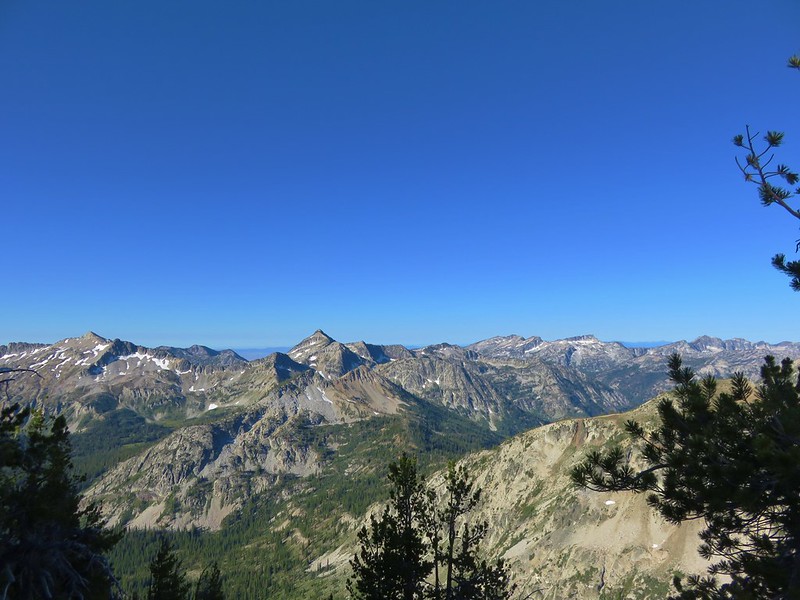
The trail followed the ridge uphill which curved to the NW around a large glacier carved valley on the mountain’s east side. The angle of ridge provided excellent views of the mountain ahead.
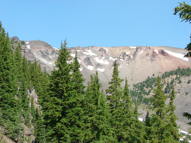
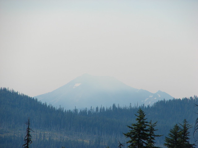
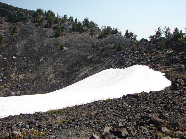
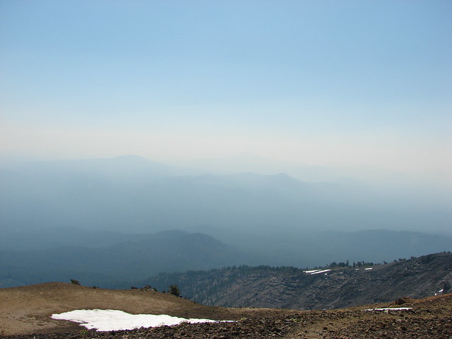
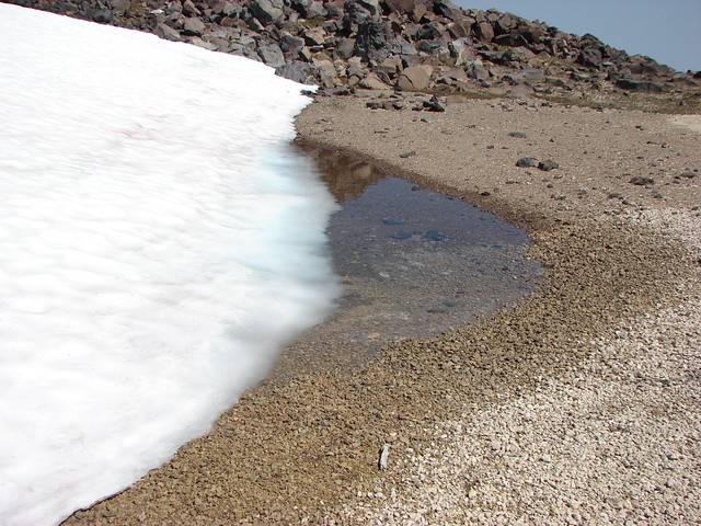
Small patches of snow lingered along the trail at higher elevations and the views opened up even more as we climbed. Unfortunately the smoke was also getting worse further limiting the visibility.


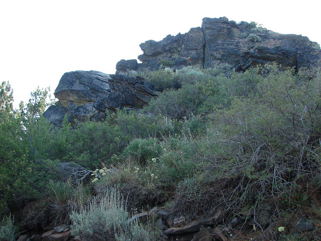
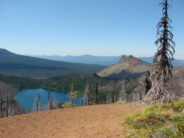
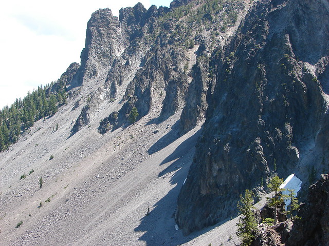
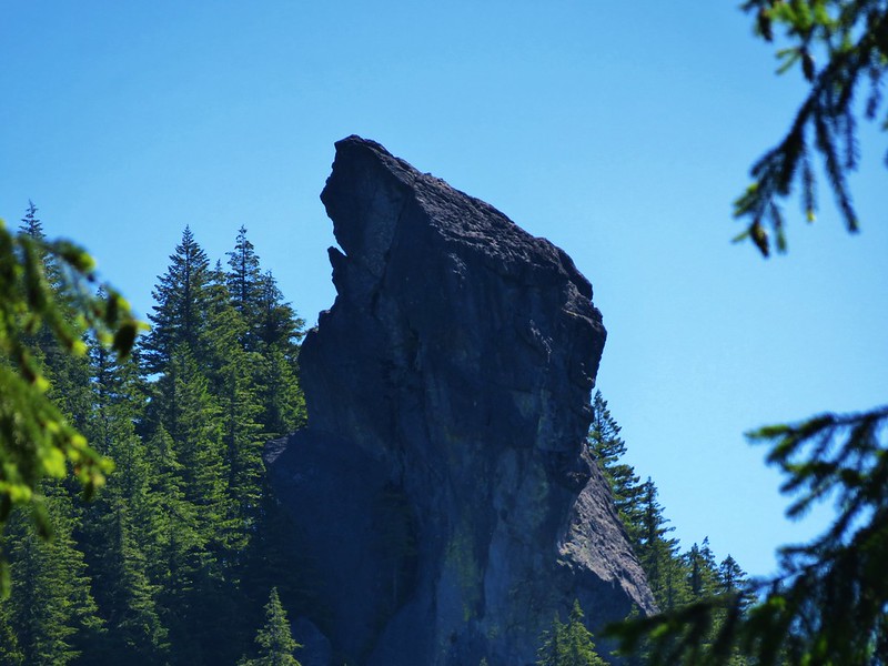
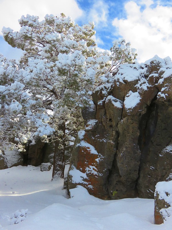
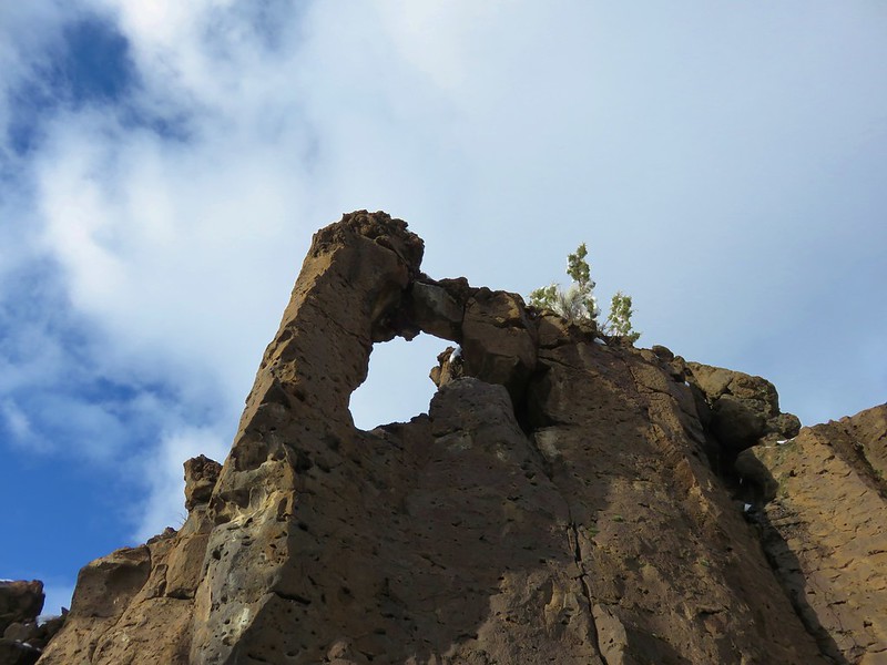
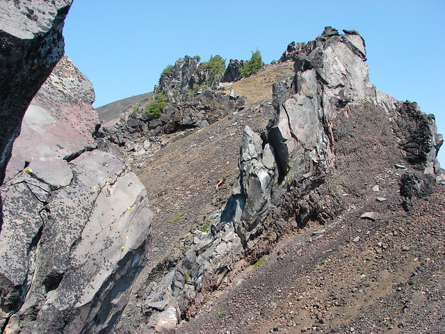
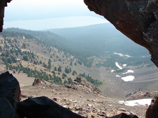
The trail passed a viewpoint down into the glacial-valley and up to a window in a rock wall along the mountain’s summit ridge which we would pass later.
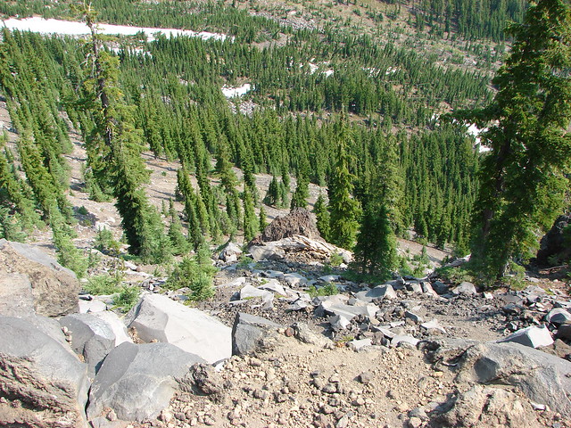
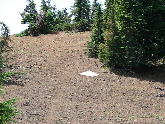
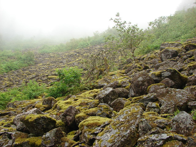
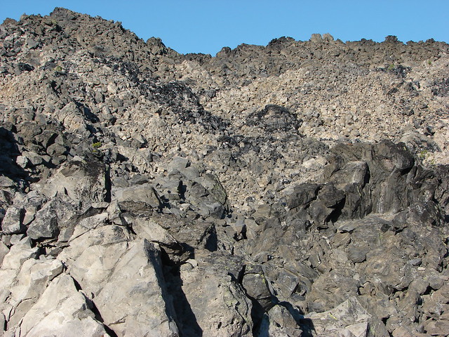
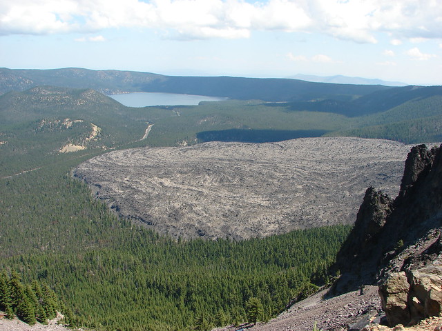
Beyond this viewpoint the trail passed by a 300′ snowy crater as it turned northward nearing the southern summit of the mountain.

From the lower southern summit the actual summit was a half mile away and another 220′ up.

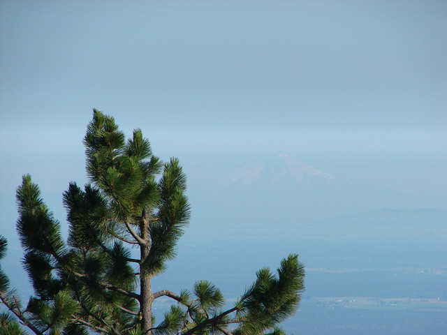
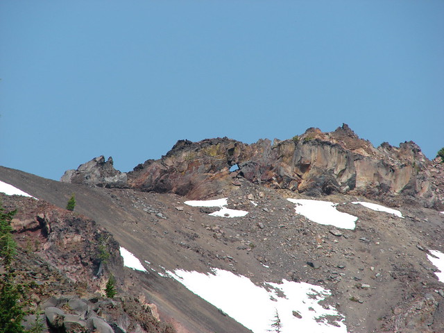
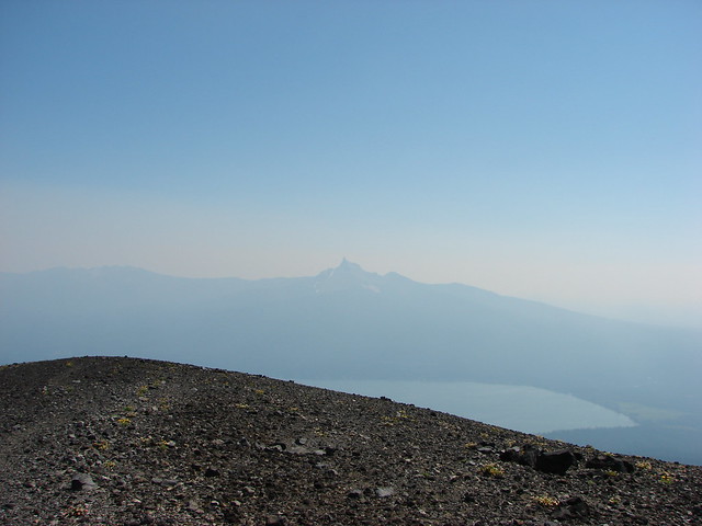
The trail crossed a cinder saddle which wasn’t too narrow but not too wide either. Then we passed along the left side of the rock wall pausing to peep through the window we’d seen from below. The smoke had gotten so bad that Mt. Thielsen was nearly hidden on the other side of Diamond Lake now.

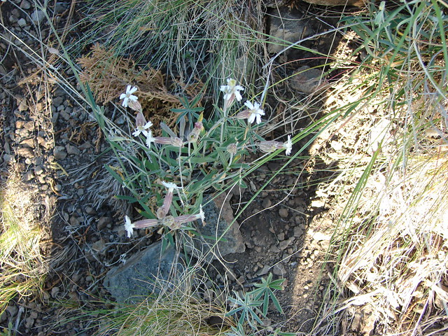
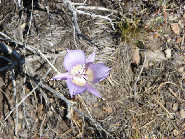
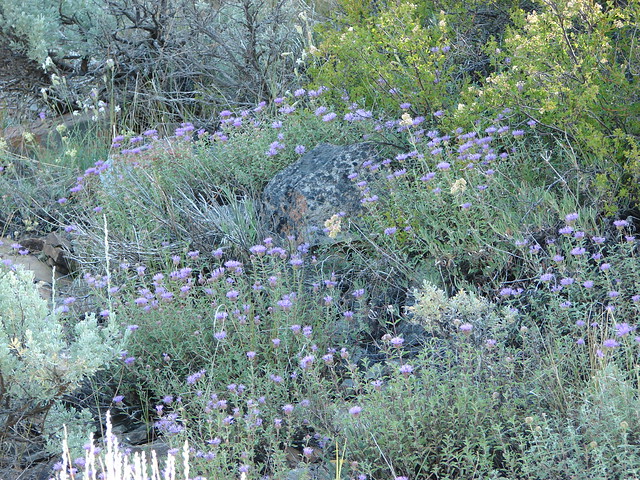
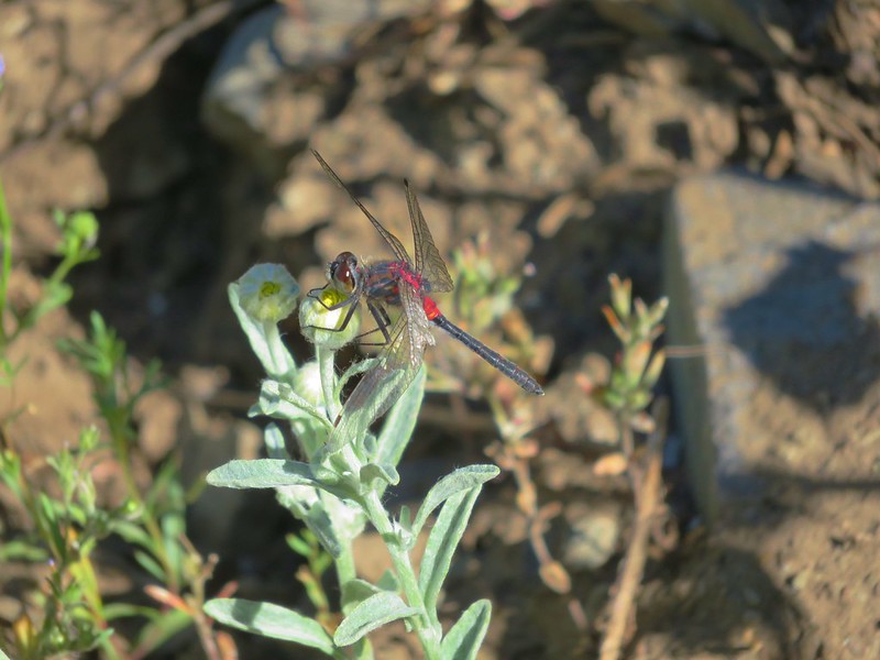
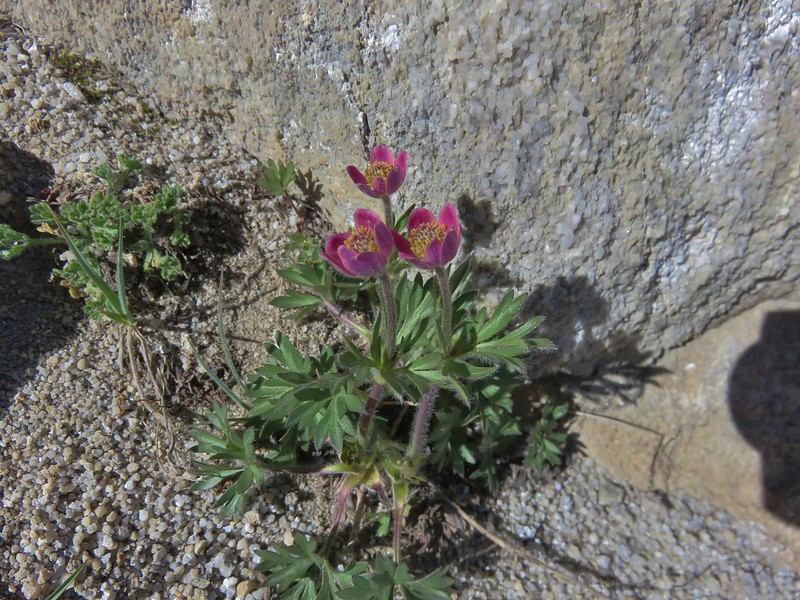
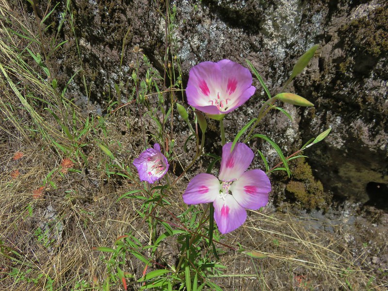
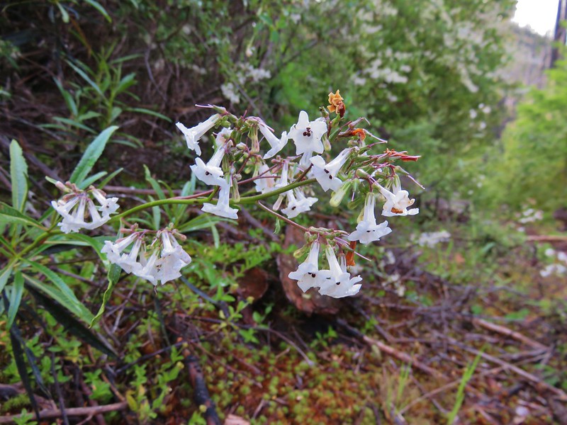
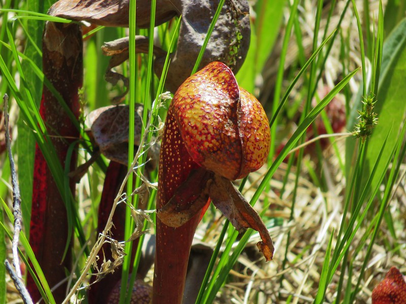
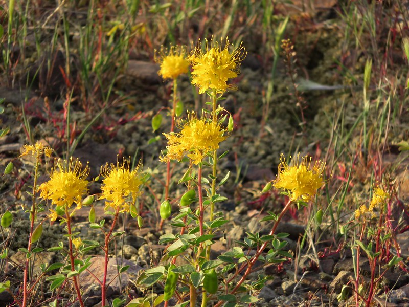
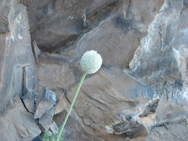
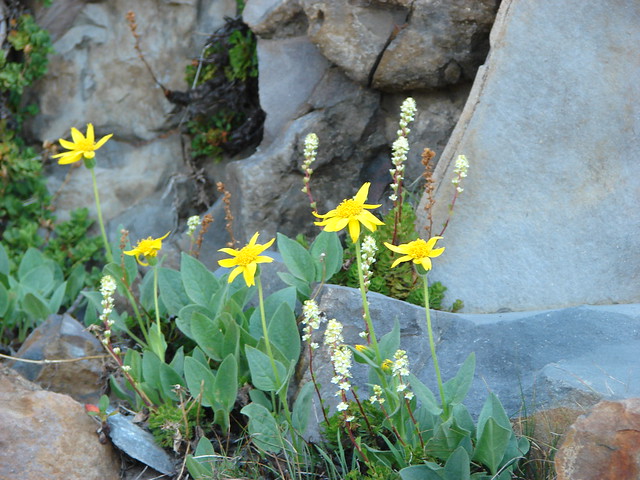
The rock wall was also home to some flowers.
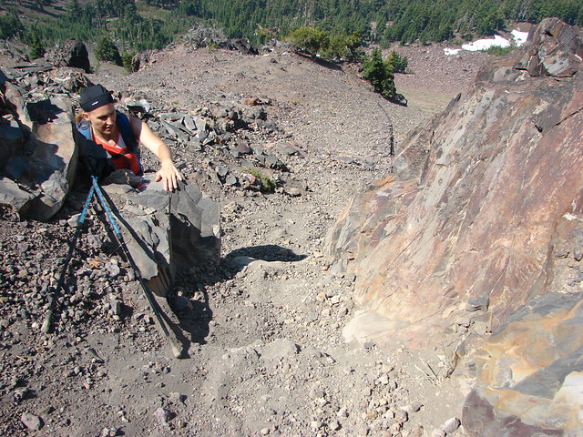
The trail passed over the rock wall on the far end at a low point which did require the us of our hands.
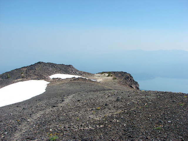
A final steep climb brought us to the bare, rocky summit of Mt. Bailey.

The smoke wasn’t too bad where we were, but with fires burning to both the north and south there was little view to speak of.

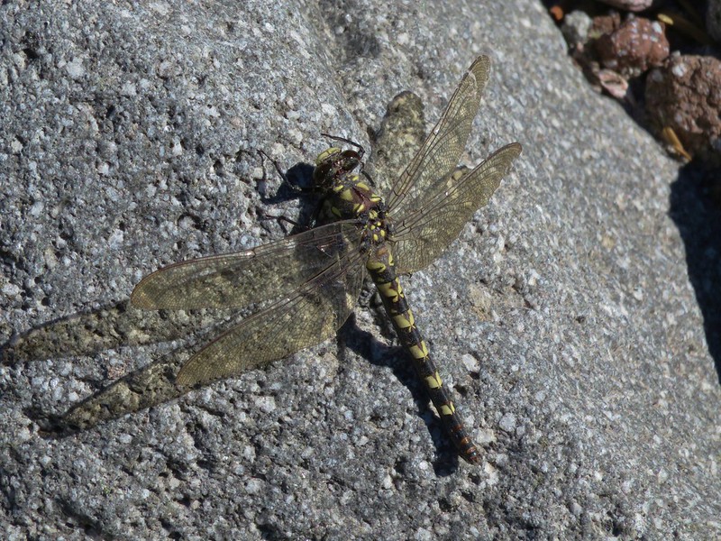
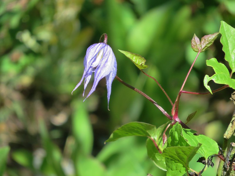
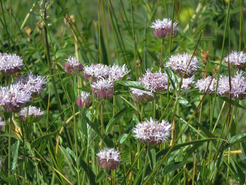
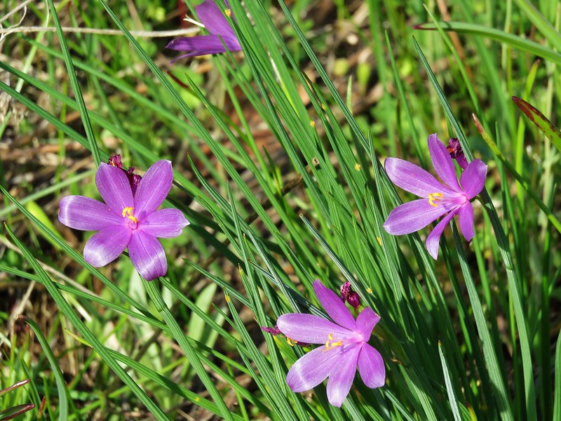
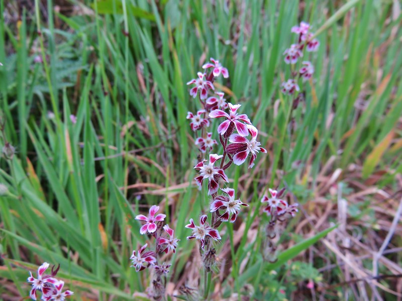
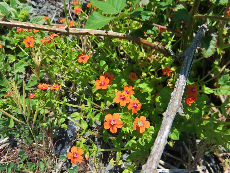
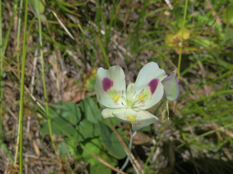
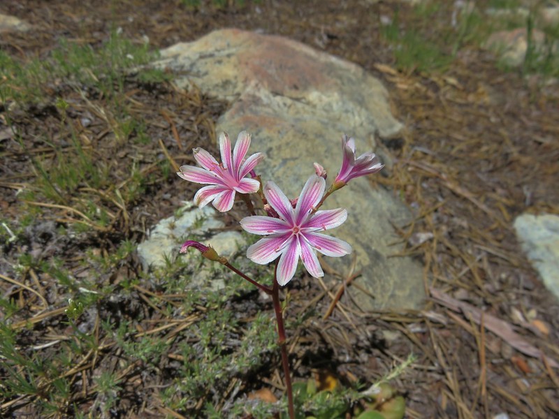
We explored the broad summit which sported some wildflowers and a snowfield.


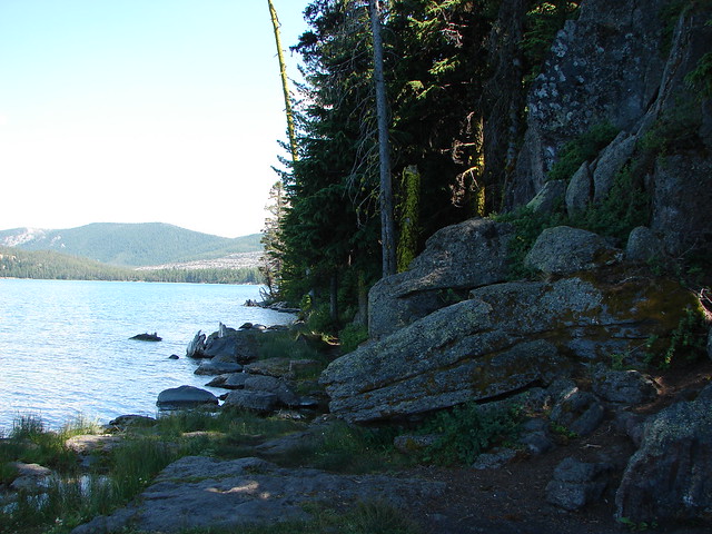
After resting atop the mountain for a bit we returned the way we’d come. When we’d gotten back to the car we decided to drive down to Crater Lake since it was only 15 minutes away. Neither of us had been there for years so why not take advantage of being so close. We parked at a large parking area 2.2 miles after turning right onto Rim Drive from the North Entrance Road.
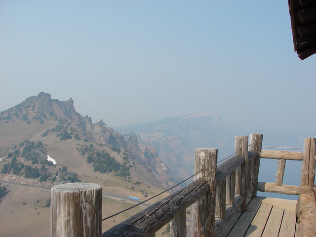
From here a .8 mile climb led to a lookout tower on The Watchman.
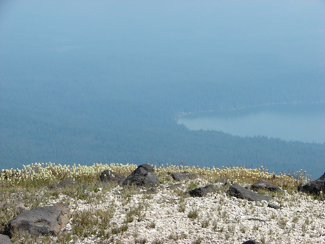
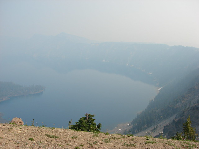
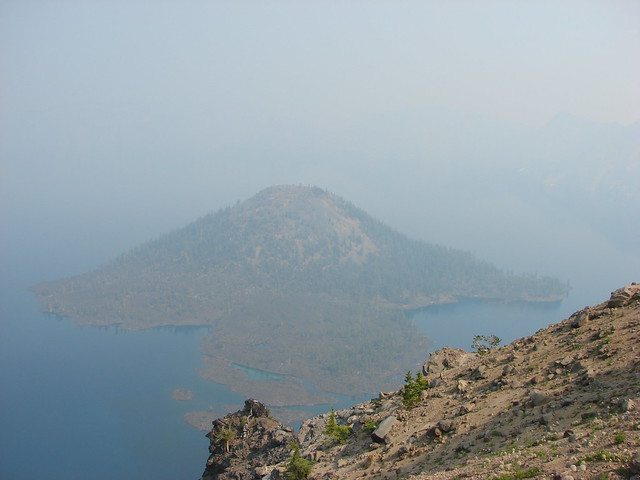
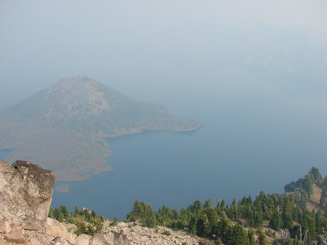
We had really been looking forward to seeing Crater Lake again but the smoke was thick over the water leaving us with a very limited view. At least we could see Wizard Island, a cinder cone that formed after the eruption of Mt. Mazama creating Crater Lake.
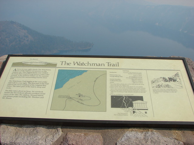
The Watchman Trail led right along Rim Drive for .4 miles to a junction where we turned left and began the steep climb to the lookout.

From the lookout Hillman Peak and Wizard Island were about the only landmarks visible. Interpretive signs at the summit showed us what we were missing.


Despite the smoke it was well worth the stop but we did feel bad for the many tourists that might not get another chance to see this amazing place. We knew we’d be back and hopefully the conditions would be better the next time. Happy Trails!
Flickr: https://www.flickr.com/photos/9319235@N02/albums/72157632957911480