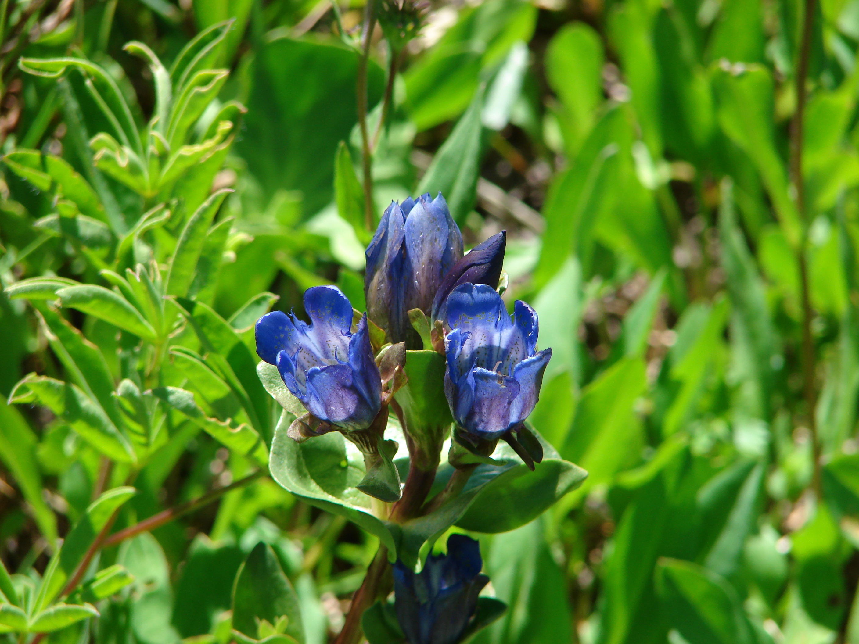
We reached into our bag of backup hikes this past weekend and grabbed what wound up being a decent little hike. We were needing something in the Portland, OR area because after the hike we were set to celebrate the upcoming birthdays of my Grandmother Zana (89) and our Son Dominique (18) at Gustav’s http://gustavs.net/. Our original plan was to hike up Cooper Spur on Mt. Hood but the forecast called for thunder storms so we decided to save that one for another time and went to plan B which was a loop around Timothy Lake.
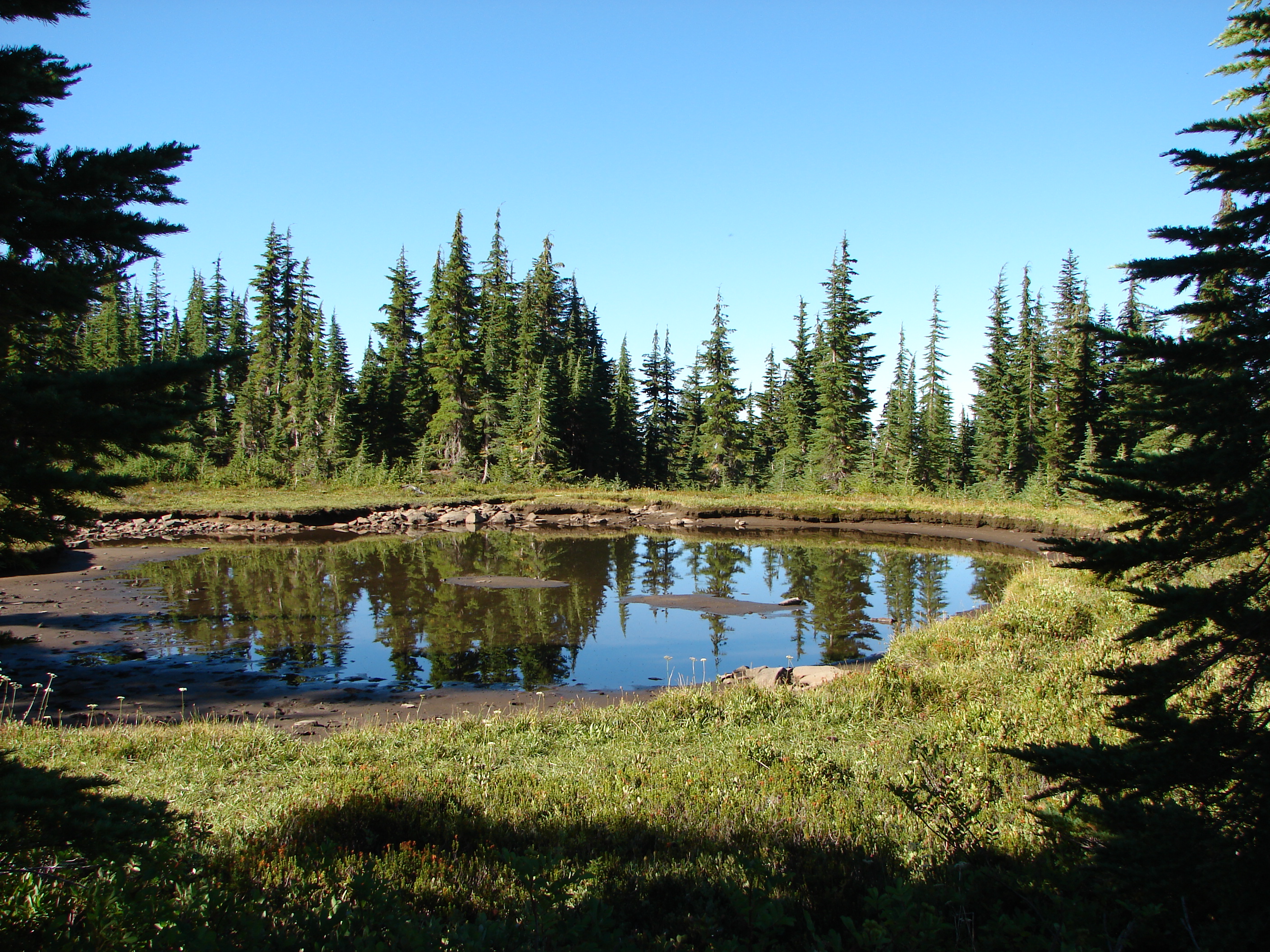
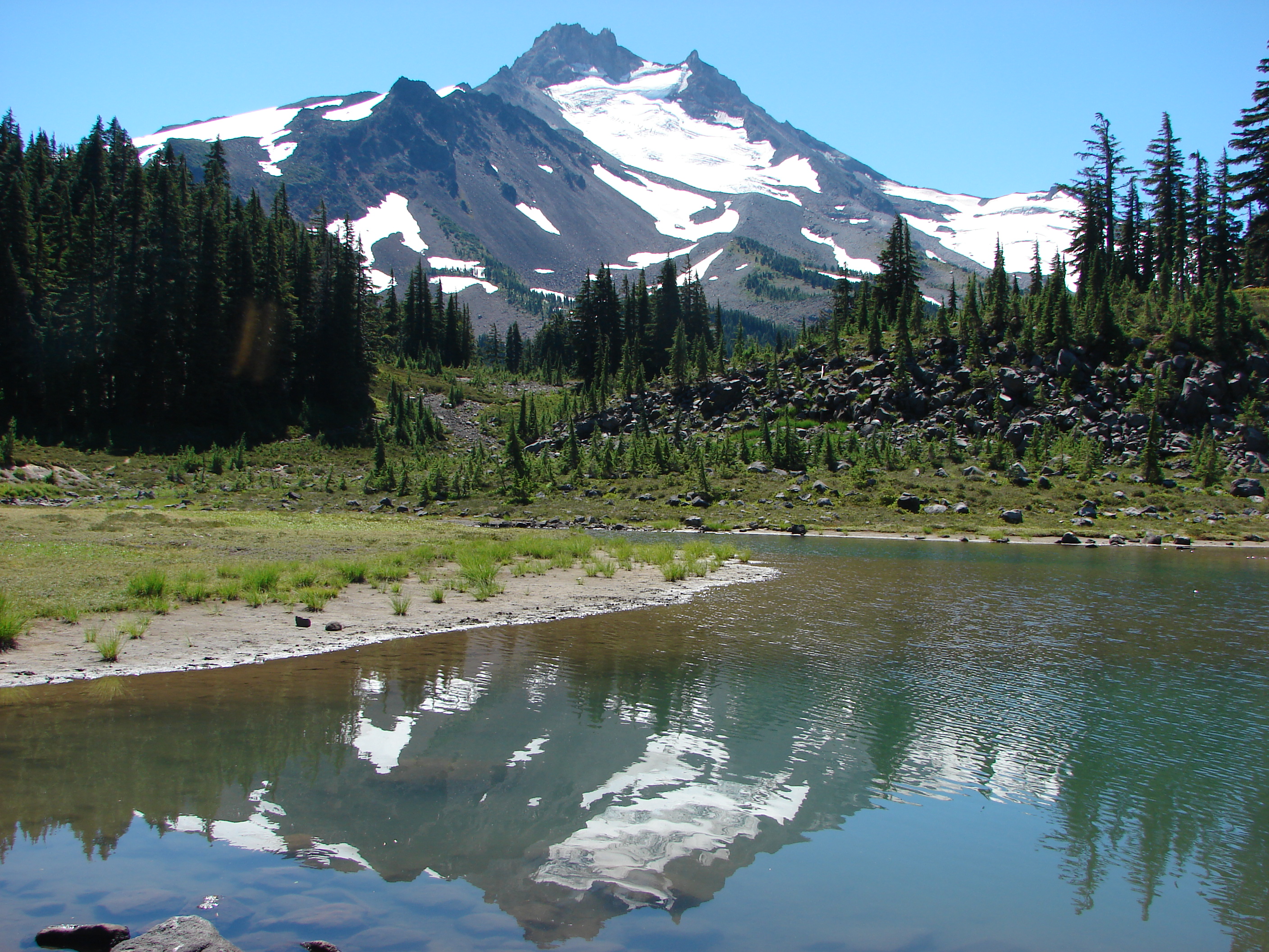
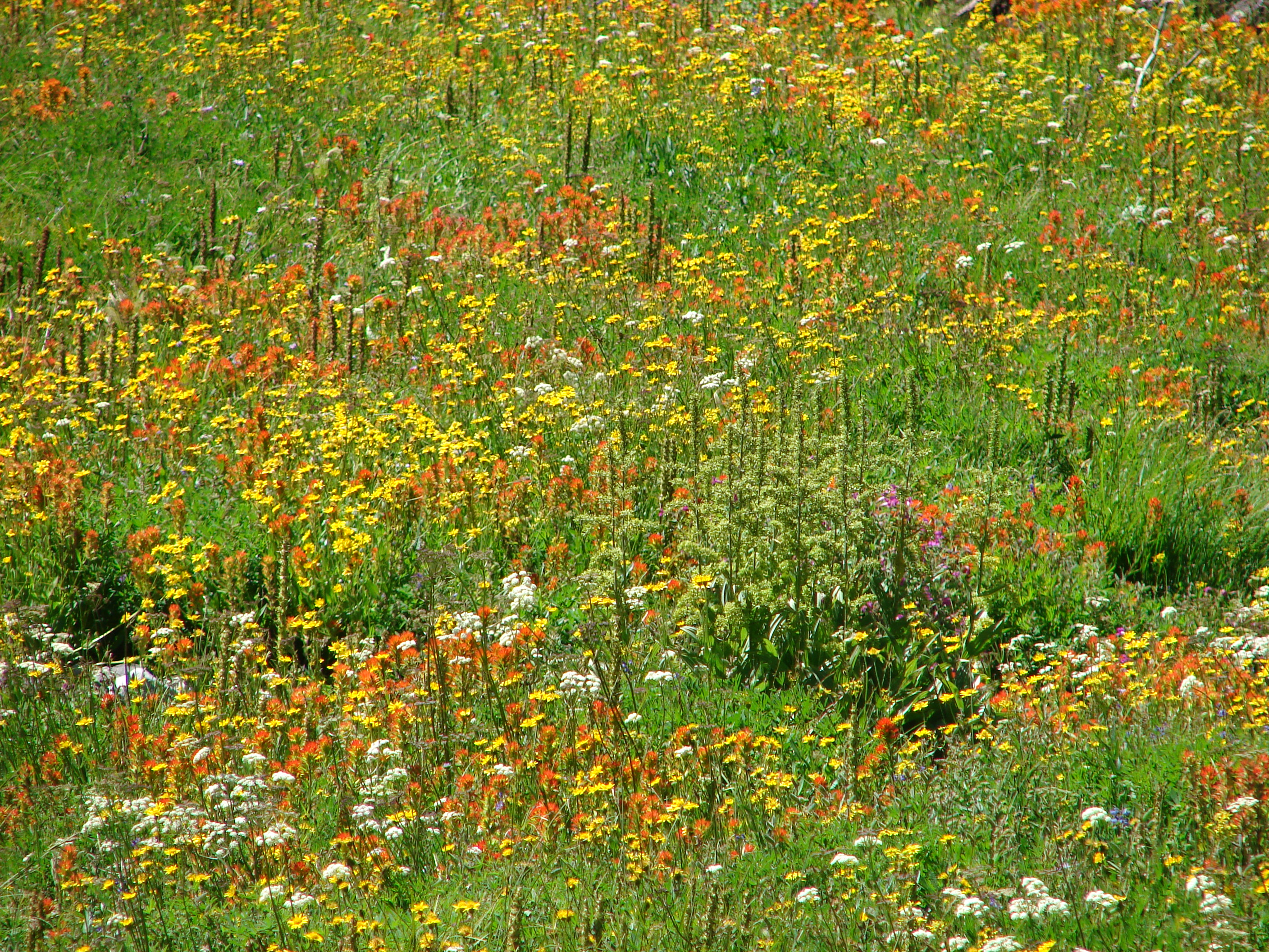
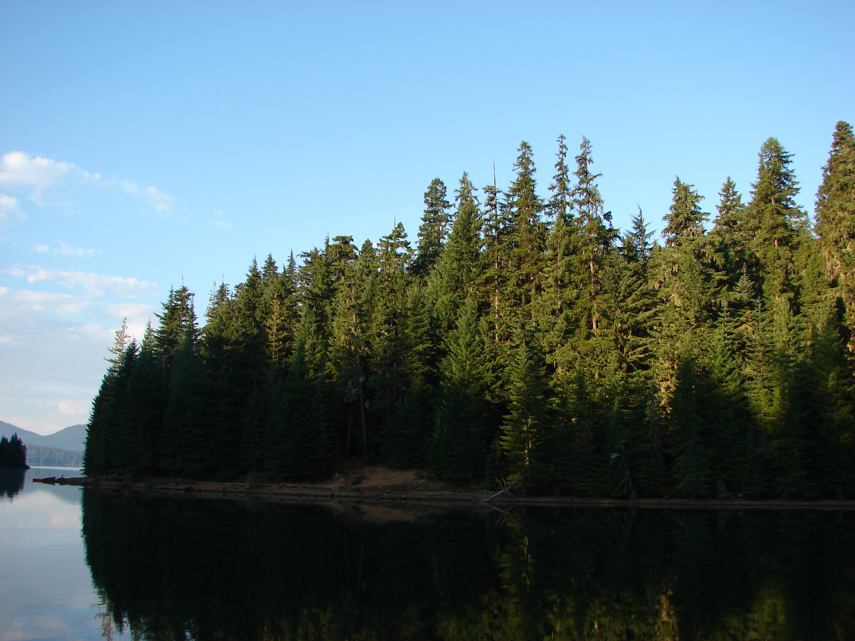
I am a bit hesitant when it comes to hiking around a lake because loops like that can sometimes lack a scenic diversity, but Timothy Lake was in the right area and had an appealing distance and elevation gain (14.2mi & <1000'). We started our hike at Little Crater Lake Campground in order to visit Little Crater Lake before starting the loop. Little Crater Lake is the result of a cold spring that has removed soft soils over time leaving a clear blue pool of water.
 Reflection in Little Crater Lake
A pair of ducks floated on the small lake while the surrounding meadows were draped in a low layer of fog. Shortly after leaving the lake we arrived at a junction with the Pacific Crest Trail where we turned left for .3 miles to the start of the official loop.
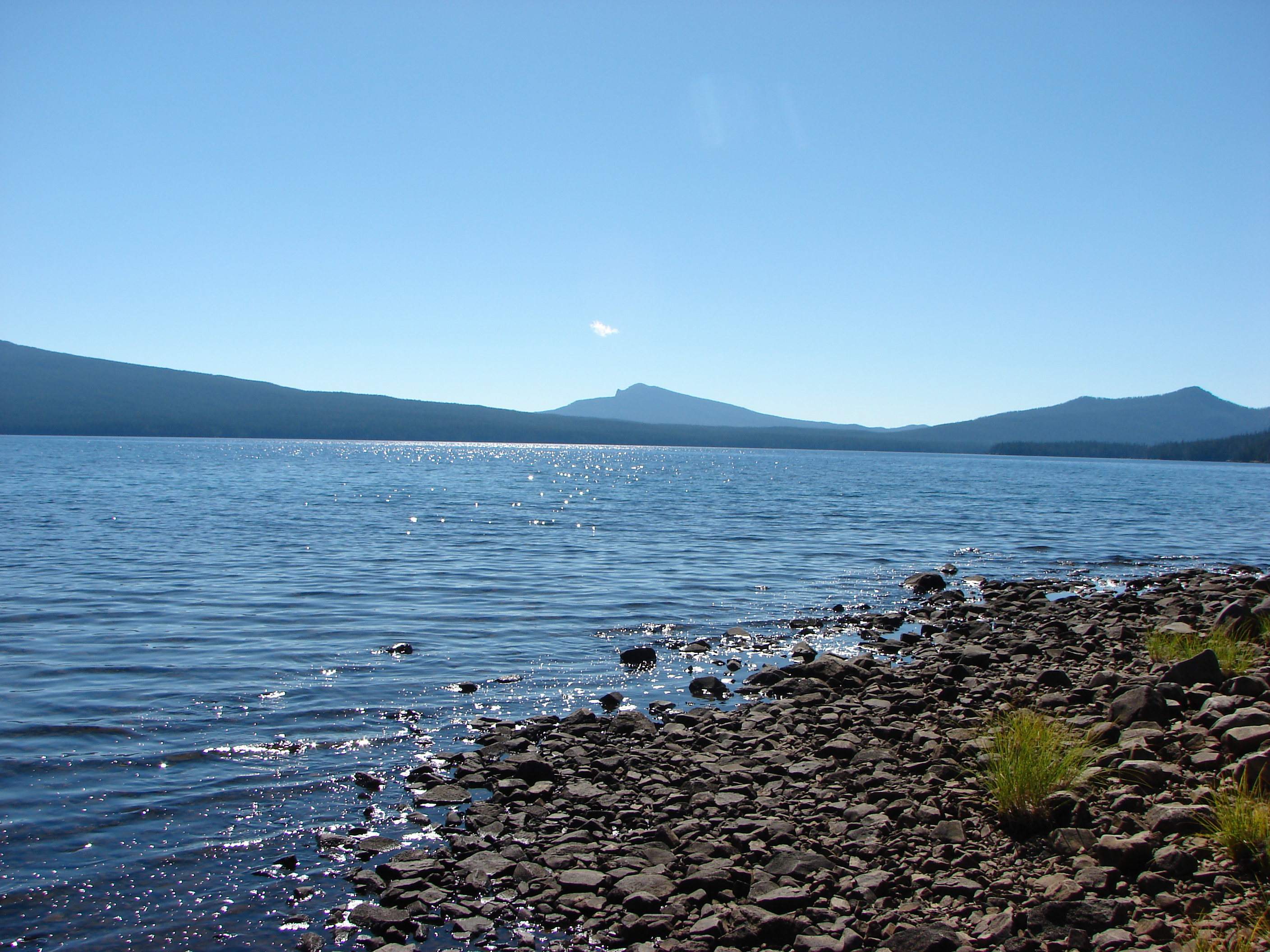
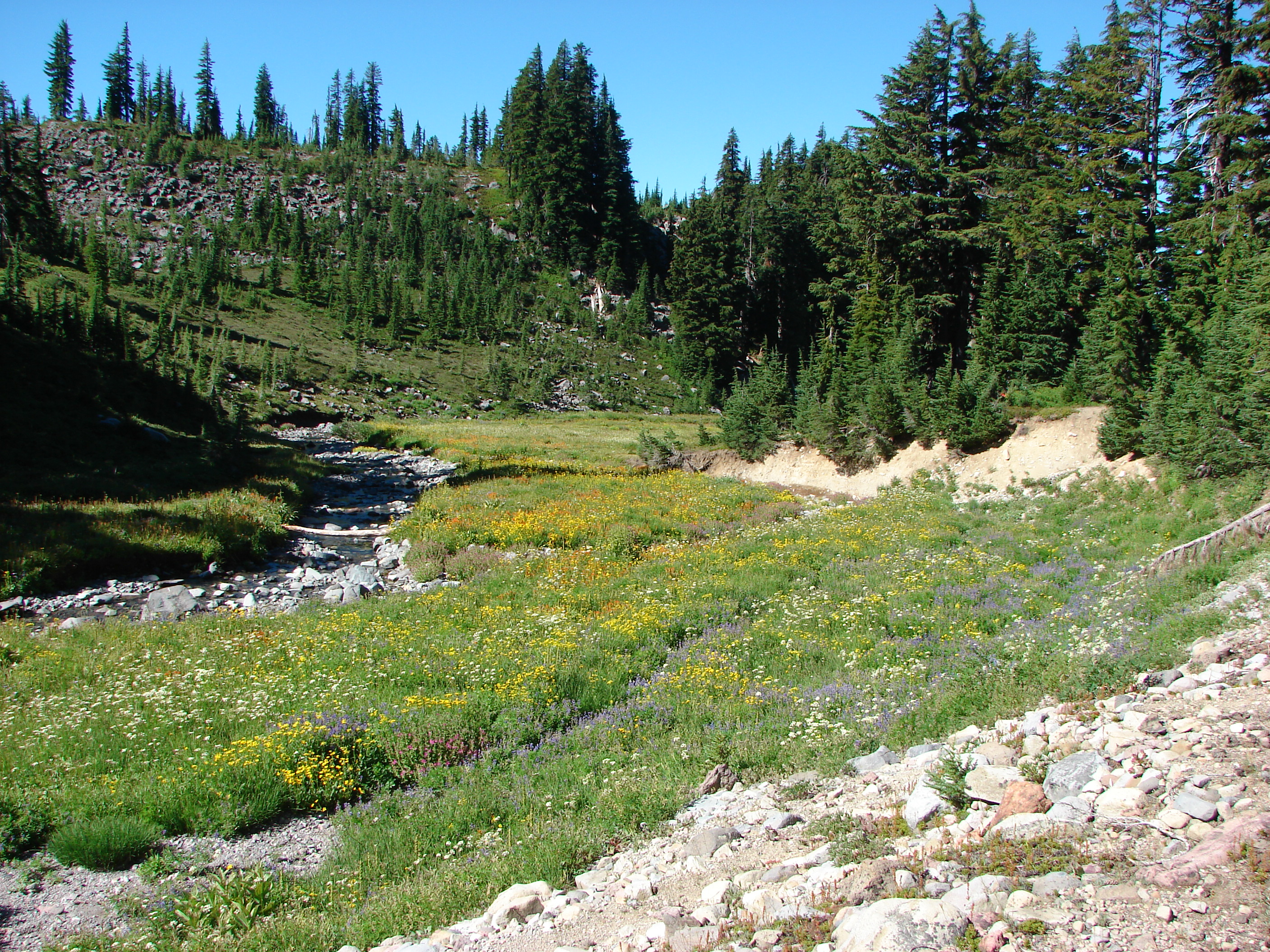
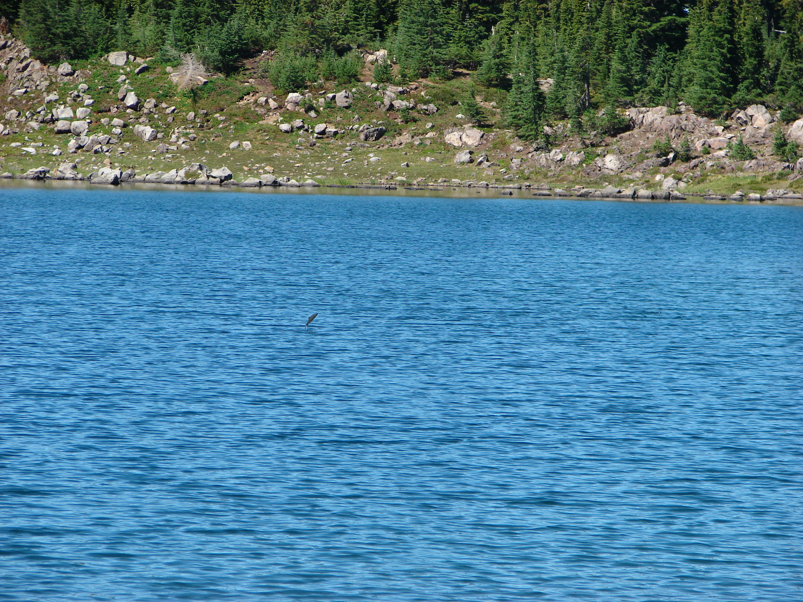
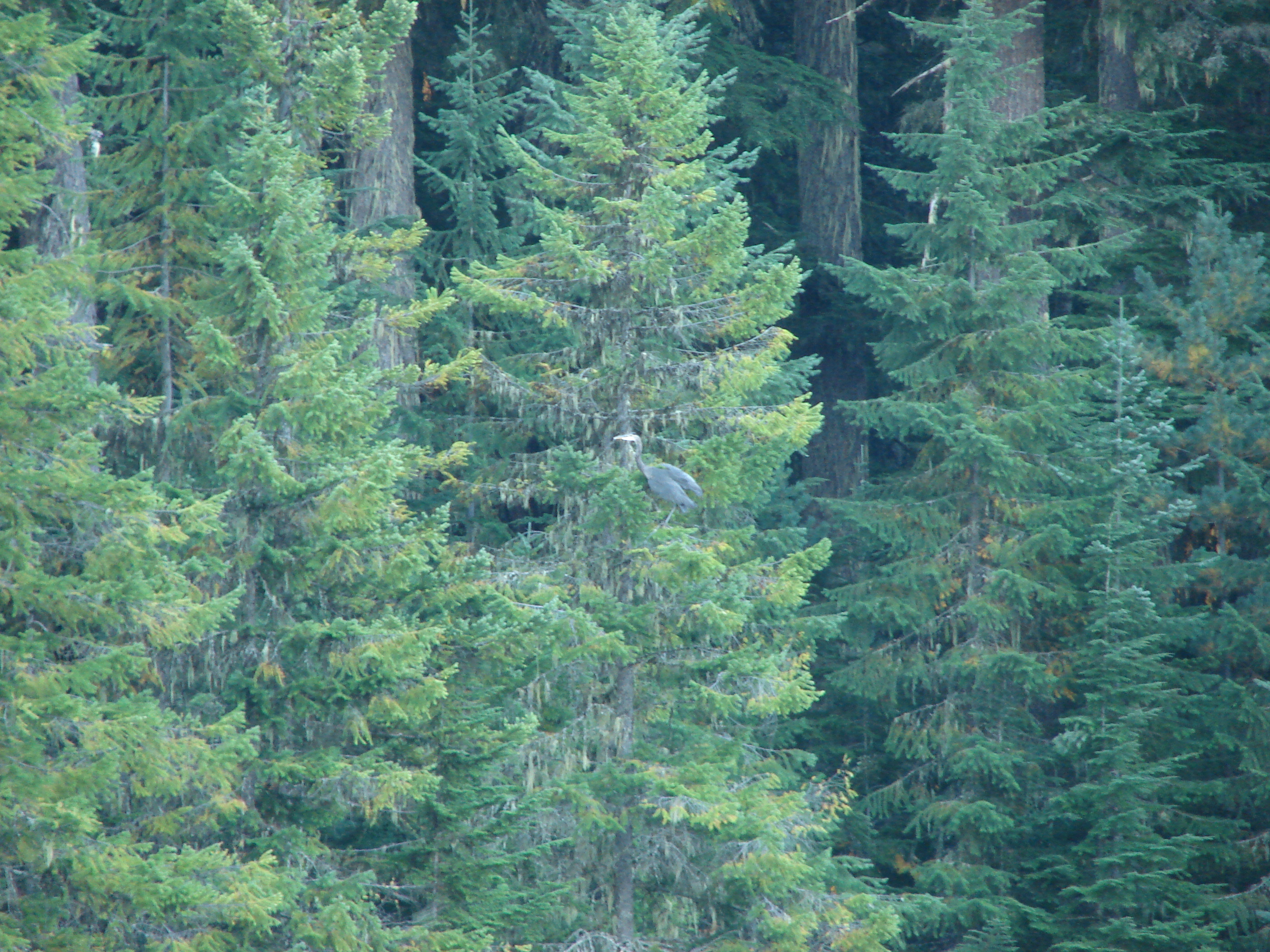
We remained on the PCT heading south, crossing Crater Creek, and passing several small springs before reaching our first good view of Timothy Lake. A great blue heron flew by and landed in a tree a little further down the lake shore from where we stood.
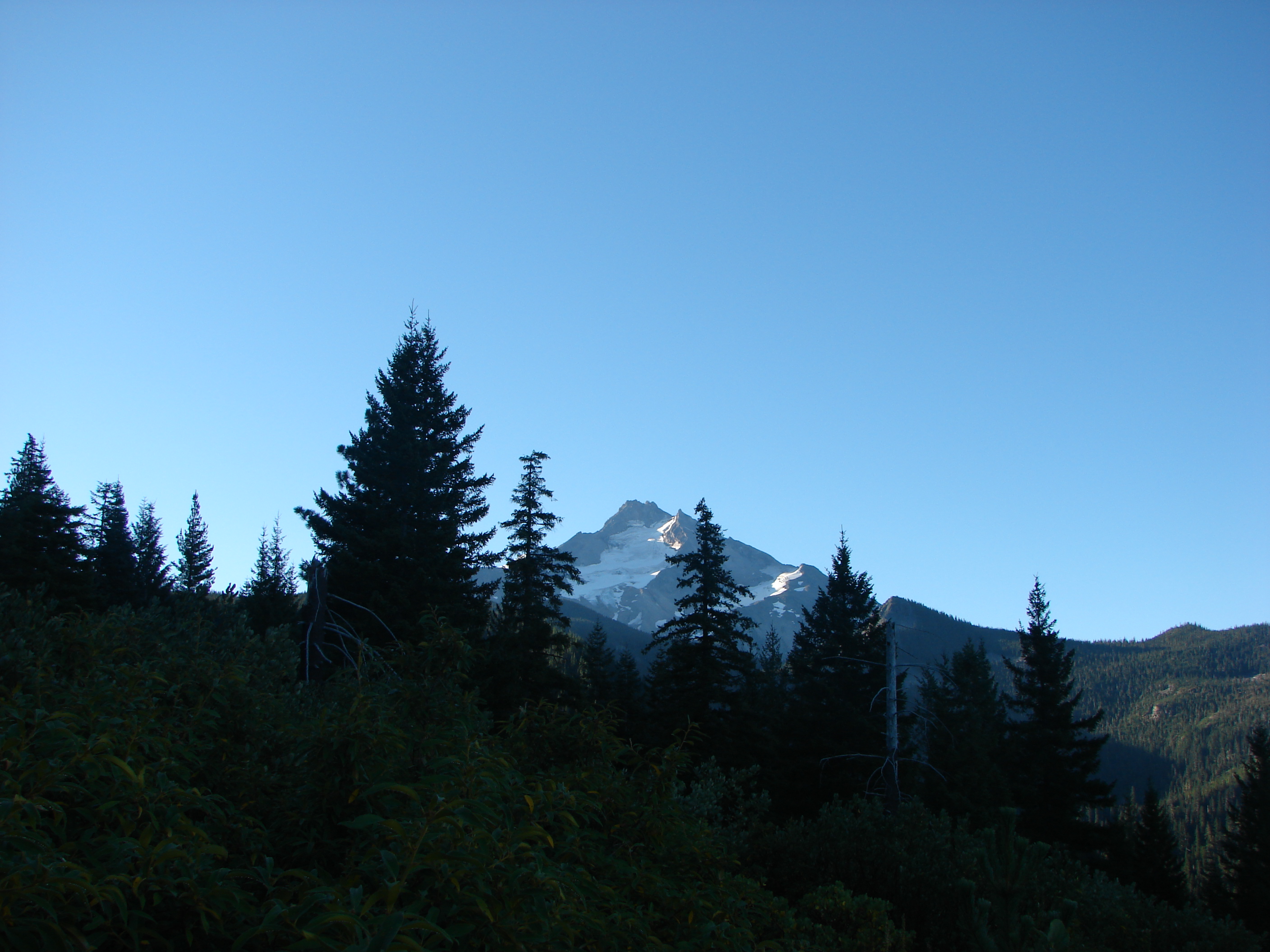
For the next 2 miles the PCT stayed in the forest away from the lake shore. Numerous paths led from the trail toward the lake but we stuck to the PCT as I was on a mission to find a view of Mt. Hood.
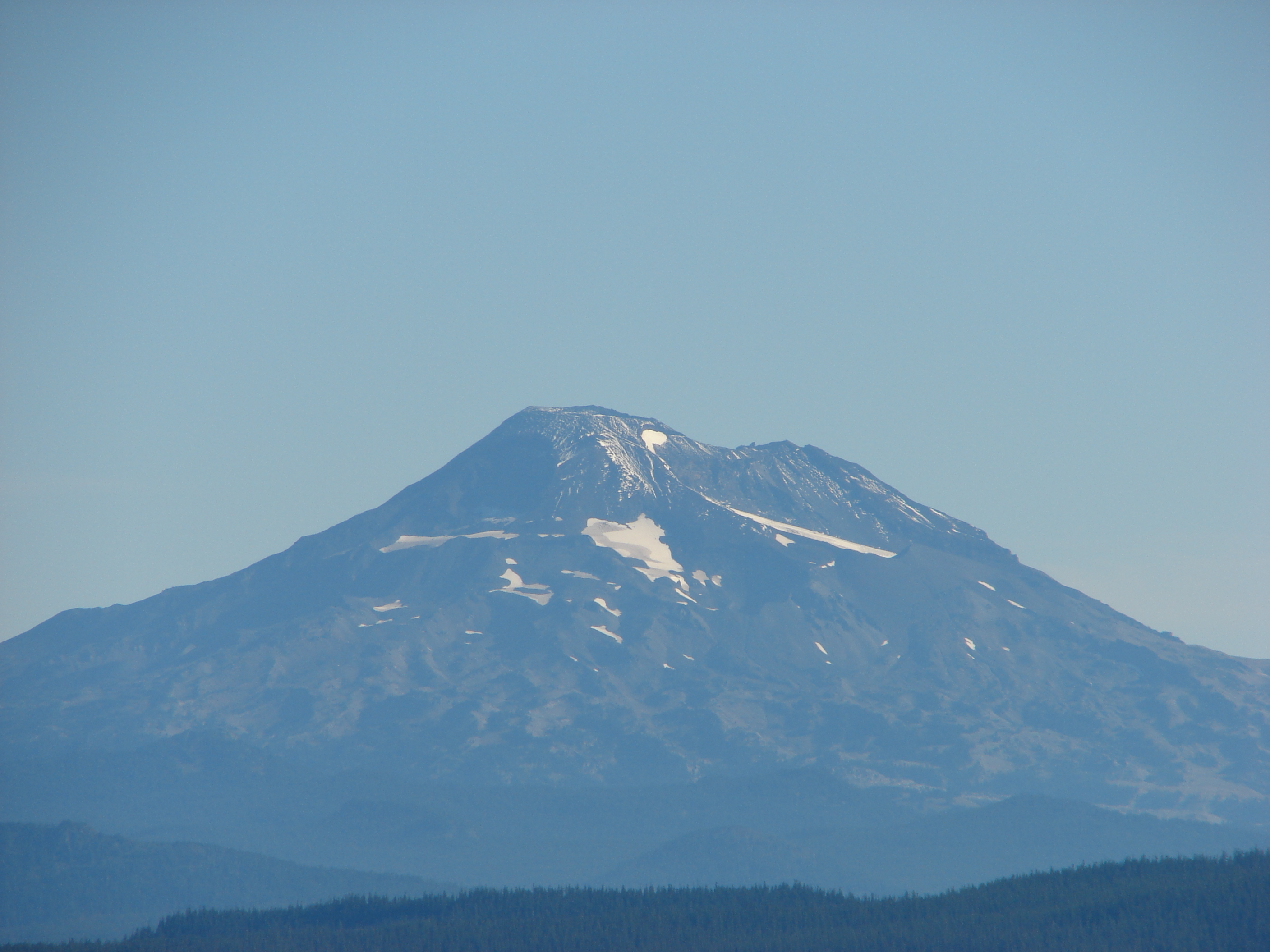
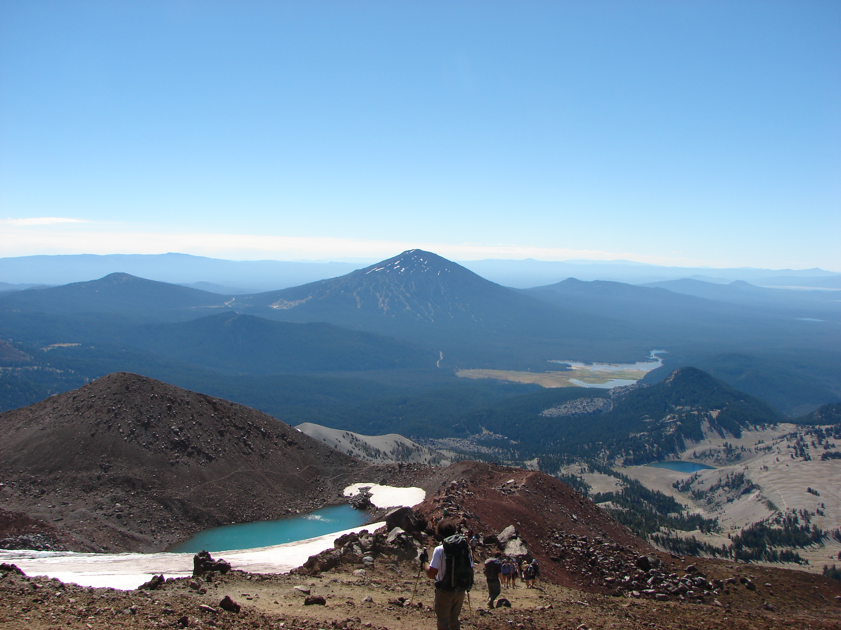
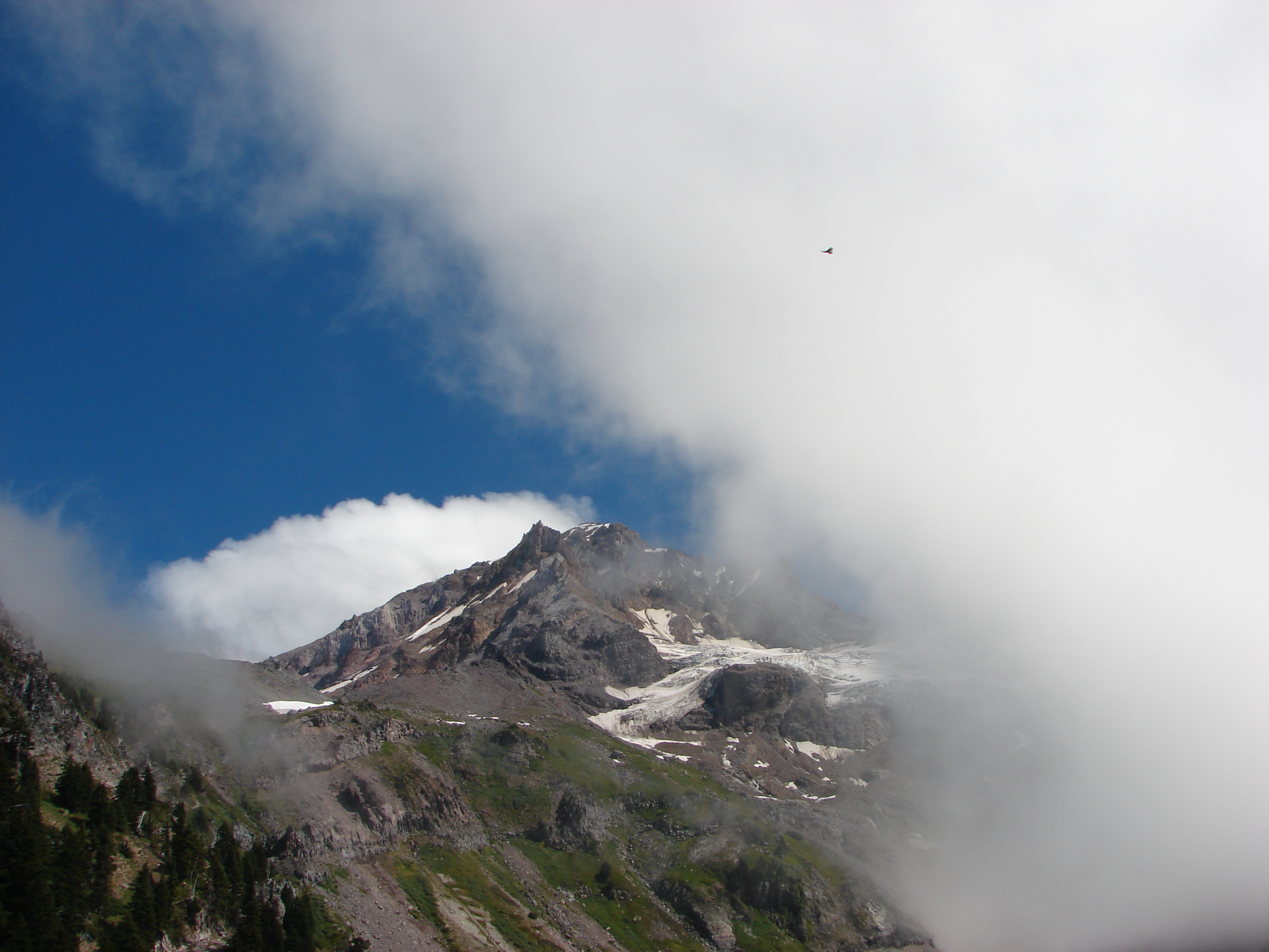
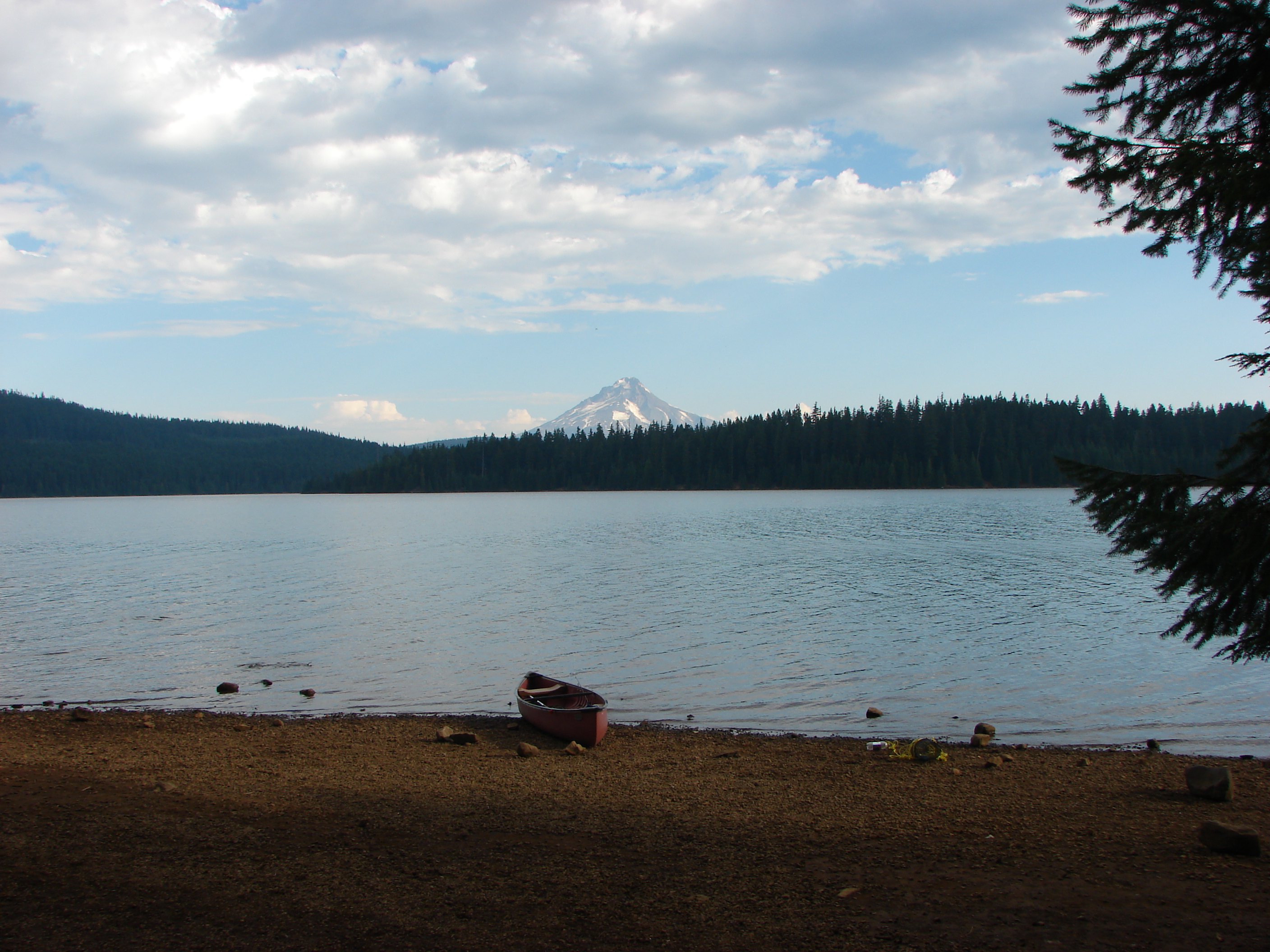
We knew Hood was visible from the lake, but we didn’t know from which part of the trail, and we’d managed to forget both the guide book and a map. When we reached the Oak Grove Fork Clackamas River the trail split from the PCT and continued along the lake shore toward the first of several busy campgrounds. It was at the second of these campgrounds that Mt. Hood was finally visible.
The campgrounds reminded me of another reason I am leery of lake loops. Crowded, noisy, and often disappointingly dirty (Is it really that hard to throw your garbage away?) these types of campgrounds are diametrically opposed to the tranquil beauty of nature. I think it’s great that people want to go out and enjoy God’s creation, but it would be nice if more of them respected it enough to be good stewards as I believe God intended when he gave man dominion over it. End of rant and back to the trail ;).
We hurried our way through the first 3 campgrounds and then were faced with a fork in the trail. To the right a path led along the lake but the sign indicated the only allowed use was for bikes. The left fork showed open to horses, hikers, and bikes and since we had already commented on the bike tire marks on a hiker only portion earlier we went left. This fork crossed paved road 57 and continued through the forest parallel to the road until reaching the dam that created Timothy Lake.

After passing through yet another campground the trail once again became peaceful as it continued on to Meditation Point. Meditation Point is a peninsula with a small tent campground. We took the short .3 mile trial to the end of the peninsula which had a nice view despite no longer having a view of Mt. Hood.

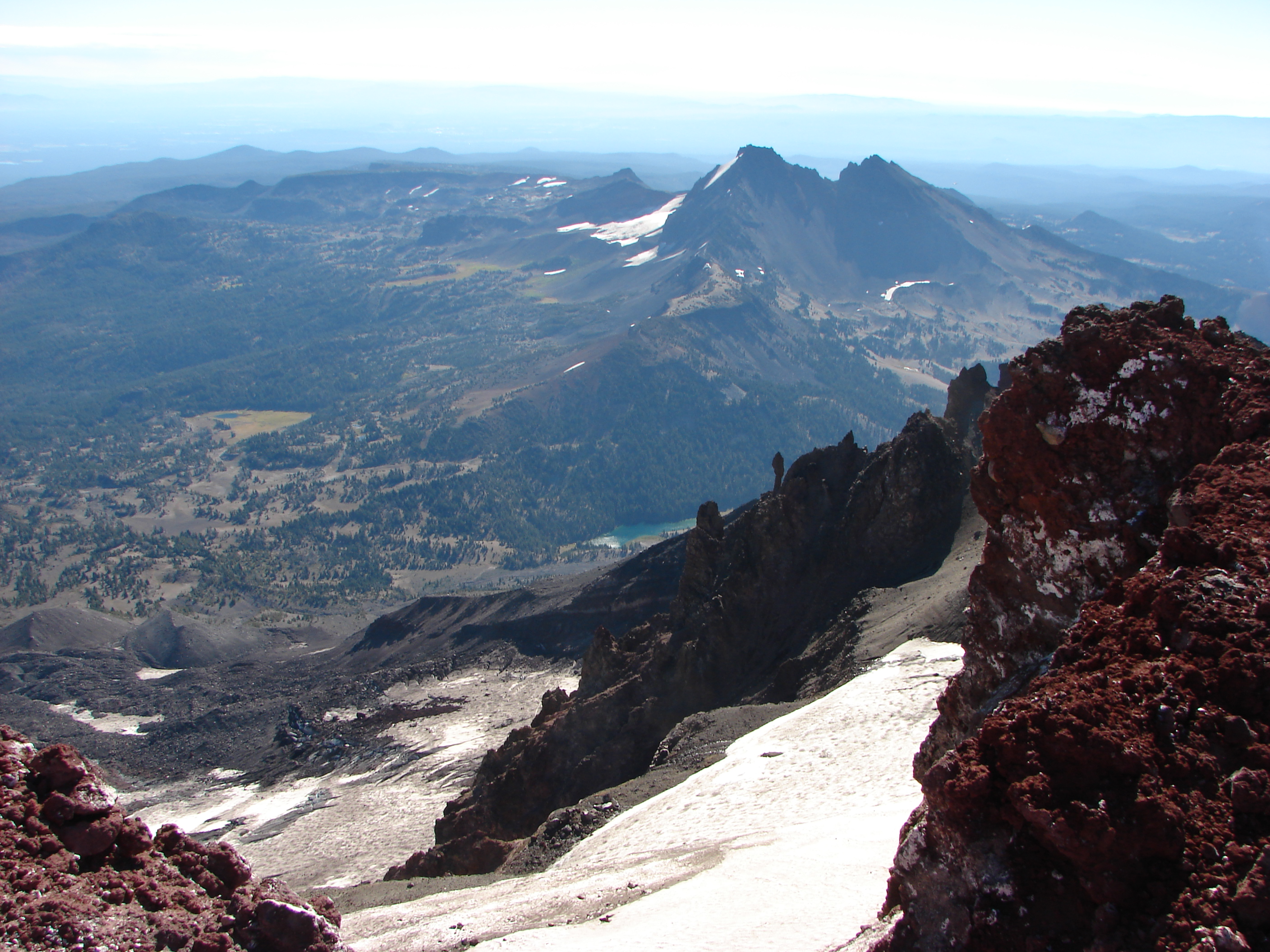
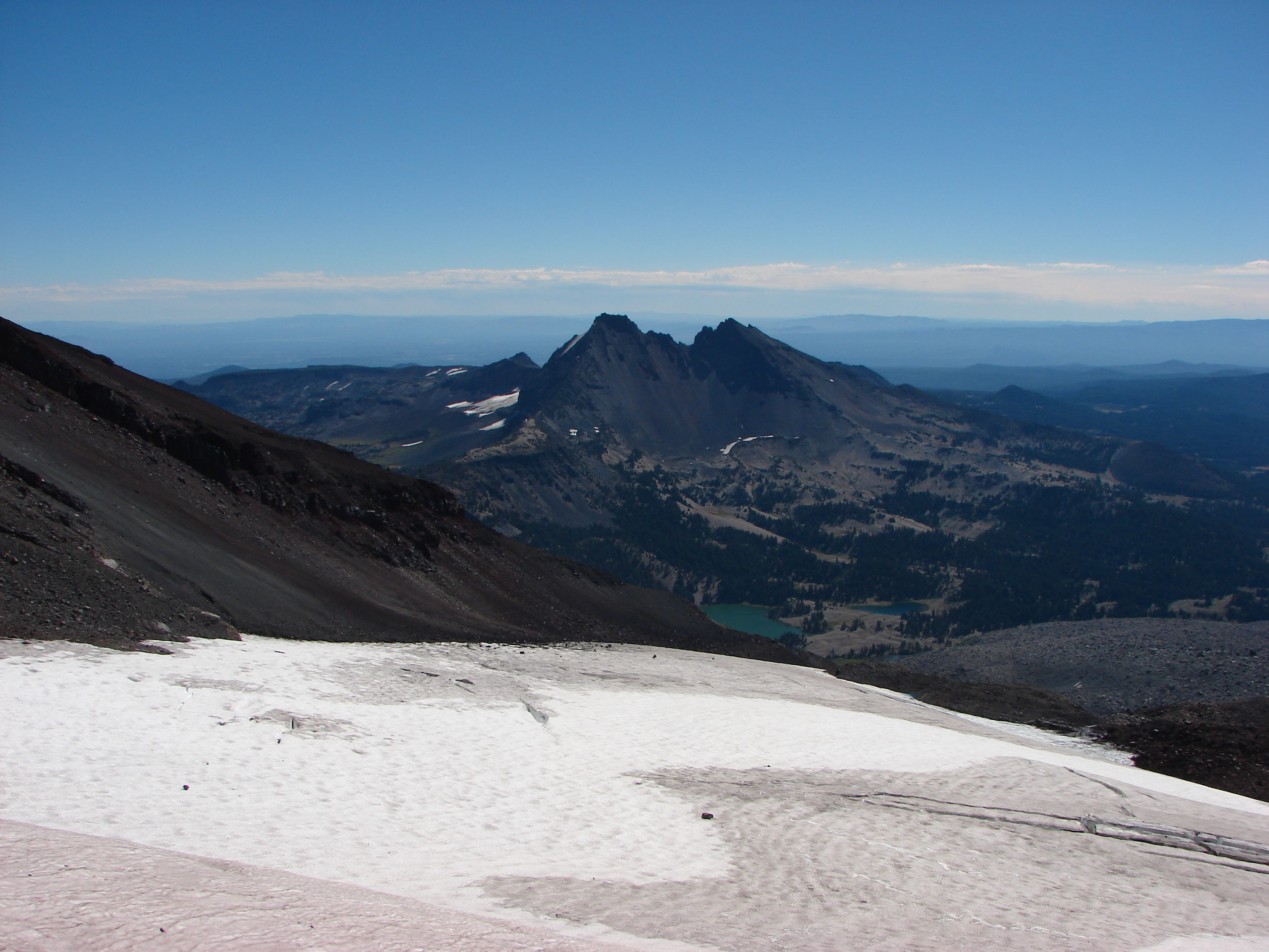
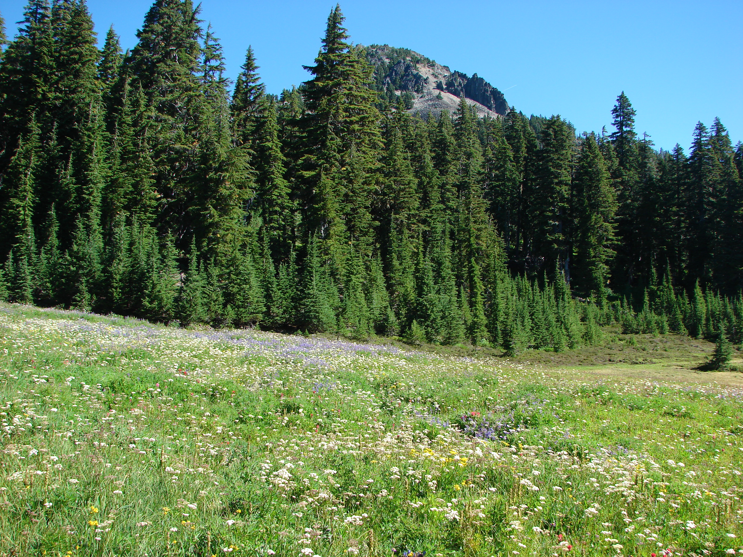
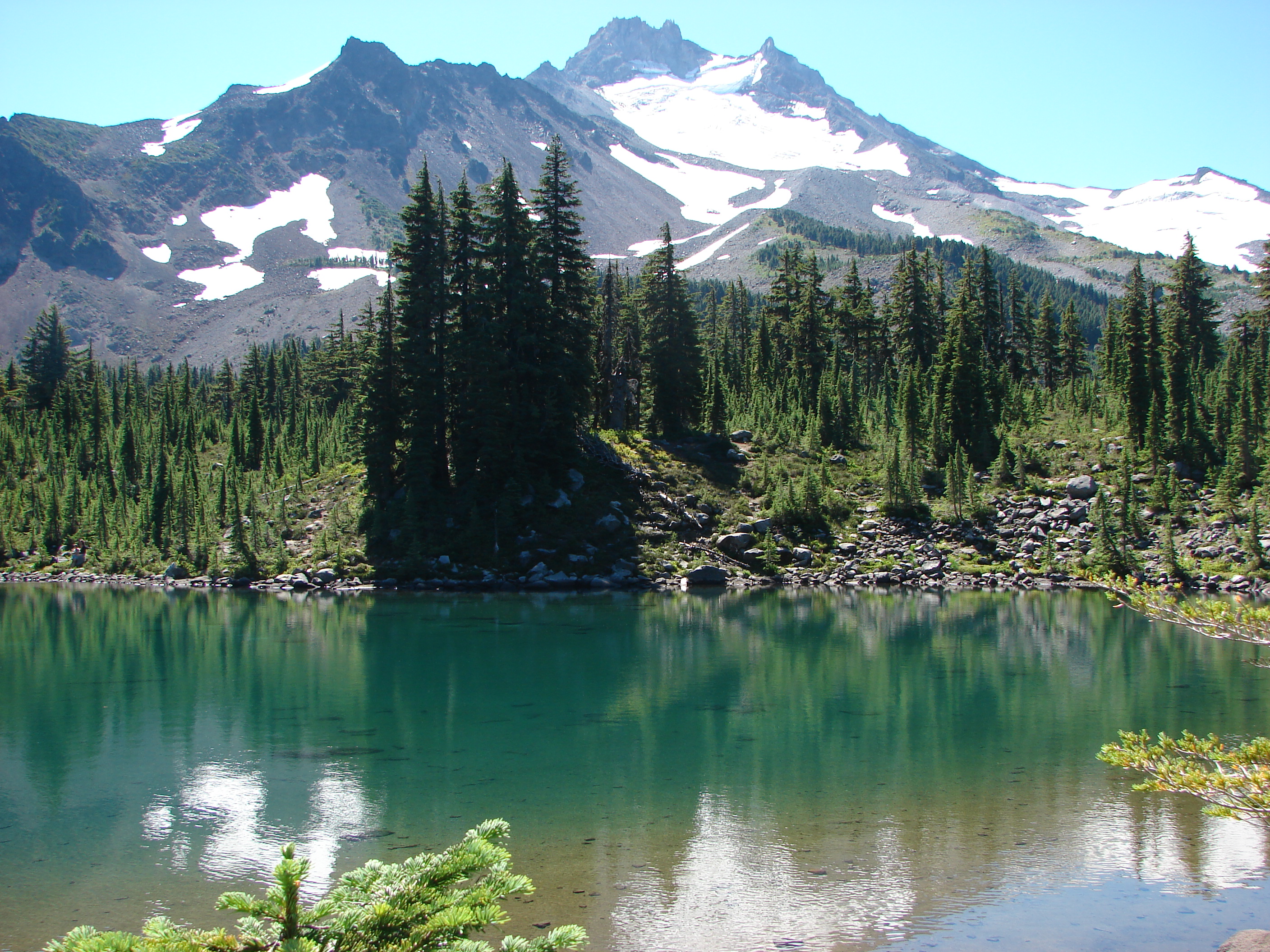
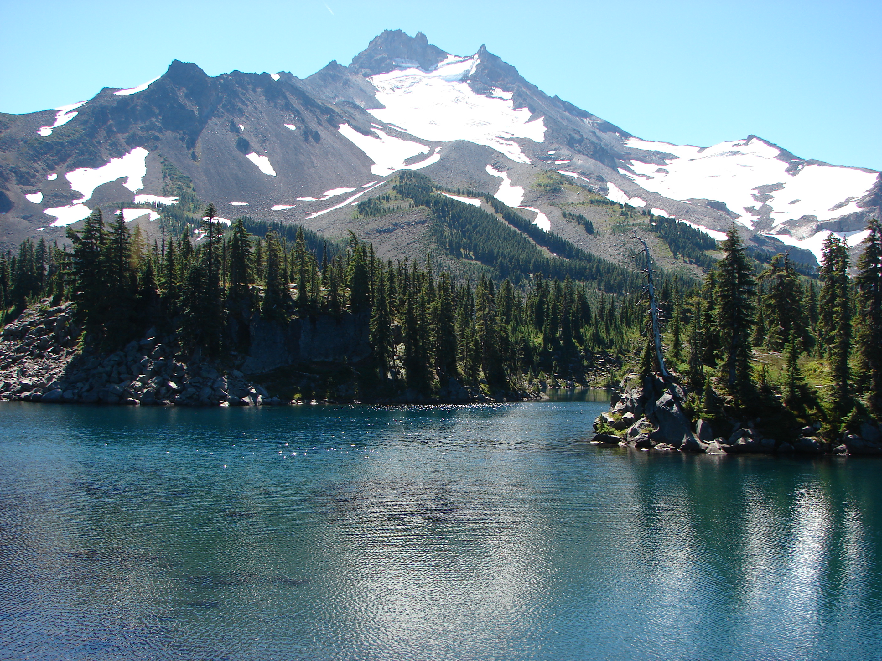
Continuing on the loop after Meditation Point we worked our way around the lake to the NW side where the top of Mt. Jefferson was now visible.

Just a short while later we spotted a line of ducks floating on the lake. We headed down to the shore to get a closer look and as we were doing so an osprey had the same idea.

It was interesting to watch as the ducks began to huddle together while the osprey flew overhead. After a couple of passes the osprey flew off leaving the ducks in peace.

After that interesting encounter the hike was fairly uneventful. We went around one final campground before veering away from the lake for good and returning to the PCT. We stopped again to marvel at Little Crater Lake before returning to our car and completing the trip.

Happy Trails!
Facebook photos:https://www.facebook.com/deryl.yunck/media_set?set=a.10202157025074289.1073741856.1448521051&type=3
Flickr: http://www.flickr.com/photos/9319235@N02/sets/72157635562348915/