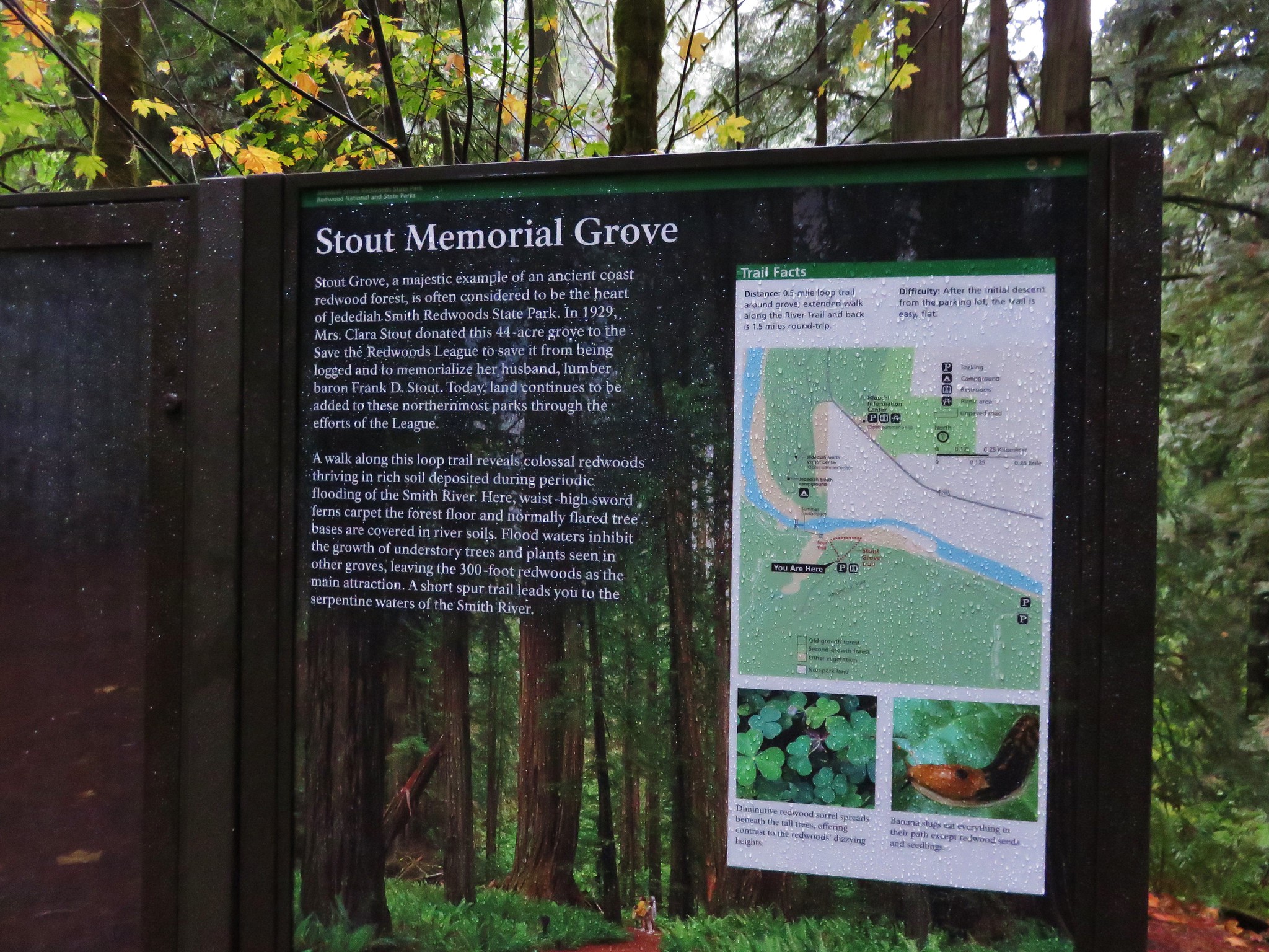
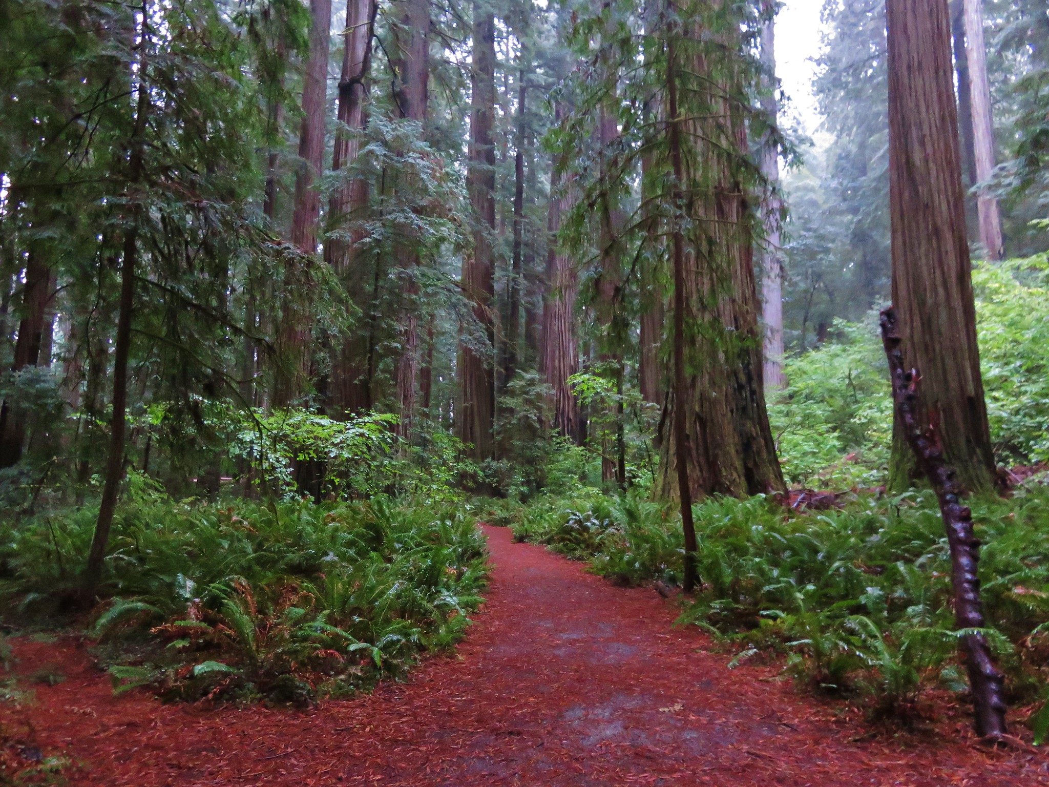
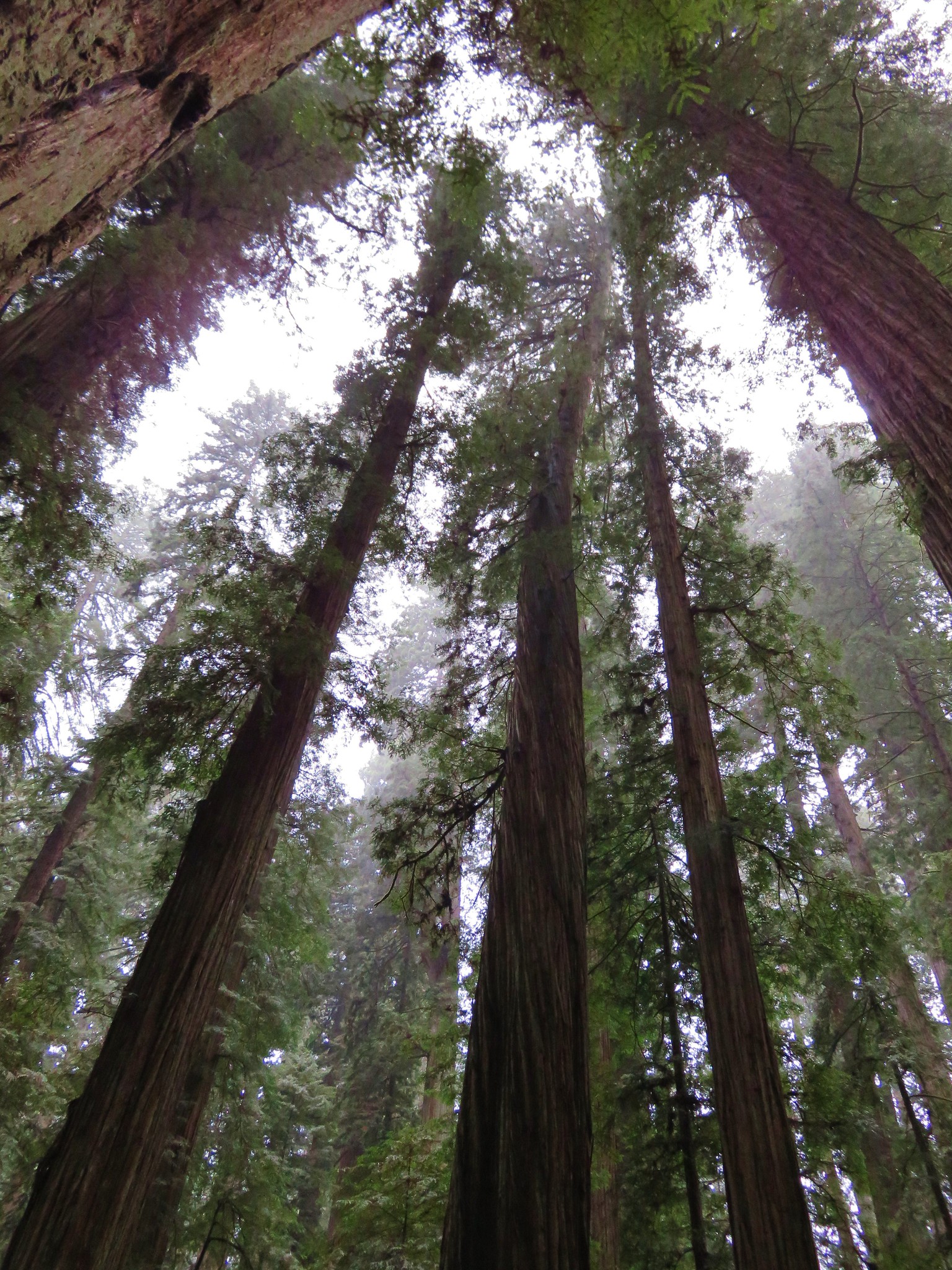
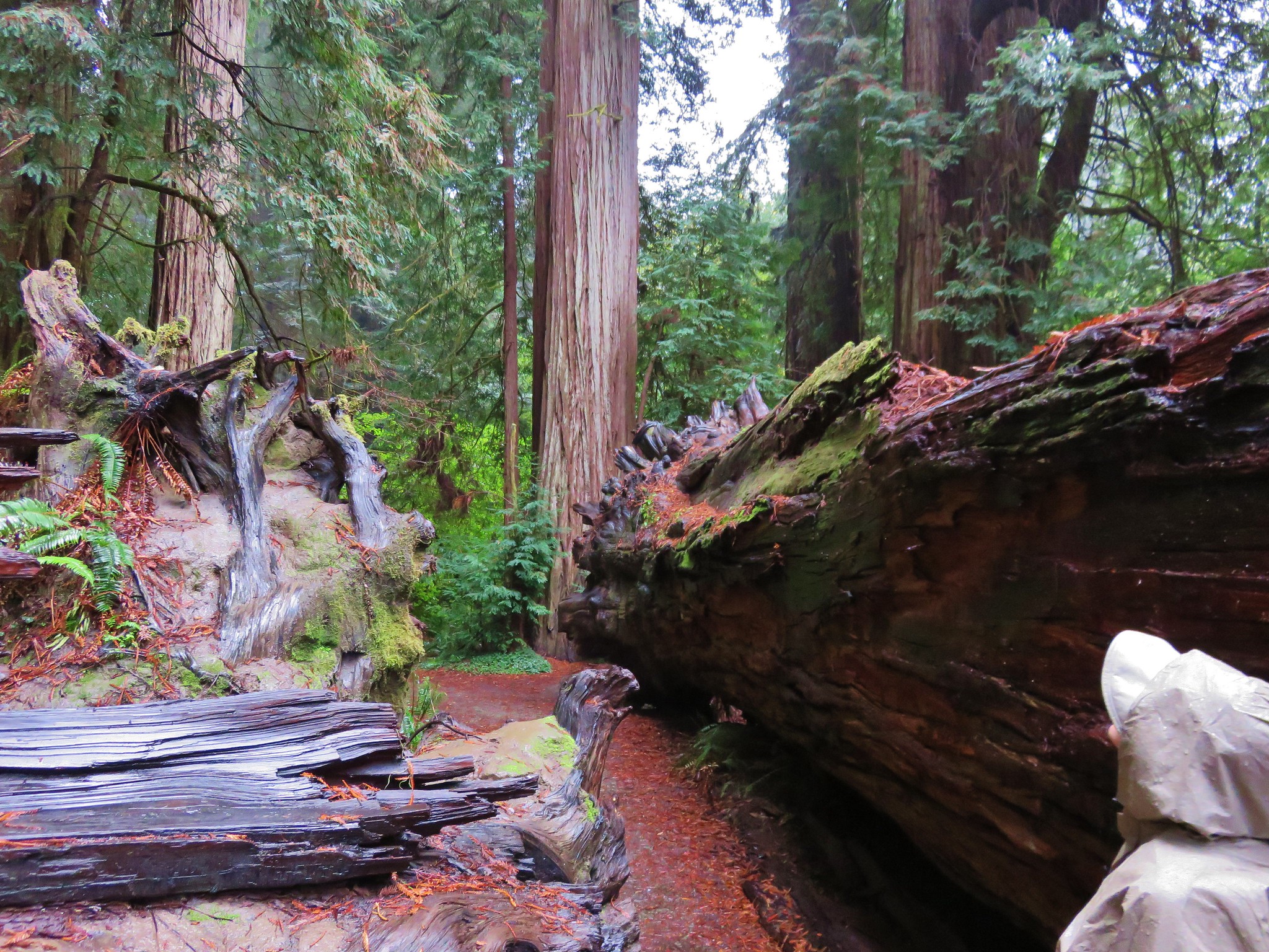
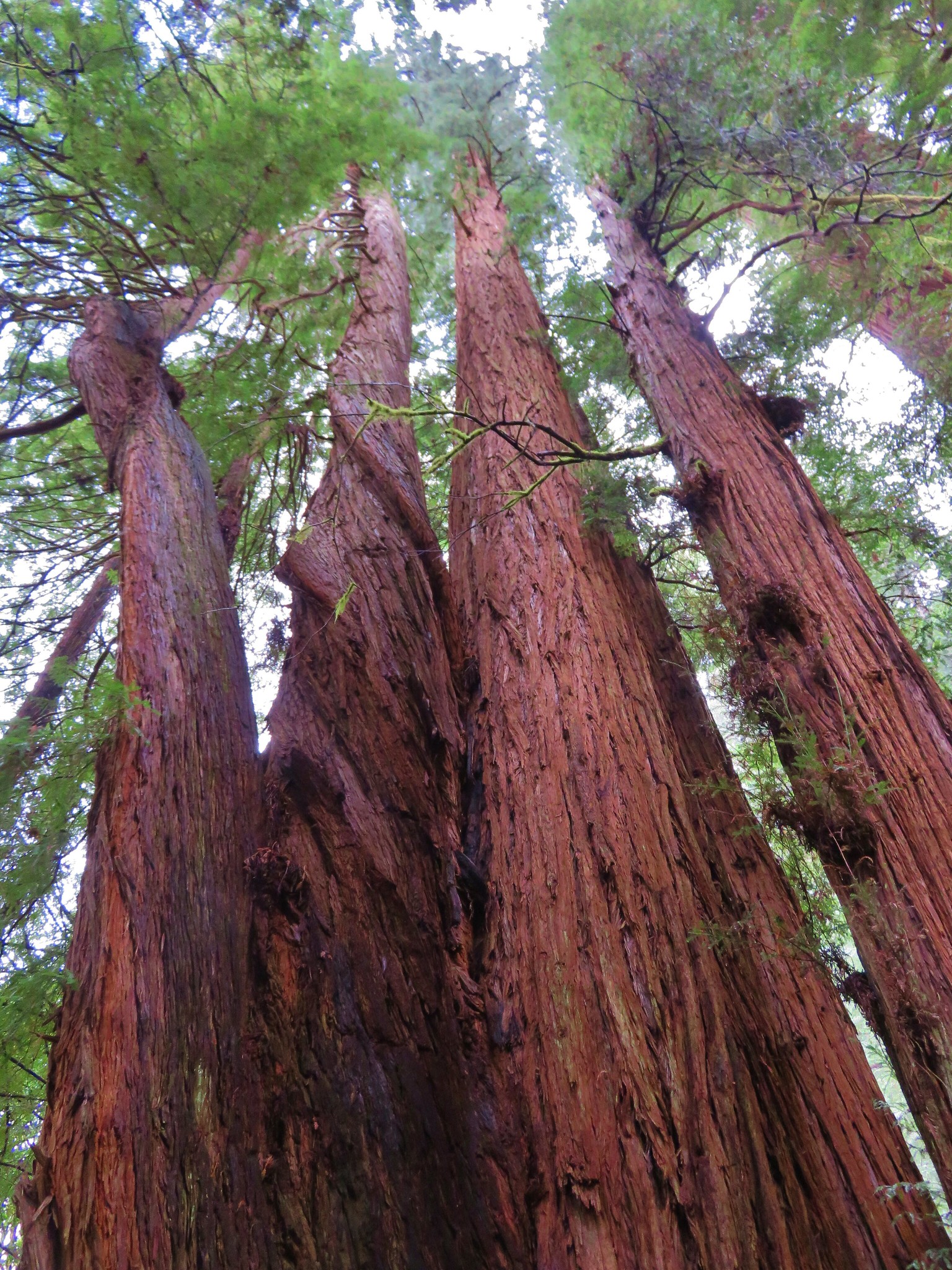
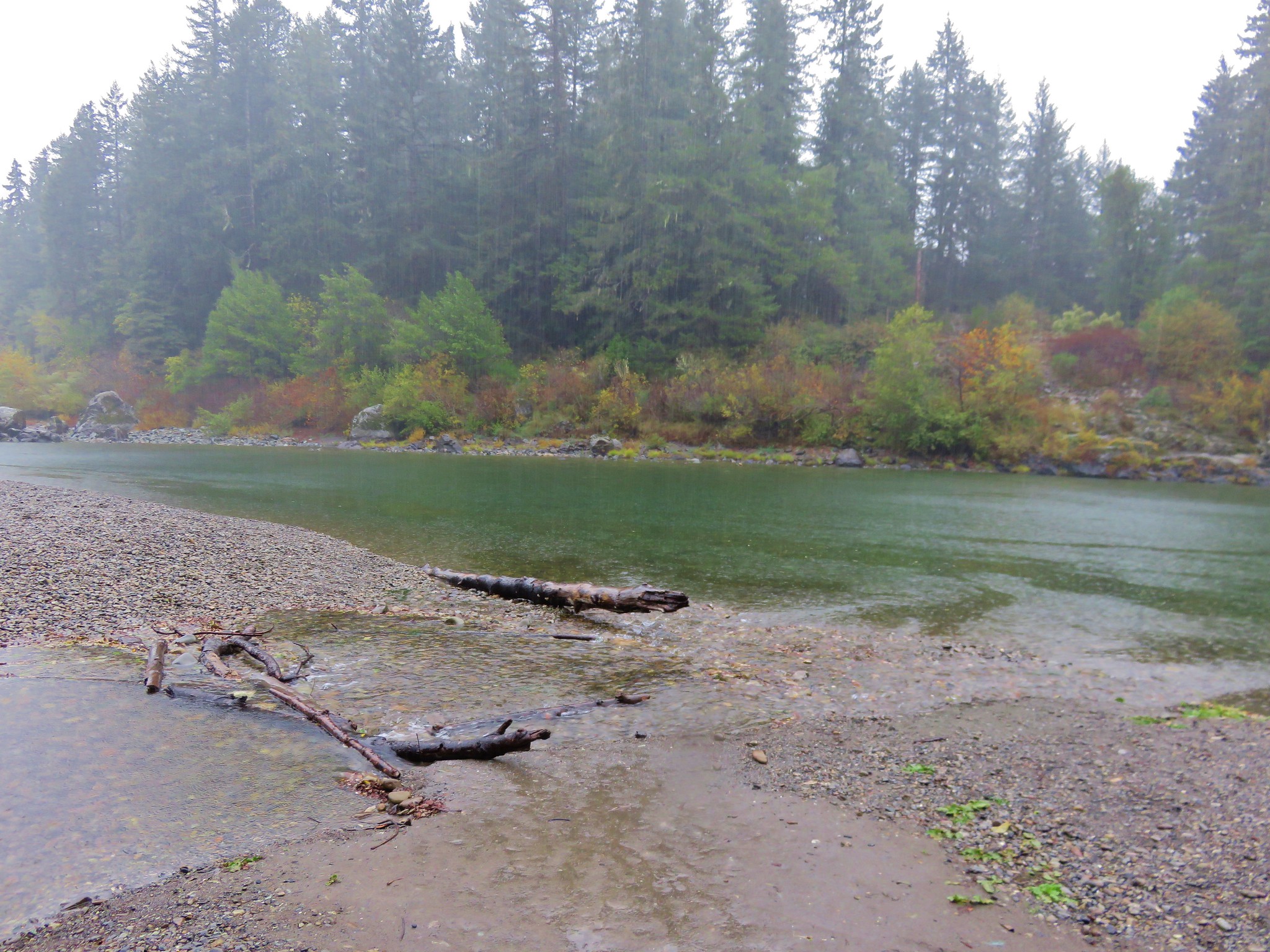
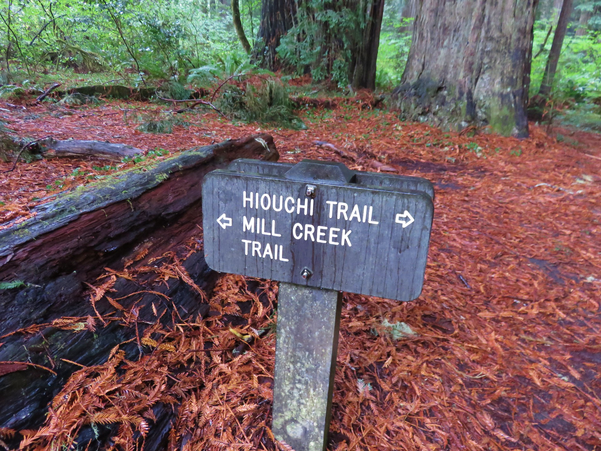
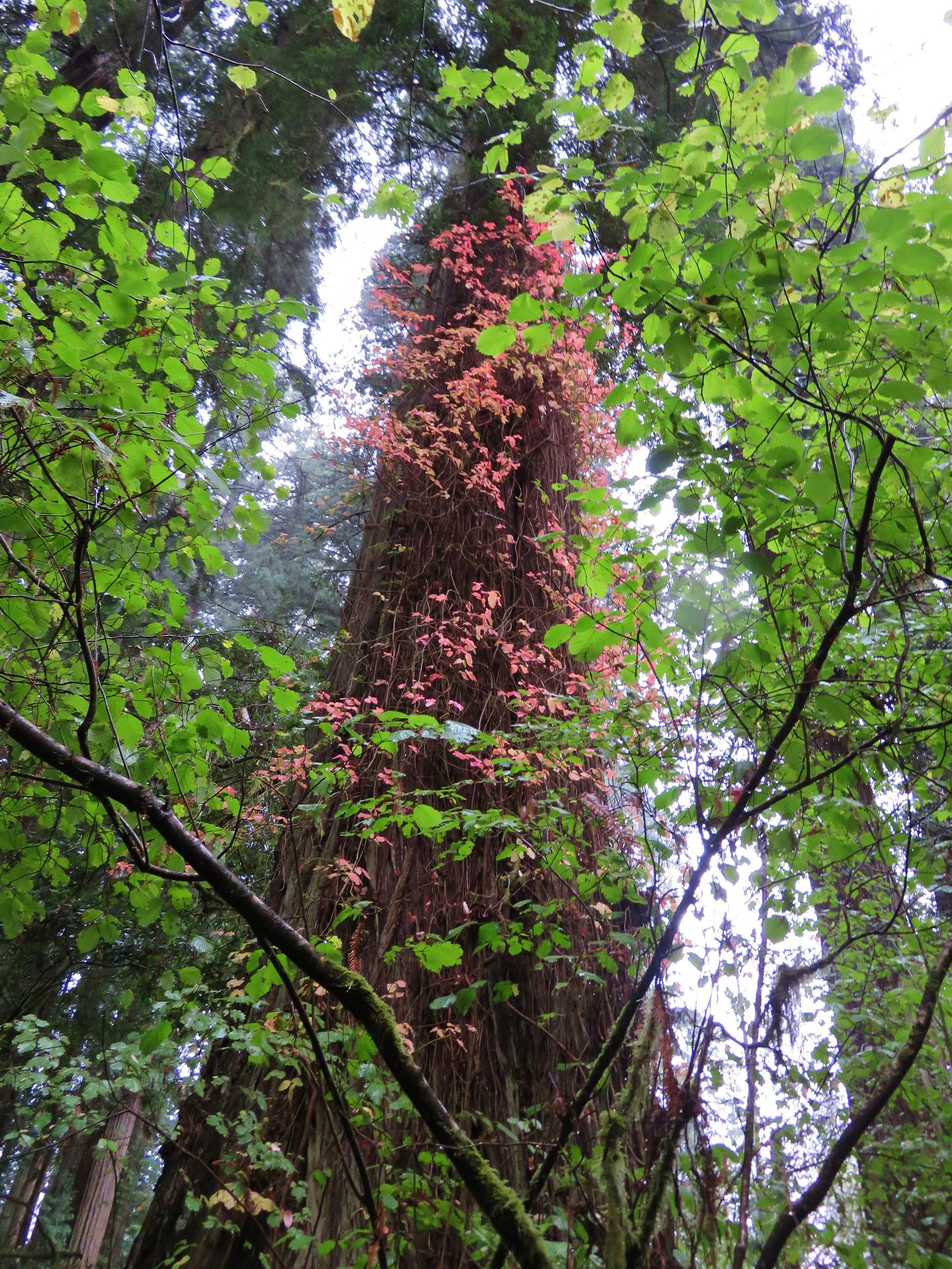
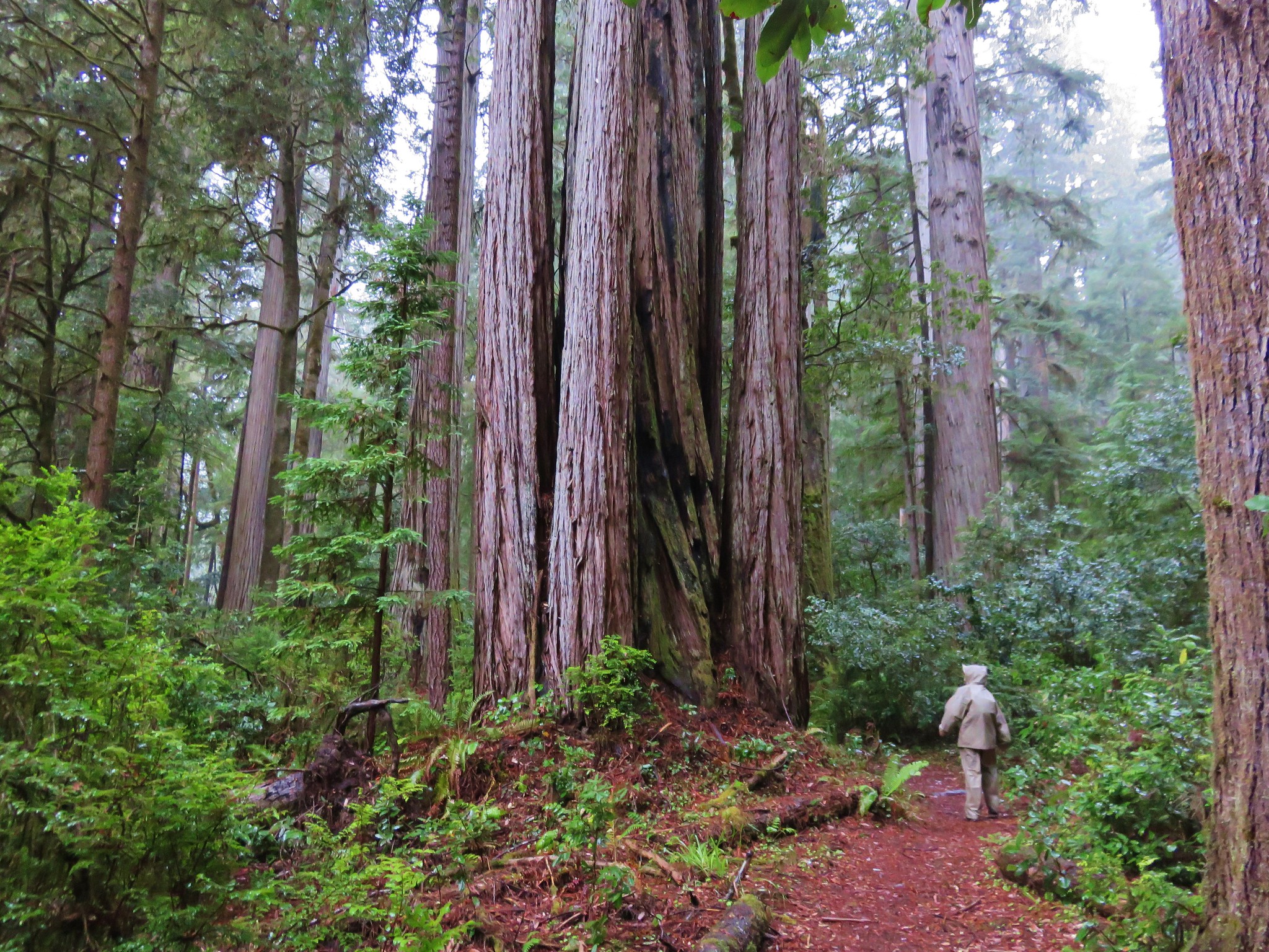
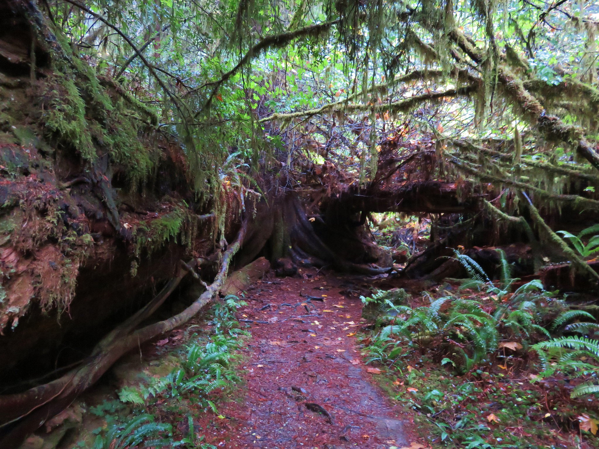
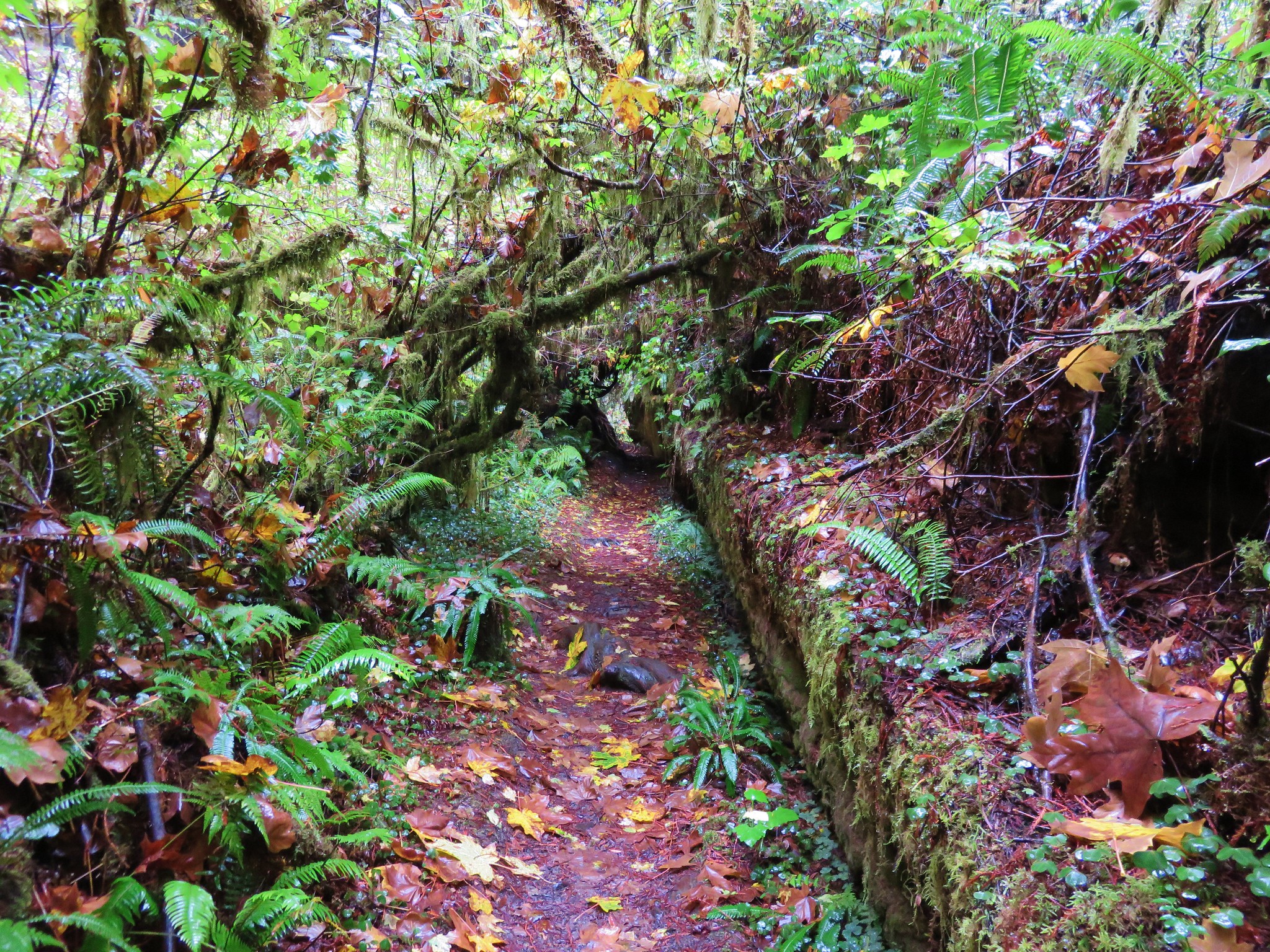
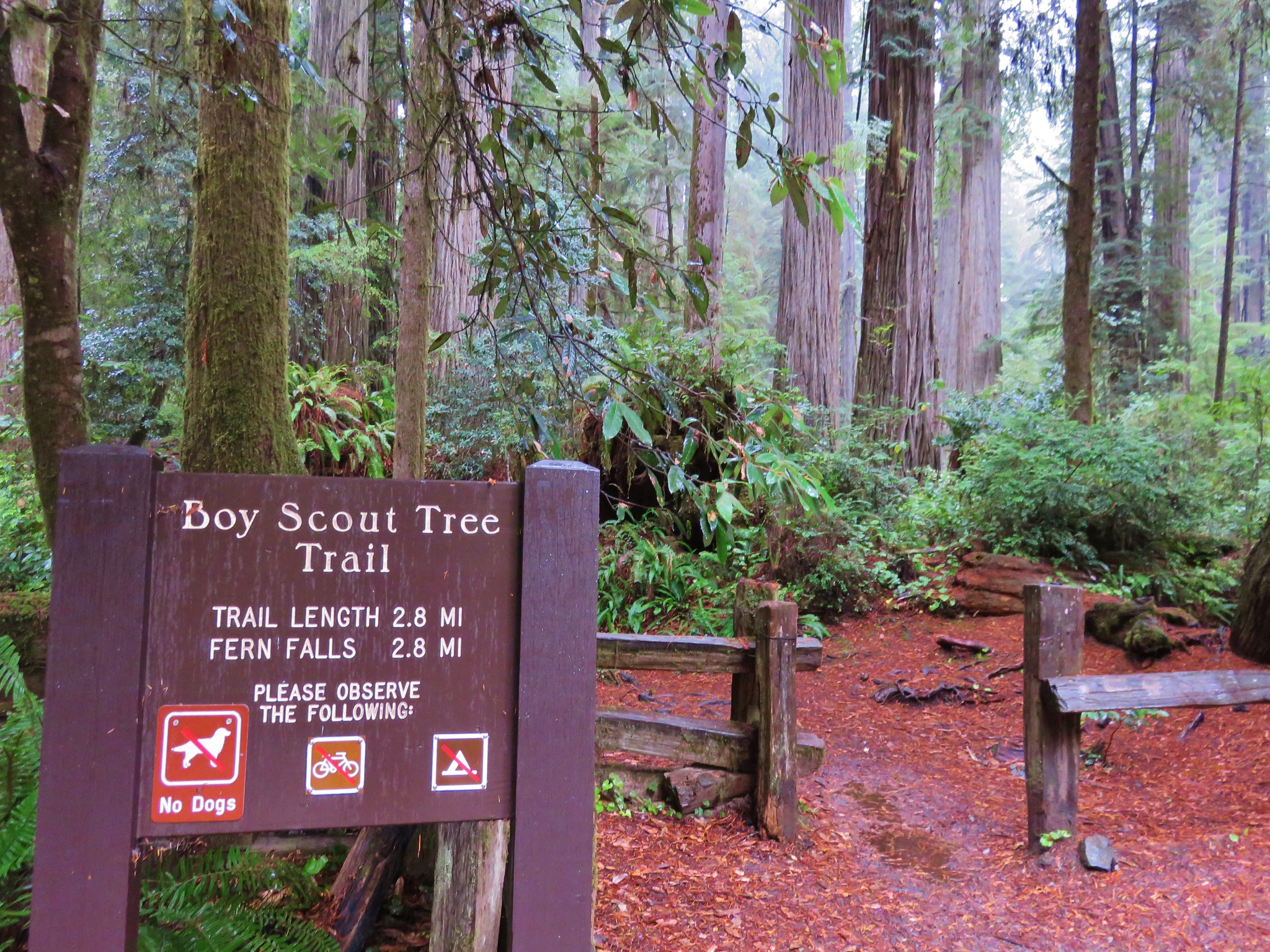
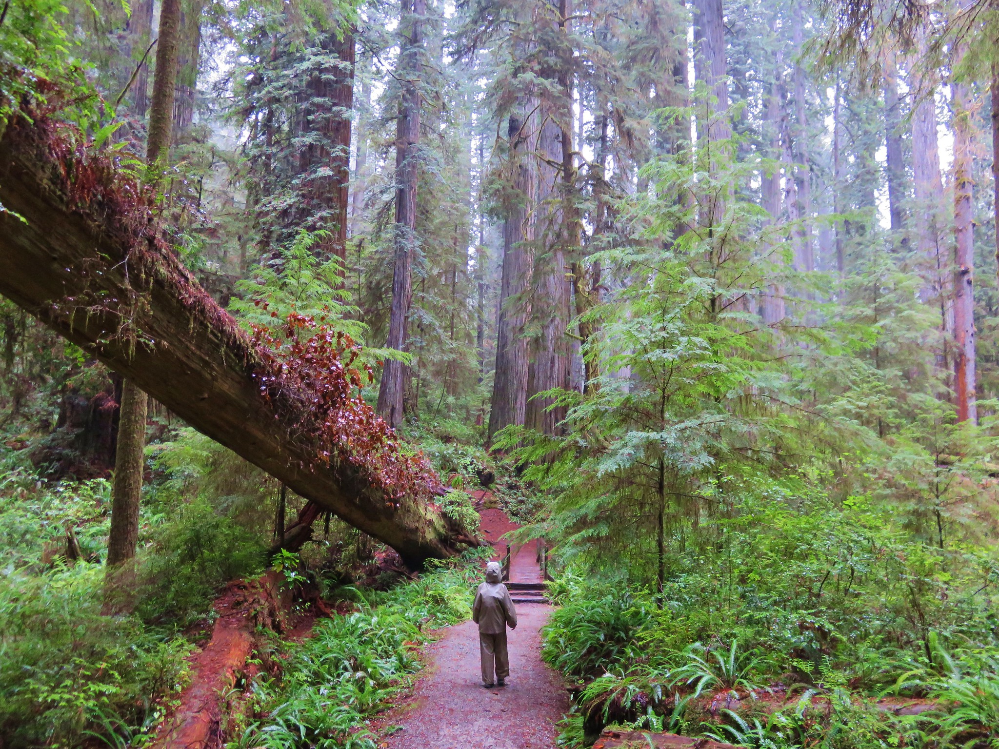
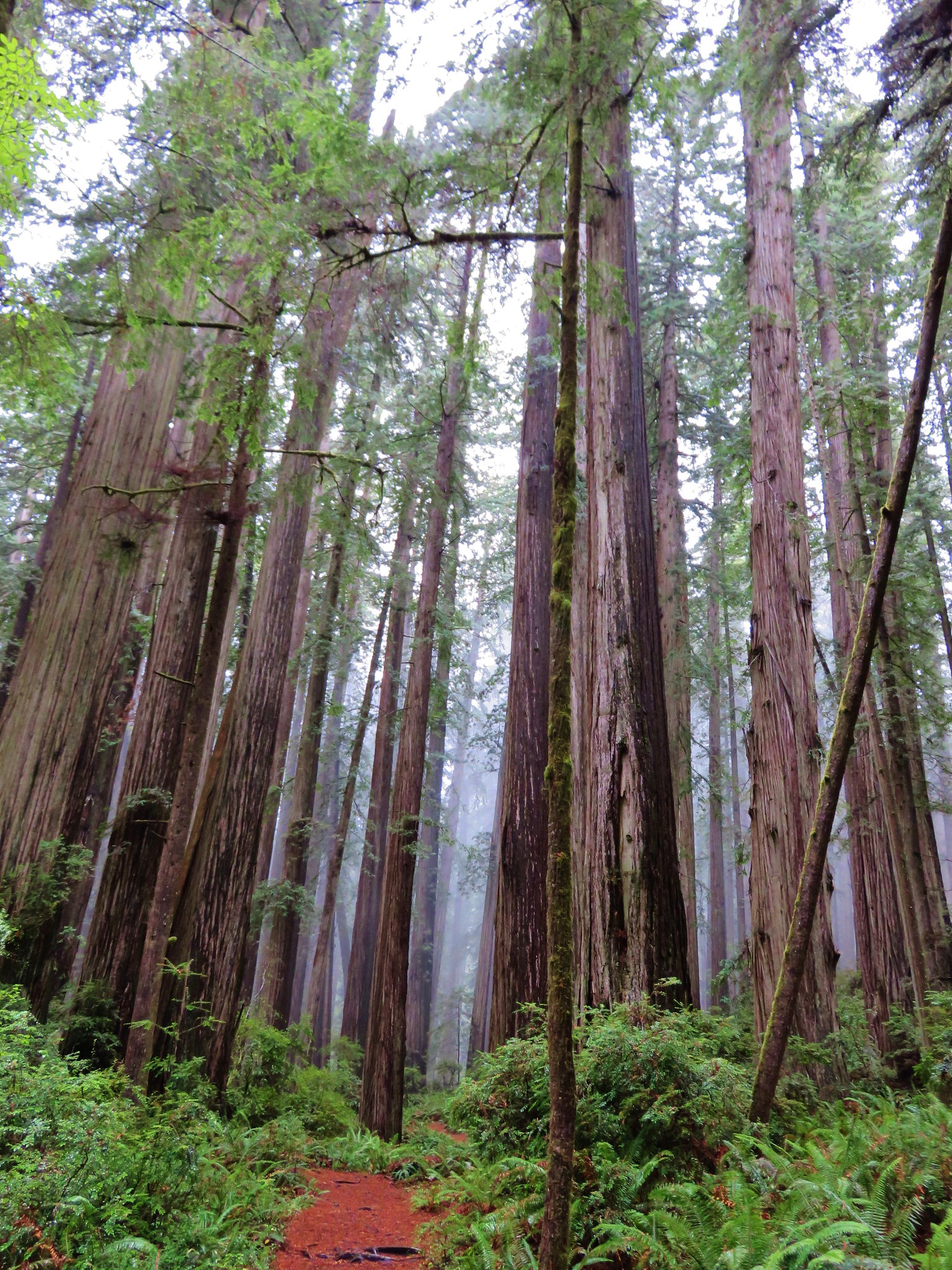
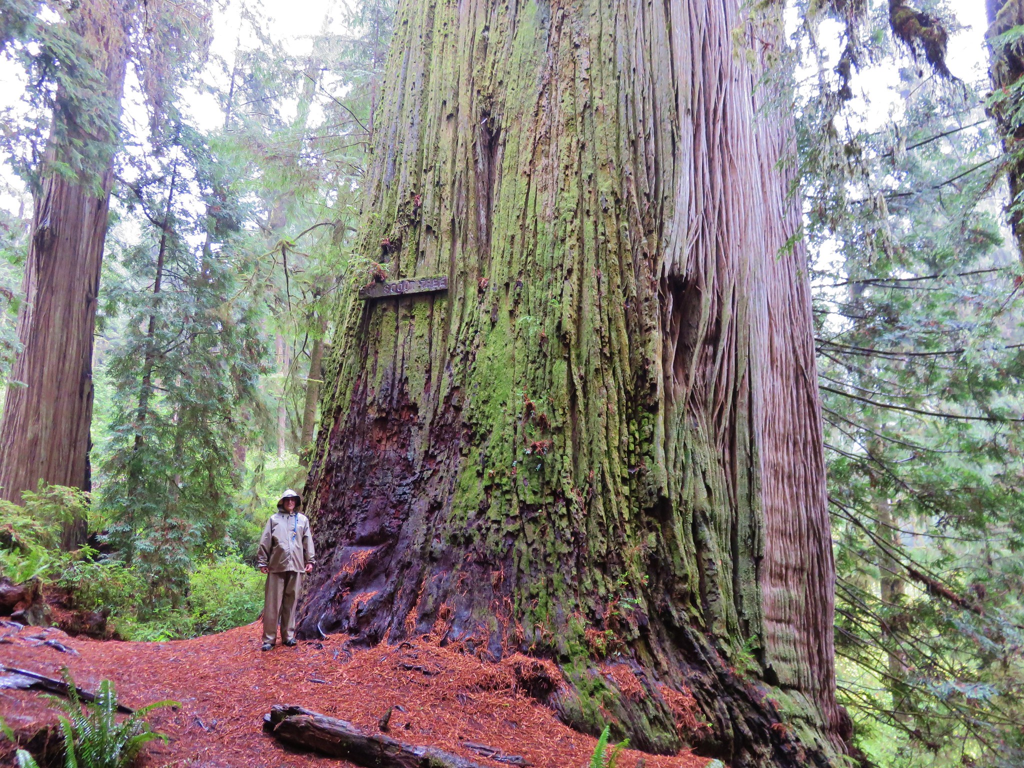
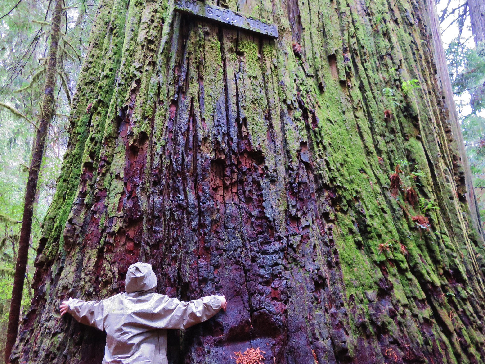
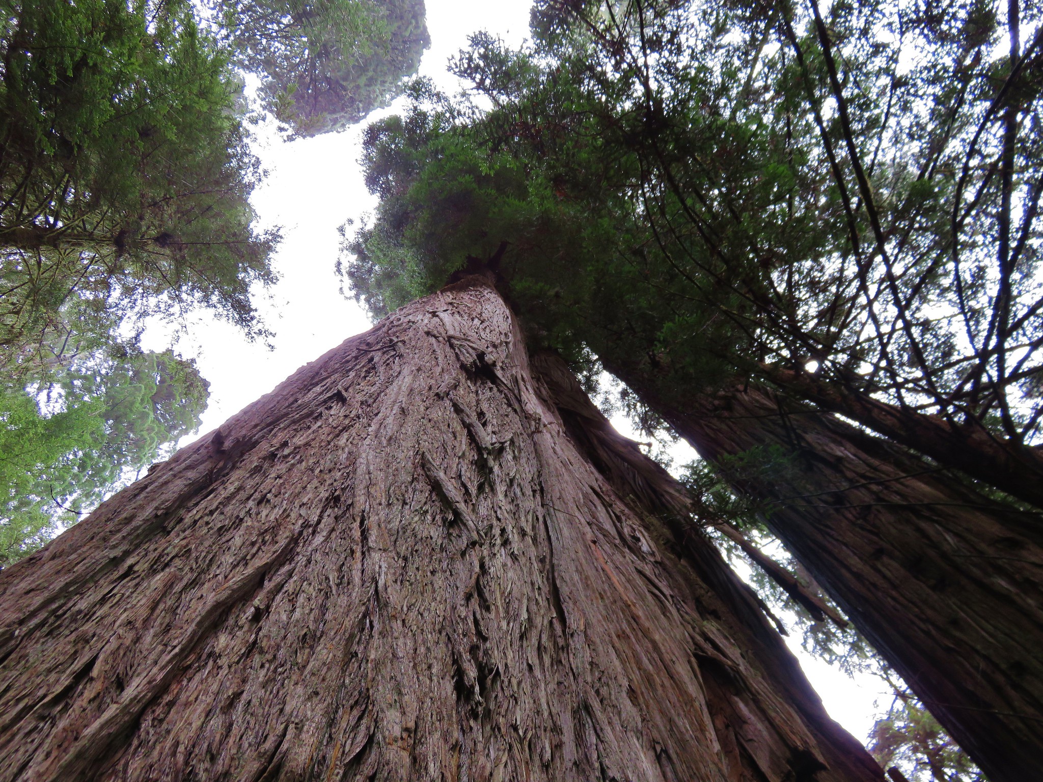
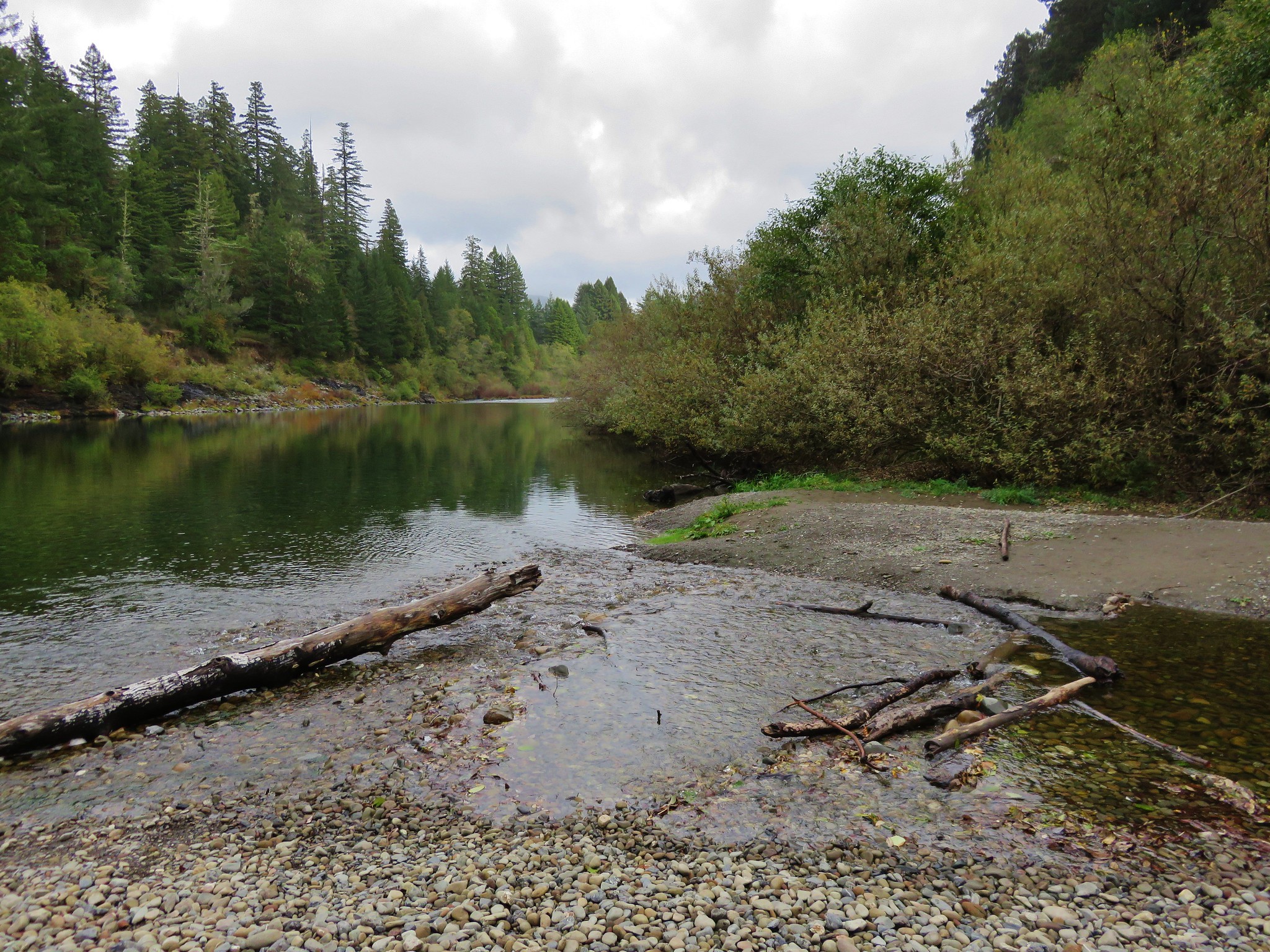
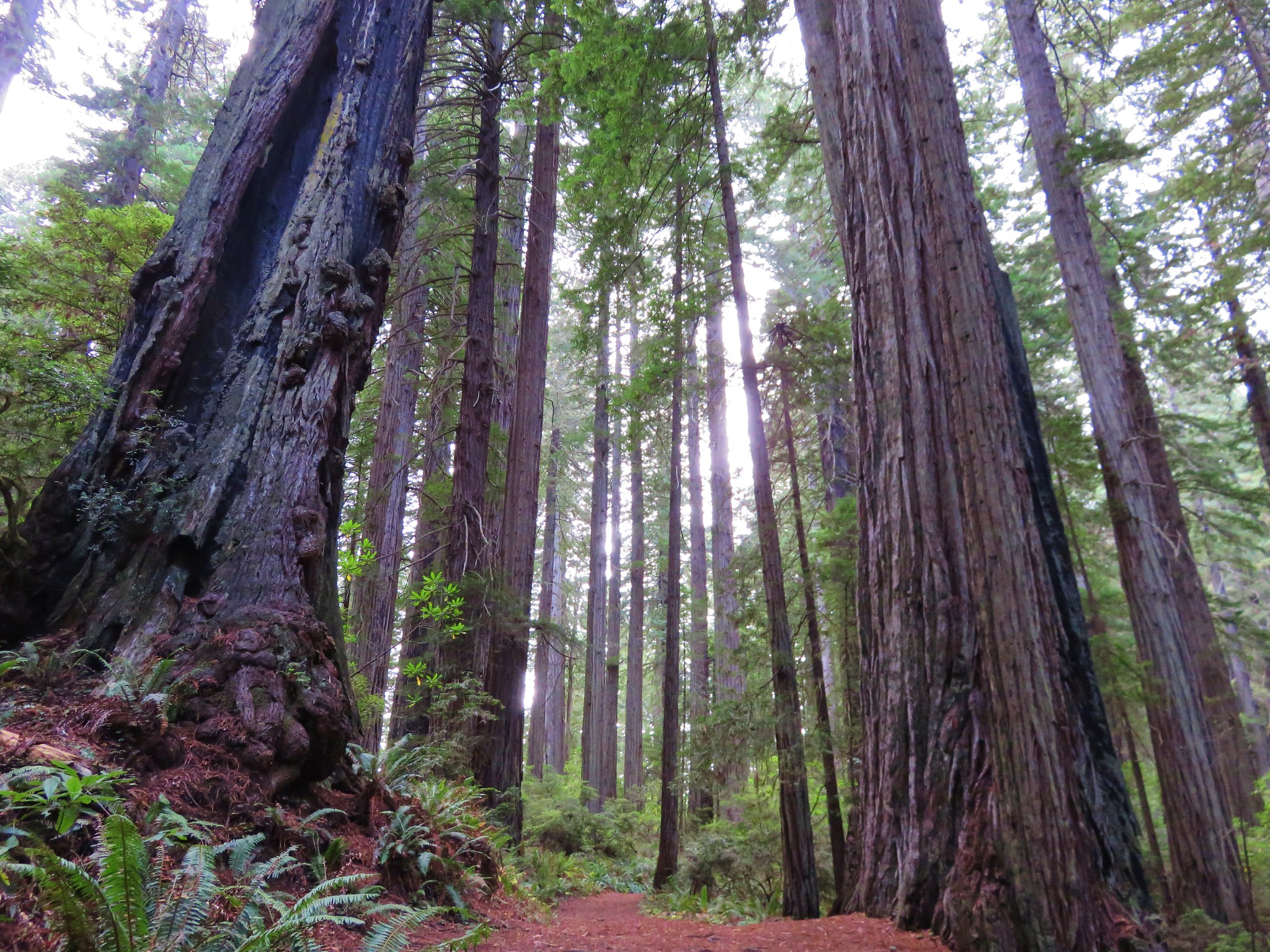
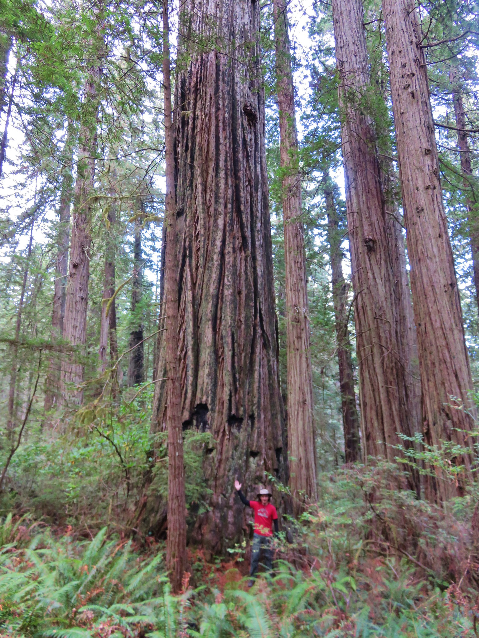
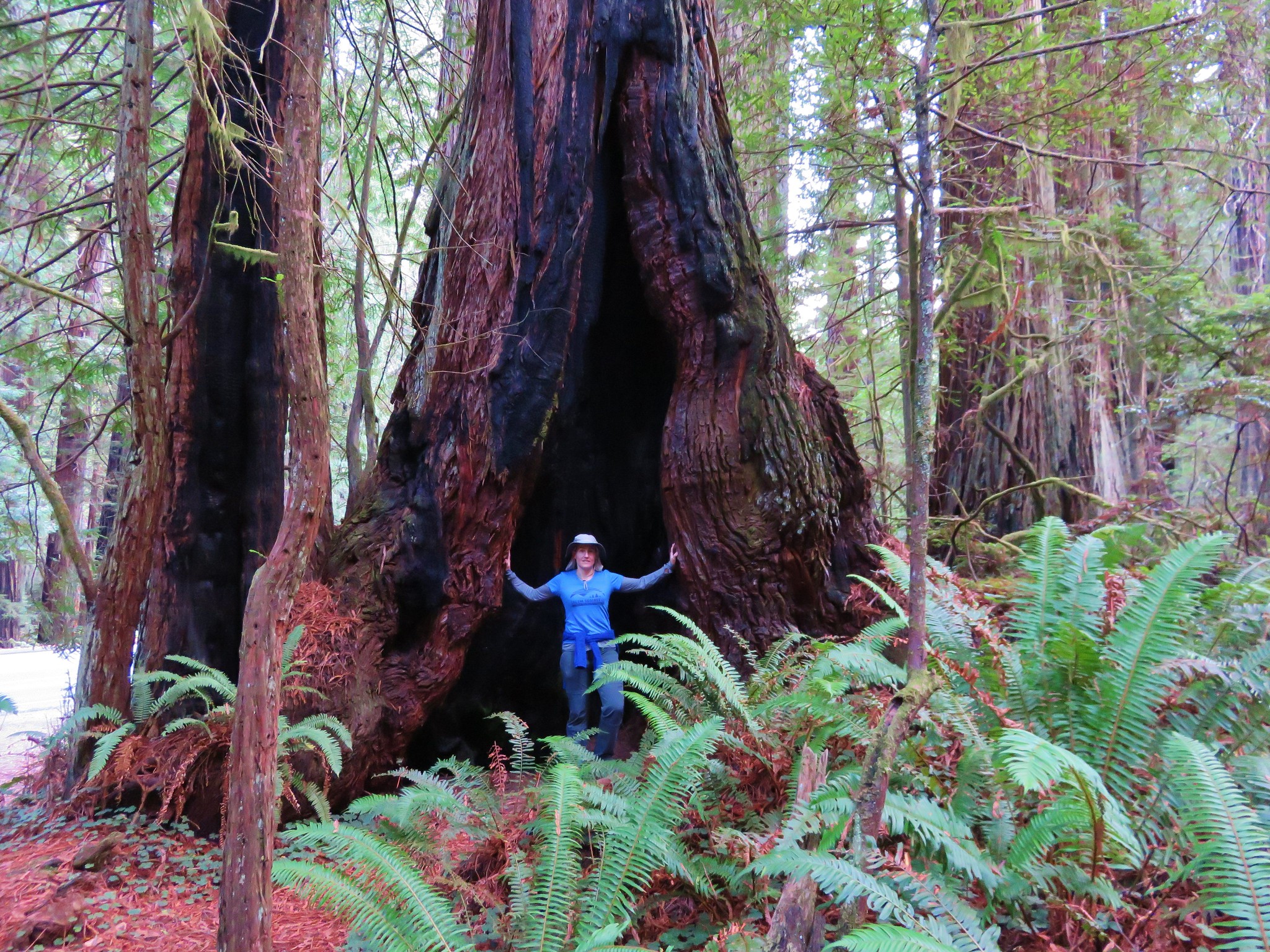
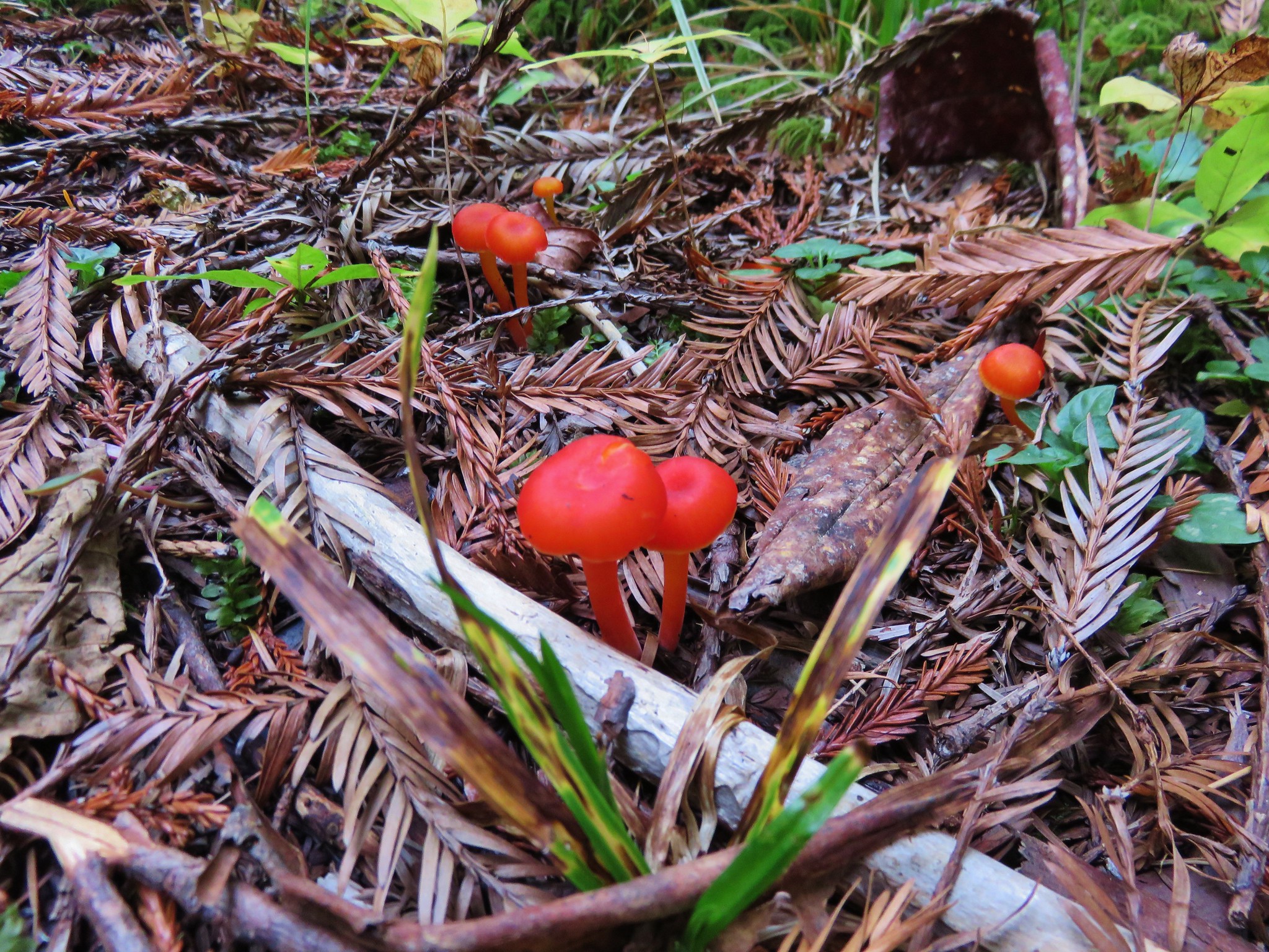
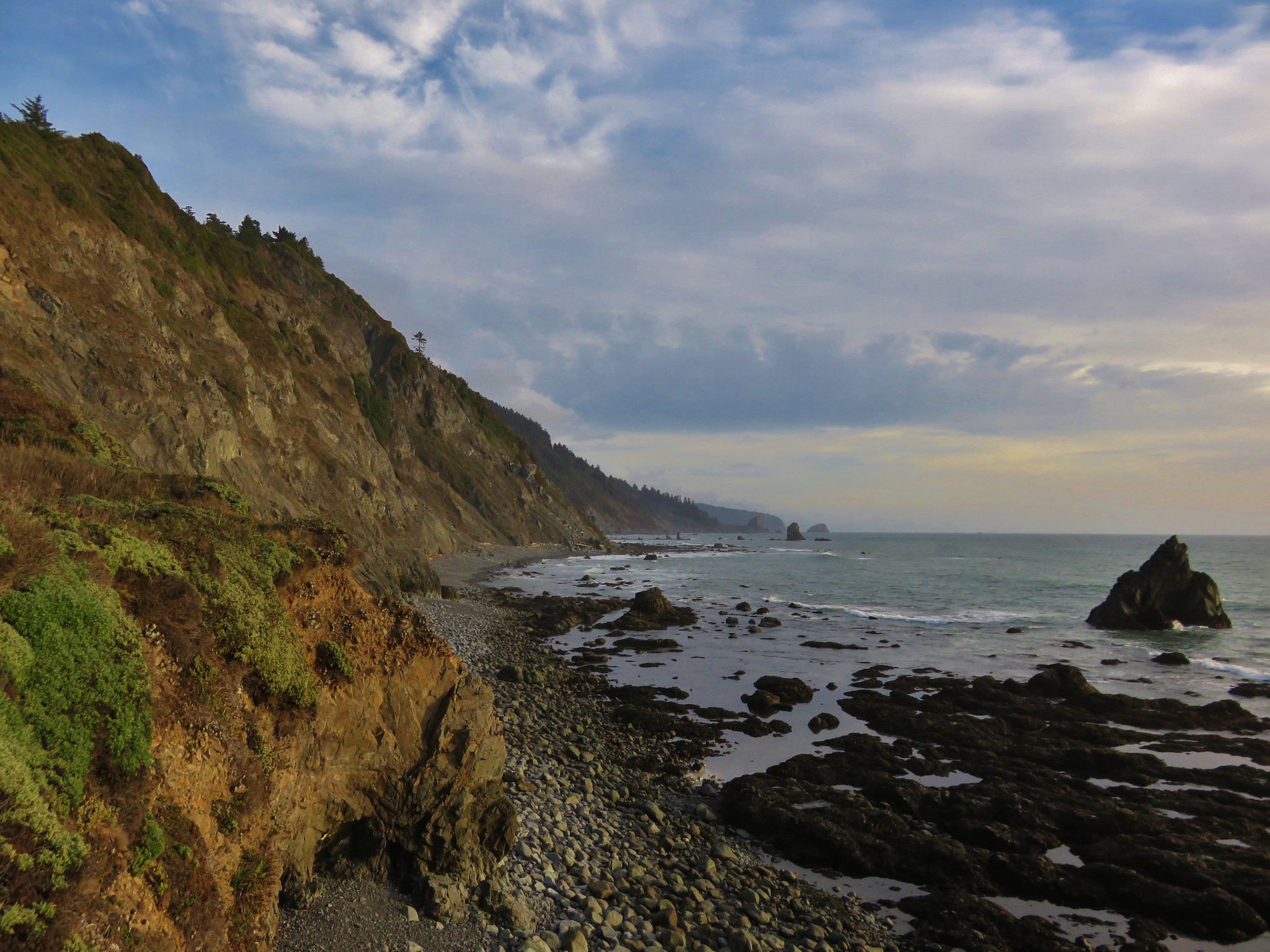
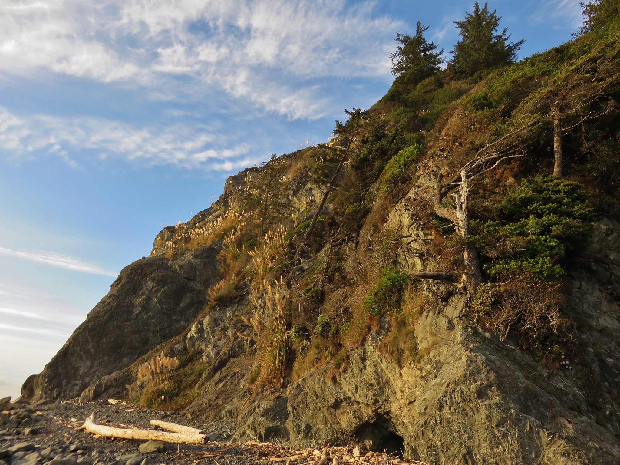
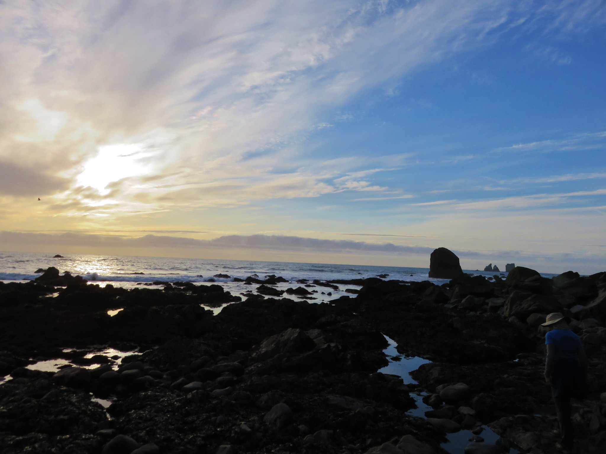
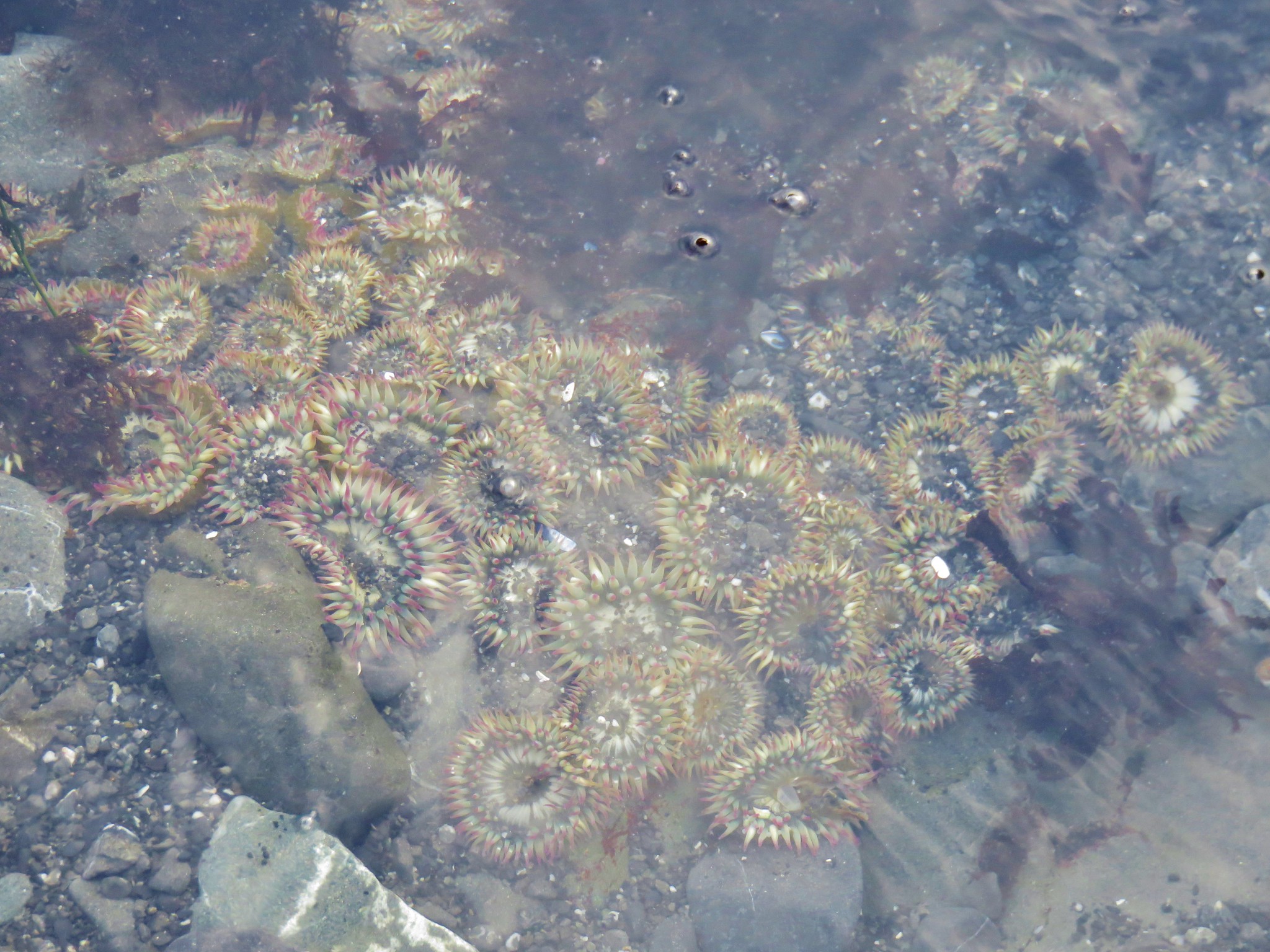
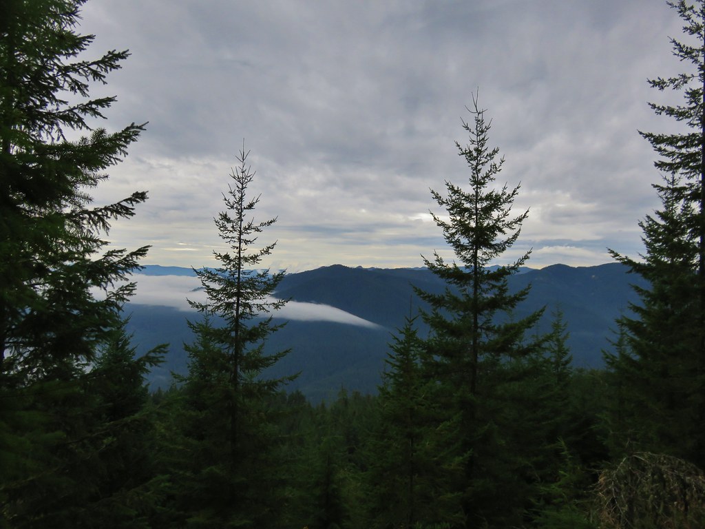
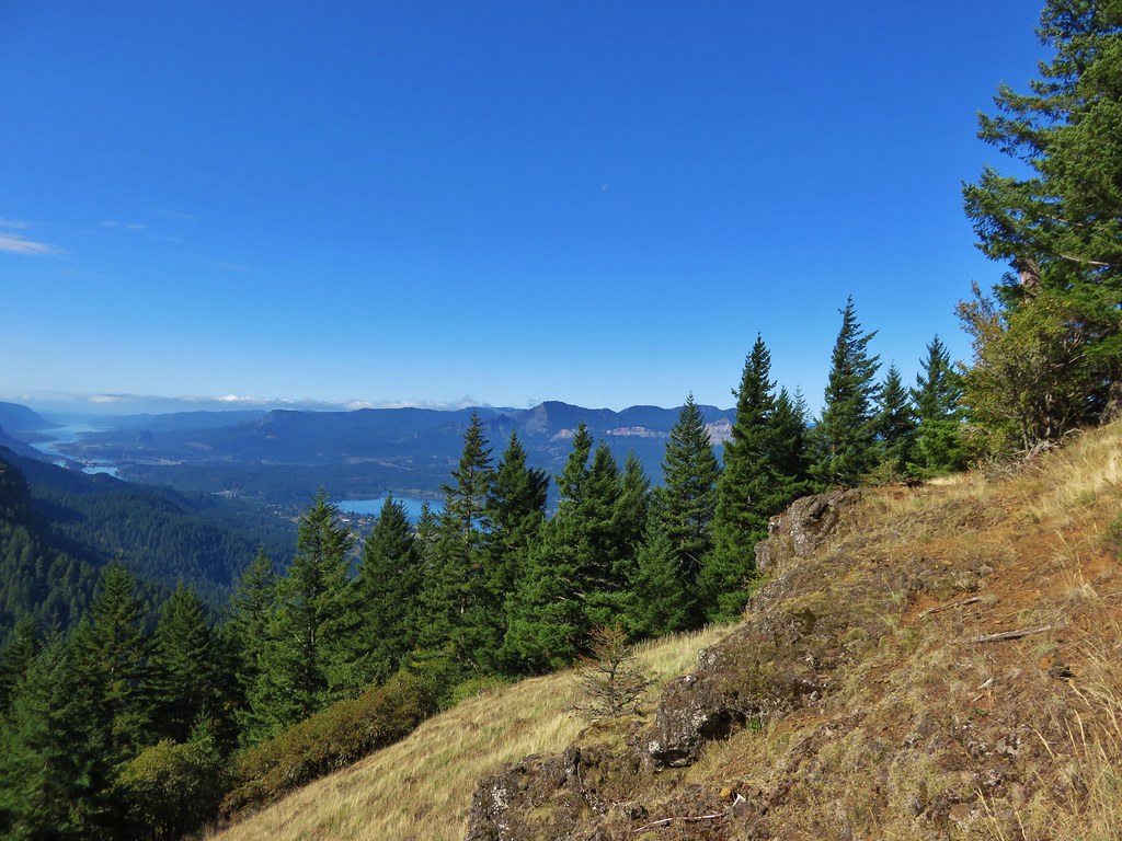
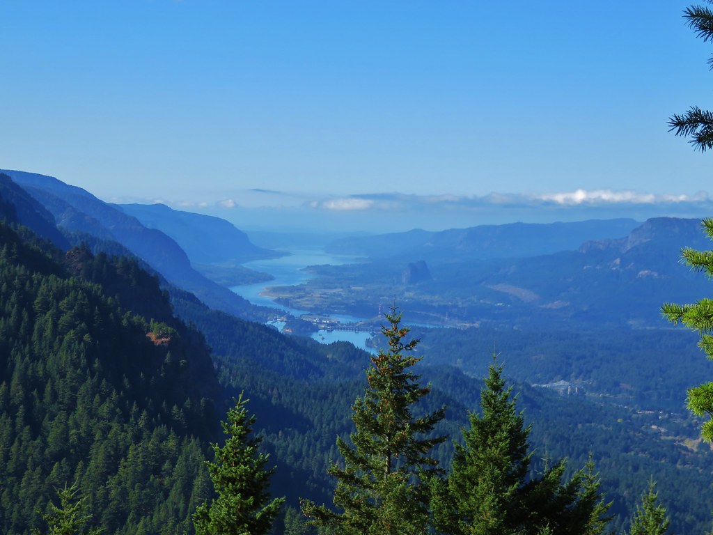
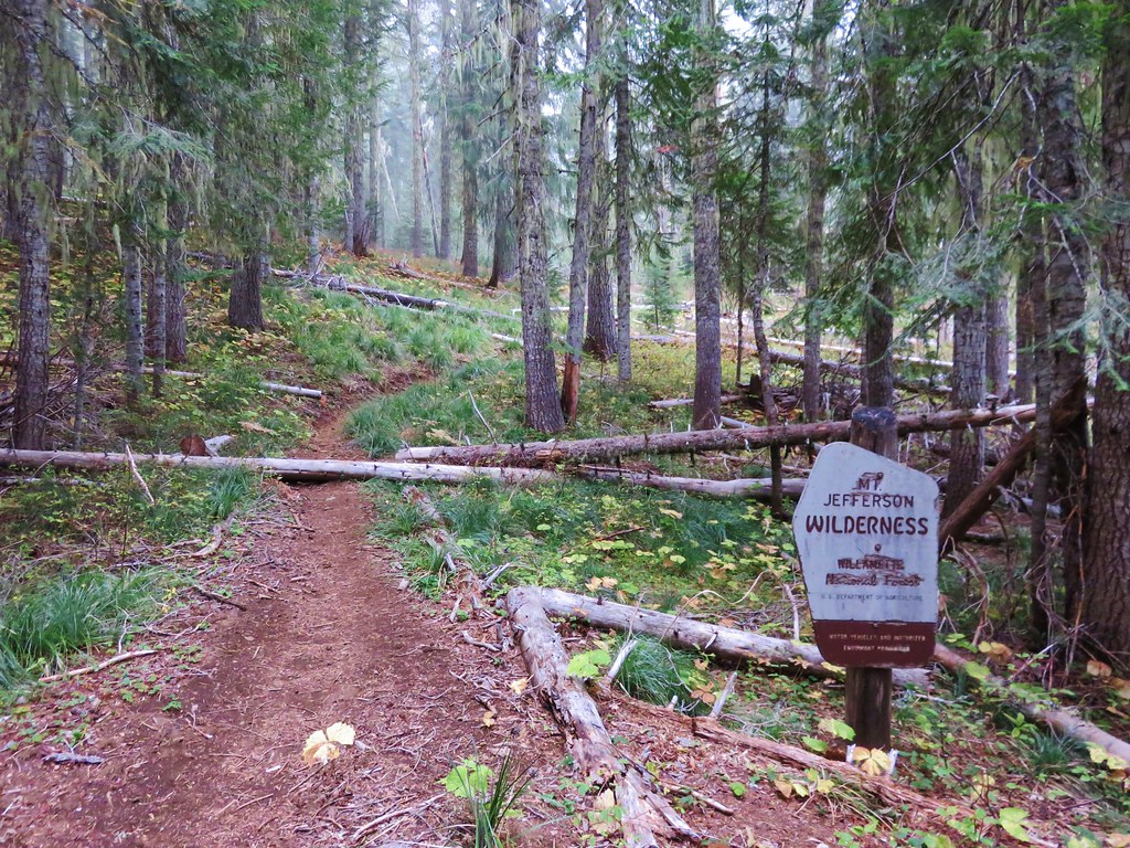
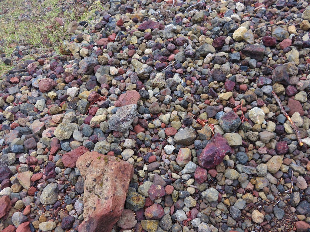
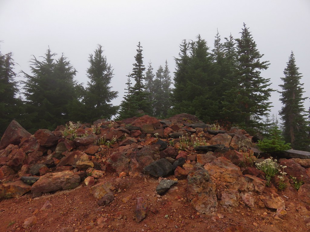
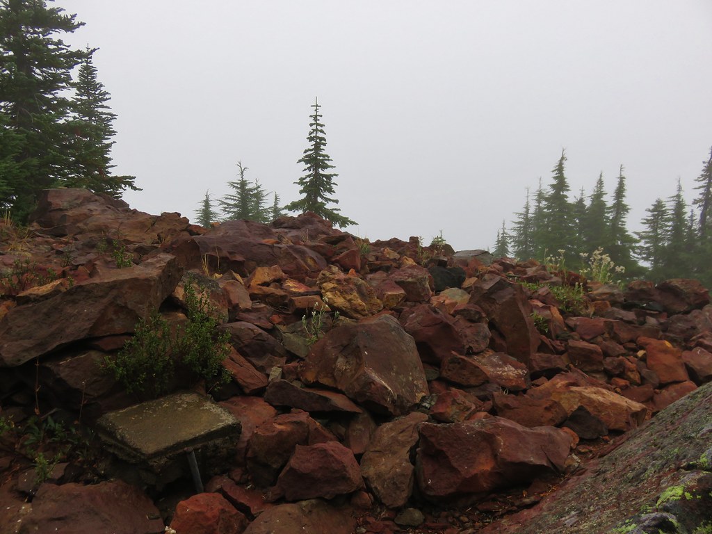
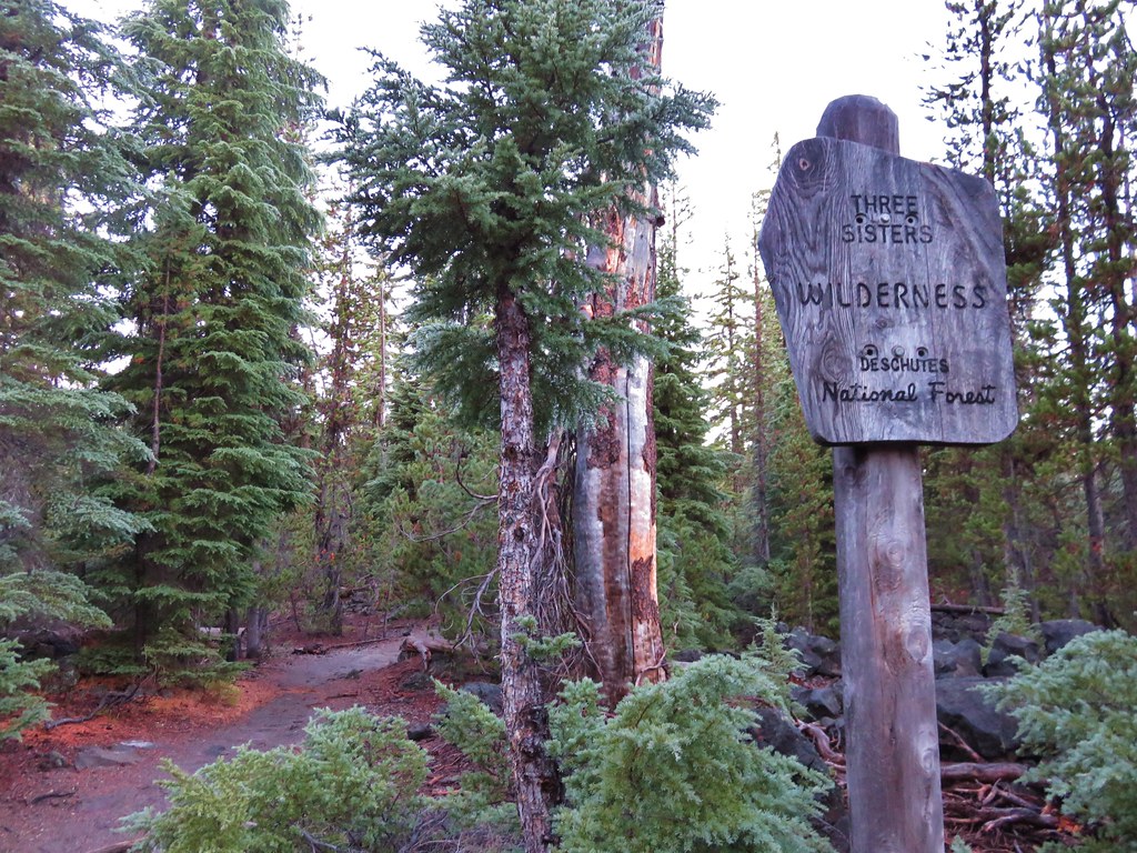
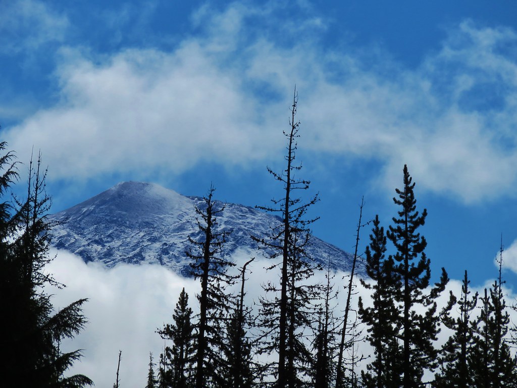
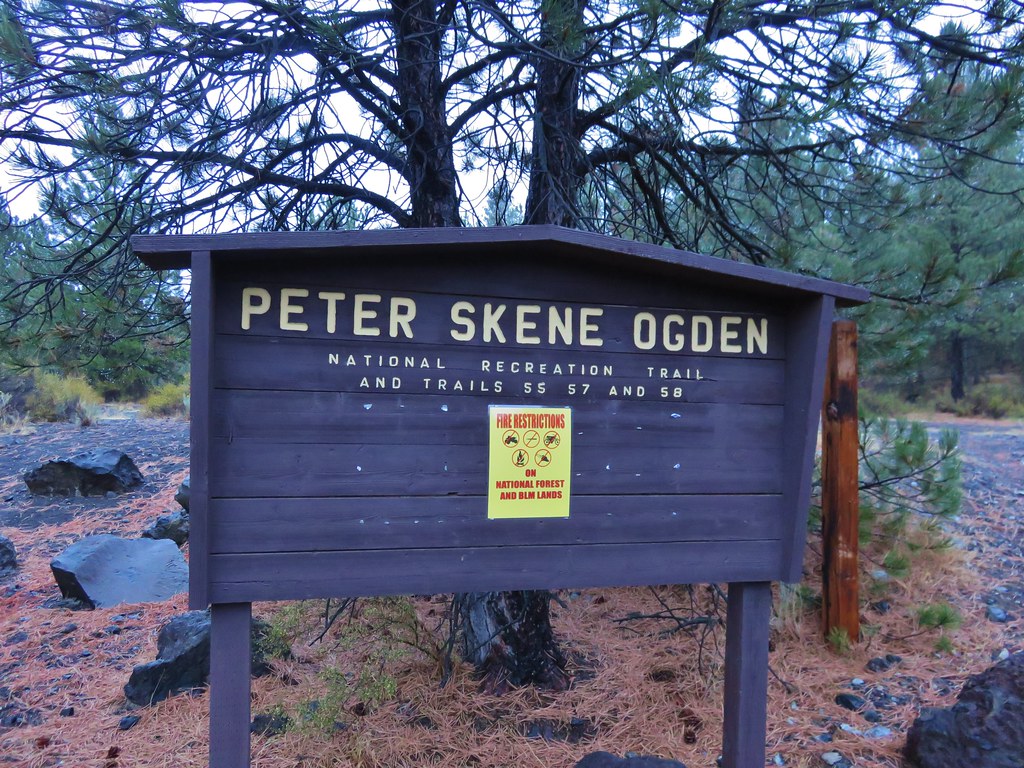
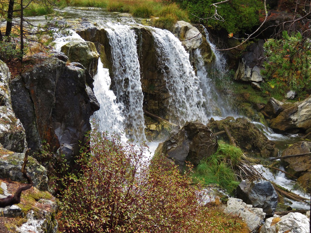
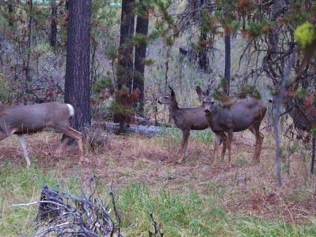
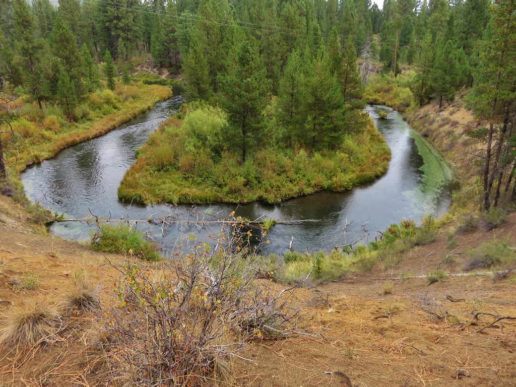
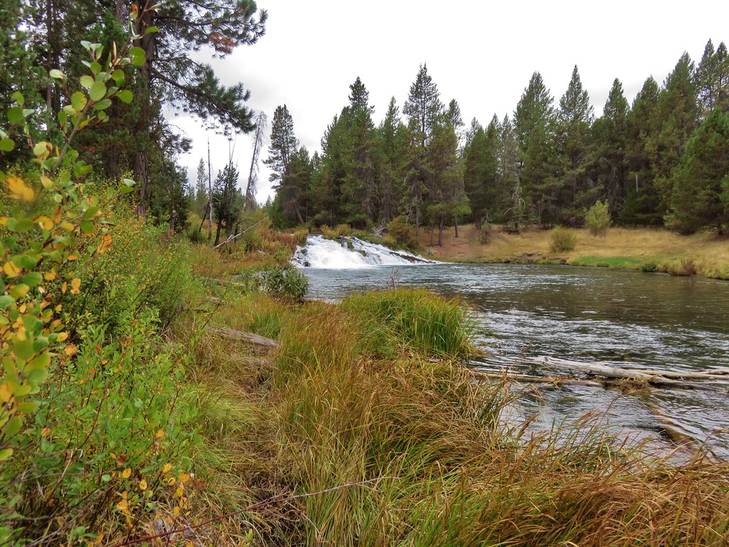
After spending two days in Crescent City, CA hiking in the Redwoods we headed up Highway 199 to the Oregon Caves Highway 46 and drove to the Sucker Creek Trailhead. We were planning on spending 4 days and 3 nights backpacking in the Red Buttes Wilderness. The wilderness was established in 1984 and encompasses 20,323 acres mostly in California but with some of that area located in Oregon. Running through the wilderness is the crest of the Siskiyou Mountains which include some of the oldest rocks in the region. These began as ocean bottom sediments eventually becoming metamorphic rock uplifted by the North American Plate scraping the ocean floor as it drifted westward across the Pacific Plate.
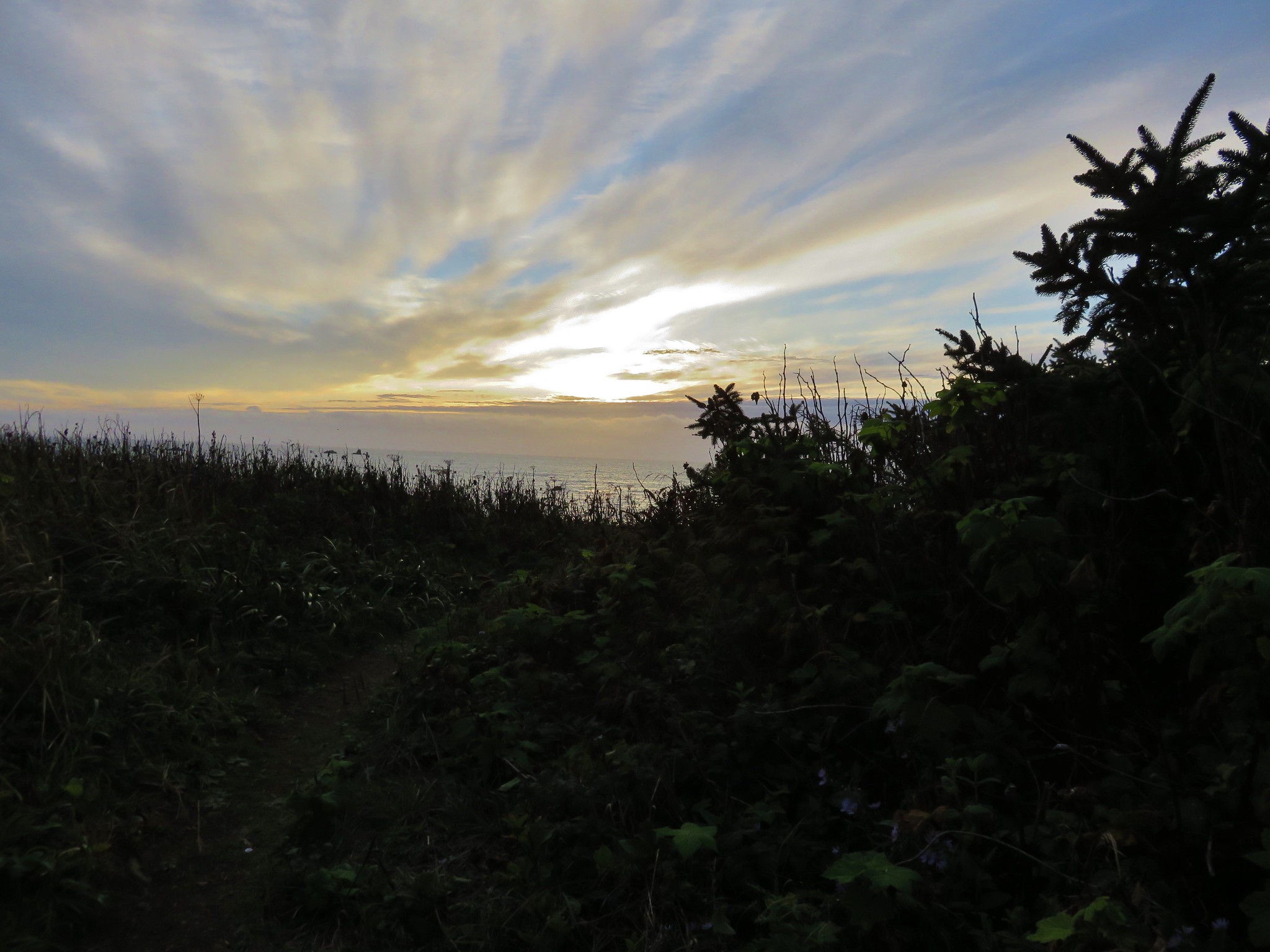
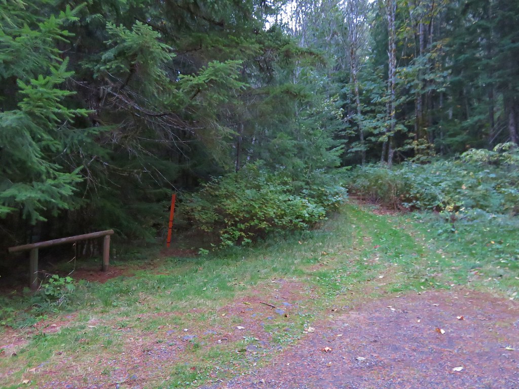
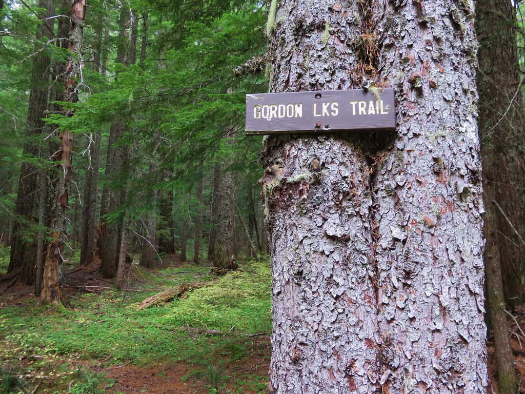
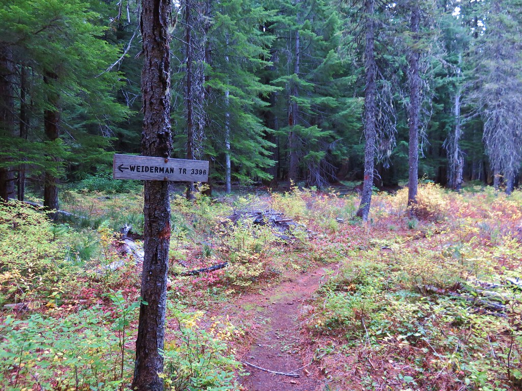
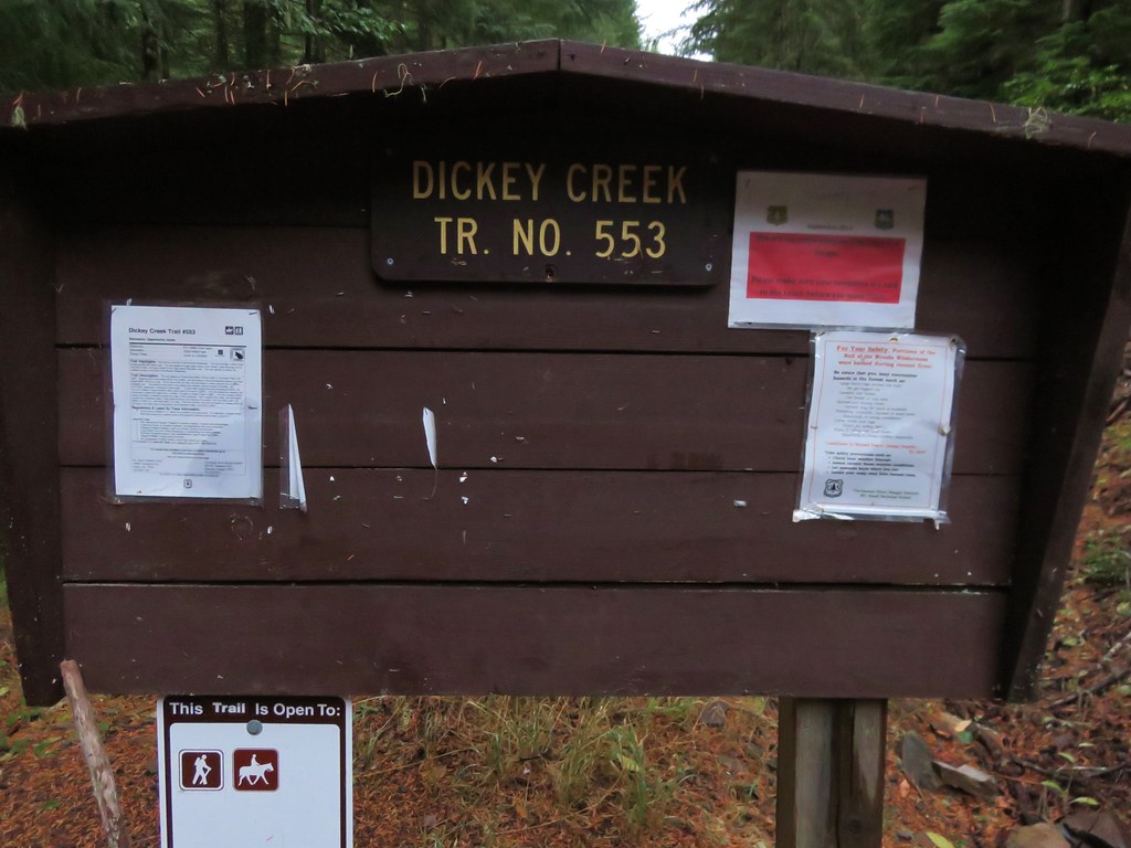
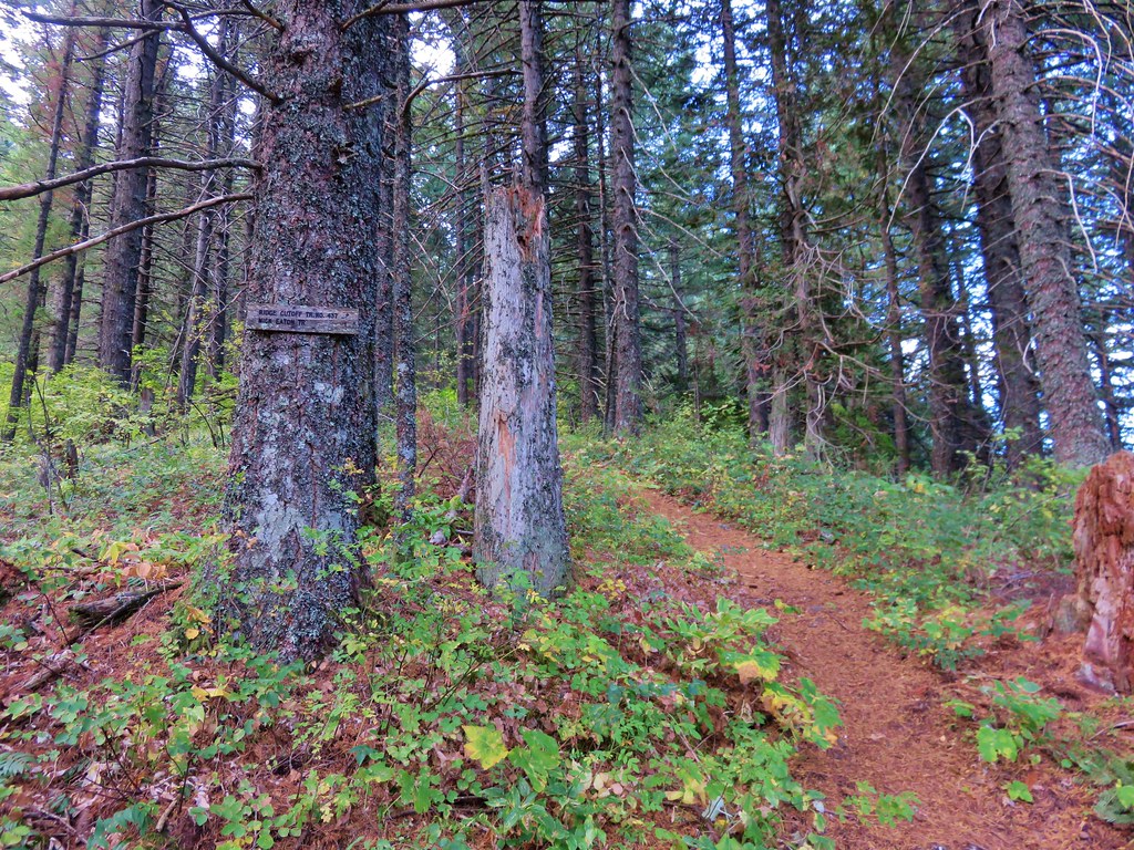
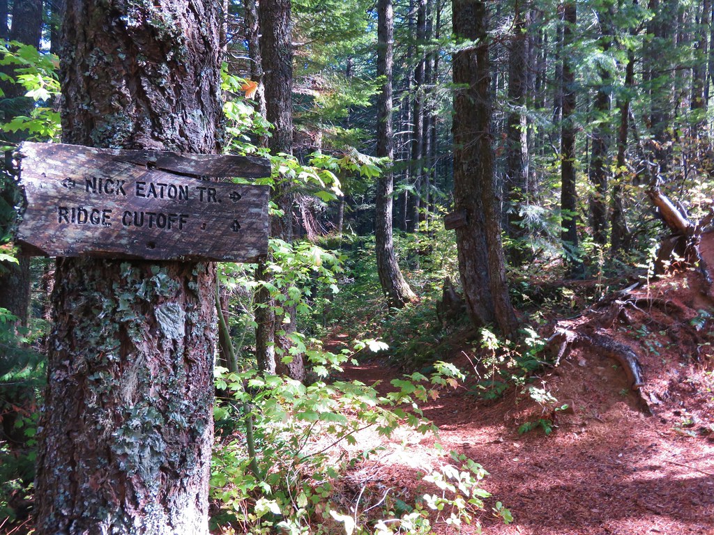
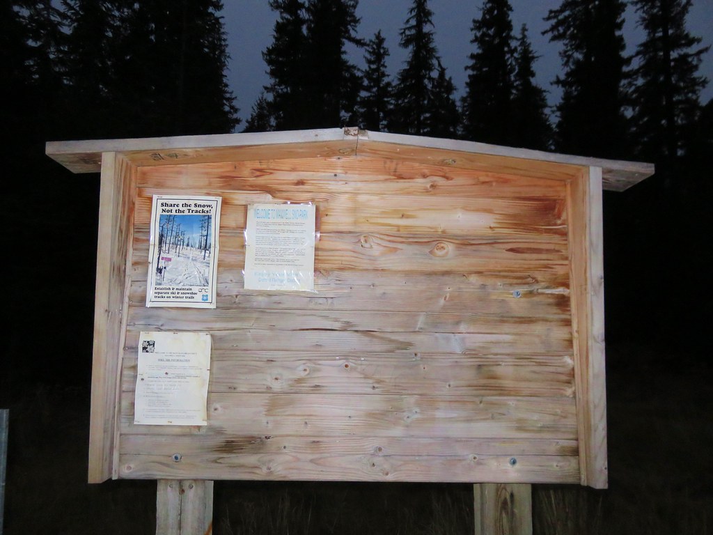
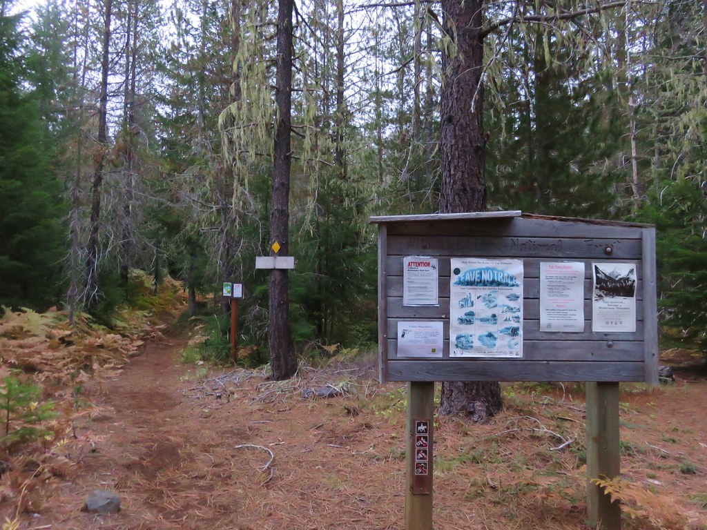
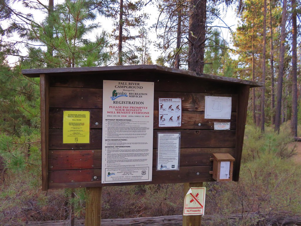
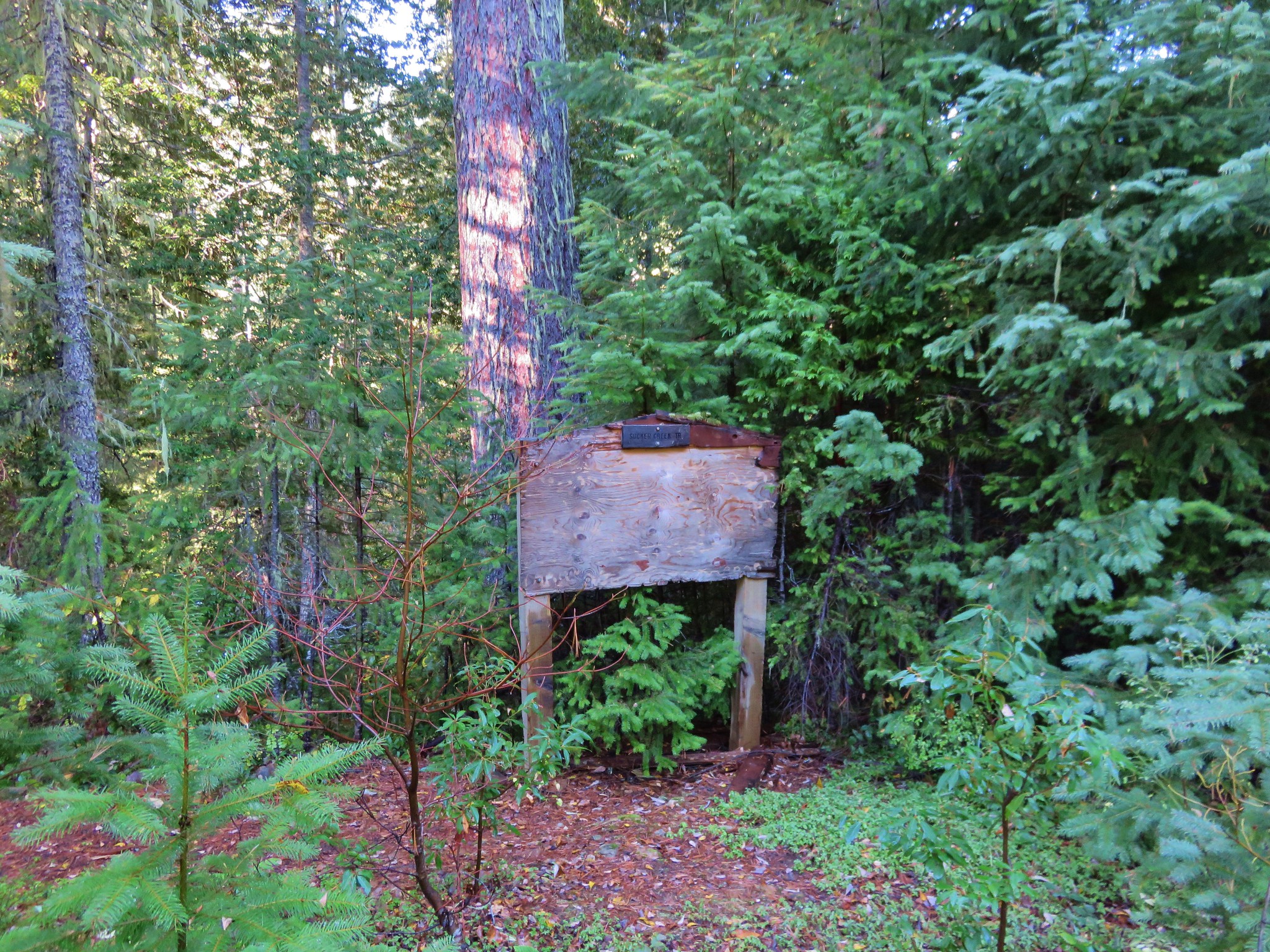
The trailhead sign was set back behind some vegetation and at an angle such that we missed it the first time by and very nearly did the same as we came back down the road, luckily my wife spotted it just before we drove past again.
 //embedr.flickr.com/assets/client-code.js
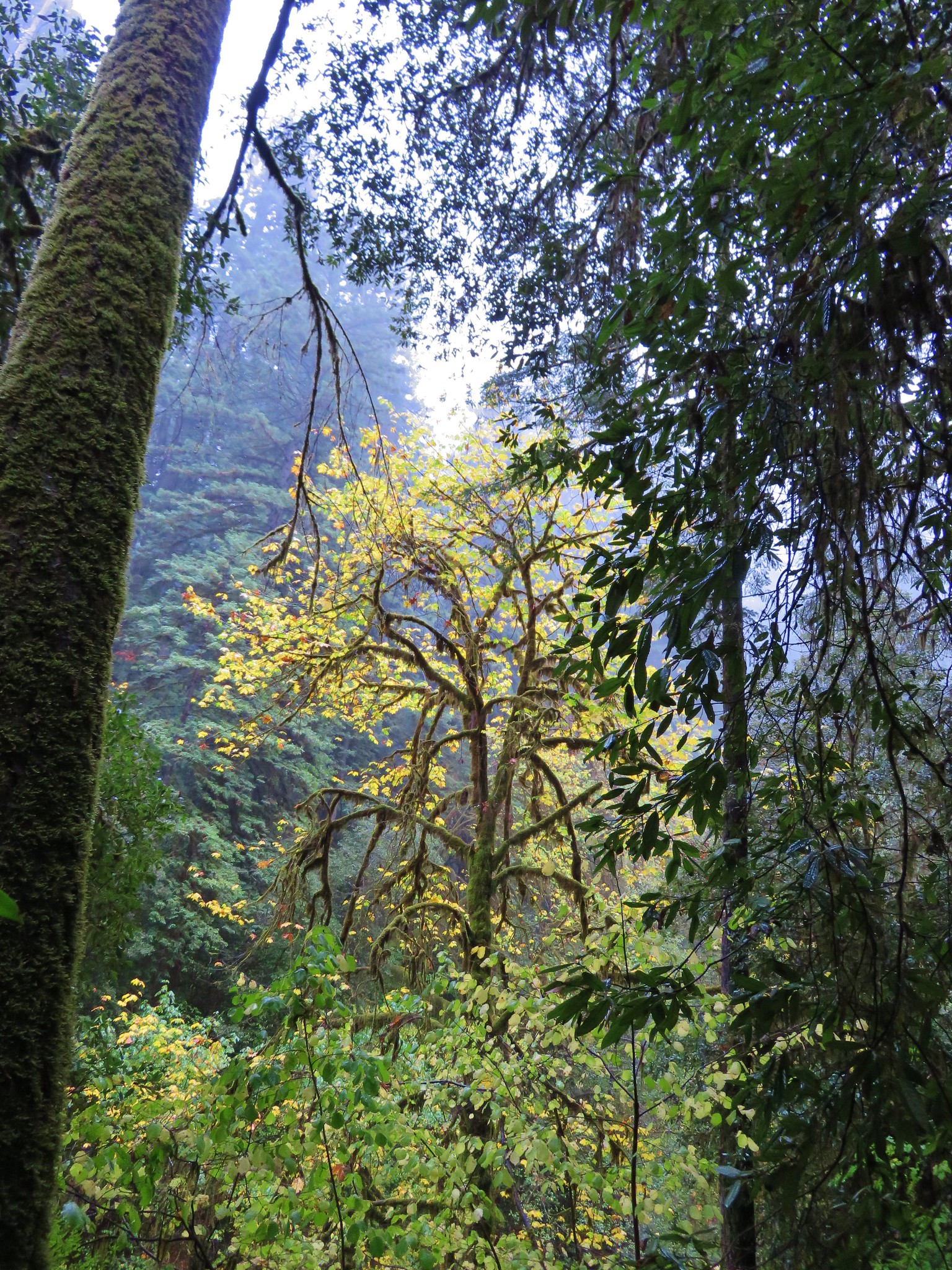
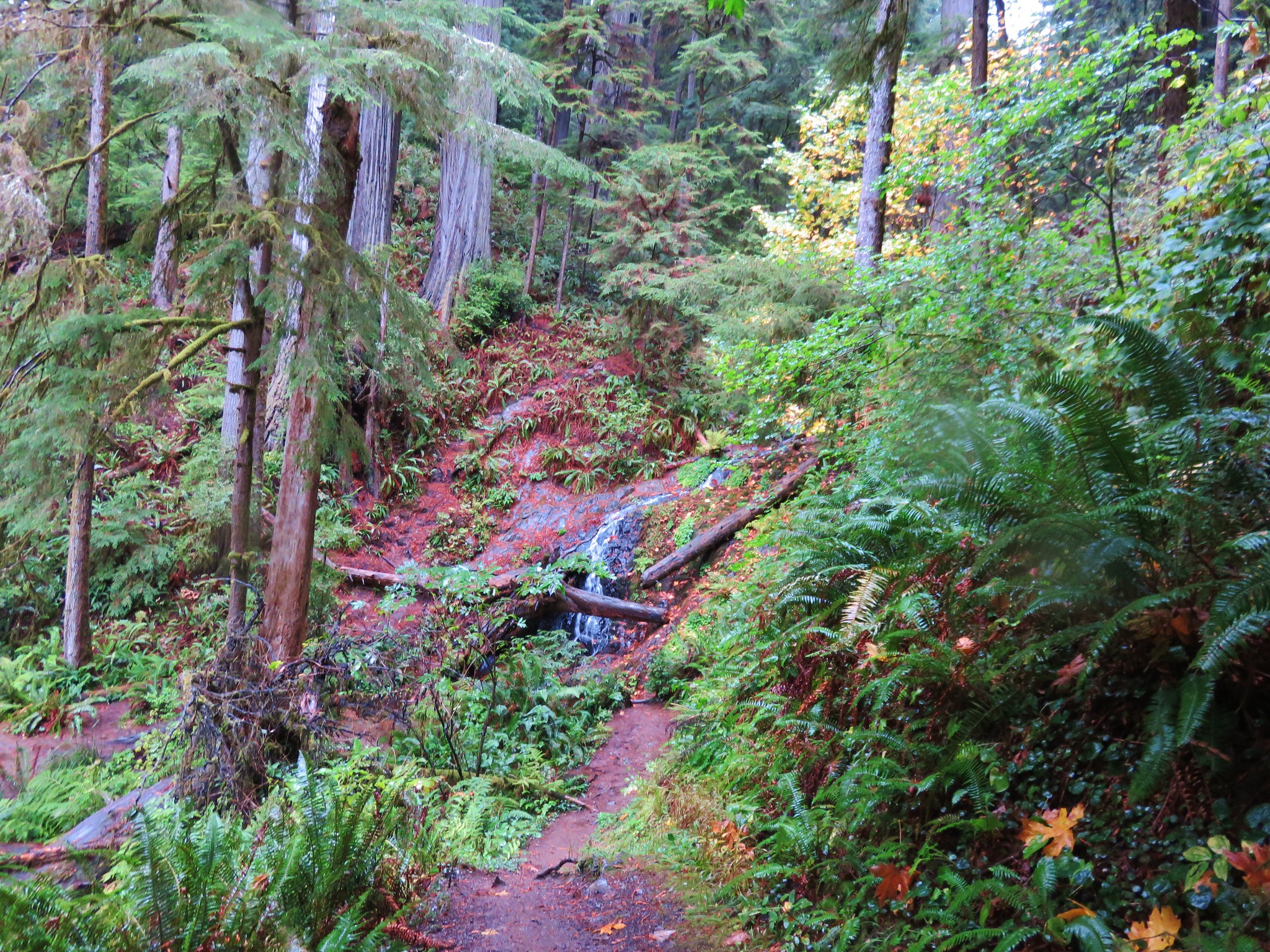
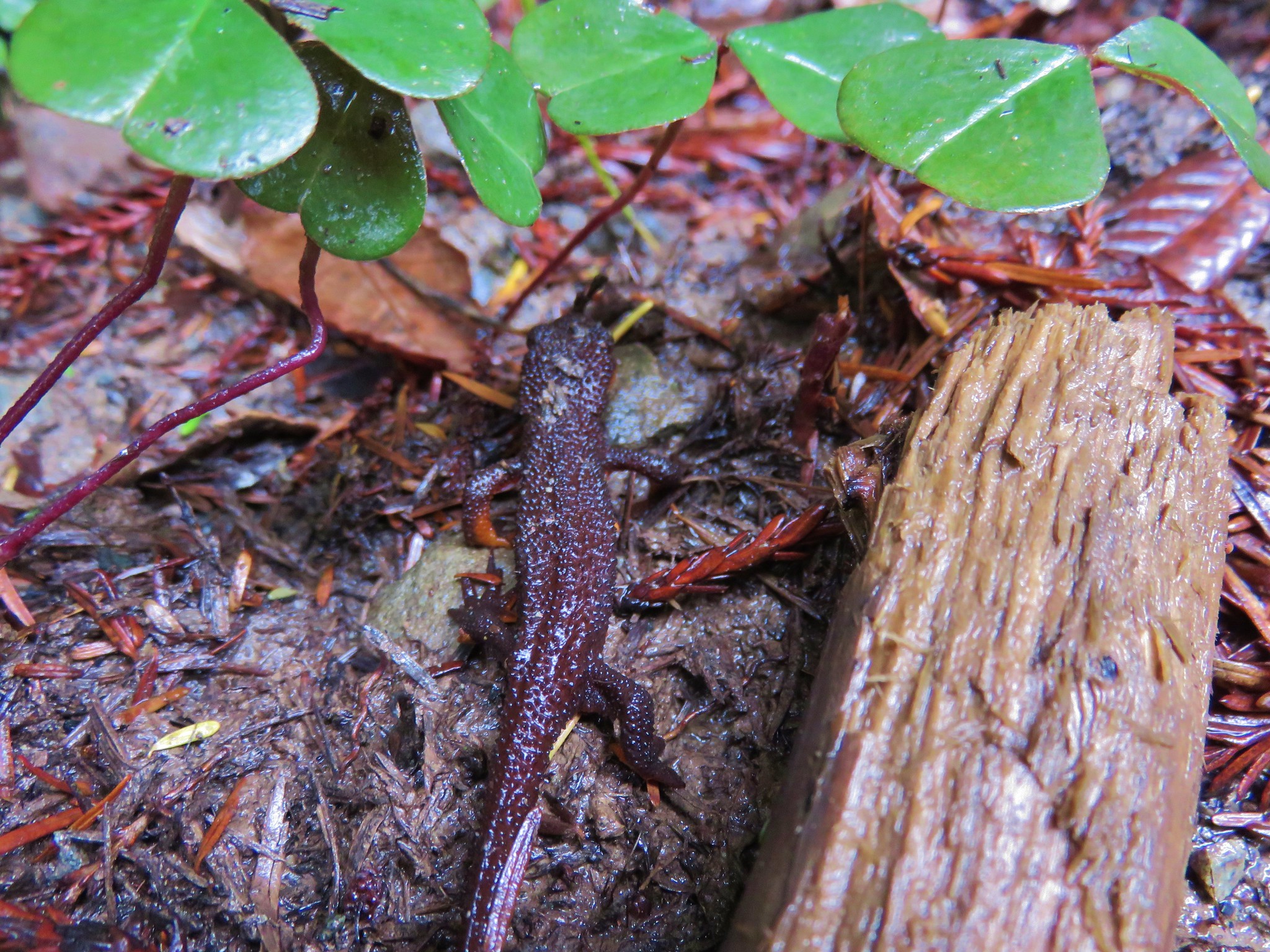
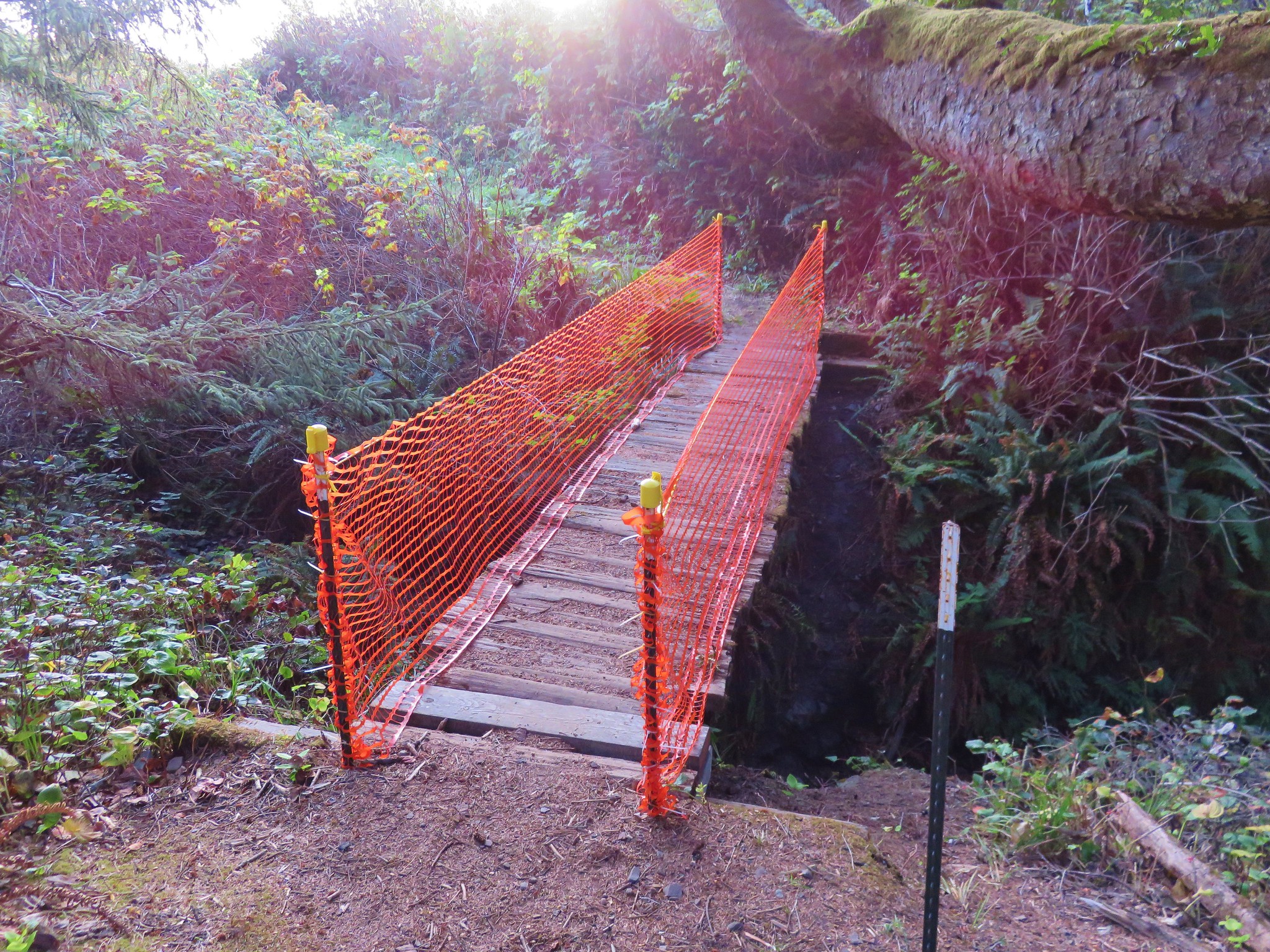
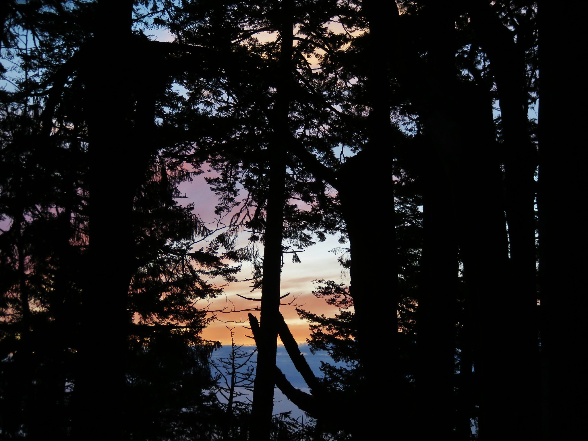
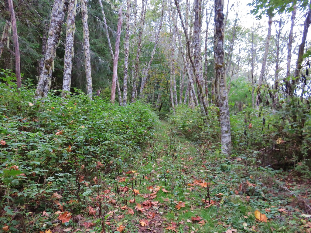
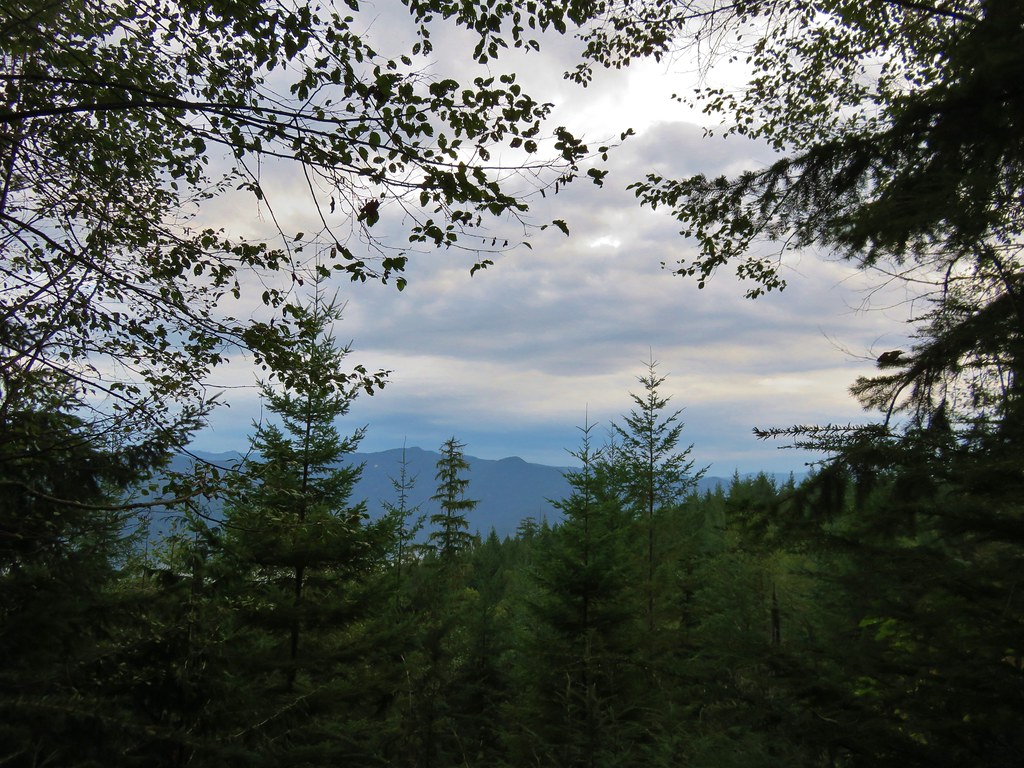
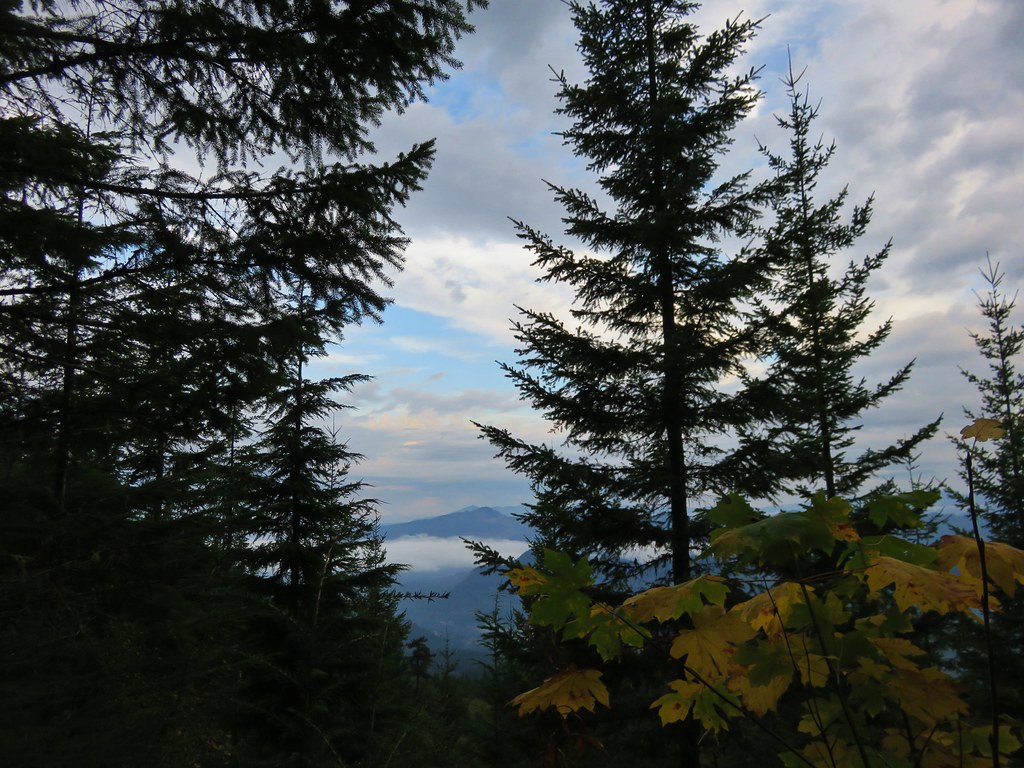
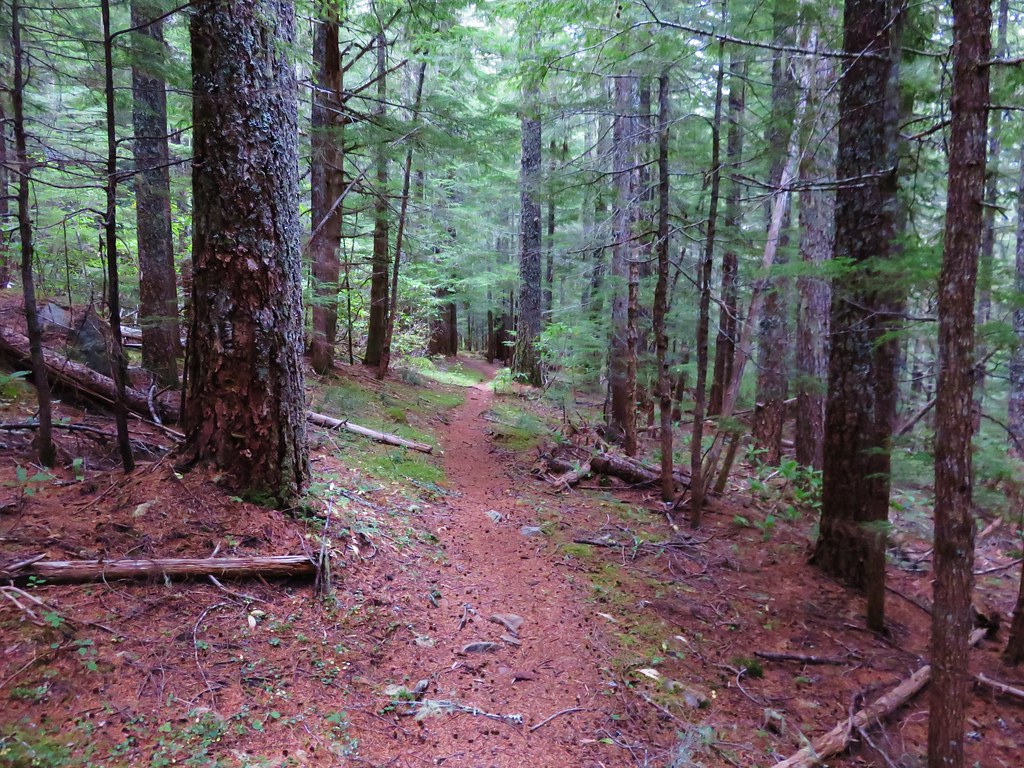
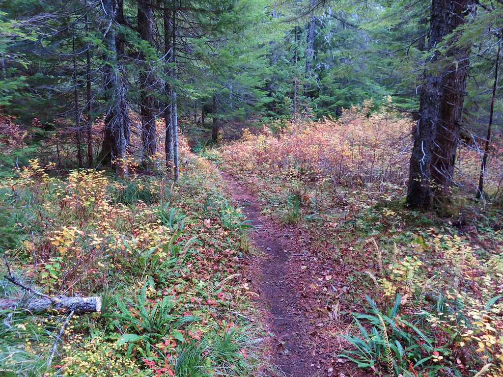
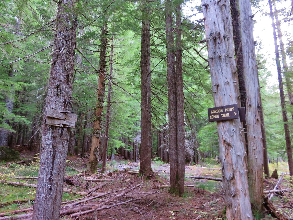
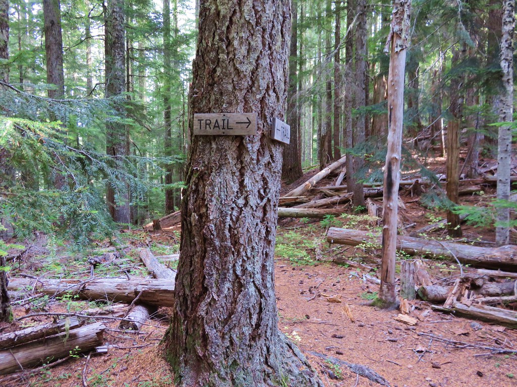
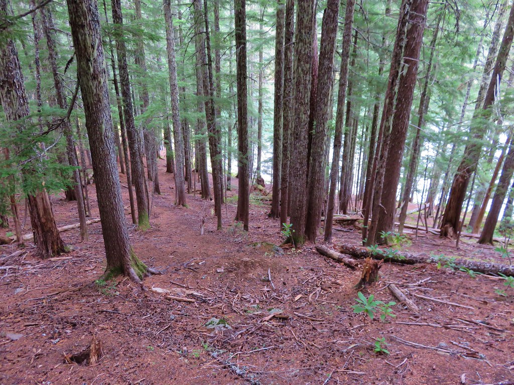
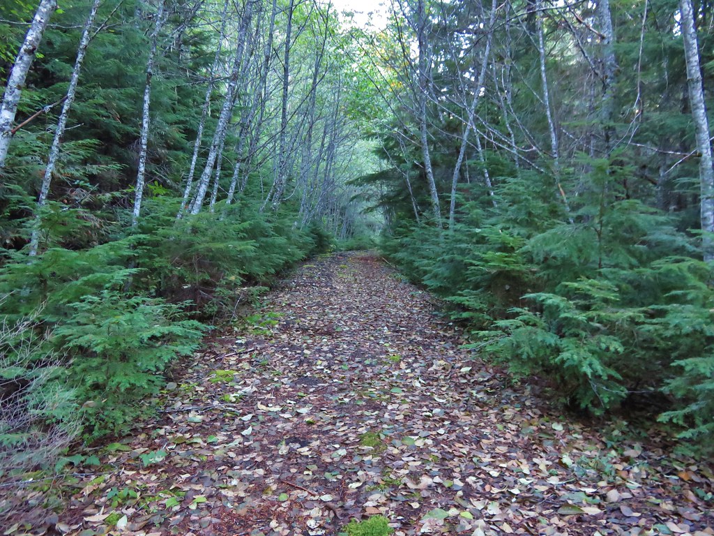
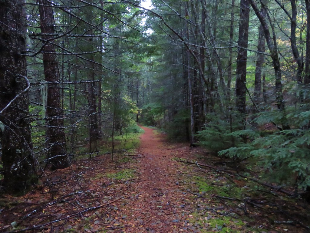
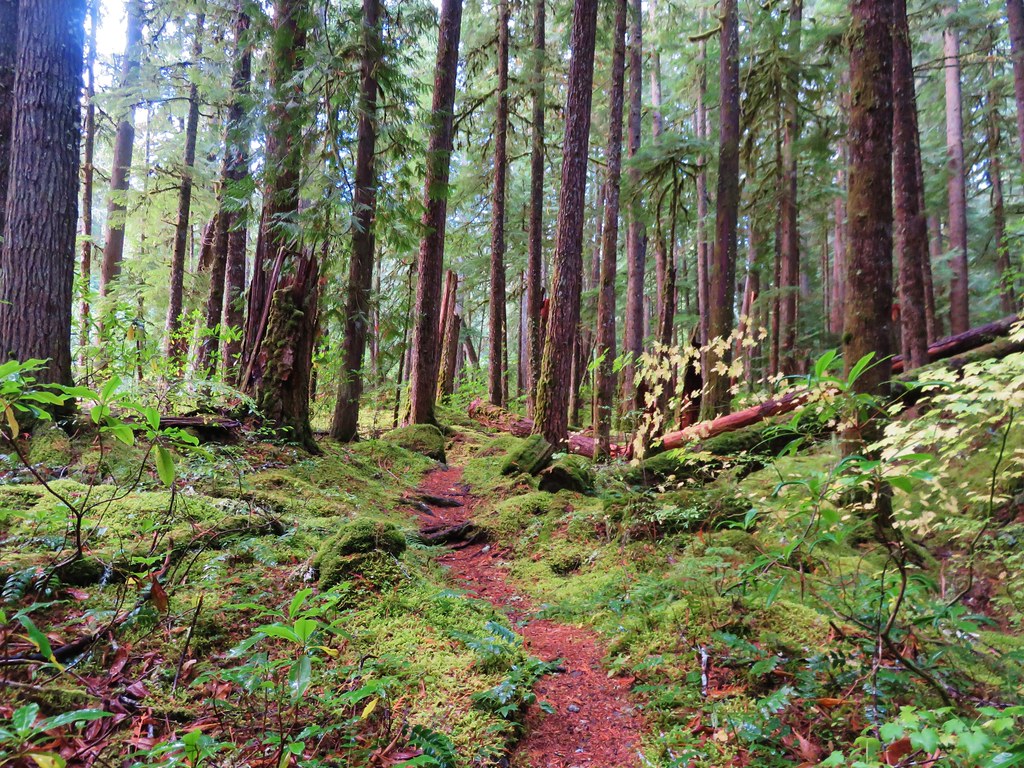
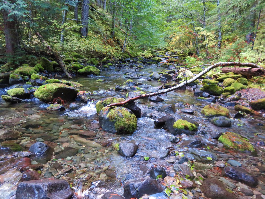
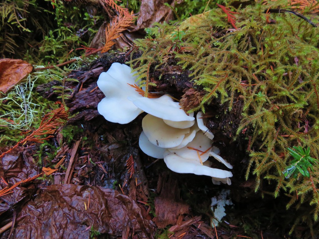
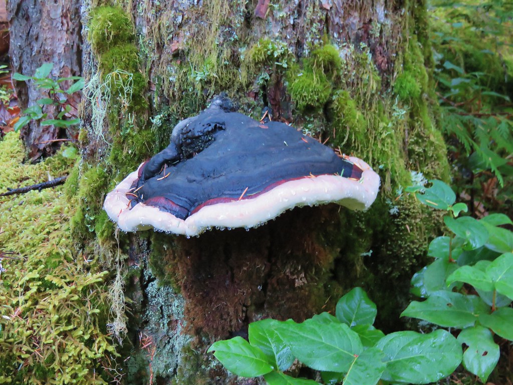
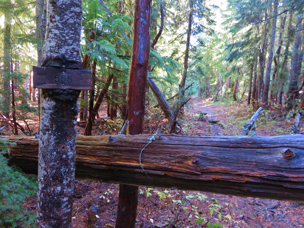
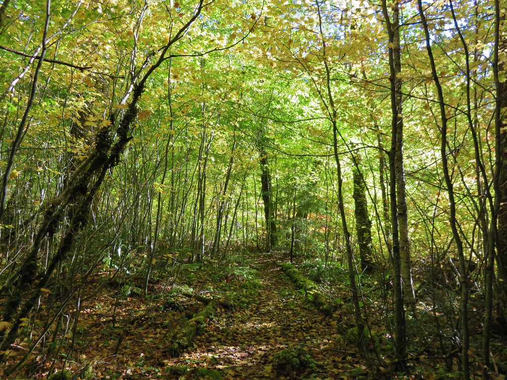
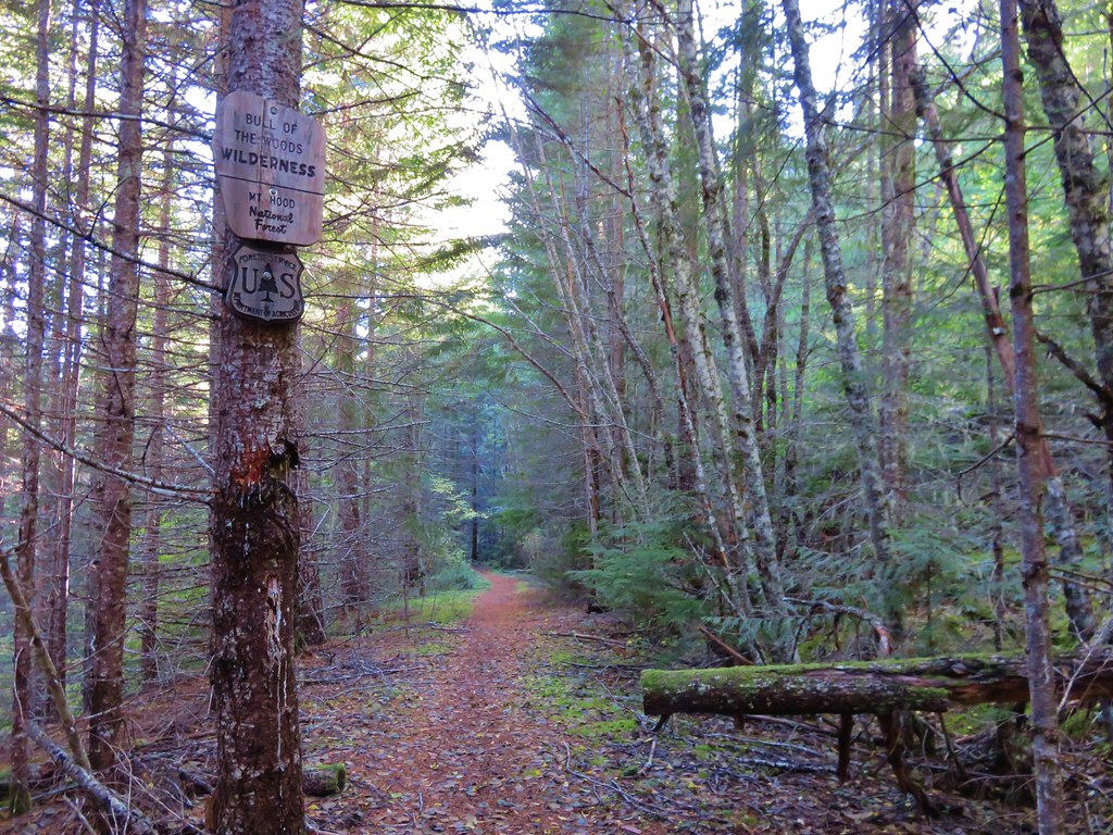
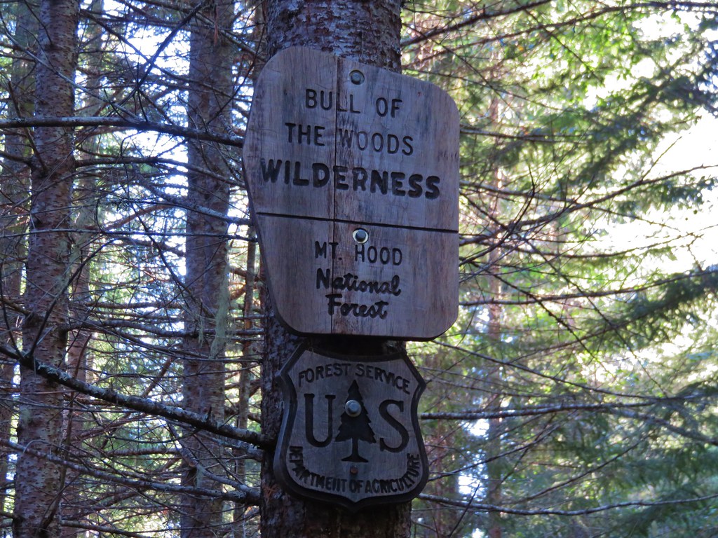
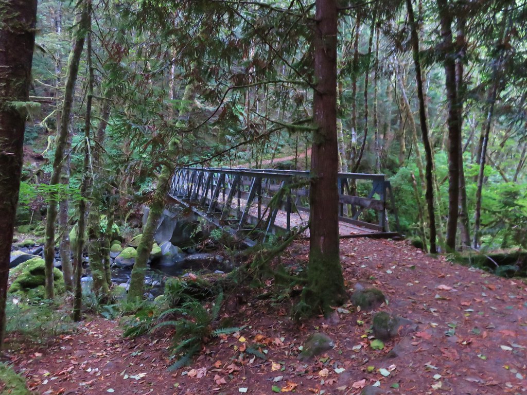
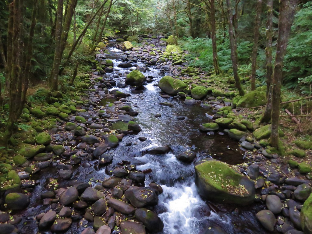
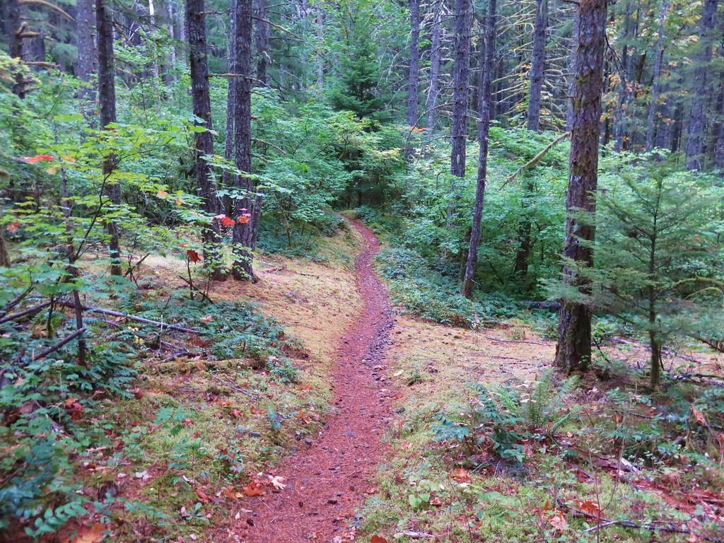
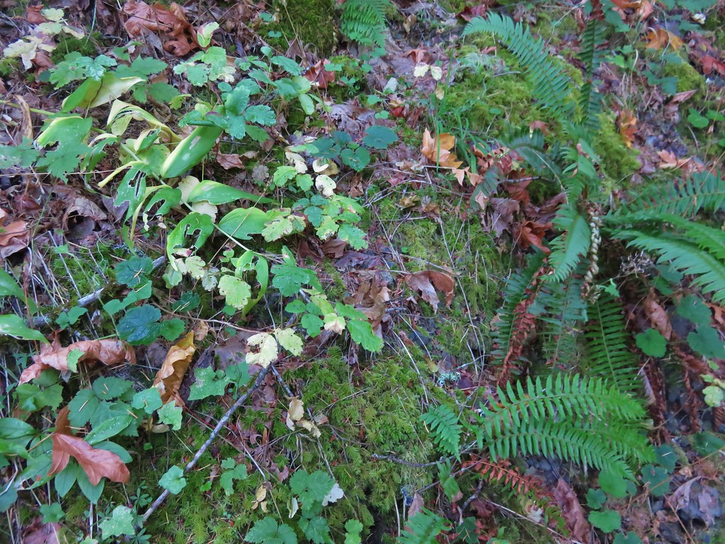
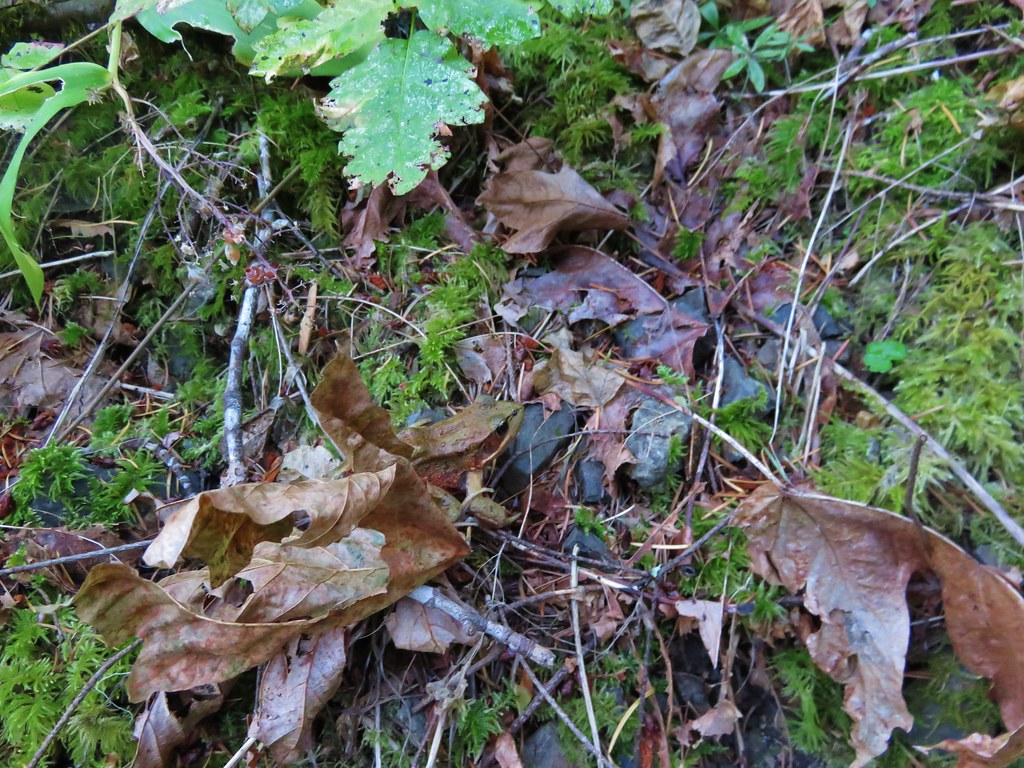
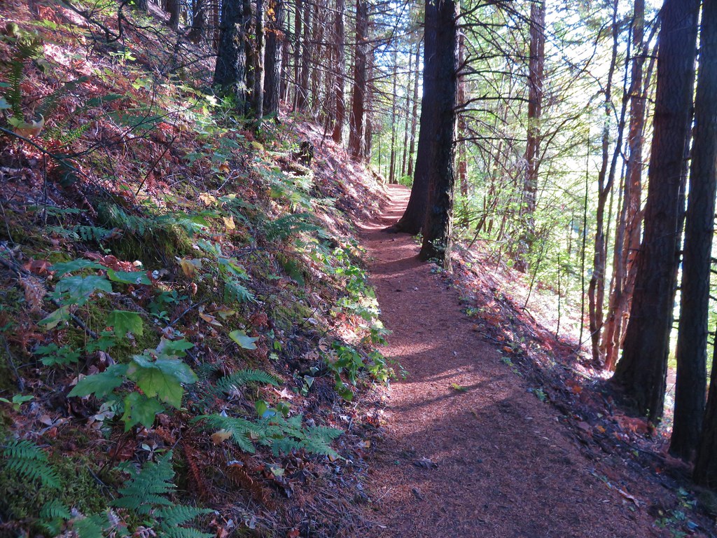
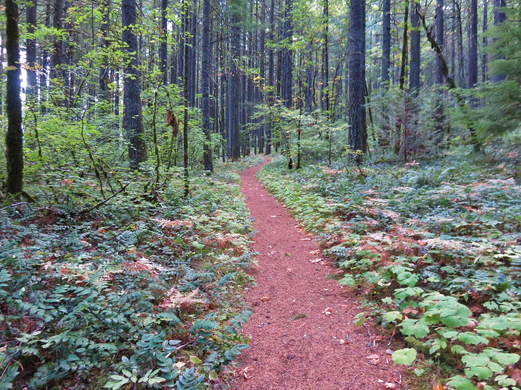
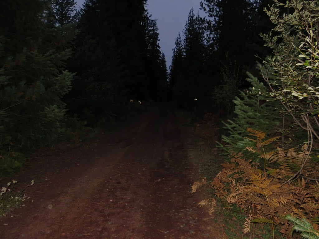
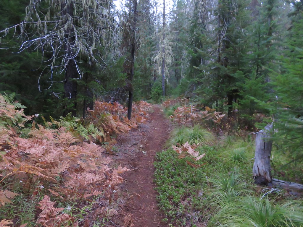
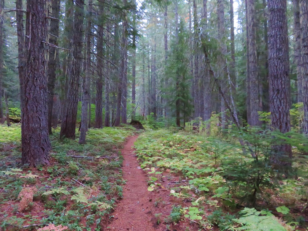
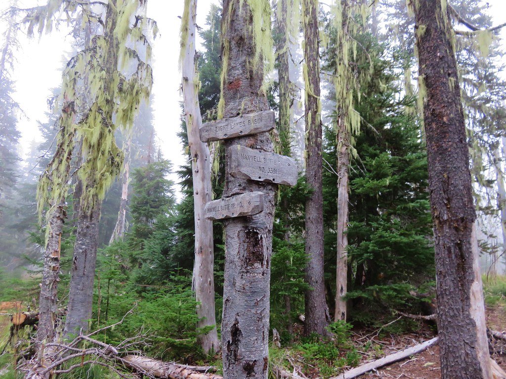
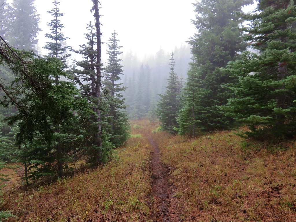
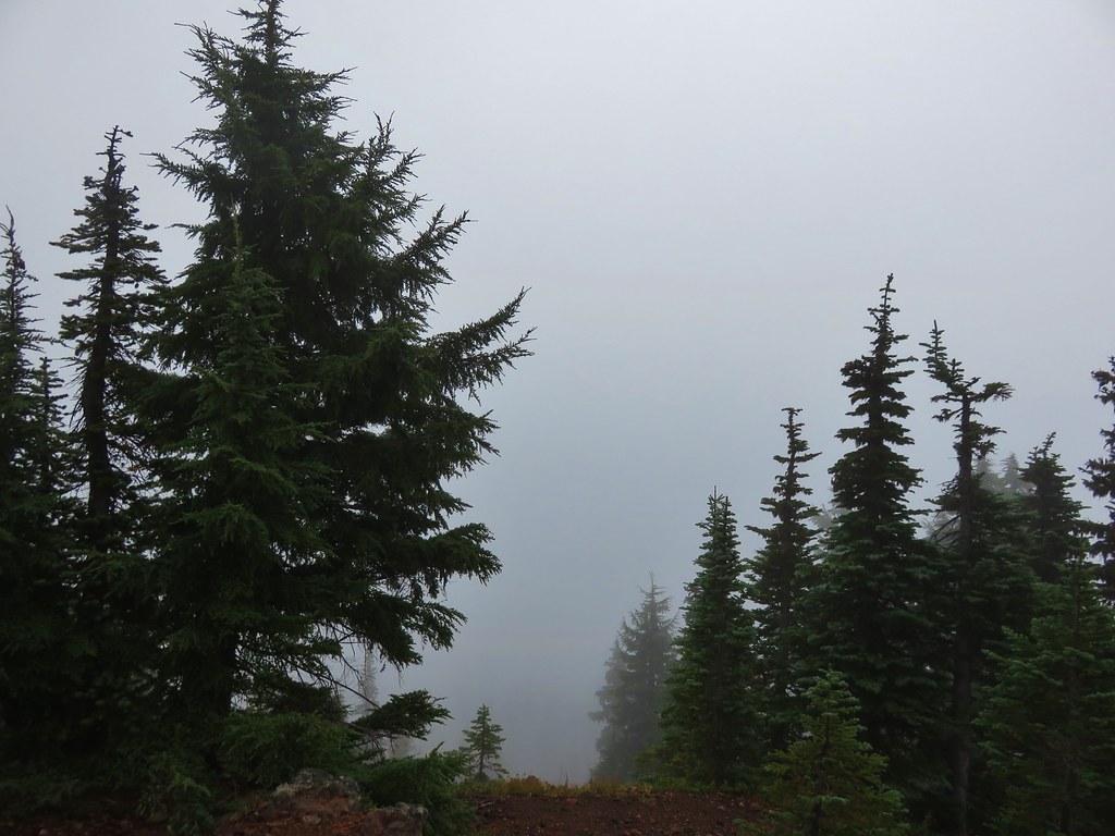
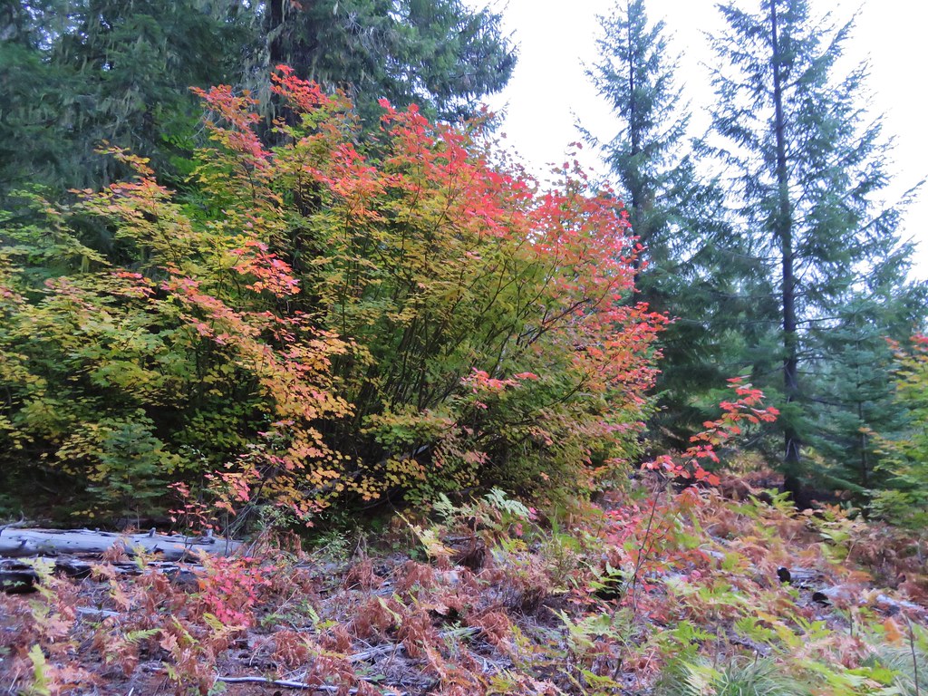
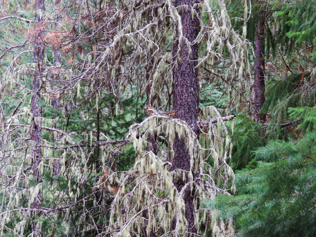
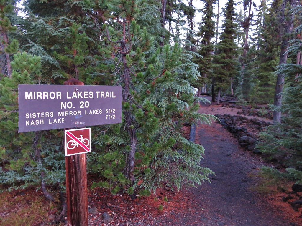
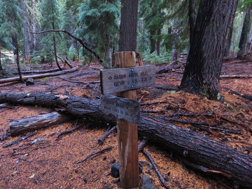
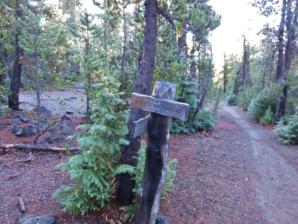
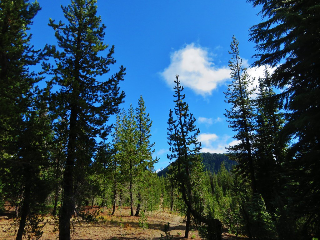
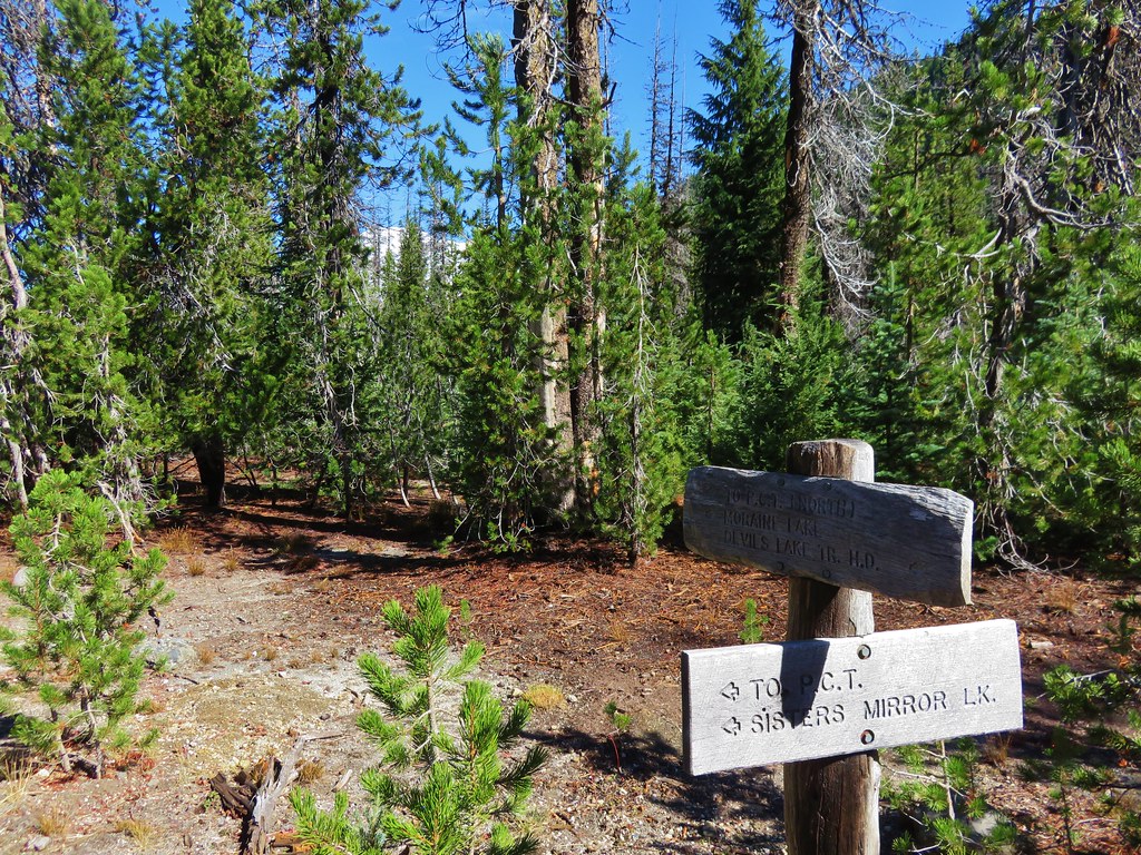
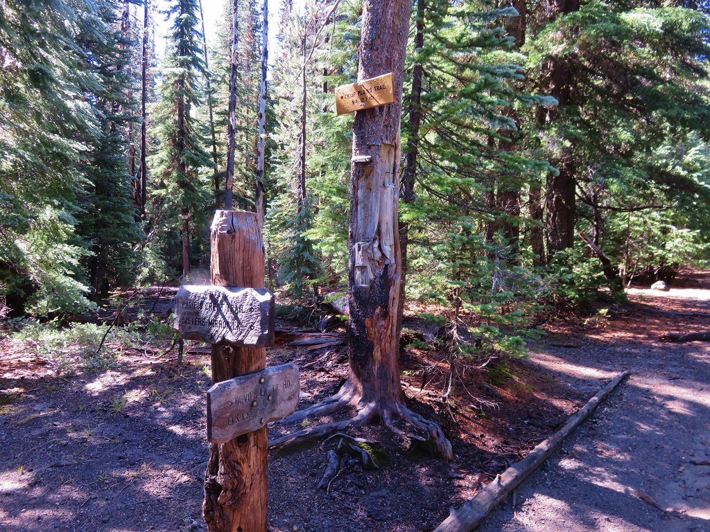
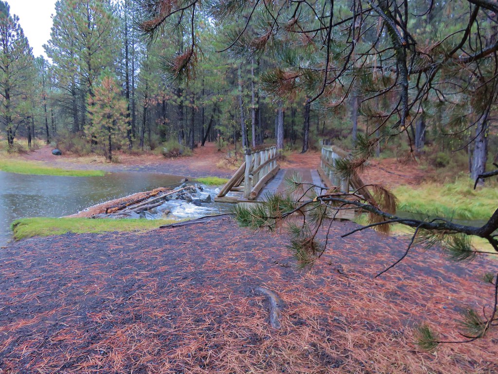
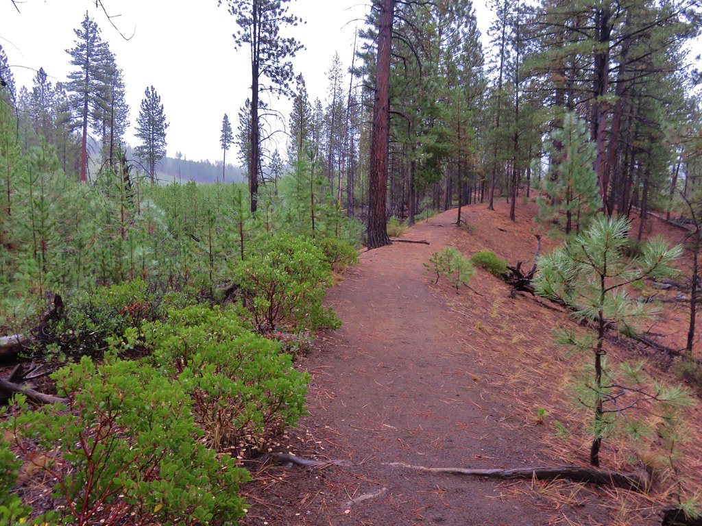
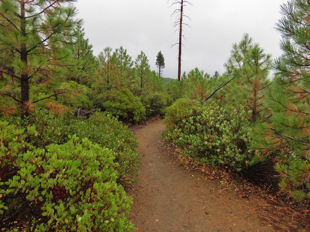
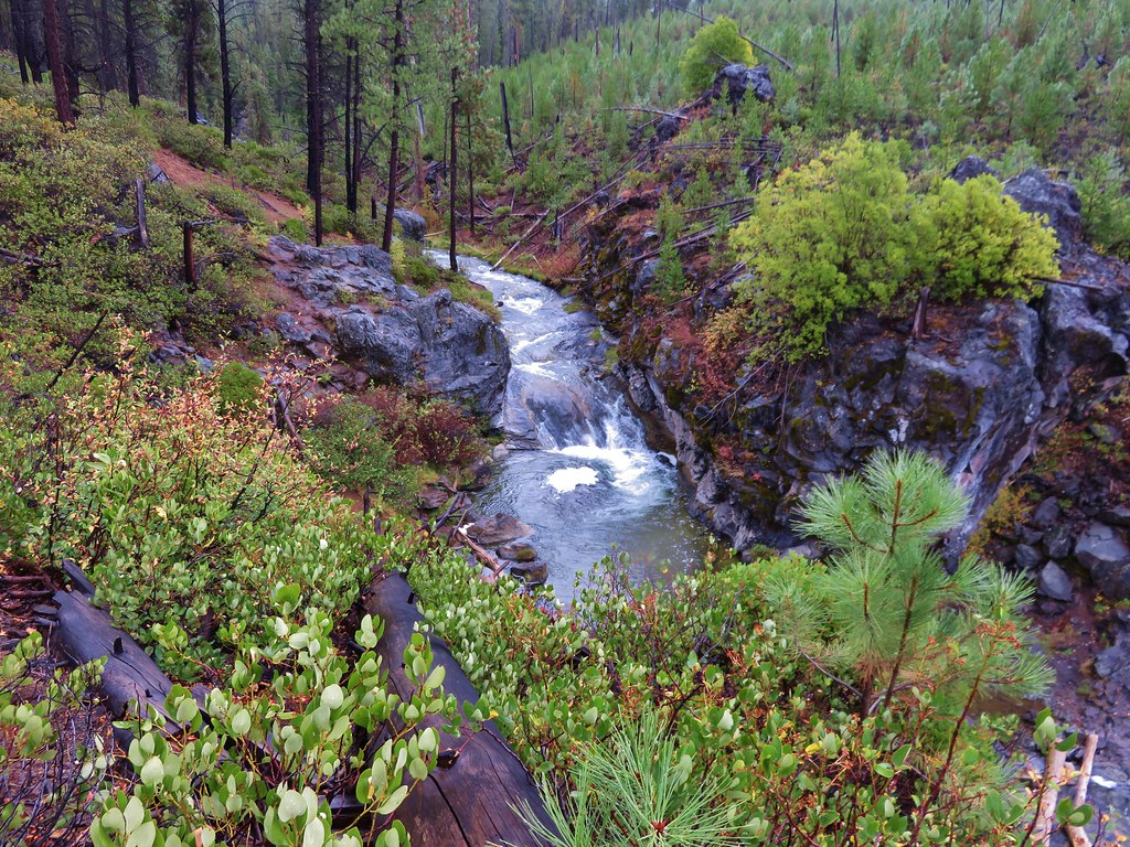
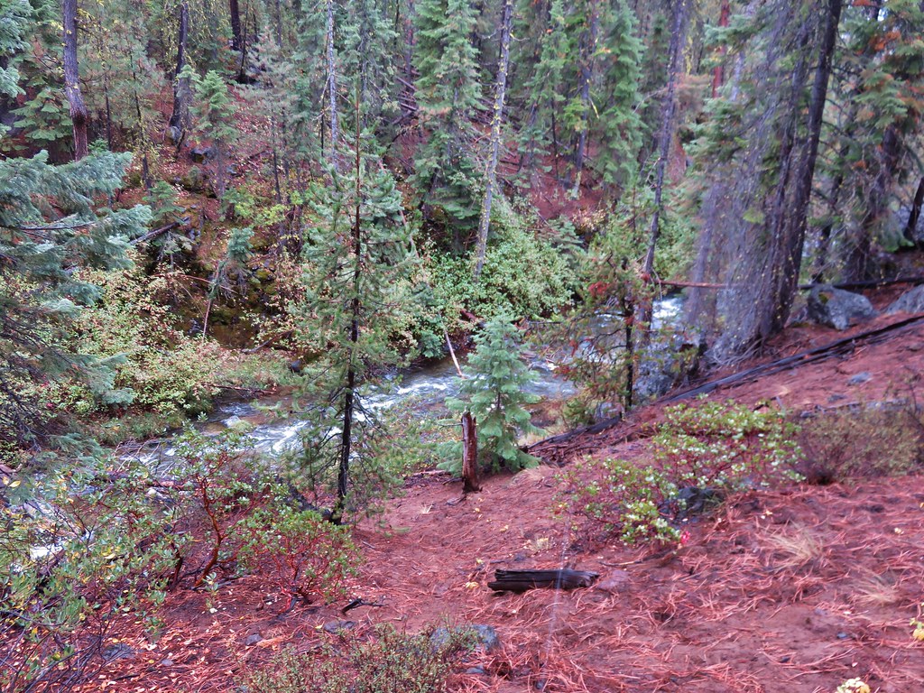
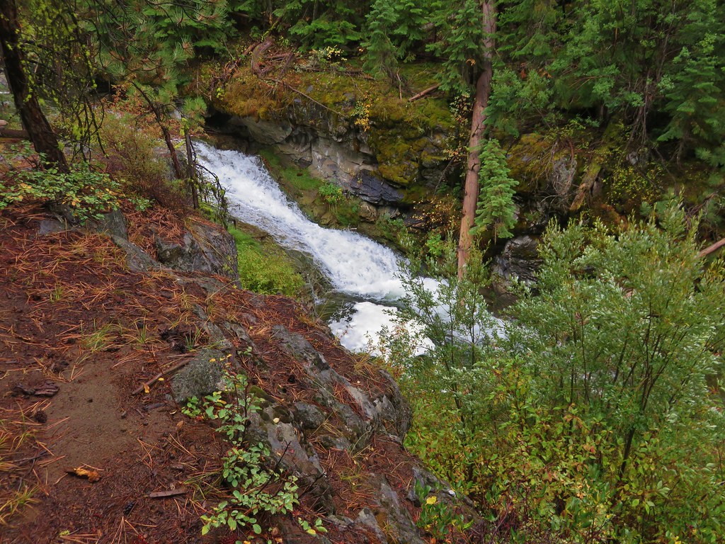
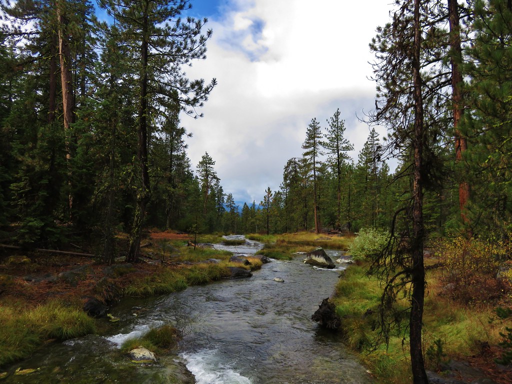
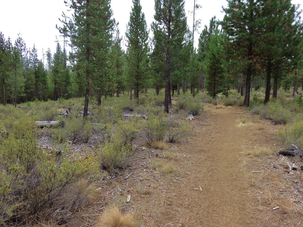
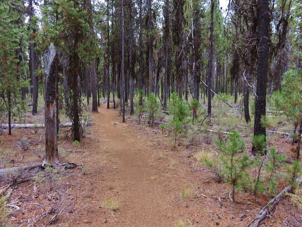
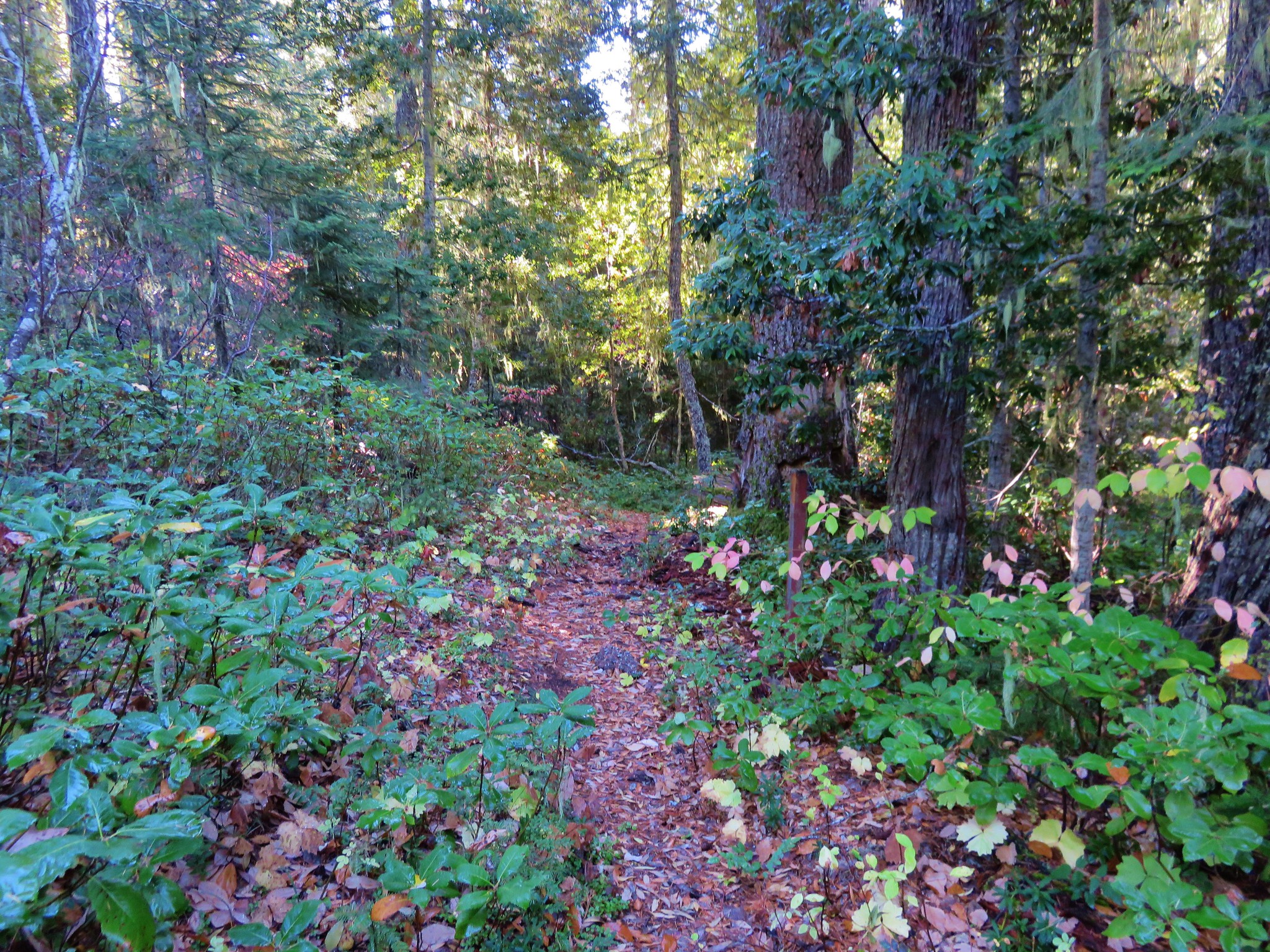
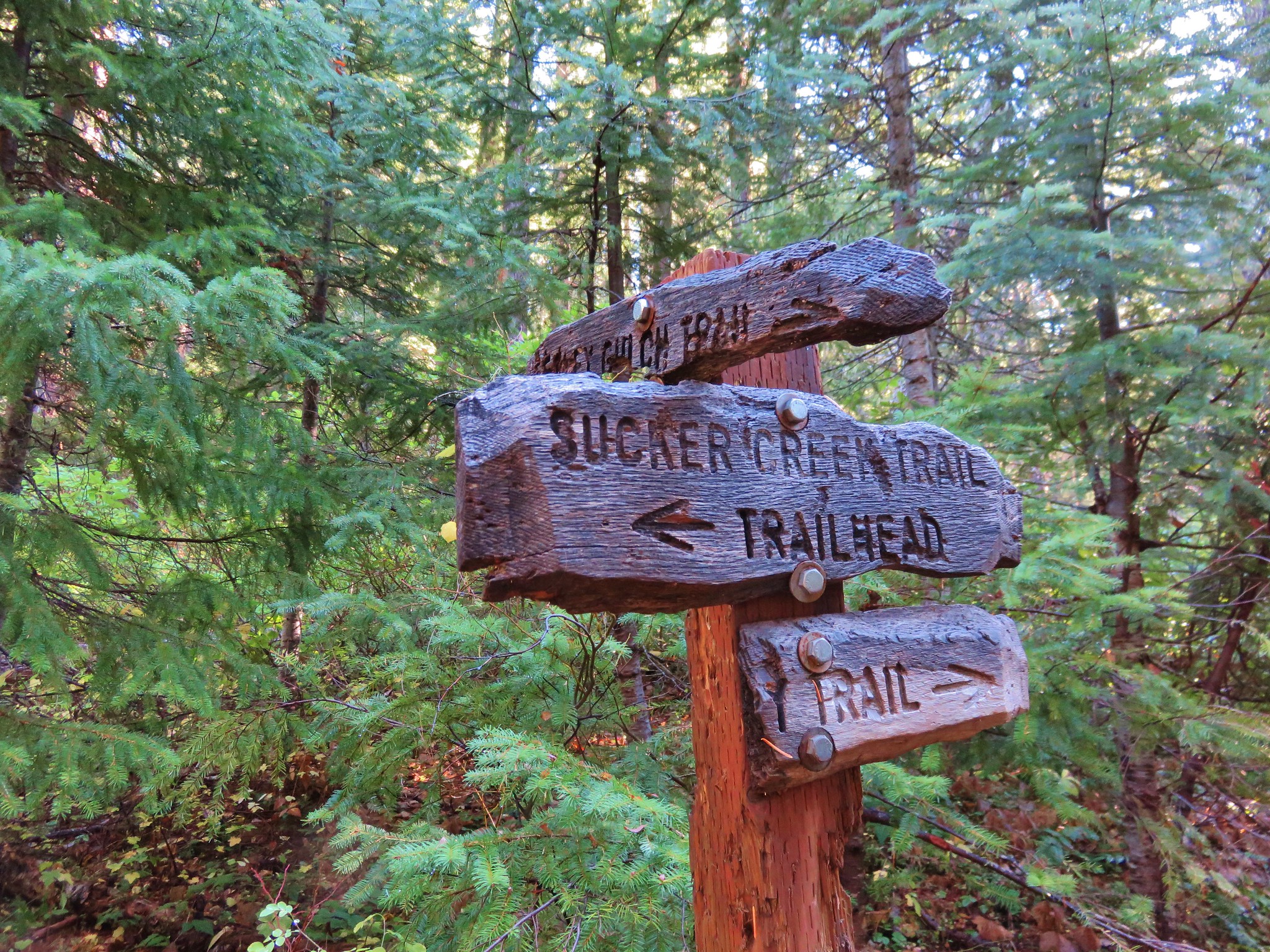
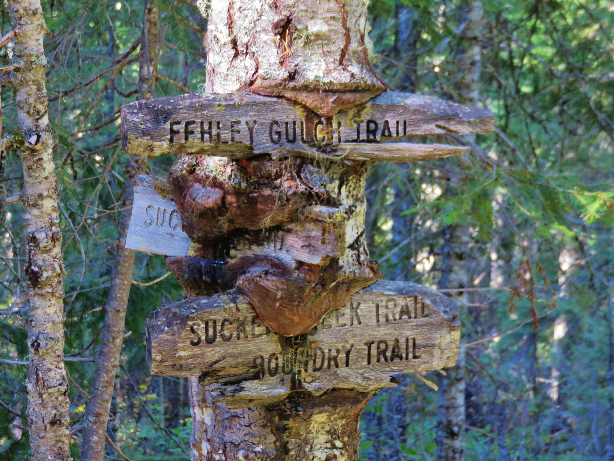
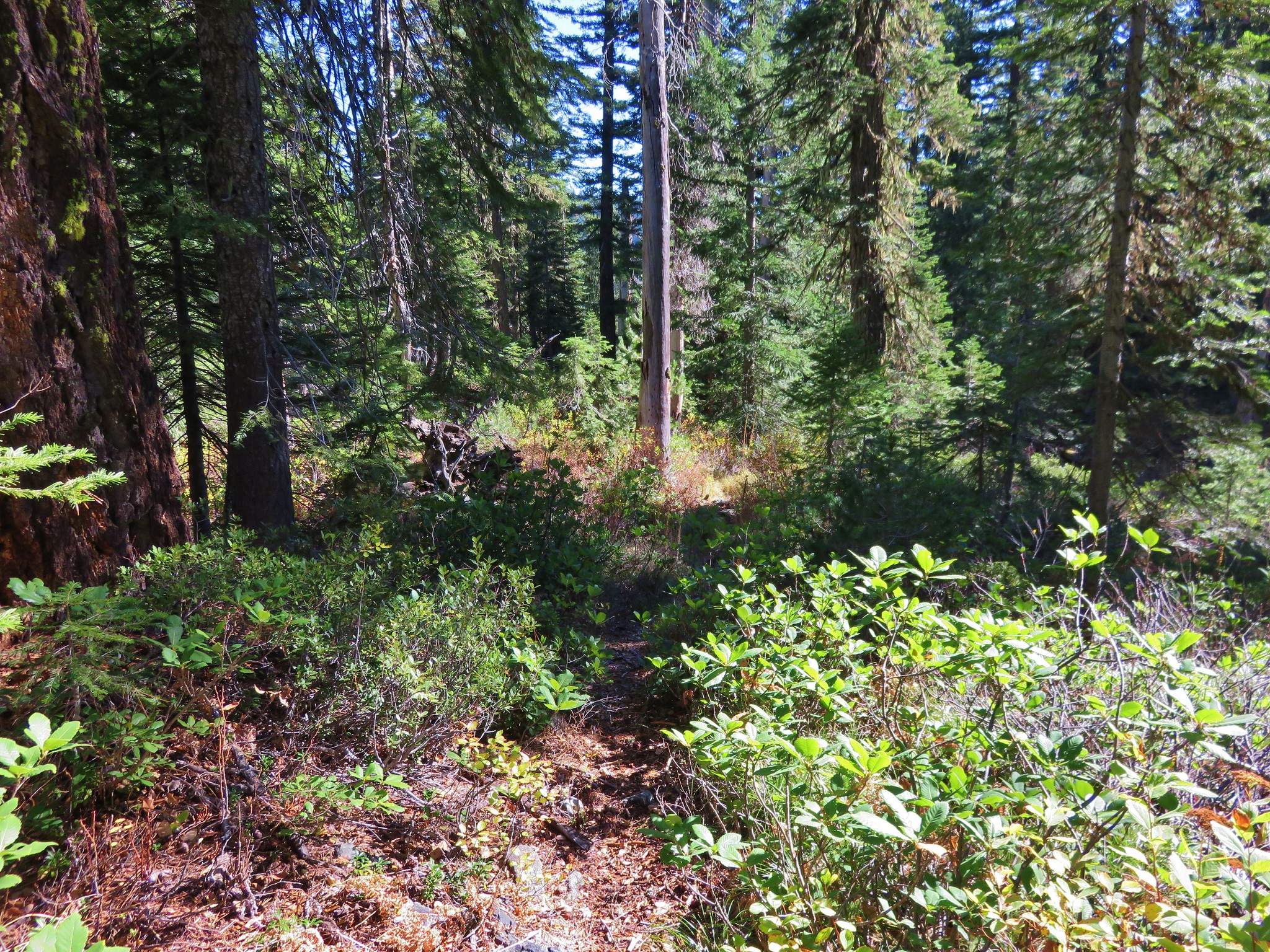
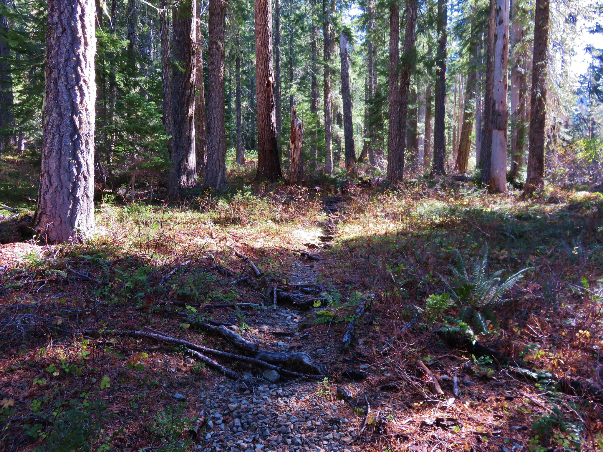
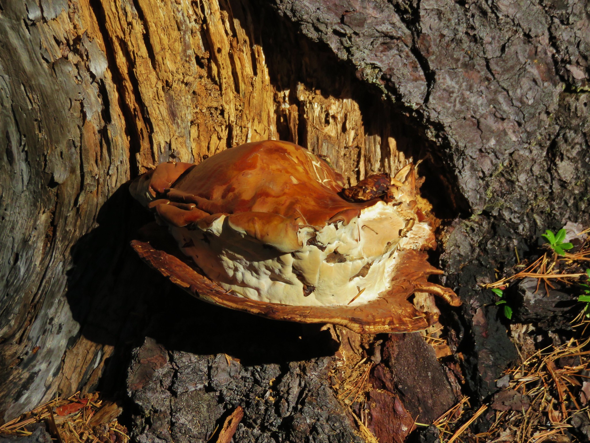
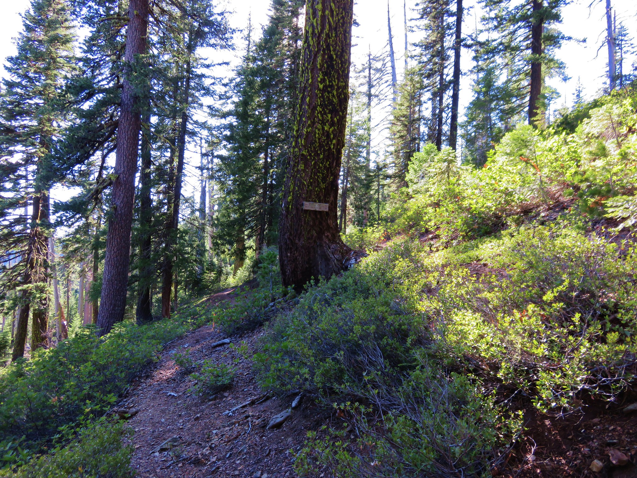
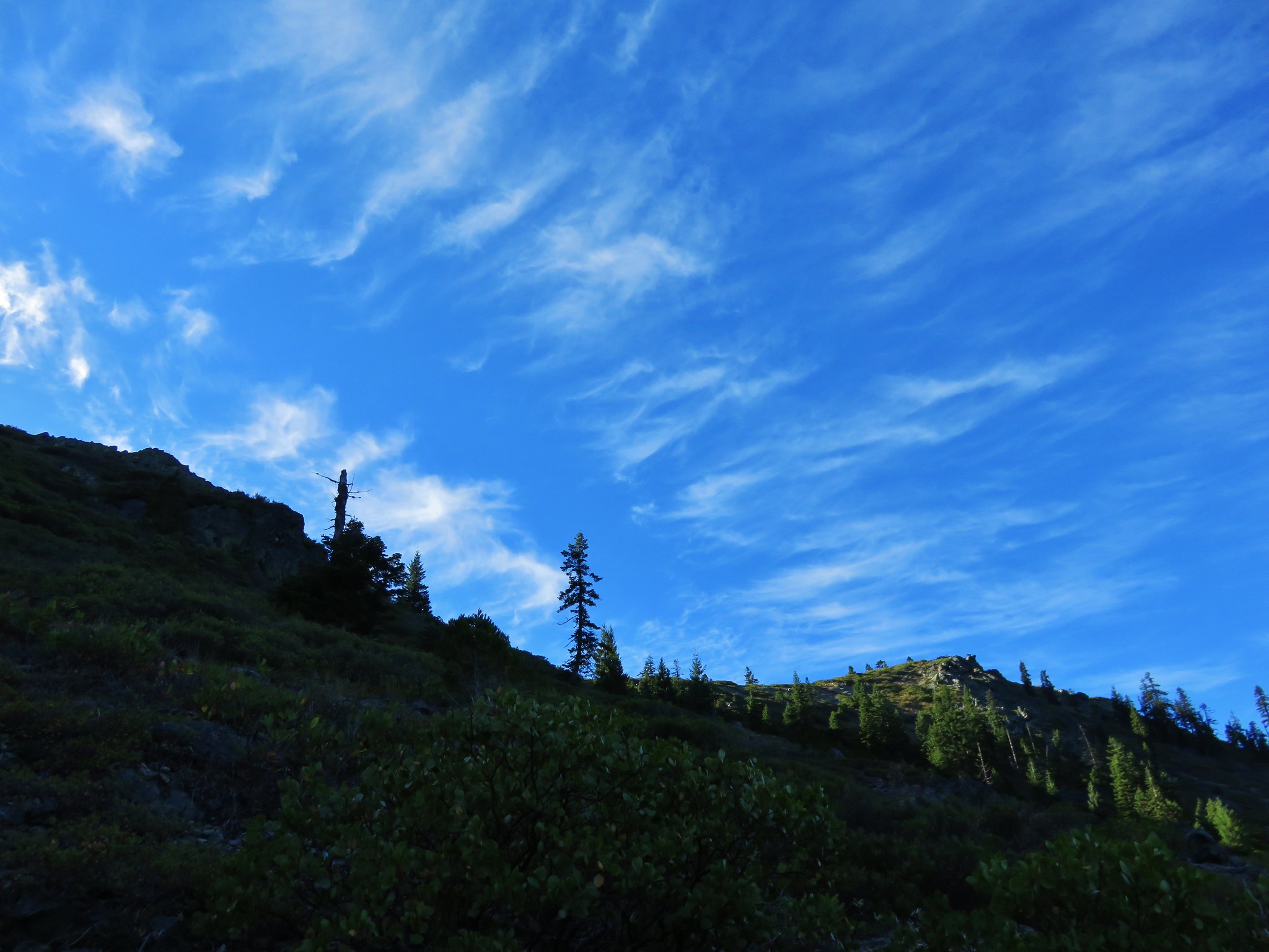
The trip had a real wilderness feeling to it right from the start. The trail had the appearance of a less traveled path and the trail signs we did see seemed to have been there for decades.
 //embedr.flickr.com/assets/client-code.js
 //embedr.flickr.com/assets/client-code.js
 //embedr.flickr.com/assets/client-code.js
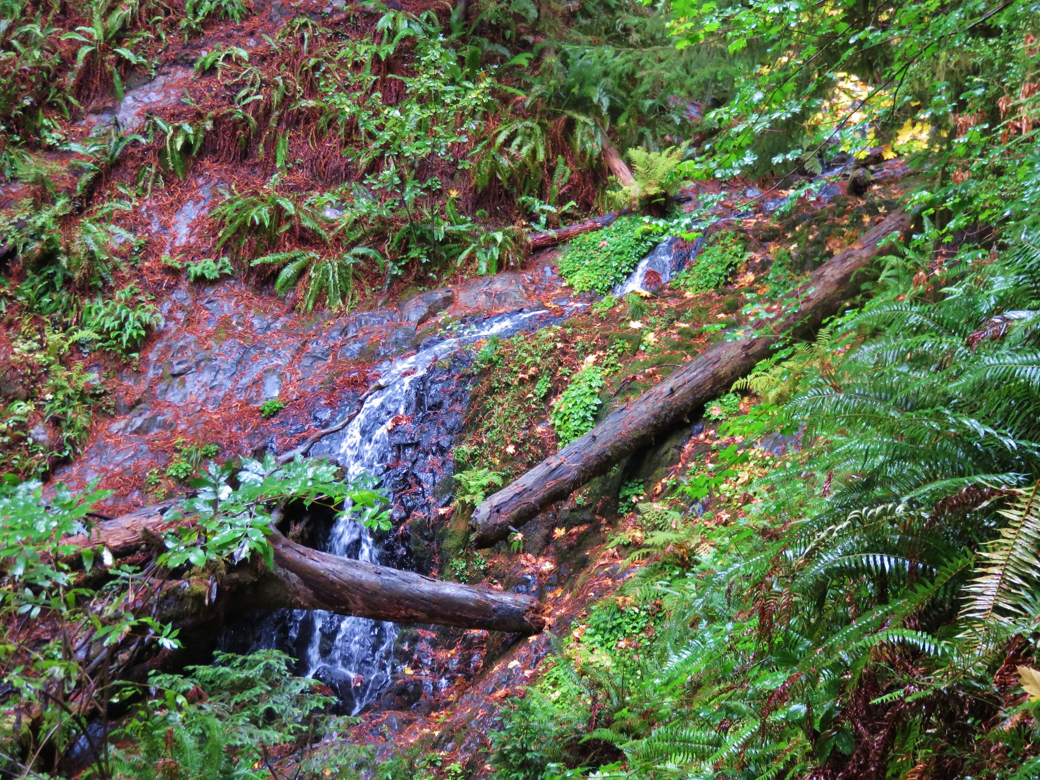
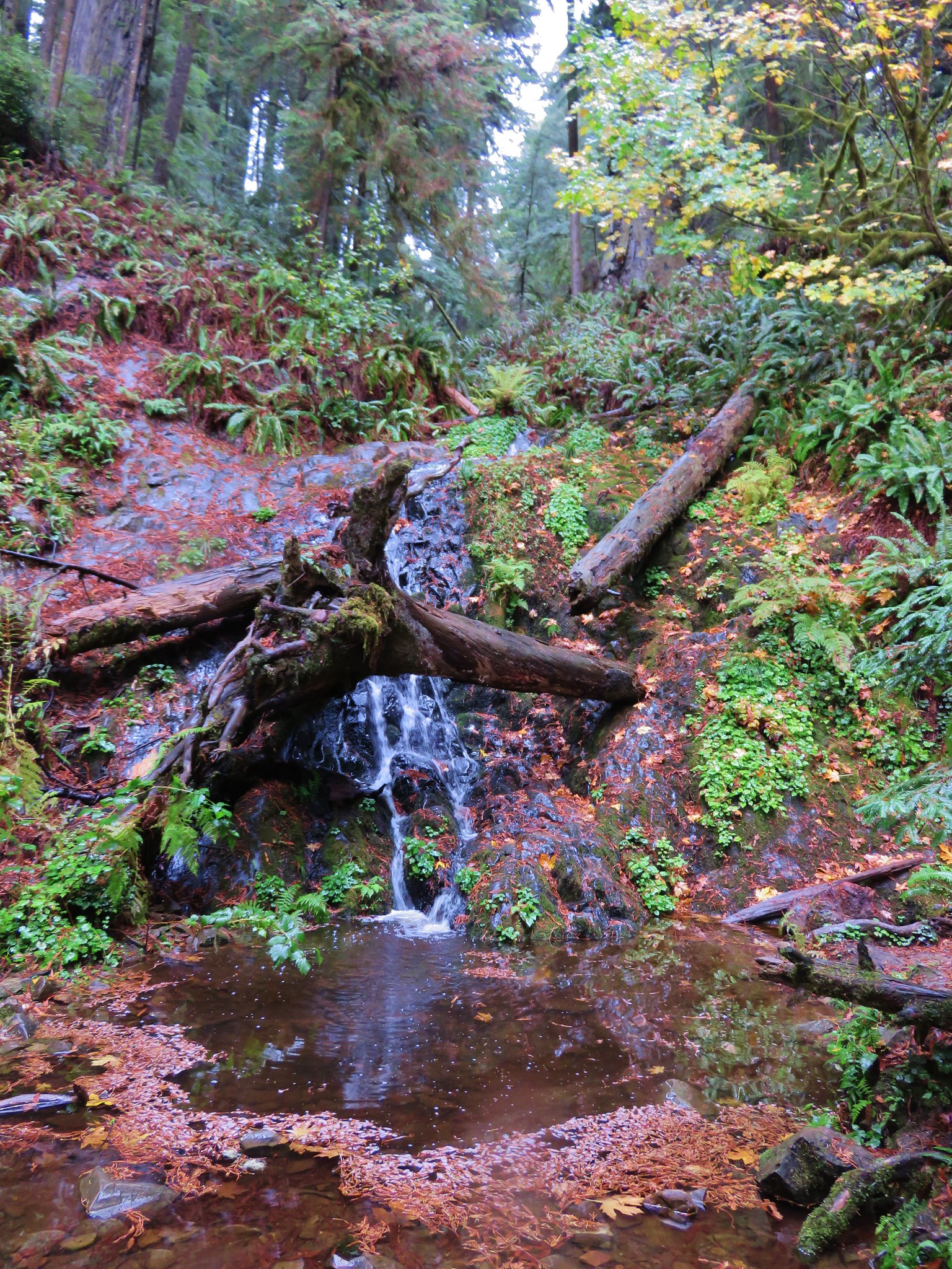
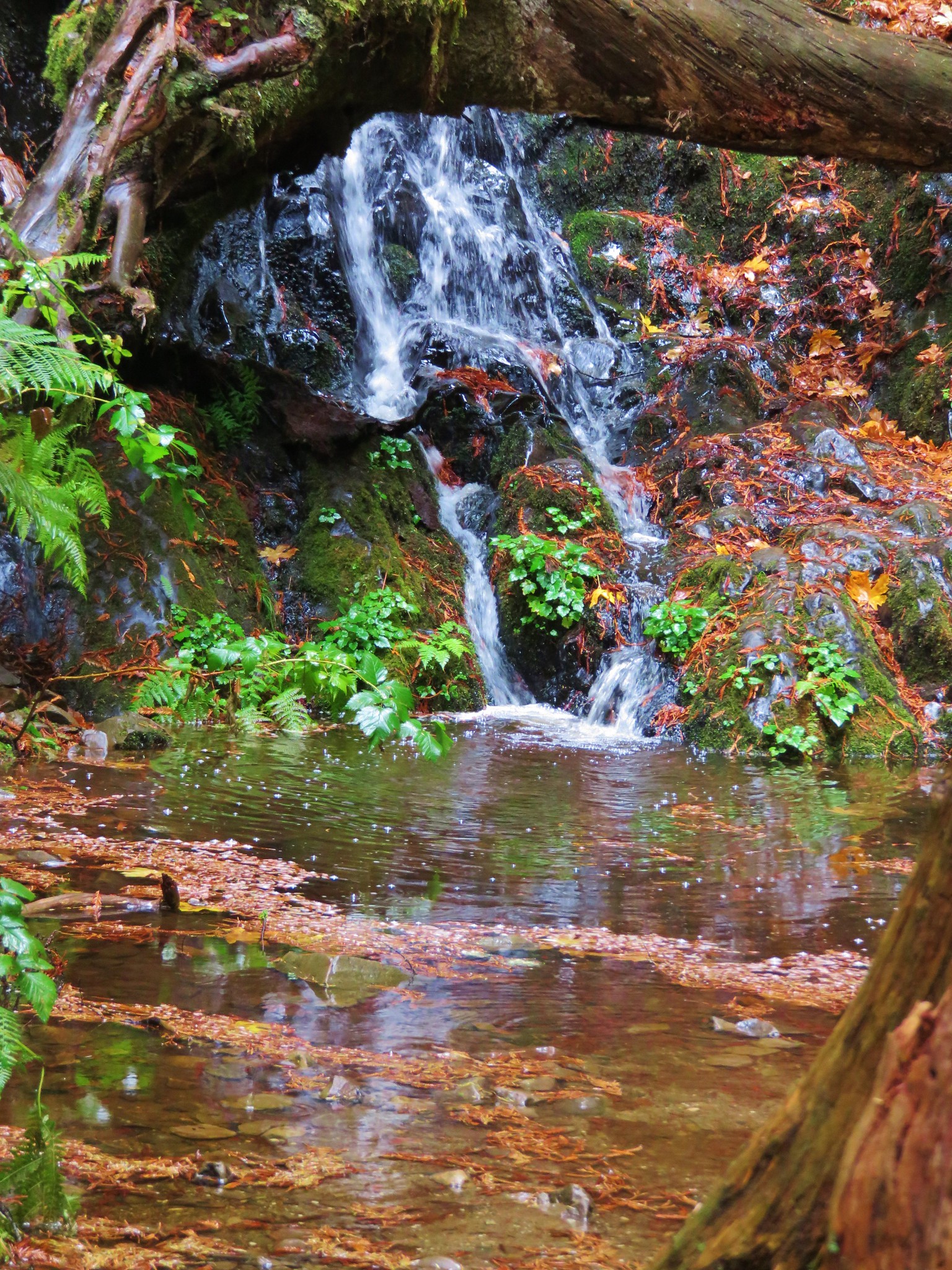
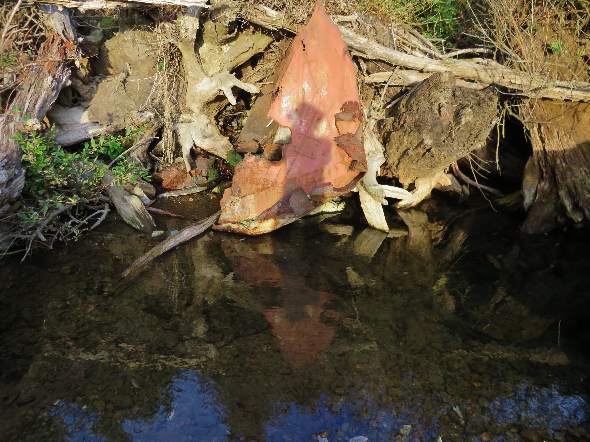
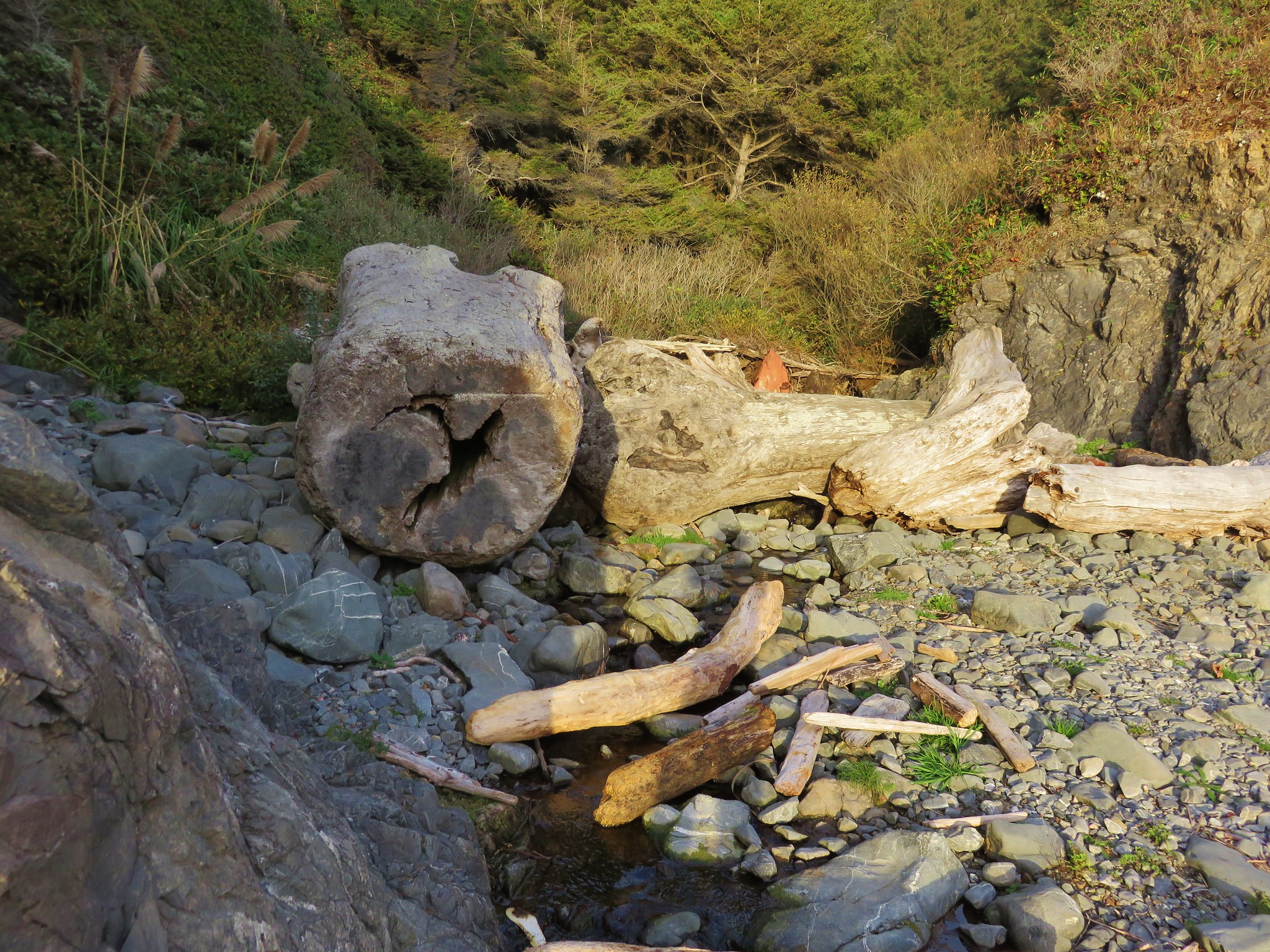
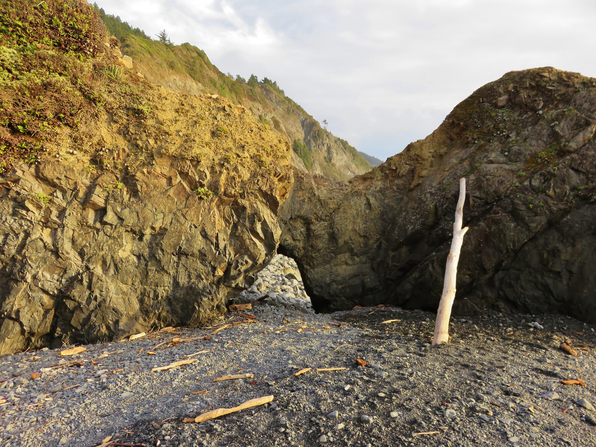
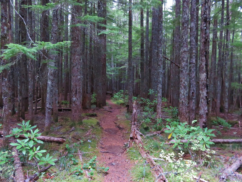
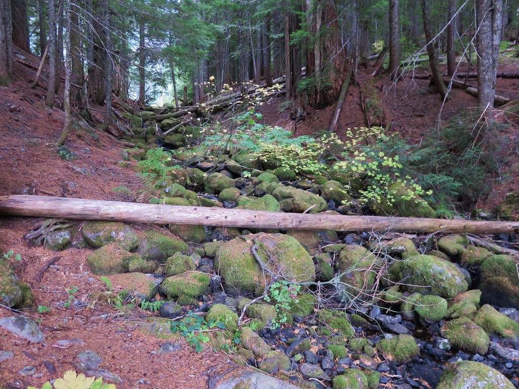
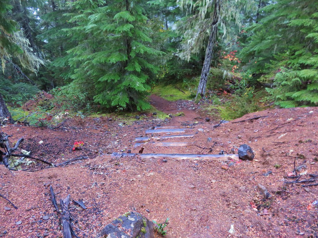
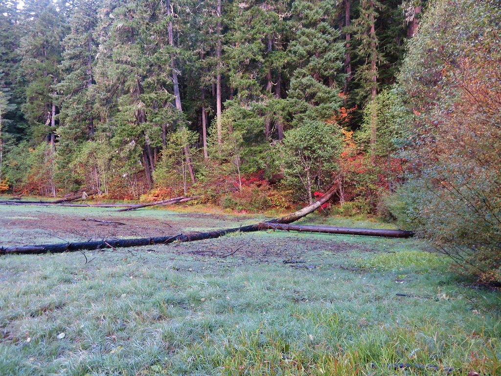
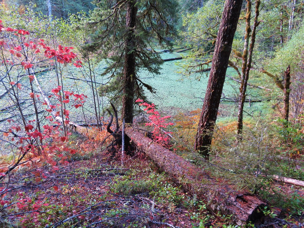
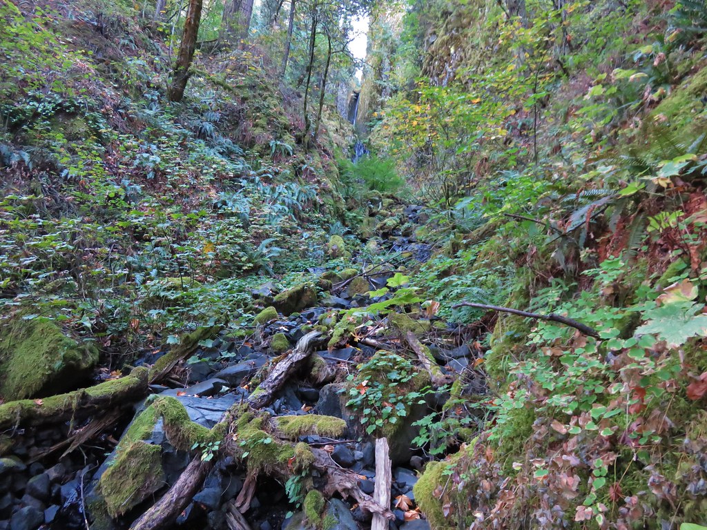
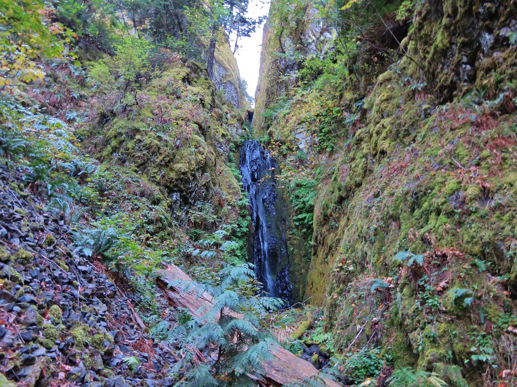
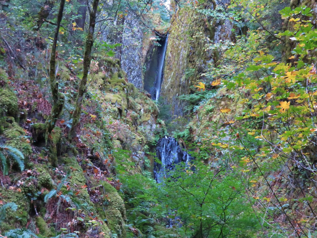
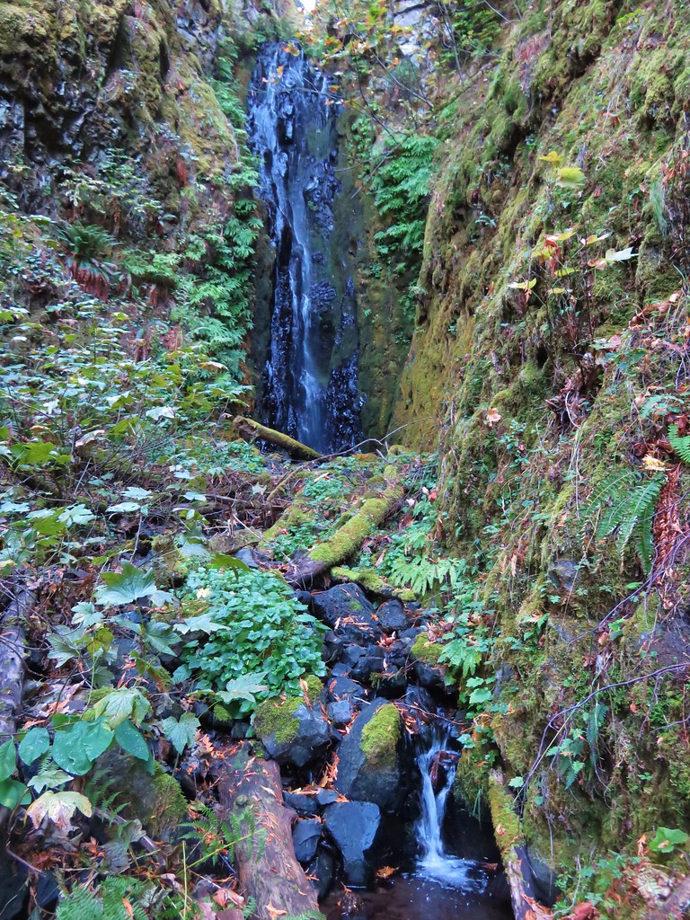
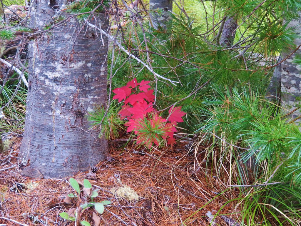
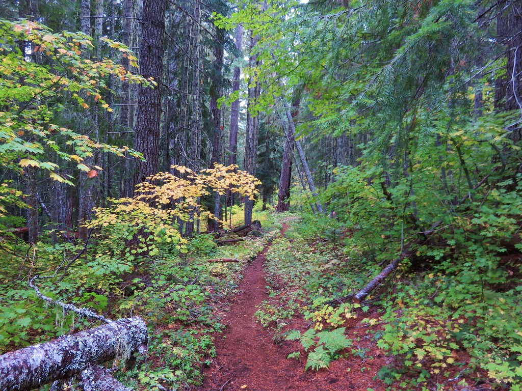
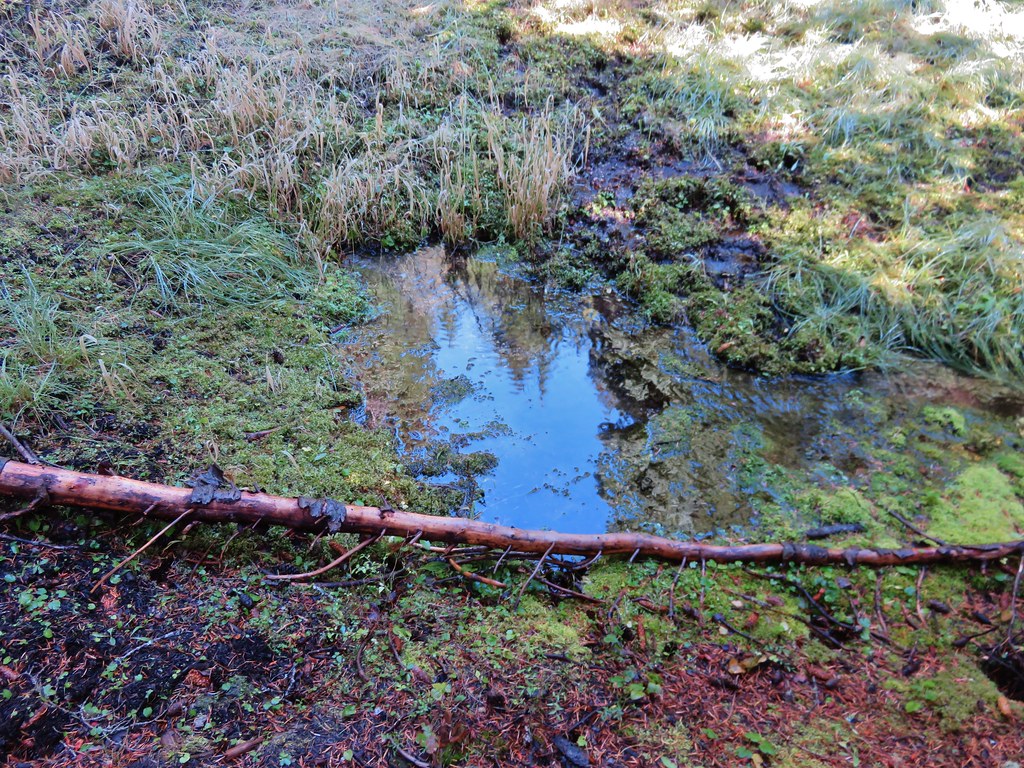
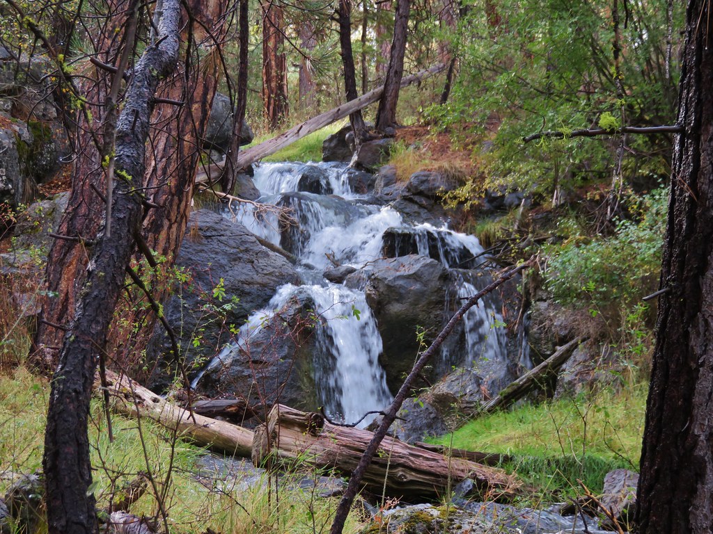
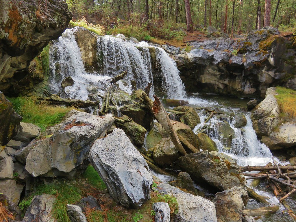
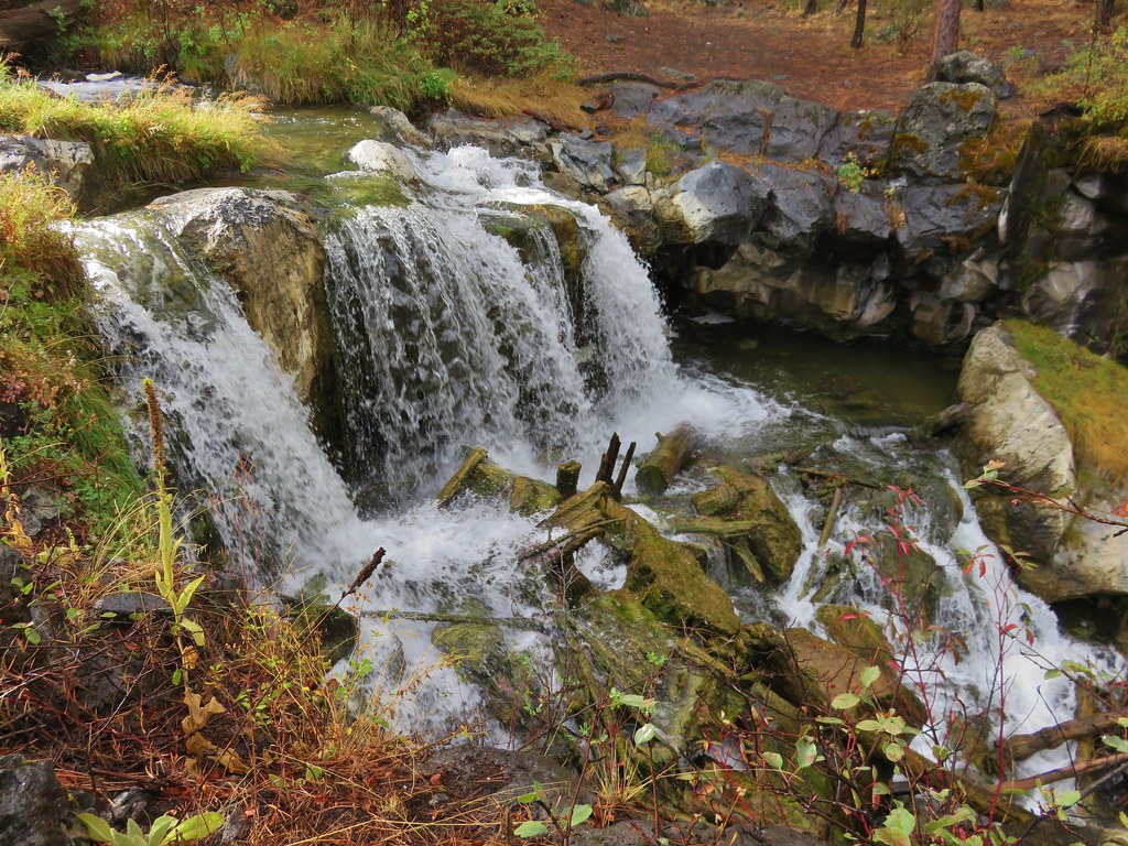
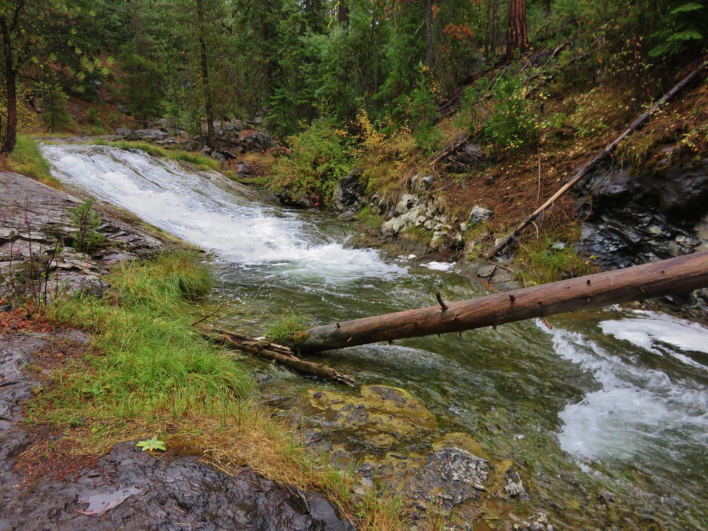
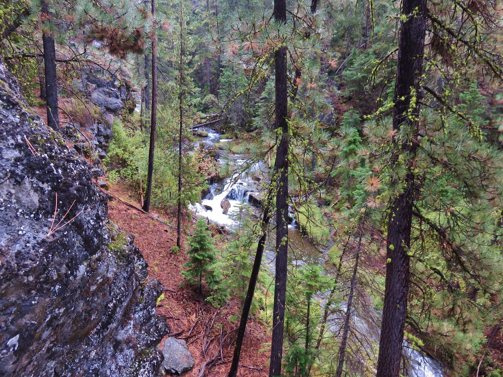
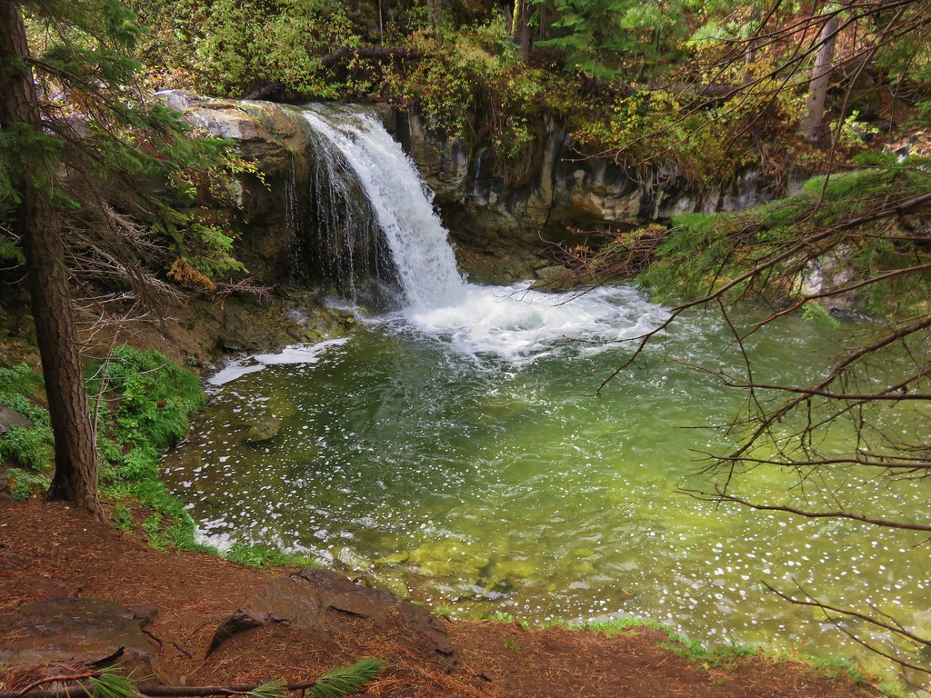
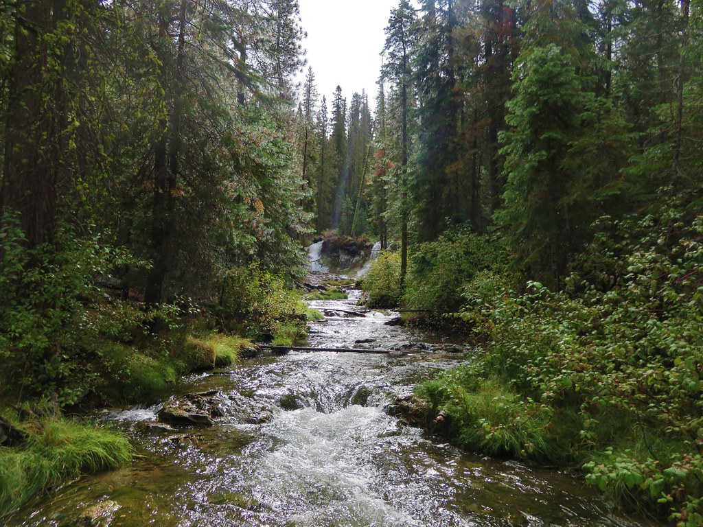
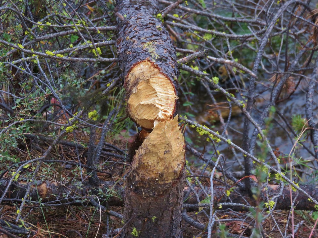
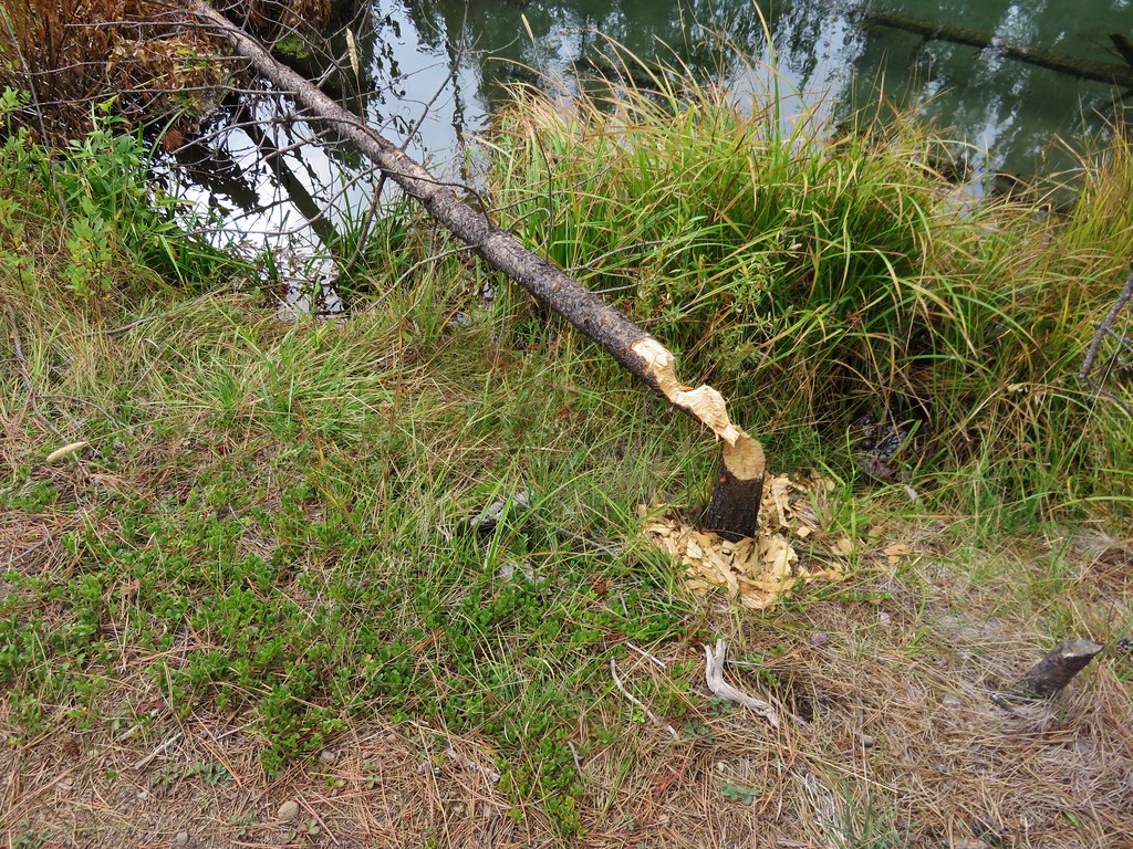
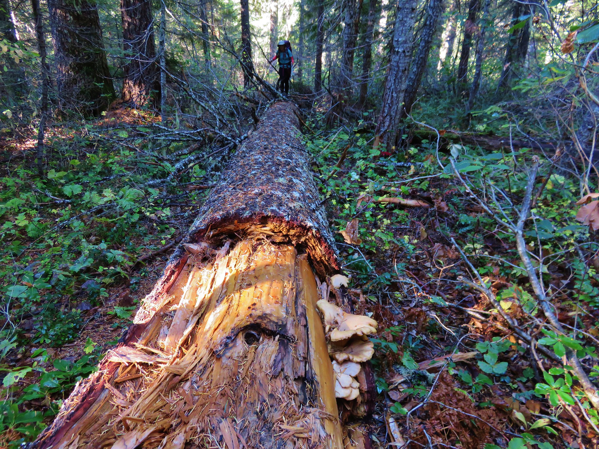
There were also a few downed trees to navigate our way around or over.
 //embedr.flickr.com/assets/client-code.js
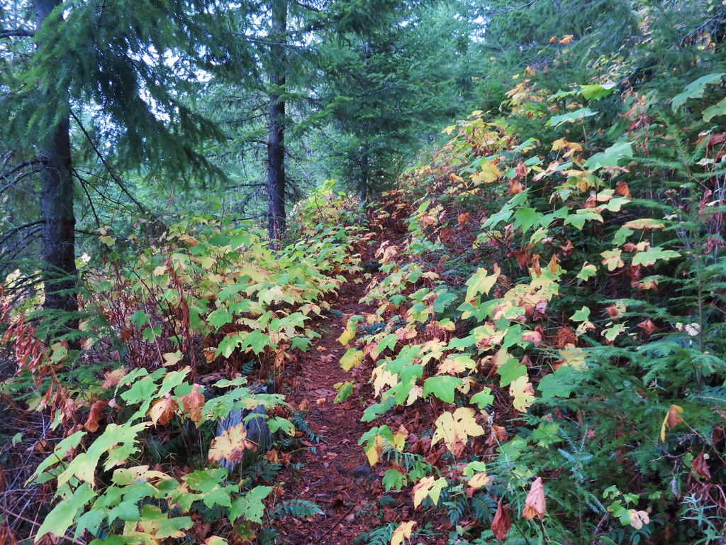
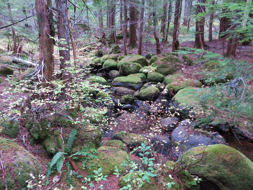
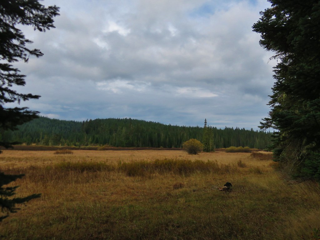
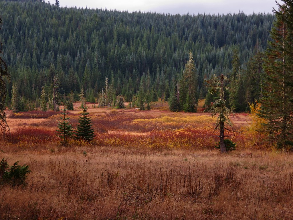
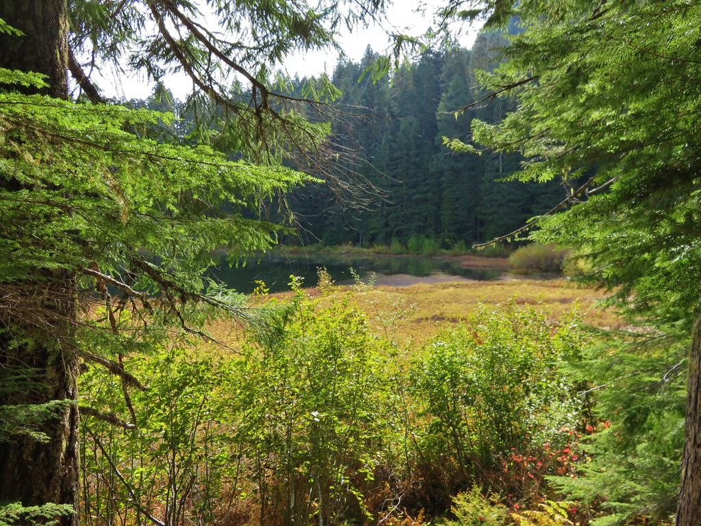
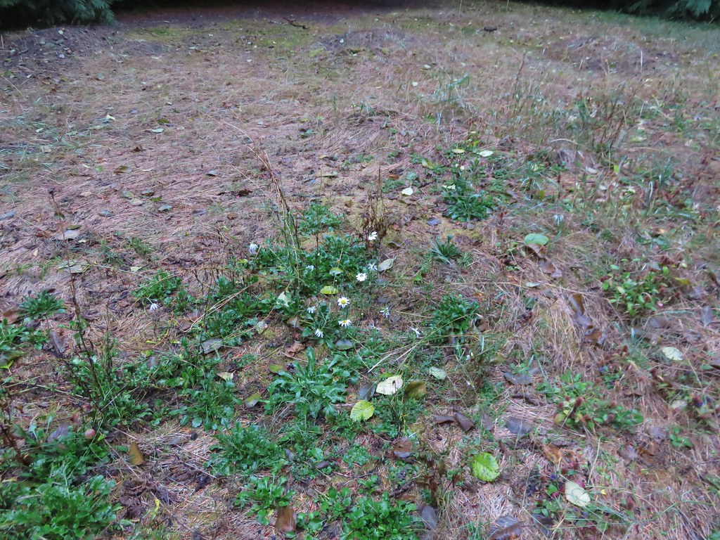
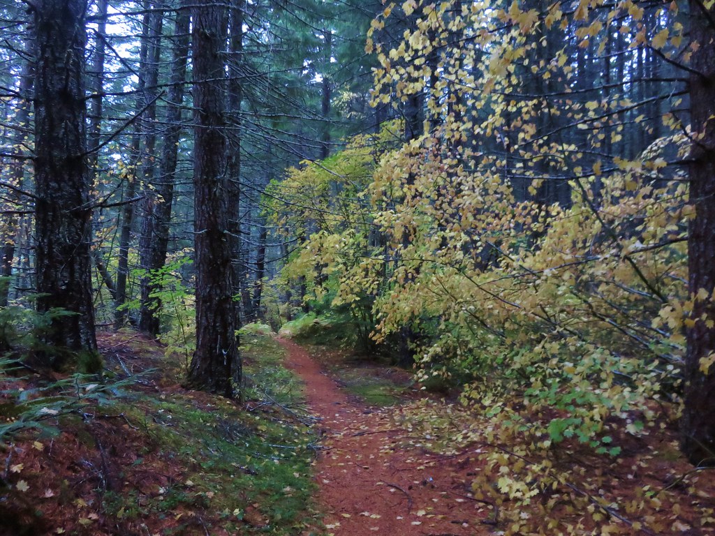
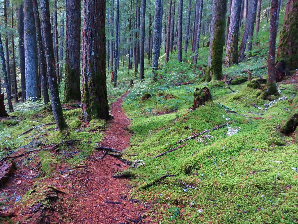
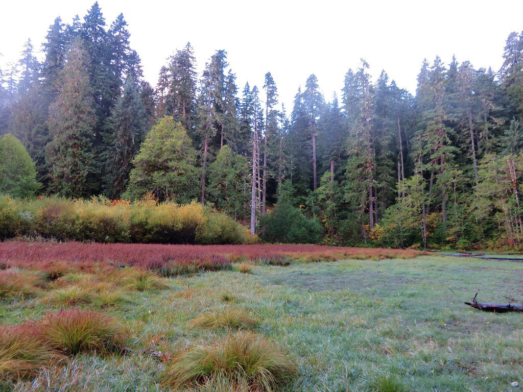
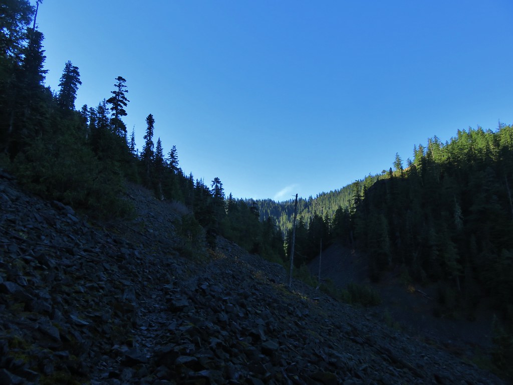
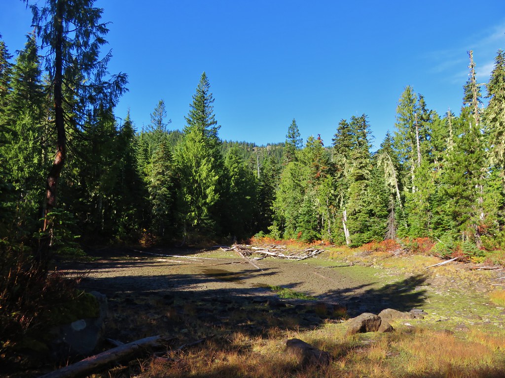
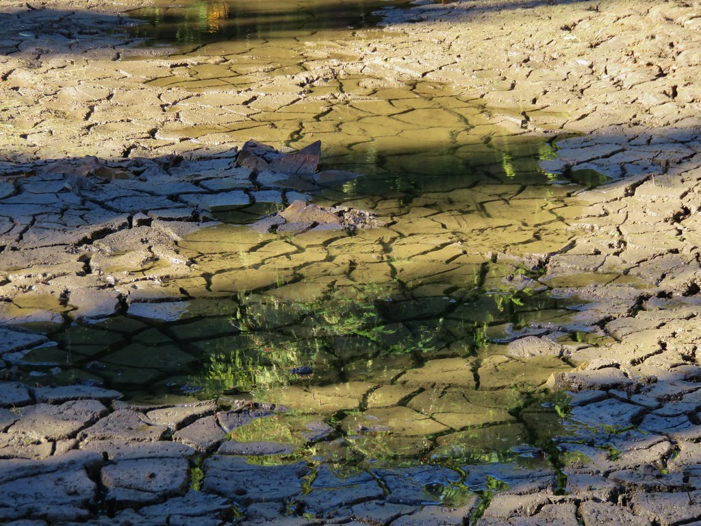
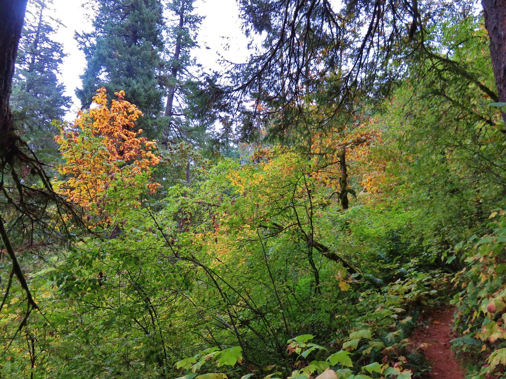
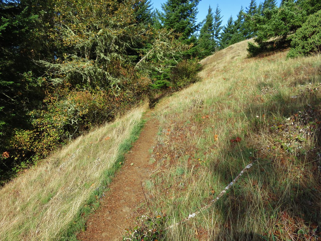
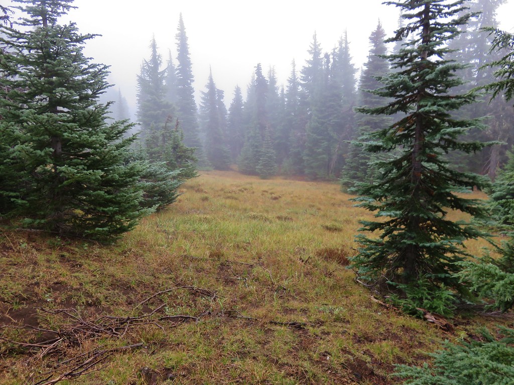
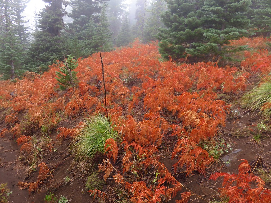
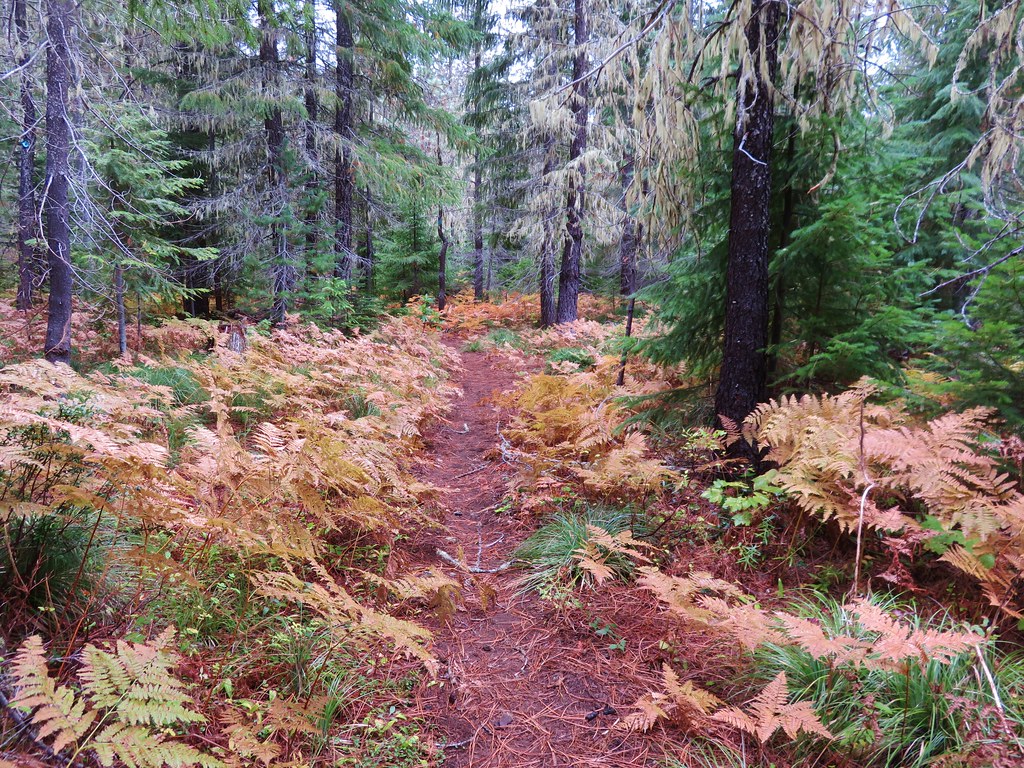
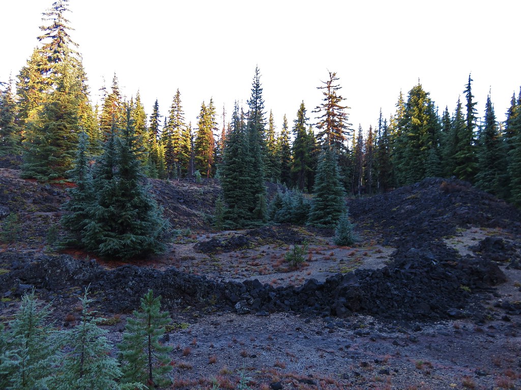
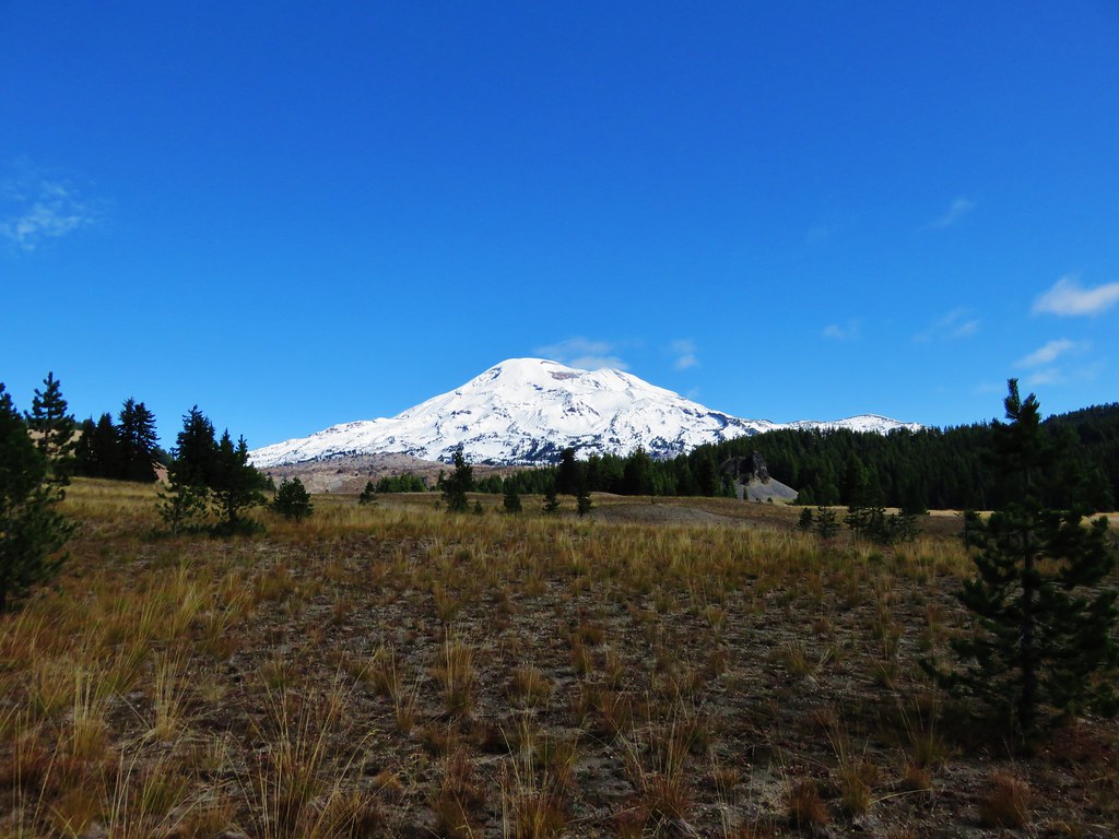
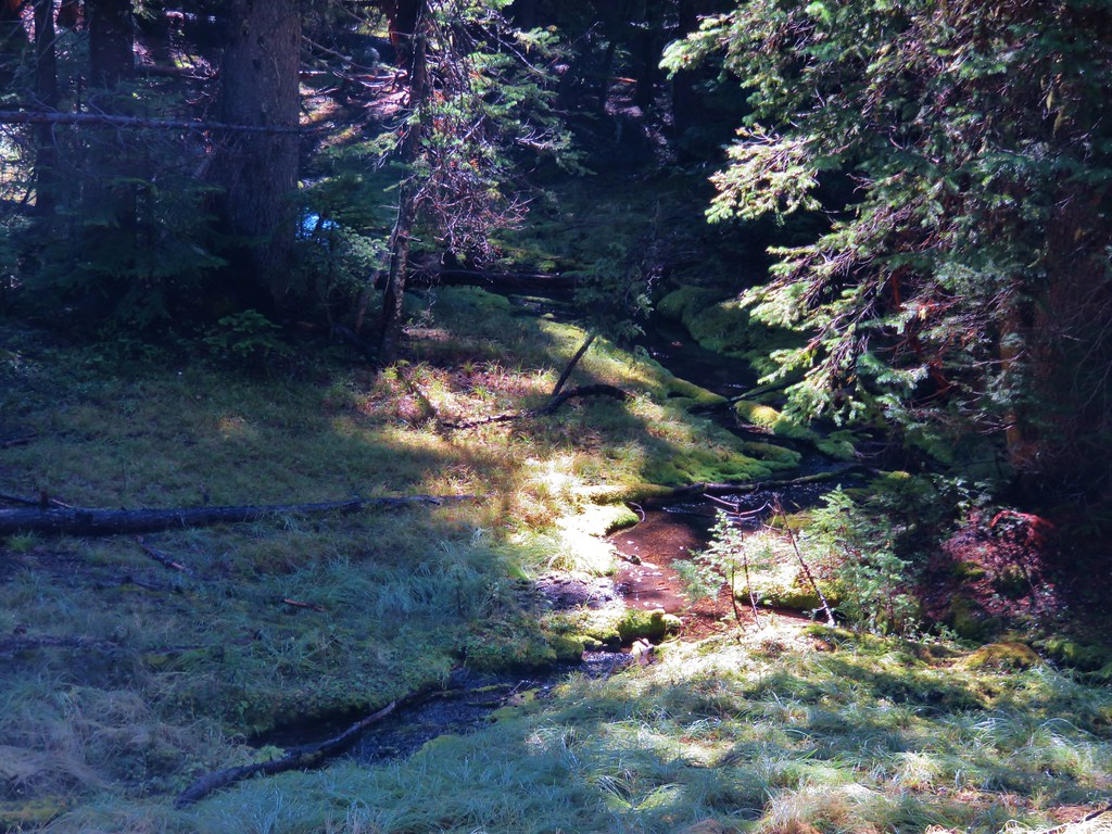
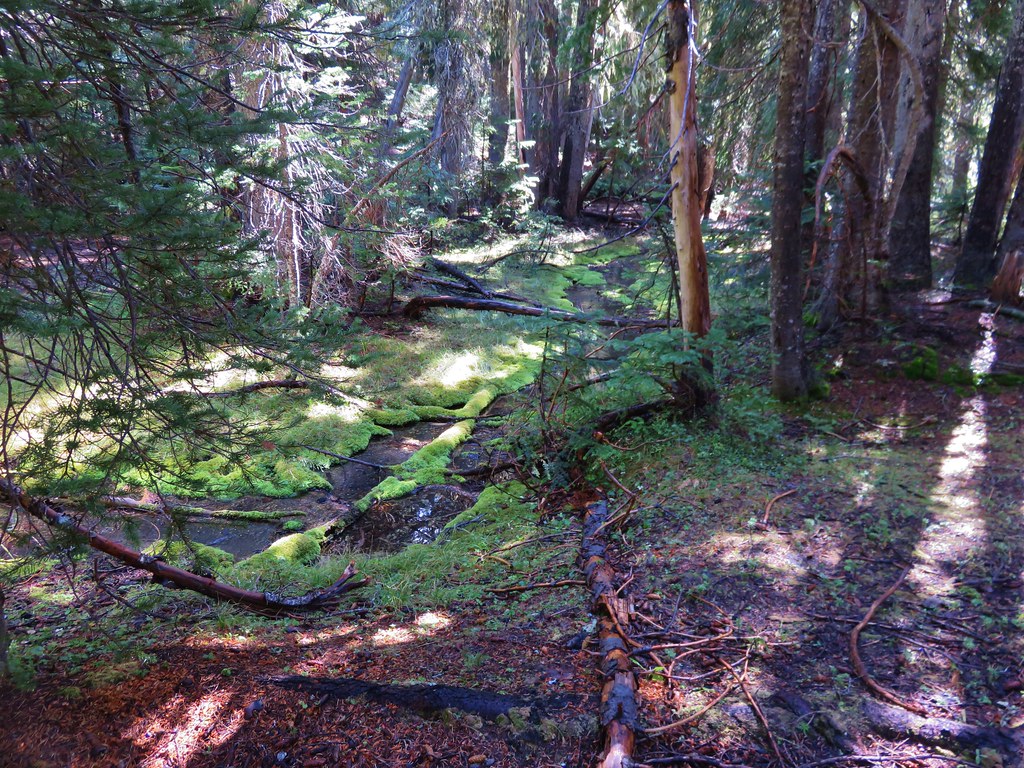
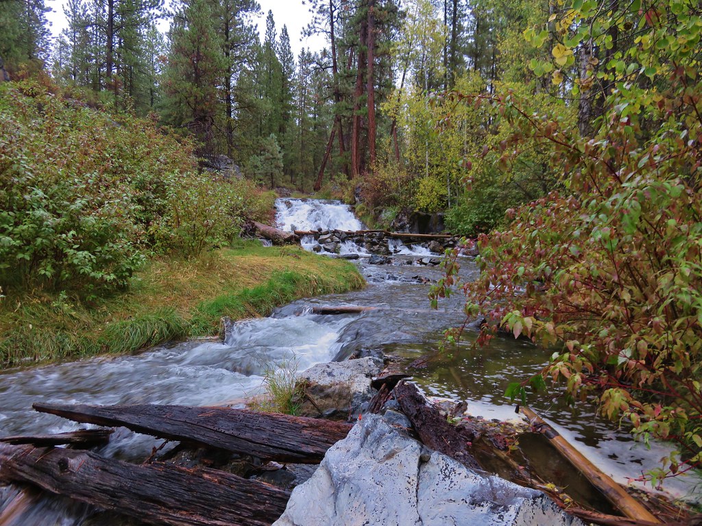
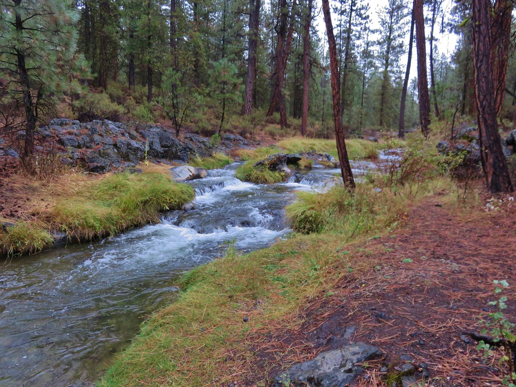
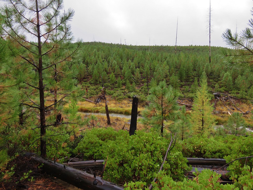
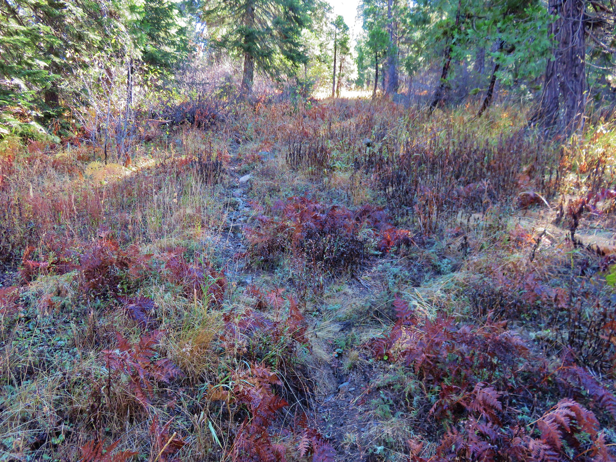
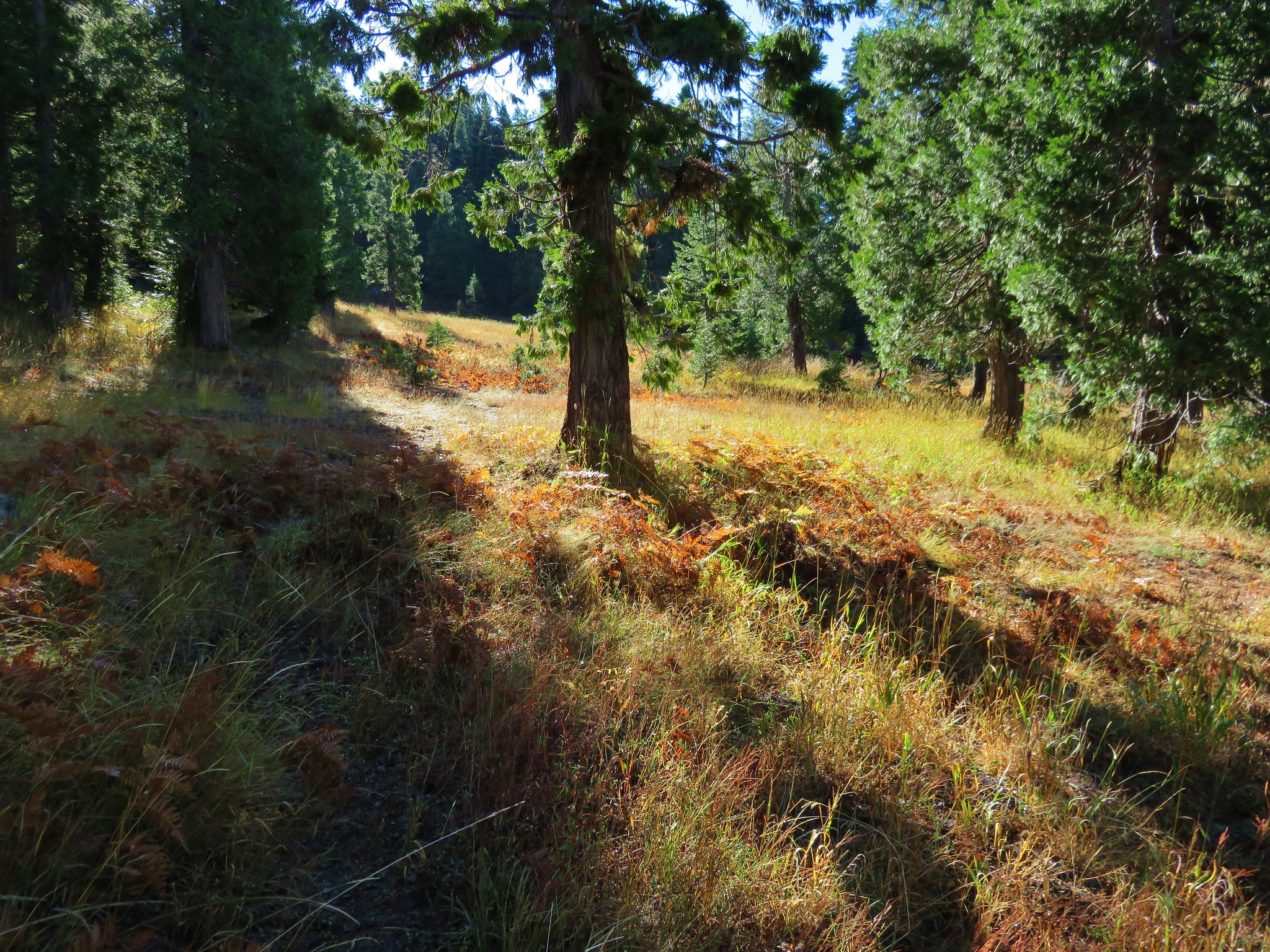
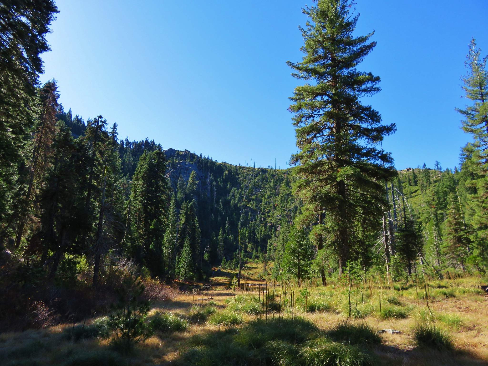
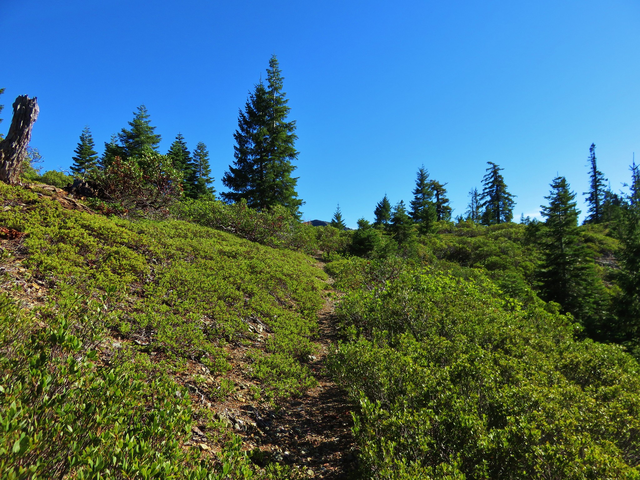
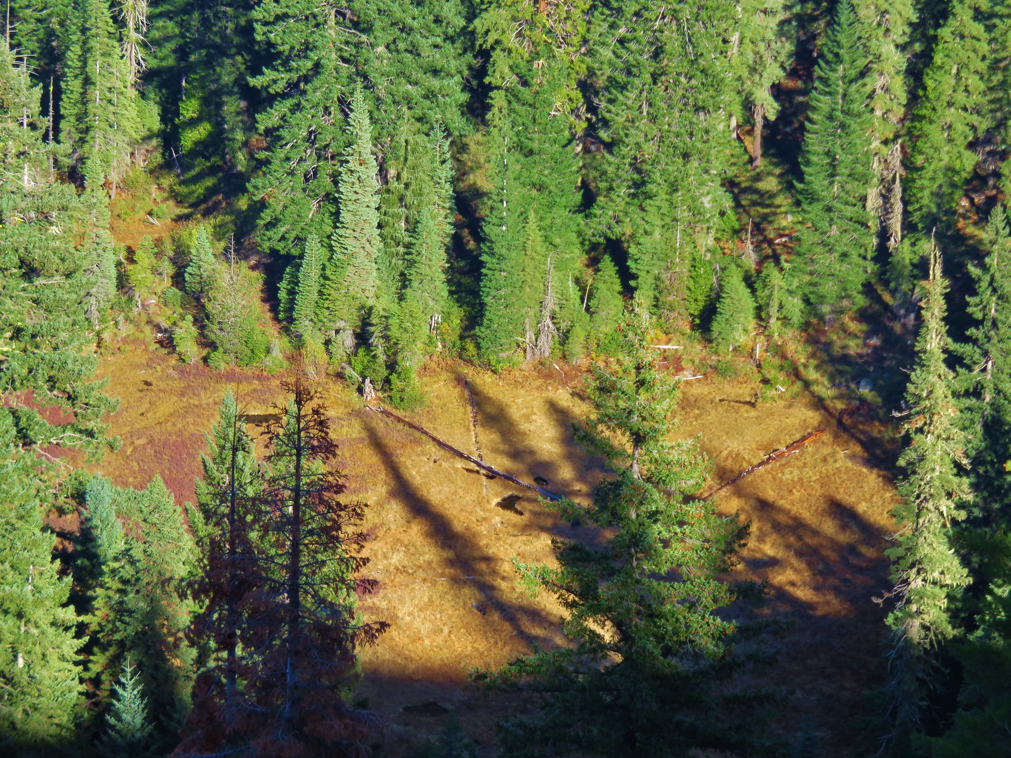
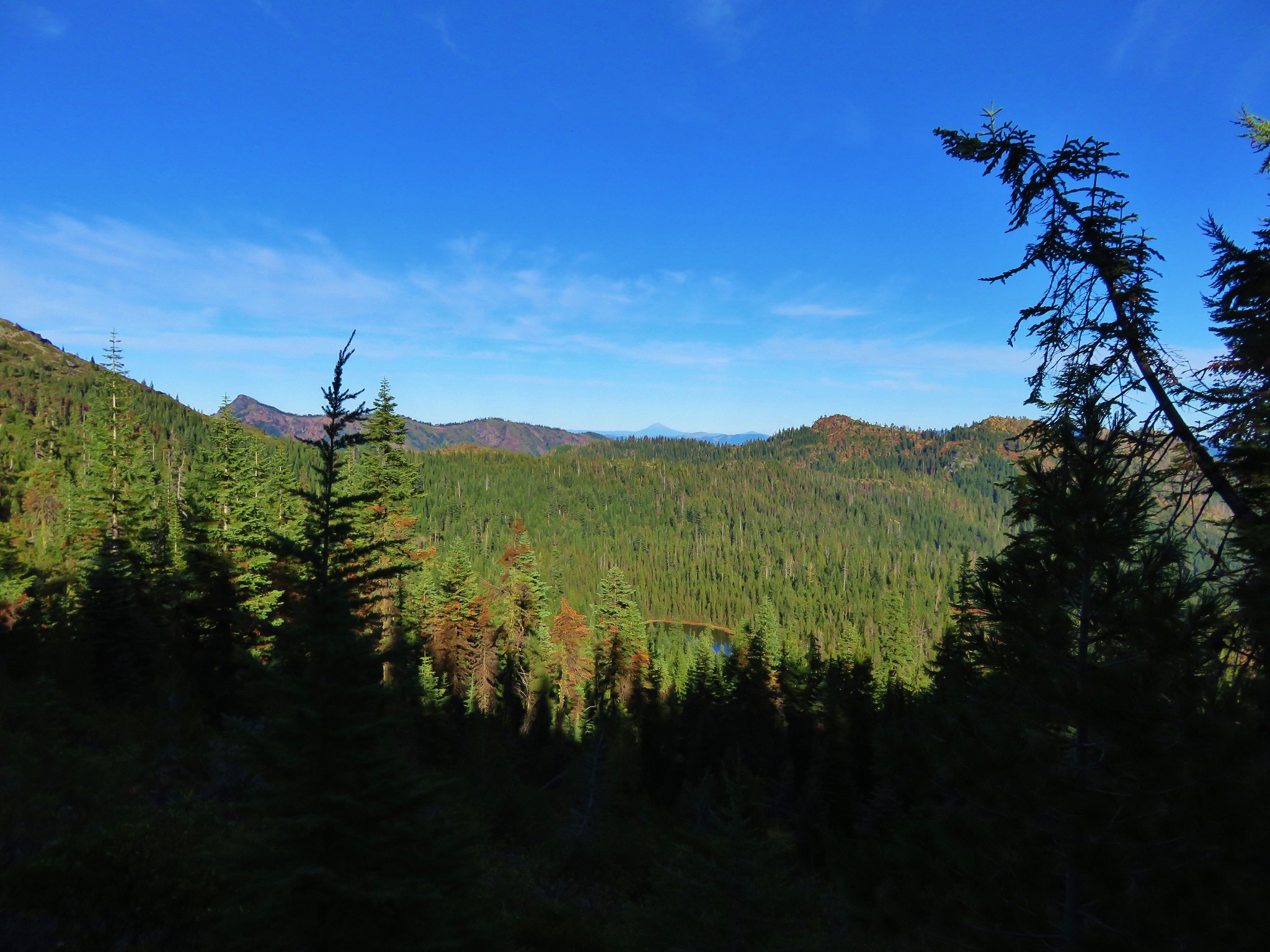
After about 2 miles of climbing we entered a series of meadows where the tread became faint.
 //embedr.flickr.com/assets/client-code.js
 //embedr.flickr.com/assets/client-code.js
 //embedr.flickr.com/assets/client-code.js
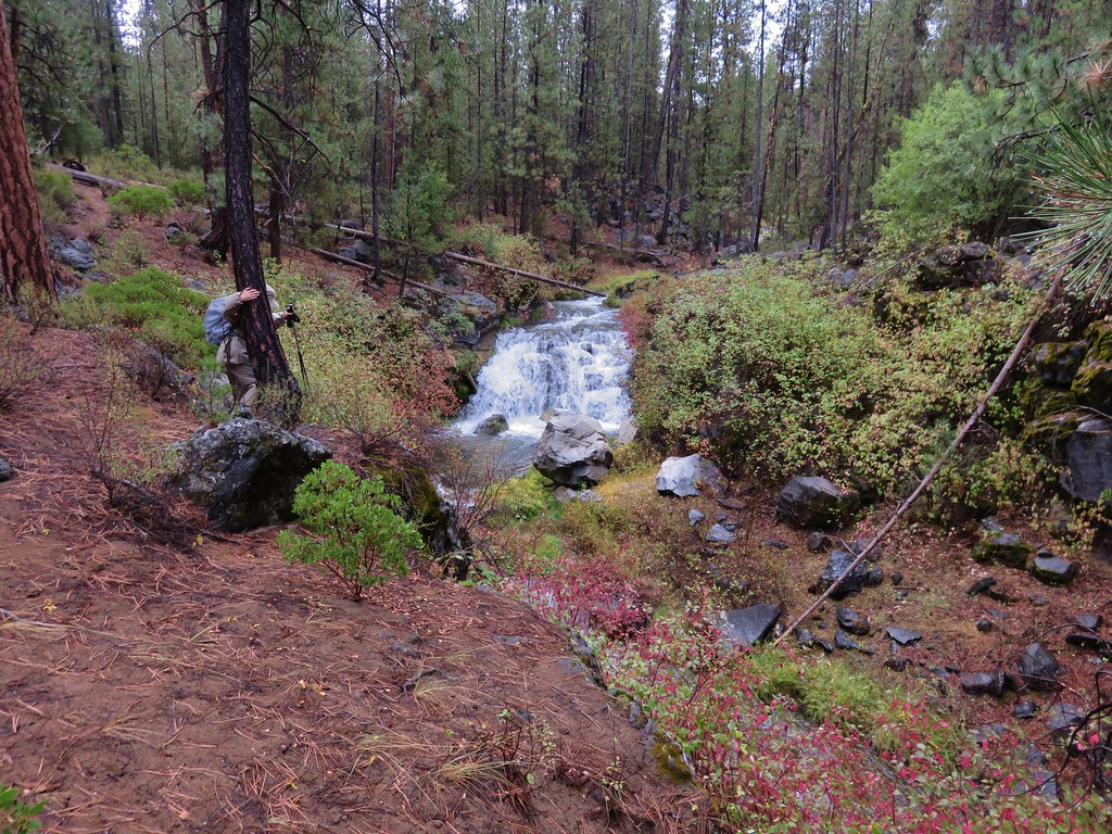
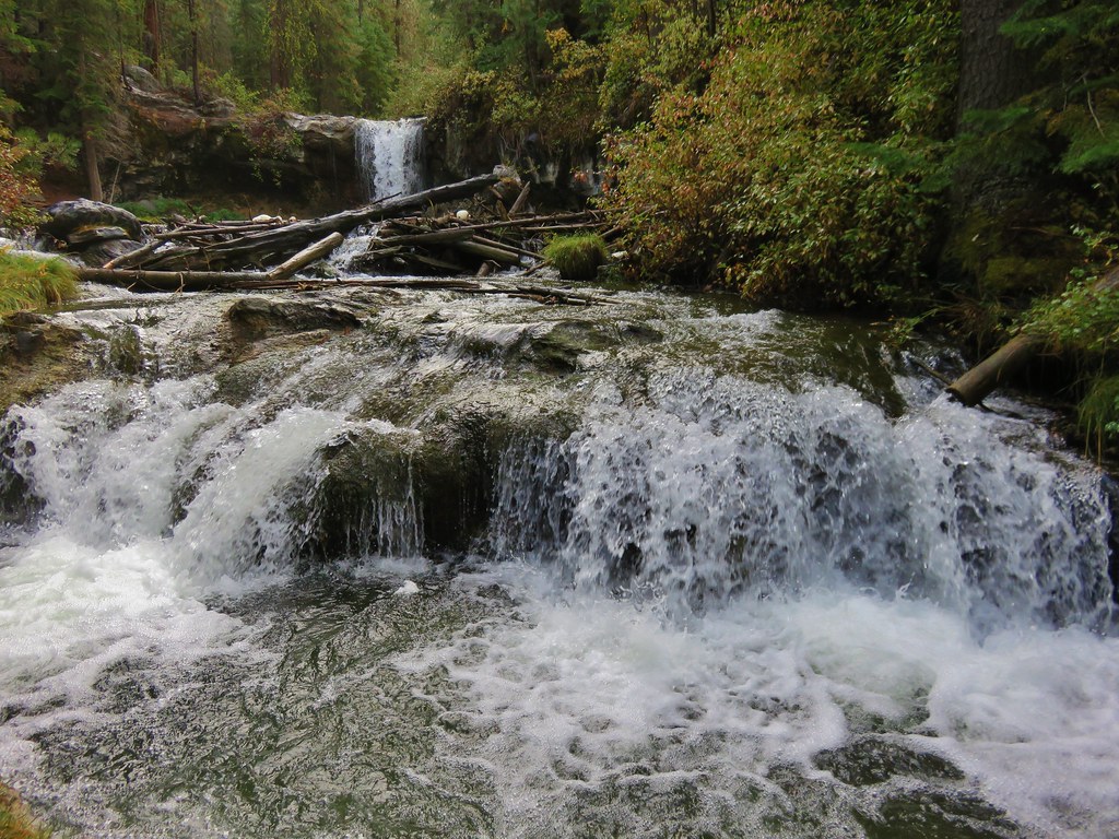
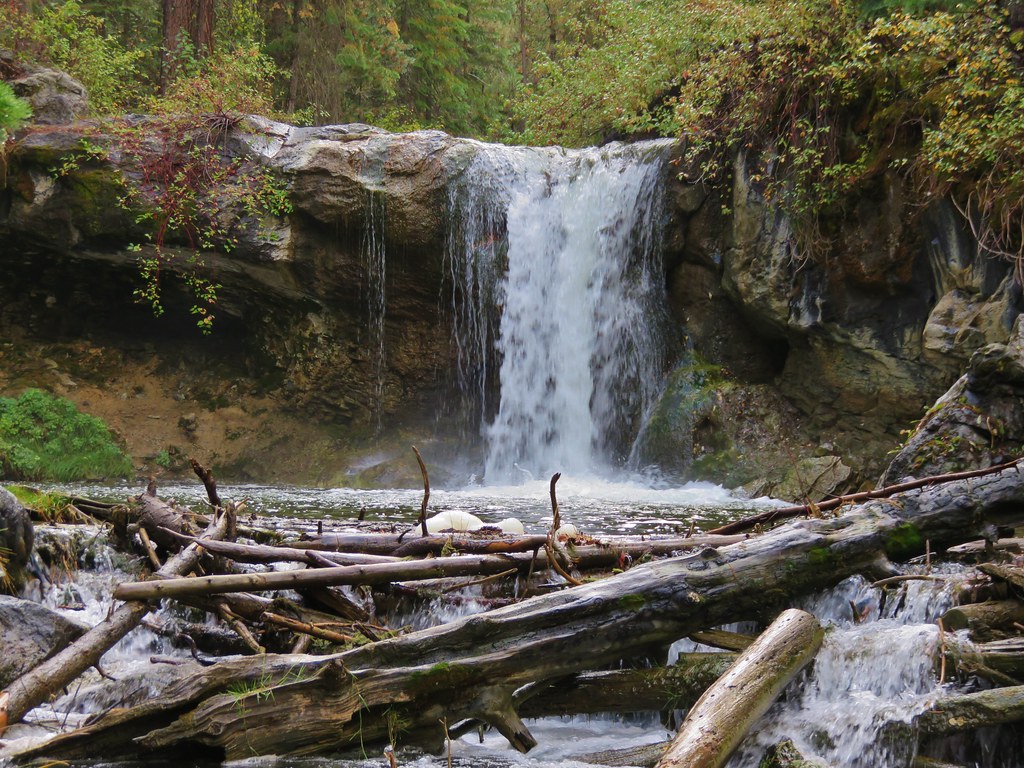
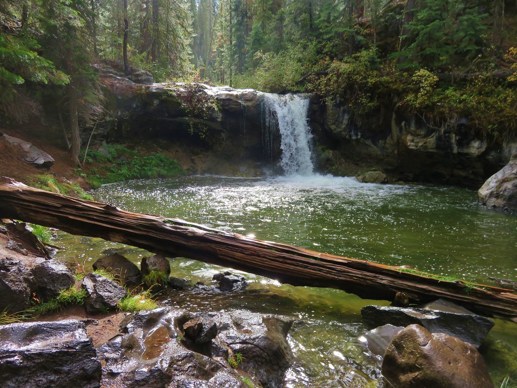
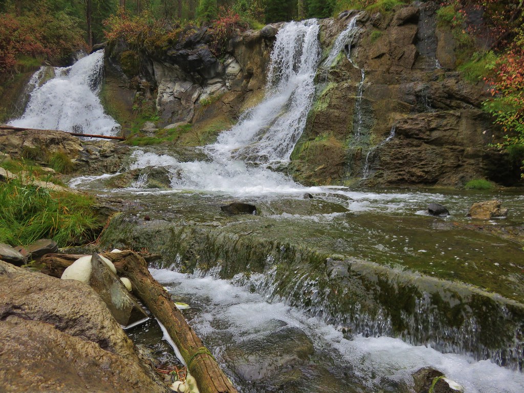
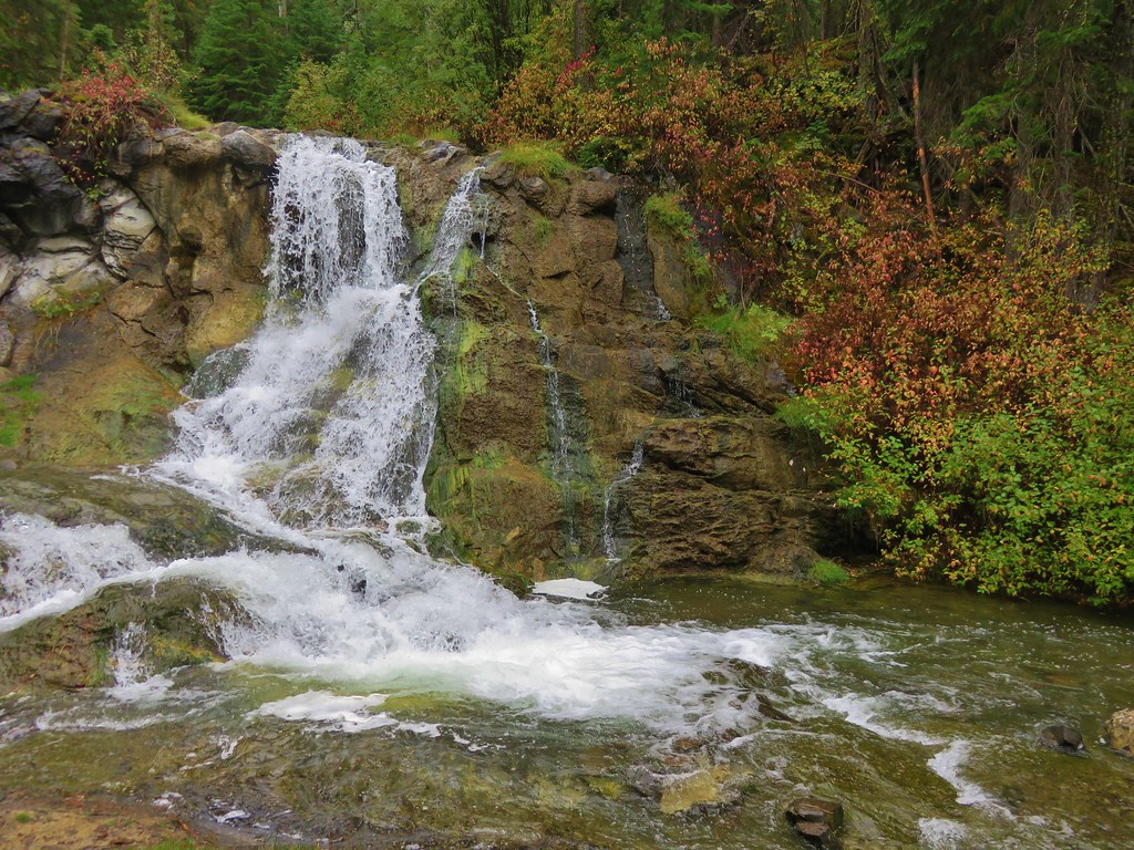
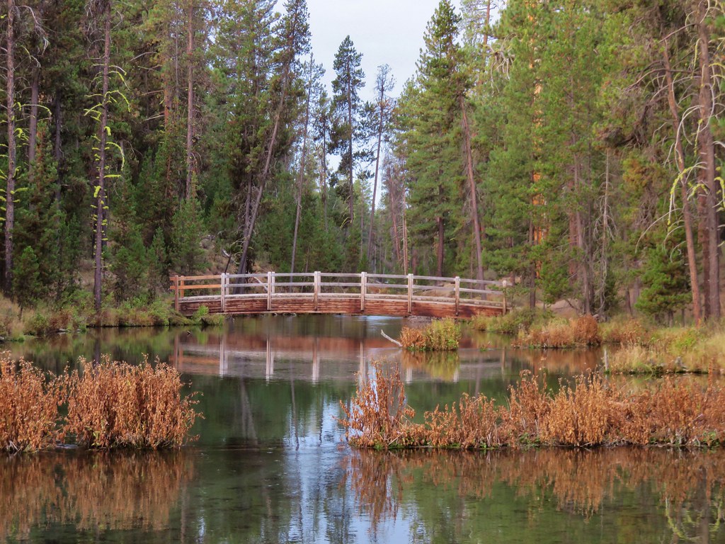
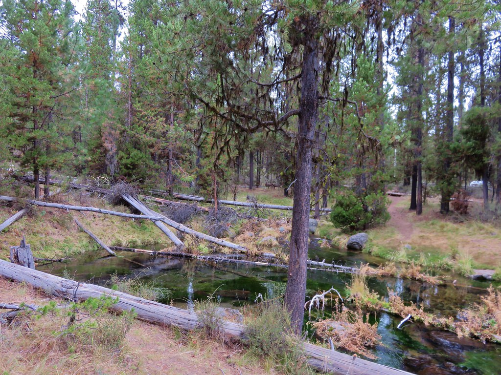
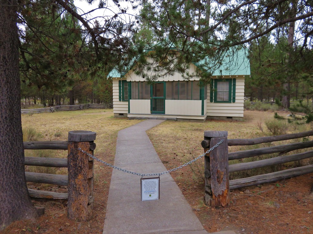
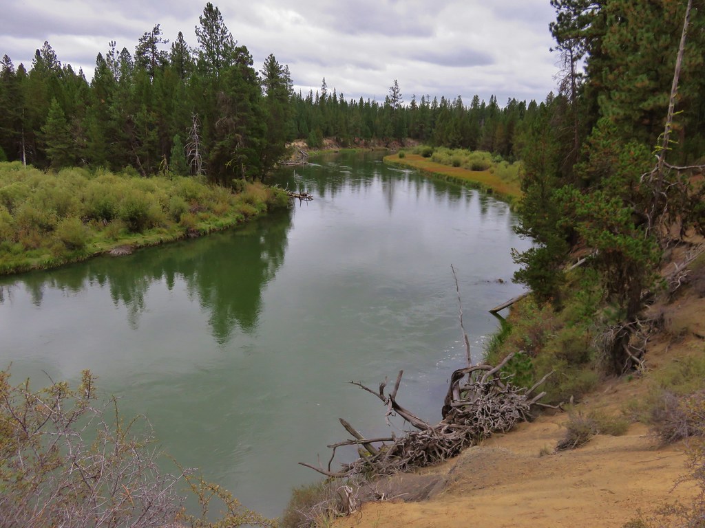
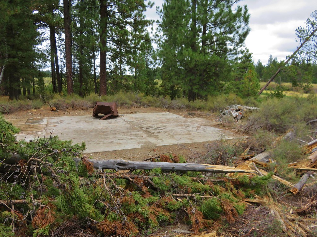
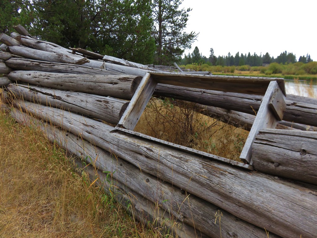
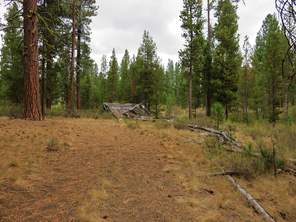
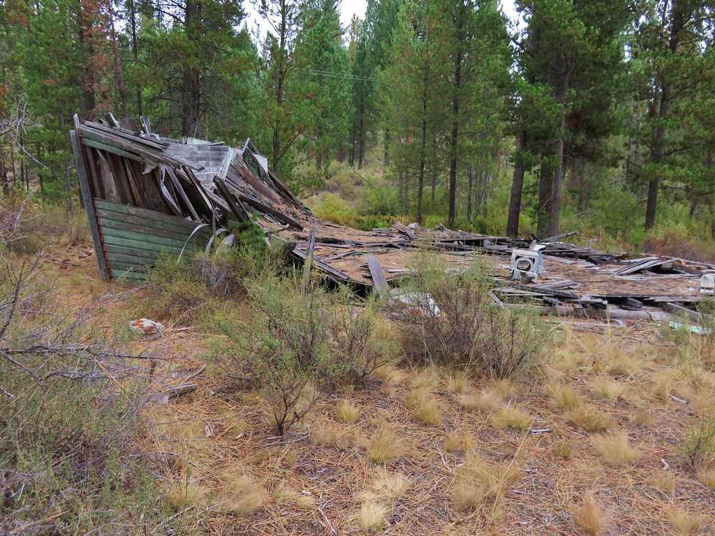
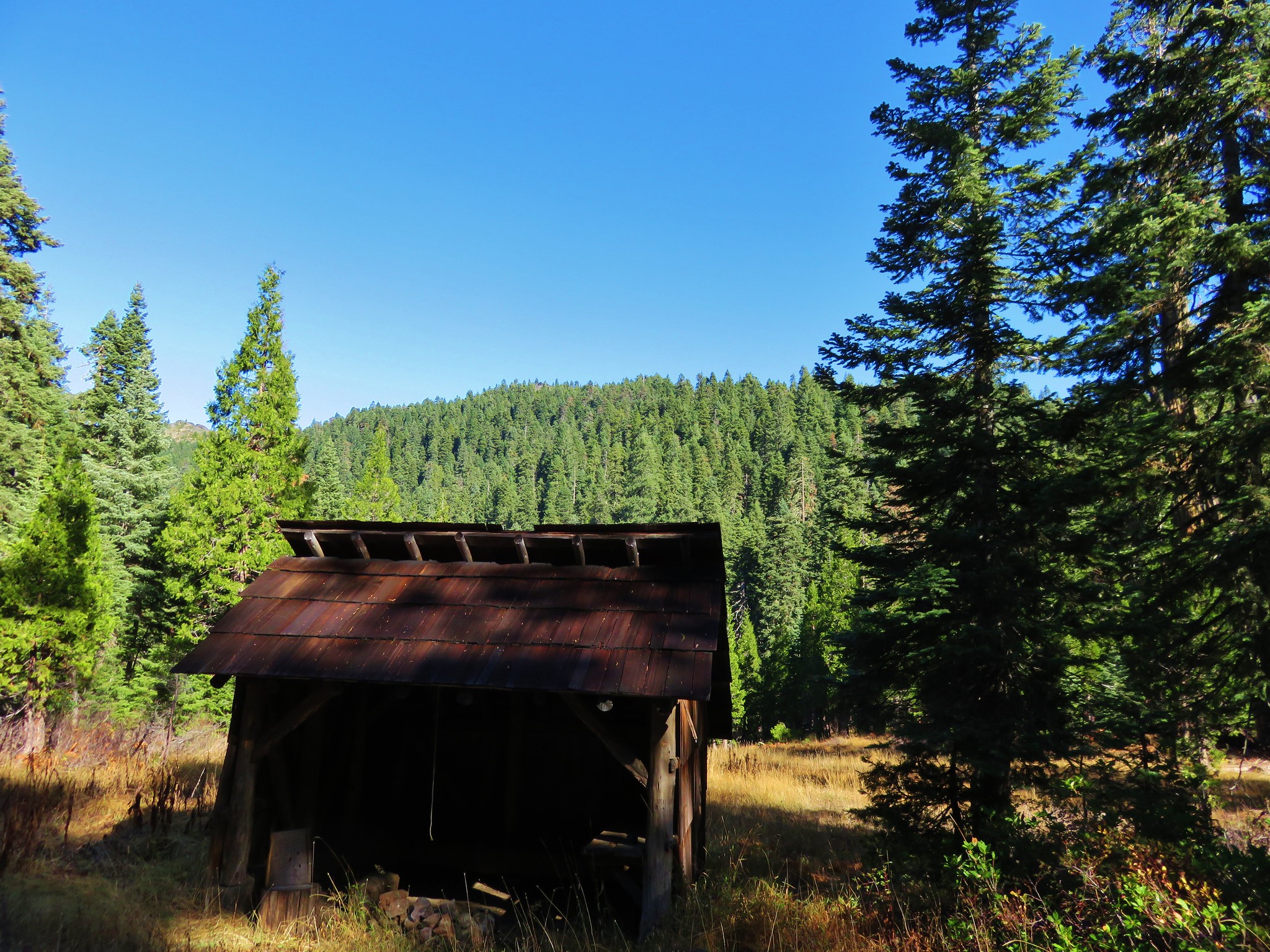
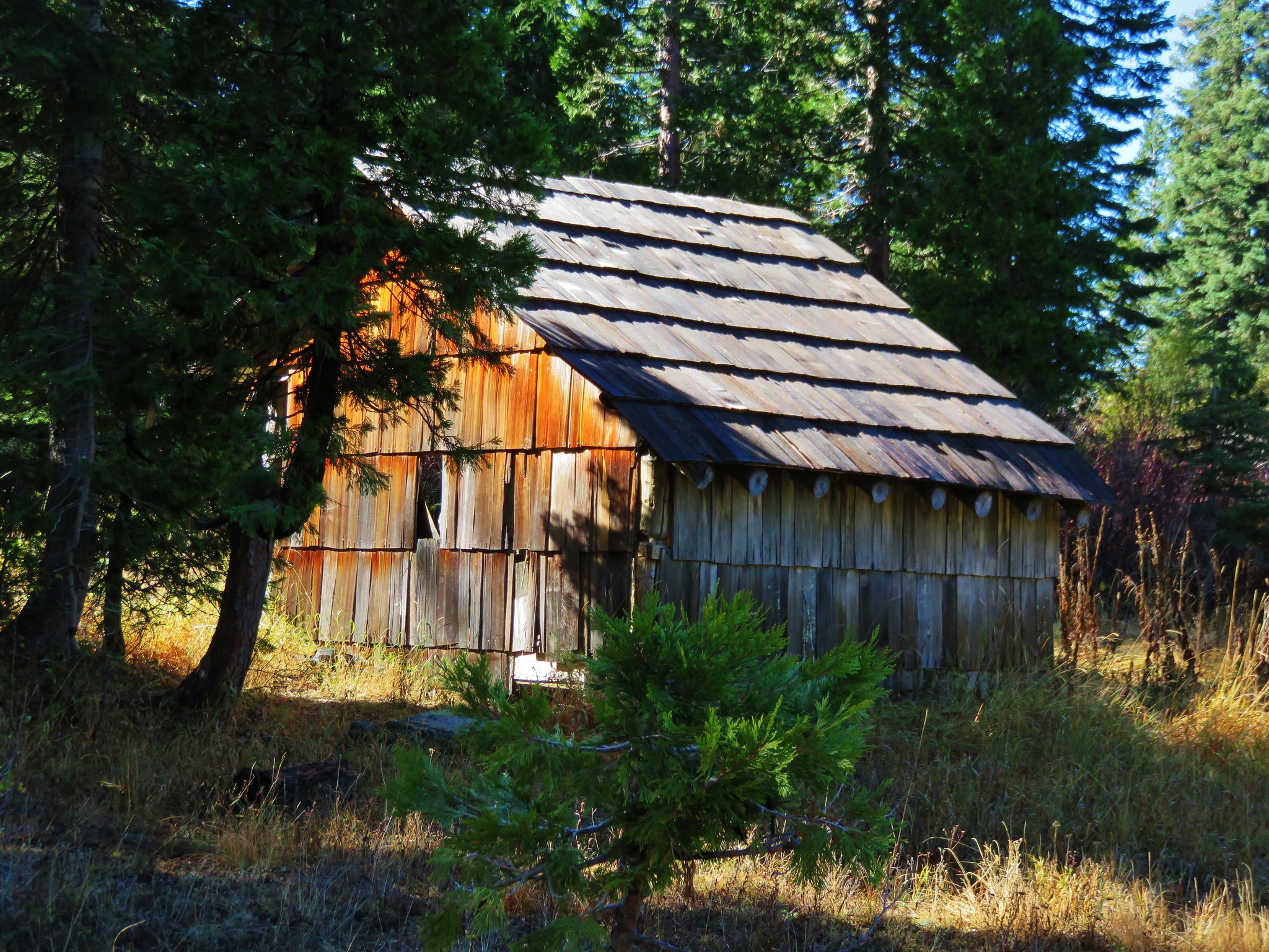
Just under 3 miles along the trail we spotted the Sucker Creek Shelter in a meadow below us to the left of the trail. We followed a fairly steep path down to the shelter to check it out and take a short rest before continuing on to Sucker Gap.
 //embedr.flickr.com/assets/client-code.js
 //embedr.flickr.com/assets/client-code.js
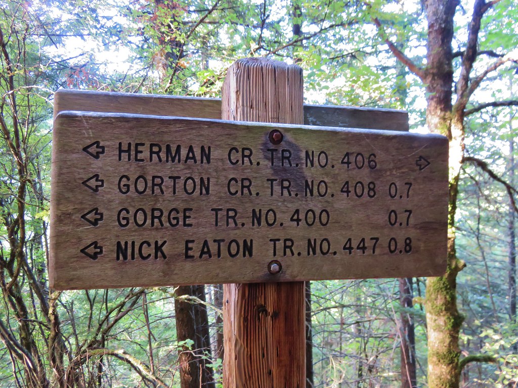
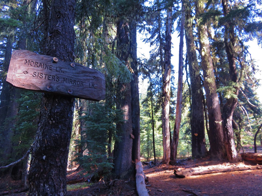
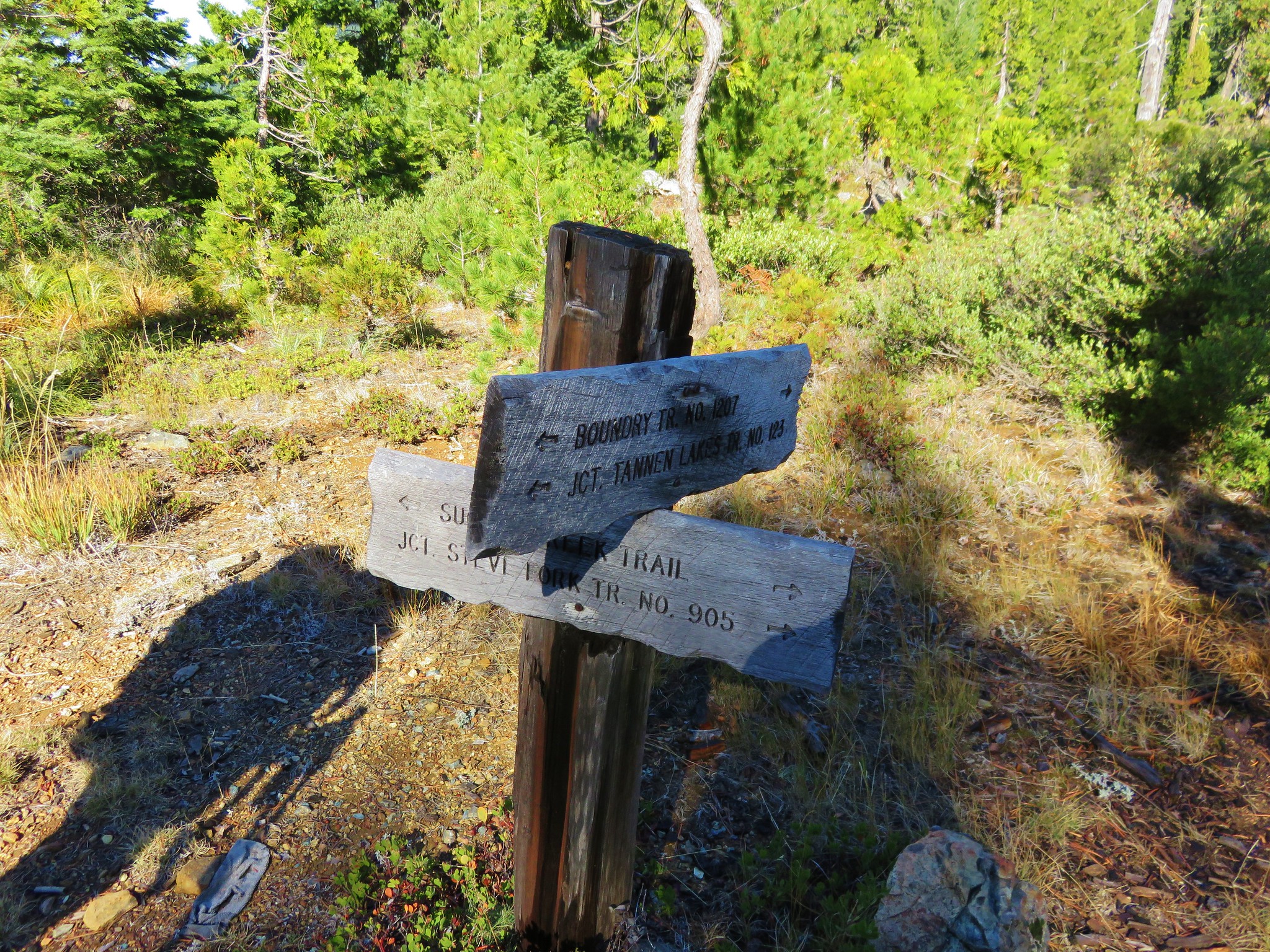
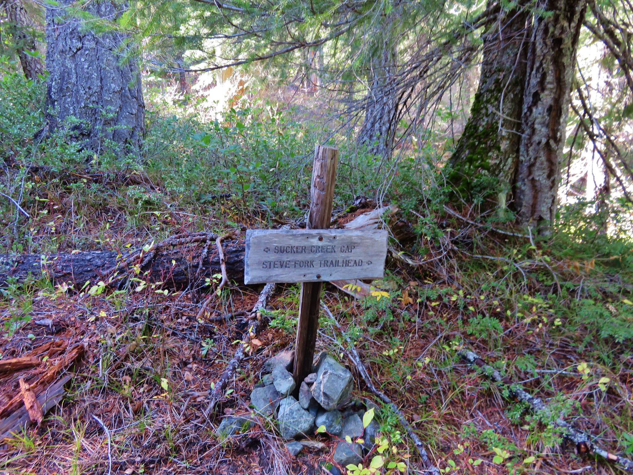
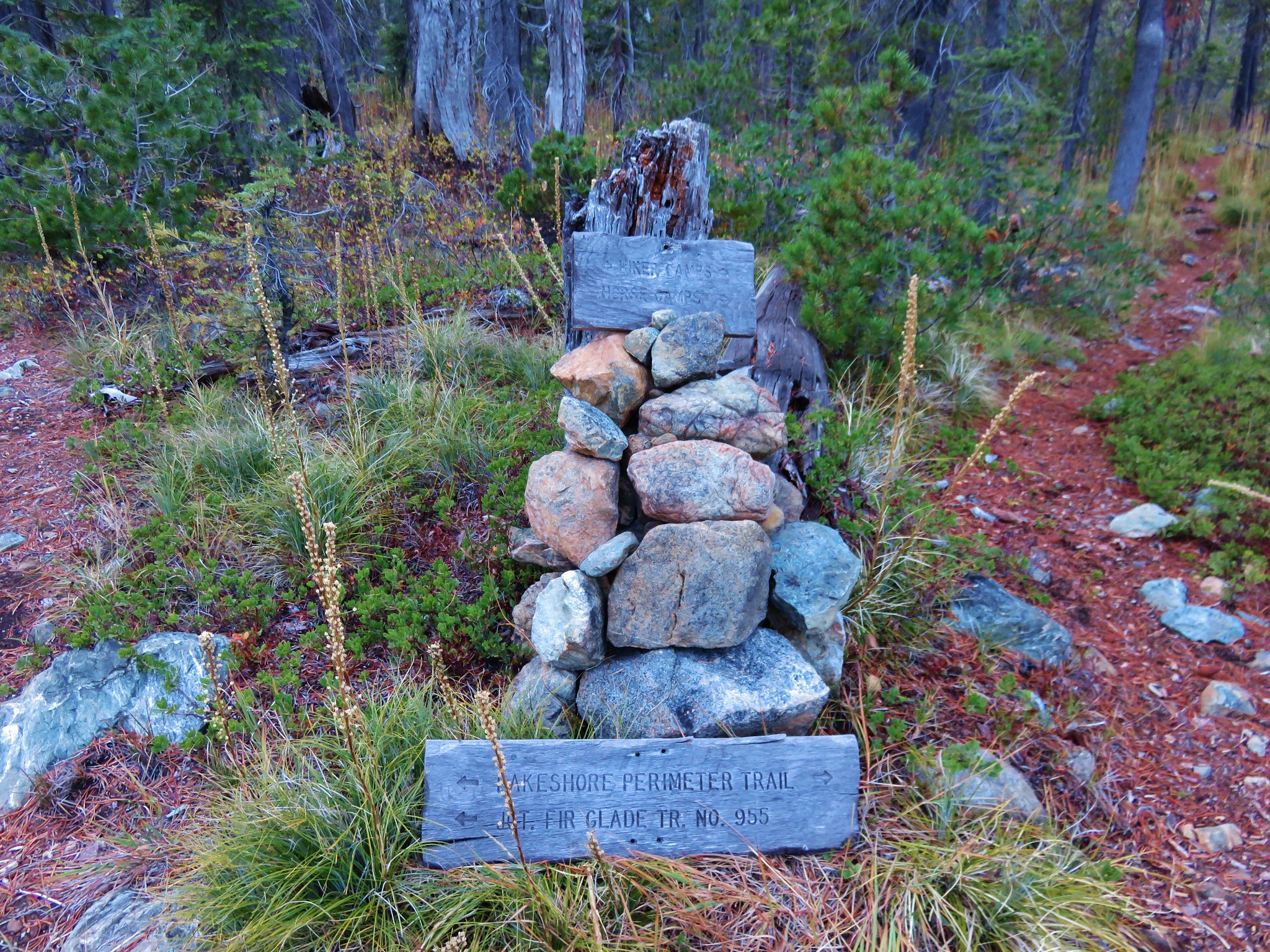
Sucker Gap is located at a saddle on a wide ridge with a four way trail junction. We followed the pointer for Steve Fork.
 //embedr.flickr.com/assets/client-code.js
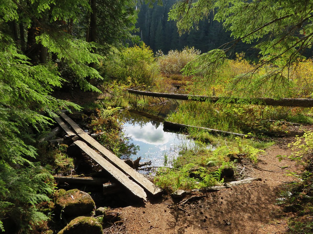
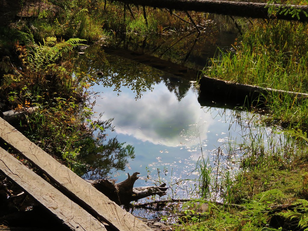
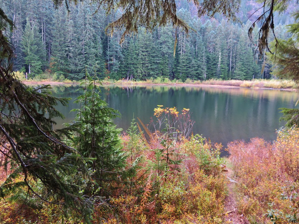
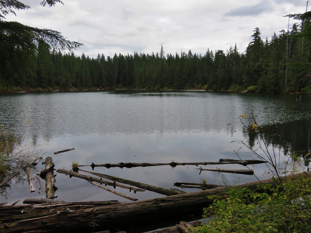
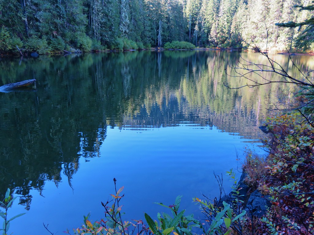
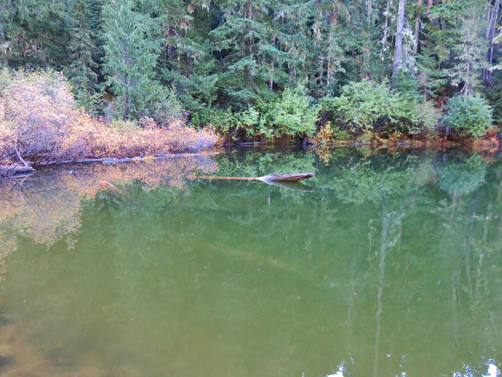
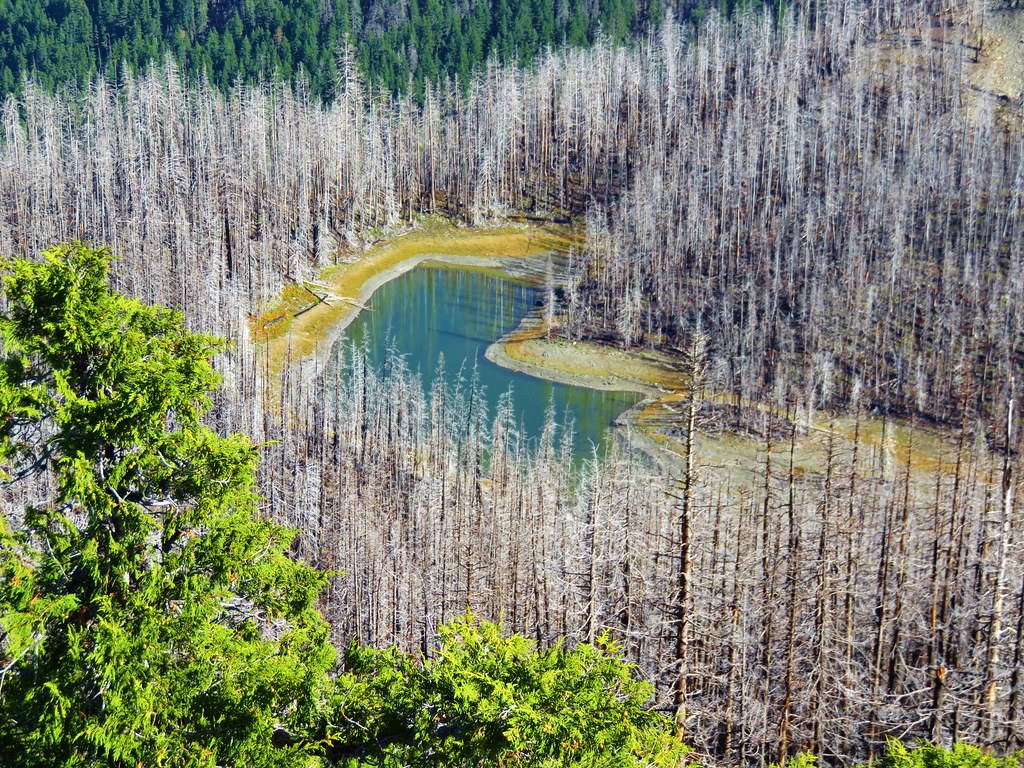
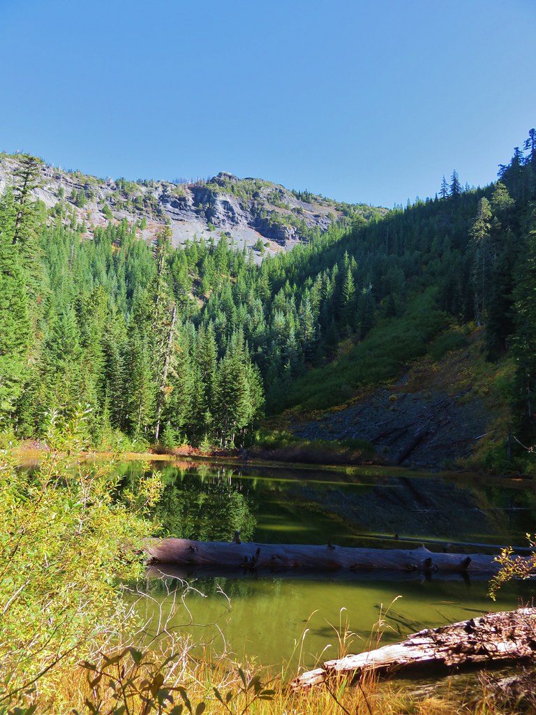
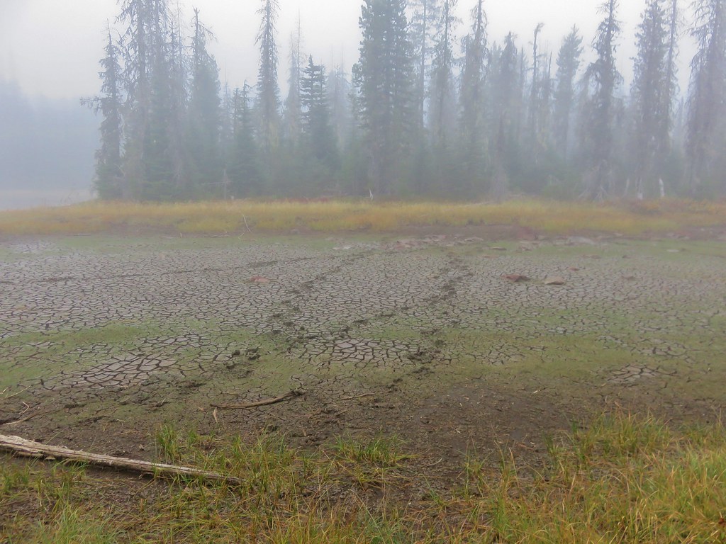
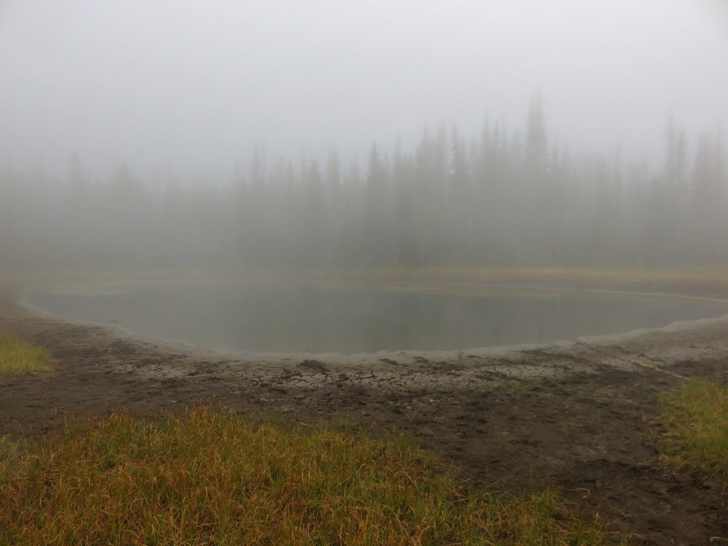
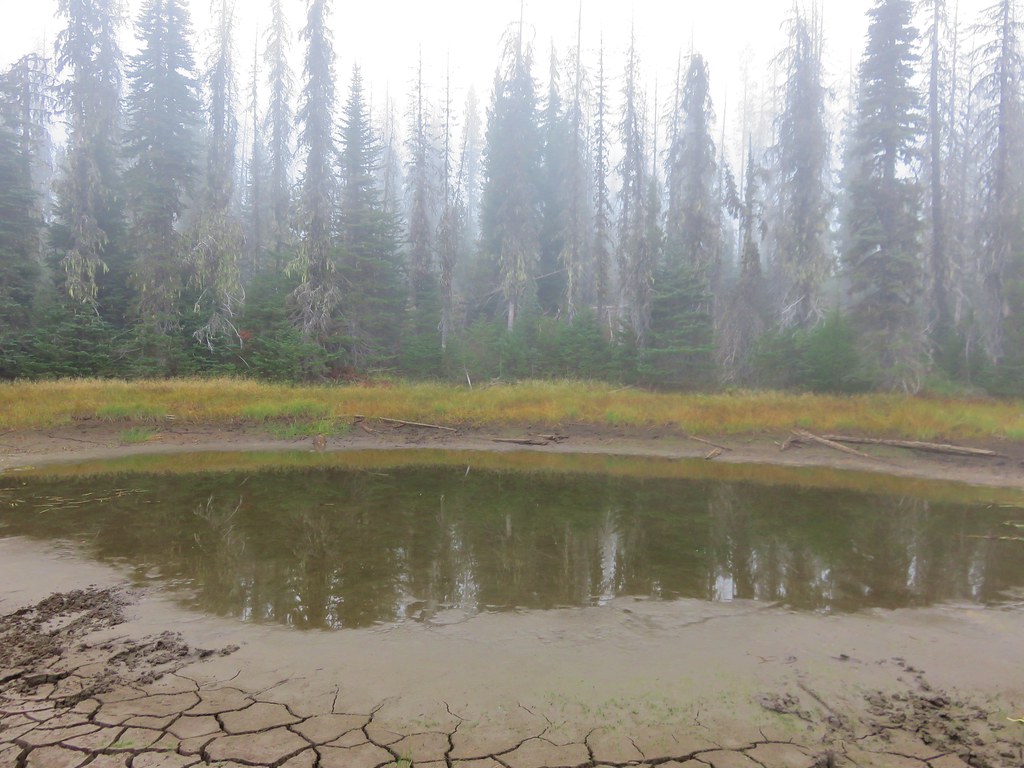
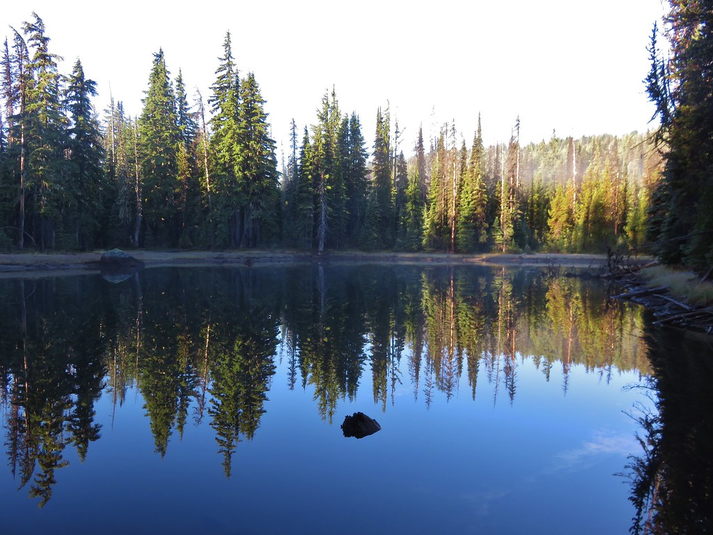
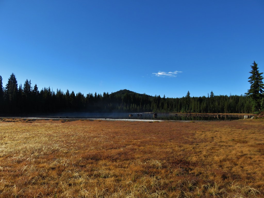
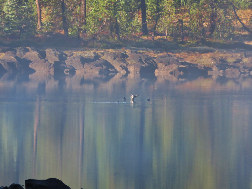
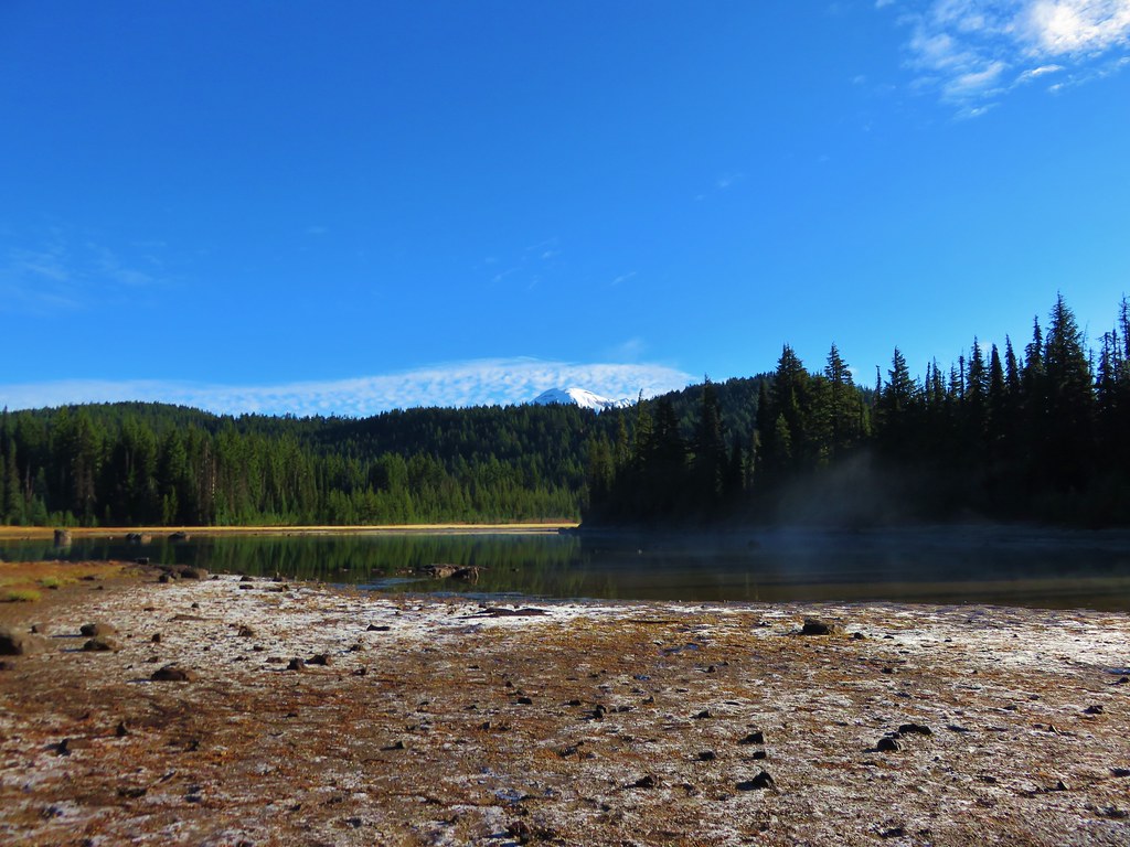
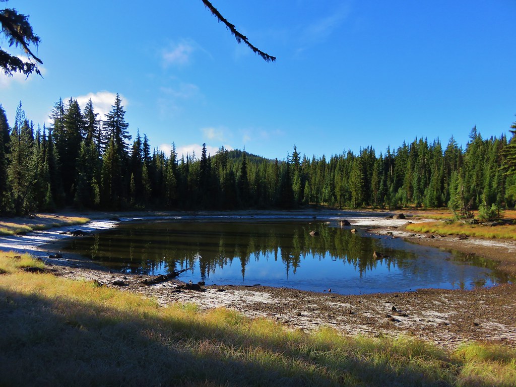
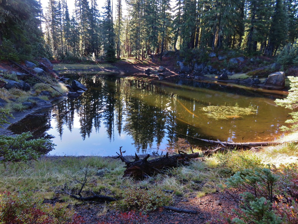
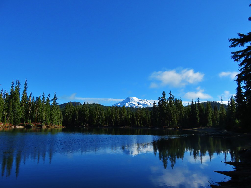
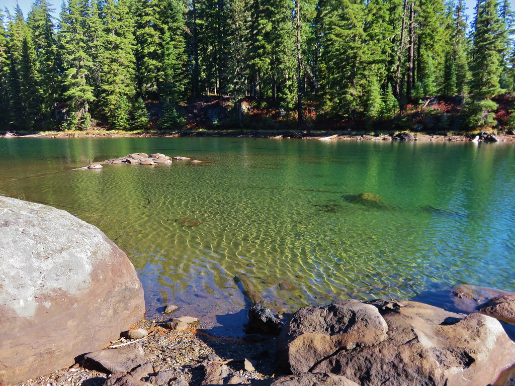
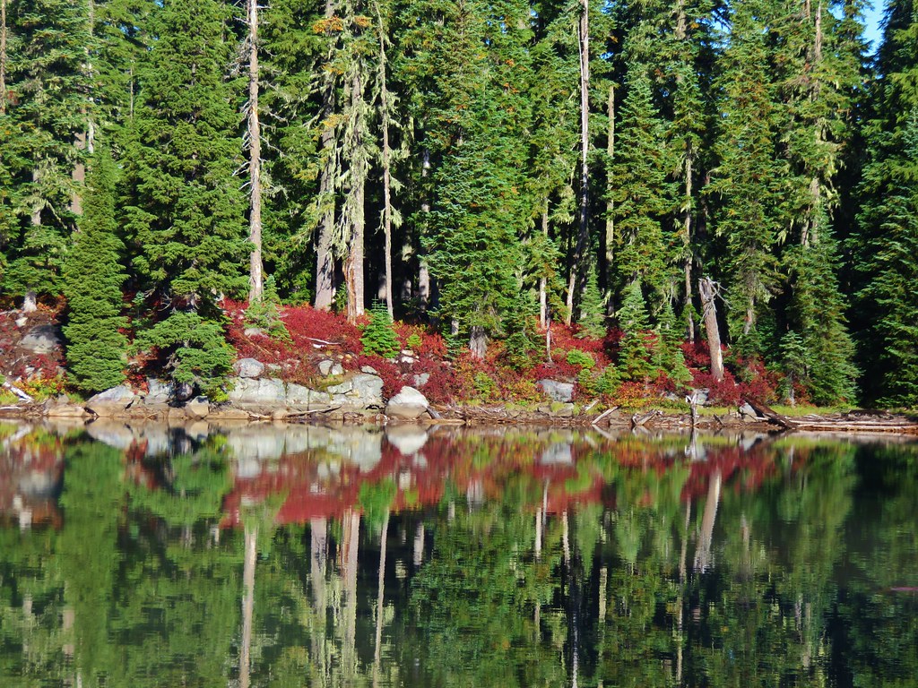
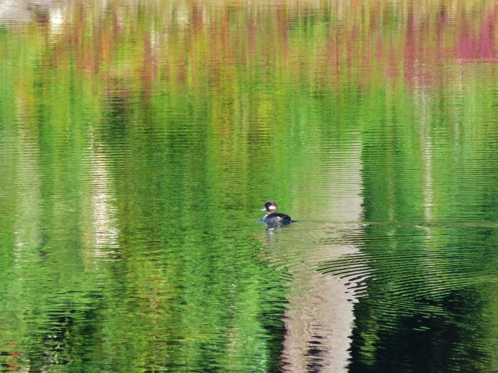
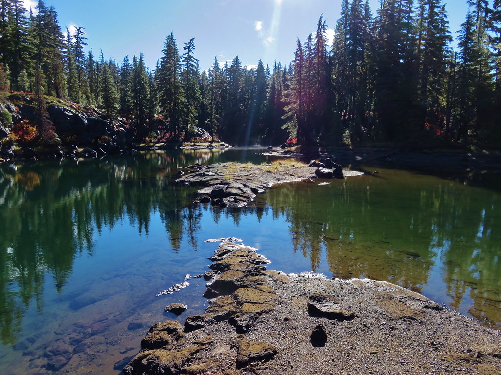
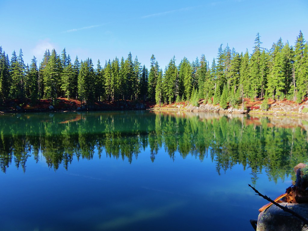
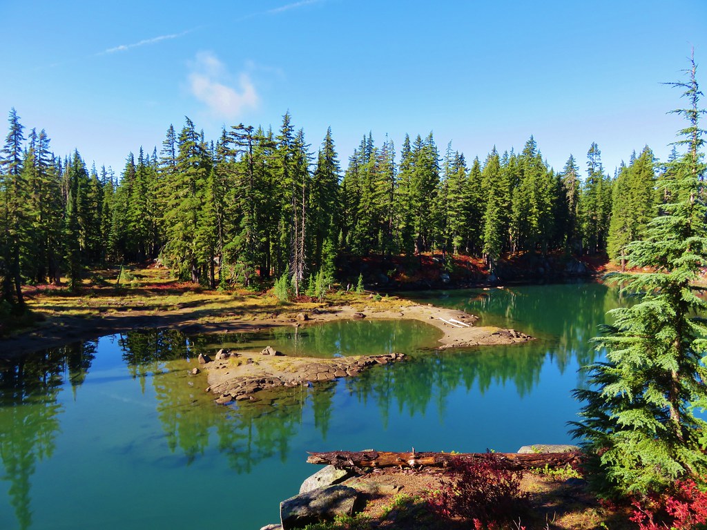
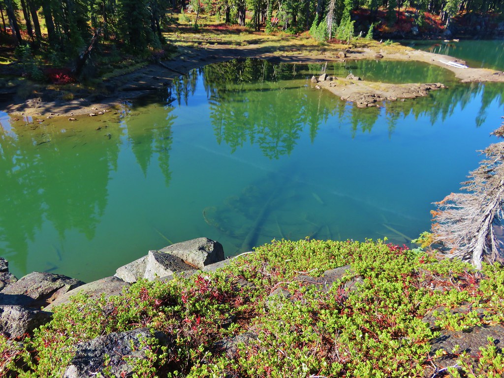
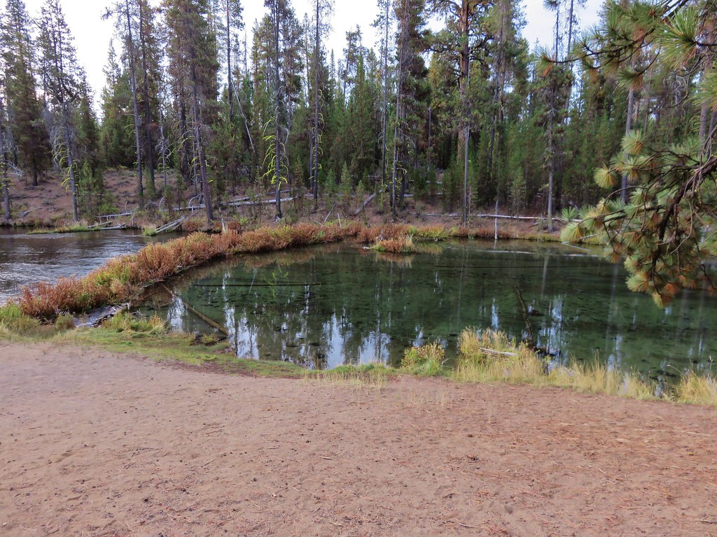
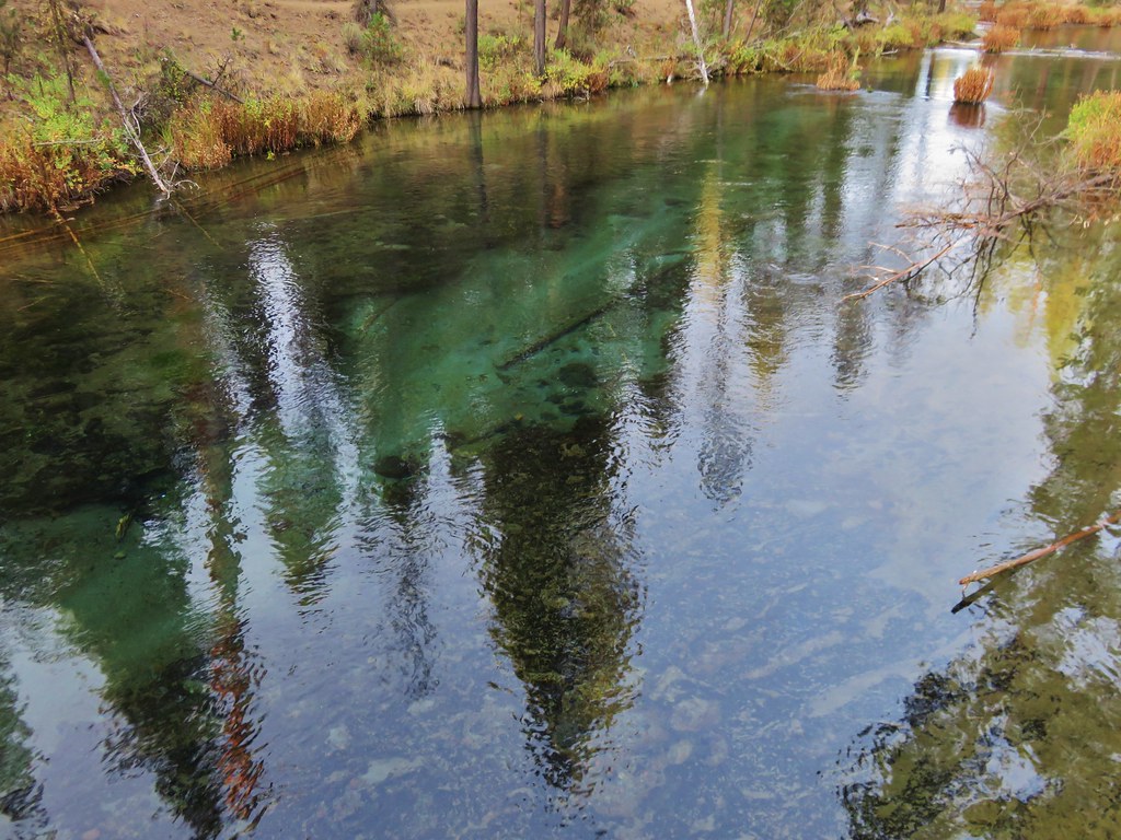
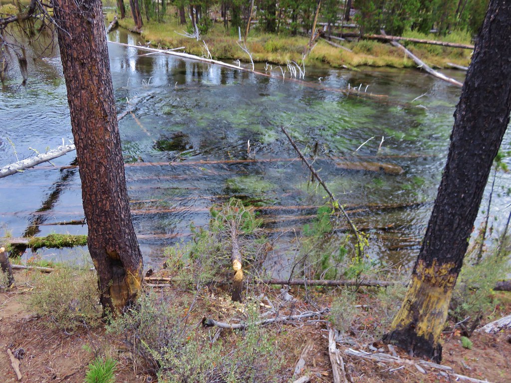
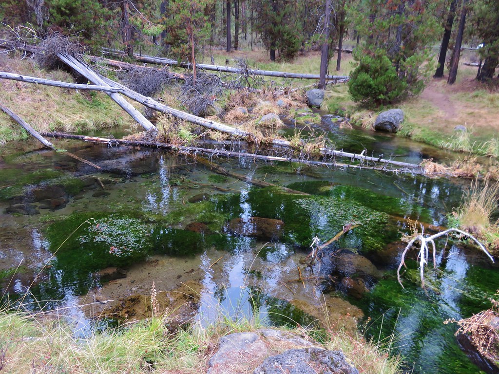
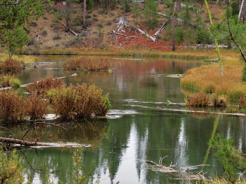
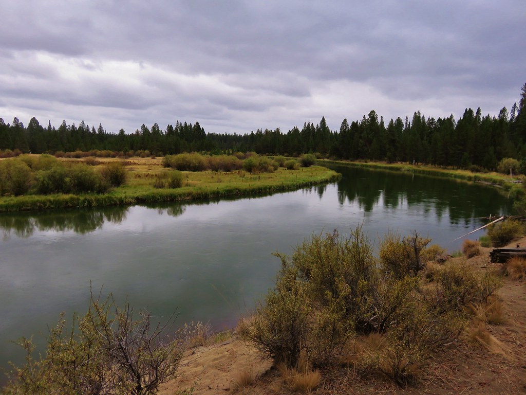
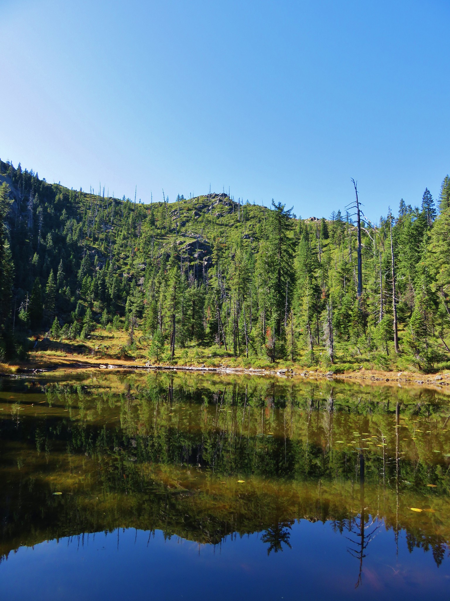
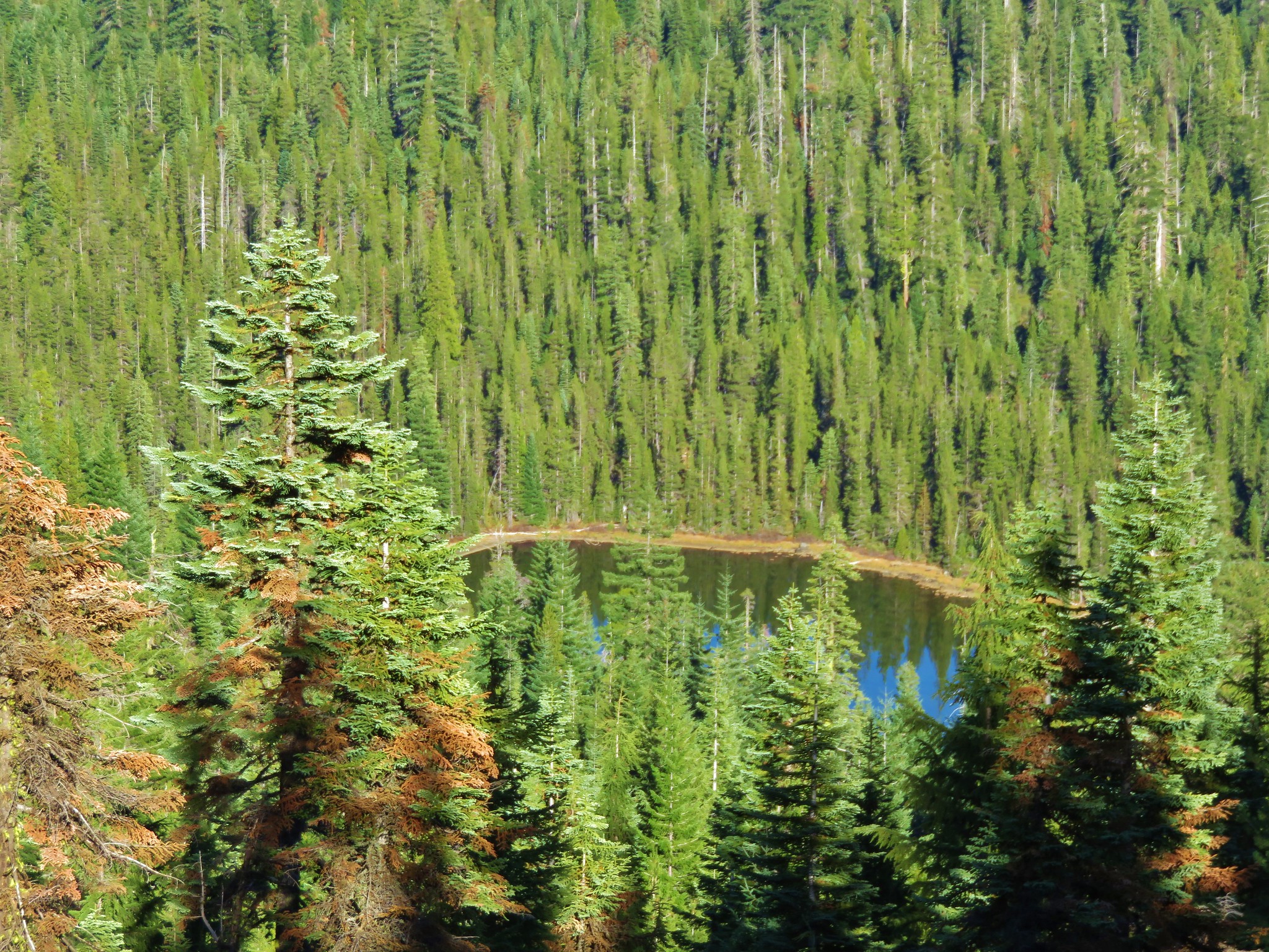
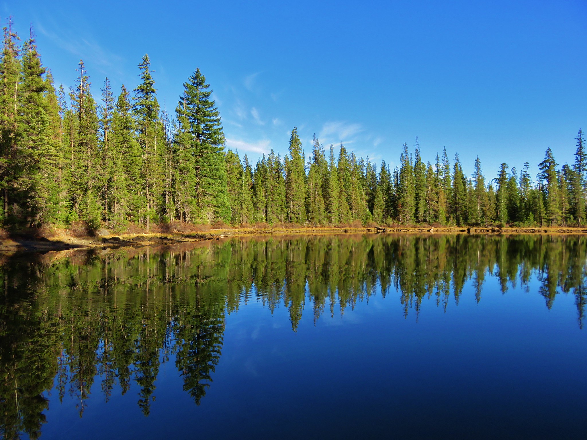
Two tenths of a mile beyond Sucker Gap we took a 100 yard side trail to our right and visited Cirque Lake.
 //embedr.flickr.com/assets/client-code.js
 //embedr.flickr.com/assets/client-code.js
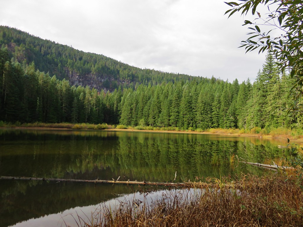
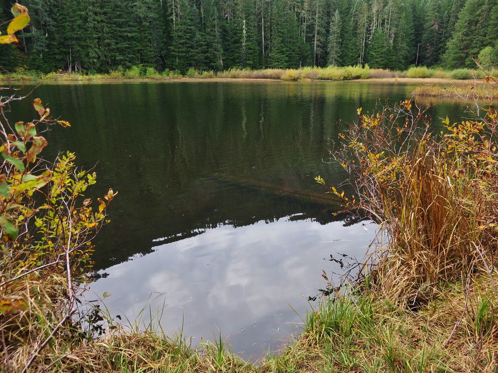
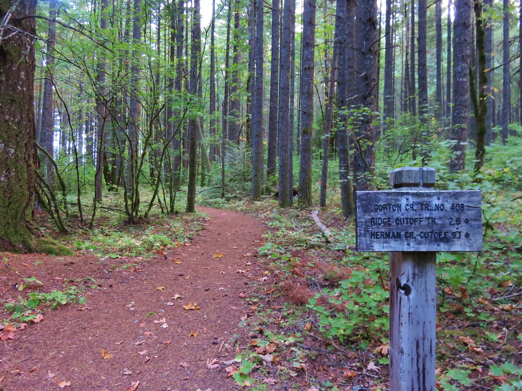
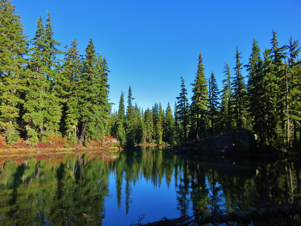
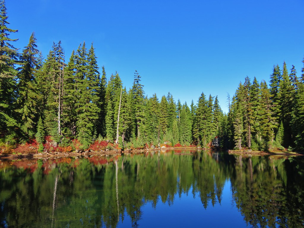
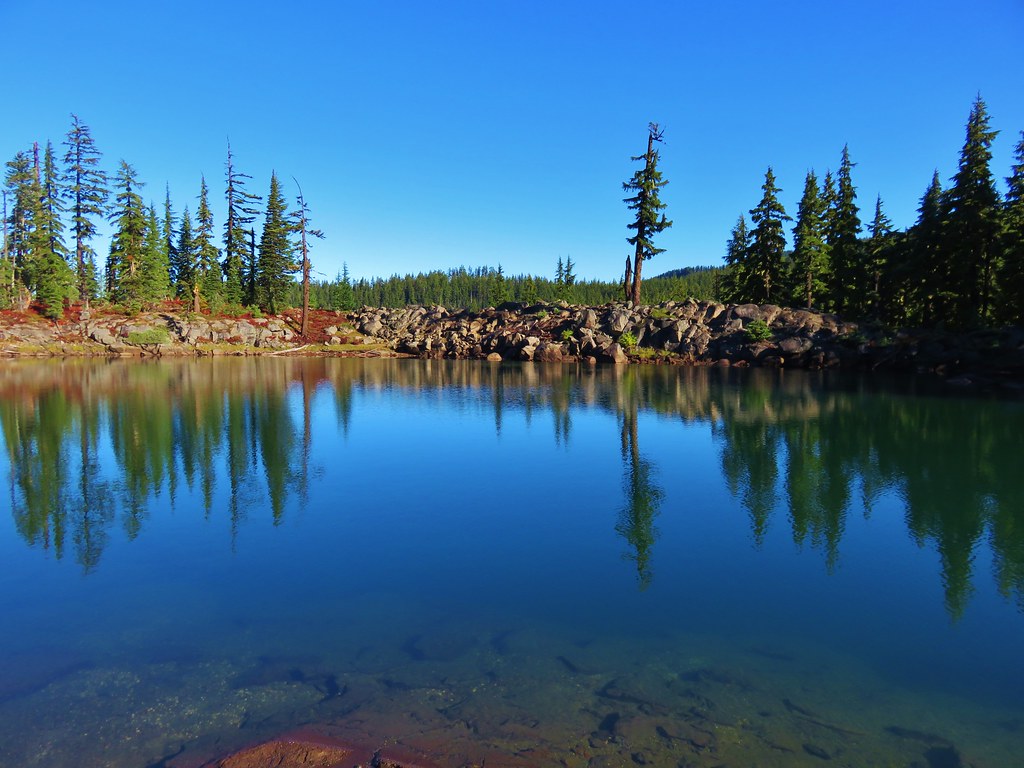
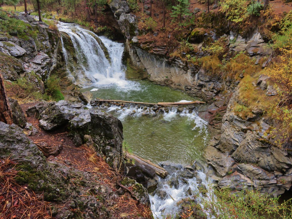
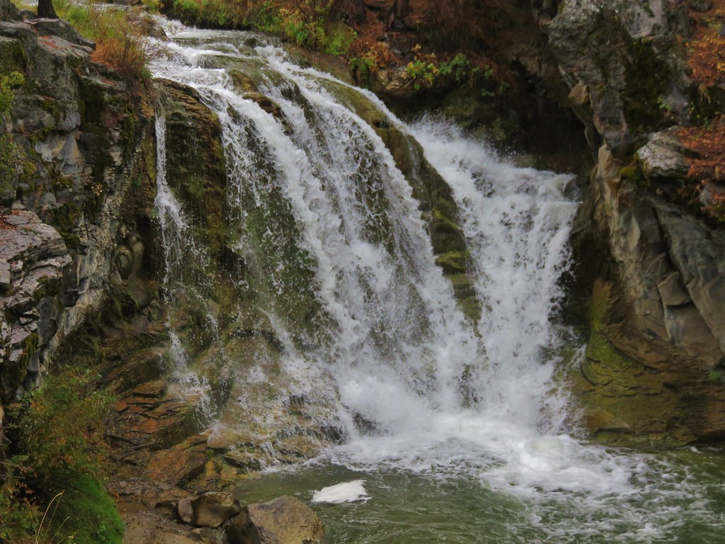
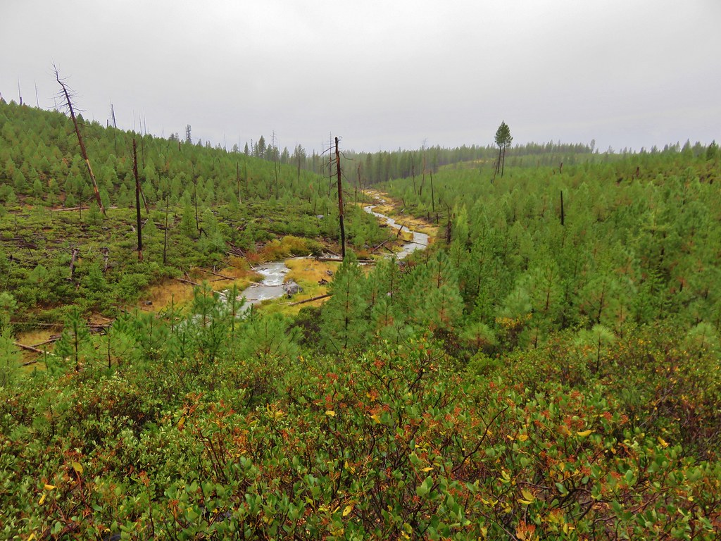
Beyond Cirque Lake the trail began a 2 mile descent to a trail junction where we would head back uphill on the far side of the valley to the Azalea Lake/Fir Glade Trail.
 //embedr.flickr.com/assets/client-code.js
 //embedr.flickr.com/assets/client-code.js
 //embedr.flickr.com/assets/client-code.js
 //embedr.flickr.com/assets/client-code.js
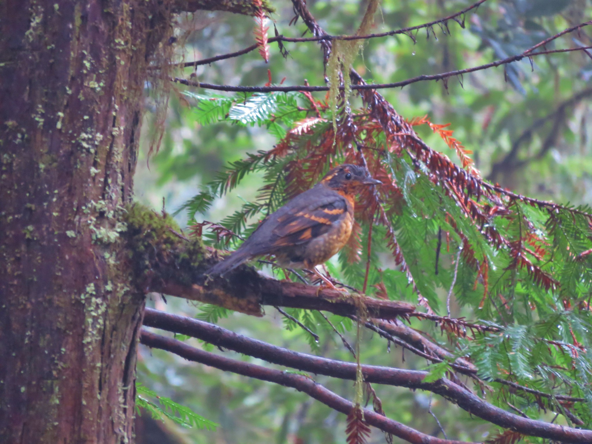
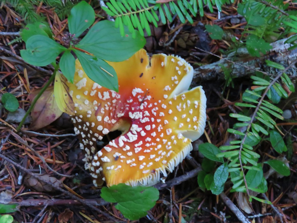
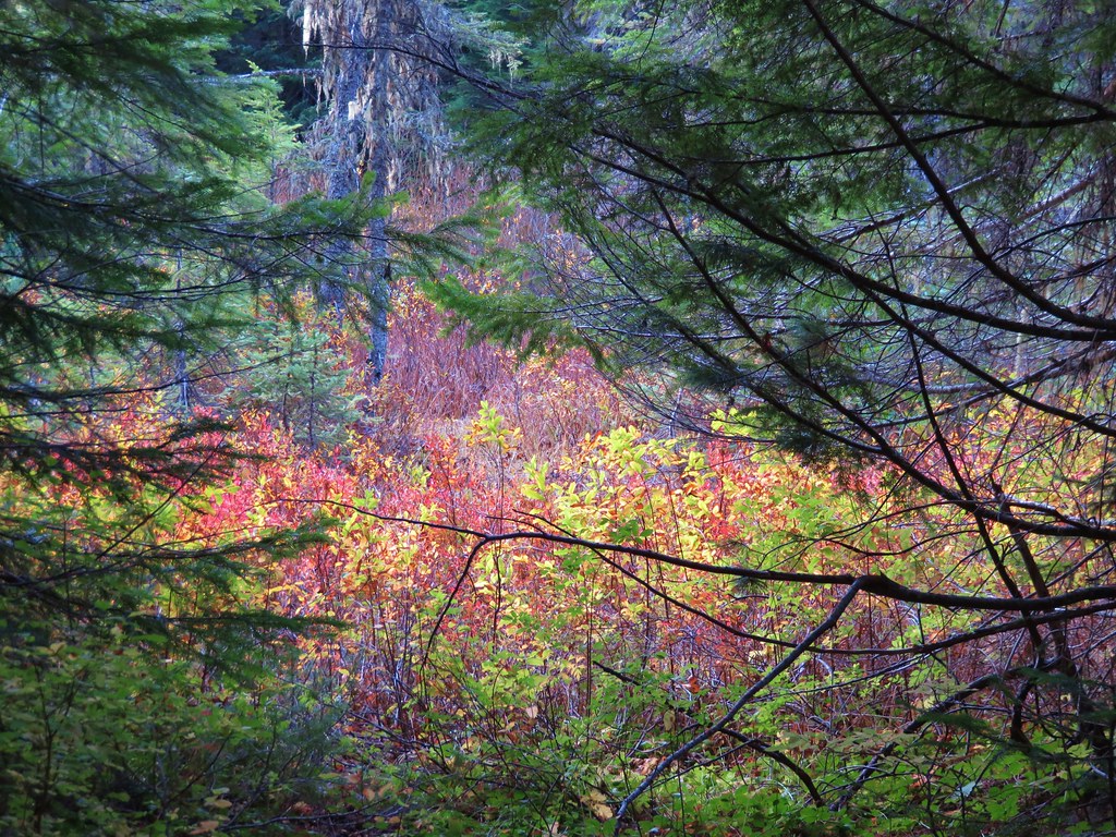
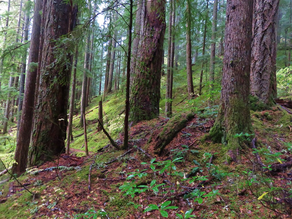
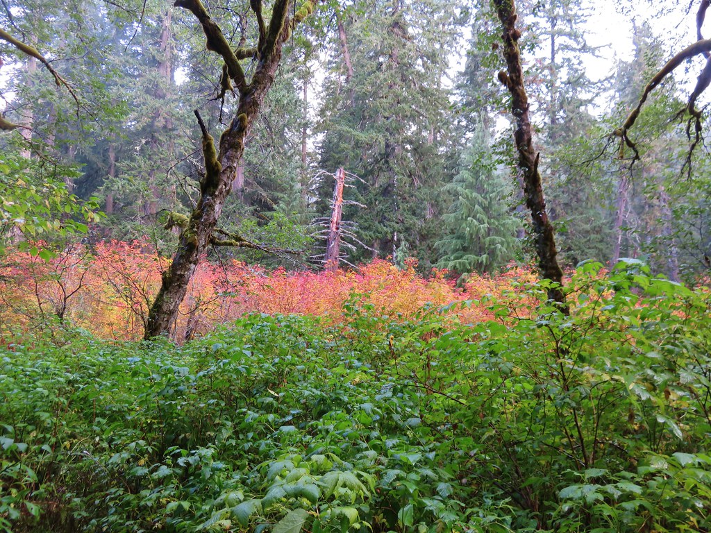
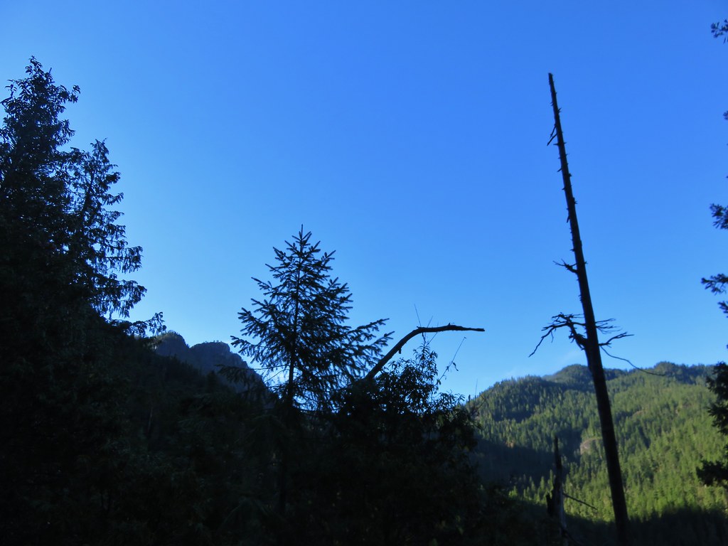
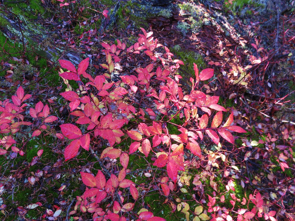
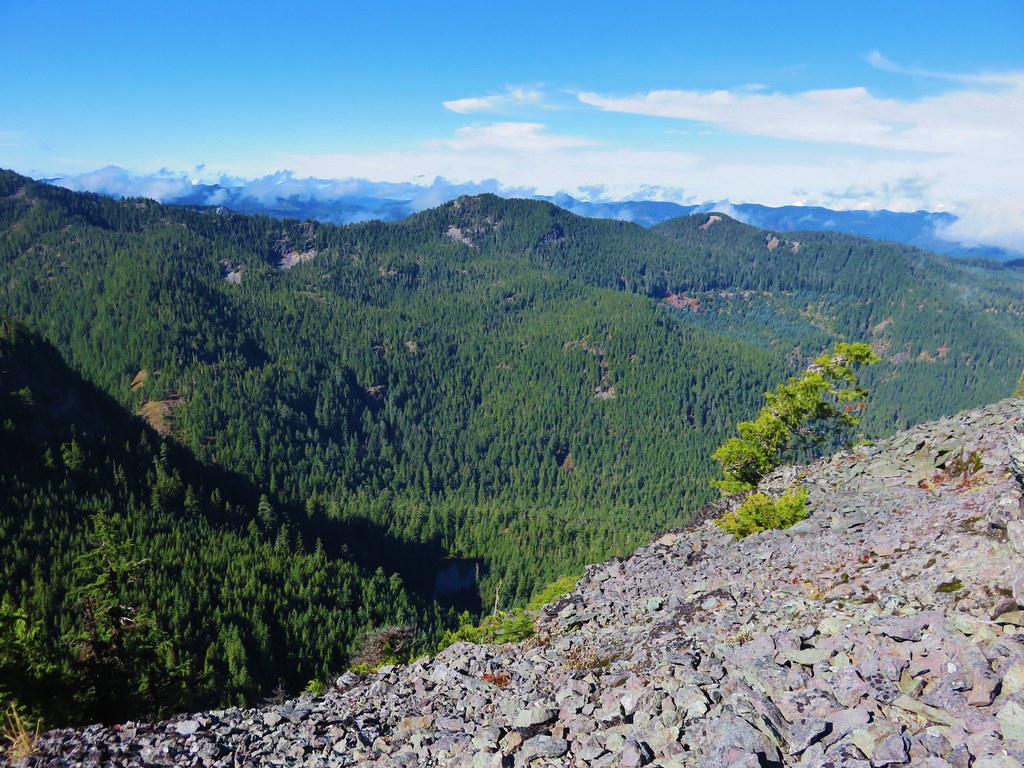
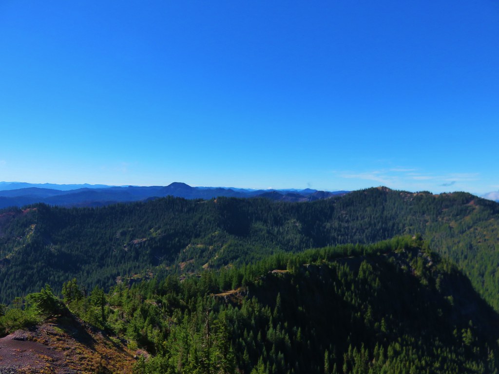
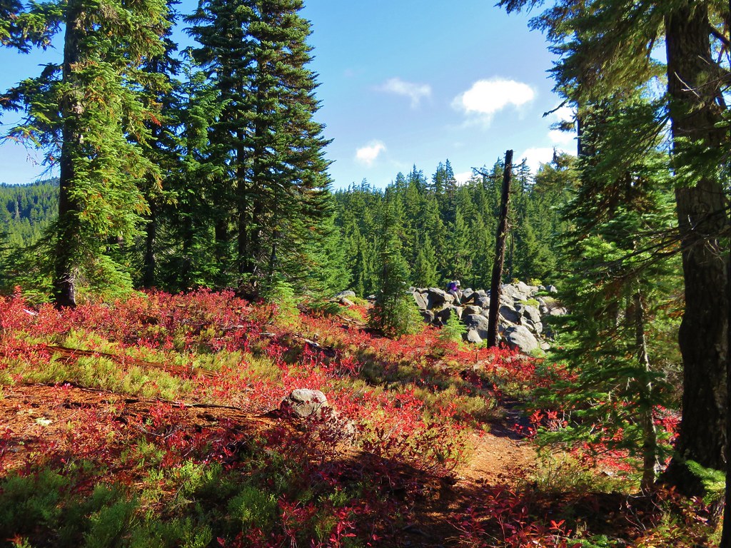
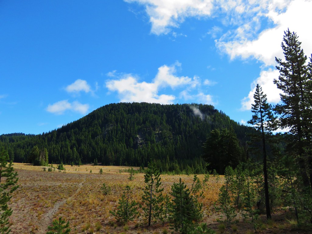
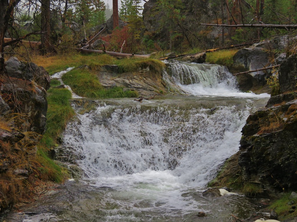
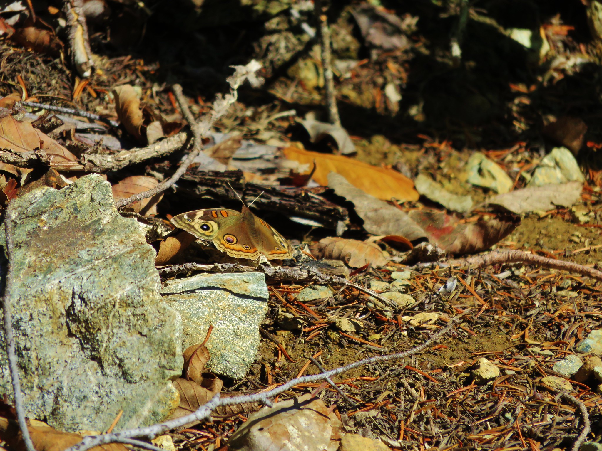
We climbed back up out of the valley only to once again begin descending down the opposite side of a ridge. The vegetation was vastly different on this side of the ridge with plenty of manzanita bushes making up the majority of the underbrush.
 //embedr.flickr.com/assets/client-code.js
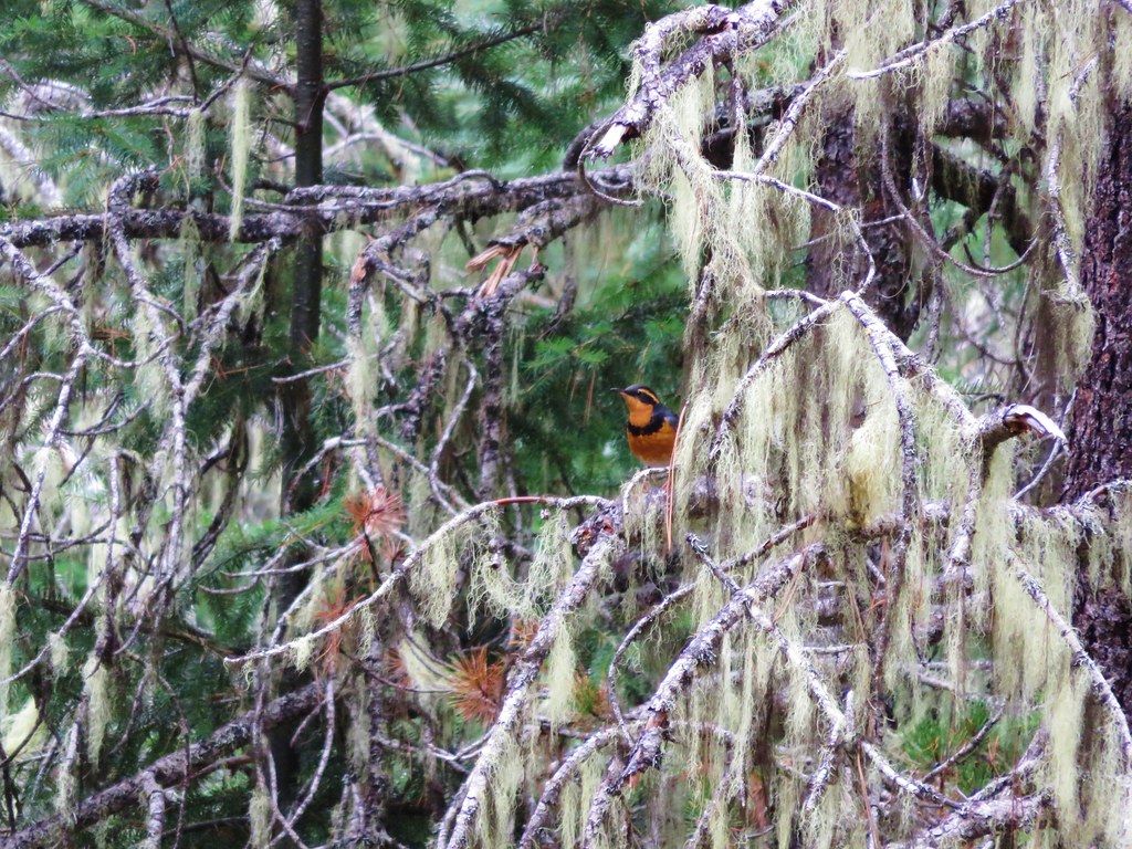
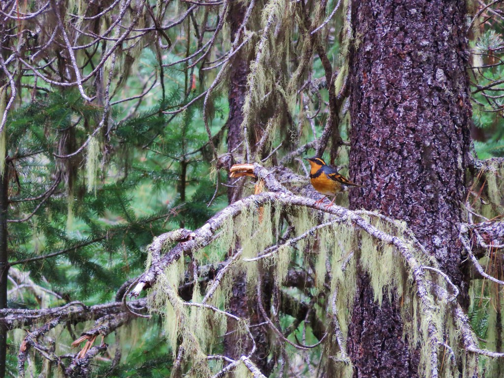
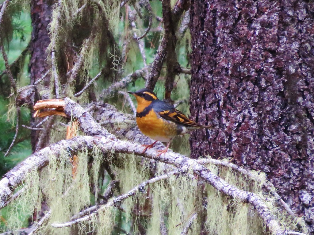
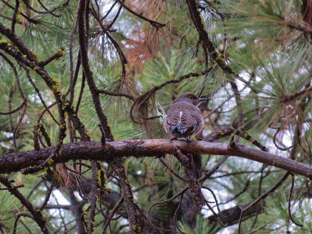
We even spotted a butterfly in the area.
 //embedr.flickr.com/assets/client-code.js
We switchbacked downhill for a bit before reaching the junction with the Azalea Lake/Fir Glade Trail where we again took a right.
 //embedr.flickr.com/assets/client-code.js
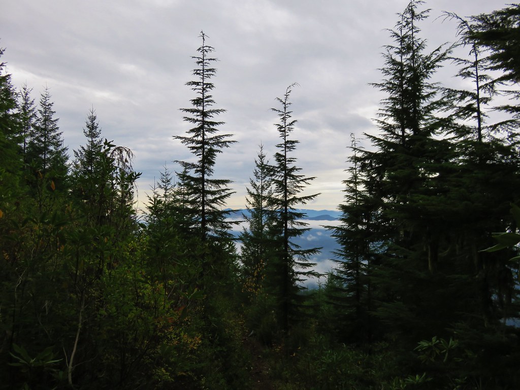
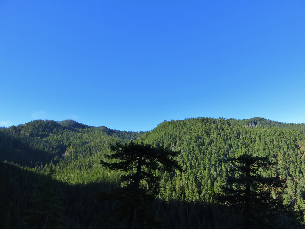
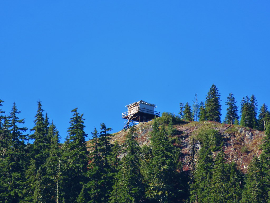
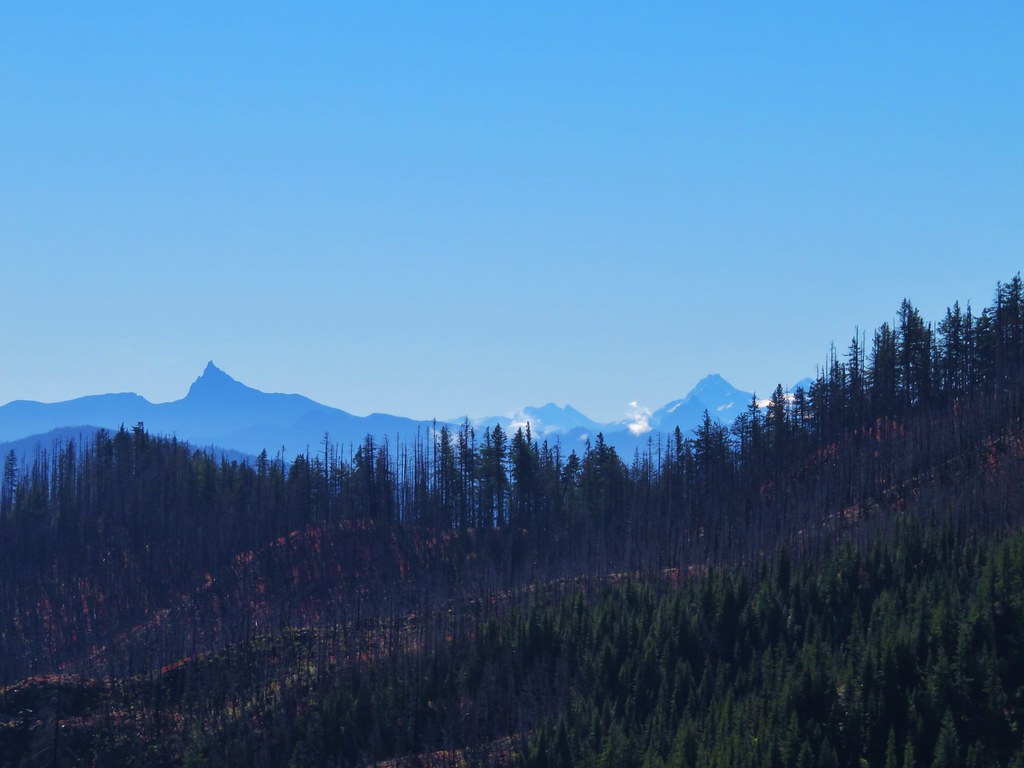
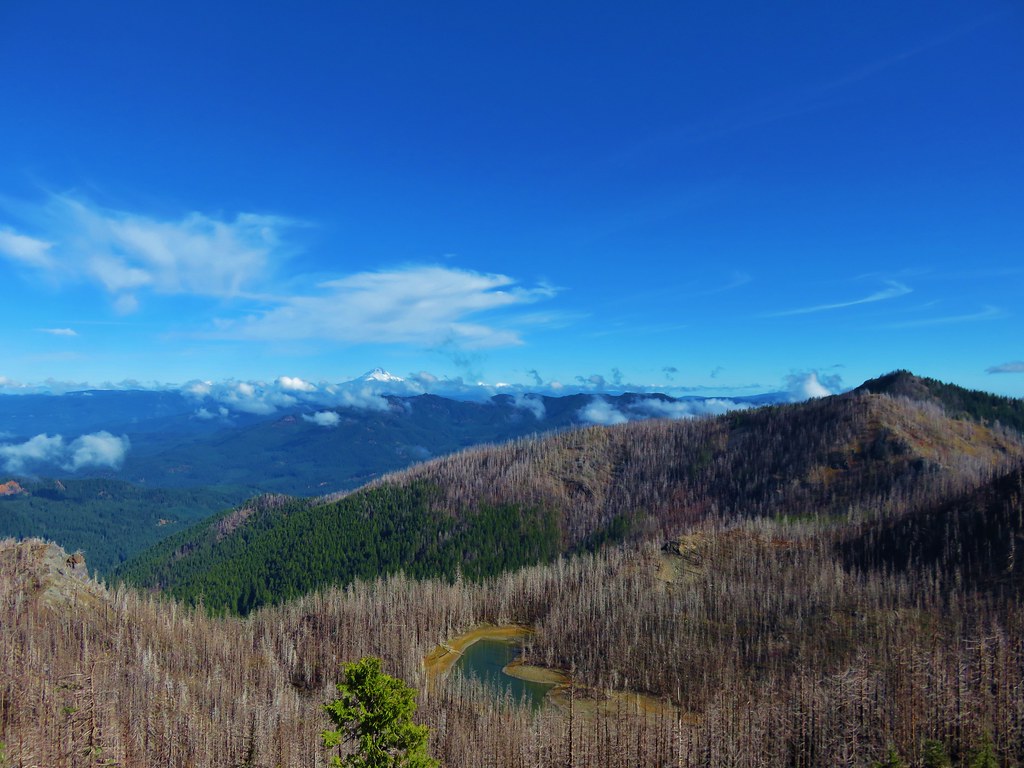
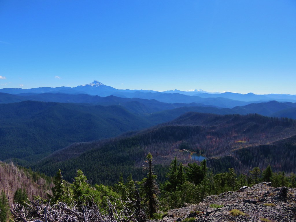
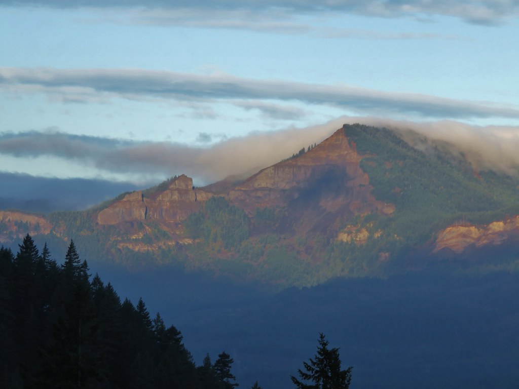
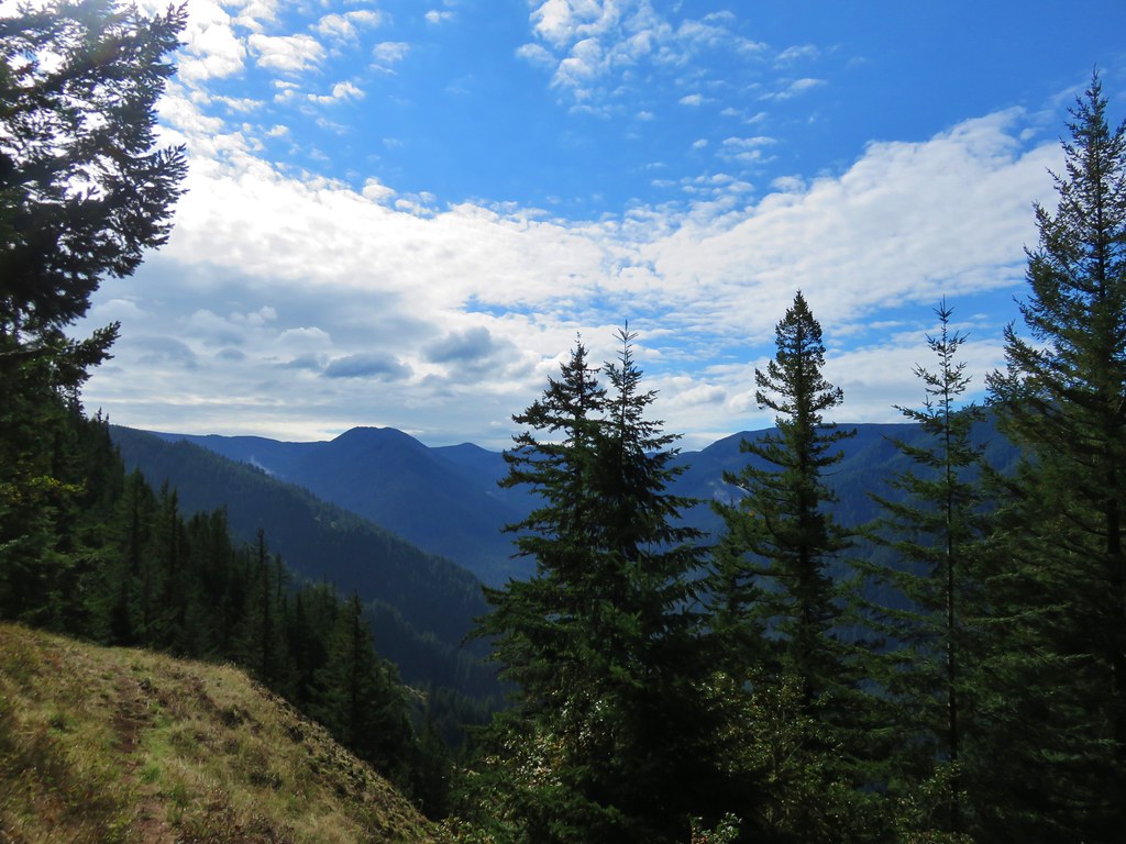
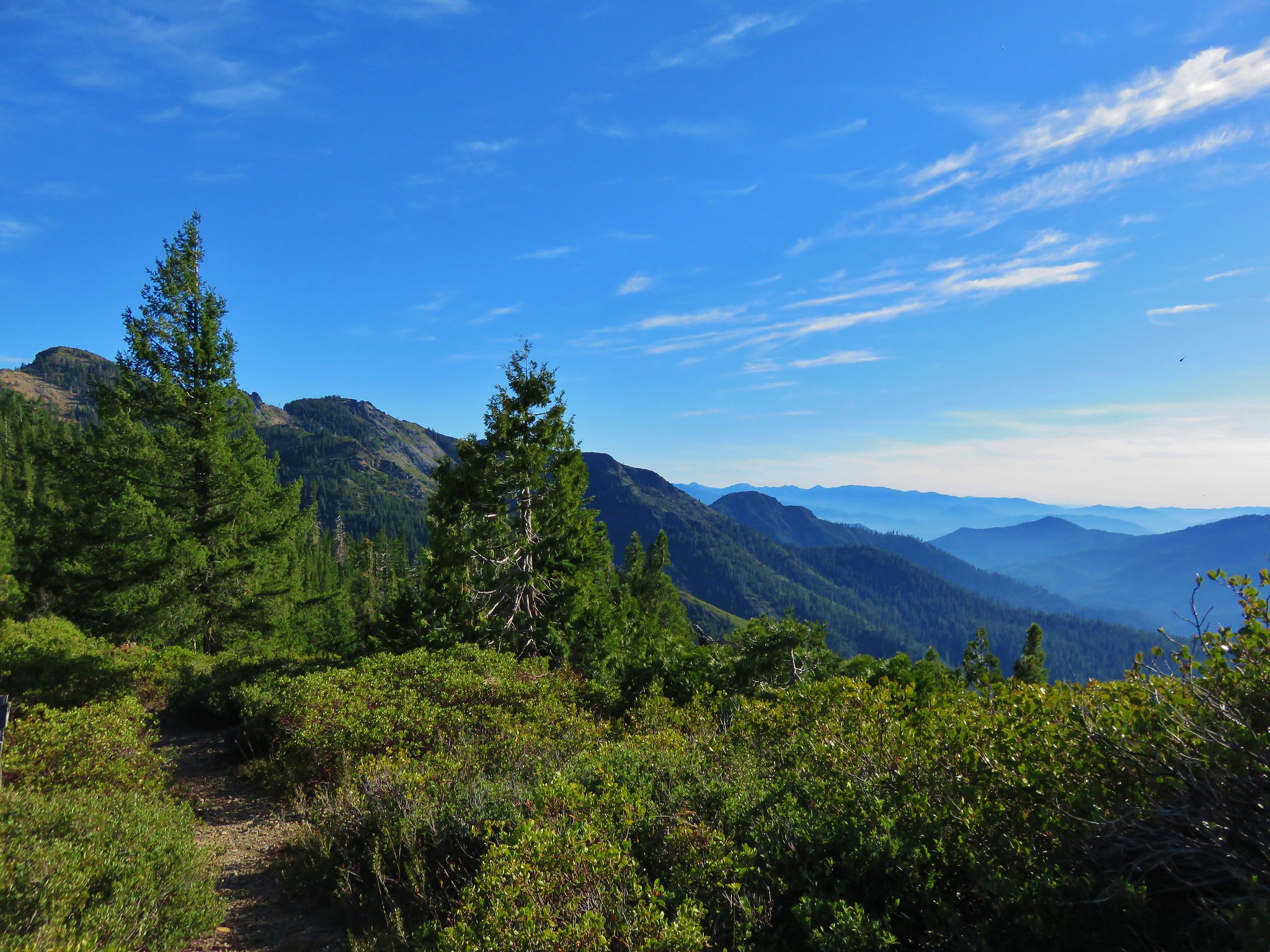
The Azalea Lake Trail climbed to a pass with some great views above Phantom Meadows.
 //embedr.flickr.com/assets/client-code.js
 //embedr.flickr.com/assets/client-code.js
 //embedr.flickr.com/assets/client-code.js
 //embedr.flickr.com/assets/client-code.js
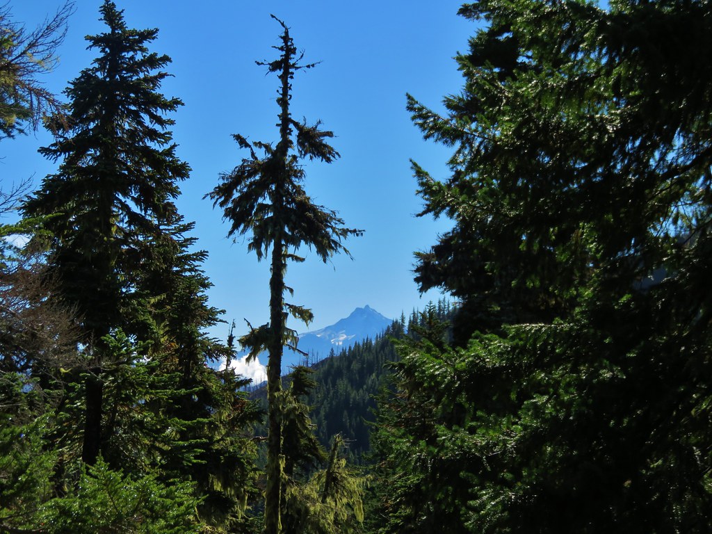
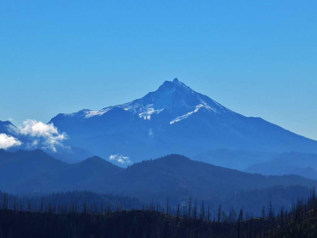
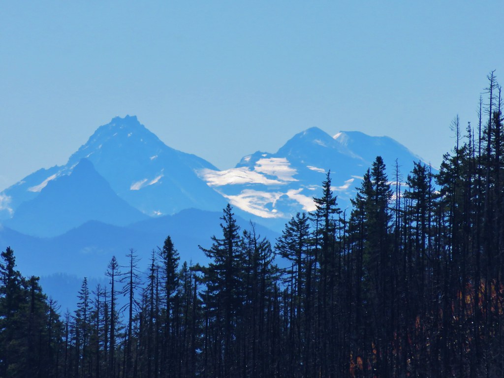
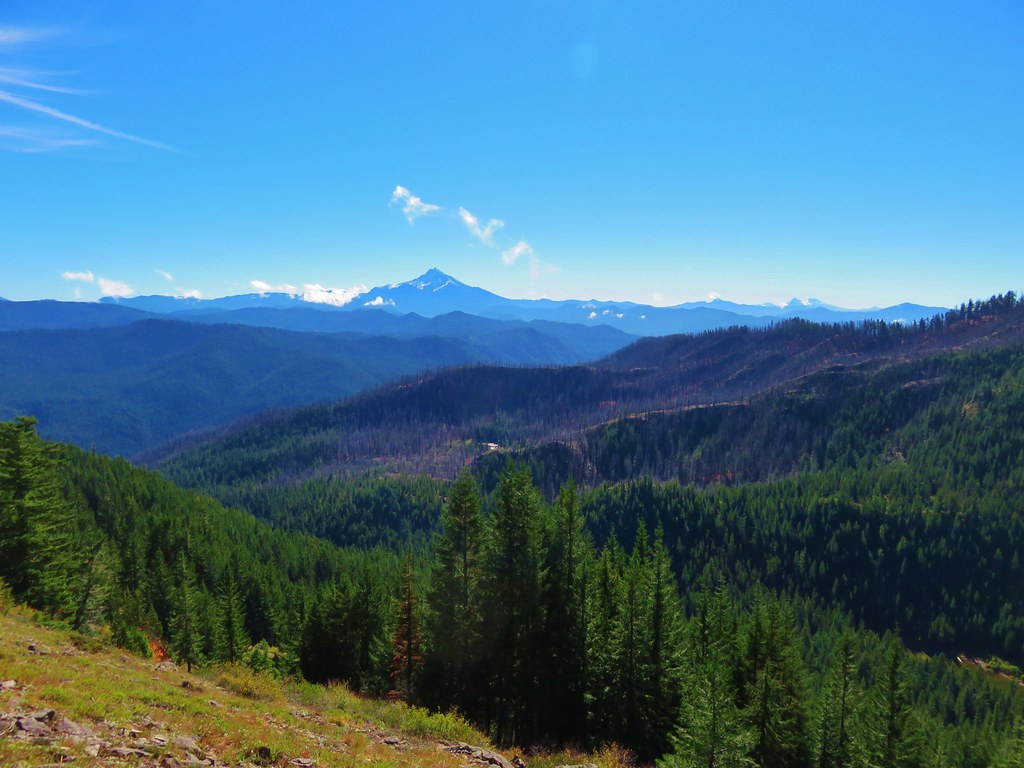
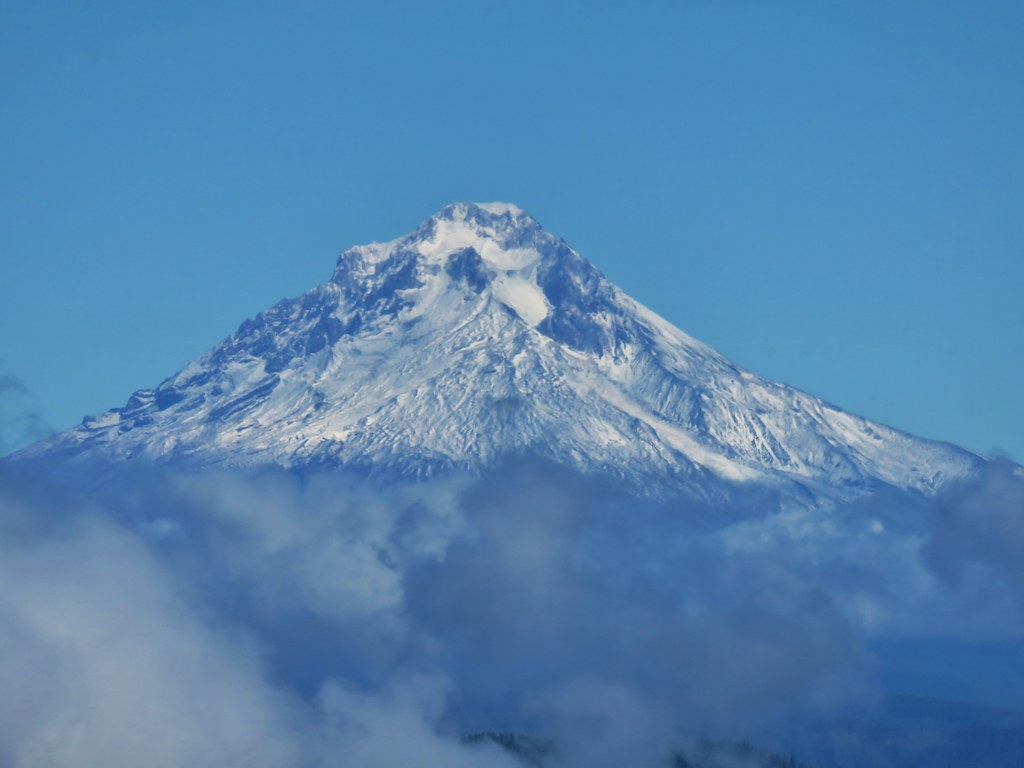
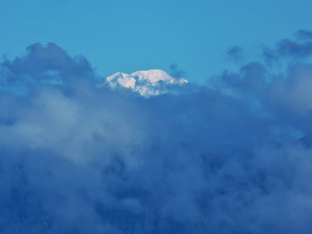
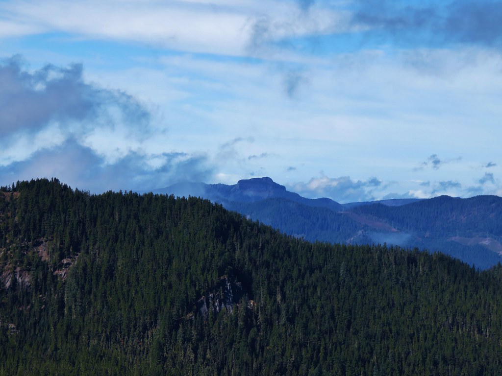
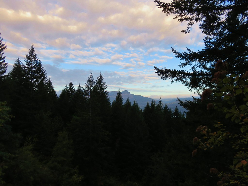
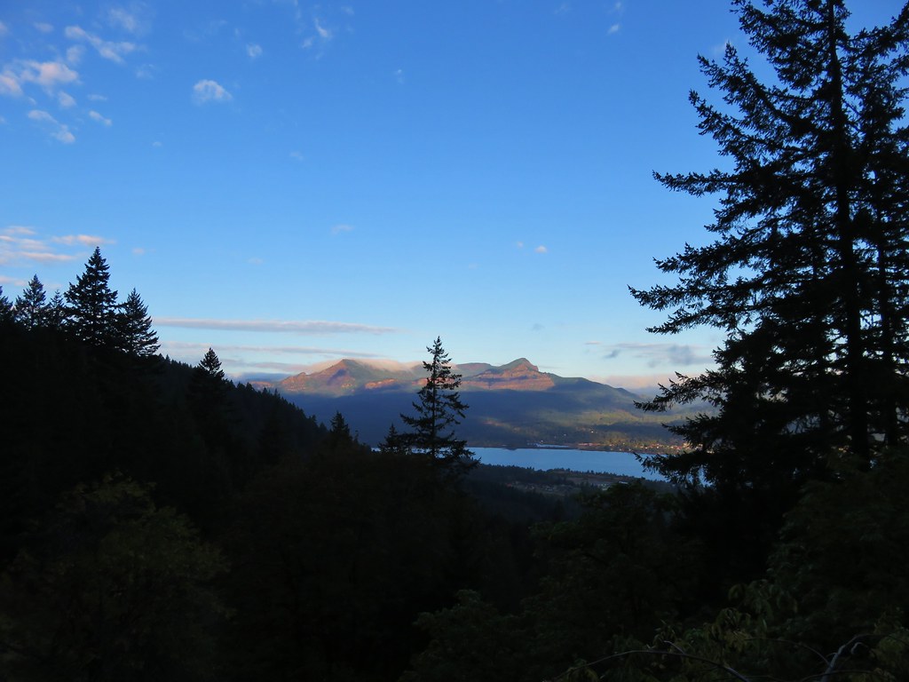
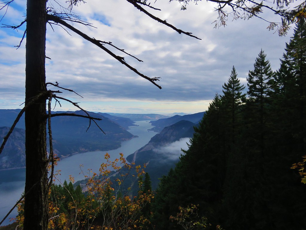
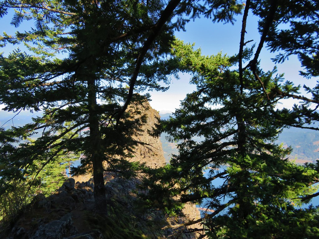
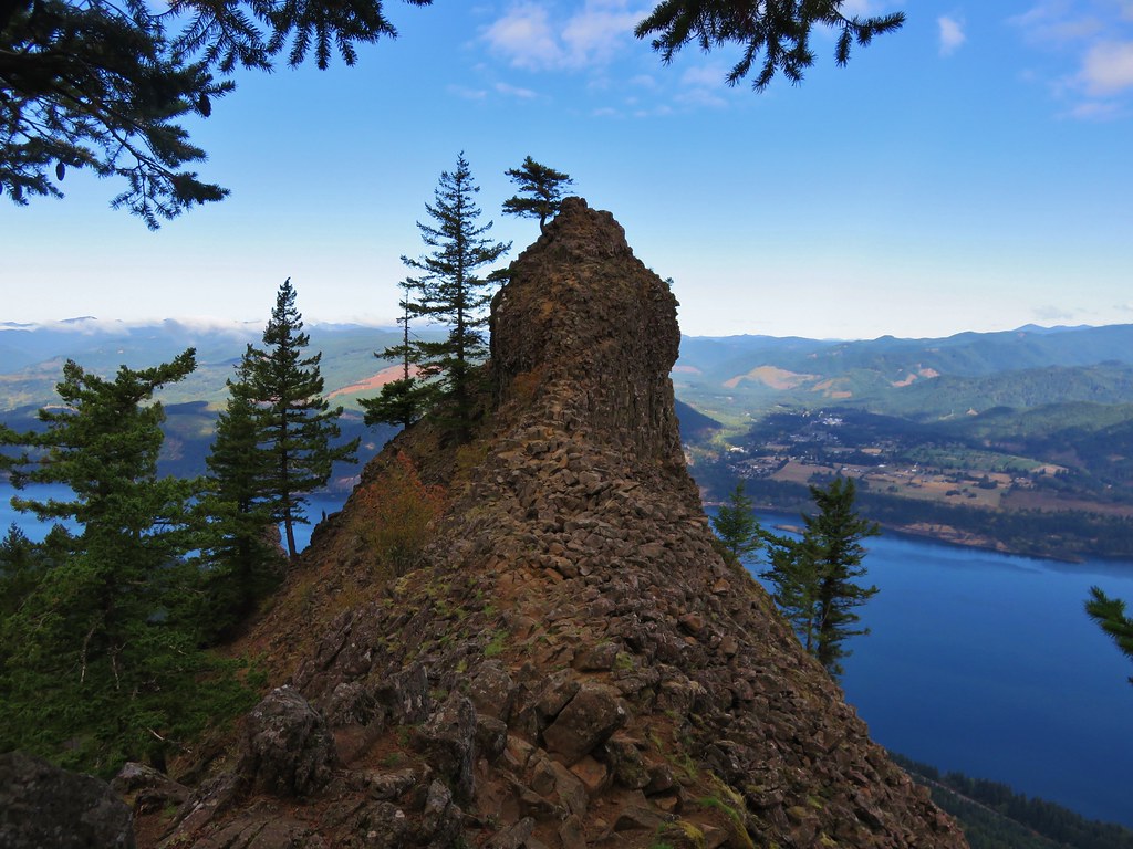
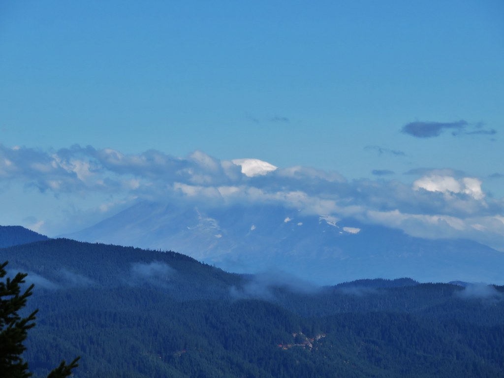
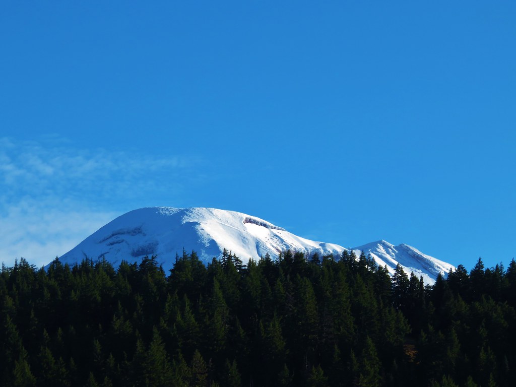
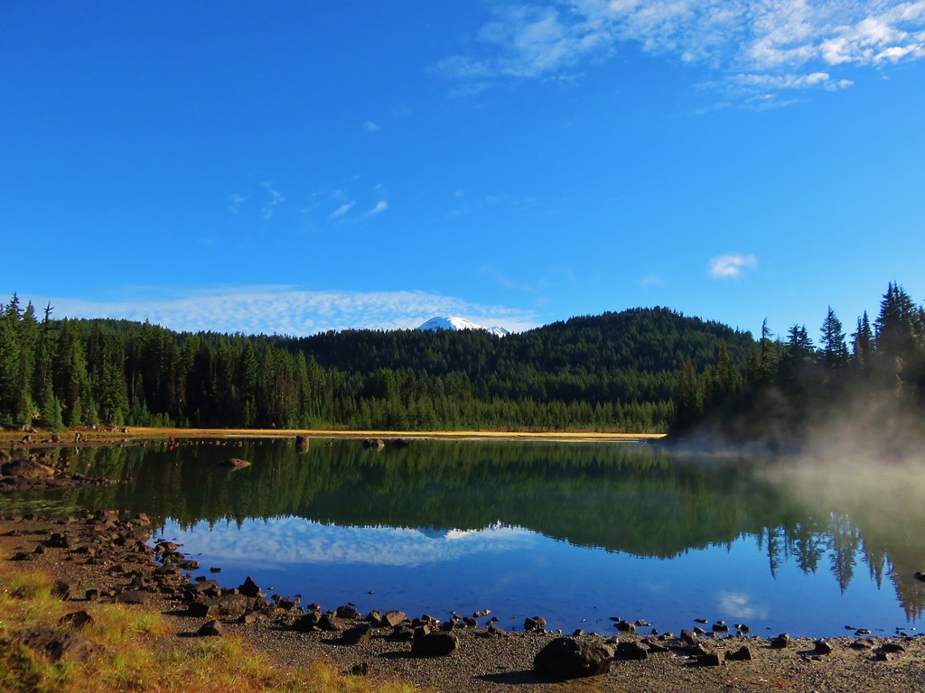
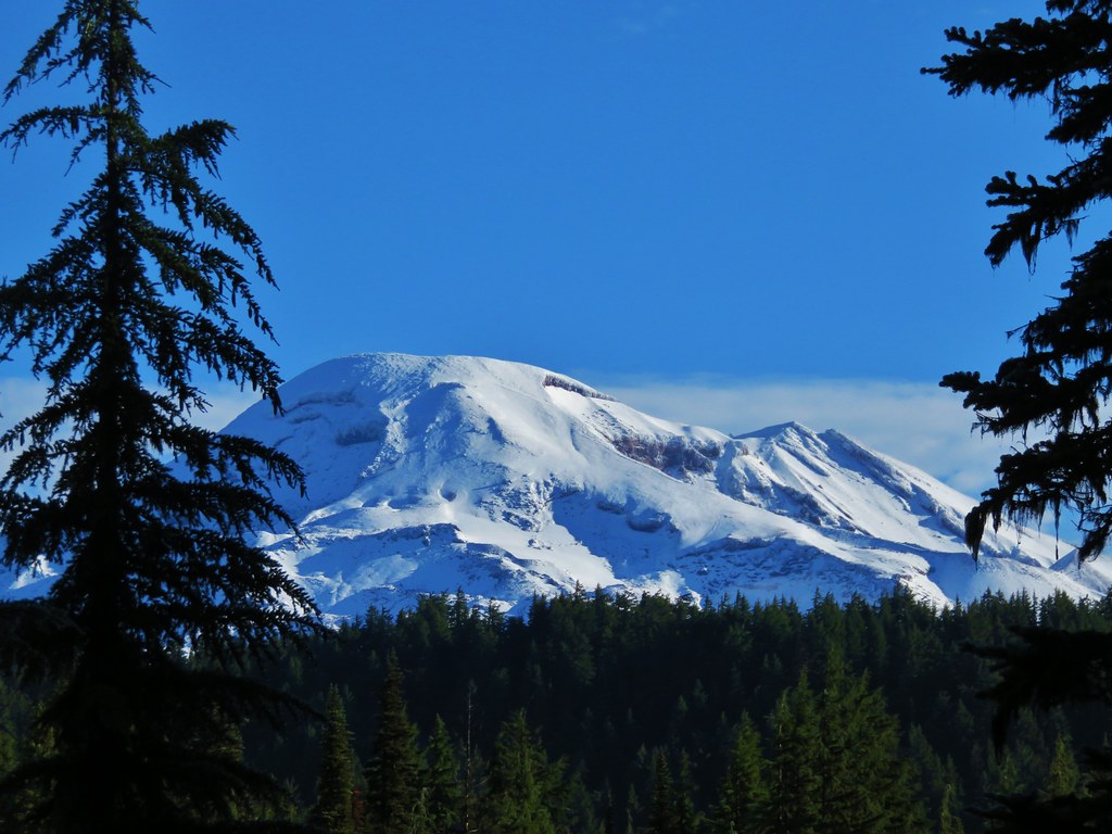
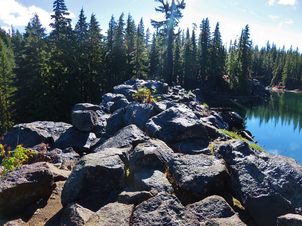
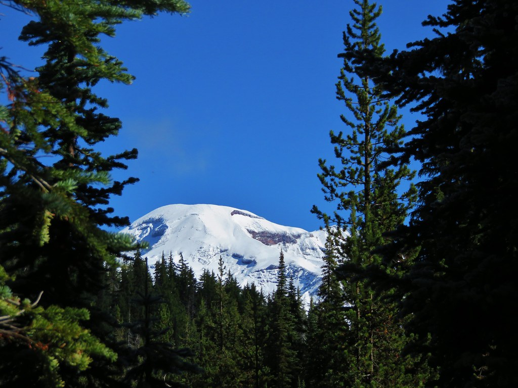
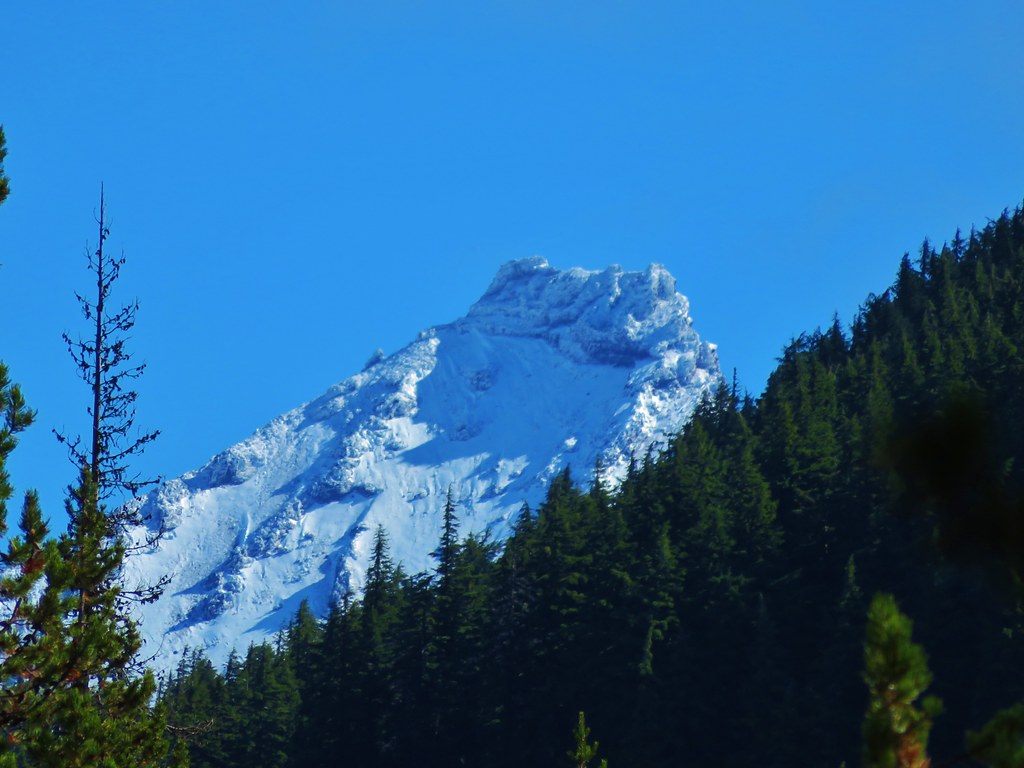
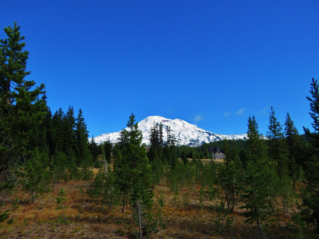
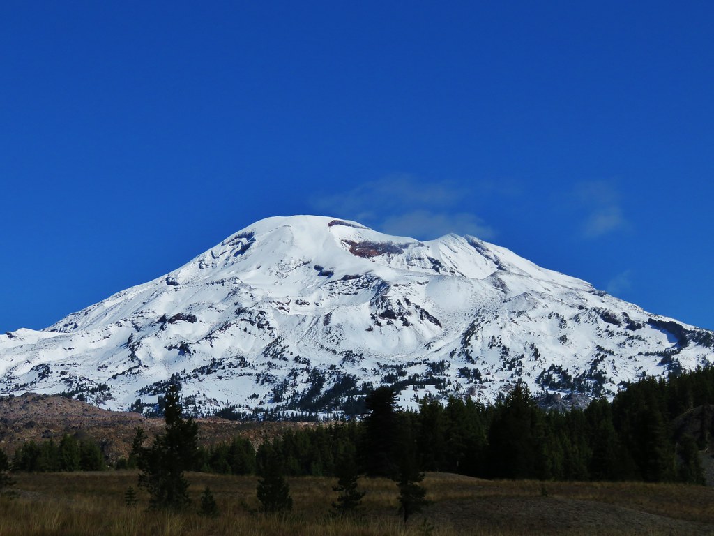
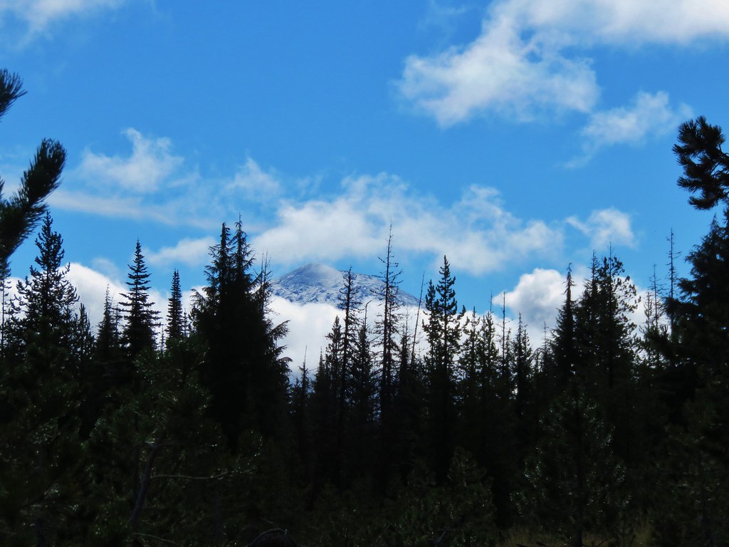
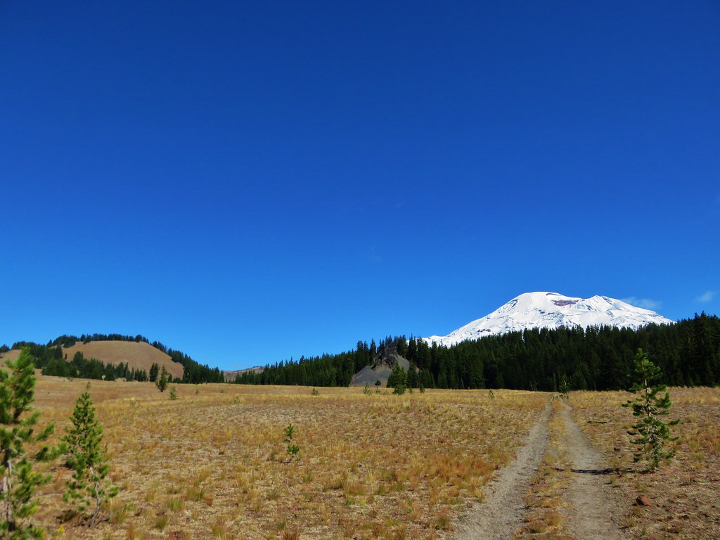
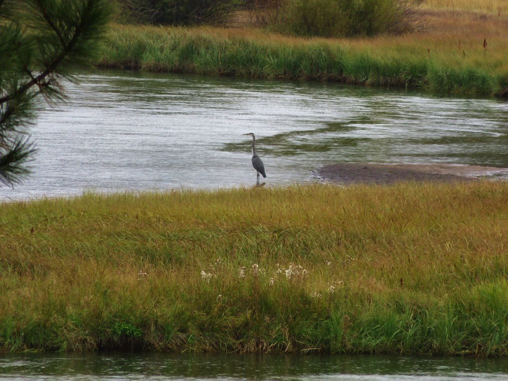
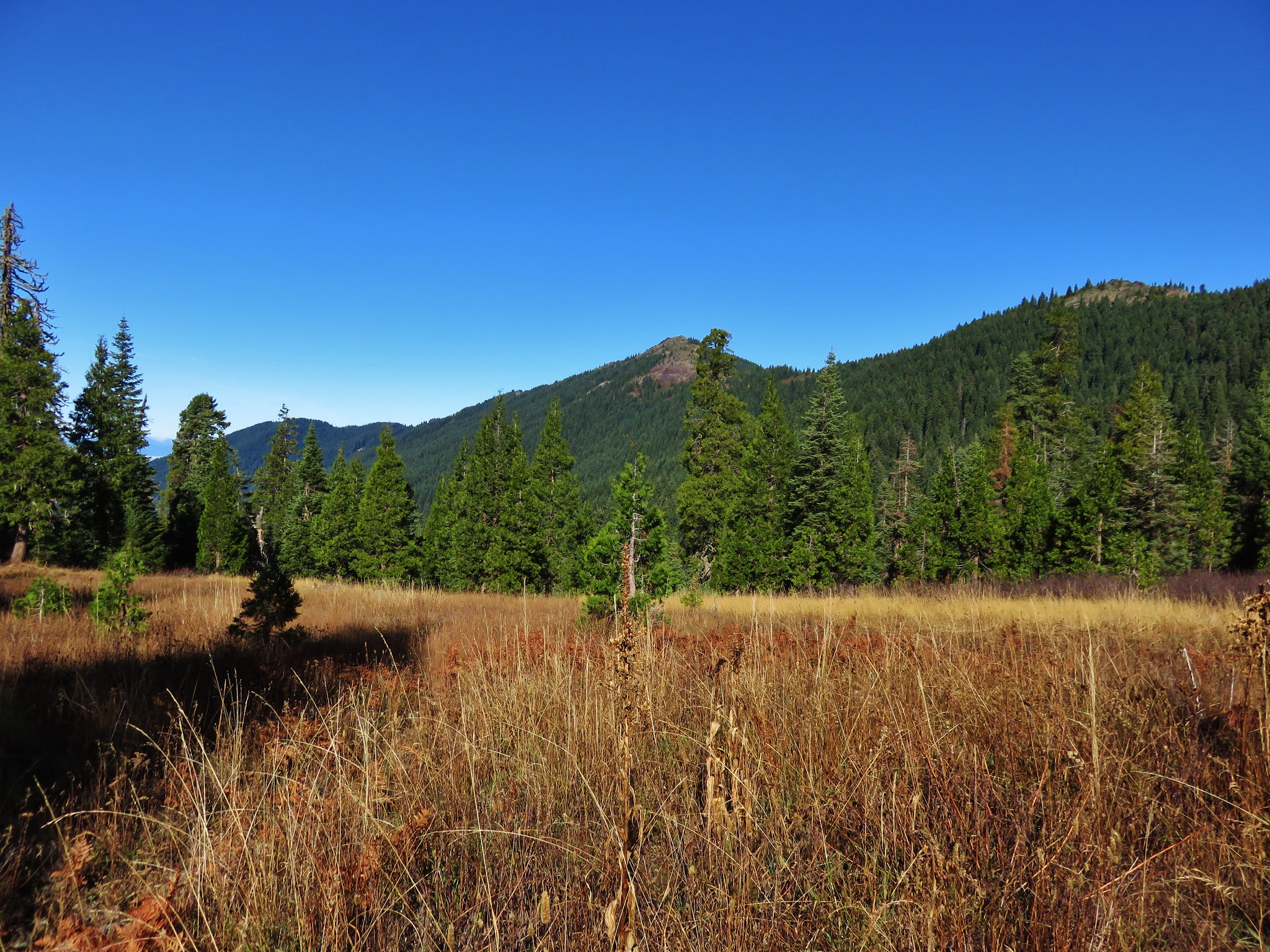
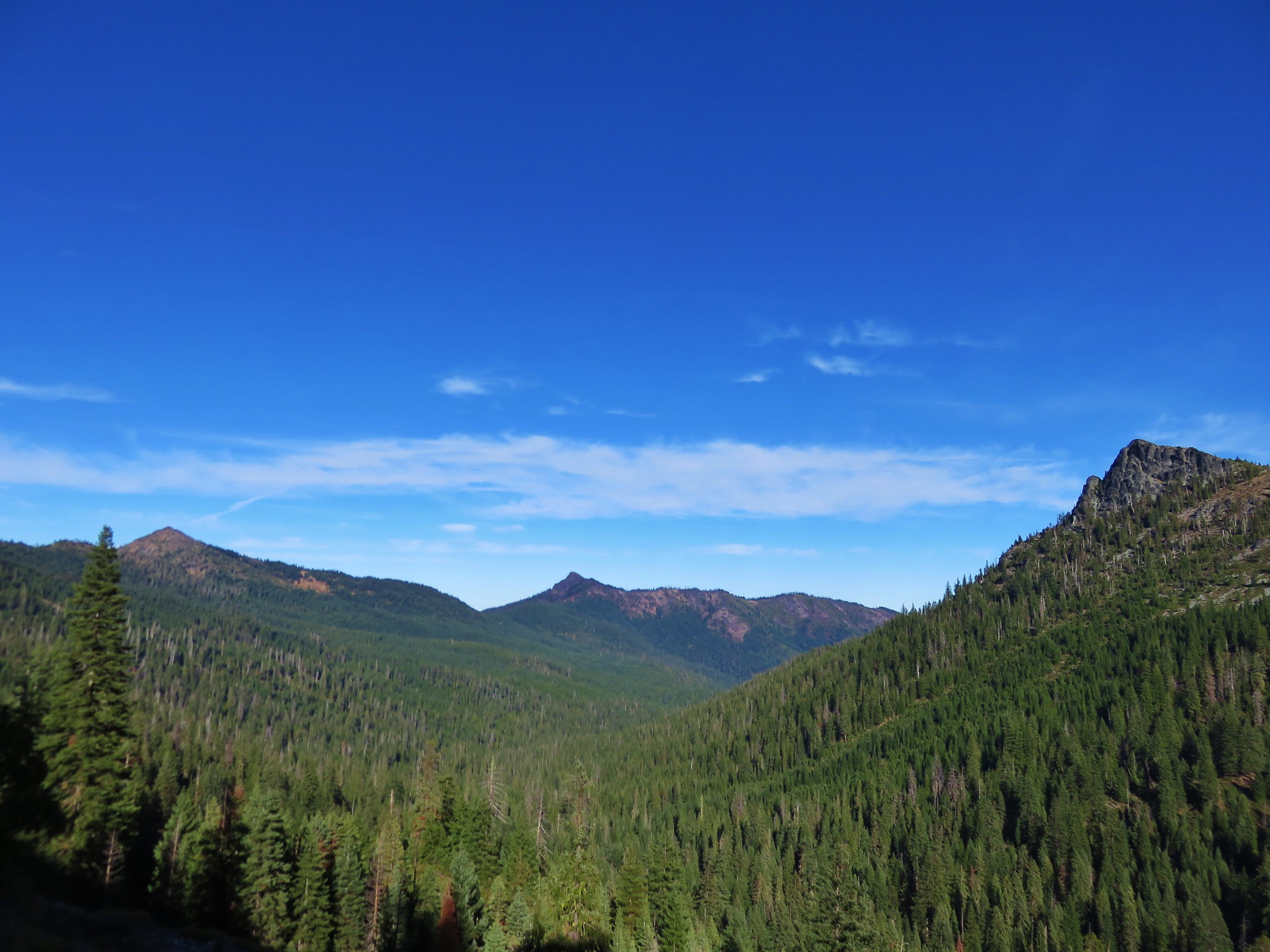
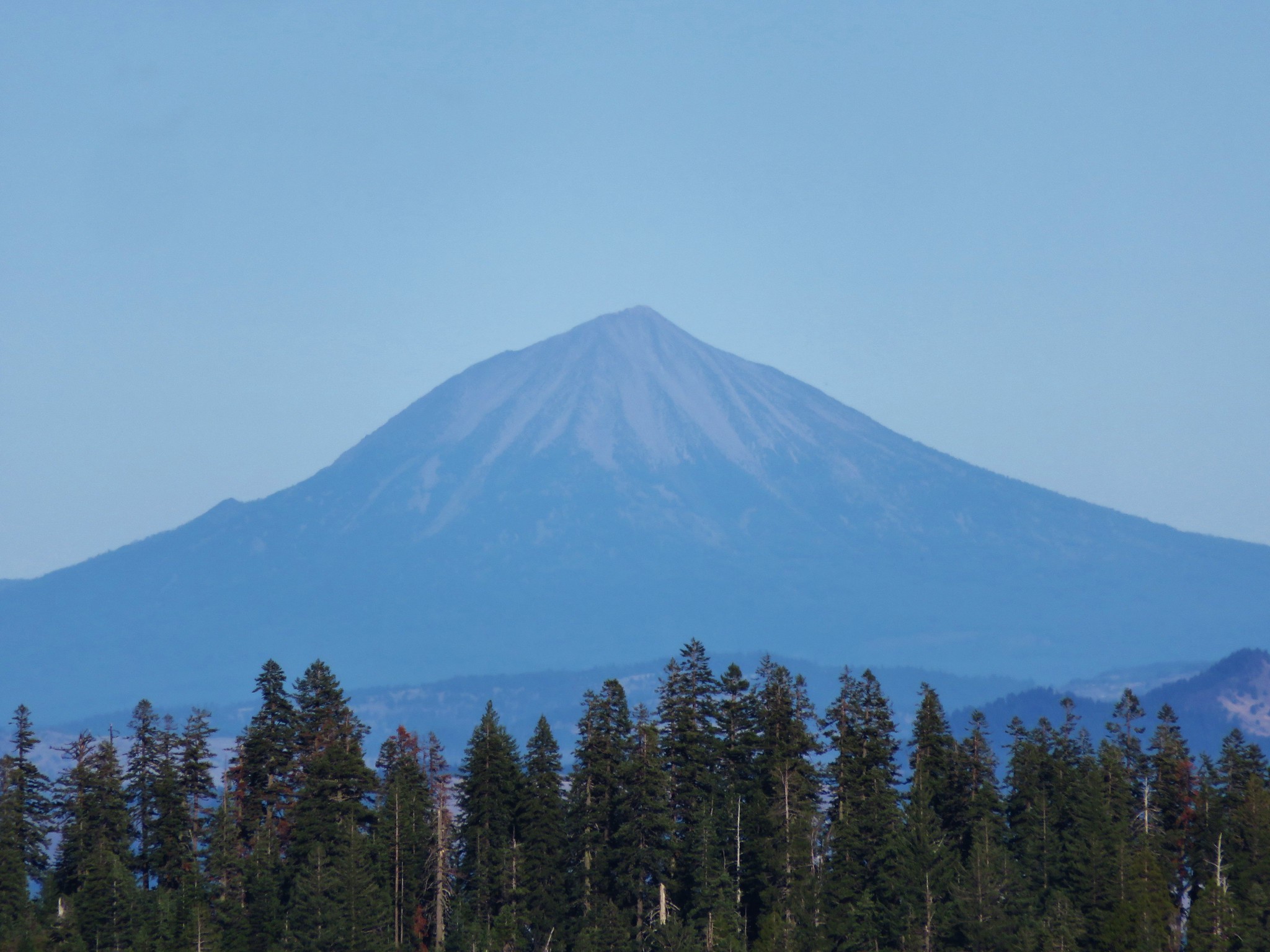
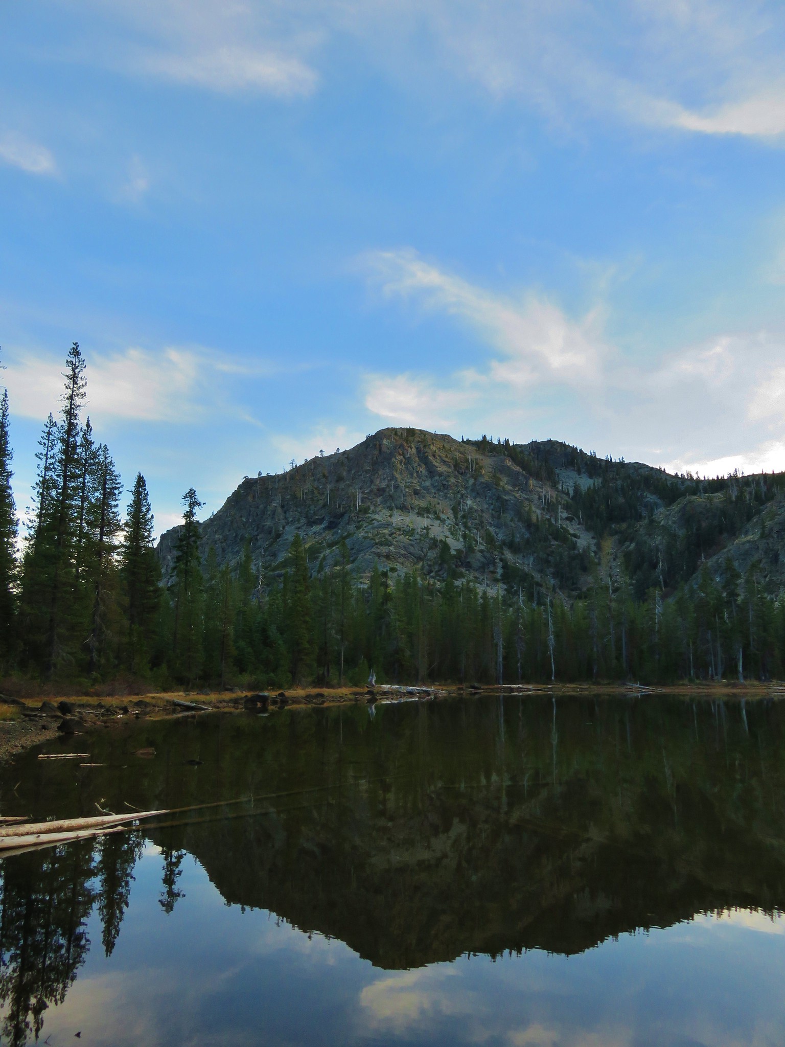
After passing around the south ridge of Buck Peak we got even better views including Azalea Lake, Mt. McLoughlin, and our first views of Red Buttes.
Azalea Lake and Mt. McLoughlin in the distance
 //embedr.flickr.com/assets/client-code.js
 //embedr.flickr.com/assets/client-code.js
 //embedr.flickr.com/assets/client-code.js
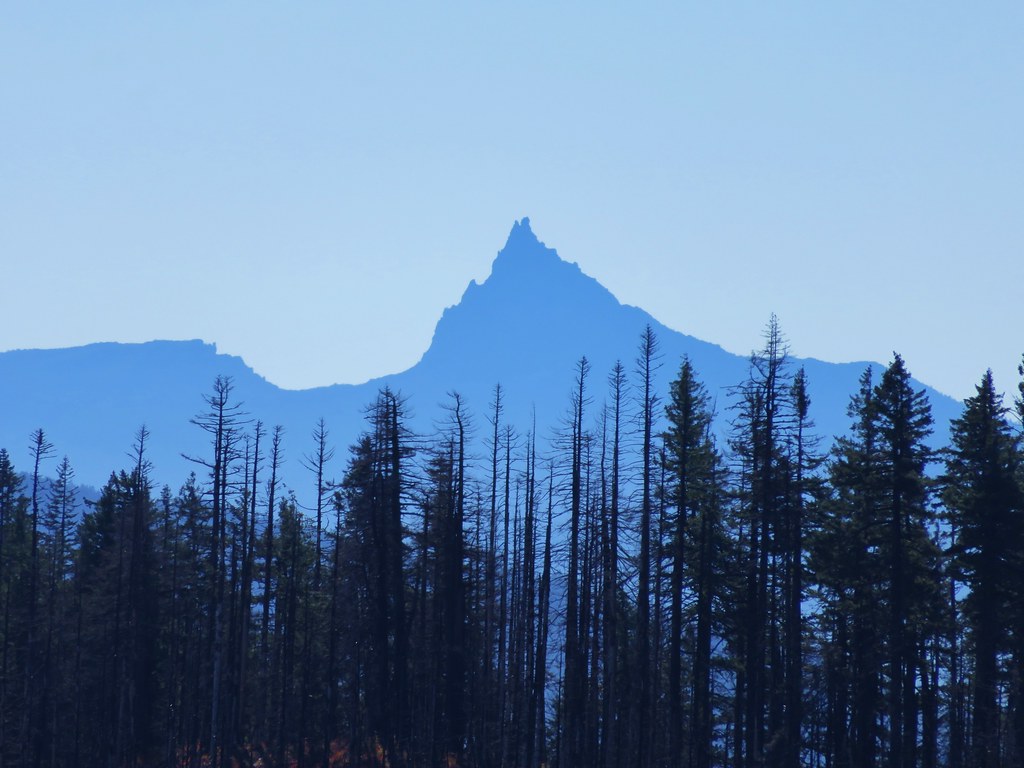
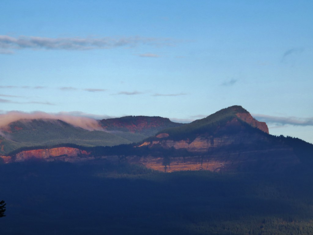
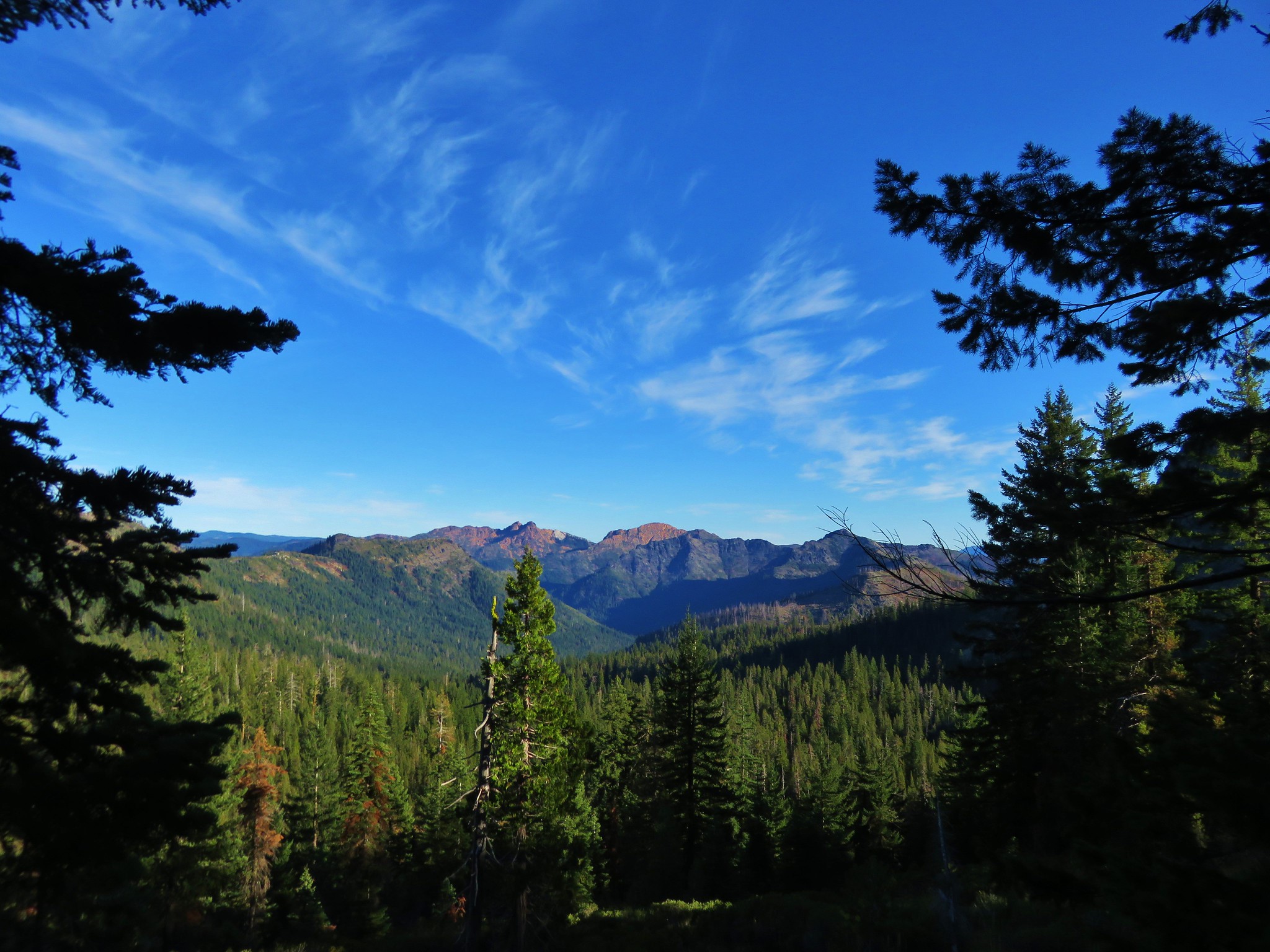
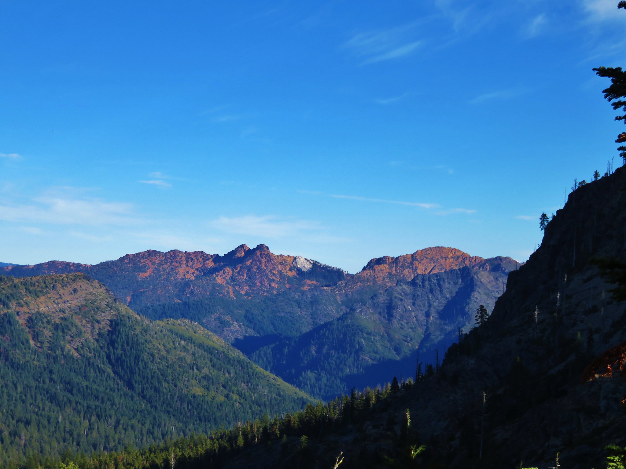
Red Buttes, Kangaroo Mountain, and Desolation Peak from left to right.
 //embedr.flickr.com/assets/client-code.js
 //embedr.flickr.com/assets/client-code.js
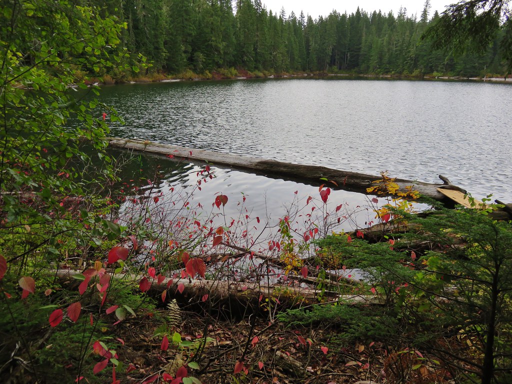
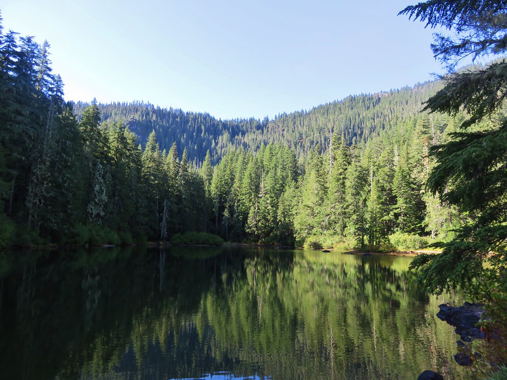
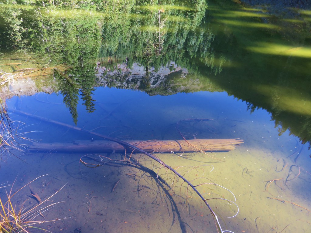
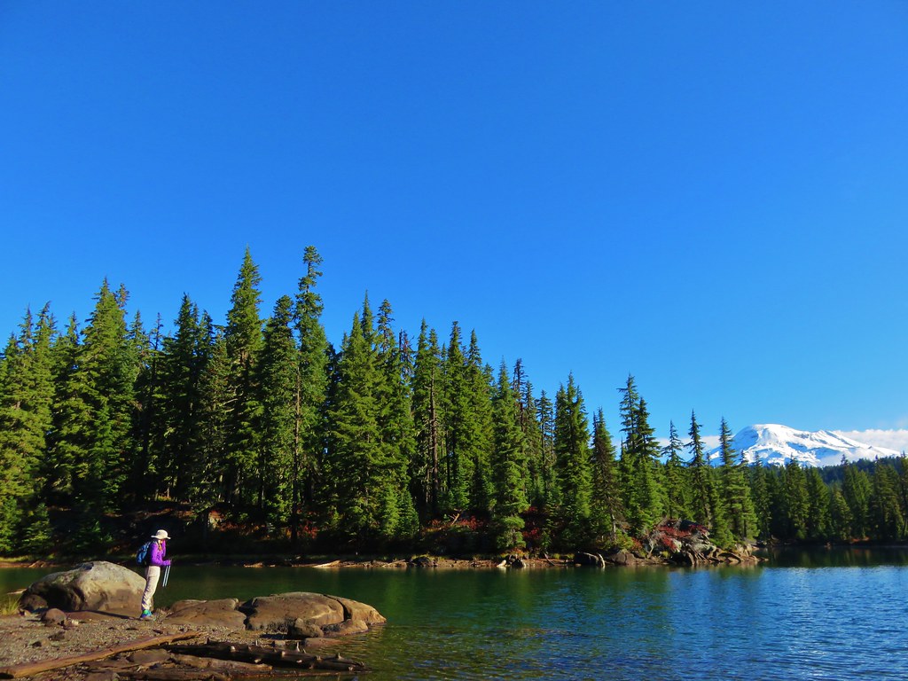
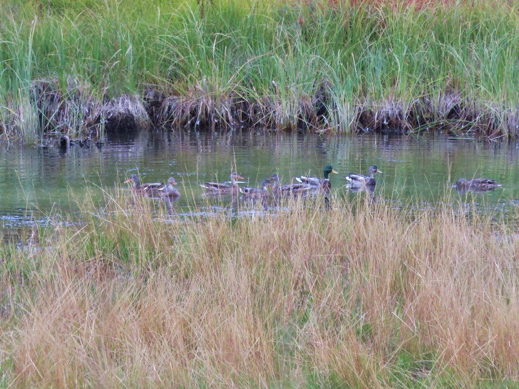
We followed the trail down to Azalea Lake and headed around the west side of the lake where the designated hiker camps are. (Horse camps or on the east side.) We hadn’t originally planned on staying at Azalea Lake and had intended to continue on to Lonesome Lake which was another 2.3 miles away, but we were running late and after taking a wrong path leading away from one of the campsites we decided to call it a day and set up camp.
 //embedr.flickr.com/assets/client-code.js
 //embedr.flickr.com/assets/client-code.js
Figurehead Mountain
 //embedr.flickr.com/assets/client-code.js
 //embedr.flickr.com/assets/client-code.js
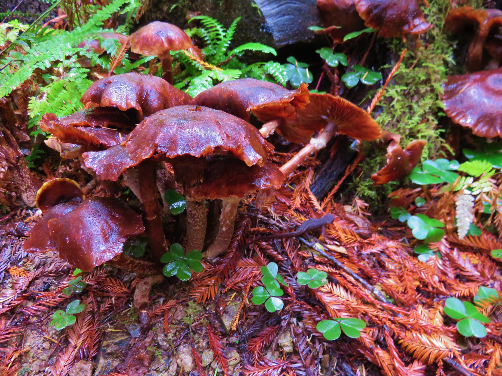
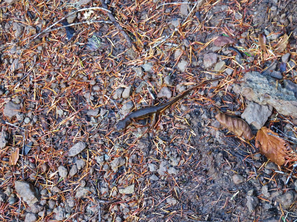
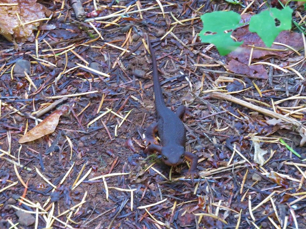
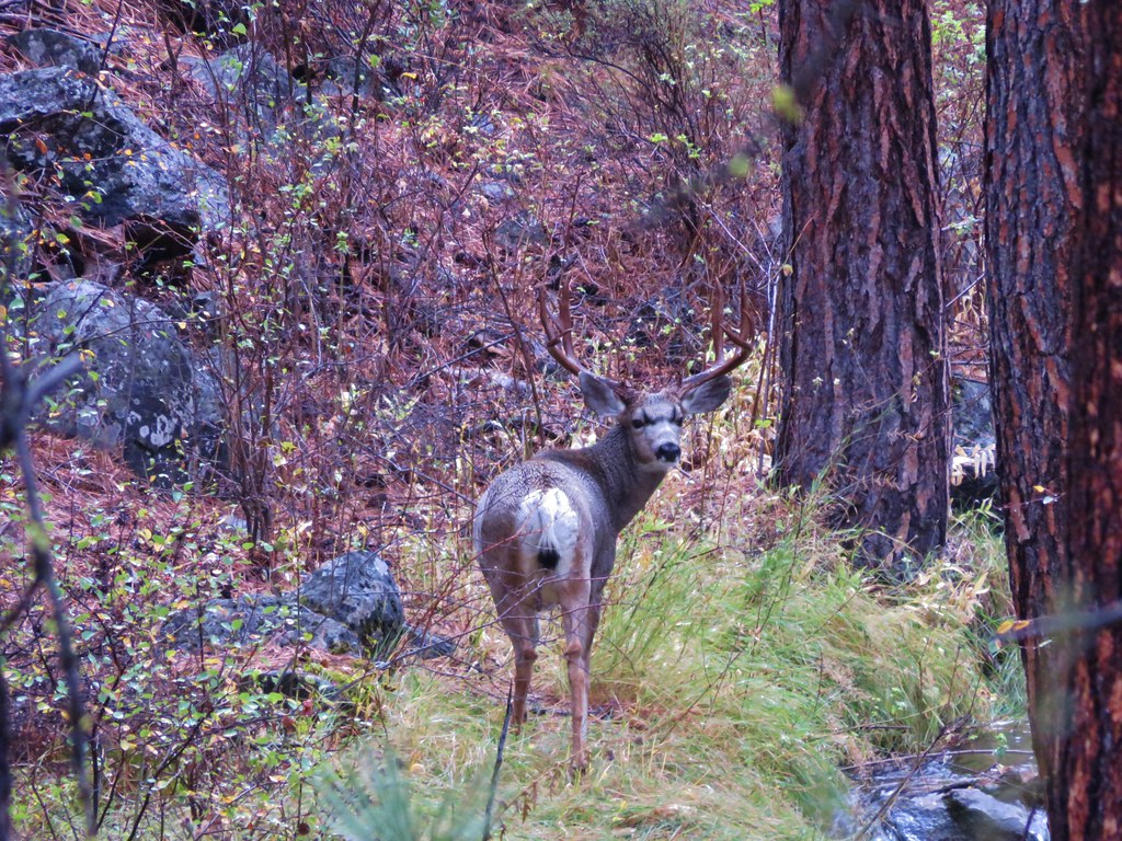
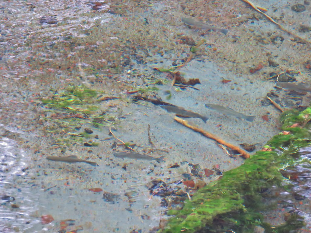
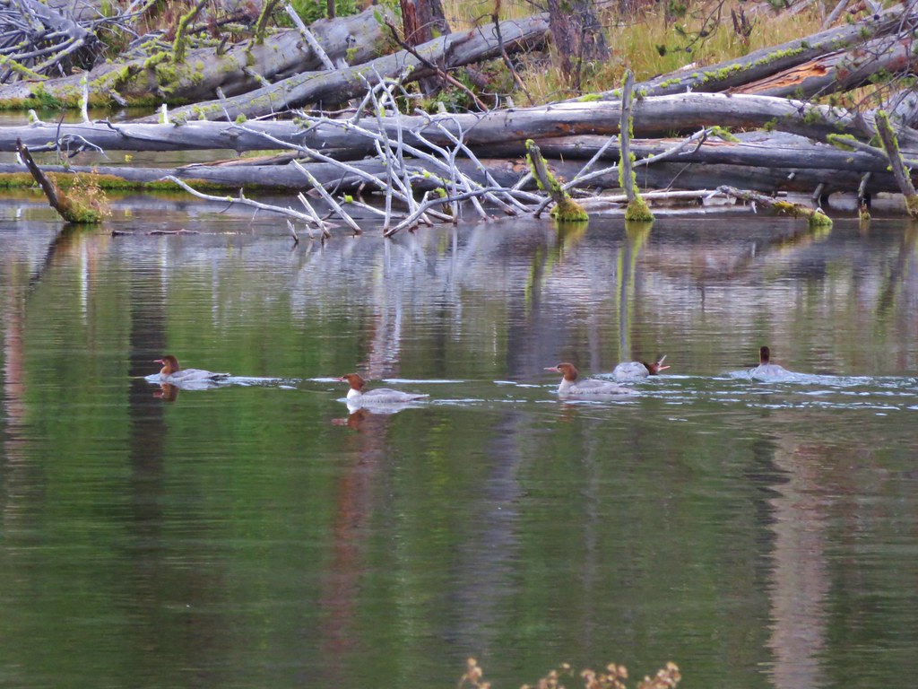
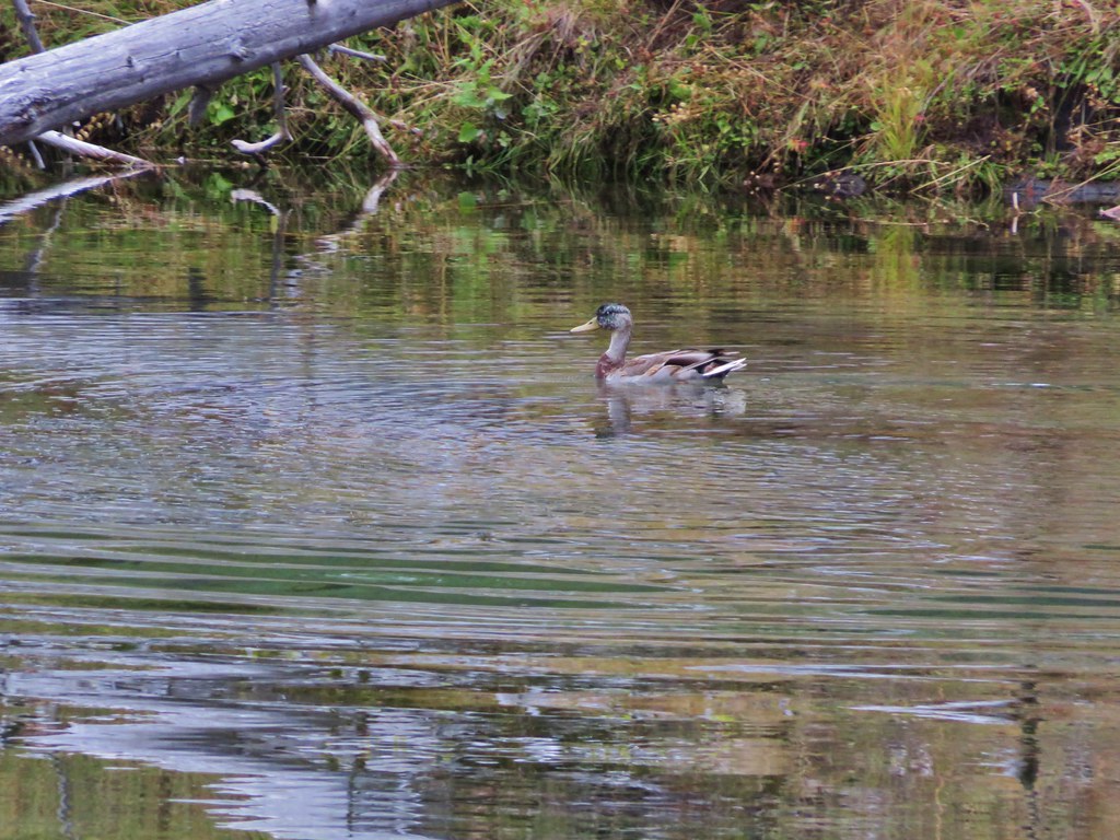
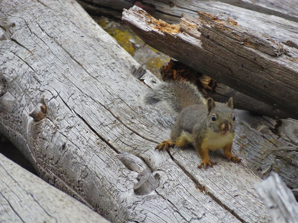
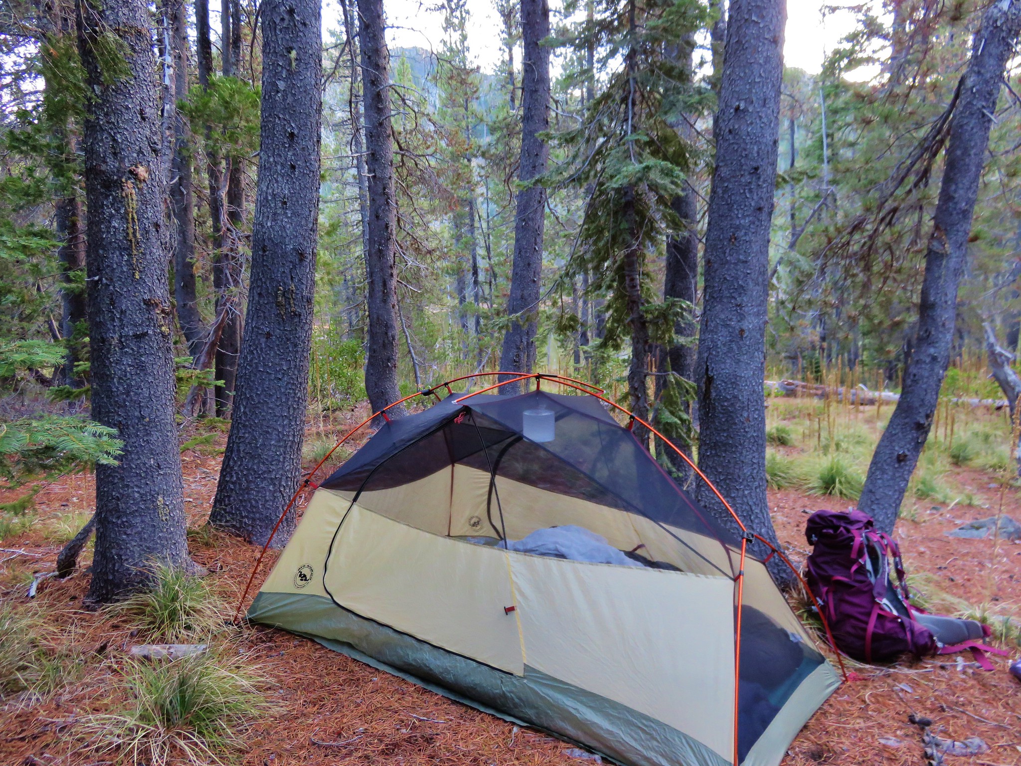
It turned out to be a great decision. The lake was very peaceful with small fish occasionally jumping and the pine needle covered ground made for the most comfortable night we’d spent in the tent. It had been 13.1 miles from the trailhead to the lake including our little side trips and we hadn’t seen another person all day. What we had been seeing was a lot of poop, more specifically bear poop but we hadn’t spotted any that day. We went to bed tired but relaxed wondering what the next day’s trails would bring. Happy Trails!
Flickr: https://www.flickr.com/photos/9319235@N02/albums/72157660604852831