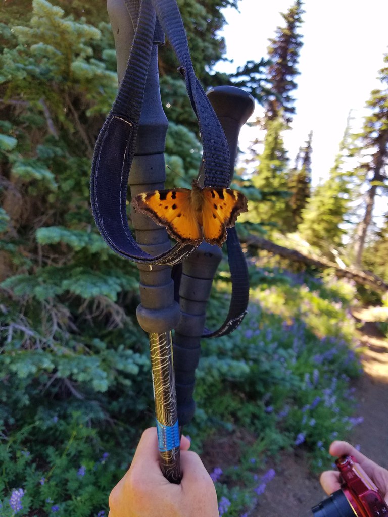
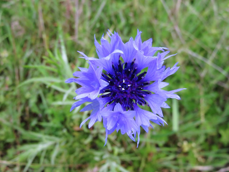
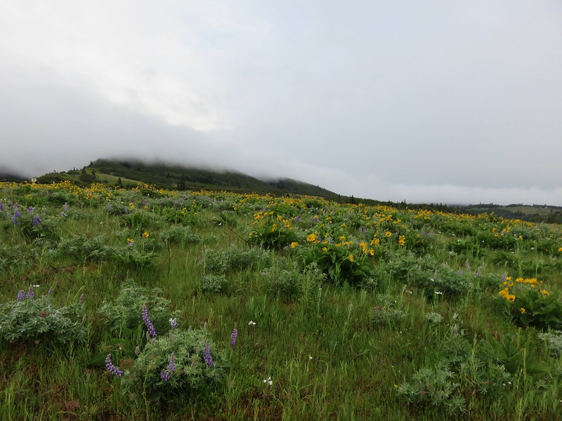
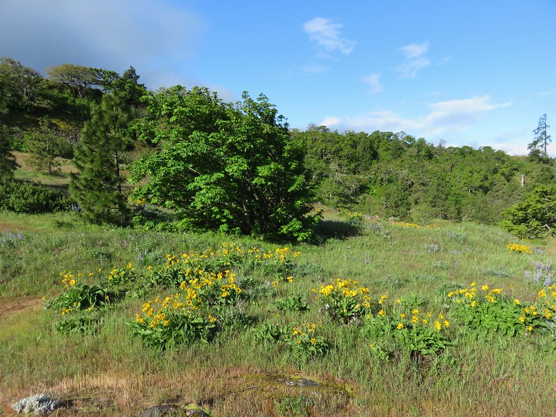
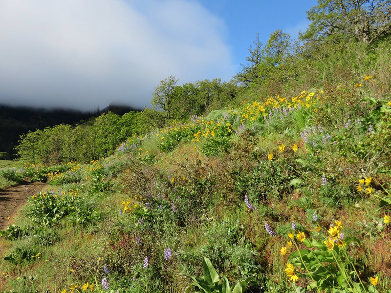
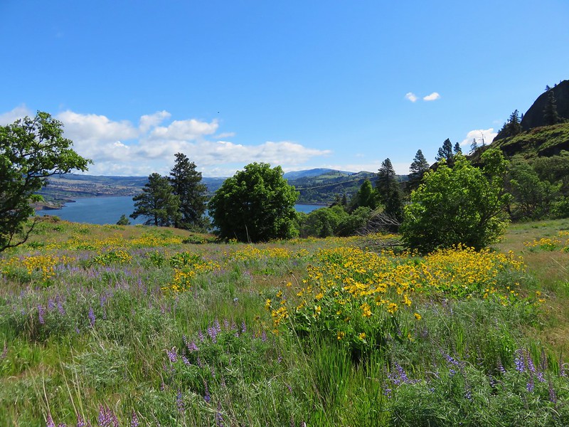
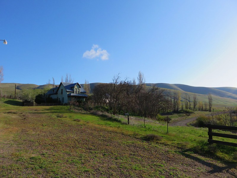
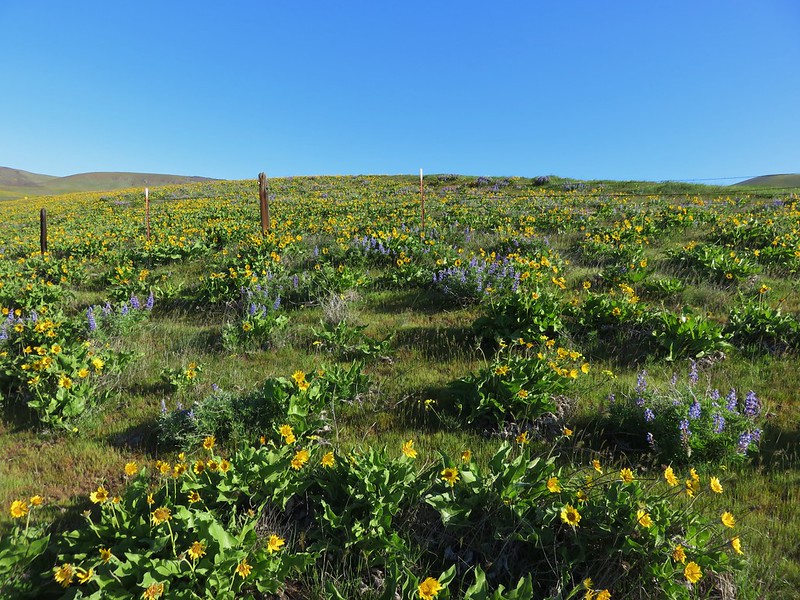
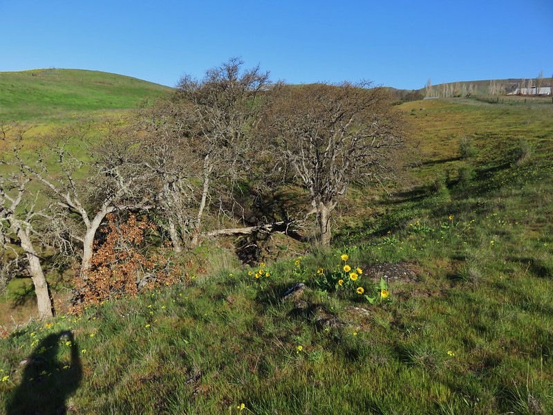
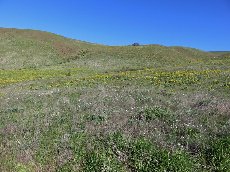
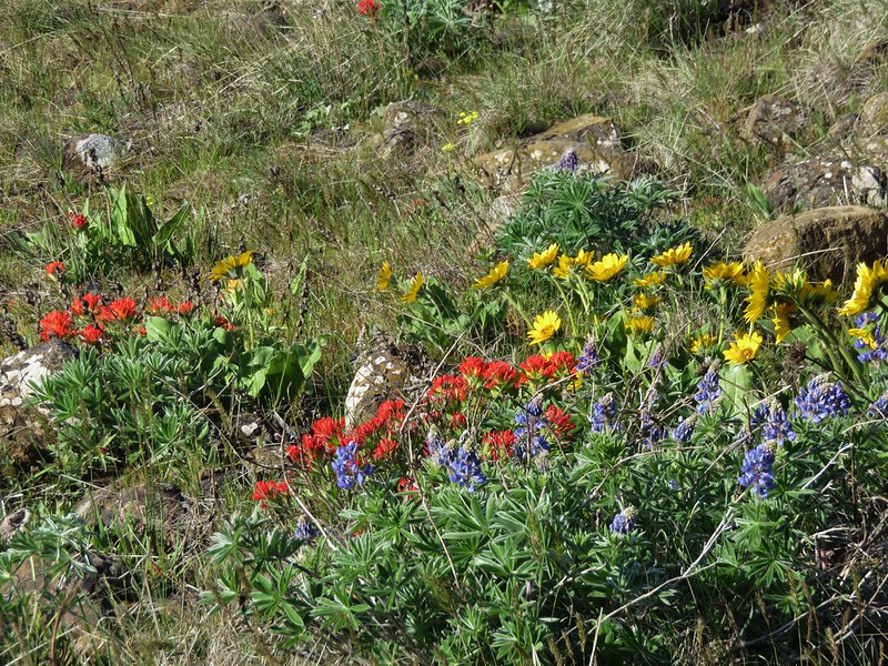
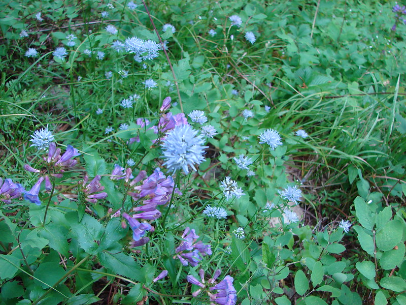
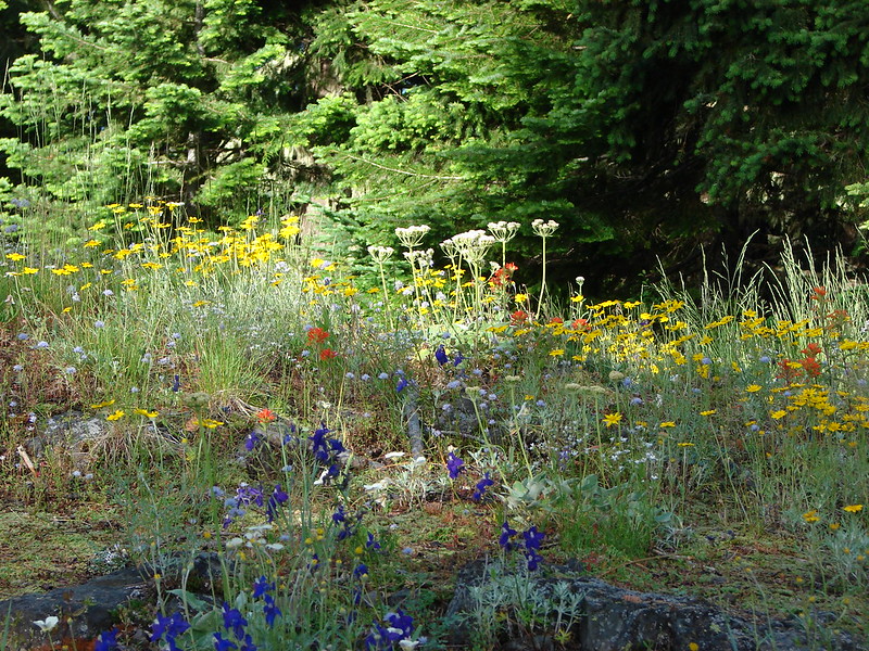
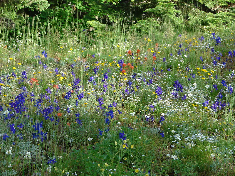
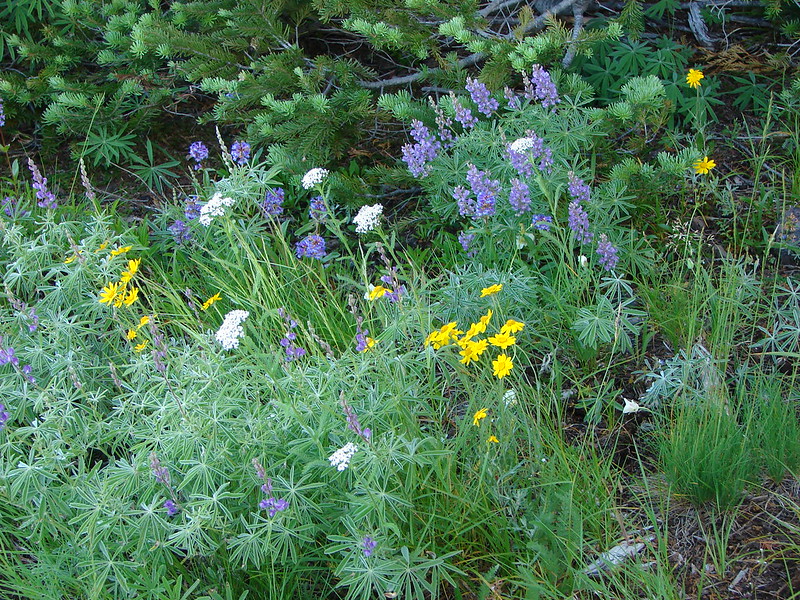
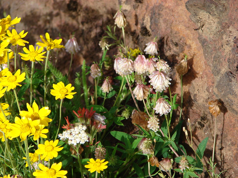
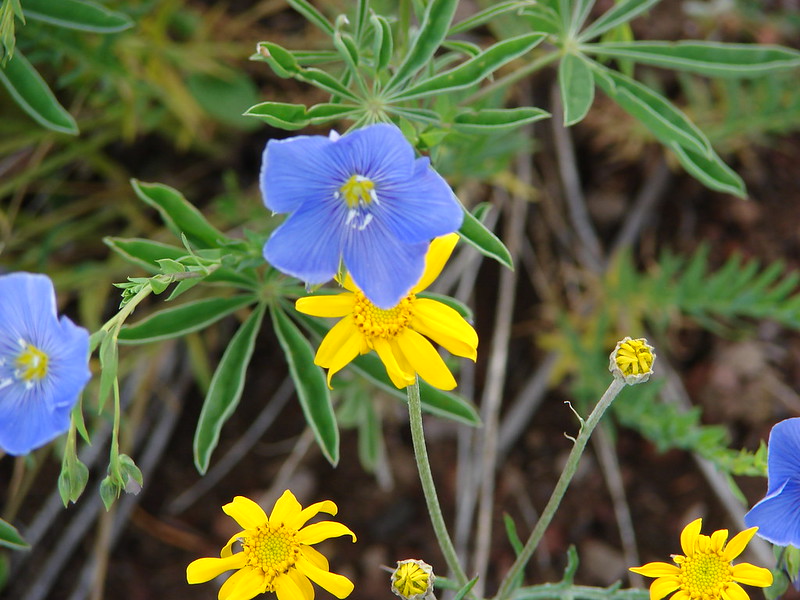
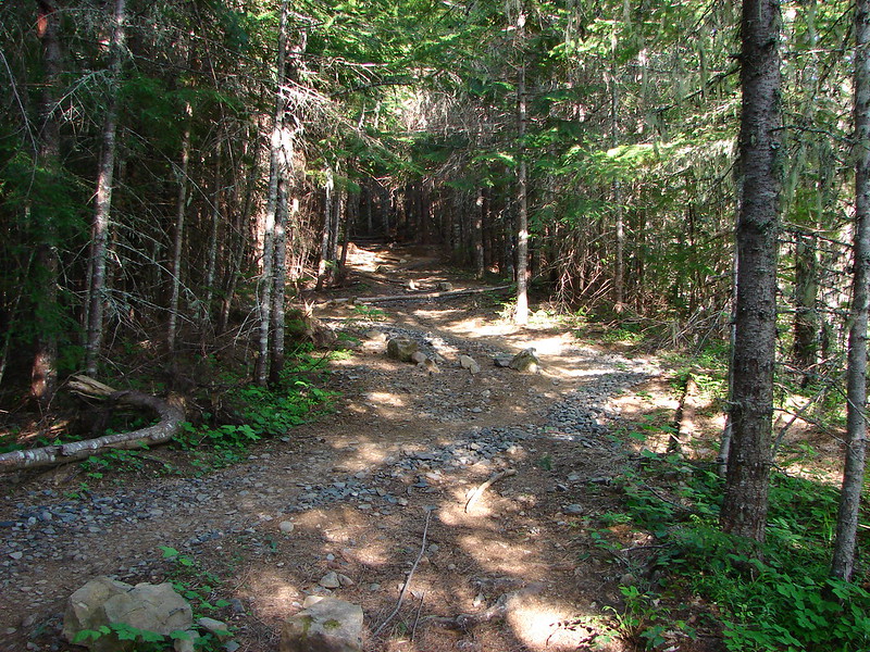
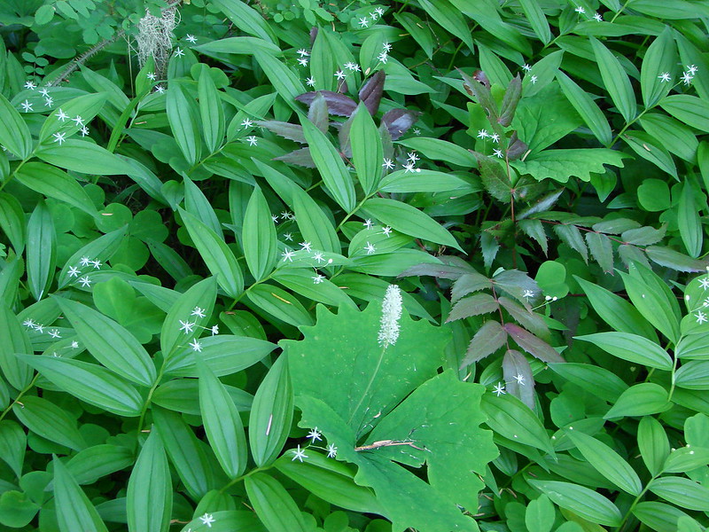
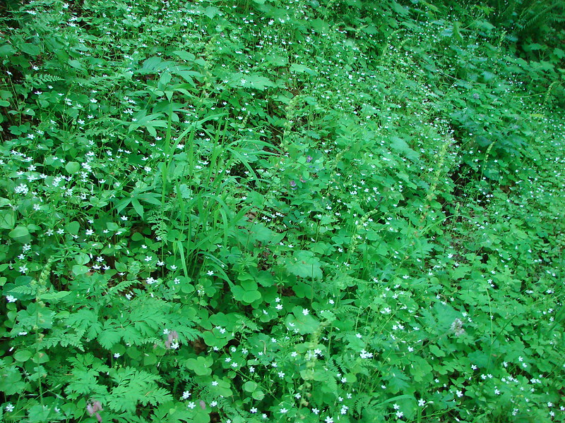
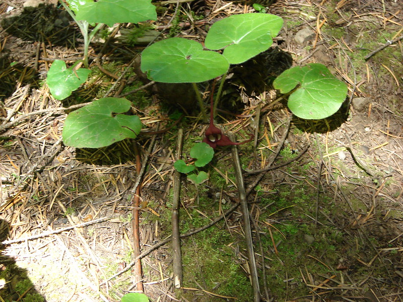
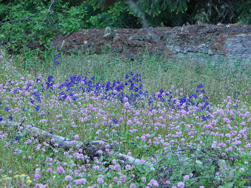
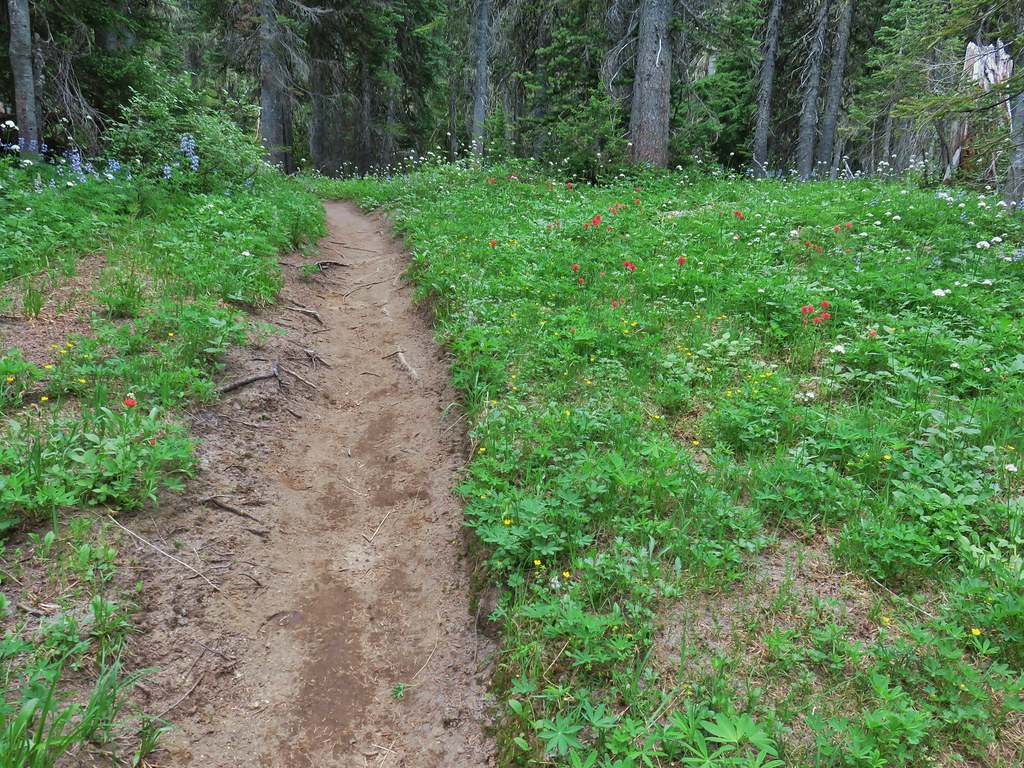
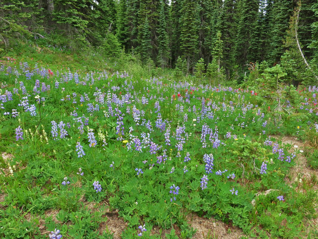
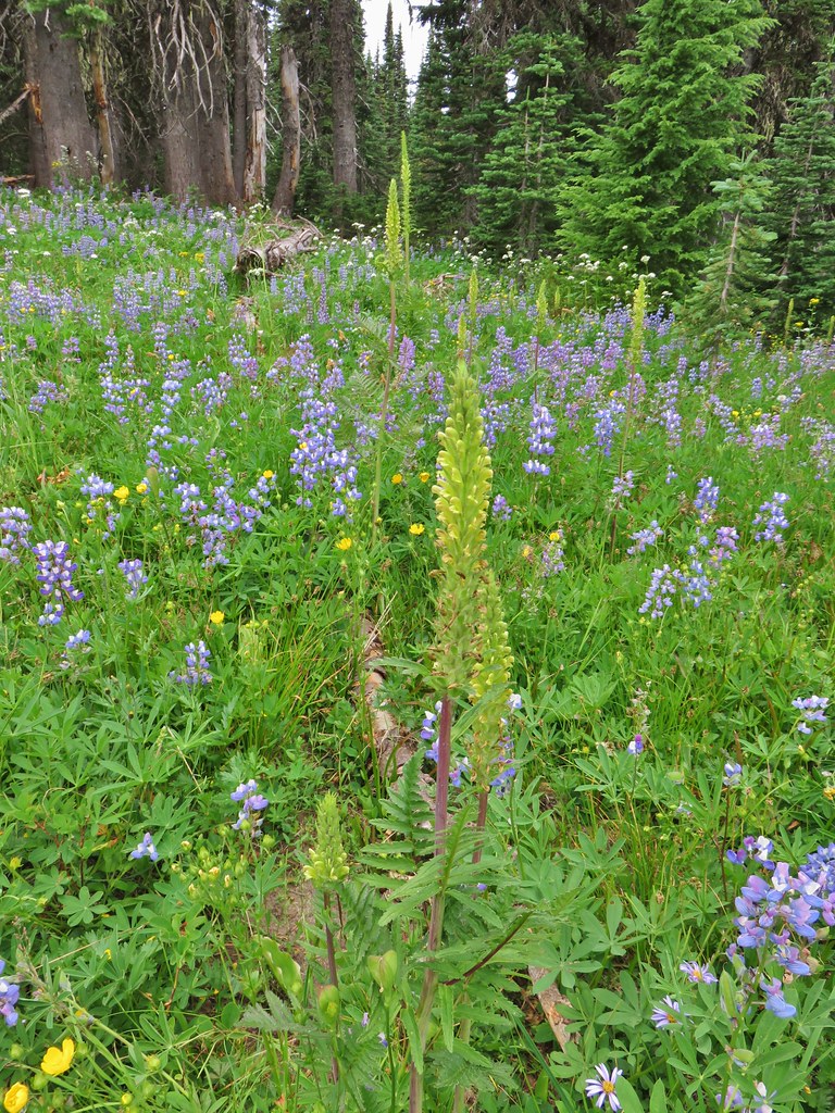
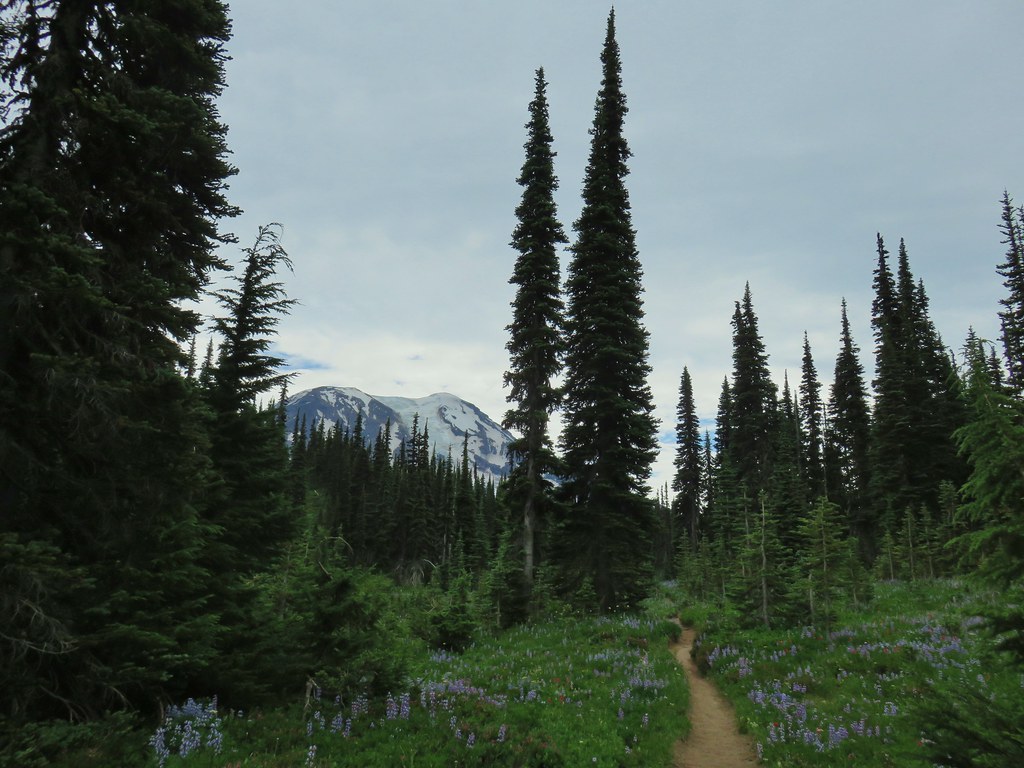
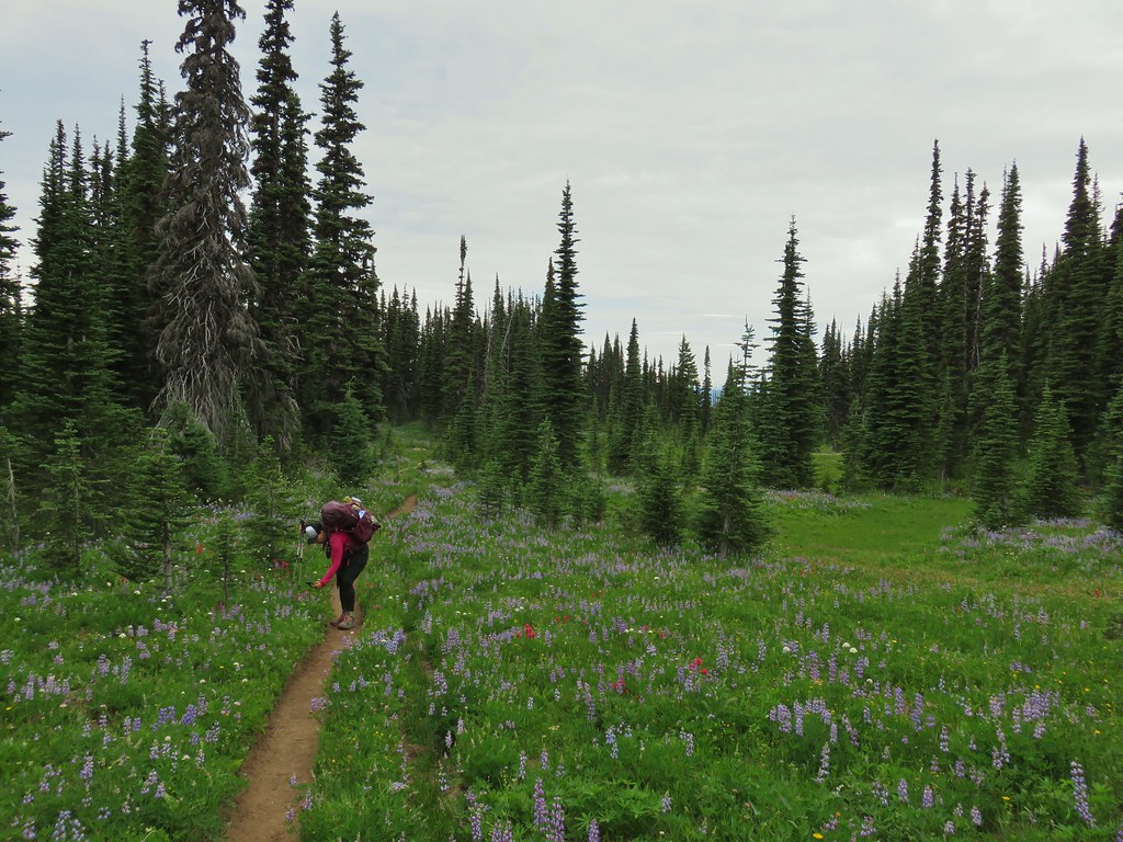
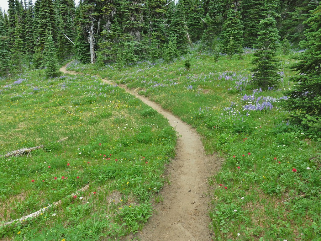
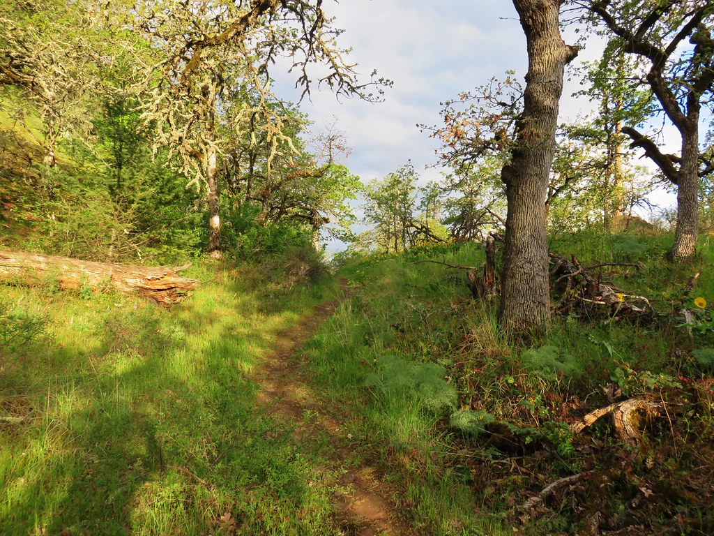
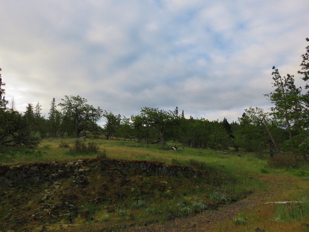
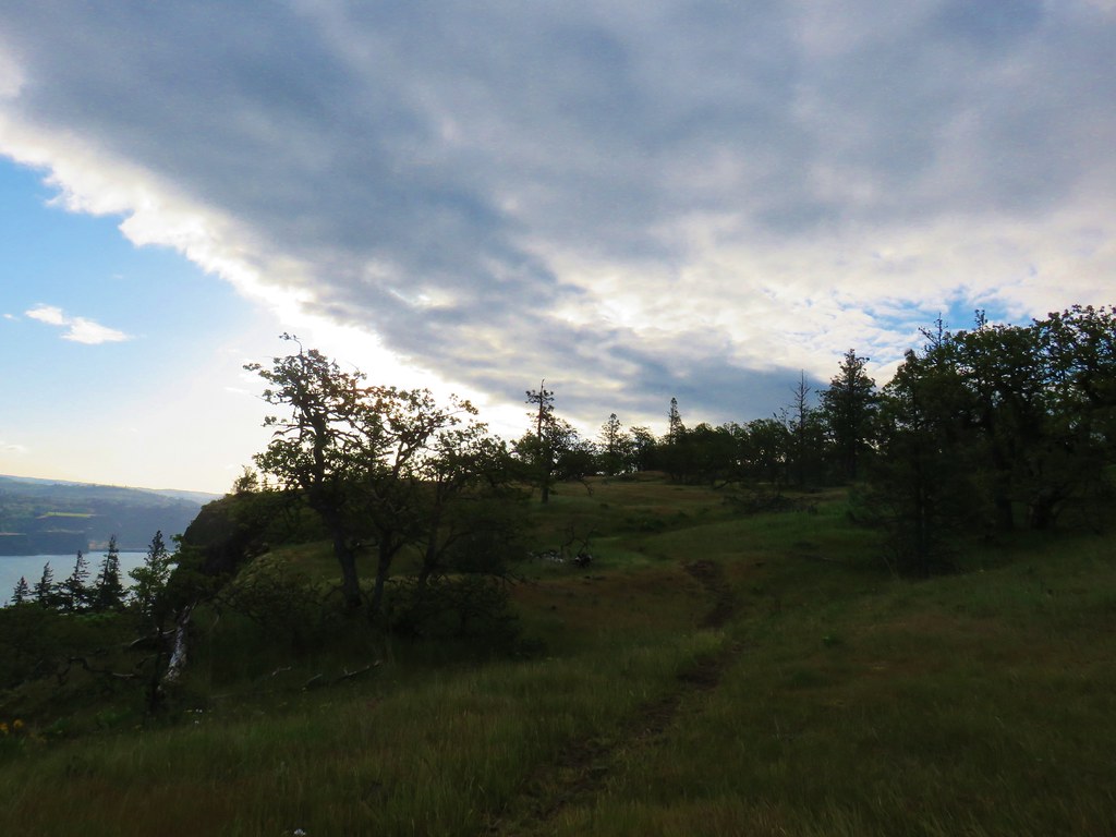
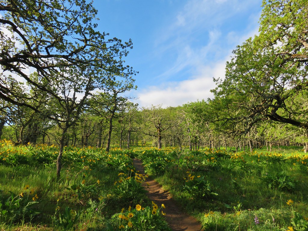
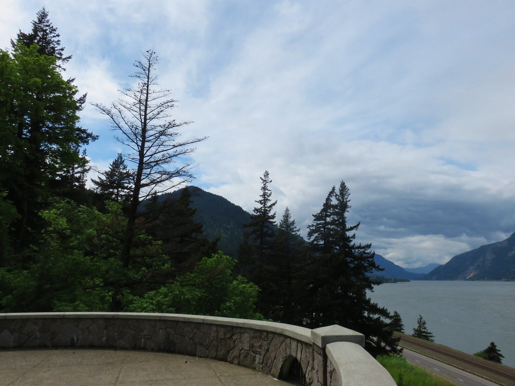
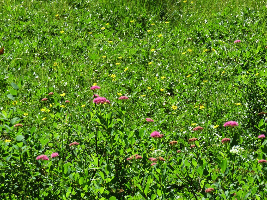
In 2018 we began a tradition of posting a collection of the variety of flowers that we encountered during the years hikes. It’s always a bit shocking to see just how many different varieties we actually saw over the course of the year. It appears that the total in 2023 was between 300 and 350. We are still learning to identify the flowers and are a long way from being able to tell some of the different species apart. That doesn’t take away from our ability to enjoy the flowers though, so with that in mind here are some (but not all) of the flowers we saw this past year. (Any IDs provided are best guesses and any corrections or additional IDs are greatly appreciated.)
The first wildflowers we spotted were snow queen during a March 11th hike at Fitton Green Natural Area near Corvallis.

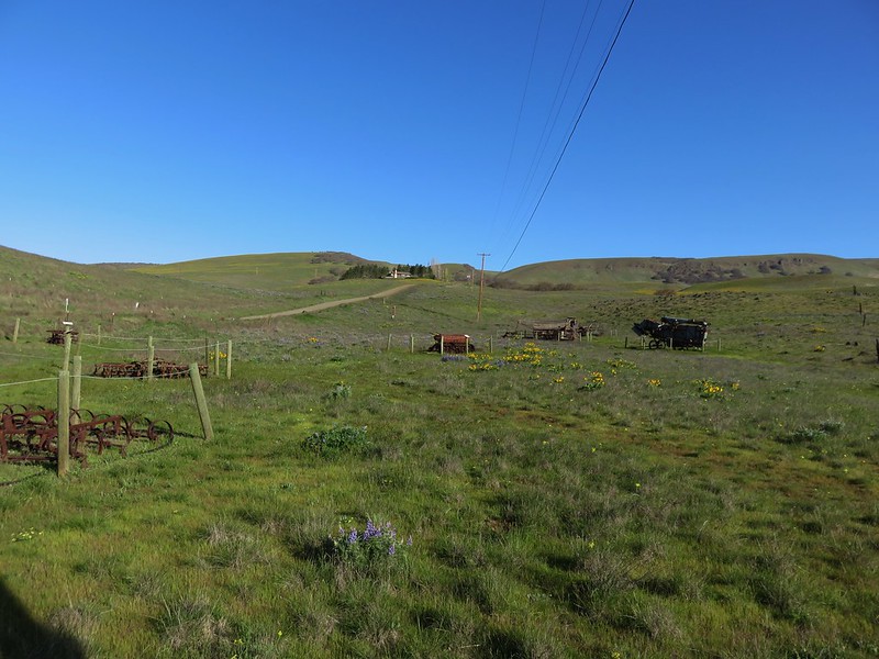
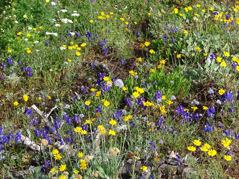
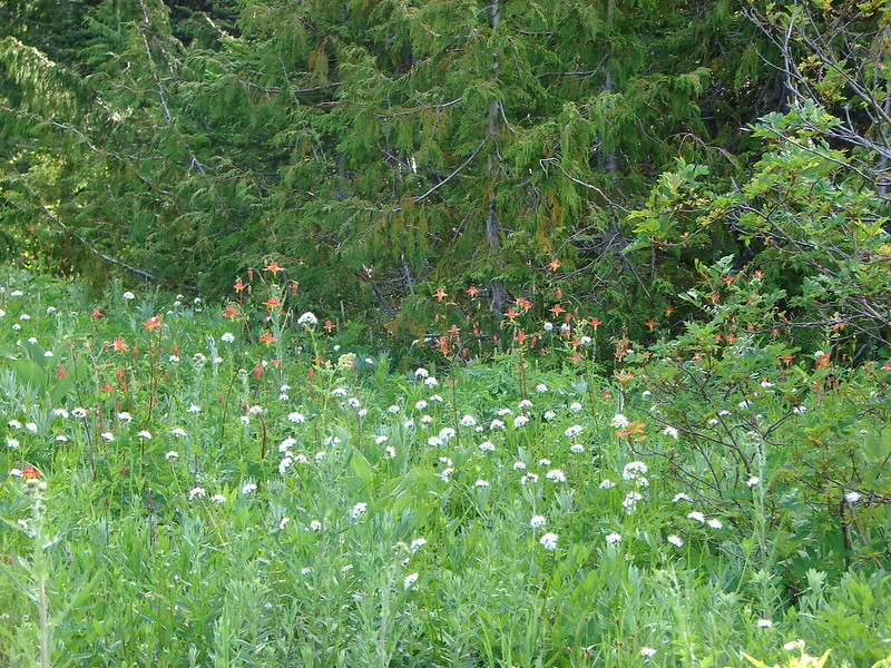
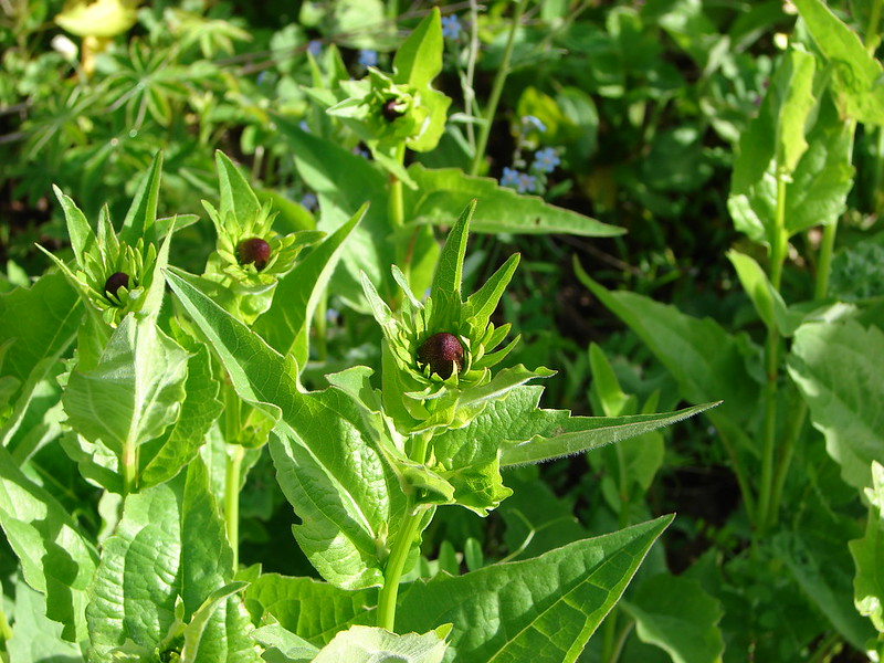
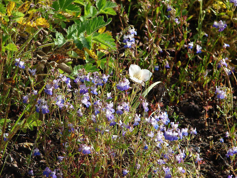
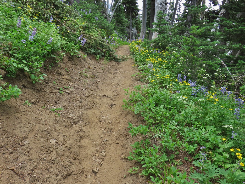
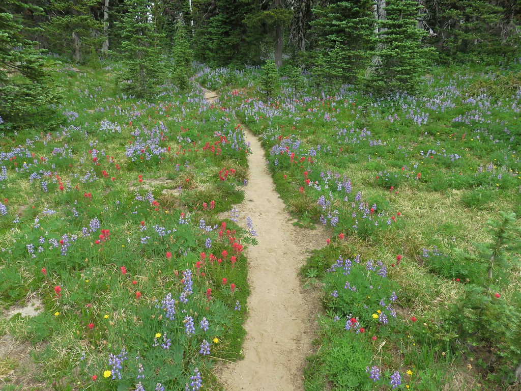
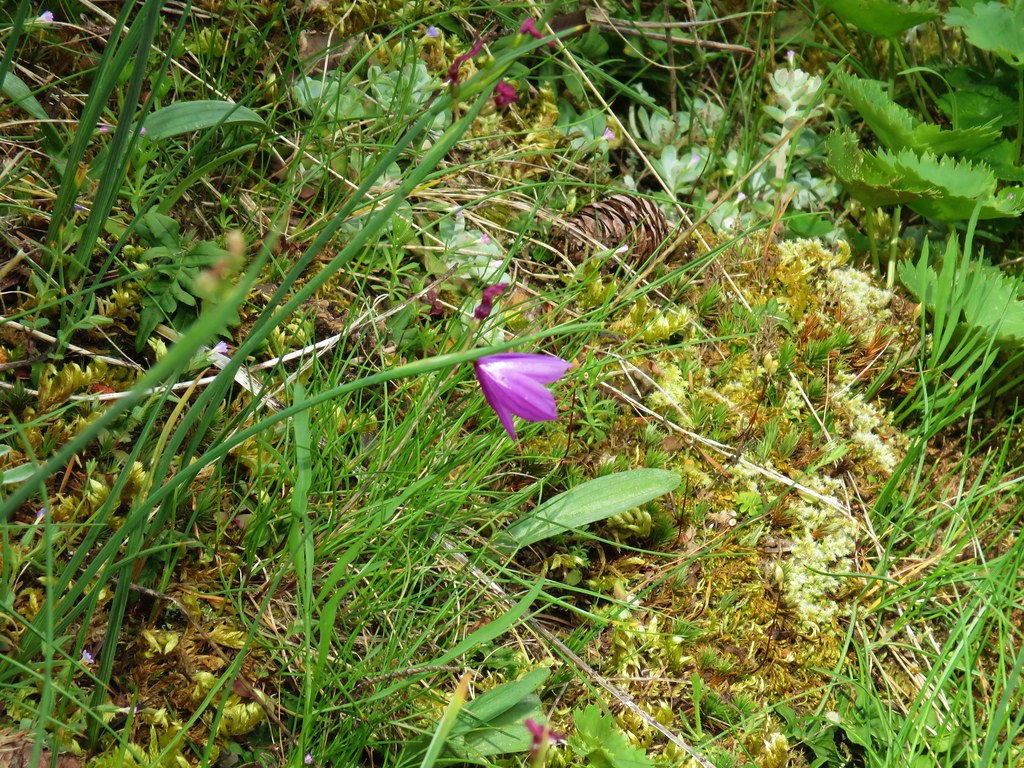
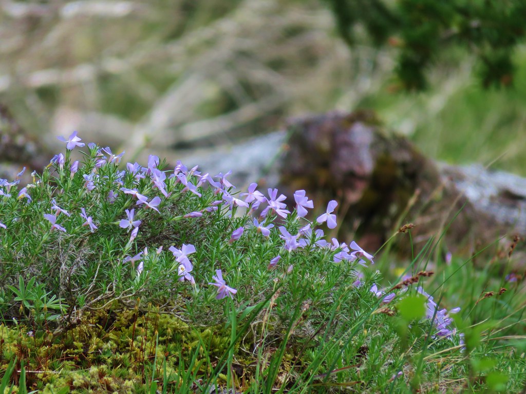
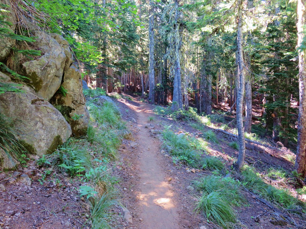
Here are the others in no particular order. I’ve tried to identify non-natives as well as indicate if this was our first time (that we know of) seeing a particular flower. Locations are all in Oregon unless noted as WA.
 Allumroot – 6/12/23, Imnaha River Trail, Eagle Cap Wilderness
 Alpine pennycress – 5/4/23, Forest Road 011, Rogue River-Siskiyou National Forest
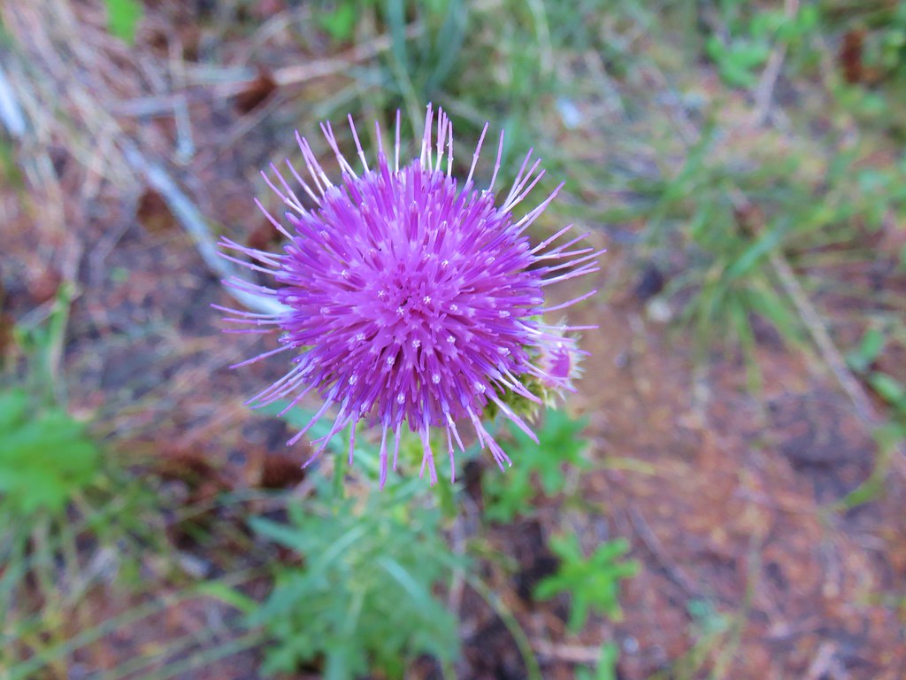
 American saw-wort – 8/14/23, Main Eagle Creek Trail, Eagle Cap Wilderness
 Anemone – 6/12/23, Imnaha River Trail, Eagle Cap Wilderness
 Serpentine arnica – 5/4/23, Eight Dollar Mountain Boardwalk, BLM Grants Pass Resource Area
 Arnica – 6/12/23, Imnaha River Trail, Eagle Cap Wilderness
 Arnica – 7/31/23, Garfield Peak Trail, Crater Lake National Park
 Spear-leaf arnica – 7/31/23, Garfield Peak Trail, Crater Lake National Park
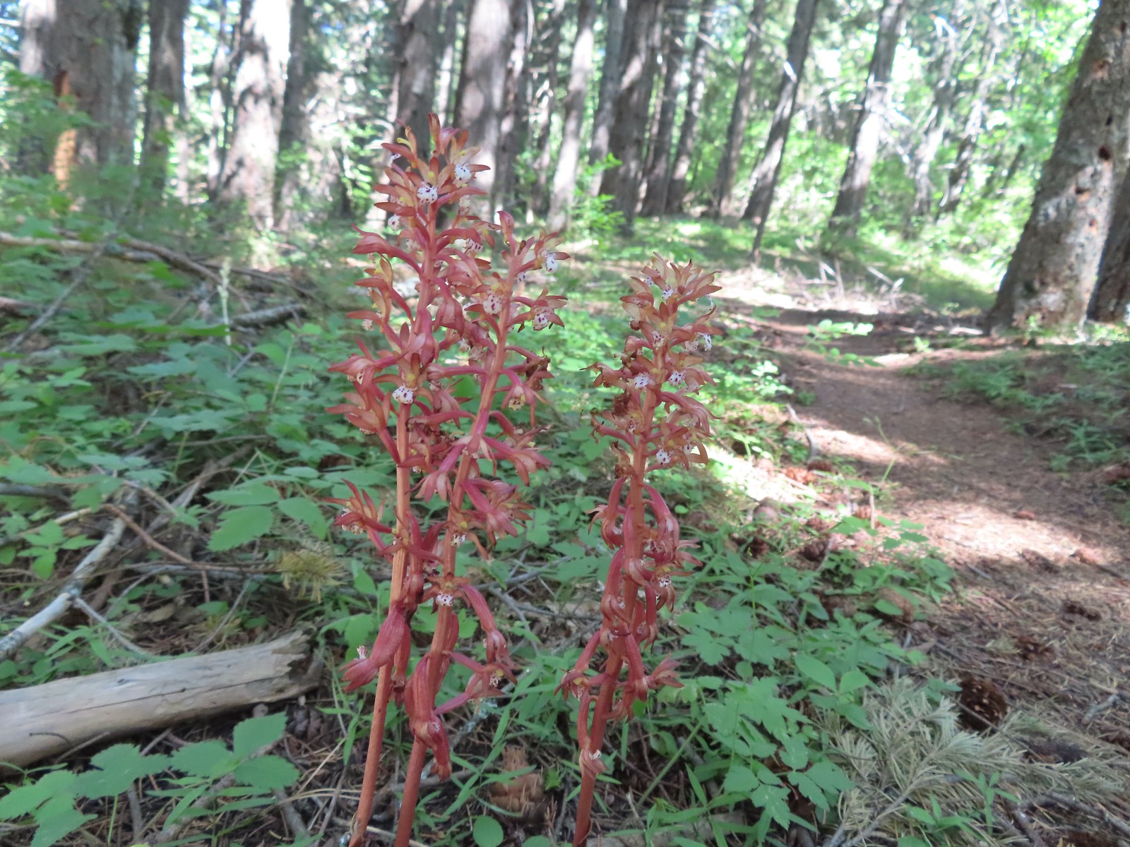
 Arnica? – 8/16/23, Tombstone Lake Trail, Eagle Cap Wilderness
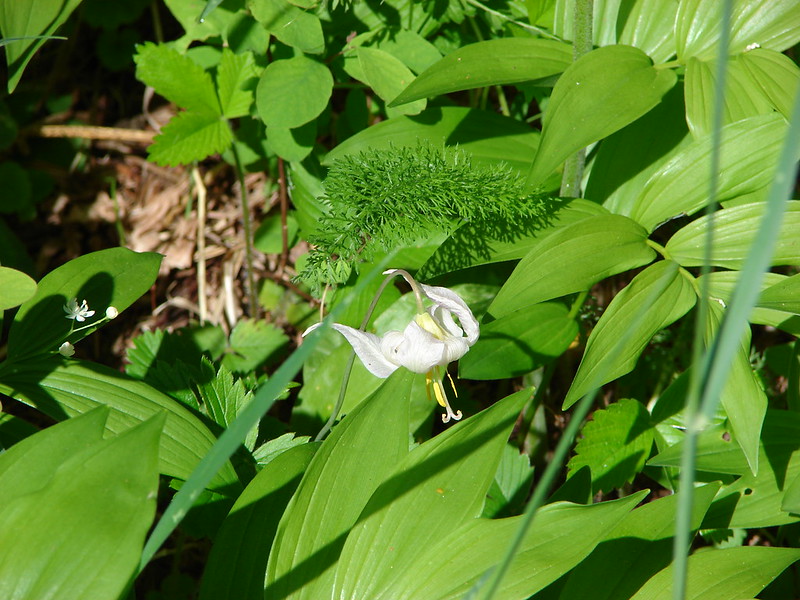
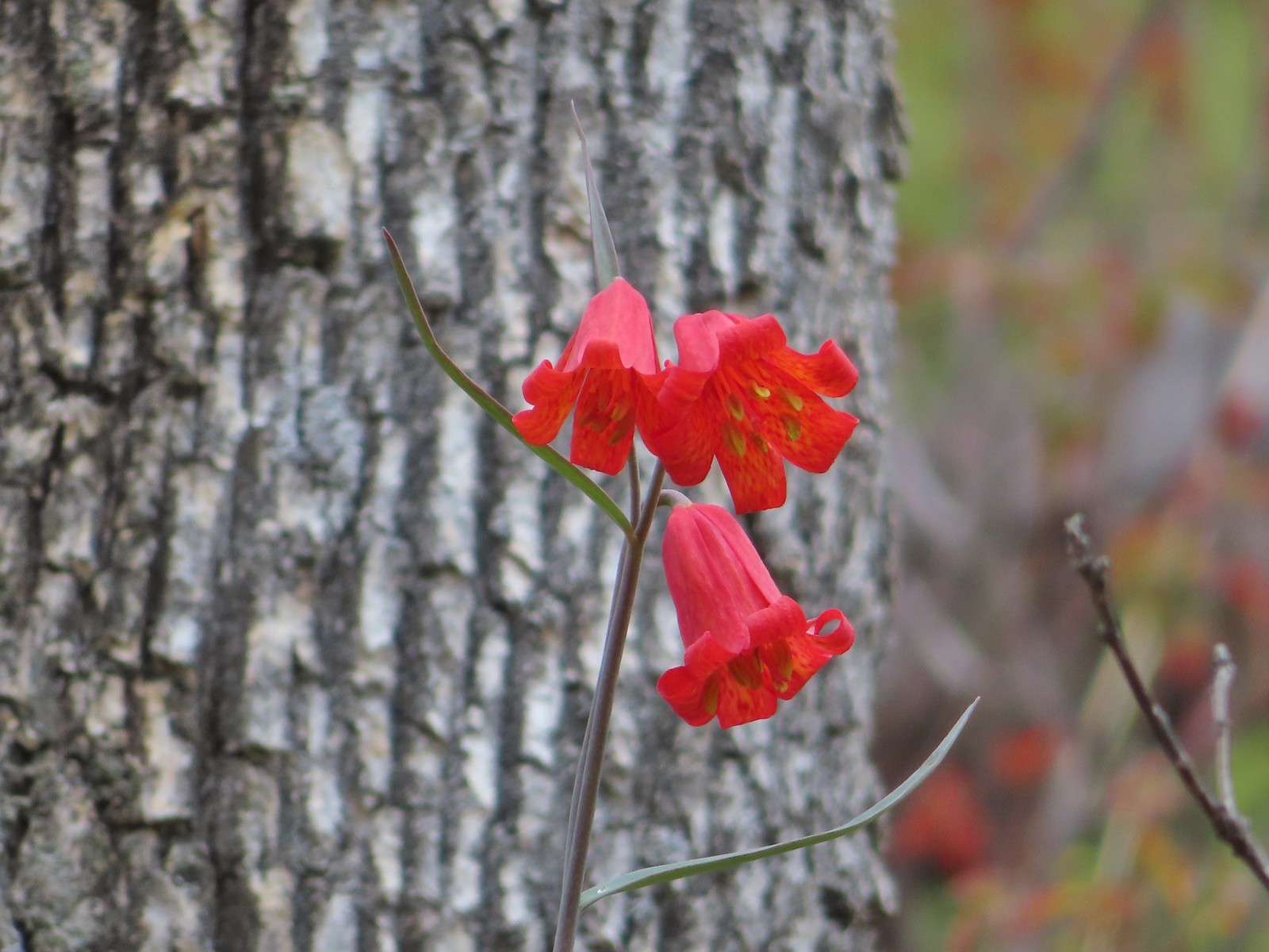
 Avalanche lilies – 7/15/23, Plaza Trail, Salmon-Huckleberry Wilderness
 Fawn lily – 4/13/23, Baskett Slough National Wildlife Refuge, Rickreall
 Henderson’s fawn lily – 5/2/2023, Sterling Mine Ditch Trail System, BLM Medford District
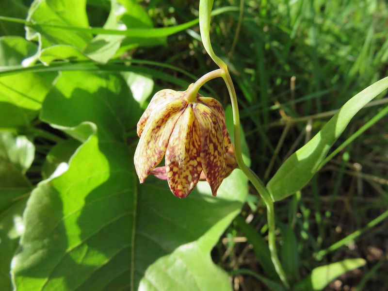
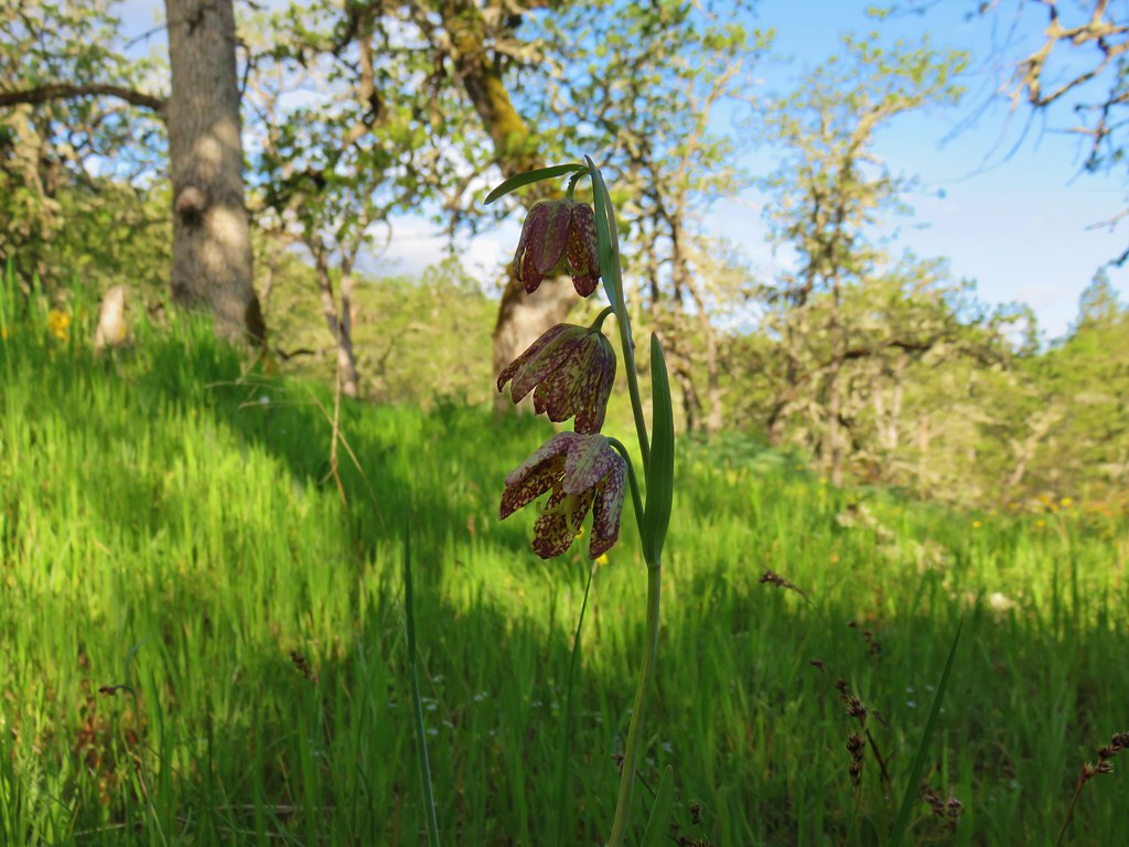
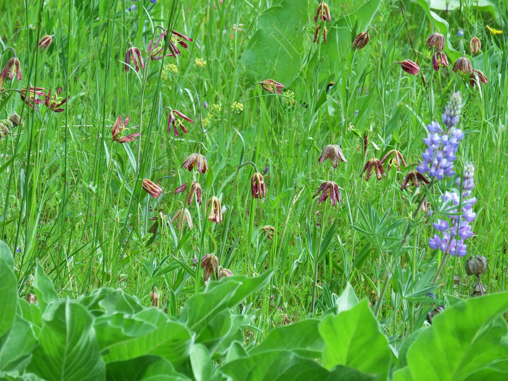
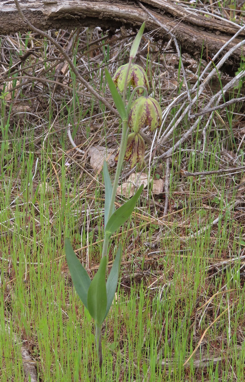 Checker lily – 5/4/23, Forest Road 011, Rogue River-Siskiyou National Forest
 Azalea – 5/4/23, Eight Dollar Mountain Boardwalk, BLM Grants Pass Resource Area
 Rhododendron – 7/15/23, Tumala Mountain, Mt. Hood National Forest
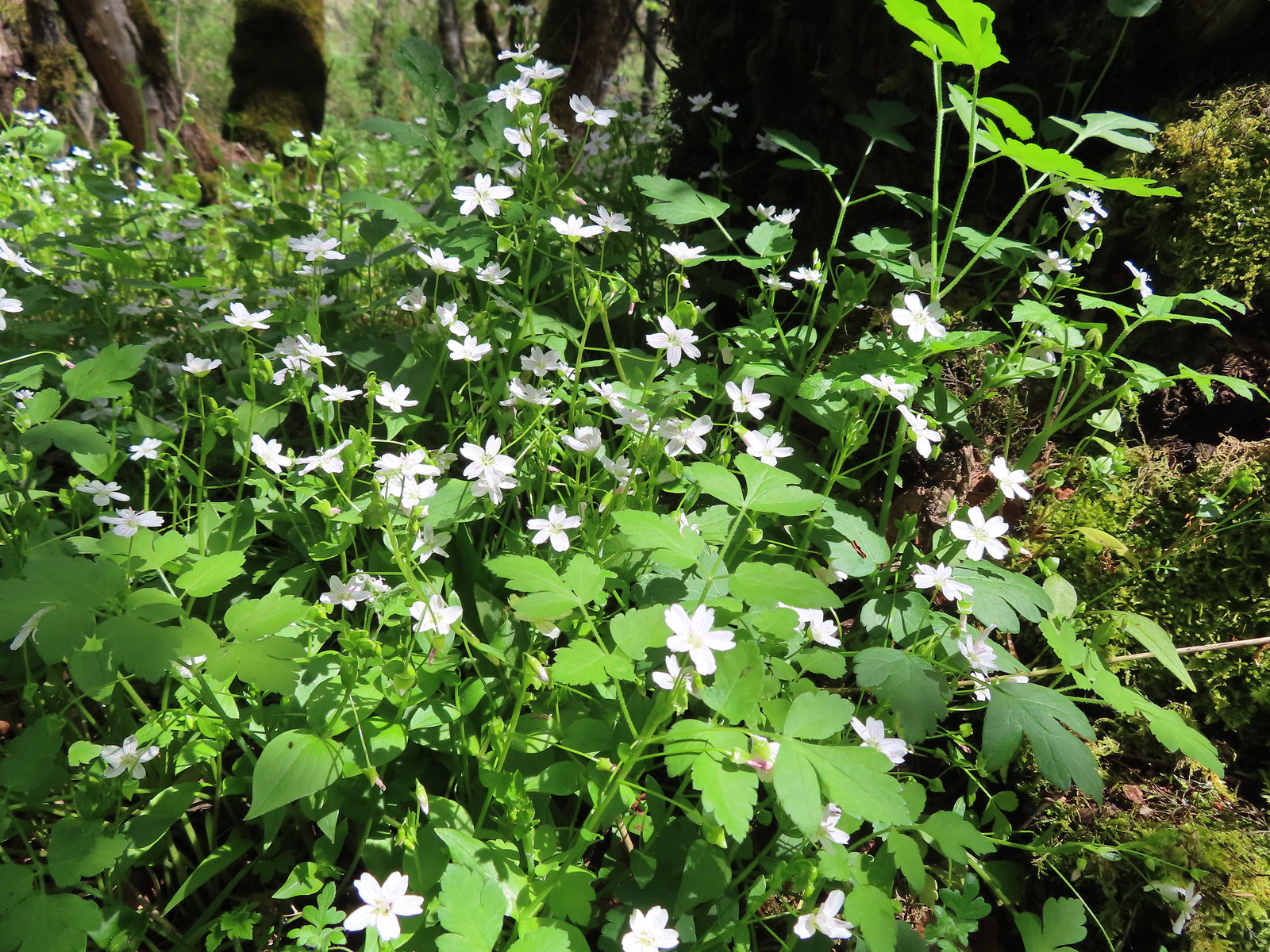
 Ball-head waterleaf – 6/12/23, Imnaha River Trail, Eagle Cap Wilderness
 Pacific waterleaf – 5/2/2023, Sterling Mine Ditch Trail System, BLM Medford District
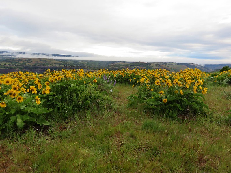
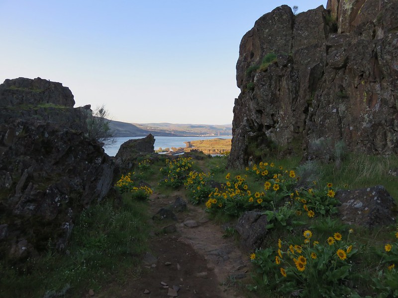
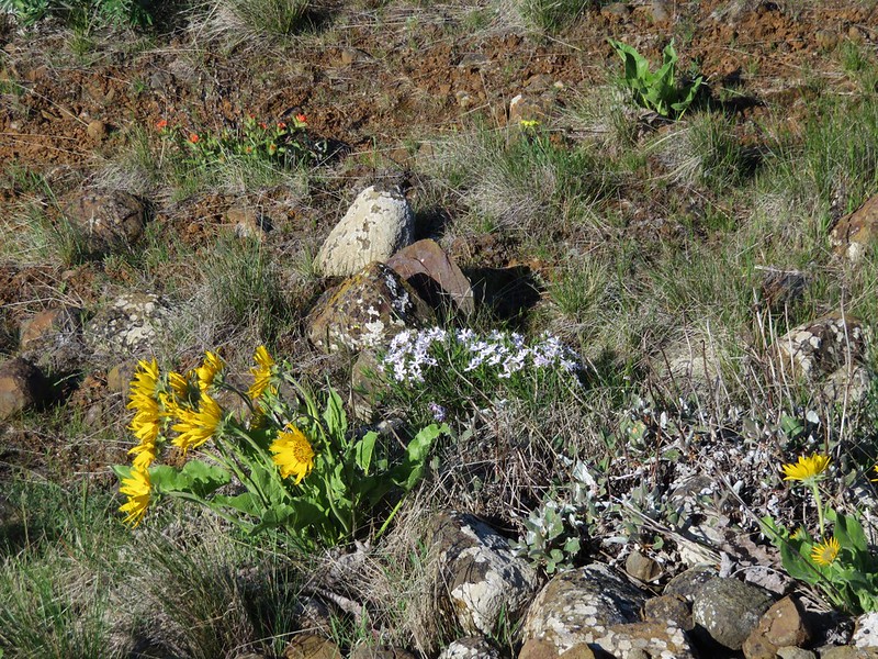
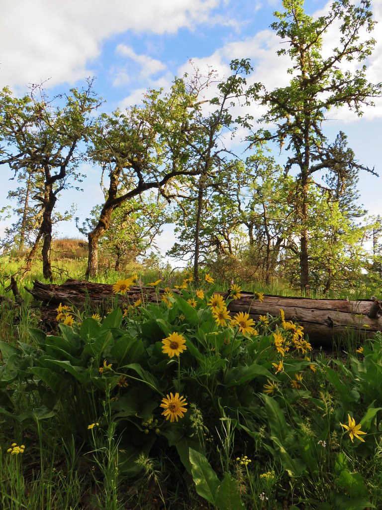
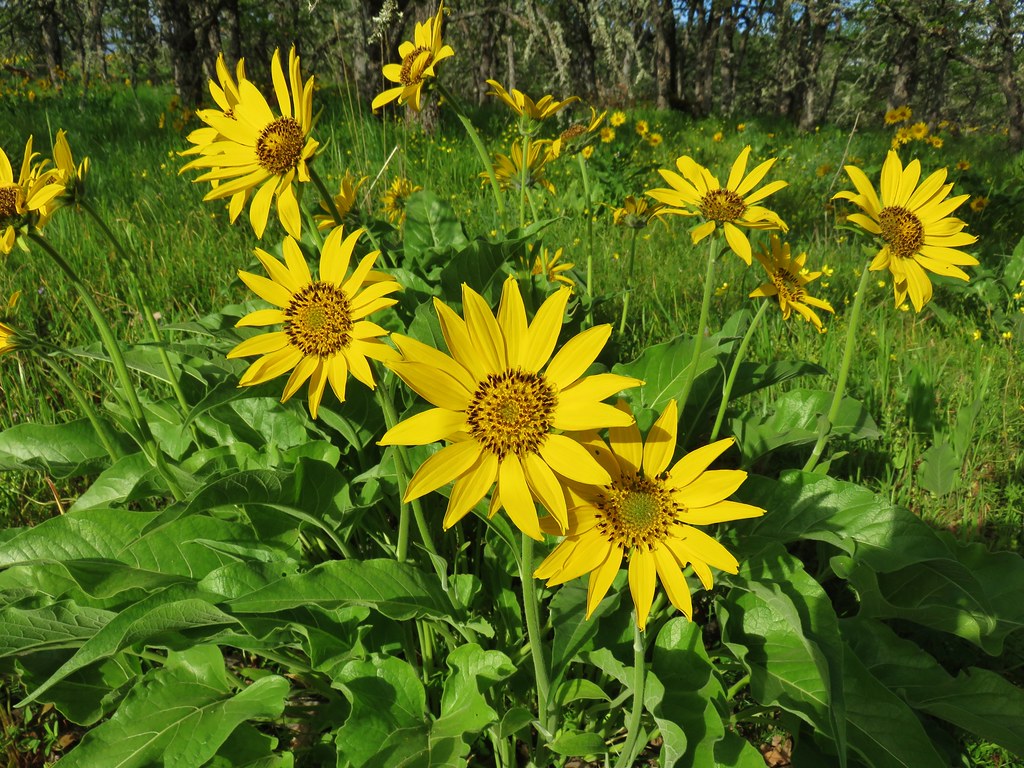
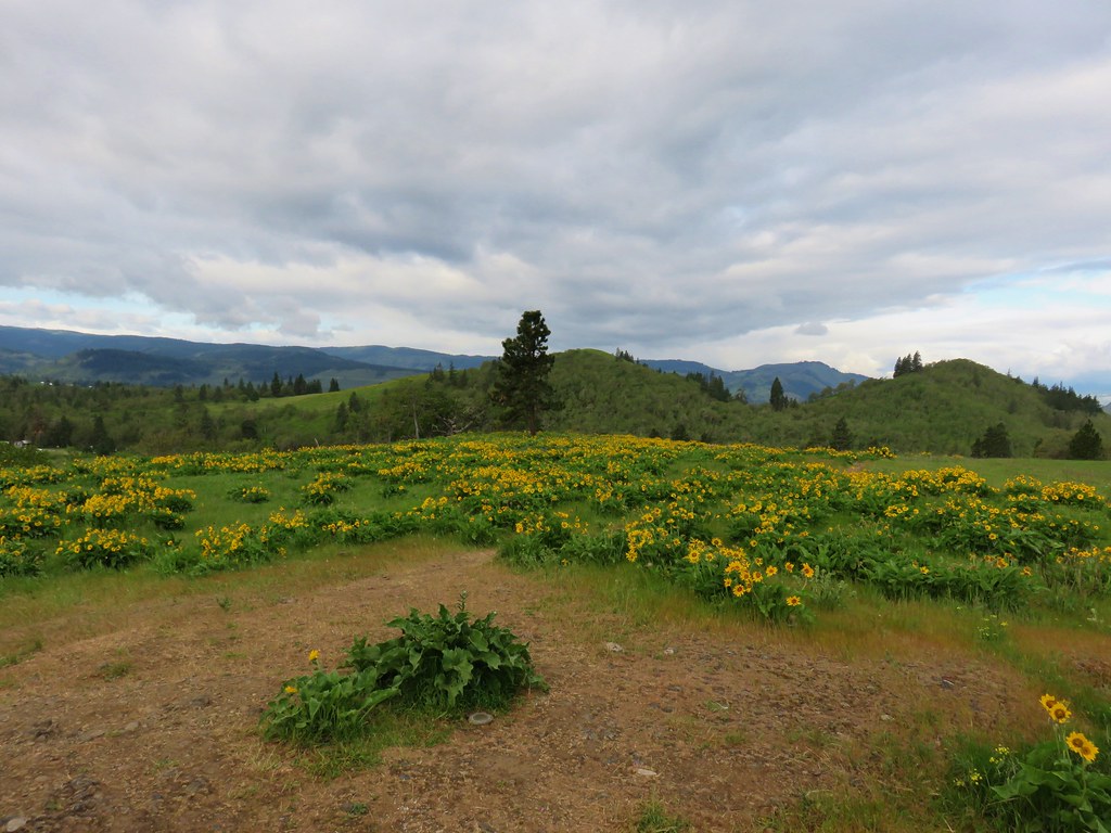
 Balsamroot – 5/27/23, Metolius Preserve, Camp Sherman
 Hoary balsamroot – 6/15/23, Buckhorn Lookout, Wallowa-Whitman National Forest
 Silky balsamroot – 5/4/23, Little Falls Trail Loop, Rogue River-Siskiyou National Forest (first time seeing)
 Deltoid balsamroot – 5/2/2023, Sterling Mine Ditch Trail System, BLM Medford District
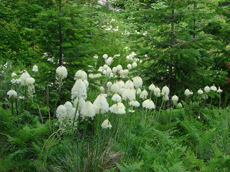
 Beargrass – 7/4/23, Rockytop Trail, Santiam State Forest
 Bigelow sneezweed – 10/7/2023, Sturgis Fork Trail, Rogue River-Siskiyou National Forest
 Field bindweed (non-native) – 6/14/23, Eureka Bar, Hells Canyon National Recreation Area
 Bindweed (non-native) – 8/26/23, Old Growth Cedar Trail, Rockaway Beach
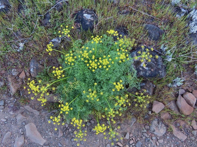
 Biscuitroot – 5/4/23, Little Falls Trail Loop, Rogue River-Siskiyou National Forest
 Biscuitroot – 5/13/23, Tualatin River National Wildlife Refuge, Sherwood
 Biscuitroot – 6/12/23, Imnaha River Trail, Eagle Cap Wilderness
 Bistort – 7/31/23, Castle Crest Wildflower Trail, Crater Lake National Park
 Blanket flower – 6/14/23, Eureka Bar, Hells Canyon National Recreation Area
 Bleeding heart – 4/29/23, Canemah Bluff, Oregon City
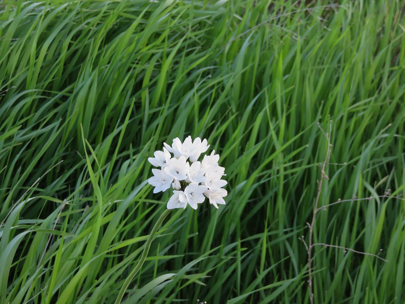
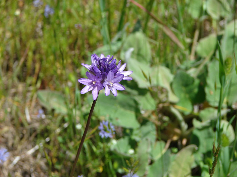
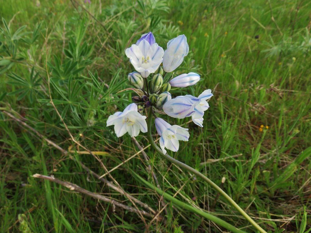
 Blue dicks – 5/1/23, Rogue River National Recreation Trail, BLM Medford District
 Ookow – 6/3/23, Buck Creek Trail, Husem, WA
 Large-flower tritelia – 6/12/23, Imnaha River Trail, Eagle Cap Wilderness
 Bluebells of Scotland – 7/15/23, Sheepshead Rock, Salmon-Huckleberry Wilderness
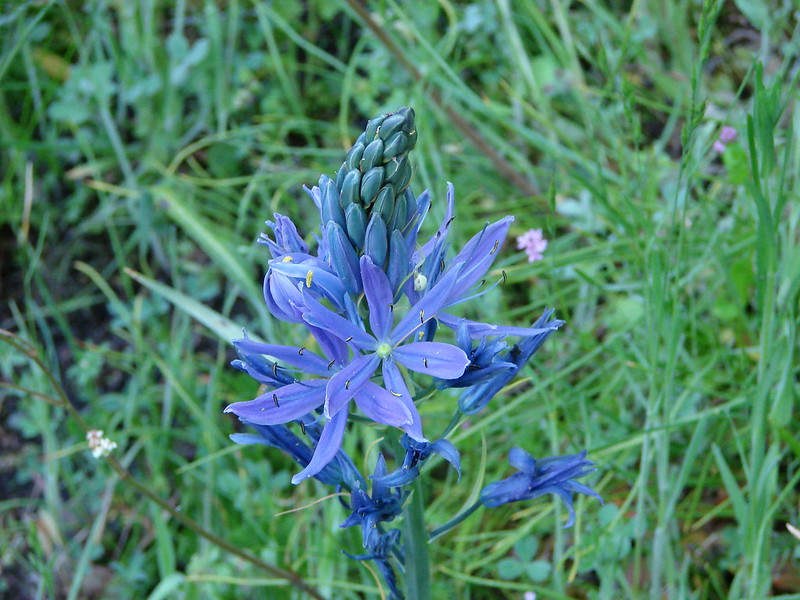
 Tall bluebells – 6/12/23, Imnaha River Trail, Eagle Cap Wilderness
 Scouler’s bluebell – 7/4/23, Natural Rock Arch Trail, Santiam State Forest
 Blue-eyed Mary – 5/2/23, Cathedral Hills, Grants Pass
 Giant blue-eyed Mary – 4/29/23, Canemah Bluff, Oregon City
 Bog orchid – 7/31/23, Castle Crest Wildflower Trail, Crater Lake National Park
 Phantom orchid – 6/3/23, Buck Creek Trail, Husem, WA
 Bolander’s yampah – 6/15/23, Nee-Mee-Poo National Historic Trail, Hells Canyon National Recreation Area
 Broad-leaved pepperweed (non-native) – 6/11/23, Hat Rock State Park, Hermiston
 Brown’s peony – 6/12/23, Imnaha River Trail, Eagle Cap Wilderness
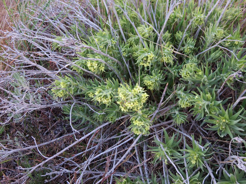
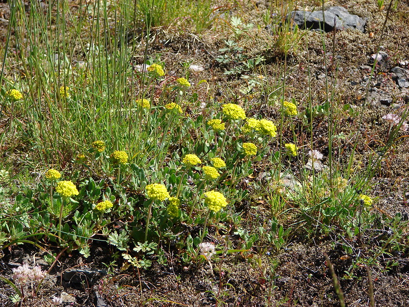
 Buckwheat – 5/28/23, Criterion Tract, BLM Prineville District
 Buckwheat – 5/28/23, Criterion Tract, BLM Prineville District
 Buckwheat – 7/31/23, Garfield Peak Trail, Crater Lake National Park
 Buckwheat – 7/30/23, Crater Peak Trail, Crater Lake National Park
 Buckwheat – 6/3/23, Nestor Peak, Husem, WA
 Wickerstem buckwheat – 9/3/23, Threemile Canyon, BLM Burns District
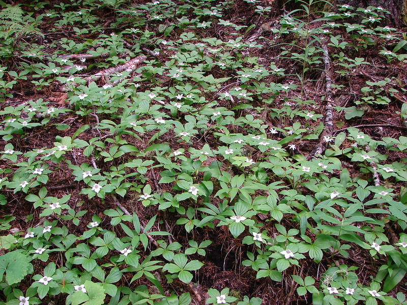
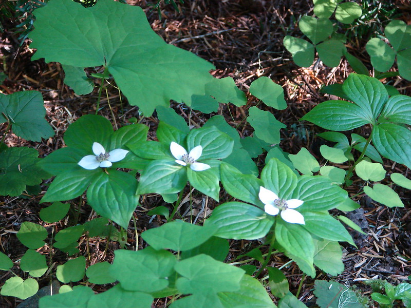
 Bunchberry – 7/4/23, Santiam State Forest
 Buttercups – 4/29/23, Canemah Bluff, Oregon City
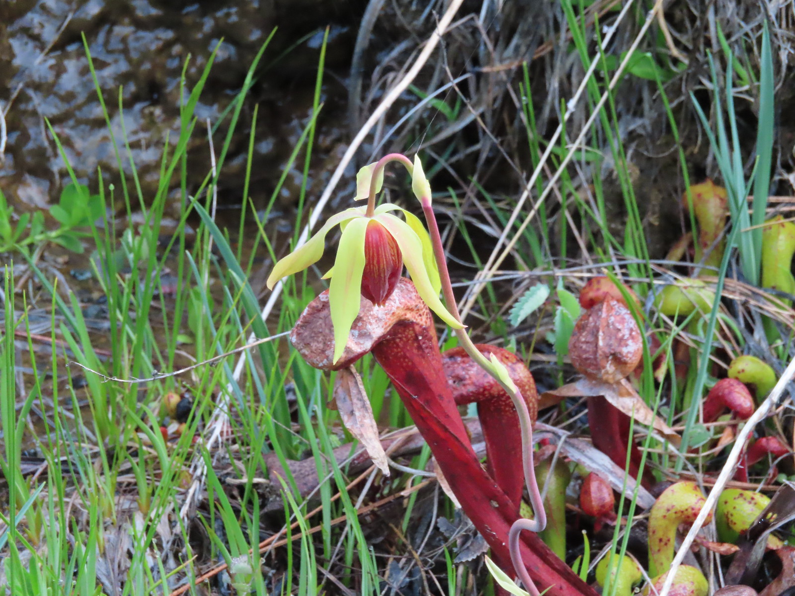 California darlingtonia – 5/4/23, Eight Dollar Mountain Botanical Area, Rogue River-Siskiyou National Forest
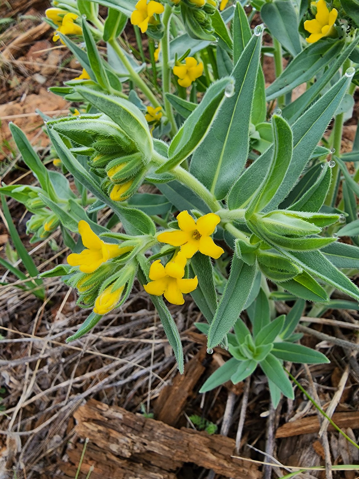 California gromwell – 5/4/23, Eight Dollar Mountain Botanical Area, Rogue River-Siskiyou National Forest
 Western stoneseed – 5/27/23, Metolius Preserve, Camp Sherman
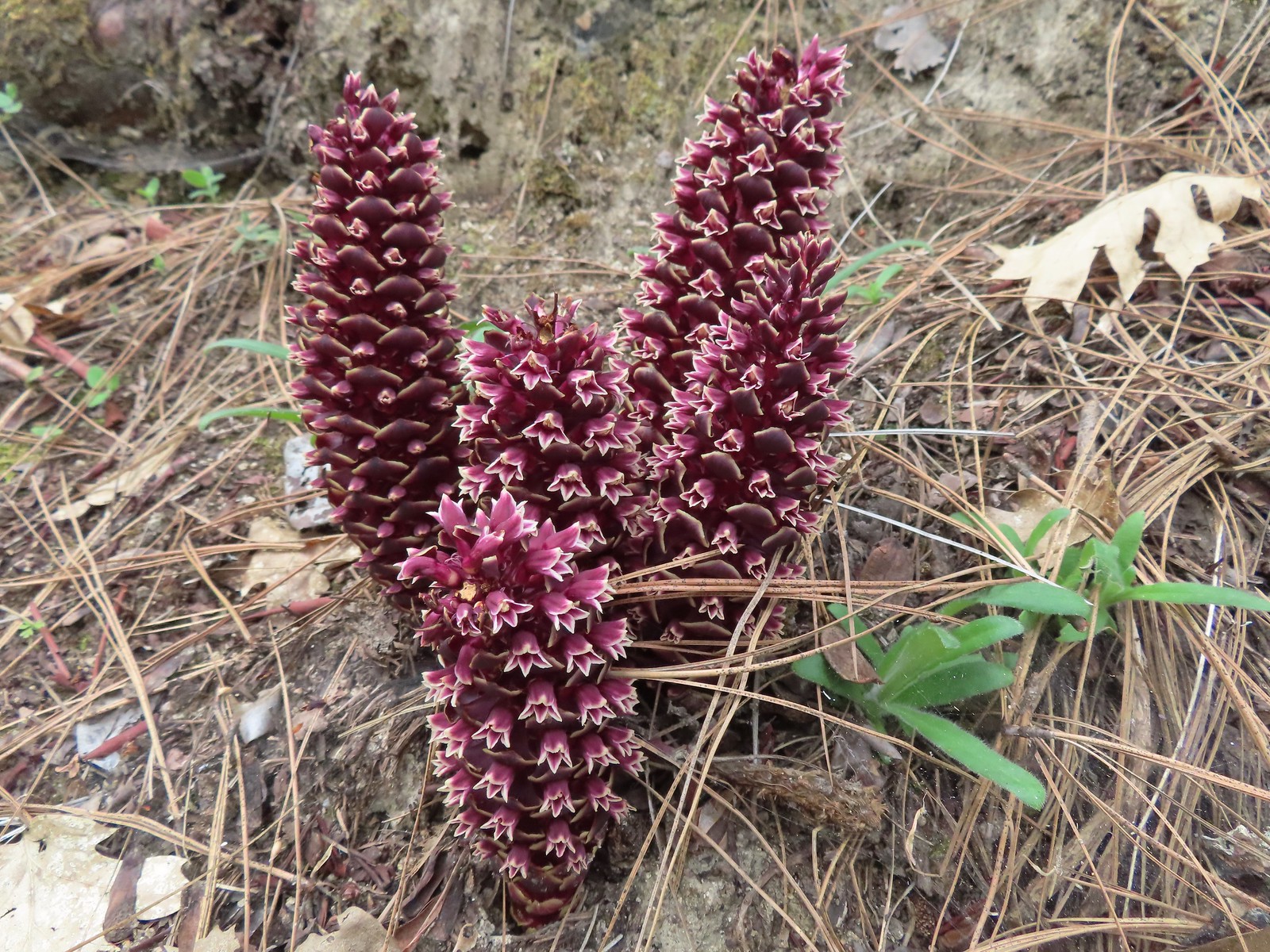 California groundcones – 5/3/23, Dollar Mountain, Grants Pass
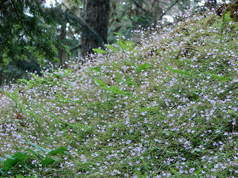
 California harebells – 6/25/23, North Umpqua Trail, BLM Roseburg District
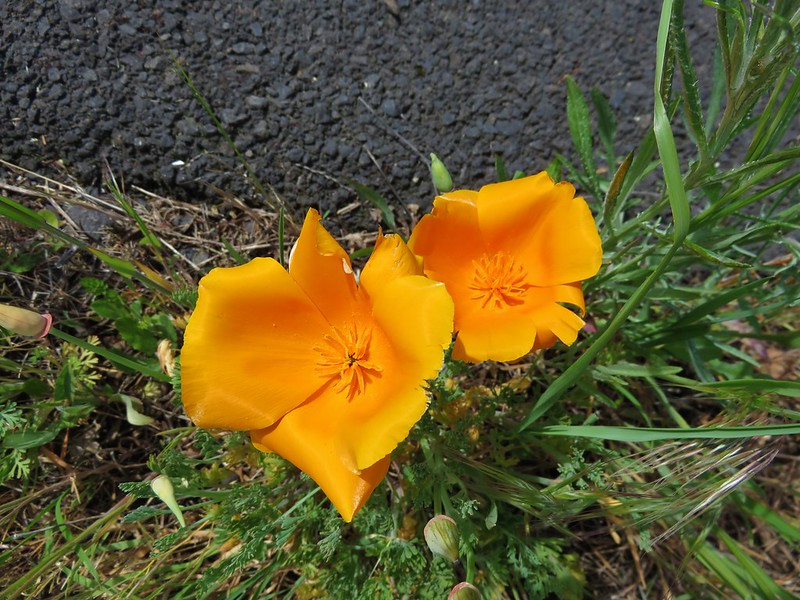
 California poppies – 6/13/23, Highway 351, Joseph
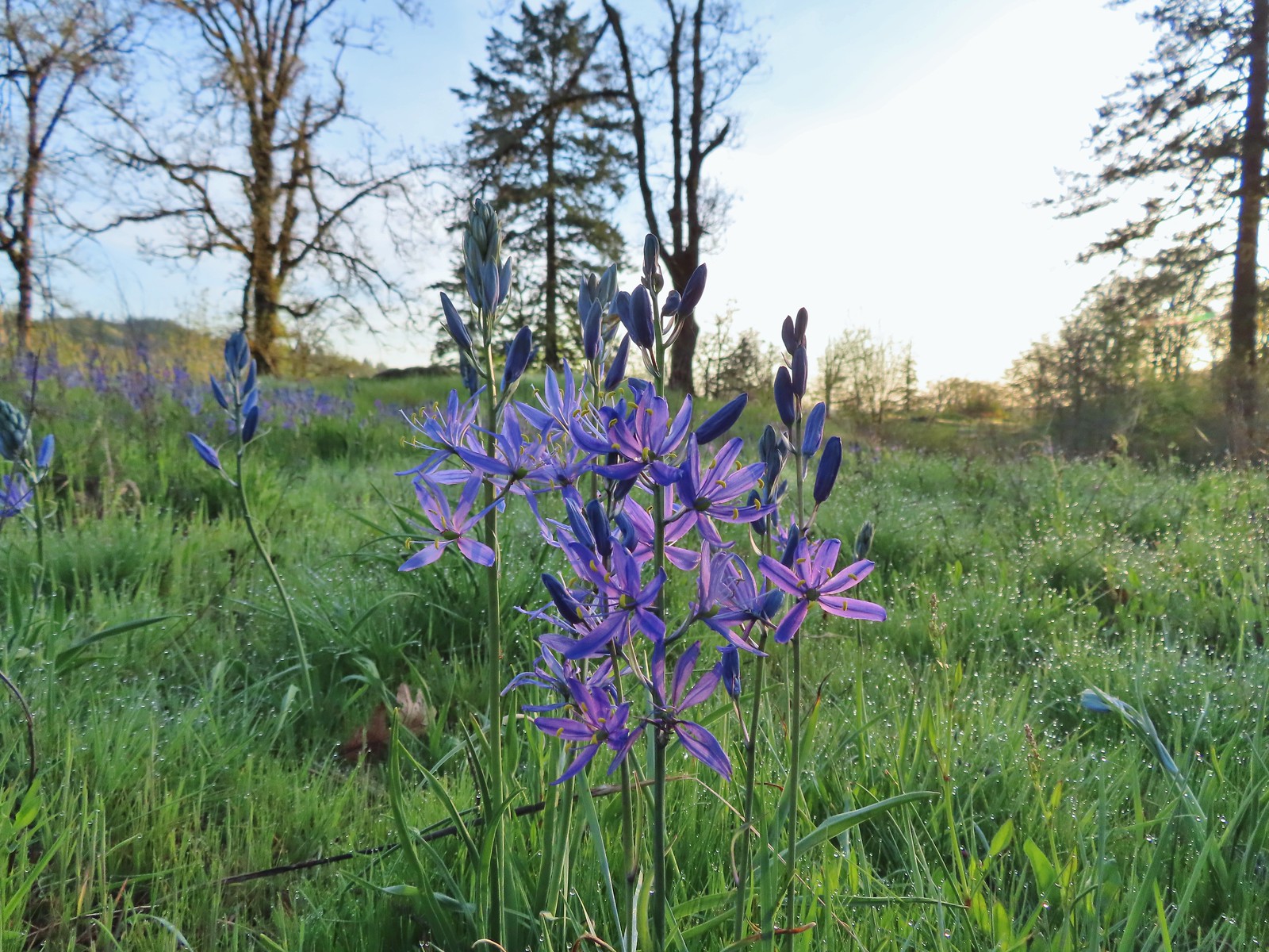 Camas – 4/29/23, Canemah Bluff, Oregon City
 Death camas – 5/4/23, Eight Dollar Mountain Boardwalk, BLM Grants Pass Resource Area
 Mountain death camas – 8/14/23, Main Eagle Creek Trail, Eagle Cap Wilderness
 Candy flower – 5/3/23, Waters Creek Interpretive Trail, Rogue River-Siskiyou National Forest
 Candysticks – 7/8/23, Santiam Wagon Road, Willamette National Forest
 Carolina bugbane – 7/15/23, Old Baldy Trail, Salmon-Huckleberry Wilderness
 Cascade lily – 7/4/23, Natural Rock Arch Trail, Santiam State Forest
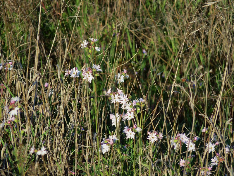
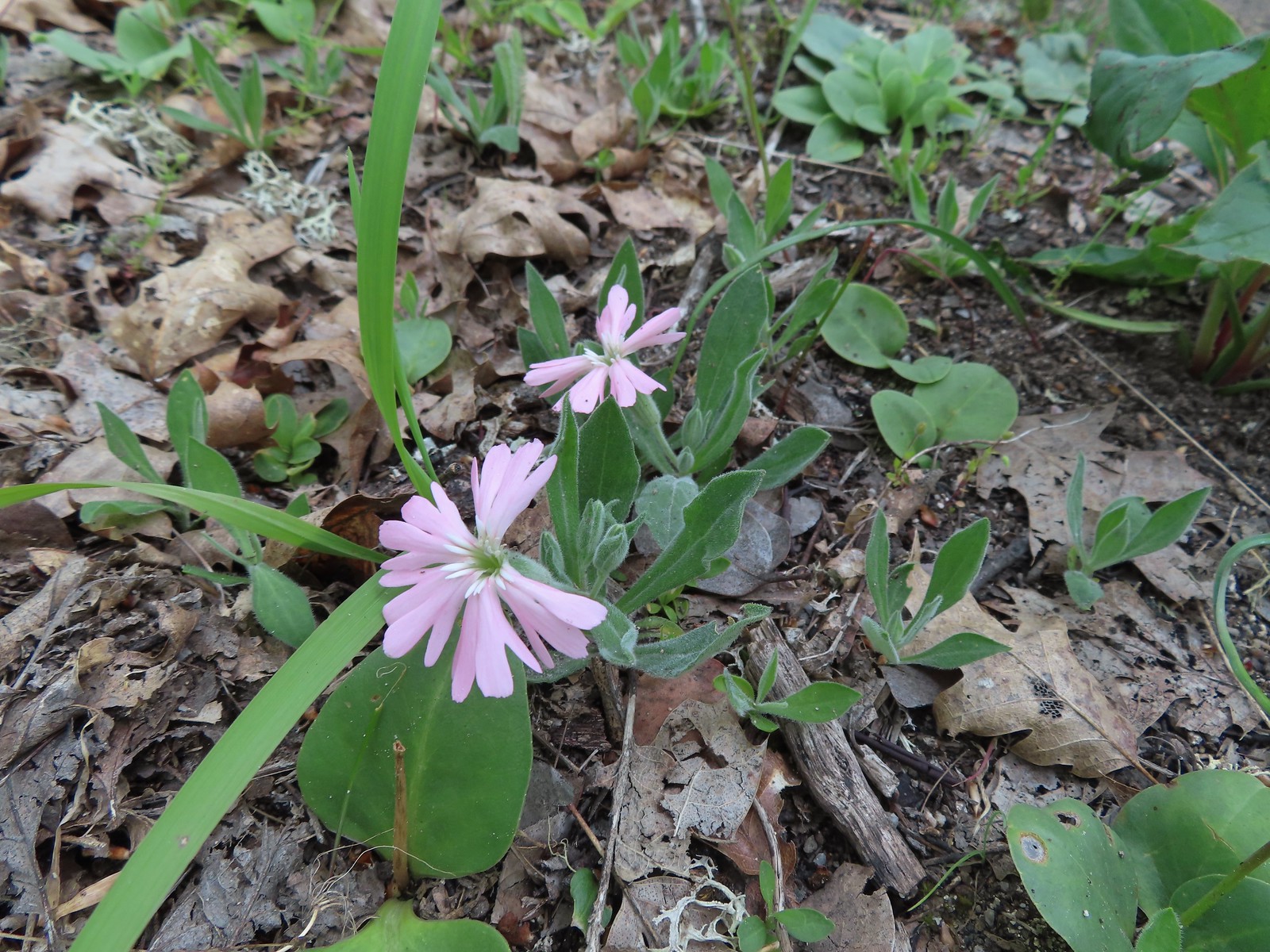
 Catchfly – 7/4/23, Rockytop Trail, Santiam State Forest
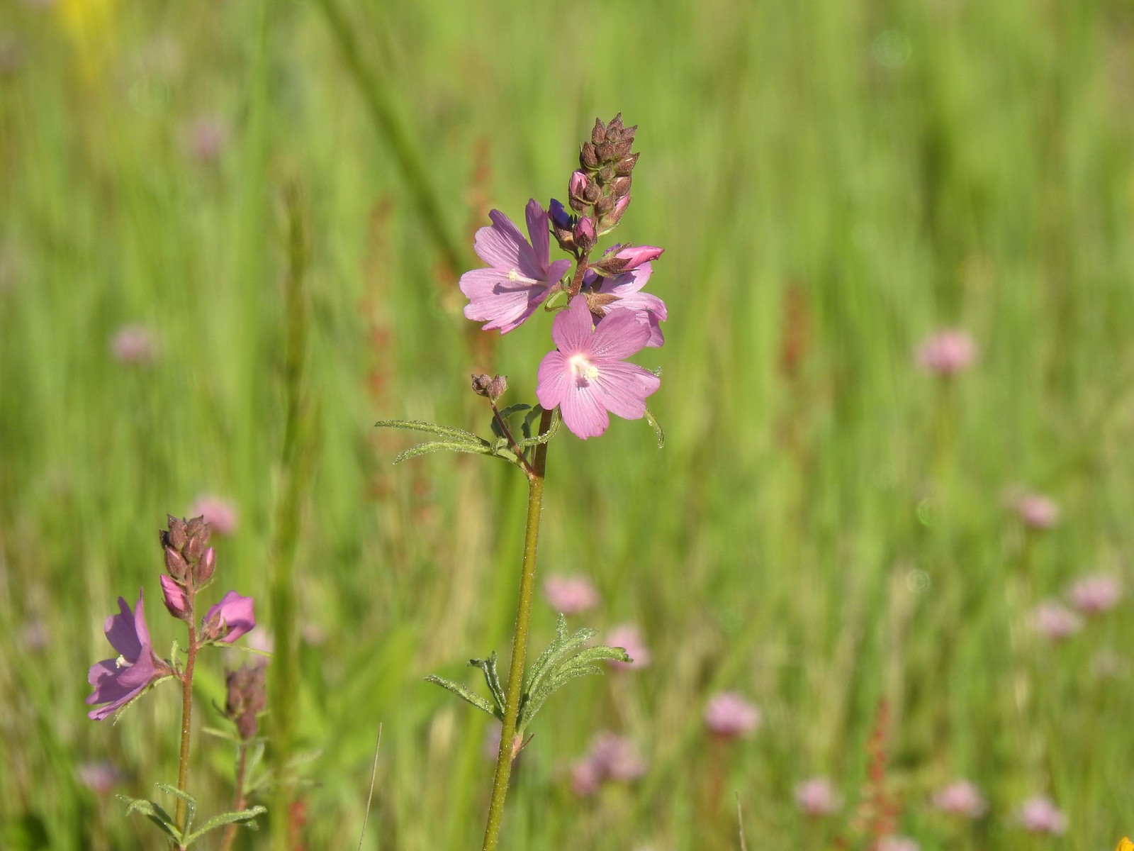 Checker-mallow – 5/13/23, Tualatin River National Wildlife Refuge, Sherwood
 Checker-mallow – 5/13/23, Graham Oaks Nature Park, Wilsonville
 Checker-mallow – 6/25/23, North Bank Habitat, BLM Roseburg District
 Orange globe mallow – 6/14/23, Eureka Bar Hells Canyon National Scenic Area
 Chicory (non-native) – 6/14/23, Imnaha Trail, Hells Canyon National Recreation Area
 Chokecherry – 5/30/23, Riley Ranch Preserve, Bend
 Mallow ninebark – 6/15/23, Hells Canyon National Scenic Area, Wallowa-Whitman
 Cinquefoil – 6/12/23, Imnaha River Trail, Eagle Cap Wilderness
 Shrubby cinquefoil – 8/14/23, Main Eagle Creek Trail, Eagle Cap Wilderness
 Clarkia – 6/3/23, Buck Creek Trail, Husem, WA
 Elkhorn clarkia – 6/15/23, Hells Canyon National Scenic Area, Wallowa-Whitman National Forest
 Tomcat clover – 5/13/23, Cooper Mountain Nature Park, Beaverton
 Clover (possibly Beckwith’s?) – 6/15/23, Hells Canyon National Scenic Area, Wallowa-Whitman National Forest
 Twin clover – 6/15/23, Hells Canyon National Scenic Area, Wallowa-Whitman National Forest (first time seeing)
 Large-head clover – 6/15/23, Hells Canyon National Scenic Area, Wallowa-Whitman National Forest
 Wooly-head clover – 6/15/23, Hells Canyon National Scenic Area, Wallowa-Whitman National Forest
 Owl’s clover – 6/15/23, Hells Canyon National Scenic Area, Wallowa-Whitman National Forest
 Clustered broomrape – 6/15/23, Hells Canyon National Scenic Area, Wallowa-Whitman National Forest
 Naked broomrape – 5/1/23, Rogue River National Recreation Trail, BLM Medford District
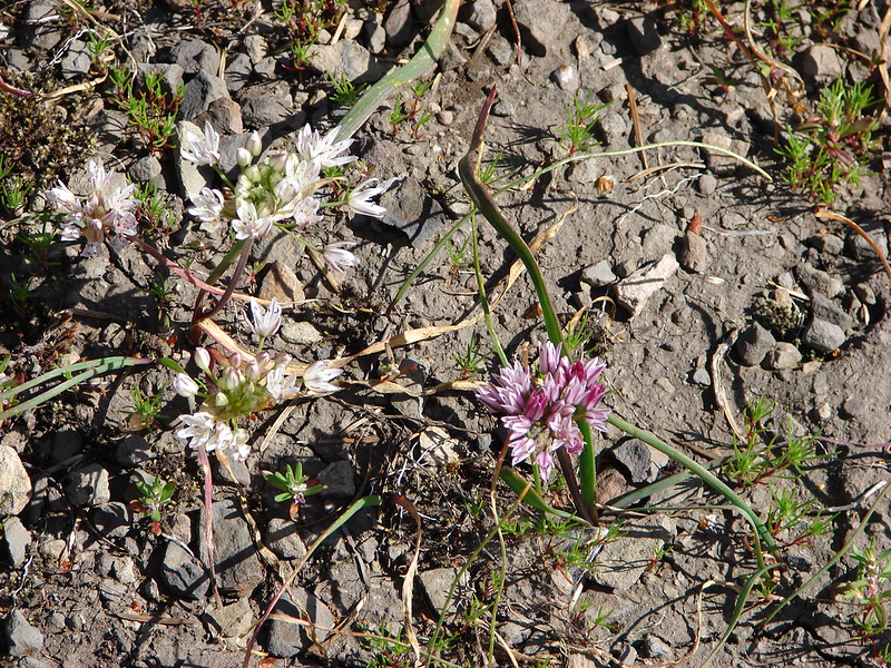
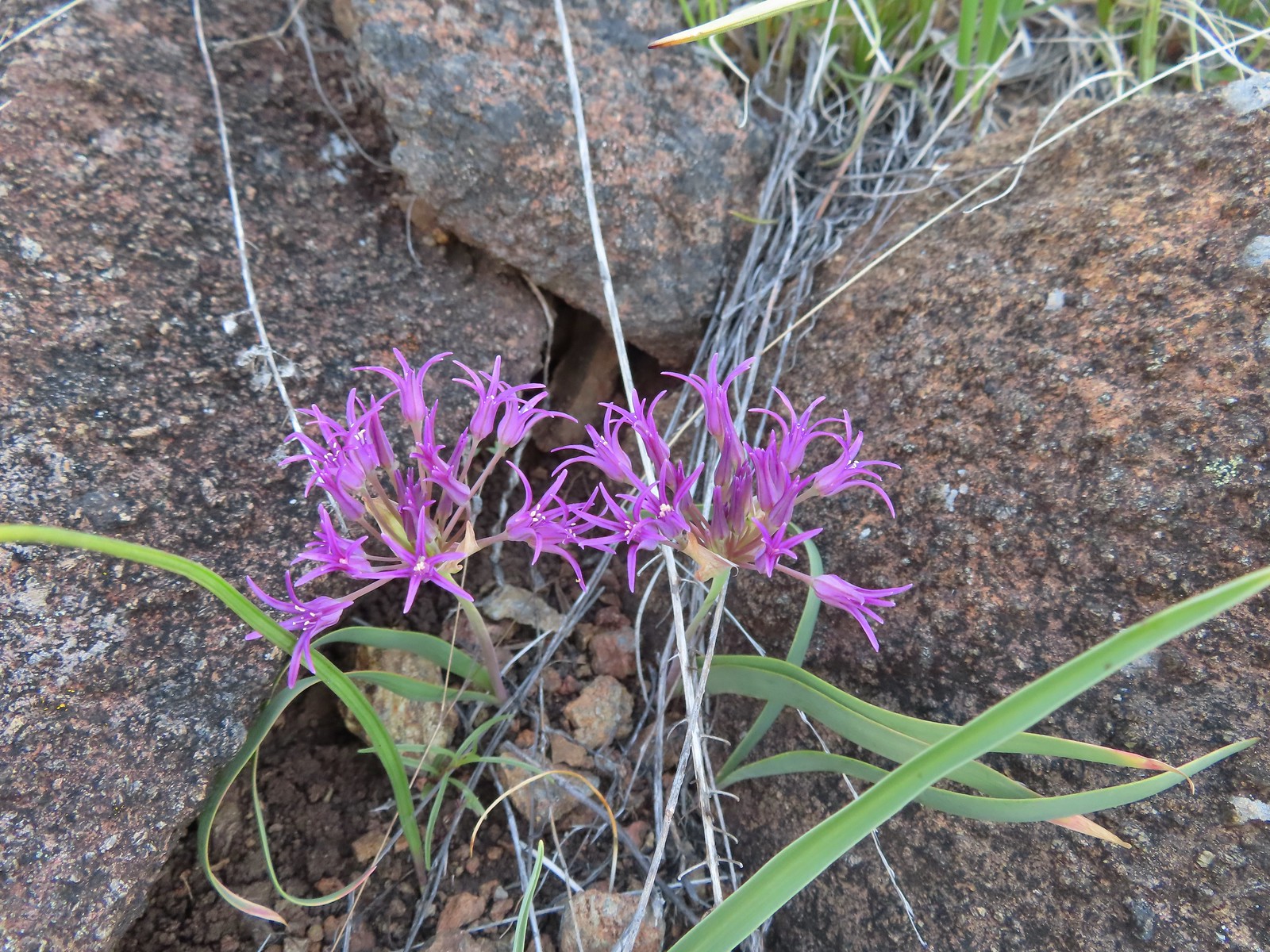 Coast flat stem onion – 5/4/23, Jeffrey Pine Loop Trail, BLM Medford District
 Swamp onion – 8/14/23, Main Eagle Creek Trail, Eagle Cap Wilderness
 Tolmie’s onion – 6/15/23, Hells Canyon National Scenic Area, Wallowa-Whitman National Forest
 Coltsfoot – 4/15/23, Enchanted Valley, Siuslaw National Forest
 Columbian lewisia – 6/15/23, Hells Canyon National Scenic Area, Wallowa-Whitman National Forest
 Threeleaf lewisia – 6/12/23, Imnaha River Trail, Eagle Cap Wilderness
 Columbine – 7/4/23, Rockytop Trail, Santiam State Forest
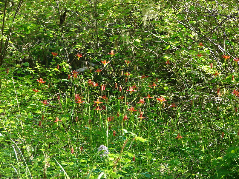
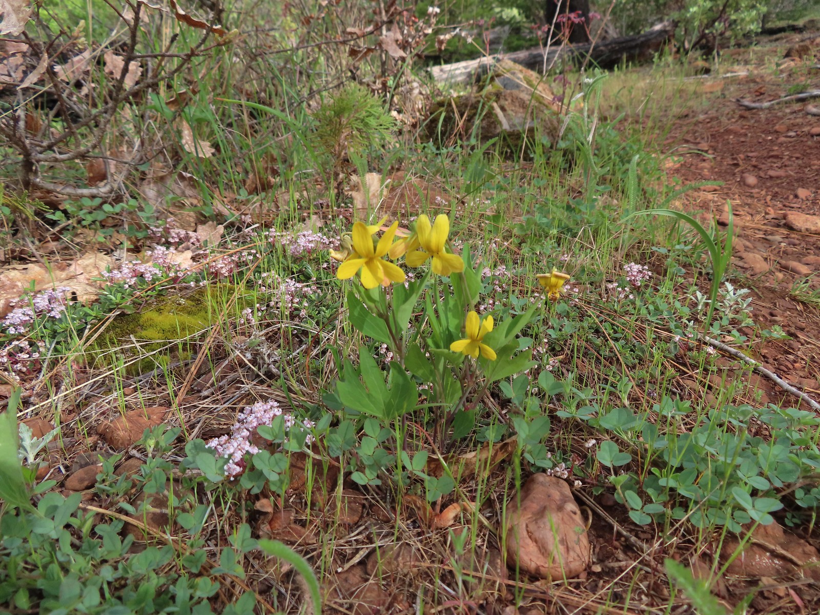
 Yellow columbine – 8/17/23, West Eagle Trail, Eagle Cap Wilderness
 Coneflower – 8/16/23, West Eagle Trail, Eagle Cap Wilderness
 Pacific Coralroot – 7/15/23, Plaza Lake Trail, Salmon-Huckleberry Wilderness
 Spotted coralroot – 6/3/23, Buck Creek Trail, Husem, WA
 Crater Lake collomia – 9/9/23, Cliff Lake Trail, Sky Lakes Wilderness
 Grand collomia – 5/28/23, Criterion Tract, BLM Prineville District
 Variable-leaf collomia – 6/24/23, Rogue River National Recreation Trail, Wild Rogue Wilderness
 Tiny trumpet – 6/15/23, Hells Canyon National Scenic Area, Wallowa-Whitman National Forest (first time seeing)
 Creeping wirelettuce – 7/29/23, Stuart Falls Trail, Crater Lake National Park
 Currant – 6/12/23, Imnaha River Trail, Eagle Cap Wilderness
 Red flowering currant – 4/14/23, Minto-Brown Island Park, Salem
 Cusick’s speedwell – 8/15/23 Bear Lake Trail, Eagle Cap Wilderness
 Daffodils (non-native) – 4/13/23, Baskett Slough National Wildlife Refuge, Rickreall
 Dalmation toadflax (non-native) – 6/16/23, Copper Creek Day Use Area, Hells Canyon National Recreation Area
 Deer vetch – 7/22/23, Shut-In Trail, Deschutes National Forest
 Idaho milk-vetch – 5/28/23, Criterion Tract, BLM Prineville District
 Rogue River milk-vetch – 5/2/2023, Sterling Mine Ditch Trail System, BLM Medford District
 Woolly-pod milk-vetch – 5/2/2023, Sterling Mine Ditch Trail System, BLM Medford District
 Vetch – 5/13/23, Cooper Mountain Nature Park, Beaverton
 Vetch – 6/12/23, Imnaha River Trail, Eagle Cap Wilderness
 Pea (non-native) – 6/24/23, Rogue River National Recreation Trail, Wild Rogue Wilderness
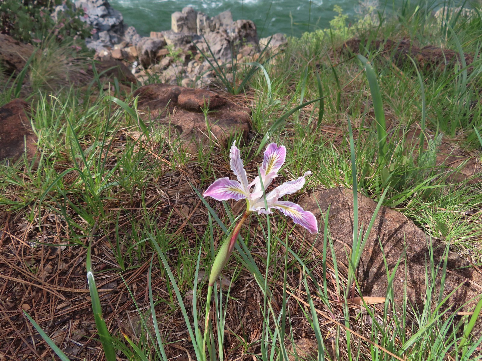
 Del Norte iris – 5/1/23, Rogue River National Recreation Trail, BLM Medford District
 Tough leaf iris – 5/13/23, Cooper Mountain Nature Park, Beaverton
 Iris – 5/4/23, Little Falls Trail Loop, Rogue River-Siskiyou National Forest
 Diffuse-flower evening primrose surrounded by blue-eyed Mary – 6/12/23, Imnaha River Trail, Eagle Cap Wilderness
 Drummond’s anemone – 7/30/23, Crater Peak Trail, Crater Lake National Park
 Western pasque flower – 7/8/23, Sand Mountain, Willamette National Forest
 Western paque flower (seedheads) – 7/31/23, Garfield Peak Trail, Crater Lake National Park
 Dwarf ceanothus – 5/3/23, Limpy Botanical Trail, Rogue River-Siskiyou National Forest
 Elegant brodiaea – 6/24/23, Rogue River National Recreation Trail, Wild Rogue Wilderness
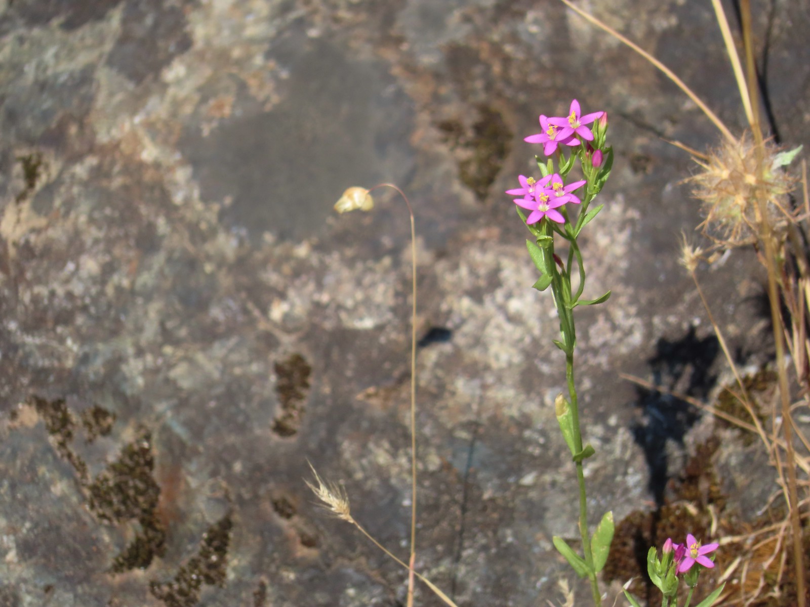
 European centaury (non-native) – 6/25/23, North Bank Habitat, BLM Roseburg District
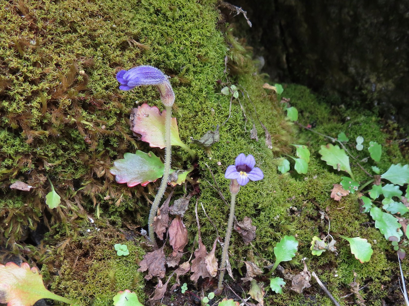
 Fairy slippers – 5/3/23, Limpy Botanical Trail, Rogue River-Siskiyou National Forest
 Mountain lady slipper – 6/3/23, Buck Creek Trail, Husem, WA
 Fiddleneck – 5/2/2023, Sterling Mine Ditch Trail System, BLM Medford District
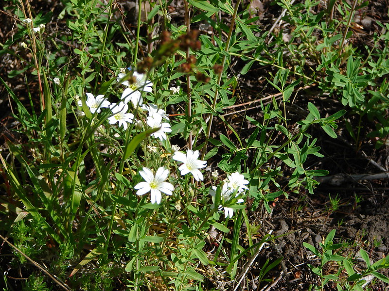
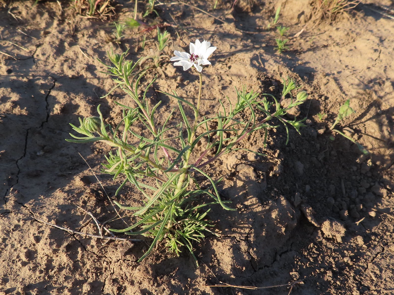
 Field chickweed – 5/4/23, Forest Road 011, Rogue River-Siskiyou National Forest
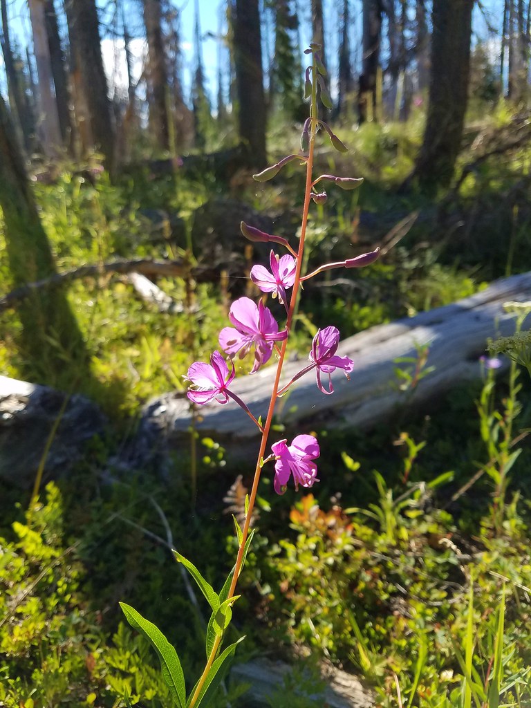
 Fireweed – 6/25/23, North Umpqua Trail, BLM Roseburg District
 False hellebore – 7/31/23, Garfield Peak Trail, Crater Lake National Park
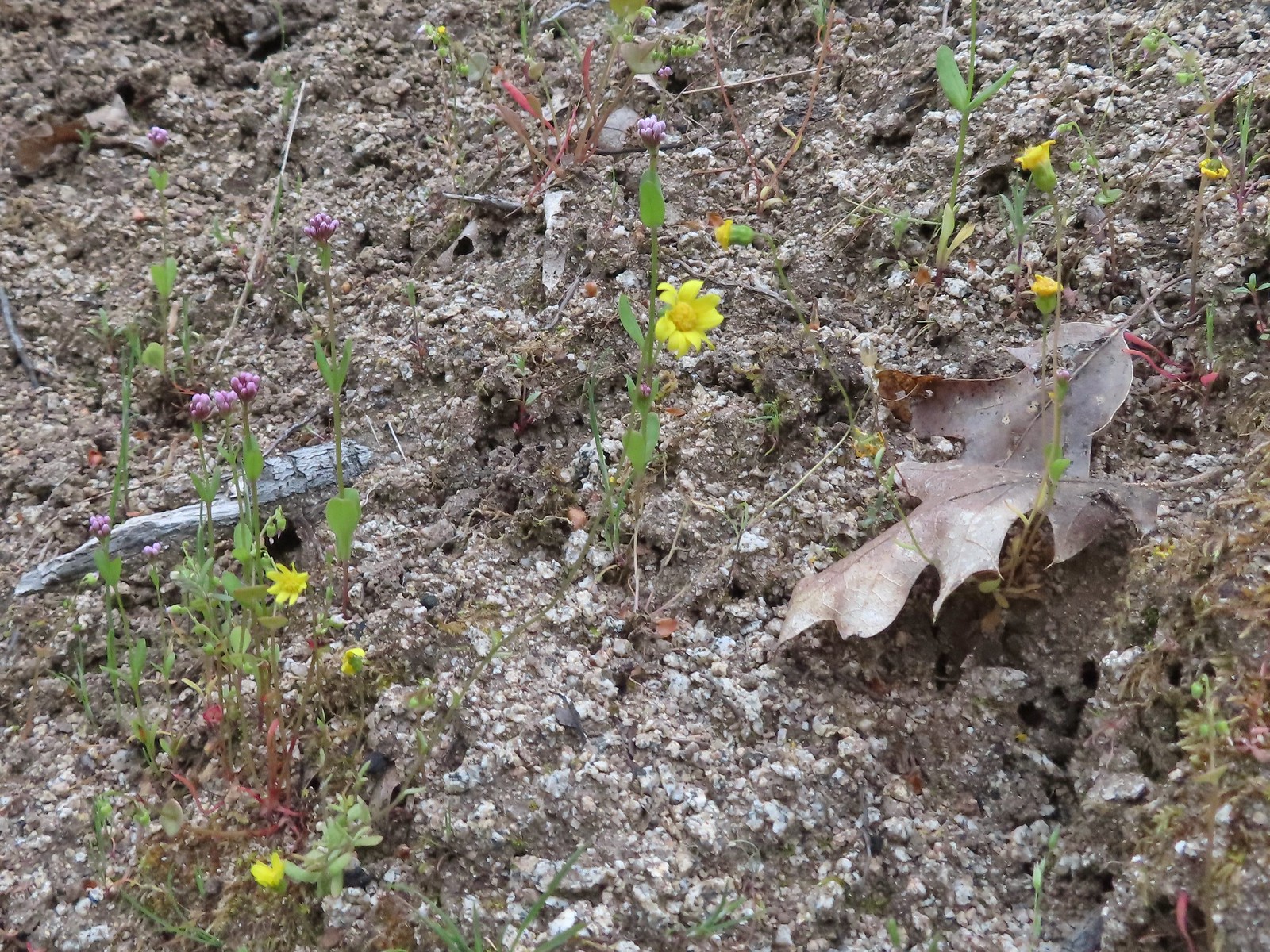
Dipping into fleabanes, asters and/or daisies, possibly the hardest to differentiate. These are my best guesses but I could be way off.
 Desert yellow fleabane – 5/28/23, Criterion Tract, BLM Prineville District
 Sub-alpine fleabane – 10/7/23, Forest Road 600, Rogue River-Siskiyou National Forest
 Fleabane? – 6/14/23, Eureka Bar, Hells Canyon National Recreation Area
 Fleabane? – 6/11/23, Hat Rock State Park, Hermiston
 Not even going to guess, could be a non-native. – 5/13/23, Graham Oaks Nature Park, Wilsonville
 Diasy? – 7/4/23, Niagra Heights Road, Santiam State Forest
 Hairy golden aster – 6/14/23, Eureka Bar, Hells Canyon National Recreation Area
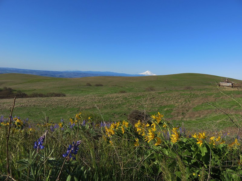
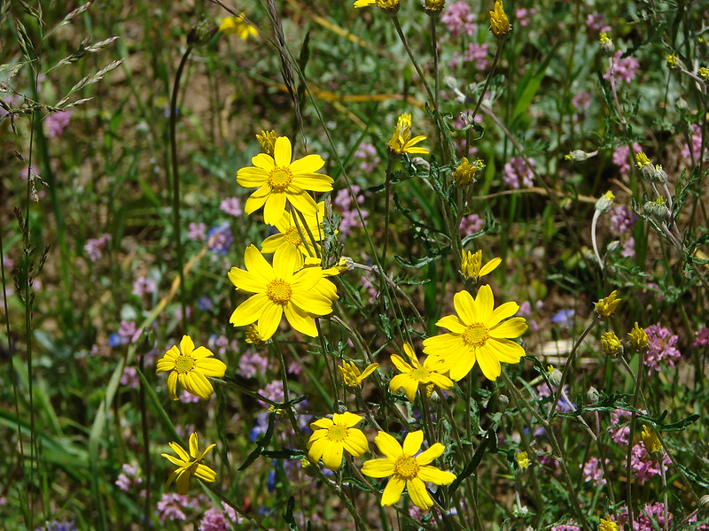
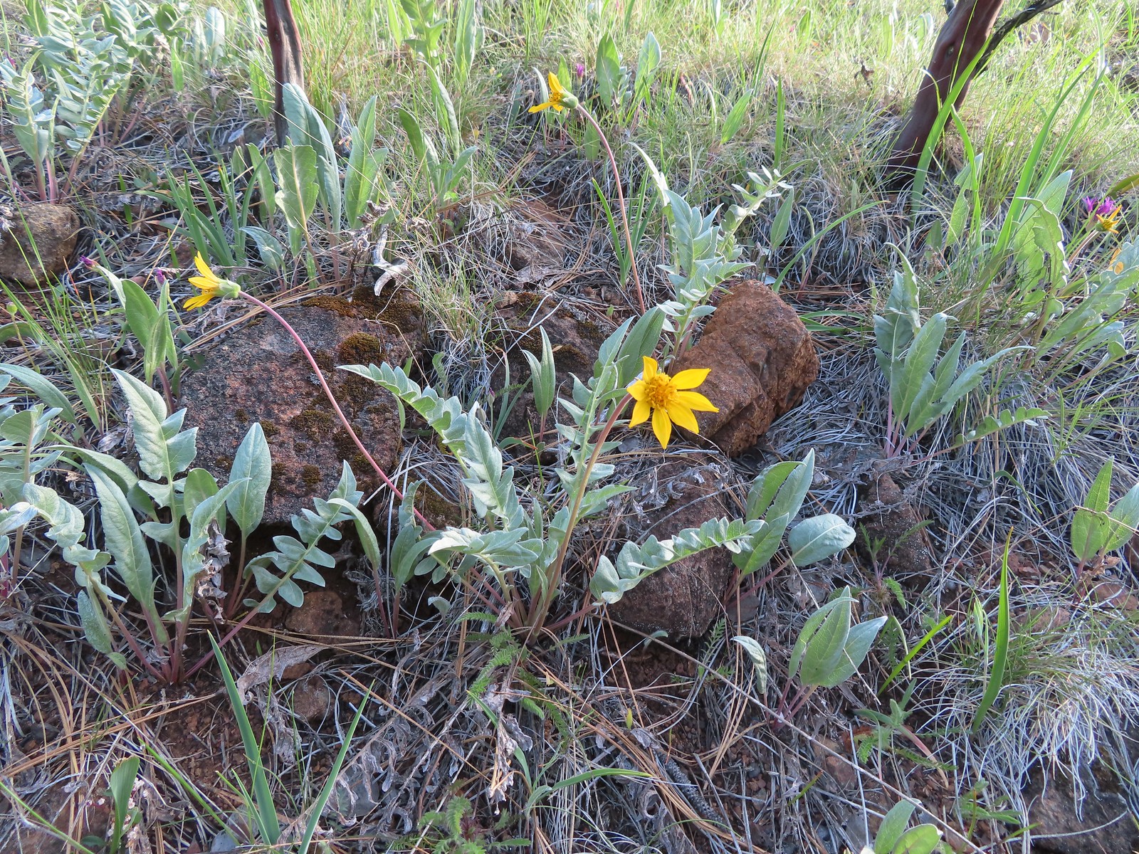
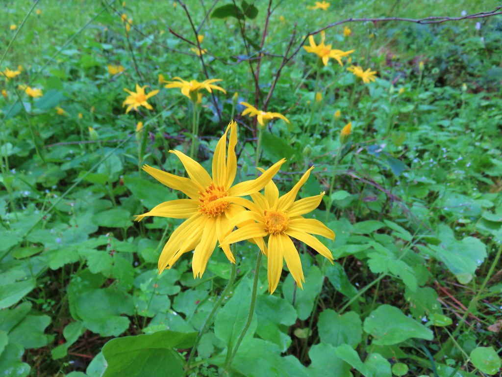
 Oregon sunshine – 5/28/23, Criterion Tract, BLM Prineville District
 Oregon sunshine – 6/3/23, Nestor Peak, Husem, WA
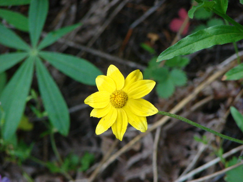
 Sunflower – 9/3/23, Threemile Canyon, BLM Burns District
 Foam flower – 8/5/23, McGee Creek Trail, Mt. Hood Wilderness
 Foxglove (non-native) – 7/4/23, Natural Rock Arch Trail, Santiam State Forest
 Fringecup – 5/13/23, Tualatin River National Wildlife Refuge, Sherwood
 Gentians – 8/16/23, Tombstone Lake Trail, Eagle Cap Wilderness
 Gold stars? – 5/2/23, Cathedral Hills, Grants Pass
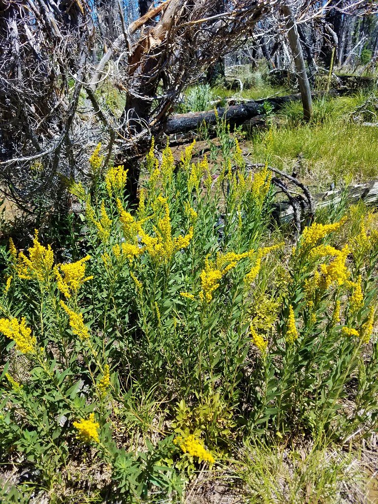
 Goldenrod – 7/22/23, Metolius River Trail, Deschutes National Forest
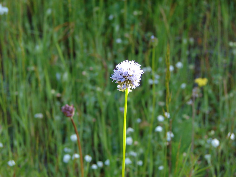
 Grass-of-parnassus – 9/9/23, Pacific Crest Trail, Sky Lakes Wilderness
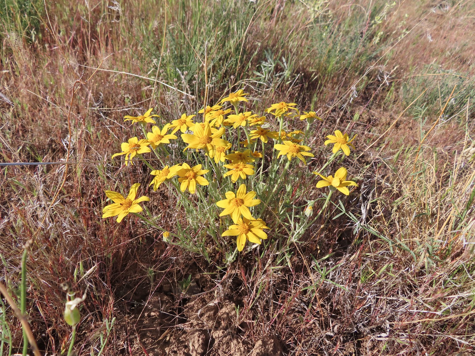
 Gray sagewort (among others) – 8/14/23, Main Eagle Creek Trail, Eagle Cap Wilderness
 Groundsel – 6/3/23, Buck Creek Trail, Husem, WA
 Groundsel – 7/30/23, Plaikni Falls Trail, Crater Lake National Park
 Heatleaf spring beauty – 6/12/23, Imnaha River Trail, Eagle Cap Wilderness
 Hedgenettle – 7/22/23, Shut-In Trail, Deschutes National Forest
 Honeysuckle – 5/13/23, Cooper Mountain Nature Park, Beaverton
 Honeysuckle – 6/25/23, North Bank Habitat, BLM Roseburg District
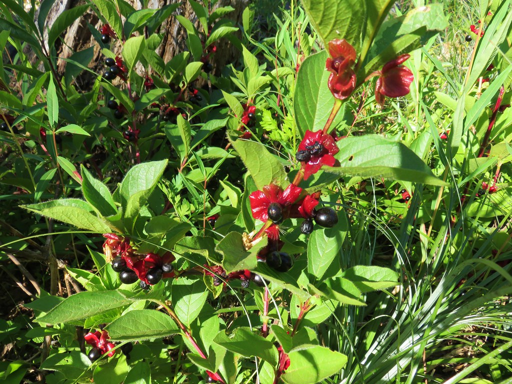
 Twinberry honeysuckle – 6/12/23, Imnaha River Trail, Eagle Cap Wilderness
 Utah honeysuckle – 6/12/23, Imnaha River Trail, Eagle Cap Wilderness
 Twinflower honeysuckle – 7/22/23, Metolius River Trail, Deschutes National Forest
 Horkelia – 7/22/23, Metolius River Trail, Deschutes National Forest
 Houndstongue – 6/13/23, Iwetemlaykin State Heritage Site, Joseph
 Pacific houndstongue – 5/2/2023, Sterling Mine Ditch Trail System, BLM Medford District
 Jessica’s stickseed – 6/12/23, Imnaha River Trail, Eagle Cap Wilderness
 Hooker’s Indian pink – 5/3/23, Dollar Mountain, Grants Pass
 Hooker’s fairy bells – 4/29/23, Canemah Bluff, Oregon City
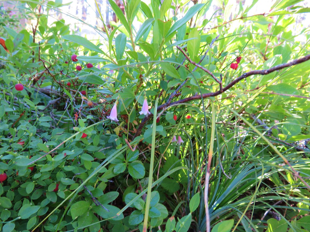
 Huckleberry – 6/12/23, Imnaha River Trail, Eagle Cap Wilderness
 Indian plum – 4/13/23, Baskett Slough National Wildlife Refuge, Rickreall
 Mountain snowberry – 6/15/23, Hells Canyon National Scenic Area, Wallowa-Whitman
 Salmonberry – 4/8/23, Minto-Brown Island Park, Salem
 Salal – 6/25/23, North Umpqua Trail, BLM Roseburg District
 Oregon grape – 4/8/23, Minto-Brown Island Park, Salem
 Serviceberry – 5/13/23, Cooper Mountain Nature Park, Beaverton
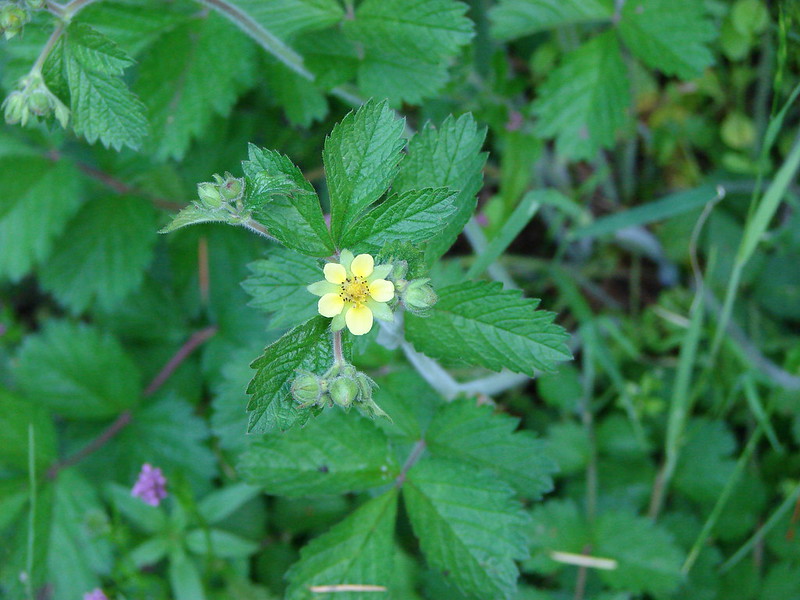
 Strawberry – 4/29/23, Canemah Bluff, Oregon City
 Thimbleberry – 6/3/23, Buck Creek Trail, Husem, WA
 Large-flower hawksbeard – 5/28/23, Criterion Tract, BLM Prineville District

Golden Paintbrush (Castilleja levisecta) – 5/13/23, Tualatin River National Wildlife Refuge, Sherwood
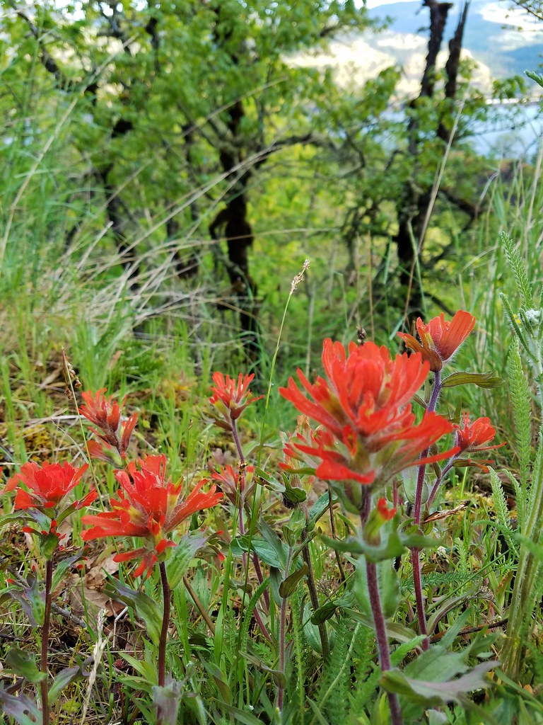
 Hairy Indian paintbrush (Castilleja tenuis) – 6/15/23, Hells Canyon National Scenic Area, Wallowa-Whitman
 Paintbrush – 6/15/23, Hells Canyon National Scenic Area, Wallowa-Whitman
 Paintbrush – 6/15/23, Hells Canyon National Scenic Area, Wallowa-Whitman
 – 6/3/23, Buck Creek Trail, Husem, WA
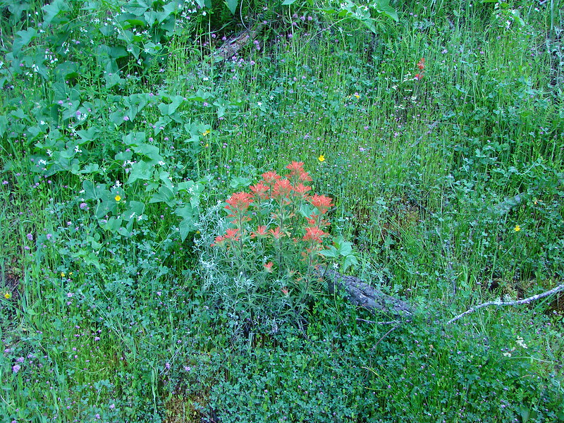
 Cobwebby paintbrush (Castilleja arachnoidea) – 7/31/23, Rim Trail, Crater Lake National Park
 Cobwebby paintbrush (Castilleja arachnoidea) – 7/31/23, Rim Trail, Crater Lake National Park
 Yellow Wallowa Indian paintbrush (Castilleja chrysantha) – 8/15/23, Lookingglass Lake Trail, Eagle Cap Wilderness
 Rosy paintbrush – 8/16/23, Tombstone Lake Trail, Eagle Cap WildernessFph
 Indian warrior (Pedicularis densiflora) – 5/2/23, Cathedral Hills, Grants Pass (first time seeing)
 Inside-out flower – 7/4/23, Natural Rock Arch Trail, Santiam State Forest
 Jaccob’s ladder – 8/16/23, West Eagle Trail, Eagle Cap Wilderness
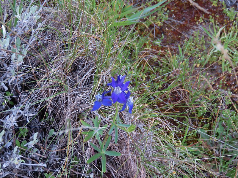
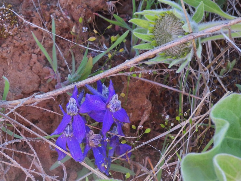
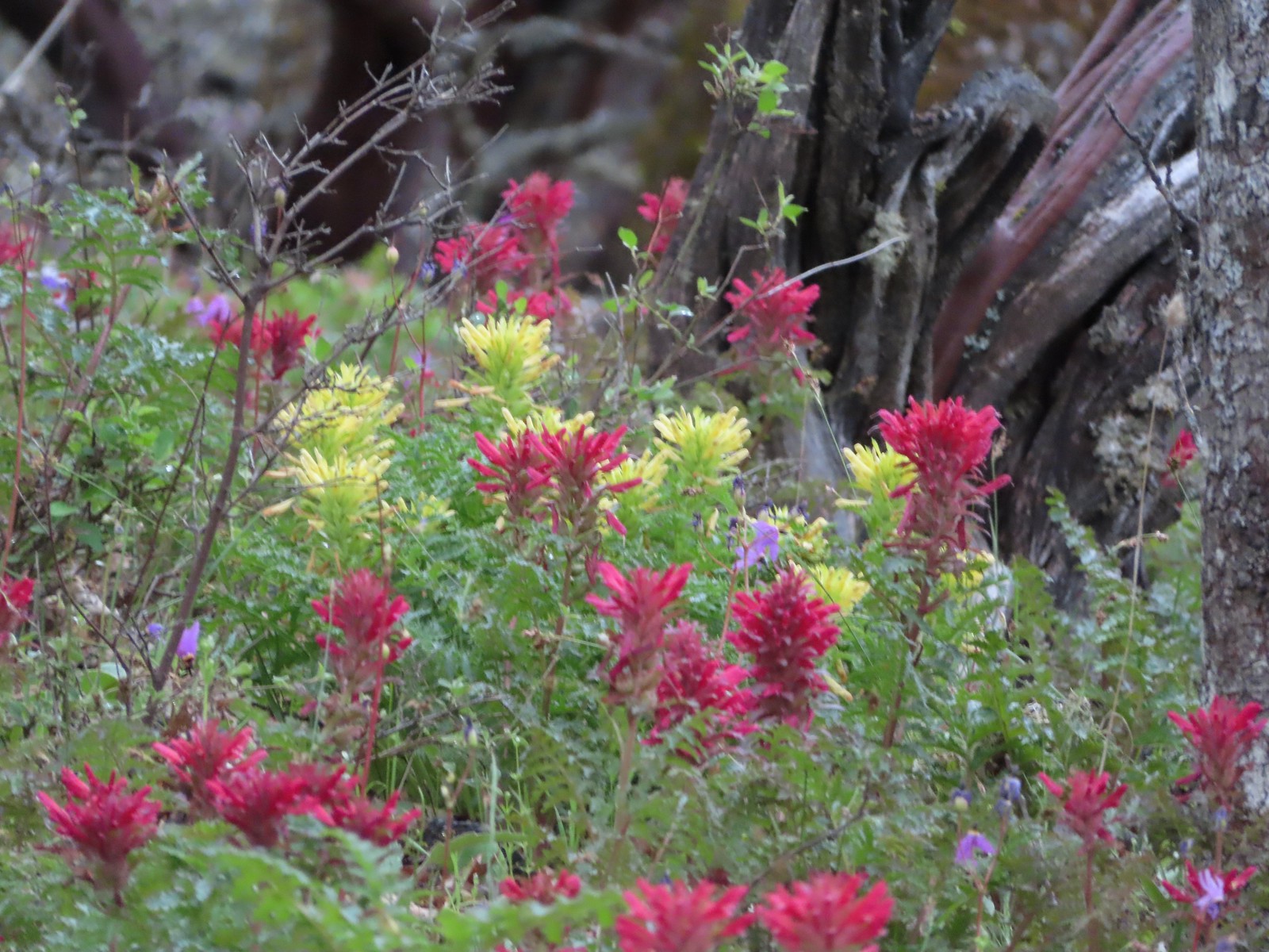
 Larkspur – 6/12/23, Imnaha River Trail, Eagle Cap Wilderness
 Larkspur – 5/1/23, Rogue River National Recreation Trail, BLM Medford District
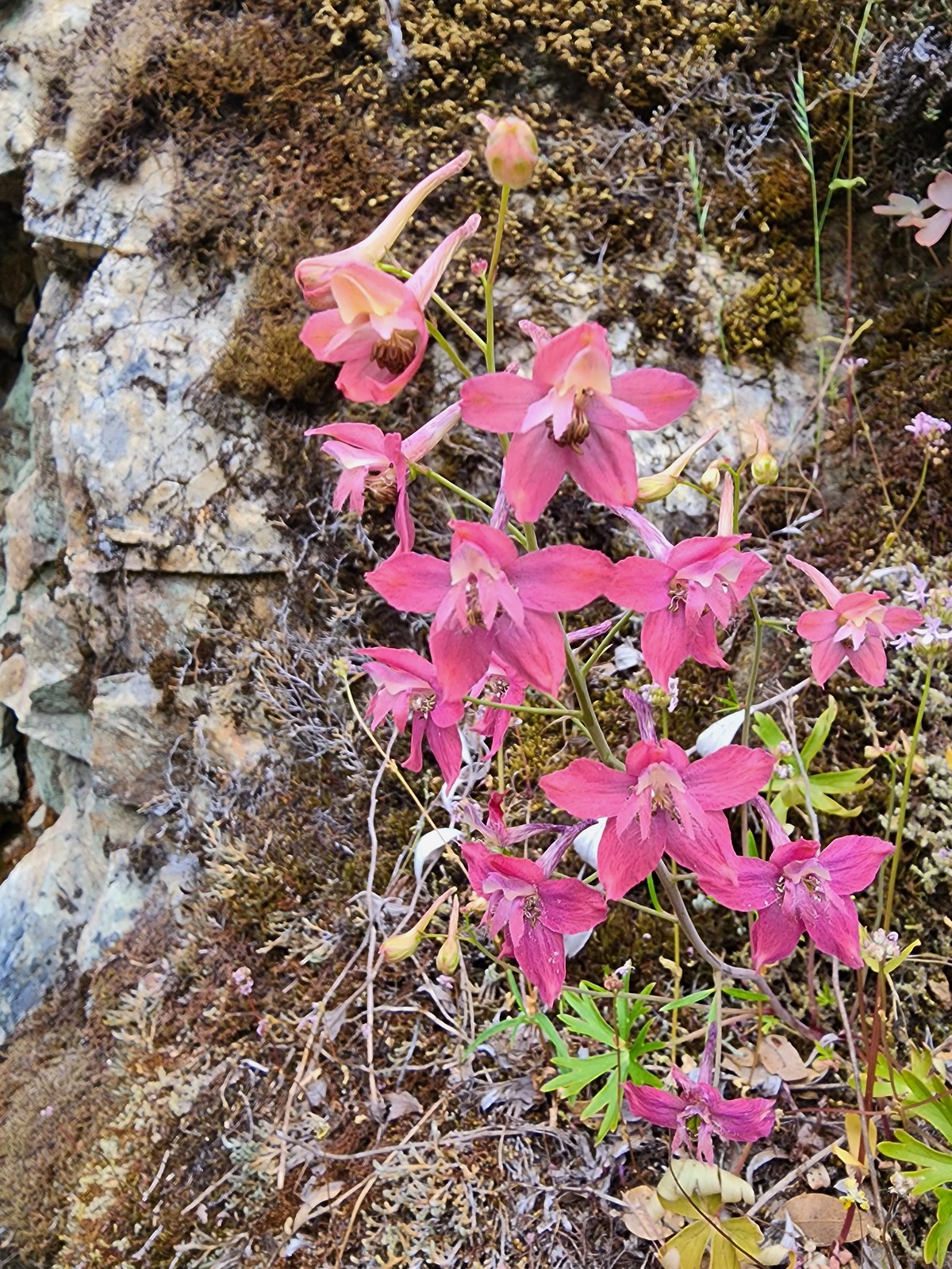
 Red larkspur – 5/1/23, Rogue River National Recreation Trail, BLM Medford District (first time seeing)
 Tall mountain larkspur – 8/14/23, Main Eagle Creek Trail, Eagle Cap Wilderness
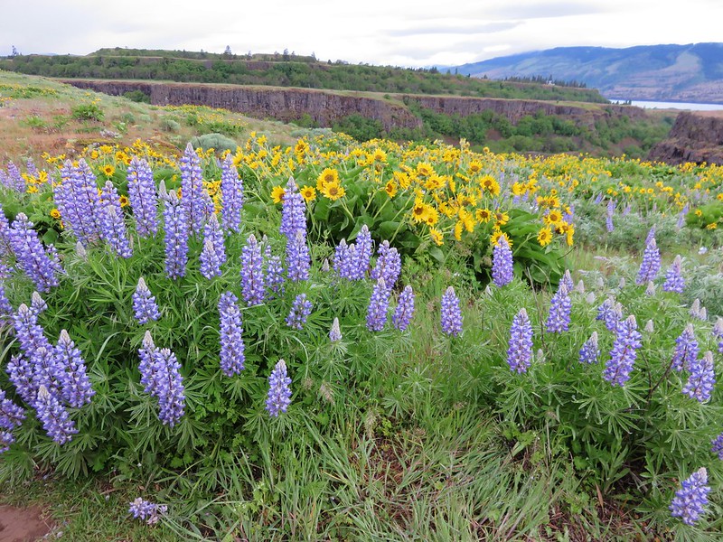
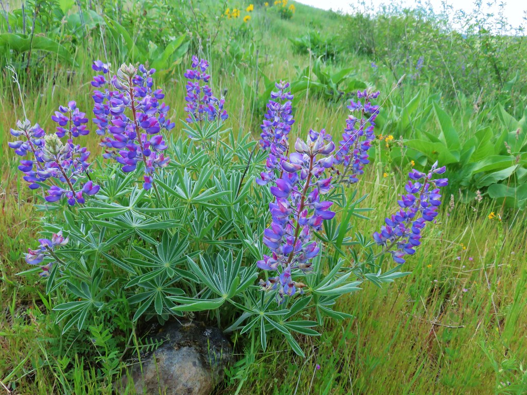
 Dwarf lupine – 7/8/23, Santiam Wagon Road, Willamette National Forest
 Miniature lupine – 5/2/2023, Sterling Mine Ditch Trail System, BLM Medford District
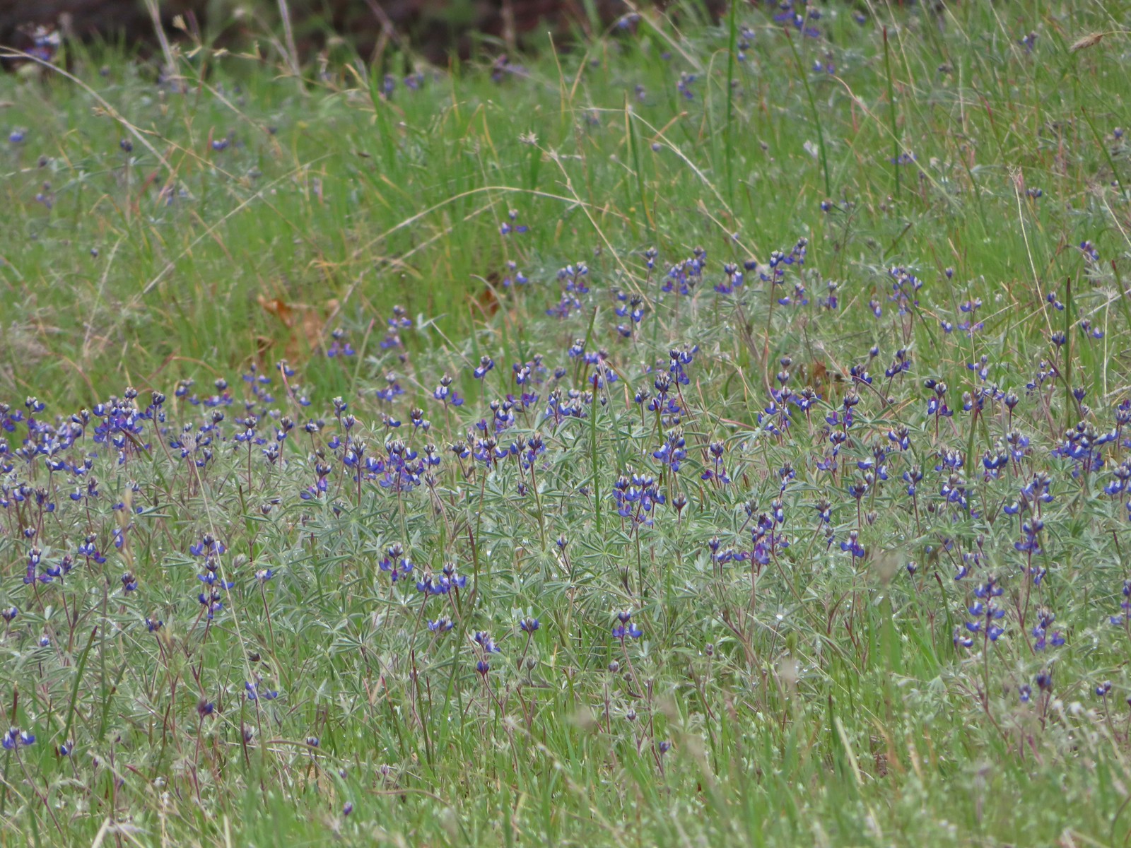
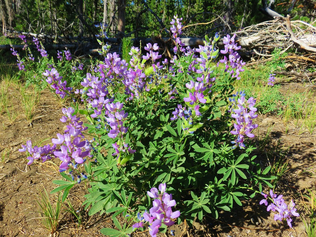
 Lupine – 5/28/23, Criterion Tract, BLM Prineville District
 Lupine (non-native colors) – 5/13/23, Graham Oaks Nature Park, Wilsonville
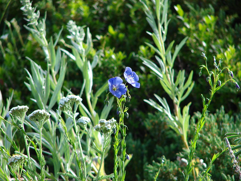
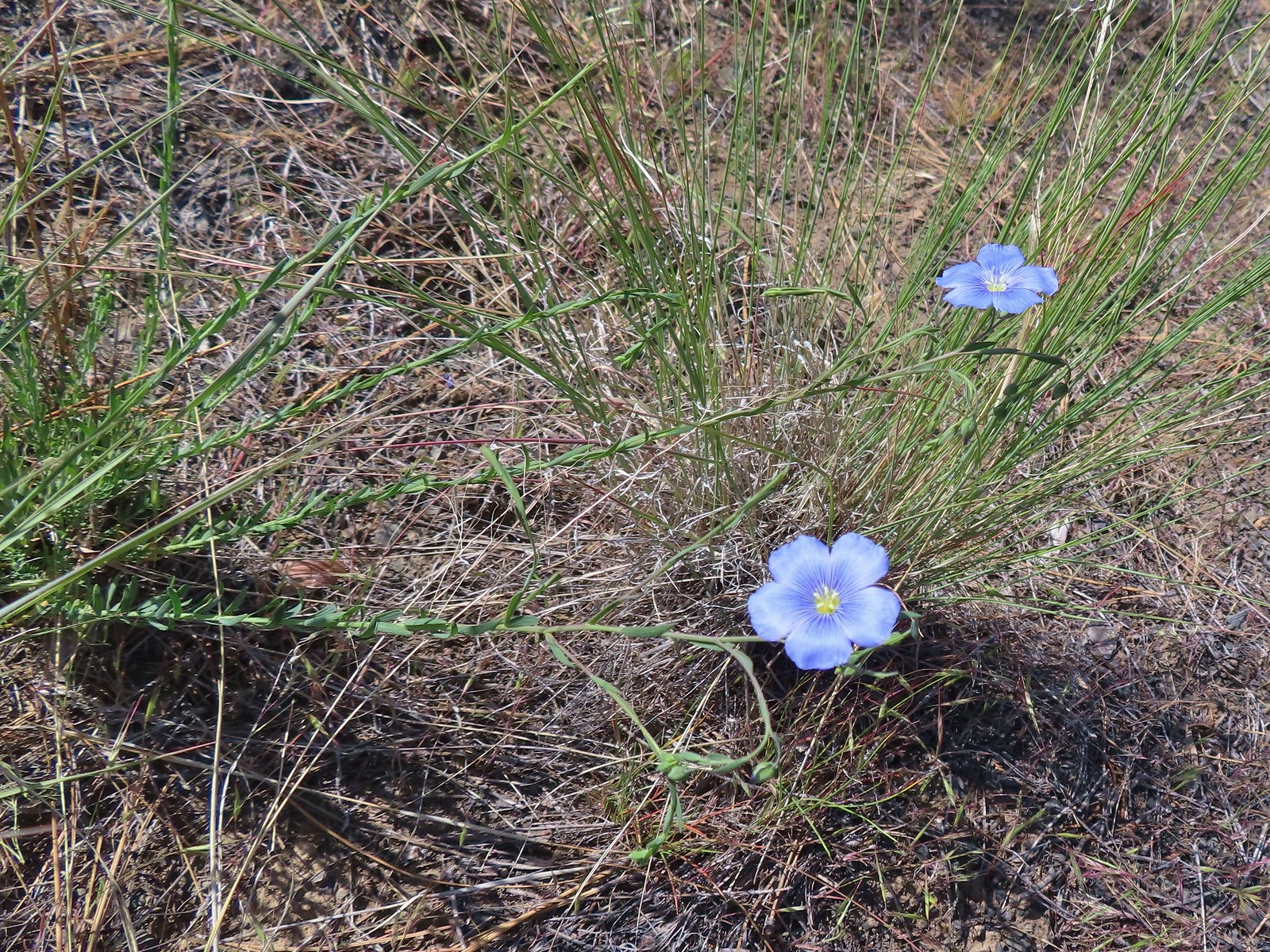 Flax – 5/30/23, Riley Ranch Preserve, Bend
 Coiled lousewort – 8/16/23, Tombstone Lake Trail, Eagle Cap Wilderness
 Sickletop lousewort – 8/16/23, West Eagle Trail, Eagle Cap Wilderness
 Sea blush (plectritis) – 4/29/23, Canemah Bluff, Oregon City
 Longhorn plectritis – 5/30/23, Riley Ranch Preserve, Bend
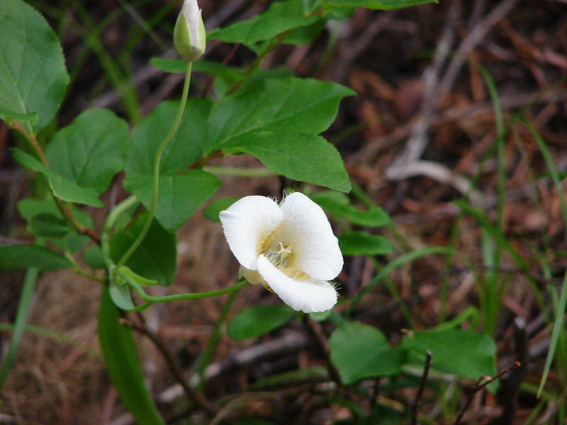
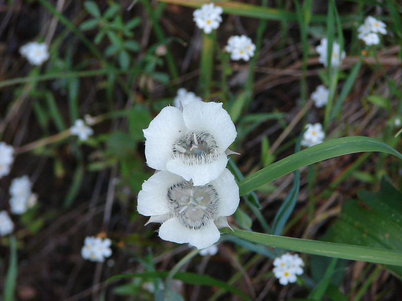
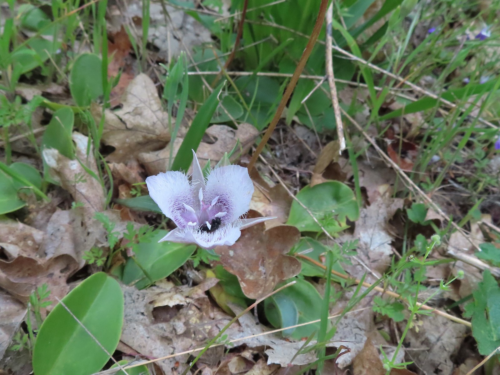
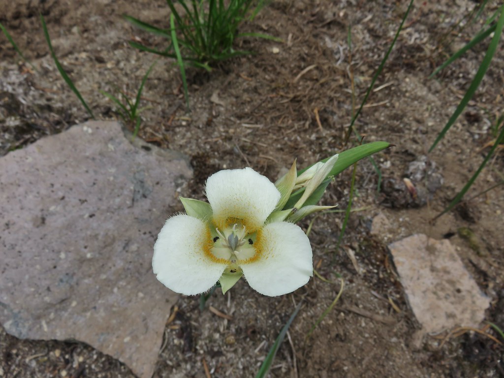
 White mariposa lily – 8/14/23, Main Eagle Creek Trail, Eagle Cap Wilderness
 Sagebrush mariposa lily – 6/14/23, Eureka Bar, Hells Canyon National Recreation Area
 Mariposa lily (possibly a white sagebrush) – 6/14/23, Eureka Bar, Hells Canyon National Recreation Area
 Sub-alpine mariposa lilies – 6/3/23, Buck Creek Trail, Husem, WA
 Tolmie’s mariposa lily – 5/3/23, Dollar Mountain, Grants Pass
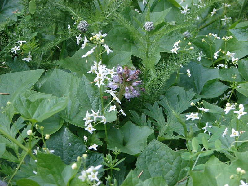
 Manyflower tonella – 6/15/23, Hells Canyon National Scenic Area, Wallowa-Whitman
 Small-flowered tonella – 4/29/23, Canemah Bluff, Oregon City (first time seeing)
 Lewis monkefylower – 7/30/23, Plaikni Falls Trail, Crater Lake National Park
 Monkeyflower – 5/1/23, Rogue River National Recreation Trail, BLM Medford District
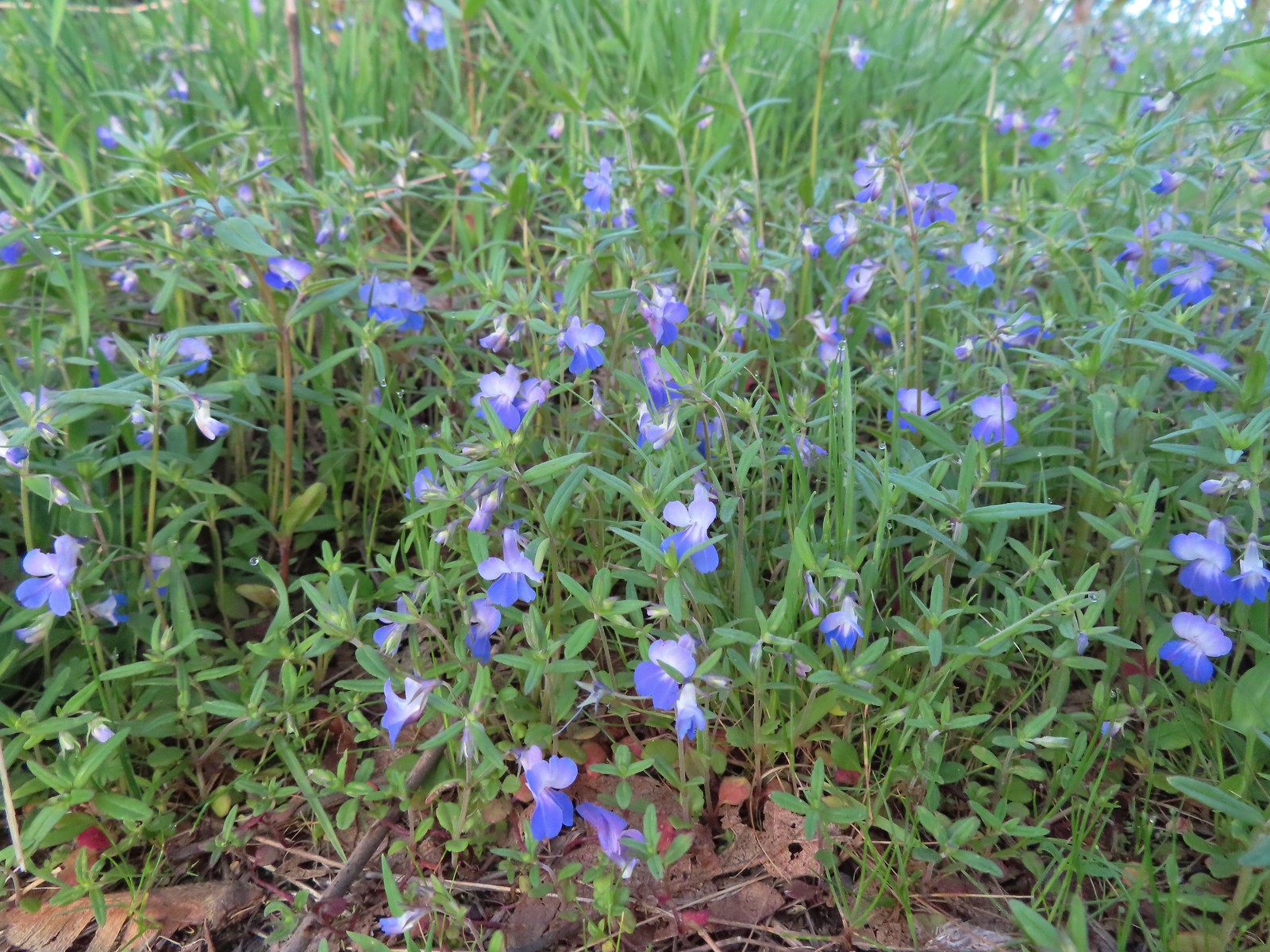
 Monkeyflower – 6/3/23, Conboy Lake National Wildlife Refuge, Trout Lake, WA
 Milk kelloggia (Kelloggia galioides) – 7/31/23, Garfield Peak Trail, Crater Lake National Park
 Monkshood – 7/30/23, Plaikni Falls Trail, Crater Lake National Park
 Moth mullein (non-native) – 6/14/23, Imnaha Trail, Hells Canyon National Recreation Area
 Mountain heather – 8/5/23, Timberline Trail, Mt. Hood Wilderness
 Mock orange – 7/4/23, North Santiam Park, Mill City
 Mountain ash – 6/12/23, Imnaha River Trail, Eagle Cap Wilderness
 Showy milkweed – 6/14/23, Eureka Bar, Hells Canyon National Recreation Area
 Western clematis – 6/16/23, Trail 1890, Hells Canyon Wilderness
 Western blue clematis – 6/12/23, Imnaha River Trail, Eagle Cap Wilderness
 Nightshade (non-native) – 6/14/23, Imnaha Trail, Hells Canyon National Recreation Area
 A knotweed? – 6/15/23, Hells Canyon National Scenic Area, Wallowa-Whitman
 Shasta knotweed – 7/31/23, Rim Trail, Crater Lake National Park
 Nettle-leaf giant hyssop – 6/15/23, Hells Canyon National Scenic Area, Wallowa-Whitman
 Nuttal’s linanthus – 8/15/23 Bear Lake Trail, Eagle Cap Wilderness
 One-sided wintergreen – 7/29/23, Stuart Falls Trail, Sky Lakes Wilderness
 Wintergreen – 7/30/23, Plaikni Falls Trail, Crater Lake National Park
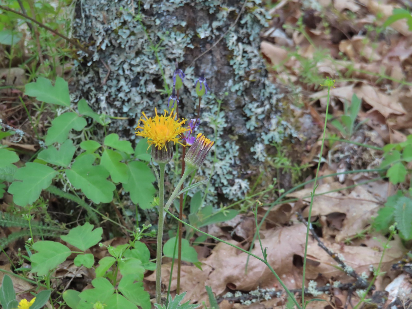
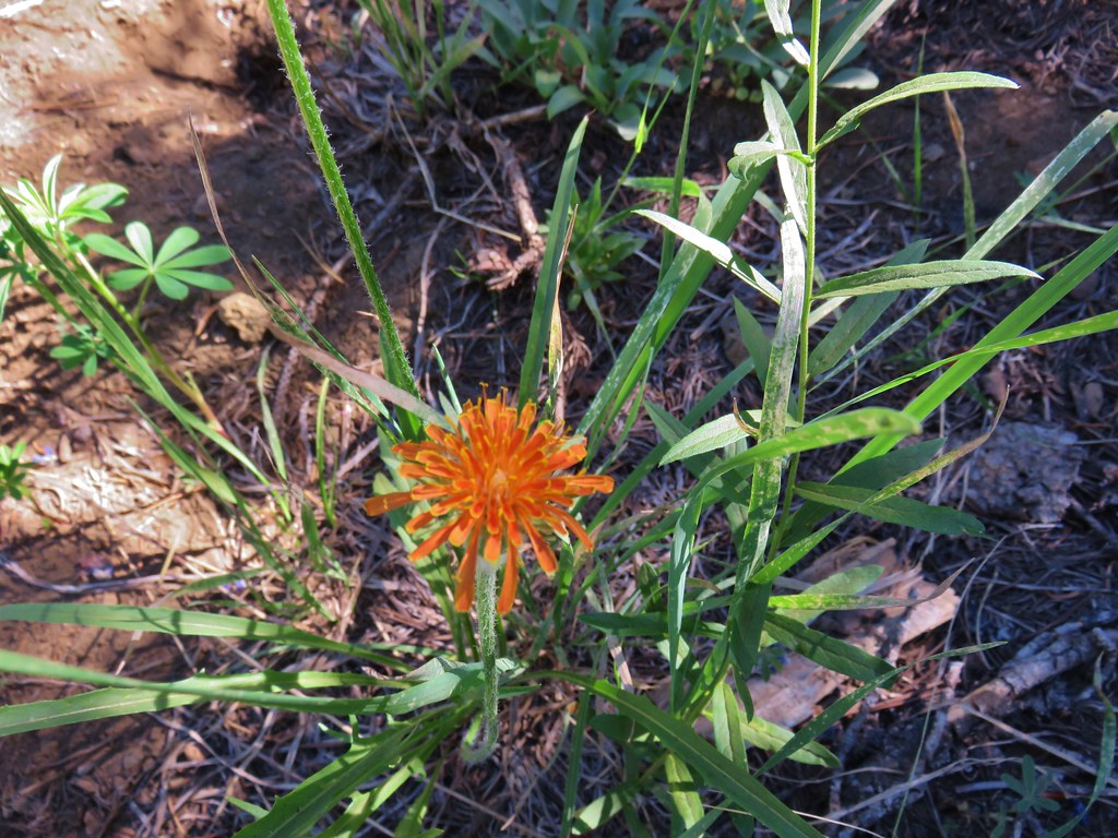
 Orange agoseris – 7/15/23, Sheepshead Rock, Salmon-Huckleberry Wilderness
 Partridgefoot – 7/31/23, Garfield Peak Trail, Crater Lake National Park
 Pearly everlasting – 7/29/23, Stuart Falls Trail, Sky Lakes Wilderness
 Granite prickley-phlox – 7/31/23, Garfield Peak Trail, Crater Lake National Park
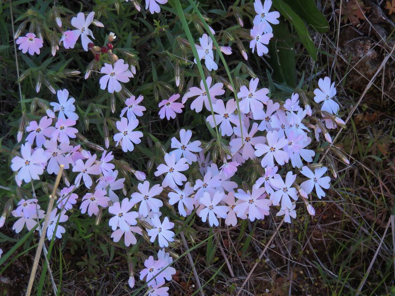
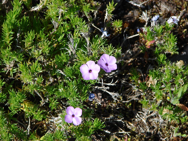
 Phlox – 5/4/23, Little Falls Trail Loop, Rogue River-Siskiyou National Forest
 Showy phlox – 5/4/23, Eight Dollar Mountain Boardwalk, BLM Grants Pass Resource Area
 Slender phlox – 6/12/23, Imnaha River Trail, Eagle Cap Wilderness
 Phlox – 7/31/23, Rim Trail, Crater Lake National Park
 Phlox? – 6/14/23, Eureka Bar, Hells Canyon National Recreation Area
Penstemons is another genus that I have a really hard time telling apart.
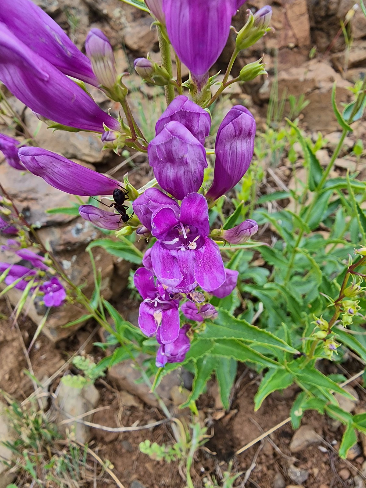
 Woodland beardtongue – 7/4/23, Rockytop Trail, Santiam State Forest
 Globe penstemon – 8/15/23 Bear Lake Trail, Eagle Cap Wilderness
 Royal? penstemon – 5/30/23, Riley Ranch Preserve, Bend
 Finetooth? penstemon – 6/3/23, Buck Creek Trail, Husem, WA
 Shrubby penstemon – 6/12/23, Imnaha River Trail, Eagle Cap Wilderness
 Wilcox’s? penstemon – 6/12/23, Imnaha River Trail, Eagle Cap Wilderness
 Scabland penstemon – 6/12/23, Imnaha River Trail, Eagle Cap Wilderness
 Unknown penstemon – 6/15/23, Hells Canyon National Scenic Area, Wallowa-Whitman
 Glaucous? beardtongue – 7/4/23, Niagra Heights Road, Santiam State Forest
 Silverleaf phacelia – 5/28/23, Criterion Tract, BLM Prineville District
 Threadleaf phacelia – 5/30/23, Riley Ranch Preserve, Bend
 A phacelia? – 8/16/23, Tombstone Lake Trail, Eagle Cap Wilderness
 Pinedrop – 7/22/23, Metolius River Trail, Deschutes National Forest
 Prairie smoke – 6/15/23, Hells Canyon National Scenic Area, Wallowa-Whitman
 Prickly pear cactus – 6/15/23, Hells Canyon National Scenic Area, Wallowa-Whitman (first time seeing)
 Prince’s pine – 7/8/23, Santiam Wagon Road, Willamette National Forest
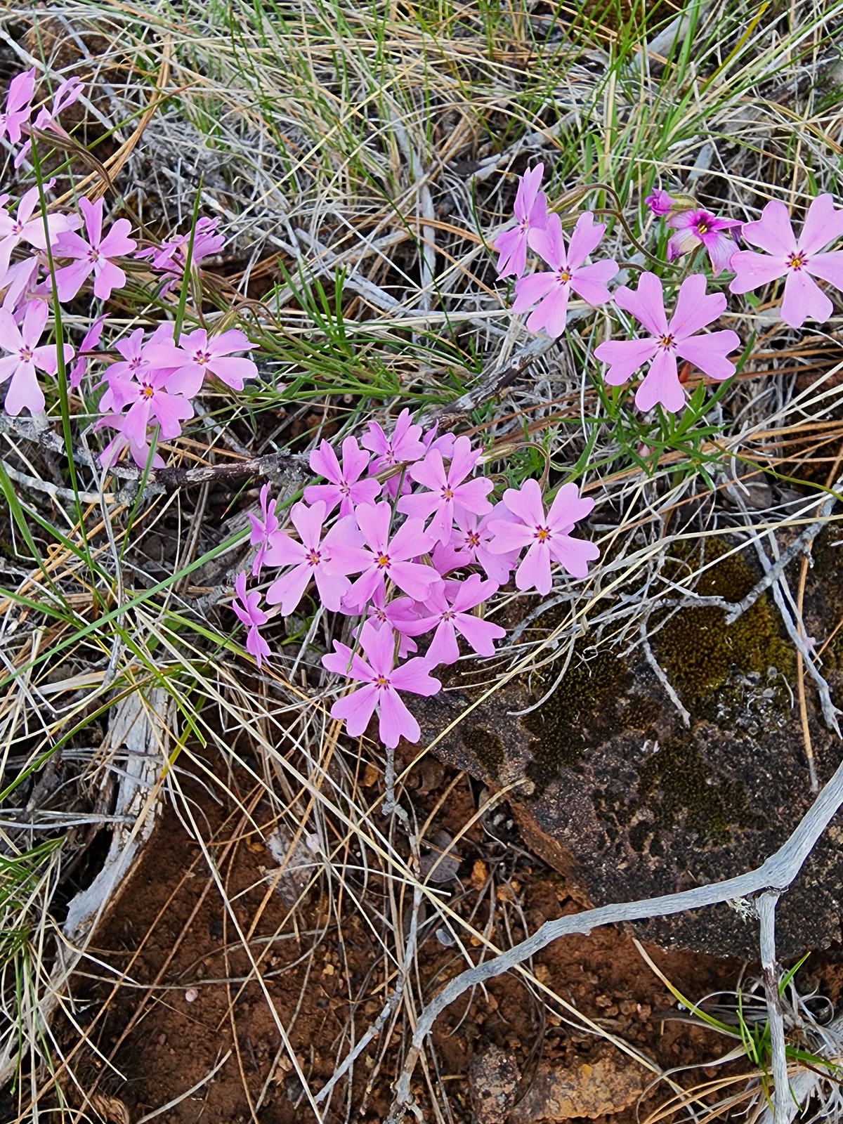
 Pussypaws – 7/8/23, Santiam Wagon Road, Willamette National Forest
 Pussytoes – 7/30/23, Crater Peak Trail, Crater Lake National Park
 Rosy pussytoes – 6/12/23, Imnaha River Trail, Eagle Cap Wilderness
 Queen’s cup – 7/15/23, Old Baldy Trail, Salmon-Huckleberry Wilderness
 Ragwort (non-native) – 8/26/23, Fort Yamhill State Heritage Area, Grand Ronde
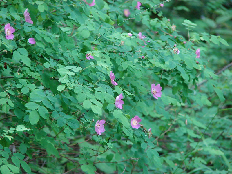
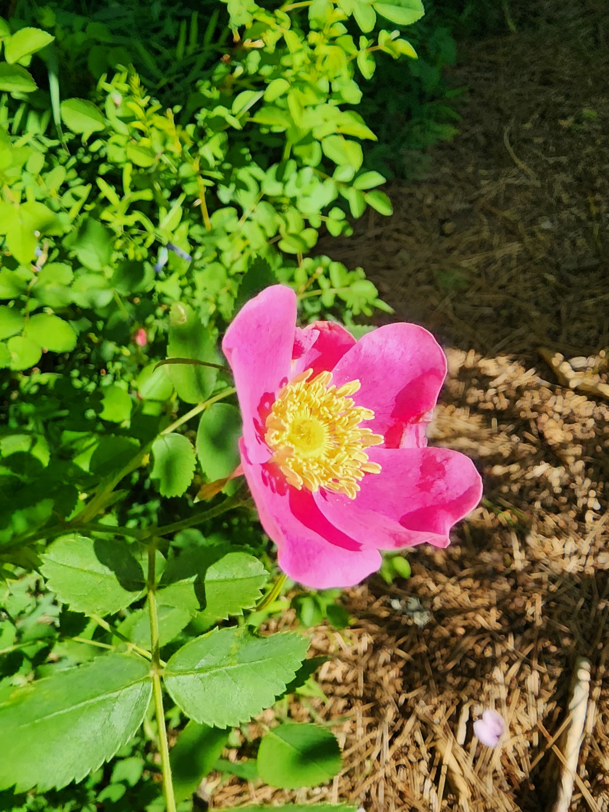 Wild rose – 6/3/23, Conboy Lake National Wildlife Refuge, Trout Lake, WA
 Rose campion (non-native) – 6/16/23, Hells Canyon National Recreation Area, Wallow-Whitman National Forest
 Rough eyelashweed – 5/28/23, Criterion Tract, BLM Prineville District
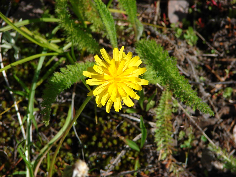
 Sagebrush false dandelion – 7/30/23, Crater Peak Trail, Crater Lake National Park
 Sandwort – 6/12/23, Imnaha River Trail, Eagle Cap Wilderness
 A saxifrage – 7/4/23, Niagra Heights Road, Santiam State Forest
 A saxifrage – 7/15/23, Sheepshead Rock, Salmon-Huckleberry Wilderness
 A saxifrage – 7/31/23, Rim Trail, Crater Lake National Park
 Silvery raillardella – 7/31/23, Rim Trail, Crater Lake National Park
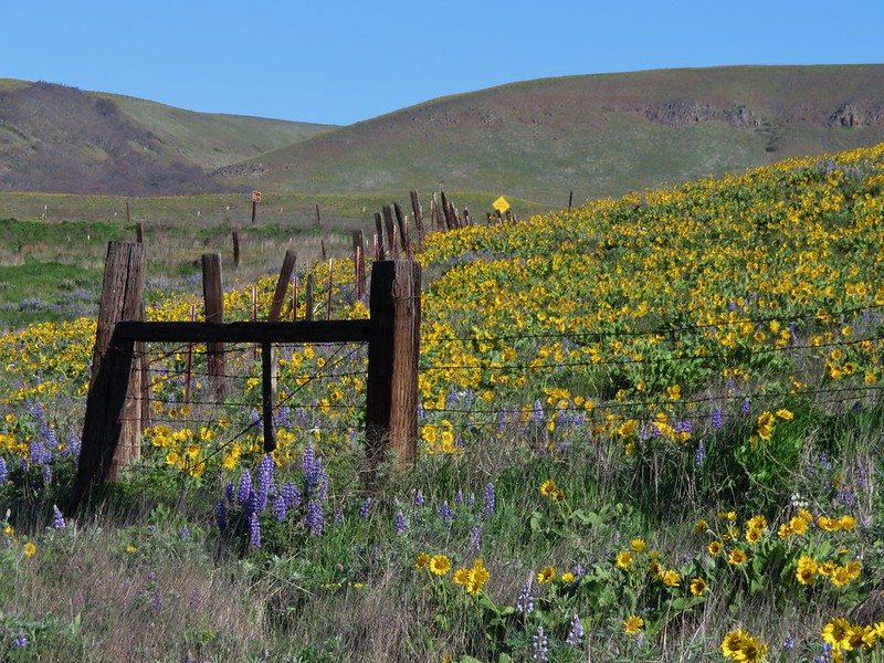
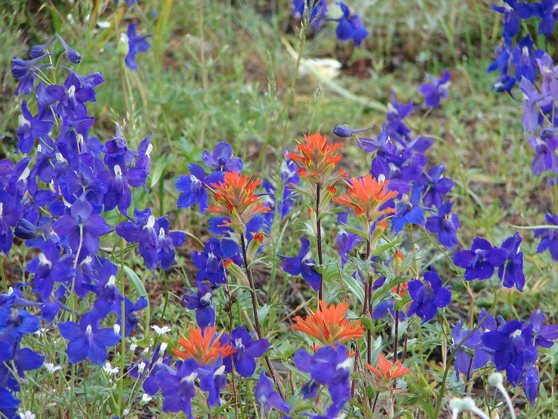
 Scarlet gilia – 6/15/23, Hells Canyon National Scenic Area, Wallowa-Whitman
 Scarlet fritillary – 5/2/2023, Sterling Mine Ditch Trail System, BLM Medford District
 Siskiyou fritillary – 5/3/23, Limpy Botanical Trail, Rogue River-Siskiyou National Forest
 Self-heal – 6/25/23, North Umpqua Trail, BLM Roseburg District
 Shooting star – 5/2/23, Cathedral Hills, Grants Pass
 Scouler’s woollyweed – 7/29/23, Stuart Falls Trail, Crater Lake National Park
 Silvercrown – 5/3/23, Dollar Mountain, Grants Pass
 Skullcap – 5/2/23, Cathedral Hills, Grants Pass
 Skunk cabbage – 4/15/23, Enchanted Valley, Siuslaw National Forest
 Douglas spirea – 10/7/2023, Sturgis Fork Trail, Rogue River-Siskiyou National Forest
 Mountain spirea – 7/4/23, Niagra Heights Road, Santiam State Forest
 White spirea – 6/15/23, Hells Canyon National Recreation Area, Wallowa-Whitman National Forest
 Spreading dogbane – 7/22/23, Metolius River Trail, Deschutes National Forest
 St. John’s wort (non-native) – 6/14/23, Imnaha Trail, Hells Canyon National Recreation Area
 Solomonseal – 5/27/23, Blowout Arm, Detroit Lake
 Star-flower solomonseal – 6/12/23, Imnaha River Trail, Eagle Cap Wilderness
 Star flower – 5/13/23, Cooper Mountain Nature Park, Beaverton
 Sticky purple geranium – 6/15/23, Hells Canyon National Recreation Area, Wallowa-Whitman National Forest
 Tasselflower brickellbush – 8/14/23, Main Eagle Creek Trail, Eagle Cap Wilderness
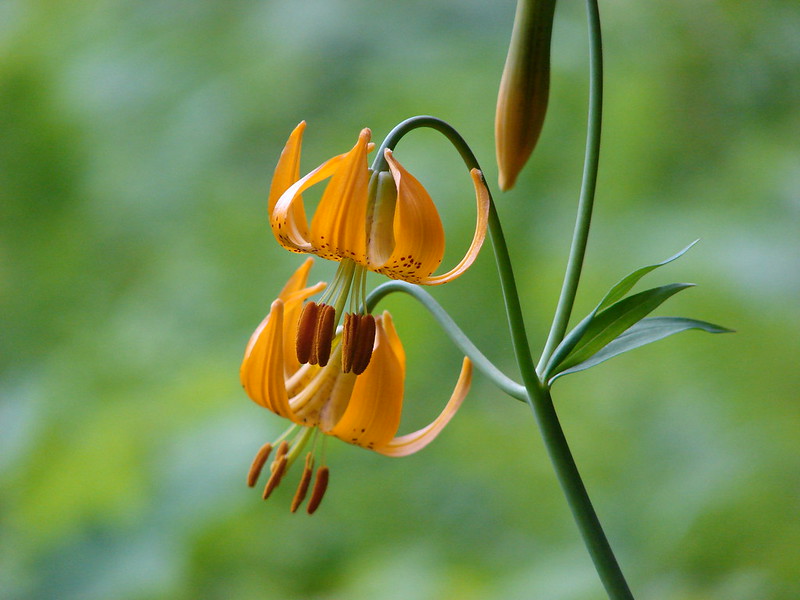
 Tiger lily – 7/4/23, Rockytop Trail, Santiam State Forest
 Leopard lilies – 7/29/23, Stuart Falls Trail, Sky Lakes Wilderness
 Toothwort – 4/15/23, Enchanted Valley, Siuslaw National Forest
 Trillium – 4/15/23, Enchanted Valley, Siuslaw National Forest
 Giant white wakerobin – 5/2/23, Cathedral Hills, Grants Pass
 Twinflower – 7/8/23, Santiam Wagon Road, Willamette National Forest
 Thistle (wavy-leaf?) – 6/15/23, Hells Canyon National Recreation Area, Wallowa-Whitman National Forest
 Thistle (Palouse?) – 6/15/23, Hells Canyon National Recreation Area, Wallowa-Whitman National Forest
 Snowy thistle – 6/24/23, Rogue River National Recreation Trail, Wild Rogue Wilderness
 Thistle (Canadian? if so non-native) – 6/25/23, North Umpqua Trail, BLM Roseburg District
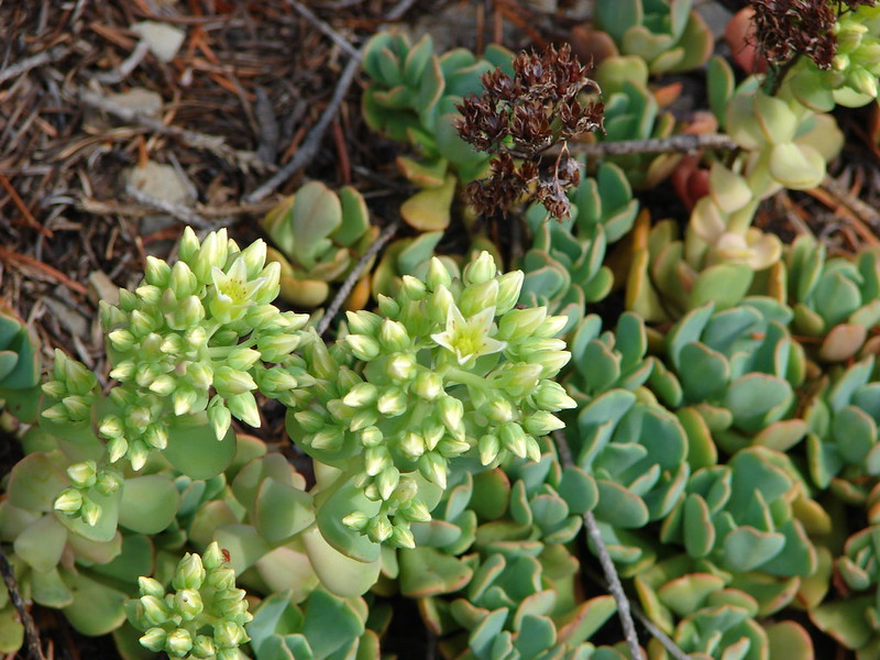
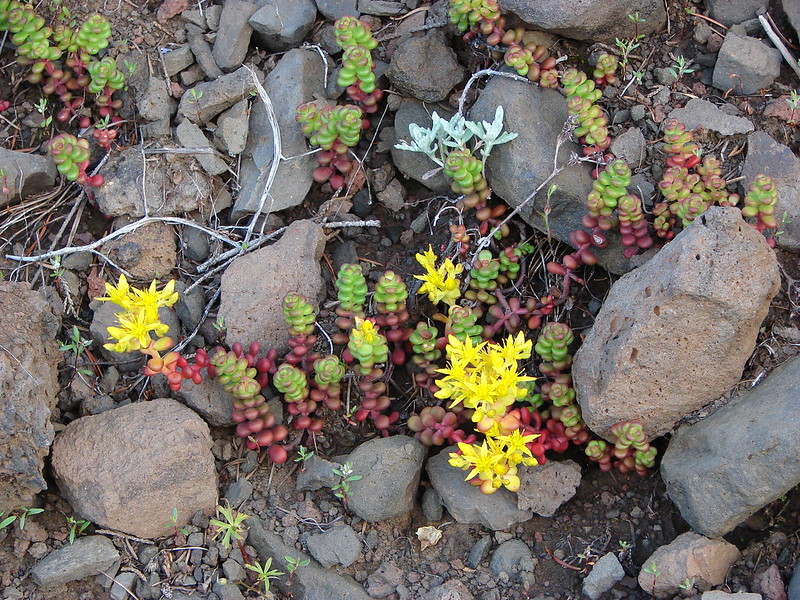
 Stonecrop – 7/30/23, Crater Peak Trail, Crater Lake National Park
 Stonecrop – 6/15/23, Hells Canyon National Recreation Area, Wallowa-Whitman National Forest
 Stonecrop – 8/16/23, Tombstone Lake Trail, Eagle Cap Wilderness
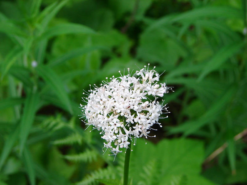
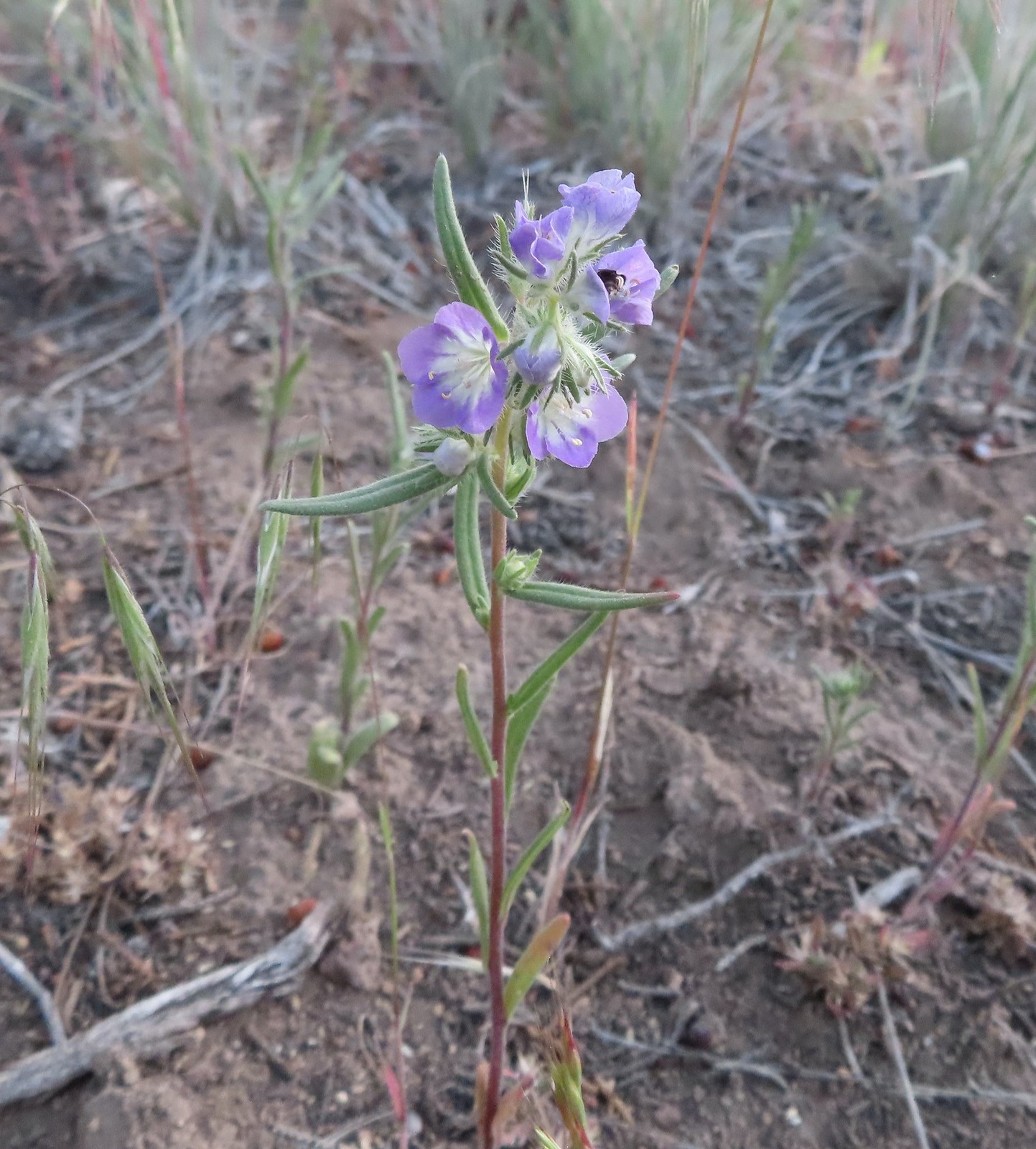
 Valerian – 6/12/23, Imnaha River Trail, Eagle Cap Wilderness
 Goosefoot violet – 5/27/23, Metolius Preserve, Camp Sherman
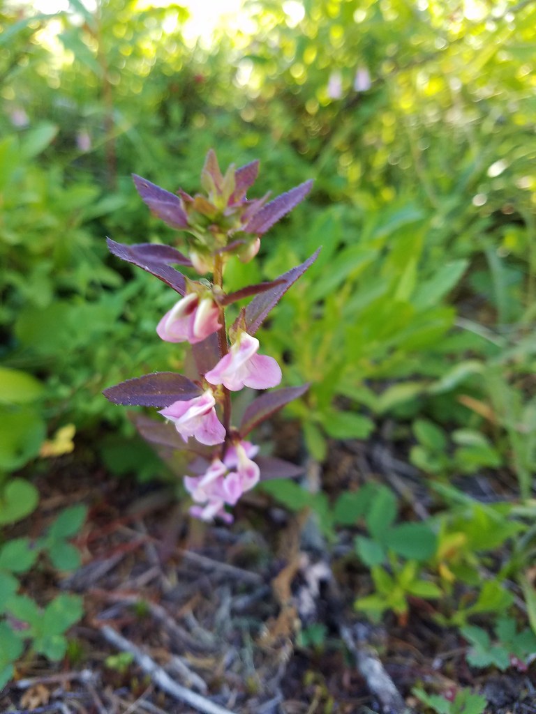
 Hookedspur violet – 6/12/23, Imnaha River Trail, Eagle Cap Wilderness
 Marsh violet – 6/12/23, Imnaha River Trail, Eagle Cap Wilderness
 Violet – 6/12/23, Imnaha River Trail, Eagle Cap Wilderness
 Violet – 4/15/23, Enchanted Valley, Siuslaw National Forest
 Violet – 6/3/23, Conboy Lake National Wildlife Refuge, Trout Lake, WA
 Violets – 5/4/23, Little Falls Trail Loop, Rogue River-Siskiyou National Forest
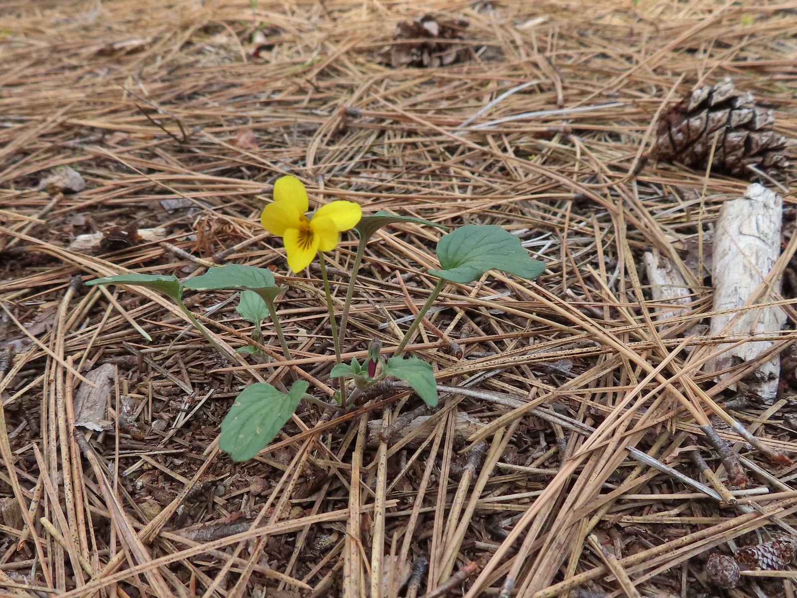
 Wedgeleaf violet – 5/4/23, Eight Dollar Mountain Boardwalk, BLM Grants Pass Resource Area
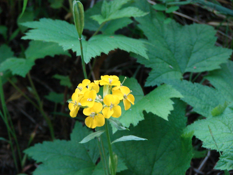
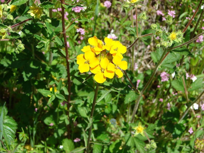
 Wallflower – 5/30/23, Riley Ranch Preserve, Bend
 Western meadowrue – 6/12/23, Imnaha River Trail, Eagle Cap Wilderness
 Western snakeroot – 8/16/23, West Eagle Trail, Eagle Cap Wilderness
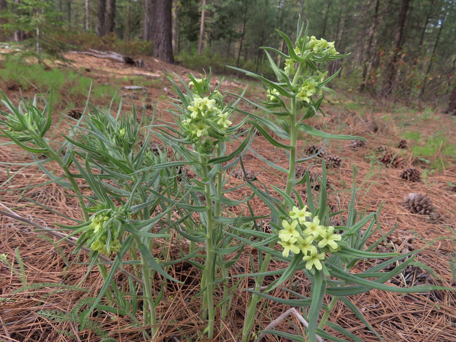
 White-stemmed frasera – 6/15/23, Hells Canyon National Recreation Area, Wallowa-Whitman National Forest
 Woodland-stars – 6/12/23, Imnaha River Trail, Eagle Cap Wilderness
 Yarrow – 6/14/23, Eureka Bar, Hells Canyon National Recreation Area
 Youth-on-age – 4/29/23, Canemah Bluff, Oregon City
 Common bugloss (non-native) – 6/14/23, Eureka Bar, Hells Canyon National Recreation Area
 White campion (non-native) – 6/14/23, Eureka Bar, Hells Canyon National Recreation Area
 Unknown – 7/4/23, Rockytop Trail, Santiam State Forest
 Unknown – 8/5/23, McNeil Point scramble trail, Mt. Hood Wilderness
 Best guess is a popcorn flower but? – 6/3/23, Conboy Lake National Wildlife Refuge, Trout Lake, WA
 Unknown, possibly non-native – 6/15/23, Nee-Mee-Poo National Historic Trail, Hells Canyon National Recreation Area
 Unknown, possibly non-native – 6/13/23, Iwetemlaykin State Heritage Site, Joseph
 Unknown, probably non-native – 6/14/23, Imnaha Trail, Hells Canyon National Recreation Area
 Unknown, probably non-native – 8/26/23, Old Growth Cedar Trail, Rockaway Beach
The last flower we saw was a non-native in December.
 Unkown. probably non-native – 12/16/23, Mt. Tabor Nature Park, Portland


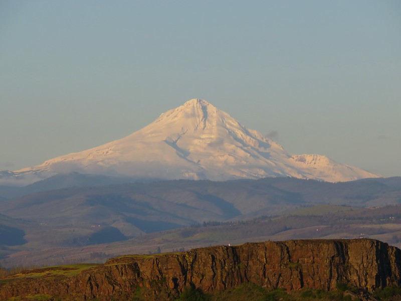
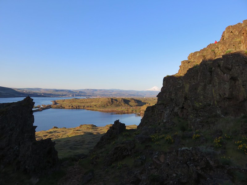
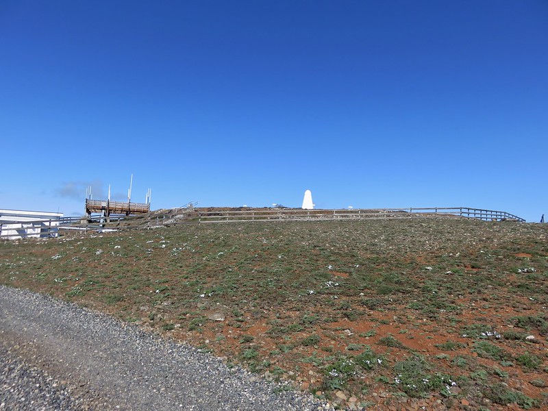
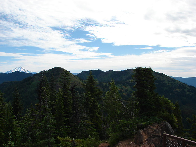
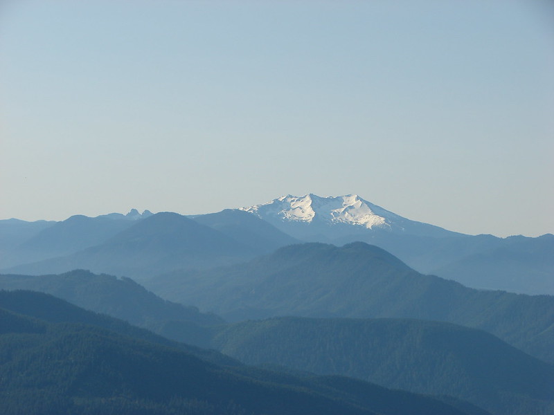
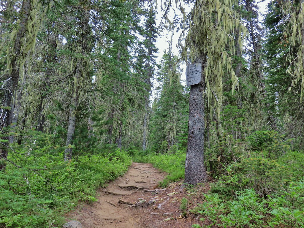
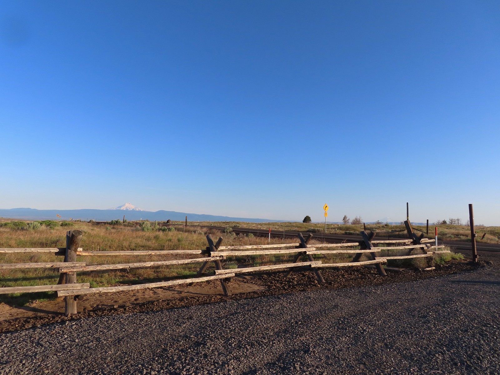 Mt. Hood and Mt. Adams from the trailhead which is the high point of the hike.
 Mt. Hood
 Cattle sometimes graze in the area and the combination of their hooves with the unmaintained roads makes for some pretty rough surfaces.
 A couple of lomatiums.
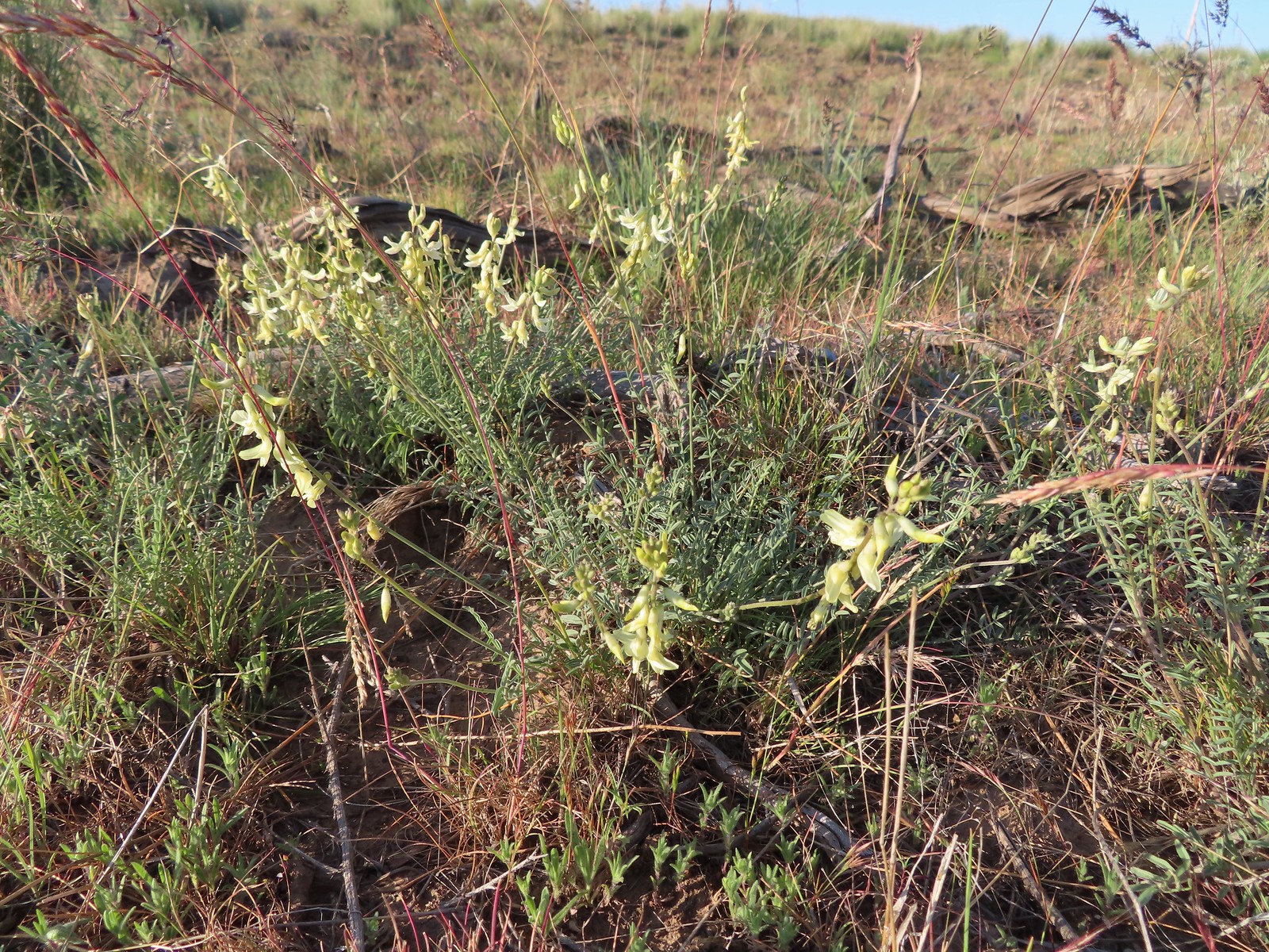 Howell’s milkvetch
 Idaho milkvetch
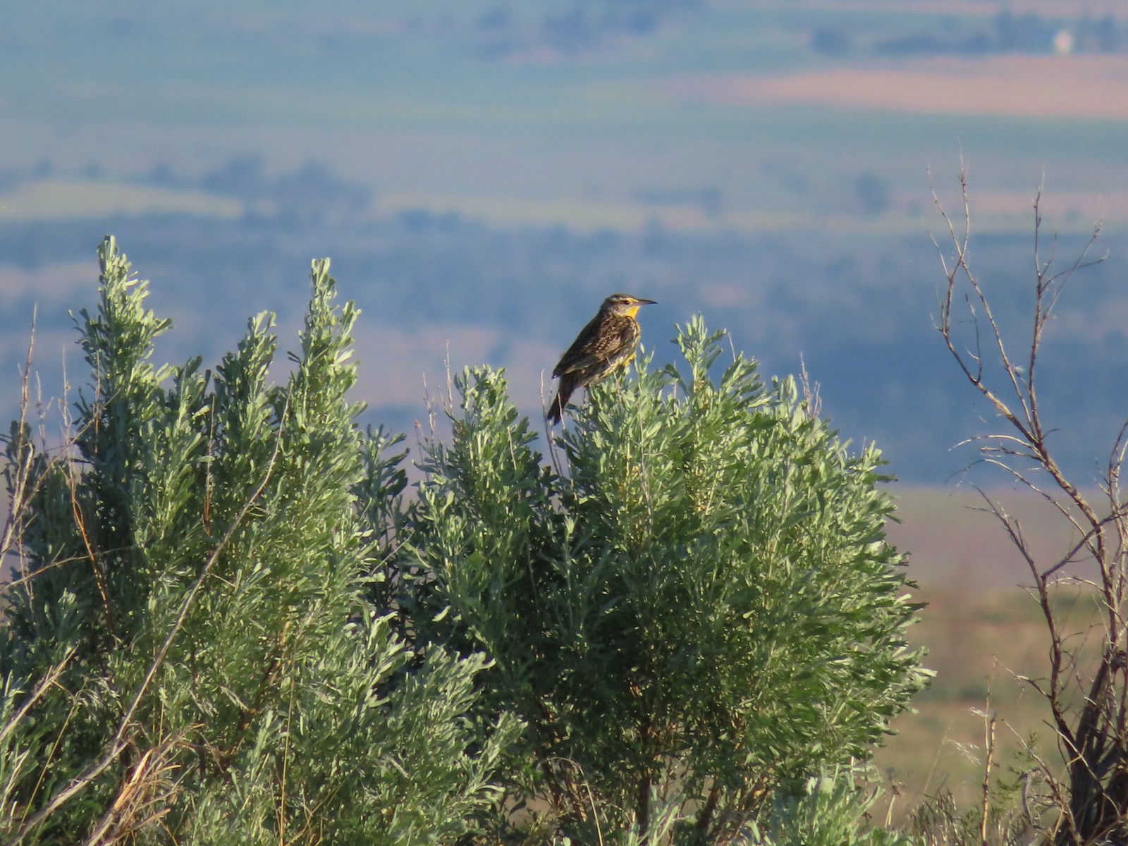 Western meadowlark
 A buckwheat
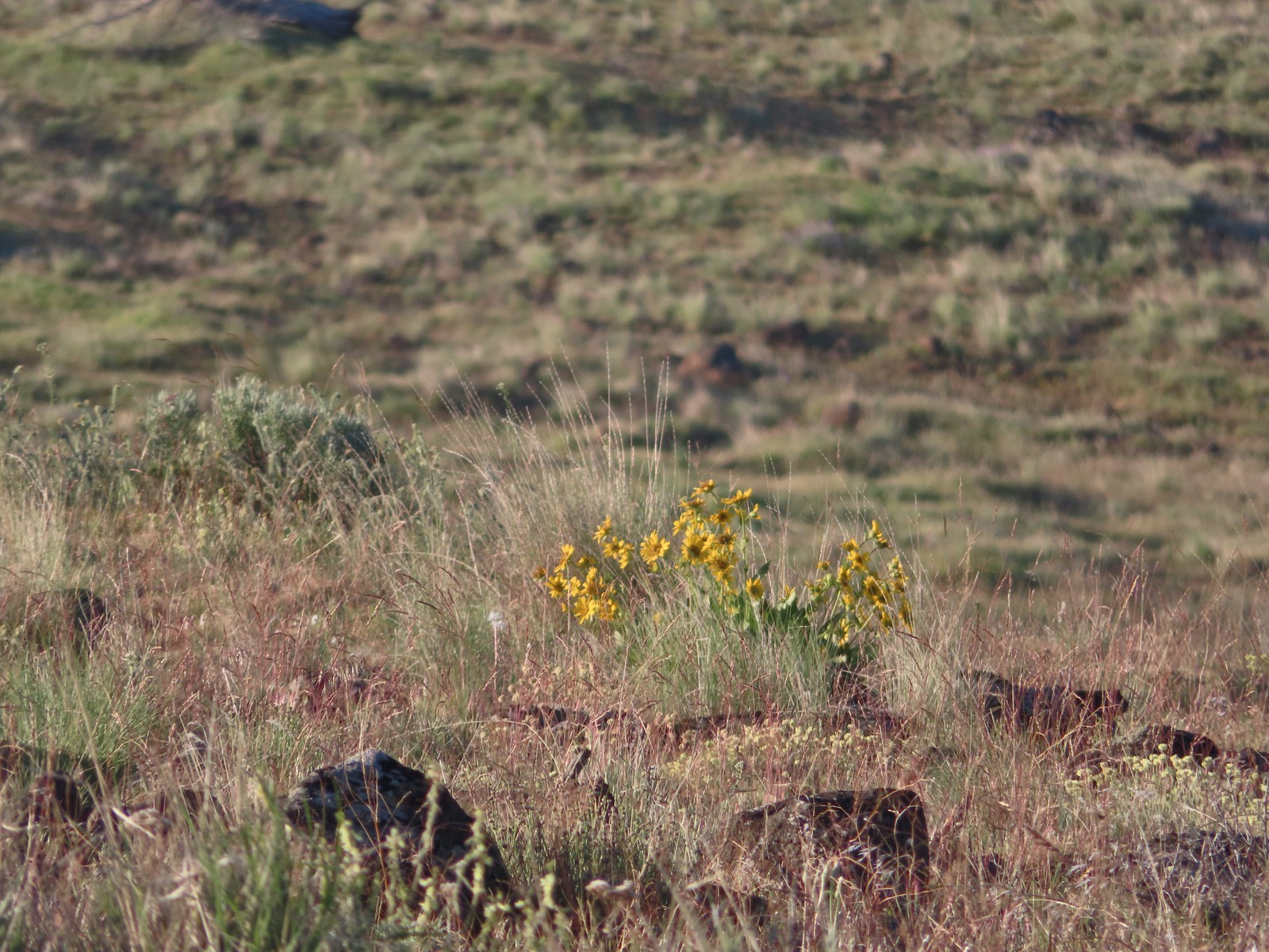 Carey’s balsamroot
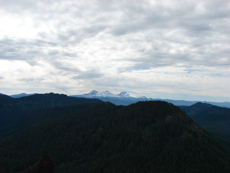
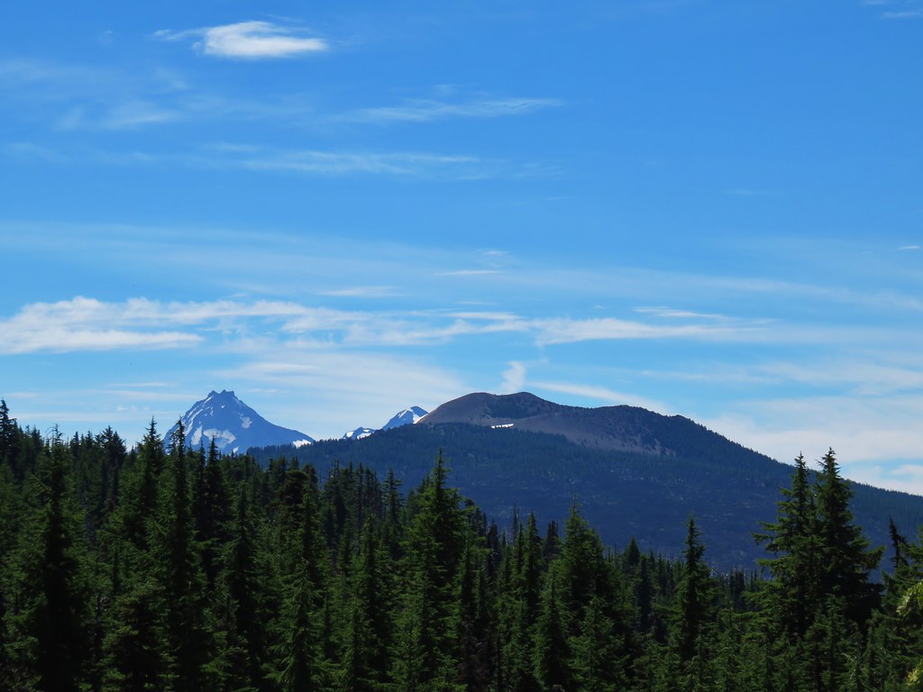
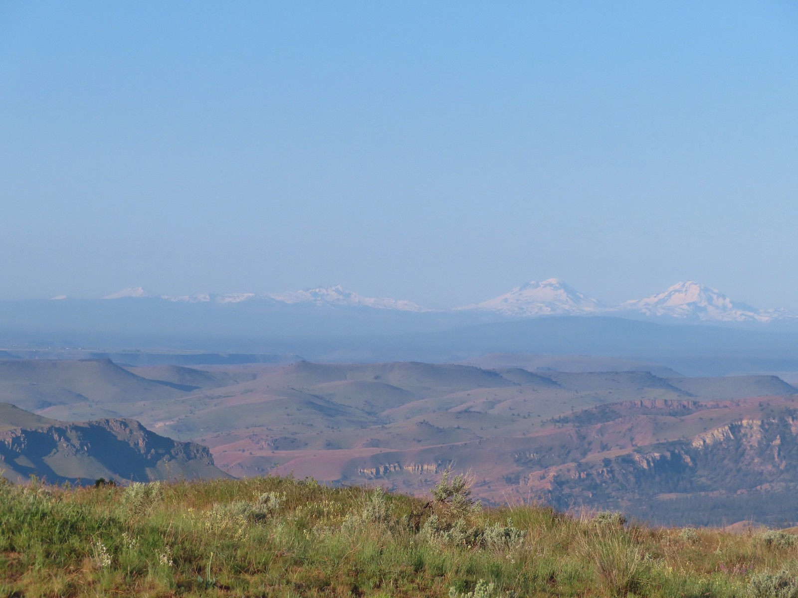 Mt. Bachelor, Broken Top and the Three Sisters
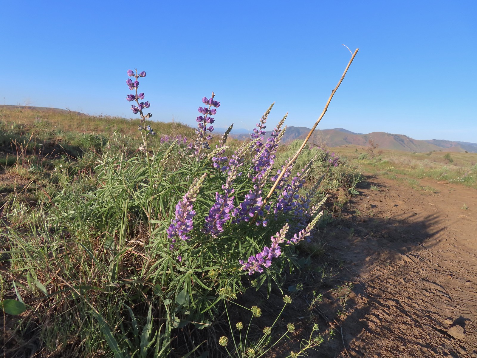 Lupine
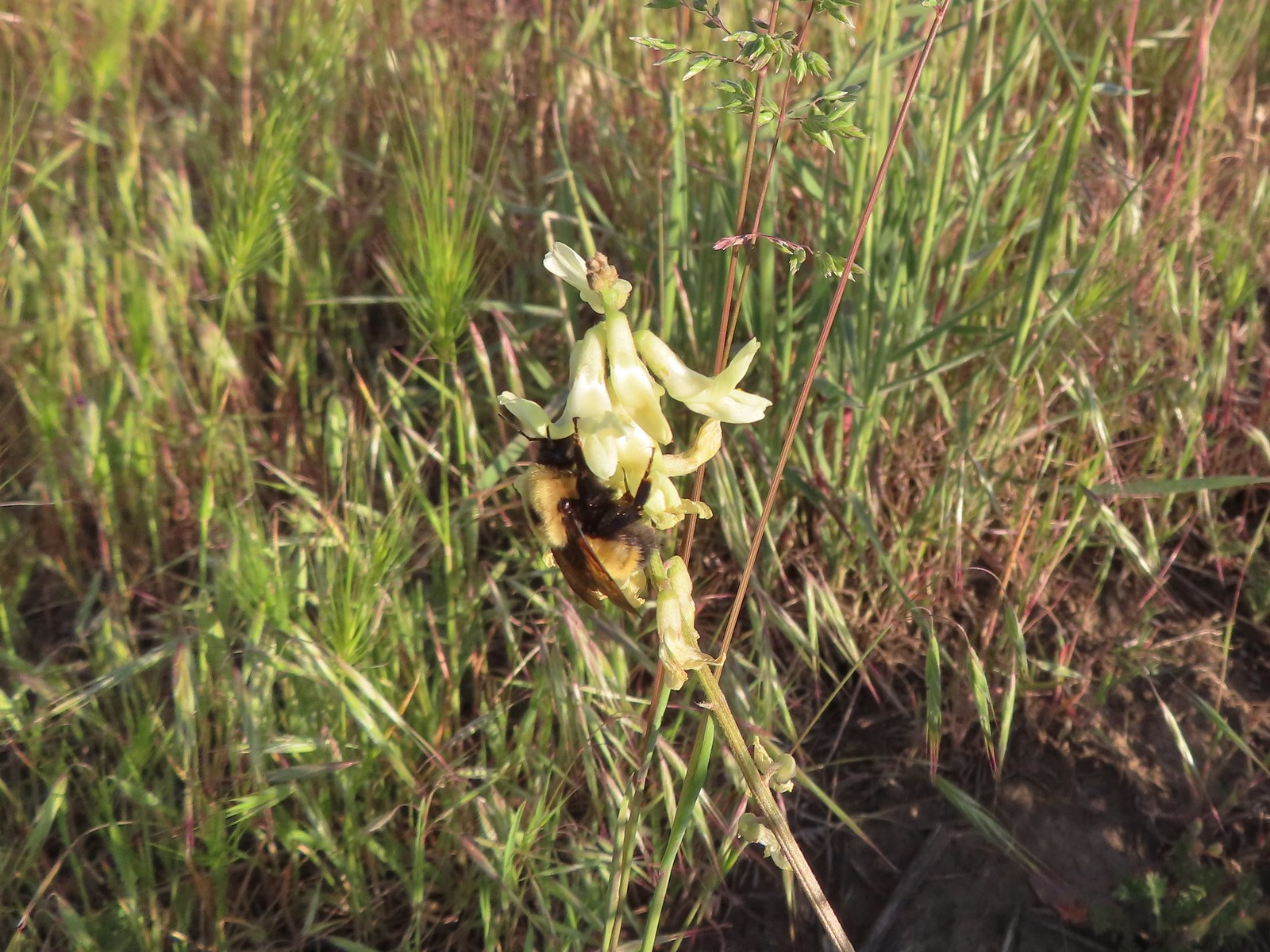 Bumble bee on Howell’s milkvetch
 Lark sparrow
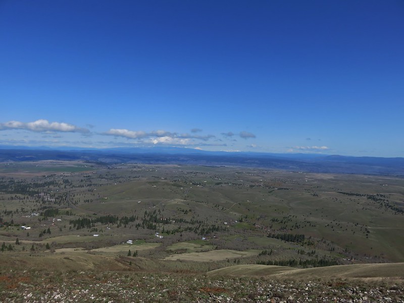
 We spent a lot of time heading toward Mt. Hood.
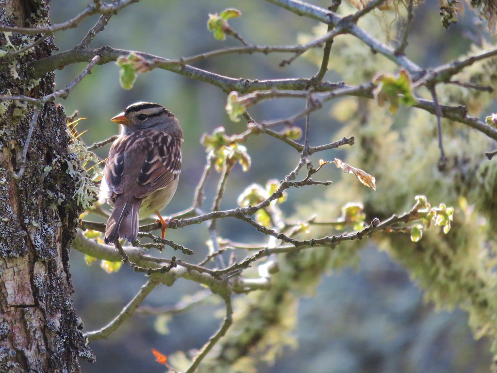
 Sparrow?
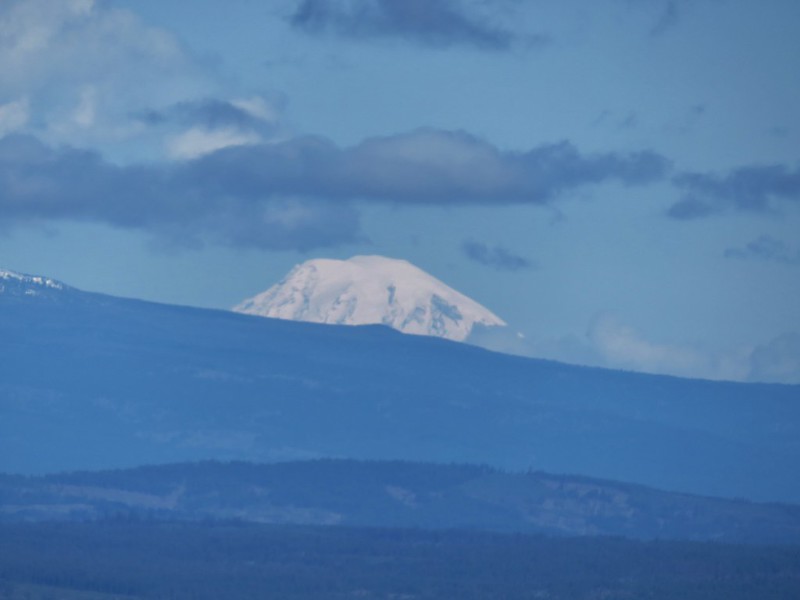
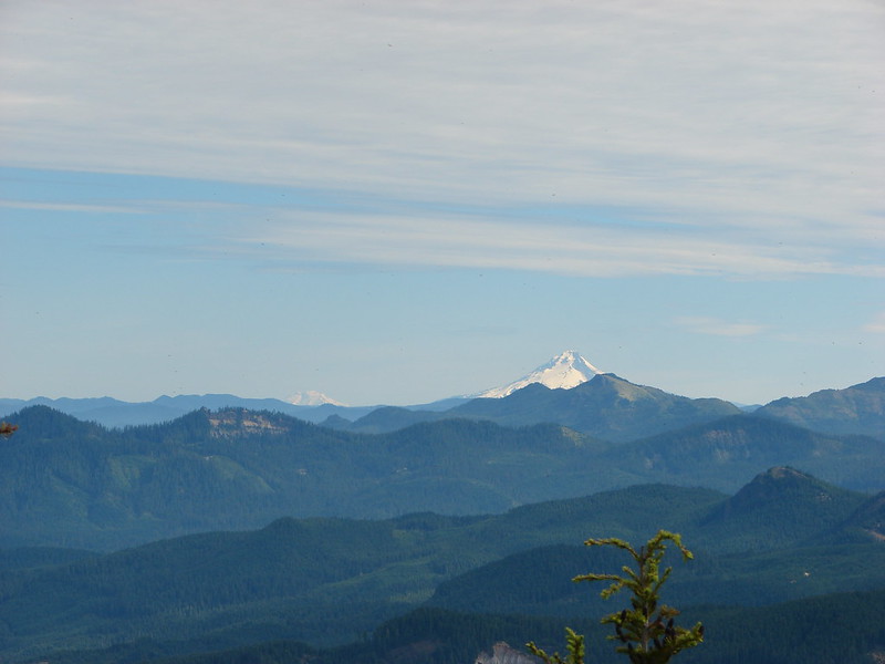
 Mt. Adams
 Mt. Hood
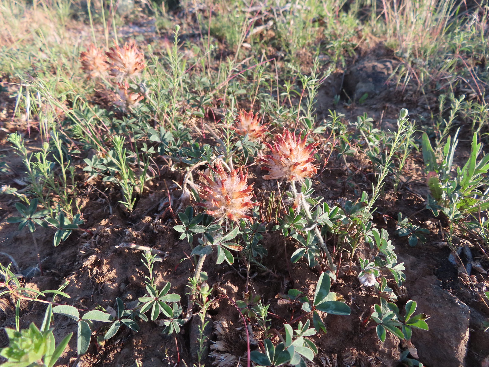 We were a little too late for the large-head clover.
 Western meadowlark giving a performance.
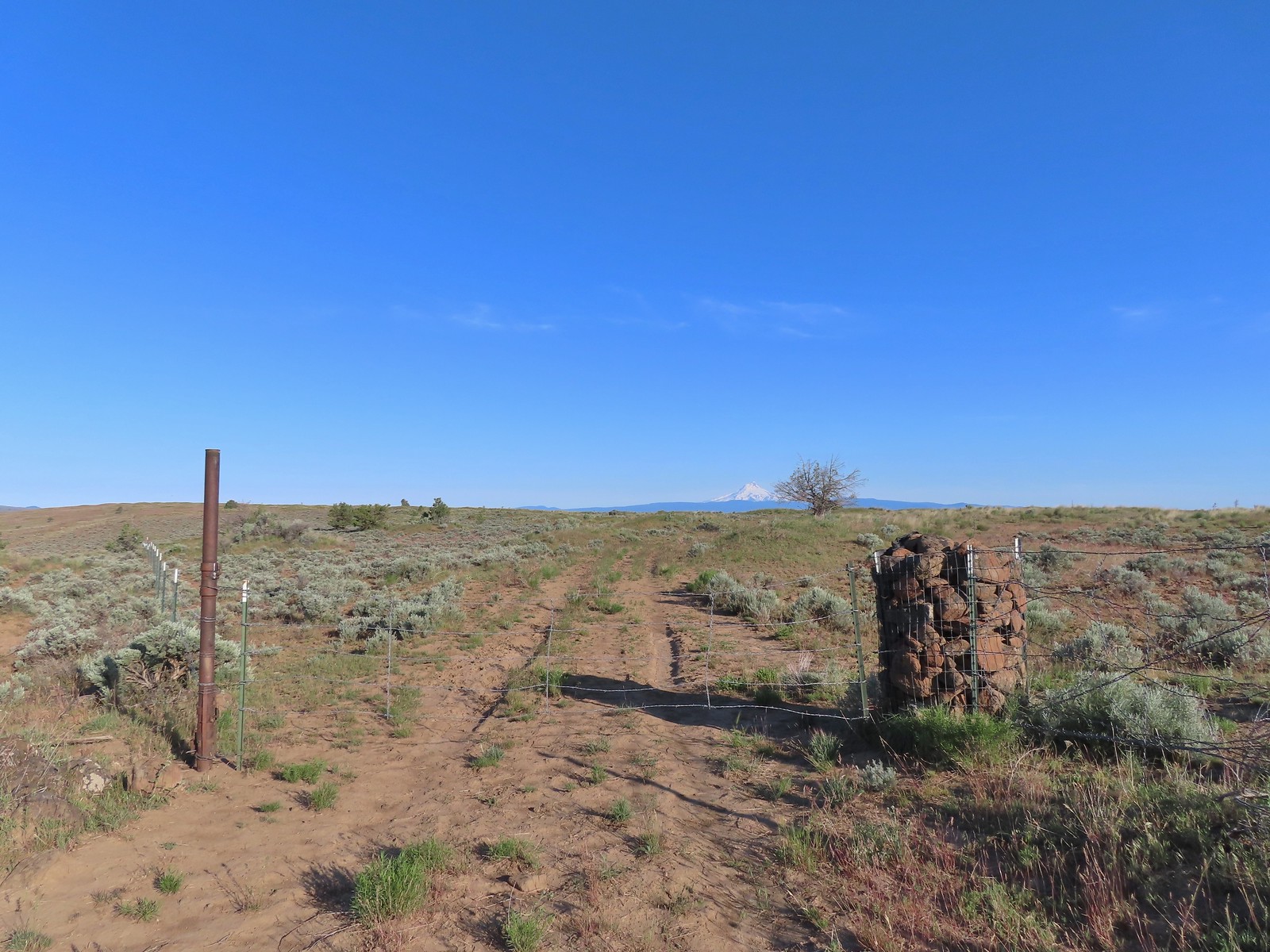 The third gate with Mt. Hood in the distance.
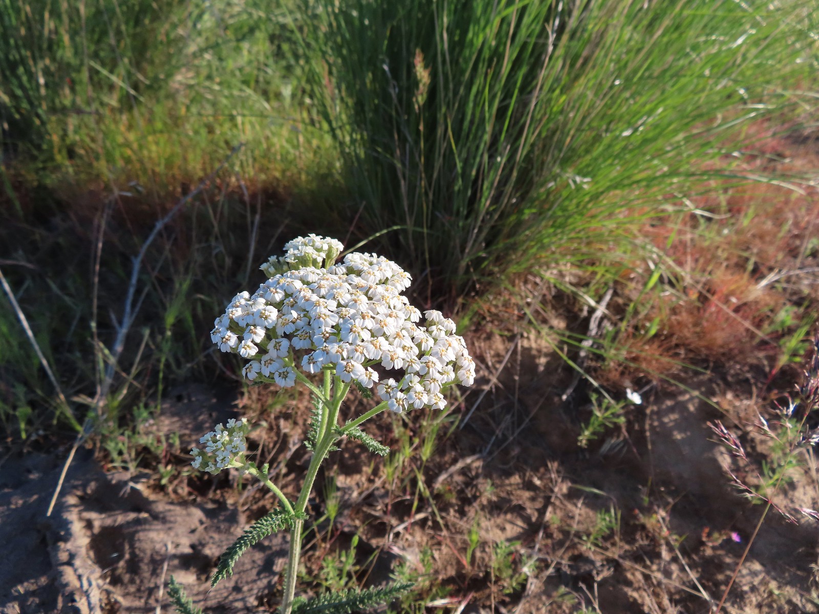 Yarrow
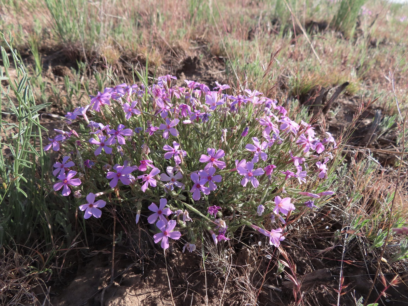 Phlox
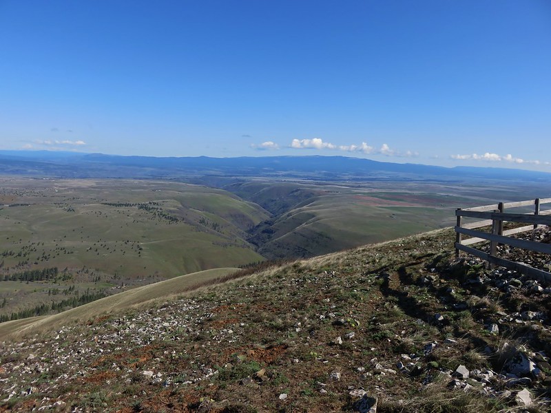
Phlox The Deschutes River winding through the valley below.
 Rough eyelashweed and lupine with Mt. Hood behind.
 Caterpillar
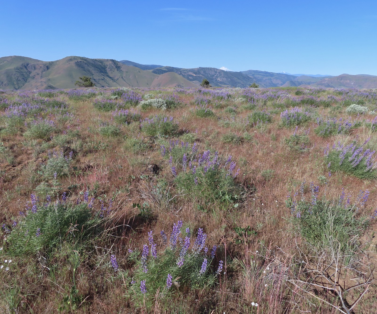 Lupine with Mt. Jefferson in the background.
 Horned lark
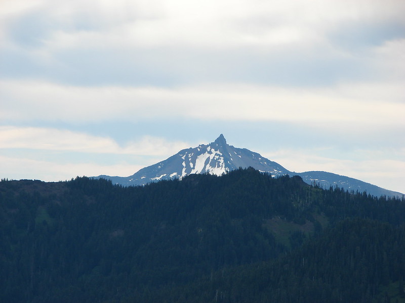
 Mt. Jefferson behind the abandoned trailer.
 Mt. Jefferson was hidden at times but this gap in the hills provided a nice view.
 Skipper
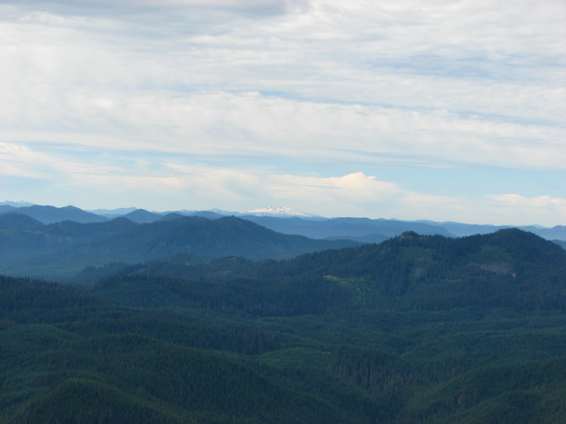
 Mt. Jefferson and Olallie Butte (
 A small watering hole.
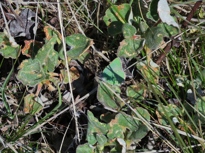
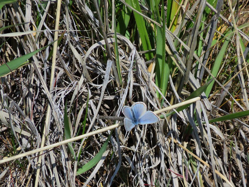
 Leaning toward an Acmon blue but not sure.
 Another in the Lycaenidae family.
 Large marble on a fiddleneck.
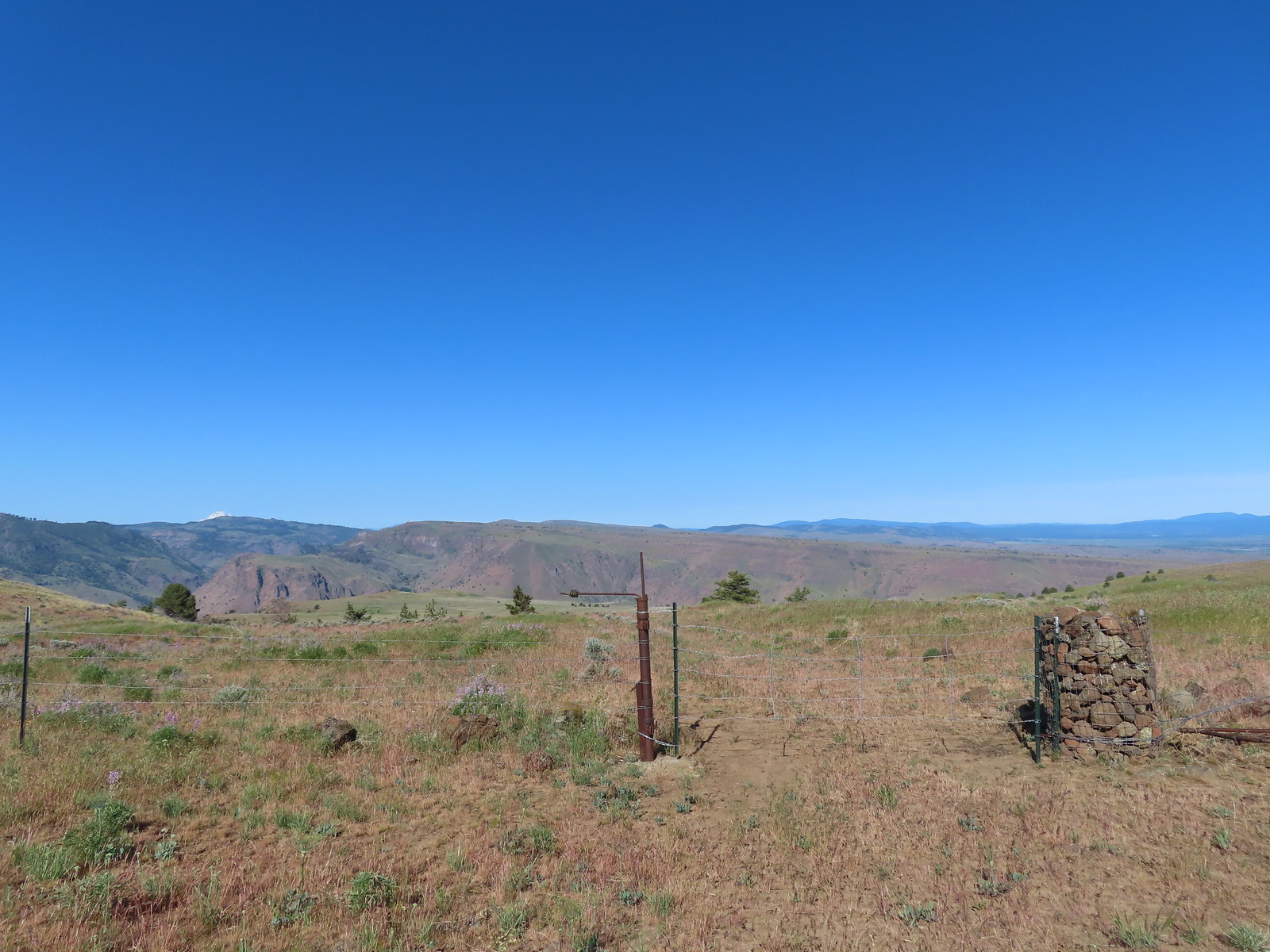 The fourth gate at the 4-way junction.
 Mourning dove
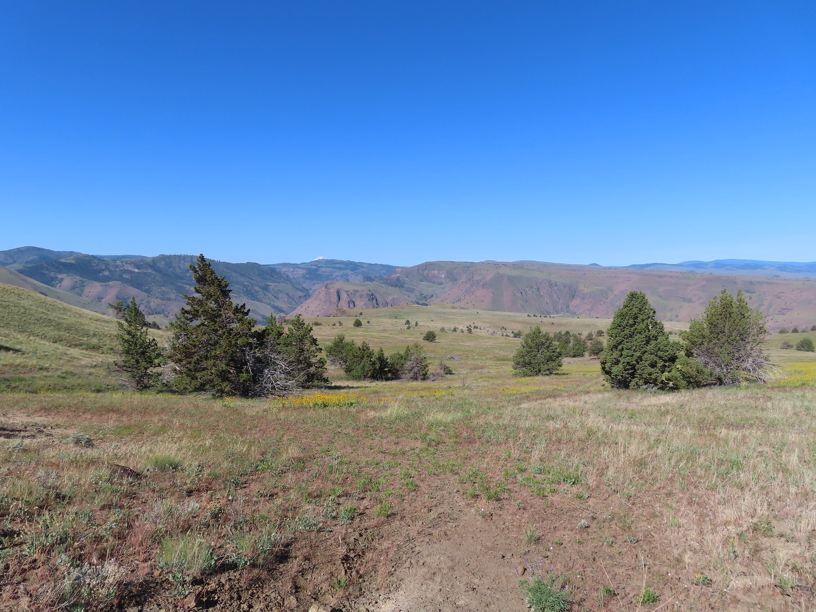 The more “obvious” jeep track curving left.
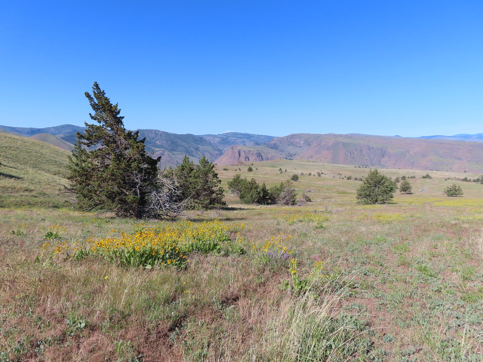 The fainter track angling slightly right.
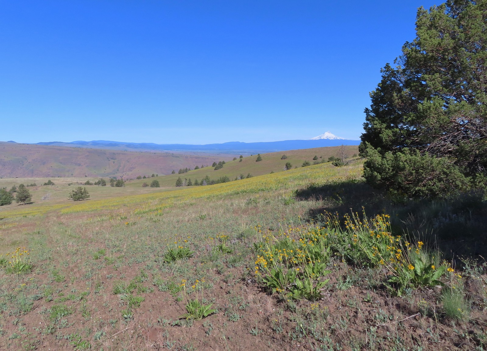
 Ochre ringlet on rougheyelashweed.

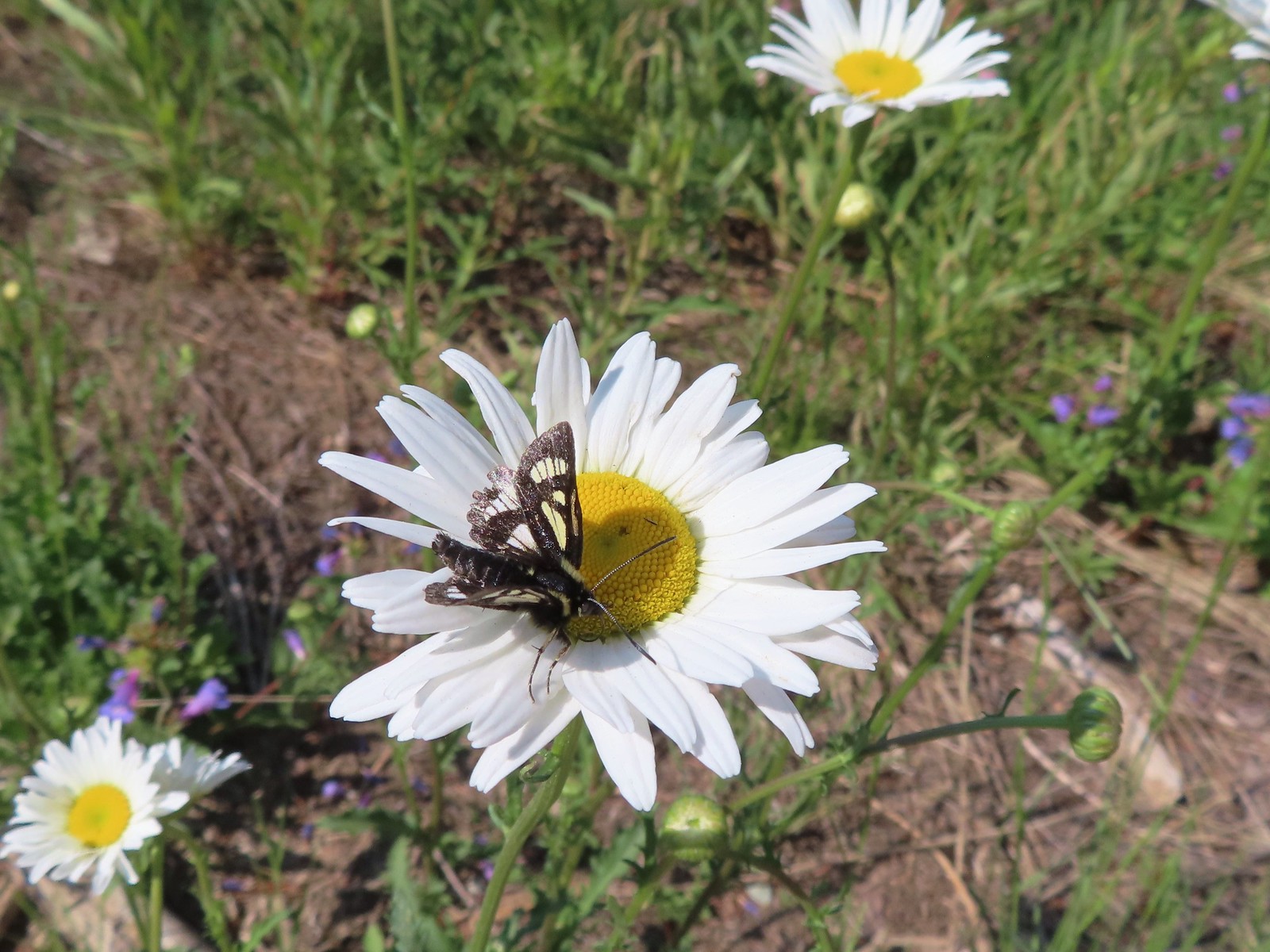
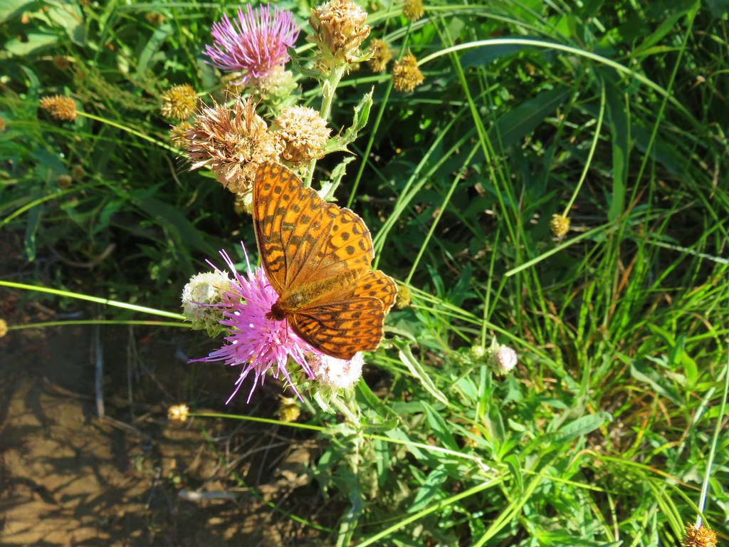
 Zerene fritillary
 Zerene fritillary on salsify
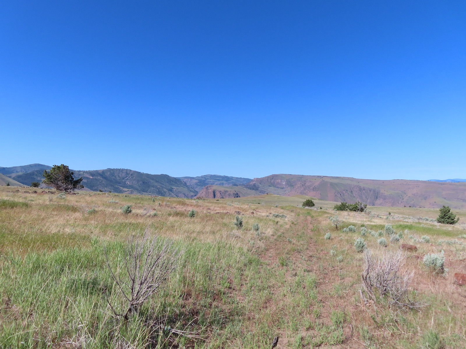 We thought we spied the post and used the camera to zoom in and confirm.
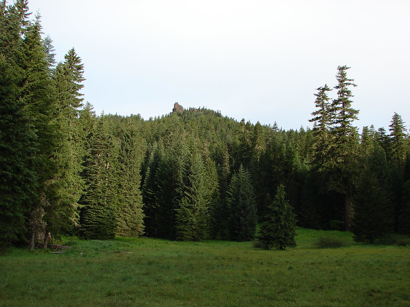
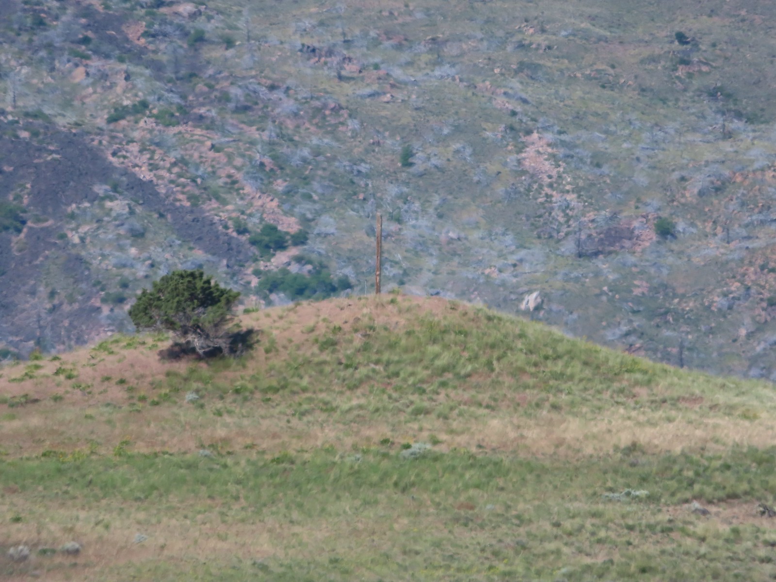 This was the only knoll with a juniper as well as the post.
 Paintbrush
 To reach Stag Point we had to go cross country, so we looked for the most gradual looking climb.
 Mt. Hood from Stag Point.
 The Deschutes River from Stag Point.
 Mt. Hood and Mt. Adams from Stag Point.
 Looking back over the route we’d come down.
 Ladybug and an Oregon swallowtail.
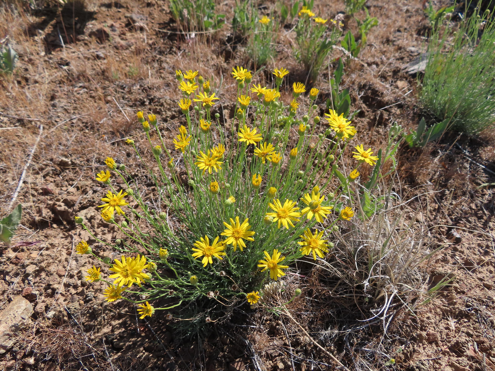 Desert yellow fleabane
 Heading out to the rock outcrop.
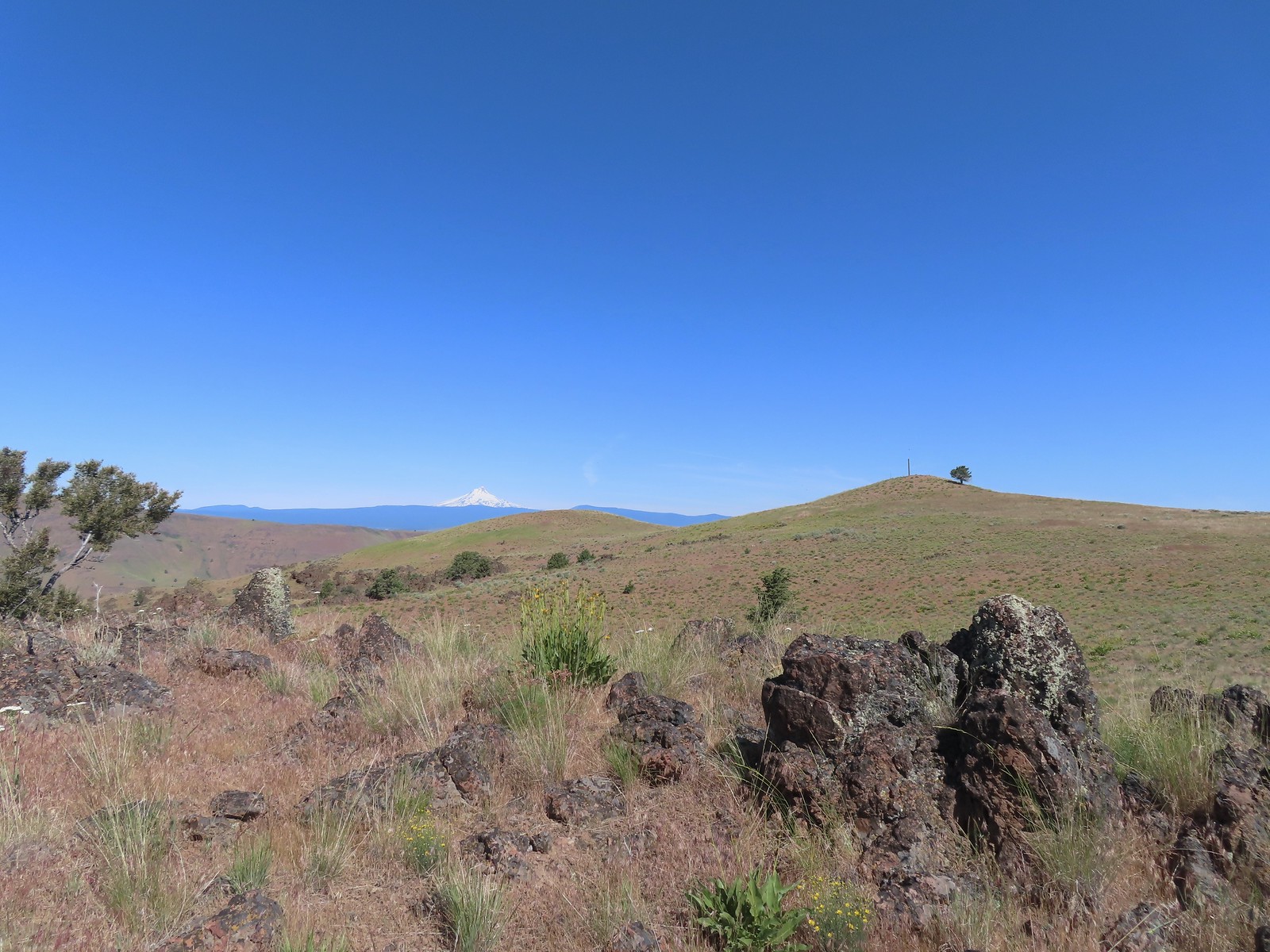 Mt. Hood and Stag Point from the outcrop.
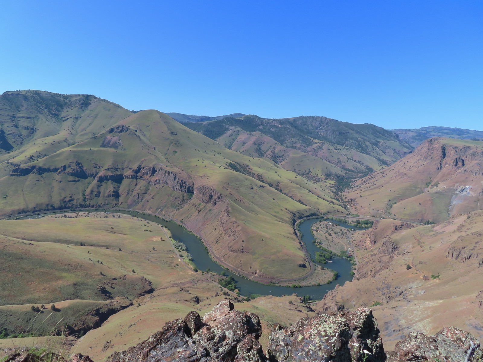 A better view of the Deschutes.
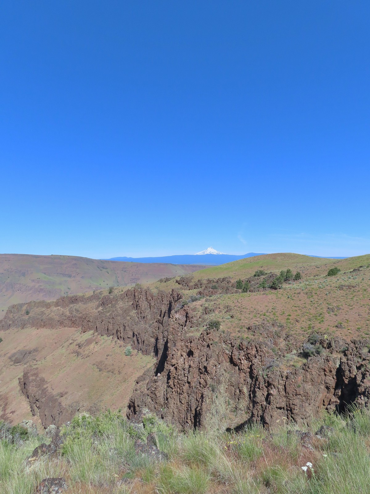 Mt. Hood beyond the cliffs.
 Stink bug
 Back on the jeep track.
 Lupine and balsamroot
 The cows had really chewed this section of the jeep track up.
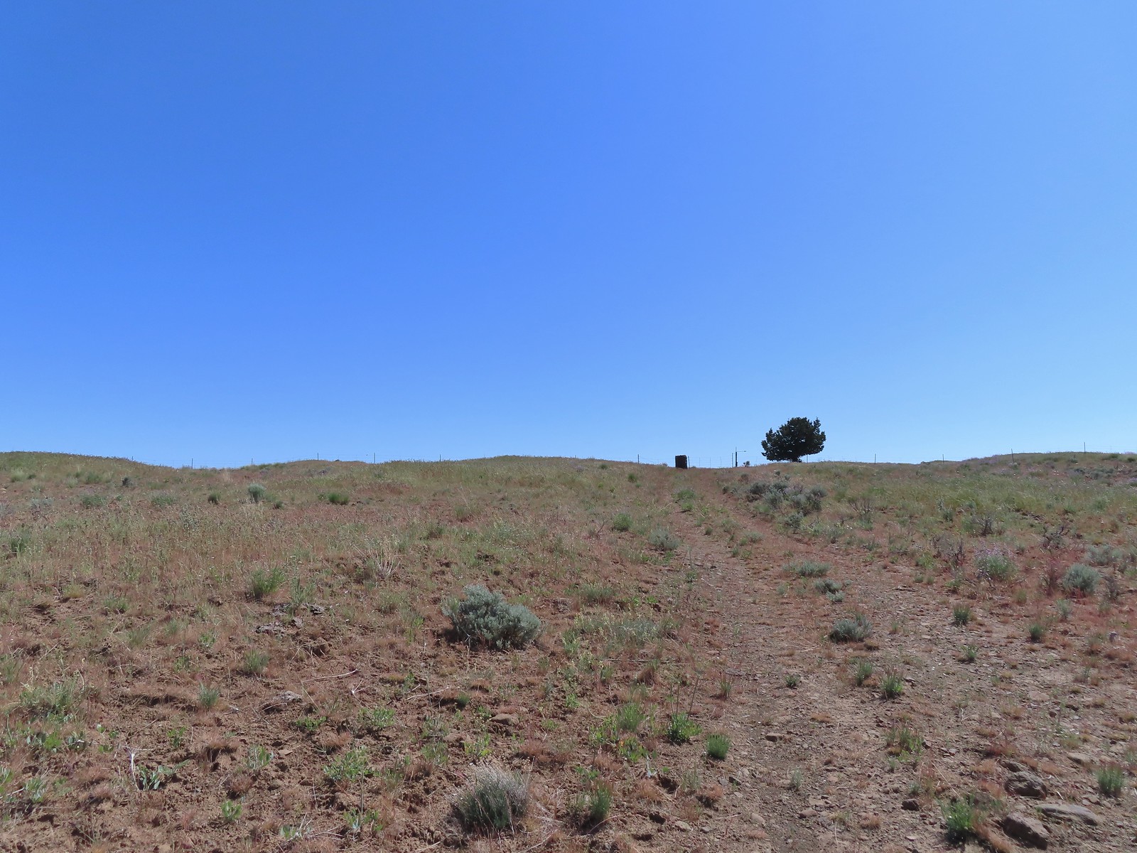 The gate ahead.
 Horned lark guarding the gate.
 Mt. Jefferson and Olallie Butte
 Time for some sun.
 A butterfly and fly.
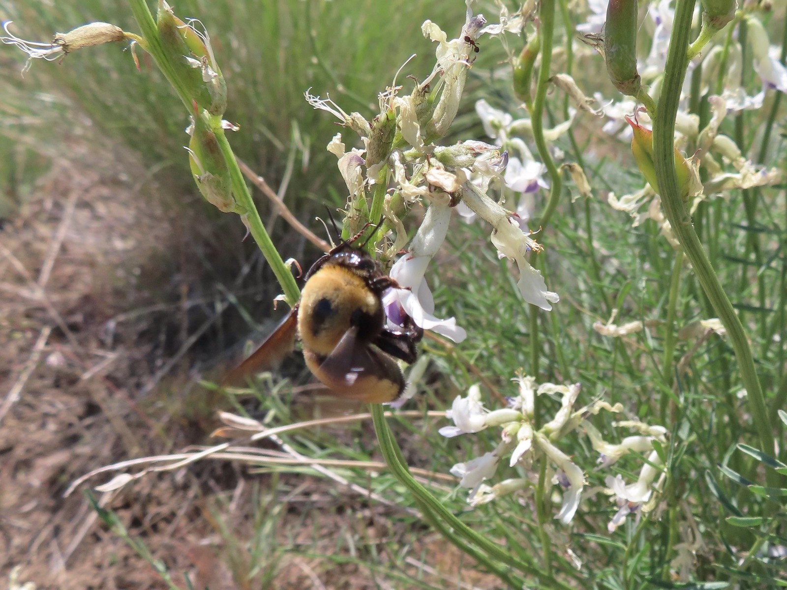 Busy bee
 This swallowtail was a little rough around the edges.
 Another horned lark on lookout.
 Nothing brings fritillary butterflies together like a good pile of scat.
 Another option for another time. We were just happy to have solved that mystery.
 The Radio Towers on the hill were right next to the trailhead.
 The Three Sisters (from this angle it looks like two)
 Three butterflies and a beetle on buckwheat.
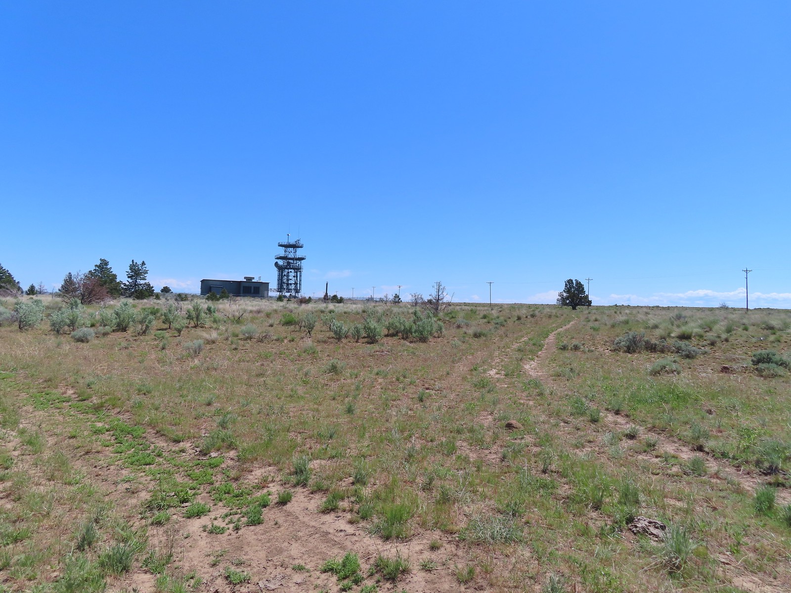 Another mystery was where did the trail from the South Trailhead (just on the other side of the radio towers) connect. We’d missed the track on the right on our first pass, another question answered.
 Lizard with half a tail at the trailhead.
 This mountain bluebird was acting odd when we arrived at the gate. It was flying back and forth with something in its mouth. (Mt. Adams is in the background.)

 Beardstongue
 Pearly everlasting next to thimbleberry bushes.
 Not quite ready yet.

 Mt. Adams
 Goat Rocks (
 Looking down at some of the switchbacks.
 Mt. St. Helens in the distance.
 The top of Mt. Rainier.
 Mt. Hood to the South.
 Mt. St. Helens, Mt. Rainier, Goat Rocks and Mt. Adams.
 Indian Heaven Wilderness
 Looking east over the top of Sleeping Beauty.
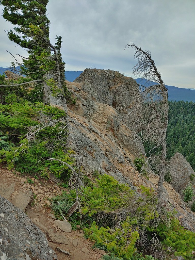 Looking west to the true summit where a lookout once stood.
 Mt. Hood from the foundation of the former lookout.
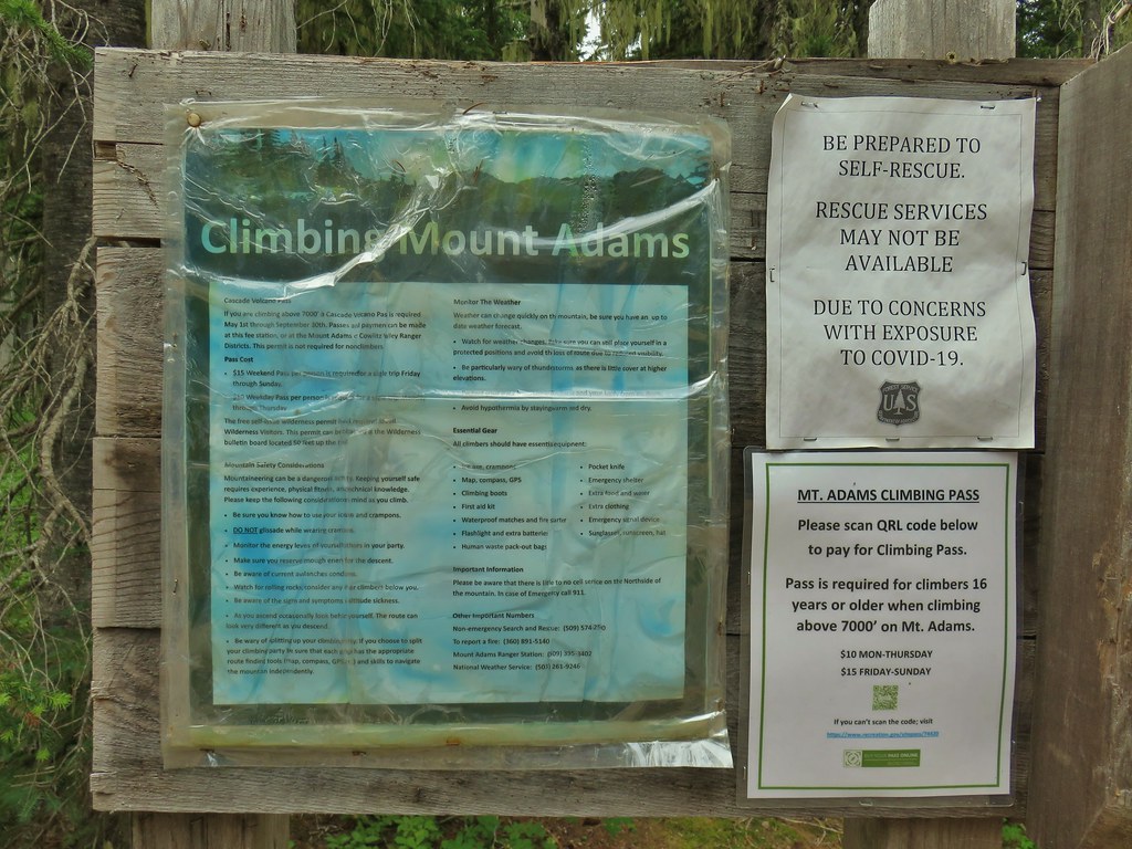
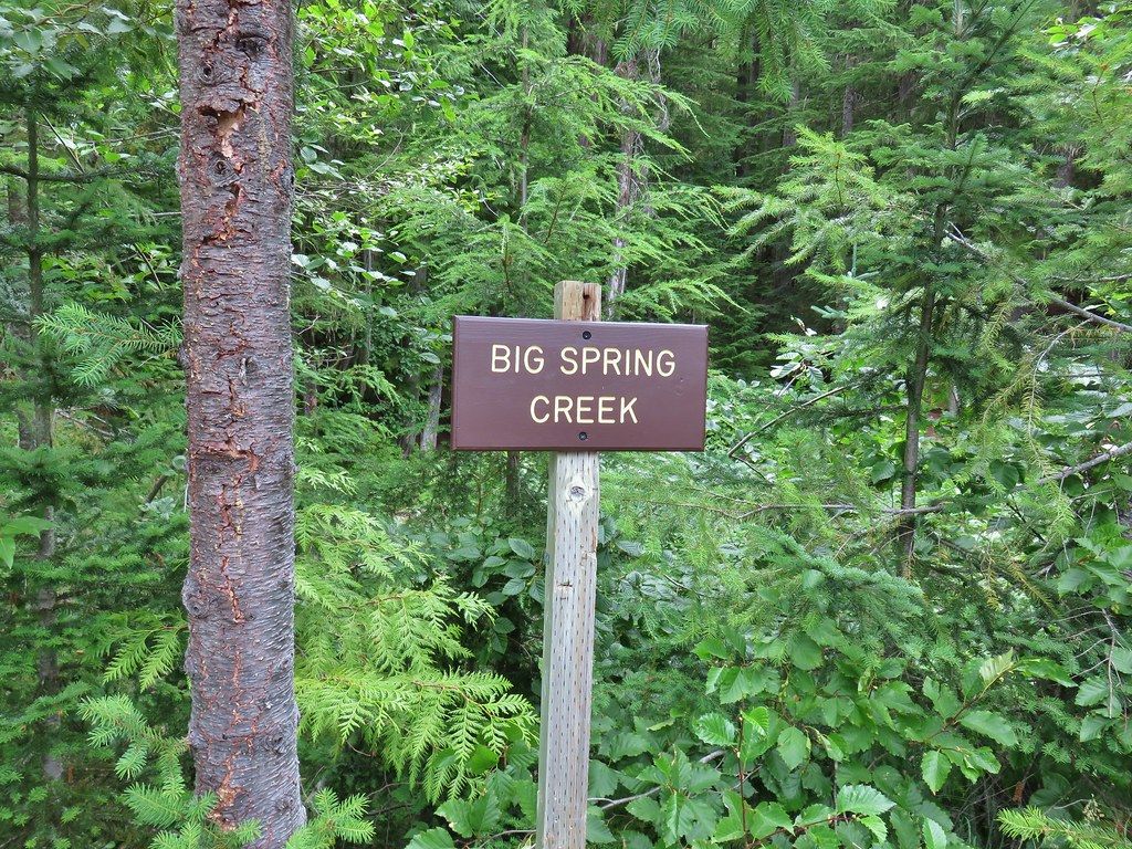 Sign at a pullout along FR 23.
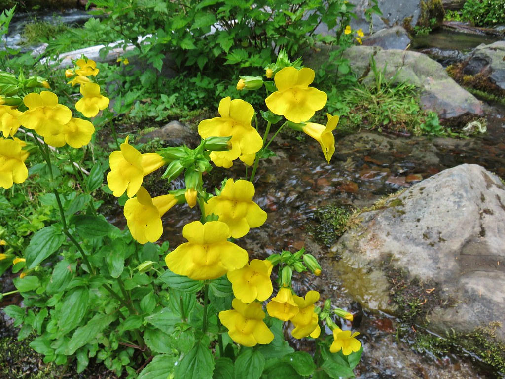 These were huge yellow monkeyflowers.
 Big Spring Creek
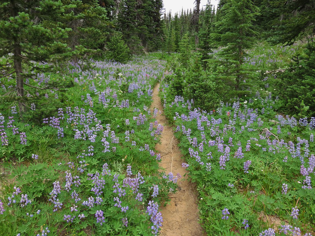
 Lupine along the trail.
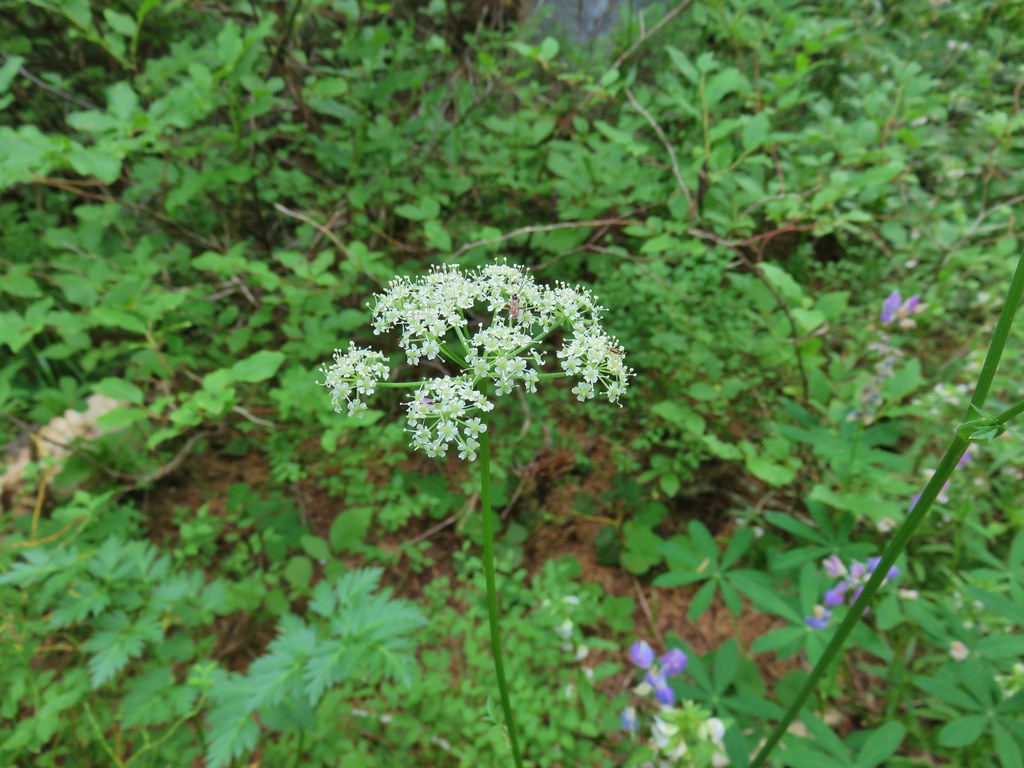
 Arnica
 Lousewort
 More lupine along the trail.
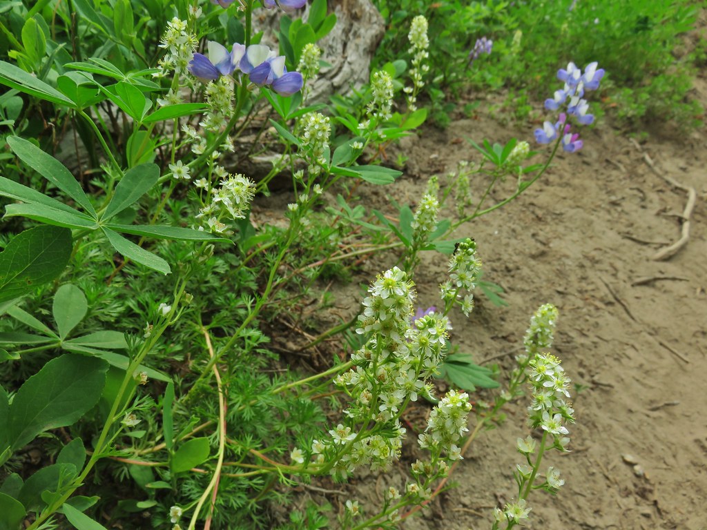 Partridge foot and lupine.
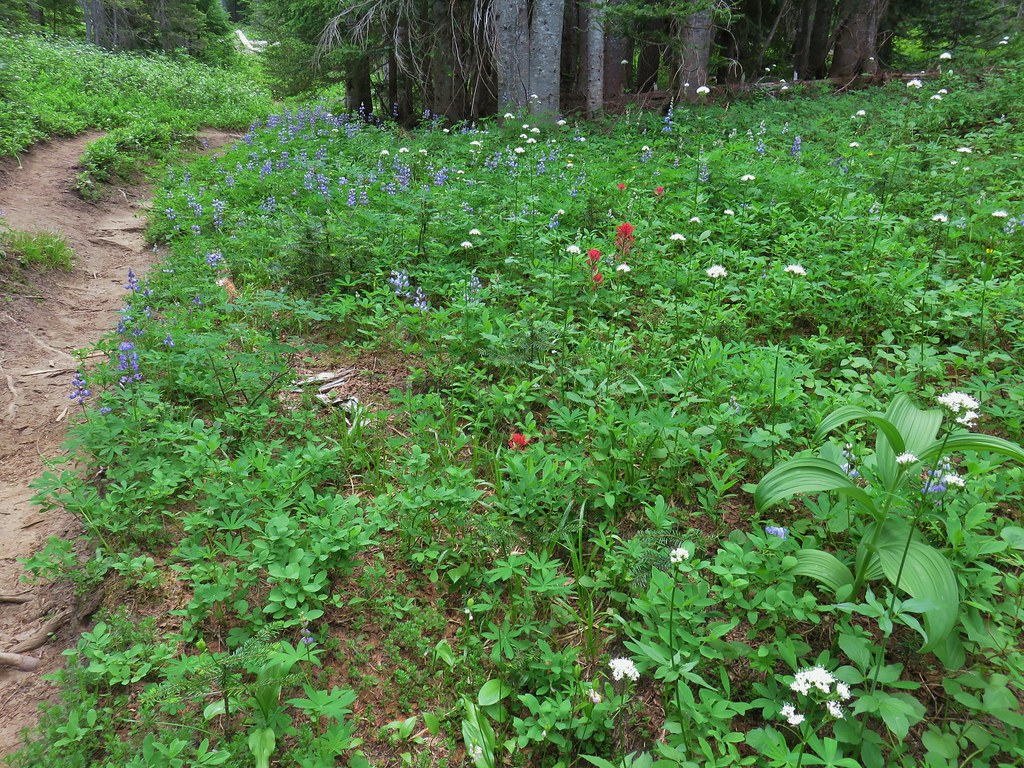 Lupine, paintbrush and valerian.
 Lupine along the trail which sees a good amount of equestrian use.
 Mountain heather.
 Yellow buttercups mixed in with the lupine, paintbrush and valerian.
 Beardstongue, arnica and lupine.
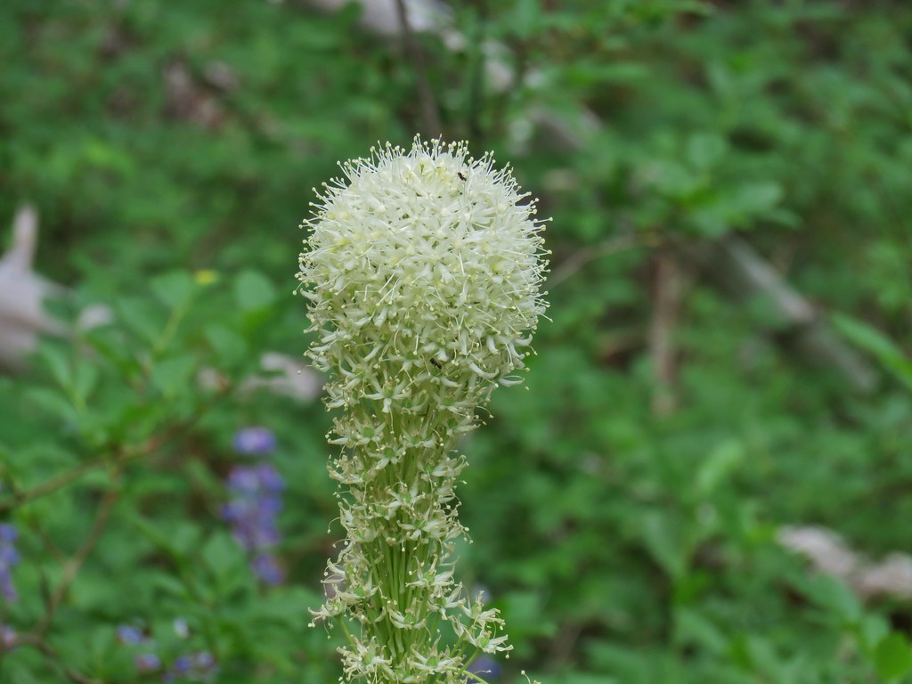 Beargrass
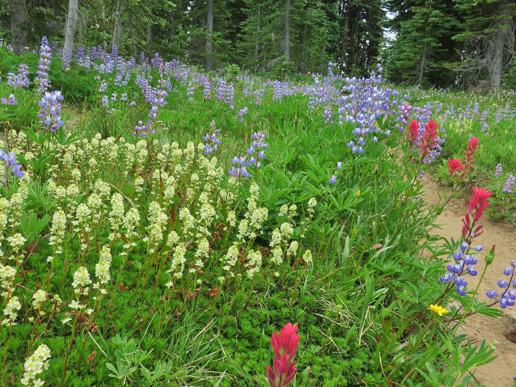


 Lousewort
 Elephants head near the stream.
 Elephants head and a shooting star.

 Mountain heather
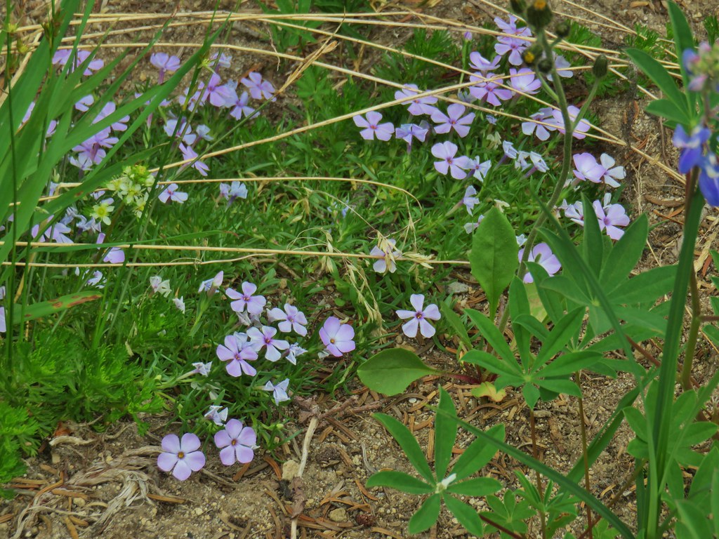 Phlox
Phlox
 False hellebore amid the lupine.
 Paintbrush framed by trees.
 Woolly pussytoes
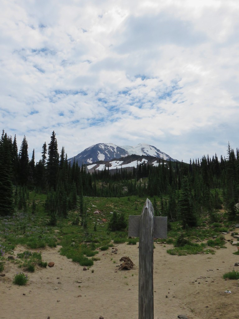


 Cinquefoil
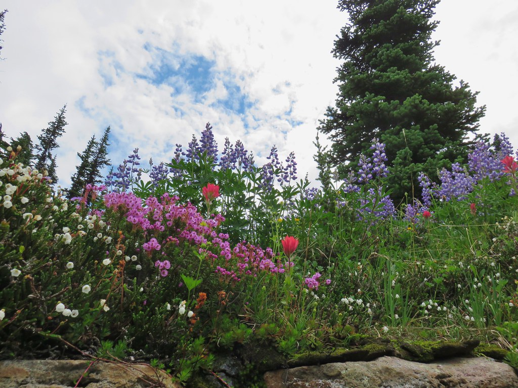 White and pink mountain heather, paintbrush and lupine above the PCT.
 Shooting star
 Violets
 Coming in for a landing on groundsel.
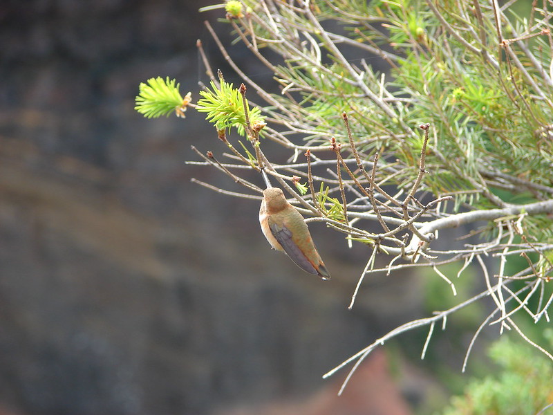
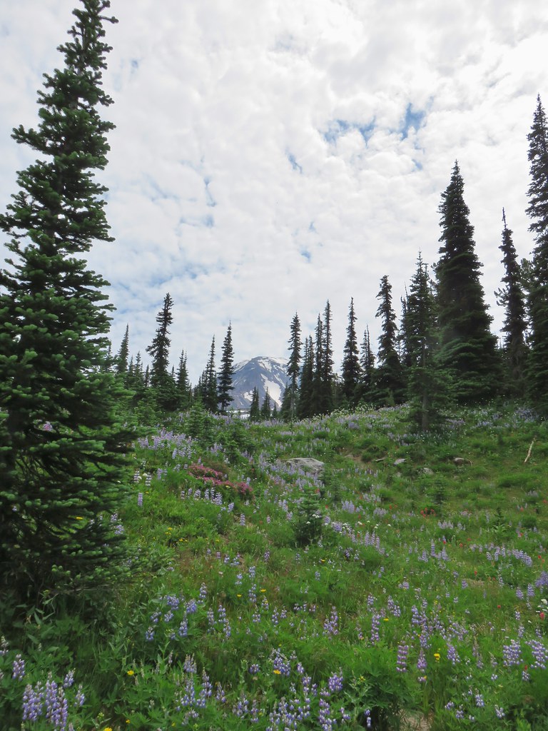
 Aster
Aster
 Goat Rocks
 Aster and white seed heads
 Spirea
 Killen Creek and Mt. Adams.

 The waterfall from the PCT.
 Highline Trail ahead.
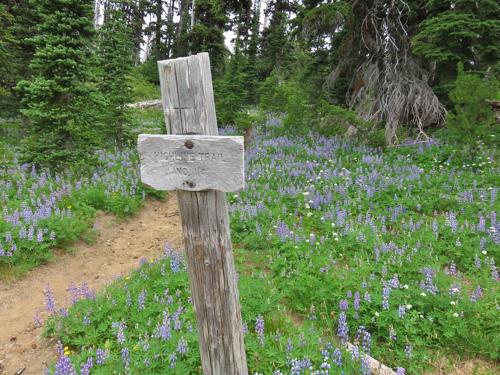

 Yellow arnica along the trail.
 Beargrass in full bloom.
 Subalpine mariposa lily
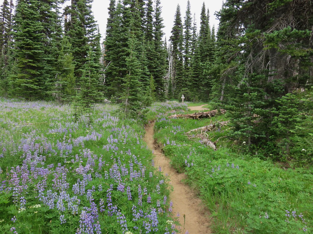
 Look more lupine that way.
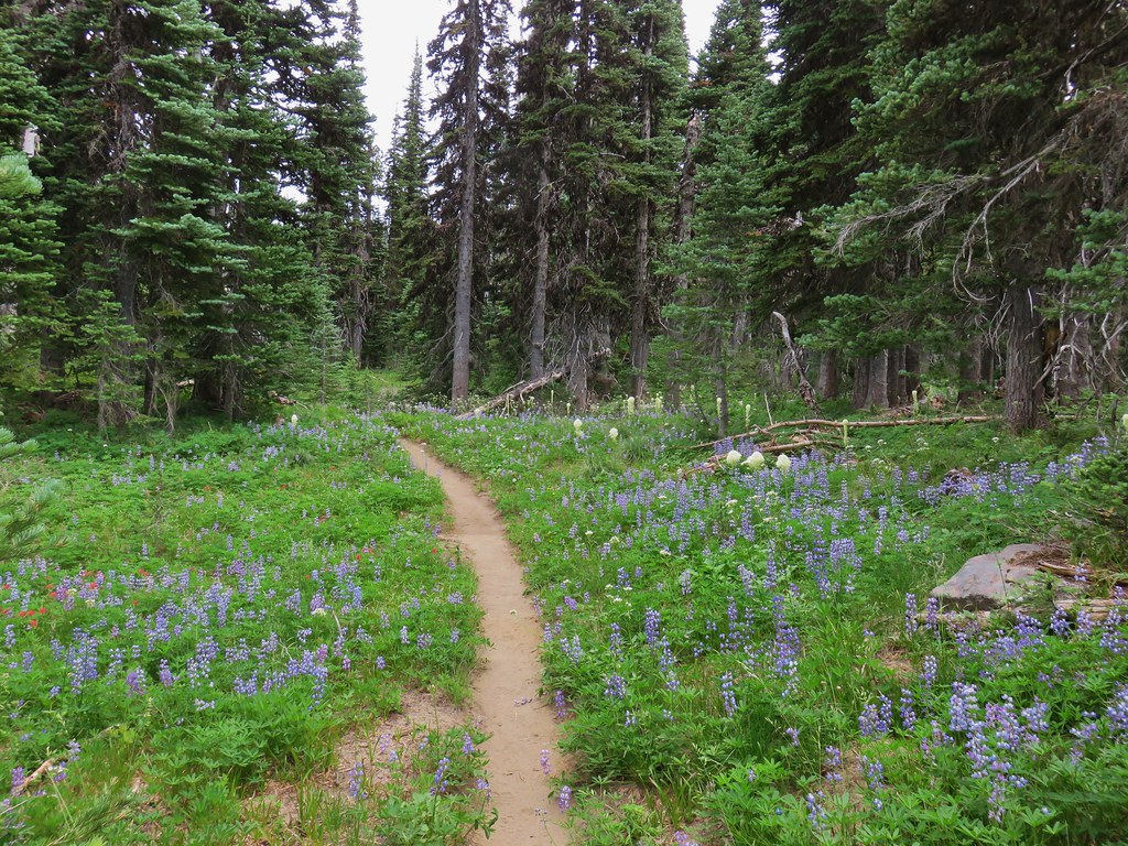 Still tons of flowers.
 Frog near Foggy Flat
 Mt. Adams from Foggy Flat
 Frog in a little stream at Foggy Flat.
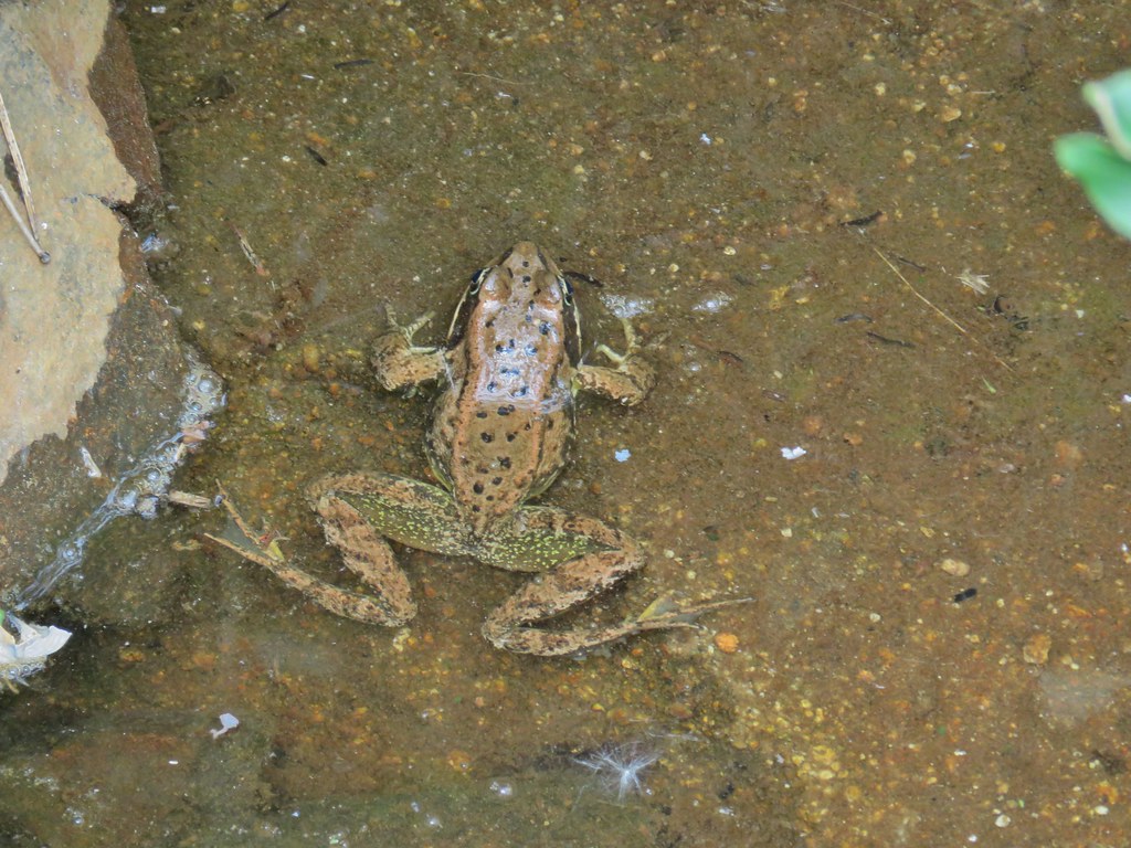 Zoomed in

 Gentian
 Elephants Head
 Monkeyflower and willowherb along the creek.
 Mt. Rainier behind us.
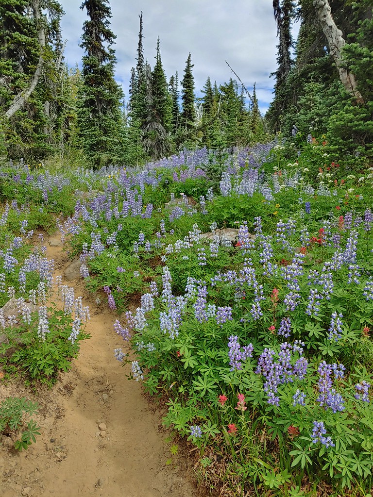
 The trail dropping steeply behind us on one of the steeper sections.
 Can you spot the yellow paintbrush?


 Buckwheat

 Goat Creek falling from Goat Lake.
 Red Butte and Mt. Adams
 Red Butte, a neat looking cinder cone.
 Flower amid the rocks.


 Paintbrush
 Cutleaf daisy
 Dwarf alpinegold
 ?
?

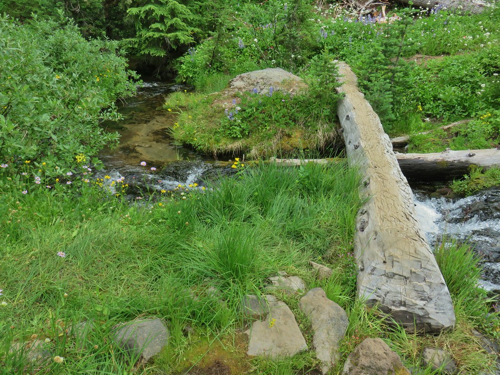
 Water in the upper portions of the snowmelt stream.
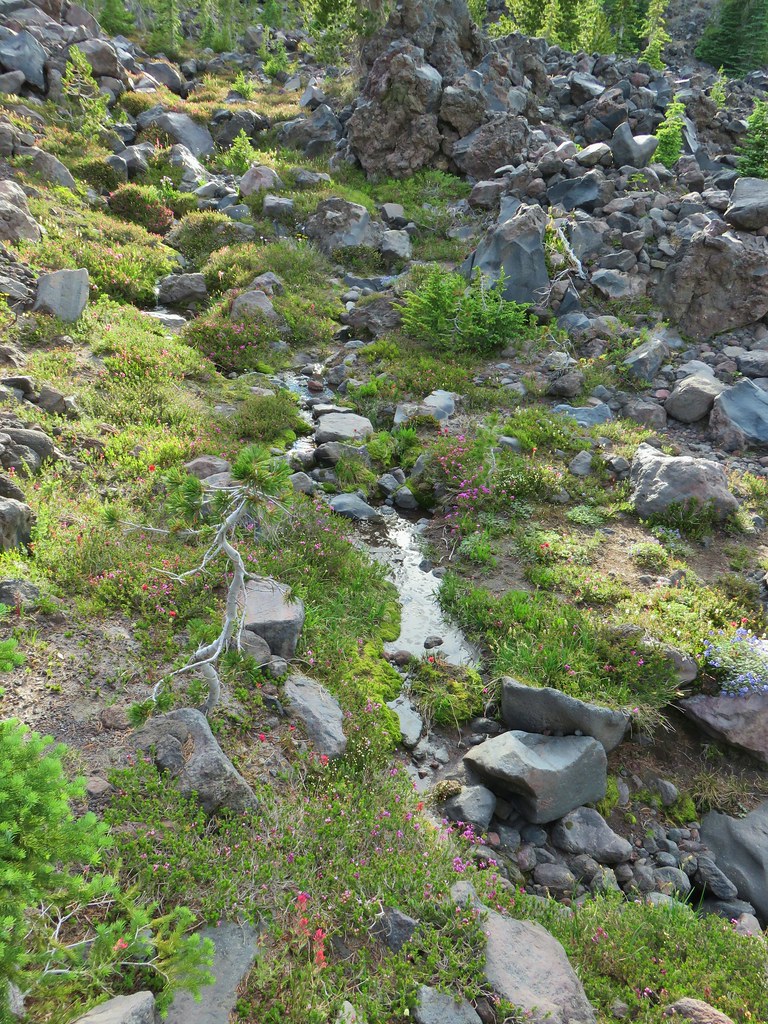 The same stream 3 minutes later.
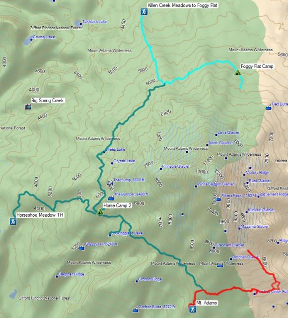


 Pinesap
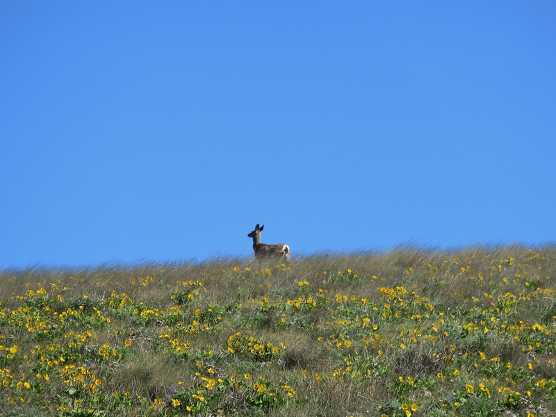
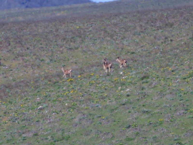
 A very blurry deer spotted through the trees.


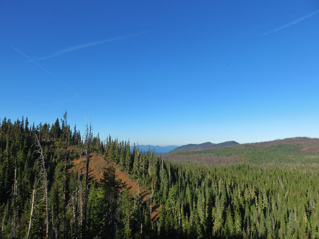
 North Sister
 Middle Sister
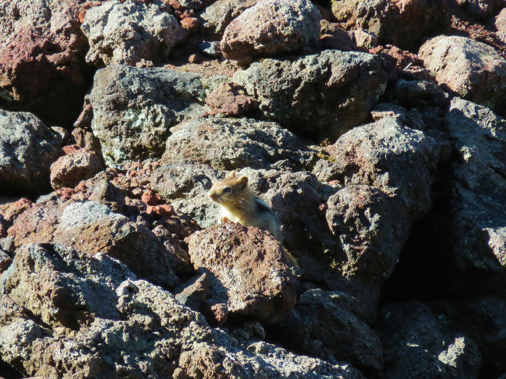 More spies watching us.
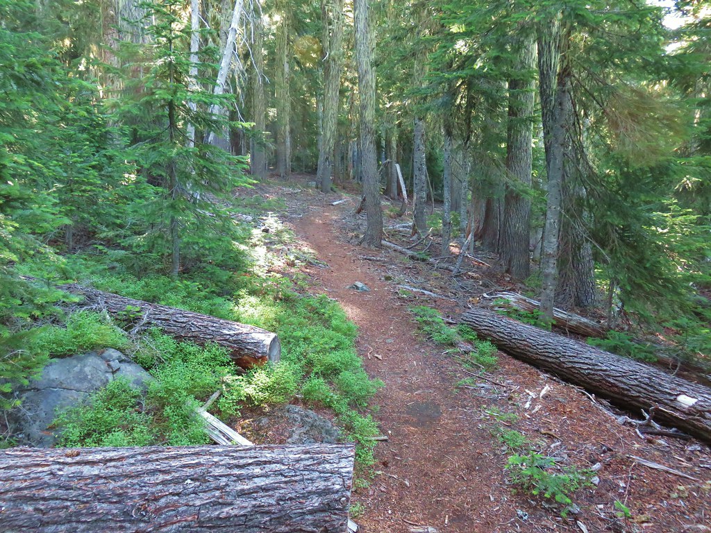


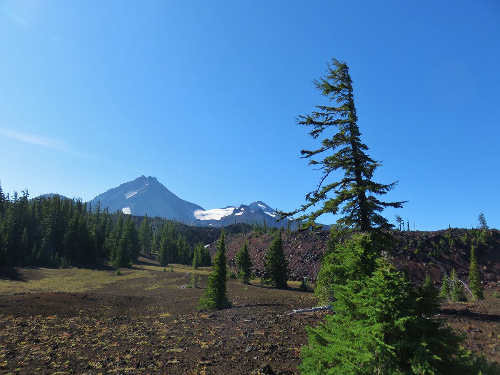 North and Middle Sister behind the Little Brother.
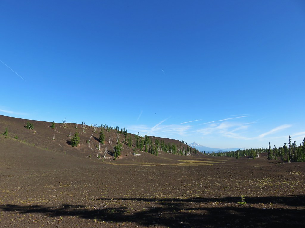 Mt. Jefferson beyond Four-In-One Cone
 Mt. Hood over the right shoulder of Mt. Jefferson.
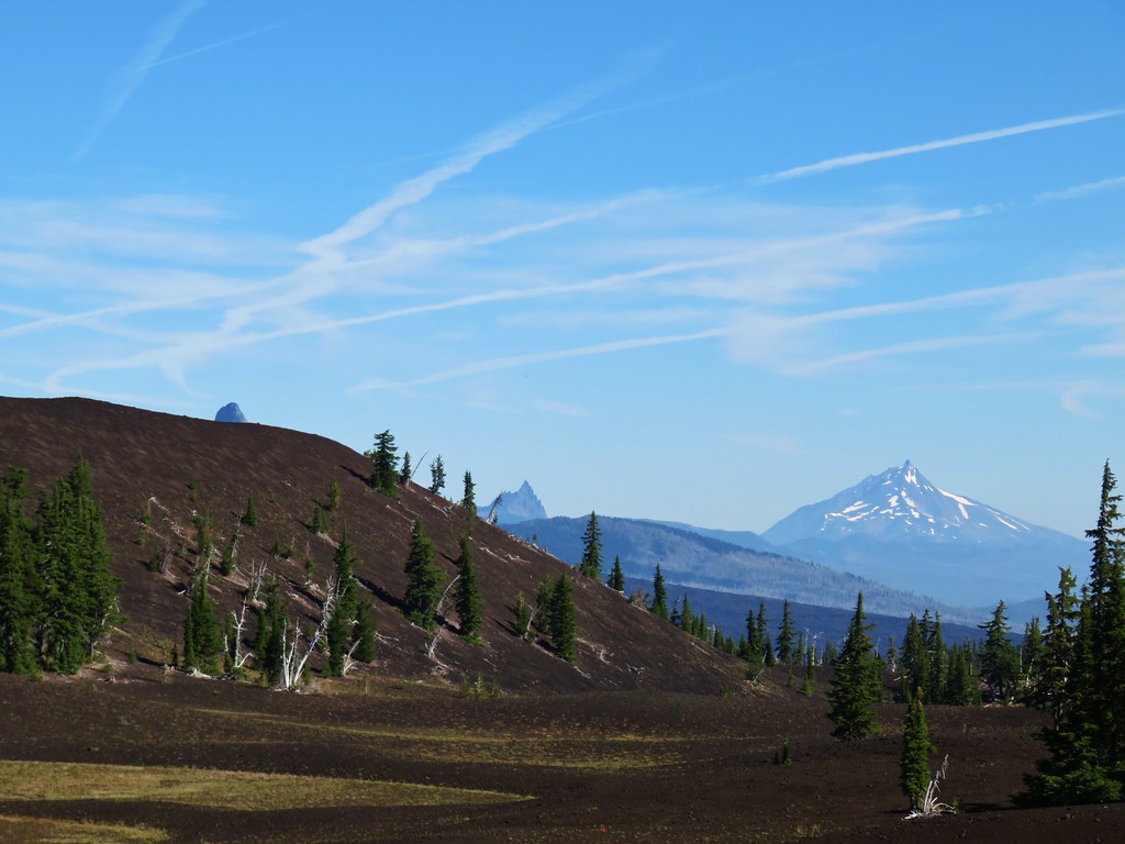 Mt. Washington’s spire behind the cone with Three Fingered Jack and Mt. Jefferson.

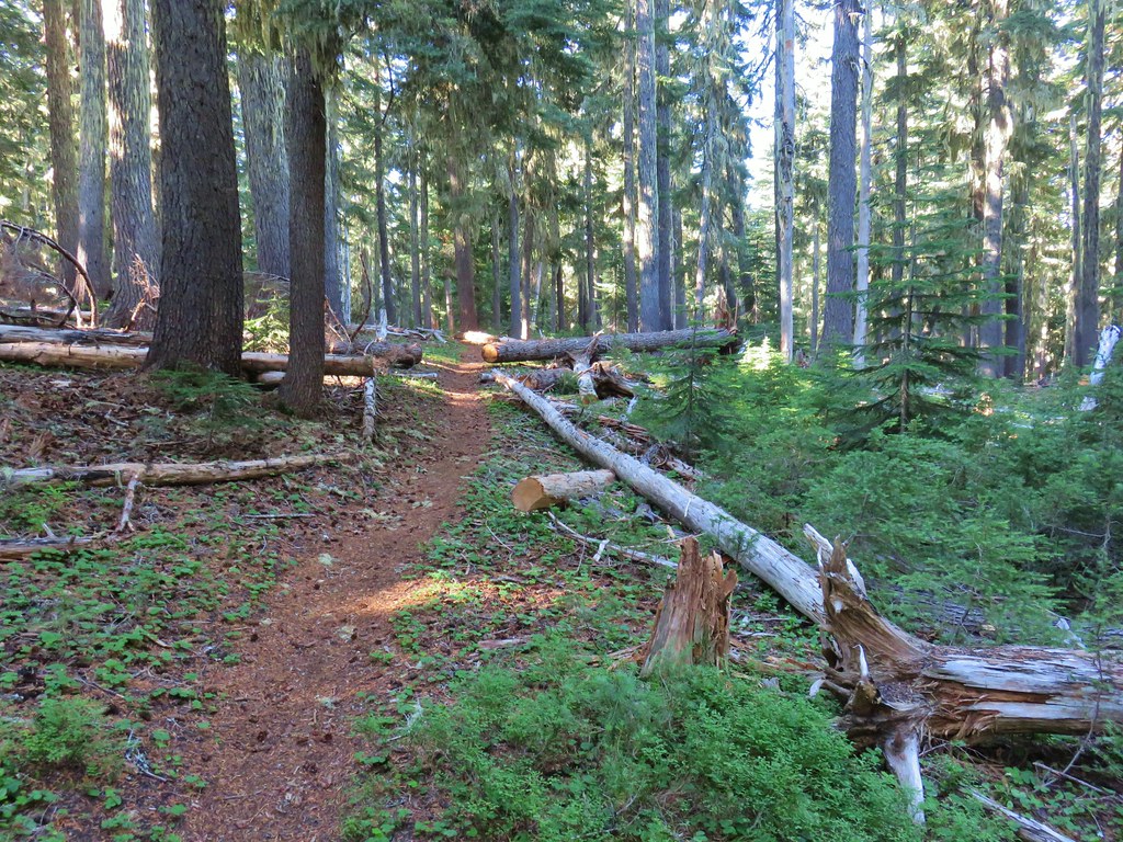
 Scott Meadow


 North Sister, Middle Sisters behind Little Brother and The Husband.
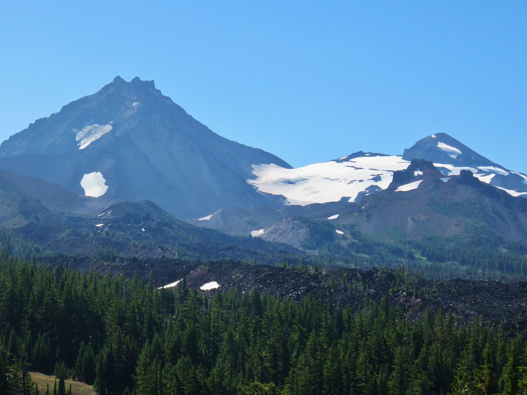 North Sister with Collier Cone in front and South Sister behind Little Brother.
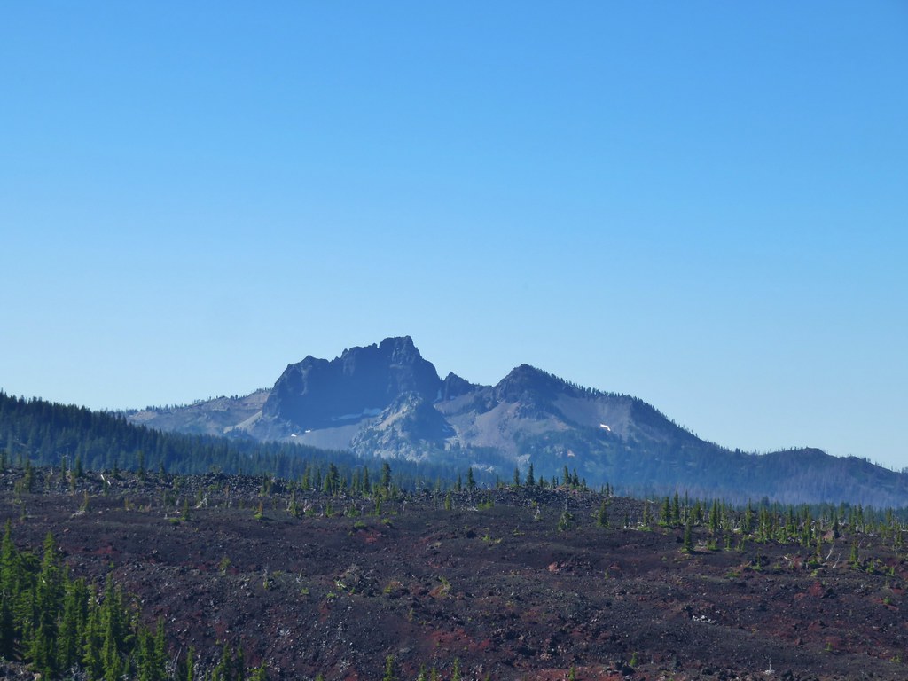 The Husband
 Scott Mountain (
 One of the craters.
 Mt. Washington, Three Fingered Jack, Mt. Jefferson, Mt. Hood, and Black Crater (
 Looking back south.
 Belknap Crater (
 Mt. Washington beyond Little Belknap Crater with Three Fingered Jack behind.
 Mt. Jefferson and Mt. Hood
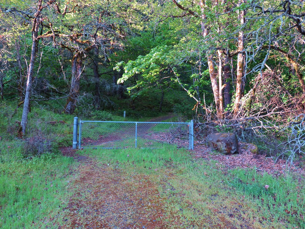

 Arnica
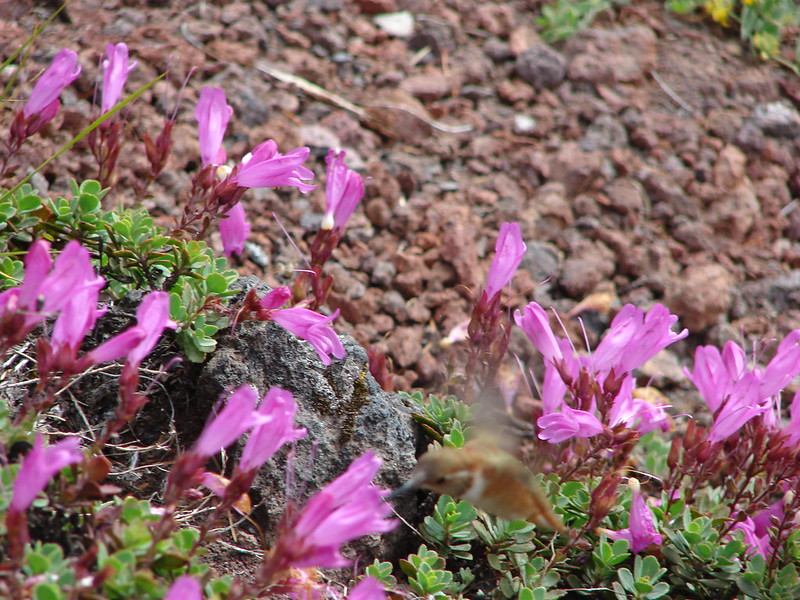
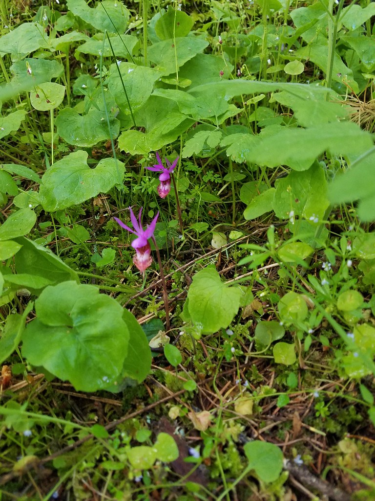 Fairy slippers
 Paintbrush
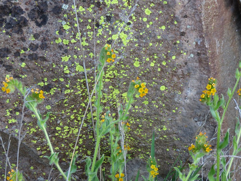
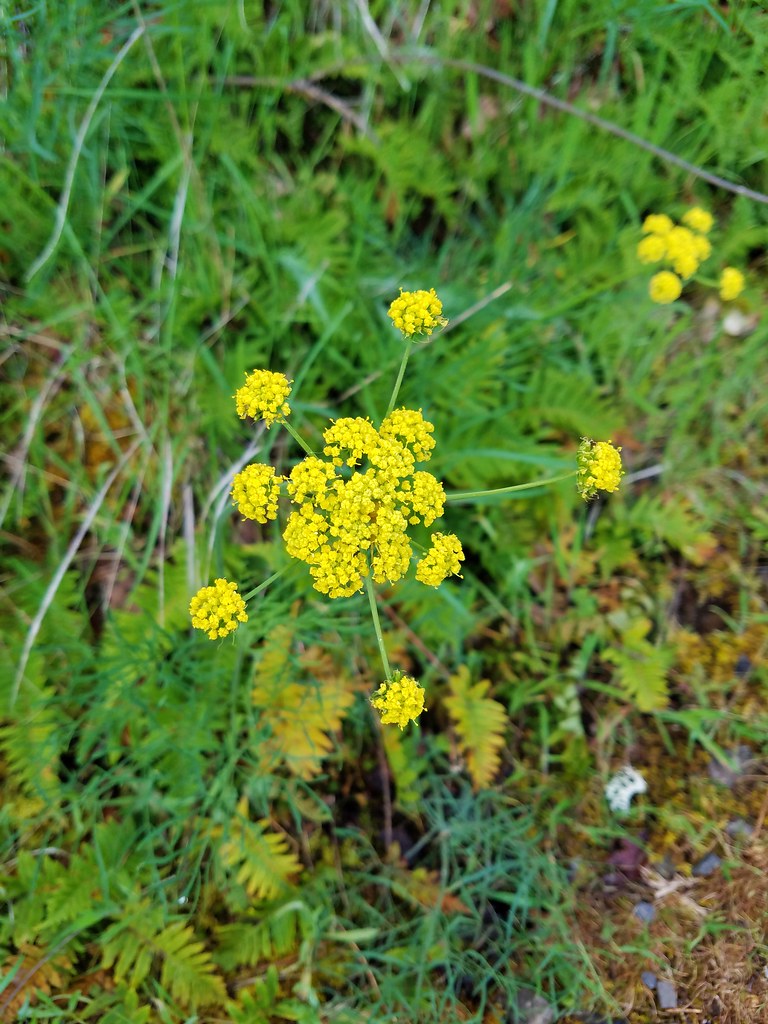 Desert parsley
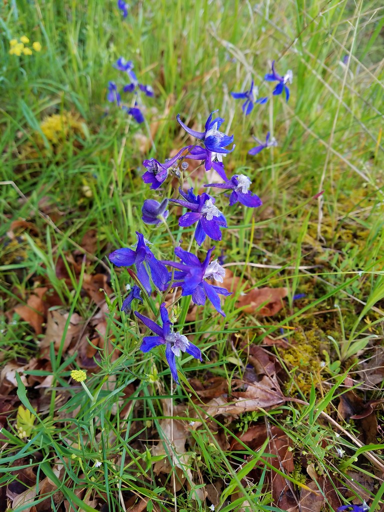 Larkspur
 Vetch
Vetch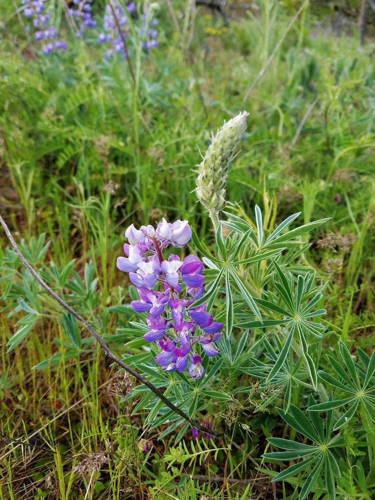 Lupine
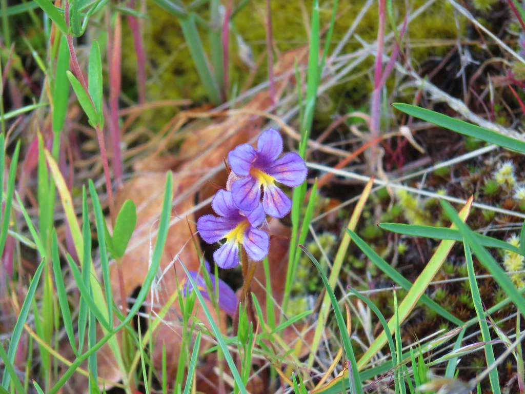 Broomrape
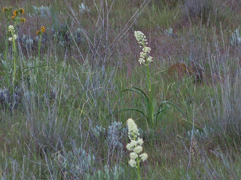
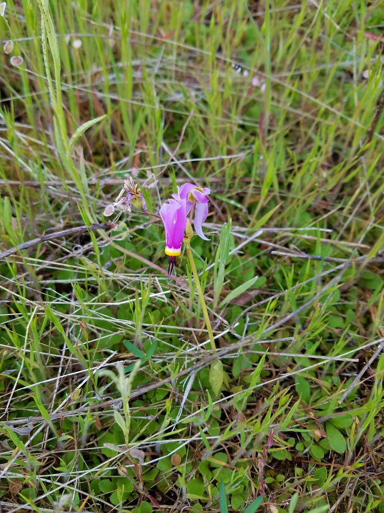 Shooting star
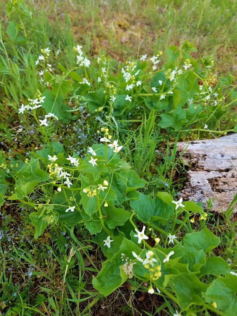 Manroot
 Prairie star
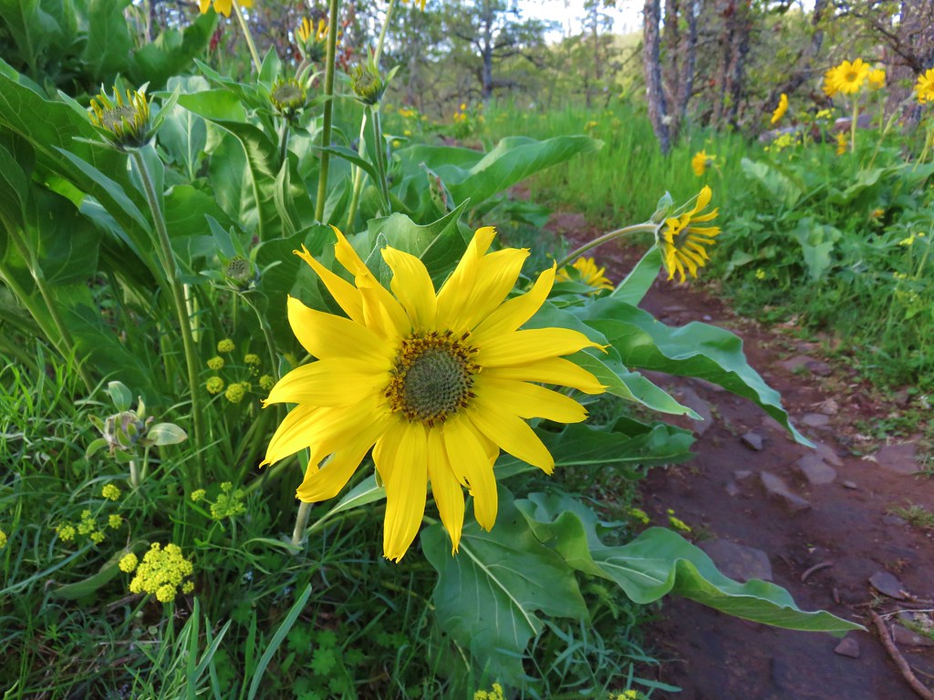 Balsamroot


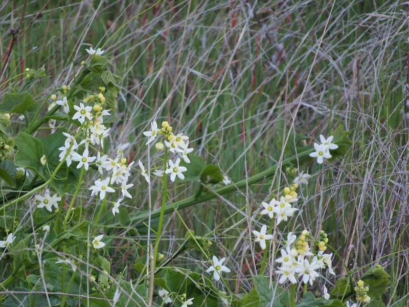
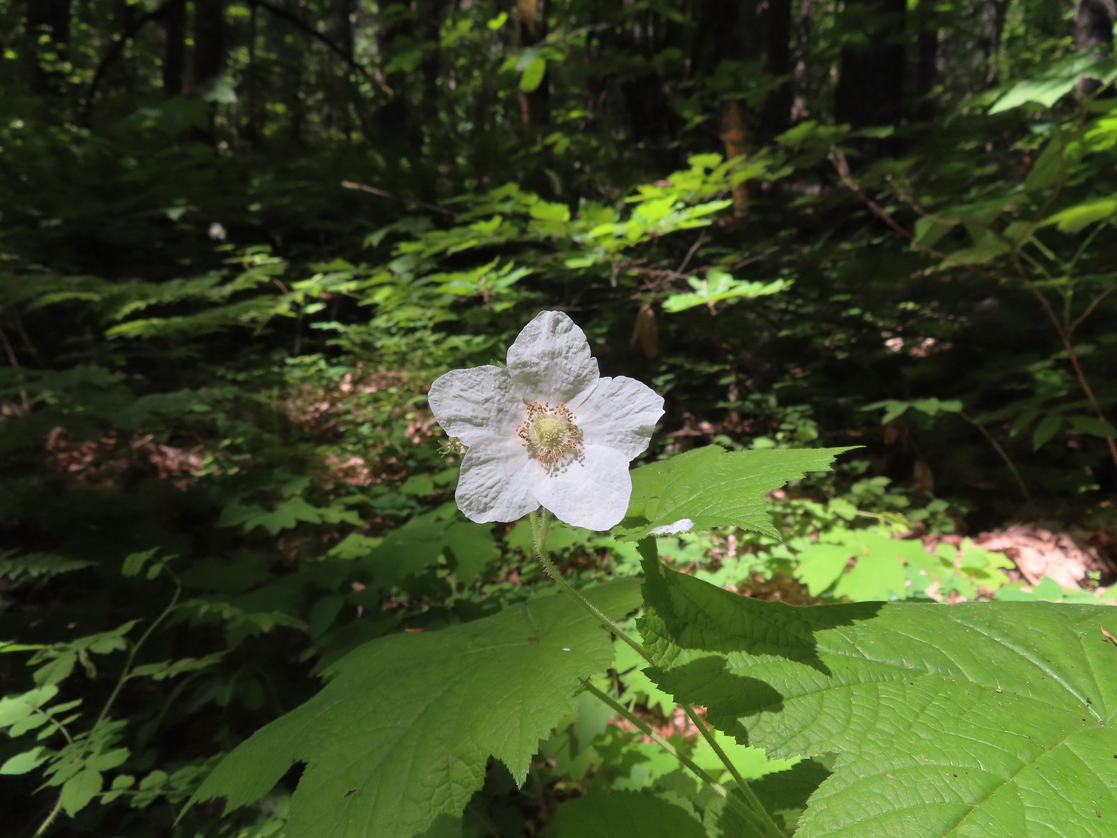
 Vanilla Leaf
 Valerian
 Ballhead waterleaf
 Trillium

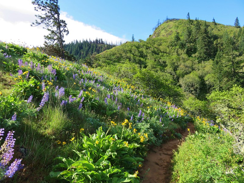
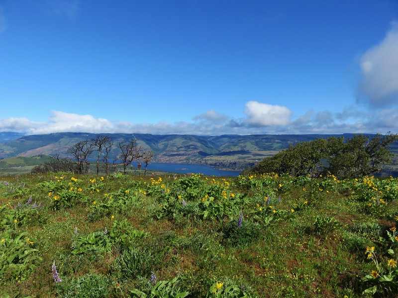
 Dog Mountain
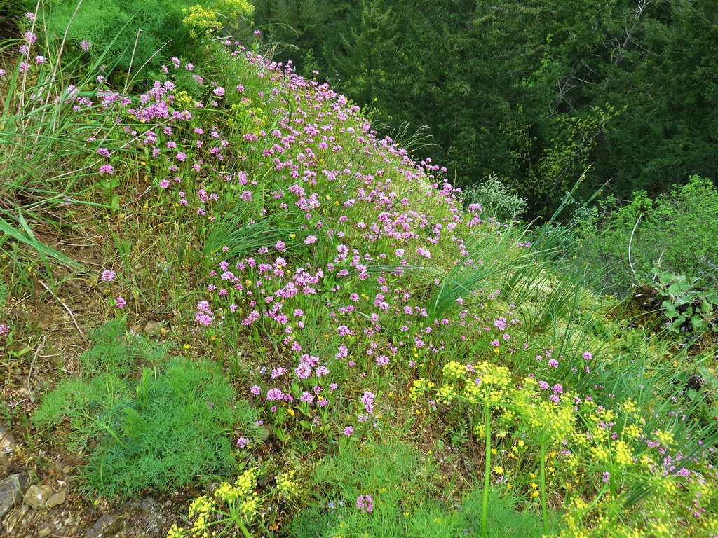


 Patjens Lake Trail – August 2012
 Pacific Crest Trail – August 2017
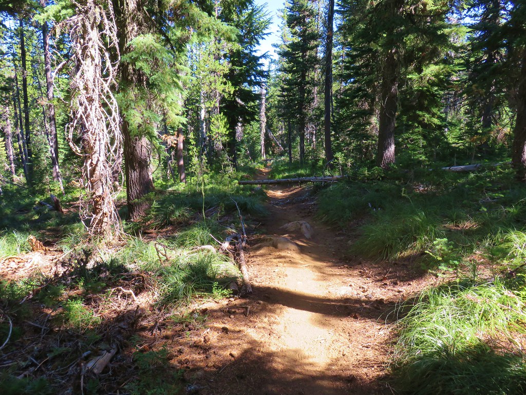


 North & Middle Sister with Belknap Crater
 Scott Mountain