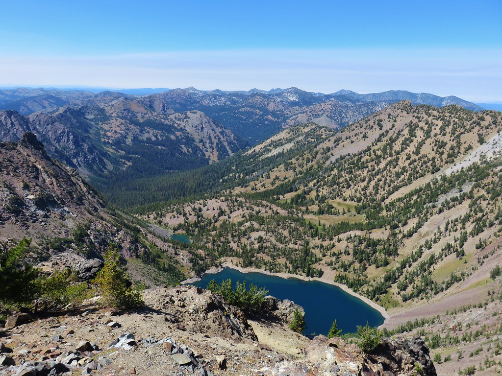
I have a little more vacation time than Heather which means flying solo from time to time. For those solo outings I try and pick hikes to places we’ve already visited or hikes that Heather doesn’t mind missing out on. The latter tend to either be long hikes (14+ miles) or have significant elevation gains >3000′, or a combination of both. One such hike that I’ve had my eyes on for a while was a long loop in the Salmon-Huckelberry Wilderness combining the Salmon River, Green Canyon Way, Hunchback, and Kinzel Lake Trails.
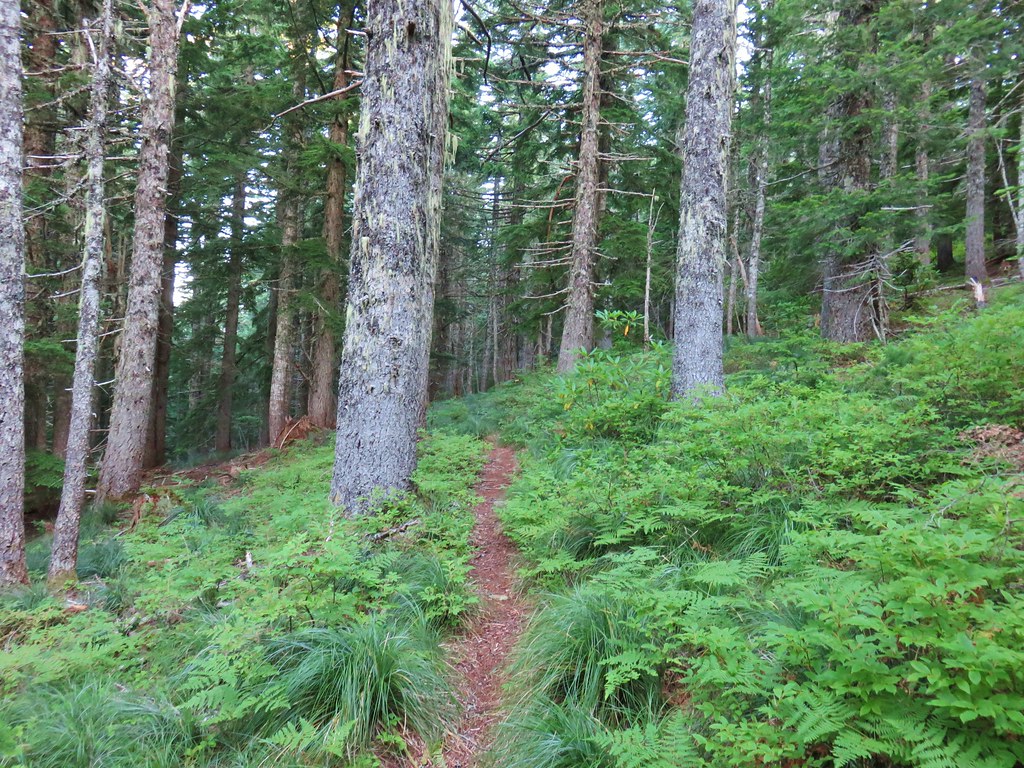
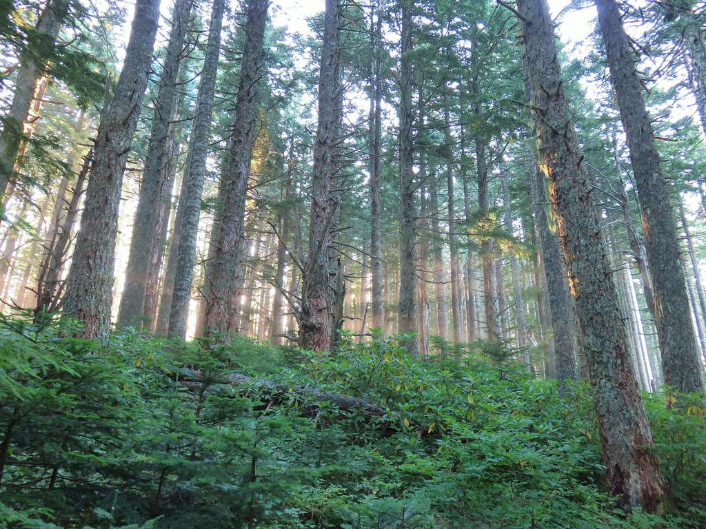
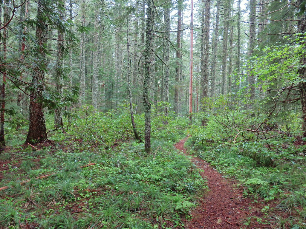
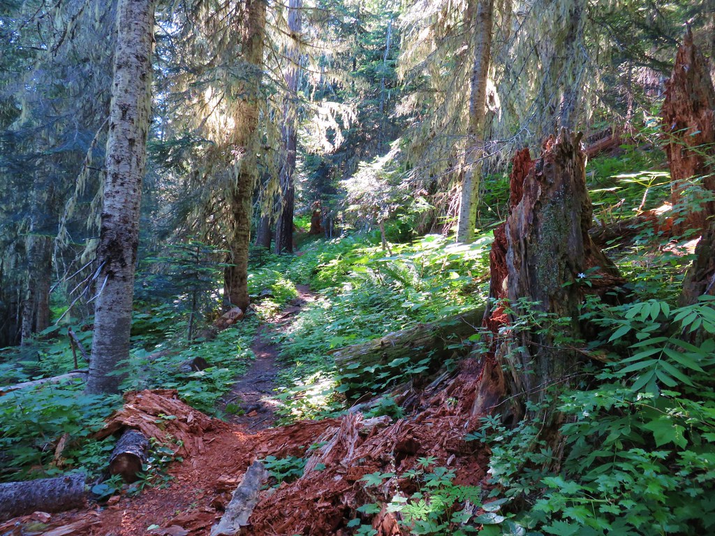
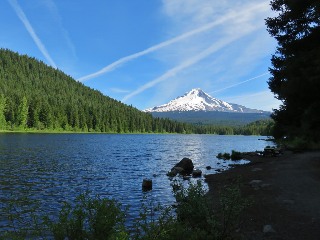
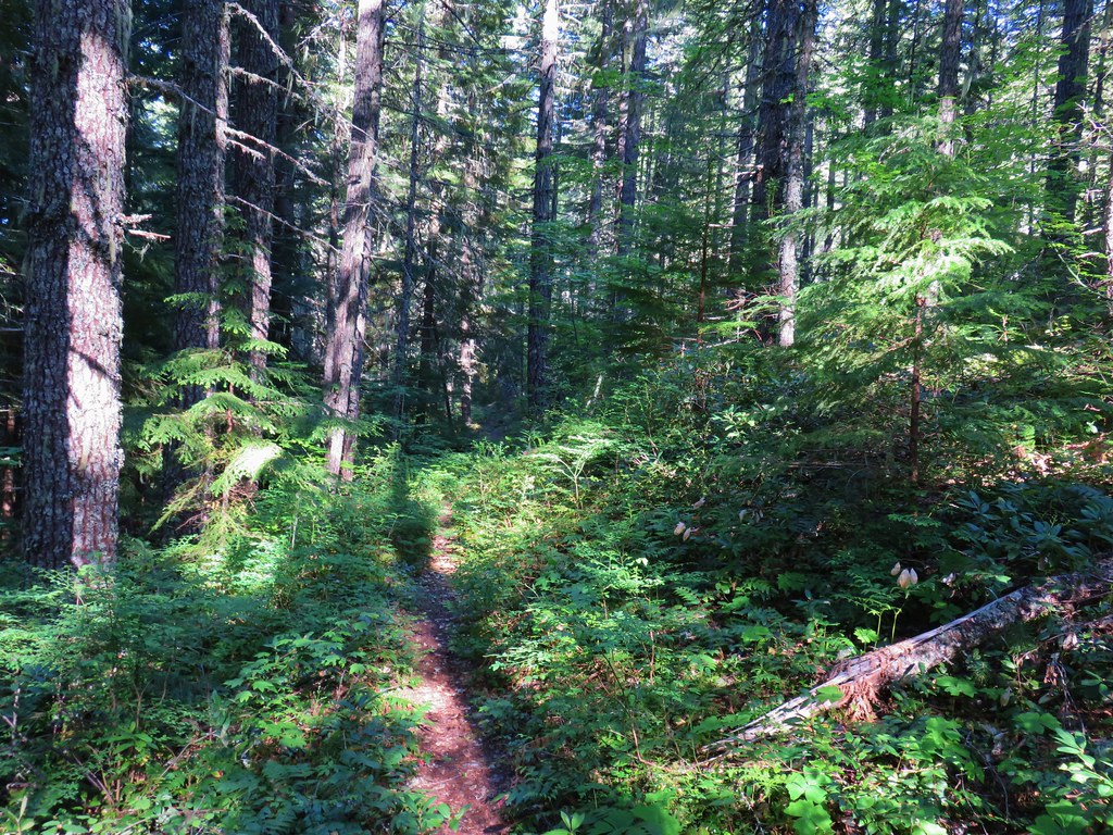
I began the loop at the Salmon River West Trailhead and started the loop clockwise on the Salmon River Trail.
 Not having light until after 7am is rough for someone who likes to get an early start.
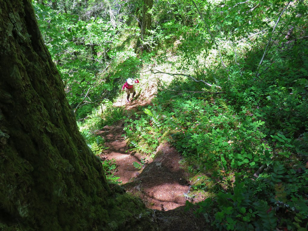
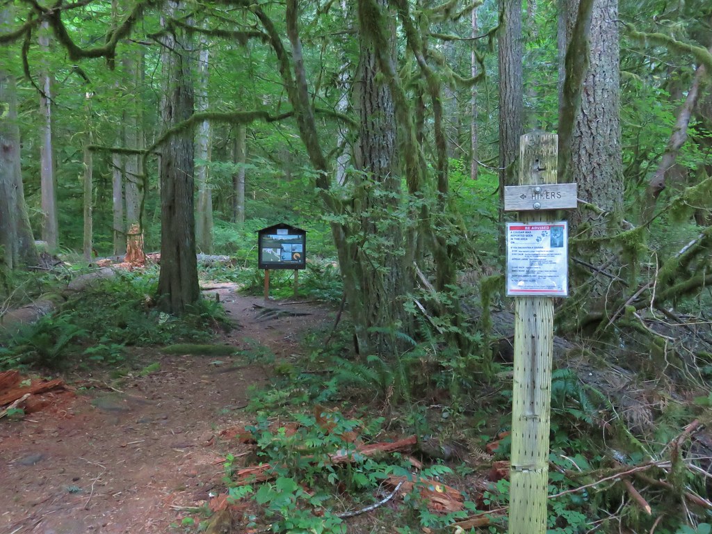
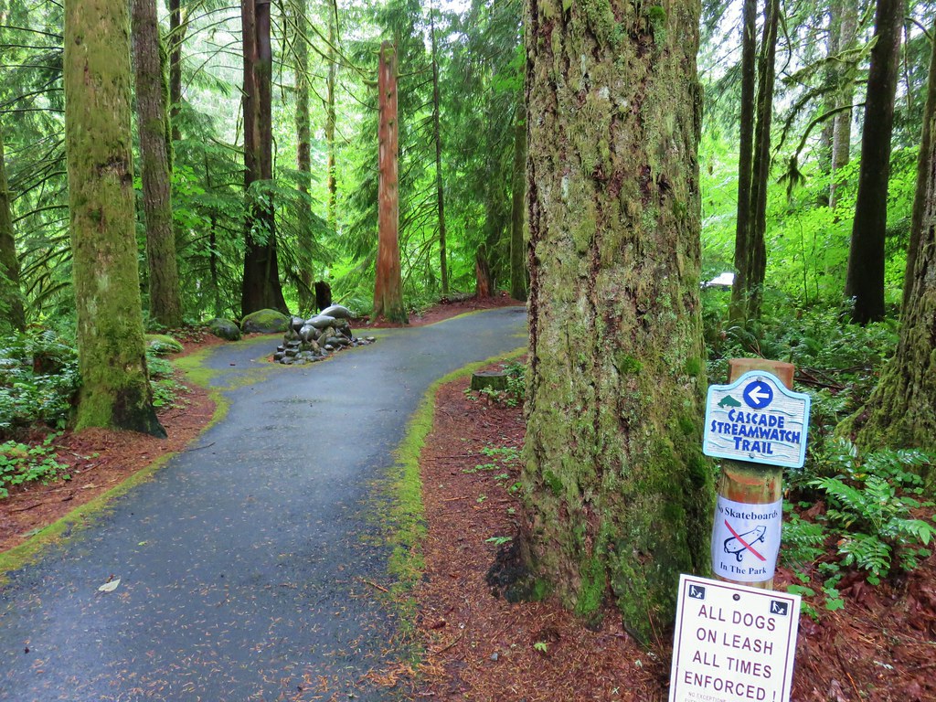
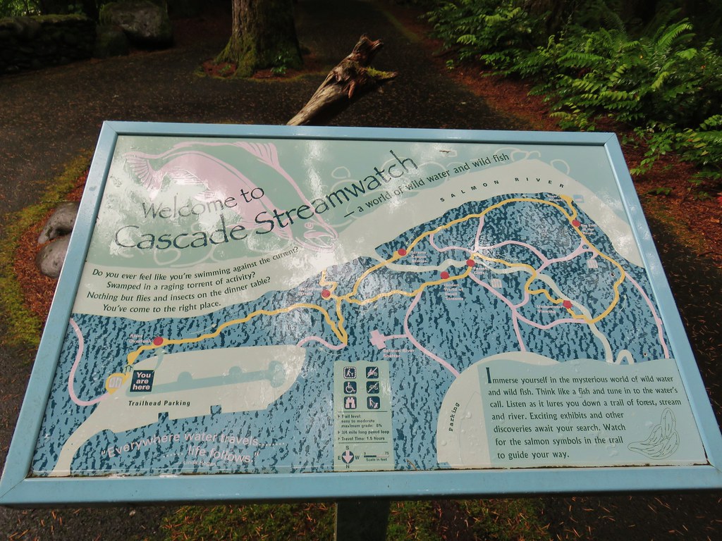
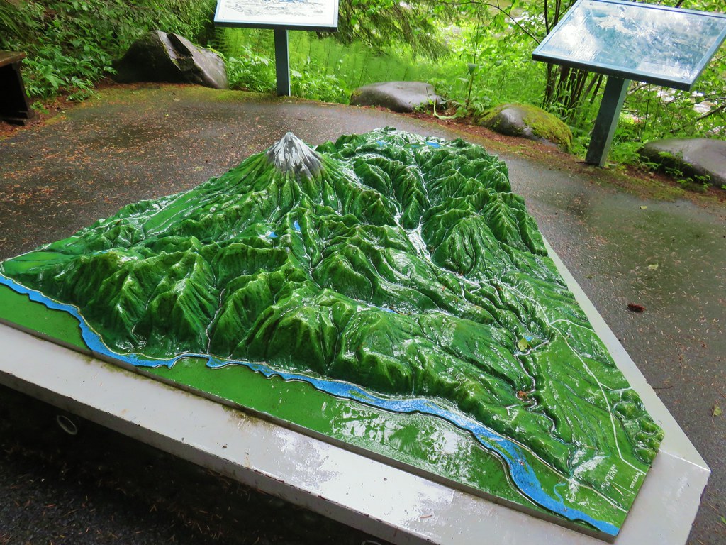
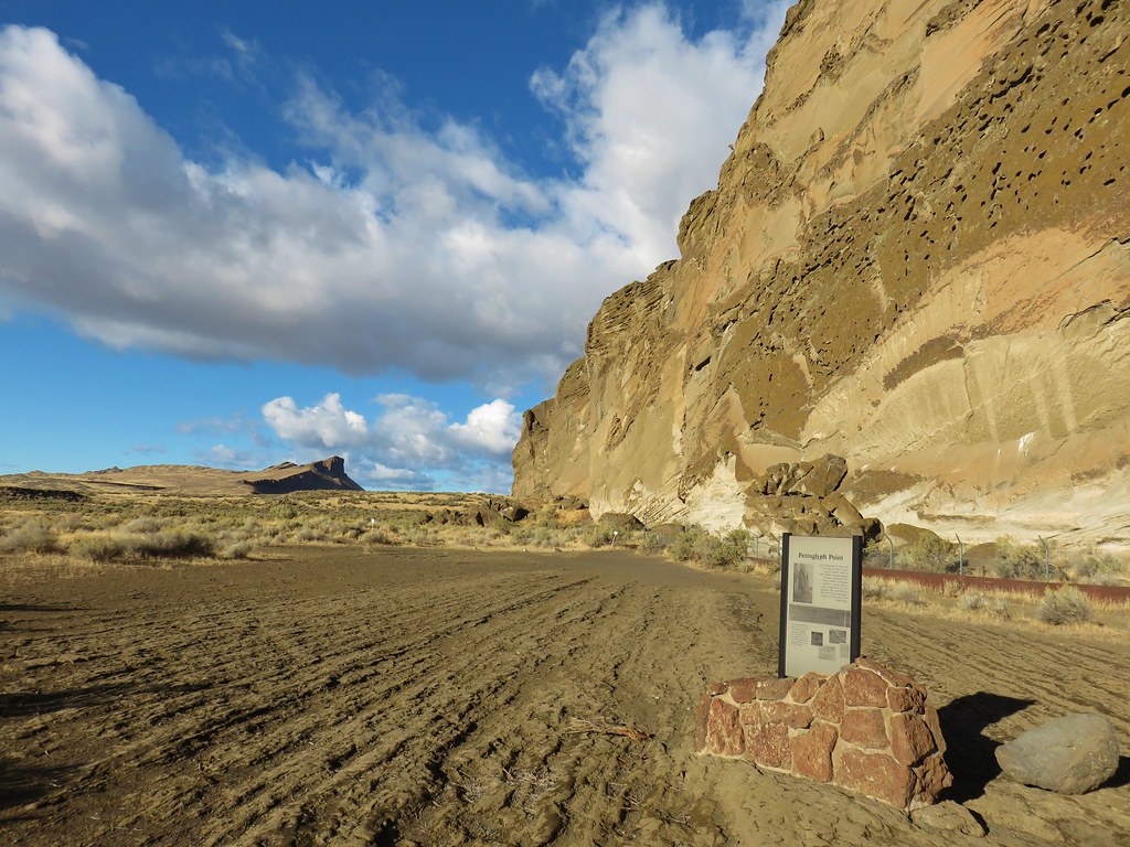
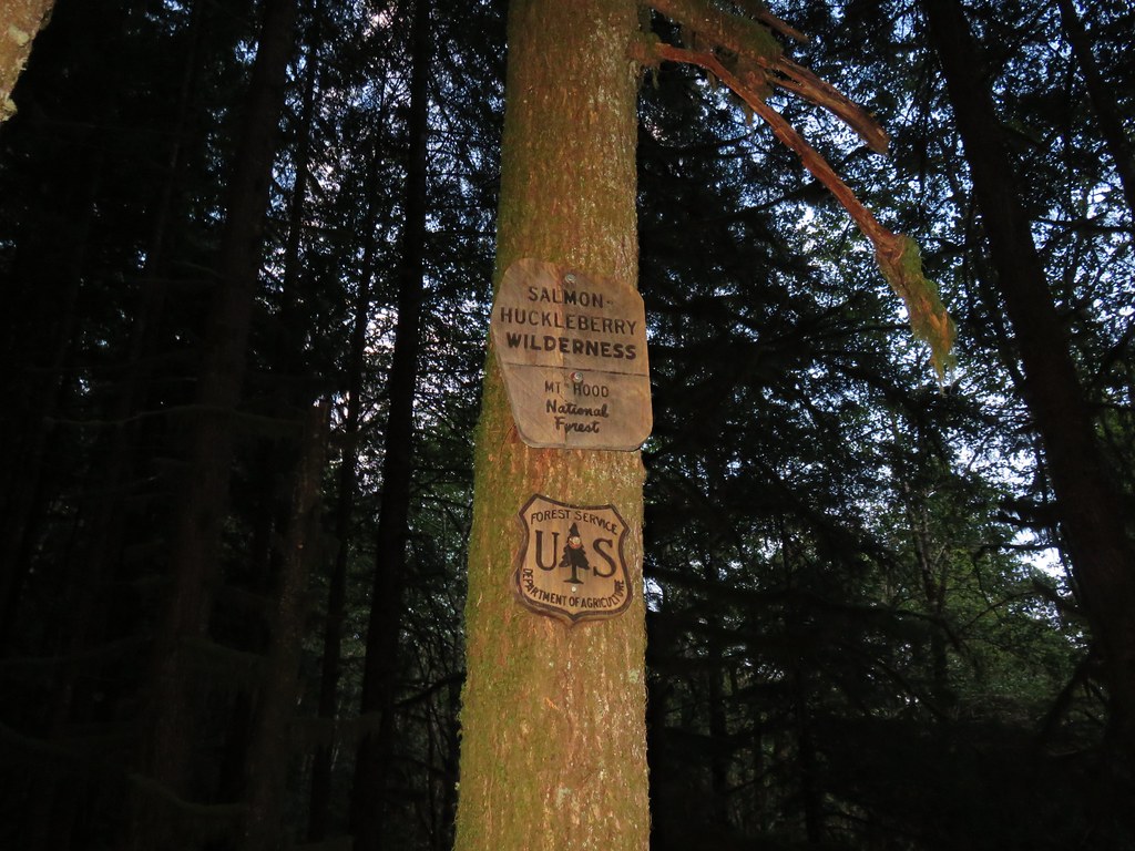
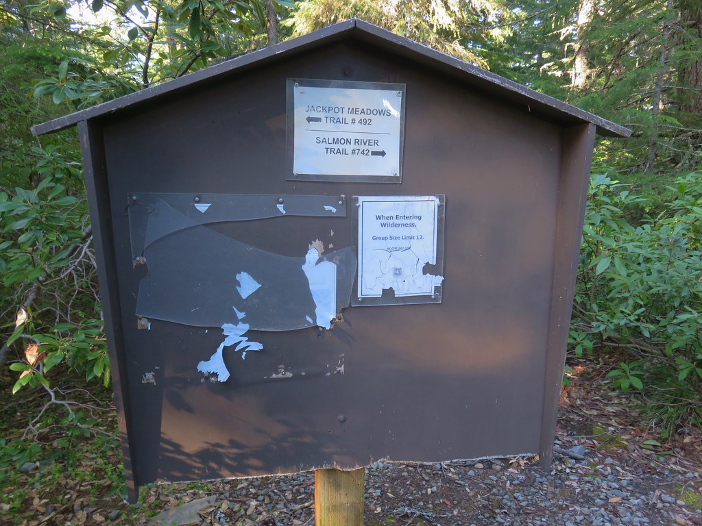
 The Salmon River Trail is located next to this interpretive sign near the trailhead.
 A flash was necessary as I set off.
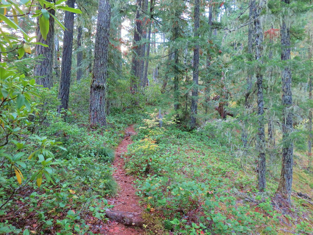
We’d been on this section of trail in 2015. I followed this level path for half a mile to the Green Canyons Campground, another potential starting point for this hike.
 There was a very brief road walk along this section.
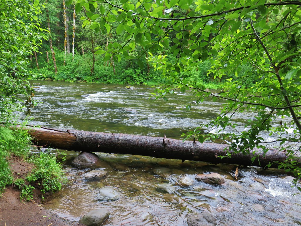
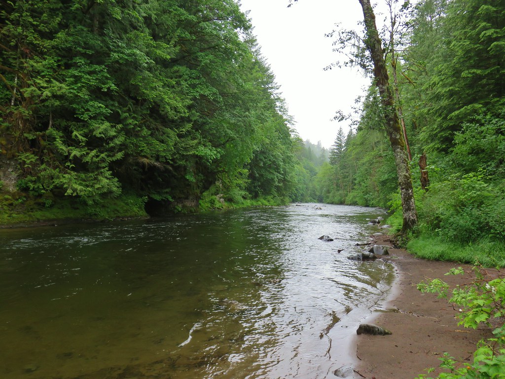
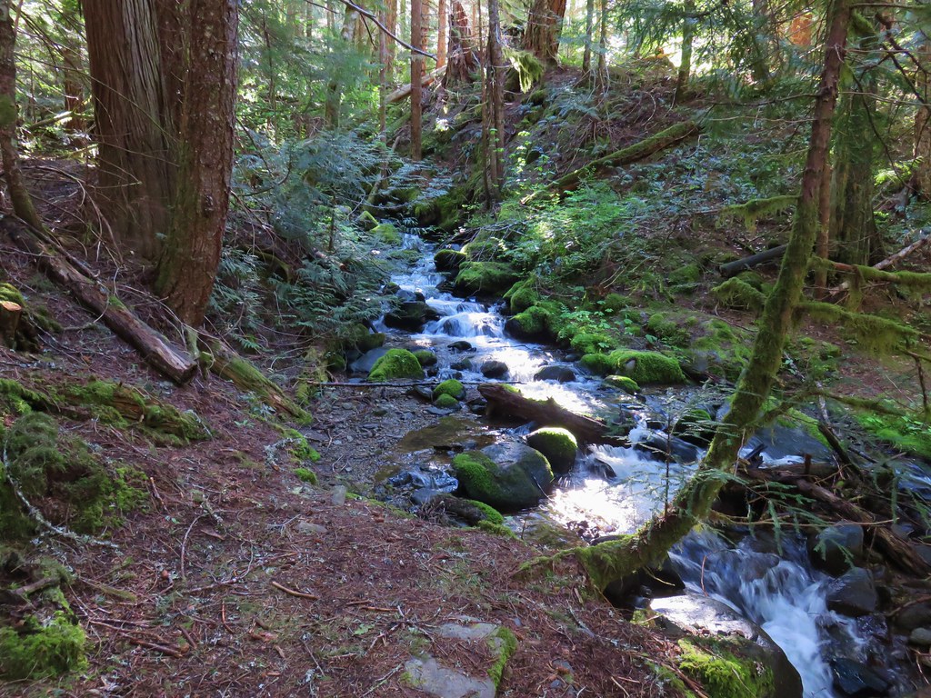
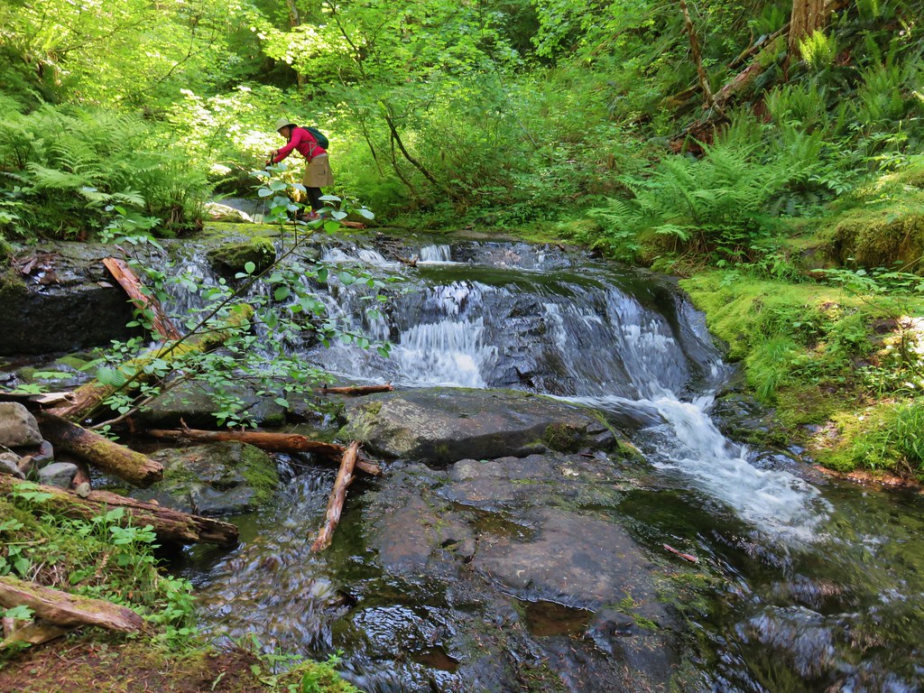
 There was also plenty of time along the Salmon River.
 I veered right at this picnic table to cross into the campground.
 The day use area at the campground.
I walked through the day use area to the campground entrance then crossed Salmon River Road to find the start of the Green Canyon Way Trail.
 Water spigot at the day use area.

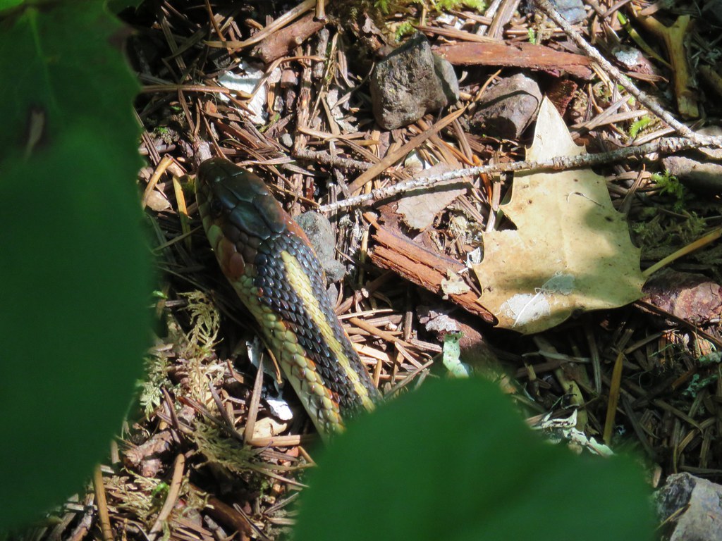
 It was hard to read the date for this cougar sighting, it appeared to be from June, but I couldn’t make out the year.
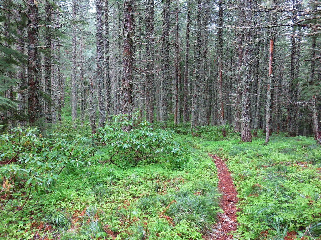
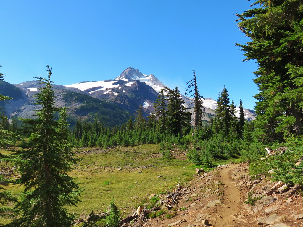
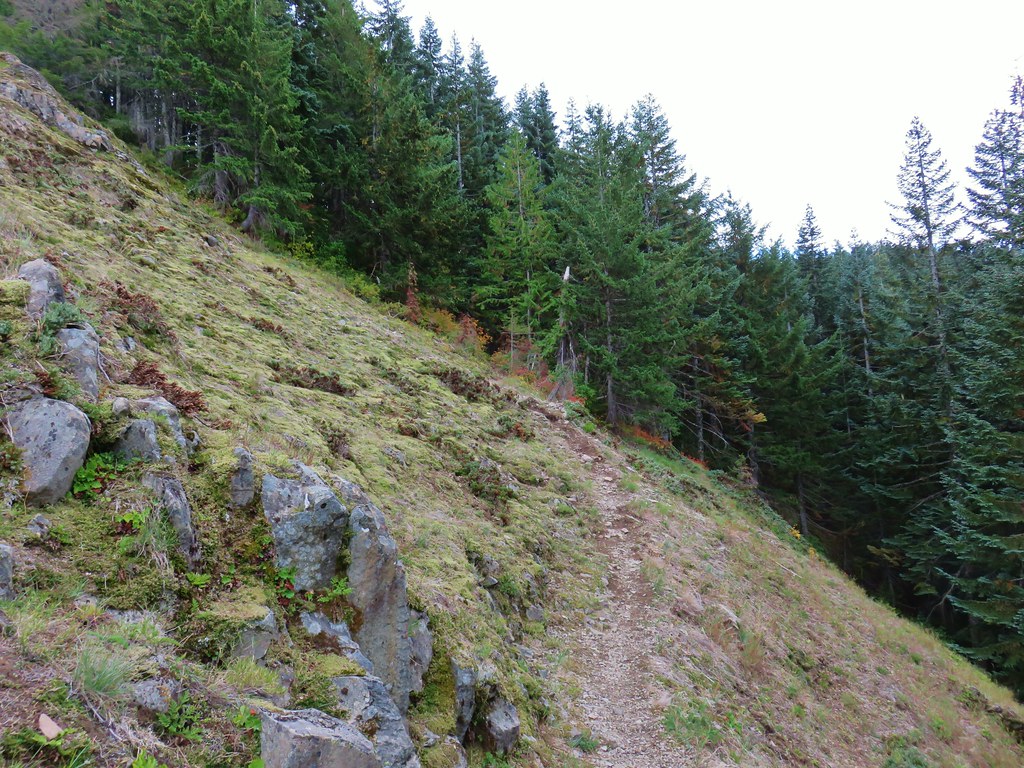
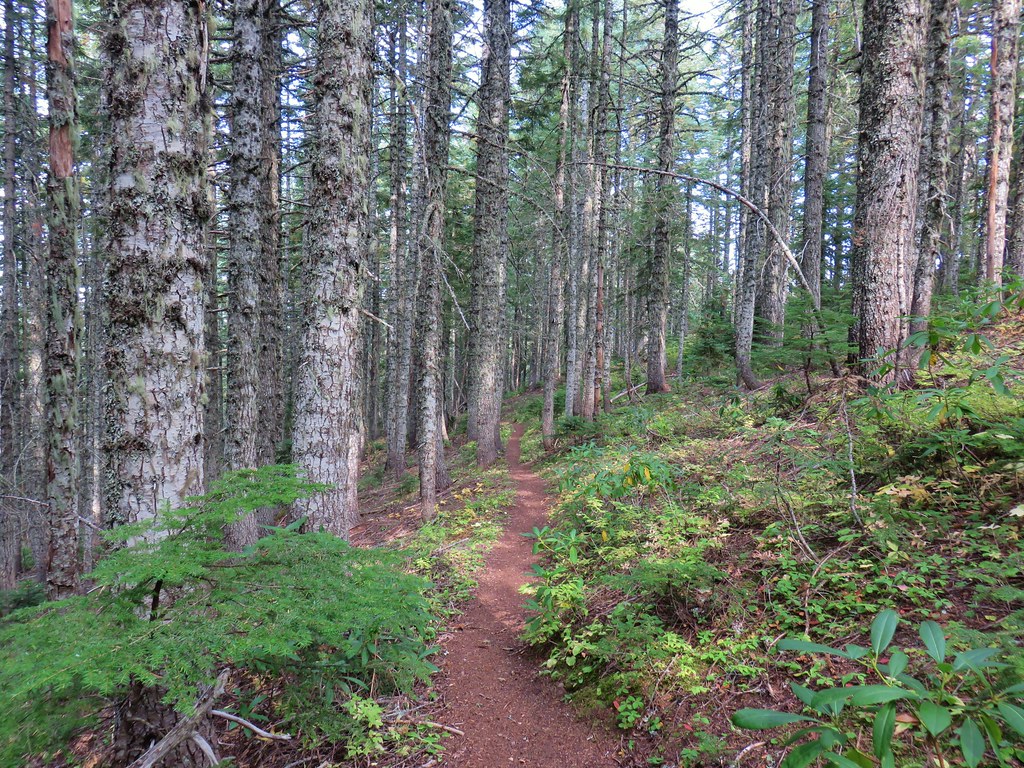
The Green Canyon Way Trail gains 2400′ in 3.2-miles to reach the Hunchback Trail, a 9.1-mile-long trail traversing Hunchback Ridge. Green Canyon Way was in pretty good shape, with just a few smaller trees to step over. The climb was well graded which kept it from ever feeling too steep.
 Entering the Salmon-Huckleberry Wilderness
 One of the downed trees, this one covered both sides of a switchback.
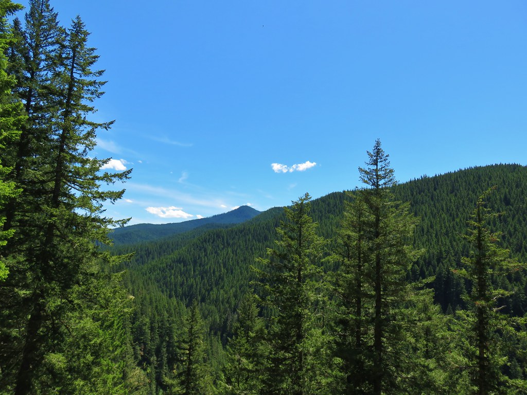
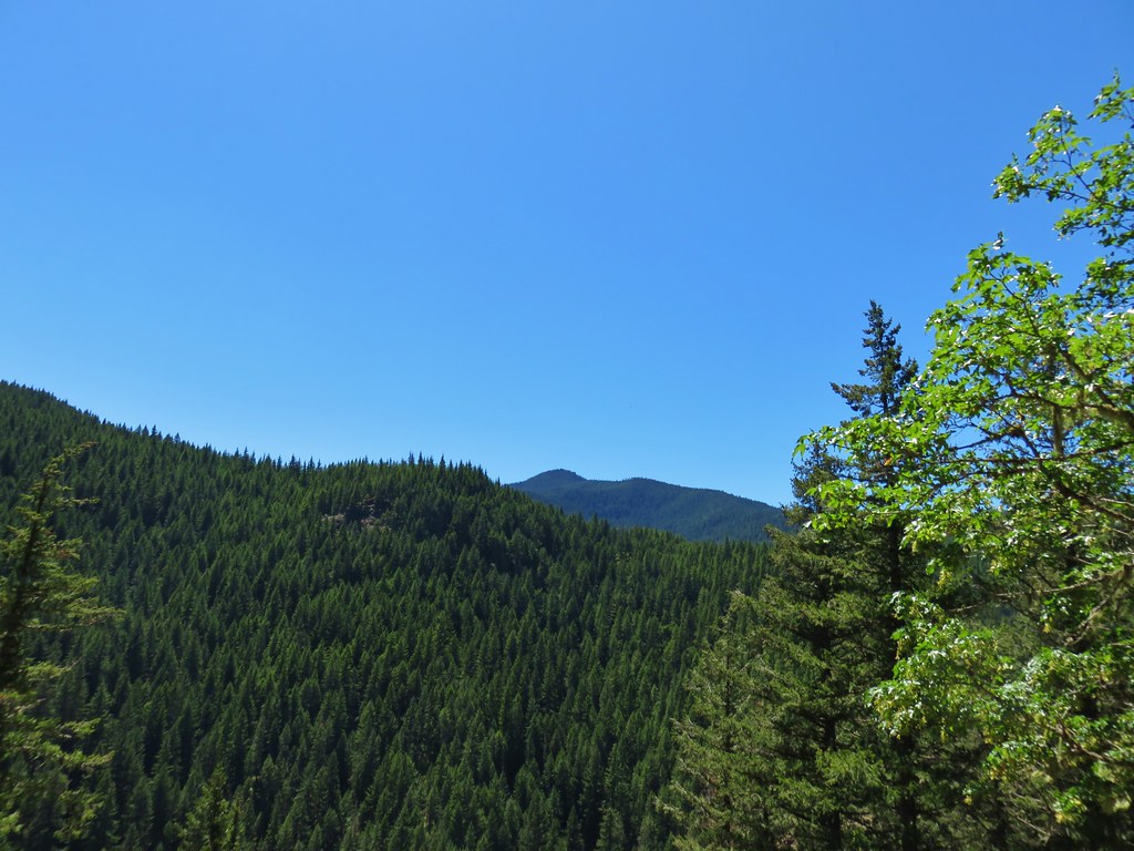
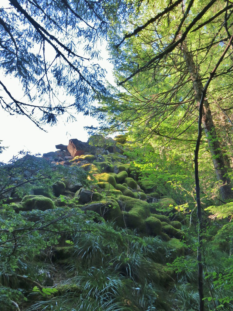
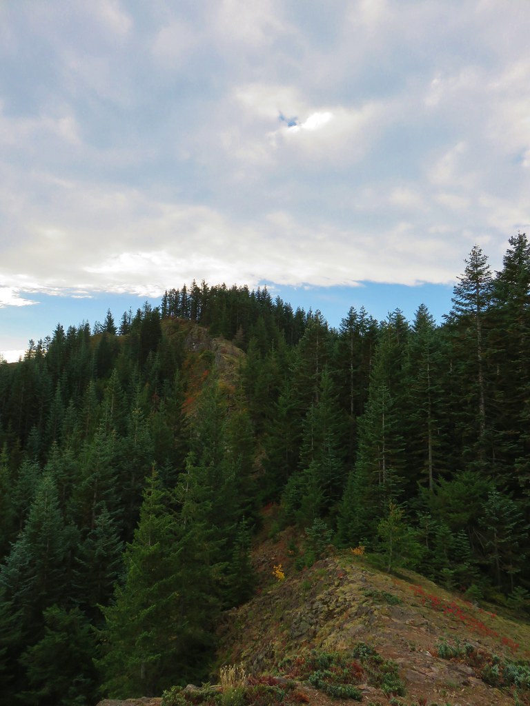
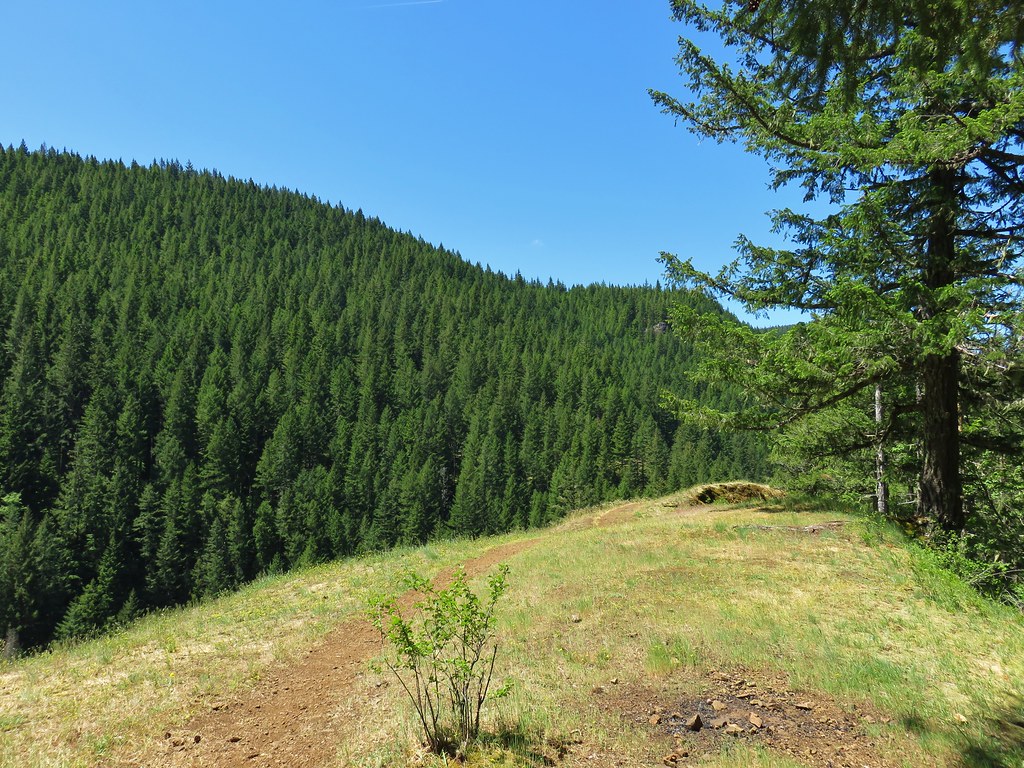
 A rare viewpoint along the forested trail.

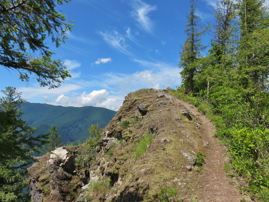
 A level stretch along a narrow ridge.
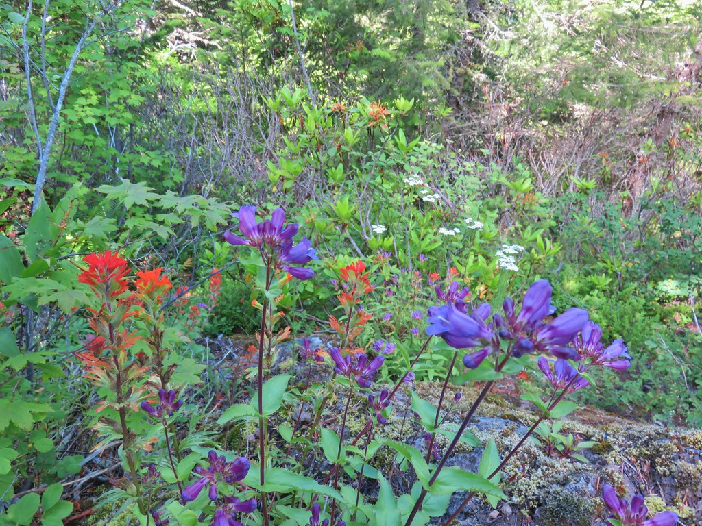
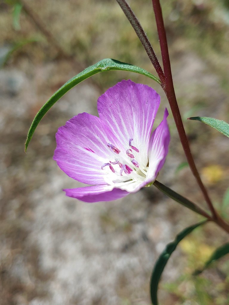
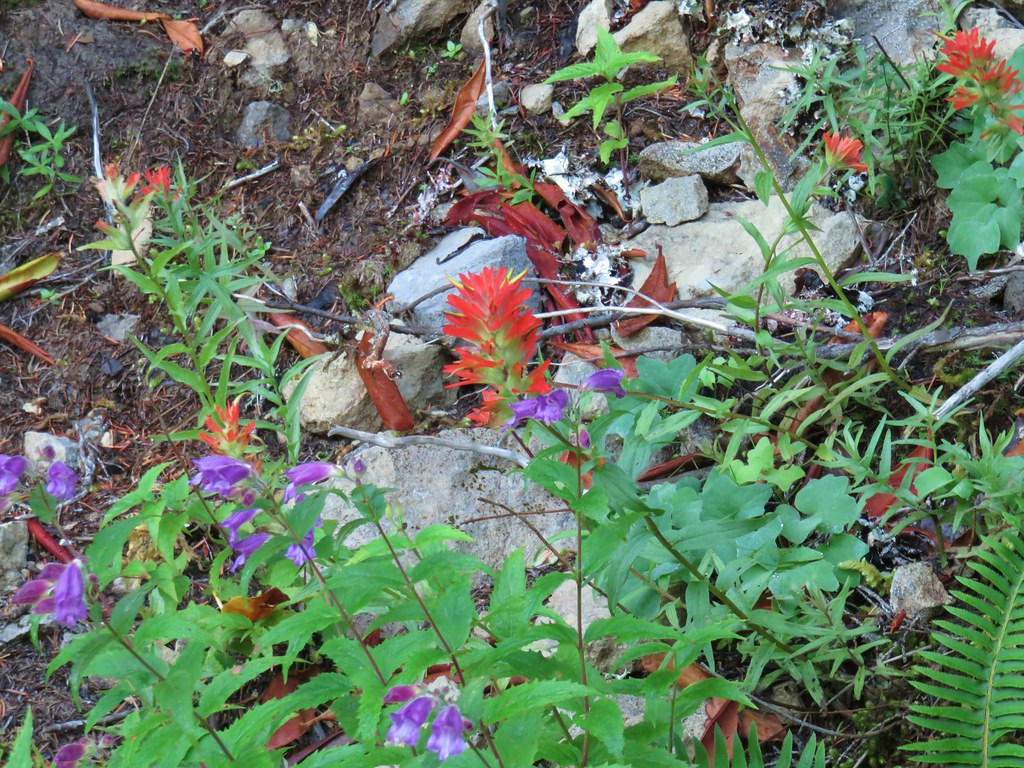
 A healthy looking paintbrush.
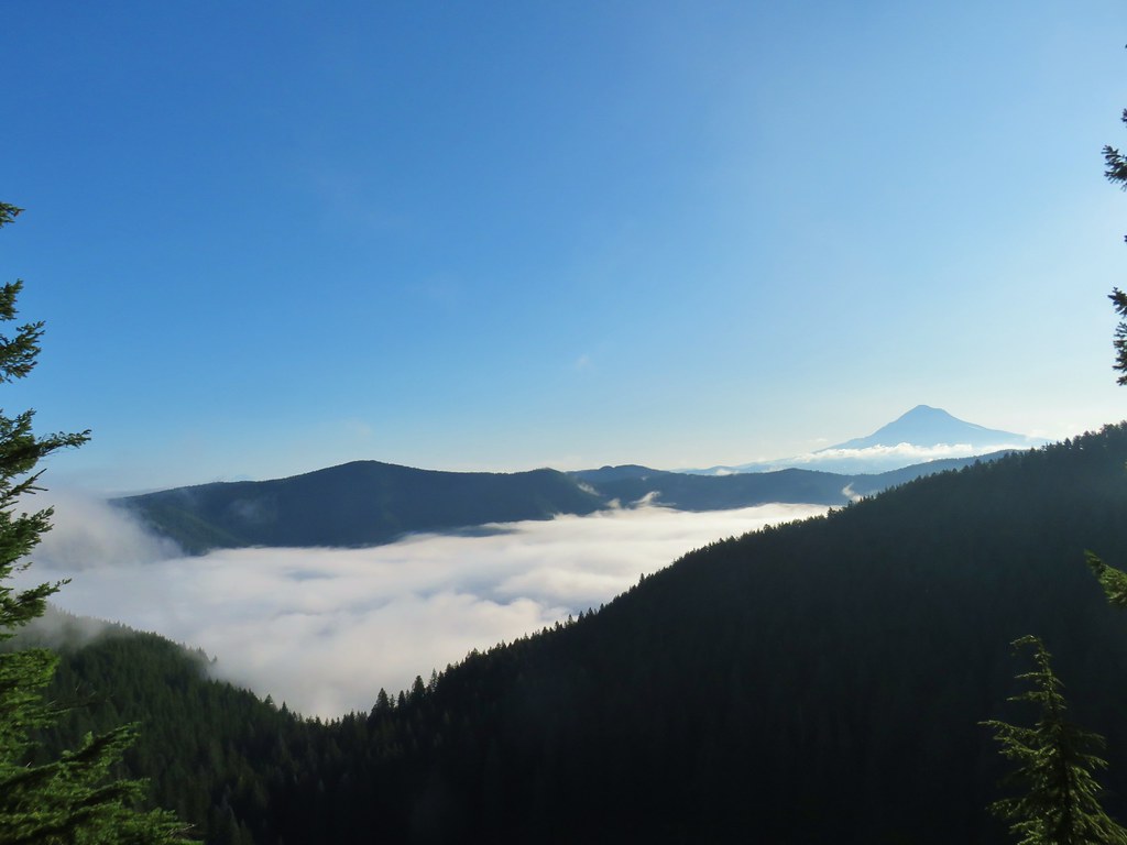
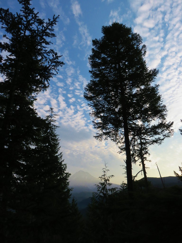
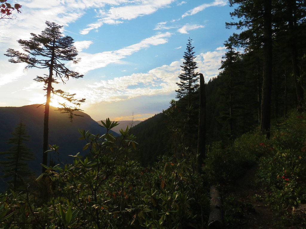
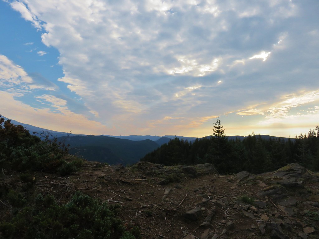
 The Sun rising above Hunchback Ridge.
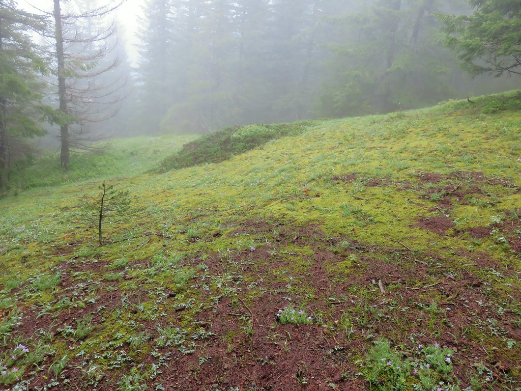
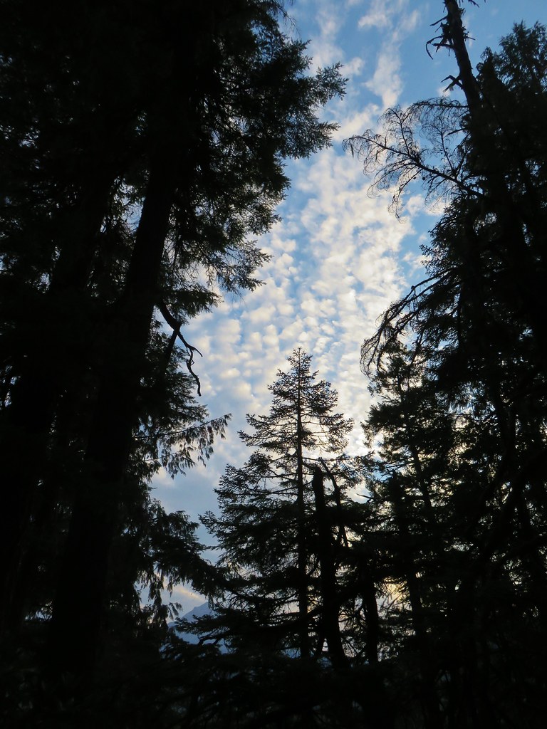
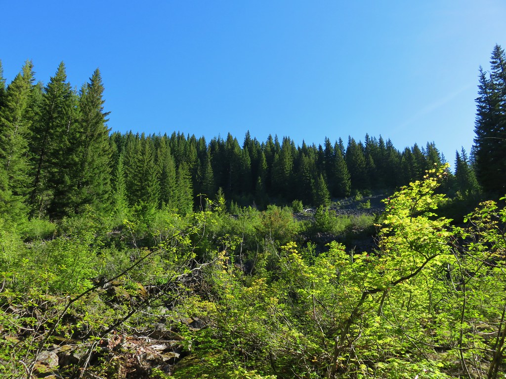
 It was going to a be a bluebird day.
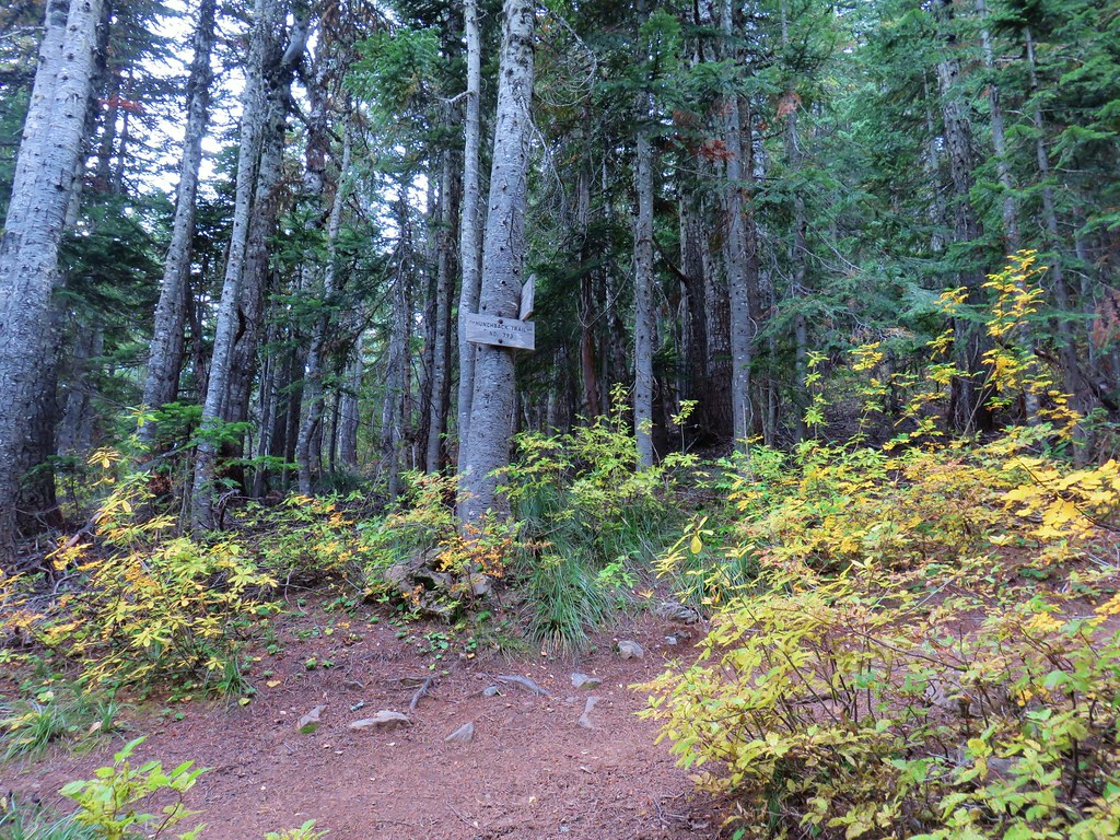
 Sign ahead marking the Hunchback Trail junction.
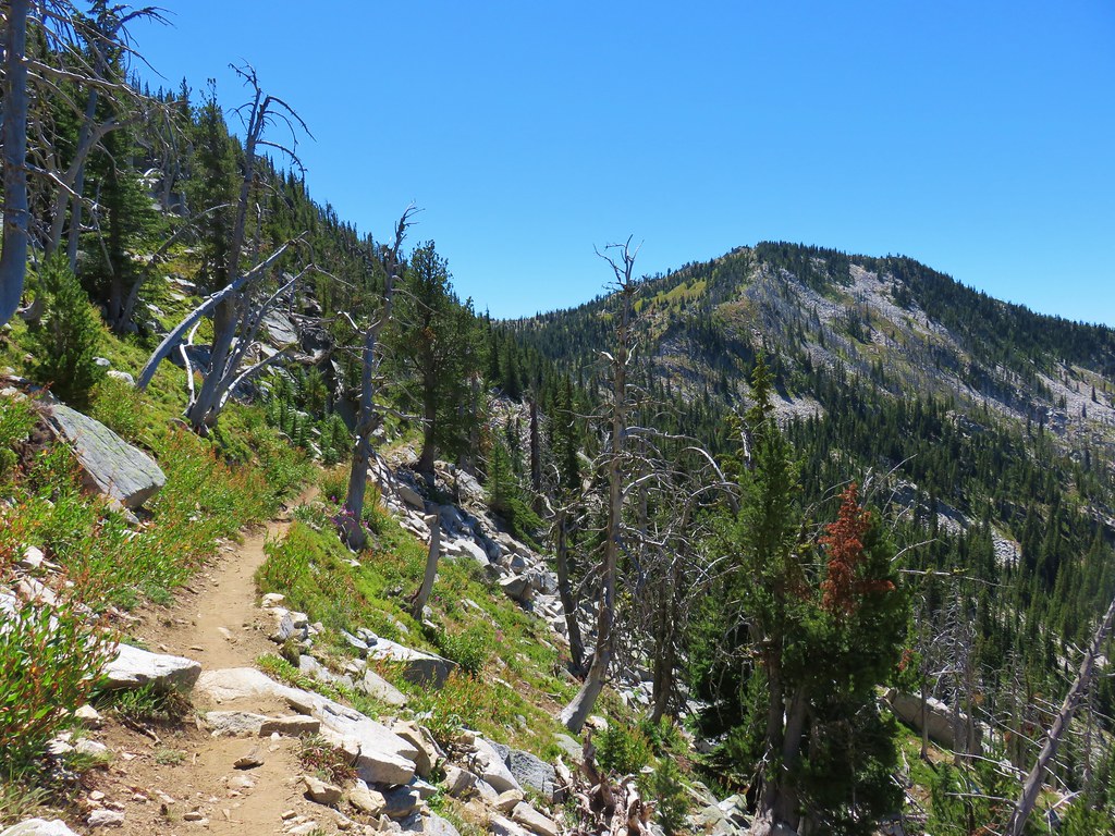
We had hiked a 5.6-mile section of the Hunchback Trail in 2020 starting at the trails north end at the Lower Hunchback Trailhead. I turned SE (right) at the junction and followed the trail up and down (mostly up) along Hunchback Ridge for 2.4-miles to a junction below Devil’s Peak.


 One of the “downs”.
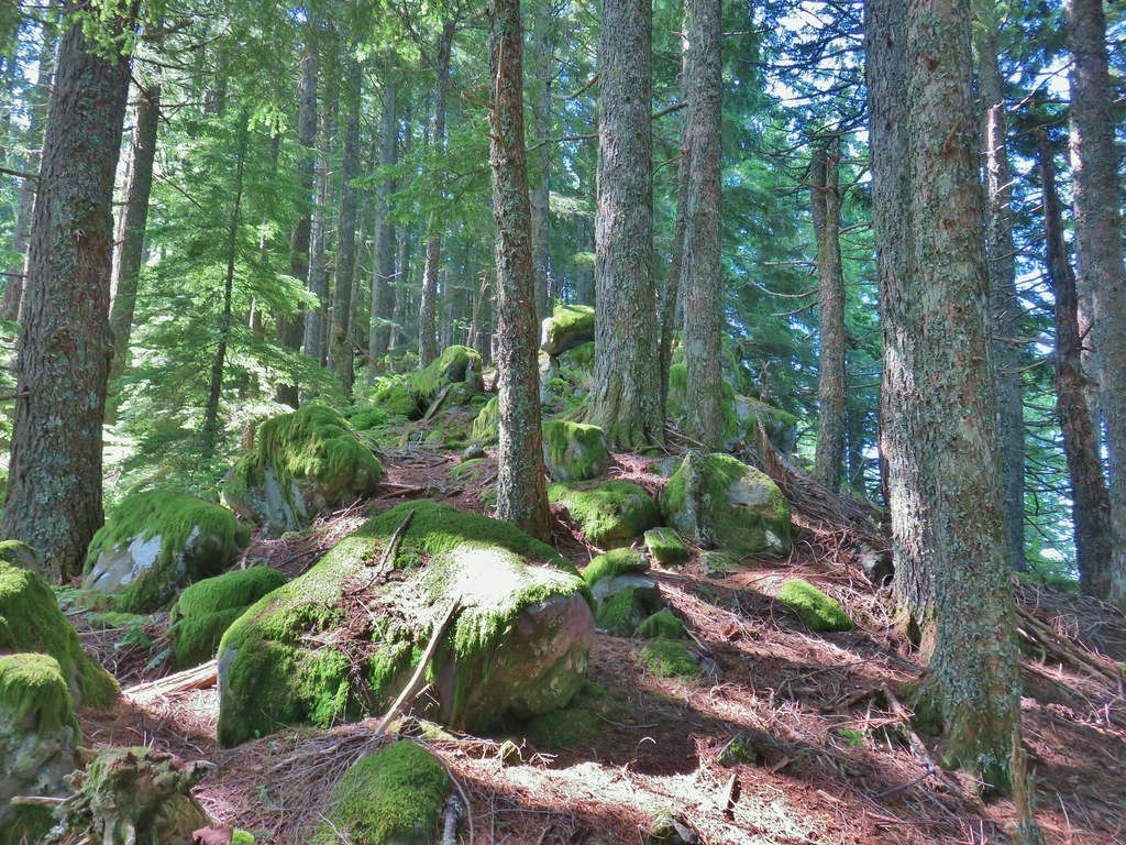
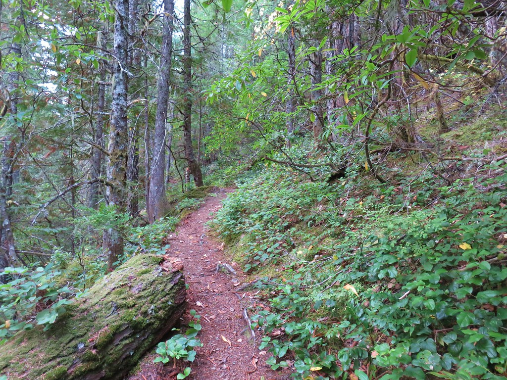
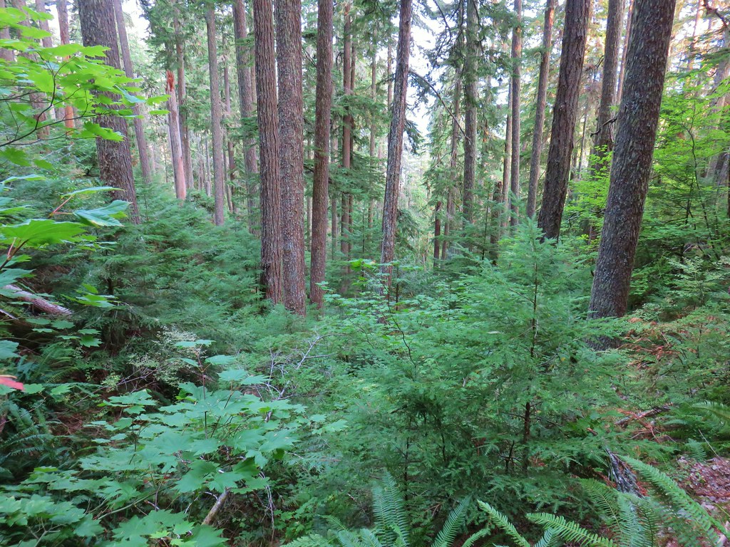
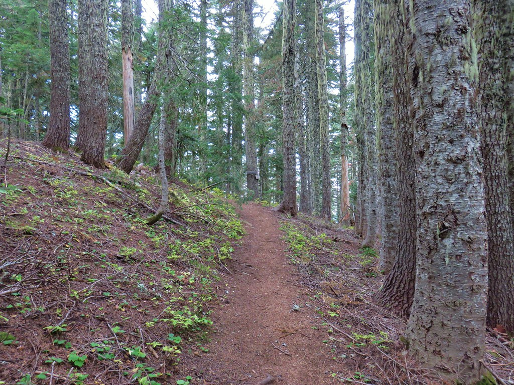
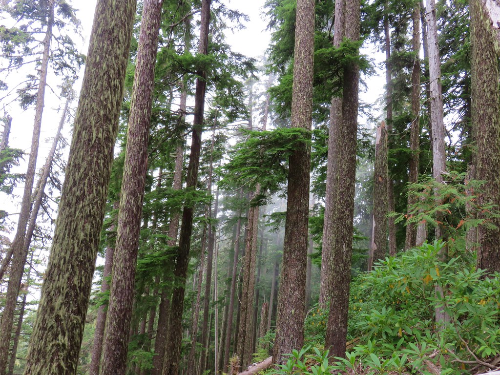
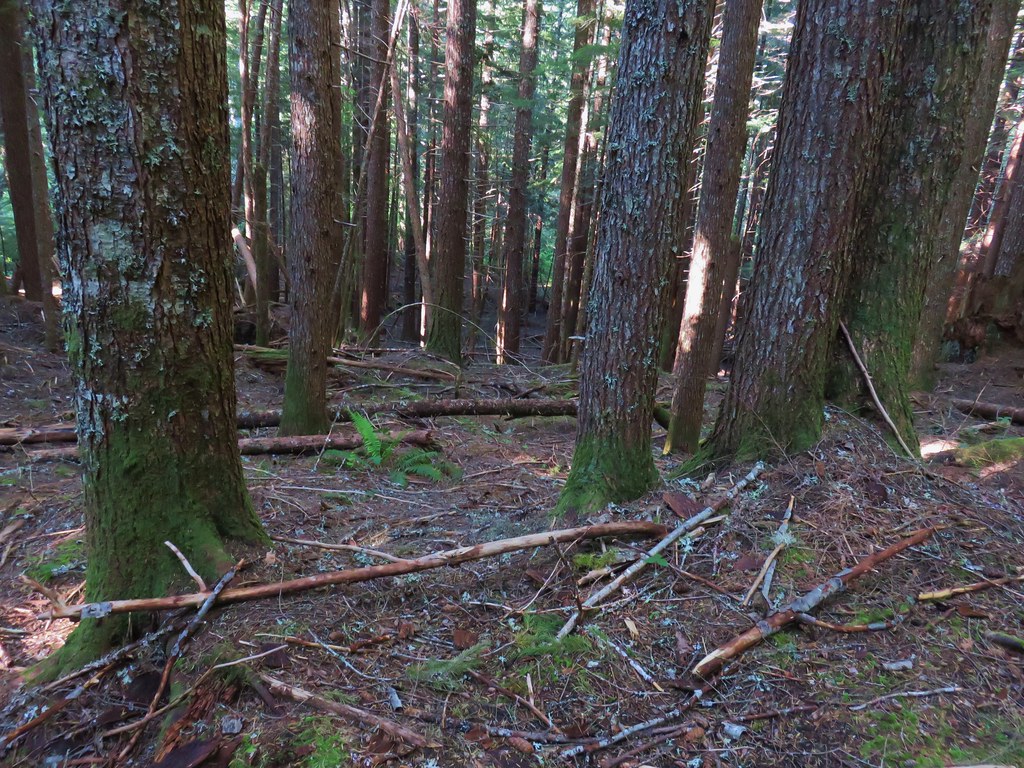
 This trail was also in good shape with just a few easy obstacles.
 I did not go investigate the source of the “water”, it could have been a trap (there is a spring shown on the map).
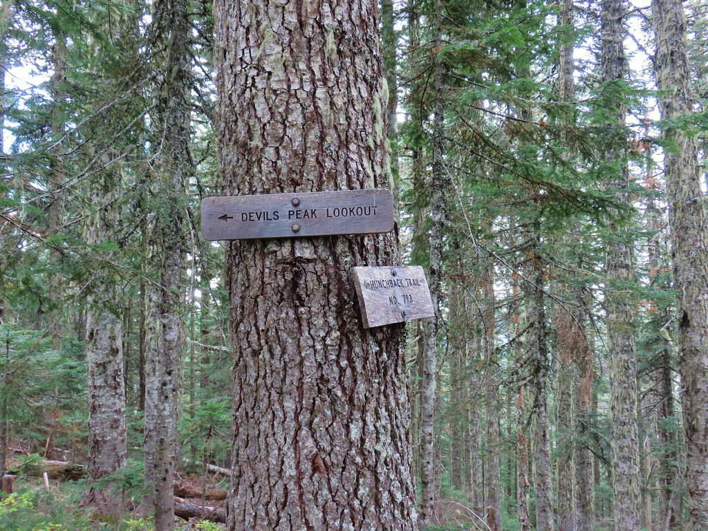
 Signs at the junction below Devil’s Peak.
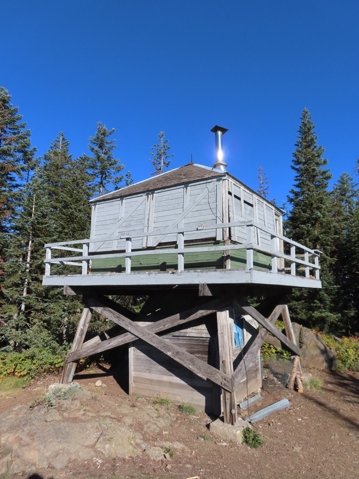
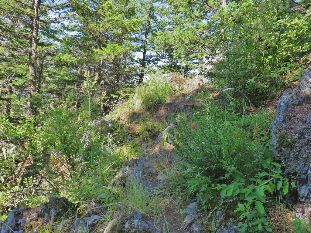
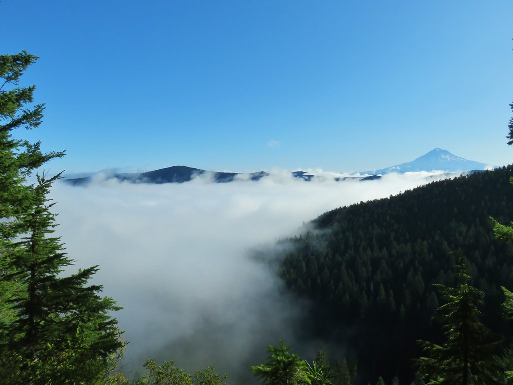
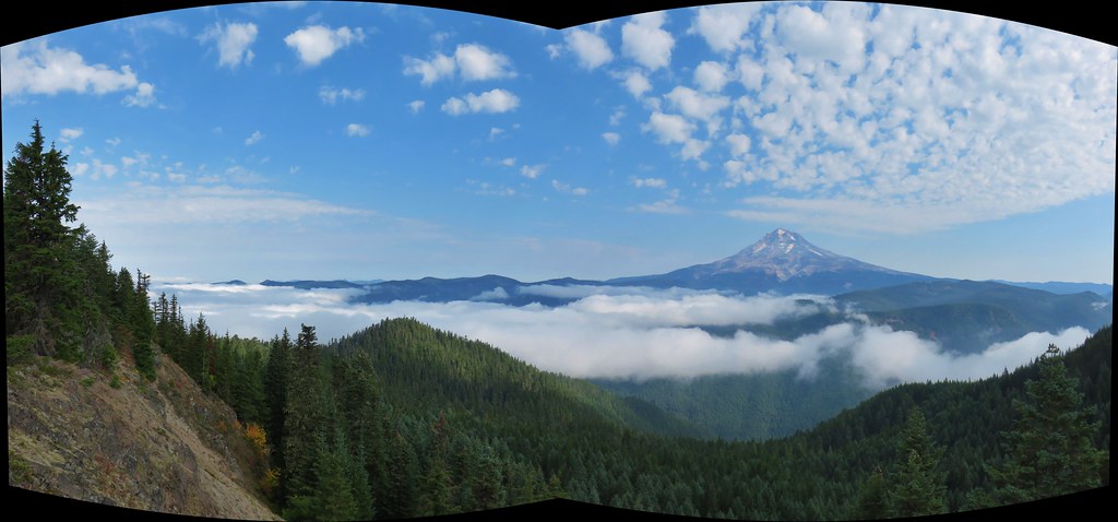
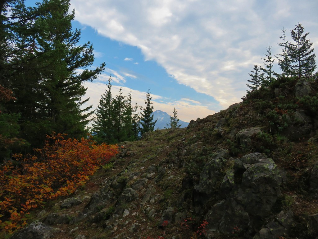
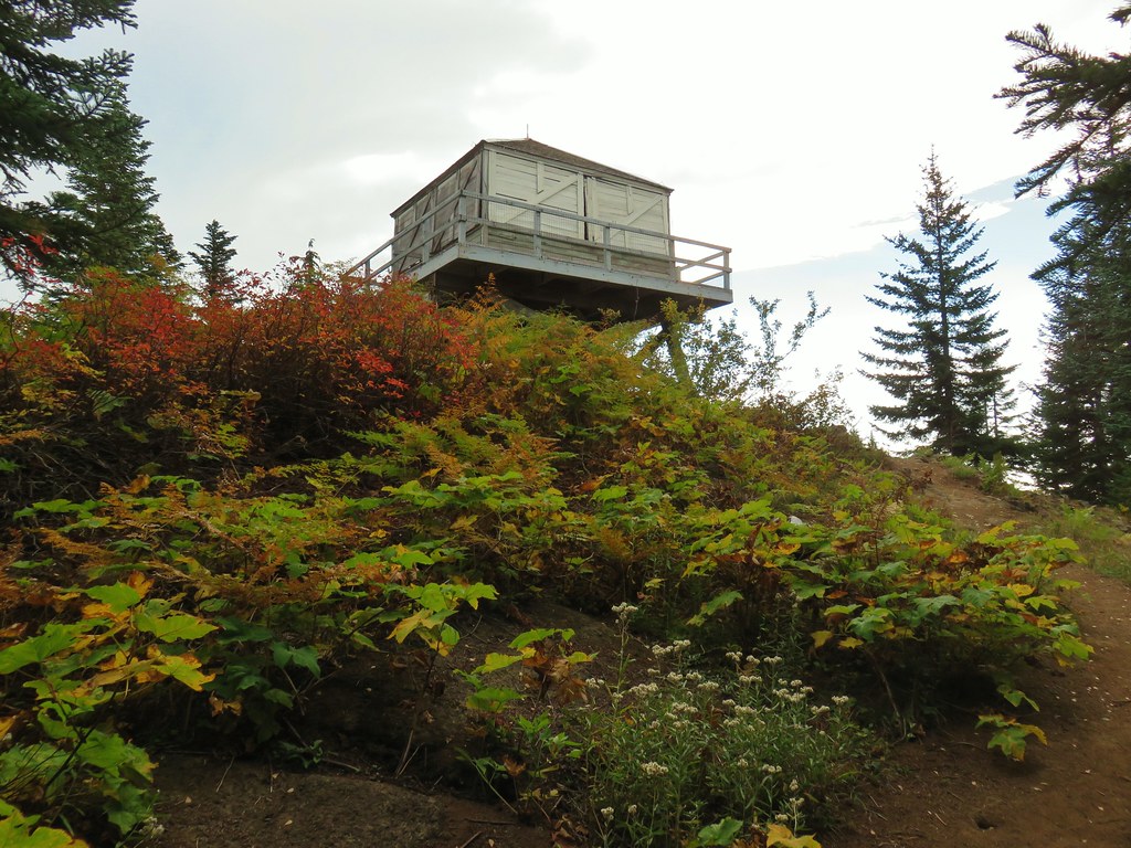
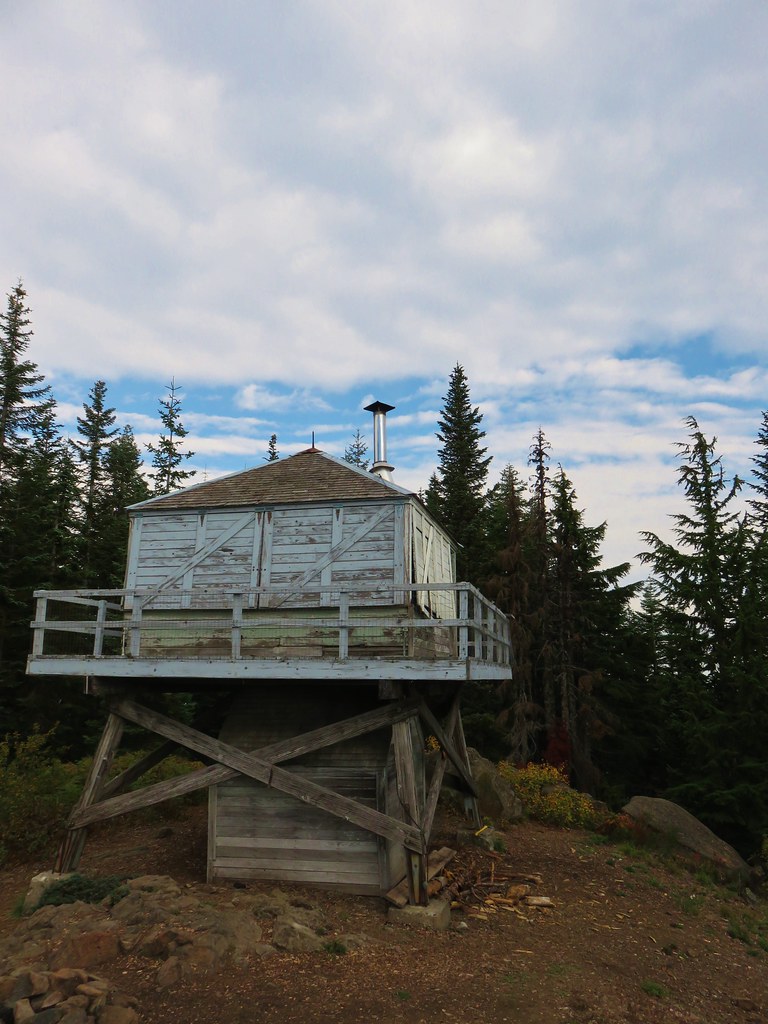
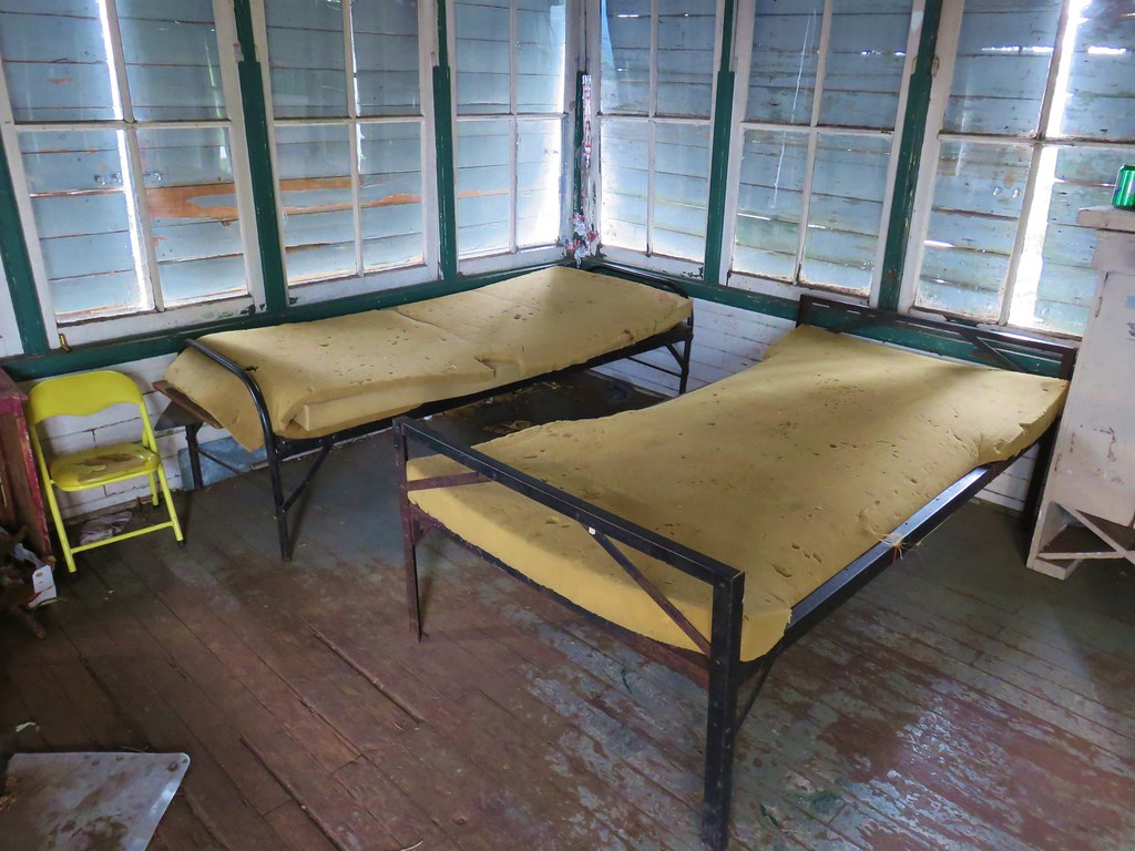
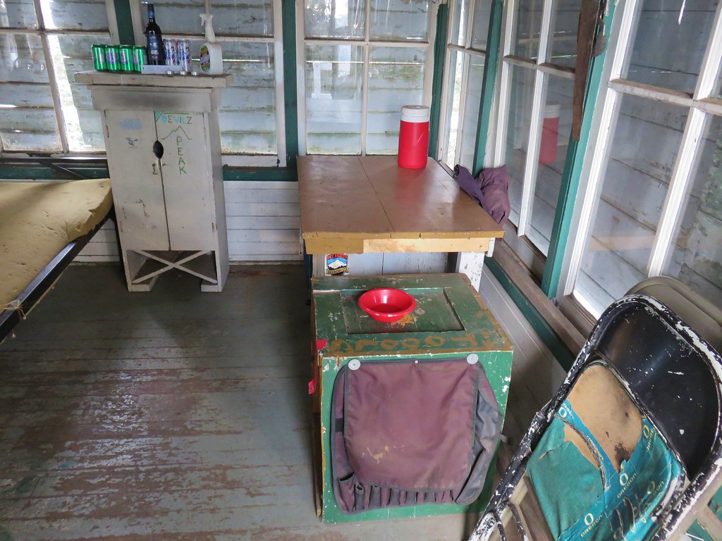
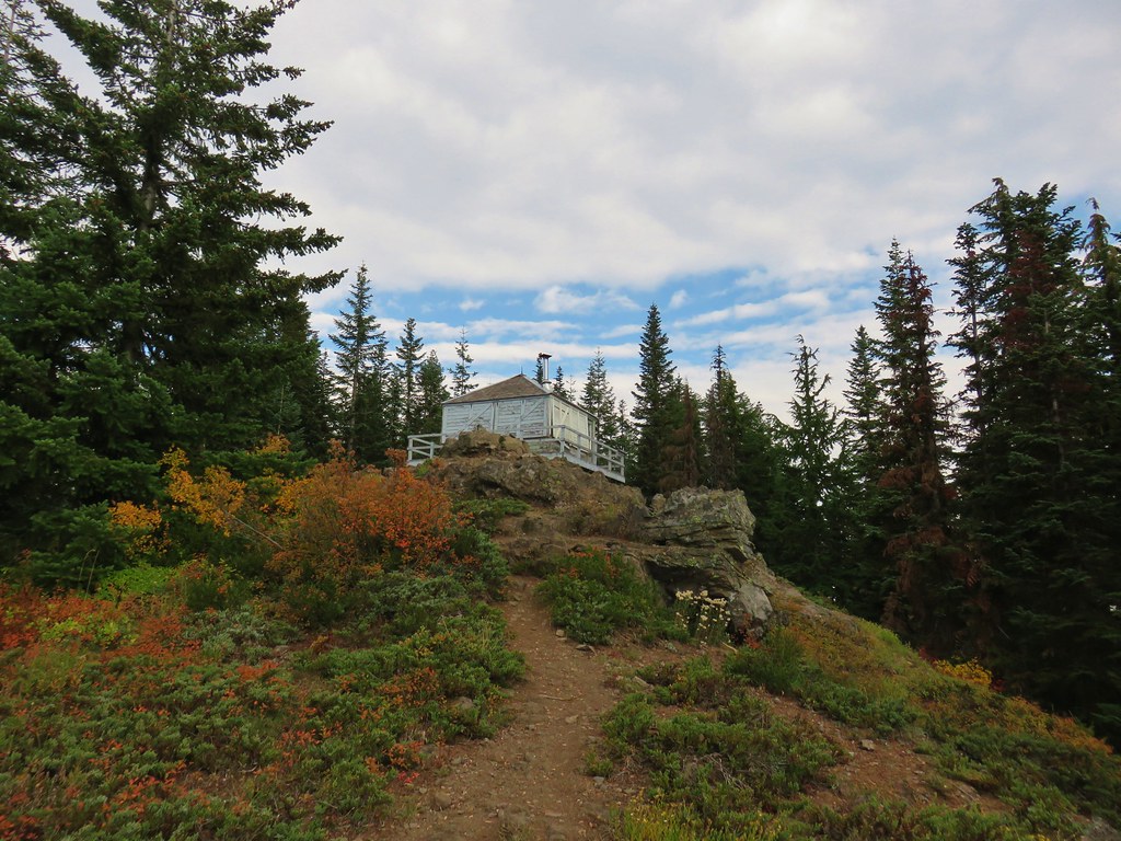
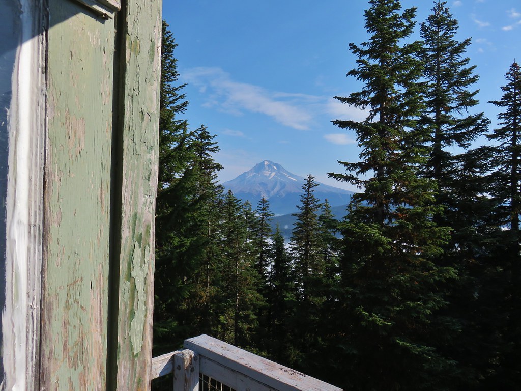
I detoured uphill to the right for 100 yards to the Devil’s Peak Lookout.

We were here back in 2018 when the lookout was still open to the public for use. I took a short break here to take in the views before continuing the loop.
 Mount Jefferson
 Olallie Butte (post) and Mt. Jefferson
 The lookout from the Mt. Jefferson viewpoint.
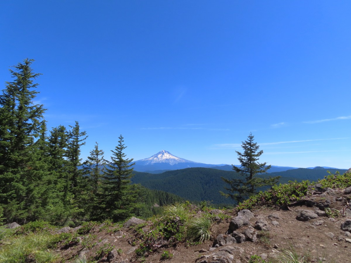
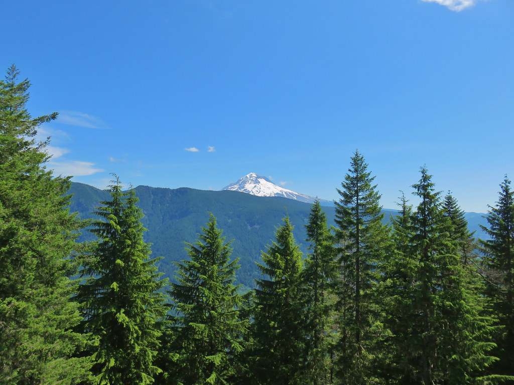
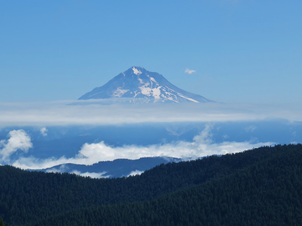
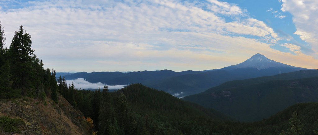
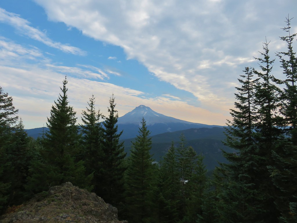
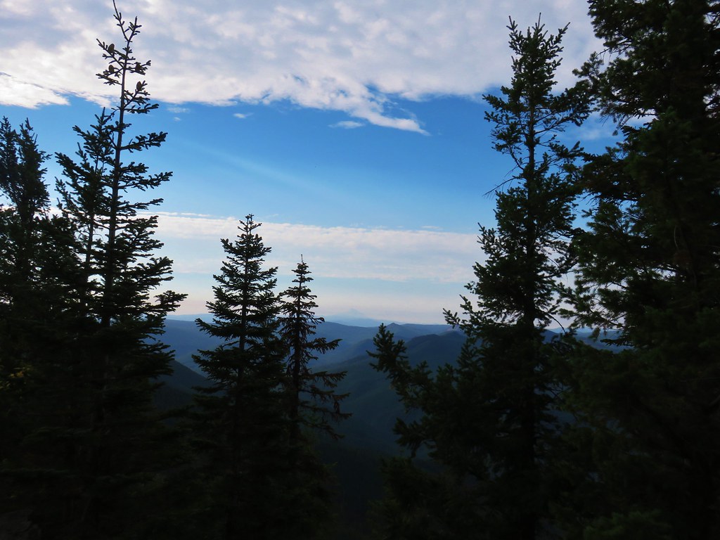
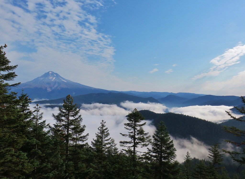
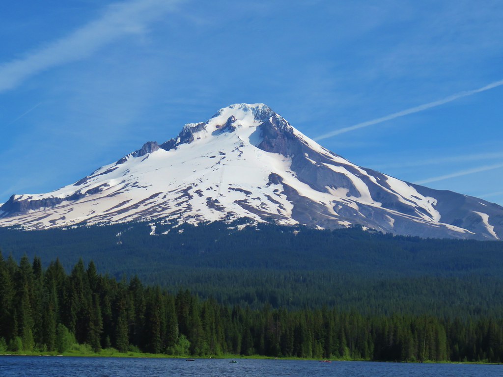
 Mt. Hood from the lookout.
 You can’t see Mt. Jefferson from the lookout due to trees.
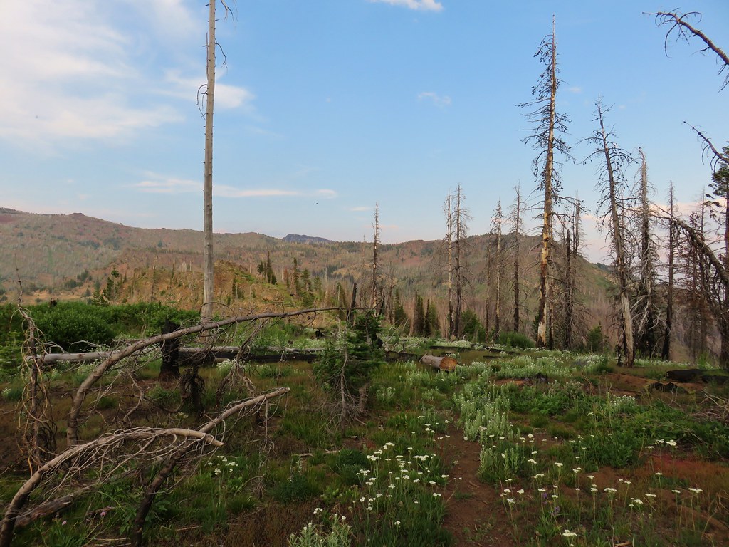
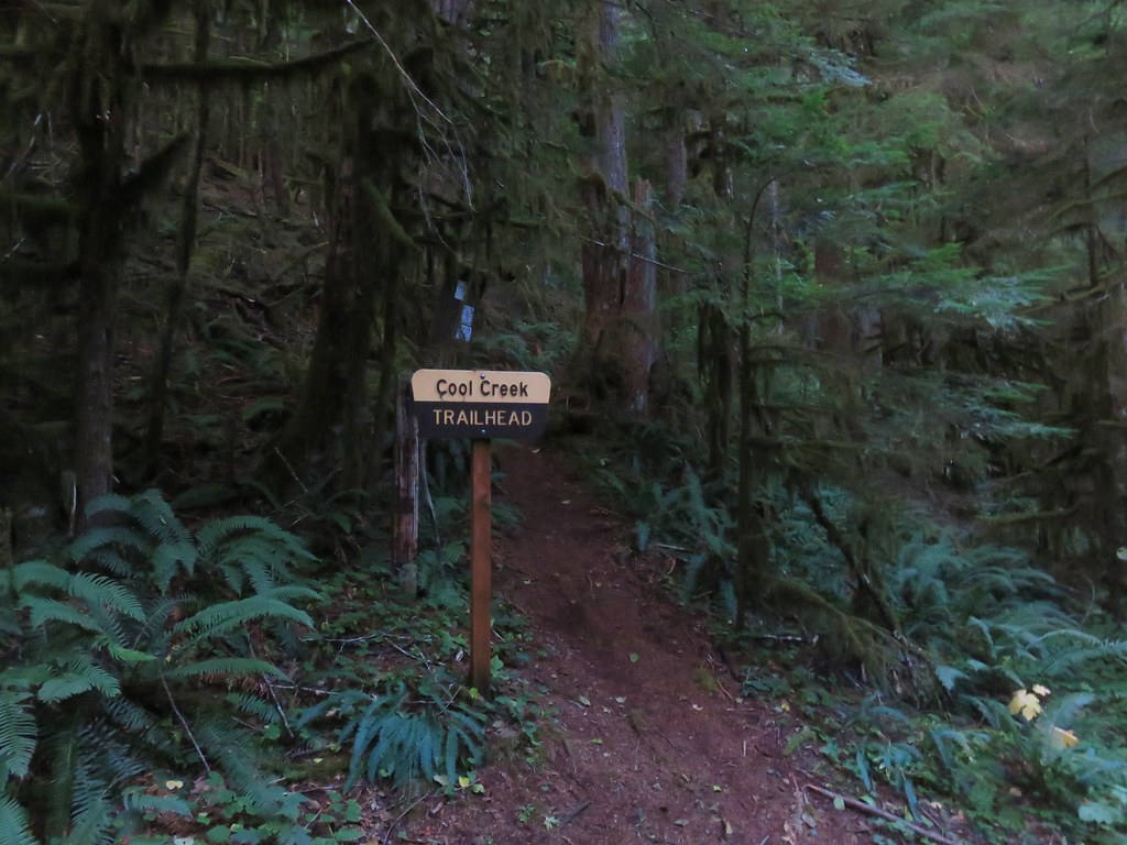
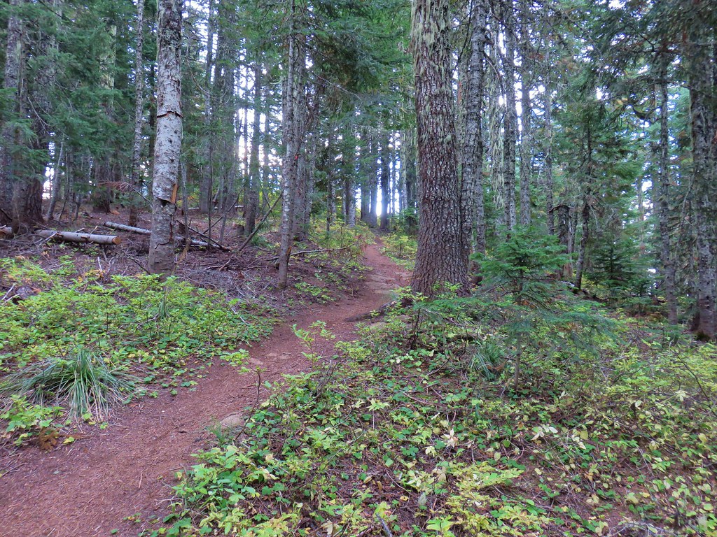
I continued on the Hunchback Trail passing the Cool Creek Trail in another 105 yards and began a 1.25-mile descent to the Devil’s Peak Trailhead. Note that the drive to this trailhead requires traveling nearly 10 miles on an awful road that Sullivan describes as a “nightmare”.
 Trail signs at the Cool Creek Trail junction.

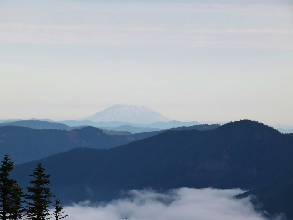
 Lookout Mountain(post), Gunsight Butte (post), and Bonney Butte (post) along the far ridge.
 Mt. Hood from the Hunchback Trail.

 Arriving at the trailhead on FR 2613.
 It’s hard to make out in the photo but that is a giant pothole (crater) in the middle of the road seen from the trailhead.
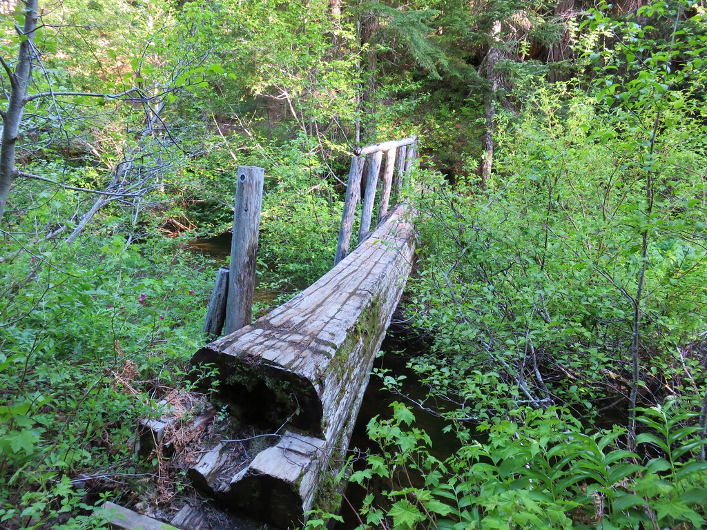
A short walk along the roadbed led to the Kinzel Lake Trail on the right.
 That is the trailhead at the end of the road on the right.
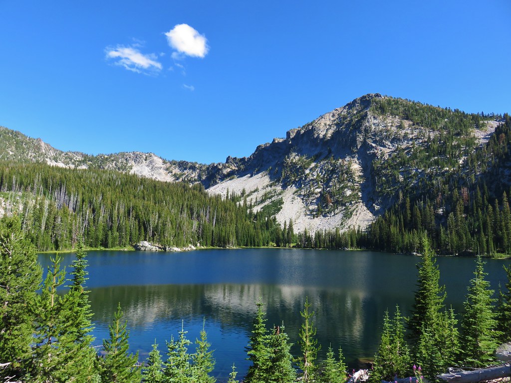
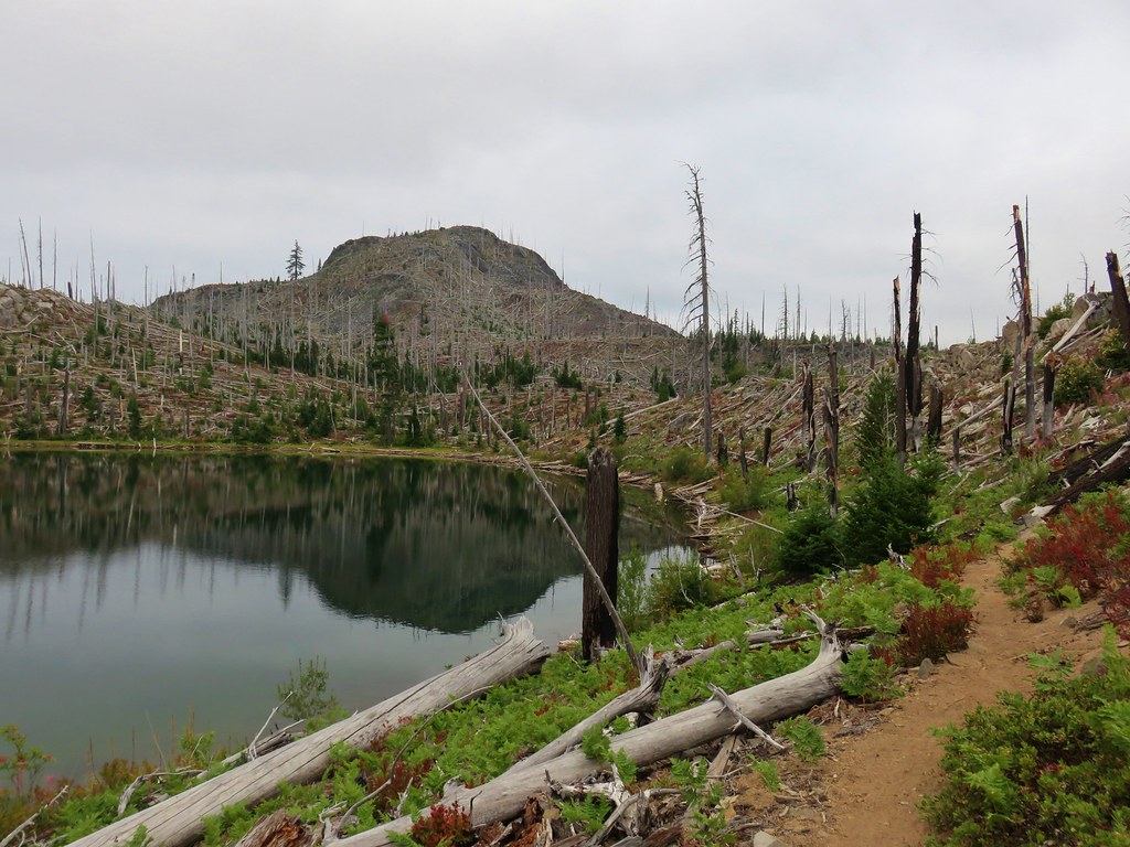
I turned down the Kinzel Lake Trail and after a third of a mile came to an unsigned junction with a spur trail to Kinzel Lake on the left.


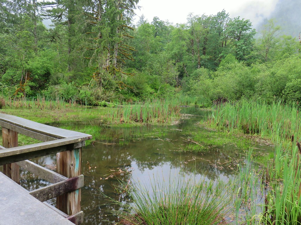
I turned down the spur trail which dropped steeply then made two more steep up and downs before arriving at an old campground at the small lake in a little over a quarter mile.


After checking out the lake I climbed back up to the Kinzel Lake Trail and continued downhill another two miles where I turned right on the Salmon River Trail.
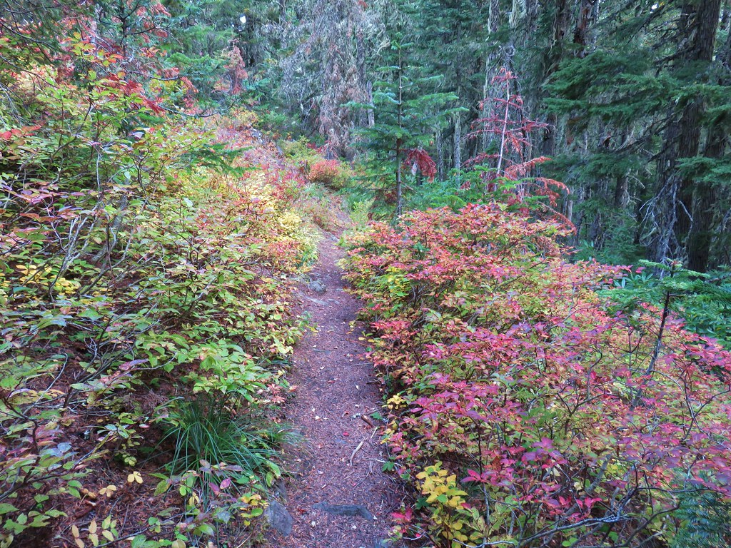
 There were some nice Fall colors along the Kinzel Lake Trail.
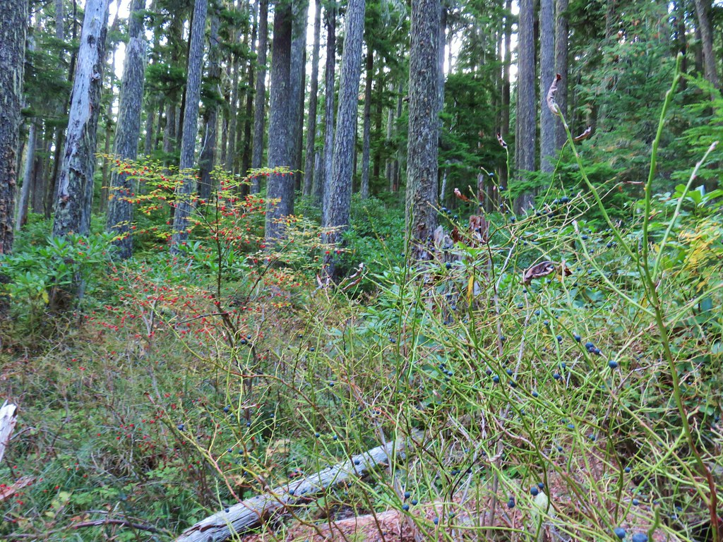
 There were also a few obstacles that were trickier than anything on the other trails involved in this loop.
 Salmon Butte (post)

 Nearing the Salmon River Trail.
 Trail sign at the Salmon River Trail junction.
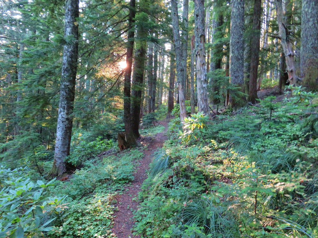
I turned right on the Salmon River Trail. We had hiked this section of trail during an overnight trip in 2018

It was approximately 6-miles from the junction back to the trailhead. I bypassed most of the viewpoints this time since we’d visited them on previous trips, and this was already a long enough hike without adding more detours.

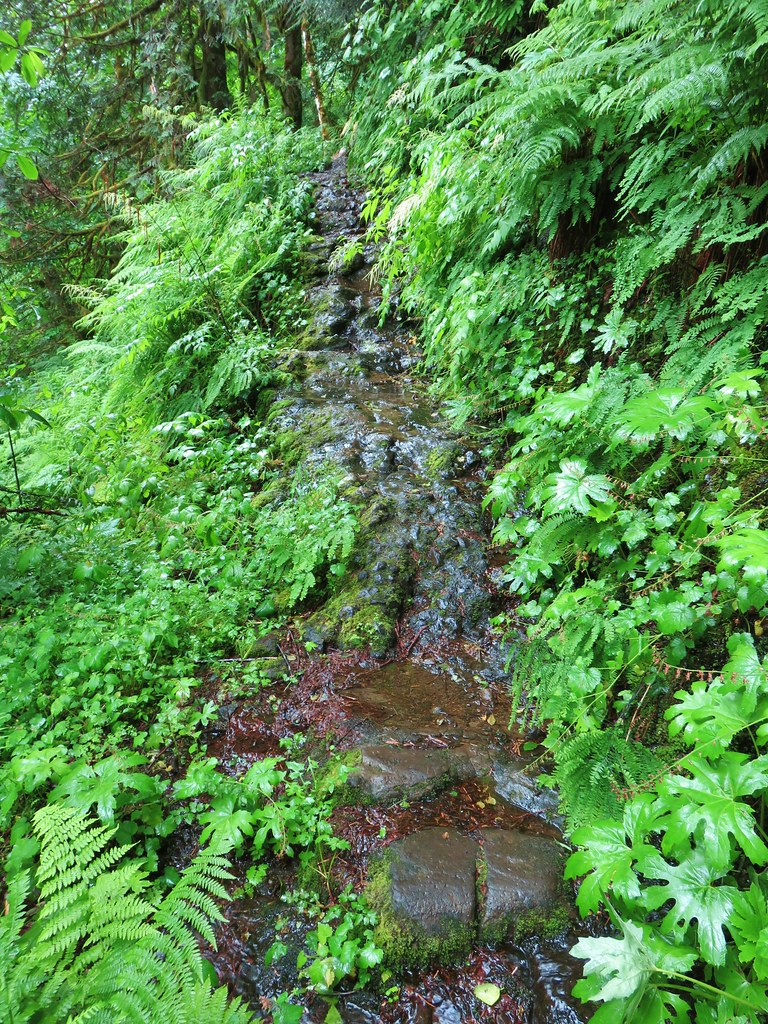
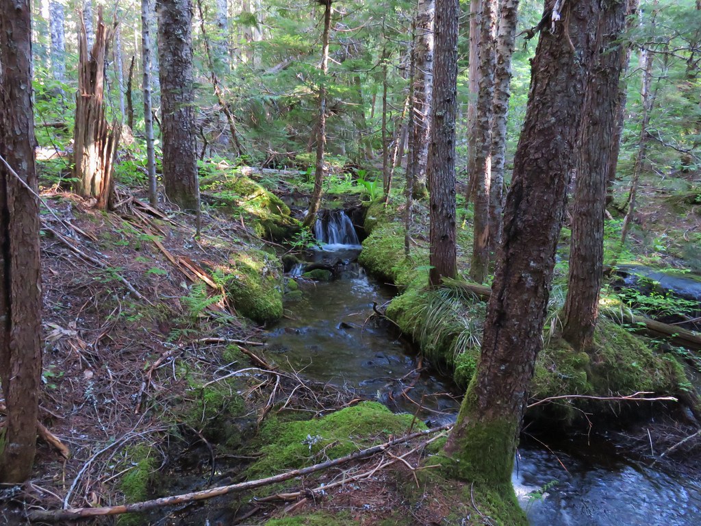
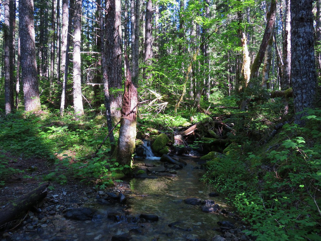
 There wasn’t much water at all in any of the side creeks.

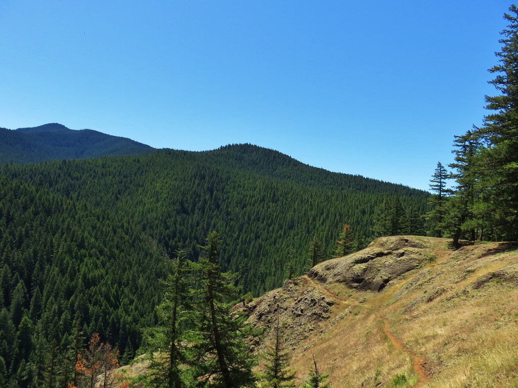
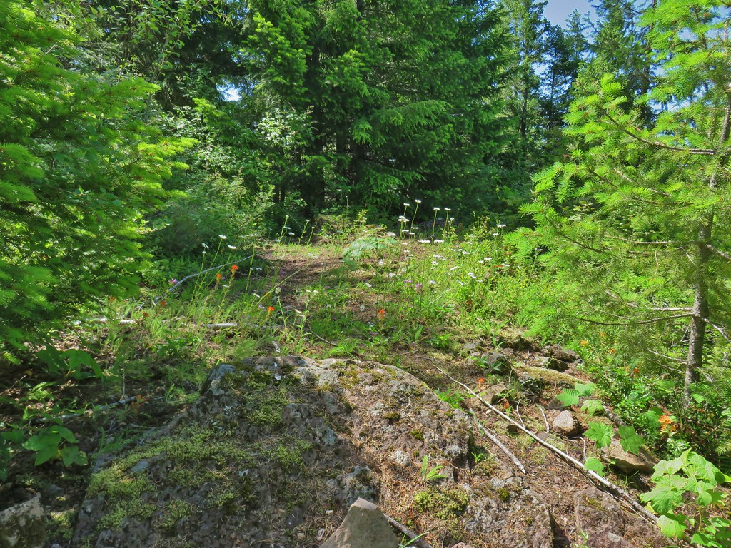
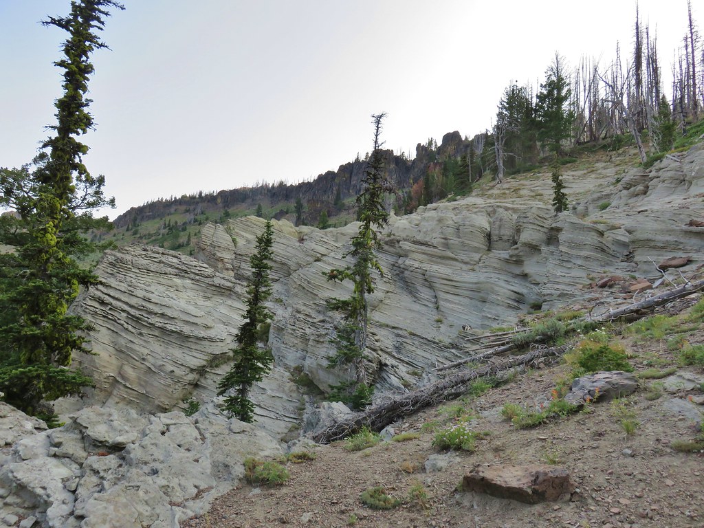
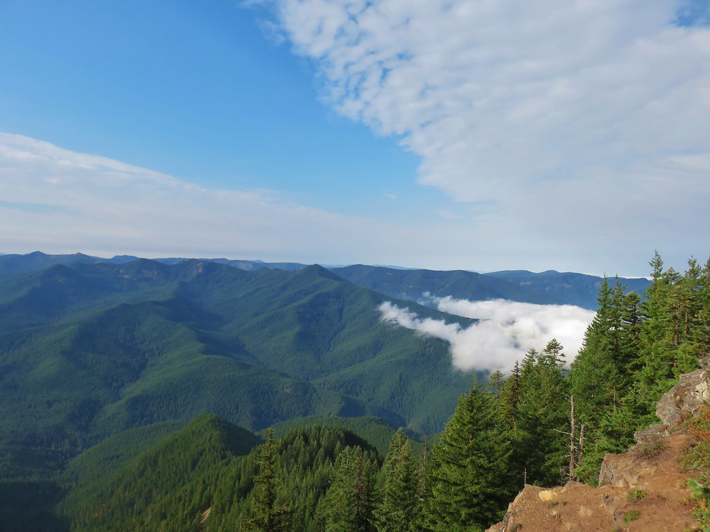
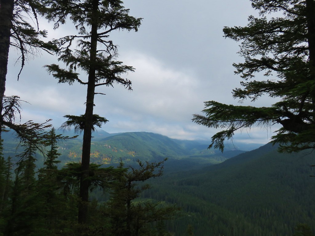
 There are several viewpoints just over 3.5-miles from the trailhead.
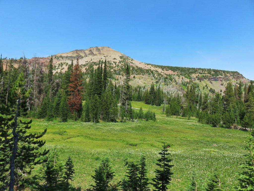
 The furtherst hump in the center is Huckleberry Mountain (post).

 Wilderness kiosk along the trail. There were self-issued permits here, but none at Green Canyon Way so I stopped and filled one out even though I was almost done with my hike (and out of the wilderness).


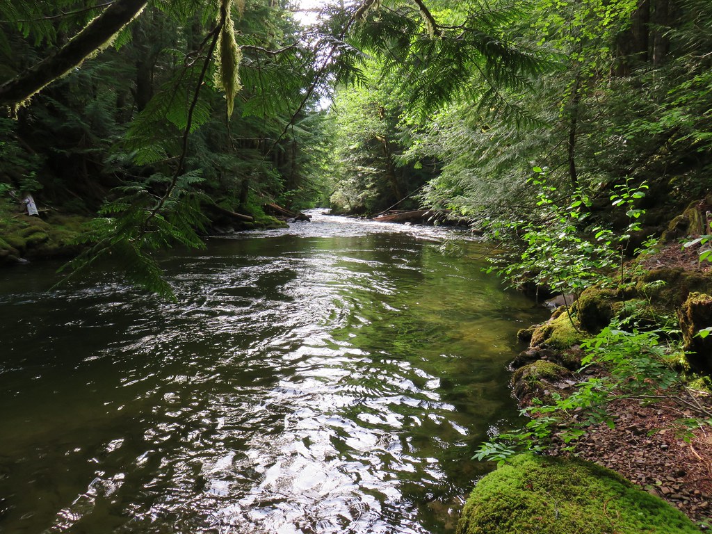
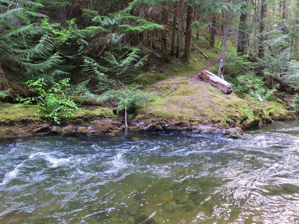
 Salmon River

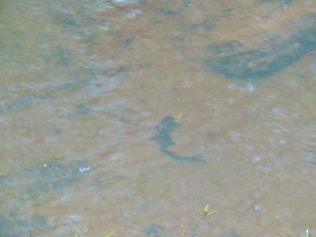
 There were a couple of good-sized fish in the pool here.

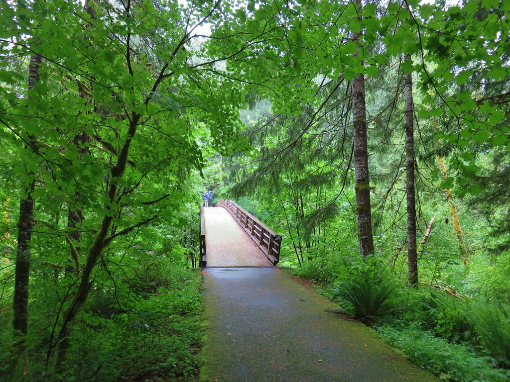
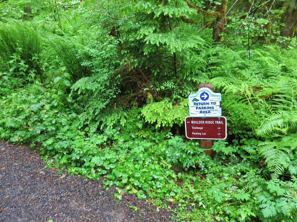
 The trail arriving back at the trailhead.
The first people I saw all day had been camped along the river near Goat Creek, and in total I saw less than 20 people, nearly all in the last three and a half miles. The hike itself showed 16.5-miles on the GPS and included over 4350′ of elevation gain.

This was a challenging but nice loop. My only wish is that it had been 15 to 20 degrees cooler. Clockwise was definitely the way to go in order to get the bulk of the climbing over with during the cooler morning hours. The Kinzel Lake Trail also seemed slightly steeper than the Green Canyon Way Trail making the climb up to Hunchback Ridge a little easier. Happy Trails!
Flickr: Devil’s Peak Loop

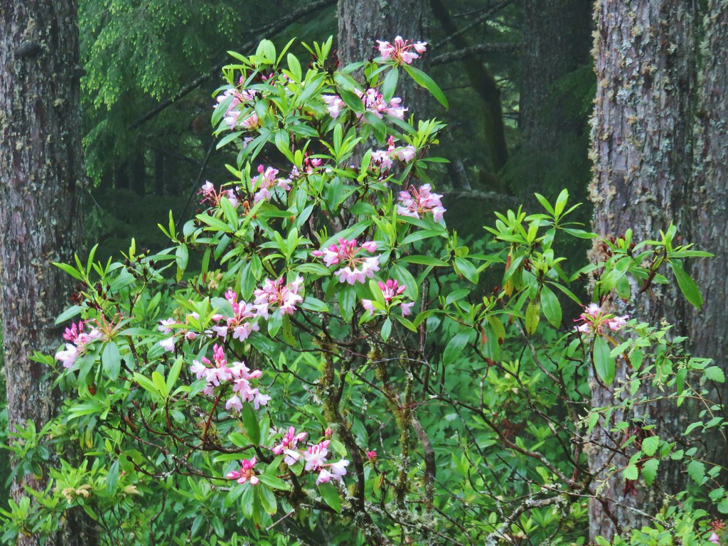
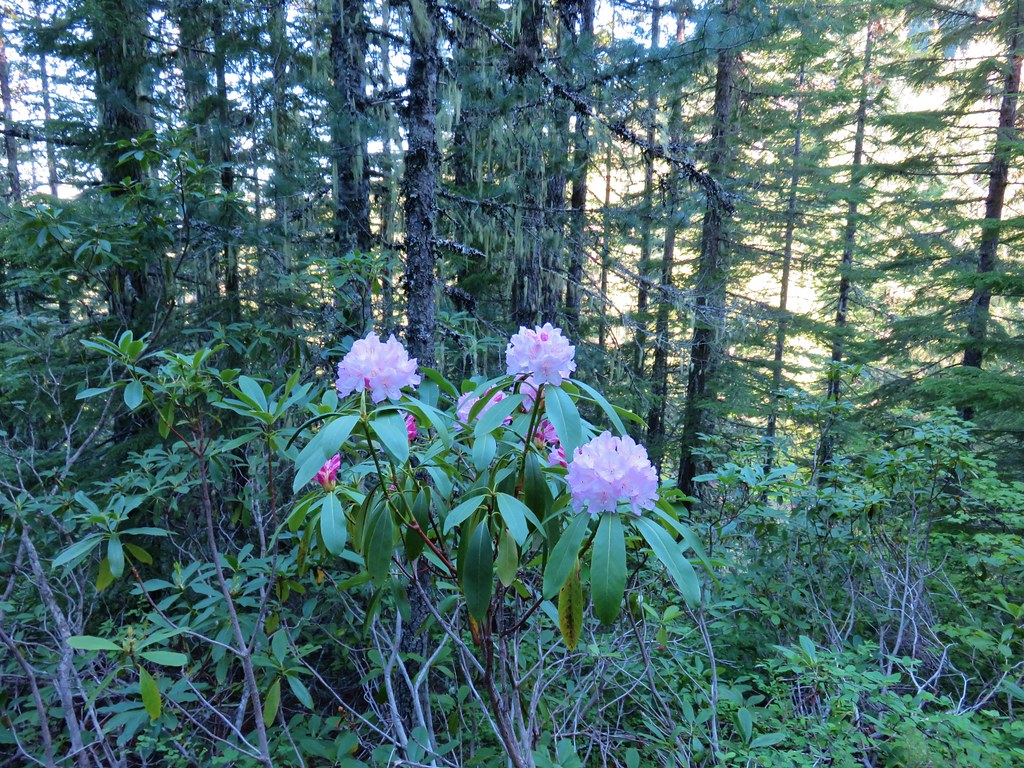
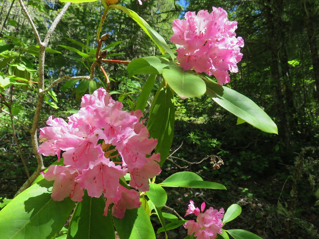
 Rhododendron at the trailhead.
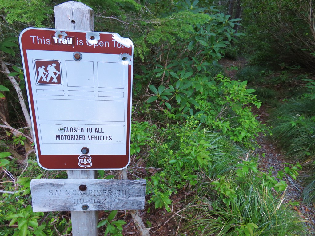
 Eagle Creek Cutoff Trail on the left just before the first steep climb.
 Salmon-Huckleberry Wilderness sign. I would be in and out of the wilderness several times on my route.
 Pictures rarely capture the actual steepness of the trails but the third of a mile past this trail sign had me wondering if I was going to be able to complete my planned hike.
 Starting the descent to the saddle.
 The
The  Coral fungus
 The Old Baldy Trail turns left here while the Tumala Mountain Trail continues straight.
 A small unreadable sign was the only identifier for the continuation of the Old Baldy Trail. I was a little concerned seeing blowdown on this trail from the junction but as it turned out the trail was in good shape and the trees that were down were easily stepped over.
 One of four switchbacks in the first 0.3-miles.
 Cat’s ear lily
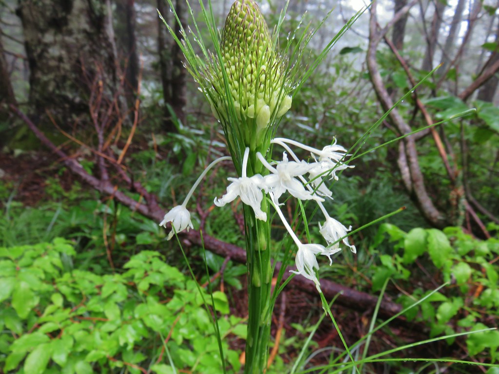
 Cascade lily
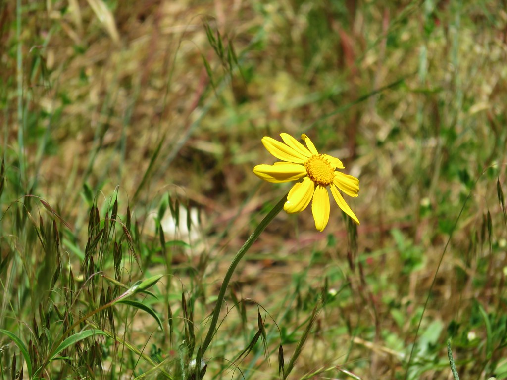
 Oregon sunshine
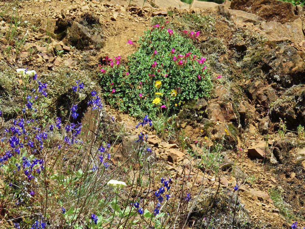
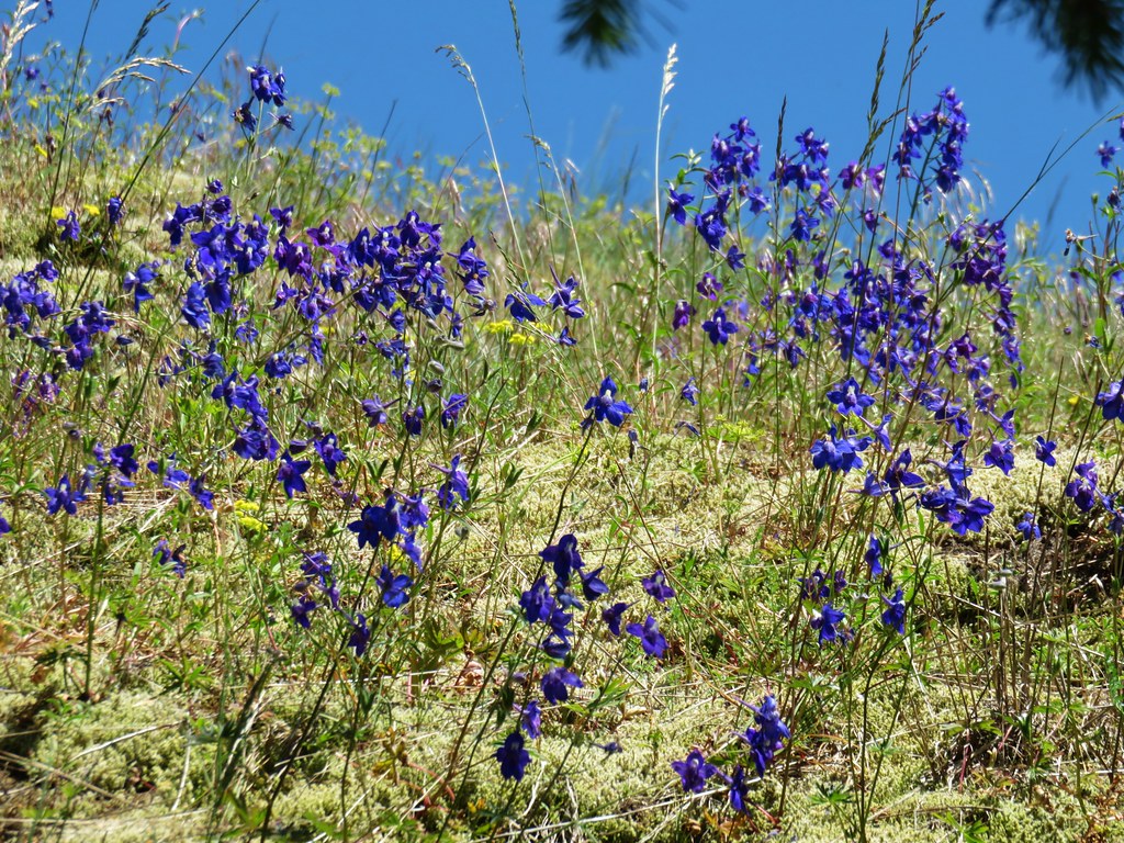
 Larkspur & ?
 Paintbrush
 Bunchberry, not sure what is causing the white at the end of the leaves. I’d never noticed that before.
 Lupine
 View at the scree slope
 I’m pretty sure there were at least three pikas down there somewhere.
 Tumala Mountain in the center.
 From left to right is East Mountain, Thunder Mountain (
 Little prince’s pine
 Cascade lilies, a few lupine and a paintbrush.
 Carolina bugbane and foam flower.
 Spur trail from the Twin Springs Trailhead (Old Baldy East) on the right.

 Part of the foundation at the former guard station site.
 The old road.


 Not a big beargrass year but there was a few blooming along the trail.
 I went up this trail to find it just immediately dropped back down to the Plaza Trail.
 The correct spur to Sheepshead Rock.
 Mt. Hood
 Mt. Adams and Mt. Hood
 Some light scrambling brought me to the top of the rock.
 Mt. St. Helens, Goat Rocks, and Mt. Adams in the distance. The high point to the left along the forested ridge is Wildcat Mountain (
 Mt. St. Helens
 Goat Rocks and Mt. Adams
 Mt. Hood with the South Fork Salmon River valley below.
 Orange agoseris
 Oregon sunshine and yarrow
 Saxifrage
 Penstemon
 Bluebells of Scotland

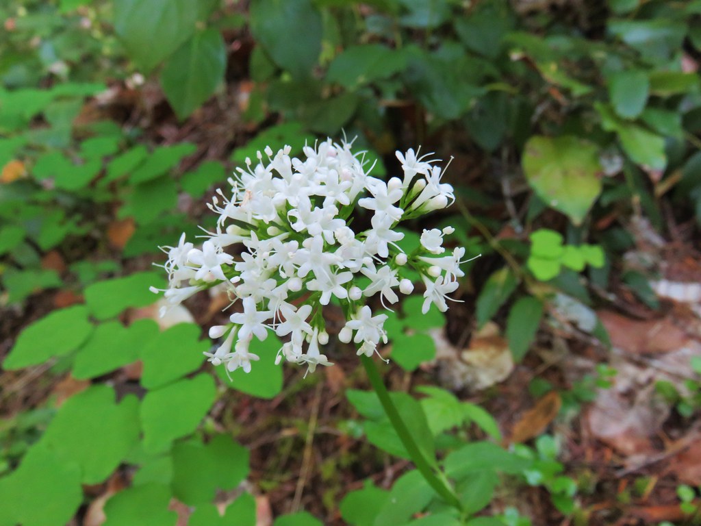
 Valerian
 Moth on an arnica.
 The Plaza Lake Trail sign on the left.
 View from one of the switchbacks.
 Pacific coralroot
 Bunchberry with the more familiar all green leaves.
 Plaza Lake below from the trail.
 Twin flower
 There were some nice big trees along the trail.

 Looking up from the lakeshore.


 I’d missed Mt. Hood on the way down.
 Mt. Hood
 Anemones
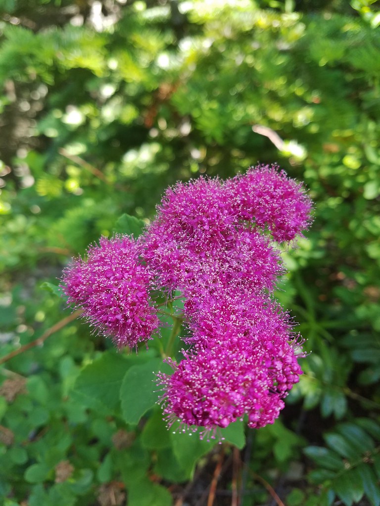
 Spirea and lupine
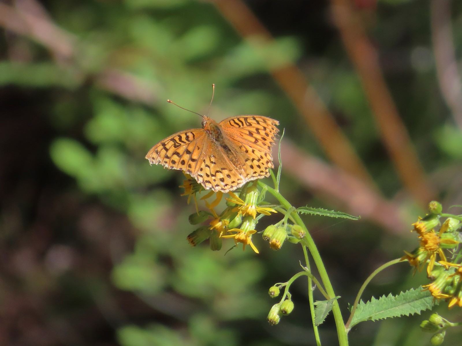 A fritillary butterfly.
 The former Twin Springs Campground was near the trailhead on the opposite side of FR 4610.
 The Twin Springs Trailhead.
 Old Baldy Trailhead sign at the Twin Springs Trailhead.
 Salmon-Huckleberry Wilderness sign (straight ahead) at the Old Bald/Plaza Trail junction.
 I stopped again at the scree slope to look for pikas. All was quiet as they apparently had retreated underground to avoid the heat, but with more light in the valley below I could make out a green meadow in the trees.
 Columbine along the trail.
 Grey jay
 Back at the Tumala Mountain Trail junction.
 My first view of Mt. Jefferson on the day.
 Mt. Jefferson
 A yet to blossom rhododendron.
 Fading lousewort and valerian.
 A blooming rohdodendron.
 Mt. Hood. The scree slope is also visible through the trees on the hillside to the lower right.
 Mt. Jefferson in the distance.
 Mt. Jefferson
 Three Fingered Jack and the Three Sisters
 More Cascade lilies.
 Mt. St. Helens in the distance.
 Mt. St. Helens
 A better view of the scree field and the meadows below Tumala Mountain.
 Penstemon and lupine.
 Passing the Fanton Trail junction on the way back.
 Looking at the final climb of the day from the saddle.
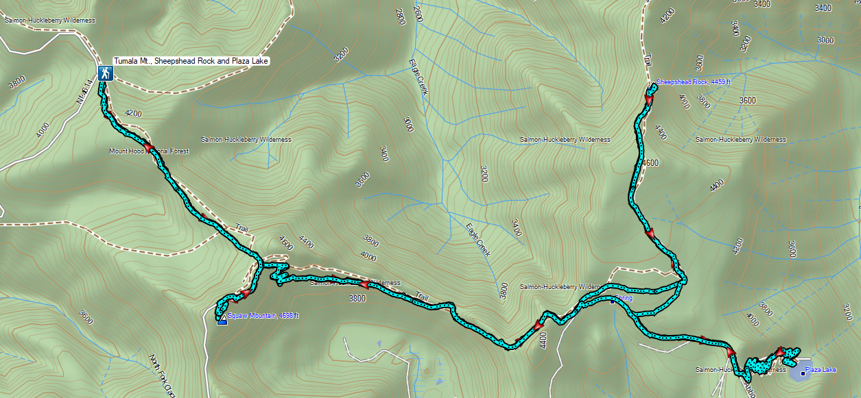


 This photo is from CA but it actually shows the namesake Red Buttes


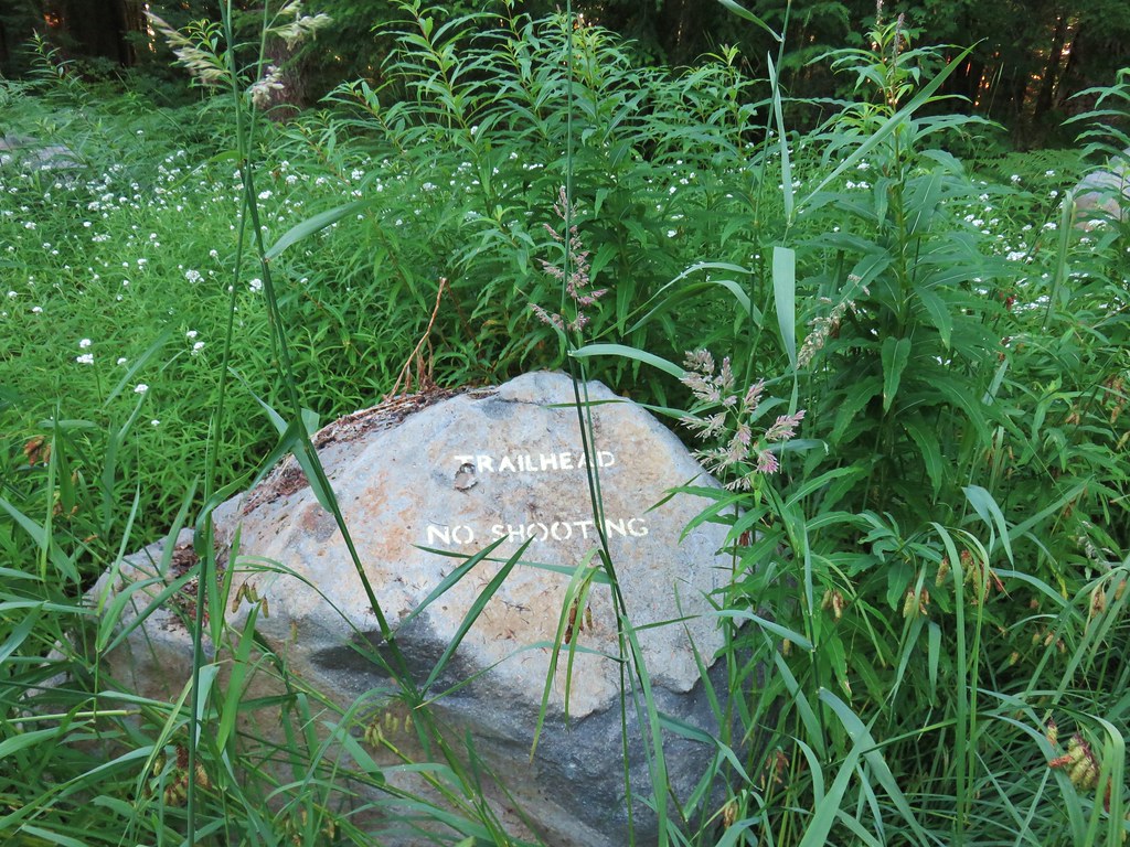
 Closest thing to a “wilderness sign” we saw for this one.


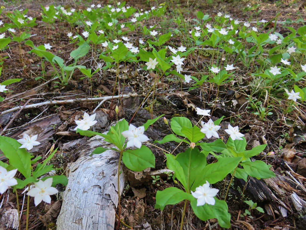
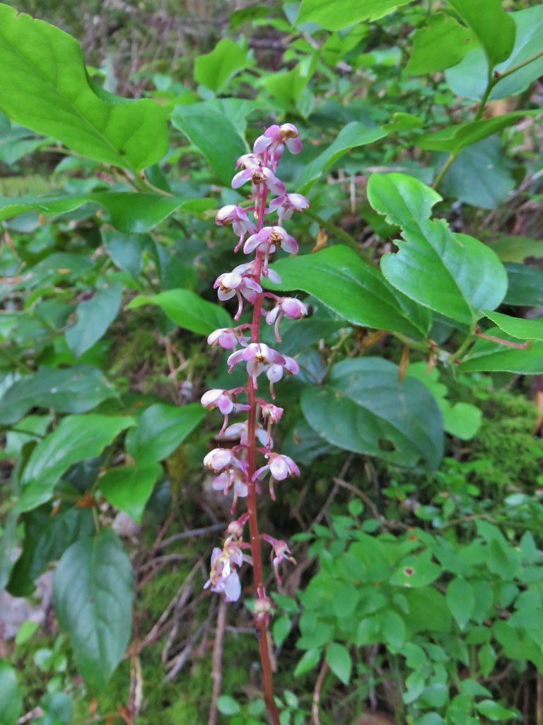 Pink pyrola
 Switchback below a rock outcrop.
 Looking down the hillside from the trail.
 Trail dropping to a saddle.
 Looking south across the Salmon River valley. The Bonanza Trail (
 Beardstongue (penstemon)
 Washington lily
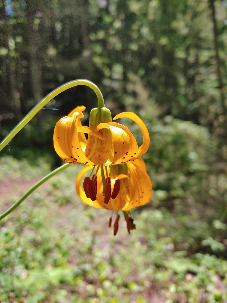
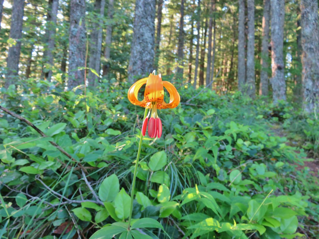 Tiger lily
 Penstemon
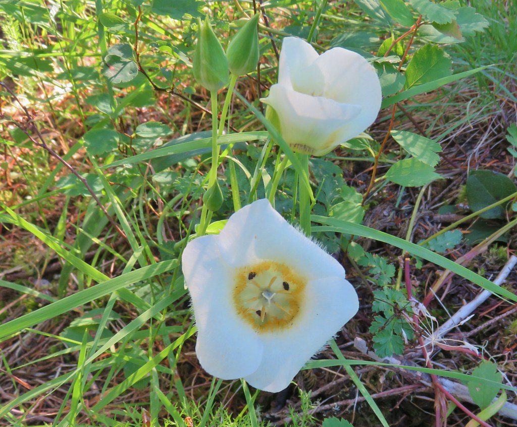 Sub-alpine mariposa lily (cat’s ear lily)
 Yarrow
 Starting the steep climb.
 Coming up to the cliffs.
 Cliffs along the trail.
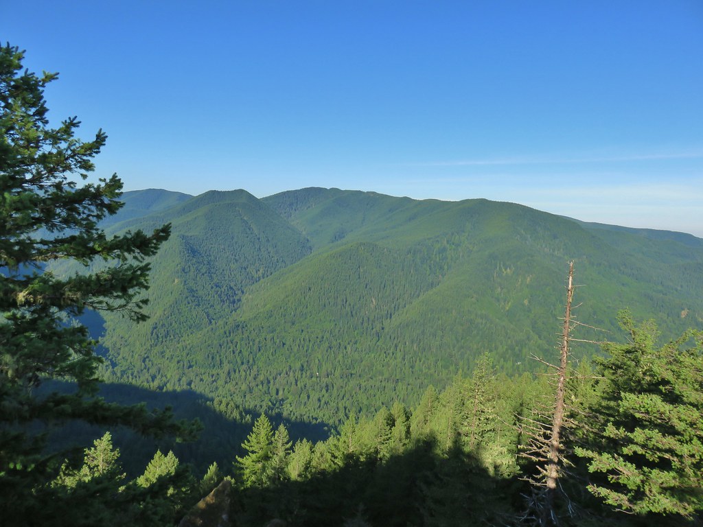 Huckleberry Mountain
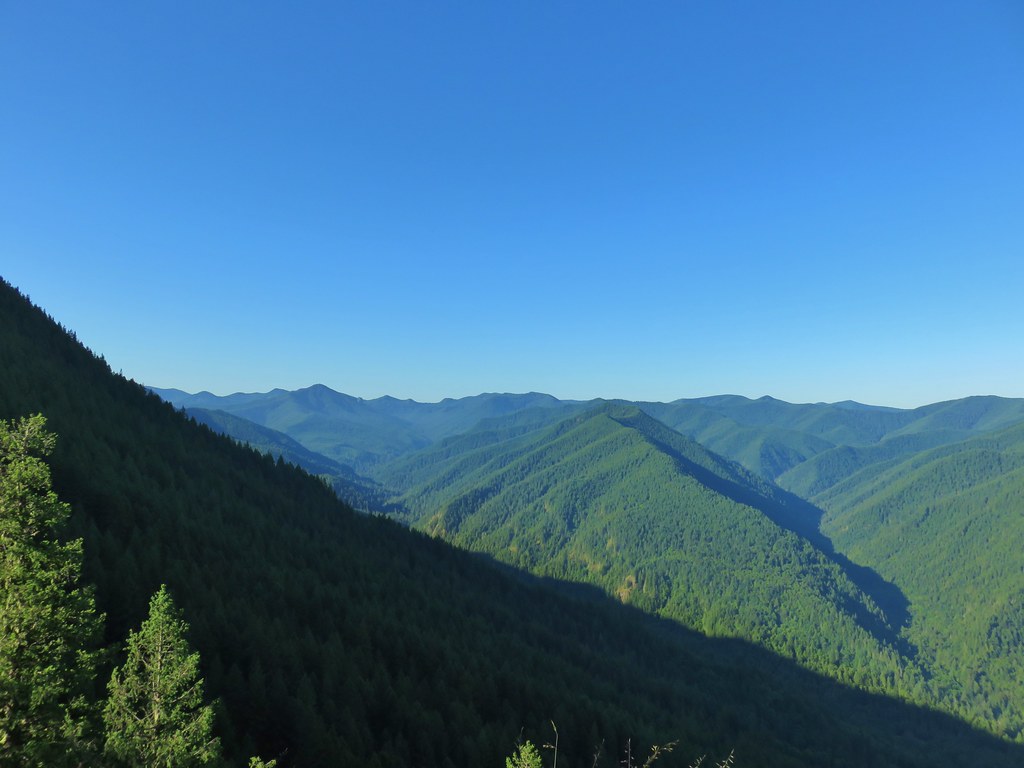 Salmon Butte (
 Blue-head gilia
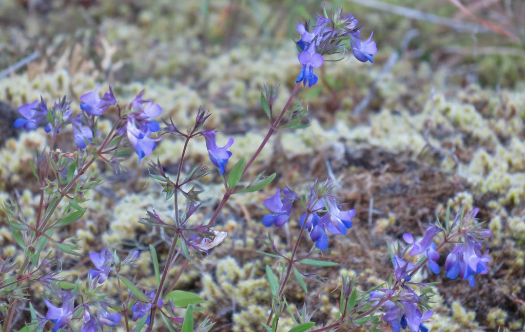 Blue-eyed Mary
 Oregon sunshine, blue-head gilia, penstemon and yarrow.
 Trail dropping toward the forest.
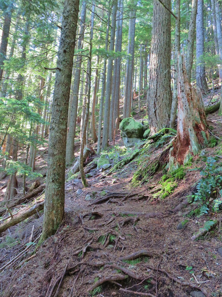 Trail starting to climb again.
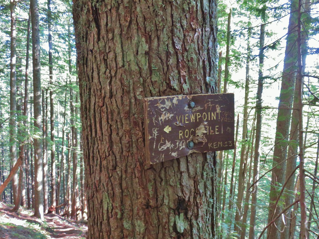 Sign for the viewpoint.
 The top of the rocks.
 Washed out view of Mt. Hood

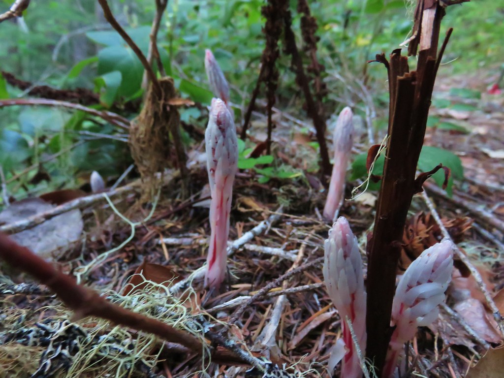
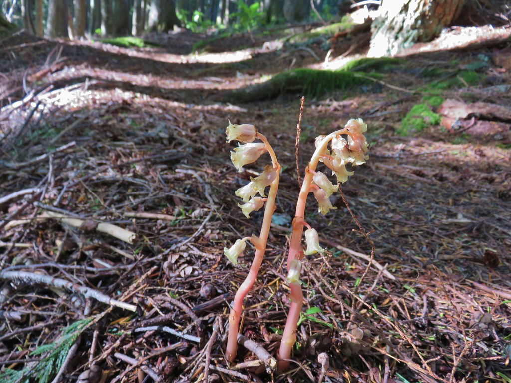 Pinesap
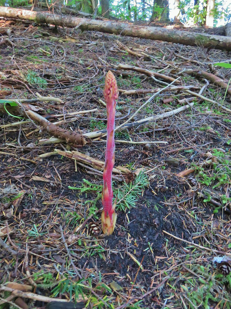 Pinedrop
 Pacific coralroot
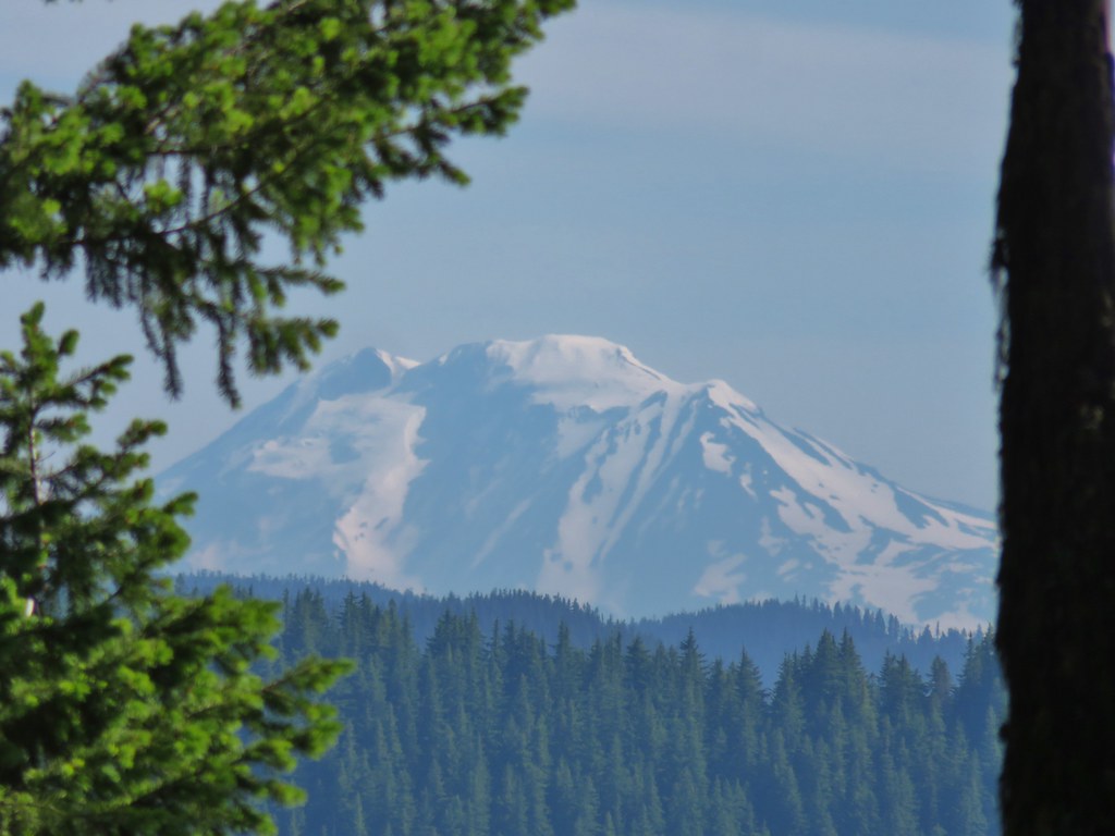


 Passing a rock outcrop on narrower tread.
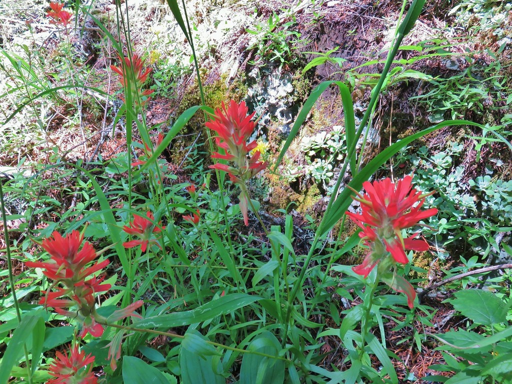 Paintbrush
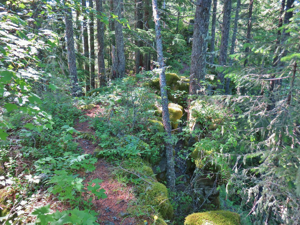 Rocky spine
 Columbine
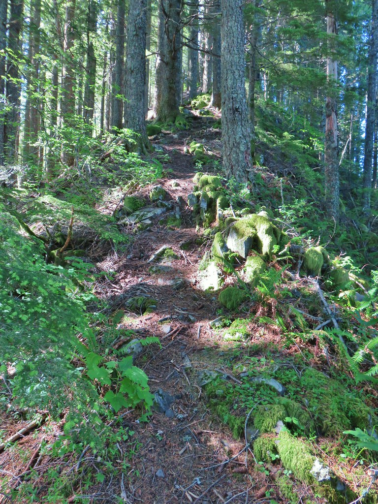 Climbing up the Hunchback Trail.
 Heather coming up the trail.
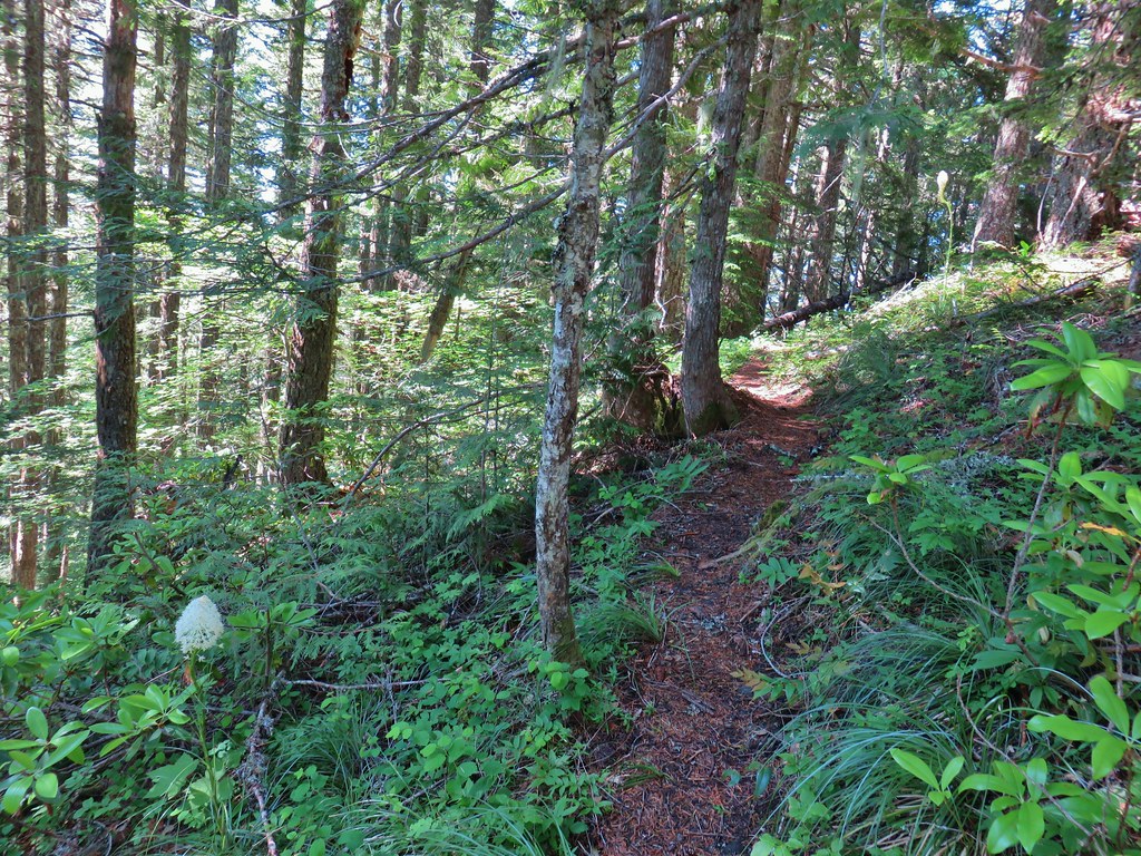 Beargrass near the 4000′ elevation.
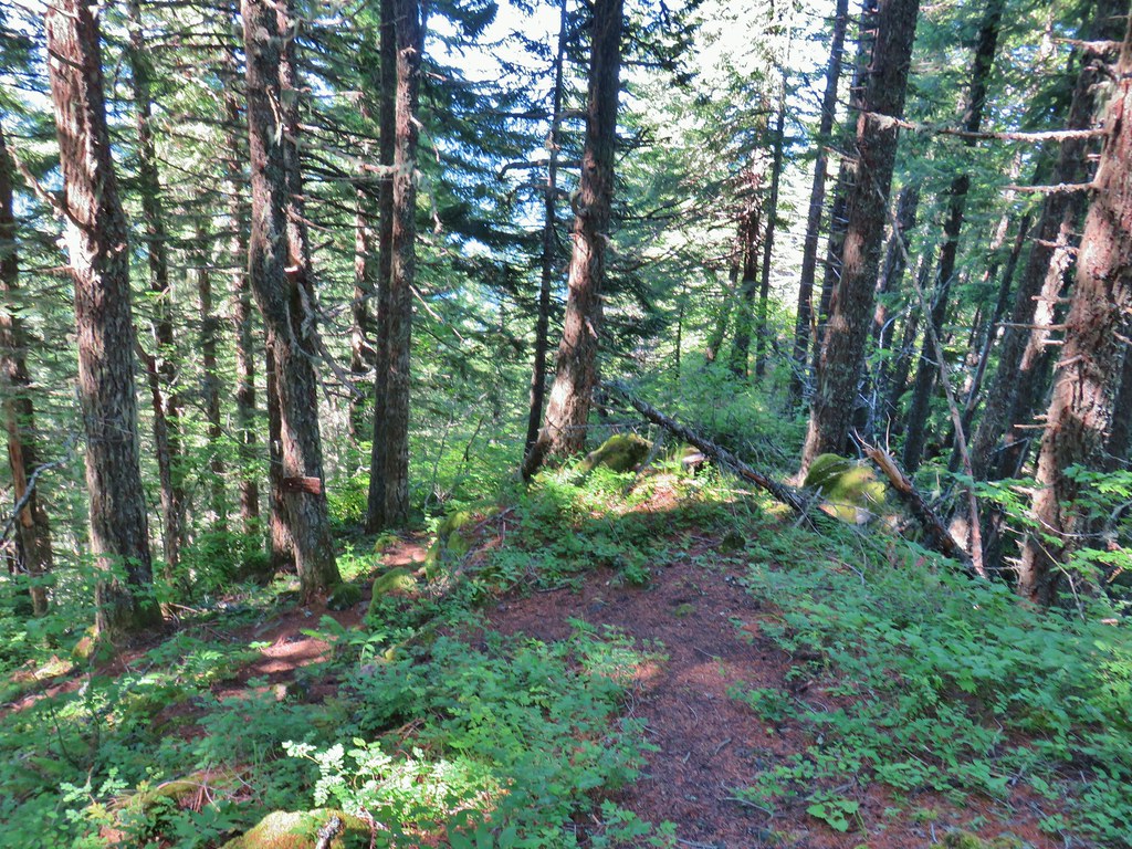 Heading down to the viewpoint sign.
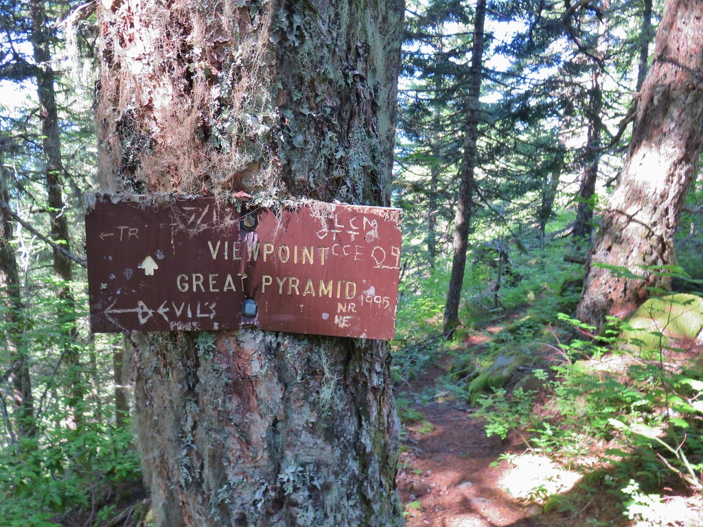 Side trail to the Great Pyramid.


 The cliffs of West Zigzag Mountain to the left of Mt. Hood where we’d been the week before (
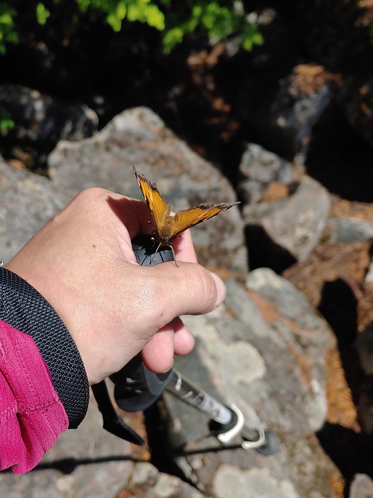 We weren’t entirely alone as Heather was visited by a butterfly.
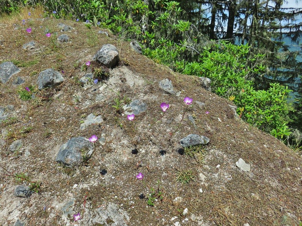
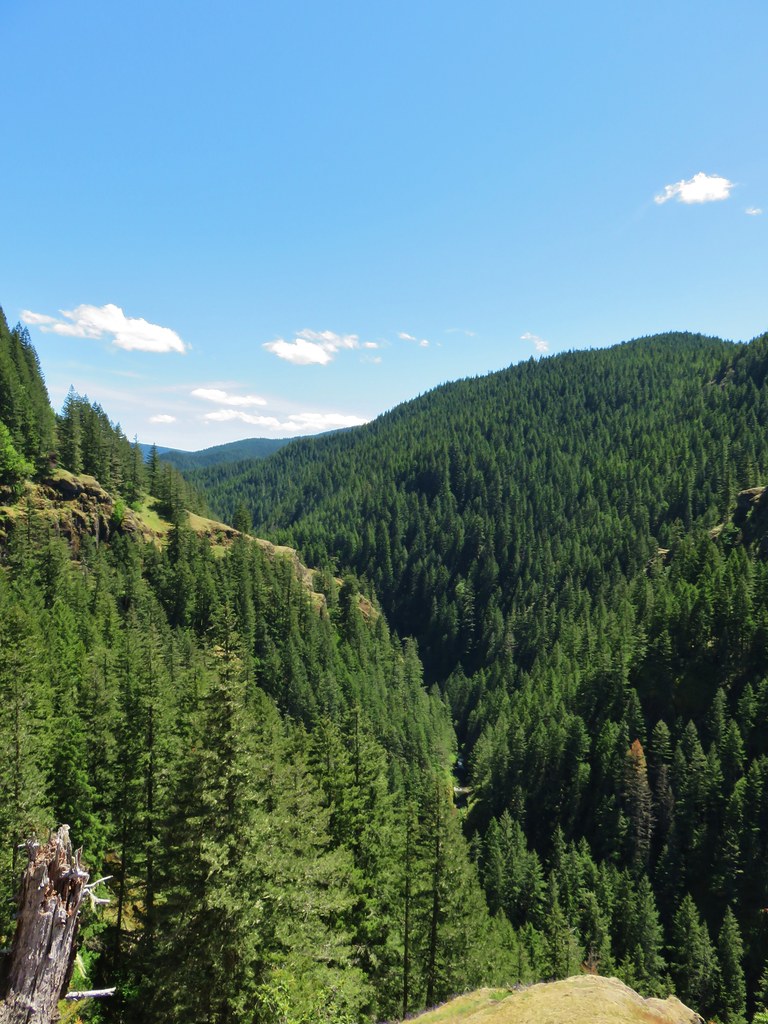
 Looking down into the Salmon River valley
 Looking west toward Highway 26
 Blue-head gilia
 Penstemon
 Tiger lilies
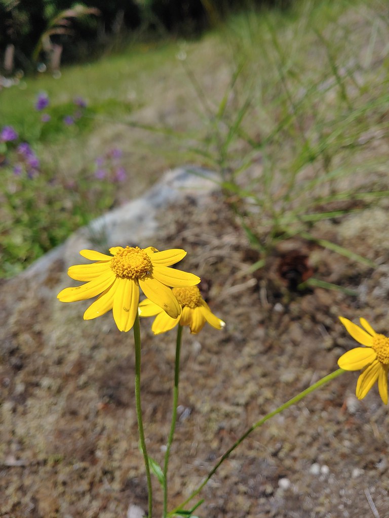 Oregon sunshine
 Cat’s ear lilies


 Wildcat Mountain (


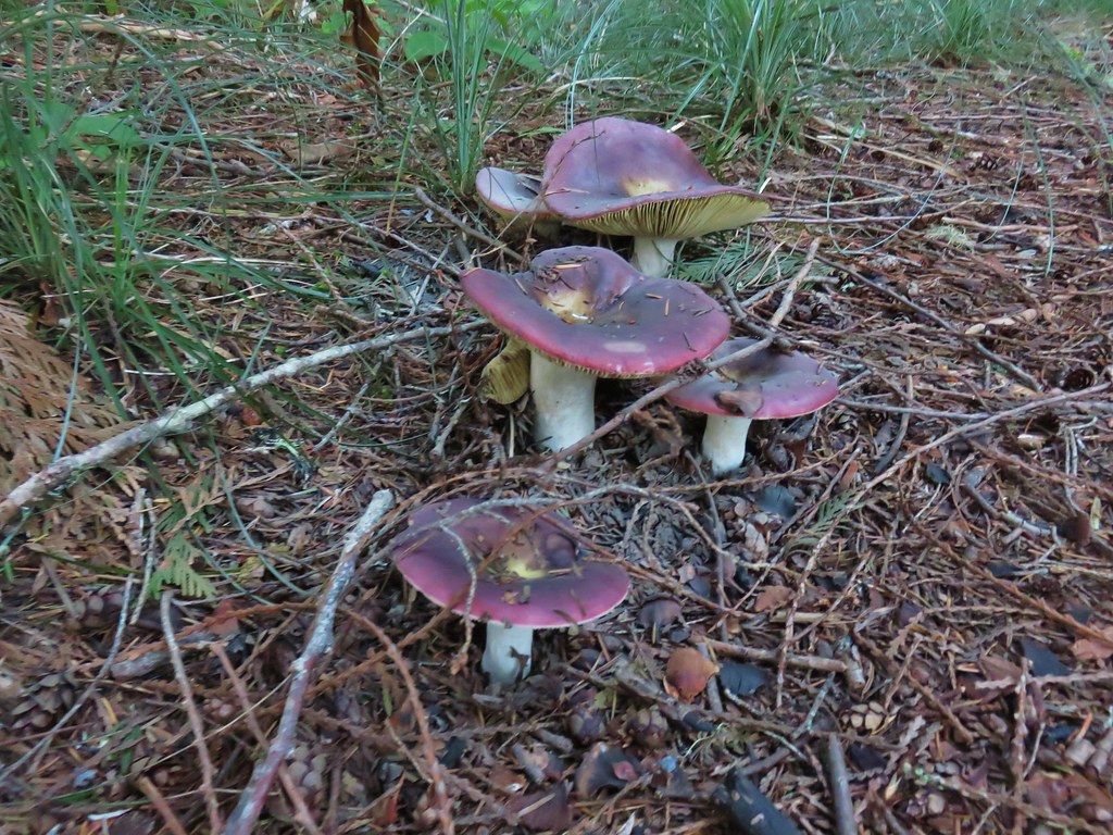
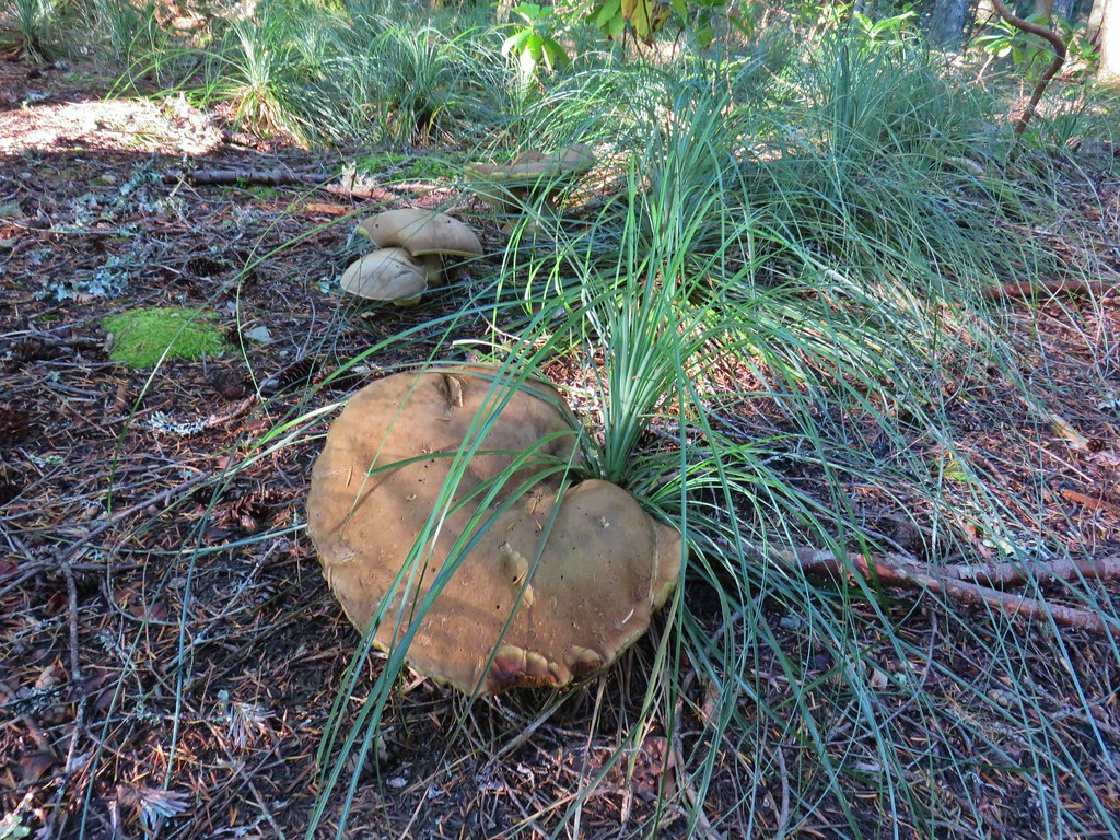
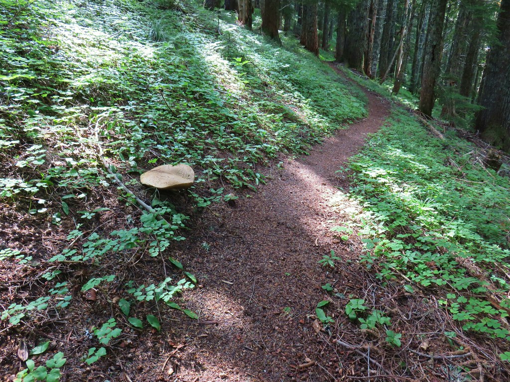 Huge mushroom along the downhill.
 Fanton Trail coming up from the right.


 Three Fingered Jack and the Three Sisters even further south.
 Looking west into the cloud covered Willamette Valley.
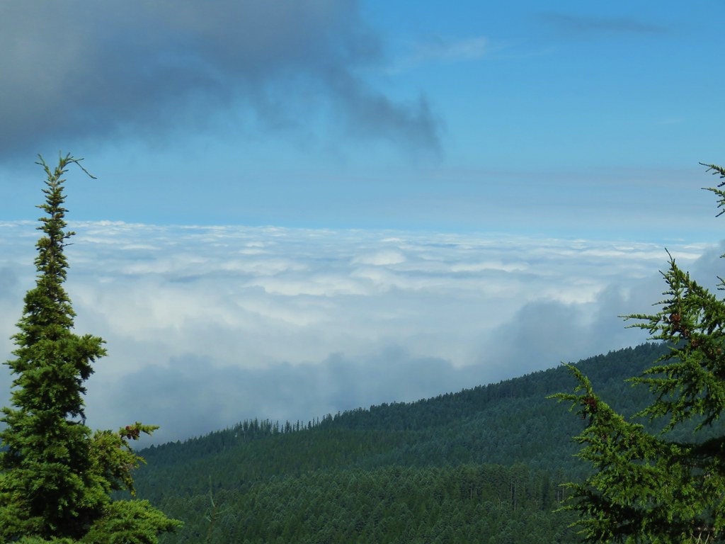
 Stairs to the former lookout.
 Mt. Hood from the former lookout site.


 Rhododendron
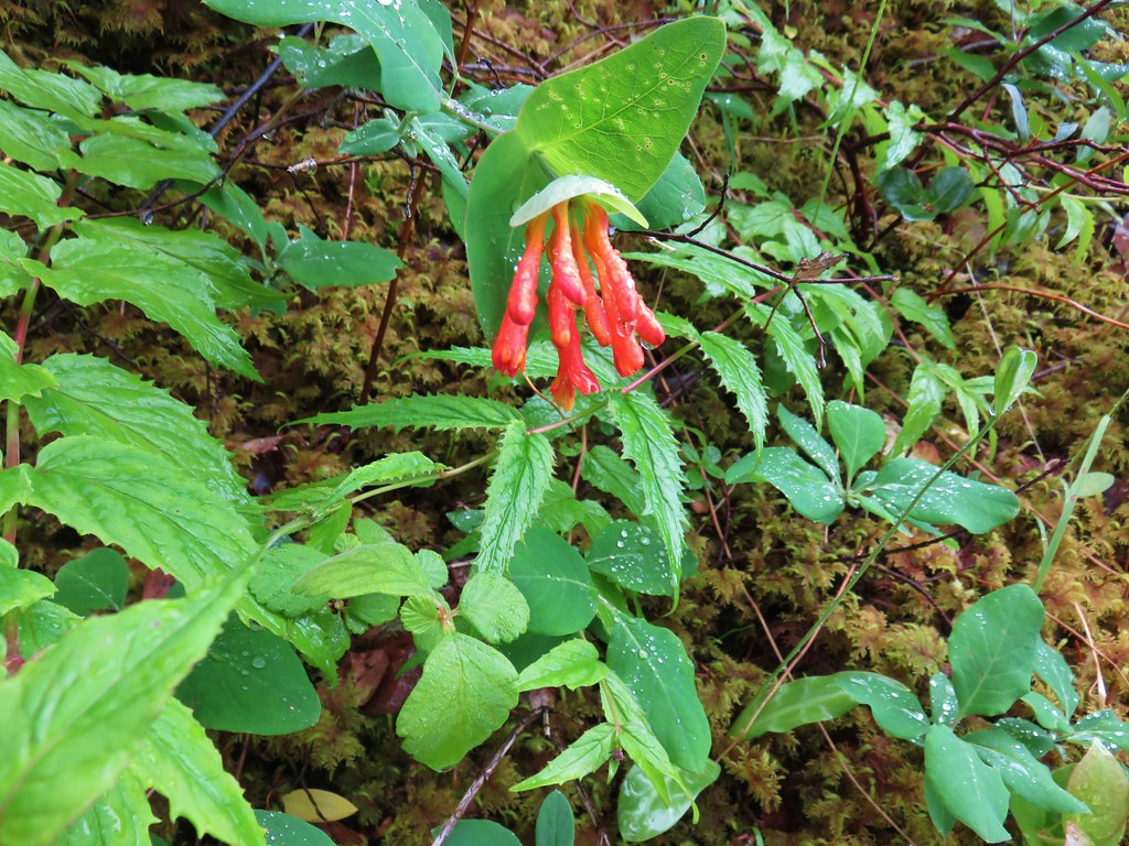 Honeysuckle
 Beargrass and rhododendron along the trail.
 Coralroot and sourgrass
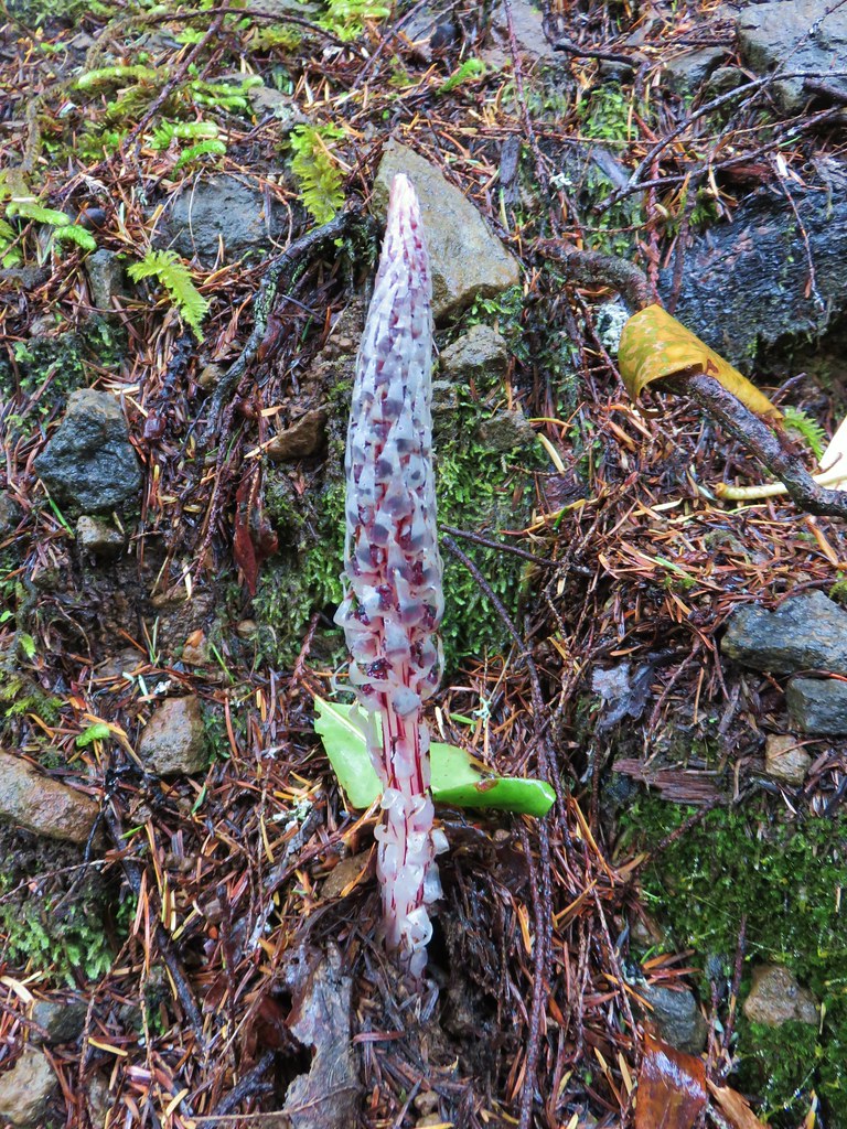 Candy stick
 Damp iris

 Green lichen
 A few trees peaking through the clouds along McIntyre Ridge (
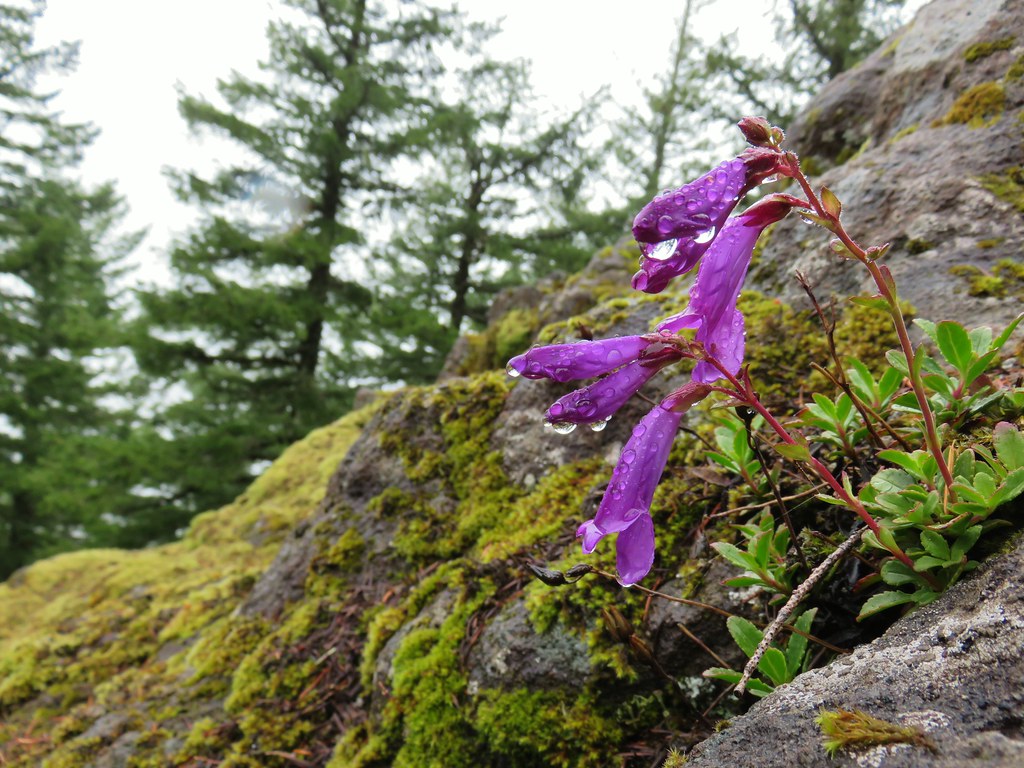 Penstemon
 Paintbrush
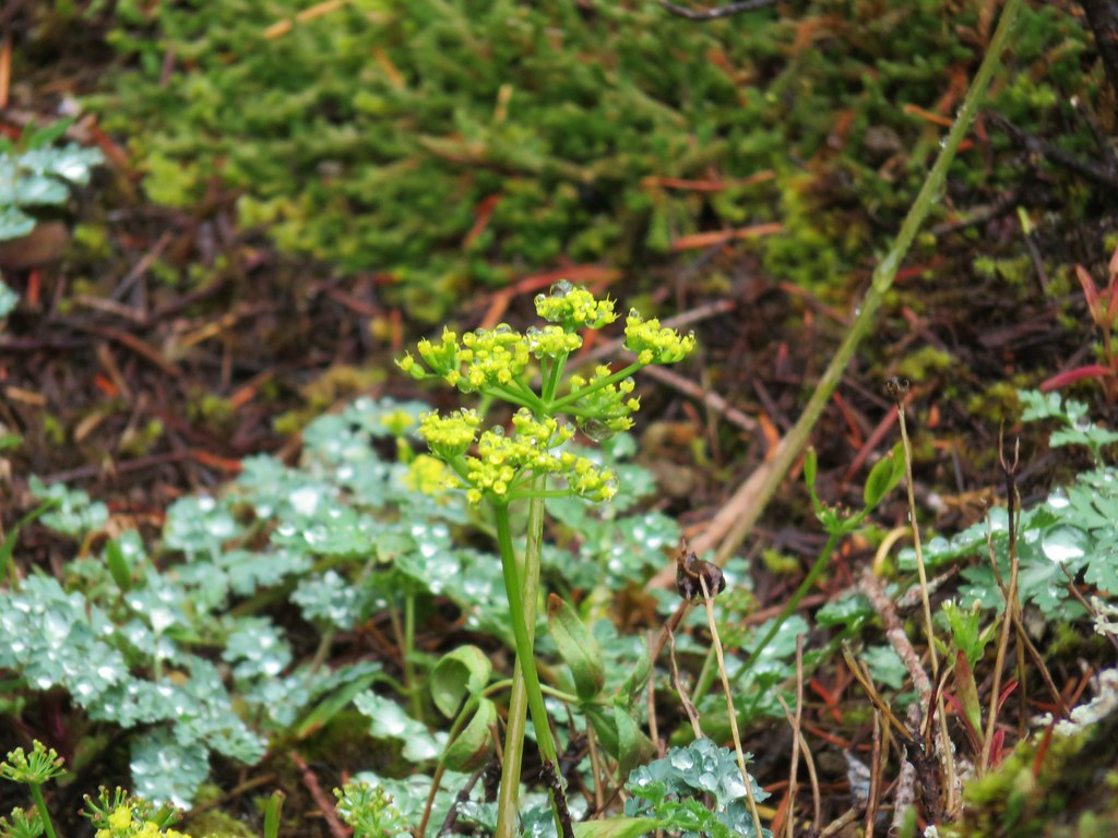 Biscuitroot
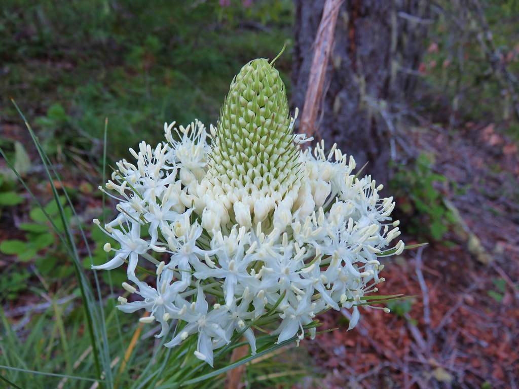
 Beargrass
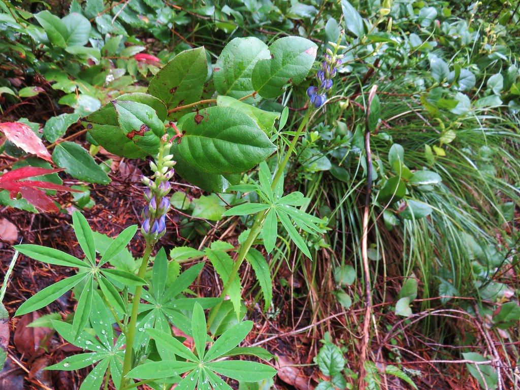 Lupine


 2019
2019 2015
2015
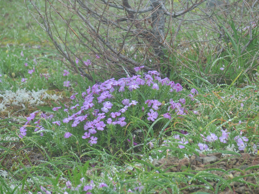 Phlox
Phlox Paintbrush
 Penstemon
 Avalanch lily
 Wild onion


 Battle Ax Creek – 2014
 Mt. Jefferson from Russell Lake – 2016
 Drift Creek – 2010
 Mt. Washington from the Pacific Crest Trail – 2015
 The Three Sisters – 2014
 Three Arch Rocks from Cape Meares – 2018
 Triple Falls – 2012
 Mt. Hood – 2015
 Bandon Islands – 2018
 Twin Pillars – 2011
 Howlock Mountain and Mt. Thielsen – 2014
 Table Rock – 2015
 Frustration Falls – 2018
 Trapper Creek – 2014
 View from Fuji Mountain – 2013
 Serene Lake – 2013
 Badger Creek Wilderness – 2014
 Donaca Lake – 2014
 Emerald Pool – 2018
 View from Boccard Point – 2015
 Red Buttes – 2015
 Oregon Badlands Wilderness – 2016
 Vulcan Lake – 2016
 Rooster Rock – 2016
 Glacier Lake – 2016
 View from Aspen Butte – 2016
 Mt. McLoughlin from Freye Lake – 2016
 White River – 2016
 Rock Creek – 2017
 Hedgehog Cactus – 2017
 Bridge Creek Wilderness – 2017
 Hanging Rock – 2017
 View from Grassy Knob – 2017
 Big Bottom – 2017
 Baldy Lake – 2017
 Cummins Ridge Trail – 2017
 Hummingbird Meadows – 2018
 View along the Pine Creek Trail – 2018
 Slide Lake – 2018
 Barklow Mountain Trail – 2018


 <
<

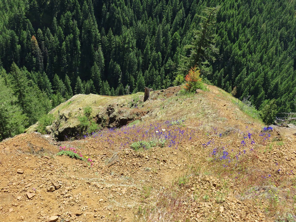
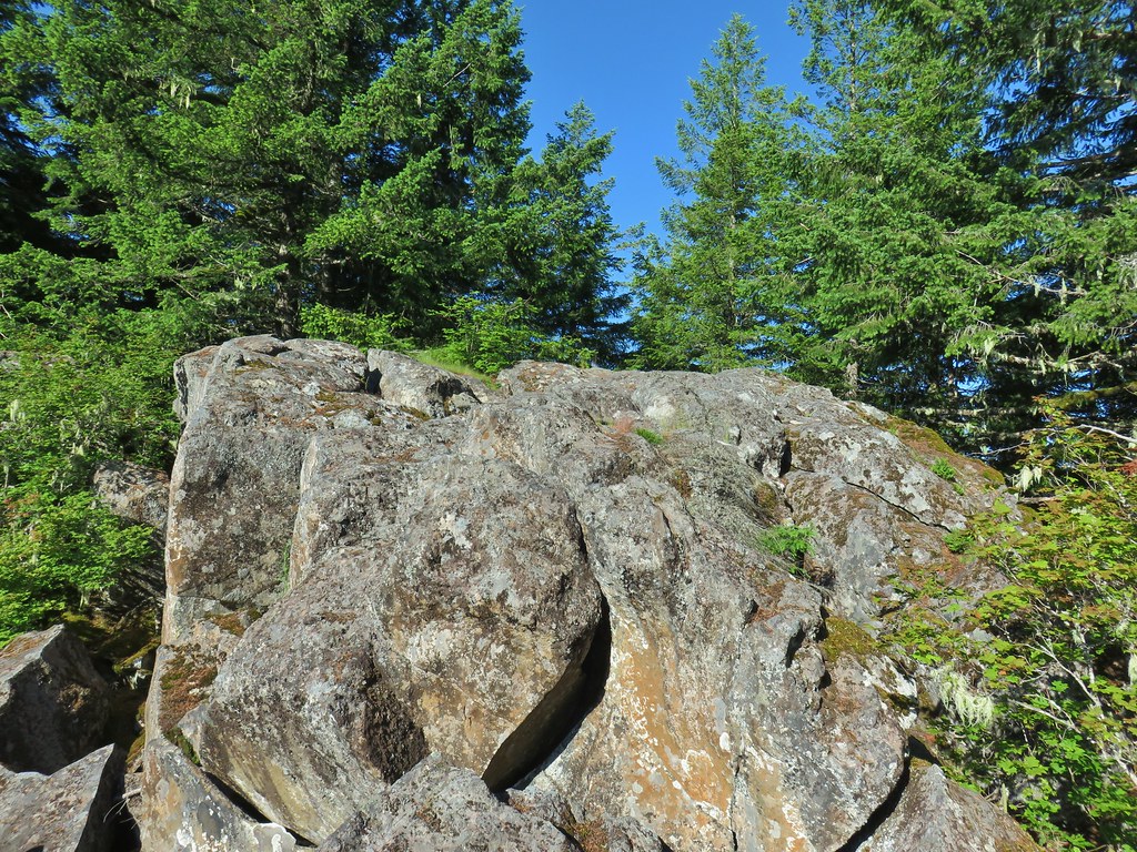
 The rocky ridge
 Mt. St. Helens
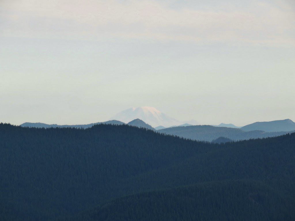 Mt. Rainier
 Mt. Adams
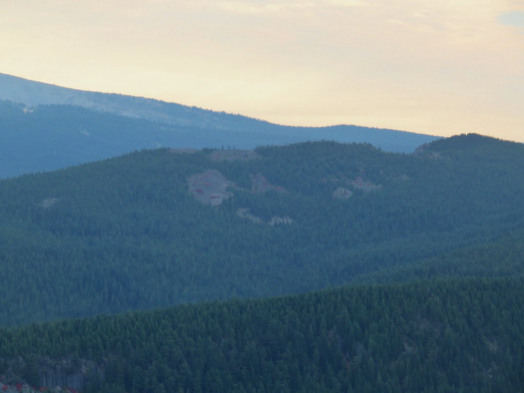

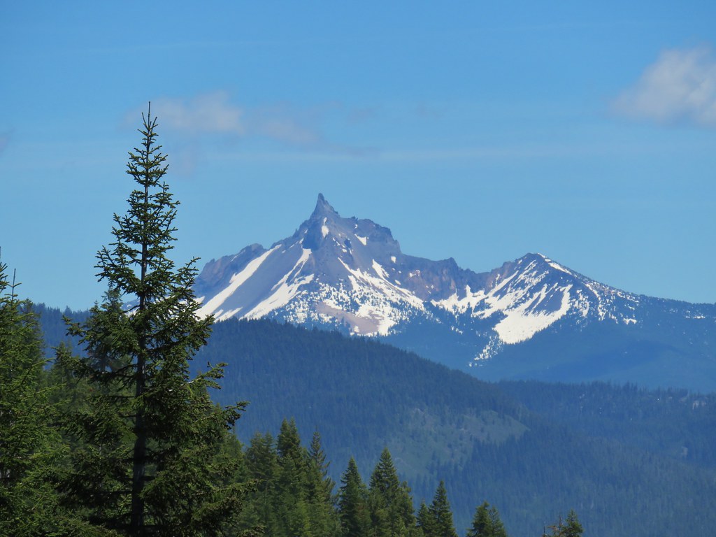
 Mt. Jefferson in some haze to the south.
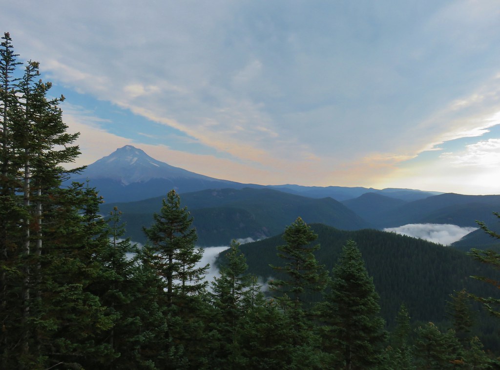 Mt. Hood
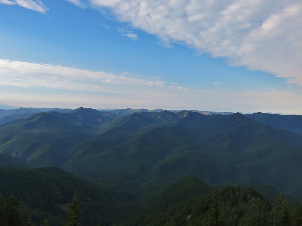 Salmon-Huckleberry Wilderness
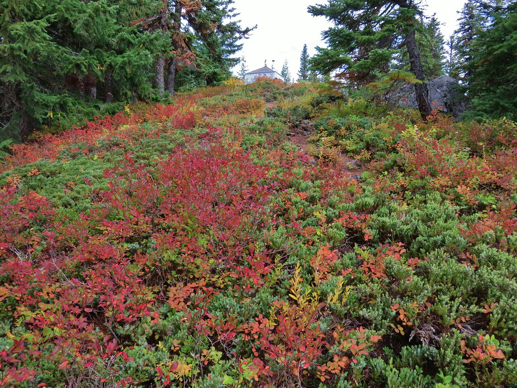
 Clouds coming up the Salmon River Valley
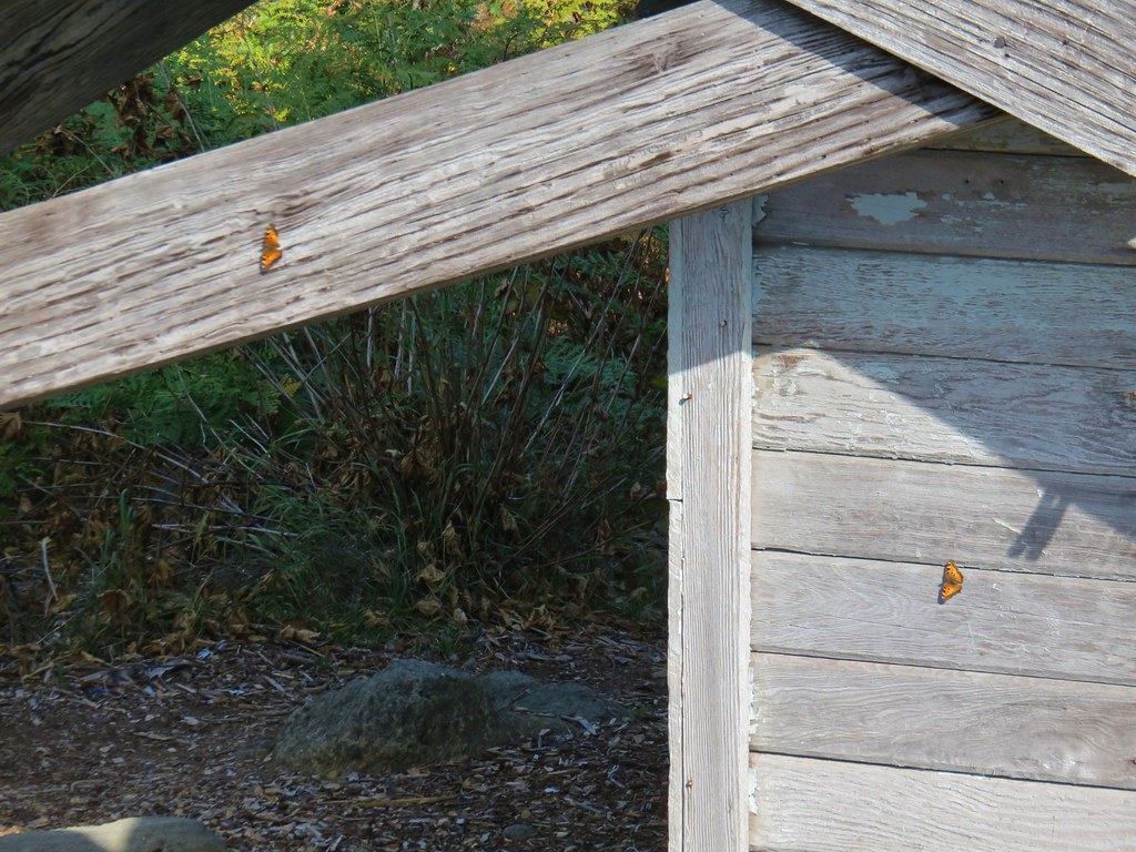 Butterflies on the lookout.
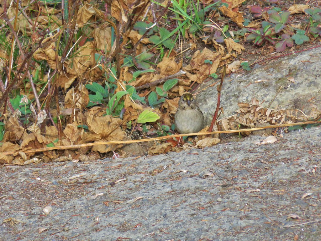 One of several birds foraging in the bushes near the lookout.
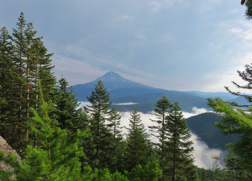

 1
1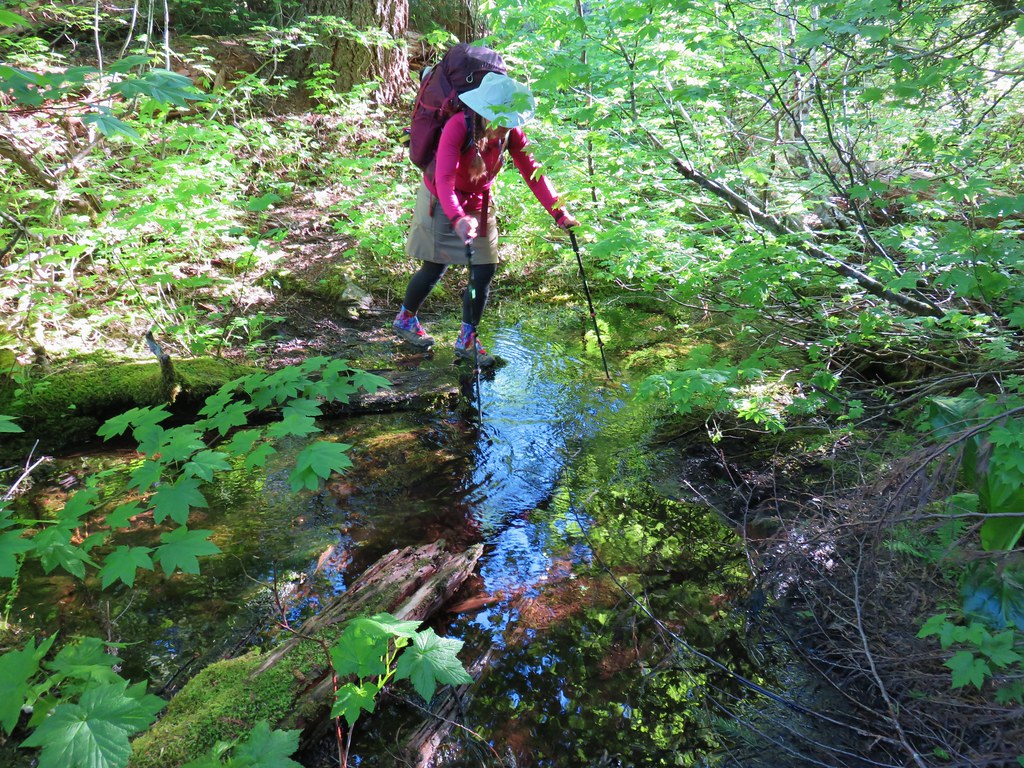 2
2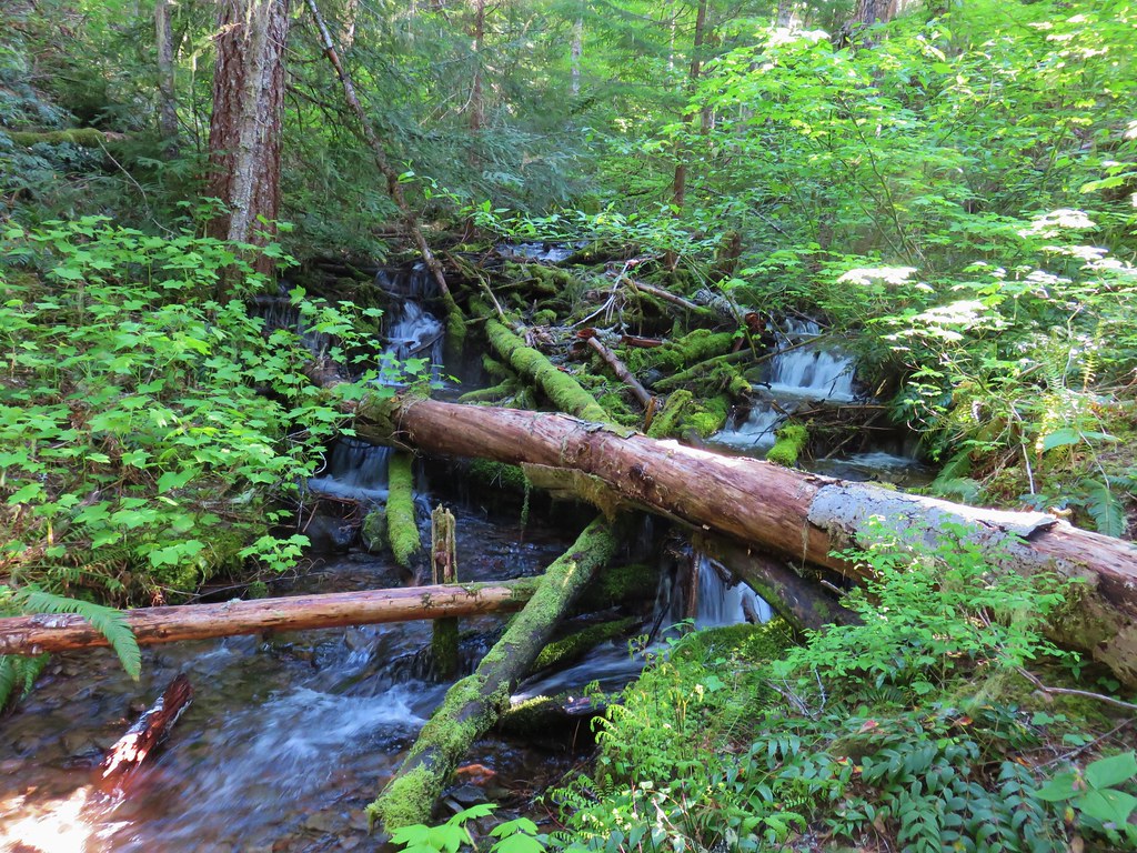 3
3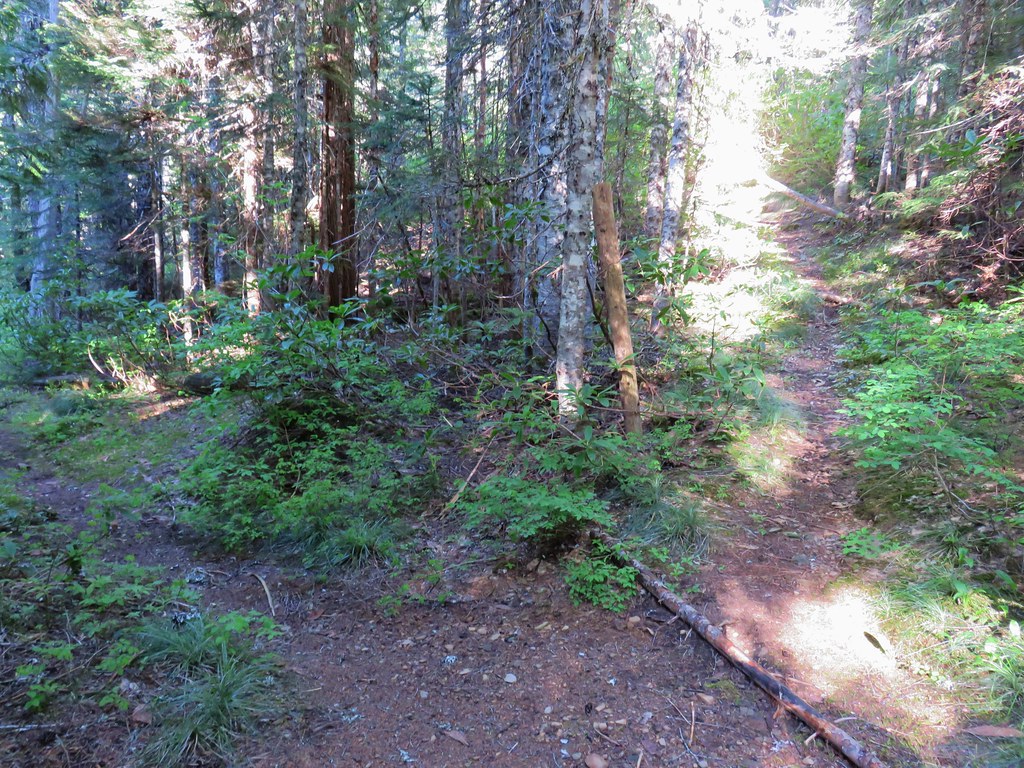
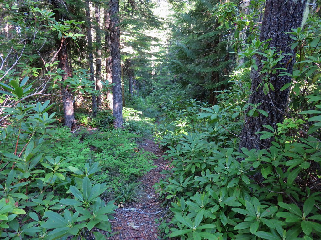


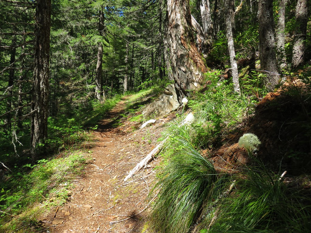

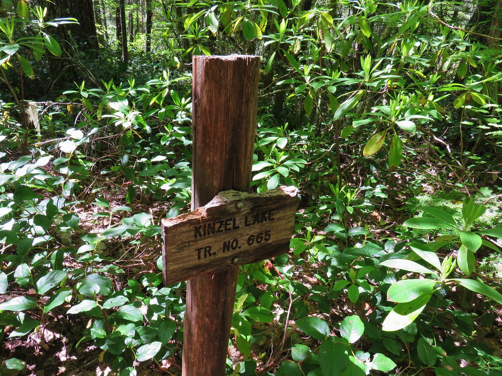
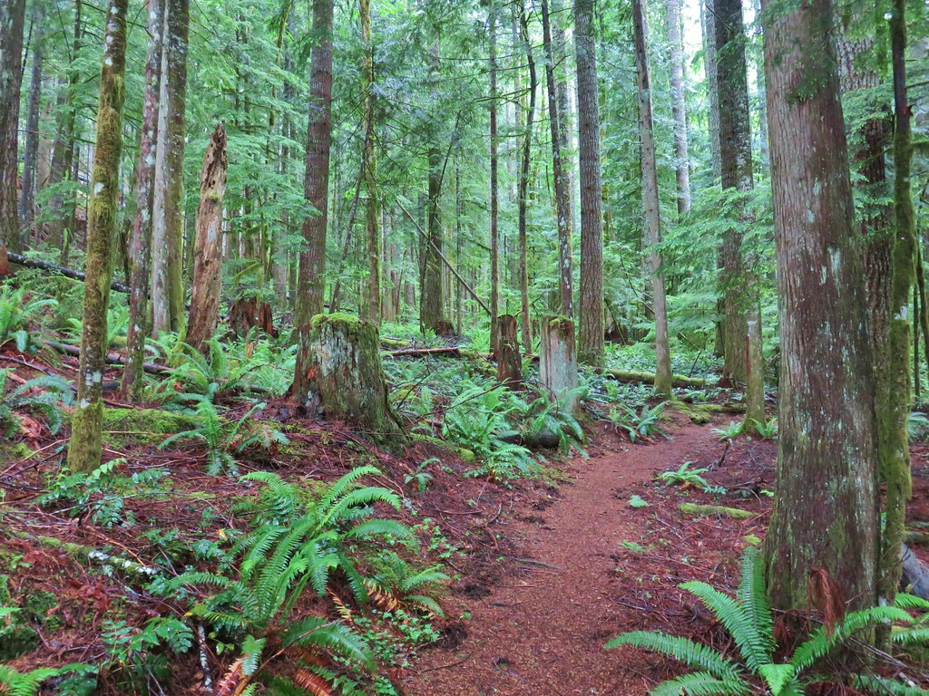
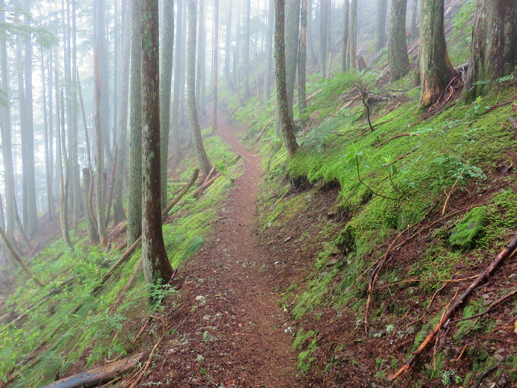
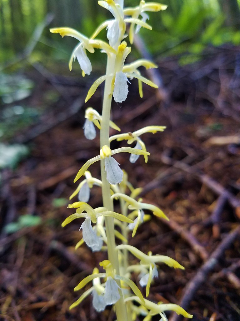
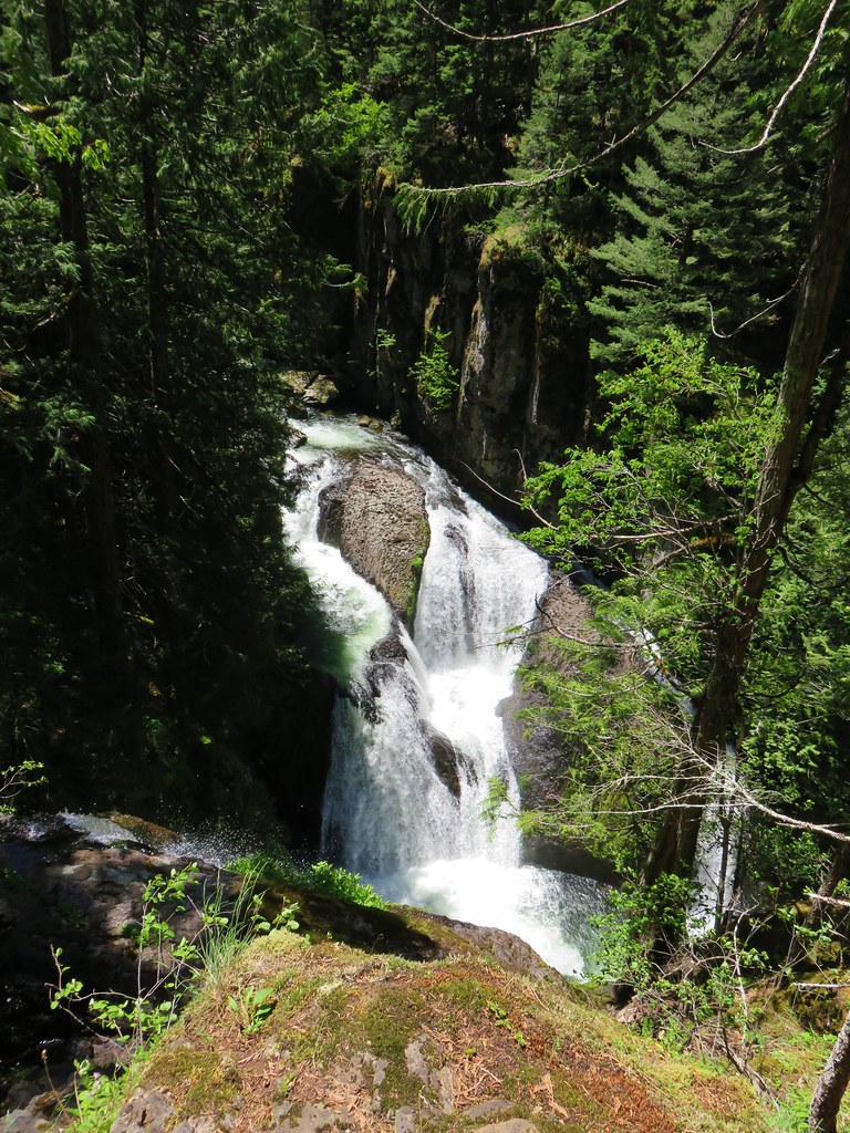
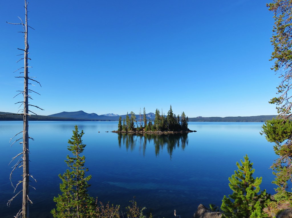
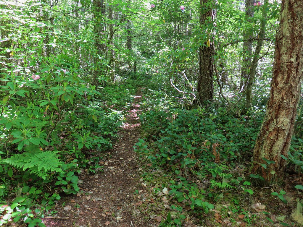 Kinzel Lake Trail
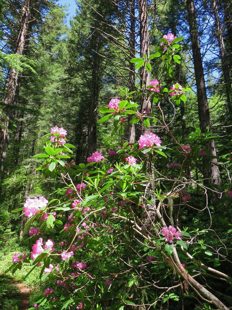
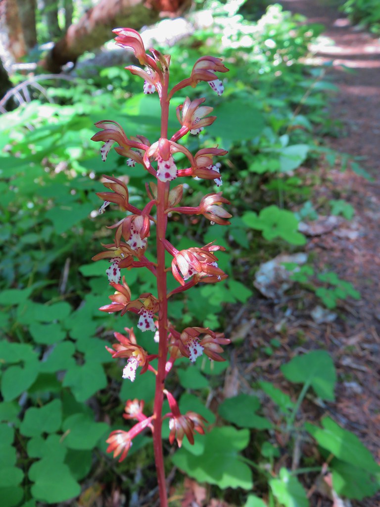 Spotted coralroot
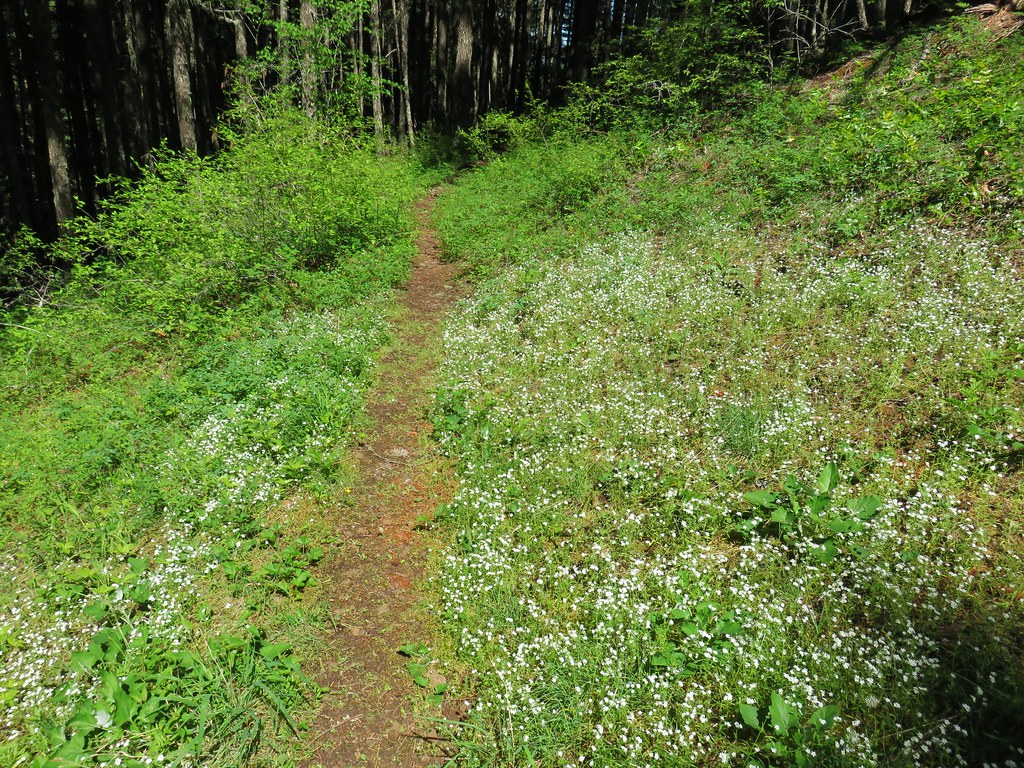
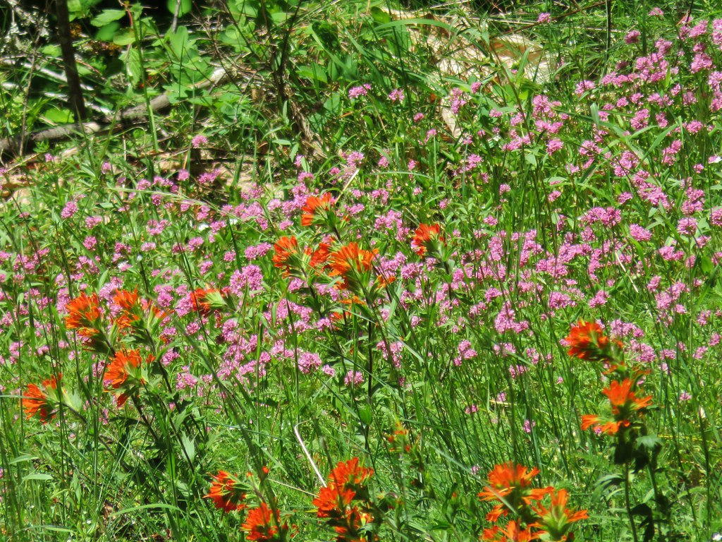 Paintbrush and plectritis
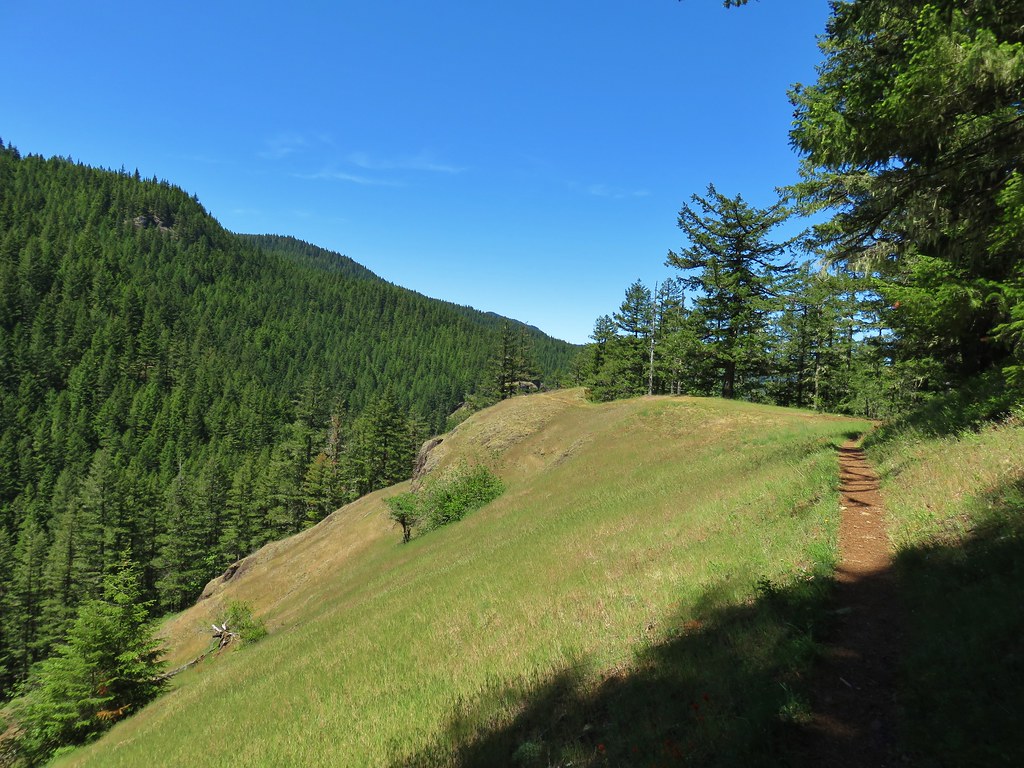
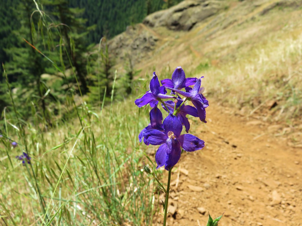
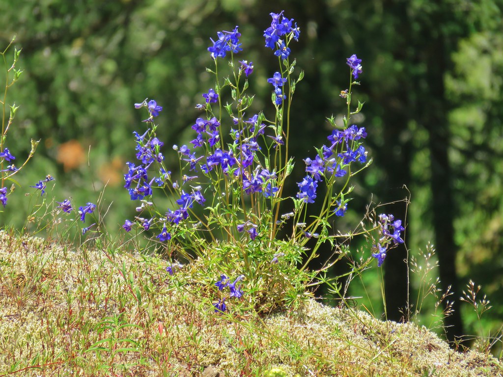 Larkspur
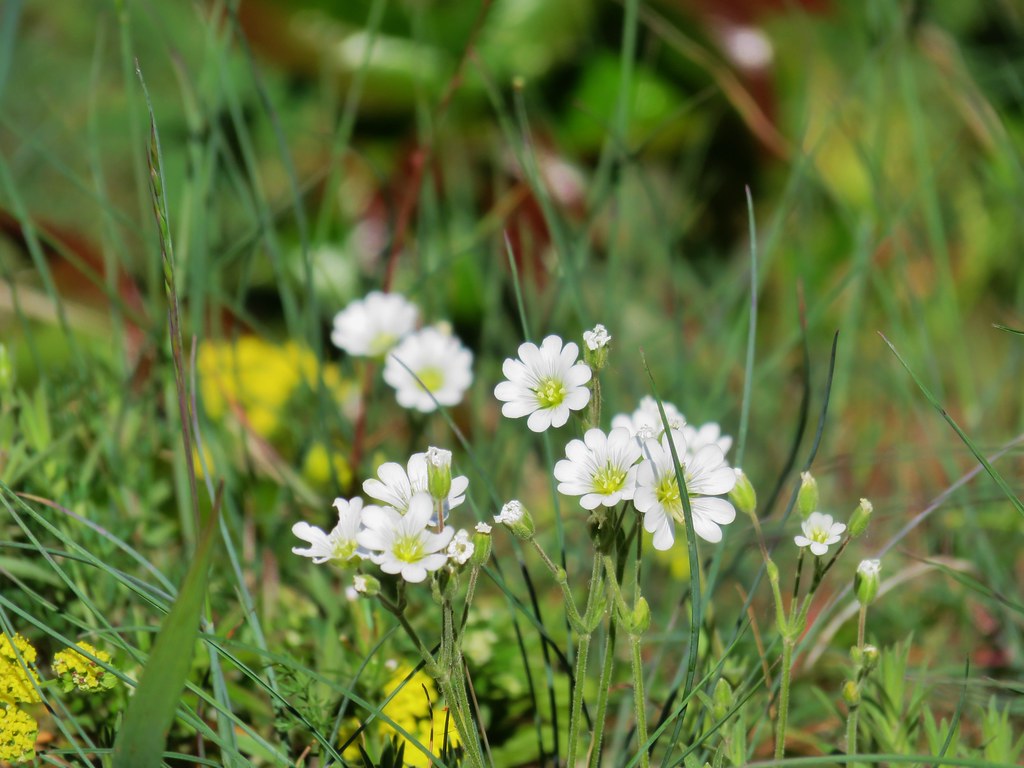 Field chickweed
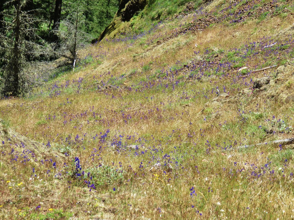
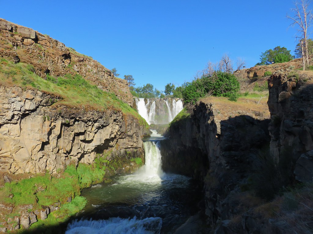
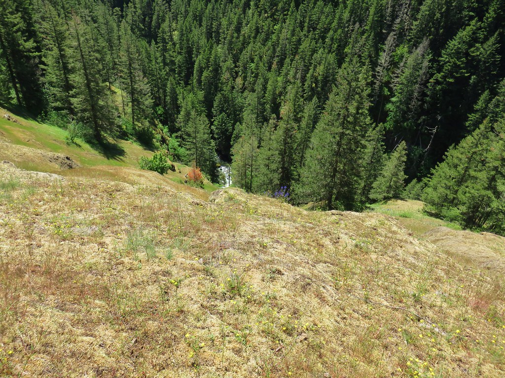
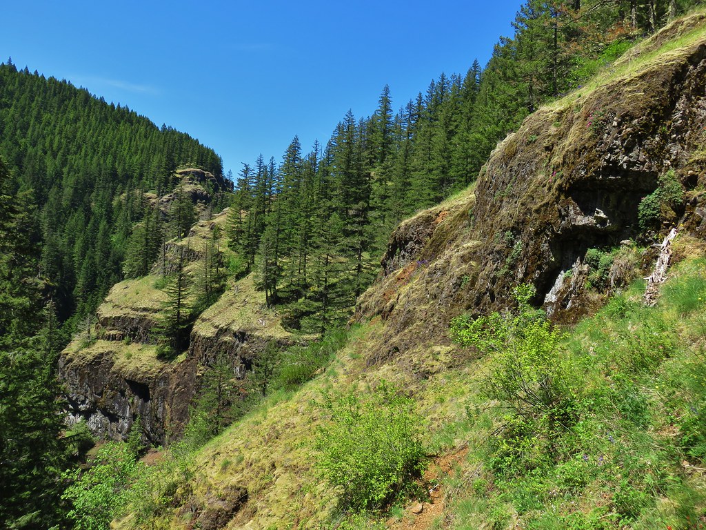 Cliffs along the hillside above the Salmon River