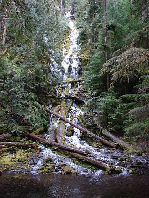
Do you enjoy the sound of gunfire in the morning? If so, we have the trail for you! As I continue to look for hiking trails that we have yet to visit the Wilson River Wagon Road Trail located in the Tillamook State Forest caught my eye. An entry in the OregonHikers.org Field Guide described a hike starting at the Deyoe Creek Trailhead that would visit two waterfalls and the Stagecoach Horse Camp. One of the waterfalls, University Falls, we’d visited in February 2015 (post), but other than 0.1-mile spur trail to that waterfall the rest of this hike would be new to us.
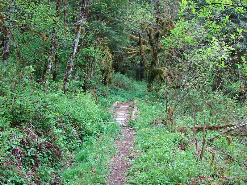
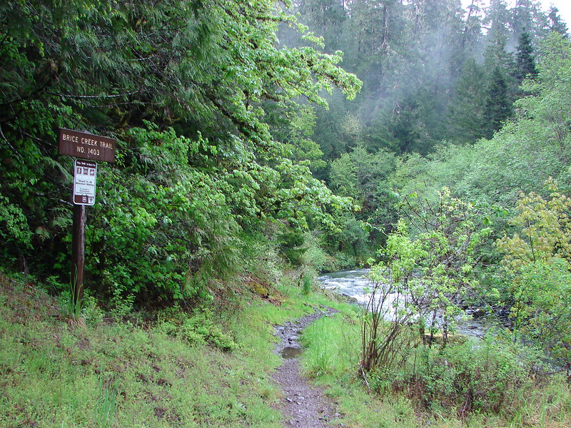
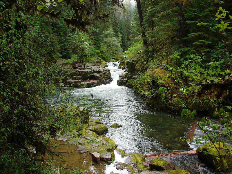
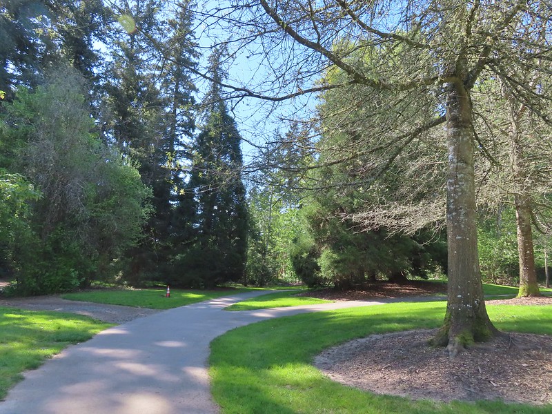
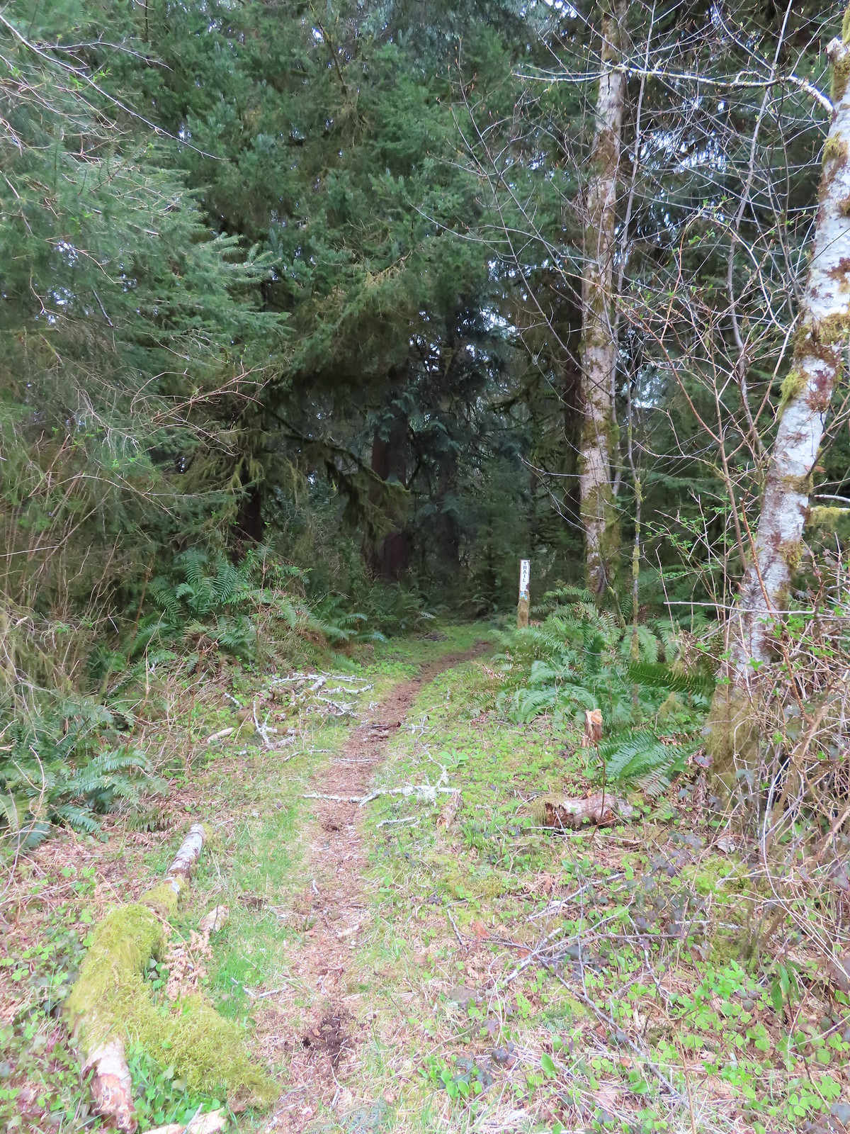
We parked on east side of the Devil’s Lake Fork of the Wilson River at a pair of signboards at the Deyoe Creek Trailhead.
 \
\
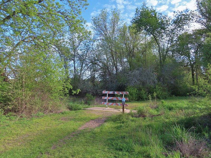
Note that there is a pullout on the west side of the river here as well and each pullout has a signed trail leading off from it. There used to a footbridge across the river upstream from the trailheads, but that bridge is gone so unless your plan is to do a loop (description here) you want to take the trail on the eastern side signed “Nels Rogers Trail.

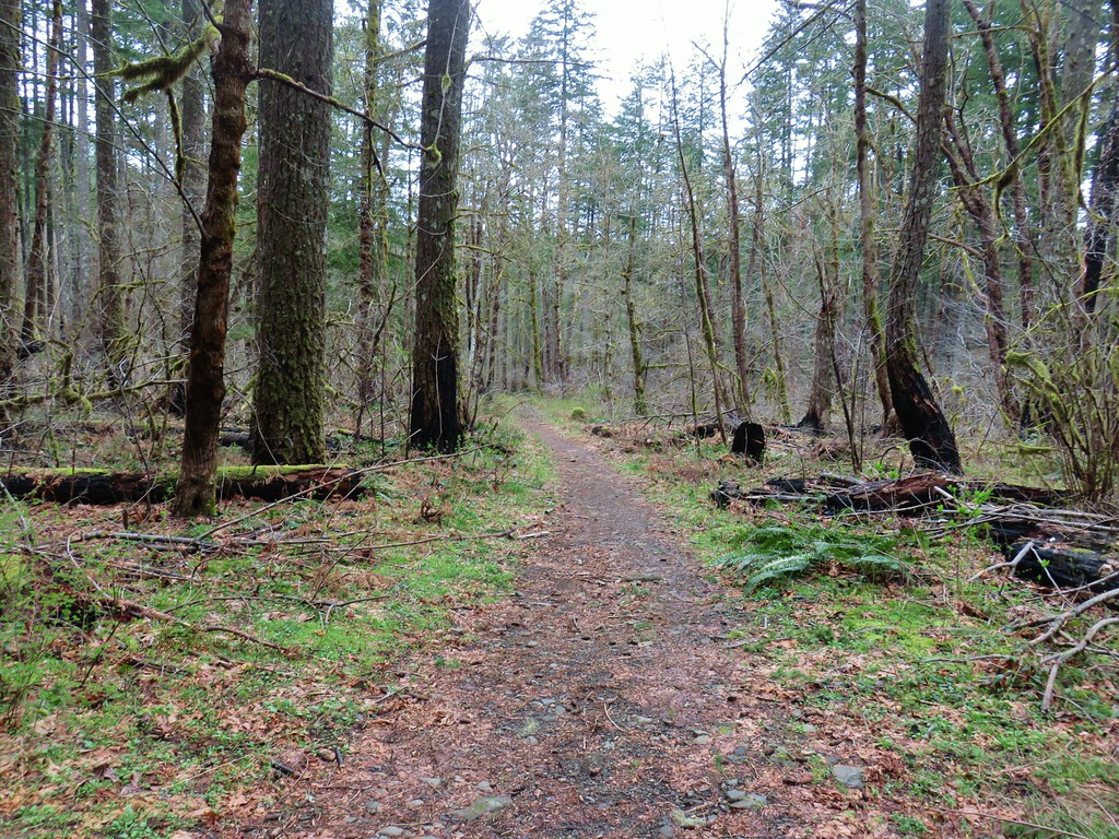
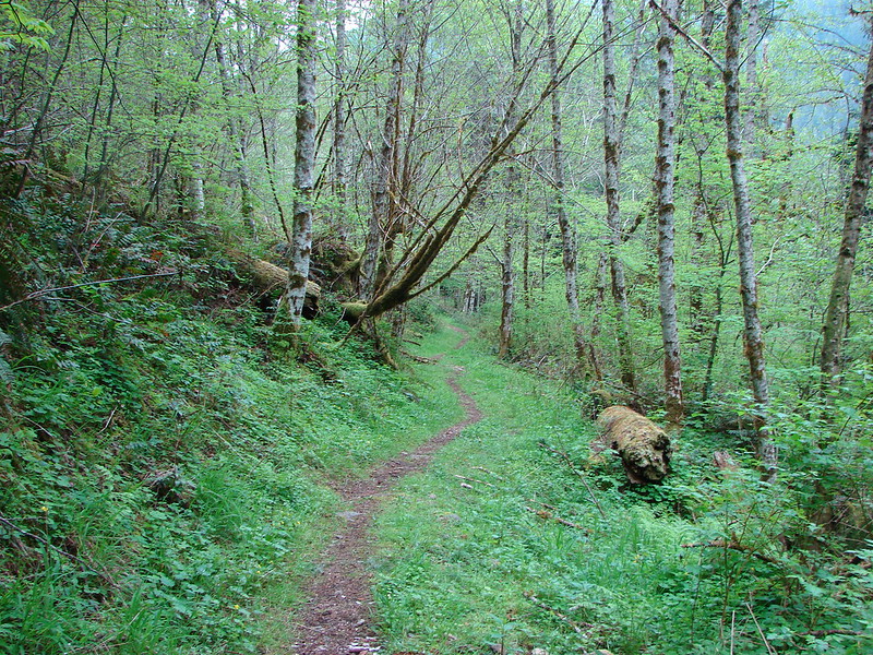
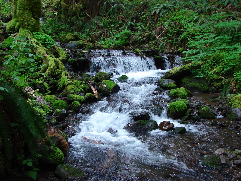
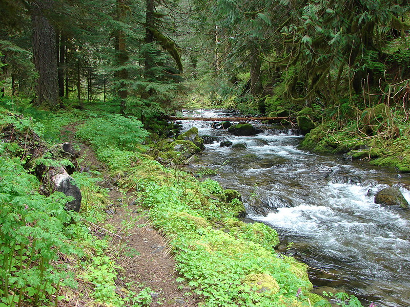
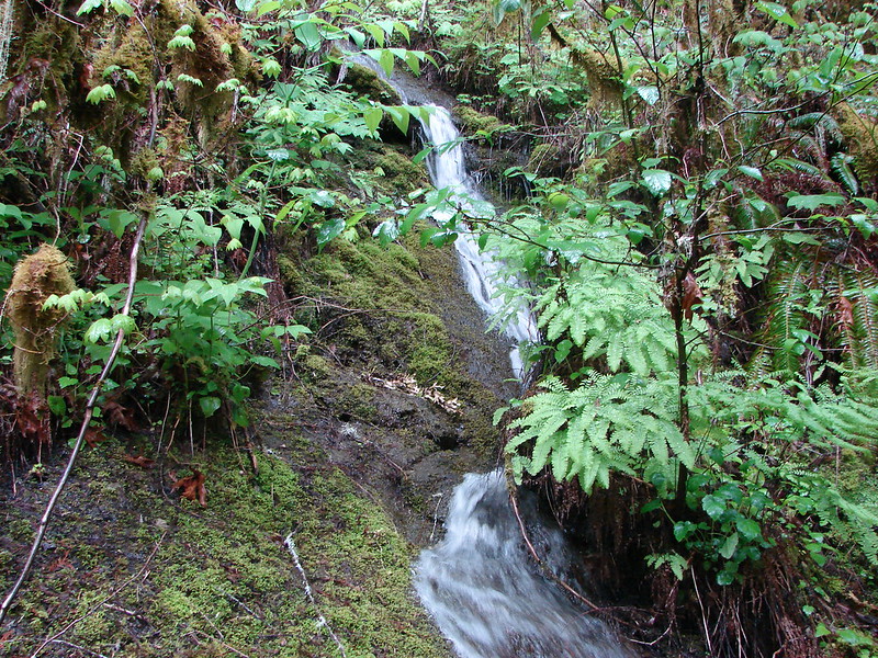
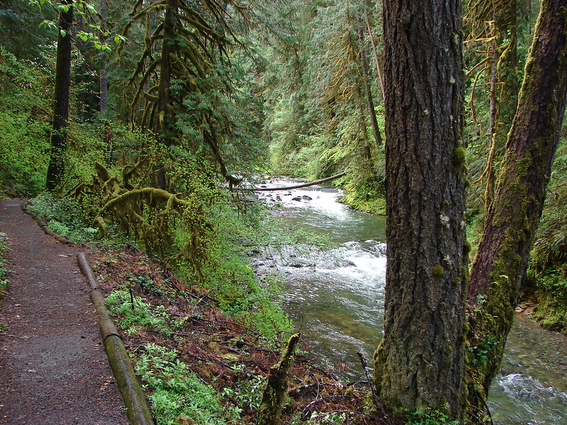
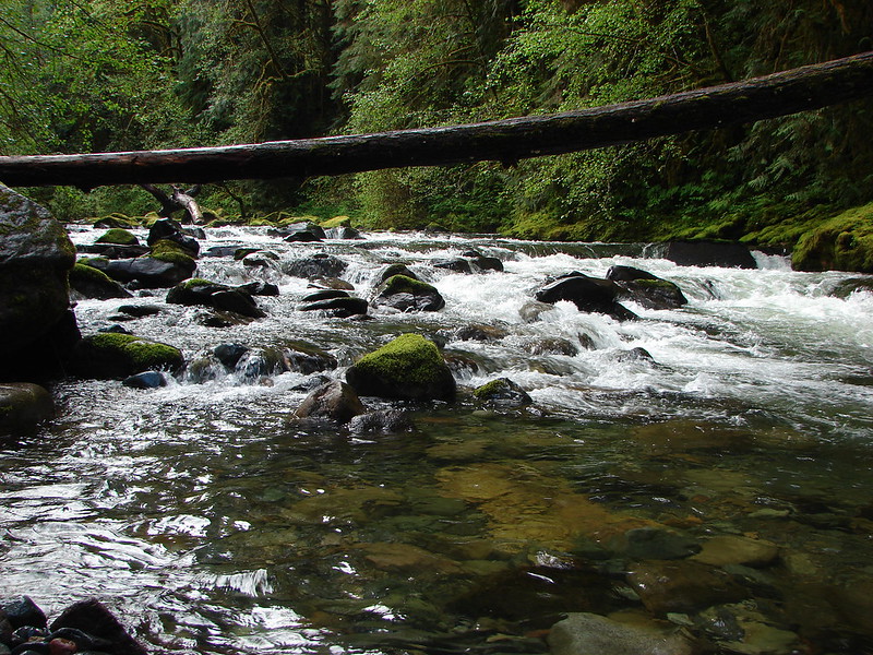
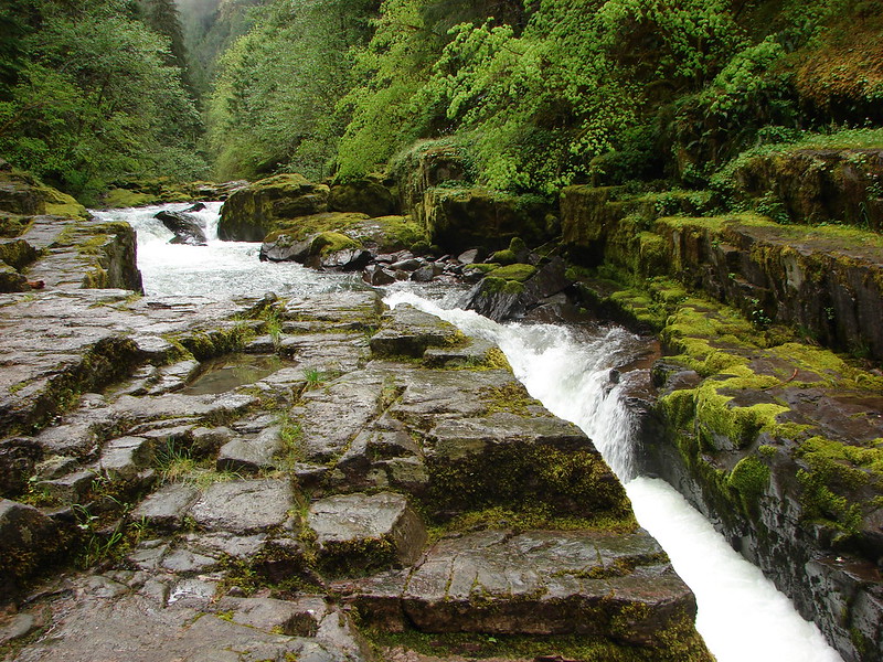
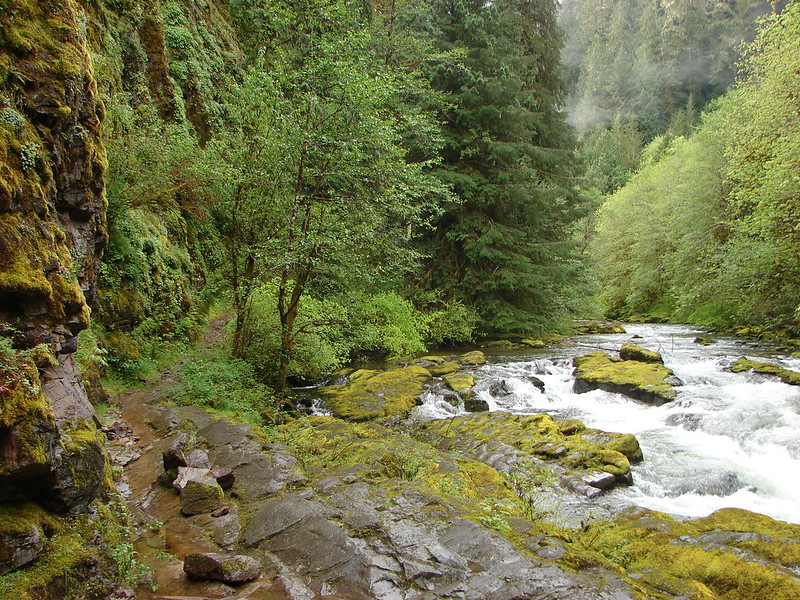
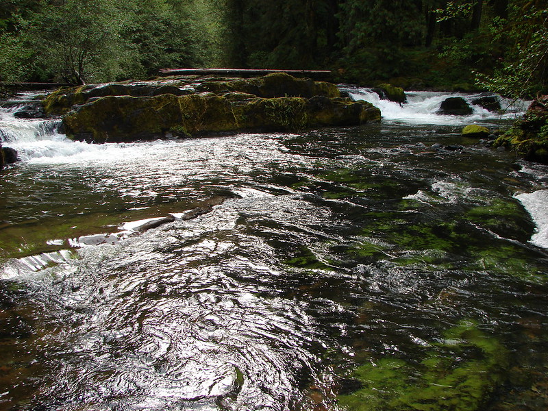
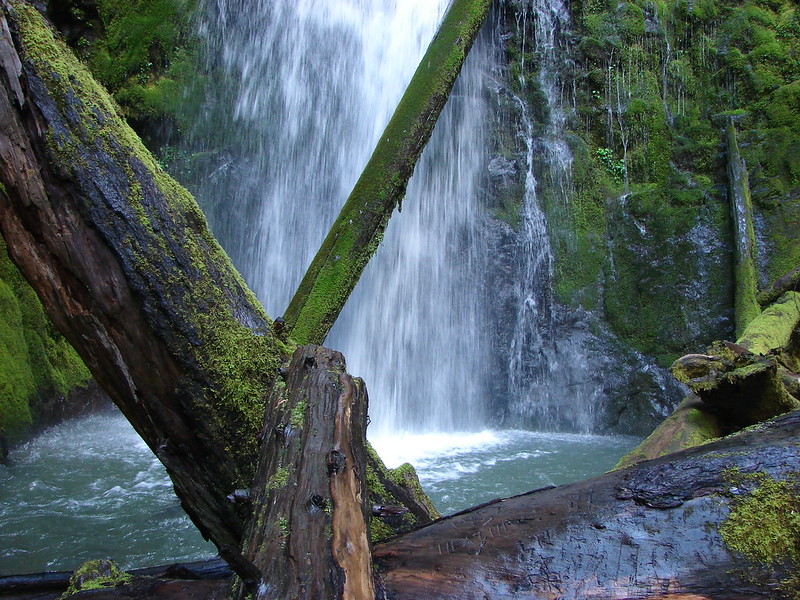
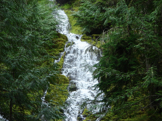
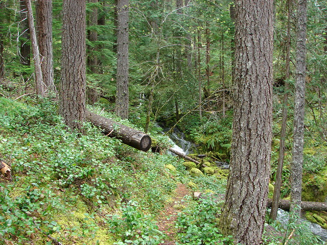
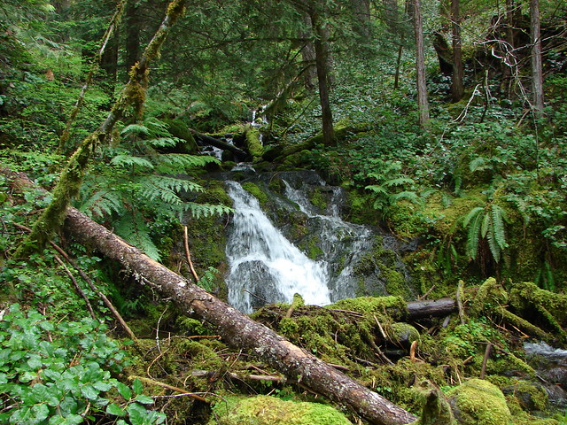
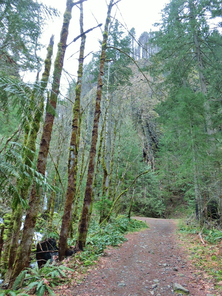
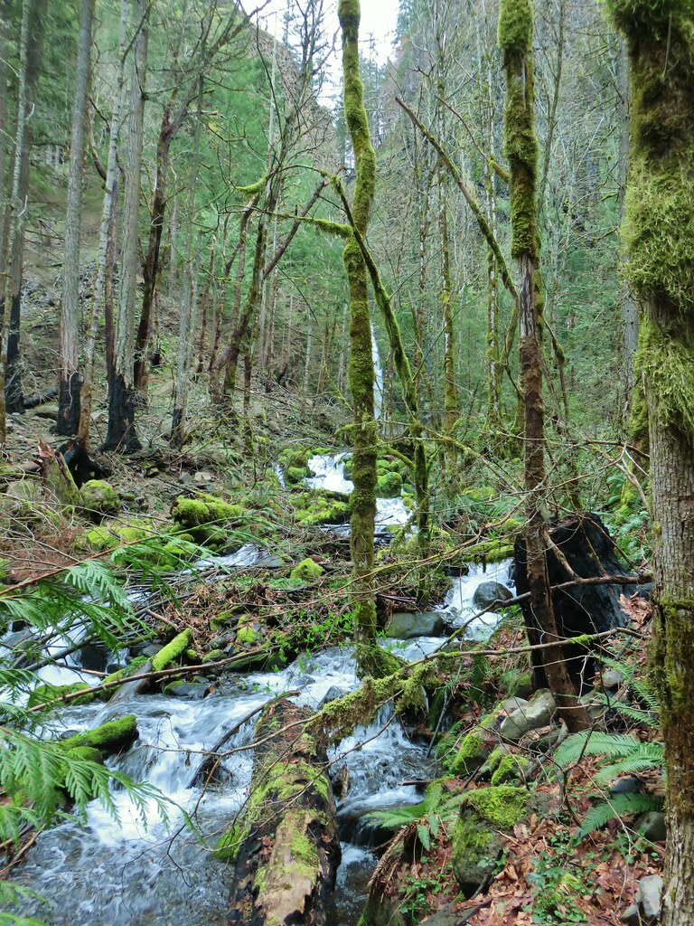
The trail took us along the river passing an unnamed waterfall on a side creek after a third of a mile.


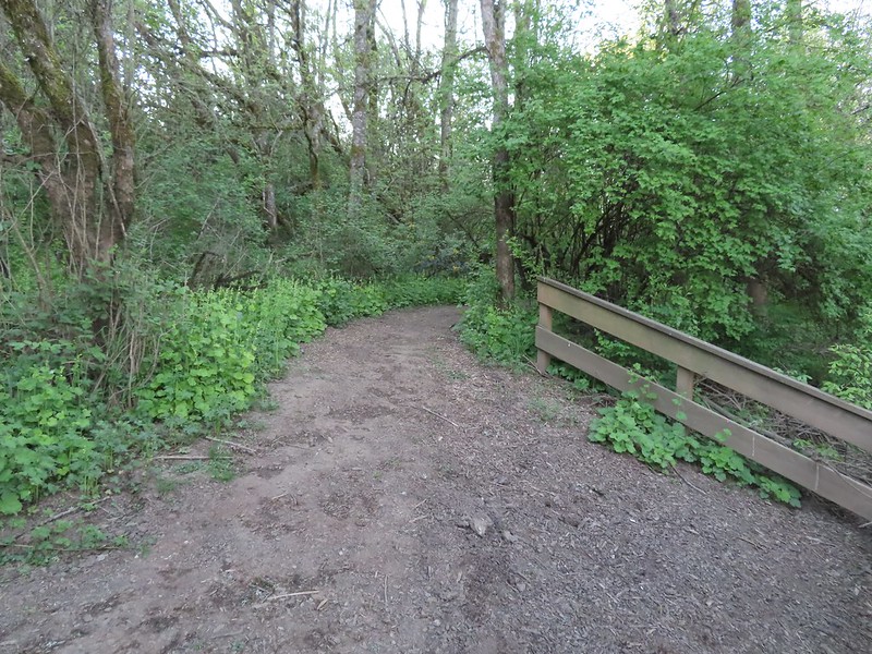
After passing the waterfall the Nels Rogers Trail climbed a ridge above the river eventually leaving it and arriving at Beaver Dam Road across from the start of the Wilson River Wagon Road Trail.

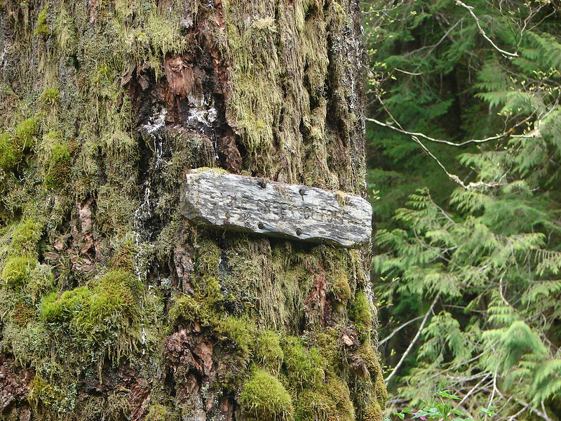
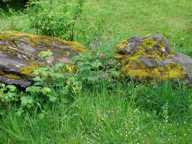
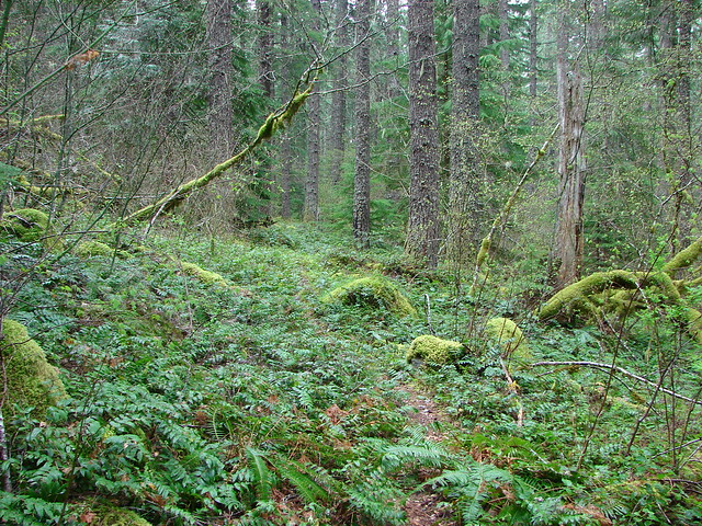
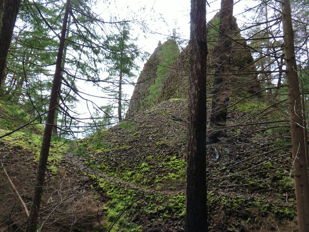
 Moss carpet

 The first of several road and/or OHV trail crossings.
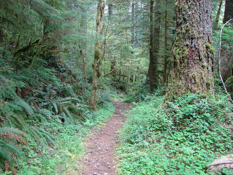
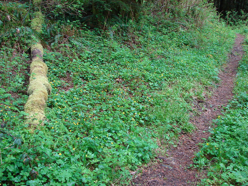
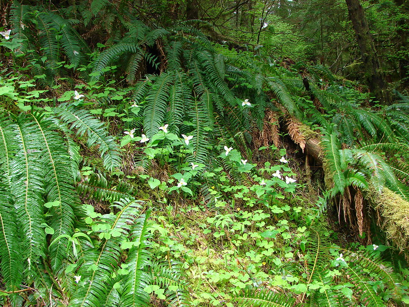
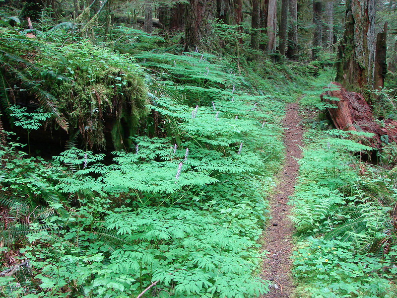
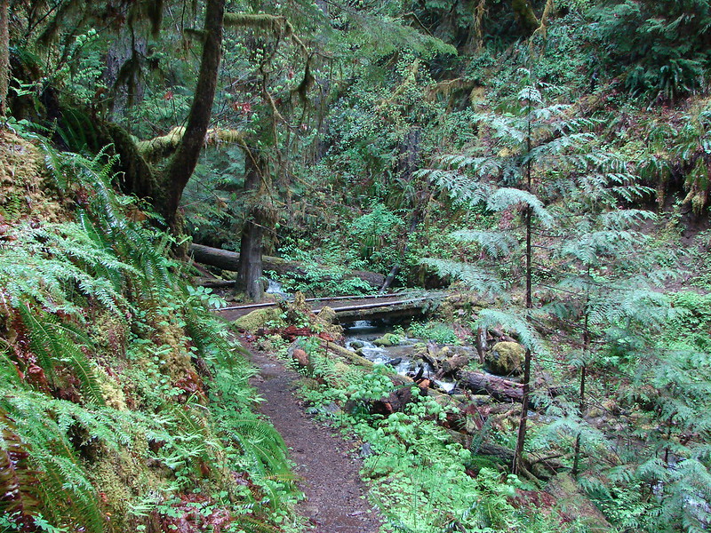
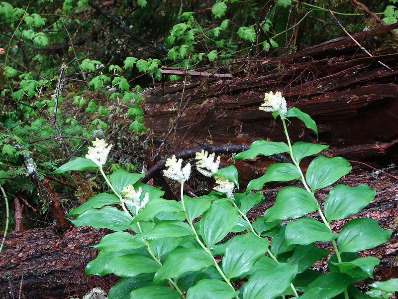
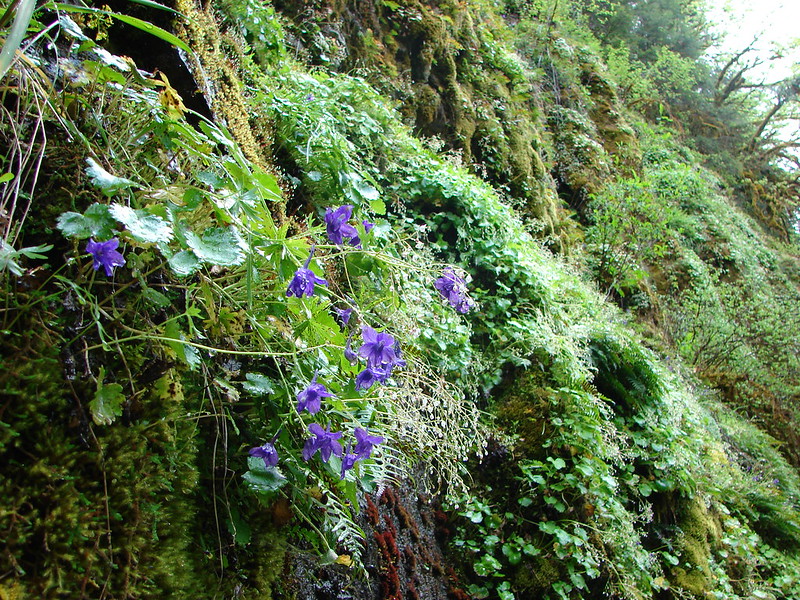
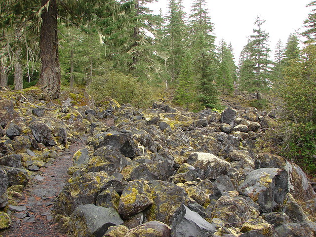
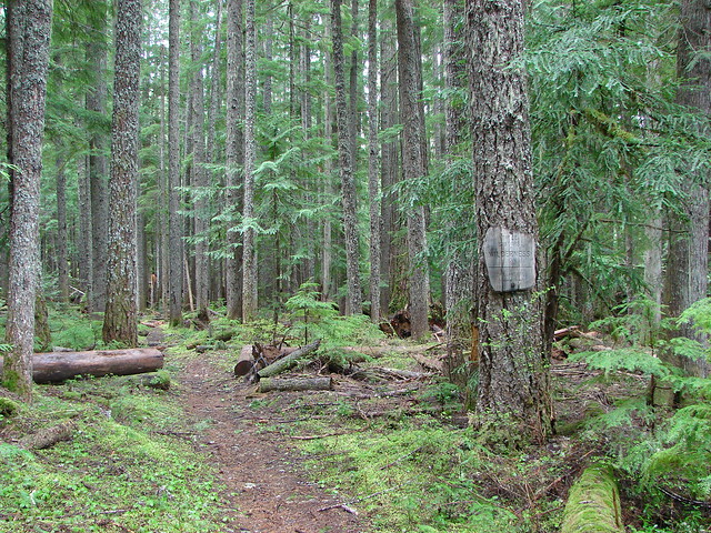
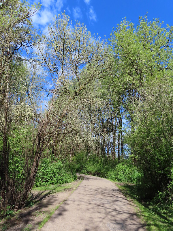
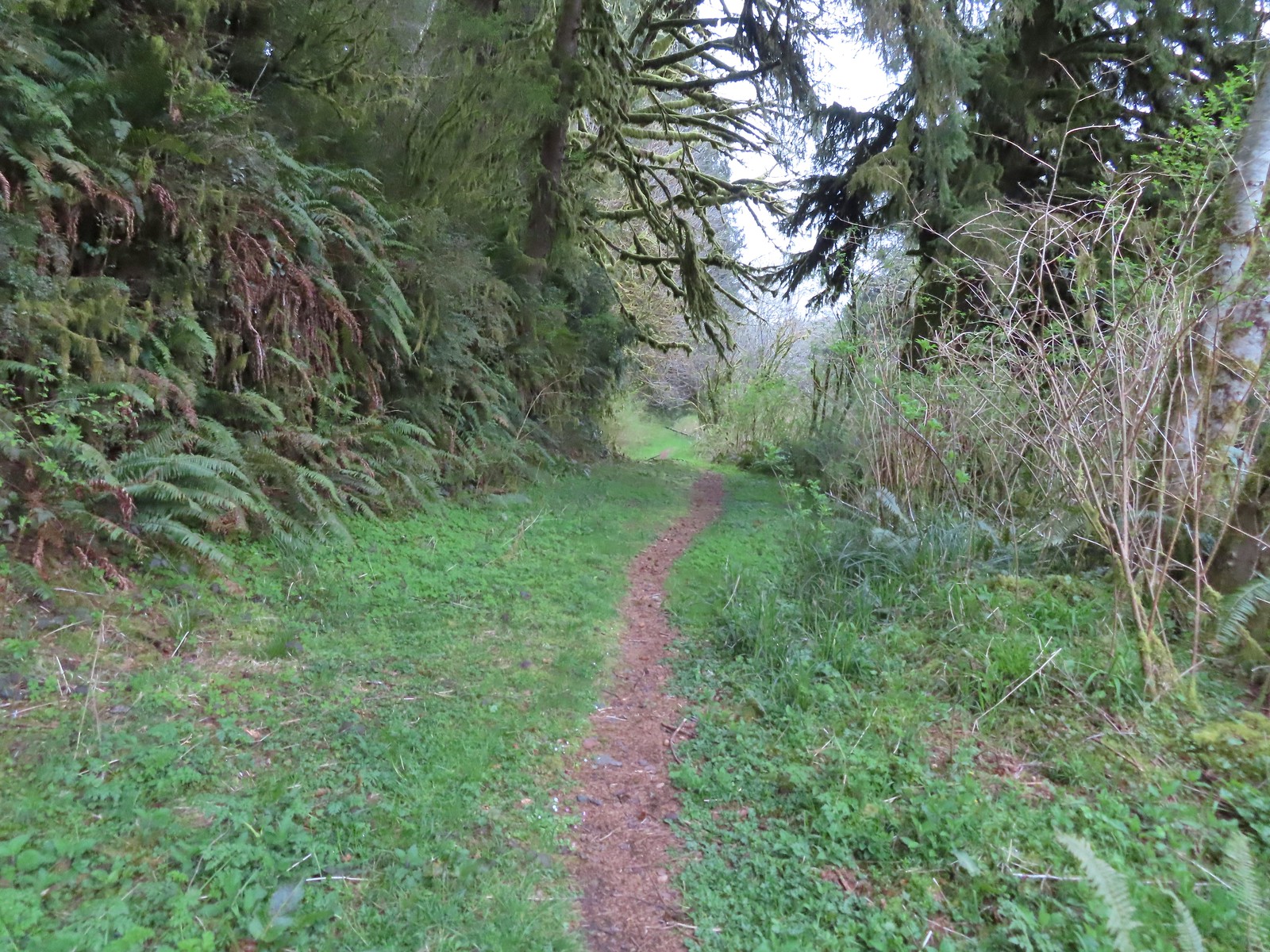
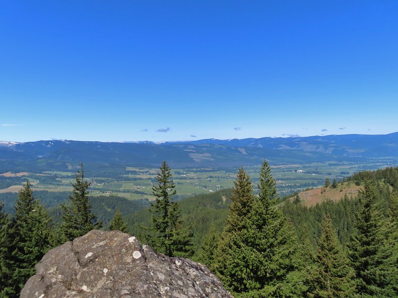
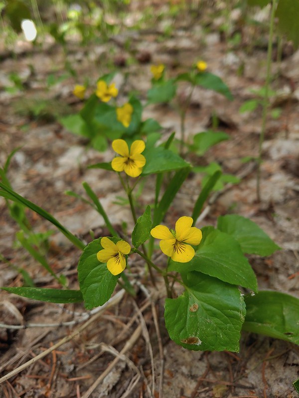
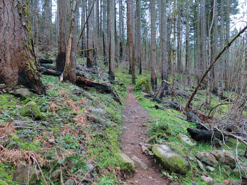
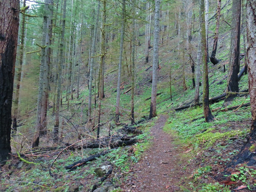
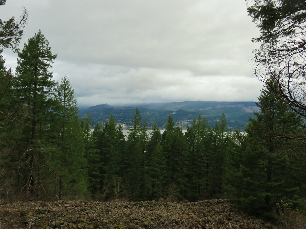
The forest was lovely, and the trail was in great shape, but from early on the sound of gunfire was a constant. It was a little surprising given we’d started hiking just after 6:30am but these target shooters were obviously early risers. We crossed the road and started on a three mile stretch of the Wilson River Wagon Road Trail that would end at the University Falls Trailhead. The Wilson River Wagon Road opened in 1893 for stagecoach and ox cart travel. At the time the toll road was the only route between Tillamook on the Oregon Coast and Forest Grove in the Willamette Valley. The trail was easy to follow and marked well at all road and OHV trail crossings. Yellow violets and white trillium were blooming, and we occasionally were able to hear the birds signing when the target shooters were reloading.

 Skunk cabbage
 Coming to an OHV trail crossing.
 Violet
 Another OHV crossing.
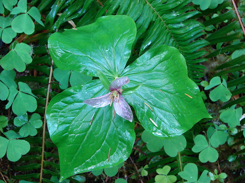
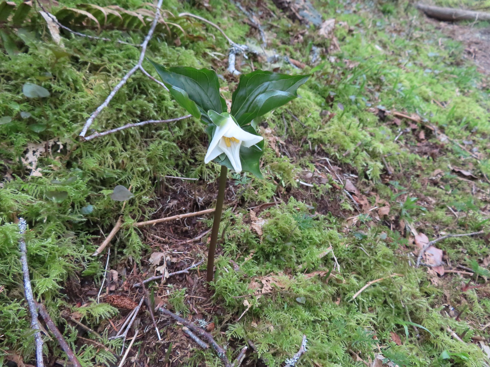
 Trillium
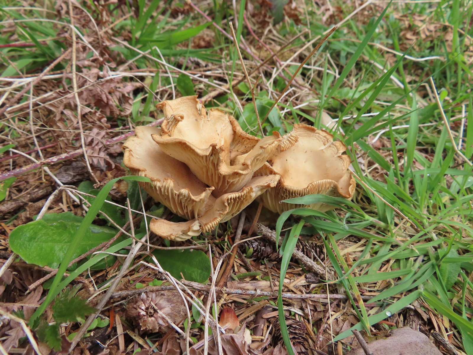
 Mushrooms
 Approximately 1.4-miles along the Wilson River Wagon Road the trail followed Saddle Mountain Road for 150 yards before resuming on the far side.
 The trail resuming on the left off Saddle Mountain Road.

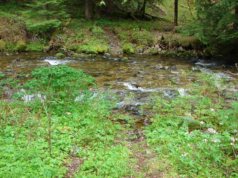
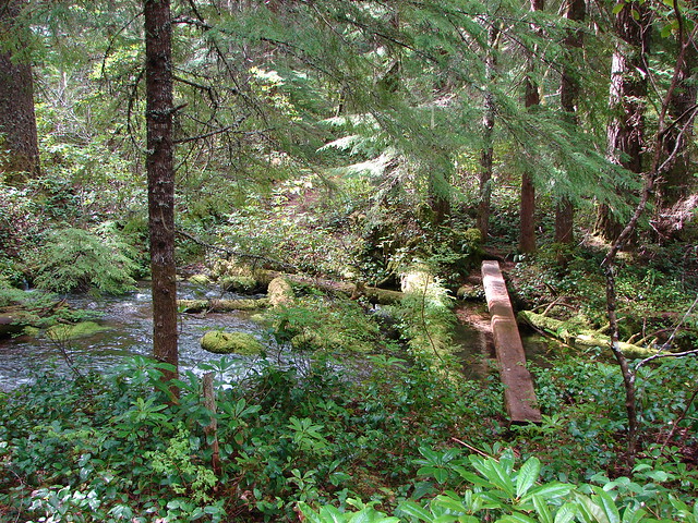
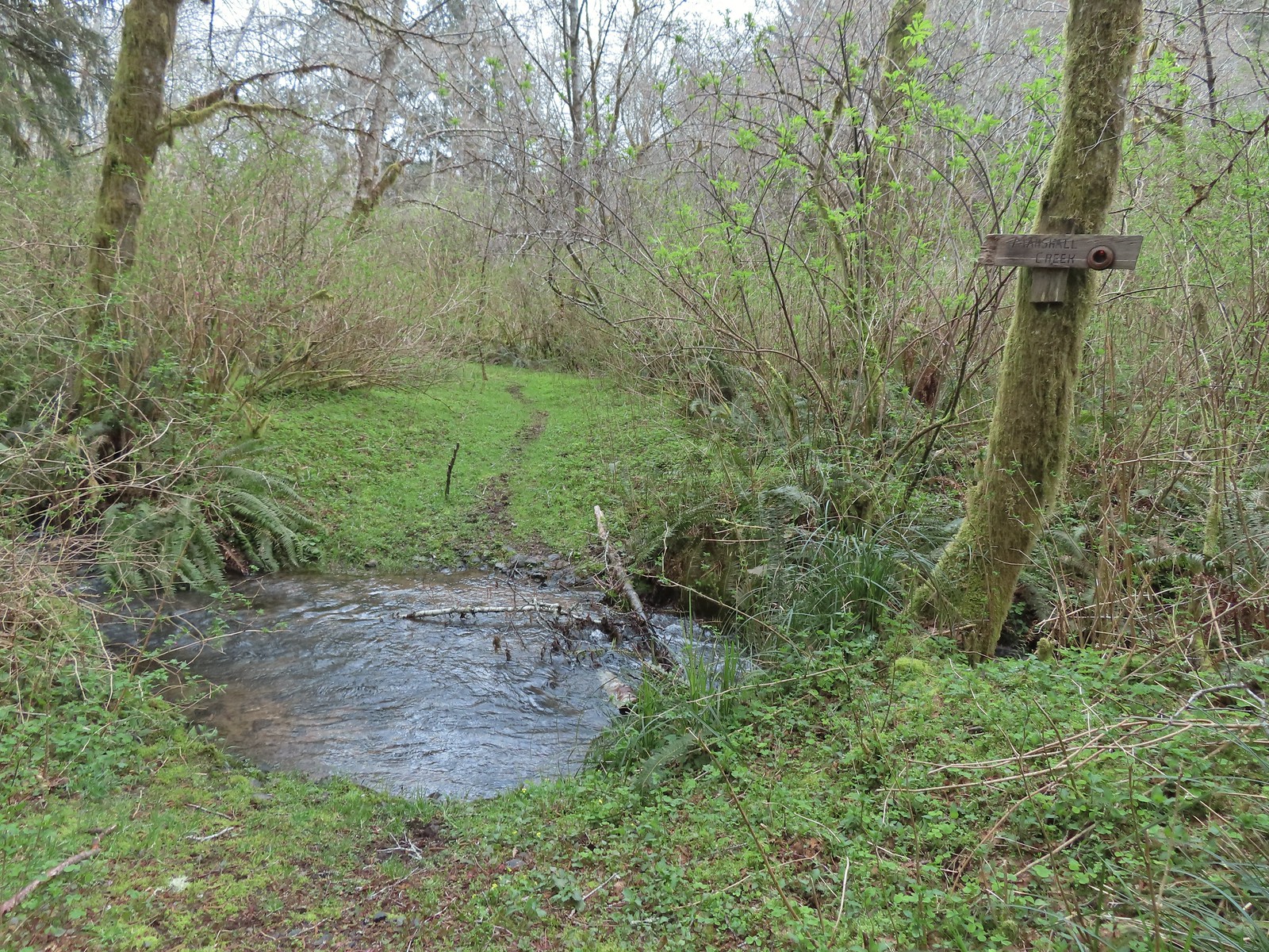
 Deyoe Creek


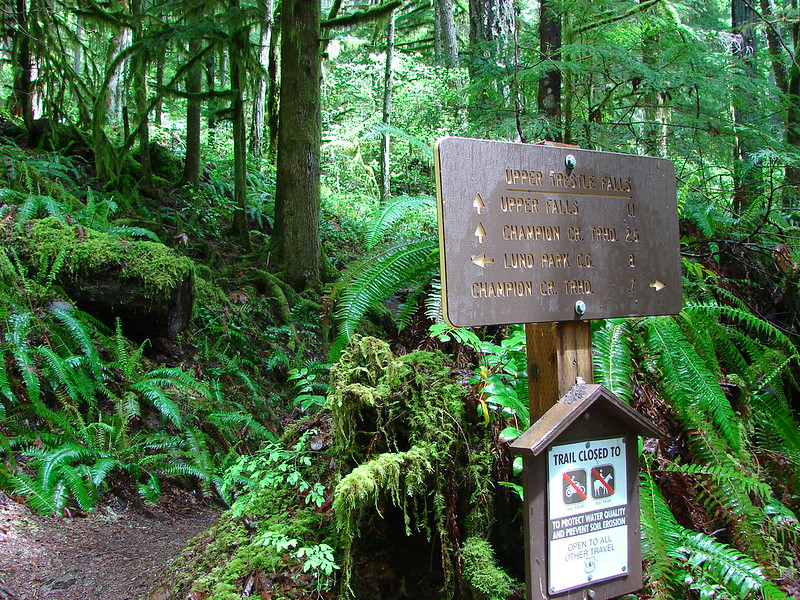
 The Wilson River Wagon Road Trail arriving at University Falls Road across from the University Falls Trailhead.
 University Falls Trailhead.
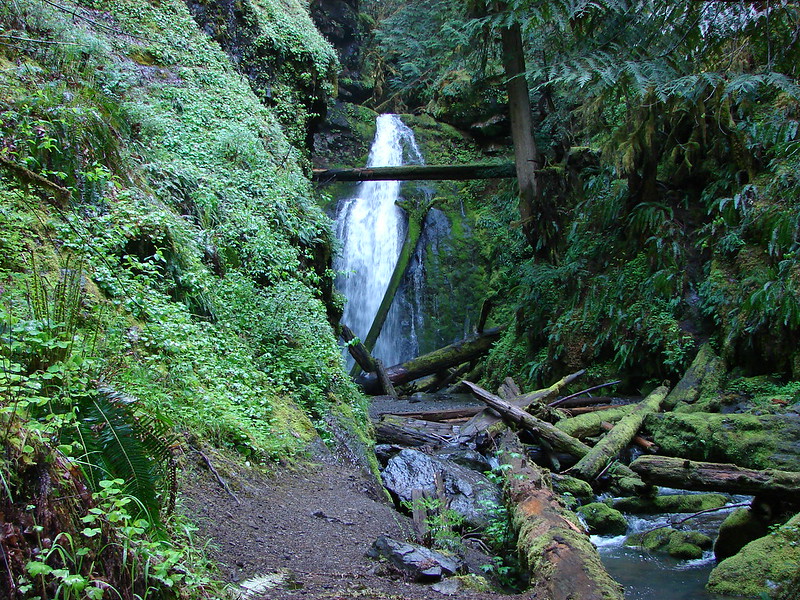
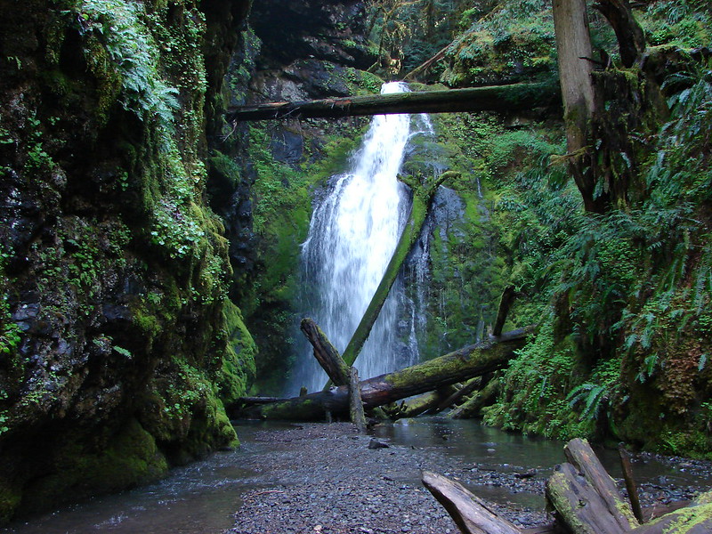
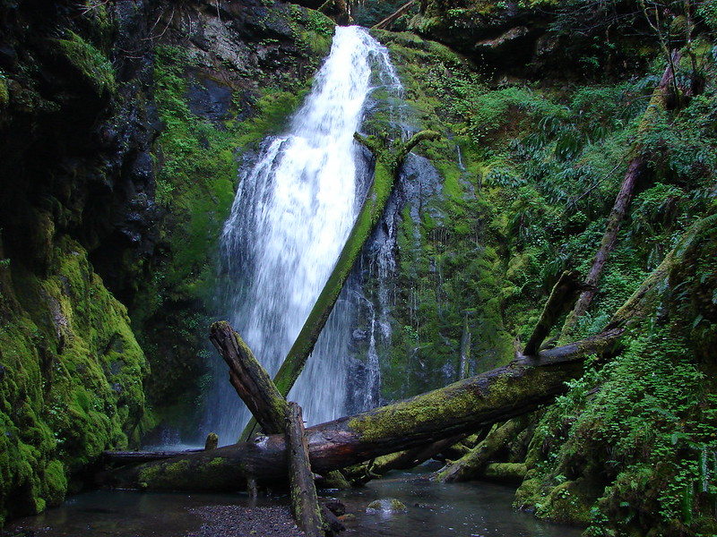
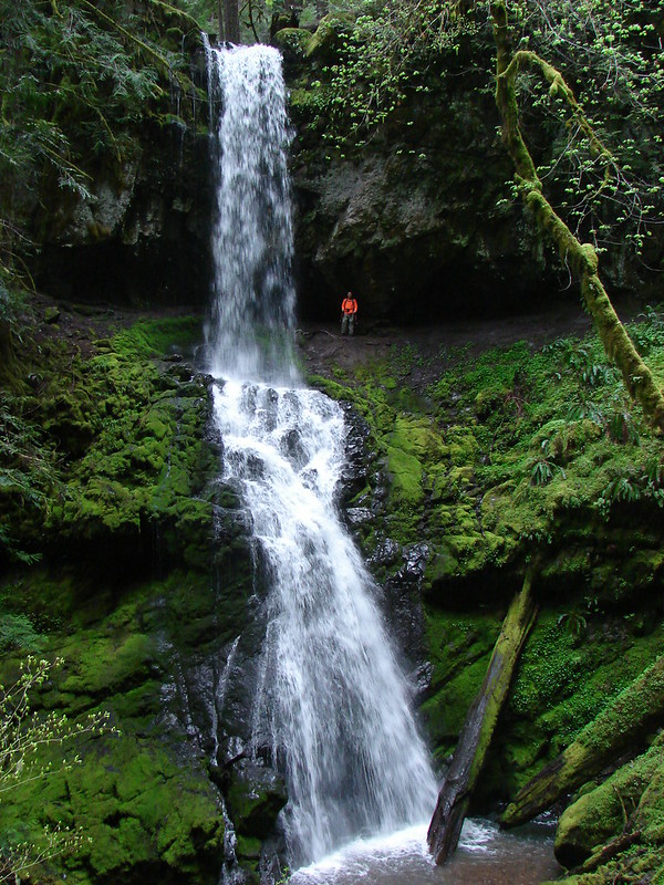
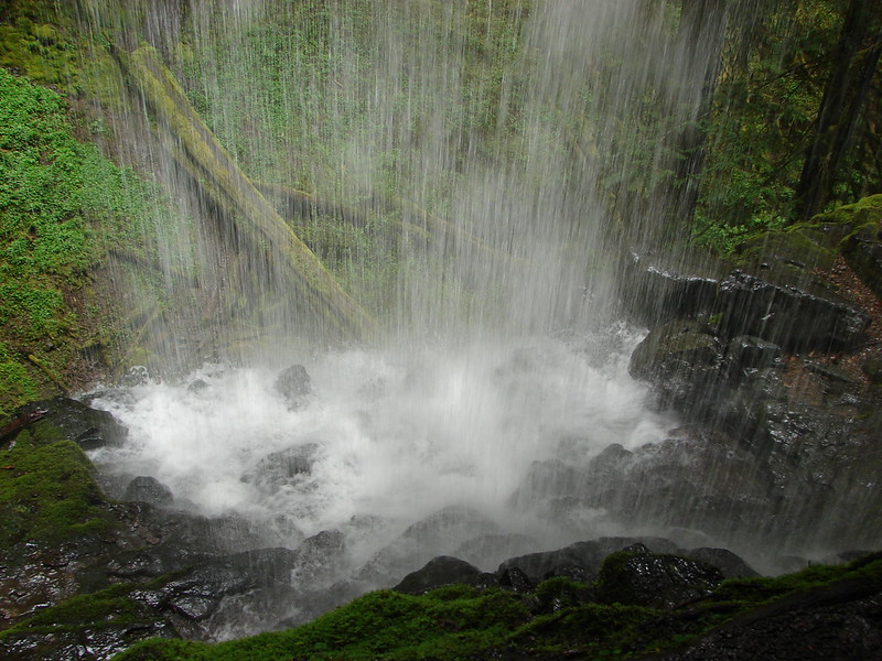
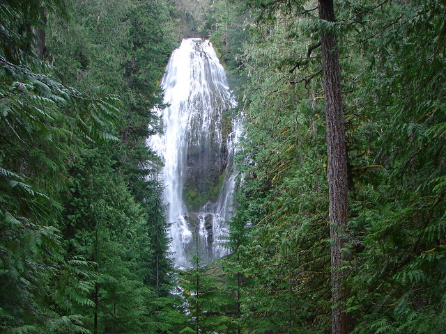
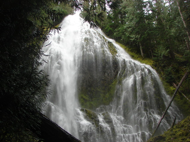
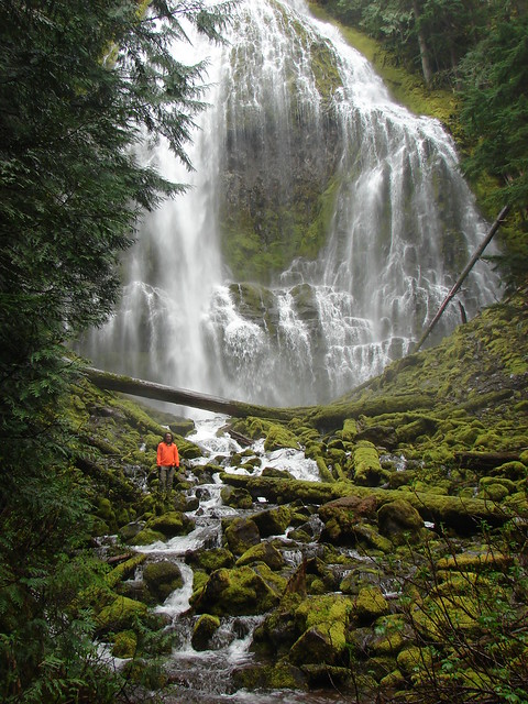
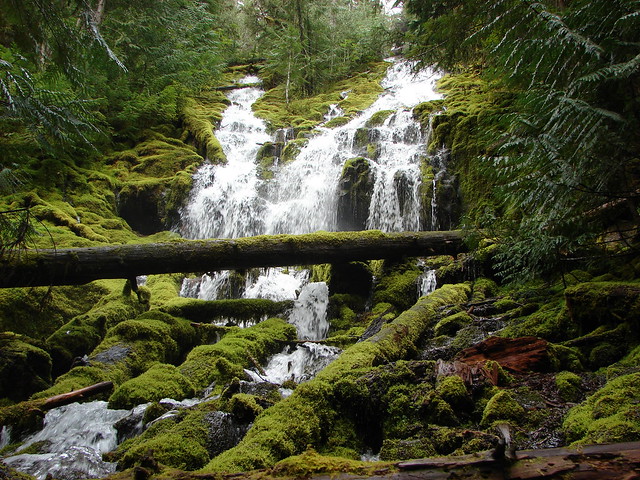
We detoured here and descended 0.3-miles on the University Falls Trail to visit the waterfall.


 There was a clearcut on the right-hand side of the trail.
 The Gravelle Brothers Trail joined from the right after 0.2-miles. This is the trail we’d used to reach the falls in 2015.
 Salmonberry blossoms


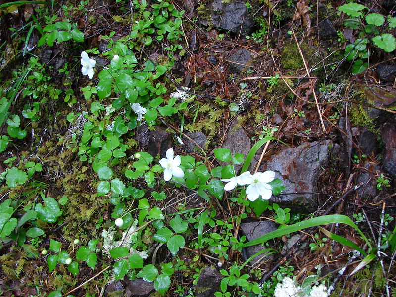
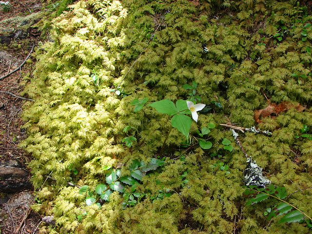
 Trillium near the falls.
After a brief break at the falls we climbed back up to the trailhead and turned right down University Falls Road for almost two tenths of a mile to the resumption of the trail.
 Heading down the road from the trailhead.
 Coltsfoot

After a tenth of a mile back on the trail we came to a “Y” junction with the Side Step Trail where we veered right to stay on the Wagon Road Trail.


This section of trail used to recross University Falls Road three times, but a clearcut on the north side of the road has apparently rerouted the trail because we didn’t cross the road again. The first two crossings are now gone with the trail sticking to the south side of the road, and the third crossing was closed by yellow caution tape.

 Wood sorrel
 University Falls Road below to the right.
 This appeared to be a new section of trail replacing the old alignment on the north side of the road.
 The closed section of the trail that remains on the north side of the road.
We turned left on University Falls Road and followed it two tenths of a mile to a road junction. Here the Side Step Trail joined from the left.

I decided to head down the road to the right to see if the section of the Wilson Wagon Road Trail from that road to the Stagecoach Horse Camp was open.
 The closed section of trail coming up on the right with the continuation of the trail ahead on the left.
 The other end of the closed section.
 This section was open so I waved Heather on and we headed down through the clearcut to the horse camp.
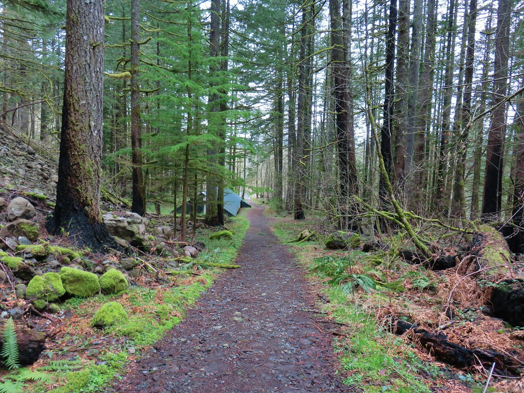
It was a third of a mile down to the horse camp were we took a break from the light rain that had begun falling off and on under the cover of the community shelter.
 A lot more hikes may look like this if the current administration gets its way.
 The horse camp in the trees.


After another brief rest we headed back uphill to the Side Step Trail and followed it through the forest back to the Wagon Road Trail and University Falls Trailhead.


In hindsight we probably should have done the side trip to the horse camp before visiting University Falls and then we could have continued on a loop from University Falls that may have been a bit shorter with close to the same amount of elevation gain as the hike we wound up doing. We were focused on following the field guide entry though, so we retraced our steps on the Wilson River Wagon Road and Nels Rogers Trails.


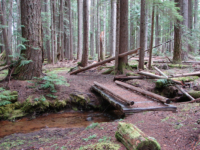
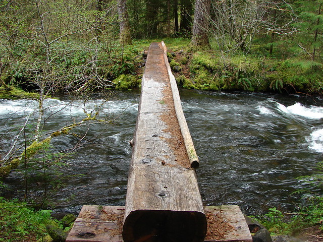
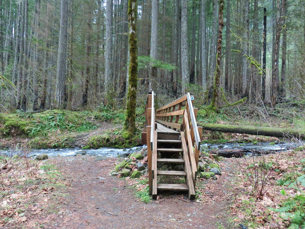
 Footbridge over Deyoe Creek.
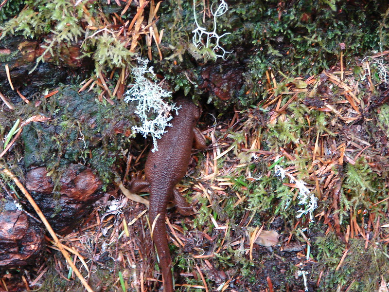
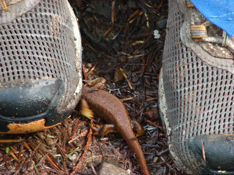
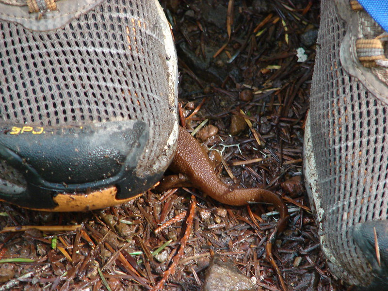
 Rough skinned newt.
 In true Oregon fashion the weather was a mix of sprinkles and blue skies.
 Violet enjoying some sunlight.
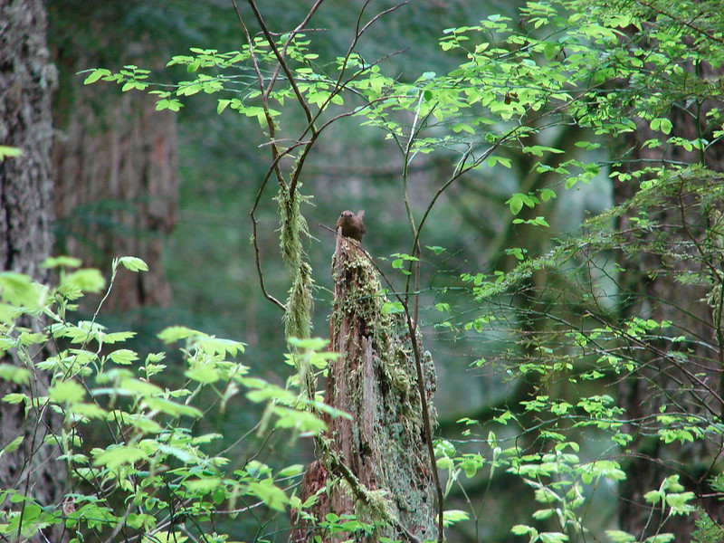
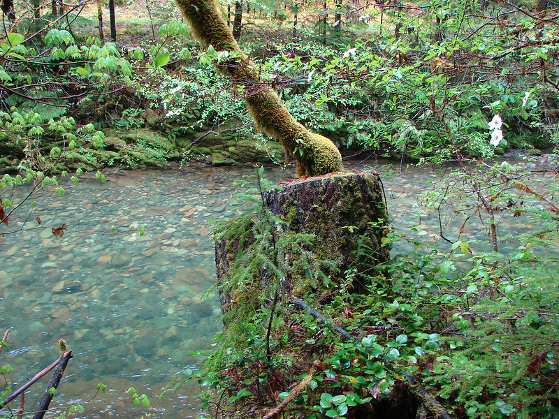
 This stump looked suspiciously like Davey Jones from the Pirates of the Carribean movies to us.

 Huckleberries
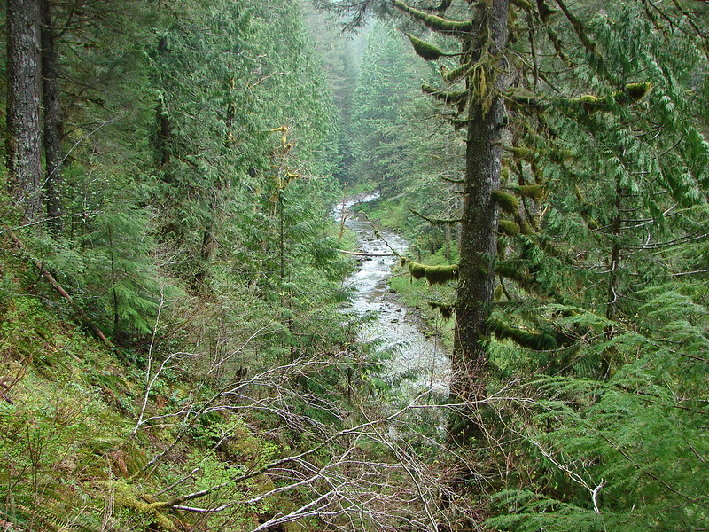
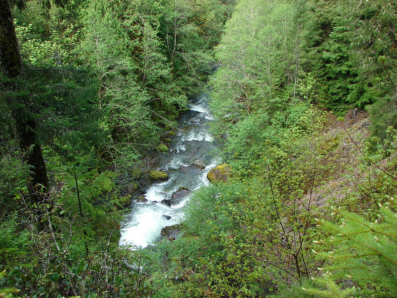
 Devil’s Fork
Our hike came in just under 12.5-miles with approximately 1800′ of elevation gain.

The trails were great, and I’d love to give the hike 4 stars but the nearly constant gunfire, which was joined by OHV noise by late morning just won’t allow it. That being said if you’re okay with a noisy hike it is worth a visit. As mentioned earlier we would recommend doing a loop using the Gravelle Brothers Trail from University Falls to connect up to the Nels Rogers Trail rather than hiking back on the Wagon Road Trail and of course you could start from any of the trailheads located along the loop. Happy Trails!
Flickr: Wilson River Wagon Road Trail


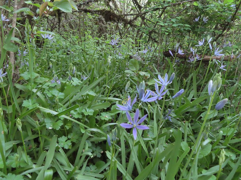 Camas
Camas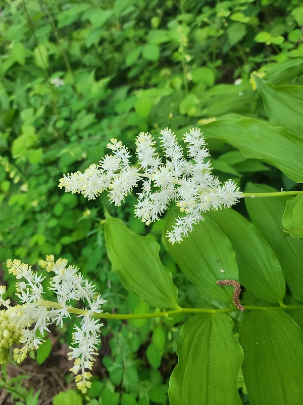 Solomonseal
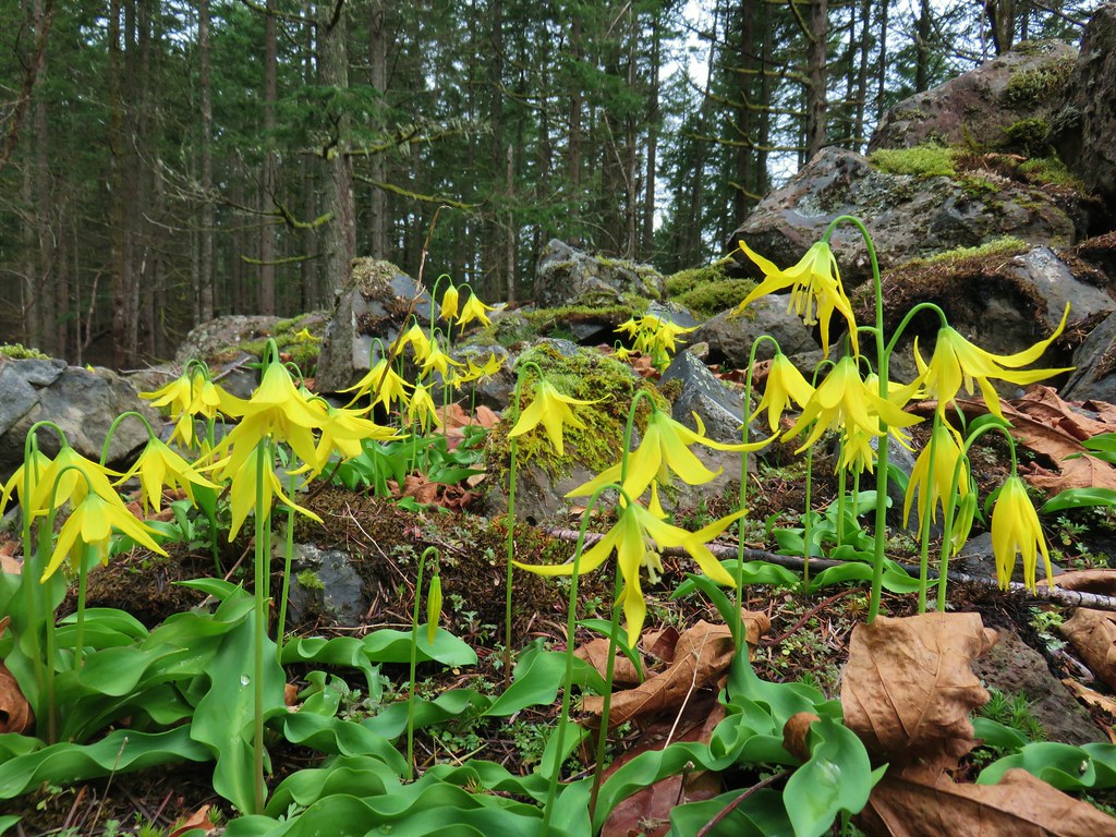
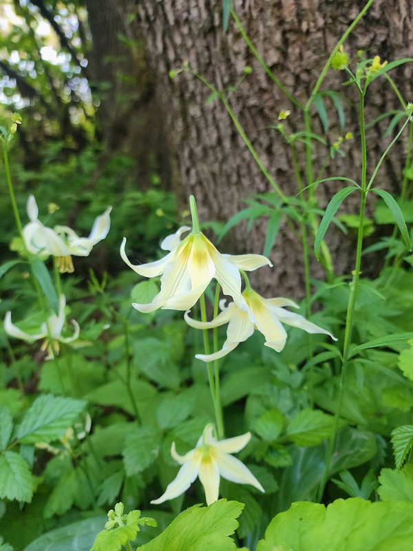 Fawn lilies
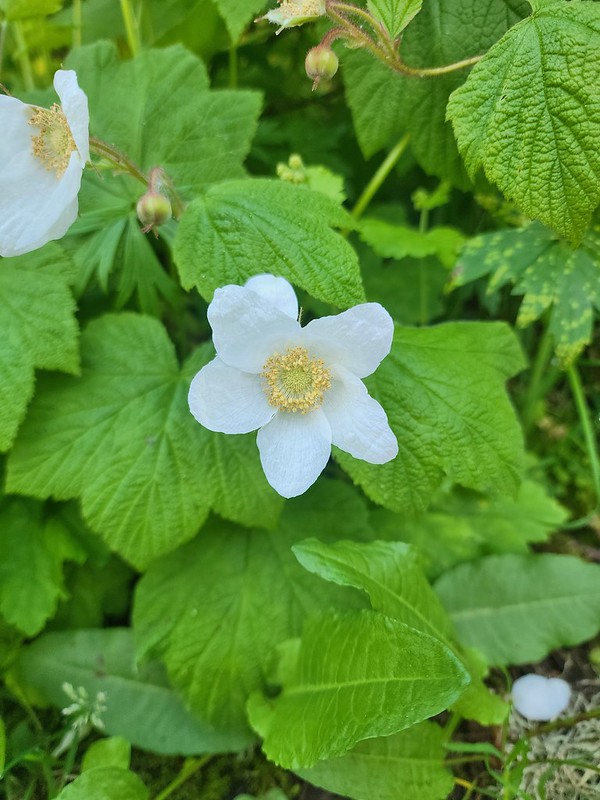 Thimbleberry
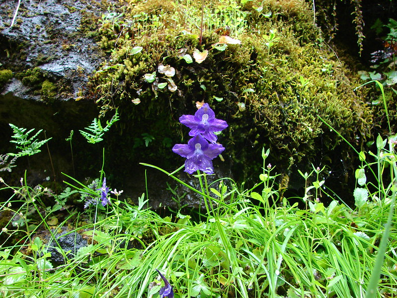
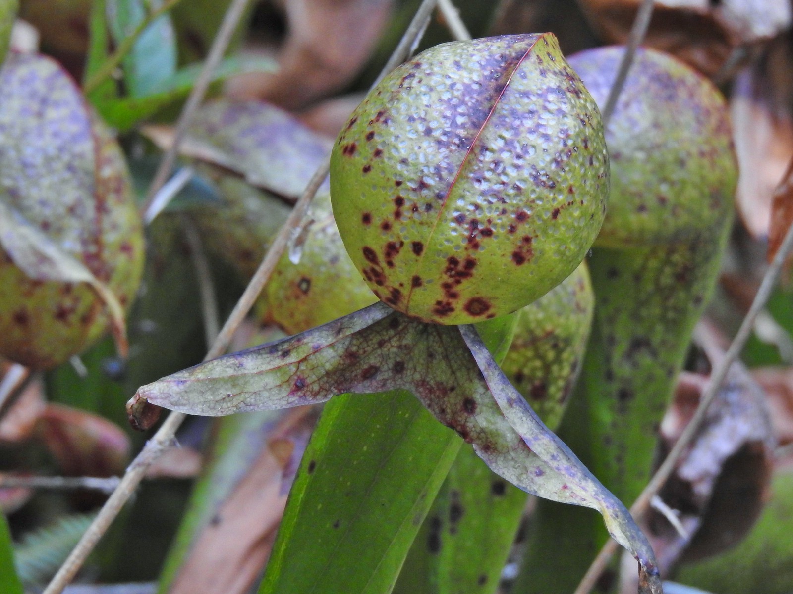
 Giant purple wakerobin
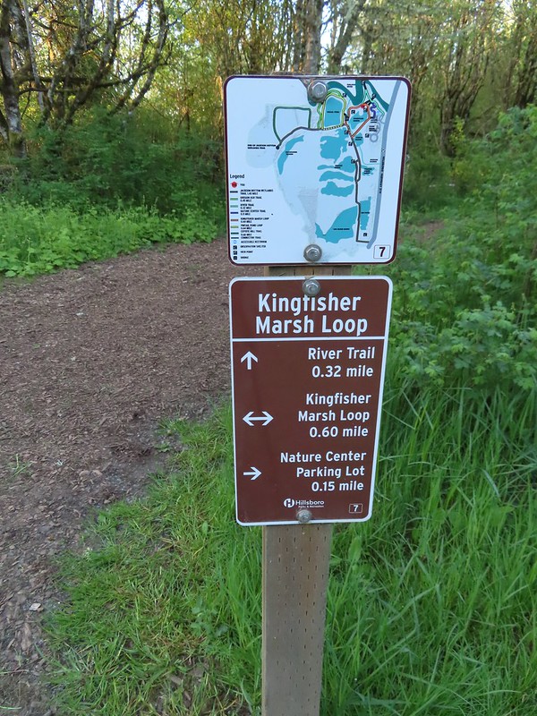 The trail signs were very helpful in keeping us on track.
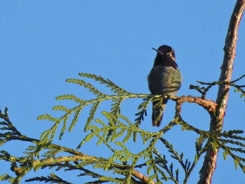 Anna’s hummingbird
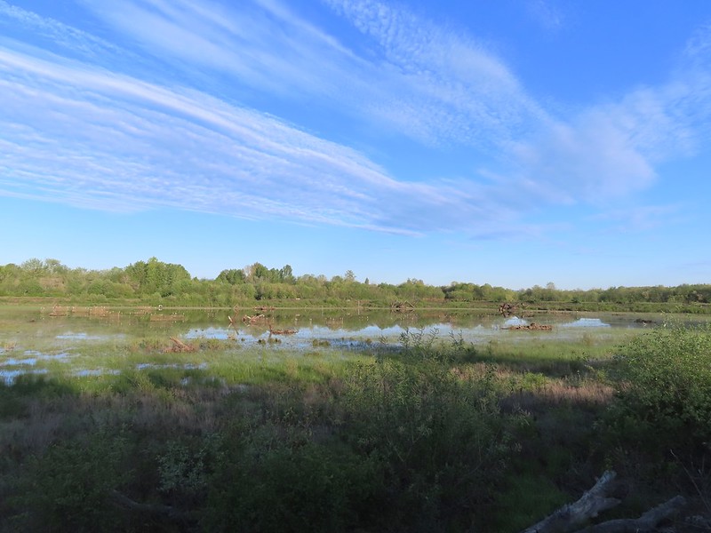
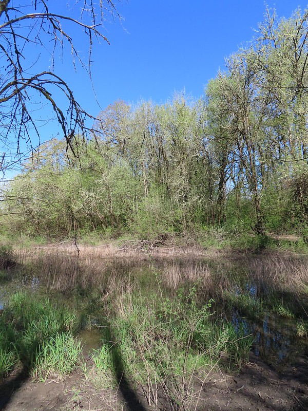
 Viewpoint overlooking Kingfisher Marsh.
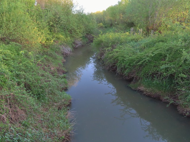 The trail crossed Jackson Slough on a footbridge.
 Pintail Pond Loop
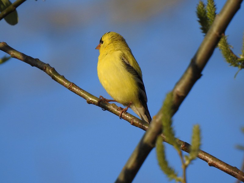 American goldfinch
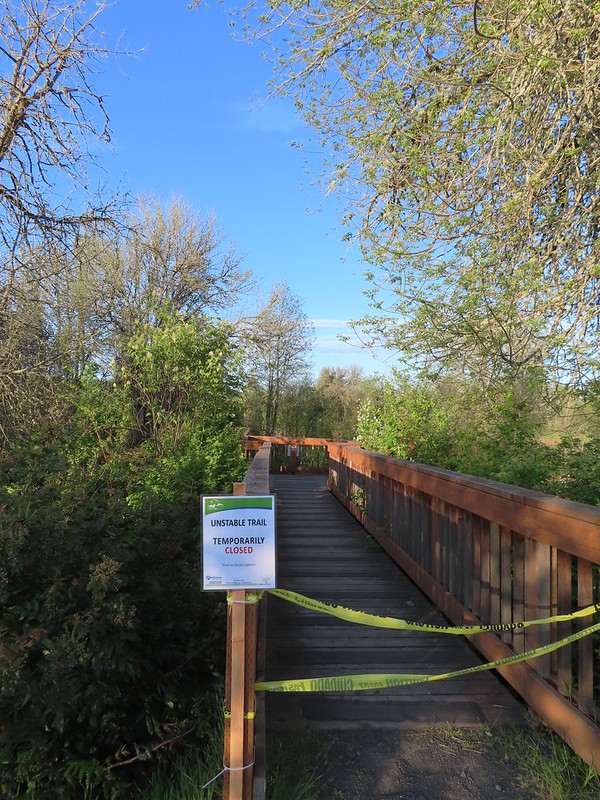
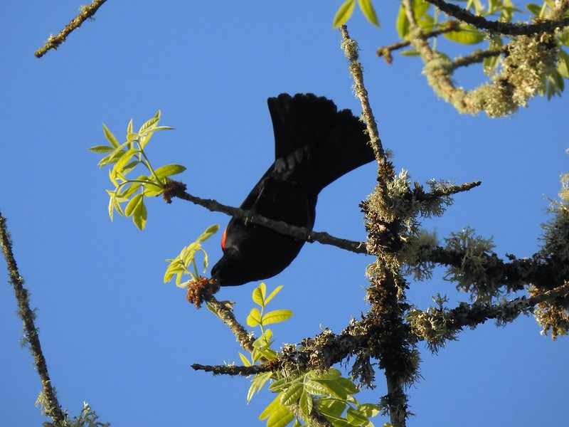 Red-winged blackbird
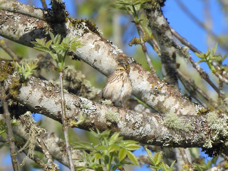
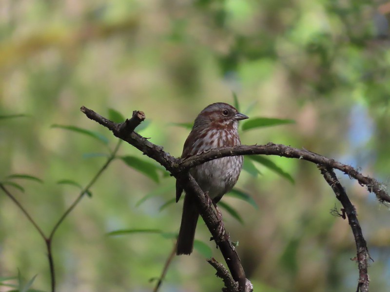
 Sparrow
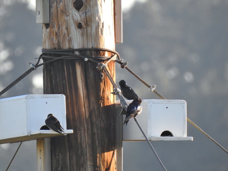 Purple martins
 American robin
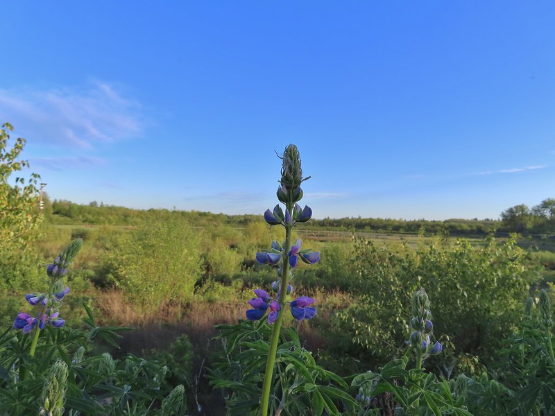 There is a lot of lupine in the preserve but only a few had started blooming.
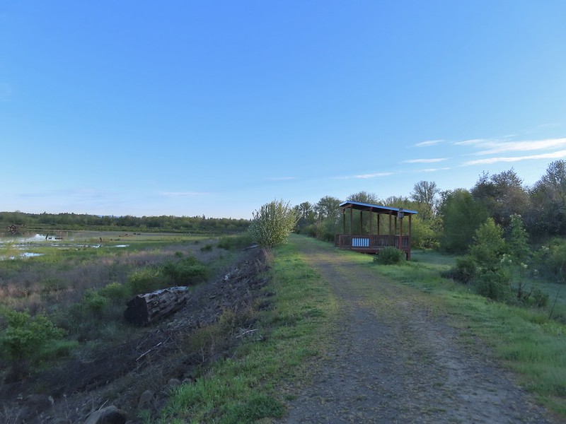


 Pintail Pond
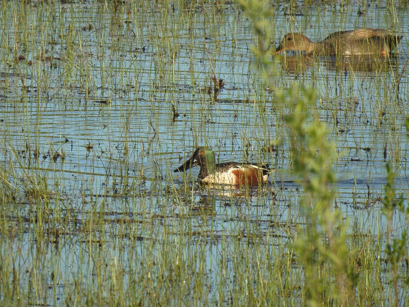 Northern shoveler drake and a gadwall
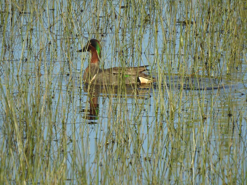 Green-winged teal
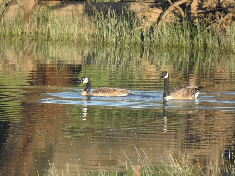 Geese
Geese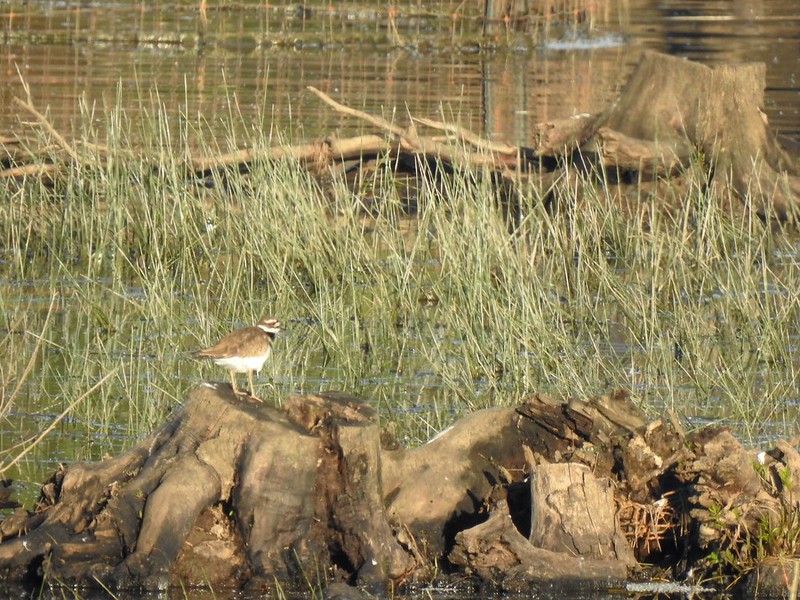 Killdeer
 More camas
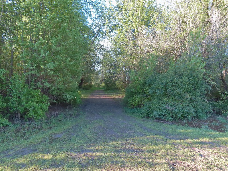 The Ash Trail.
 Orange-crowned warbler
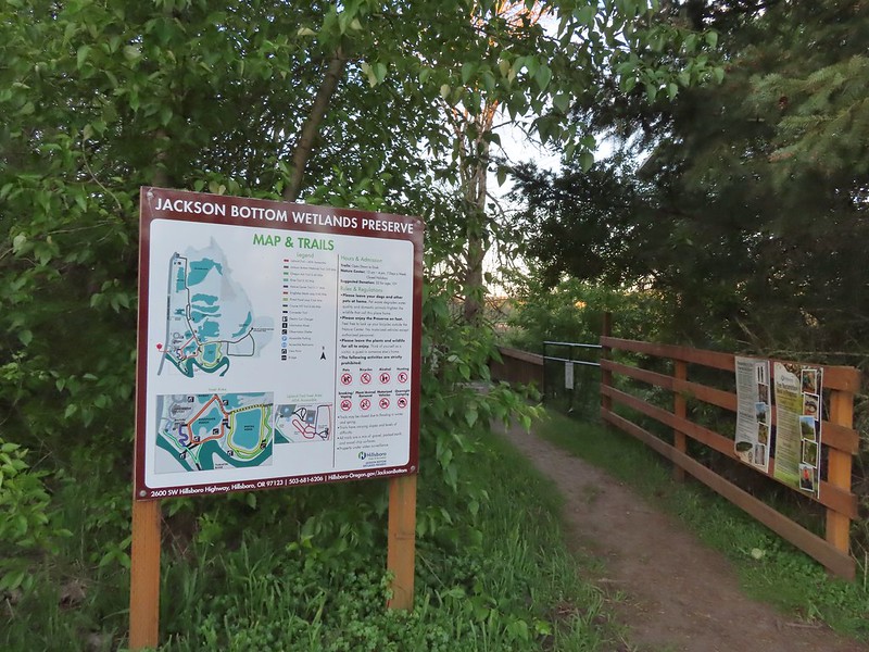
 Jackson Bottom Wetlands
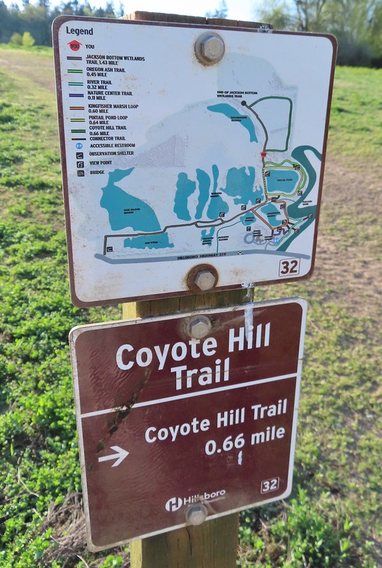 Can’t emphasize enough how helpful the map/pointer combinations are.
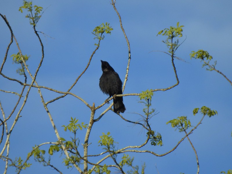 Noisy crow
 Mourning dove
 Our assumption was that that is Coyote Hill in the distance.
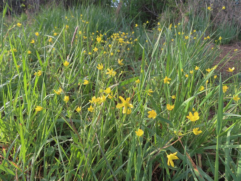 Western buttercups
 Some houses on the wetlands border.
 Golden-crowned sparrow
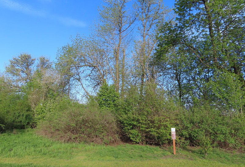
 End of the trail.
 Savannah sparrow
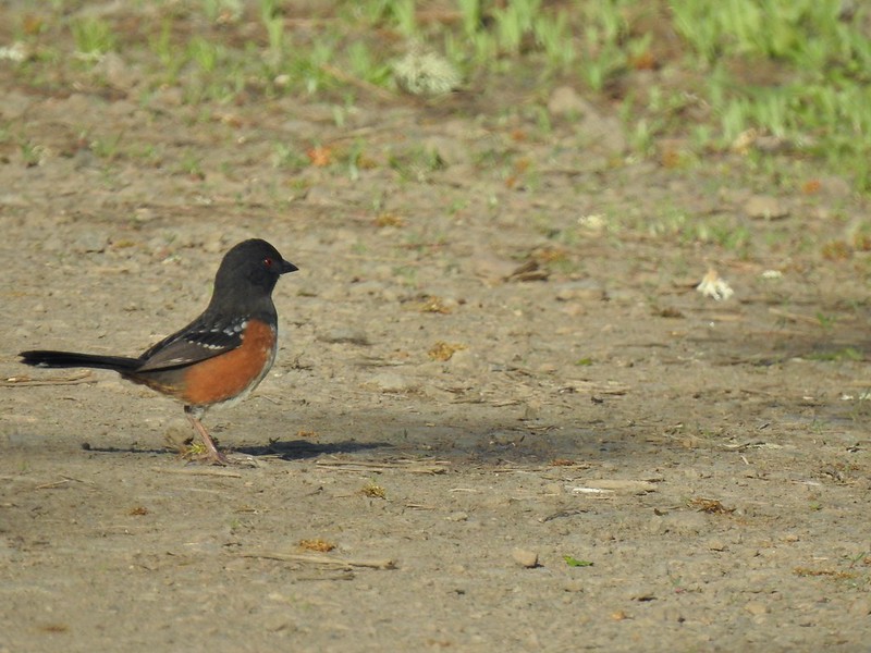 Spotted towhee
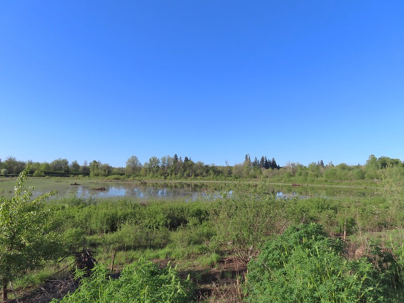 Passing Pintail Pond.
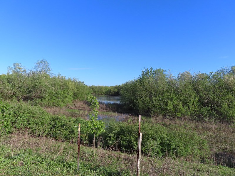 Wapato Marsh
 White-crowned sparrow
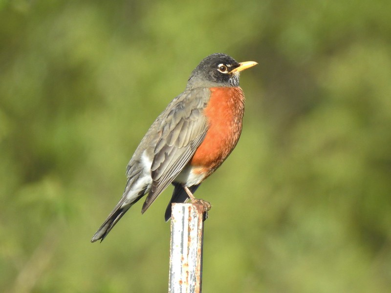 American robin
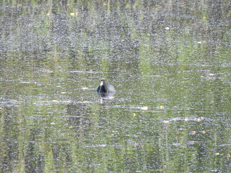 American coot
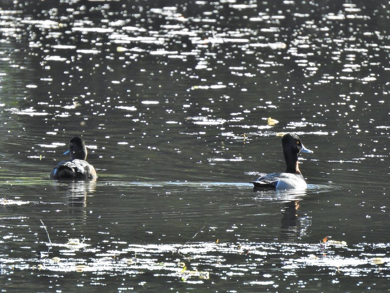 Ring-necked ducks
 Wapato Marsh
 Cormorants
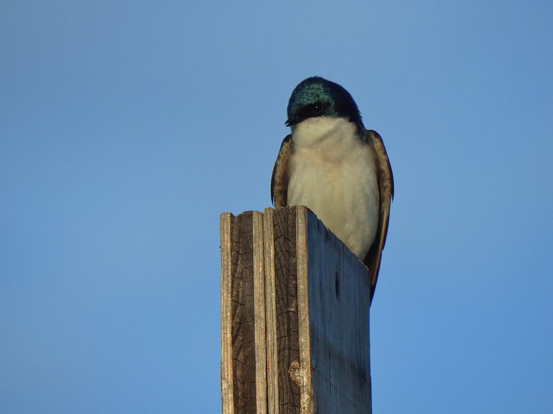
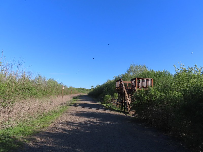 Raised viewing platform with many tree swallow photobombs.
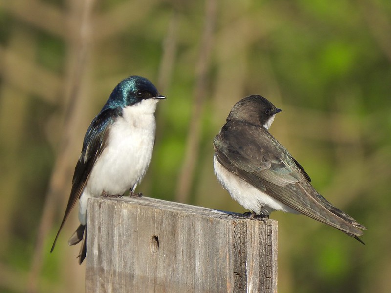 This couple was having quite the discussion.
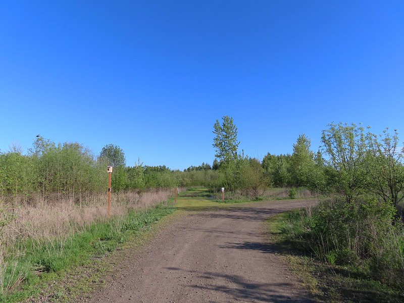 The Bobcat Marsh Trail on the left.
 Water treatment pipes at the other end of the Bobcat Marsh Trail.
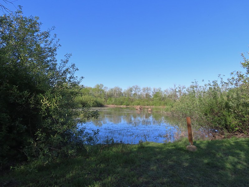 NW Pond
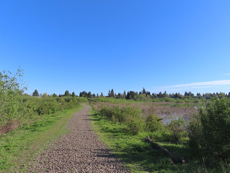 The trail passed between the NW Pond on the left and Oak Island Marsh on the right.
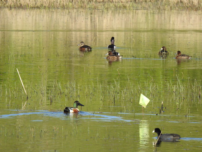 NW Pond had a variety of waterfowl. This is a northern shoveler drake, ring-necked duck pair, four lesser scaups, and an American coot.
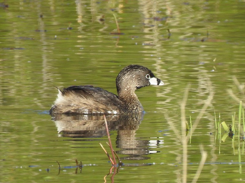 Pied-billed grebe in NW Pond
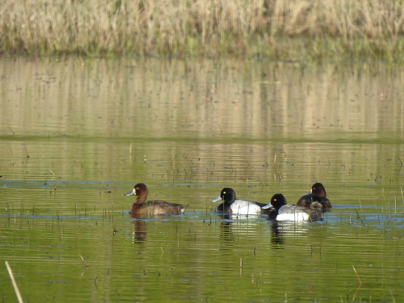 Lesser scaups
 Goose and mallards
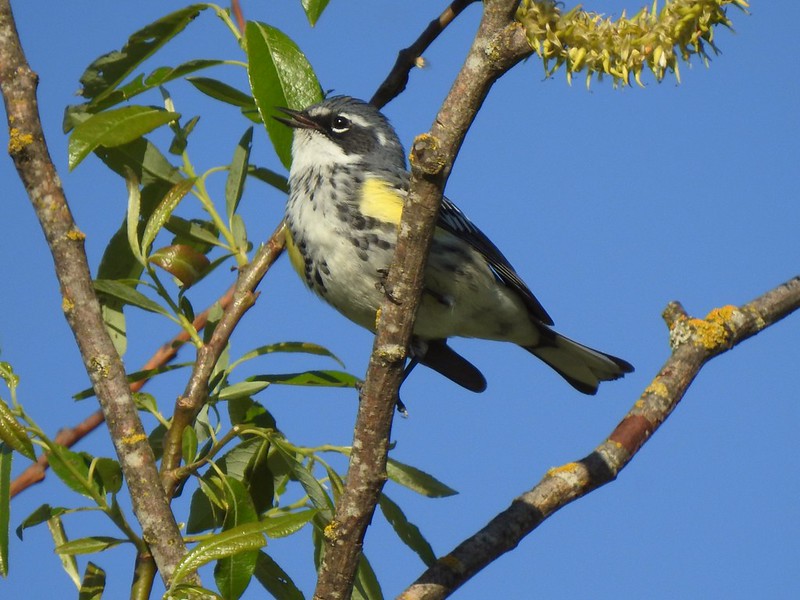 Yellow-rumped warbler
 The northern trailhead.
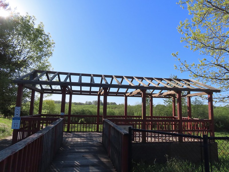 Viewing platform at the trailhead.
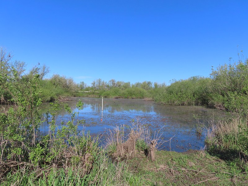
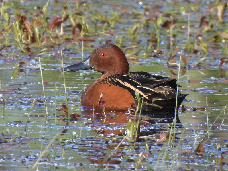 Cinnamon teal on Meadow Mouse Marsh
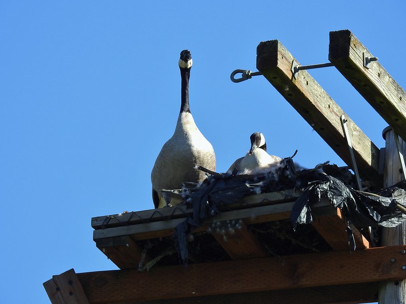

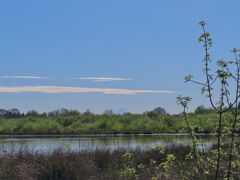 Mt. Hood beyond Wapato Marsh
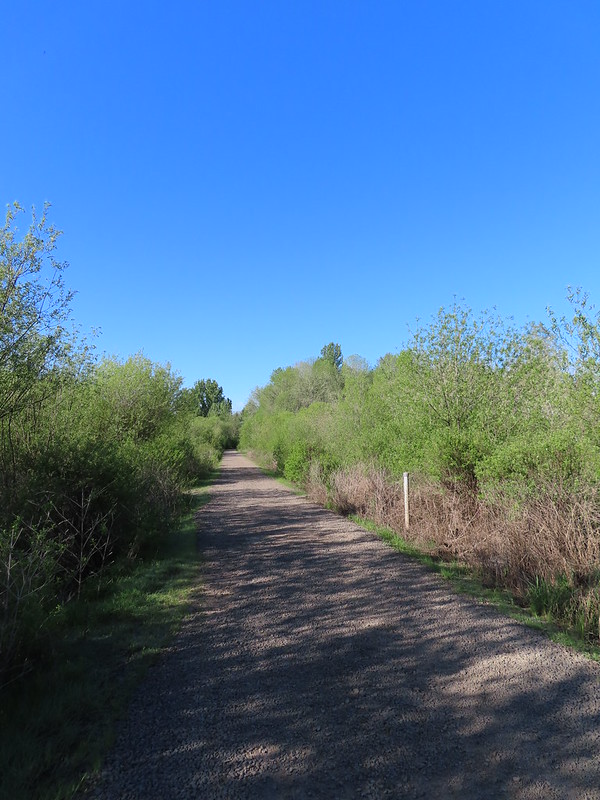 Back on the Kingfisher Marsh Loop.
 The Kingfisher Marsh Loop turned left here.
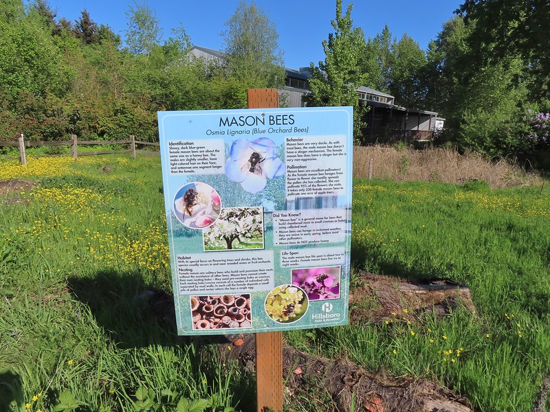
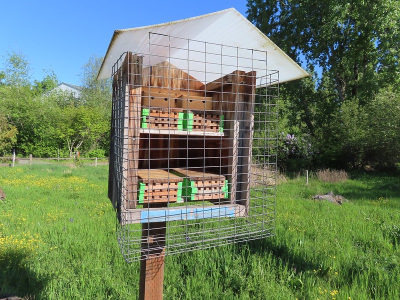 Mason bee house
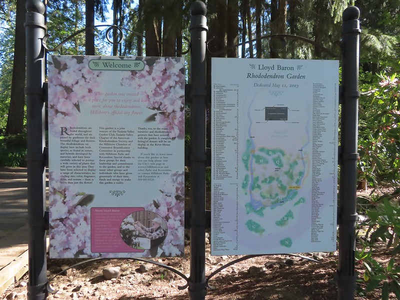 Sign for the rhododendron garden.
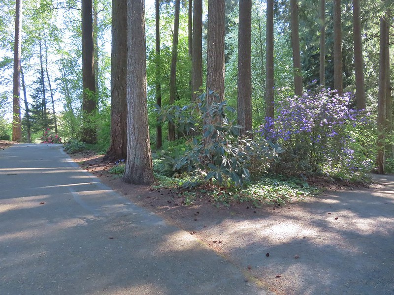
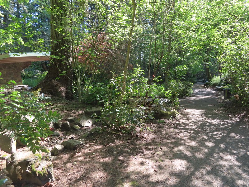
 The Woodland Pond
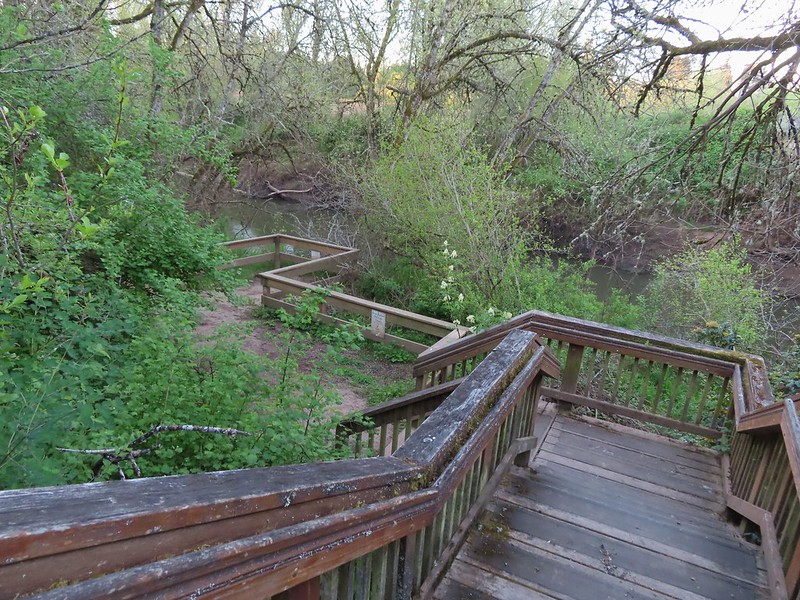
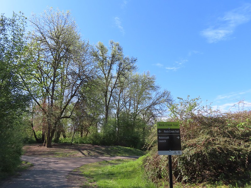
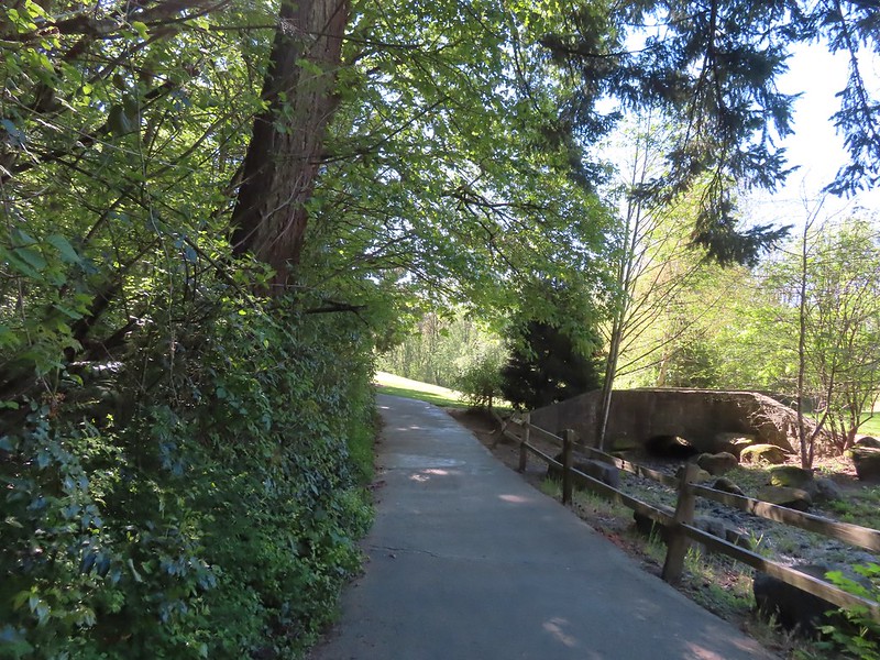 Heading for the Rock Creek Trail.
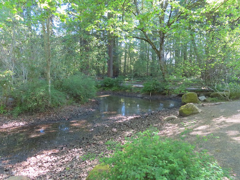
 Rock Creek from the Rock Creek Trail.
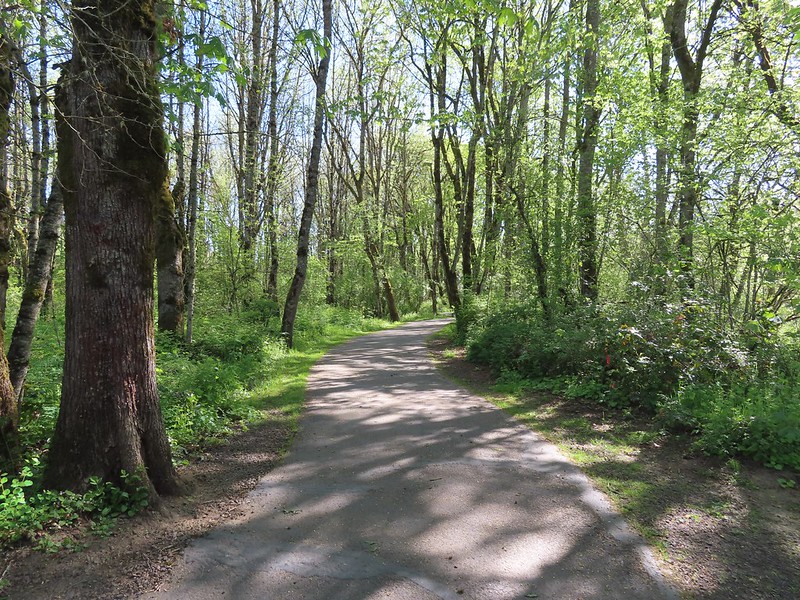
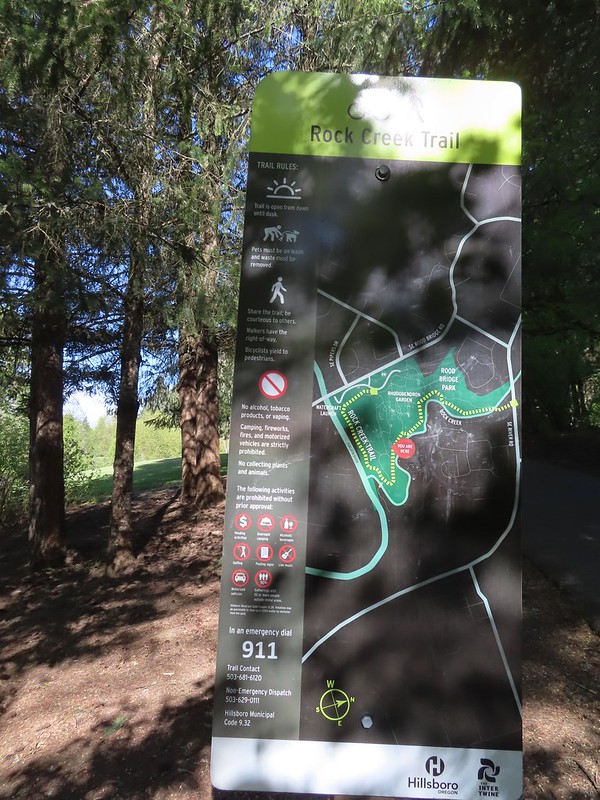 The maps for the park were a little tougher to follow as most of the trails weren’t named and there were a lot of interconnected short segments.
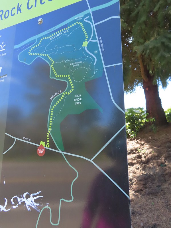
 The junction ahead is where the Rock Creek Trail beings/end according to the Rock Creek Trail maps. Maps of Rood Bridge Park simply refer to this as part of the “Main Trail Loop”, if they label it at all.

 Mallards
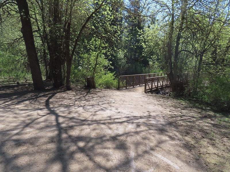 Footbridge at the start of the Lollipop Loop.
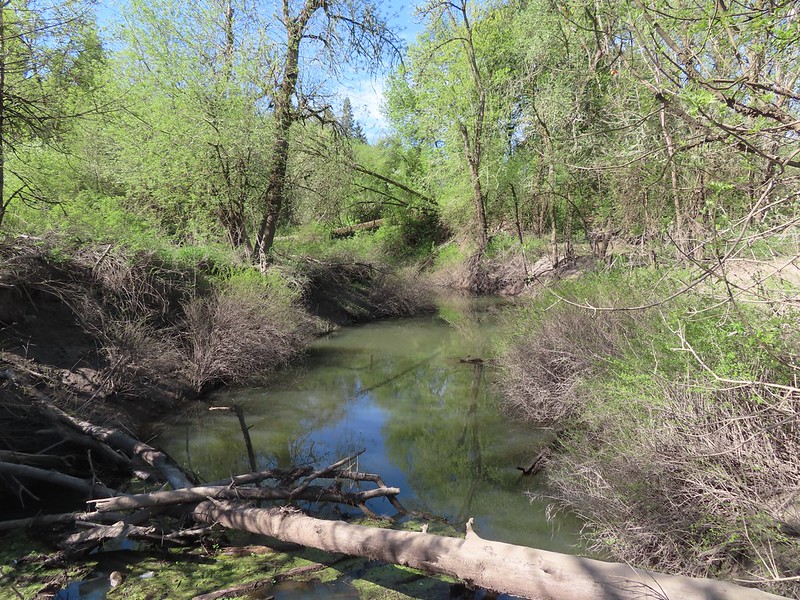

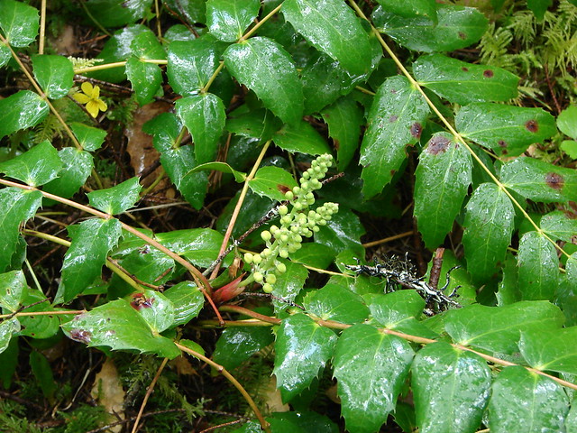
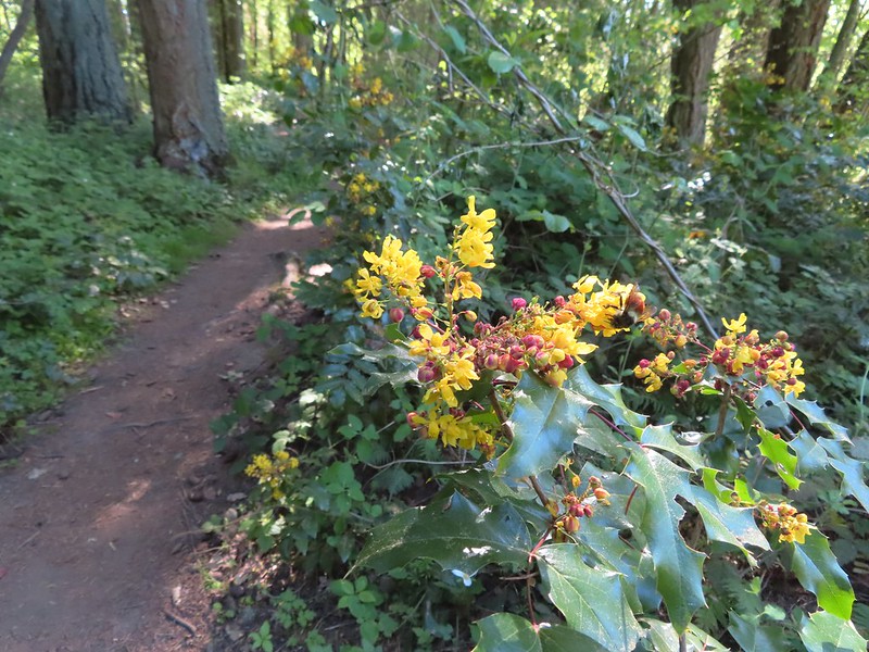 There was a fair amount of Oregon grape as well.
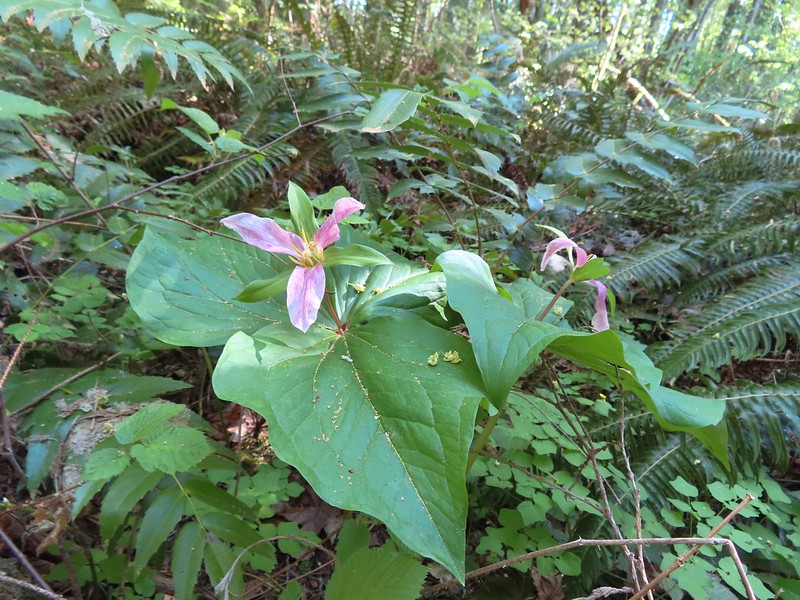

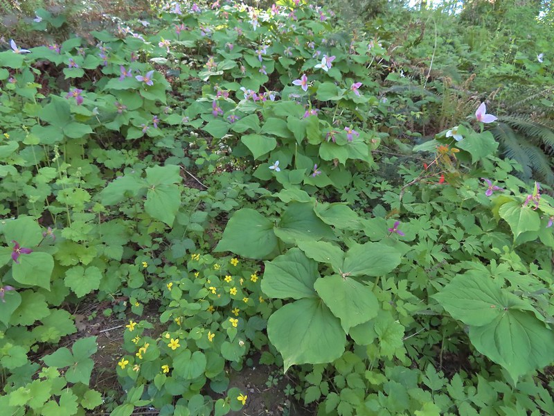 Violets and trillium
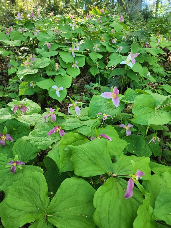
 Western meadowrue
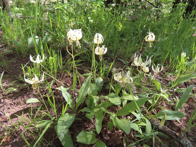 Fawn lilies
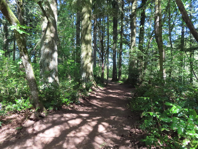

 Sparrow
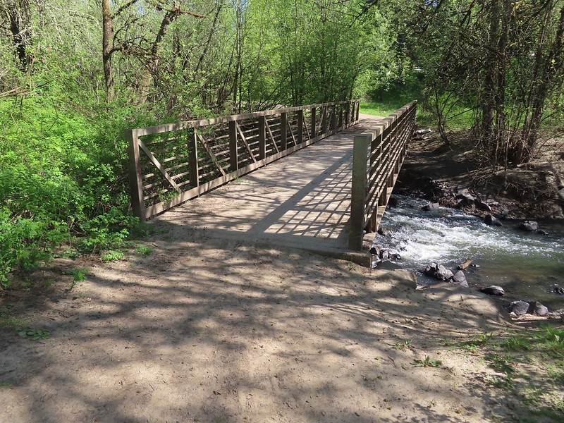 Footbridge over Rock Creek.
 Left is the dirt path we’d taken earlier, straight is the Rock Creek Trail, and right led to the Rhododendron Garden.

 Jackson Bottom on the left and Rood Bridge to the right.

 One of the muddiest sections was just beyond a small footbridge near the trailhead.
 Skunk cabbage blooming along Bailey Creek.
 Skunk cabbage
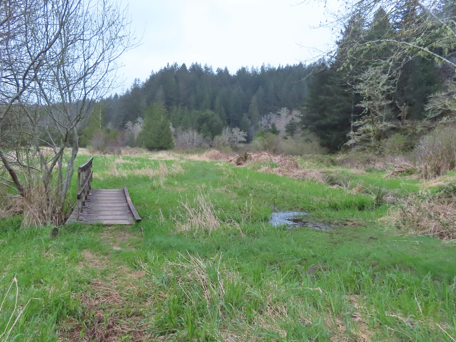 A second little footbridge.
 Coltsfoot
 Closer look at the coltsfoot.
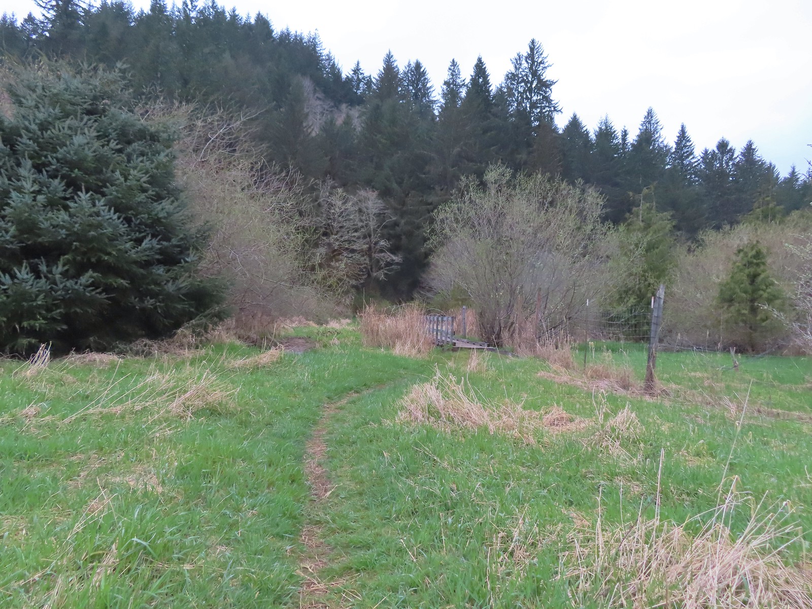 Approaching the footbridge over the unnamed creek.
 This creek was really deep here although it’s hard to tell from the photo.
 Wood sorrel
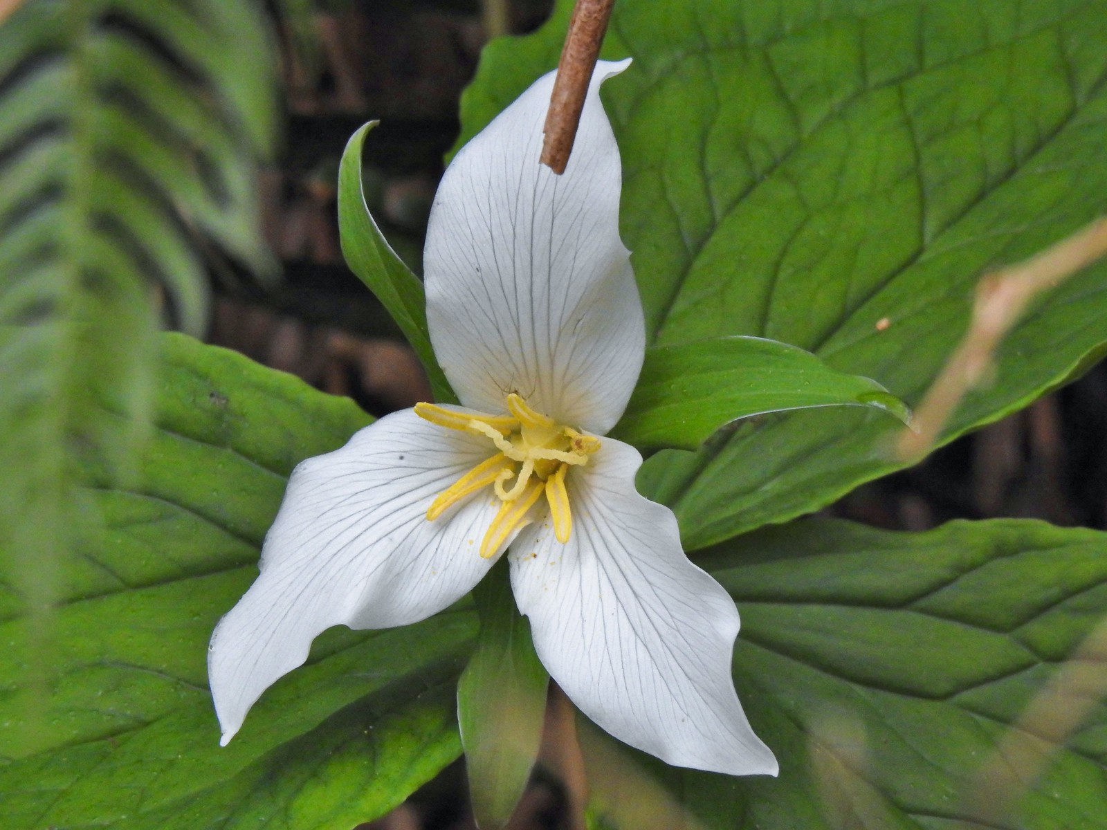 Trillium with a resident spider.
 More skunk cabbage, also with a resident spider.
 Violet
 Bleeding heart
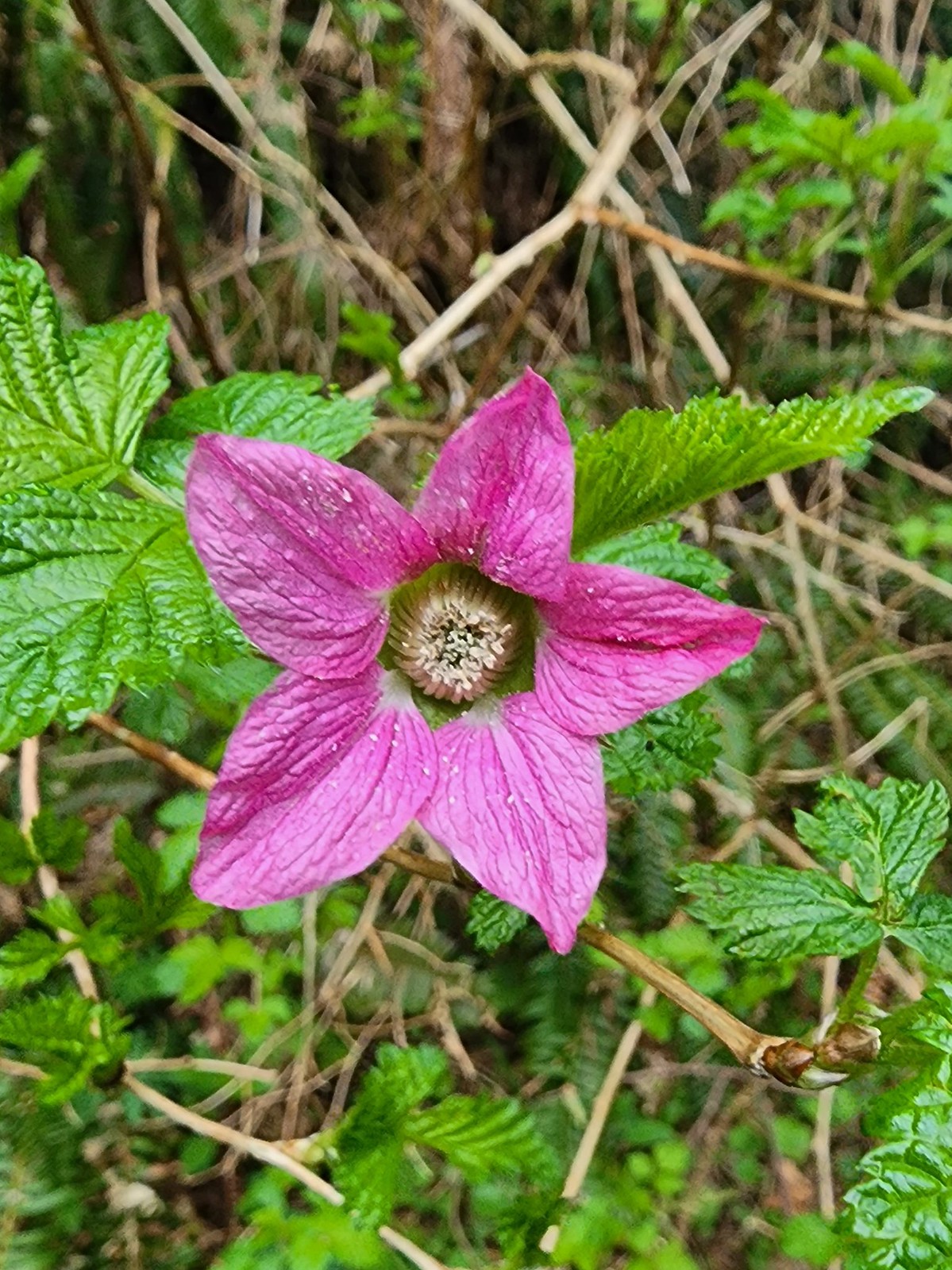 Salmonberry
 Toothwort
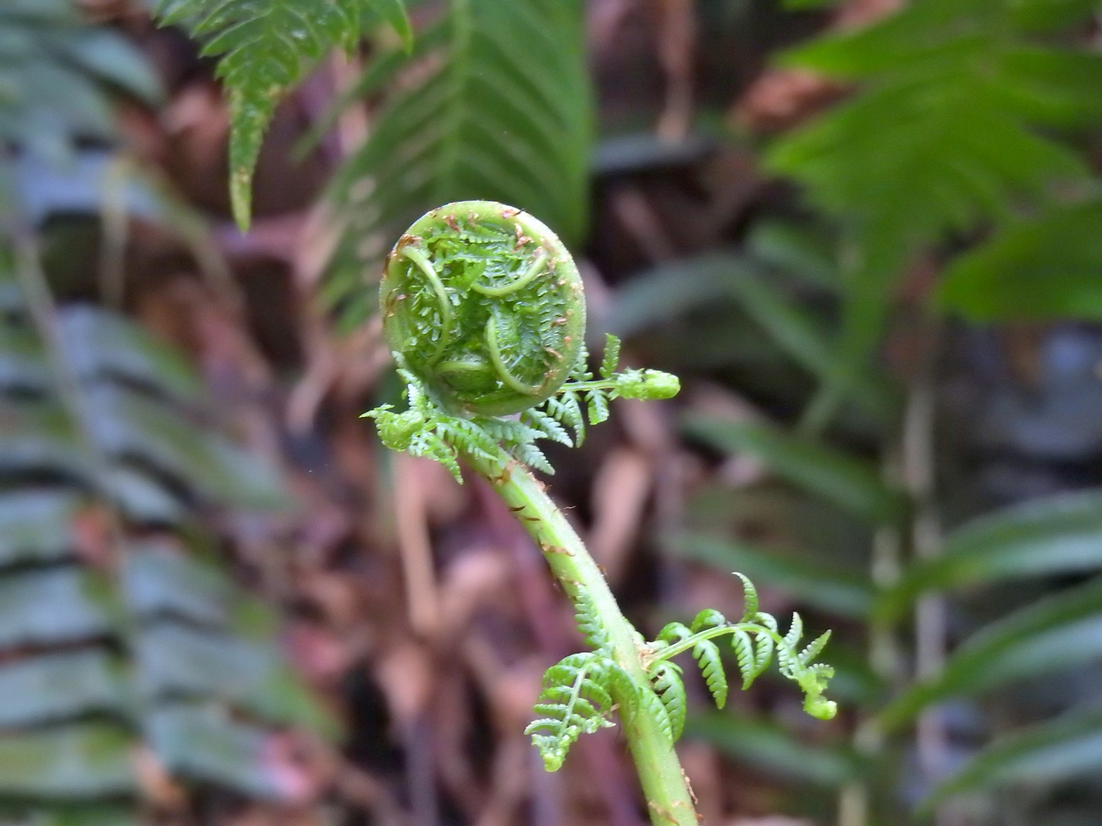 Unfurling fern
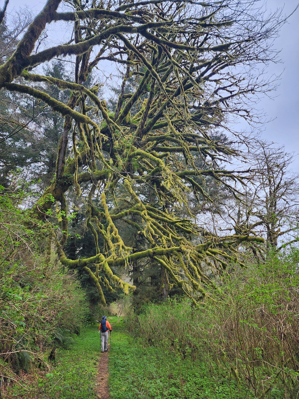 Me passing under a mossy tree.
 Snail on the trail.
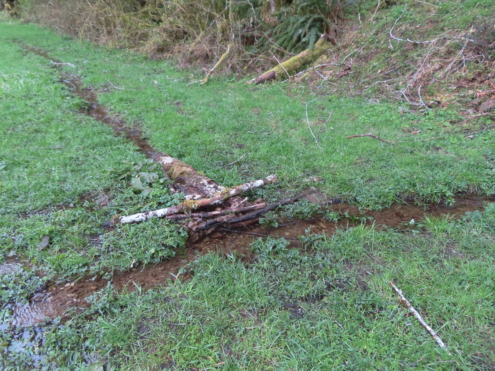 This makeshift damn was not stopping the water from flowing down the trail.
 Another of the small stream crossings.
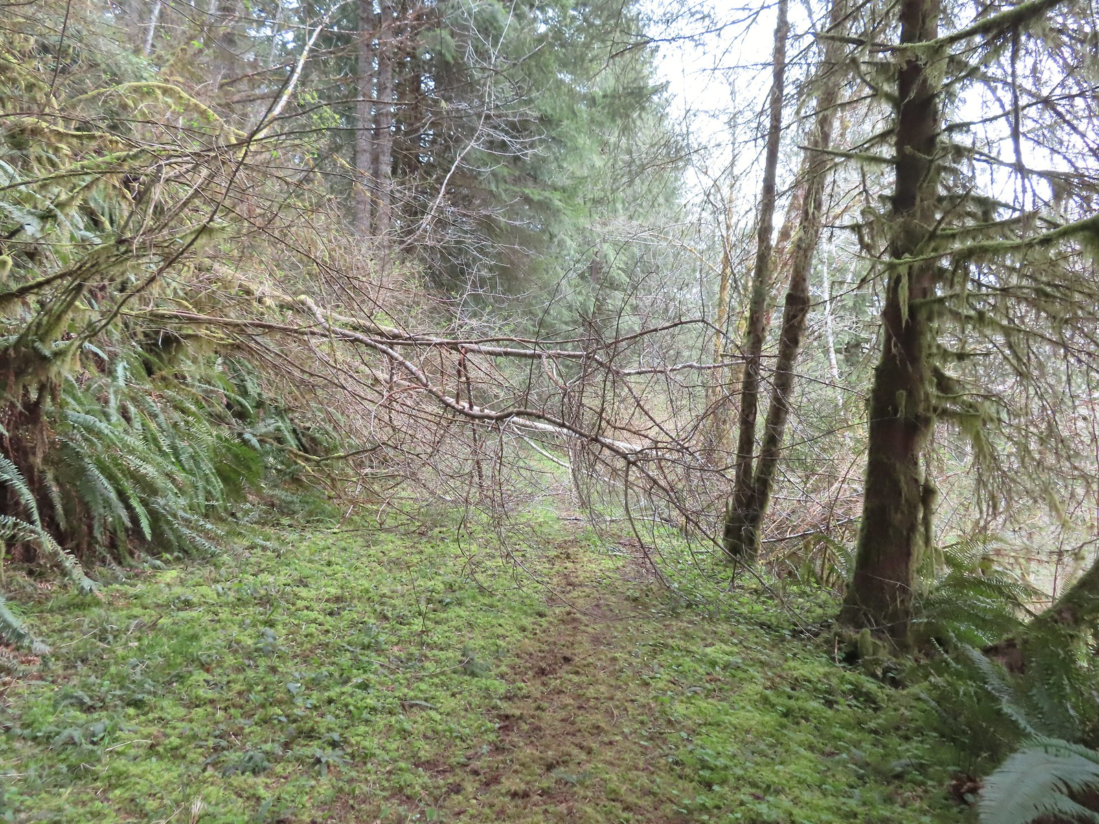
 The creek was actually pretty deep here with the recent wet weather we’d had.


 A trillium unfurling.
 Violets
 Several trails have similar markers with most of them being at or near junctions. This one was just alone along the trail.


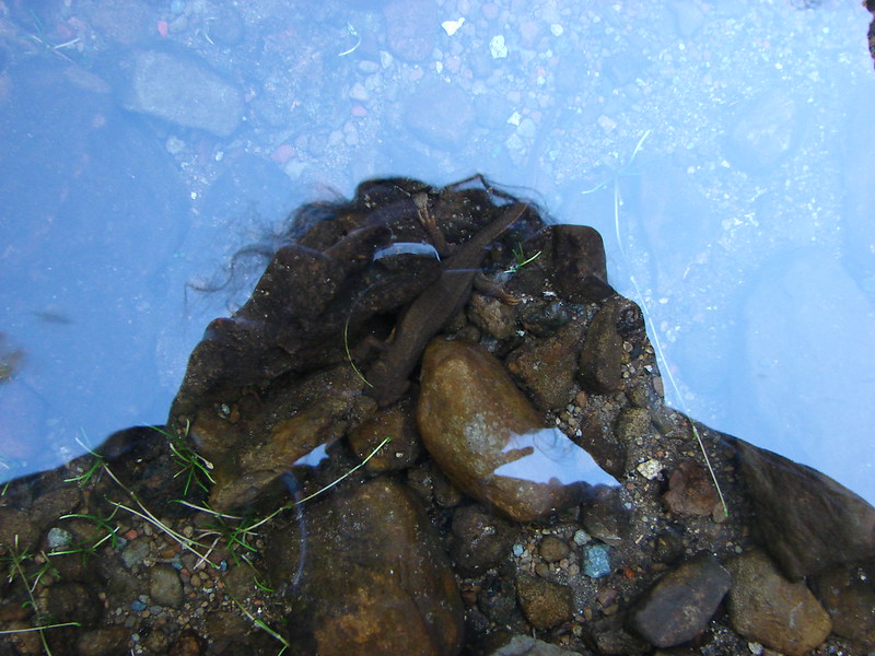
 Rough skinned newt
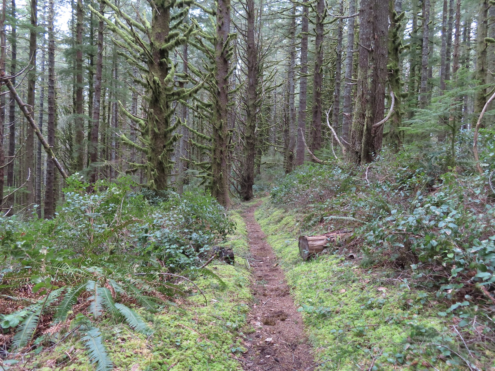
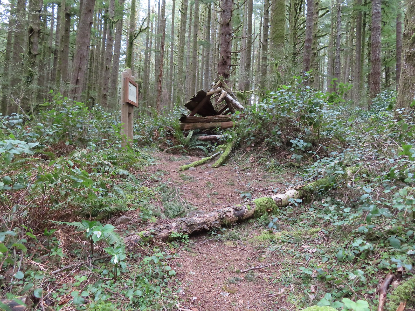
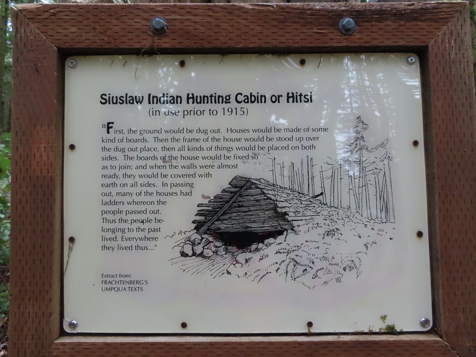

 Time has not been kind to the hitsi.


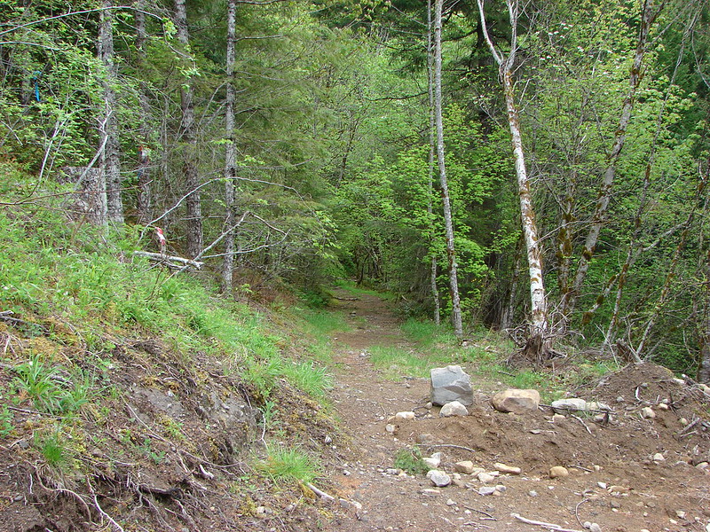
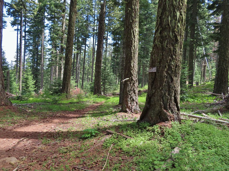
 The trail briefly followed an old roadbed.
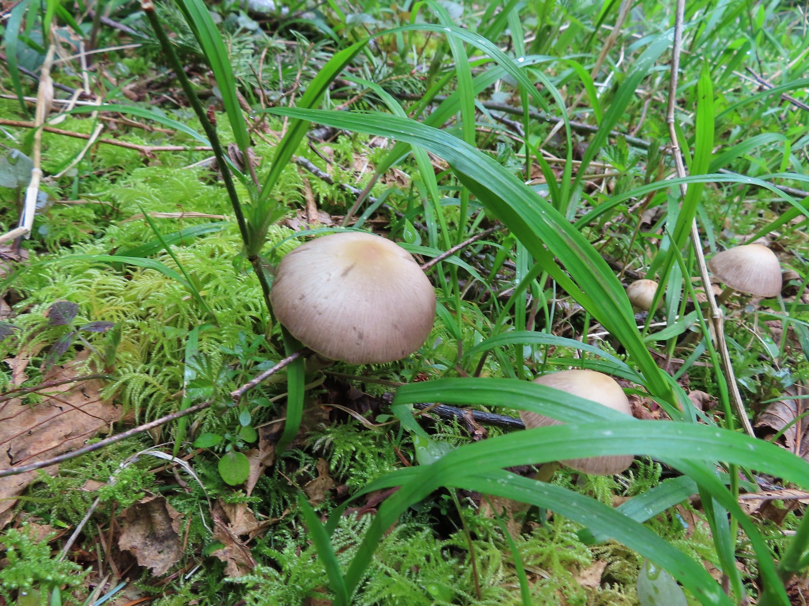 Mushrooms along the roadbed.
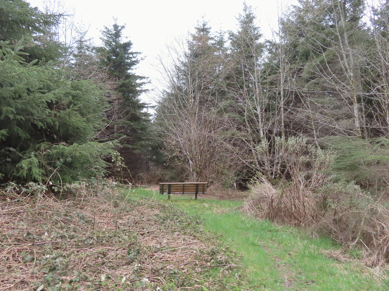 Another bench with a questionable view at the end of the roadbed segment.
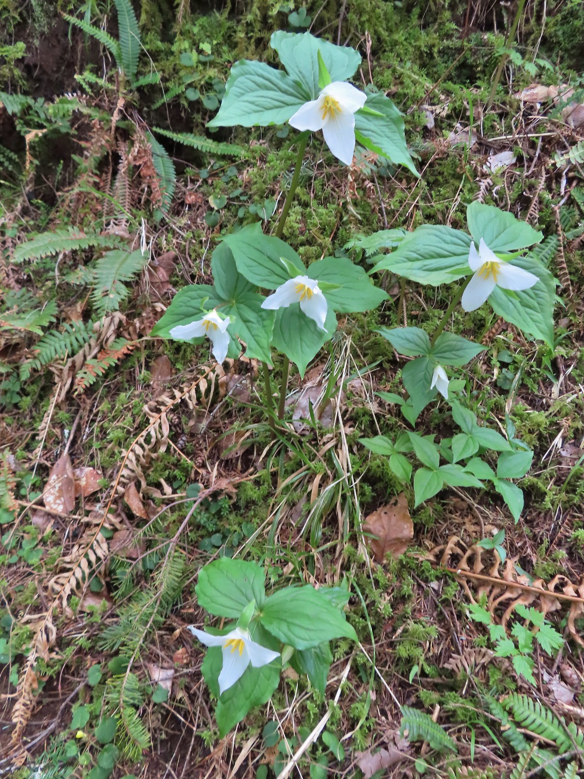 Flowers are a few weeks behind this year but there were quite a few trillium along the trails.
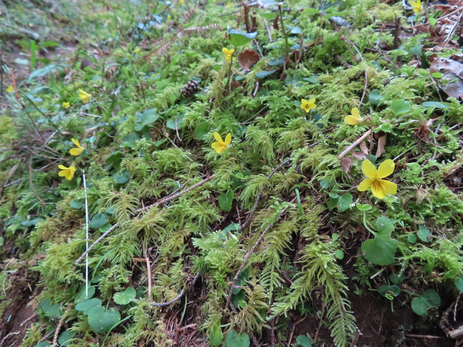 Violets were the other abundant flower.
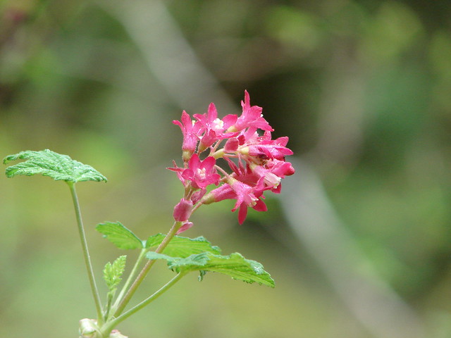
 Red flowering currant beginning to bloom.
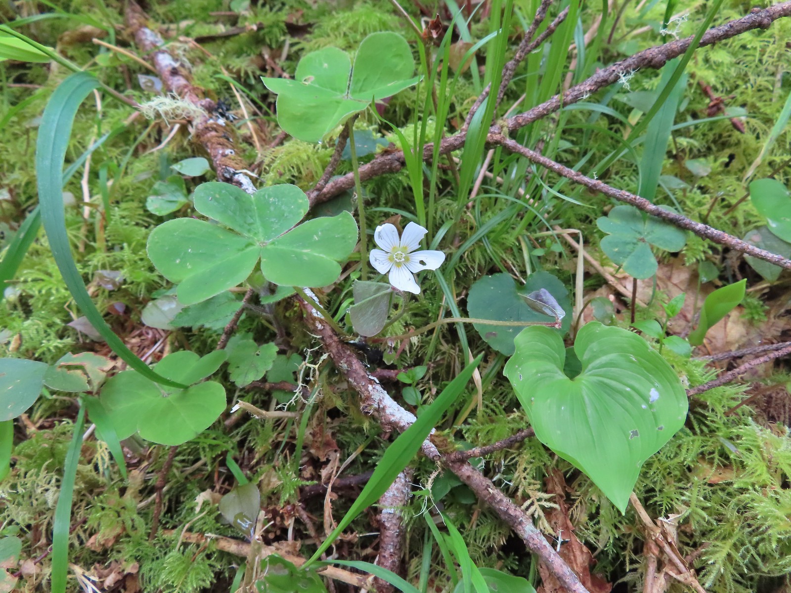 Wood sorrel
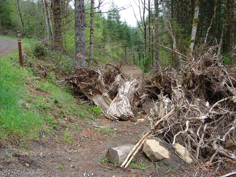
 This looked to be a fairly recent uprooting.
 A cute fungus
 Looking back after fording.

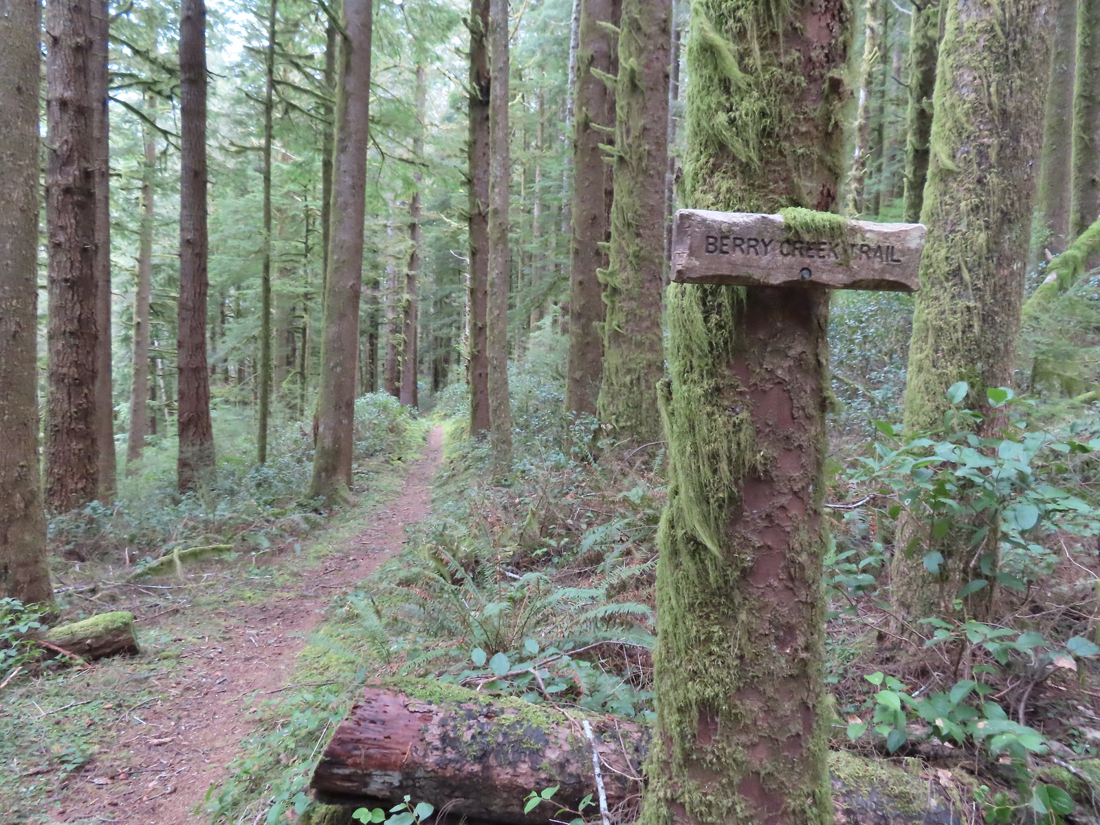
 We made a sharp right here onto the Nelson Ridge Trail.
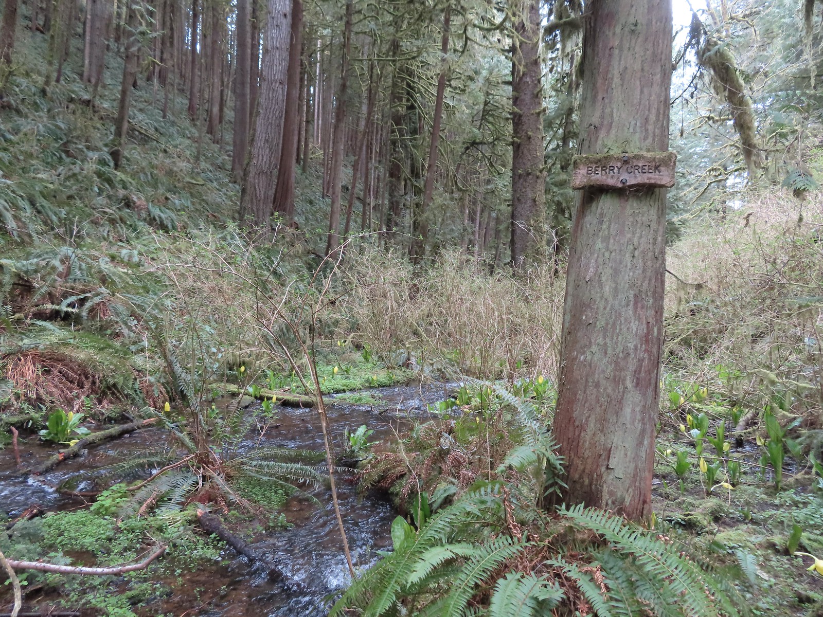
 Skunk cabbage at Berry Creek.
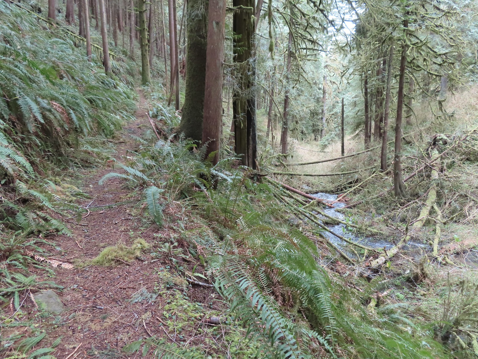
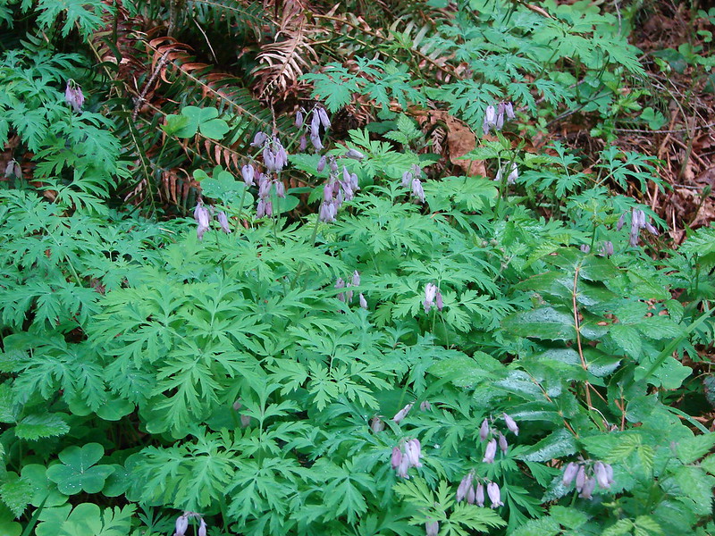
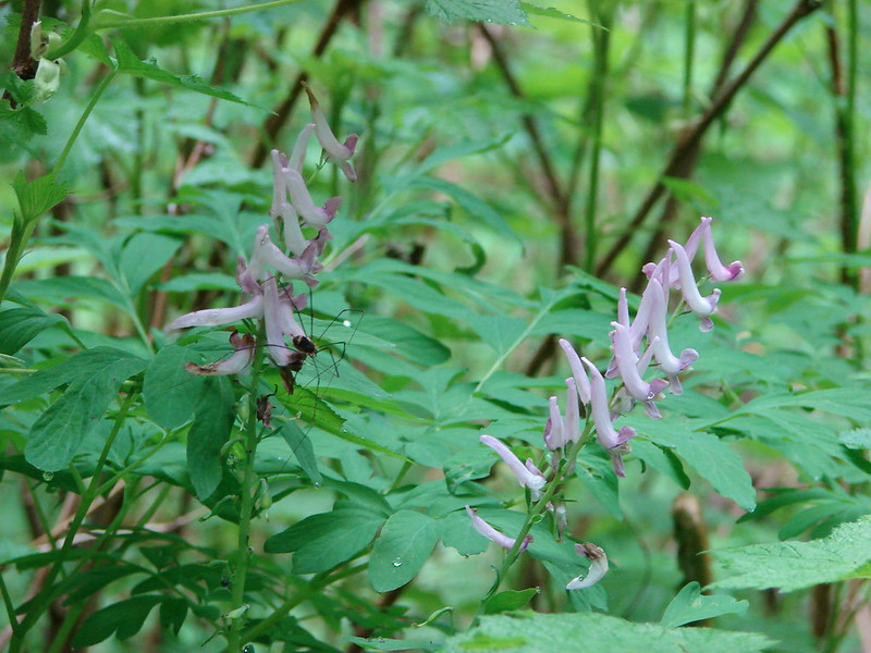
 A few bleeding-heart blooms.
 At least this bench had a view of the Pacific Ocean.
 Passing through a stand of trees along the ridge.
 Another bench.
 Some easy to walk around blow down.
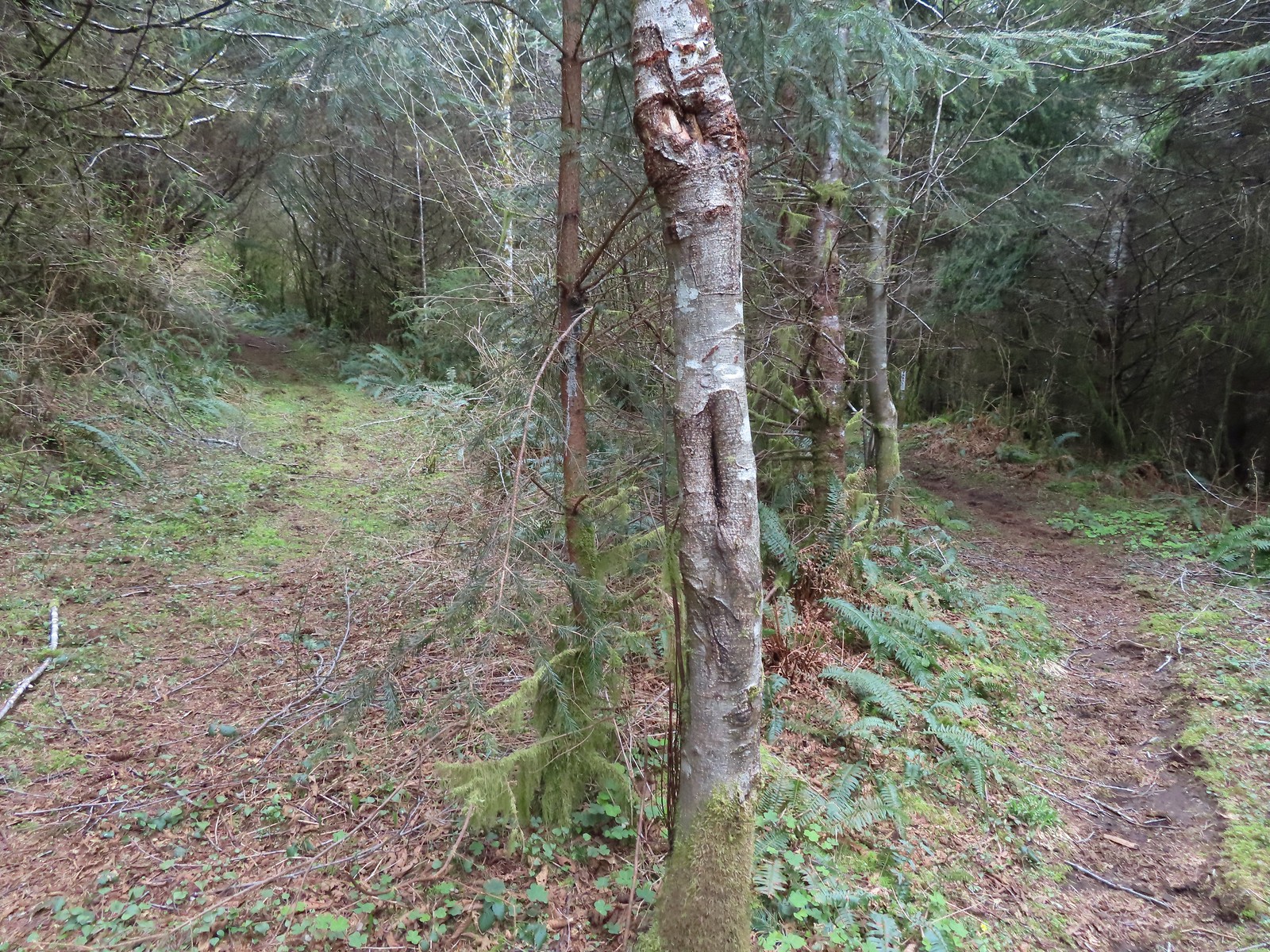 We couldn’t tell what this road/trail to the left was on the map so we stayed right to be safe at this junction.
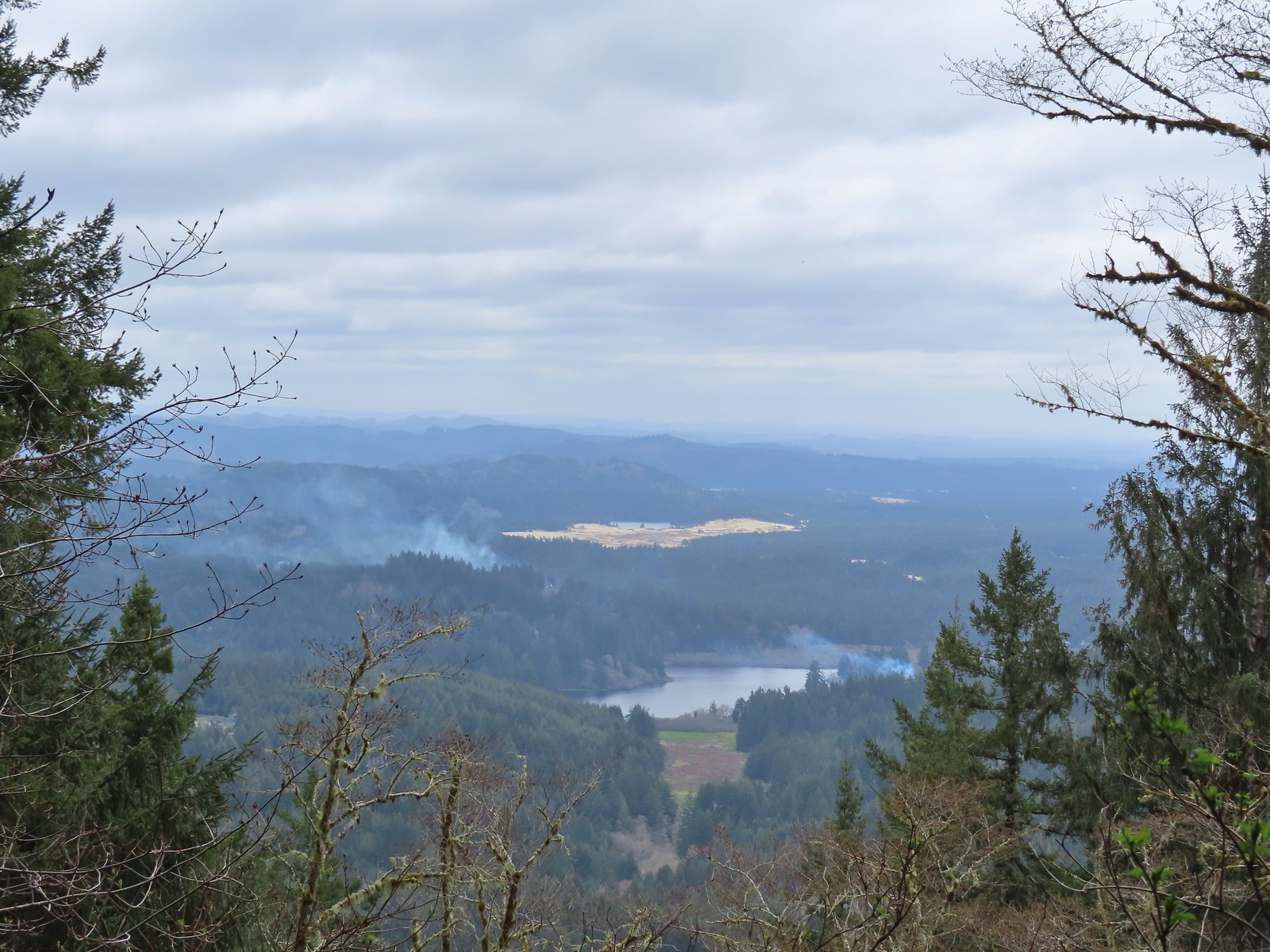 I think that is Sutton Lake and beyond the sand is Clear Lake.
 The end of another short roadbed section.
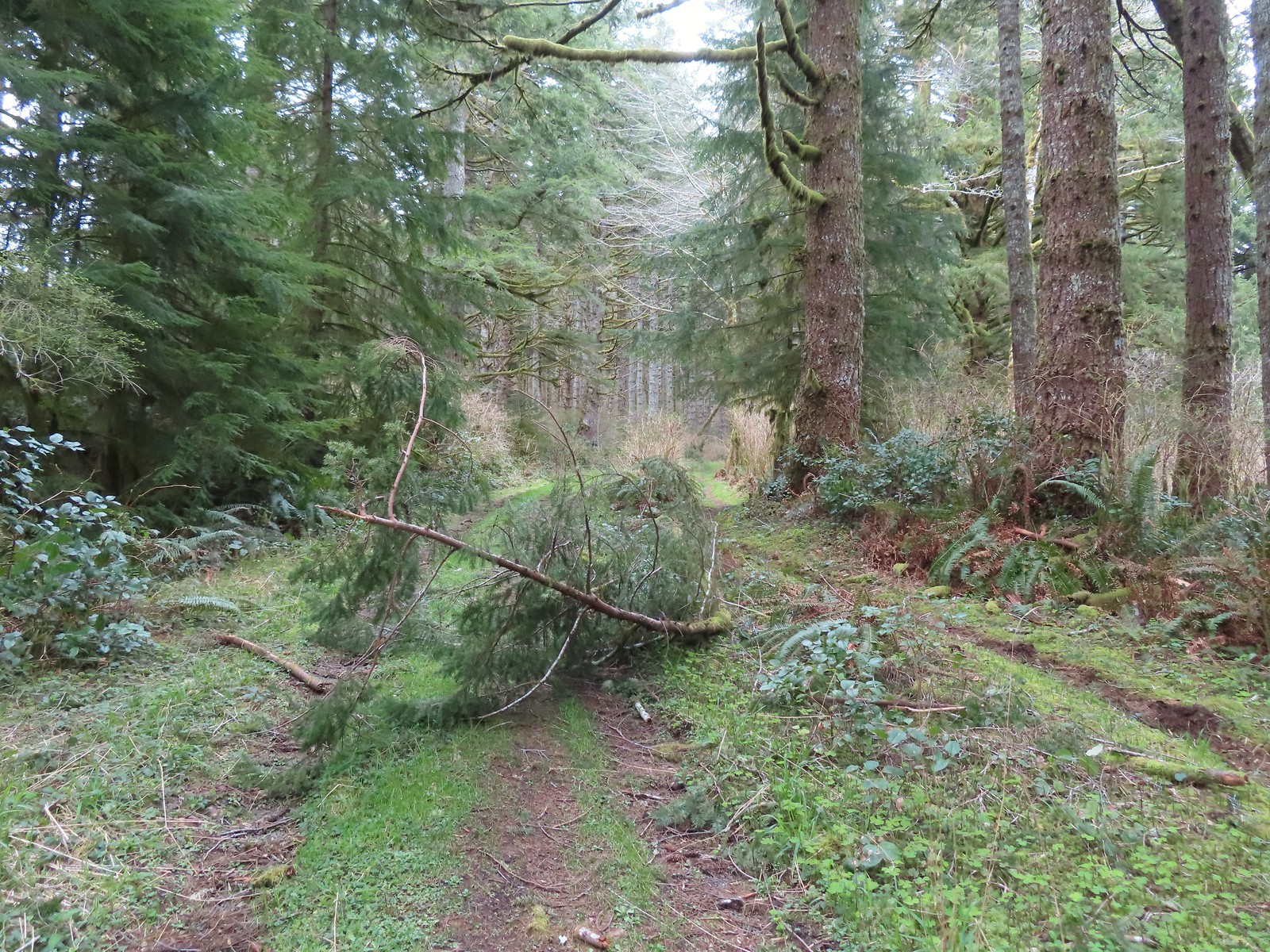 I walked on this roadbed for a bit just to do something a little different than on the first visit when I stuck to the trail (on the right).
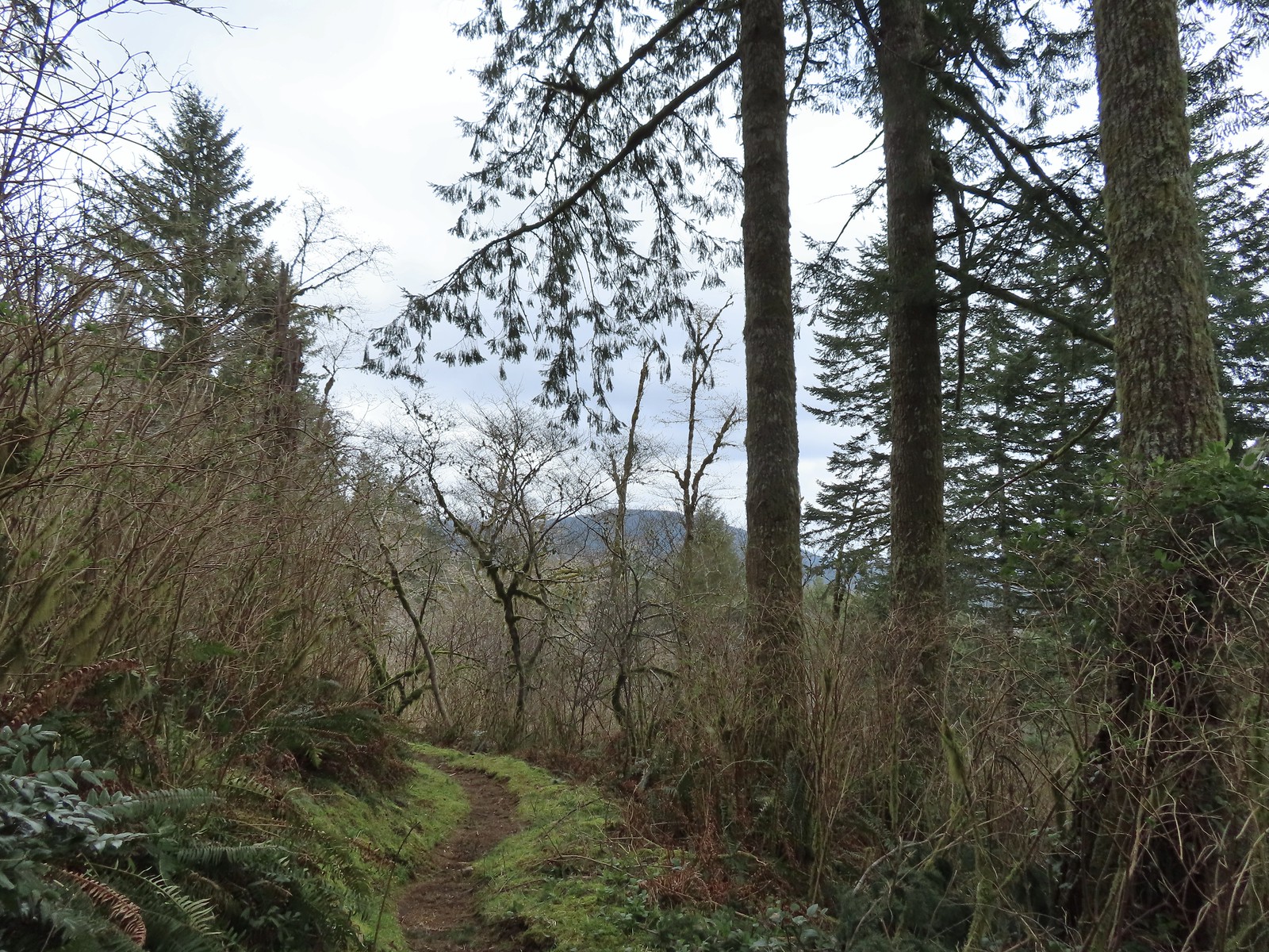 Starting to descend toward Dry Lake.
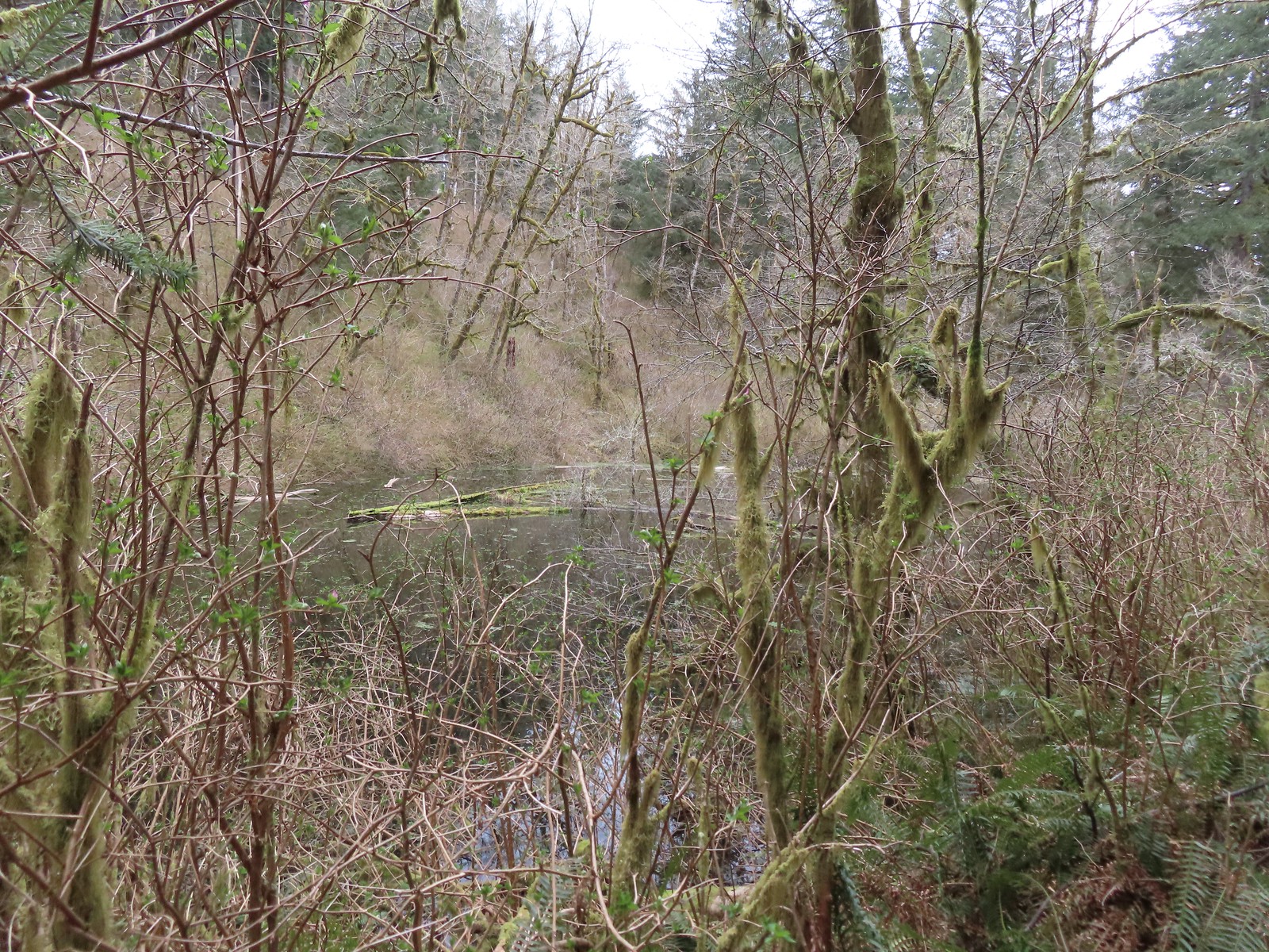 Dry Lake
 Back at the trailhead.

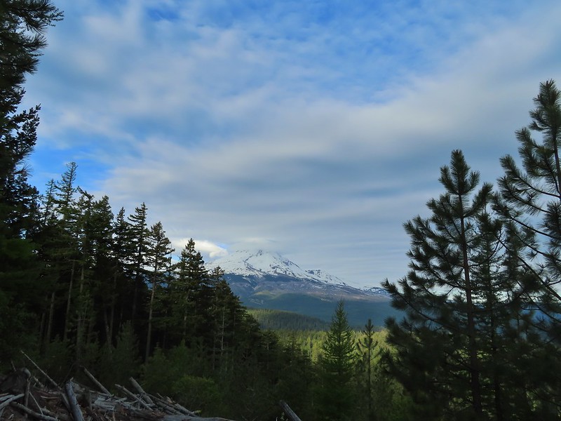
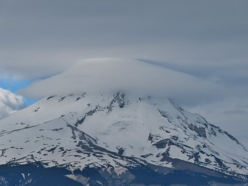
 Mt. Hood partly obscured by clouds from the parking area.

 Manzanita
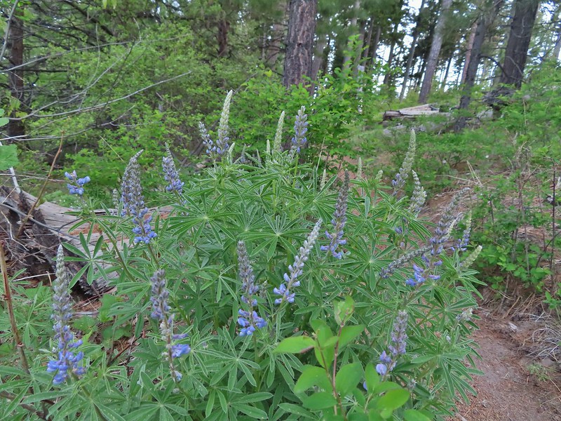 Lupine
 Mt. Hood again.
 Jacob’s ladder
 Red-flowering currant
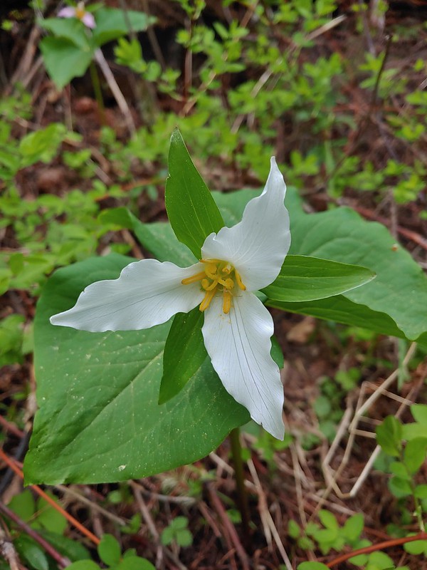 Trillium (can you spot the crab spider?)
 Sticky currant
 Western larch tree and red-flowering currant on the left.
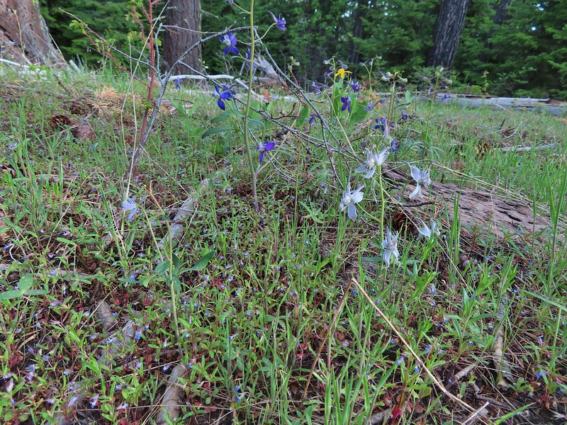 Larks spur and blue-eyed Mary
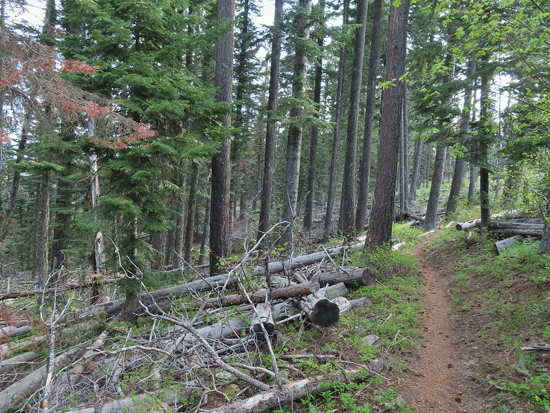
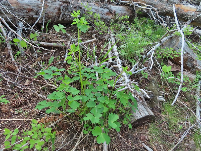 Columbine well before blooming.
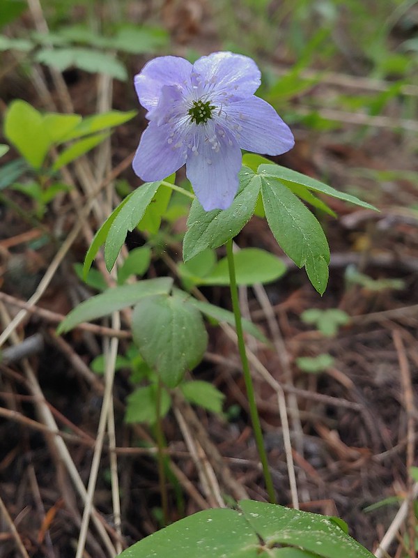 Anemone
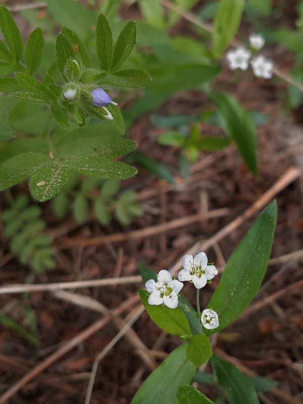 Largeleaf sandwort
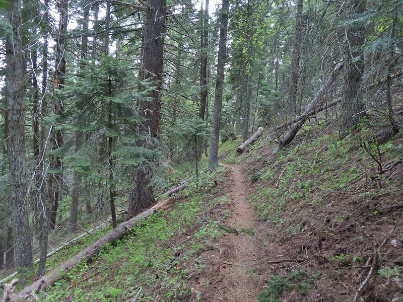
 Vanilla leaf getting ready to bloom.
 Arnica
 False solomons seal starting to bloom.
 Star-flower false solomons seal prior to blooming.
 Ballhead waterleaf
 Ponderosa
 Scarlet gilia not yet in bloom.
 Balsamroot
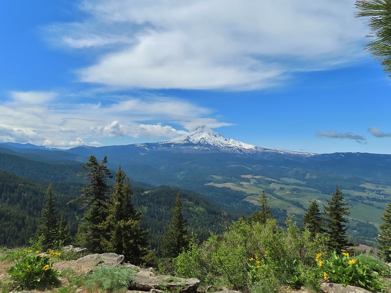
 Hood River Valley and Mt. St. Helens
 Mt. St. Helens
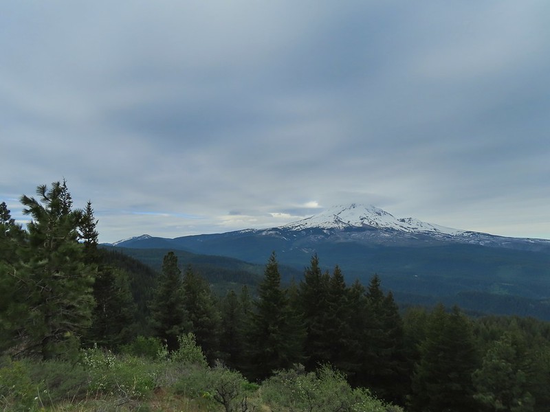 Mt. Hood
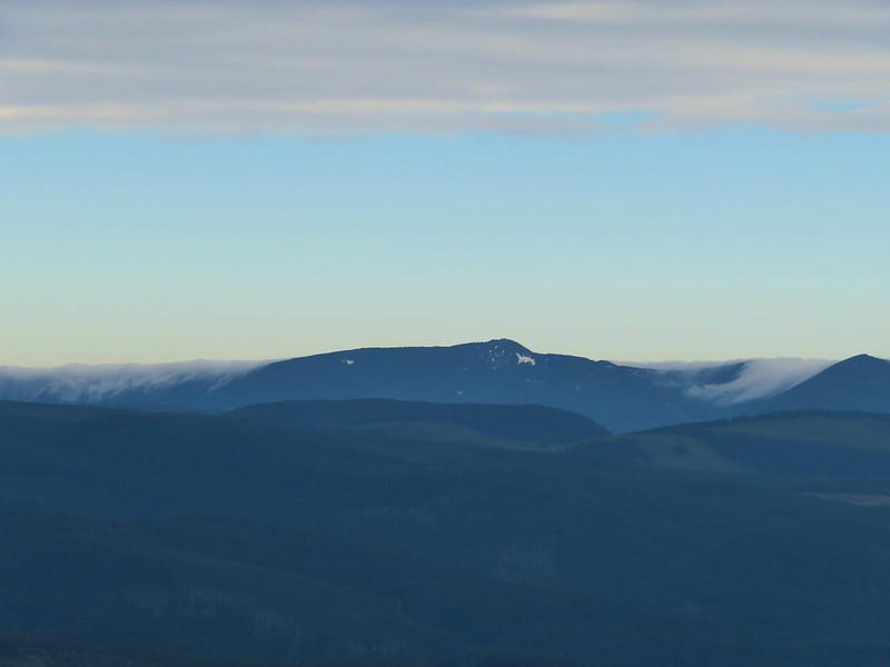 Indian Mountain (
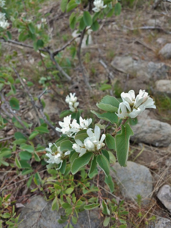 Western serviceberry
 Fairy bells
 Glacier lily
 Shellrock Mountain from the trail.

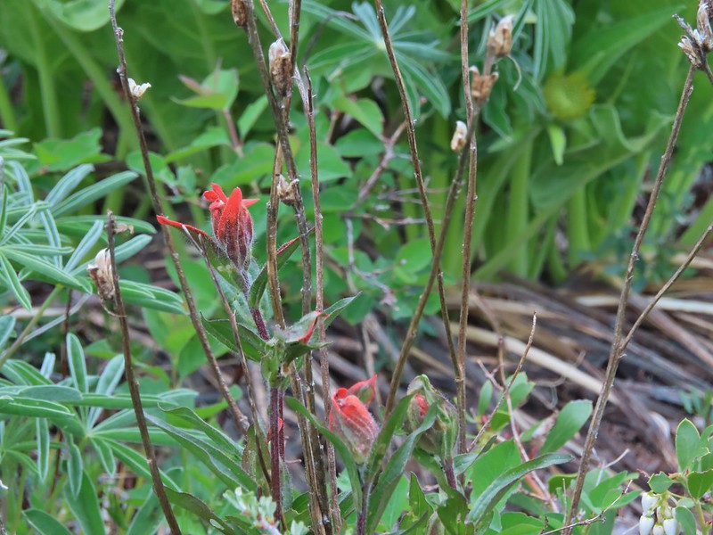 First paintbrush of the day spotted in the little meadow.
 User trail to the left.


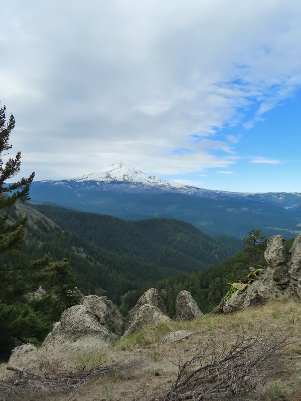
 Shellrock Badlands Basin, an eroded volcanic formation.
 View east into Central Oregon.
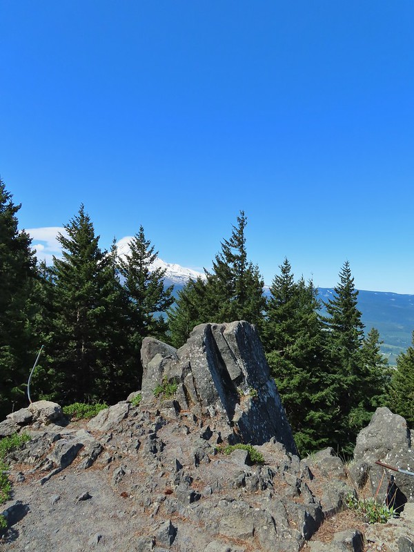
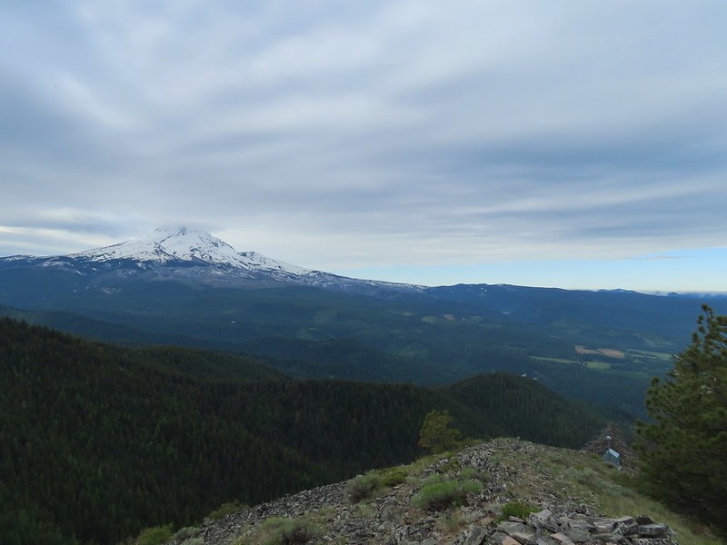 Mt. Hood
 Mill Creek Buttes with Lookout Mountain and Gunsight Butte (
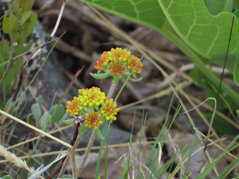 Buckwheat
 Bird below Shellrock Mountain.
 A whole lot of trillium.
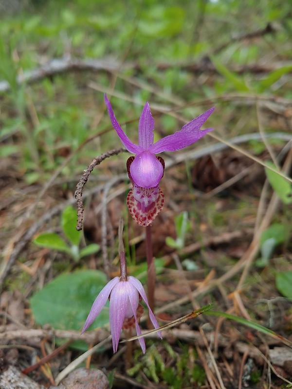 Fairy slippers
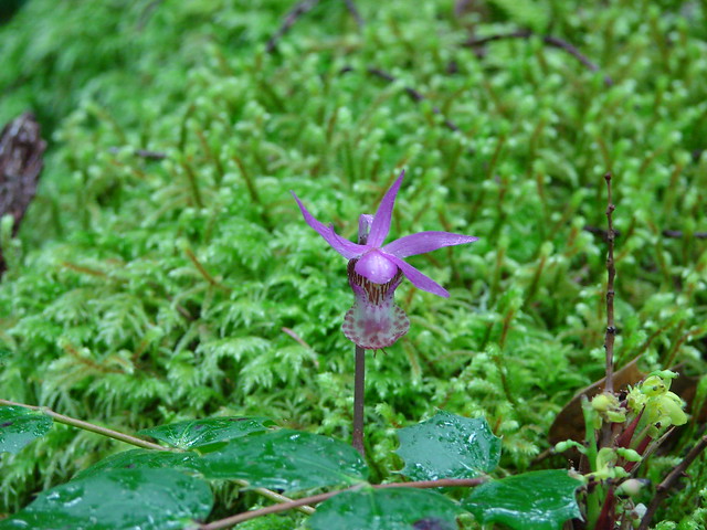
 Sign at the trailhead.


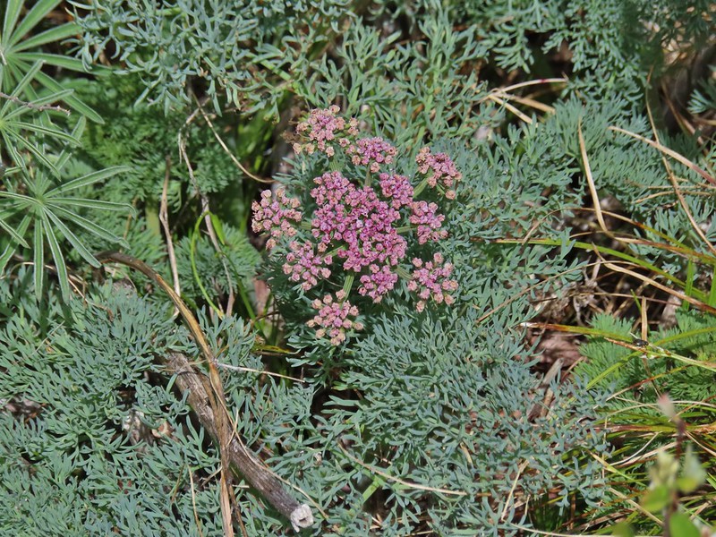
 parsley and popcorn flower.

 Lupine
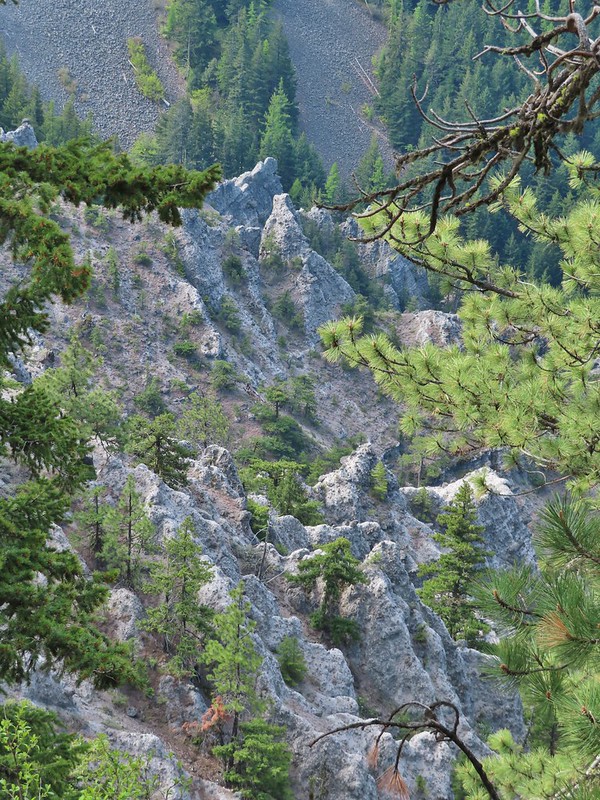


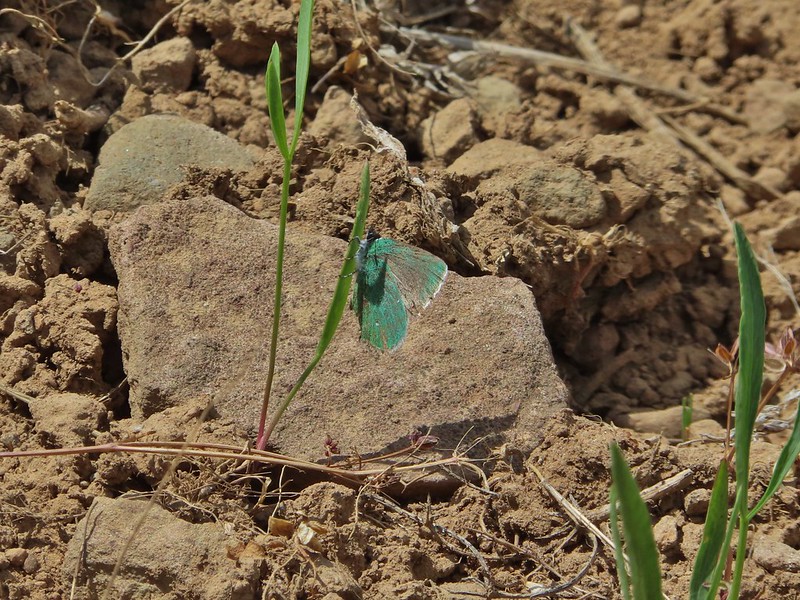
 I frequently have insects hitching rides, so often that we joke about me being an Uber for bugs.
 Rock out cropping in the Rim Rock section of trail.
 Tailed kittentails
 Western tanager female
 Western tanager male
 View from a rocky viewpoint just before crossing from the east side of the ridge back to the top.
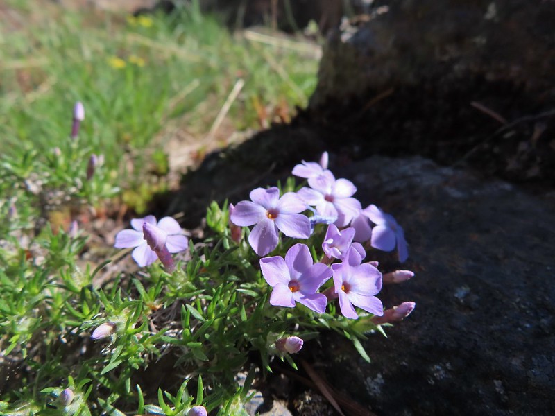 Phlox
Phlox


 Hood River Valley
 Clouds encroaching on Mt. Adams.
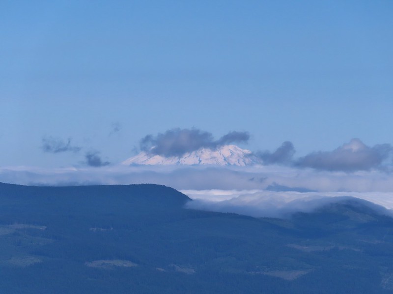 Mt. St. Helens
 The other viewpoint had a better view.
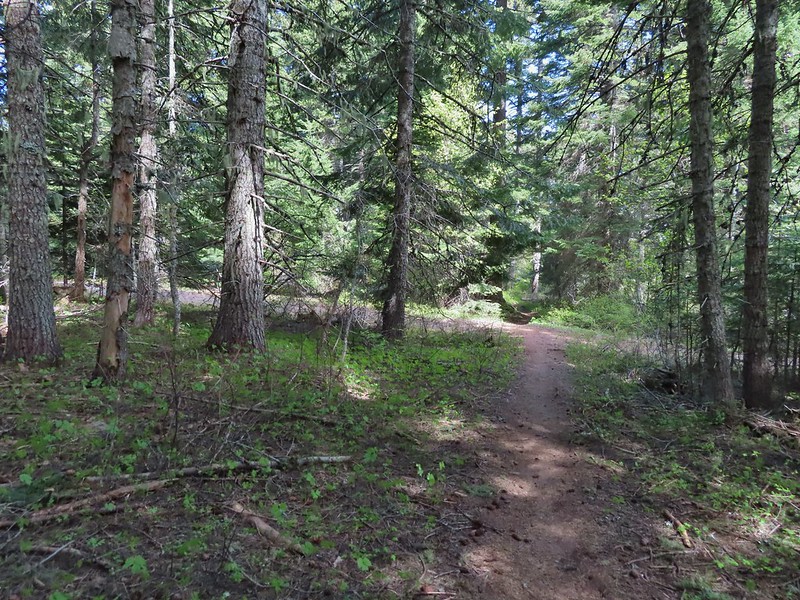 The first roadbed crossing.
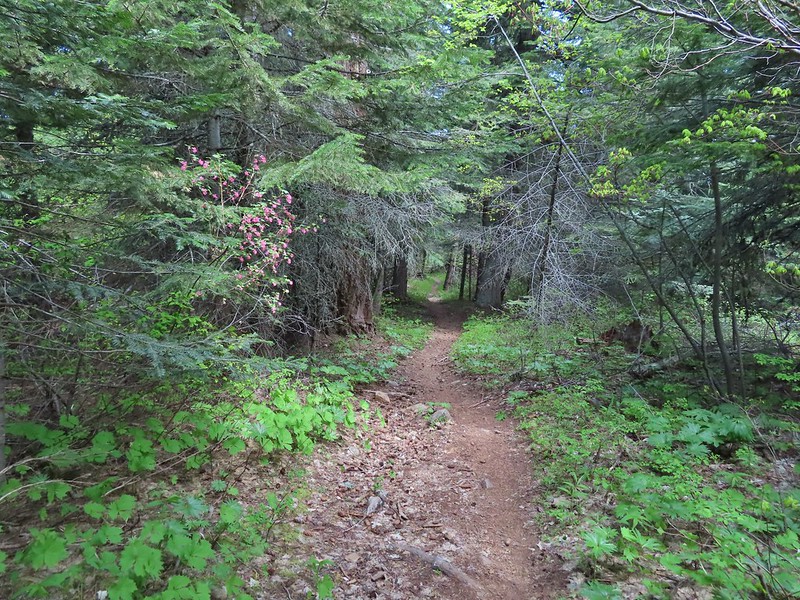
 Violets
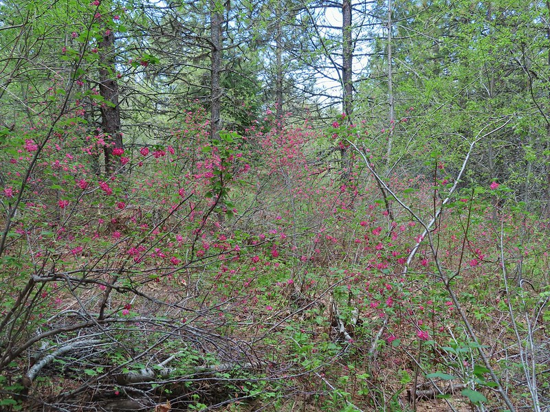
 Trail signs at the second road crossing.
 Coralroot sprouting
 Balsamroot and paintbrush

 Desert parsley
 Western stoneseed
 Wildflowers on the hillside.
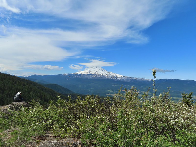
 Sign at the junction.
 Spur trail to Yellowjacket Point.
 No yellowjackets, just a robin.
 Things like this gooseberry shrub.
 Chipmunk
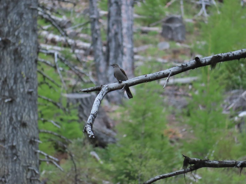 Townsend’s solitare?
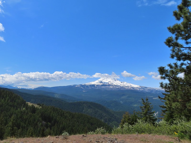 12:40pm
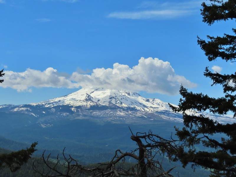 12:50pm
 1:00pm
 1:30pm
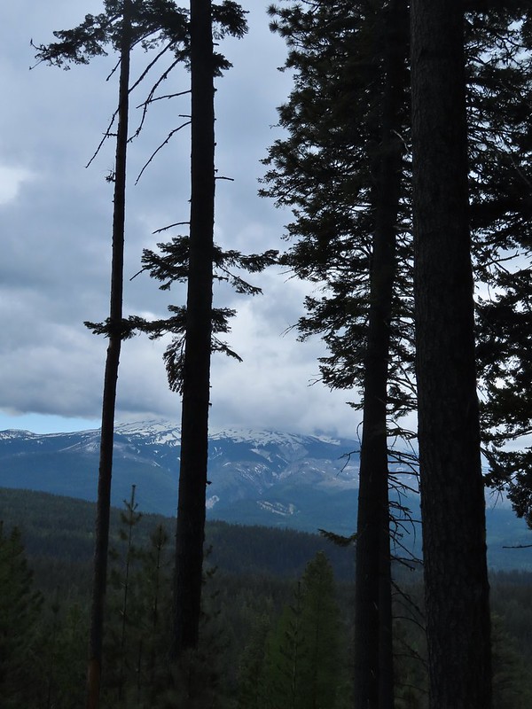 2:04pm
 Returning to the parking area at 2:11pm


 Snow queen and violets
 Trillium


 October 2015
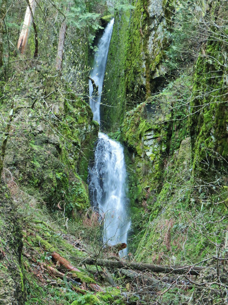 April 2019