While we completed our goal of hiking portions of all 100 featured hikes in William L. Sullivan’s 4th edition of “100 Hikes/Travel Guide Central Cascades” in 2020 (post) there remain a few “loose ends” that we’d like to take care of. We have established some guidelines for considering a featured hike “done” allowing us some wiggle room. For instance we might start at a different trailhead than Sullivan’s description but still visit the main attraction(s) he describes. It might also mean starting at the trailhead described but due to closures might cut the hike short. The two most common dilemmas we faced though were featured hikes with a short and long option and featured hikes that included multiple stops/destinations. Regarding the short vs long options we’ve tended to opt for the longer option assuming the distance is reasonable, under 16 miles (maybe not reasonable to all), but when the longer options are close to or more than 20 miles we’ve settled for the shorter.
For the featured hikes where there are multiple stops/destinations we allow the hike to be checked off once we have completed either the longest option, and/or visited the hike’s namesake. A perfect example is Featured Hike 23 in the Central Cascades book (4th edition). The hike is titled “Pamelia Lake & Hunts Cove” with three options given, all beginning at the Pamelia Lake Trailhead. The shortest is a 4.4 mile out-and-back to Pamelia Lake while the longest is a 12.4 out-and-back to Hunts Cove. Sandwiched in between is a 10 mile out-and-back hike up Grizzly Peak. We had been to Hunts Cove once (post) and Pamelia Lake twice (once on the way to Hunts Cove and the other on an attempt to reach Goat Peak (post)) so going by our self-imposed rules we checked the hike off, but we had yet to visit Grizzly Peak. To put a ribbon on the featured hike we obtained a pair of Central Cascade Wilderness Permits (required at this trailhead) and once again set off for Pamelia Lake.
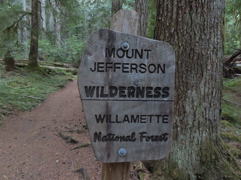
This was at least the third posted notice so there is no claiming you weren’t aware that a permit is needed.
The roughly two mile hike to Pamelia Lake never disappoints.
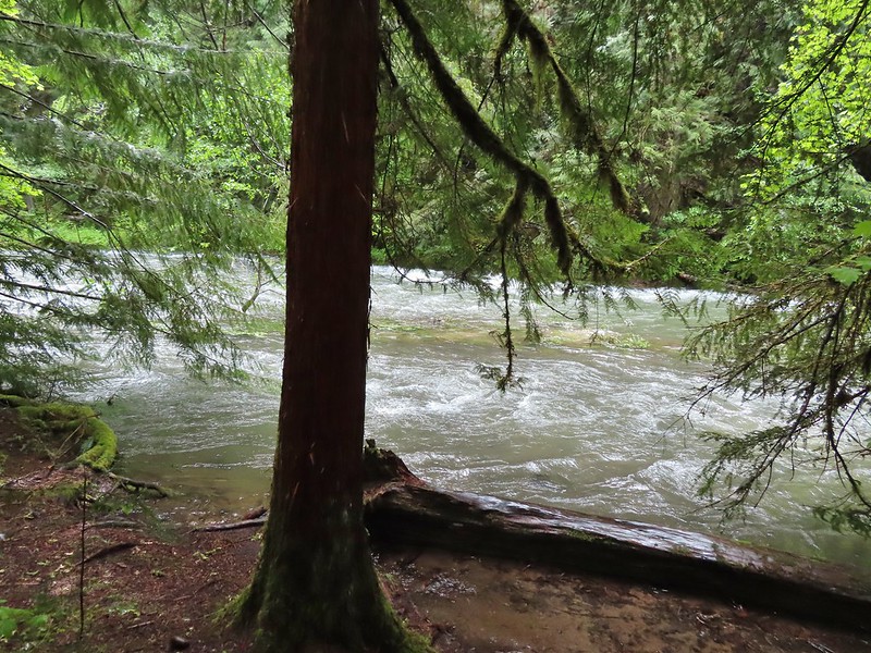
Pamelia Creek
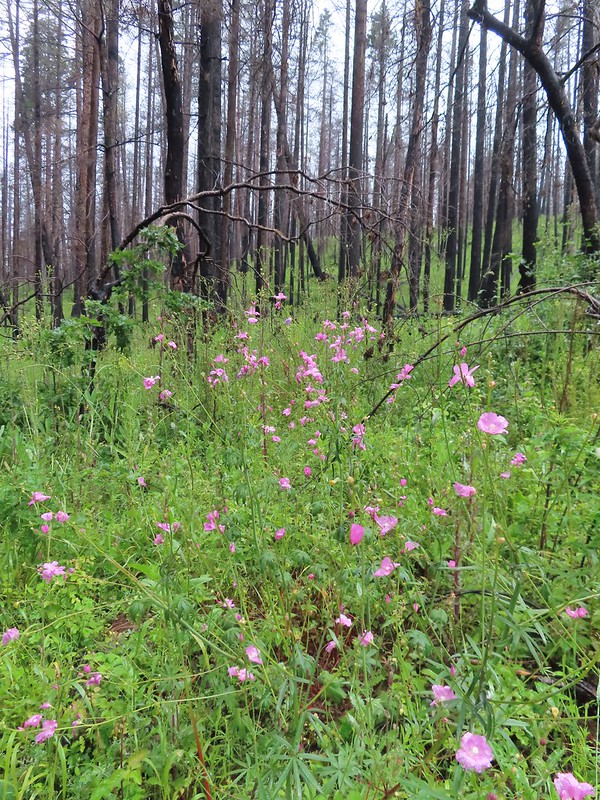
Fireweed along the creek.
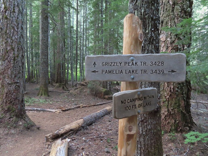
We turned right onto the Grizzly Peak Trail at its junction a short distance from the lake.
The trail crossed the dry outlet creek and then began the nearly 2000′ climb to Grizzly Peak. Pamelia Creek only flows underground here much of the year.
Heading up.
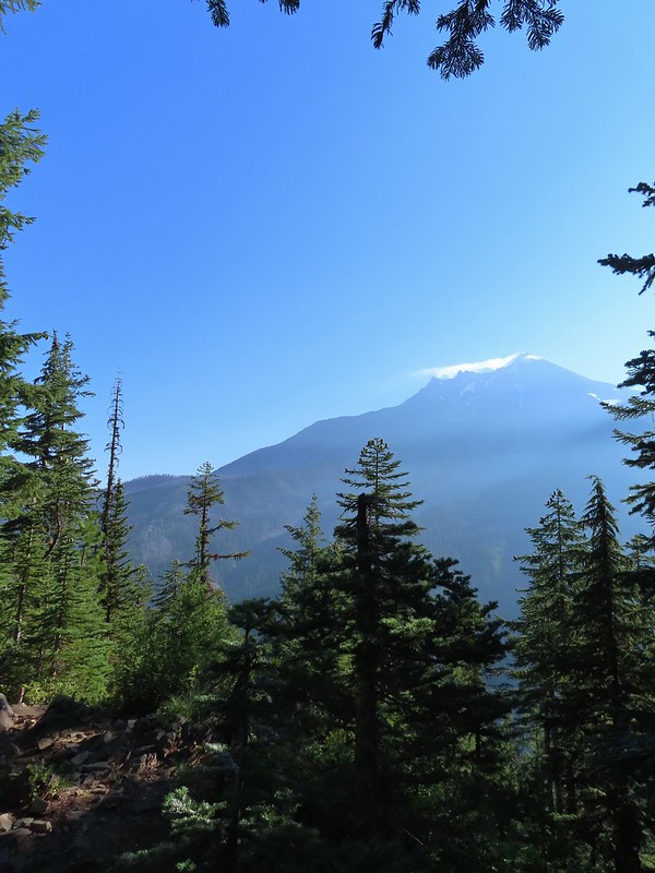
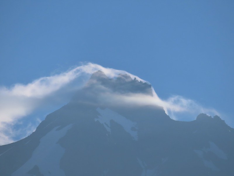
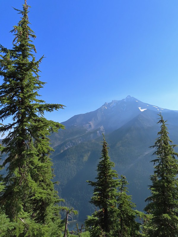
The trail climbs for two and three quarters of a mile to a former lookout site through a nice forest with limited view for the first two miles. A glimpse of Mt. Jefferson.
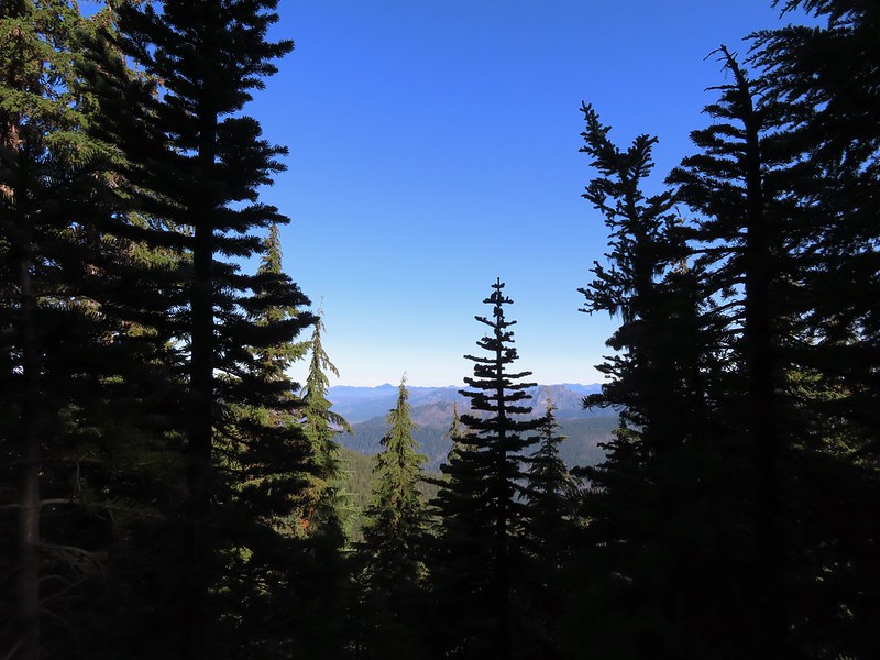
That might be Woodpecker Hill, it was hard to tell exactly which ridge we could see with nothing else visible to help orient.
This looked like it might be a nice little waterfall with enough water.
That’s not enough water.
Heather below one of several switchbacks.
Just over two miles from the junction the Grizzly Peak Trail we came to a viewpoint on a ridge. Here the trail made a sharp right and followed the ridge SE. There were multiple views along this ridge, the one issue we had though was it was still fairly early and the angle of the Sun was catching all the haze in the air. Turning up the ridge.
The haze was probably a combination of morning cloud/fog and smoke from the Cedar Creek Fire near Waldo Lake.
Pinedrops
We were too late for most of the flowers but there were a few pearly everlasting going.
There’s that pesky Sun again.
After following the ridge for 0.4 miles the trail veered to the right leaving it and traversing up a forested hillside with views north towards the Bull of The Woods Wilderness where we got our first good look at the fire scars from the 2020 Labor Day fires.
A quarter mile after leaving the ridge the trail came to another ridge and made a hard right following this ridge up to the summit. This section provided views south to Three Fingered Jack, the Three Sisters, and Broken Top.
Broken Top to the far left blending into the haze and Three Fingered Jack to the right with the Three Sisters in between.
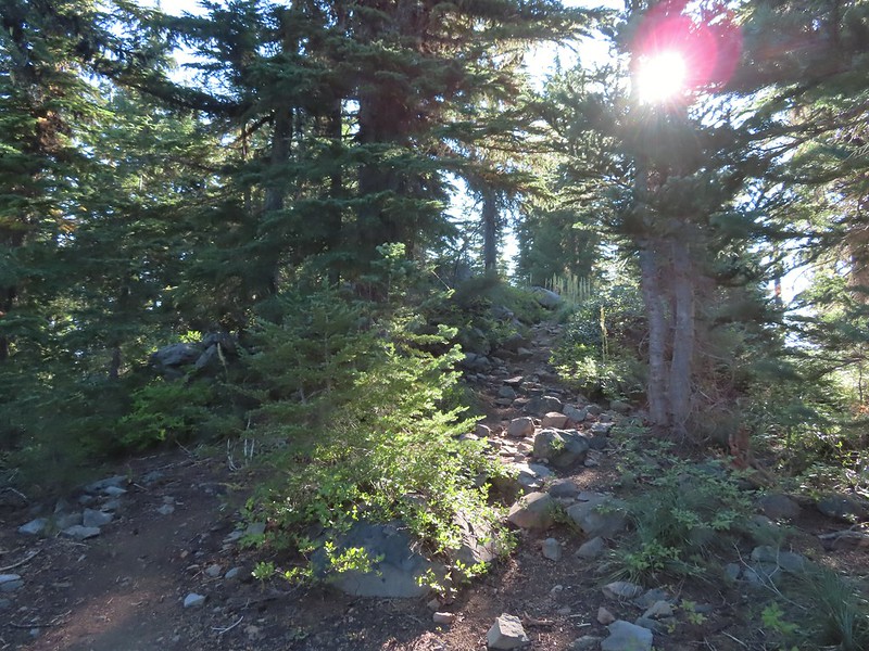
Just below the summit.
Pamelia Lake below Mt. Jefferson.
We spent a little over half an hour at the summit checking out different views and watching several butterflies and some large black flying insects.
Hunts Creek flowing into Pamelia Lake.
Had to hunt for a view of Three Fingered Jack.
A hard to make out Mt. Hood beyond the far ridge which consists of Bear Point to the left (post) and Dinah-mo Peak to the right.
Mt. Hood
Beardtongue
A fritillary butterfly.
A skipper
We returned the way we’d come opting not to visit the lake on this trip since we have permits to return next month for a second attempt at Goat Peak. Goat Peak is to the right of Mt. Jefferson.
Mt. Jefferson and Pamelia Lake from one of the viewpoints along the ridge.
Cascade toad
One more of Pamelia Creek.
One other hiker had arrived at the summit a bit before we headed down and that was the only other person we saw until we were headed back down. We encountered one couple coming up the Grizzly Peak Trail and a number more on the Pamelia Lake Trail. It was a little surprising because the trailhead parking lot had looked nearly full when we had arrived that morning. The hike was nice and the well graded trail kept the 2700′ of elevation gain from ever feeling steep. It also allowed us to be home before 2pm which gave us time to unpack and clean up before heading of to a friends house for their annual margarita (and dinner) party. Happy Trails!
The last two years have created a bit of urgency to our goal of completing the 100 featured hikes in all five areas covered by William L. Sullivan in his 100 hikes guidebook series (post). Between the pandemic and 2020 wildfire season it became clear that taking our time could create issues down the road so starting last year we refocused our efforts on finishing the 500 hikes as soon possible. As we started 2022 we were down to just the Eastern and Southern Oregon (and Northern CA) areas to complete (post). The majority of the remaining hikes were from the southern book where a number of planned trips had been canceled in recent years due to weather and/or the effects of wildfires. We spent a week in Medford earlier in June checking off Roxy Ann Peak (post) and the Jack-Ash Trail (post) and we headed back south a couple of weeks later to hopefully check off more.
A cool and wet Spring has left parts of Oregon, in particular the northern and central Cascade Mountains with a lot of lingering snow. Many trails and trailheads in those areas that in recent years would be open are still snowed in but Southern Oregon had been dealing with an extreme drought, so the recent weather has not had as much of an impact leaving trails accessible. While accessibility wasn’t an issue the weather forecast was a bit of one. More wet weather was forecast for the start and end of our six-day trip with the possibility of snow at higher elevations. After some substituting and rearranging of hikes we settled on a tentative plan that gave us some flexibility in case the forecast tried to pull a fast one on us. Since Monday was supposed to be mostly cloudy with a chance of showers off and on all day we decided to combine a number of stops east of Roseburg along Highway 138 to check out seven different waterfalls.
We started our morning off at Susan Creek Falls. This waterfall is one of three stops listed in featured hike #2, Fall Creek Falls (4th edition). This area was burned in the 2020 Archie Creek Fire and to date the other two stops at Fall Creek Falls and the Tioga Segment of the North Umpqua Trail remain closed. The BLM has managed to get the 0.7 mile Susan Creek Trail open although the trailhead on the north side of the highway was full of logs forcing us to park across the street at the Susan Creek Picnic Area.
After dashing across the highway we set off on the trail through the burned forest.
Checkermallow
A slug and a bug on a flower.
Pea
Approaching the falls.
Columbine
Susan Creek Falls
This short trail only gained about 150′ and was a nice leg stretcher after the drive down from Salem. After admiring the falls we returned to the car and continued east on 138 to milepost 59 and turned left onto Forest Road 34 to the Toketee Falls Trailhead. One of two stops that make up featured hike #9 (edition 4.2) a 0.4 mile trail leads to a platform above the falls which spill out of gap in basalt cliffs.
Evidence of overnight rains on the trail.
A very faint rainbow over the North Umpqua River.
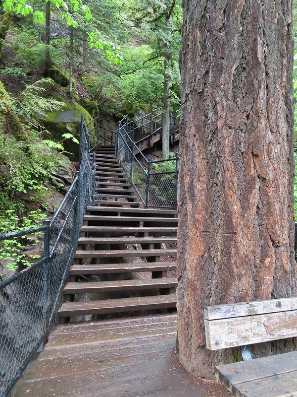
Stairs down to the viewpoint platform.
Toketee Falls
We spent some time admiring this waterfall which is one of Oregon’s more recognizable falls before returning to the car and continuing on FR 34 to FR 3401 and following it to the Umpqua Hot Springs Trailhead.
The hike starting here is not the second part of featured hike #9 but rather its own entry (featured hike #8, edition 4.2). Sullivan gives two 0.6 mile round trip options starting from this trailhead. The first is a 120′ climb to Umpqua Hot Springs overlooking the North Umpqua River. To reach the hot springs we crossed the river on a footbridge and turned right to make the climb up to the springs.
Candy sticks along the trail.
Just before the hot springs I veered downhill on a side trail to visit the river.
During lower flow there is another hot spring along the river bank in the area.
I climbed back up to find Heather sitting near the springs. There were a number of people enjoying a soak and with clothing being optional pictures were very limited.
We climbed down from the hot springs and returned to the trailhead where we took a short trail up to FR 3401 and turned left following a short distance to the resumption of the North Umpqua Trail. Heading up to the road.
The North Umpqua Trail on the left leaving the FR 3401.
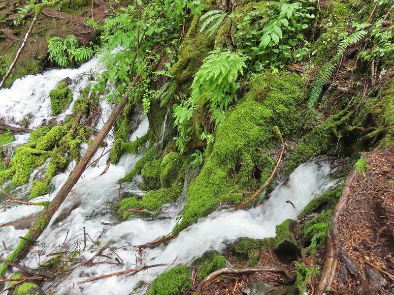
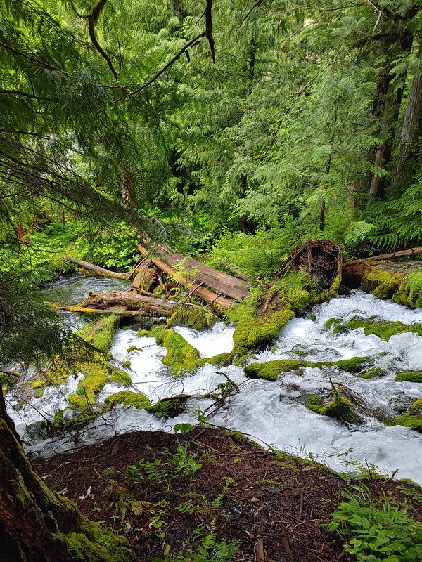
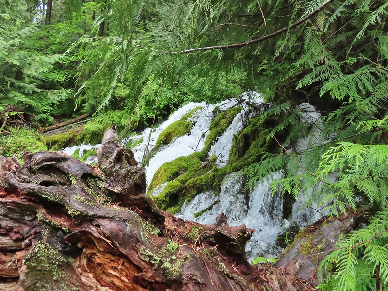
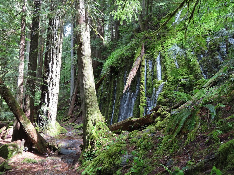
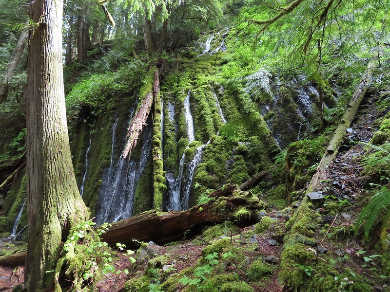
Approximately a quarter mile along this segment we arrived at Surprise Falls, a cascade created by cold springs bursting from the hillside below the trail.
The mossy cascade was beautiful and we spent quite a while enjoying the lush green surroundings. A very short distance further we arrived at our turn around point at another spring fed waterfall, Columnar Falls.
This fall gets its name due to the columnar basalt that the water both cascades down and spouts right out of.
The hot springs across the river from Columnar Falls.
We returned the way we’d come and hoped back into our car and drove back to Highway 138 where we again turned east. Our next stop was the second waterfall in featured hike #9, Watson Falls. Another short (0.4 mile) trail leads from the Watson Falls Trailhead to Southern Oregon’s tallest waterfall. The top of Watson Falls from the trailhead signboard.
This trail gains 300′ as it climbs to a viewpoint part way up the 272′ waterfall.
Watson Falls from below.
Footbridge over Watson Creek.
Heather at the viewpoint.
The splash pool.
On the way back down we took the loop back trail which splits off just before the creek crossing.
This trail follows Watson Creek down to FR 37 where a right turn and short road walk completes the loop.
Watson Creek at FR 37.
A little bit of blue sky and sunlight along FR 37.
Once again we returned to Highway 138 and continued east. Our next three stops were in the Lemolo Lake Recreation Area so we turned off of the Highway onto FR 2610 at a pointer for the Recreation Area. Our first stop was at the Warm Springs Trail.
Yet another short trail (0.3 miles) that led to a scenic waterfall.
Viewing platform above the falls.
We both really liked the angled basalt cliff on the far side of these falls.
This waterfall surprised us a bit with how much we both liked it. We headed back to the car and drove back the way we’d come until reaching a canal bridge along FR 2610 where we turned across it to the North Umpqua Trail. The canal bridge is 5.6 miles from Highway 138 on FR 2610.
Sign near the canal bridge.
The North Umpqua Trail.
The section between Lemolo Lake and the Umpqua Hot Springs Trailhead is called the “Dread and Terror Segment” but both sections we hiked were beautiful.
This would be our longest hike of the day at 3.5 miles round trip. The trail followed the North Umpqua River providing numerous views while losing 400′ to a viewpoint above Lemolo Falls.
Numerous seasonal streams and seeps flowed across the trail.
Unnamed fall along the river.
Trillium
Ouzel
Lemolo Falls
We took a short break at the viewpoint then headed back. We had one final stop to make on the other side of the river to visit a better viewpoint below Lemolo Falls. Red flowering currant along the trail.
Bleeding heart.
From the canal bridge we drove back toward Lemolo Lake crossing the dam then in half a mile turned right on FR 3401 for another half mile to FR 800 where we again turned right. We followed FR 800 for 1.6 miles to a spur road (FR 3401-840). The trailhead is located approximately a quarter-mile down this road but we parked as soon as we had a chance due to this road being in the worst condition we’d experienced this day. Approaching the trailhead.
This old trail/trailhead was recently reopened and aside from the poor access road the trail was in good shape. The first 0.6 miles follows an old roadbed to a former picnic area where the Lemolo Falls Trail used to begin. Three quarters of a mile later the trail arrives at the North Umpqua River below Lemolo Falls.
The former picnic area (Note the picnic table in the trees to the right.)
Valerian along the trail.
One of many brief appearances of blue sky during the day.
This was by far the superior view and a great way to end the day. We climbed back up the 500′ that we’d descended to the falls and called it a day. Our seven stops was a new personal record (previously six on a trip down the Oregon Coast). With most of the hikes being rather short our mileage for the day was just a smidge over 11 miles with a little over 1800′ of cumulative elevation gain. It was a long day made longer by a couple of delays due to road construction so it was later than we’d planned when we pulled into our motel in Roseburg but we had managed to finish three more featured hikes (and one third of a fourth) and although it had sprinkled off and on all day we’d also had a few sun breaks which made it a perfect day for chasing waterfalls. Happy Trails!
We ended our hiking season with a bang, a pair of stops along the Barlow Wagon Road with an off-trail adventure, great views and beautiful weather. Created in 1846 the “Barlow Road” provided an alternate route along the Oregon Trail which previously ended at The Dalles where emigrates were forced to find passage down the Columbia River. The 80 mile road led from The Dalles to Oregon City crossing several rivers and the Cascade crest along the way. The wagons also had to navigate Laurel Hill’s steep descent and our first stop of the day was to visit the Laurel Hill Wagon Chute, the steepest drop along the road.
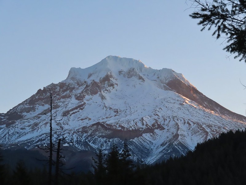
We parked at the small pullout along Highway 26 that serves as the Laurel Hill Trailhead. Mt. Hood from the trailhead.
We followed the trail uphill on stairs to an abandoned section of the Mt. Hood Highway then turned right to find the bottom of the rocky chute.
The wagon chute.
A trail to the right of the chute led uphill to a 4-way junction where we turned left and followed this path a short distance to the top of the chute.
The left at the 4-way junction.
Looking down the chute.
After reading the sign near the chute and trying to picture actually lowering a wagon down the chute we returned to the old highway walking a short distance past the chute to a viewpoint above Highway 26.
Sunlight starting to hit the SE side of Mt. Hood.
Ravens photo bombing a close up of the mountain.
We backtracked from the viewpoint and descended down the stairs to our car.
We then drove east through Government Camp to Highway 35 before turning right onto FR 3531 at a pointer for Barlow Road and the Pacific Crest Trail. After 0.2 miles we parked at the Barlow Pass Trailhead/Sno-Park. Both the Barlow Wagon Road and the Pacific Crest Trail pass through the trailhead. After parking we headed to a picnic table and sign boards on the south side of the parking area.
The PCT was on our right heading south toward Twin Lakes (post) while the Barlow Wagon Road lay straight ahead.
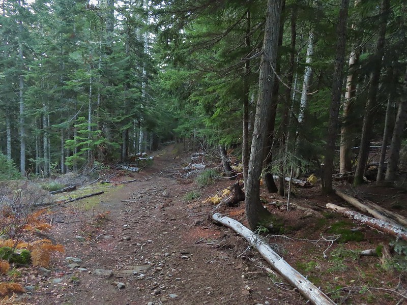
We followed the wagon road for approximately a tenth of a mile before it joined FR 3530 (Barlow Road). A portion of the original Barlow Wagon Road.
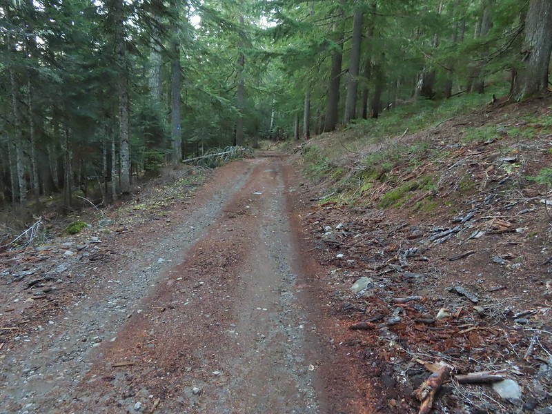
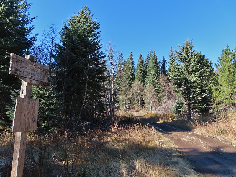
Barlow Road (FR 3530)
Just 40 yards after joining FR 3530 the Barlow Butte Trail veered downhill at a signpost.
The trail was still following the route of the wagon road as it passed through a forest that was hit hard by last Winter’s storms.
At the half mile mark we came to a junction with the Barlow Creek/Devil’s Half Acre Trail in a small meadow.
Following pointers for the Barlow Butte Trail and Mineral Springs Ski Trail we turned left here.
The trail began a gradual 0.4 mile climb to another junction where the Barlow Butte and Mineral Springs Ski Trail parted ways.
We made a hard right here sticking to the Barlow Butte Trail which quickly entered the Mt. Hood Wilderness. Wilderness sign along the Barlow Butte Trail.
It was a mile from the junction where the Mineral Springs Ski Trail parted ways to the next junction. The trail climbed gradually at first but soon steepened as it began a series of switchbacks.
Getting steeper.
This was the worst of the blow down we had to navigate on this section.
Nearing the junction.
A small rock cairn marked the junction where a spur trail led left up to the old lookout site on Barlow Butte.
We turned left on the spur trail which began with a great view to the NE of the Badger Creek Wilderness including Lookout Mountain and Gunsight Butte (post)
It was a little chilly with temps in the mid 30’s combined with a stiff breeze adding to the wind chill.
On the right of the far ridge is Bonney Butte (post).
The summit of Barlow Butte is overgrown now with trees but just downhill from the former lookout site was a small rock outcrop with a view of Mt. Hood.
Remains from the lookout.
The Oregon Hikers Field Guide mentions a better viewpoint on yet another rock outcrop below this one but we didn’t scramble down to it. Instead we planned on visiting a couple of other viewpoints on the Barlow Butte Trail further along Barlow Ridge. So after a short break trying to use the trees to block the wind we headed back down to the Barlow Butte Trail and turned left (downhill) at the small rock cairn. The trail passed through a stand of trees before popping out on a rocky spine. Barlow Butte and the top of Mt. Hood.
Frog Lake Buttes (post) is the hump in the center.
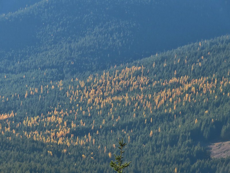
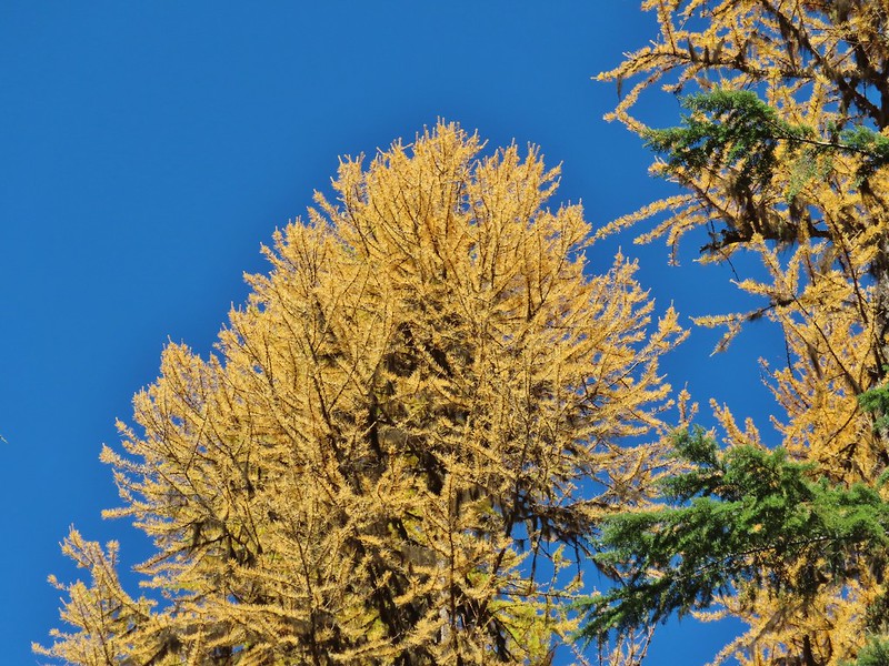
Western larches
Mt. Jefferson behind some clouds.
Sisi Butte (double humps) and Bachelor Mountain (post).
The rocks were a little frosty in spots so we had to watch our footing, especially dropping off the rocks back into the forest.
This is a good point to mention that the Oregon Hikers Field Guide has you turn back here for their Barlow Butte Hike but there is a second hike in the guide, the Barlow Ridge Loop which describes a possible 10.5 mile loop. This hike is listed as a “lost” hike due to the Forest Service having abandoned the trail along the remainder of Barlow Ridge. The Barlow Butte Trail at one time followed the ridge to its end and descended to Klingers Camp. We were keeping the loop option open but were planning on turning back possibly at the high point of the trail.
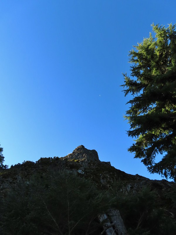
The next marker along Barlow Ridge was Lambert Rock which we reached a half mile from the small rock cairn on Barlow Butte.
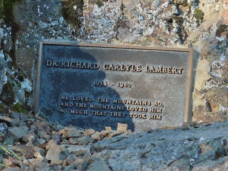
It’s possible to carefully scramble up this rock past a memorial plaque for Dr. Richard Carlyle Lambert who perished while hiking in Utah.
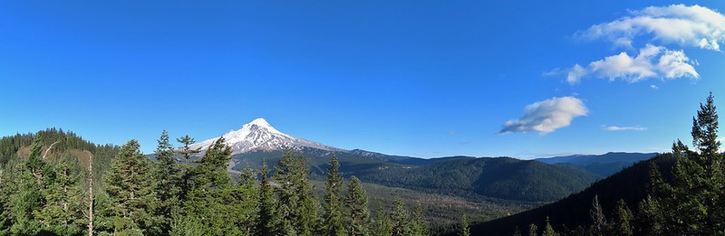
The view of Mt. Hood was spectacular from the rock but the stiff breeze and cold air made for a short stay. Barlow Butte to the left of Mt. Hood.
If not for the clouds to the south the Three Sisters and Mt. Jefferson would have also been visible from the rock. Mt. Jefferson still behind some clouds.
Beyond Lambert Rock the trail dropped a bit into a saddle where another small rock cairn marked an unofficial cutoff trail to the left that leads downhill to FR 3560.
We continued to the right on the Barlow Butte Trail and 0.4 miles from Lambert Rock detoured to the right to what we hoped might be another viewpoint. Trees blocked the view north to Mt. Hood and east to Lookout Mountain. Again there would have been a decent view of Mt. Jefferson from this spot but we did have a good view west to Tom Dick and Harry Mountain above Mirror Lake (post)
Parts of Mt. Jefferson peaking through the clouds.
Tom Dick and Harry Mountain (with the rock fields near the top).
We continued on following the increasingly faint trail another third of a mile to it’s high point and another great view of Mt. Hood. While the trail was faint there were often cairns, blazes or diamonds marking the correct path. Small cairns in a meadow.
One of the aforementioned diamonds.
Approaching the high point.
Clouds were starting to pass over Lookout Mountain at this point.
Mt. Hood from the high point of Barlow Ridge.
Up to this point the trail had been fairly easy to follow and there hadn’t been much blow down over it so we decided to continue along the ridge at least to the point where it started to steepen on it’s way down to Klingers Camp. For the next three quarters of a mile the trail was still visible at times and the occasional marker let us know we were still on the right course. Carin in the trees ahead.
Elk or deer tracks leading the way.
Another section of frost.
We took this as a blaze.
That blaze led to this large cairn.
Things were starting to get interesting here.
Stopped here to listen for pikas, no luck though.
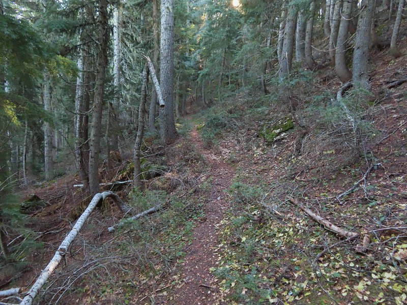
This could be trail.
Still on the right track, note the folded trail sign on the tree at center.
We lost the trail for good in a small beargrass meadow which was my fault. While I had brought a topographic map that showed where the trail was supposed to be I was navigating primarily based off of what I remembered reading from the Oregon Hikers field guide. I had remembered most of it well but had forgotten the part where “the trail swings off the ridge to the right….”. All I remembered was that the route eventually dropped steeply down the nose of a ridge. Not realizing it was the nose of a different ridge I kept us following Barlow Ridge for another 0.2 miles. The small meadow.
Officially off-trail now.
This looked like a place the trail would go.
A final look at Mt. Hood from Barlow Ridge.
Not realizing that we were off the trail alignment we decided that the hiking had been easy enough up until now that we would go ahead and try for the loop. Down we headed looking in vain for any sign of trail. Several times we convinced ourselves that we’d found it, but it turns out if it was anything it was game trails. This doesn’t look so bad.
One of several big trees we encountered.
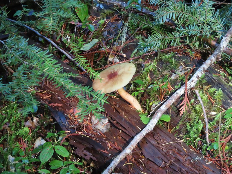
Little orange mushrooms, how appropriate for Halloween.
Starting to encounter more debris.
If there had been a trail good luck finding it.
Heather coming down behind me.
We lost over 600′ of elevation in three quarters of a mile and things were only getting steeper. It was at this point that I turned my brain on and pulled the map out of Heather’s pack. I quickly saw what I’d done wrong, we were following the wrong ridge line down and should have been one ridge to the SW. The problem now was there was a stream bed between us. We backtracked up hill a bit and followed a game trail across the trickling stream and attempted to traverse over to the correct ridge. Pretty decent game trail here.
This section was fun.
A bigger orange mushroom.
We struggled down and across, occasionally having to backtrack or veer uphill to find safer passage. Uphill on this game trail.
Thickets of brush kept us from getting all the way over to the ridge we needed so we just kept going downhill knowing that we would eventually run into one of the forest roads at the bottom.
More steep fun.
We eventually made it to flat ground in a forest of young trees and ferns.
We could tell using our GPS that despite all of that we were only about two tenths of a mile from Klingers Camp. We were even closer to FR 240 and being tired of off-trail travel we headed straight for the road. Look Ma a road!
We turned right on this road and followed it to a junction with Barlow Road. It doesn’t look that steep from down here.
Barlow Road.
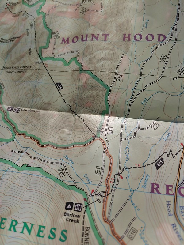
We turned right onto Barlow Road and followed it 150 yards to Klingers Camp.
After visiting the camp we continued on Barlow Road for five miles back to the Barlow Pass Trailhead. Along the way two pickups drove past us in the other direction. At the 1.6 mile mark we passed the Grindstone Campground and near the 4 mile mark the entrance to the Devil’s Half Acre Campground.
Western larches above Barlow Road.
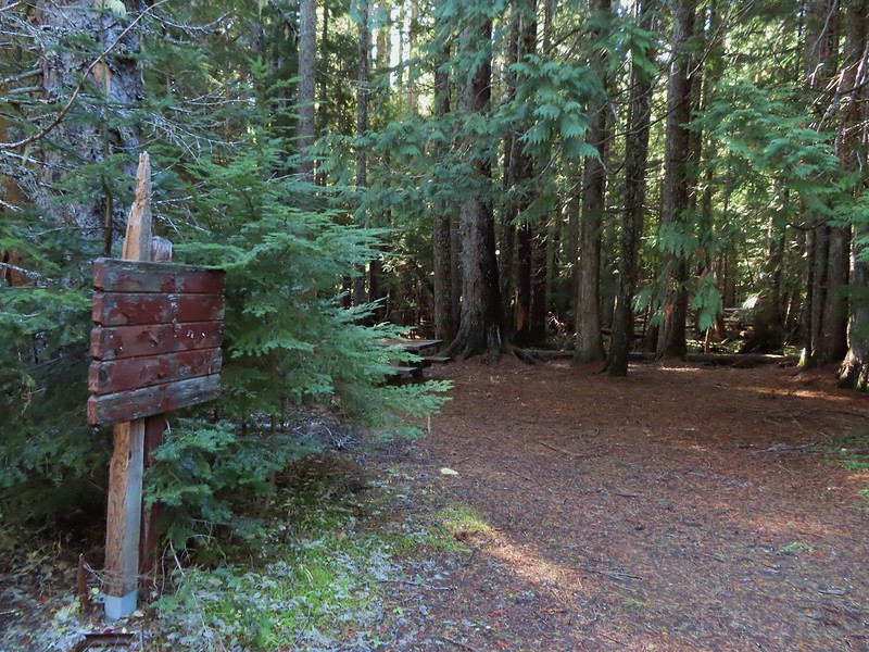
Grindstone Campground
Barlow Creek
Crossing Barlow Creek near Devil’s Half Acre Meadow.
Clouds on top of Mt. Hood towering over the trees.
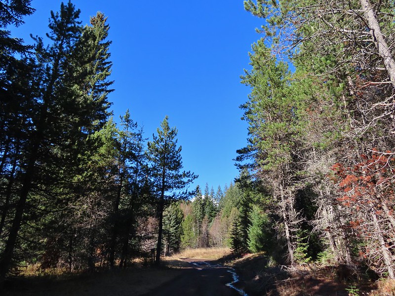
Barlow Road at the campground.
Devil’s Half Acre Meadow.
We could have taken the Devil’s Half Acre Trail from the campground to the Barlow Butte Trail but we weren’t sure what the condition was and the Field Guide didn’t mention taking it so we played it safe and trudged up the road. Finally back to where we’d left the road in the morning.
Arriving back at the Barlow Pass Trailhead
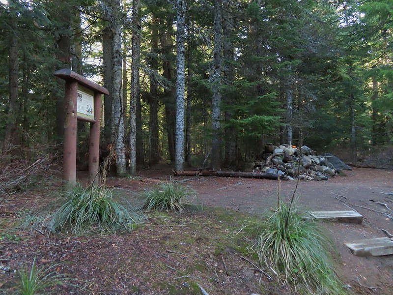
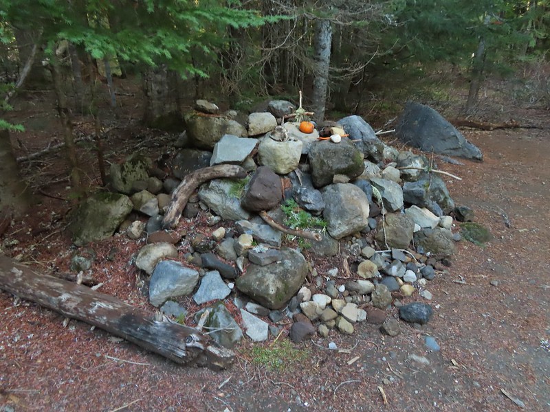
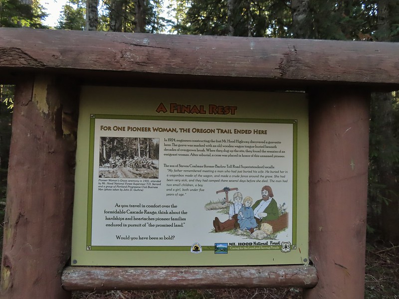
Before we attempted the crazy loop we had planned on also making the 2.2 mile round trip hike to the Pioneer Woman’s Grave on the other side of Barlow Pass and then stopping at the Castle Canyon Trail for a final short hike. Neither of us had any interest in making another stop at this point but we were interested in the grave site. Unfortunately Heather’s plantar was acting up. Surprisingly, given the lack of good ideas we’d displayed so far, we came up with a alternate plan. Heather would drive to the Pioneer Woman’s Grave Trailhead while I hiked the Barlow Wagon Road to it. The trailhead is located right next to the grave site so Heather didn’t have to worry about her plantar and now I only needed to hike a little over a mile downhill. The first other people (not counting the two drivers in the pickups) that we’d seen all day.
I hustled down the wagon road stopping along the way at another nice Mt. Hood viewpoint.
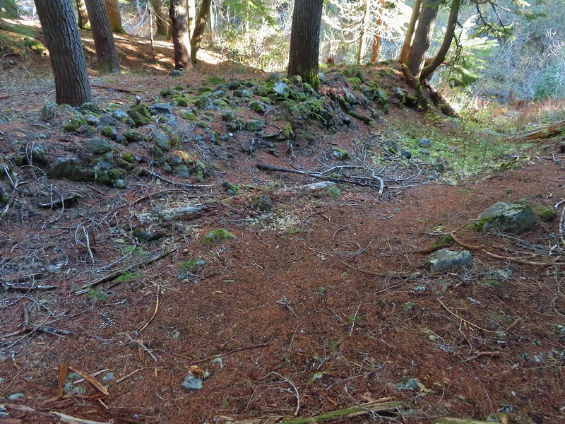
I did take the time to walk down the road 60 yards to the East Fork Salmon River to check out some stonework and wagon ruts left by the emigrants. East Fork Salmon River
The 10.5 mile loop hike turned into 12 miles due to our being off course and wandering around trying to figure out where we were going so my day wound up being just under 14 miles total with approximately 3100′ of elevation gain. Heather got all the elevation gain with 1.2 miles less traveled. I probably wouldn’t try that loop again but I’d be lying if I said I wasn’t kind of curious what it would be like to actually follow the field guide correctly. Happy Trails!
Loop is in blue with the Pioneer Woman’s Grave in orange.
We were hoping to get a backpacking trip in over the holiday weekend but the forecast called for rain/snow in the mountains starting Saturday night through the rest of the weekend so we opted instead for a day hike instead. The good news was that the forecast for Saturday was for partly to mostly sunny skies so we were hoping for some nice views. We’d chosen a hike to Round and Square Lakes near Three Fingered Jack and the Mt. Jefferson Wilderness which was the shortest of the drives (a little over 1 1/2 hours from Salem) that we had been considering. While we hadn’t been to Round Lake yet we had passed by Square Lake on a loop hike in 2012 (post). Earlier this year on our hike to Santiam Lake (post) we had retraced some the beginning of that loop. For this hike we would also be starting at the Pacific Crest Trailhead at Santiam Pass but would be retracing the final 4.5 miles of the 2012 loop between Booth Lake and the trailhead.
Both Reeder and Sullivan describe hikes to Round and Square Lakes but each of their descriptions are for out and back hikes starting at the Round Lake Trailhead which is closer to the Sisters/Bend area. Starting at Santiam Pass cut off some driving but it did add approximately 5 miles of hiking to our days total. We arrived at the trailhead just in time to catch a bit of color from the sunrise.
After 0.2 miles we turned right at the junction with the Old Summit Trail.
The Old Summit Trail traverses a hillside above Highway 20 through snags left over from the 2003 B & B Complex (Bear and Booth Fires). The lack of larger trees provides plenty of views south to Black Crater, Broken Top, the Three Sisters, Mt. Washington, Hayrick Butte and Hoodoo Butte. The over night clouds were quickly breaking up as we hiked revealing more and more of the mountains. Black Crater and North Sister
Black Crater, the top of Broken Top, some of the Sisters, and part of Mt. Washington.
Hayrick and Hoodoo
Between Mt. Washington and Hayrick Butte is Scott Mountain (post).
Cache Mountain is the high point furthest to the left.
Broken Top and the Three Sisters
Mt. Washington
The Three Sisters. The summit of South Sister is between North and Middle Sister behind 9321′ Prouty Point.
Near the 2 mile mark we entered the Mt. Jefferson Wilderness. The wilderness sign provided a good reference for comparing how much taller the trees were this time versus in 2012.
A different angle from 2012.
Shortly after entering the wilderness we began descending toward Square Lake. Three Fingered Jack was somewhat hidden behind a cloud further to the north.
The only deer we spotted during the hike popped out of some brush below the trail for just a moment before disappearing back into it. As has been the case more often than not this year I did not have my camera at the ready so all I got was one of their white rumps. One white rump with a black tail amid the ferns near the center of the photo (good luck).
The trail wrapped around the lake past a large campsite to a junction with the Round Lake trail approximately 2.5 miles from the trailhead.
The only paintbrush we would see all day.
The top of Mt. Washington is just visible on the other side of Square Lake.
At the junction we followed the pointer for the Round Lake Trail and continued along Square Lake.
Mt. Washington’s spire again.
A rainbow was trying to form to the west.
We soon left Square Lake and continued through the recovering forest.
Lodgepole pine seeds require fire in order to be released from their tight cones.
The Round Lake Trail is just about 2 miles long running between the junction and the Round Lake Trailhead to the east. Several maps show the trail passing near Long Lake Lake along the way. It does not but rather veers away form that lake. It may have been an older pre-fire alignment but Reeder mentions this discrepancy in the map and warns “don’t even bother trying to find it unless you’ve got lots of time and patience”. I’ll be honest and say this sounded like a little bit of a challenge so when we were able to spot the western end of Long Lake we decided to make an attempt for it. Our first sighting of Long Lake (zoomed in).
Using our GPS and a paper map as backup we angled cross country toward the lake which quickly was hidden from sight. There were plenty of downed trees to climb over or around and one line of snowbrush to push through but we also were able to follow some game trails which helped us find ways through the obstacles. It was also evident that the area around the lake can be pretty wet and probably muddy meaning getting as close as we did probably wouldn’t be possible at other times.
We reached the western end of the lake after three tenths of a mile. It took less than 15 minutes but without a map and some route finding skills we wouldn’t advise it.
Ducks taking off from Long Lake.
Any thoughts of walking around the north side of the lake quickly vanished when we saw how dense the vegetation and downed trees were.
We did however return to the Round Lake Trail by bearing NE. It took a little over 21 minutes to find the trail just over a half mile from the lake.
This is one of the areas that we could see getting pretty muddy/wet.
Rainbow
The Round Lake Trail just on the other side of the downed tree.
Long Lake is back down that way somewhere.
We turned right and continued east on the Round Lake Trail. Back on the Round Lake Trail.
Black Butte shedding the morning clouds.
The top of Three Fingered Jack behind some thin clouds.
Green Ridge (post) in the distance with a little smoke rising from the Metolious Basin where the Forest Service had ignited a prescribed burn over the preceding two days.
A better look at Three Fingered Jack.
First glimpse of Round Lake.
The trail descended to a small parking area at the trailhead next to the Wilderness Lakes Retreat.
We’d seen some maps showing a trail around the north side of the lake through the retreat to some camp sites on the eastern end but we weren’t sure if the retreat was private property or if it was okay to hike through so we opted to follow Forest Road 600 from the trailhead around the south side of the lake.
When we spotted a path heading down off the road we took it and made our way down to the lake shore.
The partial rainbow returned as we took a break at the lake.
We eventually pulled ourselves away from Round Lake and headed back toward Square Lake. We were feeling a little moisture in the air and based on the clouds ahead we were expecting to find ourselves in some misty fog at best by the time we made it back to the Old Summit Trail.
Starting to look kind of grey.
A mountain bluebird adding a splash of blue to the green backdrop.
Clouds over Square Lake.
A few scarlet gilia blossoms.
Instead of heading straight back onto the Old Summit Trail we turned right in order to revisit Booth Lake. From Square Lake the Old Summit Trail switchbacked uphill gaining 400′ in the next mile to a gap between a rock outcrop and a rocky hill. We remembered seeing a small lake amid the rocks over on the opposite hill and as we climbed this time we began thinking that it might be possible to get to the unnamed lake. The unnamed lake is about halfway up the far hillside.
Black Butte and Long Lake from the trail.
Heading toward Three Fingered Jack we got back under blue skies.
Square Lake still under a clouds,
The unnamed lake that drew our attention.
Similar view from 2012.
We stopped momentarily at the gap discussing what route we would take if we did try and reach the lake. I was pretty certain I wanted to give it a shot but I decided to wait until we were headed back in case I changed my mind after reaching Booth Lake. The trail at the gap. It was grey and cloudy to the west.
Still at the gap, it was blue skies to the east.
Beyond the gap the trail climbed just a bit arriving at its high point above Booth Lake in 0.3 miles. There is Three Fingered Jack.
A good look at Green Ridge.
A lupine that was late to the party.
Booth Lake
Heather opted to stay at the high point instead of visiting the lake which was roughly 0.4 miles away and 150′ below. I shuffled down the trail and made my way to the familiar sandy lake shore.
It didn’t look that much different than it had in 2012.
I returned to Heather and we started back toward the gap. I was still planning on trying to reach the off trail lake but Heather was not. She had decided that she would only attempt it if the Three Sisters had been uncovered from the clouds. I went ahead of her and left the trail at the gap working my way up around rocks and over downed trees while climbing up a semi-steep slope. I trusted the deer tracks that I was trying to follow and sure enough made it to the little lake.
The trail cut on the far hillside.
The rock cliffs holding the water on the eastern side made for some easy walking and great views down to Square Lake. Black Butte, Long Lake, and part of Square Lake.
Square Lake along with Broken Top and the Three Sisters (Mt. Washington was hiding in the clouds still).
Part of the rock ledge.
Three Fingered Jack had once again disappeared.
As I was admiring the view I thought was hearing things but as I was making my way back along the ledge I spotted Heather on a small hill on the opposite side of the lake. The Three Sisters had been visible so she stuck to her word and had followed me up. Where’s Heather.
After satisfying our desire for adventure we returned to the trail and headed back to Square Lake where we made a quick stop at the campsite.
We spent the return hike watching the clouds almost clear from Mt. Washington just to reform over around its top. View climbing away from Square Lake.
Similar view in 2012.
2012
Finally clear!
Hayrick Butte and Hoodo as we neared the trailhead.
This hike was a lot of fun with some new sights and some familiar but different sights. I wound up doing 14.8 miles according to the GPS and although no climbs were particularly long the up and down nature of the hike provided approximately 2000′ of cumulative elevation gain.
After missing a week of hiking due to heavy rains arriving for the one weekend we’d obtained a Central Cascade Wilderness Overnight Permit we were heading to Bend to celebrate Heather’s parents 50th wedding anniversary (congratulations again). That was possibly the first time we were excited to have to cancel our hiking plans as the rain (and snow on the mountains) continues to be greatly needed. Saturday was set aside for the anniversary party but we planned on getting a quick hike in Sunday morning before driving home.
In 2014 we attempted a to catch the sunrise from Tumalo Mountain (post) but were thwarted by low clouds which provided almost zero viability. Nearly seven years later (9/26/21 vs 9/27/14) we returned for another attempt and this time were rewarded with a colorful show. We arrived at the Dutchman Sno-park/Trailhead just after 5am and got ready to head out using our headlamps. Things already looked more promising than on our previous trip as the Moon was visible over Mt. Bachelor.
The Tumalo Mountain Trail gains 1425′ in two miles to the site of a former lookout tower. I hustled up to the lookout site as fast as my legs would allow and arrived a little after 6am to catch the first strip of color to the east beyond Bend.
After Heather joined me we continued further along the broad summit to the northern end where the view included Mt. Bachelor to the south and the Three Sisters and Broken Top immediately to the NW. Mt. Bachelor
The Three Sisters and Broken Top
We spent the next half an hour watching the changing light and colors as we waited for the Sun to rise. We had brought an extra camera which I had been using the day before to photograph the anniversary. This proved interesting as each of the cameras we were using captured the sights in their own ways. As I’ve mentioned before I basically have no idea what I’m doing as far as photography and mostly I just rely on getting lucky once in awhile if I take enough photos. My usual camera is a Canon SX740HS, a small point and shoot with 40x optical zoom. Heather was using her phone, an LGE LM-G820, and the other camera, a Nikon Coolpix P900, belongs to my parents. Mt. Bachelor via the Nikon.
There were lots of views of Mt. Bachelor on the way down and we could also make out Mt. Thielsen (post) and Mt. Scott (post) further south.
Mt. Scott to the left and Mt. Thielsen to the right.
Grouse
Chipmunk
Mt. Bachelor as we arrived back at the snow-park.
We finished our hike just after 7:45am and headed back to Salem. The hike had been everything we could have hoped for. There were just enough clouds in the sky to create some beautiful colors (the lingering smoke even added a bit although we would rather it wasn’t in the air) and the mountains were all clearly visible. My GPS showed a total of 4.7 miles which made sense given it was too cold to simply sit while we waited for the sunrise, spending over half an hour wandering around at the summit.
There were two other groups of hikers watching the sunrise with us and we passed many more as we descended. Tumalo Mountain is a great choice for a short hike with spectacular views. It is also just outside the Three Sisters Wilderness meaning that a Cascade Wilderness Permit is not needed. Happy Trails!
For our August vacation this year we finally returned to the Steens Mountain area for five days of hiking but along the way we made a stop in the Cascade Mountains to hike up to the summit of Mt. Bachelor. As the 6th largest ski resort in the US, Mt. Bachelor is known more for that winter sport than hiking. Hiking also takes a back seat to mountain biking and even a zip line tour but as part of an agreement between the resort and the Forest Service a trail is maintained to the summit for hiking to the 9068′ summit. Growing up in the Bend area I spent a lot of time skiing the mountain but other than riding the Summit lift to the top one Summer (when that lift still operated in the Summer months) neither of us had spent time on the mountain without snow. It was going to be another warm, hazy day as that seems to be the new norm here in the West but the air quality wasn’t in the danger zone so we left early on Sunday morning and arrived at the West Village Parking lot a little before 8am to find a somewhat blue sky overhead.
There are currently three routes shown on the resorts web page with the easiest being from the top of the Pine Marten Lift which operates from 10am thru 5 or 7pm depending on the date. The other two routes start at the West Village Lodge near the Pine Marten Lift which allows for a reverse lollipop hike which is what we did. We took the more scenic trail up which was marked by blue signboards for the West Village to Summit Connect Trail.
A hazy look at the South Sister and Broken Top.
After a short distance on cat roads we came to an actual trail which led into the trees.
The trail traversed along the mountain crossing several ski runs before turning uphill near the “Marshmallow” run and the Sunrise lift.
Passing under the Skyliner Express
The ski runs gave us a good look at the top of the mountain.
Turning uphill
Spotted a grouse hen and her chicks in this little meadow.
Two of the chicks.
Passing under the Sunrise lift.
The first 1.4 miles had gained under 350′ but after turning uphill the trail steepened gaining almost 2400′ over the next 2.5 miles.
Nearing the top of the Sunrise lift.
Another hazy look at the nearby mountains.
South and Middle Sister through the haze.
The top of Sunrise and the bottom of the Summit lifts.
Looking up from the top of Sunrise.
Above the Sunrise lift the trees thinned out leaving a few scattered trees including white bark pines.
Signs gave way to white arrows painted on rocks at the higher elevations.
Looking down from beneath the Summit Express.
We could really feel the elevation affecting our breathing and by this point we were both sucking wind.
Dwarf alpinegold
I arrived at the summit first and followed the path the the mountain’s high point. Looking back at the Summit Express.
Heading for the high point.
A mountain bluebird near the summit.
South Sister and Broken Top with Sparks Lake (post) the brown patch below.
I took my pack off and had a seat and was soon joined by a curious golden mantle.
It’s our rule not to feed the wildlife but it was obvious that many don’t adhere to that LNT principle. I had to put my pack back on to avoid having a hole chewed through my pocket.
View of the summit.
The surrounding smoke made it impossible to see anything to the east, very little to the south or west and just the closest features to the north, but a cool breeze made it a comfortable spot for a rest while I waited for Heather to join me. Broken Top, the Pine Marten Lodge halfway up the mountain, the West Village Lodge and parking area below and Tumalo Mountain across the Cascade Lakes Highway.
After Heather had a chance to relax at the summit as well we headed back down taking a short detour to a viewpoint above the Cirque.
We then hiked back down just above the Sunrise Lift where we turned left on the West Village Getback road which I could picture skiing on all those years ago. A little better view of Broken Top and Tumalo Mountain on the way down.
Clark’s nutcracker
Left leads up to the Pine Marten Lodge atop the Pine Marten Express, right to the West Village Lodge.
The road walk is not only not as scenic as the trail route we took up it also passes through the mountain bike trails so we had to keep our eyes open at the crossings.
A decent look at Tumalo Mountain
Warning sign for a bike crossing.
A look at some of the mountain bike trails and some haze moving in overhead.
A tortoiseshell butterfly on the road.
The trail map showed this route passing under the Pine Marten Express and turning 90 degrees downhill alongside the lift.
There was a disc golf hole here but no sign of any trail except for a faint line continuing straight ahead through some grass. We followed it briefly before realizing it wasn’t going to get us to the parking lot. At least we could see the mountains a little better from here.
We turned back to the lift and headed cross country downhill alongside it. We eventually did find some tread which took us to the base of the lift and back to the parking lot. We were glad we’d gotten there as early as we had because it was now quite a bit hazier overhead and a lot warmer.
We left the mountain and drove to Heather’s parents house where we spent the night before once again heading out early for another adventure. Happy Trails!
Our track for Mt. Bachelor. The GPS said 8.8 miles and 2800′ of elevation but the resort lists the hike as 6.5 miles and 2742′ of elevation gain.
After a week of hiking in the John Day area we had stopped in Bend on our way home Friday to visit Heather’s parents. Saturday morning we headed to Salem but stopped first for a short hike to Pika and Fir Lakes in the Willamette National Forest. The hike starts at the Pika-Fir Trailhead which is currently one of the trailheads in the Central Cascades that does not require any Central Cascades Wilderness Permits as the trail and lakes are outside of the Mt. Jefferson Wilderness. (You would however need an overnight permit if you were try continue off trail into the wilderness to stay overnight.)
We picked this trail because it was on our way back to Salem, we hadn’t been here before, and it was nice and short. The trail itself is about a mile long passing Pika Lake and ending at Fir Lake and after averaging just over 12 miles a hike for the previous five days a short hike sounded nice. We were also in a bit of a hurry to get home to see our cat Hazel who we were going to have to say goodbye to soon (post).
The trail passed through a nice green forest with some bigger trees, a very different sight than the hikes we’d taken in Central Oregon that week.
A little bit of up and down brought us to Pika Lake in just half a mile.
We walked a short way around the SE side of the little lake before returning to the trail and continuing to Fir Lake which was just 0.4 miles away.
Unnamed lakelet/pond between Pika and Fir Lakes.
Fir Lake
Goldeneyes
We again explored a little of the lake shore before turning around and returning to the car.
This was a quick hike which we managed to make 2.5 miles by exploring some of the lake shores. There were several camp sites at the lakes which would be good options for folks with young kids for some early backpacking trips. Track for Pika & Fir Lakes
With our hikes now completed we drove home to spend the rest of the weekend with Hazelnut before having to say our final goodbyes. It was a bitter sweet ending to what was otherwise a good vacation. Happy Trails!
For the Fourth of July we typically pick a hike in the Old Cascades but this year we aimed higher and headed for the Three Sisters Wilderness in the High Cascades. We had two stops planned, a short hike on the Rainbow Falls Trail to the viewpoint of distant Rainbow Falls and a longer hike on the Foley Ridge Trail to Substitute Point. We stopped first at the Rainbow Falls Trailhead since it is right off Foley Ridge Road (FR 2643) on the way to the Foley Ridge Trailhead. Neither of these trailheads currently require a Central Cascades Wilderness Permit for day hikes (you are required to fill out a free self-issued permit at each TH though).
The first half mile of the trail follows an old road bed to a former trailhead.
We continued along the trail entering the Three Sisters Wilderness before turning along the edge of the steep hillside high above Separation Creek (post)
One of two phantom orchids we saw along the trail.
Newish looking wilderness sign.
Maples overhanging the trail.
Madrone trunks
A little under 1.5 miles from the TH we arrived at a rock fin where a short scramble led to a view of distant Rainbow Falls. It was just after 8am which wasn’t an ideal time due to the falls being to the east with the Sun directly behind and still low in the sky. It’s a pretty narrow scramble so probably not for kids or those uncomfortable with heights.
A lone madrone at the end of the fin.
Looking toward the falls. (The North Sister is back there too but not visible due to the lighting.)
Rainbow Falls on Rainbow Creek
The best I could do with the lighting.
Looking up Separation Creek.
Looking back up along the rocks.
A use trail continued toward the falls, but as far as I know it’s not possible to reach them or to get a better view so we returned the way we’d come. From the Rainbow Falls Trailhead we then drove another 5 miles up FR 2643 to its end at the Foley Ridge Trailhead.
The 8 mile long Foley Ridge Trail begins at the trailhead and leads into the Three Sisters Wilderness were it eventually ends at the Pacific Crest Trail. We had been on the upper end of the trail twice, once on a backpacking trip around the South Sister (post) and the other another backpacking trip where we explored some of the areas waterfalls (post). Today’s plan was to hike the first 4.5 or so miles of the trail to the Substitute Point Trail and then follow that 0.7 mile trail to a former lookout site atop Substitute Point. We were looking forward to the view atop the point but also interested to see what the area looked like after being hit hard by wildfires in 2017.
The first mile and half of the trail was unaffected by the fire and hosted a few blooming rhododendron and other woodland flowers.
Pink pyrola
Crossing of Gold Creek which was nearly dry but it hosted a fair number of mosquitos.
Columbine, bunchberry, and wild roses.
An anemone with some bunchberries
Entering the Three Sisters Wilderness
Queen’s cup
Beargrass
Candy sticks
Rhododendron
Pacific coralroot
We soon found ourselves in the fire scar which at least lessened the number of mosquitos greatly.
The 2017 Separation Fire was started by lighting in August along with dozens of others. The fire became part of the Horse Creek Complex which burned something in the neighborhood of 30,000 acres. It was the same year as the Eagle Creek and Whitewater fires making 2017 a really bad year for great hiking areas. Nearly four years later signs of the slow recovery could be seen in the form of wildflowers and small trees. Washington lily
Lupine
Squirrel
Tiger lily
The trail briefly entered an area of older trees that had fared a little better during the fire.
Twinflower
Leaving the green trees behind.
The trail climbed gently which allowed us to fully appreciate the wildlife and wildflowers, in particular some really impressive Washington lilies. Washington lilies
They smell as good as they look too!
This one was a monster.
Chest high
Crab spider on the lower left petal.
Penstemon
Earlier in the week I had been reading that the blossoms turn pink after being pollinated.
Clodius parnassian
Pretty moth
Penstemon
Woodpecker
Pond along the trail.
Water lilies
The trail began to level off as it passed between Proxy Point on the left and Substitute Point on the right. With the trees being burnt we had a good view of the rocky Proxy Point but the angle of the hillside below Substitute Point kept it hidden. Also visible was The Husband further ahead to the East. Looking toward Proxy Point
The Husband, South Sister, and the shoulder of Substitute Point.
Frog along the trail.
The trail curved around the base of Substitute Point where we got a view of Three Fingered Jack and Mt. Jefferson. Proxy Point, Scott Mountain (post), Three Fingered Jack and Mt. Jefferson
Bleeding heart
We came to the junction with the Substitute Point on its NE side. The Husband from the junction.
The Substitute Point Trail didn’t appear to have been maintained, possibly since the fire, but it was easy enough to follow as it headed uphill.
This was sort of a mean trick, the trail entered these green trees then almost immediately switched back into the burn.
Phlox
The climb wasn’t particularly steep until the end as it approached the rocky spire where a lookout once sat. As we approached it was hard to believe there was a trail to the top.
There was in fact a nice trail that wound up the west side, although a single downed tree did require a hands and knees crawl along the way.
The Little Brother and North & Middle Sister behind The Husband with South Sister to the right.
The trail leading up.
The view at the top was at the same time spectacular and sad. We could see that much of the area that we’d explored on our previous backpacking trips had been burned badly by the fires. The summit of Substitute Point
Scott Mountain, Three Fingered Jack, Mt. Jefferson, Mt. Washington, and Belknap Crater (post).
Three Fingered Jack, Mt. Jefferson and Mt. Washington
We took a nice long break at the top watching butterflies soar around us. A swallowtail and two whites (maybe clodius parnassians) in flight.
After our break we headed back. We’d had the hike to ourselves but were now passing a handful of hikers heading up the trail. We stopped a few times to watch butterflies (in hopes they would land) and to smell the occasional lily. Clodius parnassian in a blossom.
Moth and a parnassian.
The hike here came to 10.3 miles with 2000′ of relatively gentle elevation gain. With the 2.8 miles we did at Rainbow Falls it came to a 13.1 mile day and a great way to spend the 4th of July.
Track for Substitute Point
While we were sorry to see how badly much of the area was burned it was encouraging to see the trails were in relatively good shape and that there was new growth coming. We fear that hiking in recently burned forest is only going to become more common in the years to come but hike we will. Happy Trails!
For the Fourth of July weekend we had originally planned on a trip to Central Oregon but the drought conditions that were exasperated by the recent heat wave had us reconsidering not being home to guard against rogue illegal fireworks (a house in our neighborhood lost a fence and tree last year on the 4th). Our decision was made final when, following the heat wave, mostly dry thunder storms passed over the Ochoco Mountains where some of our hikes were planned. Lighting caused fires have kept firefighters busy since then as the race to contain the fires that are still cropping up from that storm system. We turned to Plan B, which was in part a modified Plan A, and spent the weekend hiking in the Central Cascades. On Saturday we stuck to our originally planned hike to Berley and Santiam Lakes but instead of continuing on to Bend afterward we drove back home.
This hike is covered in Matt Reeder’s “101 Hikes in the Majestic Mount Jefferson Region” and provided us an opportunity to revisit some places as well as discover some new ones. The hike starts at the Pacific Crest Trailhead along Highway 20 at Santiam Pass.
For now this is one of the trailheads where a Central Cascade Wilderness Day Use Permit is not required but a NW Forest Pass ($5/day or $30/annual) is, as well as completing a free self-issue permit. Note that for overnight trips a Central Cascade Wilderness Permit is needed for any visits to the Mt. Jefferson, Three Sisters or Mt. Washington Wilderness areas.
We had started another hike here in October of 2012 when we hiked to the base of Three Fingered Jack then returned on a loop past Martin, Booth, and Square Lakes (post). We were interested to not only see the area during a different season but also to see what had changed in nearly 9 years. This was particularly interesting to us due to the area having been burned badly in the 2003 B&B Complex and this would give us an idea of how the forest was recovering. Given the huge swaths that were burned in the September 2020 wildfires this might give us a small frame of reference for what to expect for some of the areas. The first thing that we noticed was that post fire trees seemed larger than we remembered which was confirmed by comparing some pictures of the Pacific Crest Trail junction with the Old Summit Trail 0.2 miles from the trailhead. Trail sign at the junction on 10/13/2012.
Trail sign at the junction on 07/03/2021.
What we didn’t really notice though was just how many of the snags were now missing. Entering the Mt. Jefferson Wilderness in 2012 (0.3 miles from the TH).
Entering the wilderness in 2021.
We followed the PCT a total of 1.2 miles to a junction with the Santiam Lake Trail. The view to the south was as spectacular as we had remembered with several Cascade Mountains in view along with several distinctive lesser peaks. Cache Mountain, Black Crater (post), Tam McArthur Rim & Broken Top (post), North & Middle Sister, Mt. Washington, and Hayrick Butte (flat top on the right).
To the north the top of Three Fingered Jack was occasionally visible.
There were a few more flowers in bloom now than there had been in October. A thistle
Penstemon
Bleeding heart
Pussytoes
California stickseed
Another penstemon
Shortly after passing a small unnamed lake we arrived at the junction.
Mountain bluebird by the lake.
We turned left onto the Santiam Lake Trail at the junction striking off on new to us trail. The Santiam Lake Trail headed slightly downhill to the north passing a series of small ponds/lakes before making a sweeping turn to the west then meeting up with the now abandoned Santiam Lodge Trail (coming uphill on the left) one mile from the PCT.
There was a good amount of scarlet gilia blooming along this section of trail.
Three Fingered Jack
One of the ponds.
Queen’s cup
Another pond with Maxwell Butte (post) behind to the right.
Unnamed lake along the trail with Maxwell Butte behind.
Lupine
Dark-eyed junco
Sub-alpine mariposa lilies
Woodpecker
The view south.
Seasonal pond
A half mile beyond the abandoned trail (there was part of a sign still hanging, partially hidden on a tree) we came to an unsigned fork.
We admittedly hadn’t read Matt’s hike description recently and had conveniently forgotten that there were no maintained trails to the Berley Lakes and this unmarked fork was where he would have had us turn. It wasn’t shown on the GPS map and since we hadn’t bothered to re-familiarize ourselves with the hike we continued on the Santiam Lake Trail but were still looking for the trail to Berley Lakes.
We crossed the nearly dry bed of Lost Lake Creek (There was enough water around to host a healthy population of mosquitos though.) and continued through a meadow filled with lupine into some unburned forest.
Beargrass
The combined presence of the trees and more water in Lost Lake Creek (which the trail was now following) was a perfect recipe for even more mosquitos. We hustled along as quickly a possible to try and keep as much of our own blood as possible.
Recent snow melt is another recipe for mosquitos.
Another creek crossing.
Shooting star
Mountain heather. Typically if we see this blooming we expect there to be mosquitos.
Fortunately the creek soon faded out in an open rocky landscape where the heat of the sun kept the buggers away and we were able to slow down a bit.
A sulphur
Alpine false dandelion
One of several snow patches at the tree line.
Nearing the end of the opening.
More snow in the trees.
A checkerspot
By the time we’d reached the open area it was obvious we had missed our turn and should have taken the fork we’d seen since we were now past the Berley Lakes. That was fine though as the original plan had been to visit those lakes first and hook up with the Santiam Lake Trail beyond Lower Berley Lake then continue on to Santiam Lake and return via the Santiam Lake Trail. Our new plan was to visit Santiam Lake then find the route to Lower Berley Lake, visit it, then check out Upper Berley Lake and return to the Santiam Lake Trail at the fork. Beyond the open plain the trail began a 250′ descent through more unburned forest to Santiam Lake.
Trees & melting snow = more mosquitos.
Not Santiam Lake but a very pretty unnamed lake just to the left of the trail approximately 0.4 miles from Santiam Lake.
Not sure what type this is but the orange on the wing was pretty.
We turned off the Santiam Lake Trail at a “No Campfires” sign and followed a familiar path down to the lake.
It had been almost 11 years since we visited this lake. On our previous visit we had come up the Santiam Lake Trail from the Duffy Lake Trail (post).
Mt. Jefferson behind Red Butte
Duffy Butte on the left.
Three Fingered Jack
Paintbrush, shooting stars, and buttercups.
We set off to hike around the west side of the lake but we encountered quite a bit of recent blowdown and decided it was a little more trouble than it was worth.
Just one of several large uprooted trees along the shore.
Taking a break along the shore and enjoying the view would have been nice but the mosquitos weren’t interested in letting us sit peacefully so when we came to the third bunch of downed trees we called it good and headed back for the Santiam Lake Trail. We followed it back to the open plain where the mosquitos hadn’t been bad and stopped to study the map in Reeder’s book (still weren’t smart enough to take the time to re-read it though) and we could see that from this end his track showed him heading for Lower Berley Lake just before a topographic feature. We made our way across the plain where butterflies were busy flying from plant to plant.
The “topographic feature” ahead on the right where we planned on turning for Lower Berley Lake.
Mountain heather along the trail, it was warm and sunny enough that the mosquitos weren’t as bad this time by.
Threeleaf lewisia
Getting closer to the hill where we planned on turning.
California tortoiseshell butterflies in the bed of Lost Lake Creek.
Later when we finally did read the hike description Reeder mentioned a cairn marking a user trail but we didn’t notice any cairn (and admittedly may have turned too soon) but we spotted what appeared to be faint tread along a hillside above a dry stream bed and took a right onto it.
The track on the map showed the route on the south side of the lake but this trail was leading to the south side of Lower Berley Lake. It led past a couple of campsites to some rocks above the lake.
Three Fingered Jack from the rocks.
We picked our way down through the rocks to the lake shore and followed a user trail west until more downed tress forced us to climb back up above the rocks.
More tortoiseshells
A butterfly photo bomb
Once we were back above the lake we came across what looked like another user trail leading away from it.
We thought it might be a side trail to Upper Berley Lake so we turned right on it but soon realized that we were following a dry bed instead of a trail.
The bed was popular with the butterflies.
A GPS check showed we were heading too much to the NNE and needed to be NNW so we left the bed and used the GPS units to find Upper Berley Lake, but not before startling a doe. Cross country to Upper Berley Lake, the doe was in this meadow and headed in the direction of the patch of snow at the far end.
Upper Berley Lake
Reeder mentions a view of Three Fingered Jack from this lake as well but we were on the wrong side of it for that. The lake shore where we were was pretty thick with small trees so we would have needed to back track to make our way around for a view but we decided to save that for another time. We took a slightly more direct route back toward Lower Berley Lake and found what seemed to us a bit of a random Day Use Only sign. We wound up finding the same “user trail” and followed it down to the lower lake.
What we could see was a clear trail heading south past the lake. We went down to the lake shore to see if we could pick something up since the track in the book showed it at the SW edge of the lake. We couldn’t make out any clear trail but that could have been because it was covered in butterflies. California tortoiseshell butterflies along Lower Berley Lake.
Three Fingered Jack and about a half dozen butterflies.
We did another comparison of the track in the guidebook and the topographic map on our GPS units and came to the conclusion that we were in the right spot and just needed to hike over a saddle between two hillsides. As we made our way up we found an obvious trail. The hillside on the right was rocky.
The trail dropping down from the saddle with Mt. Washington and the North Sister ahead.
This trail was at times easy to follow and at others non-existent.
Just under three quarters of a mile from Lower Berley Lake we ran into three hikers heading for the lake which we took as a good sign. Just a short distance later we came to the dry channel of Lost Lake Creek.
It was hard to tell where the “trail” crossed or where it was on the far side. Reeder’s track showed the alignment converging with the Santiam Lake Trail at an gradual angle but we could see that we were only about a tenth of a mile from that trail as the crow flies so we abandoned all attempts at following the user trail. We headed straight for the Santiam Lake Trail and found it without much difficulty. Found it!
We were a tenth or two of a mile from the actual junction which wound up working in our favor. We had rejoined the Santiam Lake Trail just north of the seasonal pond where there were now dozens of butterflies hanging out and this time they weren’t all the same types.
We made our way back to the PCT then followed it south back to the trailhead but not before stopping at a viewpoint for one last look at the mountains. Yellow beetle on lupine.
Orange agoseris
Back at the PCT.
Bumble bees on penstemon.
Cicada in the grass.
Black Crater, Broken Top, North & Middle Sister, Mt. Washington, Hayrick Butte, and Hoodoo Butte from the viewpoint.
Three Fingered Jack from the viewpoint.
Track for our 12.9 mile, 1300′ elevation gain hike
After a great day of hiking we spent the evening with my Grandma and parents. It was a great start to the holiday weekend. Happy Trails!
After back to back 14 mile days we had something more reasonable planned for our drive home on Memorial Day. We had started the weekend with two hikes along Whychus Creek east of Sisters (post). On Monday we stopped at the Whychus Creek Trailhead 4.2 miles west on Elm Street (Forest Road 16) of Highway 20 in Sisters. The trailhead doesn’t seem to be listed on the Deschutes National Forest webpage (They do show the Whychus Creek Overlook Trailhead which is an alternate starting point.)
We actually wound up having to park at a temporary trailhead 1000′ past the official trailhead which was closed for construction (not sure what was being constructed).
The Whychus Creek Trail followed Whychus Creek through a mixed forest with juniper and sagebrush from the high desert, ponderosa pine, and mixed conifers from the Cascades.
We really noticed how much more water there was in the creek here, before reaching the diversion ditches closer to Sisters.
Less than a half mile into the hike we passed a series of rock ledges where native tribes appear to have once camped.
The trail reached the bank of Whychus Creek at the overhang then climbed back above the creek gaining a view of the top of the North Sister. A few wildflowers added color to the landscape and birds added their song to the sound of the creek.
North Sister in the distance.
Penstemon
Chocolate lily
Sand lily
Paintbrush
Balsamroot
A Penstemon
Squirrel!
Just over a mile and a half from the trailhead the Whychus Creek Trail descended back down to the creek passing under some cliffs.
The penstemon really liked the cliff area.
Looking up stream we could see the logjam waterfall which is the goal of Sullivan’s described hike in his 5th edition Central Oregon Cascades guidebook (hike #31).
Near the two mile mark we arrived at a series of viewpoints of the falls atop rocks.
There was a second smaller cascade a little further upstream.
Sullivan suggests turning back here but just over a half mile away was the Whychus Creek Overlook. A 0.9 mile barrier free loop visits the overlook from the Whychus Creek Overlook Trailhead (see link above). We continued past the falls for approximately 0.2 miles to a signed trail junction.
We turned left onto the Whychus Draw Trail which led briefly up a draw before turning more steeply uphill traversing an open hillside to the overlook.
Mt. Hood sighting.
Mt. Jefferson and Black Butte
Chipmunk
White breasted nuthatch
Golden mantled ground squirrel
The Whychus Draw Trail connected to the south side of the Whychus Overlook Trail about a hundred feet from the actual overlook.
Broken Top and the Three Sisters (bonus points for spotting the golden mantled ground squirrel)
Lewis flax at the overlook.
Buckwheat and penstemon
Whychus Creek below with the Three Sisters on the horizon.
After admiring the view from the overlook we hiked the loop. One side (north) is one-way traffic coming from the trailhead to the overlook so we followed the south half of the loop 0.4 to the trailhead then followed the north side 0.5 miles back to the overlook. Two benches along the north side offered additional views to the NNW.
Interpretive sign along the trail.
Mt. Washington, Three Fingered Jack, Mt. Jefferson, and Black Butte
From the overlook we returned to the car the way we’d come. It was a pleasant 5.9 mile hike with some great views and scenery, a perfect way to end the holiday weekend. Happy Trails!


 This was at least the third posted notice so there is no claiming you weren’t aware that a permit is needed.
 Pamelia Creek
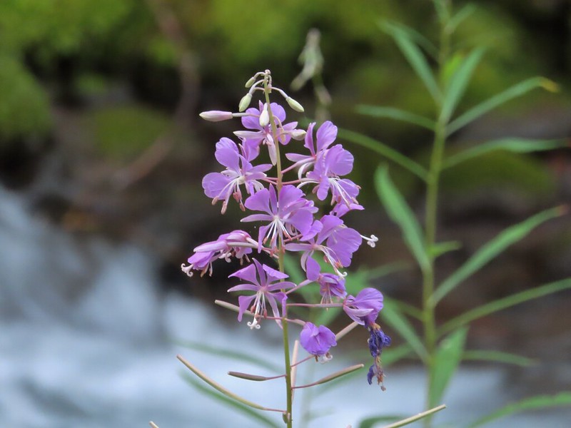 Fireweed along the creek.

 Pamelia Creek only flows underground here much of the year.
 Heading up.
 A glimpse of Mt. Jefferson.
 That might be Woodpecker Hill, it was hard to tell exactly which ridge we could see with nothing else visible to help orient.
 This looked like it might be a nice little waterfall with enough water.
 That’s not enough water.
 Heather below one of several switchbacks.
 Turning up the ridge.
 The haze was probably a combination of morning cloud/fog and smoke from the Cedar Creek Fire near Waldo Lake.
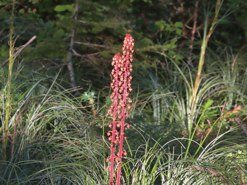 Pinedrops
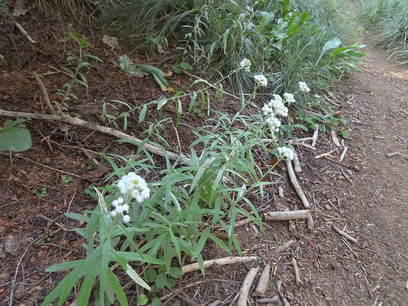 We were too late for most of the flowers but there were a few pearly everlasting going.
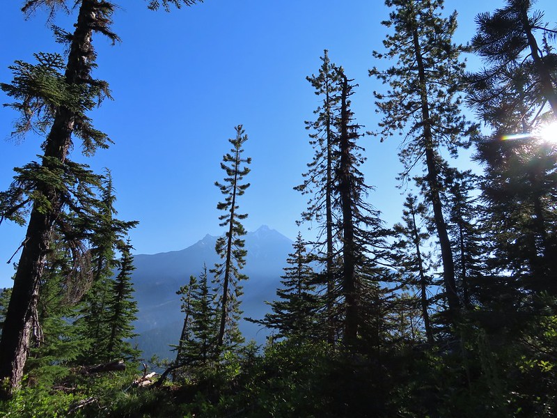 There’s that pesky Sun again.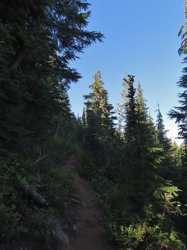
 Aster
Aster Lousewort
 Lots of burnt forest out there.
 Triangulation Peak and Boca Cave (post)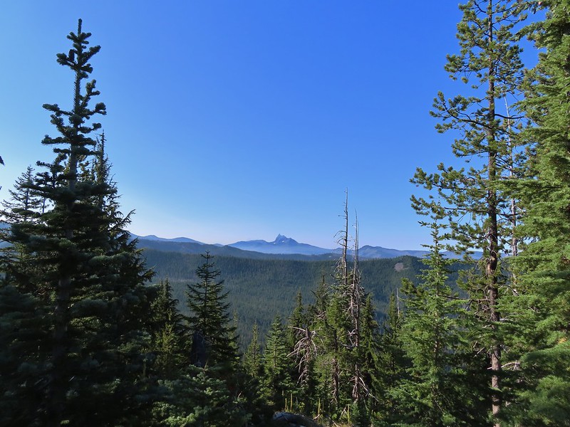
 Broken Top to the far left blending into the haze and Three Fingered Jack to the right with the Three Sisters in between.
 Just below the summit.
 Pamelia Lake below Mt. Jefferson.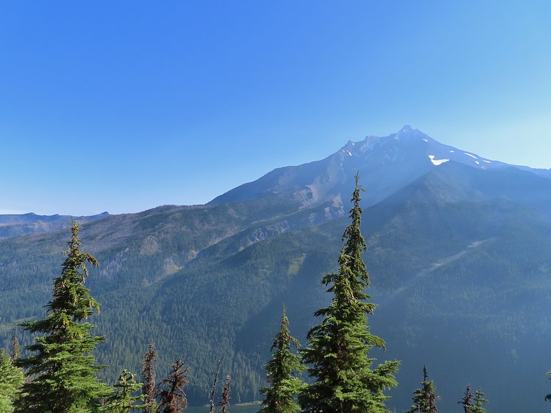
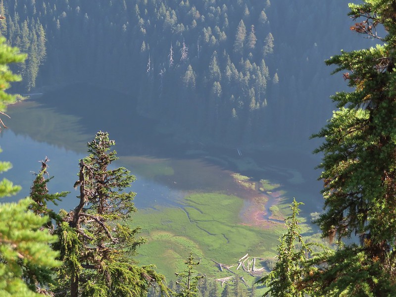 Hunts Creek flowing into Pamelia Lake.
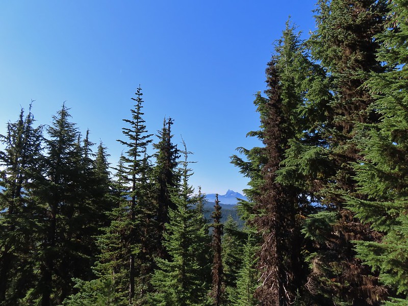 Had to hunt for a view of Three Fingered Jack.
 A hard to make out Mt. Hood beyond the far ridge which consists of Bear Point to the left (post) and Dinah-mo Peak to the right.
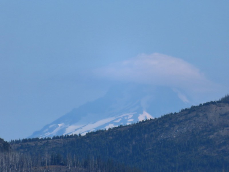 Mt. Hood
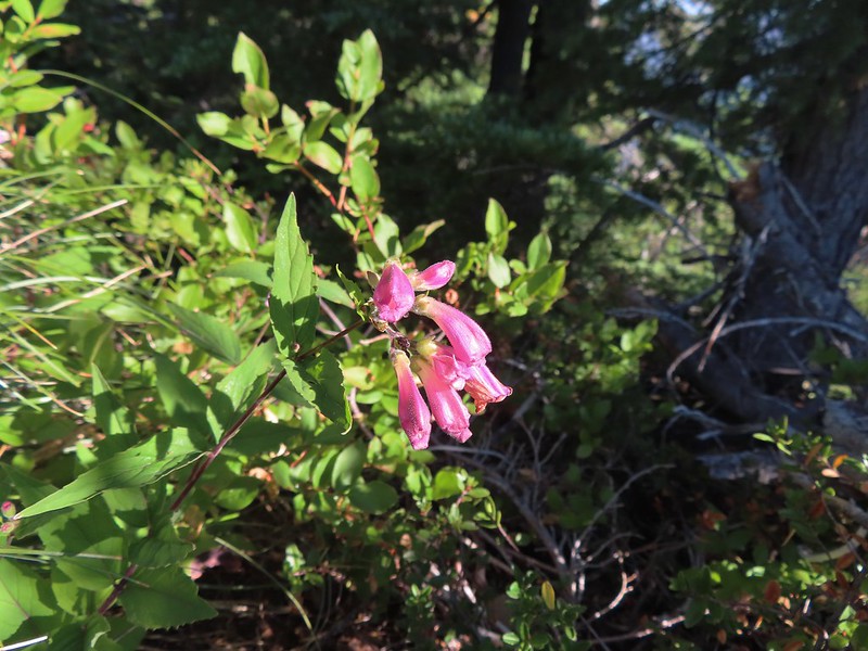 Beardtongue
 A fritillary butterfly.
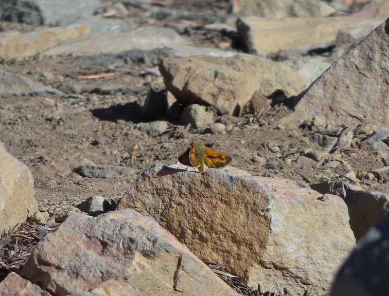 A skipper
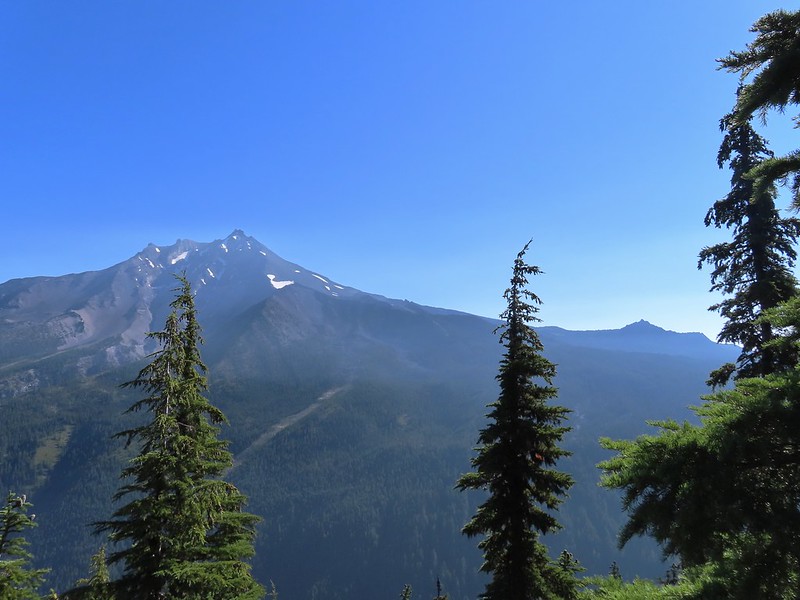 Goat Peak is to the right of Mt. Jefferson.
 Mt. Jefferson and Pamelia Lake from one of the viewpoints along the ridge.
 Cascade toad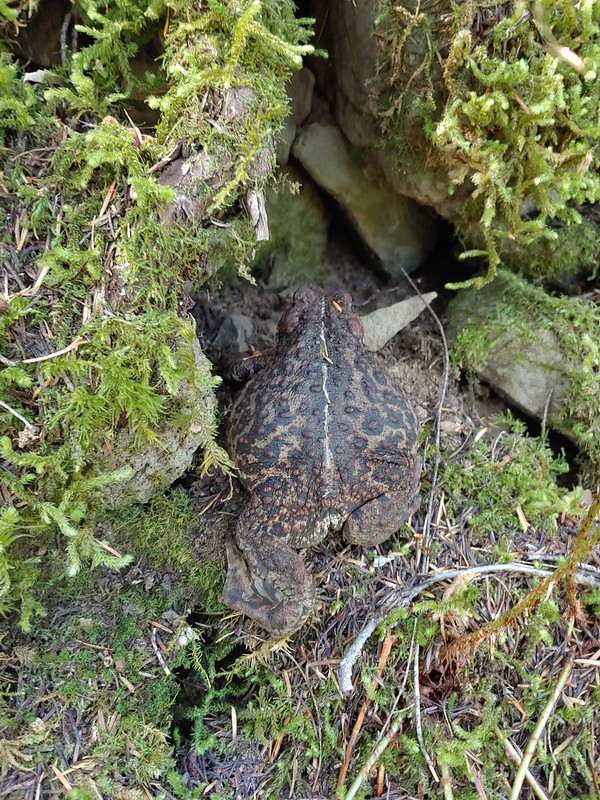

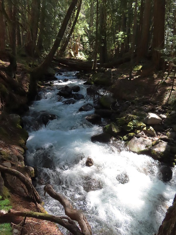 One more of Pamelia Creek.

 Checkermallow
 A slug and a bug on a flower.
 Pea
Pea
 Approaching the falls.
 Columbine
 Susan Creek Falls
 Evidence of overnight rains on the trail.
 A very faint rainbow over the North Umpqua River.
 Stairs down to the viewpoint platform.
 Toketee Falls


 Candy sticks along the trail.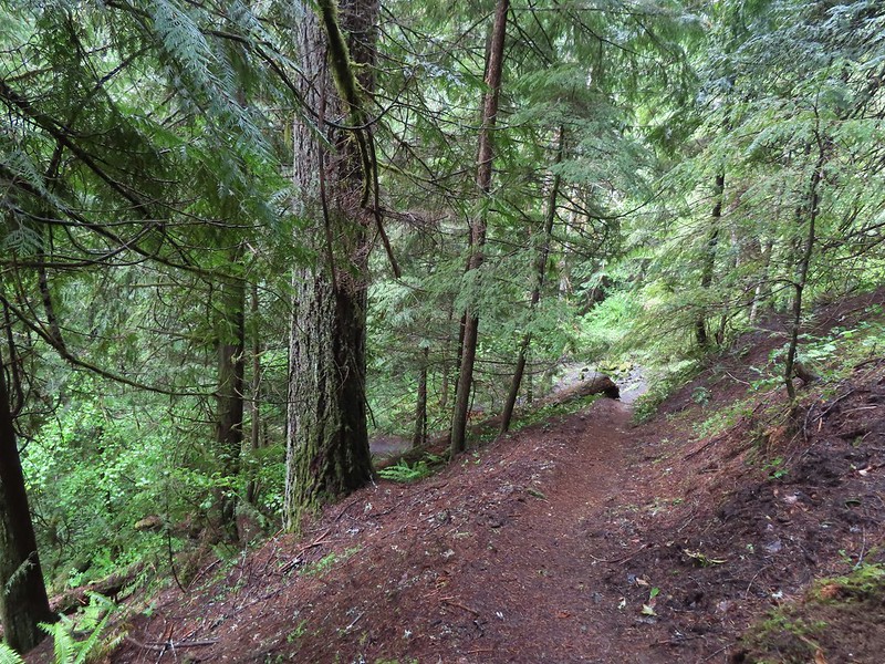
 During lower flow there is another hot spring along the river bank in the area.

 Heading up to the road.
 The North Umpqua Trail on the left leaving the FR 3401.


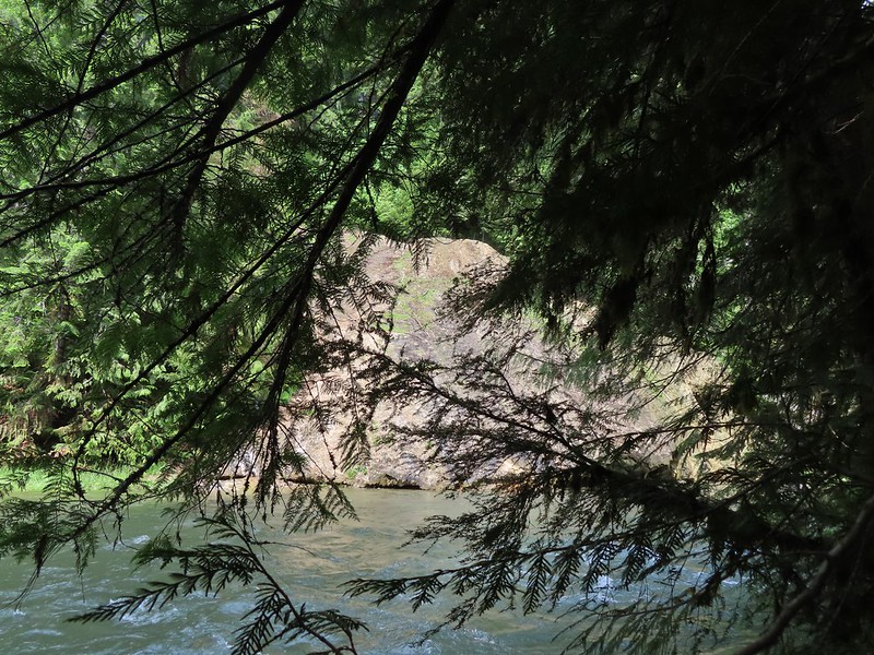 The hot springs across the river from Columnar Falls.
 The top of Watson Falls from the trailhead signboard.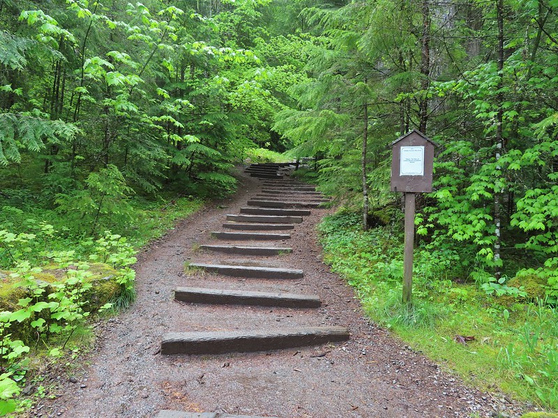
 Watson Falls from below.
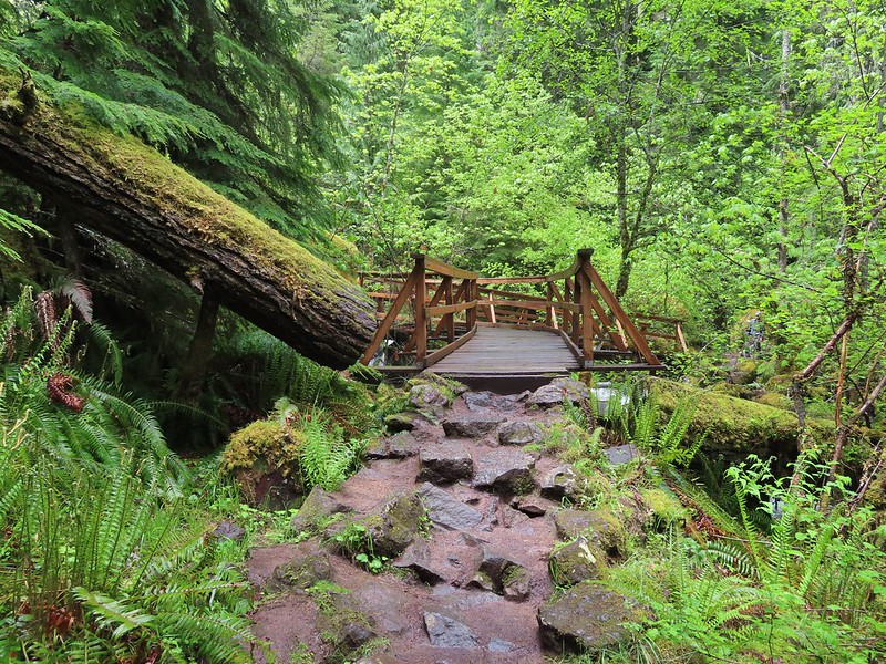 Footbridge over Watson Creek.
 Heather at the viewpoint.
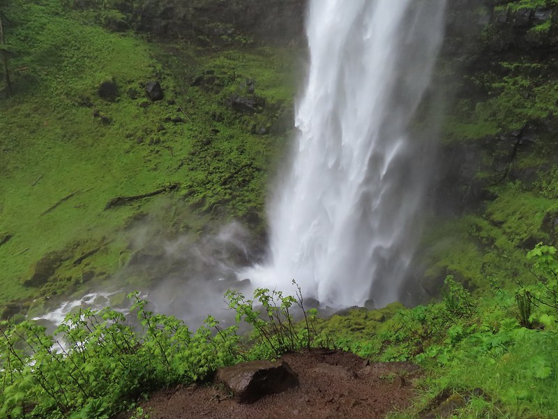 The splash pool.
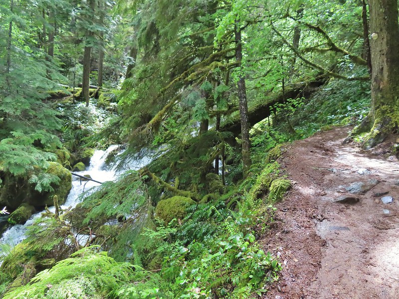
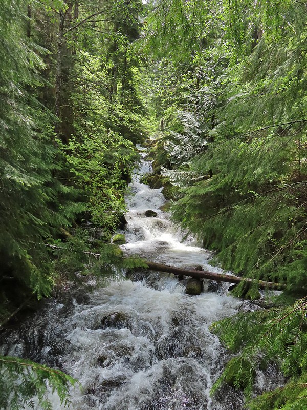 Watson Creek at FR 37.
 A little bit of blue sky and sunlight along FR 37.

 Viewing platform above the falls.
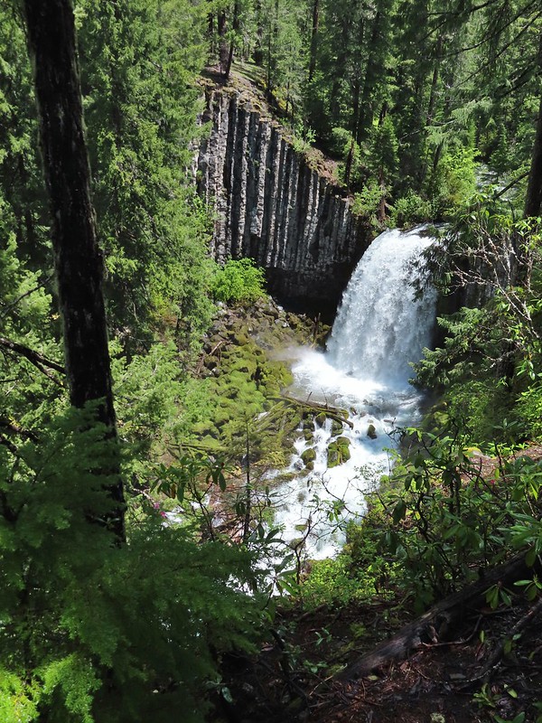 We both really liked the angled basalt cliff on the far side of these falls.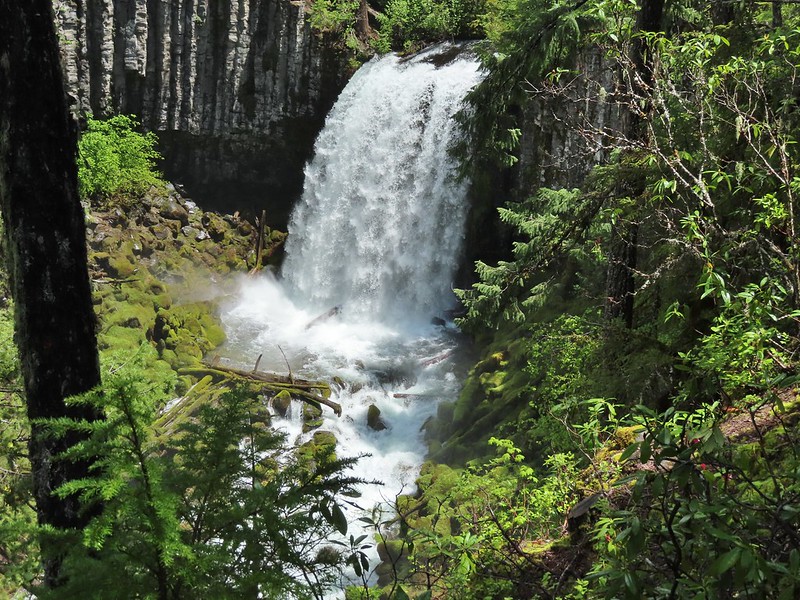
 The canal bridge is 5.6 miles from Highway 138 on FR 2610.
 Sign near the canal bridge.
 The North Umpqua Trail.
 The section between Lemolo Lake and the Umpqua Hot Springs Trailhead is called the “Dread and Terror Segment” but both sections we hiked were beautiful.
 Numerous seasonal streams and seeps flowed across the trail.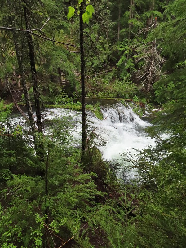
 Unnamed fall along the river.
 Trillium
 Ouzel
Ouzel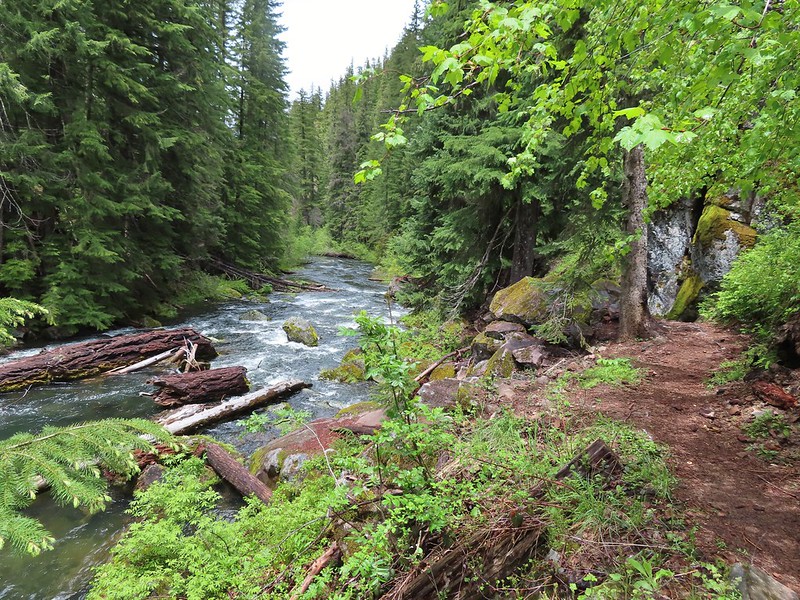
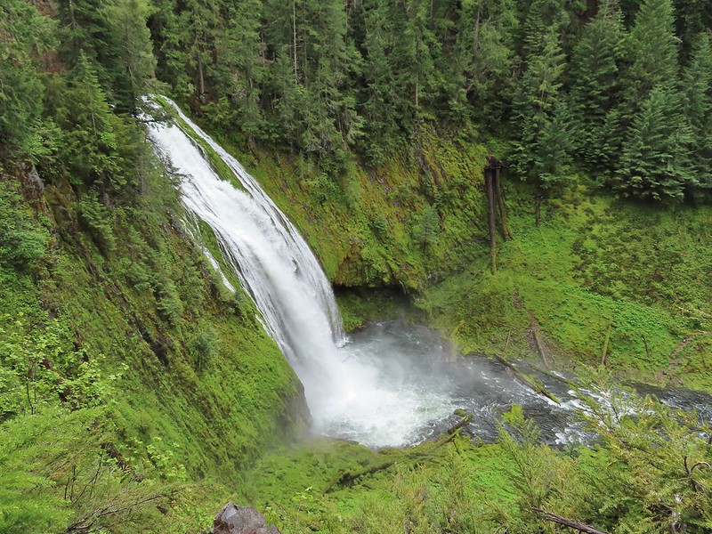 Lemolo Falls
 Red flowering currant along the trail.
 Bleeding heart.
 Approaching the trailhead.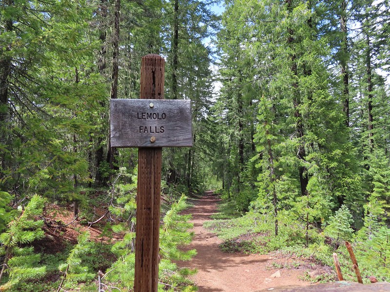

 The former picnic area (Note the picnic table in the trees to the right.)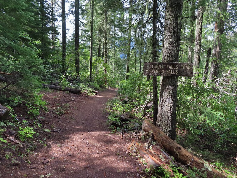
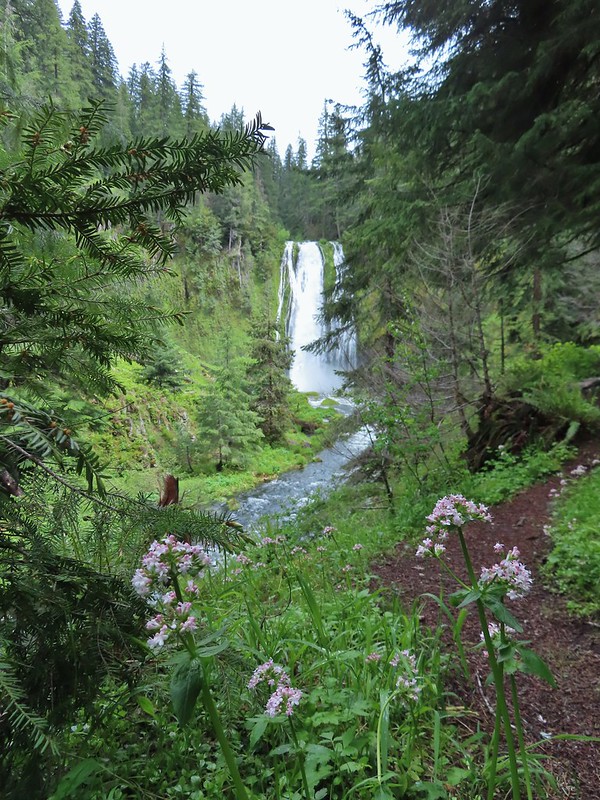 Valerian along the trail.

 One of many brief appearances of blue sky during the day.
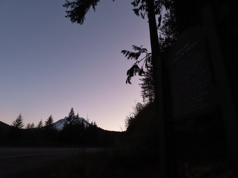 Mt. Hood from the trailhead.


 The wagon chute.

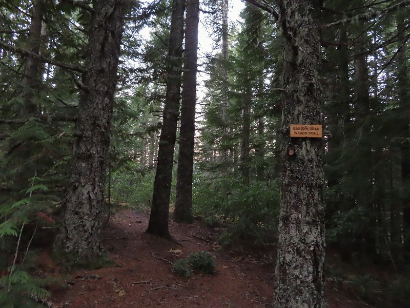 The left at the 4-way junction.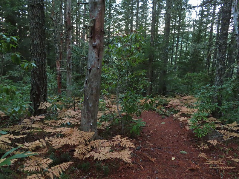
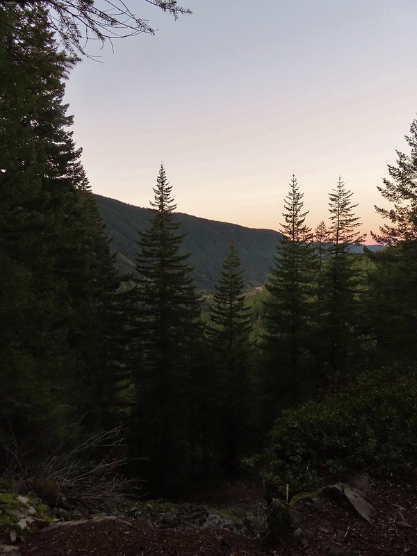
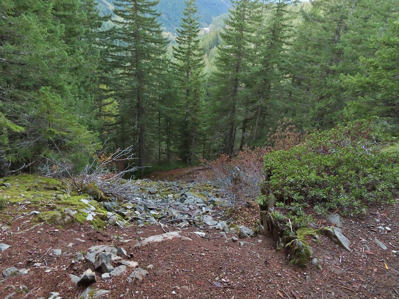 Looking down the chute.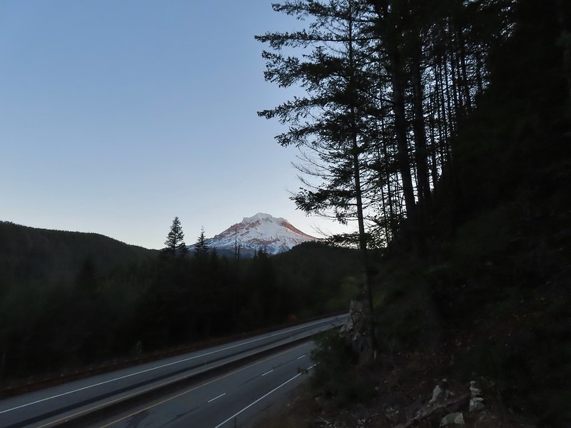
 Sunlight starting to hit the SE side of Mt. Hood.
 Ravens photo bombing a close up of the mountain.


 A portion of the original Barlow Wagon Road.
 Barlow Road (FR 3530)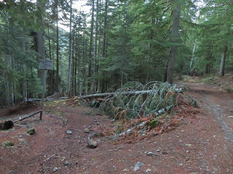





 Wilderness sign along the Barlow Butte Trail.
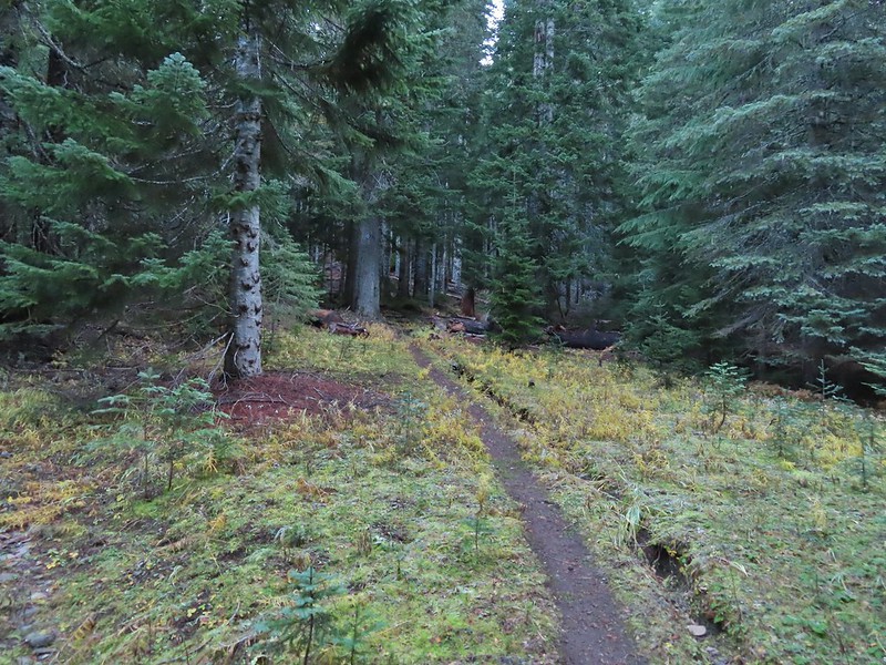
 Getting steeper.
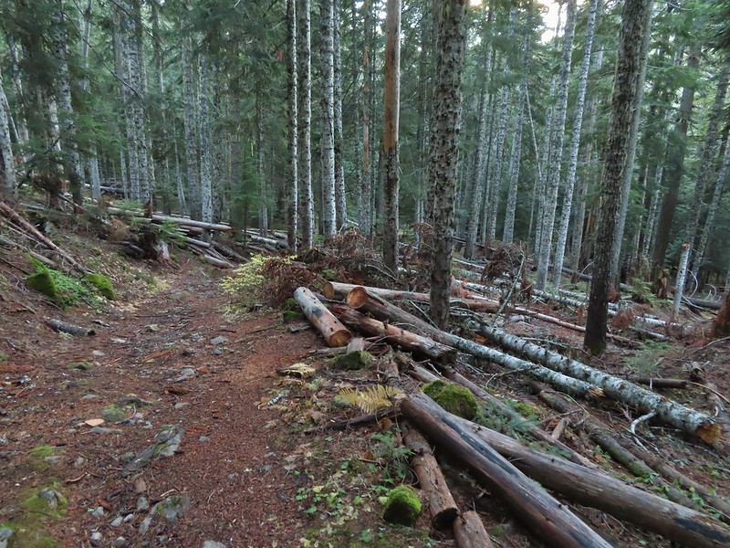
 This was the worst of the blow down we had to navigate on this section.
 Nearing the junction.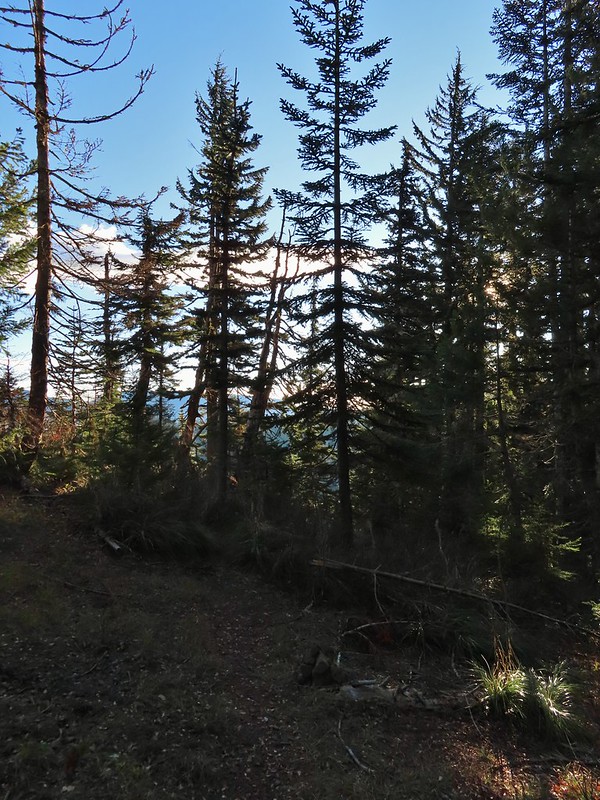
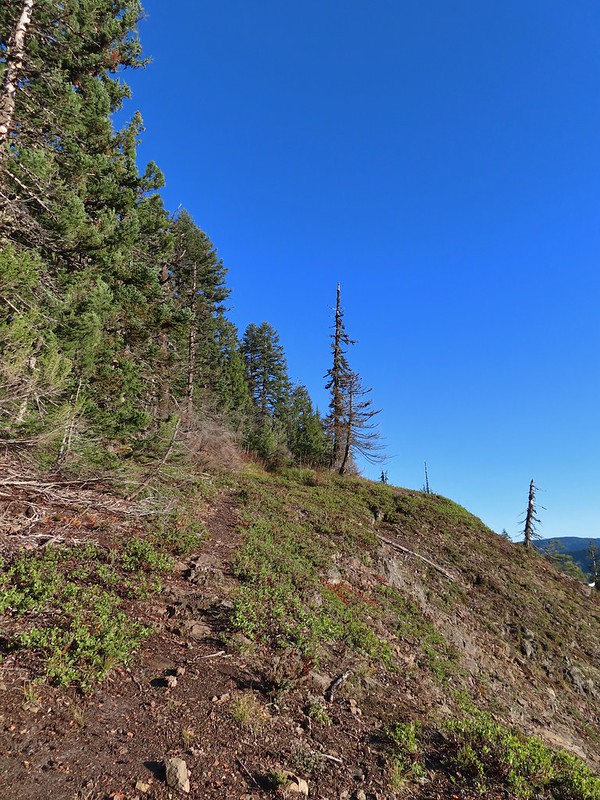
 It was a little chilly with temps in the mid 30’s combined with a stiff breeze adding to the wind chill.
 On the right of the far ridge is Bonney Butte (
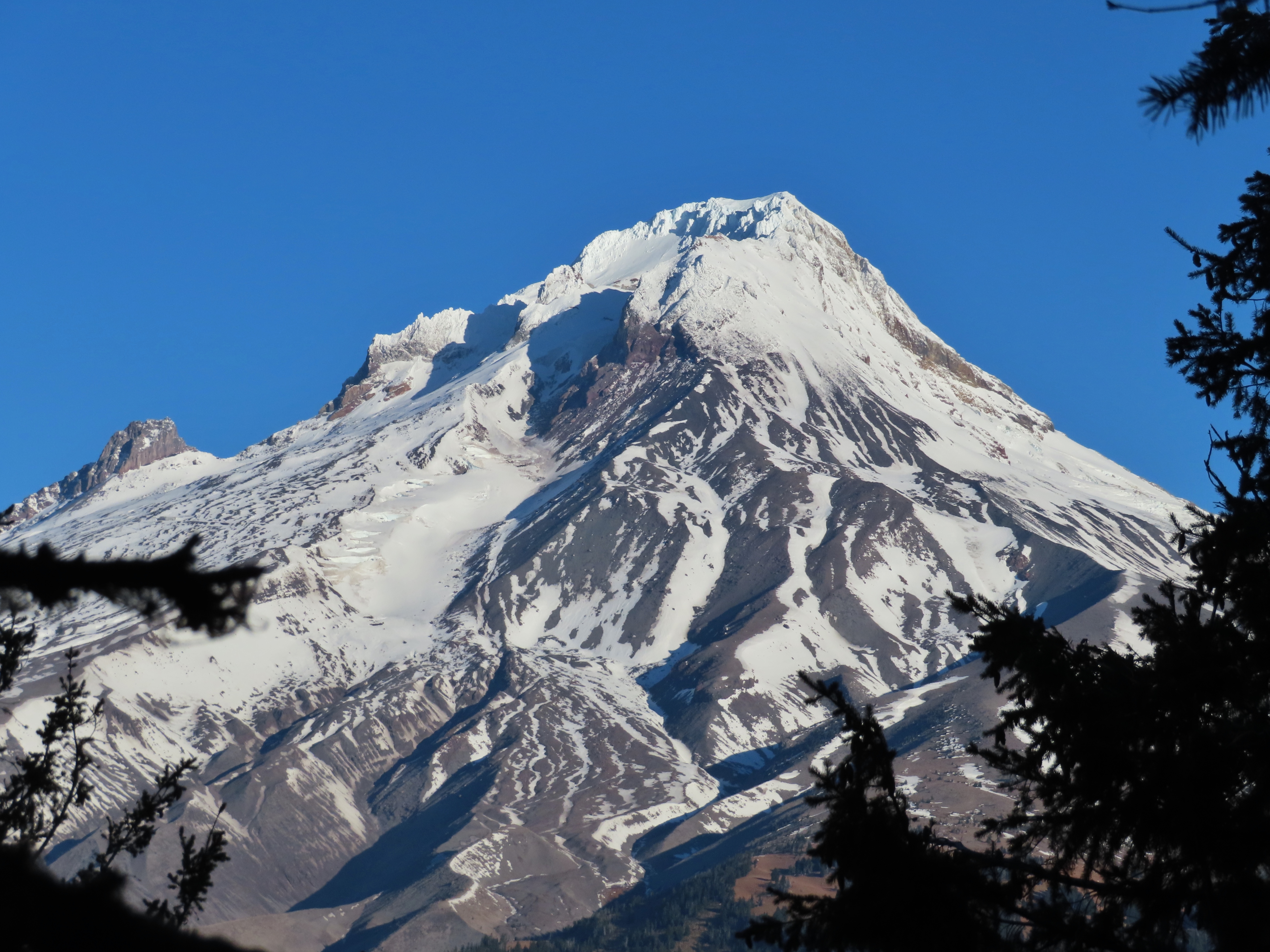
 Remains from the lookout.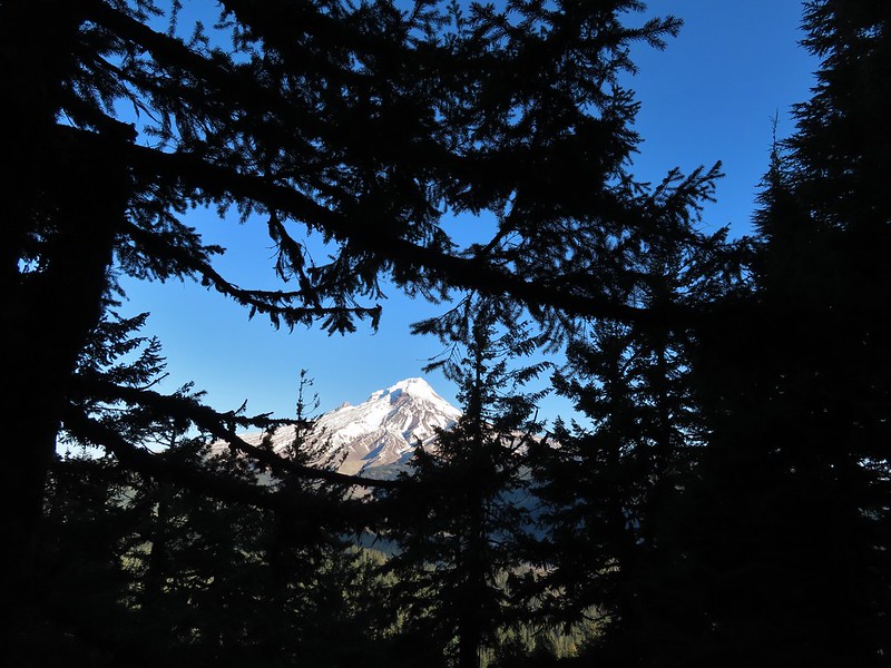
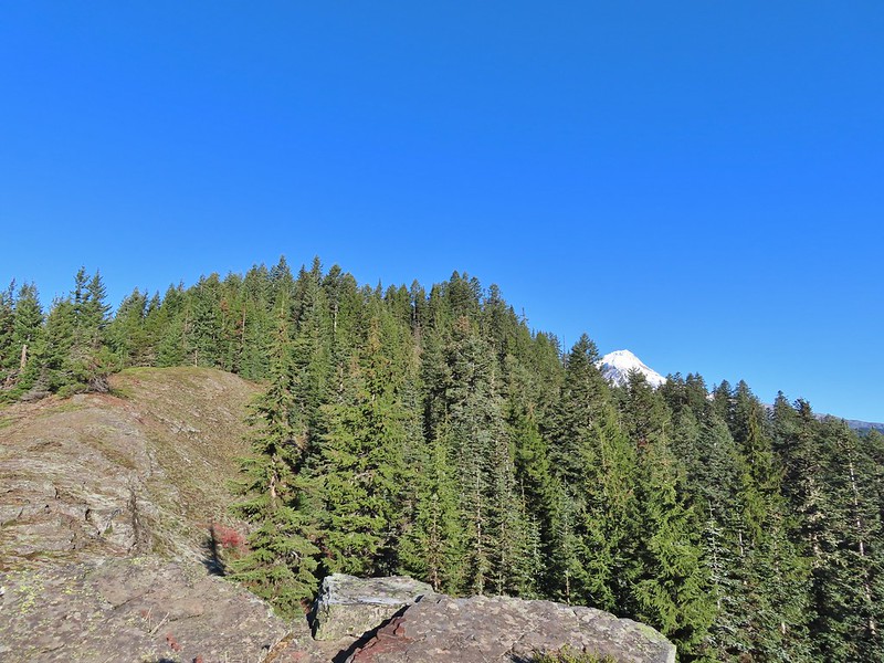 Barlow Butte and the top of Mt. Hood.
 Frog Lake Buttes (
 Western larches
 Mt. Jefferson behind some clouds.
 Sisi Butte (double humps) and Bachelor Mountain (


 Barlow Butte to the left of Mt. Hood.
 Mt. Jefferson still behind some clouds.
 Parts of Mt. Jefferson peaking through the clouds.
 Tom Dick and Harry Mountain (with the rock fields near the top).
 Small cairns in a meadow.
 One of the aforementioned diamonds.
 Approaching the high point.
 Clouds were starting to pass over Lookout Mountain at this point.
 Mt. Hood from the high point of Barlow Ridge.
 Carin in the trees ahead.
 Elk or deer tracks leading the way.
 Another section of frost.
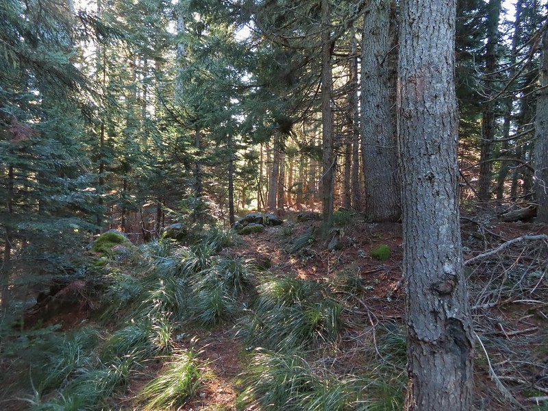 We took this as a blaze.
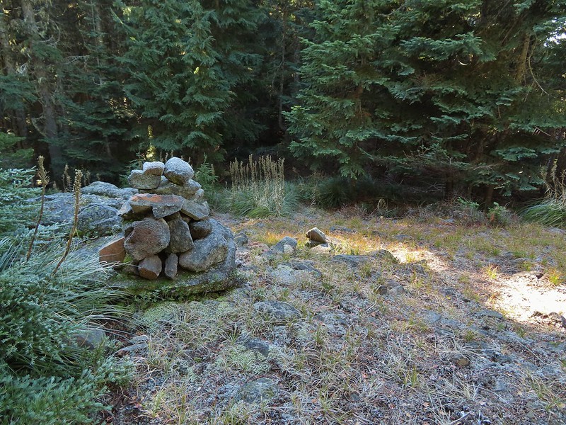 That blaze led to this large cairn.
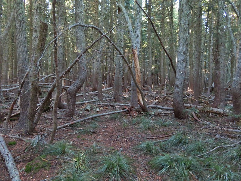 Things were starting to get interesting here.
 Stopped here to listen for pikas, no luck though.
 This could be trail.
 Still on the right track, note the folded trail sign on the tree at center.
 The small meadow.
 Officially off-trail now.
 This looked like a place the trail would go.
 A final look at Mt. Hood from Barlow Ridge.
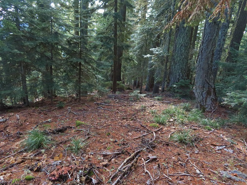 This doesn’t look so bad.
 One of several big trees we encountered.
 Little orange mushrooms, how appropriate for Halloween.
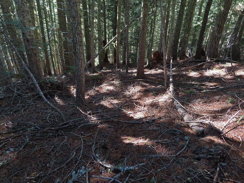 Starting to encounter more debris.
 If there had been a trail good luck finding it.
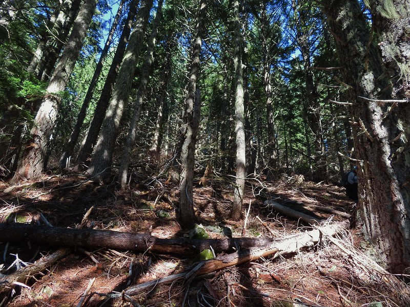 Heather coming down behind me.
 Pretty decent game trail here.
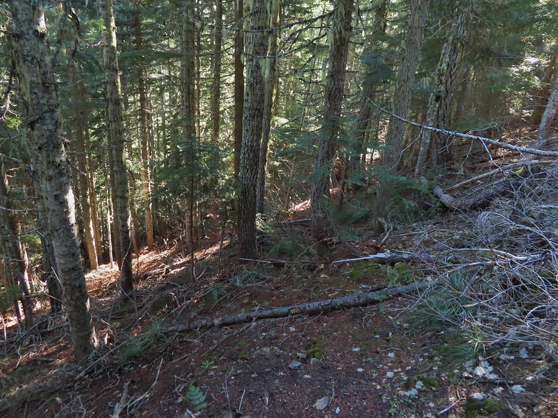 This section was fun.
 A bigger orange mushroom.
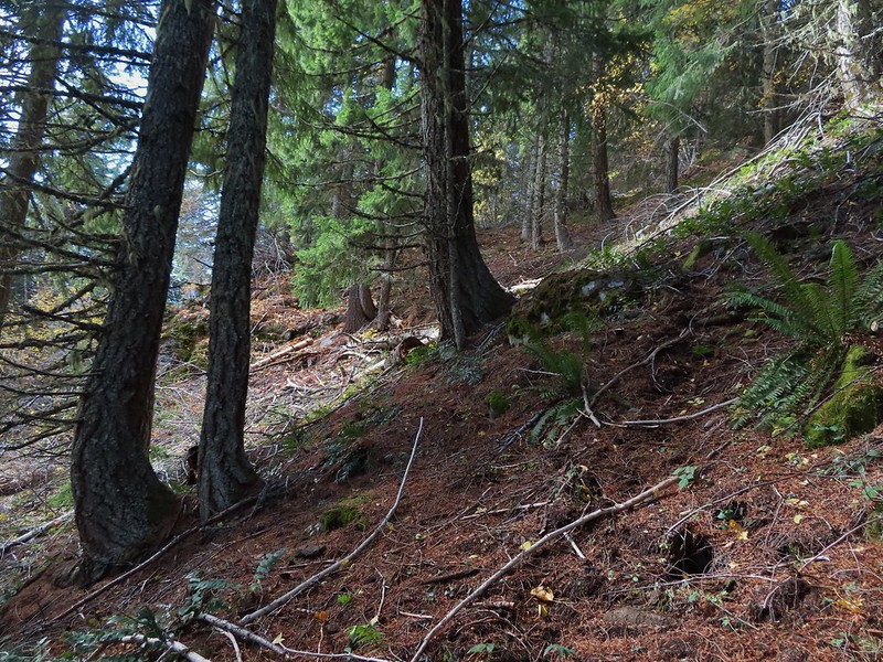 Uphill on this game trail.
 Thickets of brush kept us from getting all the way over to the ridge we needed so we just kept going downhill knowing that we would eventually run into one of the forest roads at the bottom.
 More steep fun.
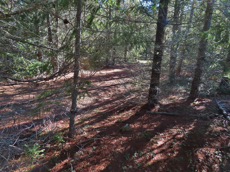 Look Ma a road!
 It doesn’t look that steep from down here.
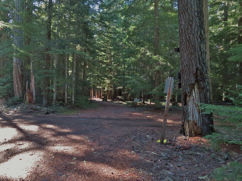 Barlow Road.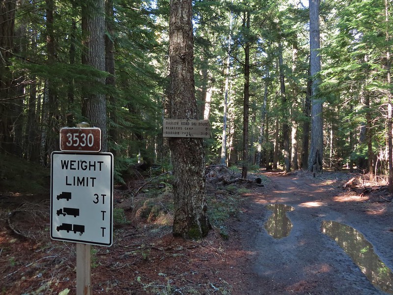



 Western larches above Barlow Road.
 Grindstone Campground
 Barlow Creek
 Crossing Barlow Creek near Devil’s Half Acre Meadow.
 Clouds on top of Mt. Hood towering over the trees.
 Barlow Road at the campground.
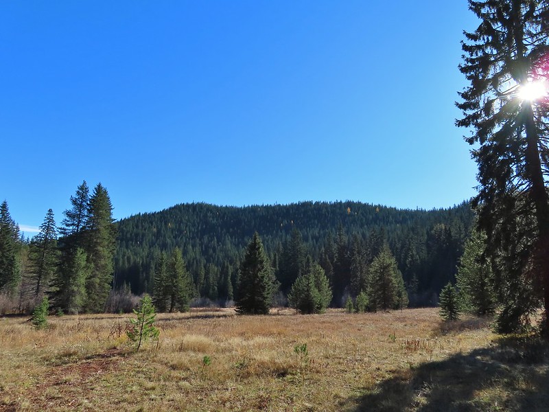 Devil’s Half Acre Meadow.
 Finally back to where we’d left the road in the morning.
 Arriving back at the Barlow Pass Trailhead
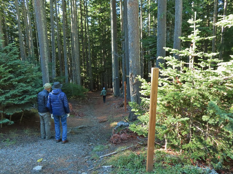 The first other people (not counting the two drivers in the pickups) that we’d seen all day.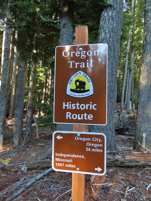



 East Fork Salmon River


 Black Crater (

 Black Crater and North Sister
 Black Crater, the top of Broken Top, some of the Sisters, and part of Mt. Washington.
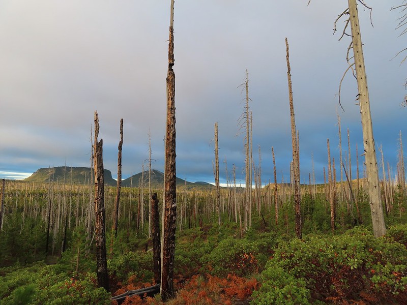 Hayrick and Hoodoo
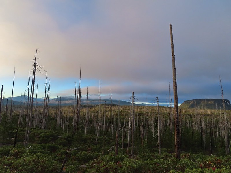 Between Mt. Washington and Hayrick Butte is Scott Mountain (
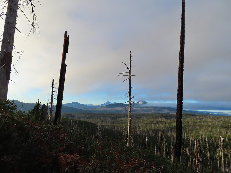 Cache Mountain is the high point furthest to the left.
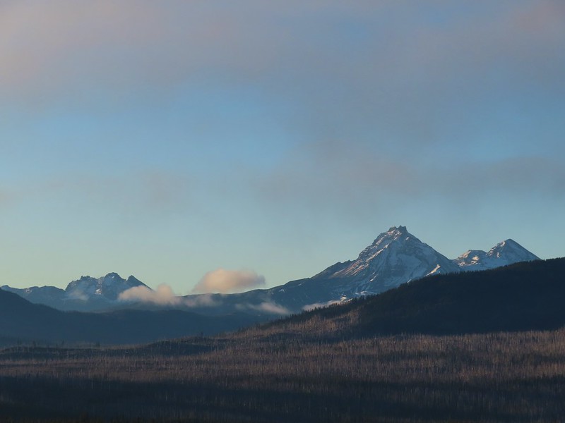 Broken Top and the Three Sisters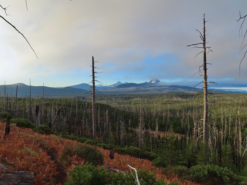
 Mt. Washington
 The Three Sisters. The summit of South Sister is between North and Middle Sister behind 9321′
 Black Butte (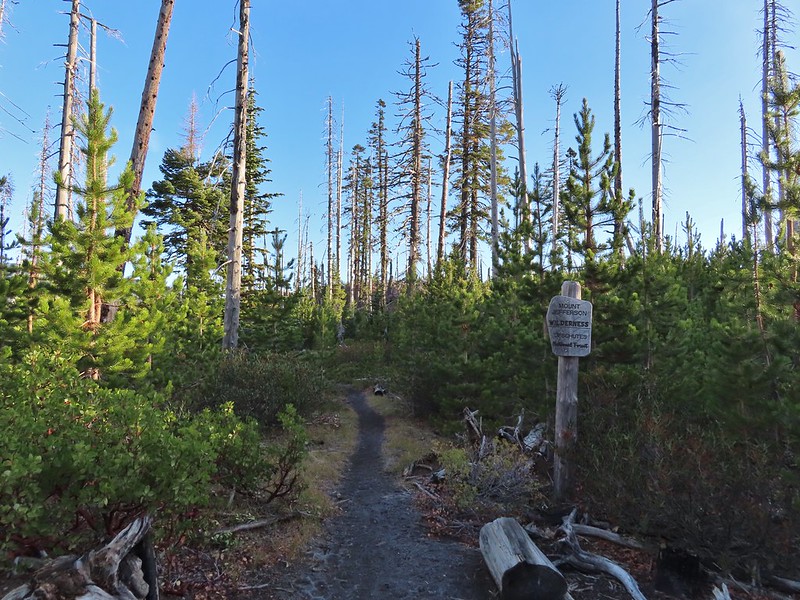
 A different angle from 2012.

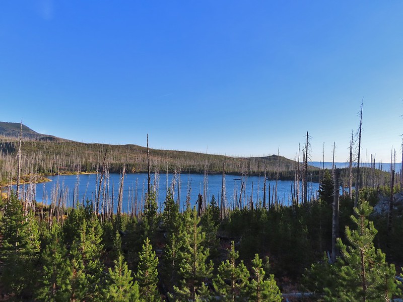
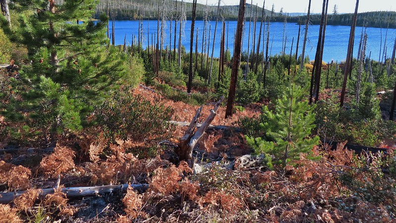 One white rump with a black tail amid the ferns near the center of the photo (good luck).
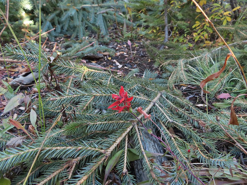 The only paintbrush we would see all day.
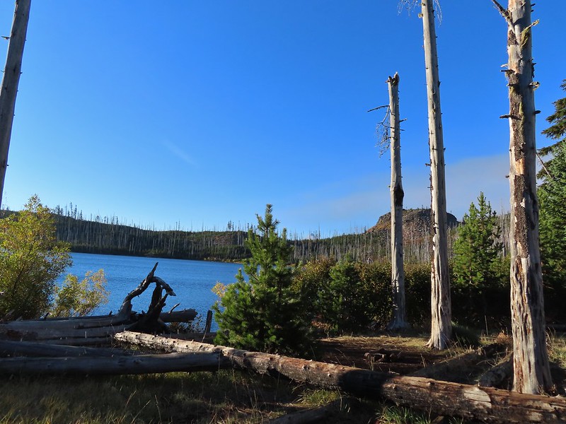 The top of Mt. Washington is just visible on the other side of Square Lake.

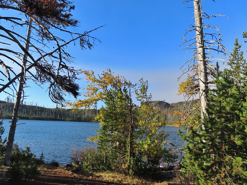
 Mt. Washington’s spire again.
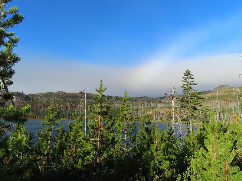 A rainbow was trying to form to the west.

 Lodgepole pine seeds require fire in order to be released from their tight cones.
 Our first sighting of Long Lake (zoomed in).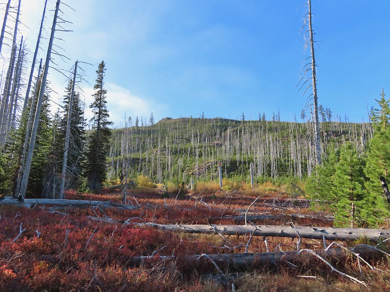
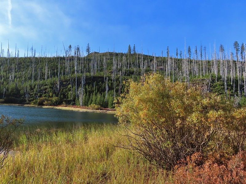

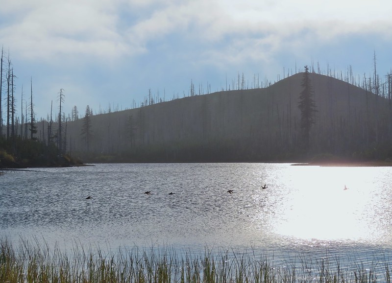 Ducks taking off from Long Lake.
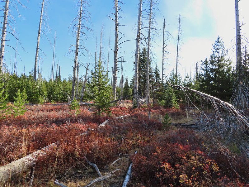
 This is one of the areas that we could see getting pretty muddy/wet.
 Rainbow
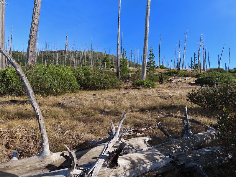 The Round Lake Trail just on the other side of the downed tree.
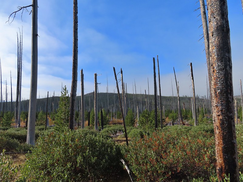 Long Lake is back down that way somewhere.
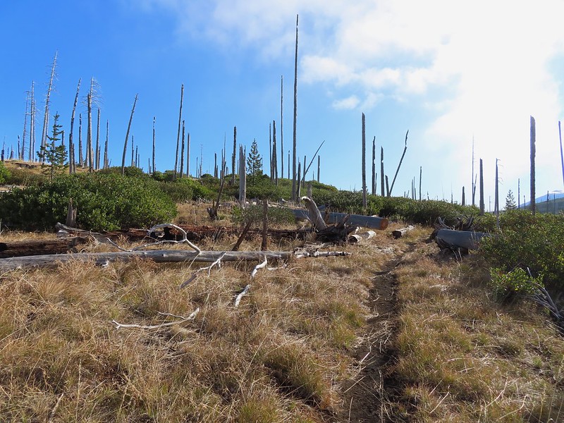 Back on the Round Lake Trail.
 Black Butte shedding the morning clouds.
 The top of Three Fingered Jack behind some thin clouds.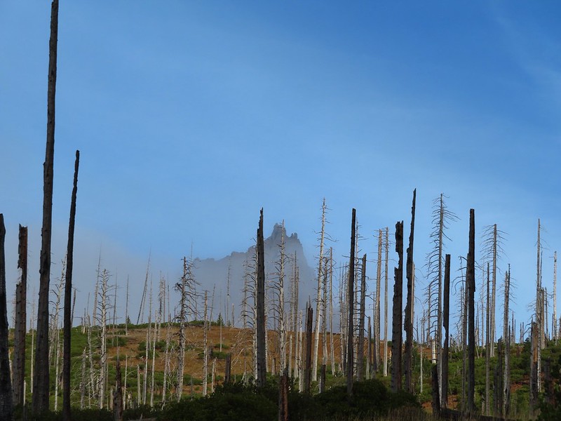
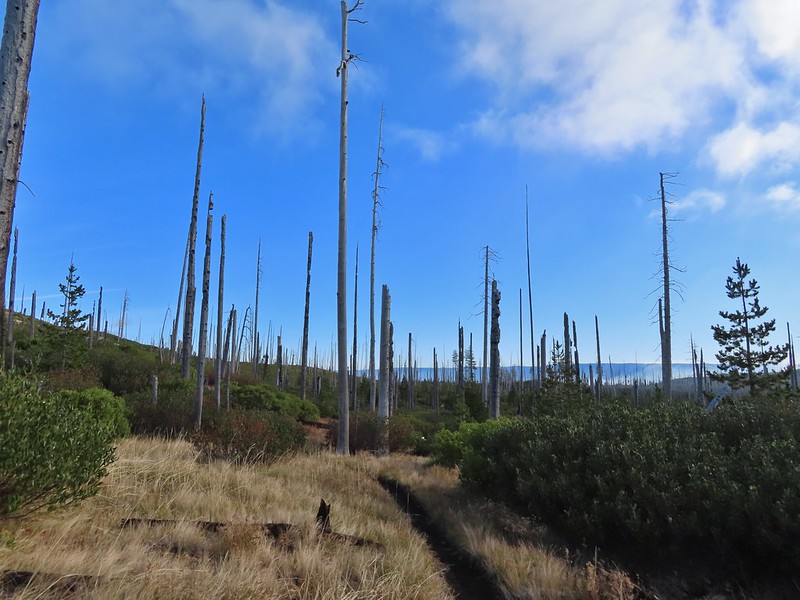 Green Ridge (
 A better look at Three Fingered Jack.
 First glimpse of Round Lake.
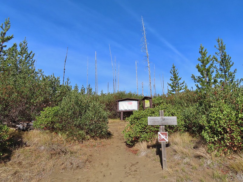
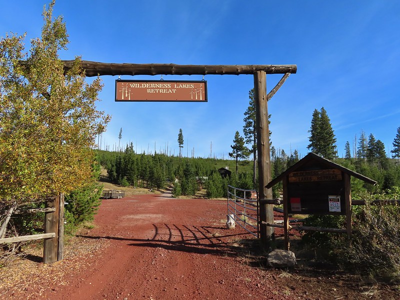

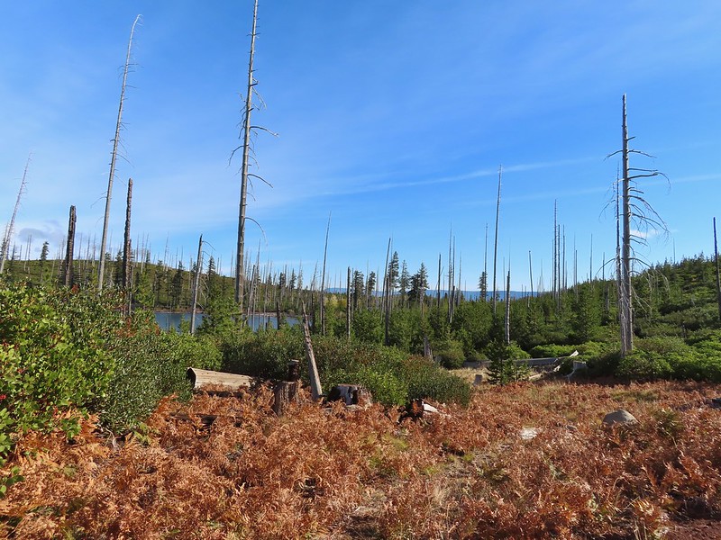

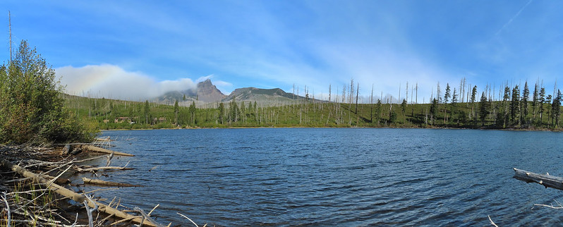


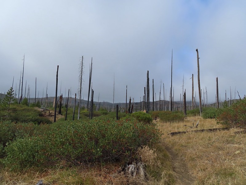
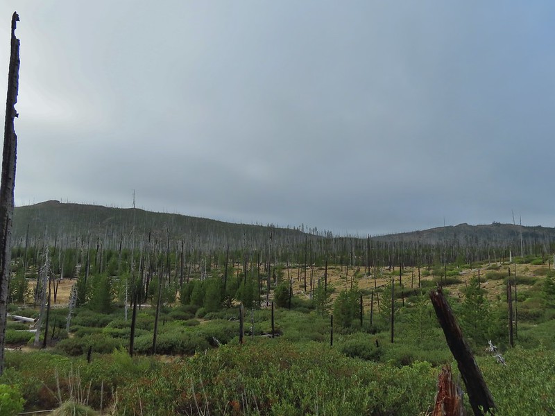 Starting to look kind of grey.
 A mountain bluebird adding a splash of blue to the green backdrop.
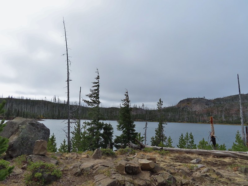 Clouds over Square Lake.
 A few scarlet gilia blossoms.
 The unnamed lake is about halfway up the far hillside.
 Black Butte and Long Lake from the trail.
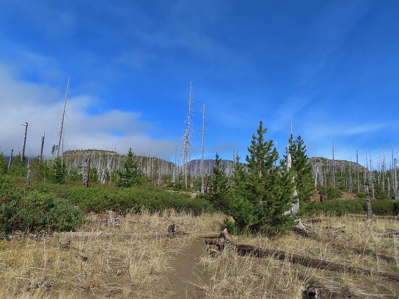 Heading toward Three Fingered Jack we got back under blue skies.
 Square Lake still under a clouds,
 The unnamed lake that drew our attention.
 Similar view from 2012.
 The trail at the gap. It was grey and cloudy to the west.
 Still at the gap, it was blue skies to the east.
 There is Three Fingered Jack.
 A good look at Green Ridge.
 A lupine that was late to the party.
 Booth Lake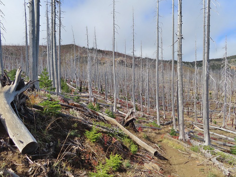
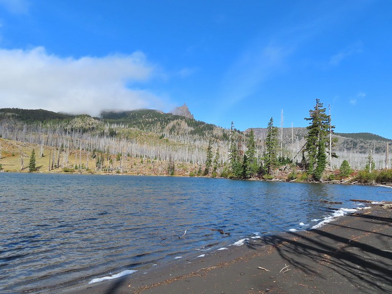


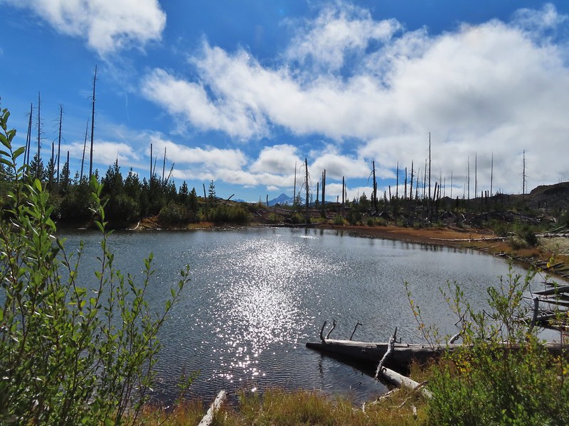
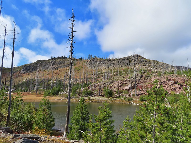
 The trail cut on the far hillside.
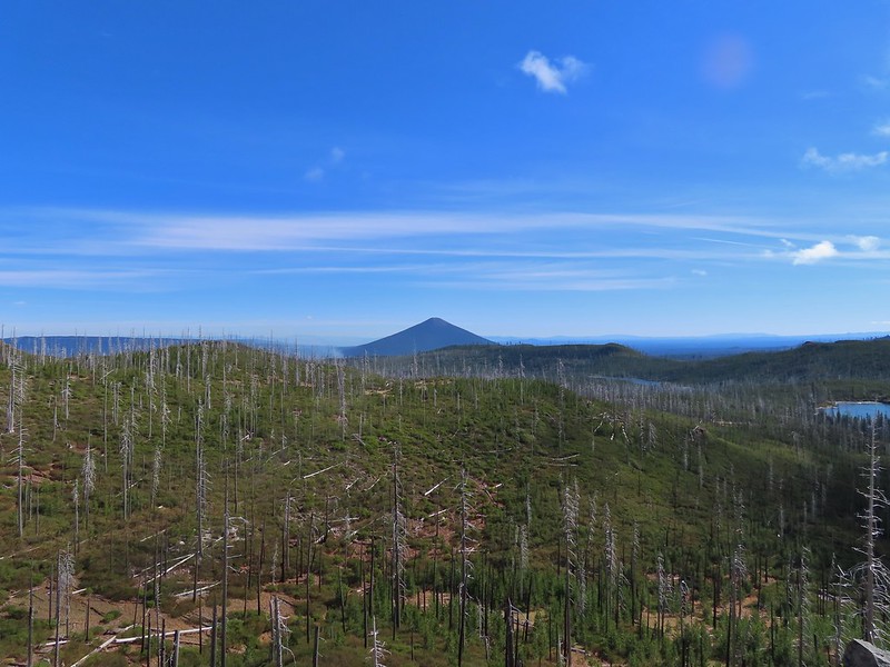 Black Butte, Long Lake, and part of Square Lake.
 Square Lake along with Broken Top and the Three Sisters (Mt. Washington was hiding in the clouds still).
 Part of the rock ledge.
 Three Fingered Jack had once again disappeared.
 Where’s Heather.

 View climbing away from Square Lake.
 Similar view in 2012.
 2012
2012
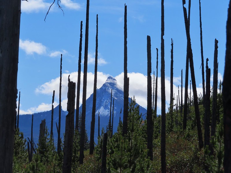

 Finally clear!
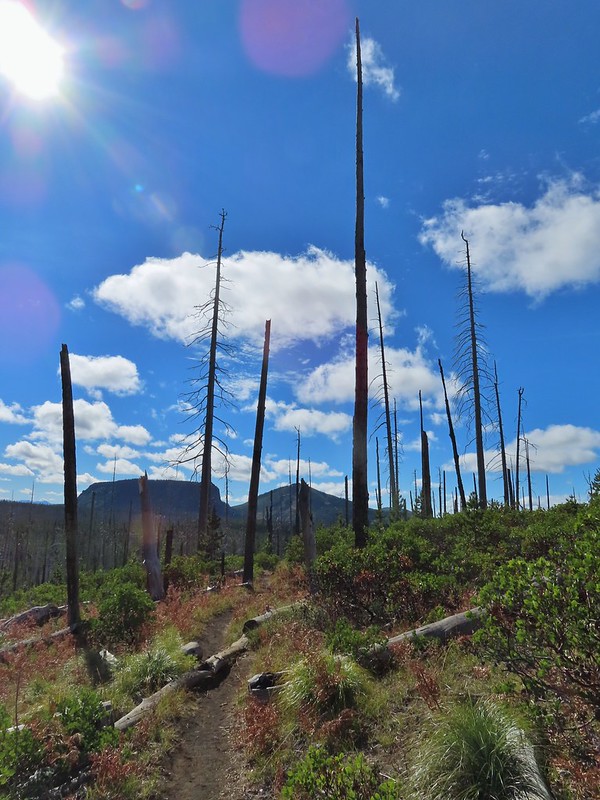 Hayrick Butte and Hoodo as we neared the trailhead.



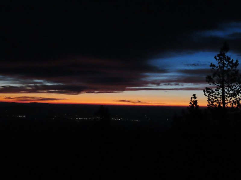
 Mt. Bachelor
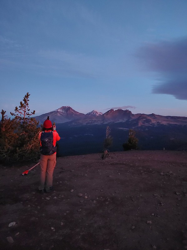 The Three Sisters and Broken Top
 Mt. Bachelor via the Nikon.
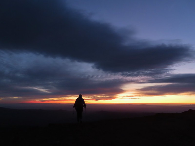 Heather watching the show taken with the Canon.
 The Three Sisters with the Canon.
 Canon
Canon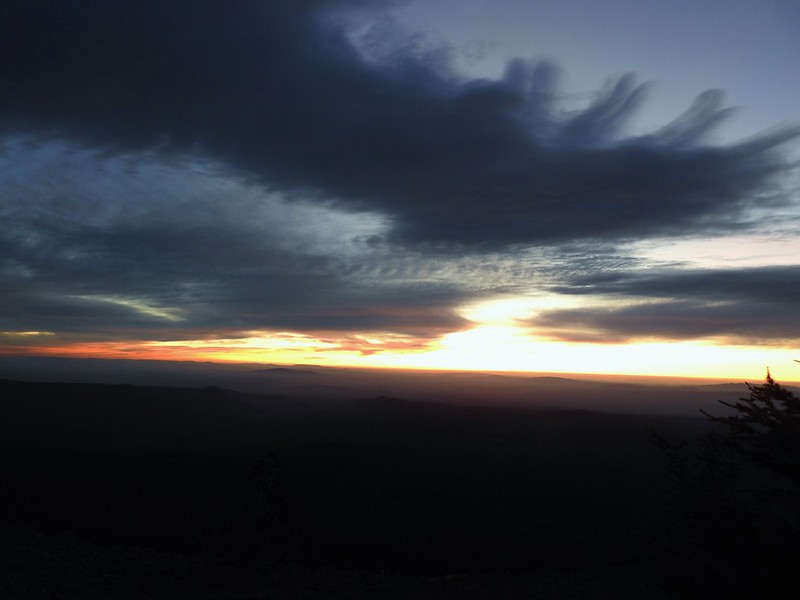 Nikon
Nikon Mt. Bachelor (
 Canon shortly before the Sun became visible.
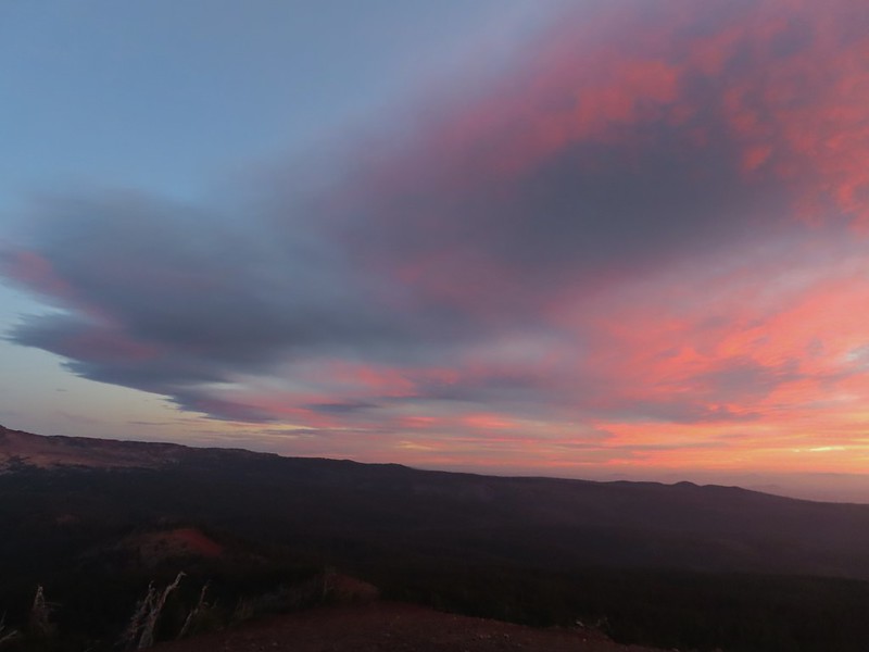 Canon shortly before the Sun became visible.
 The Three Sister just before sunrise with the Nikon.
 The Three Sister just before sunrise with Heather’s phone.
 Canon moments before sunrise. A line of wildfire smoke on the horizon gave it a red tint.
 Canon
Canon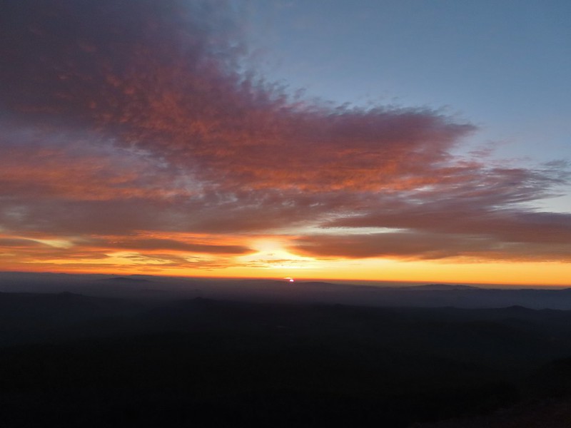 Canon catching the Sun.
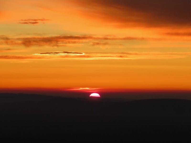 Canon
Canon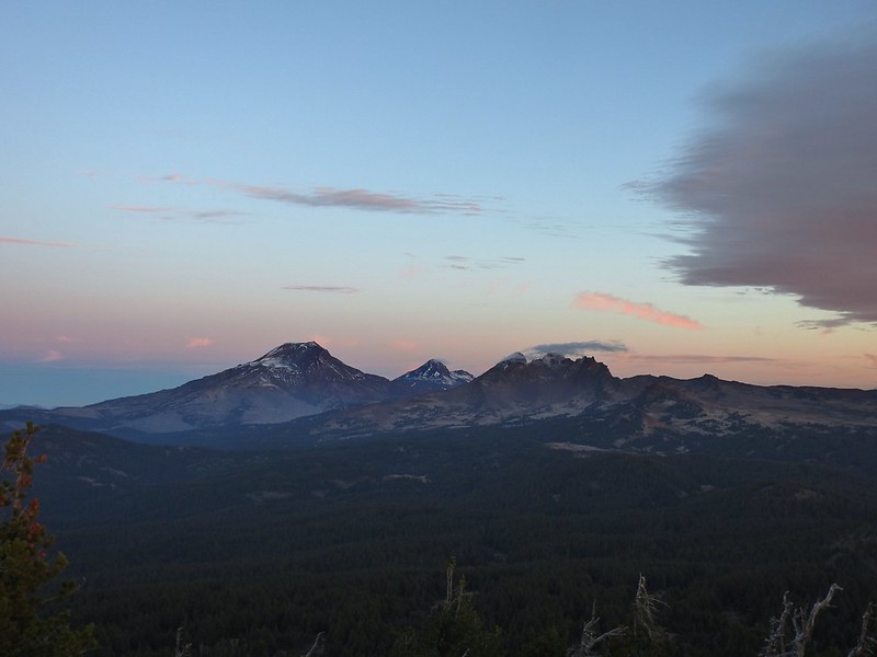 The Three Sisters and Broken Top (Nikon)
 South Sister (
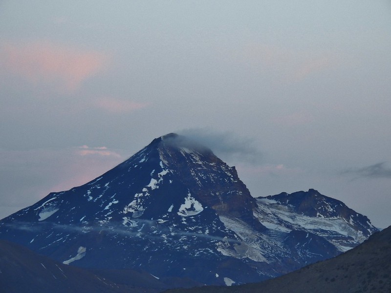 Middle and North Sister (Nikon)
 Broken Top (
 Aline glow hitting the mountains. (Canon)
 South Sister (Canon)
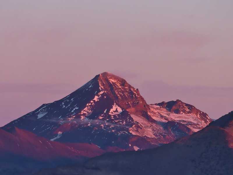 Middle and North Sister (Canon)
 Broken Top (Canon)
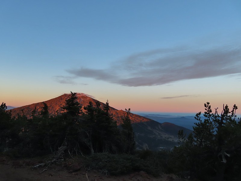 Mt. Bachelor (Canon)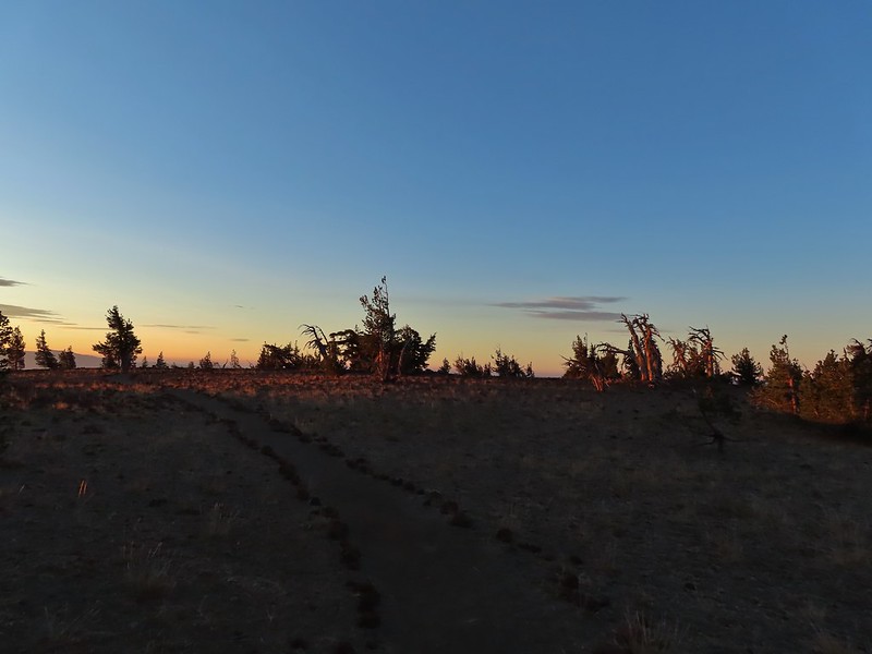

 Mt. Scott to the left and Mt. Thielsen to the right.
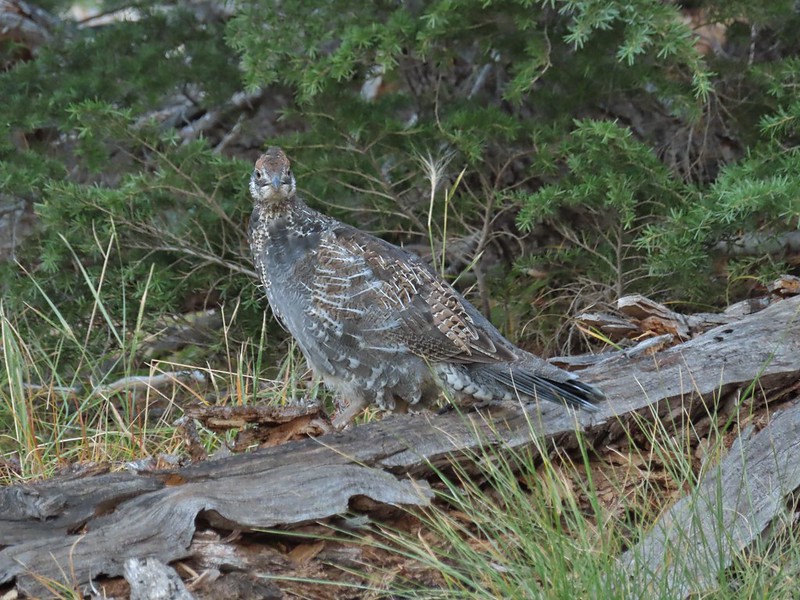 Grouse
 Chipmunk
 Mt. Bachelor as we arrived back at the snow-park.
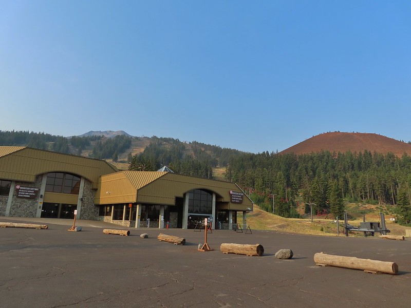
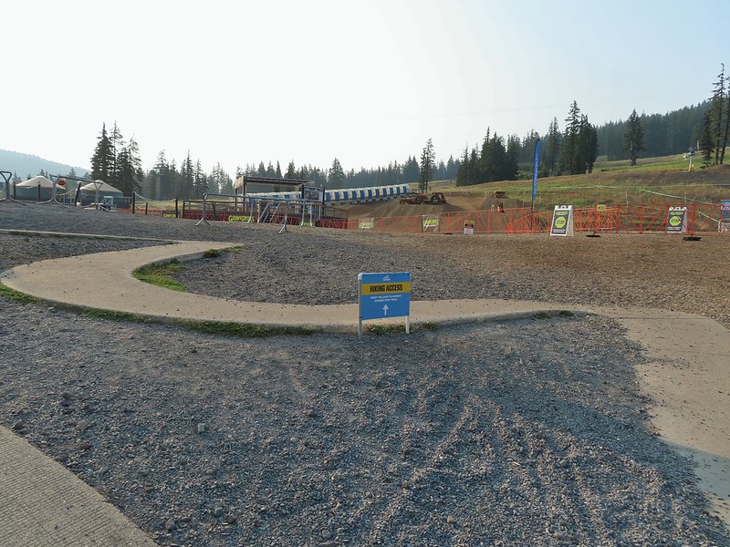

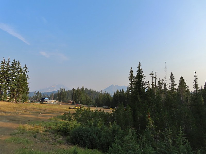 A hazy look at the South Sister and Broken Top.

 Passing under the Skyliner Express
 The ski runs gave us a good look at the top of the mountain.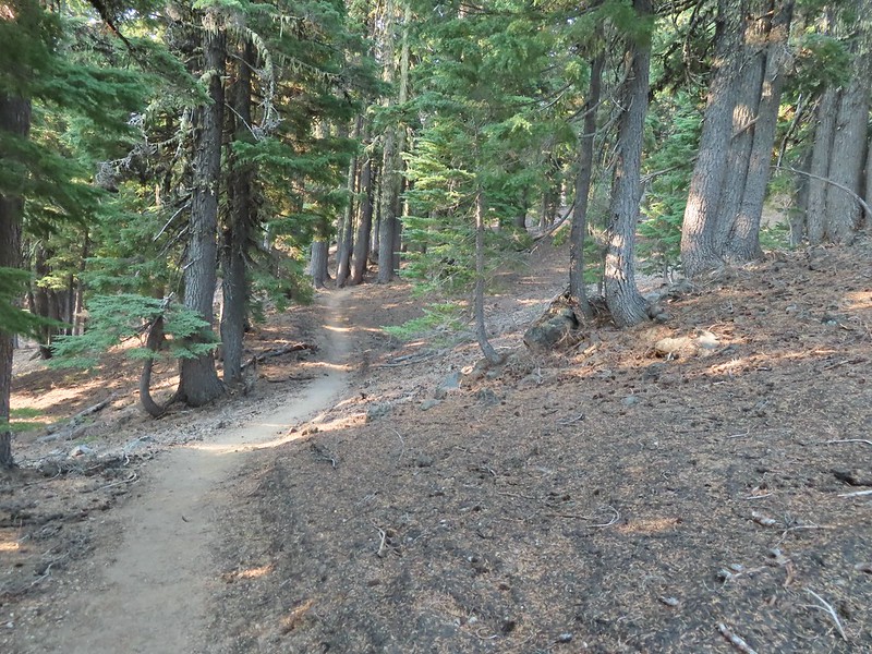

 Turning uphill
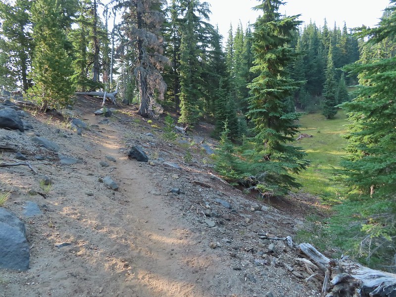 Spotted a grouse hen and her chicks in this little meadow.
 Two of the chicks.
 Passing under the Sunrise lift.
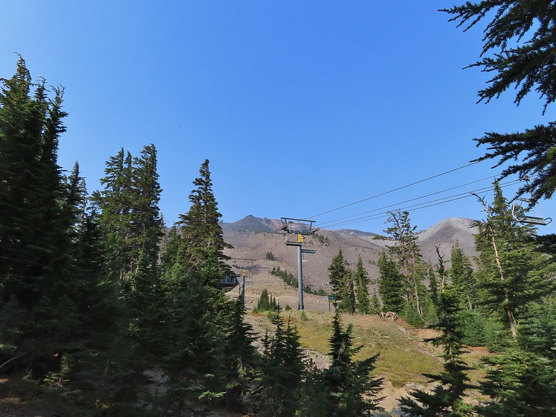 Nearing the top of the Sunrise lift.
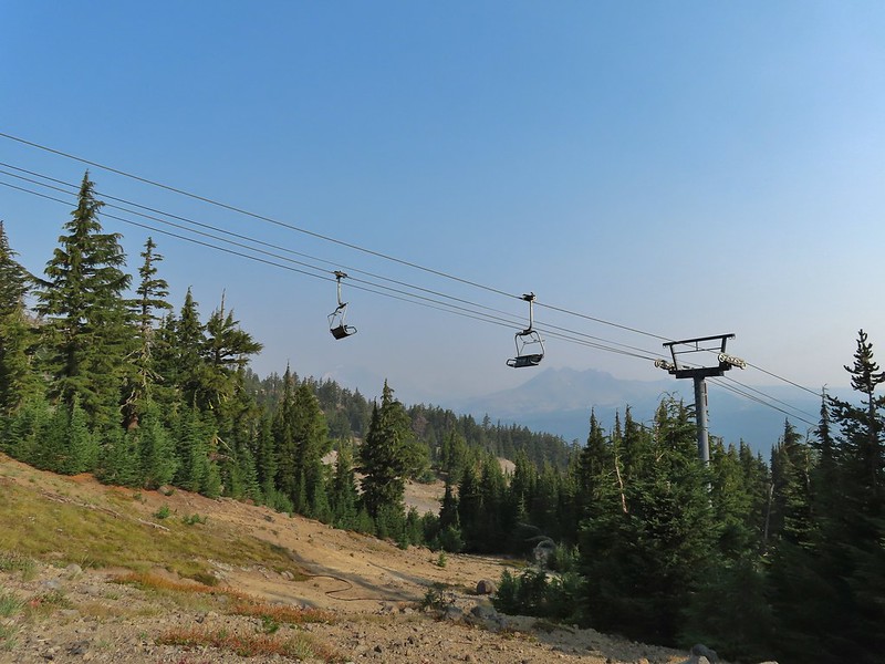 Another hazy look at the nearby mountains.
 South and Middle Sister through the haze.
 The top of Sunrise and the bottom of the Summit lifts.
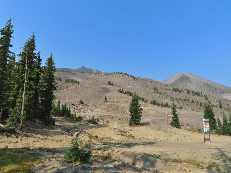 Looking up from the top of Sunrise.


 A few saxifrage blossoms still left.
 Alpine buckwheat and paintbrush
 The first patch of snow we passed.
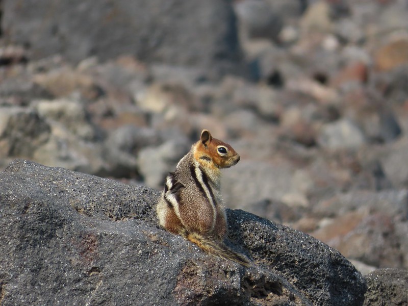 Golden mantled ground squirrel
 Tumalo Mountain (
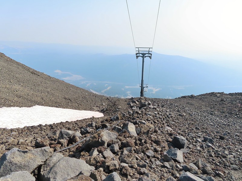 Looking down from beneath the Summit Express.
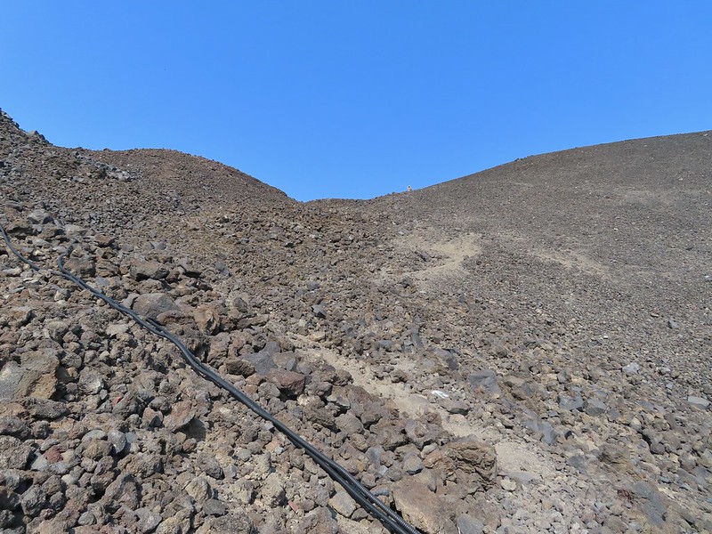 We could really feel the elevation affecting our breathing and by this point we were both sucking wind.
 Dwarf alpinegold
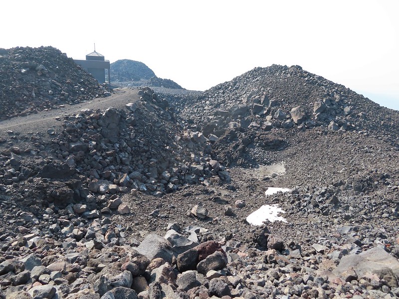 Looking back at the Summit Express.
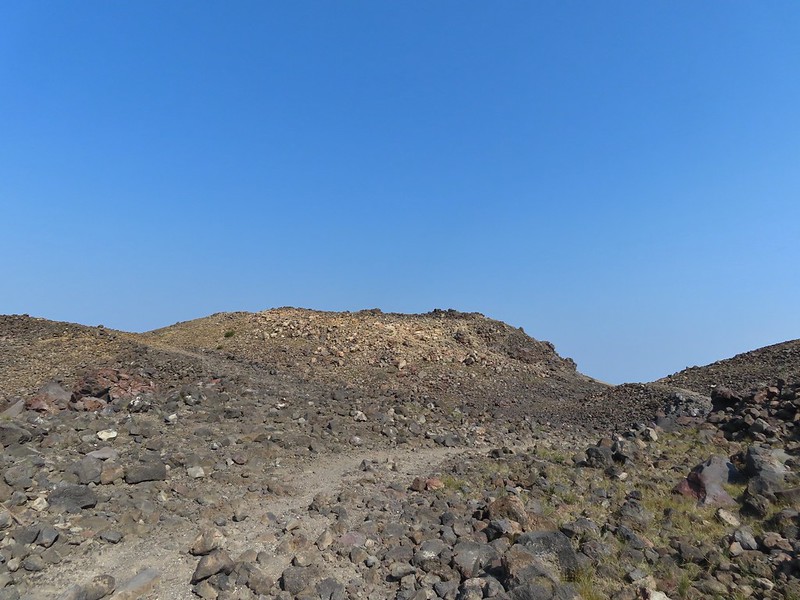 Heading for the high point.
 A mountain bluebird near the summit.
 South Sister and Broken Top with Sparks Lake (

 It’s our rule not to feed the wildlife but it was obvious that many don’t adhere to that LNT principle. I had to put my pack back on to avoid having a hole chewed through my pocket.
 View of the summit.
 Broken Top, the Pine Marten Lodge halfway up the mountain, the West Village Lodge and parking area below and Tumalo Mountain across the Cascade Lakes Highway.

 A little better view of Broken Top and Tumalo Mountain on the way down.
 Clark’s nutcracker

 Left leads up to the Pine Marten Lodge atop the Pine Marten Express, right to the West Village Lodge.
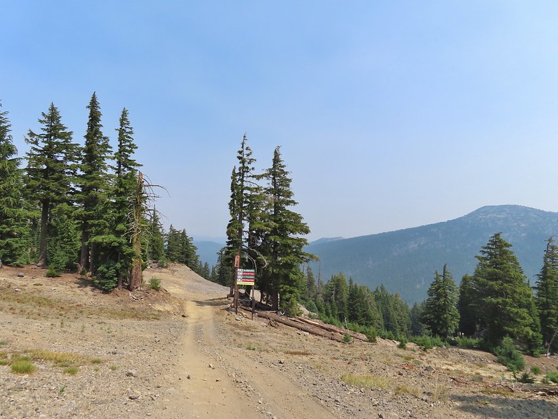 A decent look at Tumalo Mountain
 Warning sign for a bike crossing.
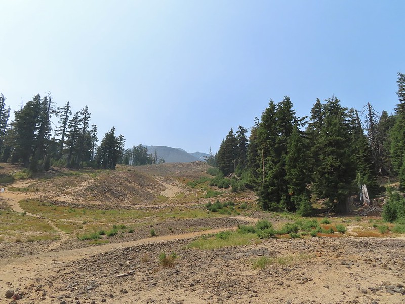 A look at some of the mountain bike trails and some haze moving in overhead.
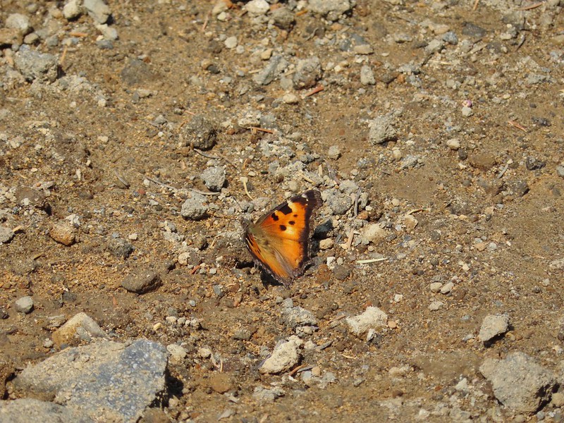 A tortoiseshell butterfly on the road.

 At least we could see the mountains a little better from here.


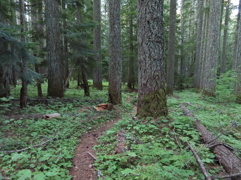
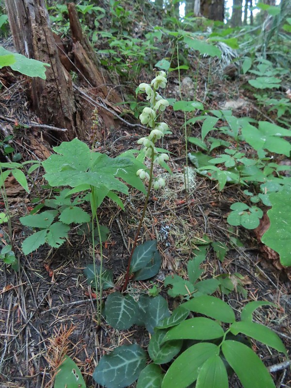


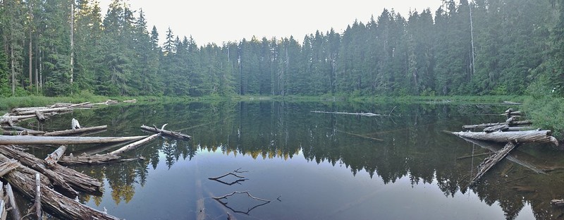
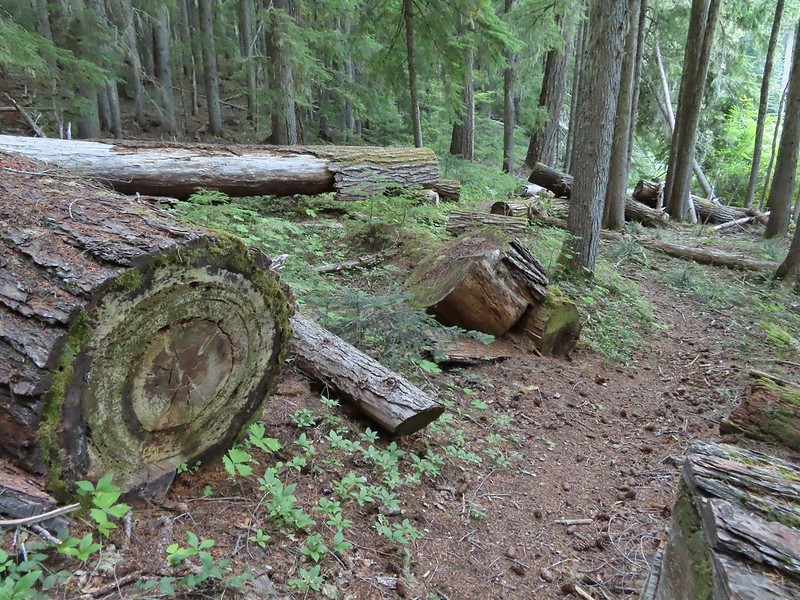
 Unnamed lakelet/pond between Pika and Fir Lakes.
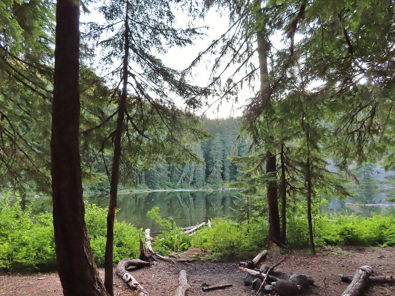 Fir Lake
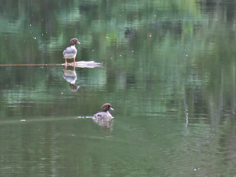 Goldeneyes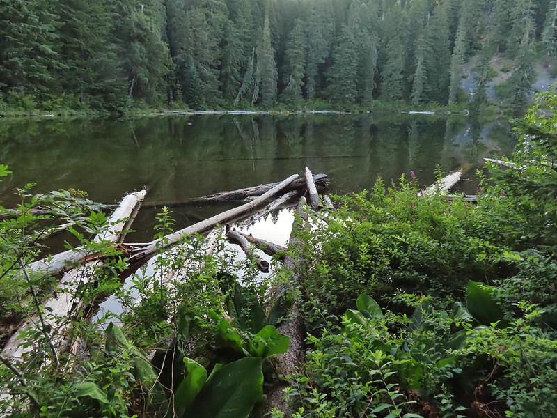

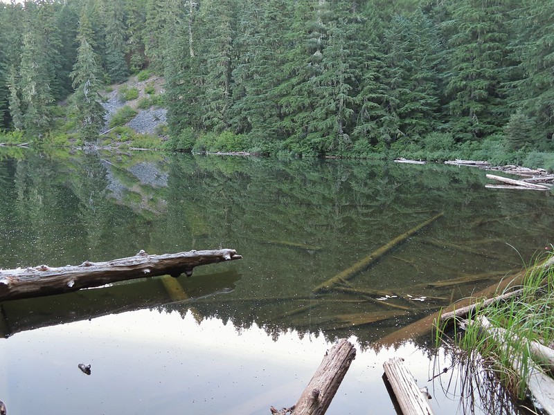


 One of two phantom orchids we saw along the trail.
 Newish looking wilderness sign.
 Maples overhanging the trail.
 Madrone trunks
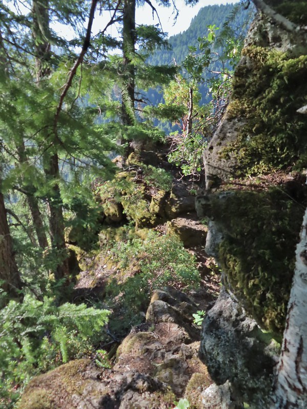 It’s a pretty narrow scramble so probably not for kids or those uncomfortable with heights.
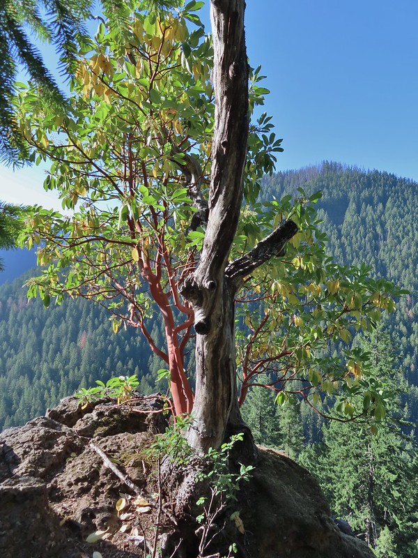 A lone madrone at the end of the fin.
 Looking toward the falls. (The North Sister is back there too but not visible due to the lighting.)
 Rainbow Falls on Rainbow Creek
 The best I could do with the lighting.
 Looking up Separation Creek.
 Looking back up along the rocks.

 Pink pyrola
 Crossing of Gold Creek which was nearly dry but it hosted a fair number of mosquitos.
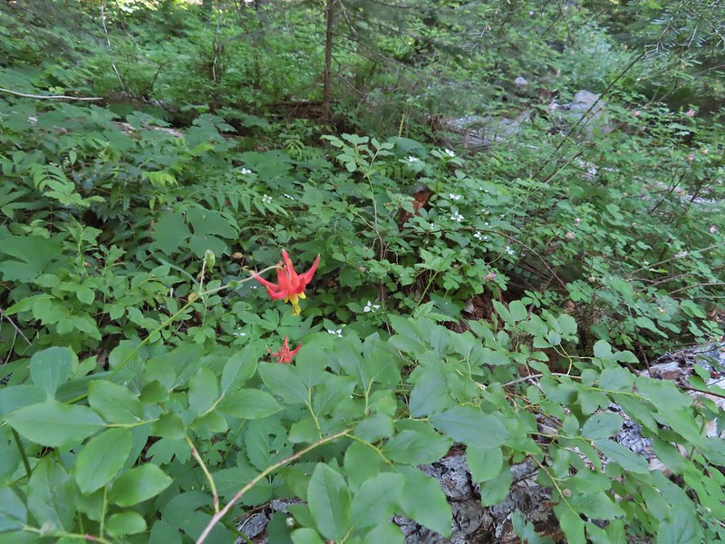 Columbine, bunchberry, and wild roses.
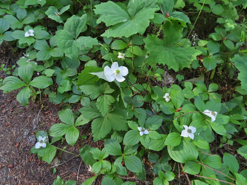 An anemone with some bunchberries
 Entering the Three Sisters Wilderness
 Queen’s cup
 Beargrass
 Candy sticks
 Rhododendron
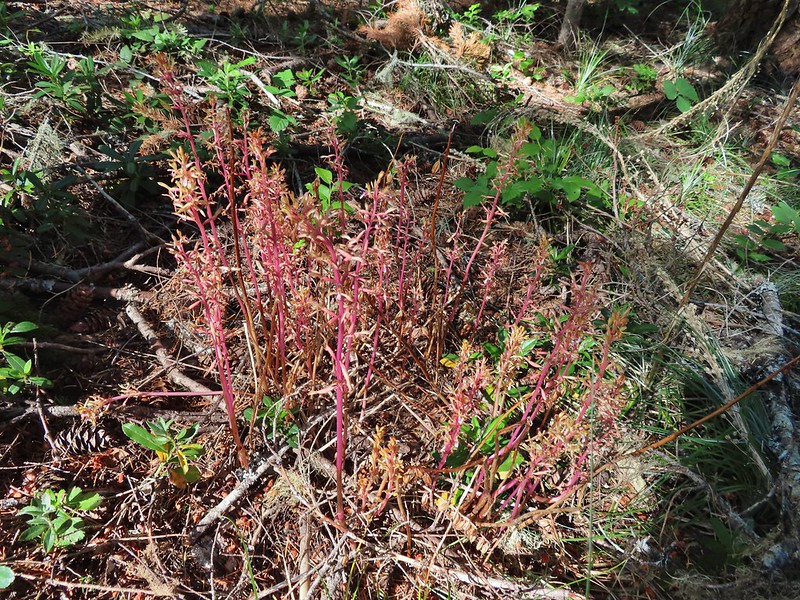 Pacific coralroot
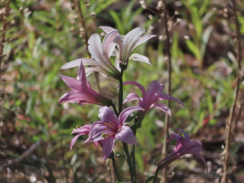 Washington lily
 Lupine
 Squirrel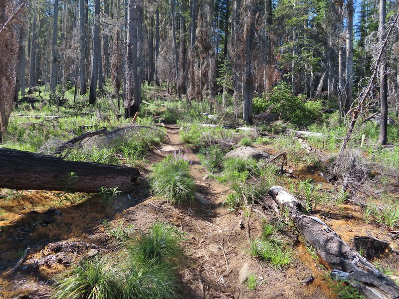
 Tiger lily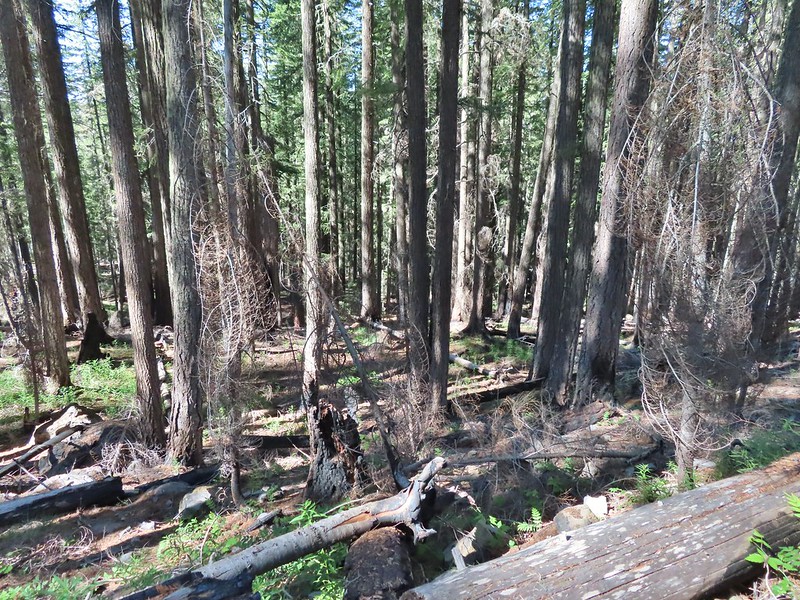
 Twinflower
 Leaving the green trees behind.
 Washington lilies
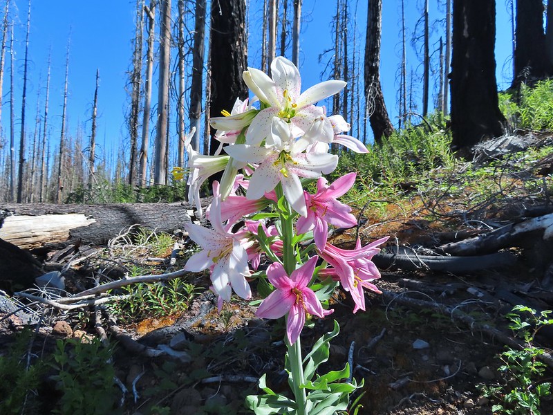 They smell as good as they look too!
 This one was a monster.
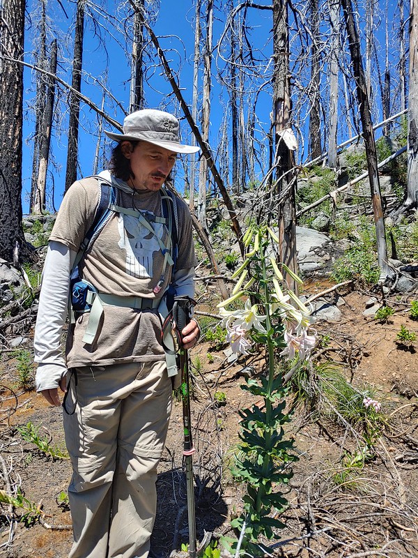 Chest high
 Crab spider on the lower left petal.
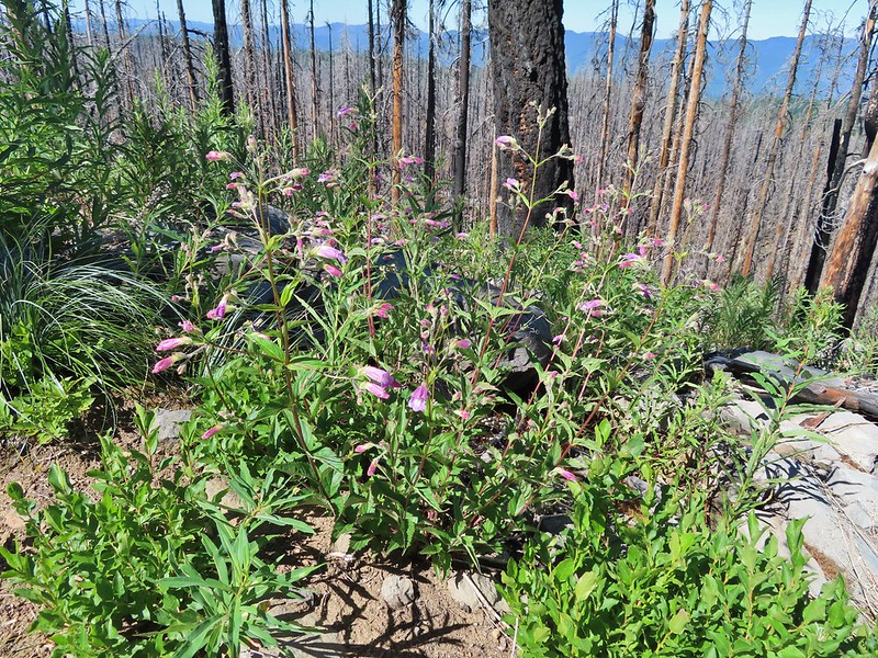 Penstemon
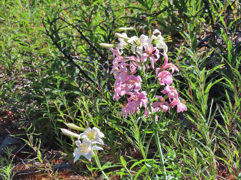 Earlier in the week I had been reading that the blossoms turn pink after being pollinated.
 Clodius parnassian
 Pretty moth
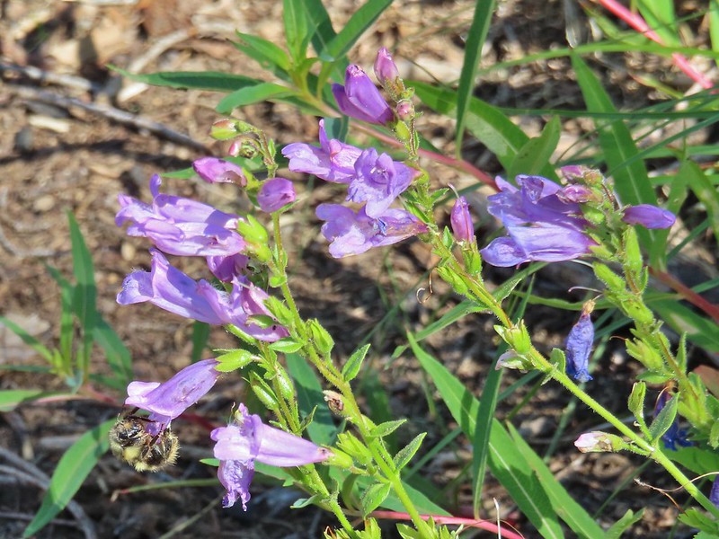 Penstemon
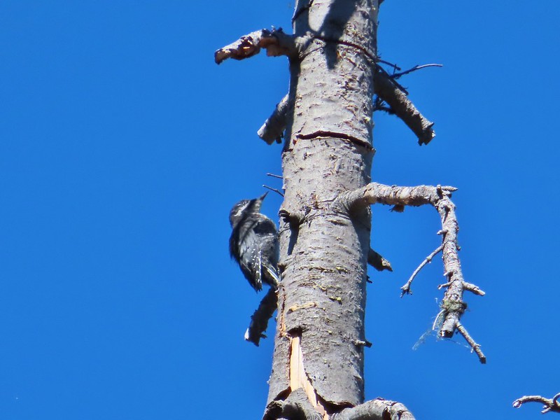 Woodpecker
 Pond along the trail.
 Water lilies
 Looking toward Proxy Point
 The Husband, South Sister, and the shoulder of Substitute Point.
 Frog along the trail.
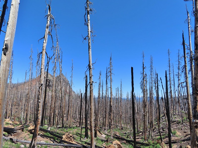 Proxy Point, Scott Mountain (
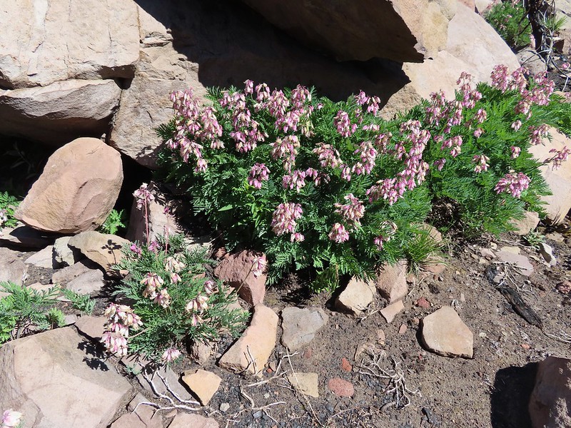 Bleeding heart
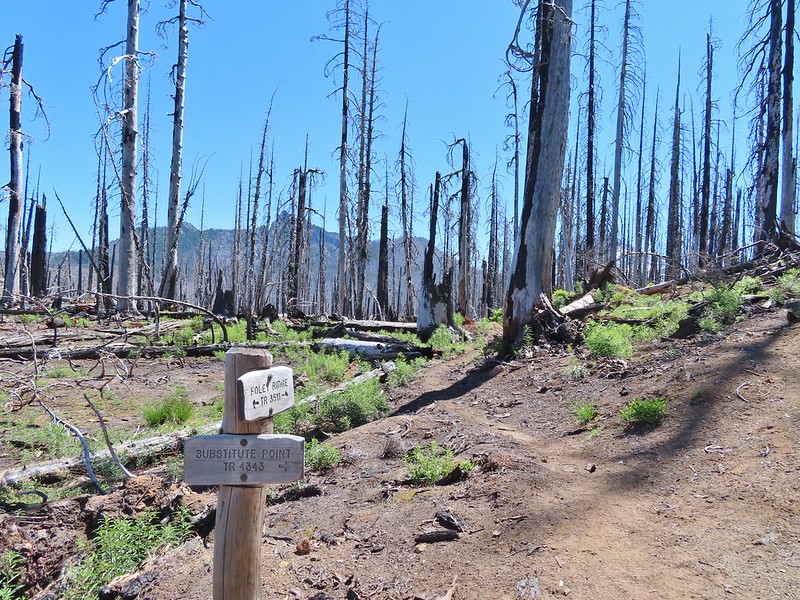 The Husband from the junction.
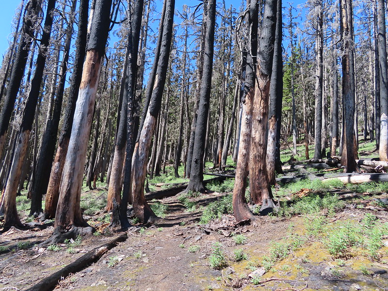
 This was sort of a mean trick, the trail entered these green trees then almost immediately switched back into the burn.
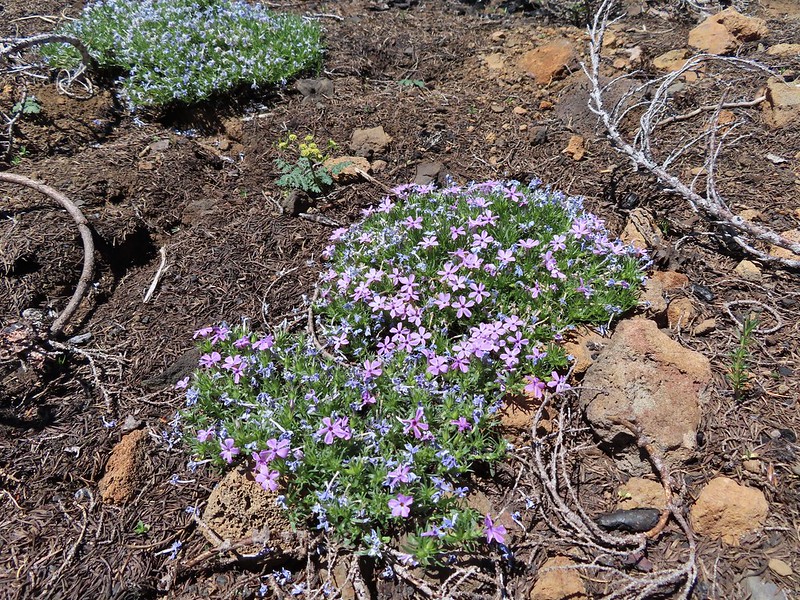 Phlox
Phlox
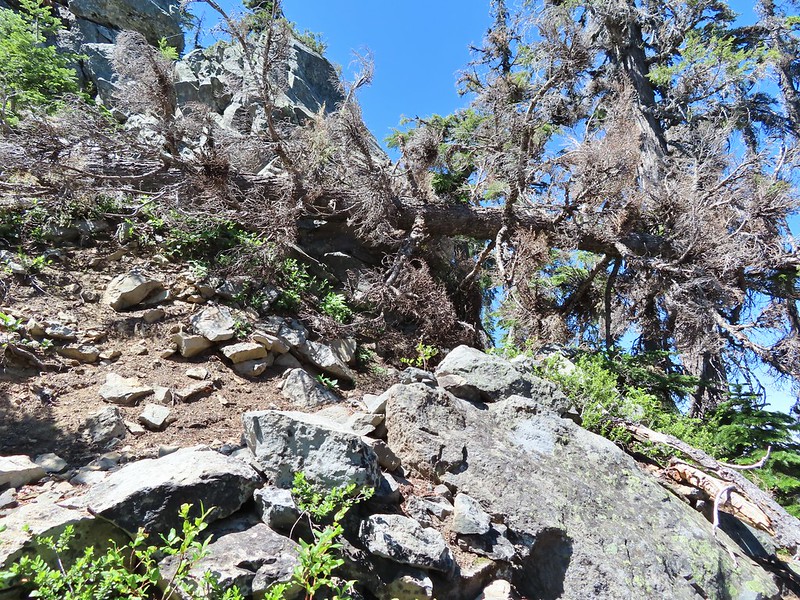
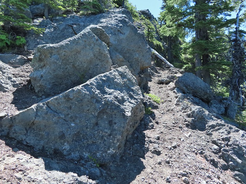
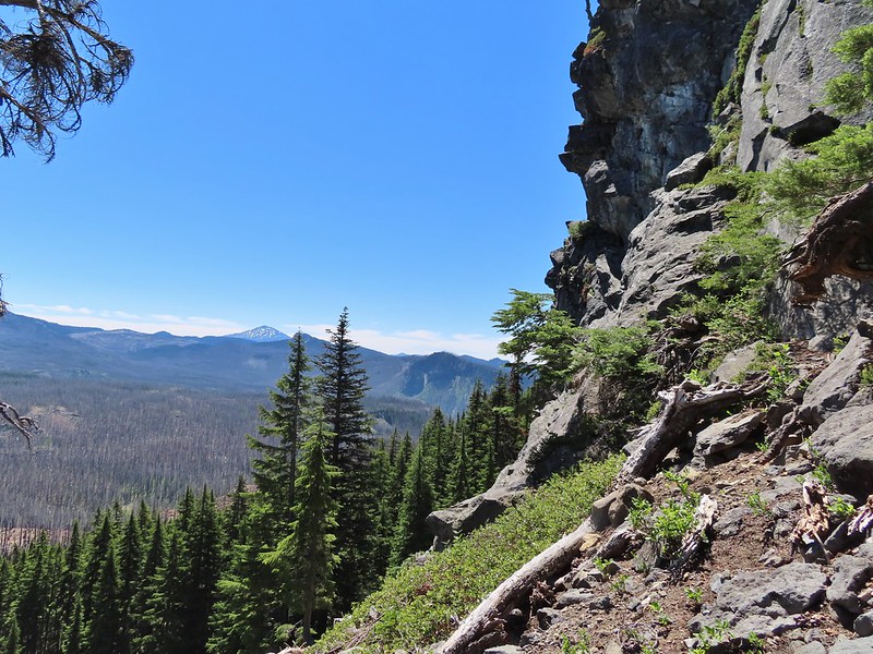 Mt. Bachelor from the trail.
 Proxy Point
 Some unburned forest and a view of Diamond Peak.
 Diamond Peak (
 The Little Brother and North & Middle Sister behind The Husband with South Sister to the right.
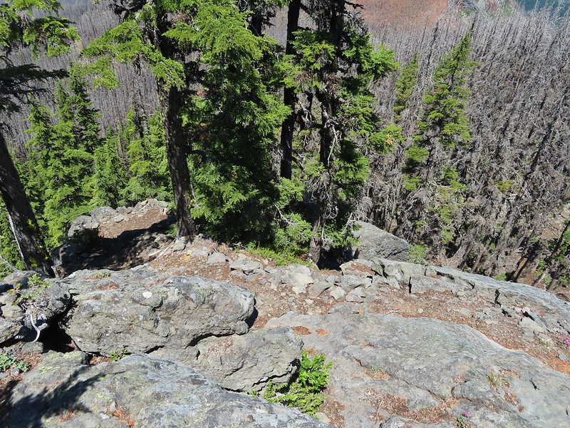 The trail leading up.
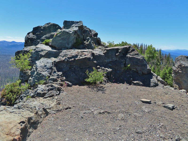 The summit of Substitute Point
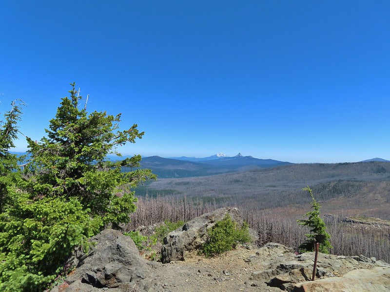 Scott Mountain, Three Fingered Jack, Mt. Jefferson, Mt. Washington, and Belknap Crater (
 Proxy Point and Scott Mountain.
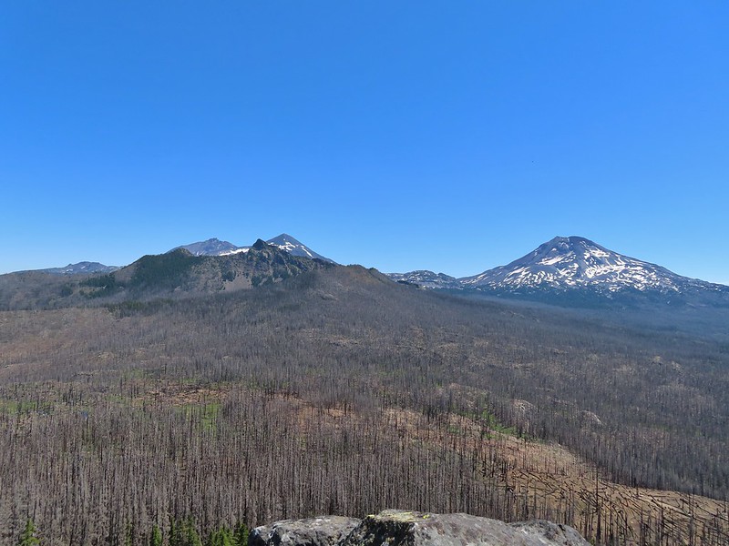 The Three Sisters, Little Brother and The Husband
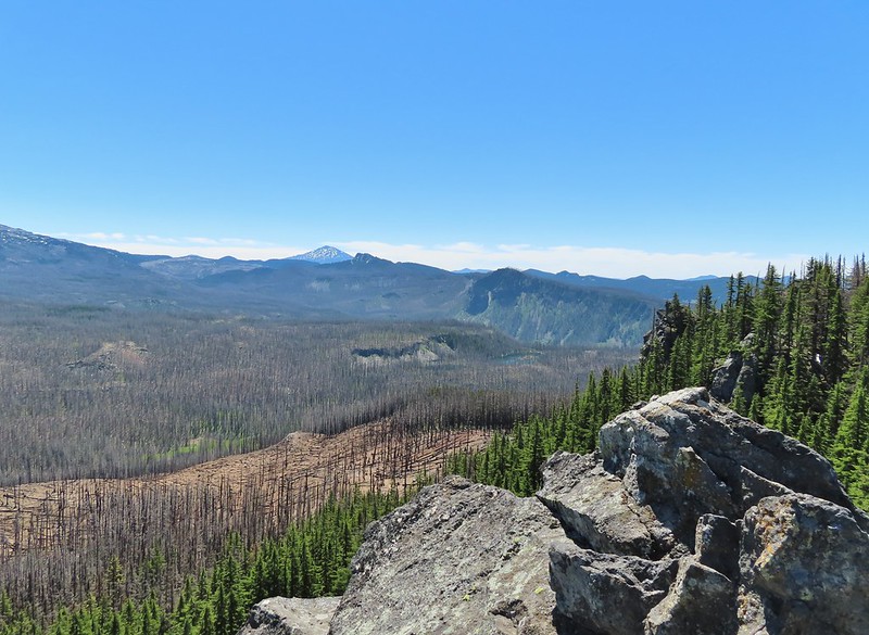 Mt. Bachelor, The Wife, and Sphinx Butte.
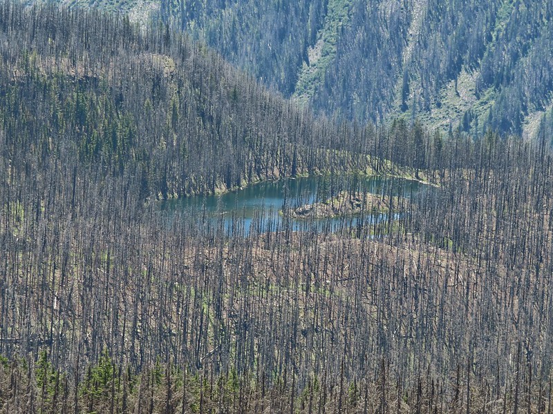 Kidney Lake
 Mt. Bachelor and The Wife
 North and Middle Sister behind The Husband
 Three Fingered Jack, Mt. Jefferson and Mt. Washington
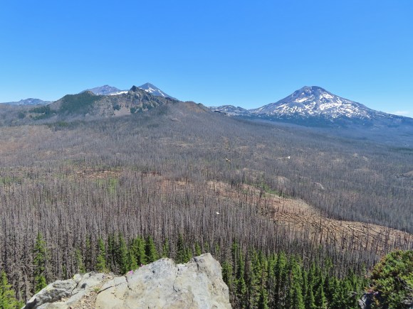 A swallowtail and two whites (maybe clodius parnassians) in flight.
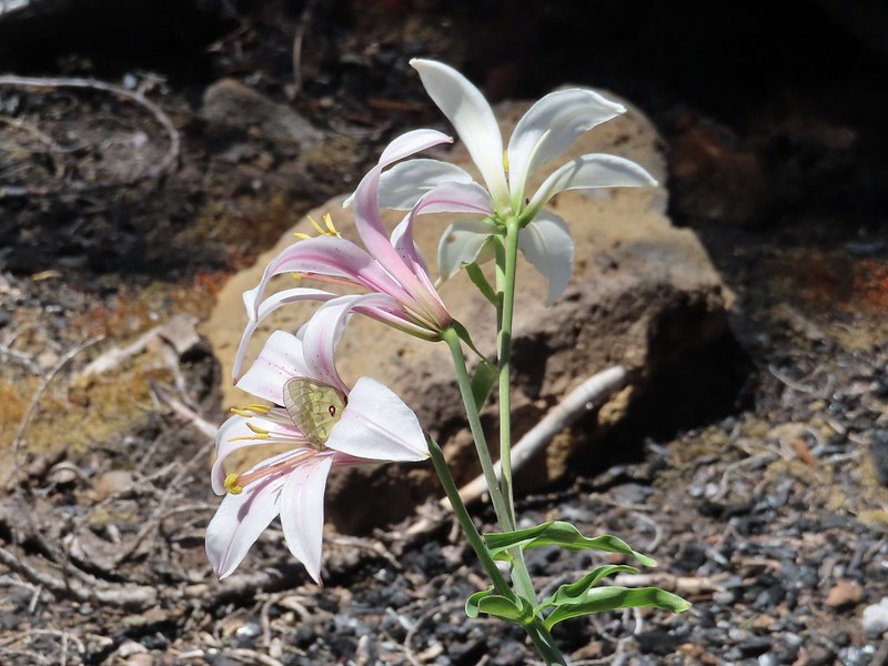 Clodius parnassian in a blossom.
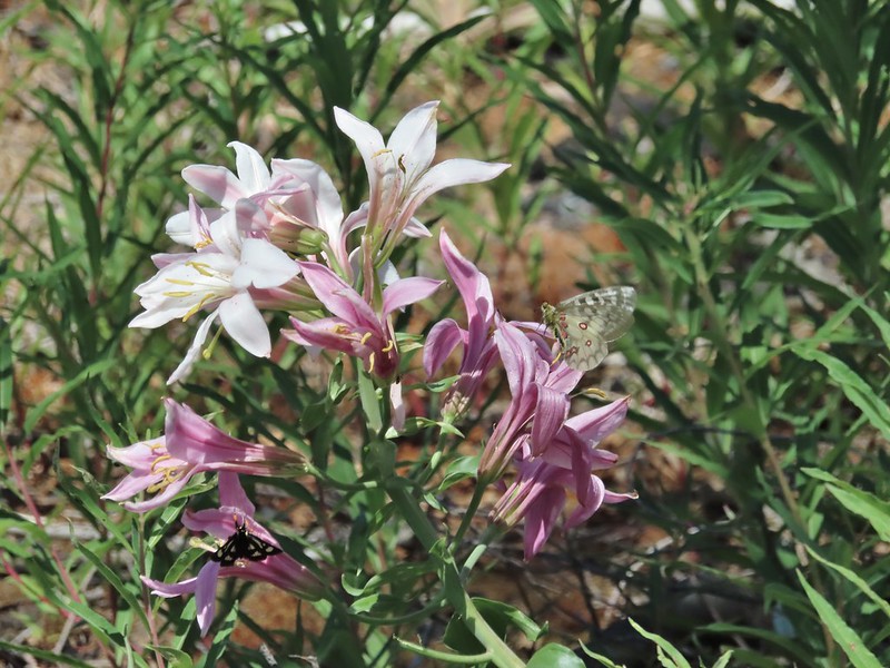 Moth and a parnassian.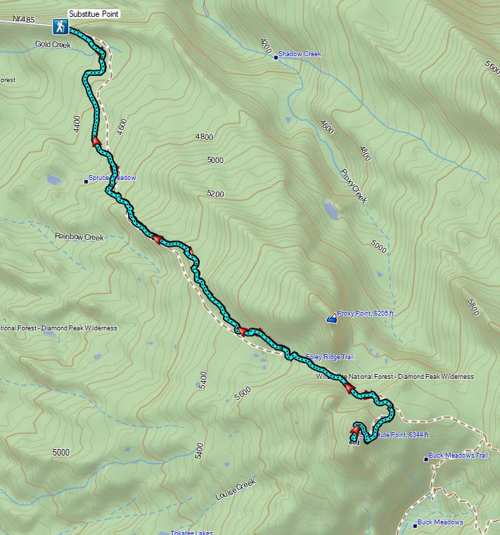


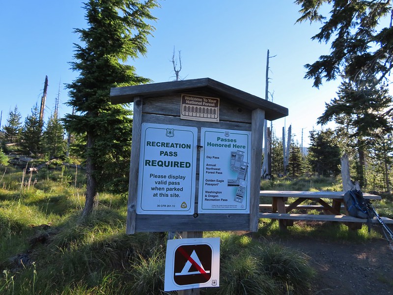
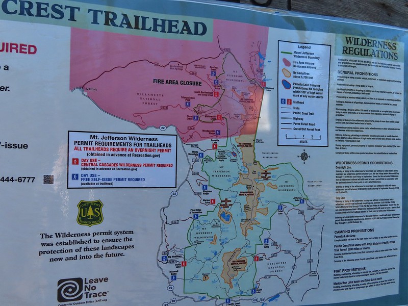
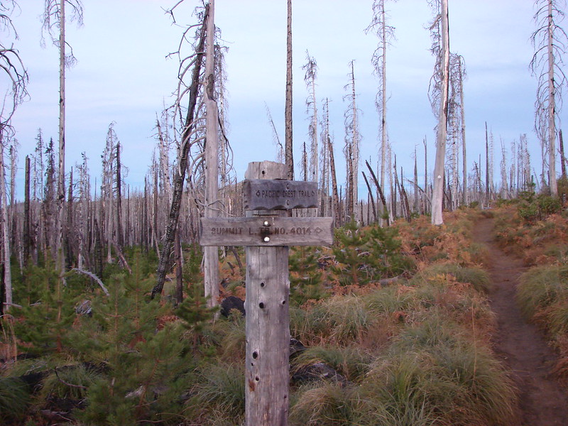 Trail sign at the junction on 10/13/2012.
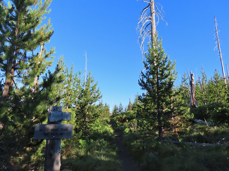 Trail sign at the junction on 07/03/2021.
 Entering the Mt. Jefferson Wilderness in 2012 (0.3 miles from the TH).
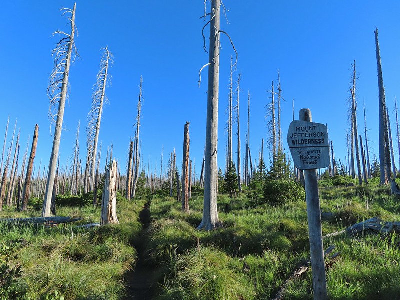 Entering the wilderness in 2021.
 Cache Mountain, Black Crater (post), Tam McArthur Rim & Broken Top (post), North & Middle Sister, Mt. Washington, and Hayrick Butte (flat top on the right).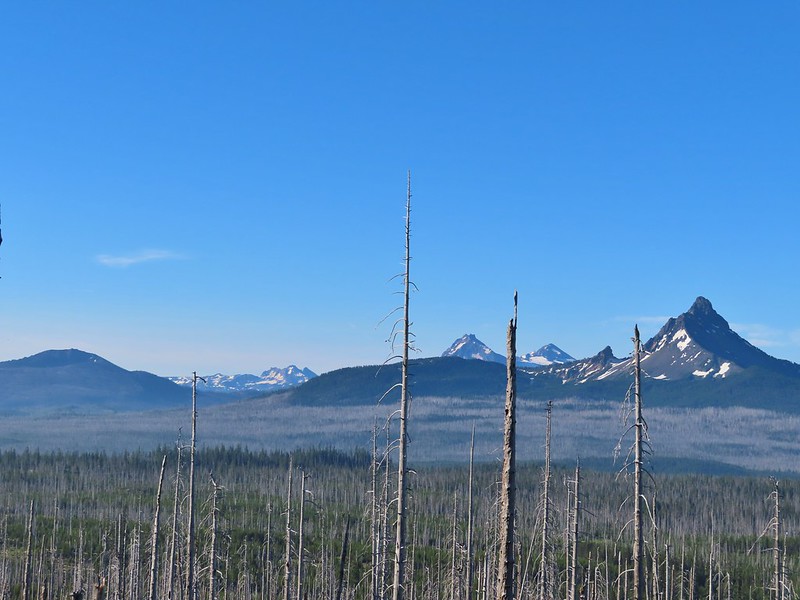

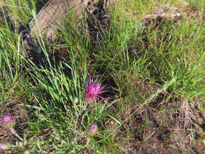 A thistle
 Penstemon
 Bleeding heart
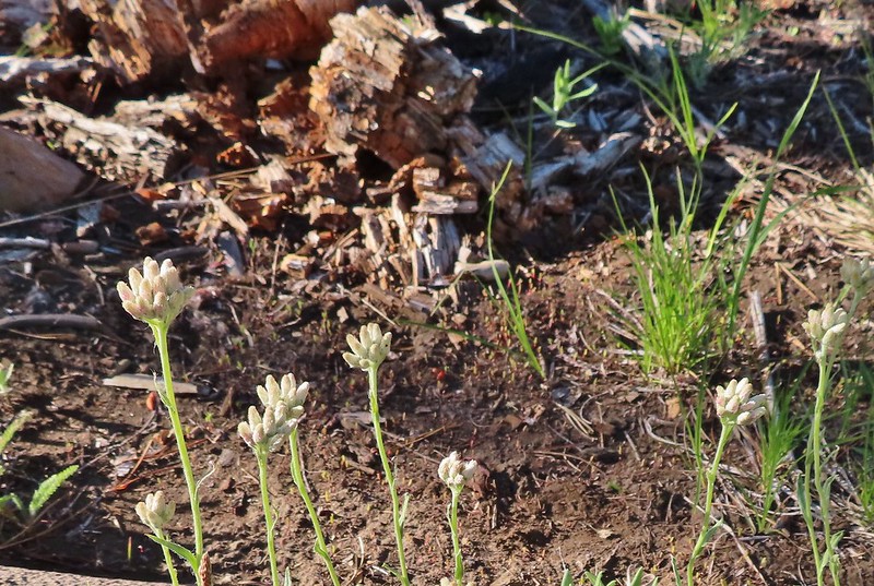 Pussytoes
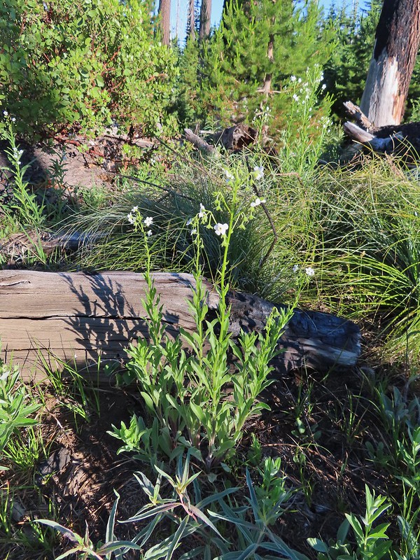 California stickseed
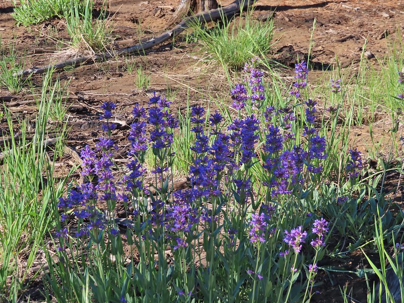 Another penstemon
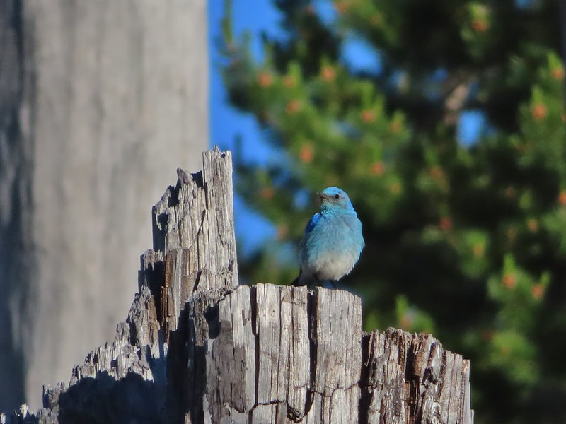 Mountain bluebird by the lake.

 There was a good amount of scarlet gilia blooming along this section of trail.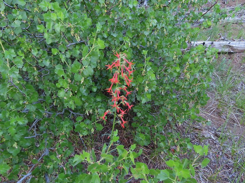
 Three Fingered Jack
 One of the ponds.
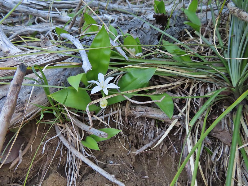 Queen’s cup
 Another pond with Maxwell Butte (
 Unnamed lake along the trail with Maxwell Butte behind.
 Lupine
 Dark-eyed junco
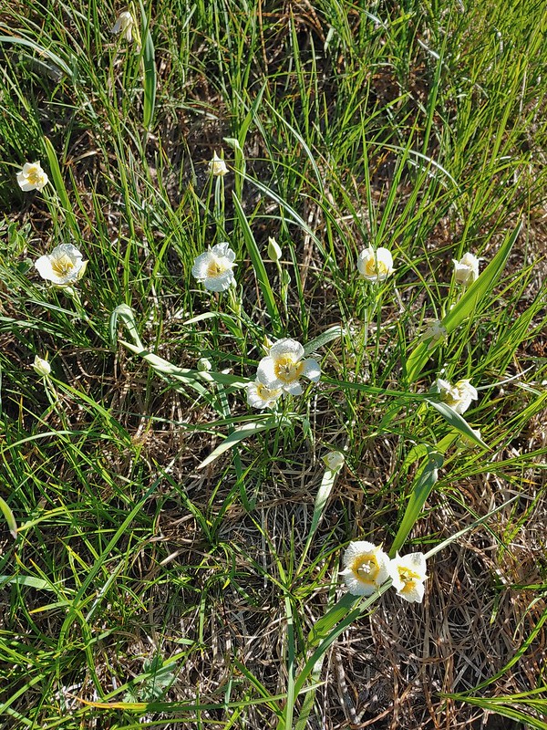 Sub-alpine mariposa lilies
 Woodpecker
 The view south.

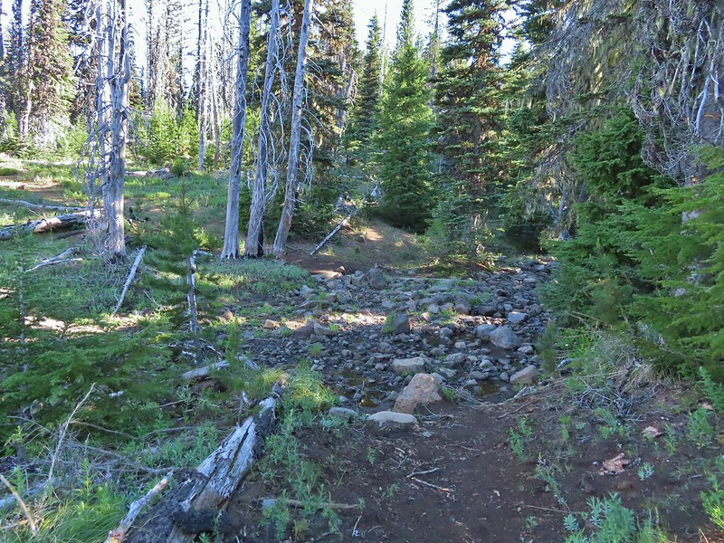
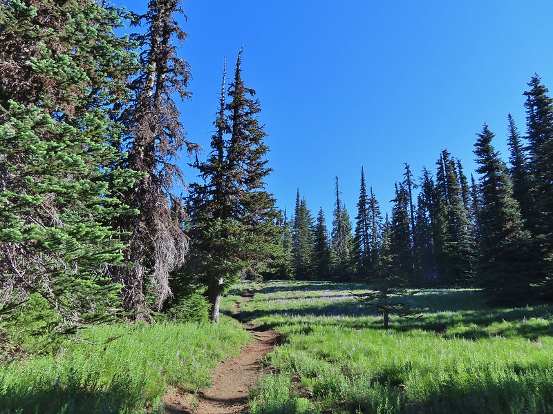


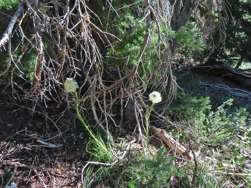 Beargrass
 Recent snow melt is another recipe for mosquitos.
 Another creek crossing.
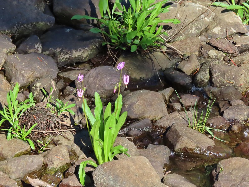 Shooting star
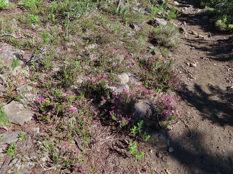 Mountain heather. Typically if we see this blooming we expect there to be mosquitos.
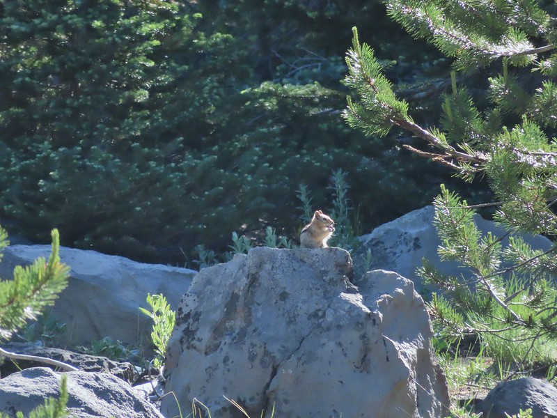
 A sulphur
 Alpine false dandelion
 One of several snow patches at the tree line.
 Nearing the end of the opening.
 More snow in the trees.
 A checkerspot
 Trees & melting snow = more mosquitos.
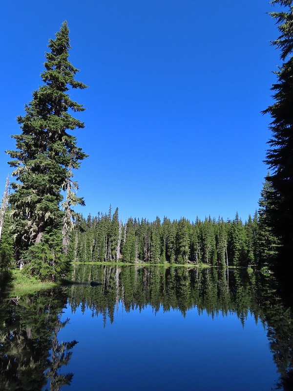 Not Santiam Lake but a very pretty unnamed lake just to the left of the trail approximately 0.4 miles from Santiam Lake.
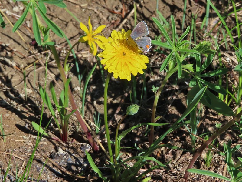 Not sure what type this is but the orange on the wing was pretty.
 Mt. Jefferson behind Red Butte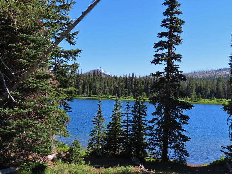
 Duffy Butte on the left.
 Three Fingered Jack
 Paintbrush, shooting stars, and buttercups.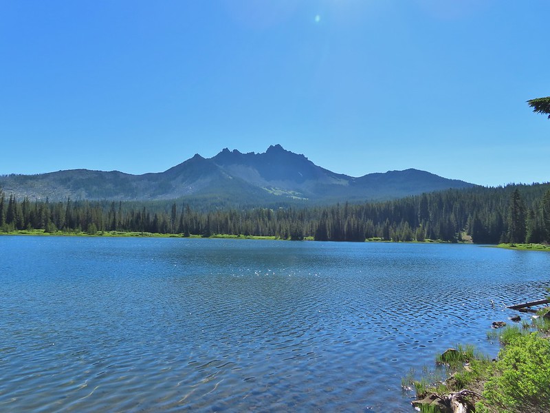
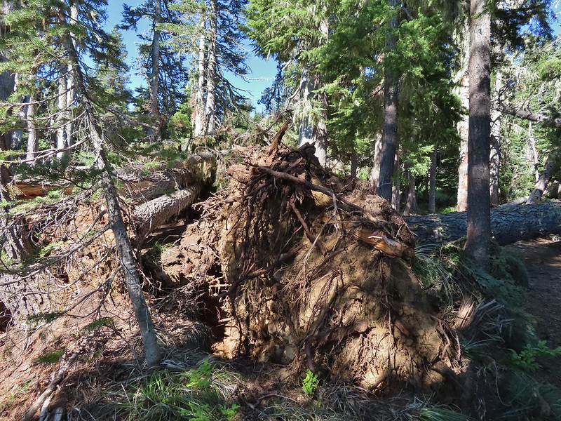 Just one of several large uprooted trees along the shore.
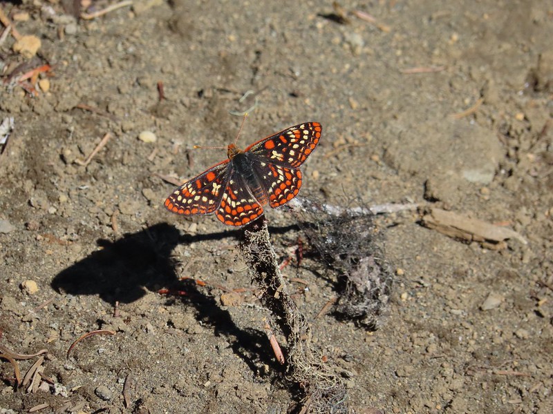

 The “topographic feature” ahead on the right where we planned on turning for Lower Berley Lake.
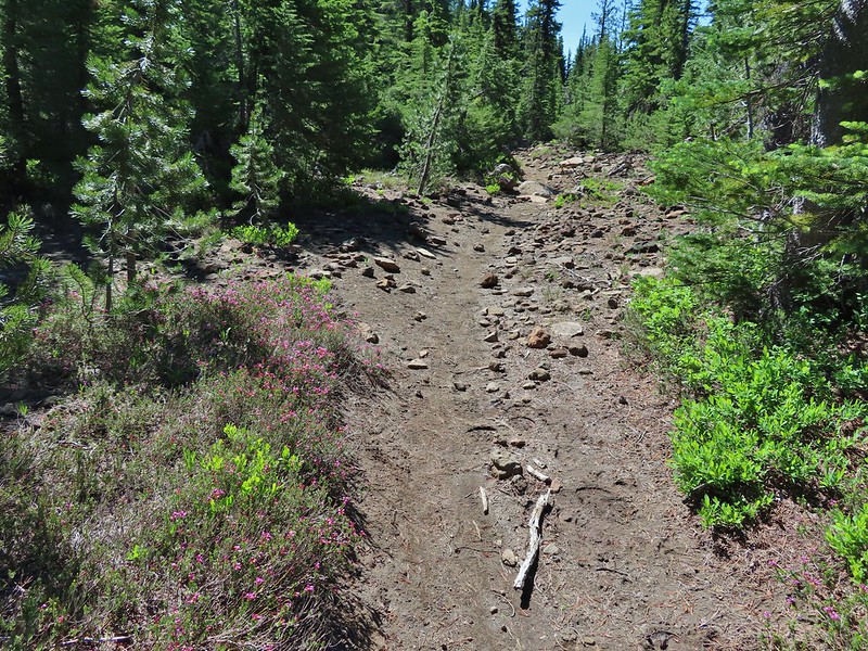 Mountain heather along the trail, it was warm and sunny enough that the mosquitos weren’t as bad this time by.
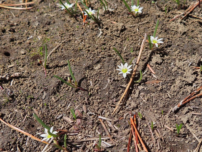 Threeleaf lewisia
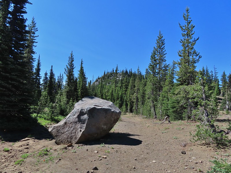 Getting closer to the hill where we planned on turning.
 California tortoiseshell butterflies in the bed of Lost Lake Creek.


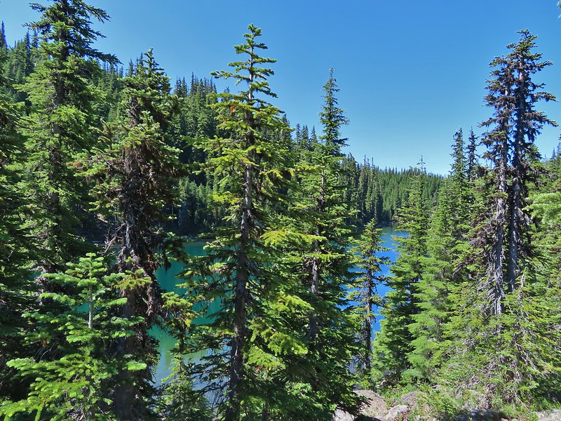
 Three Fingered Jack from the rocks.
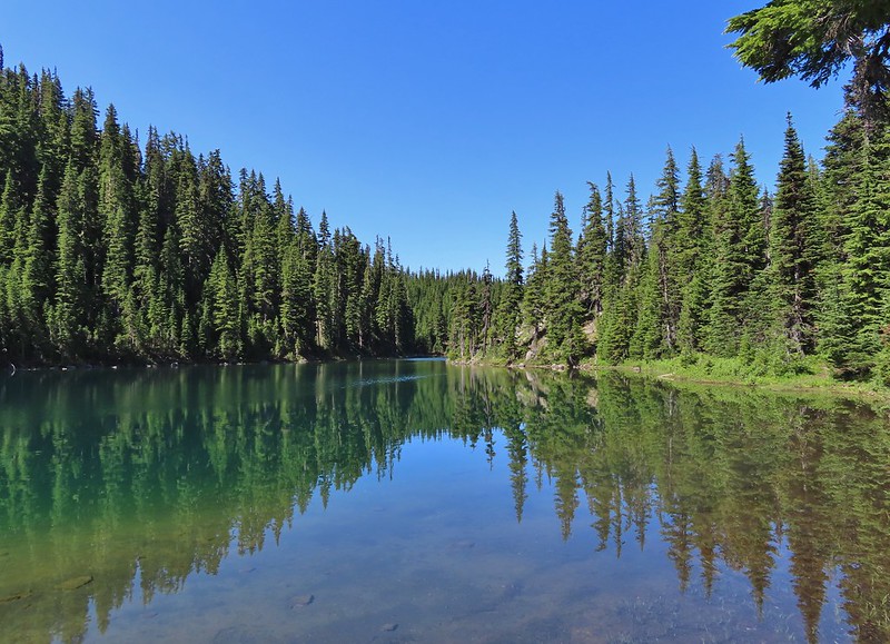
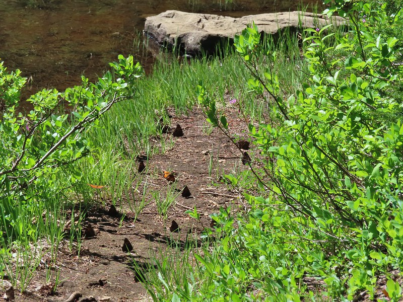 More tortoiseshells
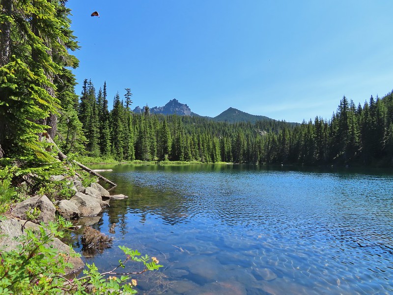 A butterfly photo bomb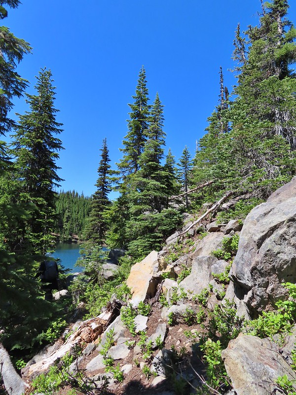


 The bed was popular with the butterflies.
 Cross country to Upper Berley Lake, the doe was in this meadow and headed in the direction of the patch of snow at the far end.
 Upper Berley Lake
 We wound up finding the same “user trail” and followed it down to the lower lake.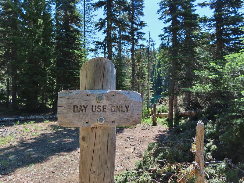
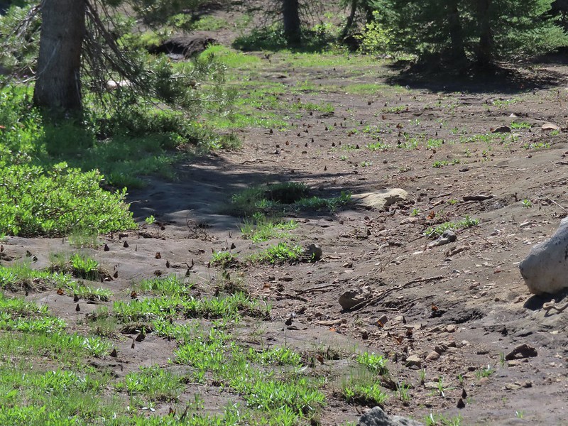 California tortoiseshell butterflies along Lower Berley Lake.
 Three Fingered Jack and about a half dozen butterflies.
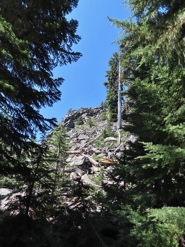 The hillside on the right was rocky.
 The trail dropping down from the saddle with Mt. Washington and the North Sister ahead.

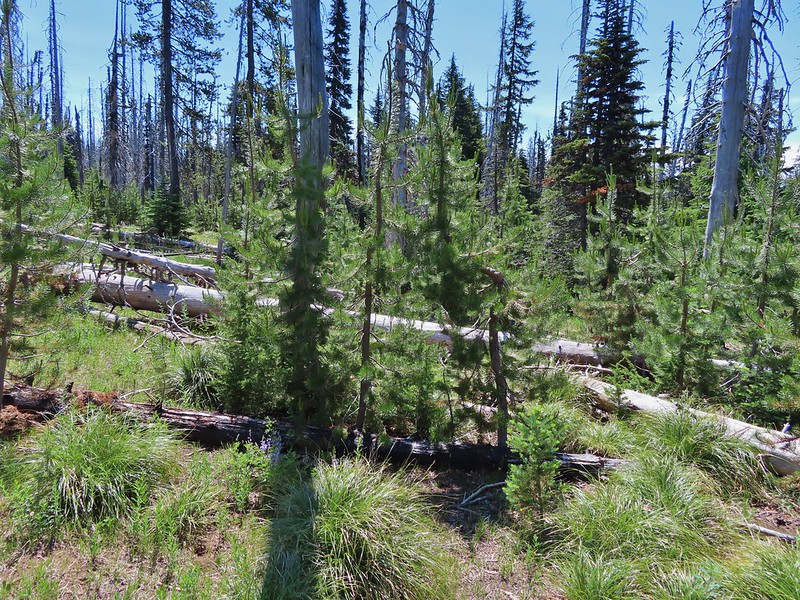
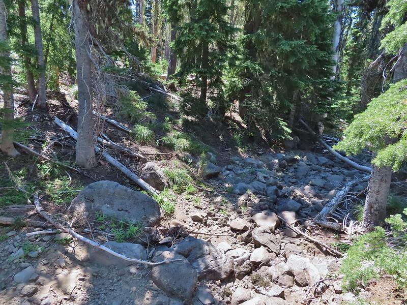
 Found it!


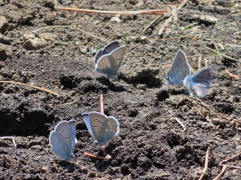
 Yellow beetle on lupine.
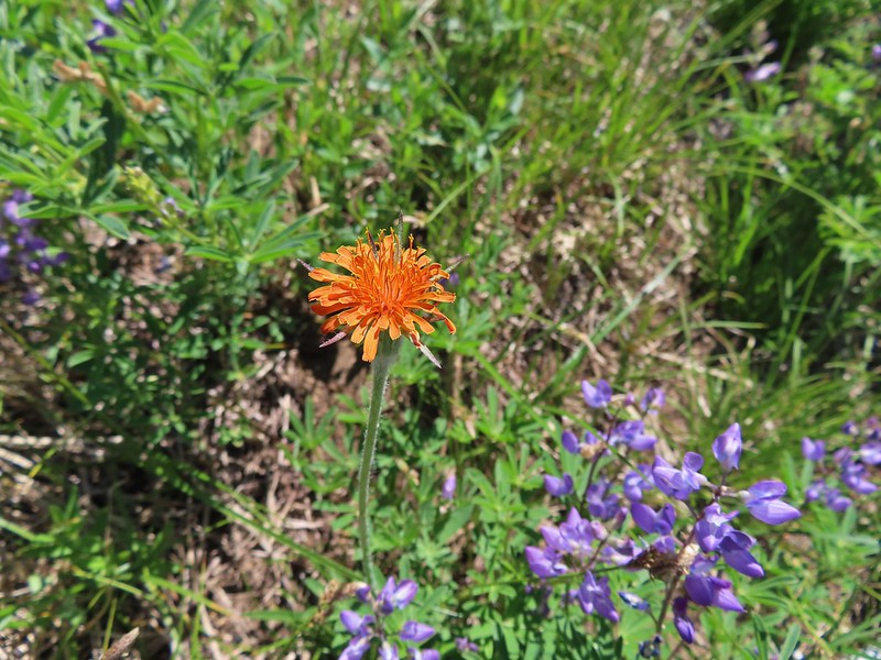 Orange agoseris
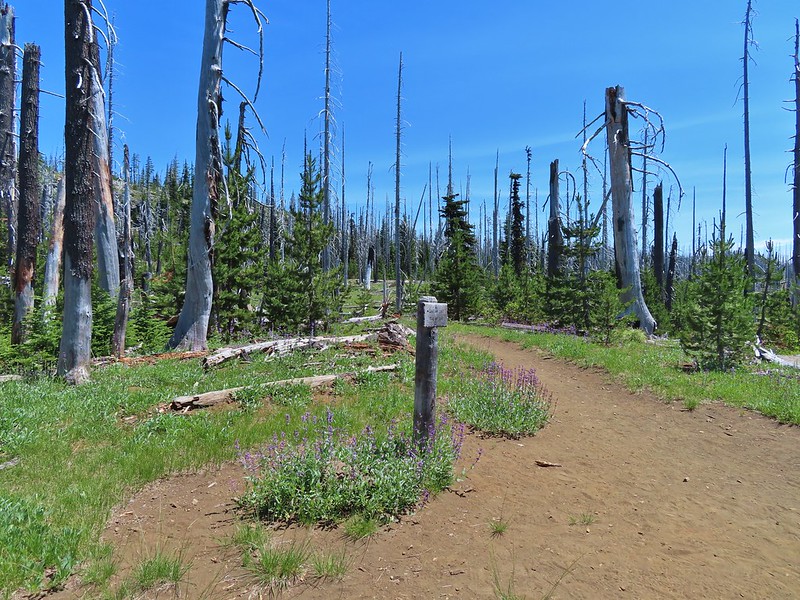 Back at the PCT.
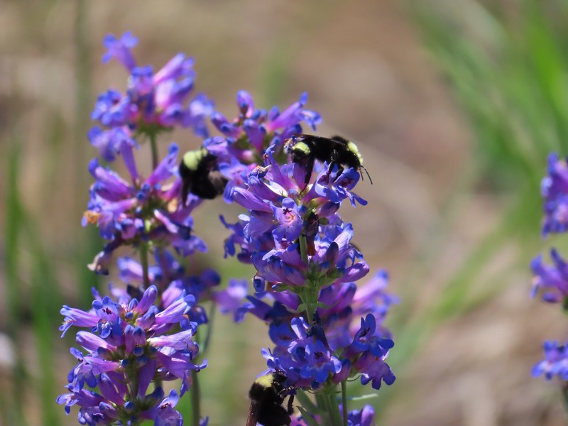 Bumble bees on penstemon.
 Cicada in the grass.
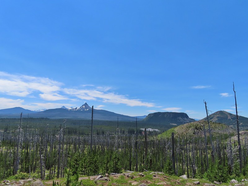 Black Crater, Broken Top, North & Middle Sister, Mt. Washington, Hayrick Butte, and Hoodoo Butte from the viewpoint.


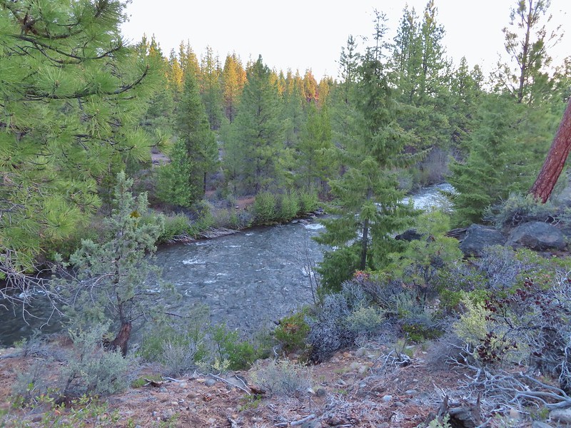

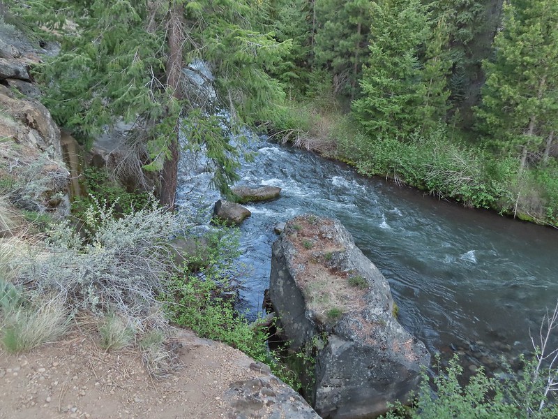
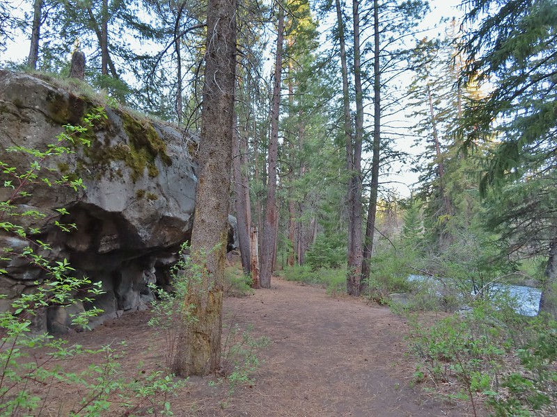
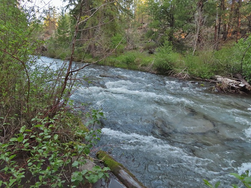
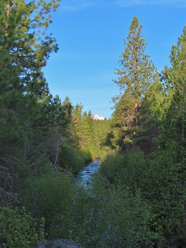 North Sister in the distance.
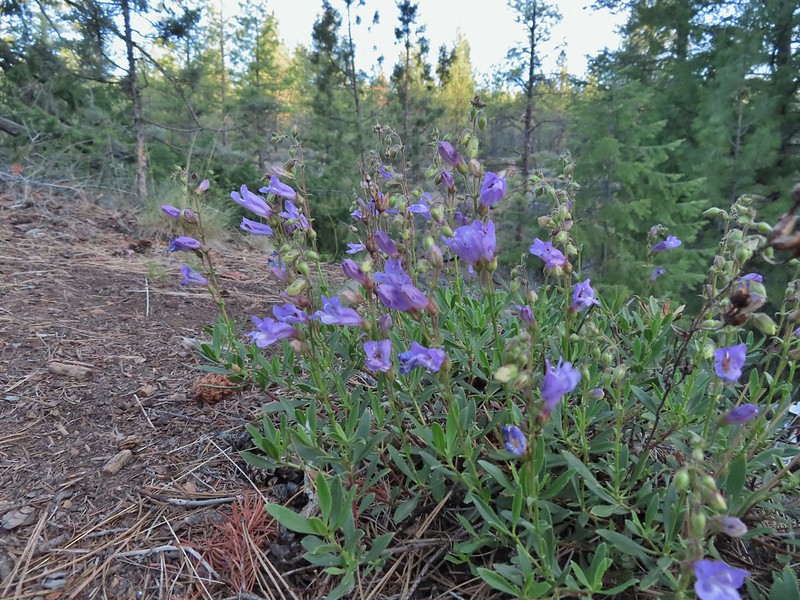 Penstemon
 Chocolate lily
 Sand lily
 Paintbrush
 Balsamroot
 A Penstemon
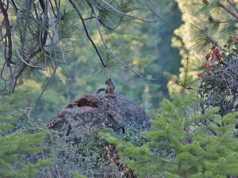 Squirrel!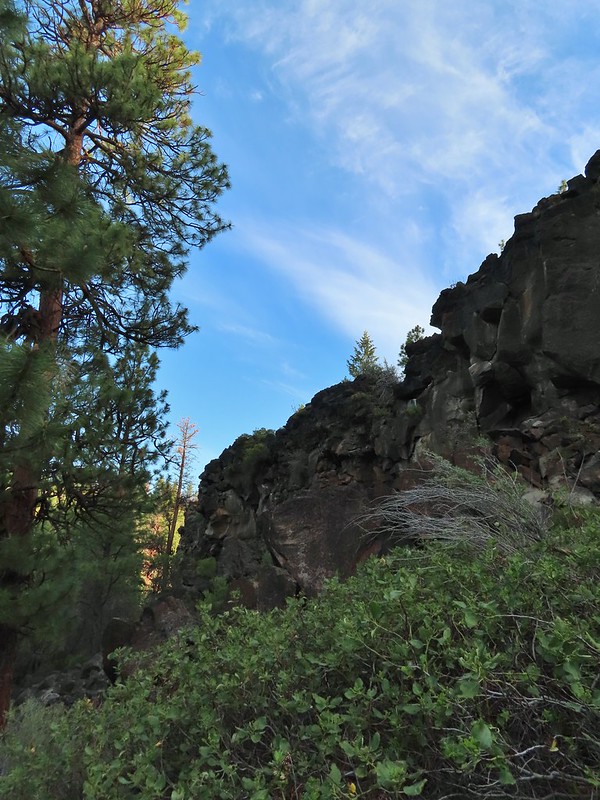
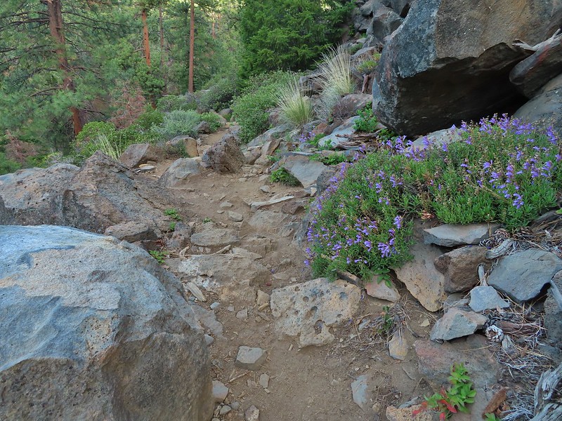

 The penstemon really liked the cliff area.
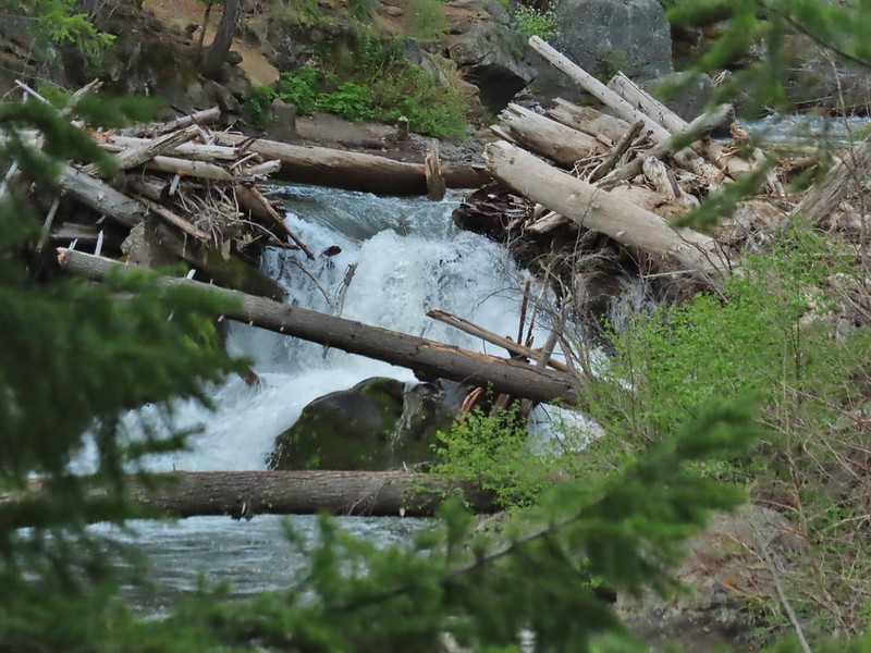


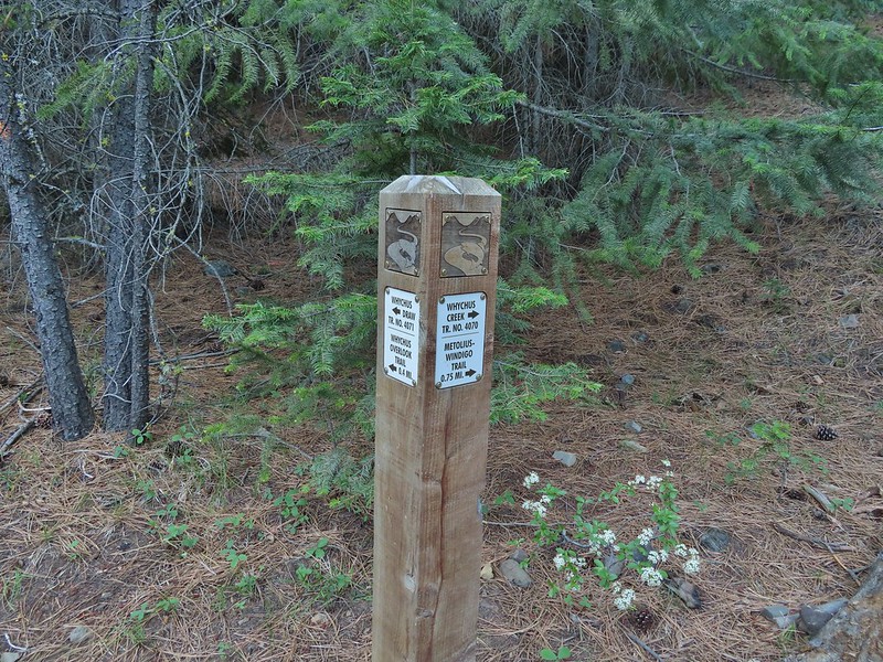

 Mt. Hood sighting.
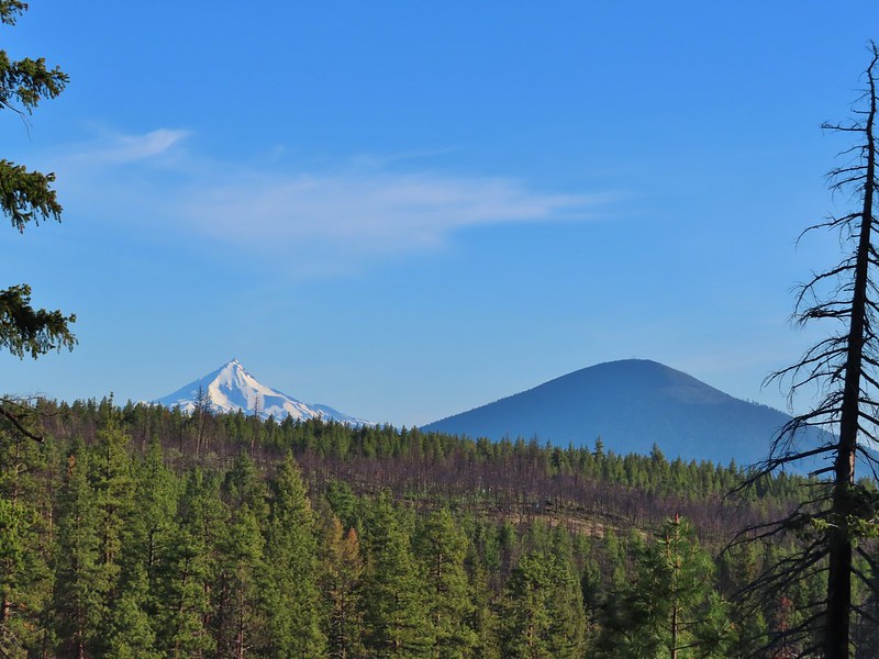 Mt. Jefferson and Black Butte
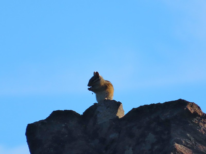 Chipmunk
 White breasted nuthatch
 Golden mantled ground squirrel
 Broken Top and the Three Sisters (bonus points for spotting the golden mantled ground squirrel)
 Lewis flax at the overlook.
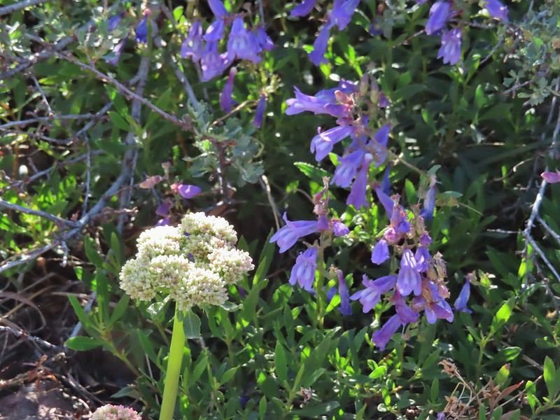 Buckwheat and penstemon
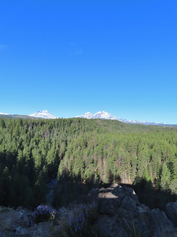 Whychus Creek below with the Three Sisters on the horizon.
 Tam McArthur Rim (
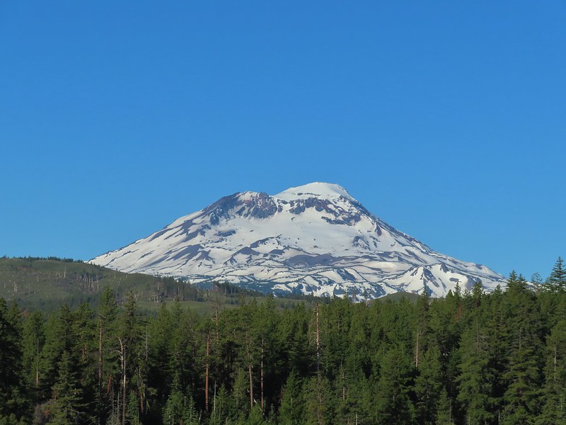 South Sister
 Middle and North Sister
 Mt. Washington
 Three Fingered Jack
 Mt. Jefferson
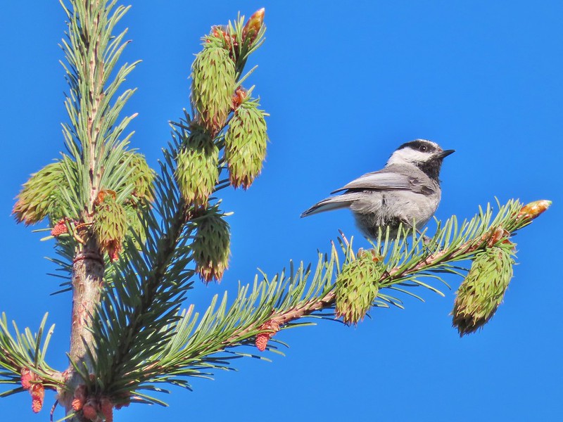 Chickadee

 Interpretive sign along the trail.
 Mt. Washington, Three Fingered Jack, Mt. Jefferson, and Black Butte


